Road Information |
||
 |
||
| Total Mileage in State: | 207 miles | |
| Eastern End: | At South Dakota state line | |
| Western End: | At Montana state line | |
| Mileage covered in Photos: | 207 miles | |
| Counties covered in Photos: | Crook, Campbell, Johnson, Sheridan | |
| Major Junctions in Photos: | US 16, in Buffalo I-25, in Buffalo |
|
| Control Cities in Photos: | Sundance, Moorcroft, Gillette, Buffalo, Sheridan | |
Westbound
- Section 1: South Dakota Border to Sundance (Exit 185)
- Section 2: Sundance (Exit 185) to Gillette (Exit 124)
- Section 3: Gillette (Exit 124) to Buffalo (Exit 58)
- Section 4: Buffalo (Exit 58) to Sheridan (Exit 25)
- Section 5: Sheridan (Exit 25) to Montana Border
Section 1: South Dakota Border to Sundance (Exit 185)
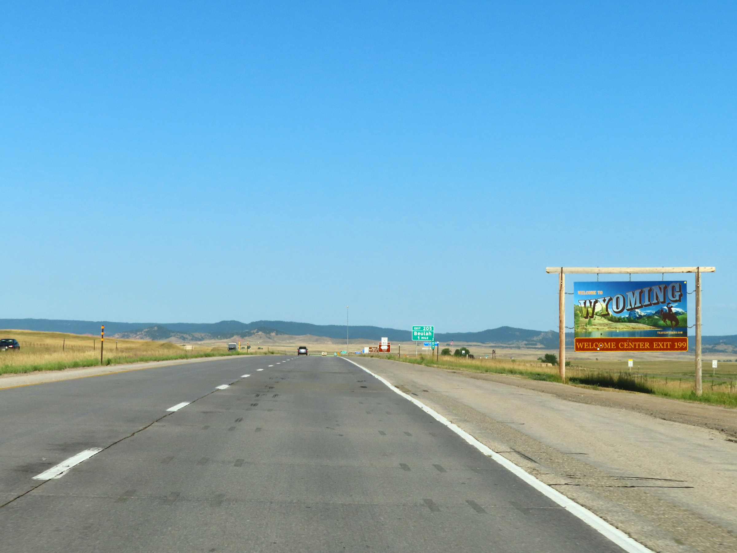 |
Wyoming welcome sign at mile marker 207 as Interstate 90 West enters the Equality State from South Dakota. (Photo taken 8/17/22). |
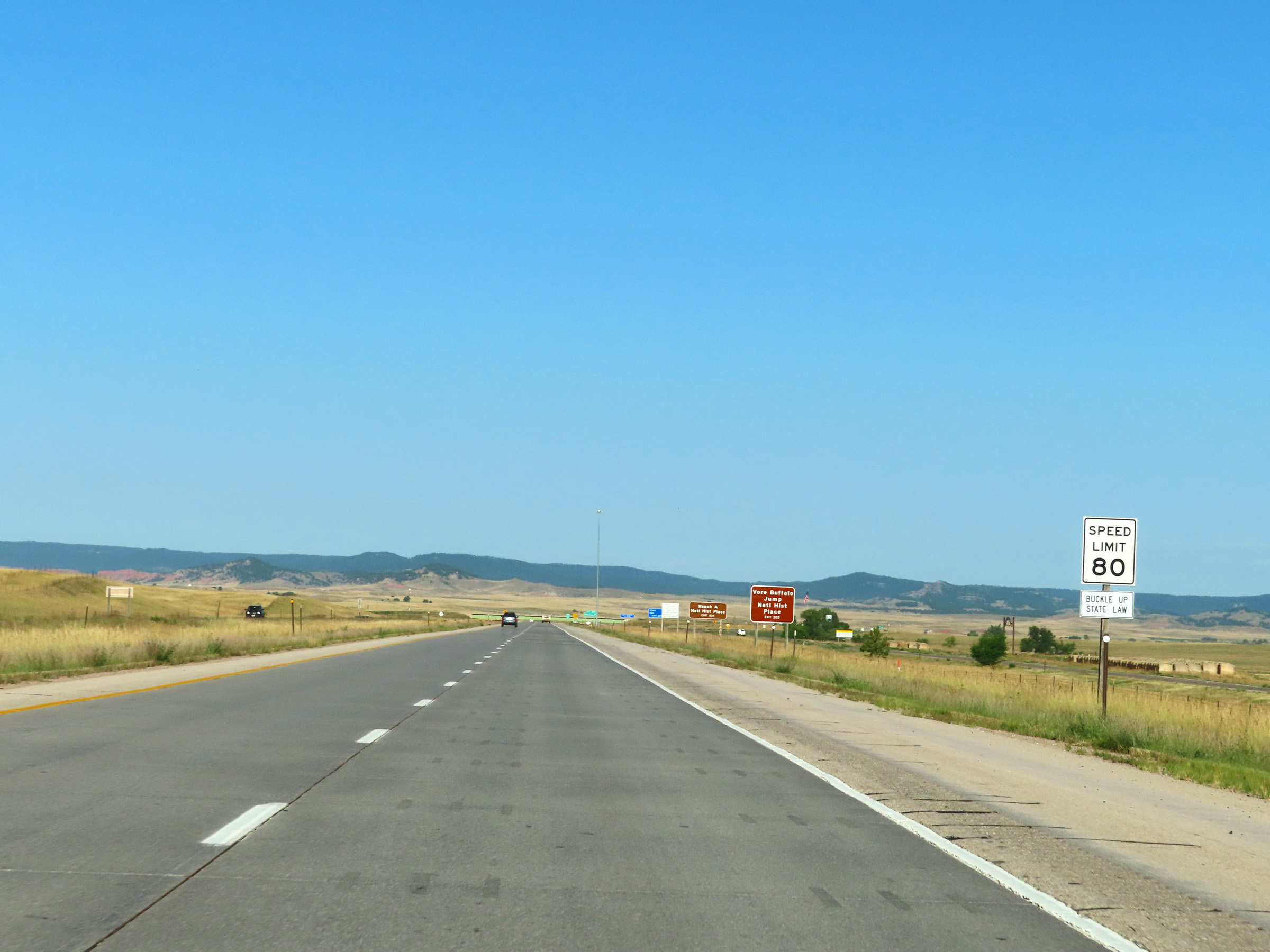 |
The speed limit on Interstate 90 West in Wyoming starts out at 80 mph for all traffic. This is the standard speed limit on a lot of Interstate Highway mileage in Wyoming. (Photo taken 8/17/22). |
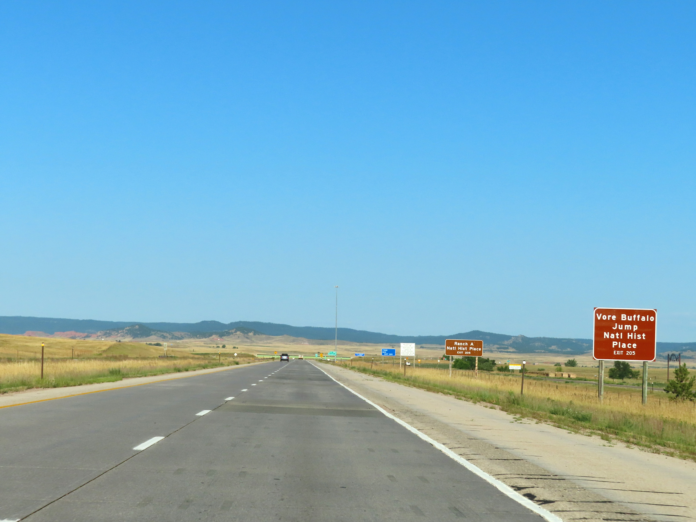 |
Take Exit 205 to Vore Buffalo Jump National Historic Place and Ranch A National Historic Place. (Photo taken 8/17/22). |
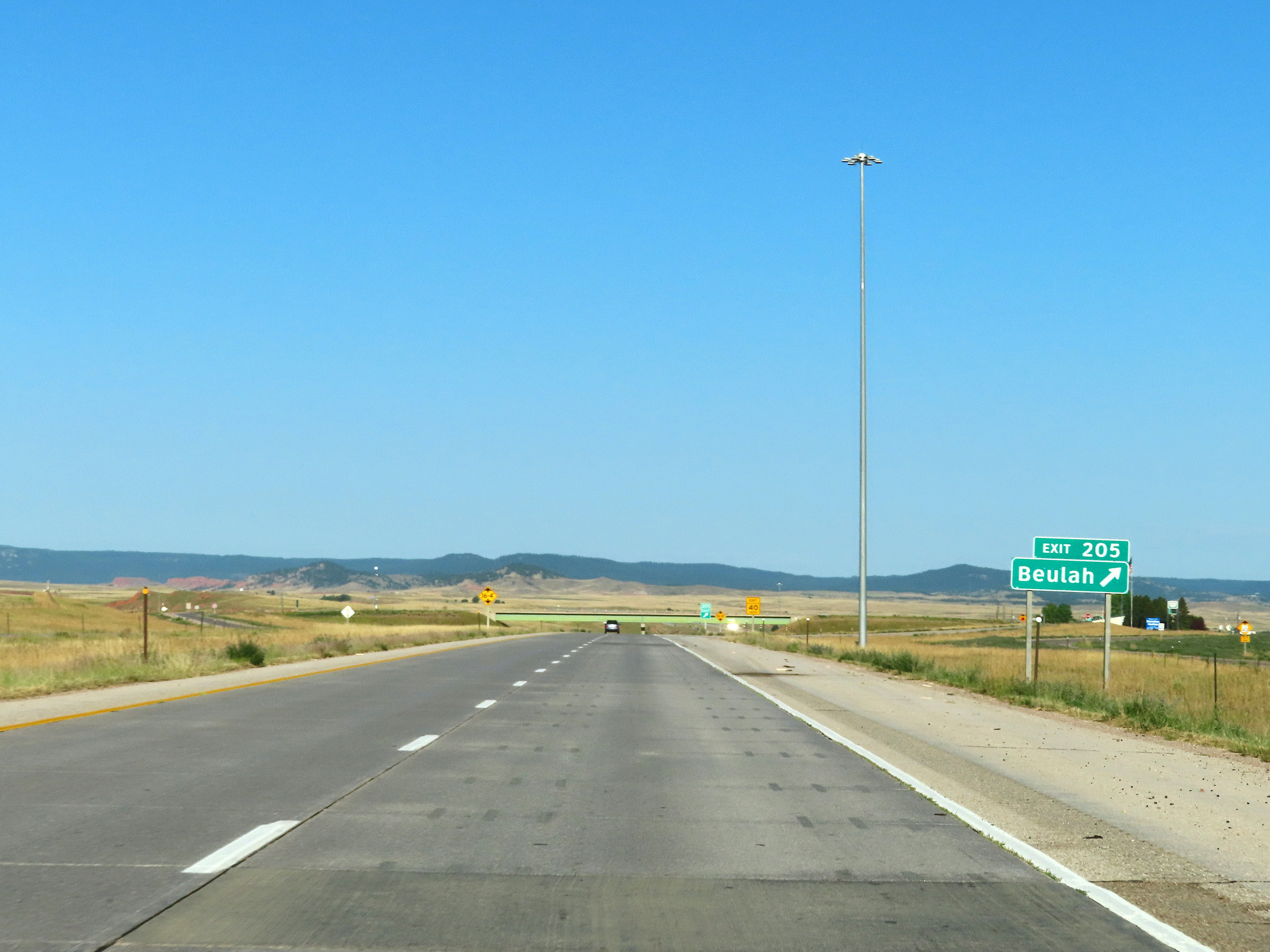 |
Interstate 90 West at Exit 205: Beulah (Photo taken 8/17/22). |
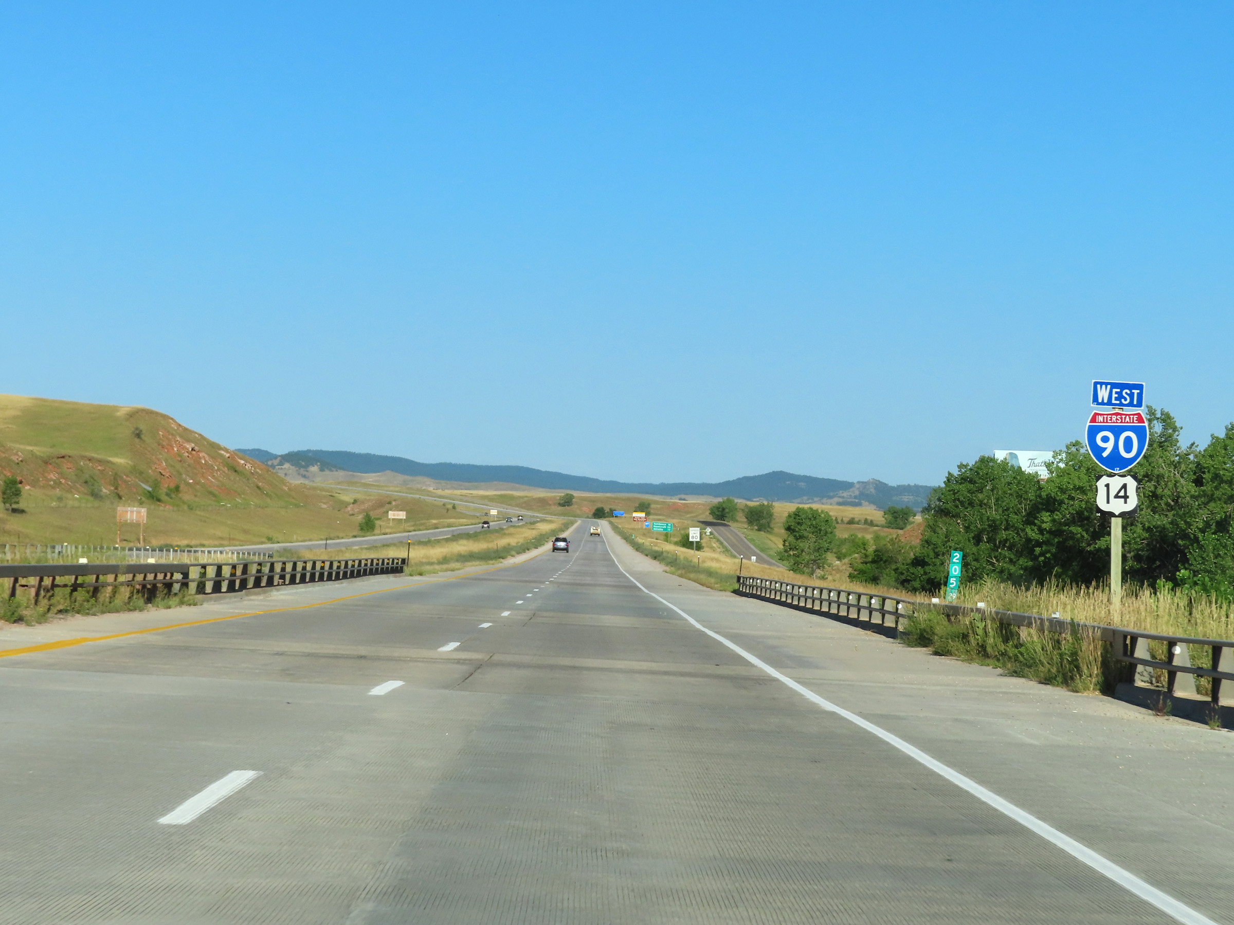 |
Interstate 90 West reassurance shield at mile marker 205.29. (Photo taken 8/17/22). |
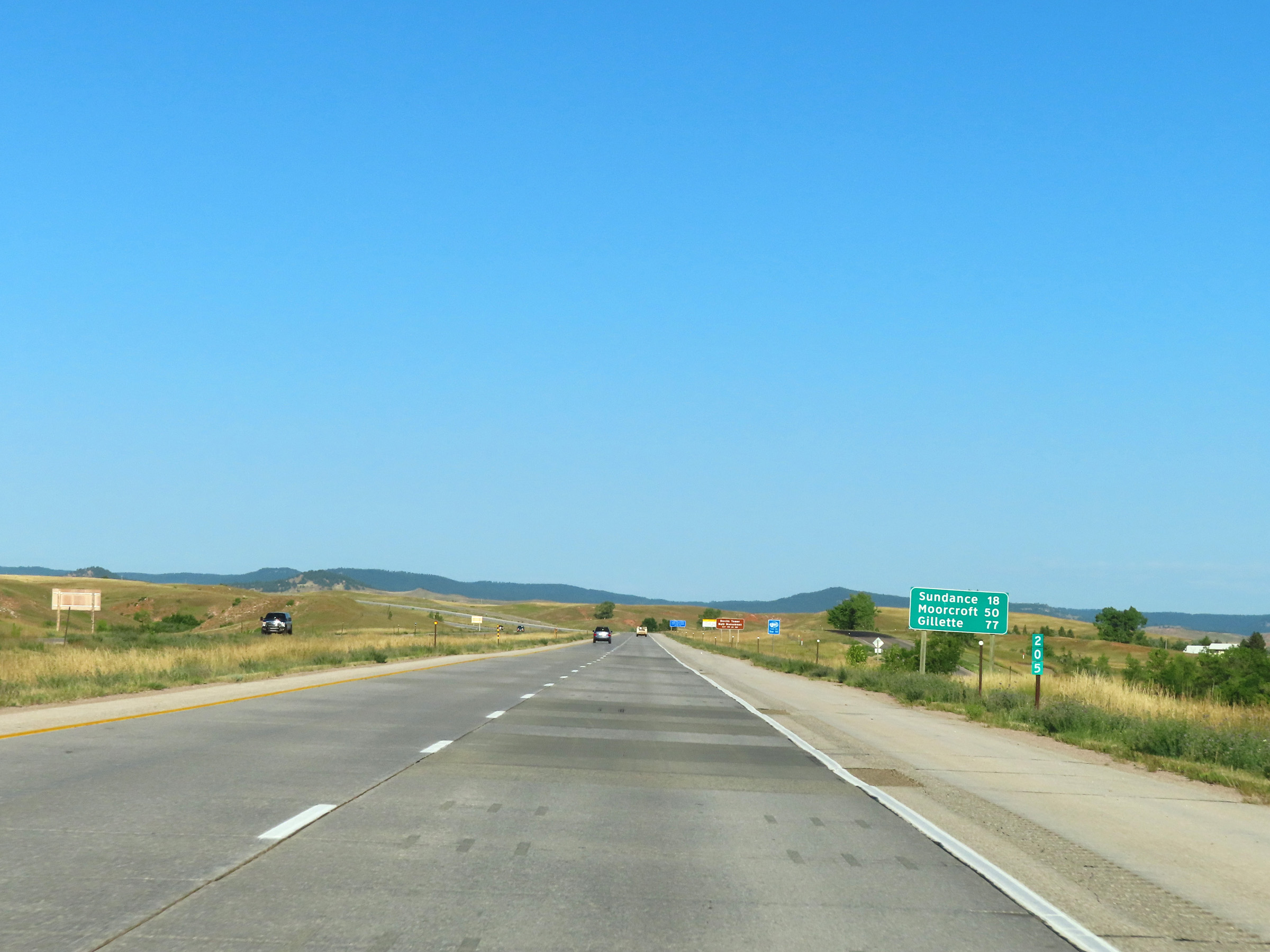 |
Mileage sign at mile marker 205. It's 18 miles to Sundance, 50 miles to Moorcroft, and 77 miles to Gillette. (Photo taken 8/17/22). |
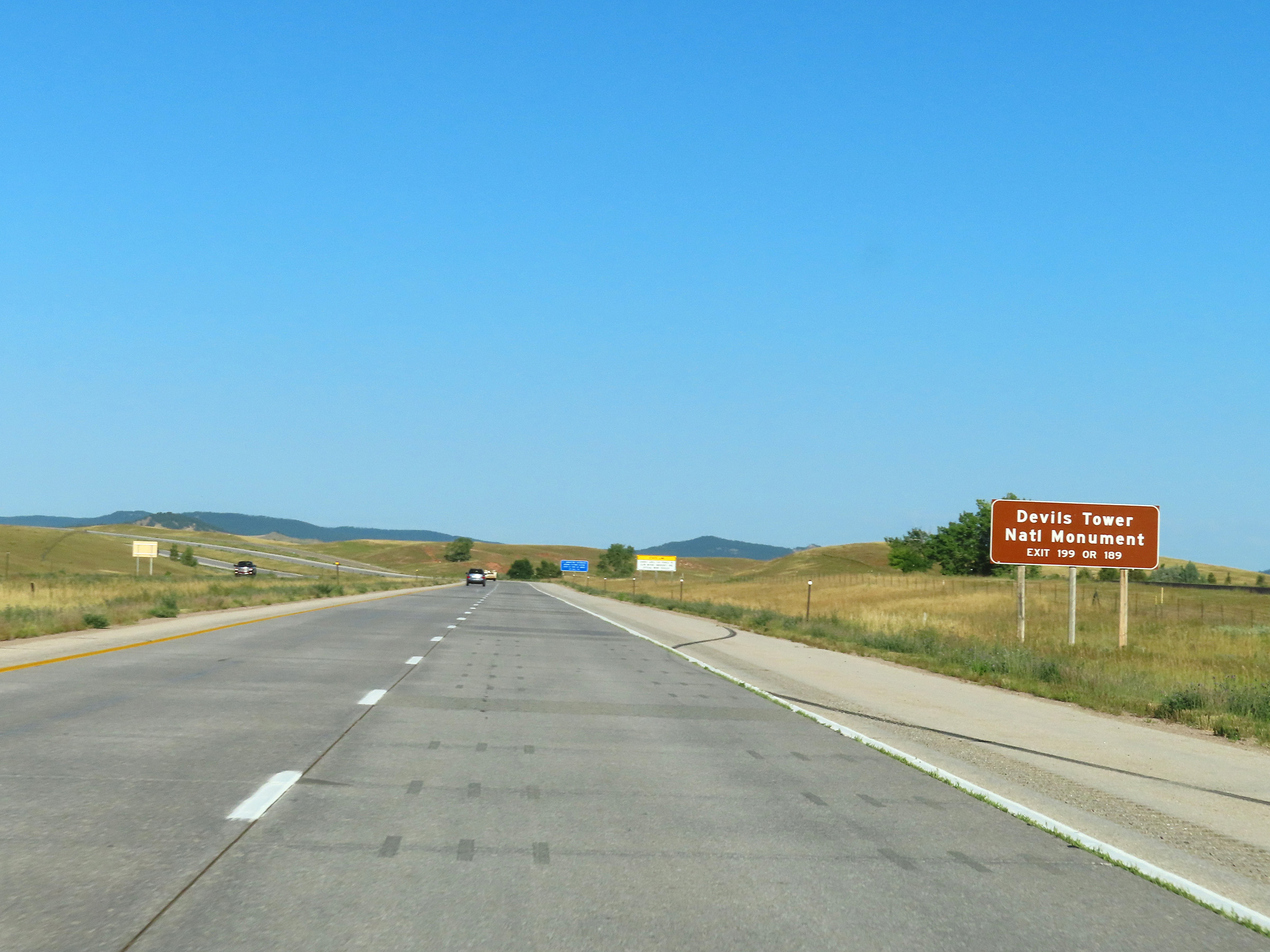 |
Take either Exit 199 or Exit 189 to Devils Tower National Monument. (Photo taken 8/17/22). |
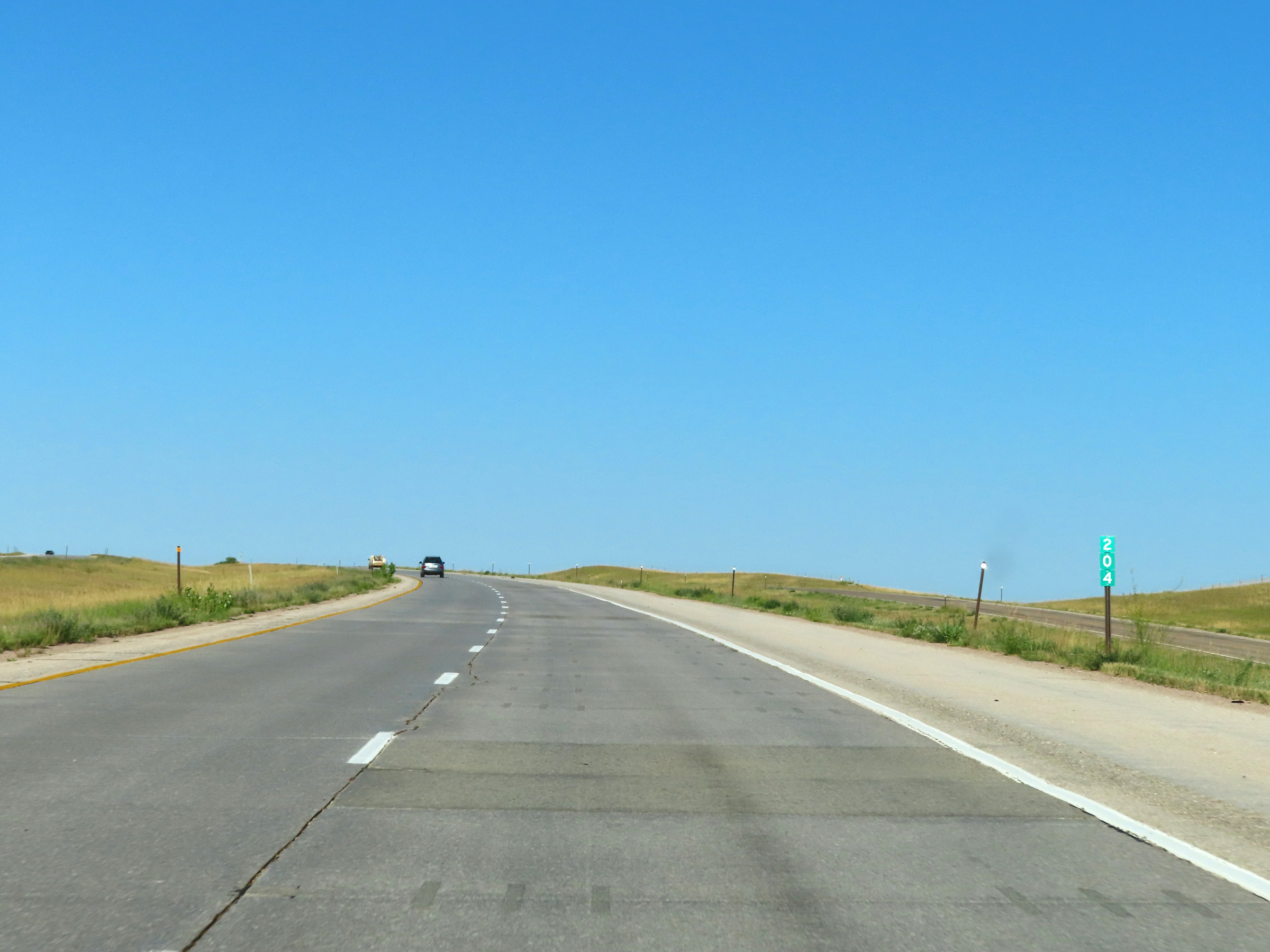 |
Interstate 90 West at mile marker 204. (Photo taken 8/17/22). |
 |
View on Interstate 90 West at mile marker 203. (Photo taken 8/17/22). |
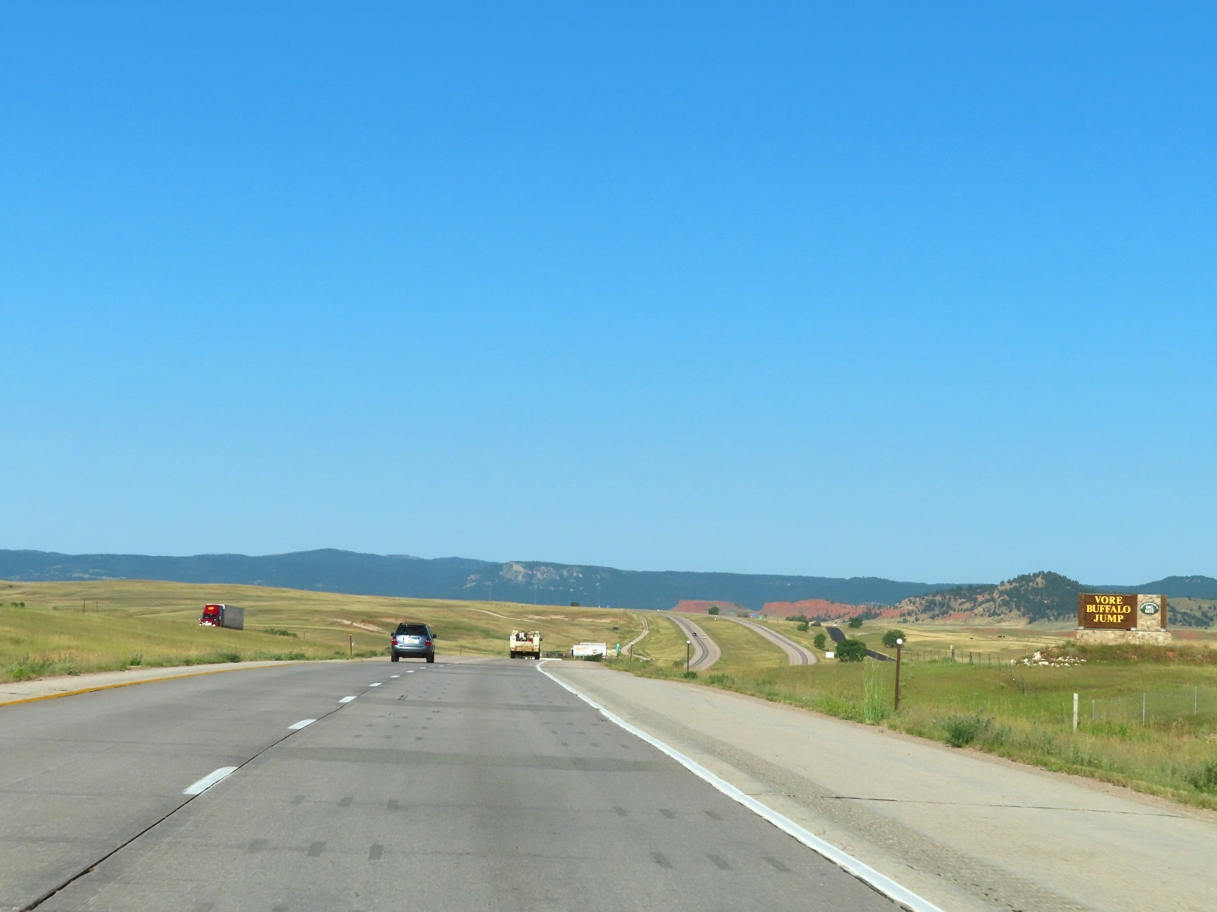 |
Interstate 90 West as it enters Vore Buffalo Jump archeological site. (Photo taken 8/17/22). |
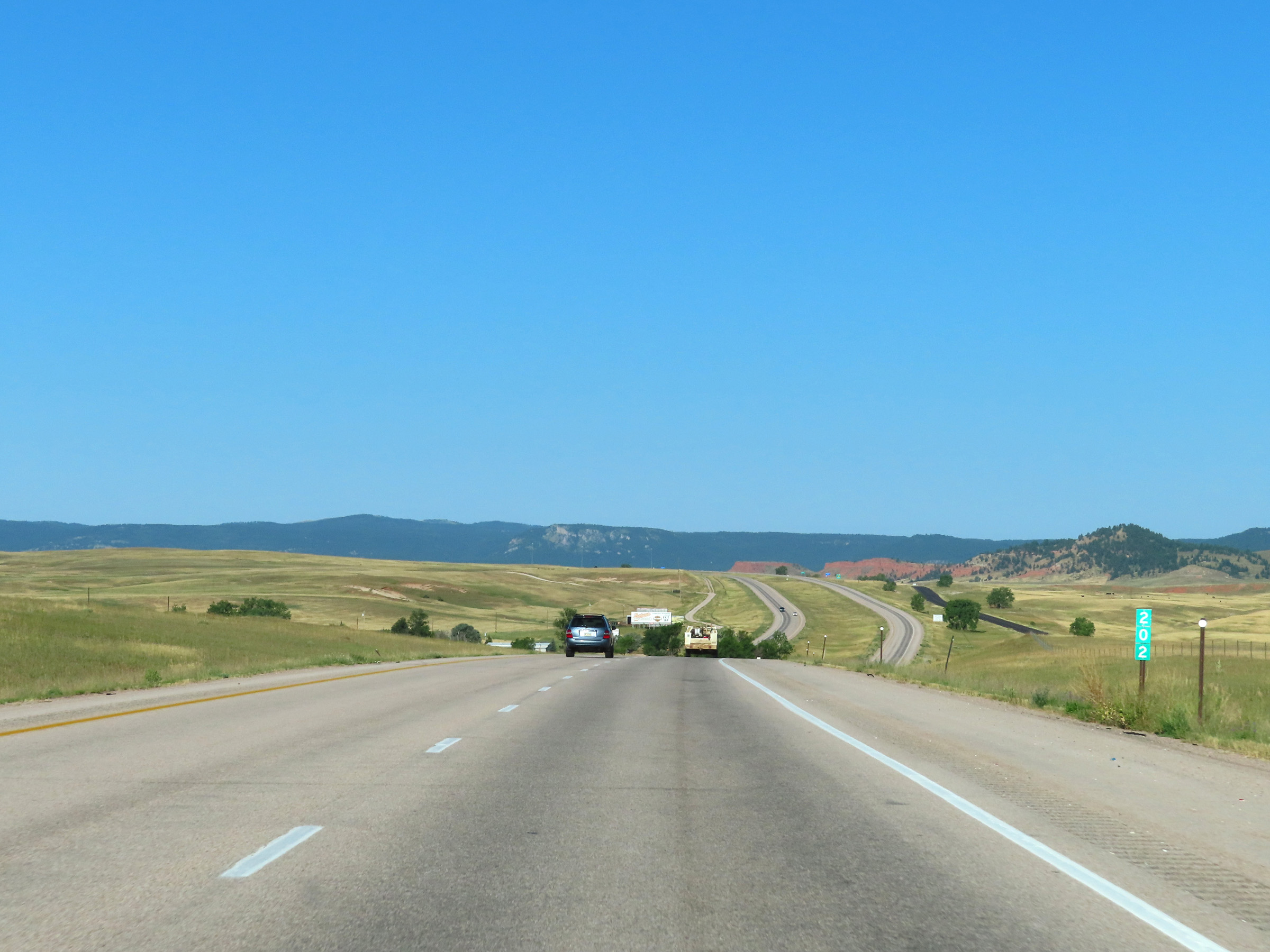 |
Mile marker 202 on Interstate 90 West in Crook County. (Photo taken 8/17/22). |
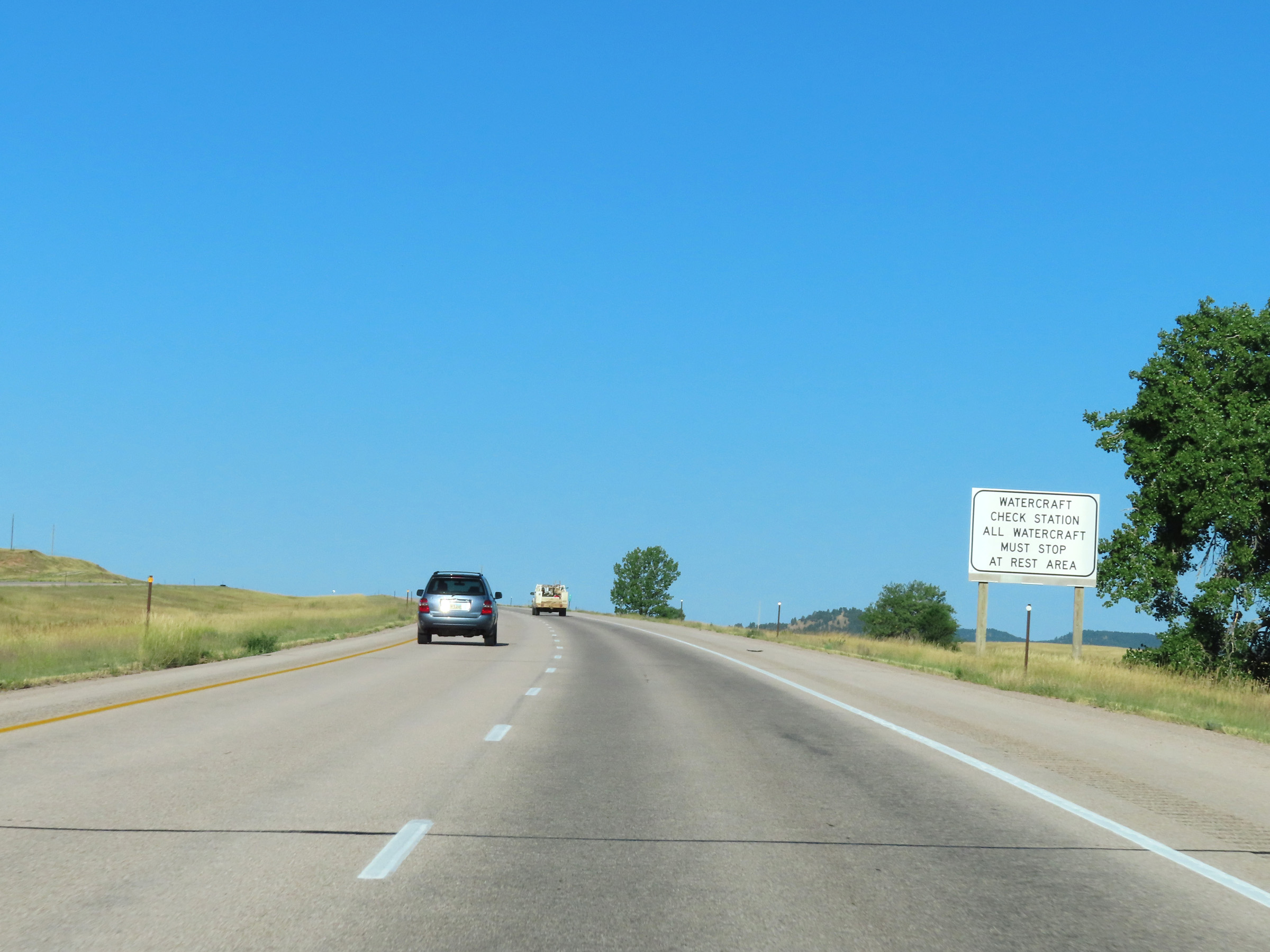 |
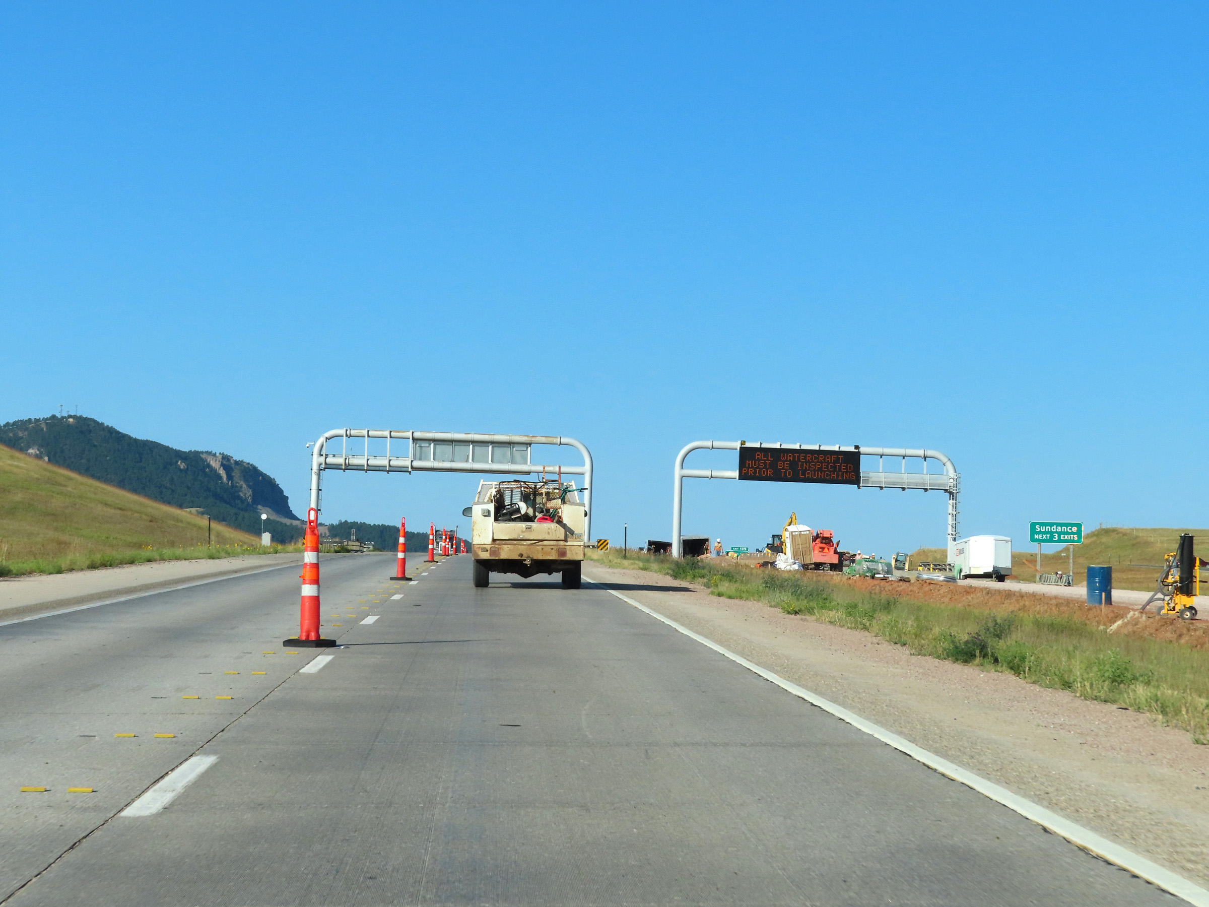
All Watercraft must stop at the Rest Area ahead, which also serves as a Watercraft Check Station. (Photo taken 8/17/22). |
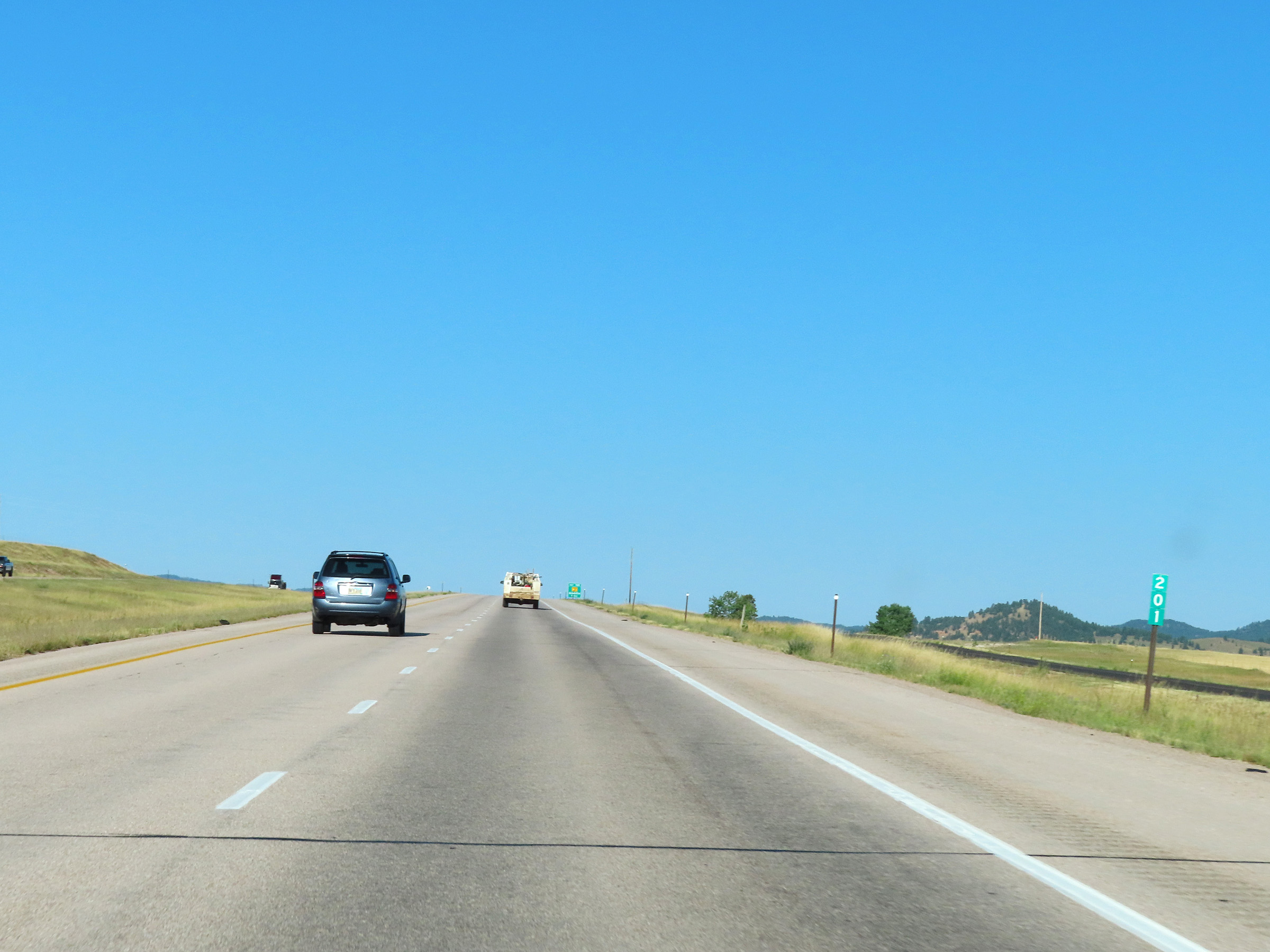 |
Interstate 90 West at mile marker 201. (Photo taken 8/17/22). |
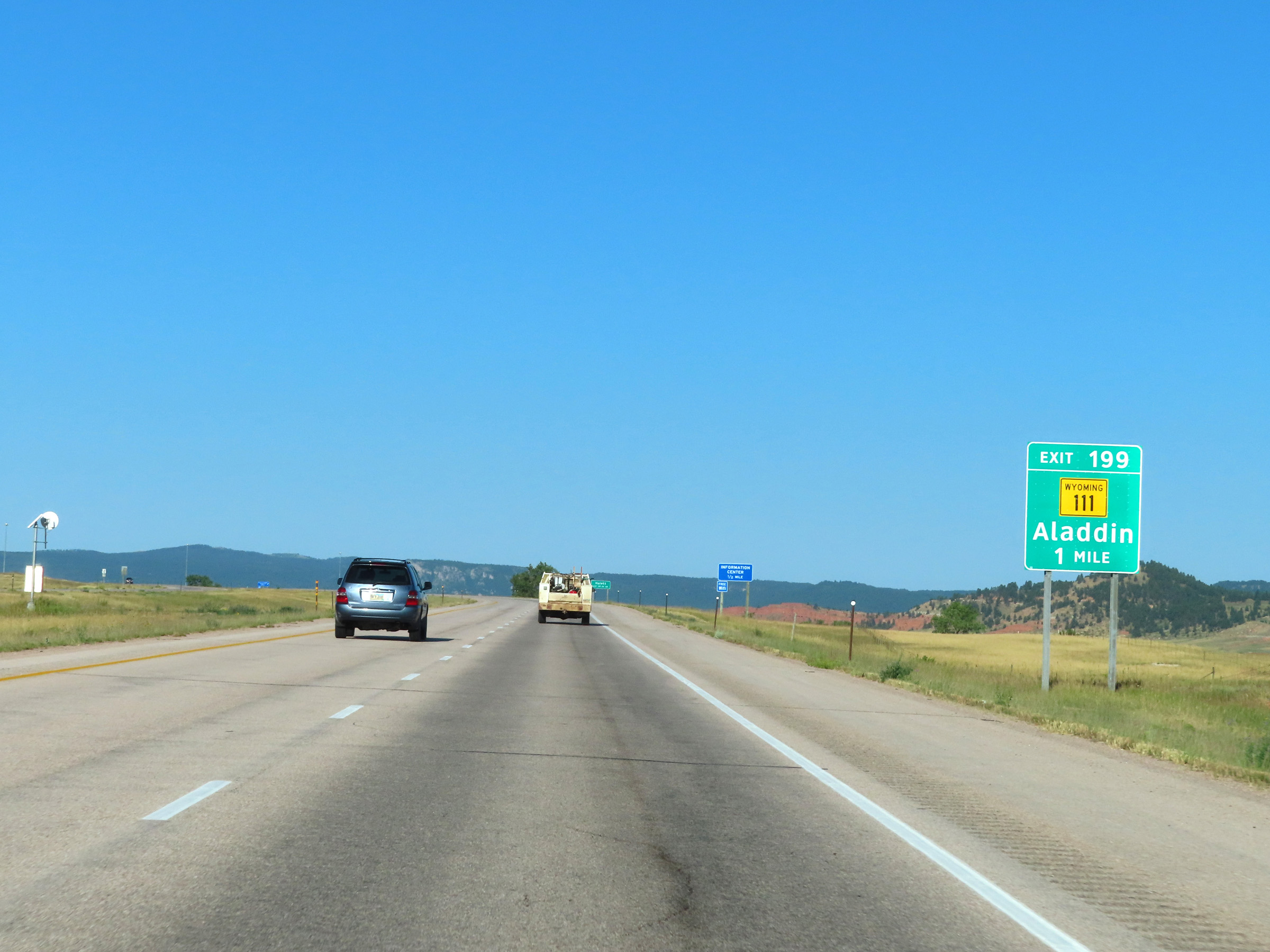 |
Advance signage for Exit 199 - 1 mile ahead. (Photo taken 8/17/22). |
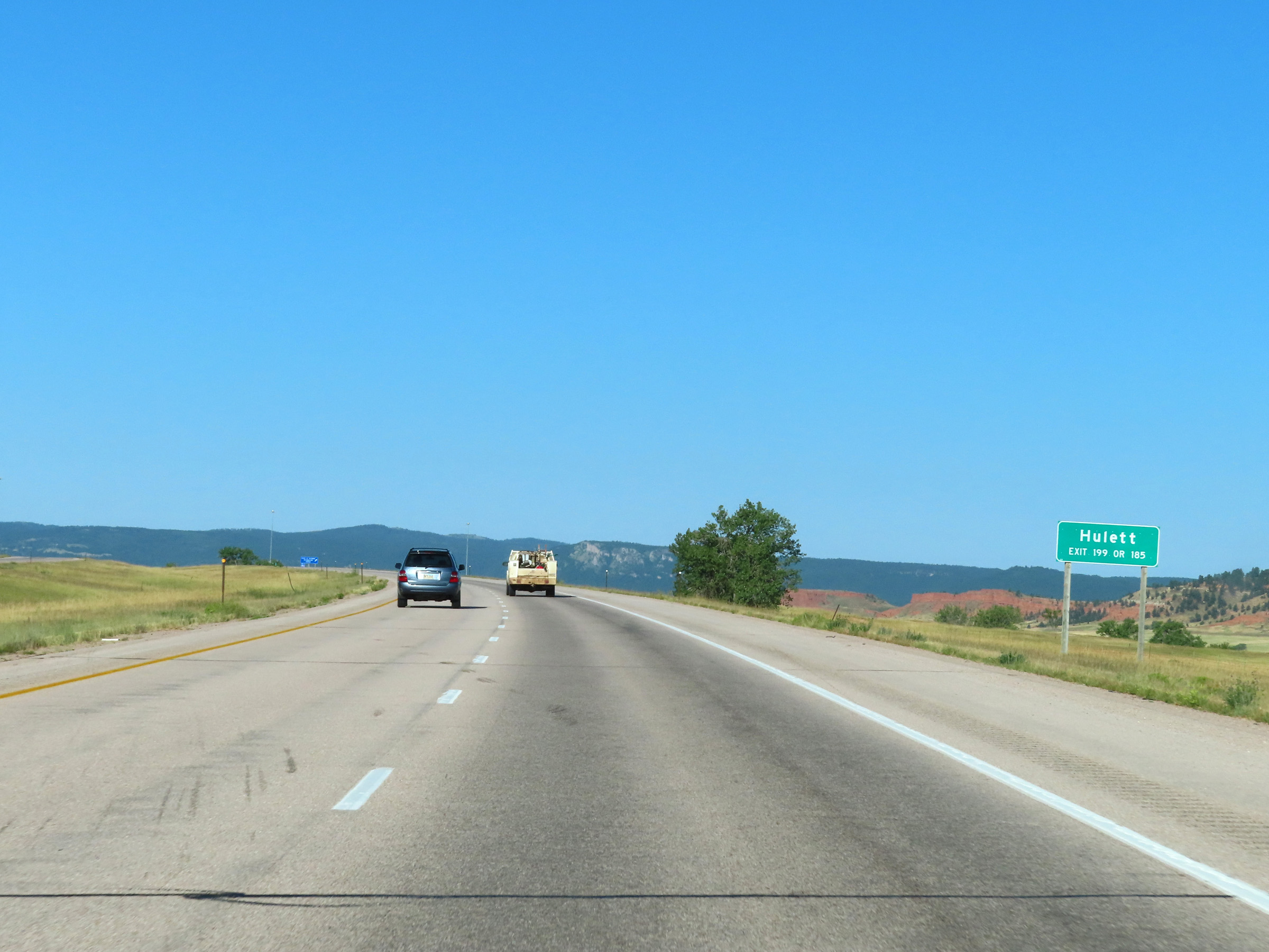 |
Take either Exit 199 or Exit 185 to Hulett. (Photo taken 8/17/22). |
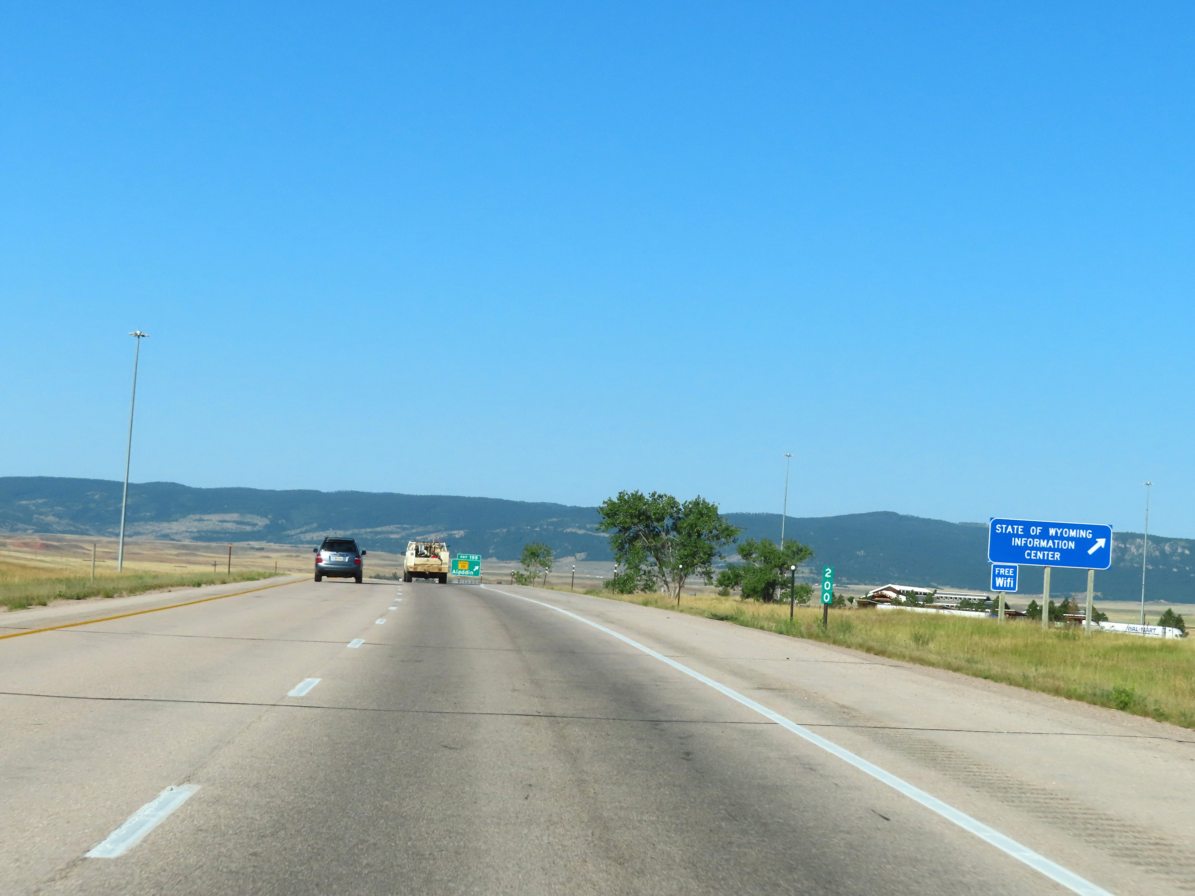 |
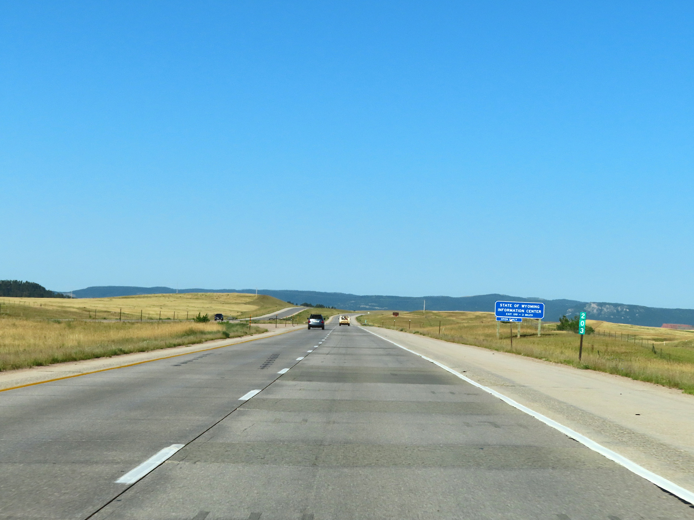
A Wyoming Information Center exists at the Rest Area off Exit 199 ahead. (Photo taken 8/17/22). |
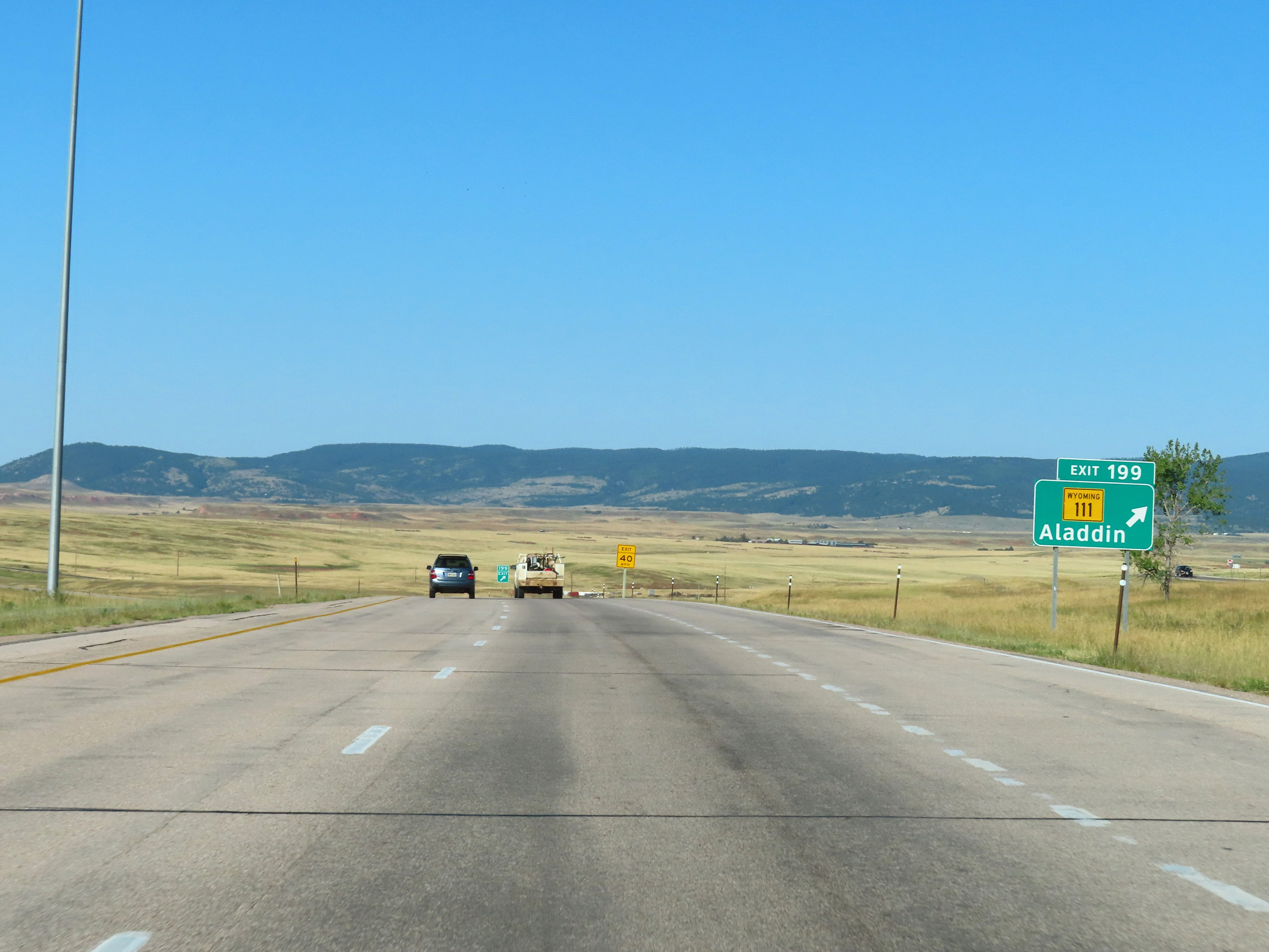 |
Interstate 90 West at Exit 199: WY 111 - Aladdin (Photo taken 8/17/22). |
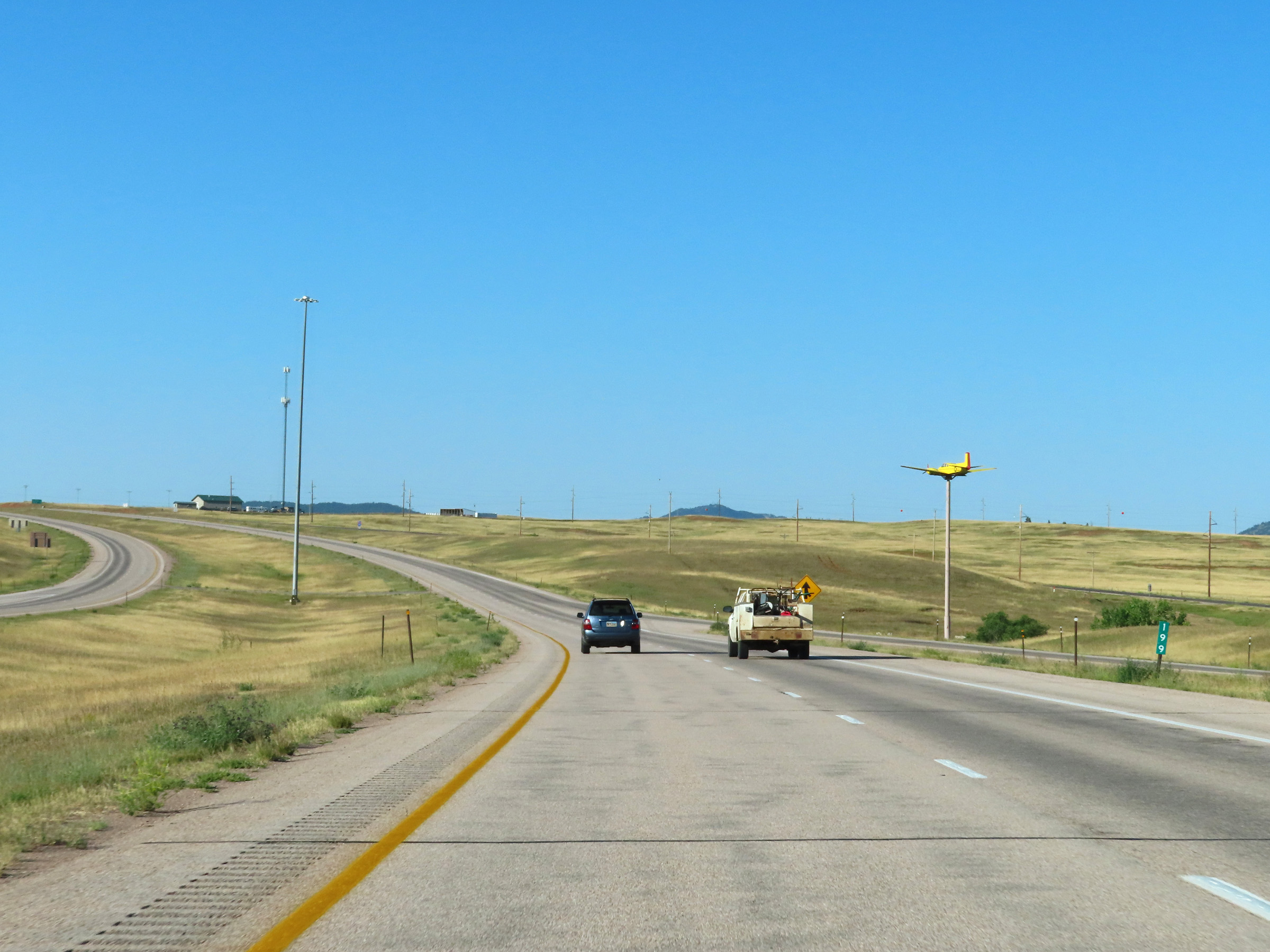 |
View on Interstate 90 West at mile marker 199, as it passes by the Quaal Windsock. (Photo taken 8/17/22). |
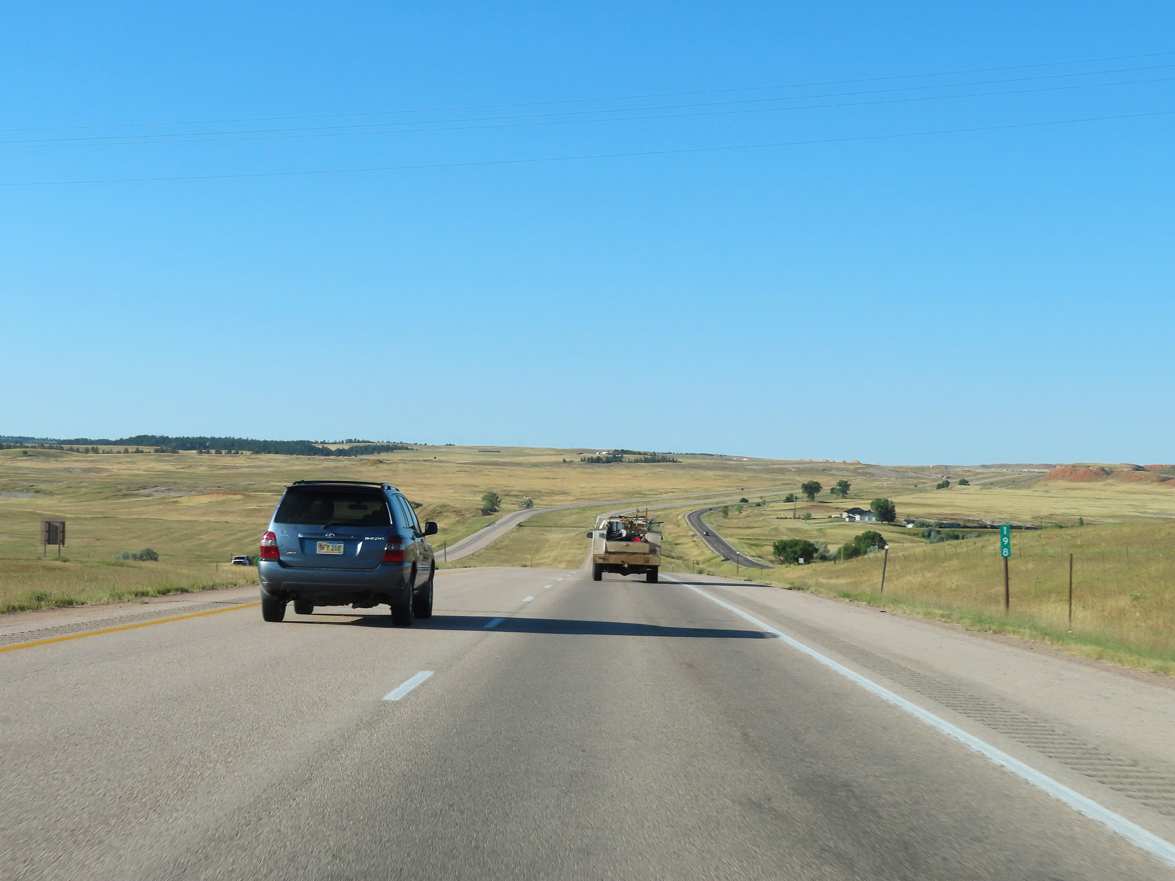 |
Mile marker 198 on Interstate 90 West in Crook County. (Photo taken 8/17/22). |
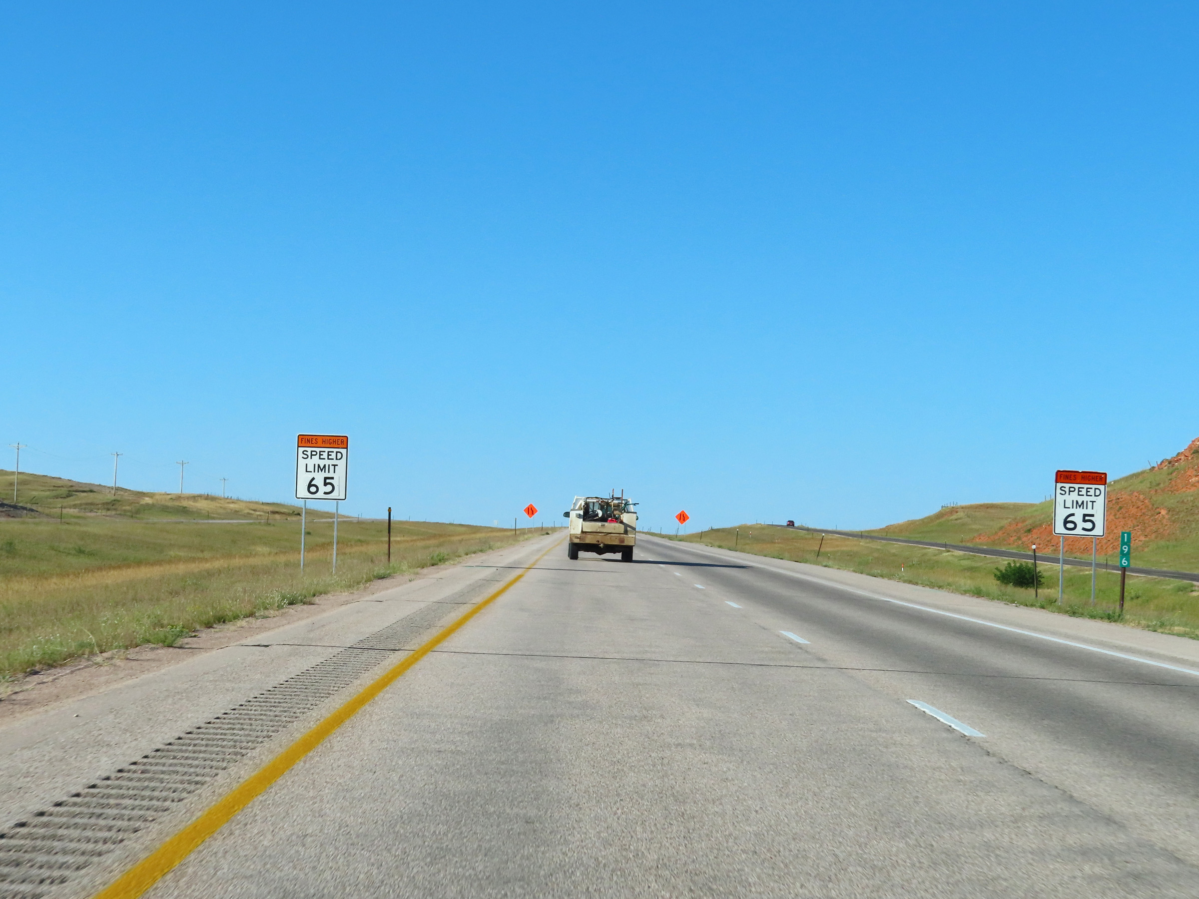 |
Interstate 90 West at mile marker 196. (Photo taken 8/17/22). |
 |
View on Interstate 90 West in Crook County, nearing Sundance. (Photo taken 8/17/22). |
 |
Interstate 90 West approaching Exit 191 - 1 mile. (Photo taken 8/17/22). |
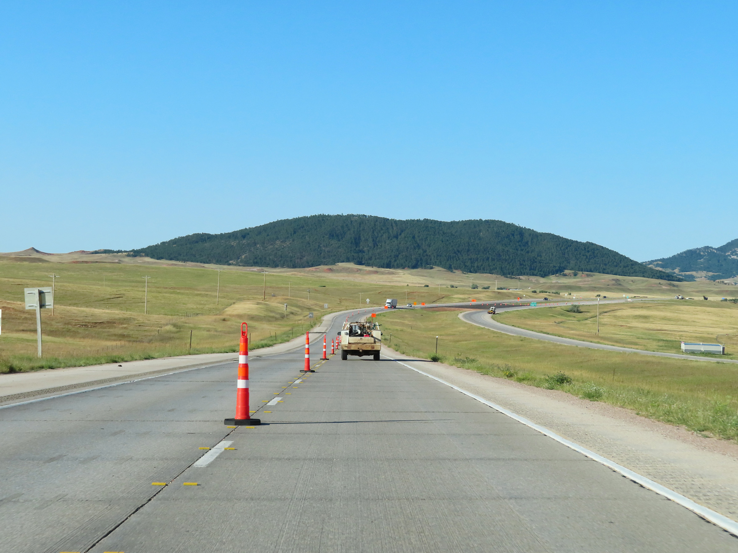 |
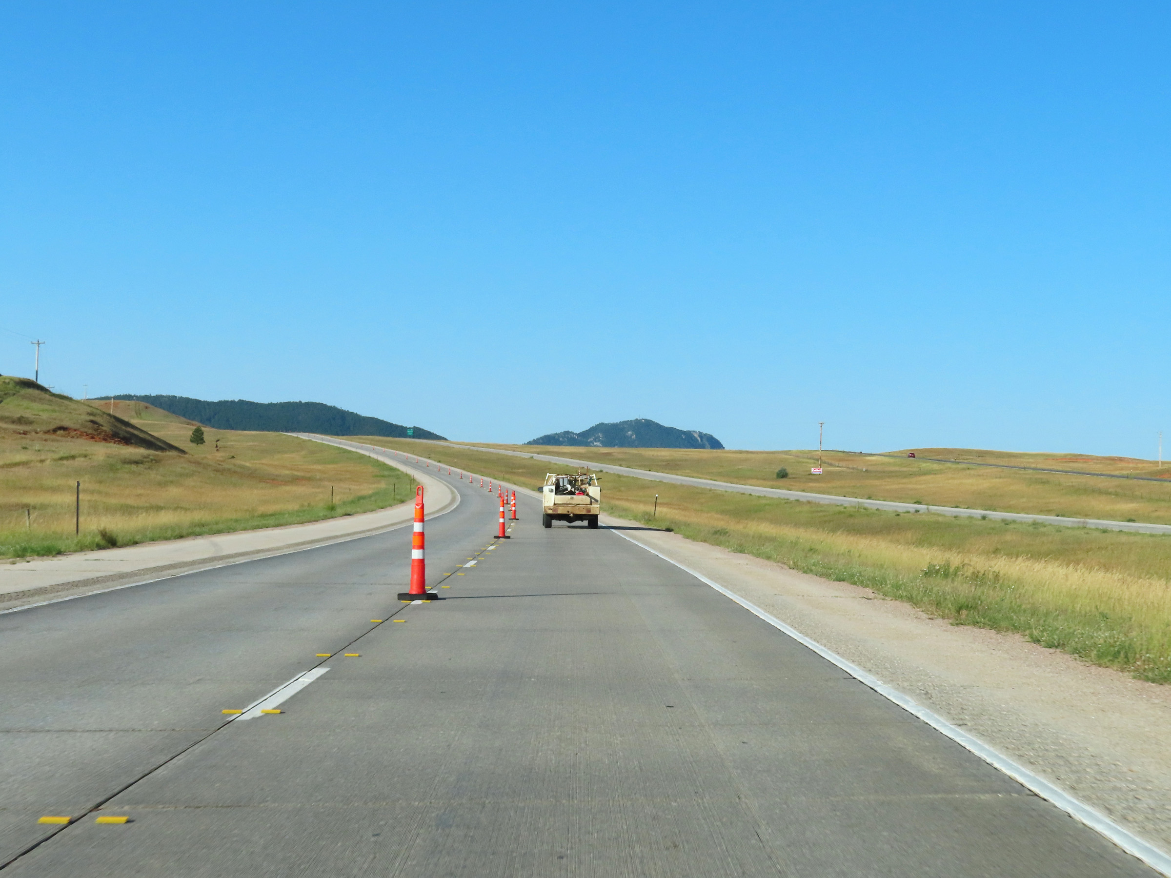
Another view on Interstate 90 West in Crook County as it approaches Exit 191. (Photo taken 8/17/22). |
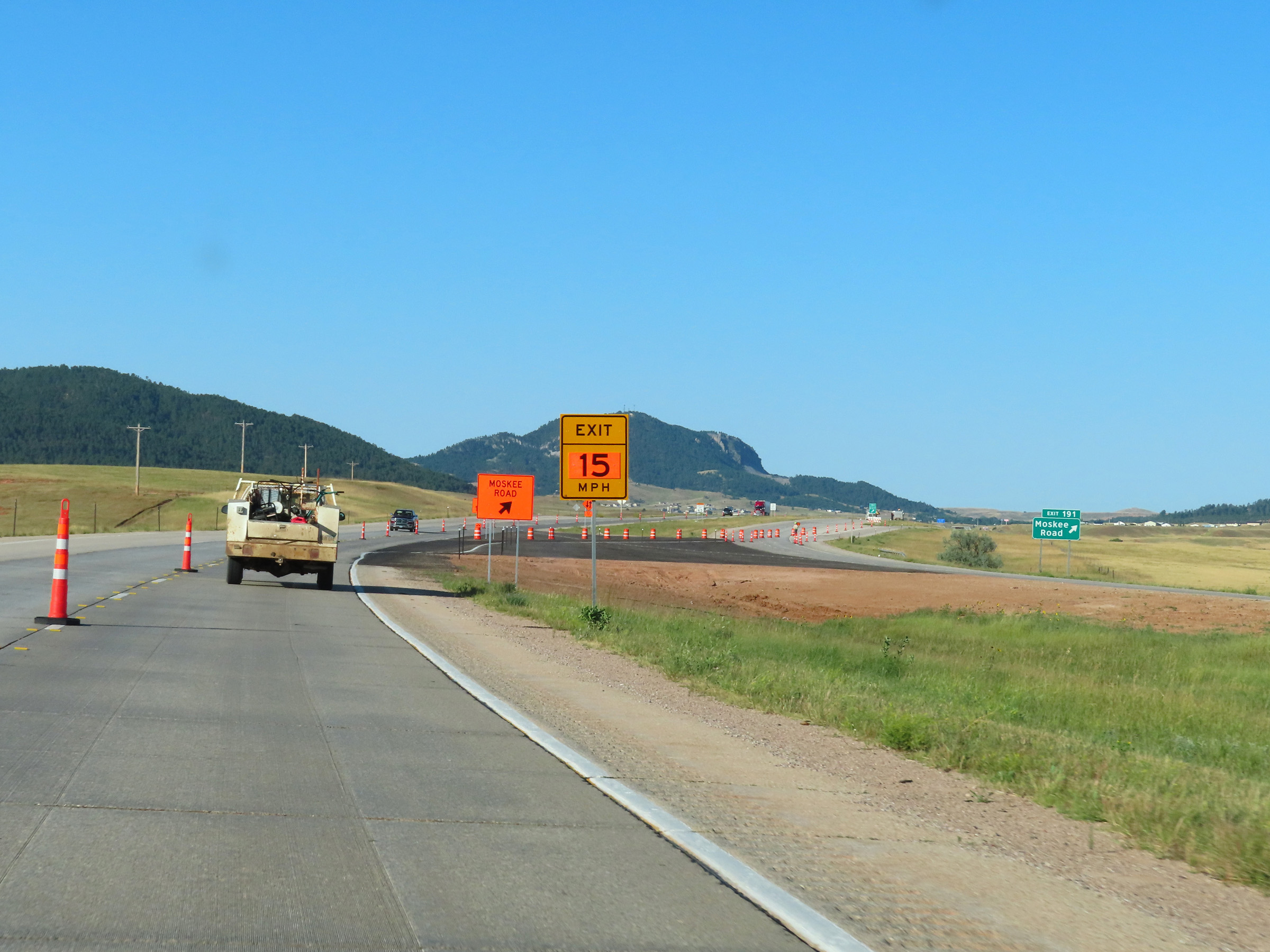 |
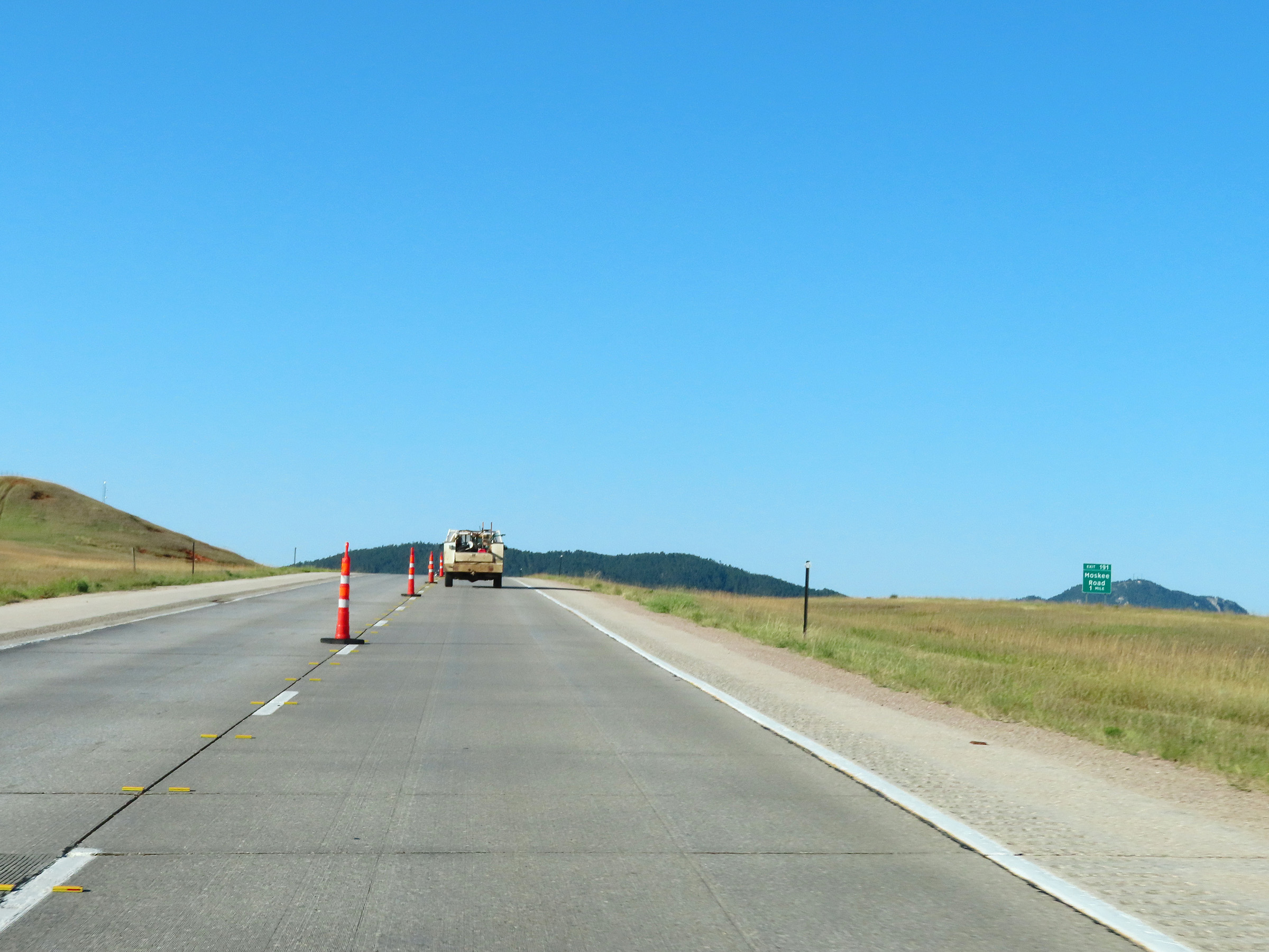
Interstate 90 West at Exit 191: Moskee Road (Photo taken 8/17/22). |
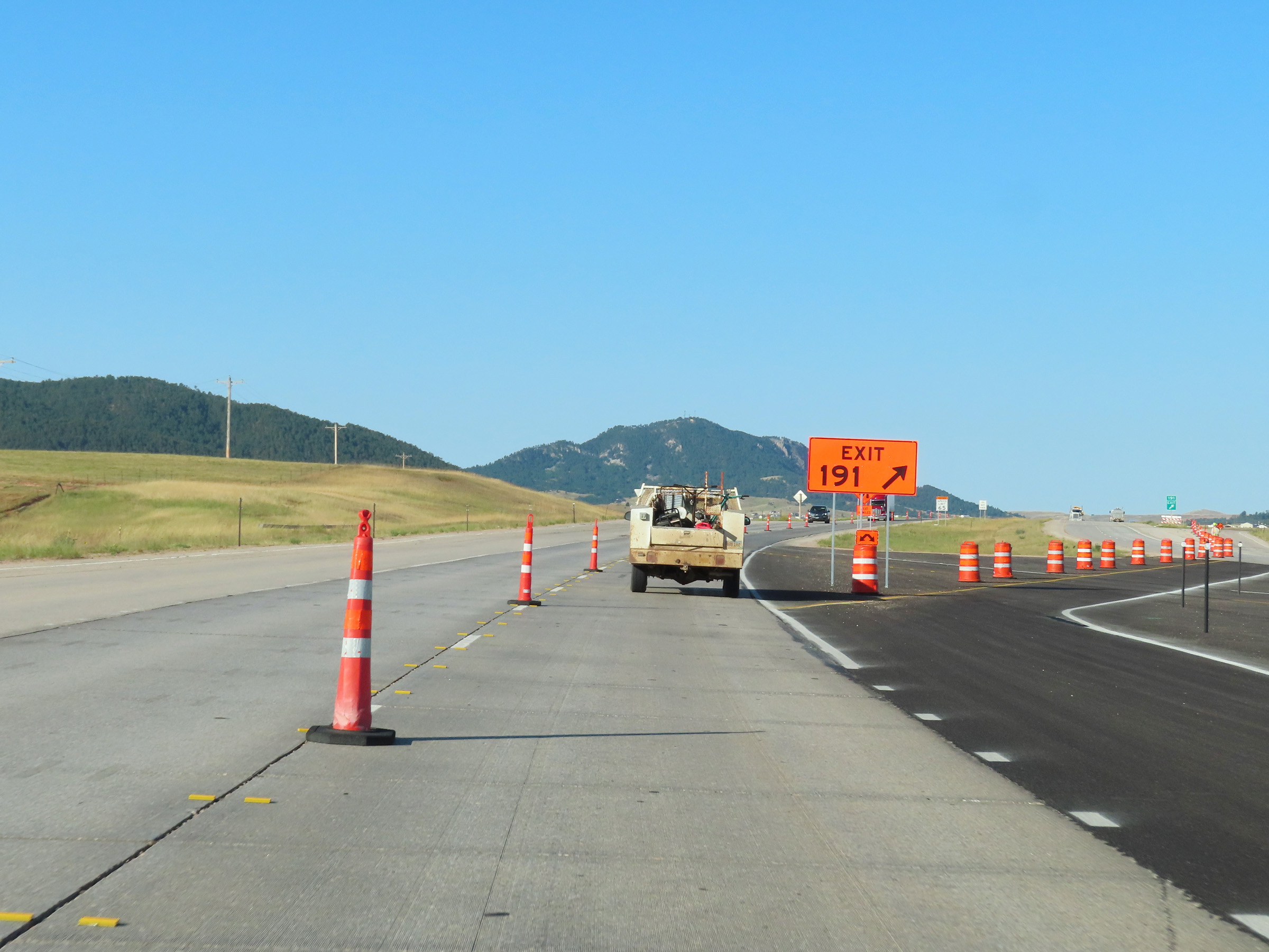 |
Construction ramp for Exit 191 on Interstate 90 West. (Photo taken 8/17/22). |
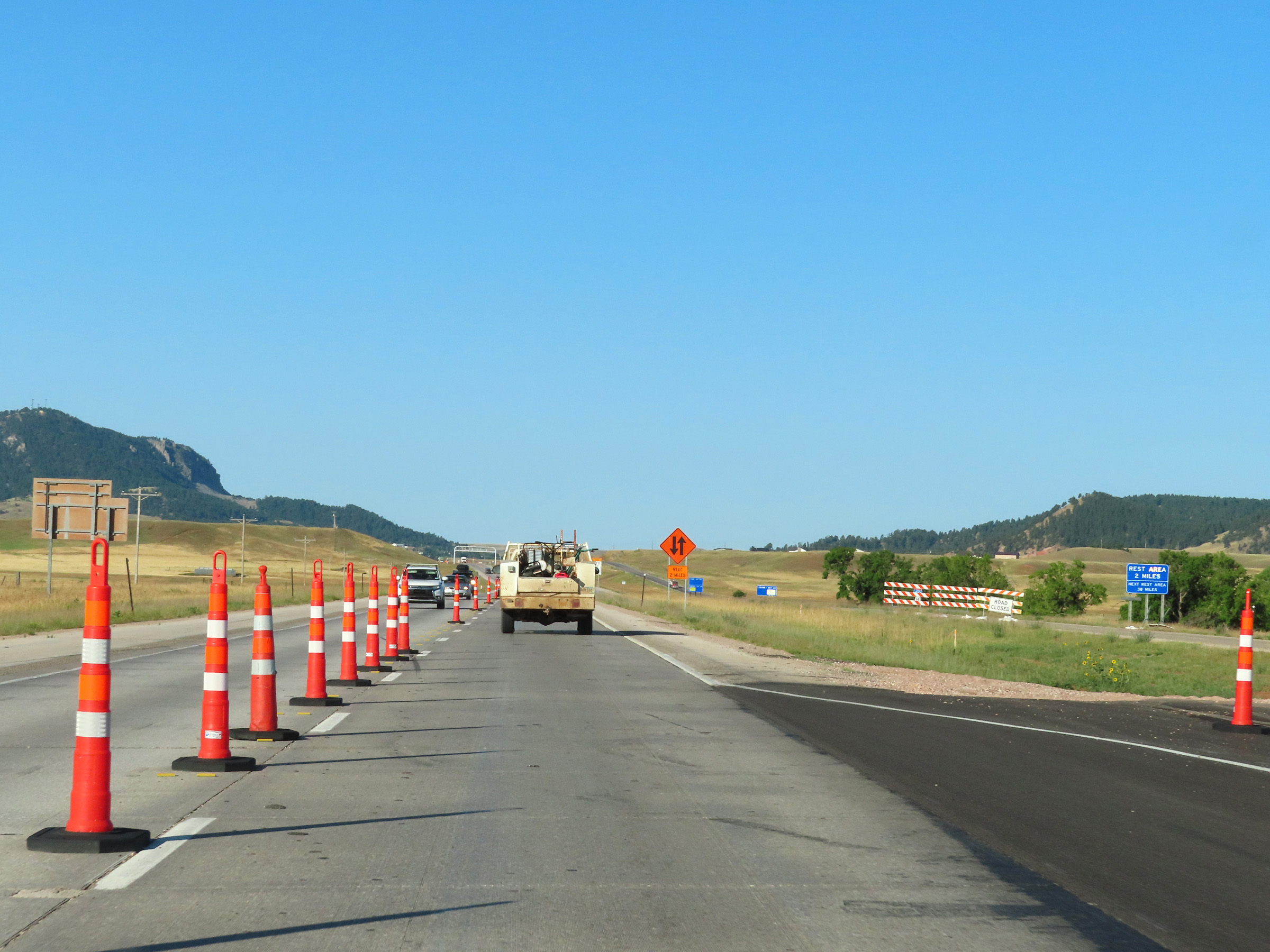 |
A Rest Area exists 2 miles ahead off Exit 189 in Sundance. (Photo taken 8/17/22). |
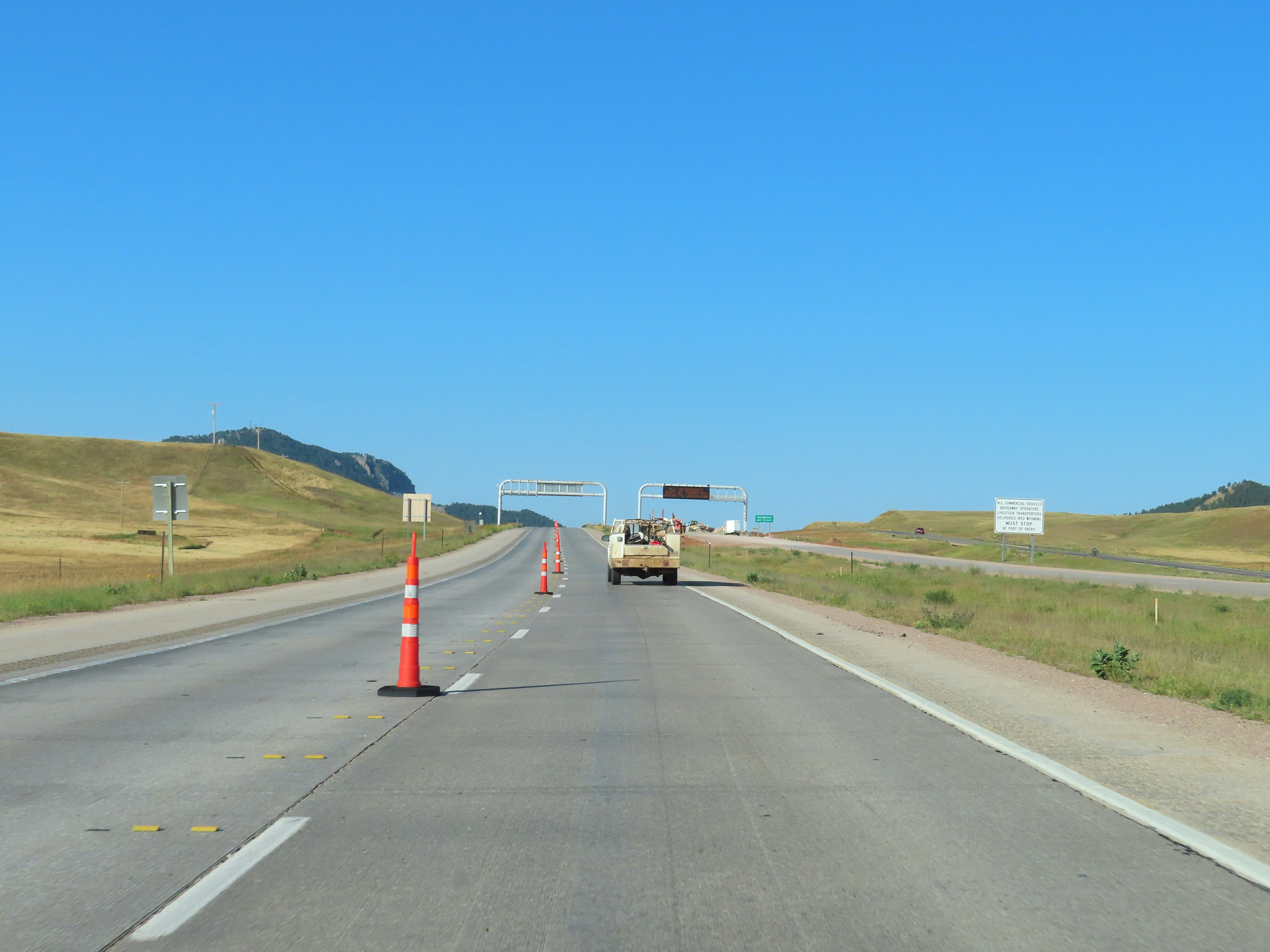 |
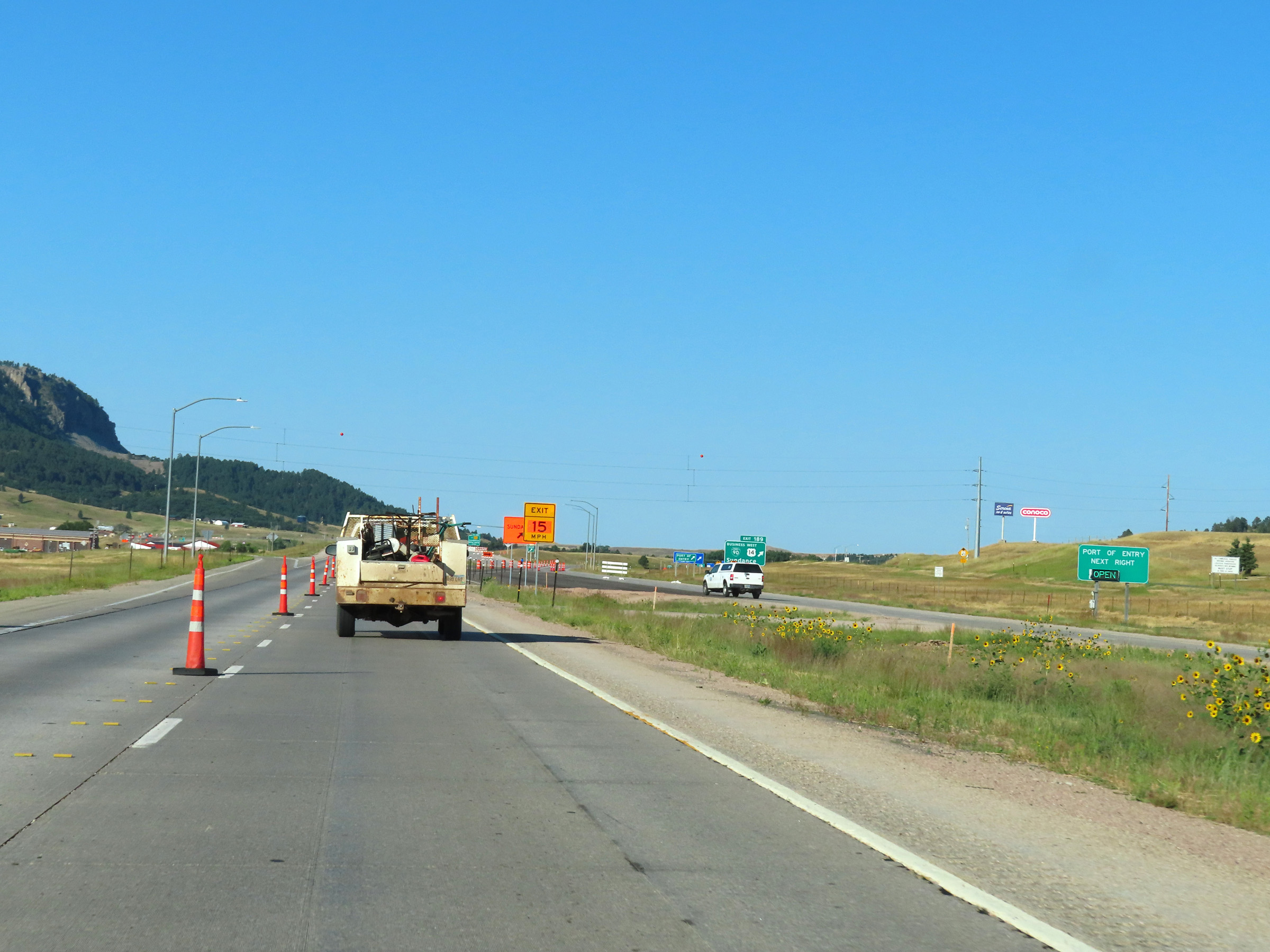
A Port of Entry also exits off Exit 189 ahead. All commercial vehicles, driveaway operators, livestock transporters, and deliveries into Wyoming must stop at the Port of Entry. (Photo taken 8/17/22). |
 |
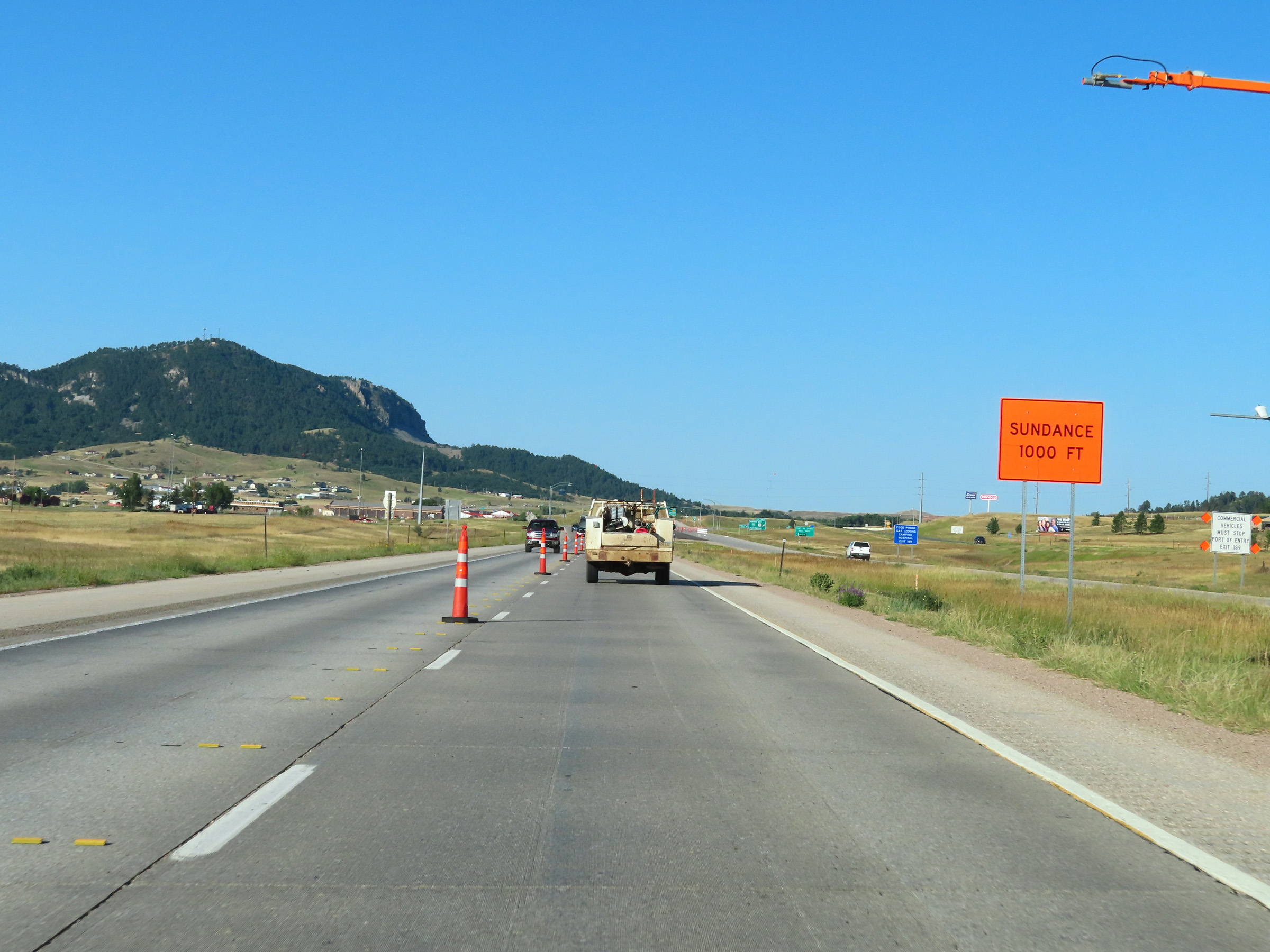
Take any of the next 3 exits to Sundance. (Photo taken 8/17/22). |
 |
Interstate 90 West approaching Exit 189 - 1 mile. (Photo taken 8/17/22). |
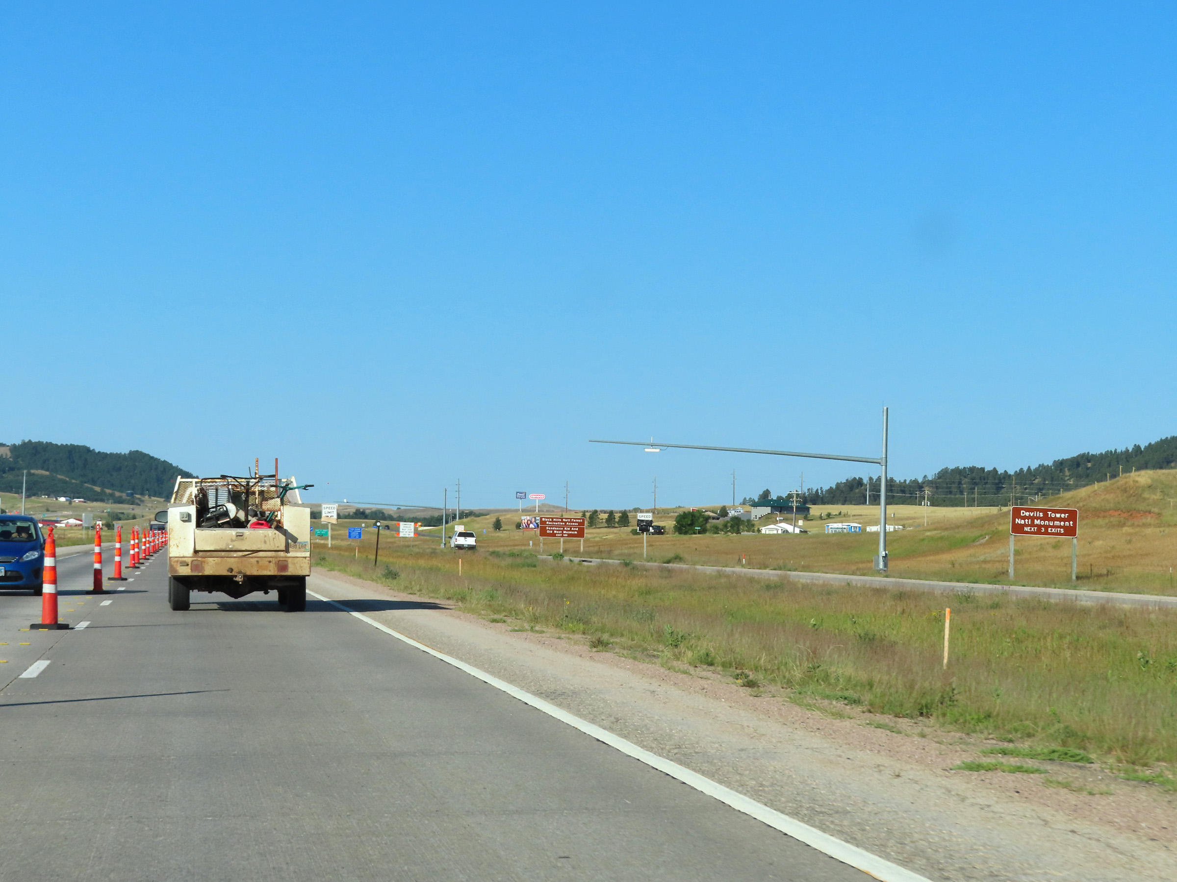 |
Take any of the next 3 exits to Devils Tower National Monument. (Photo taken 8/17/22). |
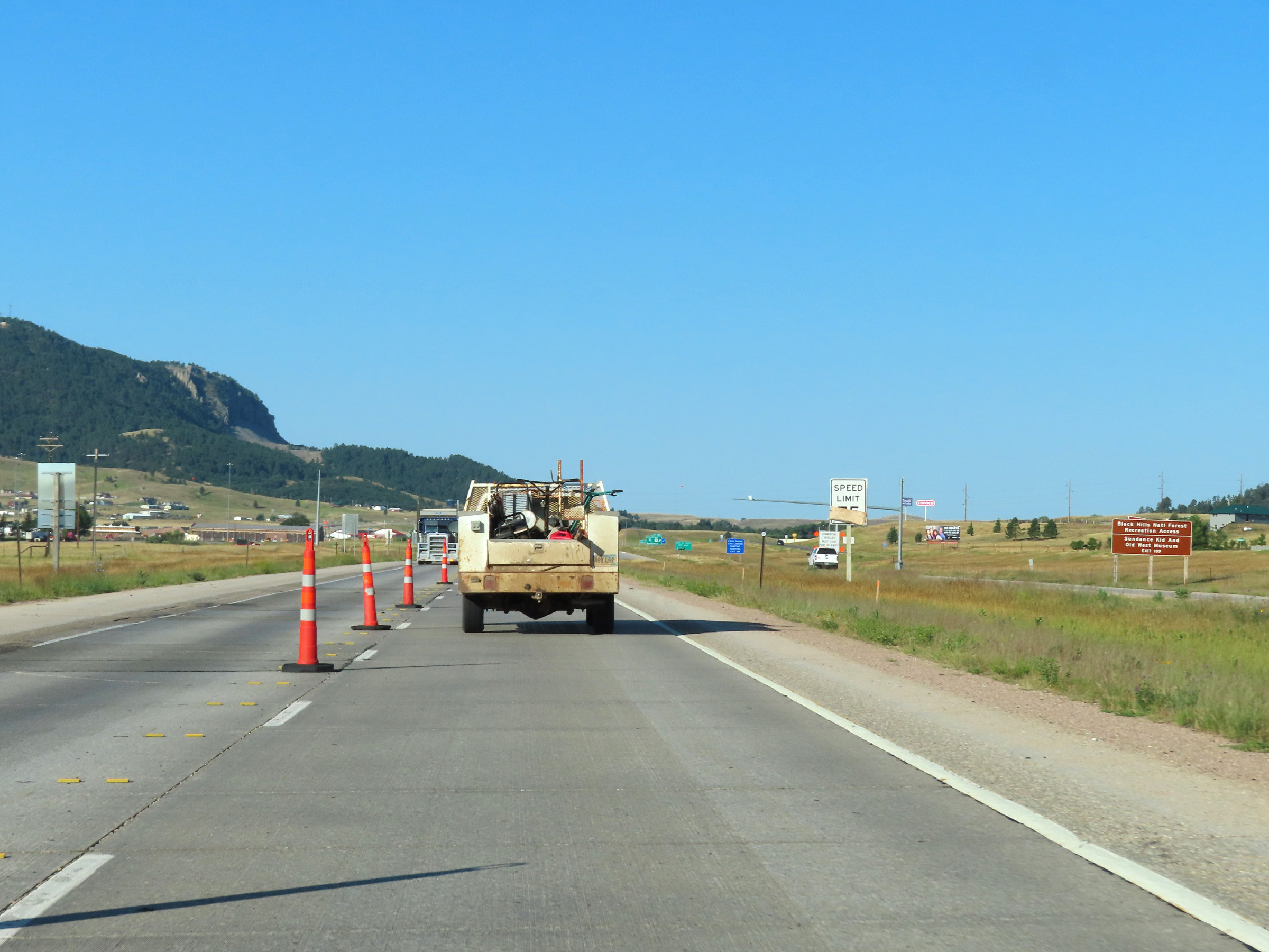 |
Take Exit 189 to Black Hills National Forest Recreation Access and the Sundance Kid and Old West Museum. (Photo taken 8/17/22). |
 |
This signage reminds commercial vehicles that they are required to stop at the Port of Entry at Exit 189 when it is open. (Photo taken 8/17/22). |
 |
This sign approaching Exit 189 shows whether or not the Port of Entry is open. They are almost always open, so truck drivers should expect to have as they pass through. (Photo taken 8/17/22). |
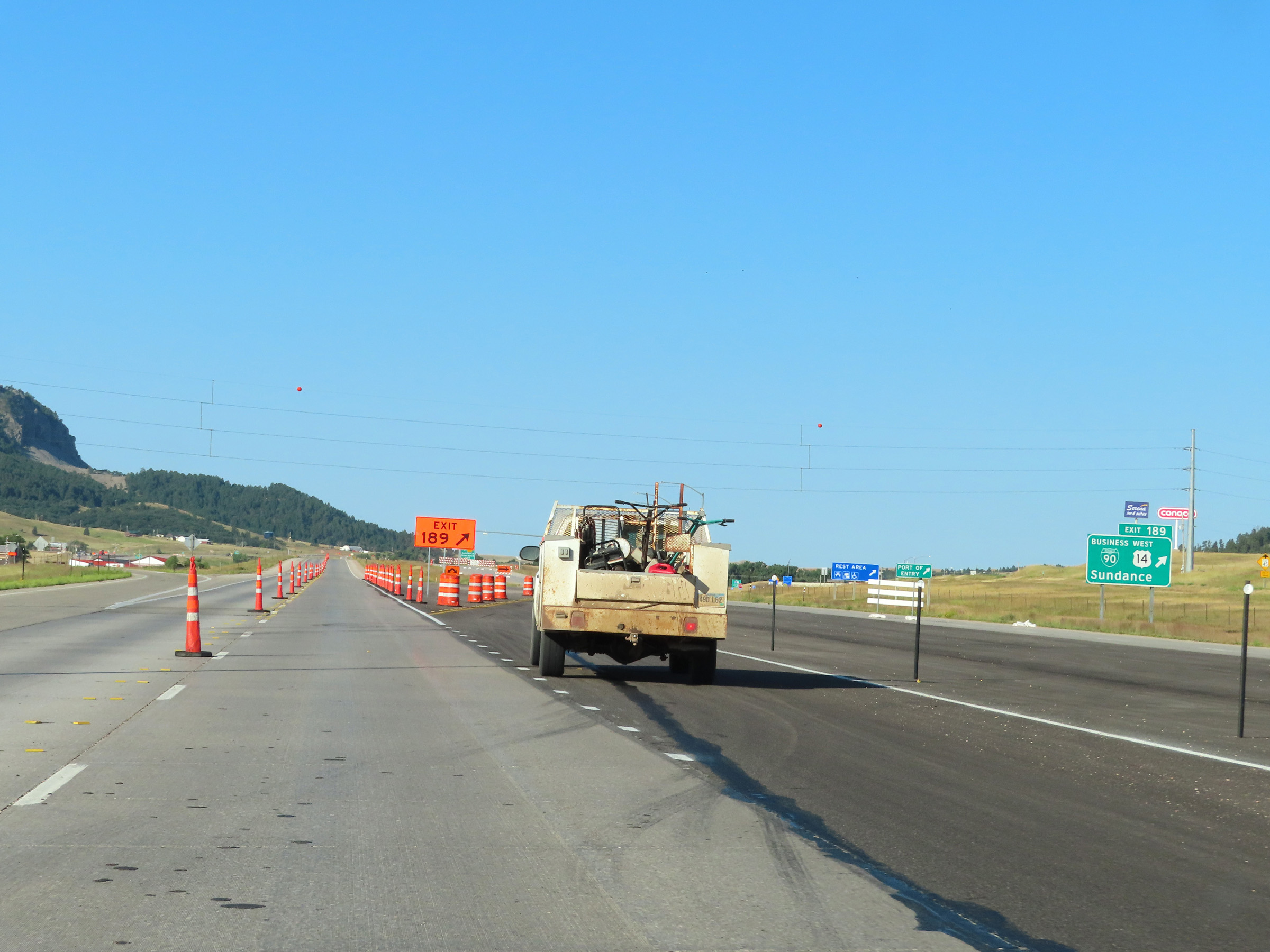 |
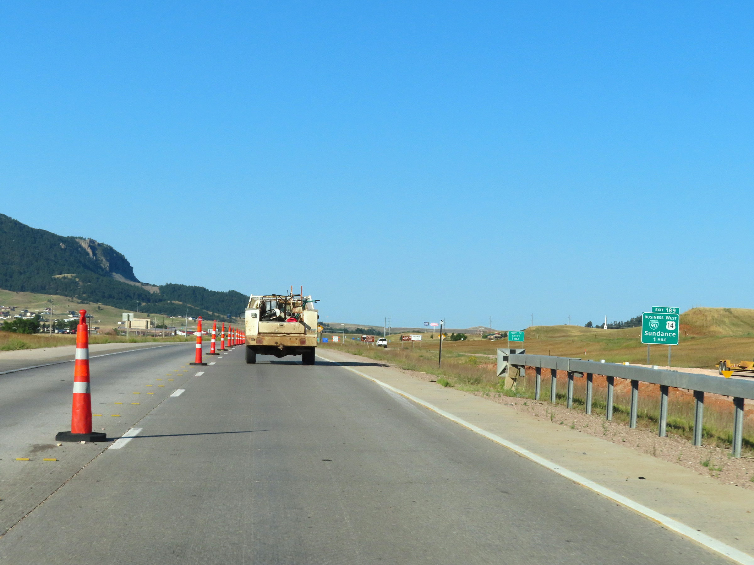
Interstate 90 West at Exit 189: Interstate 90 Business Loop / US 14 West - Sundance (Photo taken 8/17/22). |
 |
Interstate 90 West approaching Exit 187 - 1 mile. (Photo taken 8/17/22). |
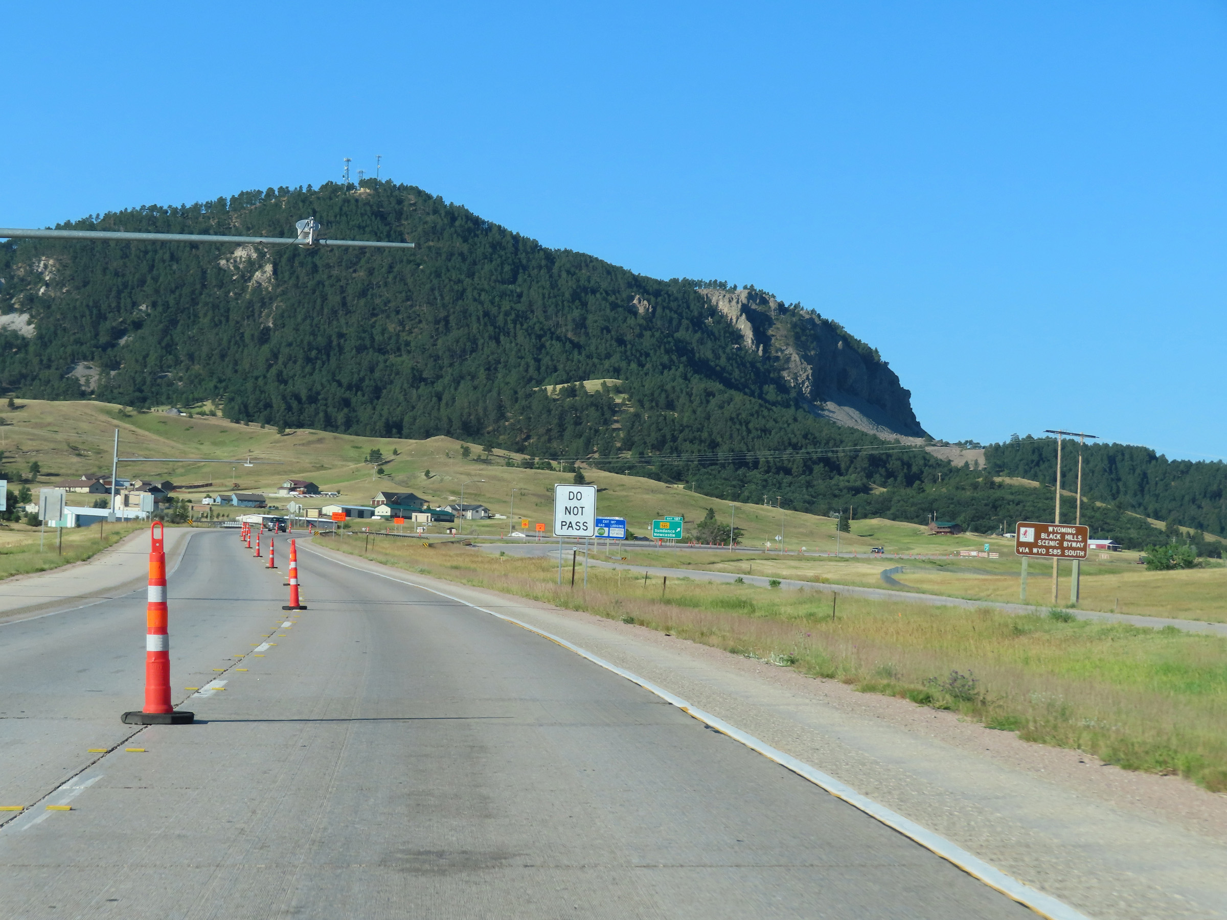 |
Take Exit 187 and follow WY 585 South to Wyoming Black Hills Scenic Byway. (Photo taken 8/17/22). |
 |
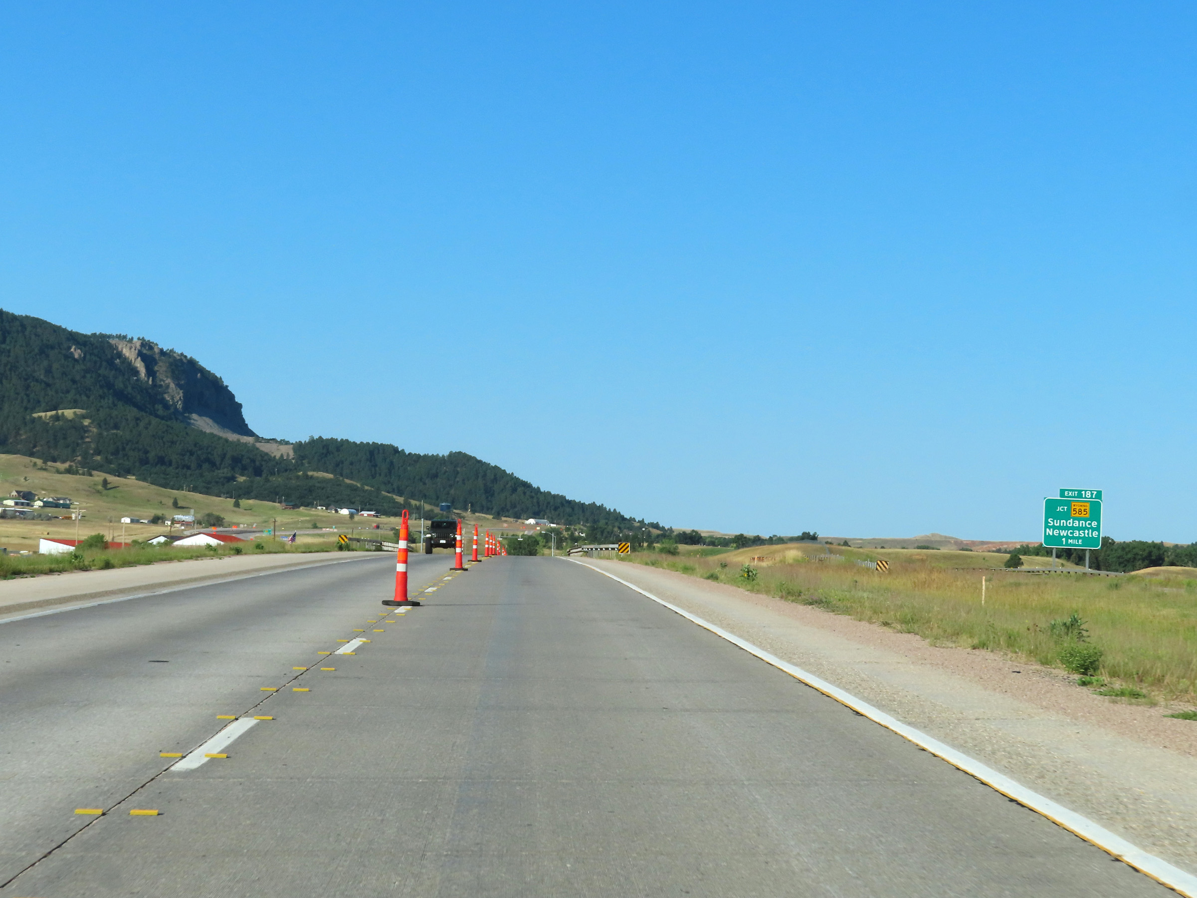
Interstate 90 West at Exit 187: WY 585 - Sundance / Newcastle (Photo taken 8/17/22). |
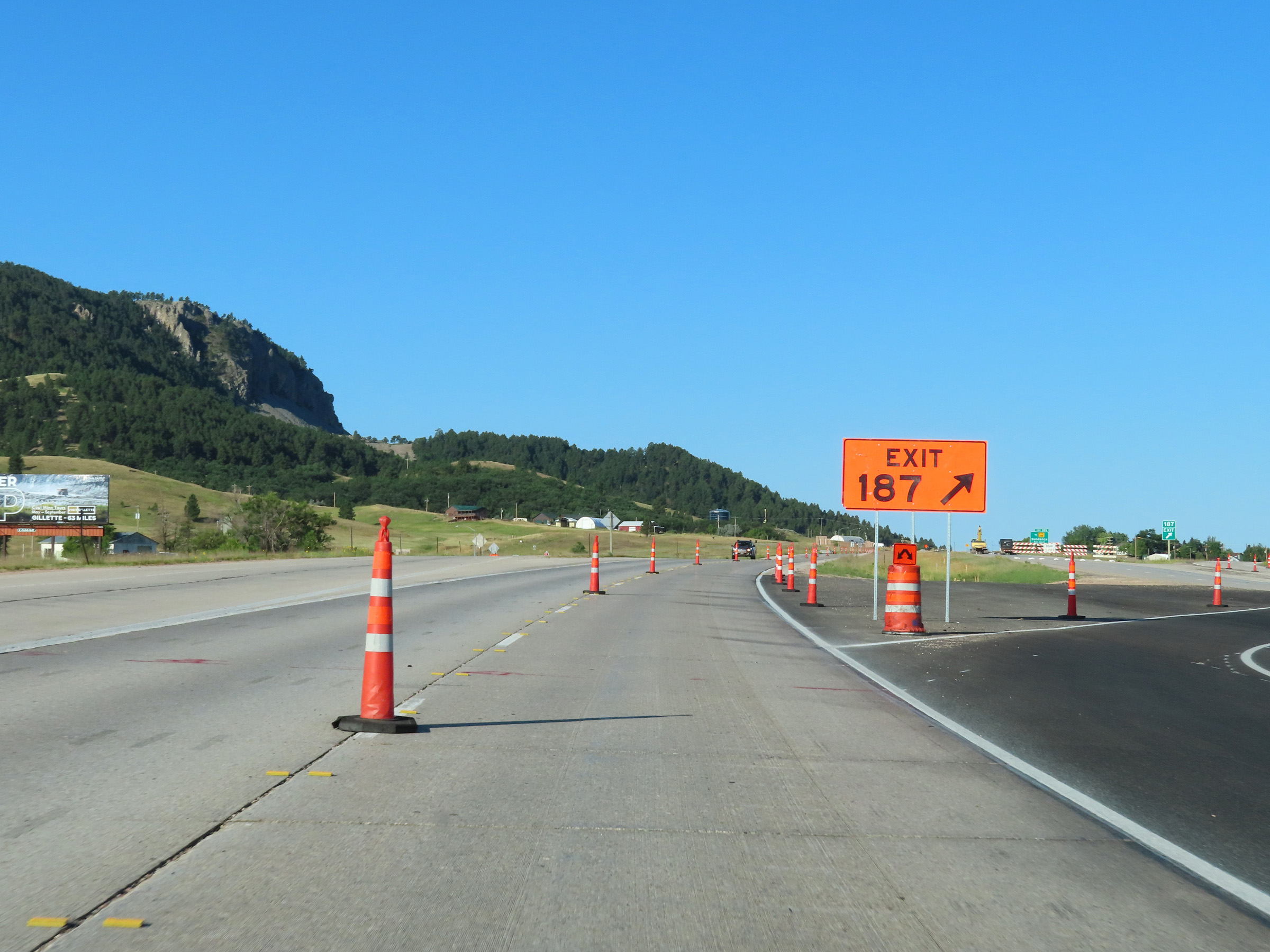 |
Construction ramp for Exit 187 on Interstate 90 West. (Photo taken 8/17/22). |
 |
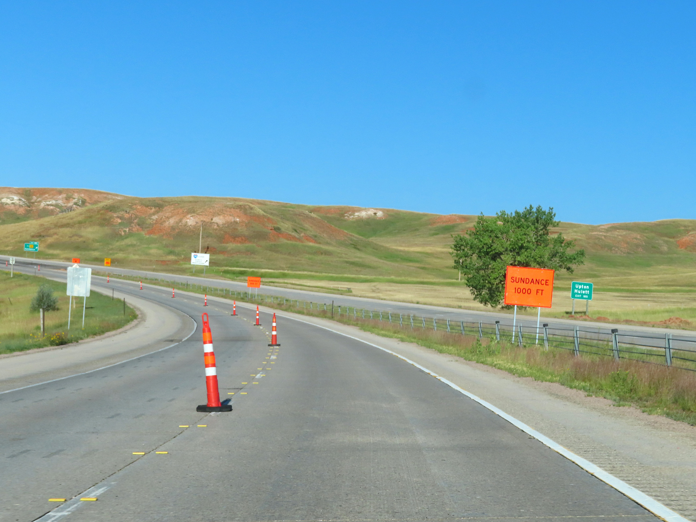
Interstate 90 West approaching Exit 185 - 1 1/2 miles. (Photo taken 8/17/22). |
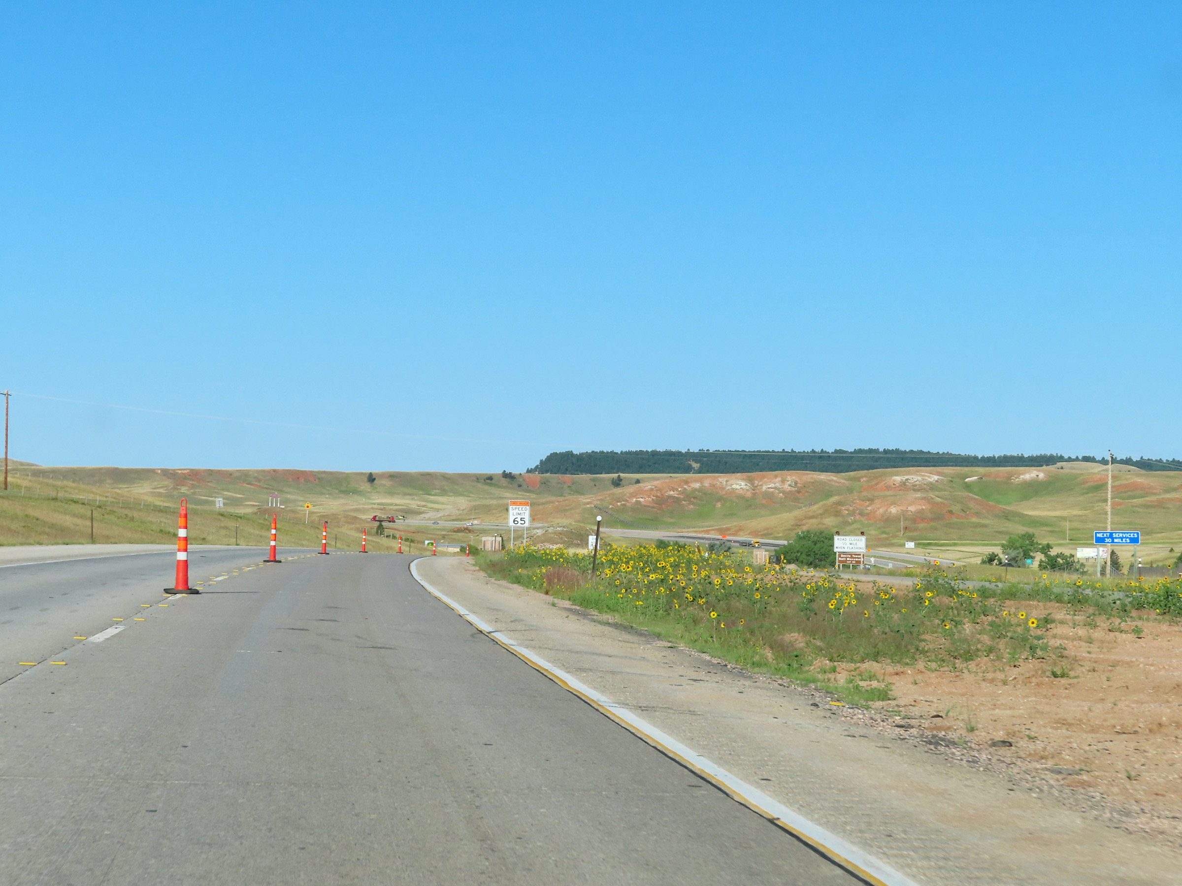 |
The next services available on Interstate 90 West beyond Exit 185 are 30 miles ahead. (Photo taken 8/17/22). |
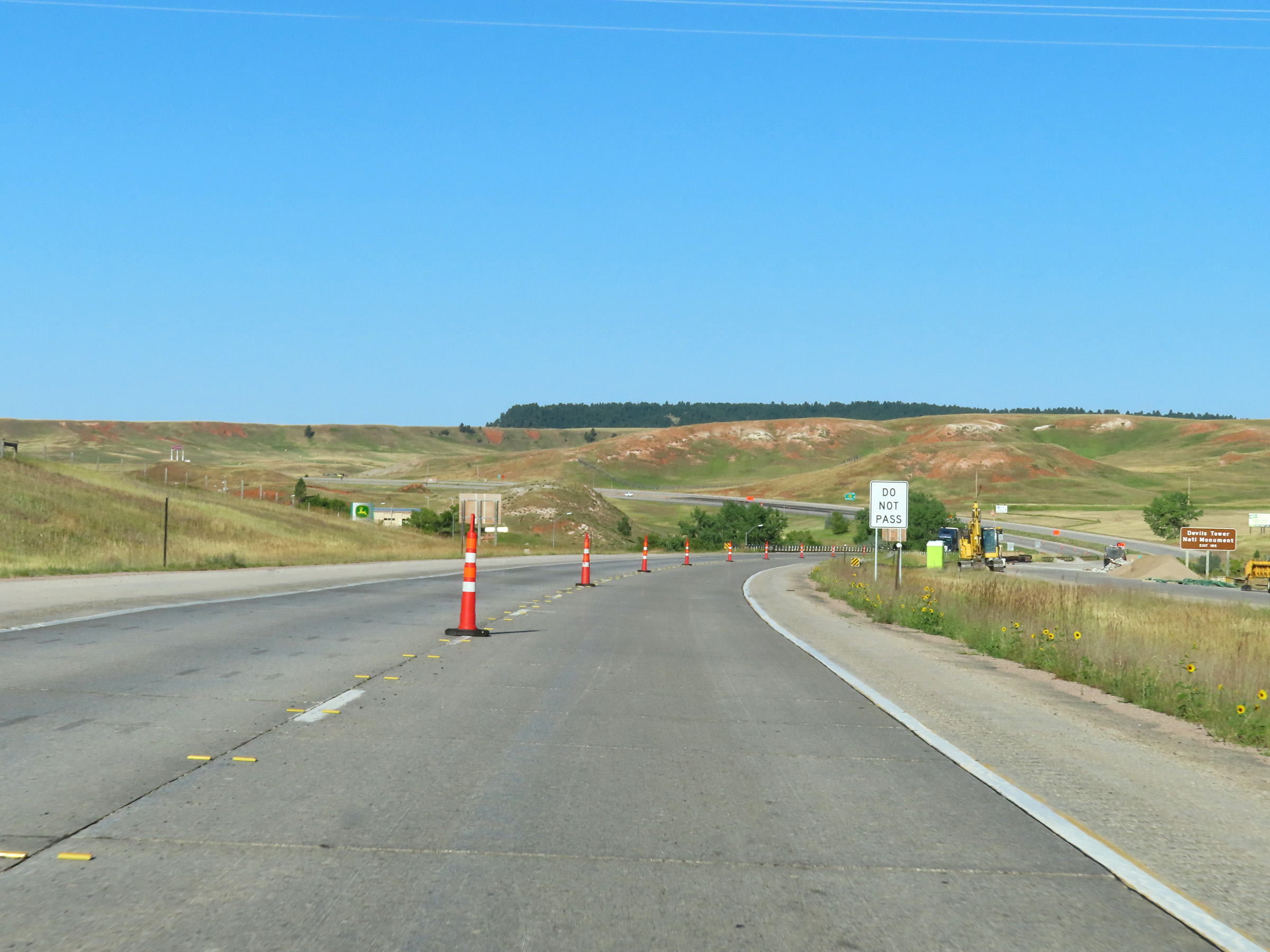 |
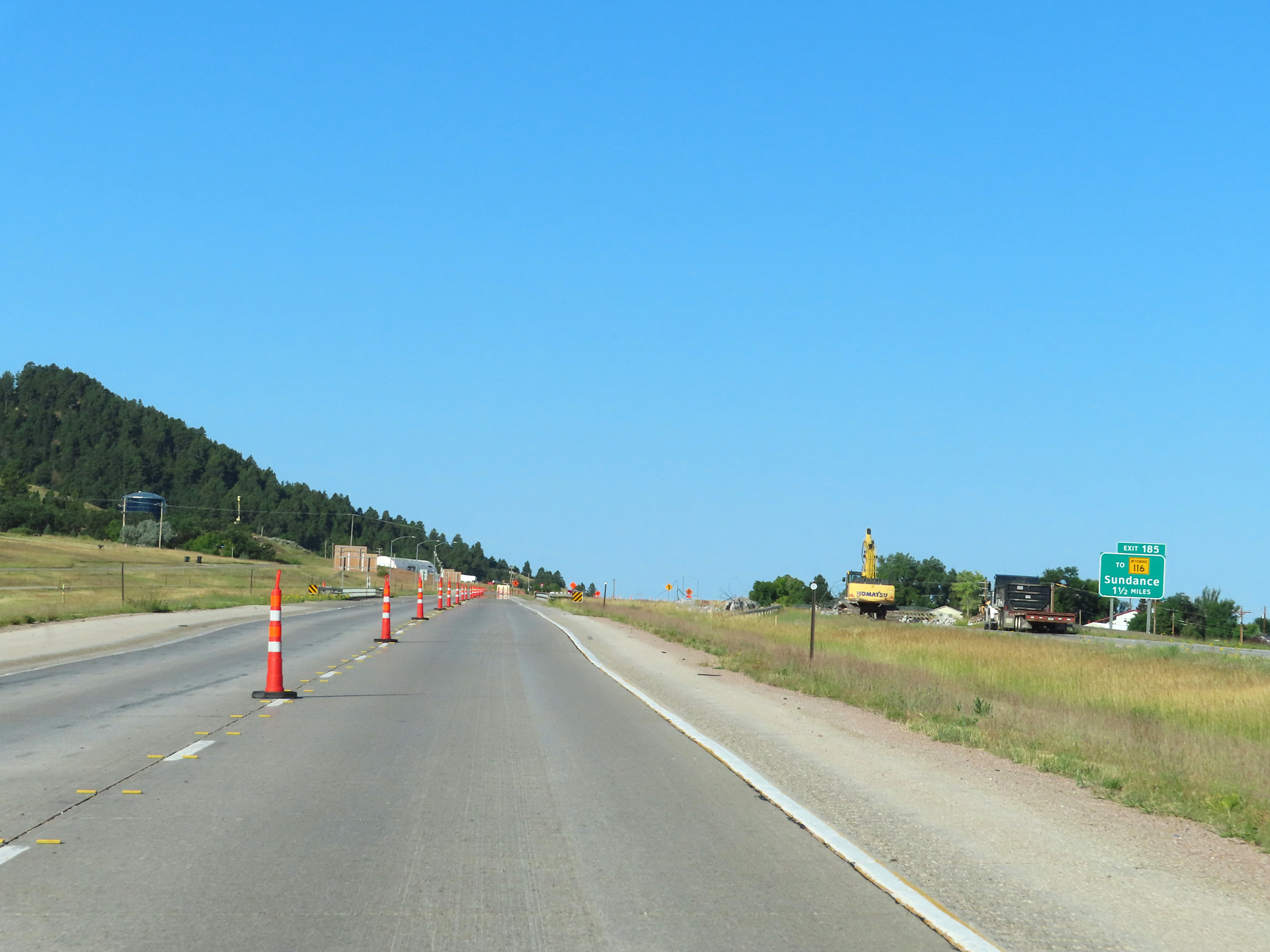
Take Exit 185 to Devils Tower National Monument. (Photo taken 8/17/22). |
 |
Also take Exit 185 to Upton and Hulett. (Photo taken 8/17/22). |
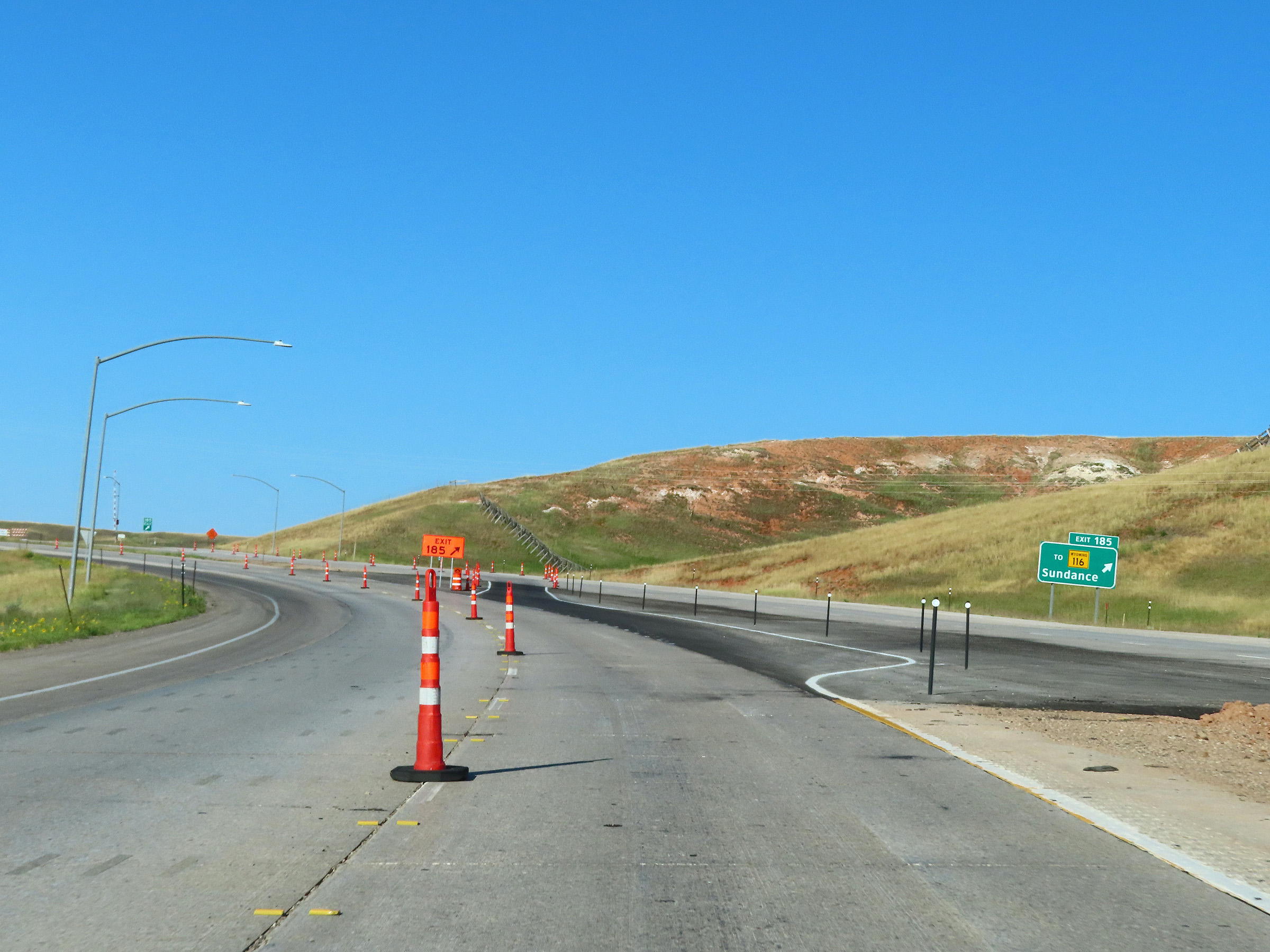 |
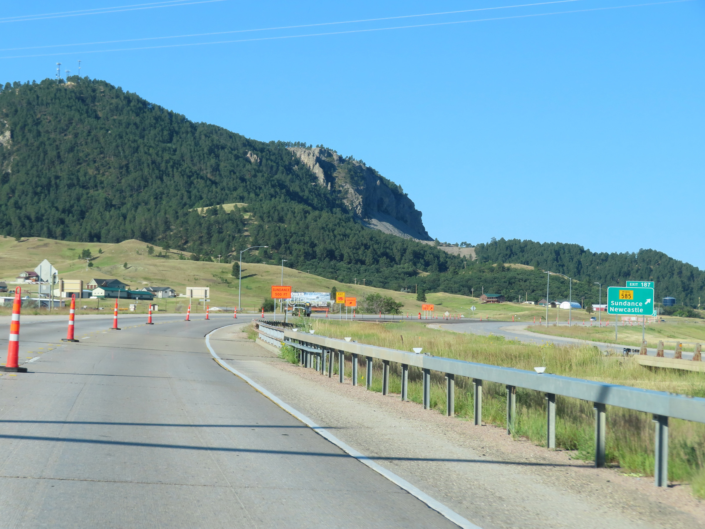
Interstate 90 West at Exit 185: To WY 116 - Sundance (Photo taken 8/17/22). |
Section 2: Sundance (Exit 185) to Gillette (Exit 124)
 |
Another Interstate 90 West reassurance shield. (Photo taken 8/17/22). |
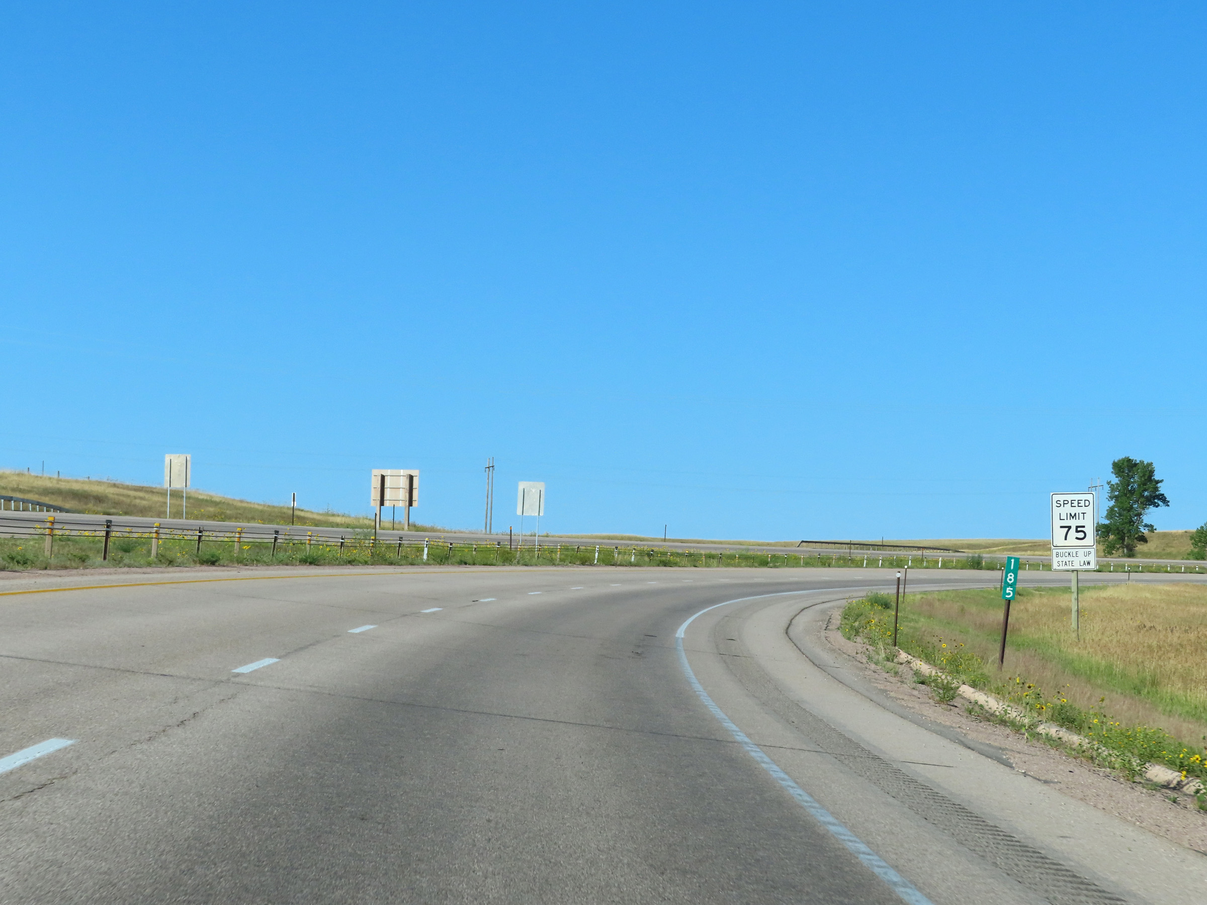 |
At mile marker 185, the speed limit on Interstate 90 West decreases to 75 mph as it begins to climb a grade to the west of Sundance. (Photo taken 8/17/22). |
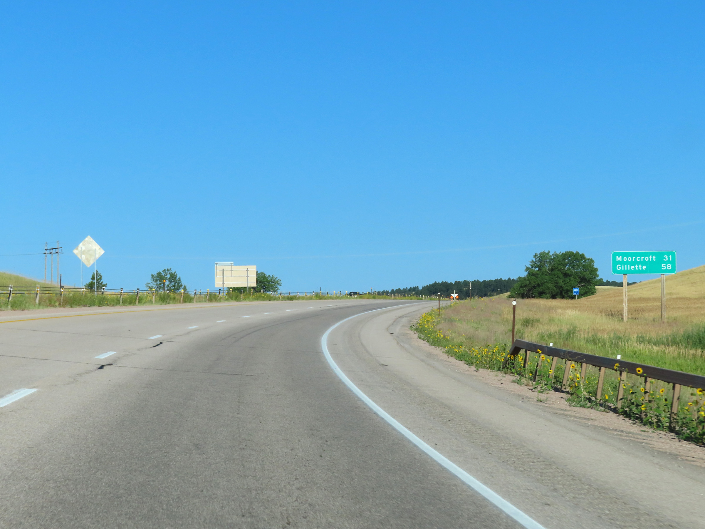 |
Mileage sign on Interstate 90 West. It's 31 miles to Moorcroft and 58 miles to Gillette. (Photo taken 8/17/22). |
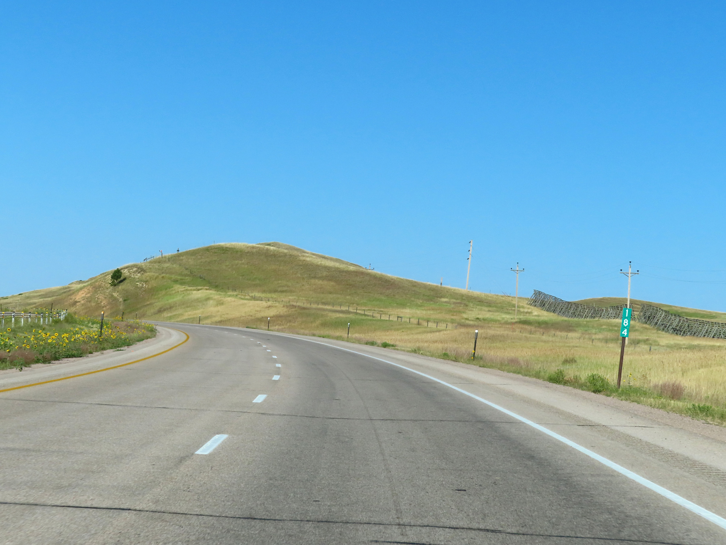 |
View on Interstate 90 West at mile marker 184. (Photo taken 8/17/22). |
 |
Mile marker 182 on Interstate 90 West in Crook County. (Photo taken 8/17/22). |
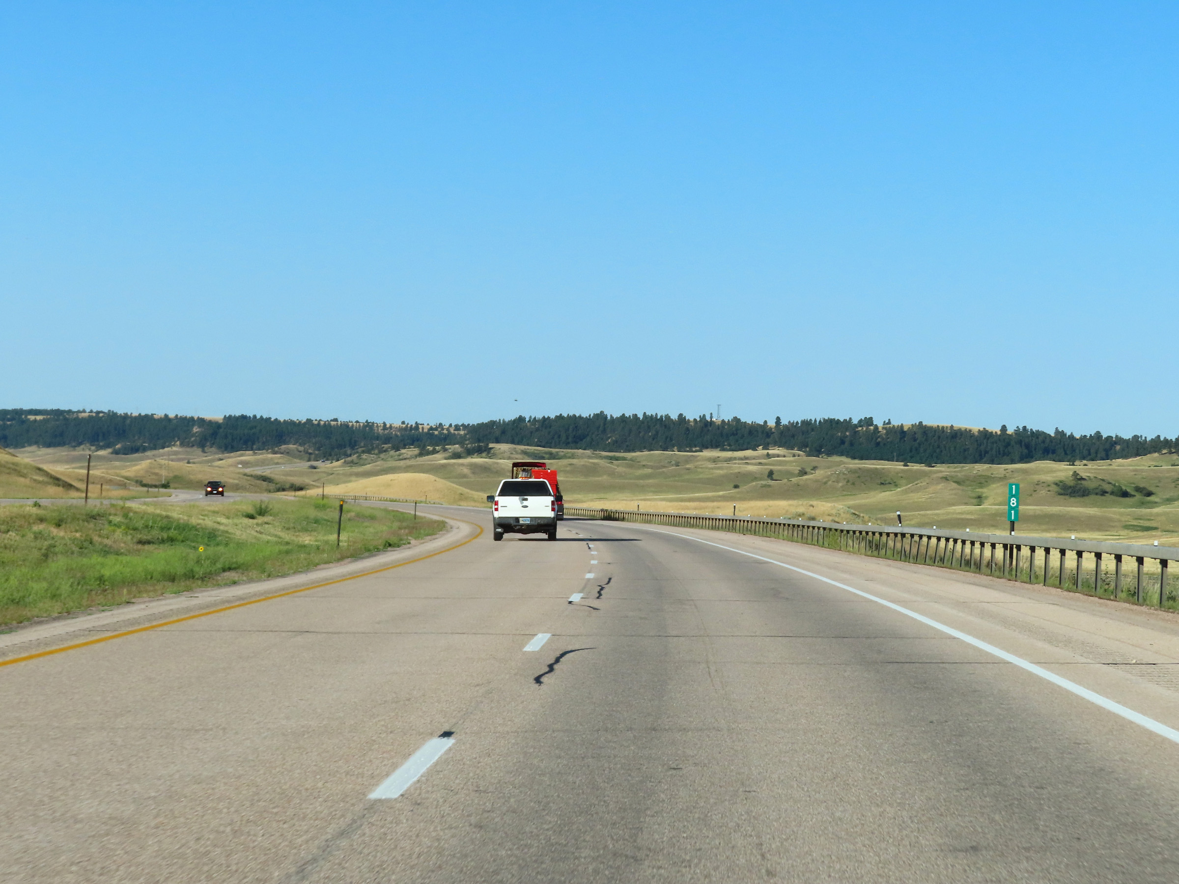 |
Interstate 90 West at mile marker 181. (Photo taken 8/17/22). |
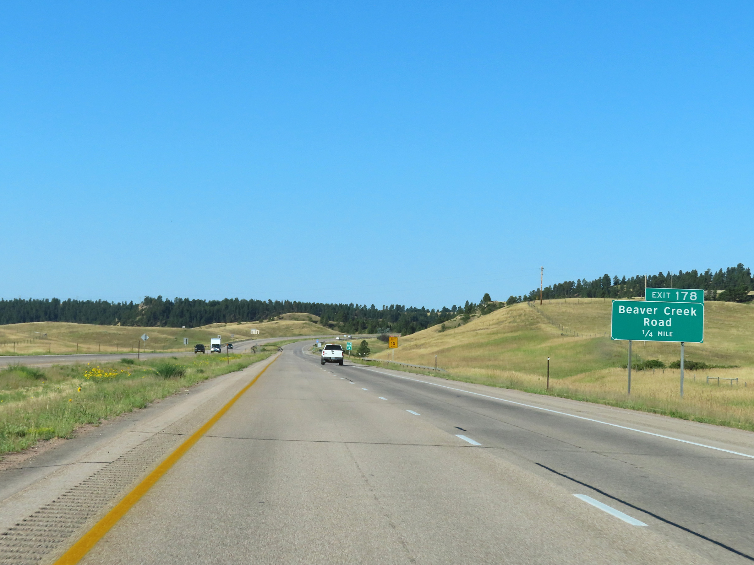 |
Interstate 90 West approaching Exit 178 - 1/4 mile. (Photo taken 8/17/22). |
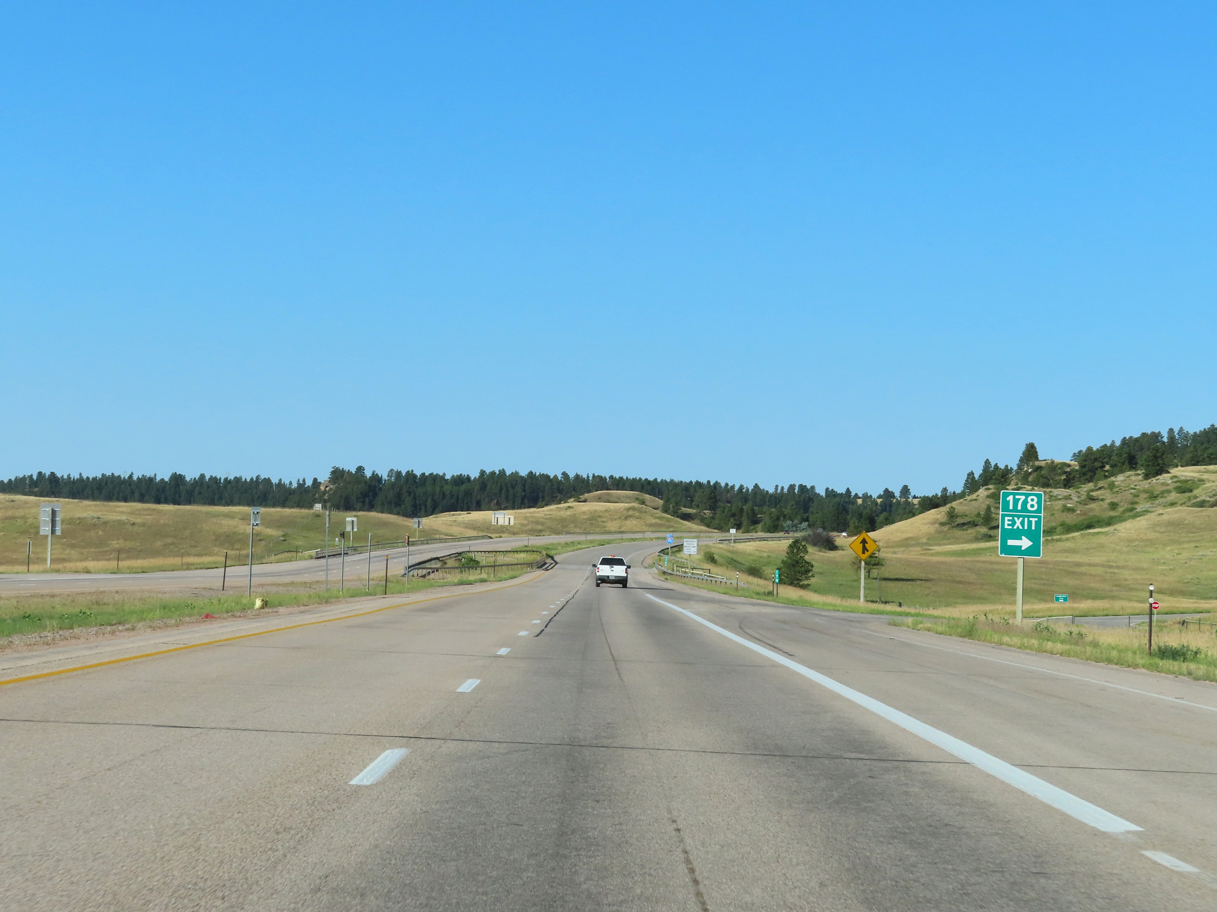 |
Interstate 90 West at Exit 178: Beaver Creek Road (Photo taken 8/17/22). |
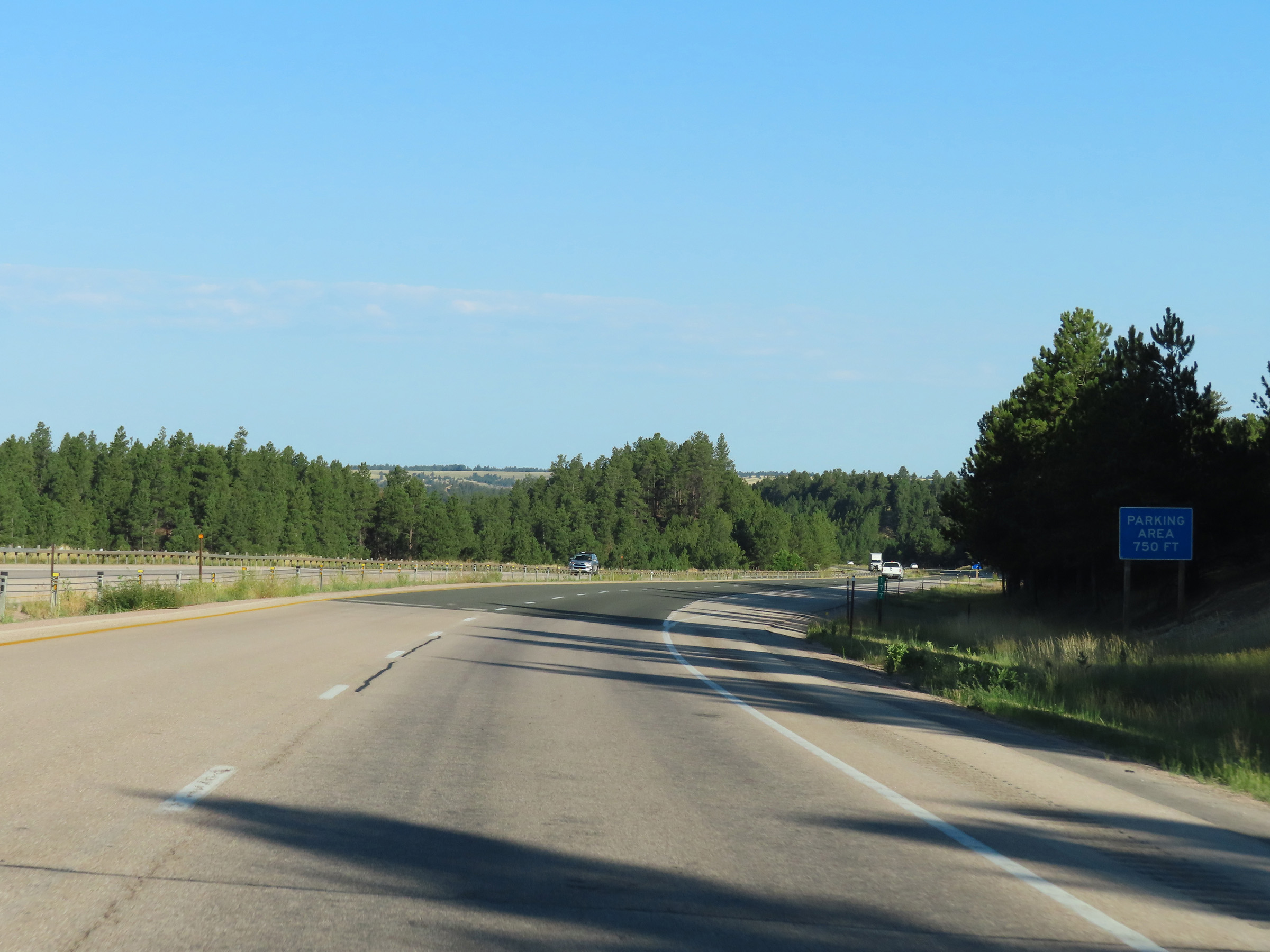 |
At mile marker 177, this sign shows that a Parking Area exists 750 feet ahead on Interstate 90 West in Crook County, as it continues to climb in elevation. (Photo taken 8/17/22). |
 |
A Parking Area on Interstate 90 West in Crook County, near Moorcroft. (Photo taken 8/17/22). |
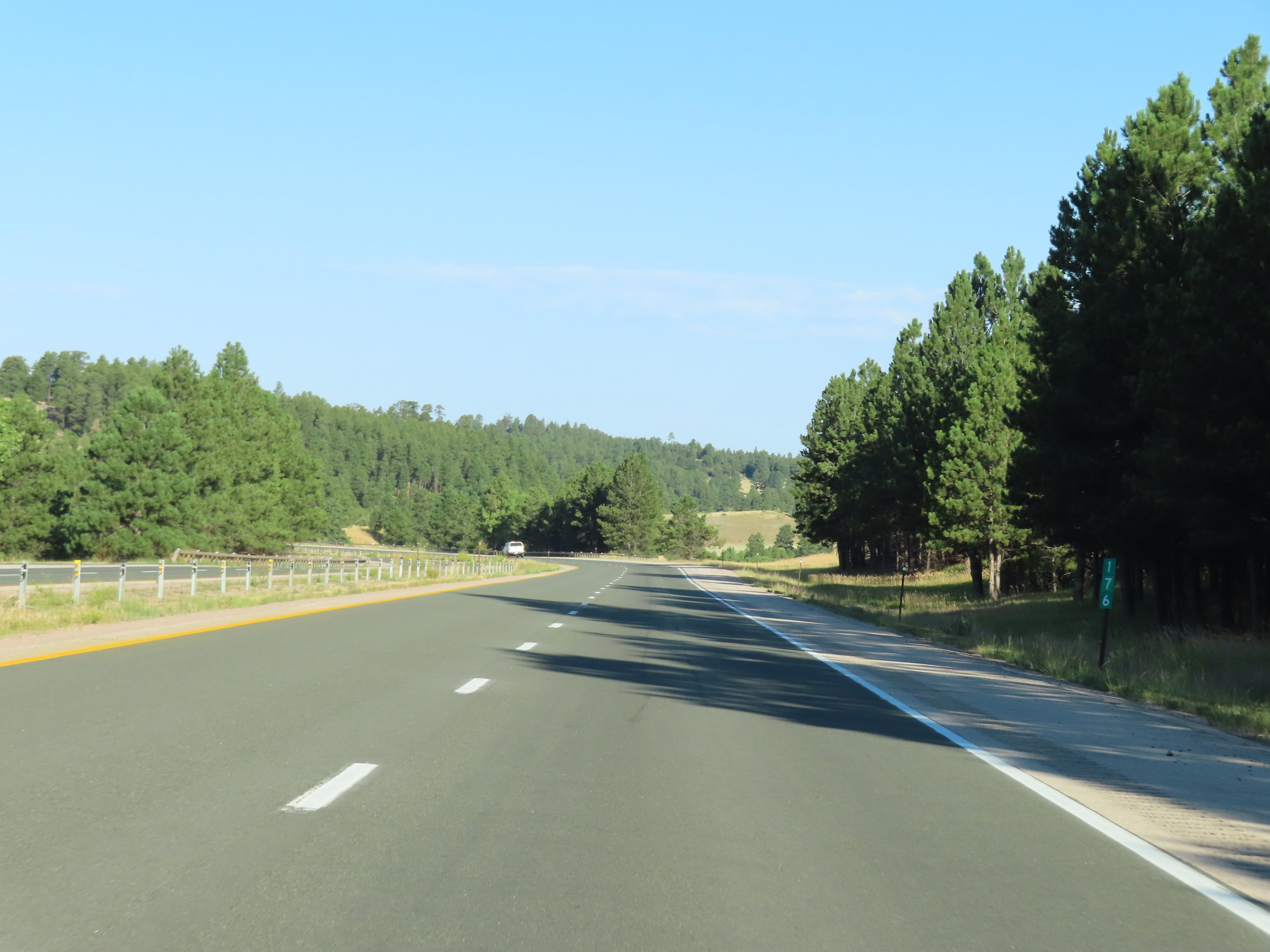 |
View on Interstate 90 West at mile marker 176, as it continues to climb the aforementioned grade. (Photo taken 8/17/22). |
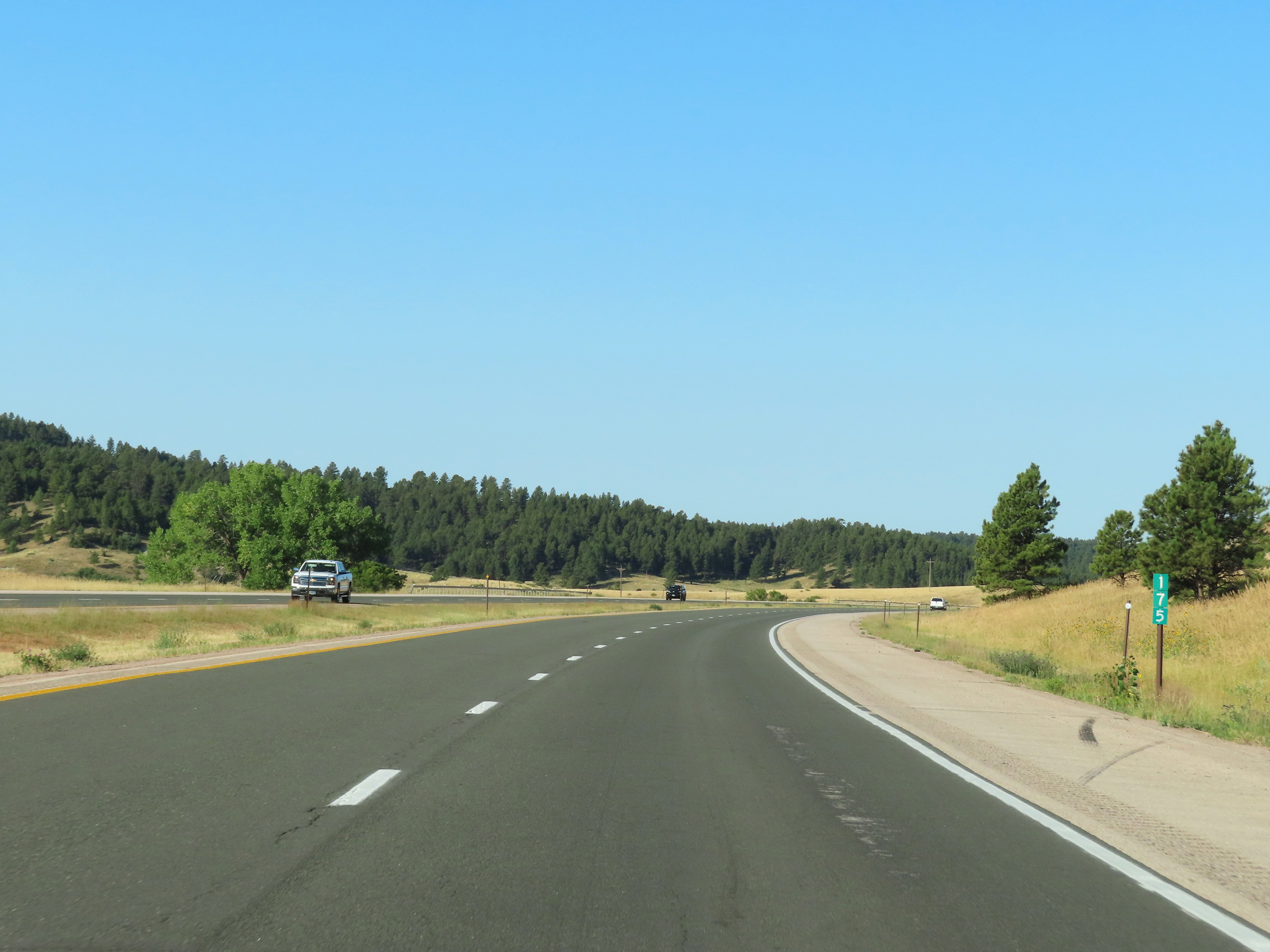 |
Interstate 90 West at mile marker 175. (Photo taken 8/17/22). |
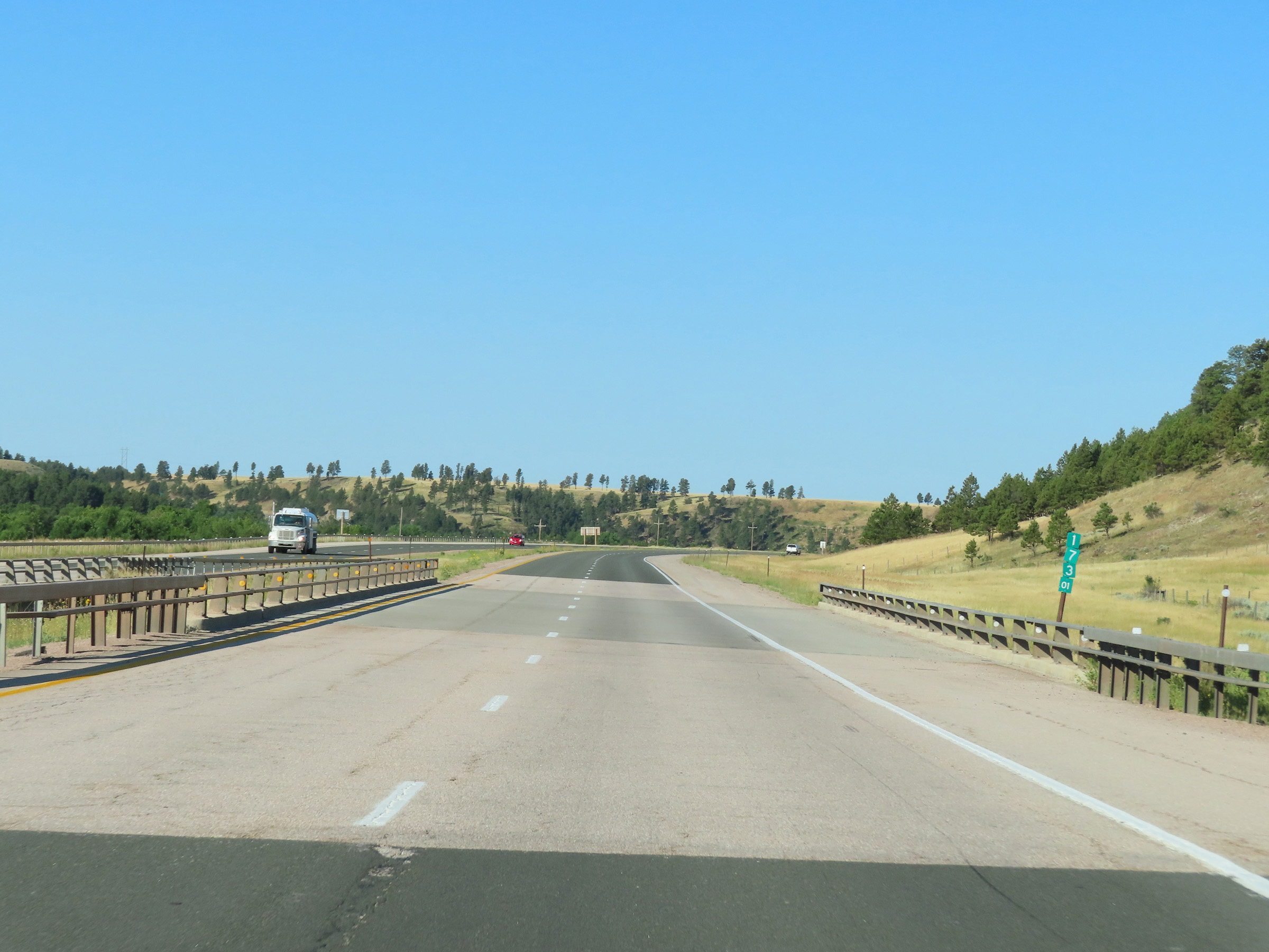 |
Mile marker 173.01 on Interstate 90 West in Crook County. (Photo taken 8/17/22). |
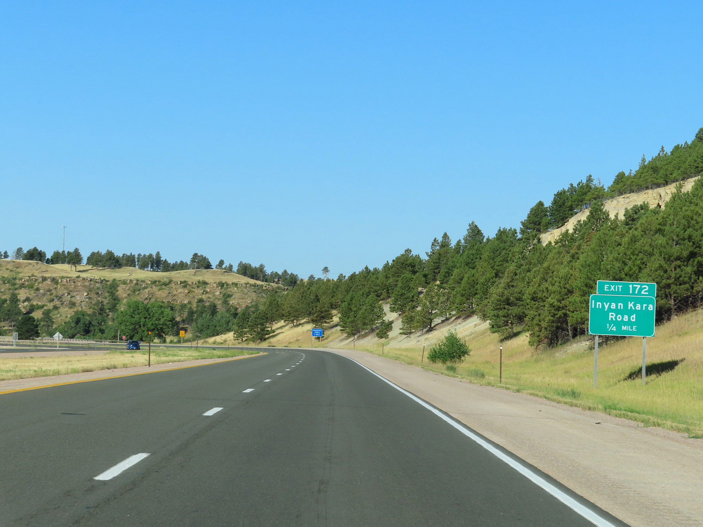 |
Interstate 90 West approaching Exit 172 - 1/4 mile. (Photo taken 8/17/22). |
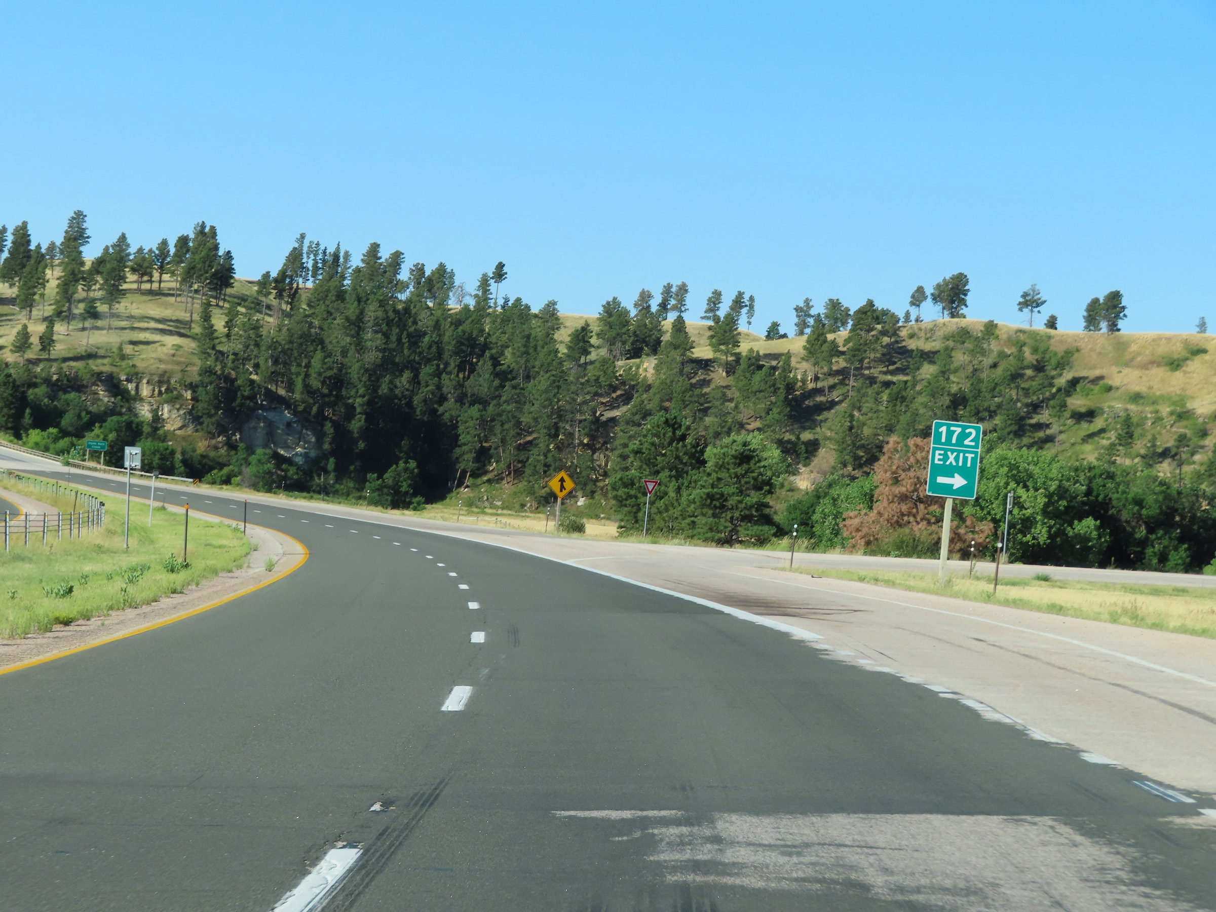 |
Interstate 90 West at Exit 172: Inyan Kara Road (Photo taken 8/17/22). |
 |
The speed limit remains 75 mph on Interstate 90 West as it continues to climb in elevation between Sundance and Moorcroft. (Photo taken 8/17/22). |
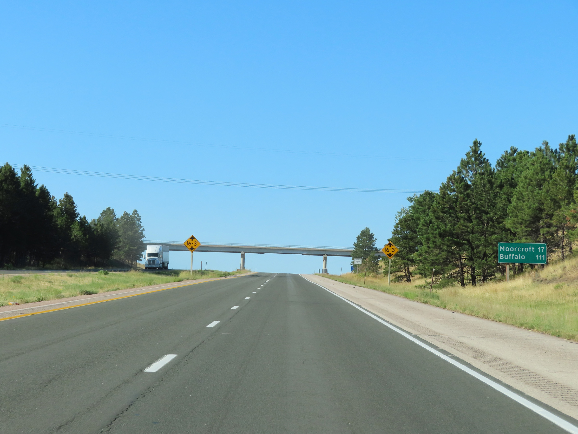 |
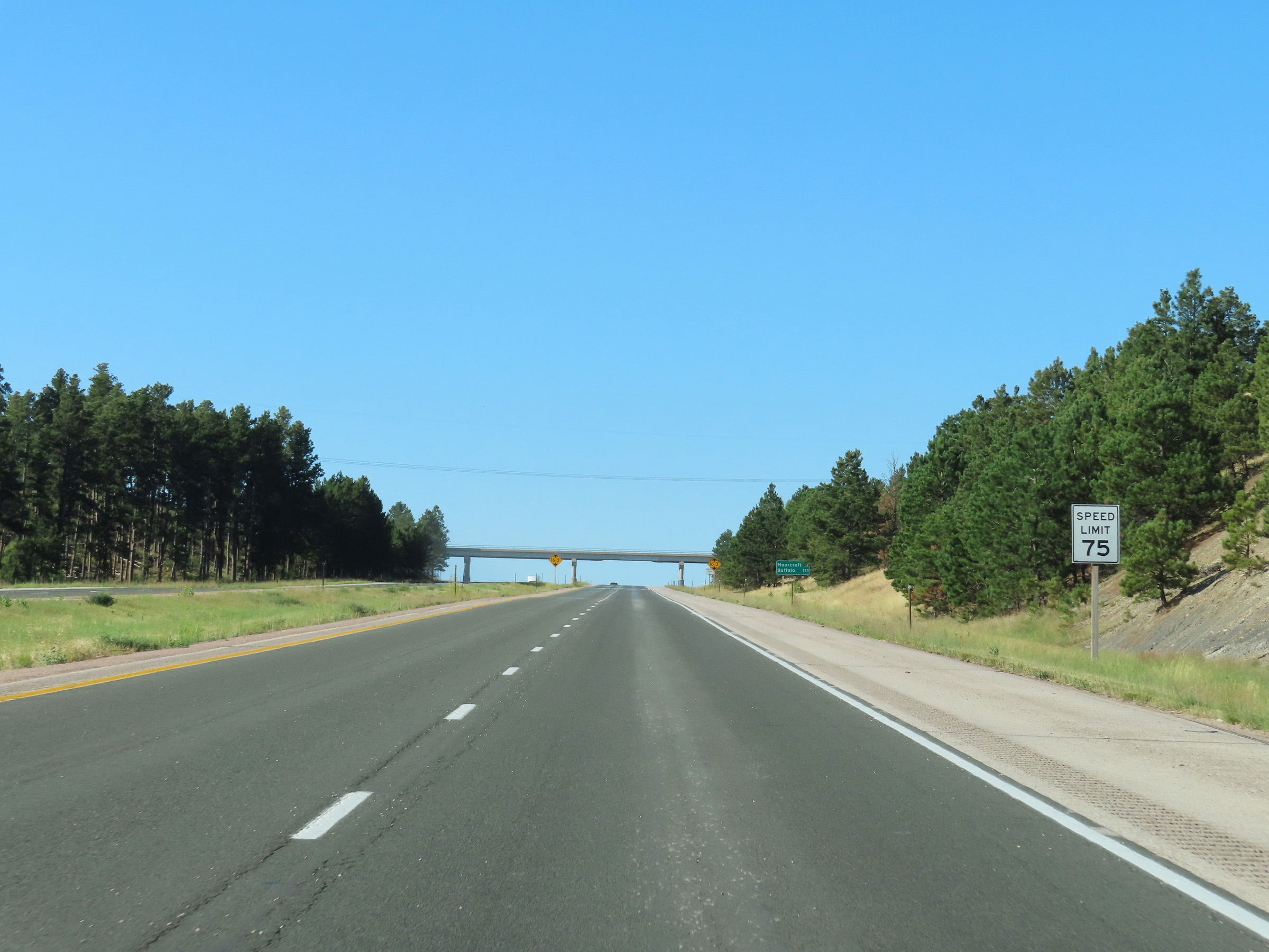
Another mileage sign on Interstate 90 West as it nears the top of the grade. It's 17 miles to Moorcroft and 111 miles to Buffalo. (Photo taken 8/17/22). |
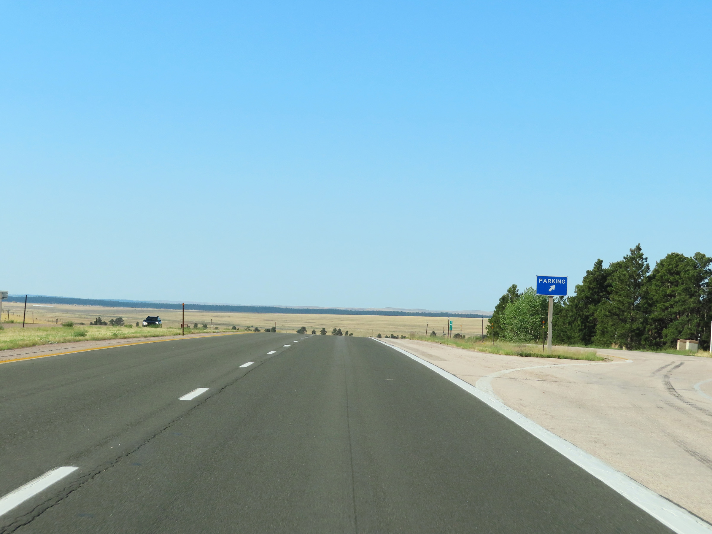 |
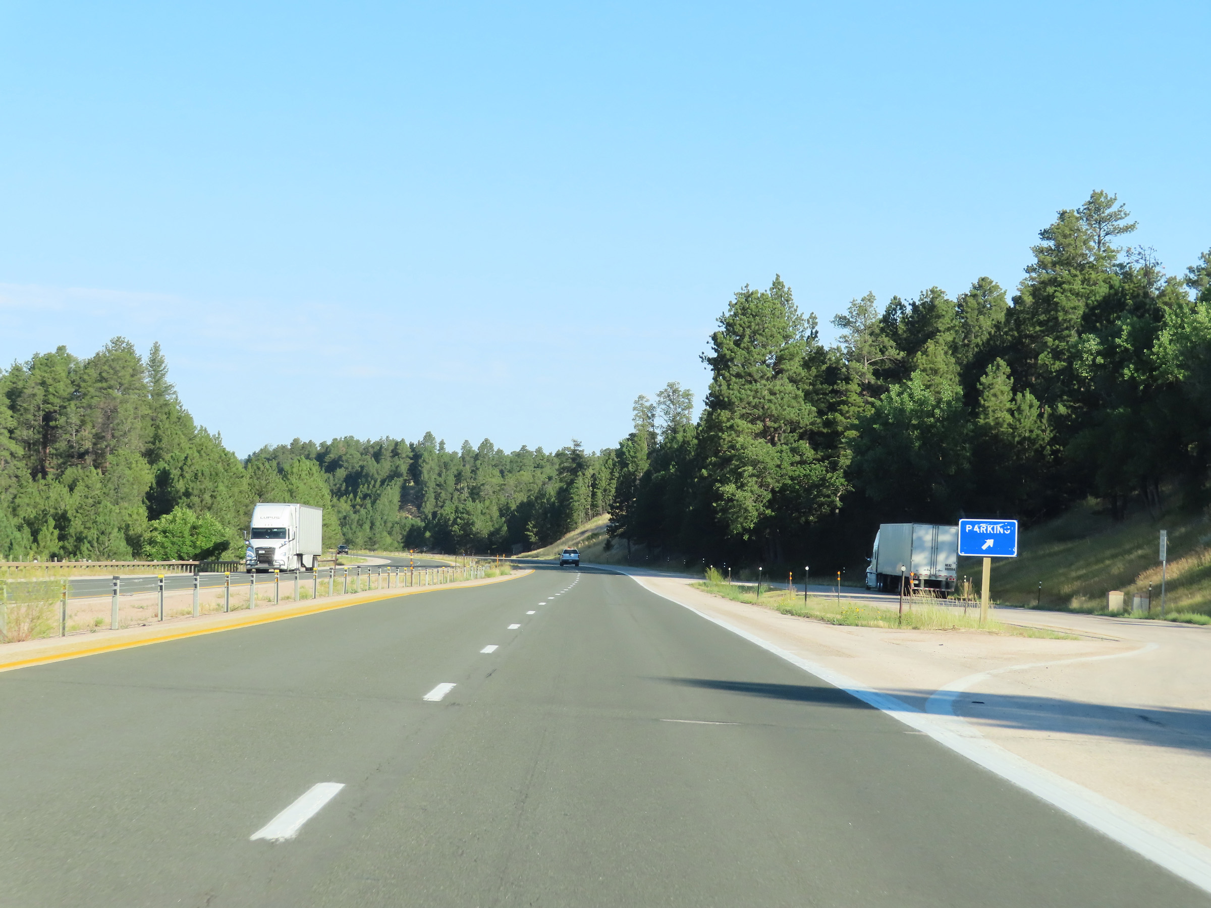
Parking Area at mile marker 177 on Interstate 90 West, as it reaches the top of the grade between Sundance and Moorcroft. (Photo taken 8/17/22). |
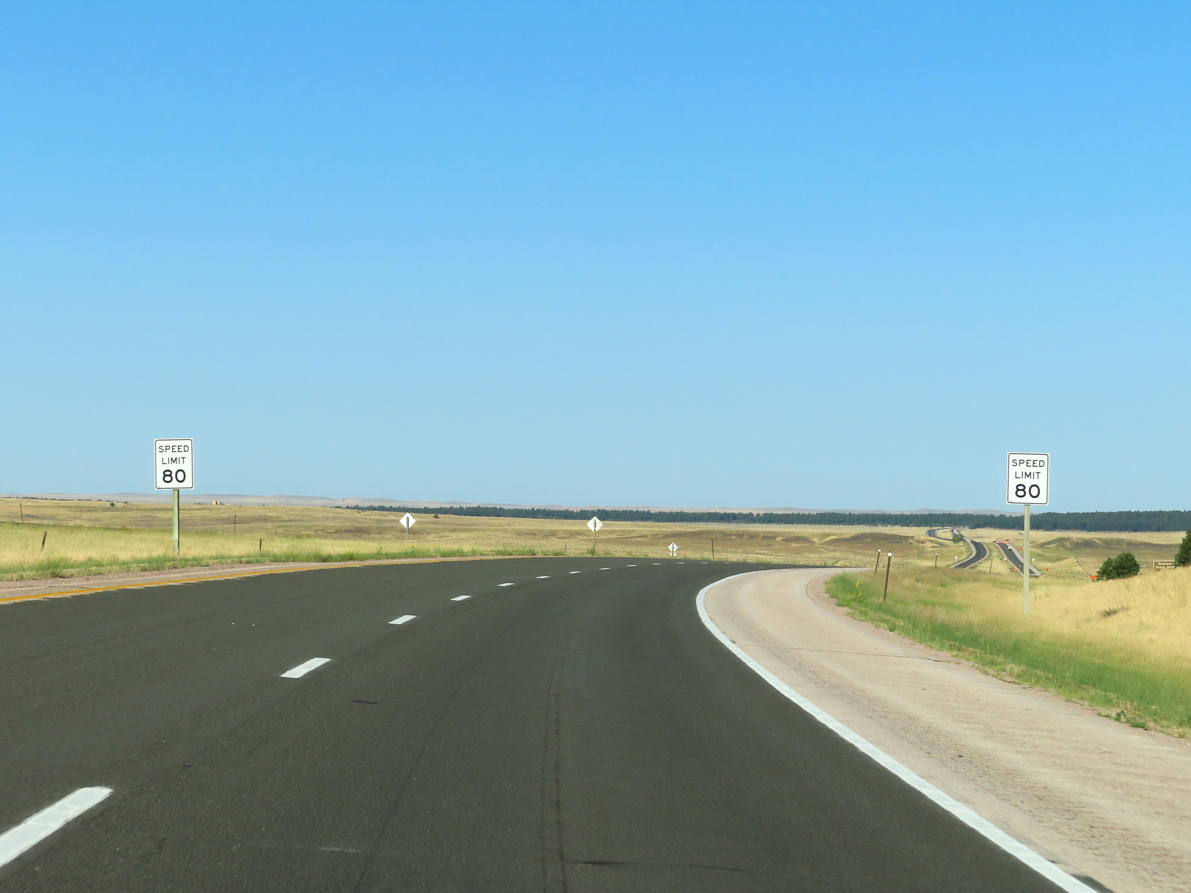 |
At the top of the grade, the speed limit increases to 80 mph once again. (Photo taken 8/17/22). |
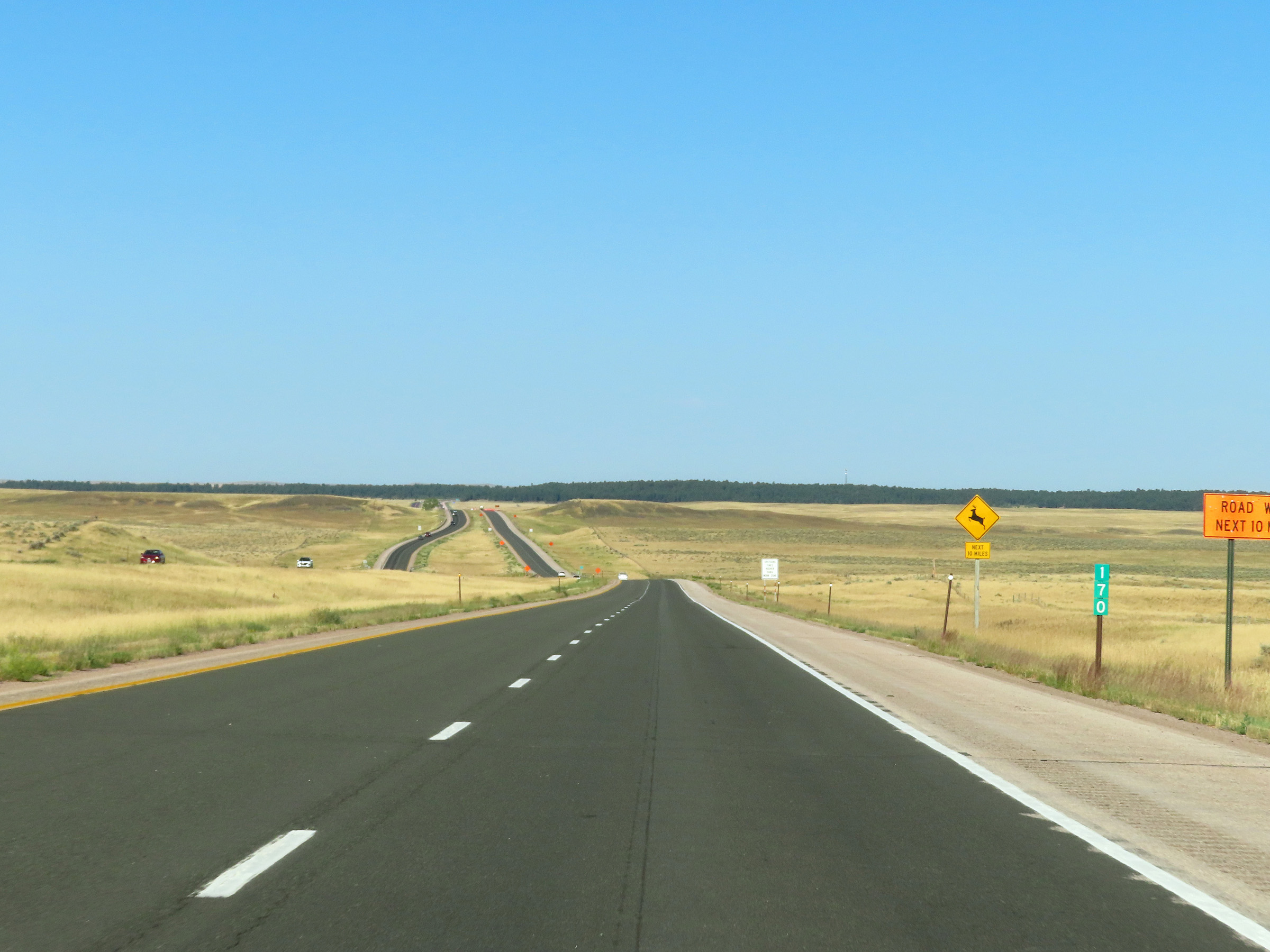 |
View on Interstate 90 West at mile marker 170. (Photo taken 8/17/22). |
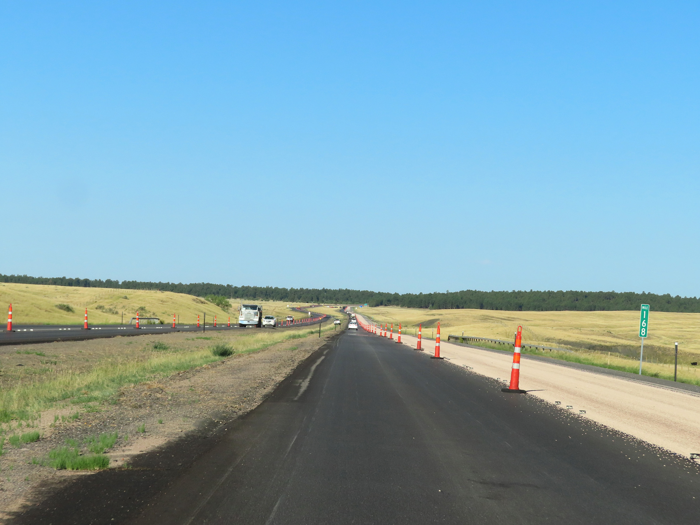 |
Mile marker 168 on Interstate 90 West in Crook County. (Photo taken 8/17/22). |
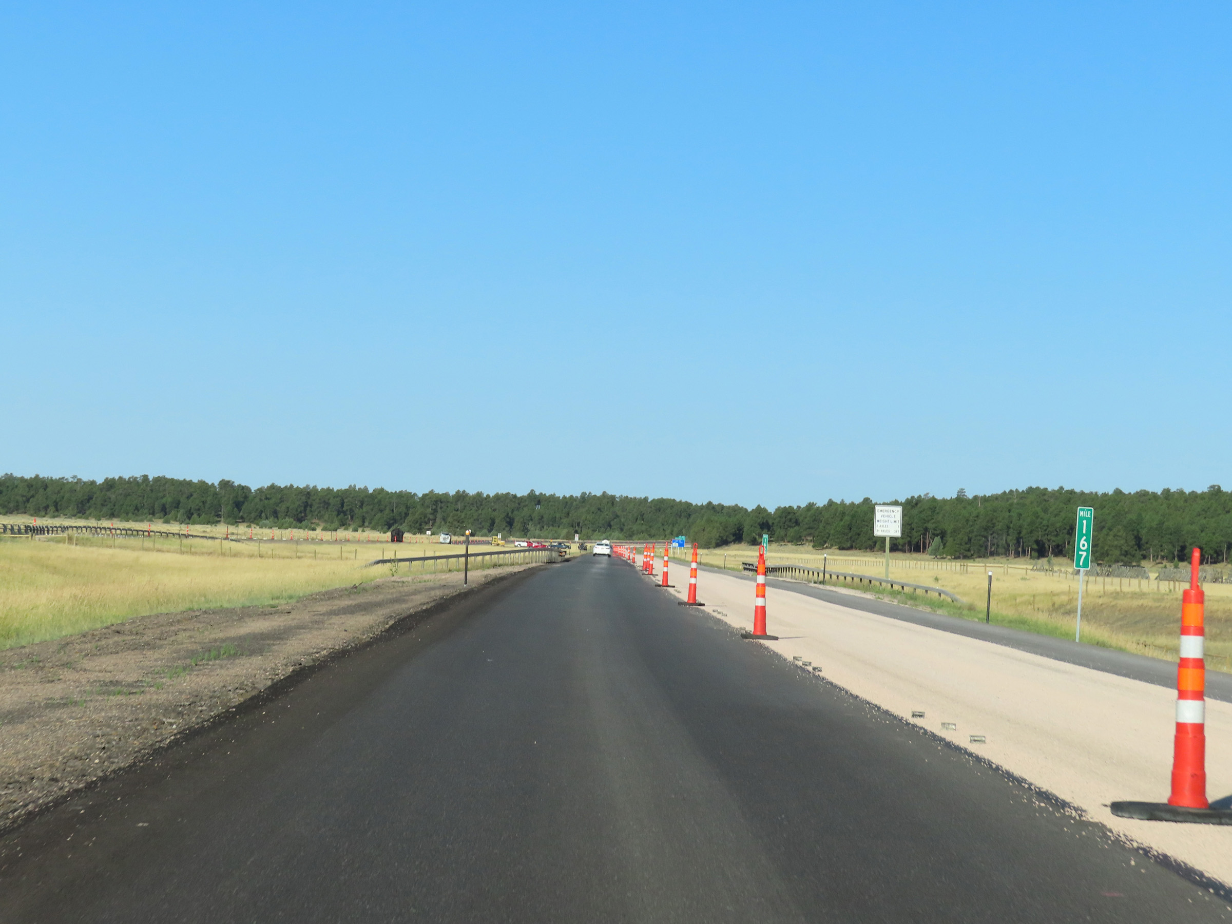 |
Interstate 90 West at mile marker 167. (Photo taken 8/17/22). |
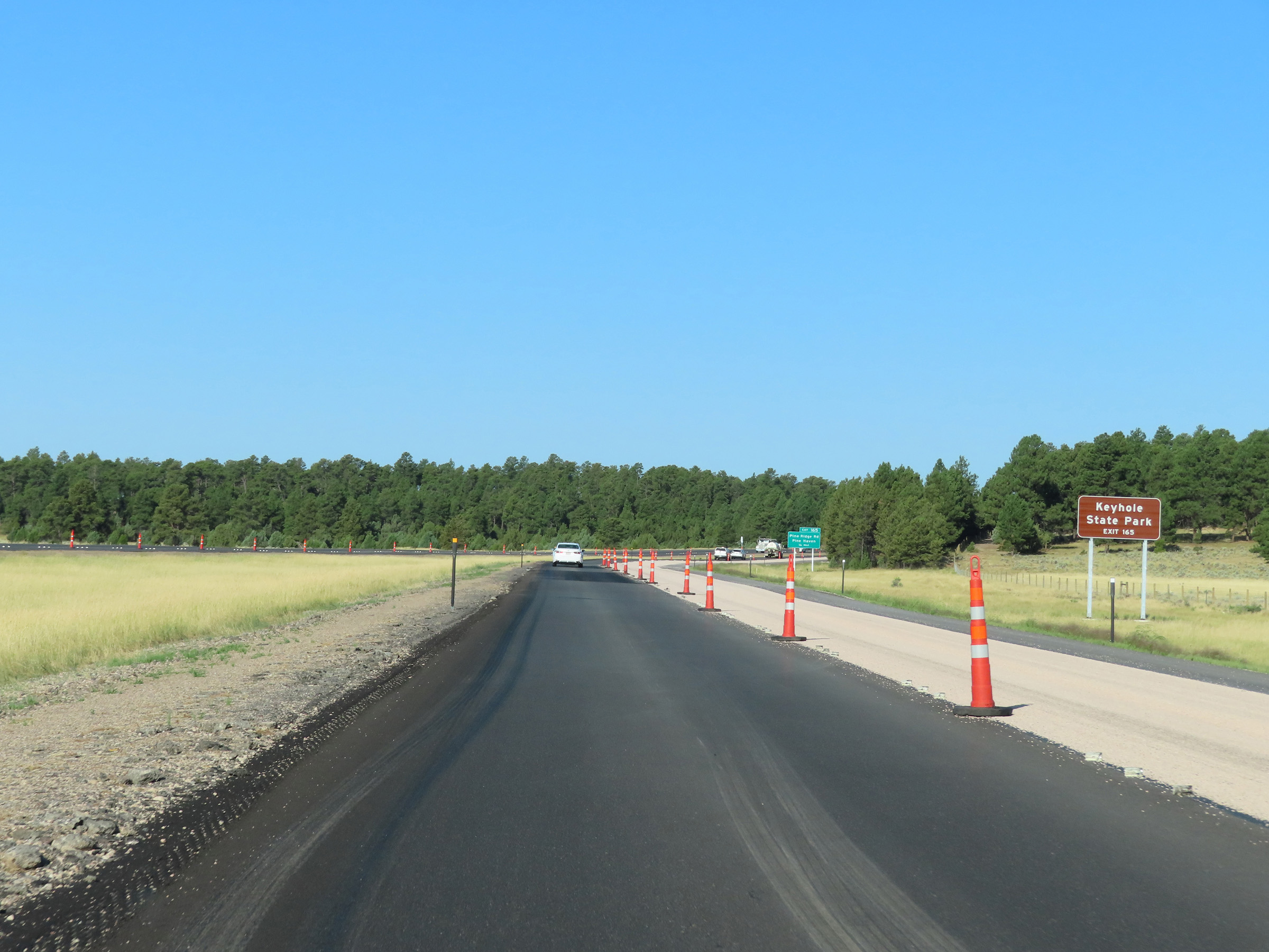 |
Take Exit 165 to Keyhole State Park. (Photo taken 8/17/22). |
 |
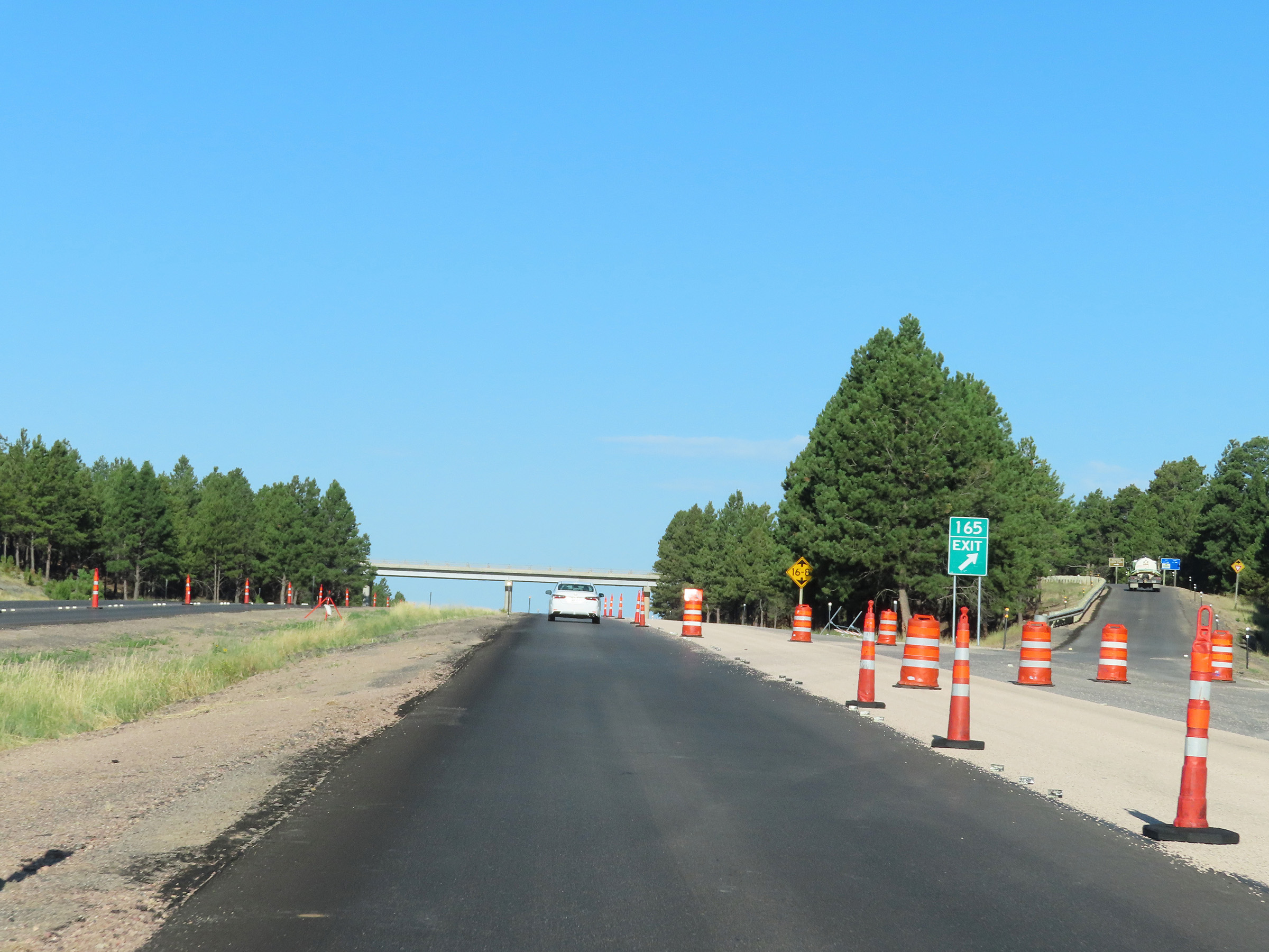
Interstate 90 West approaching Exit 165 - 1/4 mile. (Photo taken 8/17/22). |
 |
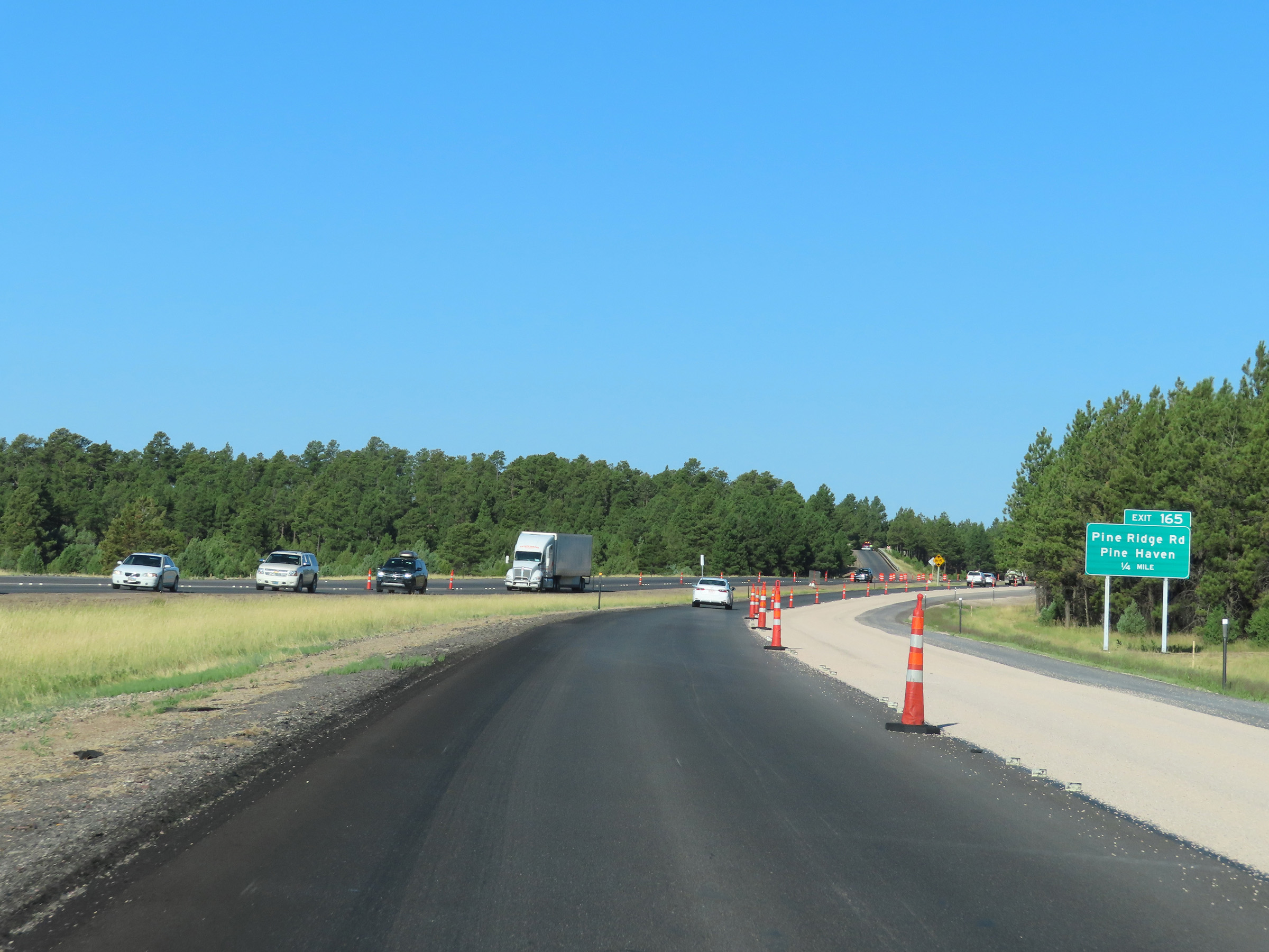
Interstate 90 West at Exit 165: Pine Ridge Rd / Pine Haven (Photo taken 8/17/22). |
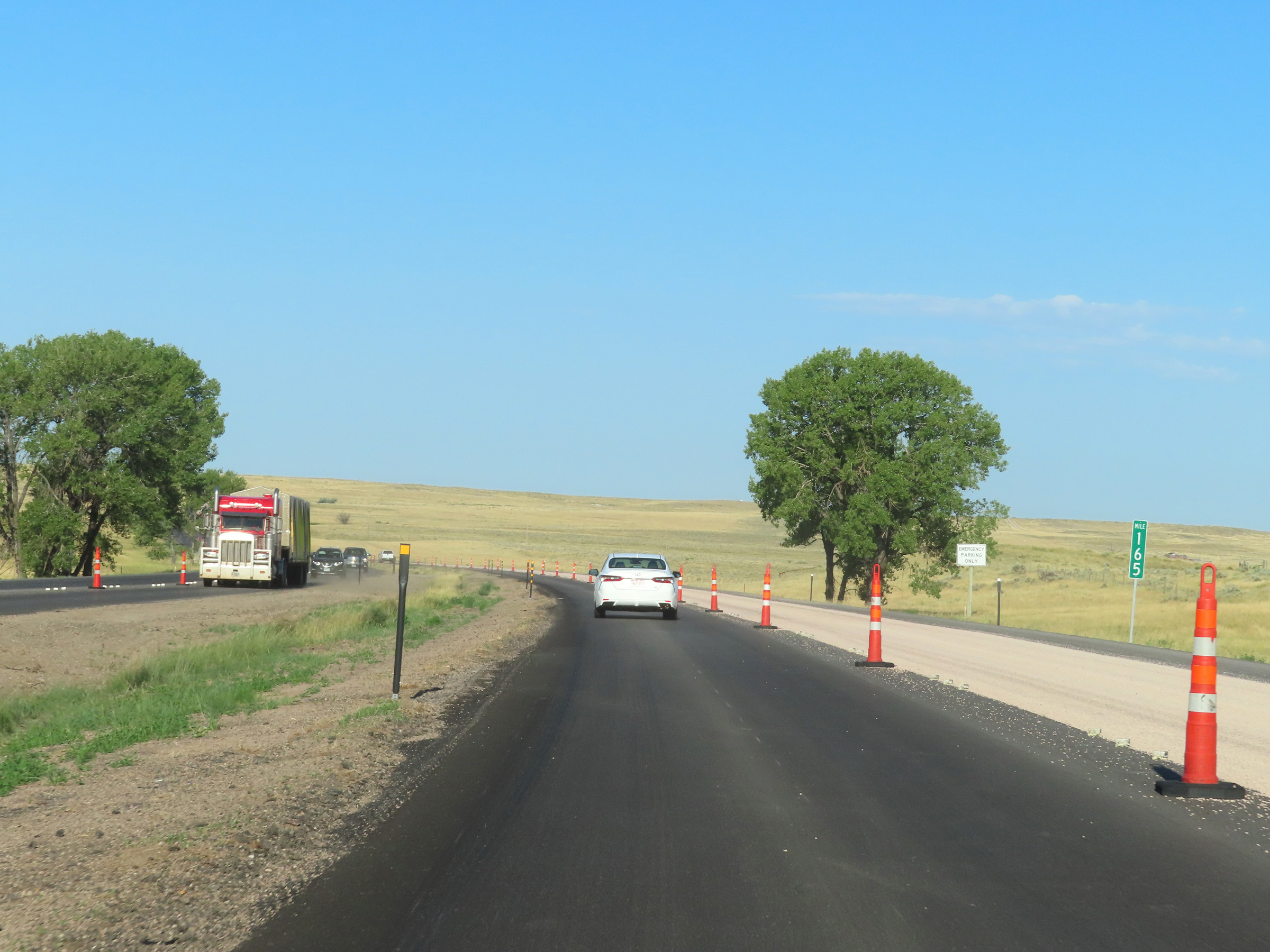 |
Interstate 90 West at mile marker 165. (Photo taken 8/17/22). |
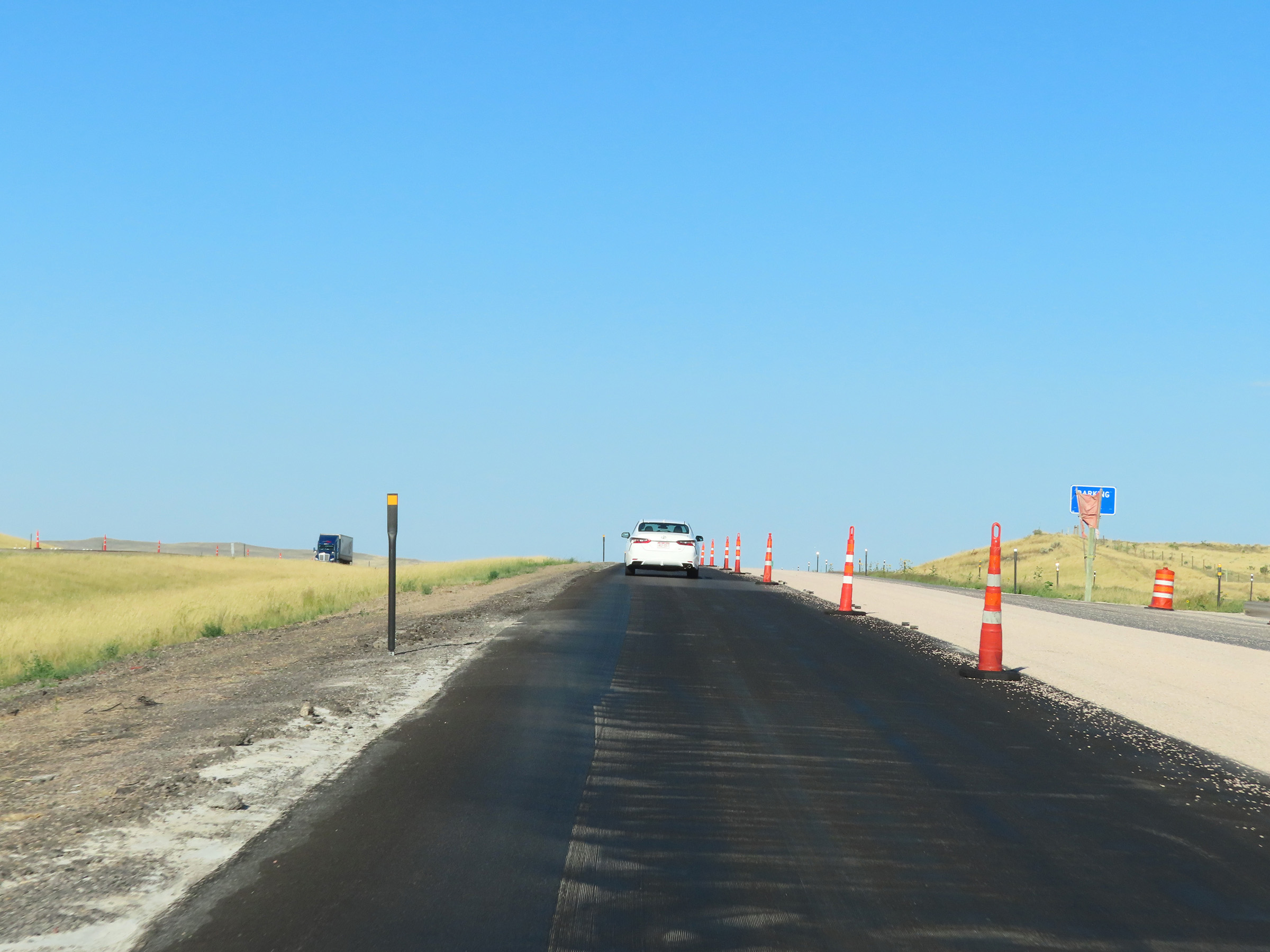 |
Another Parking Area on Interstate 90 West in Crook County. (Photo taken 8/17/22). |
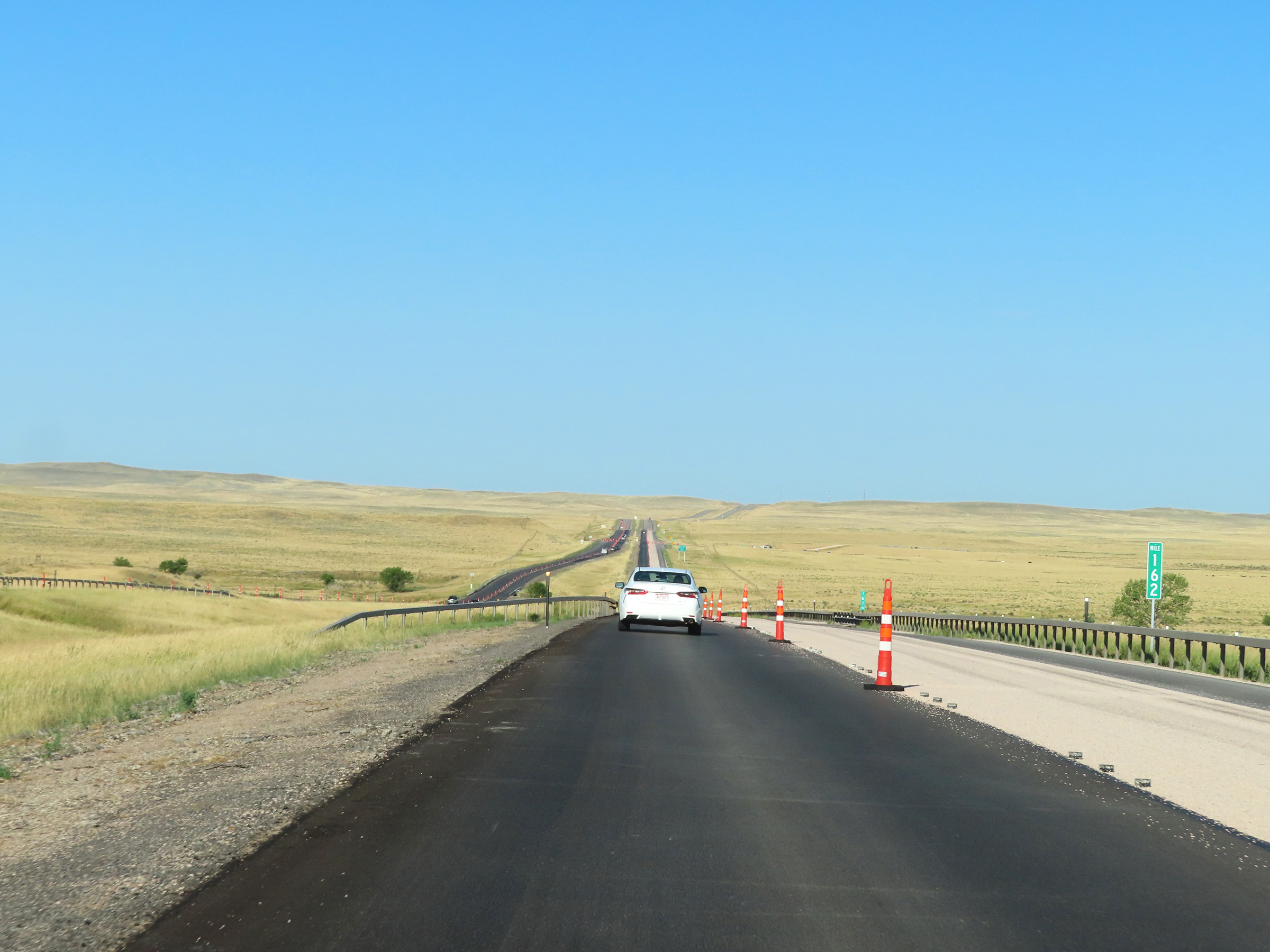 |
Interstate 90 West at mile marker 162. (Photo taken 8/17/22). |
 |
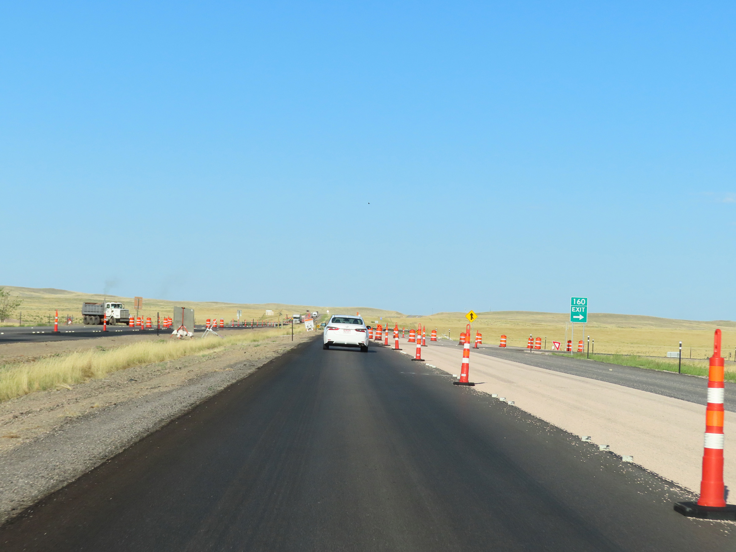
Interstate 90 West approaching Exit 160 - 1/4 mile. (Photo taken 8/17/22). |
 |
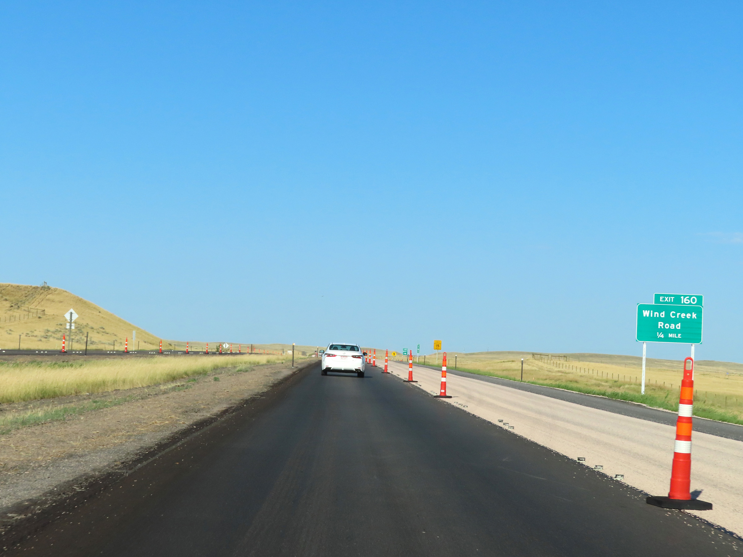
Interstate 90 West at Exit 160: Wind Creek Road (Photo taken 8/17/22). |
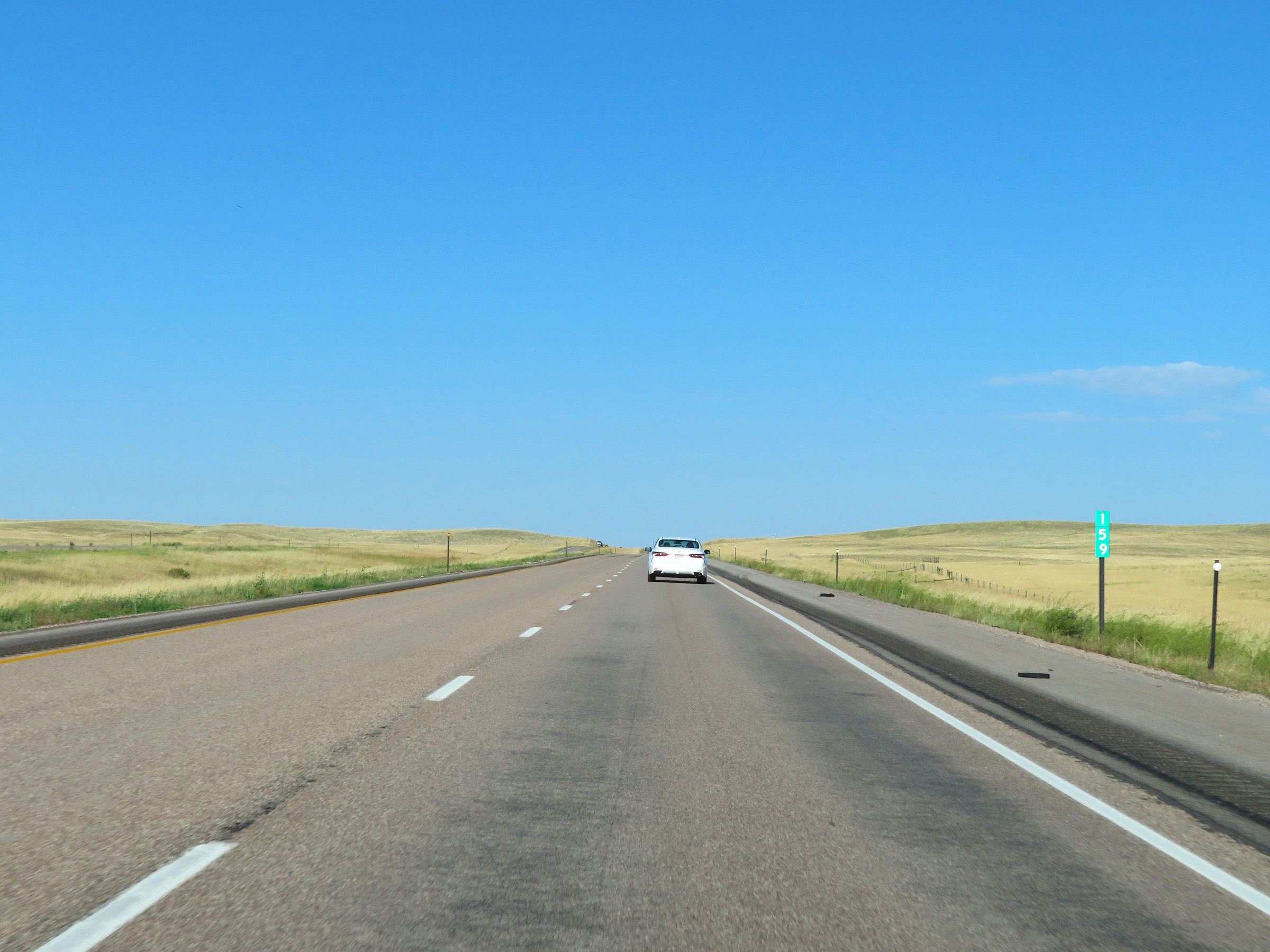 |
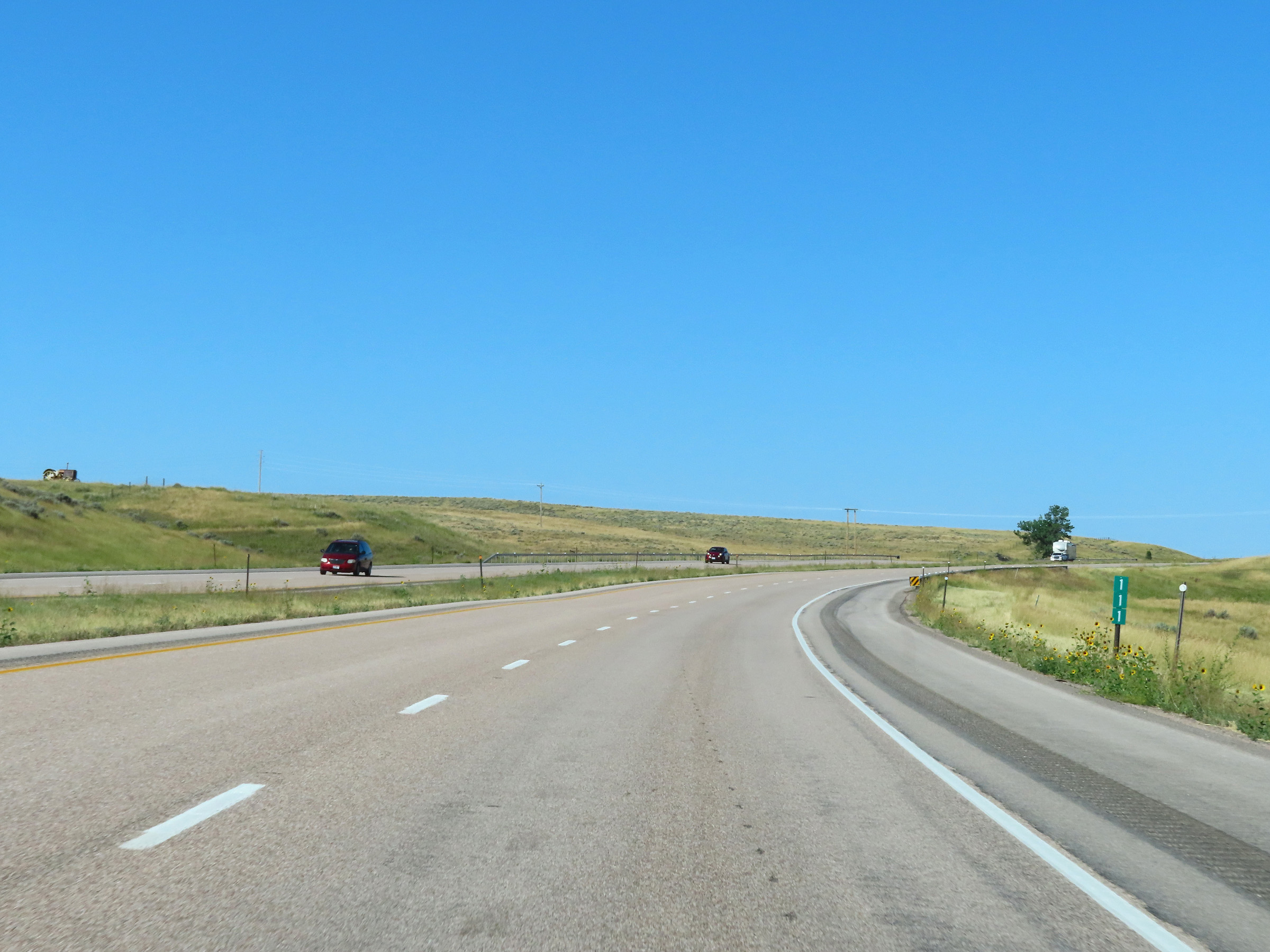
Mile marker 159 on Interstate 90 West in Crook County. (Photo taken 8/17/22). |
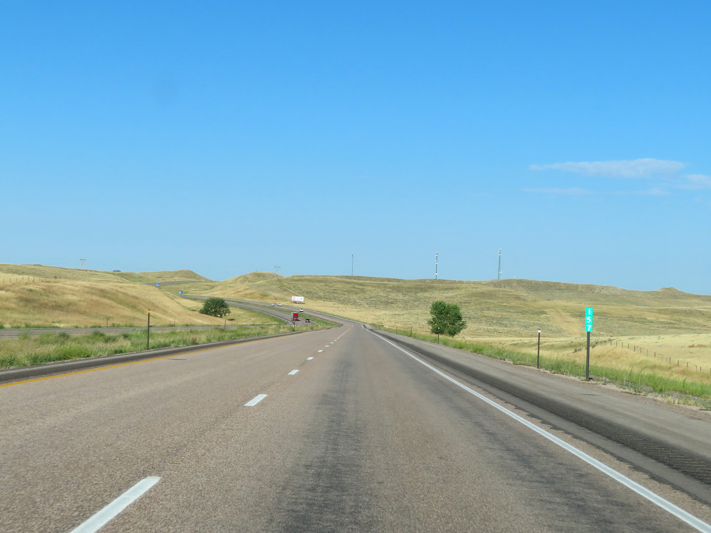 |
View on Interstate 90 West at mile marker 157. (Photo taken 8/17/22). |
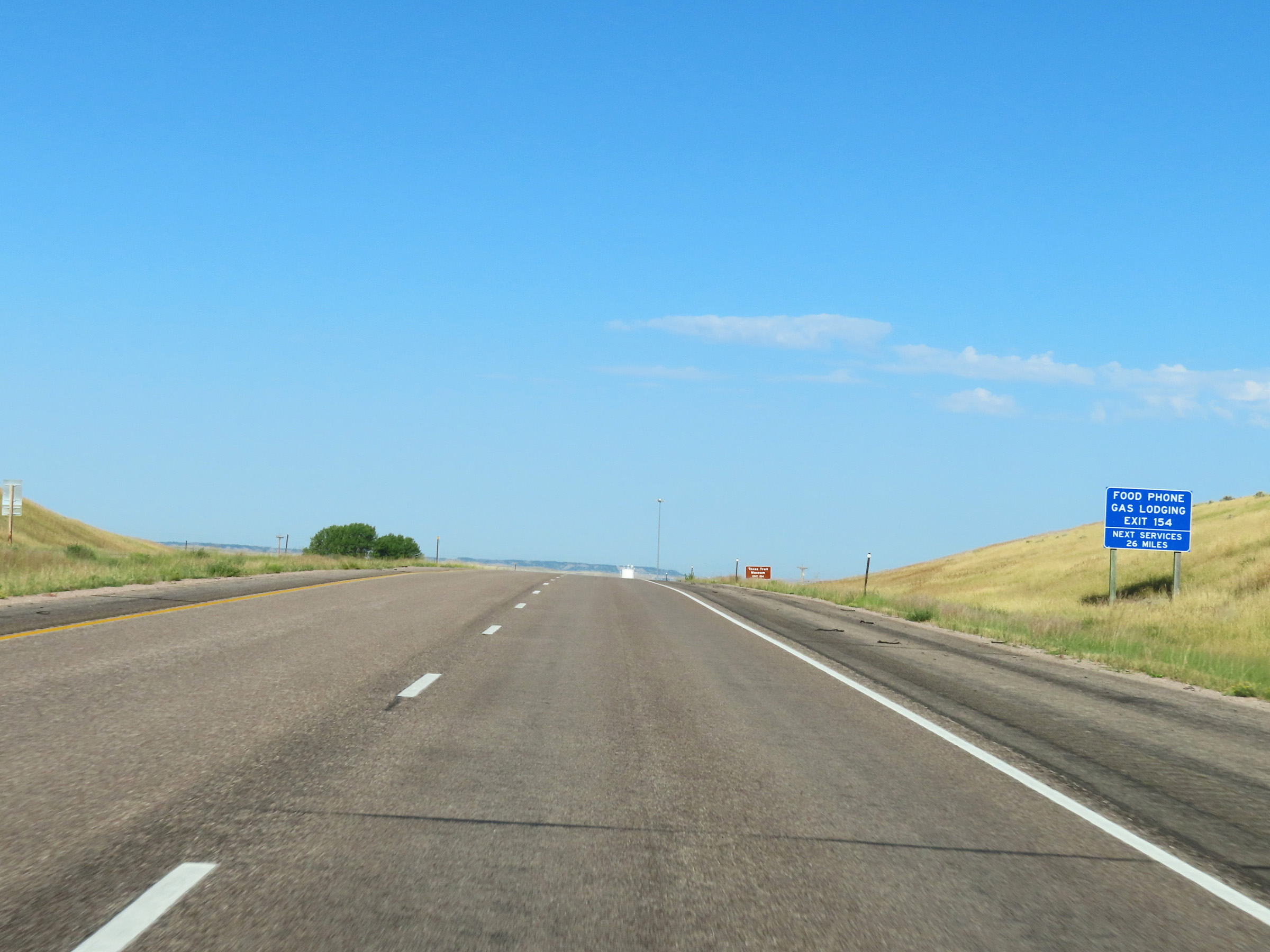 |
The next services beyond Exit 154 are 26 miles ahead. (Photo taken 8/17/22). |
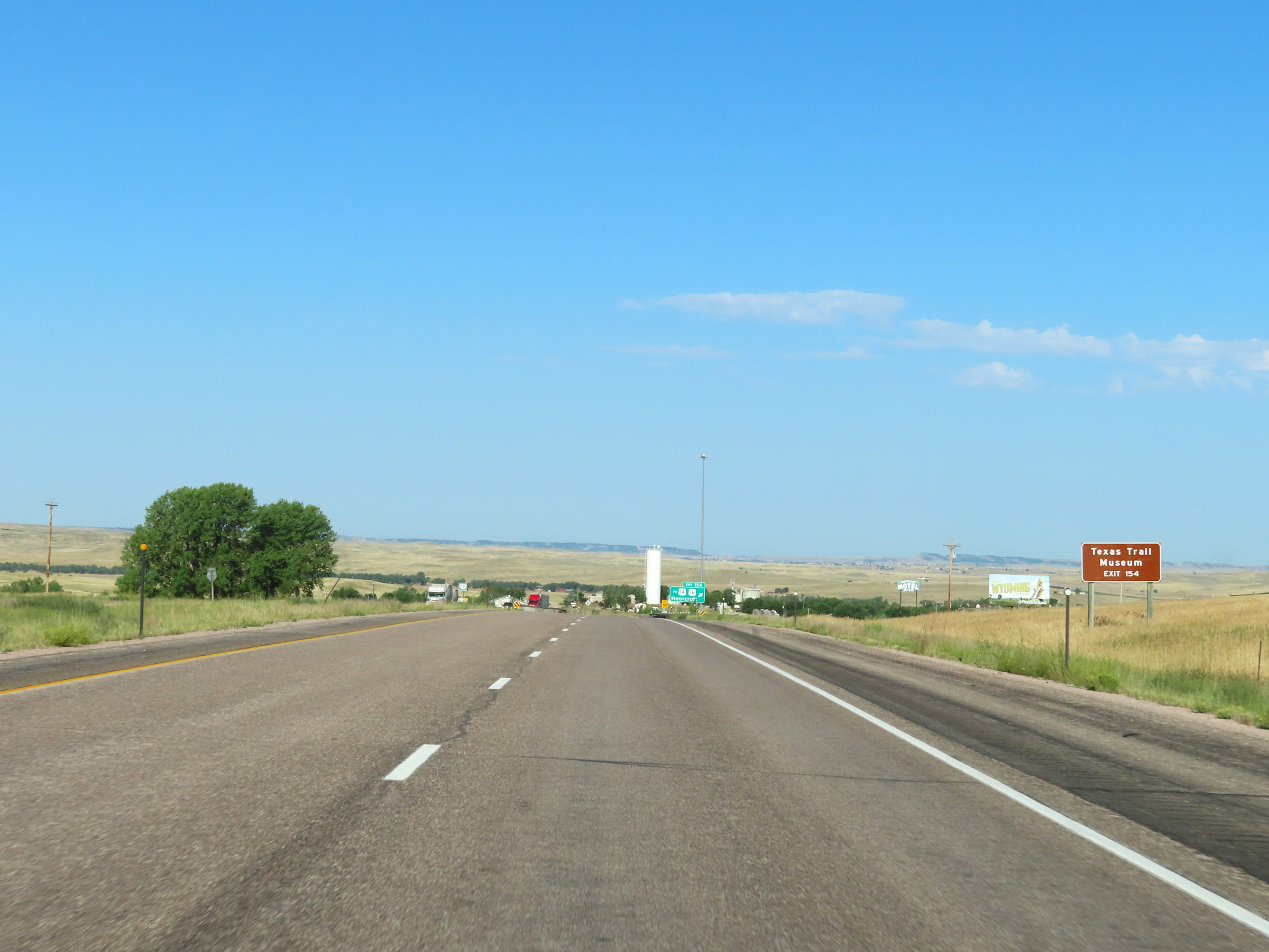 |
Take Exit 154 to the Texas Trail Museum. (Photo taken 8/17/22). |
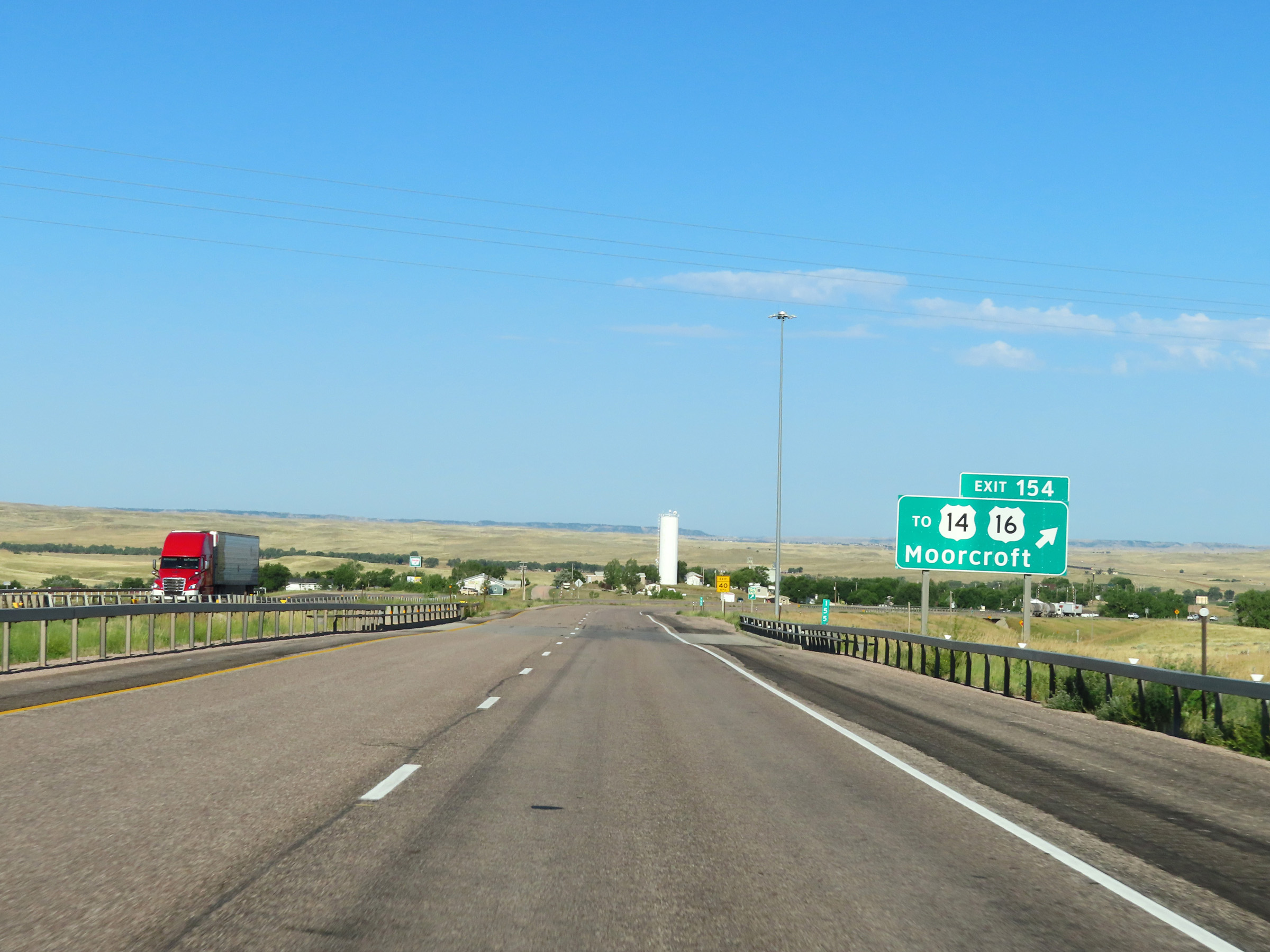 |
Interstate 90 West at Exit 154: To US 14 / To US 16 - Moorcroft (Photo taken 8/17/22). |
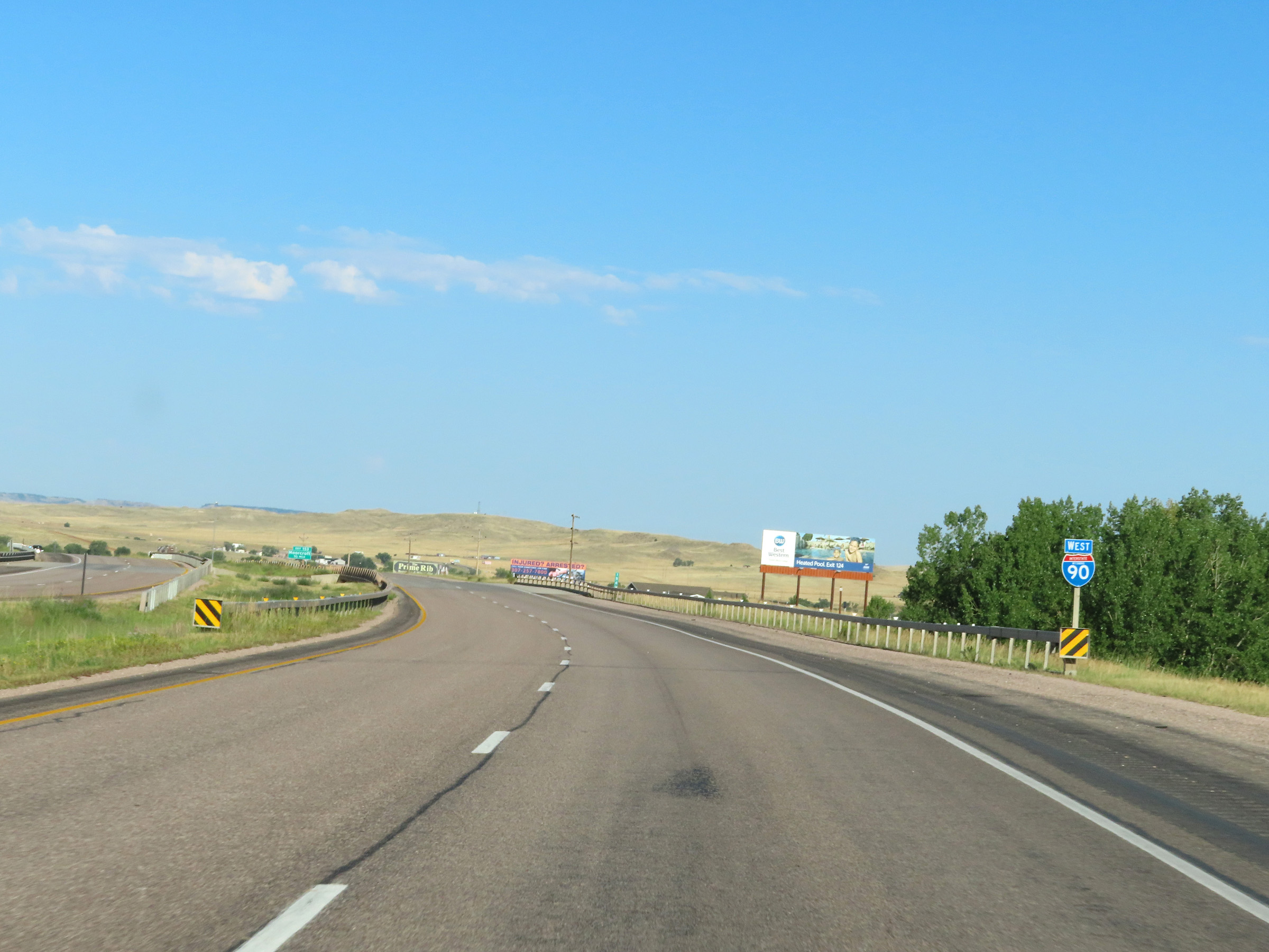 |
State-named Interstate 90 West reassurance shield approaching Moorcroft. (Photo taken 8/17/22). |
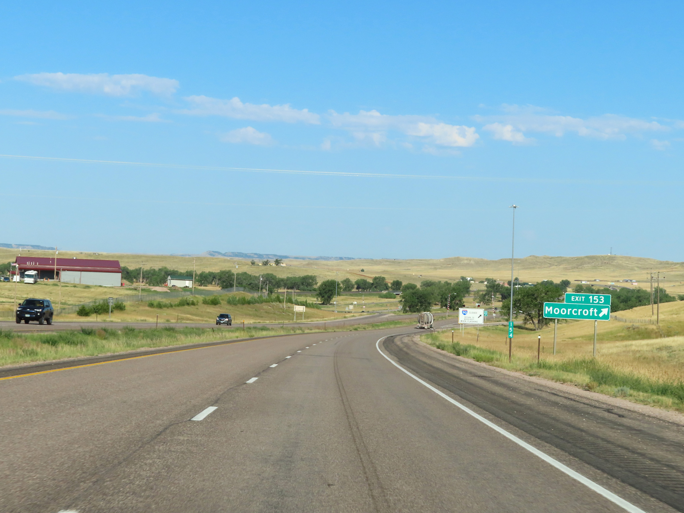 |
Interstate 90 West at Exit 153: Moorcroft (Photo taken 8/17/22). |
 |
Mileage sign on Interstate 90 West leaving Moorcroft. It's 26 miles to Gillette, 96 miles to Buffalo, and 127 miles to Sheridan. (Photo taken 8/17/22). |
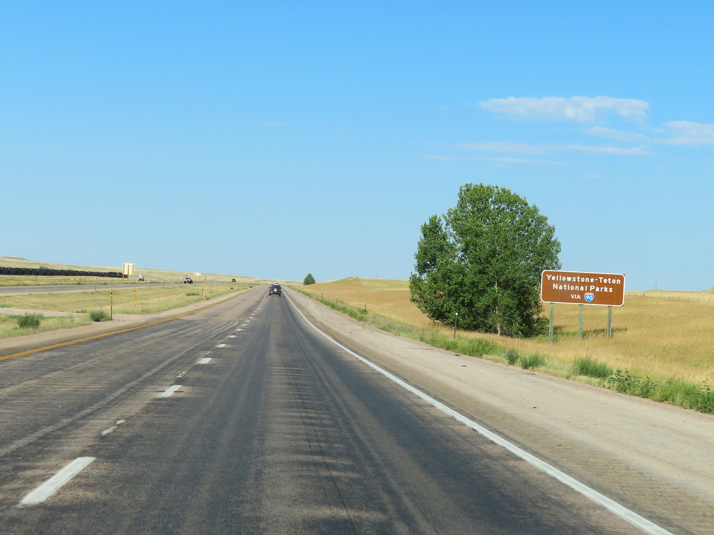 |
Traffic to Yellowstone National Park and Grand Teton National Park should continue to follow Interstate 90 West. (Photo taken 8/17/22). |
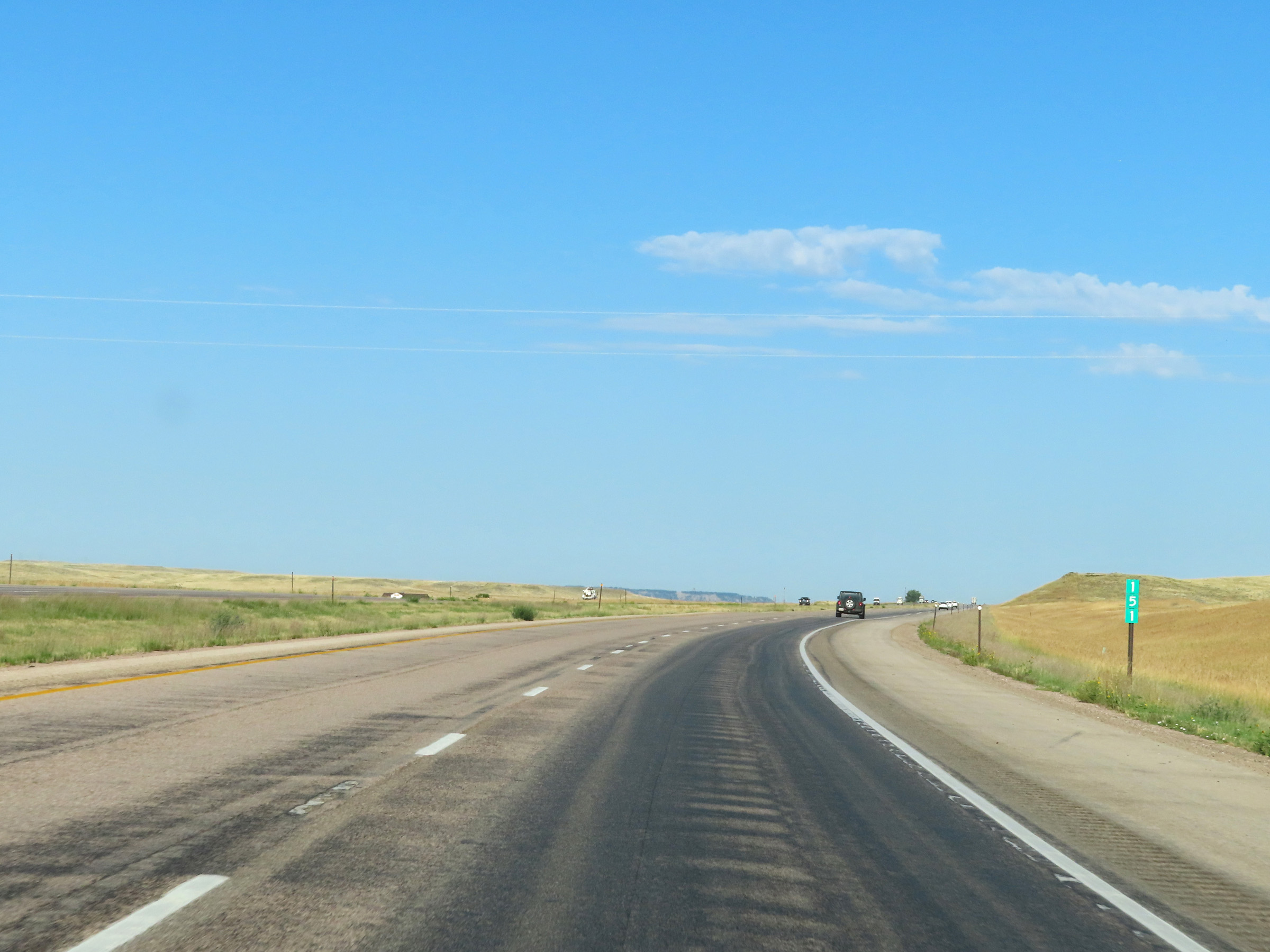 |
View on Interstate 90 West at mile marker 151. (Photo taken 8/17/22). |
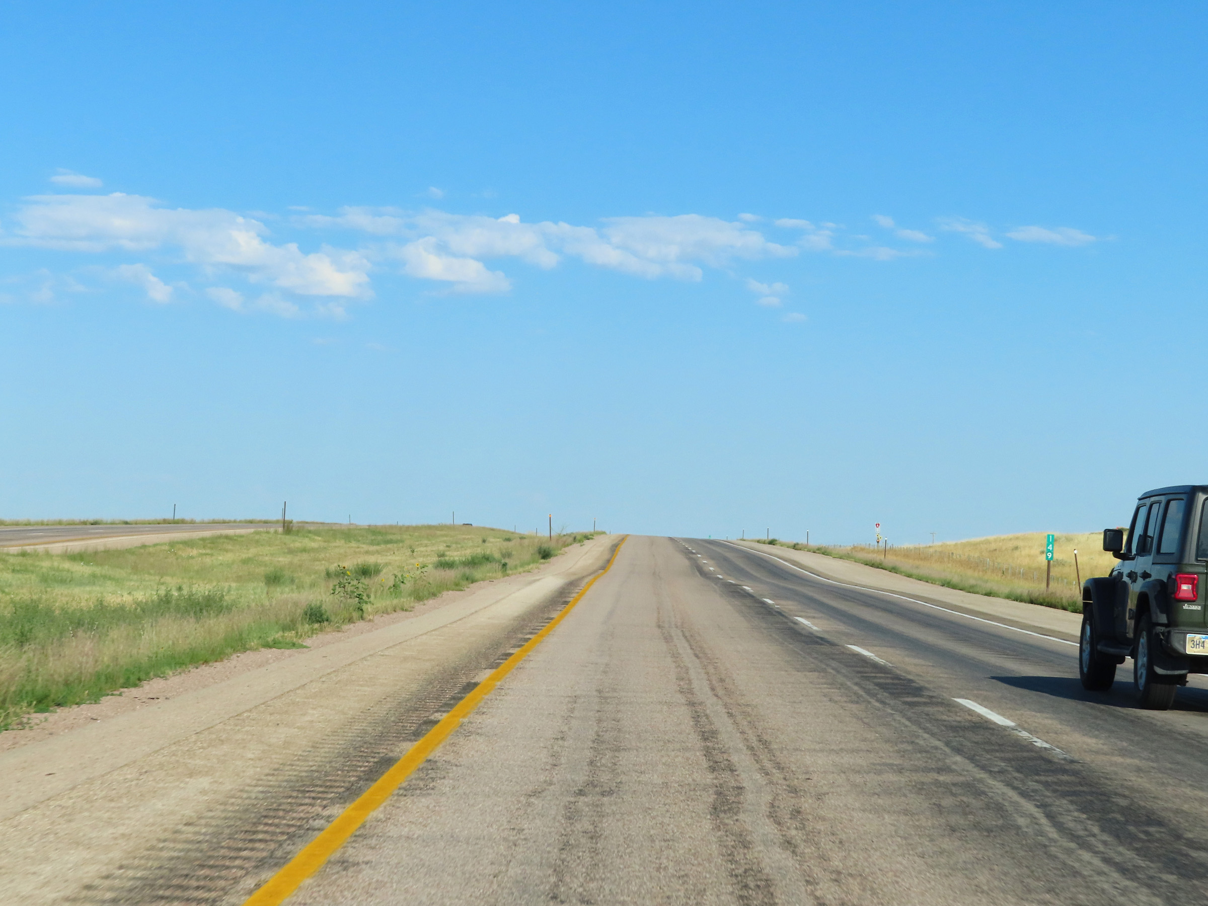 |
Interstate 90 West at mile marker 149. (Photo taken 8/17/22). |
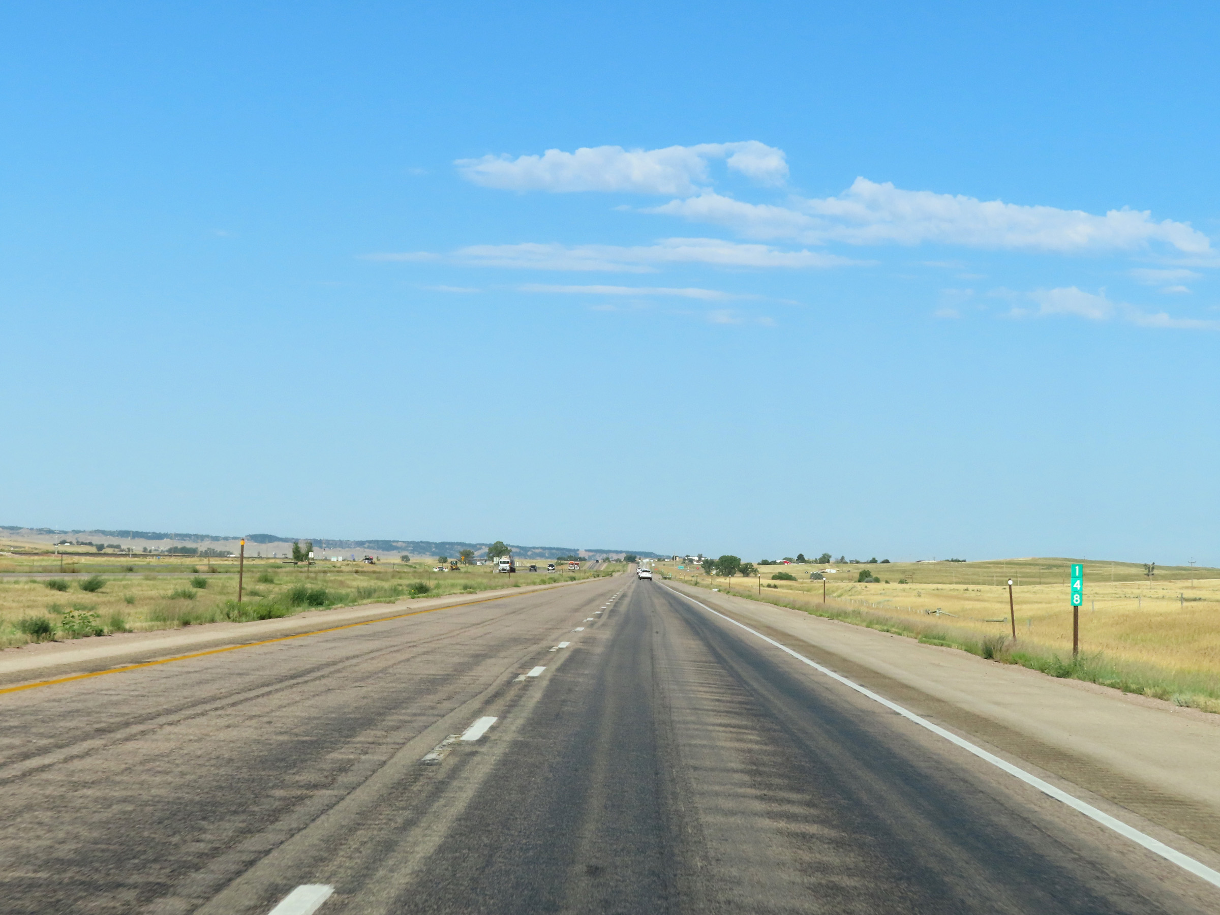 |
View on Interstate 90 West at mile marker 148. (Photo taken 8/17/22). |
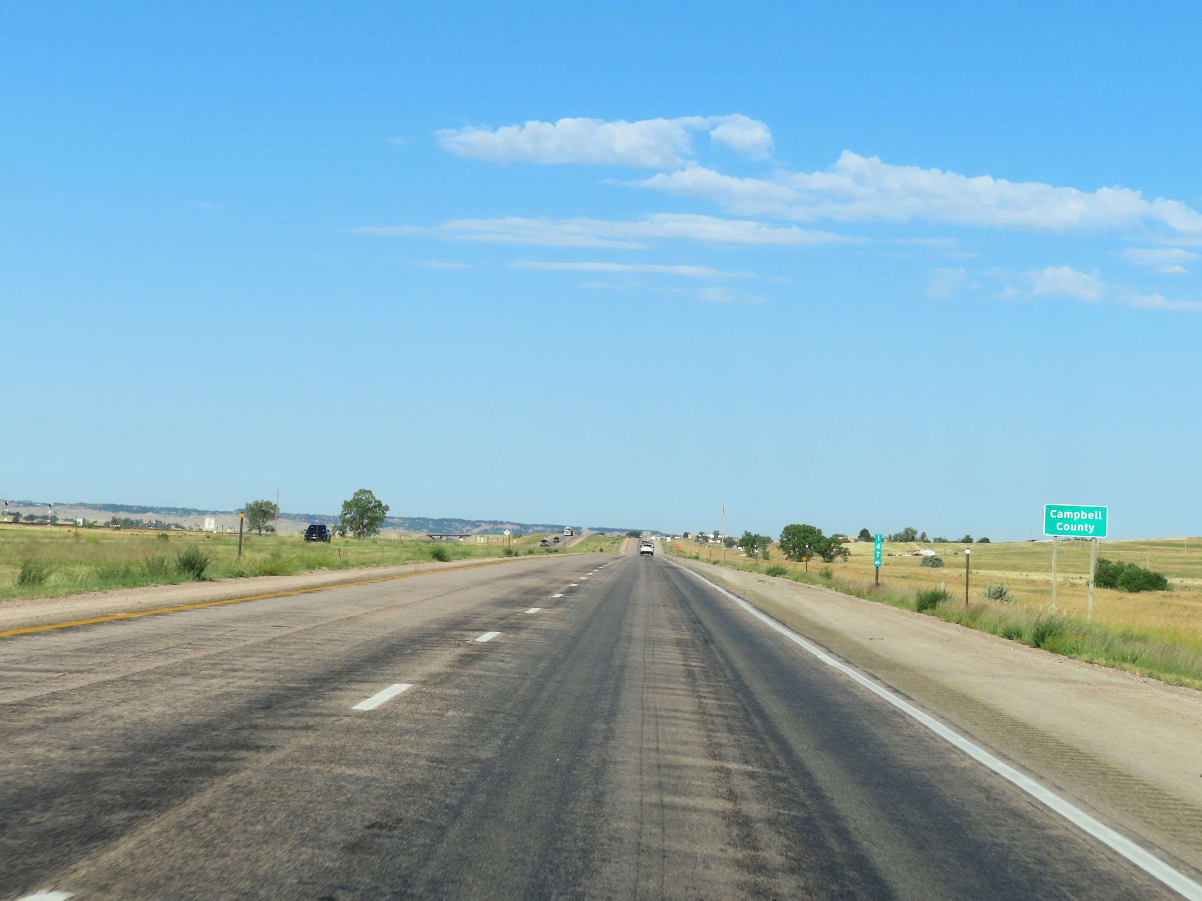 |
Interstate 90 West as it enters Campbell County at mile marker 147.45. (Photo taken 8/17/22). |
 |
Interstate 90 West at mile marker 146. (Photo taken 8/17/22). |
 |
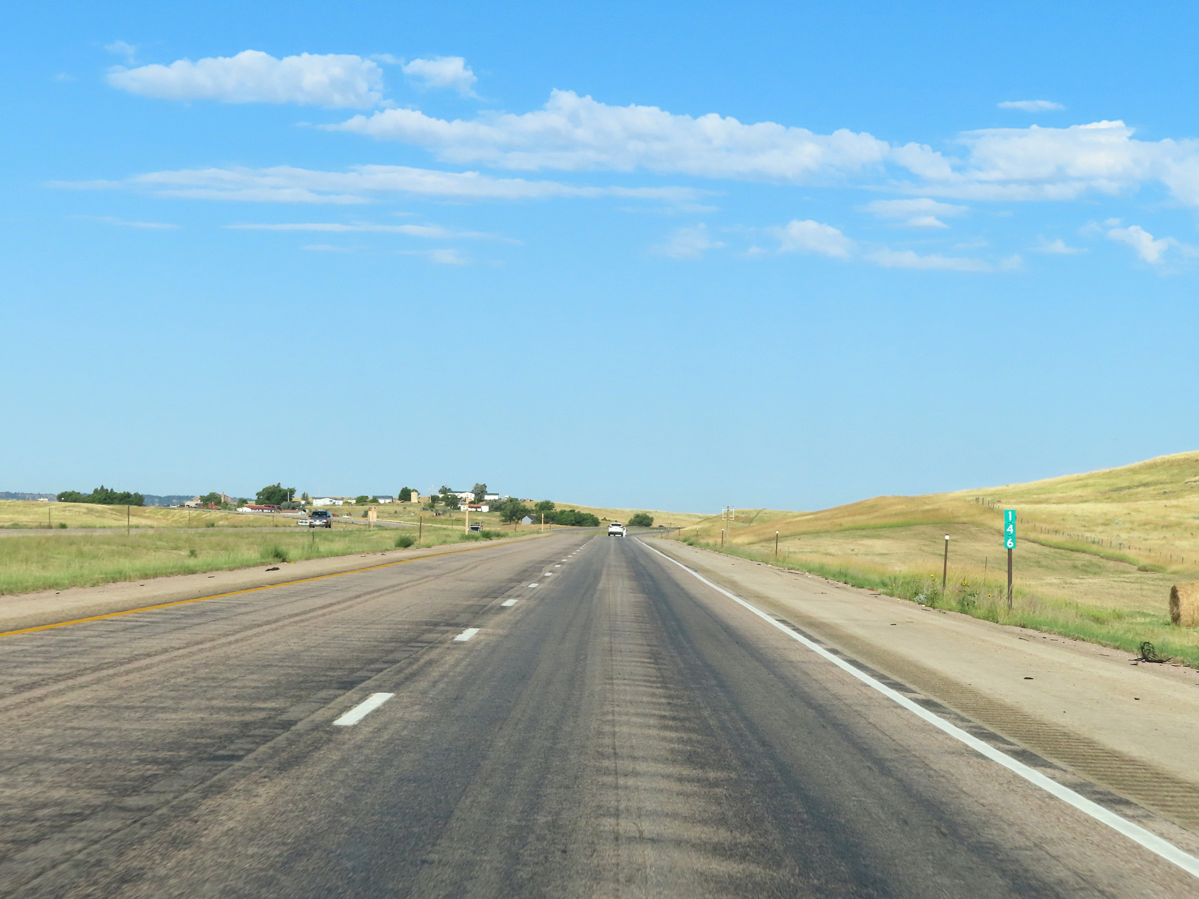
View on Interstate 90 West at mile marker 144.36. (Photo taken 8/17/22). |
 |
Interstate 90 West at mile marker 142.27. (Photo taken 8/17/22). |
 |
Interstate 90 West at Exit 141: Rozet (Photo taken 8/17/22). |
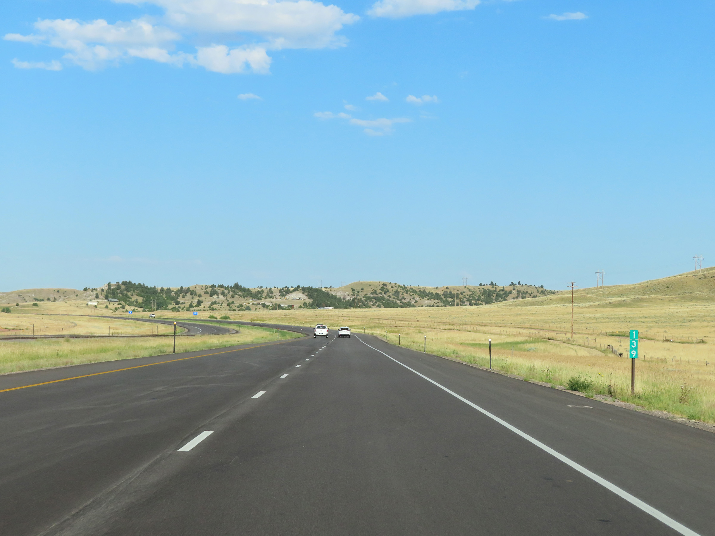 |
View on Interstate 90 West at mile marker 139. (Photo taken 8/17/22). |
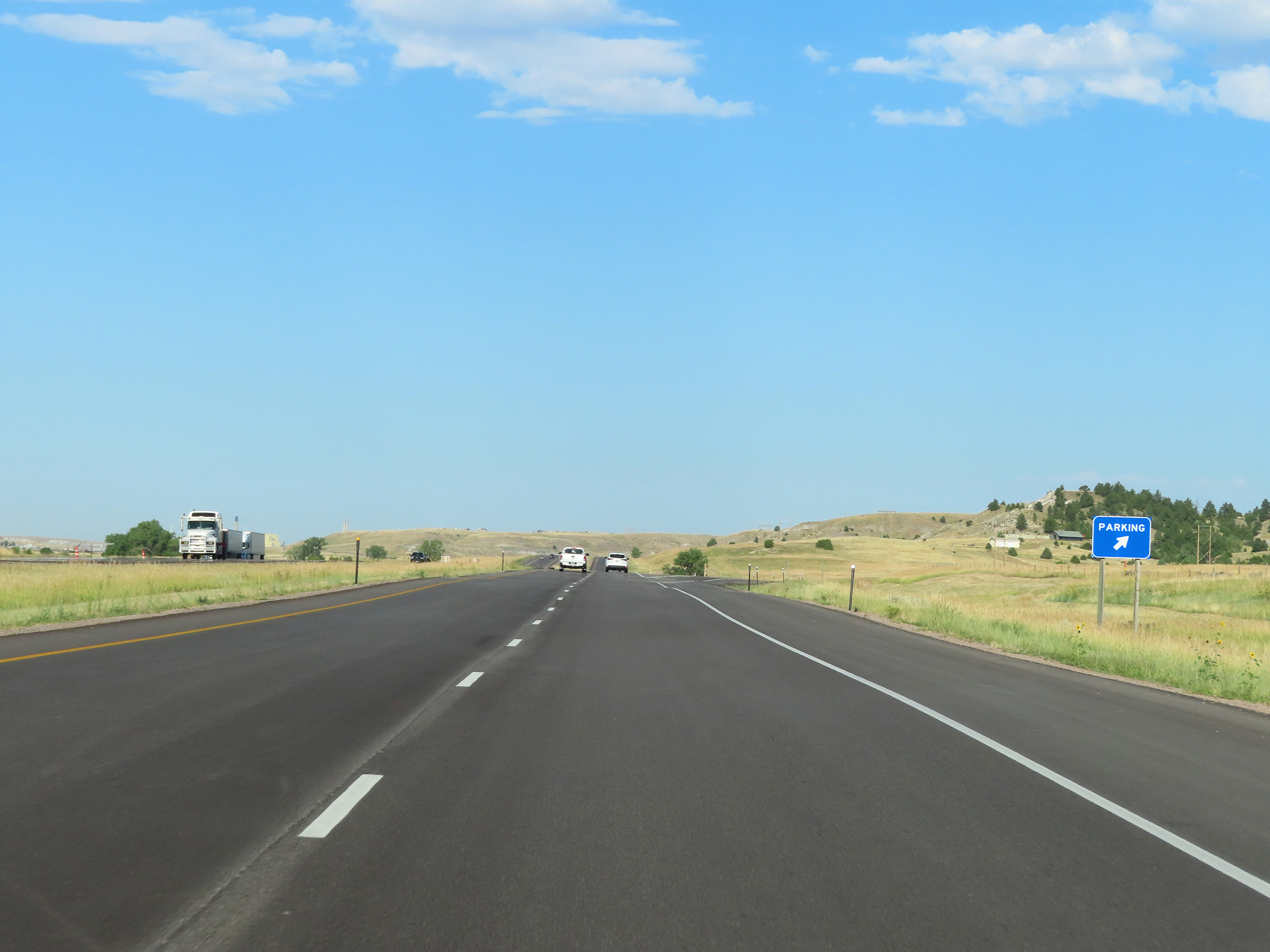 |
Parking Area on Interstate 90 West in Campbell County. (Photo taken 8/17/22). |
 |
Interstate 90 West at mile marker 137. (Photo taken 8/17/22). |
 |
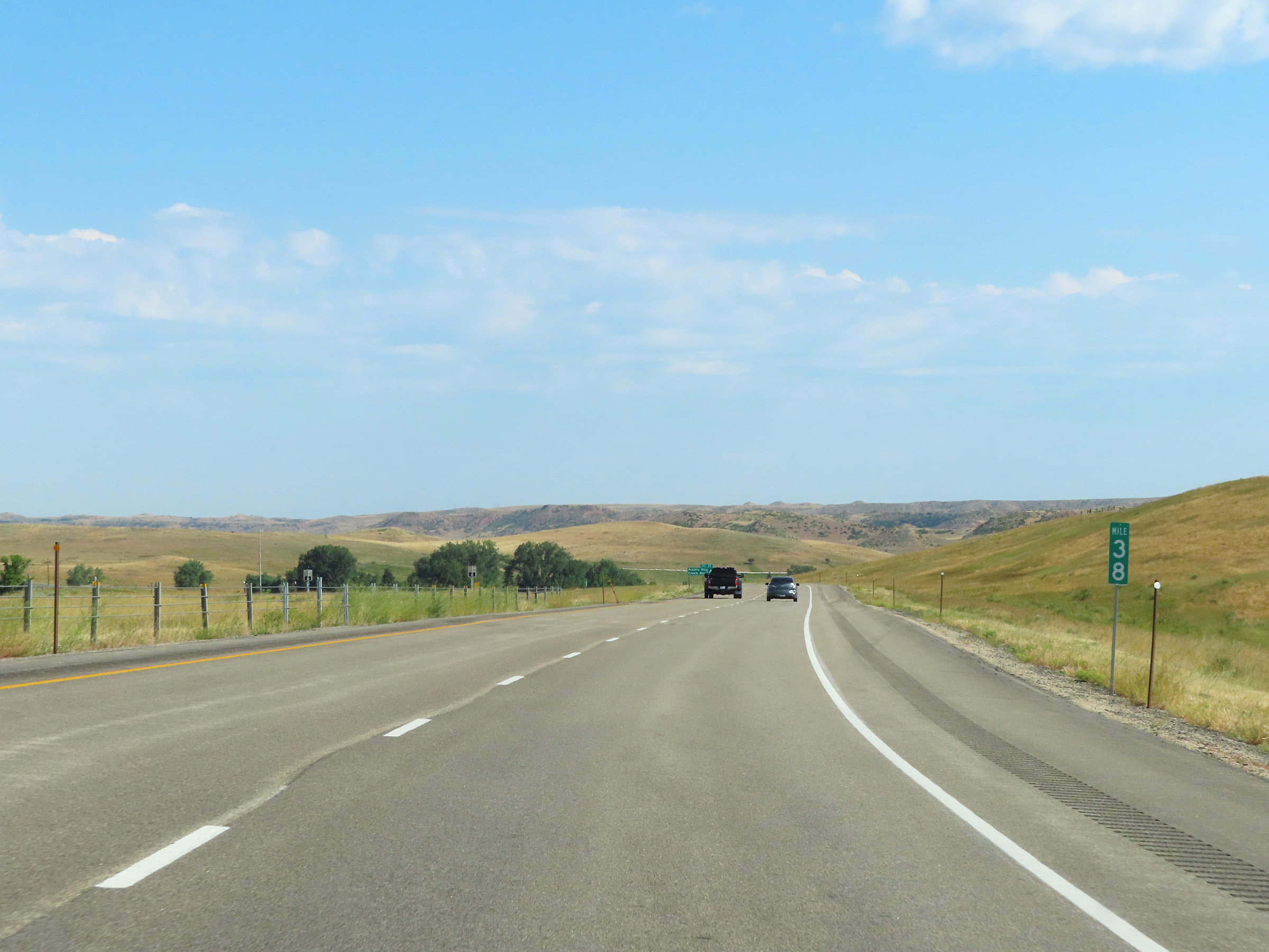
Mile marker 135.75 on Interstate 90 West in Campbell County. (Photo taken 8/17/22). |
 |
View on Interstate 90 West at mile marker 134. (Photo taken 8/17/22). |
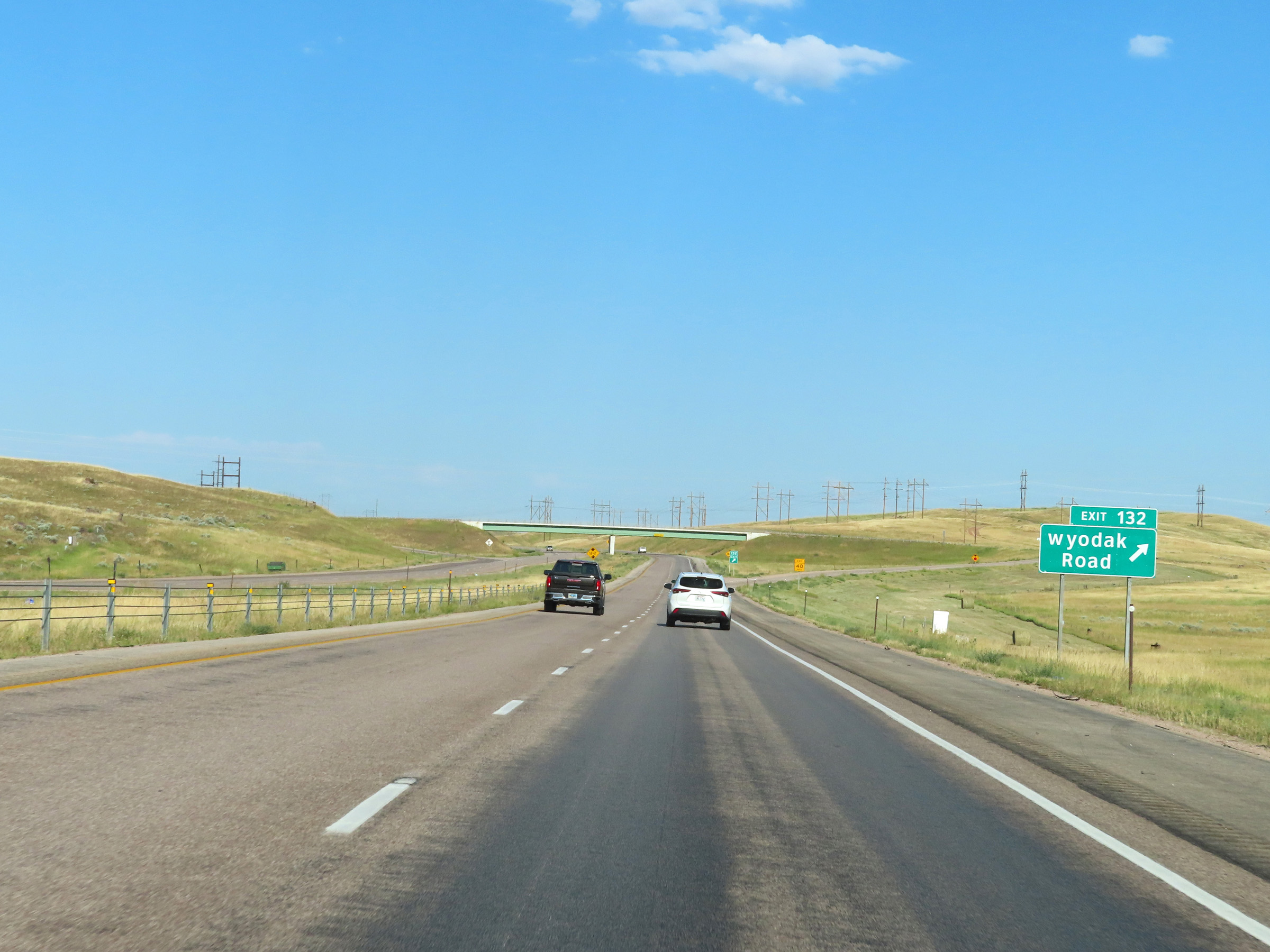 |
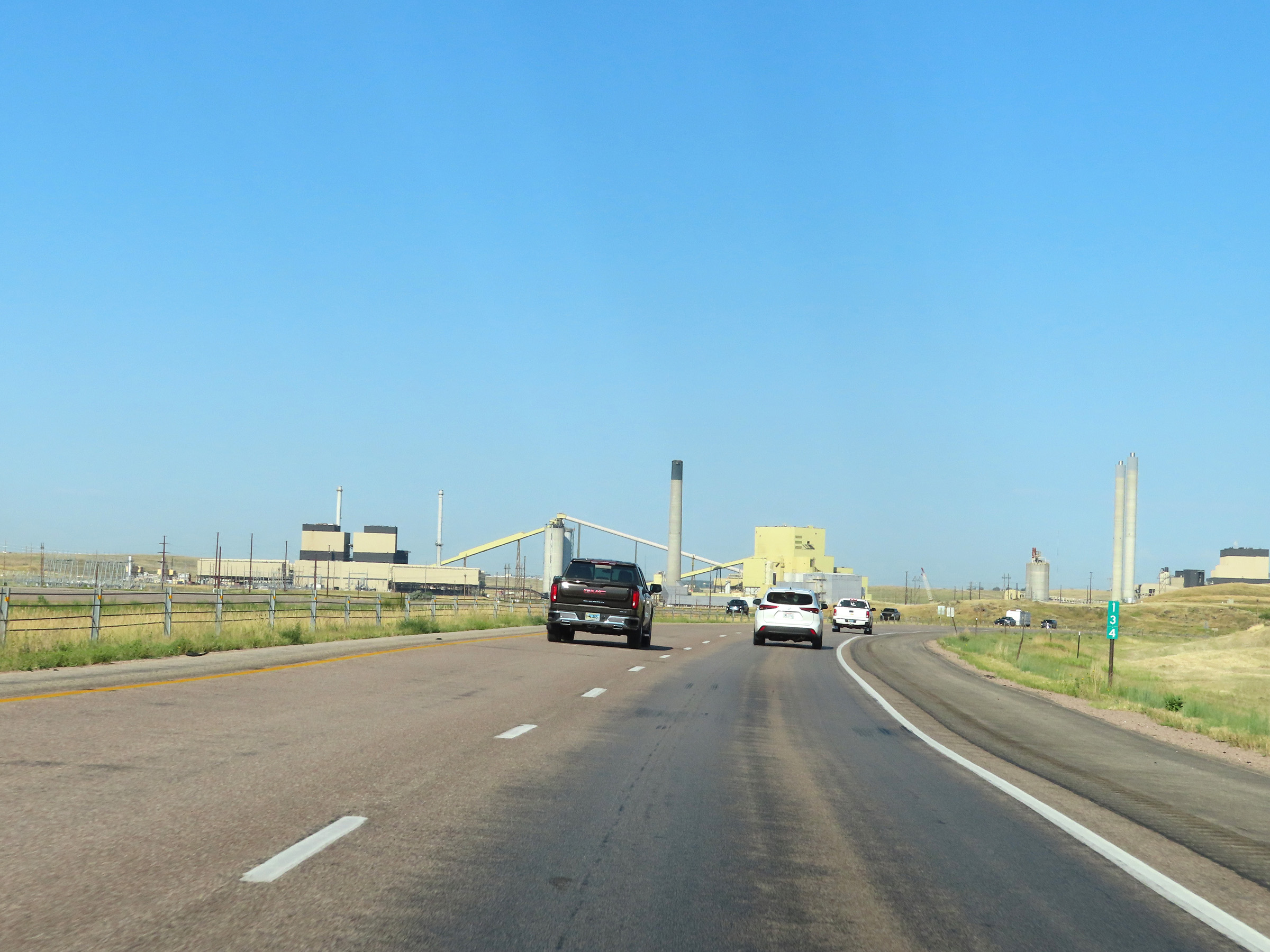
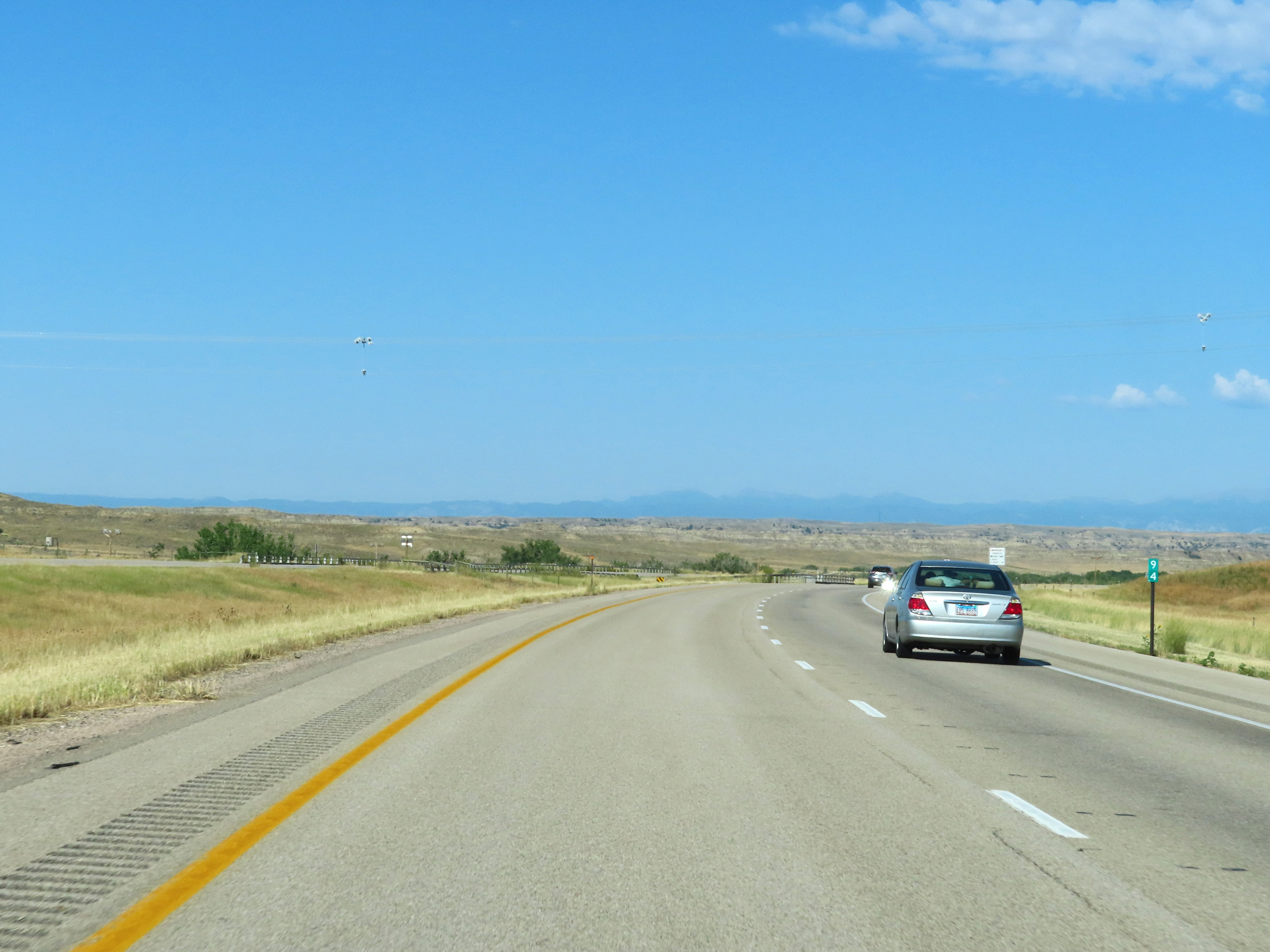
Interstate 90 West at Exit 132: Wyodak Road (Photo taken 8/17/22). |
 |
State-named Interstate 90 West reassurance shield in Campbell County. (Photo taken 8/17/22). |
 |
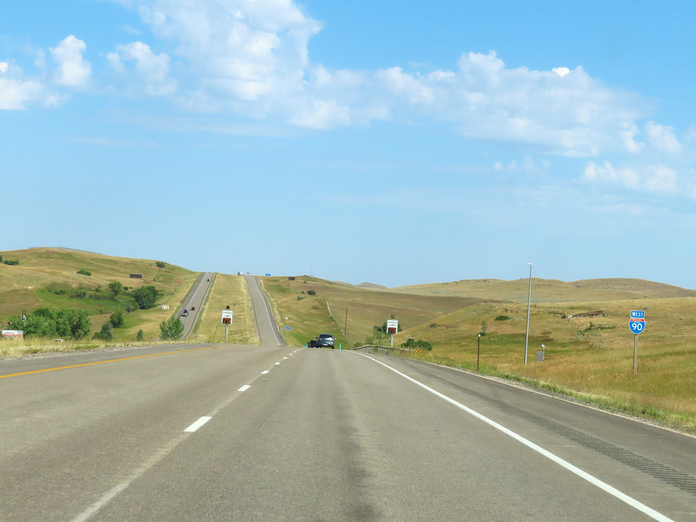
The speed limit remains 80 mph on Interstate 90 West. (Photo taken 8/17/22). |
 |
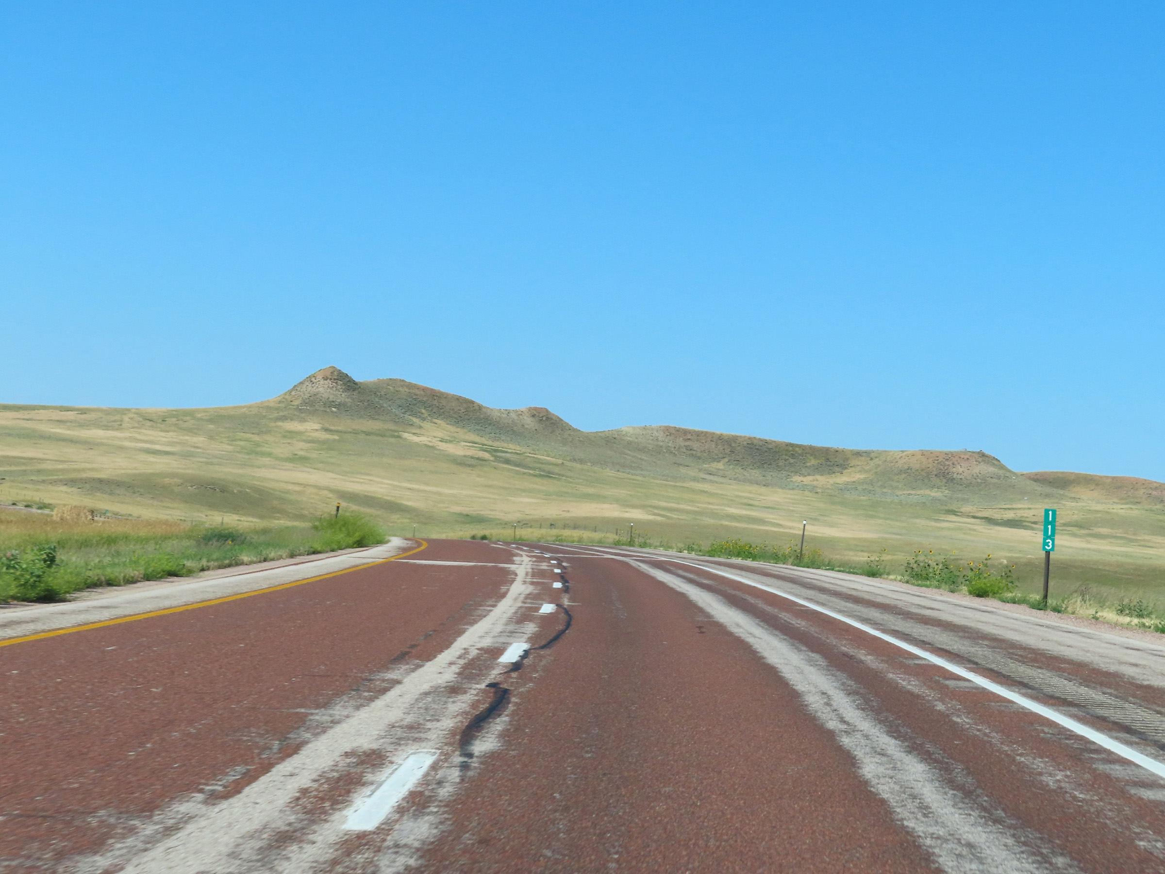
Mile marker 131 on Interstate 90 West in Campbell County. (Photo taken 8/17/22). |
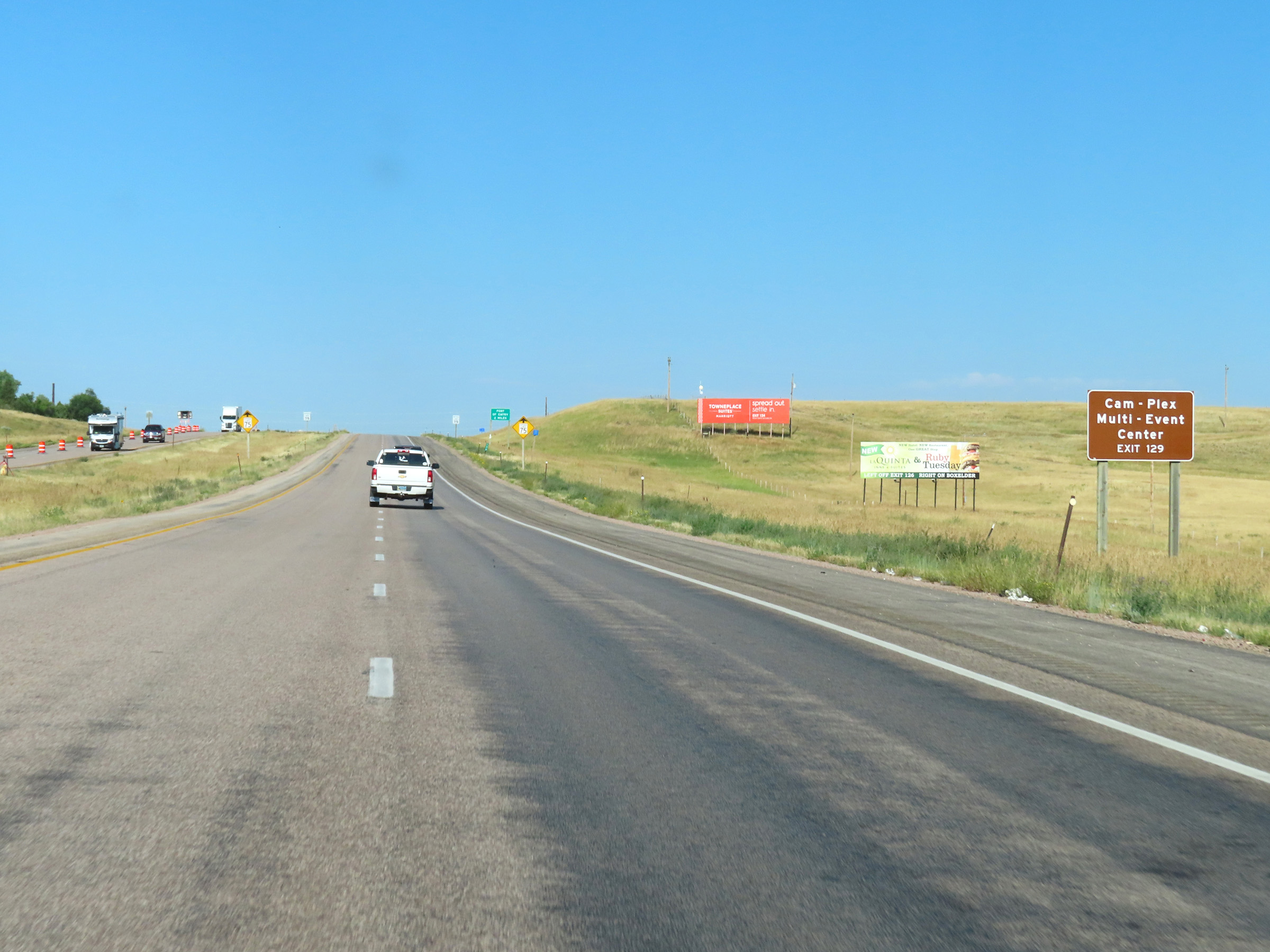 |
Take Exit 129 to the CAM-PLEX Multi-Event Center. (Photo taken 8/17/22). |
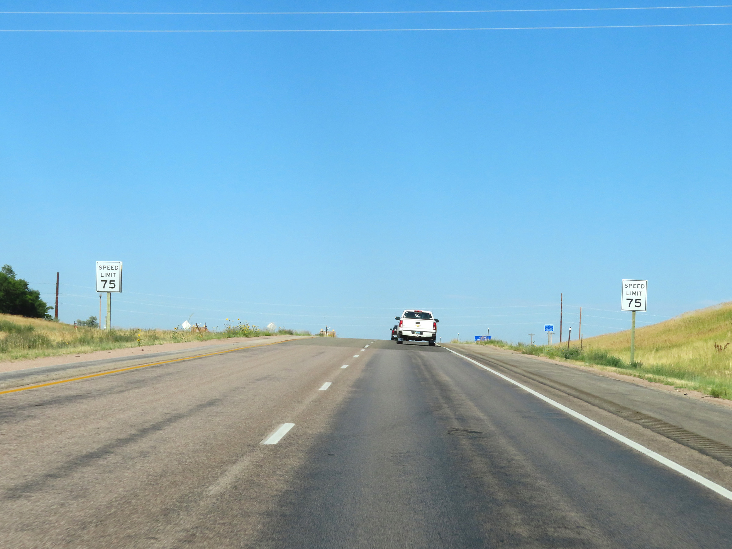 |
Nearing Gillette, the speed limit decreases to 75 mph on Interstate 90 West. (Photo taken 8/17/22). |
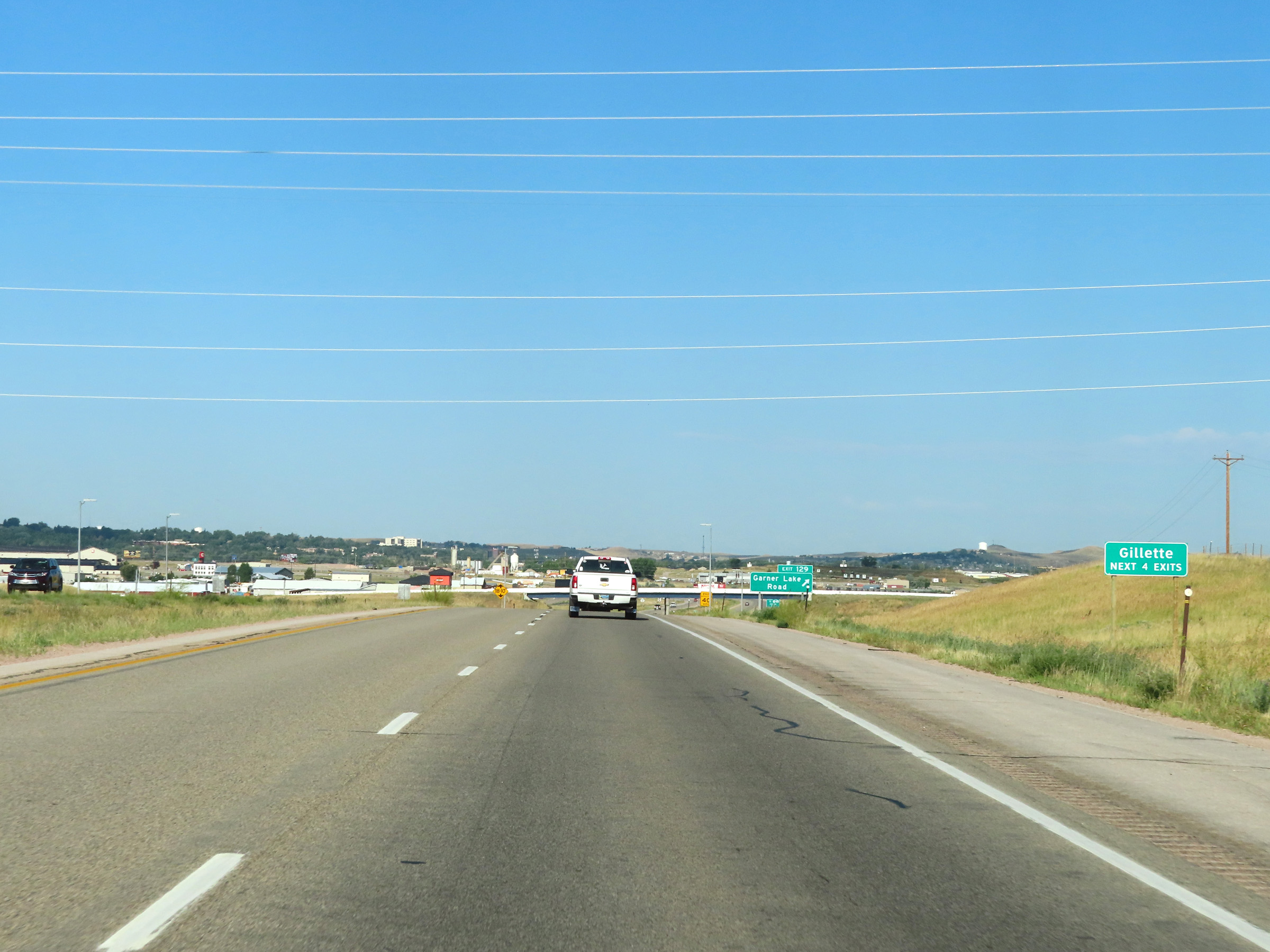 |
Take any of the next 4 exits to Gillette. (Photo taken 8/17/22). |
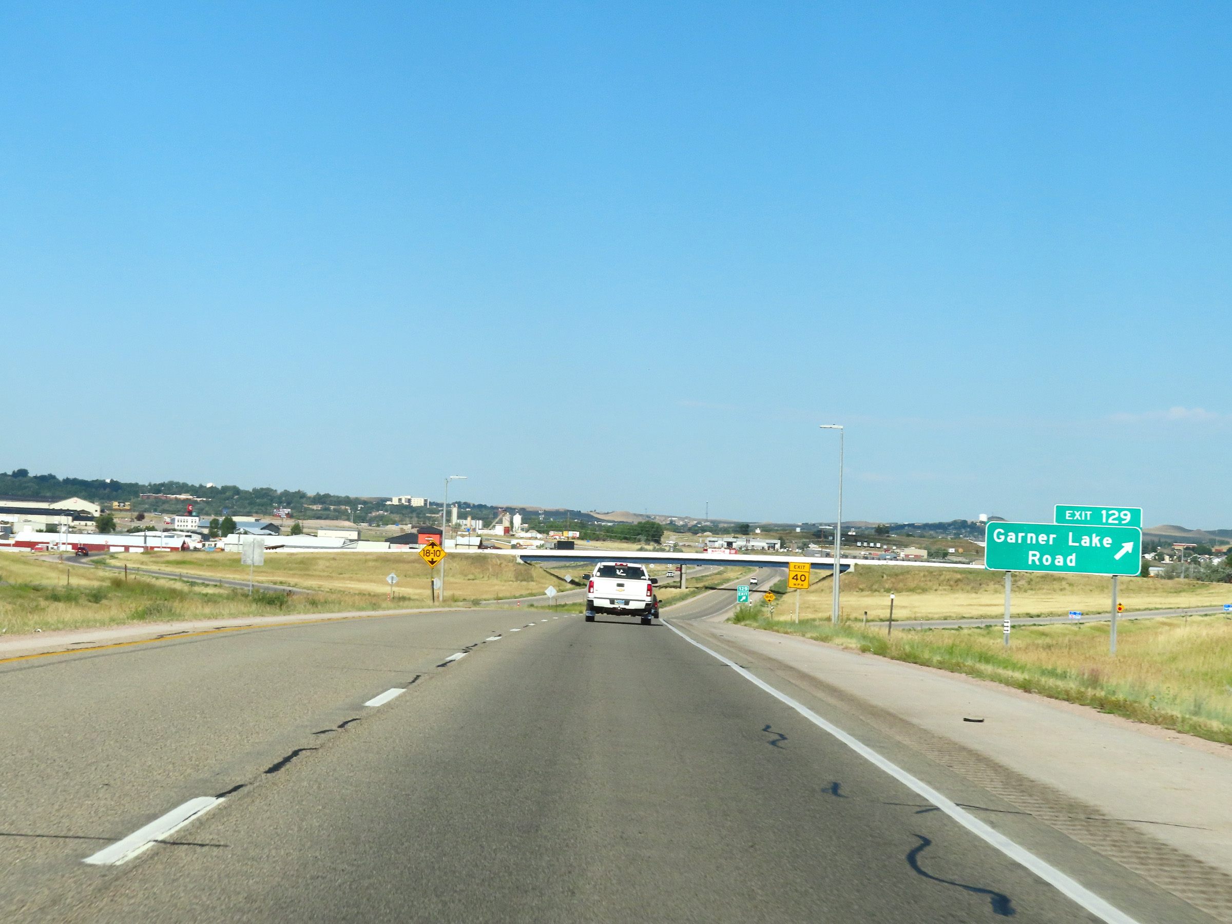 |
Interstate 90 West at Exit 129: Garner Lake Road (Photo taken 8/17/22). |
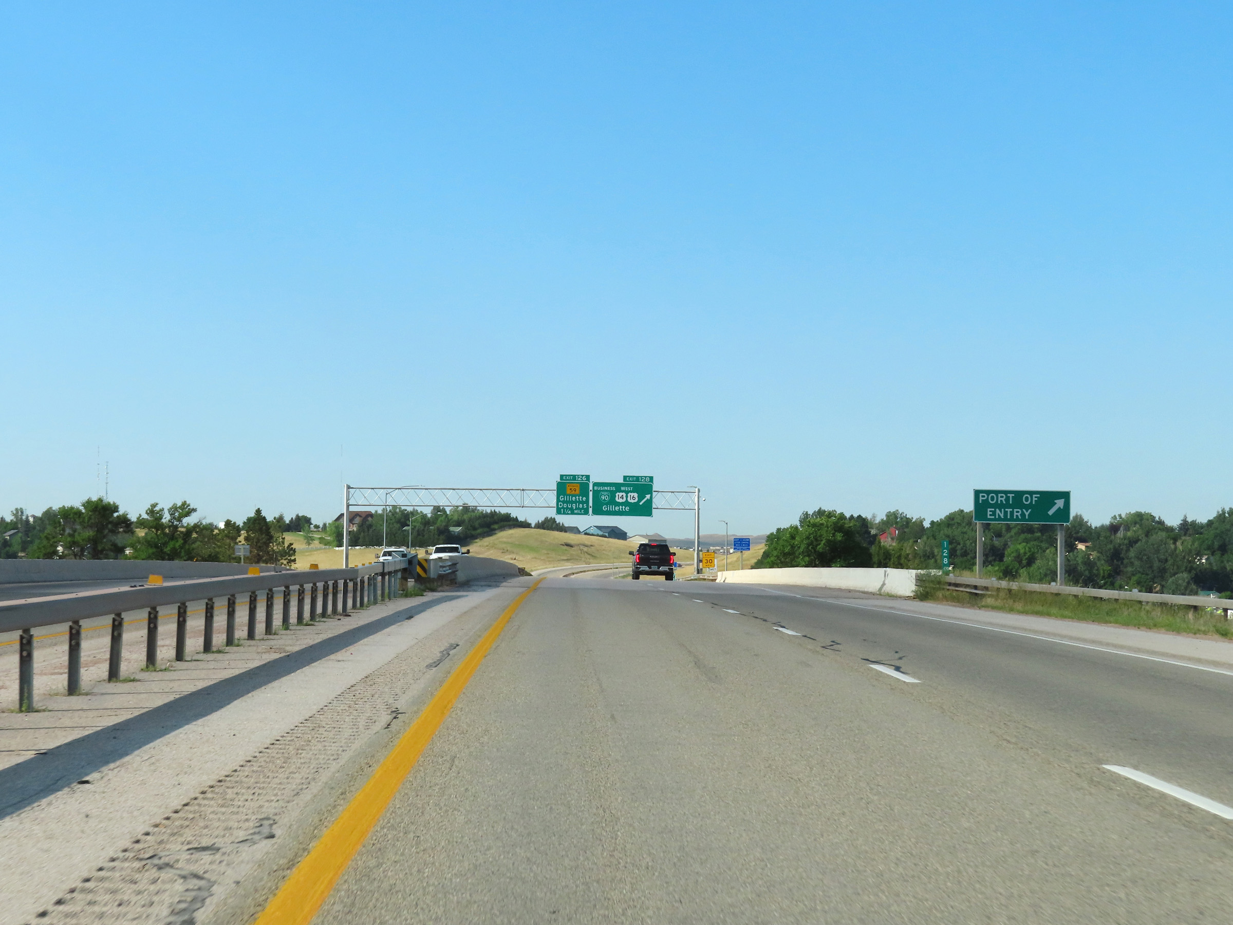 |
A Port of Entry exists off Exit 128 ahead, for traffic heading west on US 14 / US 16. (Photo taken 8/17/22). |
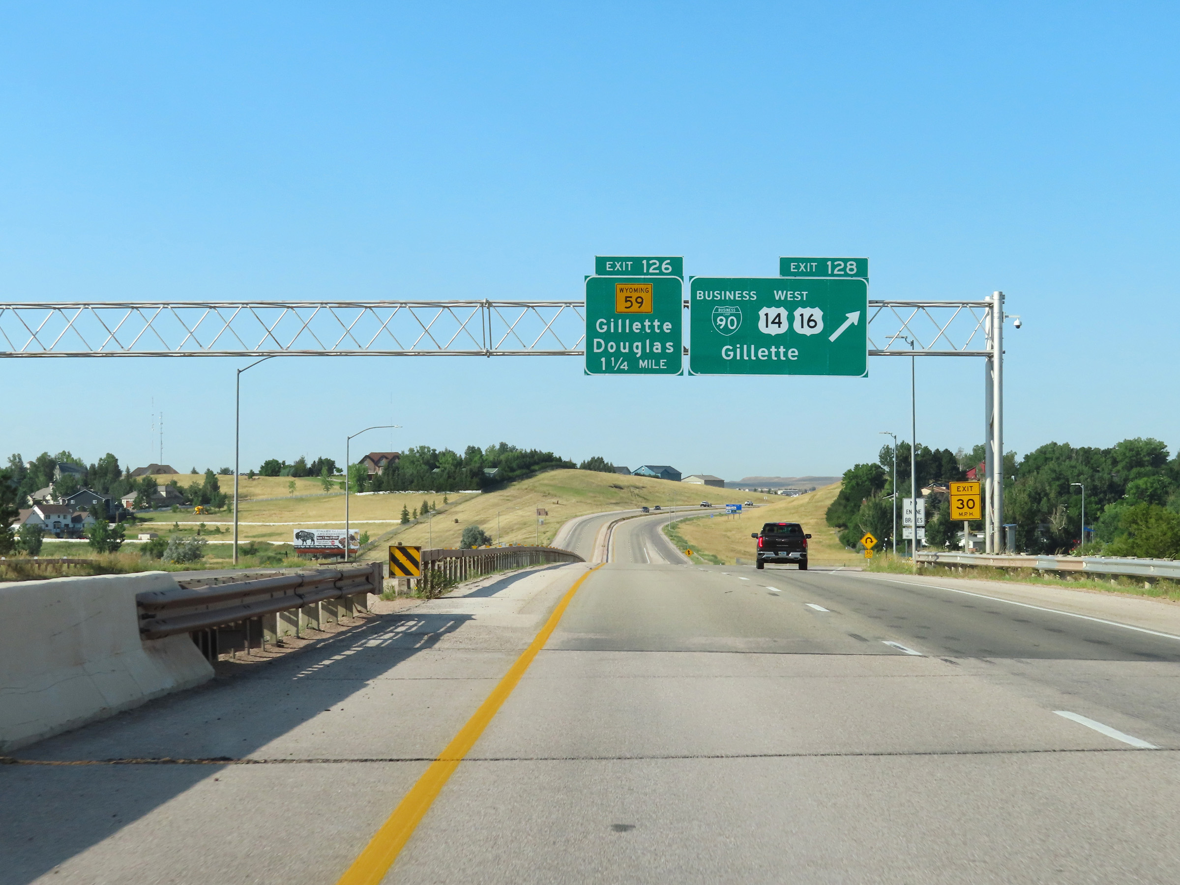 |
Interstate 90 West at Exit 128: Interstate 90 Business Loop / US 14 West / US 16 West - Gillette (Photo taken 8/17/22). |
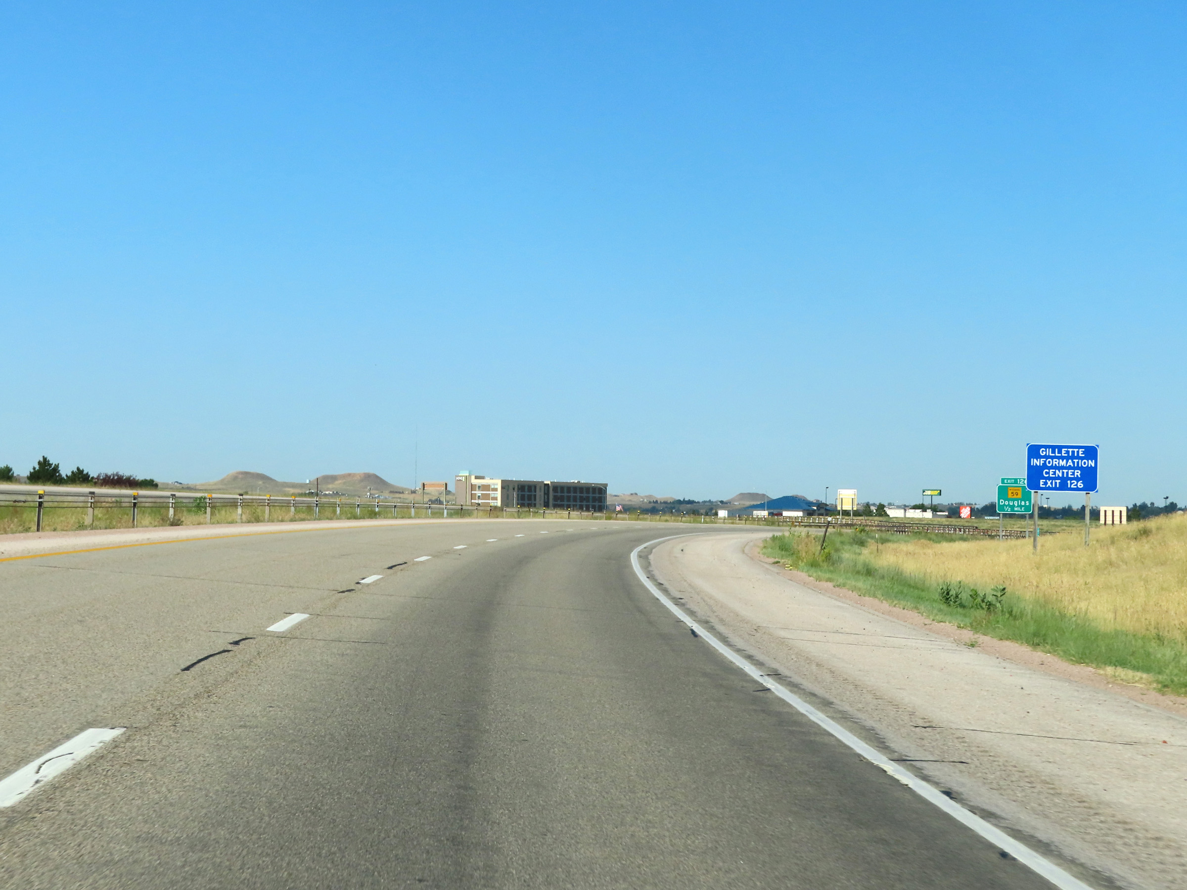 |
Take Exit 126 to a Gillette Information Center. (Photo taken 8/17/22). |
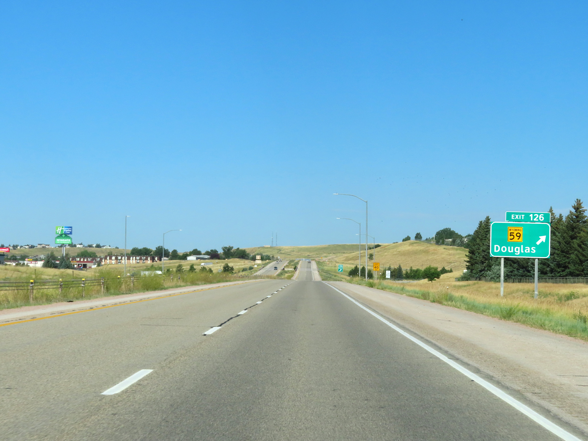 |
Interstate 90 West at Exit 126: WY 59 - Douglas (Photo taken 8/17/22). |
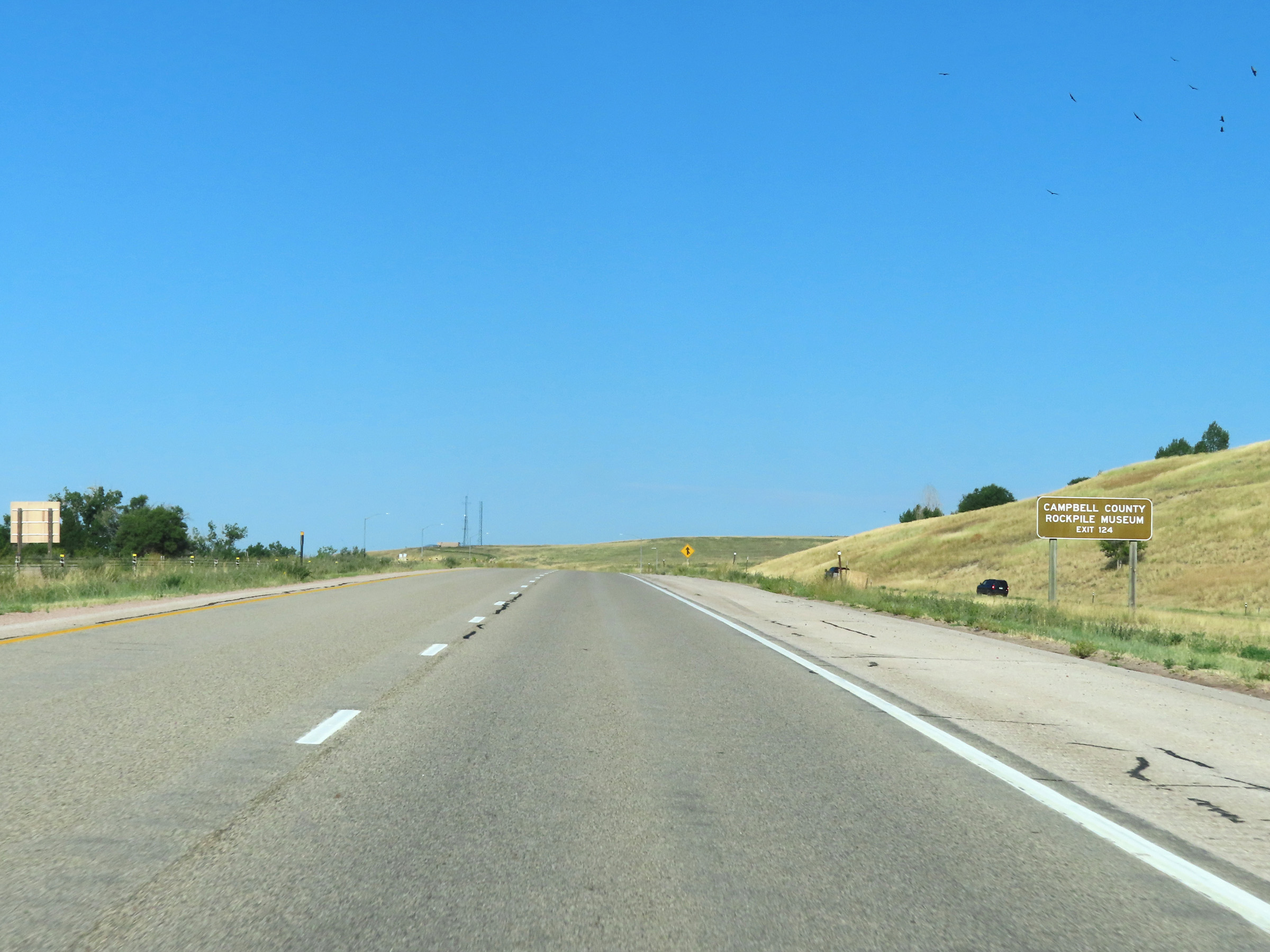 |
Take Exit 124 to the Campbell County Rockpile Museum. (Photo taken 8/17/22). |
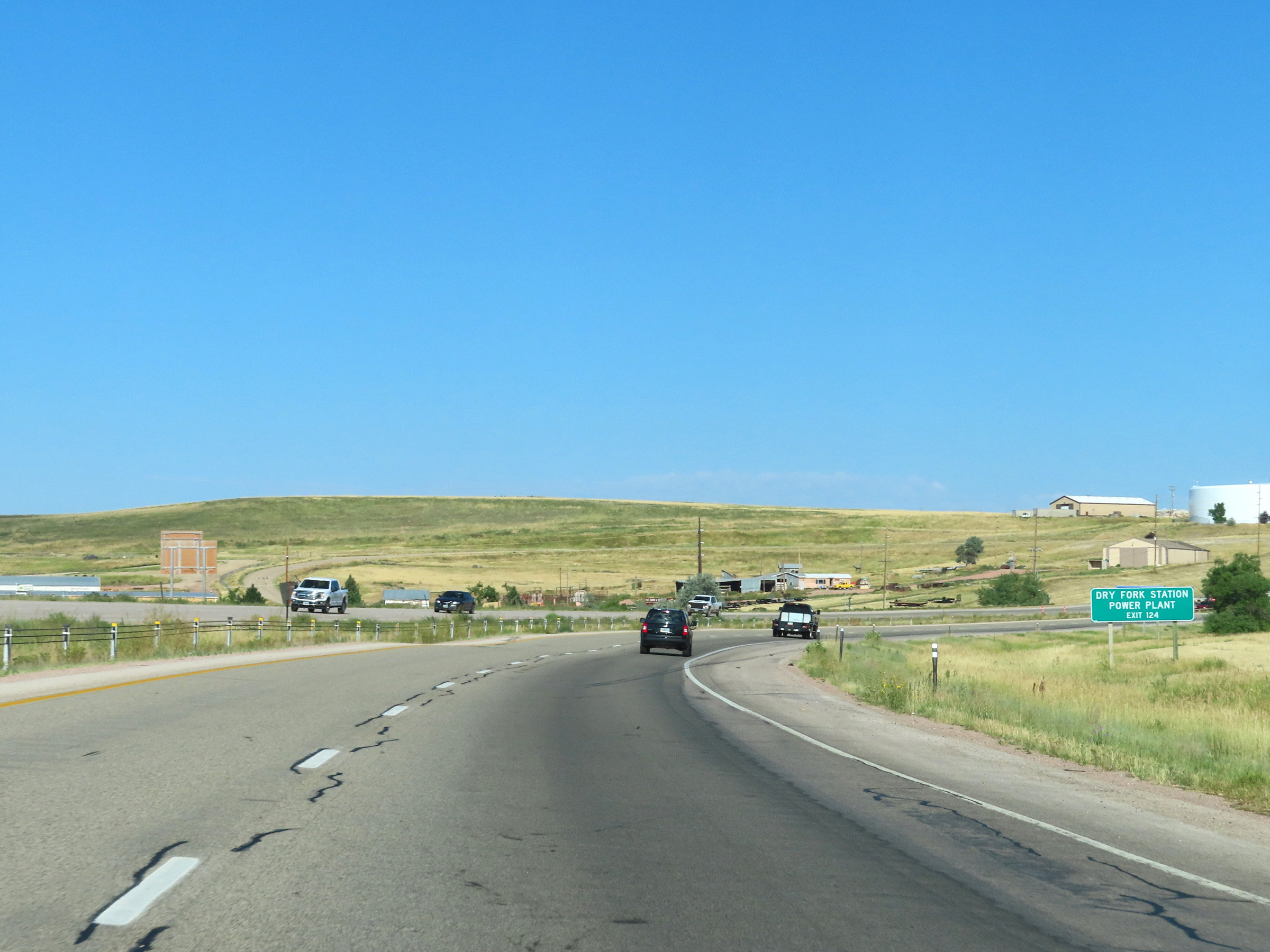 |
Also take Exit 124 to Dry Fork Station Power Plant. (Photo taken 8/17/22). |
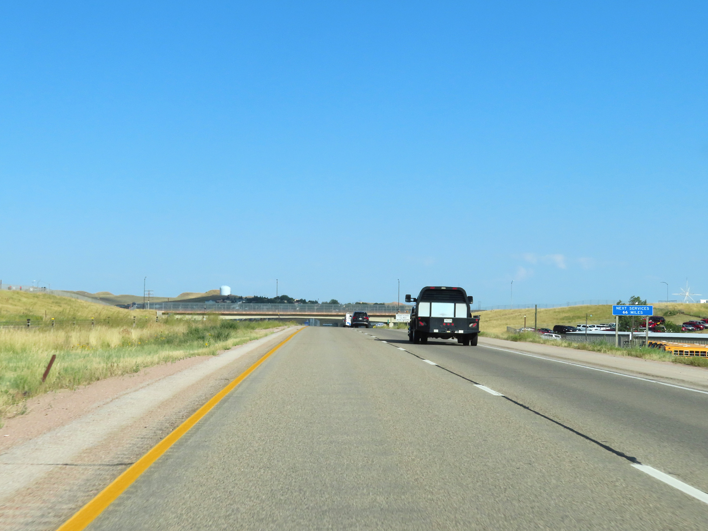 |
The next services available on Interstate 90 West beyond Exit 124 are 66 miles ahead. (Photo taken 8/17/22). |
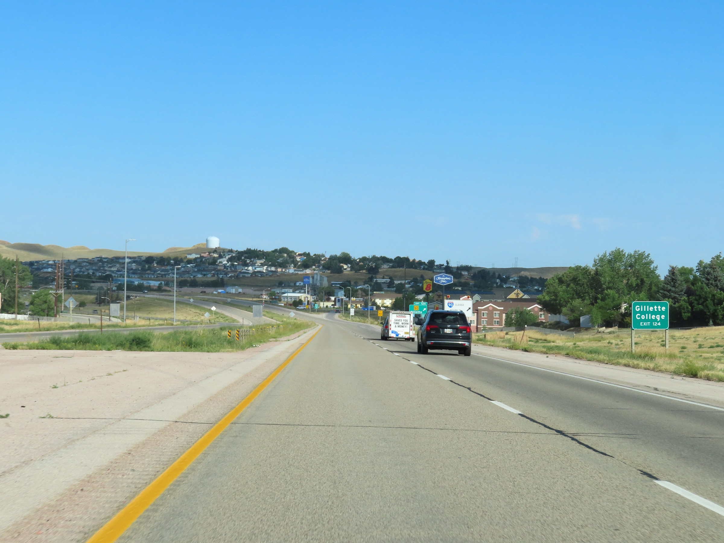 |
Take Exit 124 to Gillette College. (Photo taken 8/17/22). |
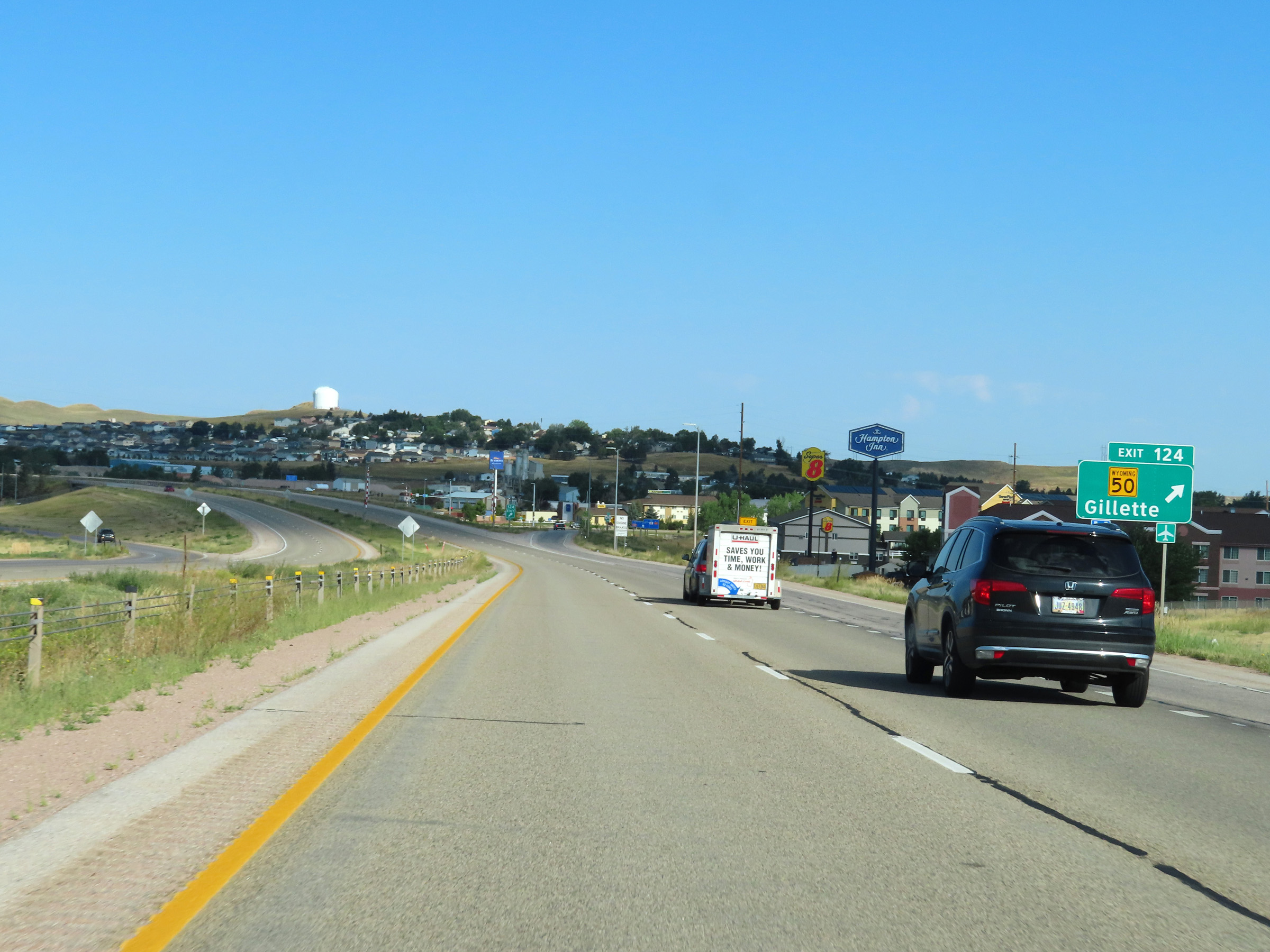 |
Interstate 90 West at Exit 124: WY 50 - Gillette (Photo taken 8/17/22). |
Section 3: Gillette (Exit 124) to Buffalo (Exit 58)
 |
Leaving Gillette, the speed limit on Interstate 90 West increases to 80 mph once again. (Photo taken 8/17/22). |
 |
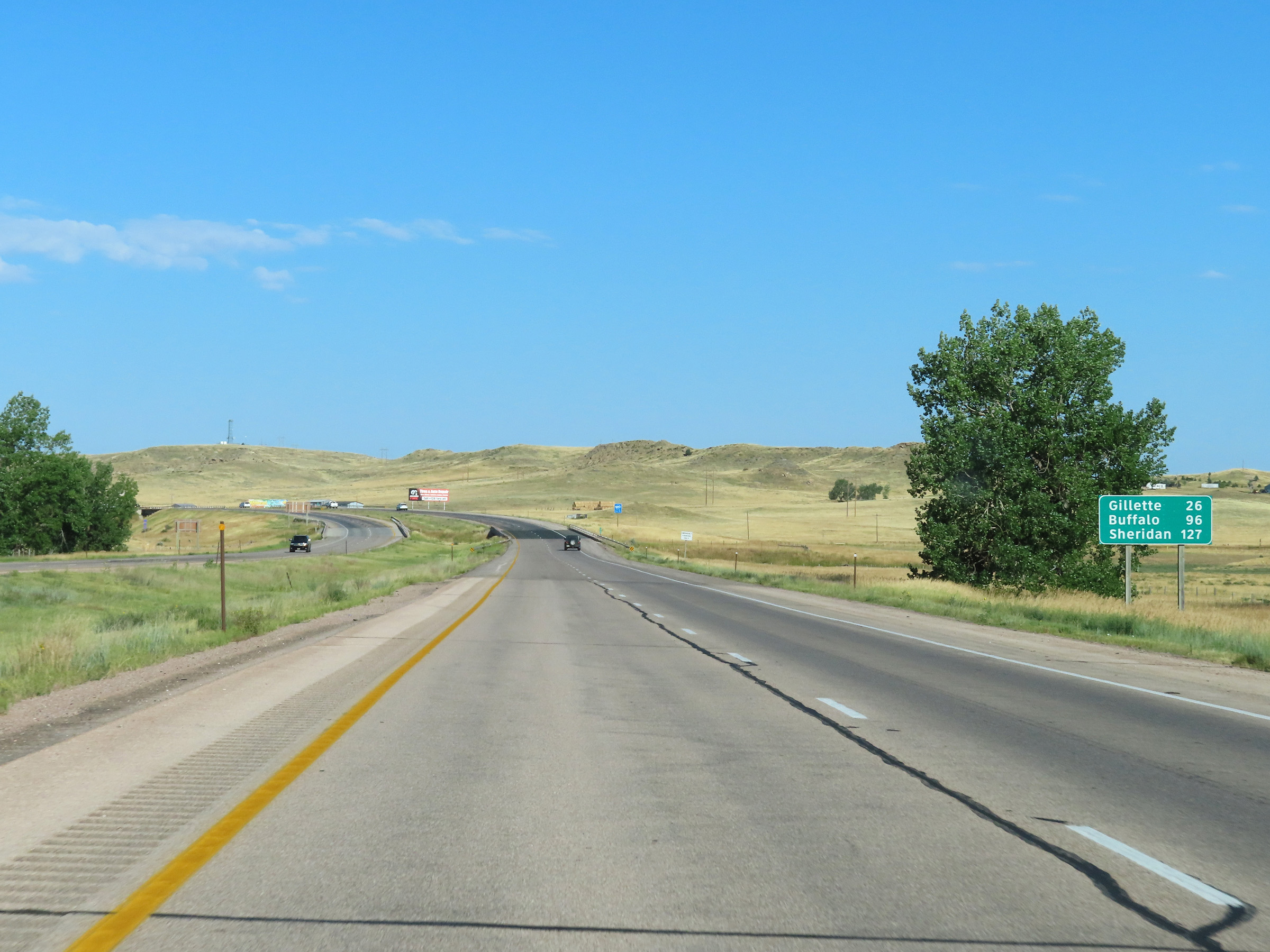
Another mileage sign on Interstate 90 West. It's 67 miles to Buffalo and 101 miles to Sheridan. (Photo taken 8/17/22). |
 |
View on Interstate 90 West at mile marker 121. (Photo taken 8/17/22). |
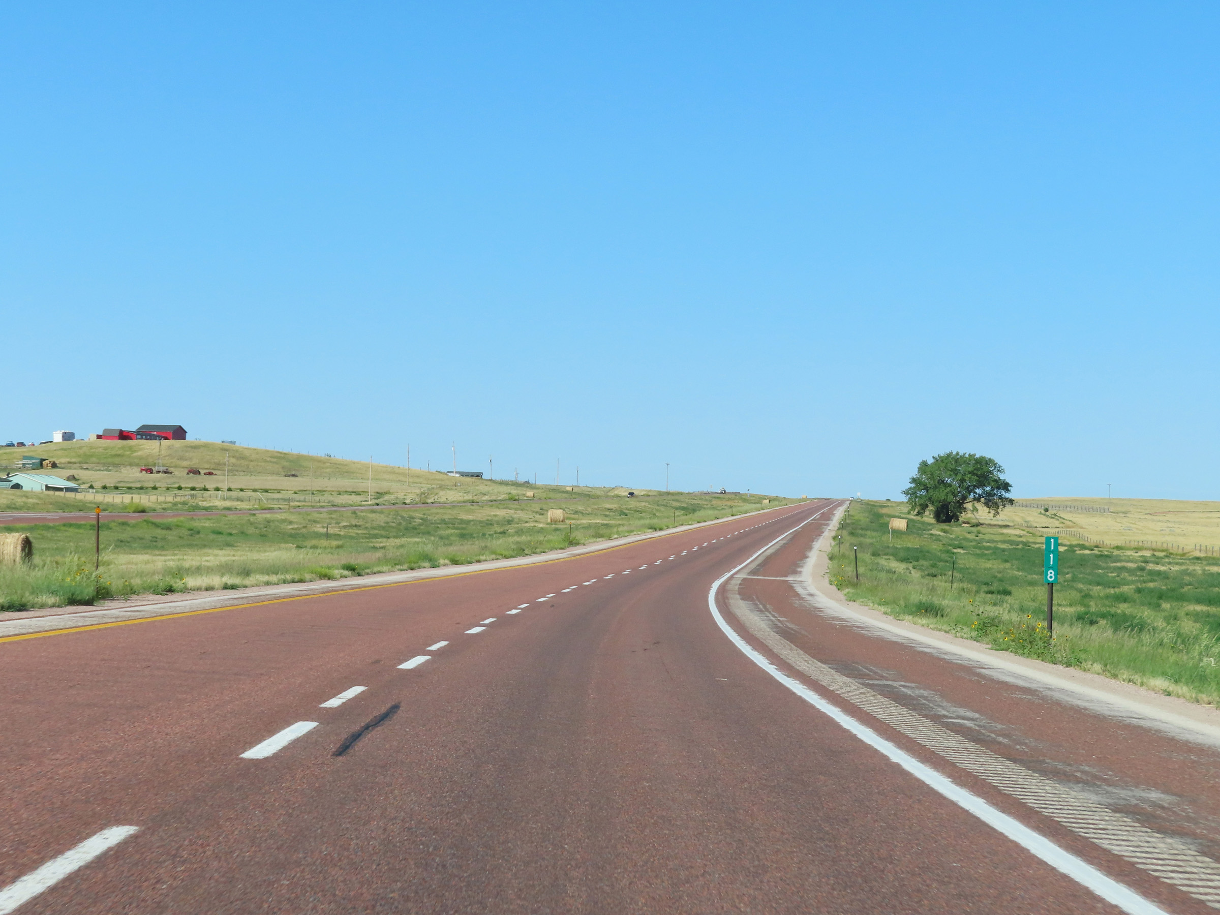 |
Interstate 90 West at mile marker 118. (Photo taken 8/17/22). |
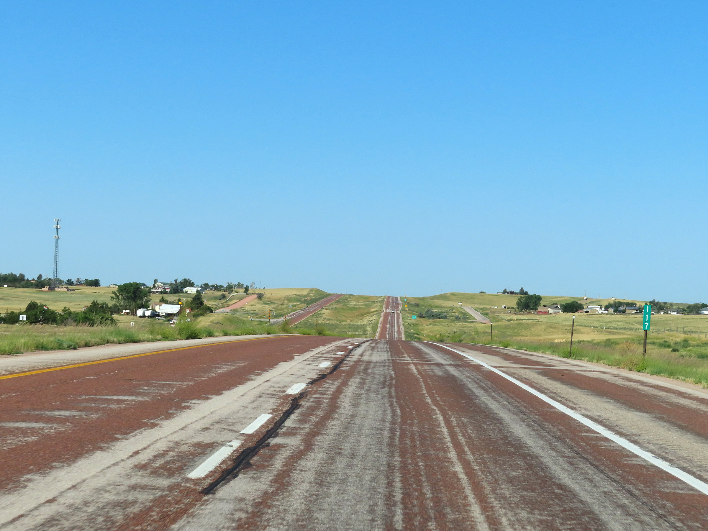 |
Mile marker 117 on Interstate 90 West in Campbell County. (Photo taken 8/17/22). |
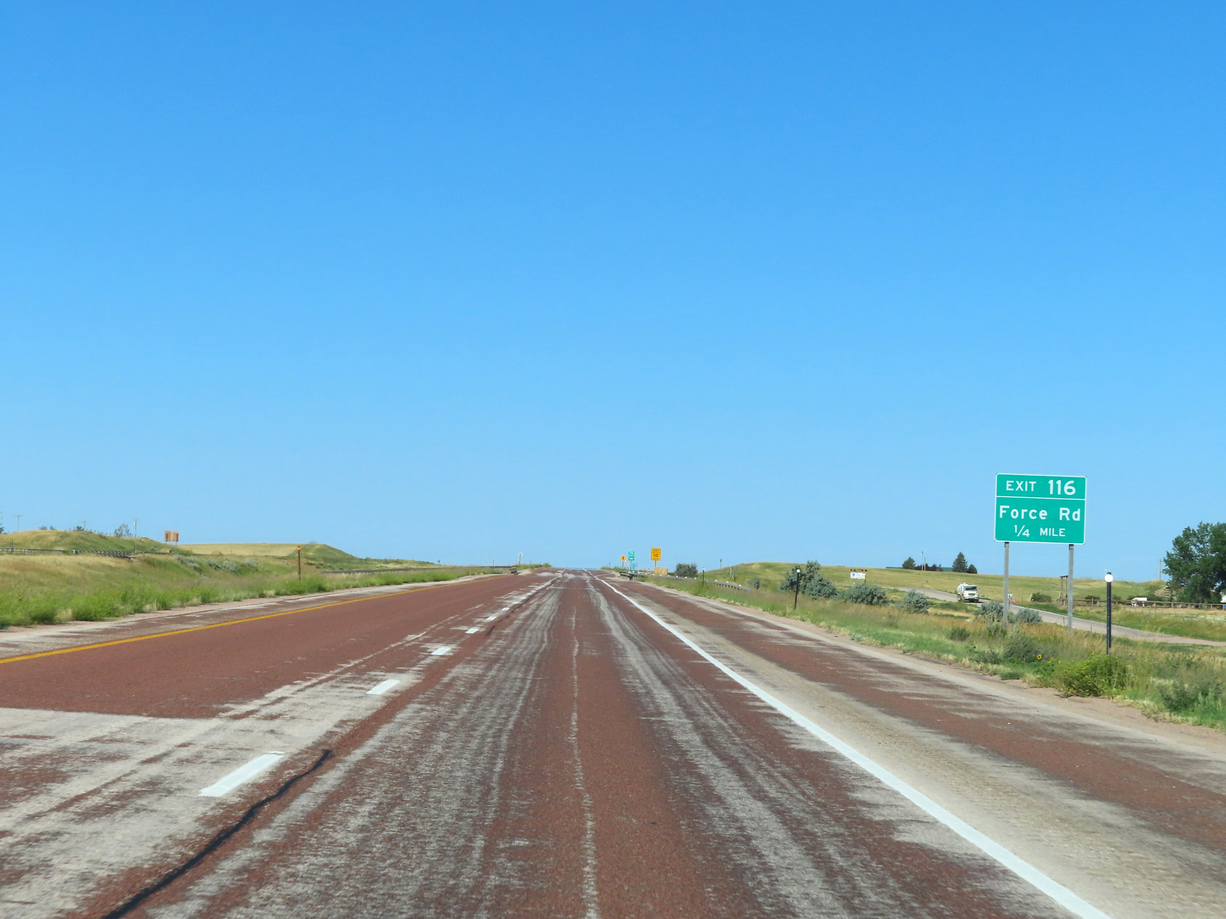 |
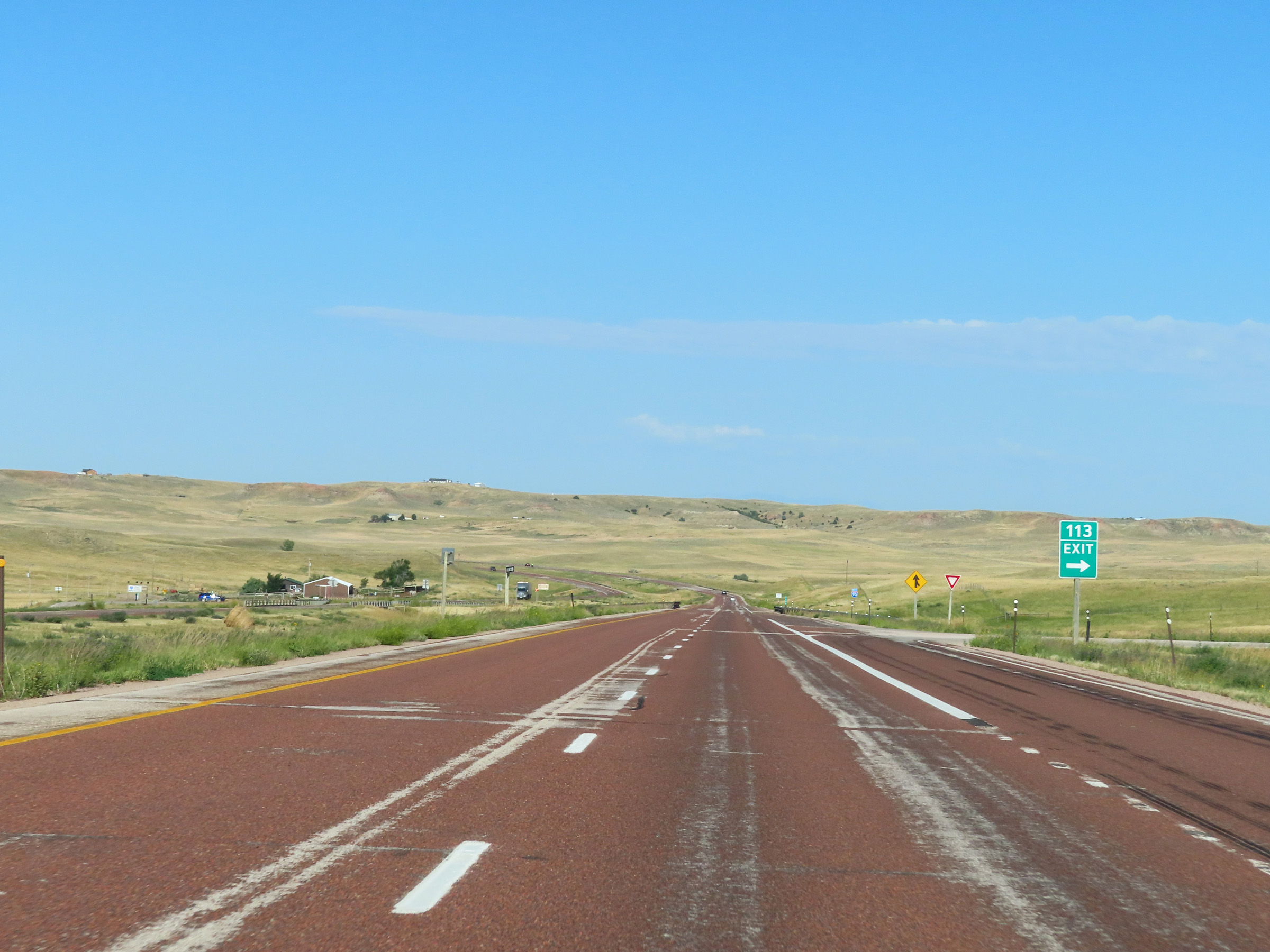
Interstate 90 West approaching Exit 116 - 1/4 mile. (Photo taken 8/17/22). |
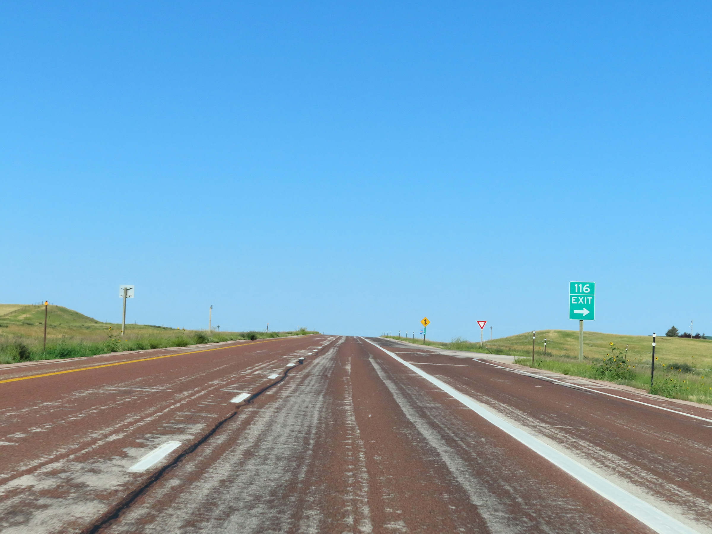 |
Interstate 90 West at Exit 116: Force Rd (Photo taken 8/17/22). |
 |
View on Interstate 90 West at mile marker 115. (Photo taken 8/17/22). |
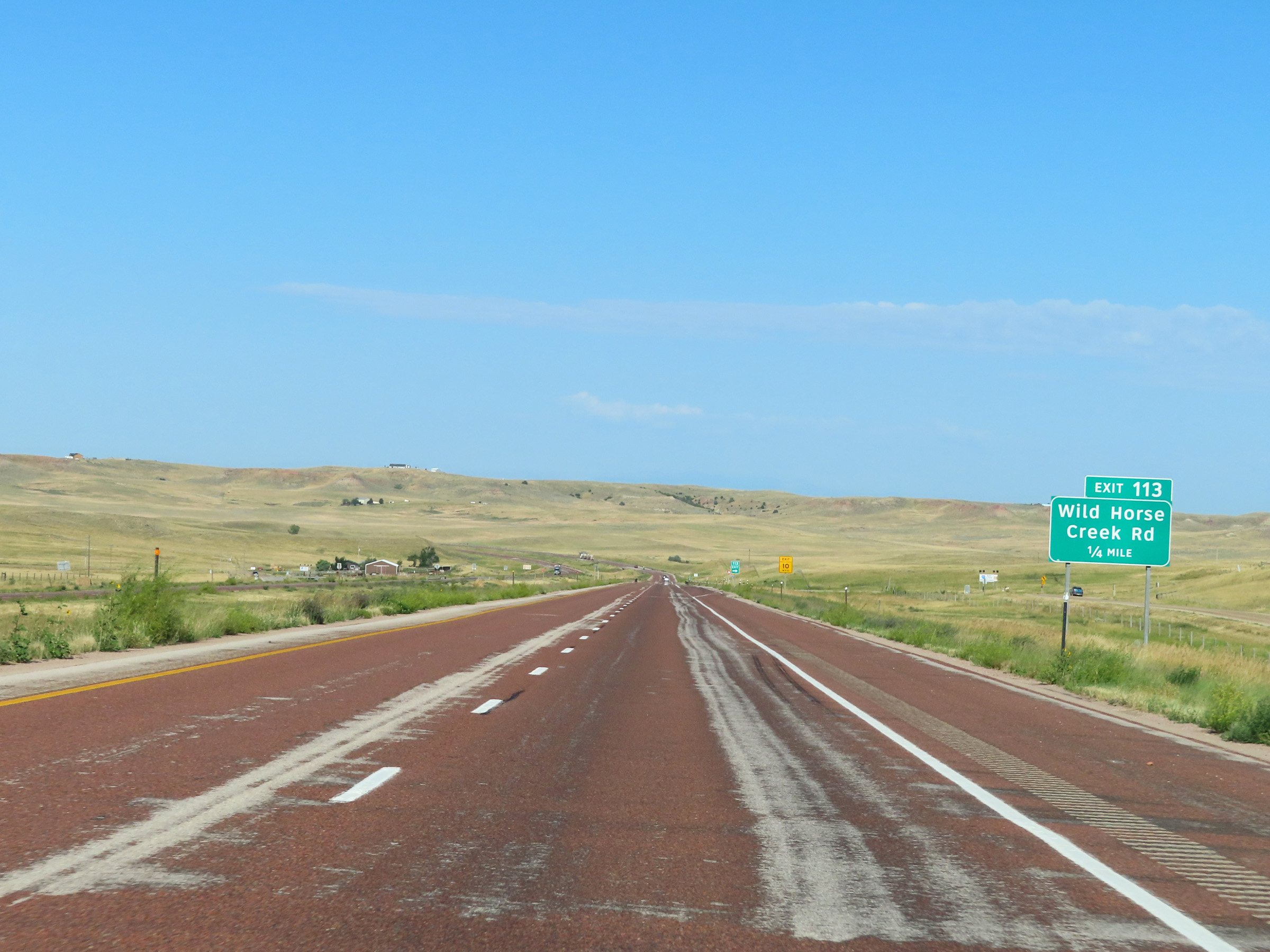 |
Interstate 90 West approaching Exit 113 - 1/4 mile. (Photo taken 8/17/22). |
 |
Interstate 90 West at Exit 113: Wild Horse Creek Rd (Photo taken 8/17/22). |
 |
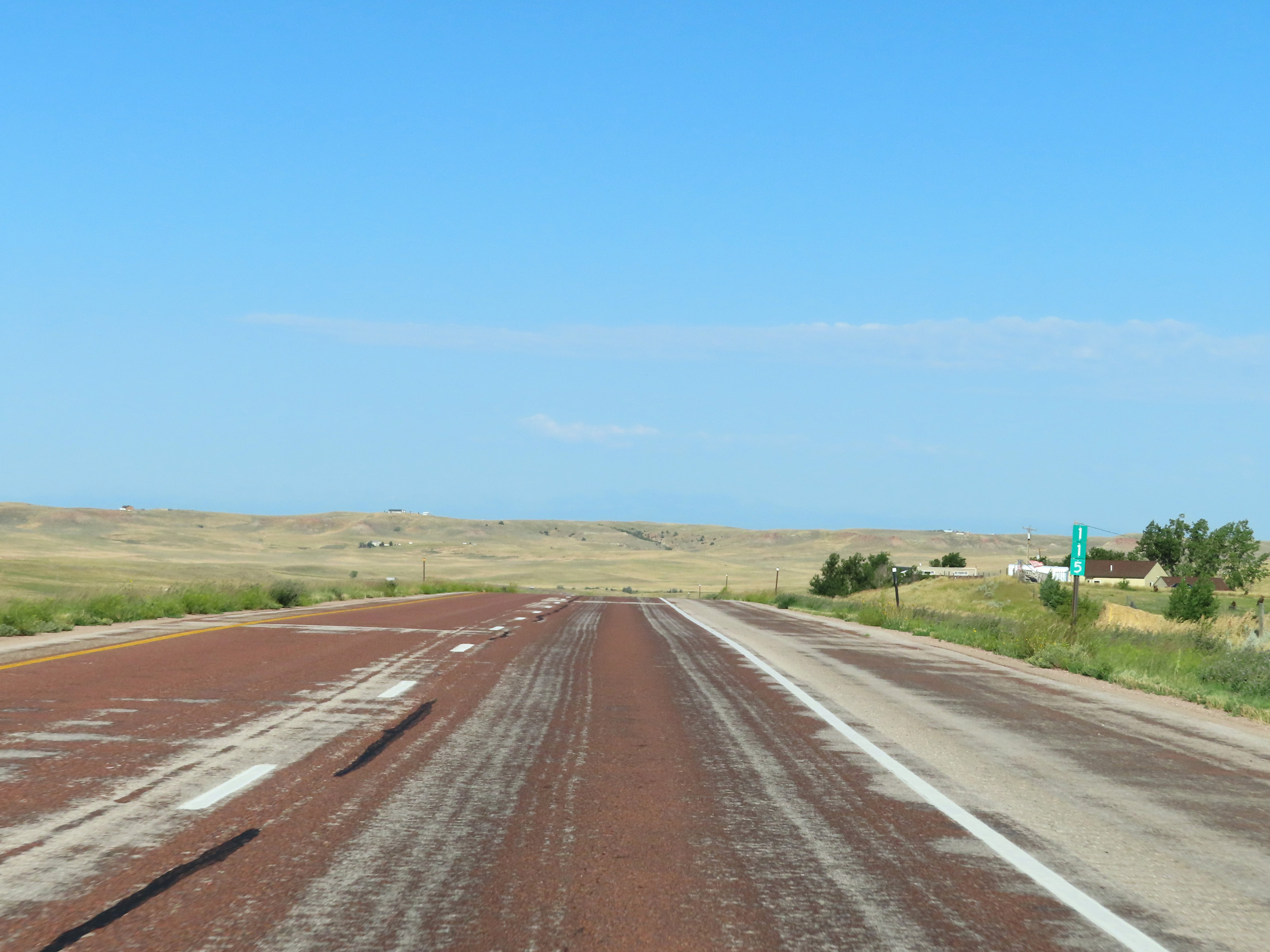
State-named Interstate 90 West reassurance shield in Campbell County. (Photo taken 8/17/22). |
 |
View on Interstate 90 West at mile marker 113. (Photo taken 8/17/22). |
 |
Mile marker 111 on Interstate 90 West in Campbell County. (Photo taken 8/17/22). |
 |
View on Interstate 90 West near mile marker 110. (Photo taken 8/17/22). |
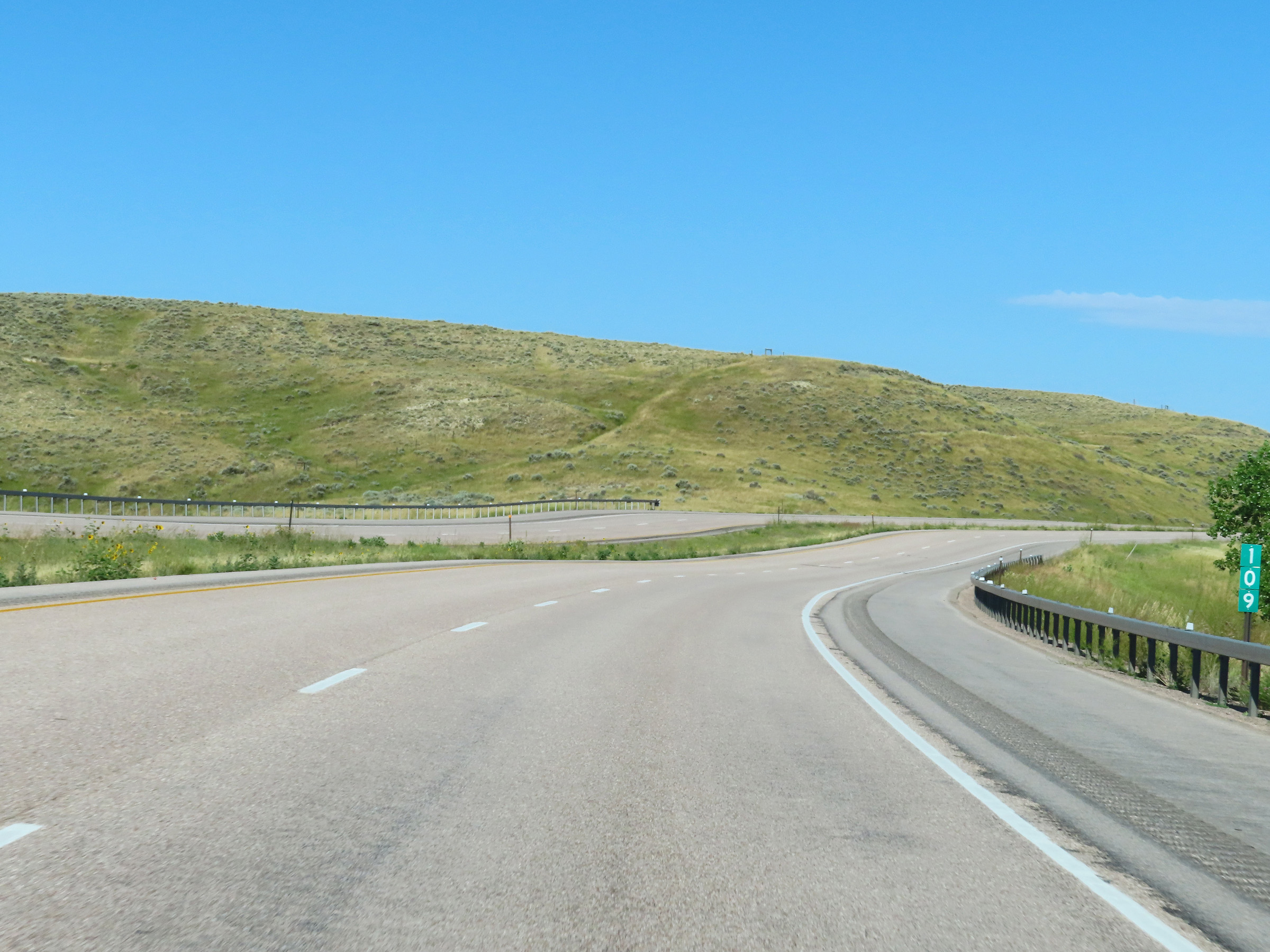 |
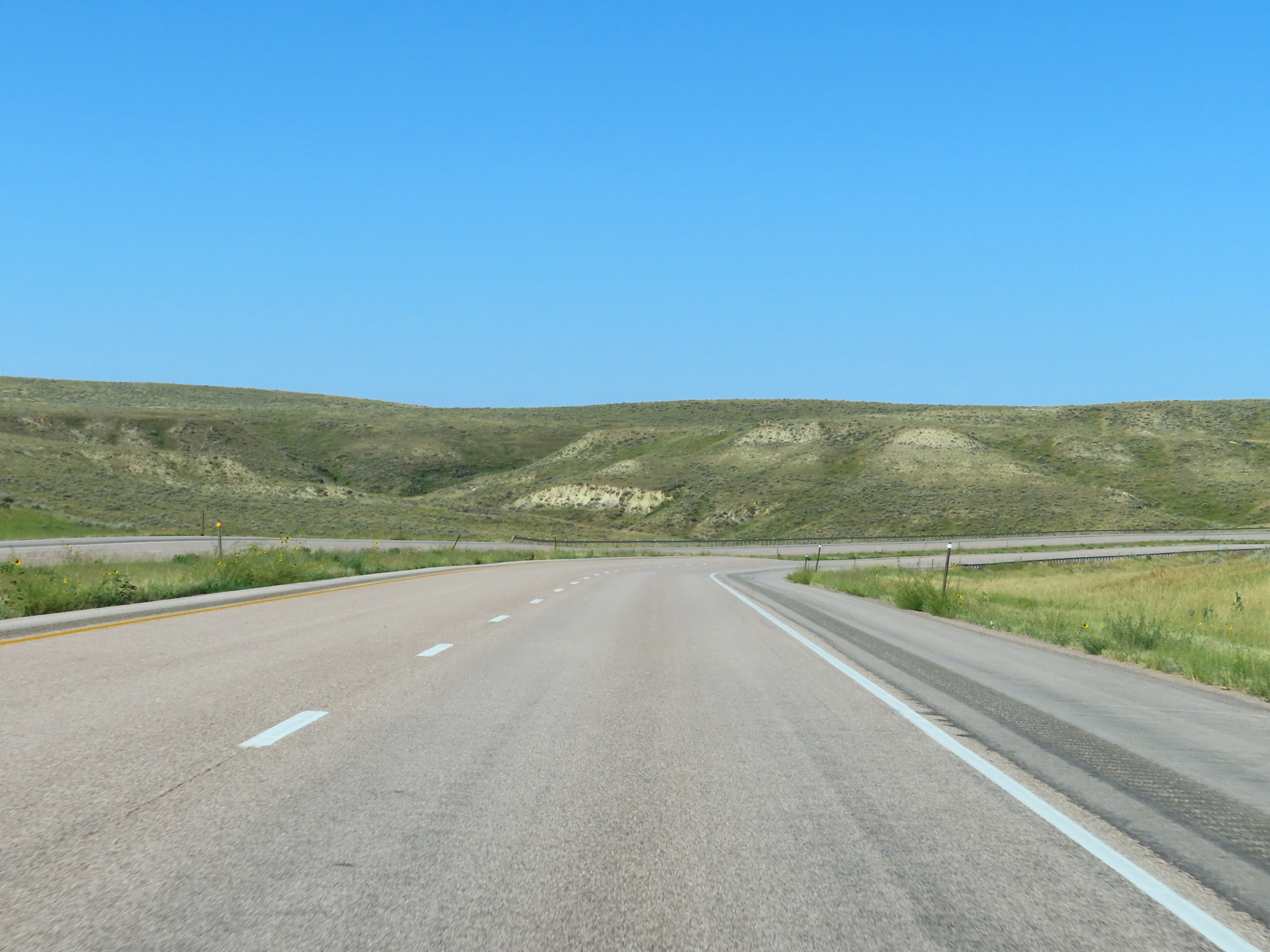
Interstate 90 West at mile marker 109. (Photo taken 8/17/22). |
 |
View on Interstate 90 West at mile marker 107. (Photo taken 8/17/22). |
 |
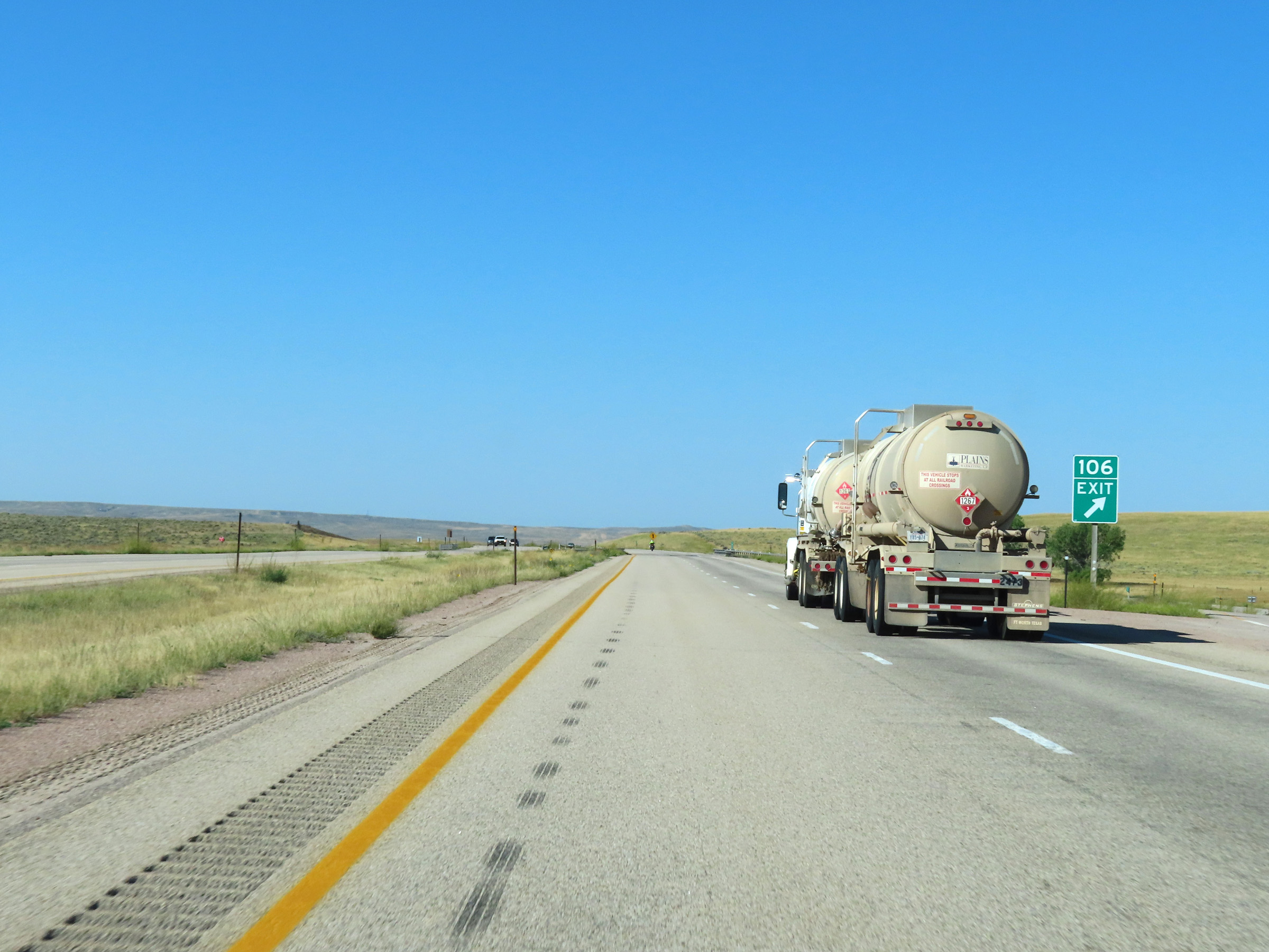
Interstate 90 West approaching Exit 106 - 1/4 mile. (Photo taken 8/17/22). |
 |
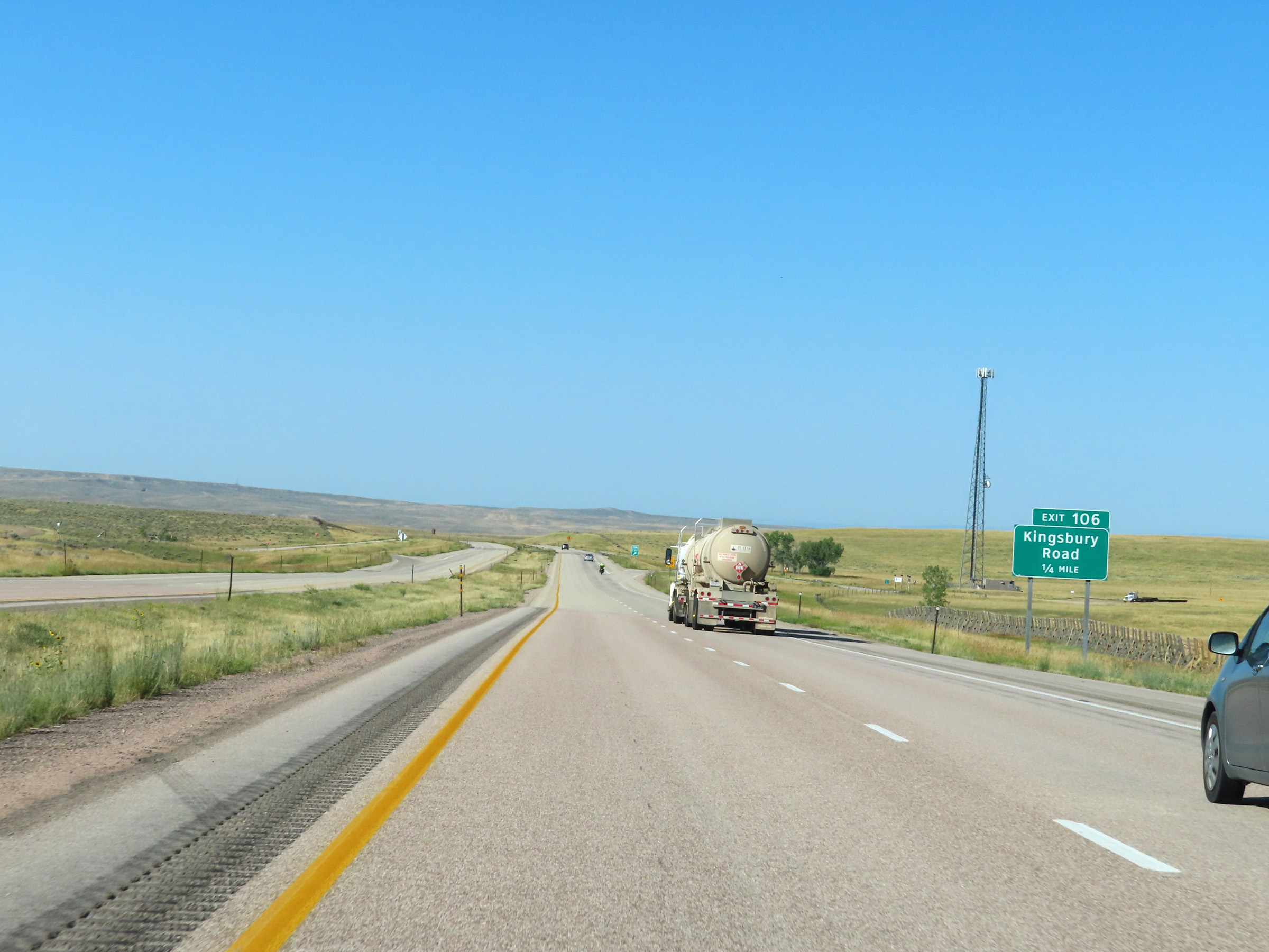
Interstate 90 West at Exit 106: Kingsbury Road (Photo taken 8/17/22). |
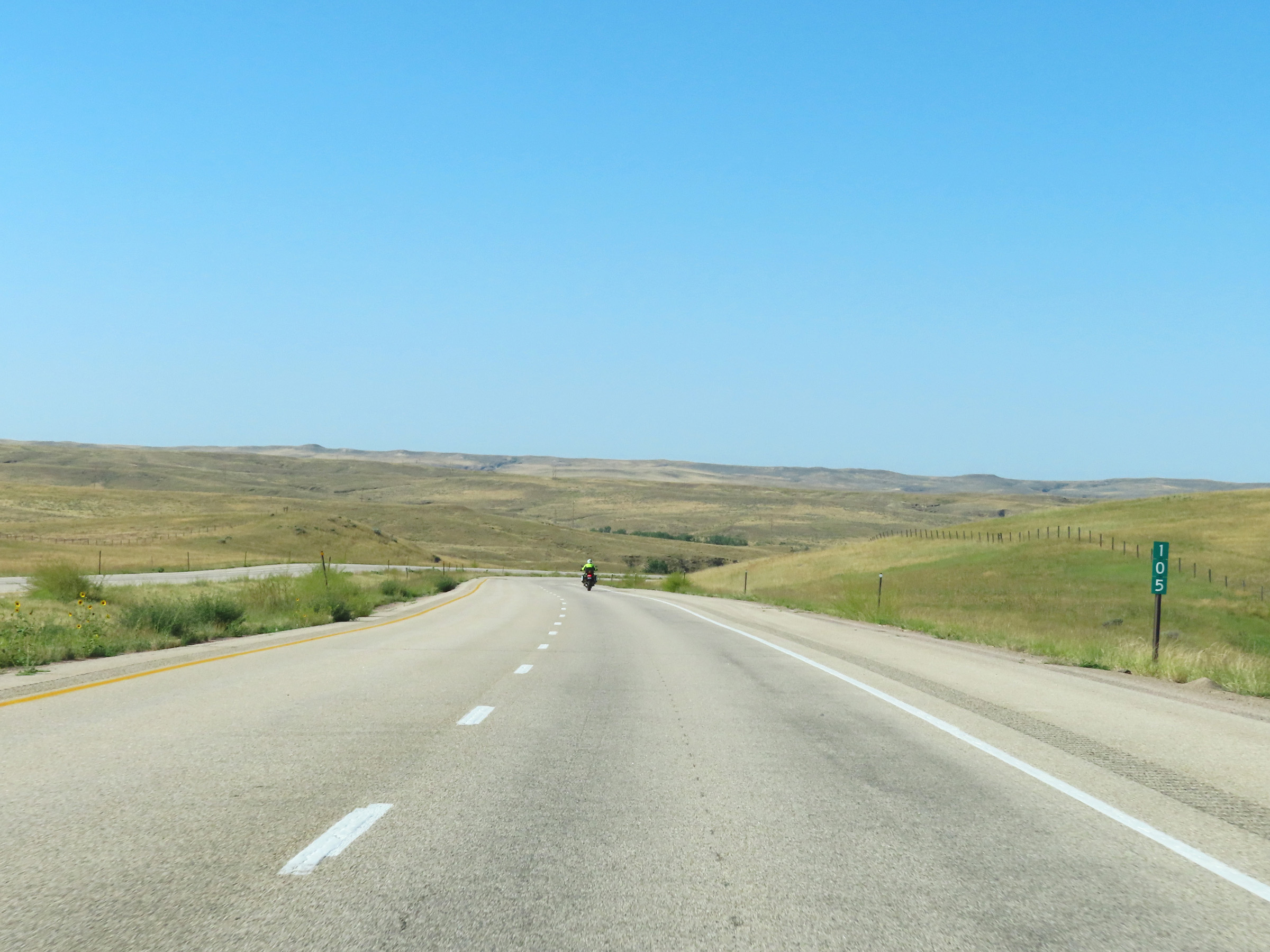 |
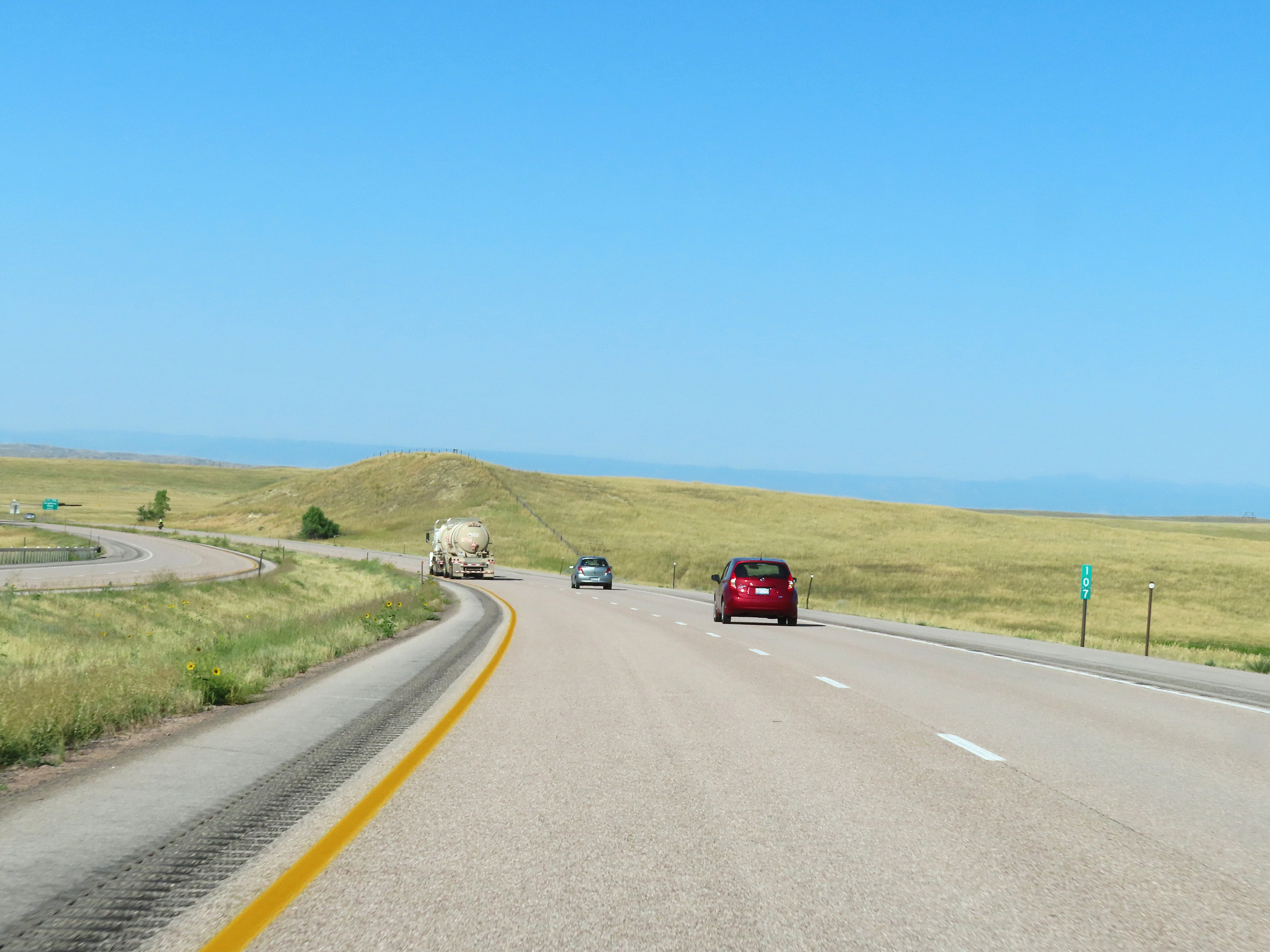
Mile marker 105 on Interstate 90 West in Campbell County. (Photo taken 8/17/22). |
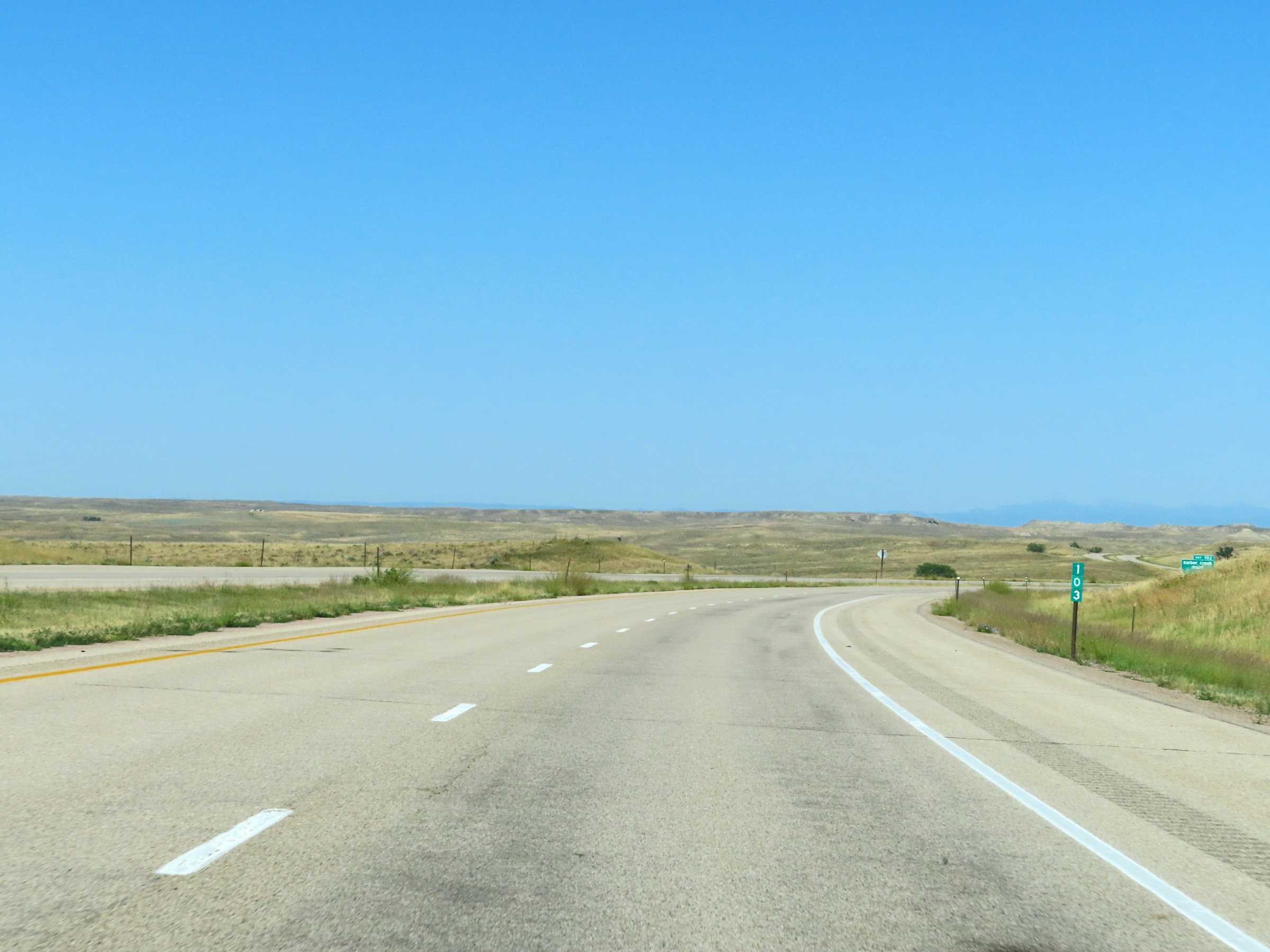 |
View on Interstate 90 West at mile marker 103. (Photo taken 8/17/22). |
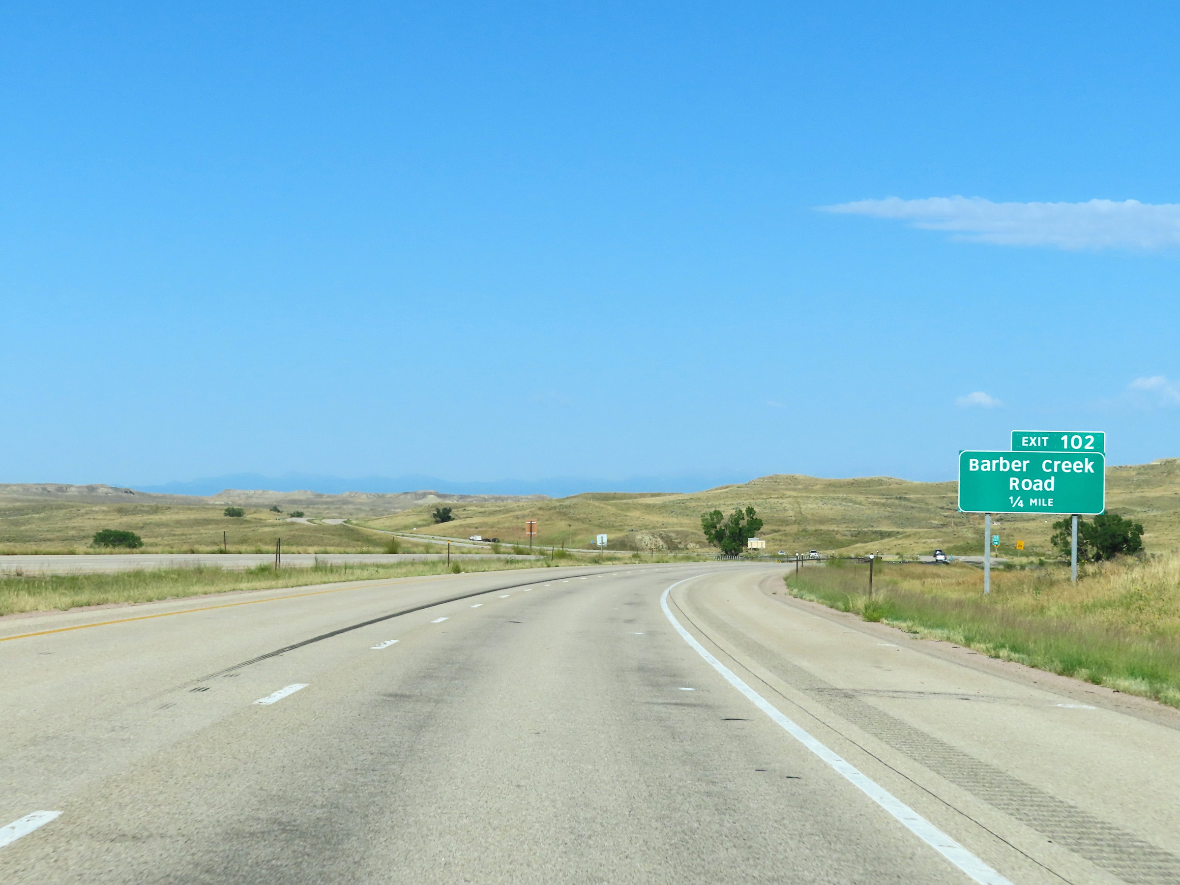 |
Interstate 90 West approaching Exit 102 - 1/4 mile. (Photo taken 8/17/22). |
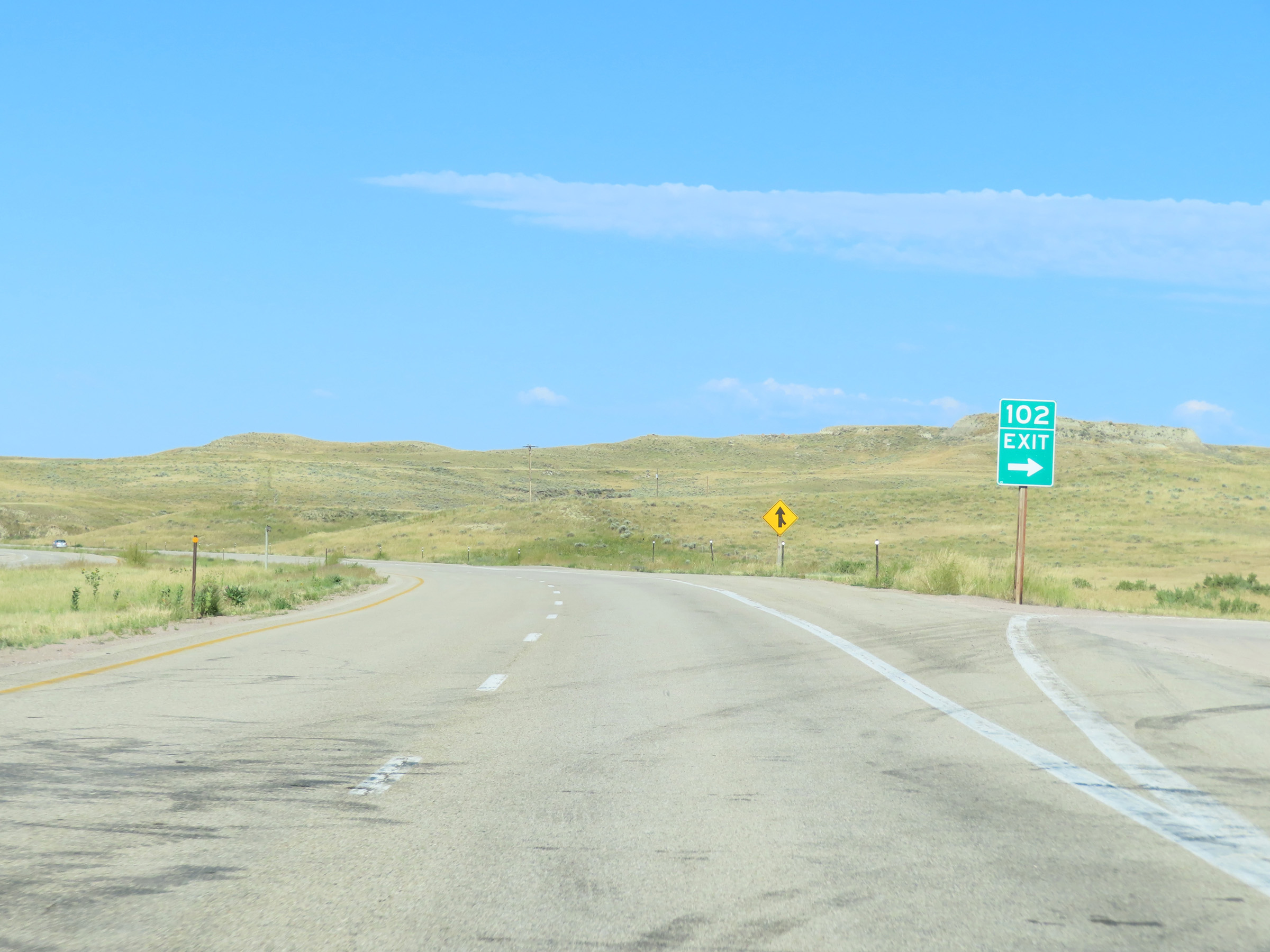 |
Interstate 90 West at Exit 102: Barber Creek Road (Photo taken 8/17/22). |
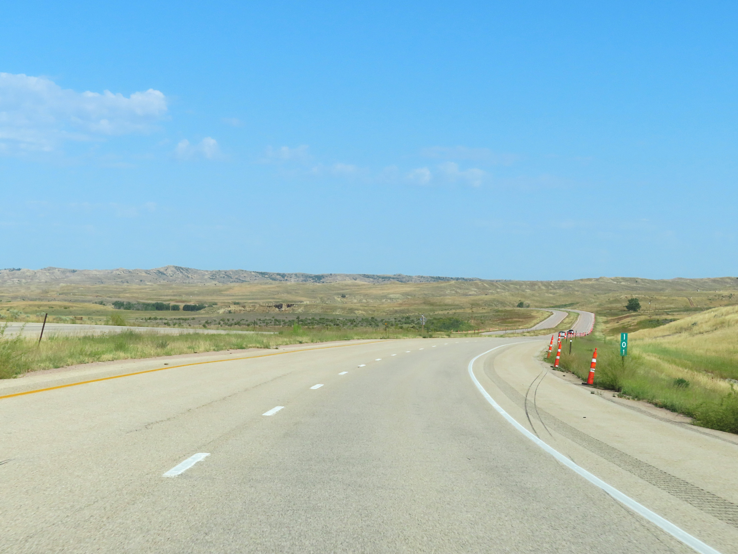 |
Interstate 90 West at mile marker 101. (Photo taken 8/17/22). |
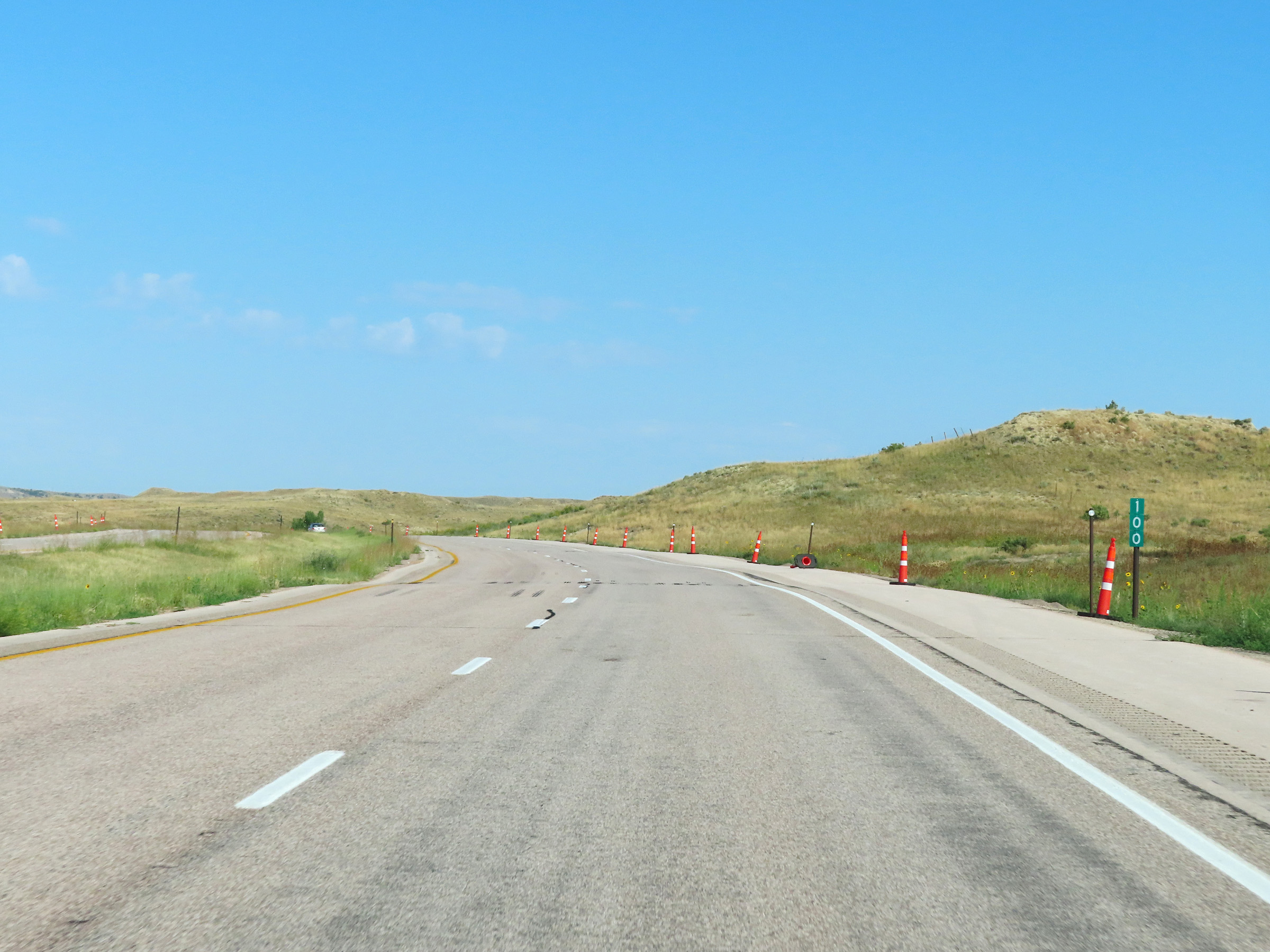 |
View on Interstate 90 West at mile marker 100. (Photo taken 8/17/22). |
 |
Mile marker 98 on Interstate 90 West in Campbell County. (Photo taken 8/17/22). |
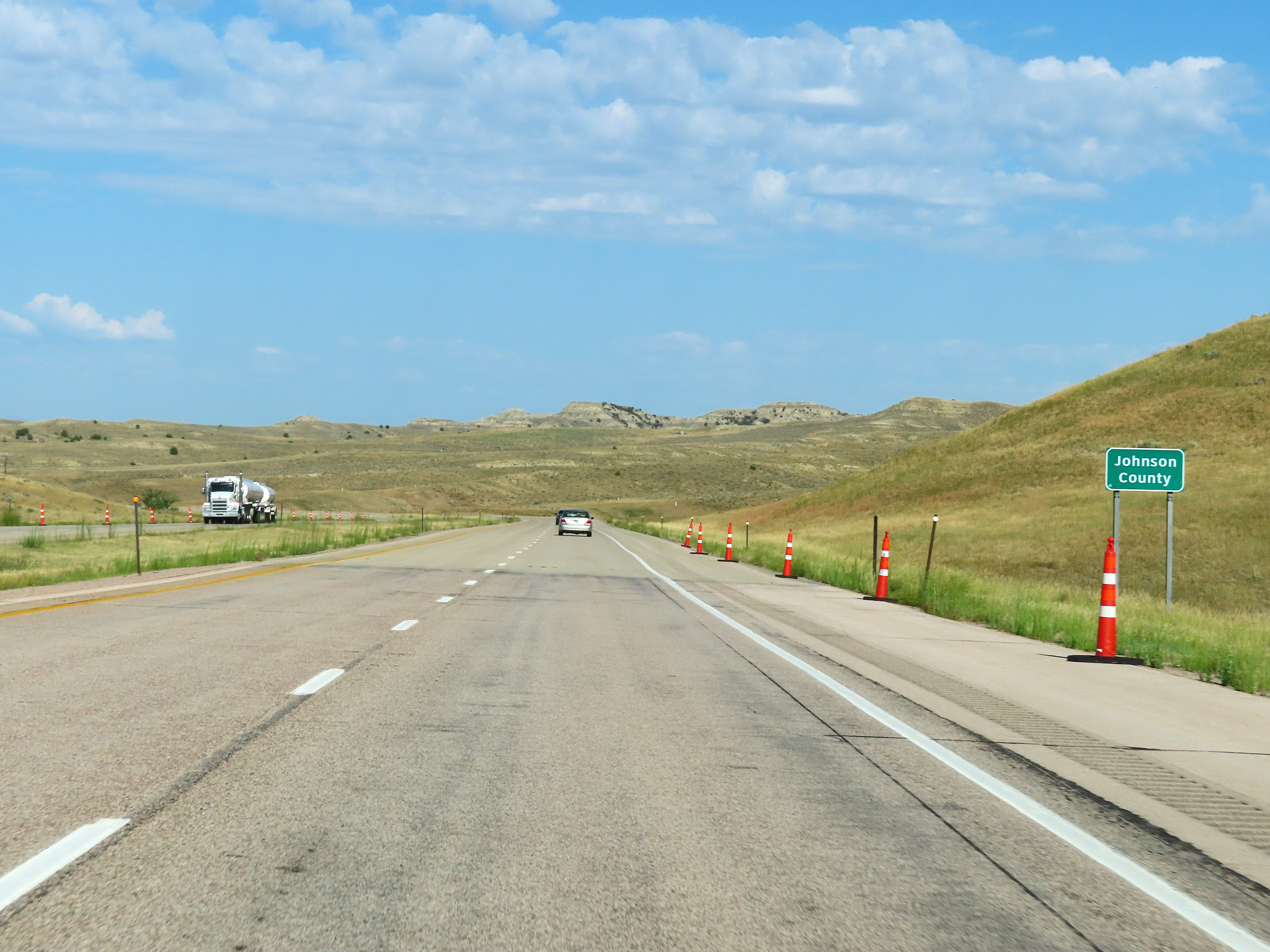 |
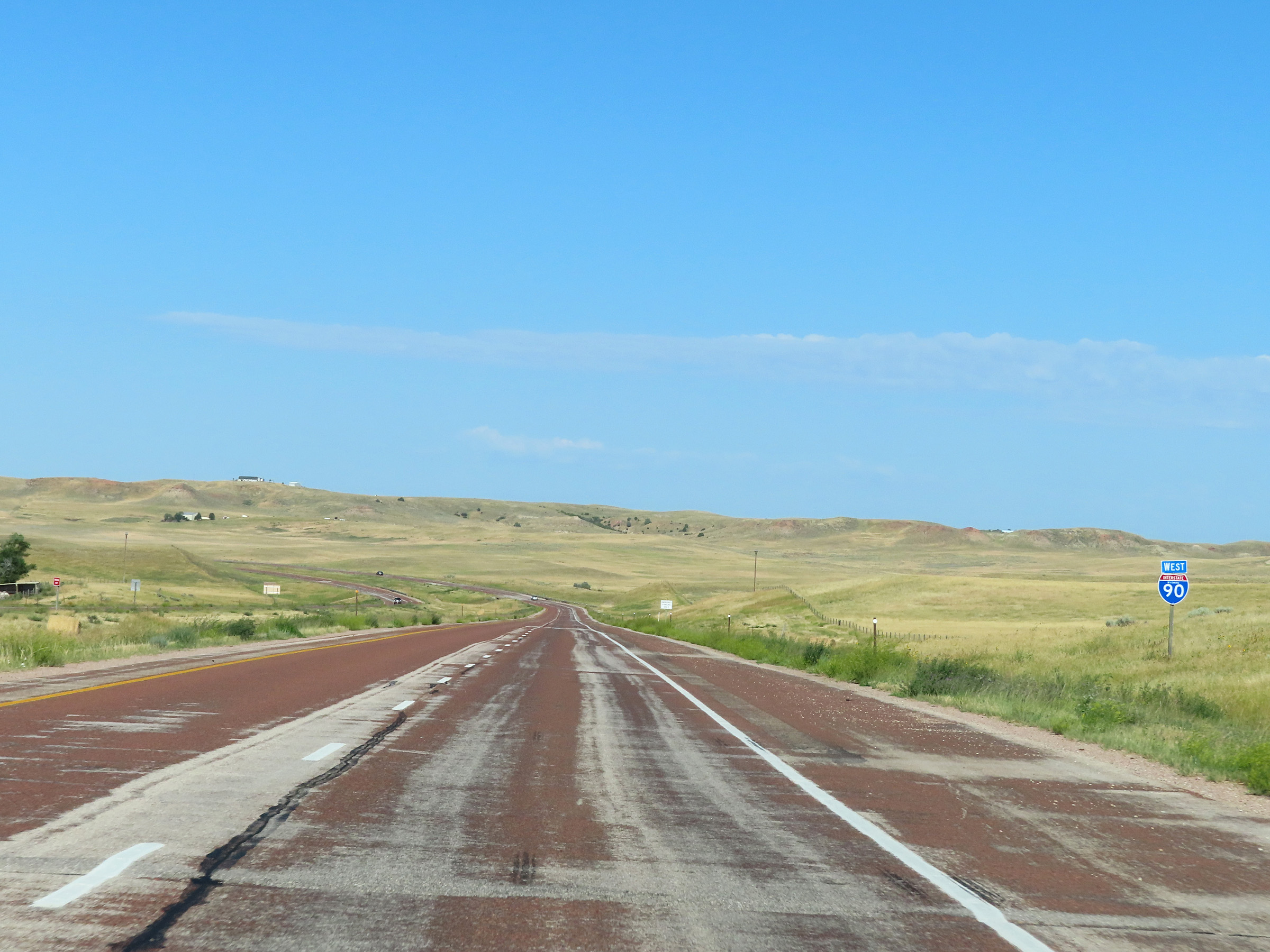
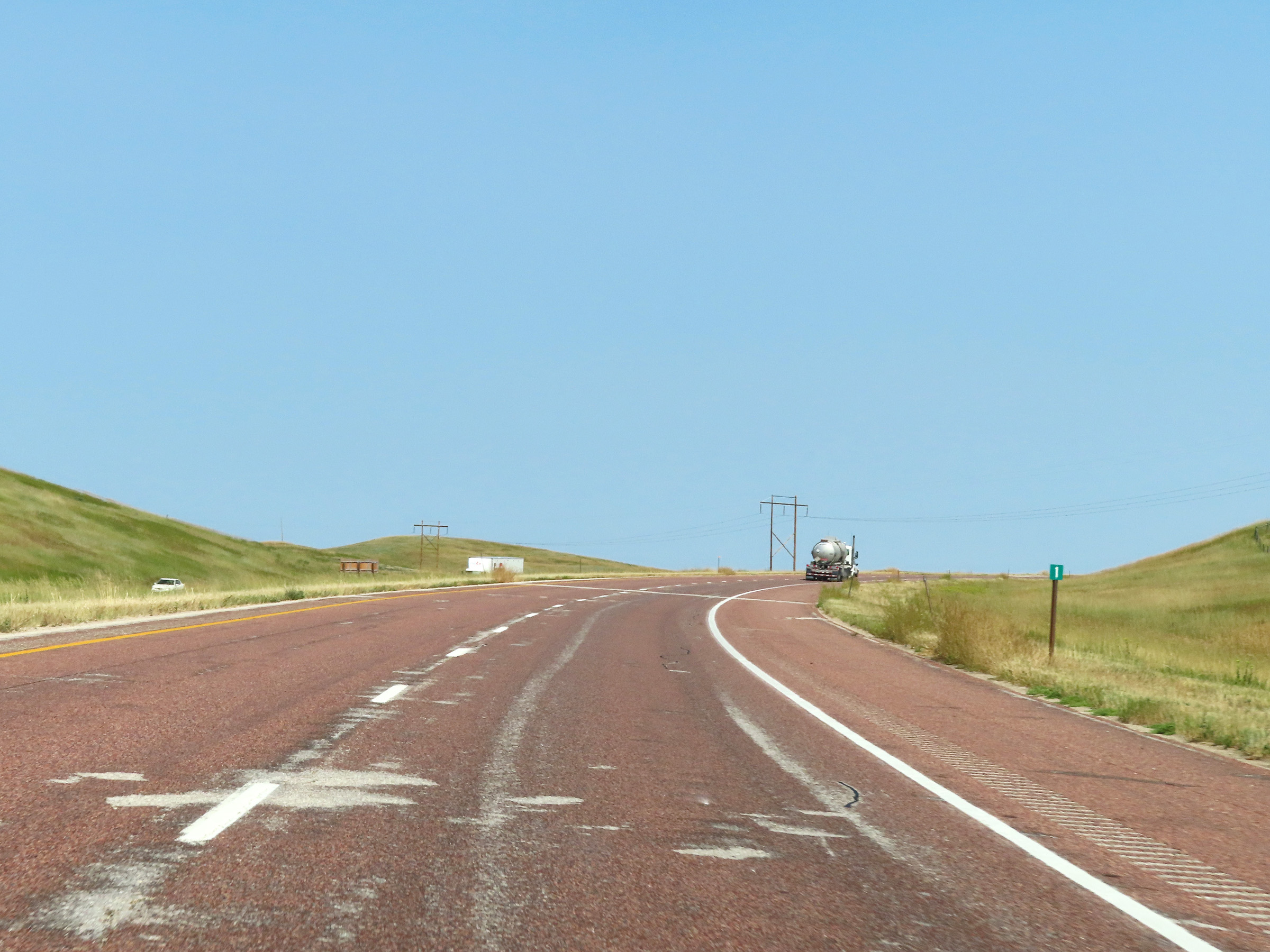
Interstate 90 West as it enters Johnson County. (Photo taken 8/17/22). |
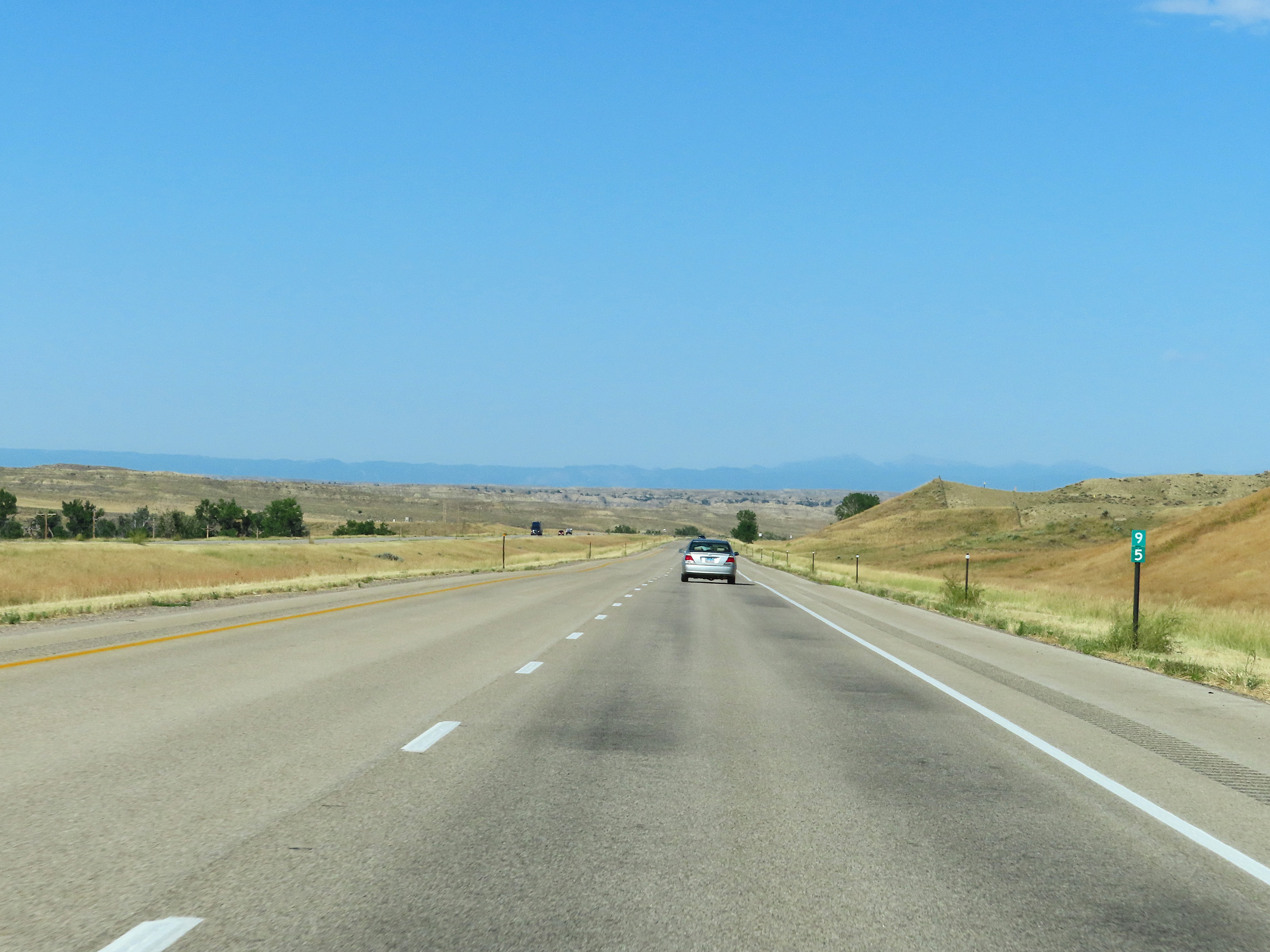 |
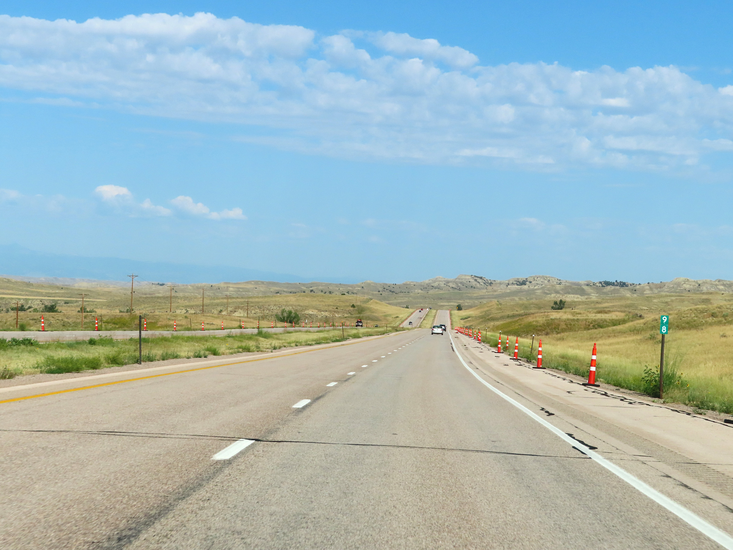
View on Interstate 90 West at mile marker 95. (Photo taken 8/17/22). |
 |
Interstate 90 West at mile marker 94. (Photo taken 8/17/22). |
 |
Mile marker 92 on Interstate 90 West in Johnson County. (Photo taken 8/17/22). |
 |
Interstate 90 West approaching Exit 91 - 1/4 mile. (Photo taken 8/17/22). |
 |
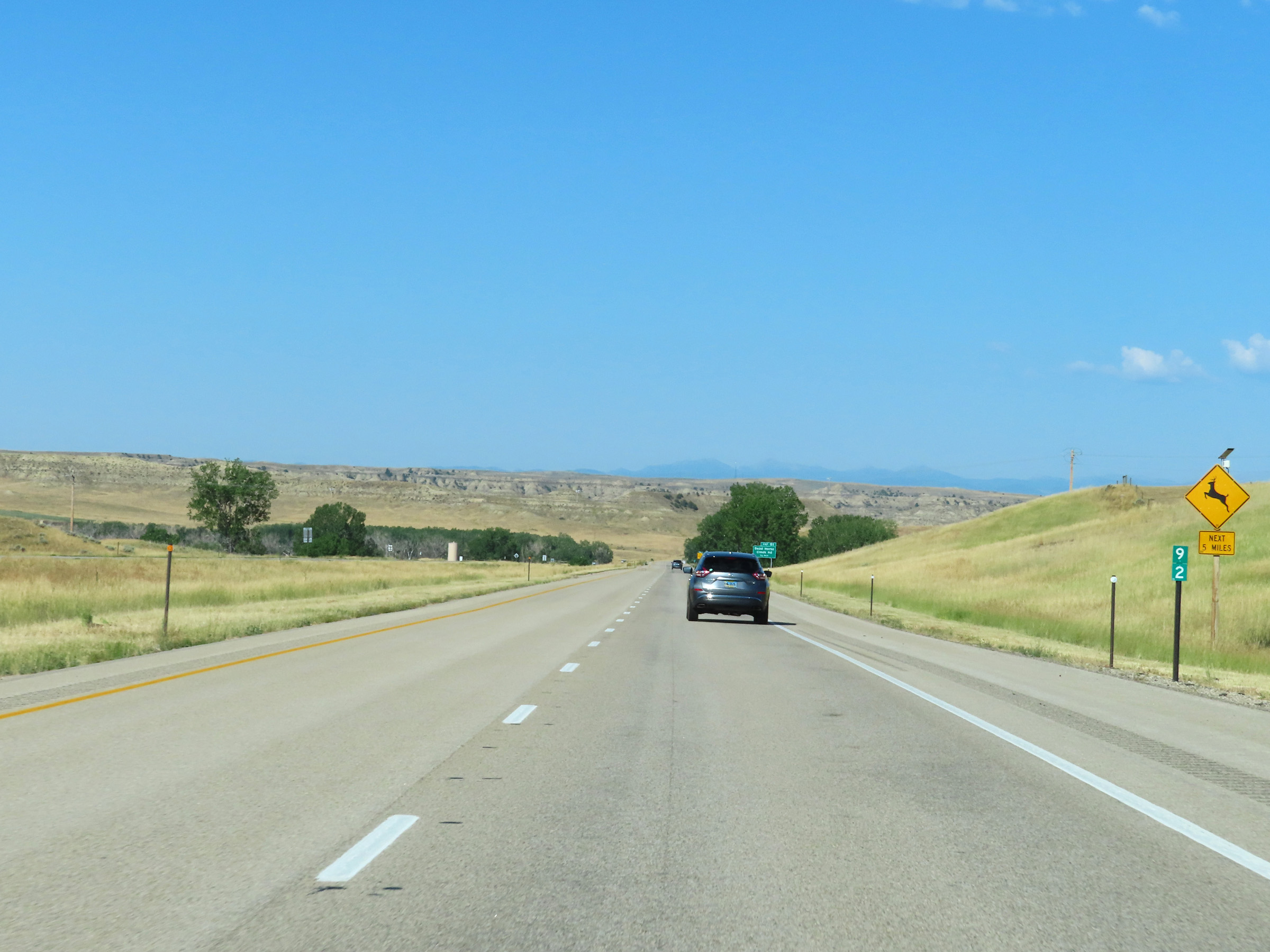
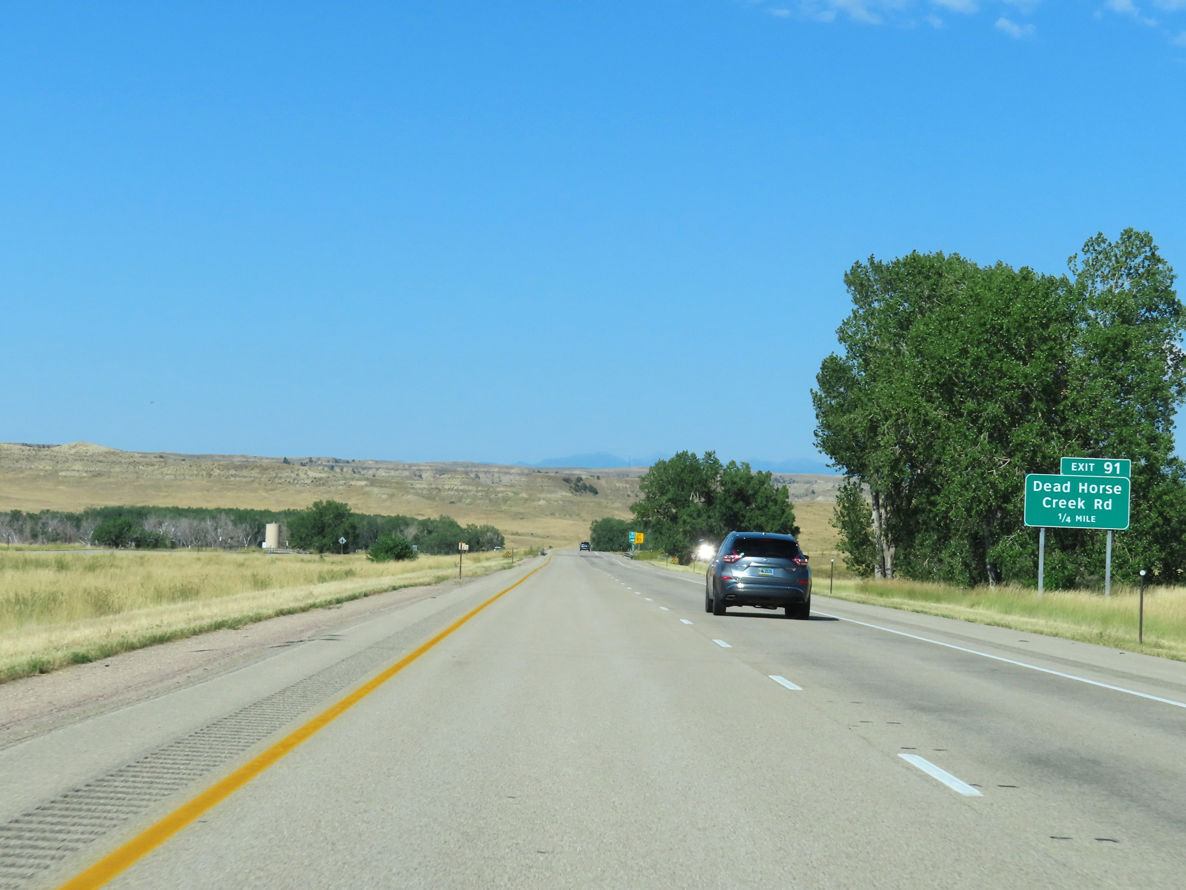
Interstate 90 West at Exit 91: Dead Horse Creek Rd (Photo taken 8/17/22). |
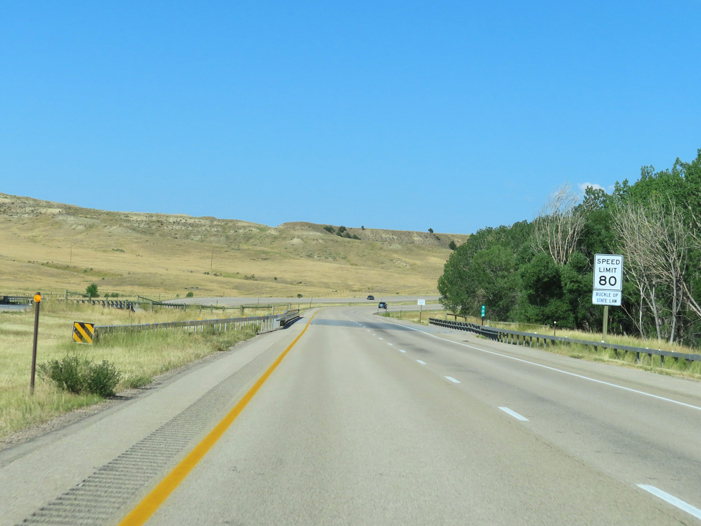 |
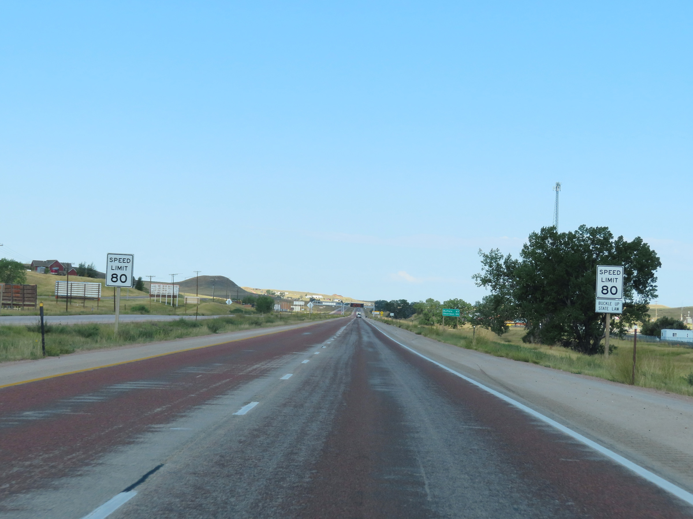
The speed limit on Interstate 90 West remains 80 mph. This is usually the speed limit on the most rural stretches of Interstate in Wyoming. However, some parts are still posted at 75 mph, as we will see later. (Photo taken 8/17/22). |
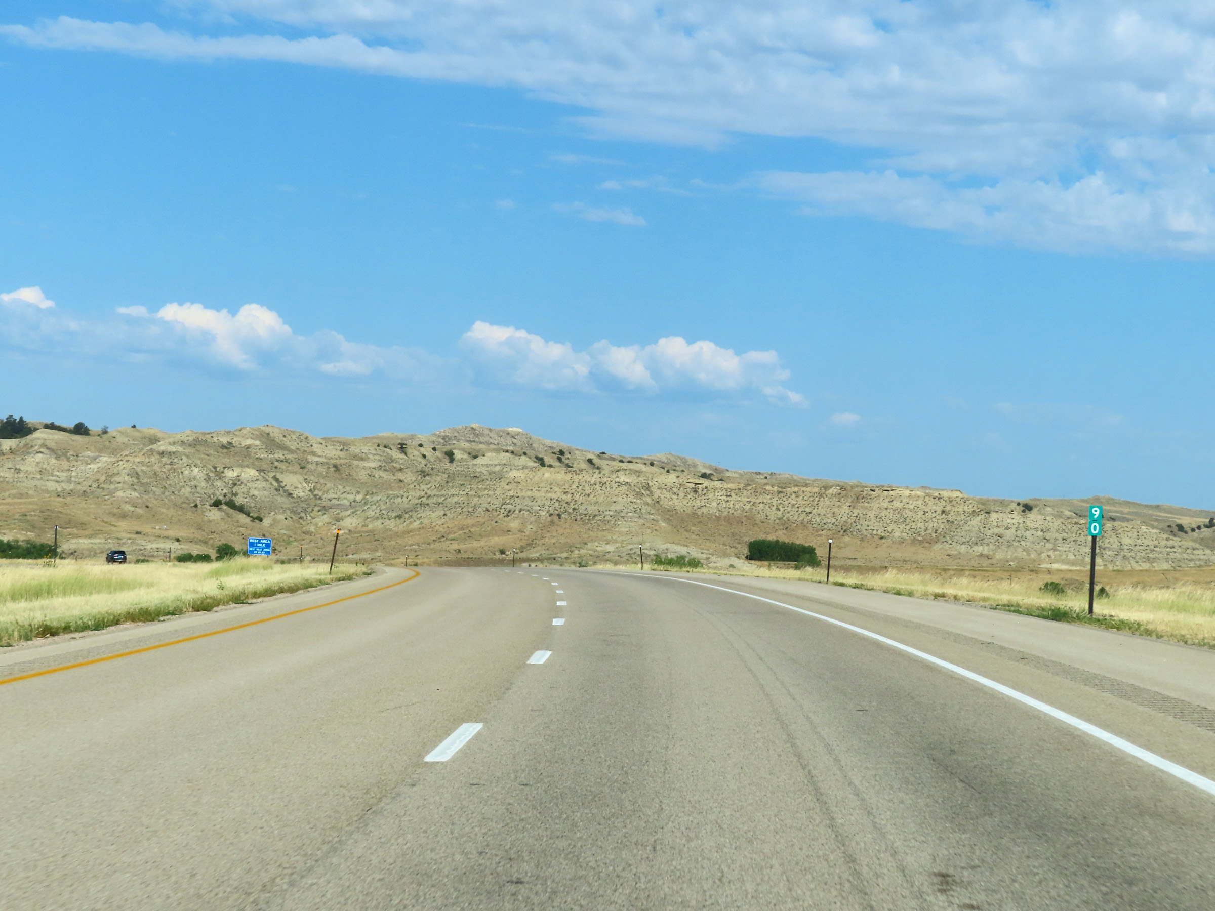 |
View on Interstate 90 West at mile marker 90. (Photo taken 8/17/22). |
 |
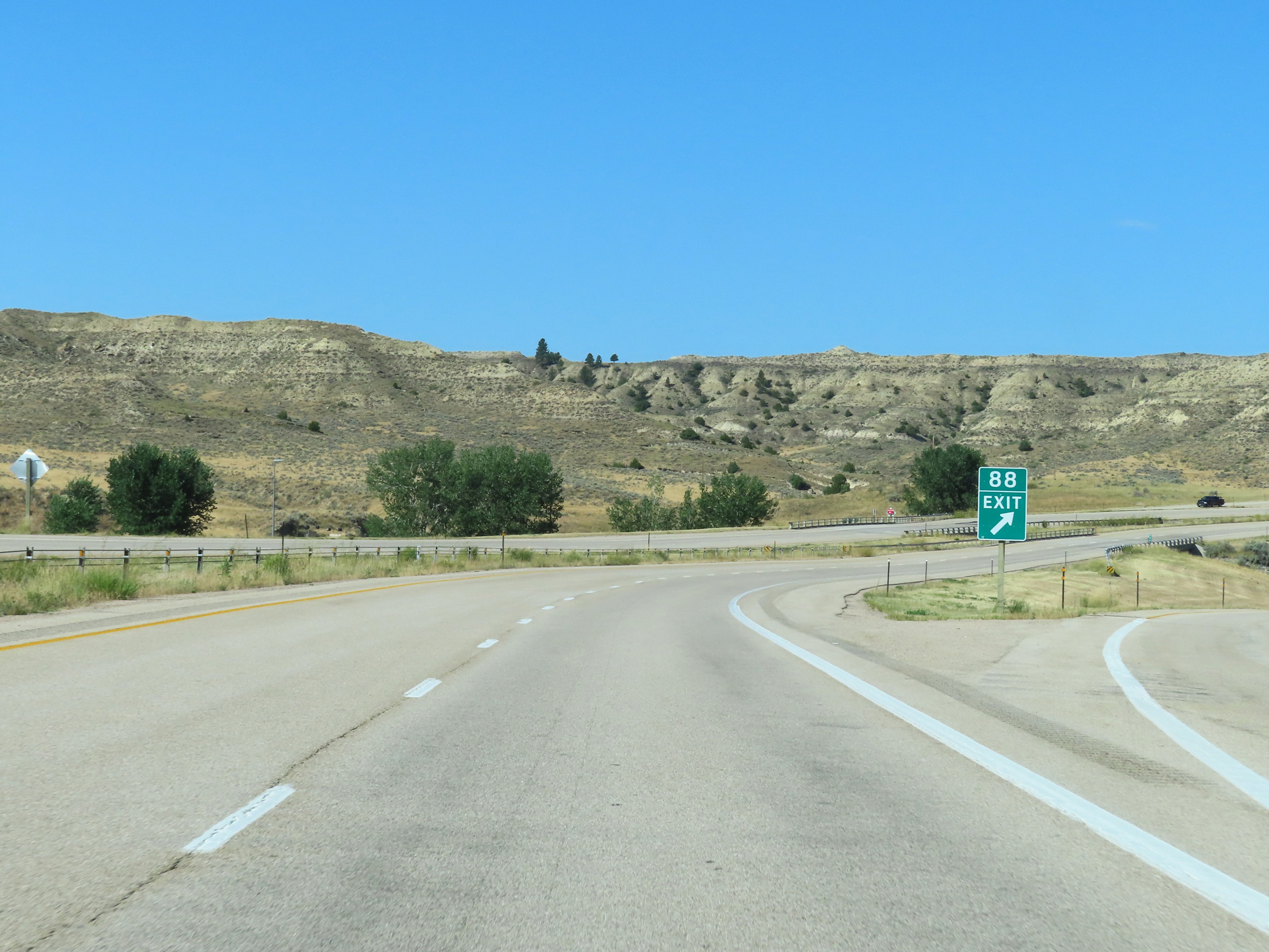
Interstate 90 West approaching Exit 88 - 1/2 mile. (Photo taken 8/17/22). |
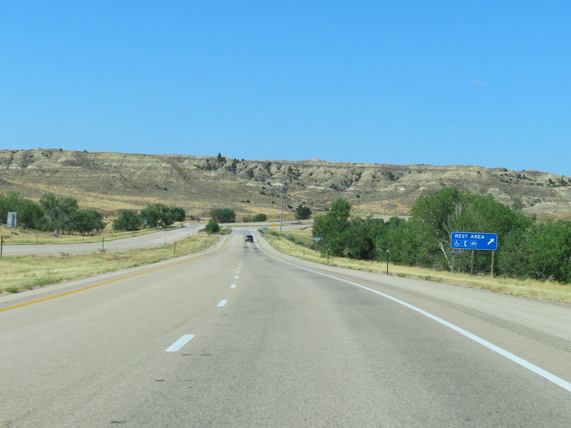 |
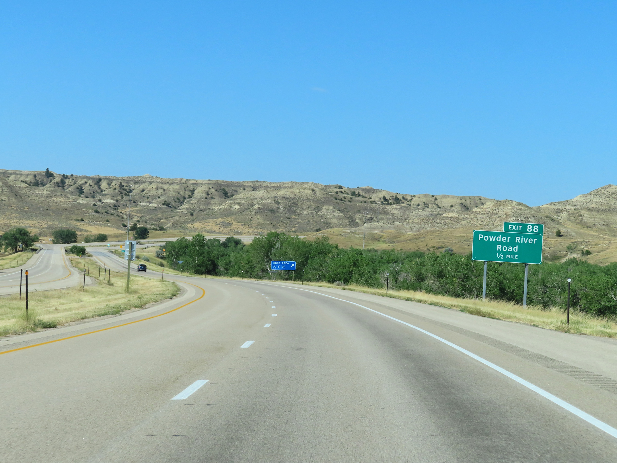
A Rest Area exists off Exit 88 ahead. (Photo taken 8/17/22). |
 |
Interstate 90 West at Exit 88: Powder River Road / Rest Area (Photo taken 8/17/22). |
 |
Mileage sign on Interstate 90 West. It's 31 miles to Buffalo and 66 miles to Sheridan. (Photo taken 8/17/22). |
 |
View on Interstate 90 West at mile marker 86. (Photo taken 8/17/22). |
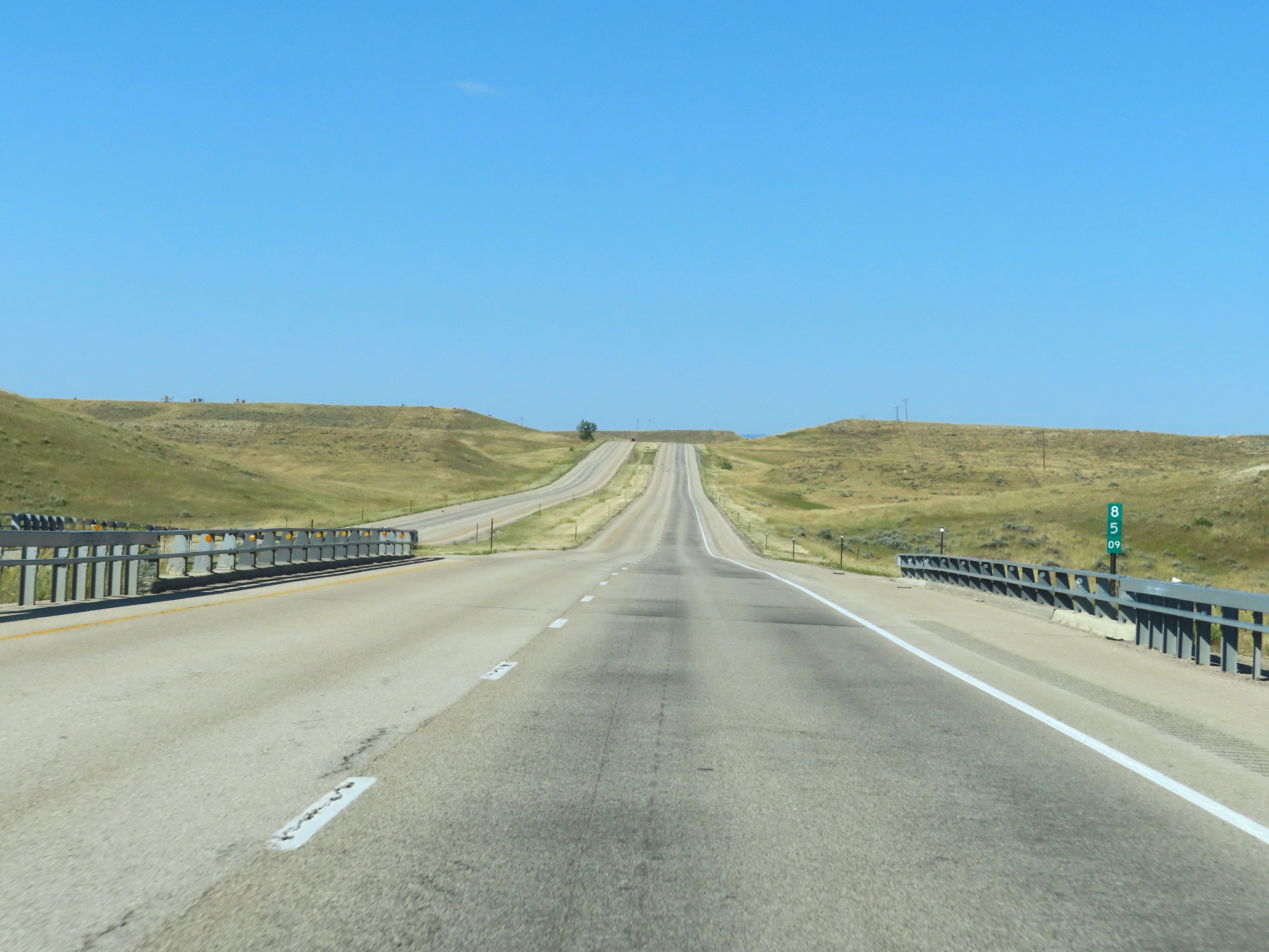 |
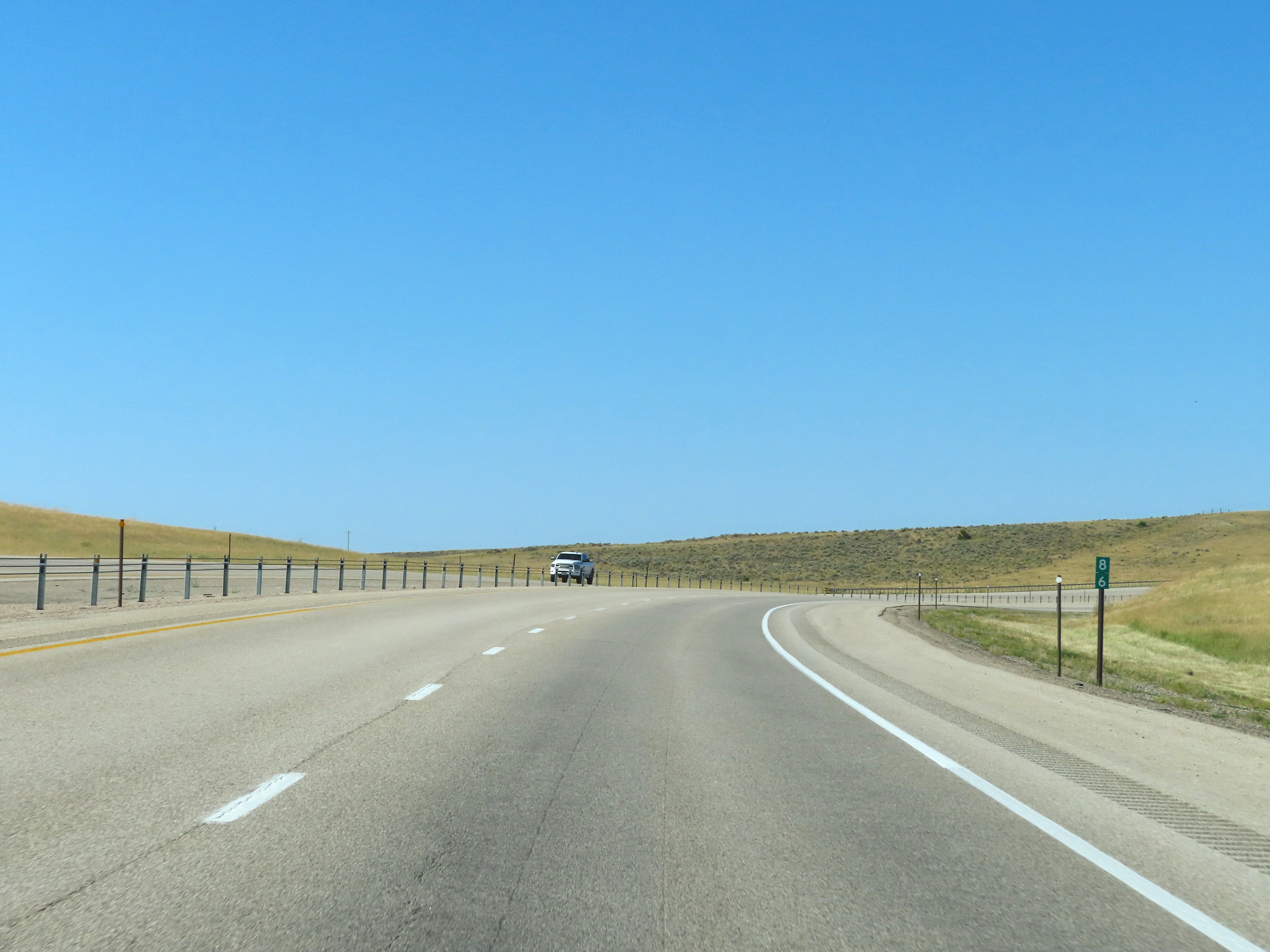
Interstate 90 West at mile marker 85.09. (Photo taken 8/17/22). |
 |
Mile marker 84 on Interstate 90 West in Johnson County. (Photo taken 8/17/22). |
 |
Interstate 90 West approaching Exit 82 - 1/4 mile. (Photo taken 8/17/22). |
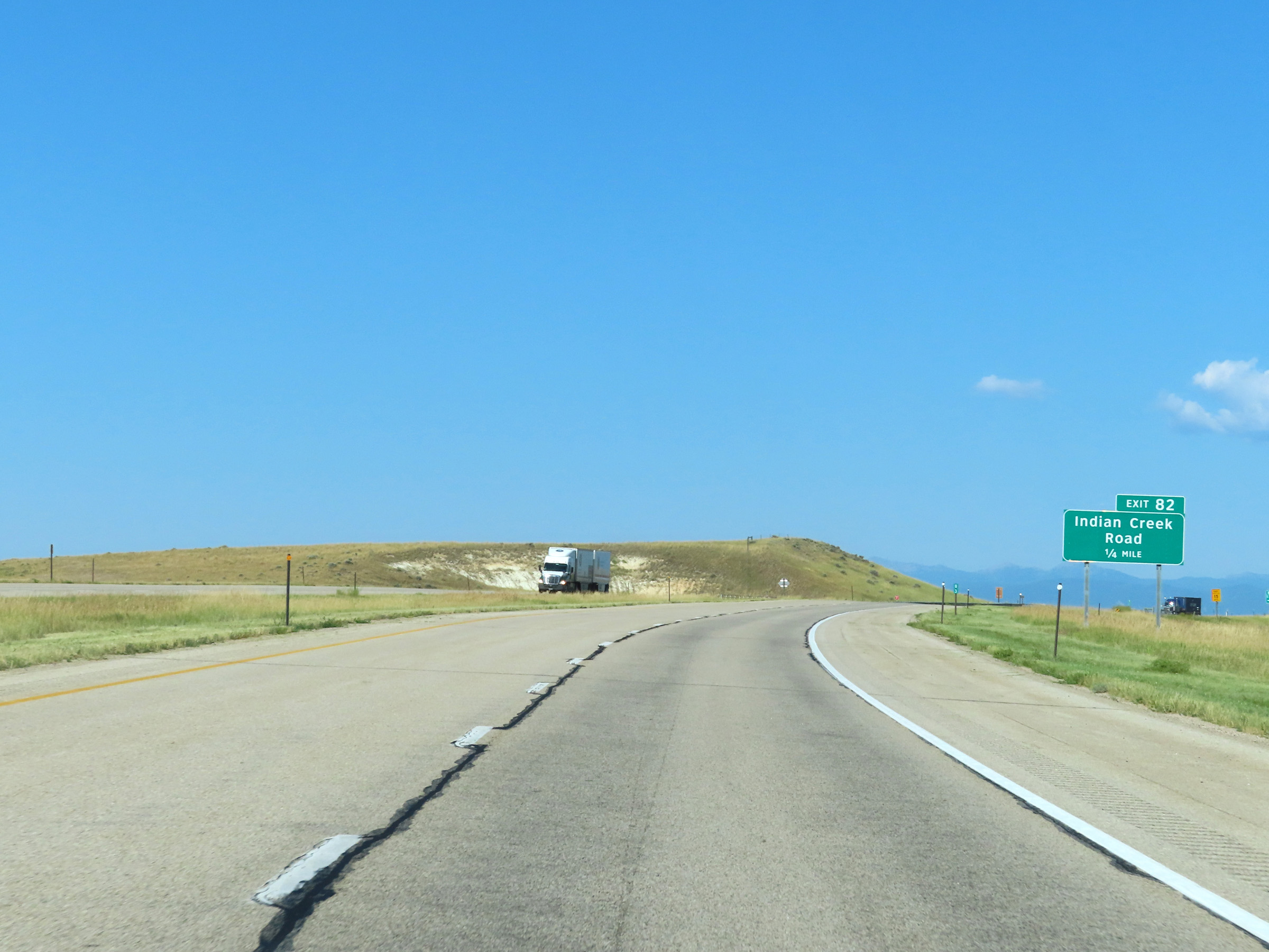
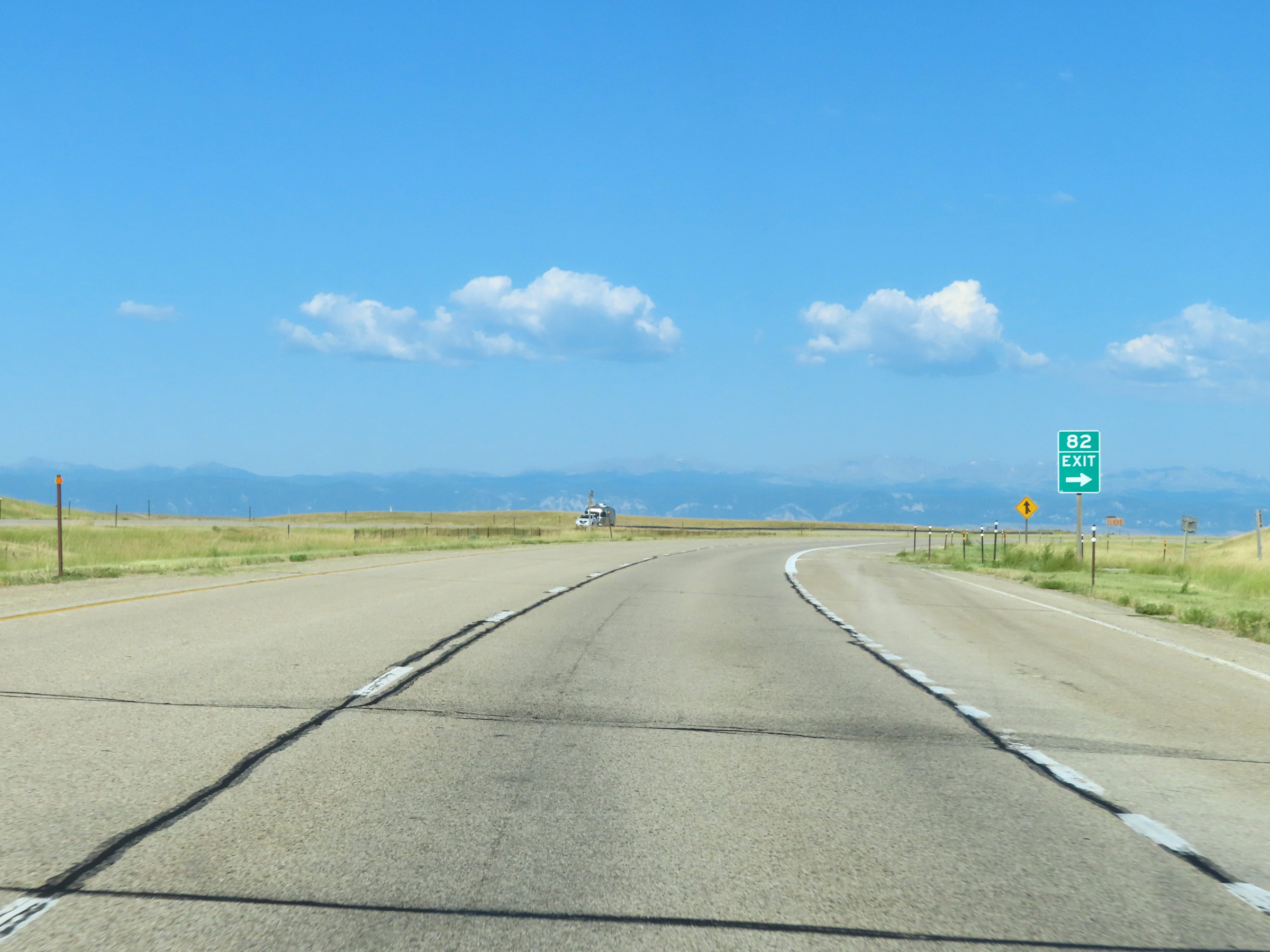 |
Interstate 90 West at Exit 82: Indian Creek Road (Photo taken 8/17/22). |
 |
View on Interstate 90 West at mile marker 81. (Photo taken 8/17/22). |
 |
Mile marker 79 on Interstate 90 West in Johnson County. (Photo taken 8/17/22). |
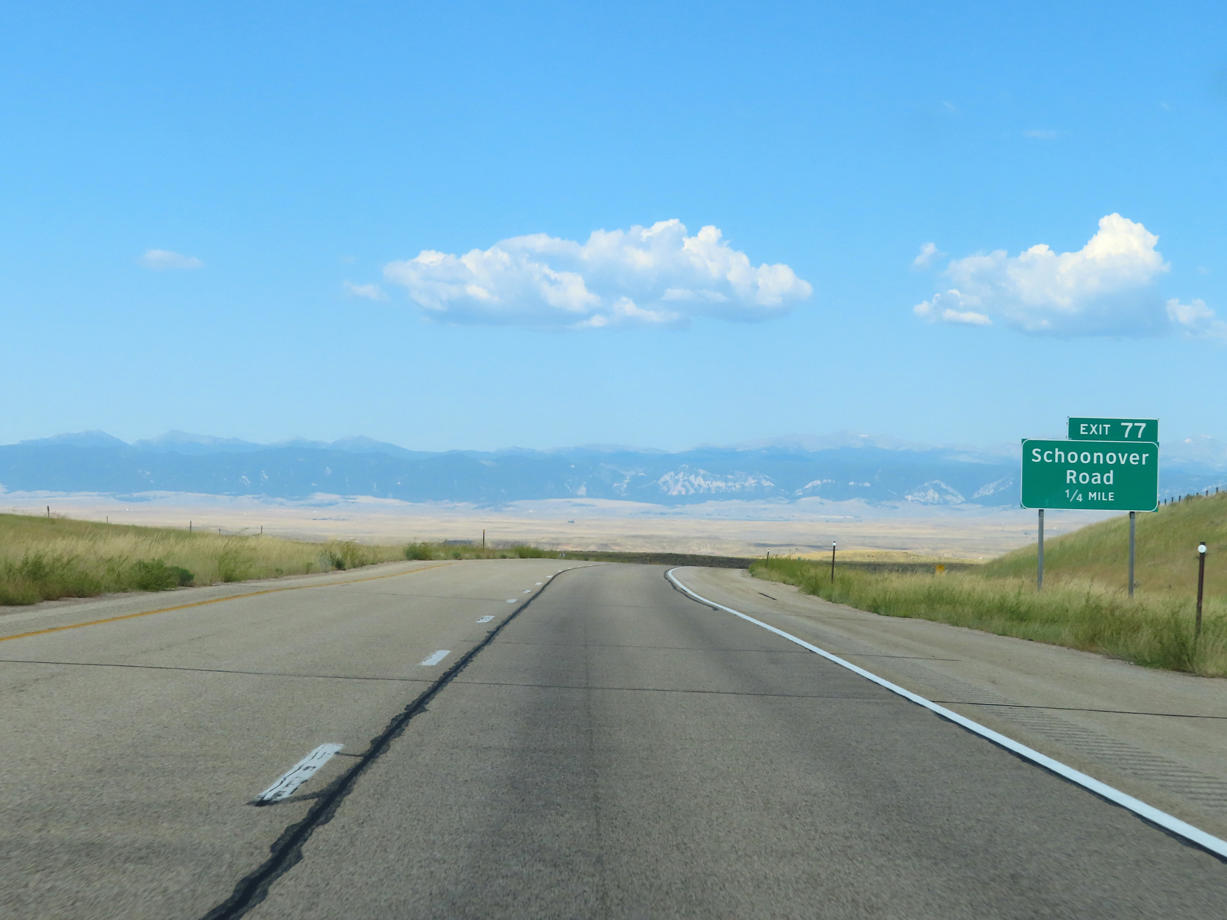 |
Interstate 90 West approaching Exit 77 - 1/4 mile. (Photo taken 8/17/22). |
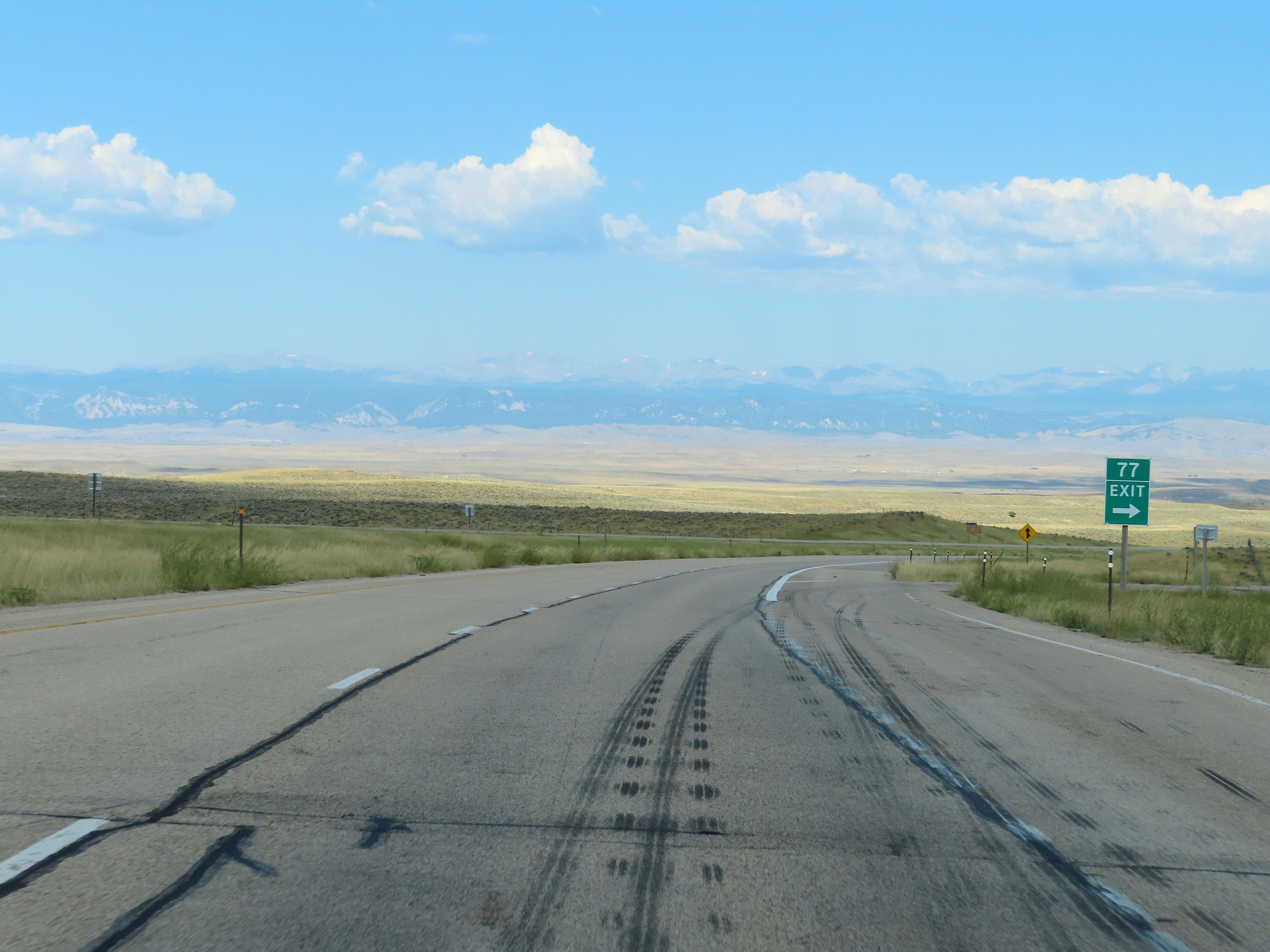 |
Interstate 90 West at Exit 77: Schoonover Road (Photo taken 8/17/22). |
 |
State-named Interstate 90 West reassurance shield in Johnson County. (Photo taken 8/17/22). |
 |
View on Interstate 90 West at mile marker 76. (Photo taken 8/17/22). |
 |
Interstate 90 West at mile marker 75. (Photo taken 8/17/22). |
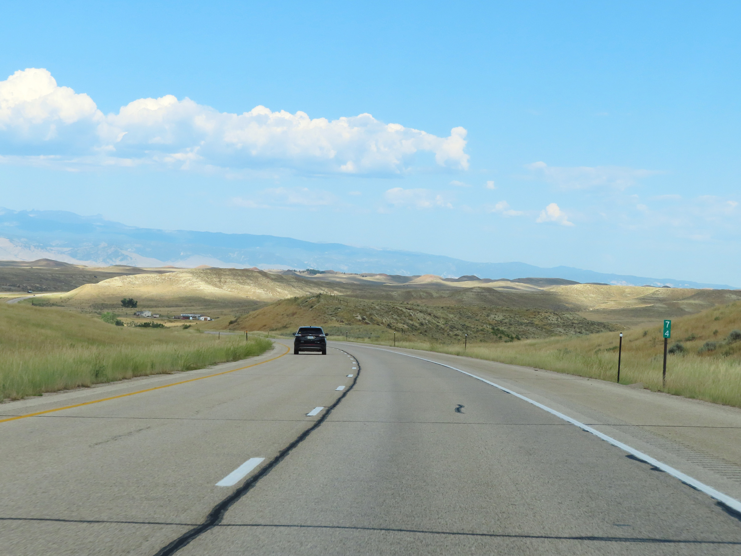 |
Mile marker 74 on Interstate 90 West in Johnson County. (Photo taken 8/17/22). |
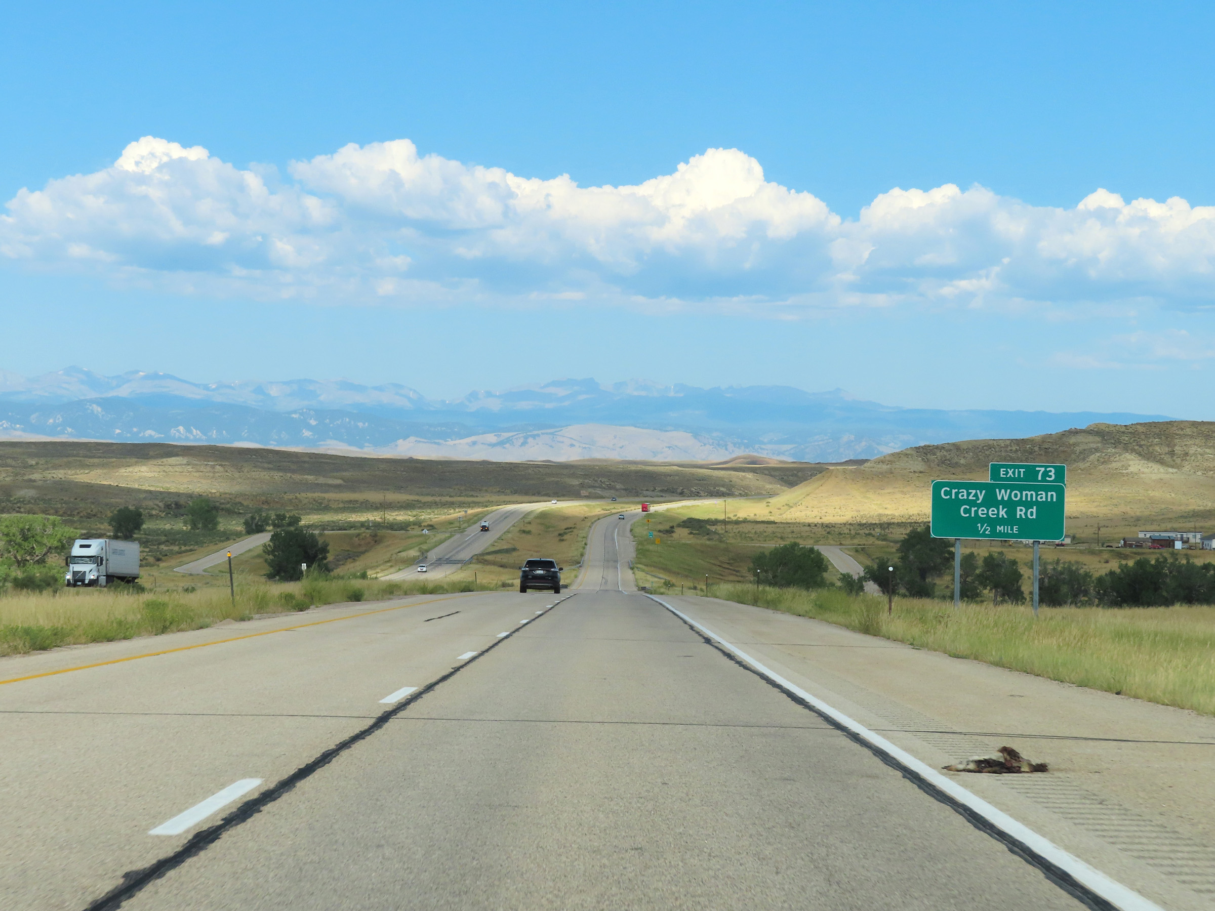 |
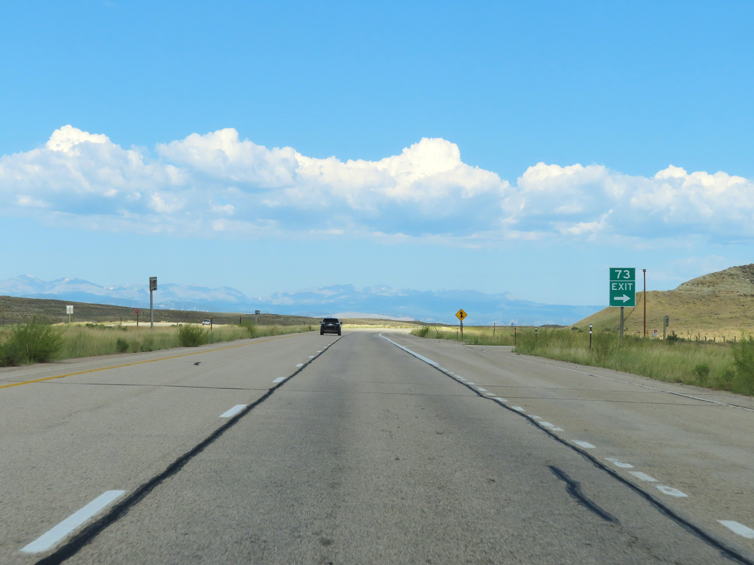
Interstate 90 West approaching Exit 73 - 1/2 mile. (Photo taken 8/17/22). |
 |
Interstate 90 West at Exit 73: Crazy Woman Creek Rd (Photo taken 8/17/22). |
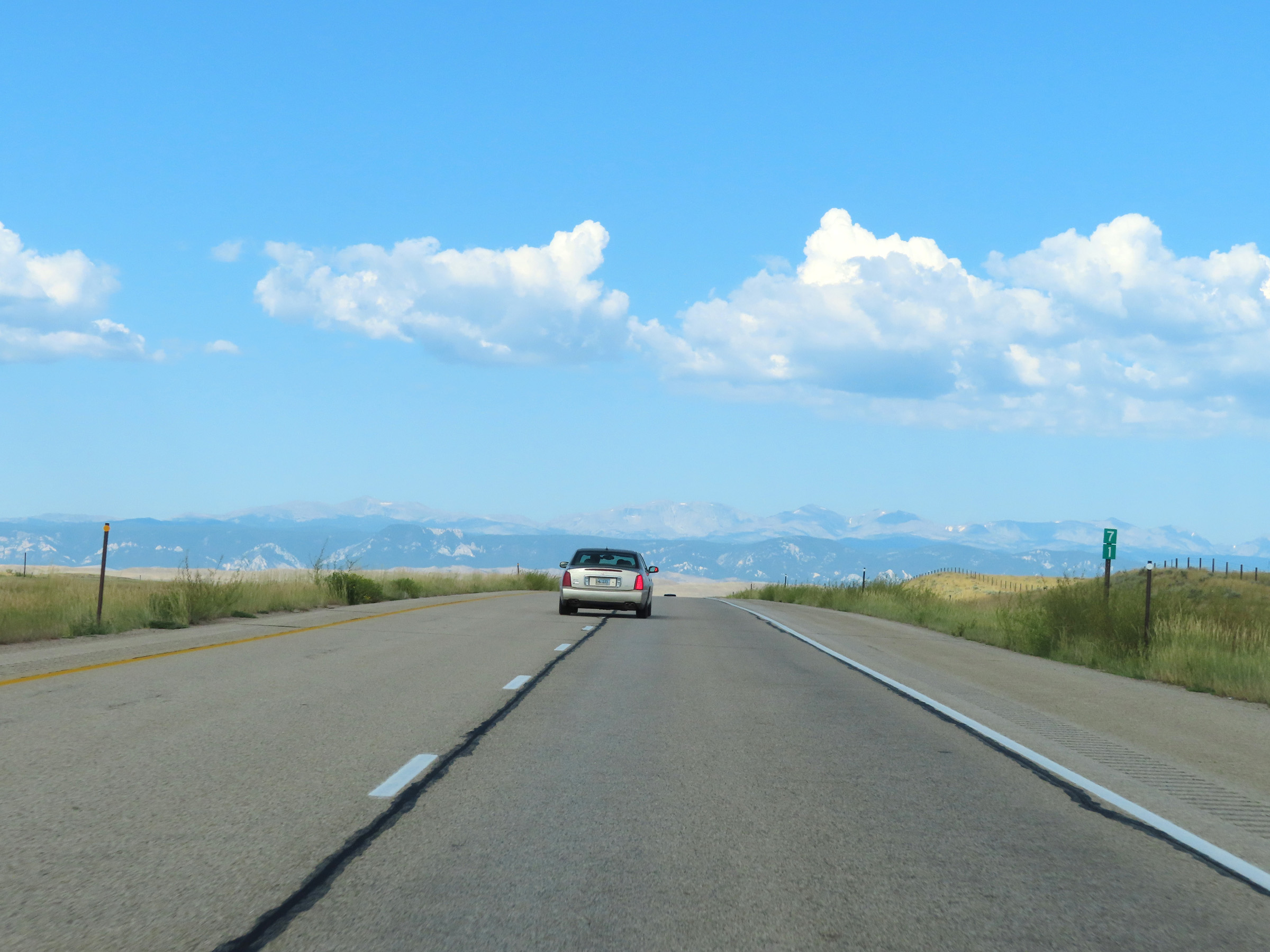 |
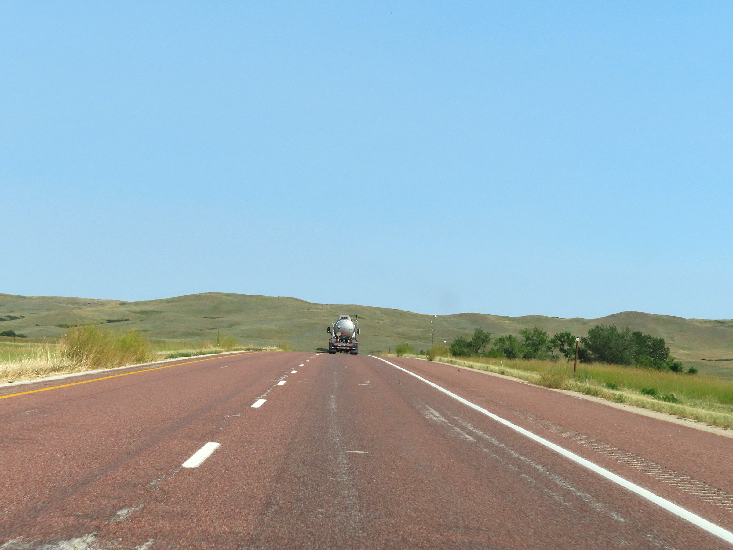
View on Interstate 90 West at mile marker 71, as the Big Horn Mountains begin to come into frame. (Photo taken 8/17/22). |
 |
Interstate 90 West approaching Exit 69 - 1/4 mile. (Photo taken 8/17/22). |
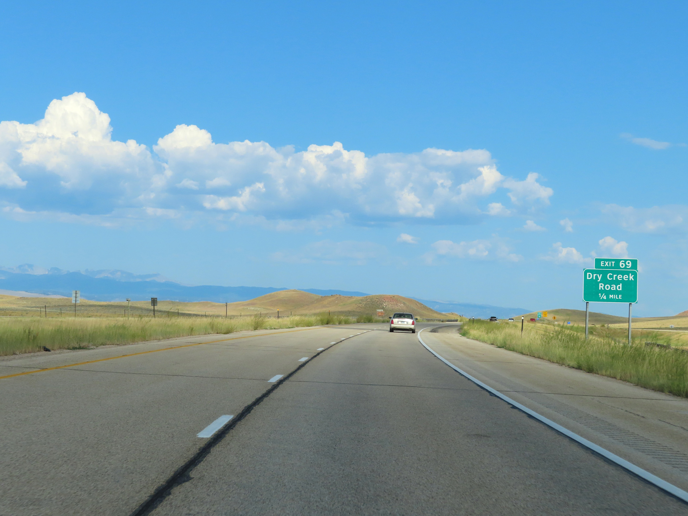
 |
Interstate 90 West at Exit 69: Dry Creek Road (Photo taken 8/17/22). |
 |
Parking Area on Interstate 90 West in Johnson County. (Photo taken 8/17/22). |
 |
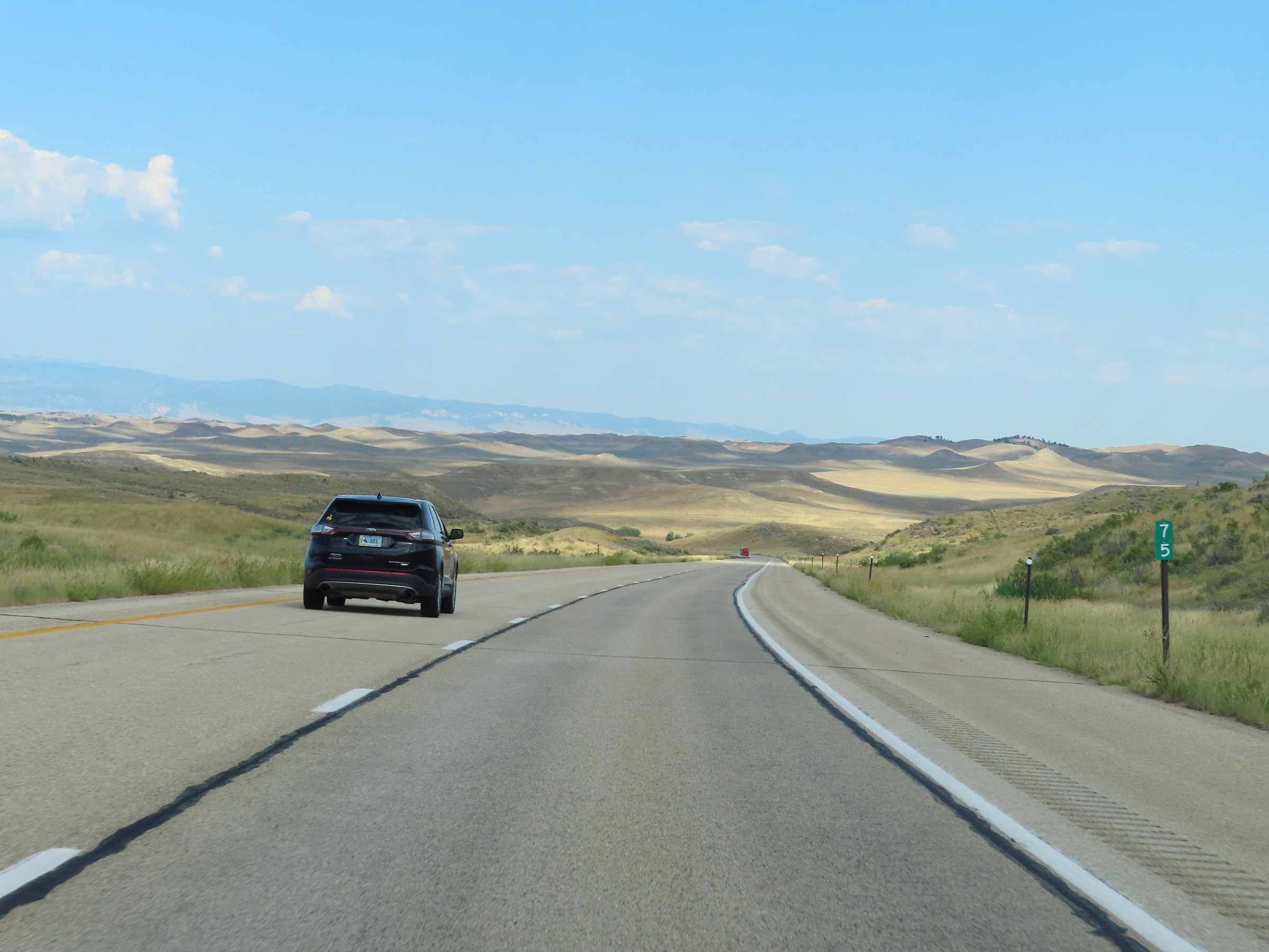
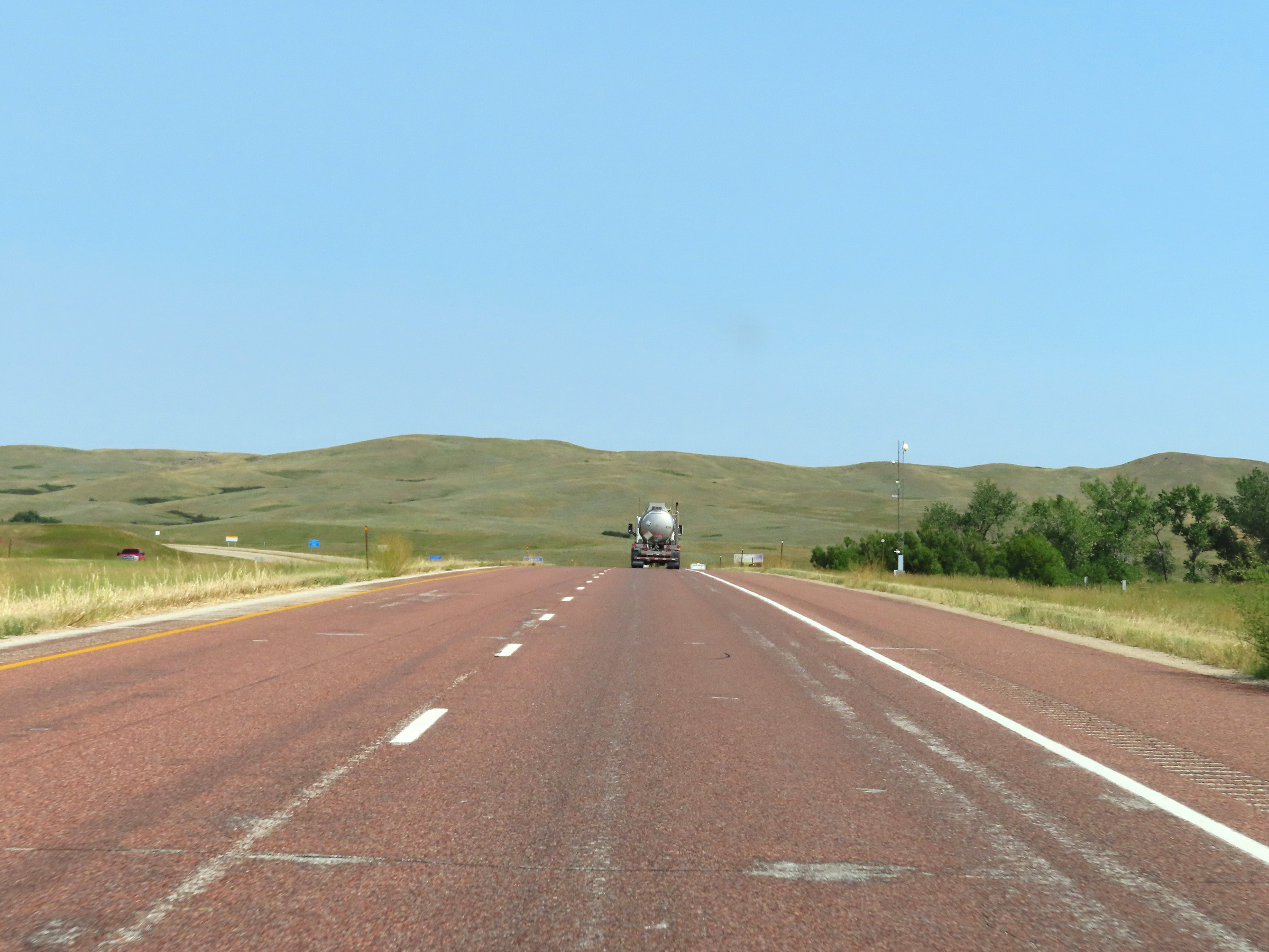
Interstate 90 West at mile marker 68, with the Bighorn Mountains coming into view in the background. (Photo taken 8/17/22). |
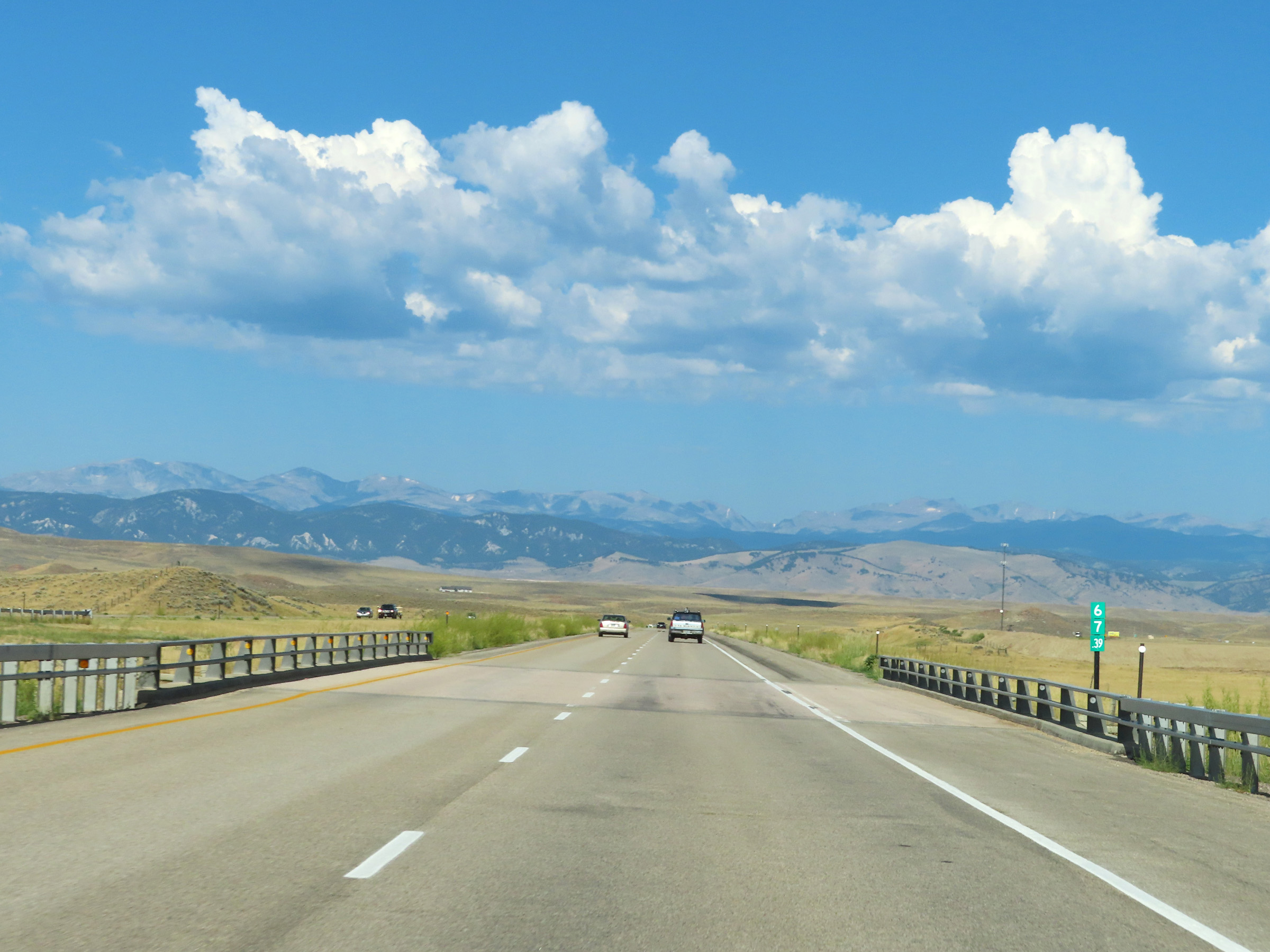 |
Mile marker 67.39 on Interstate 90 West in Johnson County. (Photo taken 8/17/22). |
 |
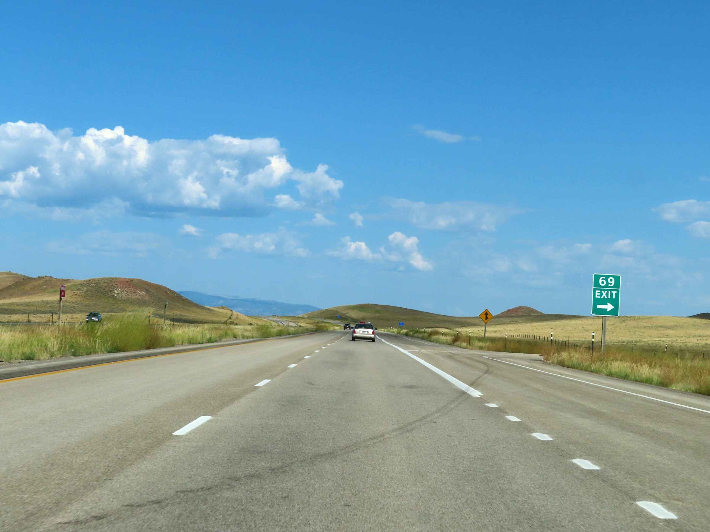
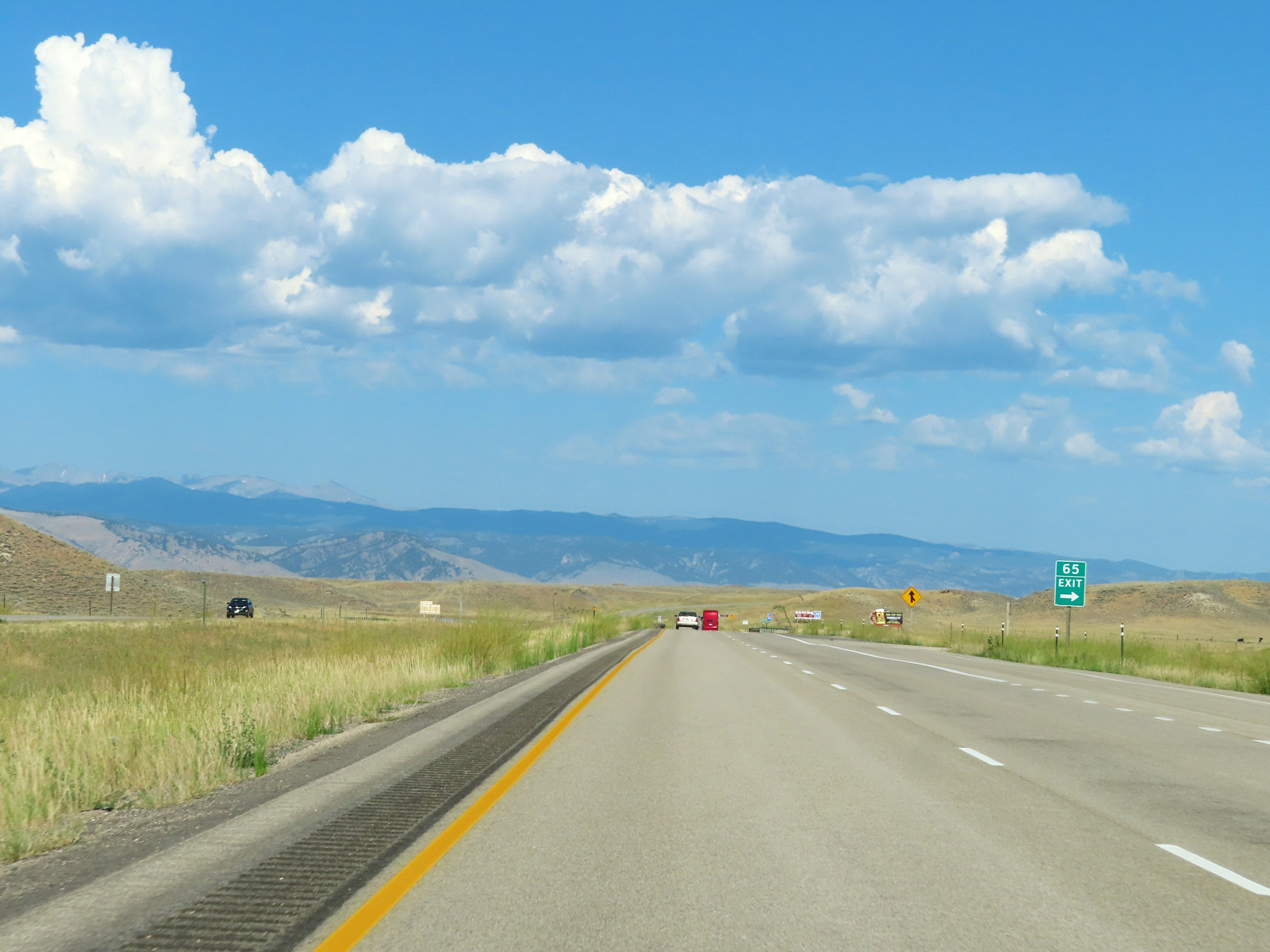
Interstate 90 West approaching Exit 65 - 1/4 mile. (Photo taken 8/17/22). |
 |
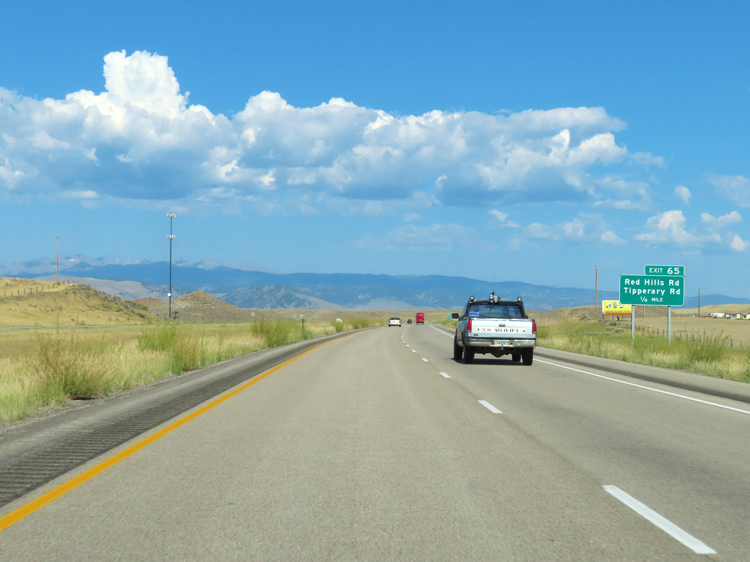
Interstate 90 West at Exit 65: Red Hills Rd / Tipperary Rd (Photo taken 8/17/22). |
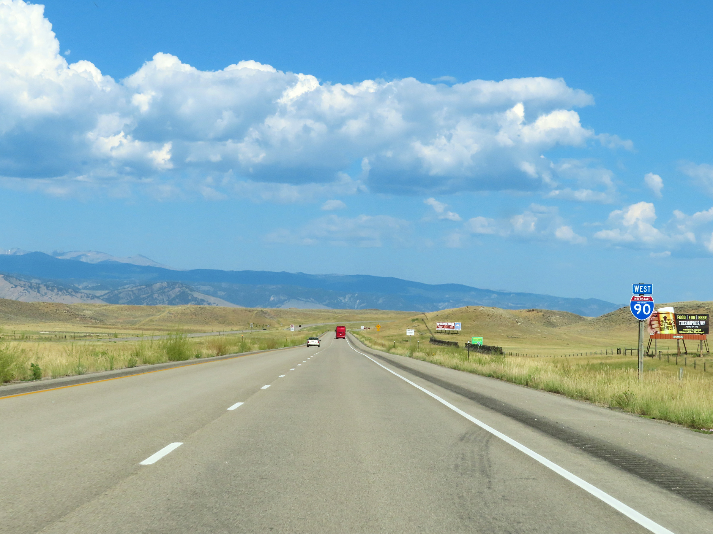 |
State-named Interstate 90 West reassurance shield on Interstate 90 West in Johnson County. (Photo taken 8/17/22). |
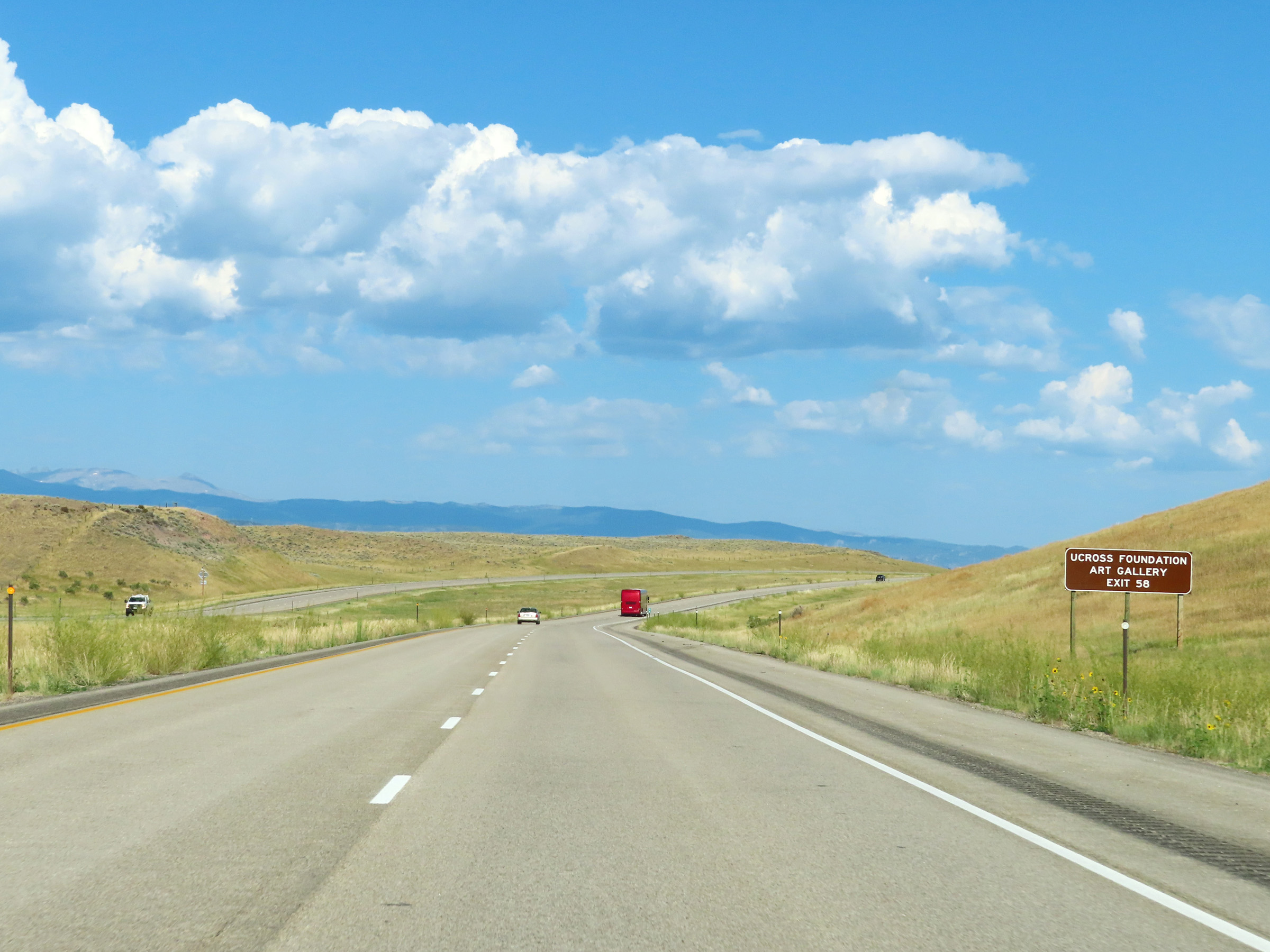 |
Take Exit 58 to the Ucross Foundation Art Gallery. (Photo taken 8/17/22). |
 |
View on Interstate 90 West at mile marker 64. (Photo taken 8/17/22). |
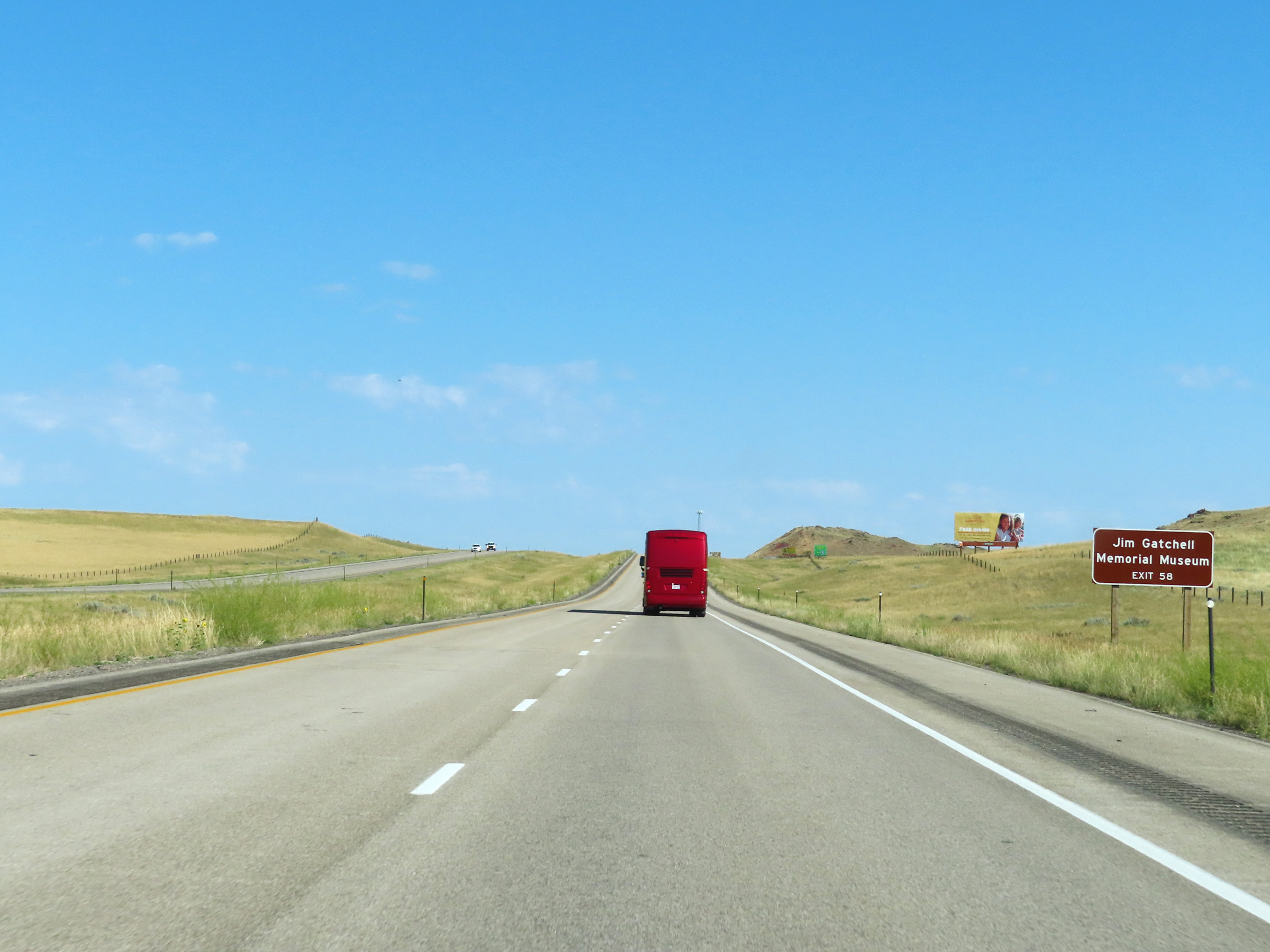 |
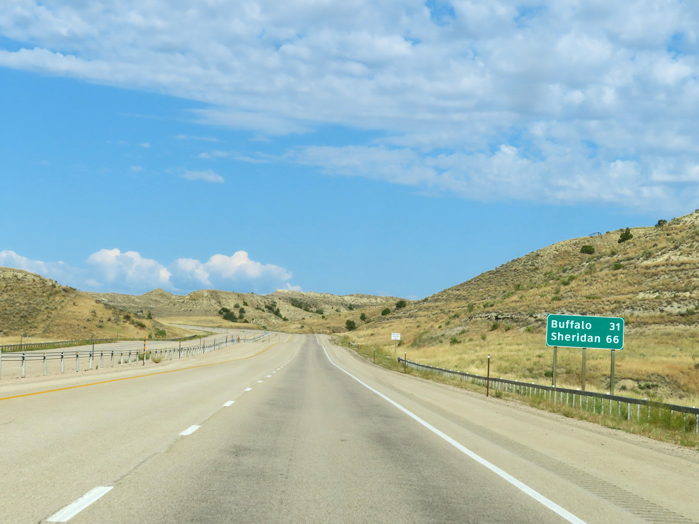
Also take Exit 58 to Jim Gatchell Memorial Museum. (Photo taken 8/17/22). |
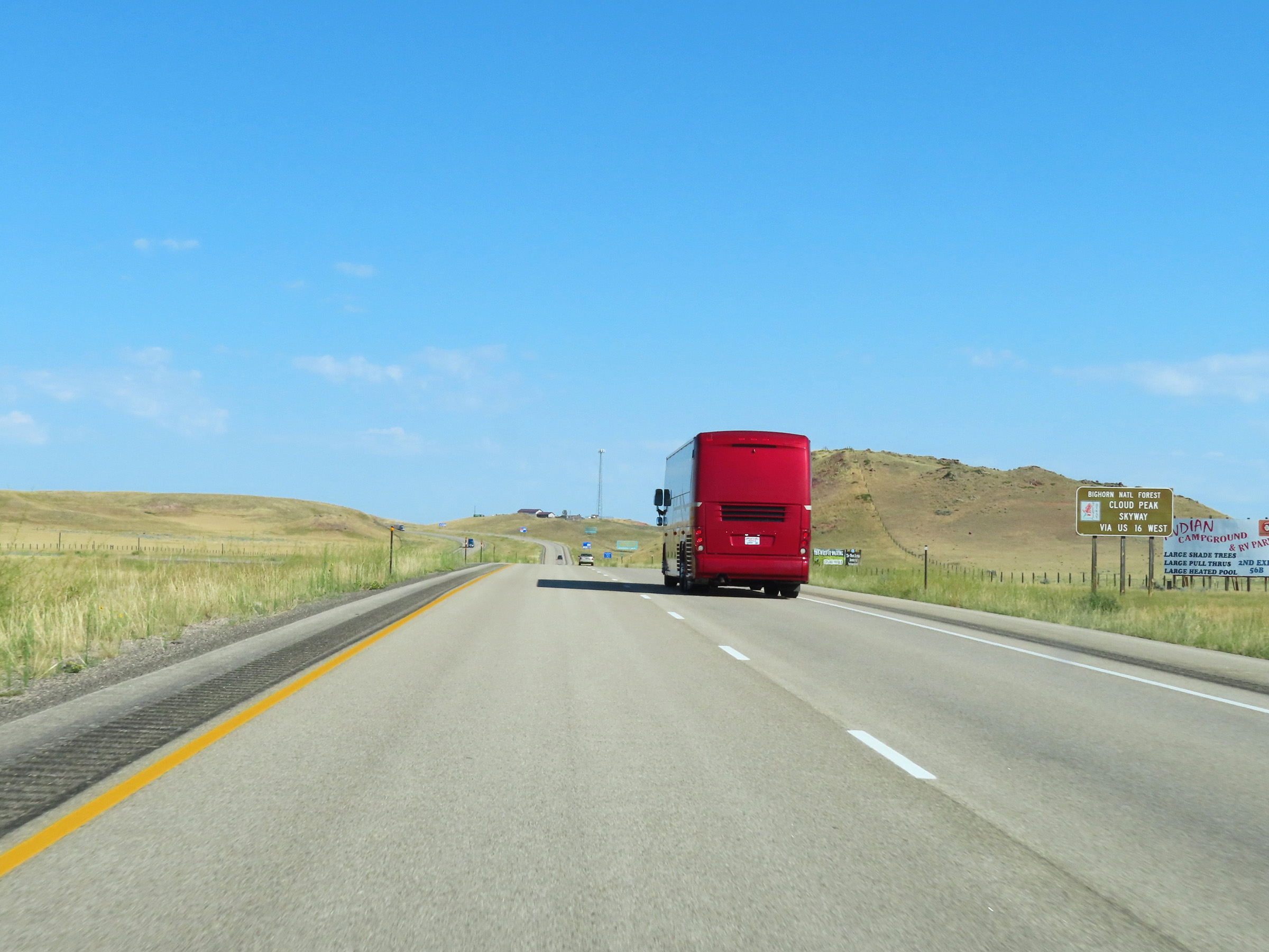 |
Follow US 16 West via Exit 58 to the Cloud Peak Skyway Scenic Byway. (Photo taken 8/17/22). |
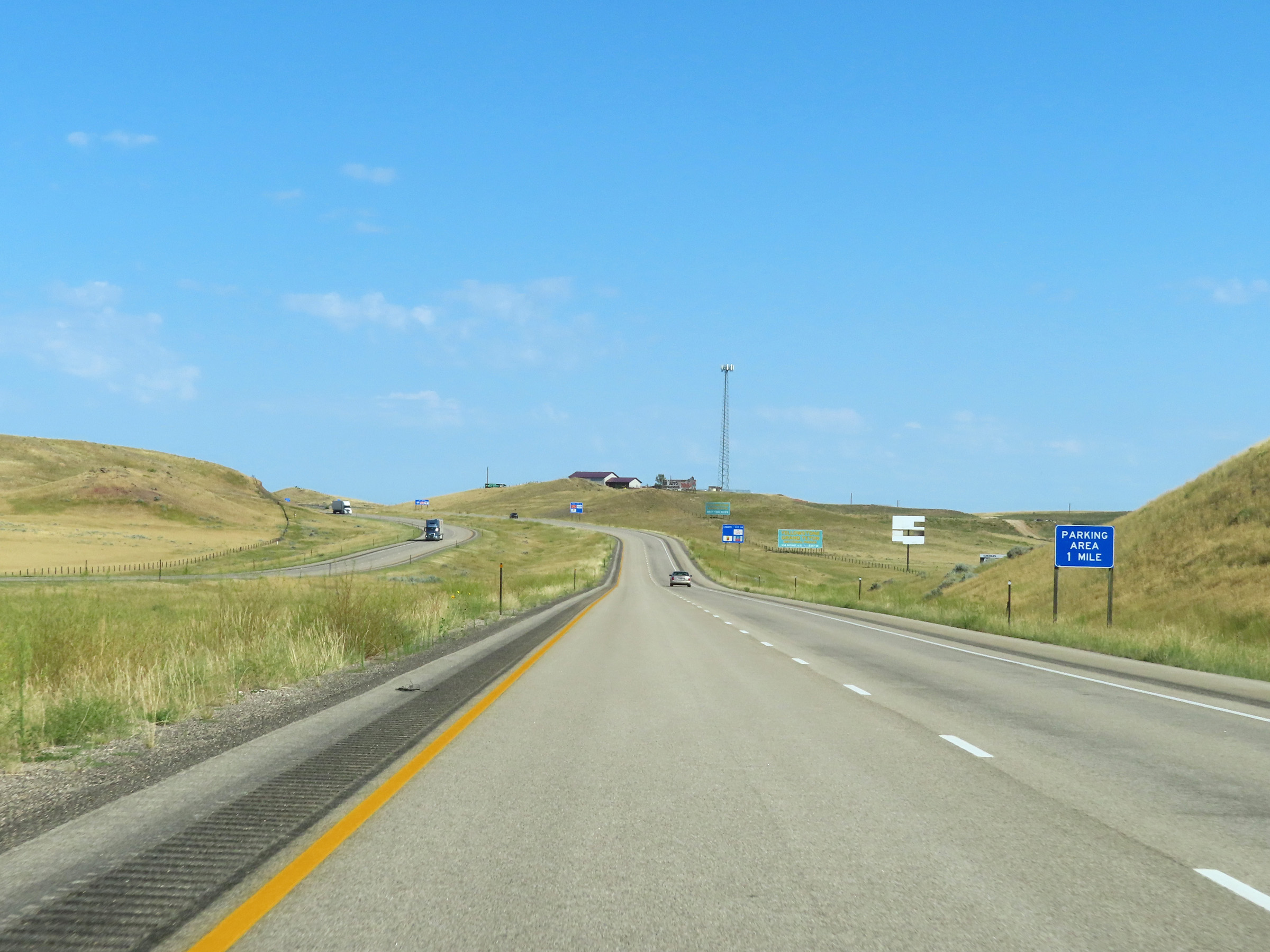 |
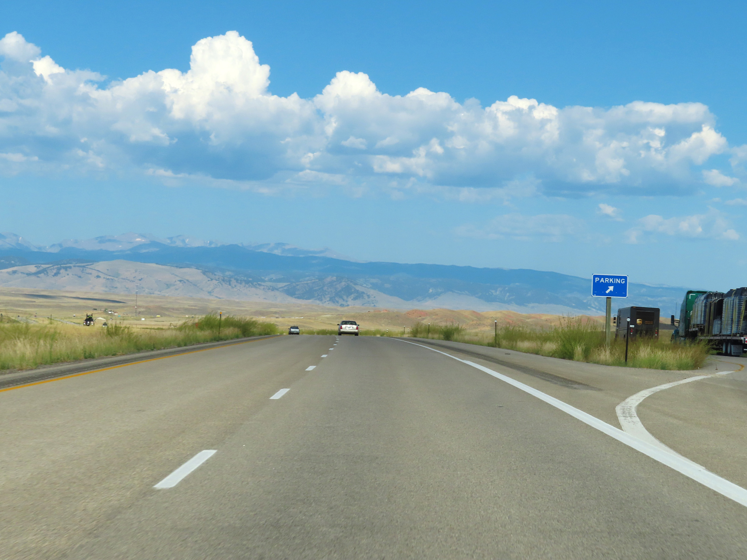
Another Parking Area exists 1 mile ahead on Interstate 90 West. (Photo taken 8/17/22). |
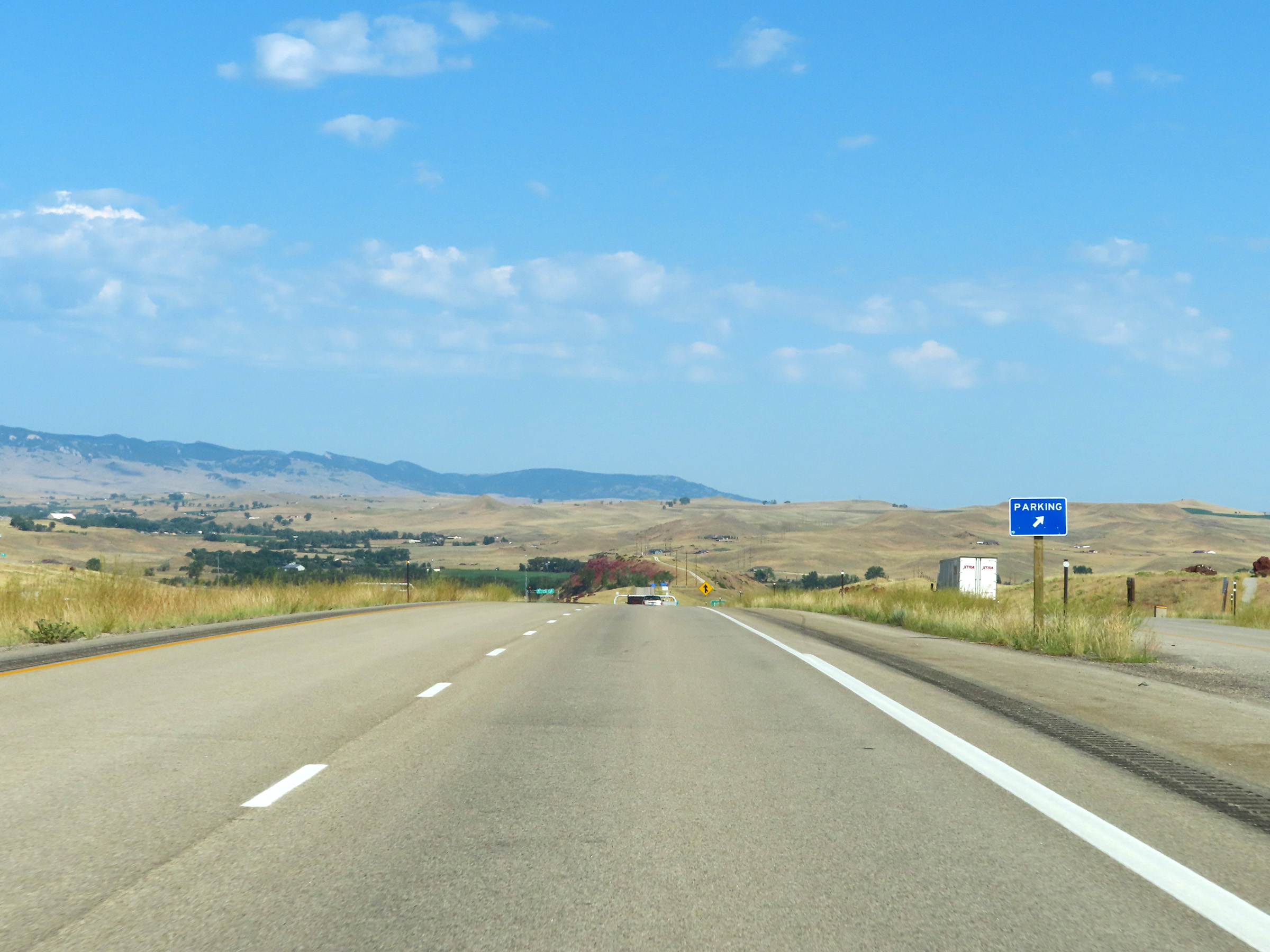 |
Parking Area on Interstate 90 West in Johnson County, approaching the Buffalo area. (Photo taken 8/17/22). |
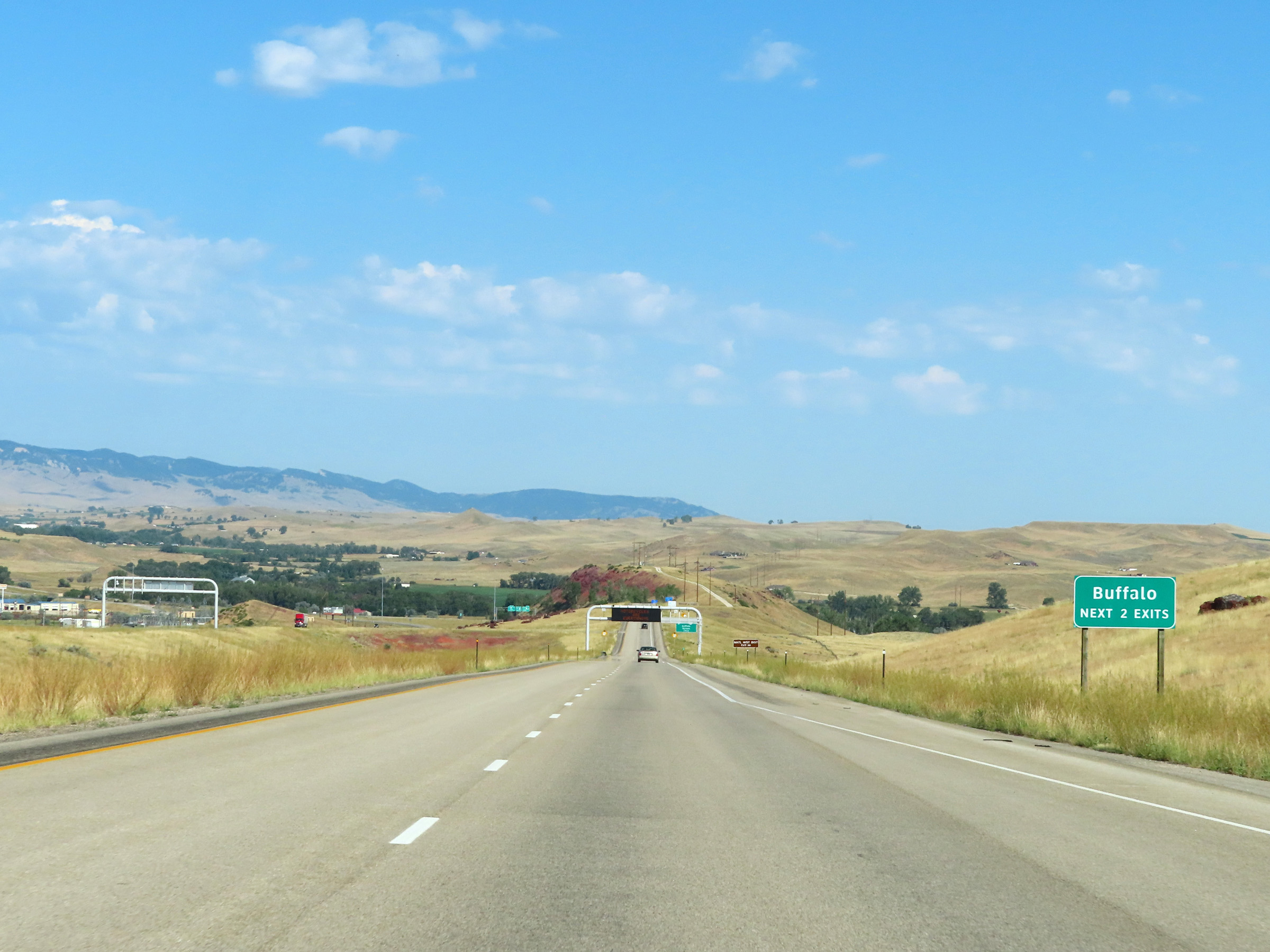 |
Take either of the next 2 exits to Buffalo. (Photo taken 8/17/22). |
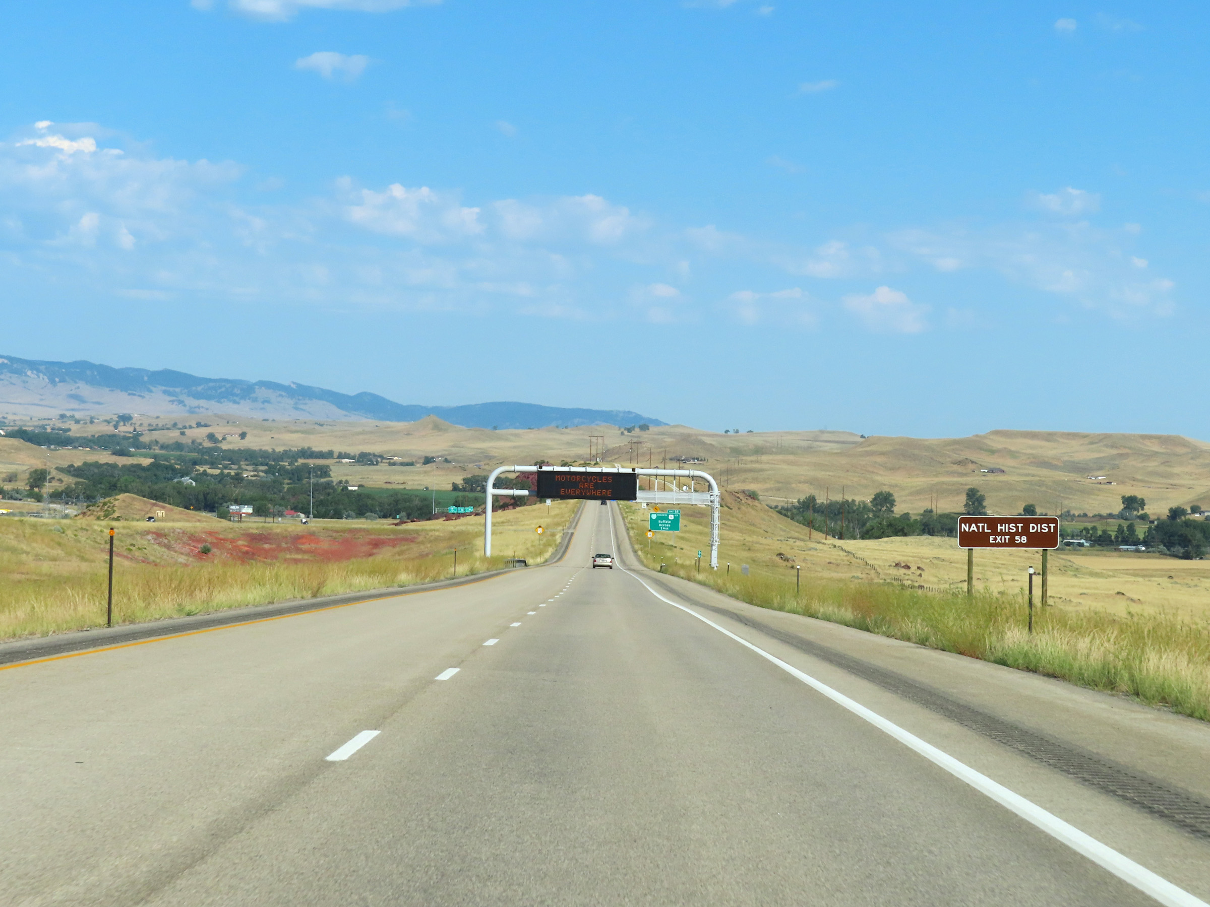 |
Take Exit 58 to the Buffalo National Historic District. (Photo taken 8/17/22). |
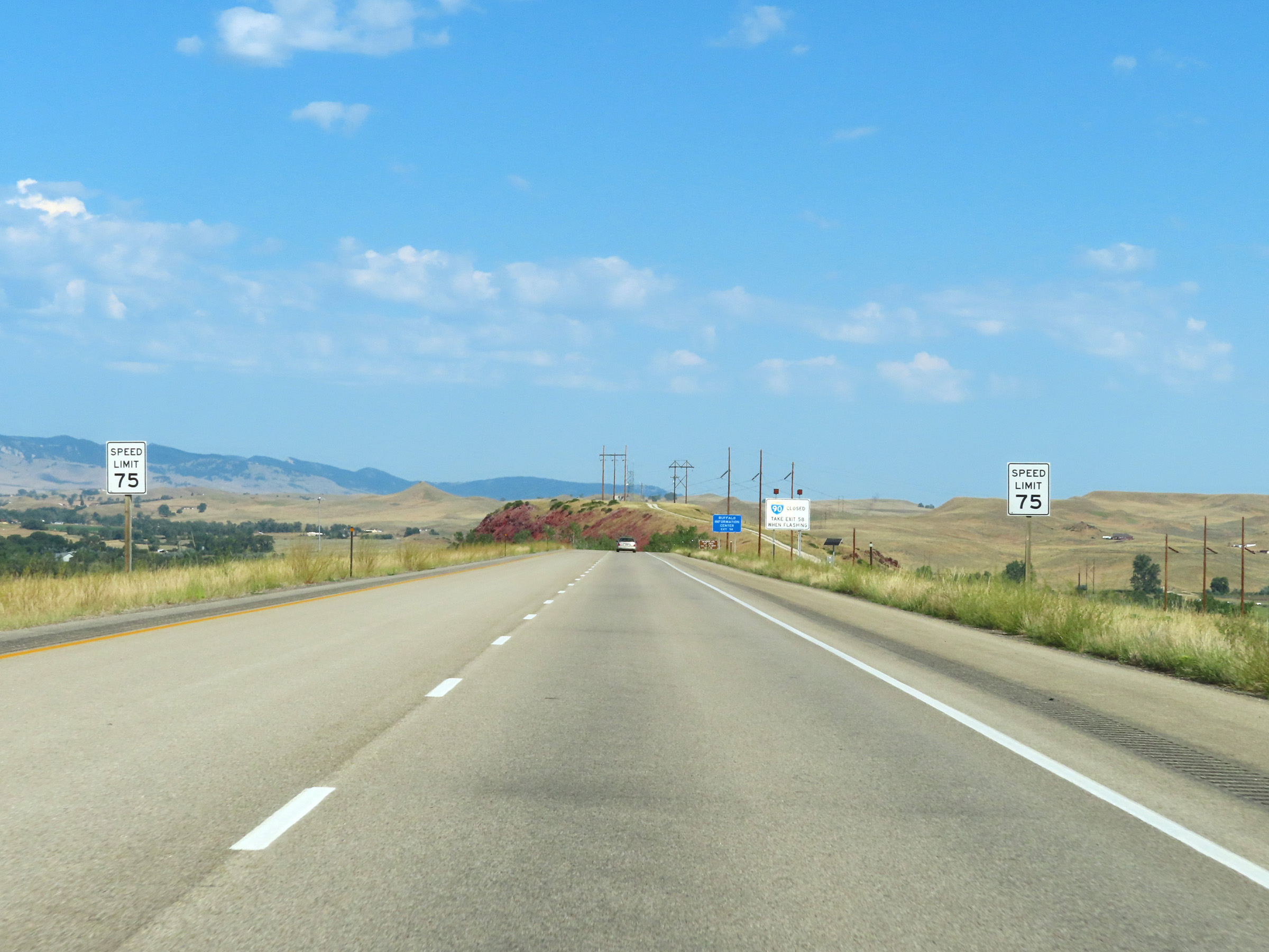 |
Approaching Buffalo, the speed limit once again decreases slightly to 75 mph. (Photo taken 8/17/22). |
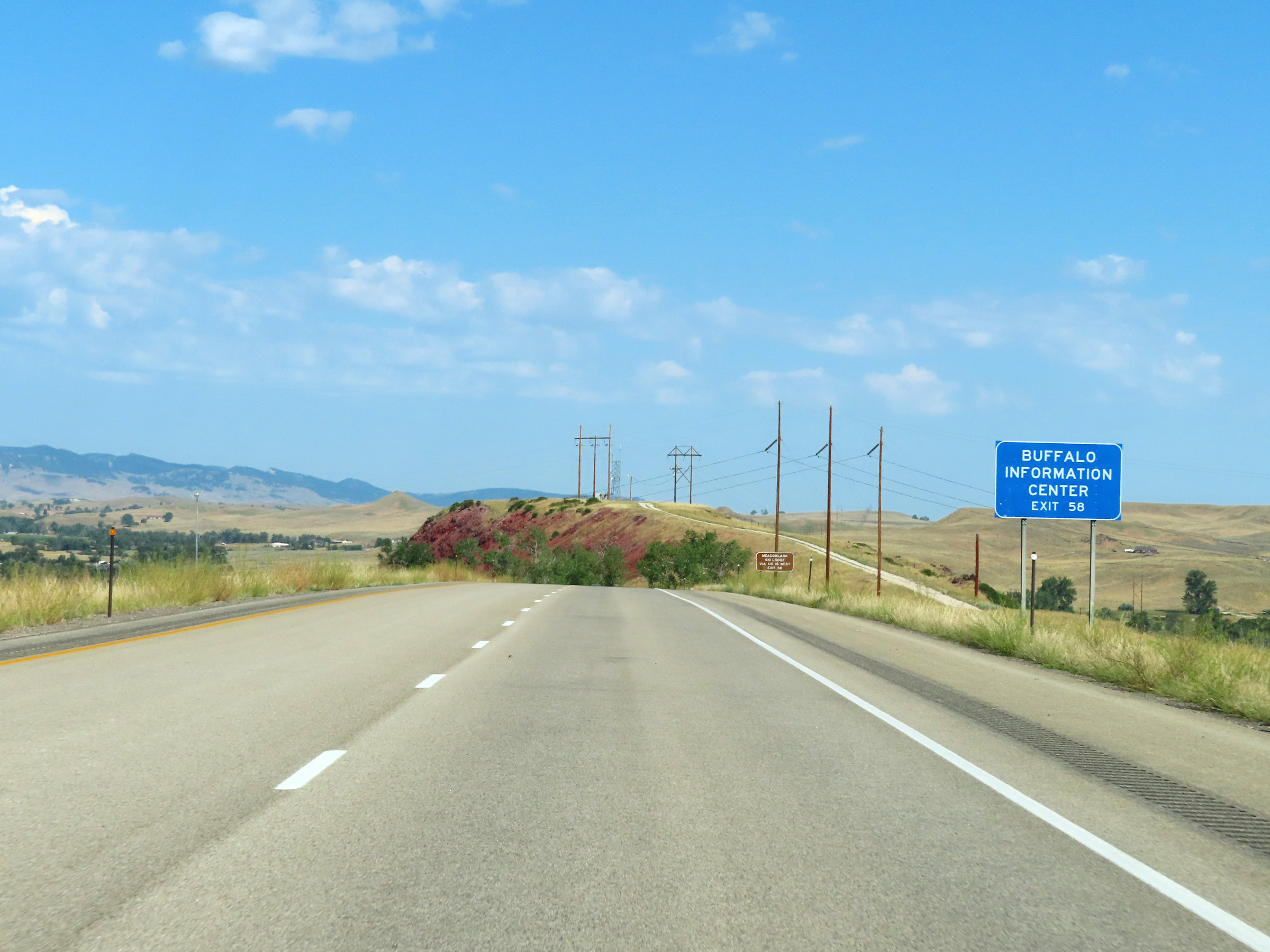 |
Take Exit 58 to an Information Center for Buffalo. (Photo taken 8/17/22). |
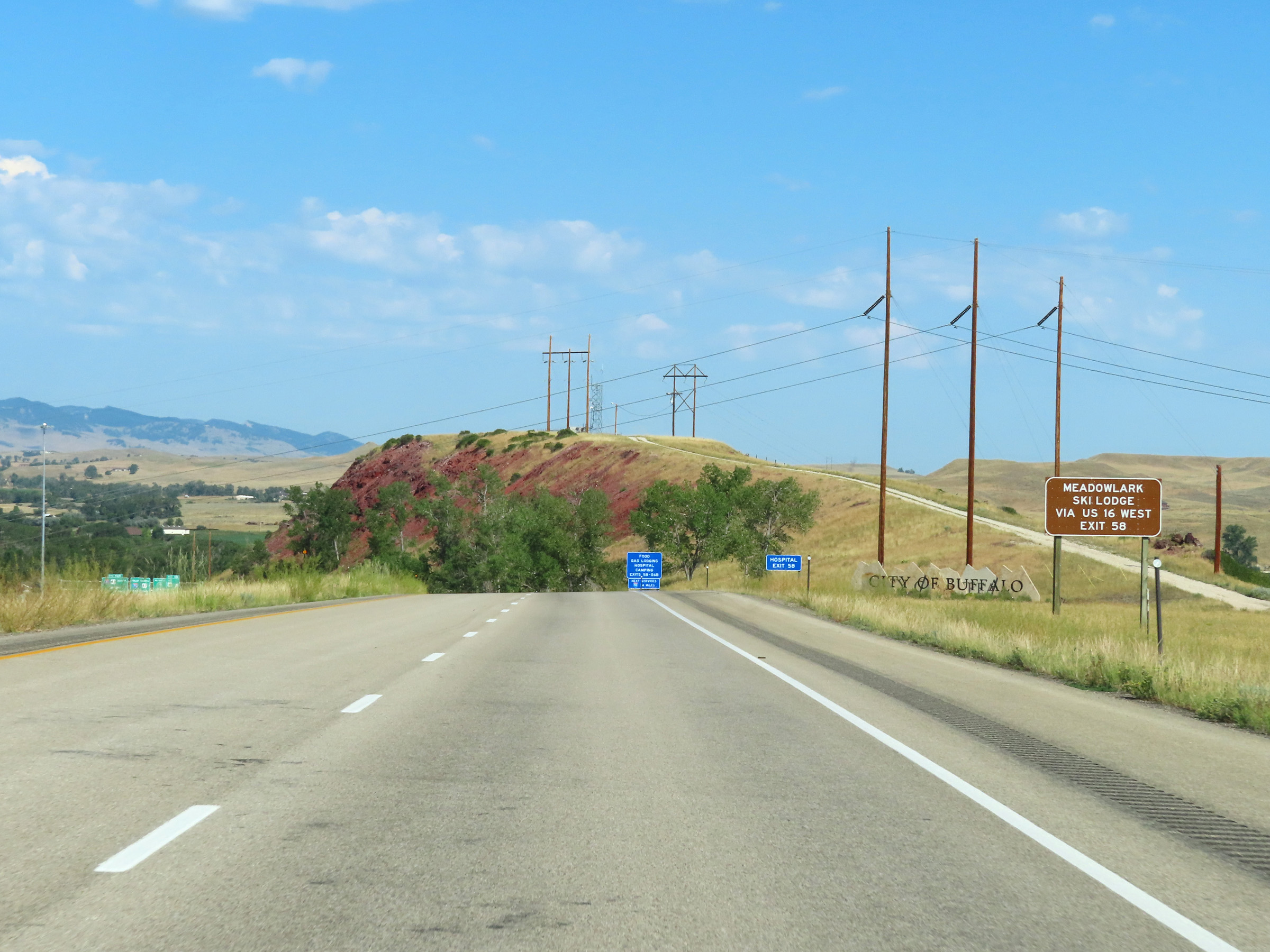 |
Traffic to Meadowlark Ski Lodge should follow US 16 West via Exit 58. (Photo taken 8/17/22). |
 |
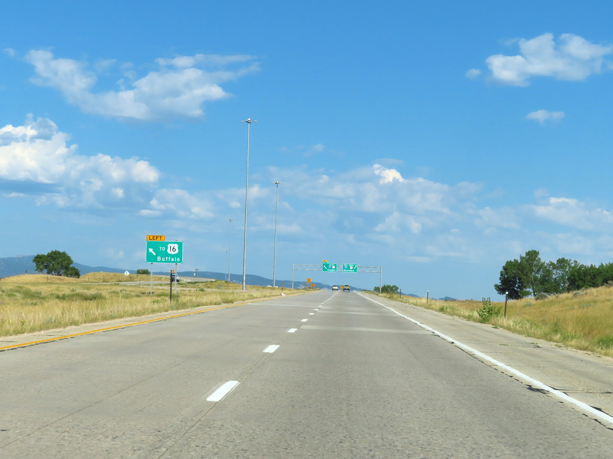
Interstate 90 West at Exit 58: Interstate 90 Business Loop West / US 16 - Buffalo / Ucross (Photo taken 8/17/22). |
Section 4: Buffalo (Exit 58) to Sheridan (Exit 25)
 |
Interstate 90 West approaching Exit 56B - 3/4 mile on the left. (Photo taken 8/17/22). |
 |
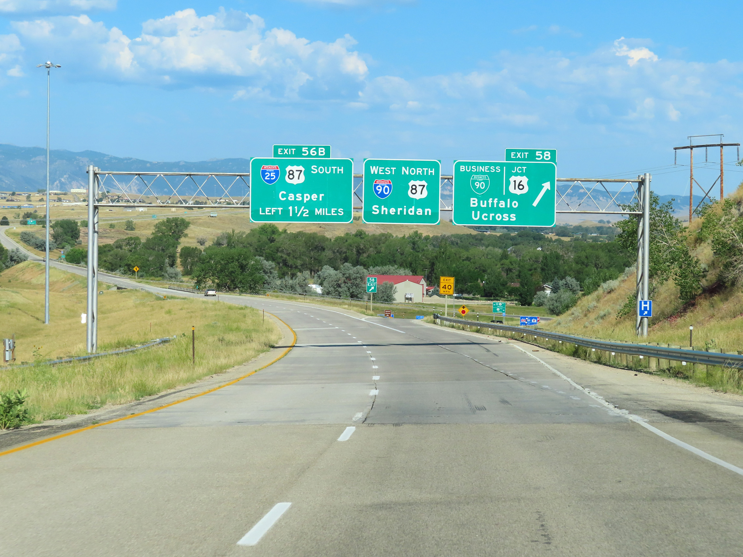
Take Exit 56B (Interstate 25 South) to get to US 16 in downtown Buffalo. (Photo taken 8/17/22). |
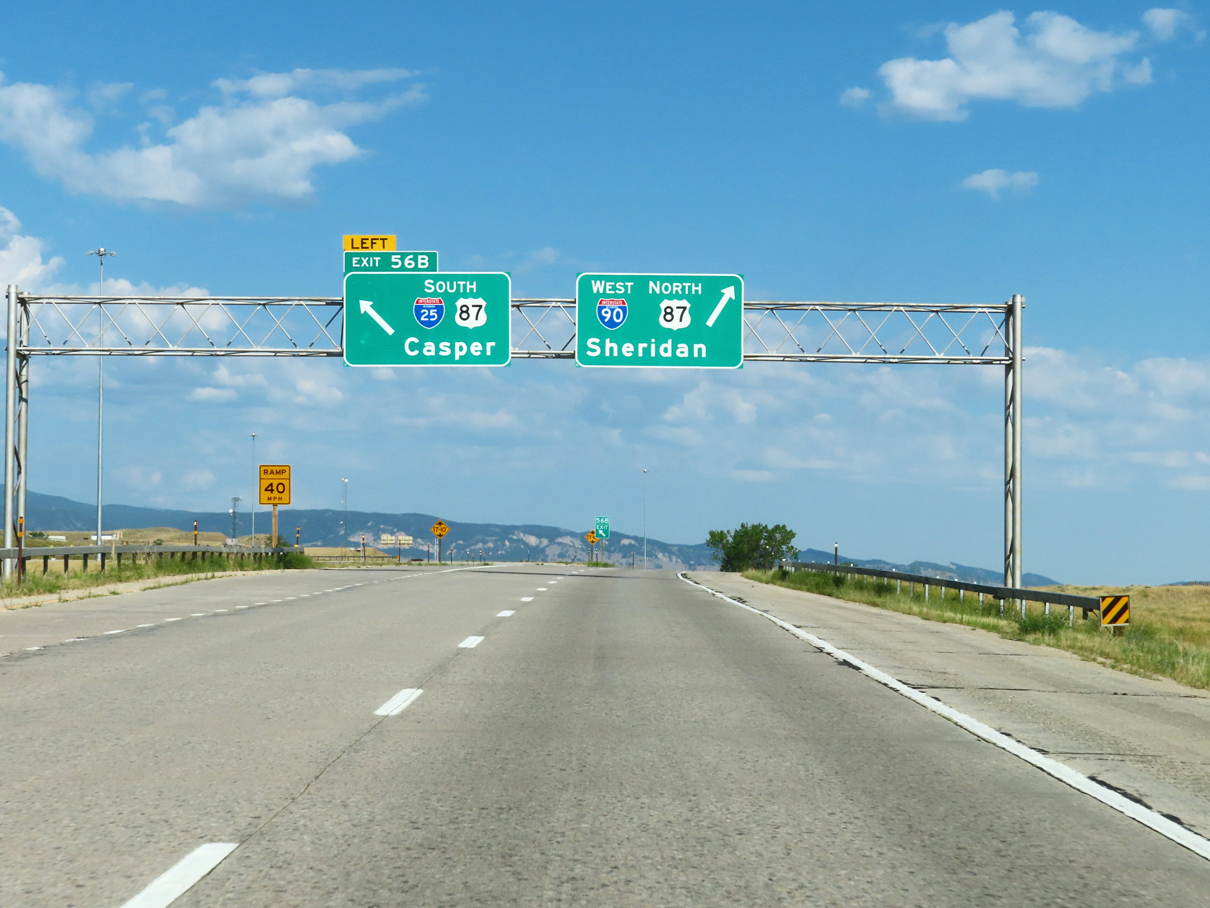 |
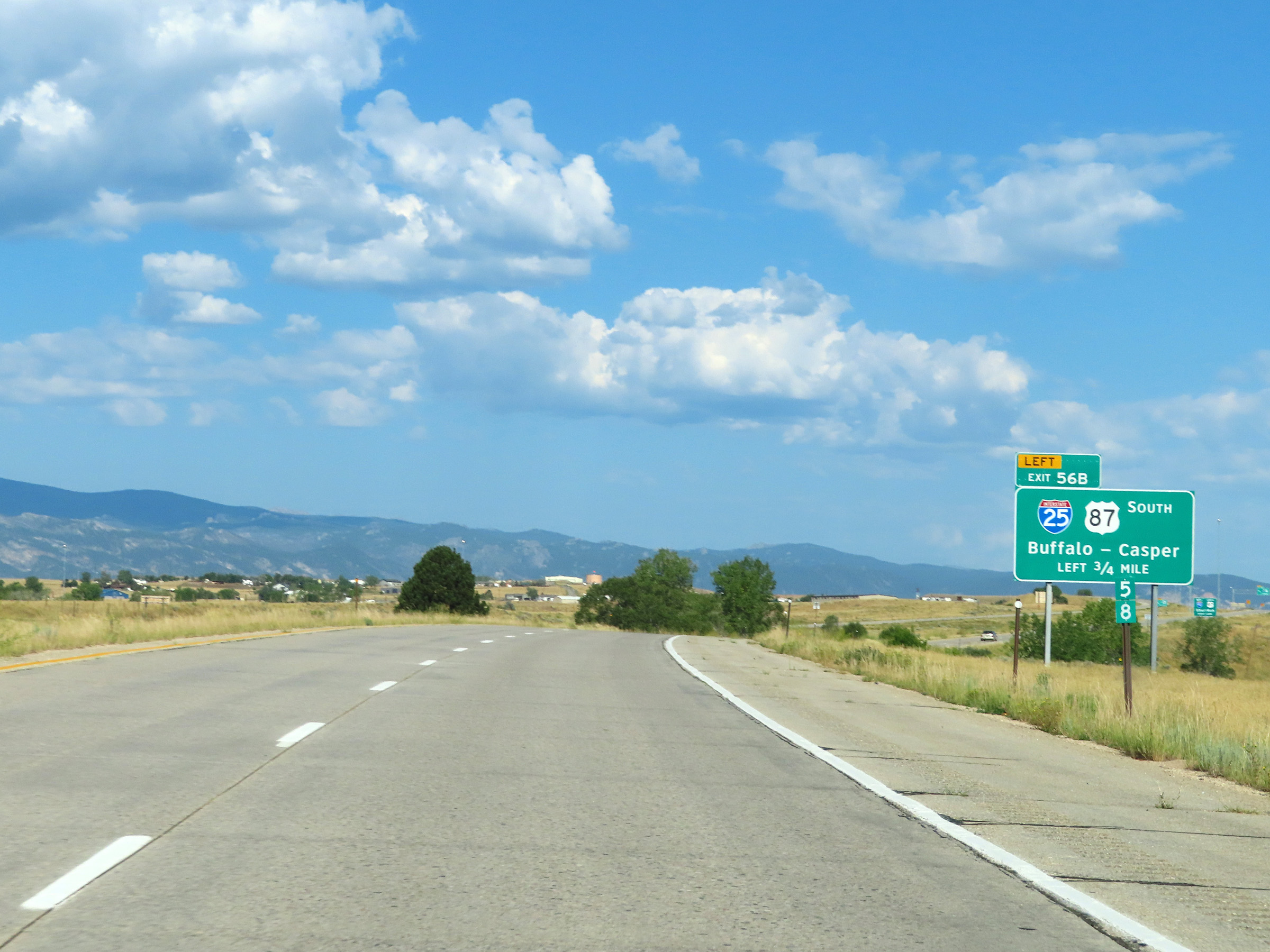
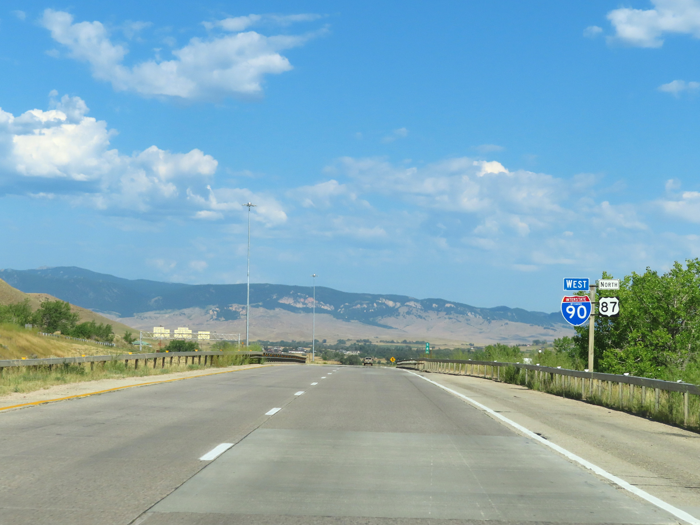
Interstate 90 West at Exit 56B: Interstate 25 South / US 87 South - Casper (Photo taken 8/17/22). |
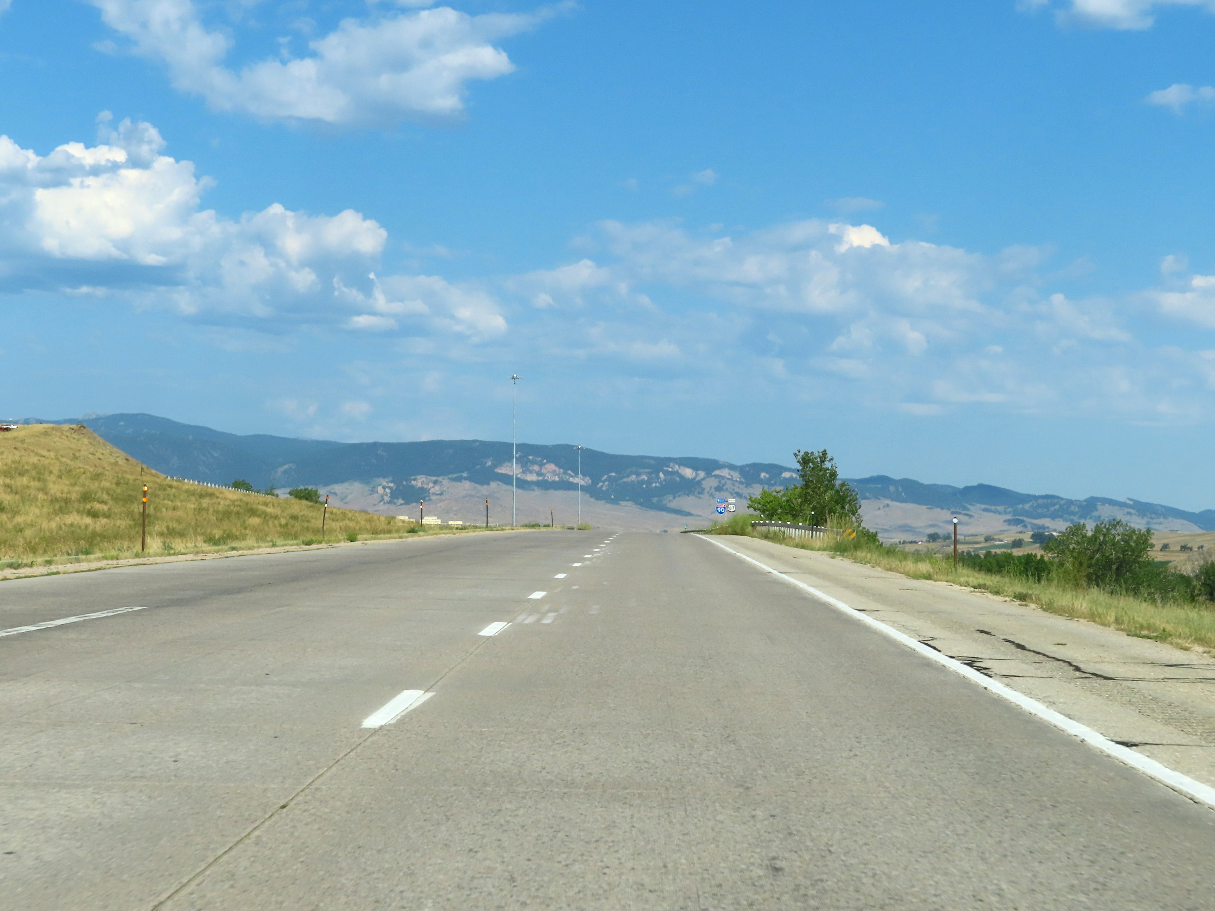 |
View on Interstate 90 West as the ramp from Interstate 25 North to I-90 West merges in on the left. (Photo taken 8/17/22). |
 |
State-named Interstate 90 West reassurance shield west of the junction of Interstate 25 in Buffalo. (Photo taken 8/17/22). |
 |
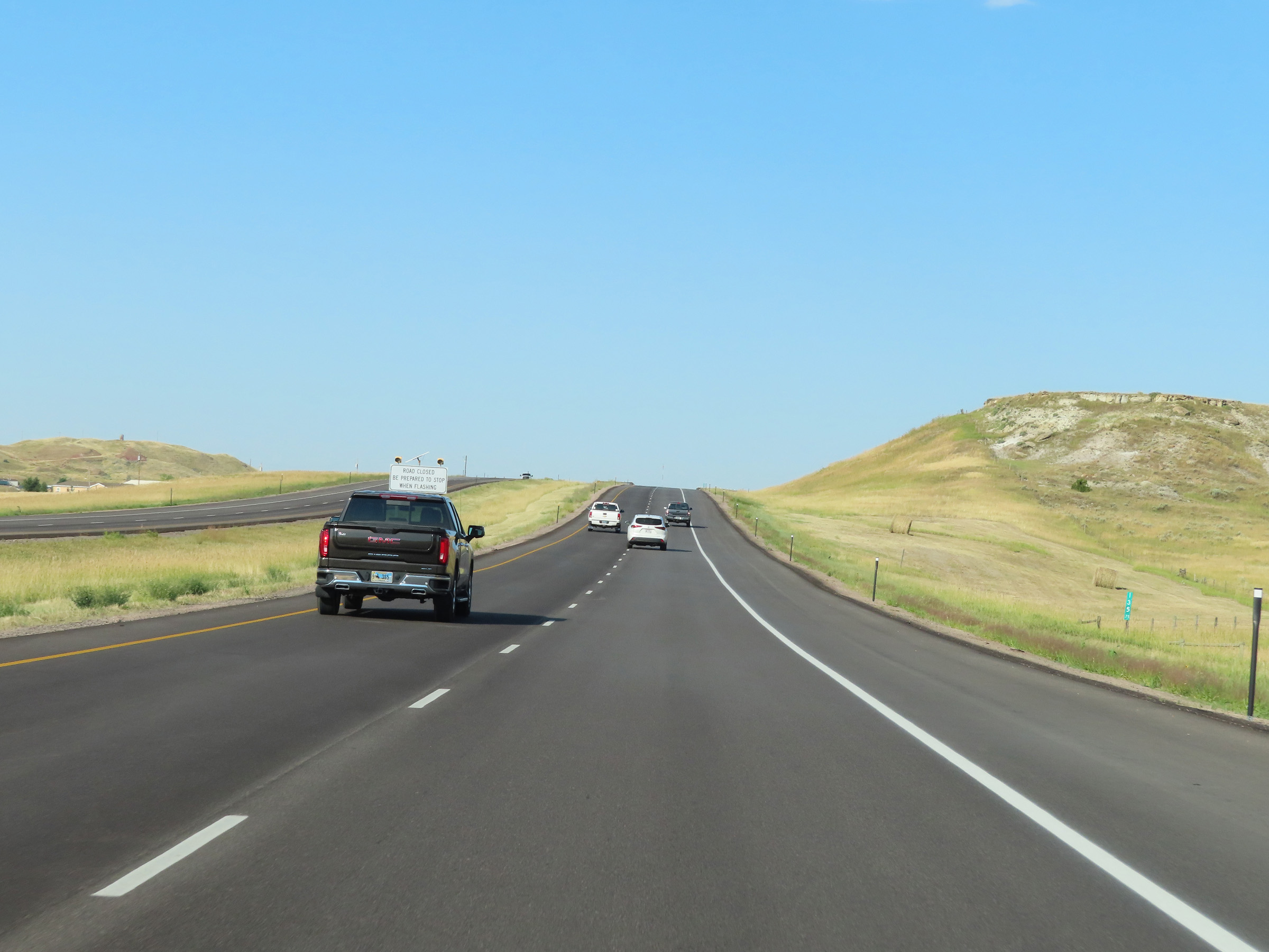
When the lights on these signs are flashing, Interstate 90 West is closed ahead and all traffic must make a U-Turn ahead to return to Buffalo. (Photo taken 8/17/22). |
 |
Beyond the junction of Interstate 25 via Exit 56B, the speed limit decreases to 75 mph on Interstate 90 West in Buffalo. (Photo taken 8/17/22). |
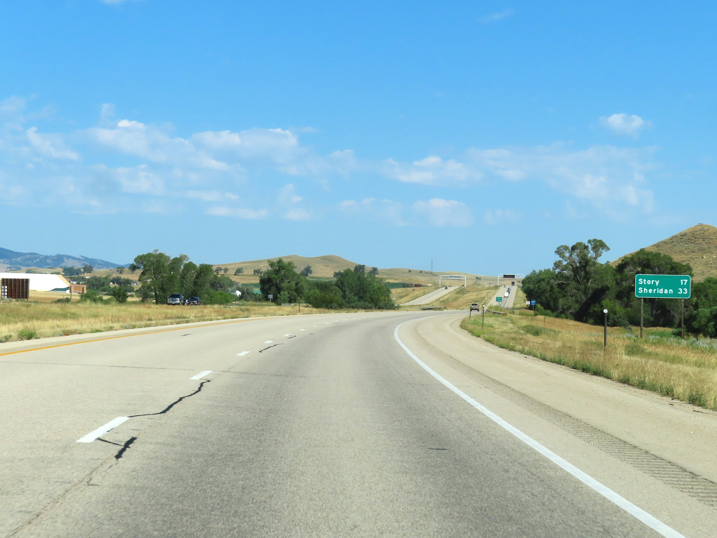 |
Mileage sign on Interstate 90 West in Johnson County. It's 17 miles to Story and 33 miles to Sheridan. (Photo taken 8/17/22). |
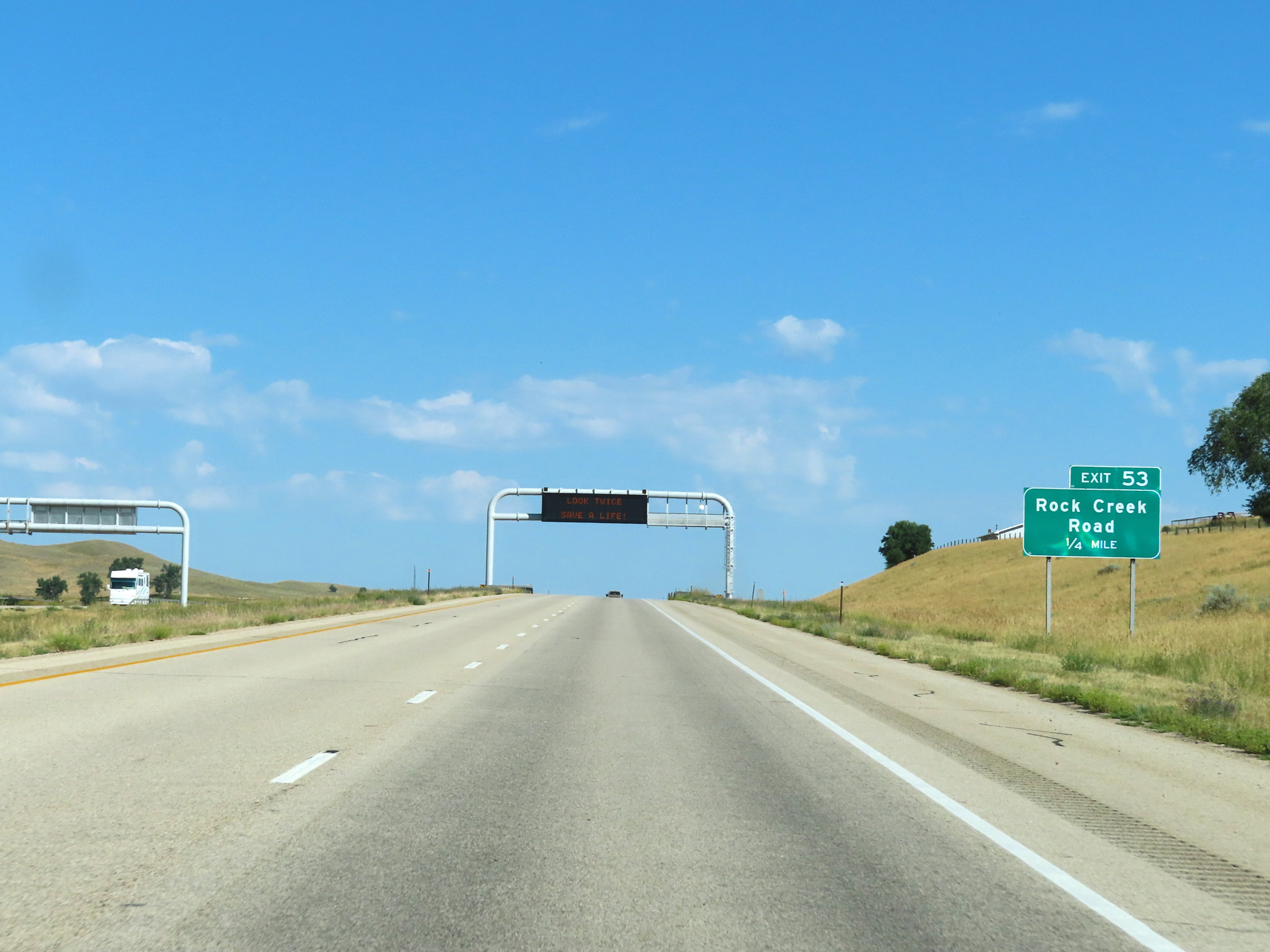 |
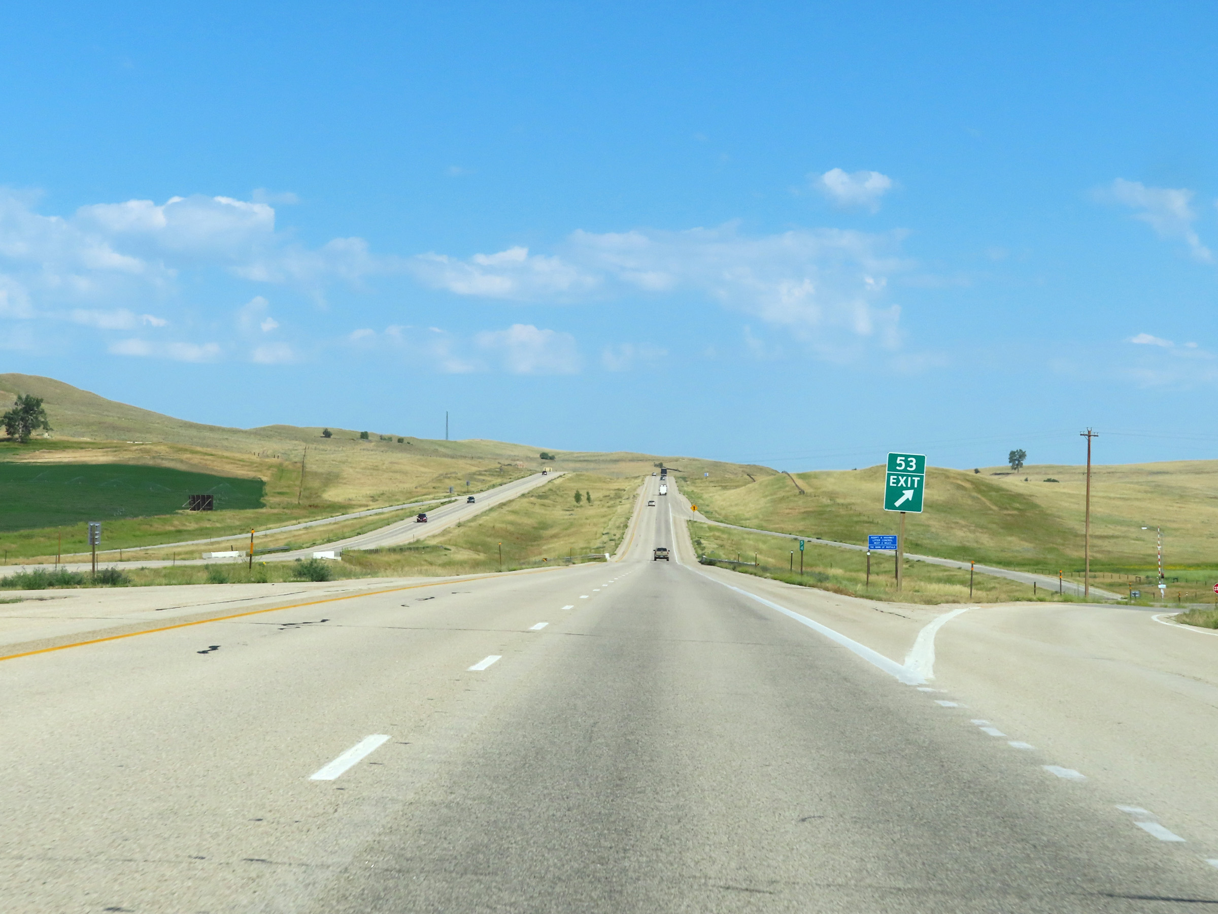
Interstate 90 West approaching Exit 53 - 1/4 mile. (Photo taken 8/17/22). |
 |
Interstate 90 West at Exit 53: Rock Creek Road (Photo taken 8/17/22). |
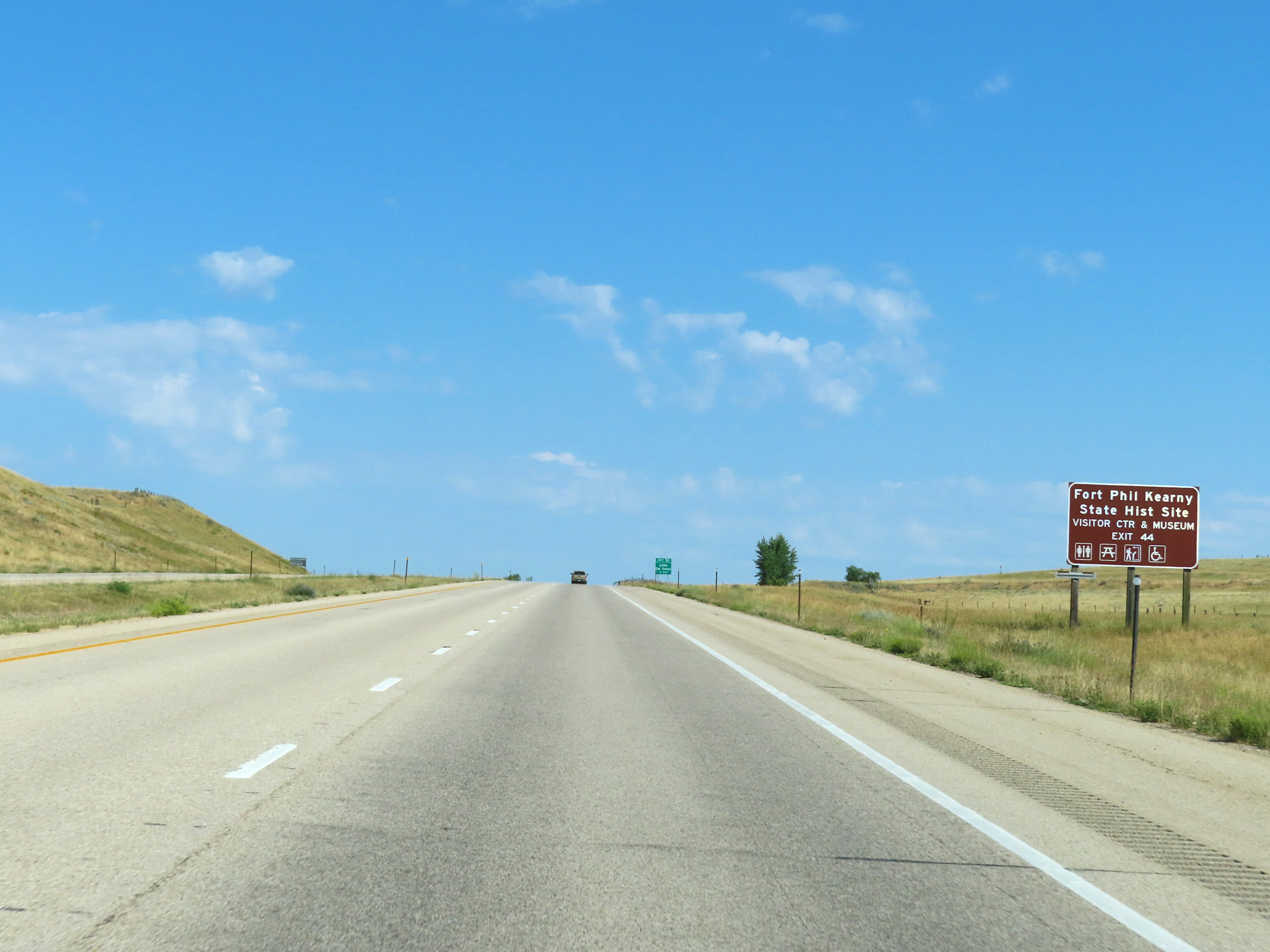 |
Take Exit 44 to Fort Phil Kearny State Historic Site as well as its Visitor Center & Museum. (Photo taken 8/17/22). |
 |
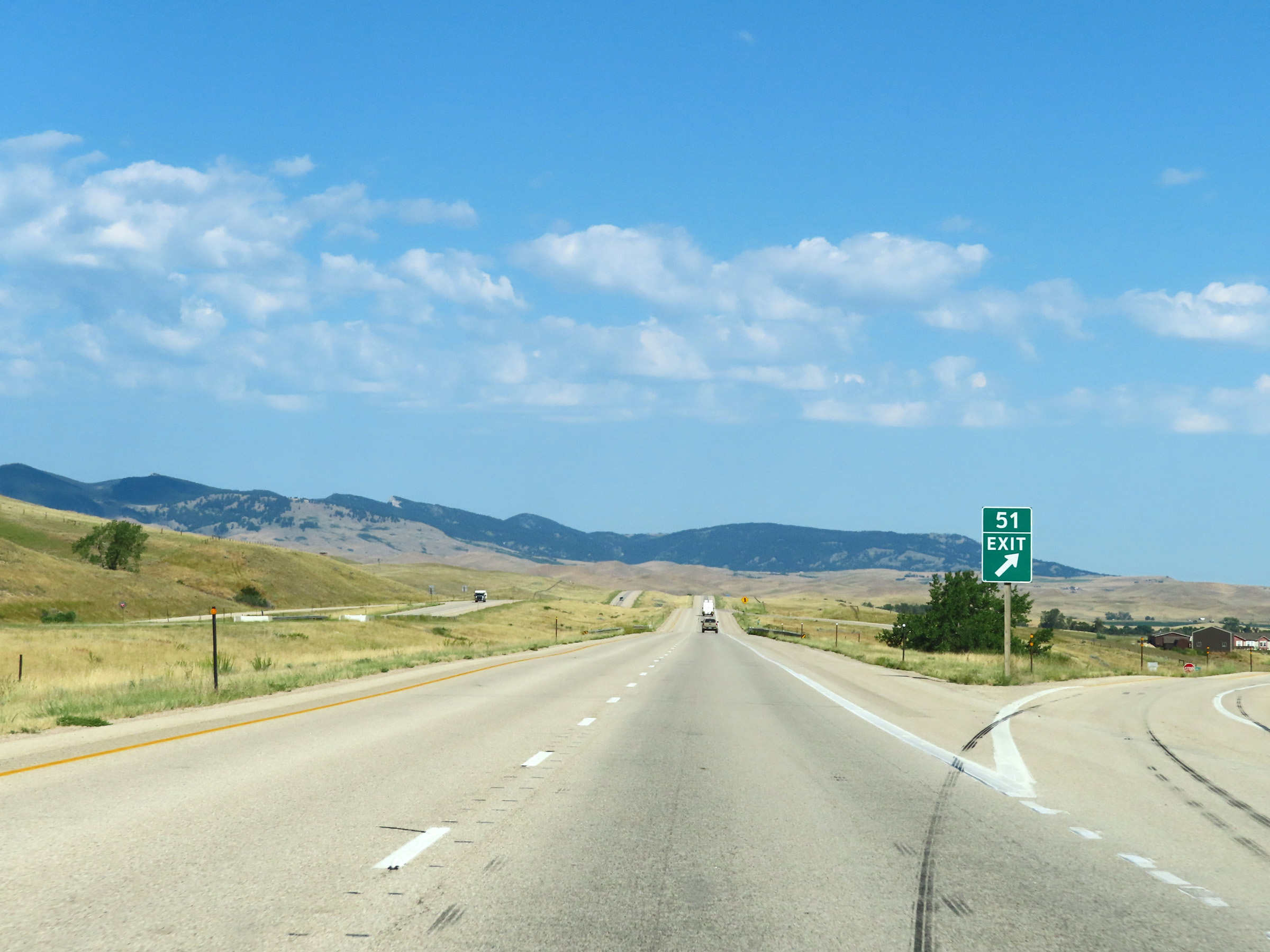
Interstate 90 West approaching Exit 51 - 1/2 mile. (Photo taken 8/17/22). |
 |
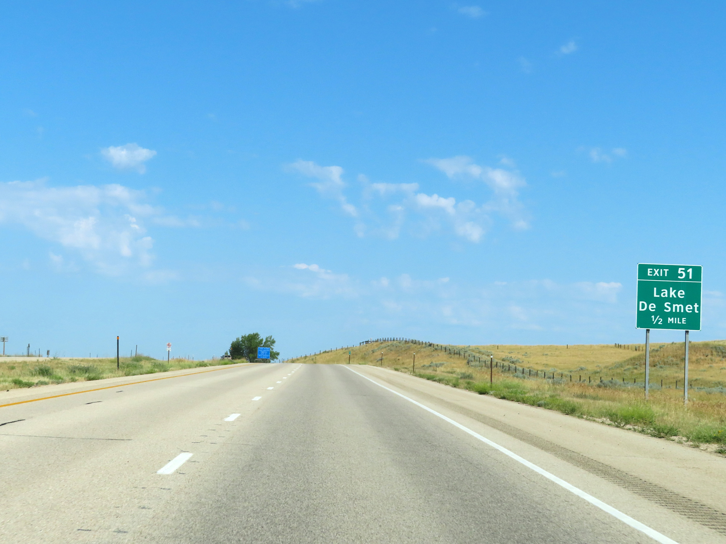
Interstate 90 West at Exit 51: Lake De Smet (Photo taken 8/17/22). |
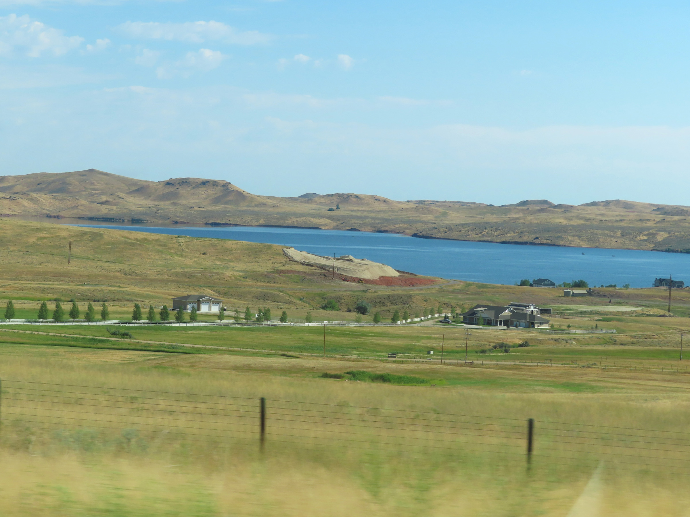 |
A view of Lake De Smet from Interstate 90 West, looking to the northeast. (Photo taken 8/17/22). |
 |
View on Interstate 90 West at mile marker 50. (Photo taken 8/17/22). |
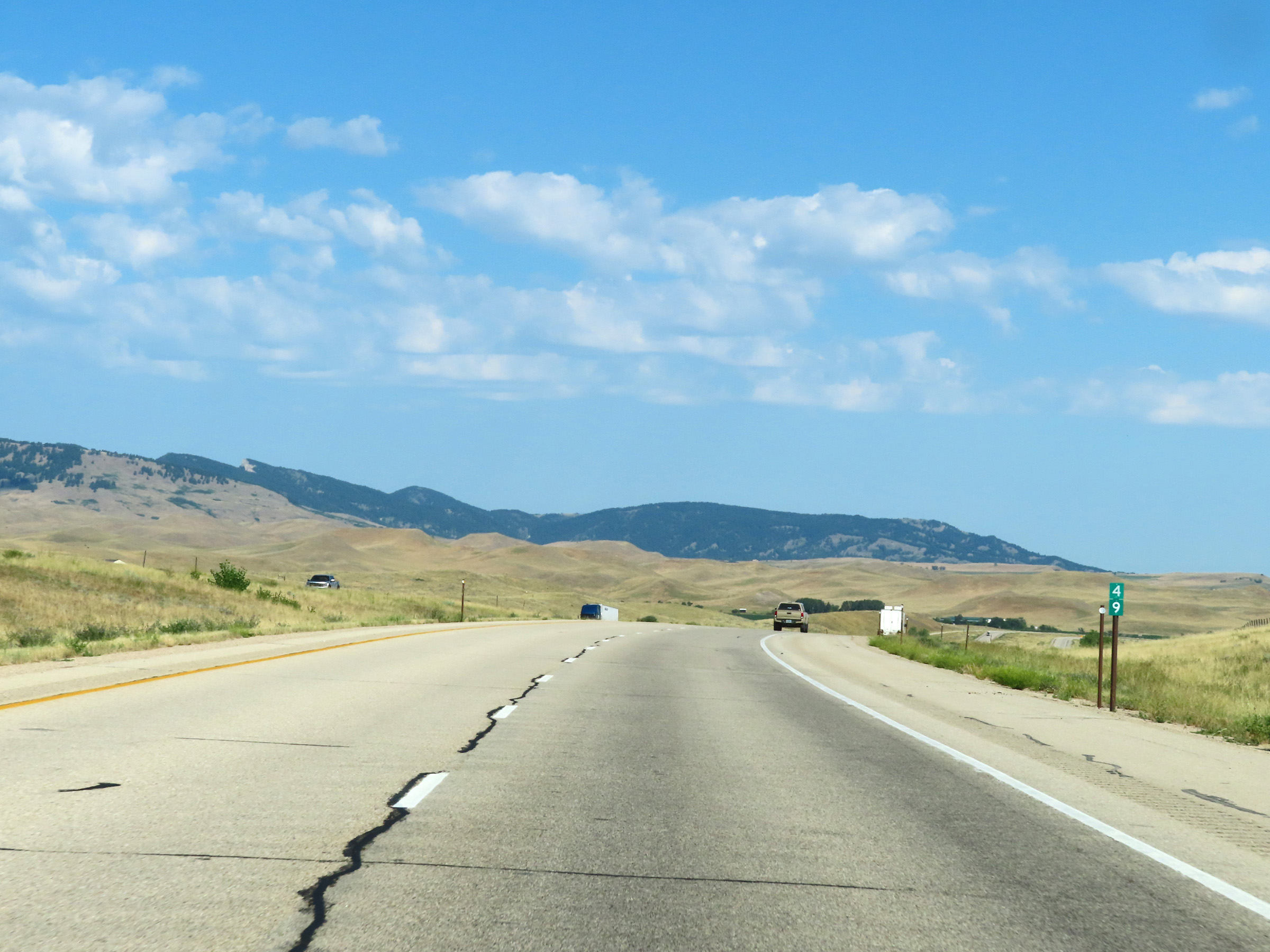 |
Mile marker 49 on Interstate 90 West in Johnson County. (Photo taken 8/17/22). |
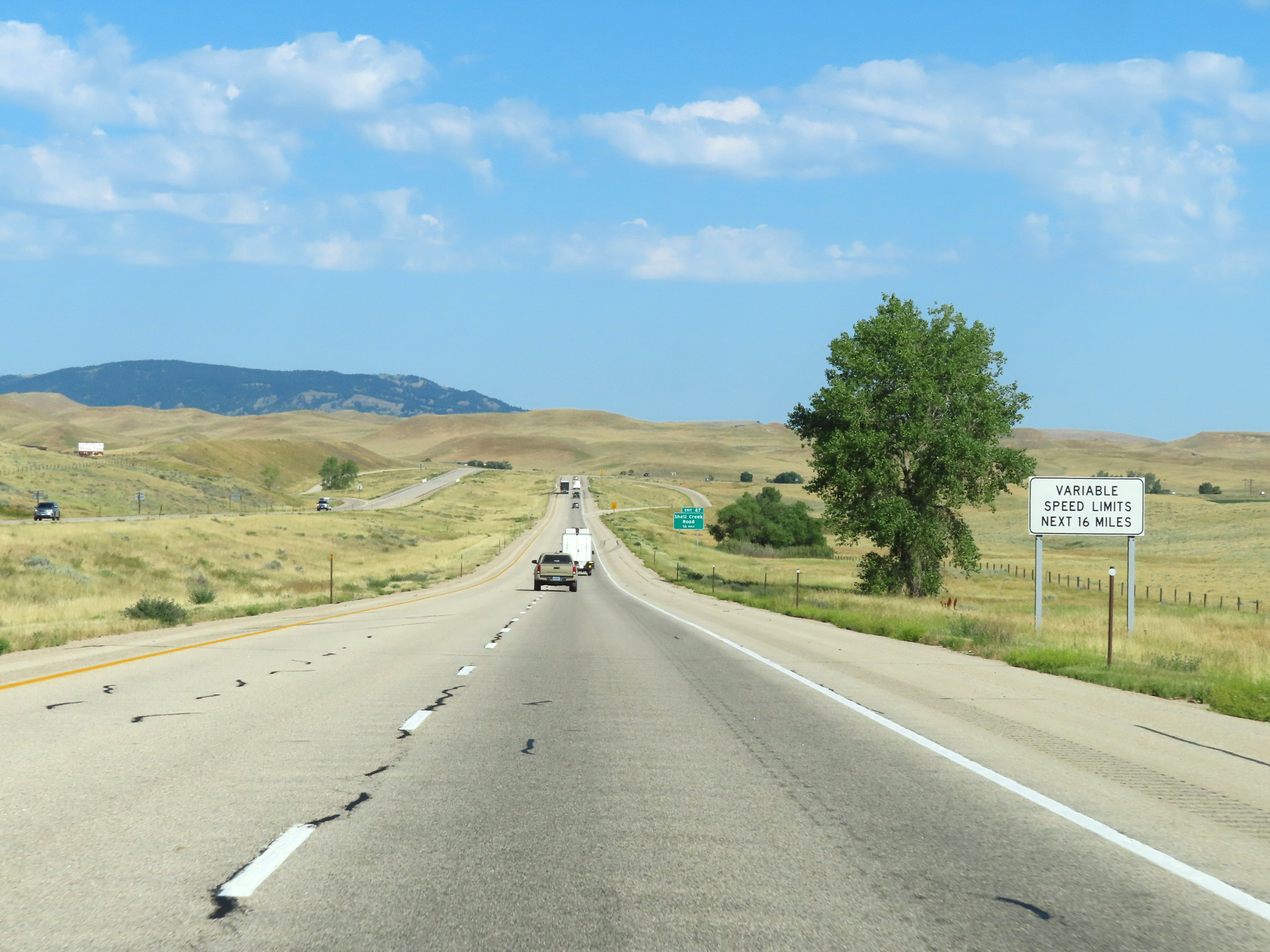 |
Approaching Exit 47, this signage warns that variable speed limits will be in effect for the next 16 miles on Interstate 90 West. (Photo taken 8/17/22). |
 |
Interstate 90 West approaching Exit 47 - 1/4 mile. (Photo taken 8/17/22). |
 |
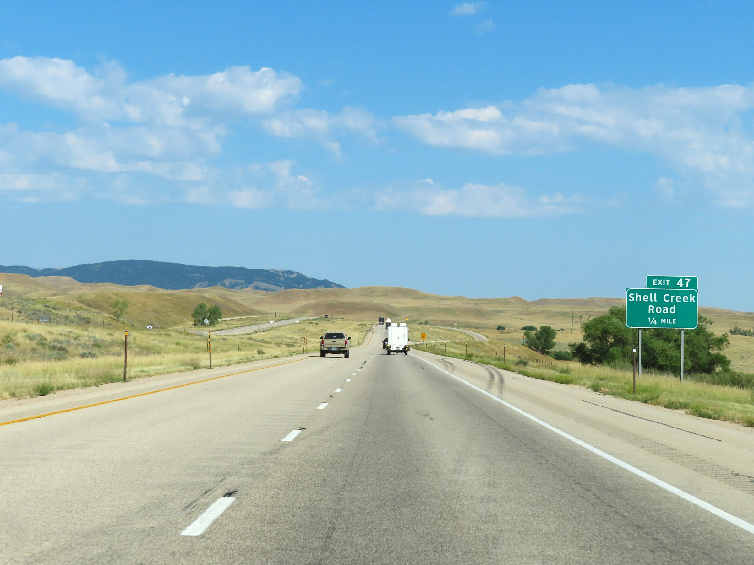
Interstate 90 West at Exit 47: Shell Creek Road (Photo taken 8/17/22). |
 |
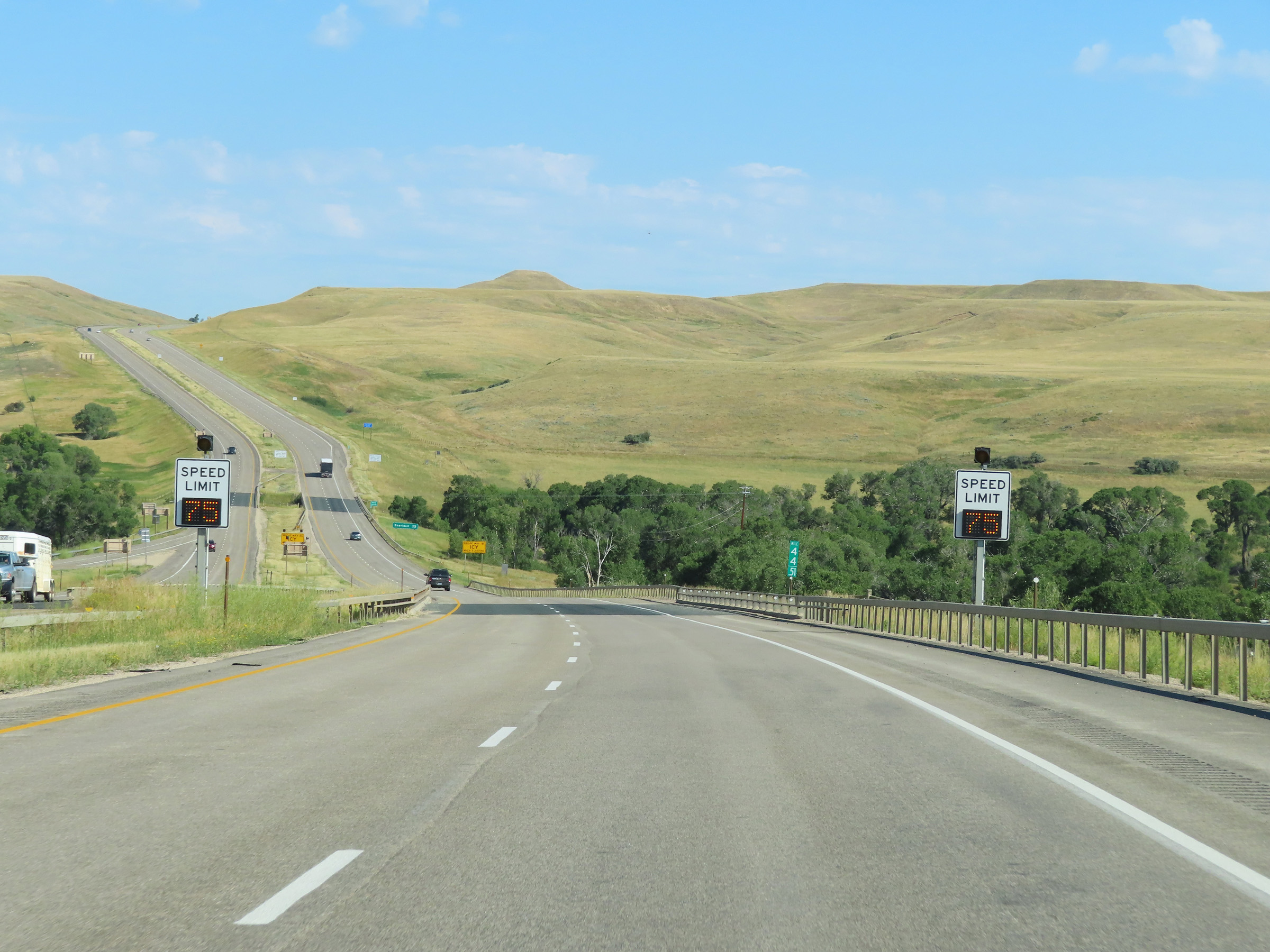
Variable speed limit signage on Interstate 90 West. (Photo taken 8/17/22). |
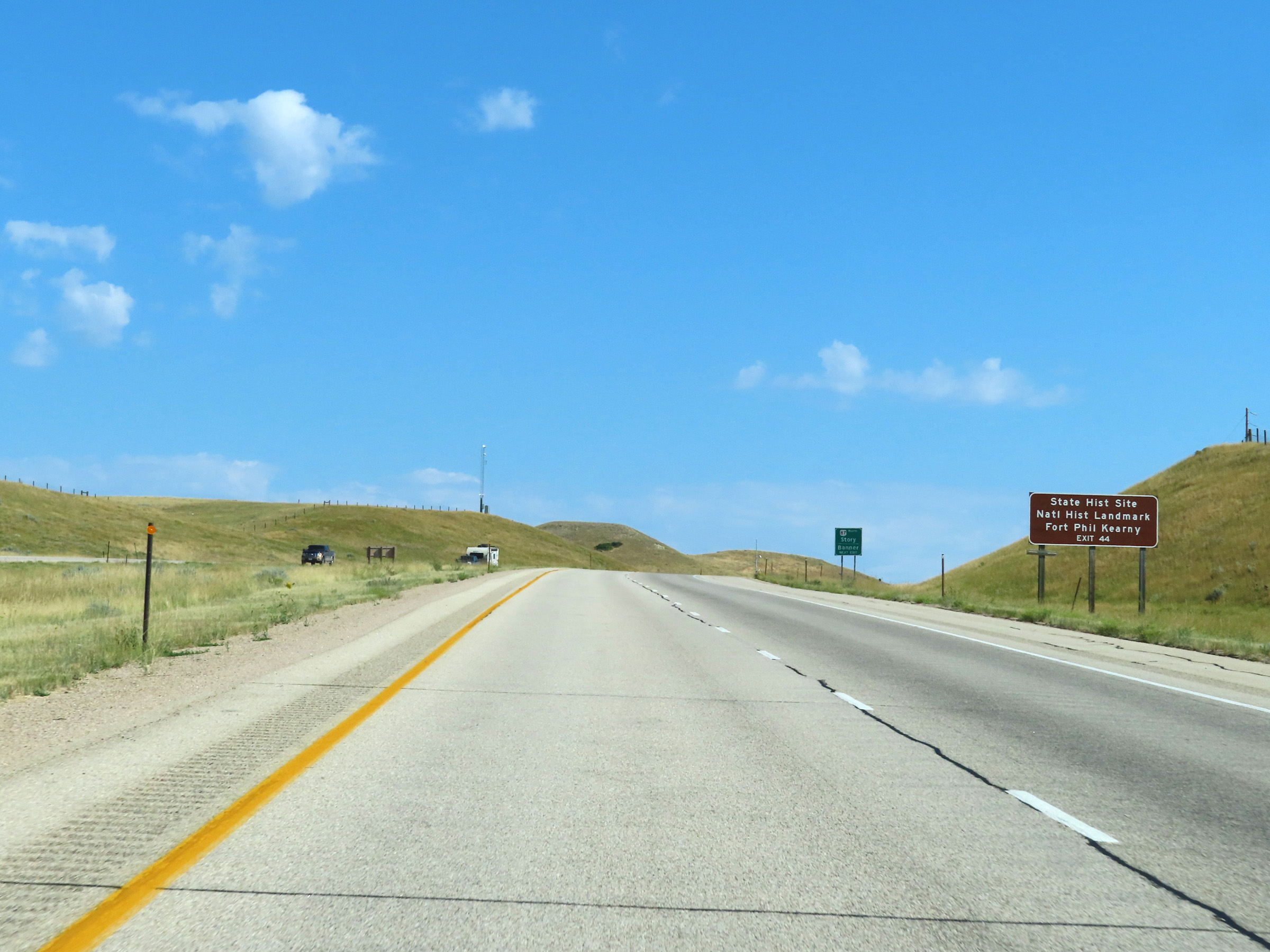 |
Take Exit 44 to Fort Phil Kearny State Historic Site and National Historic Landmark. (Photo taken 8/17/22). |
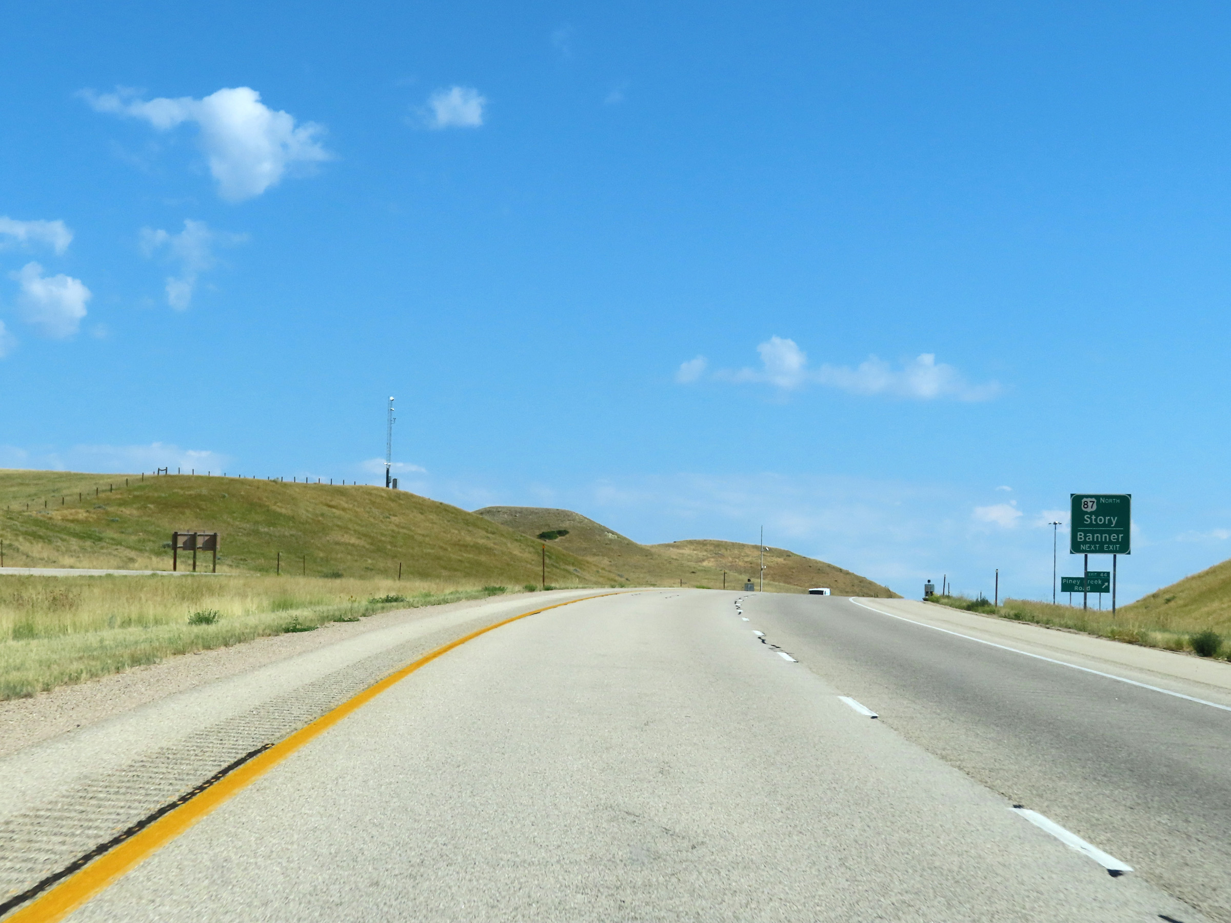 |
Take Exit 44 to US 87 North toward Story and Banner. (Photo taken 8/17/22). |
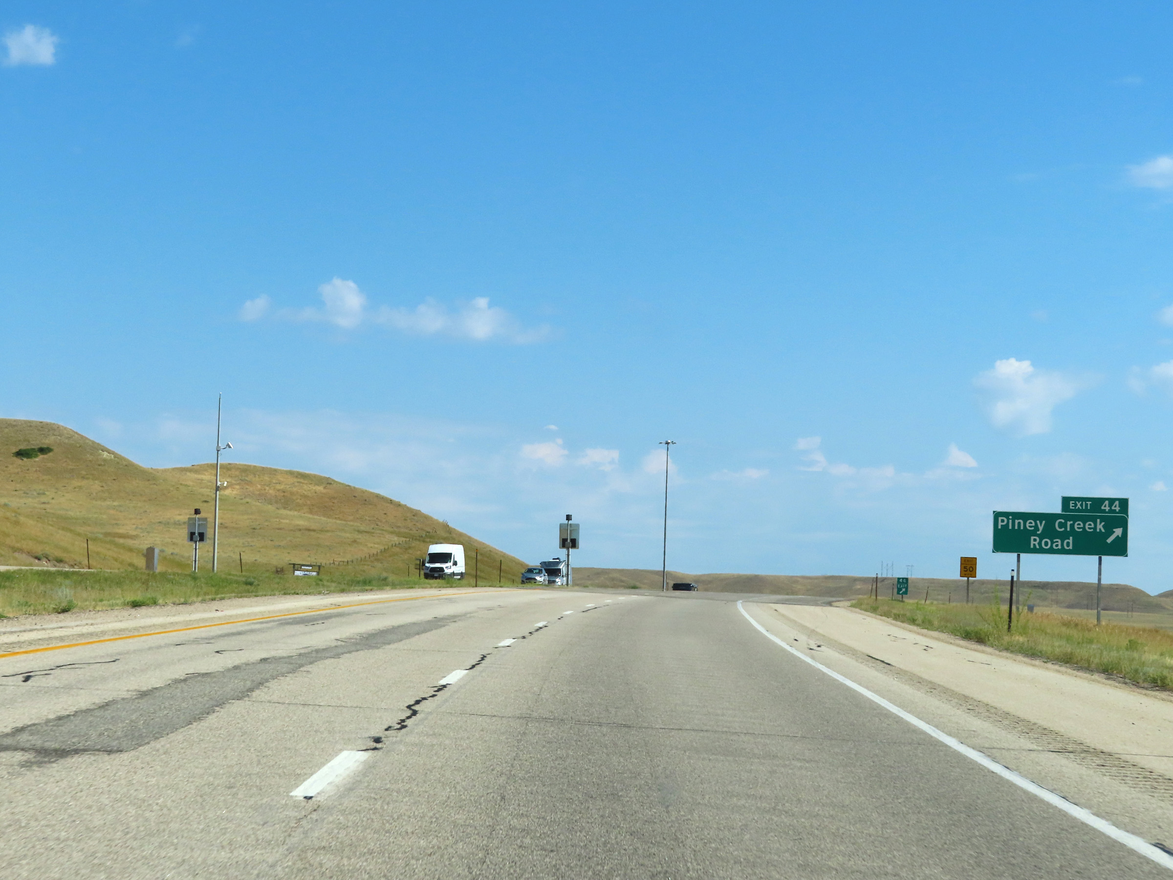 |
Interstate 90 West at Exit 44: Piney Creek Road (Photo taken 8/17/22). |
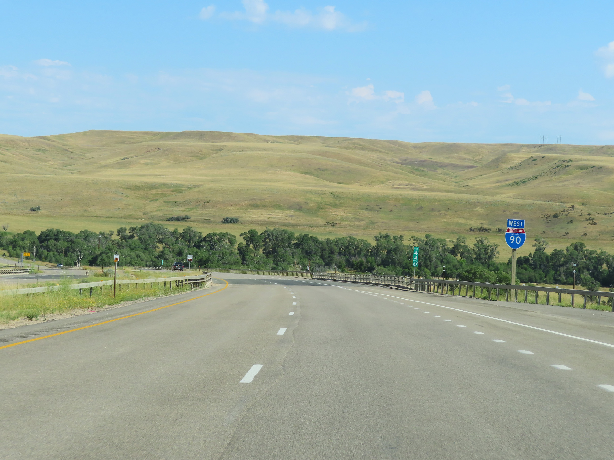 |
Another state-named Interstate 90 West reassurance shield in Johnson County, at mile marker 44.69. (Photo taken 8/17/22). |
 |
Variable speed limit signage on Interstate 90 West continues at mile marker 44.51. (Photo taken 8/17/22). |
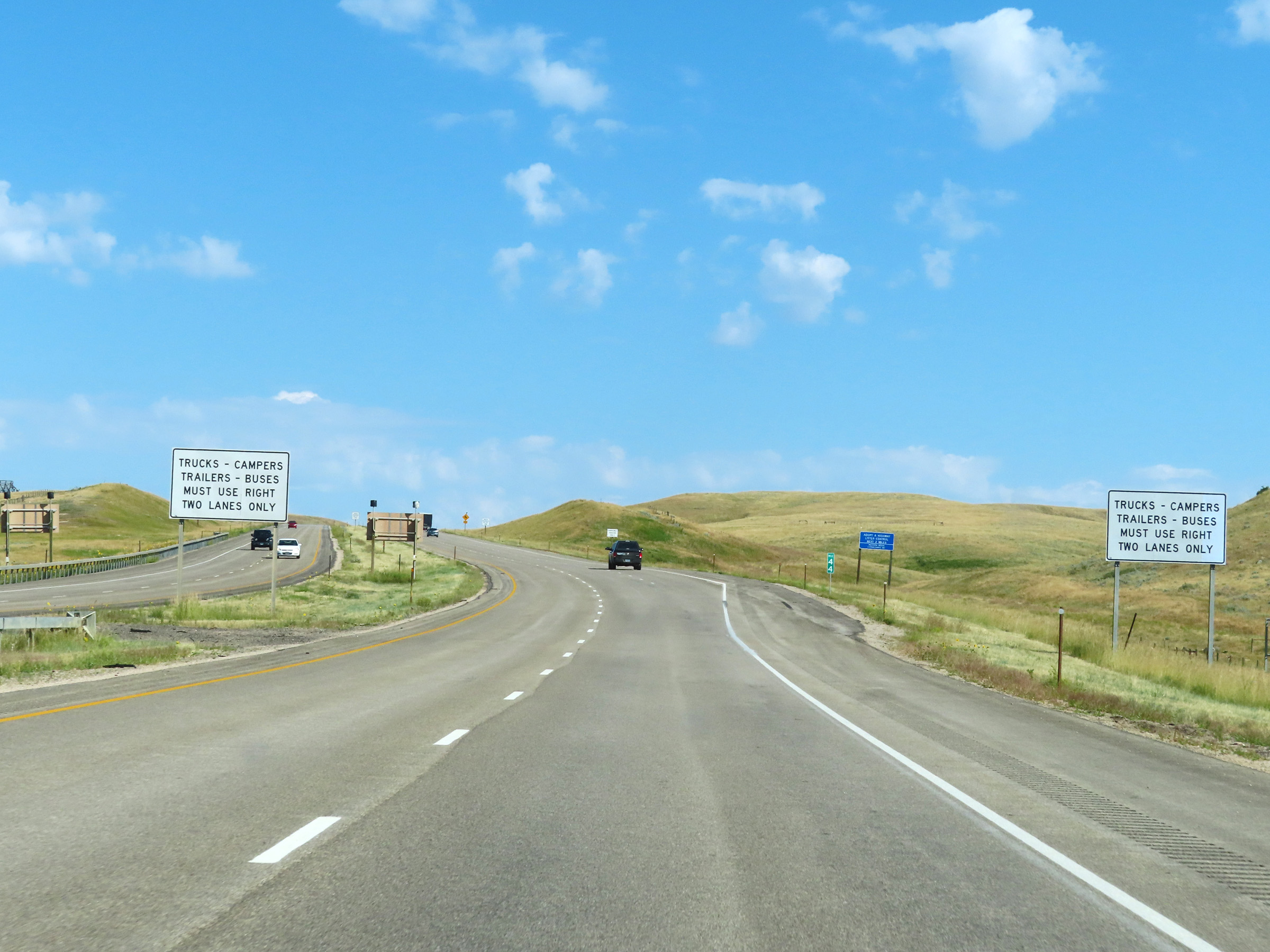 |
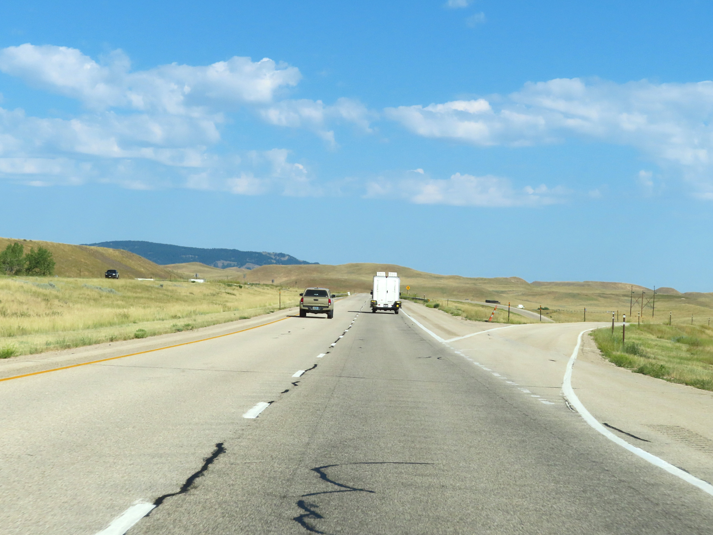
View on Interstate 90 West at mile marker 44, as a truck climbing lane appears. (Photo taken 8/17/22). |
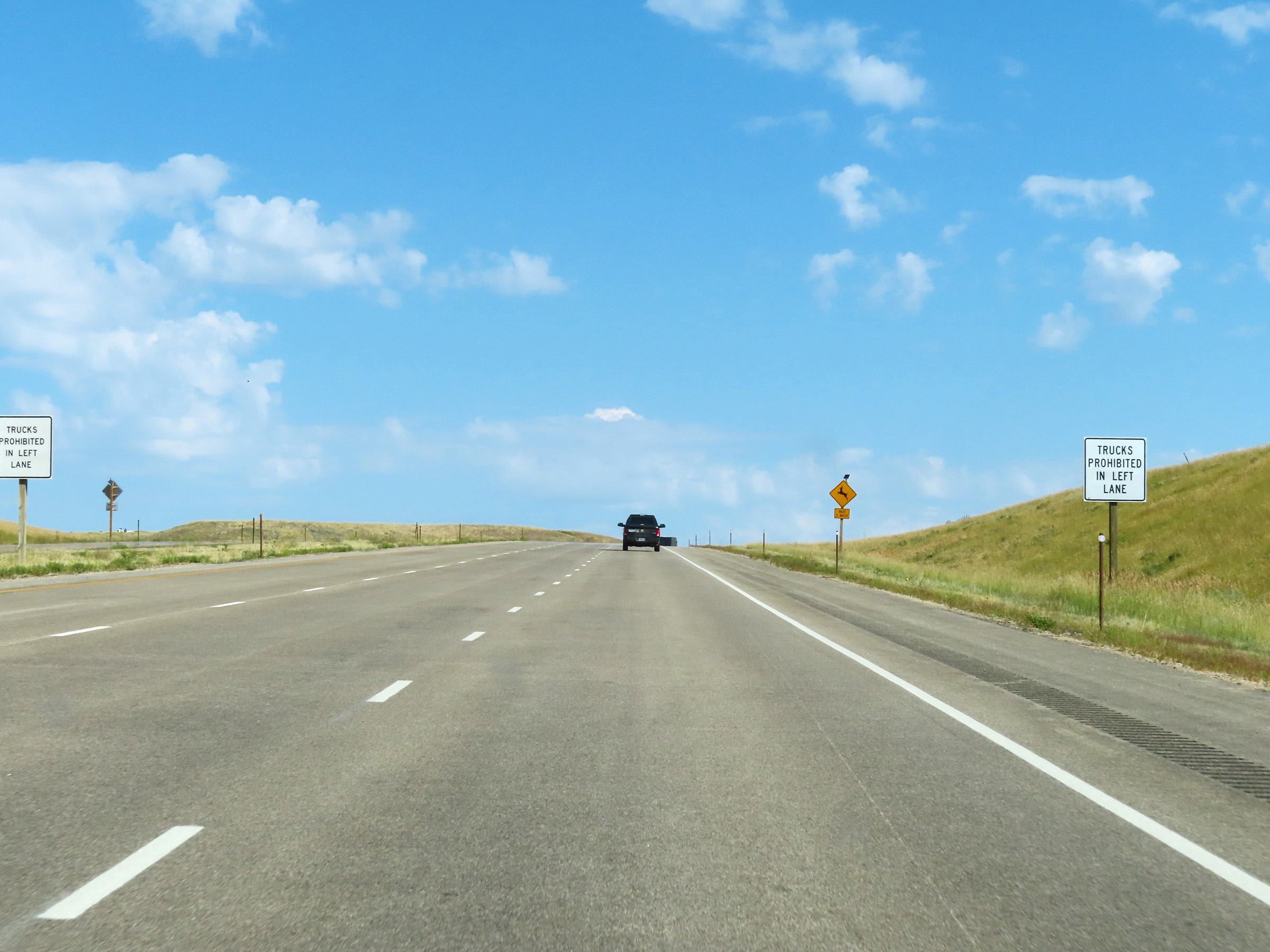 |
While climbing this grade, trucks are prohibited in the left lane. (Photo taken 8/17/22). |
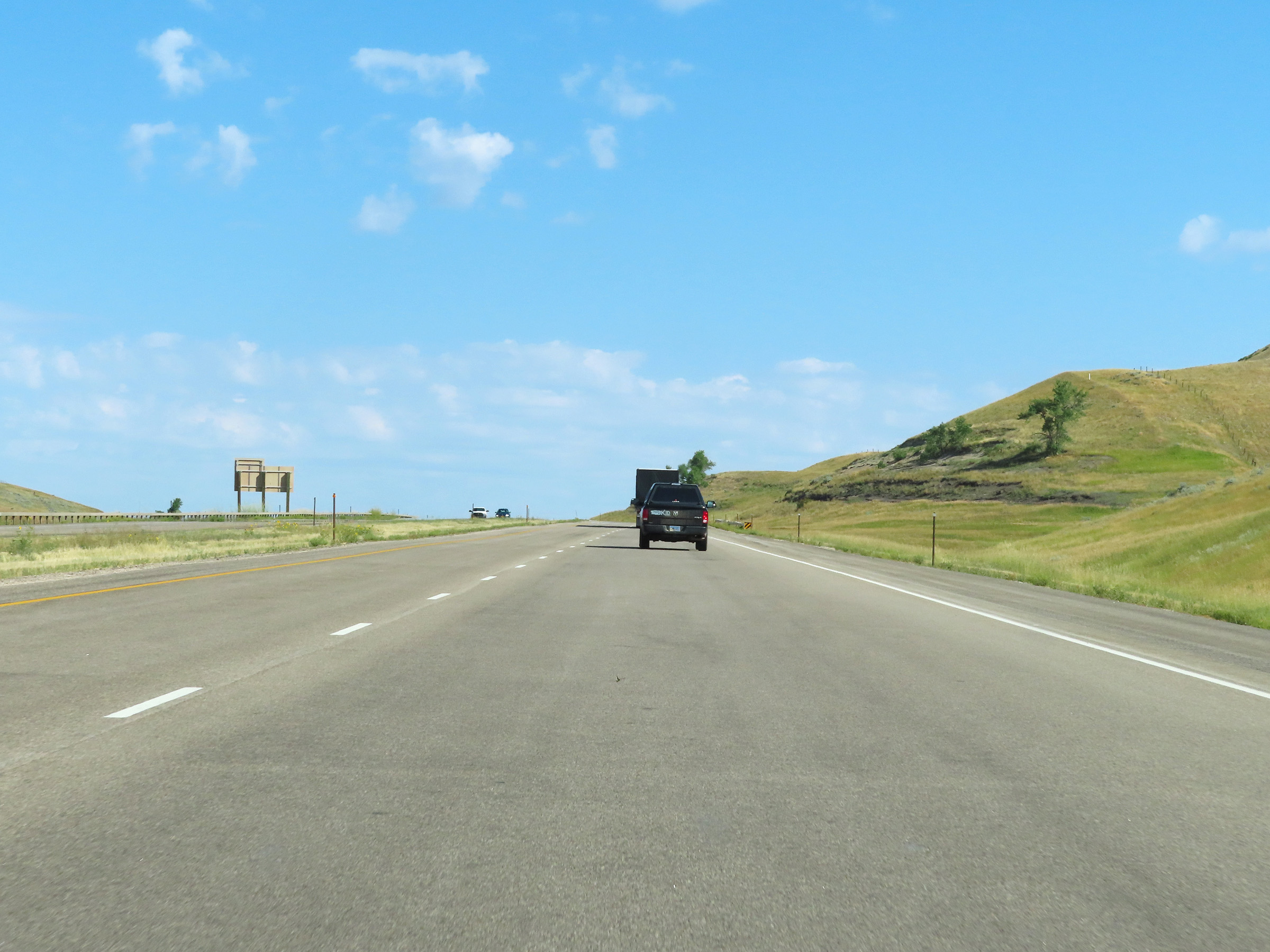 |
View on Interstate 90 West as the truck climbing lane comes to an end near the top of the grade. (Photo taken 8/17/22). |
 |
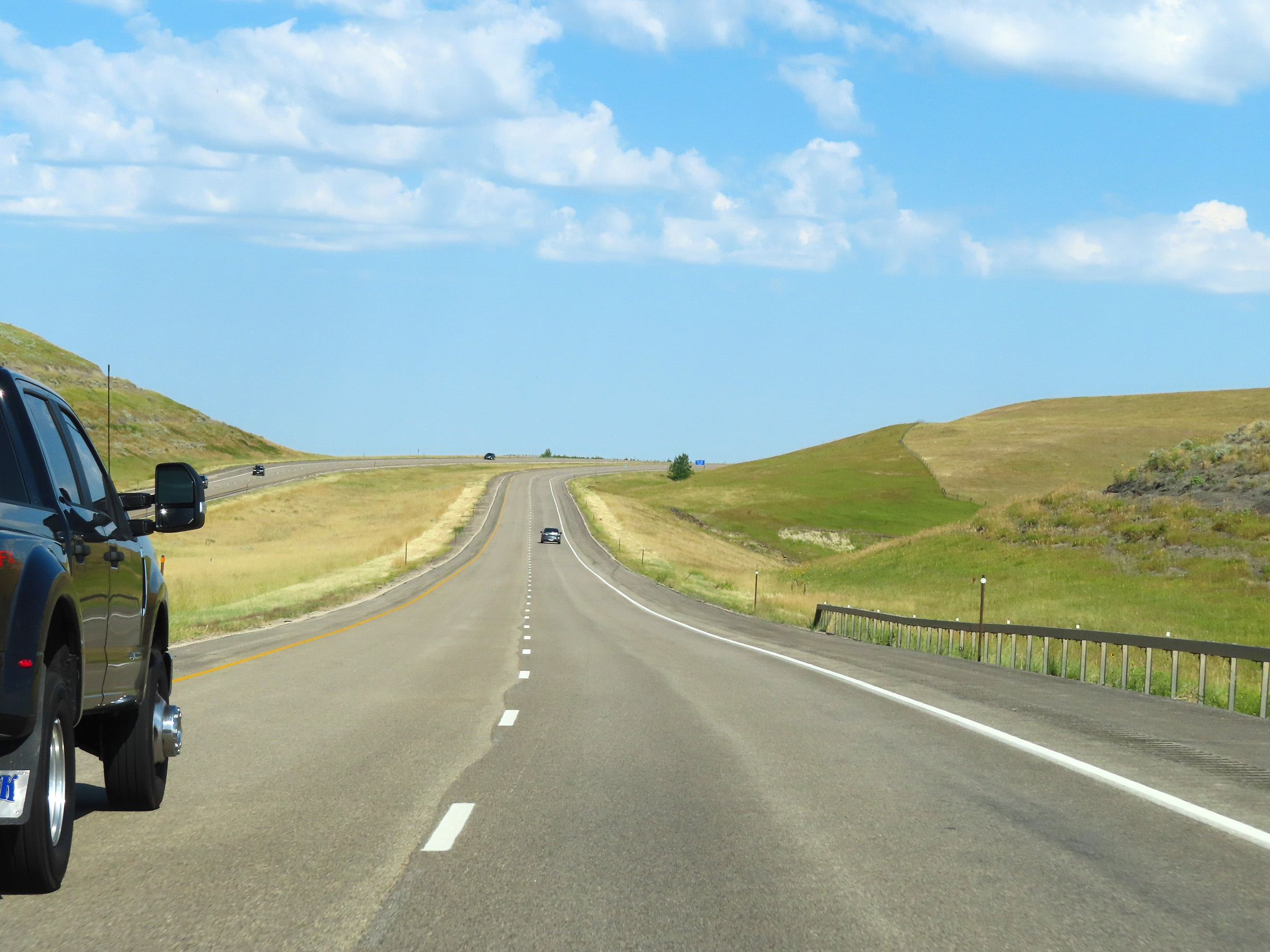
Interstate 90 West as it begins to head down the northwestern side of the grade previously climbed. (Photo taken 8/17/22). |
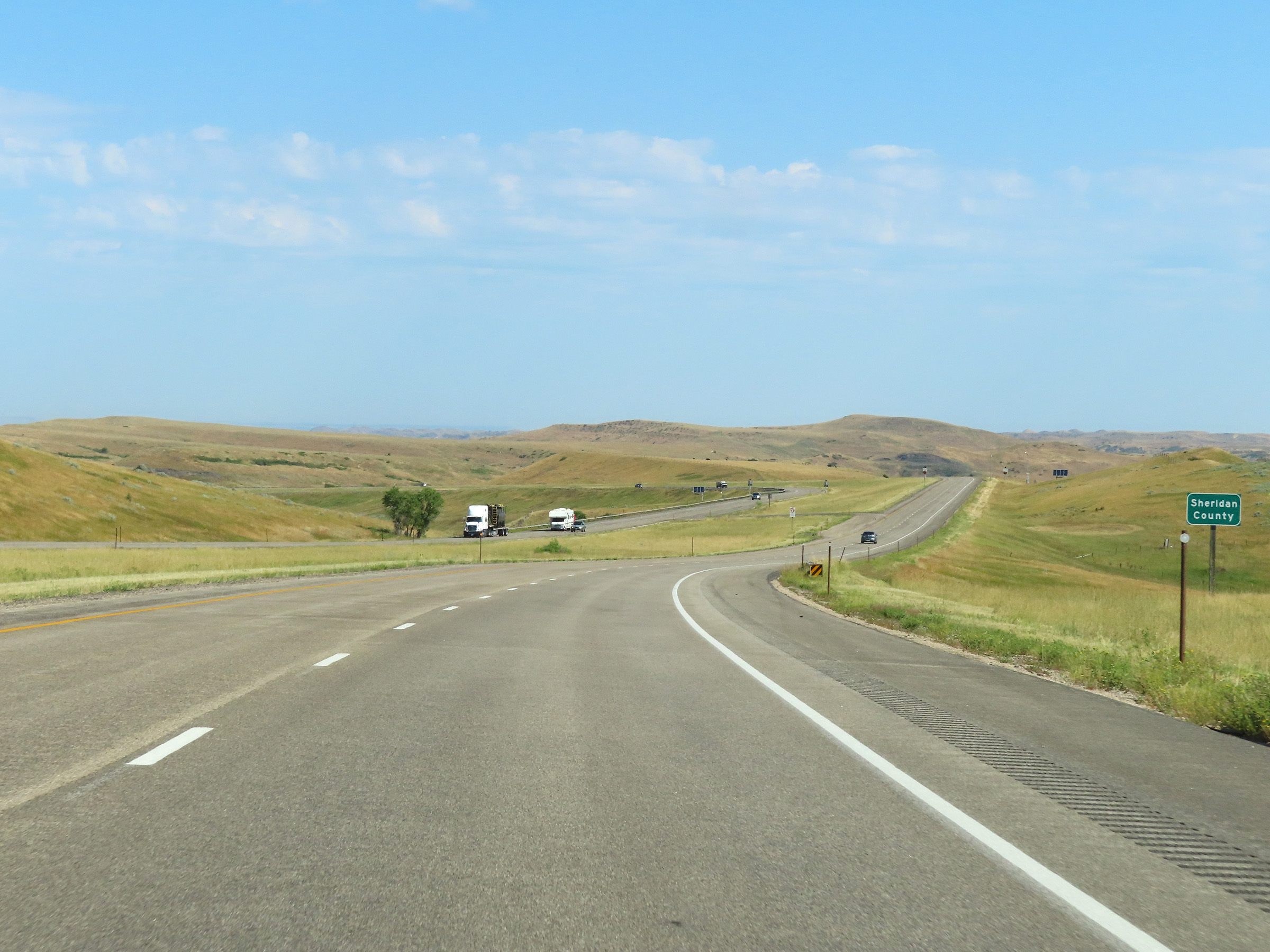 |
Interstate 90 West as it enters Sheridan County. (Photo taken 8/17/22). |
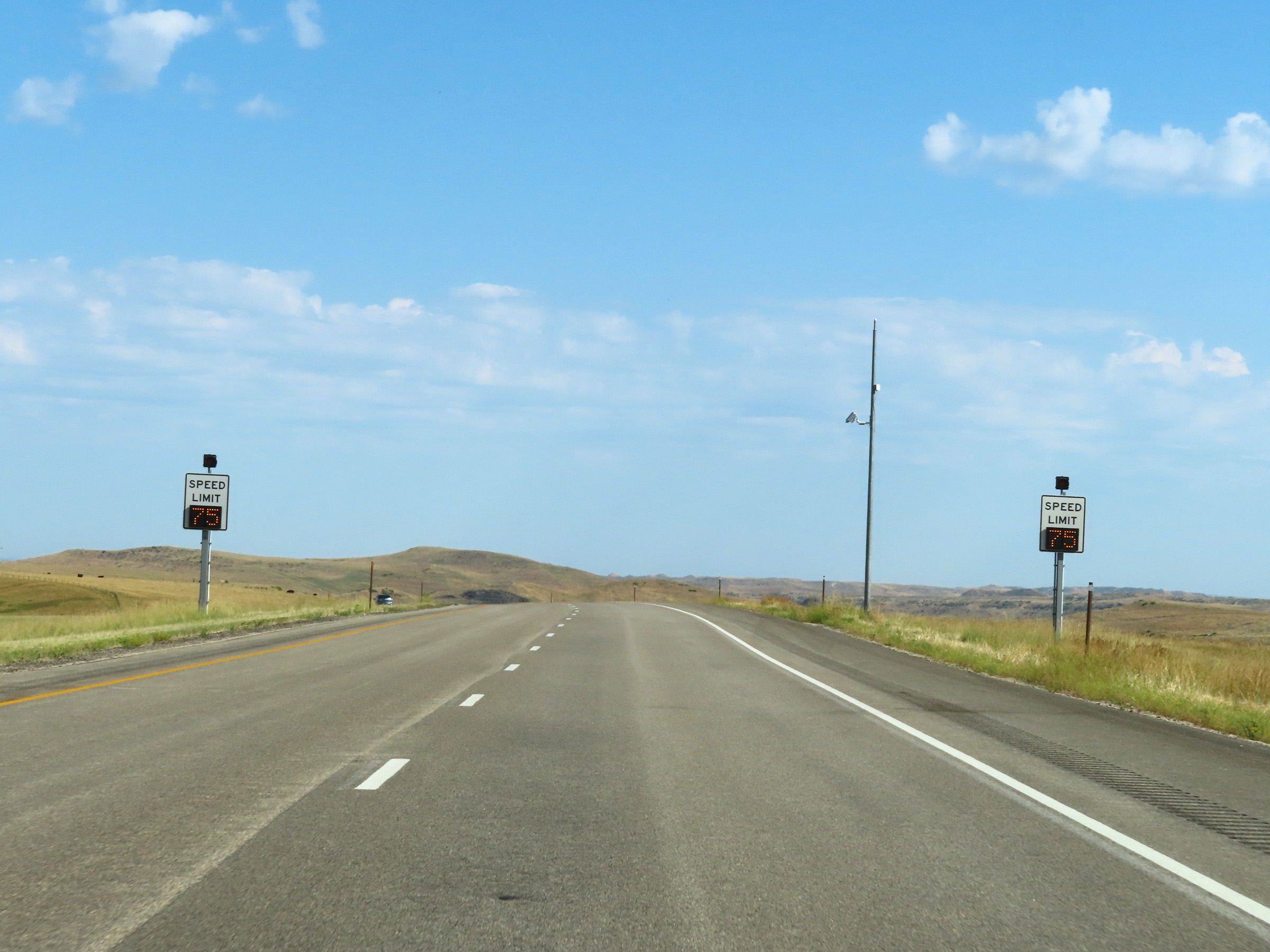 |
Variable speed limits continue on Interstate 90 West upon entering Sheridan County. (Photo taken 8/17/22). |
 |
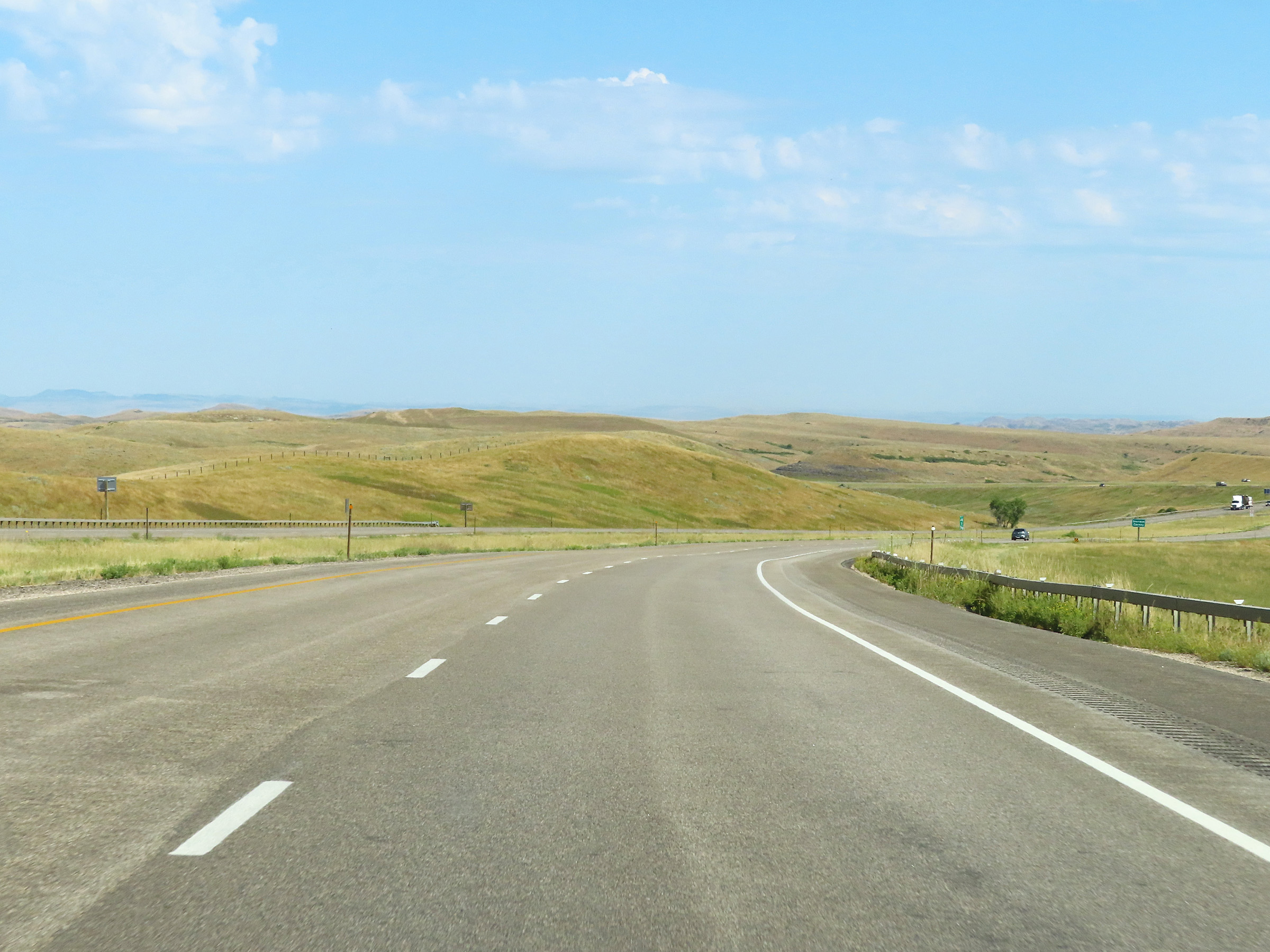
View on Interstate 90 West in Sheridan County. (Photo taken 8/17/22). |
 |
Mile marker 40 on Interstate 90 West at mile marker 40 in Sheridan County. (Photo taken 8/17/22). |
 |
Interstate 90 West at mile marker 38. (Photo taken 8/17/22). |
 |
Interstate 90 West at Exit 37: Prairie Dog Creek Road (Photo taken 8/17/22). |
 |
State-named Interstate 90 West reassurance shield in Sheridan County. (Photo taken 8/17/22). |
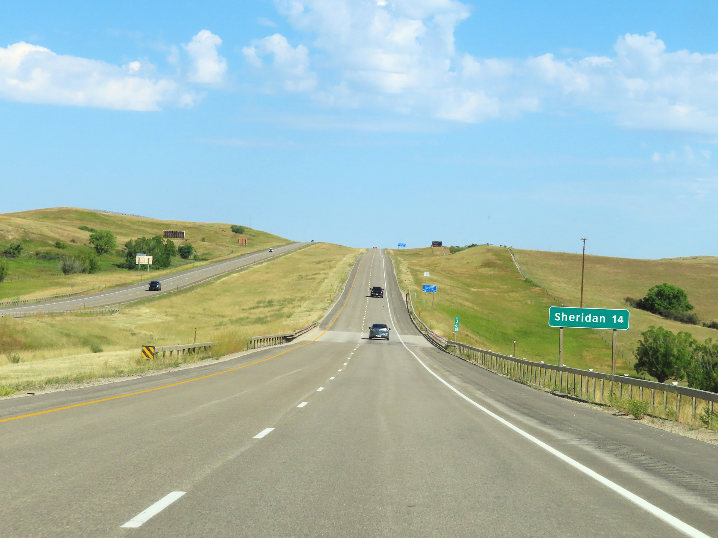 |
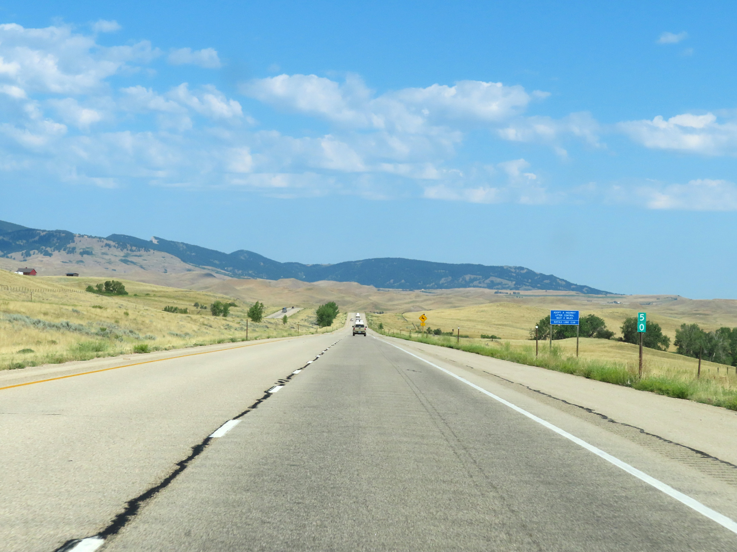
Mileage sign at mile marker 36.10. It's 14 miles to Sheridan on Interstate 90 West. (Photo taken 8/17/22). |
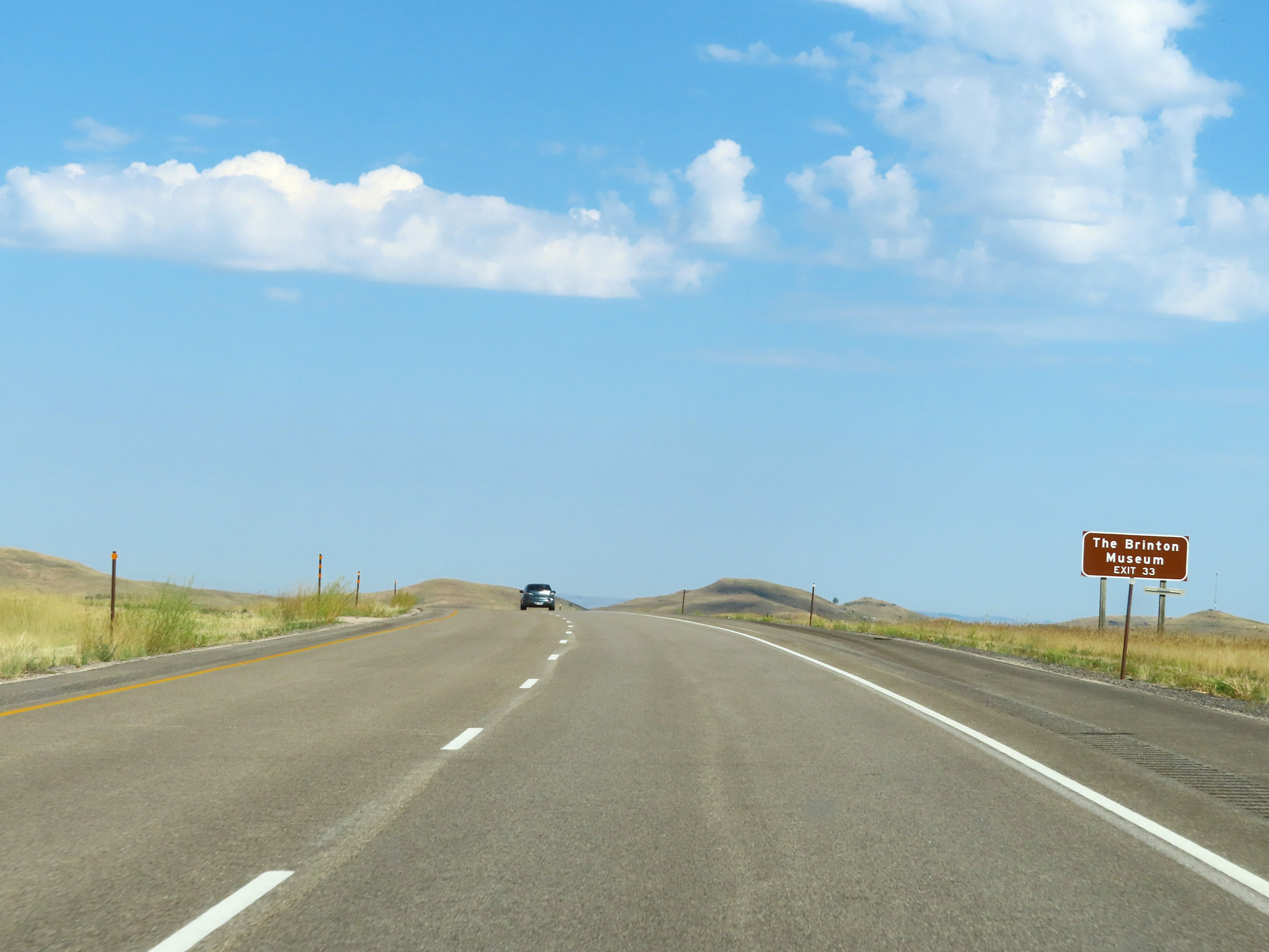 |
Take Exit 33 to The Brinton Museum. (Photo taken 8/17/22). |
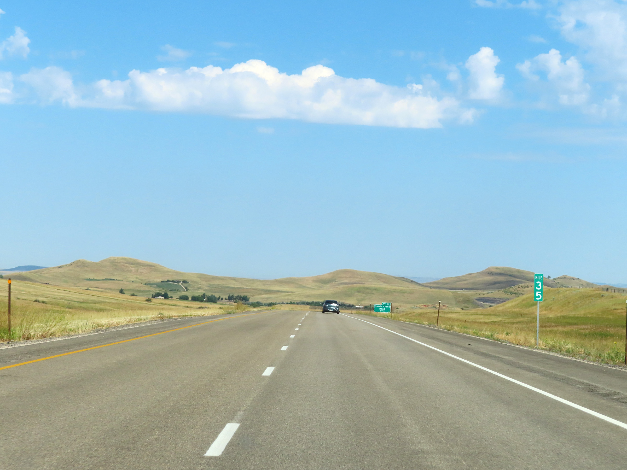 |
Mile marker 35 on Interstate 90 West in Sheridan County. (Photo taken 8/17/22). |
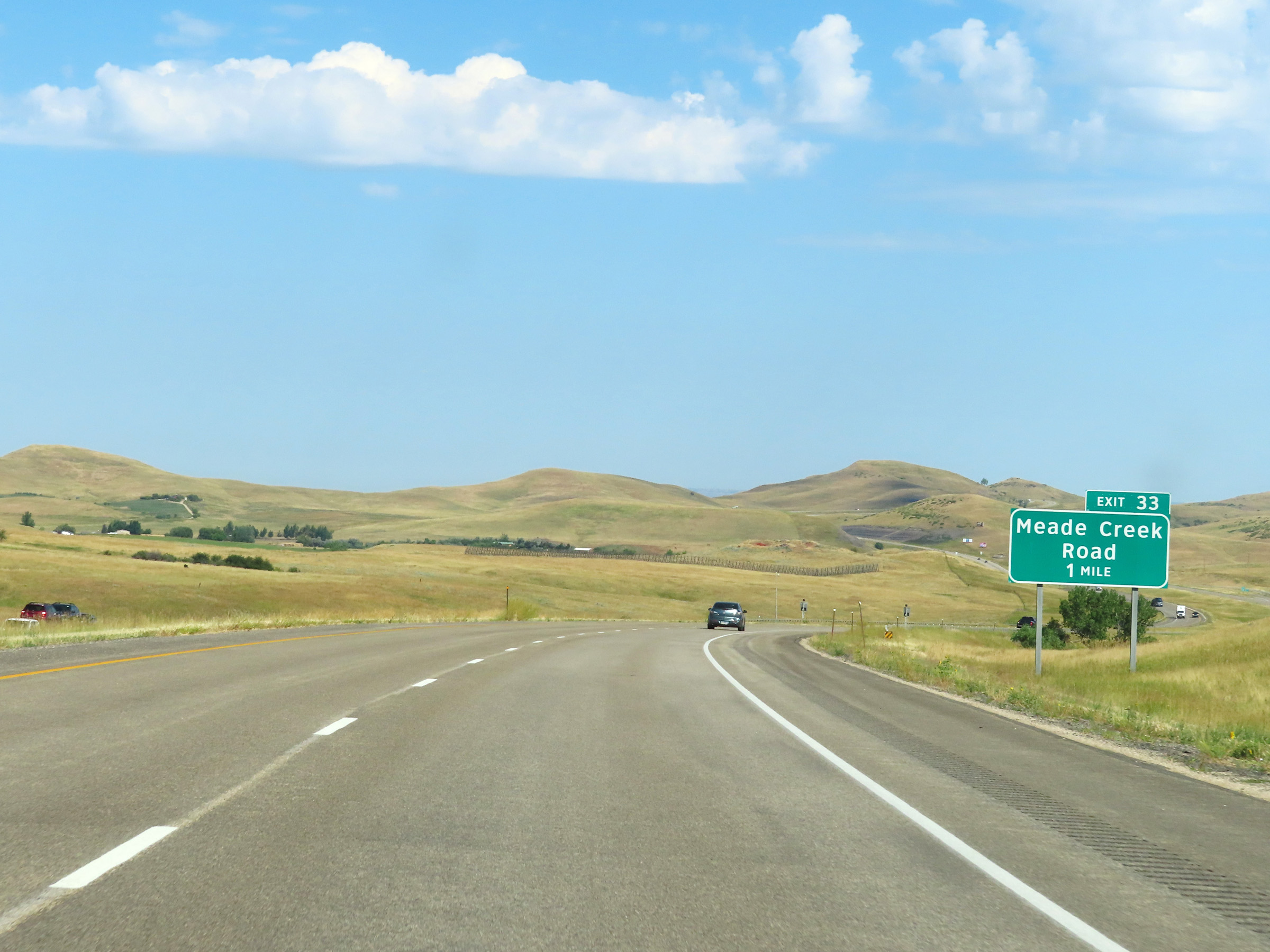 |
Advance signage for Exit 33 - 1 mile ahead. (Photo taken 8/17/22). |
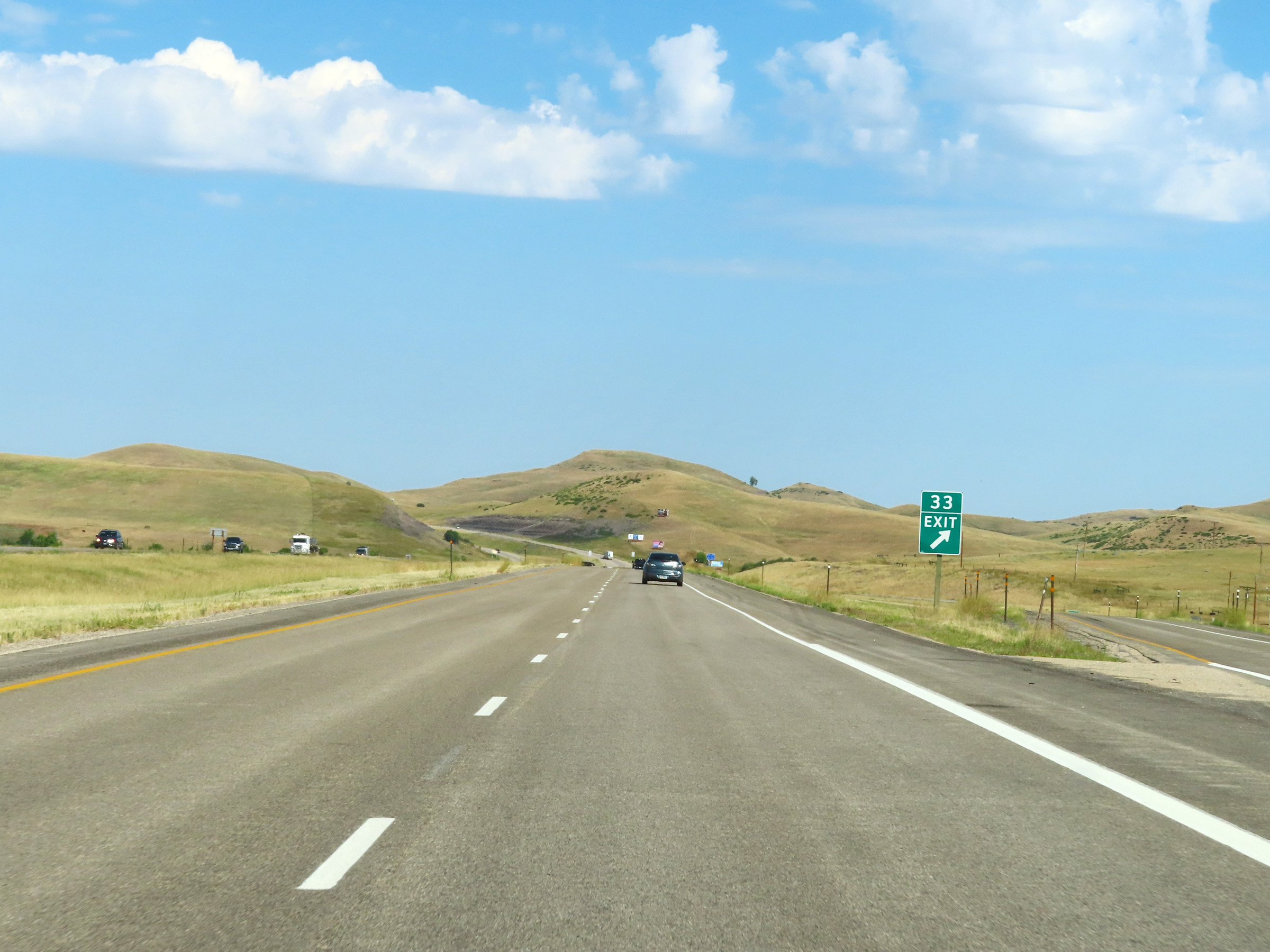 |
Interstate 90 West at Exit 33: Meade Creek Road (Photo taken 8/17/22). |
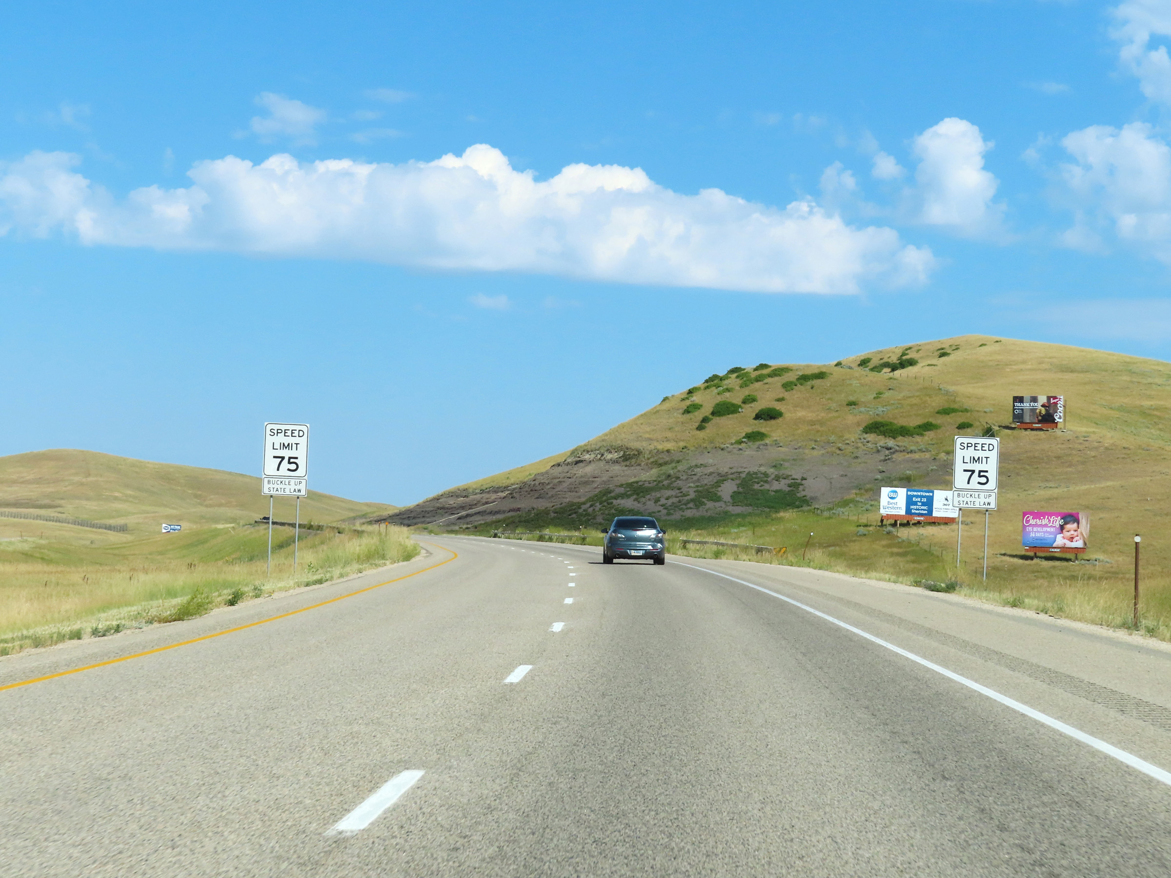 |
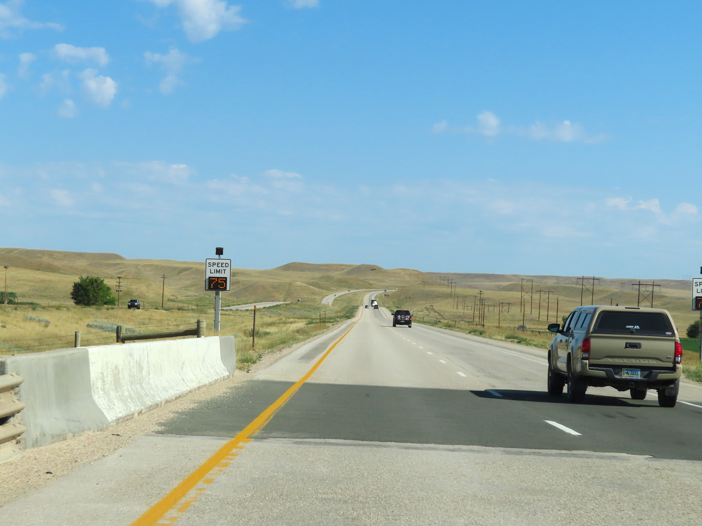
West of Exit 33, the variable speed limit zone comes to an end. The static speed limit is 75 mph at this point. (Photo taken 8/17/22). |
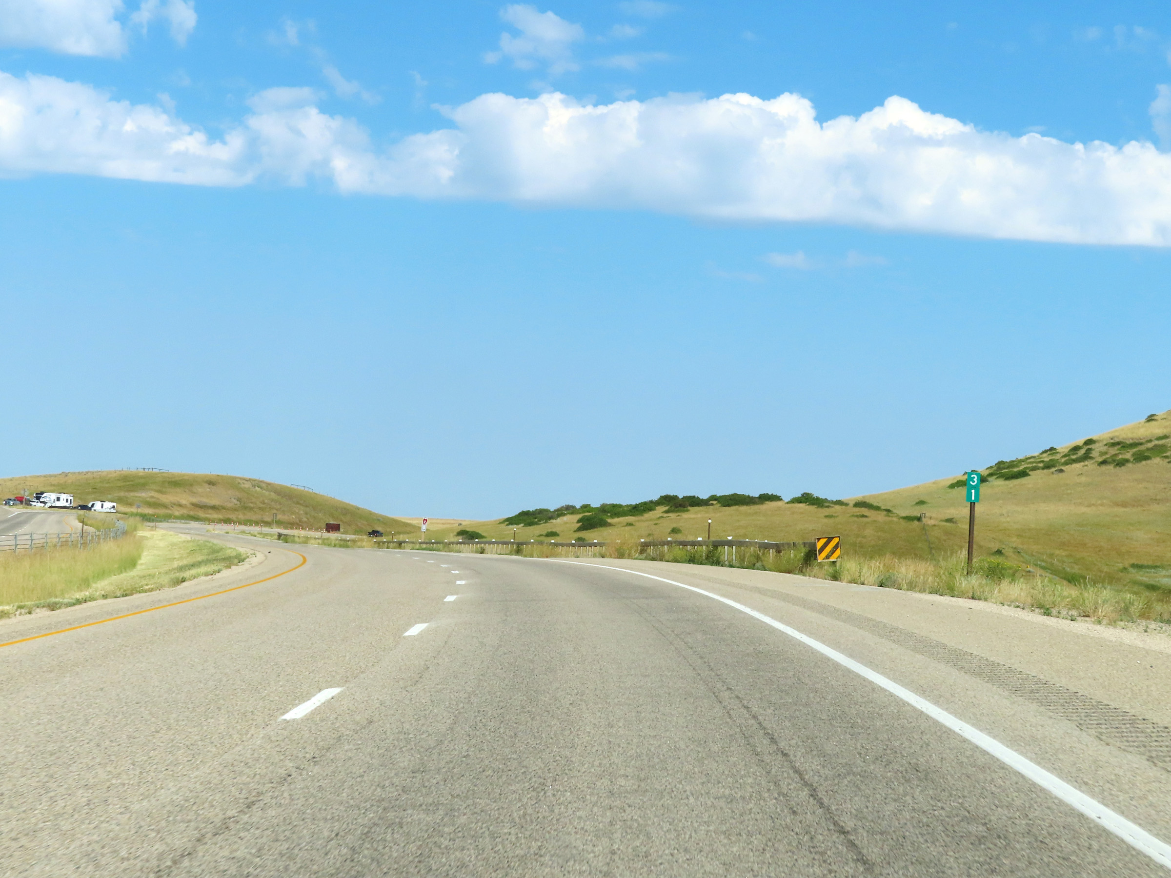 |
Interstate 90 West at mile marker 31. (Photo taken 8/17/22). |
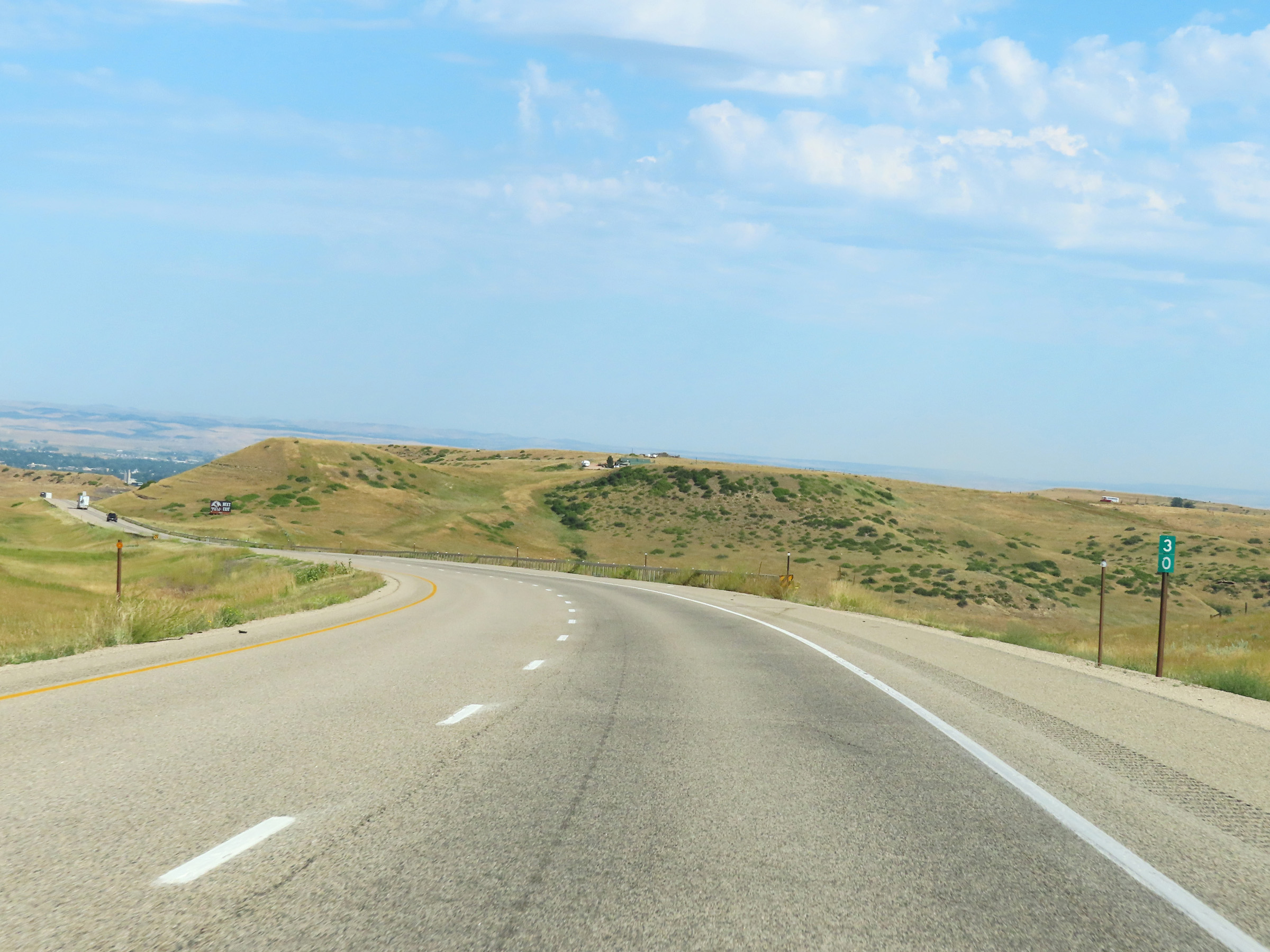 |
View on Interstate 90 West at mile marker 30. (Photo taken 8/17/22). |
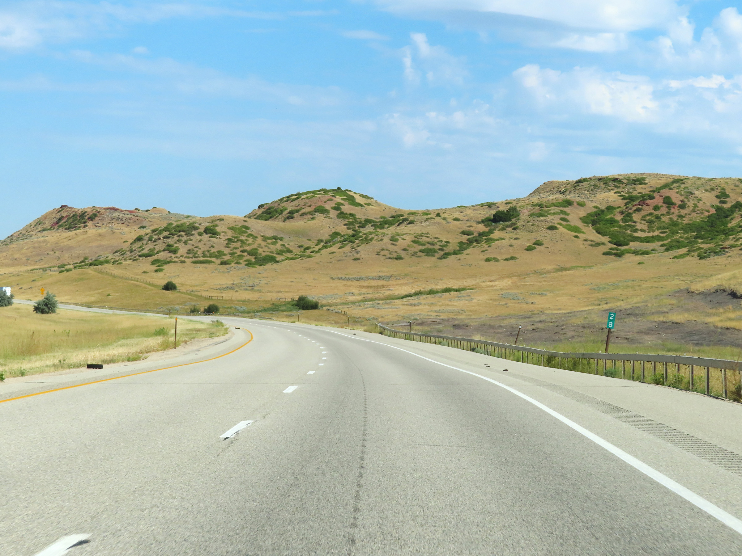 |
Mile marker 28 on Interstate 90 West in Sheridan County. (Photo taken 8/17/22). |
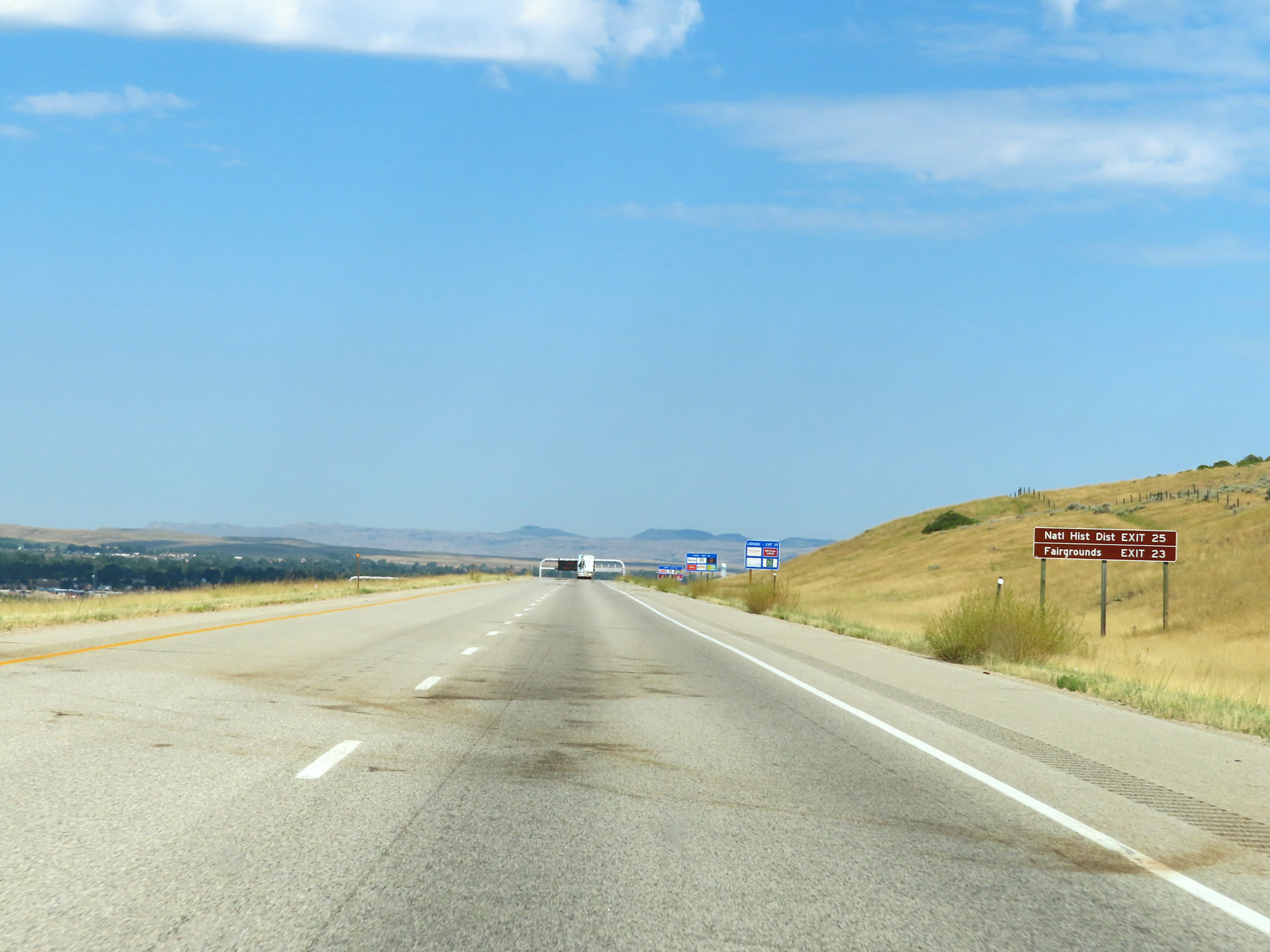 |
Take Exit 25 to the National Historic District of Sheridan. Take Exit 23 to the Fairgrounds. (Photo taken 8/17/22). |
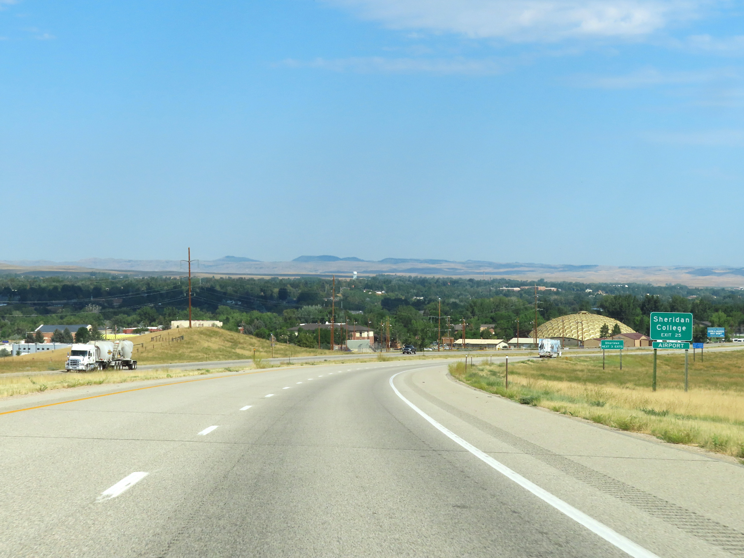 |
Also take Exit 25 to Sheridan College and the Airport. (Photo taken 8/17/22). |
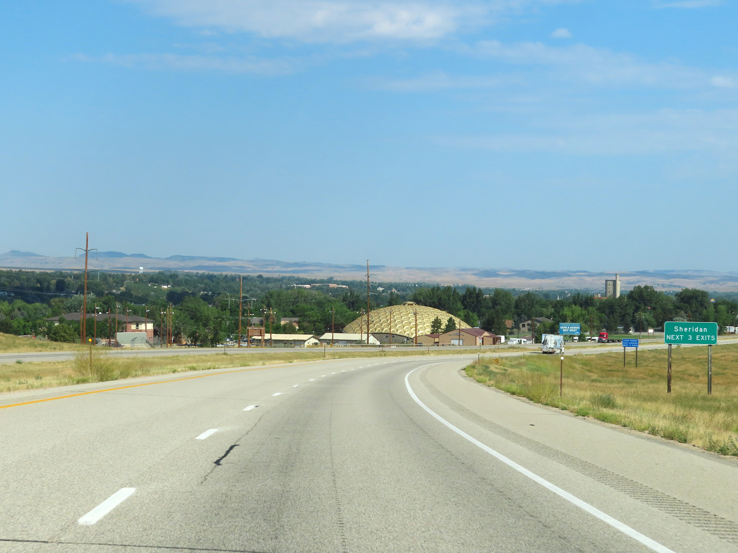 |
Take any of the next 3 exits to Sheridan. (Photo taken 8/17/22). |
 |
Interstate 90 West at Exit 25: Interstate 90 Business Loop / US 14 East - Sheridan / Big Horn / Ucross (Photo taken 8/17/22). |
Section 5: Sheridan (Exit 25) to Montana Border
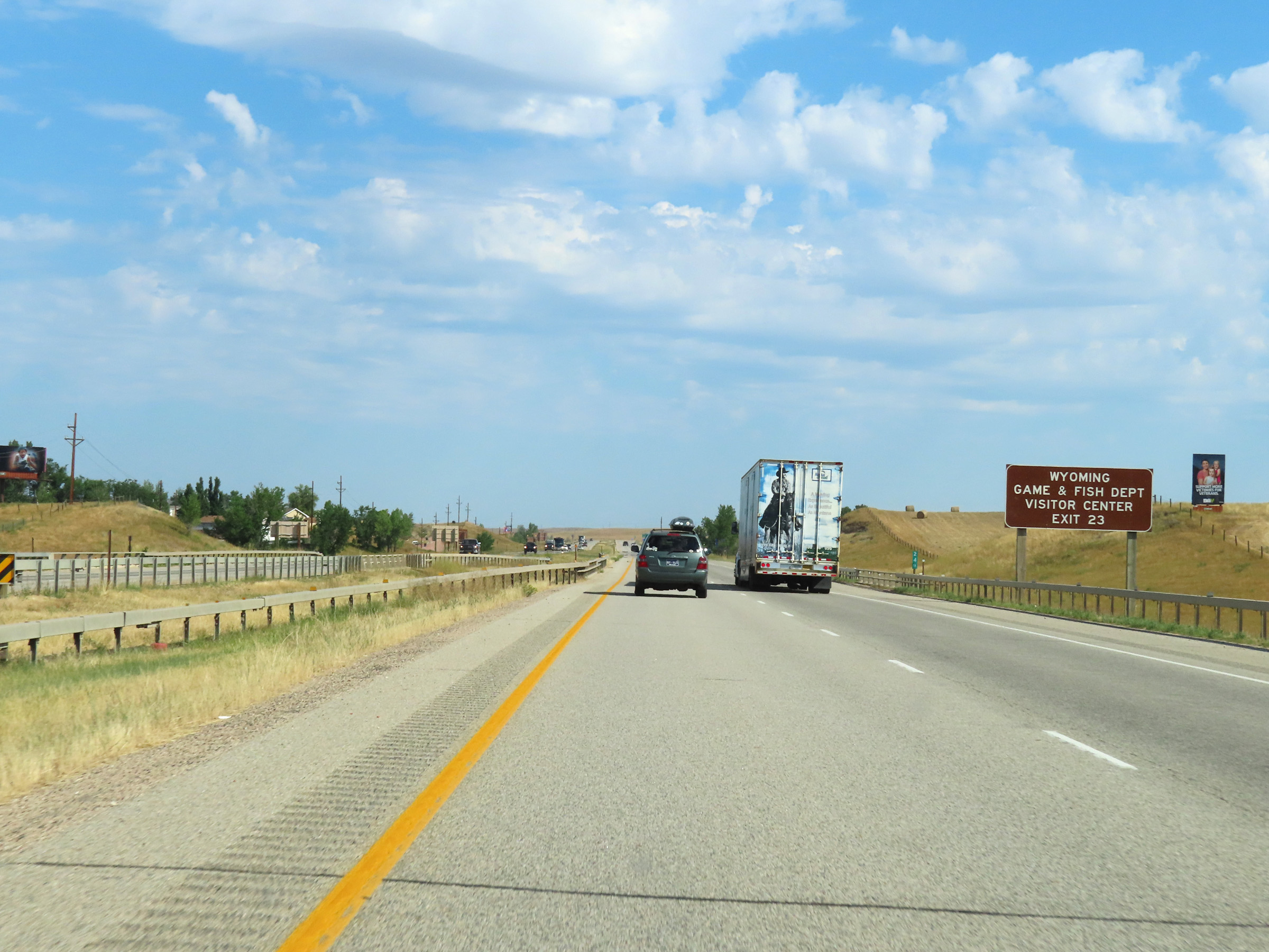 |
Take Exit 23 to the Wyoming Game & Fish Department Visitor Center. (Photo taken 8/17/22). |
 |
Also take Exit 23 to a Wyoming Information Center / Rest Area. (Photo taken 8/17/22). |
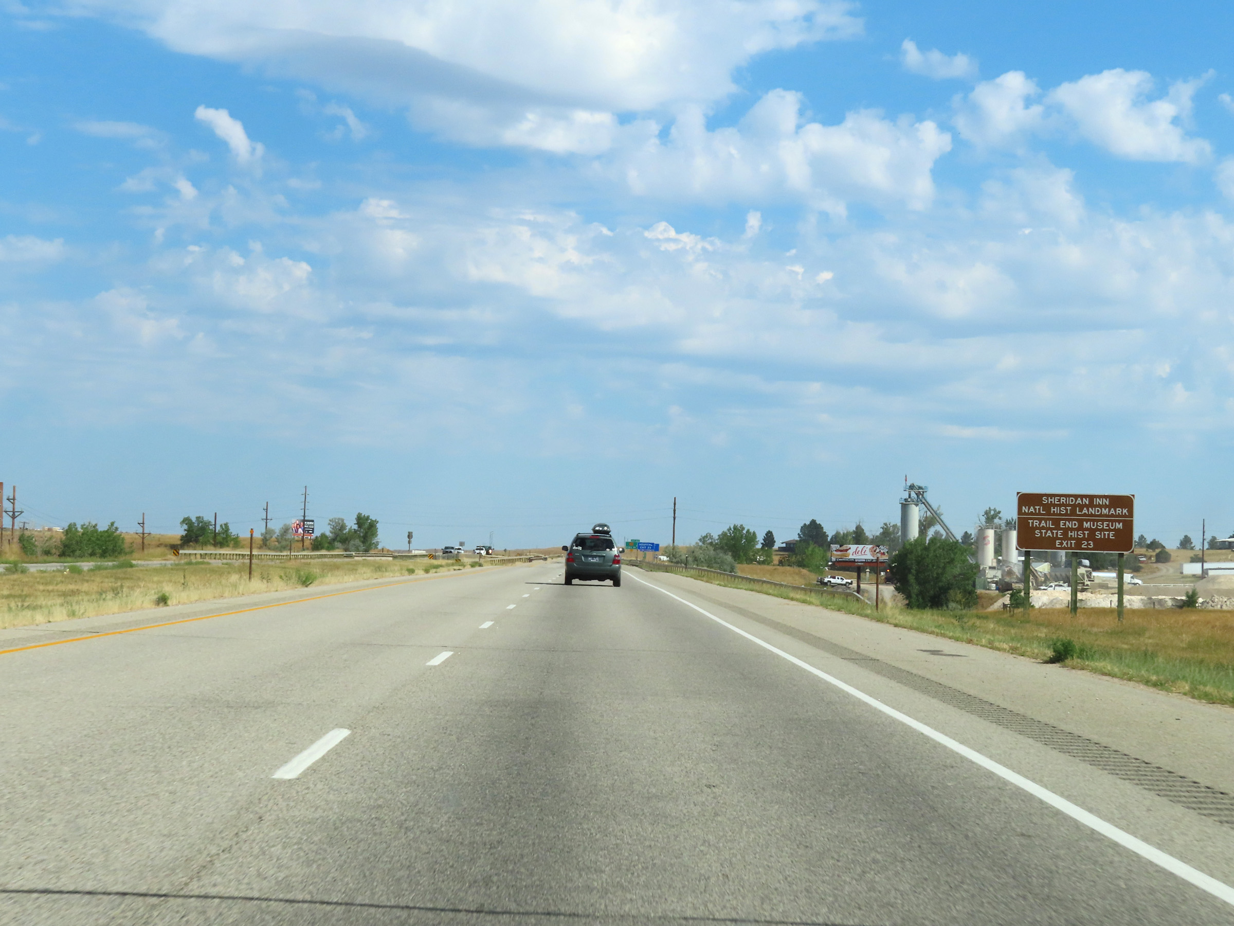 |
Traffic to Sheridan Inn National Historic Landmark and the Trail End Museum State Historic Site should also use Exit 23. (Photo taken 8/17/22). |
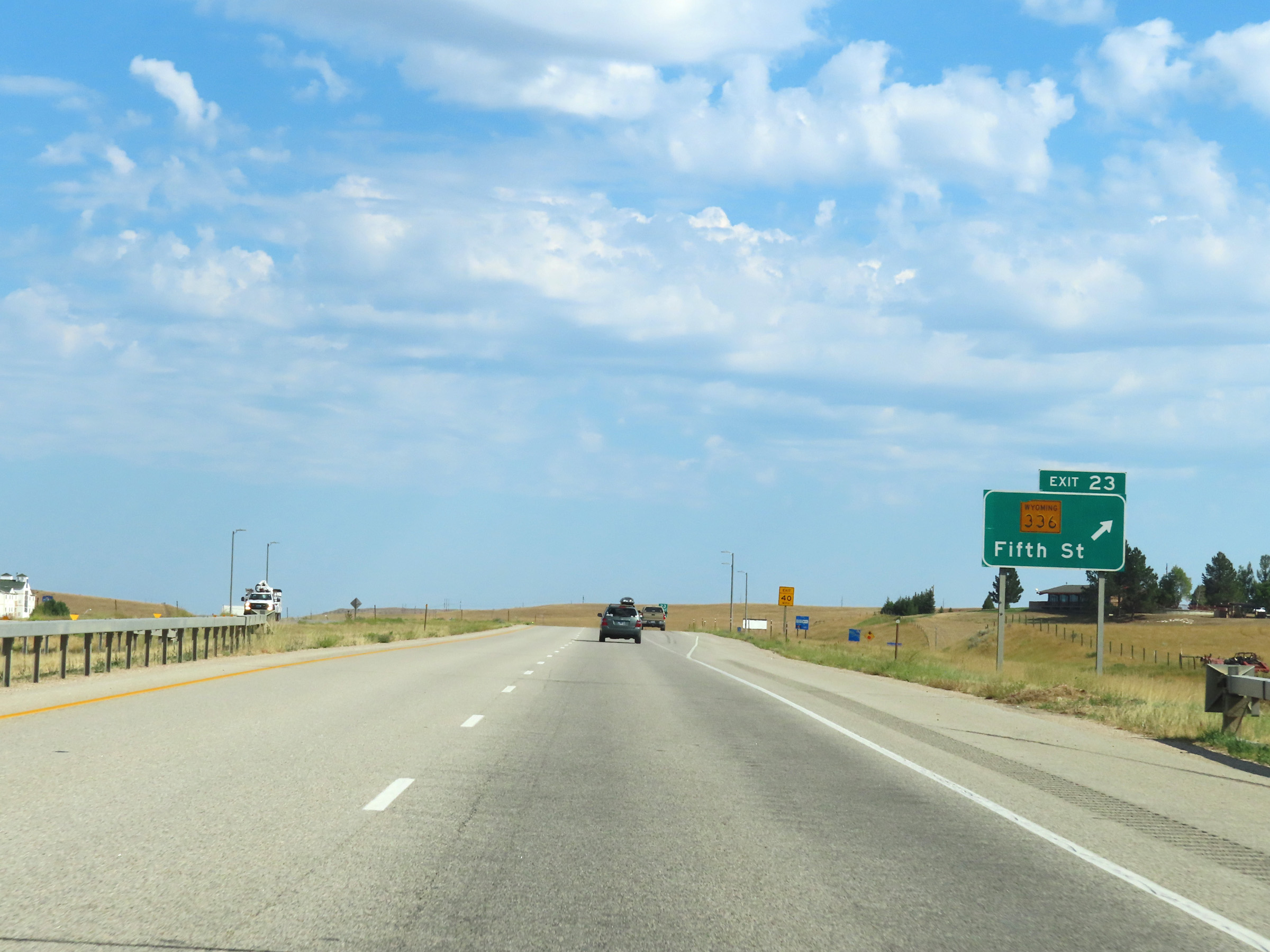 |
Interstate 90 West at Exit 23: WY 336 - Fifth St (Photo taken 8/17/22). |
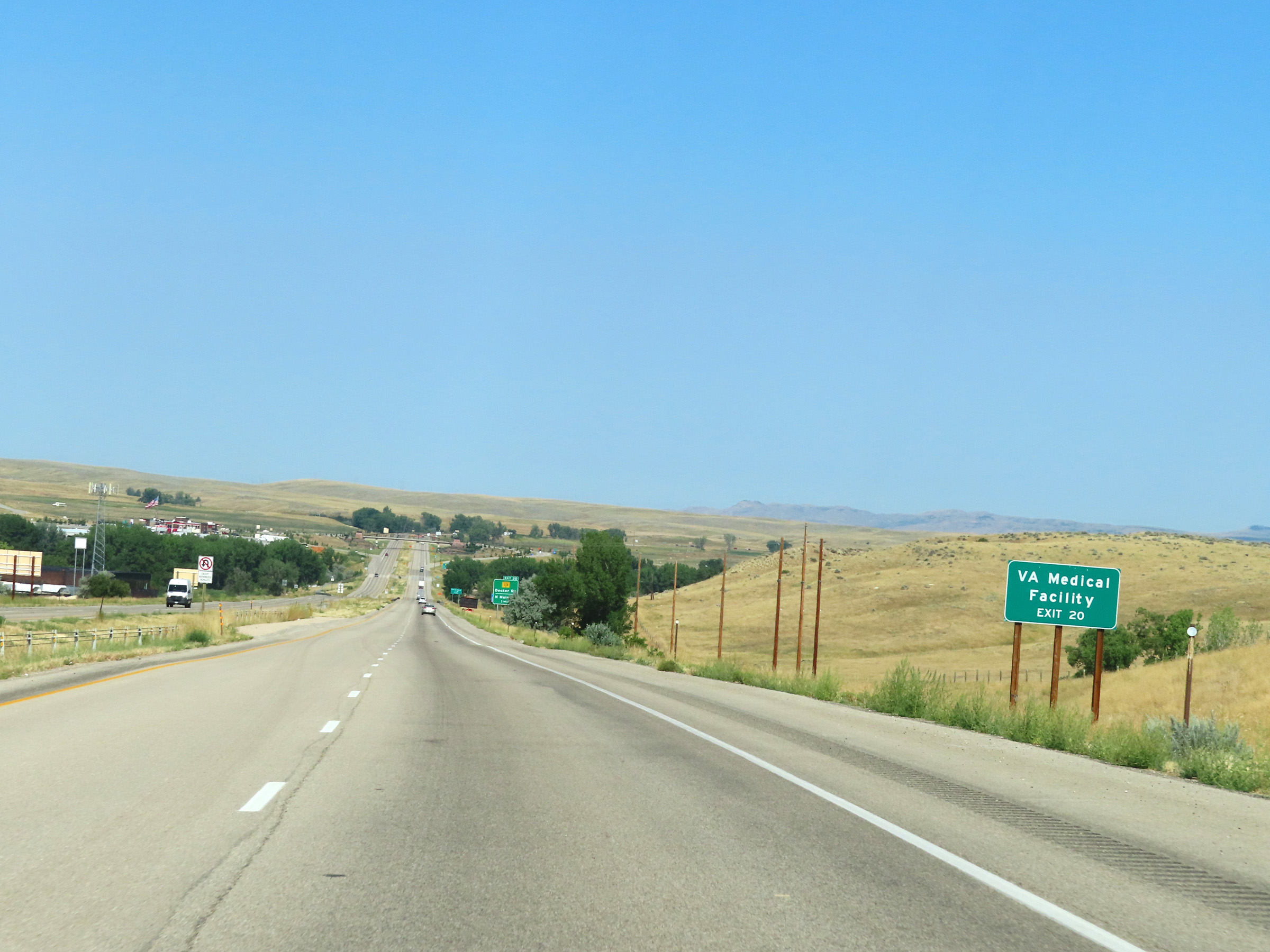 |
Take Exit 20 to the VA Medical Facility. (Photo taken 8/17/22). |
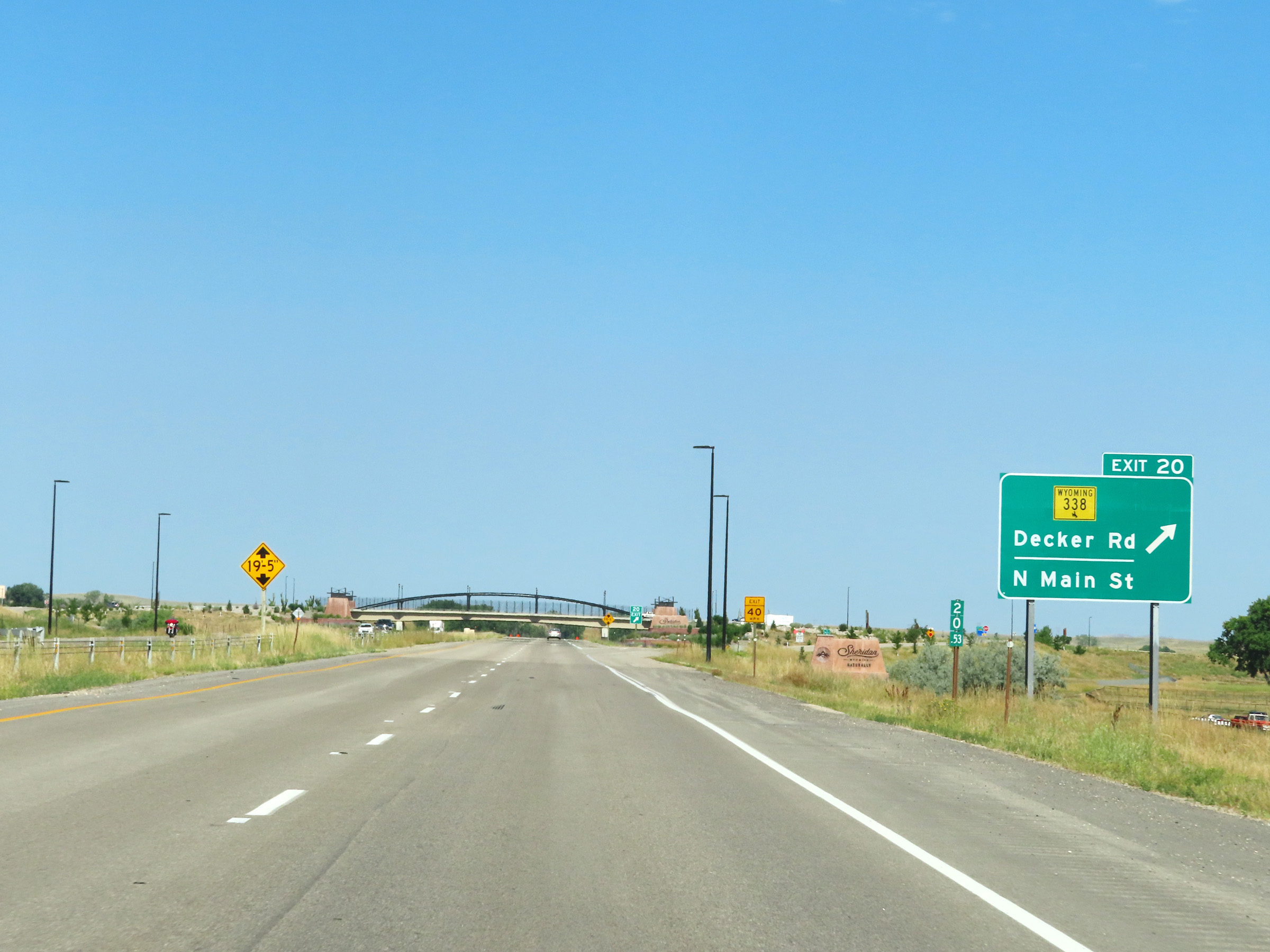 |
Interstate 90 West at Exit 20: WY 338 - Decker Rd / North Main St (Photo taken 8/17/22). |
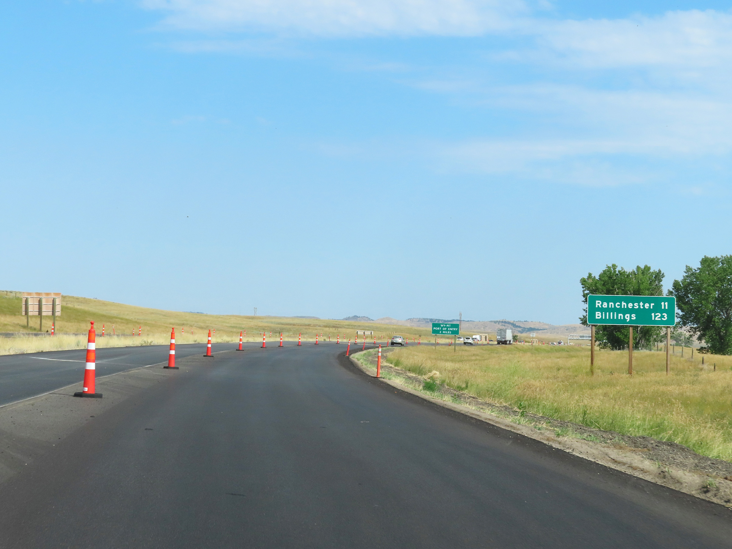 |
Mileage sign on Interstate 90 West. It's 11 miles to Ranchester and 123 miles to Billings. (Photo taken 8/17/22). |
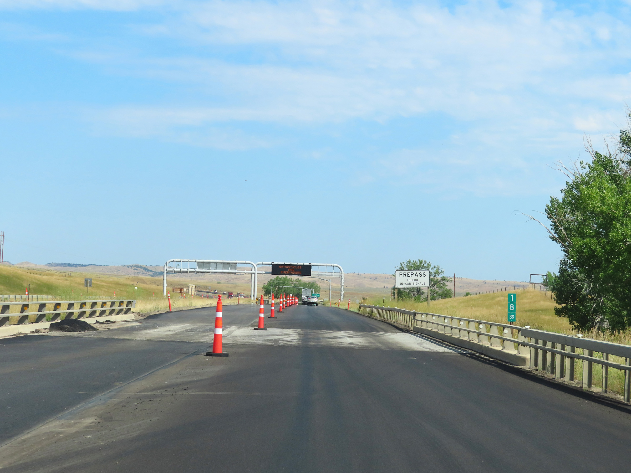 |
Interstate 90 West at mile mraker 18.39. Trucks equipped with PrePass should follow in-cab signals ahead relating to the Montana-Wyoming Port of Entry. (Photo taken 8/17/22). |
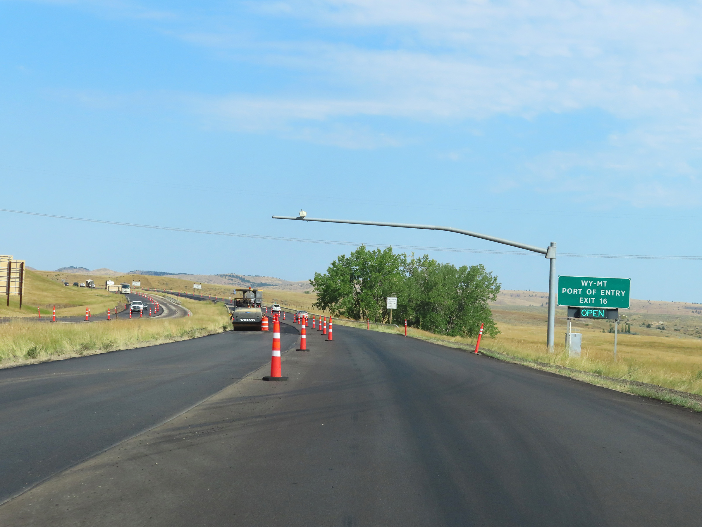 |
The Wyoming-Montana Port of Entry is located off Exit 16 ahead. This sign shows its current status. For reference, these Ports of Entry are almost always open, so truck drivers should always be prepared to enter them. (Photo taken 8/17/22). |
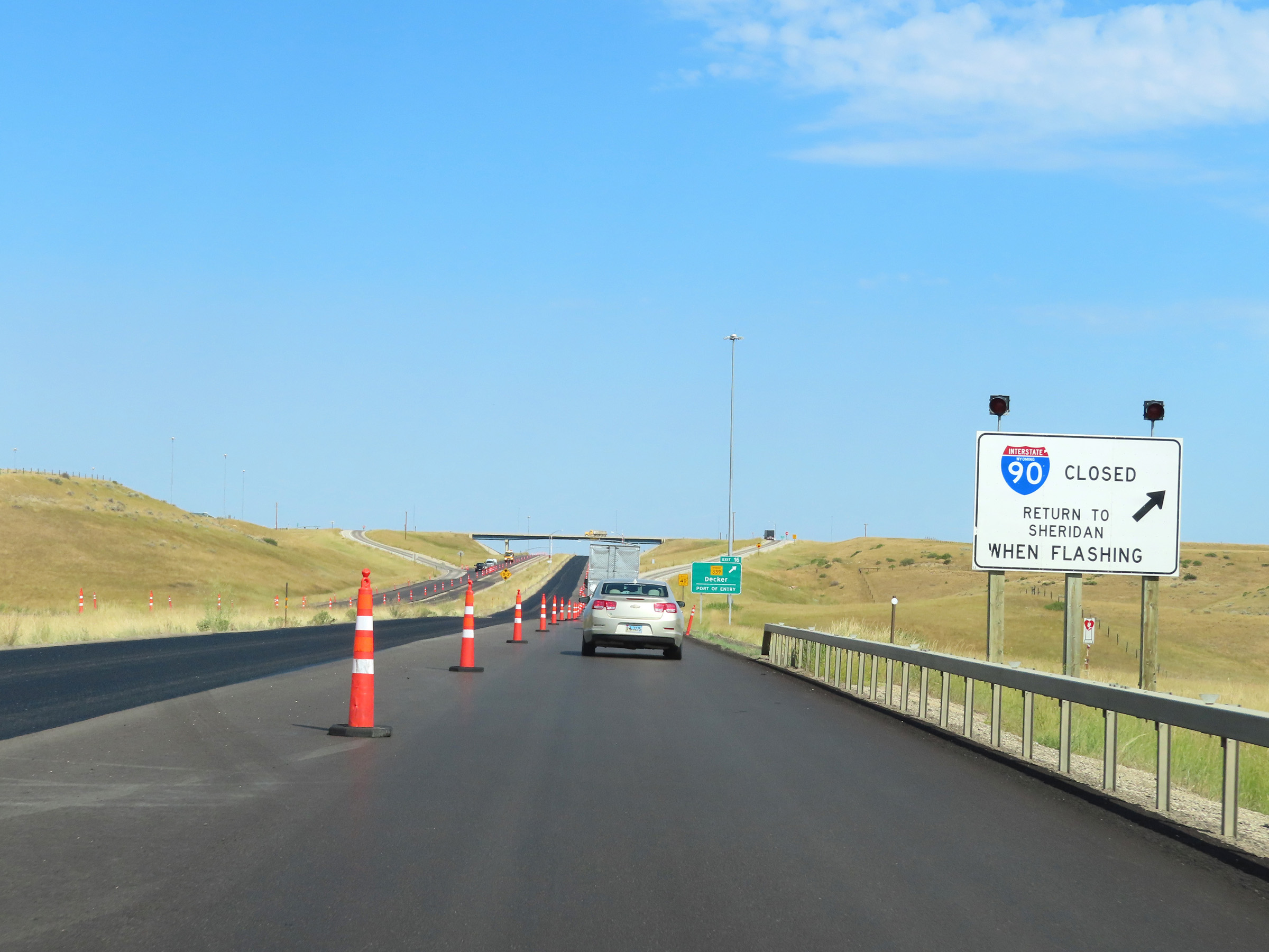 |
In the Bighorn Mountains, the weather can get very bad in a very short period of time. Due to this, signs like these are posted on Interstate 90 West in Wyoming. If the lights on this sign are flashing, I-90 is closed ahead and all traffic must take Exit 16 ahead, turn around, and return to Sheridan. (Photo taken 8/17/22). |
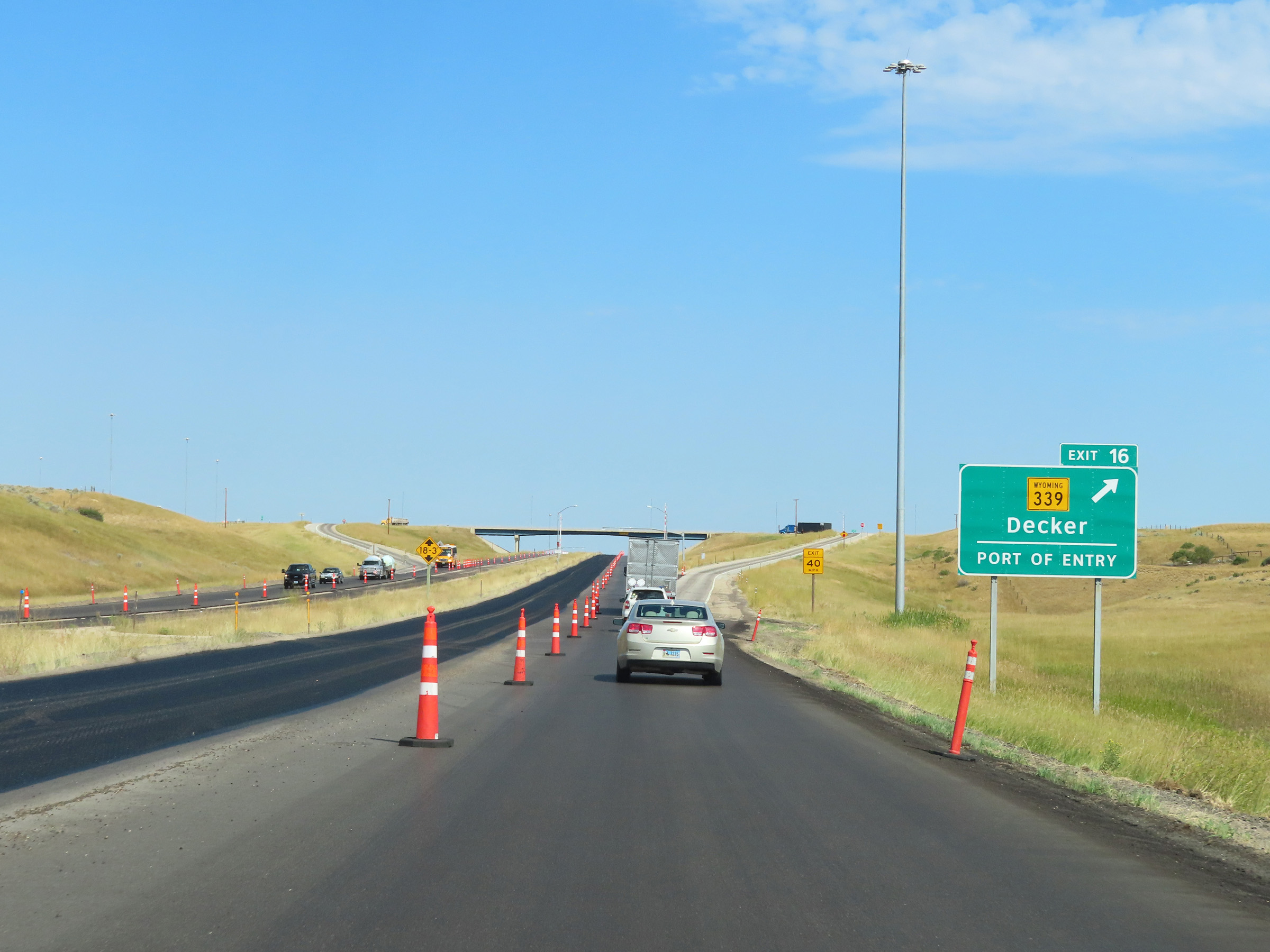 |
Interstate 90 West at Exit 16: WY 339 - Decker / Port of Entry (Photo taken 8/17/22). |
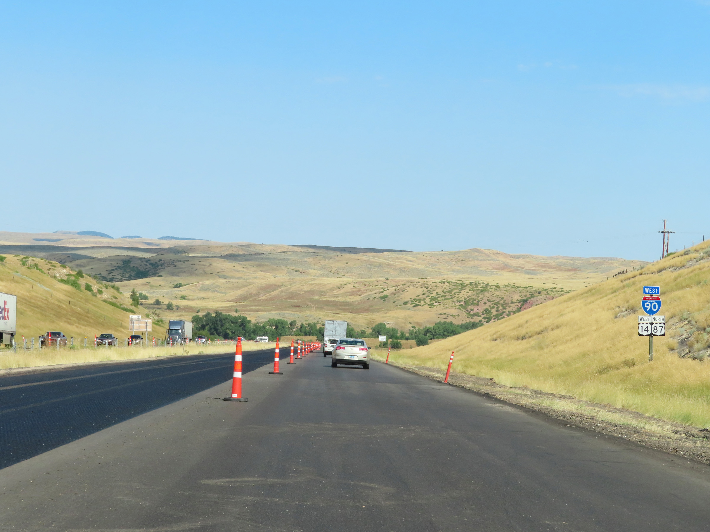 |
State-named Interstate 90 West reassurance shield in Sheridan County beyond Exit 16. (Photo taken 8/17/22). |
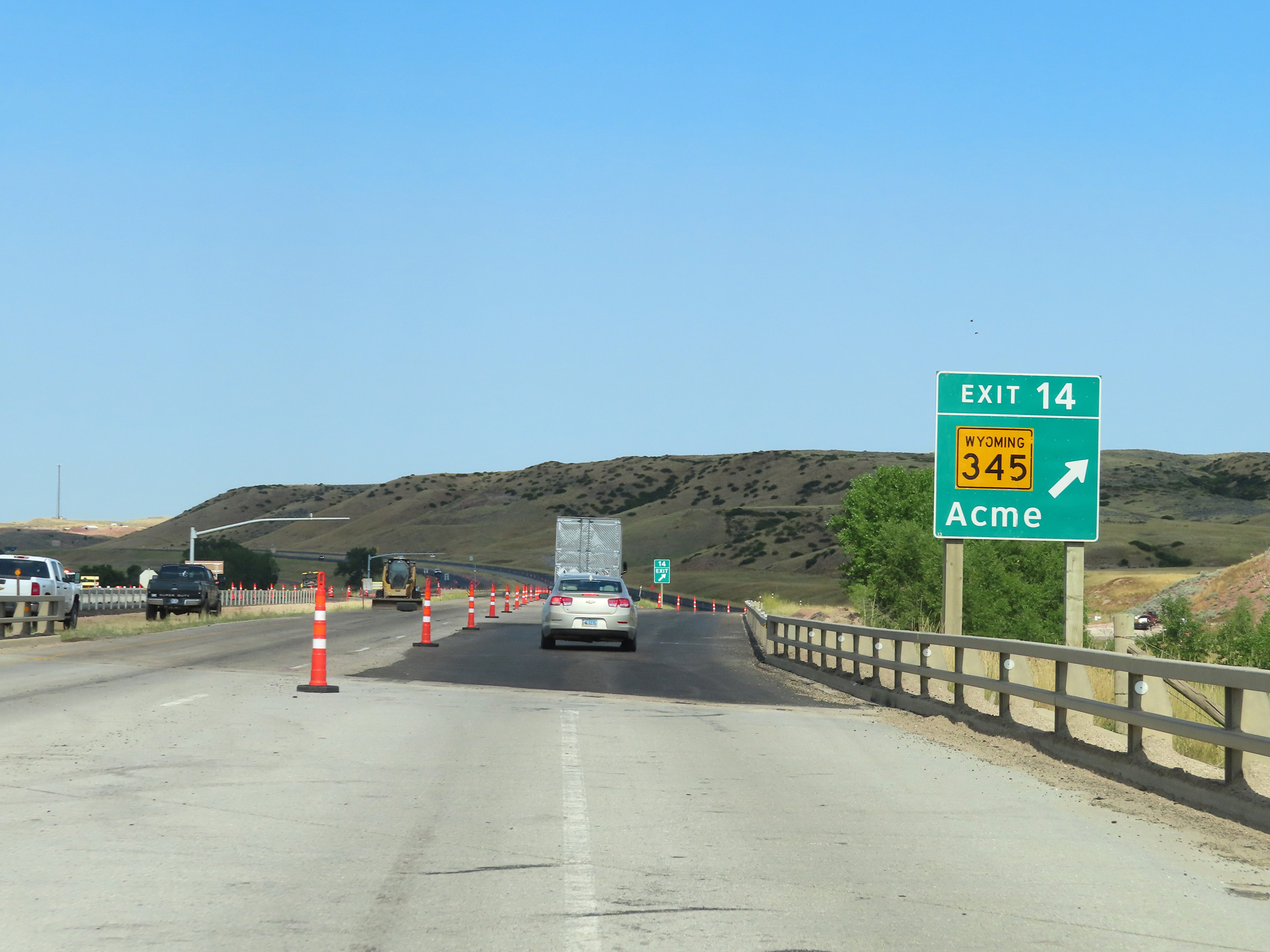 |
Interstate 90 West at Exit 14: WY 345 - Acme (Photo taken 8/17/22). |
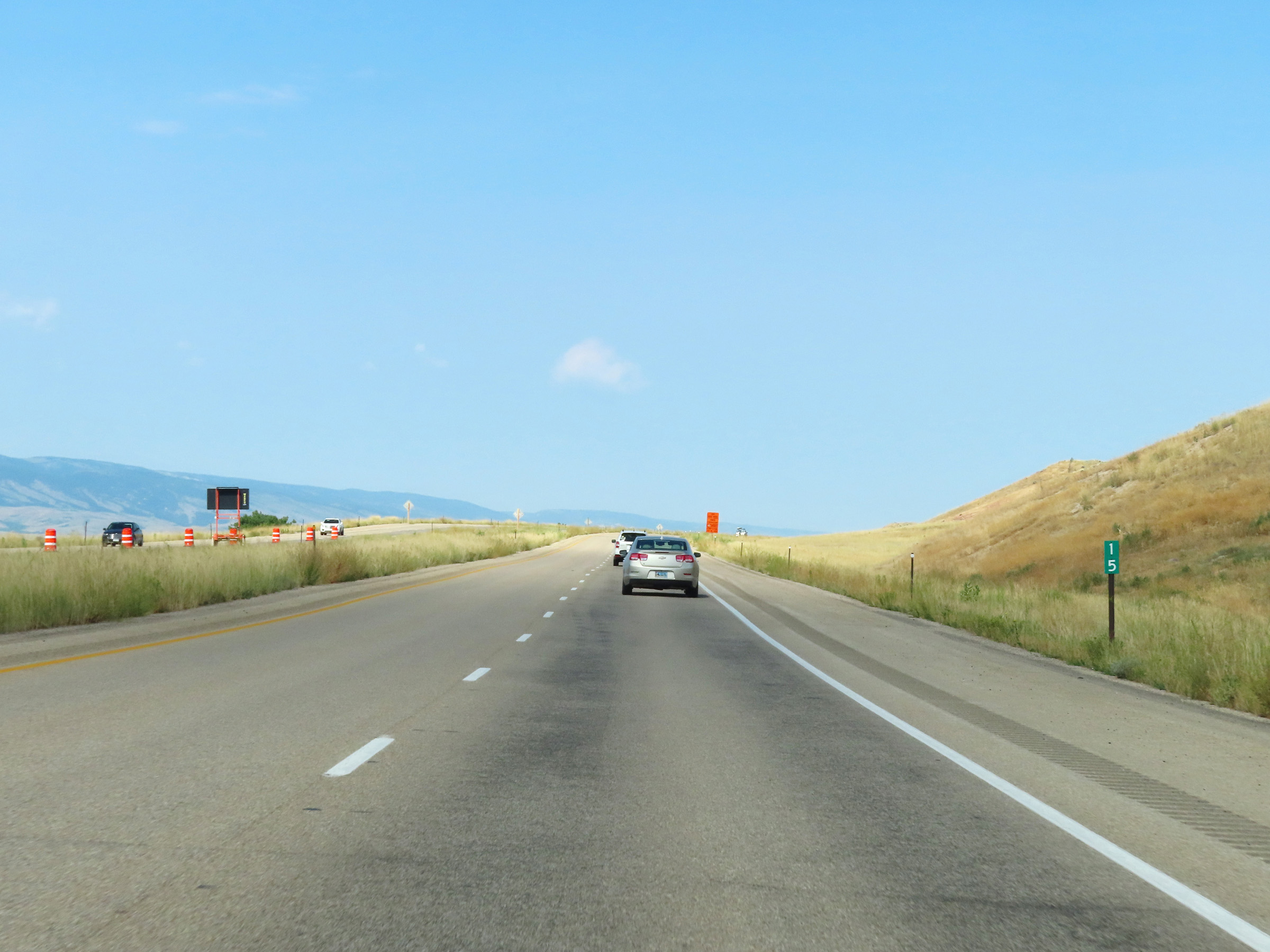 |
Mile marker 15 on Interstate 90 West in Sheridan County. (Photo taken 8/17/22). |
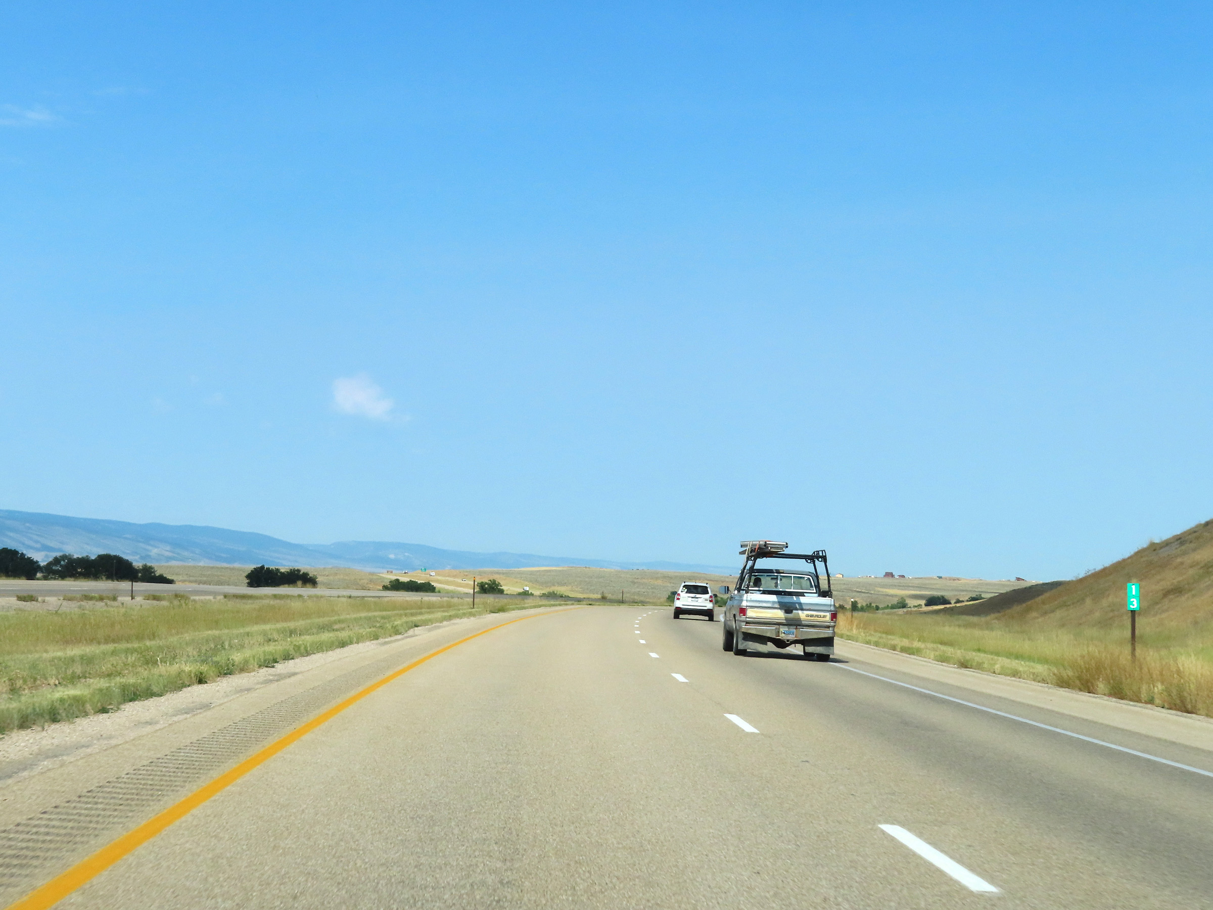 |
View on Interstate 90 West at mile marker 13. (Photo taken 8/17/22). |
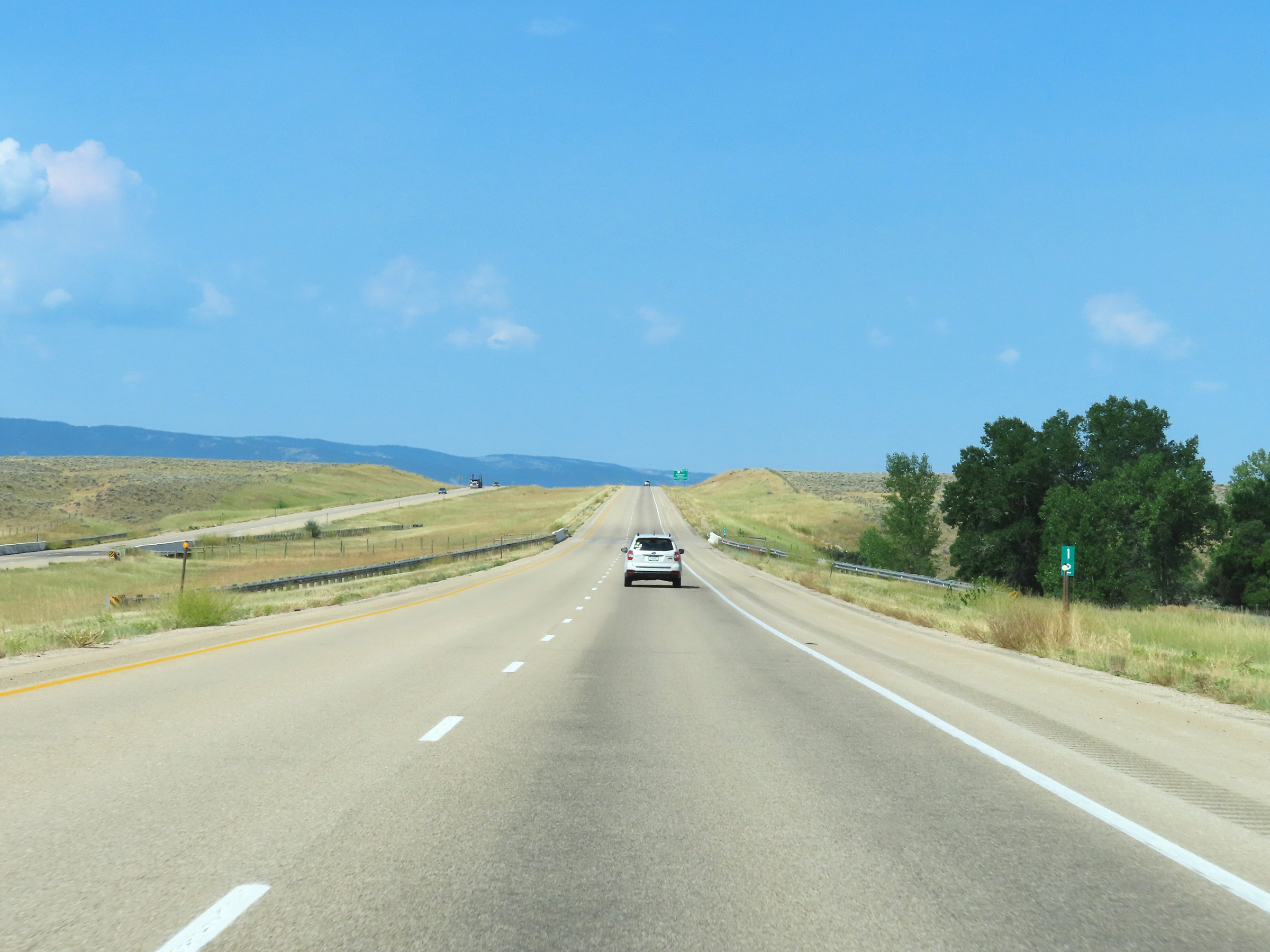 |
Interstate 90 West at mile marker 12. (Photo taken 8/17/22). |
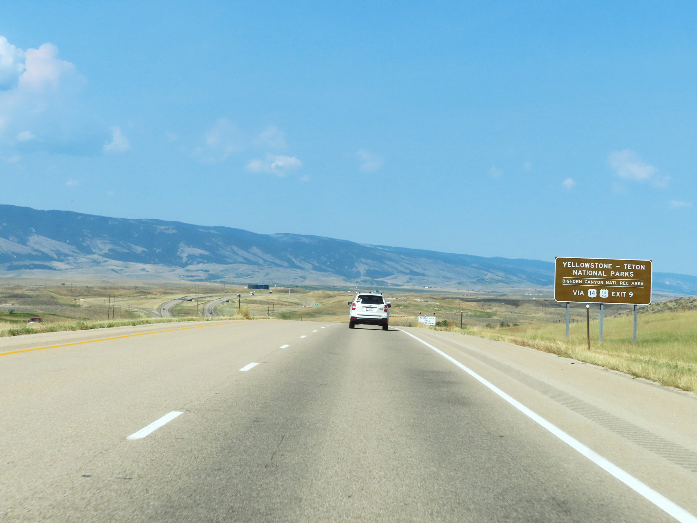 |
Take Exit 9 to Yellowstone National Park and Grand Teton National Park, as well as Bighorn Canyon National Recreation Area via US 14 West. (Photo taken 8/17/22). |
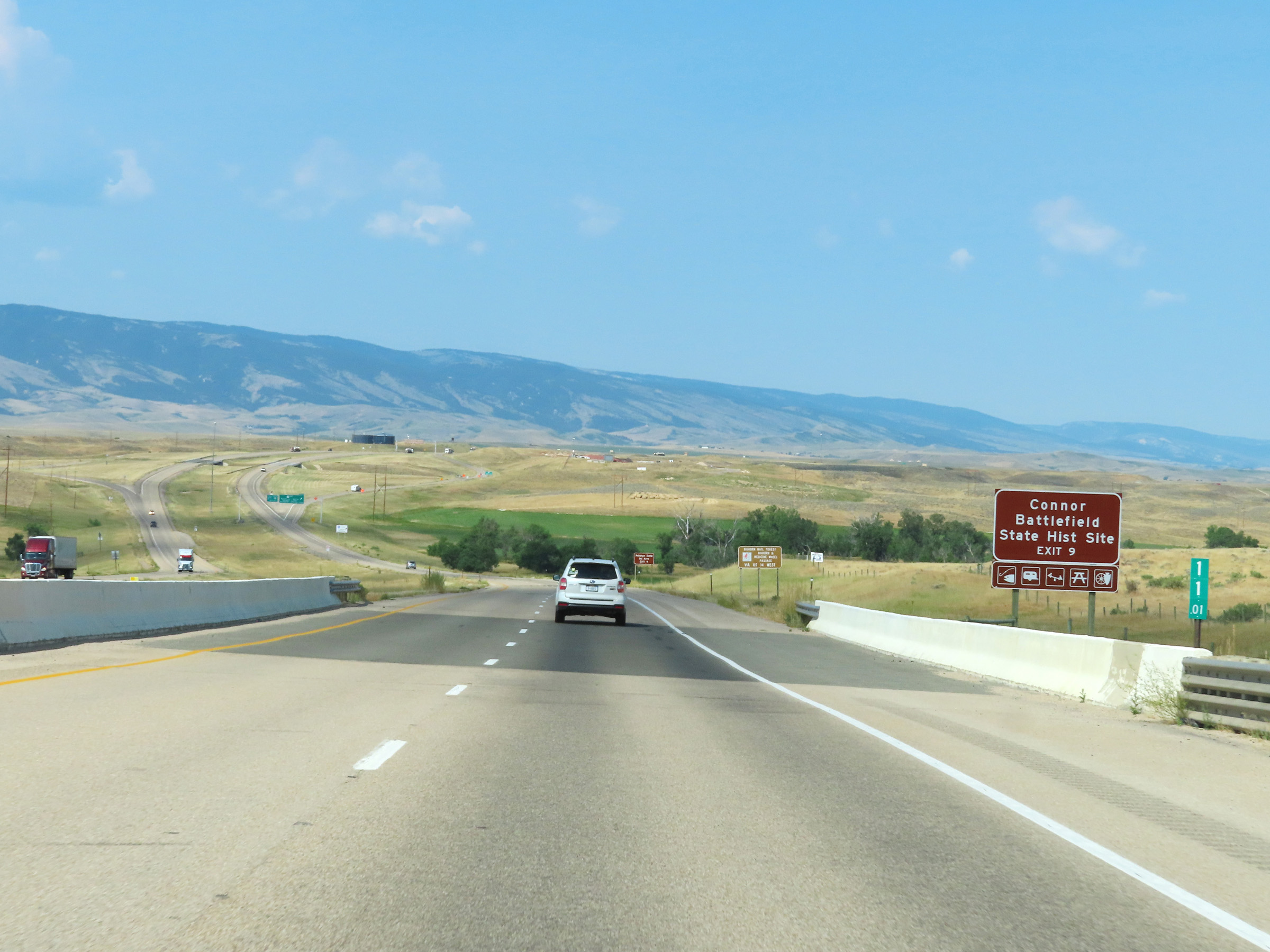 |
Take Exit 9 to Connor Battlefield State Historic Site as well. (Photo taken 8/17/22). |
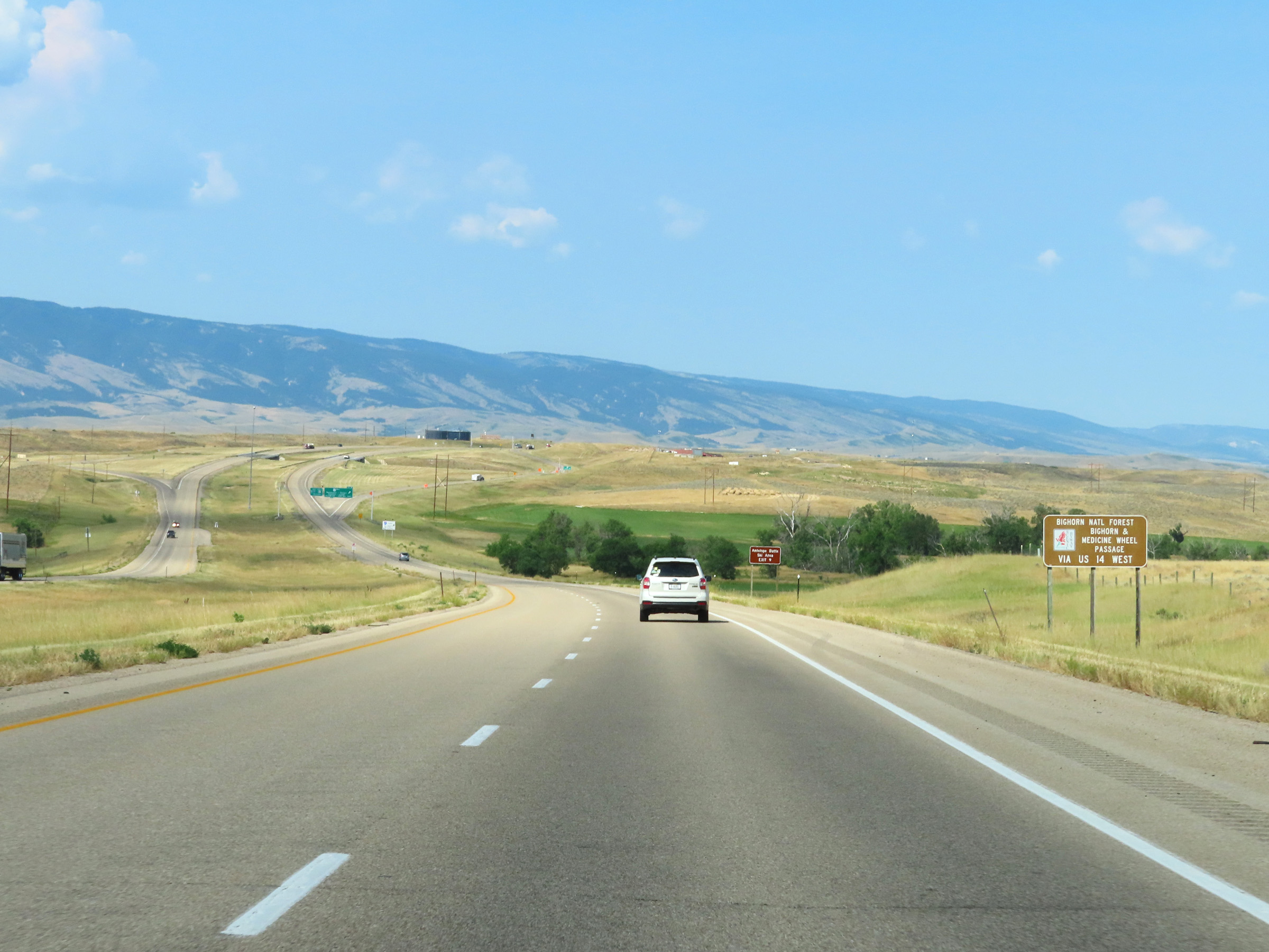 |
Follow US 14 West via Exit 9 to Medicine Wheel Passage. (Photo taken 8/17/22). |
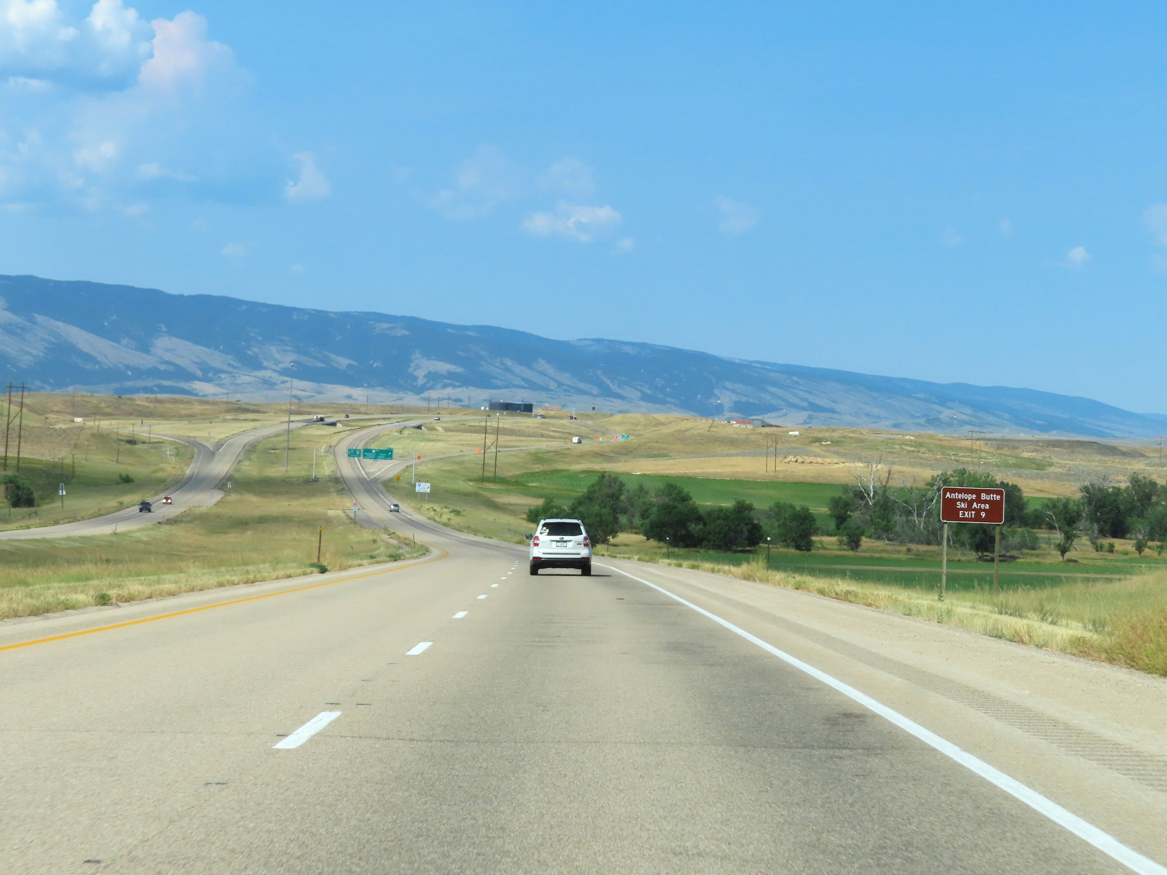 |
Take Exit 9 to Antelope Butte Ski Area as well. (Photo taken 8/17/22). |
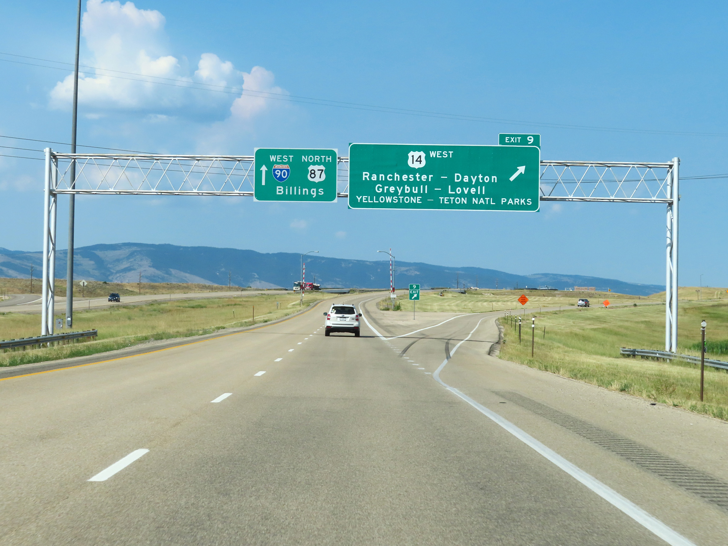 |
Interstate 90 West at Exit 9: US 14 West - Ranchester / Dayton / Greybull / Lovell / Yellowstone National Park / Grand Teton National Park (Photo taken 8/17/22). |
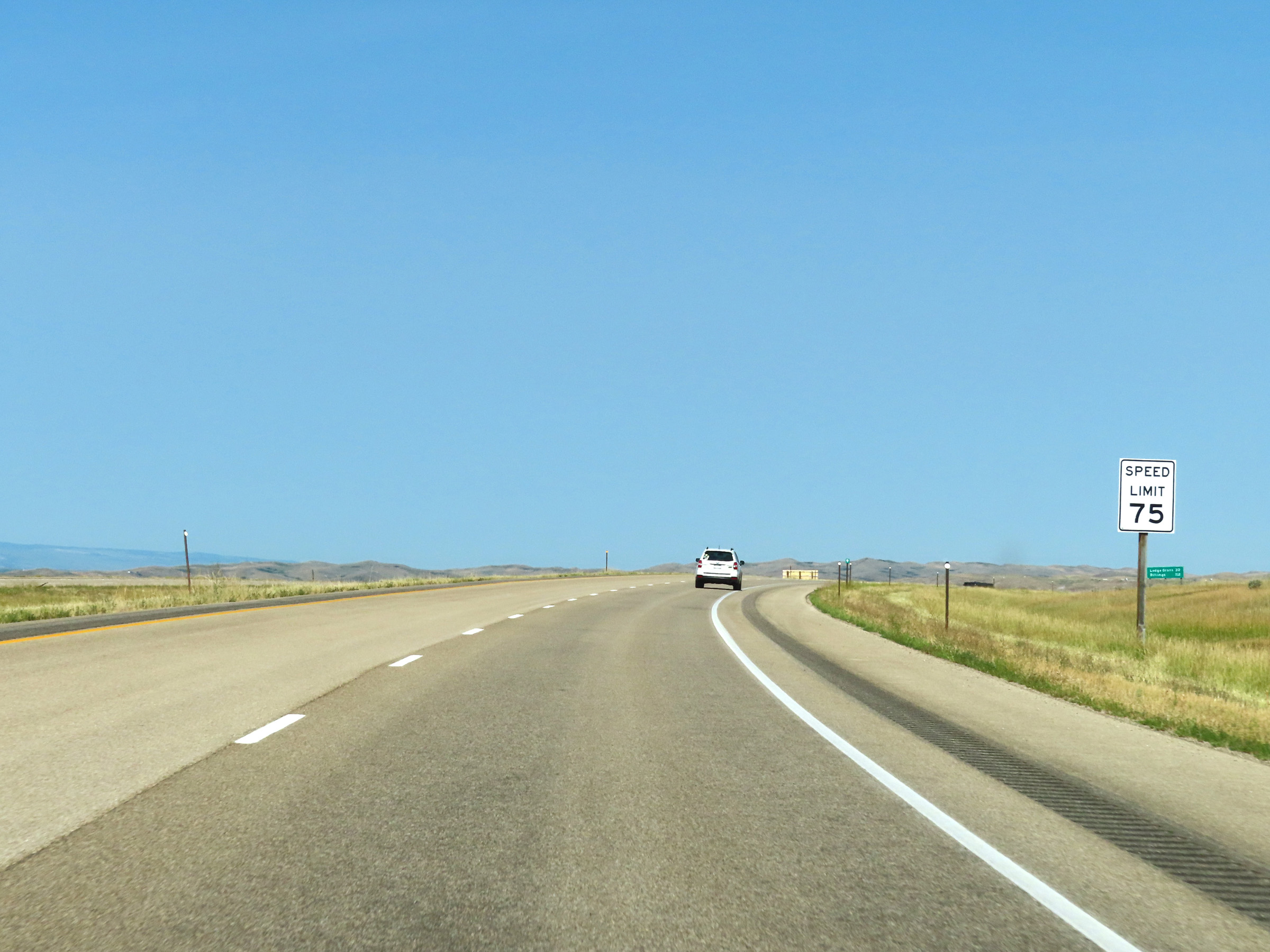 |
The speed limit remains 75 mph on Interstate 90 West. (Photo taken 8/17/22). |
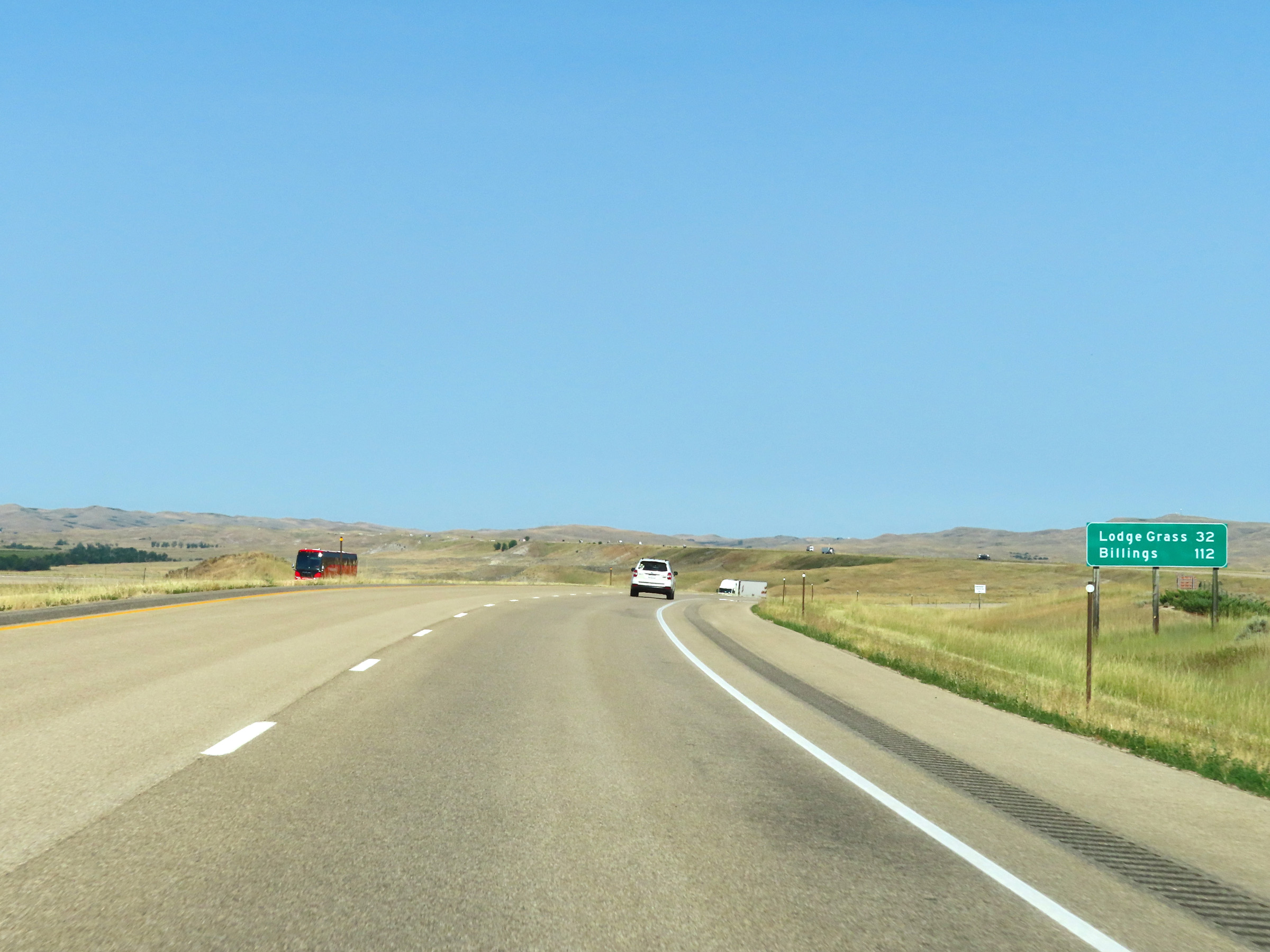 |
Mileage sign on Interstate 90 West. It's 32 miles to Lodge Grass and 112 miles to Billings. (Photo taken 8/17/22). |
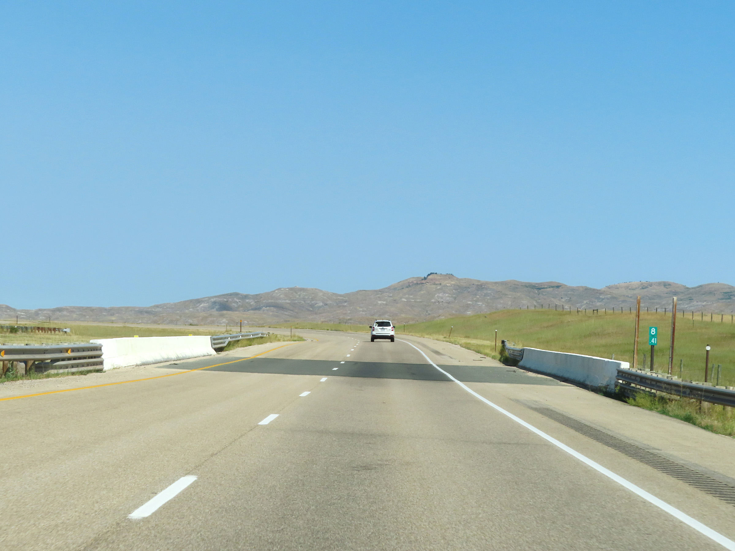 |
Mile marker 8.41 on Interstate 90 West in Sheridan County. (Photo taken 8/17/22). |
 |
Interstate 90 West at mile marker 7. (Photo taken 8/17/22). |
 |
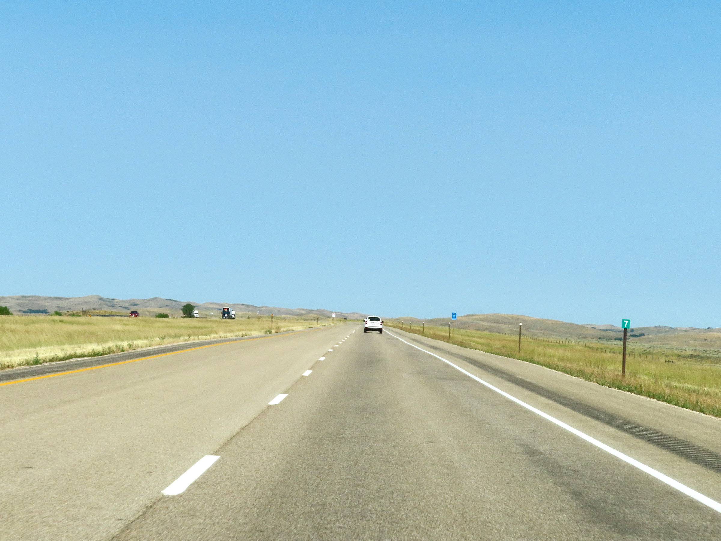
View on Interstate 90 West at mile marker 6. (Photo taken 8/17/22). |
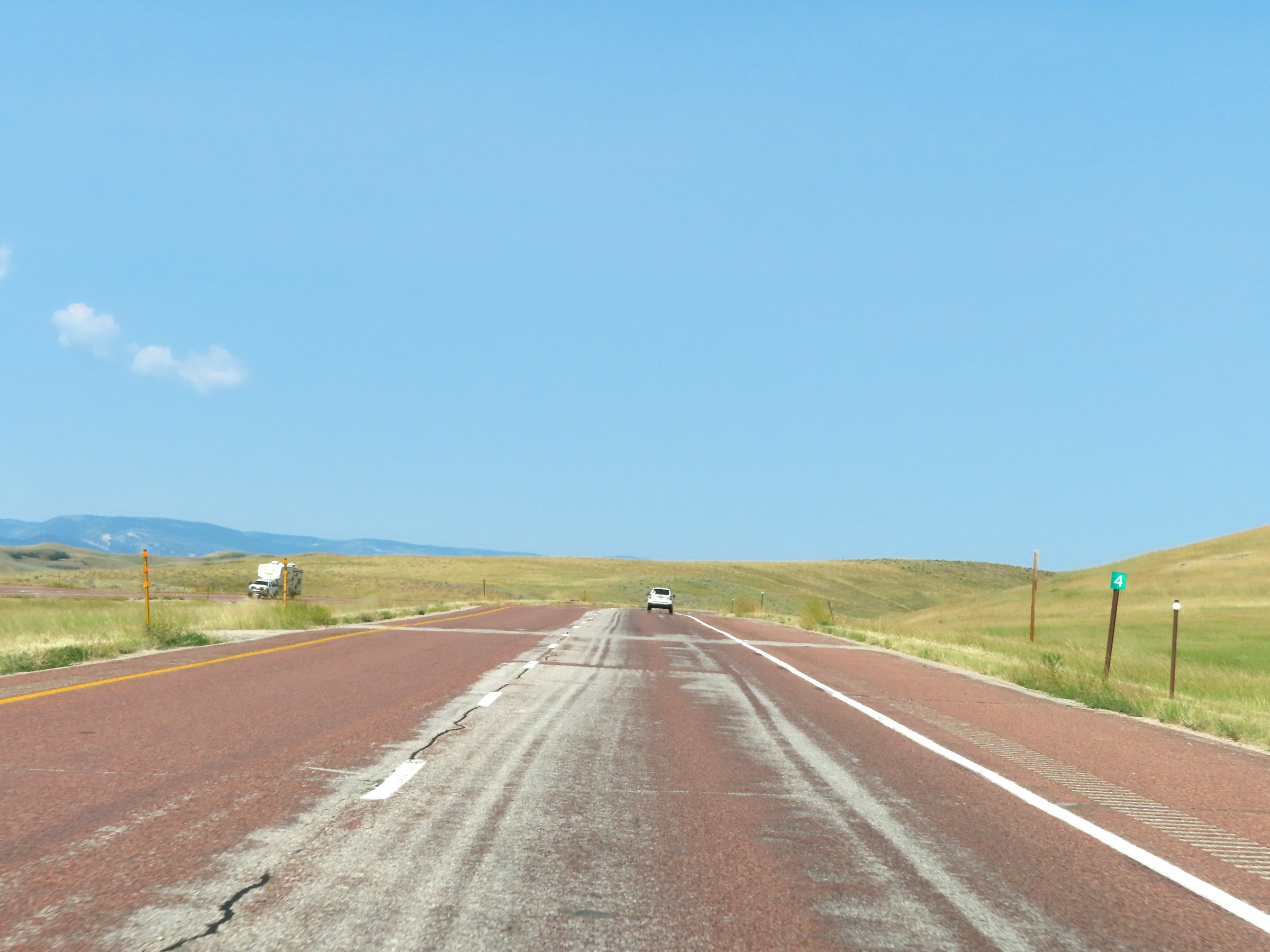 |
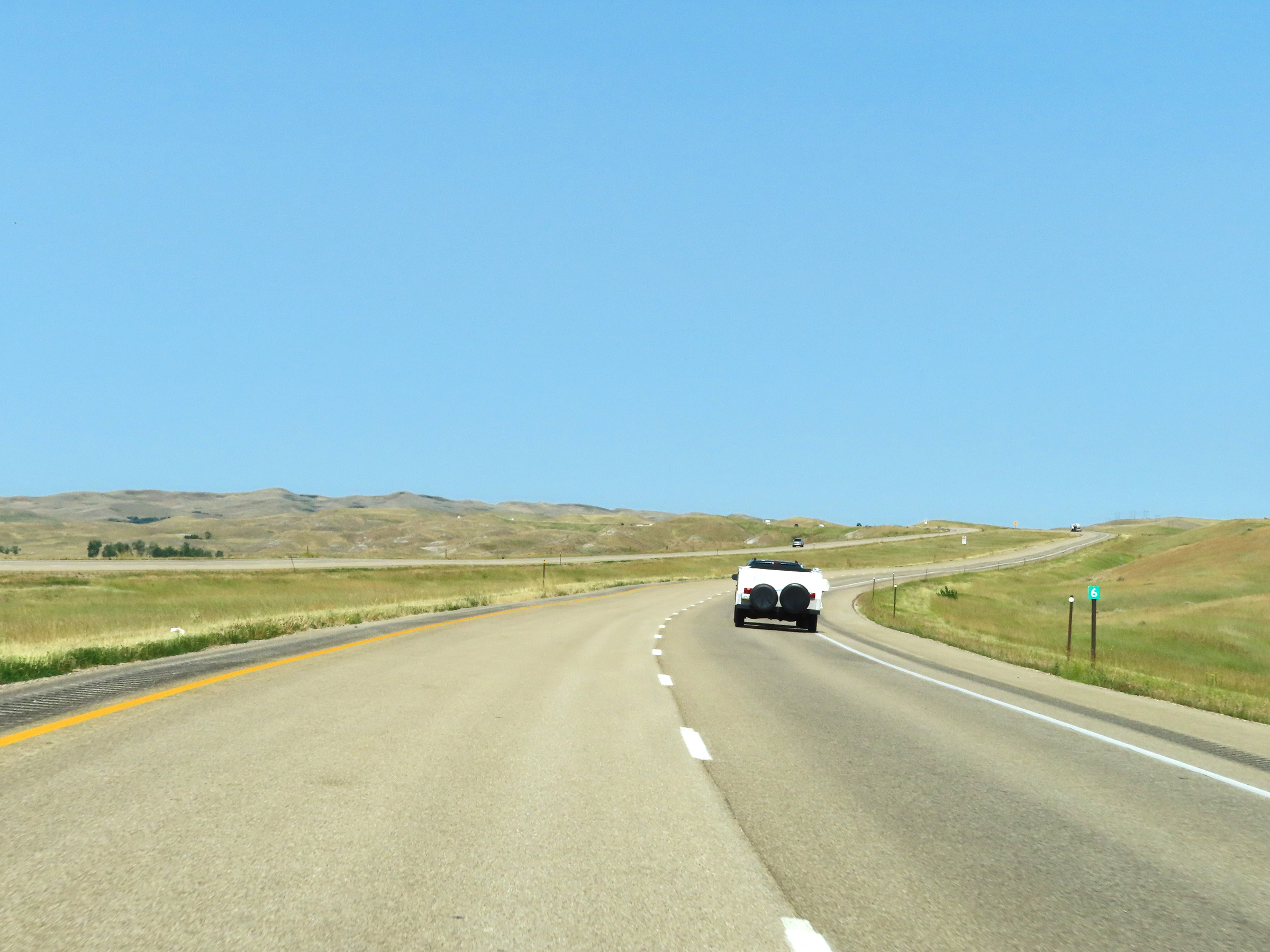
Mile marker 4 on Interstate 90 West in Sheridan County. (Photo taken 8/17/22). |
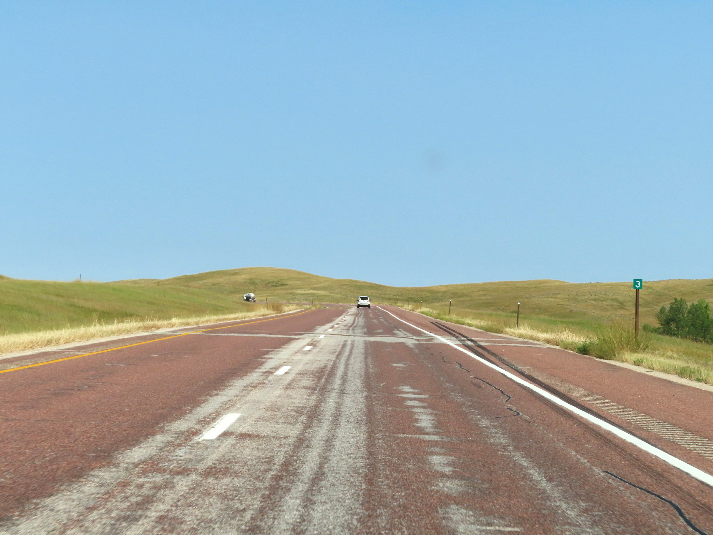 |
Interstate 90 West at mile marker 3. (Photo taken 8/17/22). |
 |
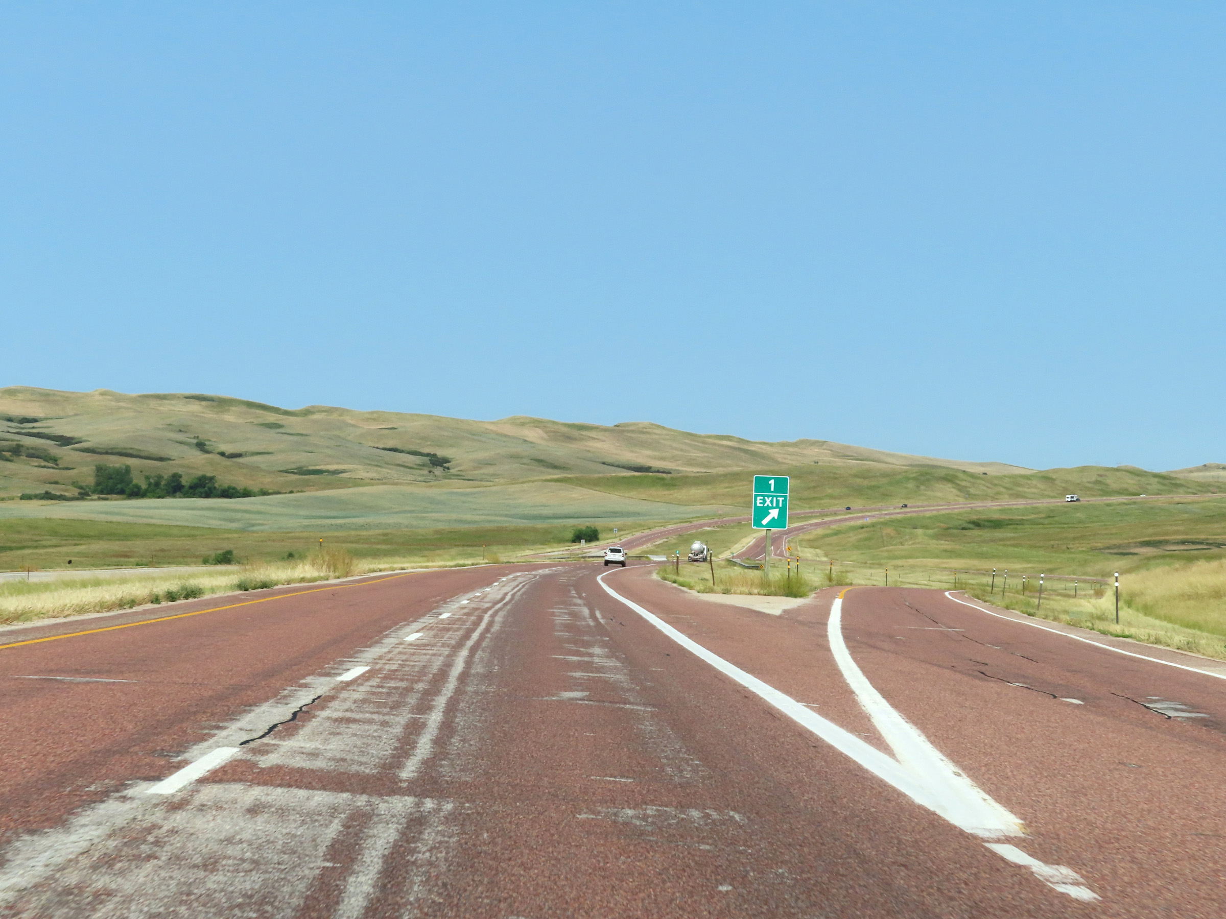
Interstate 90 West approaching Exit 1 - 1/4 mile. (Photo taken 8/17/22). |
 |
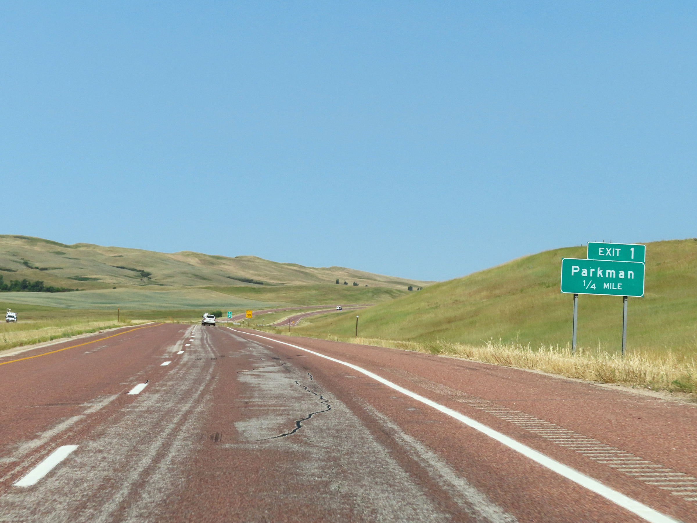
Interstate 90 West at Exit 1: Parkman (Photo taken 8/17/22). |
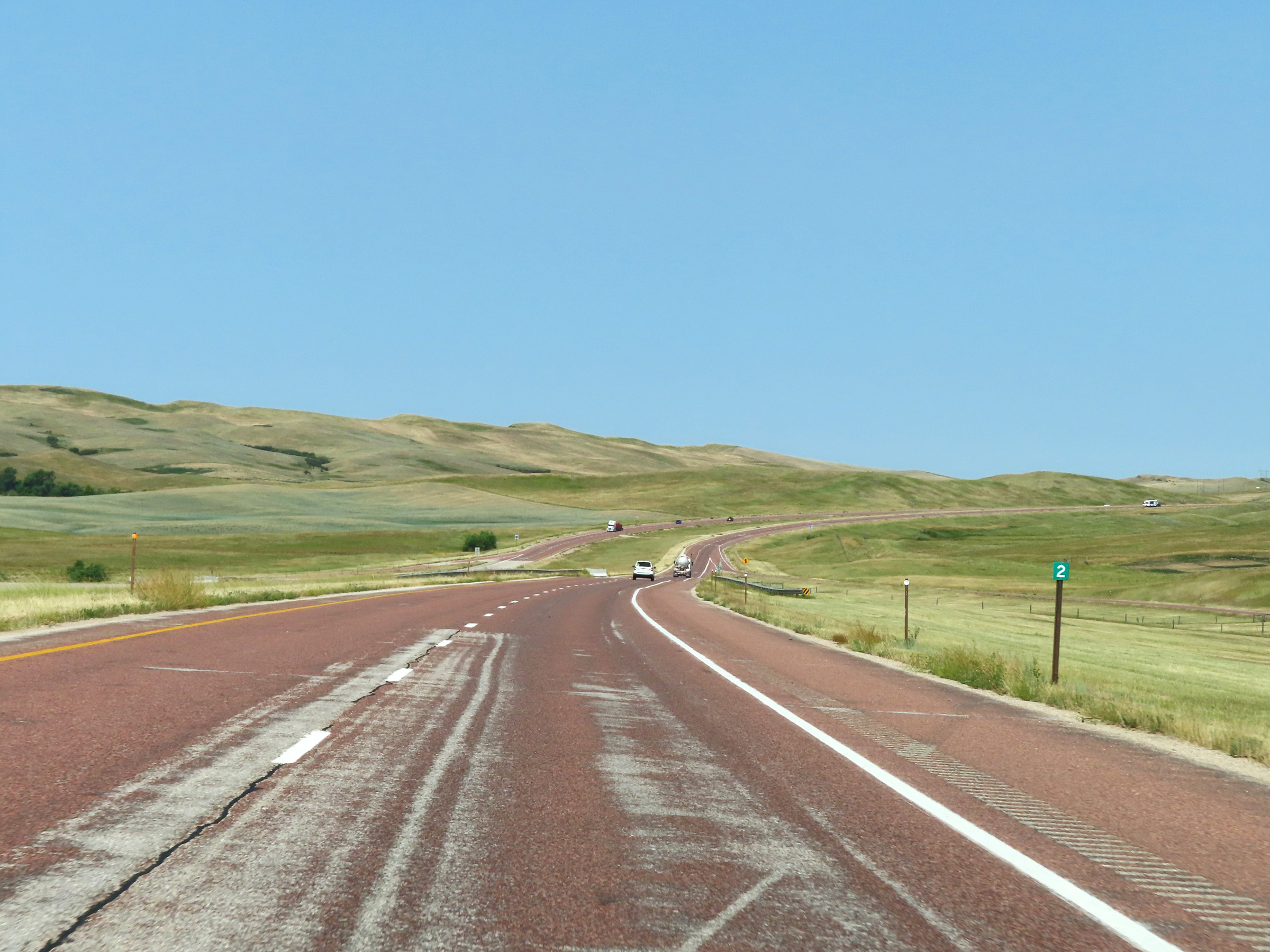 |
Mile marker 2 on Interstate 90 West in Sheridan County. (Photo taken 8/17/22). |
 |
One final state-named Interstate 90 West reassurance shield. (Photo taken 8/17/22). |
 |
Interstate 90 West at mile marker 1. (Photo taken 8/17/22). |
 |
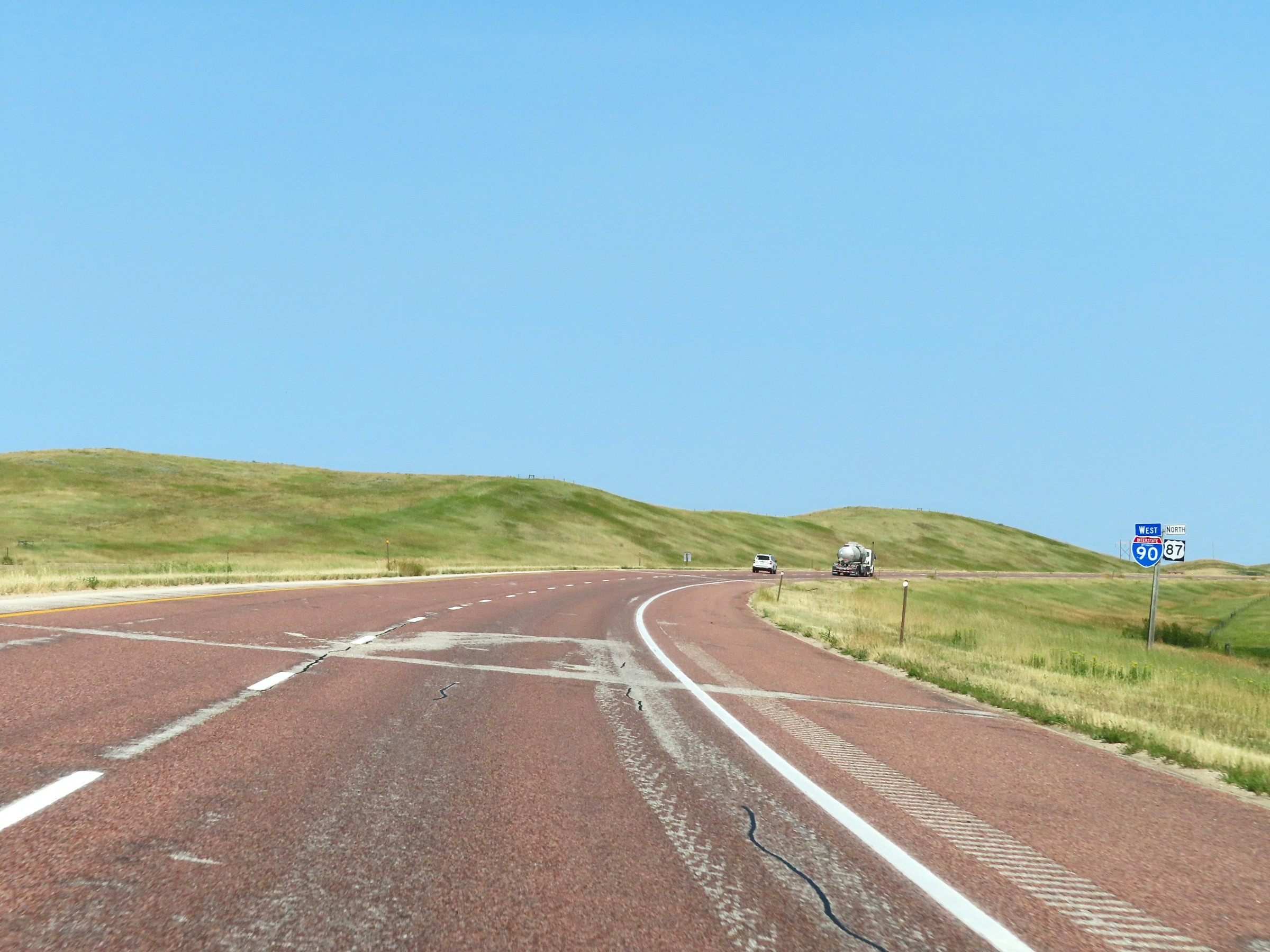
View on Interstate 90 West as it prepares to leave Wyoming to enter Montana. (Photo taken 8/17/22). |
 |
Just ahead, Interstate 90 West will leave Wyoming to enter Montana as it continues on its northwestern course to Billings. (Photo taken 8/17/22). |