Road Information |
||
 |
||
| Total Mileage in State: | 412 miles | |
| Eastern End: | At Minnesota state line | |
| Western End: | At Wyoming state line | |
| Mileage covered in Photos: | 412 miles | |
| Counties covered in Photos: | Minnehaha, McCook, Hanson, Davison, Aurora, Brule, Lyman, Jones, Jackson, Pennington, Meade, Lawrence | |
| Major Junctions in Photos: | I-229, in Sioux Falls I-29, in Sioux Falls US 83, in Murdo I-190/US 16, in Rapid City US 85, in Spearfish |
|
| Control Cities in Photos: | Sioux Falls, Mitchell, Chamberlain, Wall, Rapid City, Sturgis, Spearfish | |
Westbound
- Section 1: Minnesota Border to Sioux Falls (Exit 395)
- Section 2: Sioux Falls (Exit 395) to Mitchell (Exit 330)
- Section 3: Mitchell (Exit 330) to Chamberlain (Exit 263)
- Section 4: Chamberlain (Exit 263) to Murdo (Exit 192)
- Section 5: Murdo (Exit 192) to Wall (Exit 109)
- Section 6: Wall (Exit 109) to Rapid City (Exit 57)
- Section 7: Rapid City (Exit 57) to Wyoming Border
Section 1: Minnesota Border to Sioux Falls (Exit 395)
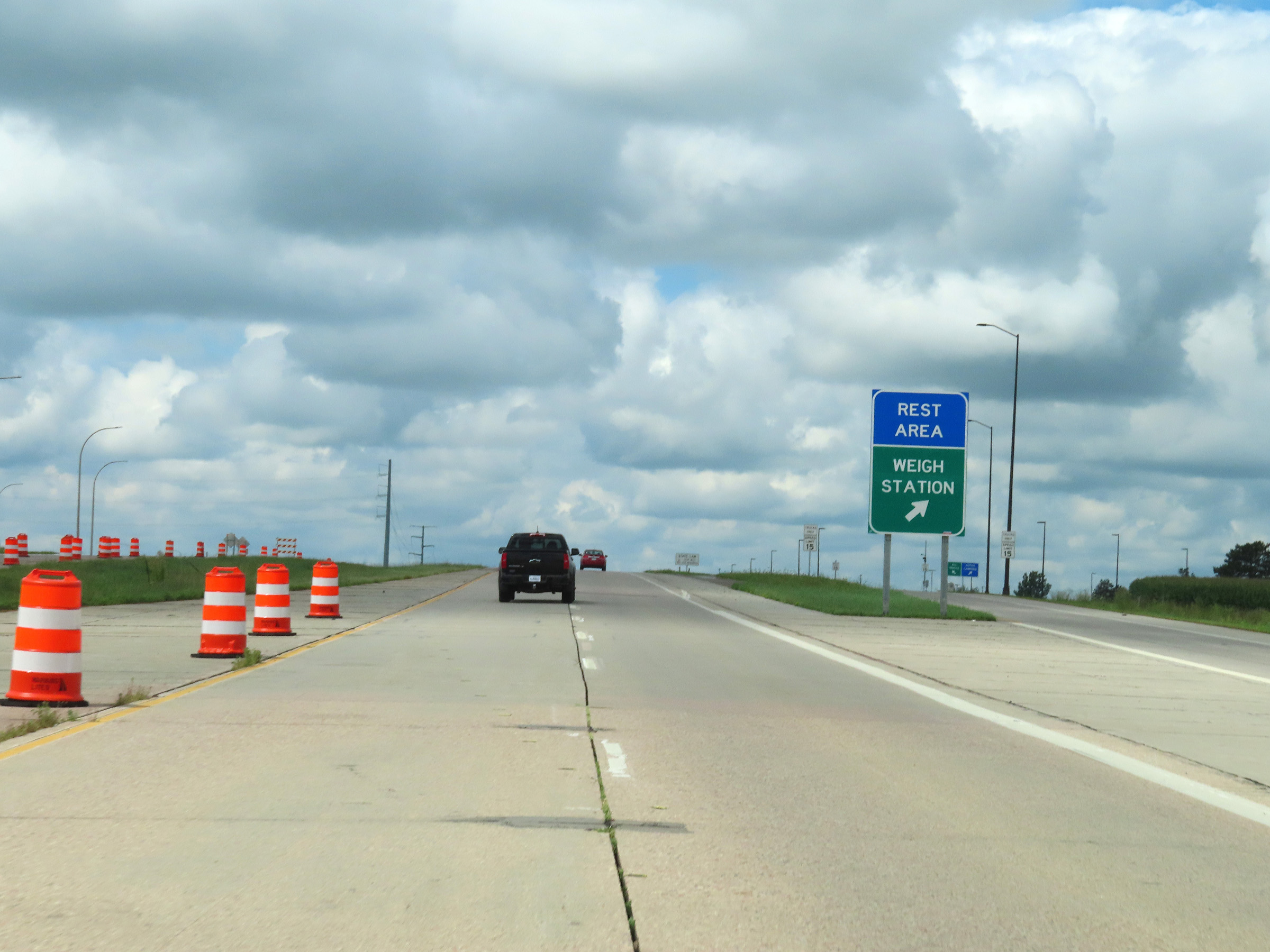 |
Weigh Station / Rest Area on Interstate 90 West as it crosses the state line from Minnesota into South Dakota. (Photo taken 8/16/22). |
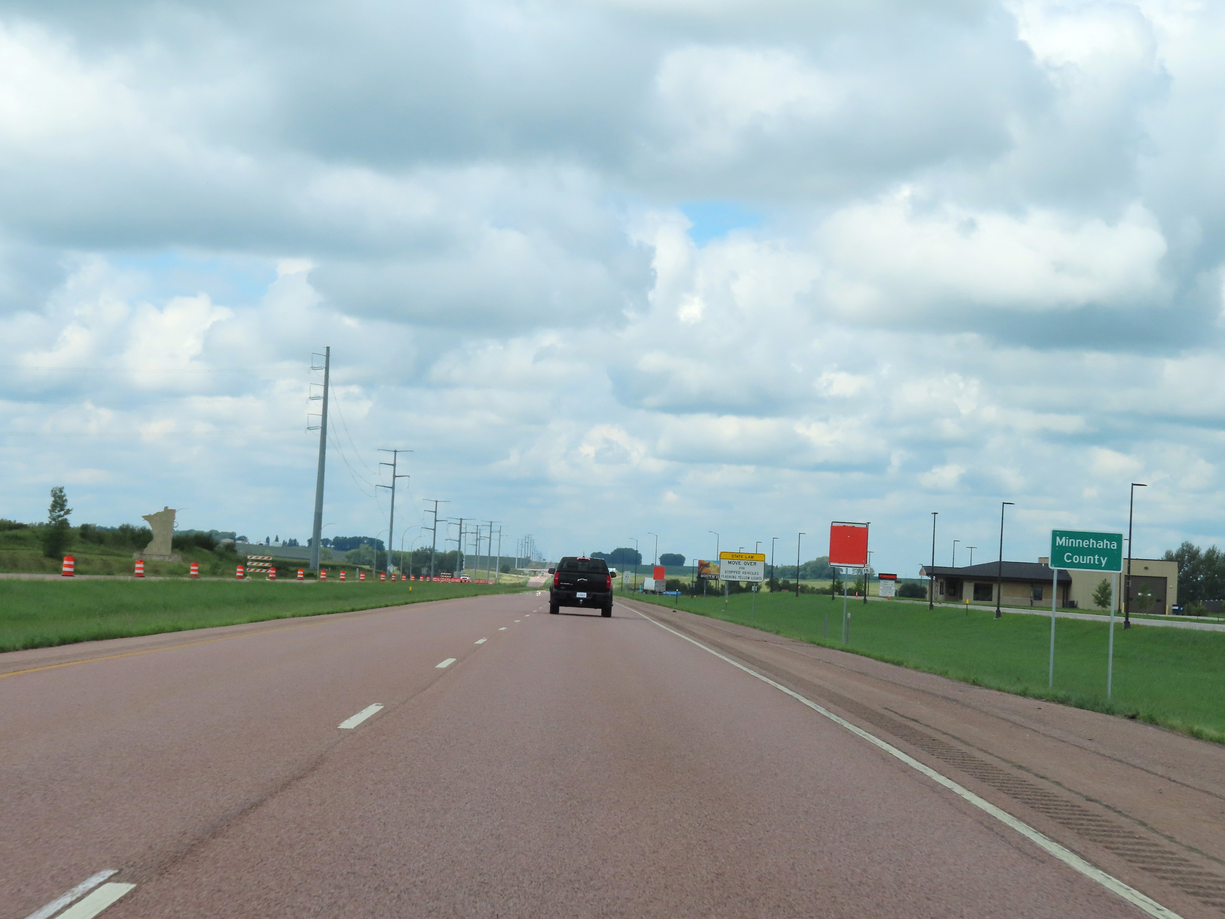 |
In South Dakota, Interstate 90 West starts off in Minnehaha County. (Photo taken 8/16/22). |
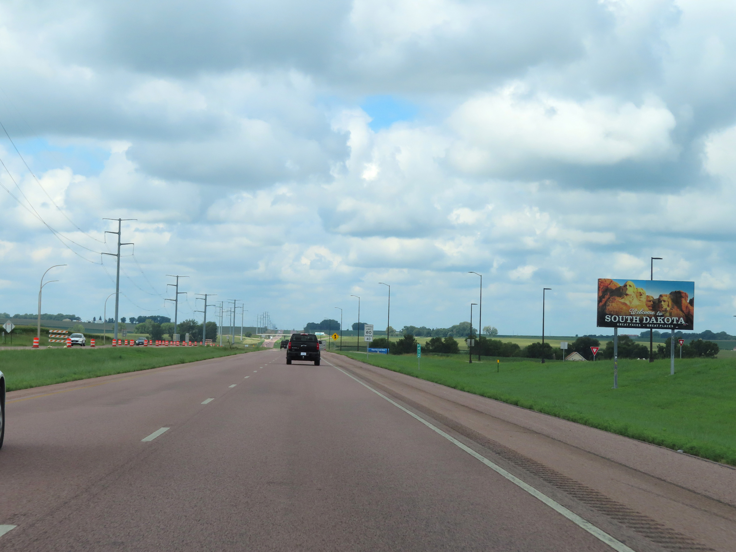 |
South Dakota welcome sign at mile marker 412 on Interstate 90 West. (Photo taken 8/16/22). |
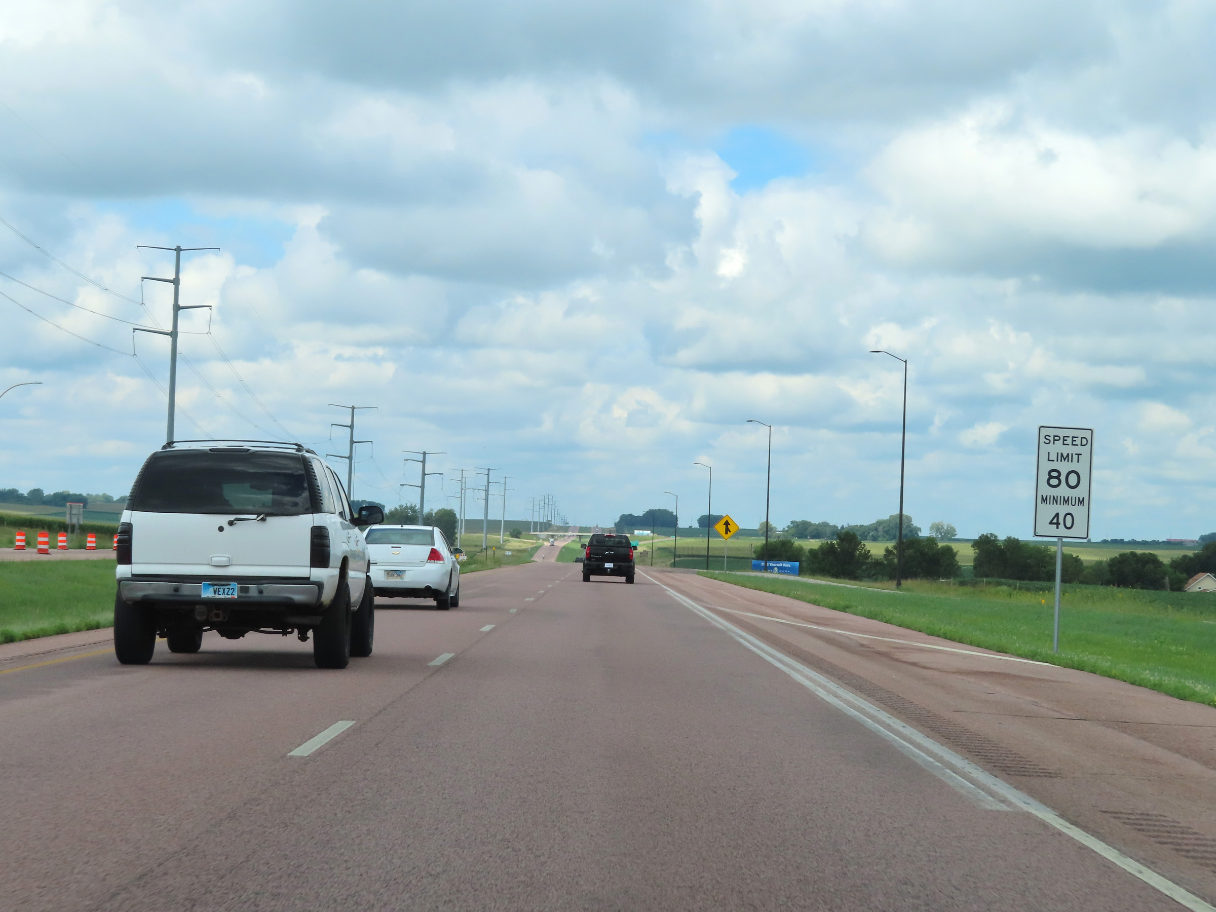 |
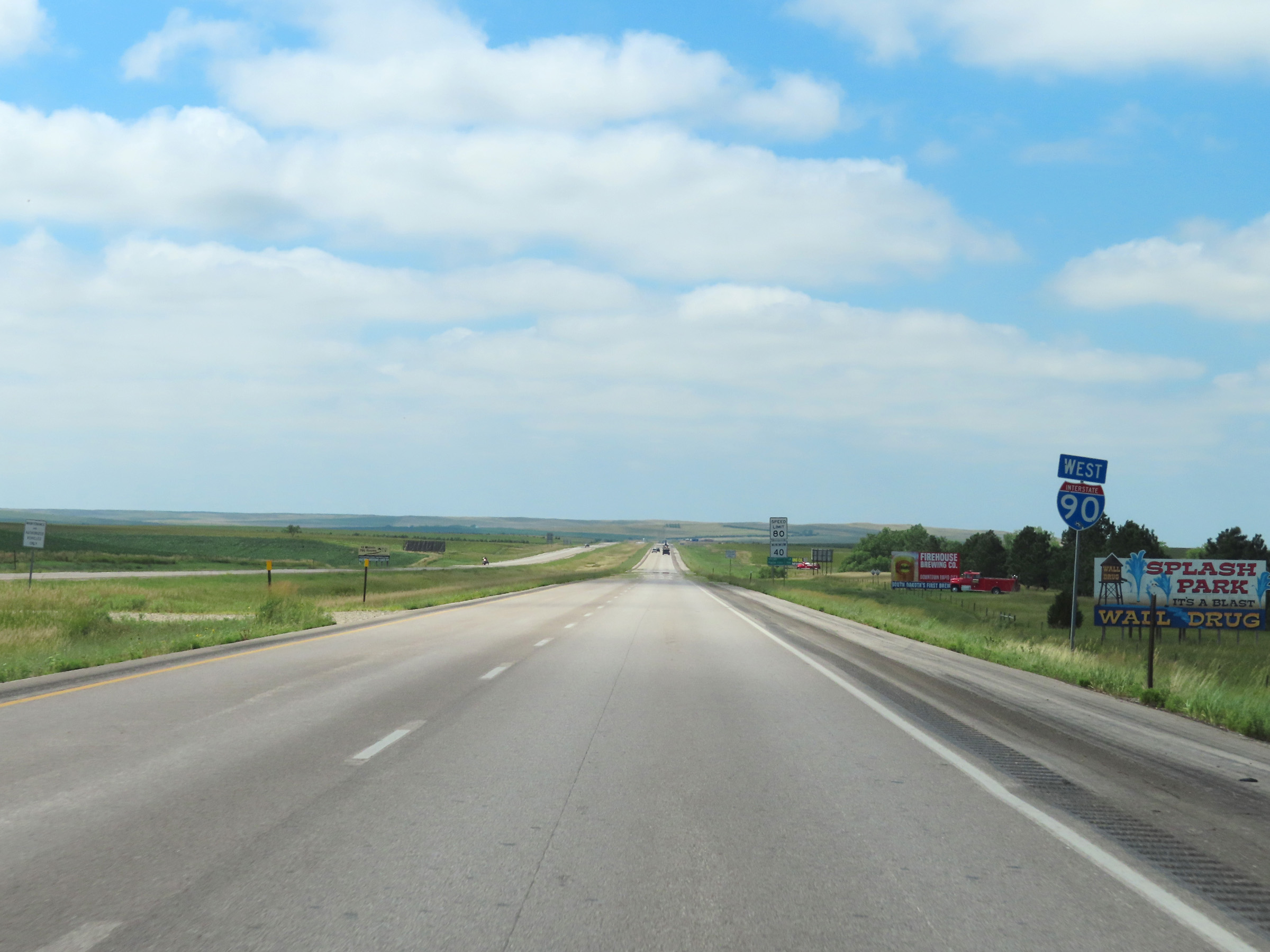
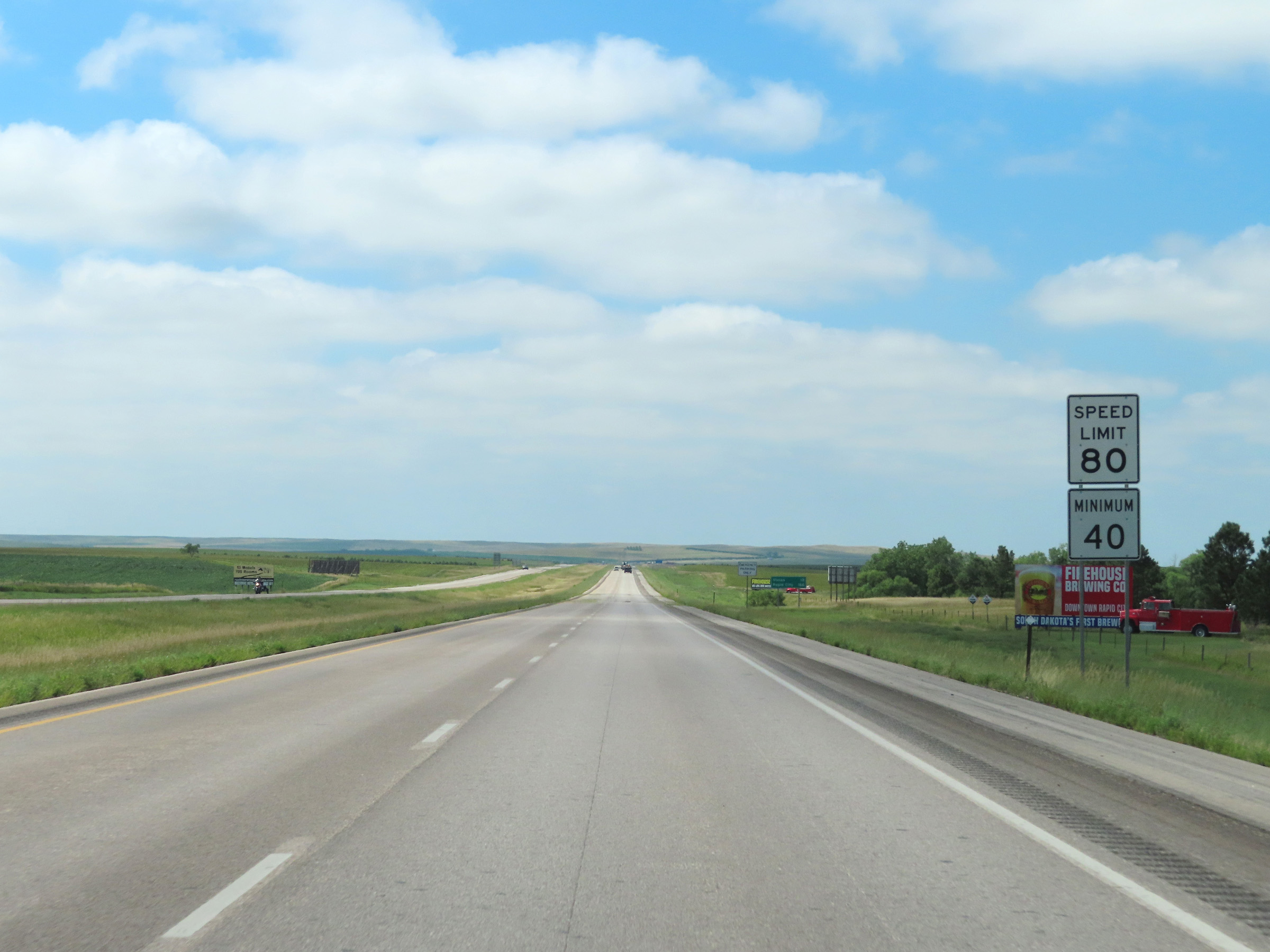
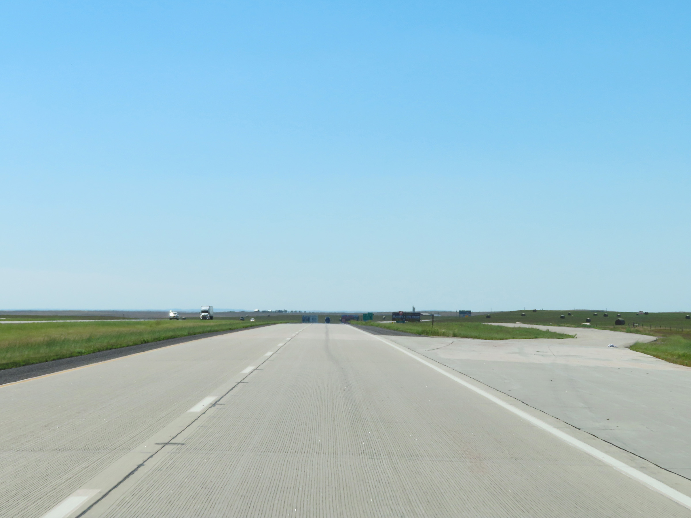
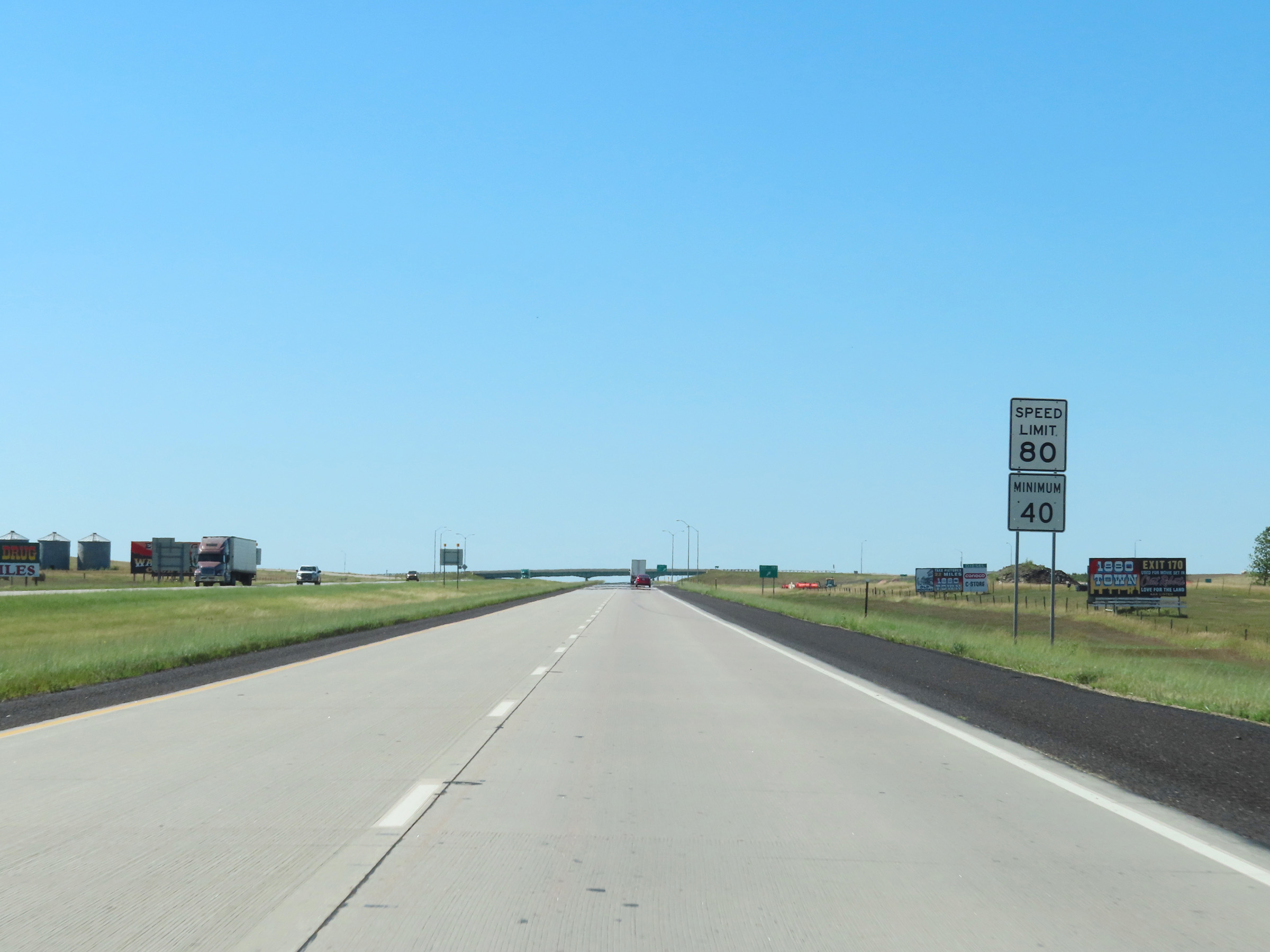
The speed limits on Interstate 90 West in South Dakota start out at 80 mph maximum and 40 mph minimum. These are the standard speed limits on most (but not all, as we will later see) rural Interstate highways in South Dakota. (Photo taken 8/16/22). |
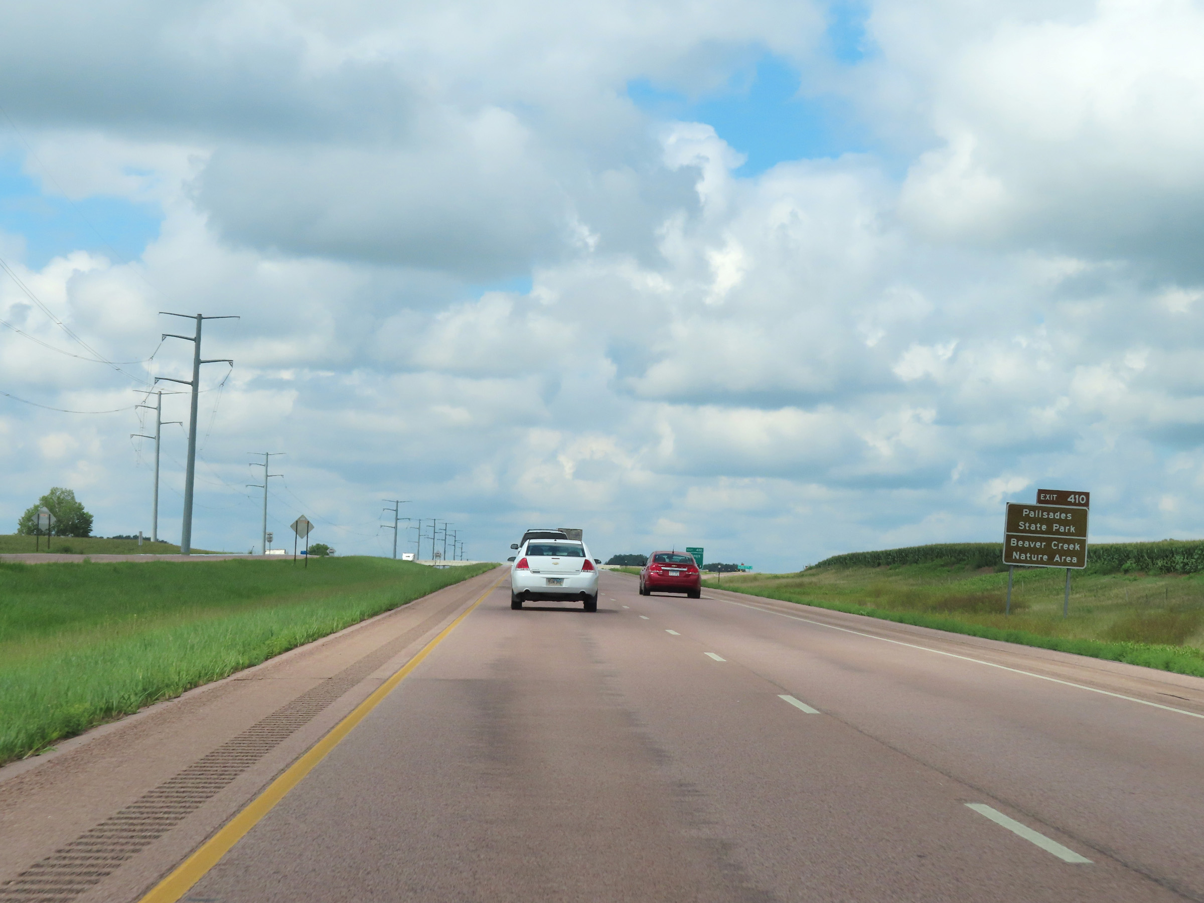 |
Take Exit 410 to Palisades State Park and Beaver Creek Nature Area. (Photo taken 8/16/22). |
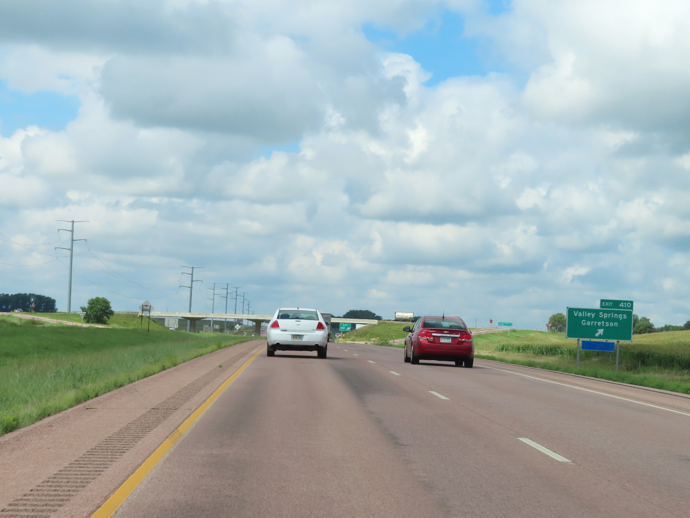 |
Interstate 90 West at Exit 410: Valley Springs / Garretson (Photo taken 8/16/22). |
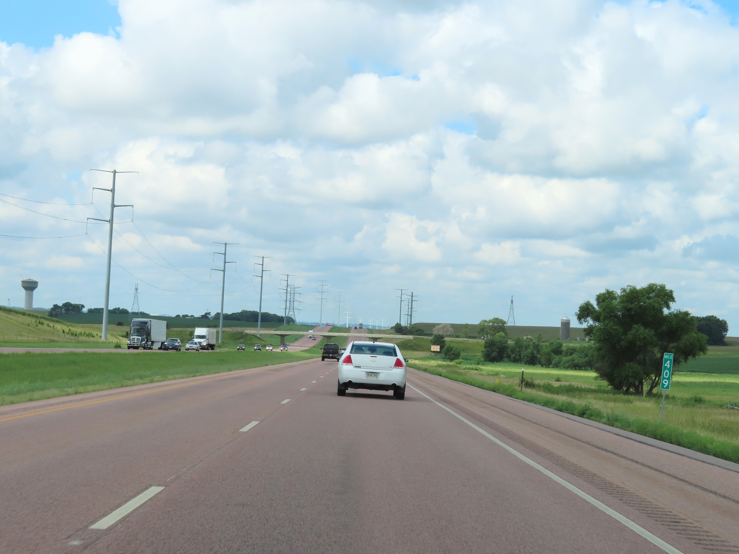 |
Mile marker 409 on Interstate 90 West in Minnehaha County. (Photo taken 8/16/22). |
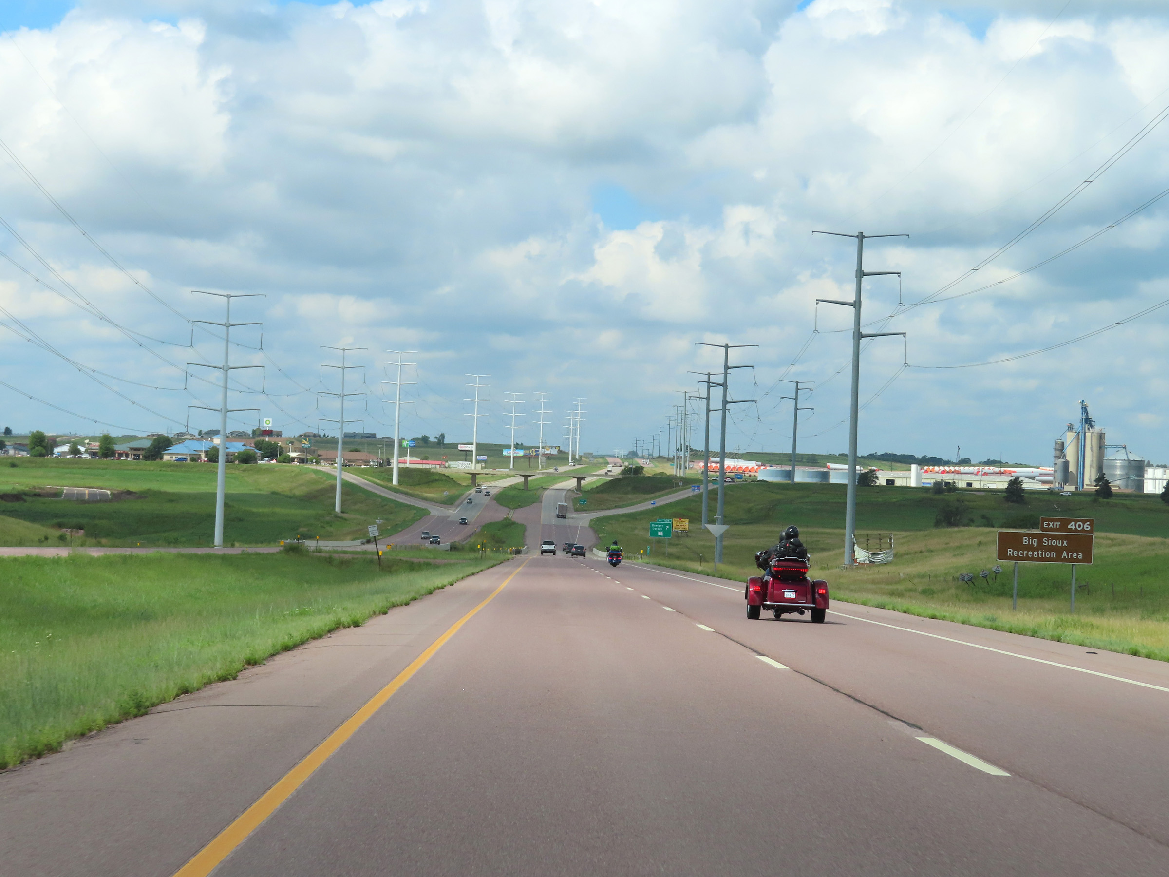 |
Take Exit 406 to Big Sioux Recreation Area. (Photo taken 8/16/22). |
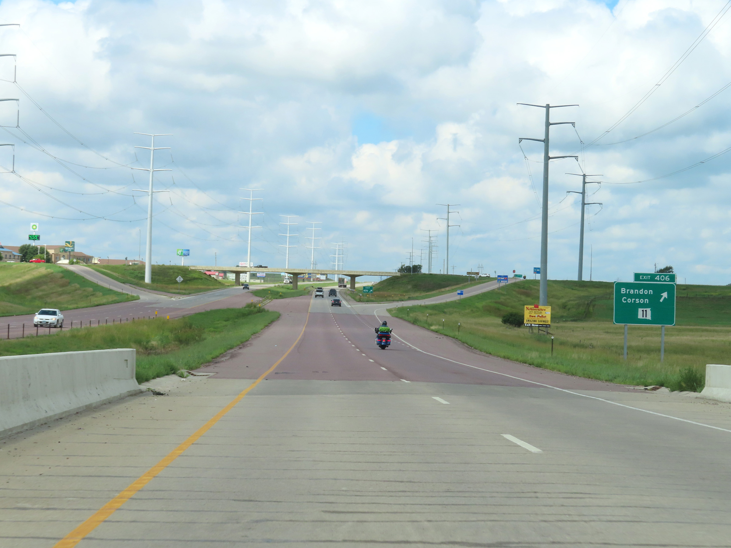 |
Interstate 90 West at Exit 406: SD 11 - Brandon / Corson (Photo taken 8/16/22). |
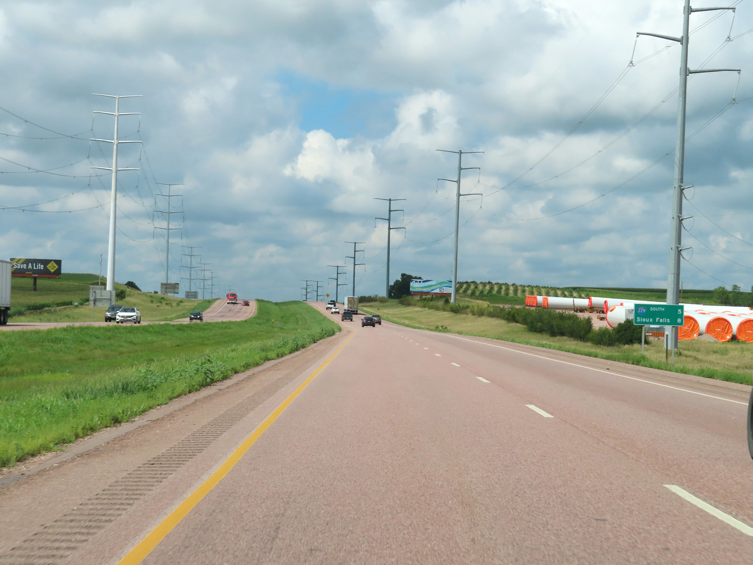 |
Mileage sign on Interstate 90 West. It's 5 miles to the junction of Interstate 229 and 8 miles to Sioux Falls. (Photo taken 8/16/22). |
 |
Interstate 90 West at mile marker 405. (Photo taken 8/16/22). |
 |
View on Interstate 90 West at mile marker 404. (Photo taken 8/16/22). |
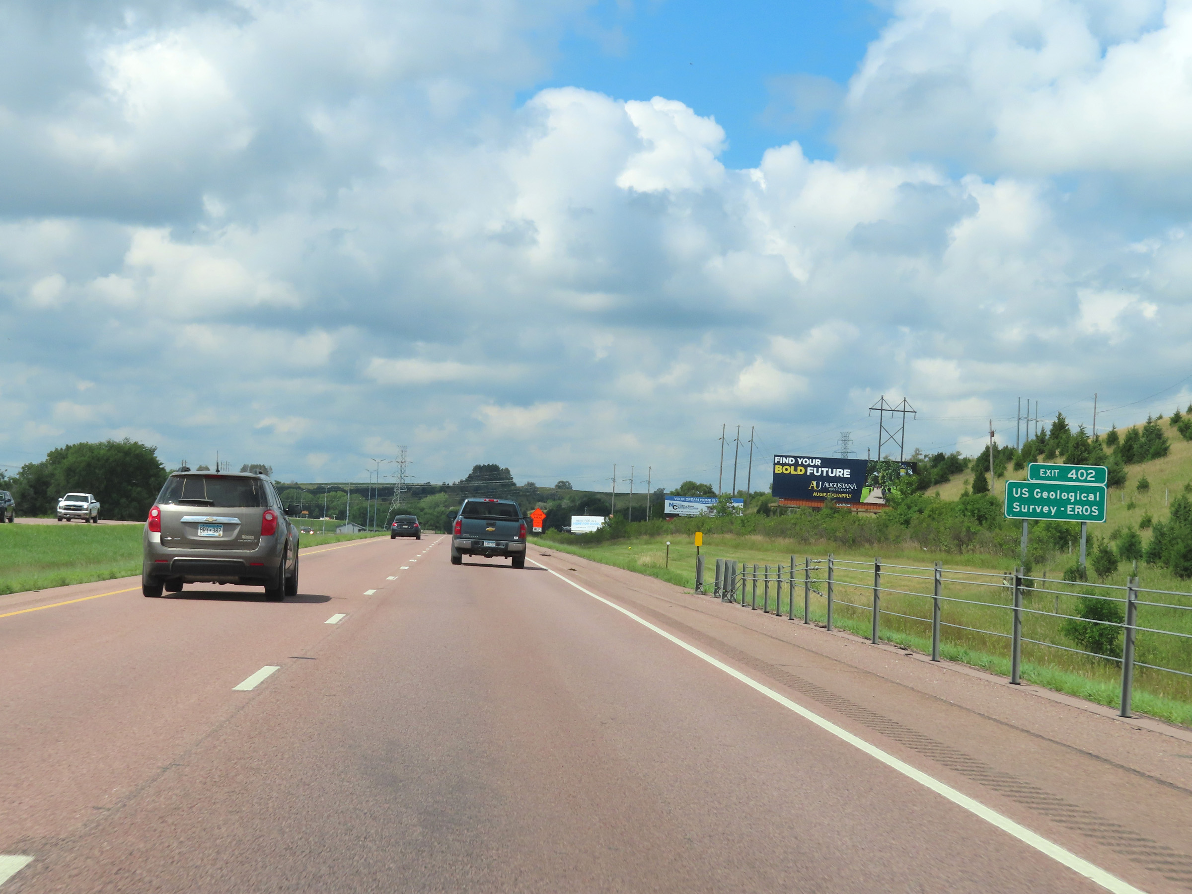 |
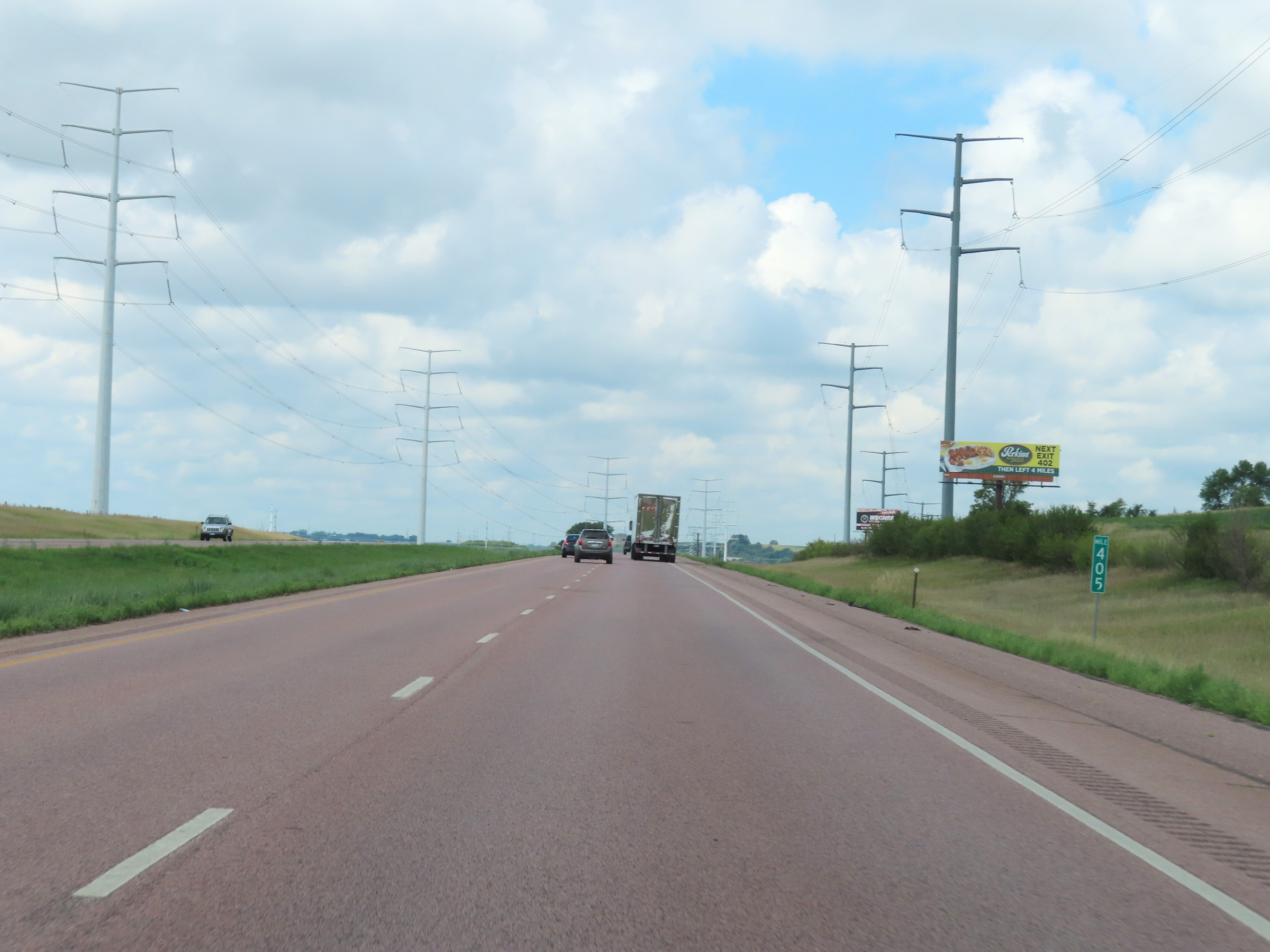
Take Exit 402 to US Geological Survey - EROS. (Photo taken 8/16/22). |
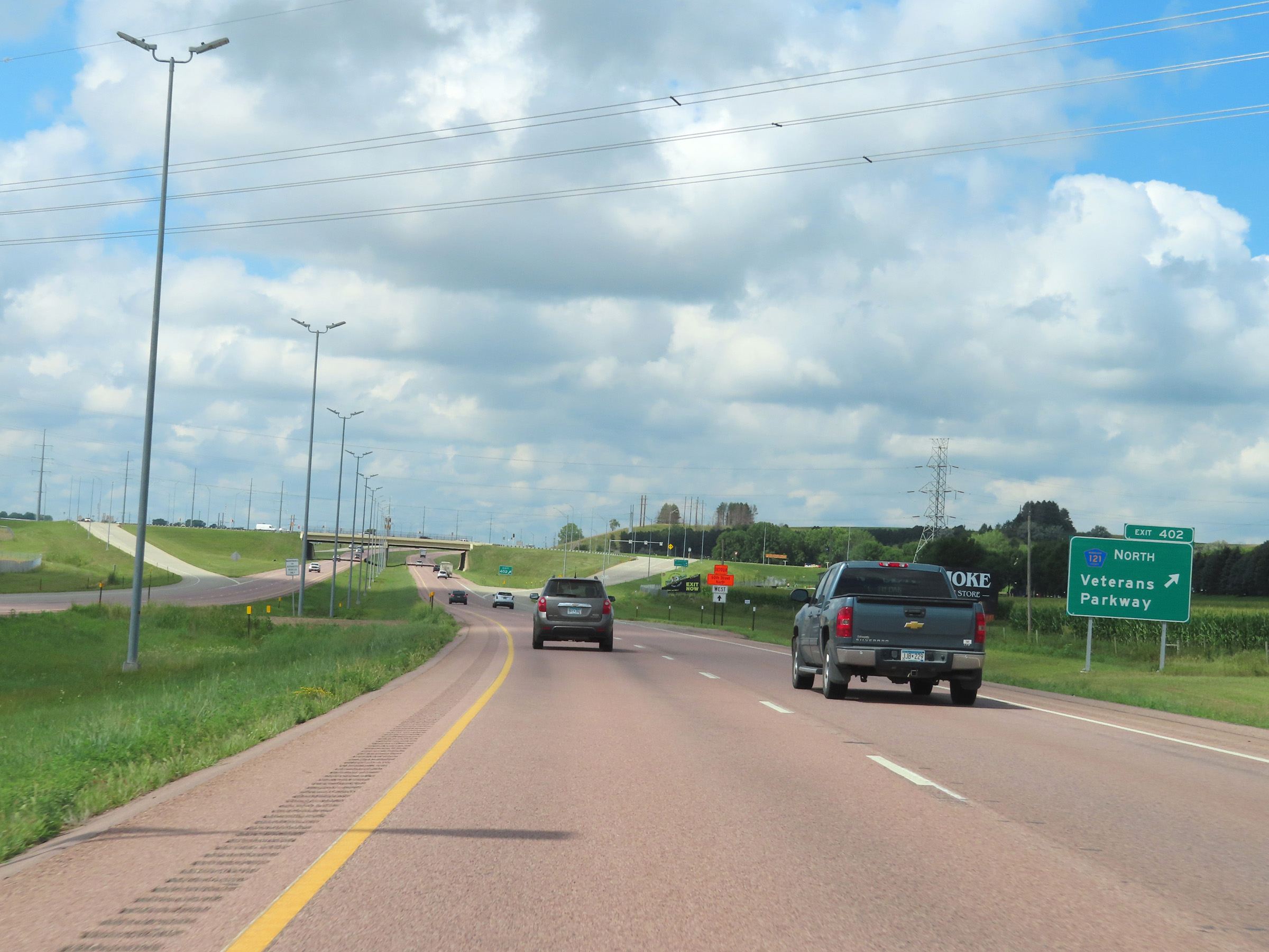 |
Interstate 90 West at Exit 402: CR 121 North - Veterans Parkway (Photo taken 8/16/22). |
 |
Mile marker 402 on Interstate 90 West, approaching the Sioux Falls area. (Photo taken 8/16/22). |
 |
Interstate 90 West reassurance shield nearing Sioux Falls. (Photo taken 8/16/22). |
 |
Interstate 90 West as it enters the Sioux Falls city limits. (Photo taken 8/16/22). |
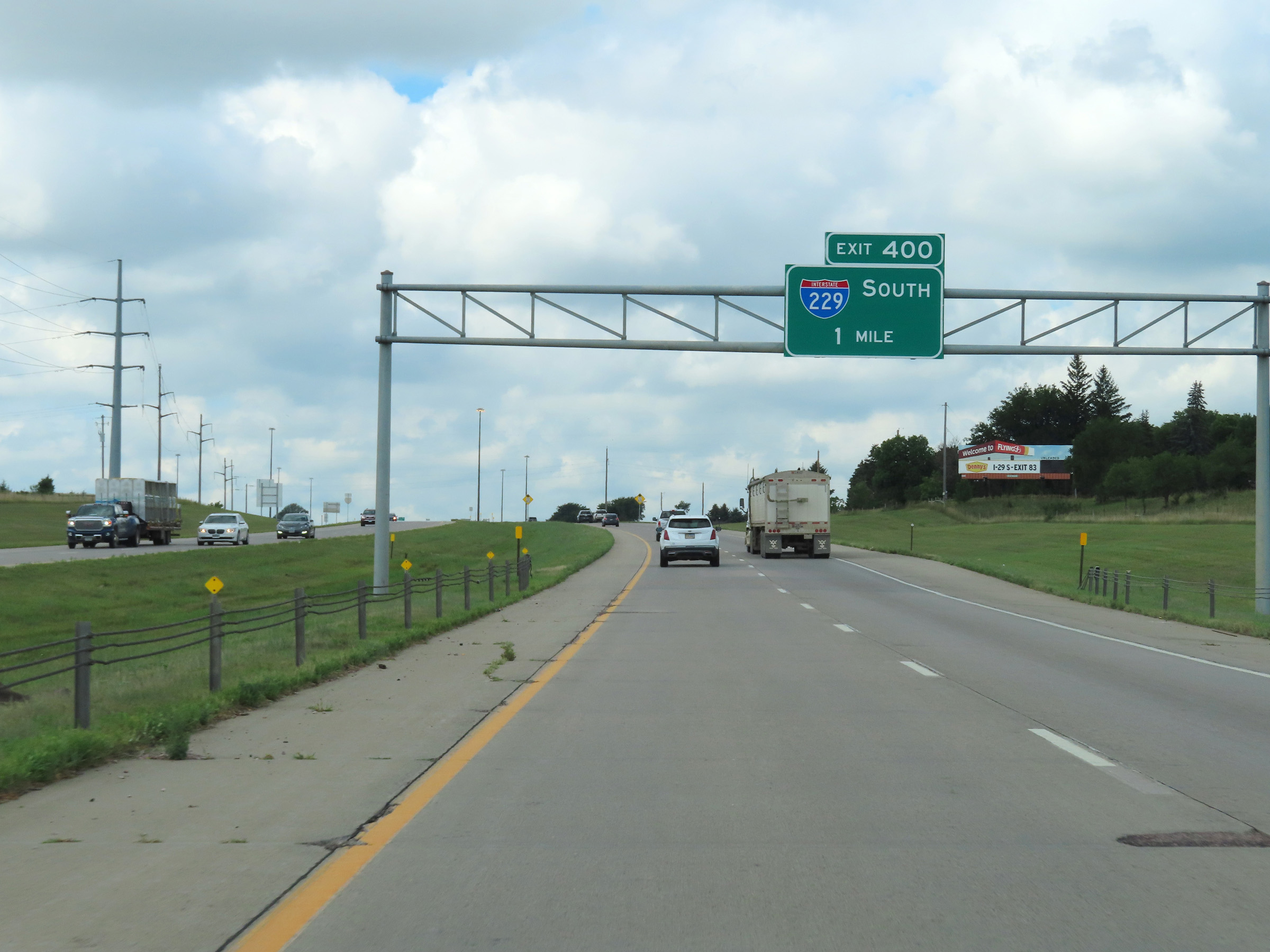 |
Interstate 90 West approaching Exit 400 - 1 mile. (Photo taken 8/16/22). |
 |
Entering Sioux Falls, the speed limit on Interstate 90 West decreases to 65 mph. (Photo taken 8/16/22). |
 |
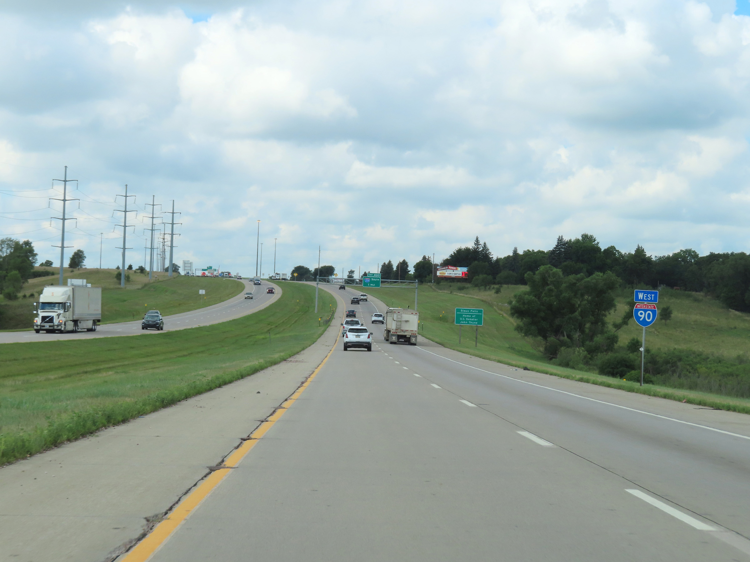
Interstate 90 West at Exit 400: Interstate 229 South (Photo taken 8/16/22). |
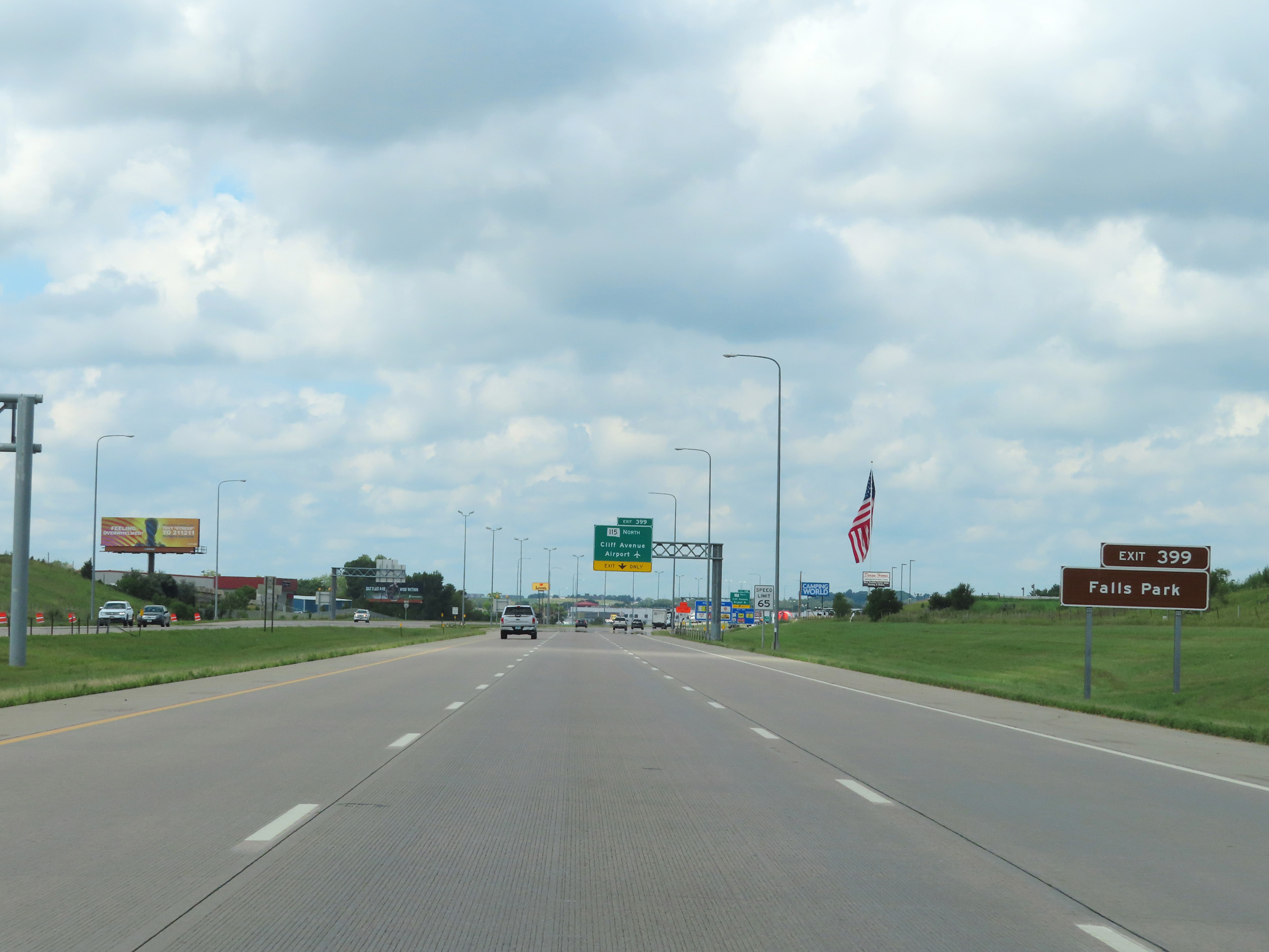 |
Take Exit 399 to Falls Park. (Photo taken 8/16/22). |
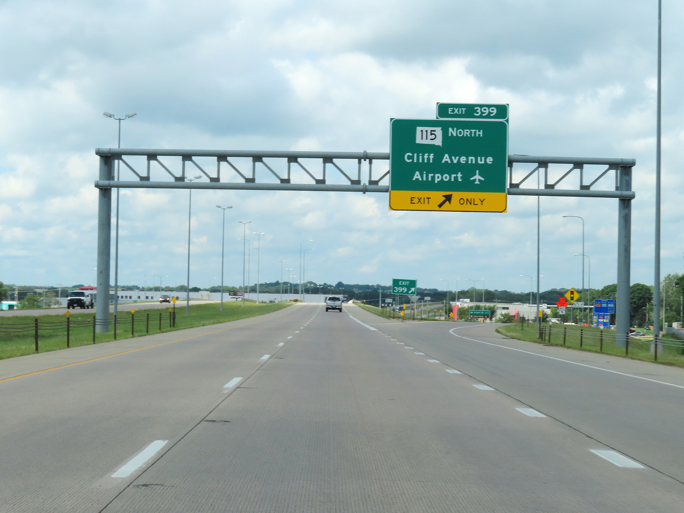 |
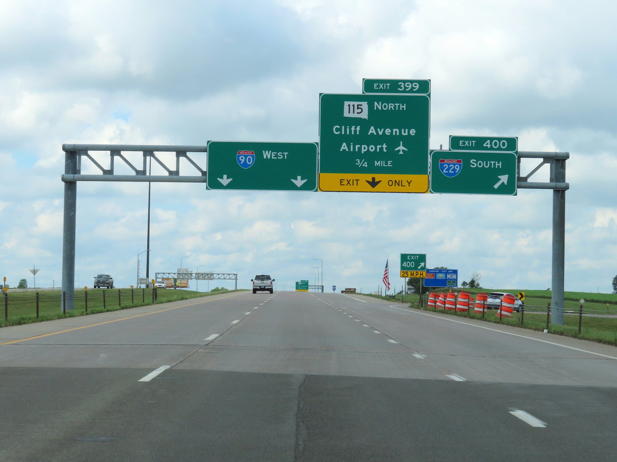
Interstate 90 West at Exit 399: SD 115 North - Cliff Avenue / Airport (Photo taken 8/16/22). |
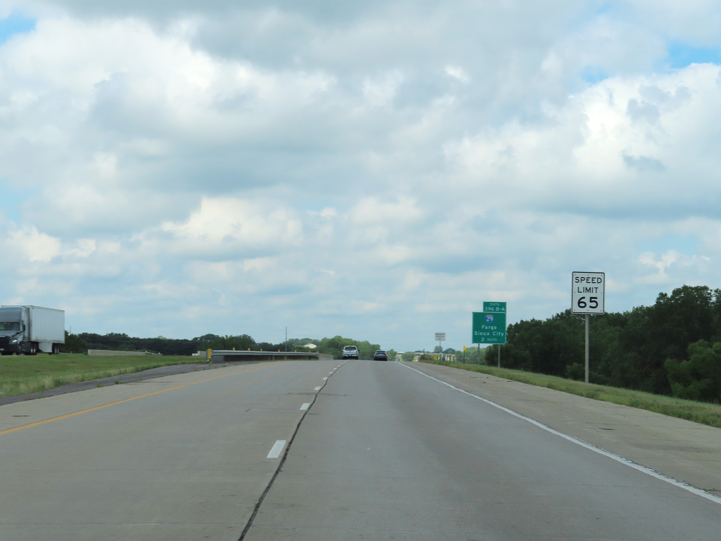 |
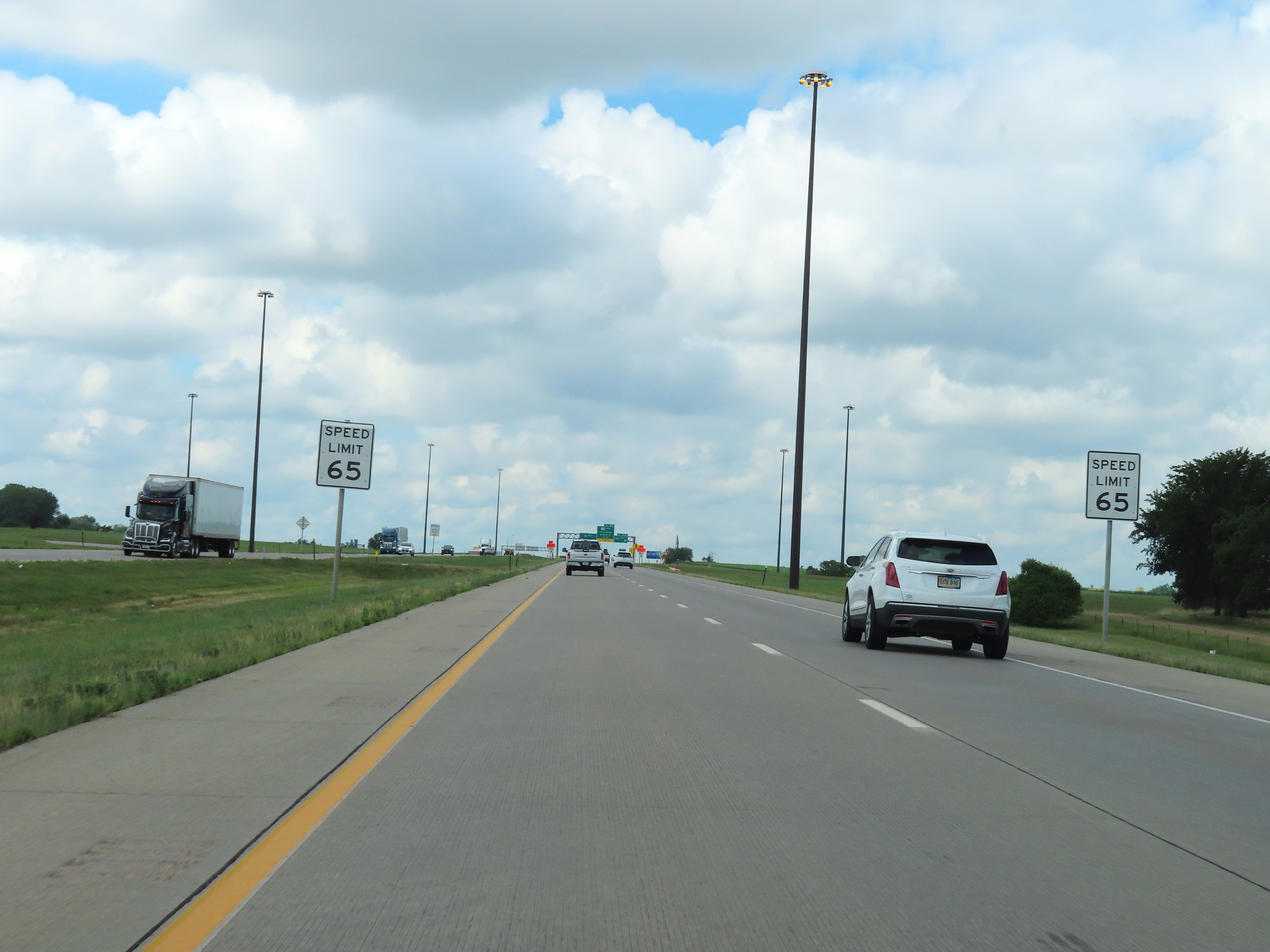
The speed limit remains 65 mph on Interstate 90 West through Sioux Falls. (Photo taken 8/16/22). |
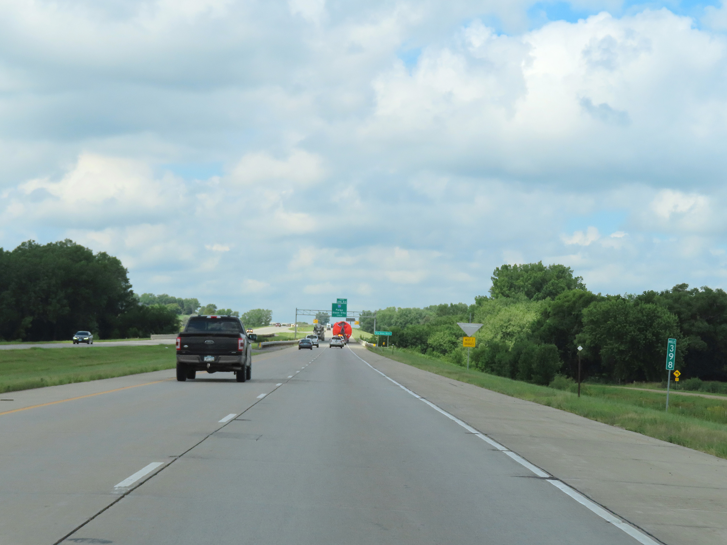 |
View on Interstate 90 West at mile marker 398. (Photo taken 8/16/22). |
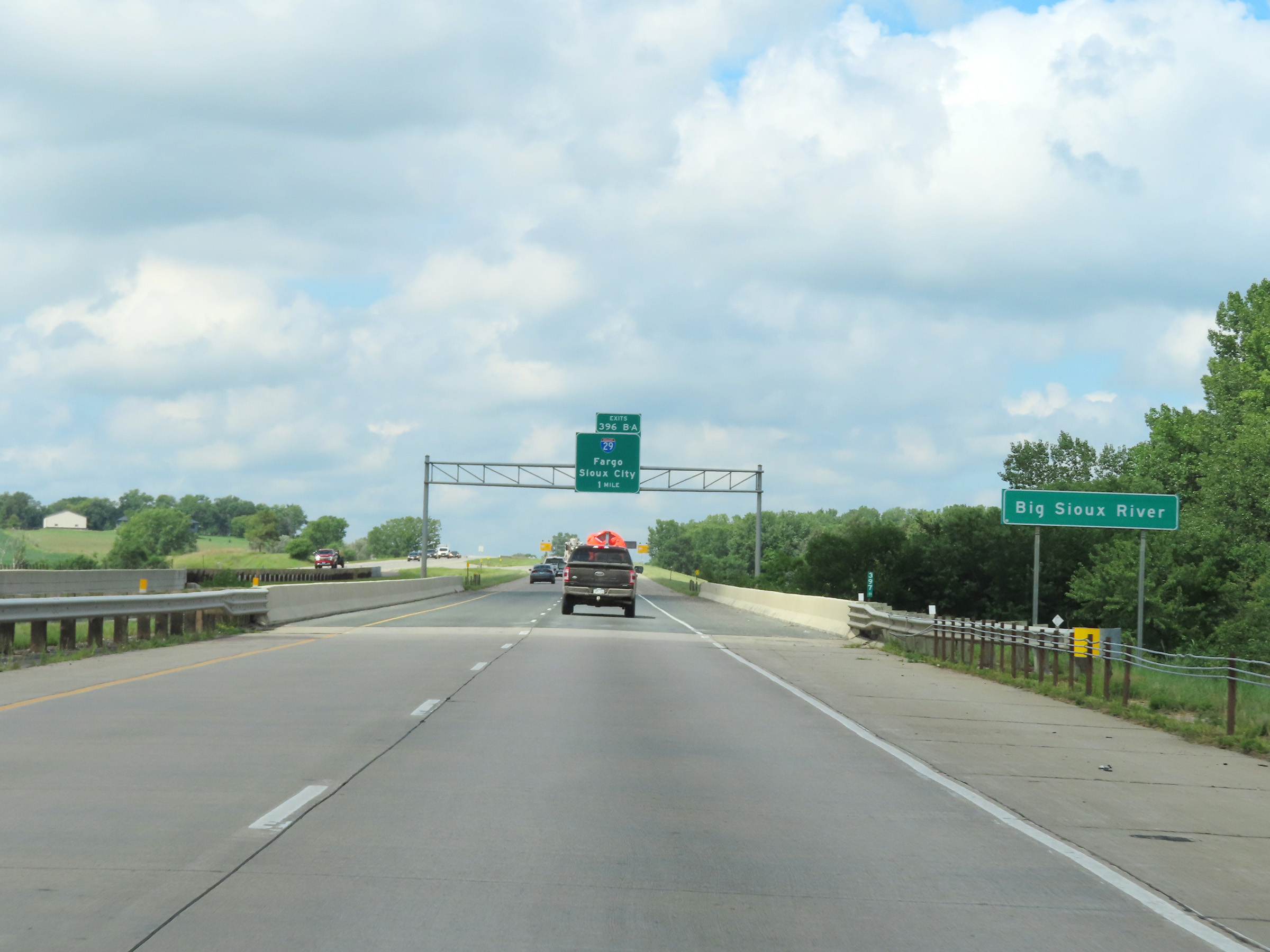 |
Interstate 90 West as it crosses the Big Sioux River in Sioux Falls. (Photo taken 8/16/22). |
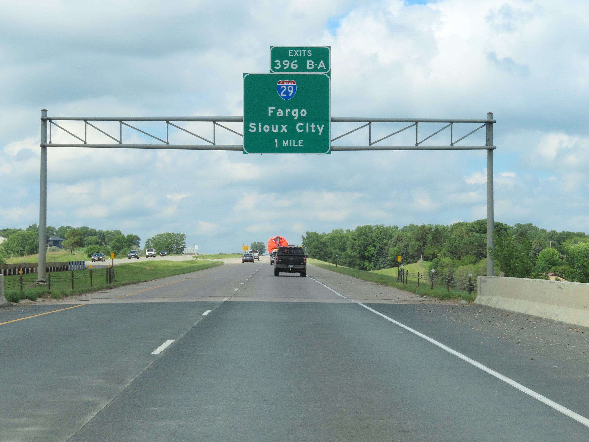 |
Interstate 90 West approaching the junction of Interstate 29 at Exits 396B-A - 1 mile. (Photo taken 8/16/22). |
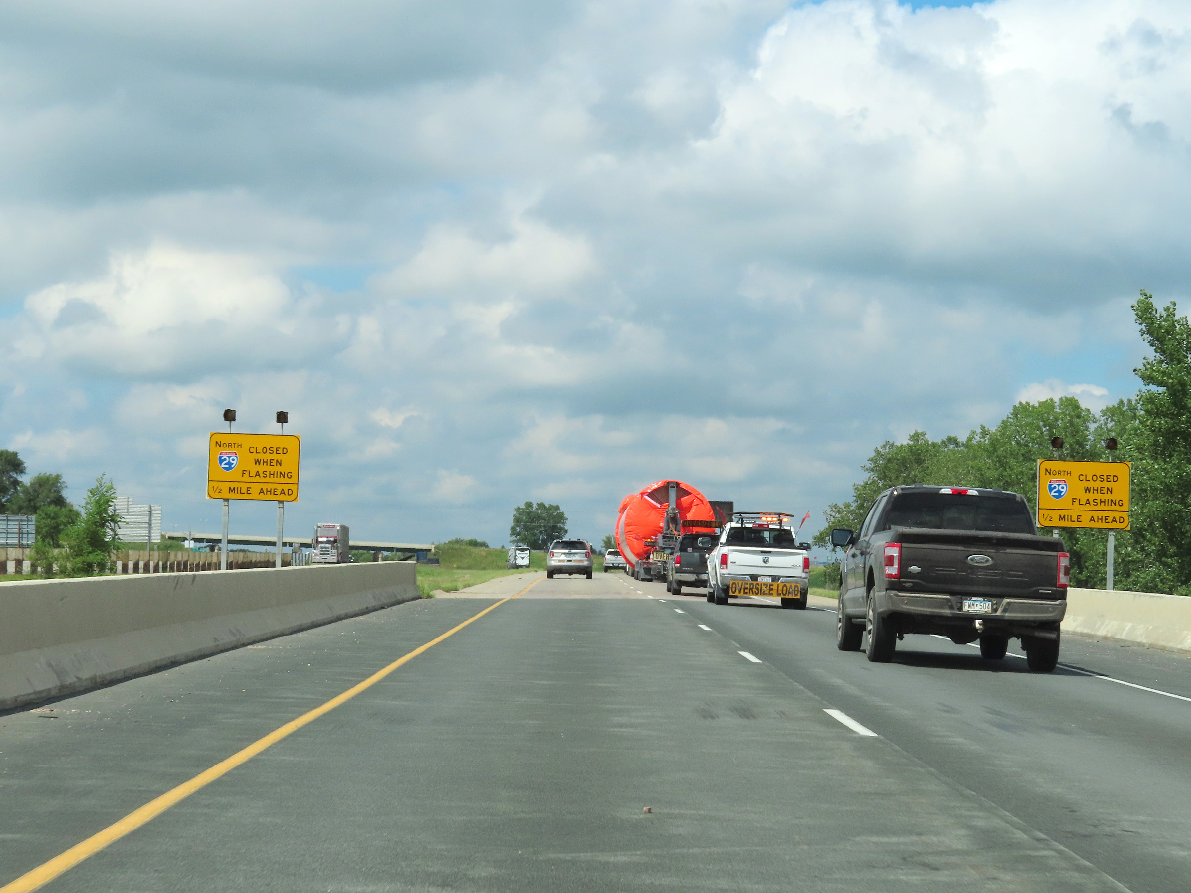 |
When the lights on these signs are flashing, Interstate 29 North is closed. This means the ramp for Exit 396B is closed. (Photo taken 8/16/22). |
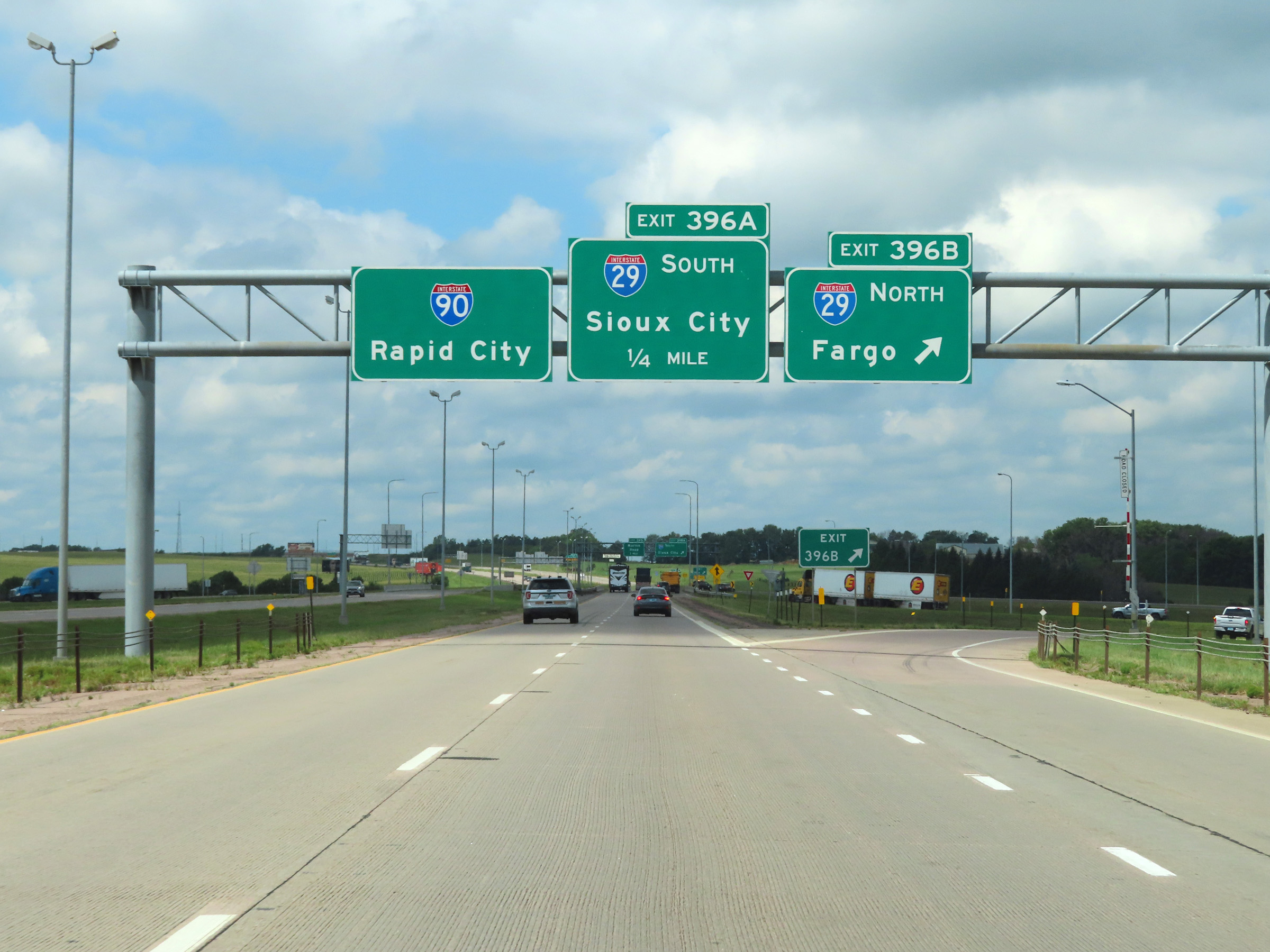 |
Interstate 90 West at Exit 396B: Interstate 29 North - Fargo (Photo taken 8/16/22). |
 |
Interstate 90 West at Exit 396A: Interstate 29 South - Sioux City (Photo taken 8/16/22). |
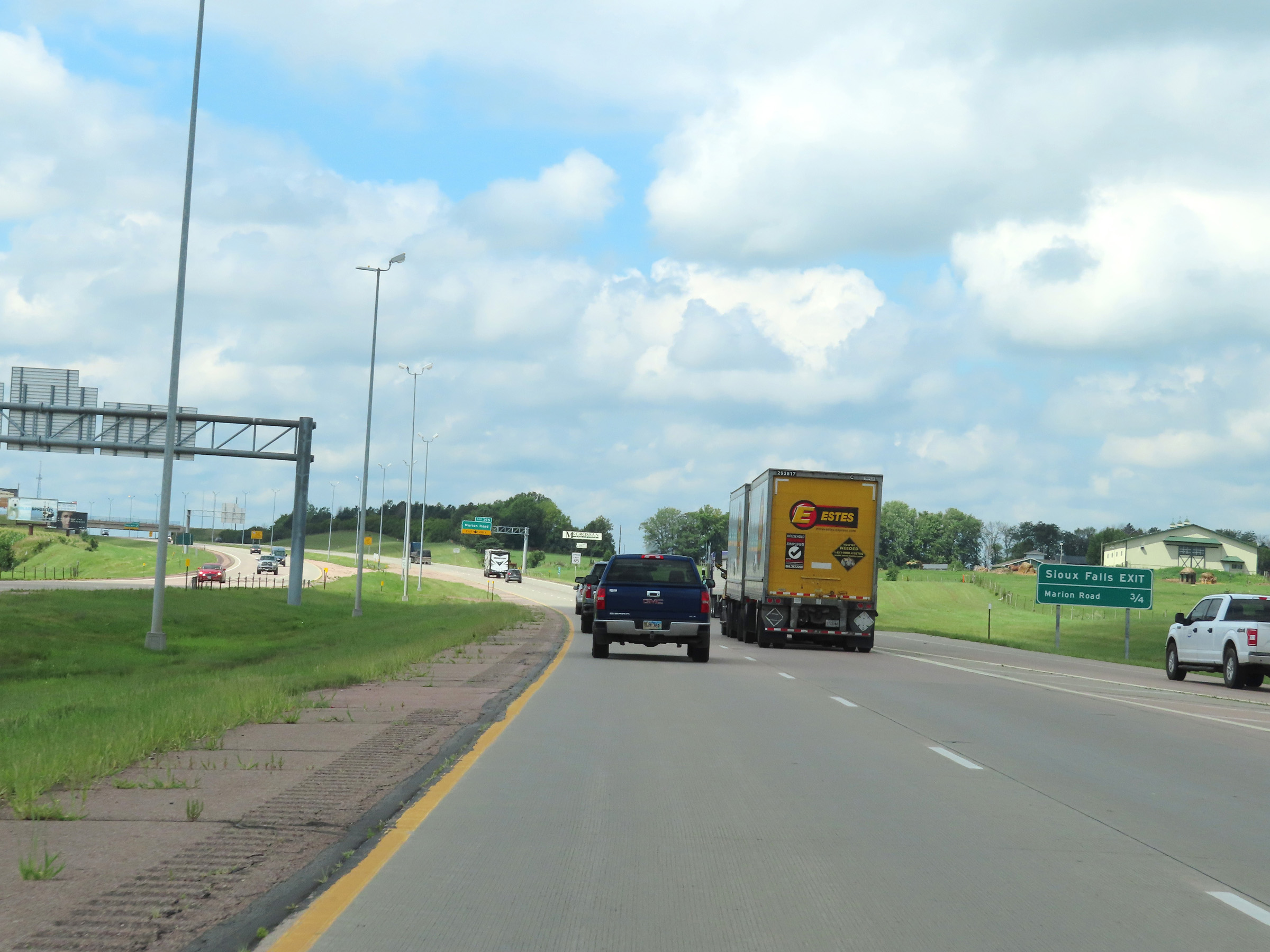 |
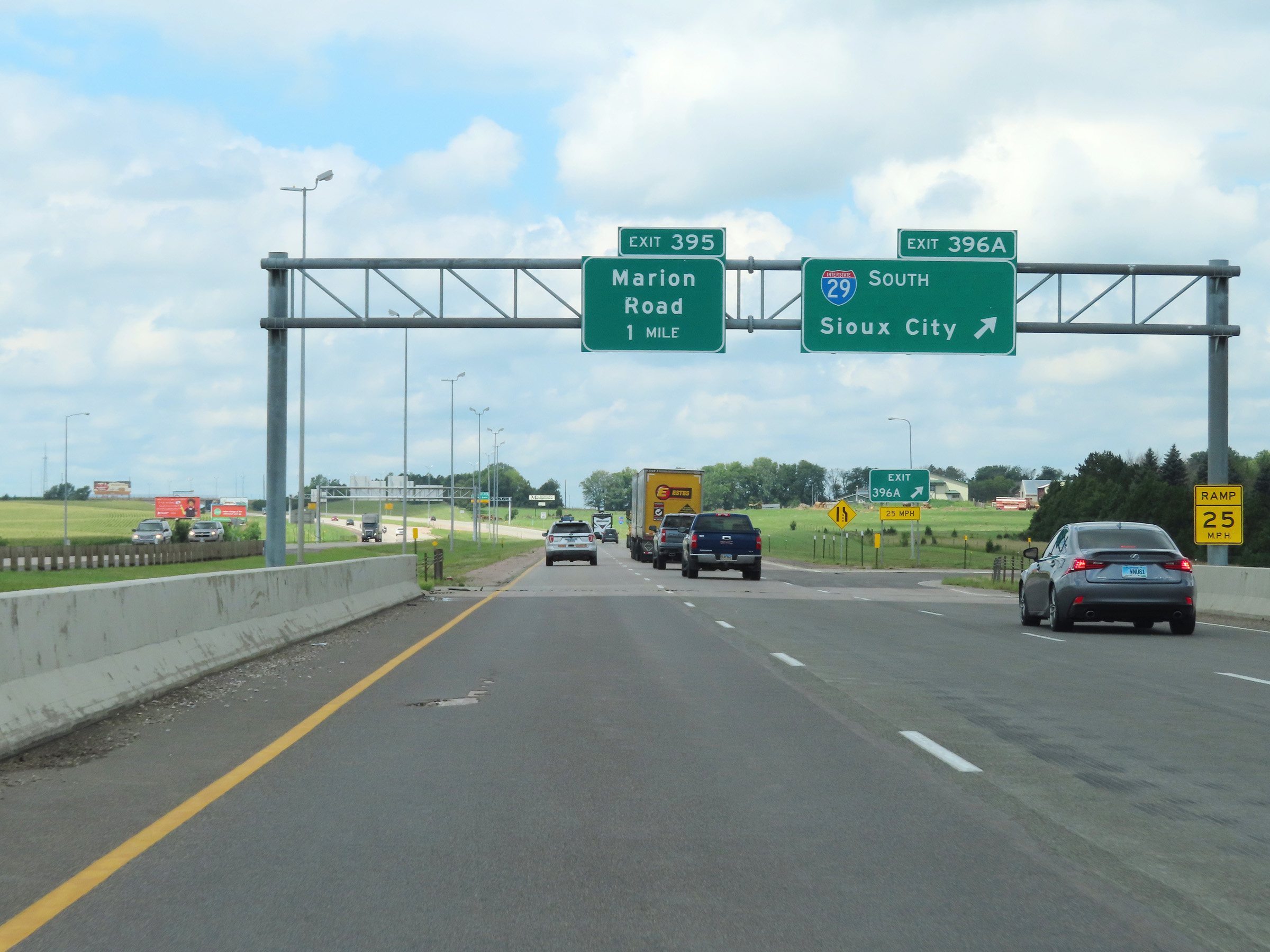
The final exit to Sioux Falls is 3/4 mile ahead on Interstate 90 West, just beyond the Interstate 29 interchange. (Photo taken 8/16/22). |
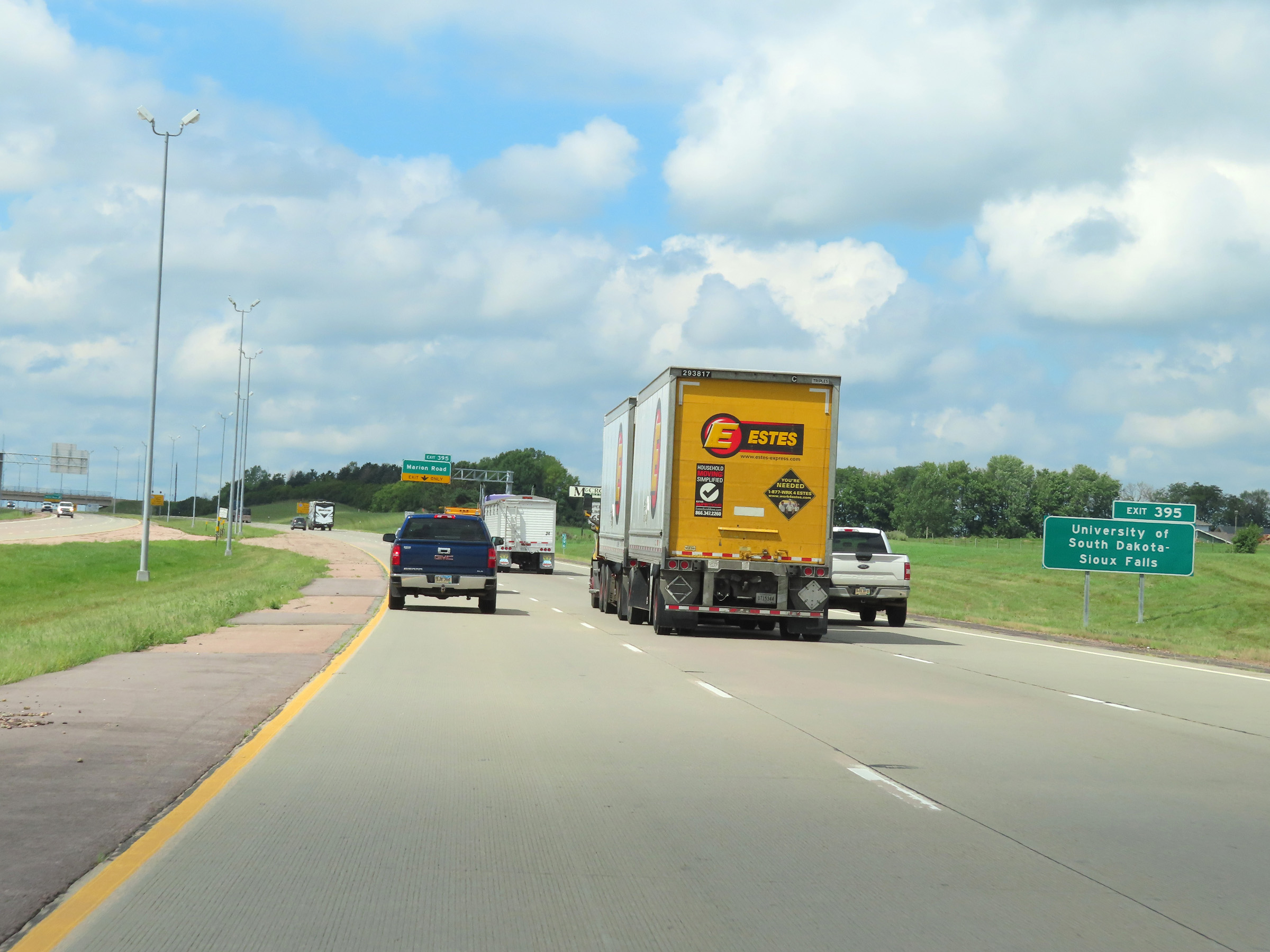 |
Take Exit 395 to the University of South Dakota - Sioux Falls. (Photo taken 8/16/22). |
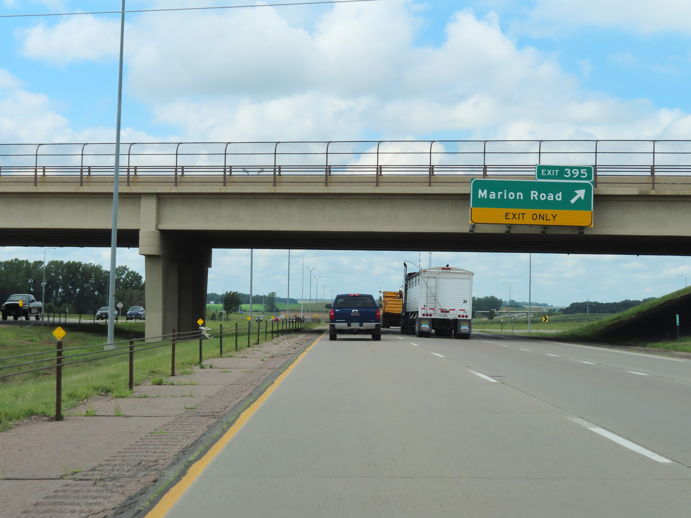 |
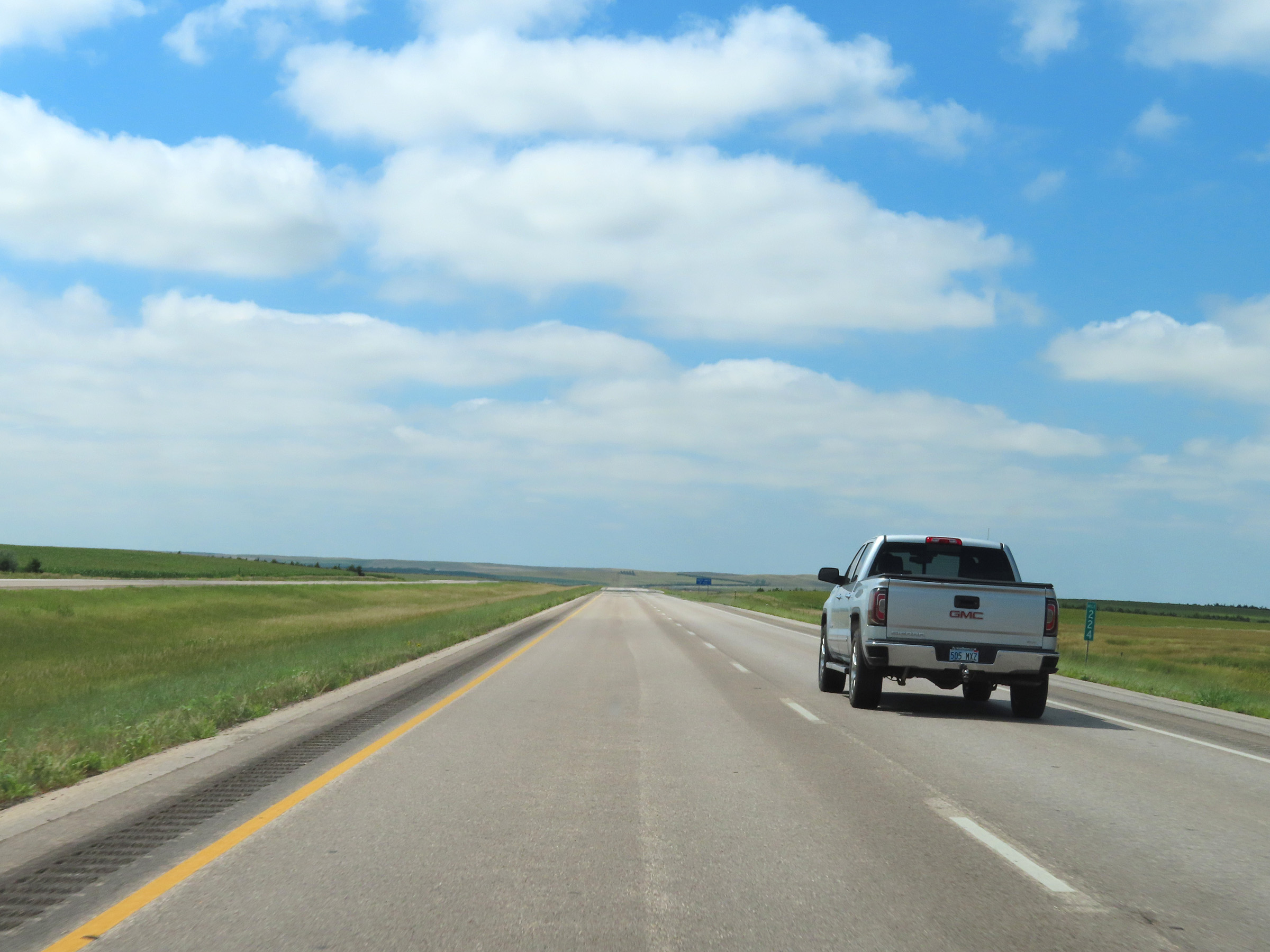
Interstate 90 West at Exit 395: Marion Road (Photo taken 8/16/22). |
Section 2: Sioux Falls (Exit 395) to Mitchell (Exit 330)
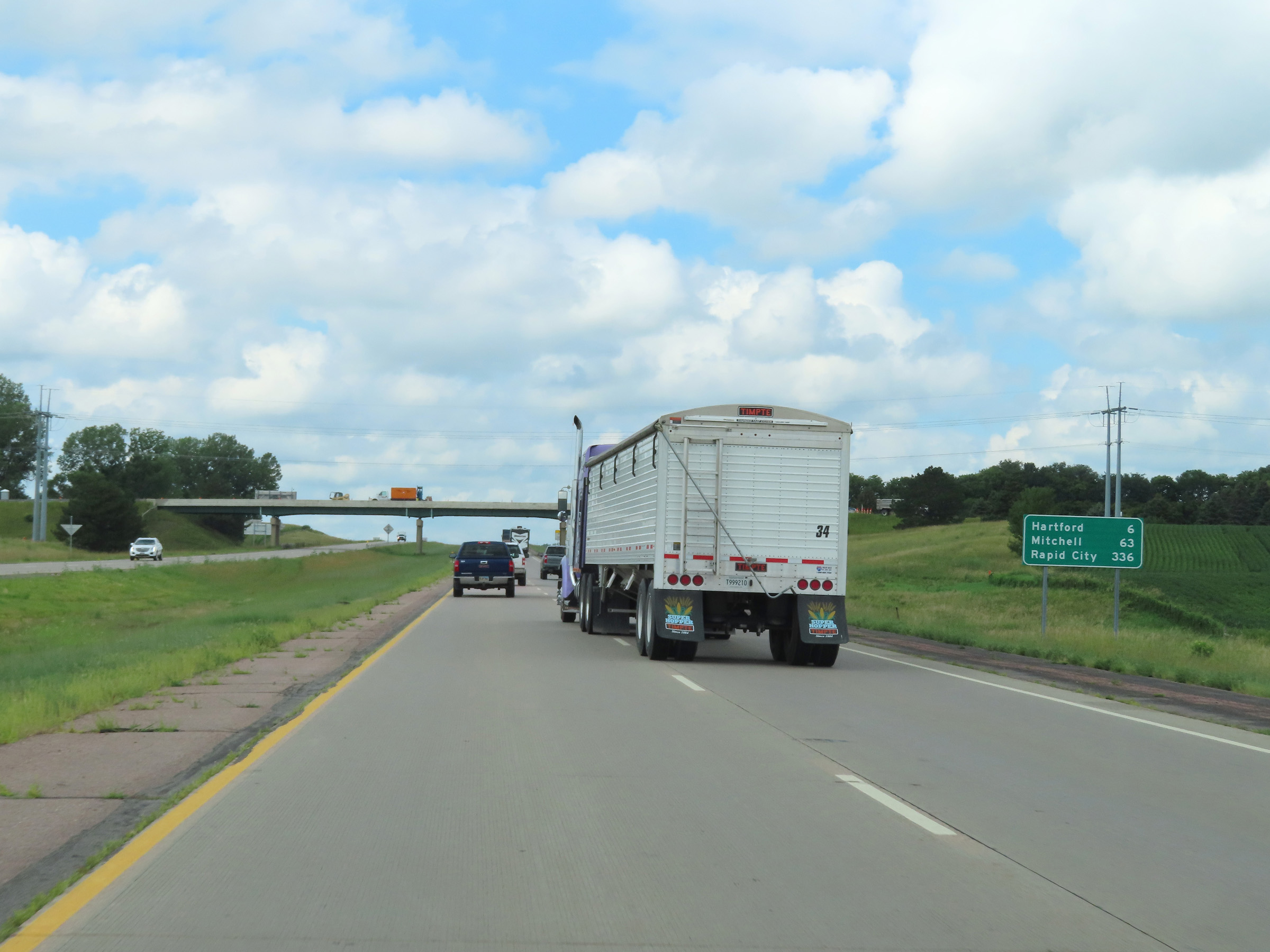 |
Mileage sign on Interstate 90 West as it leaves the Sioux Falls area. It's 6 miles to Hartford, 63 miles to Mitchell, and 336 miles to Rapid City. (Photo taken 8/16/22). |
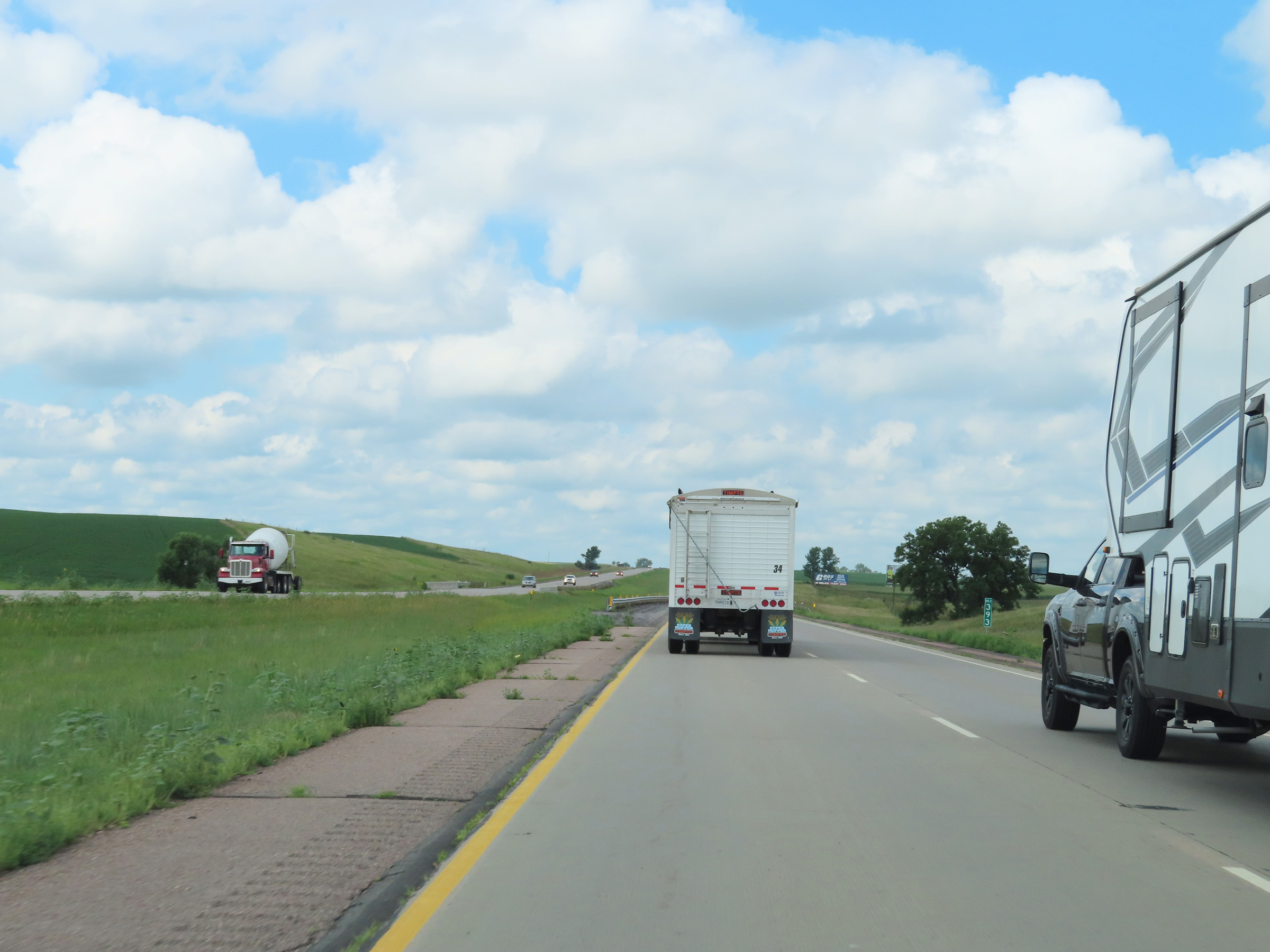 |
Interstate 90 West at mile marker 393. It is also at this point that the maximum speed limit increases to 80 mph once again. (Photo taken 8/16/22). |
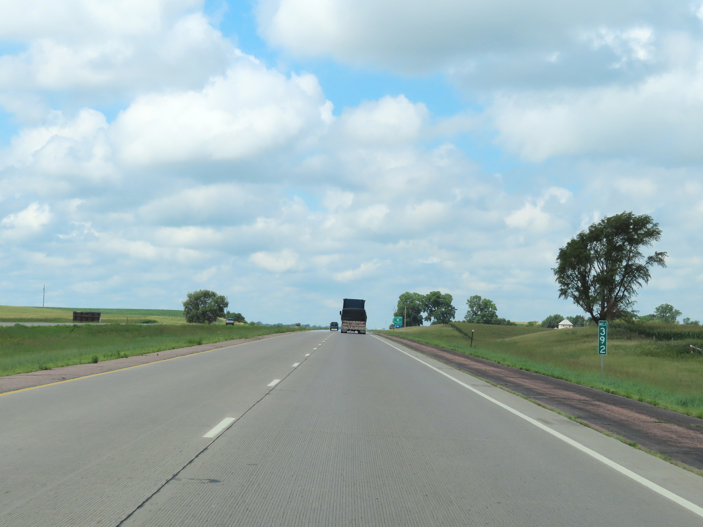 |
View on Interstate 90 West at mile marker 392. (Photo taken 8/16/22). |
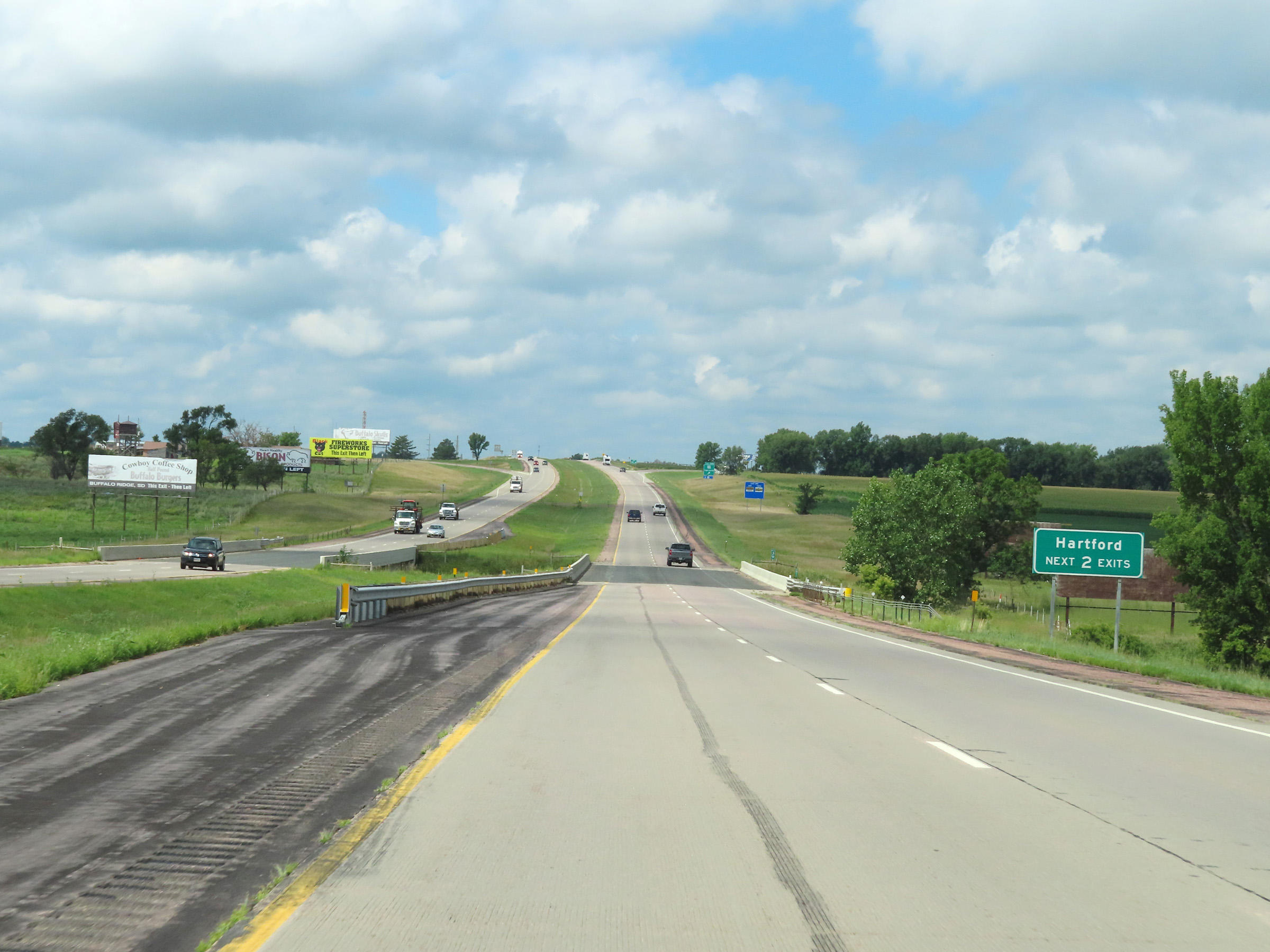 |
Take either of the next 2 exits to Hartford. (Photo taken 8/16/22). |
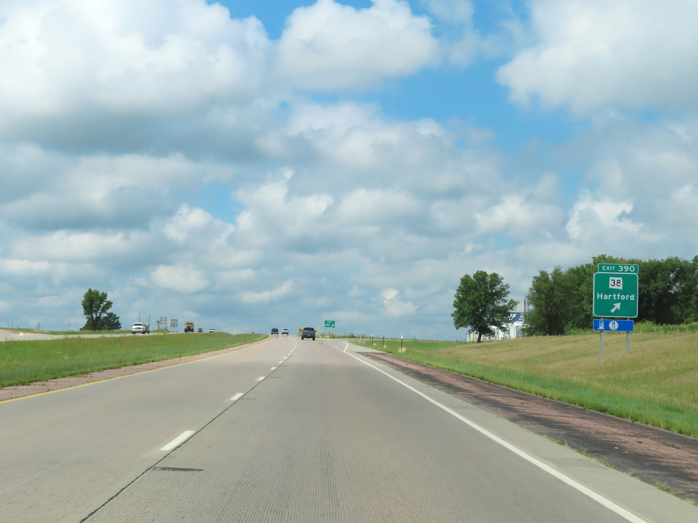 |
Interstate 90 West at Exit 390: SD 38 - Hartford (Photo taken 8/16/22). |
 |
Interstate 90 West reassurance shield at mile marker 390. (Photo taken 8/16/22). |
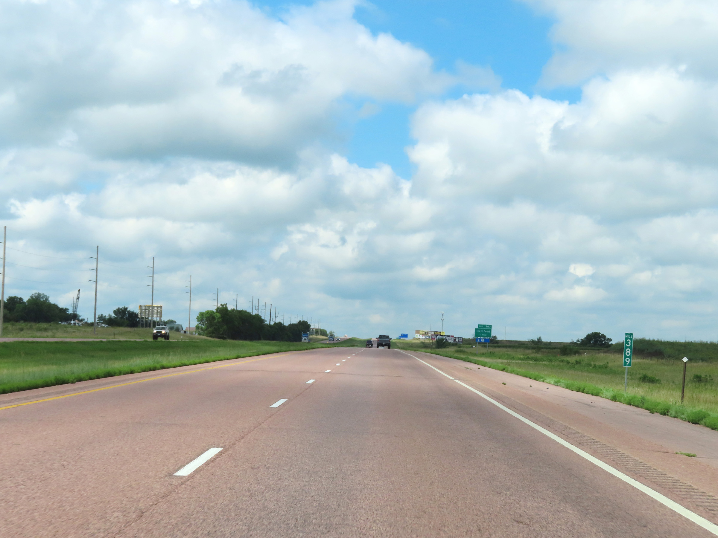 |
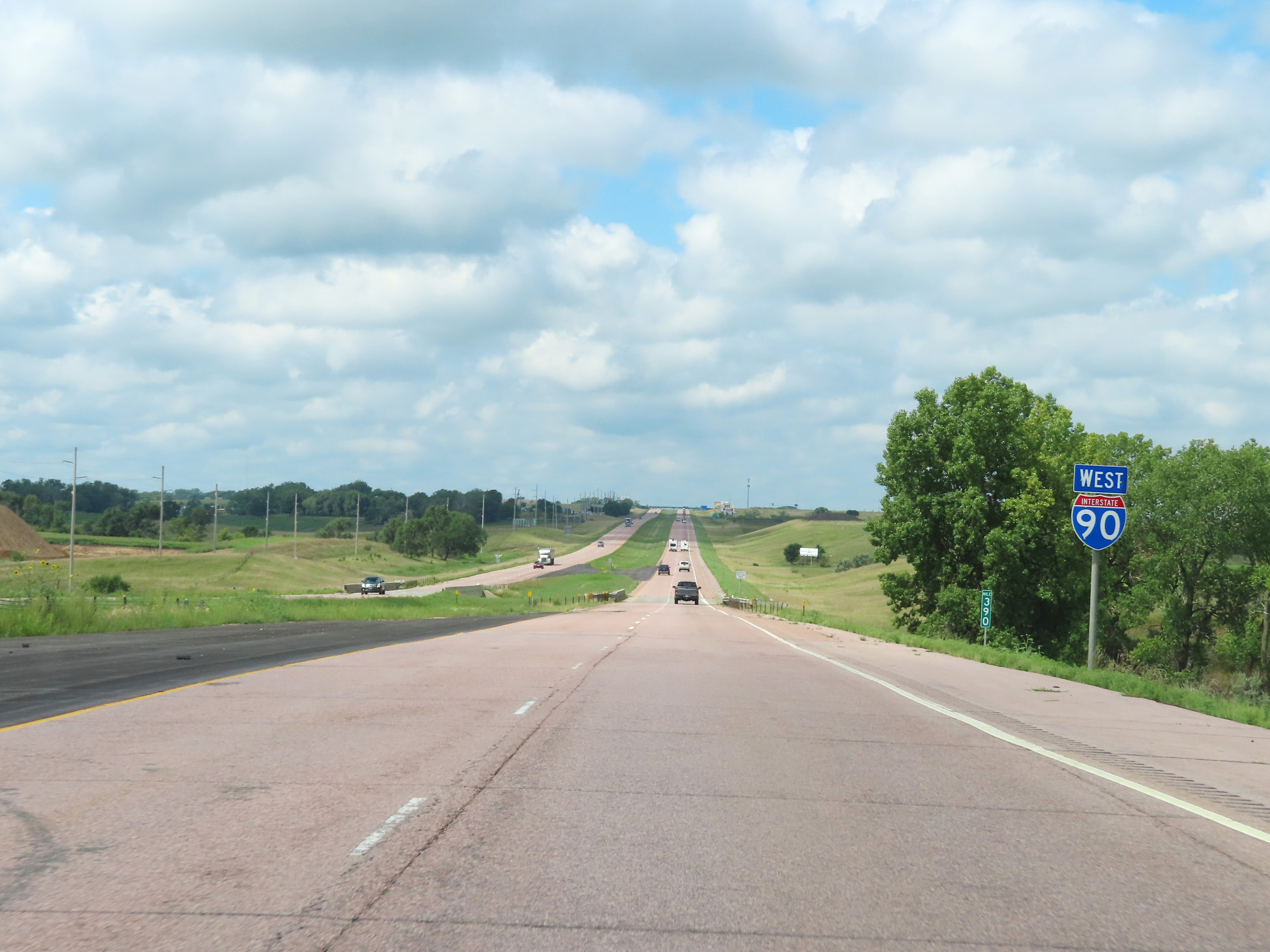
Mile marker 389 on Interstate 90 West in Minnehaha County. (Photo taken 8/16/22). |
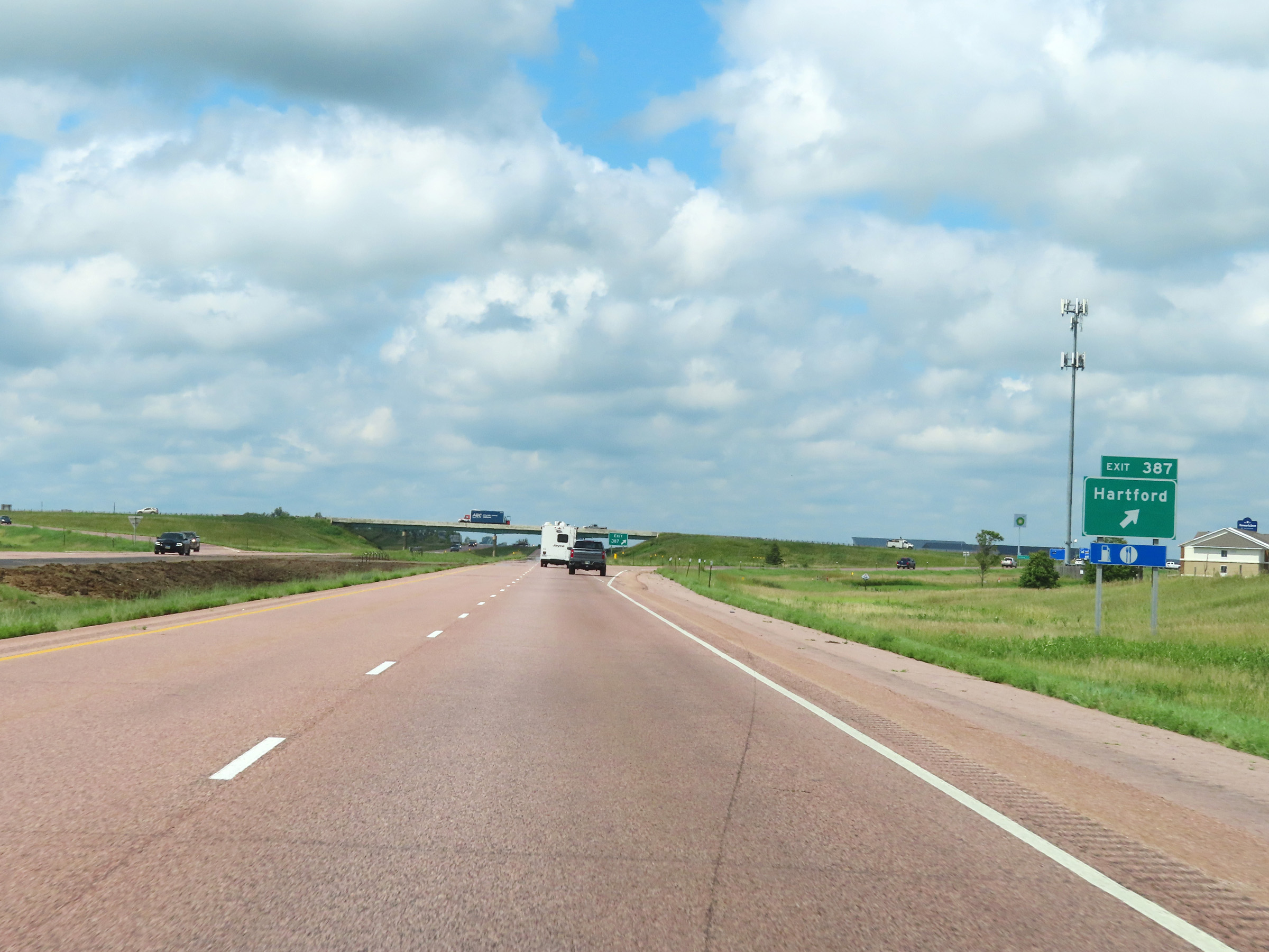 |
Interstate 90 West at Exit 387: Hartford (Photo taken 8/16/22). |
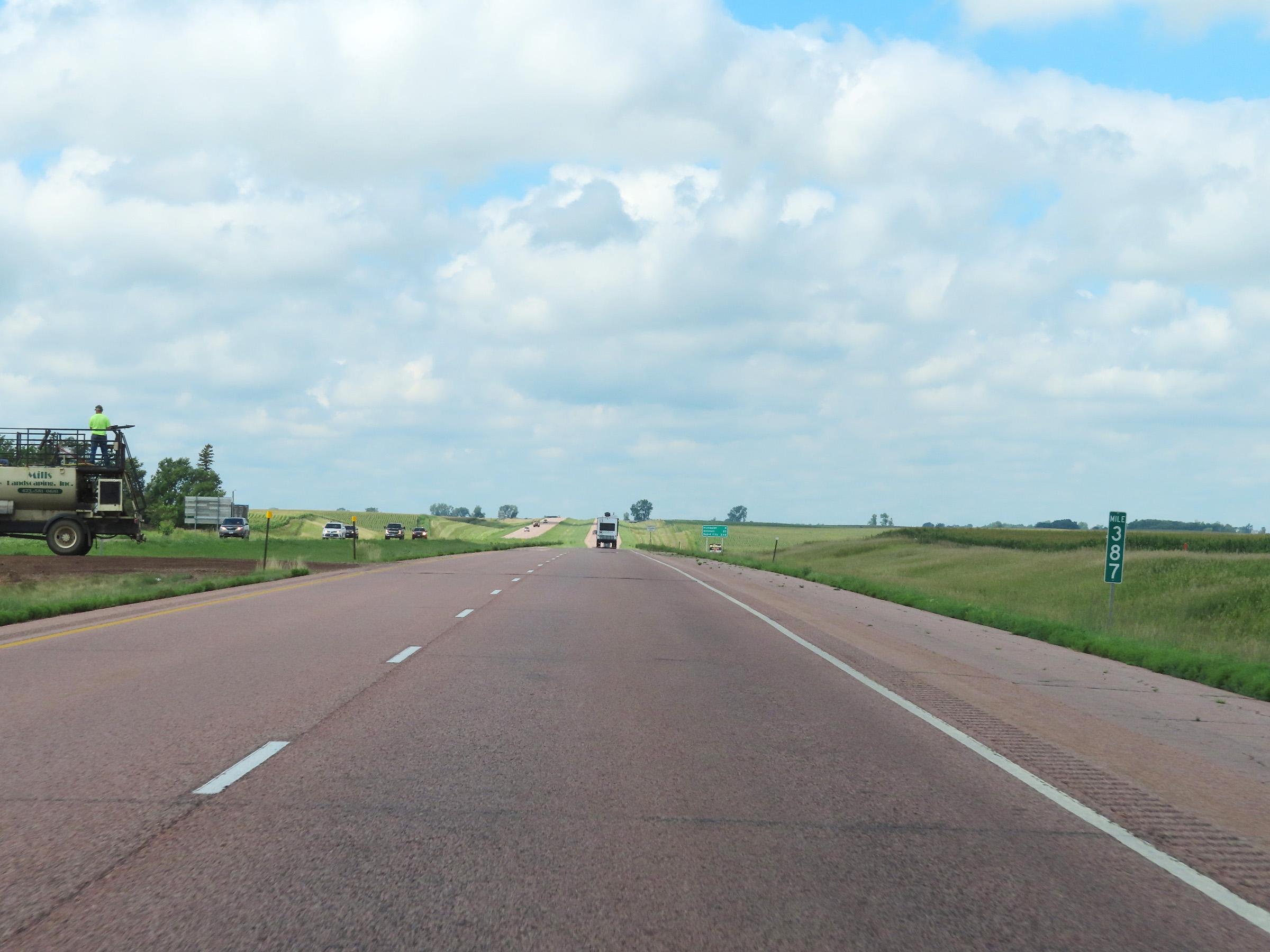 |
View on Interstate 90 West at mile marker 387. (Photo taken 8/16/22). |
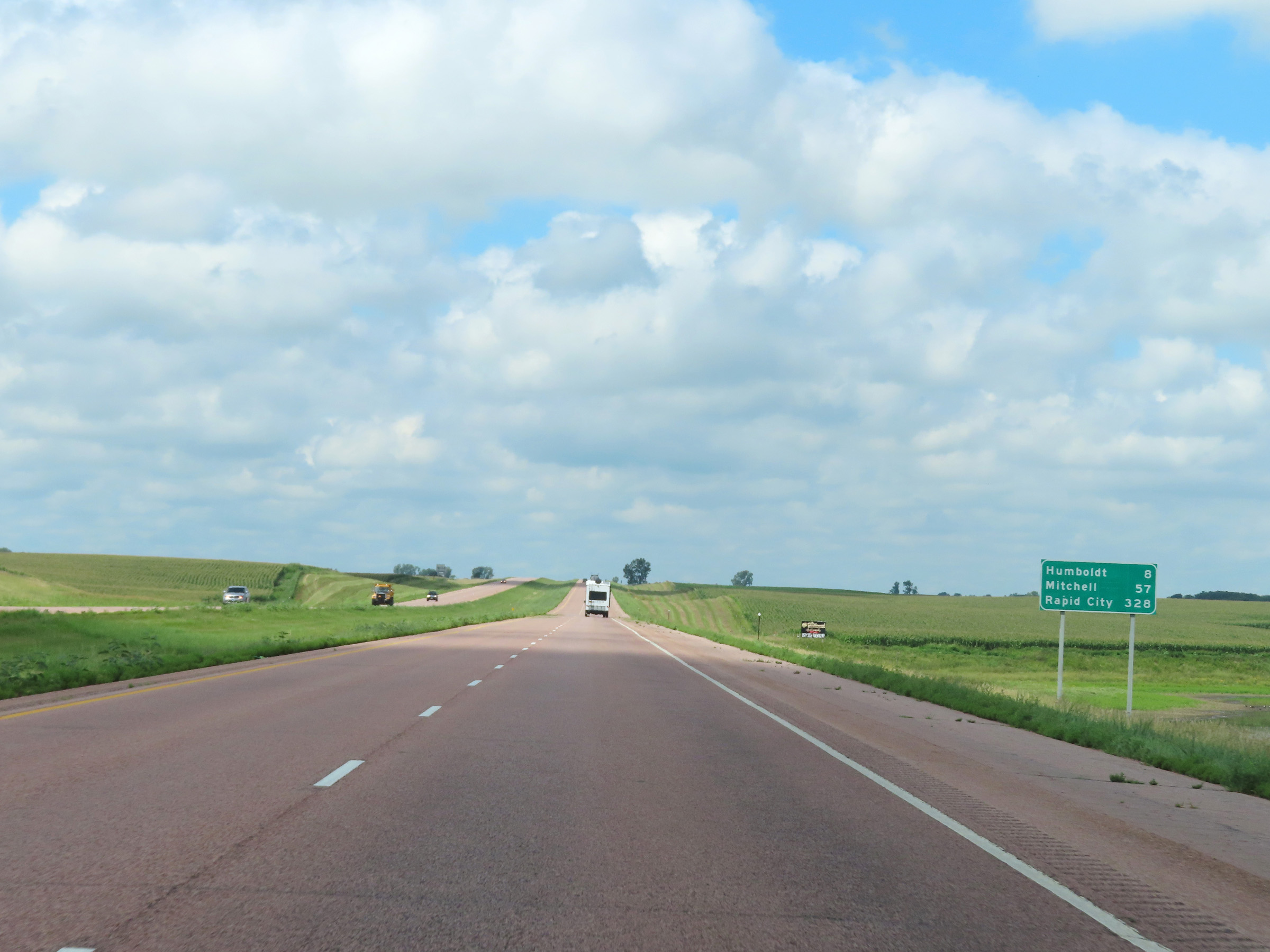 |
Mileage sign on Interstate 90 West. It's 8 miles to Humboldt, 57 miles to Mitchell, and 328 miles to Rapid City. (Photo taken 8/16/22). |
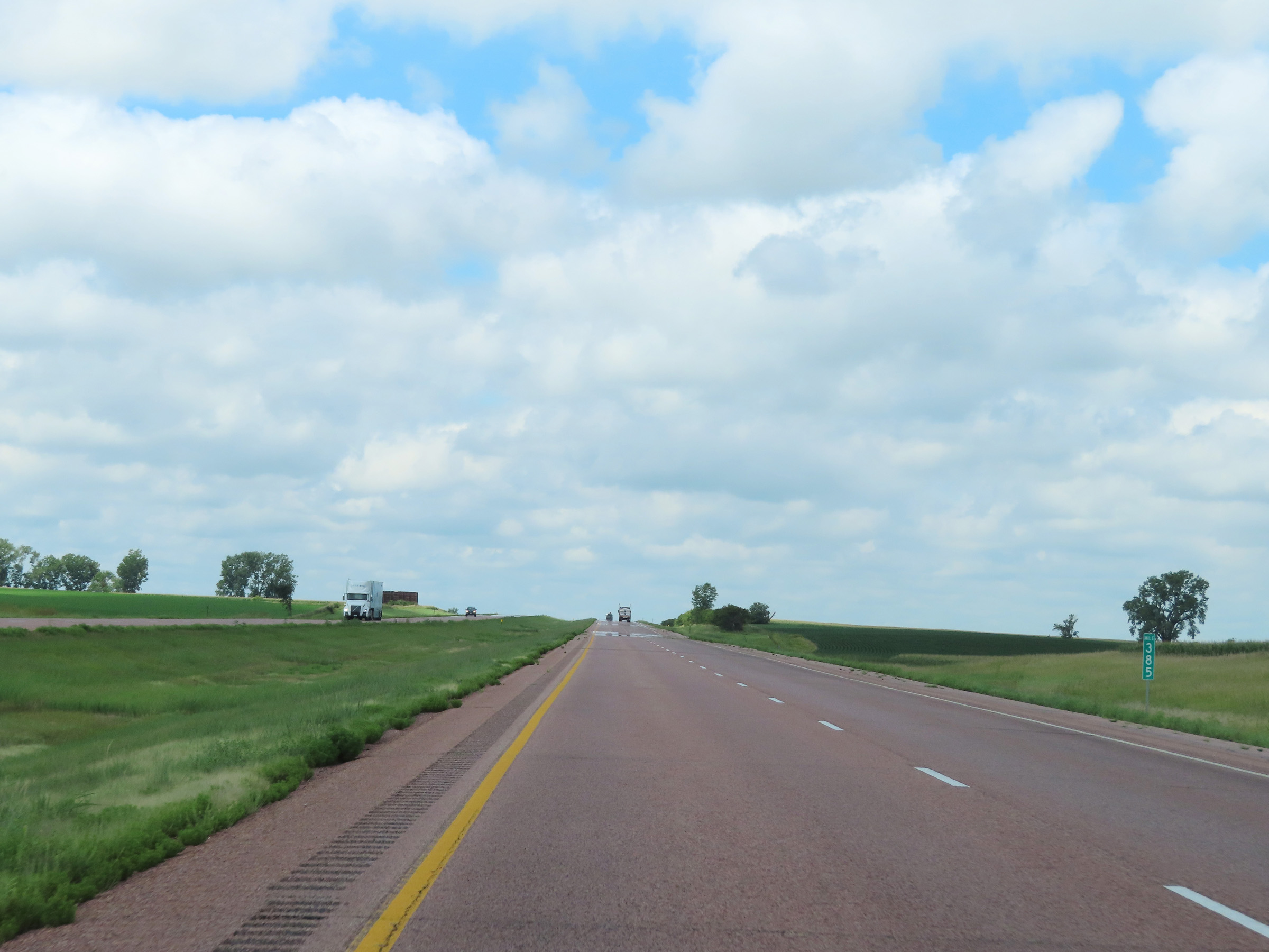 |
Interstate 90 West at mile marker 385. (Photo taken 8/16/22). |
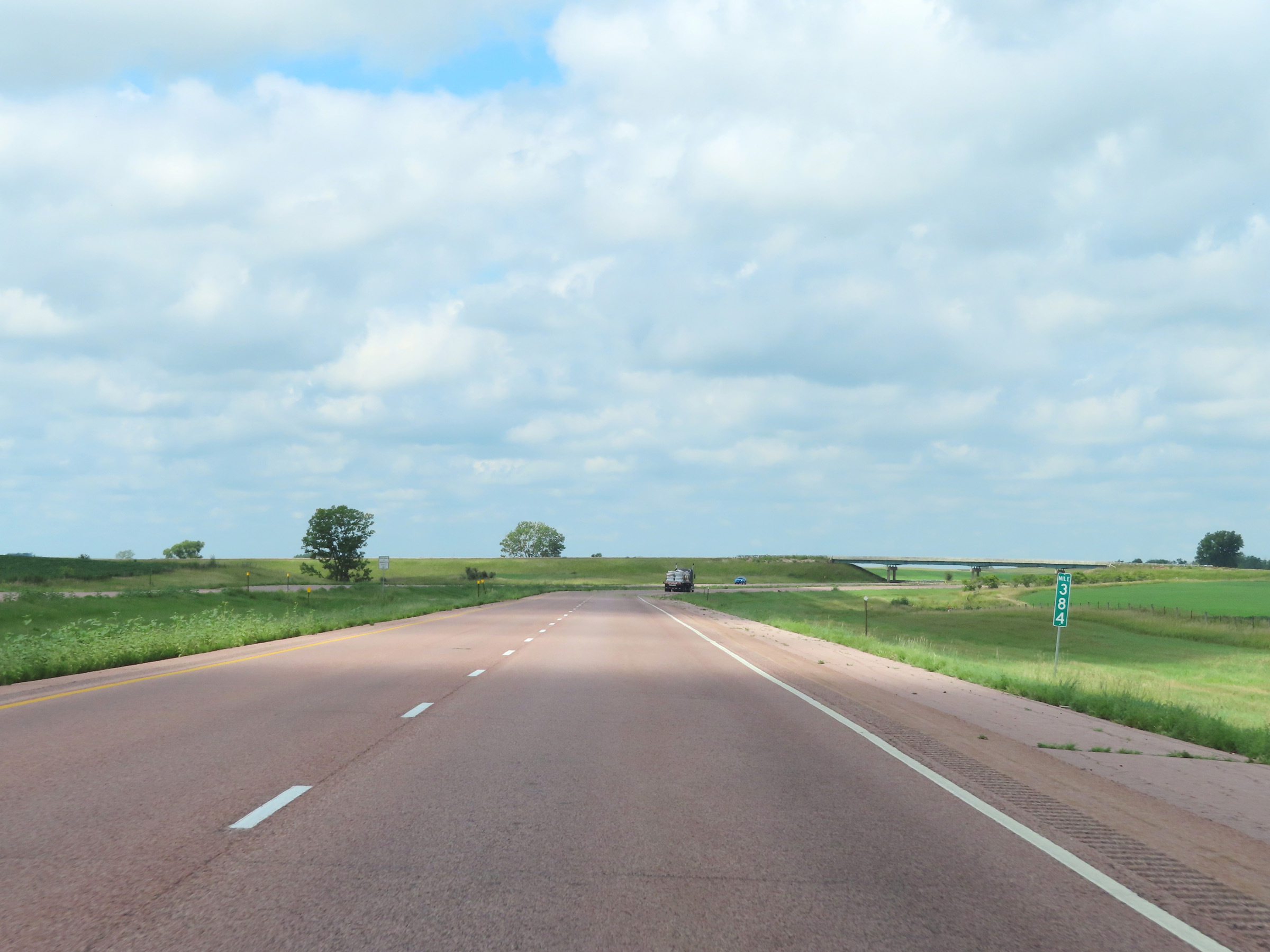 |
View on Interstate 90 West at mile marker 384. (Photo taken 8/16/22). |
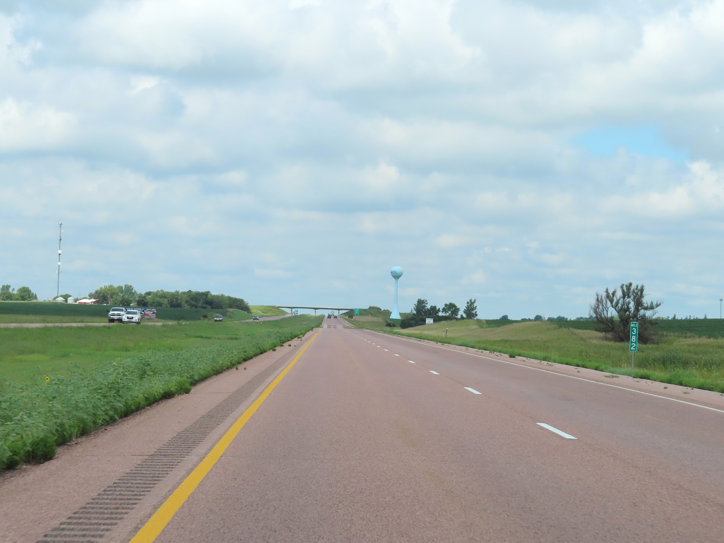 |
Mile marker 382 on Interstate 90 West in Minnehaha County. (Photo taken 8/16/22). |
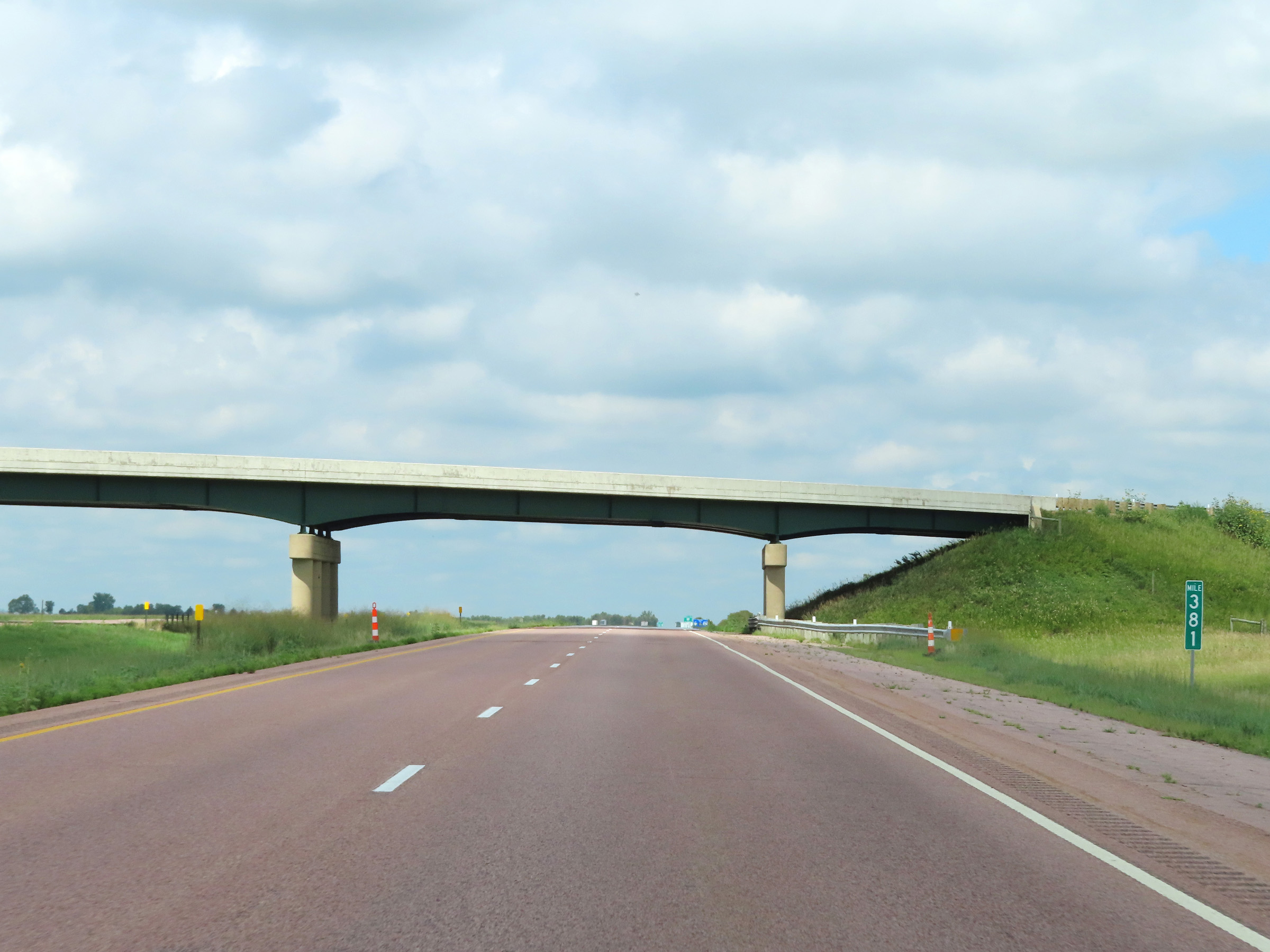 |
Interstate 90 West at mile marker 381. (Photo taken 8/16/22). |
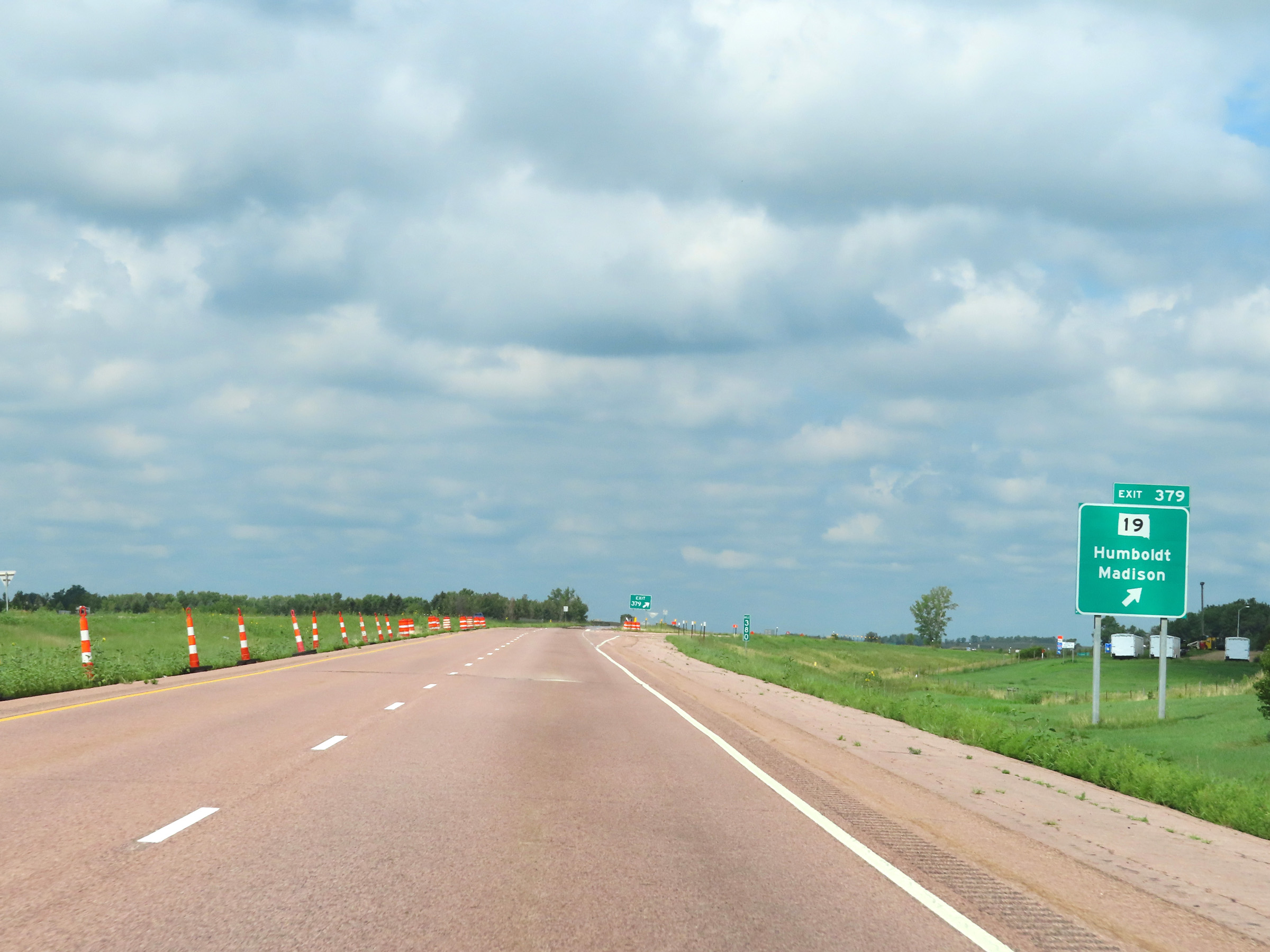 |
Interstate 90 West at Exit 379: SD 19 - Humboldt / Madison (Photo taken 8/16/22). |
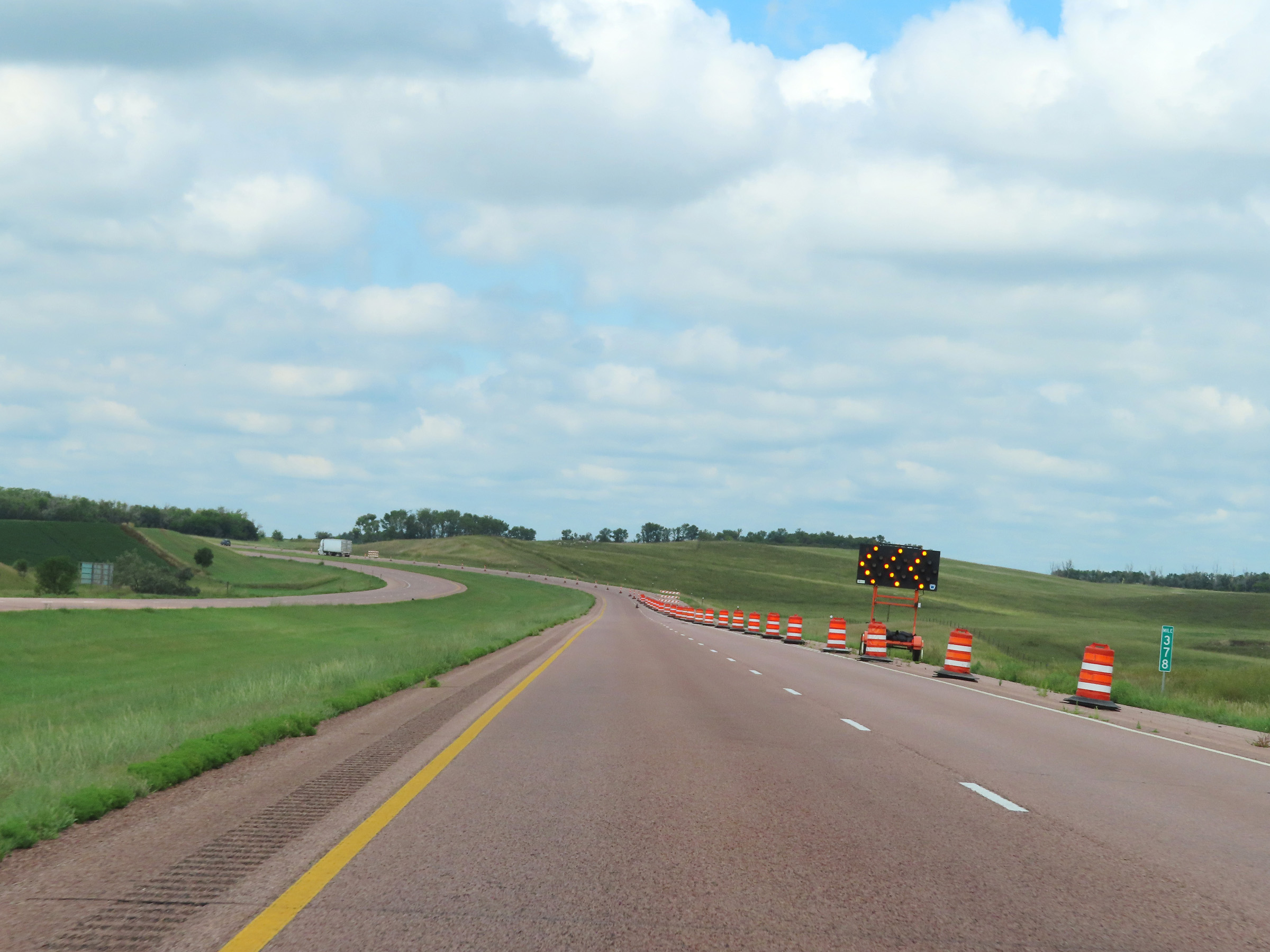 |
View on Interstate 90 West at mile marker 378. (Photo taken 8/16/22). |
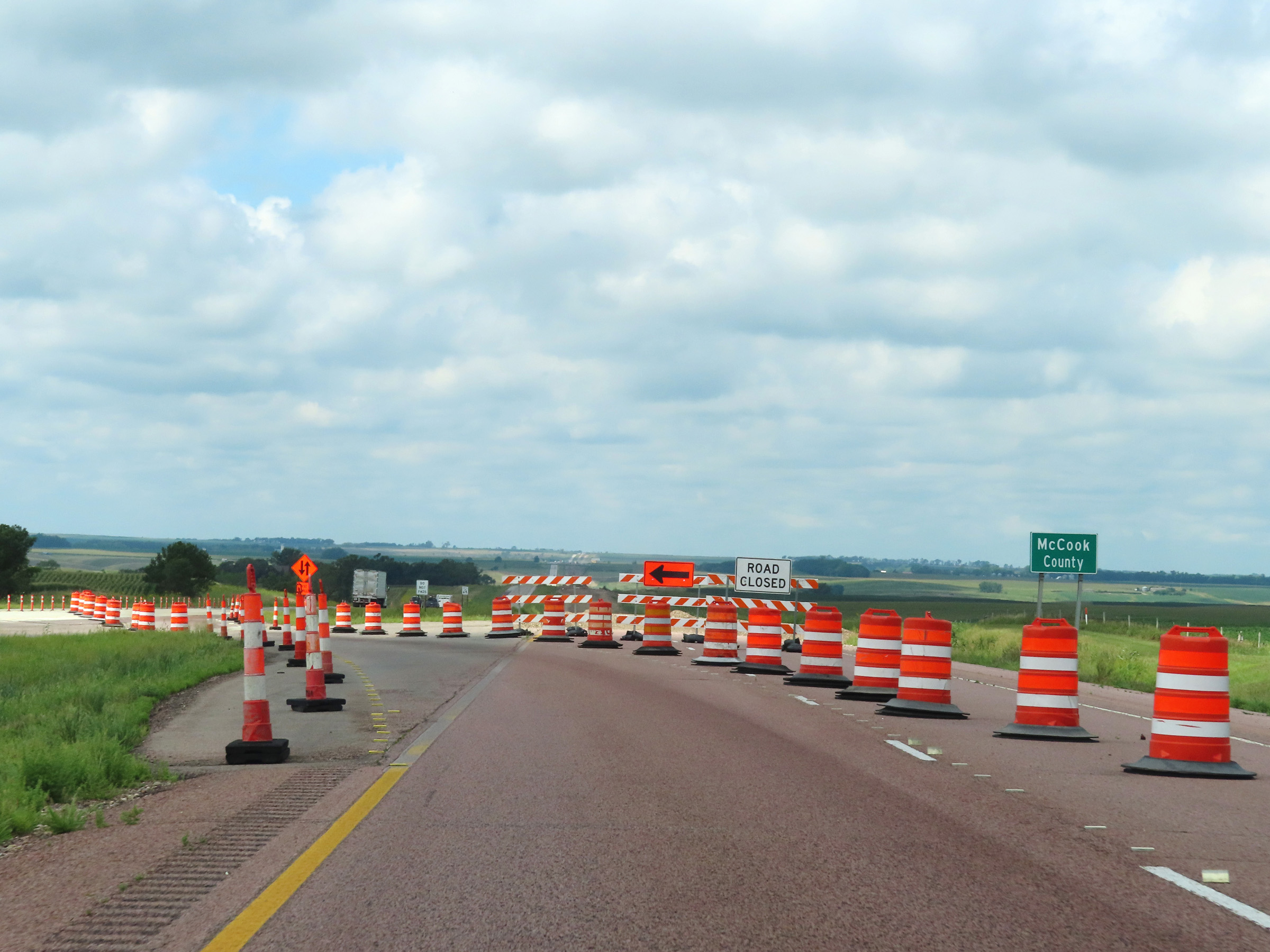 |
Interstate 90 West as it enters McCook County. (Photo taken 8/16/22). |
 |
Interstate 90 West in McCook County. (Photo taken 8/16/22). |
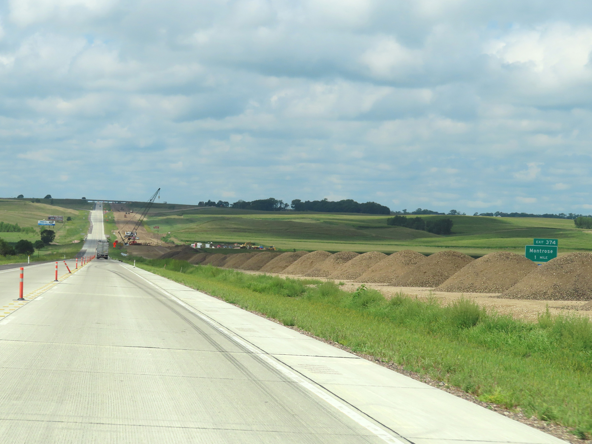 |
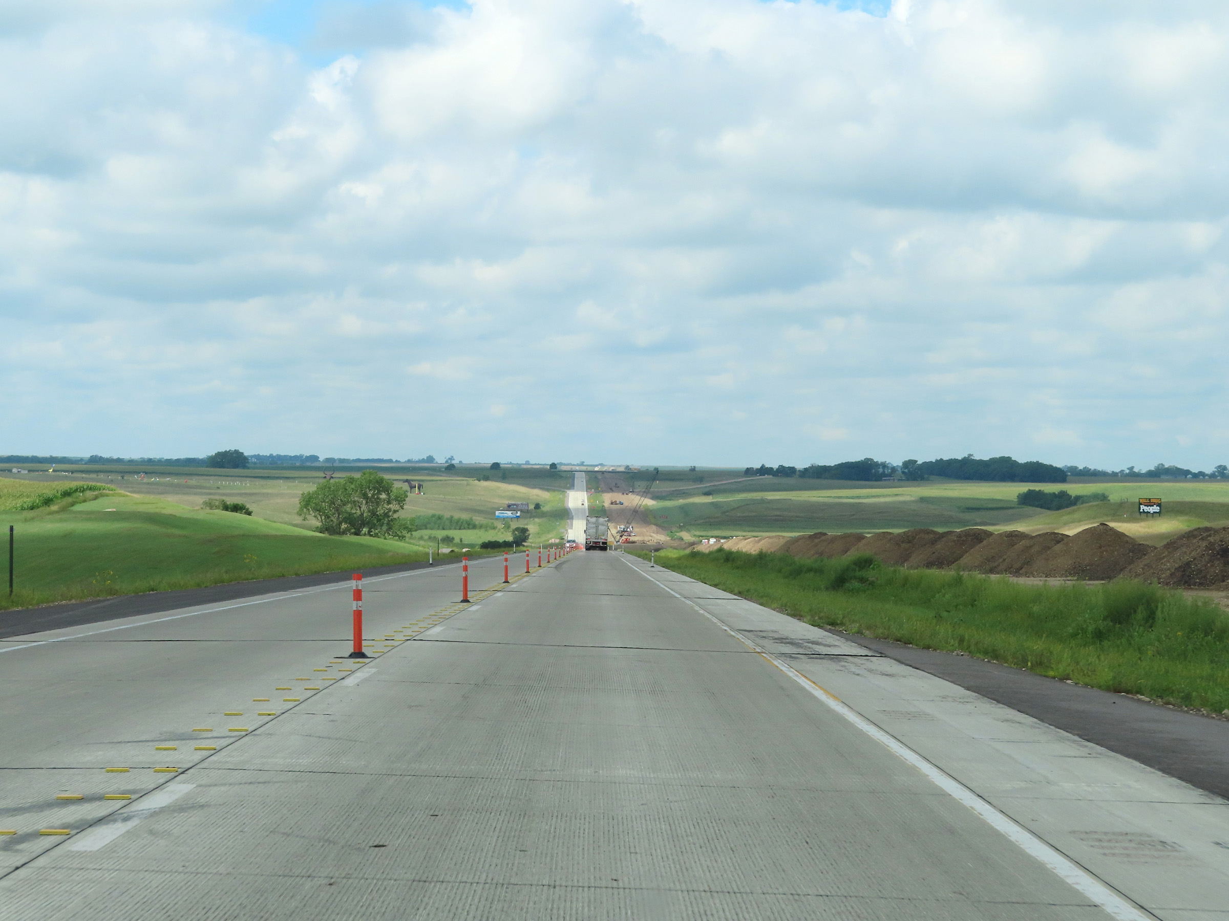
Interstate 90 West approaching Exit 374 - 1 mile. (Photo taken 8/16/22). |
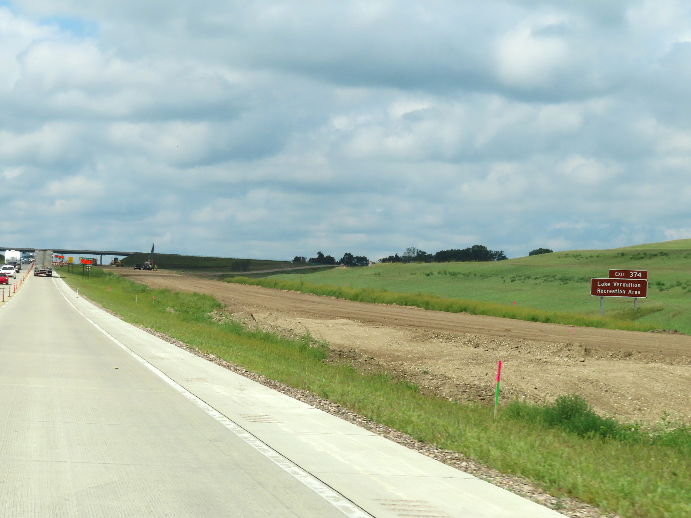 |
Take Exit 374 to Lake Vermillion Recreation Area. (Photo taken 8/16/22). |
 |
Interstate 90 West at Exit 374: Montrose (Photo taken 8/16/22). |
 |
View on Interstate 90 West at mile marker 372. (Photo taken 8/16/22). |
 |
Interstate 90 West approaching Exit 368 - 1 mile. (Photo taken 8/16/22). |
 |
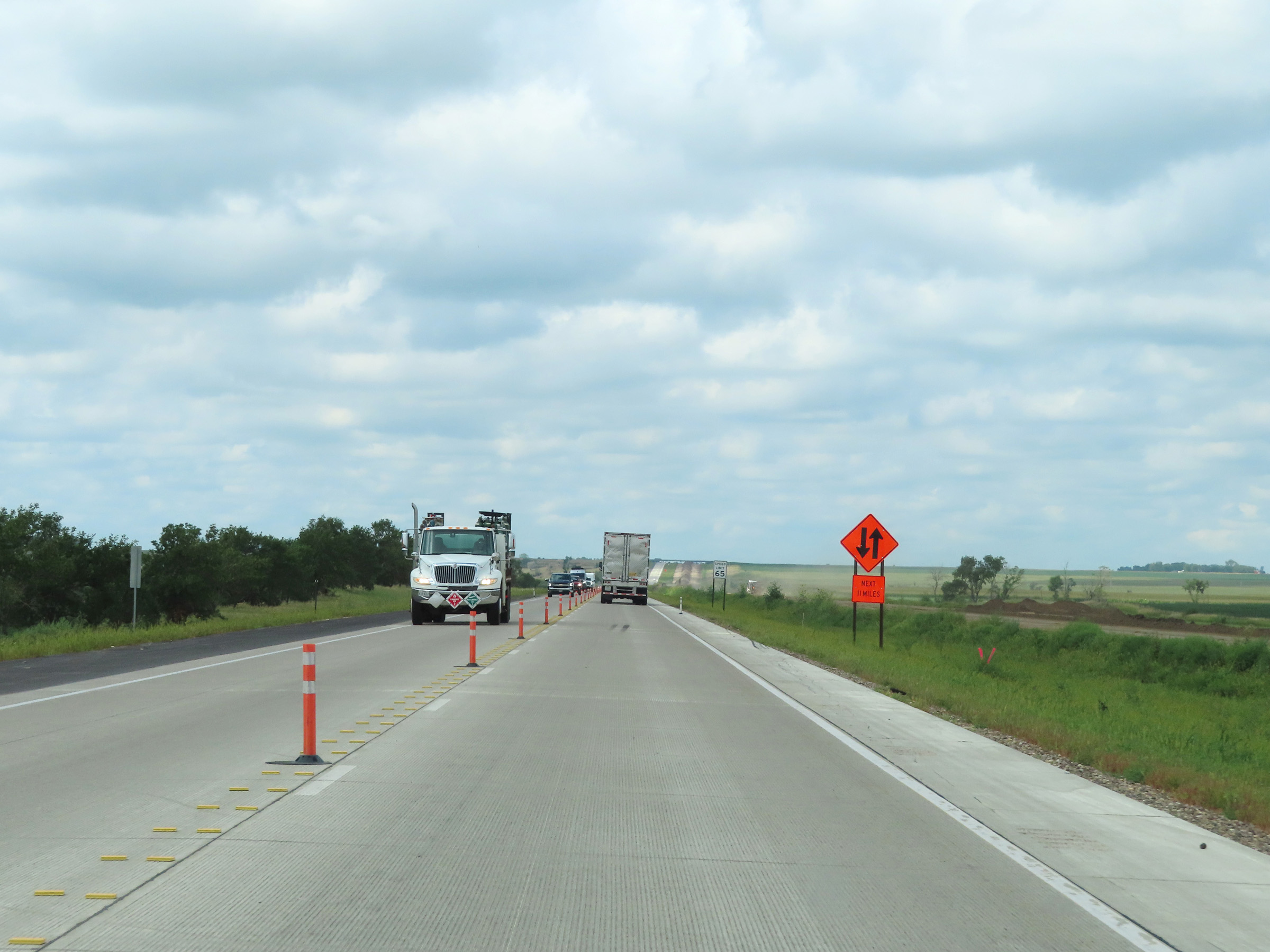
Interstate 90 West in McCook County, approaching Exit 368. (Photo taken 8/16/22). |
 |
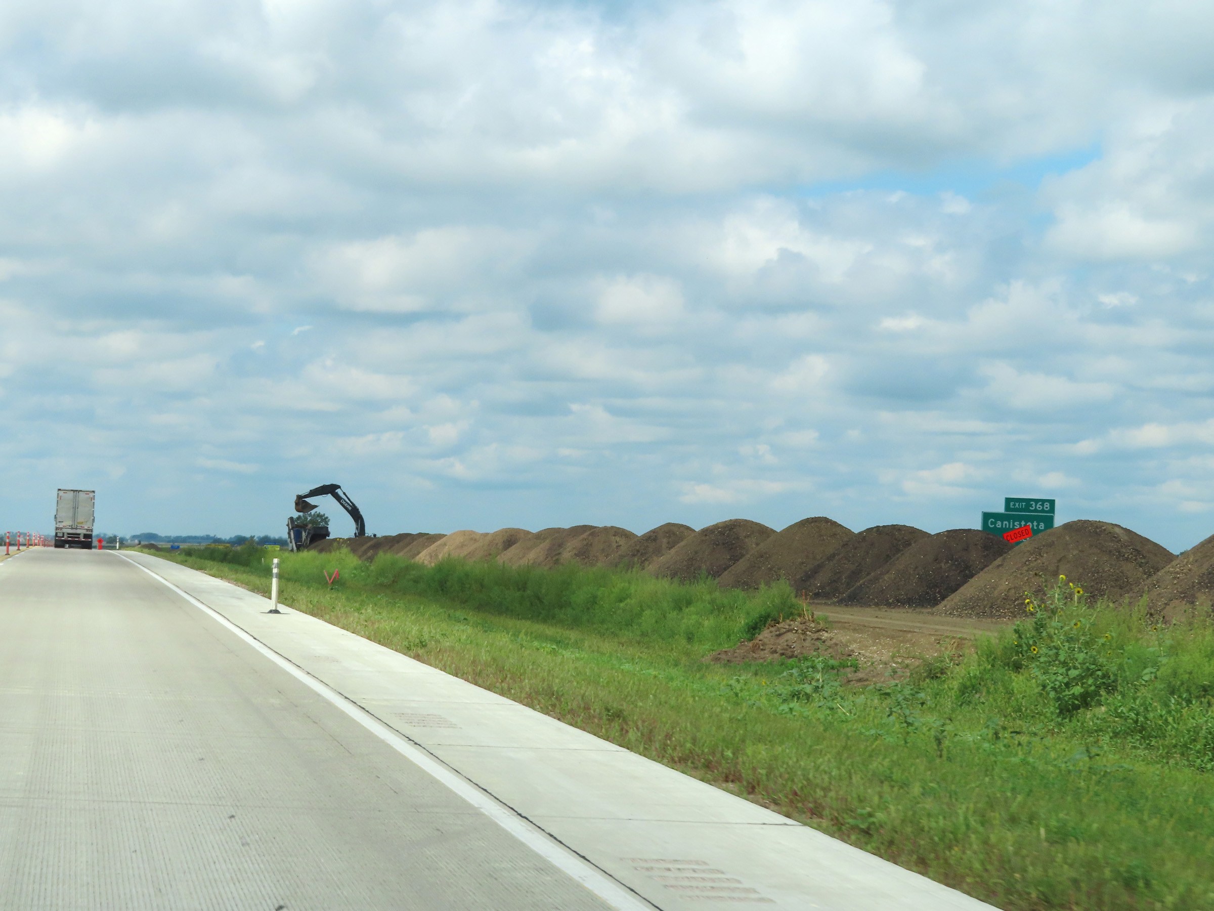
Interstate 90 West at Exit 368: Canistota (Photo taken 8/16/22). |
 |
View on Interstate 90 West at mile marker 367. (Photo taken 8/16/22). |
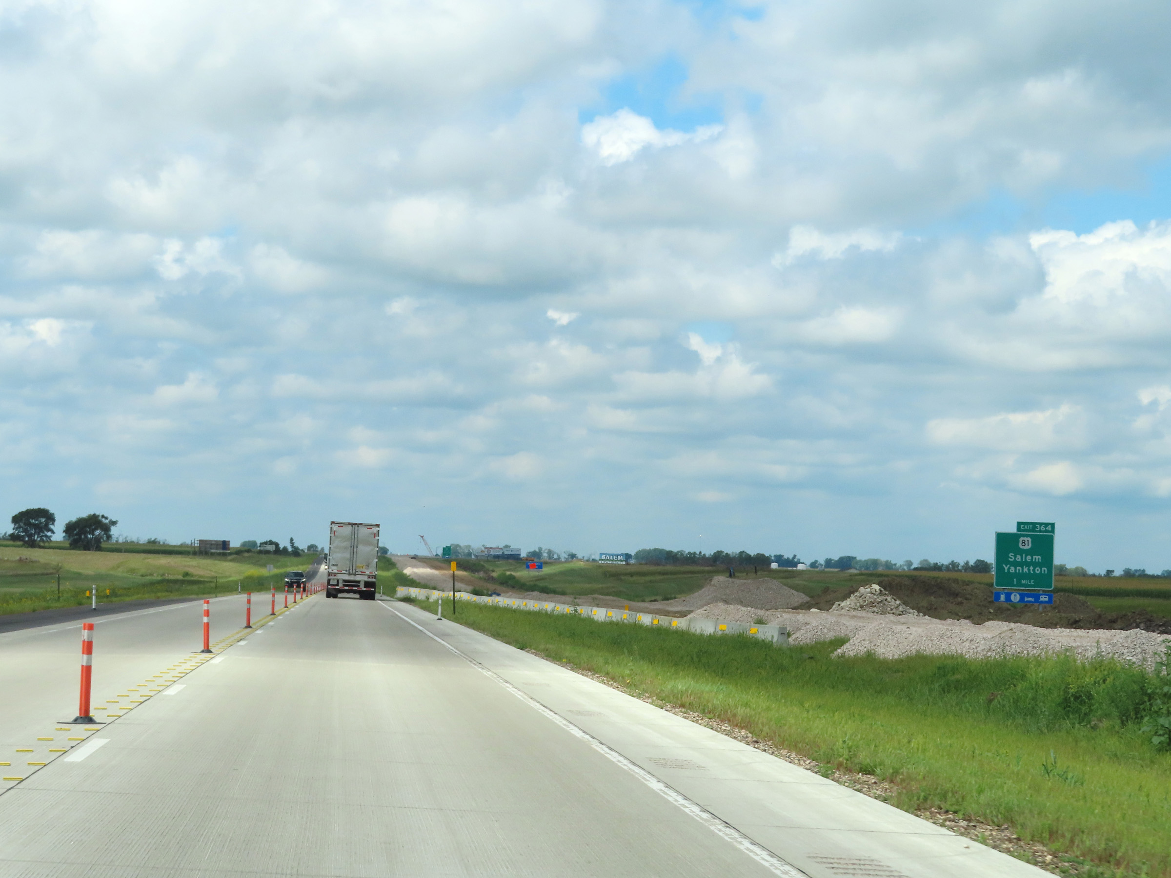 |
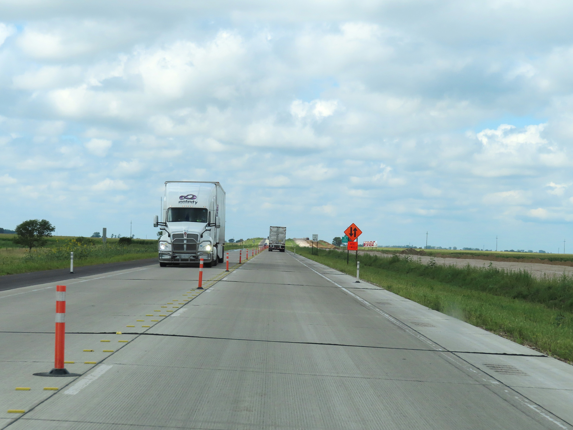
Interstate 90 West approaching Exit 364 - 1 mile. (Photo taken 8/16/22). |
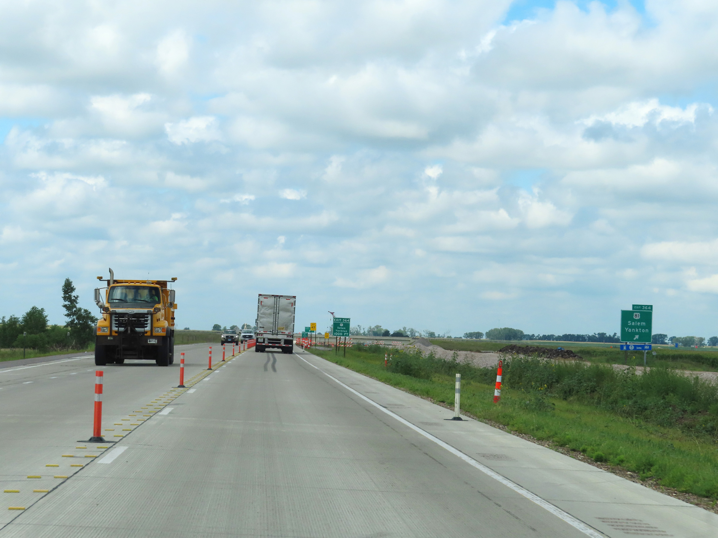 |
Interstate 90 West at Exit 364: US 81 - Salem / Yankton (Photo taken 8/16/22). |
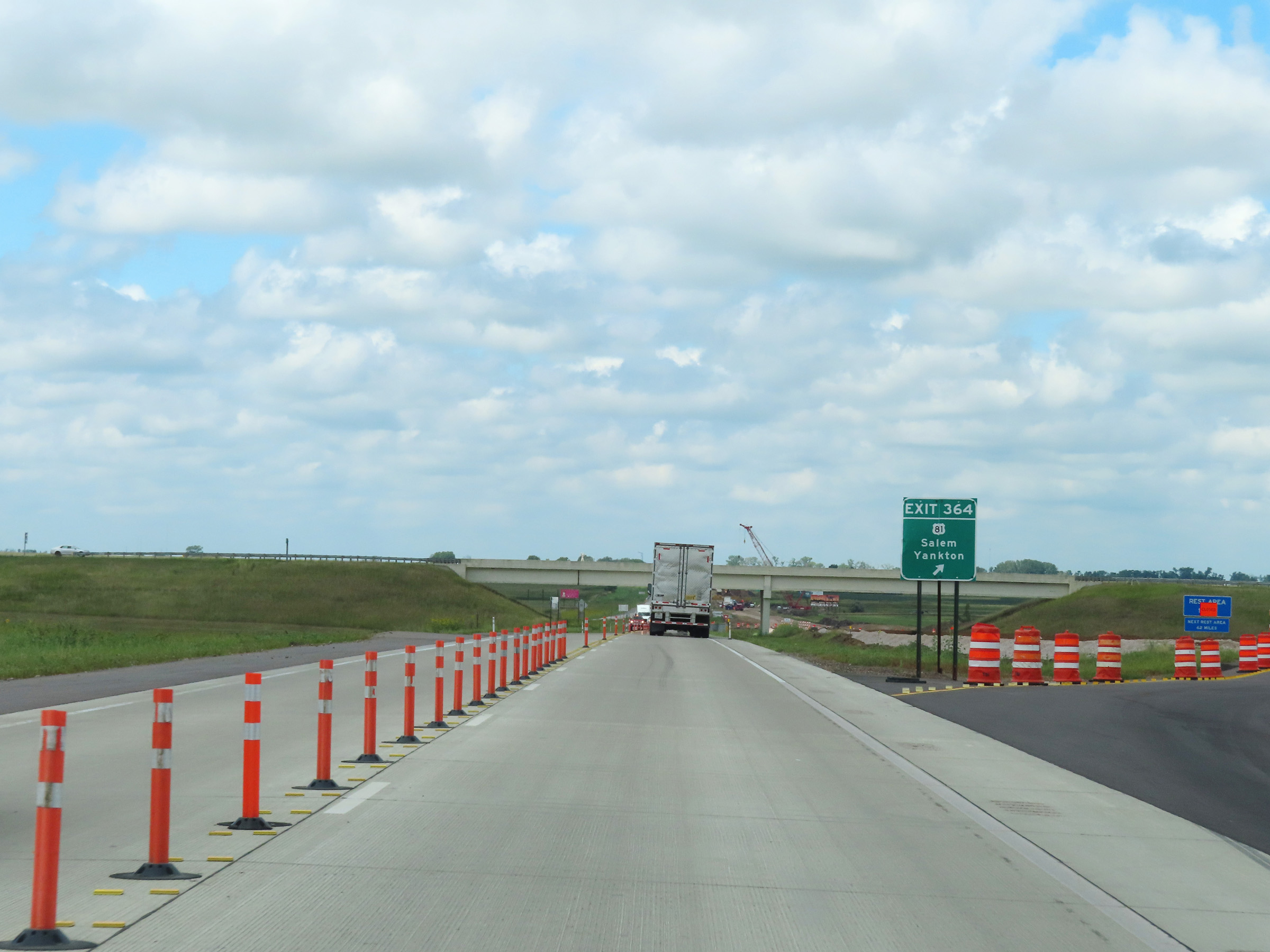 |
Construction ramp to Exit 364 on Interstate 90 West. (Photo taken 8/16/22). |
 |
The first Rest Area on Interstate 90 West since the Minnesota/South Dakota border is 1 mile ahead. (Photo taken 8/16/22). |
 |
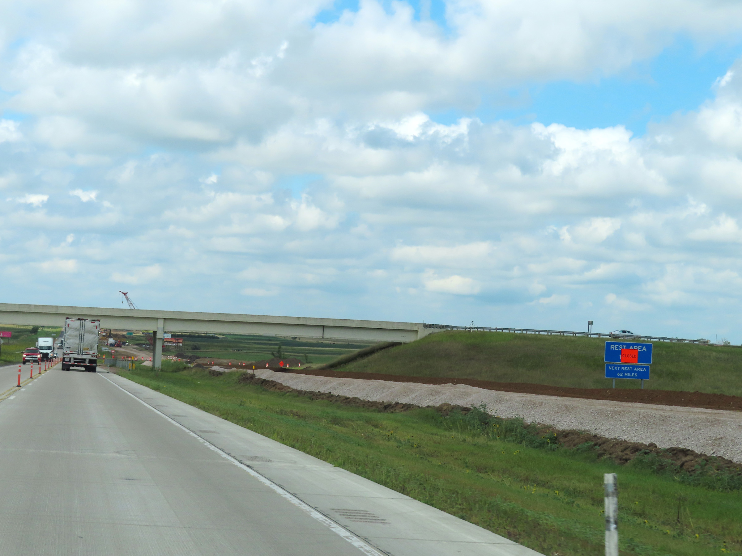
Rest Area on Interstate 90 West in McCook County. (Photo taken 8/16/22). |
 |
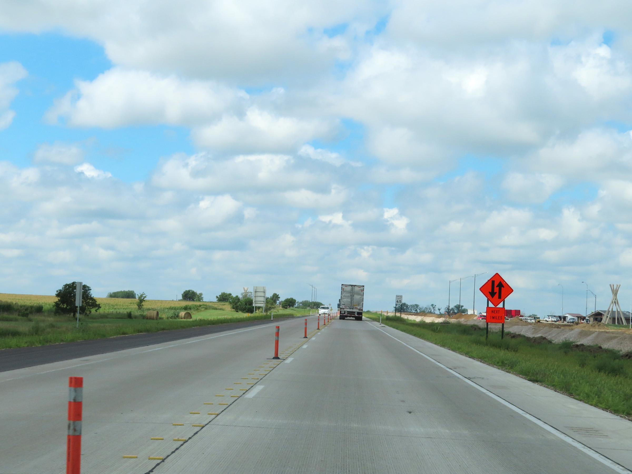
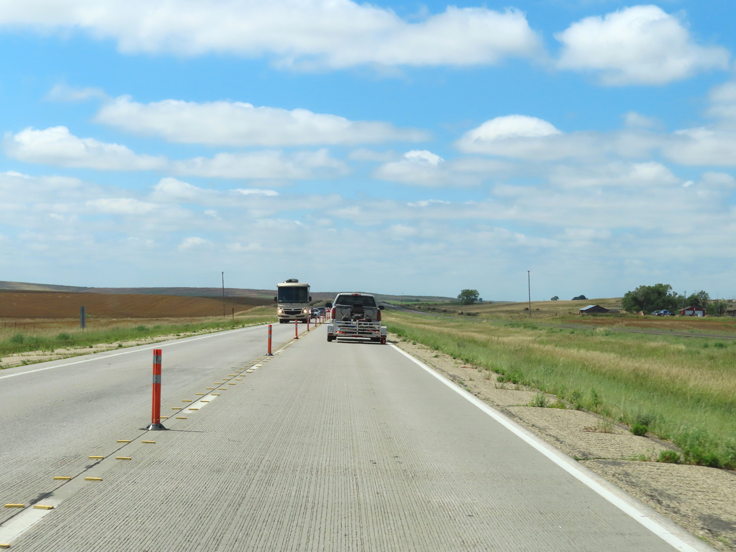
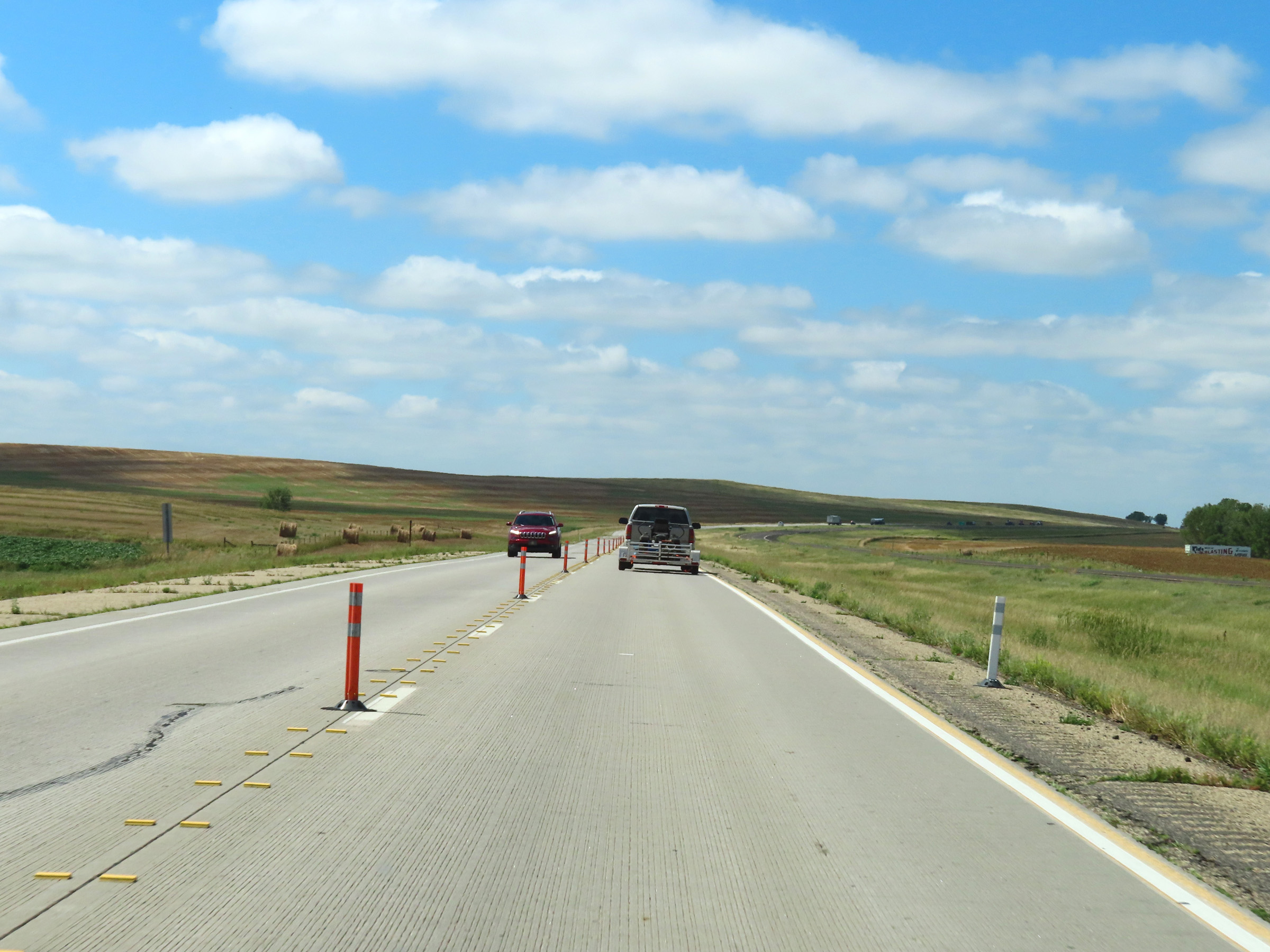
The maximum speed limit remains 80 mph on Interstate 90 West, now that it has left the previously seen lengthy construction zone at the time. (Photo taken 8/16/22). |
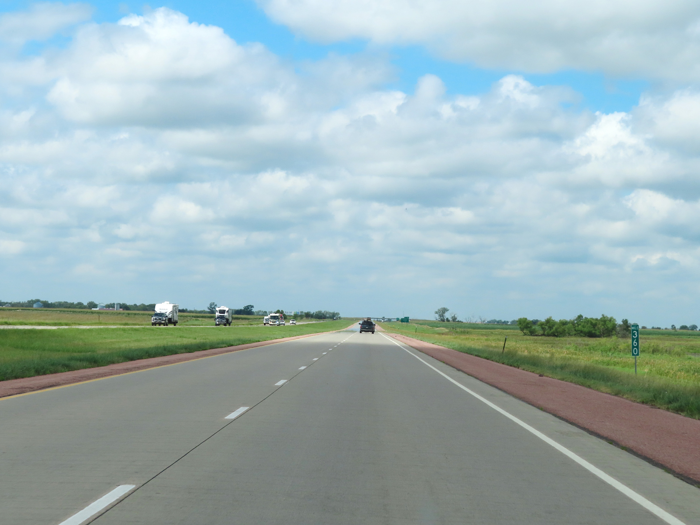 |
View on Interstate 90 West at mile marker 360. (Photo taken 8/16/22). |
 |
Interstate 90 West approaching Exit 357 - 1 mile. (Photo taken 8/16/22). |
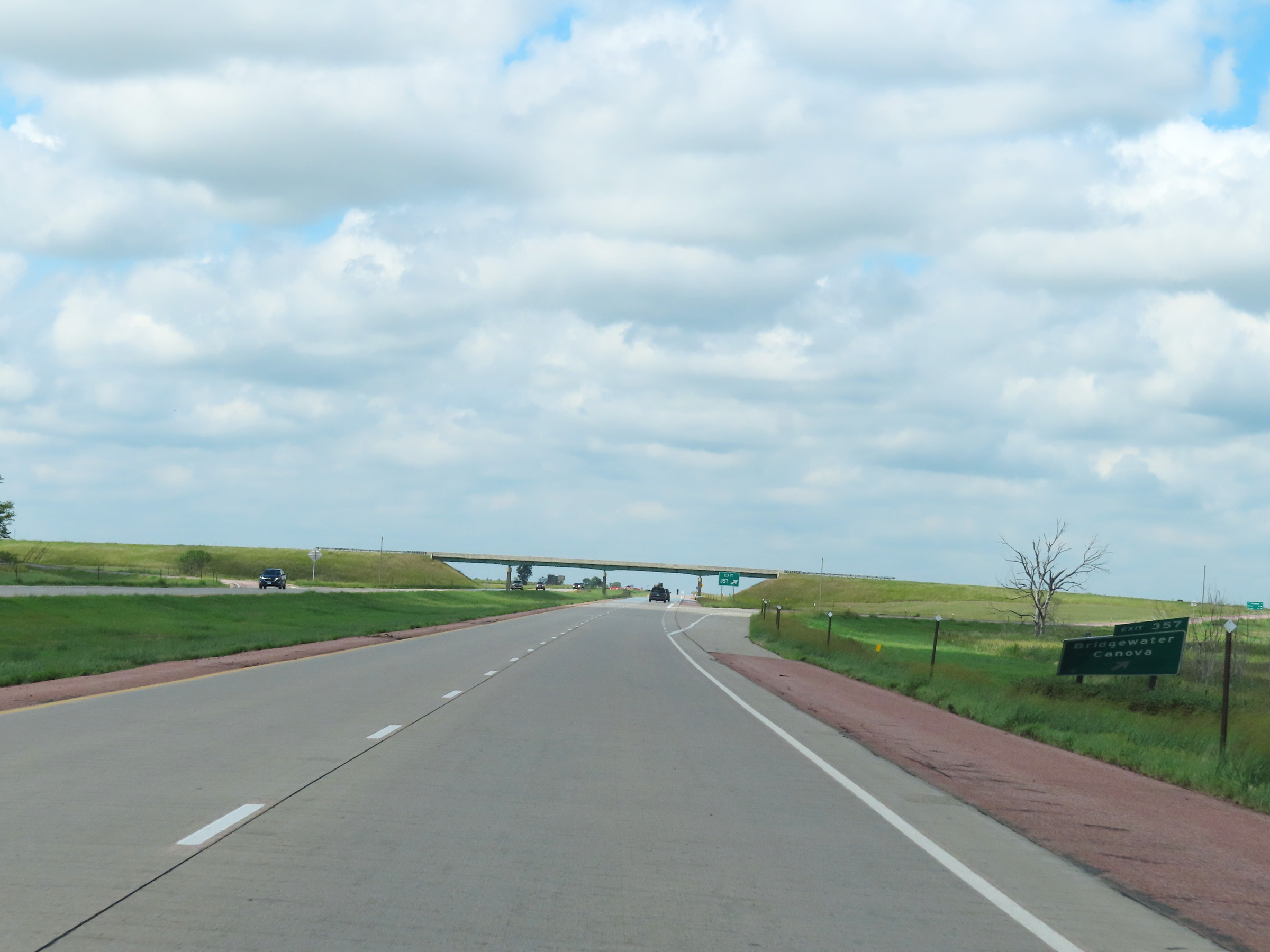 |
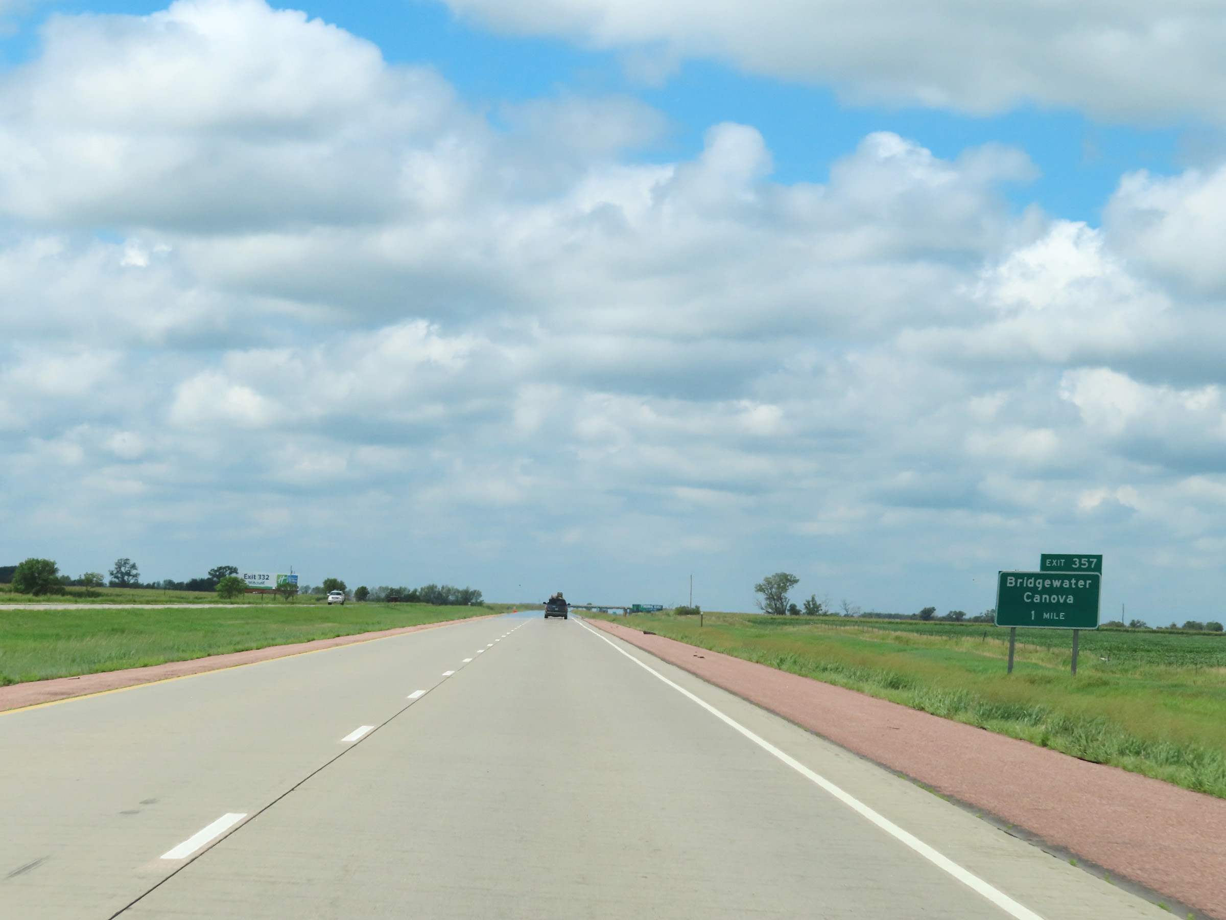
Interstate 90 West at Exit 357: Bridgewater / Canova (Photo taken 8/16/22). |
 |
Mile marker 356 on Interstate 90 West in McCook County. (Photo taken 8/16/22). |
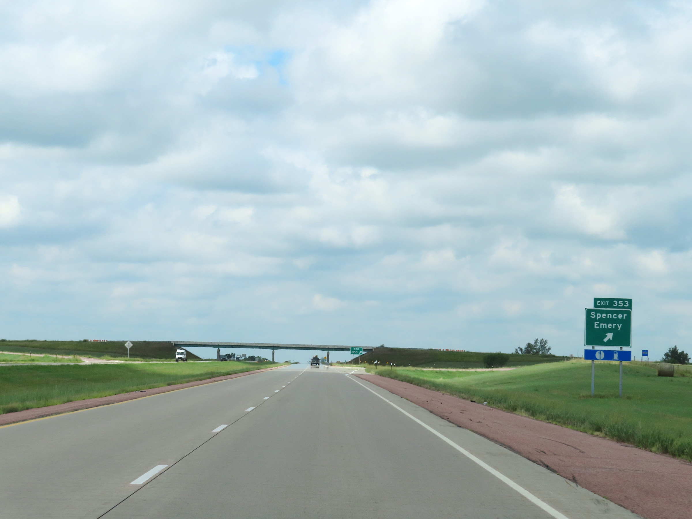 |
Interstate 90 West at Exit 353: Spencer / Emery (Photo taken 8/16/22). |
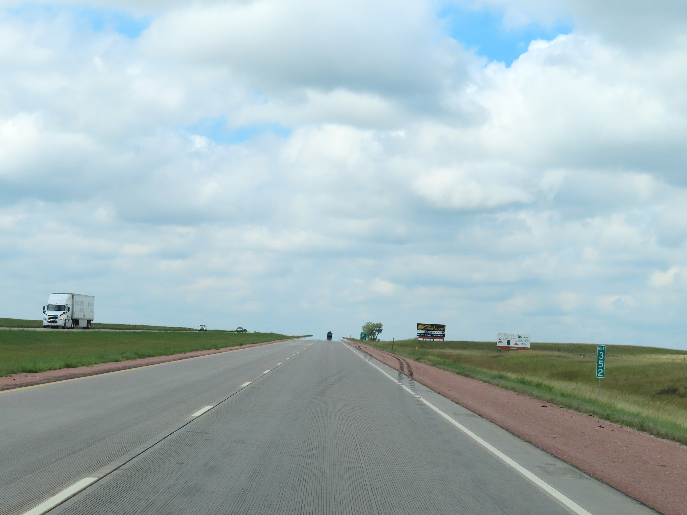 |
View on Interstate 90 West at mile marker 352. (Photo taken 8/16/22). |
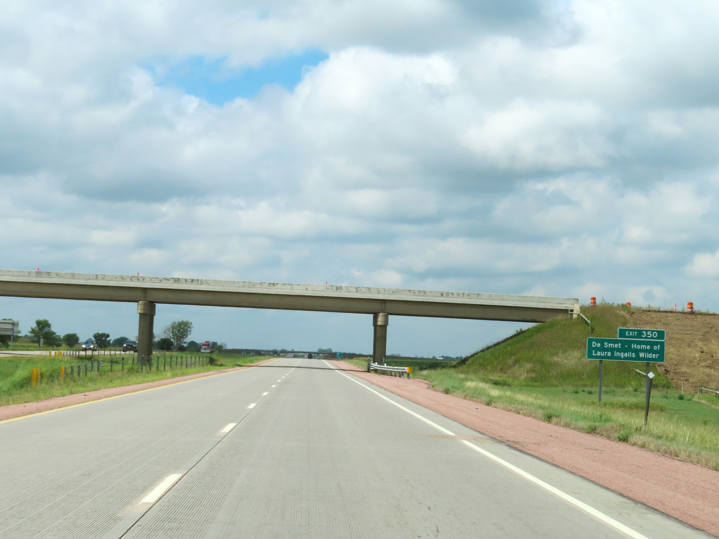 |
Take Exit 350 to De Smet, which is the home of Laura Ingalls Wilder. (Photo taken 8/16/22). |
 |
Interstate 90 West at mile marker 351. (Photo taken 8/16/22). |
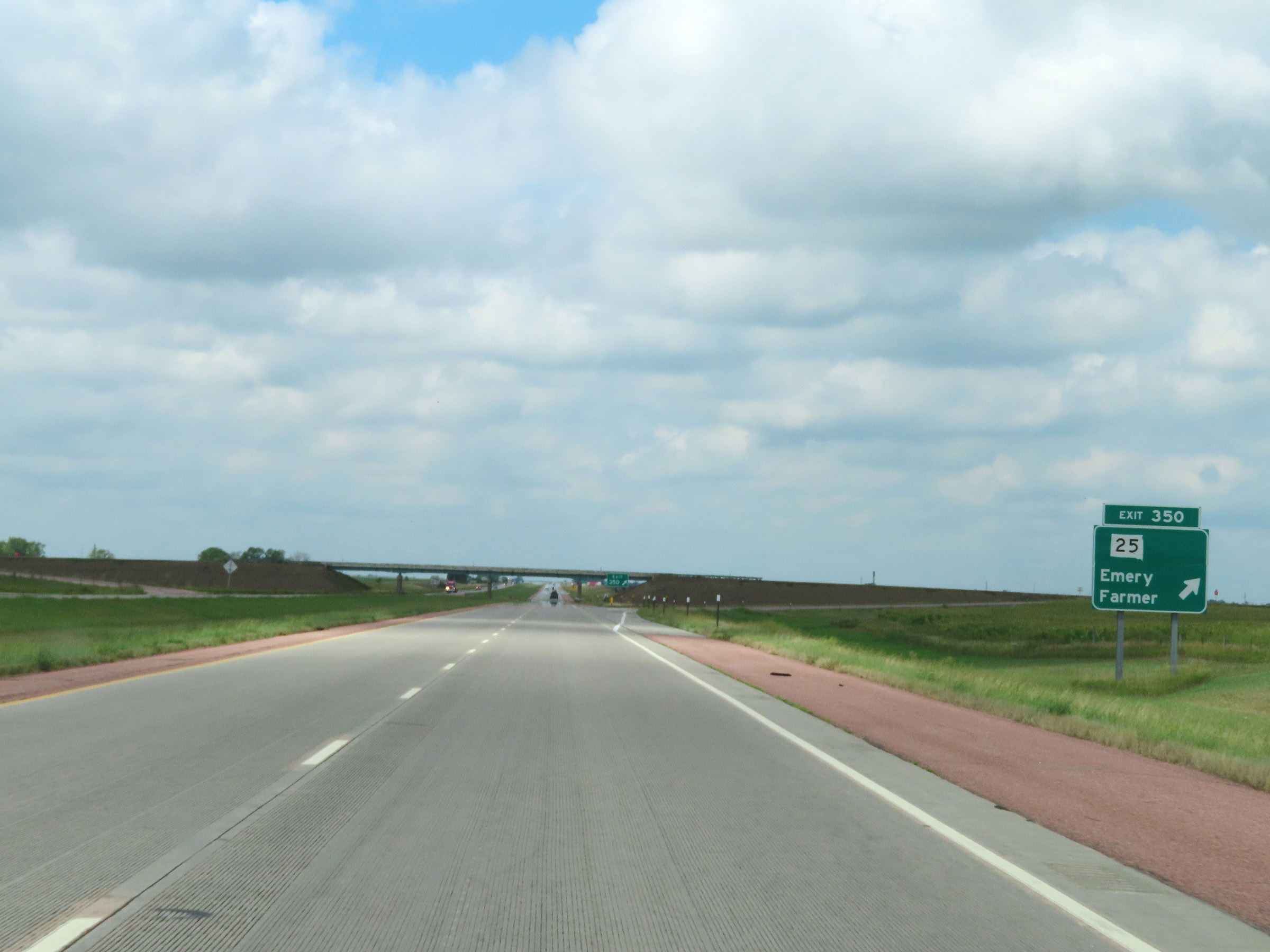 |
Interstate 90 West at Exit 350: SD 25 - Emery / Farmer (Photo taken 8/16/22). |
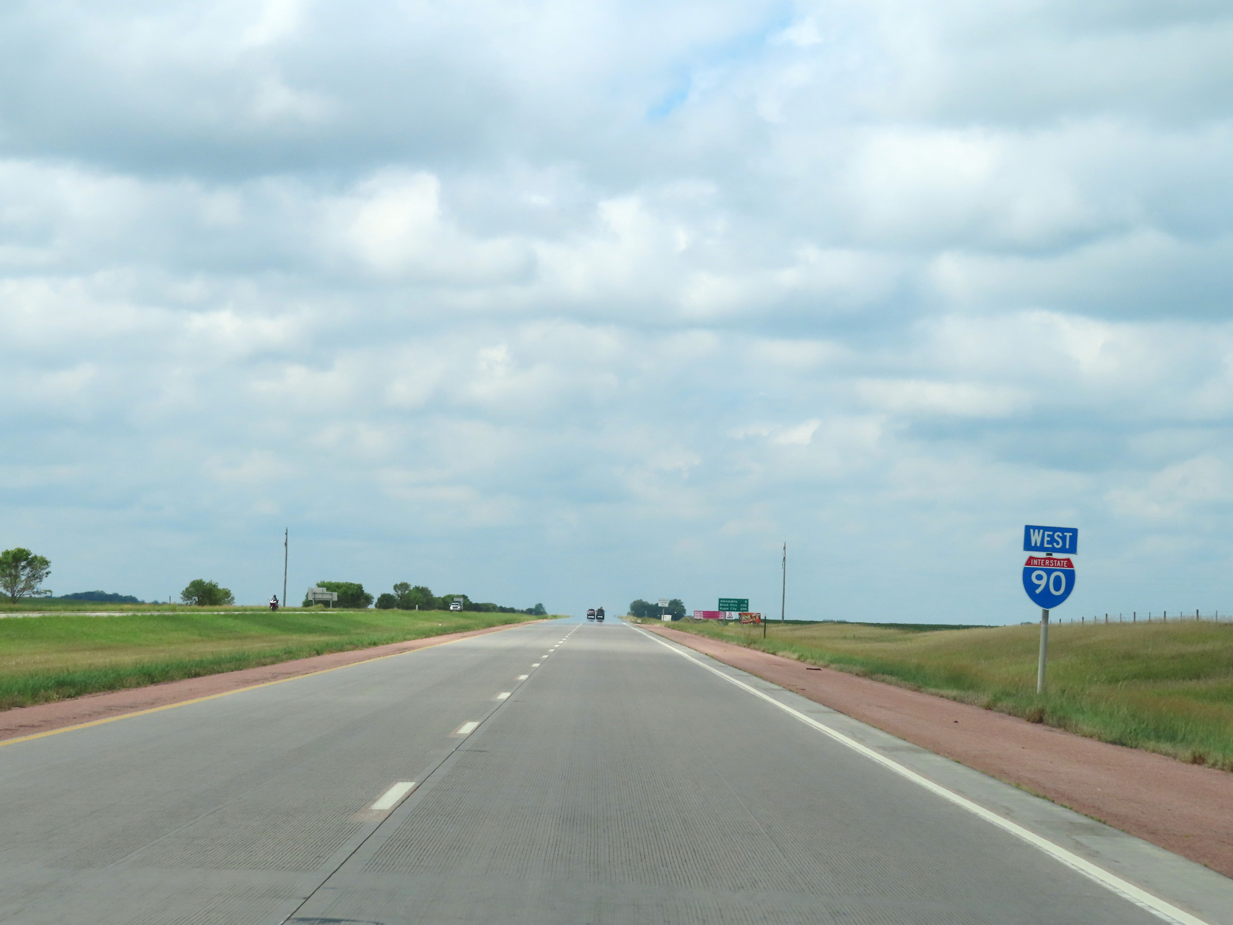 |
Interstate 90 West reassurance shield. (Photo taken 8/16/22). |
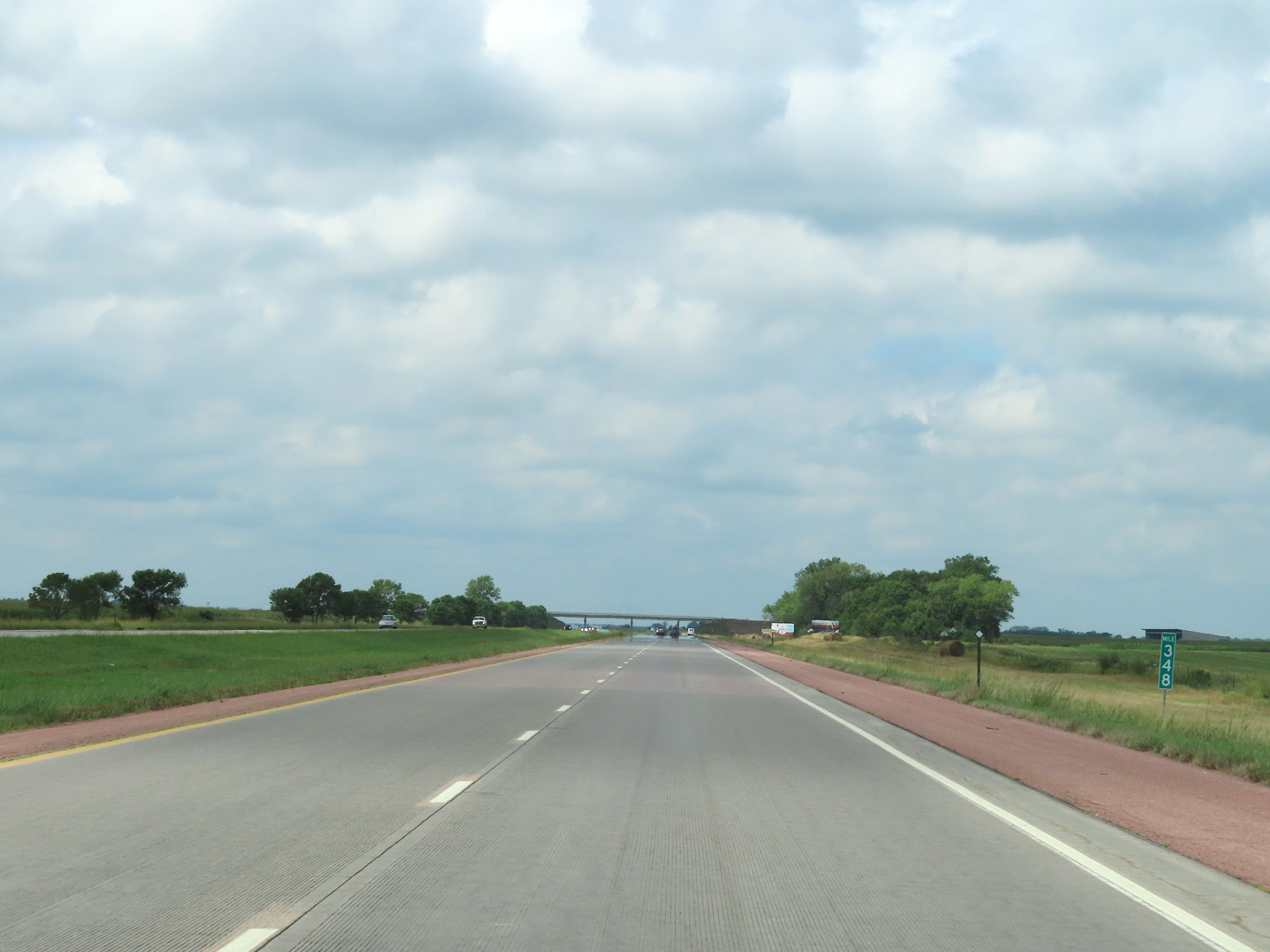 |
View on Interstate 90 West at mile marker 348. (Photo taken 8/16/22). |
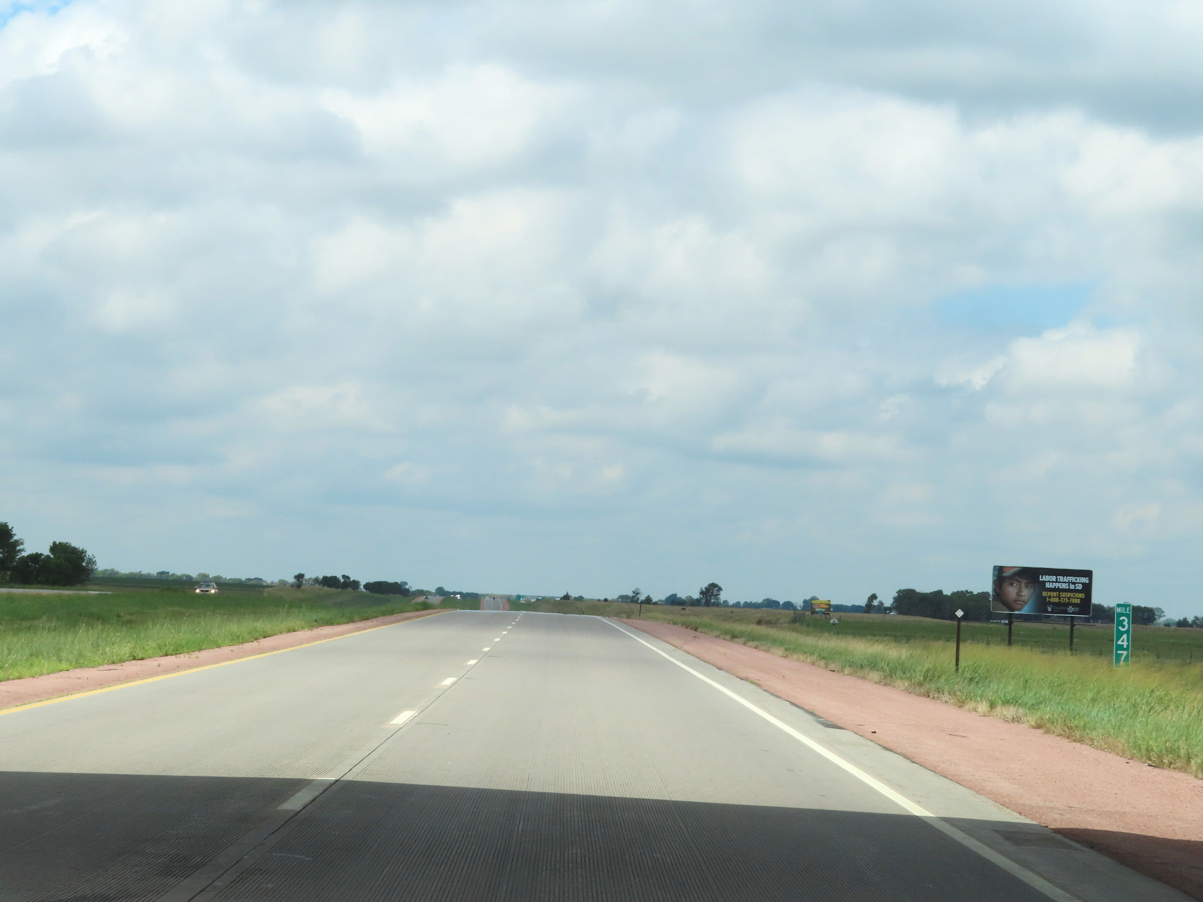 |
Mile marker 347 on Interstate 90 West in Hanson County. (Photo taken 8/16/22). |
 |
Interstate 90 West at mile marker 345. (Photo taken 8/16/22). |
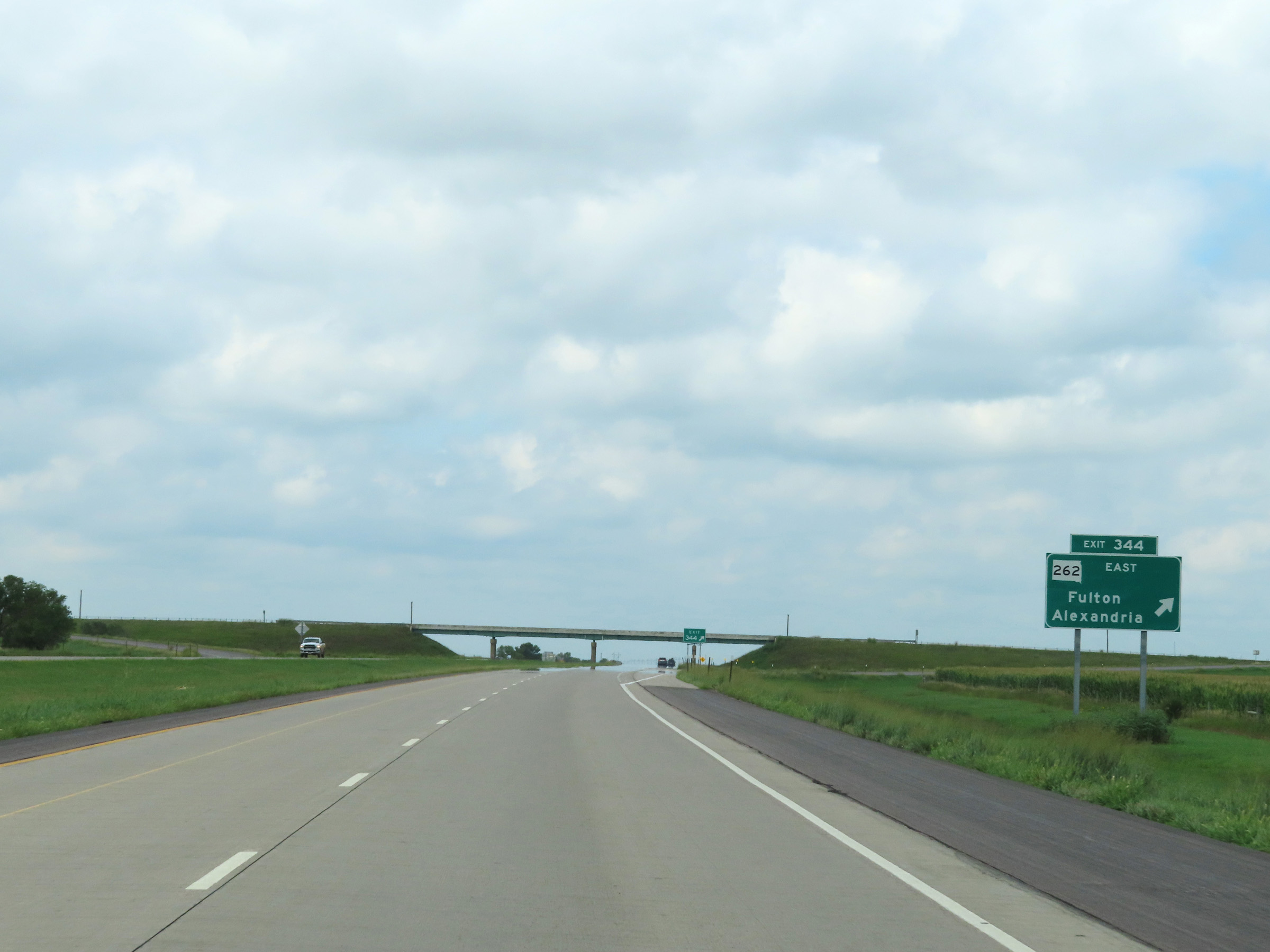 |
Interstate 90 West at Exit 344: SD 262 East - Fulton / Alexandria (Photo taken 8/16/22). |
 |
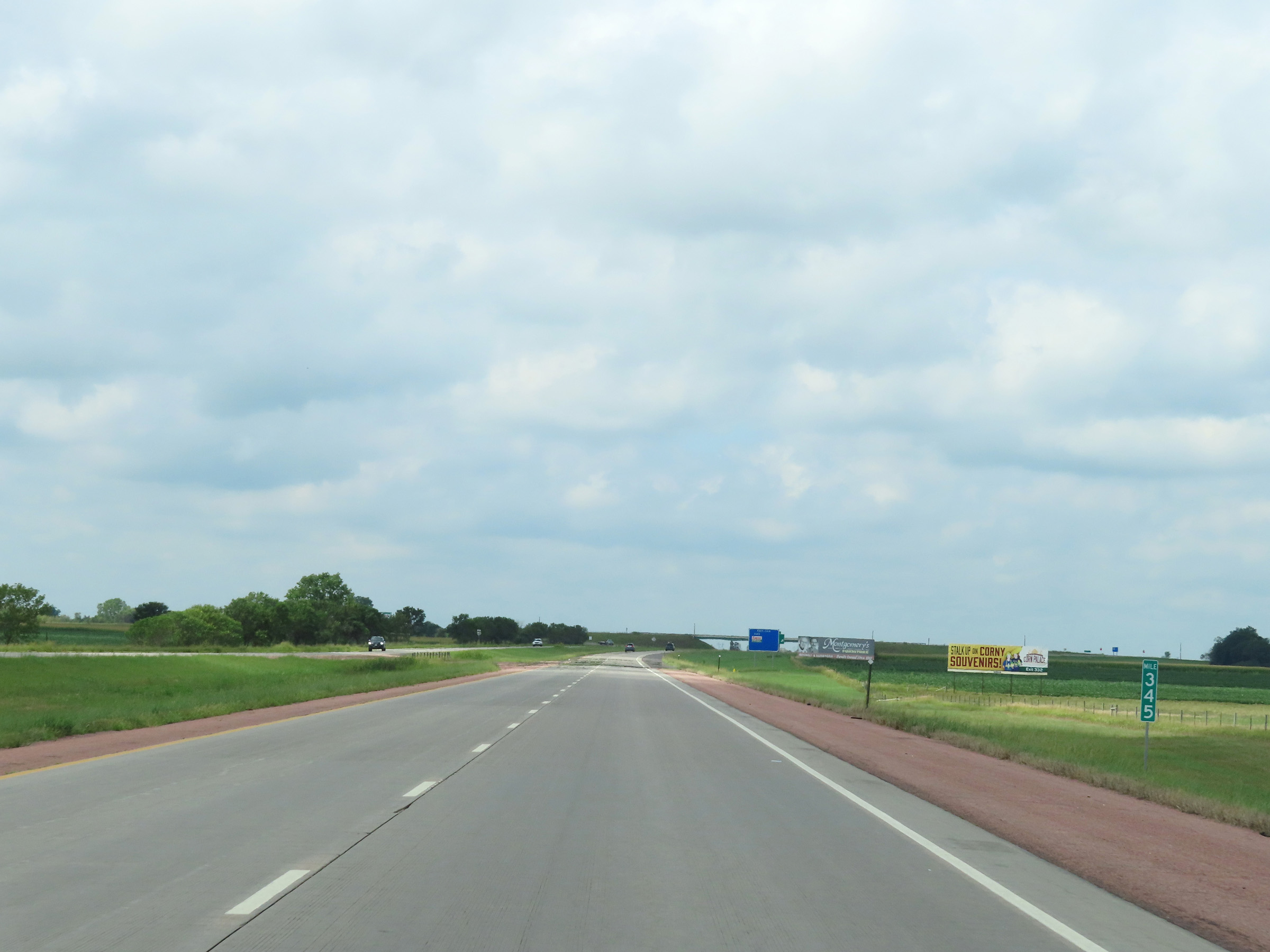
Mile marker 343 on Interstate 90 West in Hanson County. (Photo taken 8/16/22). |
 |
View on Interstate 90 West at mile marker 341. (Photo taken 8/16/22). |
 |
Interstate 90 West at mile marker 339. (Photo taken 8/16/22). |
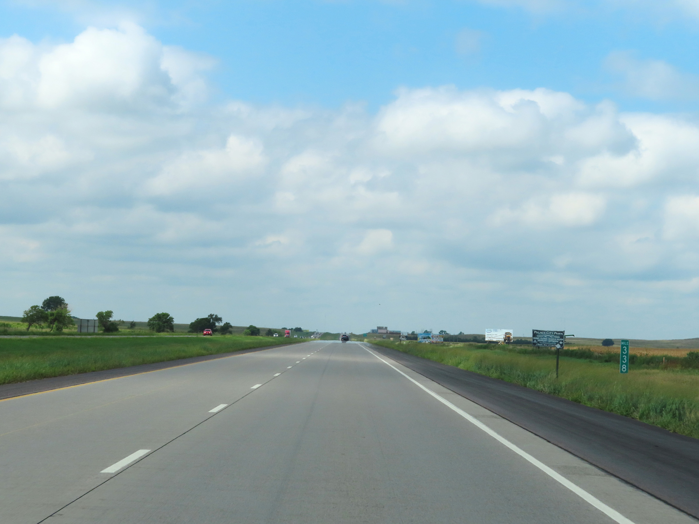 |
Mile marker 338 on Interstate 90 West in Hanson County. (Photo taken 8/16/22). |
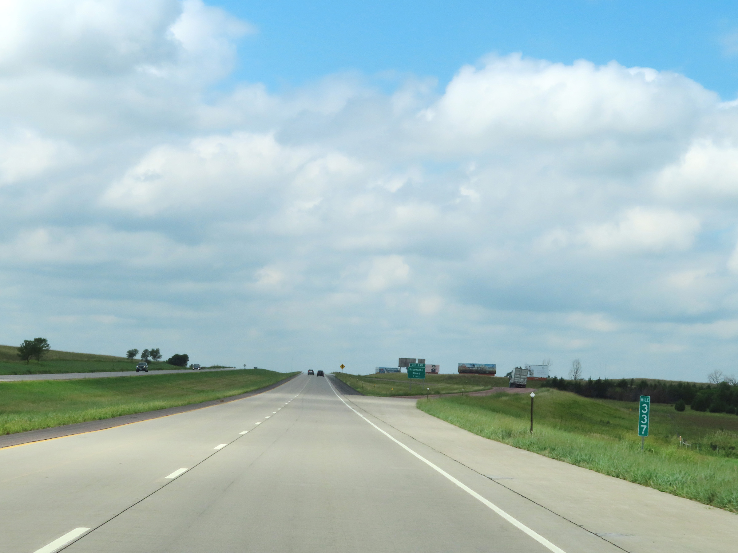 |
Parking Area on Interstate 90 West at mile marker 337. (Photo taken 8/16/22). |
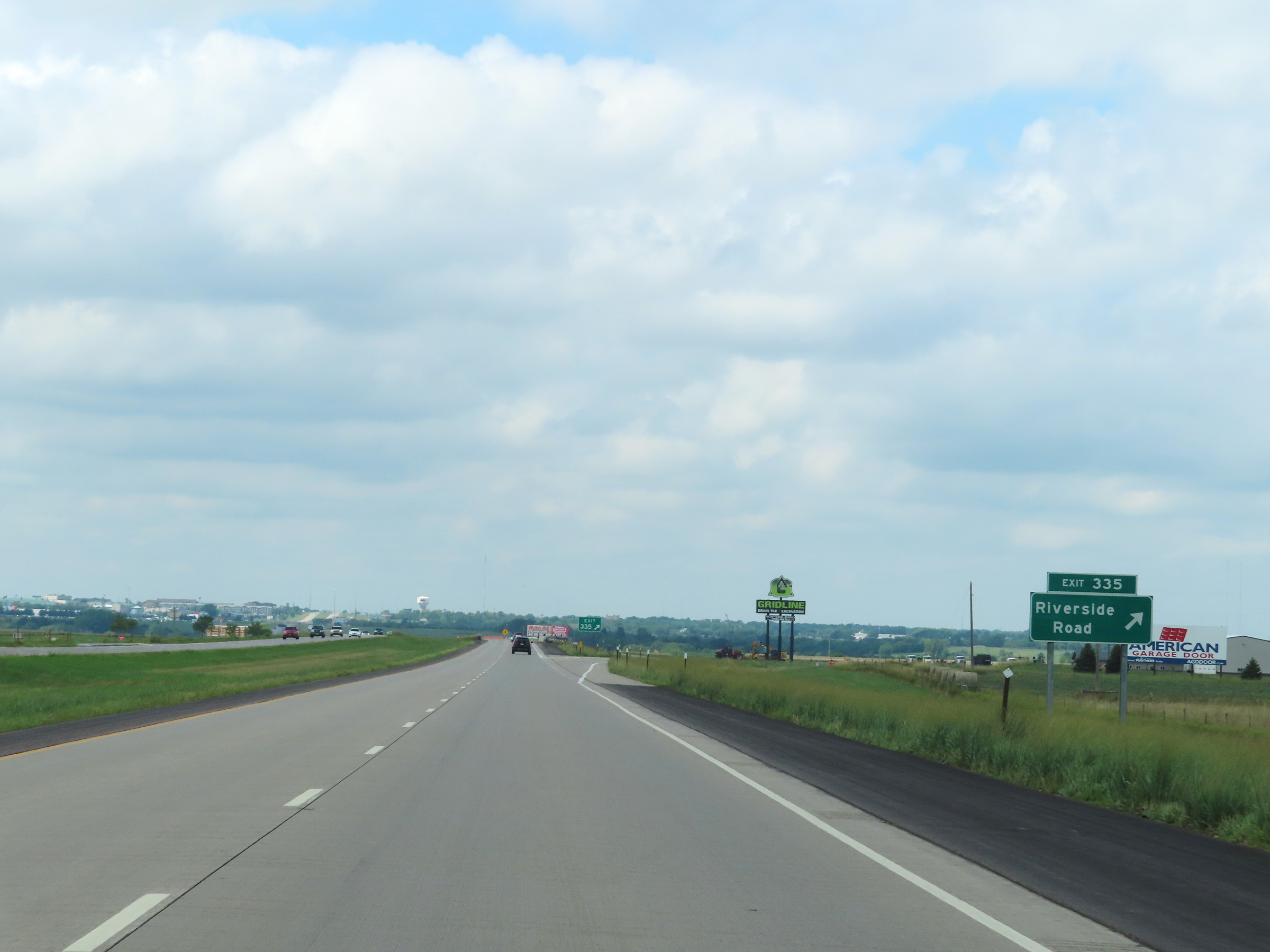 |
Interstate 90 West at Exit 335: Riverside Road (Photo taken 8/16/22). |
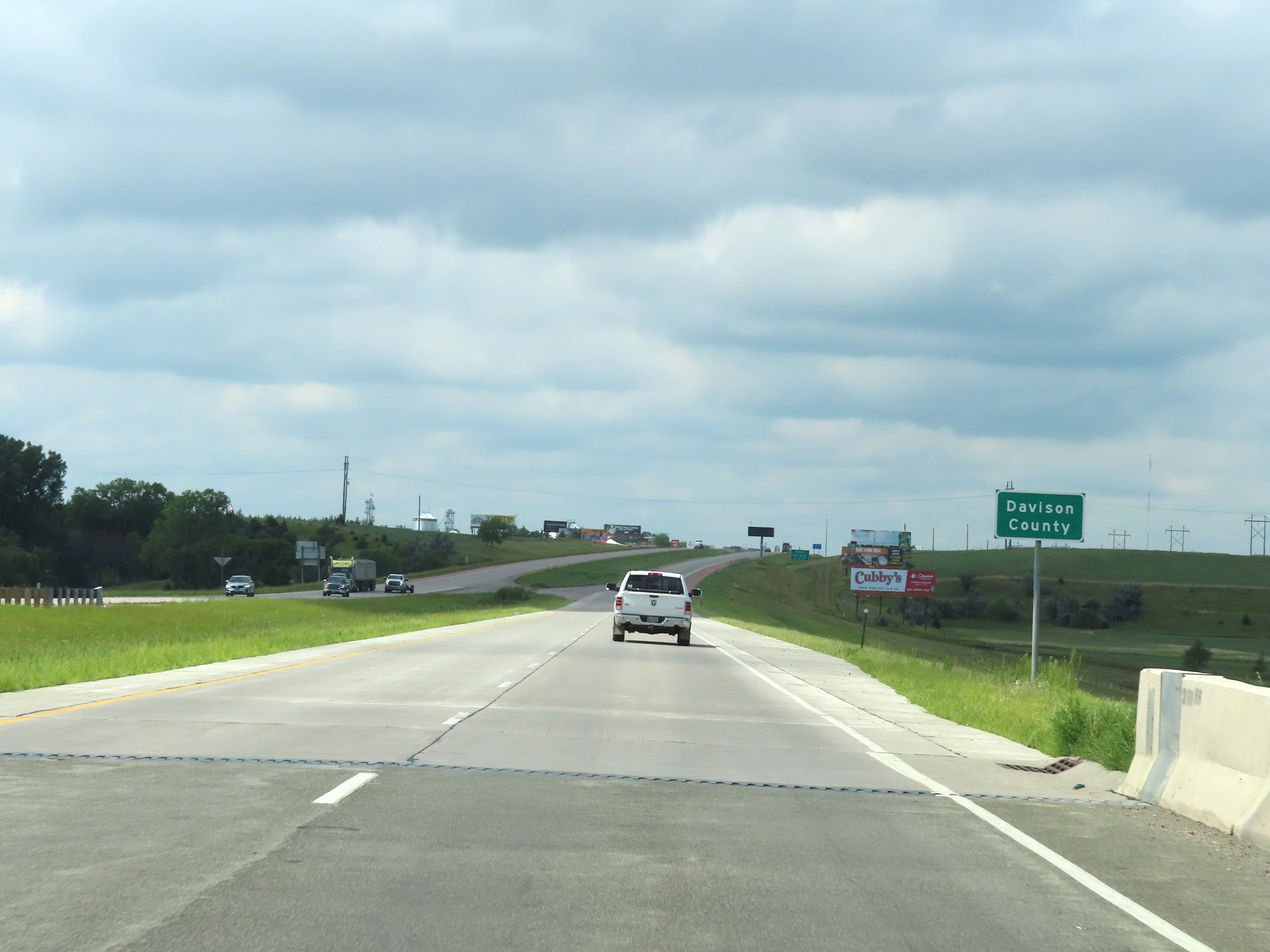 |
Interstate 90 West as it enters Davison County. (Photo taken 8/16/22). |
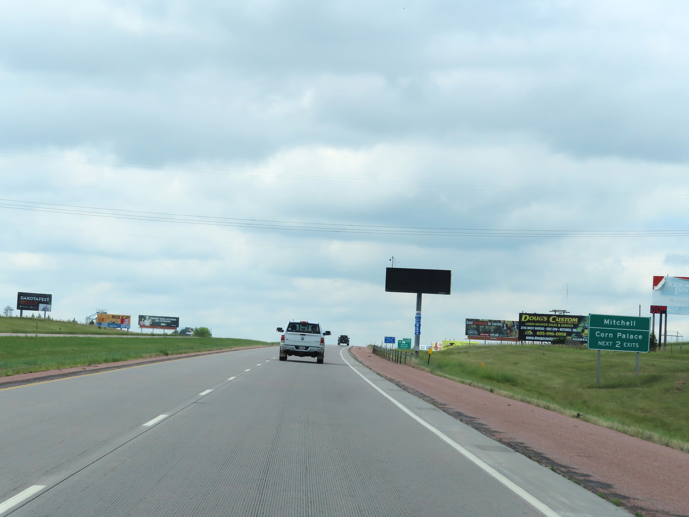 |
Take either of the next 2 exits to Mitchell and The Corn Palace. (Photo taken 8/16/22). |
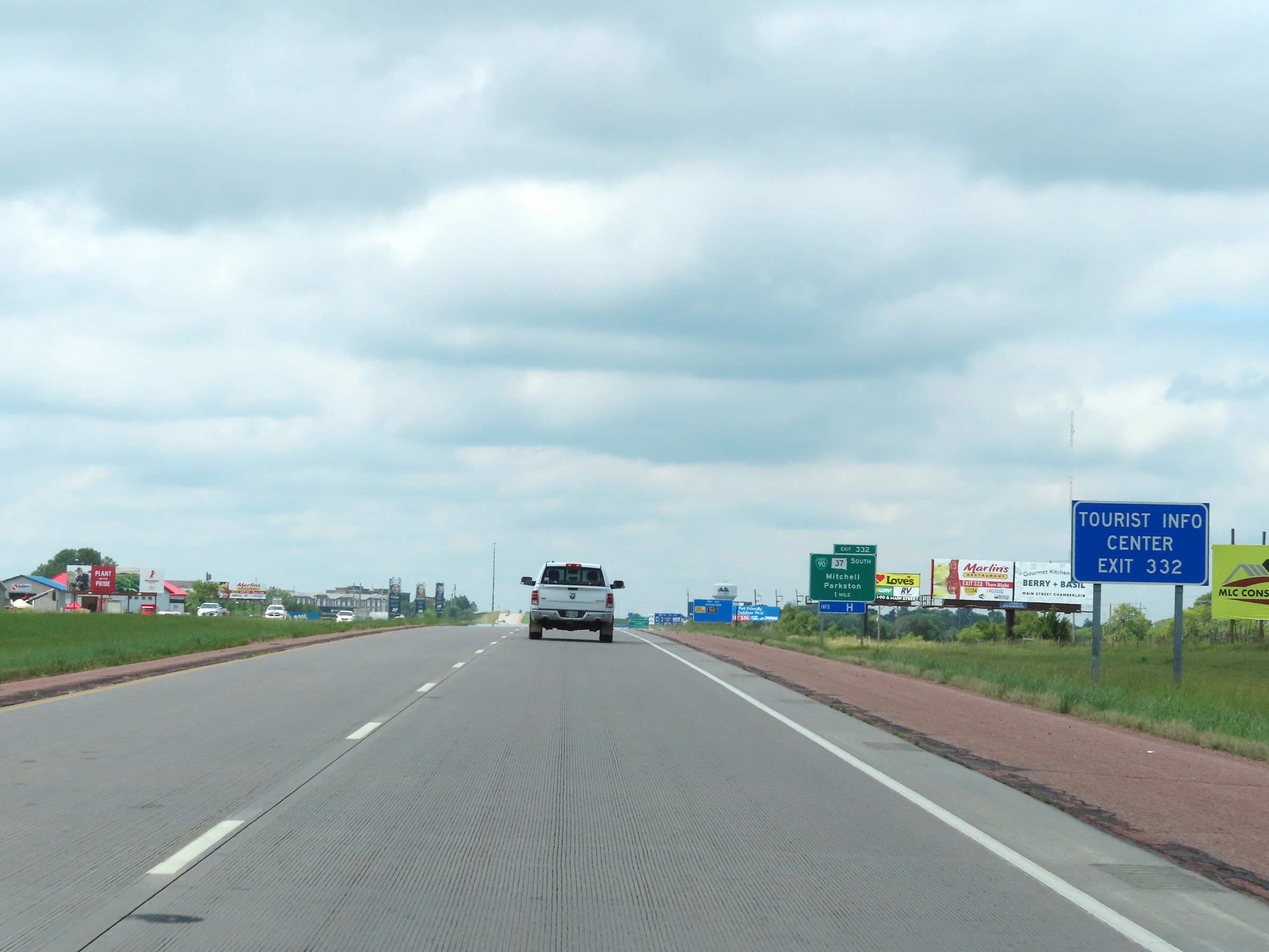 |
A Tourist Info Center exists off Exit 332. (Photo taken 8/16/22). |
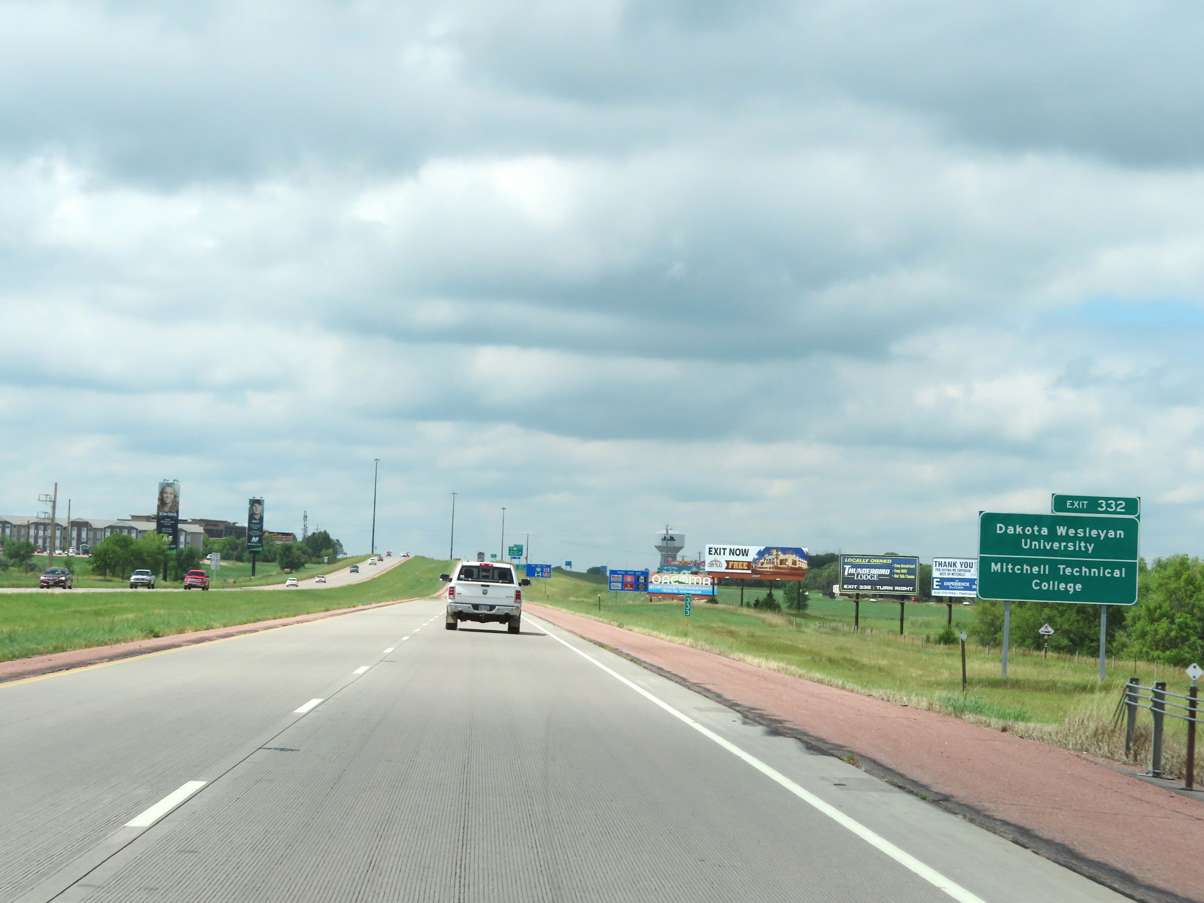 |
Take Exit 332 to Dakota Wesleyan University and Mitchell Technical College. (Photo taken 8/16/22). |
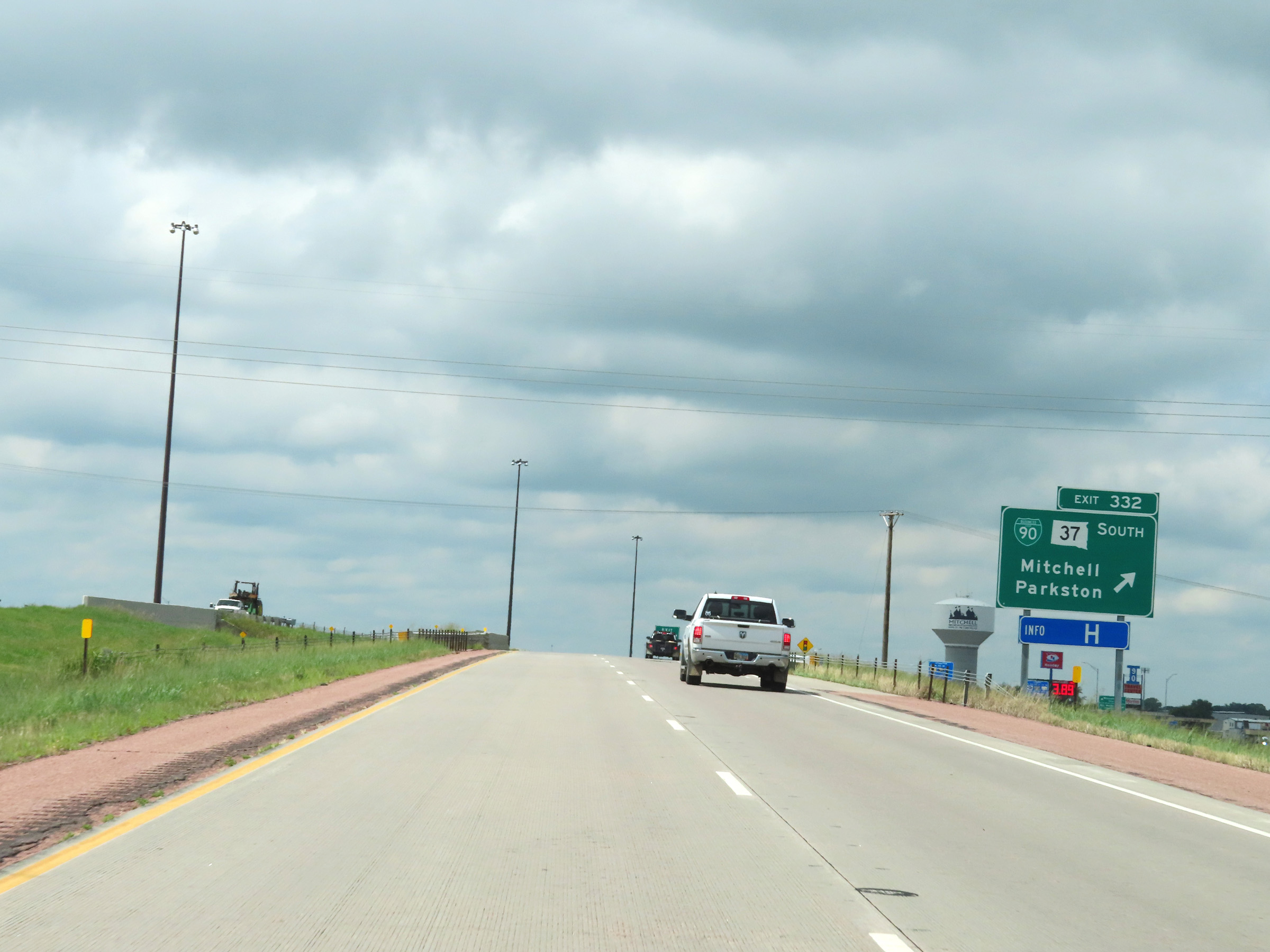 |
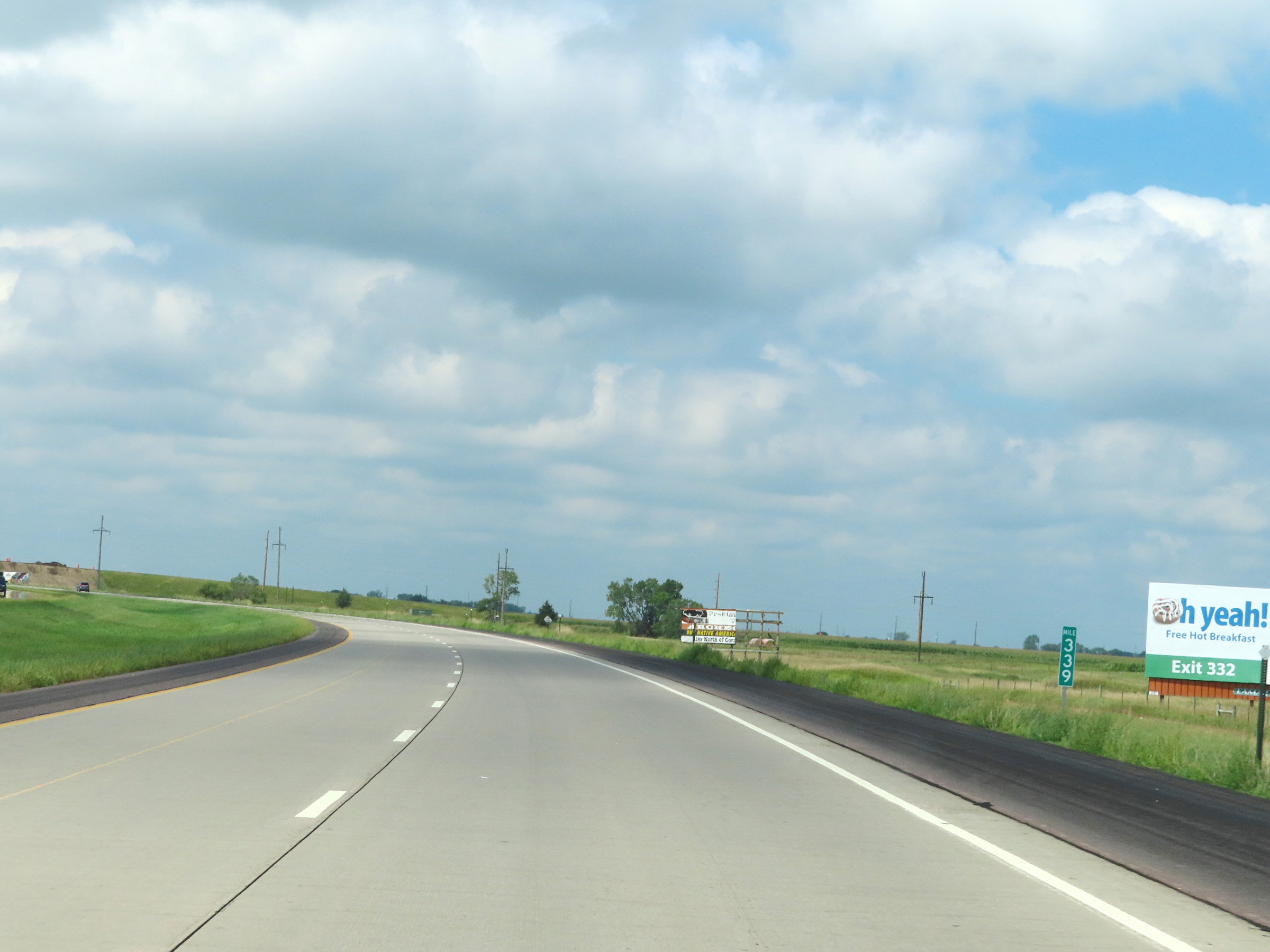
Interstate 90 West at Exit 332: Interstate 90 Business Loop / SD 37 South - Mitchell / Parkston (Photo taken 8/16/22). |
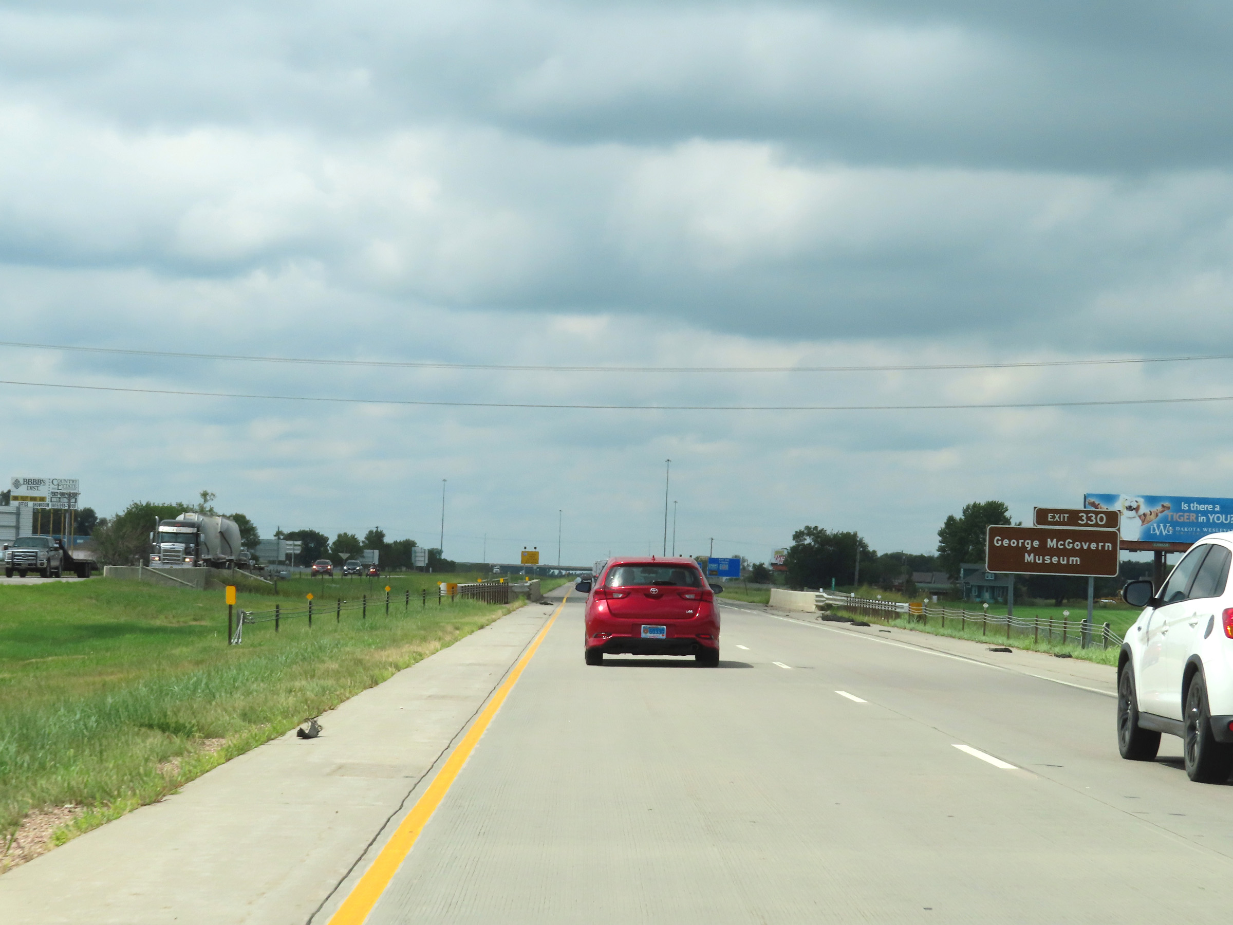 |
Take Exit 330 to the the George McGovern Museum. (Photo taken 8/16/22). |
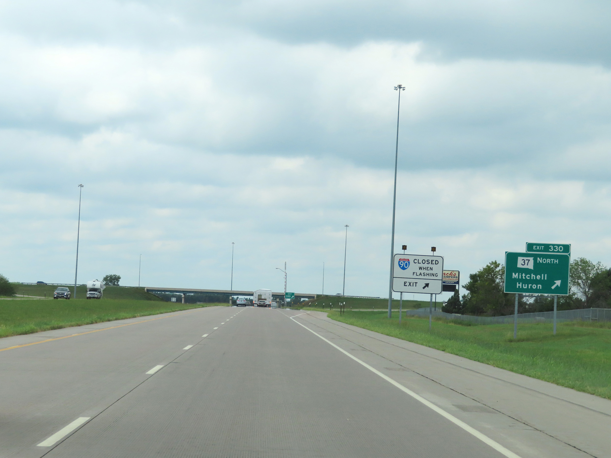 |
Interstate 90 West at Exit 330: SD 37 North - Mitchell / Huron (Photo taken 8/16/22). |
Section 3: Mitchell (Exit 330) to Chamberlain (Exit 263)
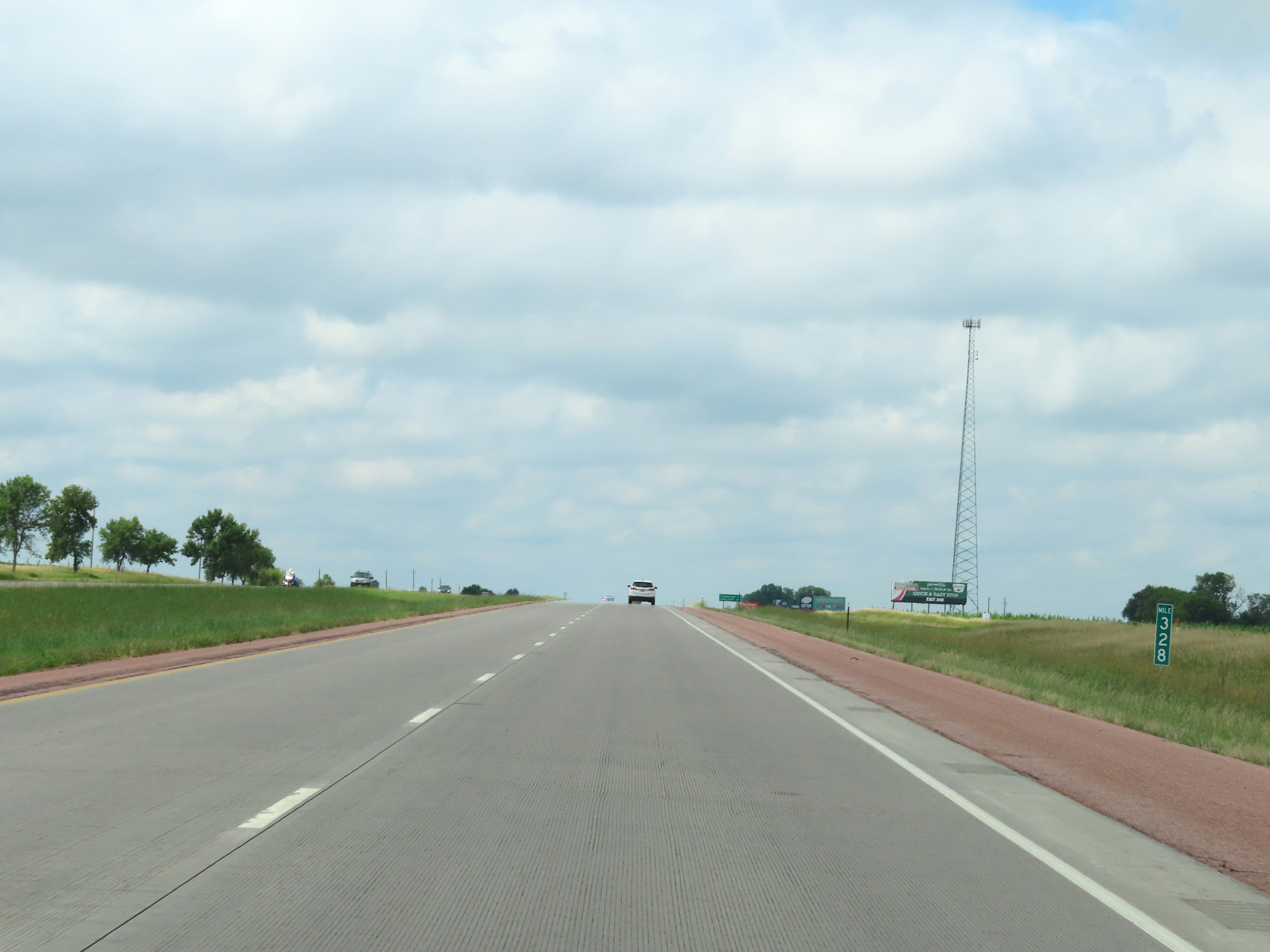 |
Interstate 90 West at mile marker 328. (Photo taken 8/16/22). |
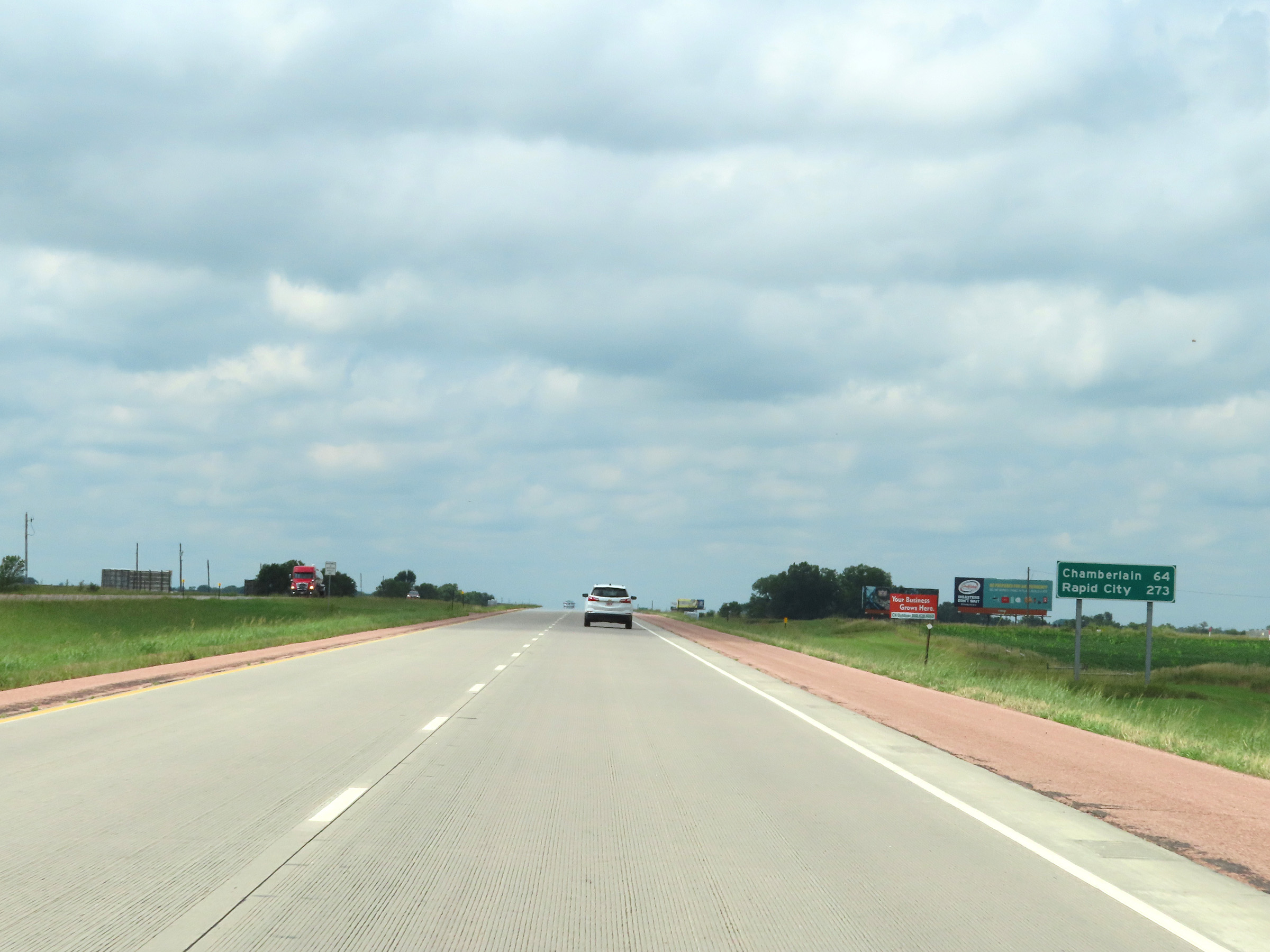 |
Mileage sign on Interstate 90 West. It's 64 miles to Chamberlain and 273 miles to Rapid City. (Photo taken 8/16/22). |
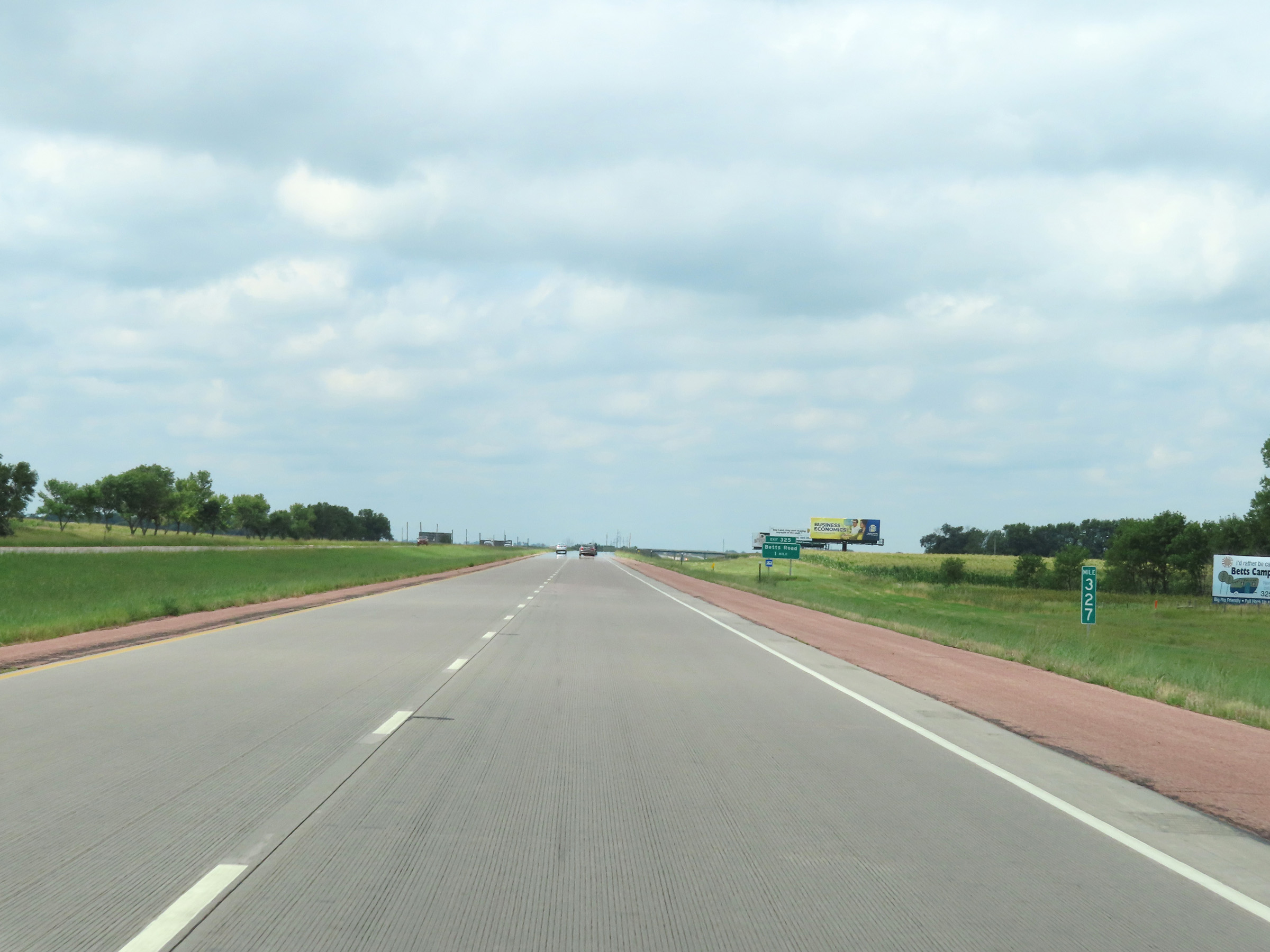 |
View on Interstate 90 West at mile marker 327. (Photo taken 8/16/22). |
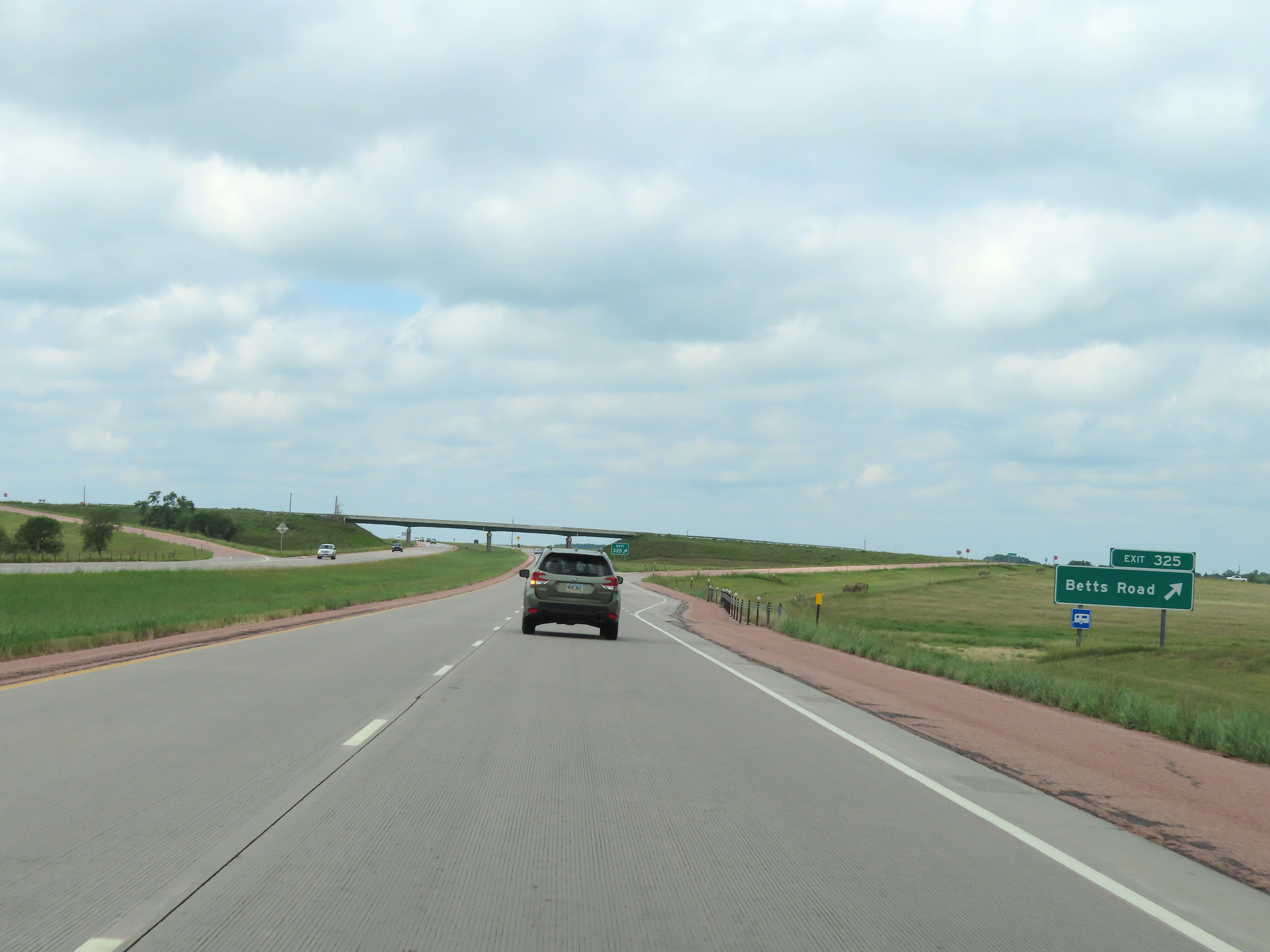 |
Interstate 90 West at Exit 325: Betts Road (Photo taken 8/16/22). |
 |
Another Interstate 90 West reassurance shield. (Photo taken 8/16/22). |
 |
View on Interstate 90 West at mile marker 323. (Photo taken 8/16/22). |
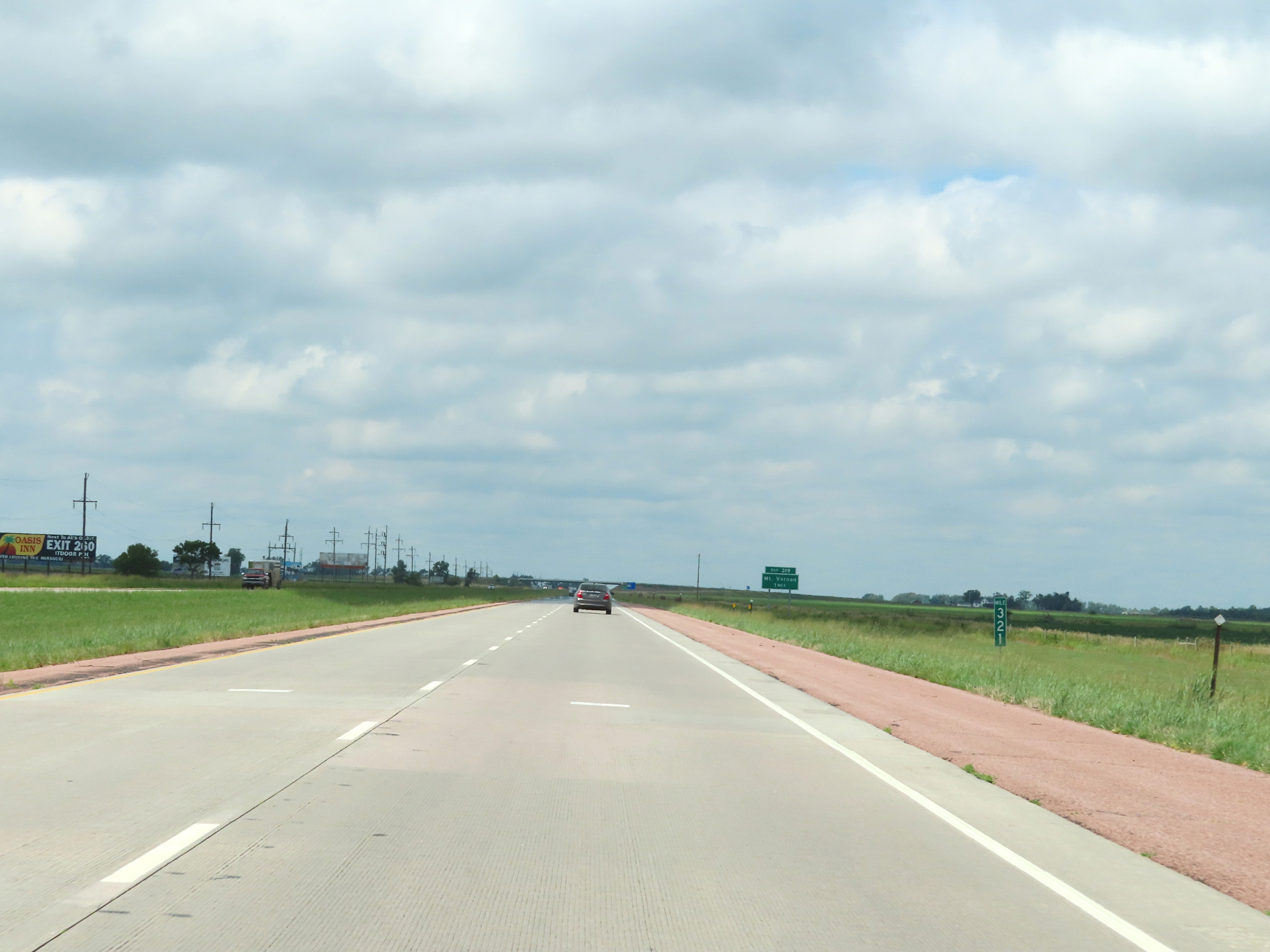 |
Mile marker 321 on Interstate 90 West in Davison County. (Photo taken 8/16/22). |
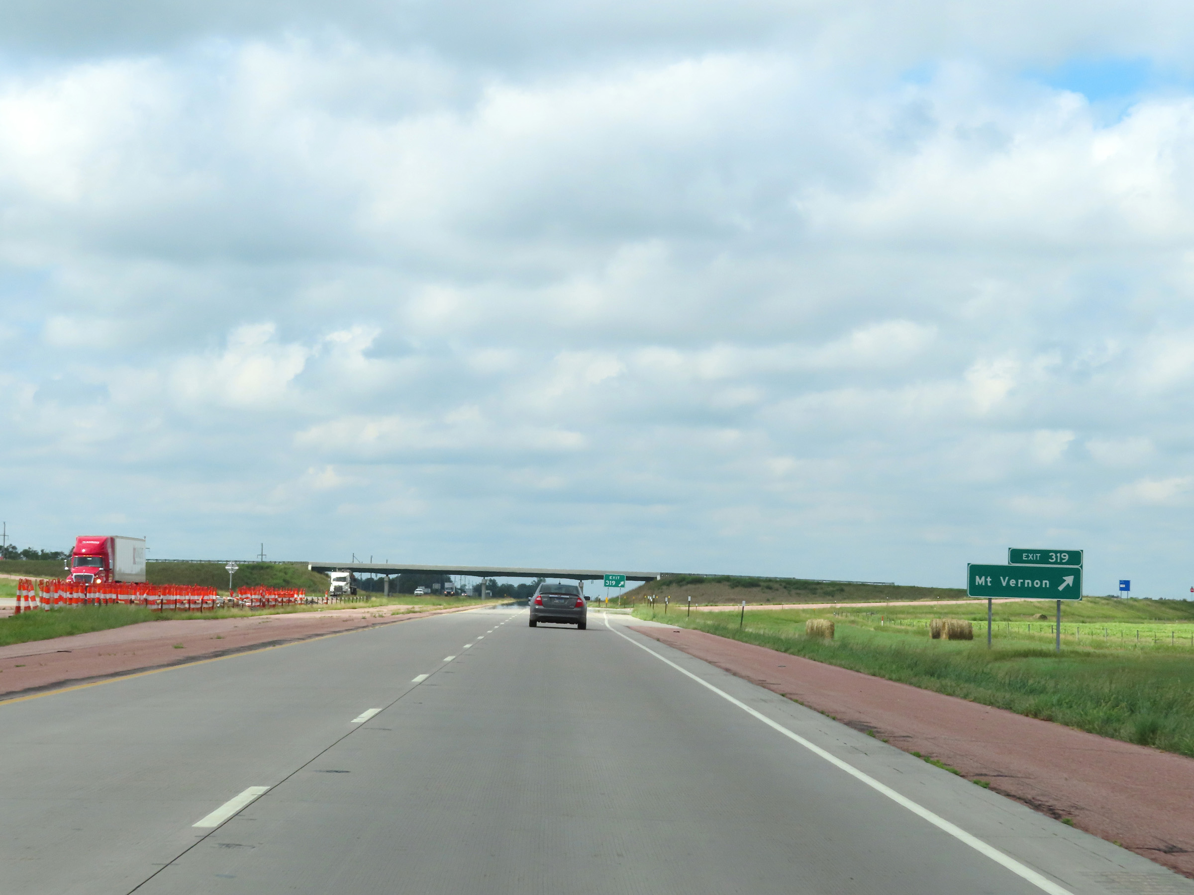 |
Interstate 90 West at Exit 319: Mt. Vernon (Photo taken 8/16/22). |
 |
The maximum speed limit on Interstate 90 West remains 80 mph. (Photo taken 8/16/22). |
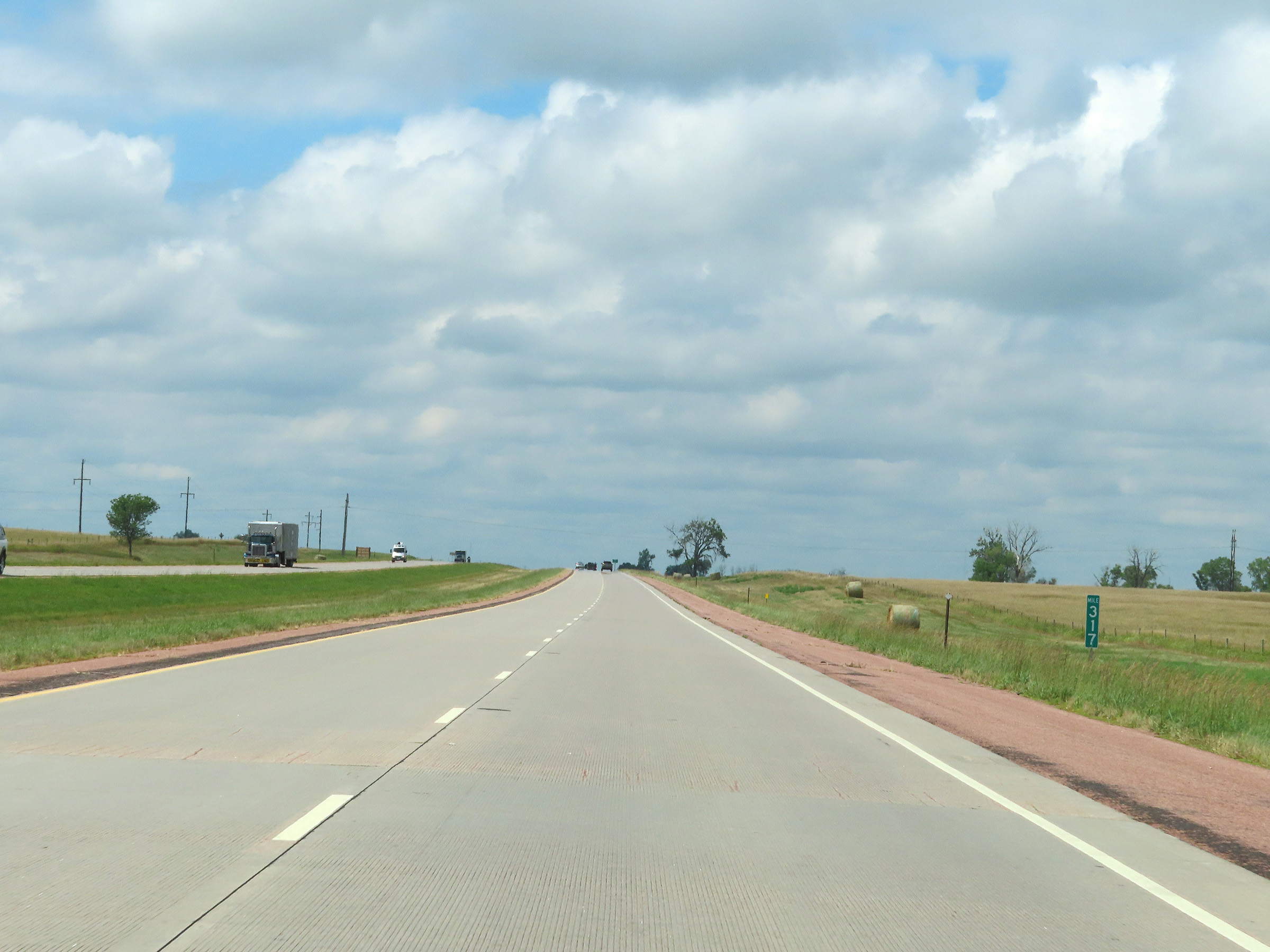 |
View on Interstate 90 West at mile marker 317. (Photo taken 8/16/22). |
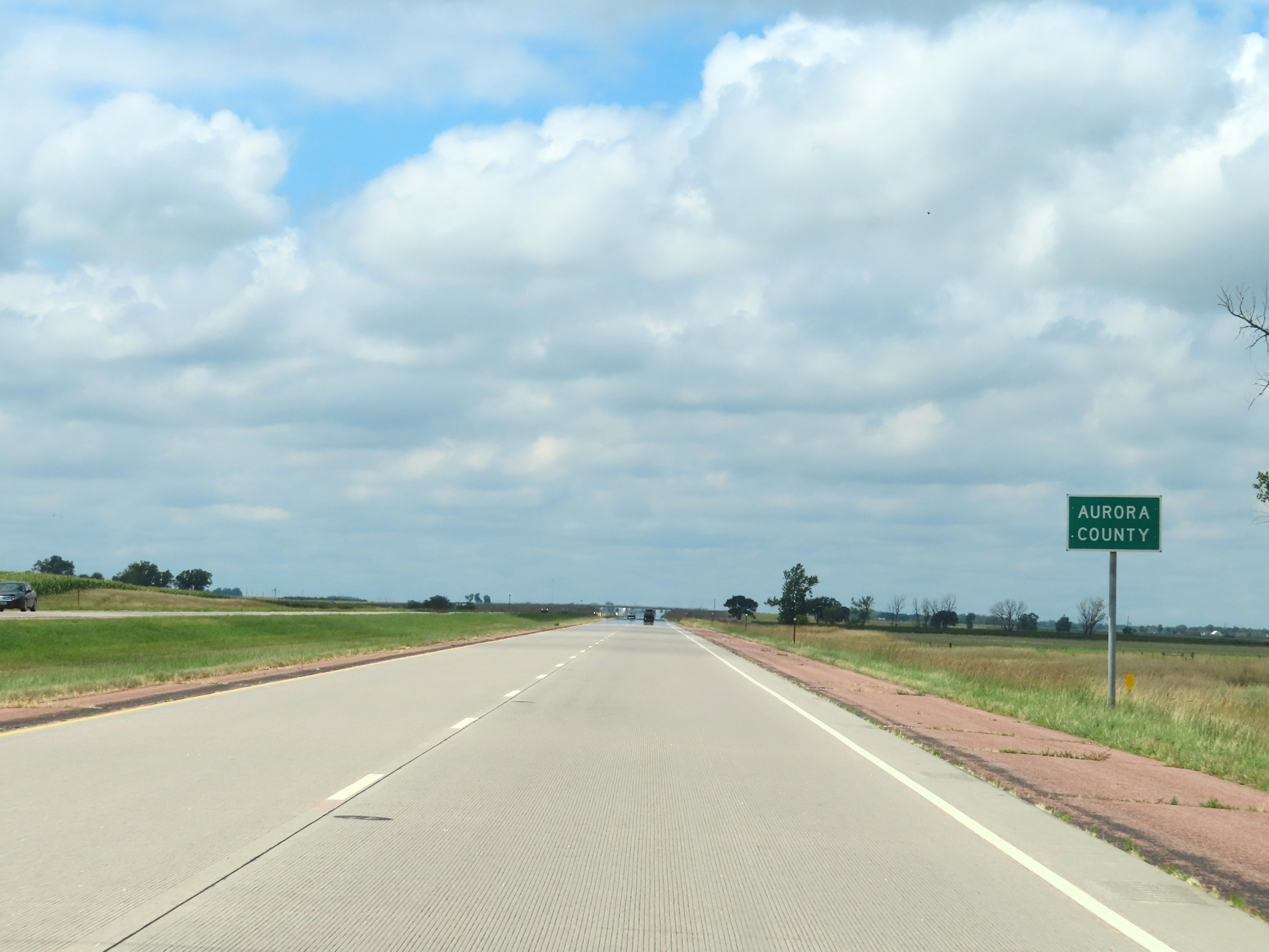 |
Interstate 90 West as it enters Aurora County. (Photo taken 8/16/22). |
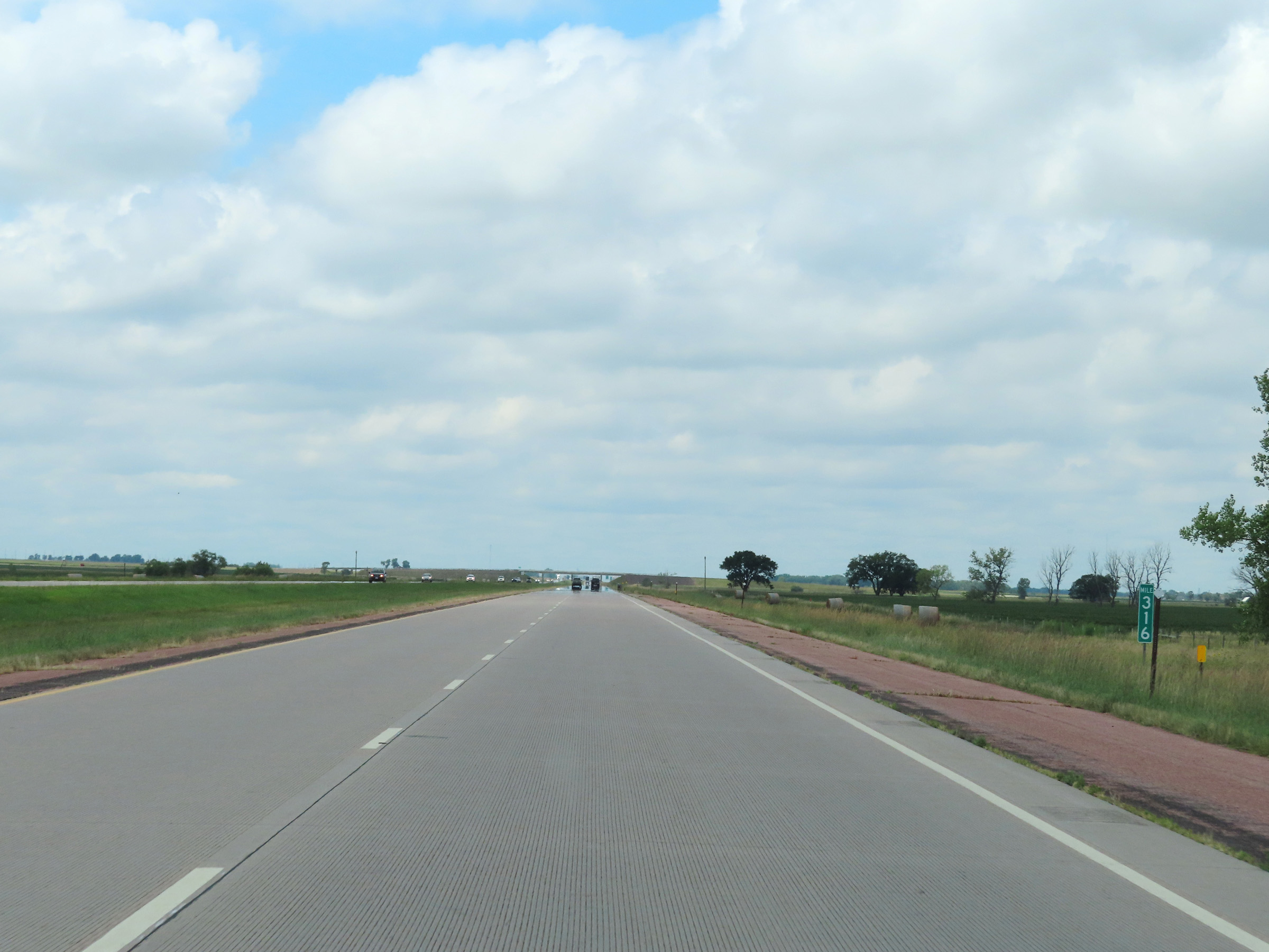 |
View on Interstate 90 West at mile marker 316. (Photo taken 8/16/22). |
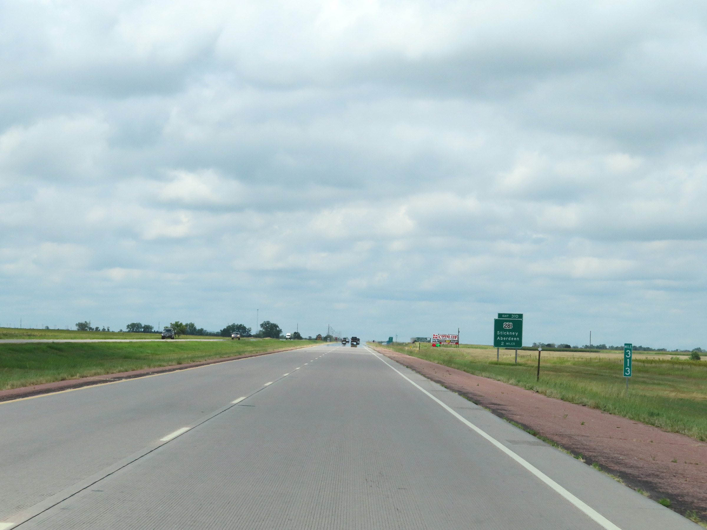 |
Interstate 90 West at mile marker 313. (Photo taken 8/16/22). |
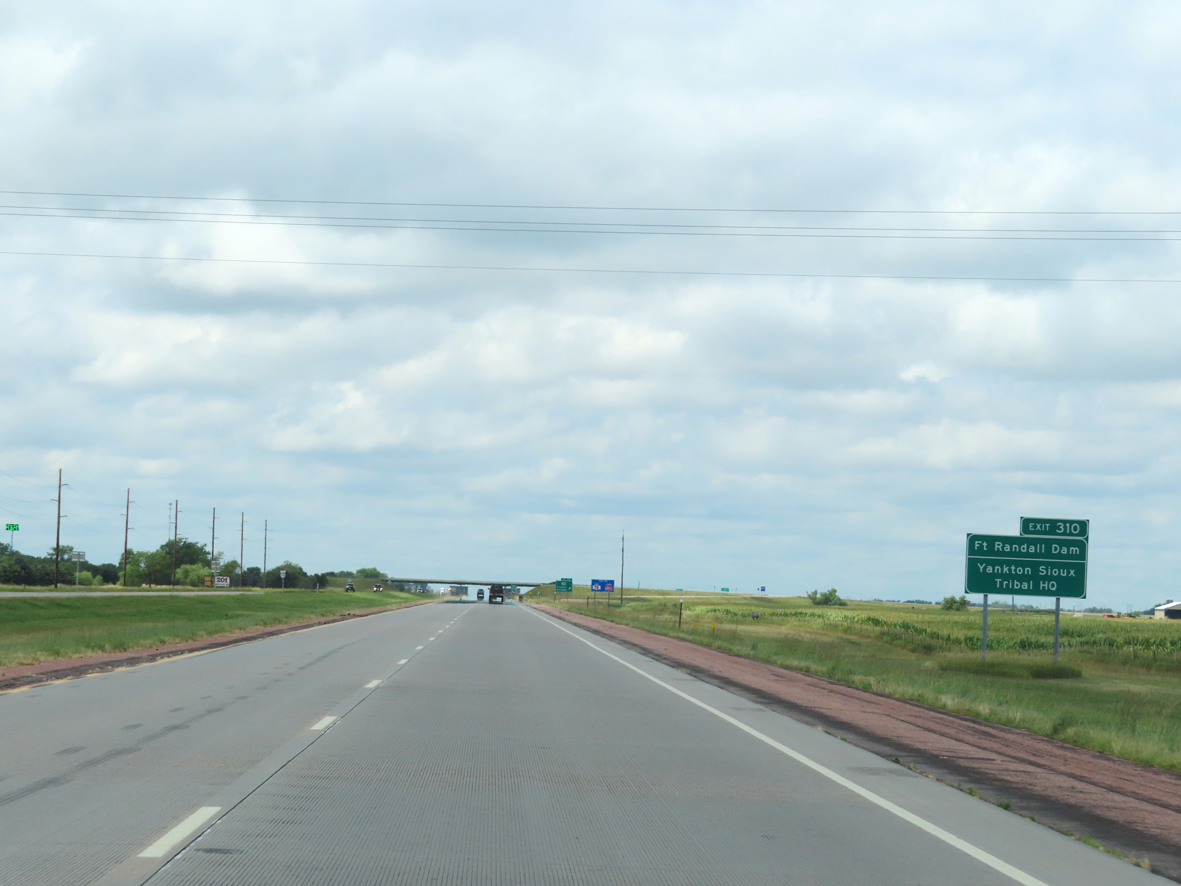 |
Take Exit 310 to Fort Randall Dam and the Yankton Sioux Tribal Headquarters. (Photo taken 8/16/22). |
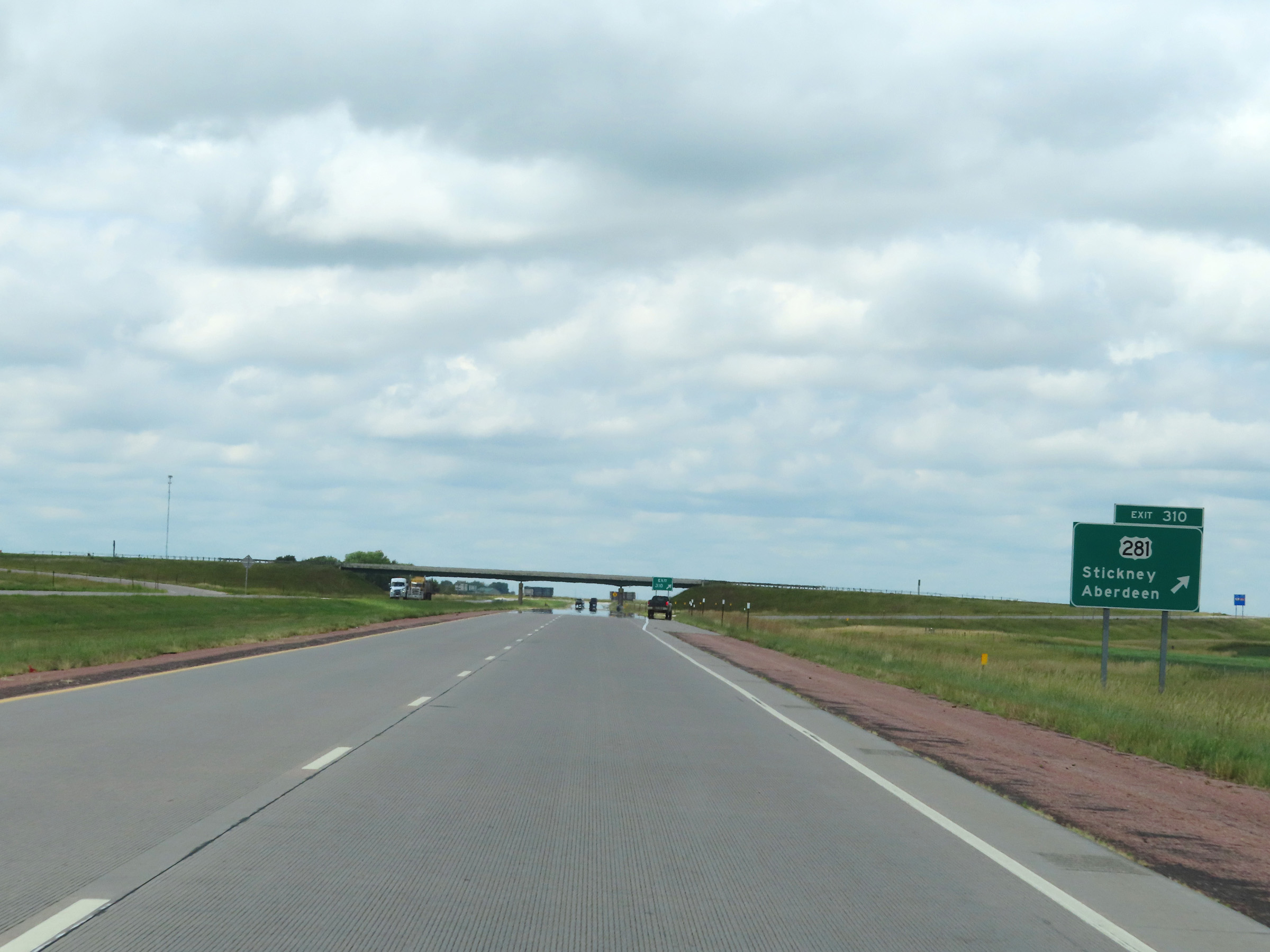 |
Interstate 90 West at Exit 310: US 281 - Stickney / Aberdeen (Photo taken 8/16/22). |
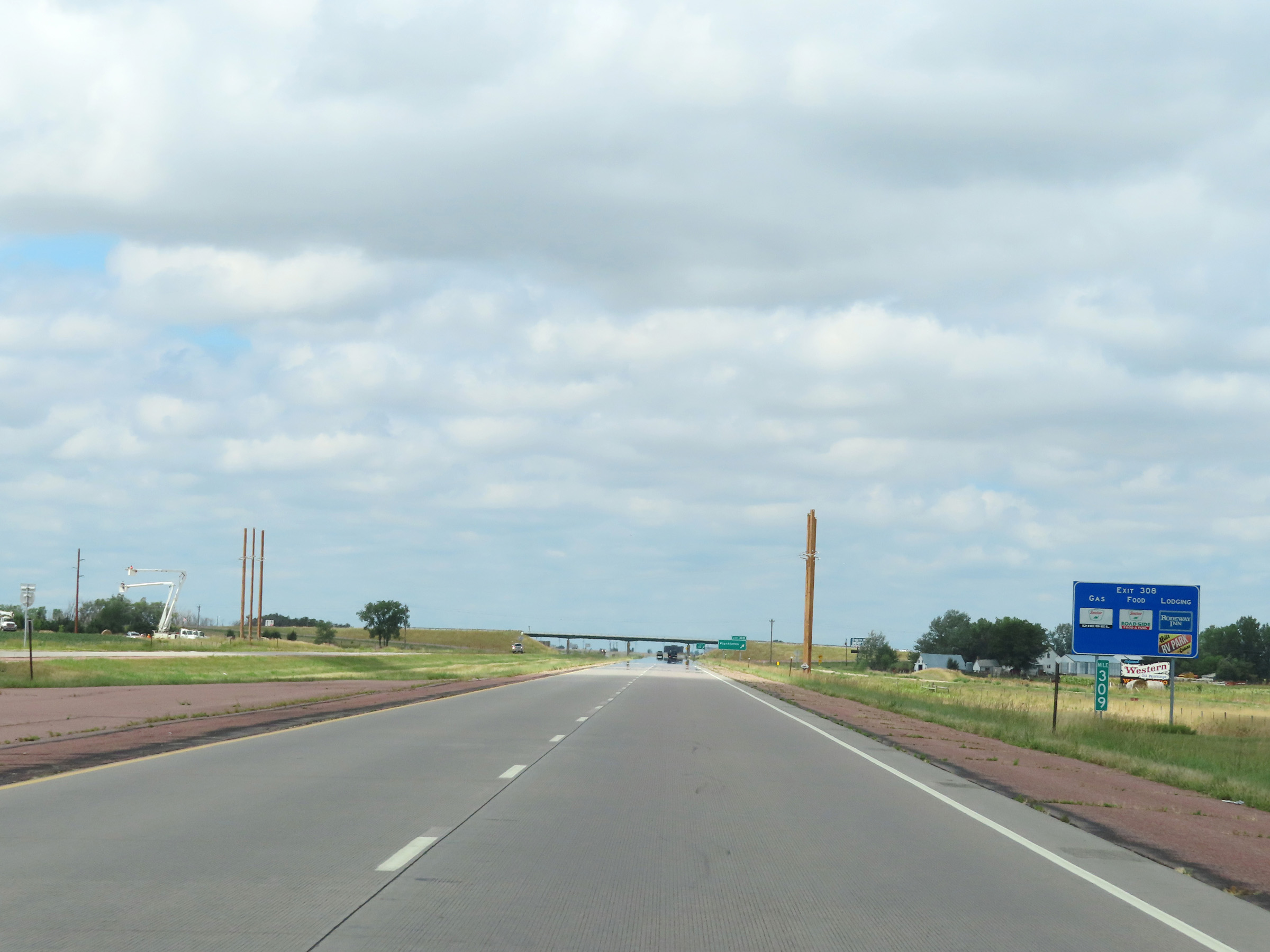 |
View on Interstate 90 West at mile marker 309. (Photo taken 8/16/22). |
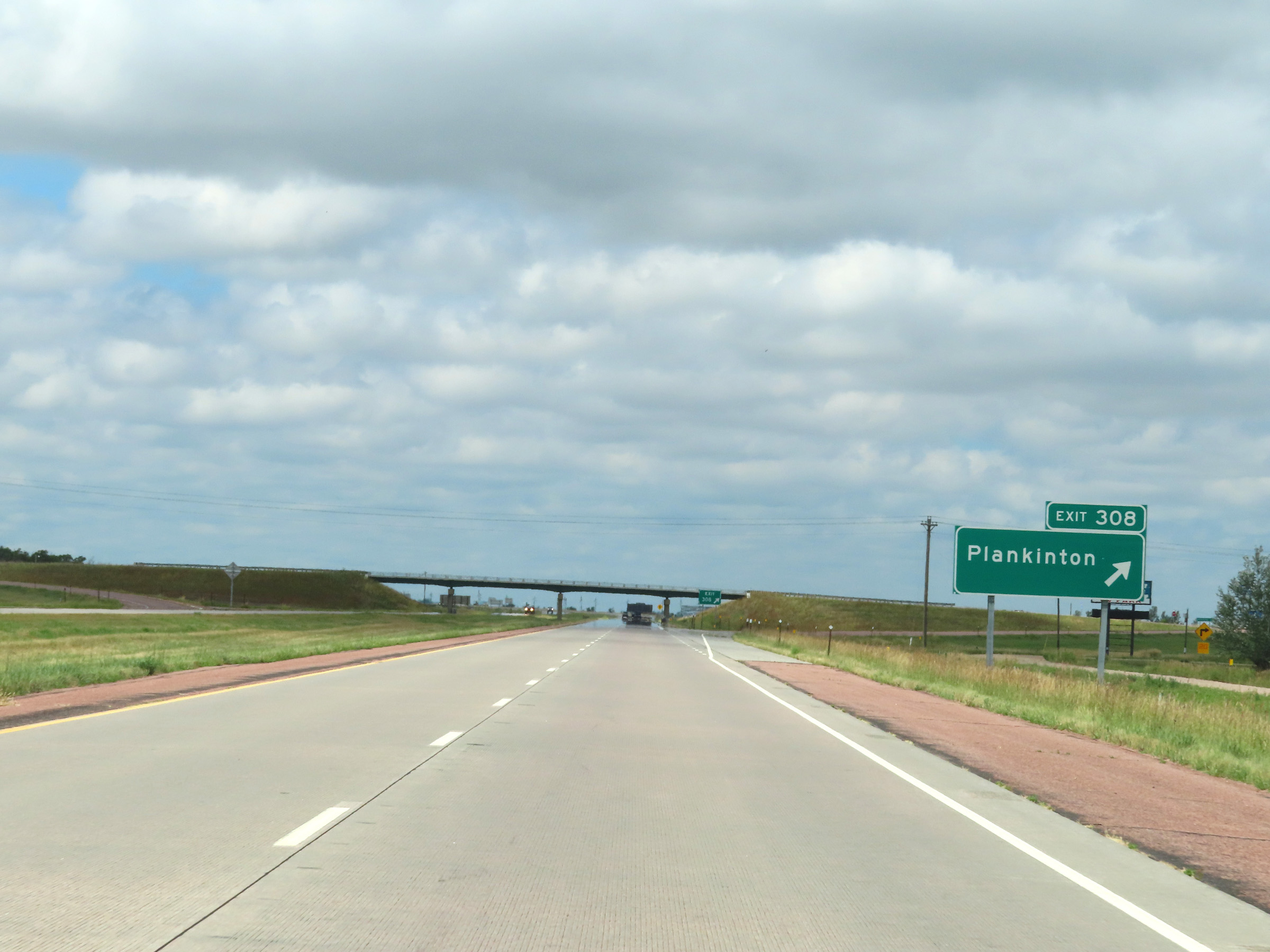 |
Interstate 90 West at Exit 308: Plankinton (Photo taken 8/16/22). |
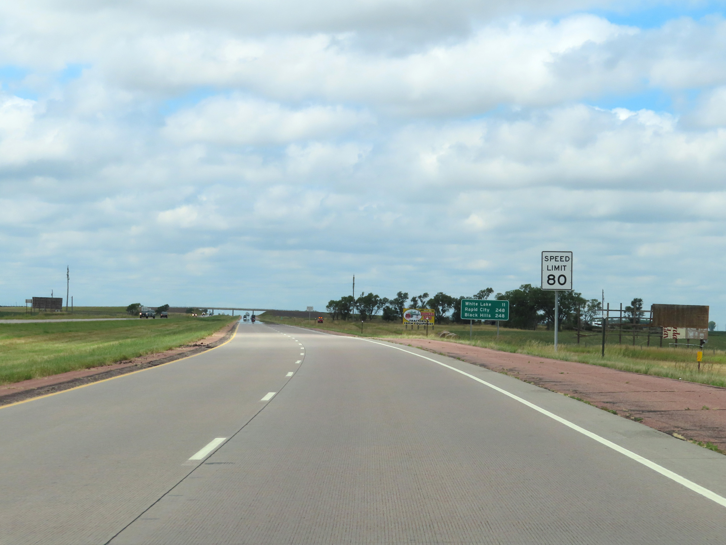 |
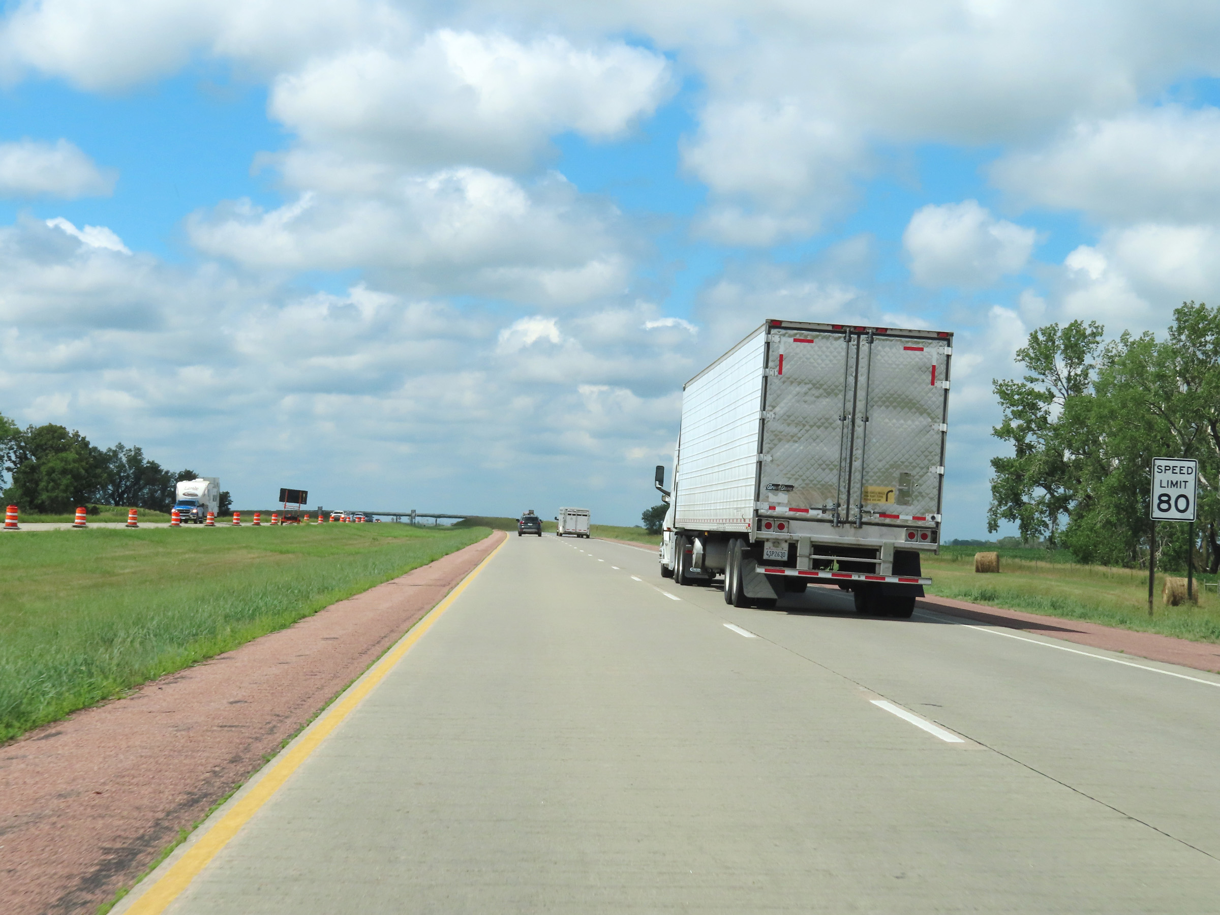
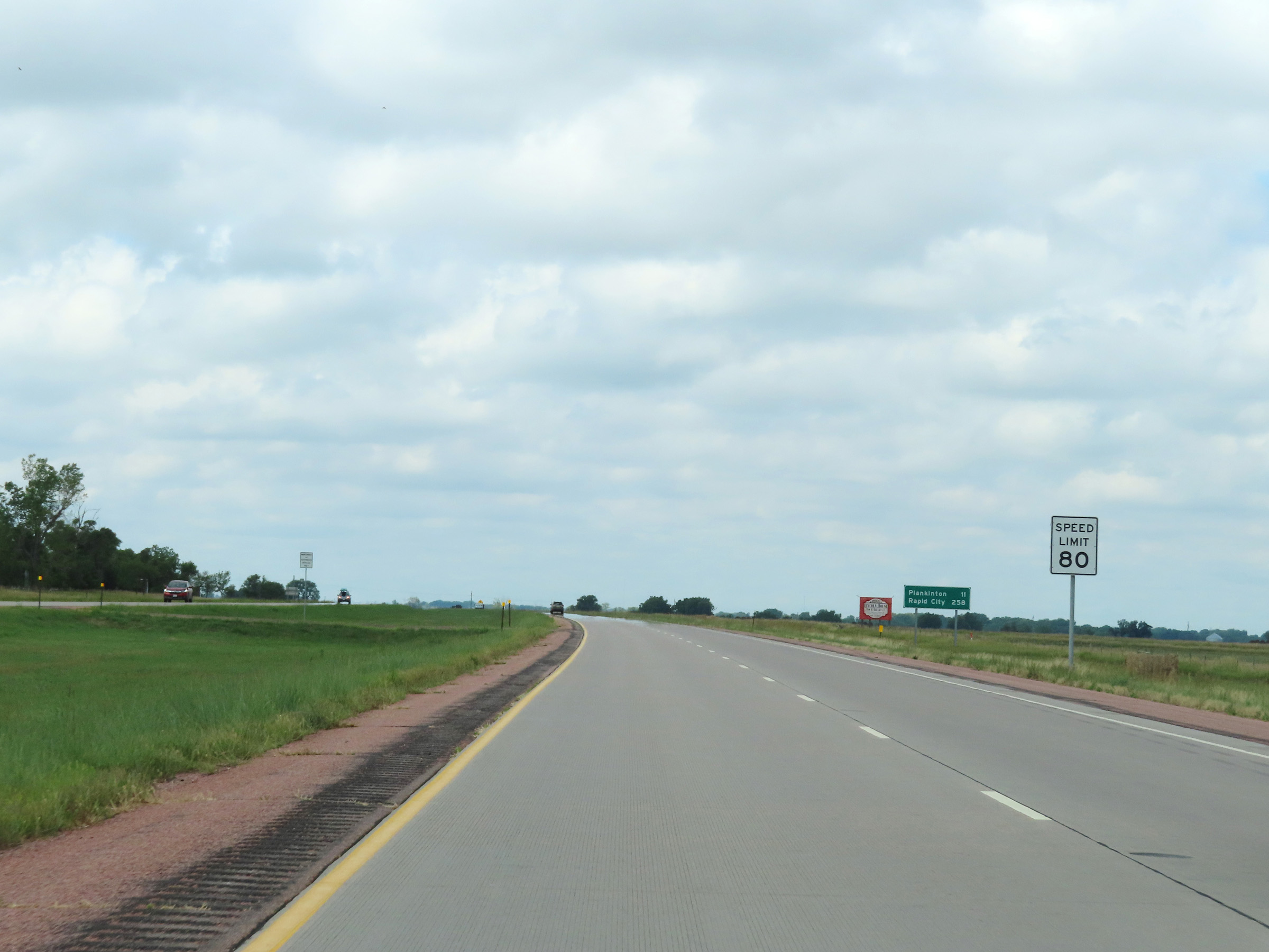
The maximum speed limit on Interstate 90 West remains 80 mph. (Photo taken 8/16/22). |
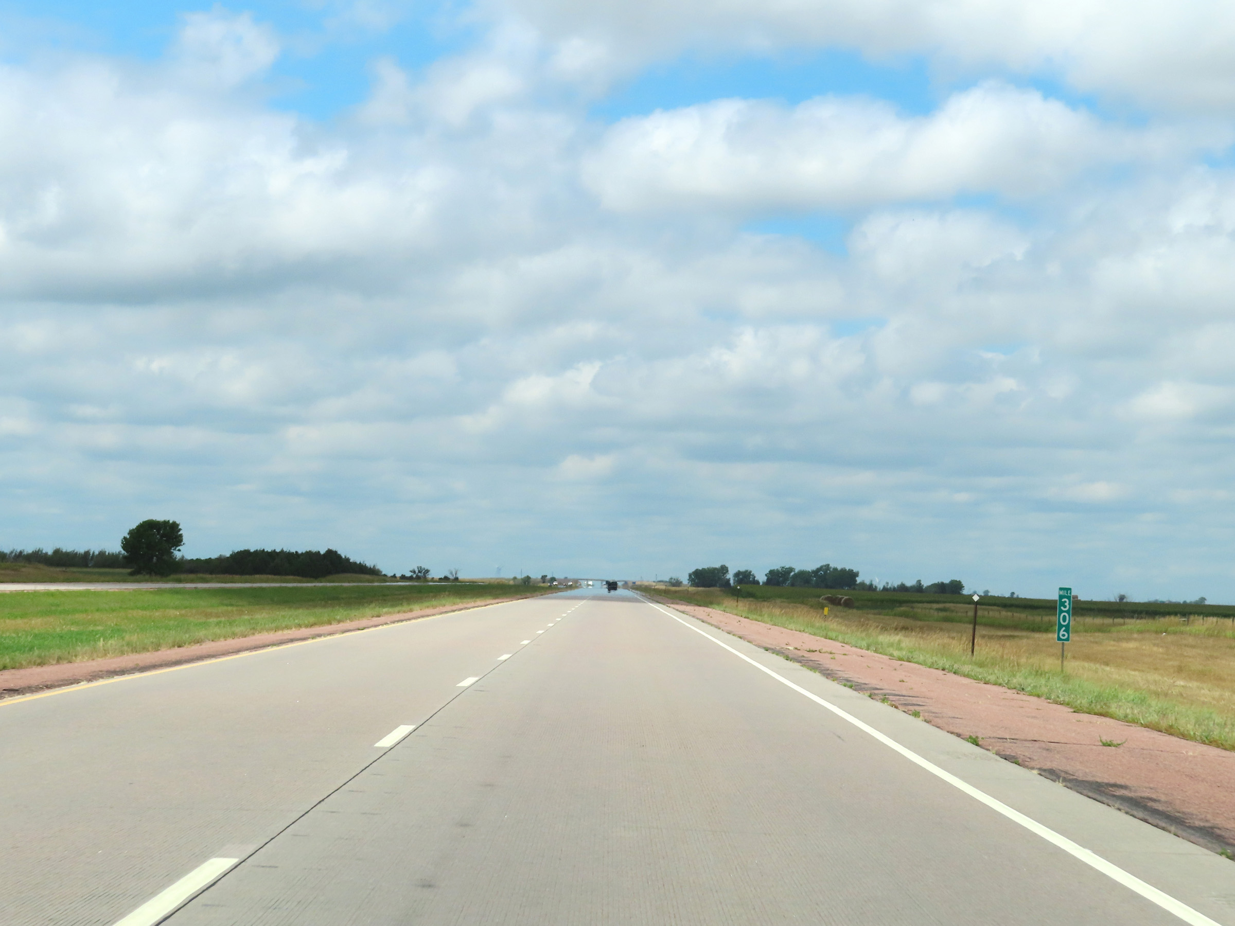 |
View on Interstate 90 West at mile marker 306. (Photo taken 8/16/22). |
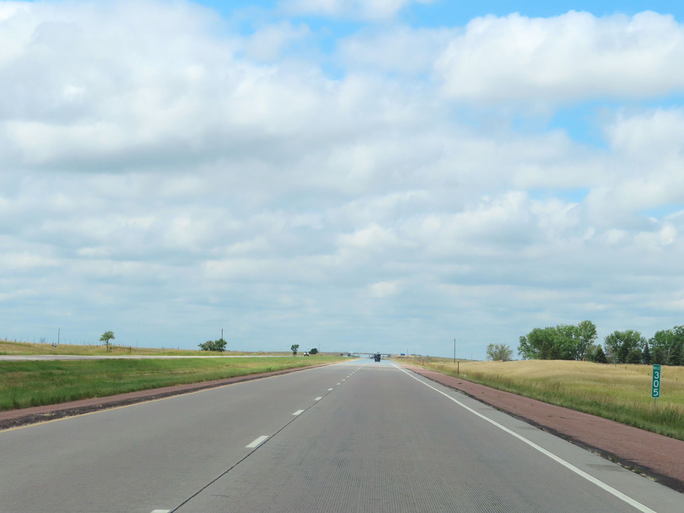 |
Mile marker 305 on Interstate 90 West in Aurora County. (Photo taken 8/16/22). |
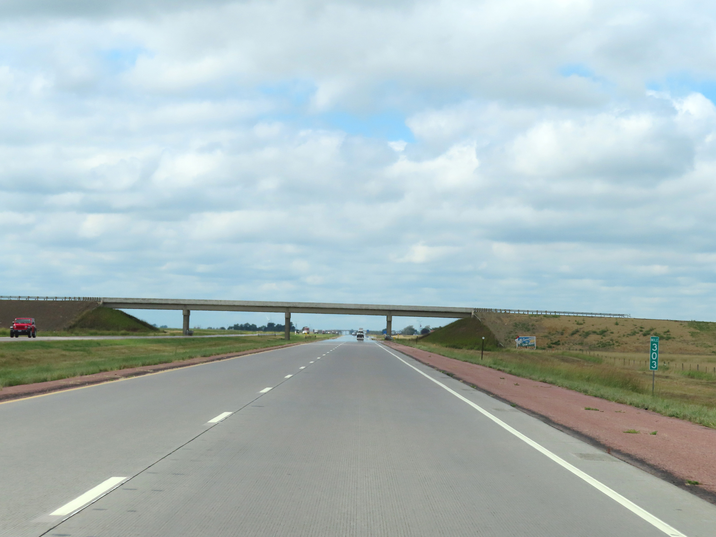 |
Interstate 90 West at mile marker 303. (Photo taken 8/16/22). |
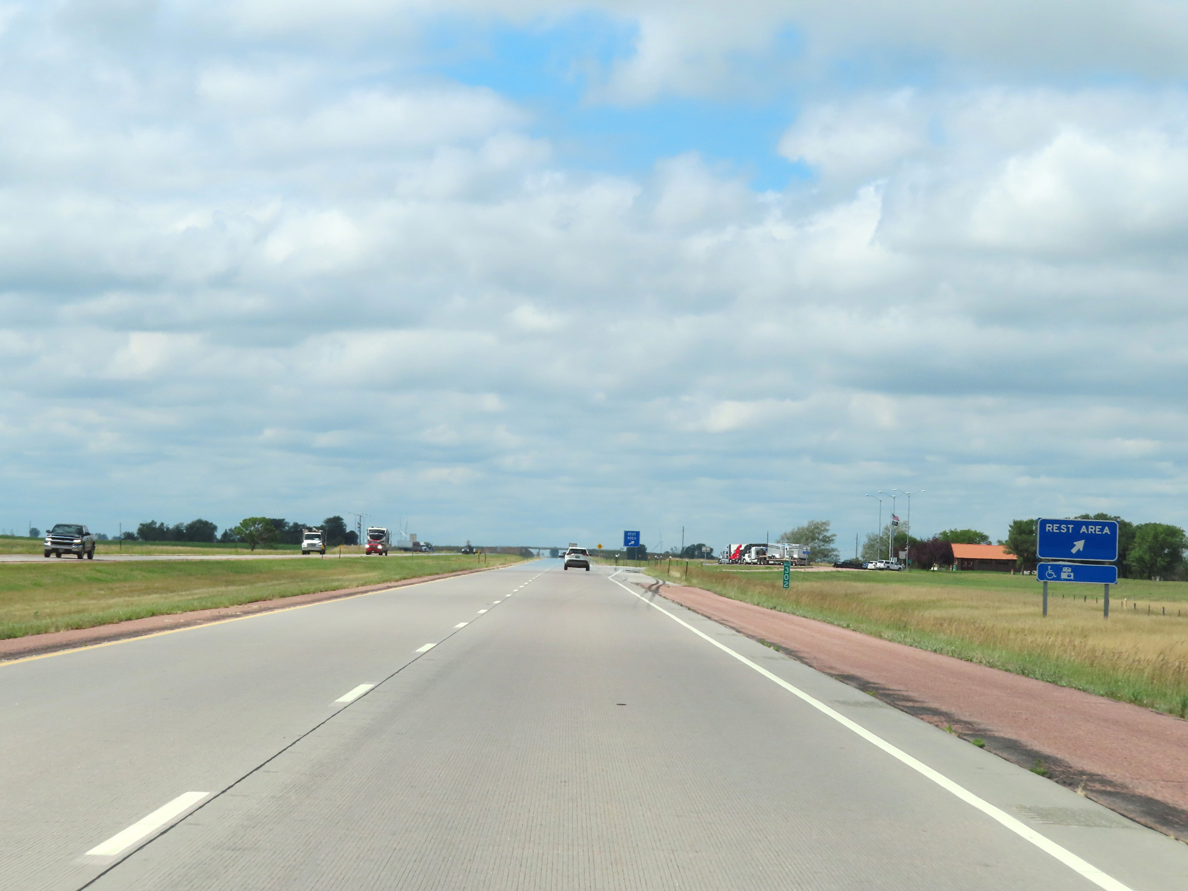 |
Rest Area on Interstate 90 West at mile marker 302 in Aurora County. (Photo taken 8/16/22). |
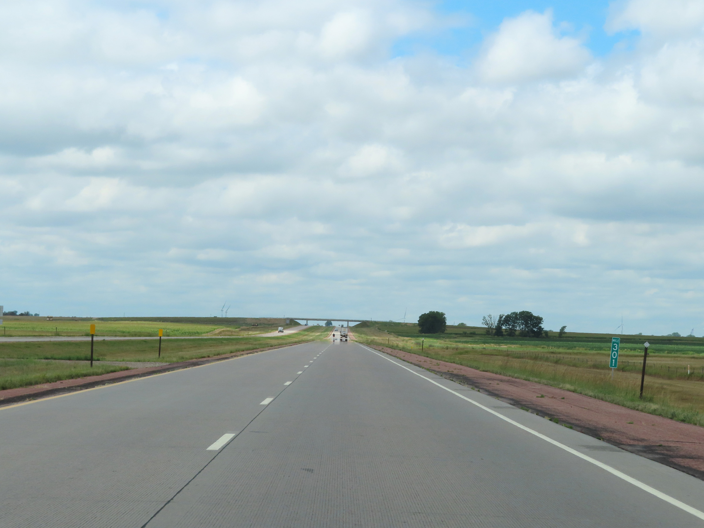 |
View on Interstate 90 West at mile marker 301. (Photo taken 8/16/22). |
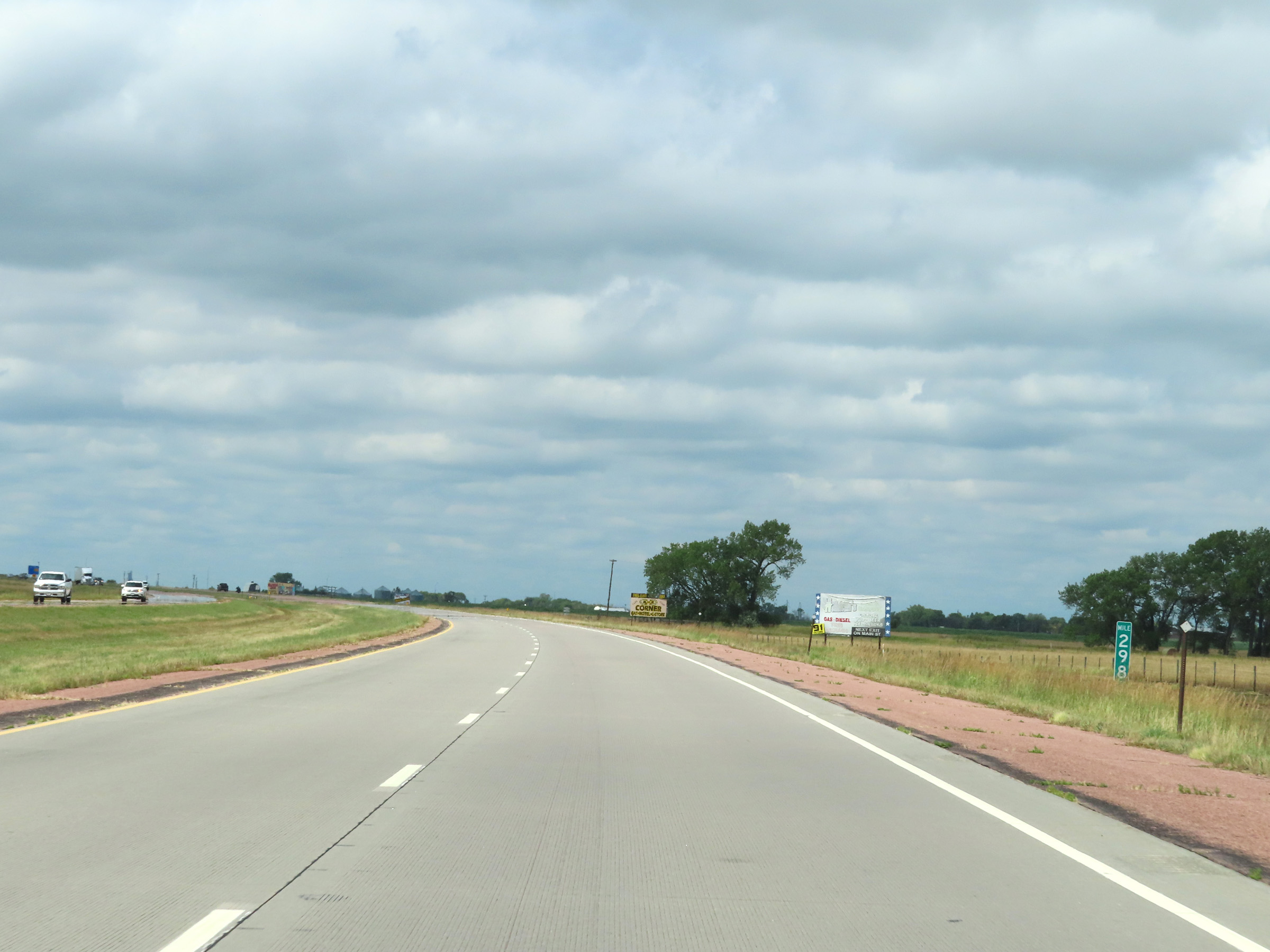 |
Interstate 90 West at mile marker 298. (Photo taken 8/16/22). |
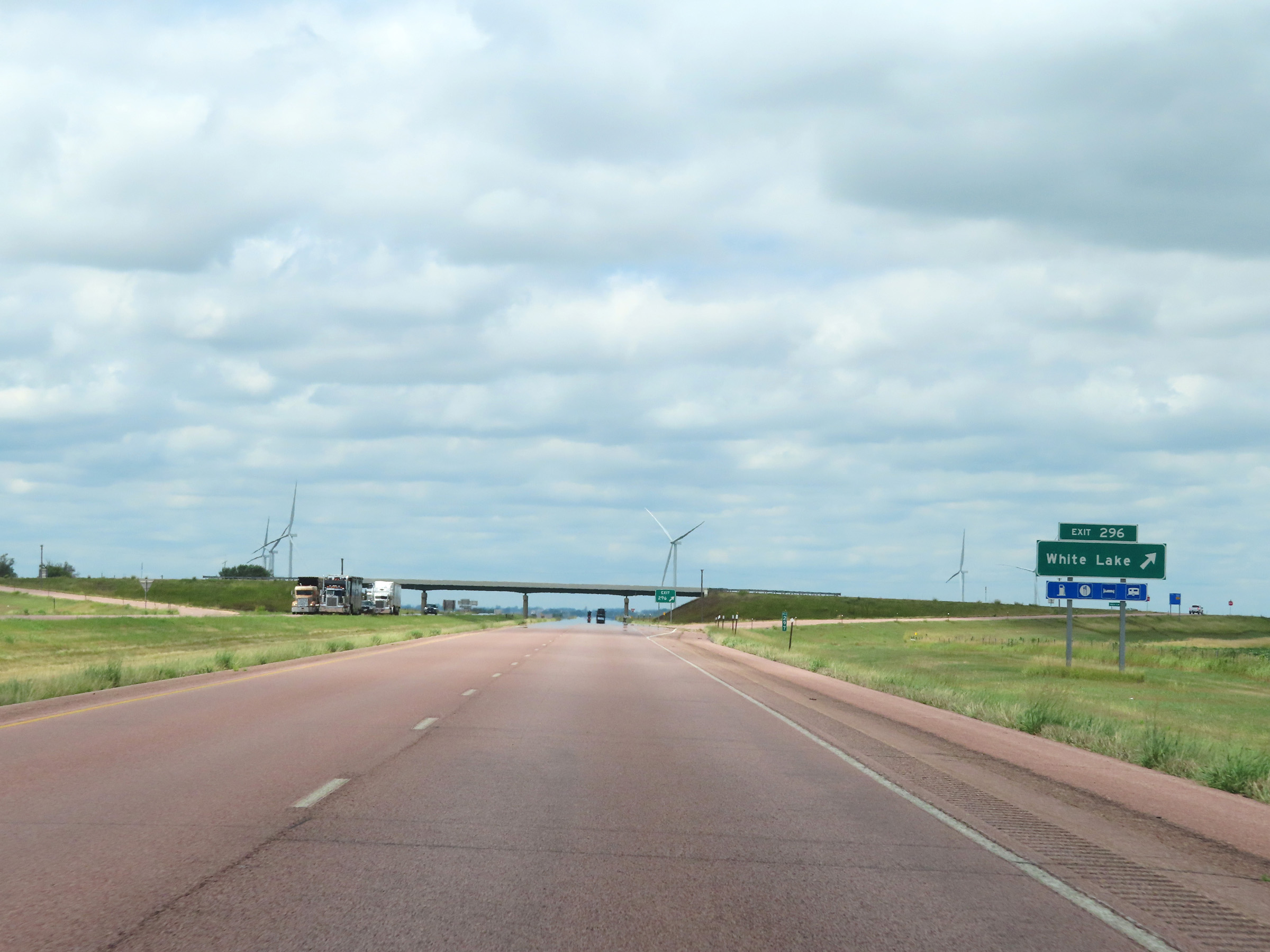 |
Interstate 90 West at Exit 296: White Lake (Photo taken 8/16/22). |
 |
Another Interstate 90 West reassurance shield in Aurora County. (Photo taken 8/16/22). |
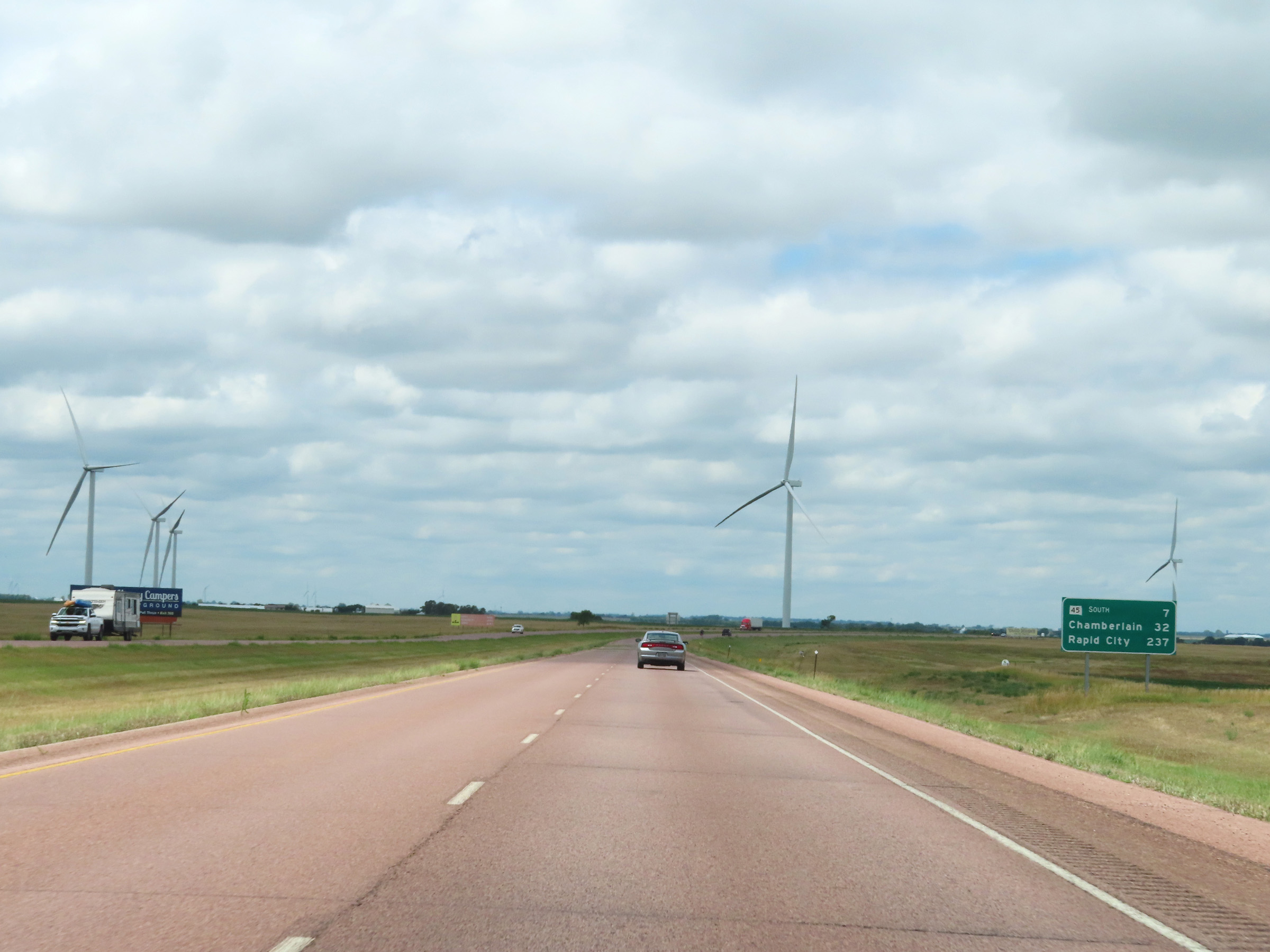 |
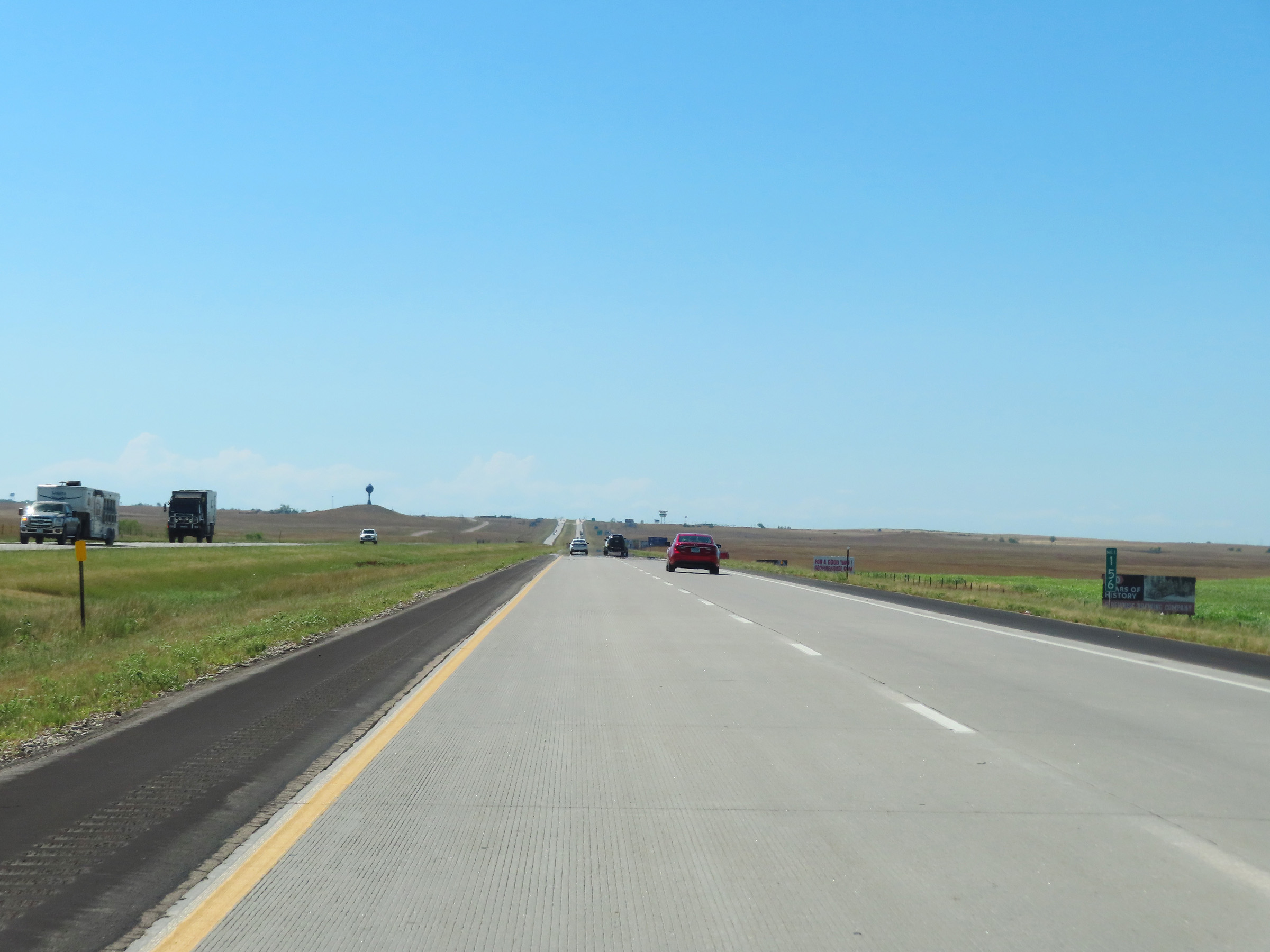
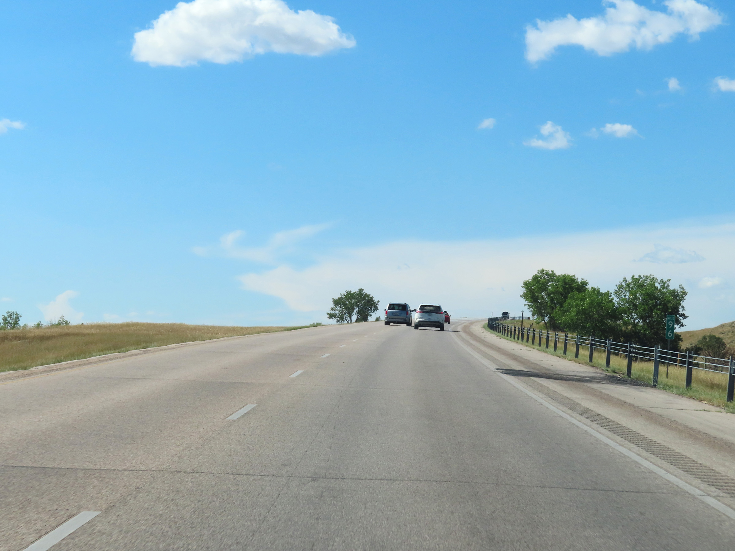
Mileage sign on Interstate 90 West in Aurora County. It's 7 miles to the junction of SD 45 South, 32 miles to Chamberlain, and 237 miles to Rapid City. (Photo taken 8/16/22). |
 |
View on Interstate 90 West at mile marker 295. (Photo taken 8/16/22). |
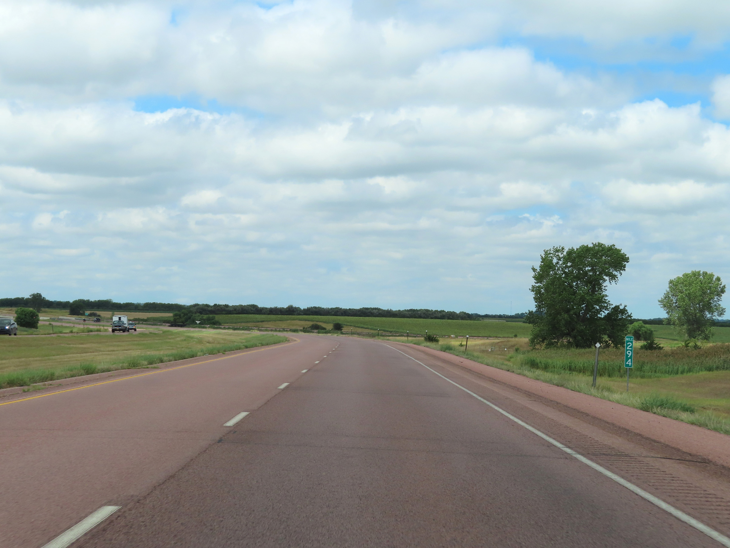 |
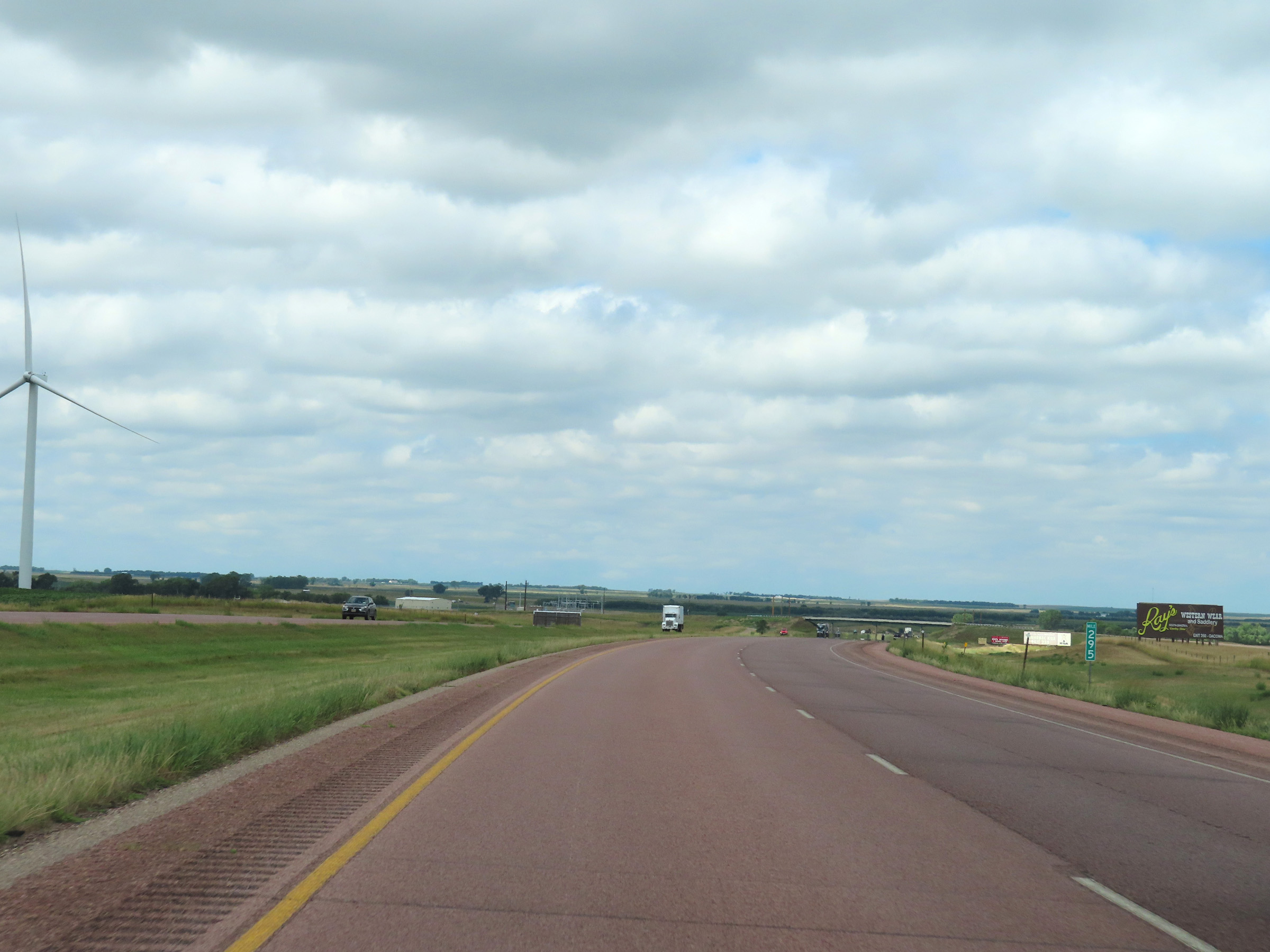
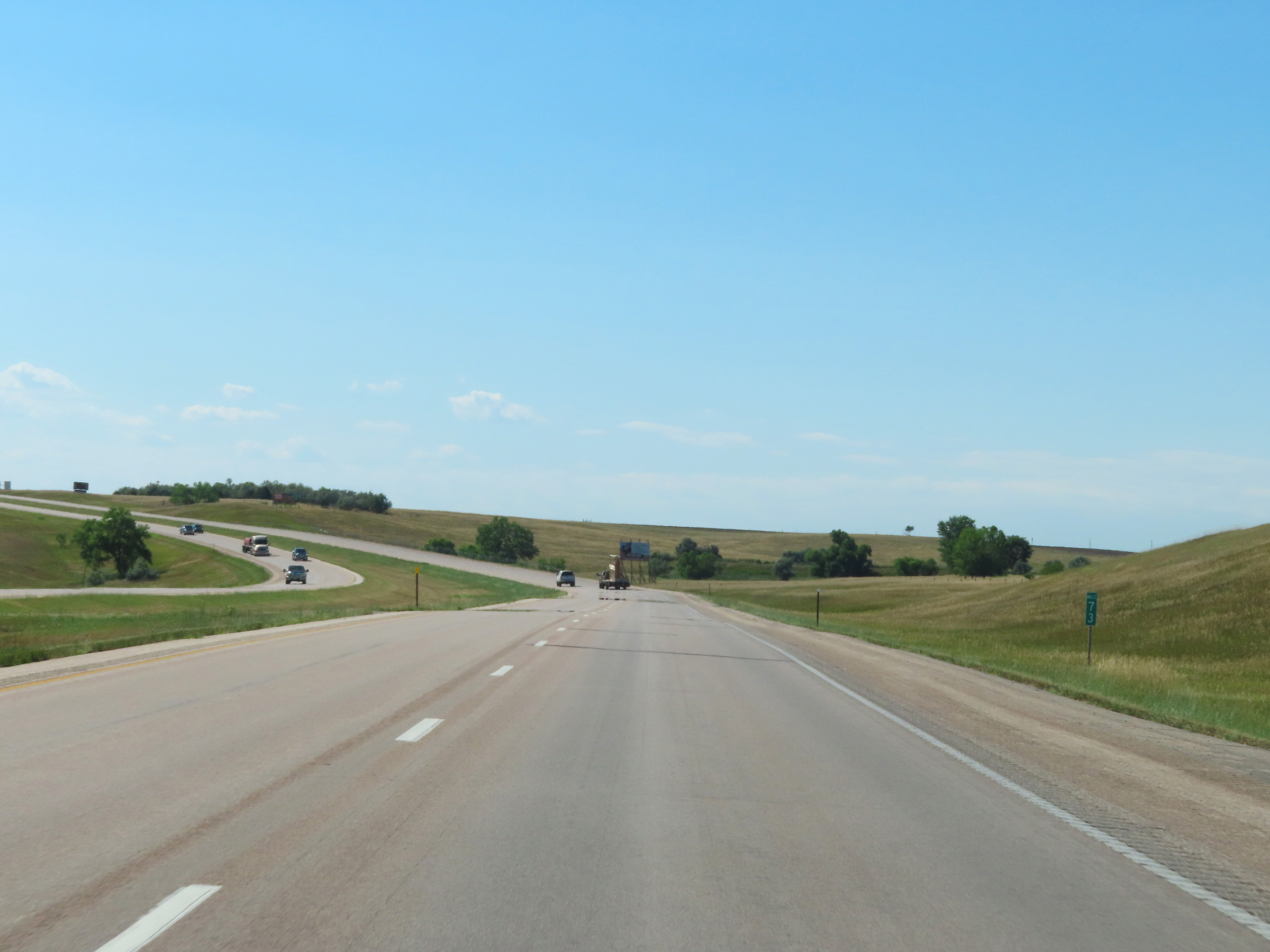
Interstate 90 West at mile marker 294. (Photo taken 8/16/22). |
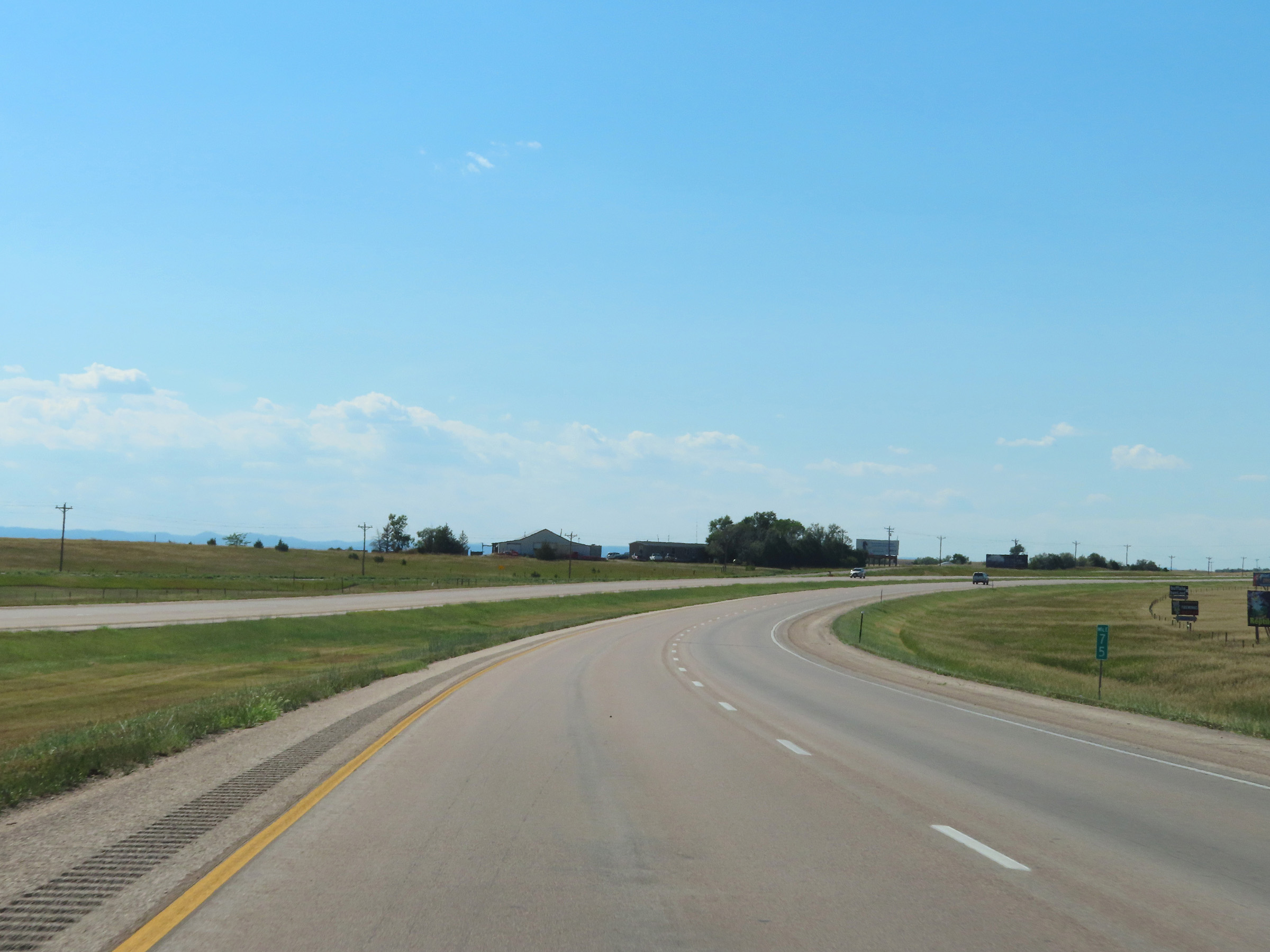
 |
Parking Area on Interstate 90 West in Aurora County. (Photo taken 8/16/22). |
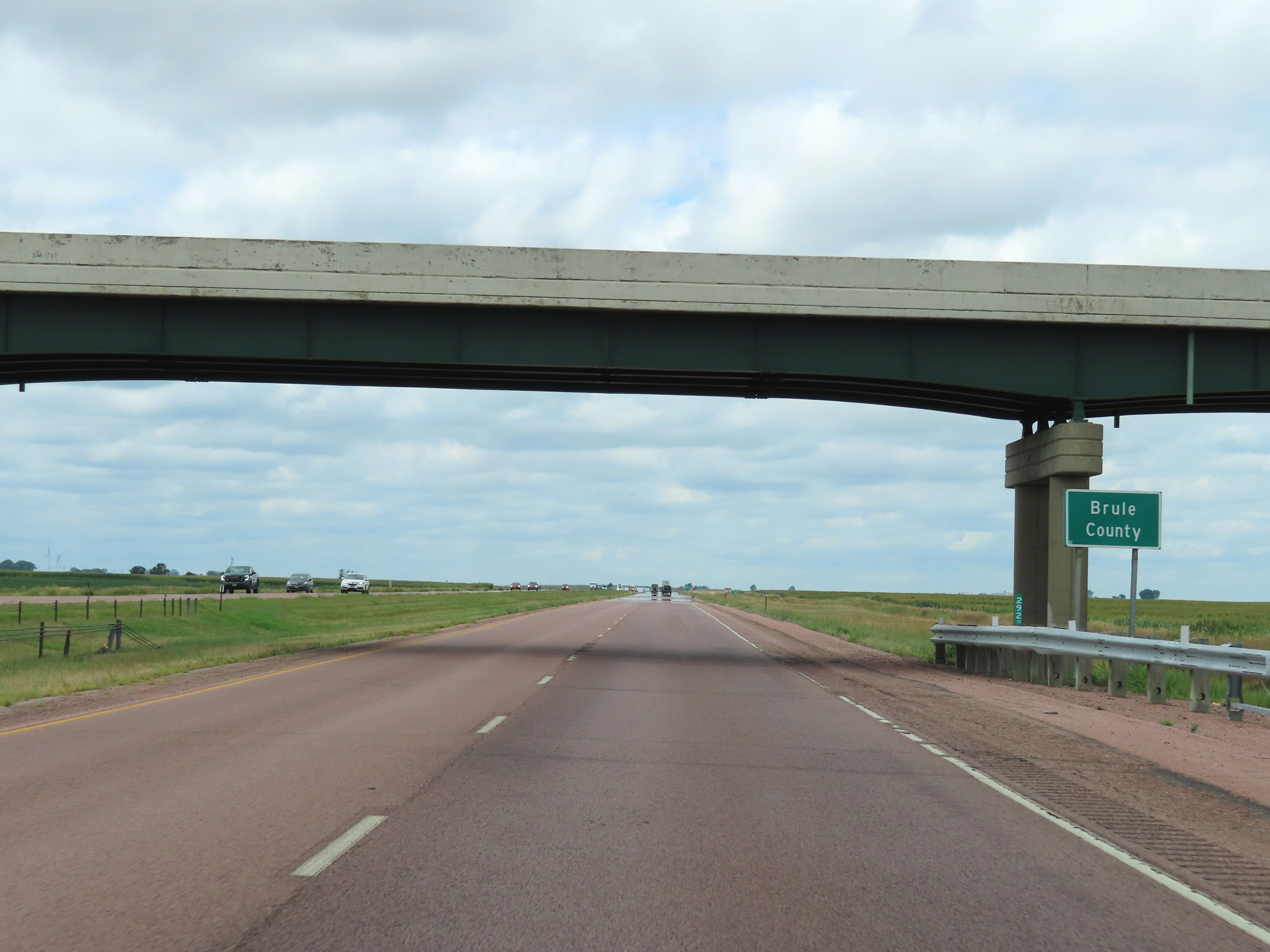 |
Interstate 90 West as it enters Brule County. (Photo taken 8/16/22). |
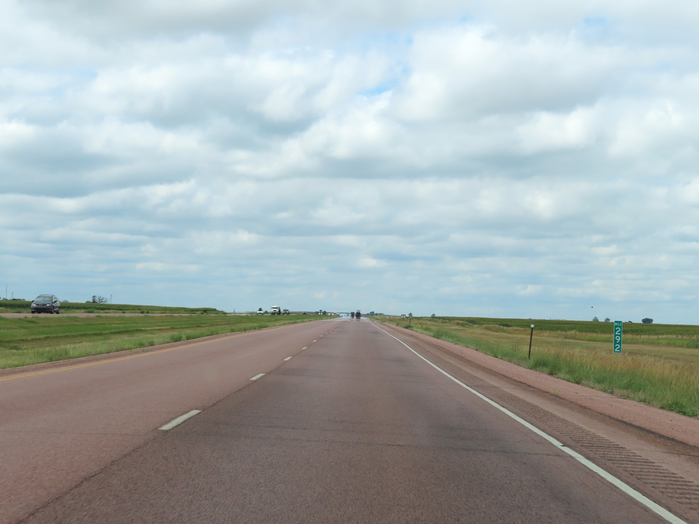 |
View on Interstate 90 West at mile marker 292. (Photo taken 8/16/22). |
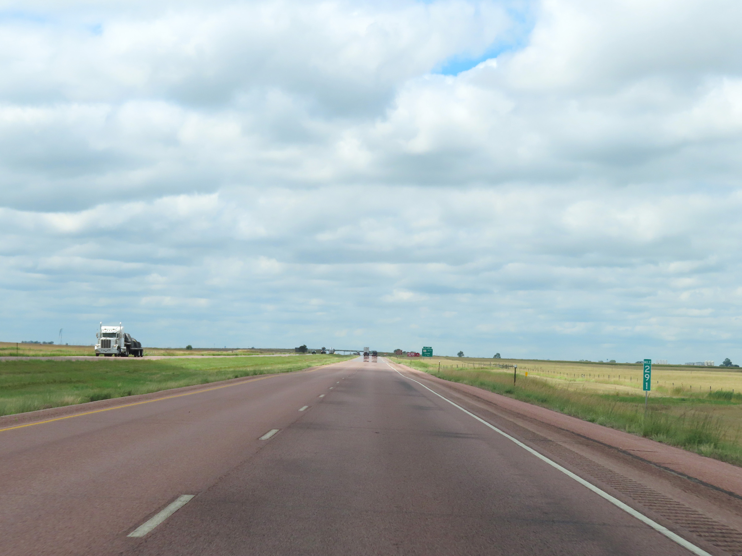 |
Mile marker 291 on Interstate 90 West in Brule County. (Photo taken 8/16/22). |
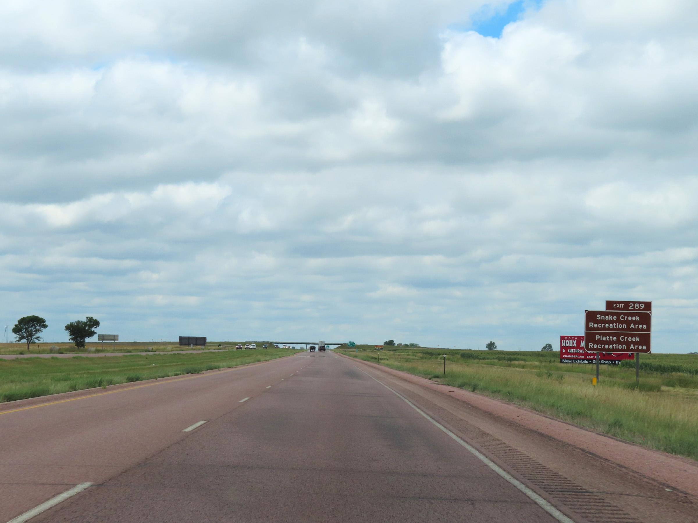 |
Take Exit 289 to Snake Creek Recreation Area and Platte Creek Recreation Area. (Photo taken 8/16/22). |
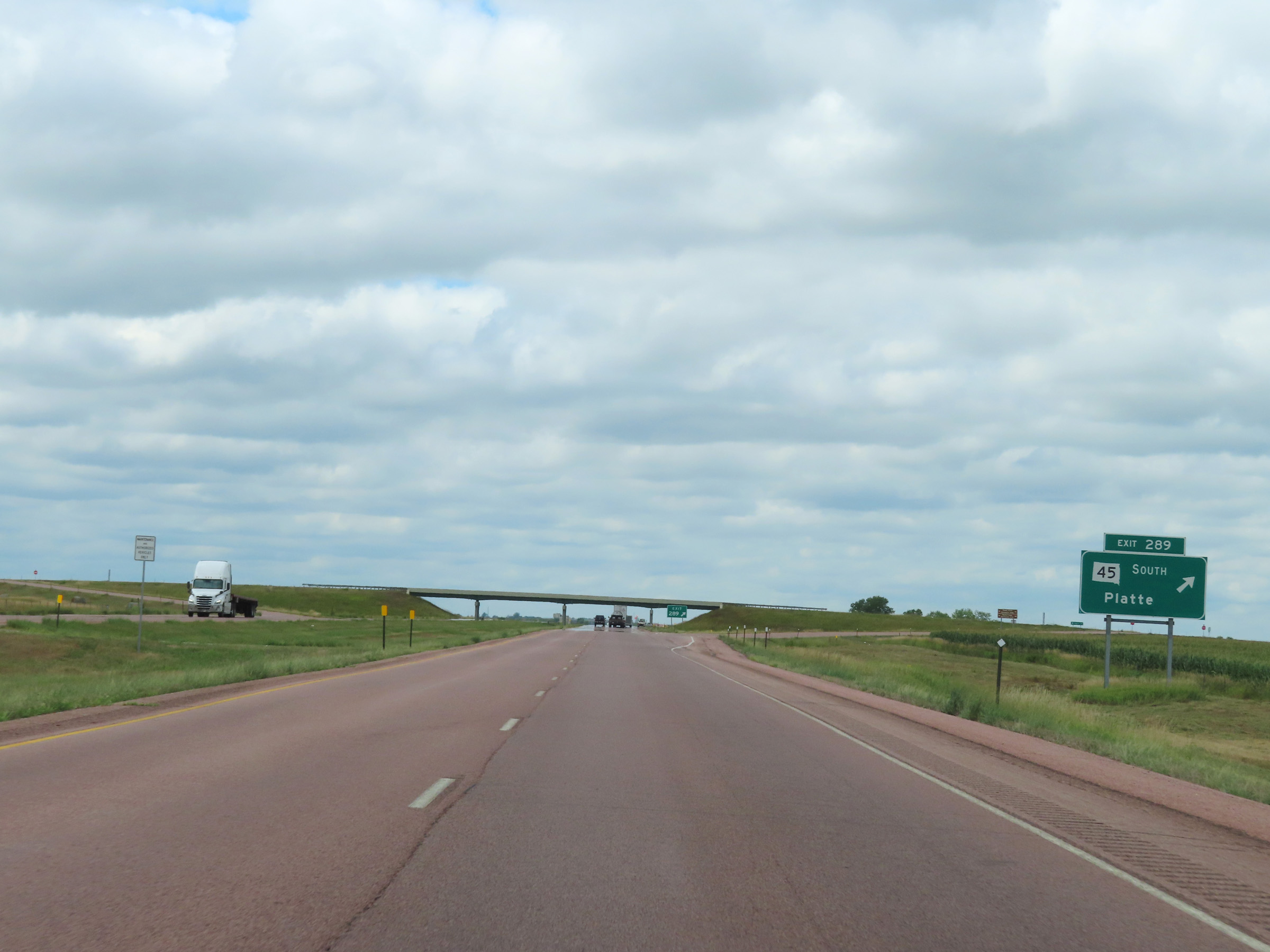 |
Interstate 90 West at Exit 289: SD 45 South - Platte (Photo taken 8/16/22). |
 |
Interstate 90 West reassurance shield in Brule County. (Photo taken 8/16/22). |
 |
Mile marker 288 on Interstate 90 West in Brule County. (Photo taken 8/16/22). |
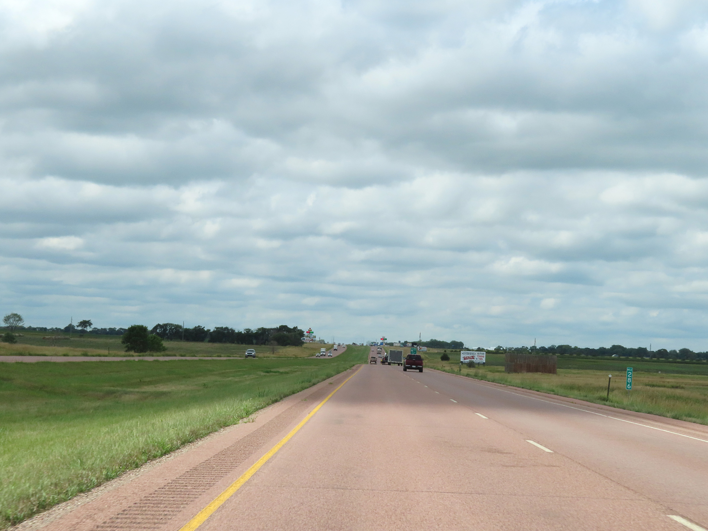 |
View on Interstate 90 West at mile marker 286. (Photo taken 8/16/22). |
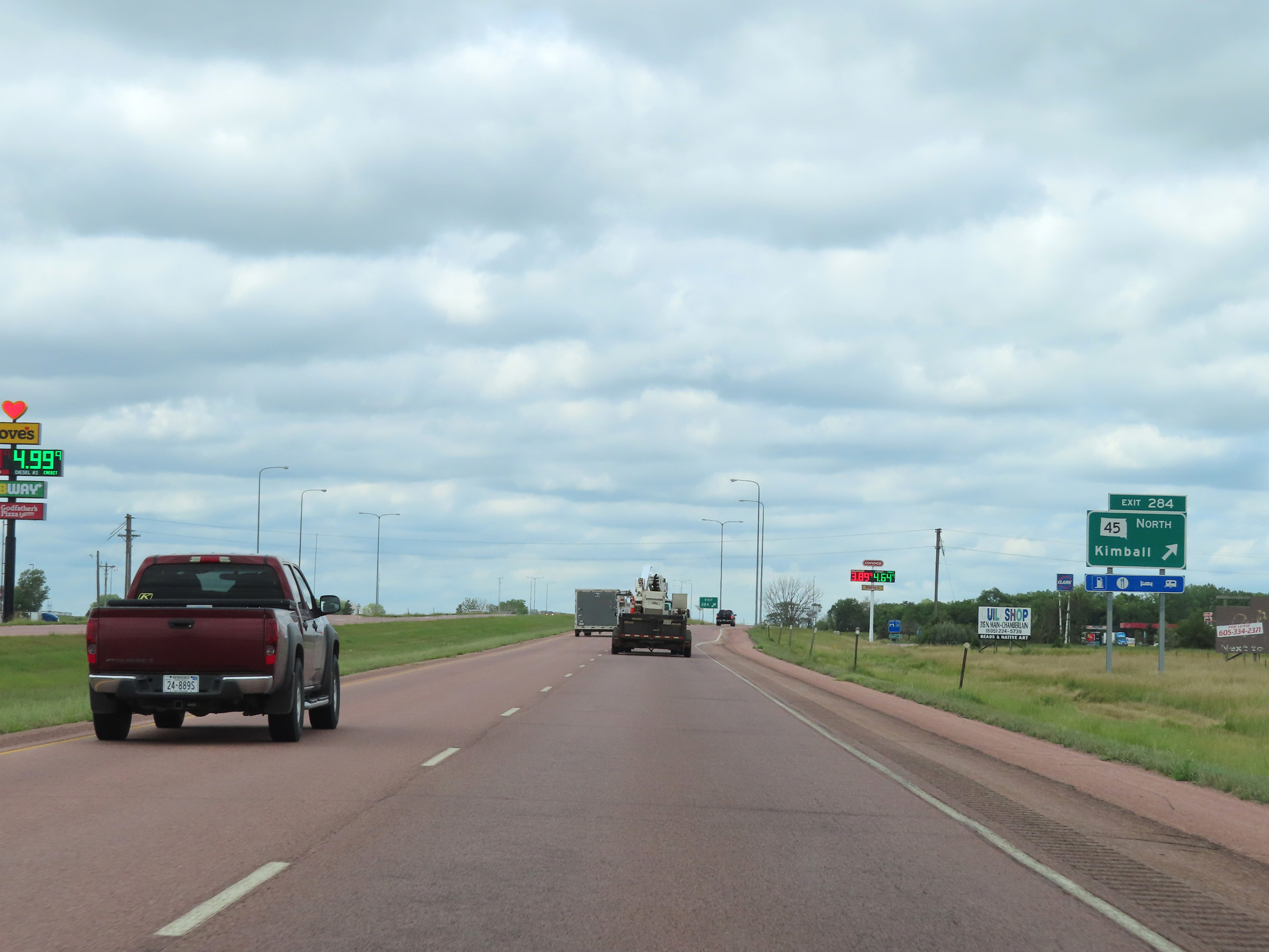 |
Interstate 90 West at Exit 284: SD 45 North - Kimball (Photo taken 8/16/22). |
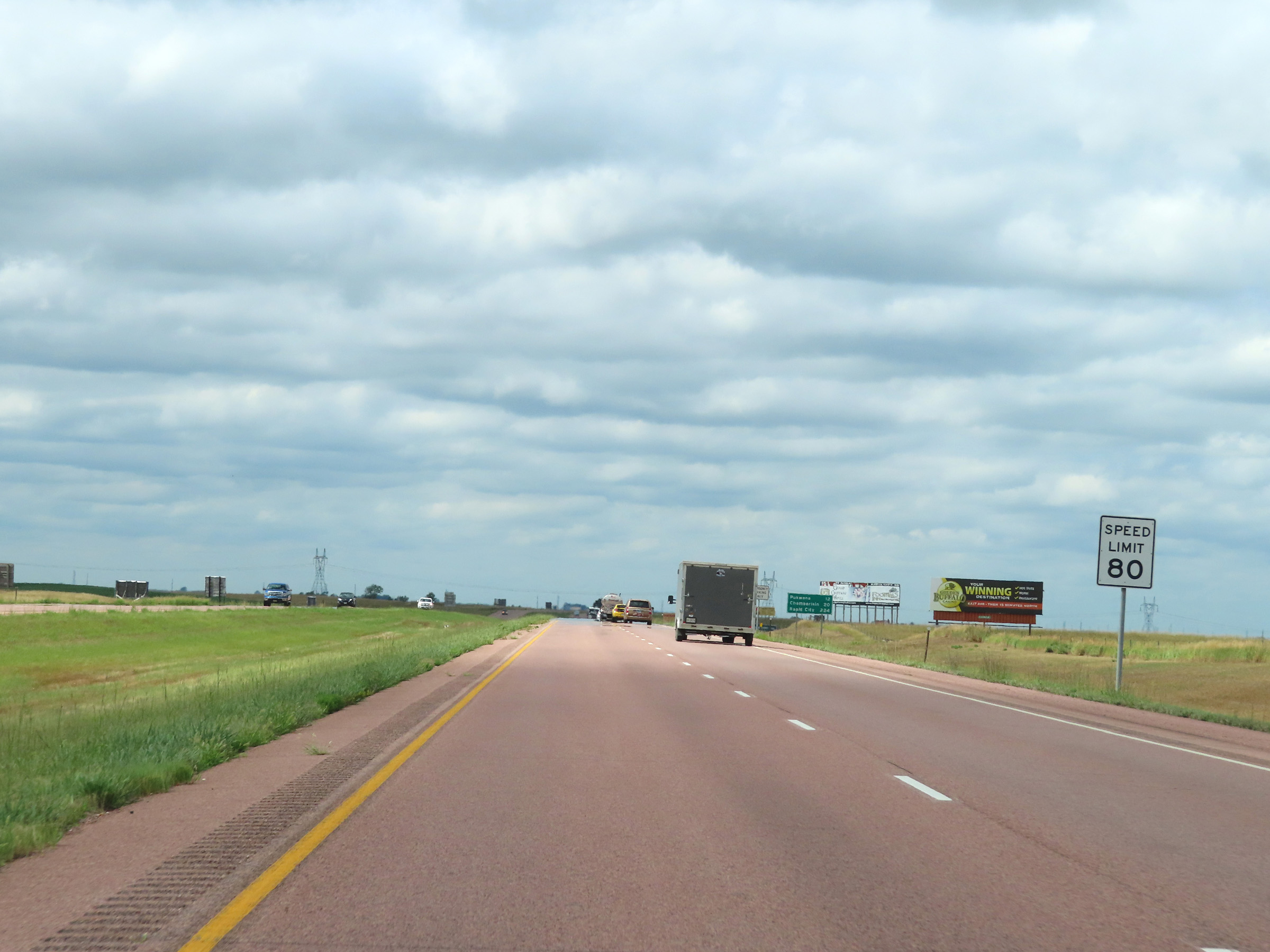 |
The maximum speed limit on Interstate 90 West remains 80 mph for all traffic. (Photo taken 8/16/22). |
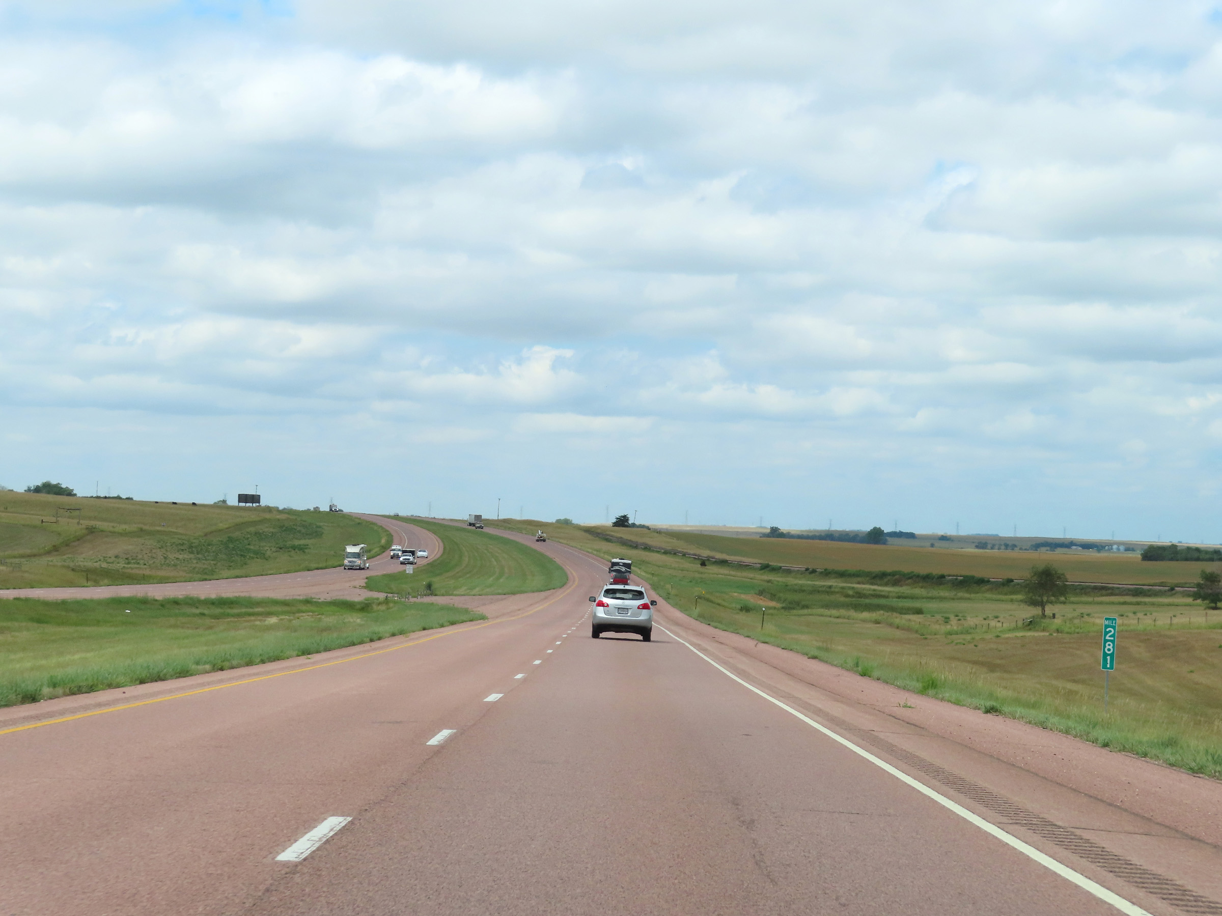 |
View on Interstate 90 West at mile marker 281. (Photo taken 8/16/22). |
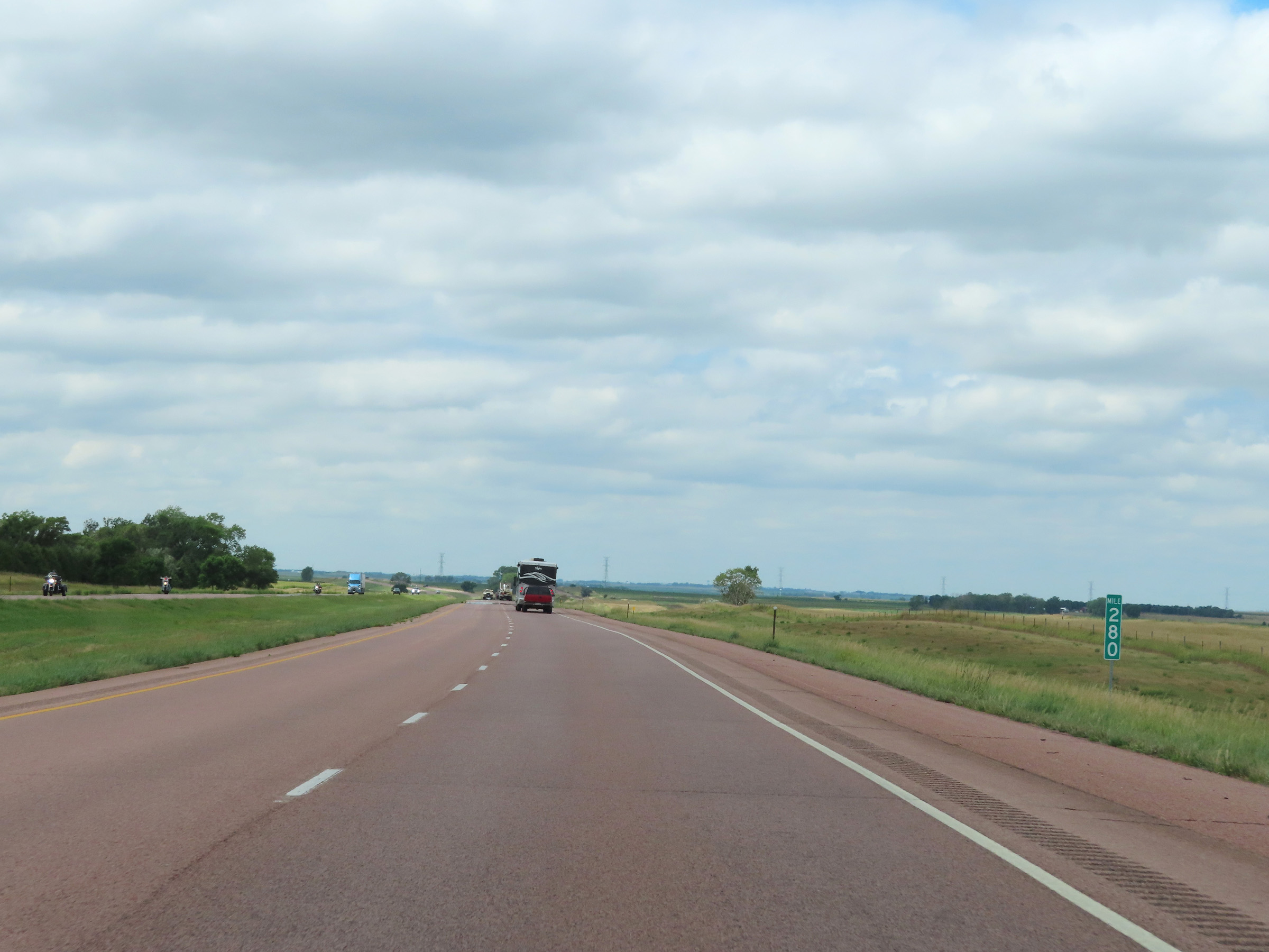 |
Mile marker 280 on Interstate 90 West in Brule County. (Photo taken 8/16/22). |
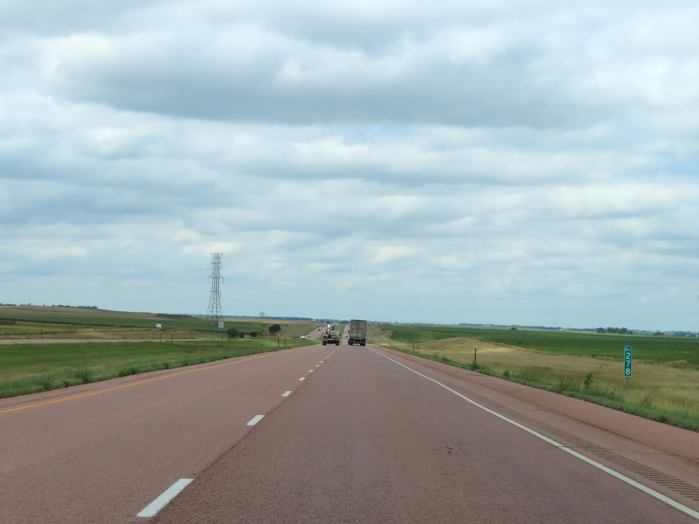 |
Interstate 90 West at mile marker 278. (Photo taken 8/16/22). |
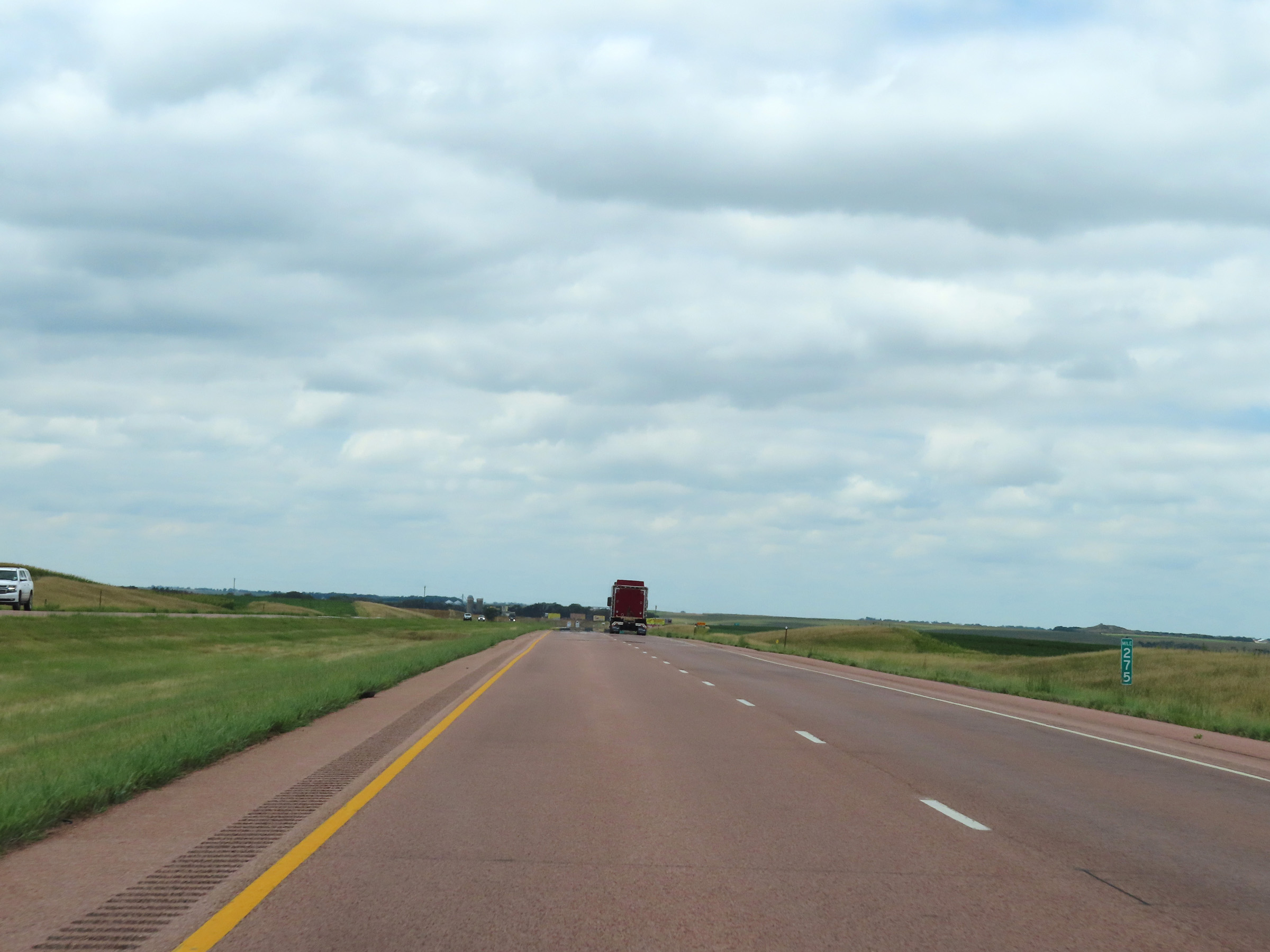 |
View on Interstate 90 West at mile marker 275. (Photo taken 8/16/22). |
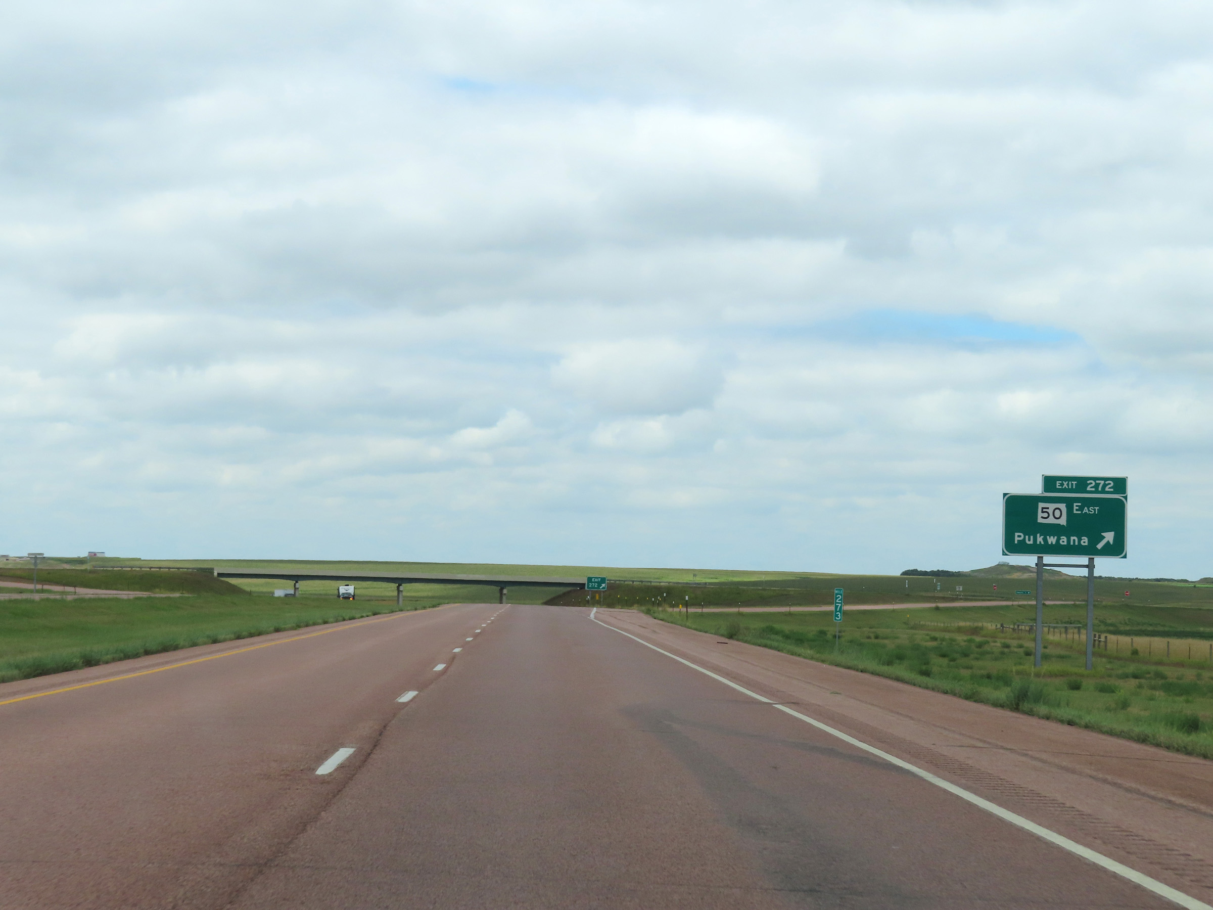 |
Interstate 90 West at Exit 272: SD 50 East - Pukwana (Photo taken 8/16/22). |
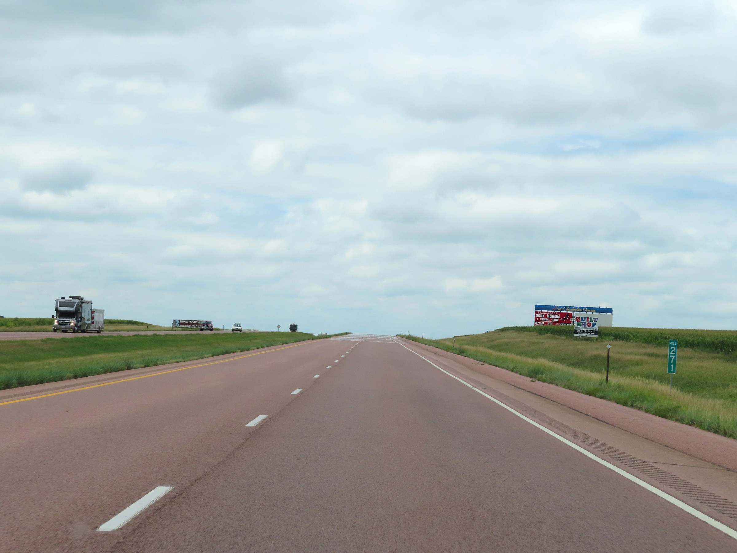 |
Mile marker 271 on Interstate 90 West in Brule County. (Photo taken 8/16/22). |
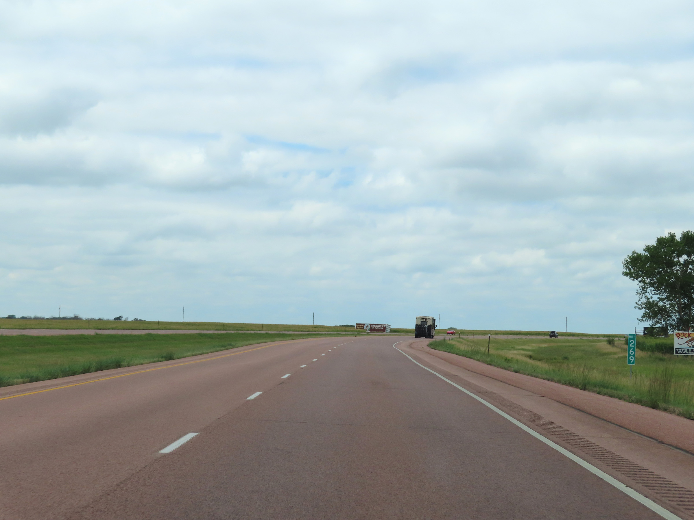 |
Interstate 90 West at mile marker 269. (Photo taken 8/16/22). |
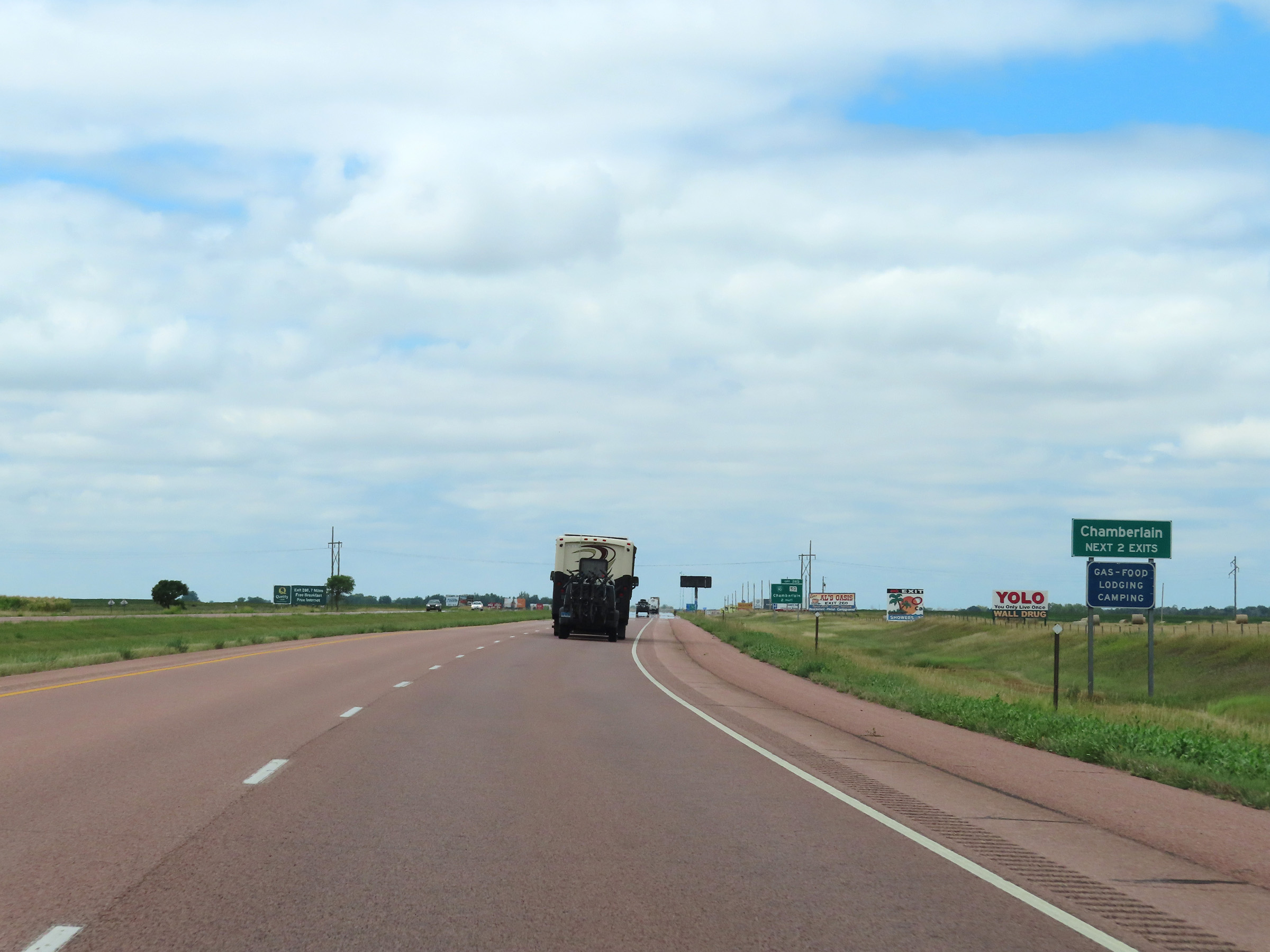 |
Take either of the next 2 exits to Chamberlain. (Photo taken 8/16/22). |
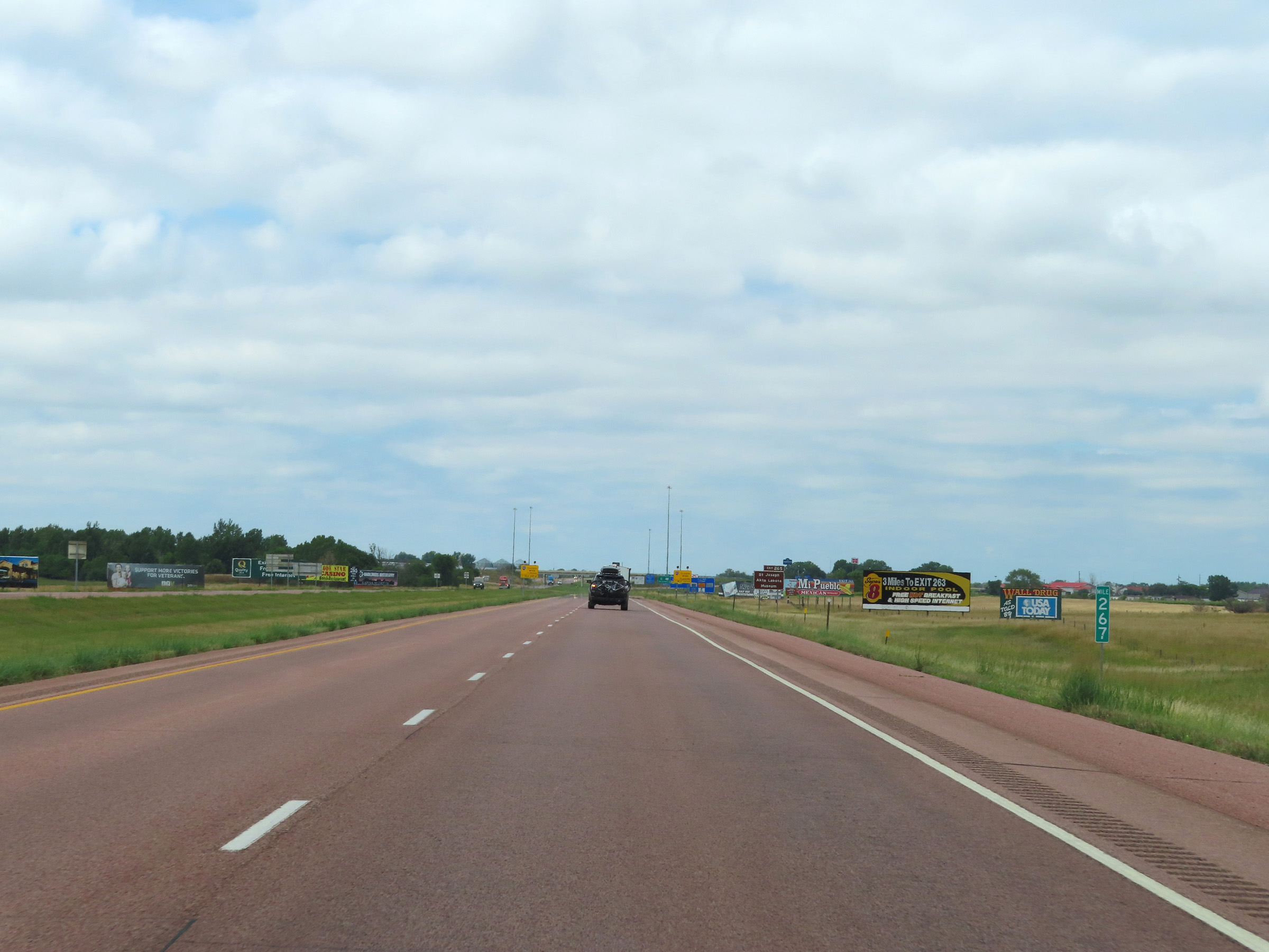 |
Mile marker 267 on Interstate 90 West in Brule County as it enters the Chamberlain area. (Photo taken 8/16/22). |
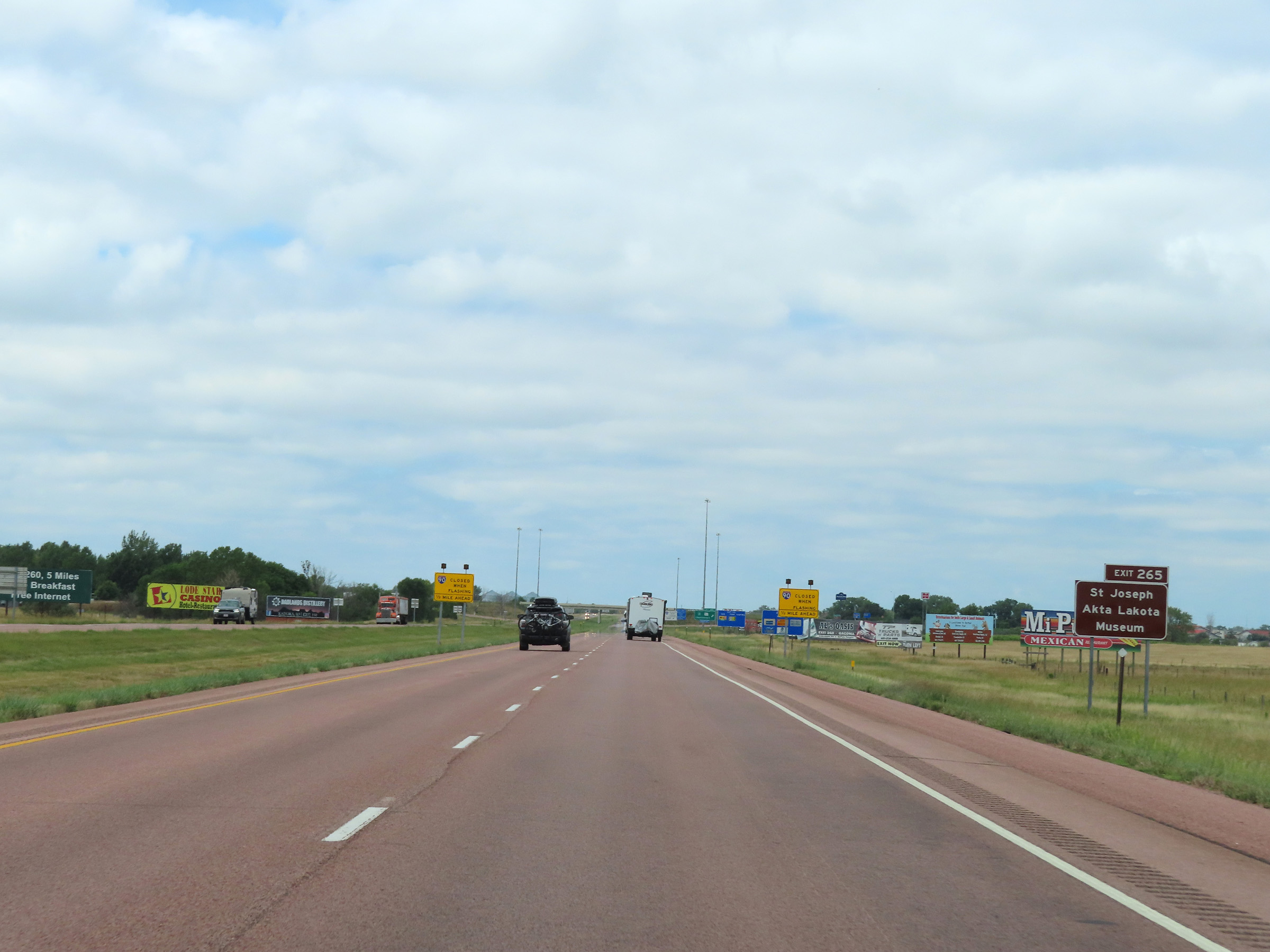 |
Take Exit 265 to the St. Joseph Akta Lakota Museum. (Photo taken 8/16/22). |
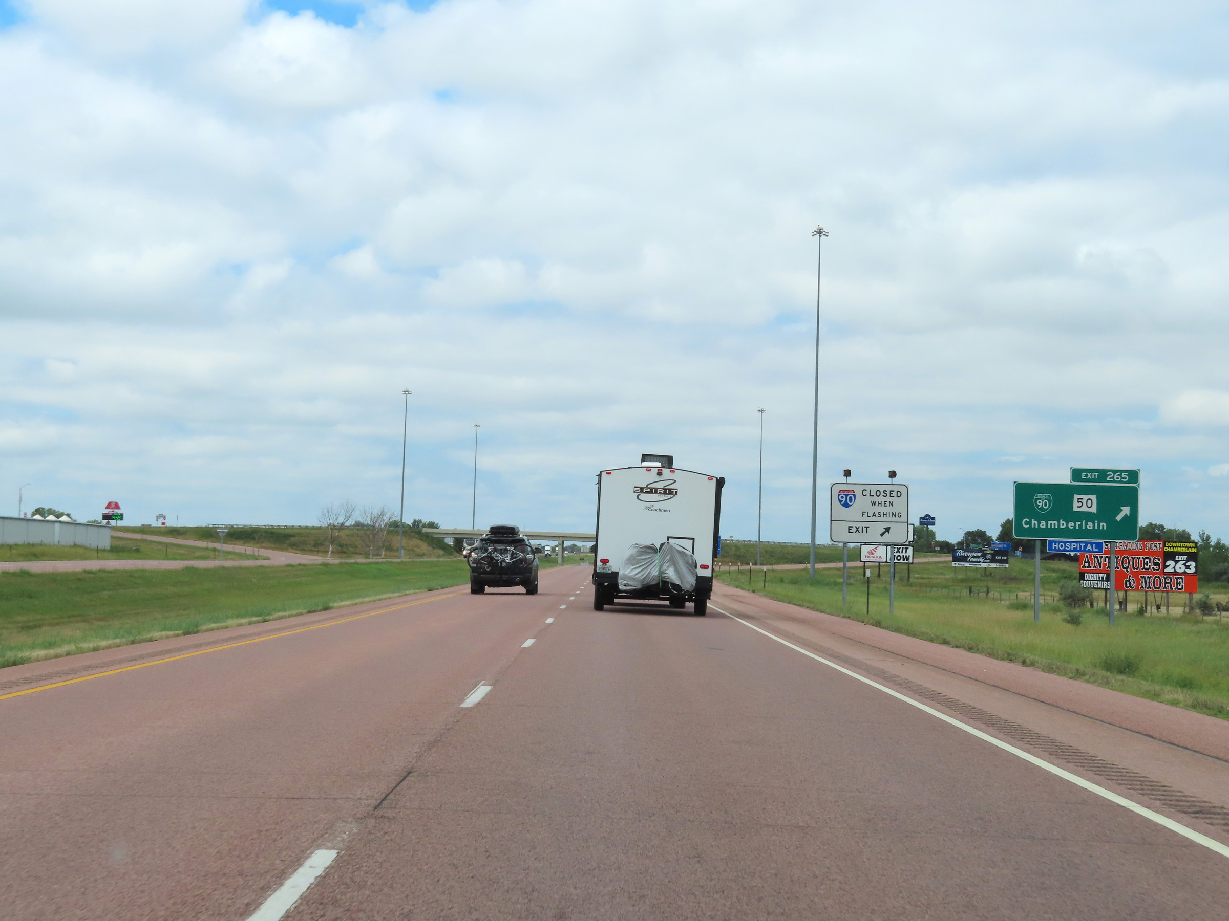 |
Interstate 90 West at Exit 265: Interstate 90 Business Loop / SD 50 - Chamberlain (Photo taken 8/16/22). |
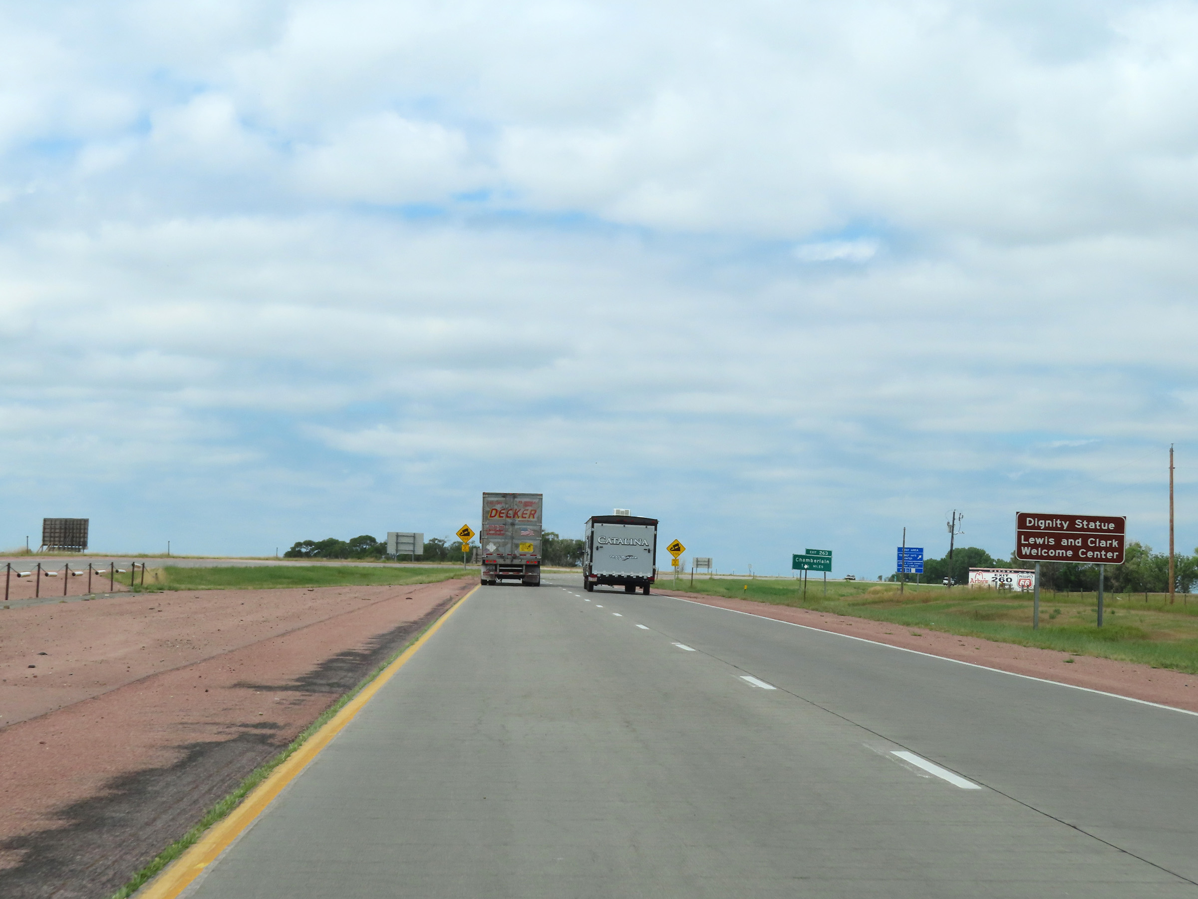 |
Enter the Rest Area ahead to see the Dignity Statue and the Lewis & Clark Welcome Center. (Photo taken 8/16/22). |
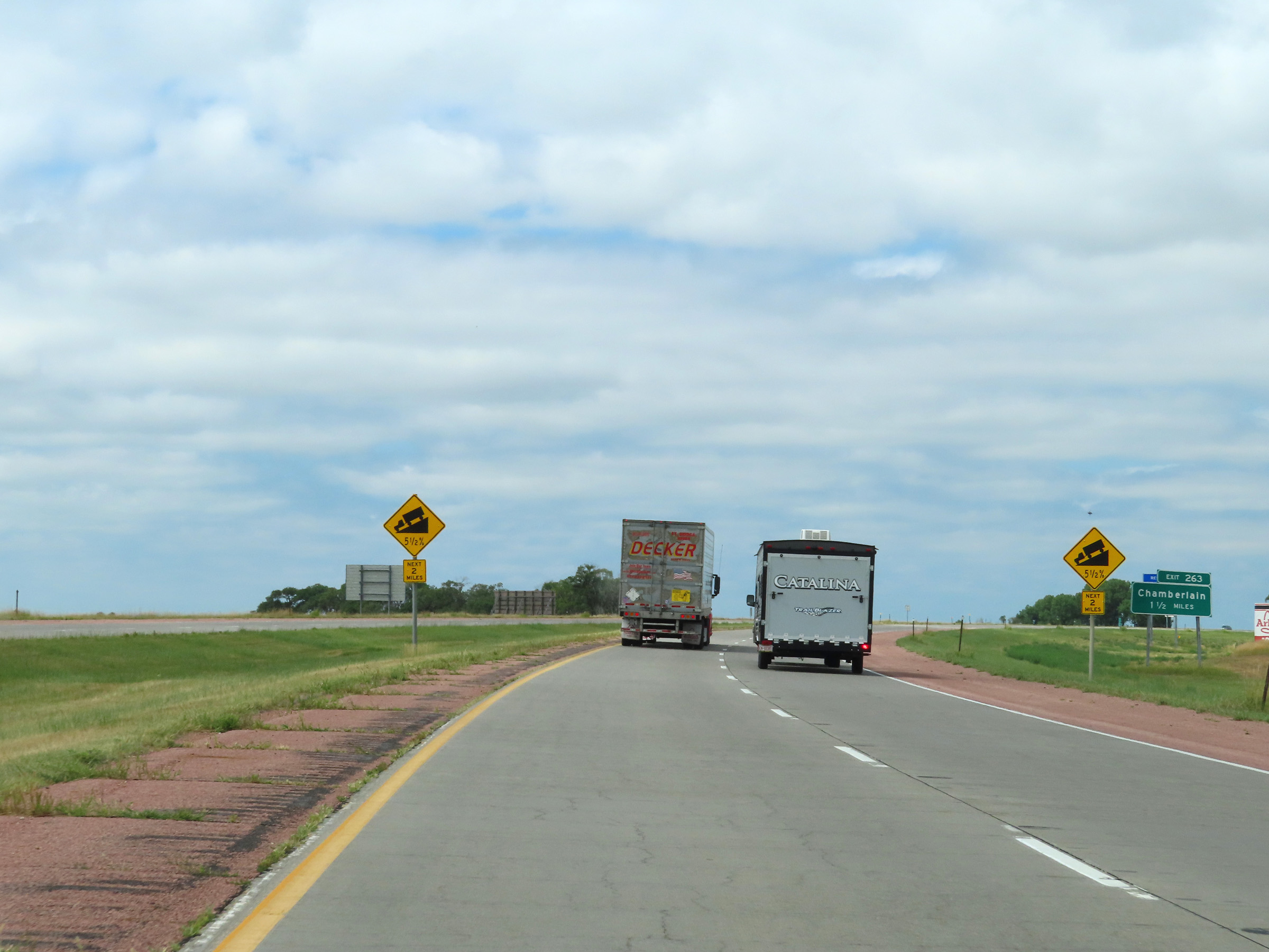 |
These signs warn motorists of a 5 1/2% downgrade ahead, which will last for 2 miles as Interstate 90 West descends into the valley of the Missouri River. (Photo taken 8/16/22). |
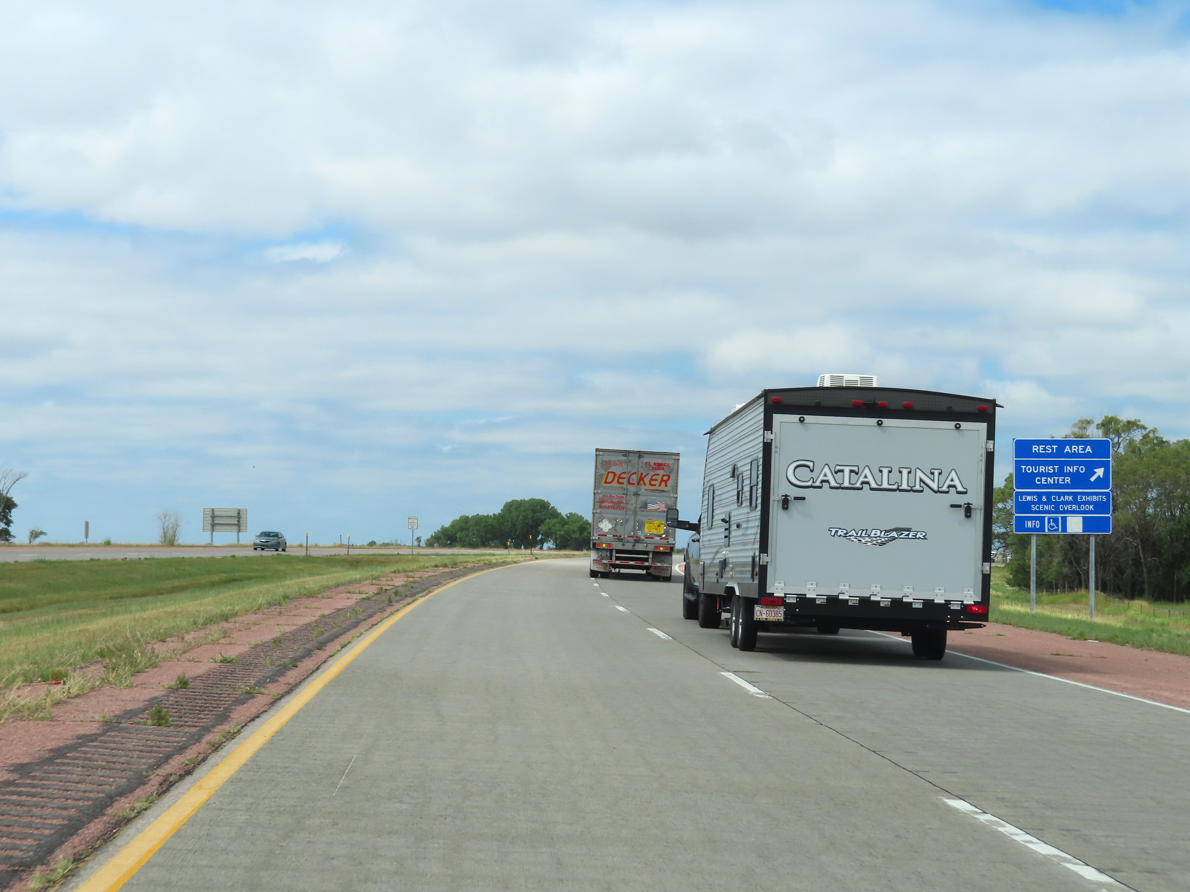 |
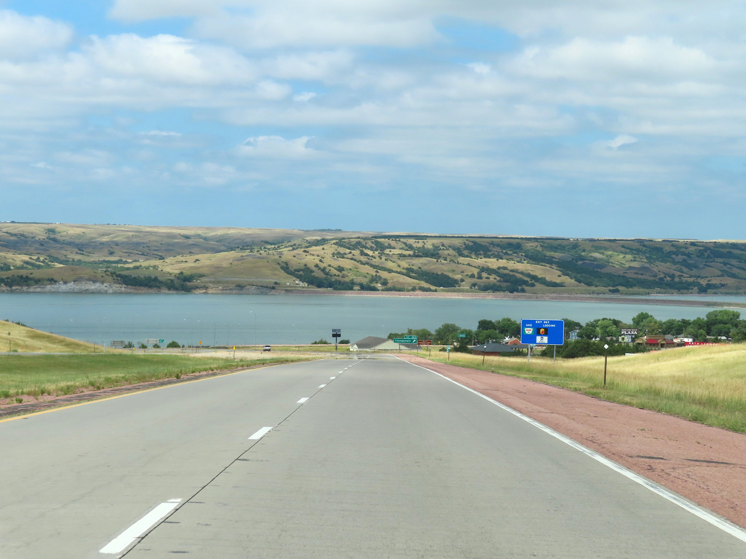
Rest Area / Tourist Info Center on Interstate 90 West in Chamberlain, just before descending into the Missouri River valley. (Photo taken 8/16/22). |
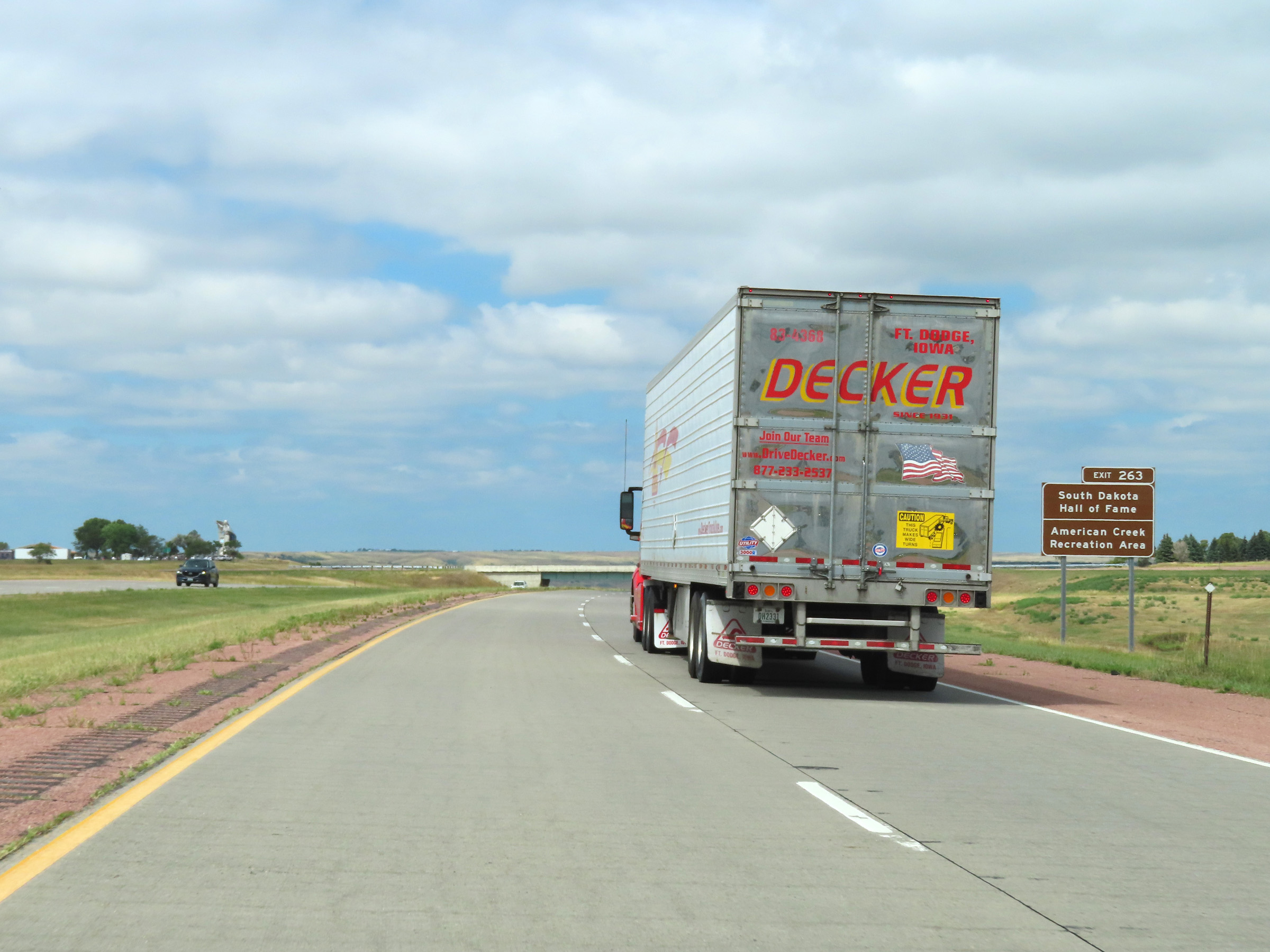 |
Take Exit 263 to the South Dakota Hall of Fame and American Creek Recreation Area. (Photo taken 8/16/22). |
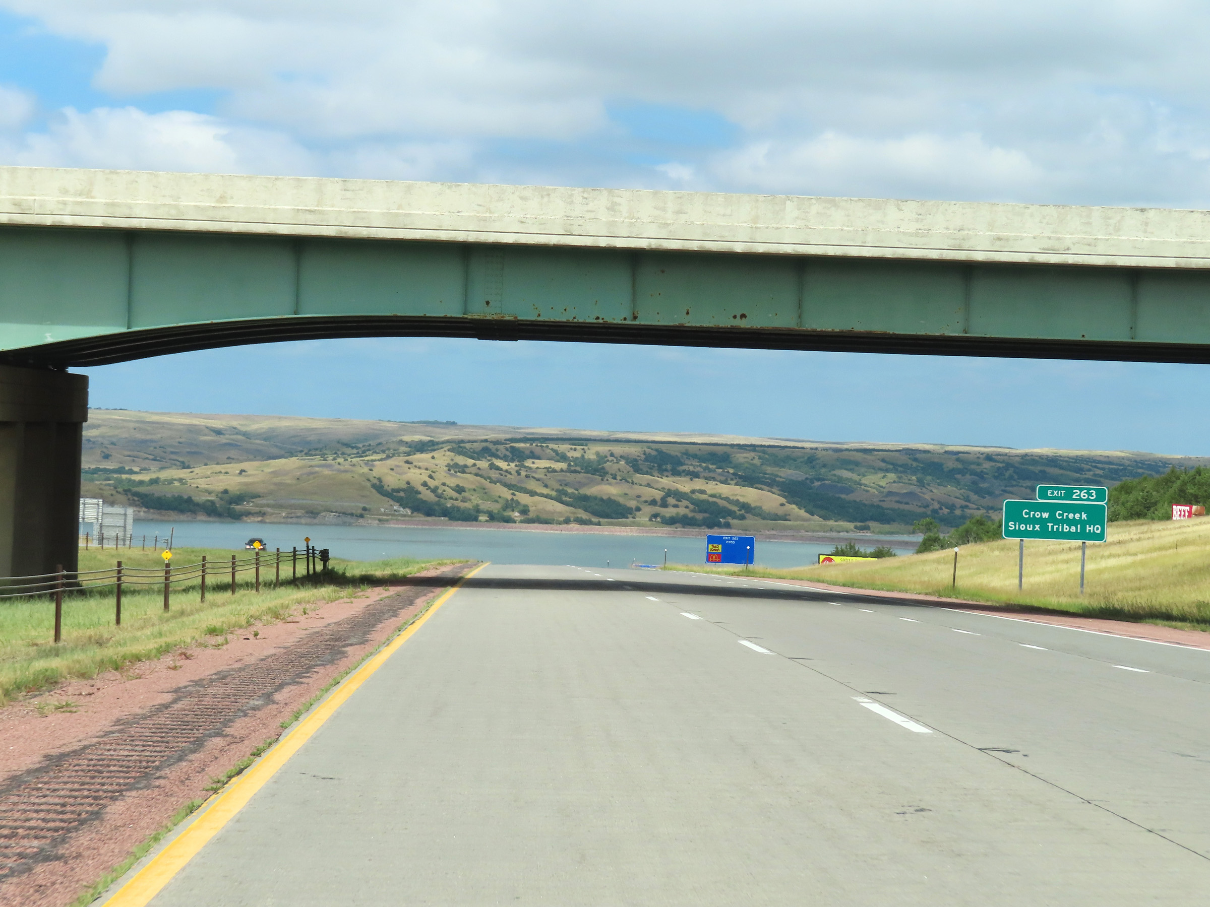 |
Also take Exit 263 to the Crow Creek Sioux Tribal Headquarters. (Photo taken 8/16/22). |
 |
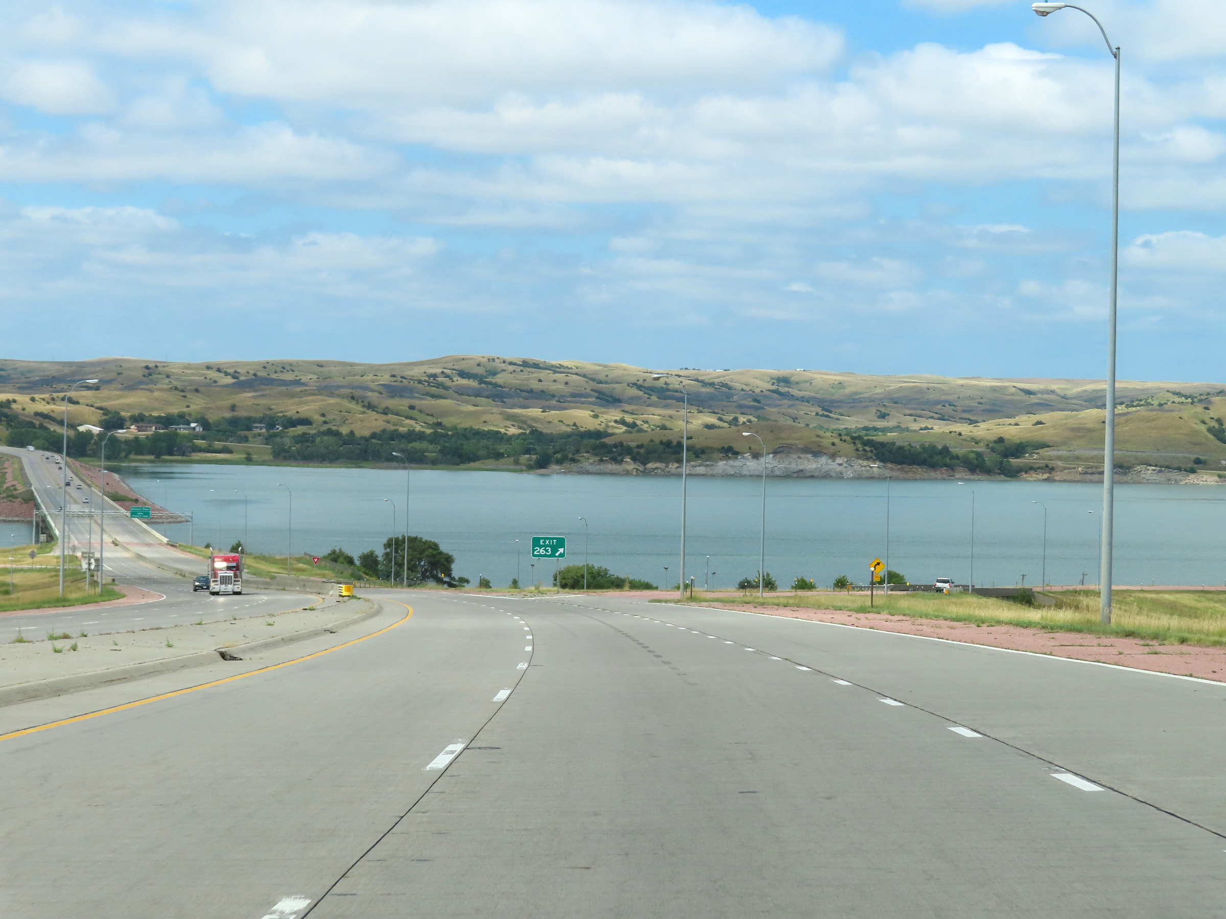
View on Interstate 90 West as it descends into the Missouri River Valley in Chamberlain. (Photo taken 8/16/22). |
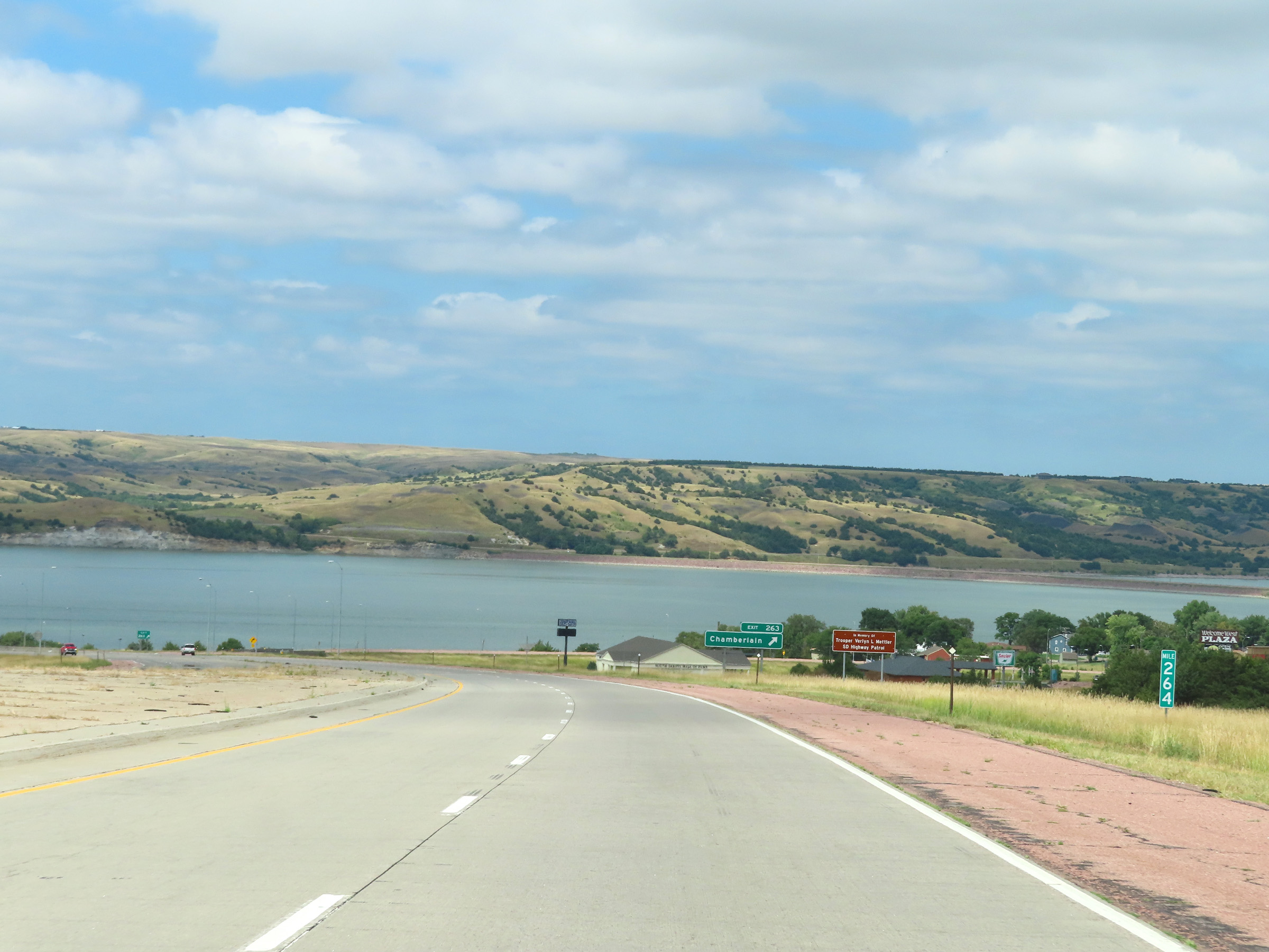 |
View on Interstate 90 West at mile marker 264. (Photo taken 8/16/22). |
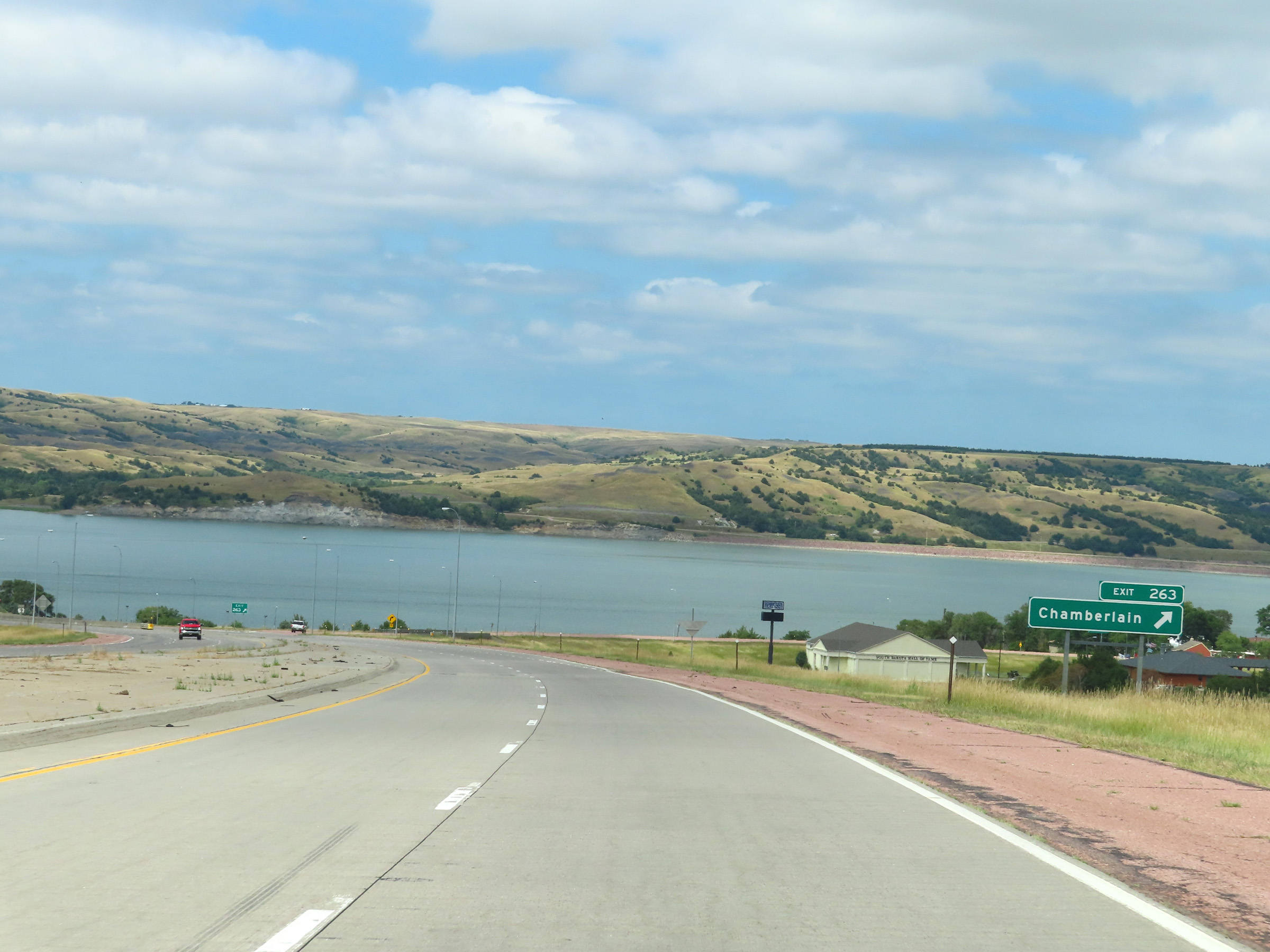 |
Interstate 90 West at Exit 263: Chamberlain (Photo taken 8/16/22). |
Section 4: Chamberlain (Exit 263) to Murdo (Exit 192)
 |
View on Interstate 90 West as it makes its descent to the Missouri River valley and Lake Francis Case in Chamberlain. (Photo taken 8/16/22). |
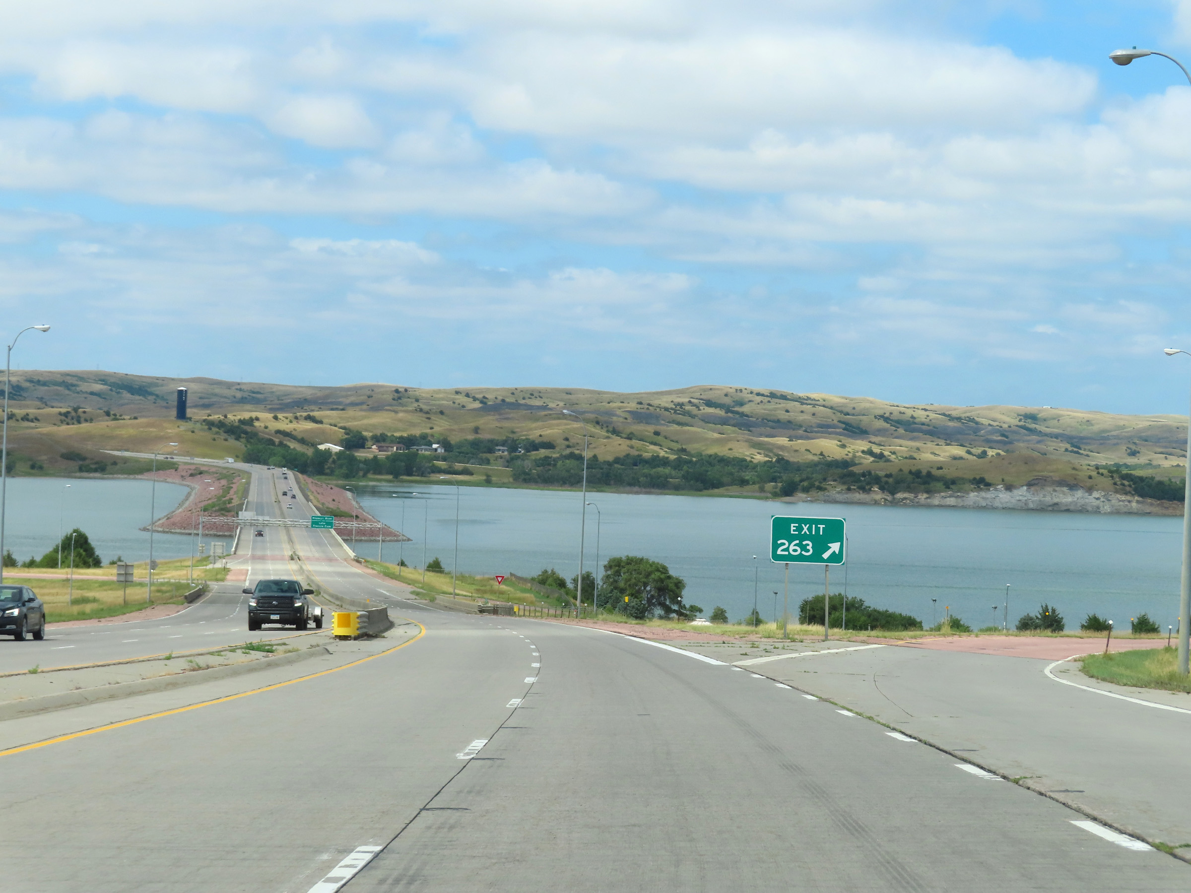 |
Gore point signage for Exit 263 on Interstate 90 West, as it descends to the Missouri River and Lake Francis Case in Chamberlain. (Photo taken 8/16/22). |
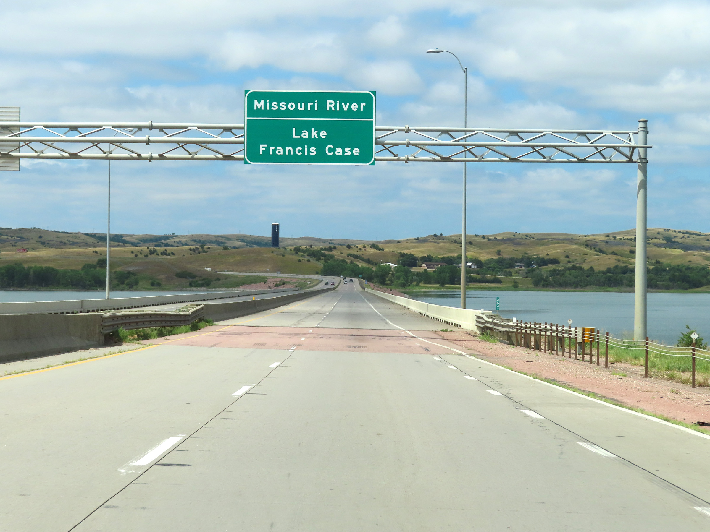 |
This overhead signage is displayed as Interstate 90 West begins to cross the Missouri River and Lake Francis Case. (Photo taken 8/16/22). |
 |
View on Interstate 90 West as it crosses the Missouri River and Lake Francis Case, leaving Chamberlain and Brule County. (Photo taken 8/16/22). |
 |
Interstate 90 West reassurance shield as it prepares to leave Brule County by crossing the Missouri River and Lake Francis Case. (Photo taken 8/16/22). |
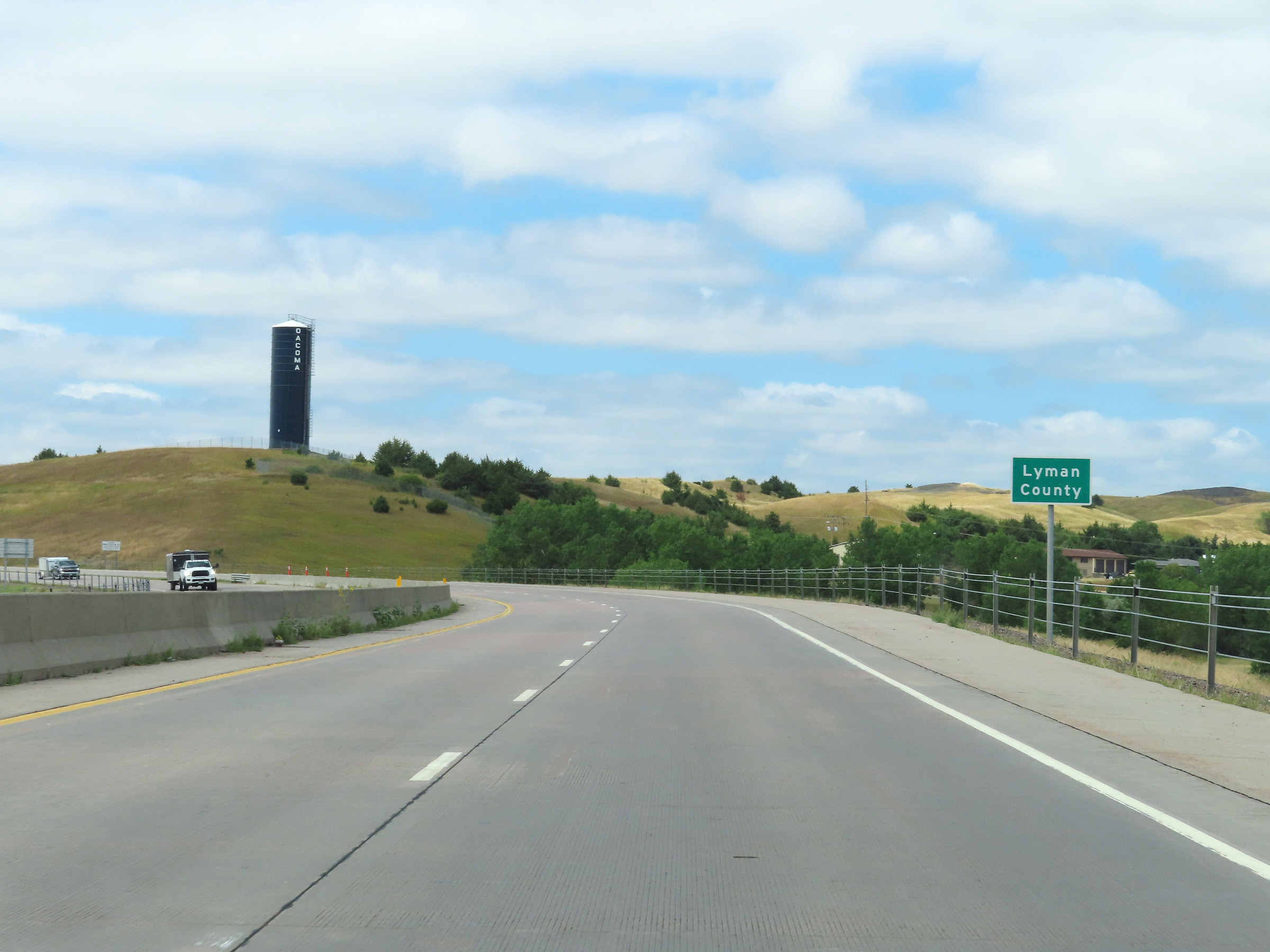 |
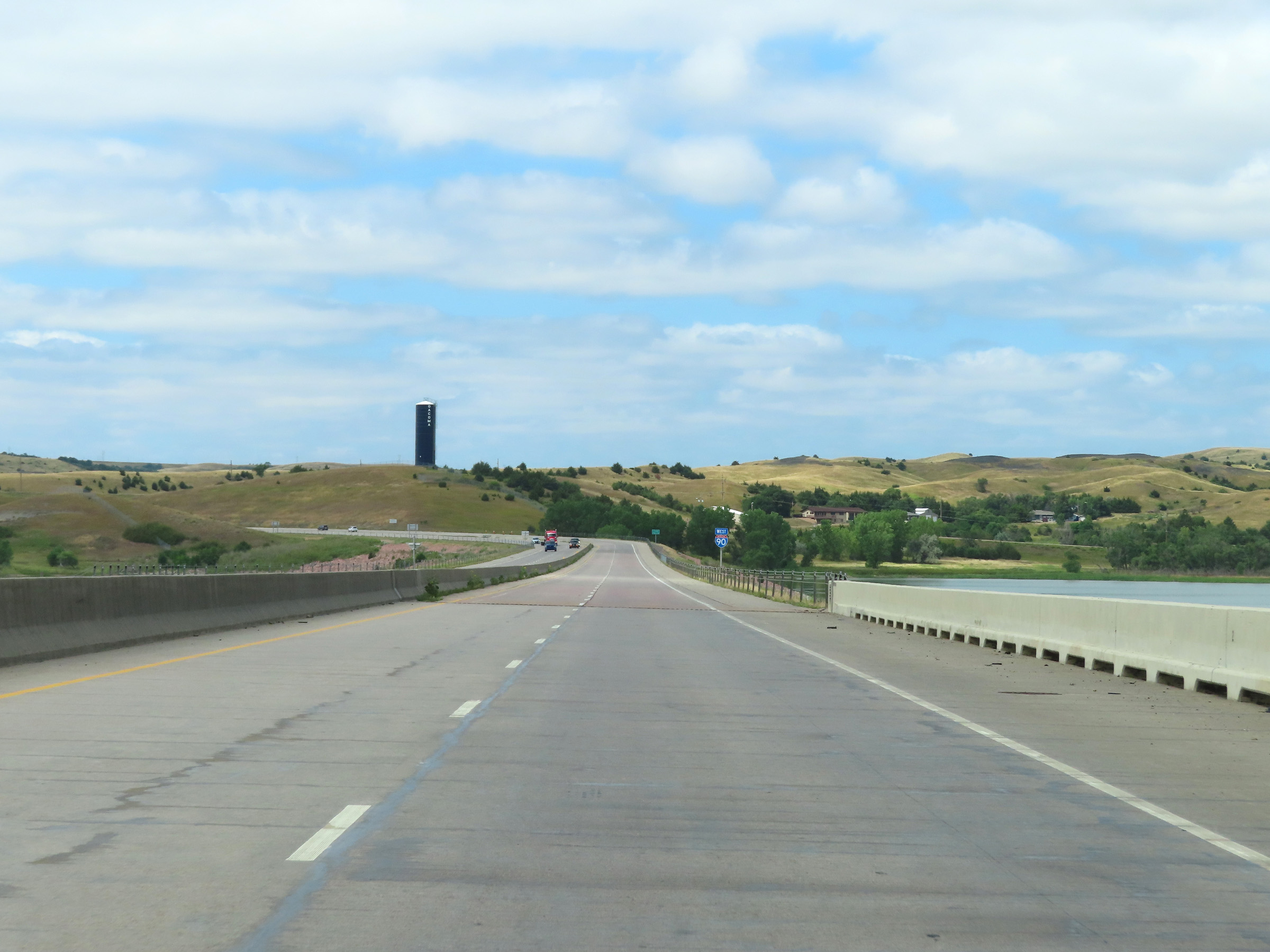
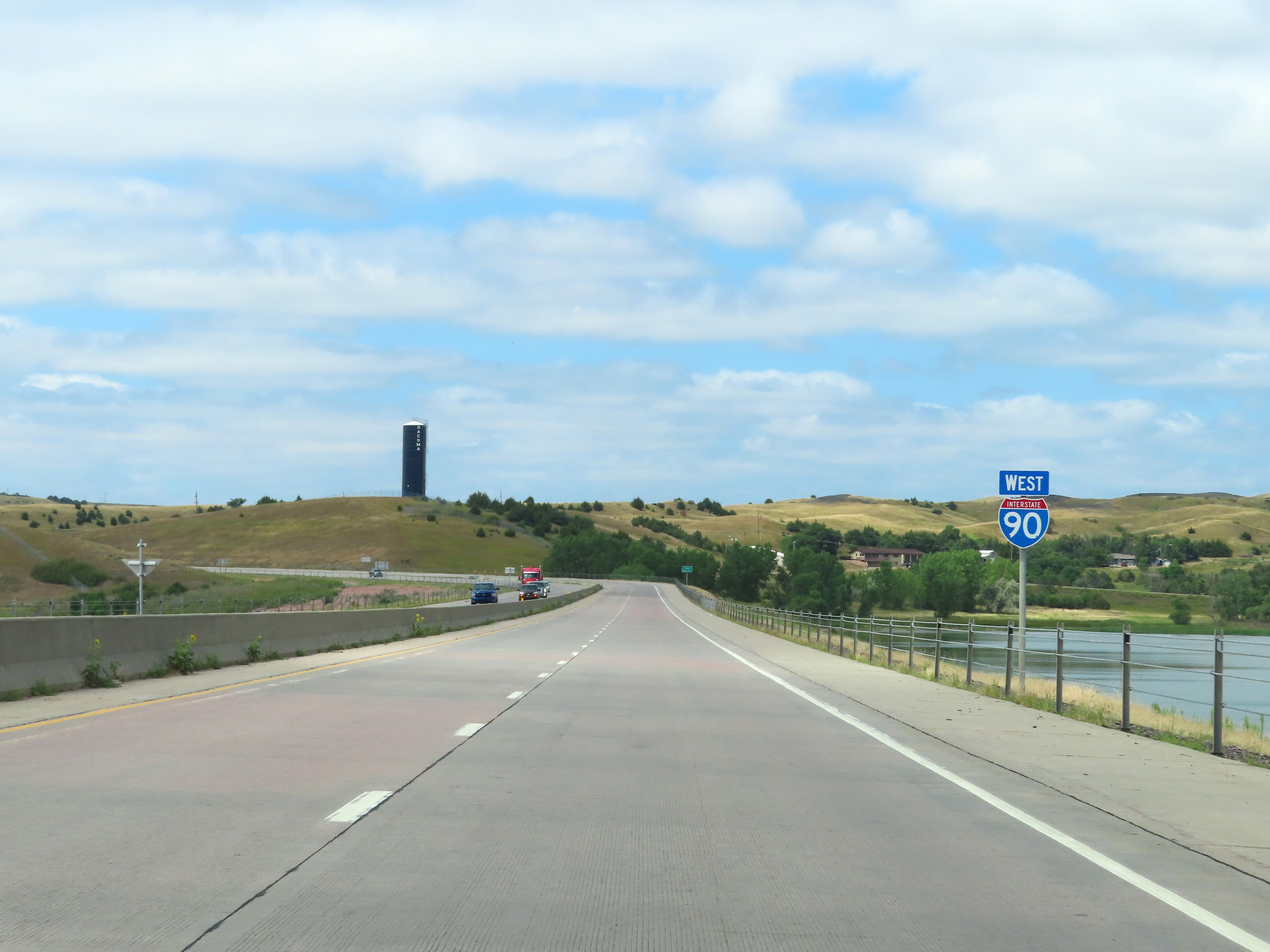
On the west side of the Missouri River and Lake Francis Case, Interstate 90 West enters Lyman County. (Photo taken 8/16/22). |
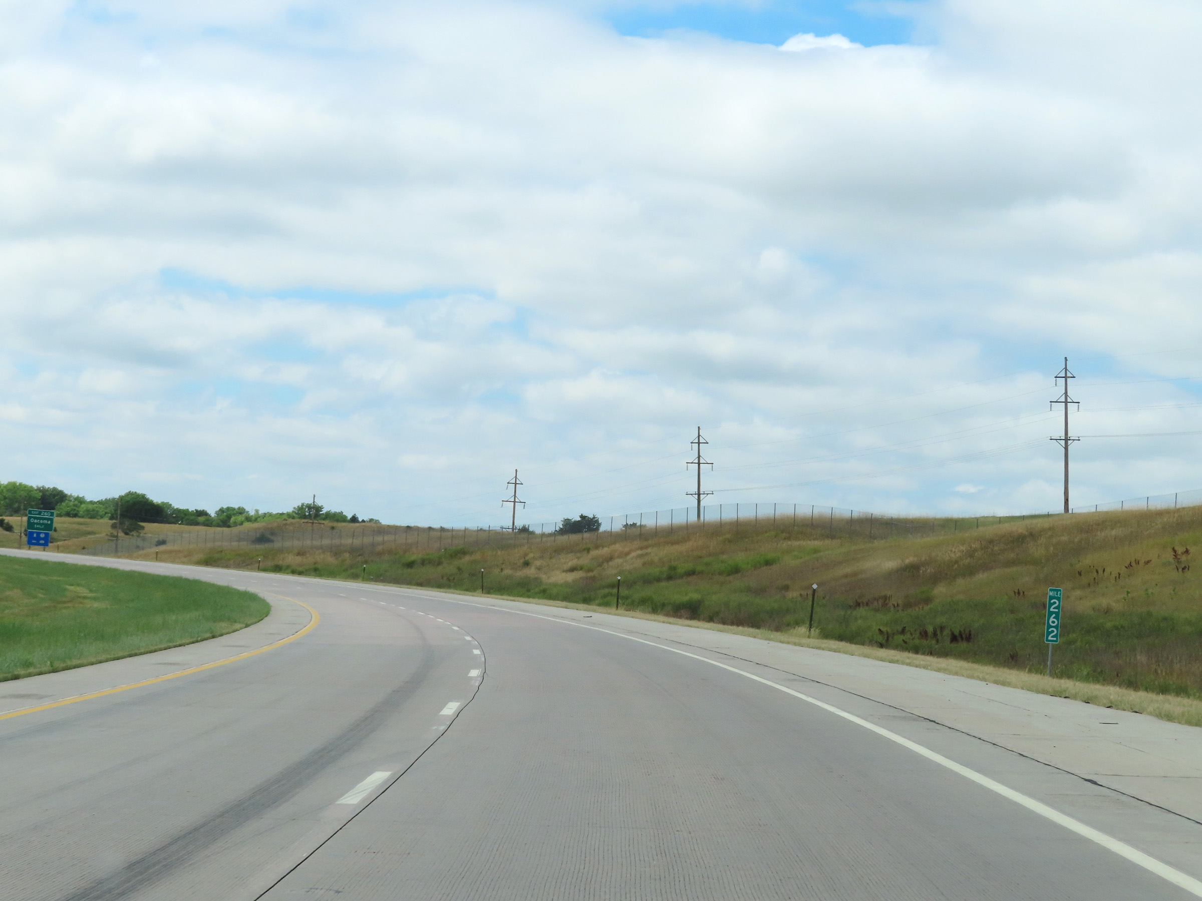 |
View on Interstate 90 West at mile marker 262, climbing out of the Missouri River valley. (Photo taken 8/16/22). |
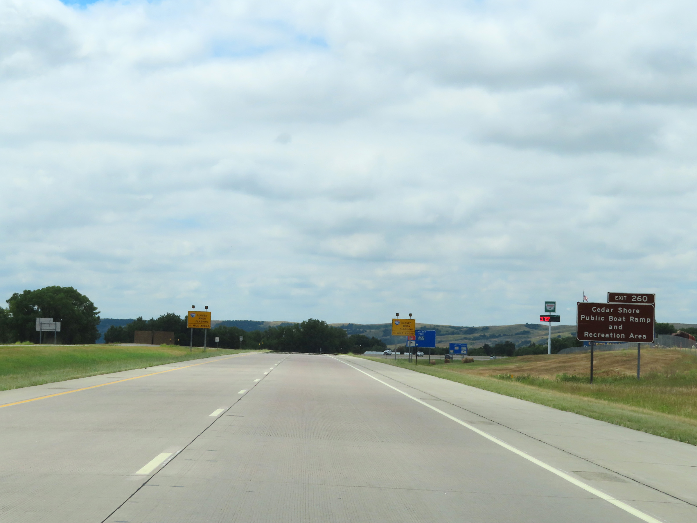 |
Take Exit 260 to Cedar Shore Public Boat Ramp and Recreation Area. (Photo taken 8/16/22). |
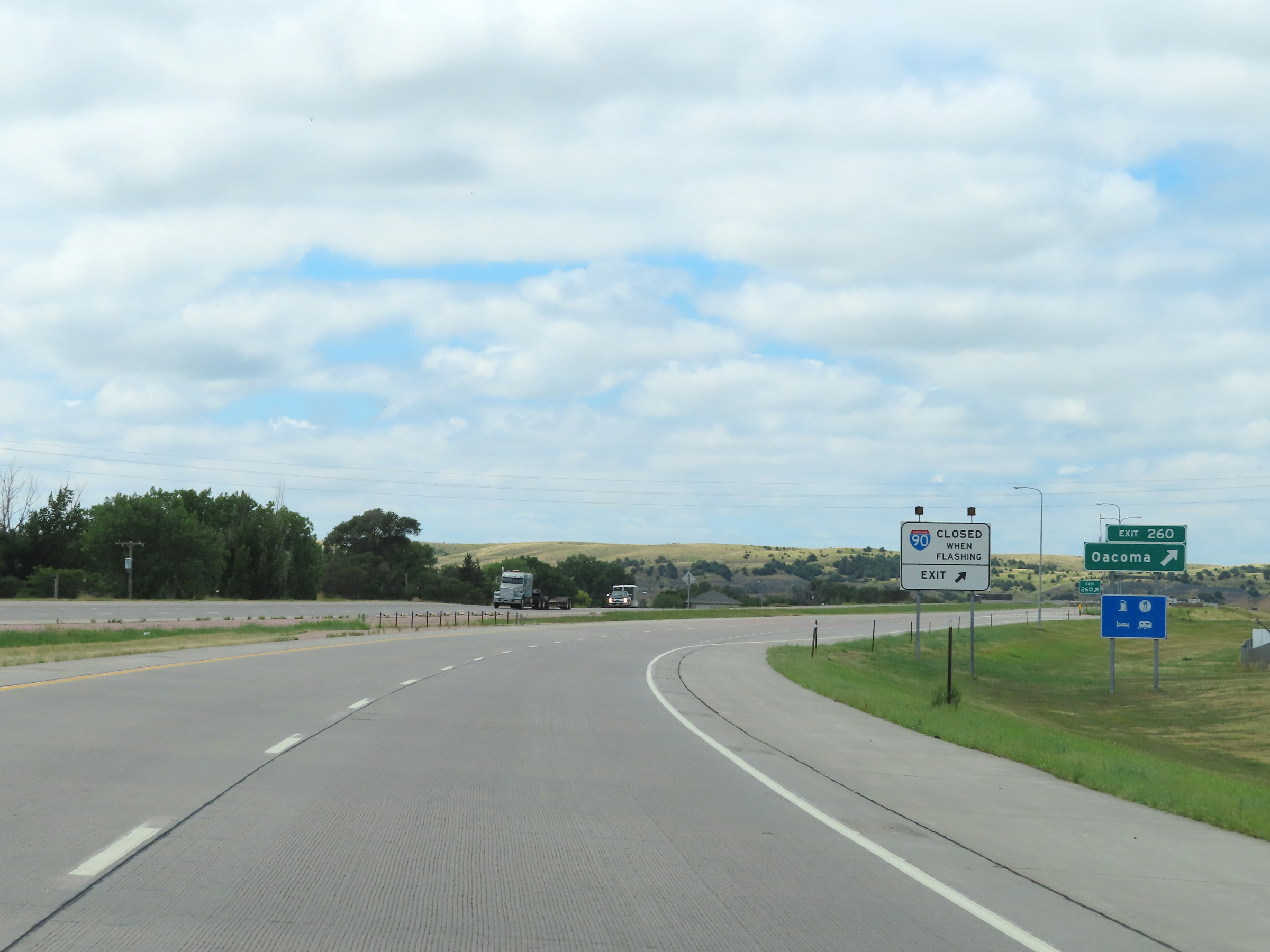 |
Interstate 90 West at Exit 260: Oacoma (Photo taken 8/16/22). |
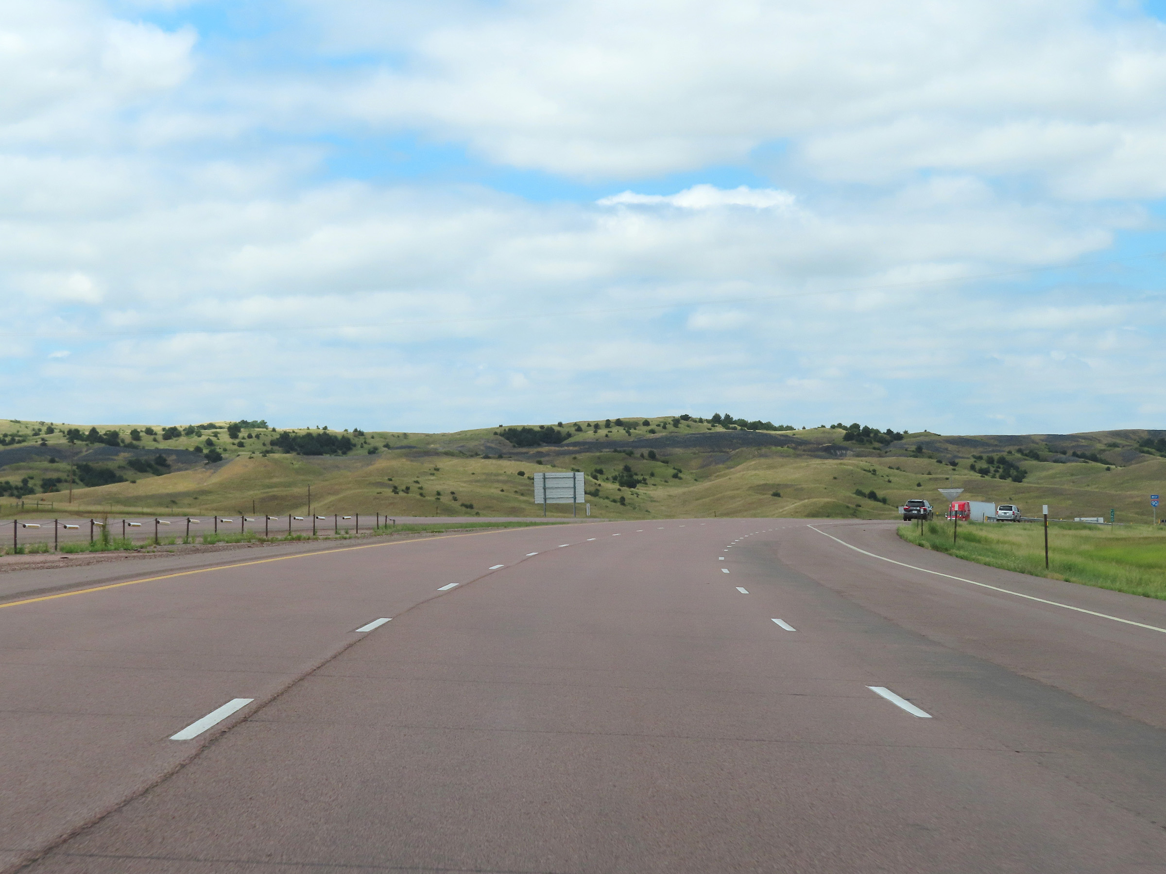 |
View on Interstate 90 West as it continues to climb up out of the Missouri River valley to the west of Exit 260. (Photo taken 8/16/22). |
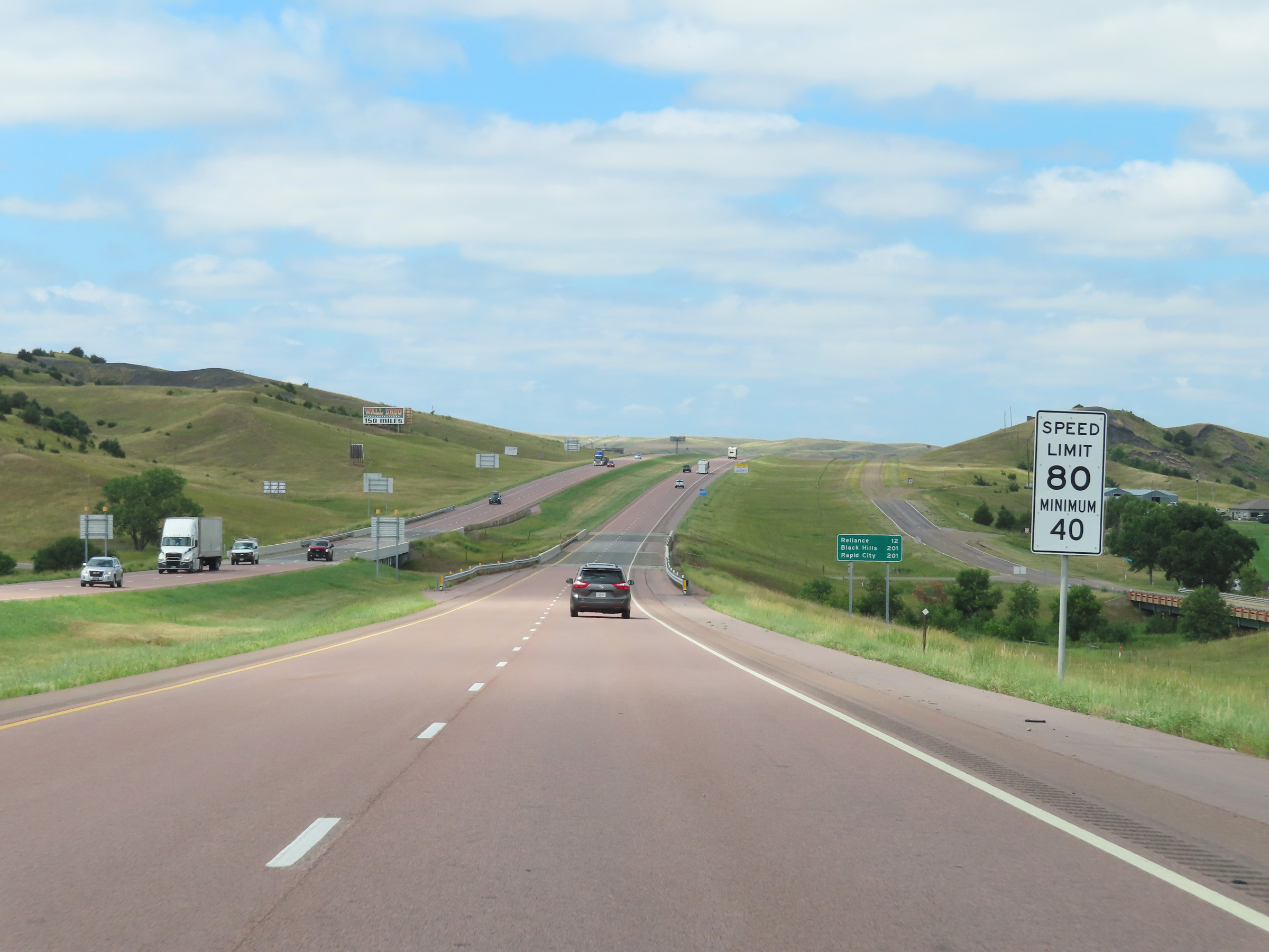 |
Speed limit signs on Interstate 90 West. The speed limits remain 80 mph maximum and 40 mph minimum. These are the speed limits on most (but not all) rural Interstate Highways in South Dakota. (Photo taken 8/16/22). |
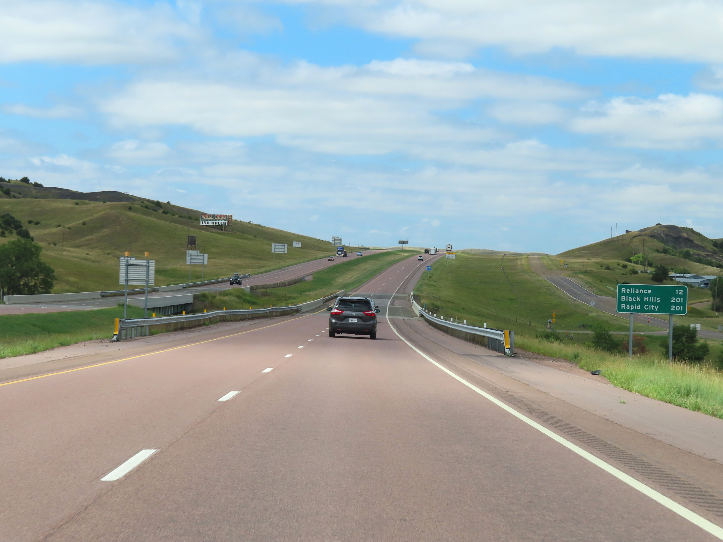 |
Mileage sign on Interstate 90 West. It's 12 miles to Reliance and 201 miles to both the Black Hills Region and Rapid City. (Photo taken 8/16/22). |
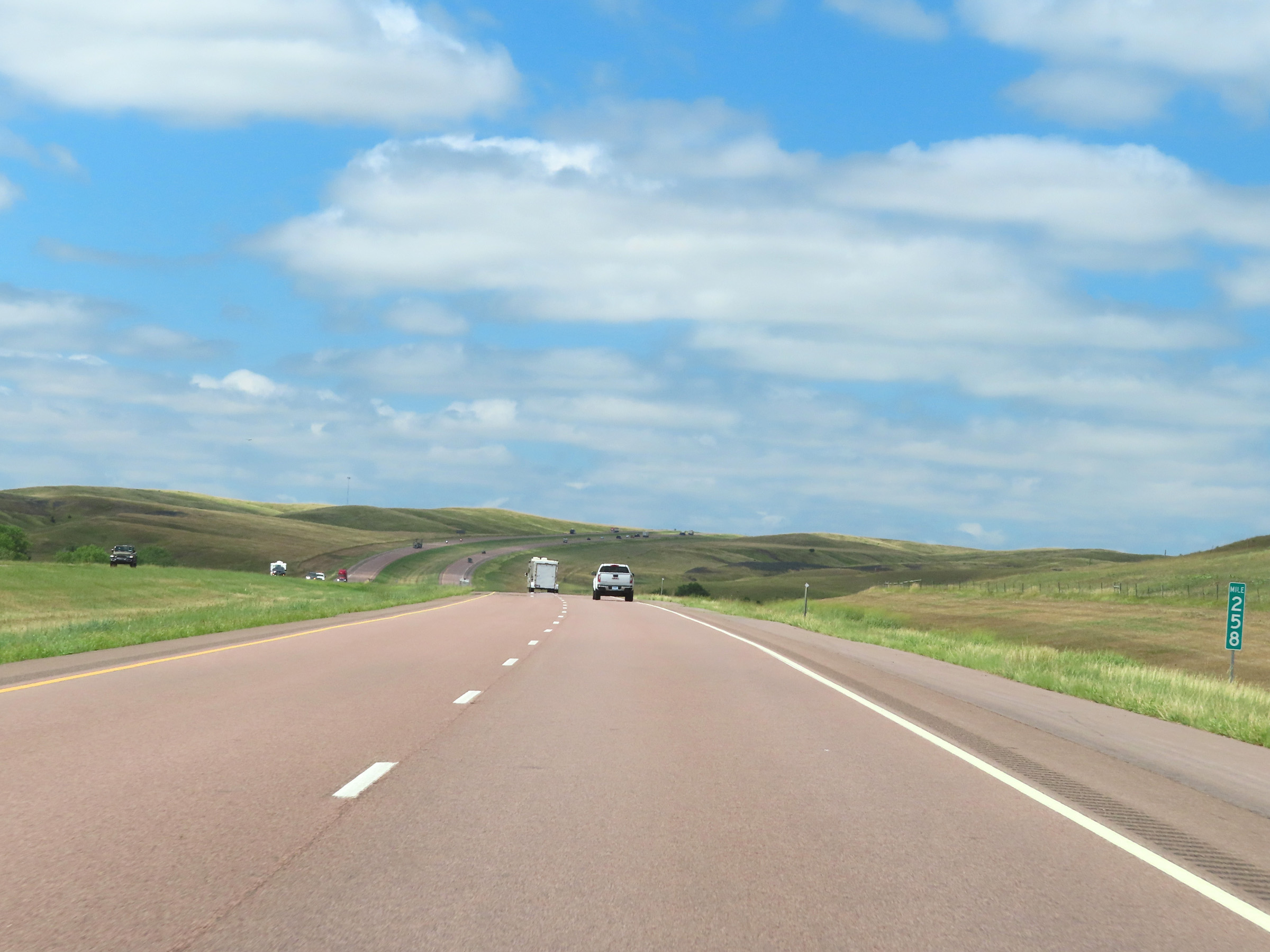 |
View on Interstate 90 West at mile marker 258. (Photo taken 8/16/22). |
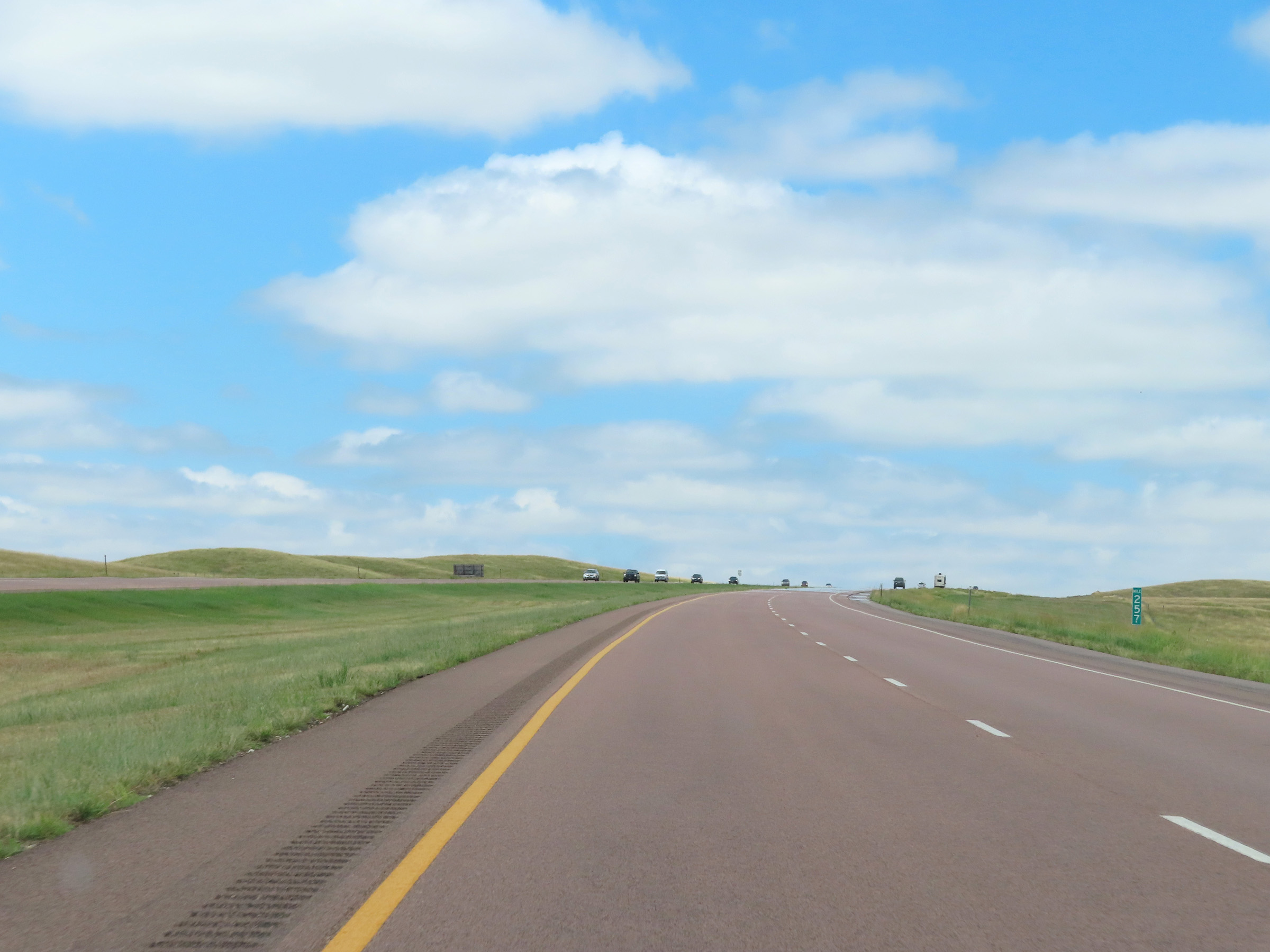 |
Interstate 90 West at mile marker 257. (Photo taken 8/16/22). |
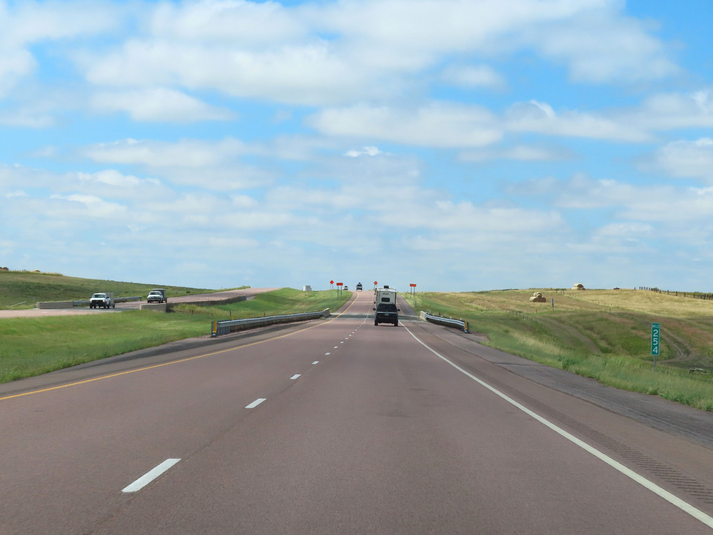 |
Mile marker 254 on Interstate 90 West in Lyman County. (Photo taken 8/16/22). |
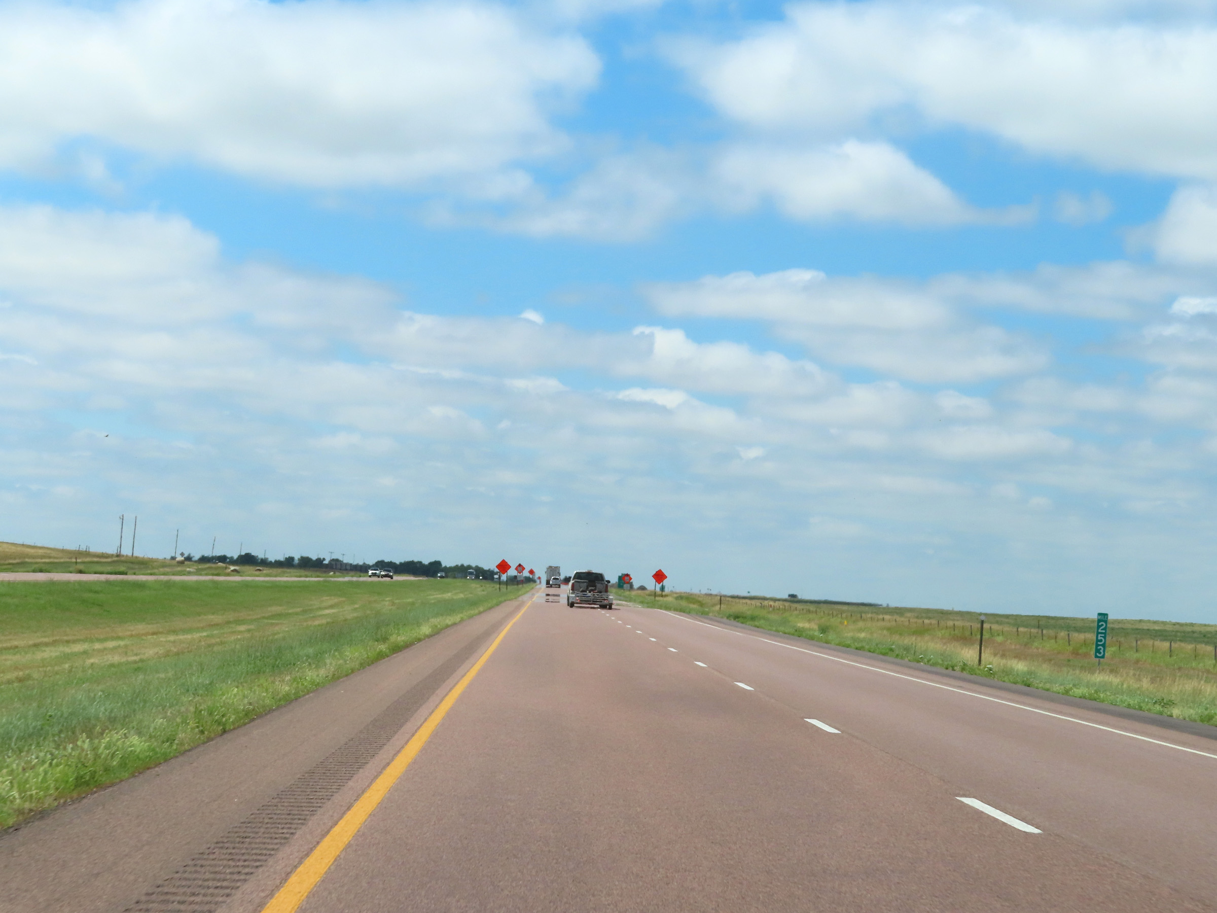 |
View on Interstate 90 West at mile marker 253. (Photo taken 8/16/22). |
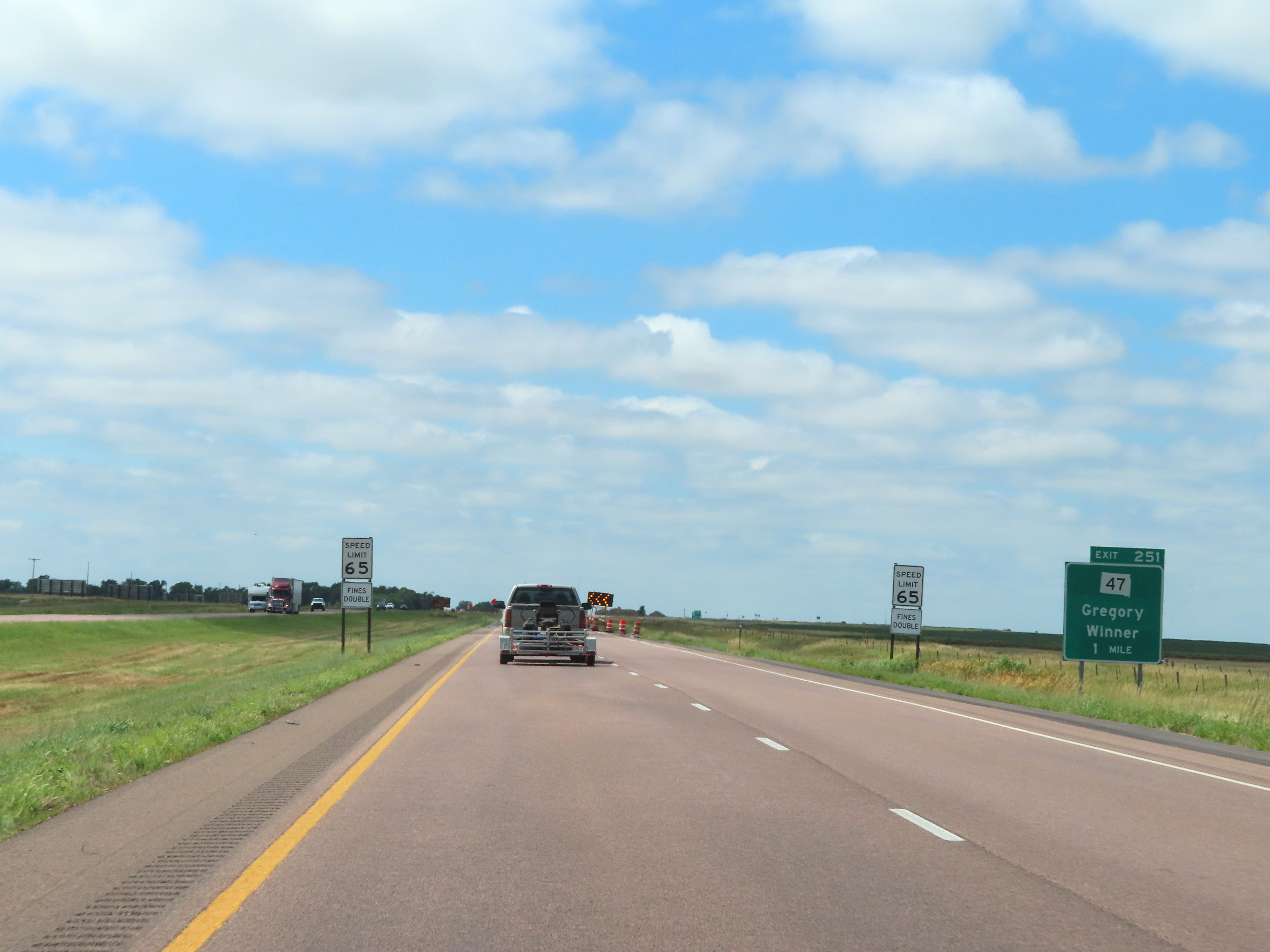 |
Interstate 90 West approaching Exit 251 - 1 mile. (Photo taken 8/16/22). |
 |
Interstate 90 West at Exit 251: SD 47 South - Gregory / Winner Interstate 90 West at Exit 251: SD 47 South - Gregory / Winner (Photo taken 8/16/22). |
 |
Interstate 90 West approaching Exit 248 - 1 mile. (Photo taken 8/16/22). |
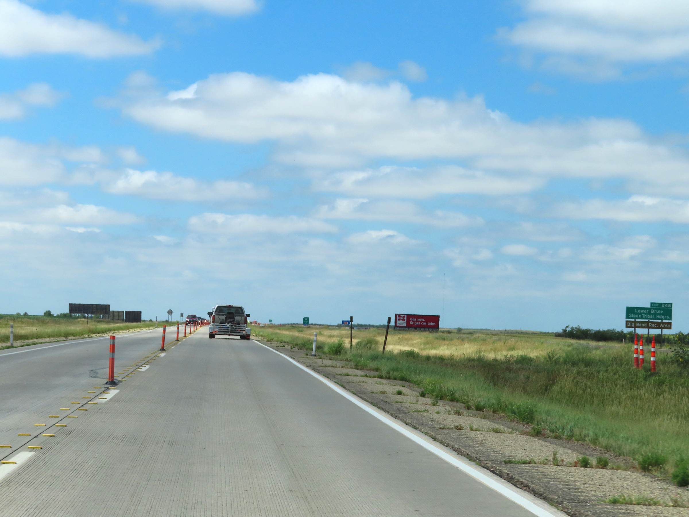 |
Take Exit 248 to the Lower Brule Sioux Tribal Headquarters and Big Bend Recreation Area. (Photo taken 8/16/22). |
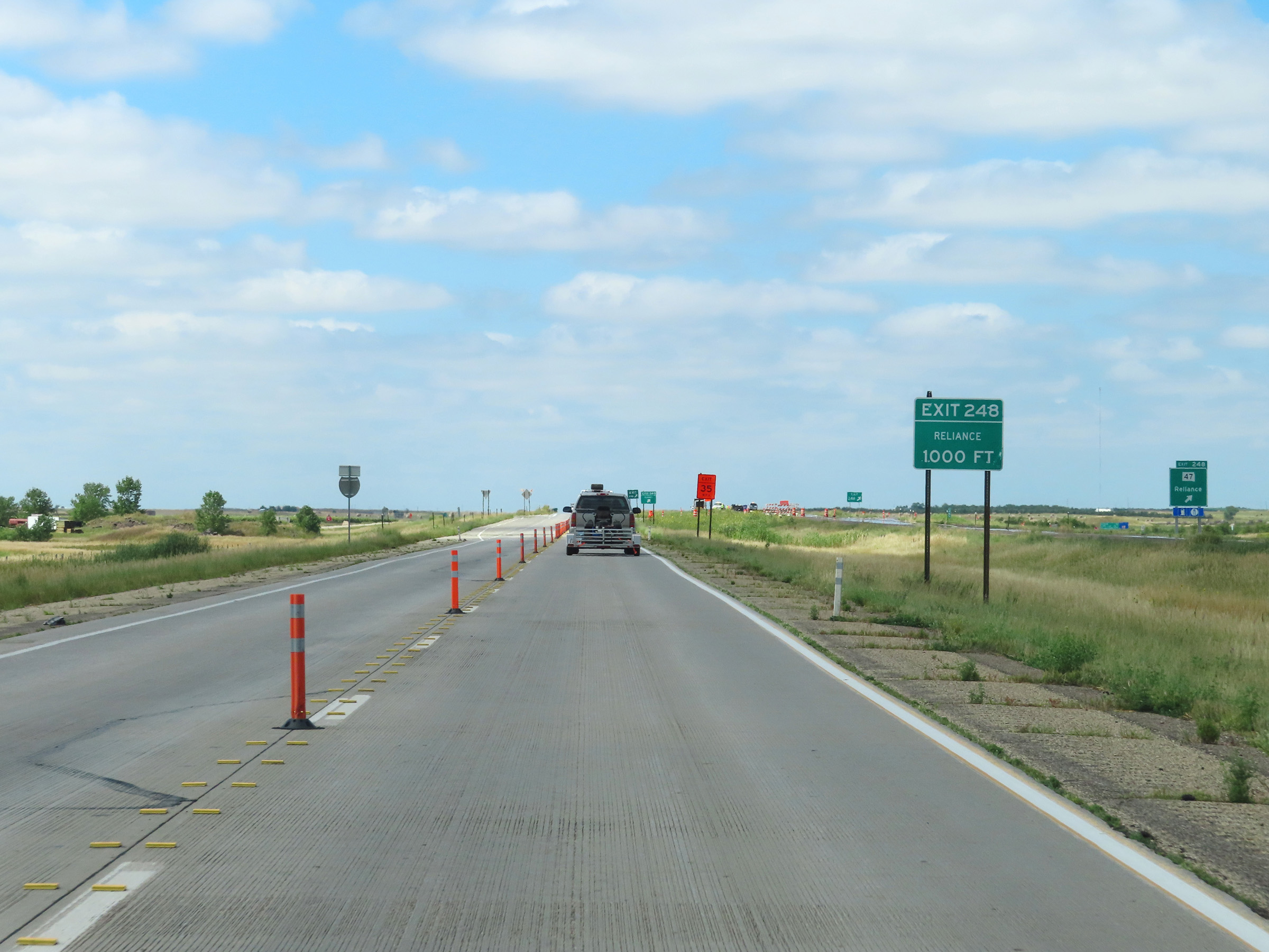 |
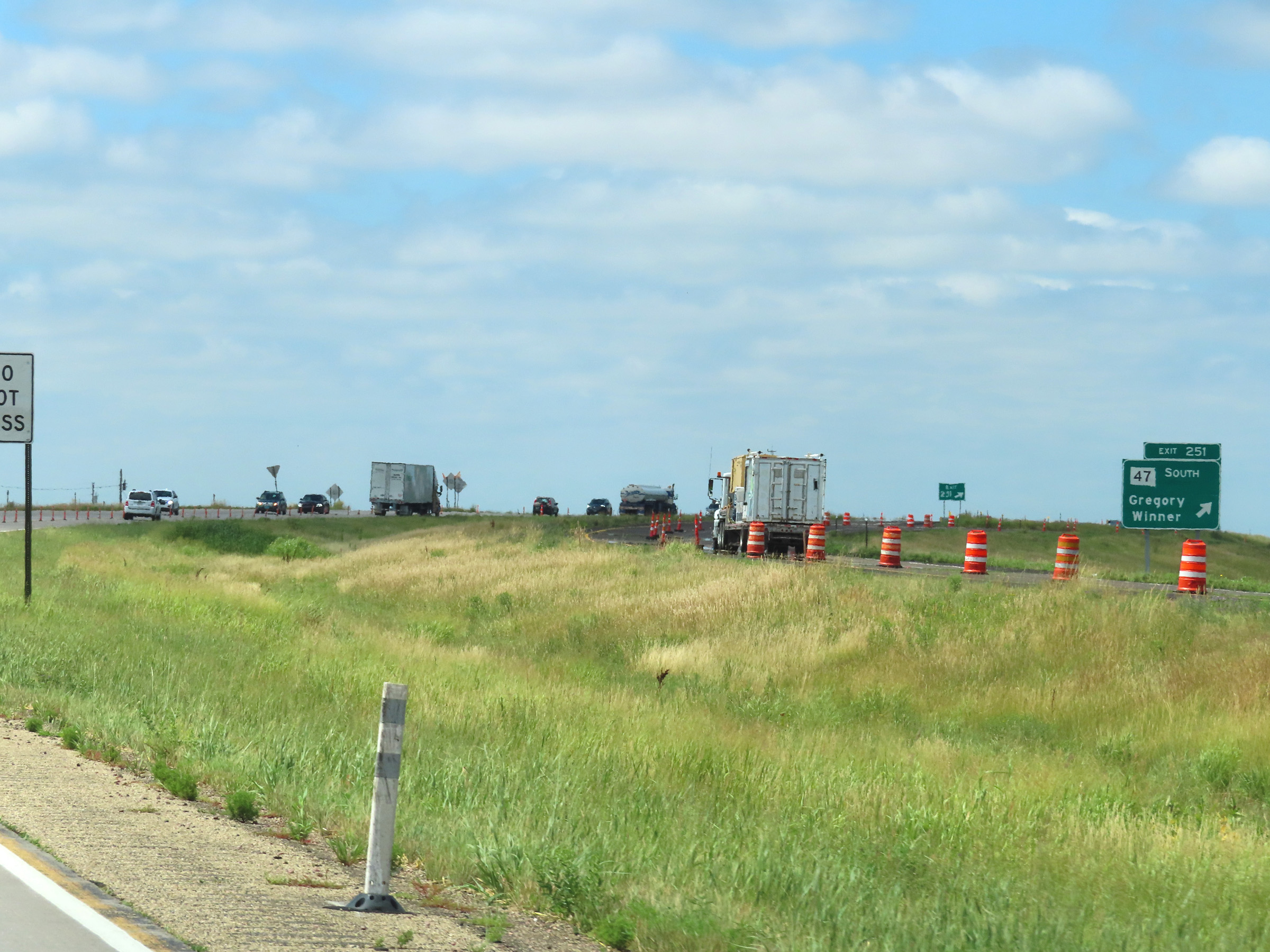
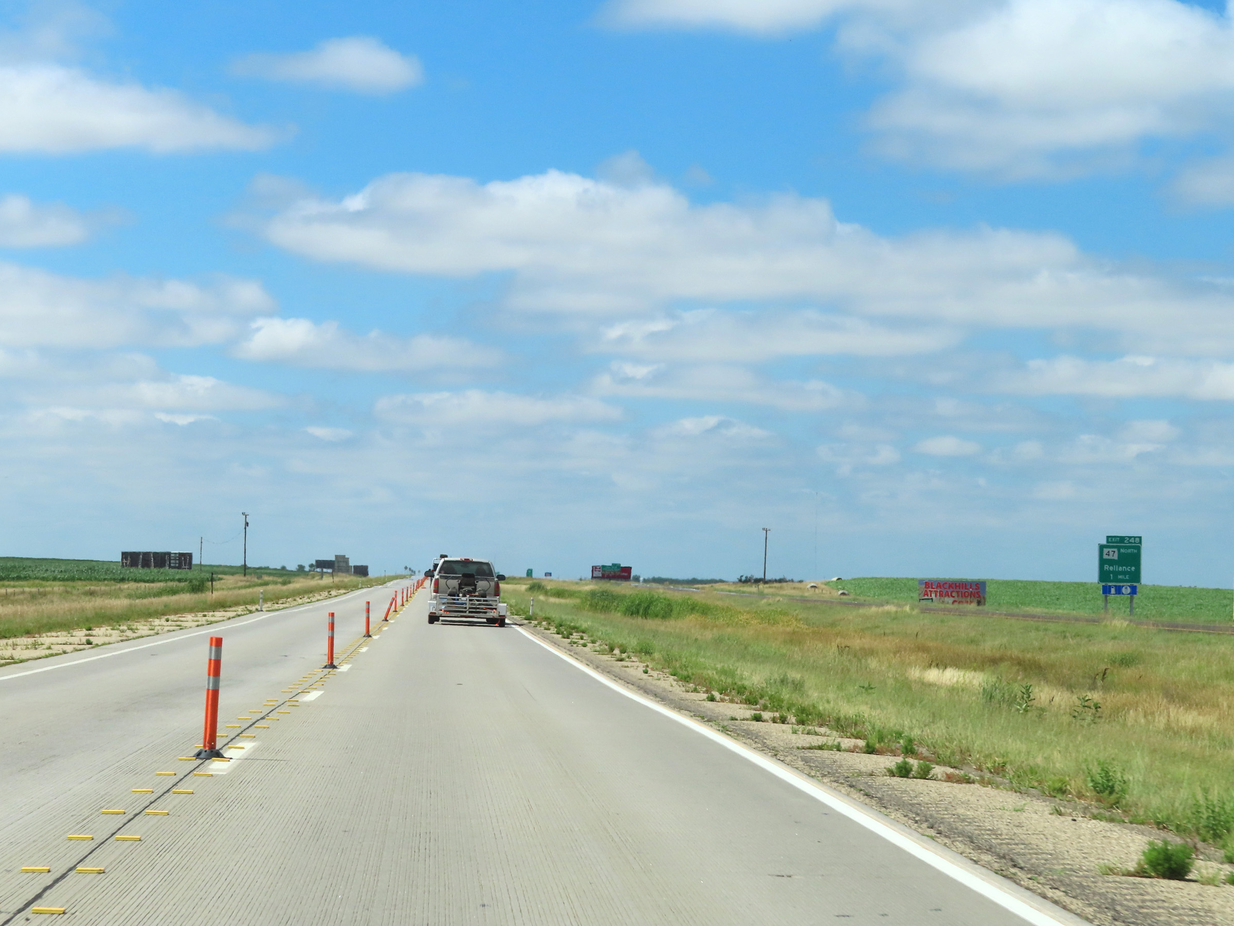
Interstate 90 West at Exit 248: SD 47 - Reliance (Photo taken 8/16/22). |
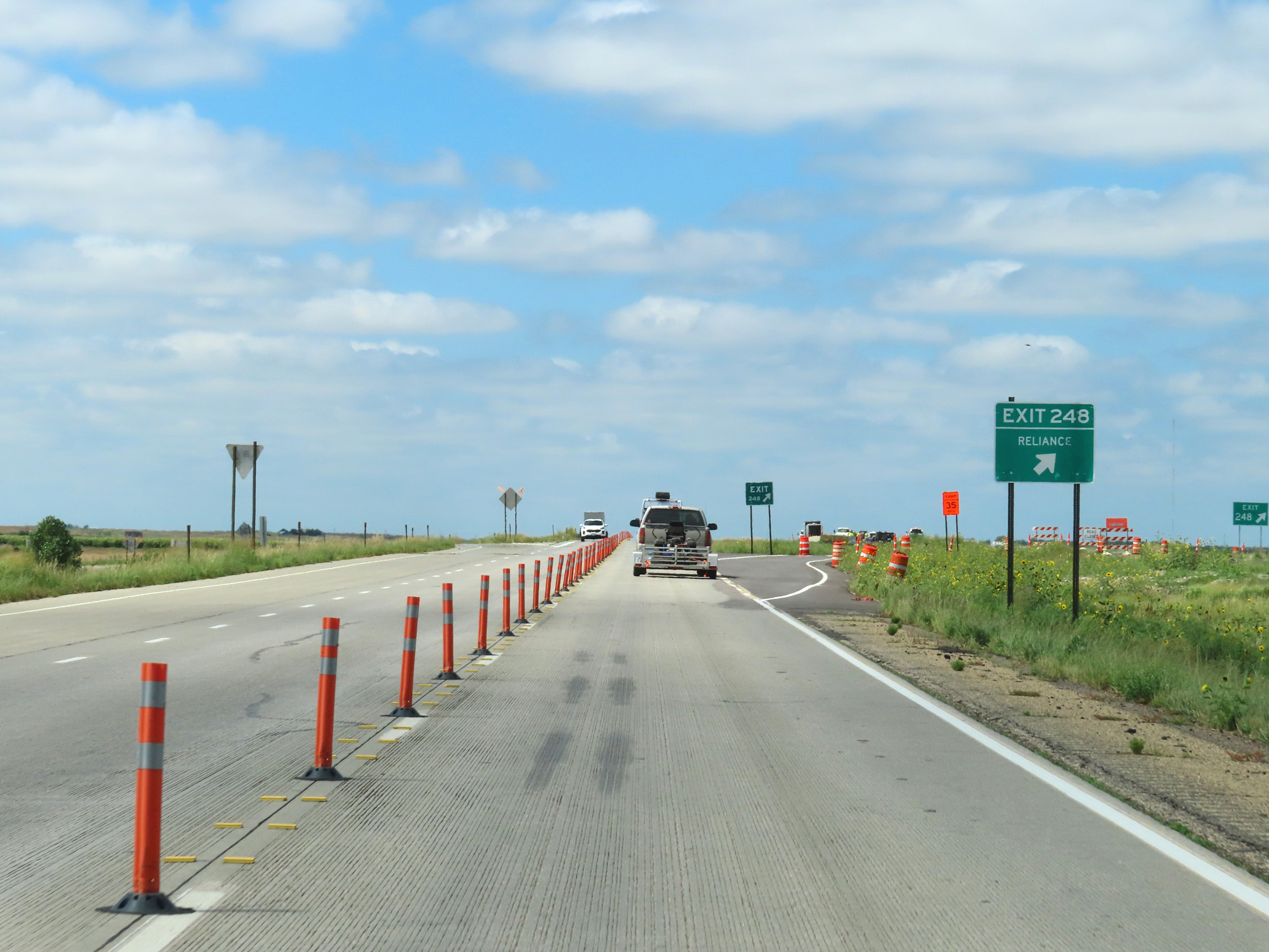 |
Construction exit ramp for Exit 248. (Photo taken 8/16/22). |
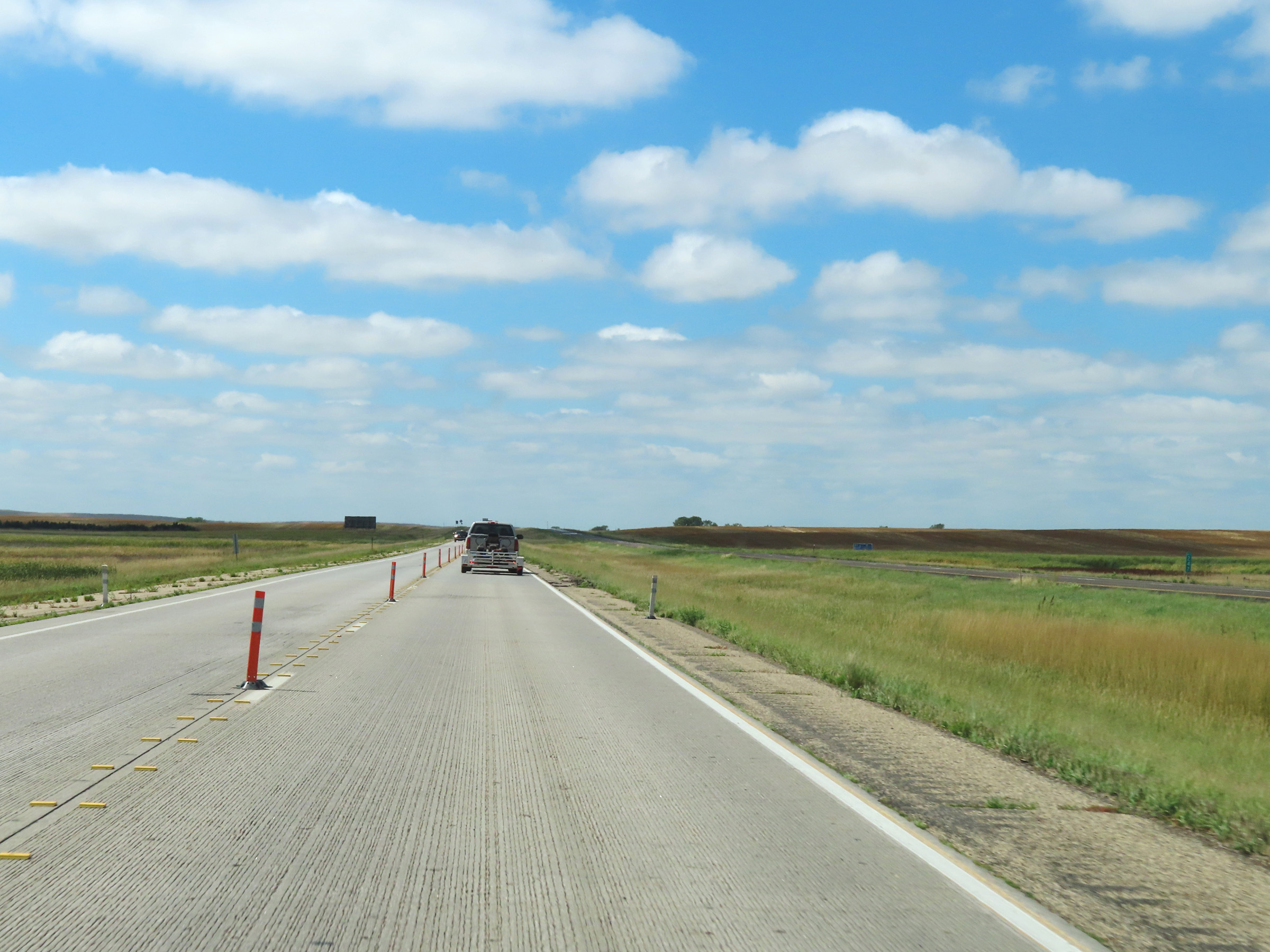 |
View on Interstate 90 West at mile marker 247. (Photo taken 8/16/22). |
 |
Interstate 90 West in Lyman County. (Photo taken 8/16/22). |
 |
Another view on Interstate 90 West in Lyman County, nearing Kennebec. (Photo taken 8/16/22). |
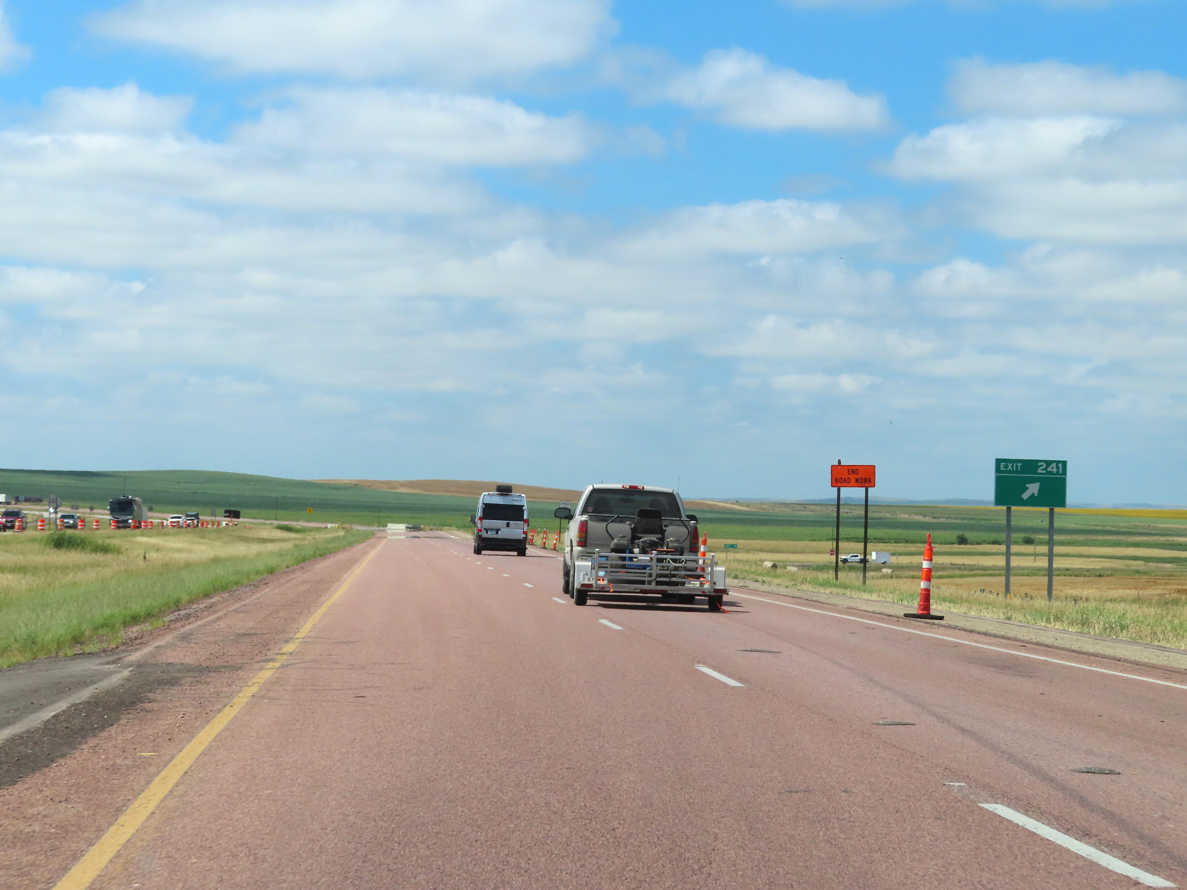 |
Interstate 90 West at Exit 241: (No Name) (Photo taken 8/16/22). |
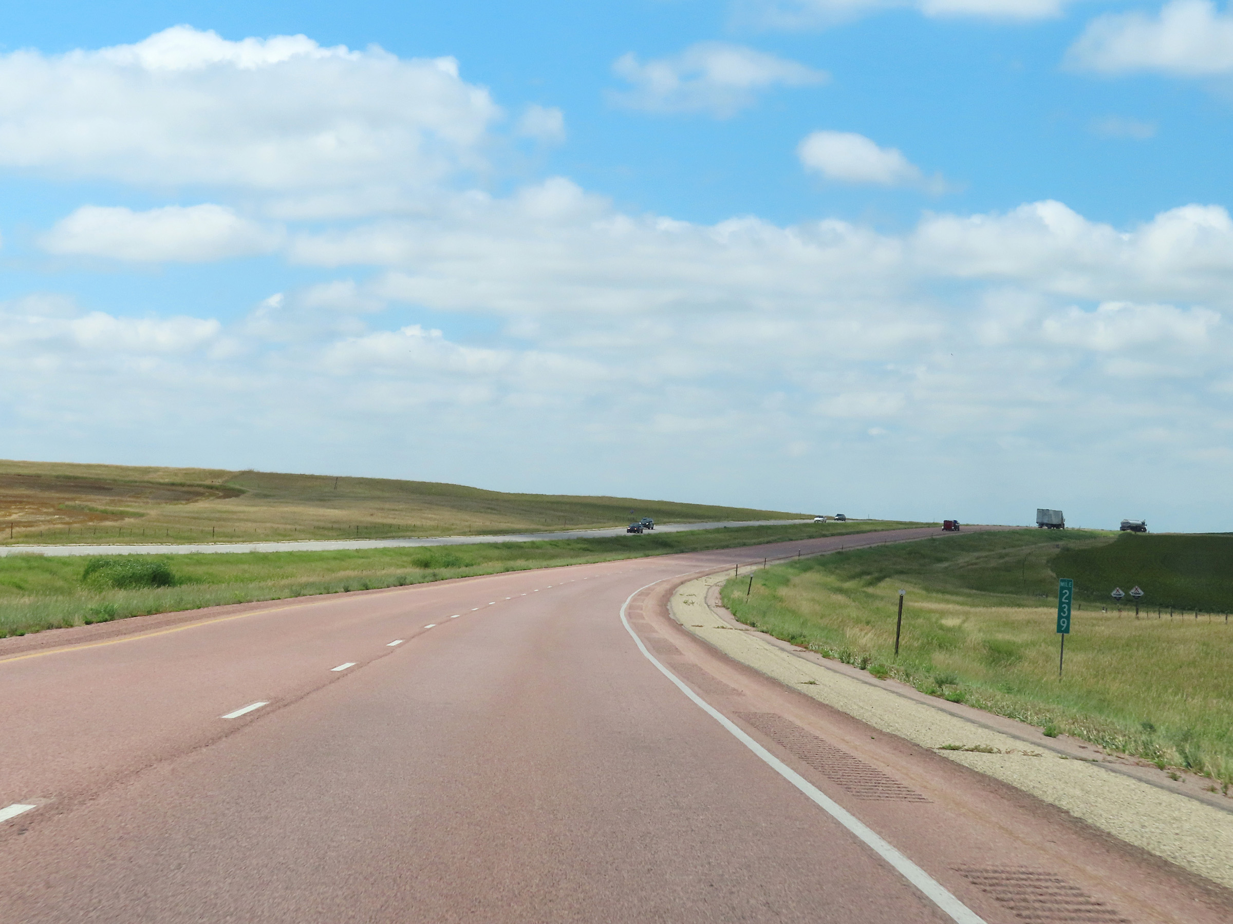 |
Mile marker 239 on Interstate 90 West in Lyman County. (Photo taken 8/16/22). |
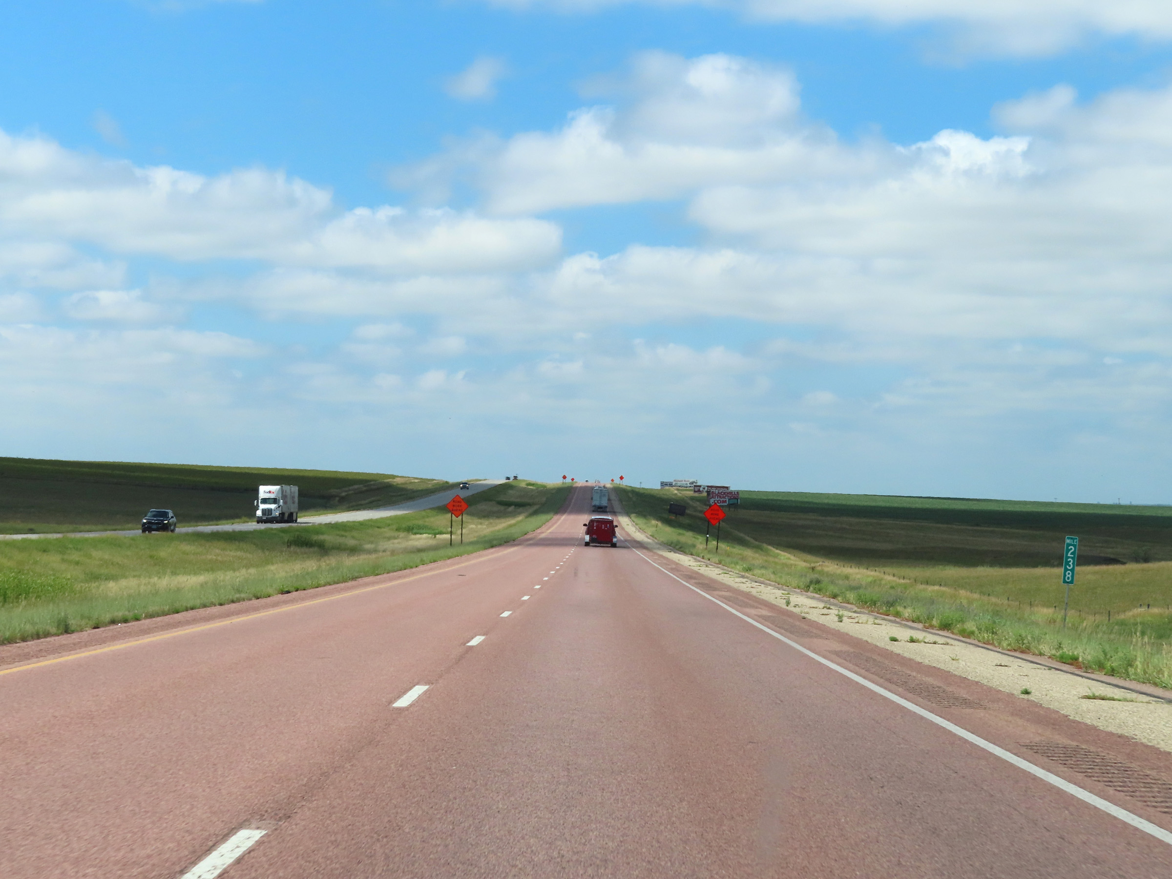 |
View on Interstate 90 West at mile marker 238. (Photo taken 8/16/22). |
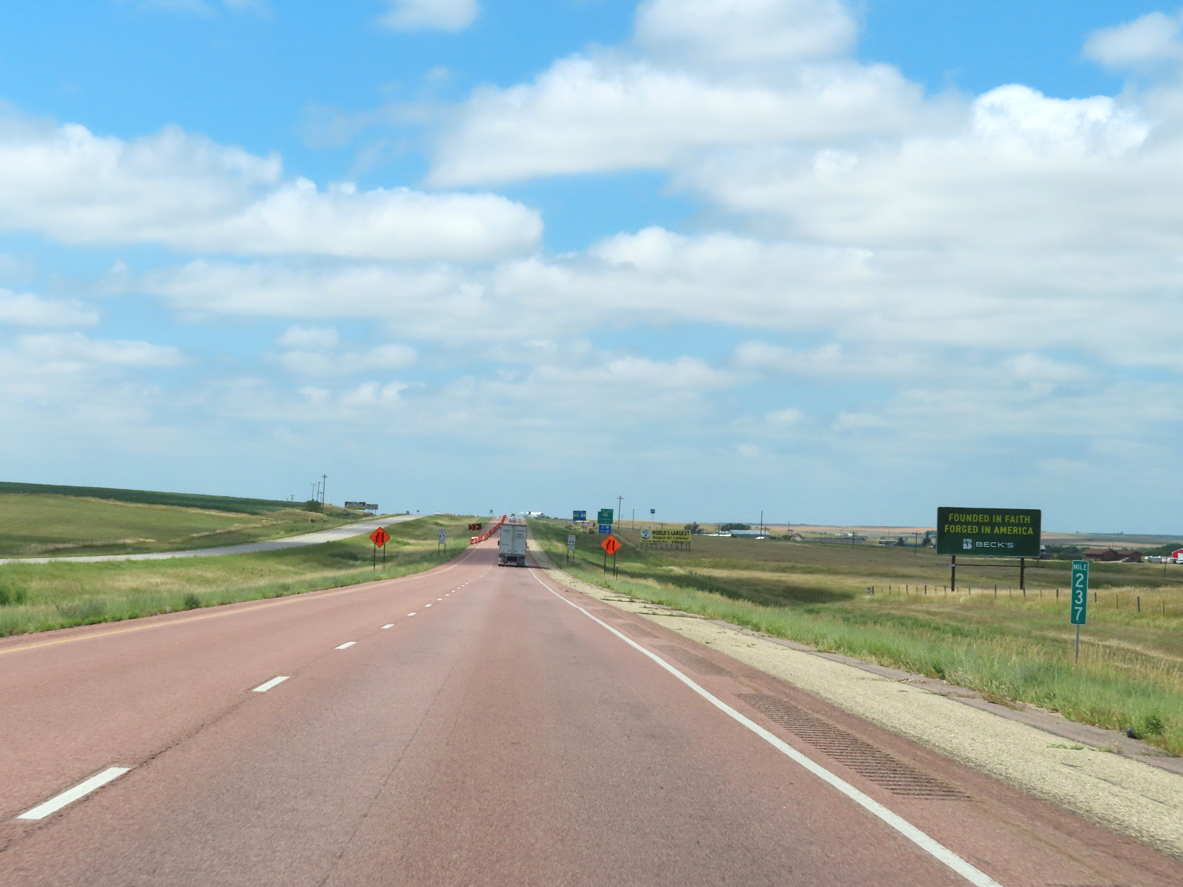 |
Interstate 90 West at mile marker 237. (Photo taken 8/16/22). |
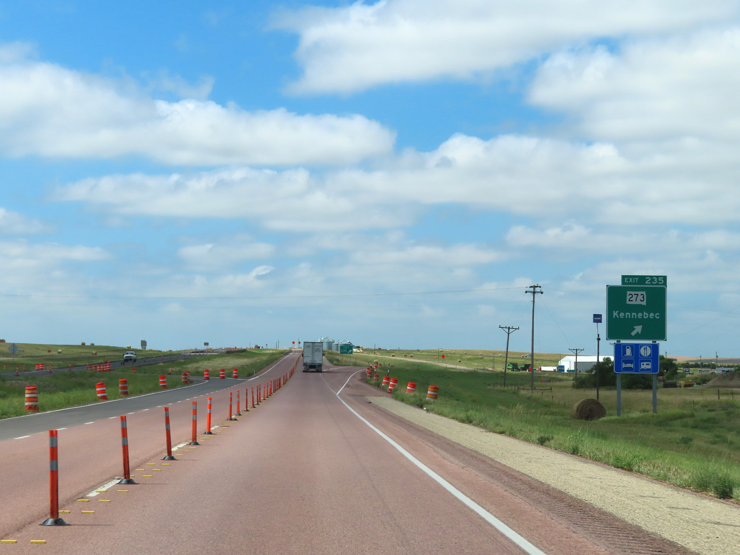 |
Interstate 90 West at Exit 235: SD 273 - Kennebec (Photo taken 8/16/22). |
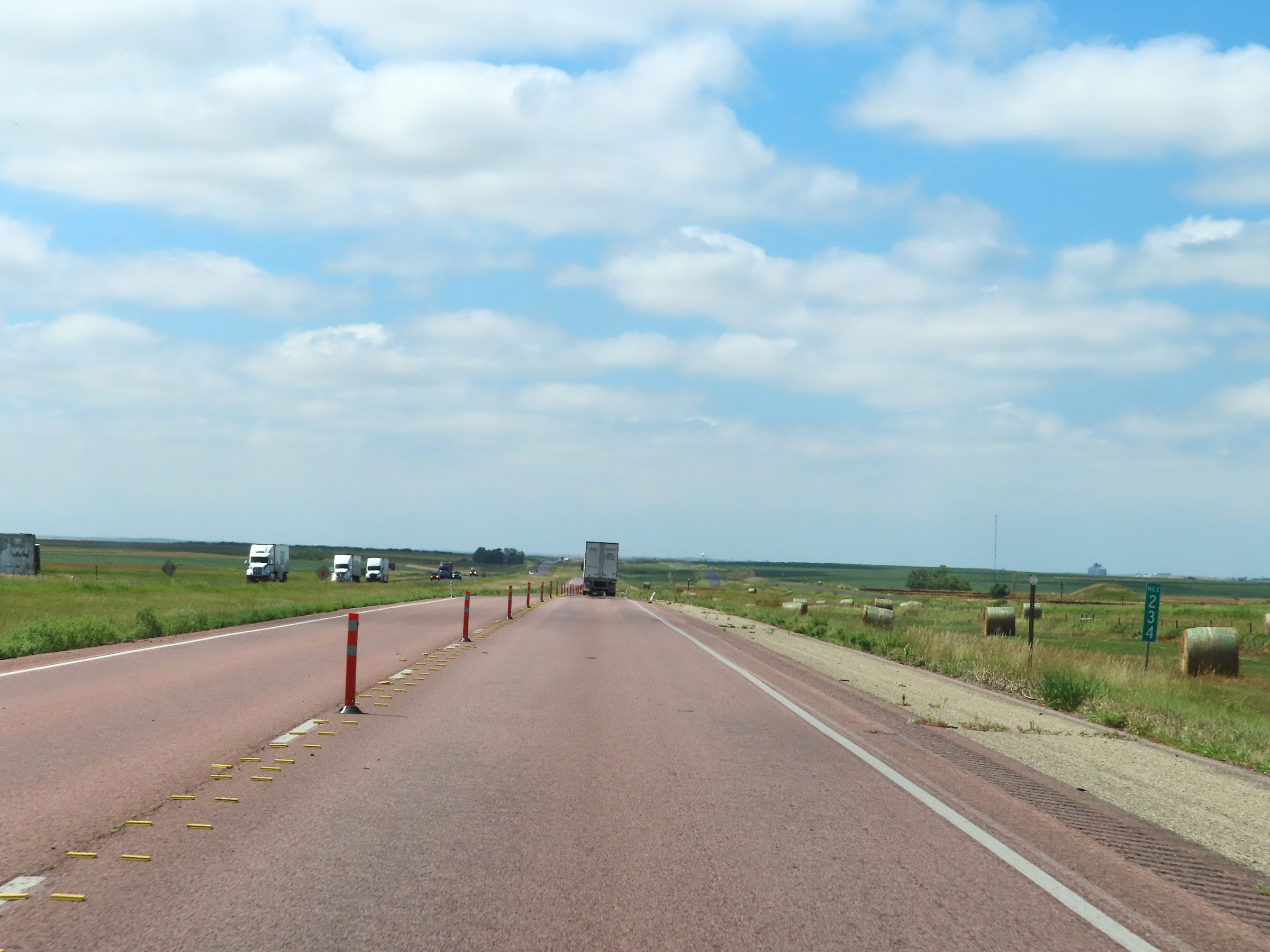 |
Mile marker 234 on Interstate 90 West in Lyman County. (Photo taken 8/16/22). |
 |
Interstate 90 West at mile marker 232. (Photo taken 8/16/22). |
 |
View on Interstate 90 West at mile marker 231. (Photo taken 8/16/22). |
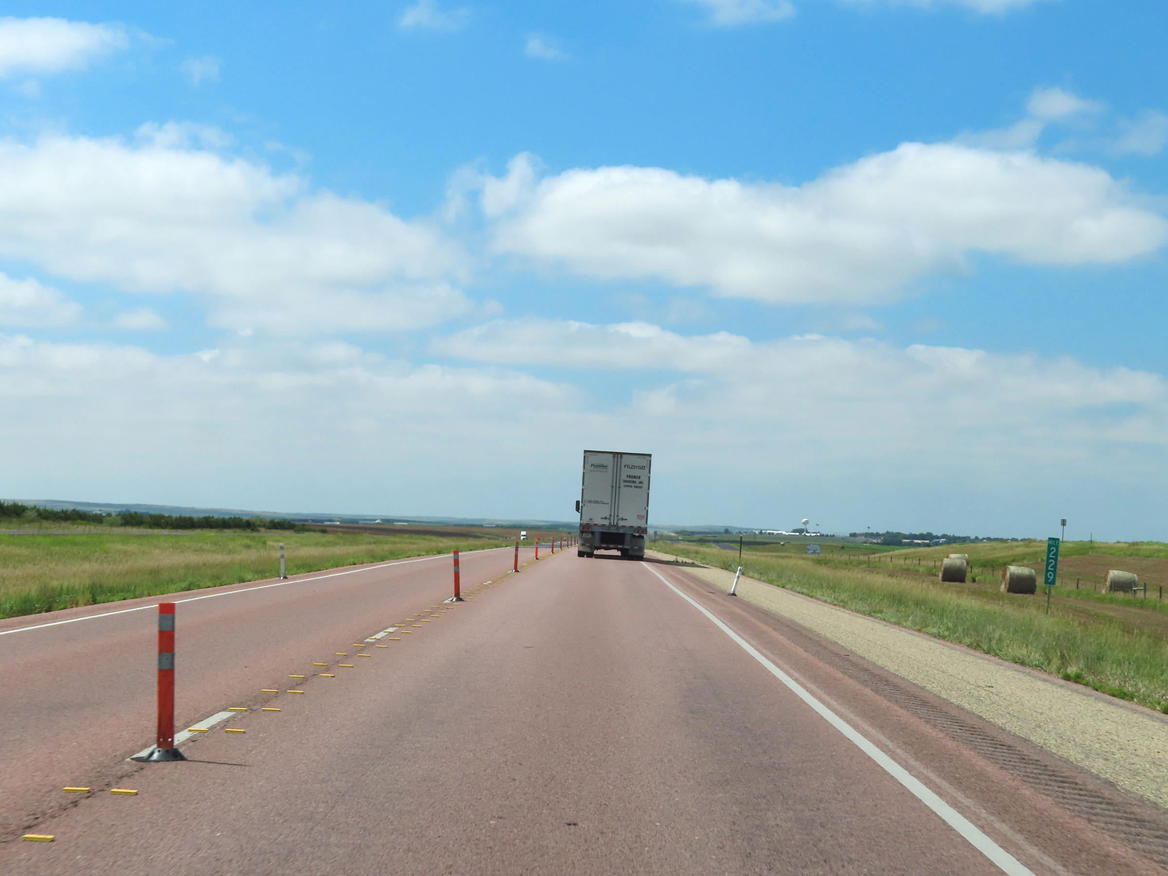 |
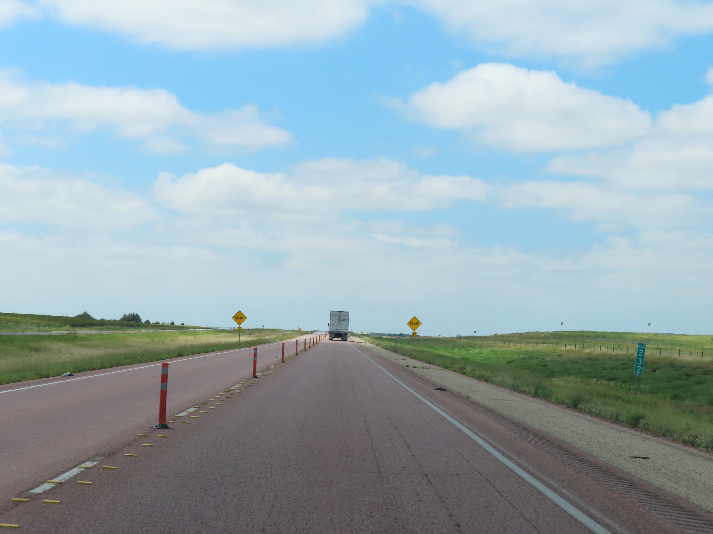
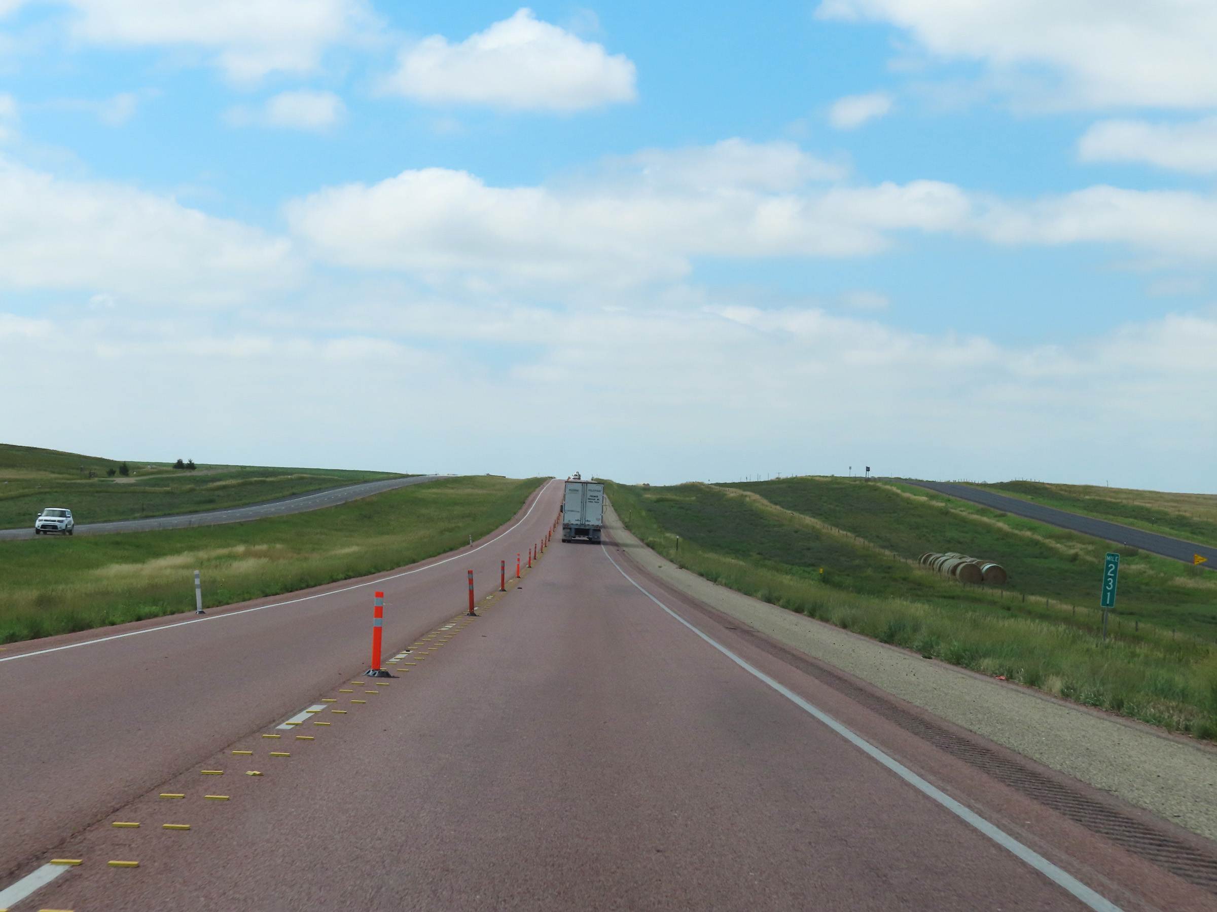
Mile marker 229 on Interstate 90 West in Lyman County. (Photo taken 8/16/22). |
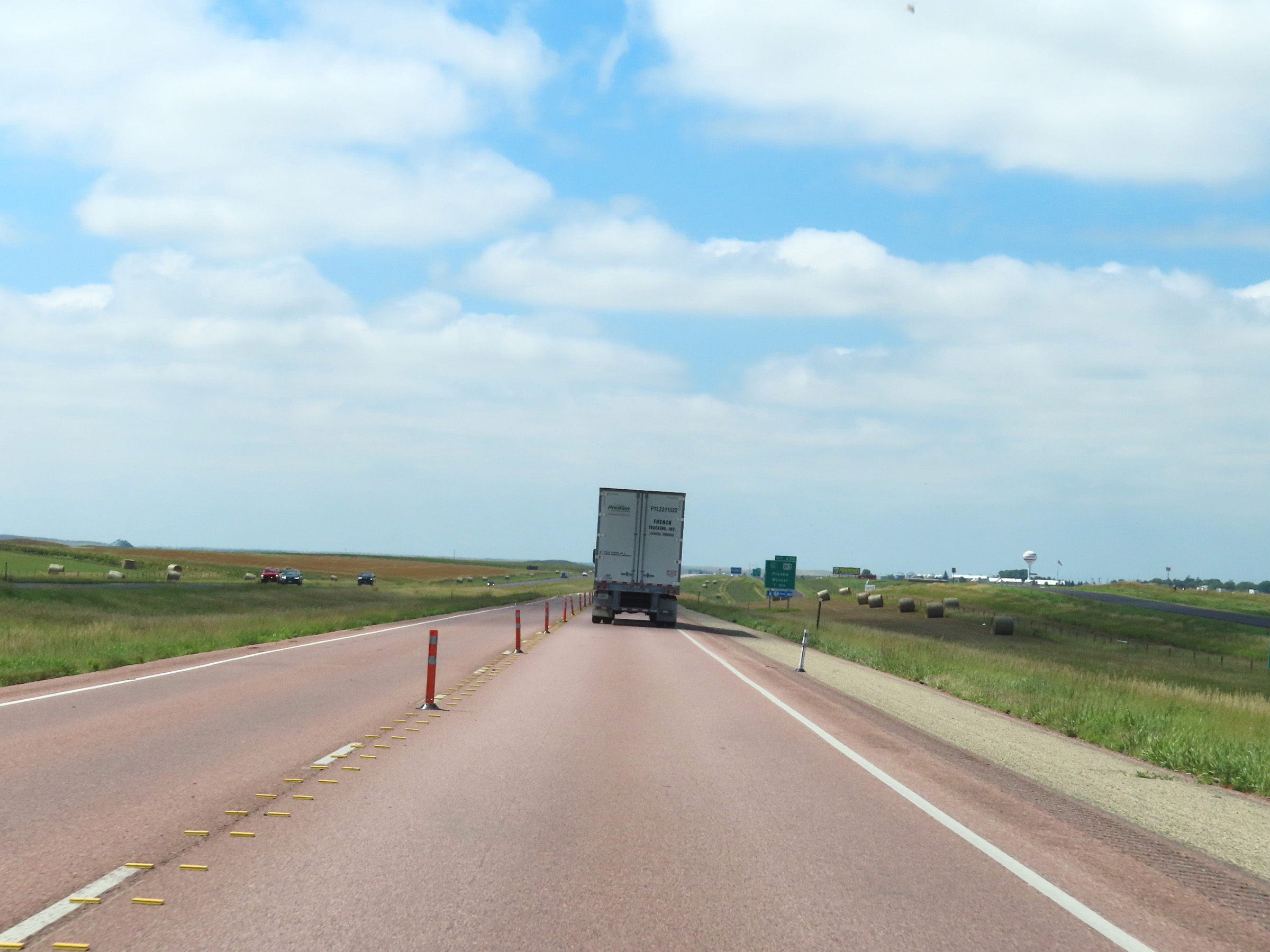 |
View on Interstate 90 West nearing Exit 226. (Photo taken 8/16/22). |
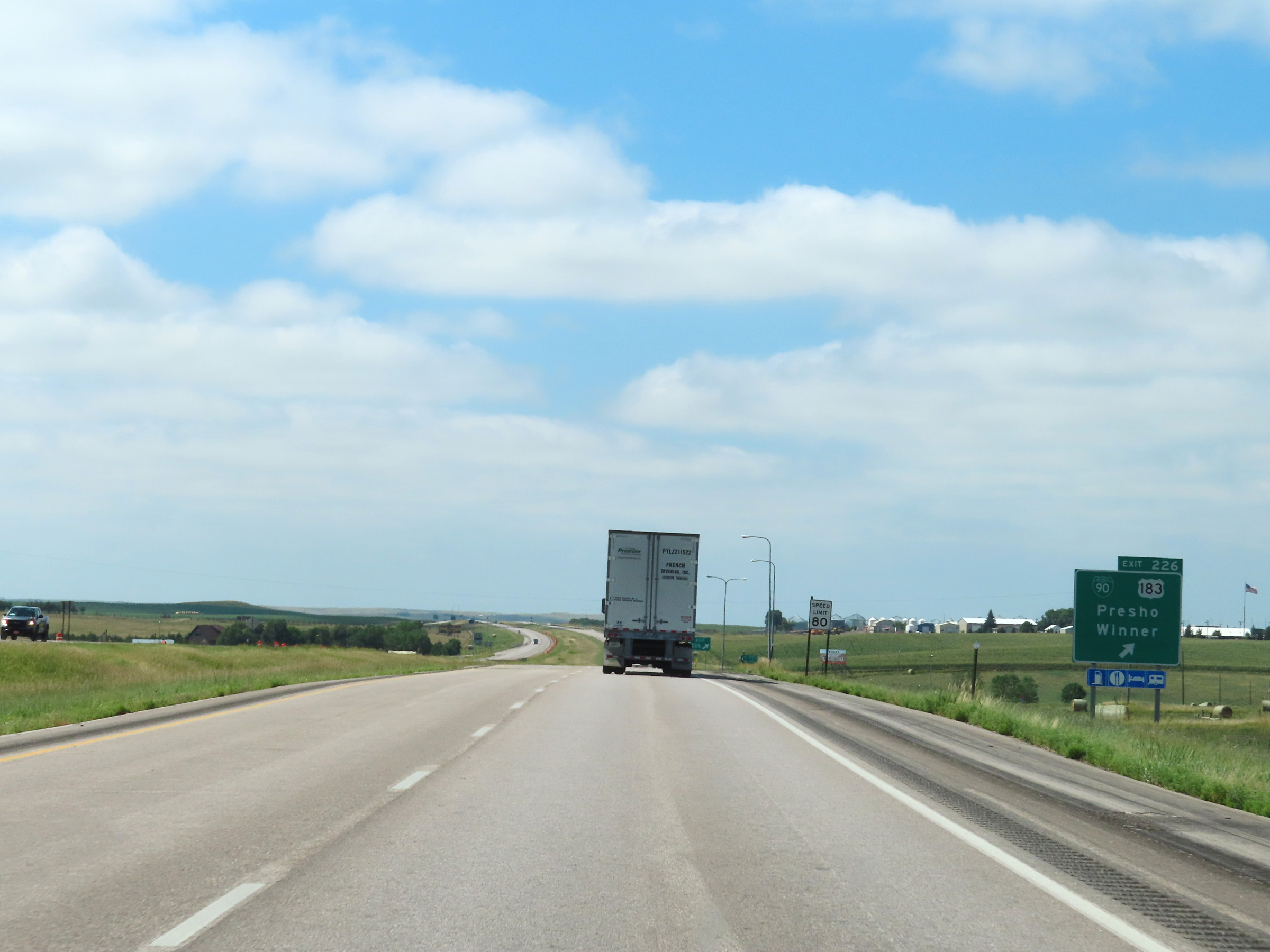 |
Interstate 90 West at Exit 226: Interstate 90 Business Loop / US 183 - Presho / Winner (Photo taken 8/16/22). |
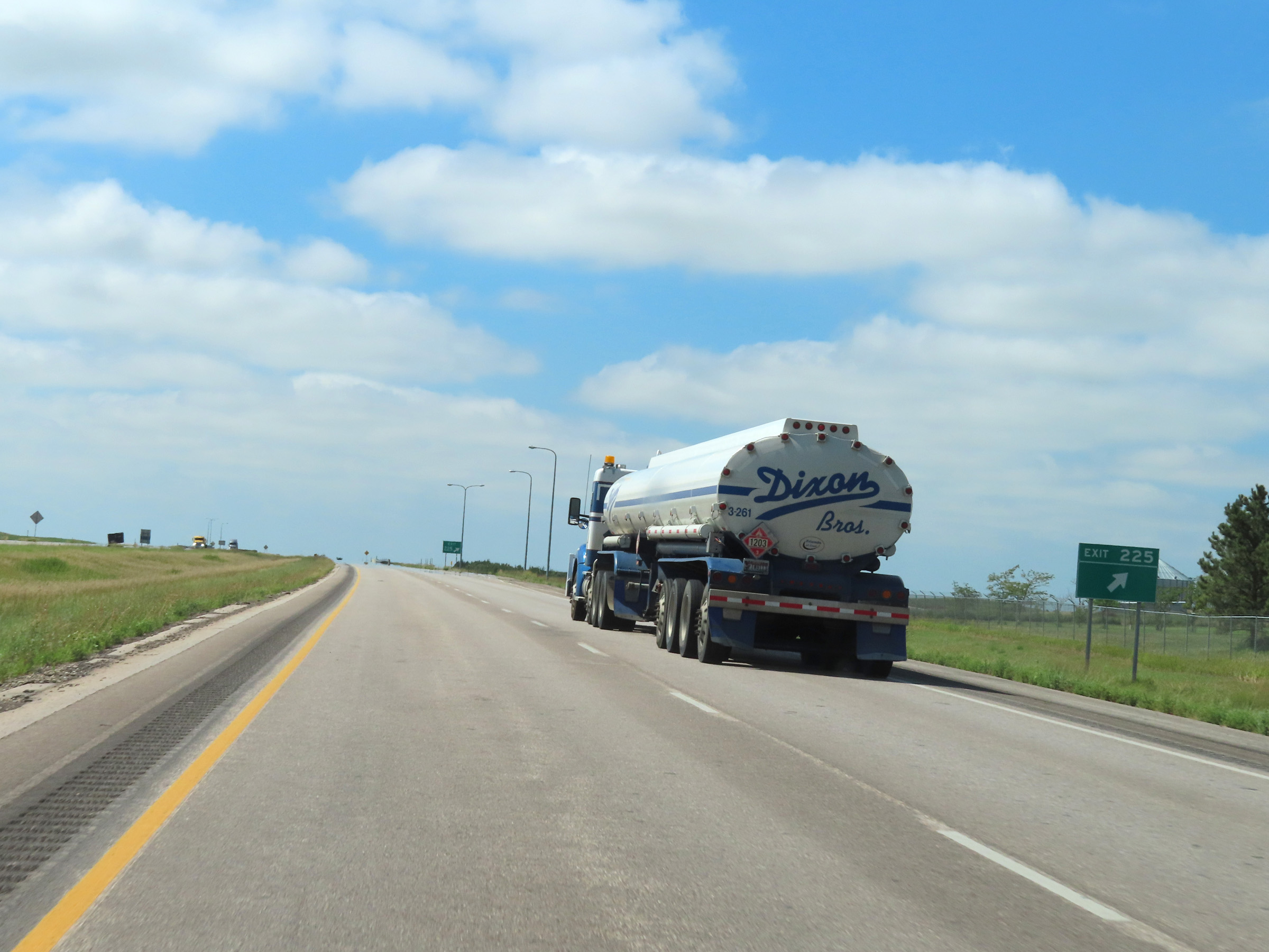 |
Interstate 90 West at Exit 225: (No Name) (Photo taken 8/16/22). |
 |
Interstate 90 West reassurance shield in Lyman County, west of Exit 225. (Photo taken 8/16/22). |
 |
The speed limits on Interstate 90 West remain 80 mph maximum and 40 mph minimum. (Photo taken 8/16/22). |
 |
Mile marker 224 on Interstate 90 West in Lyman County. (Photo taken 8/16/22). |
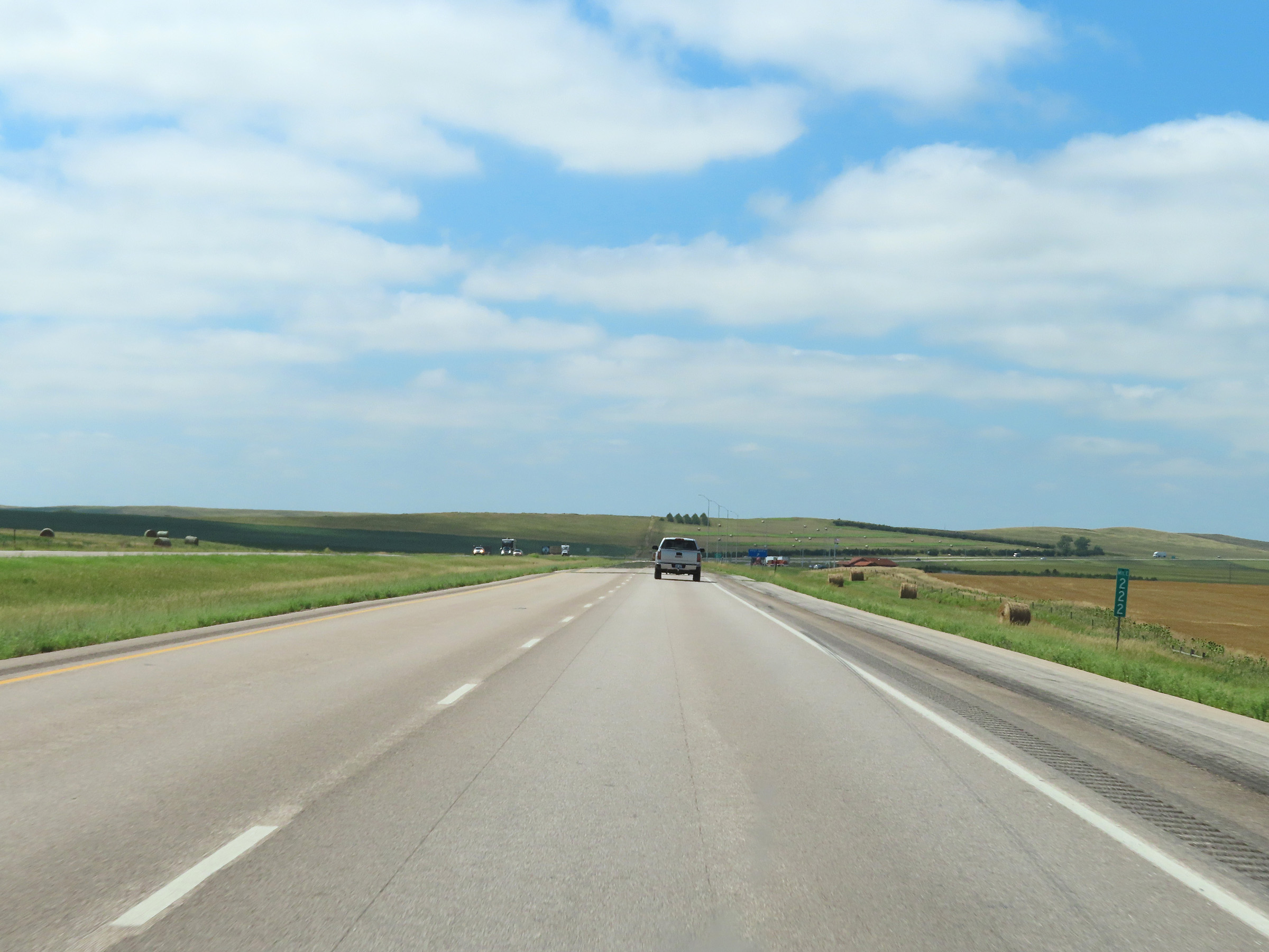 |
View on Interstate 90 West at mile marker 222. (Photo taken 8/16/22). |
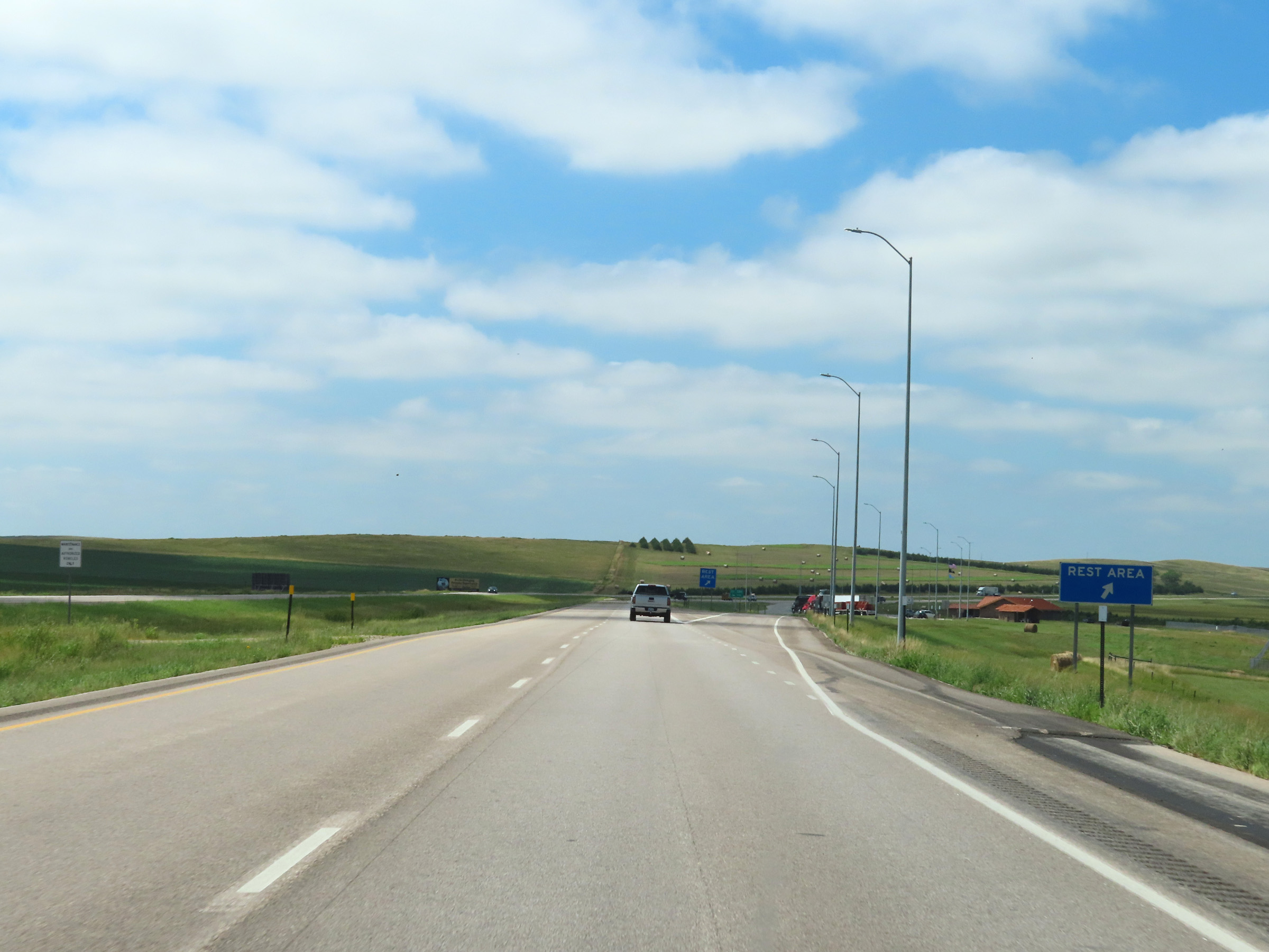 |
Rest Area on Interstate 90 West in Lyman County. (Photo taken 8/16/22). |
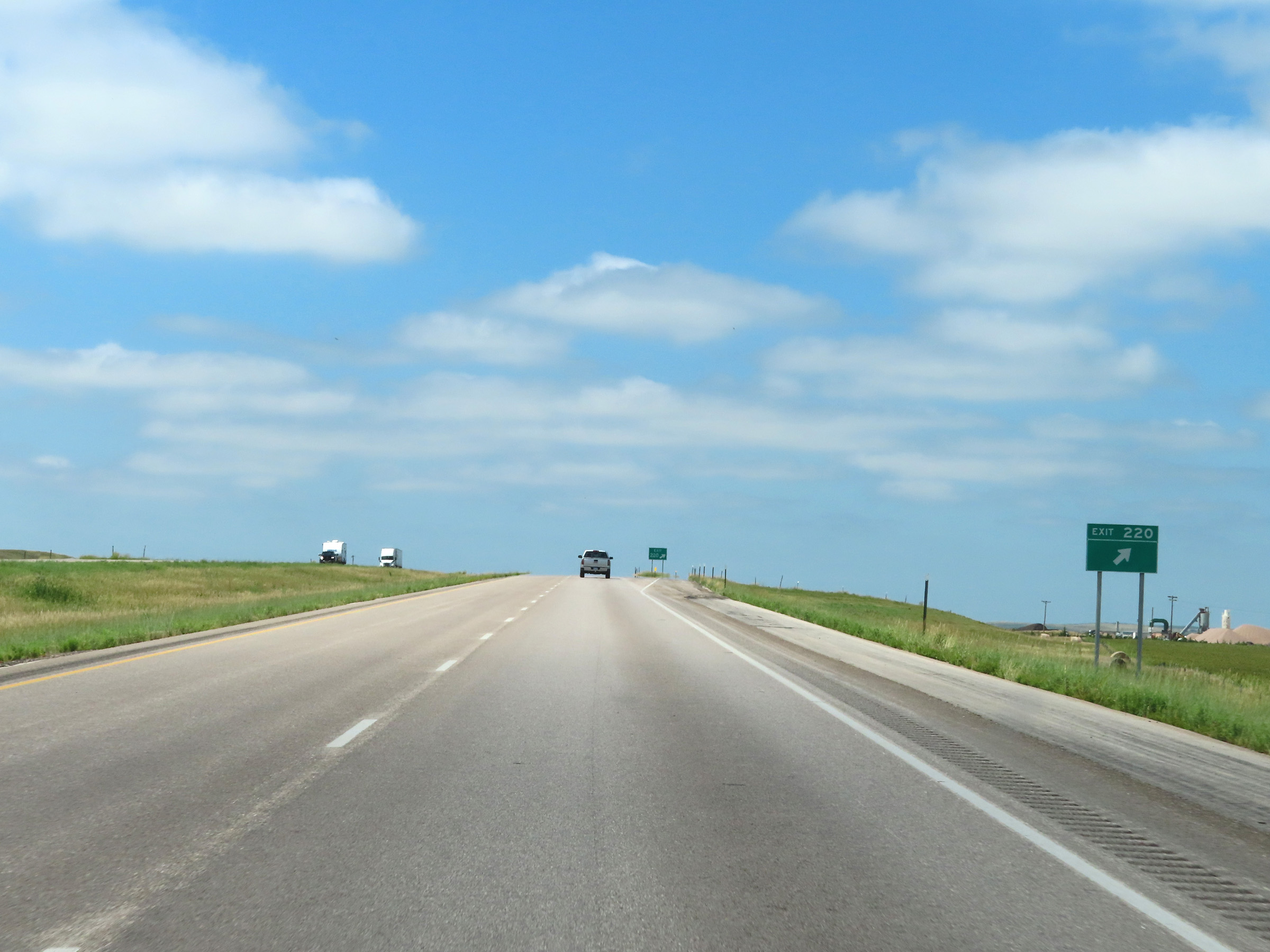 |
Interstate 90 West at Exit 220: (No Name) (Photo taken 8/16/22). |
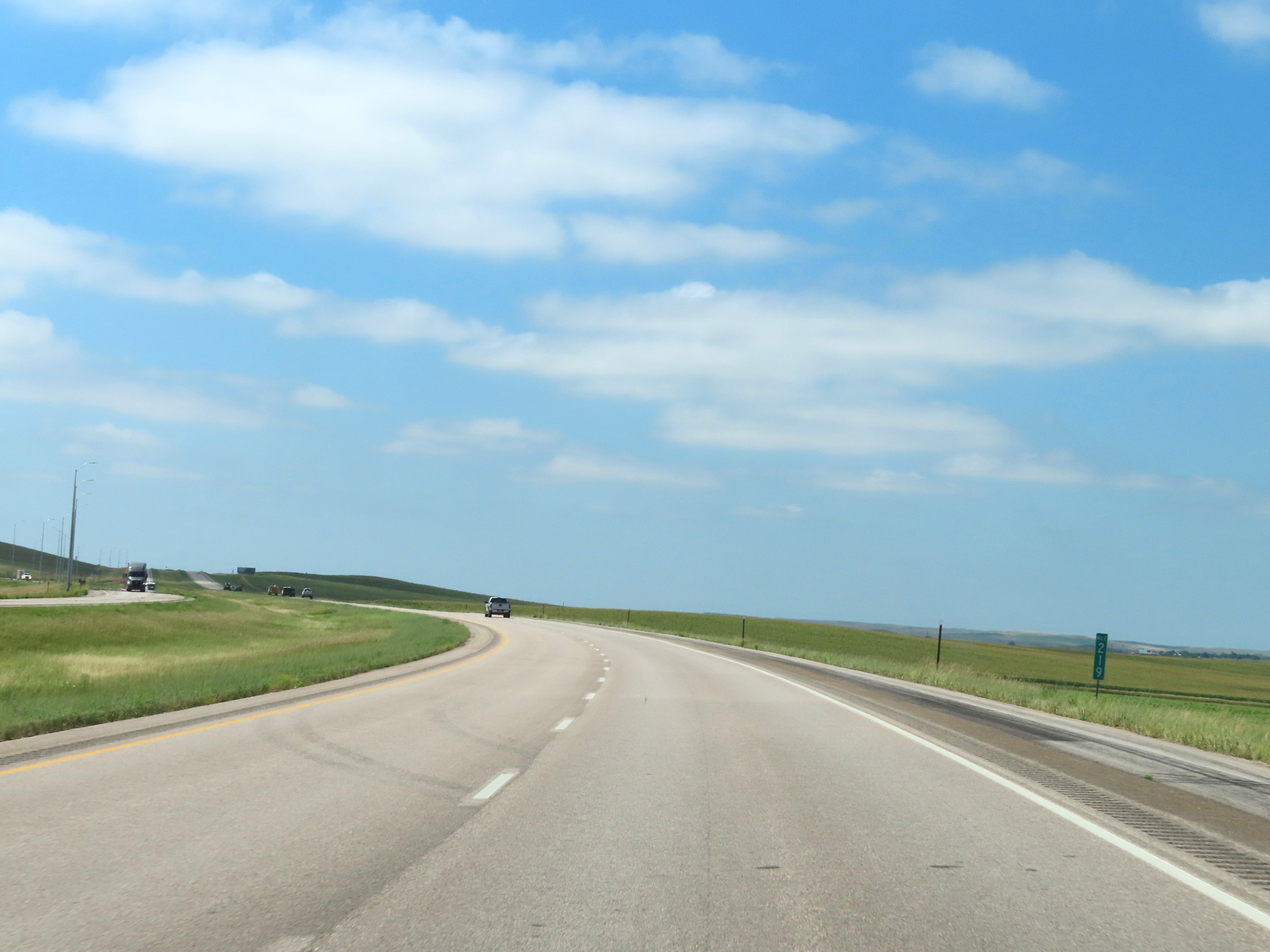 |
Interstate 90 West at mile marker 219. (Photo taken 8/16/22). |
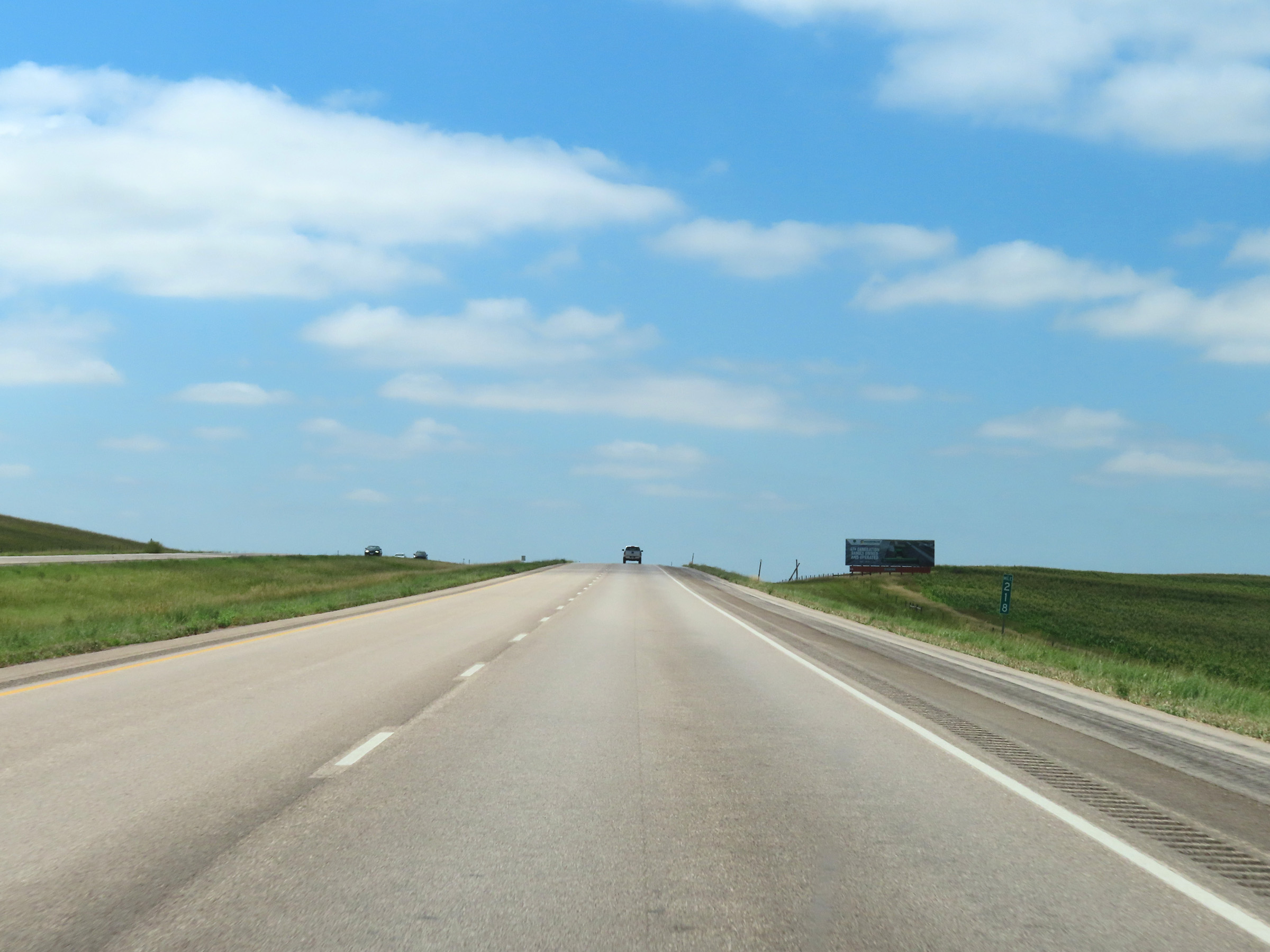 |
View on Interstate 90 West at mile marker 218. (Photo taken 8/16/22). |
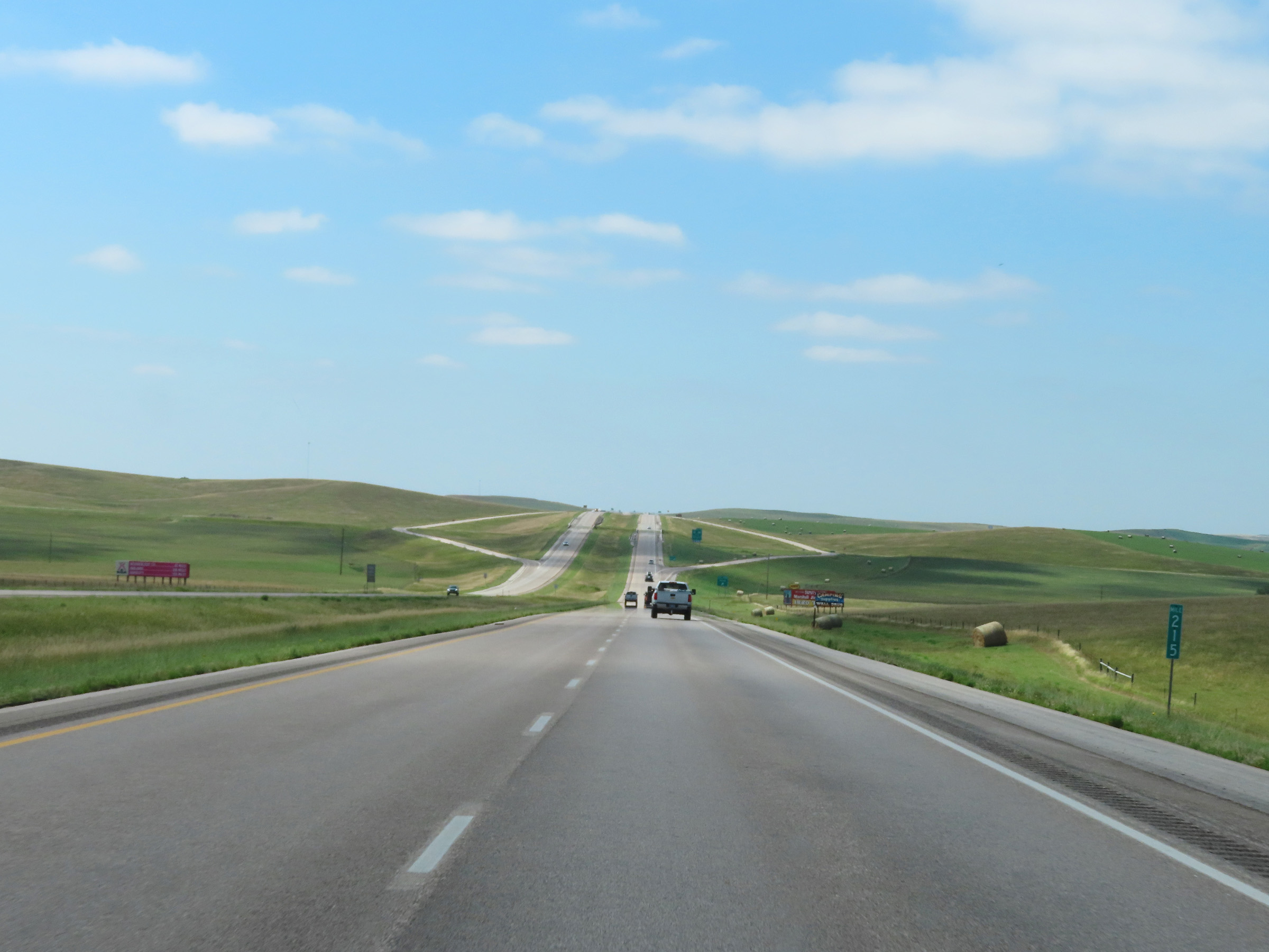 |
Mile marker 215 on Interstate 90 West in Lyman County. (Photo taken 8/16/22). |
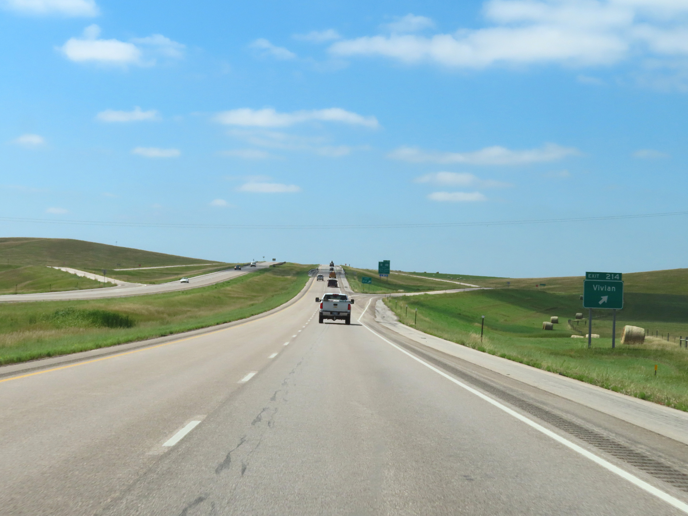 |
Interstate 90 West at Exit 214: Vivian (Photo taken 8/16/22). |
 |
Interstate 90 West approaching Exit 212 - 1 mile. (Photo taken 8/16/22). |
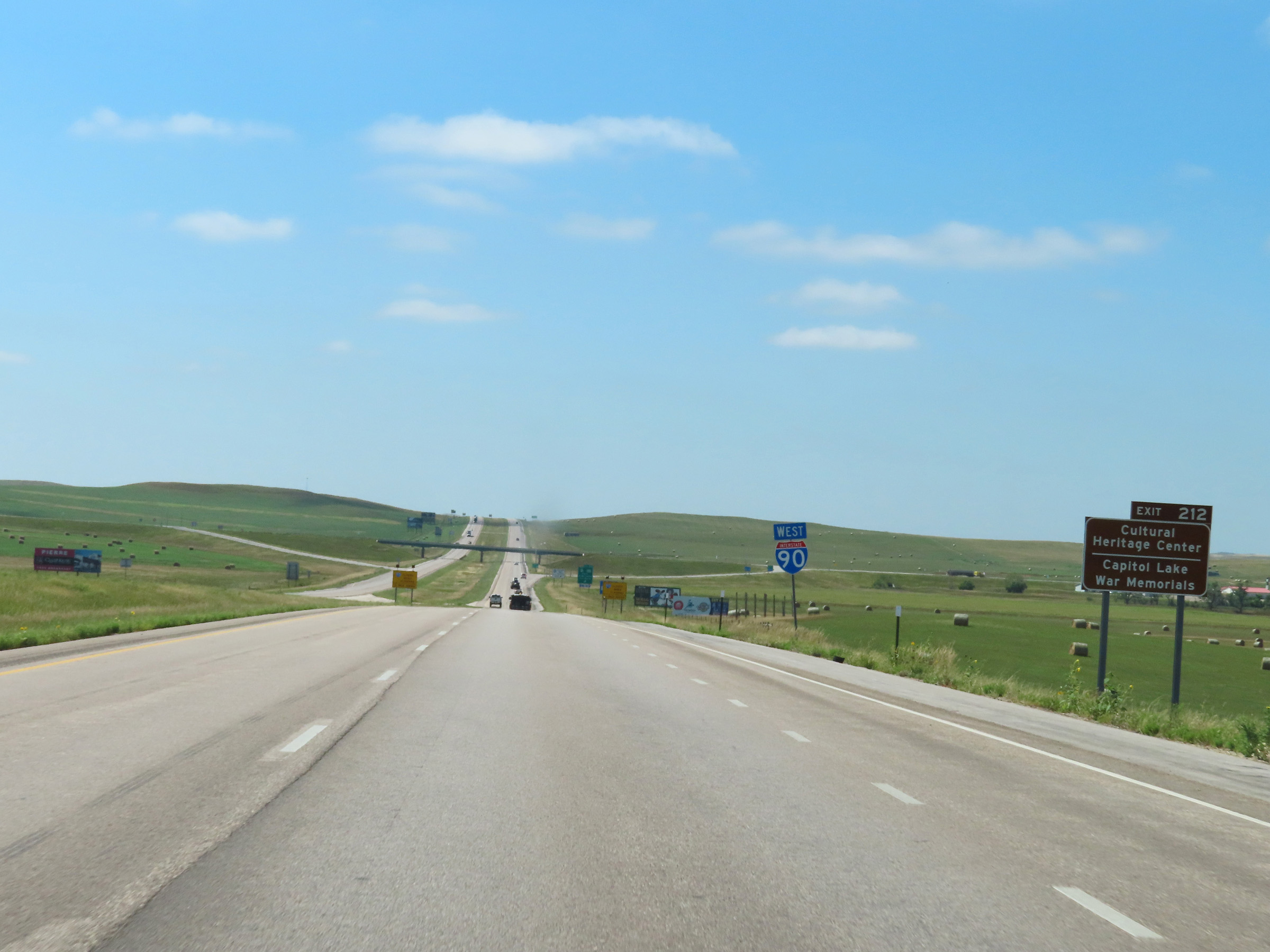 |
Take Exit 212 to the Cultural Heritage Center and the Capitol Lake War Memorials. (Photo taken 8/16/22). |
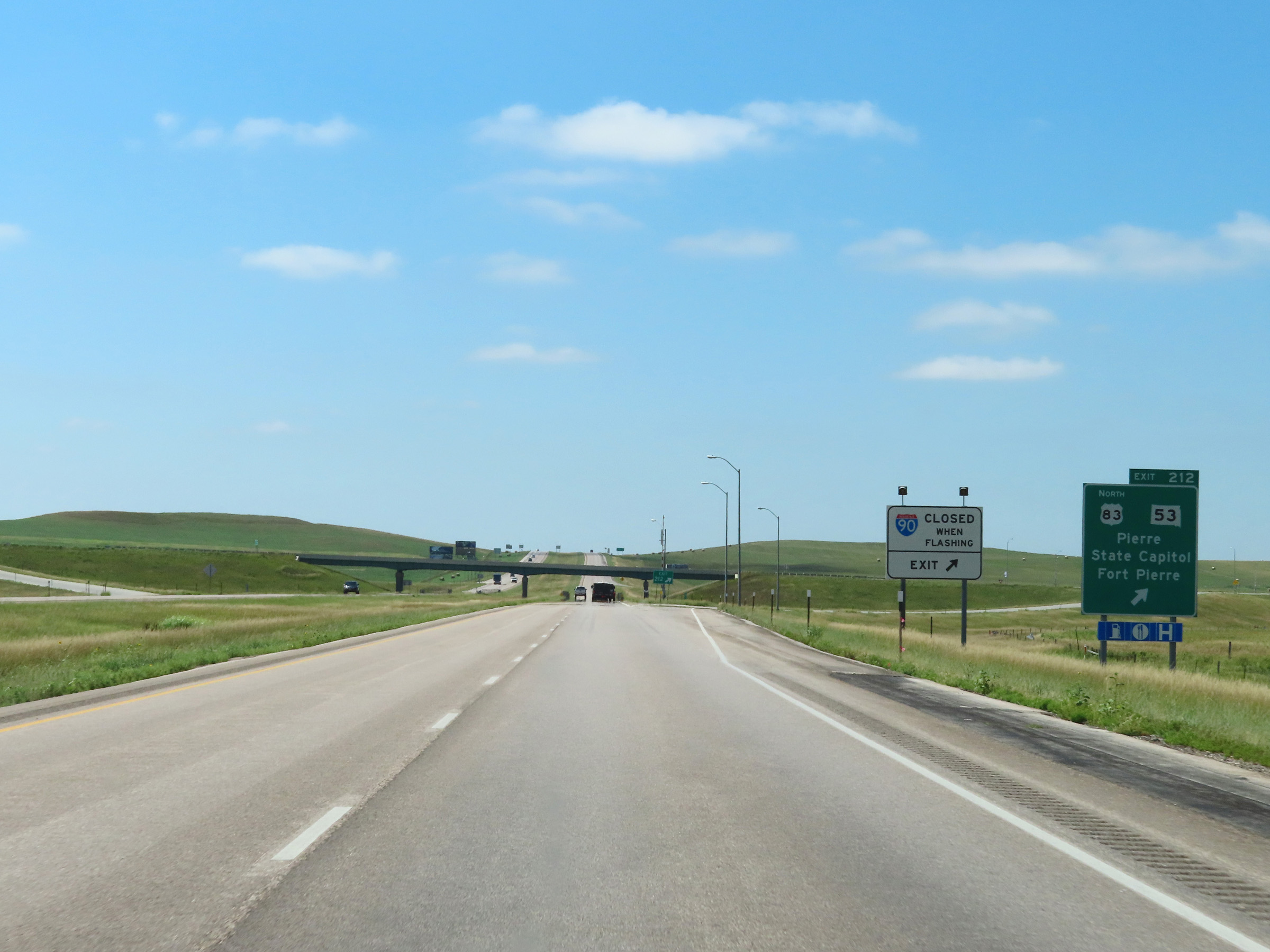 |
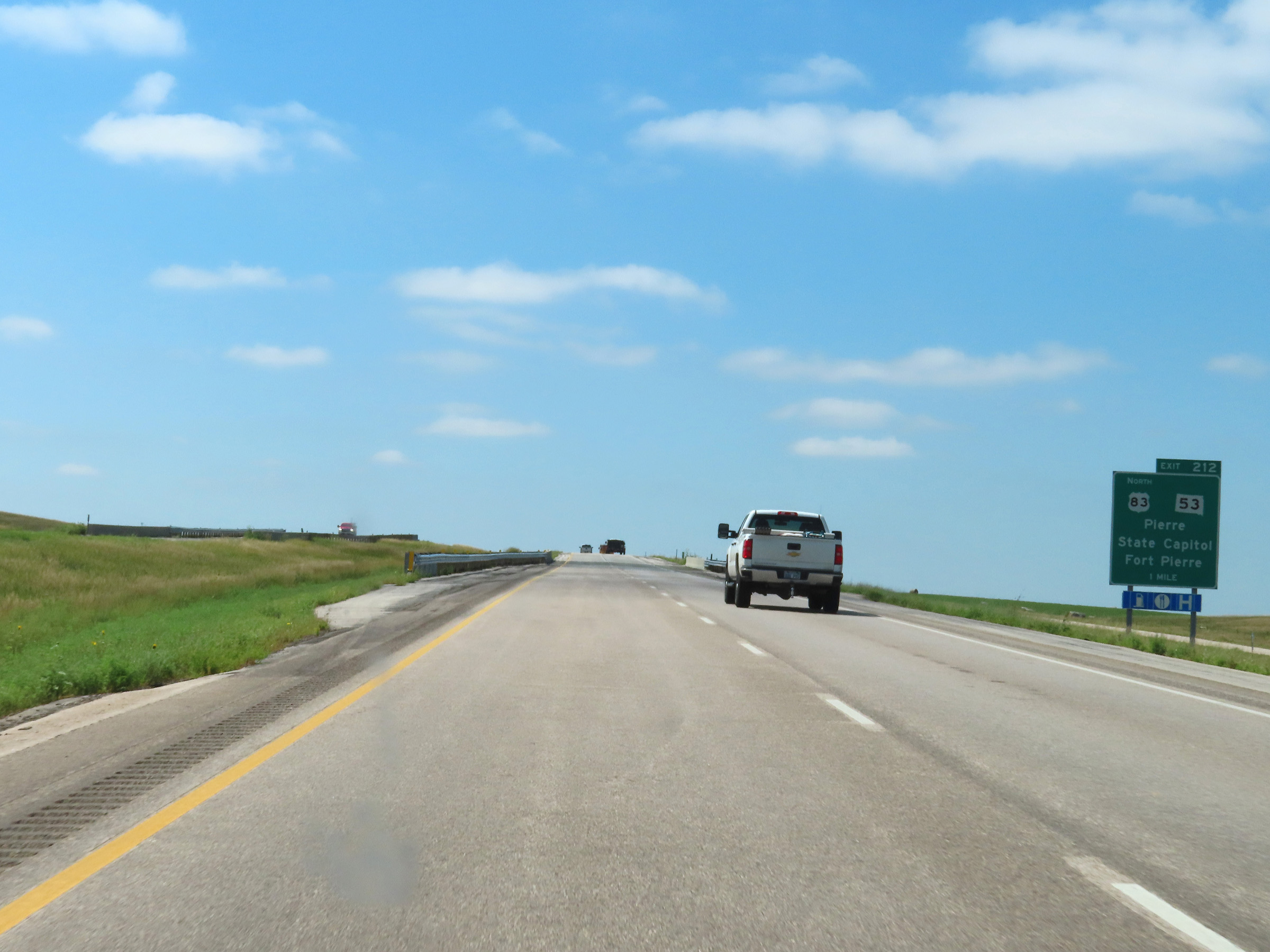
Interstate 90 West at Exit 212: US 83 North / SD 53 - Pierre / State Capitol / Fort Pierre (Photo taken 8/16/22). |
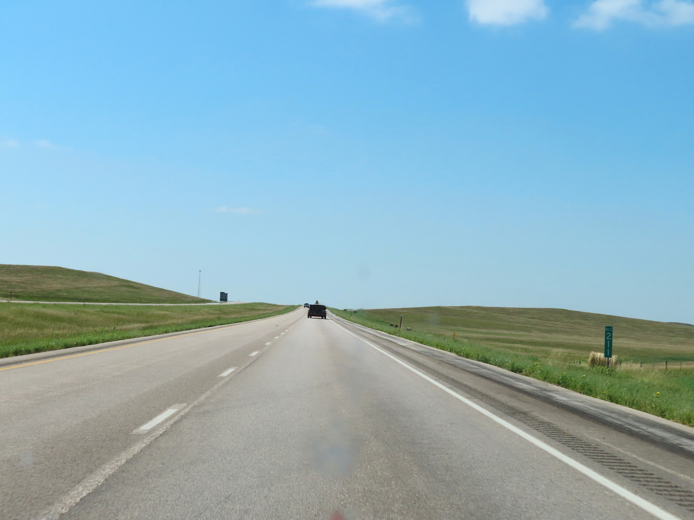 |
View on Interstate 90 West at mile marker 211. (Photo taken 8/16/22). |
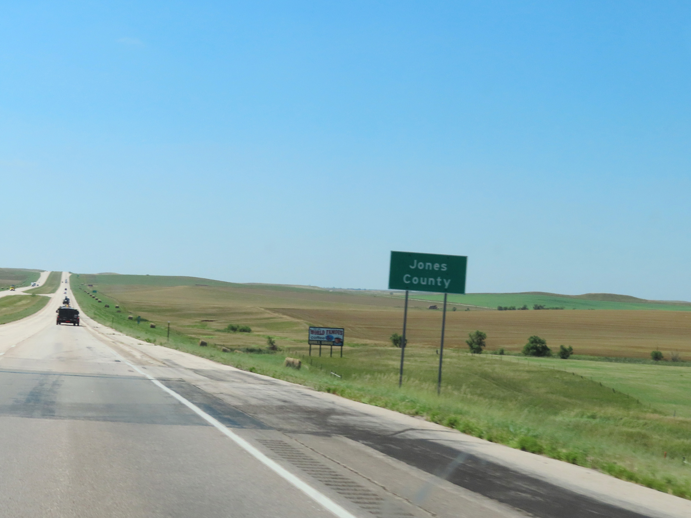 |
Interstate 90 West as it enters Jones County. (Photo taken 8/16/22). |
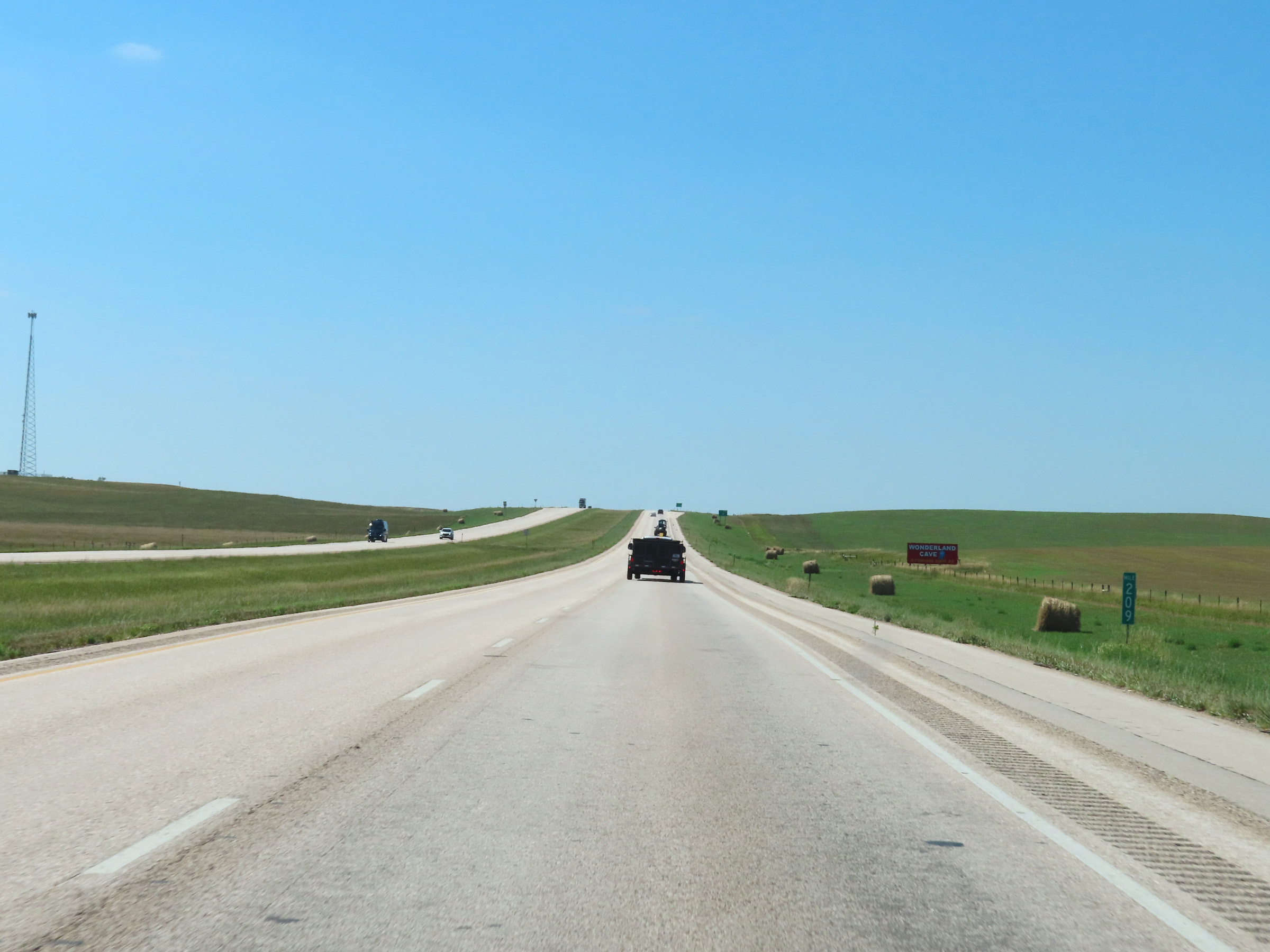 |
Interstate 90 West at mile marker 209. (Photo taken 8/16/22). |
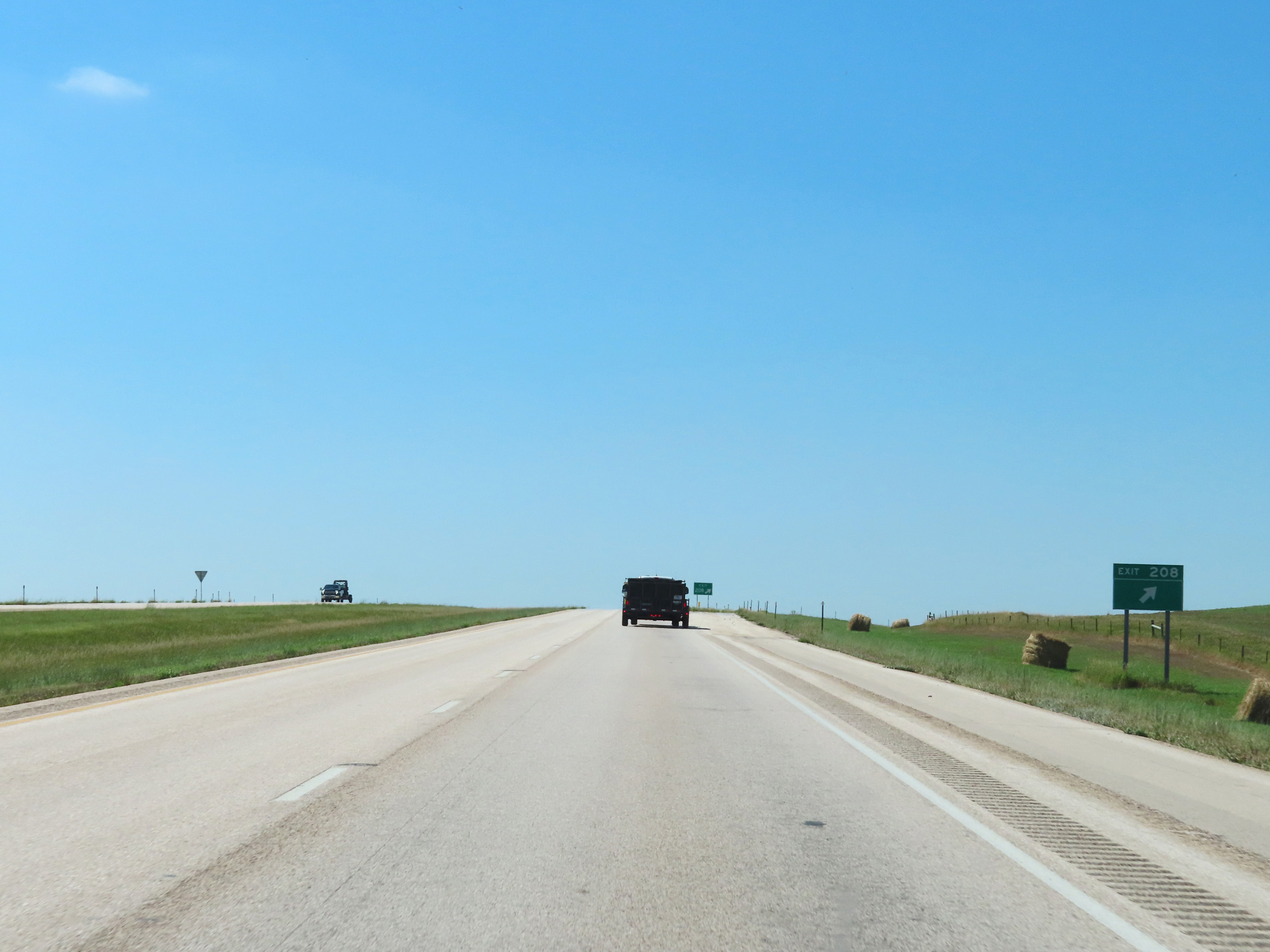 |
Interstate 90 West at Exit 208: (No Name) (Photo taken 8/16/22). |
 |
Interstate 90 West reassurance shield in Jones County. (Photo taken 8/16/22). |
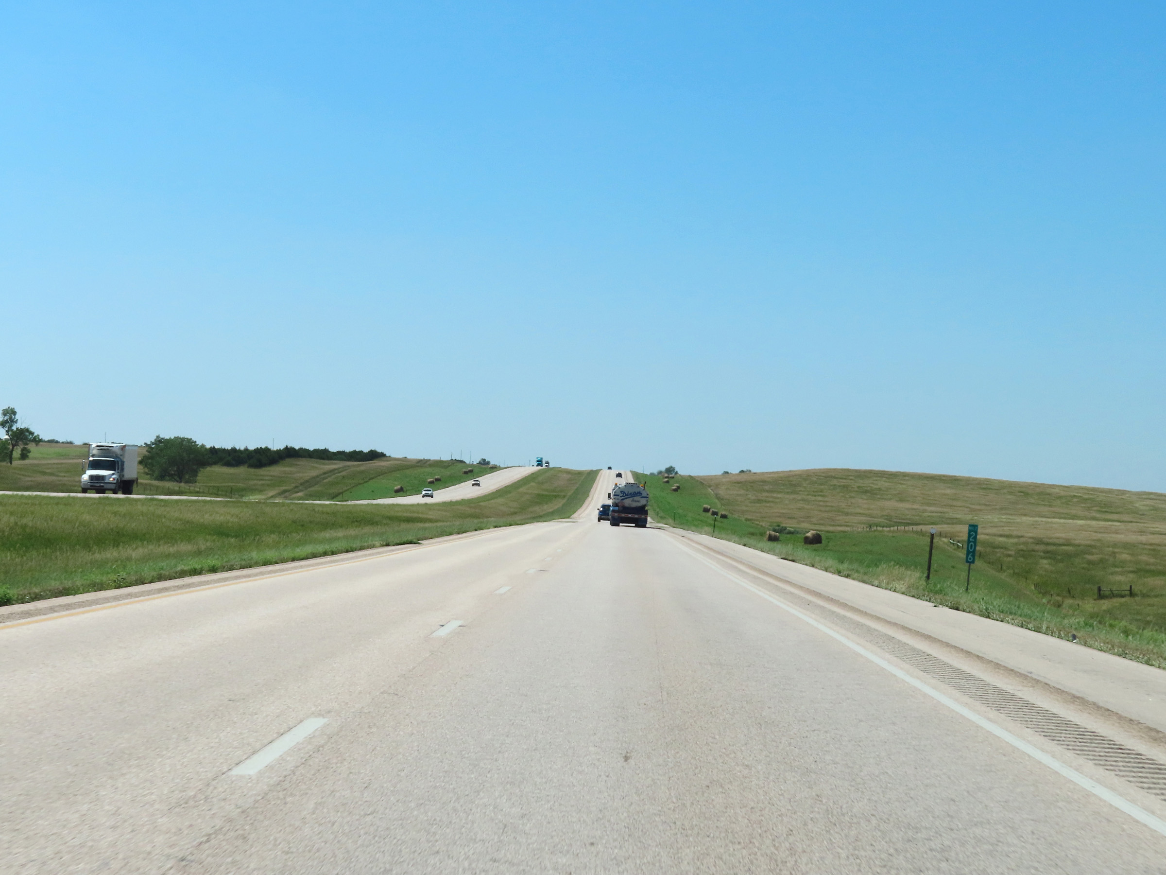 |
Mile marker 206 on Interstate 90 West in Jones County. (Photo taken 8/16/22). |
 |
View on Interstate 90 West at mile marker 205. (Photo taken 8/16/22). |
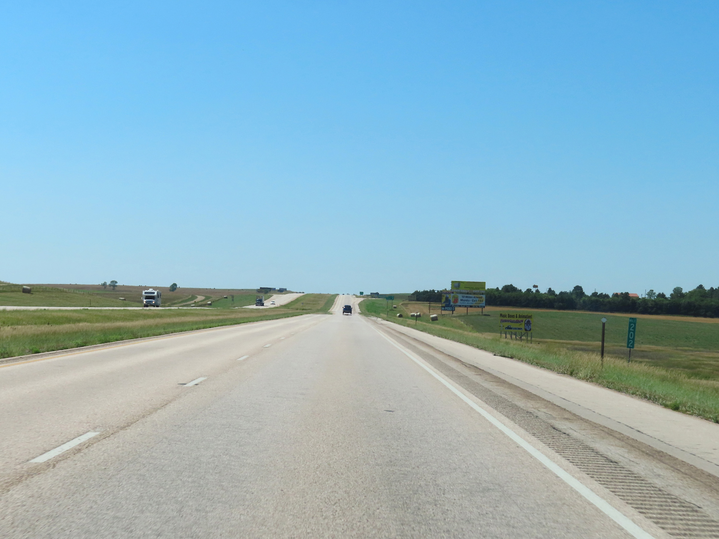 |
Interstate 90 West at mile marker 202. (Photo taken 8/16/22). |
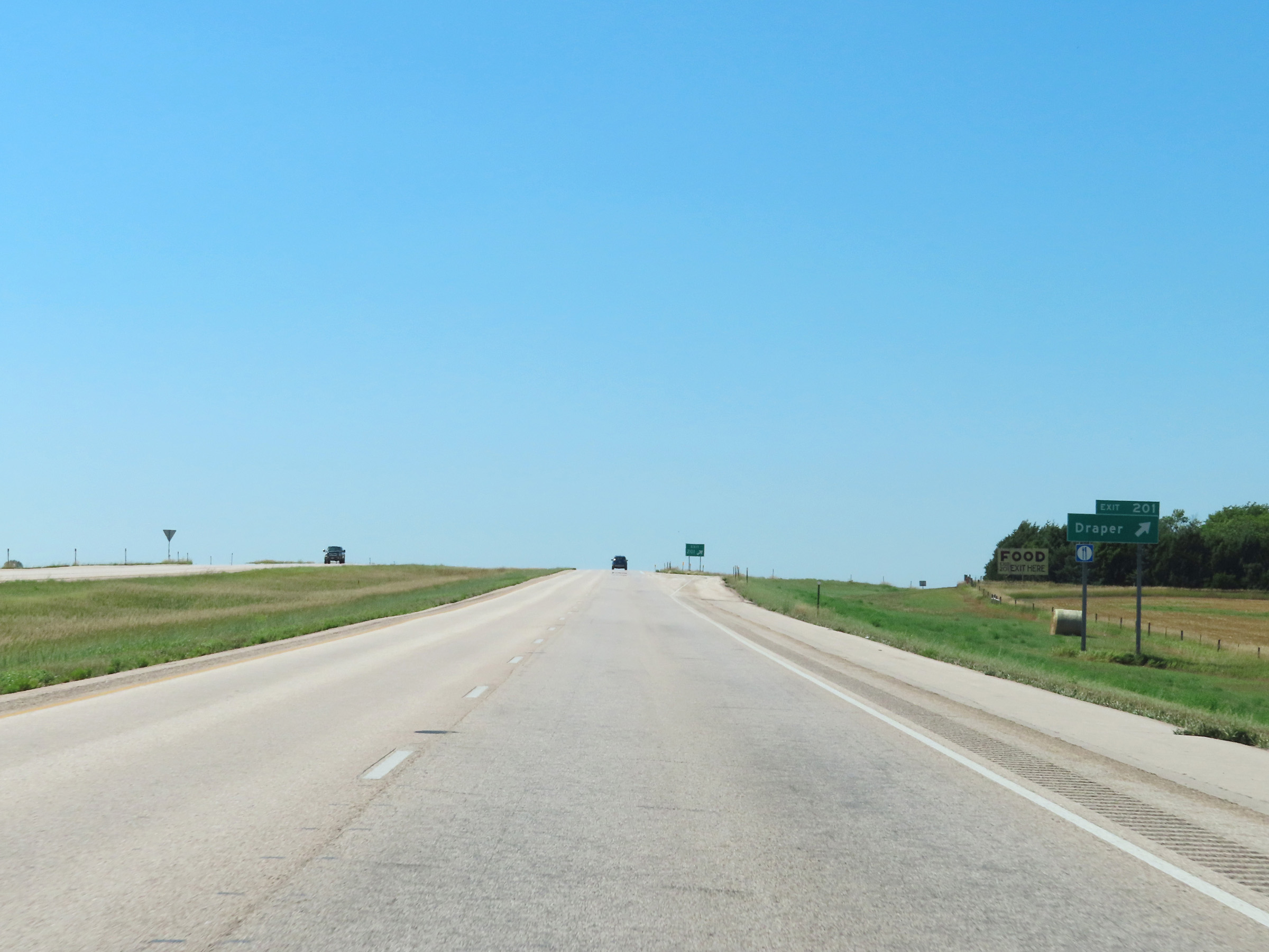 |
Interstate 90 West at Exit 201: Draper (Photo taken 8/16/22). |
 |
Another Interstate 90 West reassurance shield in Jones County. (Photo taken 8/16/22). |
 |
Mile marker 200 on Interstate 90 West in Jones County. (Photo taken 8/16/22). |
 |
Interstate 90 West at mile marker 198. (Photo taken 8/16/22). |
 |
View on Interstate 90 West at mile marker 195. (Photo taken 8/16/22). |
 |
Parking Area on Interstate 90 West in Jones County. (Photo taken 8/16/22). |
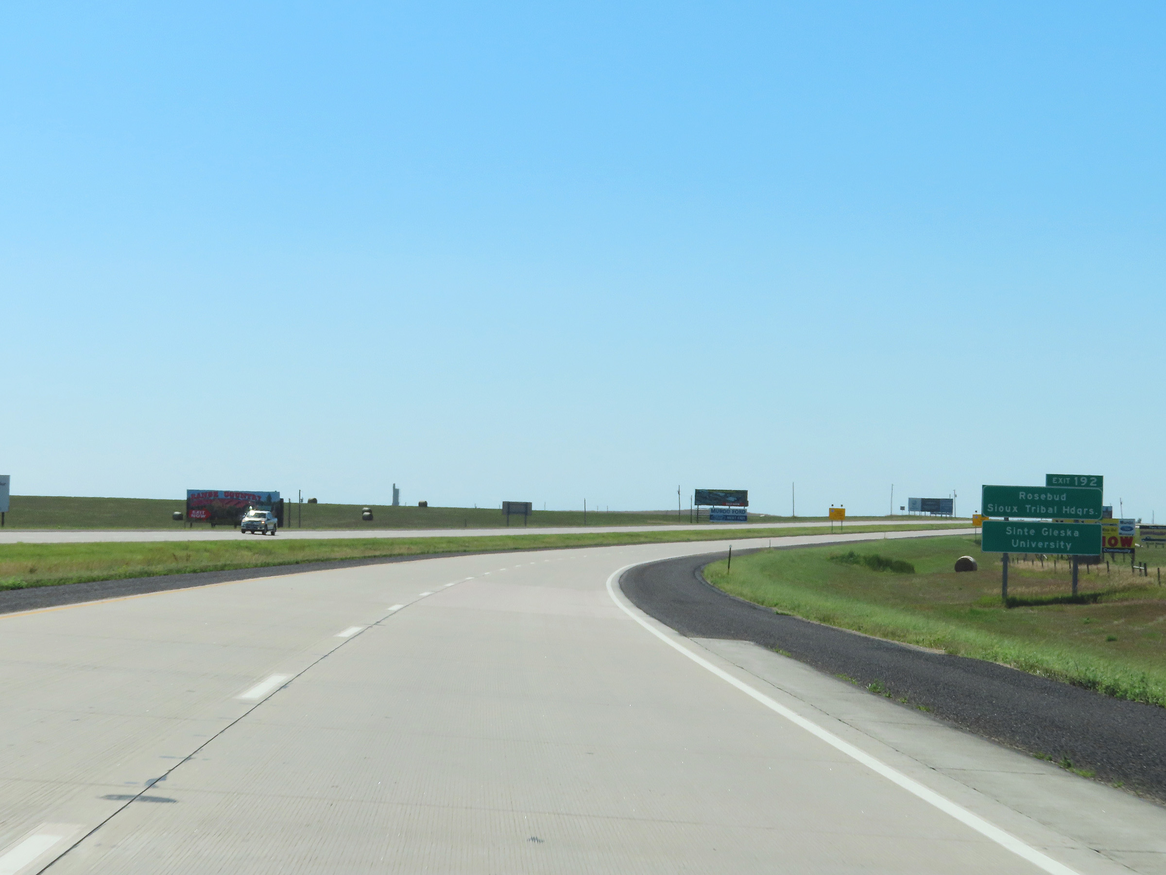 |
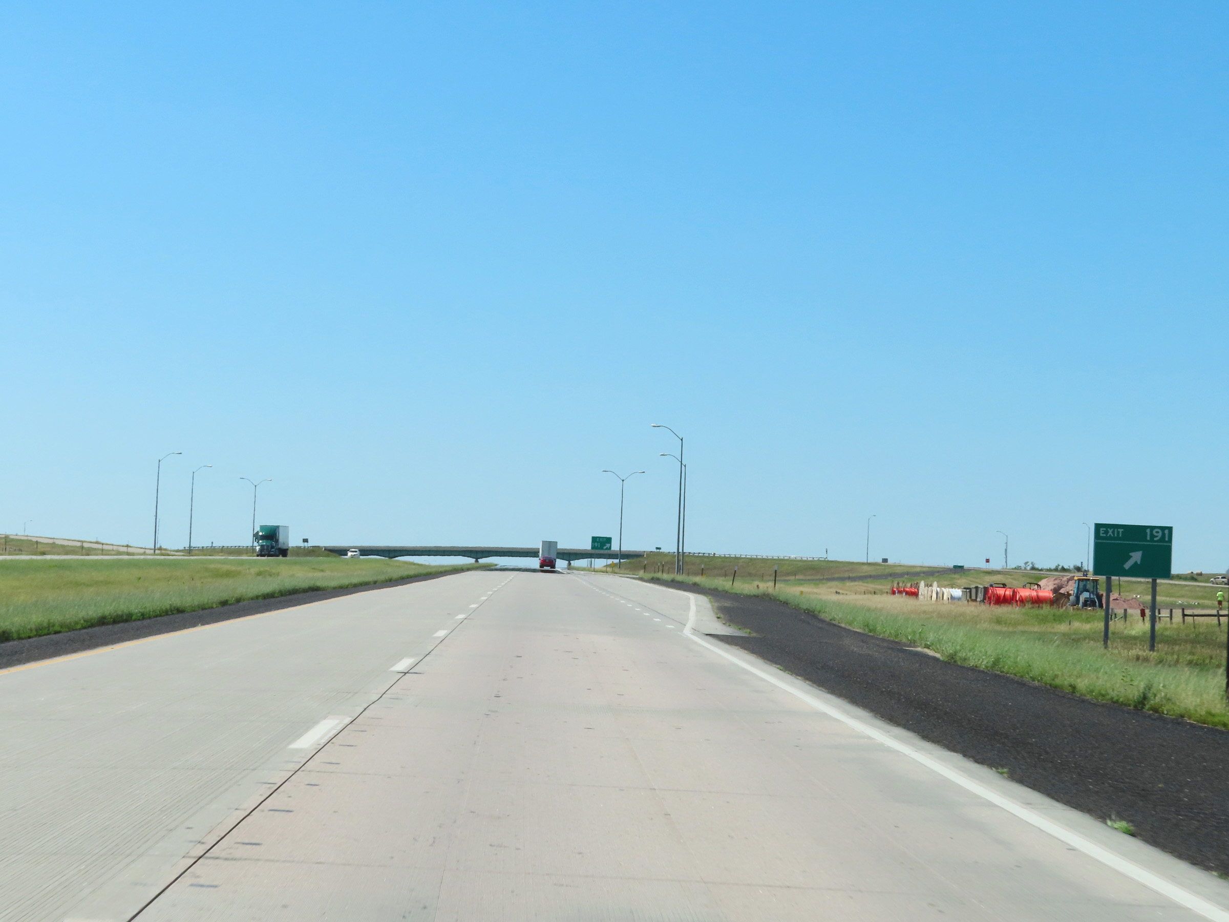
Take Exit 192 to the Rosebud Sioux Tribal Headquarters and Sinte Gleska University. (Photo taken 8/16/22). |
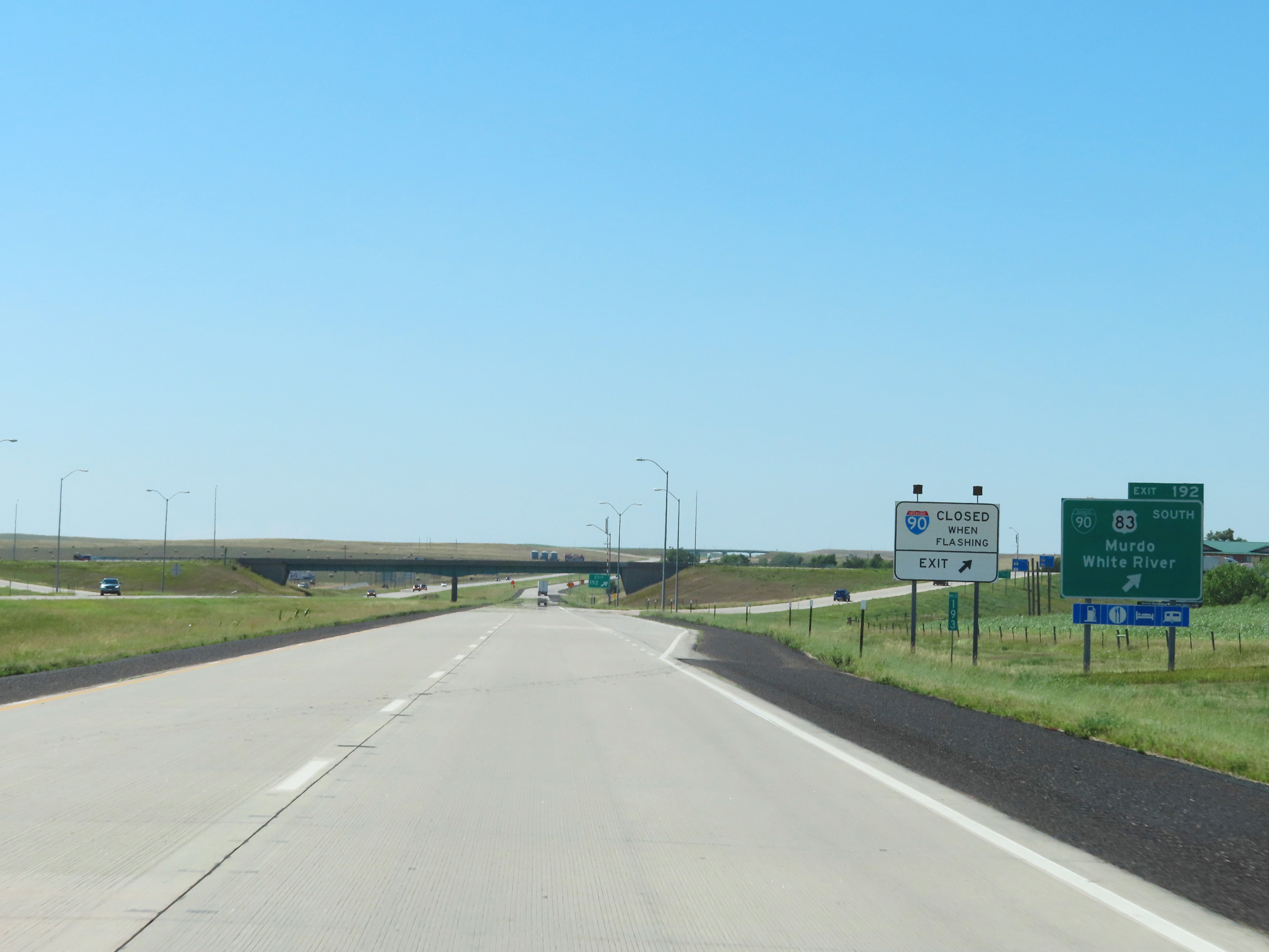 |
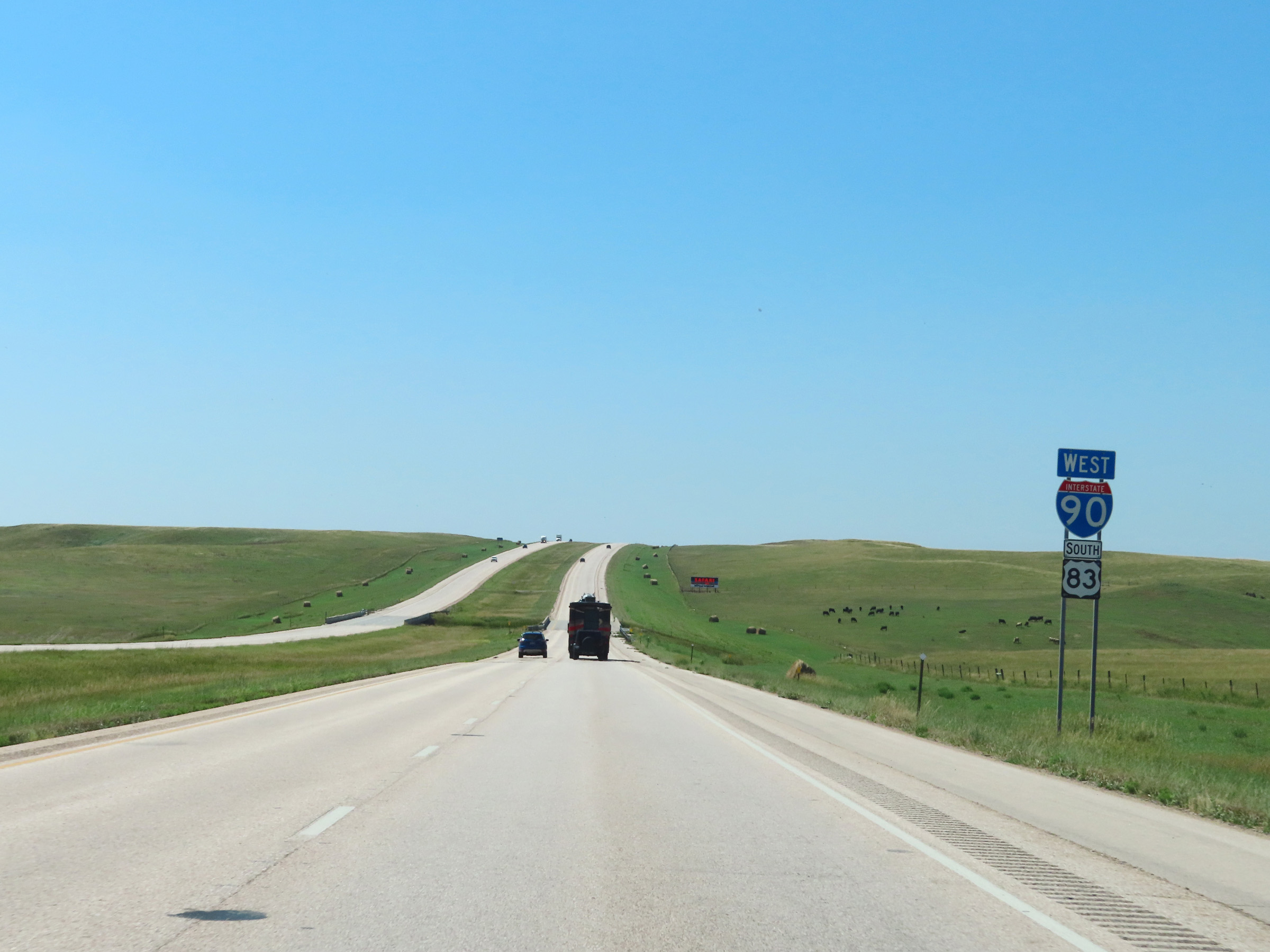
Interstate 90 West at Exit 192: Interstate 90 Business Loop / US 83 South - Murdo / White River (Photo taken 8/16/22). |
Section 5: Murdo (Exit 192) to Wall (Exit 109)
 |
The speed limits on Interstate 90 West remain 80 mph maximum and 40 mph minimum. (Photo taken 8/16/22). |
 |
Interstate 90 West at Exit 191: (No Name) (Photo taken 8/16/22). |
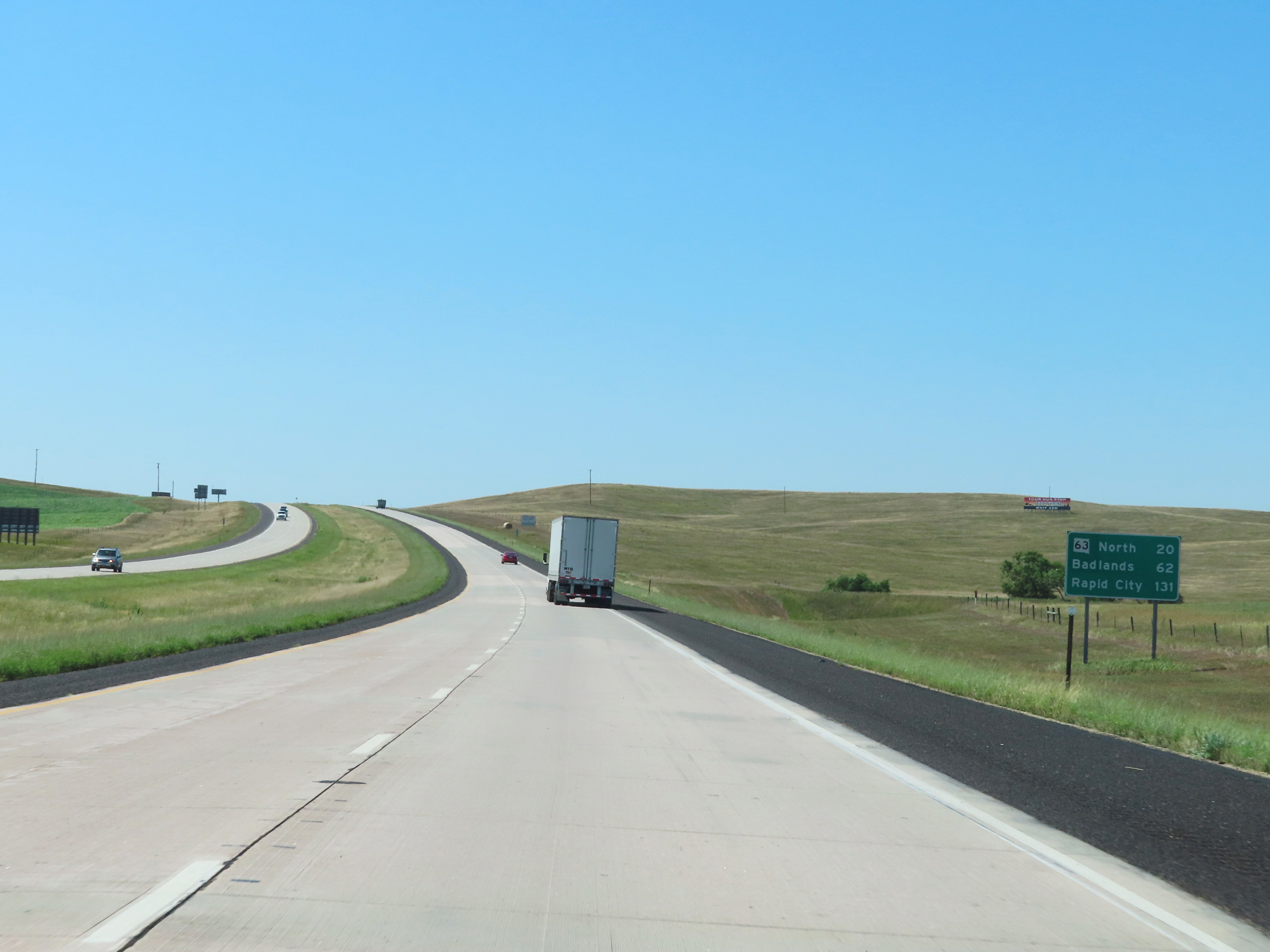 |
Mileage sign on Interstate 90 West. It's 20 miles to the junction of SD 63 North, 62 miles to the Badlands, and 131 miles to Rapid City. (Photo taken 8/16/22). |
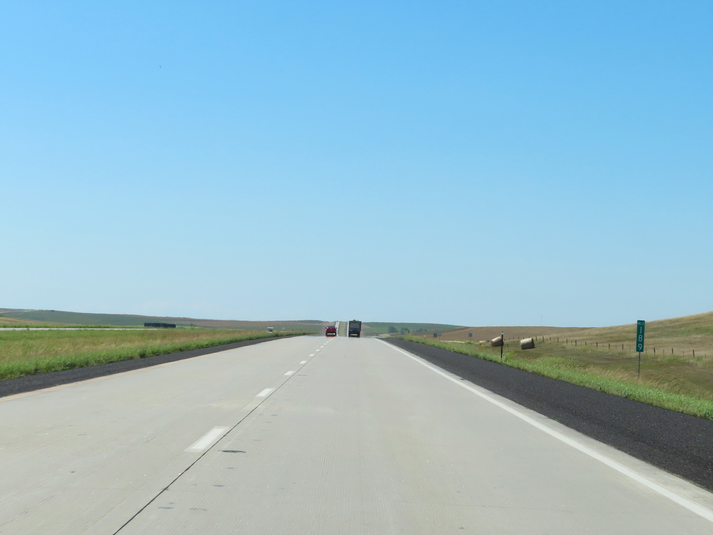 |
Mile marker 189 on Interstate 90 West in Jones County. (Photo taken 8/16/22). |
 |
Parking Area on Interstate 90 West in Jones County. (Photo taken 8/16/22). |
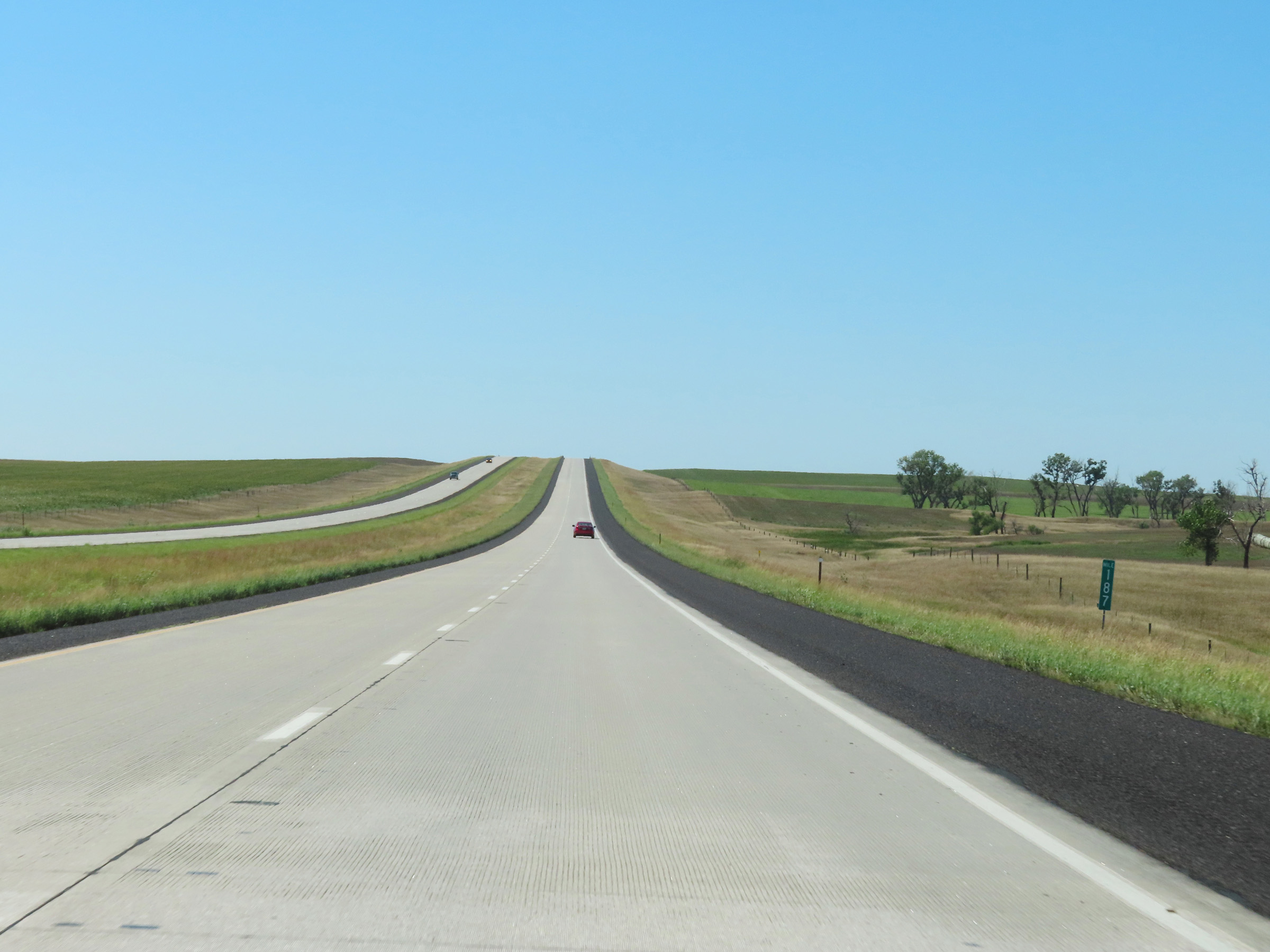 |
View on Interstate 90 West at mile marker 187. (Photo taken 8/16/22). |
 |
Interstate 90 West at mile marker 186. (Photo taken 8/16/22). |
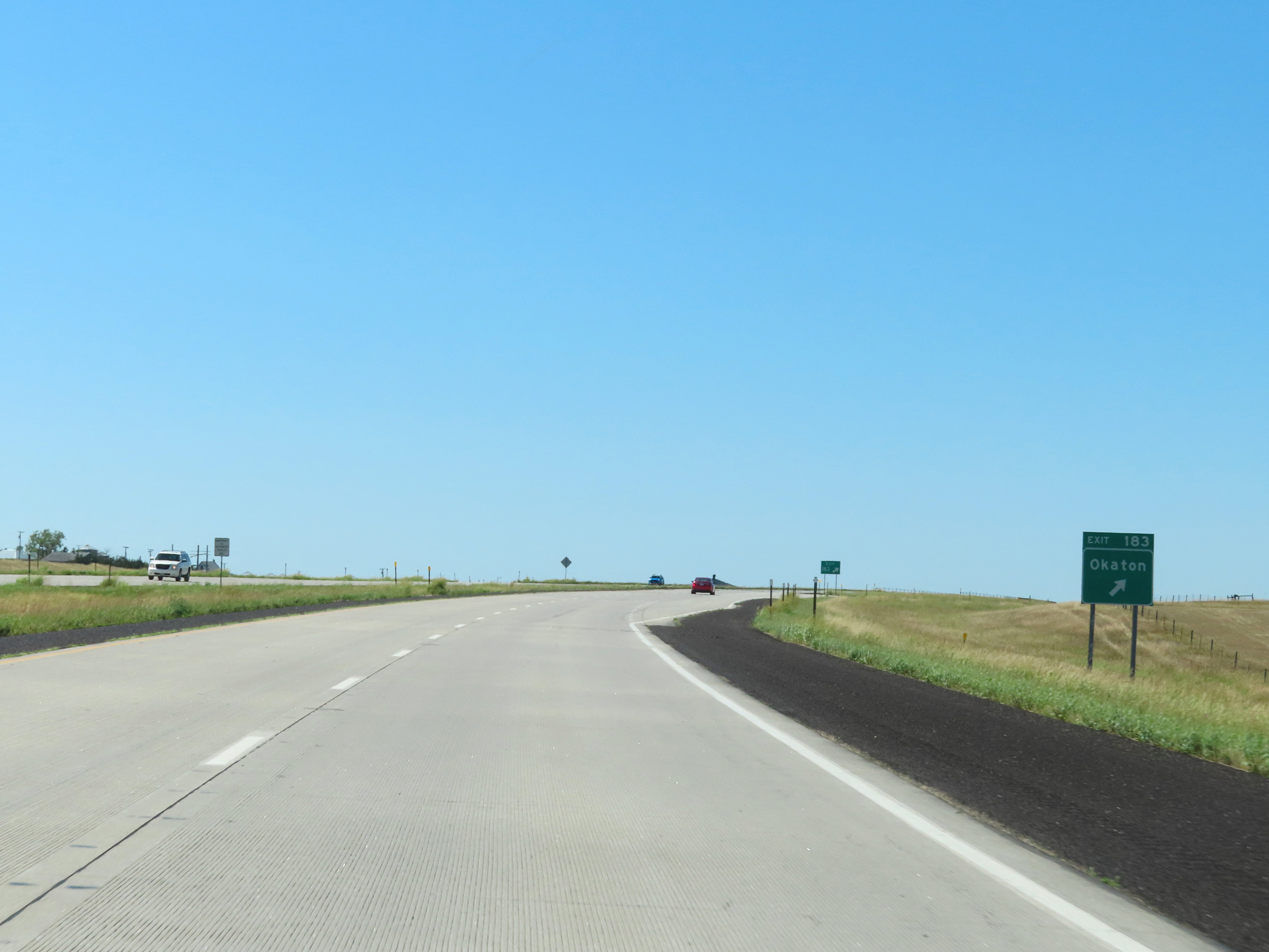 |
Interstate 90 West at Exit 183: Okaton (Photo taken 8/16/22). |
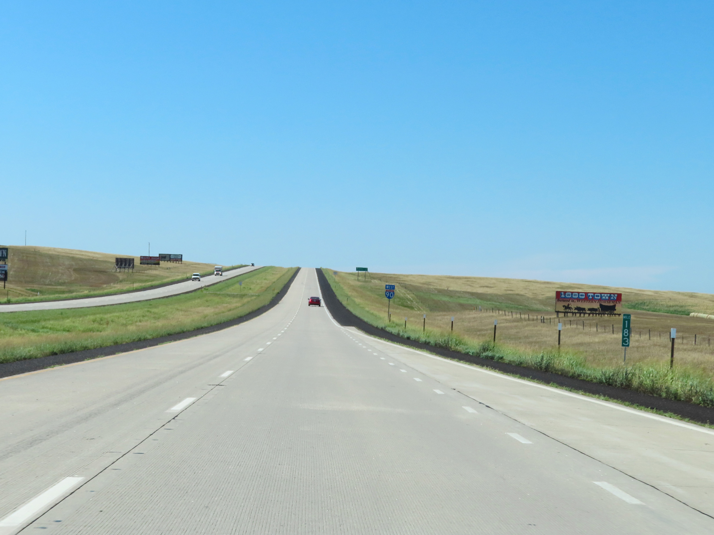 |
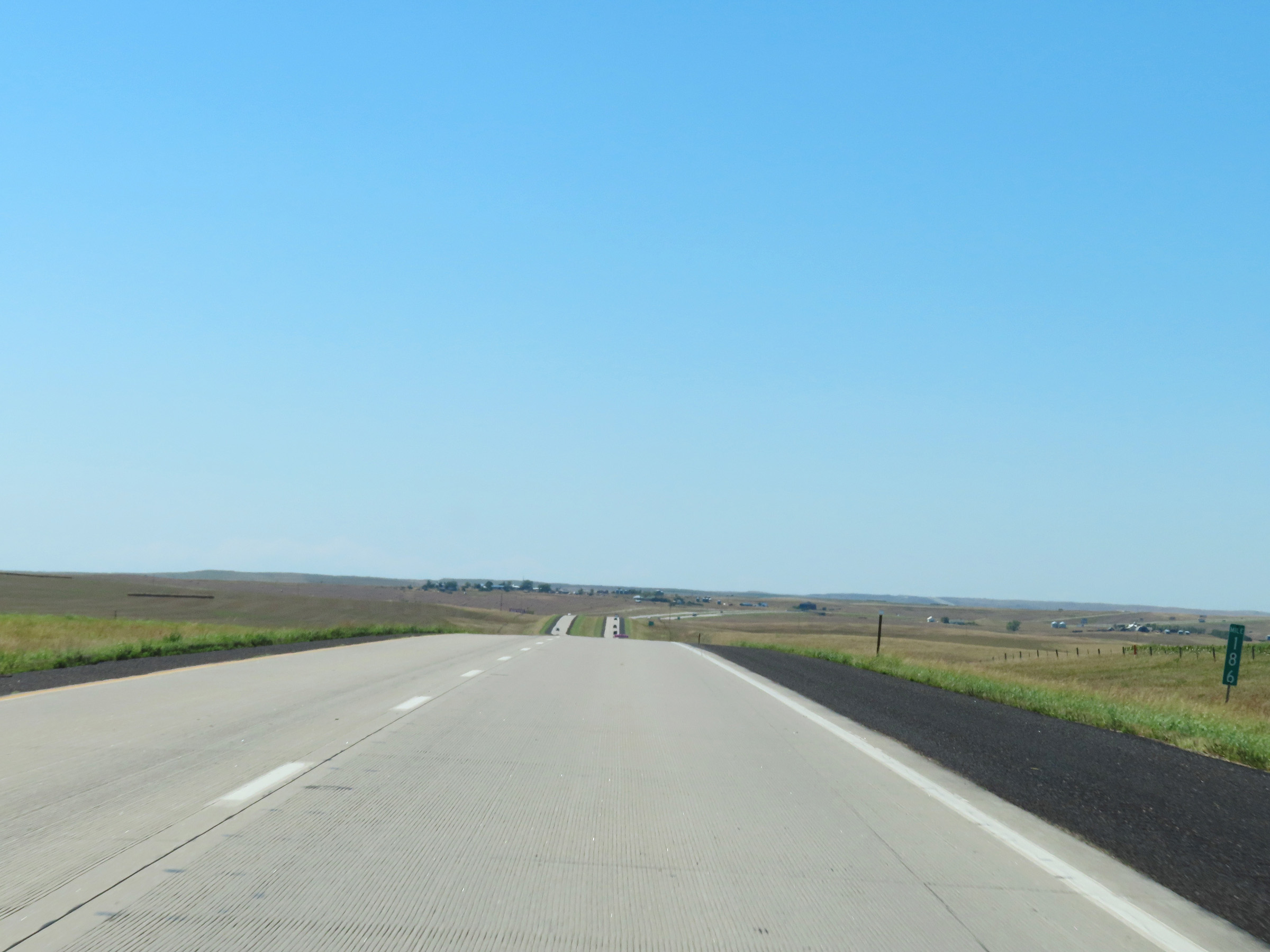
Mile marker 183 on Interstate 90 West in Jones County. (Photo taken 8/16/22). |
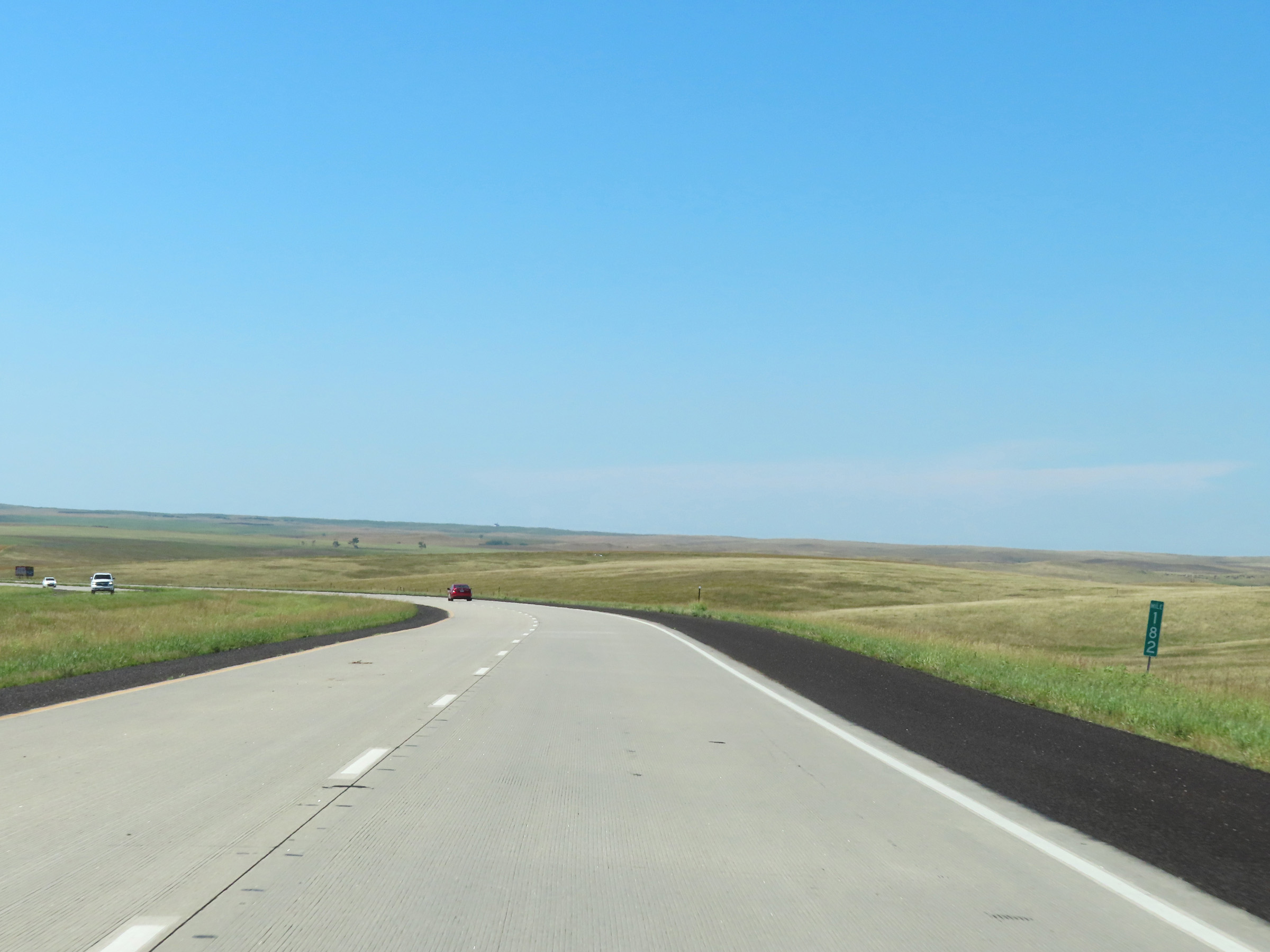 |
Interstate 90 West at mile marker 182. (Photo taken 8/16/22). |
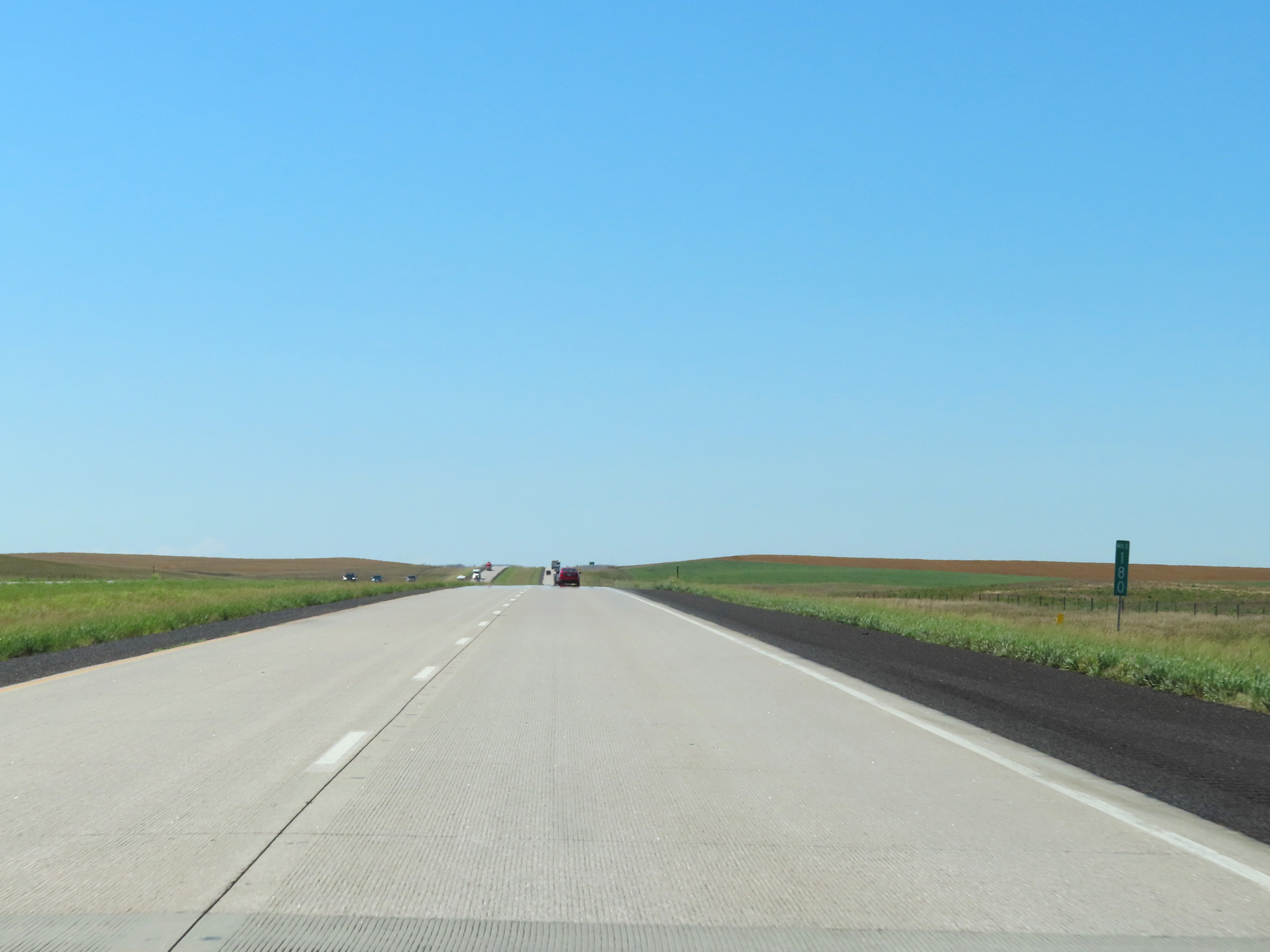 |
Interstate 90 West at mile marker 180. (Photo taken 8/16/22). |
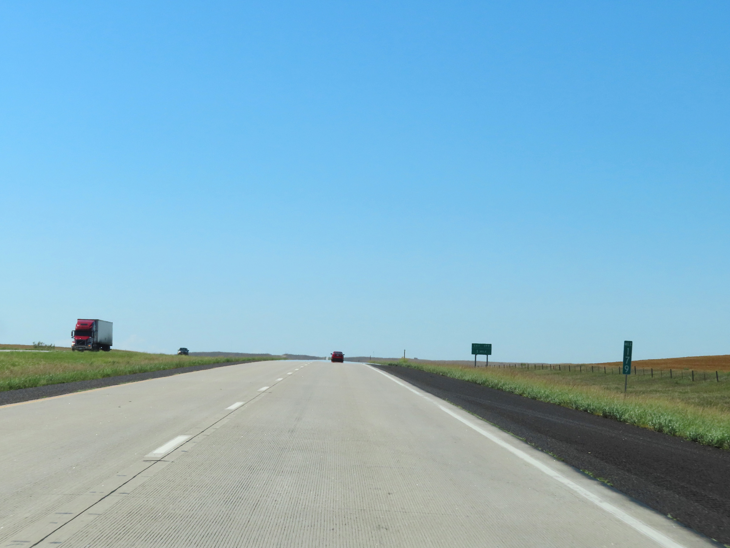 |
View on Interstate 90 West at mile marker 179. (Photo taken 8/16/22). |
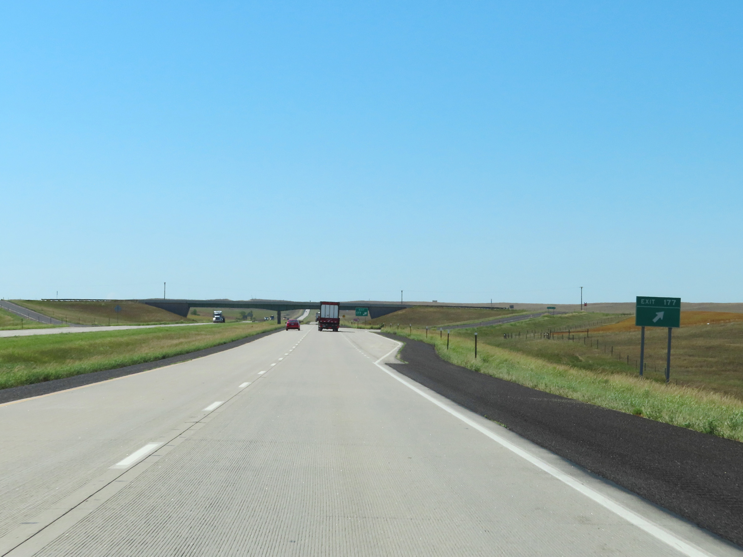 |
Interstate 90 West at Exit 177: (No Name) (Photo taken 8/16/22). |
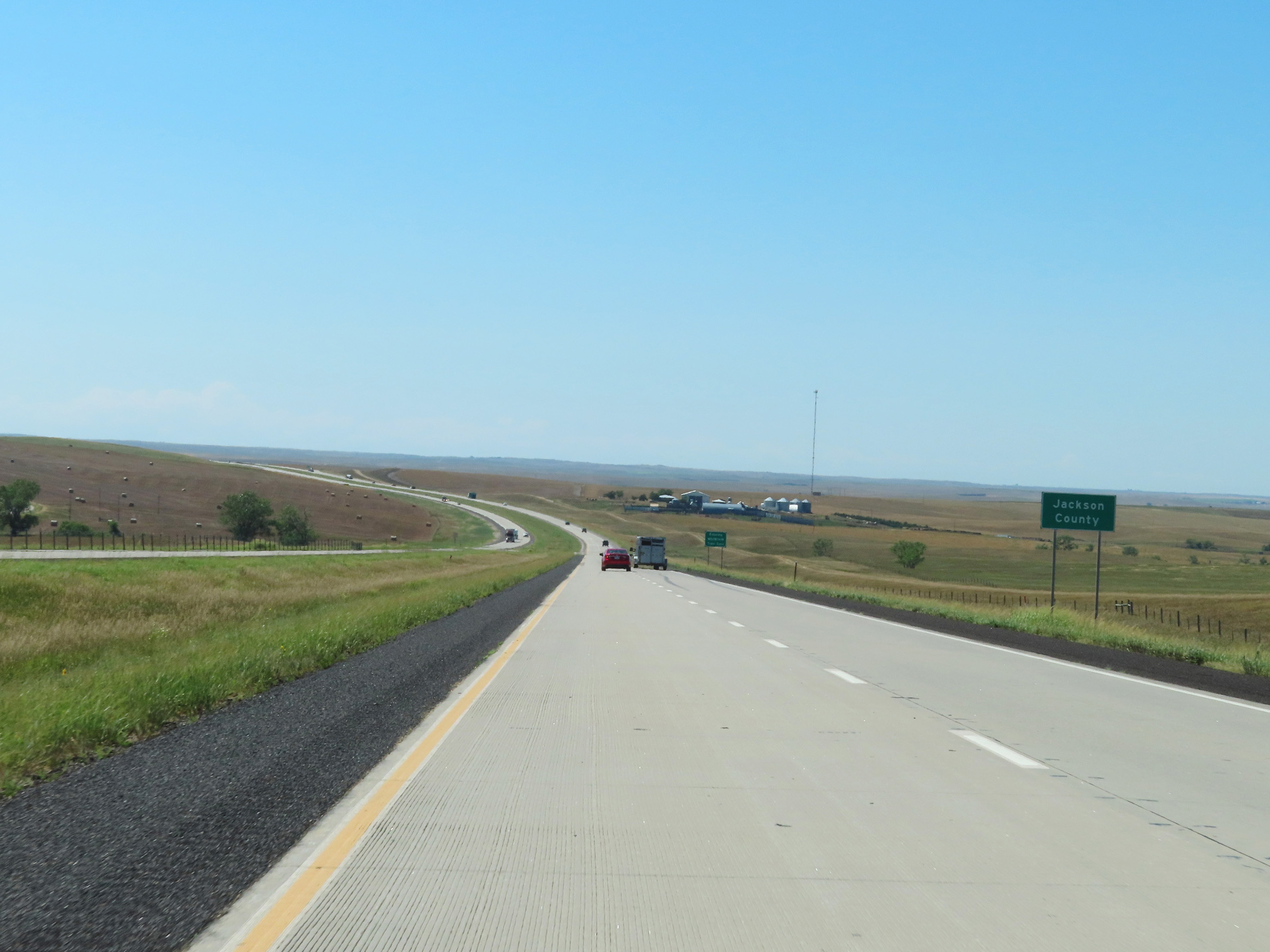 |
Interstate 90 West as it enters Jackson County. (Photo taken 8/16/22). |
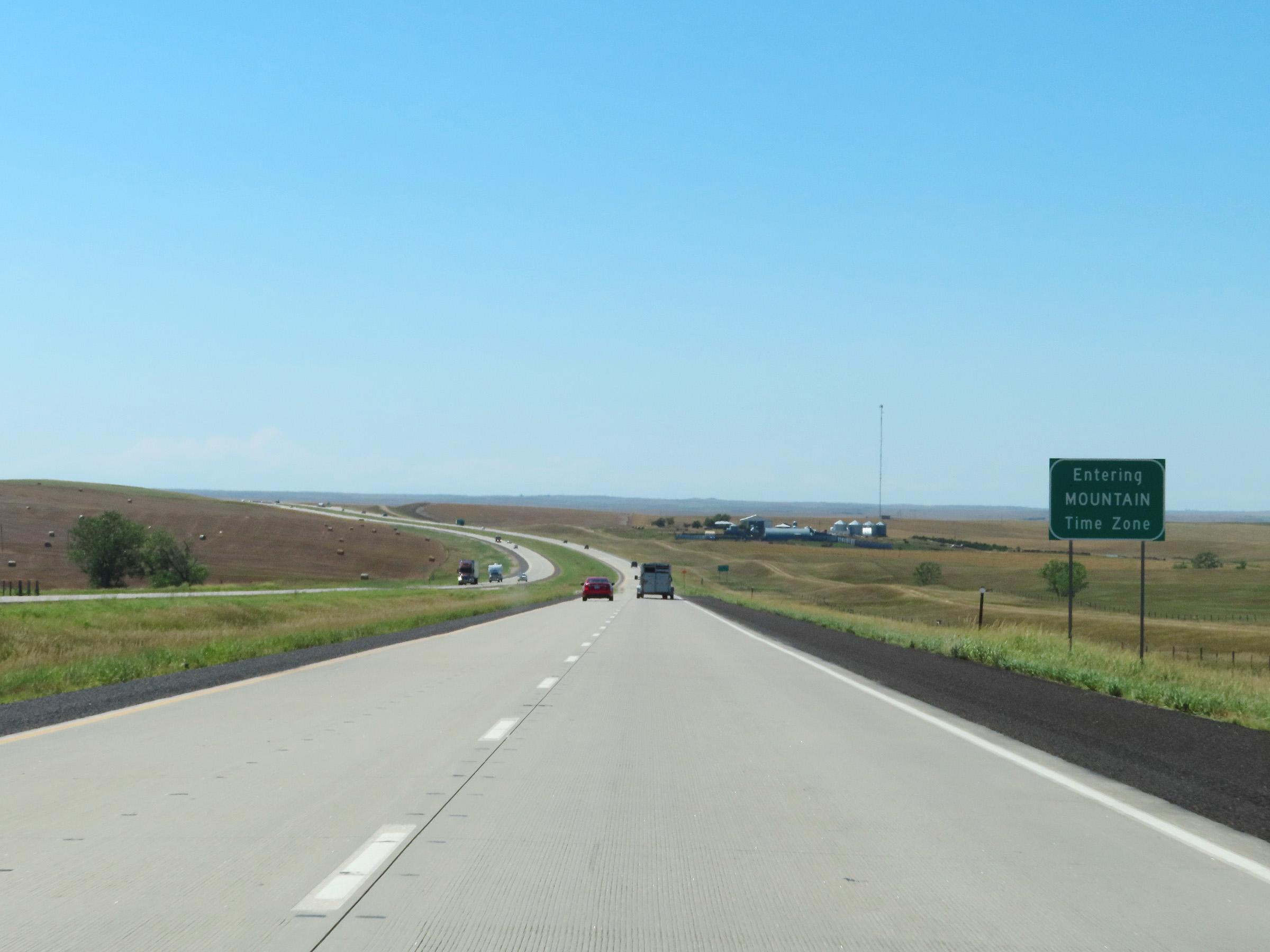 |
Upon entering Jackson County, Interstate 90 West enters the Mountain Time Zone. (Photo taken 8/16/22). |
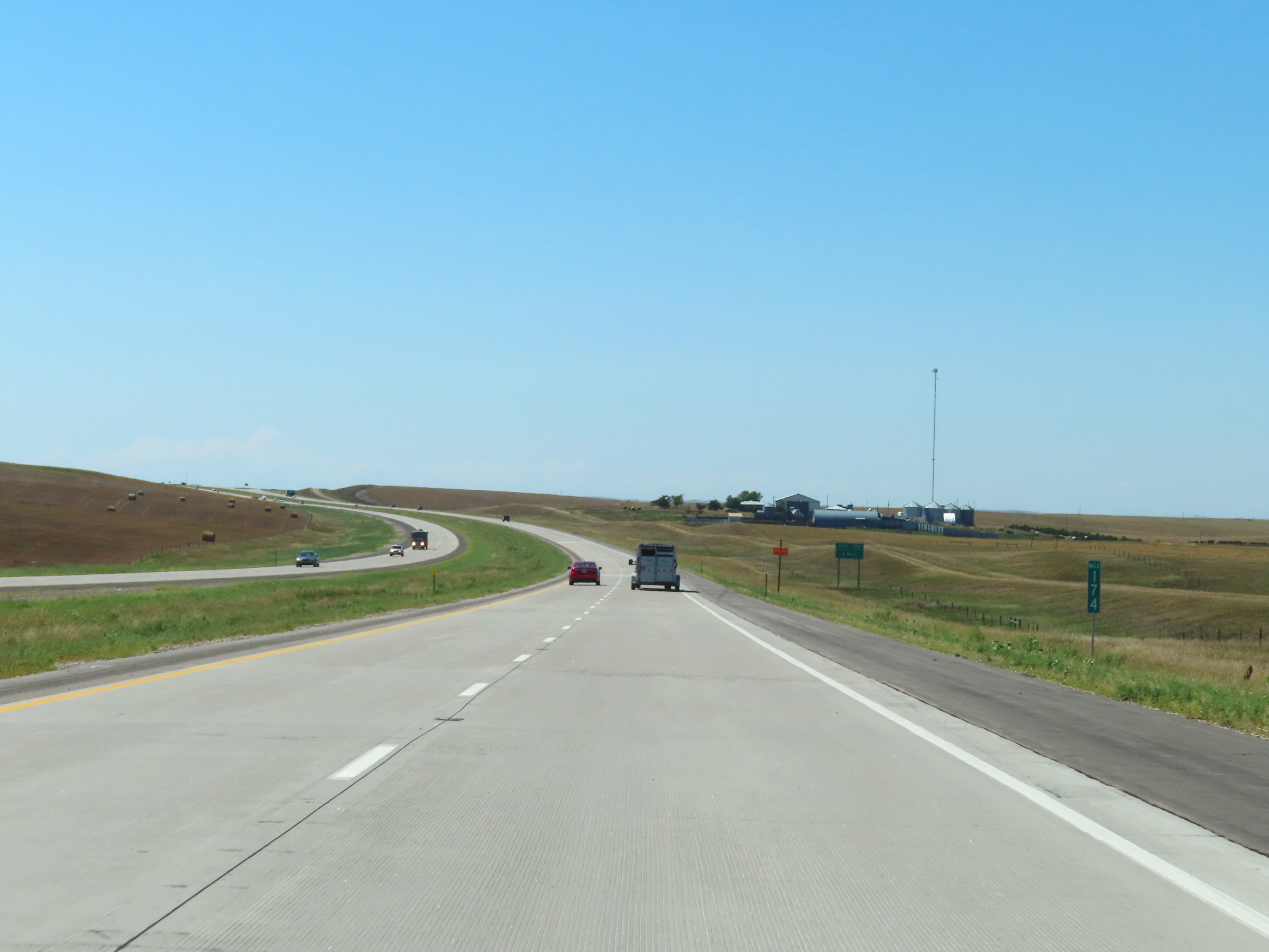 |
View on Interstate 90 West at mile marker 174. (Photo taken 8/16/22). |
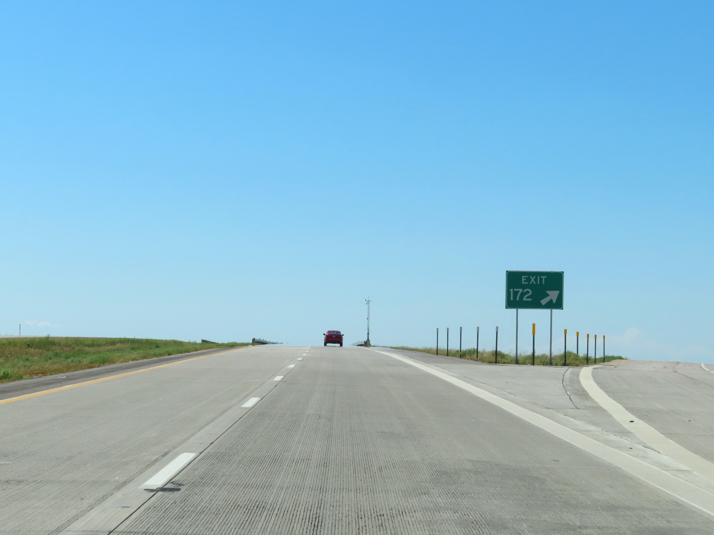 |
Interstate 90 West at Exit 172: (No Name) (Photo taken 8/16/22). |
 |
Interstate 90 West reassurance shield in Jackson County. (Photo taken 8/16/22). |
 |
View on Interstate 90 West at mile marker 171. (Photo taken 8/16/22). |
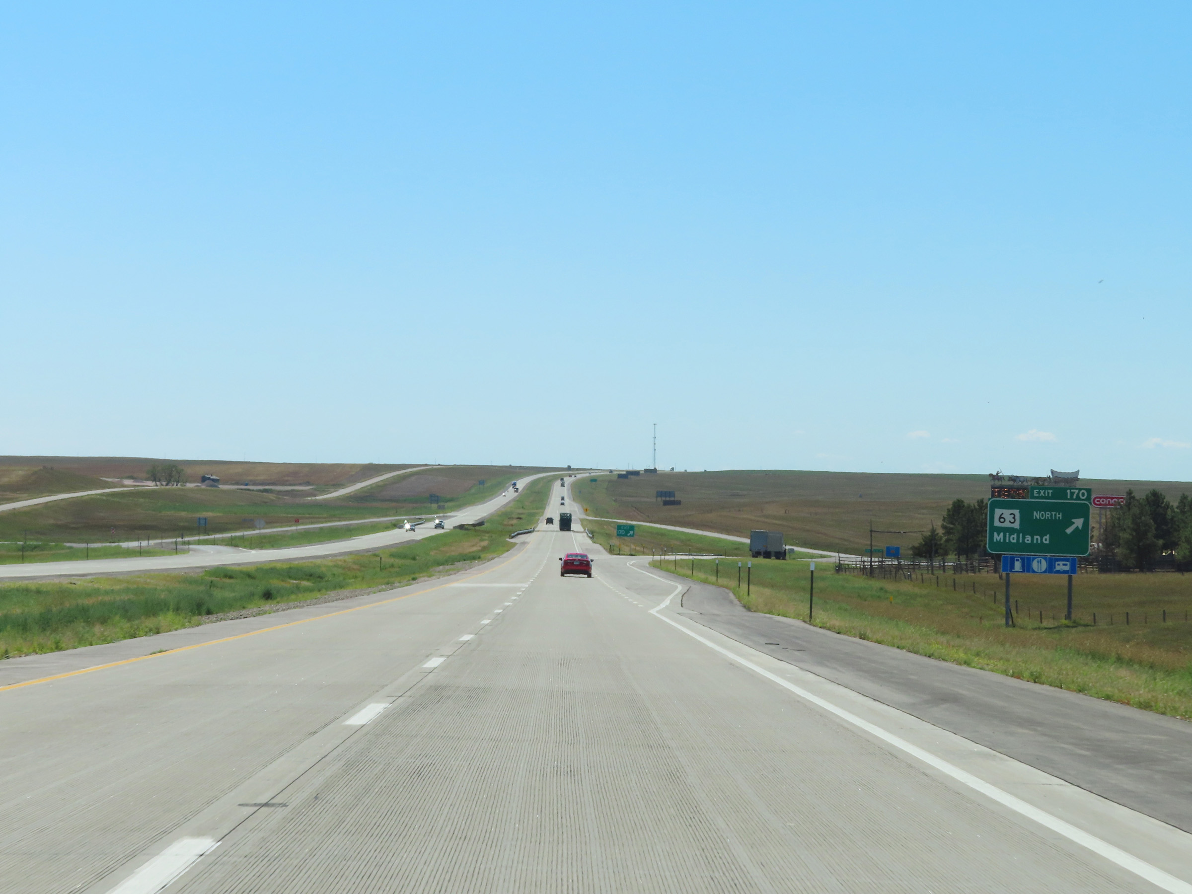 |
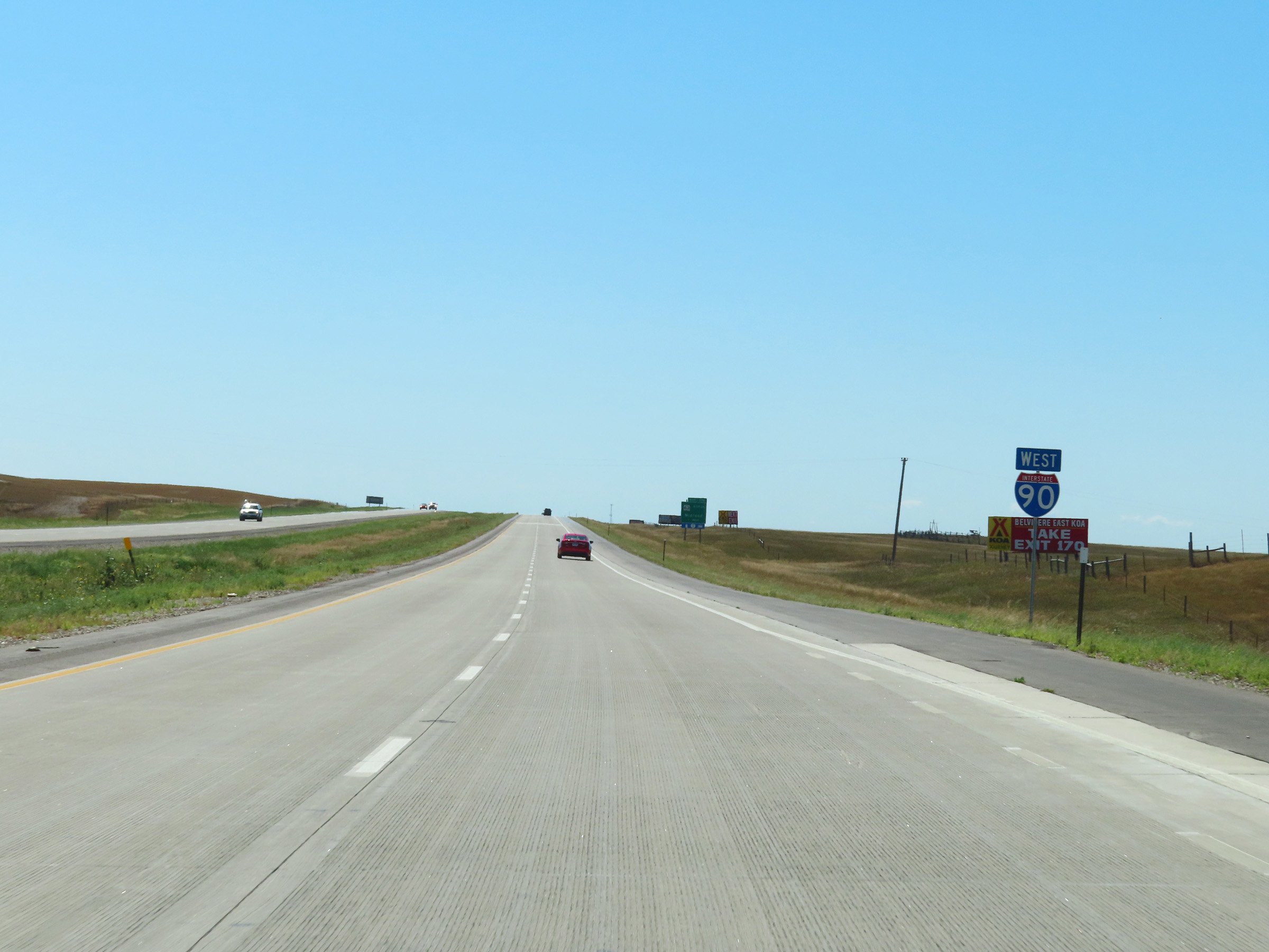
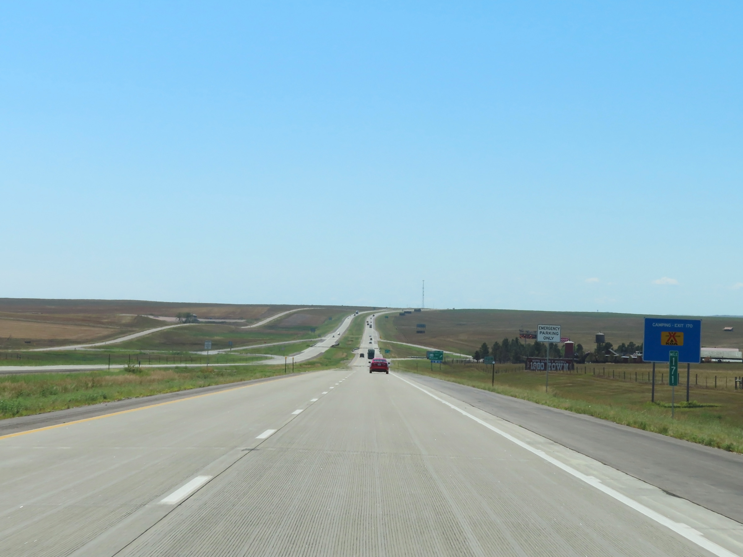
Interstate 90 West at Exit 170: SD 63 North - Midland (Photo taken 8/16/22). |
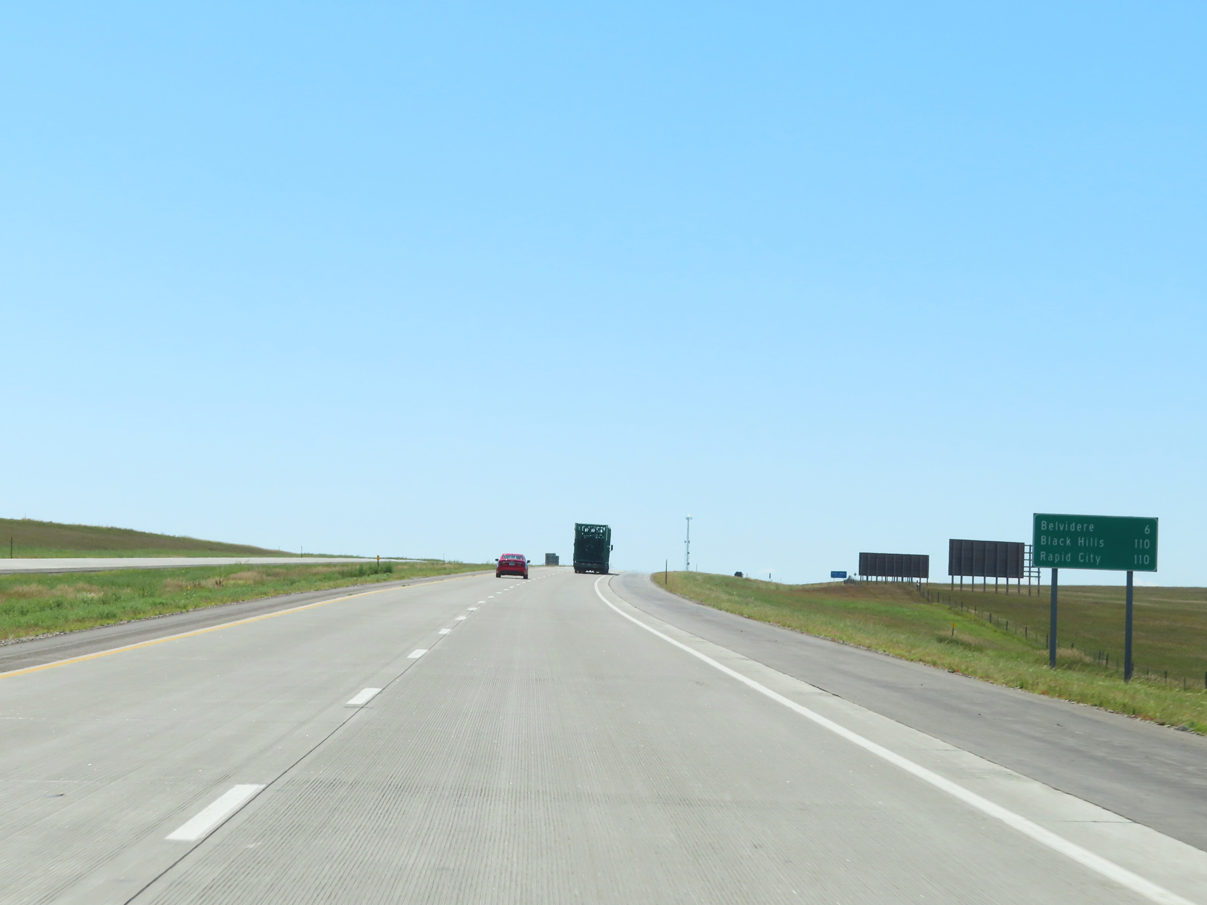 |
Mileage sign on Interstate 90 West. It's 6 miles to Belvidere and 110 miles to both the Black Hills Region and Rapid City. (Photo taken 8/16/22). |
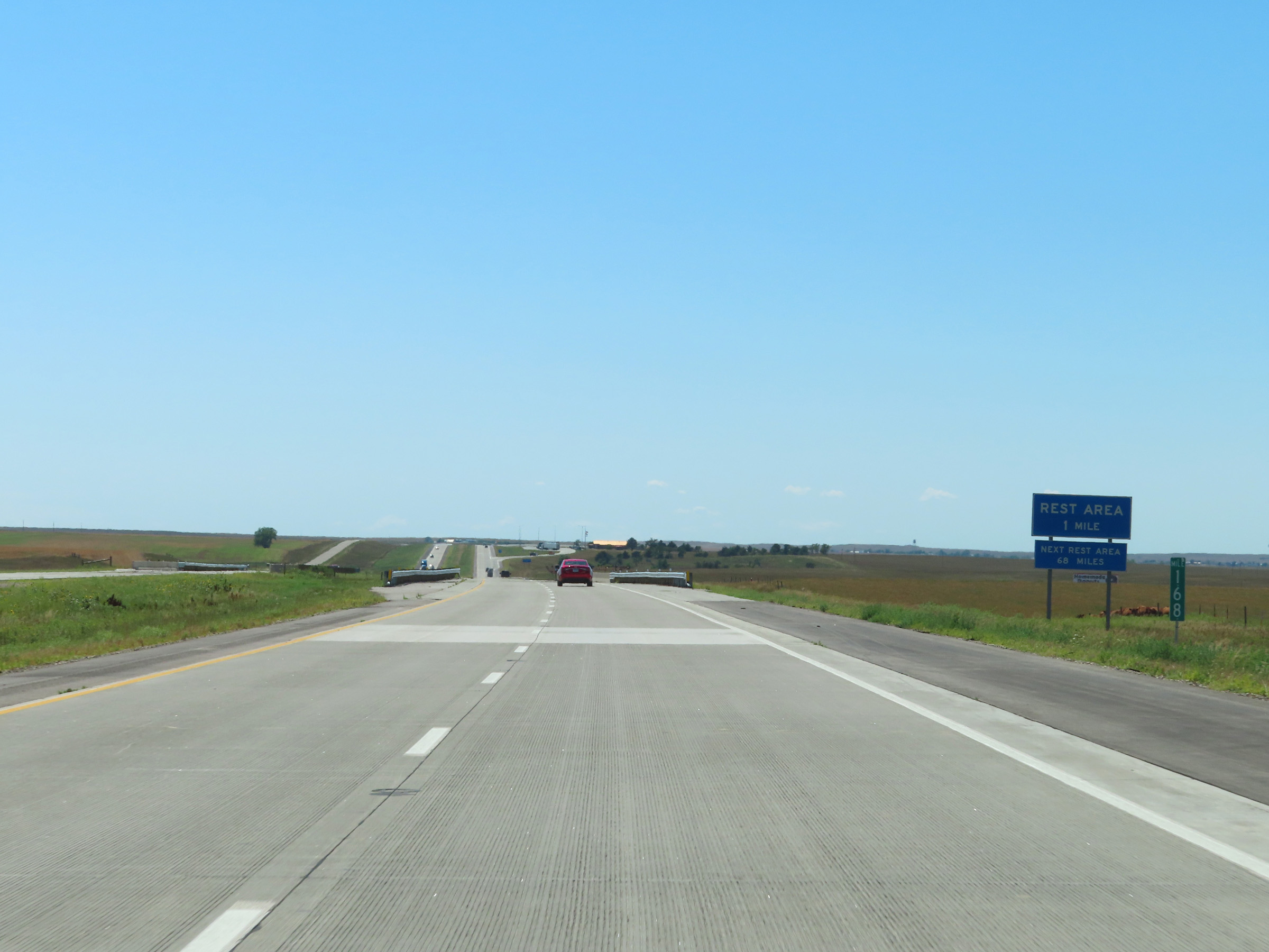 |
Mile marker 168 on Interstate 90 West in Jackson County. (Photo taken 8/16/22). |
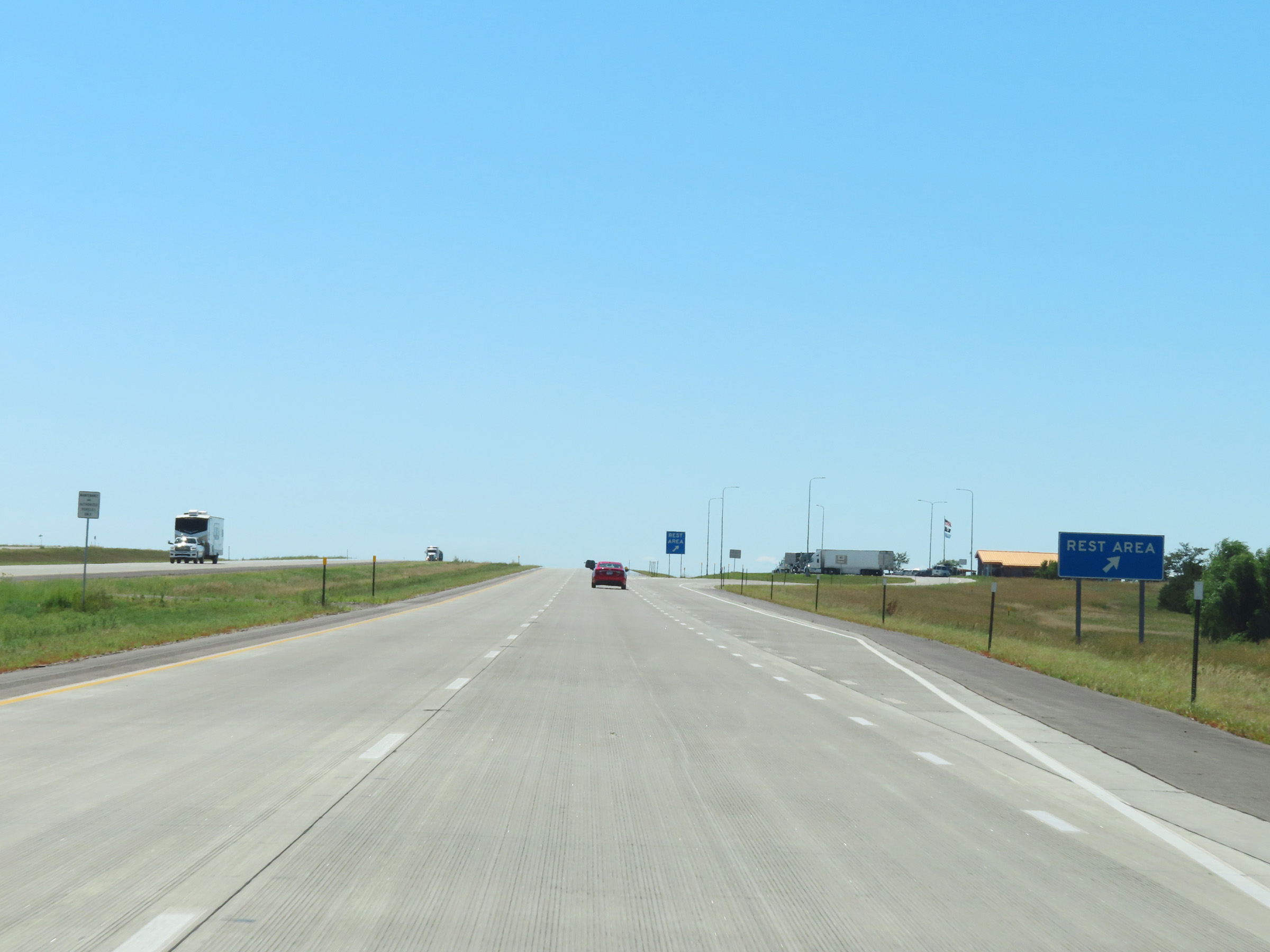 |
Rest Area on Interstate 90 West in Jackson County near mile marker 167. (Photo taken 8/16/22). |
 |
View on Interstate 90 West at mile marker 165. (Photo taken 8/16/22). |
 |
Interstate 90 West at mile marker 164. (Photo taken 8/16/22). |
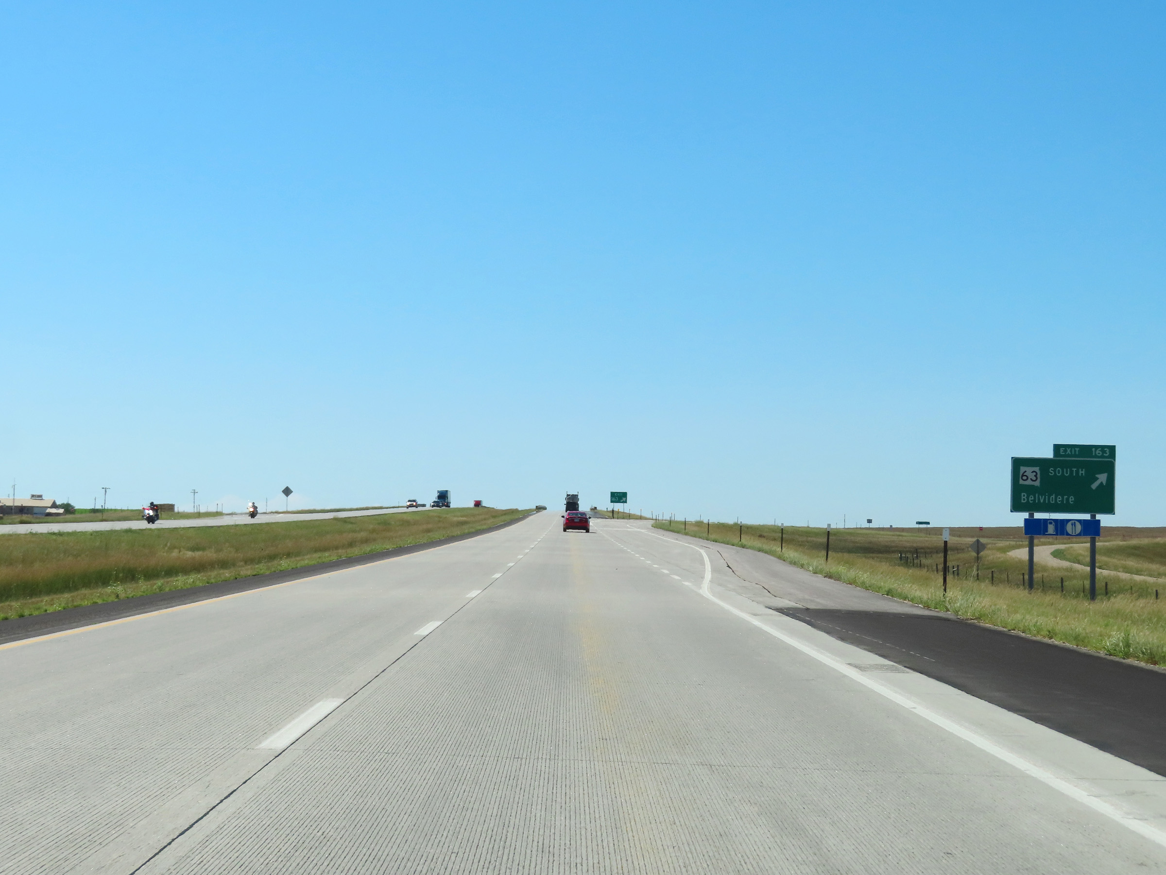 |
Interstate 90 West at Exit 163: SD 63 South - Belvidere (Photo taken 8/16/22). |
 |
View on Interstate 90 West at mile marker 162. (Photo taken 8/16/22). |
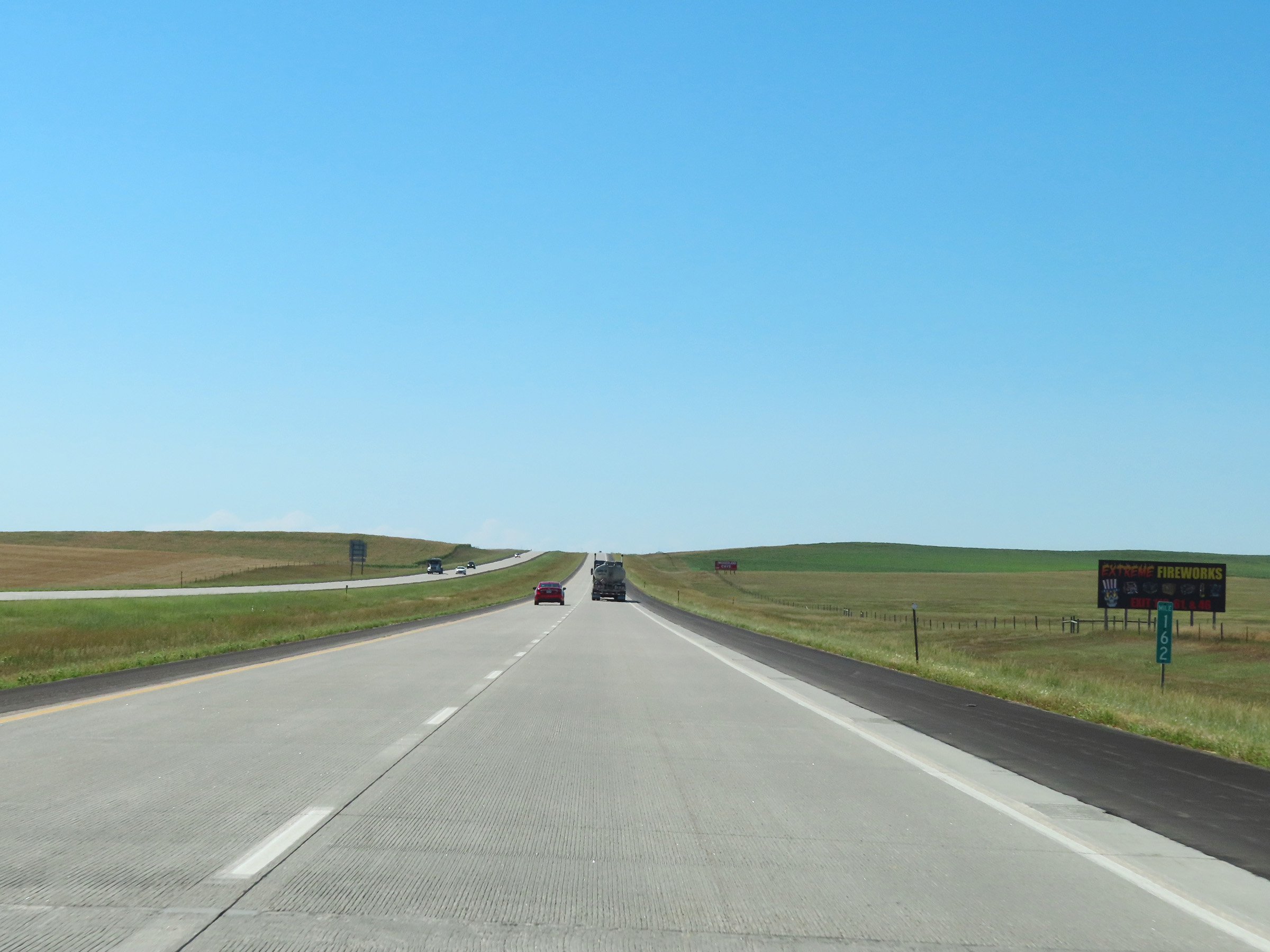
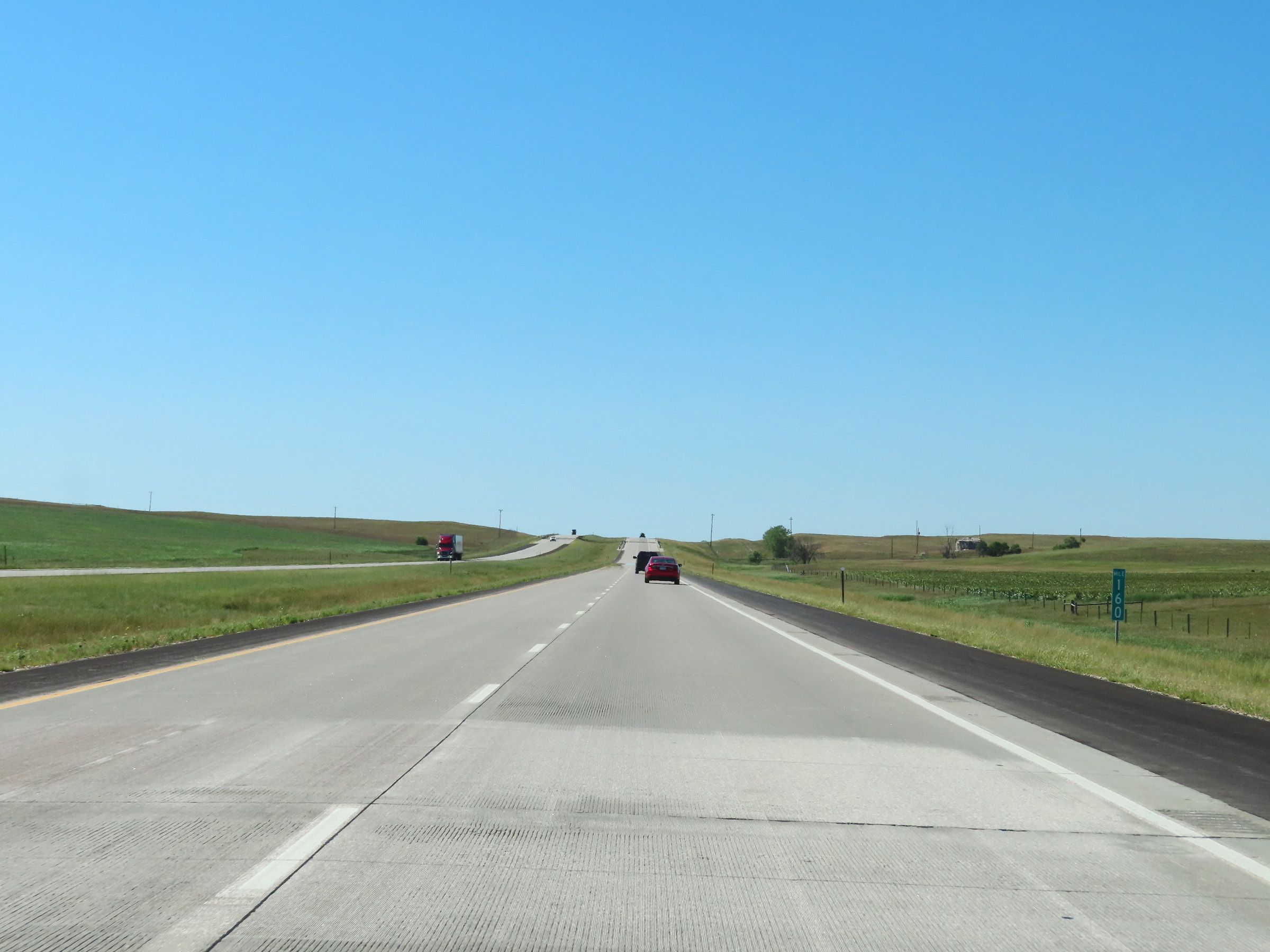 |
Mile marker 160 on Interstate 90 West in Jackson County. (Photo taken 8/16/22). |
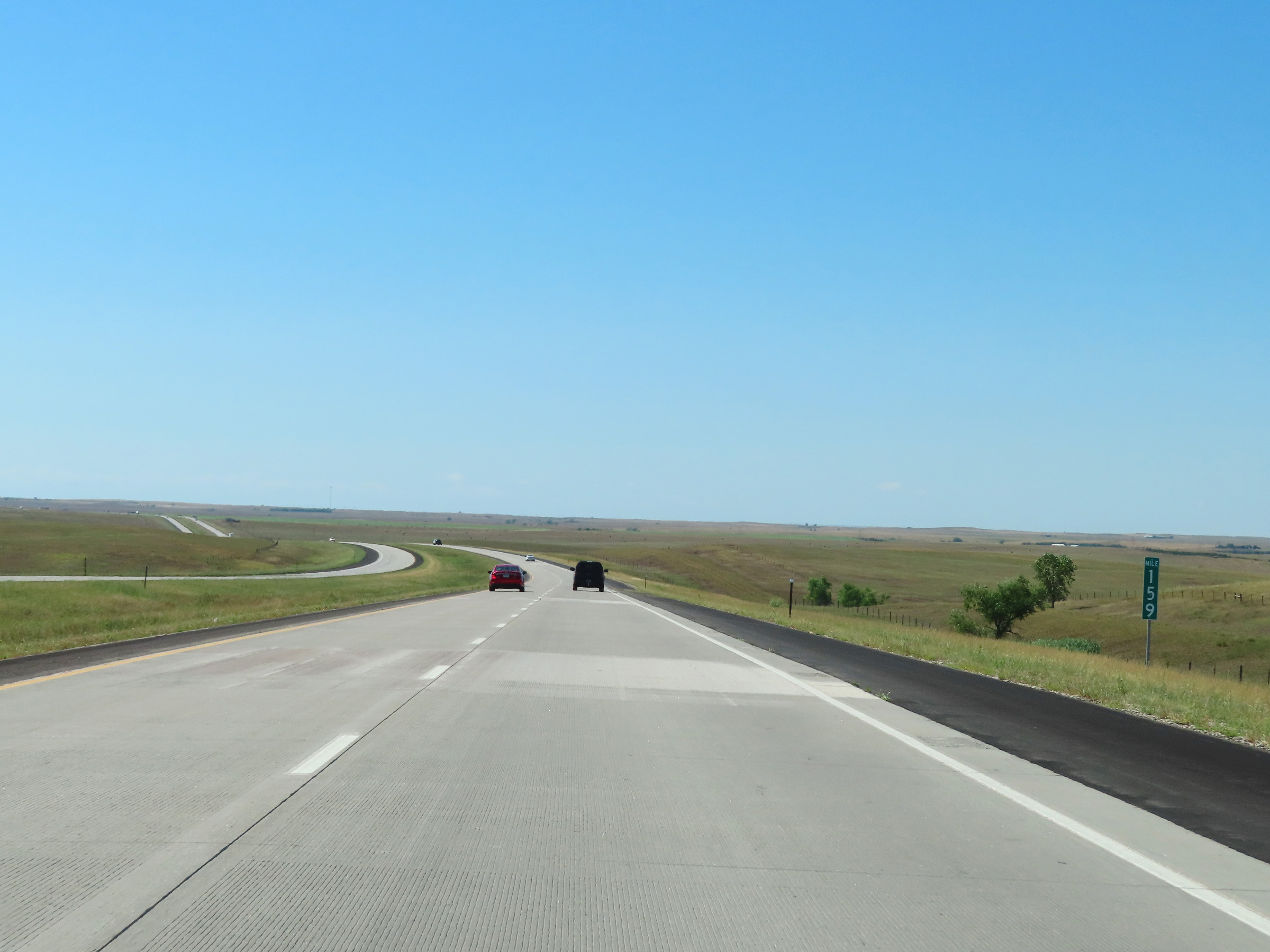 |
Interstate 90 West at mile marker 159. (Photo taken 8/16/22). |
 |
View on Interstate 90 West at mile marker 156. (Photo taken 8/16/22). |
 |
Mile marker 154 on Interstate 90 West in Jackson County. (Photo taken 8/16/22). |
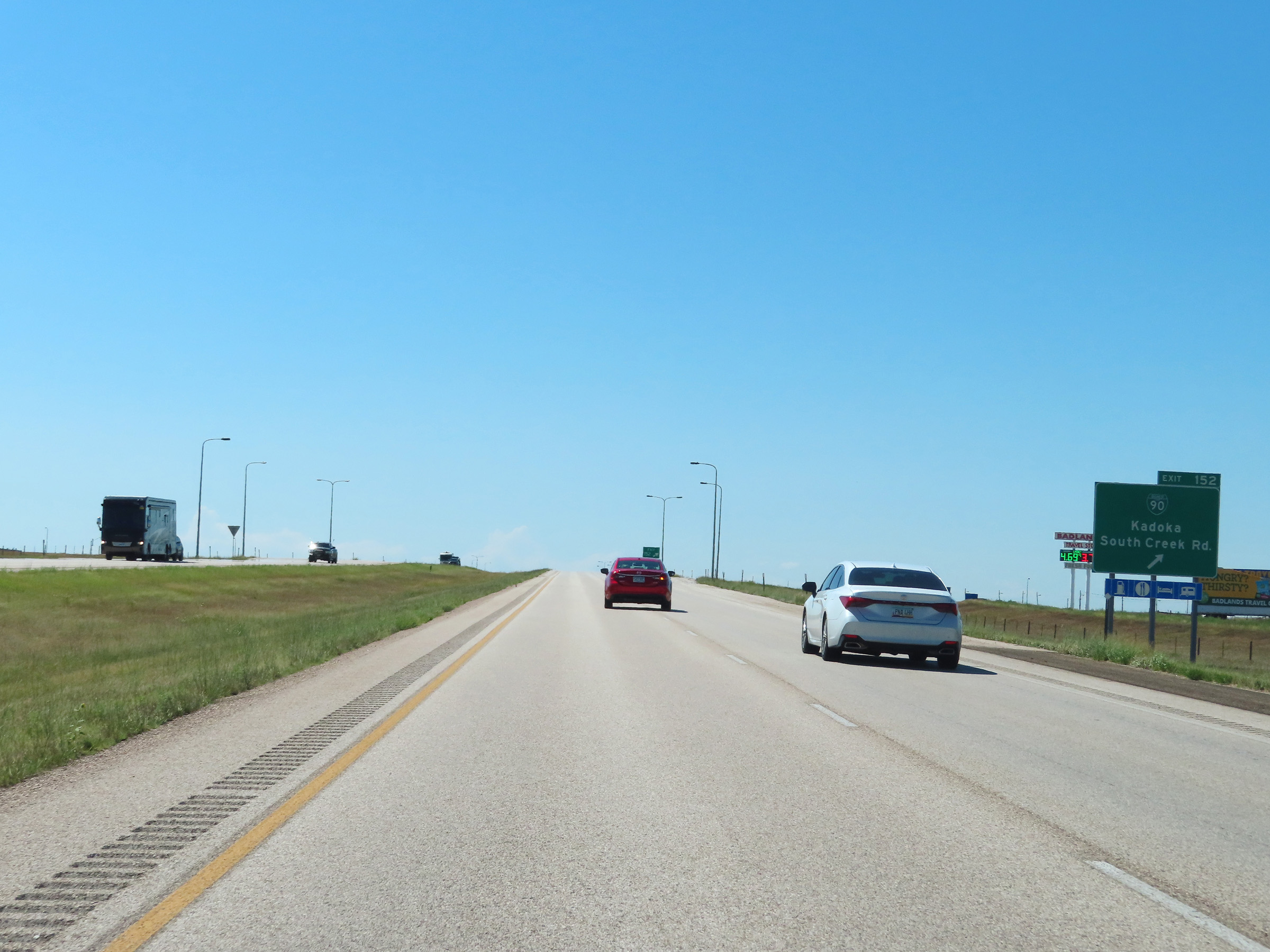 |
Interstate 90 West at Exit 152: Interstate 90 Business Loop - Kadoka / South Creek Rd (Photo taken 8/16/22). |
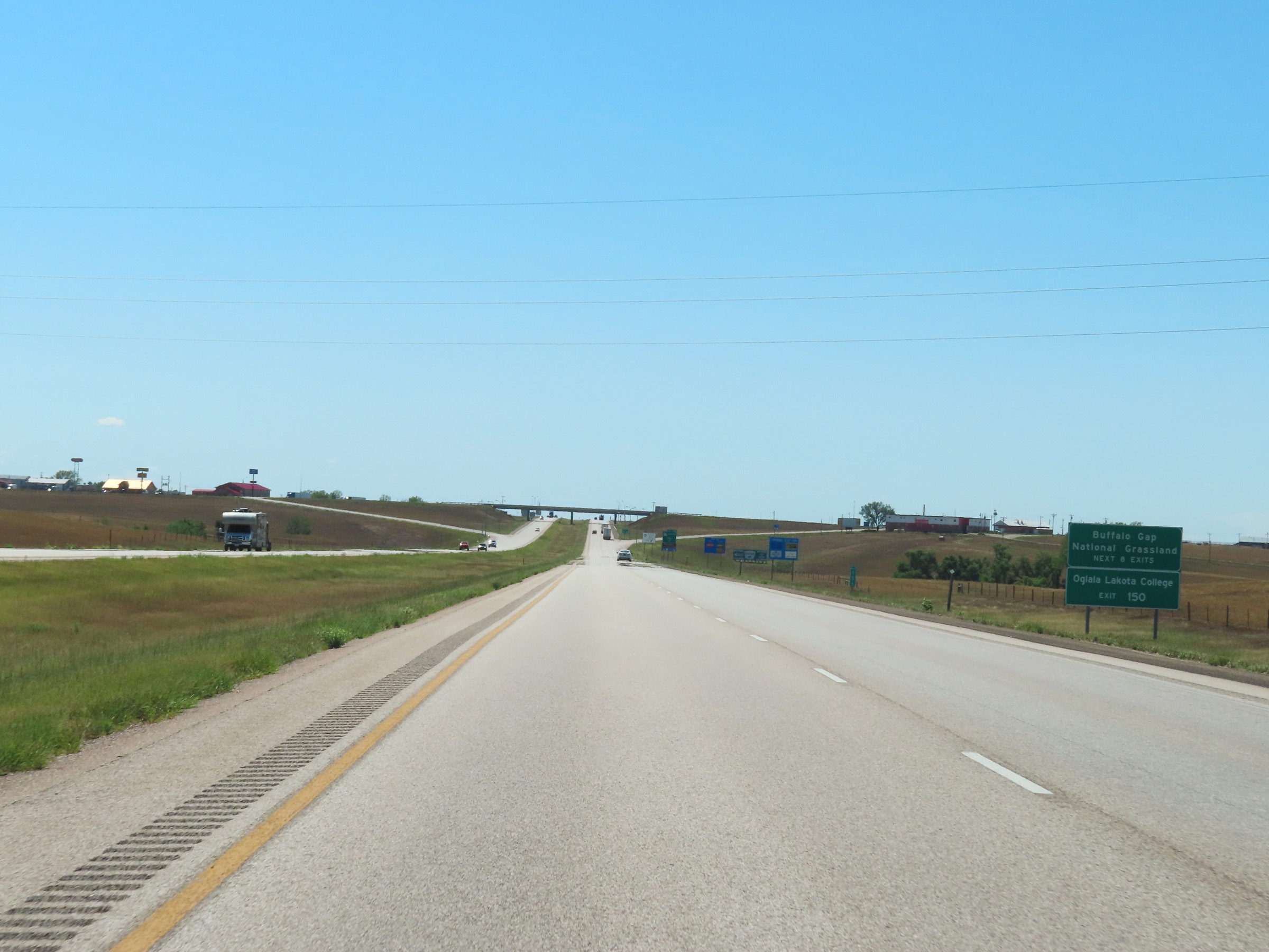 |
Take any of the next 8 exits to Buffalo Gap National Grassland. Take Exit 150 to Oglala Lakota College and Pine Ridge Indian Reservation. (Photo taken 8/16/22). |
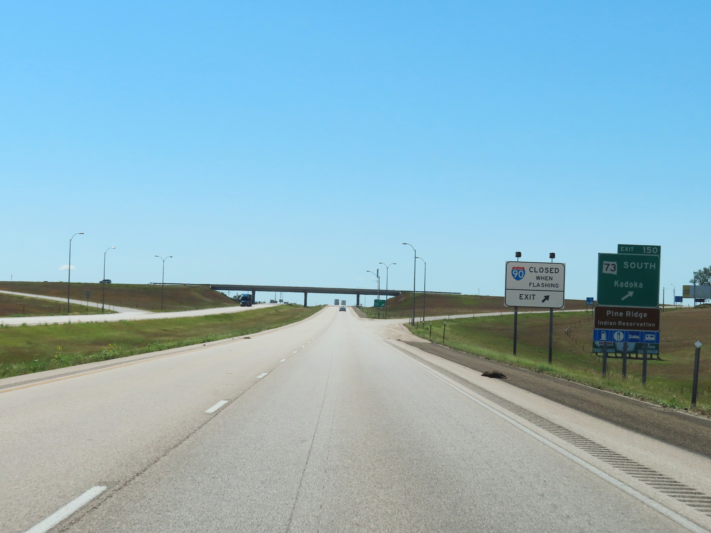 |
Interstate 90 West at Exit 150: SD 73 South - Kadoka (Photo taken 8/16/22). |
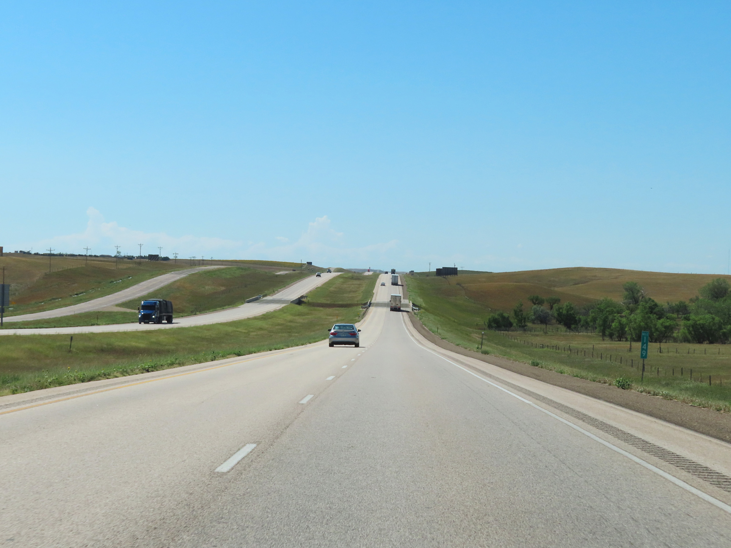 |
View on Interstate 90 West at mile marker 149. (Photo taken 8/16/22). |
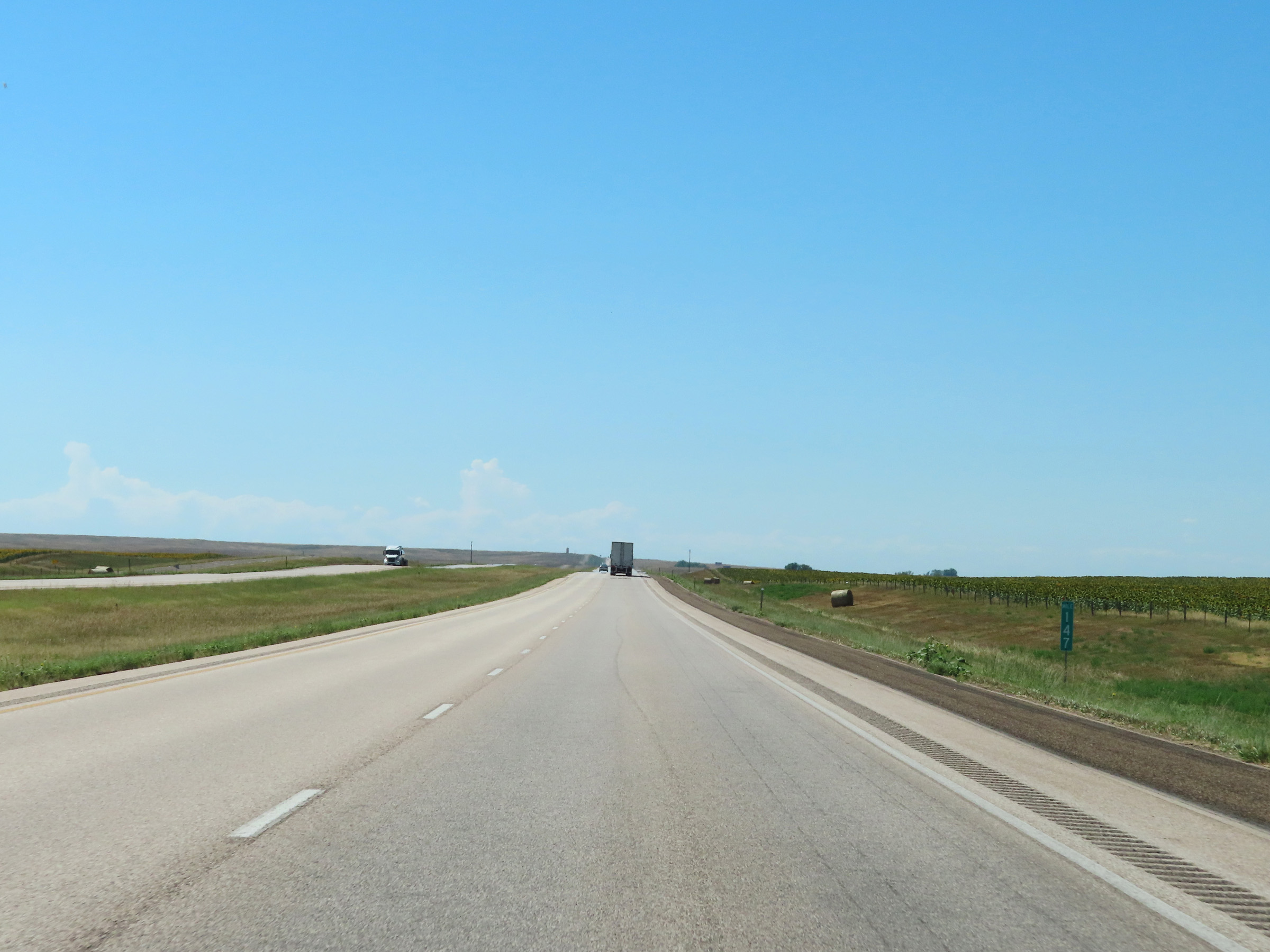 |
Mile marker 147 on Interstate 90 West in Jackson County. (Photo taken 8/16/22). |
 |
Interstate 90 West at mile marker 146. (Photo taken 8/16/22). |
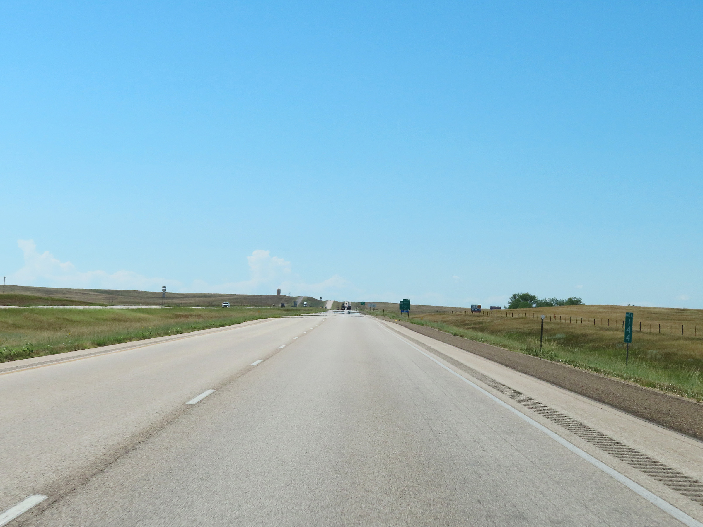 |
View on Interstate 90 West at mile marker 144. (Photo taken 8/16/22). |
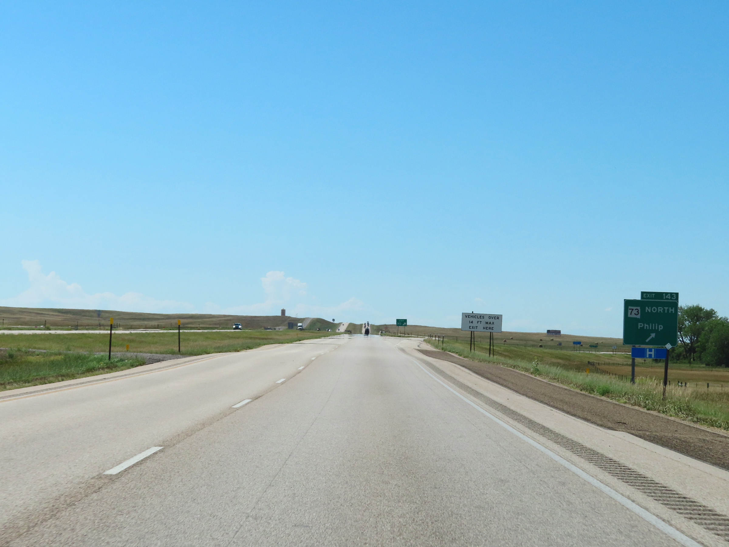 |
Interstate 90 West at Exit 143: SD 73 North - Philip (Photo taken 8/16/22). |
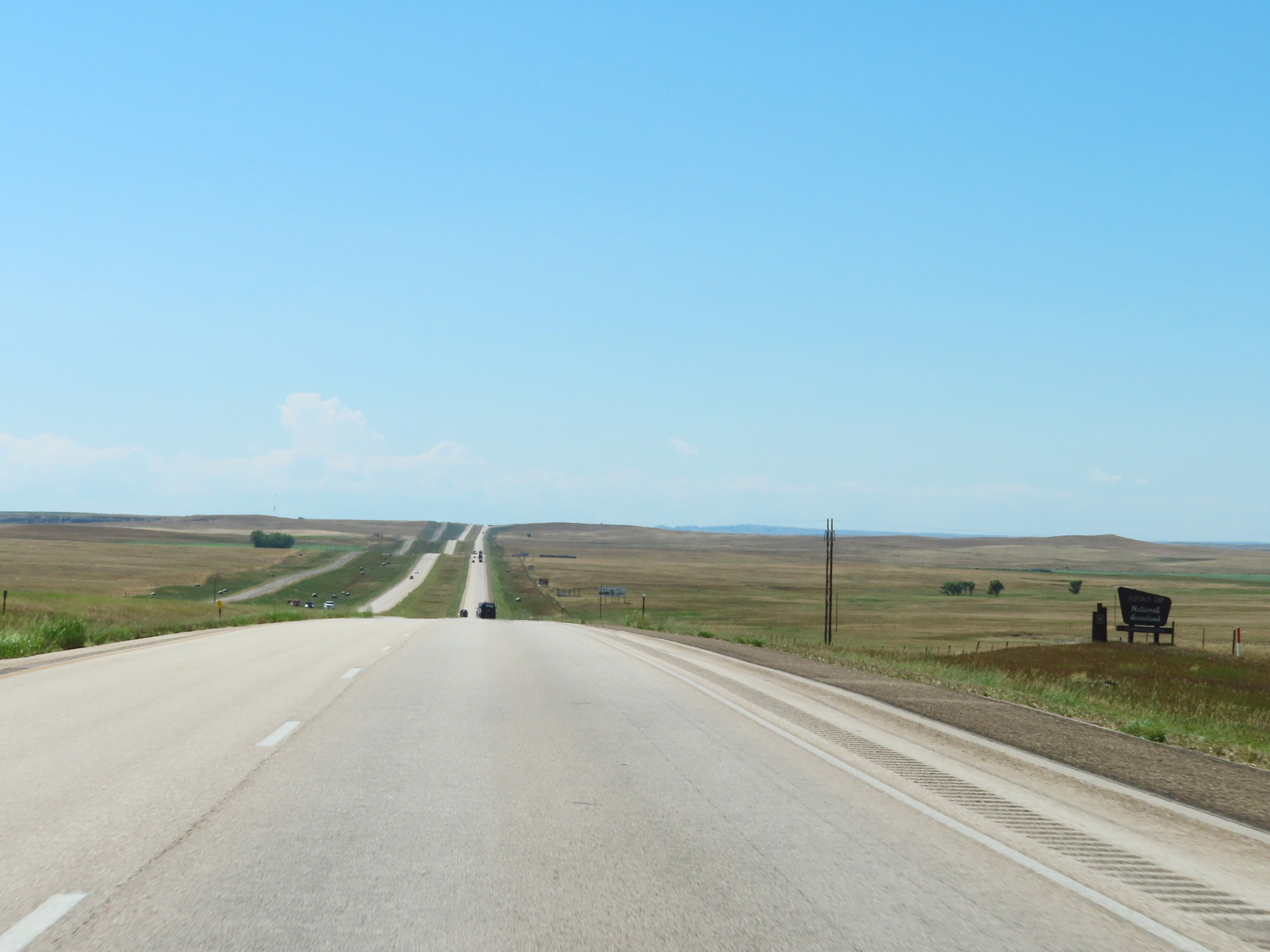 |
Interstate 90 West as it enters Buffalo Gap National Grassland. (Photo taken 8/16/22). |
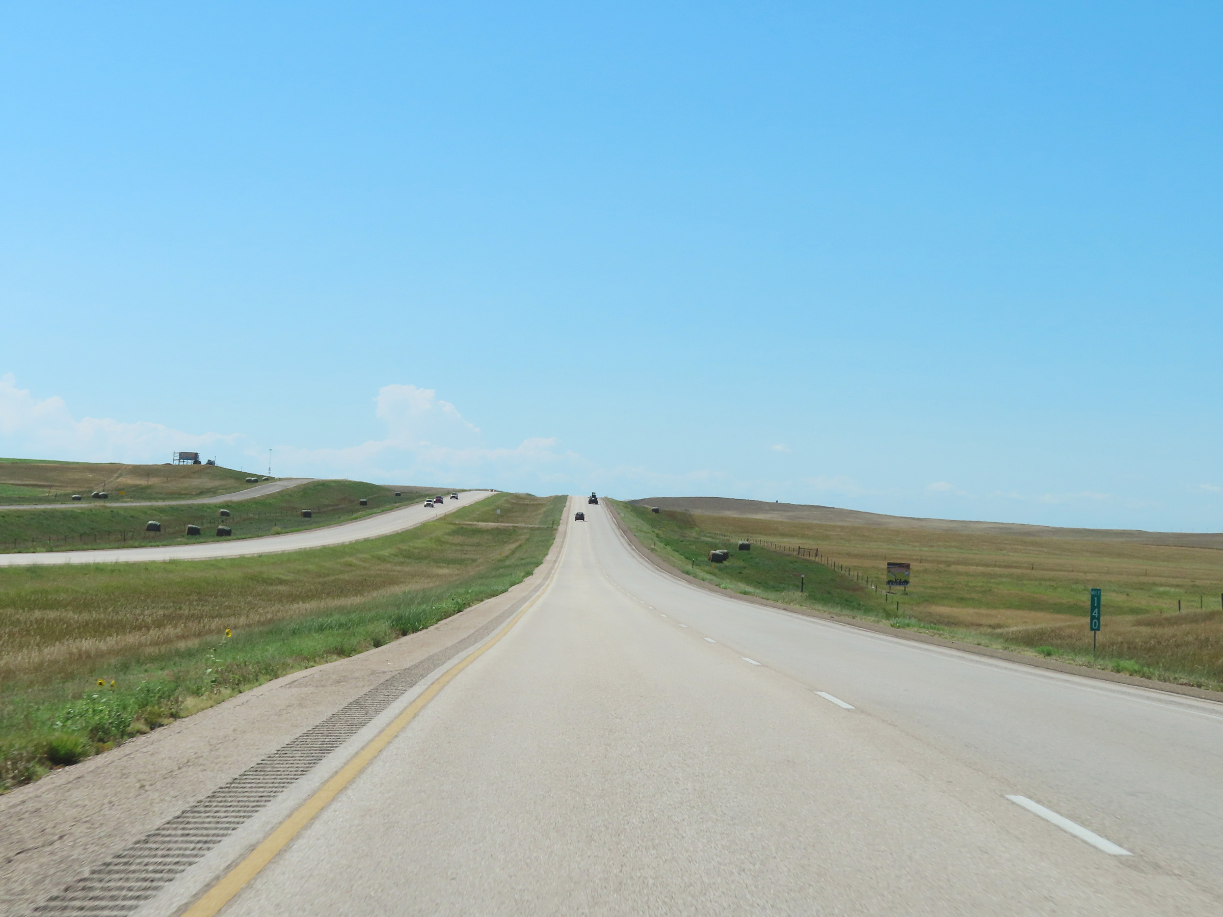 |
View on Interstate 90 West at mile marker 140. (Photo taken 8/16/22). |
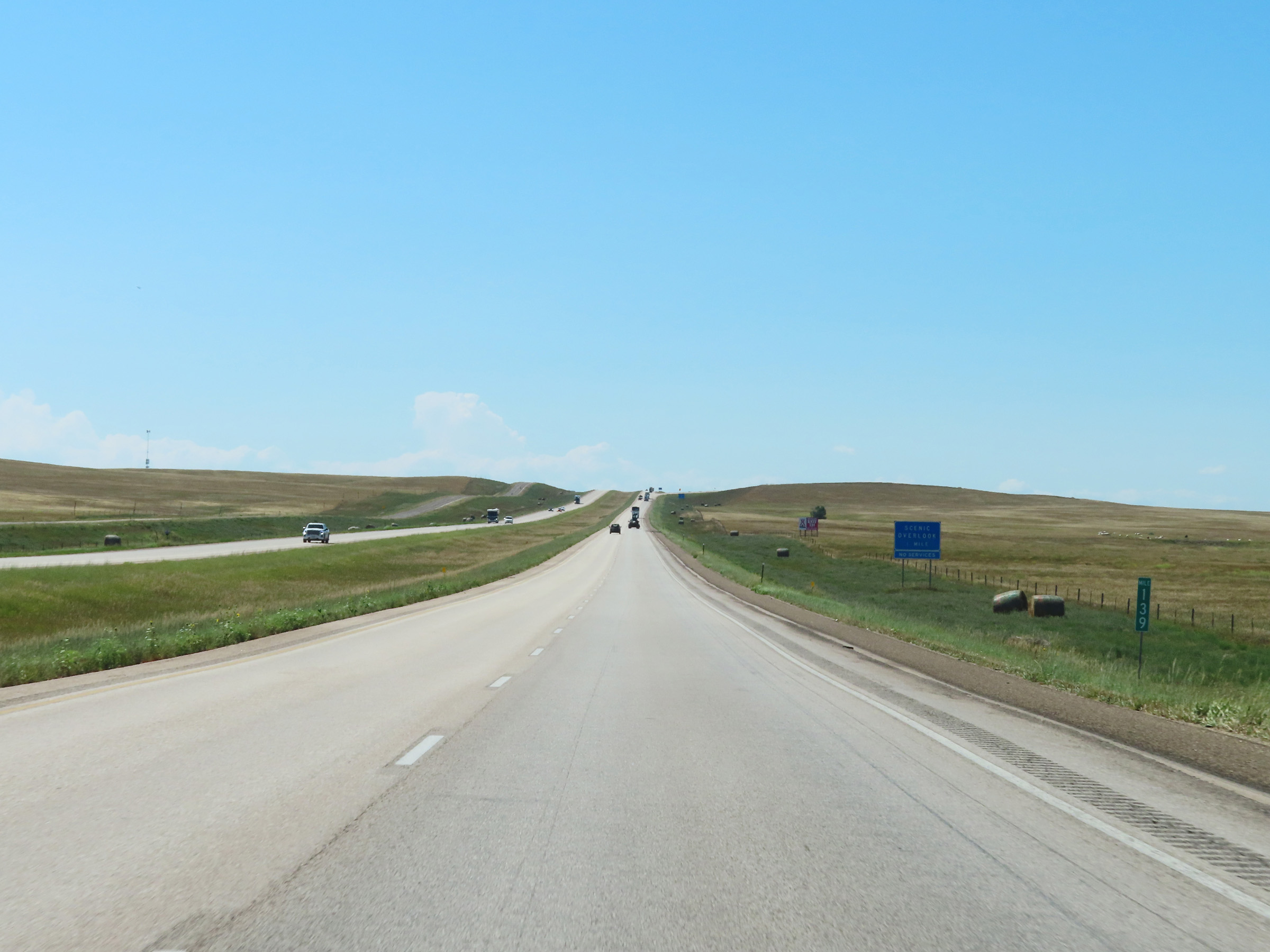 |
Mile marker 139 on Interstate 90 West in Jackson County. (Photo taken 8/16/22). |
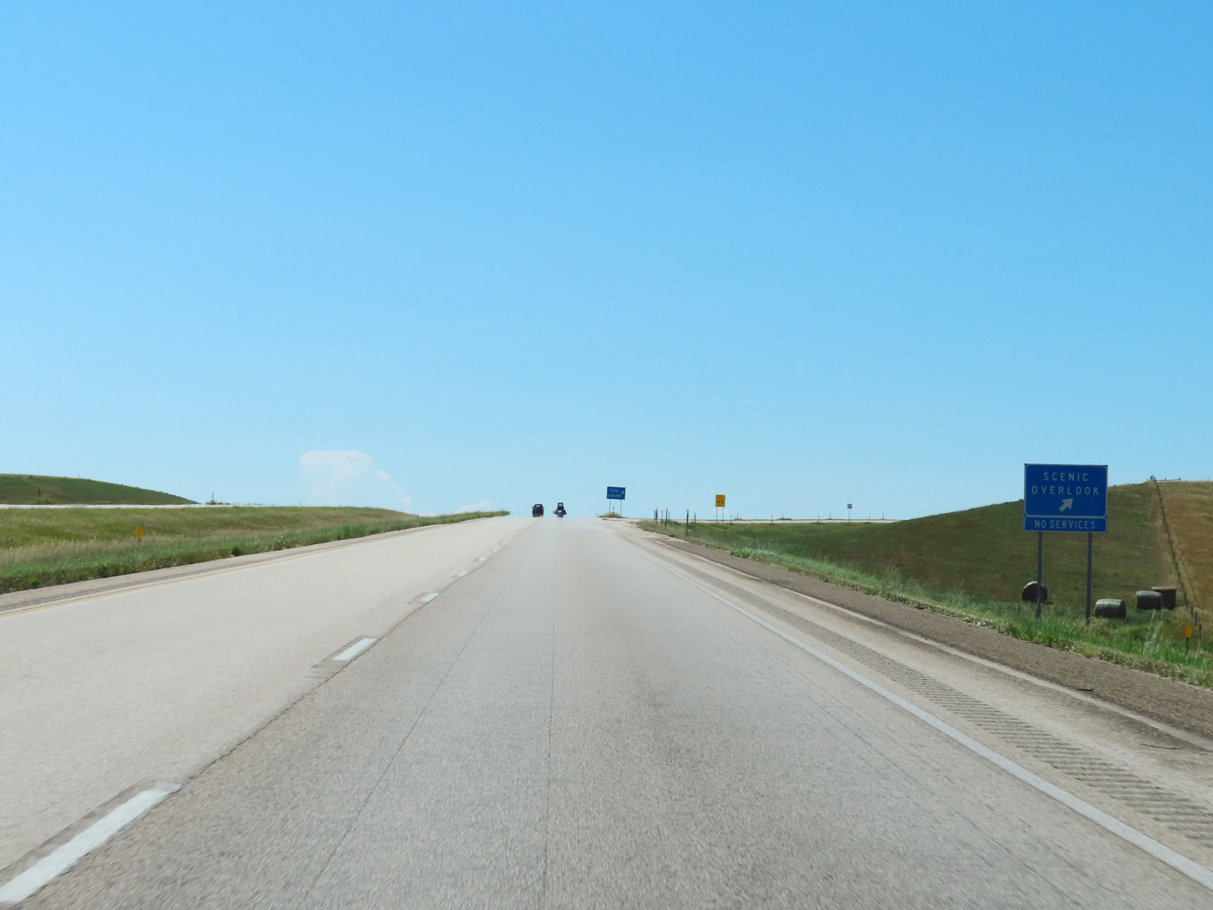 |
Scenic Overlook on Interstate 90 West in Jackson County near mile marker 138. (Photo taken 8/16/22). |
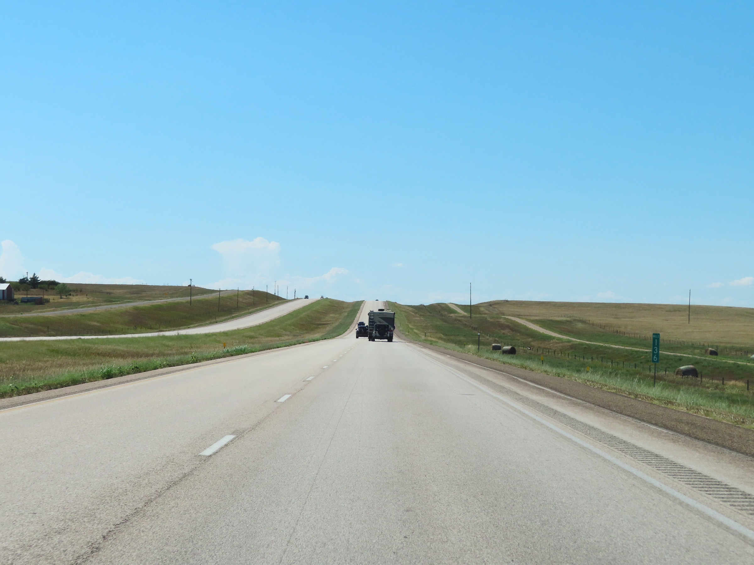 |
Interstate 90 West at mile marker 136. (Photo taken 8/16/22). |
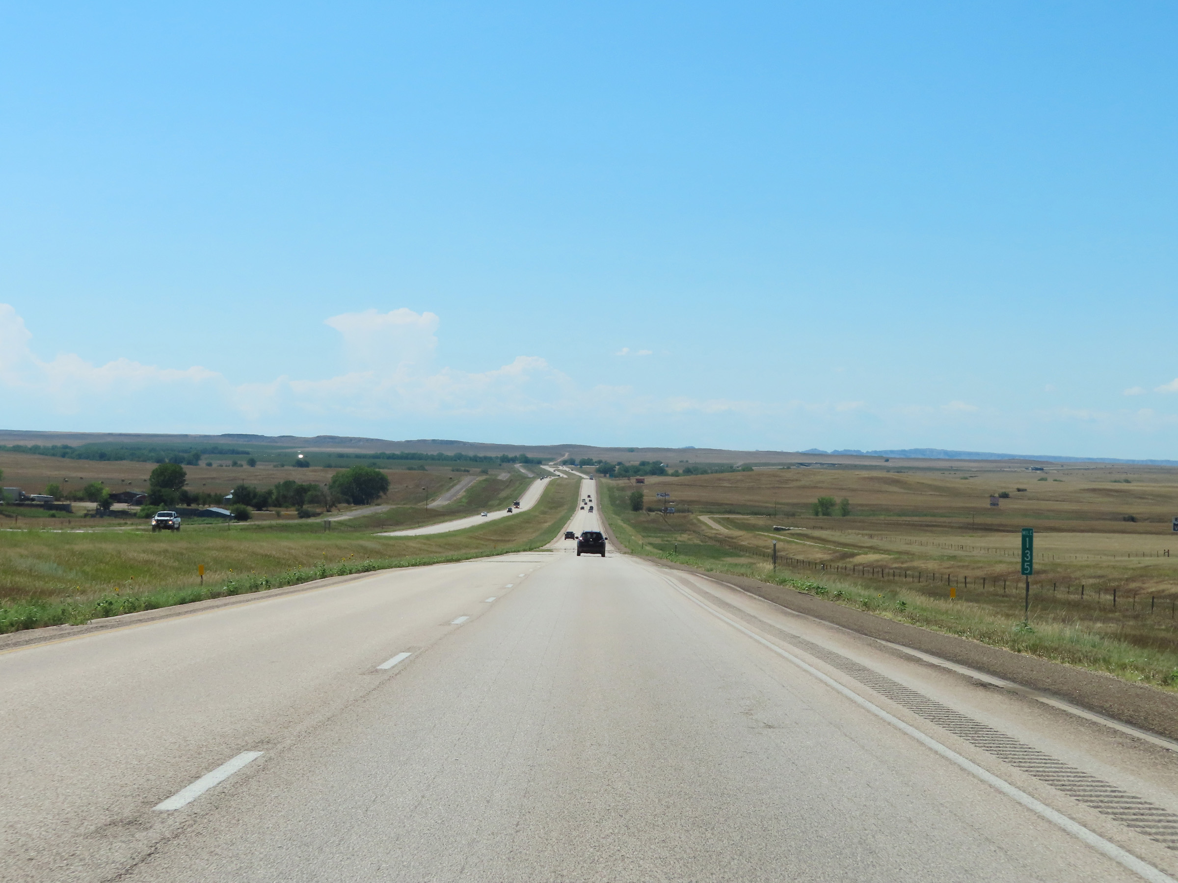 |
View on Interstate 90 West at mile marker 135. (Photo taken 8/16/22). |
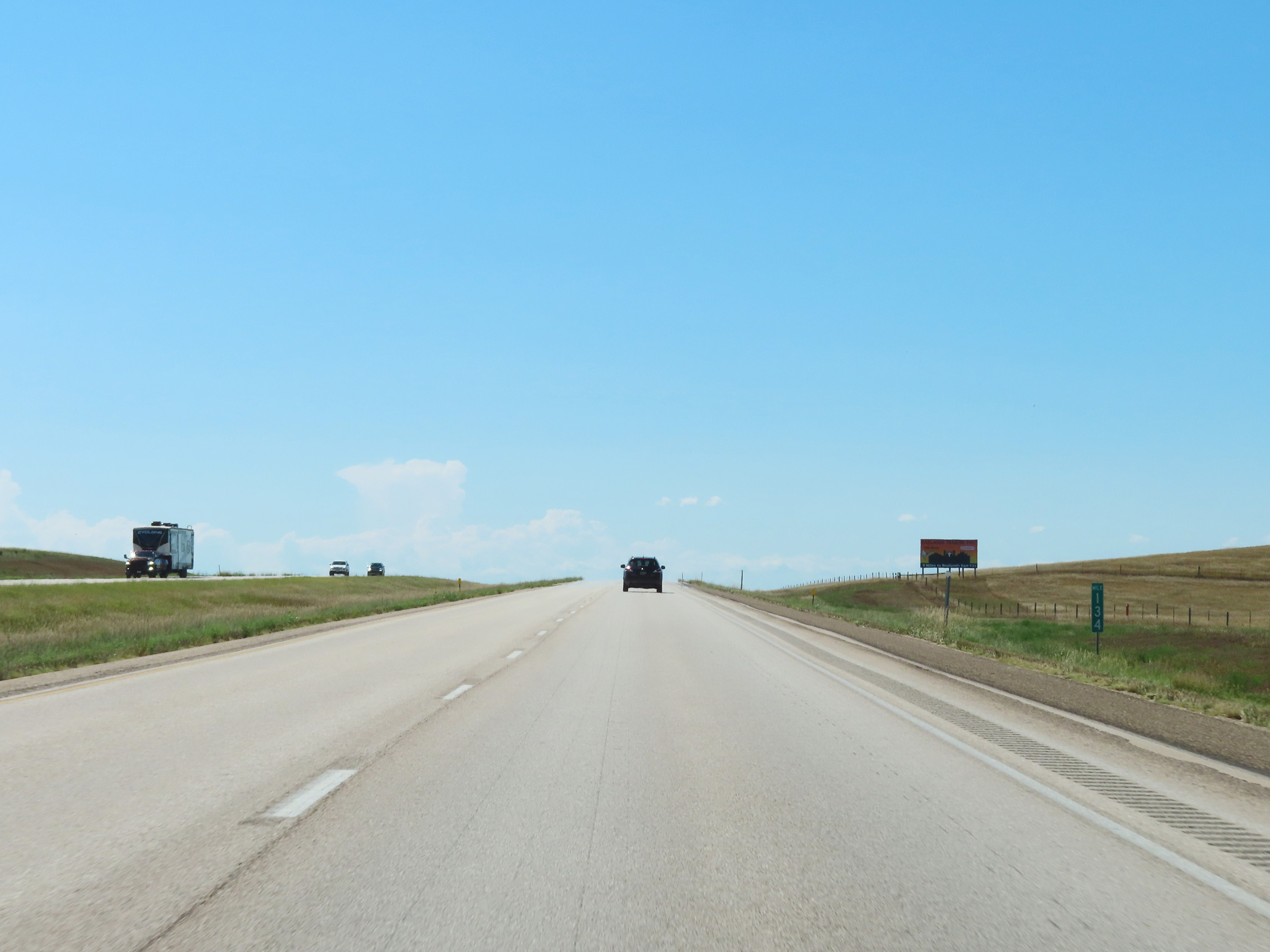 |
Mile marker 134 on Interstate 90 West in Jackson County. (Photo taken 8/16/22). |
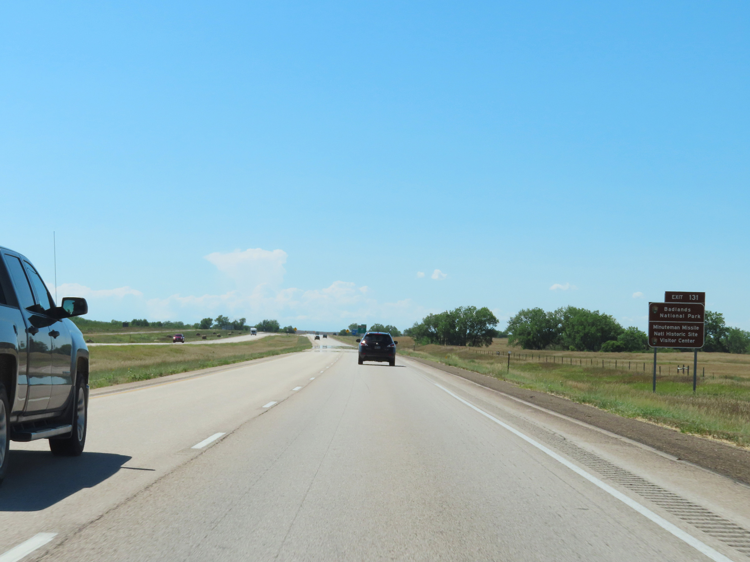 |
Take Exit 131 to Badlands National Park and Minuteman Missile National Historic Site. (Photo taken 8/16/22). |
 |
Interstate 90 West at Exit 131: SD 240 - Interior / Badlands Loop Scenic Byway (Photo taken 8/16/22). |
 |
Interstate 90 West at mile marker 130. (Photo taken 8/16/22). |
 |
Interstate 90 West at Exit 127: (No Name) (Photo taken 8/16/22). |
 |
Interstate 90 West at mile marker 125. (Photo taken 8/16/22). |
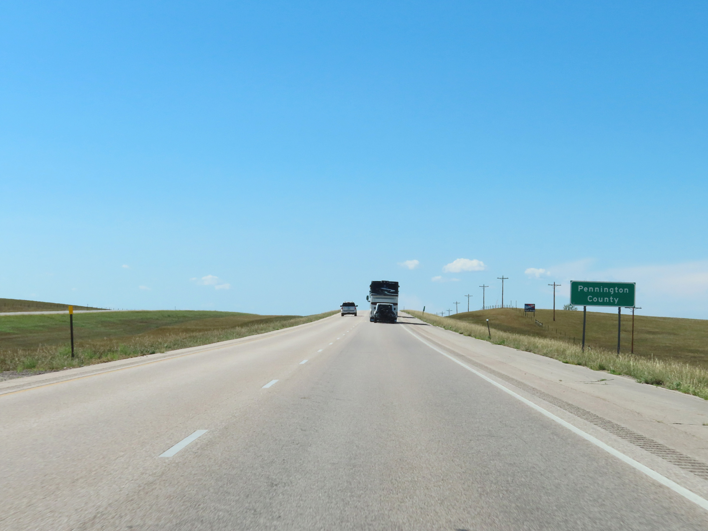 |
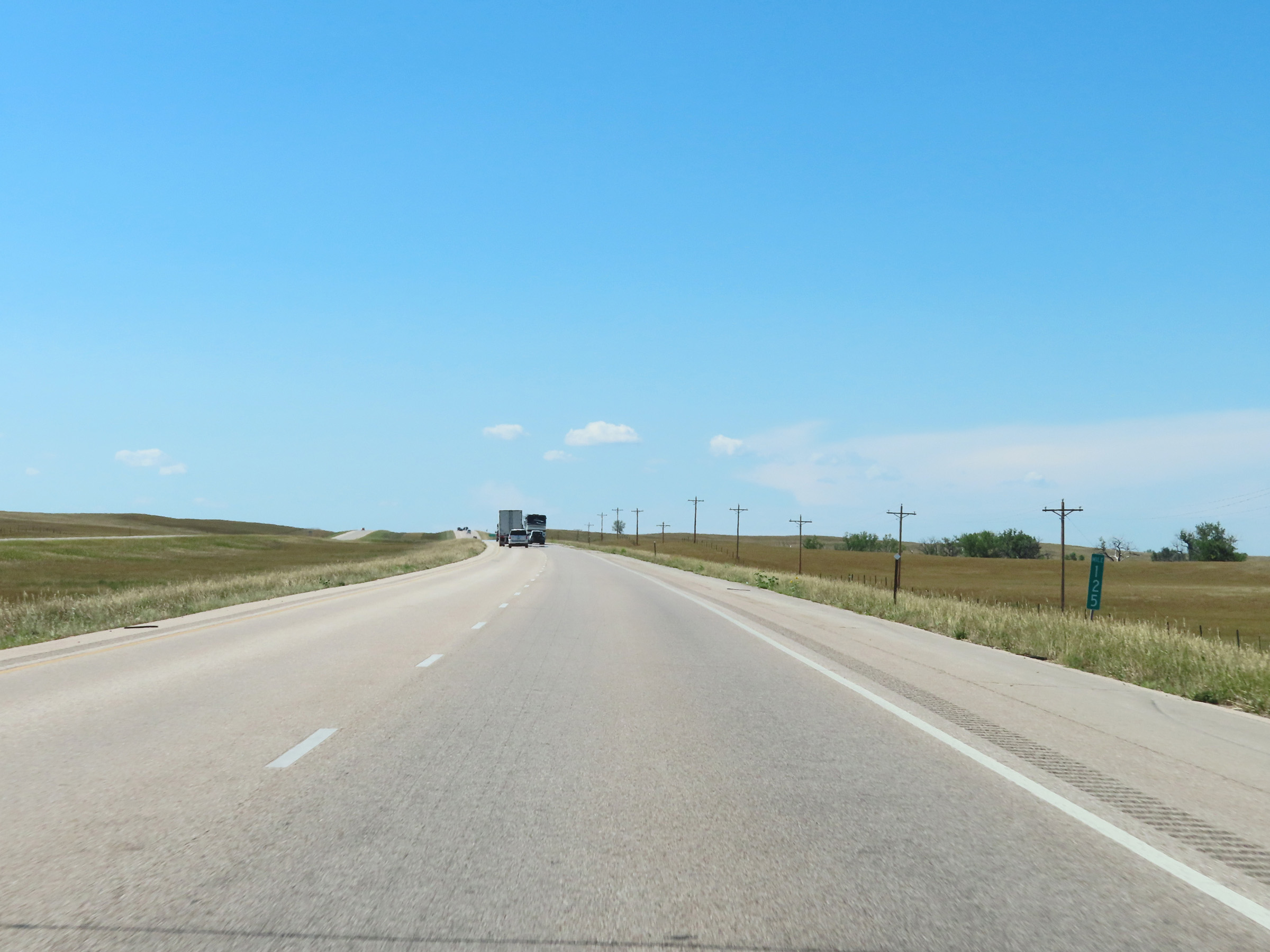
Interstate 90 West as it enters Pennington County. (Photo taken 8/16/22). |
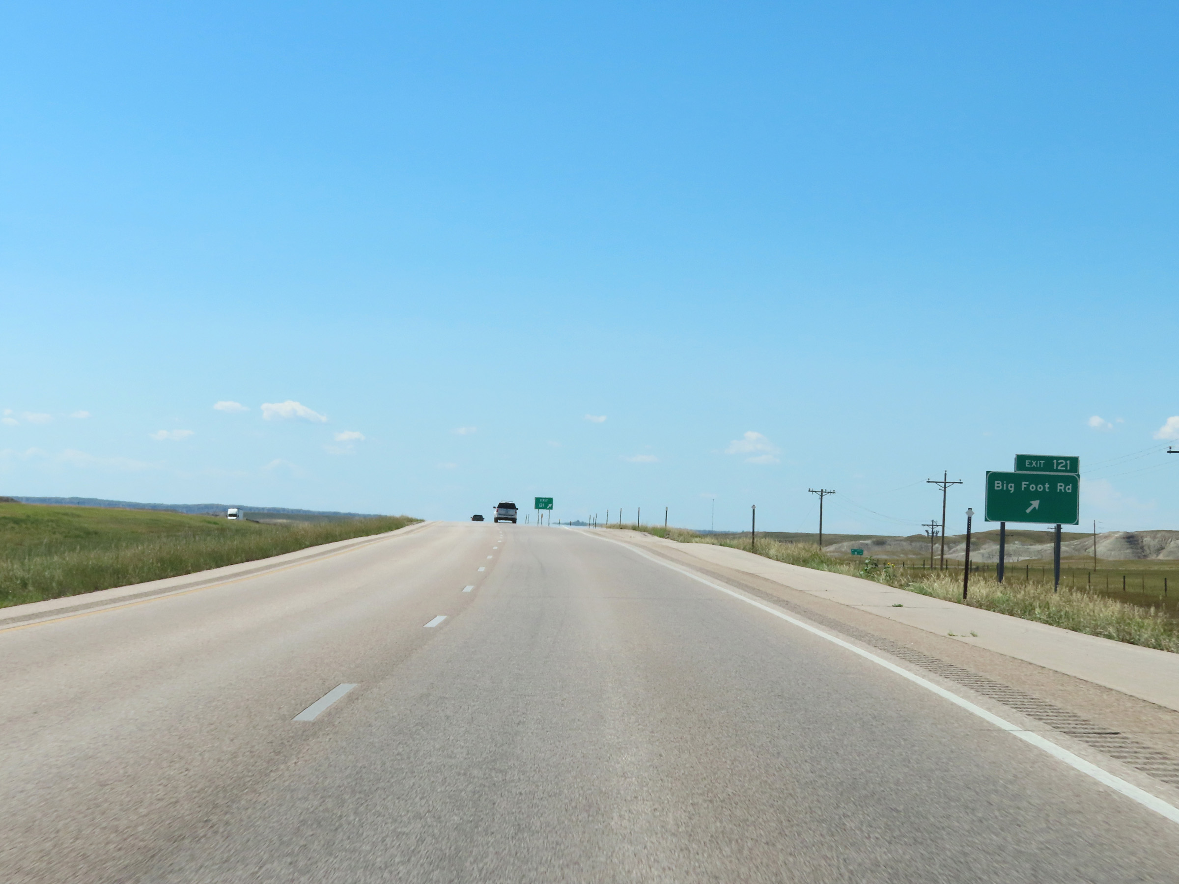 |
Interstate 90 West at Exit 121: Big Foot Rd (Photo taken 8/16/22). |
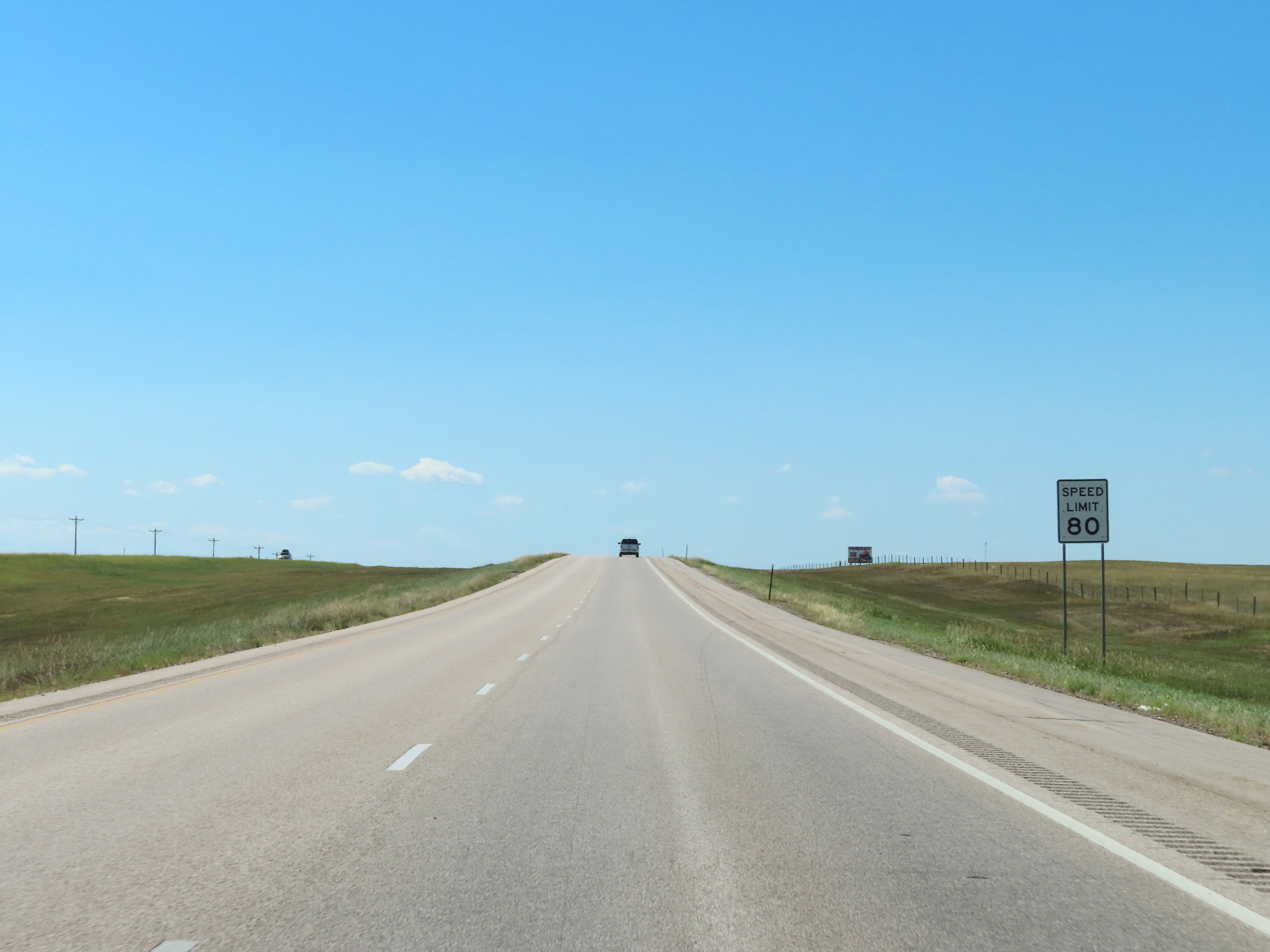 |
The maximum speed limit remains 80 mph on Interstate 90 West. (Photo taken 8/16/22). |
 |
View on Interstate 90 West at mile marker 120. (Photo taken 8/16/22). |
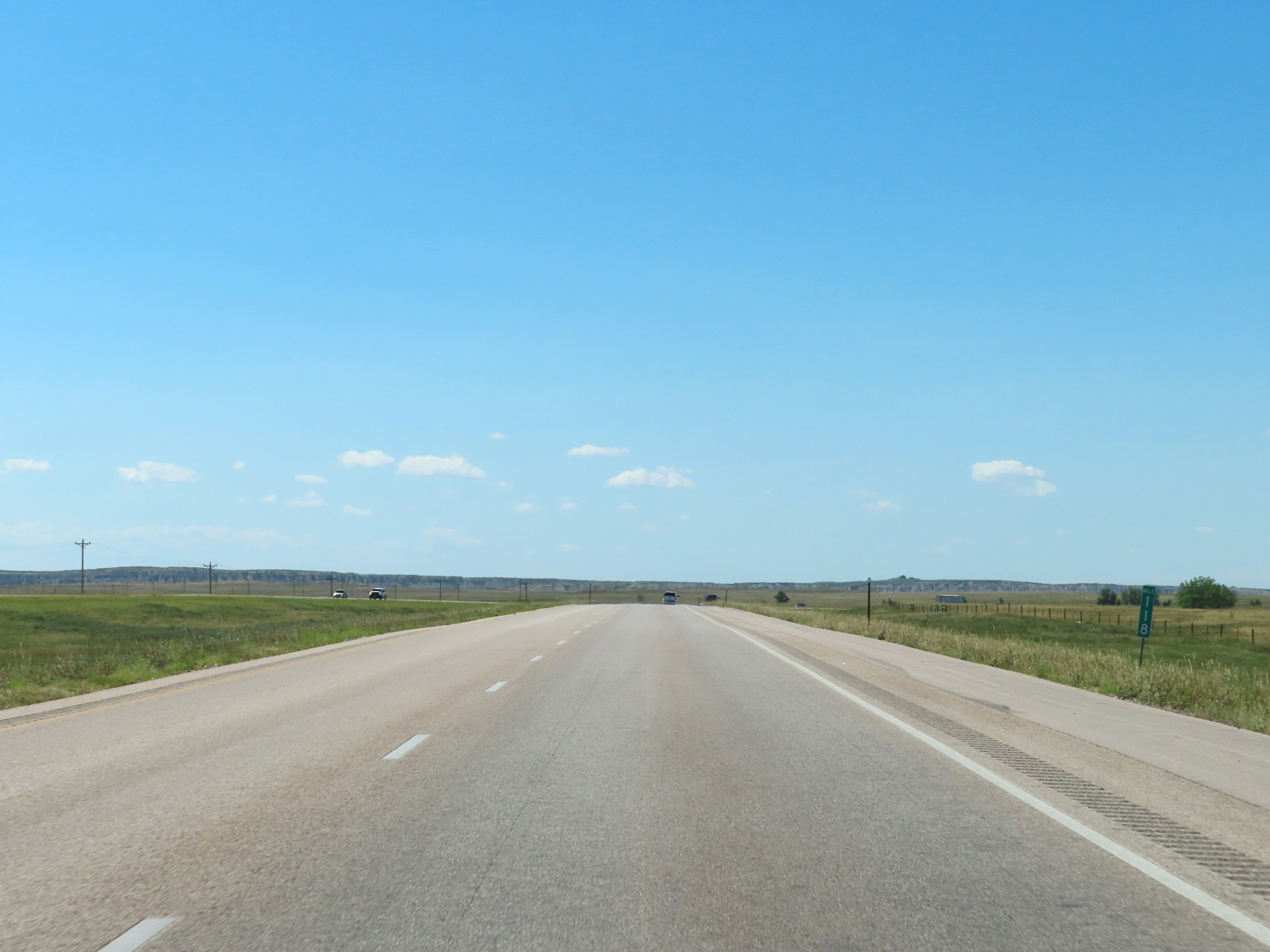 |
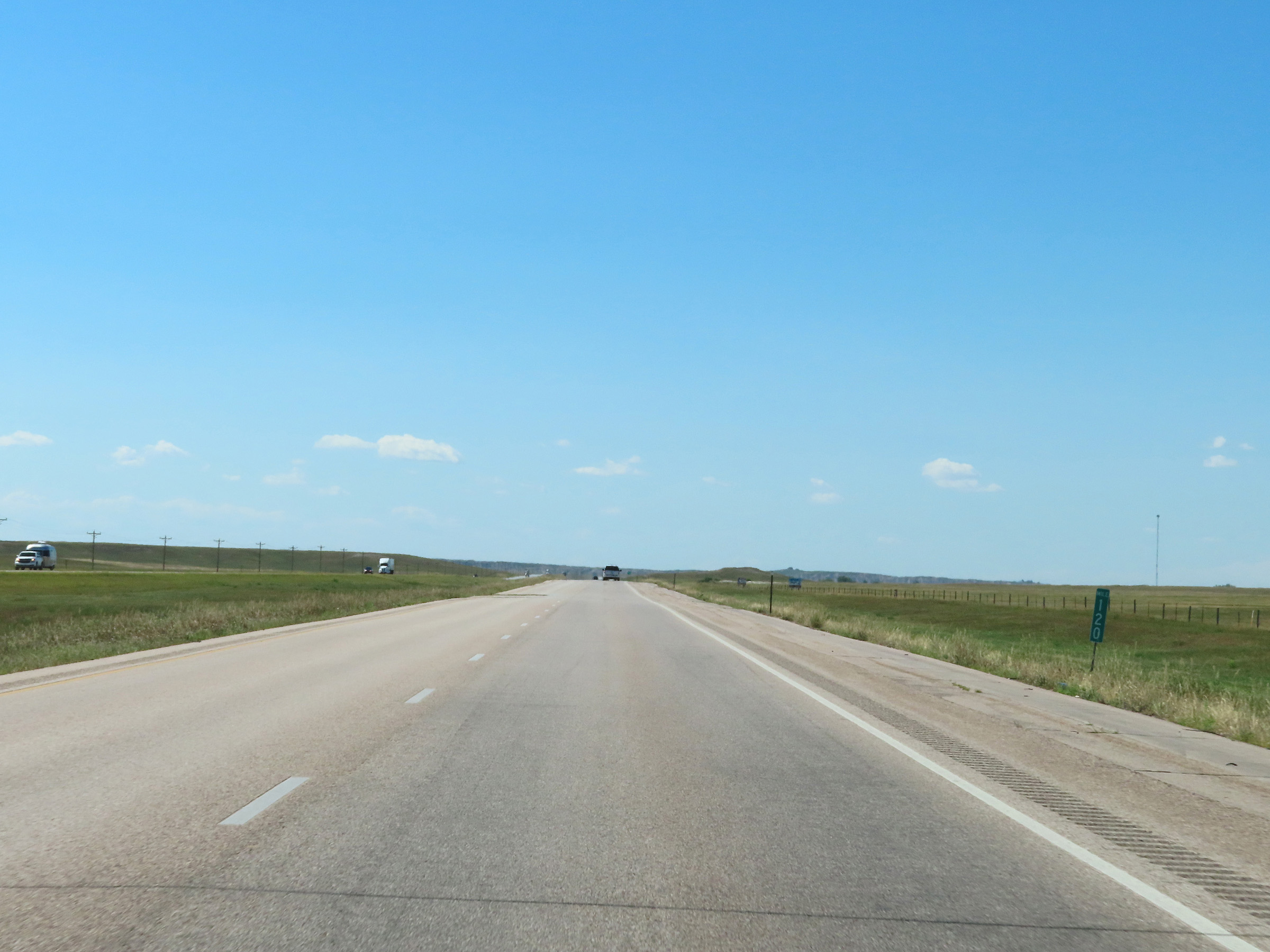
Mile marker 118 on Interstate 90 West in Pennington County. (Photo taken 8/16/22). |
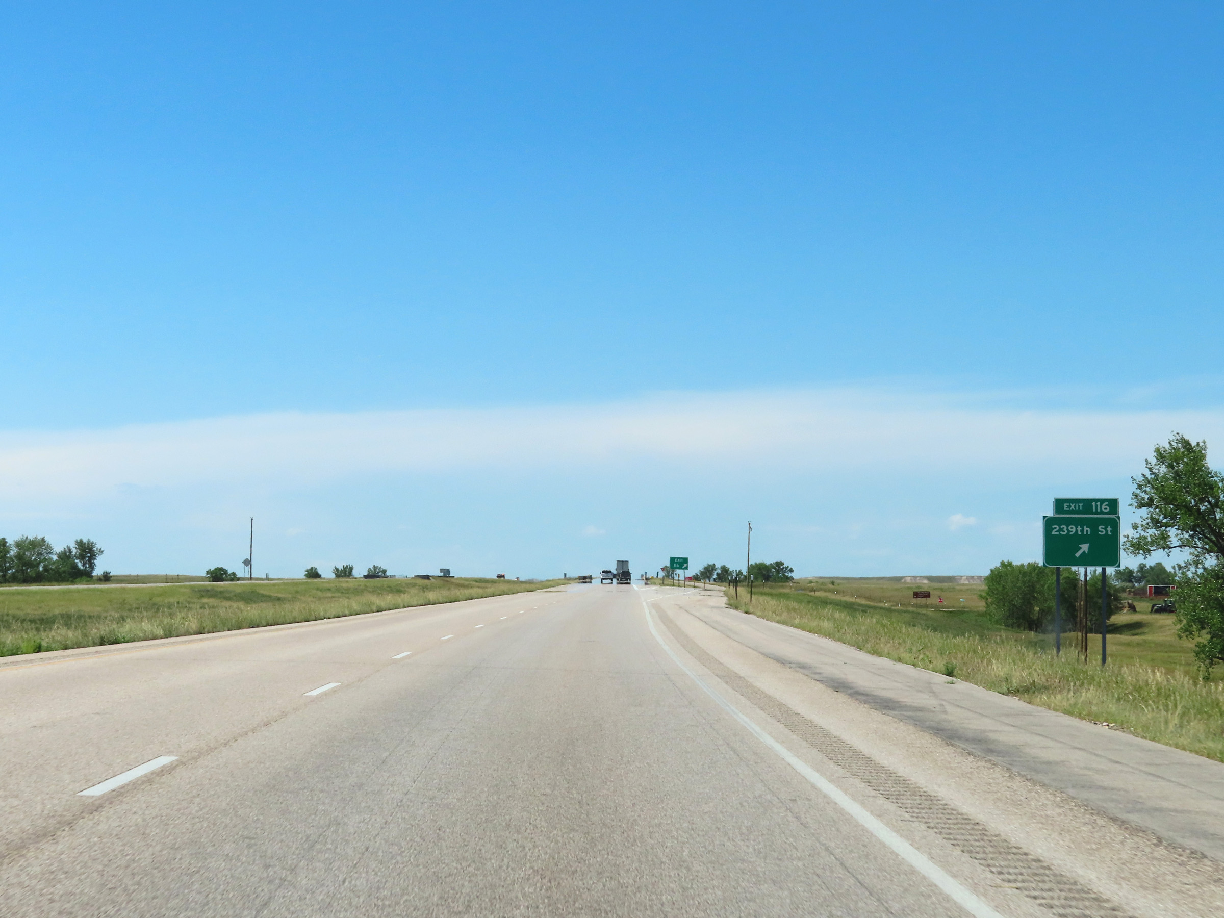 |
Interstate 90 West at Exit 116: 239th St (Photo taken 8/16/22). |
 |
Interstate 90 West reassurance shield. (Photo taken 8/16/22). |
 |
Interstate 90 West at mile marker 115. (Photo taken 8/16/22). |
 |
Mile marker 114 on Interstate 90 West at mile marker 114. (Photo taken 8/16/22). |
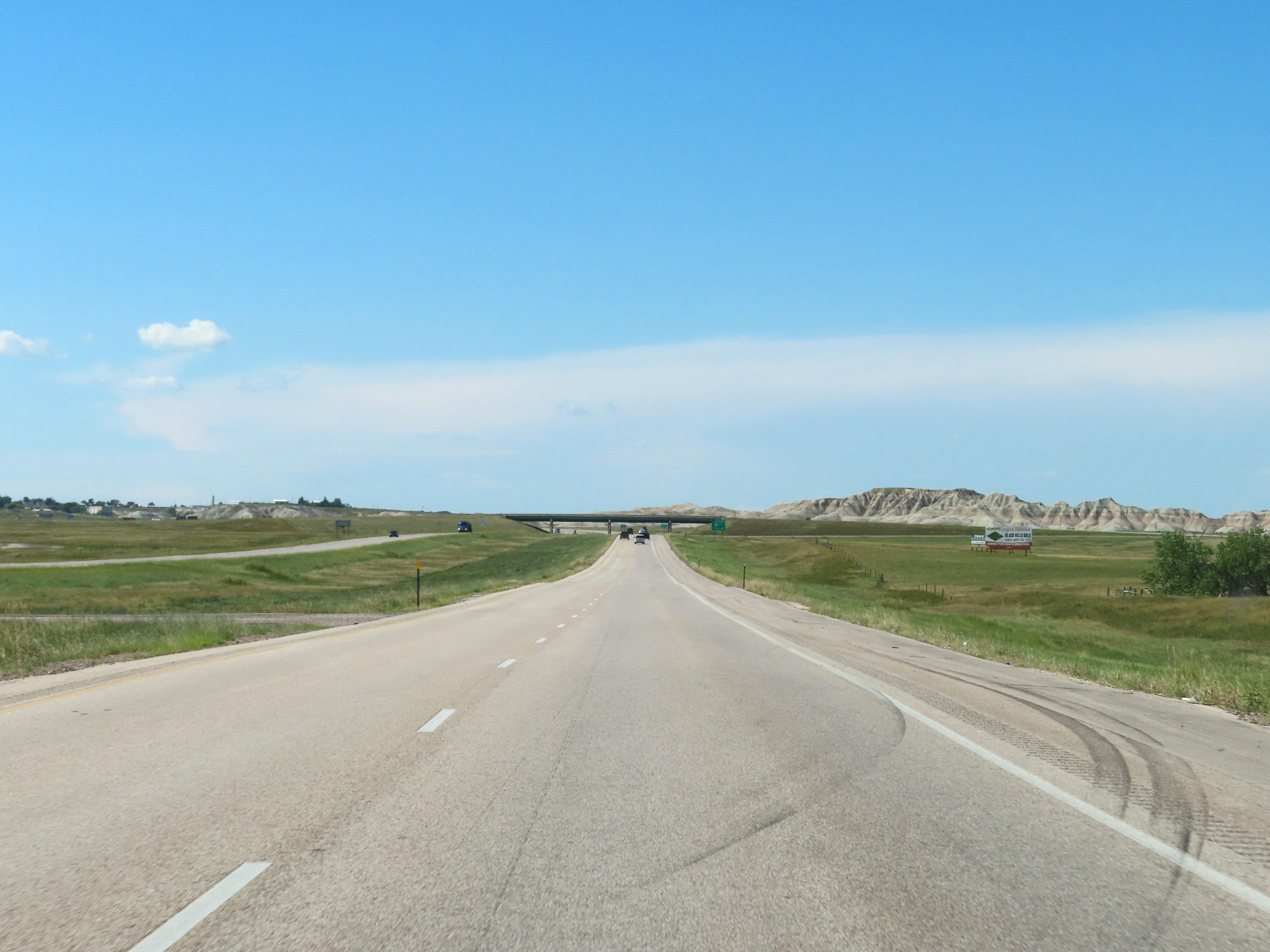 |
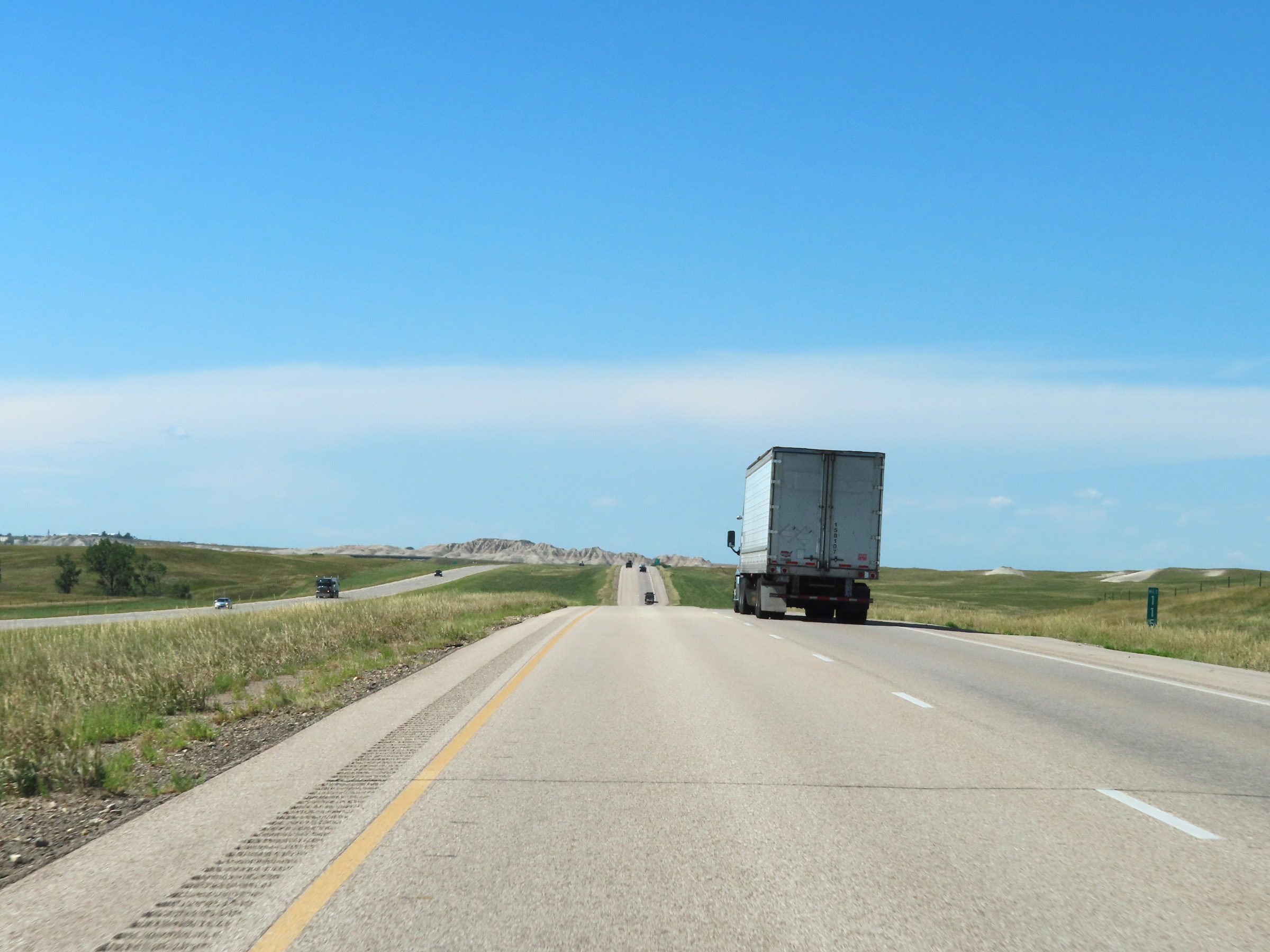
View on Interstate 90 West in Pennington County, as the Badlands region comes into view. (Photo taken 8/16/22). |
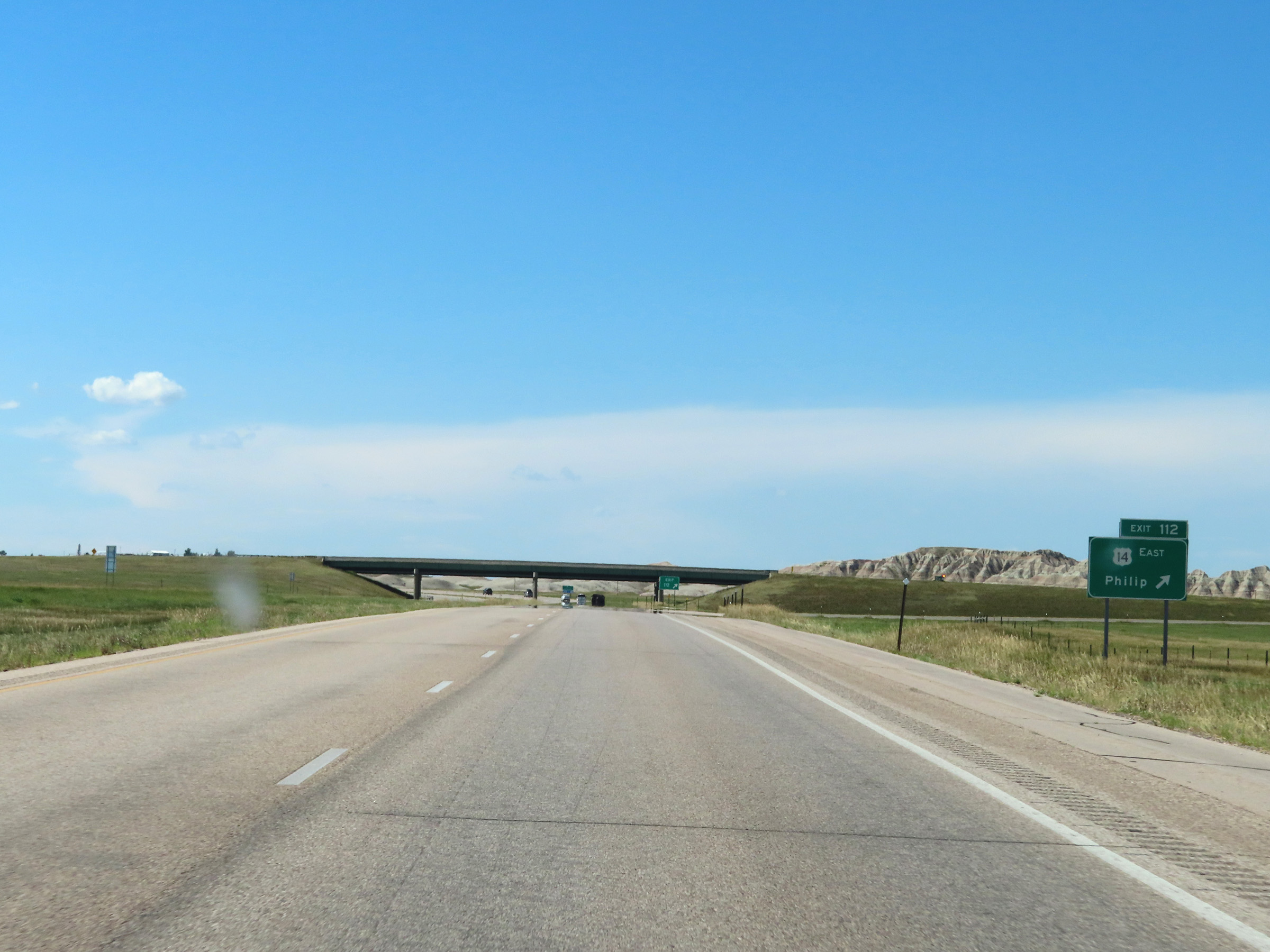 |
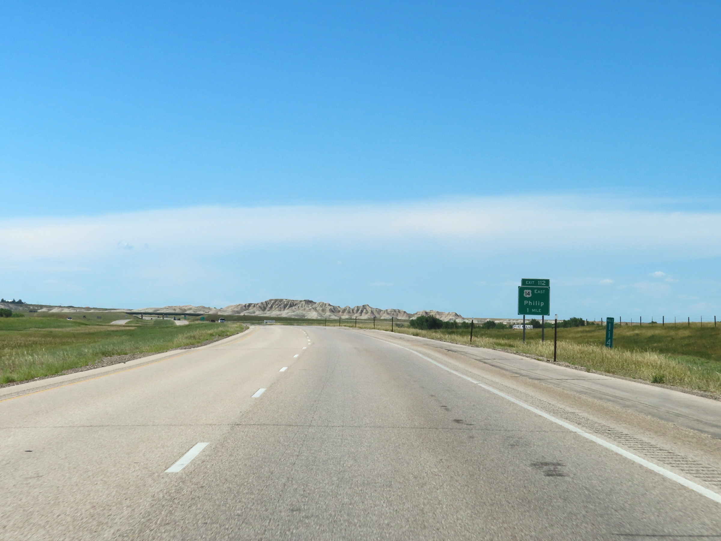
Interstate 90 West at Exit 112: US 14 East - Philip (Photo taken 8/16/22). |
Section 6: Wall (Exit 109) to Rapid City (Exit 57)
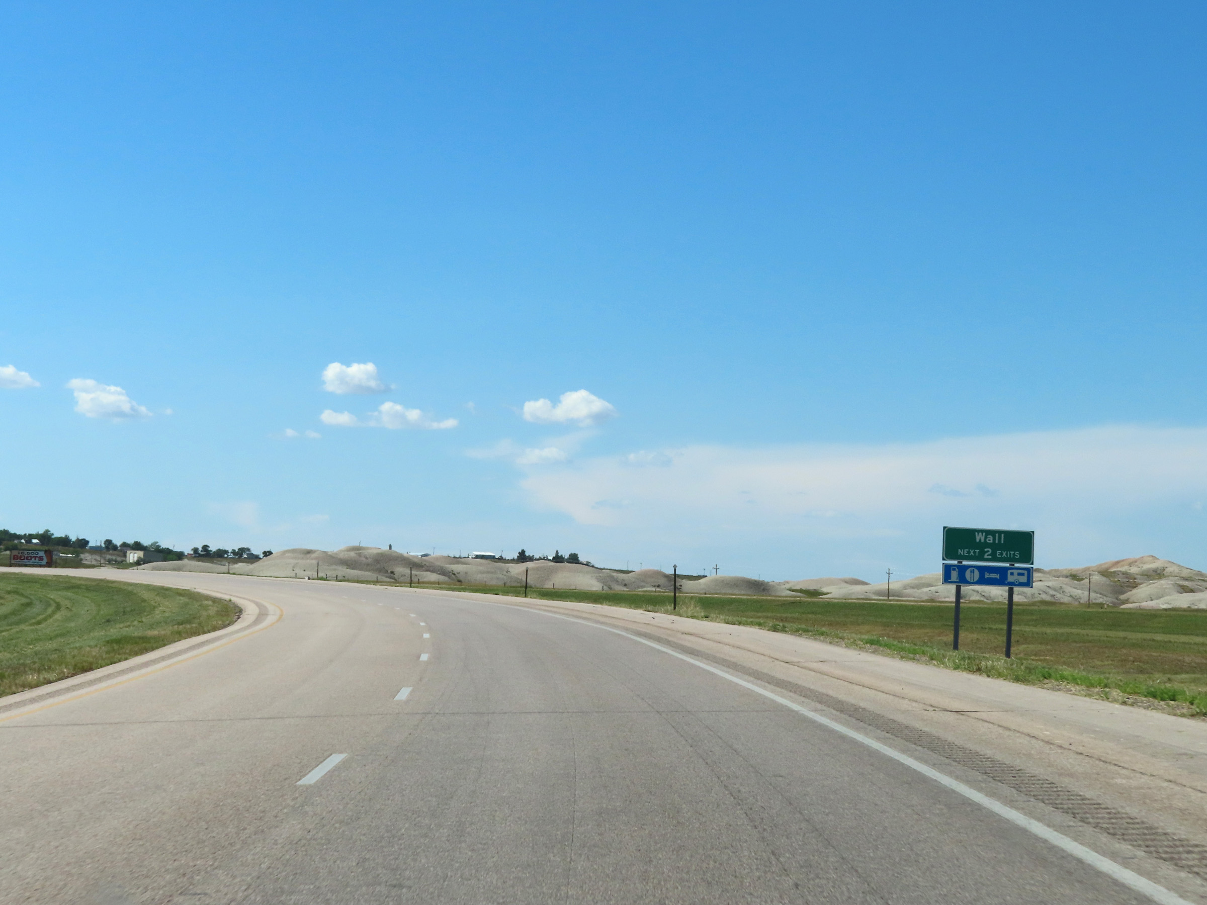 |
Take either of the next 2 exits to Wall. (Photo taken 8/16/22). |
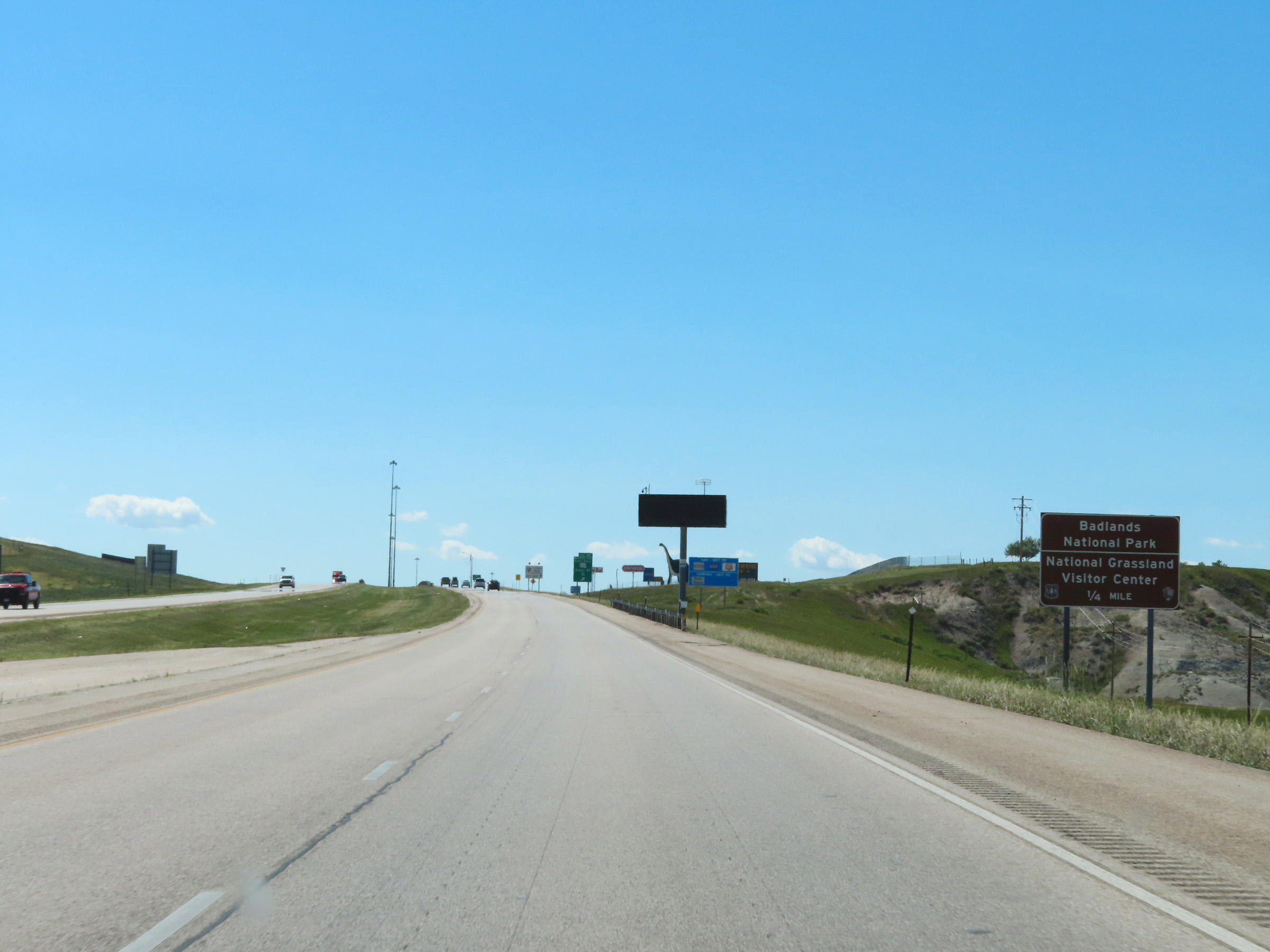 |
Take Exit 110 to Badlands National Park and the National Grassland Visitor Center. (Photo taken 8/16/22). |
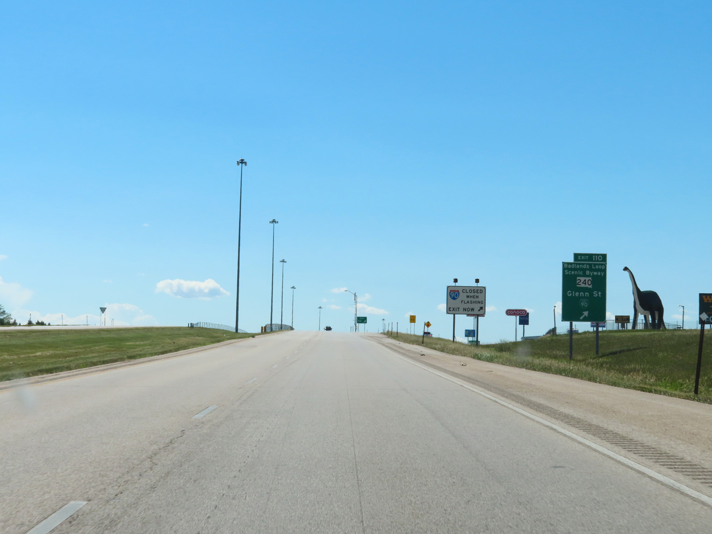 |
Interstate 90 West at Exit 110: Interstate 90 Business Loop / SD 240 - Glenn St / Badlands Loop Scenic Byway (Photo taken 8/16/22). |
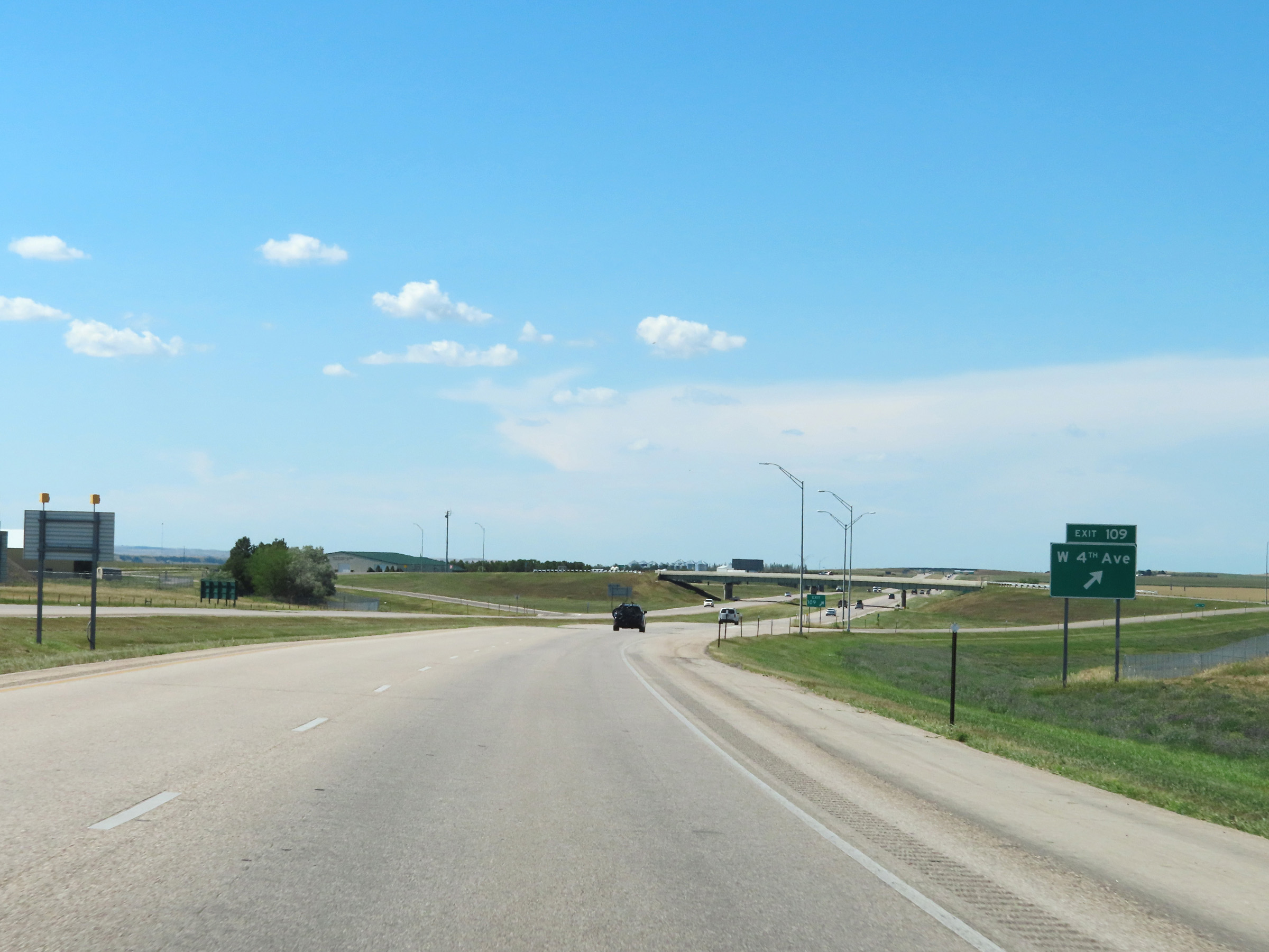 |
Interstate 90 West at Exit 109: W 4th Ave (Photo taken 8/16/22). |
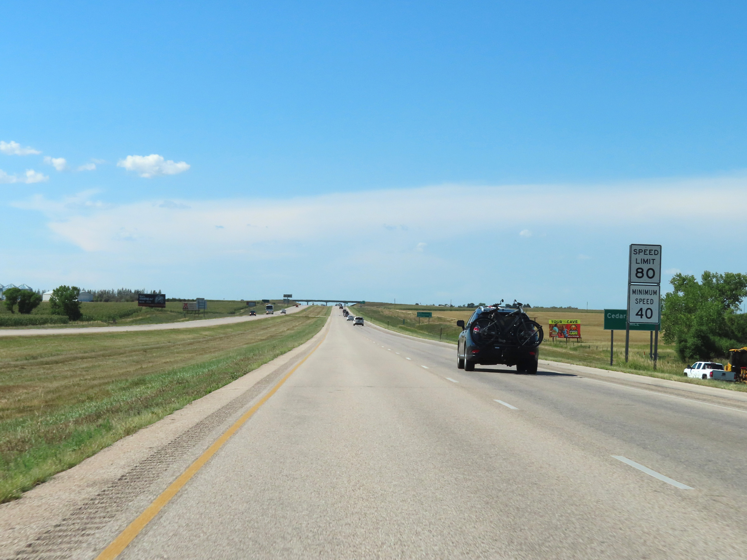 |
The speed limits remain 80 mph maximum and 40 mph minimum on Interstate 90 West through the Wall area in Pennington County. (Photo taken 8/16/22). |
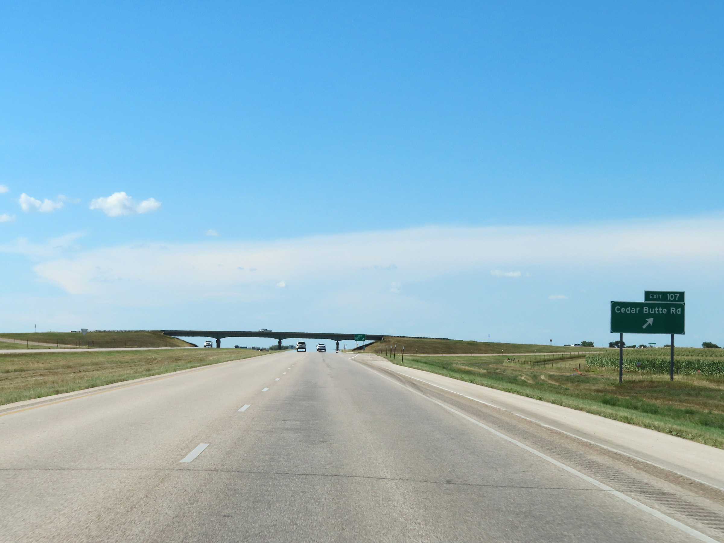 |
Interstate 90 West at Exit 107: Cedar Butte Rd (Photo taken 8/16/22). |
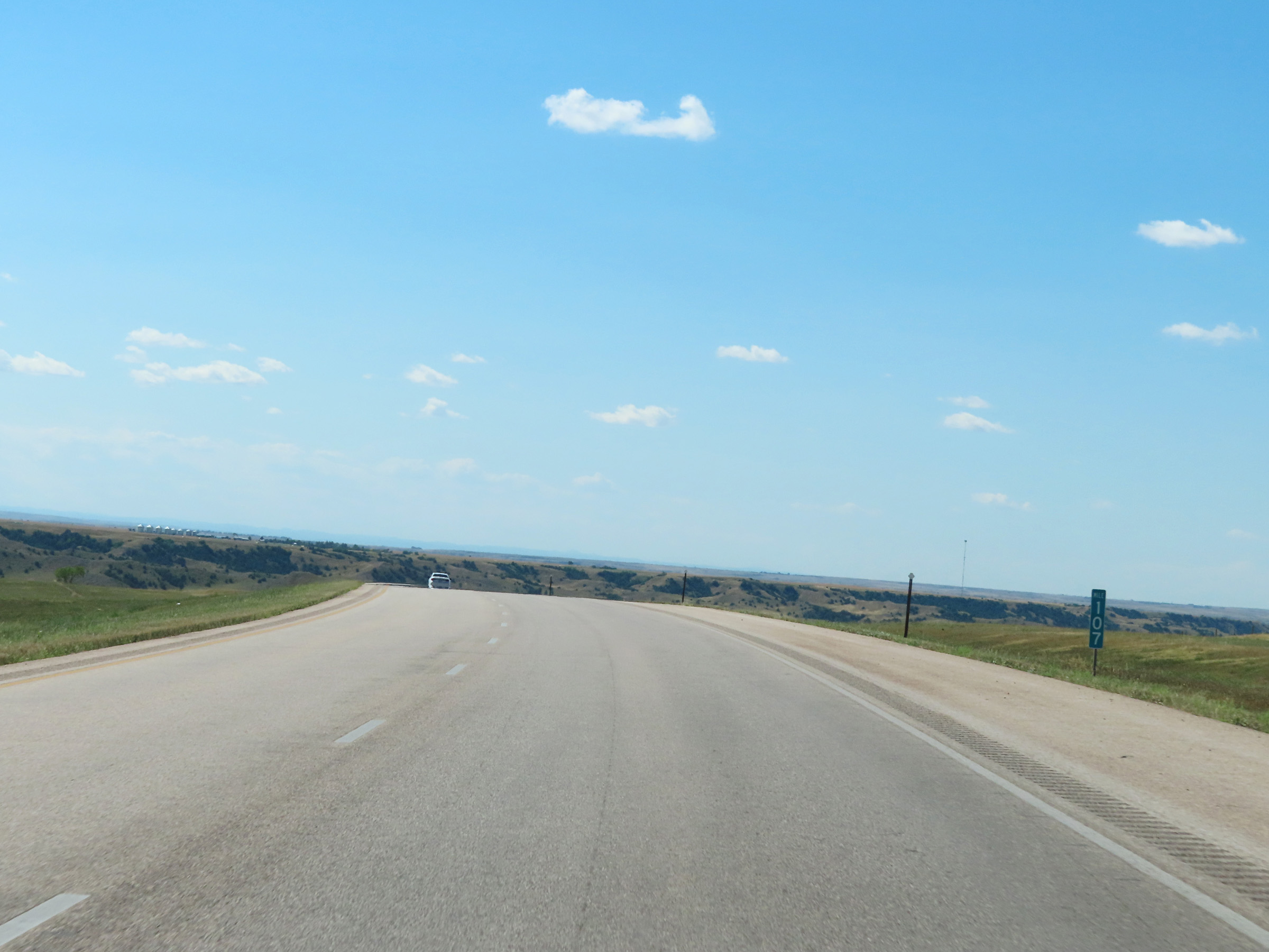 |
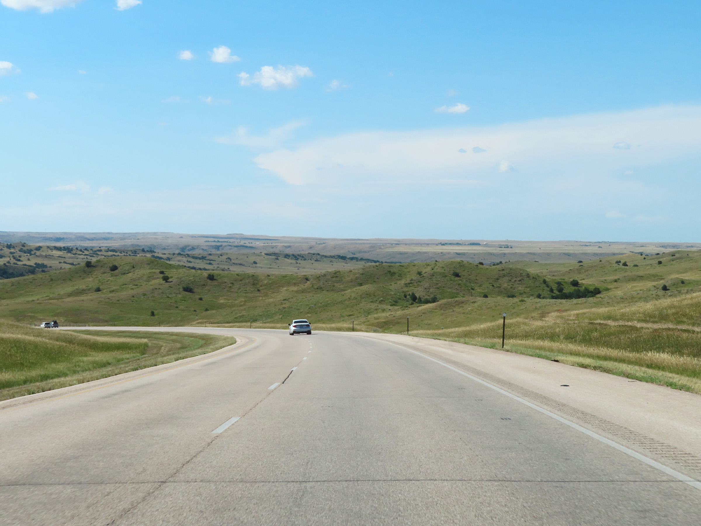
View on Interstate 90 West at mile marker 107. (Photo taken 8/16/22). |
 |
Interstate 90 West in the Badlands Region of Pennington County, near mile marker 106. (Photo taken 8/16/22). |
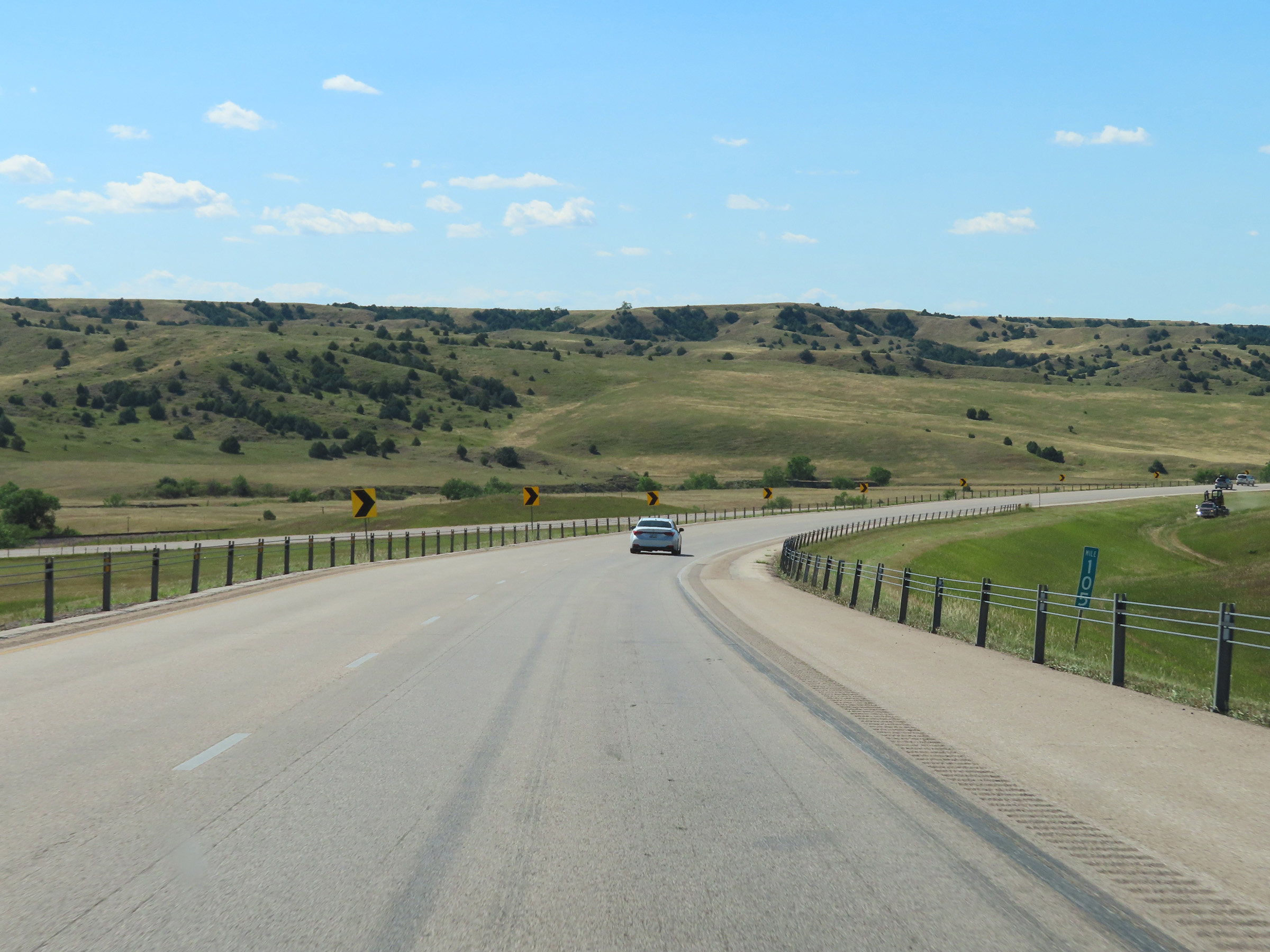 |
Mile marker 105 on Interstate 90 West in Pennington County. (Photo taken 8/16/22). |
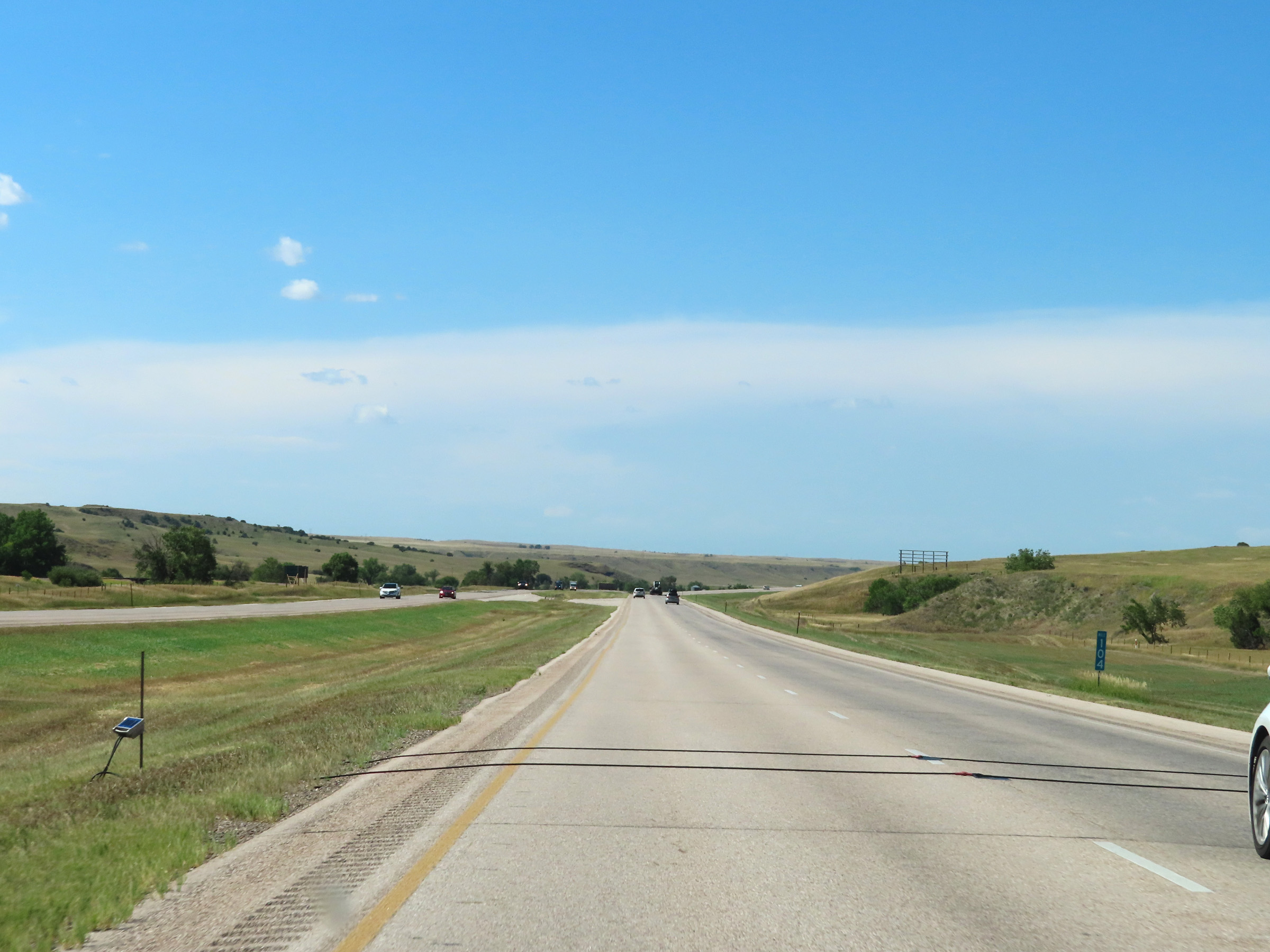 |
View on Interstate 90 West at mile marker 104. (Photo taken 8/16/22). |
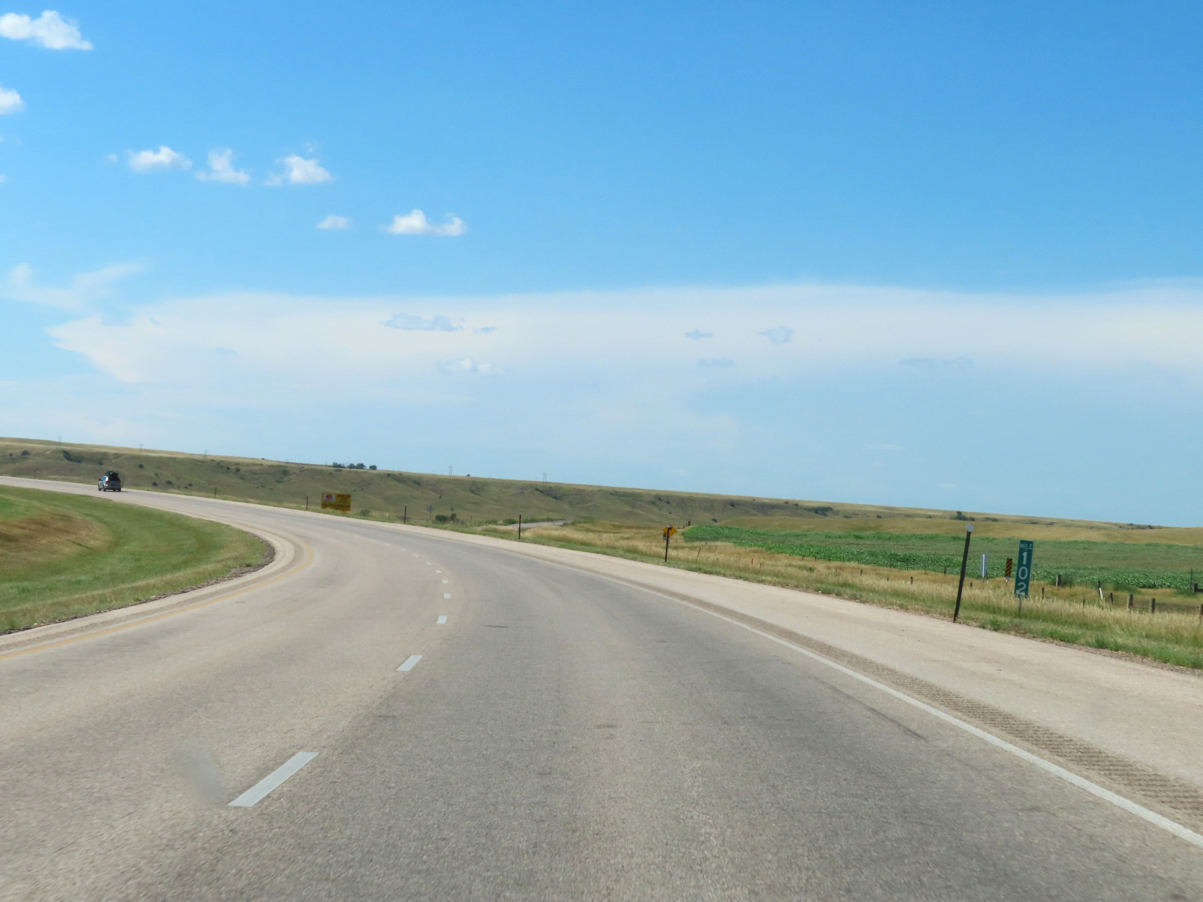 |
Interstate 90 West at mile marker 102. (Photo taken 8/16/22). |
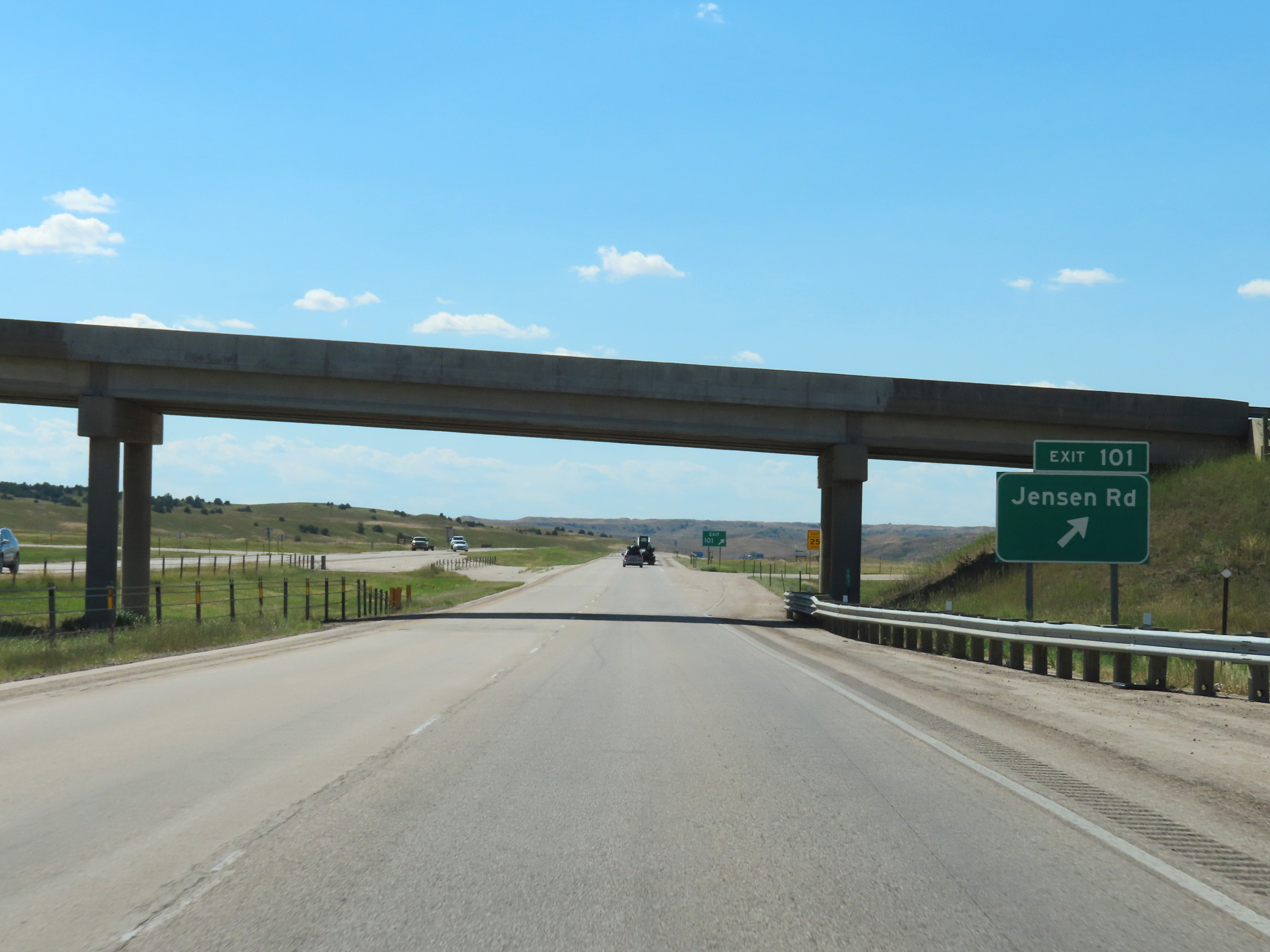 |
Interstate 90 West at Exit 101: Jensen Rd (Photo taken 8/16/22). |
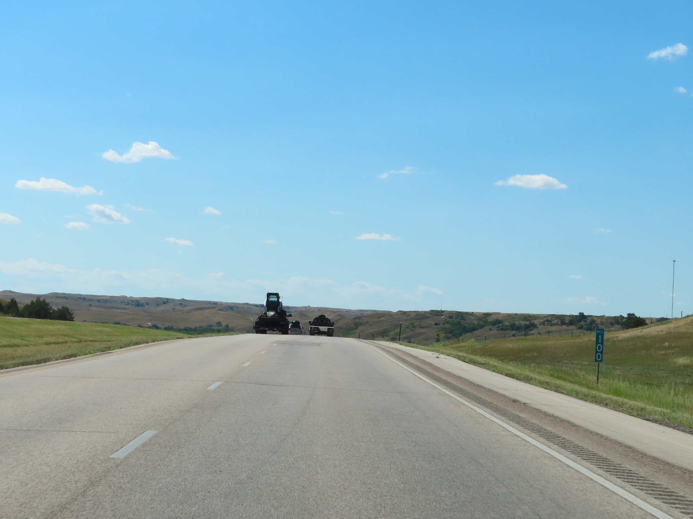 |
Interstate 90 West at mile marker 100. (Photo taken 8/16/22). |
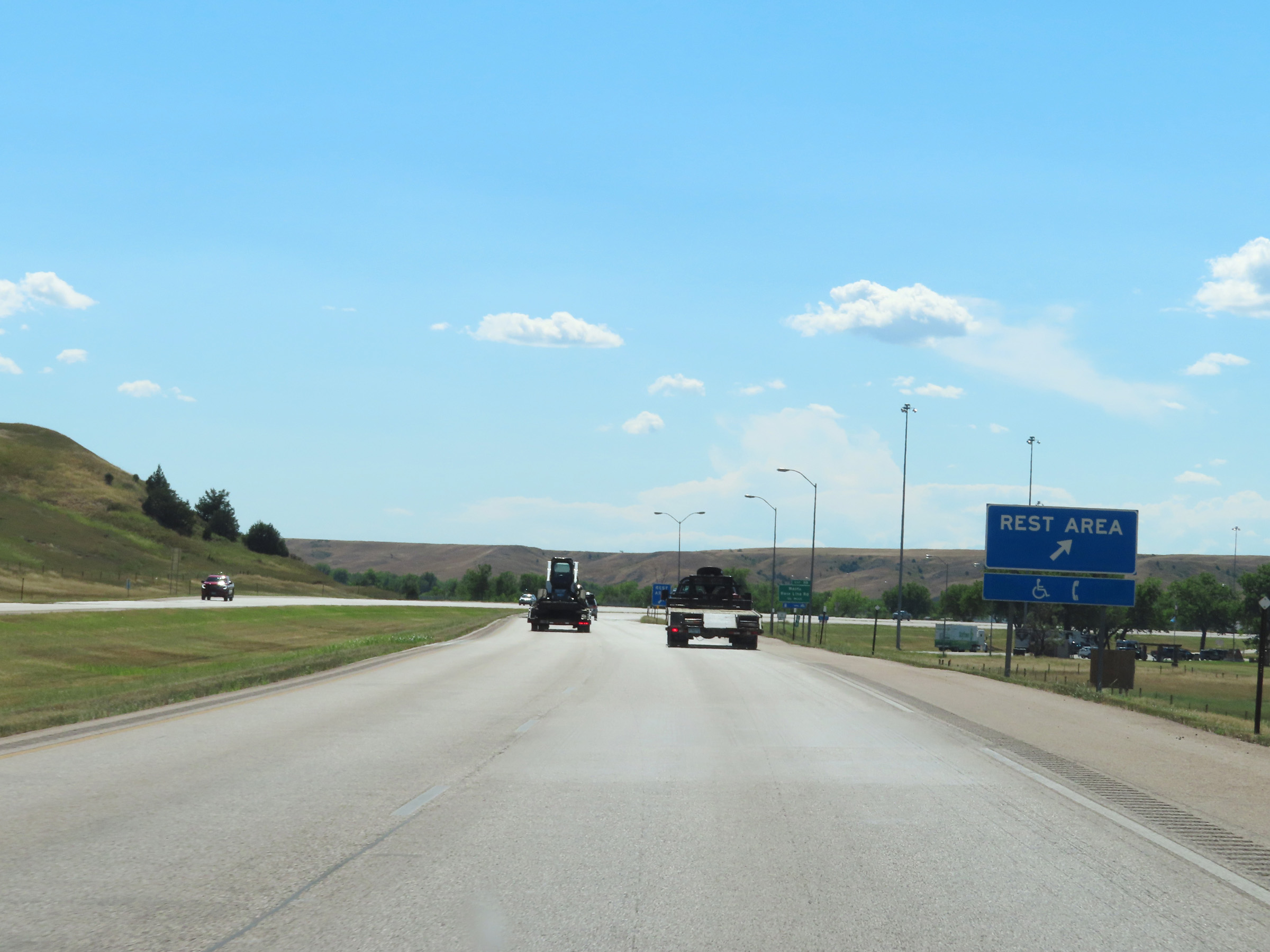 |
Rest Area on Interstate 90 West in Pennington County. (Photo taken 8/16/22). |
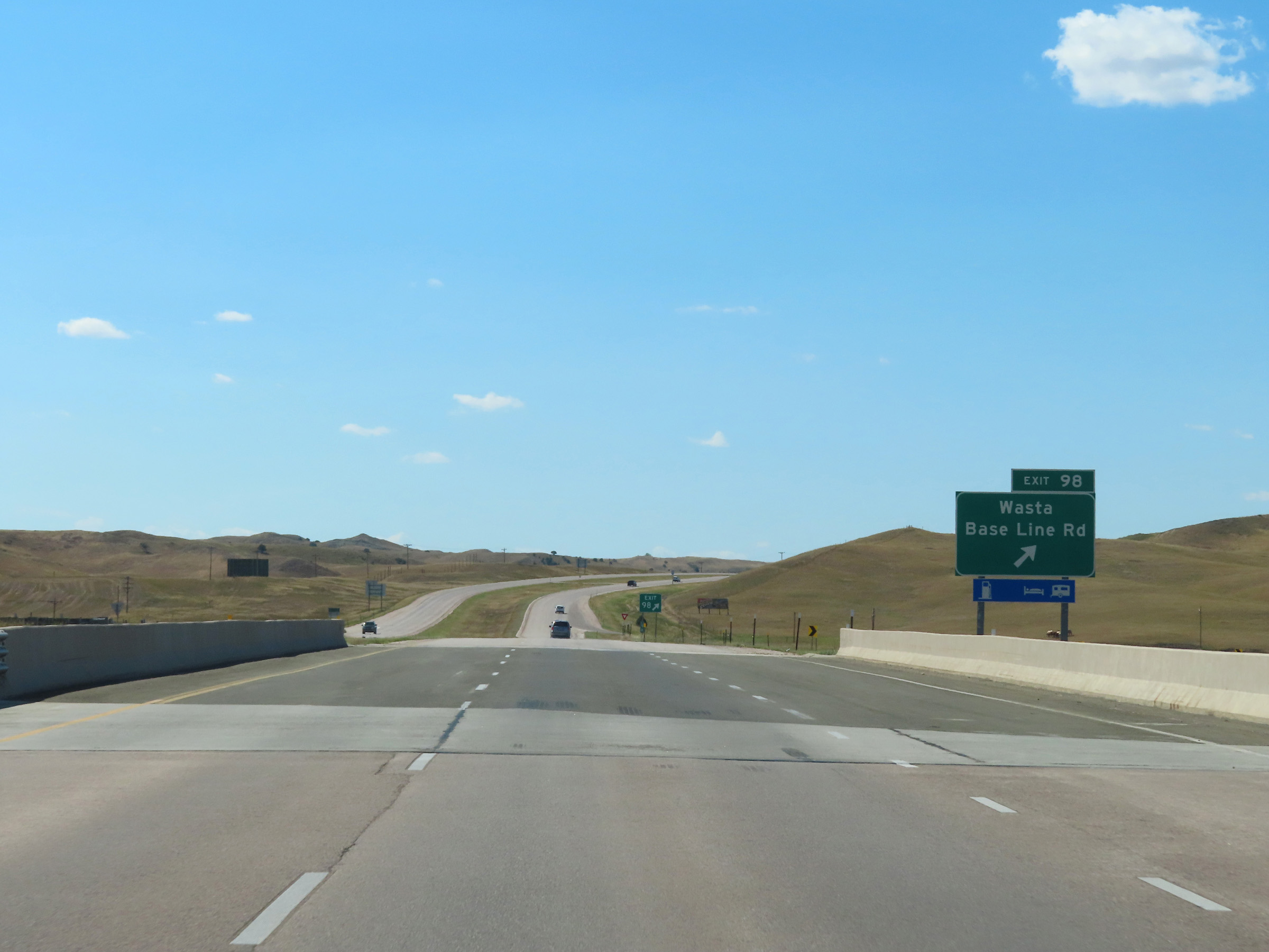 |
Interstate 90 West at Exit 98: Wasta / Base Line Rd (Photo taken 8/16/22). |
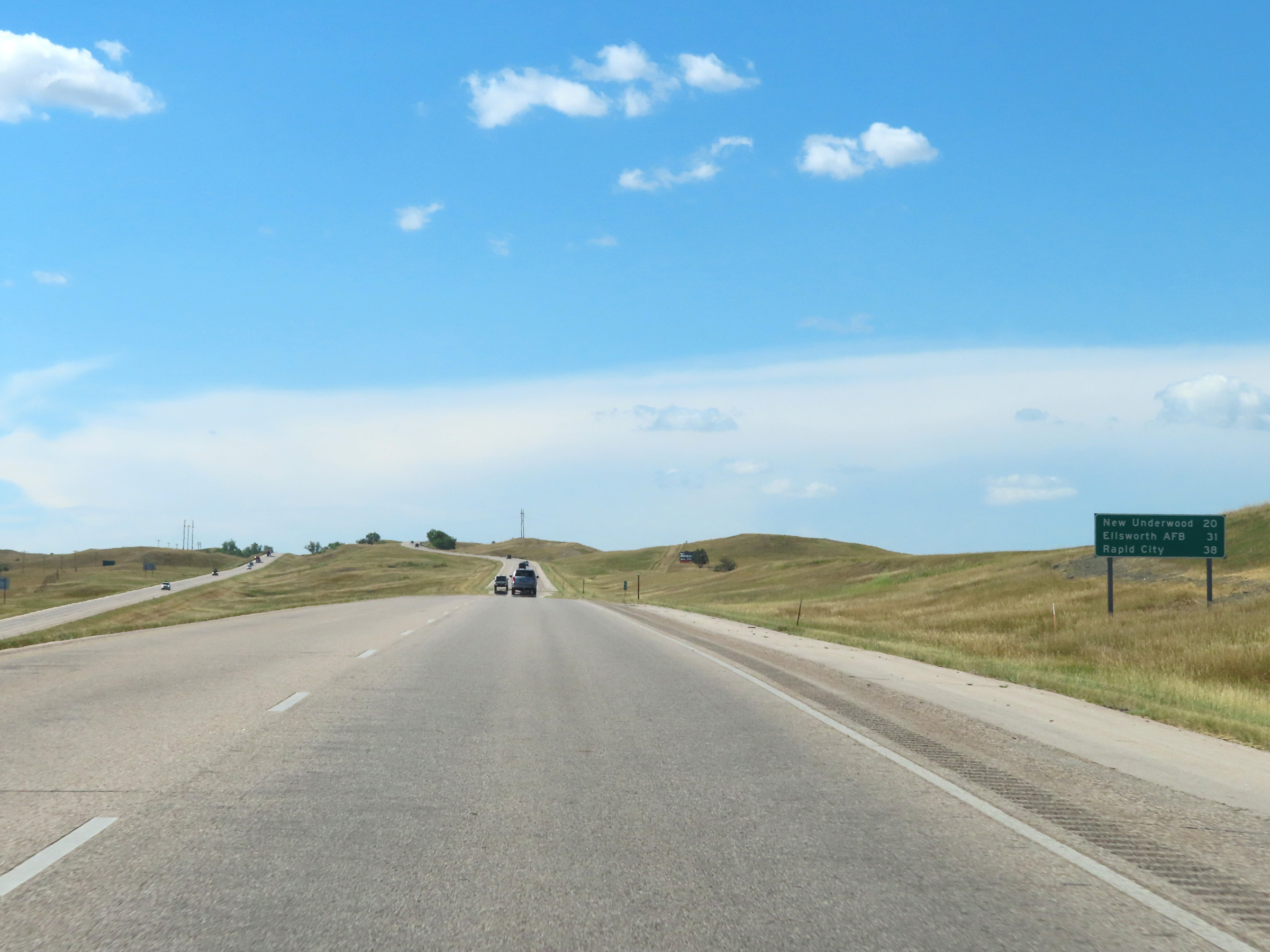 |
Mileage sign on Interstate 90 West. It's 20 miles to New Underwood, 31 miles to Ellsworth AFB, and 38 miles to Rapid City. (Photo taken 8/16/22). |
 |
Interstate 90 West at mile marker 96. (Photo taken 8/16/22). |
 |
Mile marker 94 on Interstate 90 West in Pennington County. (Photo taken 8/16/22). |
 |
View on Interstate 90 West at mile marker 92. (Photo taken 8/16/22). |
 |
Interstate 90 West at mile marker 91. (Photo taken 8/16/22). |
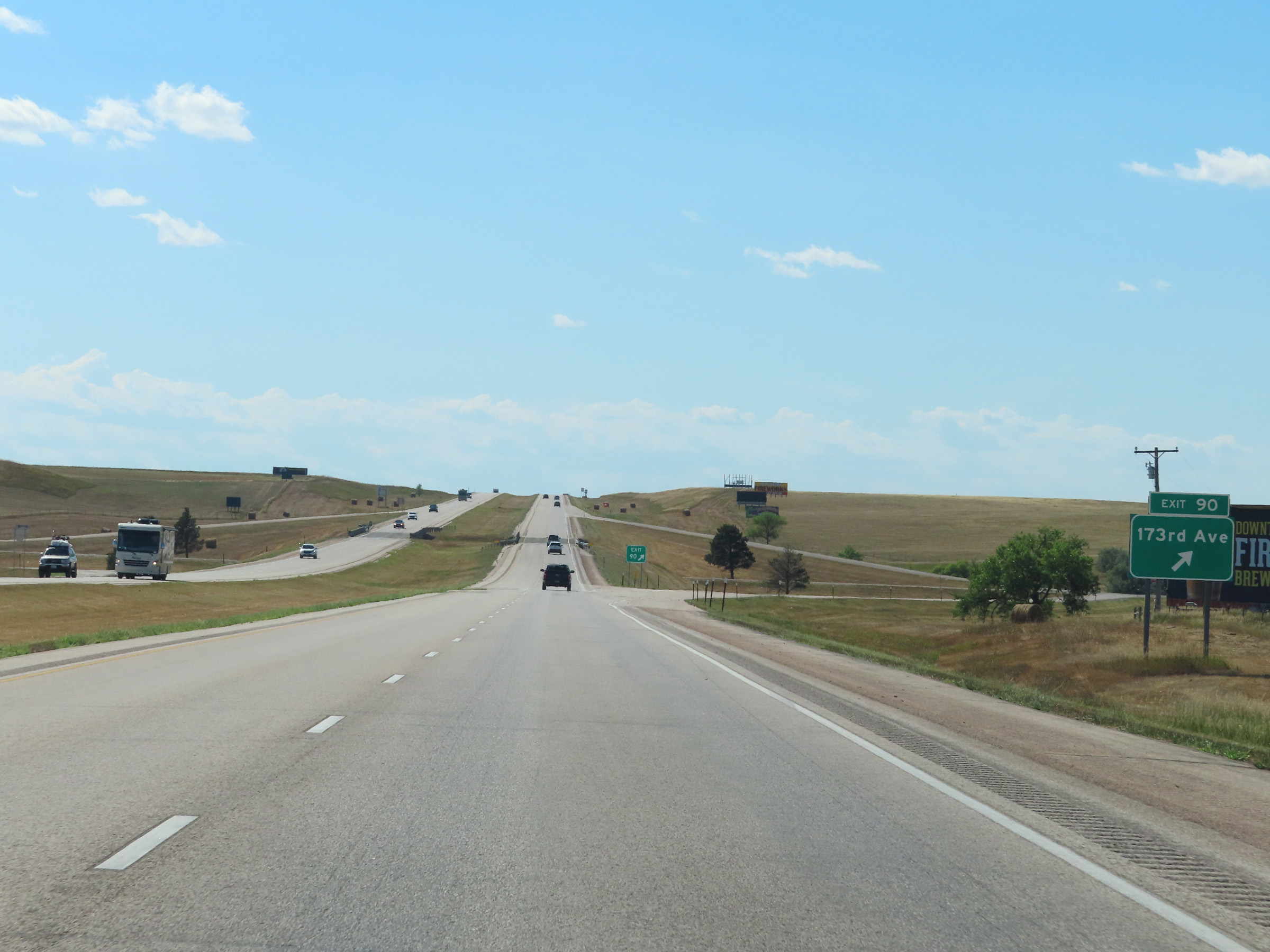 |
Interstate 90 West at Exit 90: 173rd Ave (Photo taken 8/16/22). |
 |
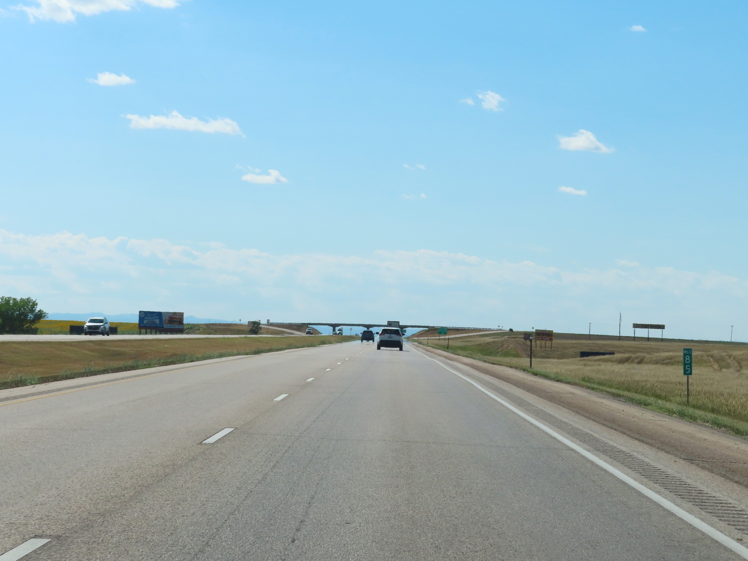
View on Interstate 90 West at mile marker 89. (Photo taken 8/16/22). |
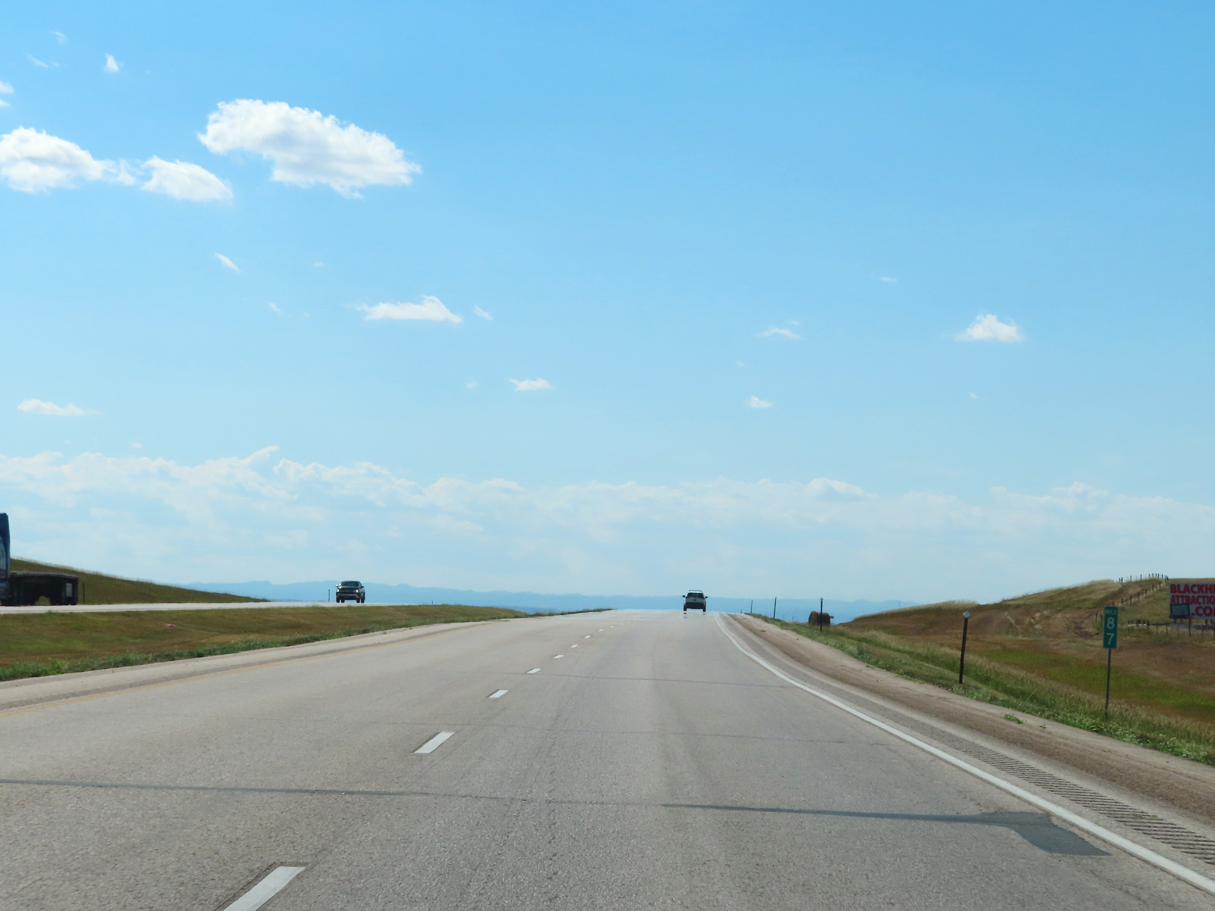 |
Interstate 90 West at mile marker 87. (Photo taken 8/16/22). |
 |
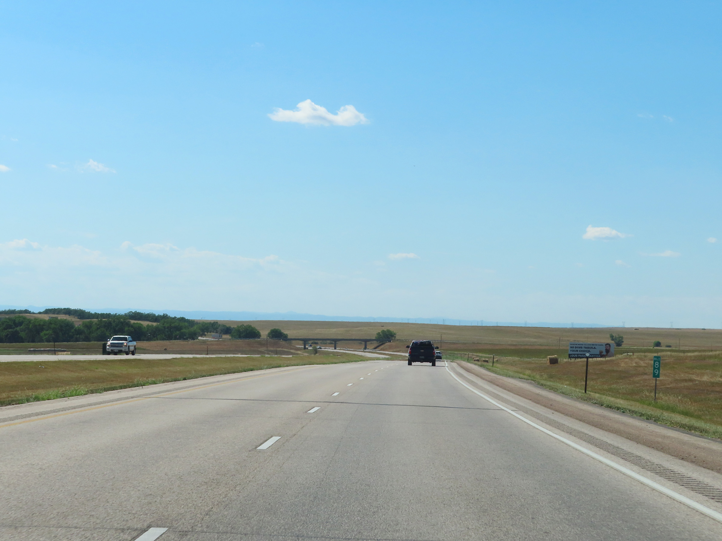
Mile marker 85 on Interstate 90 West in Pennington County. (Photo taken 8/16/22). |
 |
Interstate 90 West at Exit 84: 167th Ave (Photo taken 8/16/22). |
 |
View on Interstate 90 West at mile marker 81. (Photo taken 8/16/22). |
 |
Interstate 90 West at mile marker 80. (Photo taken 8/16/22). |
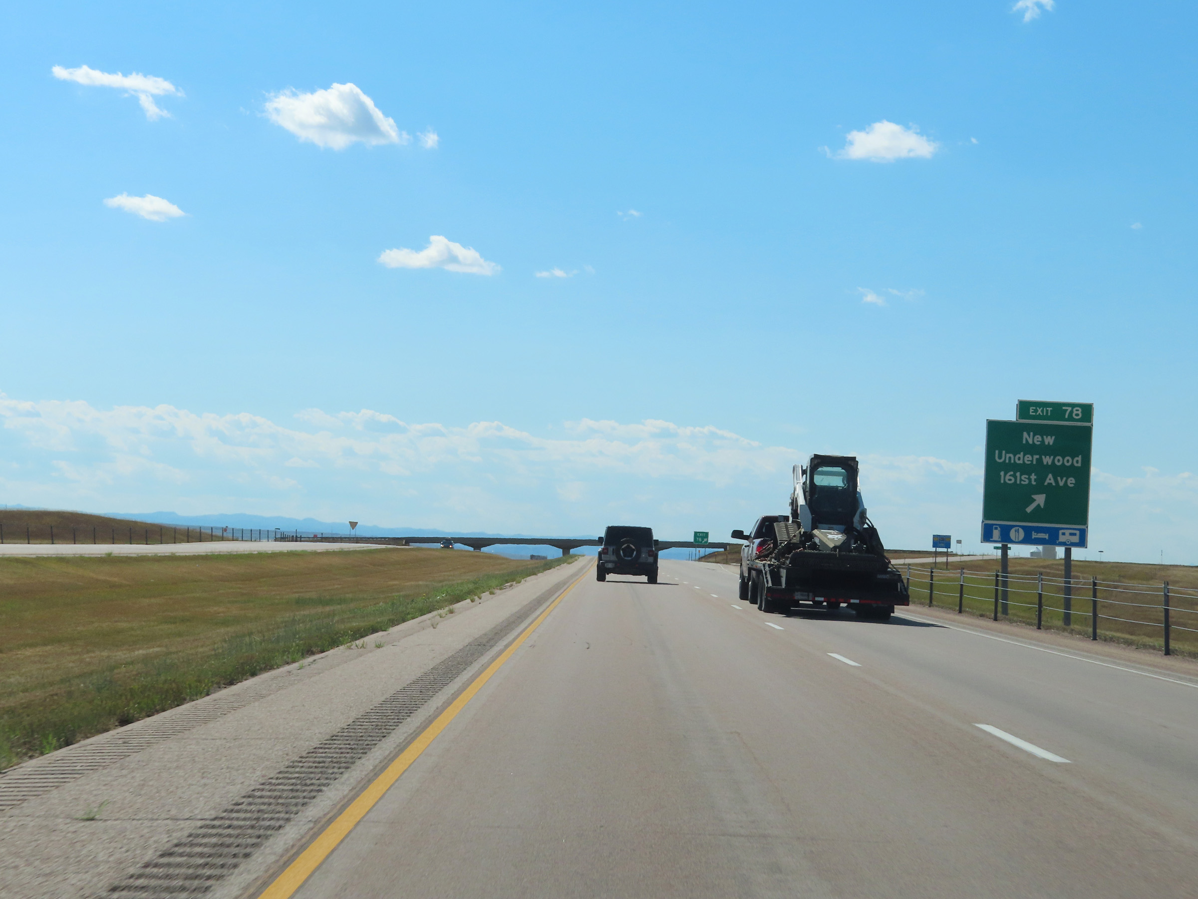 |
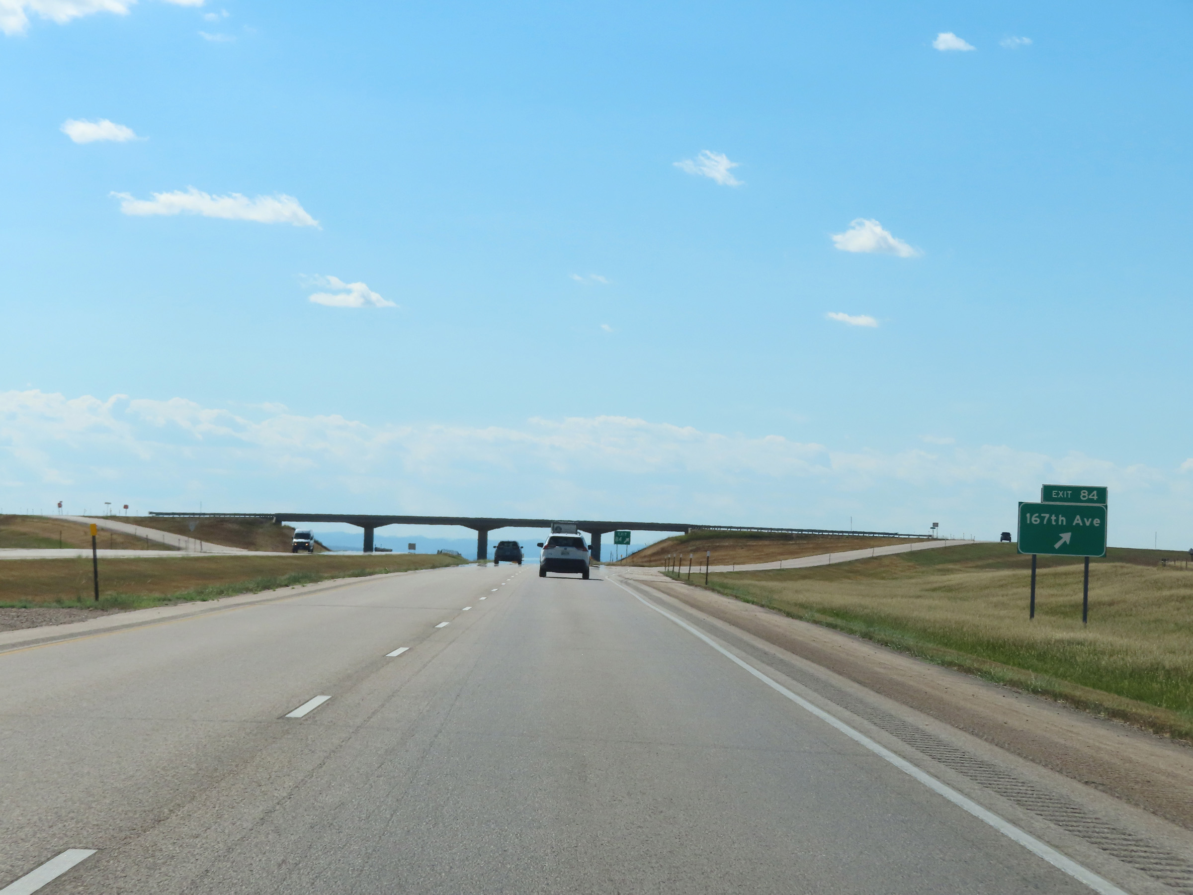
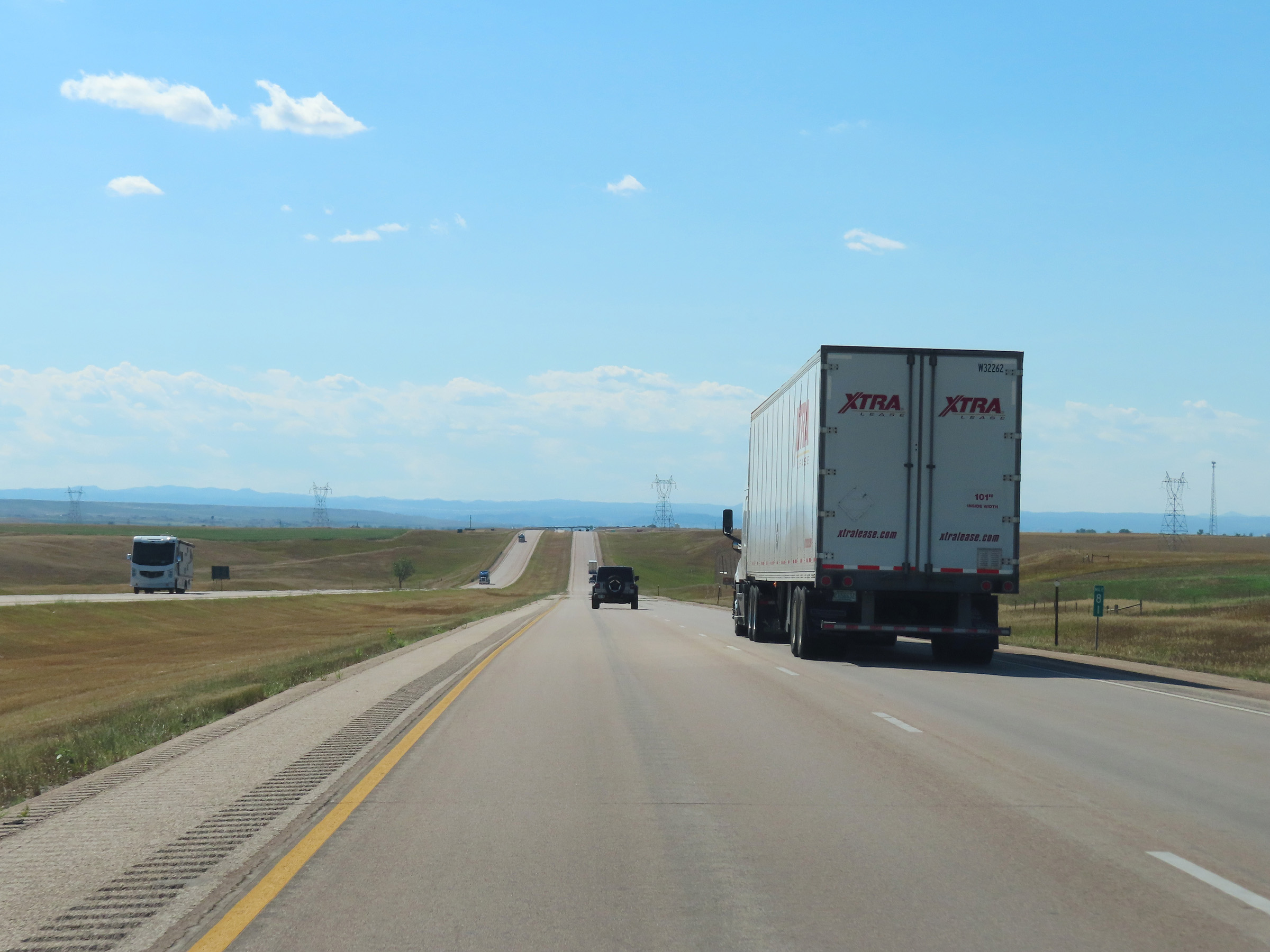
Interstate 90 West at Exit 78: New Underwood / 161st Ave (Photo taken 8/16/22). |
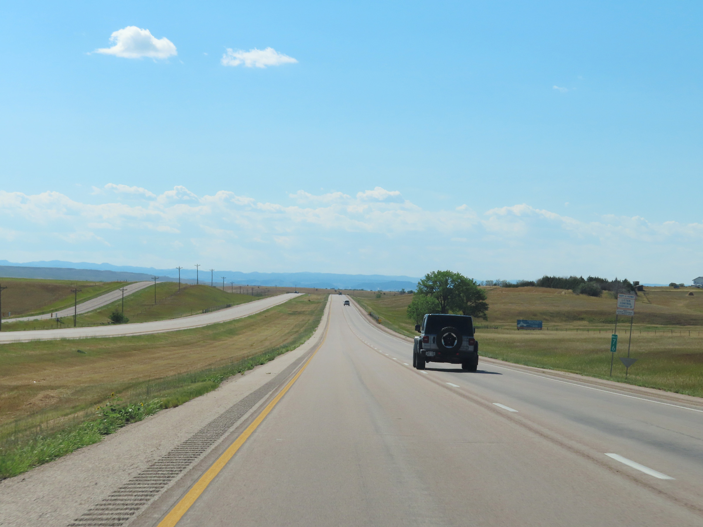 |
Mile marker 76 on Interstate 90 West in Pennington County. (Photo taken 8/16/22). |
 |
View on Interstate 90 West at mile marker 75. (Photo taken 8/16/22). |
 |
Interstate 90 West at mile marker 73. (Photo taken 8/16/22). |
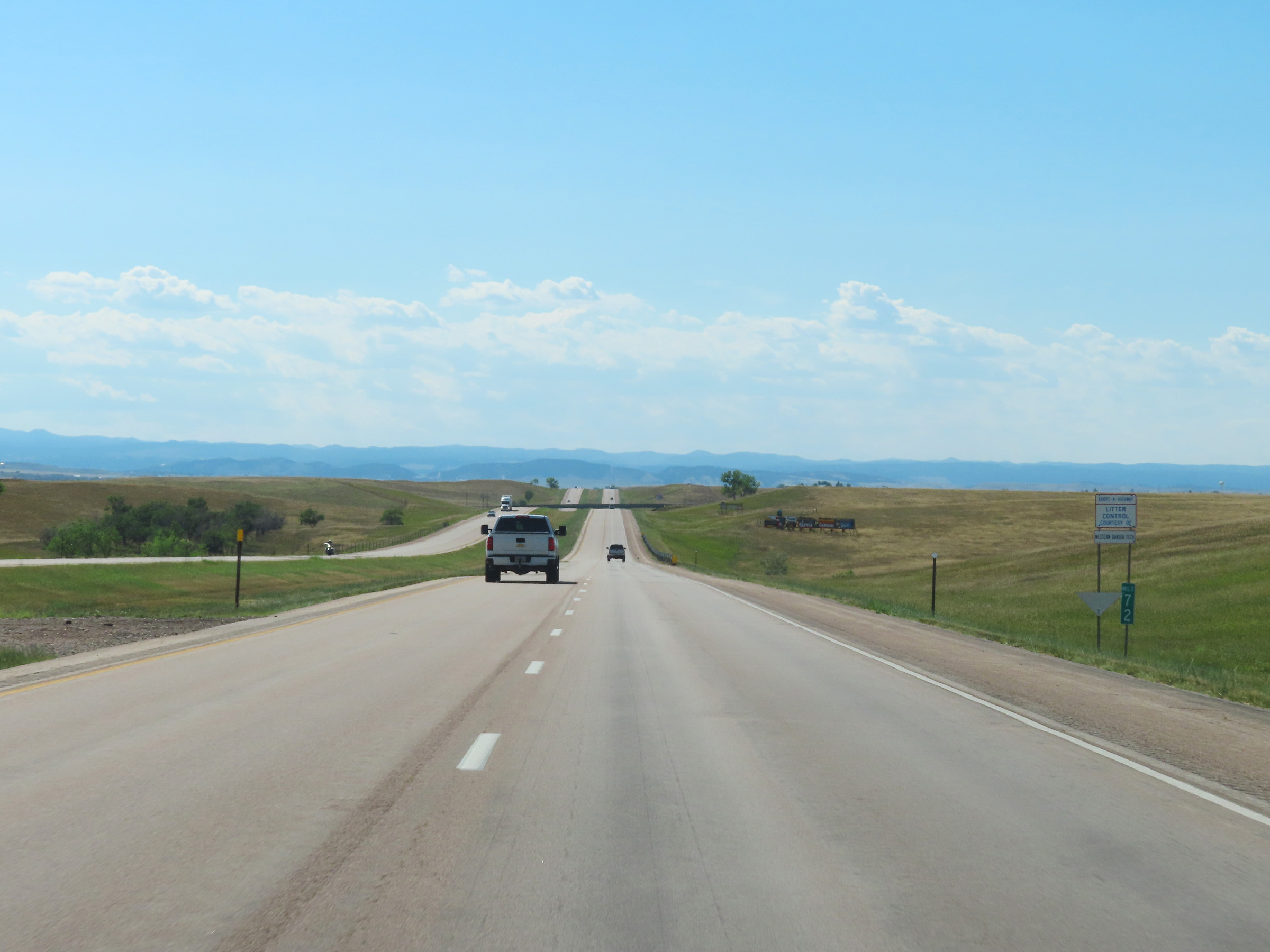 |
Mile marker 72 on Interstate 90 West in Pennington County. (Photo taken 8/16/22). |
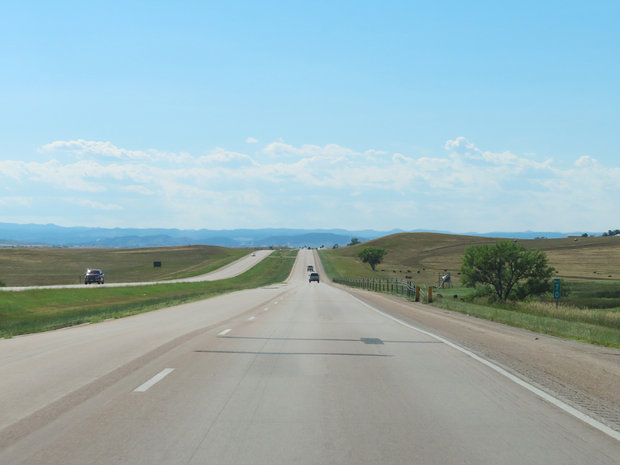 |
View on Interstate 90 West at mile marker 70. (Photo taken 8/16/22). |
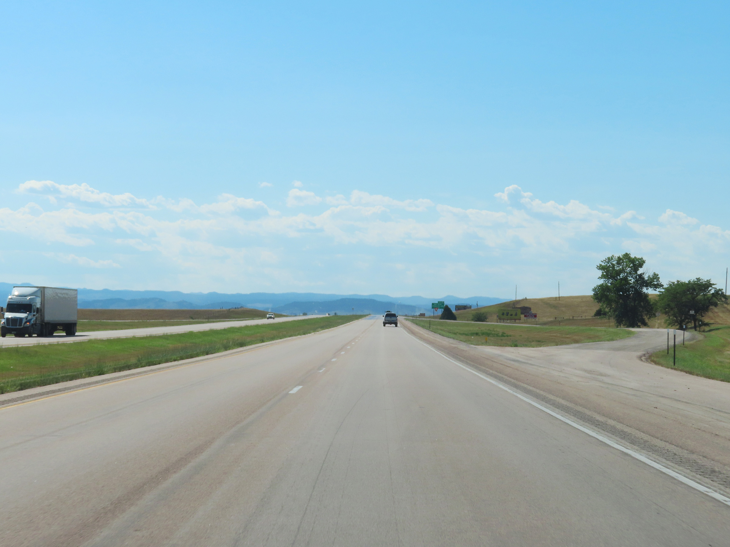 |
Another Parking Area on Interstate 90 West in Pennington County. (Photo taken 8/16/22). |
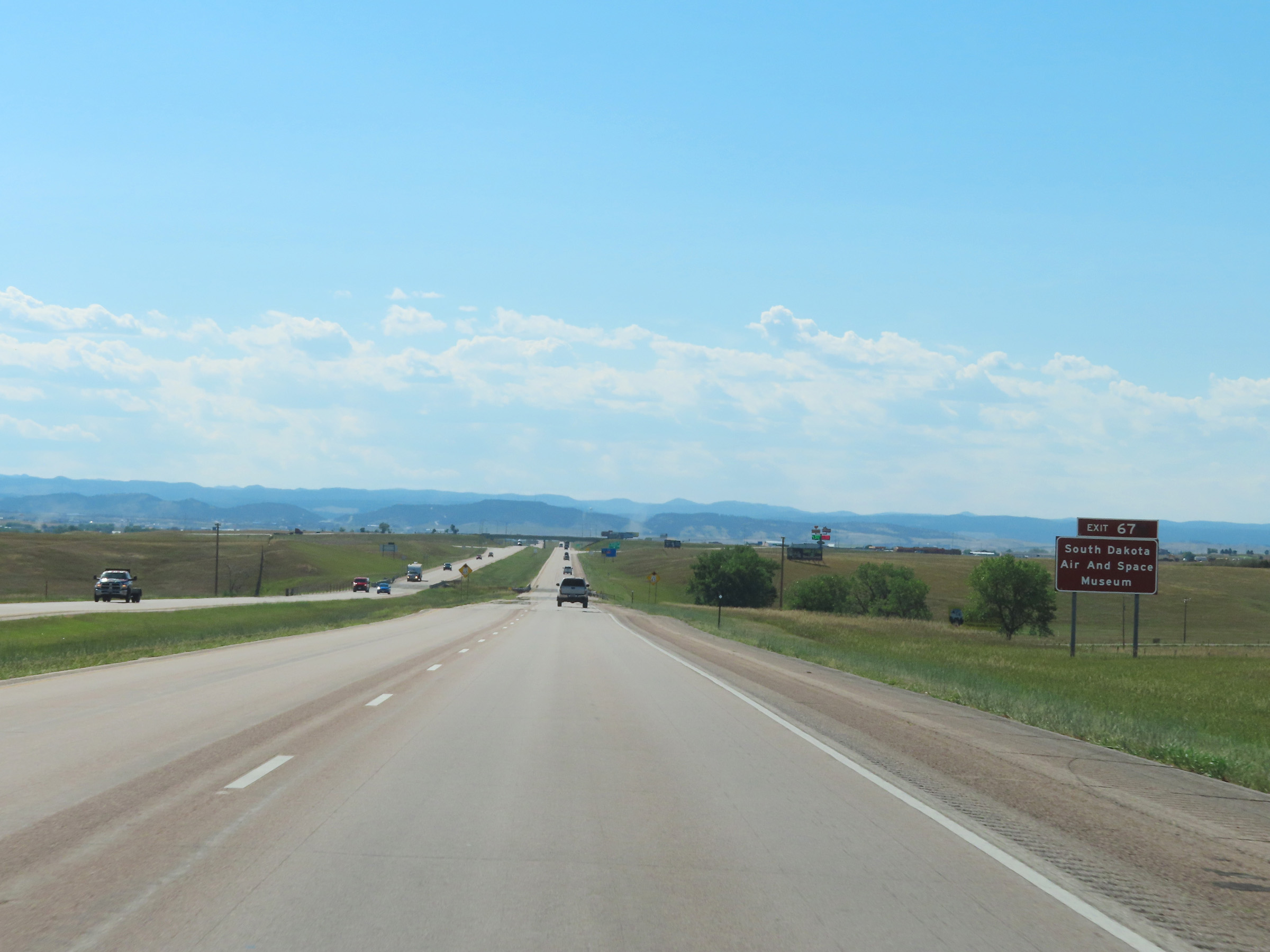 |
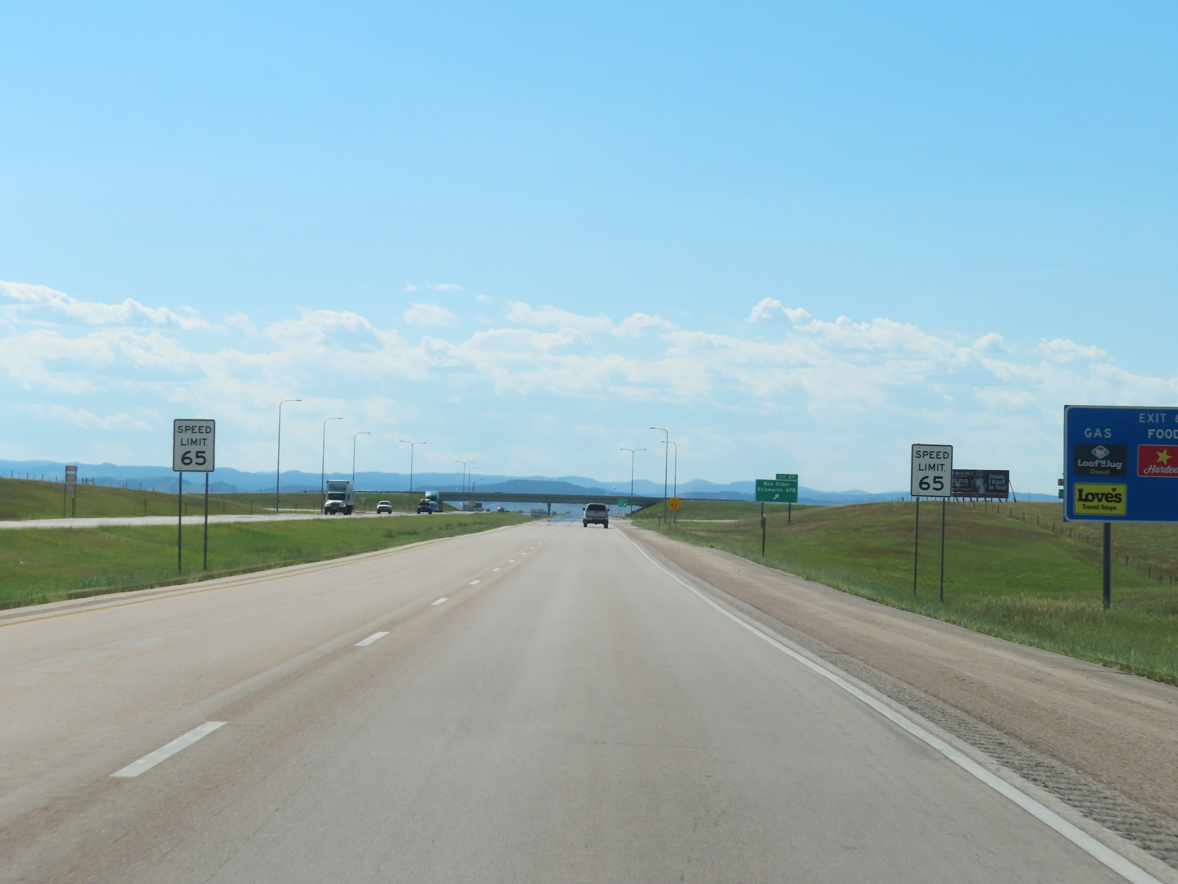
Take Exit 67 to the South Dakota Air and Space Museum. (Photo taken 8/16/22). |
 |
As Interstate 90 West enters the Rapid City area, the speed limit decreases to 65 mph. (Photo taken 8/16/22). |
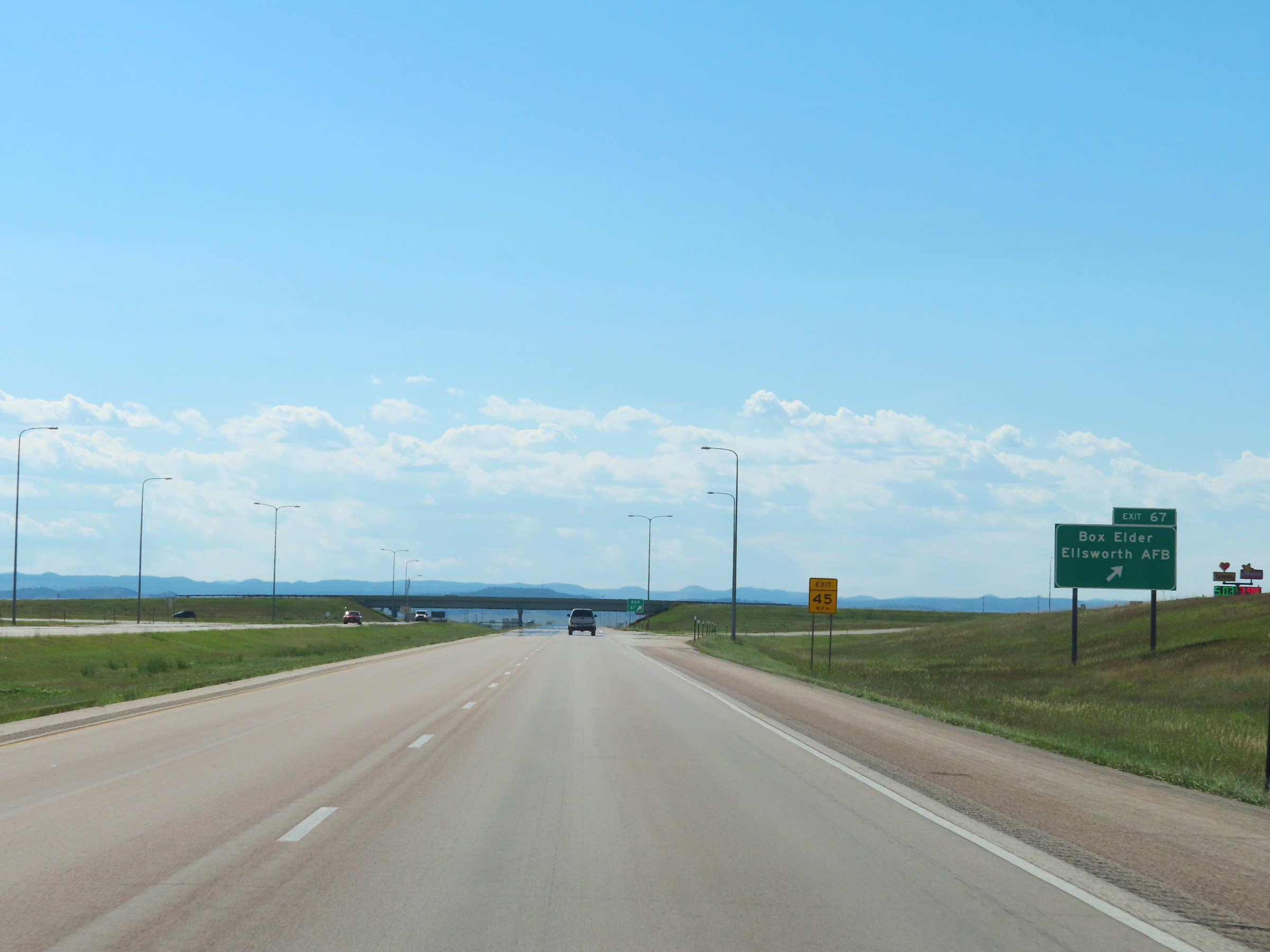 |
Interstate 90 West at Exit 67: Box Elder / Ellsworth AFB (Photo taken 8/16/22). |
 |
Interstate 90 West at mile marker 66. (Photo taken 8/16/22). |
 |
Take any of the next 6 exits to Rapid City. (Photo taken 8/16/22). |
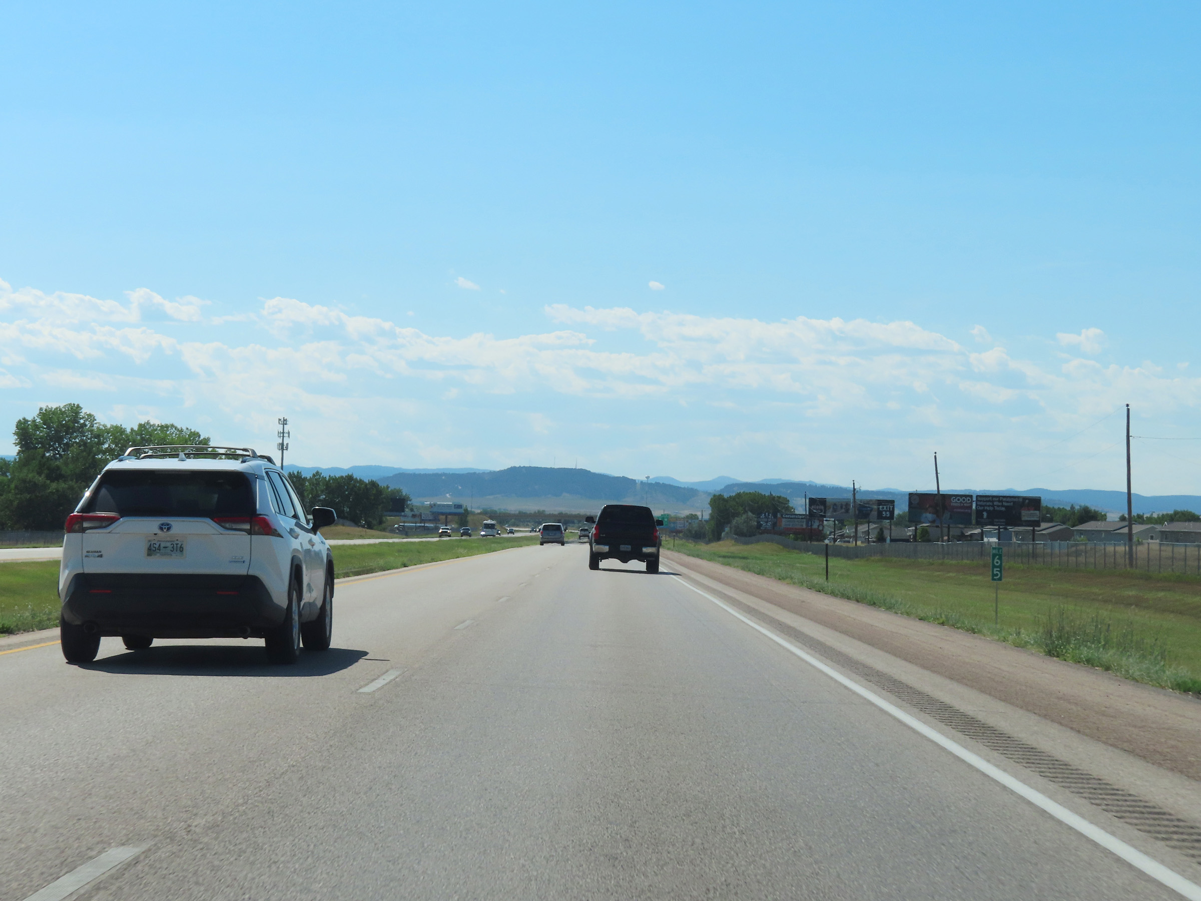 |
Mile marker 65 on Interstate 90 West approaching Rapid City. (Photo taken 8/16/22). |
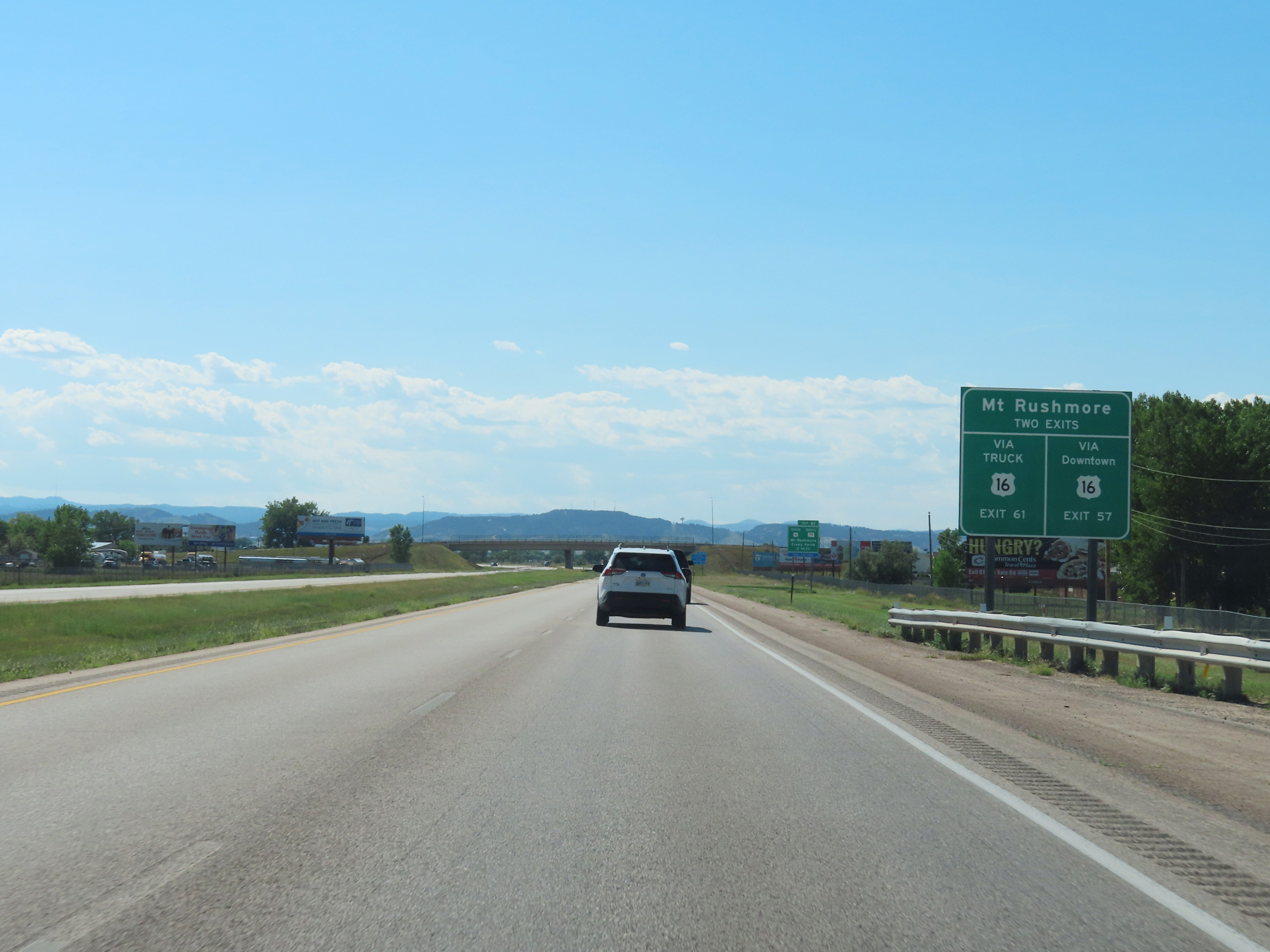 |
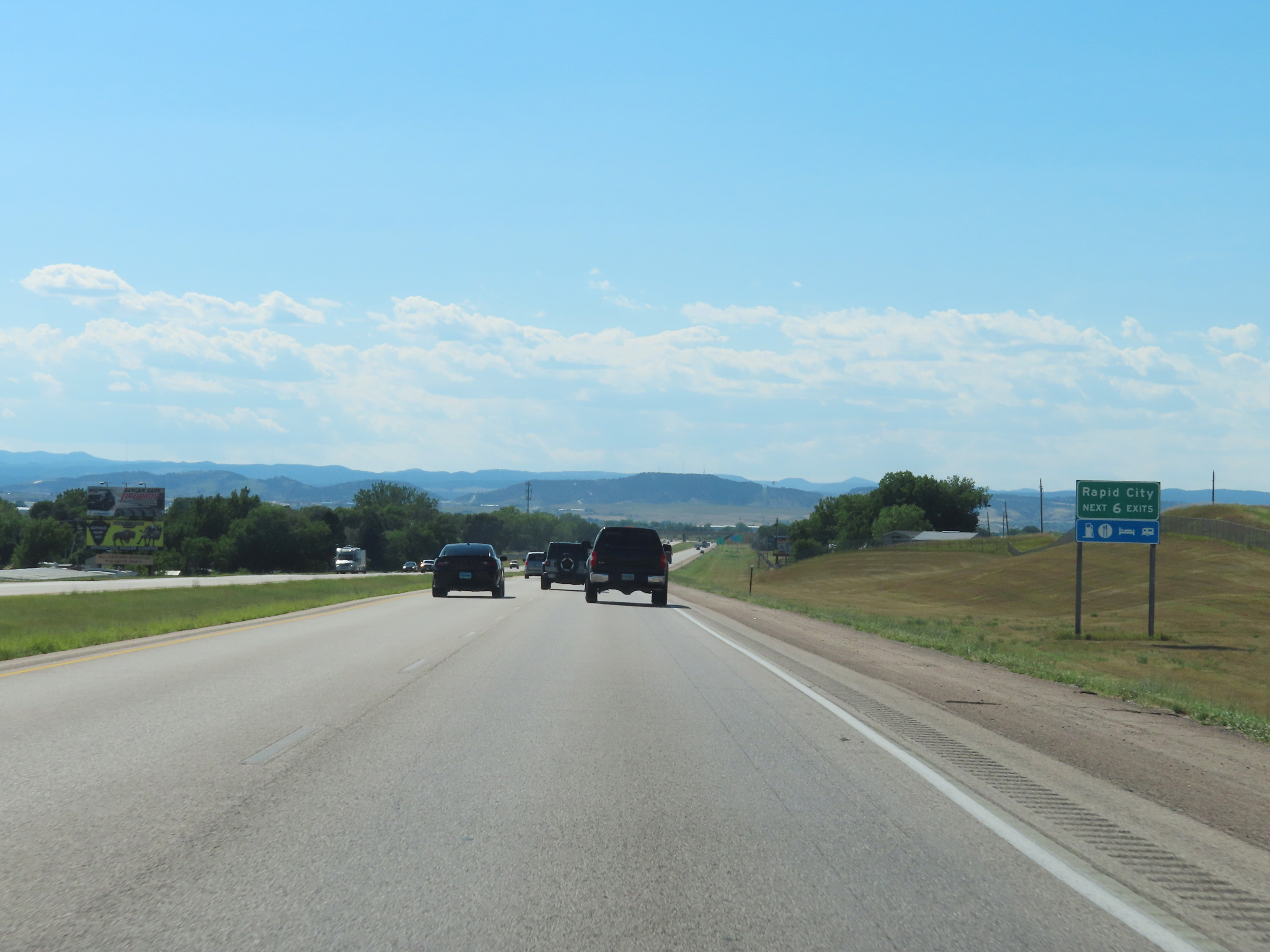
Traffic to Mt. Rushmore has two options for routing. They can take US 16 Truck via Exit 61 or take US 16 through downtown Rapid City via Exit 57. (Photo taken 8/16/22). |
 |
Advance signage for Exit 61 - 2 miles ahead. (Photo taken 8/16/22). |
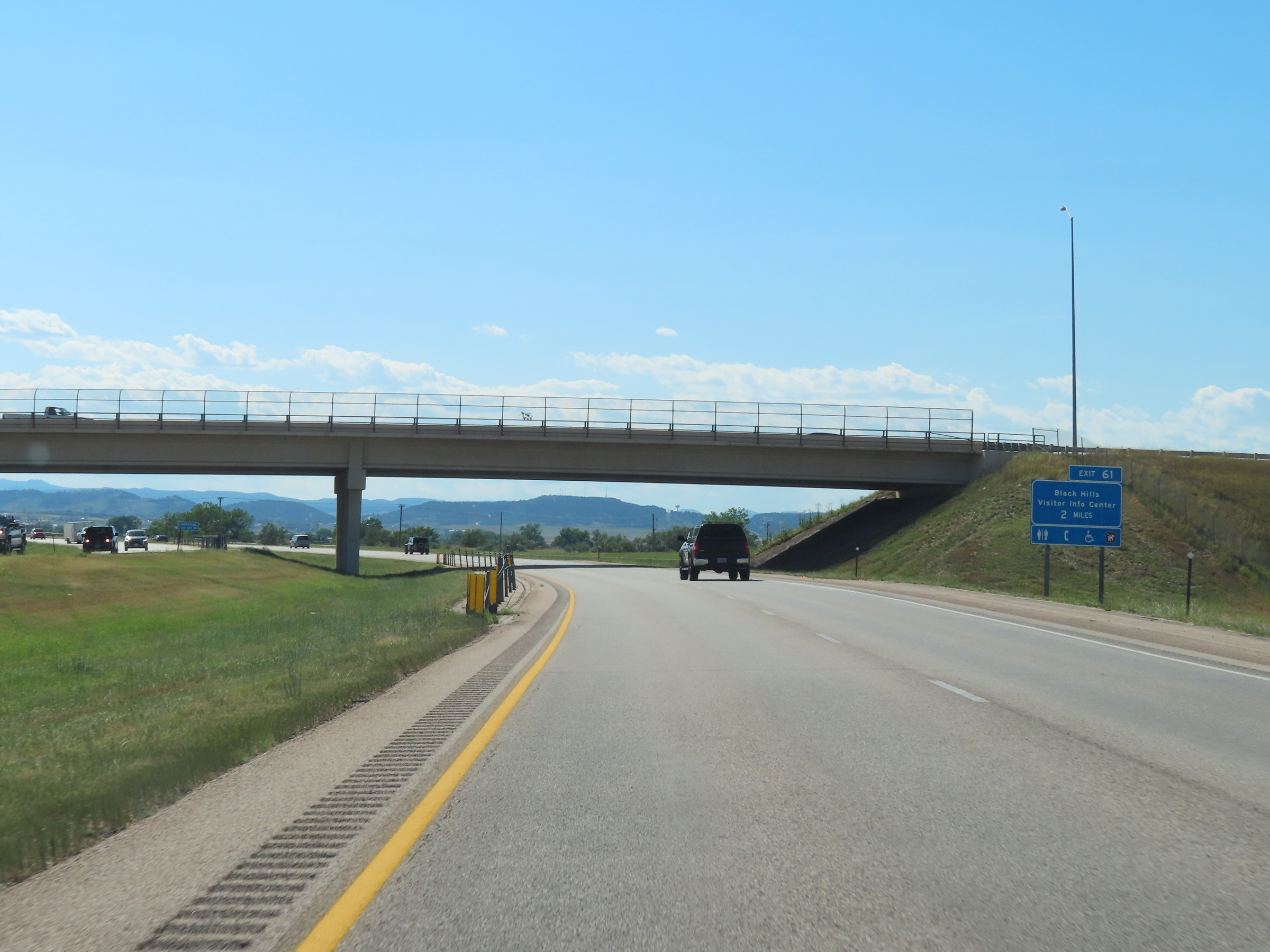 |
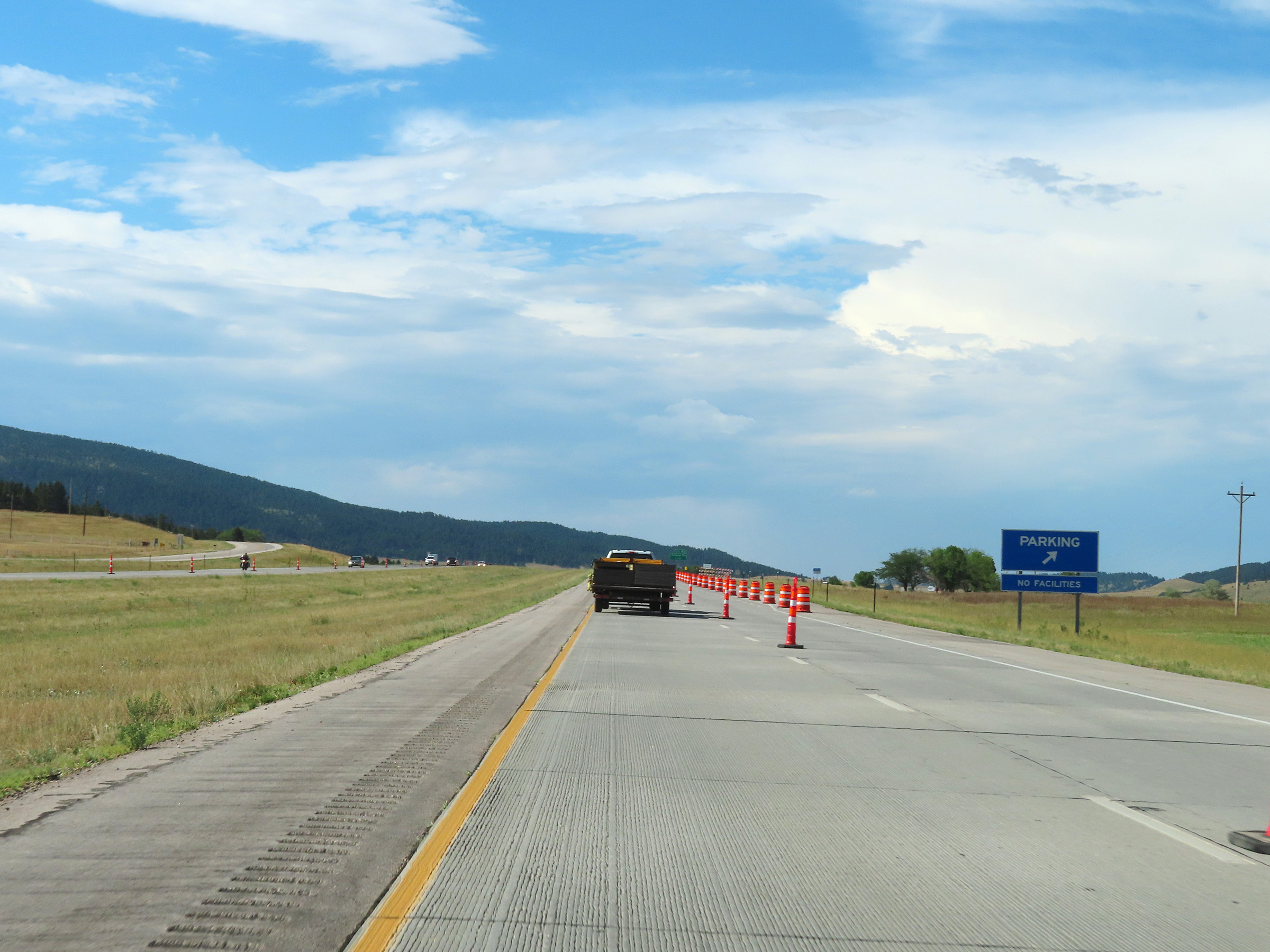
Since Interstate 90 West has entered the Black Hills Region, a Visitor Info Center for it exists off Exit 61. (Photo taken 8/16/22). |
 |
Interstate 90 West at mile marker 63. (Photo taken 8/16/22). |
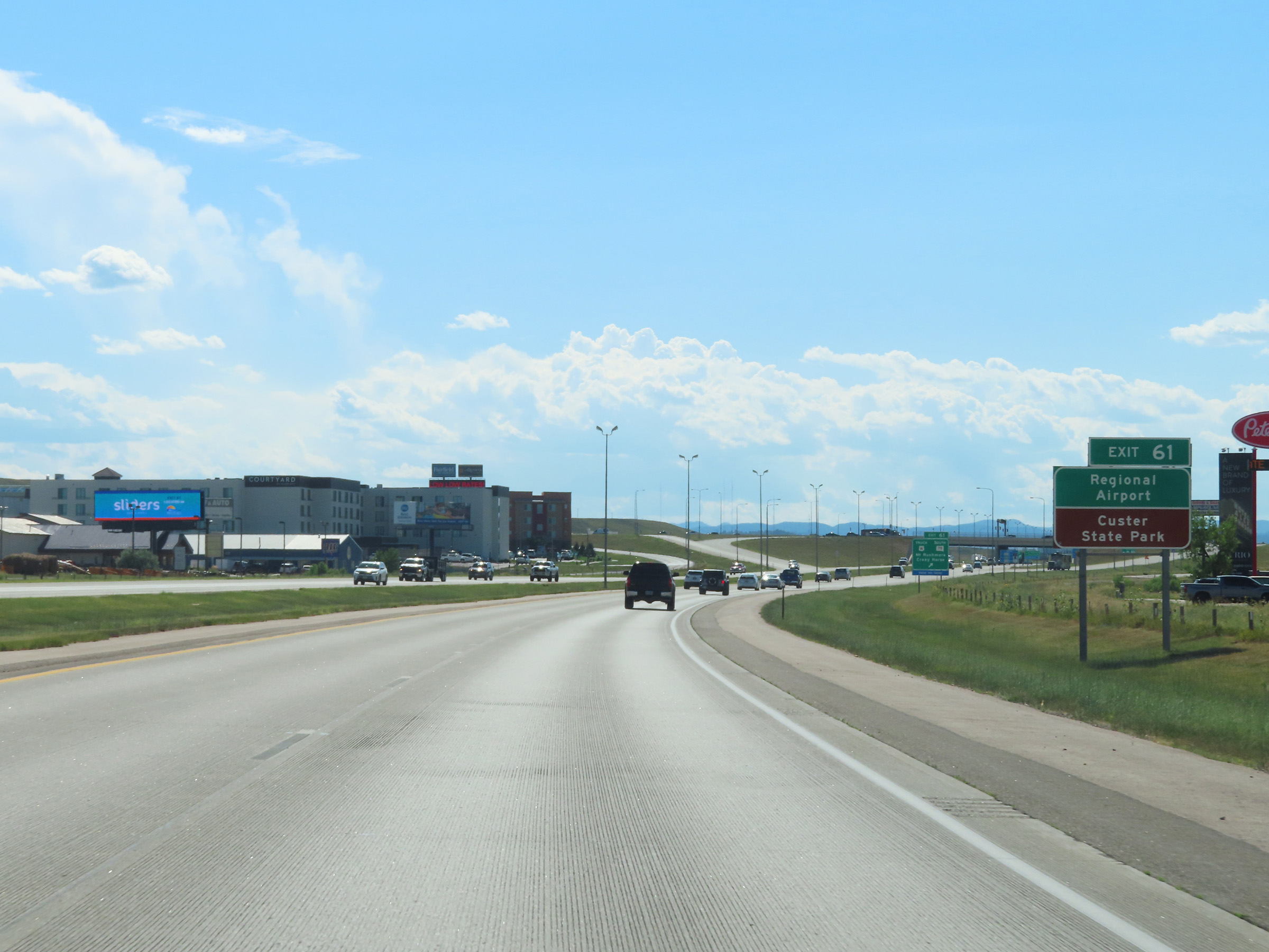 |
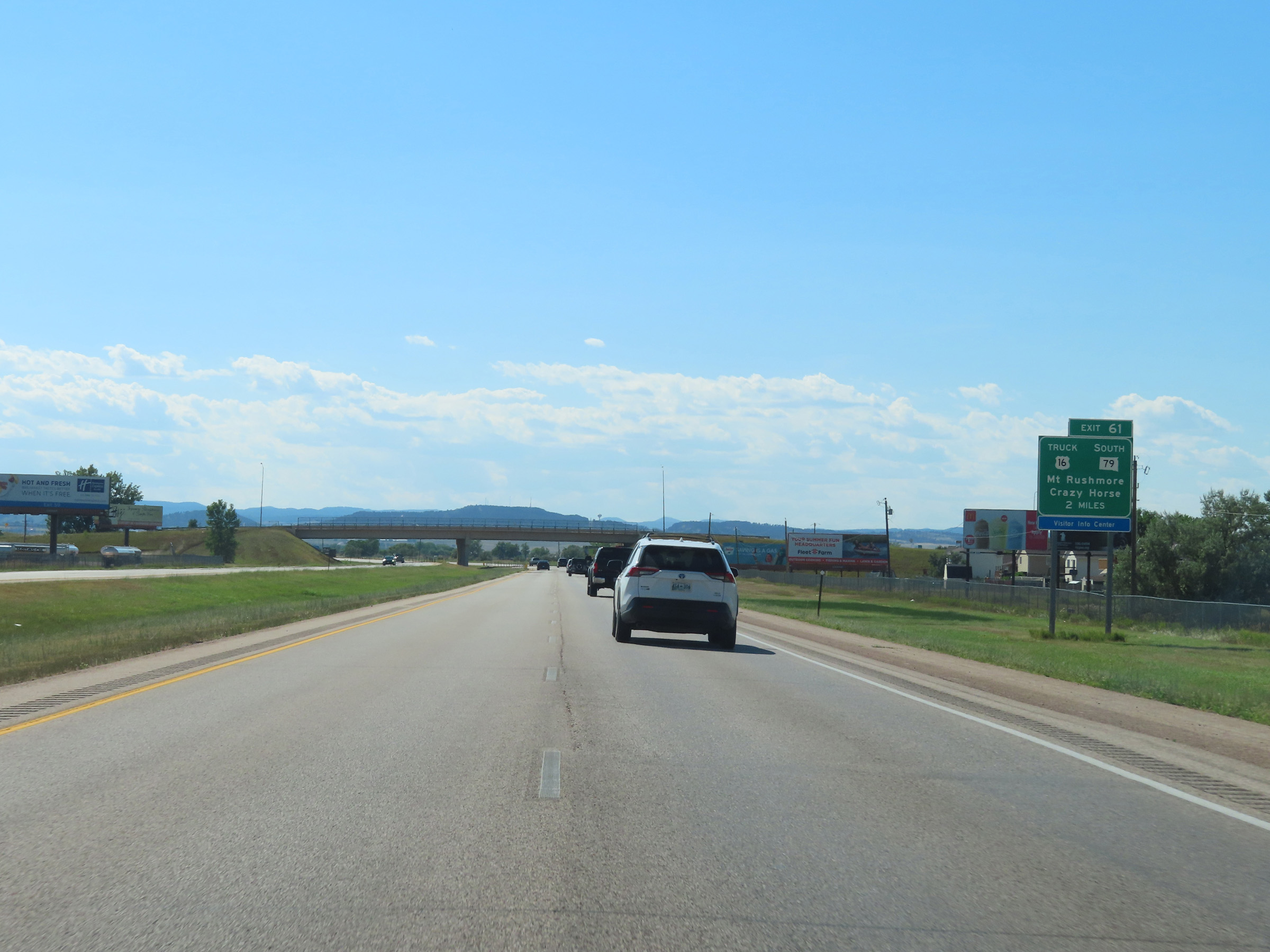
Take Exit 61 to the Regional Airport and Custer State Park. (Photo taken 8/16/22). |
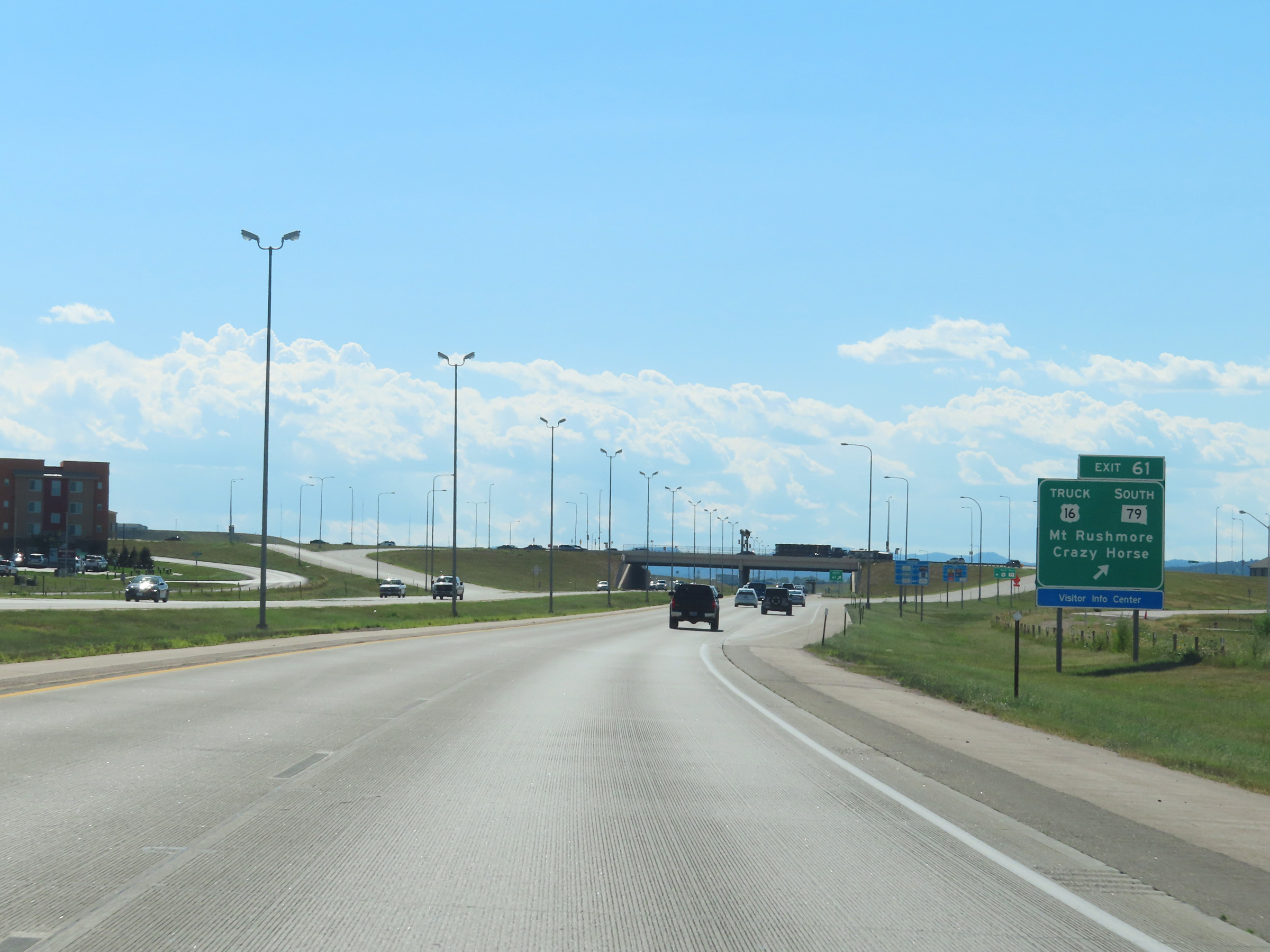 |
Interstate 90 West at Exit 61: US 16 Truck / SD 79 South - Mt. Rushmore / Crazy Horse (Photo taken 8/16/22). |
 |
Take Exit 60 to the School of Mines & Museum of Geology as well as Central States Fairgrounds. (Photo taken 8/16/22). |
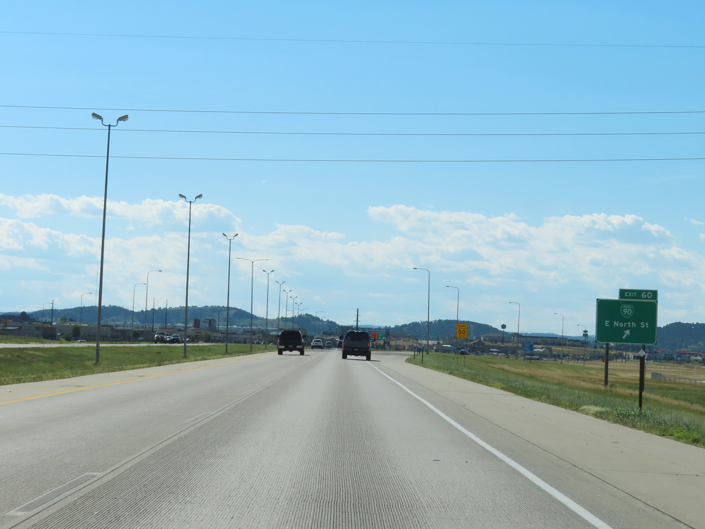 |
Interstate 90 West at Exit 60: Interstate 90 Business Loop - East North St (Photo taken 8/16/22). |
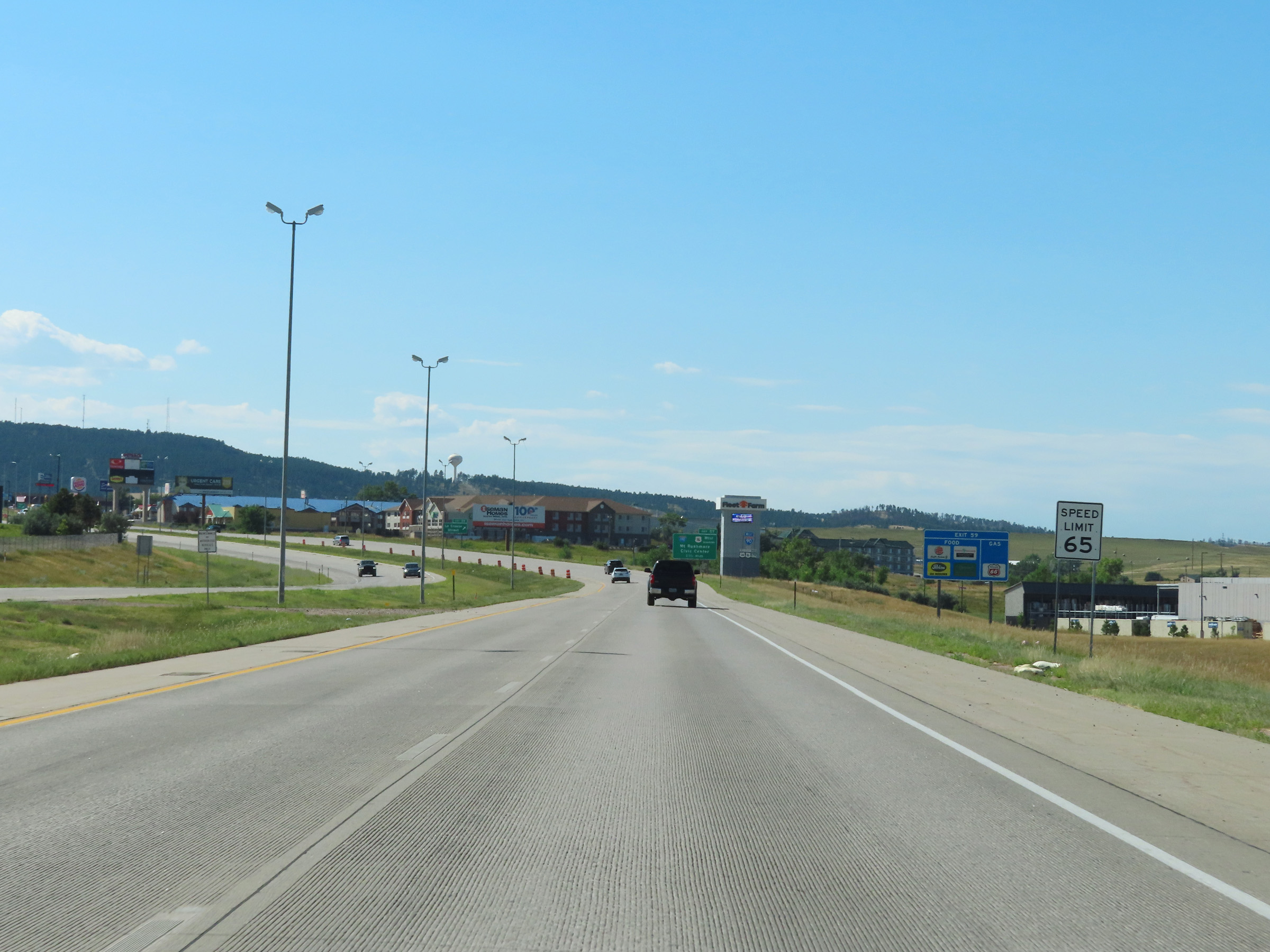 |
The speed limit remains 65 mph on Interstate 90 West through Rapid City. (Photo taken 8/16/22). |
 |
Interstate 90 West approaching Exit 57 - 1 3/4 miles. (Photo taken 8/16/22). |
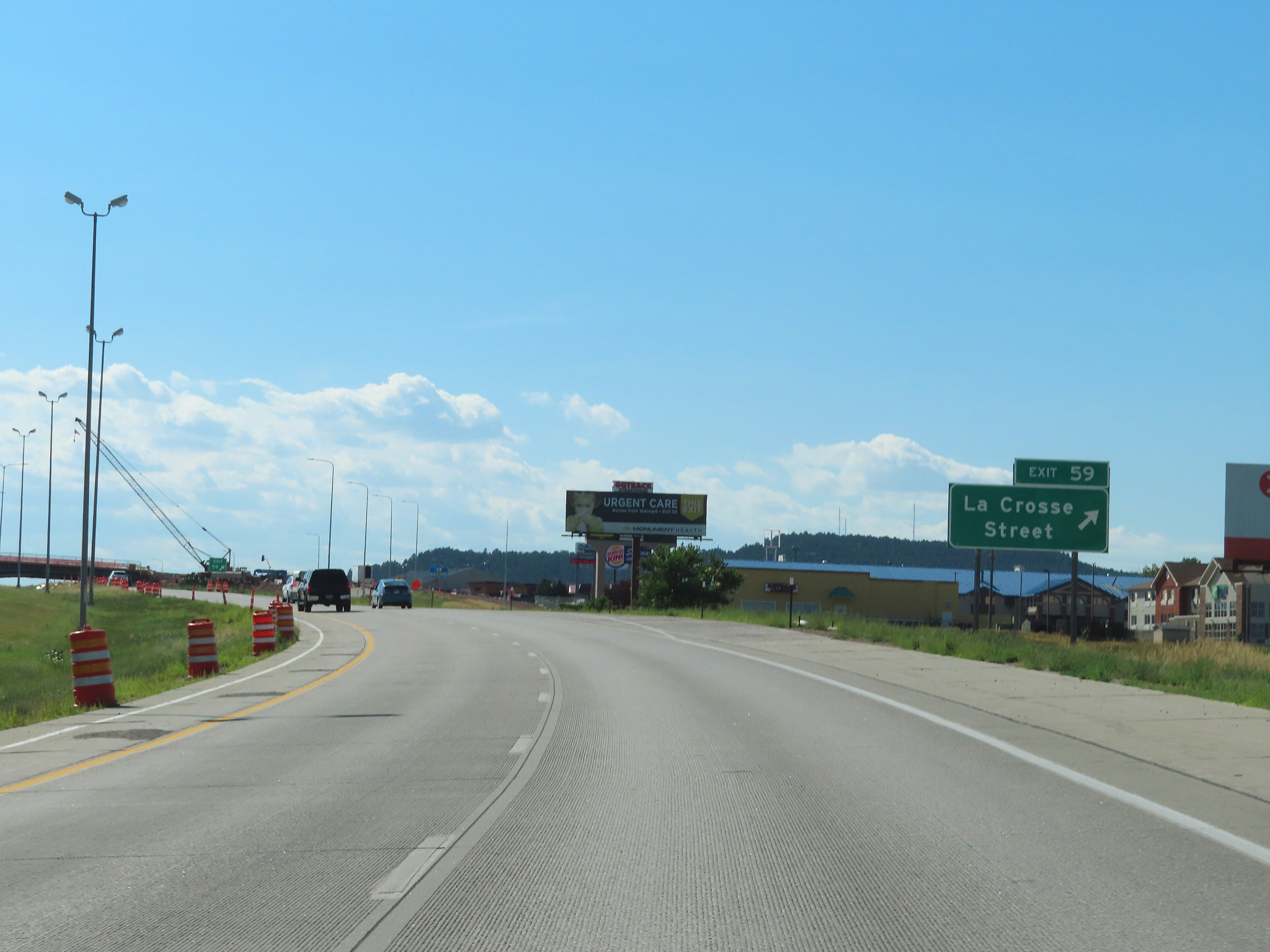 |
Interstate 90 West at Exit 59: La Crosse Street (Photo taken 8/16/22). |
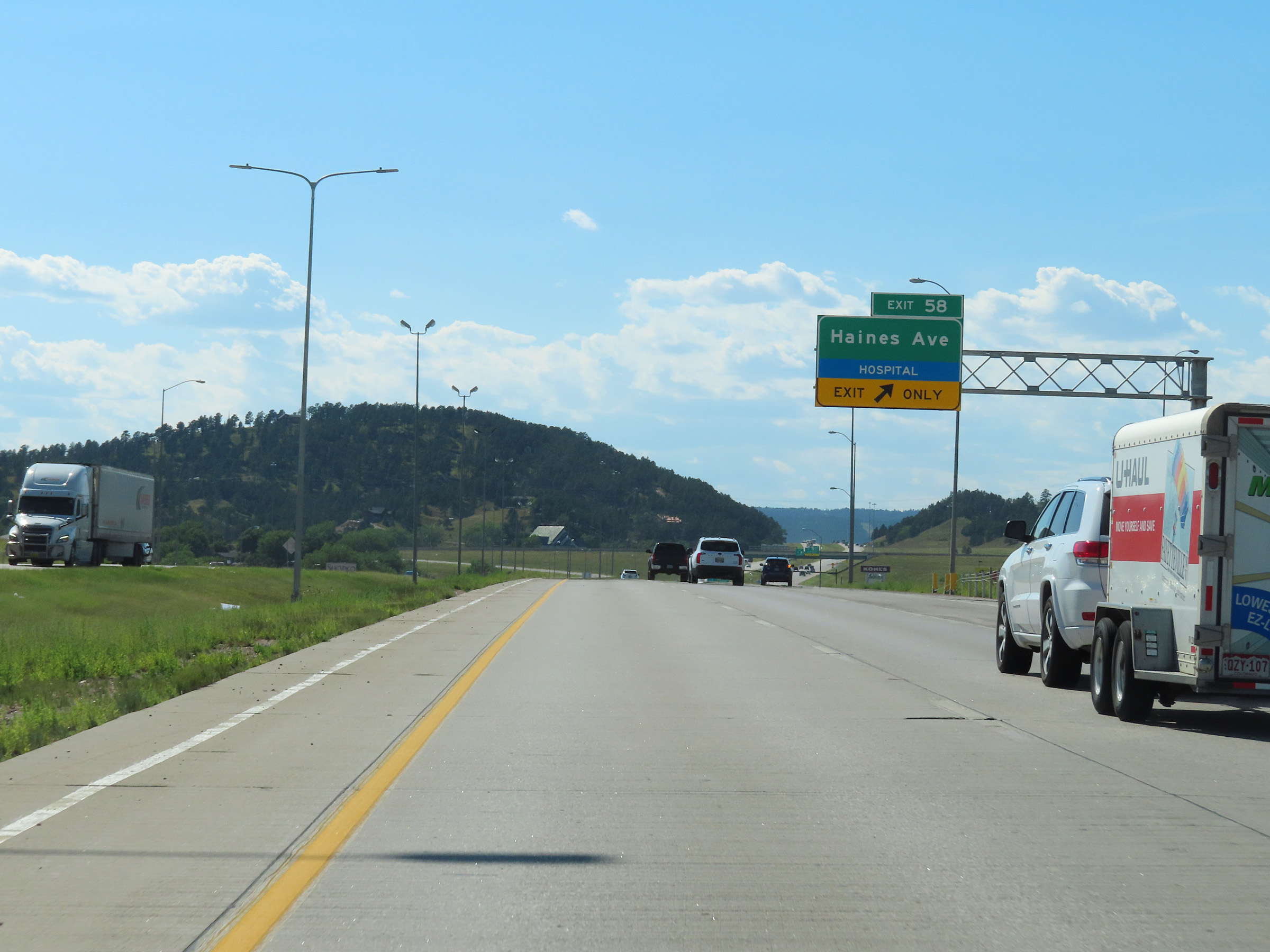 |
Interstate 90 West at Exit 58: Haines Ave (Photo taken 8/16/22). |
 |
This overhead signage shows that the right lane of Interstate 90 West will become an Exit Only lane for Exit 57 ahead. (Photo taken 8/16/22). |
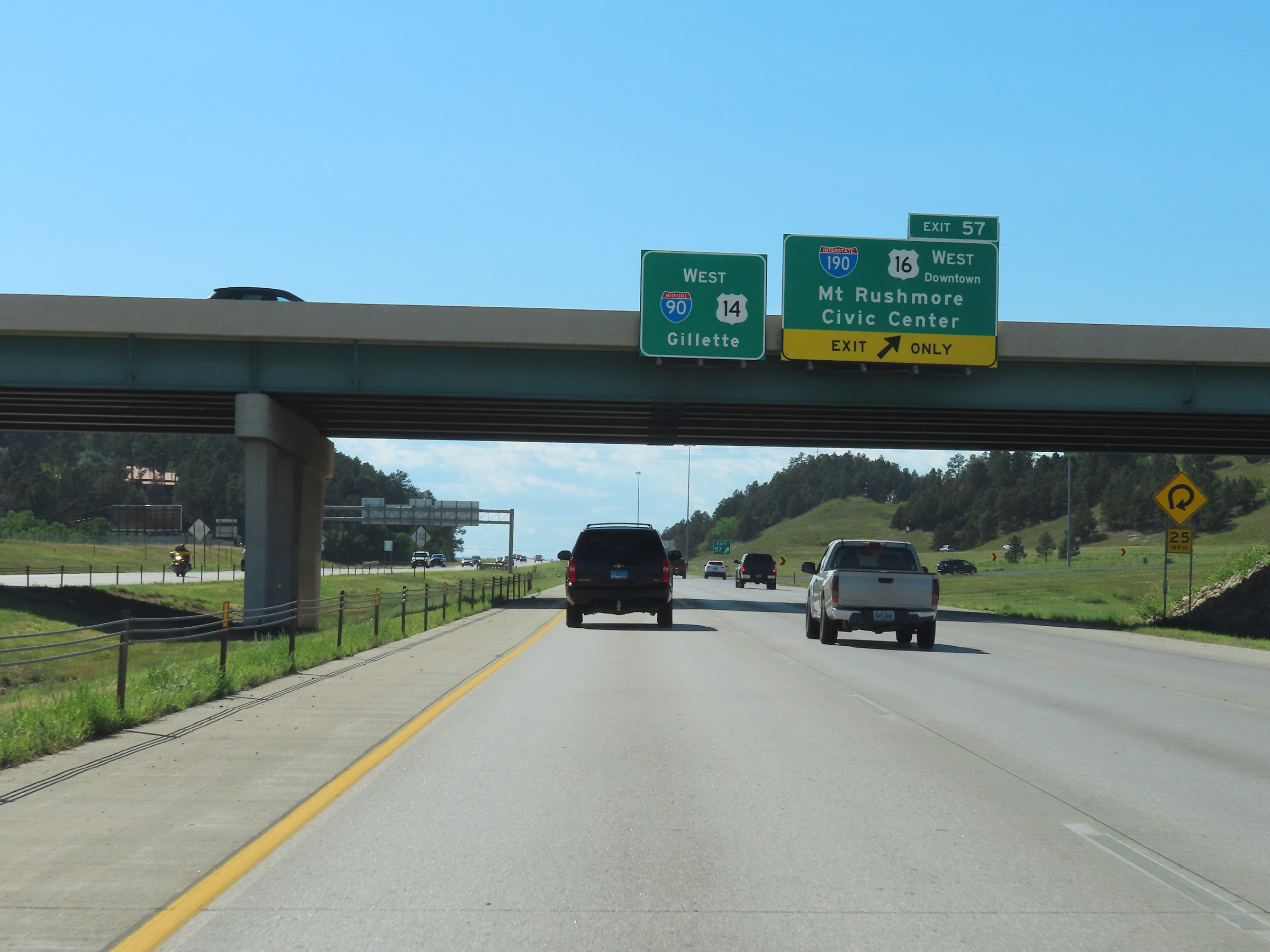 |
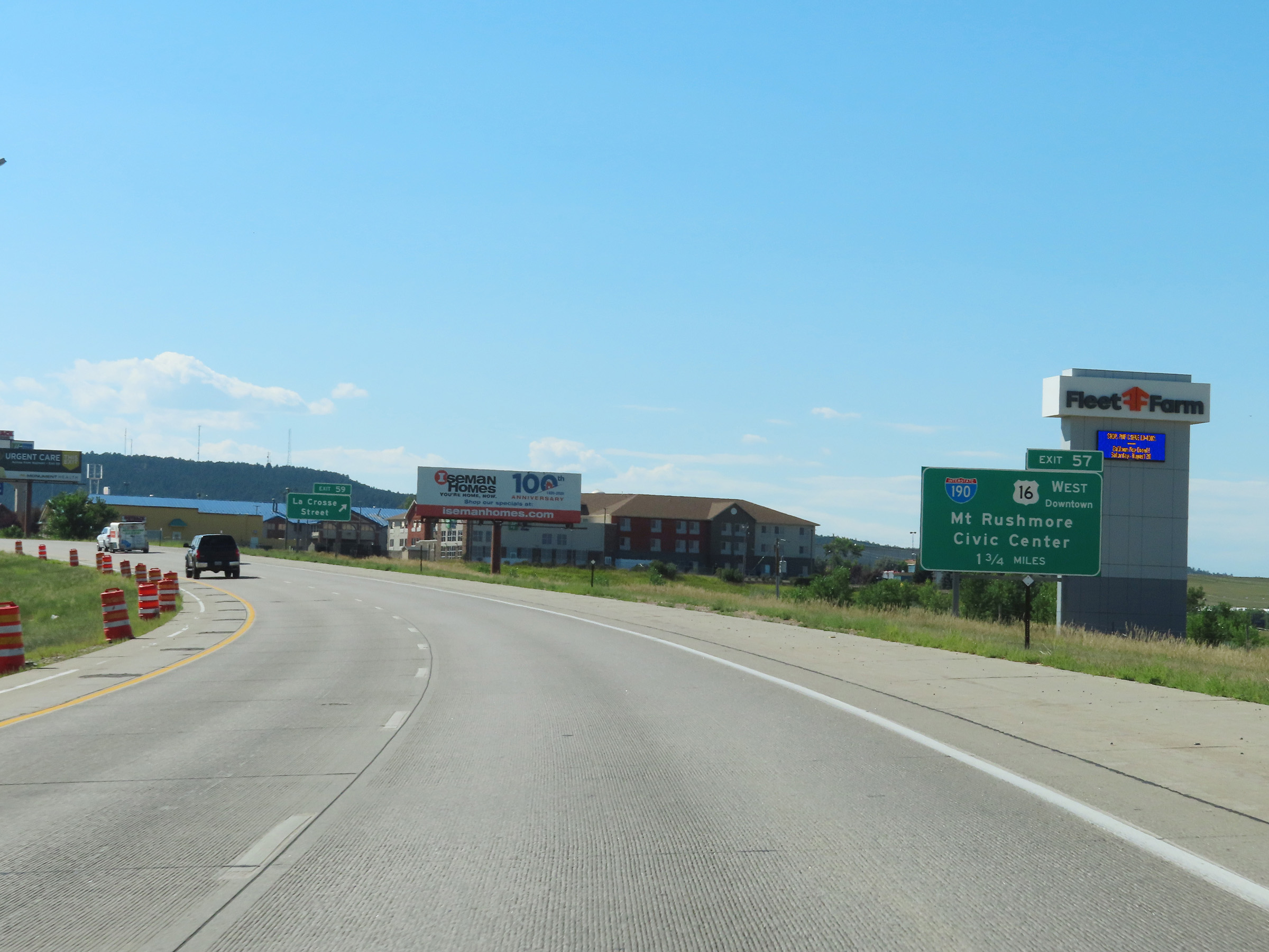
Interstate 90 West at Exit 57: Interstate 190 / US 16 West - Mt. Rushmore / Civic Center (Photo taken 8/16/22). |
Section 7: Rapid City (Exit 57) to Wyoming Border
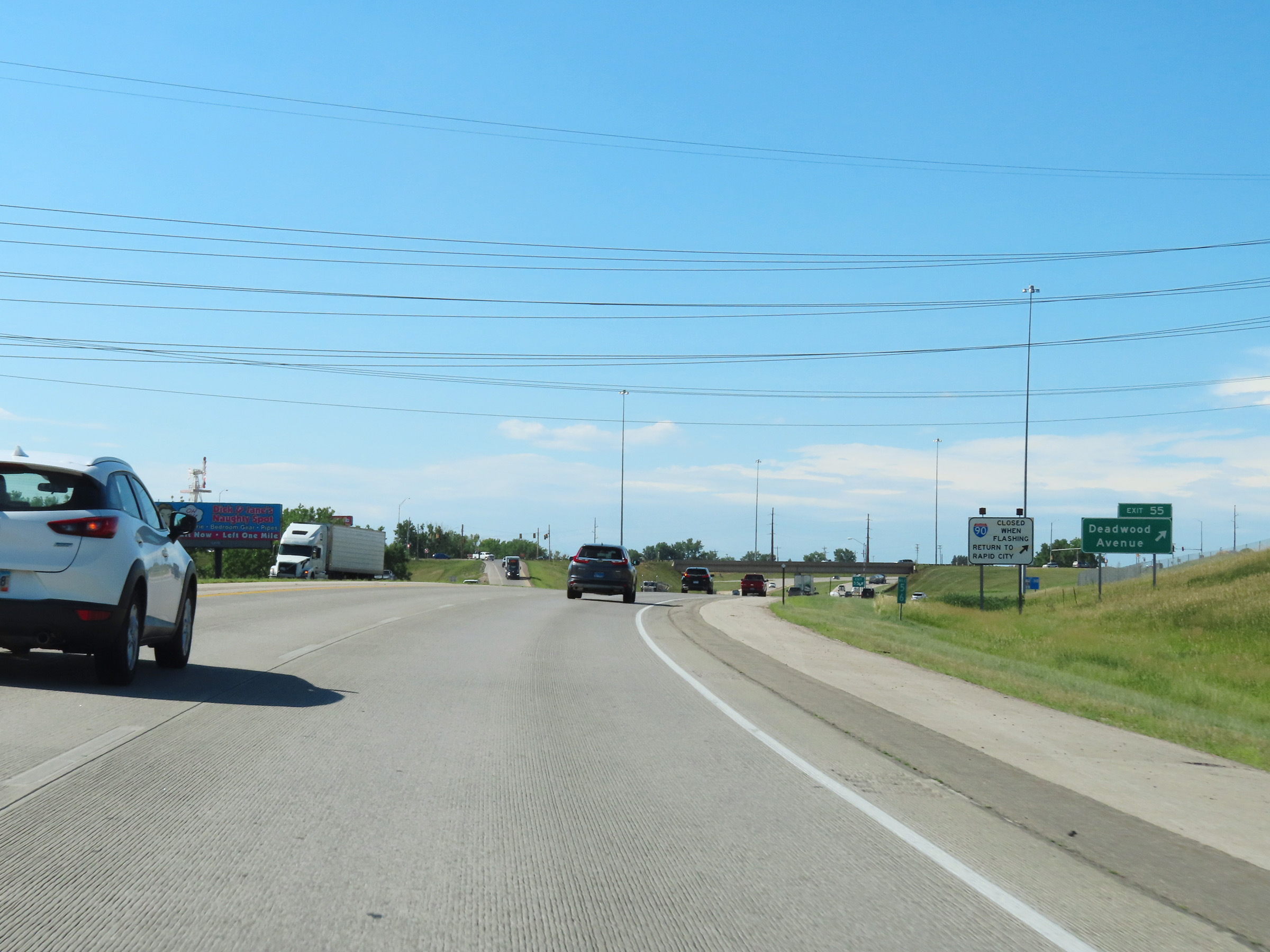 |
Interstate 90 West at Exit 55: Deadwood Avenue (Photo taken 8/16/22). |
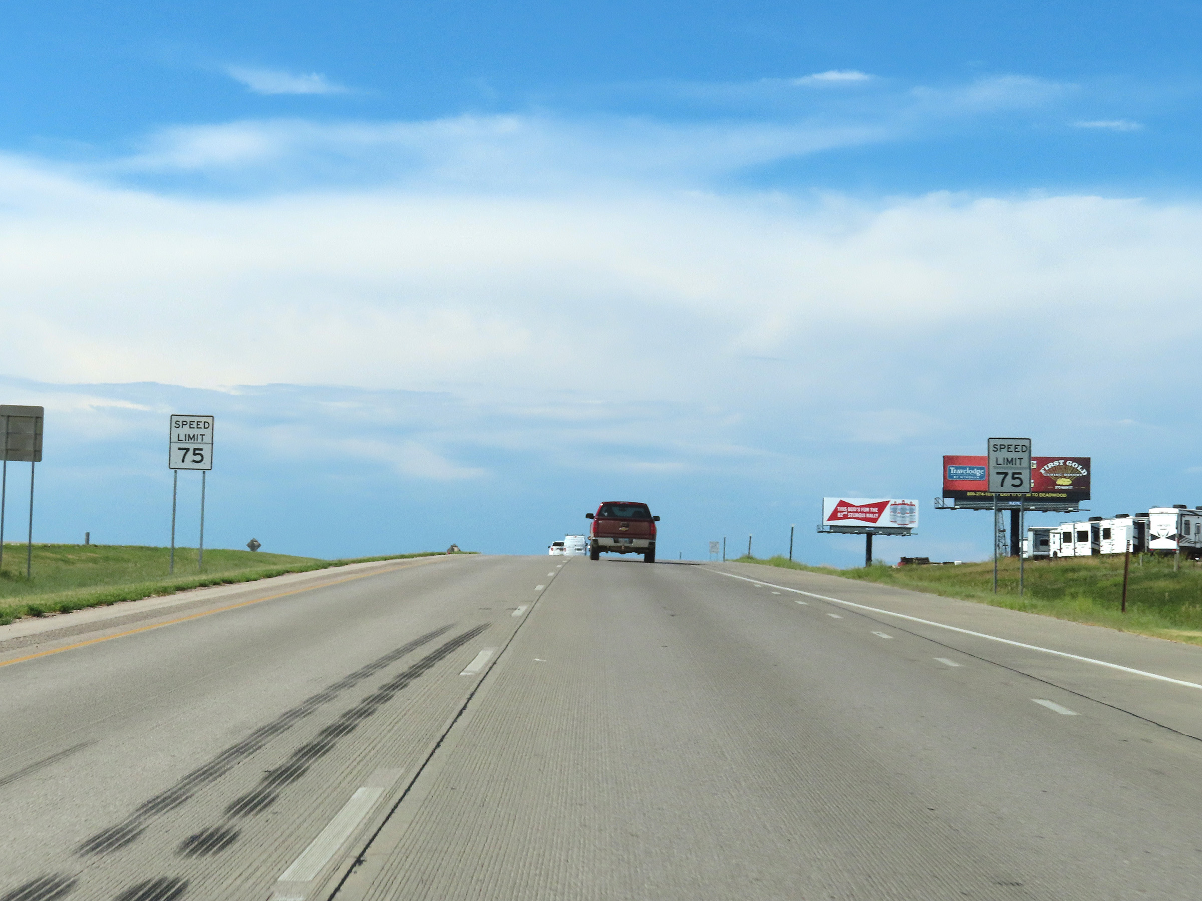 |
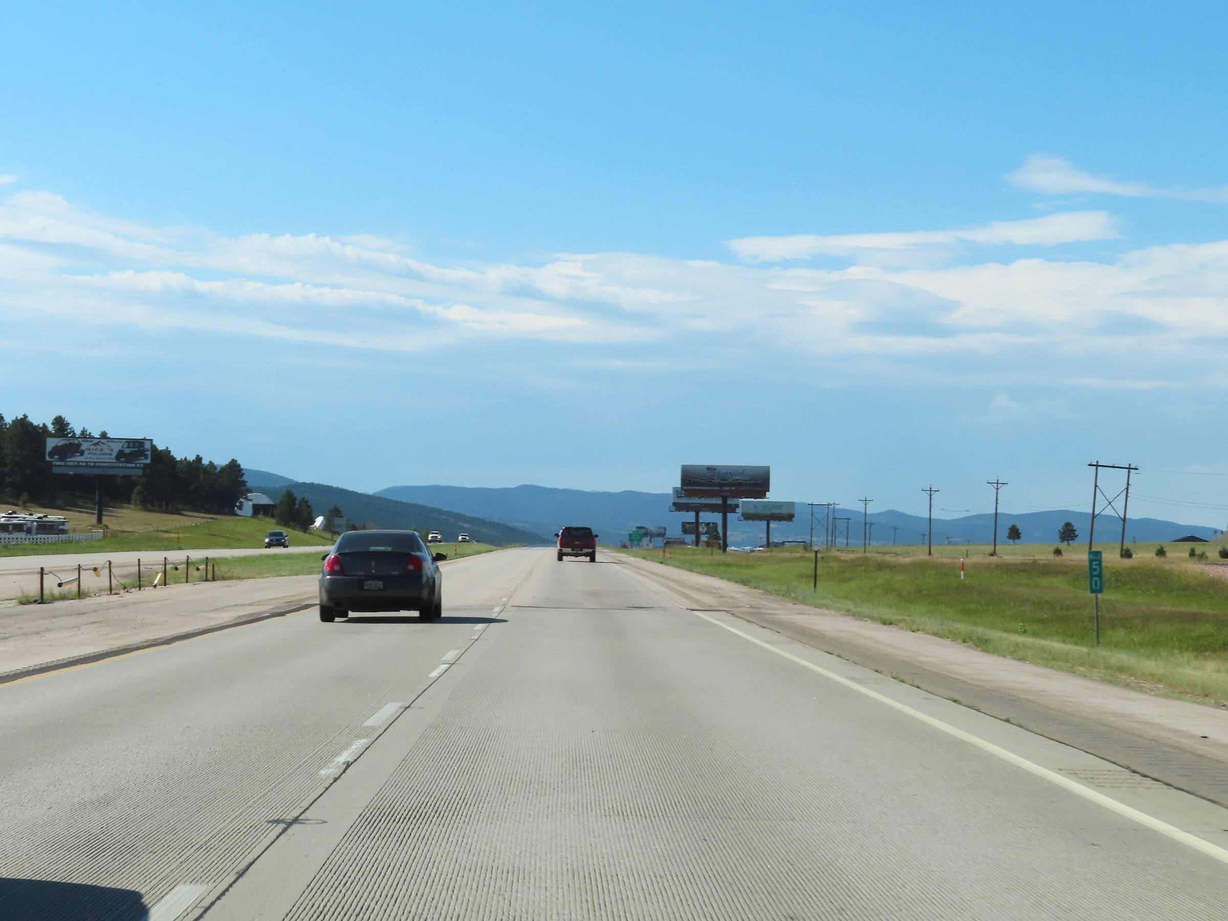
West of Exit 55, the speed limit on Interstate 90 West increases to 75 mph as it leaves the Rapid City area. (Photo taken 8/16/22). |
 |
Interstate 90 West at mile marker 54. (Photo taken 8/16/22). |
 |
Interstate 90 West as it enters Meade County. (Photo taken 8/16/22). |
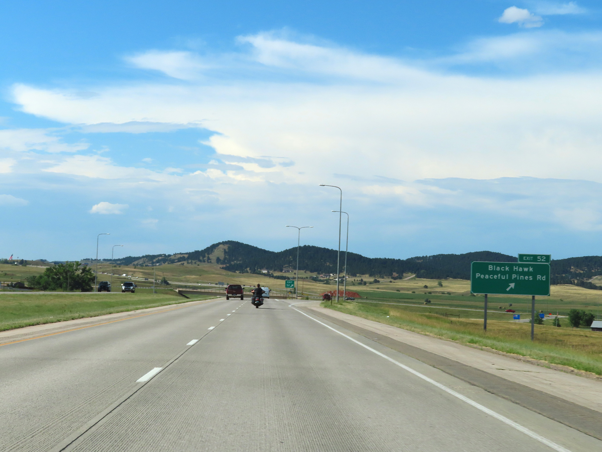 |
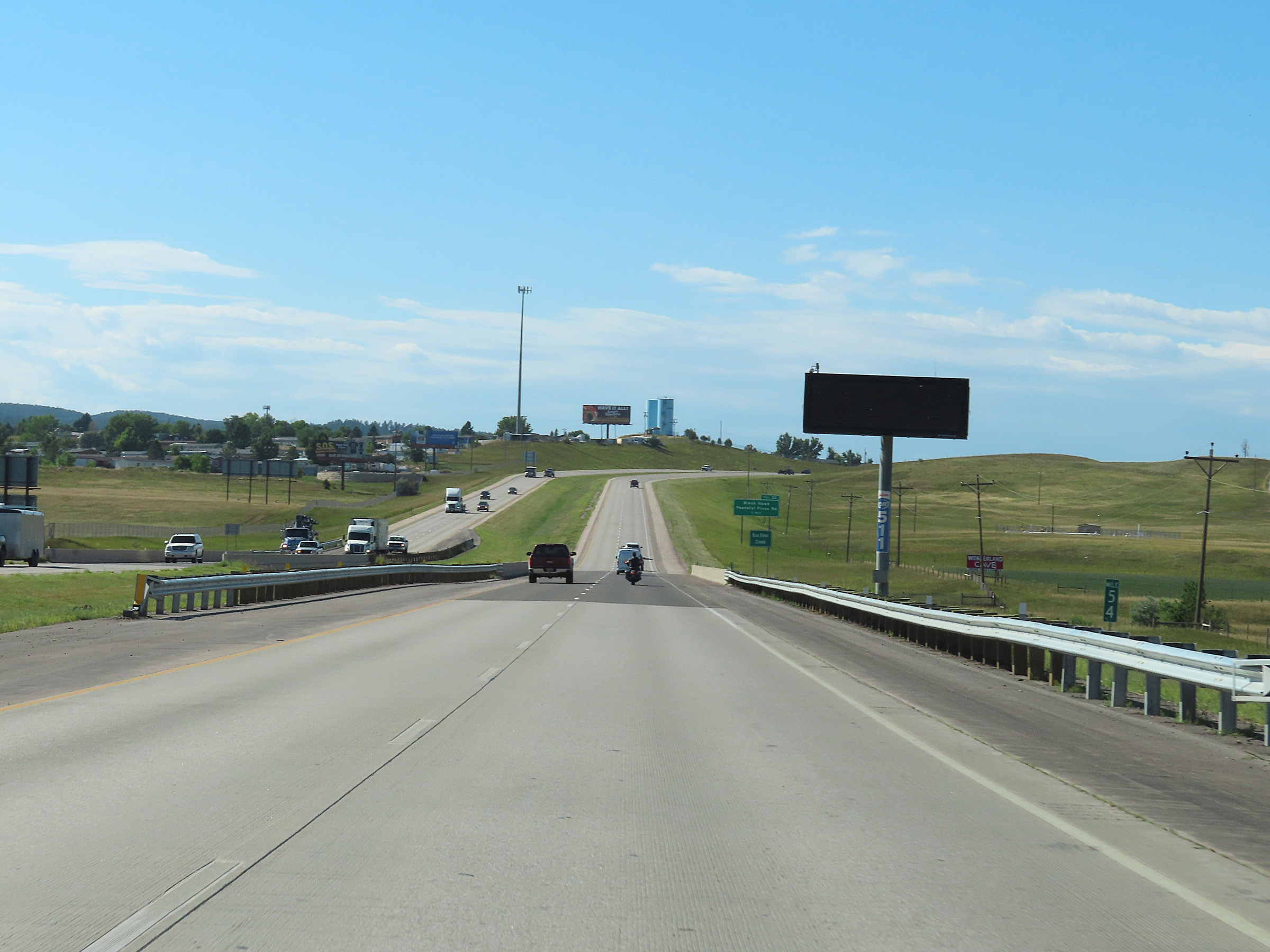
Interstate 90 West at Exit 52: Black Hawk / Peaceful Pines Rd (Photo taken 8/16/22). |
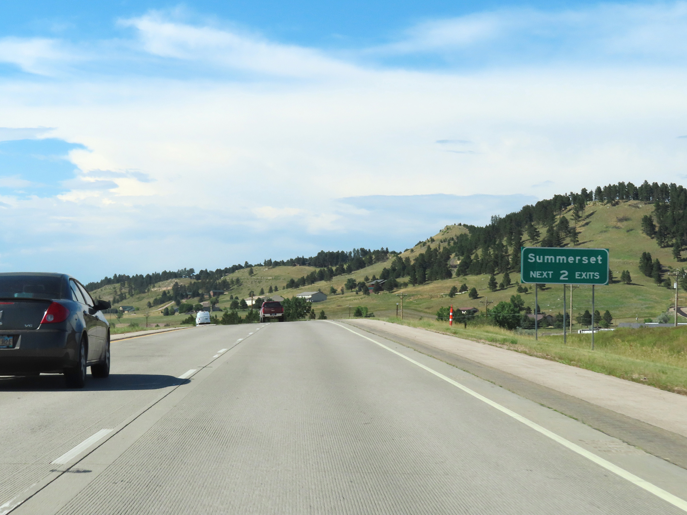 |
Take either of the next 2 exits to Summerset. (Photo taken 8/16/22). |
 |
View on Interstate 90 West at mile marker 50. (Photo taken 8/16/22). |
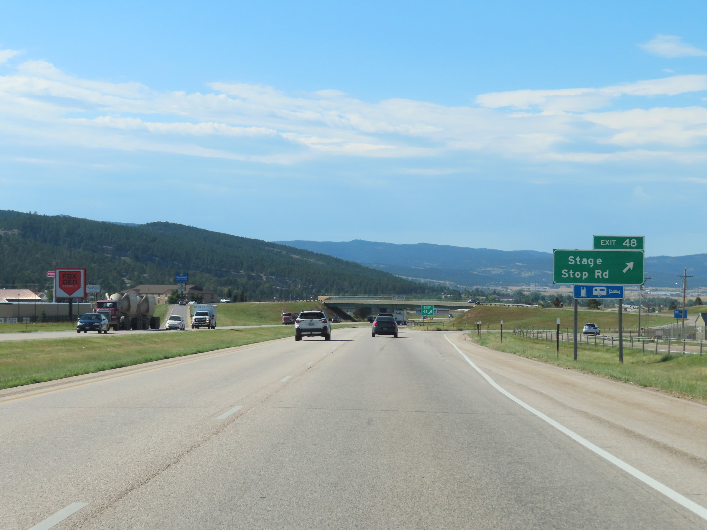 |
Interstate 90 West at Exit 48: Stage Stop Rd (Photo taken 8/16/22). |
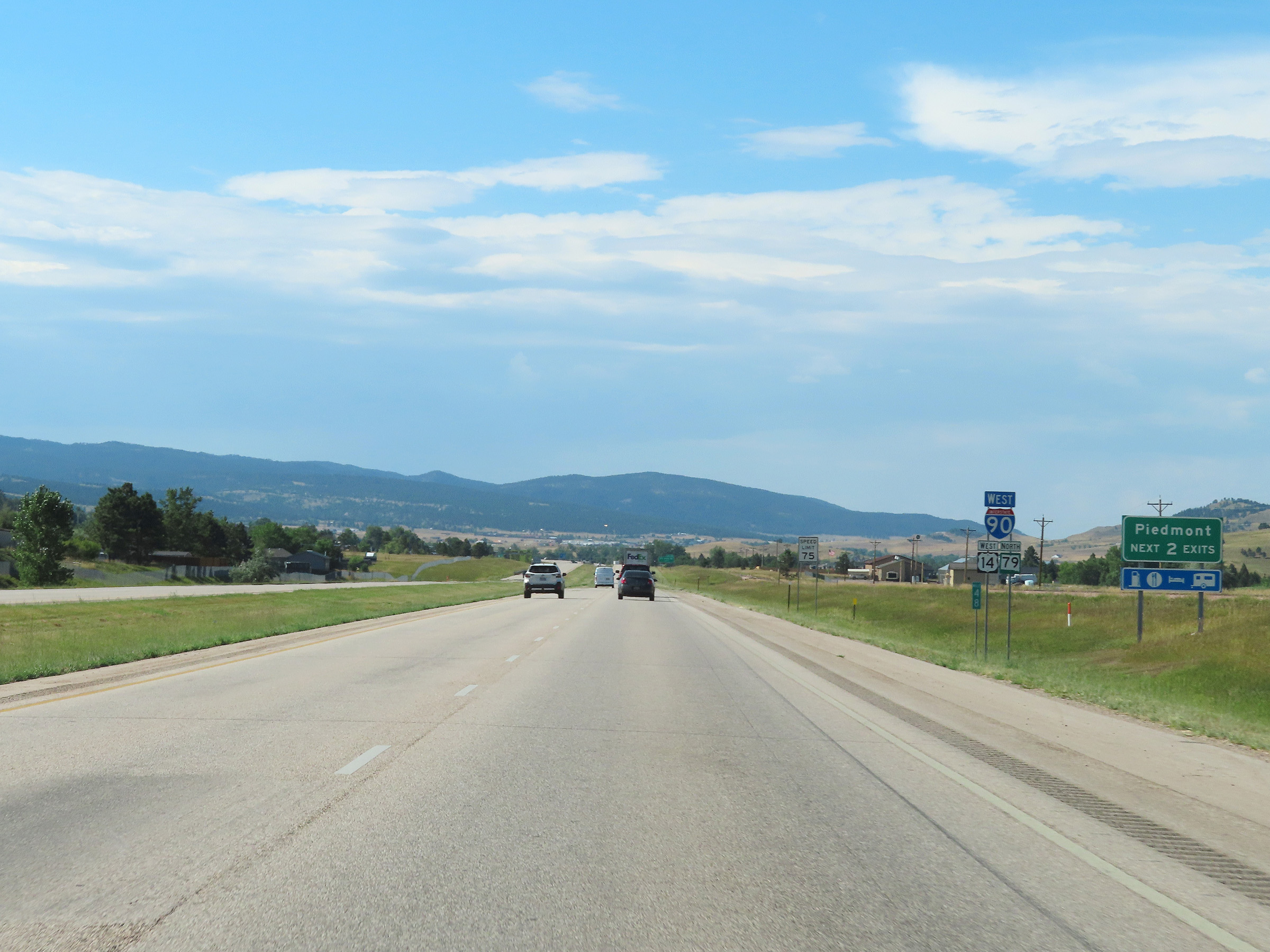 |
Take either of the next 2 exits to Piedmont. (Photo taken 8/16/22). |
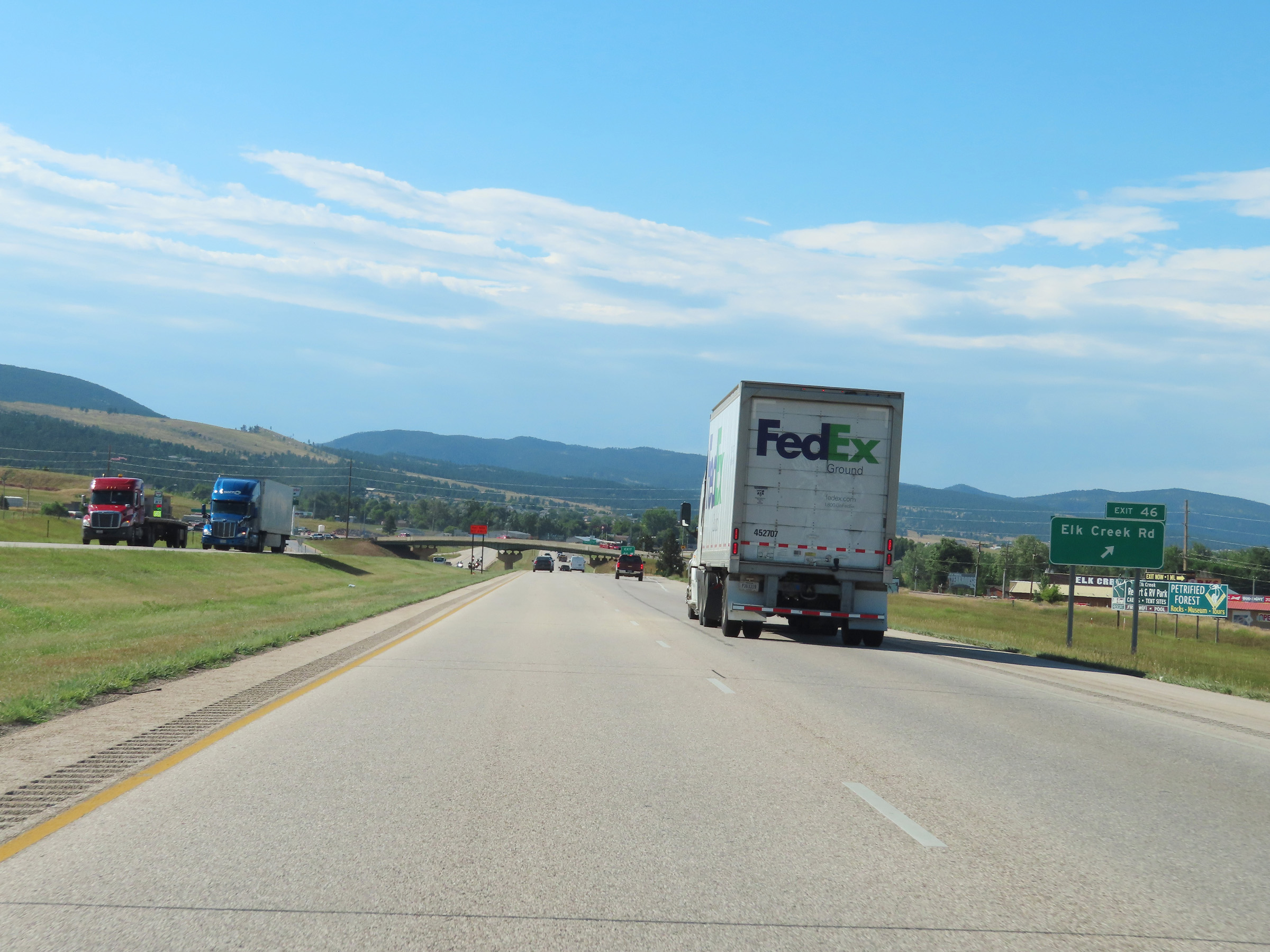 |
Interstate 90 West at Exit 46: Elk Creek Rd (Photo taken 8/16/22). |
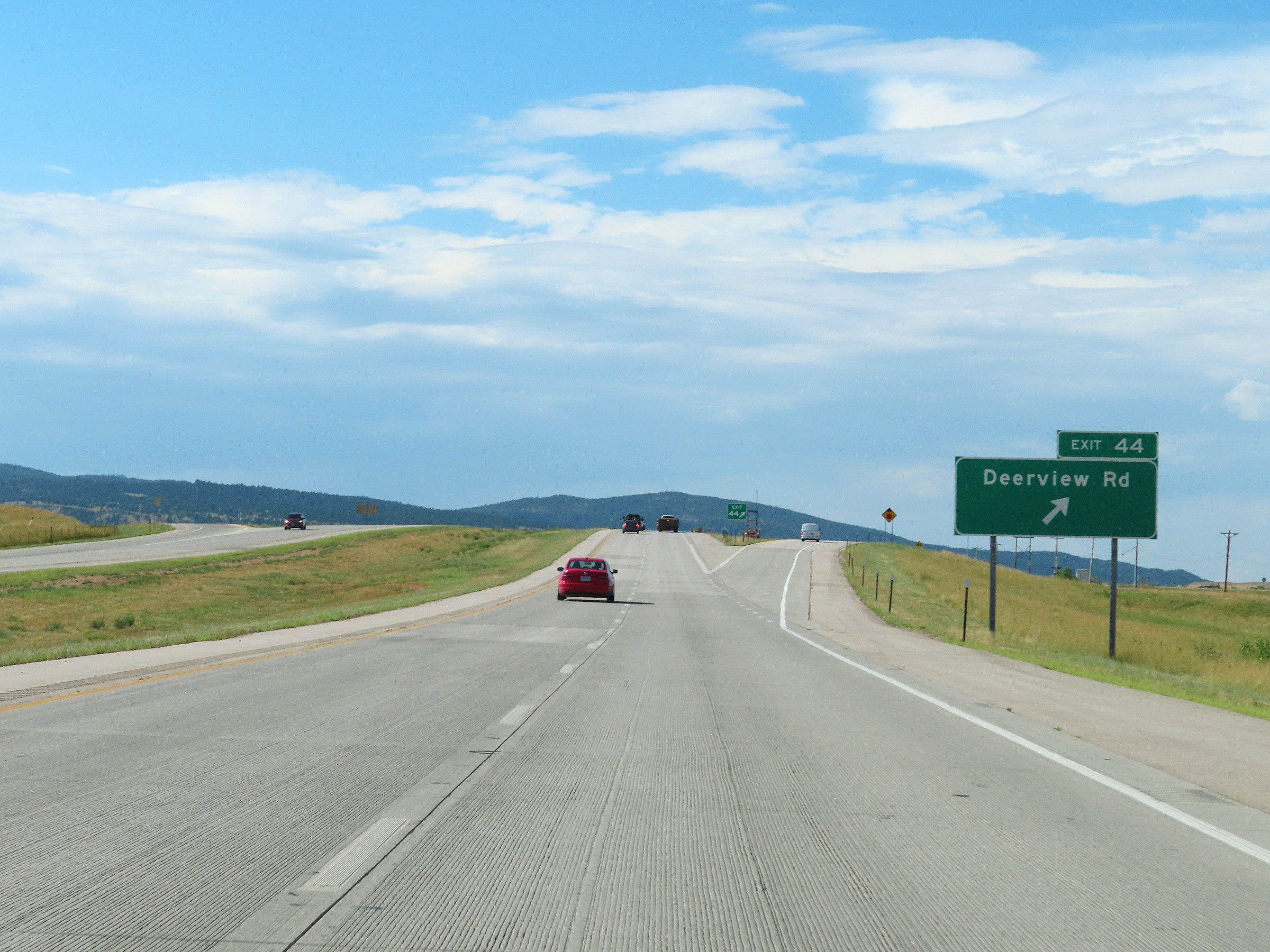 |
Interstate 90 West at Exit 44: Deerview Rd (Photo taken 8/16/22). |
 |
Another Interstate 90 West reassurance shield. (Photo taken 8/16/22). |
 |
Mile marker 44 on Interstate 90 West in Meade County. (Photo taken 8/16/22). |
 |
Parking Area on Interstate 90 West in Meade County. (Photo taken 8/16/22). |
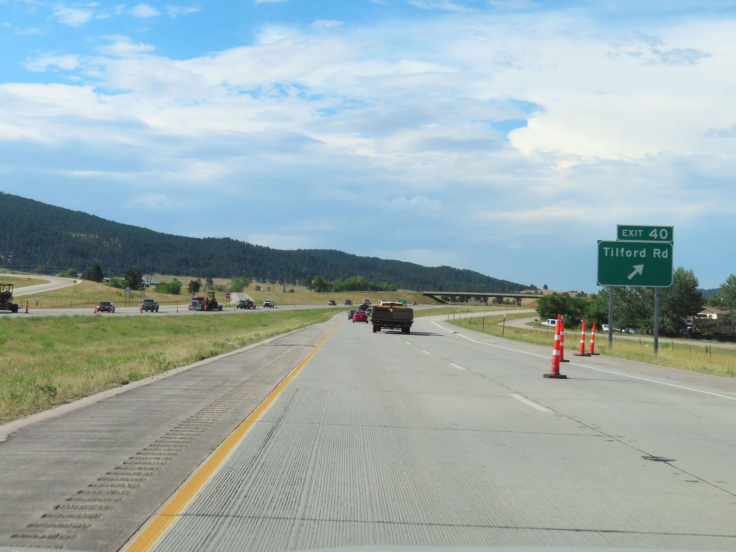 |
Interstate 90 West at Exit 40: Tilford Rd (Photo taken 8/16/22). |
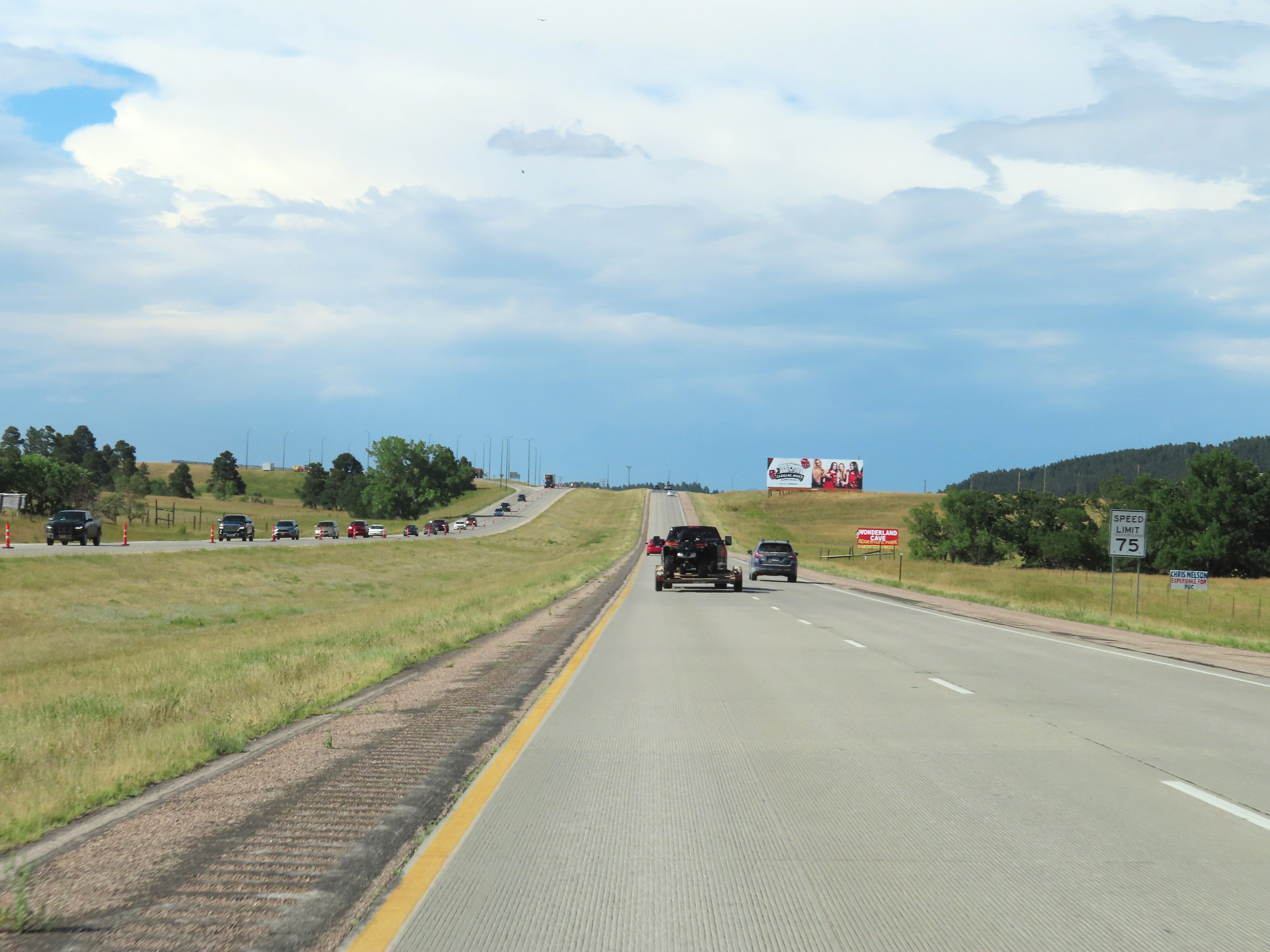 |
The speed limit remains 75 mph. (Photo taken 8/16/22). |
 |
Interstate 90 West at mile marker 38. (Photo taken 8/16/22). |
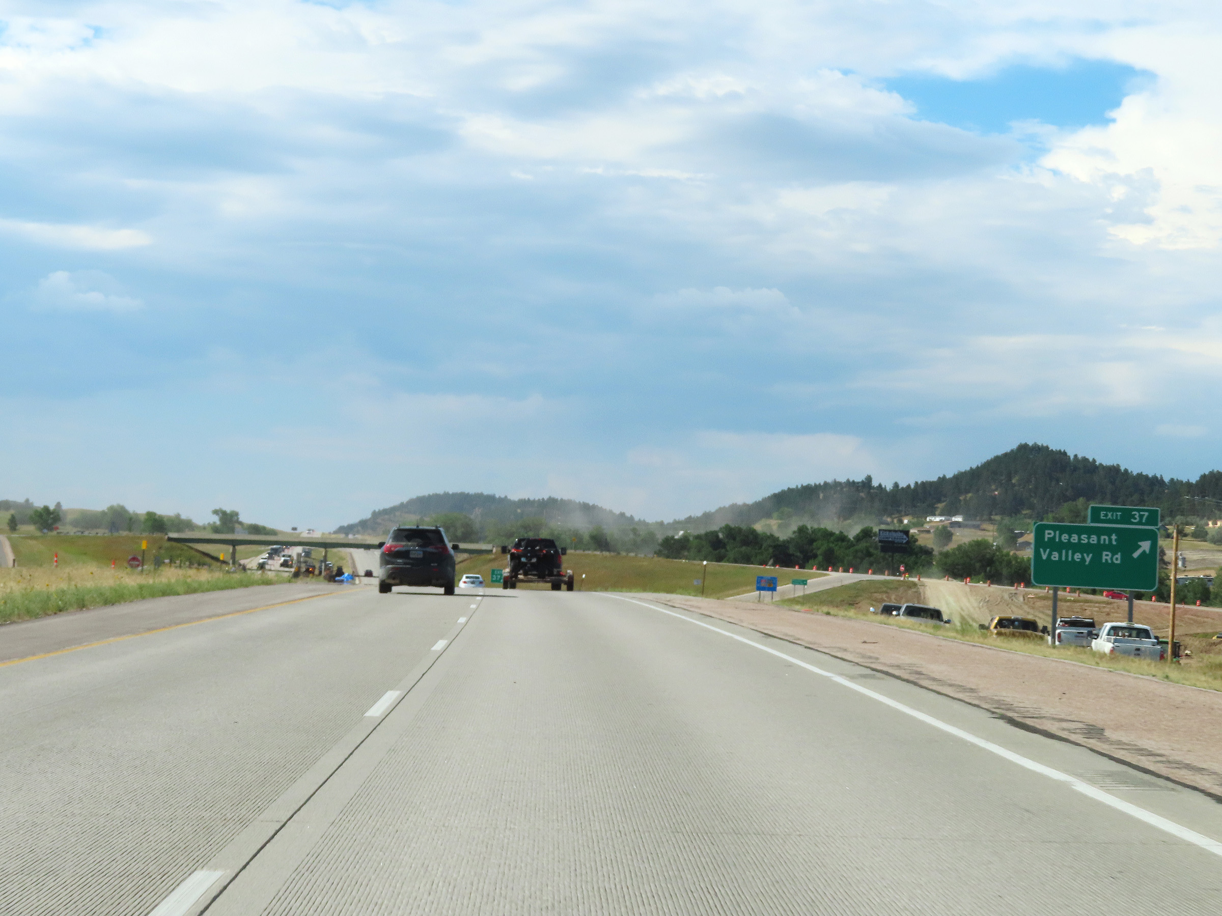 |
Interstate 90 West at Exit 37: Pleasant Valley Rd (Photo taken 8/16/22). |
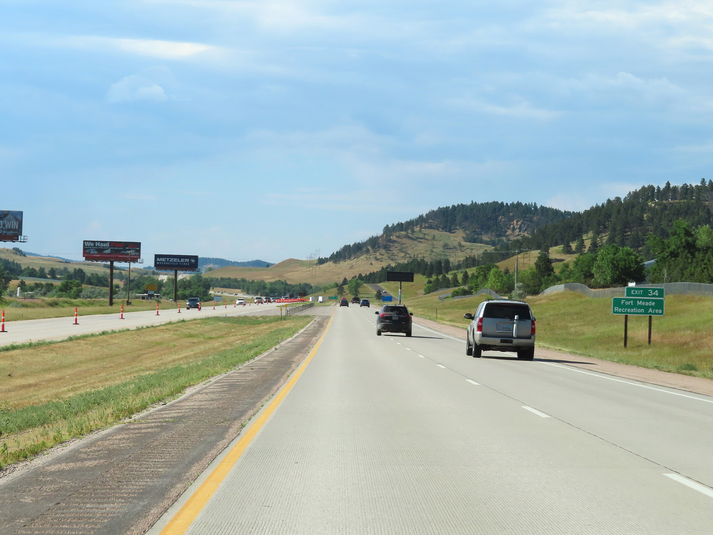 |
Take Exit 34 to Fort Meade Recreation Area. (Photo taken 8/16/22). |
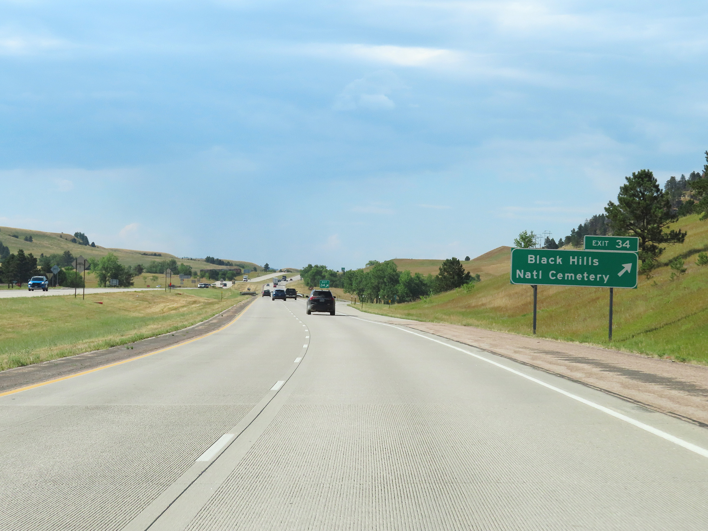 |
Interstate 90 West at Exit 34: Black Hills National Cemetery (Photo taken 8/16/22). |
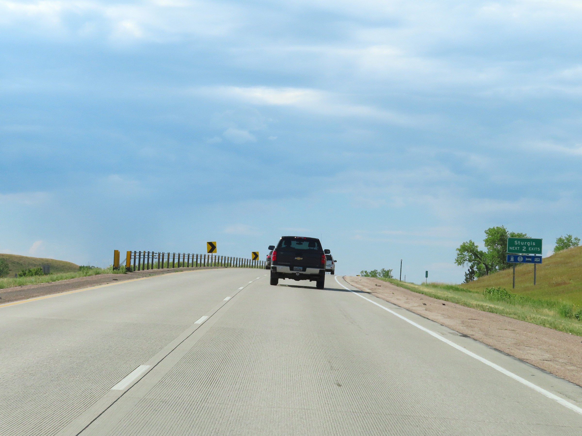 |
Take either of the next 2 exits to Sturgis. (Photo taken 8/16/22). |
 |
Advance signage for Exit 32 - 1 mile ahead. (Photo taken 8/16/22). |
 |
View on Interstate 90 West in Meade County as it nears Sturgis. The speed limit remains 75 mph. (Photo taken 8/16/22). |
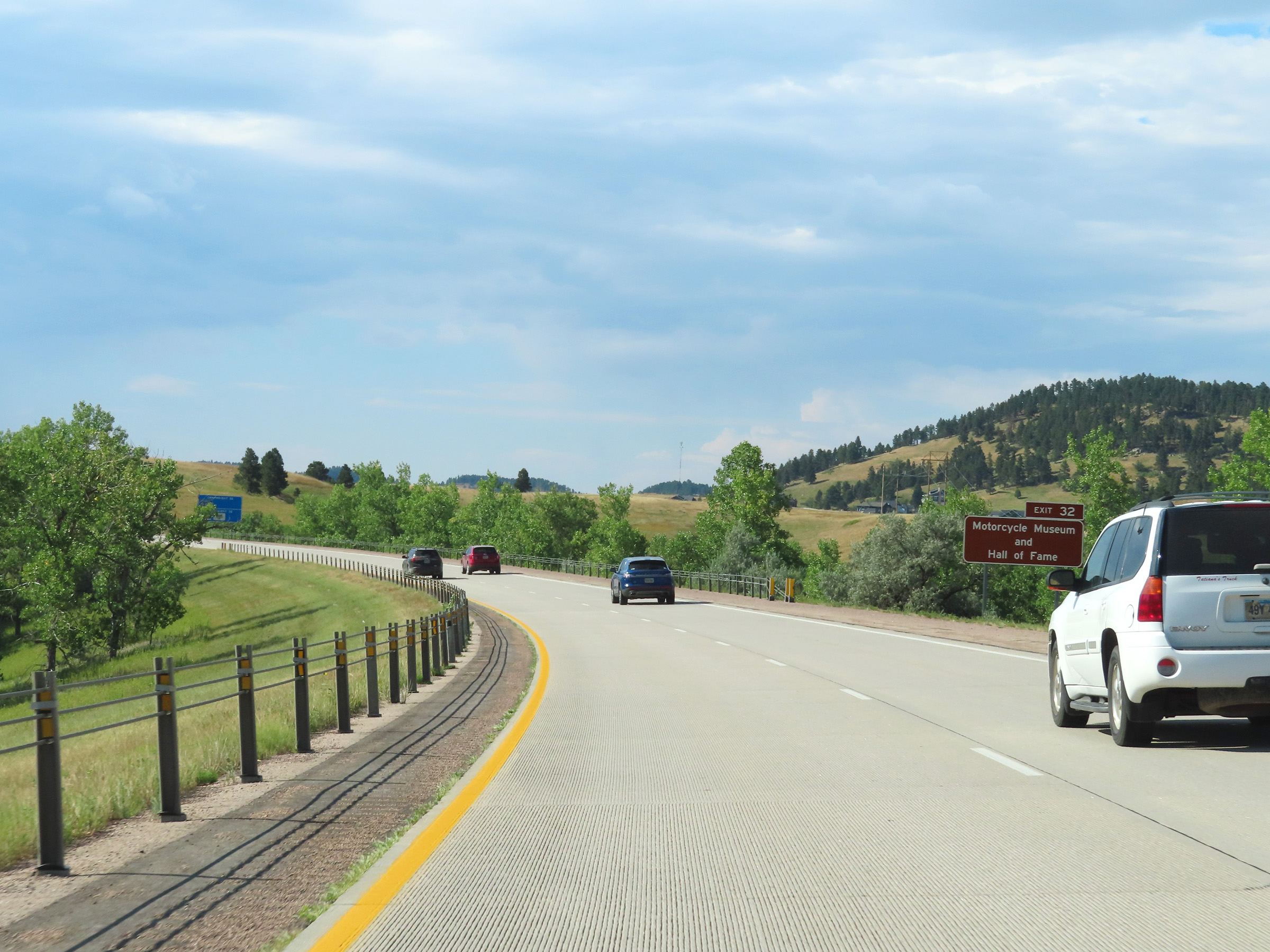 |
Take Exit 32 to the Motorcycle Museum and Hall of Fame. (Photo taken 8/16/22). |
 |
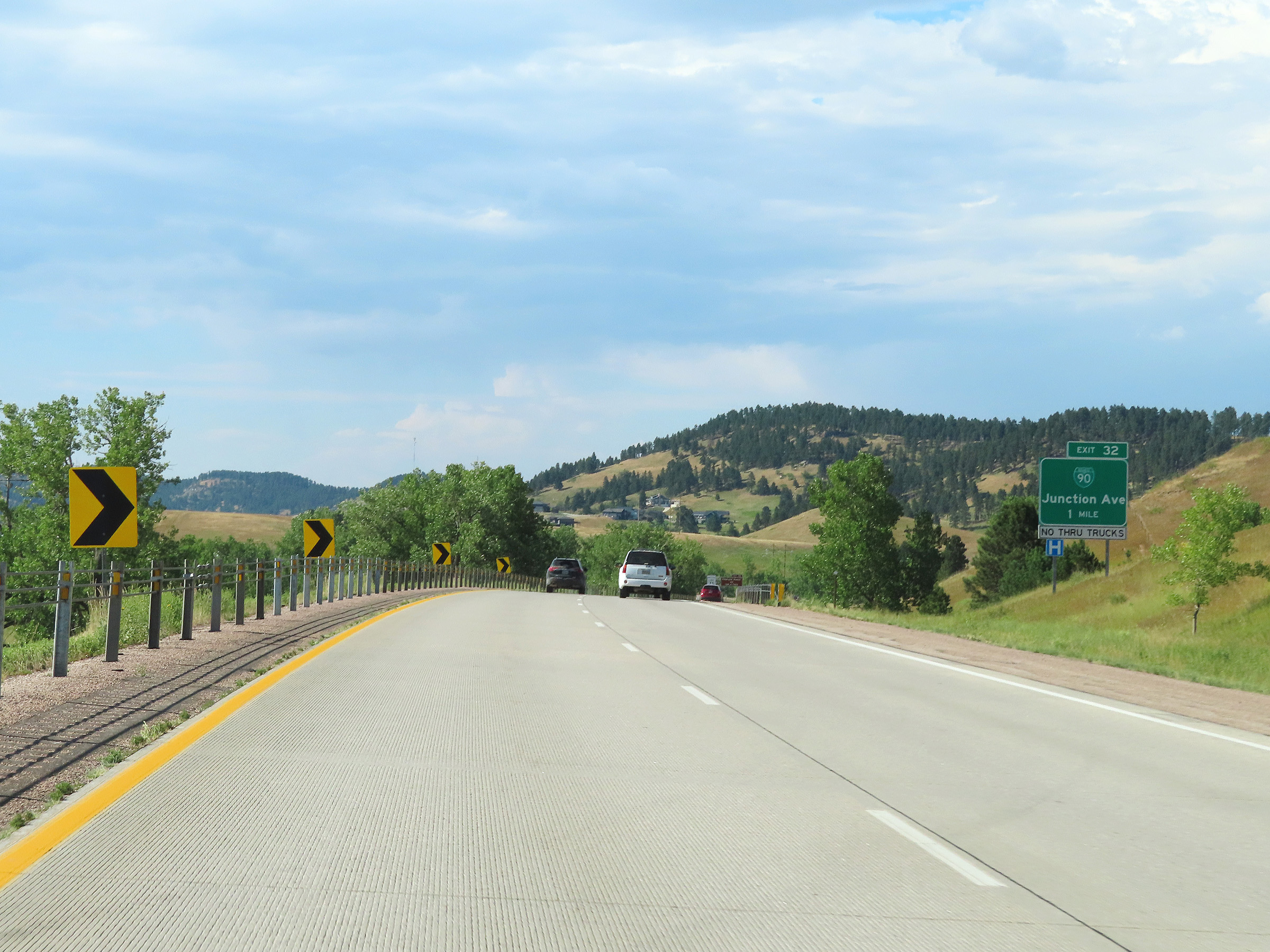
Interstate 90 West at Exit 32: Interstate 90 Business Loop - Junction Ave (Photo taken 8/16/22). |
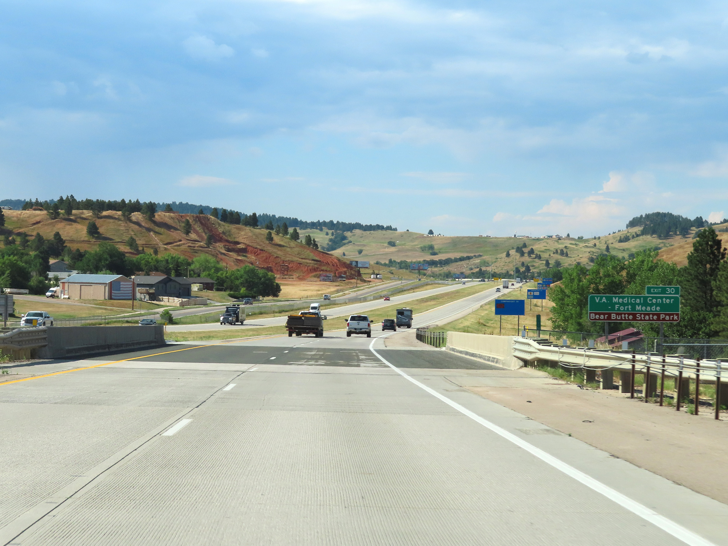 |
Take Exit 30 to th V.A. Medical Center - Fort Meade and Bear Butte State Park. (Photo taken 8/16/22). |
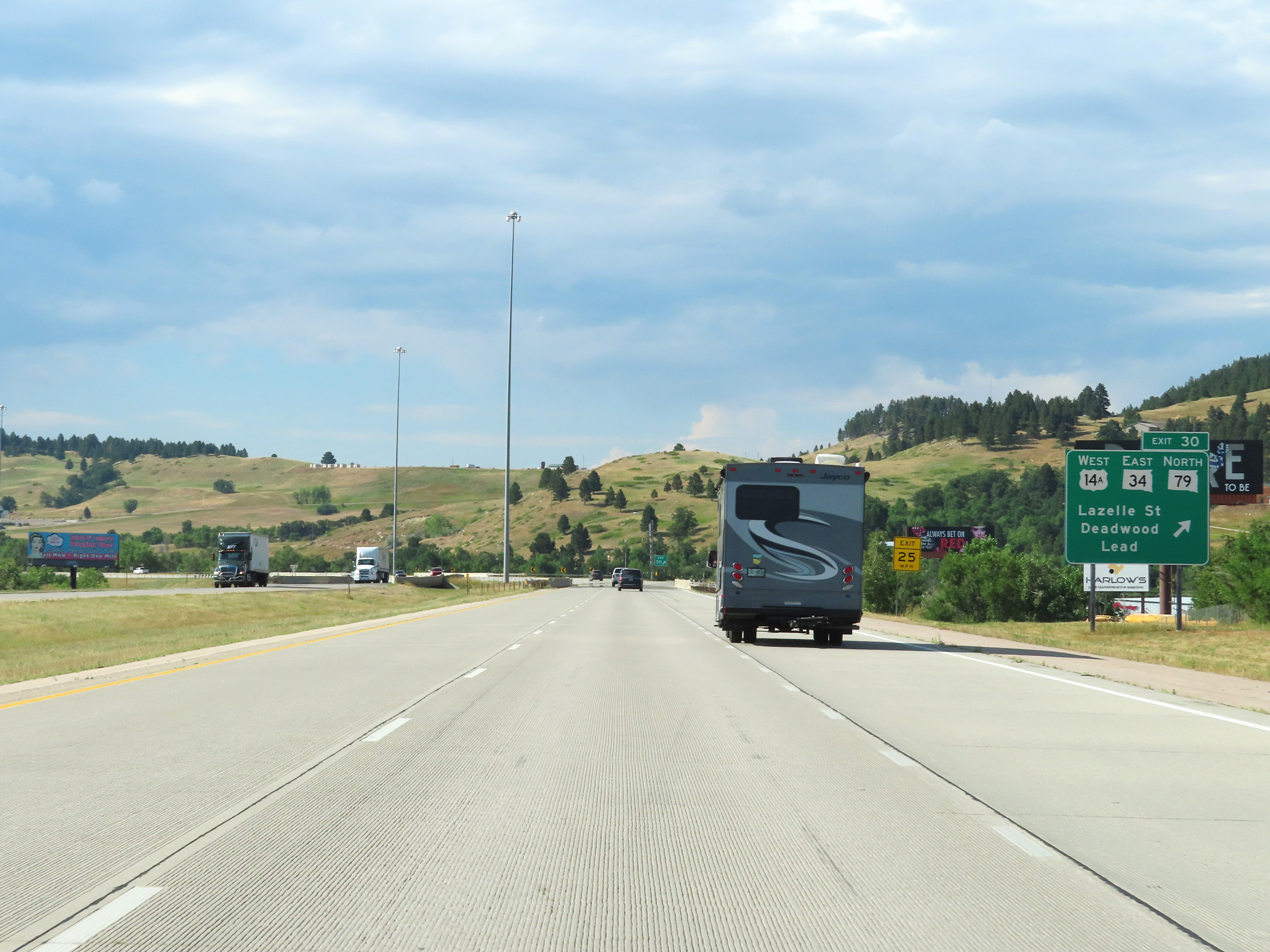 |
Interstate 90 West at Exit 30: US 14A West / SD 34 East / SD 79 North - Lazelle St / Deadwood / Lead (Photo taken 8/16/22). |
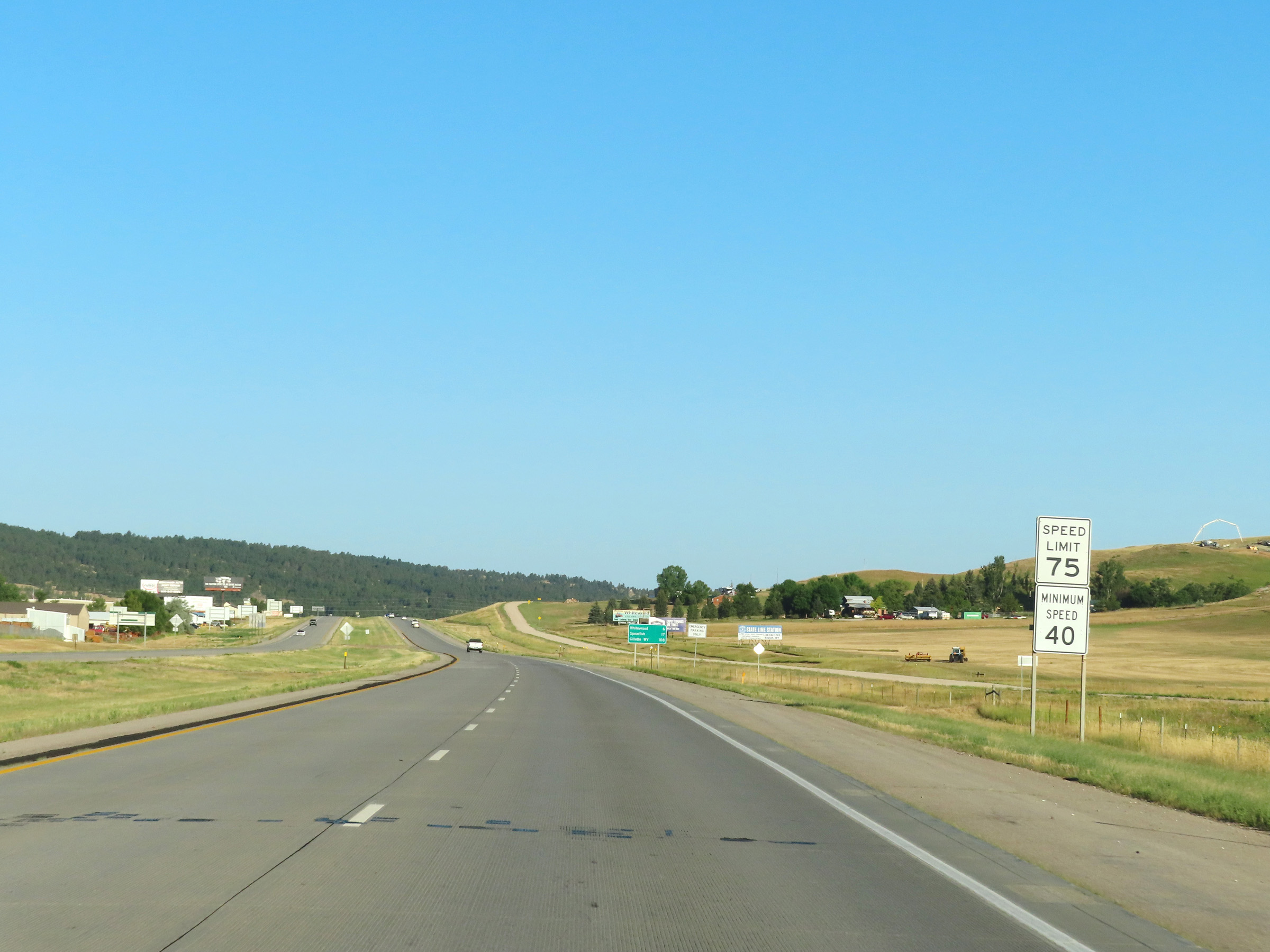 |
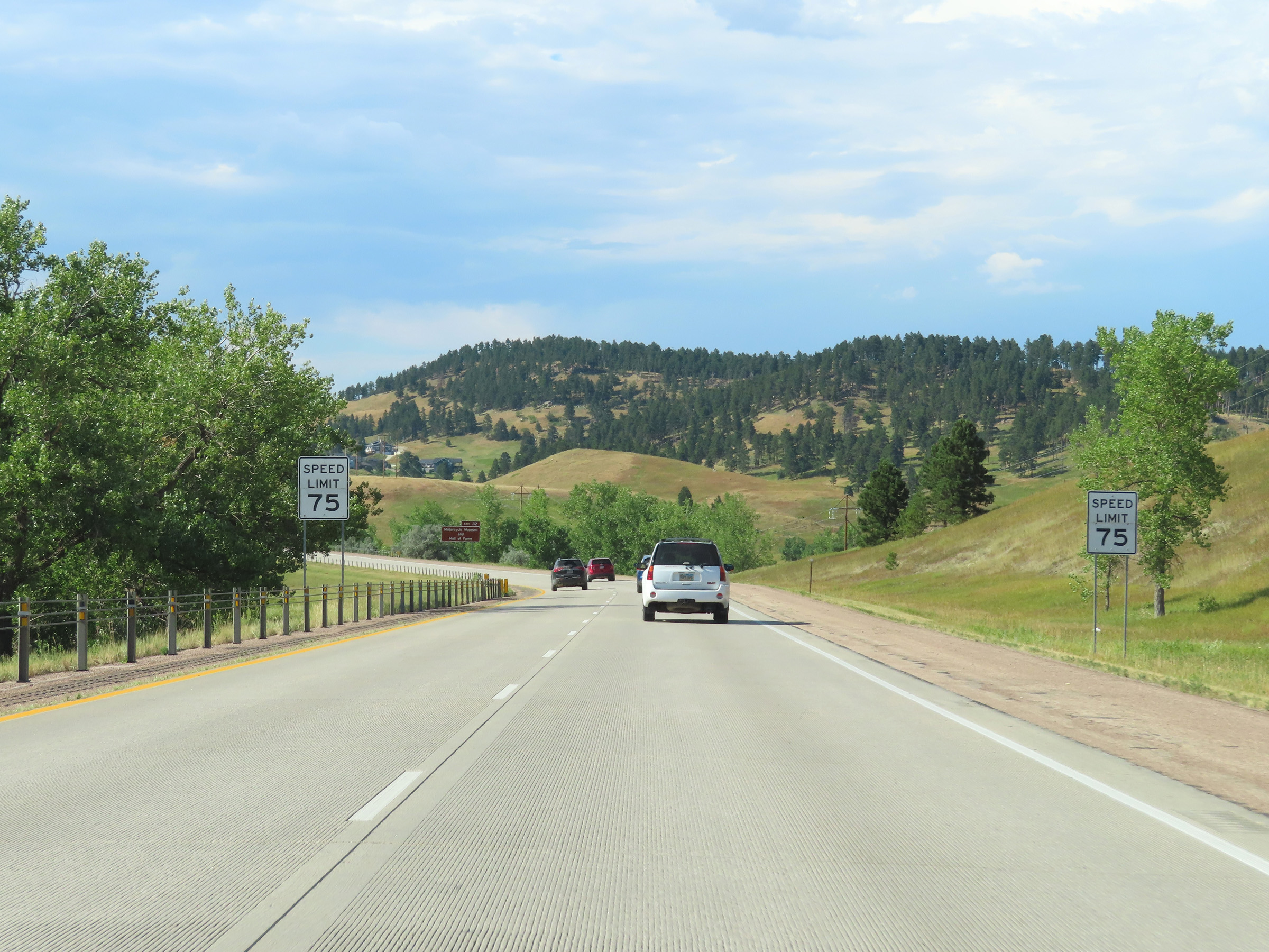
The speed limits remain 75 mph maximum and 40 mph minimum on Interstate 90 West. They remain this way to the Wyoming border. (Photo taken 8/17/22). |
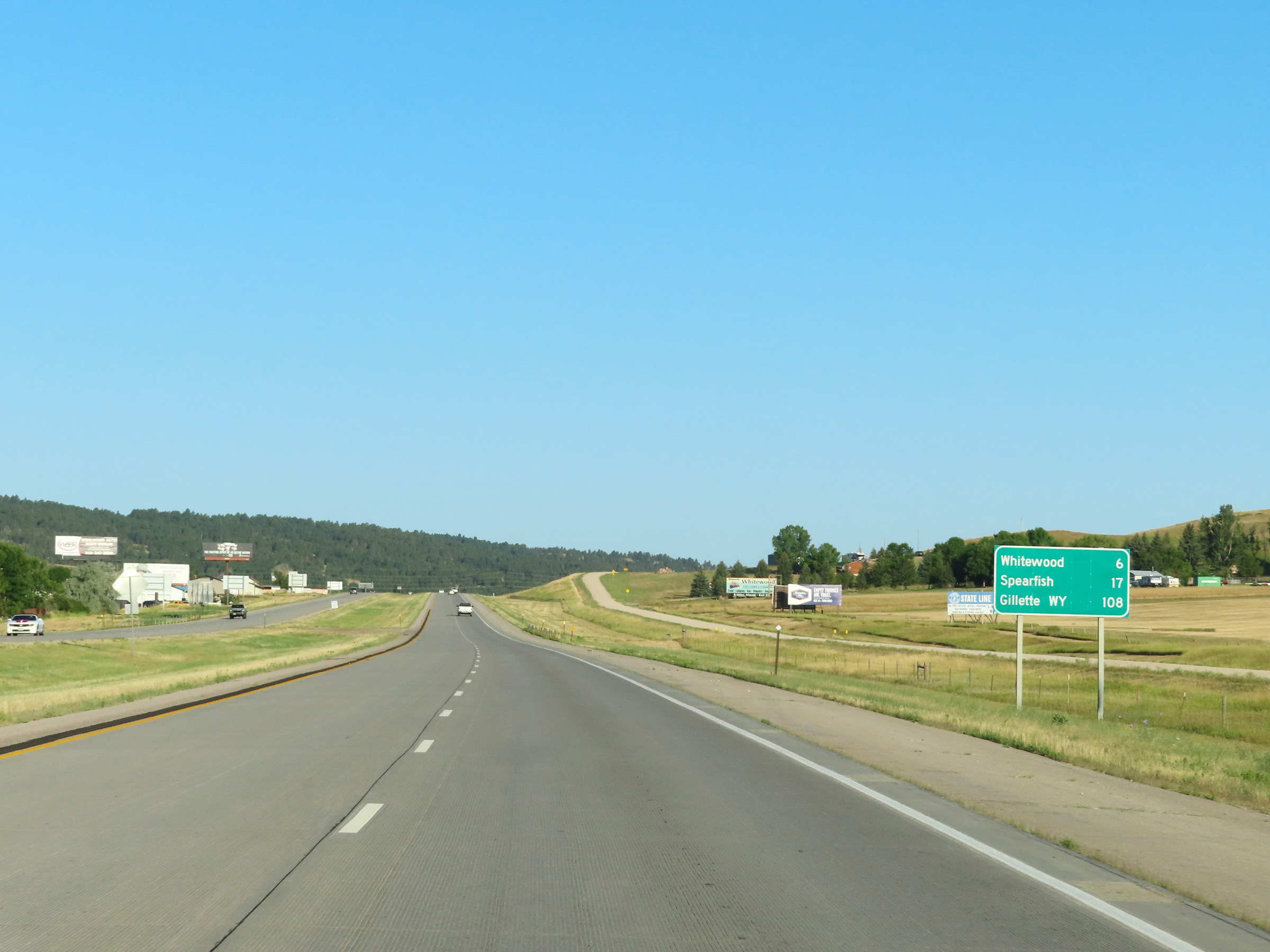 |
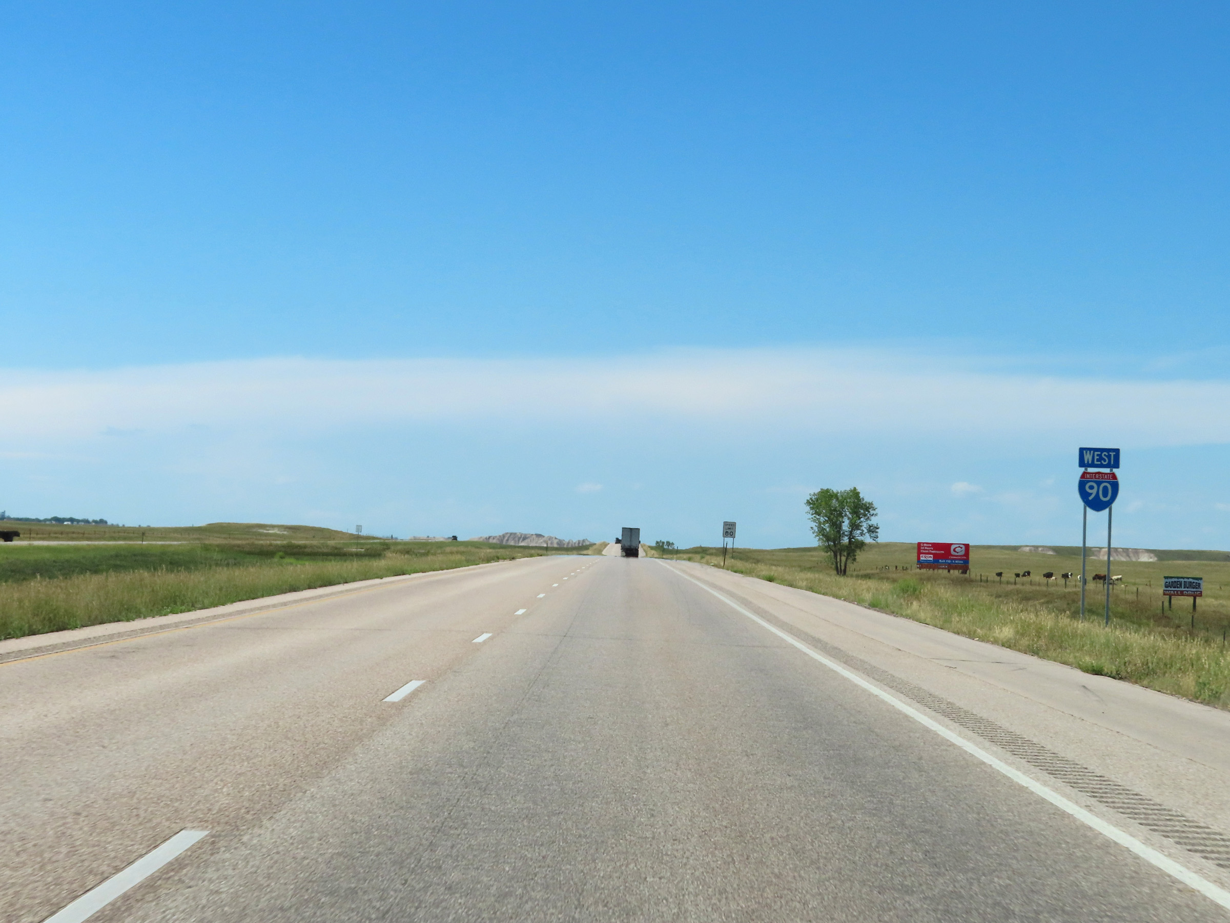
Mileage sign on Interstate 90 West. It's 6 miles to Whitewood, 17 miles to Spearfish, and 108 miles to Gillette, WY. (Photo taken 8/17/22). |
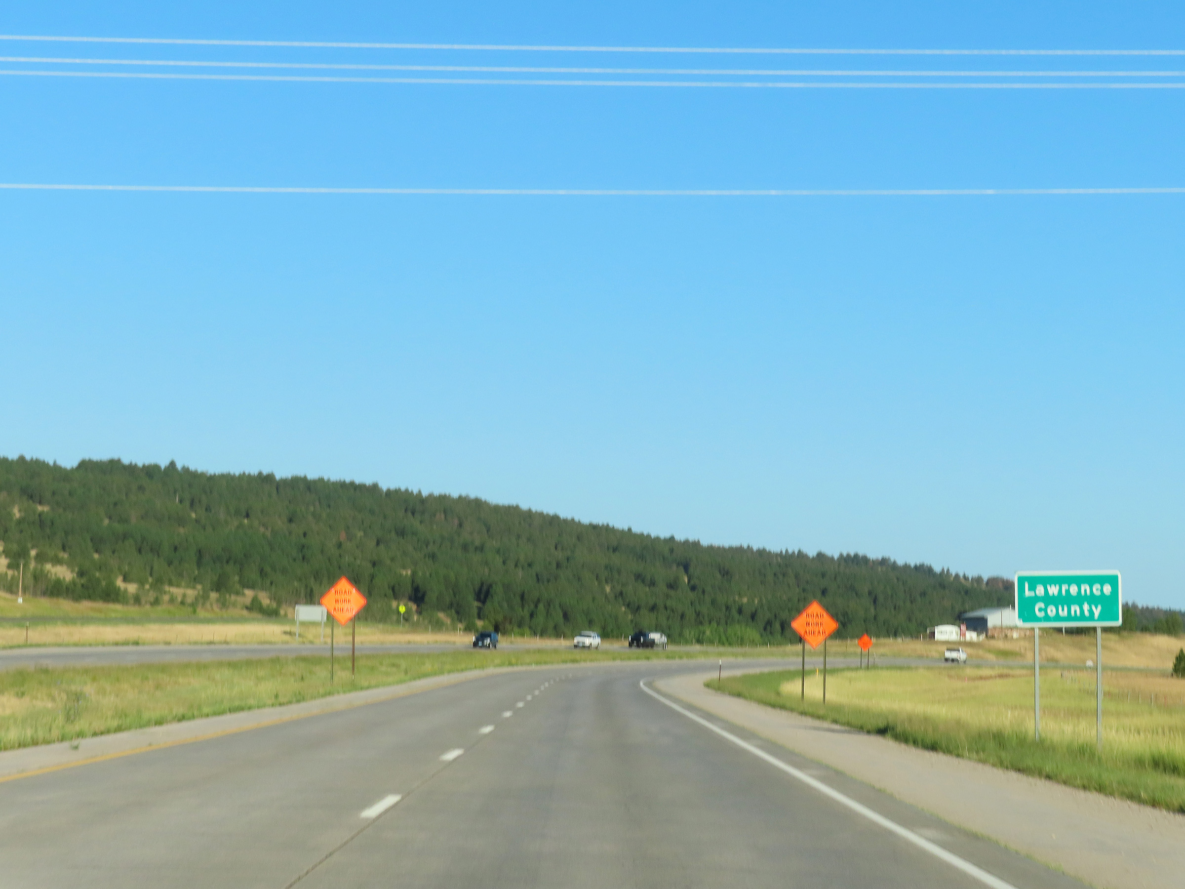 |
Interstate 90 West as it enters Lawrence County. (Photo taken 8/17/22). |
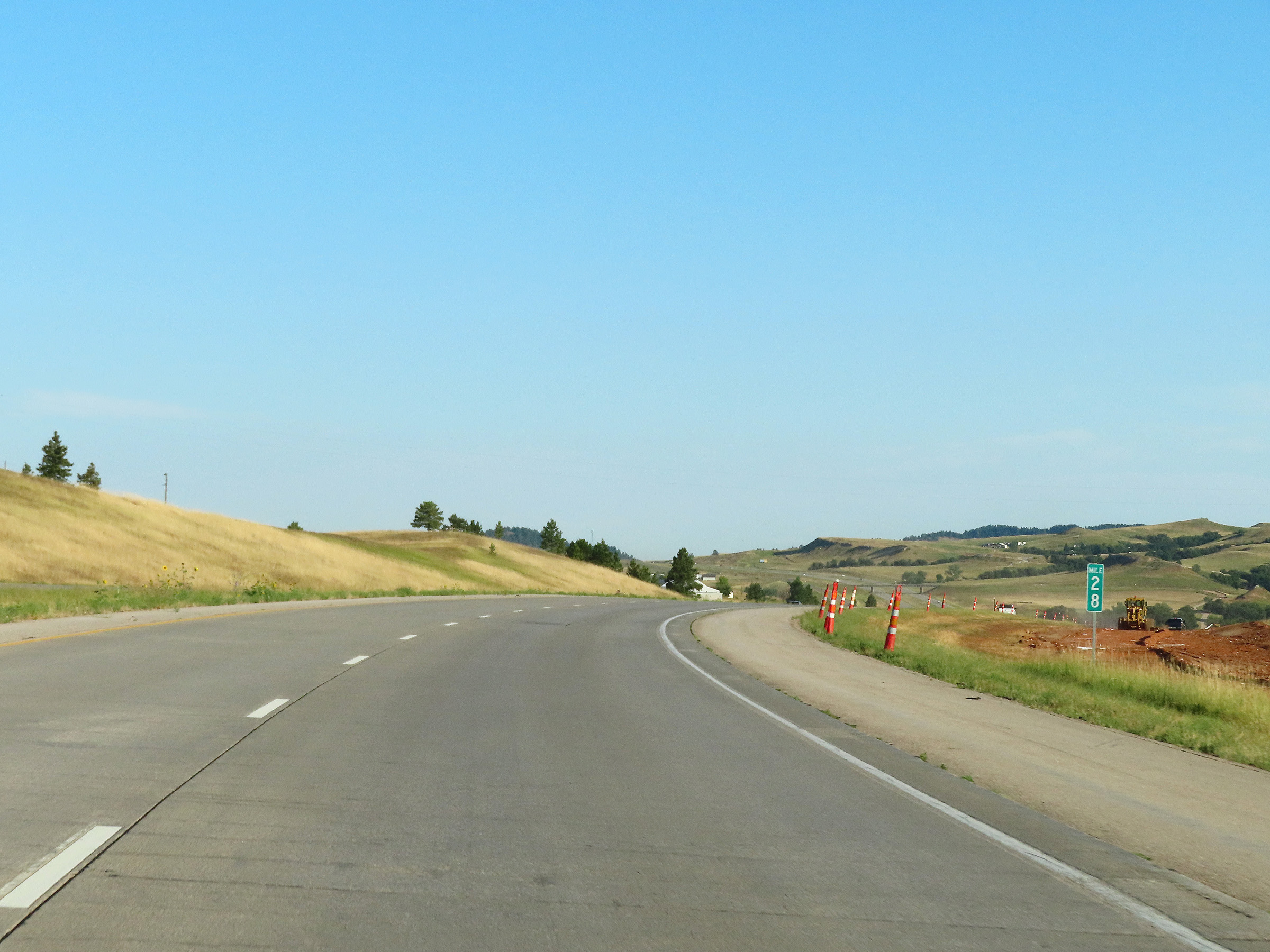 |
View on Interstate 90 West at mile marker 28. (Photo taken 8/17/22). |
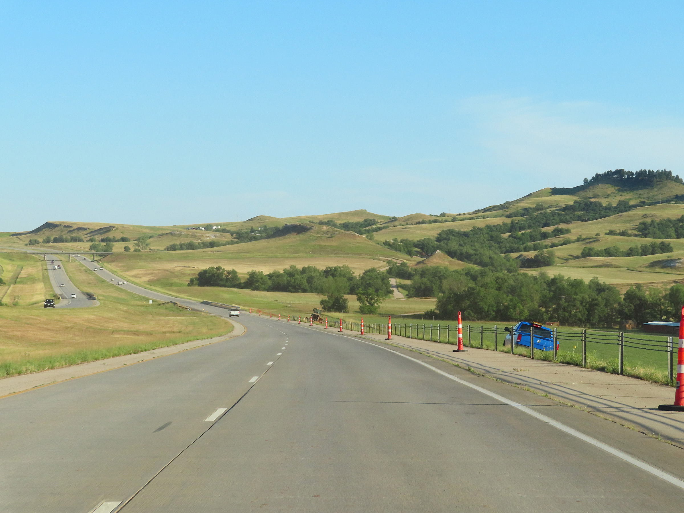 |
View on Interstate 90 West in Lawrence County. (Photo taken 8/17/22). |
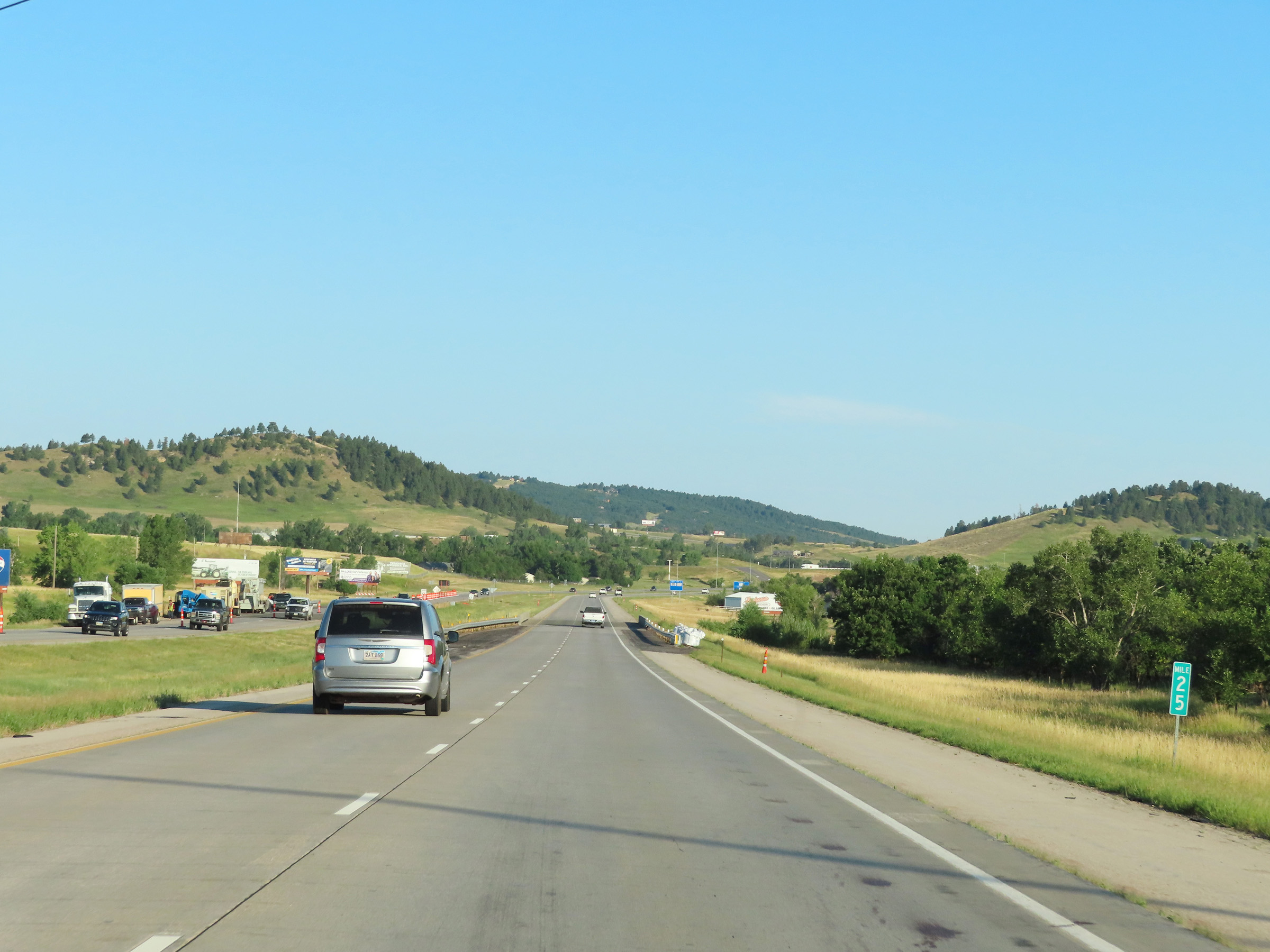 |
Interstate 90 West at mile marker 25. (Photo taken 8/17/22). |
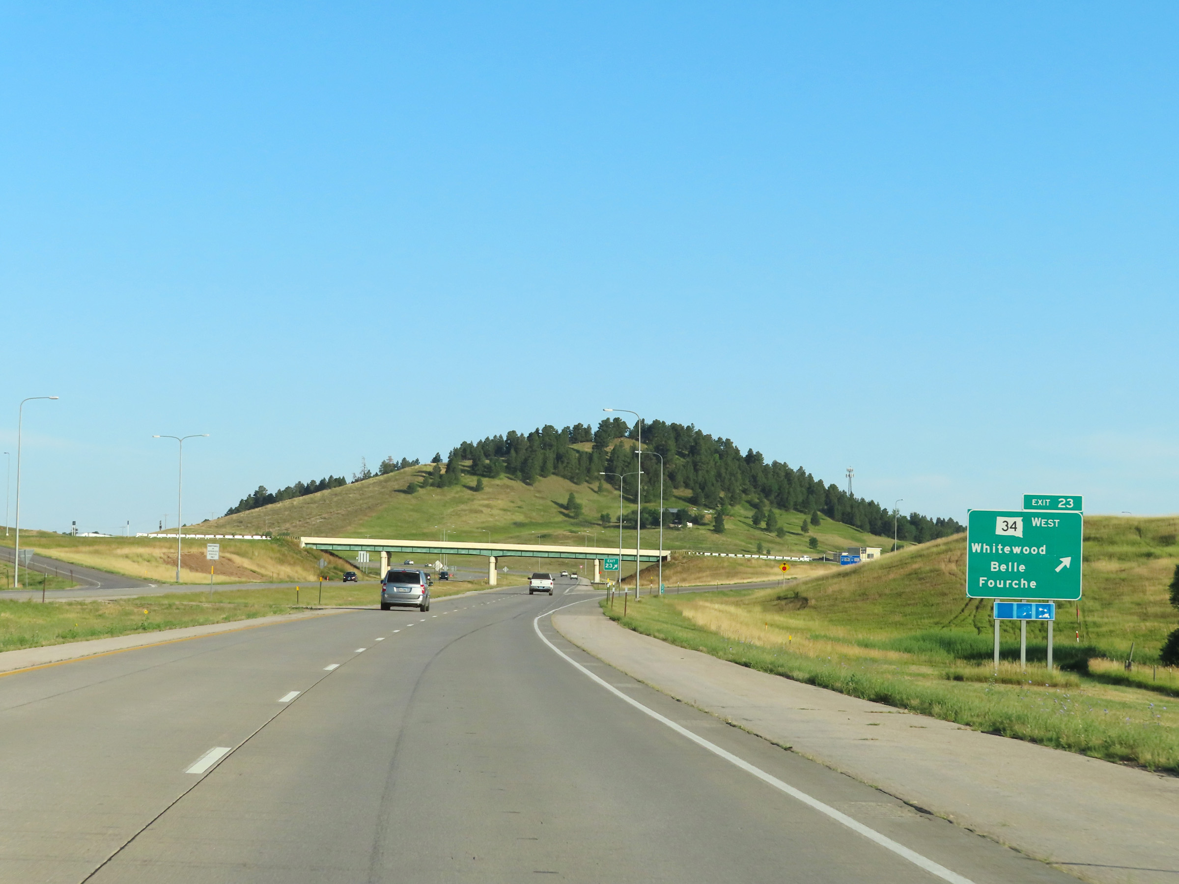 |
Interstate 90 West at Exit 23: SD 34 West - Whitewood / Belle Fourche (Photo taken 8/17/22). |
 |
Mile marker 22 on Interstate 90 West at mile marker 22. (Photo taken 8/17/22). |
 |
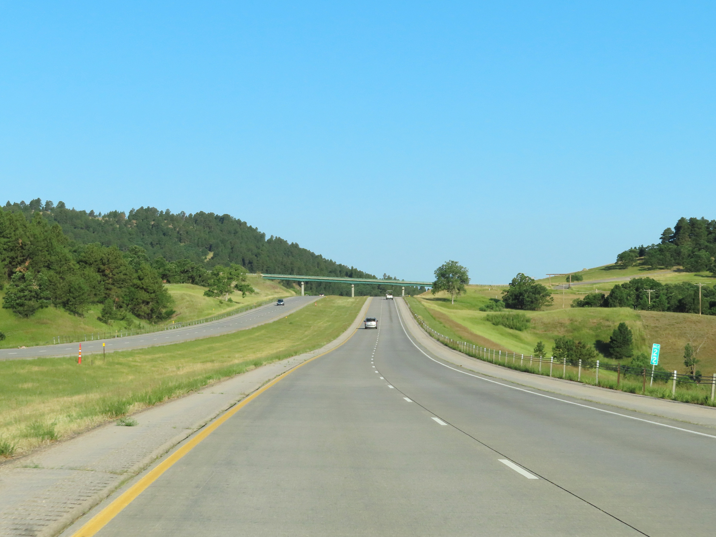
View on Interstate 90 West at mile marker 21. (Photo taken 8/17/22). |
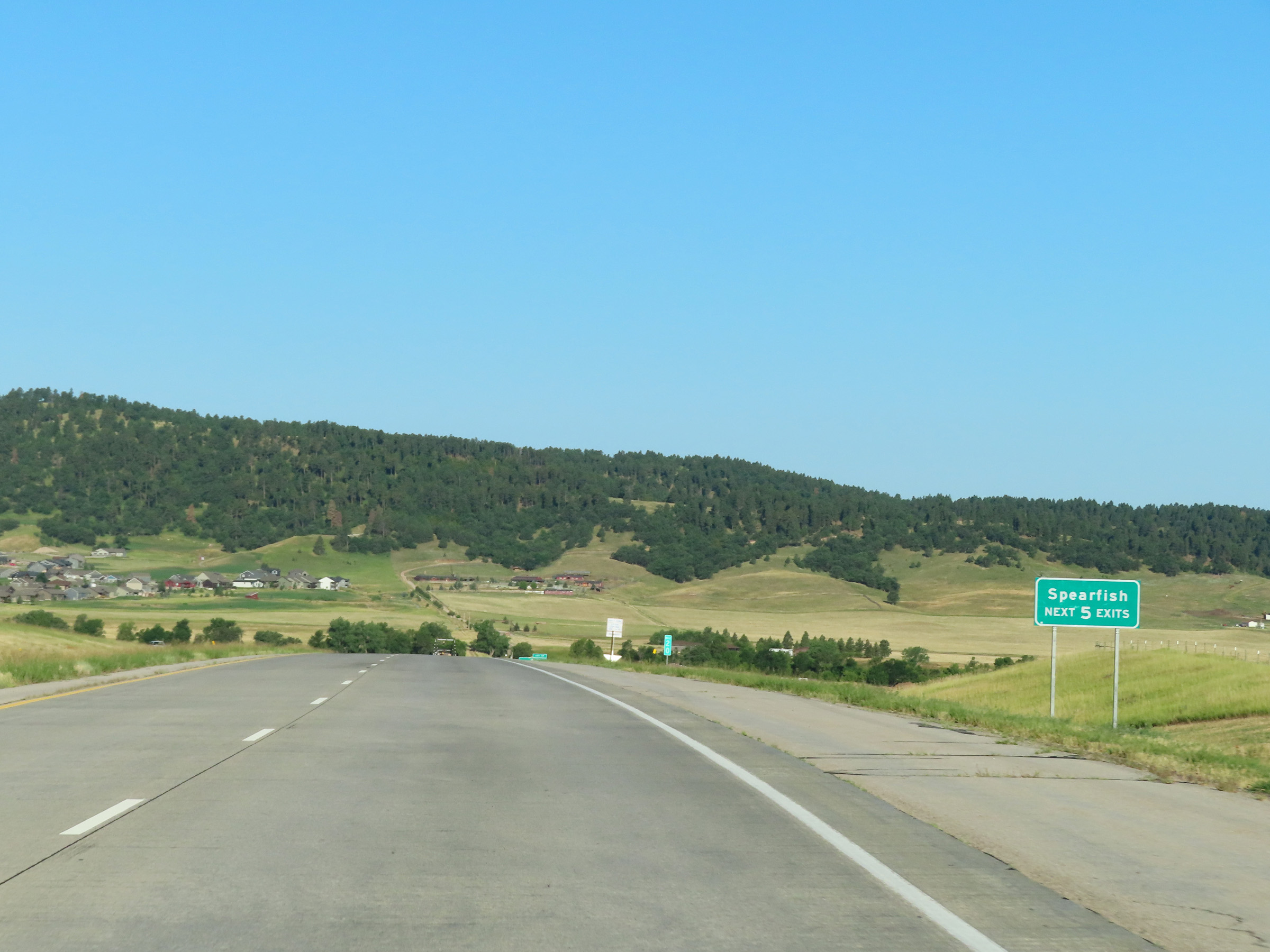 |
Take any of the next 5 exits to Spearfish. (Photo taken 8/17/22). |
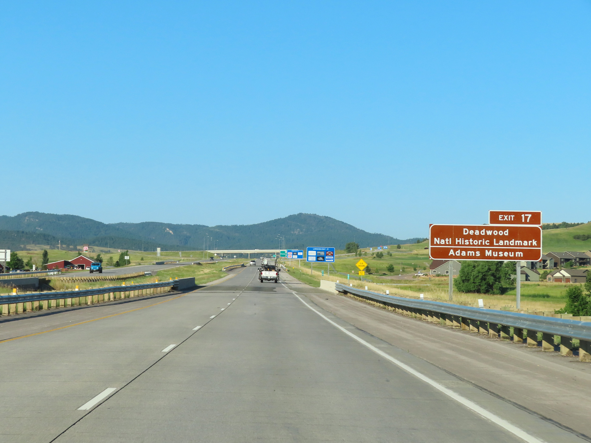 |
Take Exit 17 to Deadwood National Historic Landmark and the Adams Museum. (Photo taken 8/17/22). |
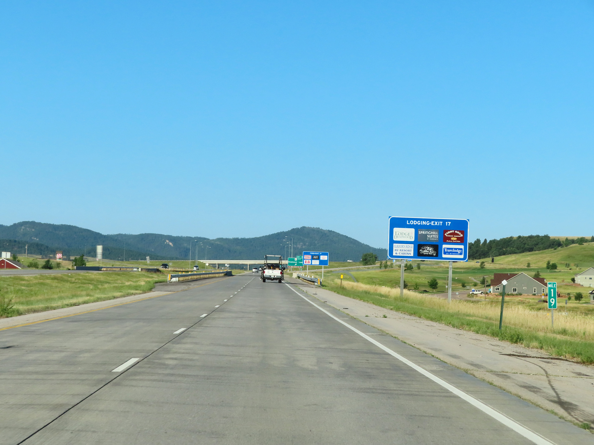 |
View on Interstate 90 West at mile marker 19. (Photo taken 8/17/22). |
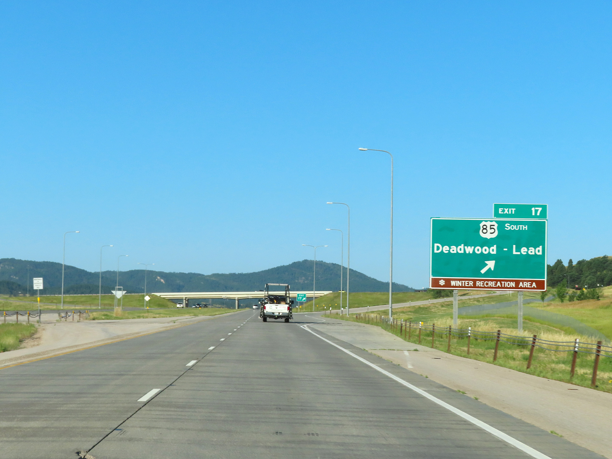 |
Interstate 90 West at Exit 17: US 85 South - Deadwood / Lead (Photo taken 8/17/22). |
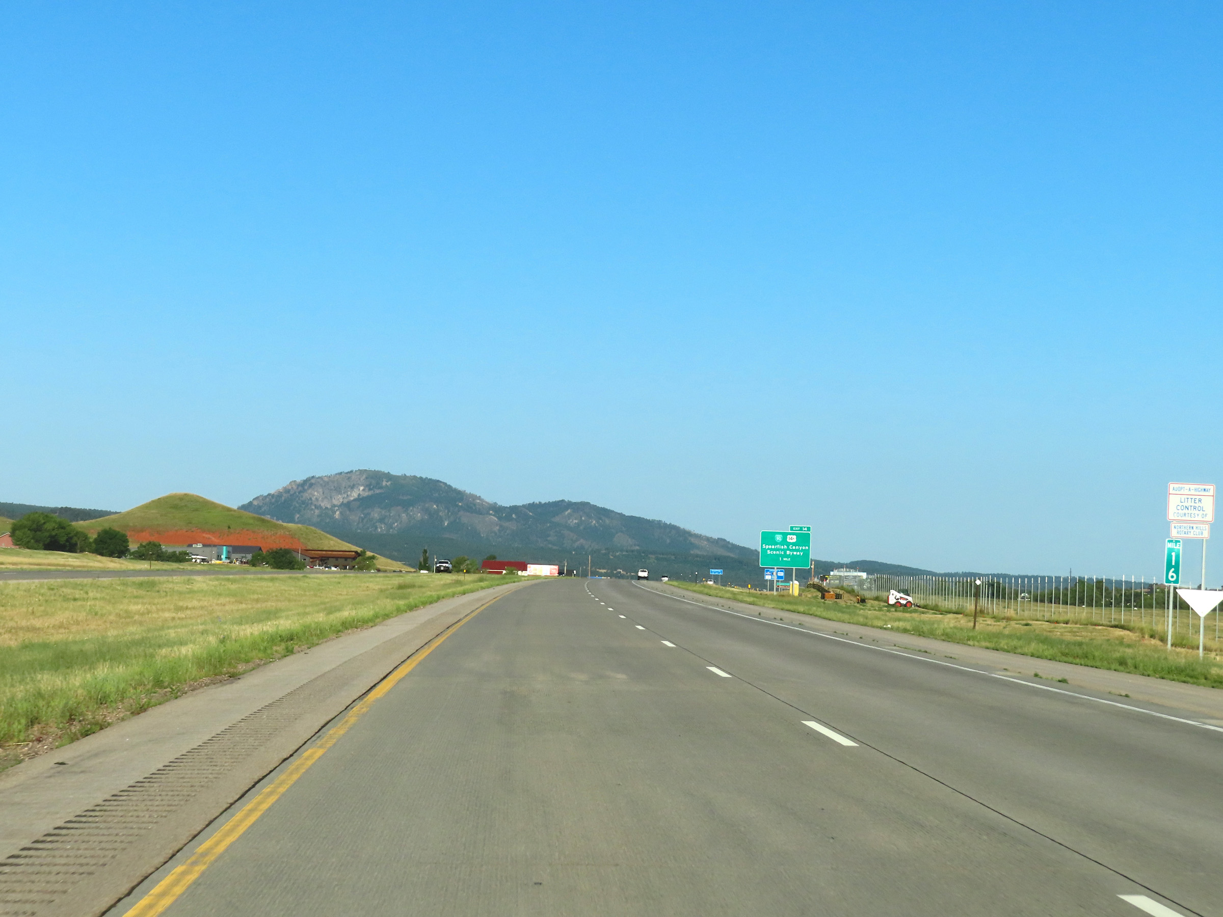 |
Mile marker 16 on Interstate 90 West in Lawrence County. (Photo taken 8/17/22). |
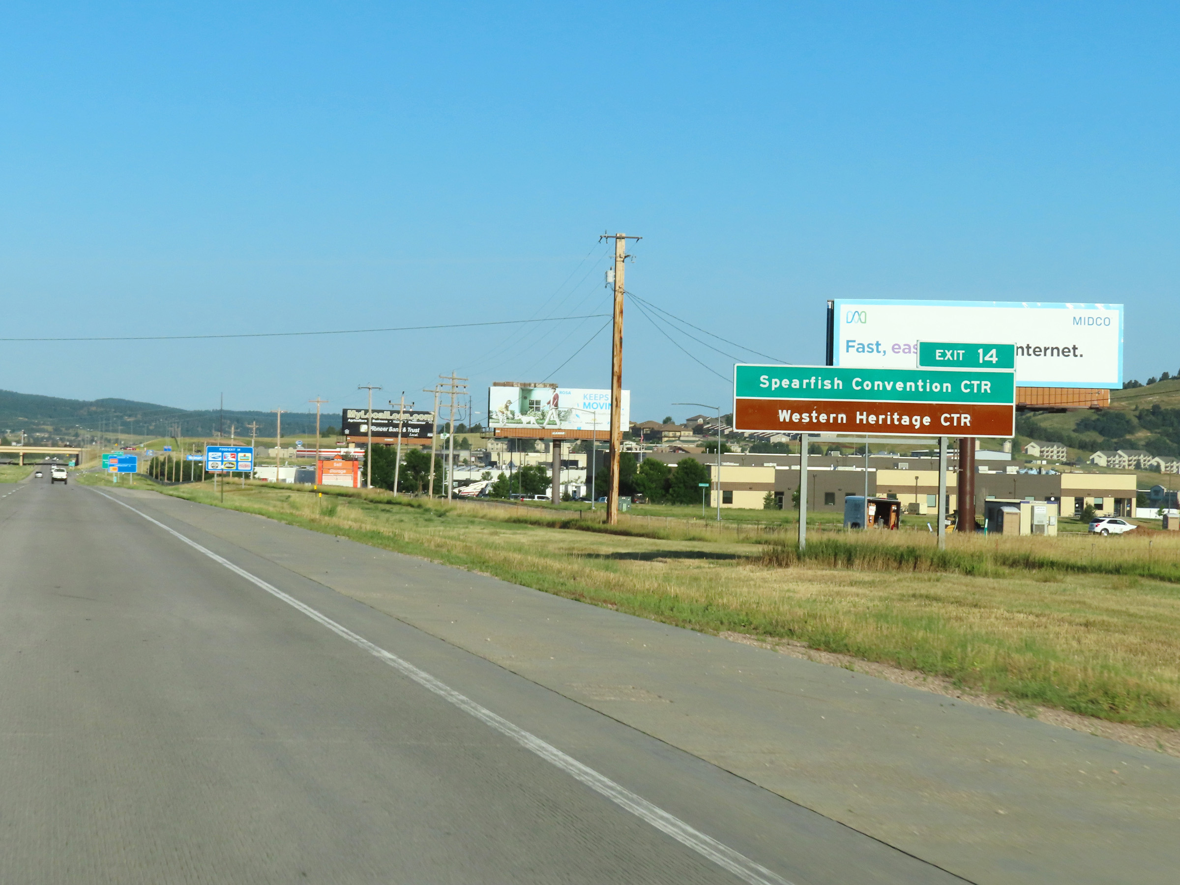 |
Take Exit 14 to Spearfish Convention Center and the Western Heritage Center. (Photo taken 8/17/22). |
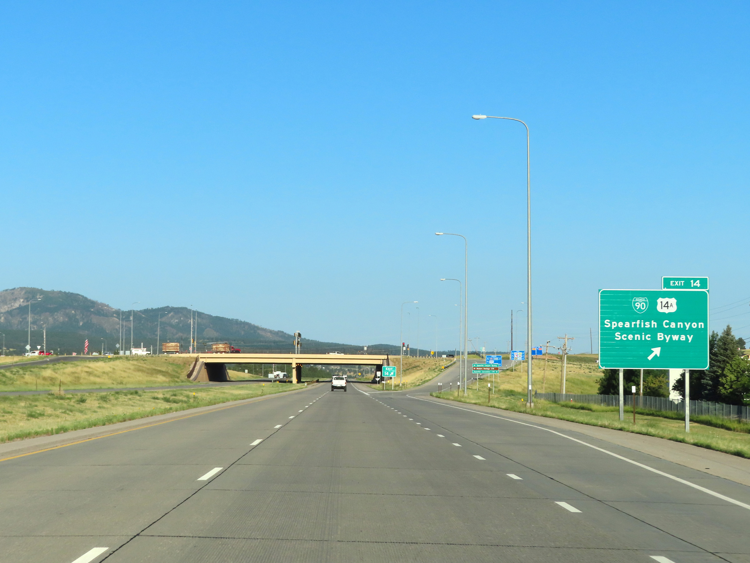 |
Interstate 90 West at Exit 14: Interstate 90 Business Loop / US 14A - Spearfish Canyon Scenic Byway (Photo taken 8/17/22). |
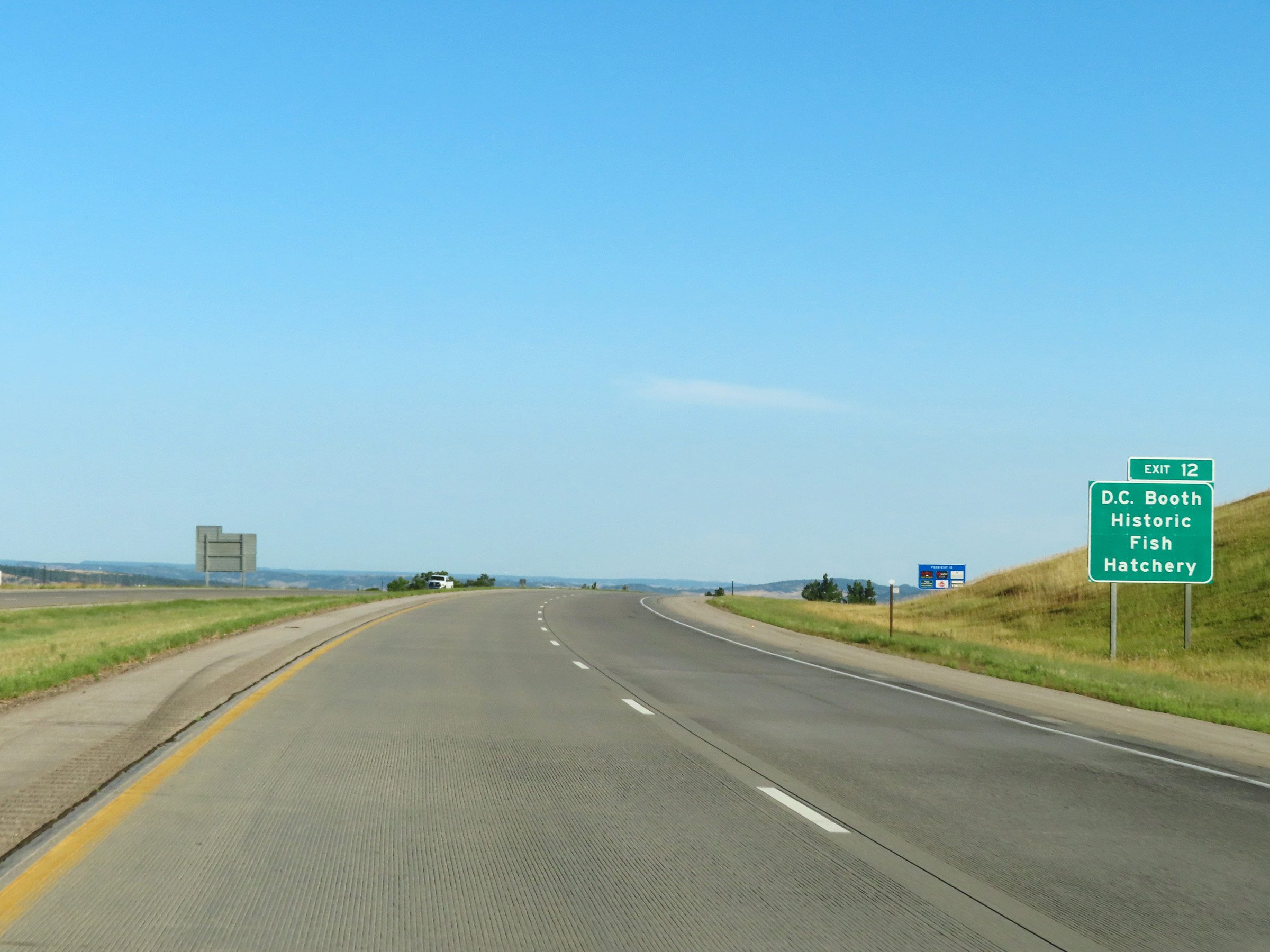 |
Take Exit 12 to D.C. Booth Historic Fish Hatchery. (Photo taken 8/17/22). |
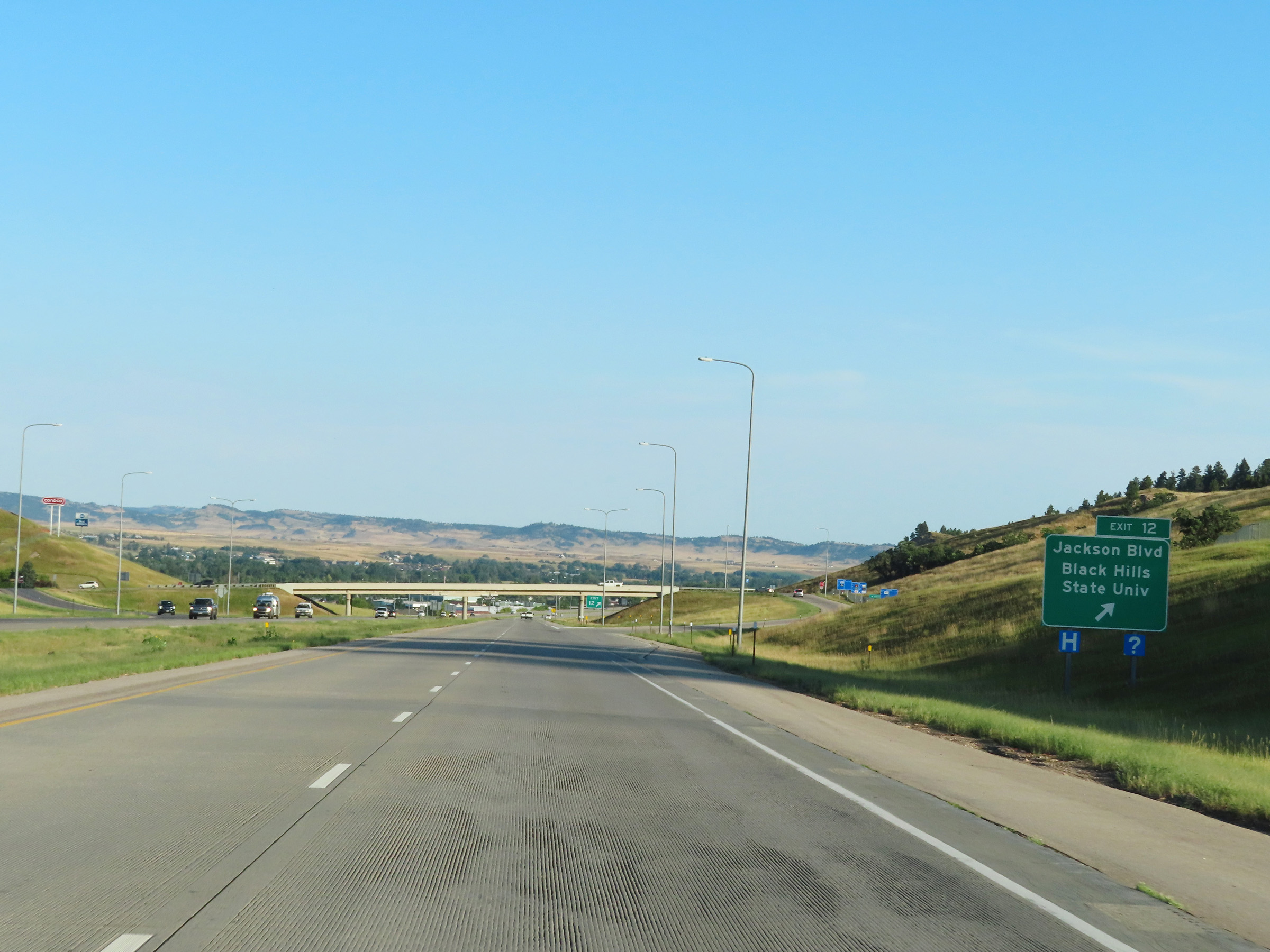 |
Interstate 90 West at Exit 12: Jackson Blvd / Black Hills State University (Photo taken 8/17/22). |
 |
Interstate 90 West reassurance shield in Spearfish. (Photo taken 8/17/22). |
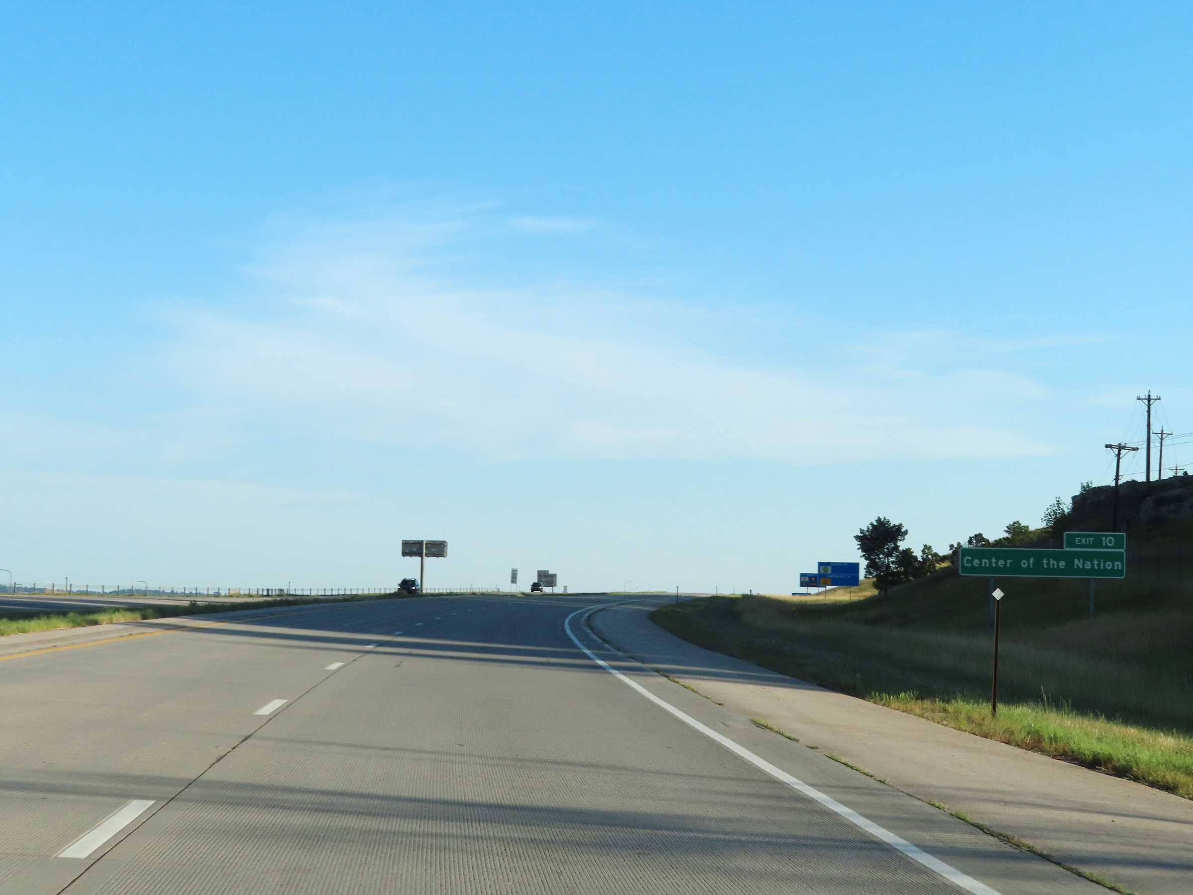 |
Take Exit 10 to the Center of the Nation Monument. (Photo taken 8/17/22). |
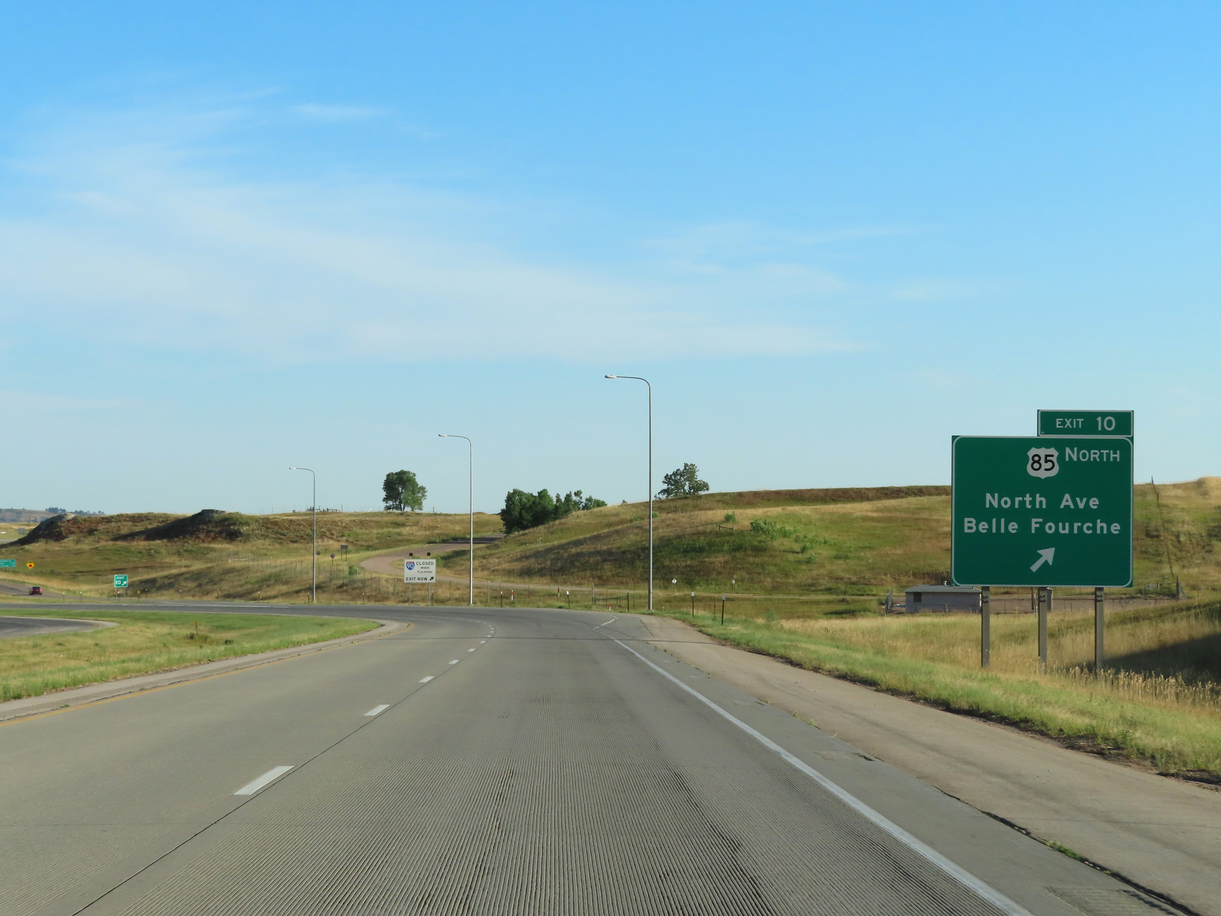 |
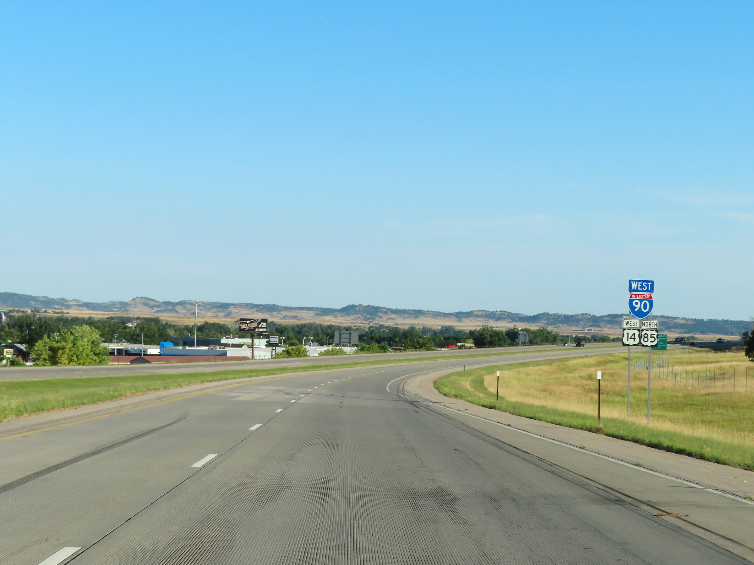
Interstate 90 West at Exit 10: US 85 North - North Ave / Belle Fourche (Photo taken 8/17/22). |
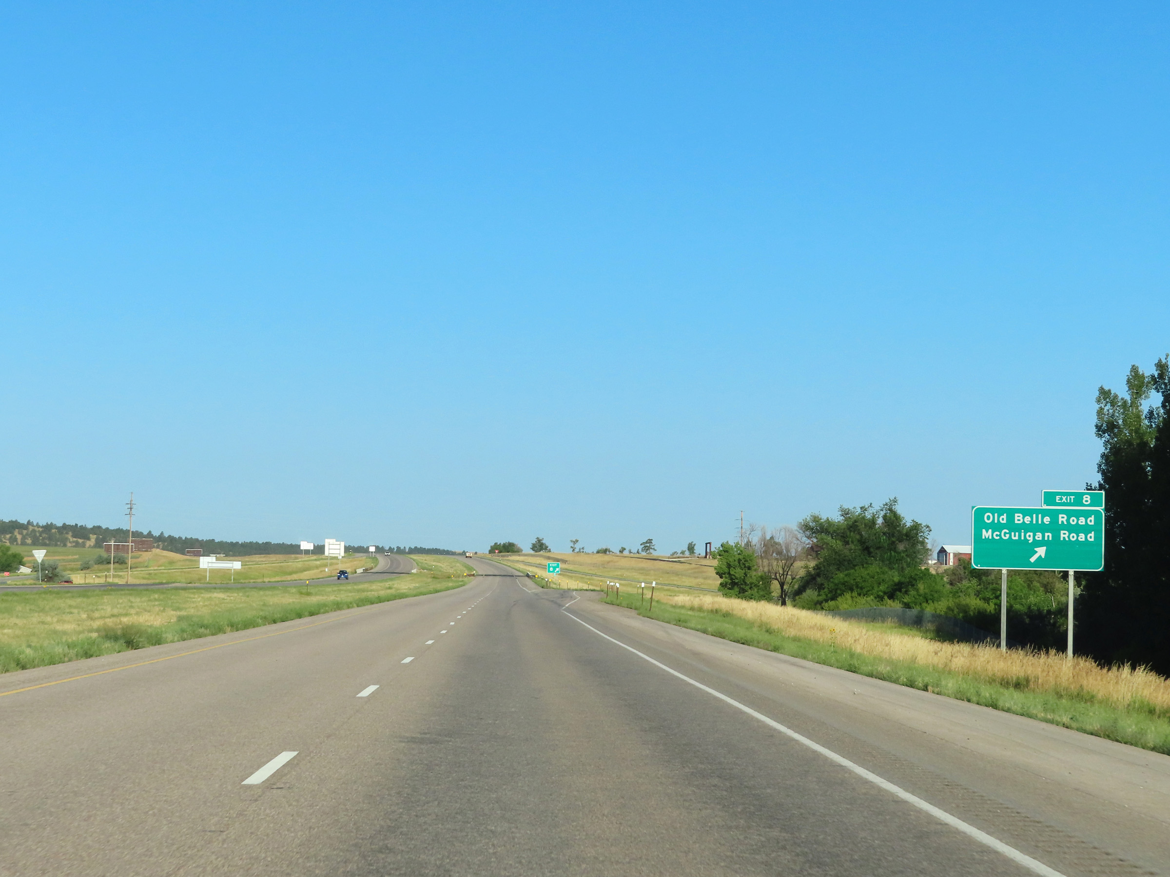 |
Interstate 90 West at Exit 8: Old Belle Road / McGuigan Road (Photo taken 8/17/22). |
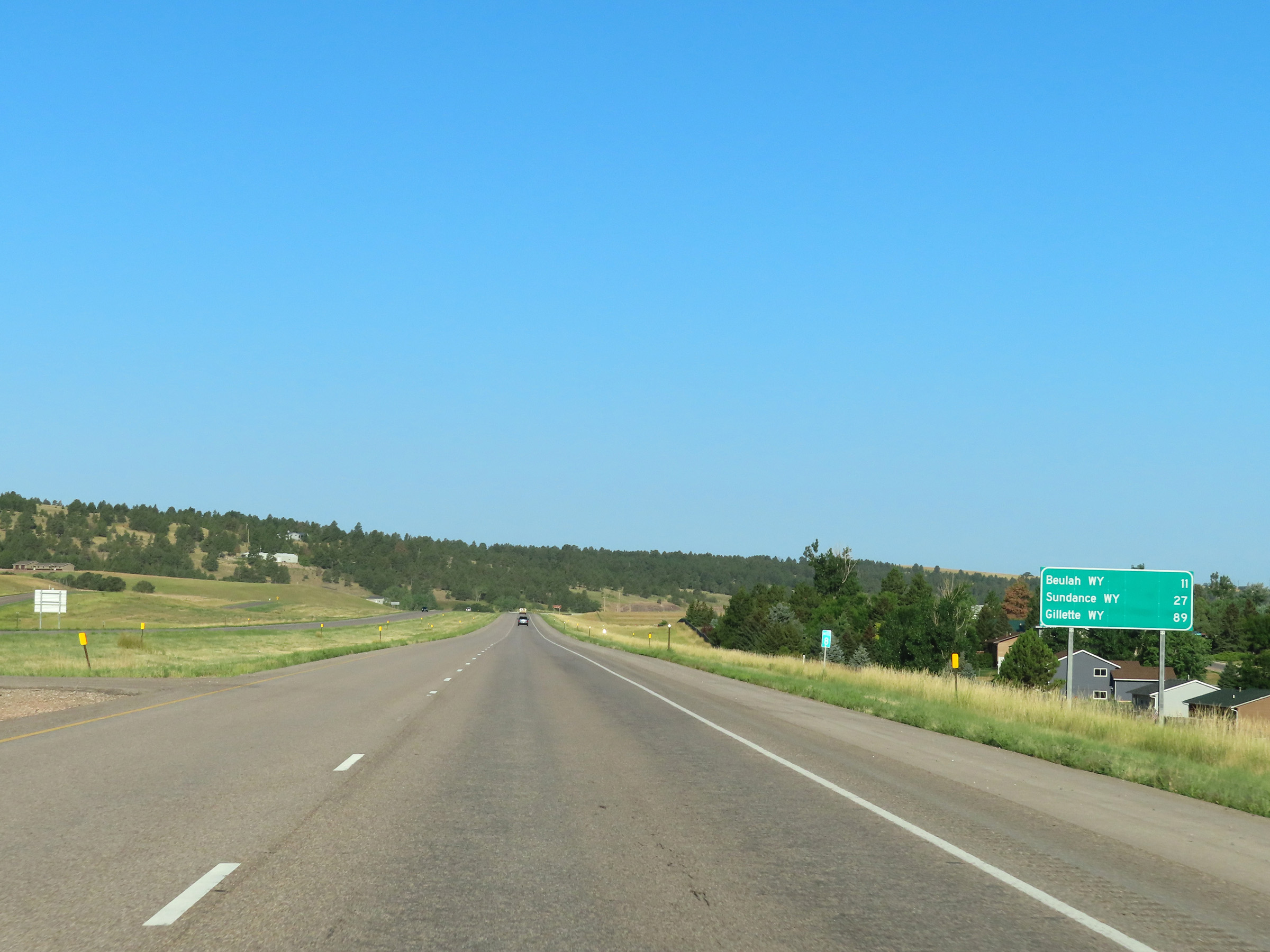 |
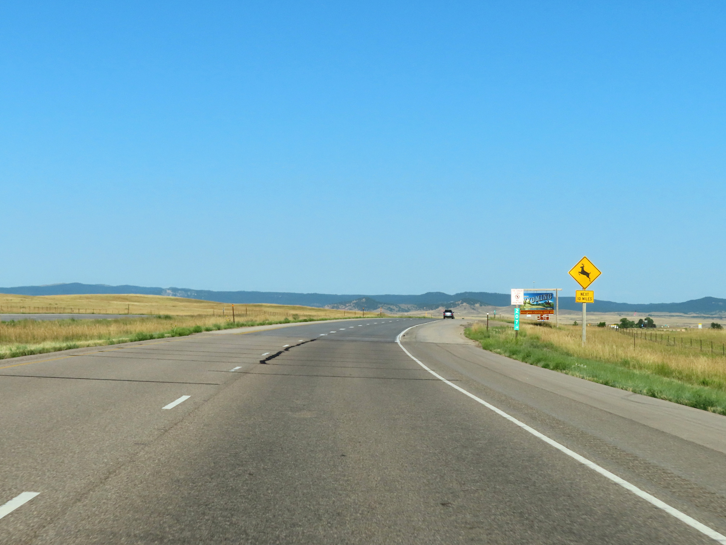
One final mileage sign on Interstate 90 West in South Dakota. It's 11 miles to Beulah, WY, 27 miles to Sundance, WY, and 89 miles to Gillette, WY. (Photo taken 8/17/22). |
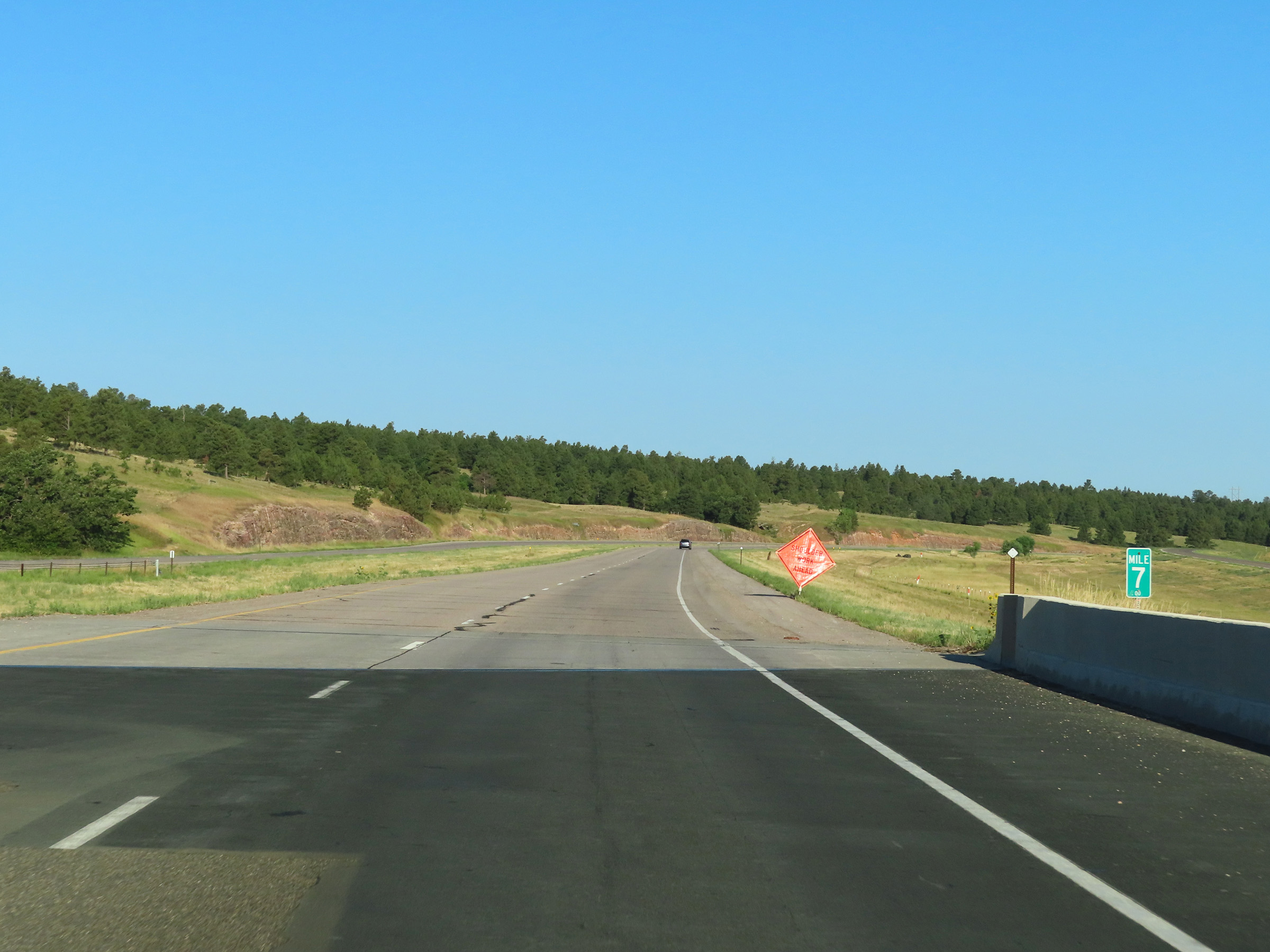 |
Interstate 90 West at mile marker 7. (Photo taken 8/17/22). |
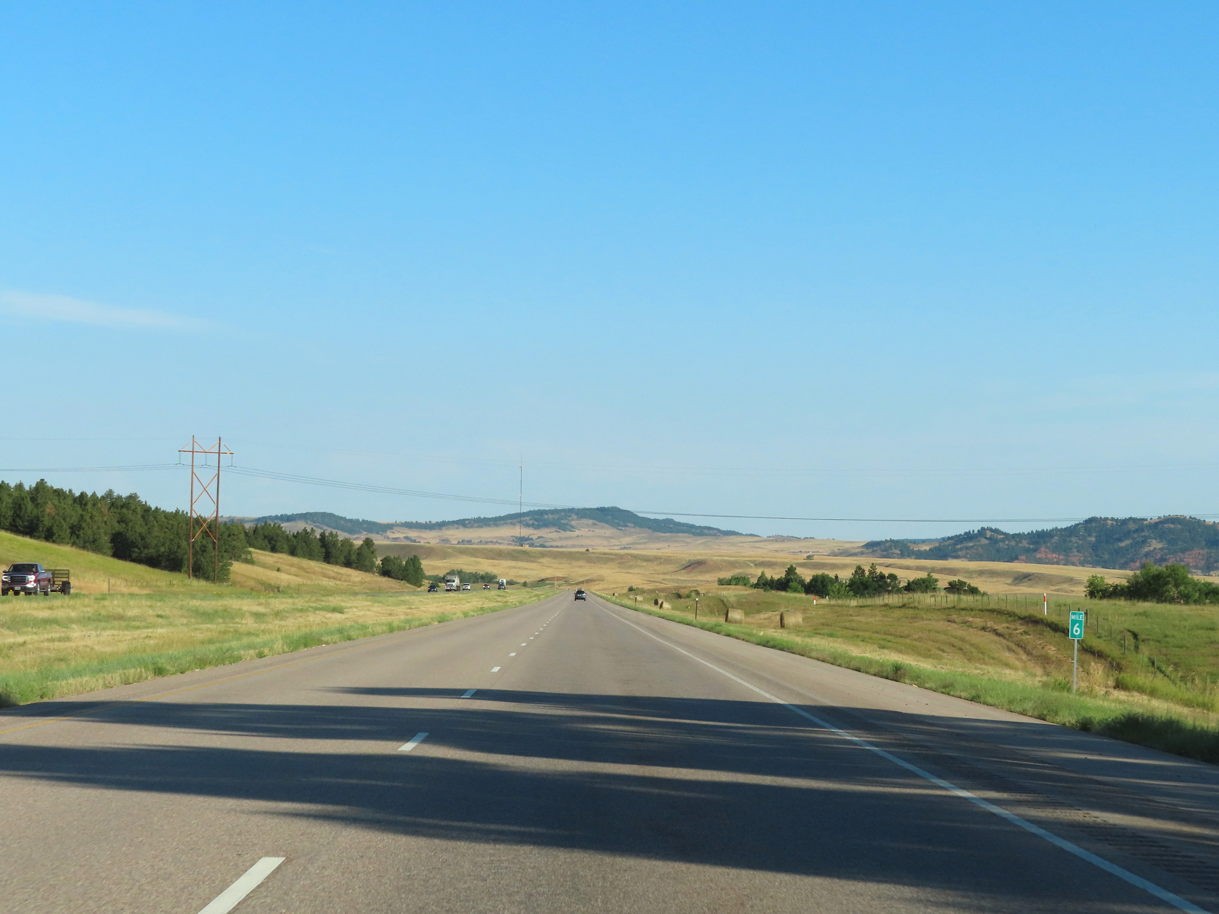 |
View on Interstate 90 West at mile marker 6. (Photo taken 8/17/22). |
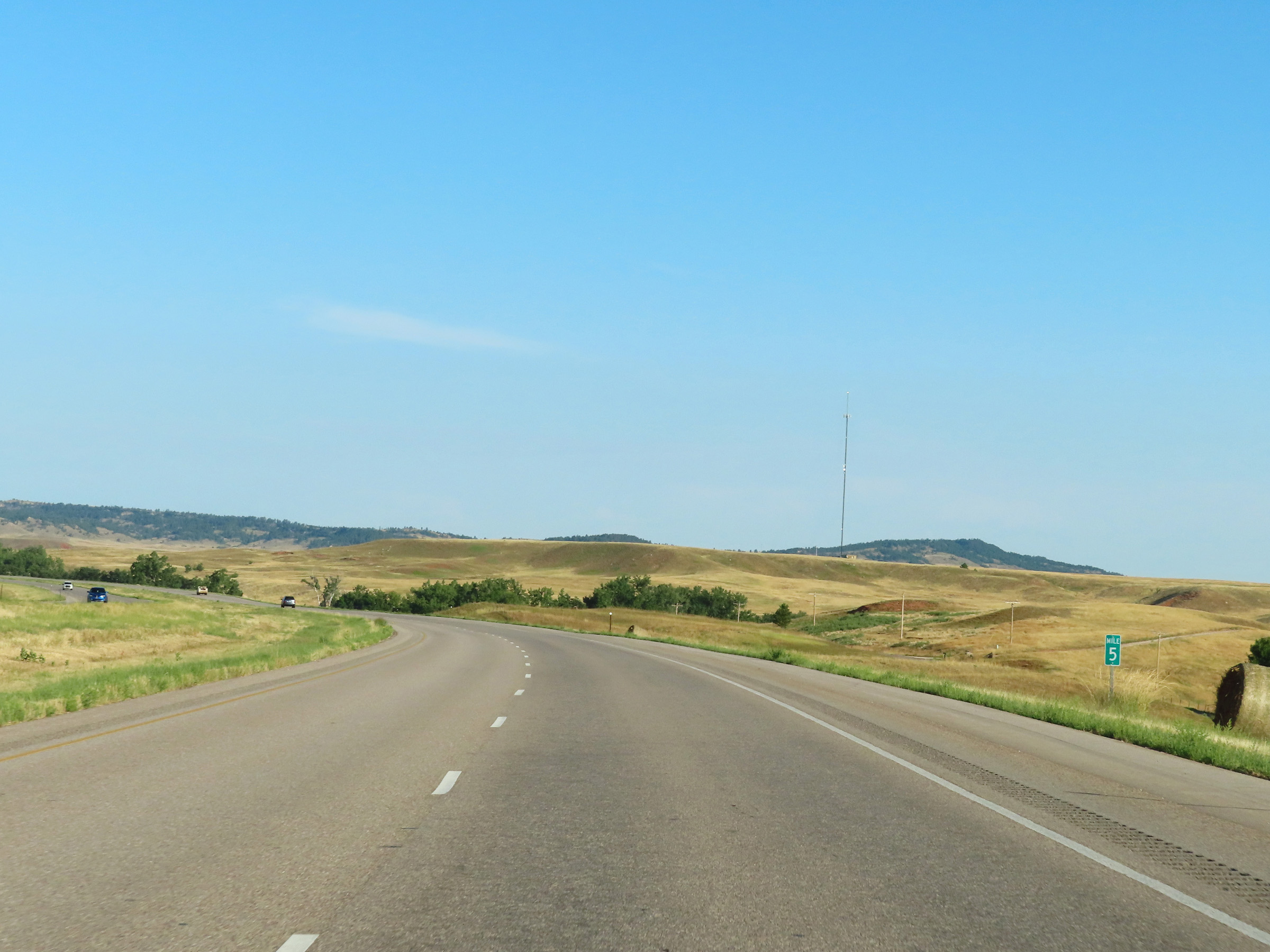 |
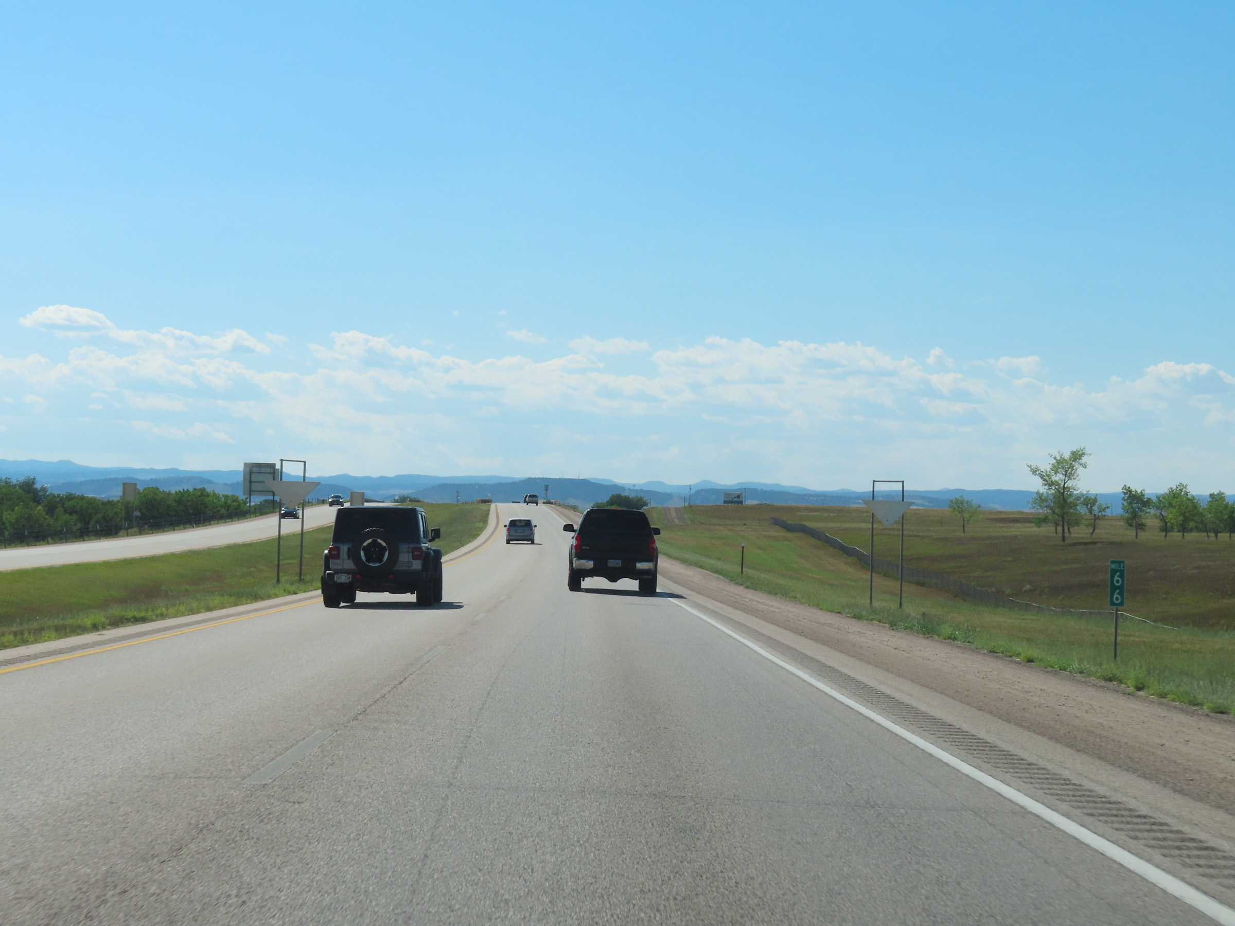
Mile marker 5 on Interstate 90 West in Lawrence County. (Photo taken 8/17/22). |
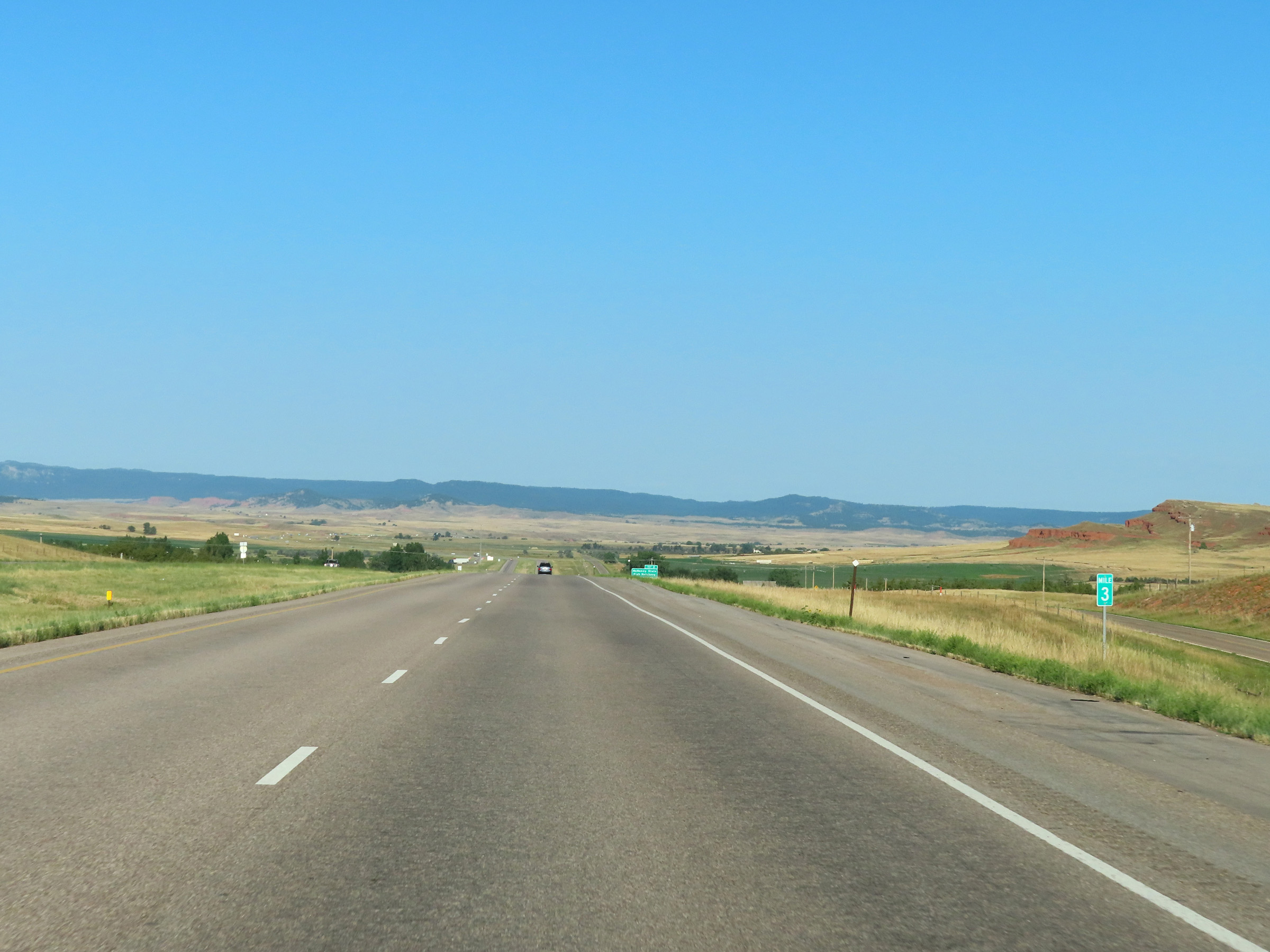 |
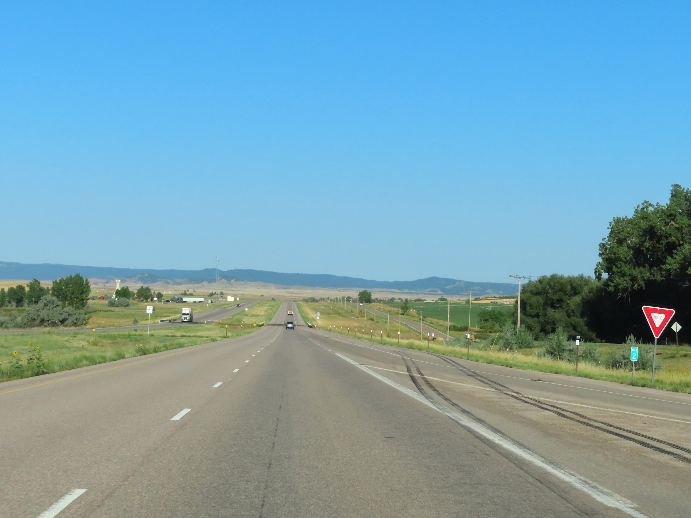
View on Interstate 90 West at mile marker 3. (Photo taken 8/17/22). |
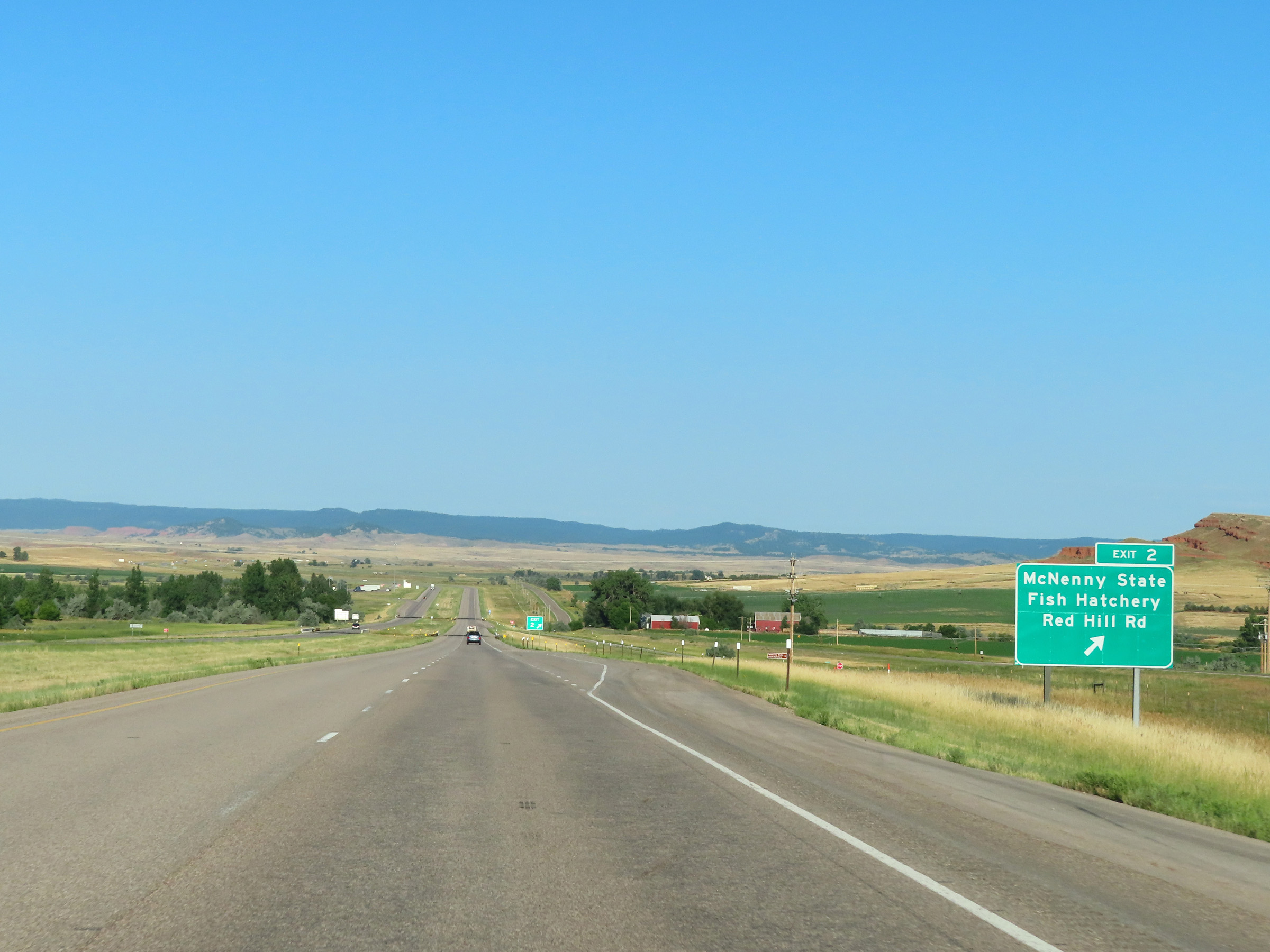 |
Interstate 90 West at Exit 2: McNenny State Fish Hatchery / Red Hill Rd (Photo taken 8/17/22). |
 |
Interstate 90 West at mile marker 2. (Photo taken 8/17/22). |
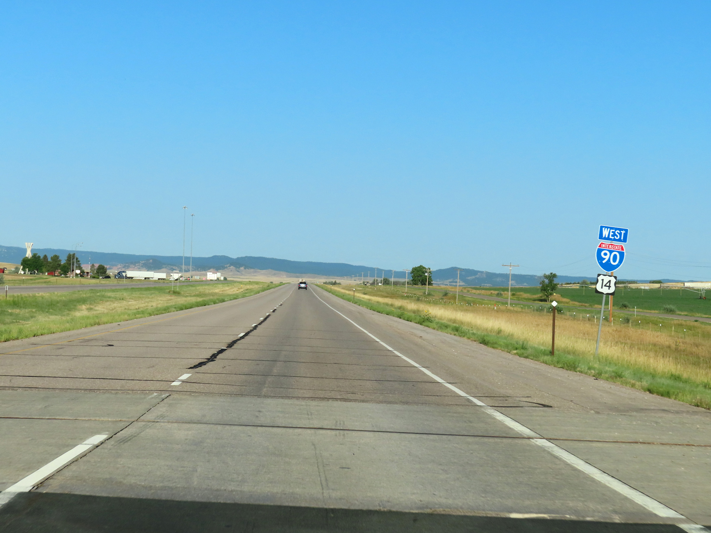 |
One final Interstate 90 West reassurance shield in South Dakota. (Photo taken 8/17/22). |
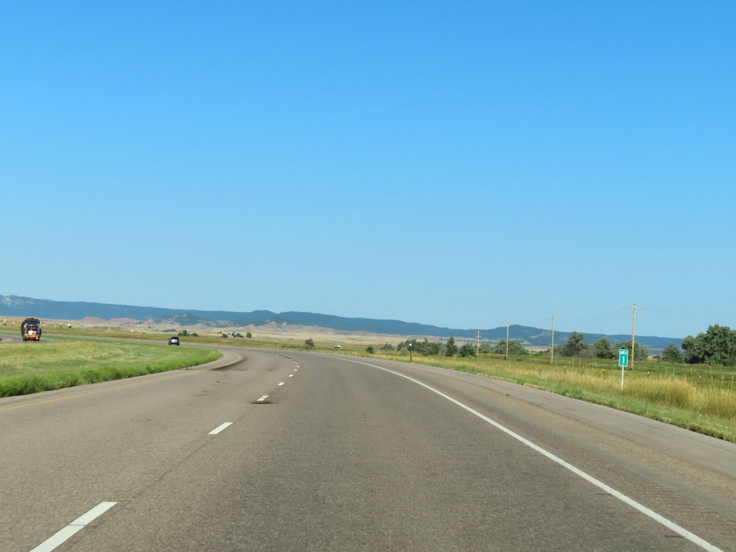 |
View on Interstate 90 West at mile marker 1. (Photo taken 8/17/22). |
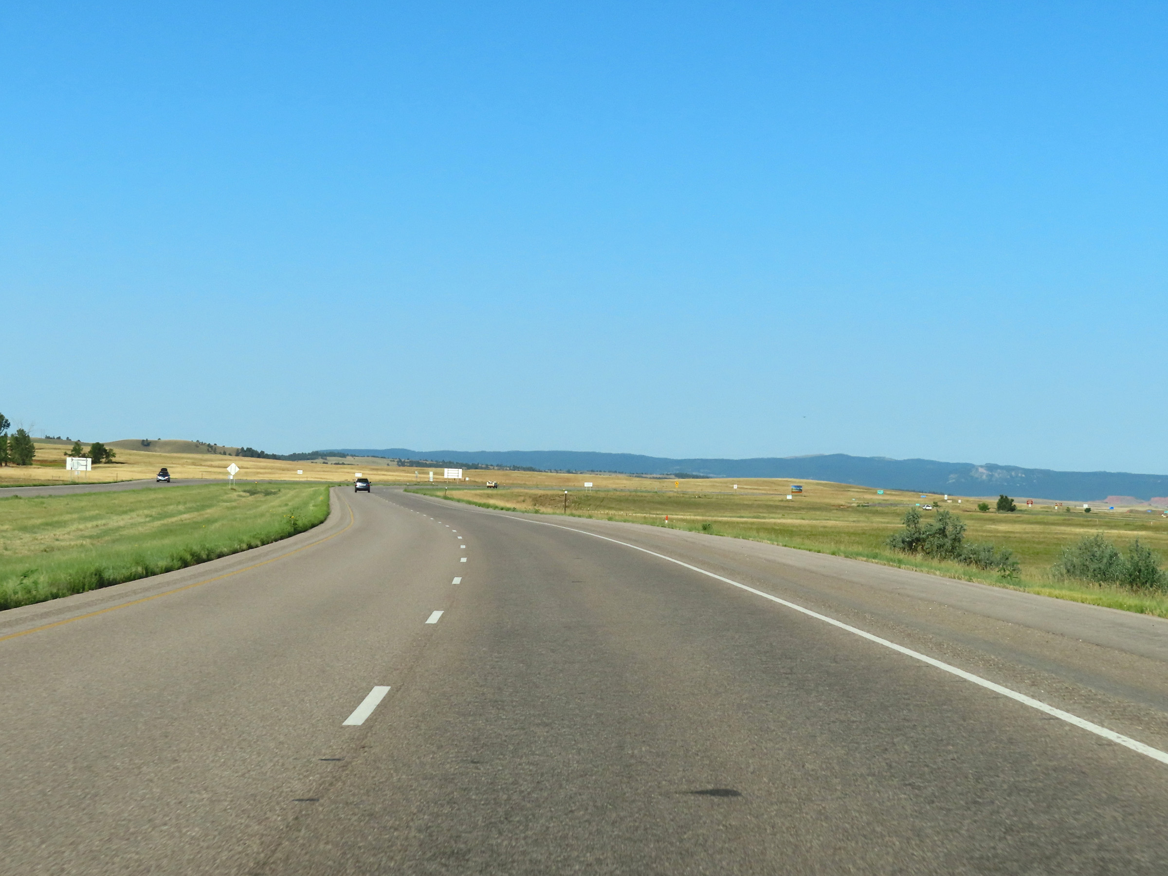 |
Interstate 90 West as the Wyoming border comes into view ahead. (Photo taken 8/17/22). |
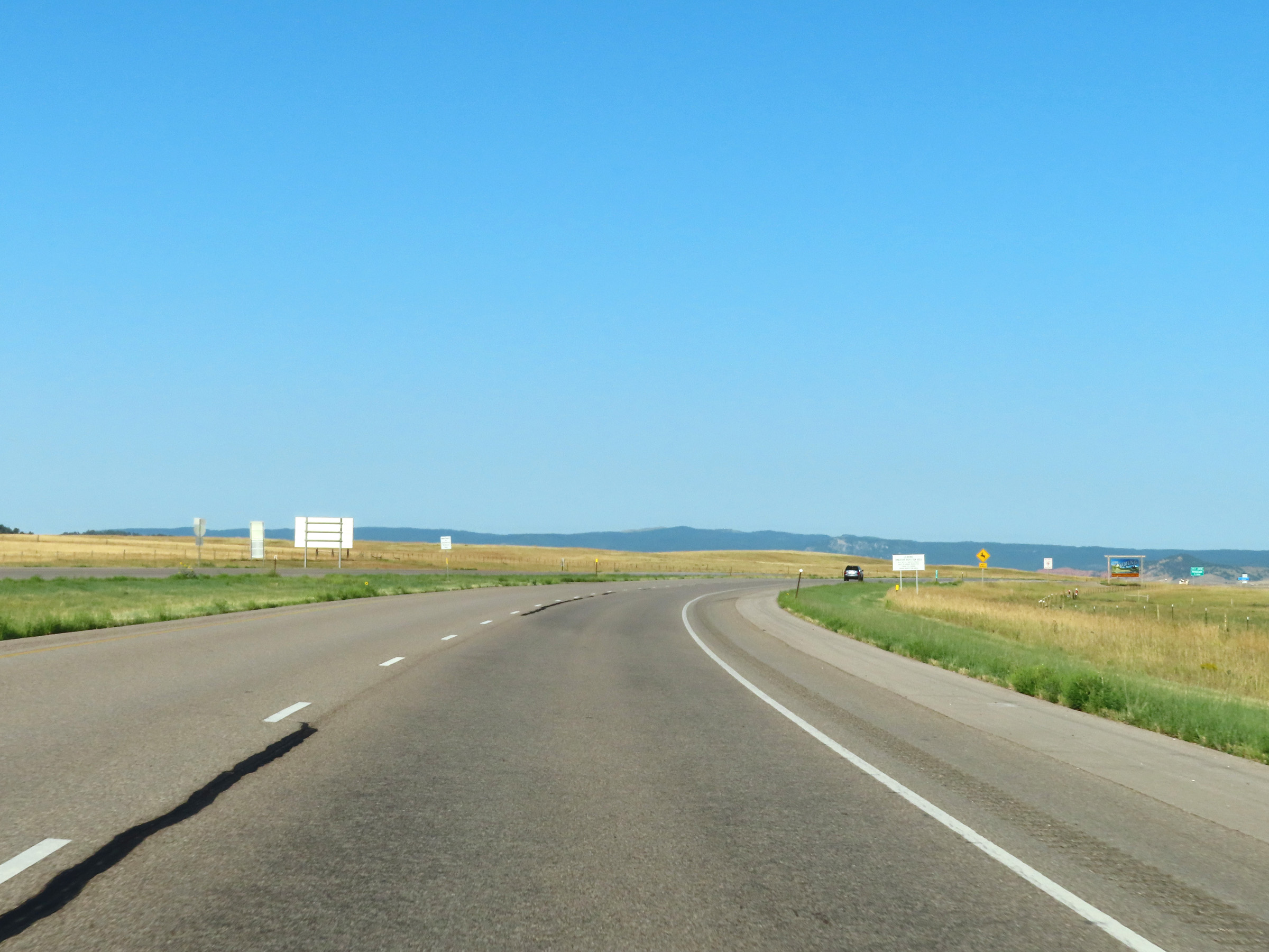 |
View on Interstate 90 West as it approaches the Wyoming border and prepares to leave South Dakota. (Photo taken 8/17/22). |
 |
Interstate 90 West as it crosses the state line into Wyoming. (Photo taken 8/17/22). |