Road Information |
||
 |
||
| Total Mileage in State: | 276 miles | |
| Eastern End: | At Wisconsin state line | |
| Western End: | At South Dakota state line | |
| Mileage covered in Photos: | 276 miles | |
| Counties covered in Photos: | Rock, Nobles, Jackson, Martin, Faribault, Freeborn, Mower, Olmsted, Winona | |
| Major Junctions in Photos: | I-35, near Albert Lea | |
| Control Cities in Photos: | Worthington, Jackson, Albert Lea, Austin, Rochester, Dakota | |
Eastbound
- Section 1: South Dakota Border to Blue Earth (Exit 119)
- Section 2: Blue Earth (Exit 119) to Dover (Exit 229)
- Section 3: Dover (Exit 229) to Wisconsin Border
Section 1: South Dakota Border to Blue Earth (Exit 119)
 |
Interstate 90 East at the Rest Area / Welcome Center as you enter Minnesota from South Dakota. (Photo taken 10/5/11). |
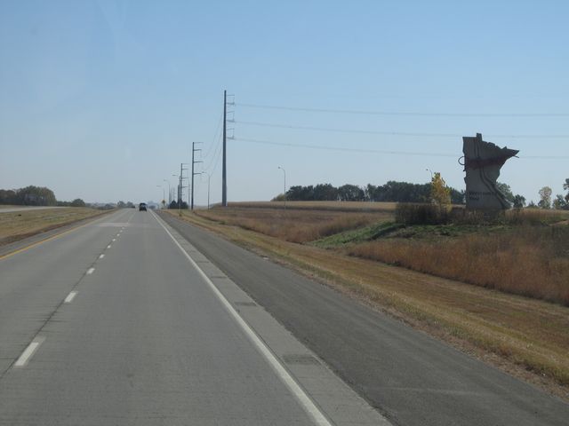 |
Minnesota welcome sign located just past the Welcome Center. (Photo taken 10/5/11). |
 |
Use Exit 1 for the Pipestone National Monument. (Photo taken 10/5/11). |
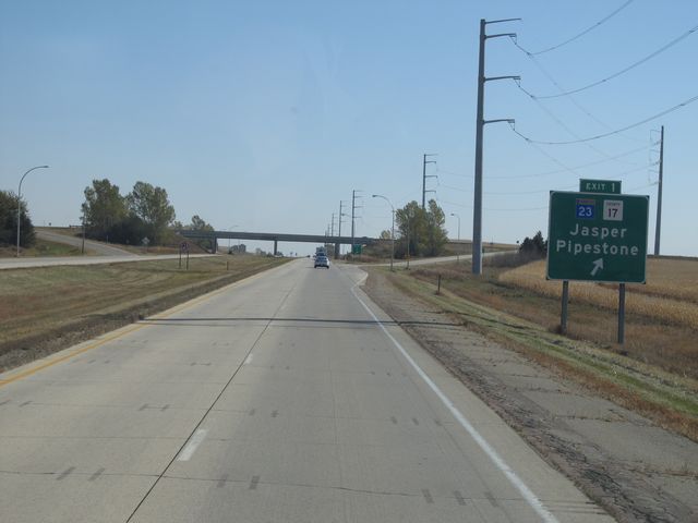 |
Interstate 90 East at Exit 1: MN 23 / CR 17 - Jasper / Pipestone (Photo taken 10/5/11). |
 |
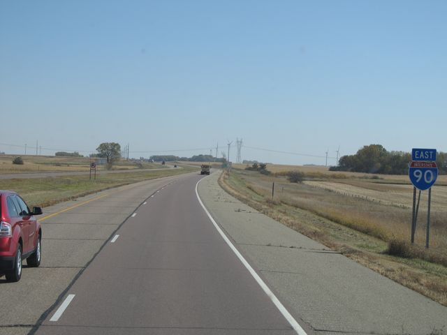
Interstate 90 East shield sign located near mile marker 1. (Photo taken 10/5/11). |
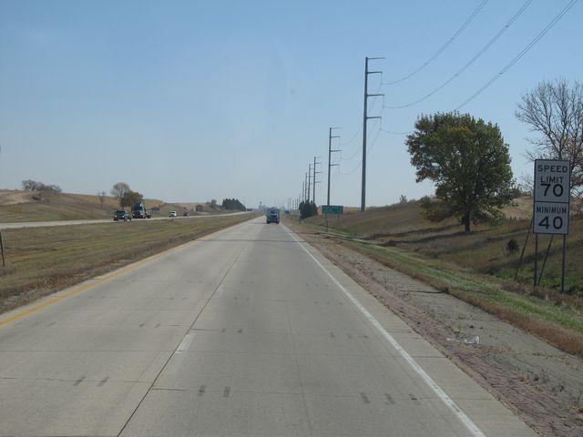 |
Speed limit signs located near mile marker 1. The speed limit on most rural Interstate highways in Minnesota is 70 mph with a minimum speed limit of 40 mph. (Photo taken 10/5/11). |
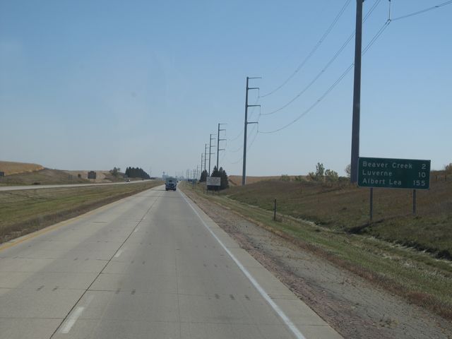 |
Mileage sign as you approach mile marker 2. It's 2 miles to Beaver Creek, 10 miles to Luverne, and 155 miles to Albert Lea, which is where the junction of Interstate 35 is. (Photo taken 10/5/11). |
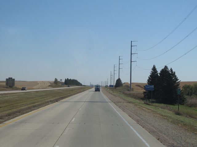 |
Interstate 90 East: Road view from mile marker 2. (Photo taken 10/5/11). |
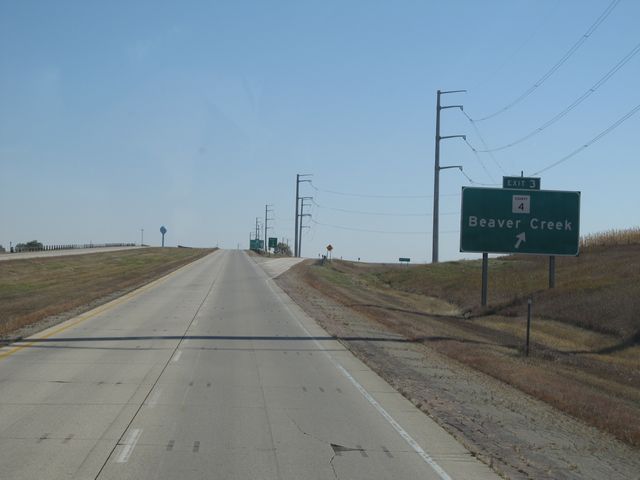 |
Interstate 90 East at Exit 3: CR 4 - Beaver Creek (Photo taken 10/5/11). |
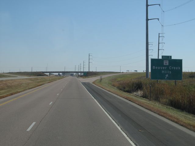 |
Interstate 90 East at Exit 5: CR 6 - Beaver Creek / Hills (Photo taken 10/5/11). |
 |
Interstate 90 East: Road view from mile marker 7. (Photo taken 10/5/11). |
 |
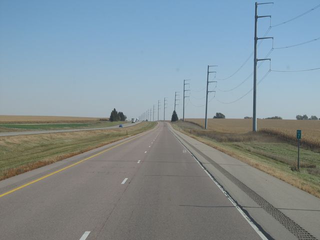
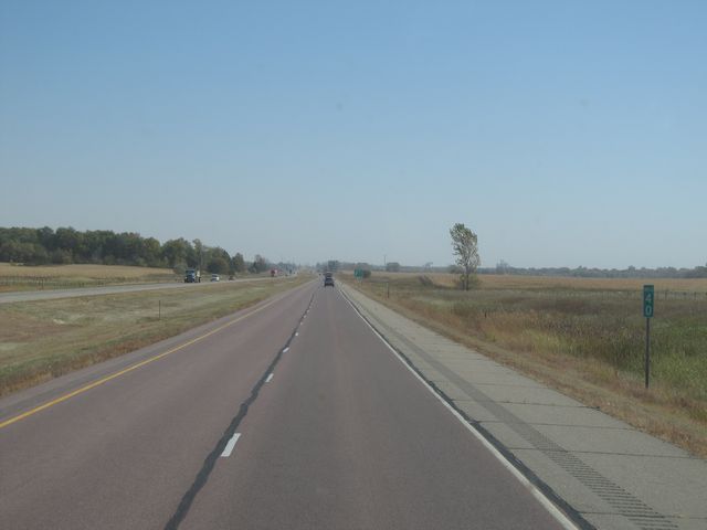
Interstate 90 East: Road view from mile marker 10. (Photo taken 10/5/11). |
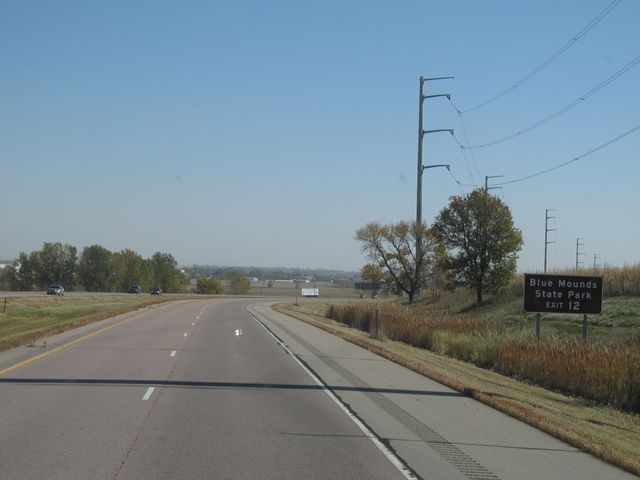 |
Use Exit 12 to get to Blue Mounds State Park. (Photo taken 10/5/11). |
 |
Interstate 90 East at Exit 12: US 75 - Luverne / Rock Rapids (Photo taken 10/5/11). |
 |
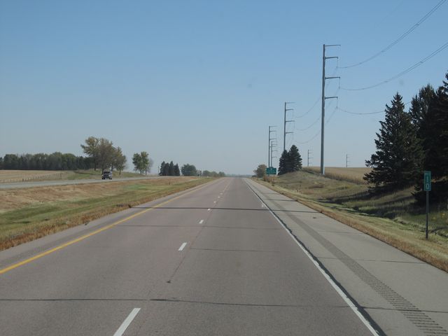
Interstate 90 East: Road view from mile marker 15. (Photo taken 10/5/11). |
 |
Interstate 90 East: Road view from mile marker 17. (Photo taken 10/5/11). |
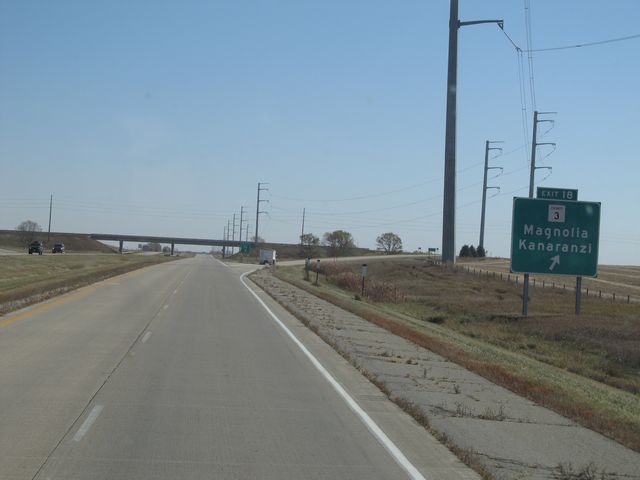 |
Interstate 90 East at Exit 18: CR 3 - Magnolia / Kanaranzi (Photo taken 10/5/11). |
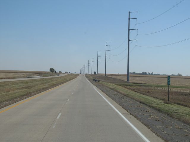 |
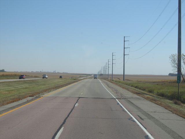
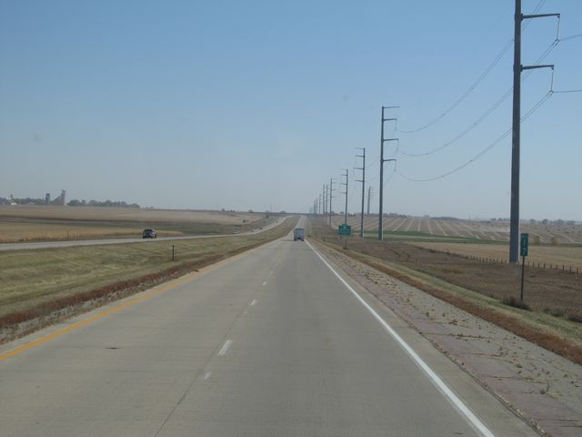
Interstate 90 East: Road view from mile marker 20. (Photo taken 10/5/11). |
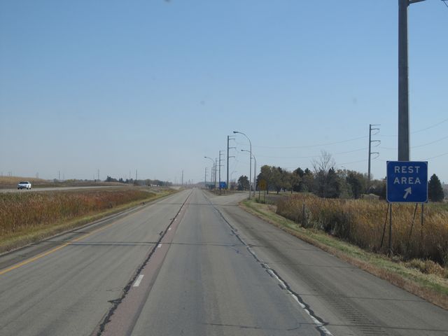 |
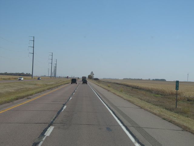
Interstate 90 East at the Rest Area located at mile marker 24. (Photo taken 10/5/11). |
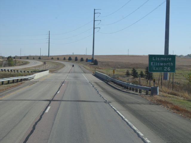 |
Use Exit 26 to get to Lismore and Ellsworth. (Photo taken 10/5/11). |
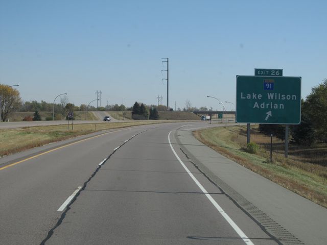 |
Interstate 90 East at Exit 26: MN 91 - Lake Wilson / Adrian (Photo taken 10/5/11). |
 |
Interstate 90 East: Road view from mile marker 29. (Photo taken 10/5/11). |
 |
Interstate 90 East at Exit 33: CR 13 - Wilmont / Rushmore (Photo taken 10/5/11). |
 |
Interstate 90 East: Road view from mile marker 36. (Photo taken 10/5/11). |
 |
Interstate 90 East: Road view from mile marker 40. (Photo taken 10/5/11). |
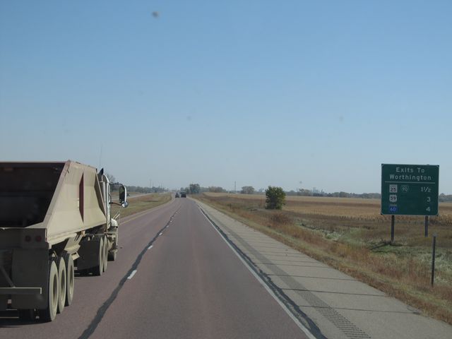 |
Sign listing the distances to the upcoming Worthington exits. (Photo taken 10/5/11). |
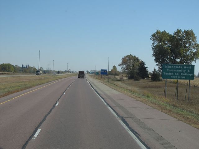 |
Use the next exit (Exit 42) for Minnesota West Community & Techincal College. (Photo taken 10/5/11). |
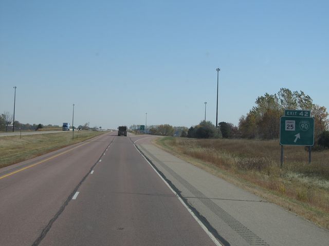 |
Interstate 90 East at Exit 42: CR 25 / Interstate 90 BL (Photo taken 10/5/11). |
 |
Use Exit 43 to get to Fulda. (Photo taken 10/5/11). |
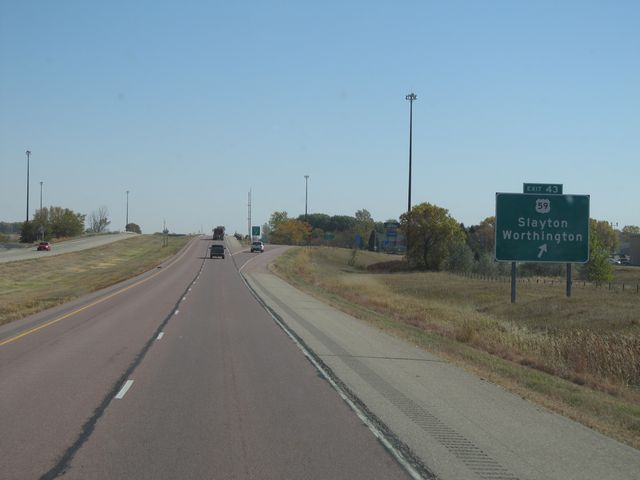 |
Interstate 90 East at Exit 43: US 59 - Slayton / Worthington (Photo taken 10/5/11). |
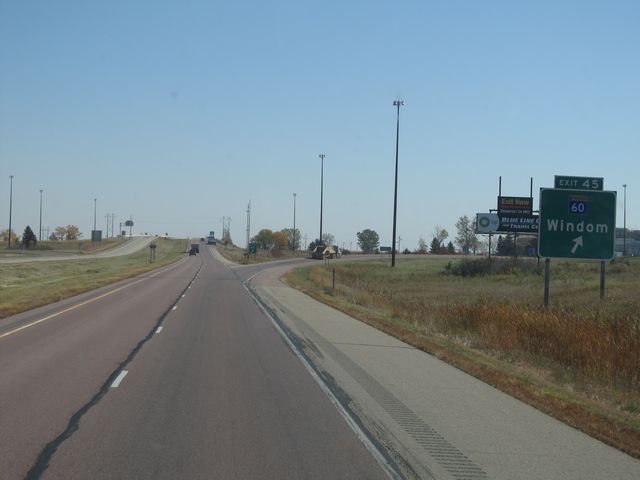 |
Interstate 90 East at Exit 45: MN 60 - Windom (Photo taken 10/5/11). |
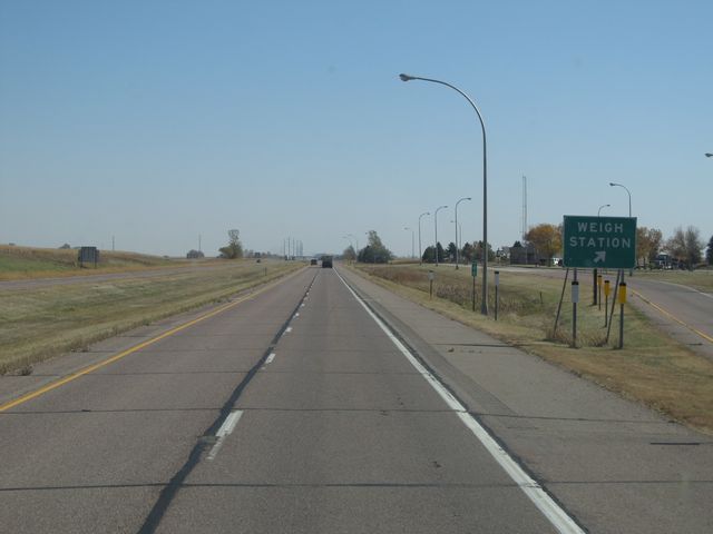 |
Interstate 90 East at the Weigh Station located near mile marker 46. (Photo taken 10/5/11). |
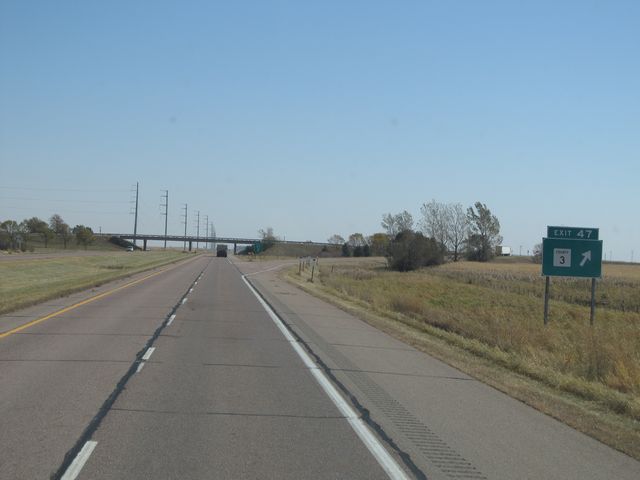 |
Interstate 90 East at Exit 47: CR 3 (Photo taken 10/5/11). |
 |
Interstate 90 East: Road view from mile marker 49. (Photo taken 10/5/11). |
 |
Interstate 90 East at Exit 50: MN 264 / CR 1 - Brewster / Round Lake (Photo taken 10/5/11). |
 |
Interstate 90 East: Road view from mile marker 53. (Photo taken 10/5/11). |
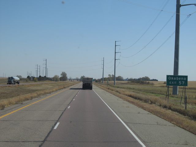 |
Use Exit 57 to get to Okabena. (Photo taken 10/5/11). |
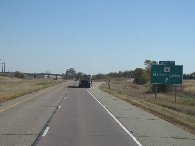 |
Interstate 90 East at Exit 57: CR 9 - Heron Lake (Photo taken 10/5/11). |
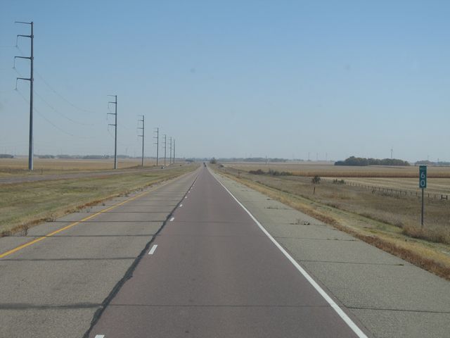 |
Interstate 90 East: Road view from mile marker 60. (Photo taken 10/5/11). |
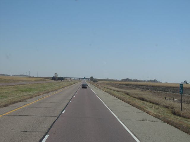 |
Interstate 90 East: Road view from mile marker 62. (Photo taken 10/5/11). |
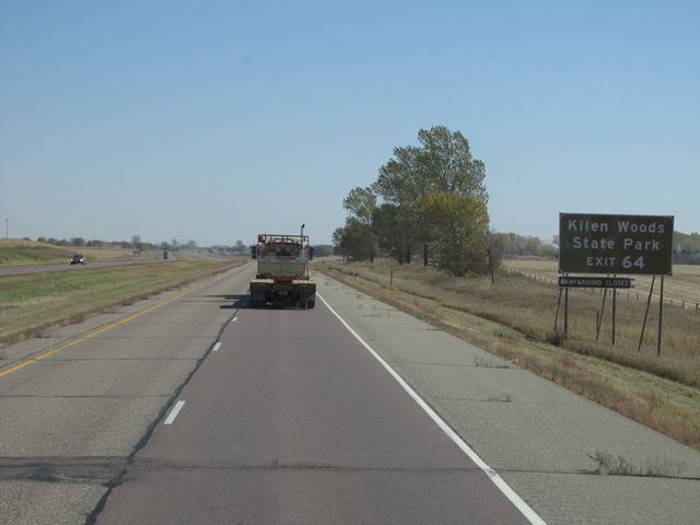 |
Use Exit 64 for Kilen Woods State Park. (Photo taken 10/5/11). |
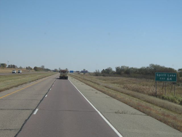 |
Also use Exit 64 for Spirit Lake. (Photo taken 10/5/11). |
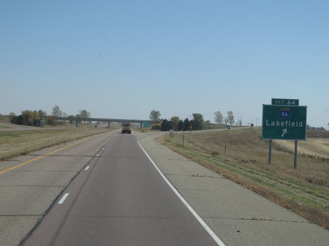 |
Interstate 90 East at Exit 64: MN 86 - Lakefield (Photo taken 10/5/11). |
 |
Interstate 90 East shield sign located near mile marker 64. (Photo taken 10/5/11). |
 |
Interstate 90 East: Road view from mile marker 67. (Photo taken 10/5/11). |
 |
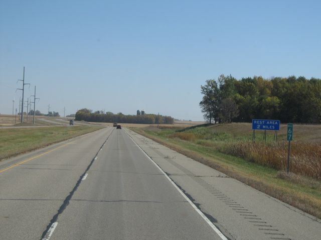
Interstate 90 East at the Rest Area located at mile marker 69. (Photo taken 10/5/11). |
 |
Interstate 90 East: Road view from mile marker 71. (Photo taken 10/5/11). |
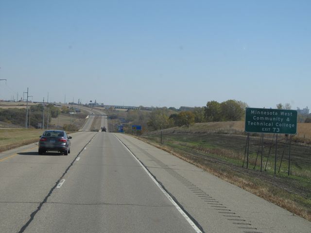 |
Use Exit 73 for Minnesota West Community & Technical College. (Photo taken 10/5/11). |
 |
Interstate 90 East at Exit 73: US 71 - Jackson (Photo taken 10/5/11). |
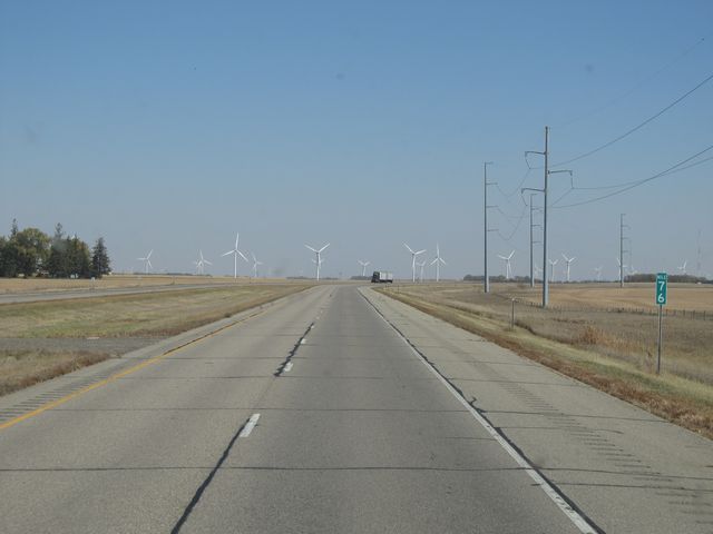 |
Interstate 90 East: Road view from mile marker 76. (Photo taken 10/5/11). |
 |
Interstate 90 East at Exit 80: CR 29 - Alpha (Photo taken 10/5/11). |
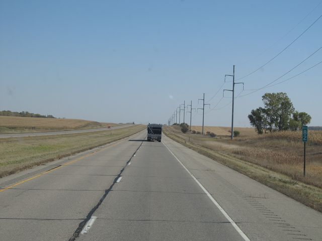 |
Interstate 90 East: Road view from mile marker 82. (Photo taken 10/5/11). |
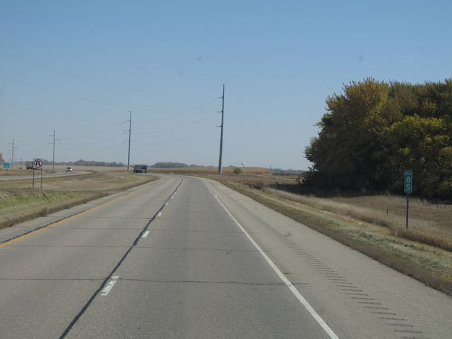 |
Interstate 90 East: Road view from mile marker 85. (Photo taken 10/5/11). |
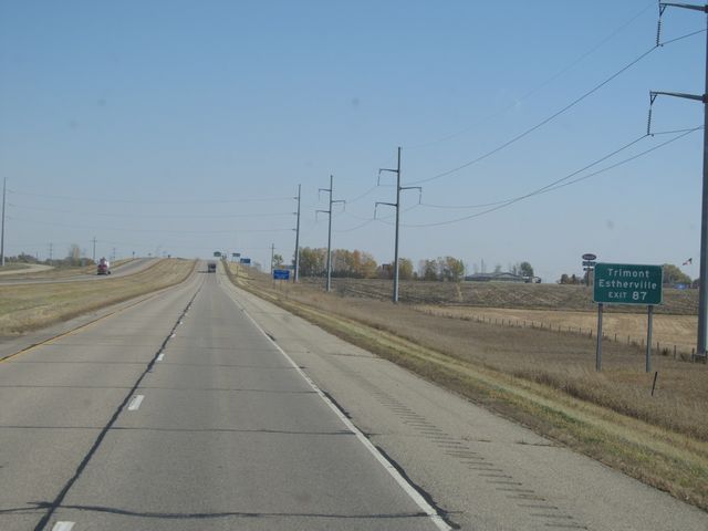 |
Use Exit 87 to get to Trimont and Estherville. (Photo taken 10/5/11). |
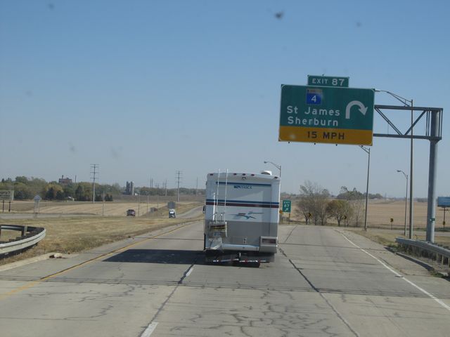 |
Interstate 90 East at Exit 87: MN 4 - St. James / Sherburn (Photo taken 10/5/11). |
 |
Interstate 90 East: Road view from mile marker 89. (Photo taken 10/5/11). |
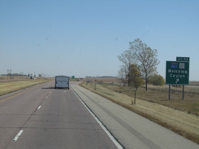 |
Interstate 90 East at Exit 93: MN 263 / CR 27 - Welcome / Ceylon (Photo taken 10/5/11). |
 |
Mileage sign located near mile marker 94. It's 5 miles to Fairmont, 25 miles to Blue Earth, and 60 miles to Albert Lea. (Photo taken 10/5/11). |
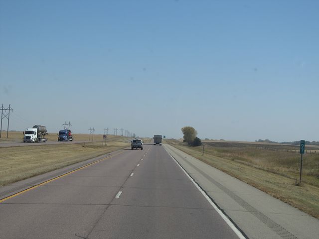 |
Interstate 90 East: Road view from mile marker 97. (Photo taken 10/5/11). |
 |
Sign listing the distances to the two upcoming Fairmont exits. (Photo taken 10/5/11). |
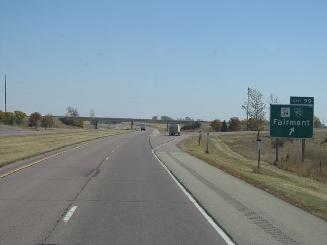 |
Interstate 90 East at Exit 99: CR 39 / Interstate 90 BL - Fairmont (Photo taken 10/5/11). |
 |
Interstate 90 East: Road view from mile marker 100. (Photo taken 10/5/11). |
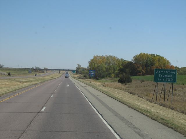 |
Use Exit 102 to get to Armstrong and Truman. (Photo taken 10/5/11). |
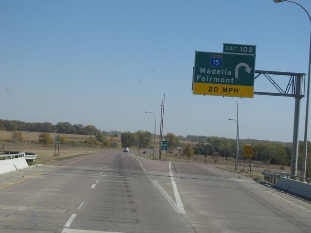 |
Interstate 90 East at Exit 102: MN 15 - Madelia / Fairmont (Photo taken 10/5/11). |
 |
Interstate 90 East: Road view from mile marker 105. (Photo taken 10/5/11). |
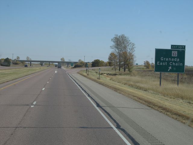 |
Interstate 90 East at Exit 107: CR 53 - Grenada / East Chain (Photo taken 10/5/11). |
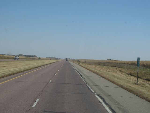 |
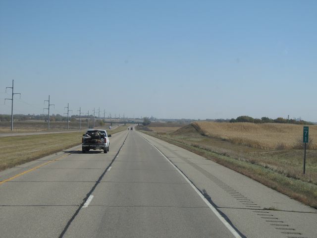
Interstate 90 East: Road view from mile marker 111. (Photo taken 10/5/11). |
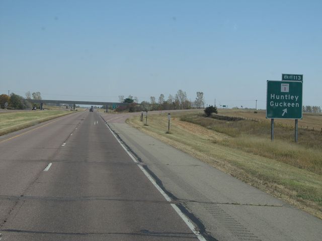 |
Interstate 90 East at Exit 113: CR 1 - Huntely / Guckeen (Photo taken 10/5/11). |
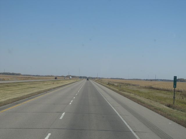 |
Interstate 90 East: Road view from mile marker 116. (Photo taken 10/5/11). |
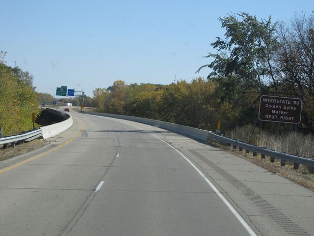 |
Take the next right (into the Rest Area) to see the Interstate 90 Golden Spike Marker. (Photo taken 10/5/11). |
 |
Interstate 90 East at the Rest Area located near mile marker 118. (Photo taken 10/5/11). |
 |
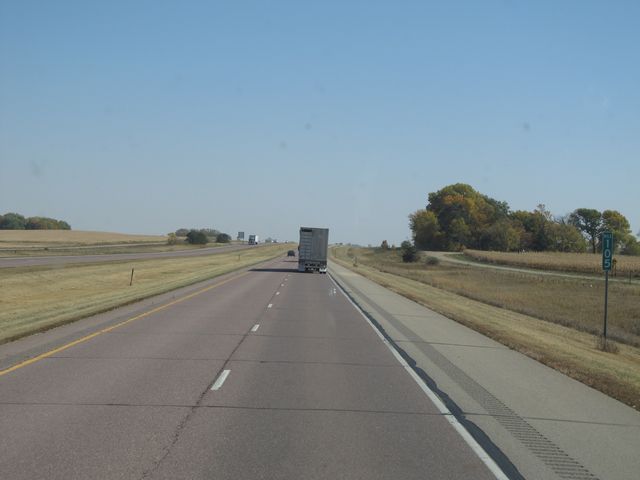
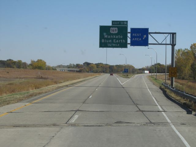
Interstate 90 East at Exit 119: US 169 - Mankato / Blue Earth (Photo taken 10/5/11). |
Section 2: Blue Earth (Exit 119) to Dover (Exit 229)
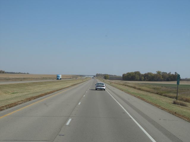 |
Interstate 90 East: Road view from mile marker 123. (Photo taken 10/5/11). |
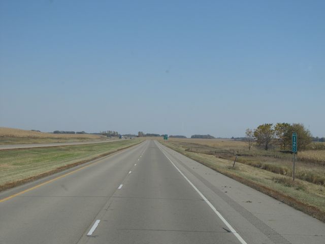 |
Interstate 90 East: Road view from mile marker 127. (Photo taken 10/5/11). |
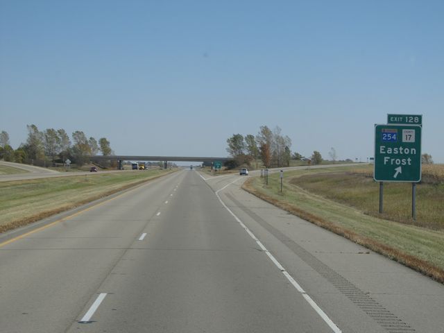 |
Interstate 90 East at Exit 128: MN 254 / CR 17 - Easton / Frost (Photo taken 10/5/11). |
 |
Interstate 90 East: Road view from mile marker 131. (Photo taken 10/5/11). |
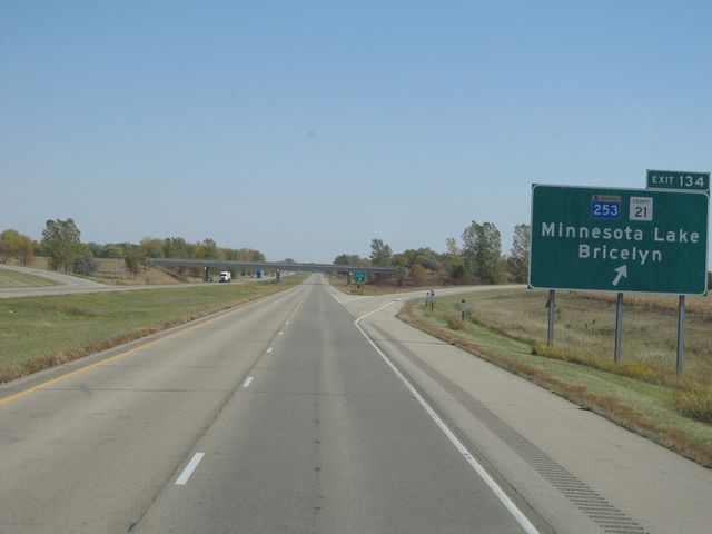 |
Interstate 90 East at Exit 134: MN 253 / CR 21 - Minnesota Lake / Bricelyn (Photo taken 10/5/11). |
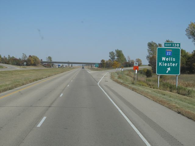 |
Interstate 90 East at Exit 138: MN 22 - Wells / Kiester (Photo taken 10/5/11). |
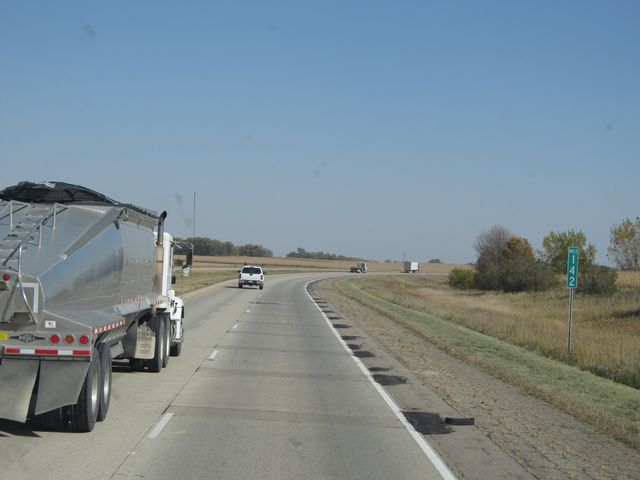 |
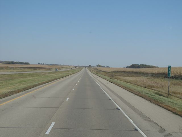
Interstate 90 East: Road view from mile marker 142. (Photo taken 10/5/11). |
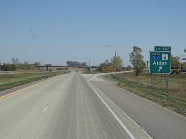 |
Interstate 90 East at Exit 146: MN 109 / CR 6 - Alden (Photo taken 10/5/11). |
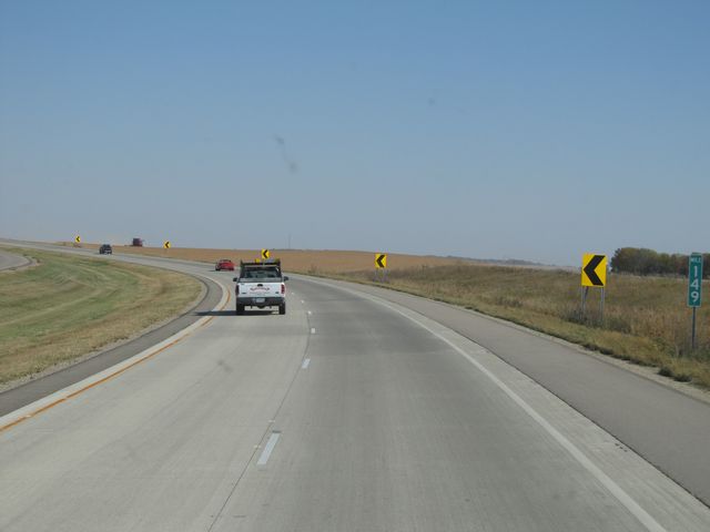 |
Interstate 90 East: Road view from mile marker 149. (Photo taken 10/5/11). |
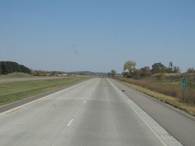 |
Interstate 90 East: Road view from mile marker 152. (Photo taken 10/5/11). |
 |
Sign listing the distances to the three upcoming Albert Lea exits. (Photo taken 10/5/11). |
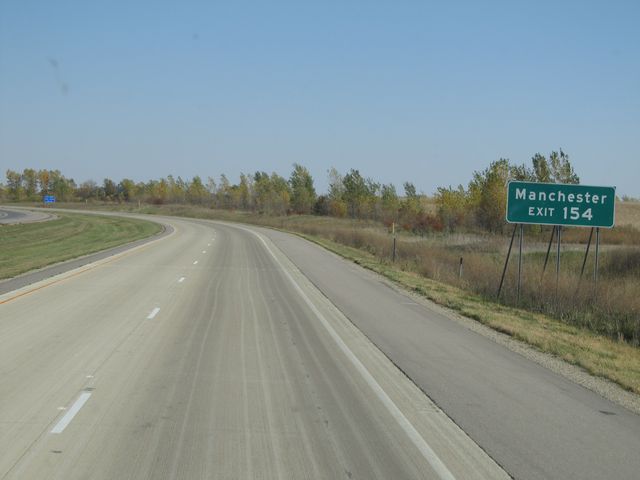 |
Use Exit 154 to get to Manchester. (Photo taken 10/5/11). |
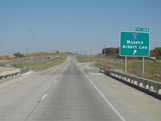 |
Interstate 90 East at Exit 154: MN 13 - Waseca / Albert Lea (Photo taken 10/5/11). |
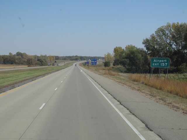 |
Use Exit 157 for access to the Airport. (Photo taken 10/5/11). |
 |
Also use Exit 157 to get to Riverland College. (Photo taken 10/5/11). |
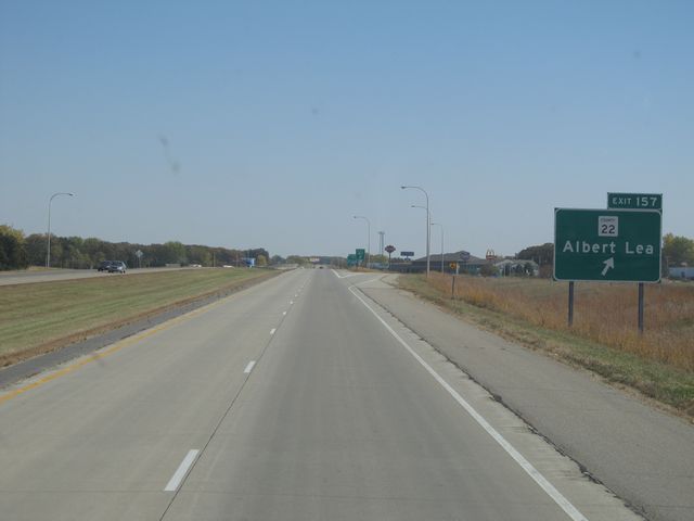 |
Interstate 90 East at Exit 157: CR 22 - Albert Lea (Photo taken 10/5/11). |
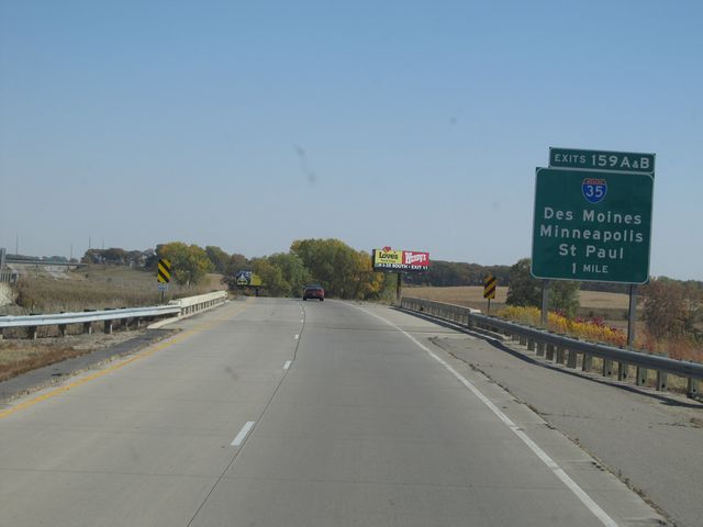 |
Interstate 90 East approaching Exits 159A-B - 1 mile. (Photo taken 10/5/11). |
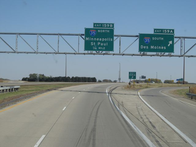 |
Interstate 90 East at Exit 159A: Interstate 35 South - Des Moines (Photo taken 10/5/11). |
 |
Interstate 90 East at Exit 159B: Interstate 35 North - Minneapolis / St. Paul (Photo taken 10/5/11). |
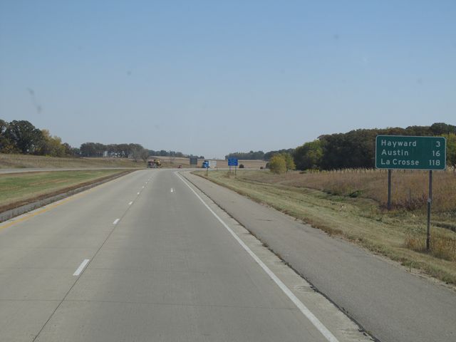 |
Mileage sign located near mile marker 160. It's 3 miles to Hayward, 16 miles to Austin, and 118 miles to La Crosse, WI. (Photo taken 10/5/11). |
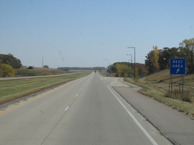 |
Interstate 90 East at the Rest Area located at mile marker 162. (Photo taken 10/5/11). |
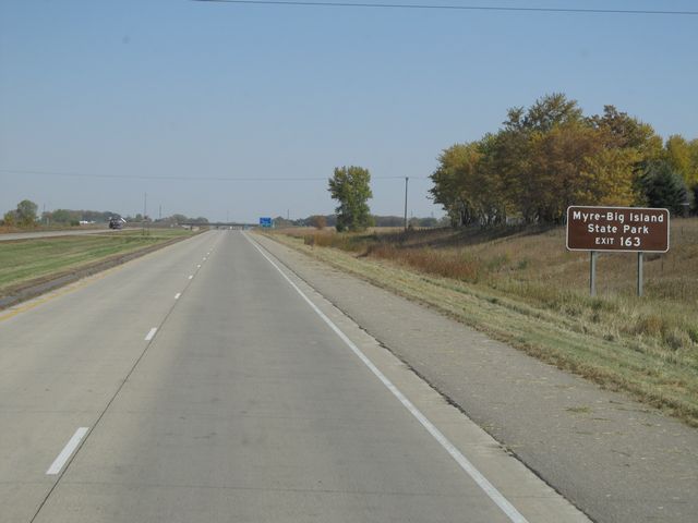 |
Use Exit 163 for Myre-Big Island State Park. (Photo taken 10/5/11). |
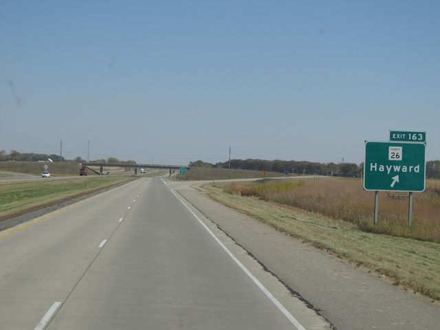 |
Interstate 90 East at Exit 163: CR 26 - Hayward (Photo taken 10/5/11). |
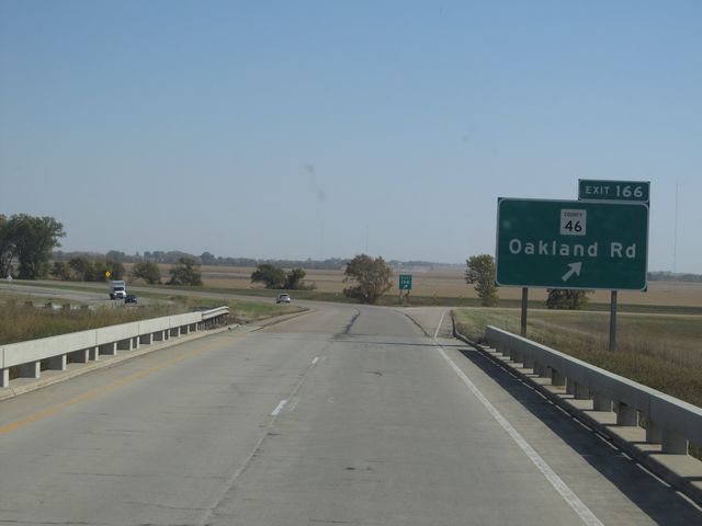 |
Interstate 90 East at Exit 166: CR 46 - Oakland Rd (Photo taken 10/5/11). |
 |
Interstate 90 East: Road view from mile marker 169. (Photo taken 10/5/11). |
 |
Interstate 90 East: Road view from mile marker 173. (Photo taken 10/5/11). |
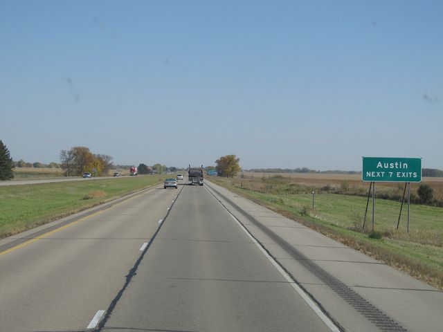 |
Use any of the next 7 exits to get to Austin. (Photo taken 10/5/11). |
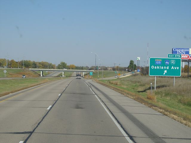 |
Interstate 90 East at Exit 175: MN 105 / CR 46 / Interstate 90 BL - Oakland Ave (Photo taken 10/5/11). |
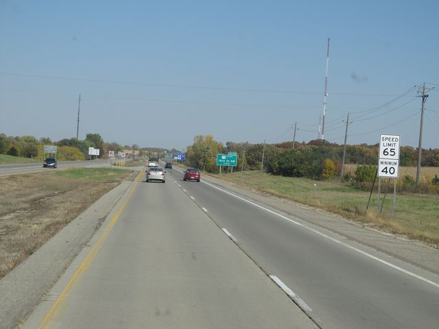 |
As you pass through the Austin area, the speed limit drops to 65 mph. The 40 mph minimum speed limit remains intact. (Photo taken 10/5/11). |
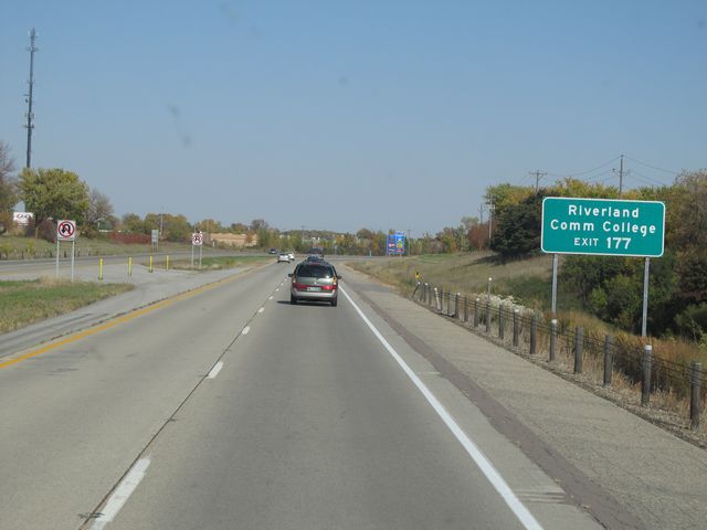 |
Use Exit 177 for Riverland Community College. (Photo taken 10/5/11). |
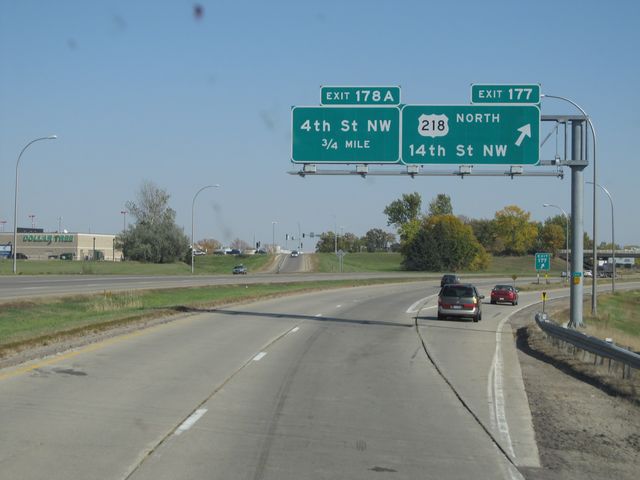 |
Interstate 90 East at Exit 177: US 218 North - 14th St NW (Photo taken 10/5/11). |
 |
Interstate 90 East at Exit 178A: 4th St NW (Photo taken 10/5/11). |
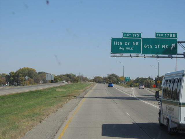 |
Interstate 90 East at Exit 178B: 6th St NE (Photo taken 10/5/11). |
 |
Interstate 90 East at Exit 179: 11th Dr NE (Photo taken 10/5/11). |
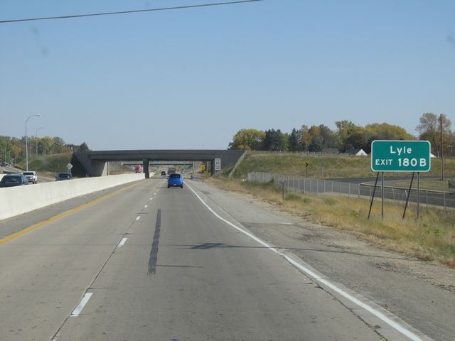 |
Use Exit 180B to get to Lyle. (Photo taken 10/5/11). |
 |
Interstate 90 East at Exit 180B: US 218 South - 21st St NE (Photo taken 10/5/11). |
 |
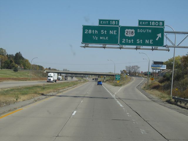
Interstate 90 East at Exit 181: 28th St NE (Photo taken 10/5/11). |
 |
Just past Exit 181, the speed limit increases back up to 70 mph as you leave the Austin area. (Photo taken 10/5/11). |
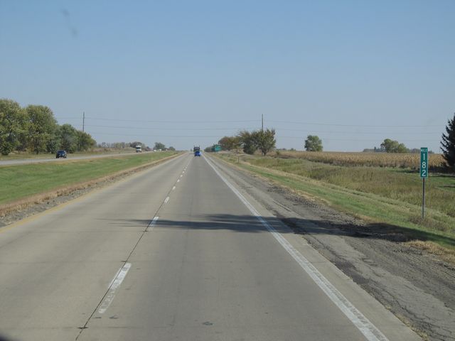 |
Interstate 90 East: Road view from mile marker 182. (Photo taken 10/5/11). |
 |
Interstate 90 East at Exit 183: MN 56 - Brownsdale / Rose Creek (Photo taken 10/5/11). |
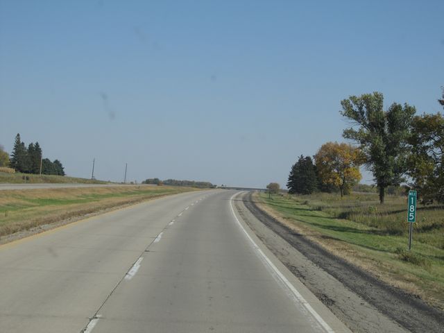 |
Interstate 90 East: Road view from mile marker 185. (Photo taken 10/5/11). |
 |
Interstate 90 East at Exit 187: CR 20 (Photo taken 10/5/11). |
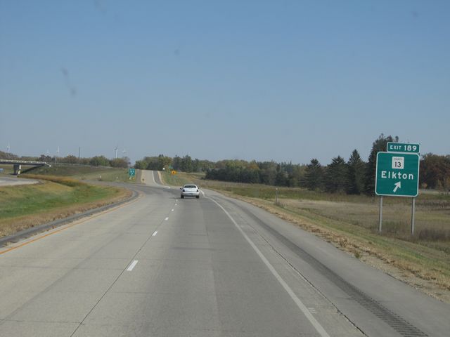 |
Interstate 90 East at Exit 189: CR 13 - Elkton (Photo taken 10/5/11). |
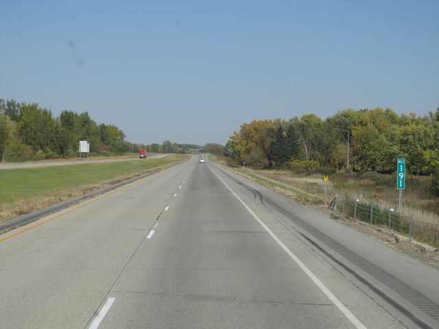 |
Interstate 90 East: Road view from mile marker 191. (Photo taken 10/5/11). |
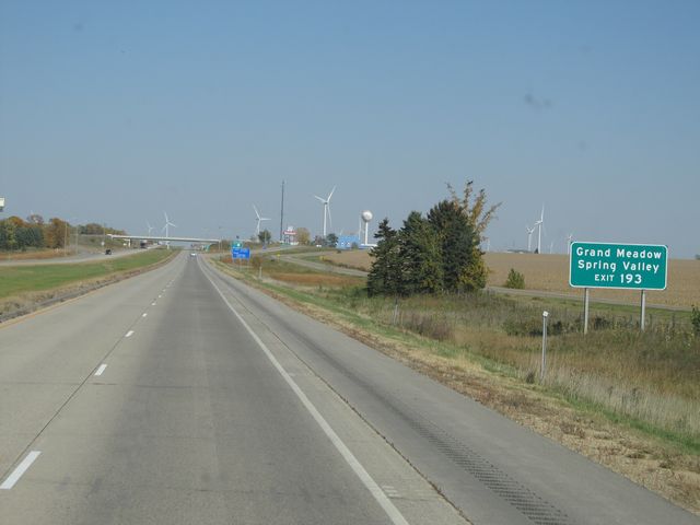 |
Use Exit 193 for Grand Meadow and Spring Valley. (Photo taken 10/5/11). |
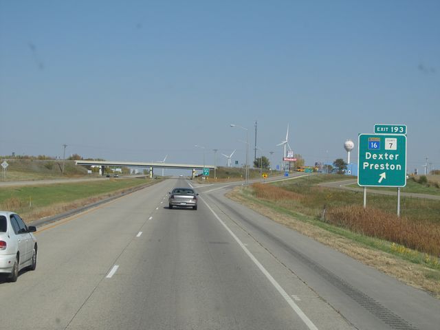 |
Interstate 90 East at Exit 193: MN 16 / CR 7 - Dexter / Preston (Photo taken 10/5/11). |
 |
Interstate 90 East: Road view from mile marker 194. (Photo taken 10/5/11). |
 |
Interstate 90 East: Road view from mile marker 198. (Photo taken 10/5/11). |
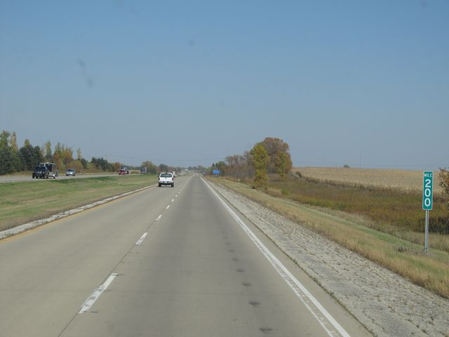 |
Interstate 90 East: Road view from mile marker 200. (Photo taken 10/5/11). |
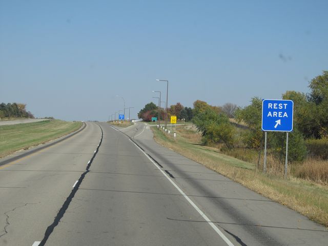 |
Interstate 90 East at the Rest Area located near mile marker 203. (Photo taken 10/5/11). |
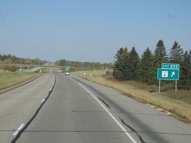 |
Interstate 90 East at Exit 205: CR 6 (Photo taken 10/5/11). |
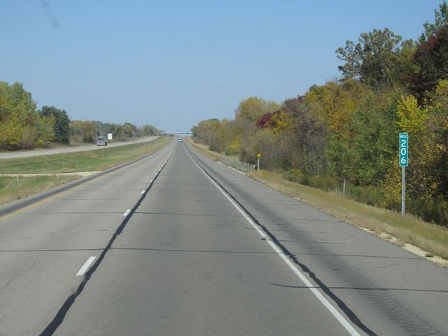 |
Interstate 90 East: Road view from mile marker 206. (Photo taken 10/5/11). |
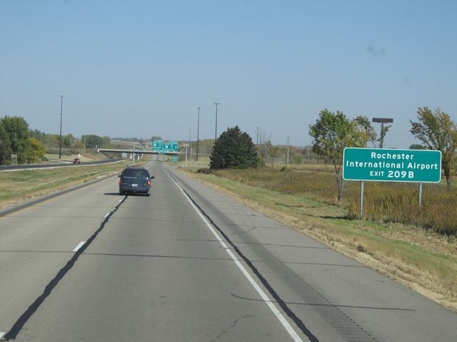 |
Use Exit 209B to get to Rochester International Airport. (Photo taken 10/5/11). |
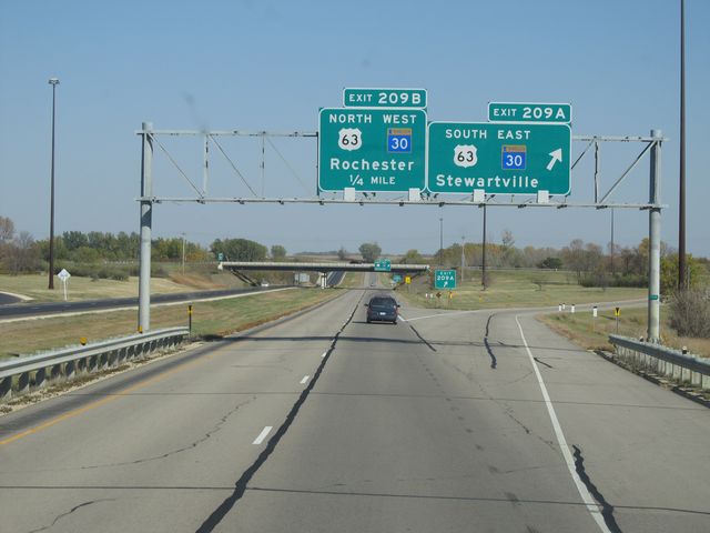 |
Interstate 90 East at Exit 209A: US 63 South / MN 30 East - Stewartville (Photo taken 10/5/11). |
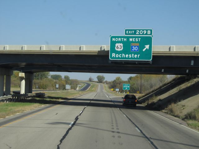 |
Interstate 90 East at Exit 209B: US 63 North / MN 30 West - Rochester (Photo taken 10/5/11). |
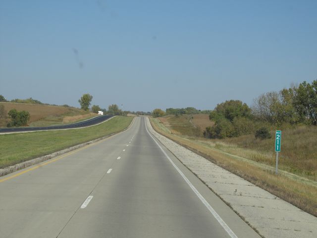 |
Interstate 90 East: Road view from mile marker 211. (Photo taken 10/5/11). |
 |
Interstate 90 East: Road view from mile marker 213. (Photo taken 10/5/11). |
 |
Interstate 90 East: Road view from mile marker 216. (Photo taken 10/5/11). |
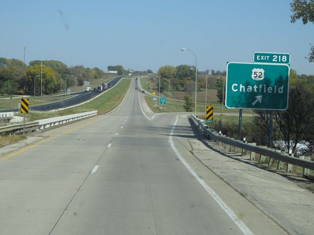 |
Interstate 90 East at Exit 218: US 52 - Chatfield (Photo taken 10/5/11). |
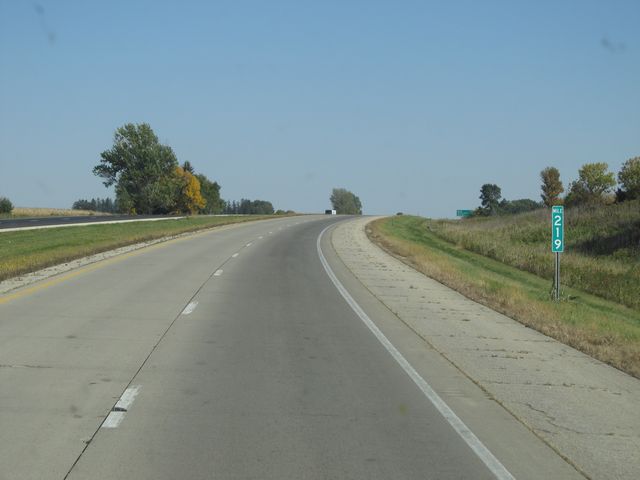 |
Interstate 90 East: Road view from mile marker 219. (Photo taken 10/5/11). |
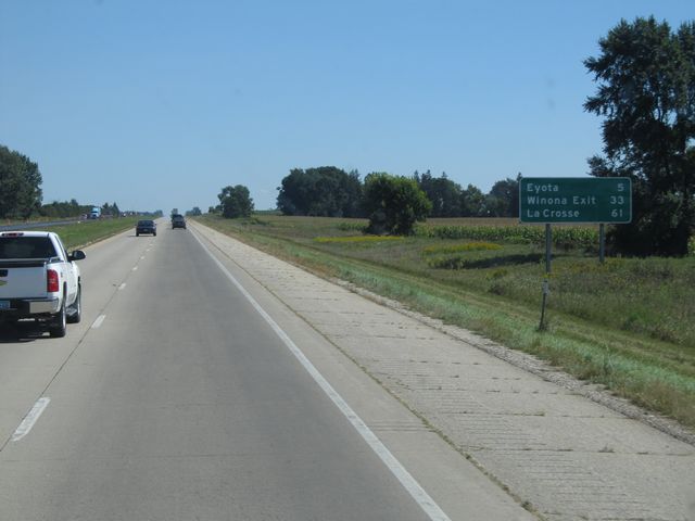 |
Mileage sign located near mile marker 220. It's 5 miles to Eyota, 33 miles to the Winona Exit, and 61 miles to La Crosse. (Photo taken 9/9/11). |
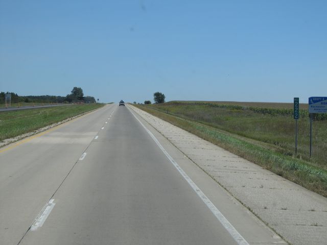 |
Interstate 90 East: Road view from mile marker 222. (Photo taken 9/9/11). |
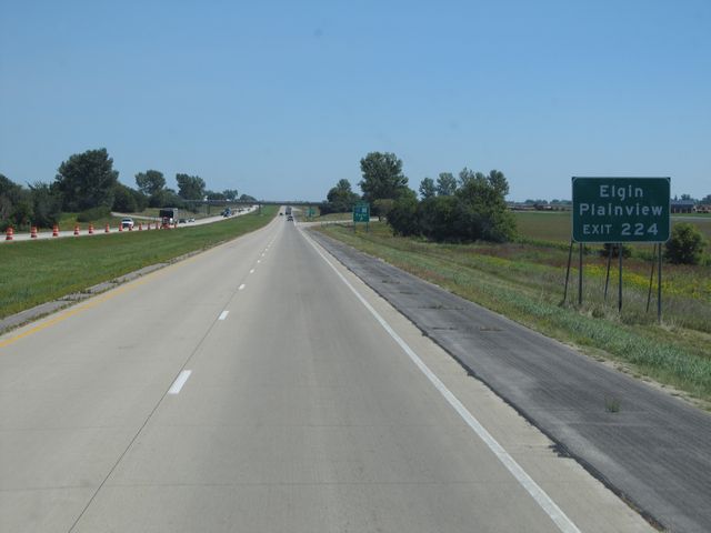 |
Use Exit 224 to get to Elgin and Plainview. (Photo taken 9/9/11). |
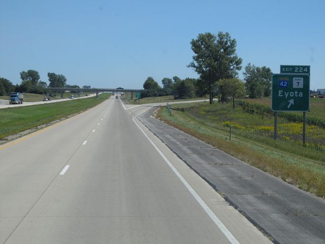 |
Interstate 90 East at Exit 224: MN 42 / CR 7 - Eyota (Photo taken 9/9/11). |
 |
Interstate 90 East shield located near mile marker 224. (Photo taken 9/9/11). |
 |
Interstate 90 East: Road view from mile marker 226. (Photo taken 9/9/11). |
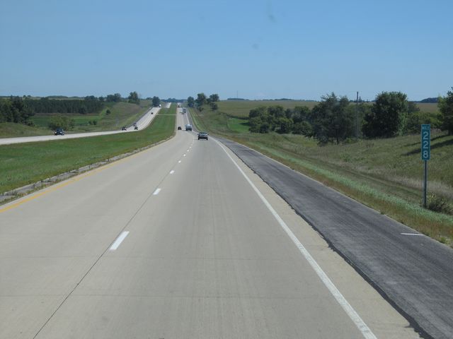 |
Interstate 90 East: Road view from mile marker 228. (Photo taken 9/9/11). |
 |
Interstate 90 East at Exit 229: CR 10 - Dover (Photo taken 9/9/11). |
Section 3: Dover (Exit 229) to Wisconsin Border
 |
Interstate 90 East: Road view from mile marker 231. (Photo taken 9/9/11). |
 |
Use Exit 233 for Whitewater State Park. (Photo taken 9/9/11). |
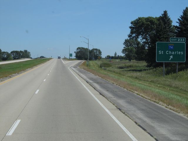 |
Interstate 90 East at Exit 233: MN 74 - St Charles (Photo taken 9/9/11). |
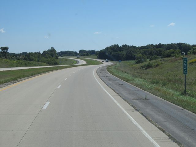 |
Interstate 90 East: Road view from mile marker 234. (Photo taken 9/9/11). |
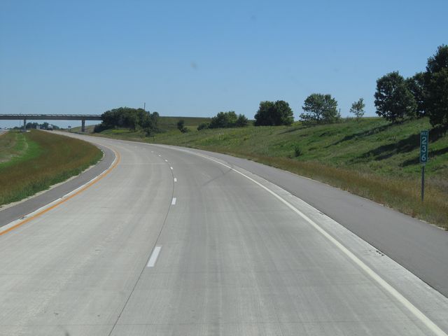 |
Interstate 90 East: Road view from mile marker 236. (Photo taken 9/9/11). |
 |
Interstate 90 East: Road view from mile marker 238. (Photo taken 9/9/11). |
 |
Interstate 90 East: Road view from mile marker 240. (Photo taken 9/9/11). |
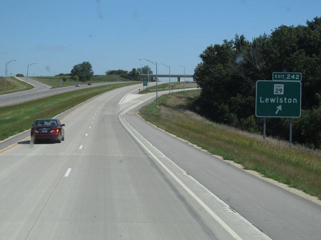 |
Interstate 90 East at Exit 242: CR 29 - Lewiston (Photo taken 9/9/11). |
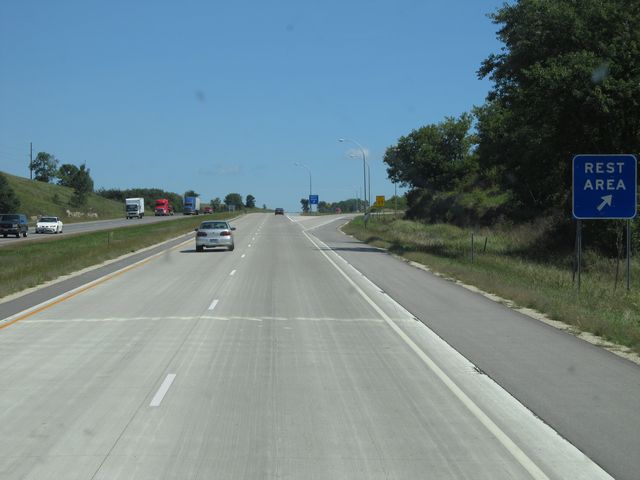 |
Interstate 90 East at the Rest Area located near mile marker 244.5. (Photo taken 9/9/11). |
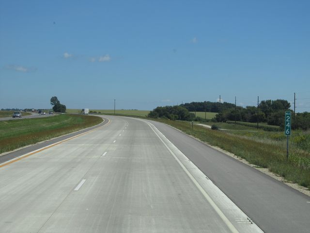 |
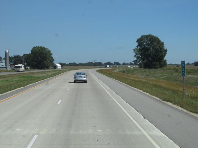
Interstate 90 East: Road view from mile marker 246. (Photo taken 9/9/11). |
 |
Interstate 90 East: Road view from mile marker 247. (Photo taken 9/9/11). |
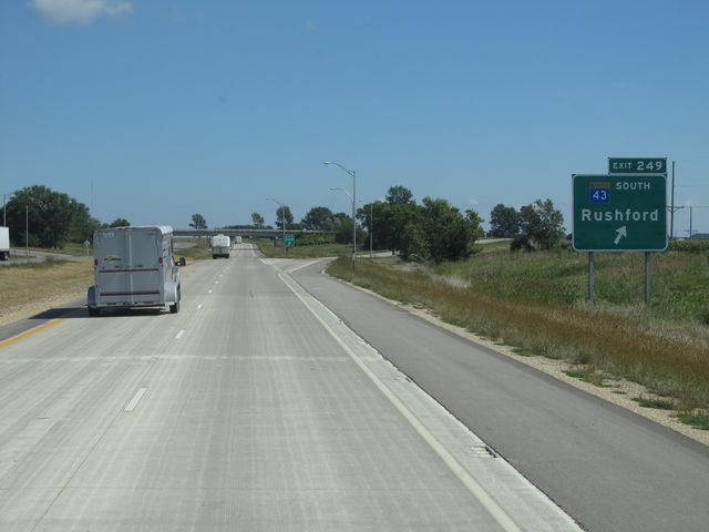 |
Interstate 90 East at Exit 249: MN 43 South - Rushford (Photo taken 9/9/11). |
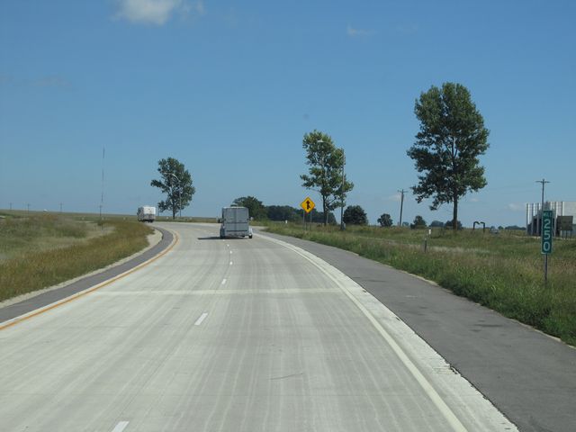 |
Interstate 90 East: Road view from mile marker 250. (Photo taken 9/9/11). |
 |
Interstate 90 East at Exit 252: MN 43 North - Winona (Photo taken 9/9/11). |
 |
Interstate 90 East: Road view from mile marker 255. (Photo taken 9/9/11). |
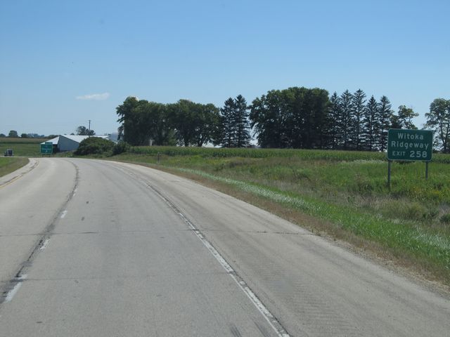 |
Use Exit 258 to get to Witoka and Ridgeway. (Photo taken 9/9/11). |
 |
Interstate 90 East at Exit 258: MN 76 - Houston (Photo taken 9/9/11). |
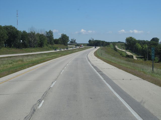 |
Interstate 90 East: Road view from mile marker 260. (Photo taken 9/9/11). |
 |
Interstate 90 East at the Weigh Station located near mile marker 261. (Photo taken 9/9/11). |
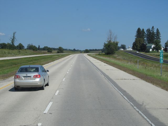 |
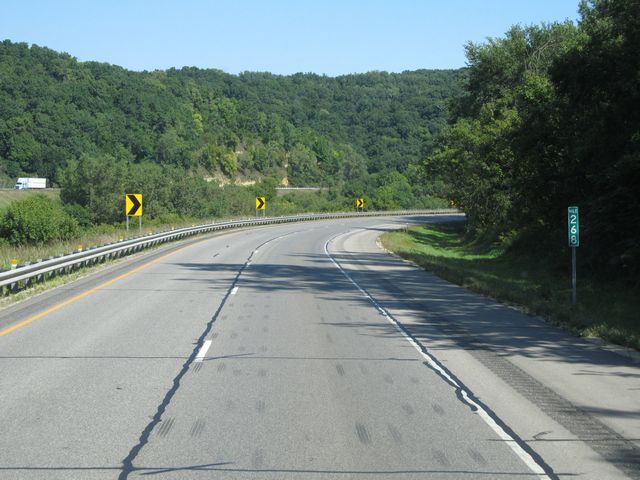
Interstate 90 East: Road view from mile marker 263. (Photo taken 9/9/11). |
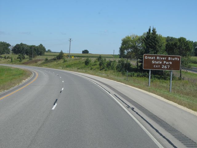 |
Use Exit 267 for Great River Bluffs State Park. (Photo taken 9/9/11). |
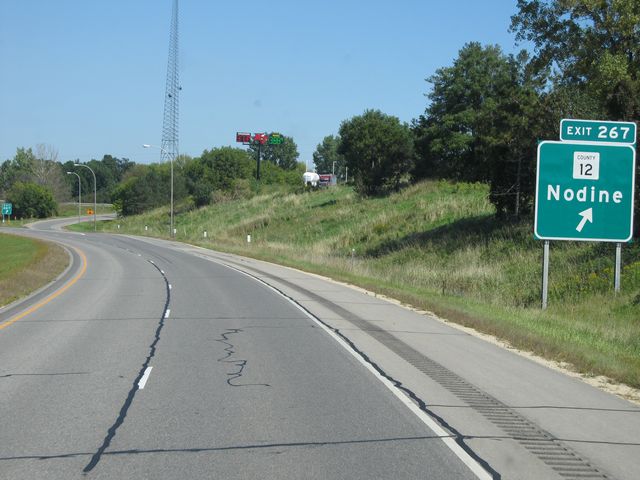 |
Interstate 90 East at Exit 267: CR 12 - Nodine (Photo taken 9/9/11). |
 |
Interstate 90 East: Road view from mile marker 268. (Photo taken 9/9/11). |
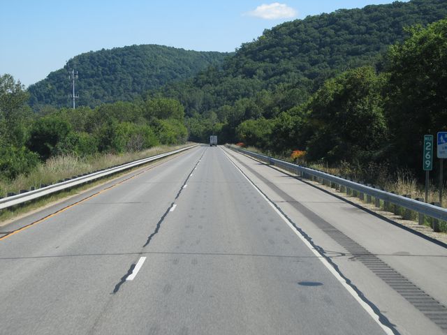 |
Interstate 90 East: Road view from mile marker 269. (Photo taken 9/9/11). |
 |
Interstate 90 East: Road view from mile marker 270. (Photo taken 9/9/11). |
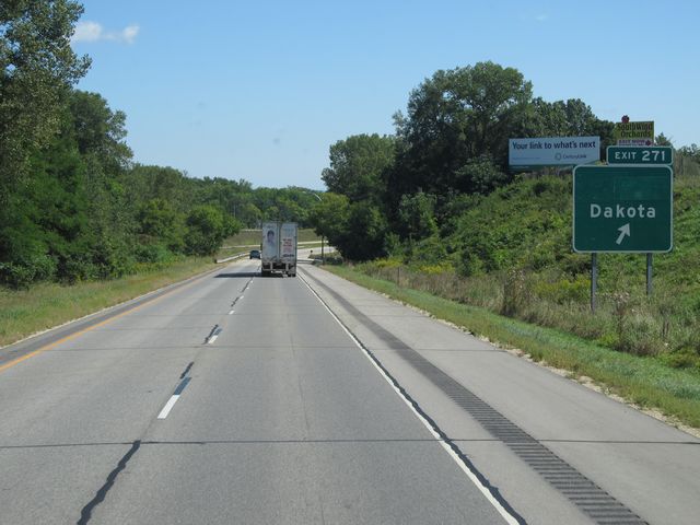 |
Interstate 90 East at Exit 271: Dakota (Photo taken 9/9/11). |
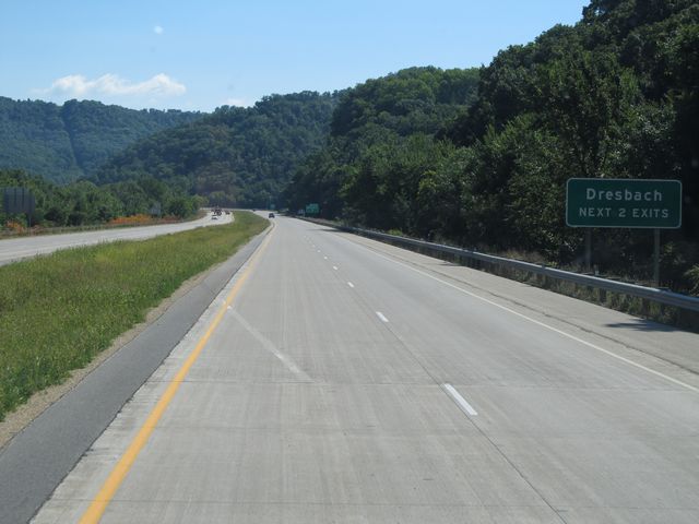 |
Use either of the next 2 exits to get to Dresbach. (Photo taken 9/9/11). |
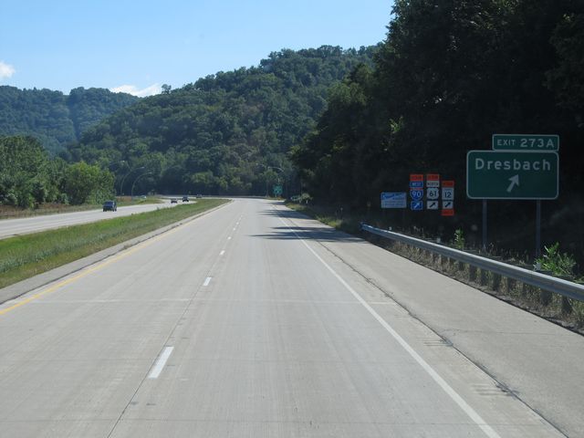 |
Interstate 90 East at Exit 273A: Dresbach (Photo taken 9/9/11). |
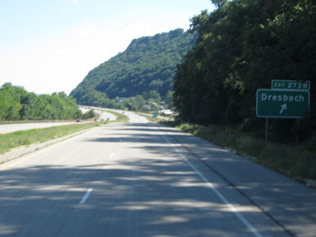 |
Interstate 90 East at Exit 273B: Dresbach. Sorry about this one, it got away from me. (Photo taken 9/9/11). |
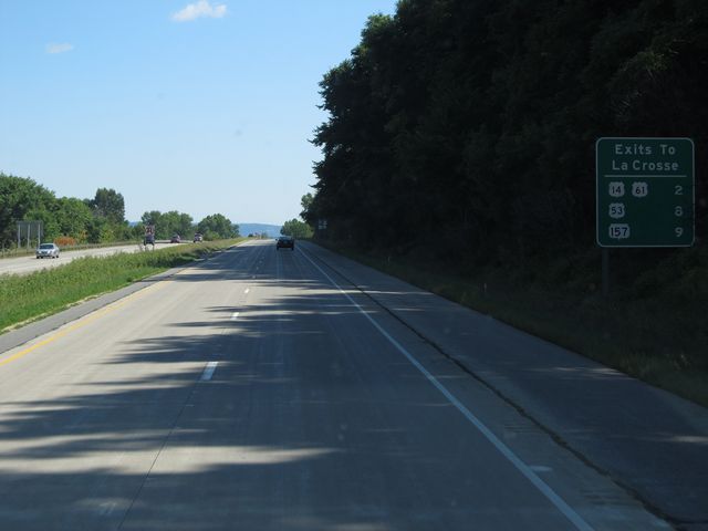 |
Sign listing the distances to the upcoming La Crosse exits. The second two exits are after you cross the Mississippi River into Wisconsin. (Photo taken 9/9/11). |
 |
Interstate 90 East: Road view from mile marker 275. (Photo taken 9/9/11). |
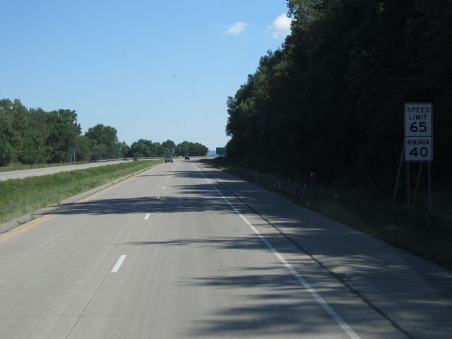 |
Just past mile marker 275, the speed limit drops to 65 mph as you near the river. The 40 mph minimum speed limit remains intact. (Photo taken 9/9/11). |
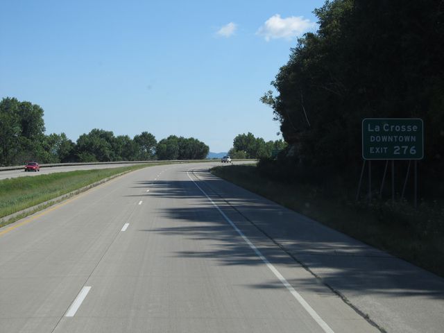 |
Use Exit 276 for downtown La Crosse. (Photo taken 9/9/11). |
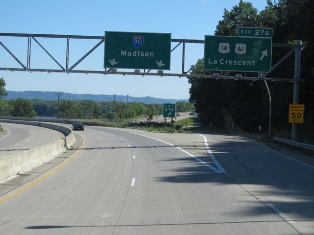 |
Interstate 90 East at Exit 276: US 14 / US 61 - La Crescent (Photo taken 9/9/11). |
 |
Interstate 90 East as it prepares to cross the Mississippi River and into Wisconsin. (Photo taken 9/9/11). |