Road Information |
||
 |
||
| Total Mileage in State: | 235 miles | |
| Northern End: | At Missouri state line | |
| Southern End: | At Oklahoma state line | |
| Mileage covered in Photos: | 235 miles | |
| Counties covered in Photos: | Wyandotte, Johnson, Miami, Franklin, Osage, Coffey, Lyon, Chase, Butler, Sedgwick, Sumner | |
| Major Junctions in Photos: | I-635, in Kansas City I-435, in Lenexa I-335 (Kansas Turnpike), in Emporia I-135/I-235, in Wichita |
|
| Control Cities in Photos: | Kansas City, Overland Park, Lenexa, Emporia, El Dorado, Wichita | |
Southbound
- Section 1: Missouri Border to Olathe (Exit 215)
- Section 2: Olathe (Exit 215) to Ottawa (Exit 183)
- Section 3: Ottawa (Exit 183) to Emporia (Exit 127A)
- Section 4: Emporia (Exit 127A) to El Dorado (Exit 76)
- Section 5: El Dorado (Exit 76) to Wichita (Exit 42)
- Section 6: Wichita (Exit 42) to Oklahoma Border
Section 1: Missouri Border to Olathe (Exit 215)
 |
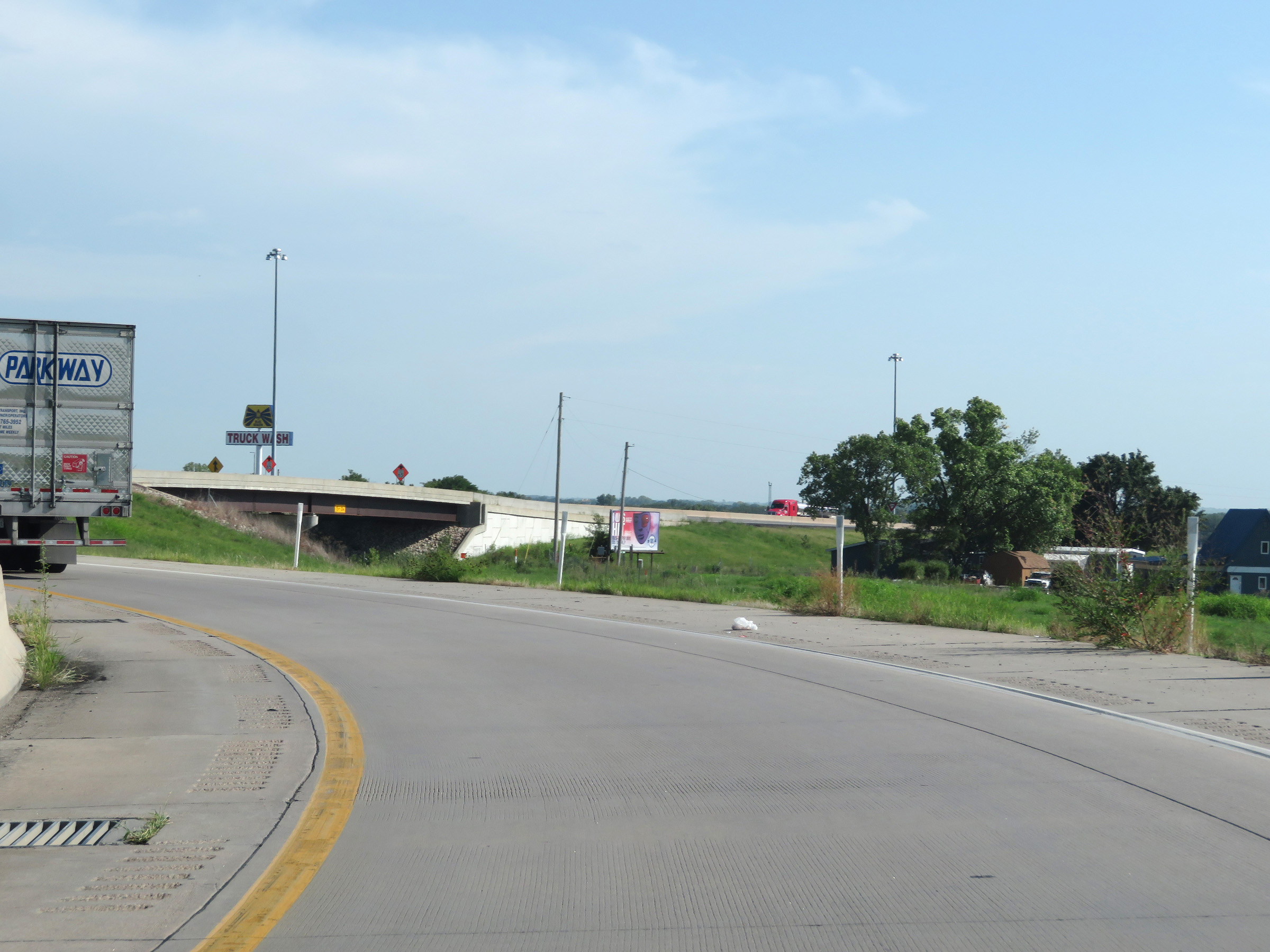
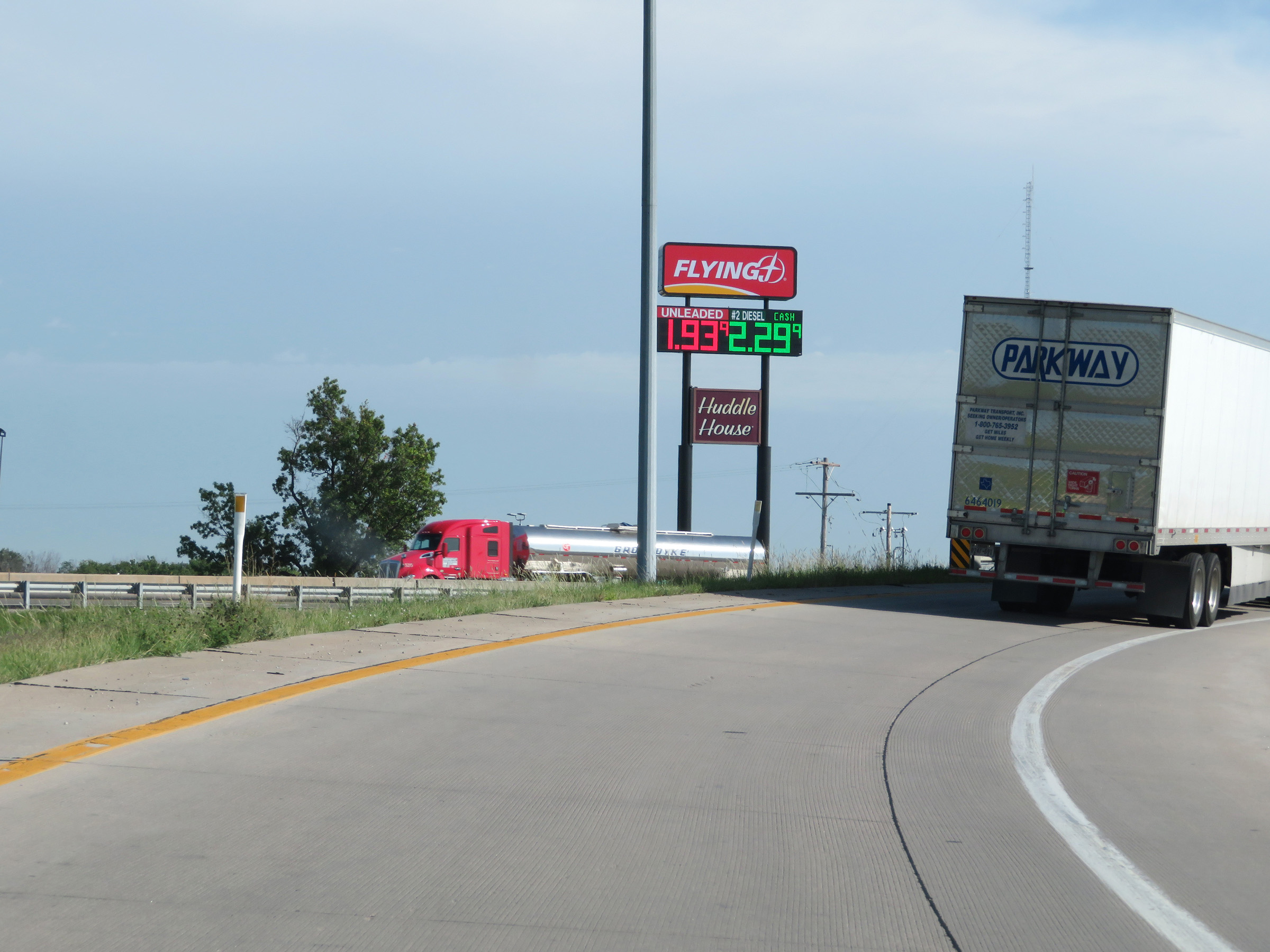
Interstate 35 South as it enters Kansas from Missouri, starting out in Kansas City and Wyandotte County. (Photo taken 8/10/20). |
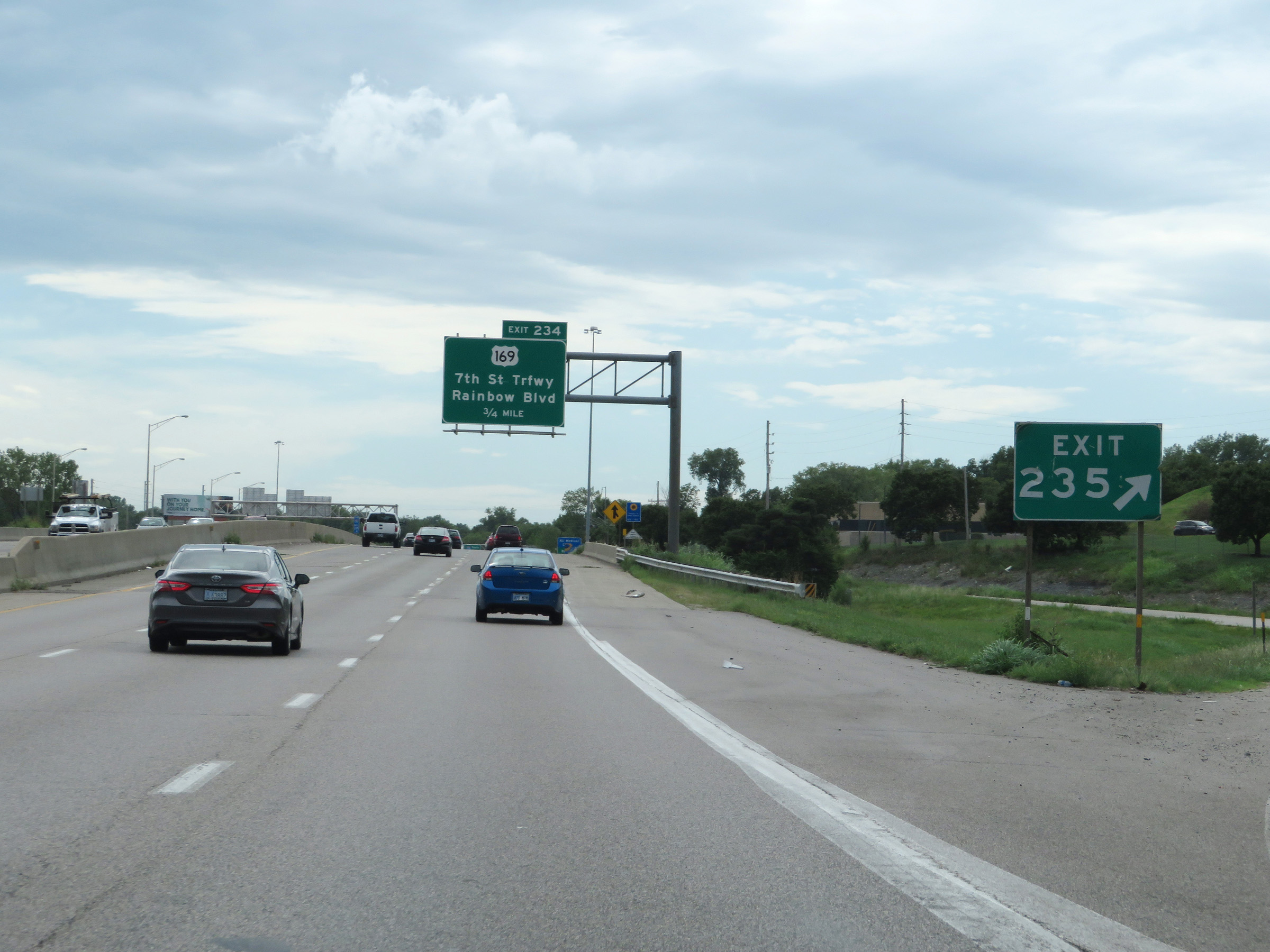 |
Interstate 35 South at Exit 235: Cambridge Circle (Photo taken 8/10/20). |
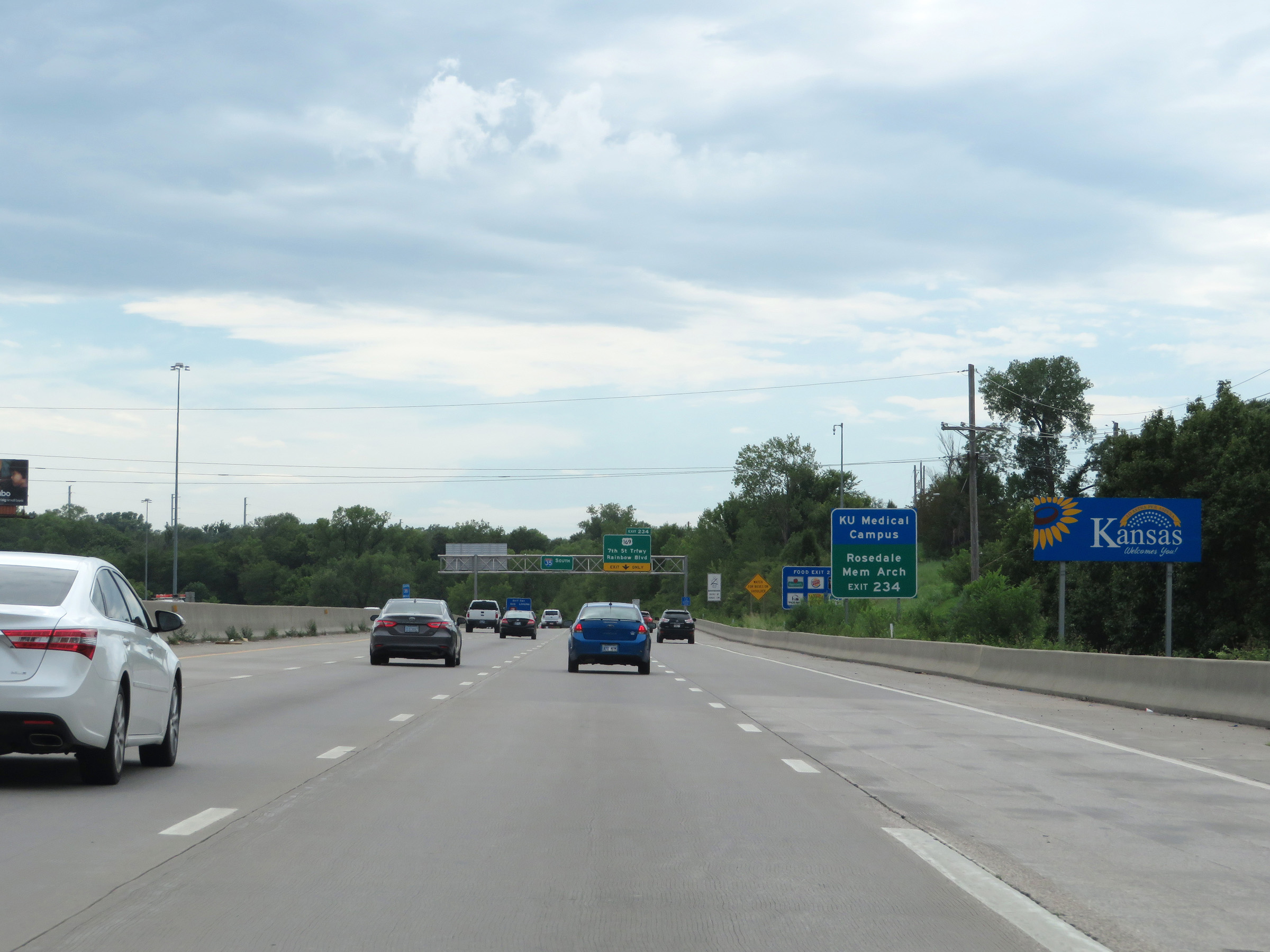 |
Kansas welcome sign just beyond Exit 235. (Photo taken 8/10/20). |
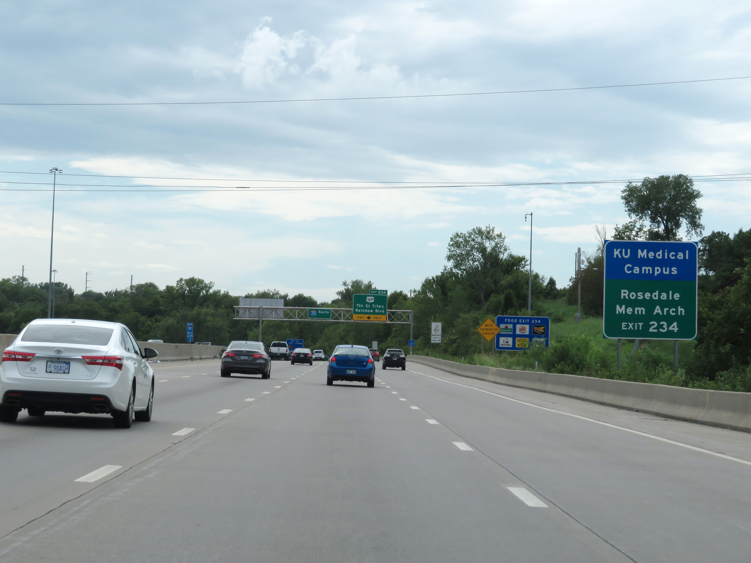 |
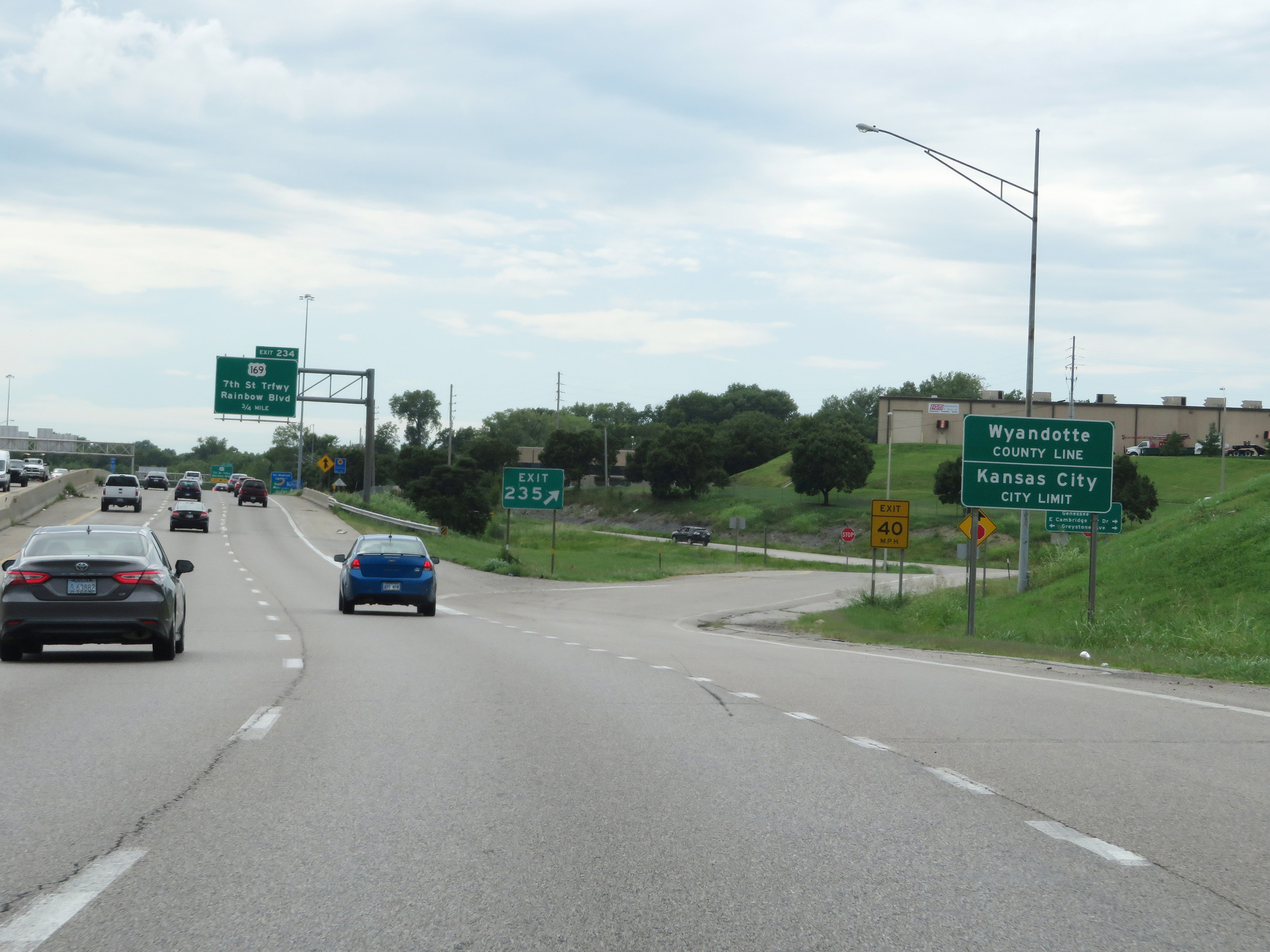
Take Exit 234 to the KU Medical Campus and Rosedale Memorial Arch. (Photo taken 8/10/20). |
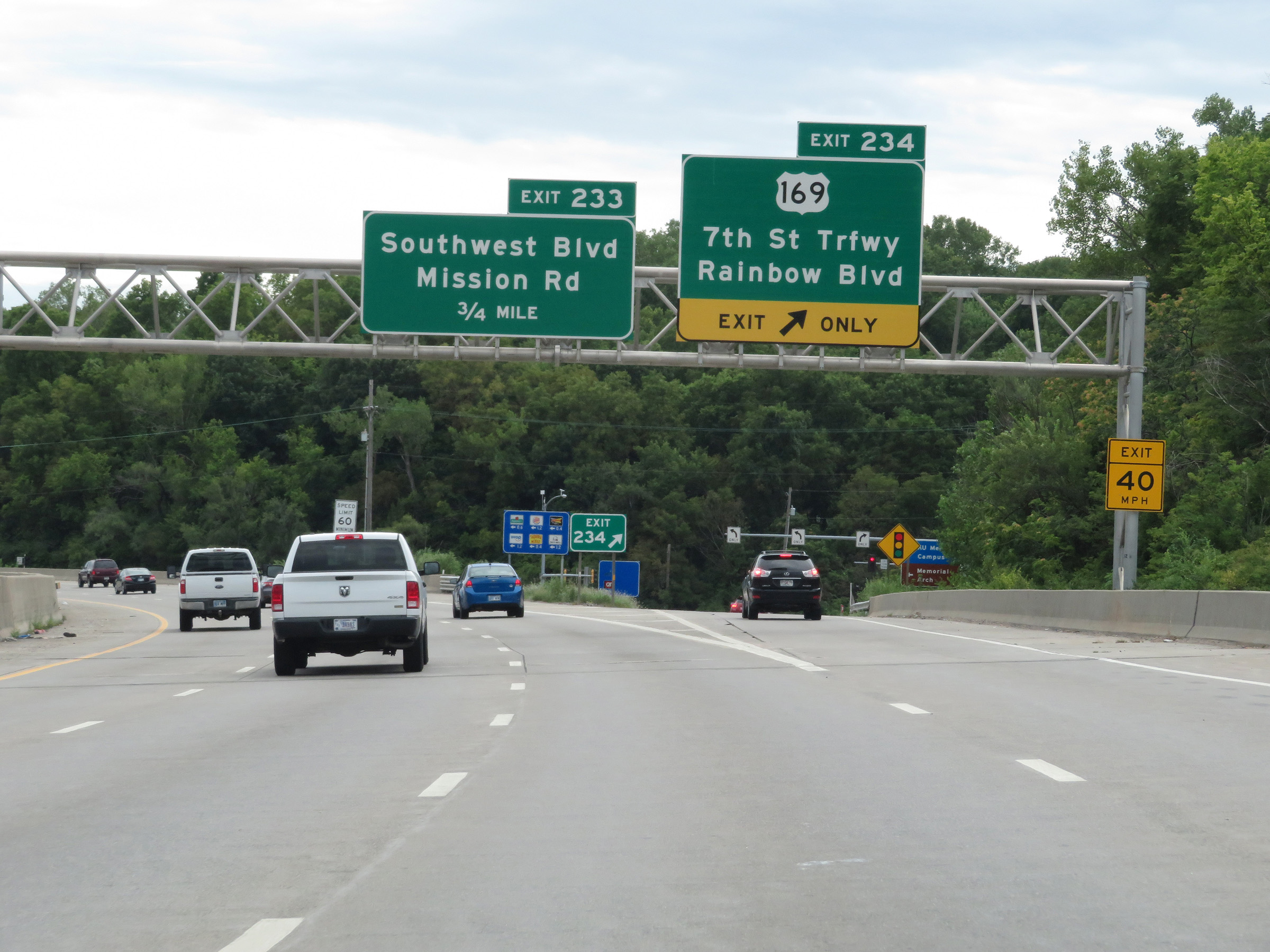 |
Interstate 35 South at Exit 234: US 169 - 7th St Trafficway / Rainbow Blvd (Photo taken 8/10/20). |
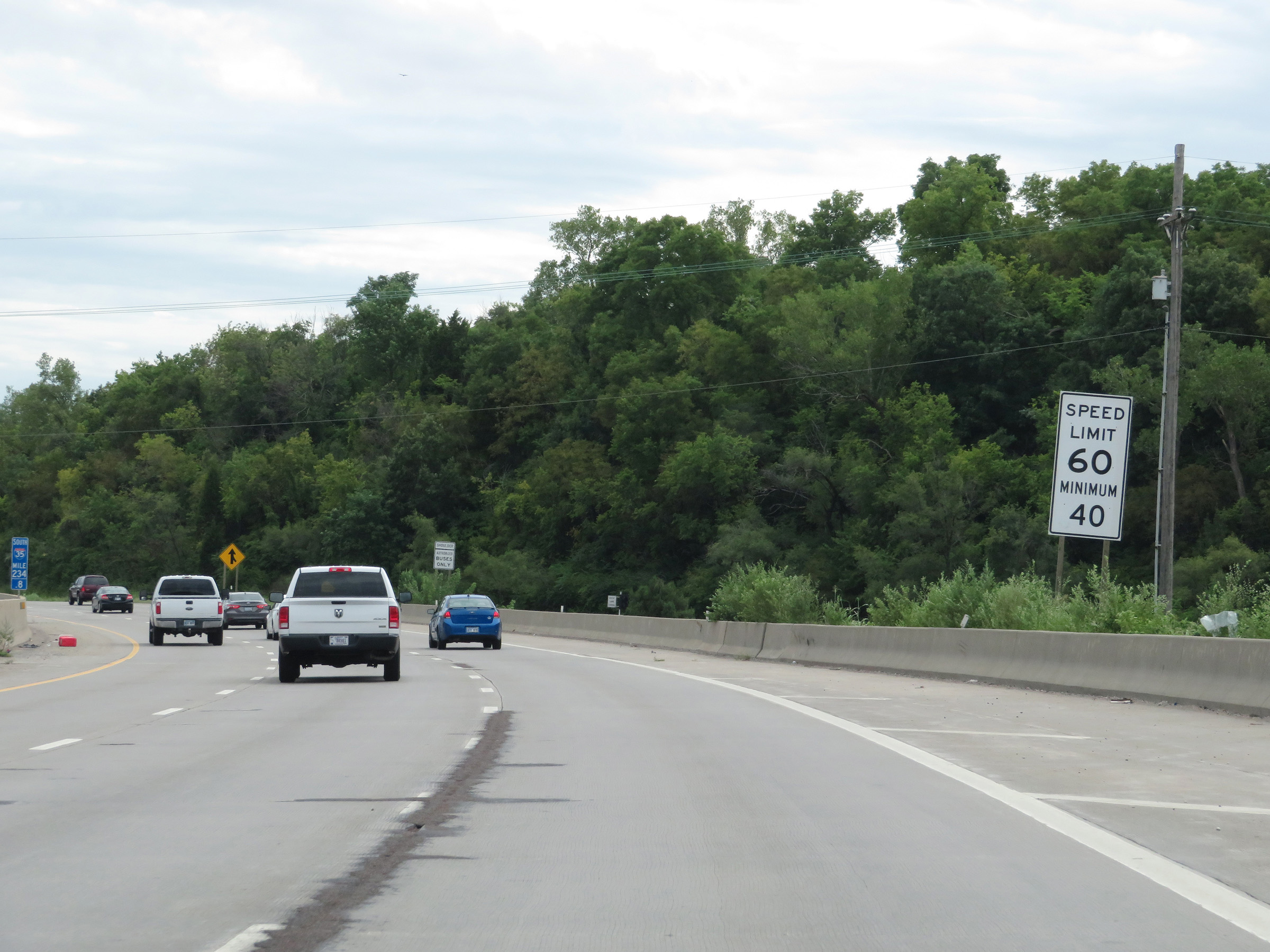 |
The speed limits on Interstate 35 South in Kansas start out at 60 mph maximum and 40 mph minimum in the Kansas City area. (Photo taken 8/10/20). |
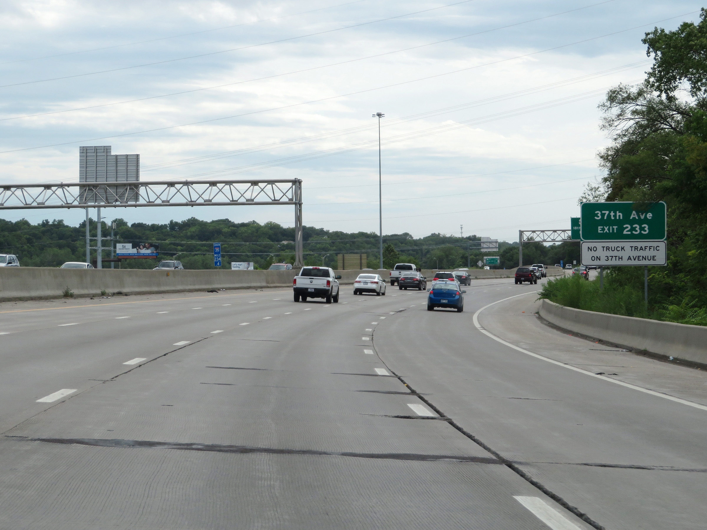 |
Take Exit 233 to 37th Ave. Trucks are prohibited on 37th Ave. (Photo taken 8/10/20). |
 |
Interstate 35 South at Exit 233: Southwest Blvd / Mission Rd (Photo taken 8/10/20). |
 |
View on Interstate 35 South at mile marker 234. (Photo taken 8/10/20). |
 |
State-named Interstate 35 South reassurance shield. (Photo taken 8/10/20). |
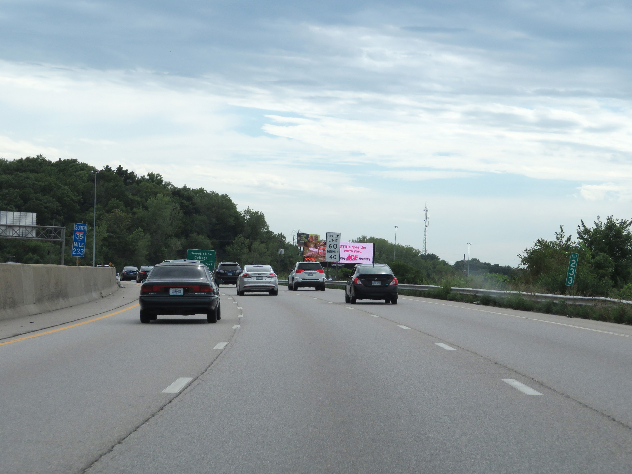 |
Interstate 35 South at mile marker 233. (Photo taken 8/10/20). |
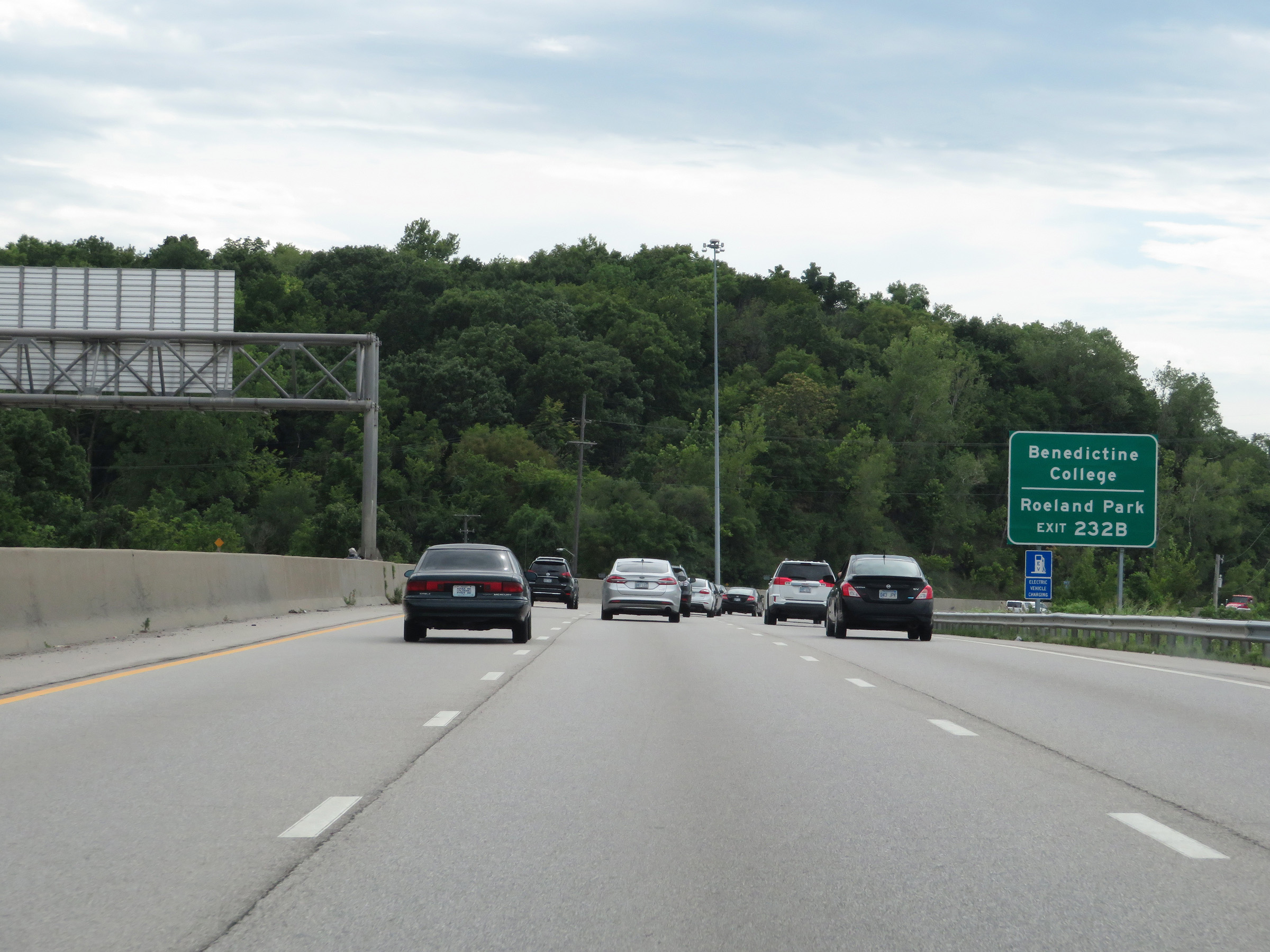 |
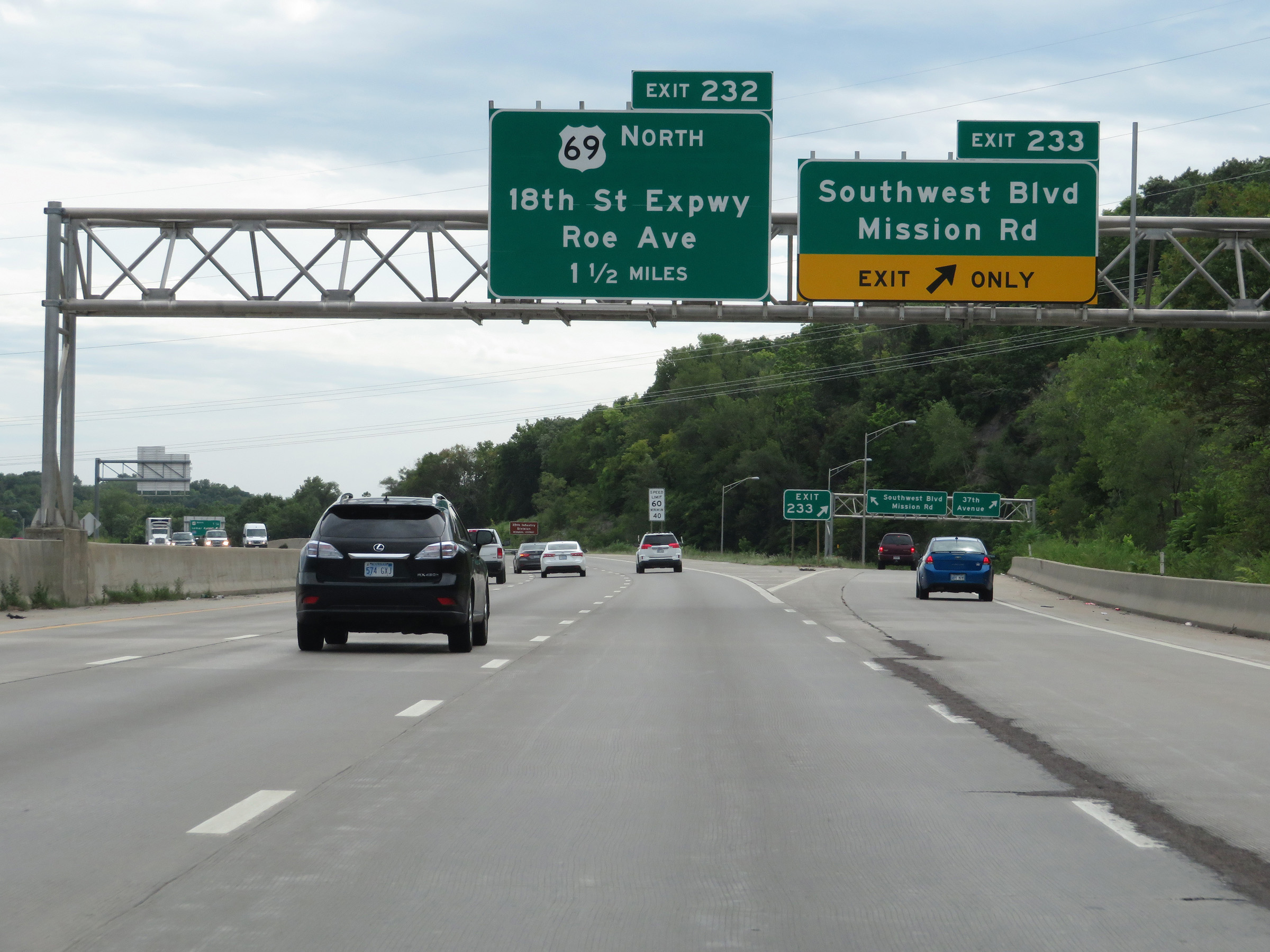
Take Exit 232B to Benedictine College and Roeland Park. (Photo taken 8/10/20). |
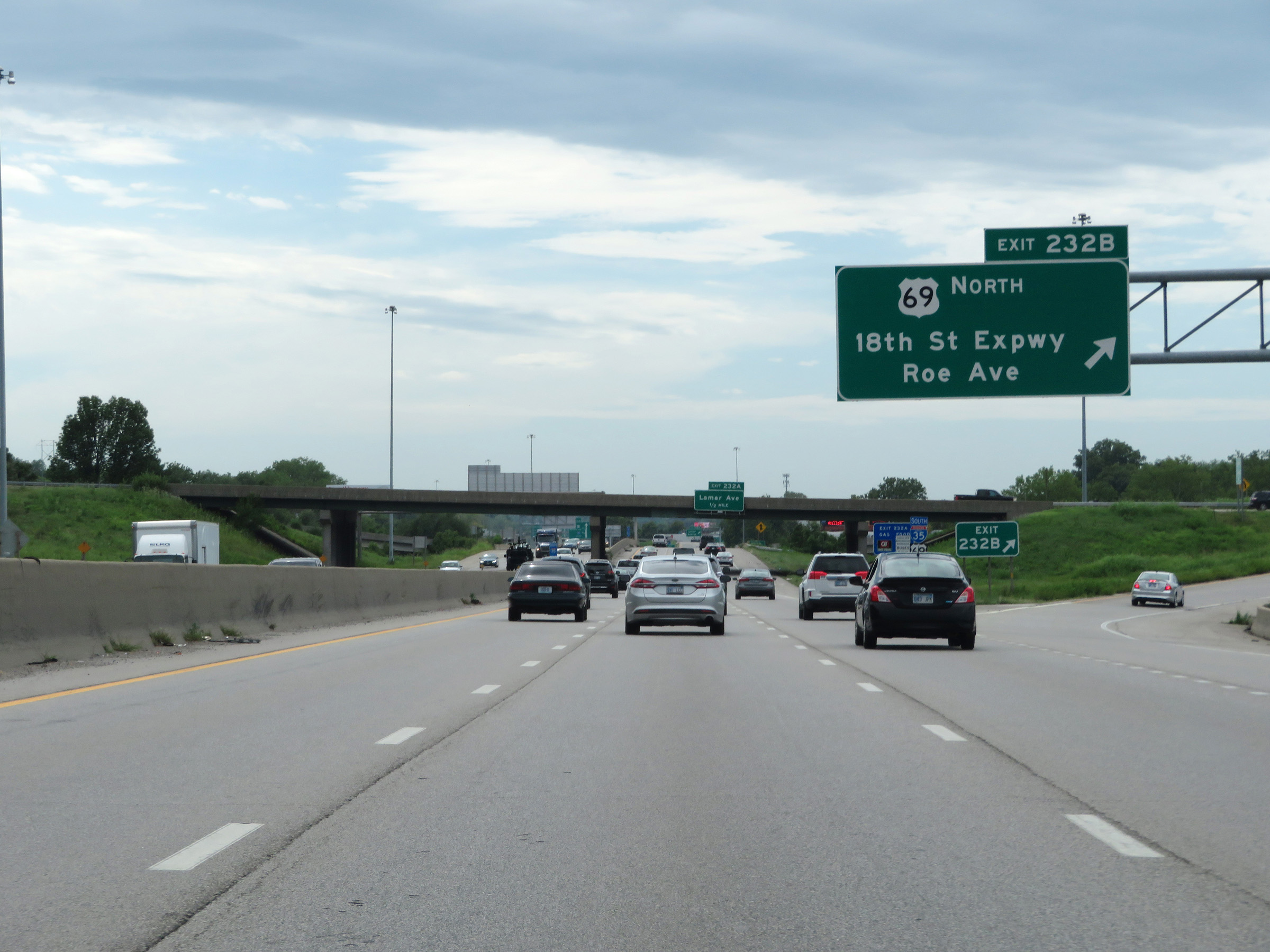 |
Interstate 35 South at Exit 232B: US 69 North - 18th St Expwy / Roe Ave (Photo taken 8/10/20). |
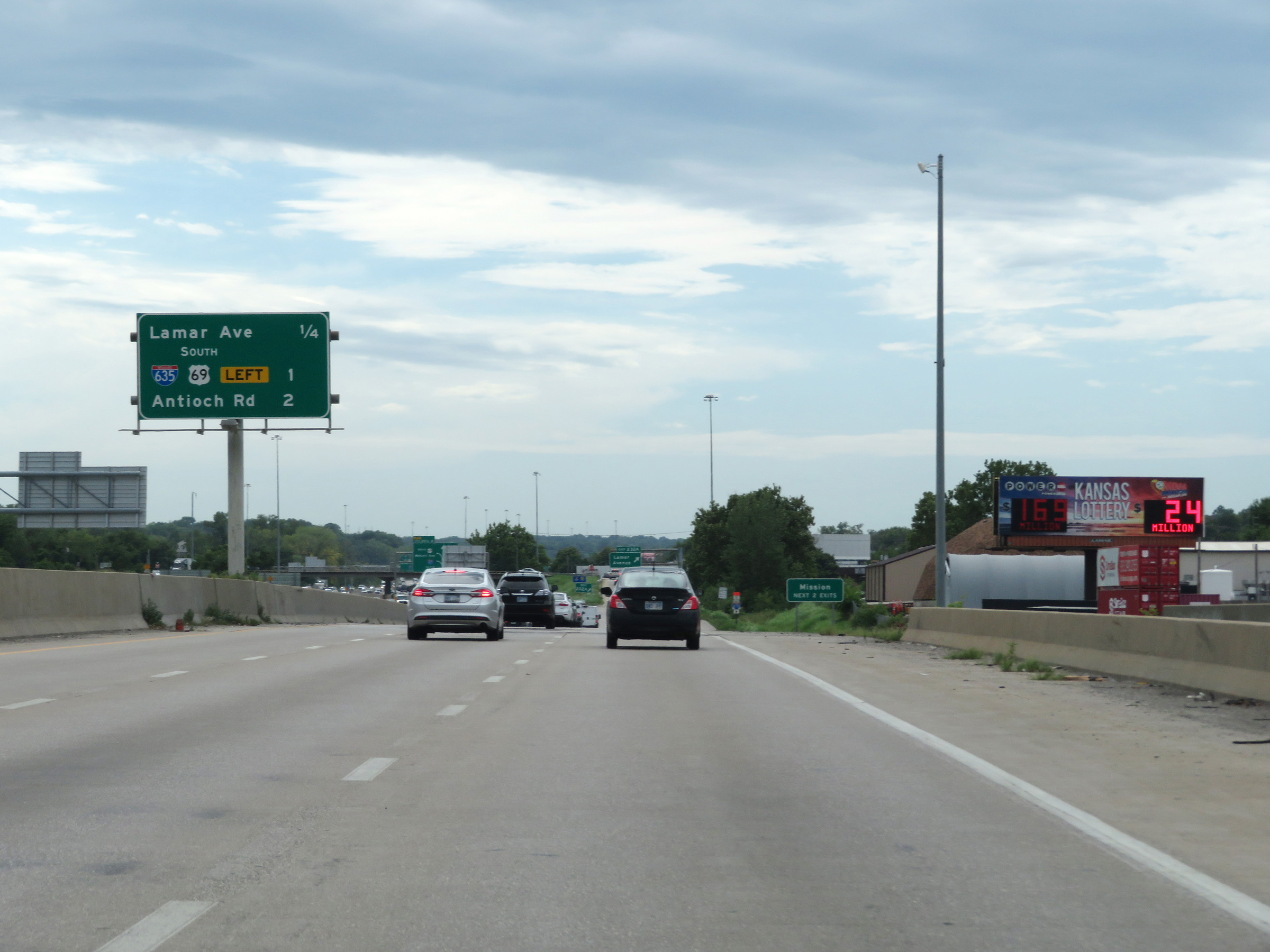 |
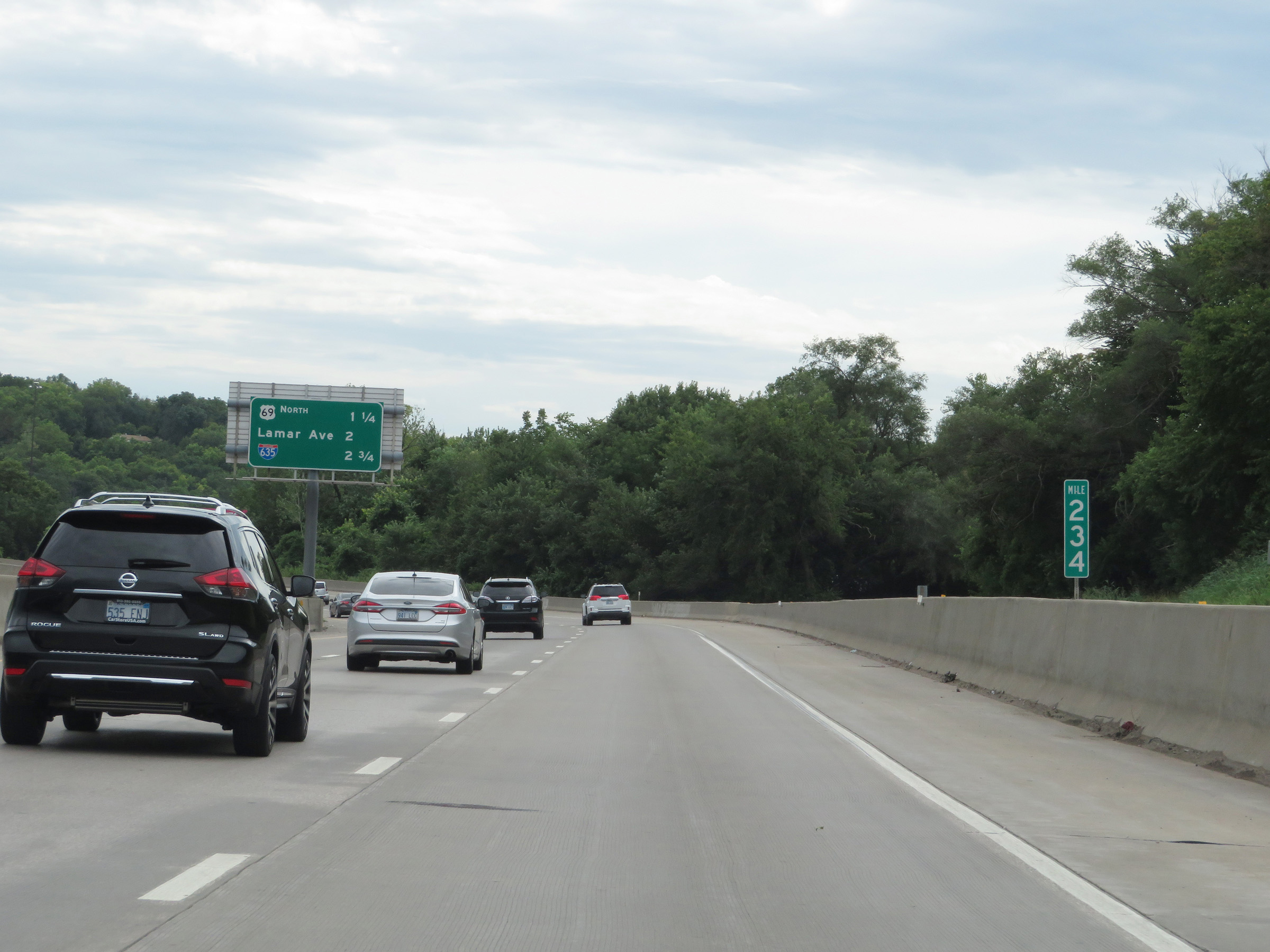
Overhead mileage sign listing the distances to the three upcoming interchanges on Interstate 35 South. (Photo taken 8/10/20). |
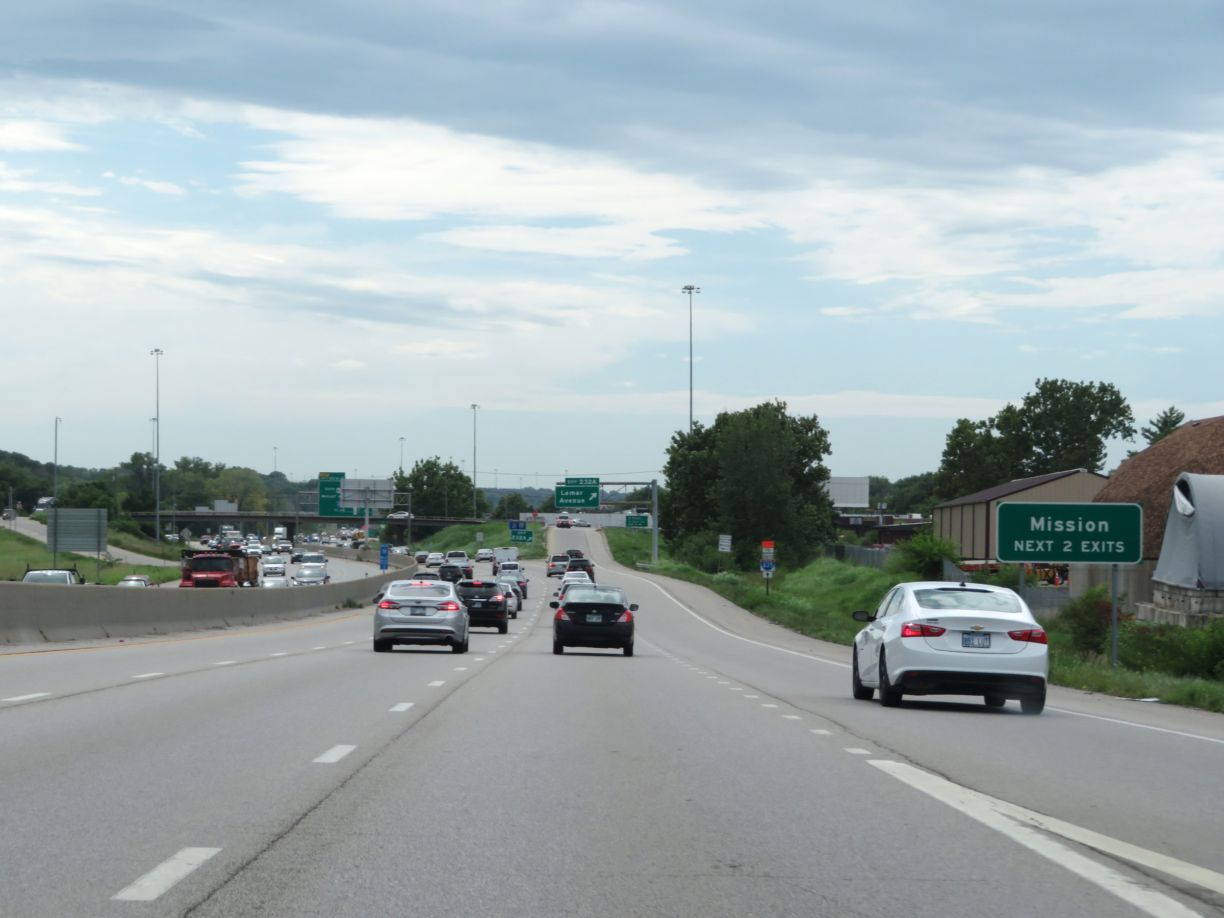 |
Take either of the next 2 exits to Mission. (Photo taken 8/10/20). |
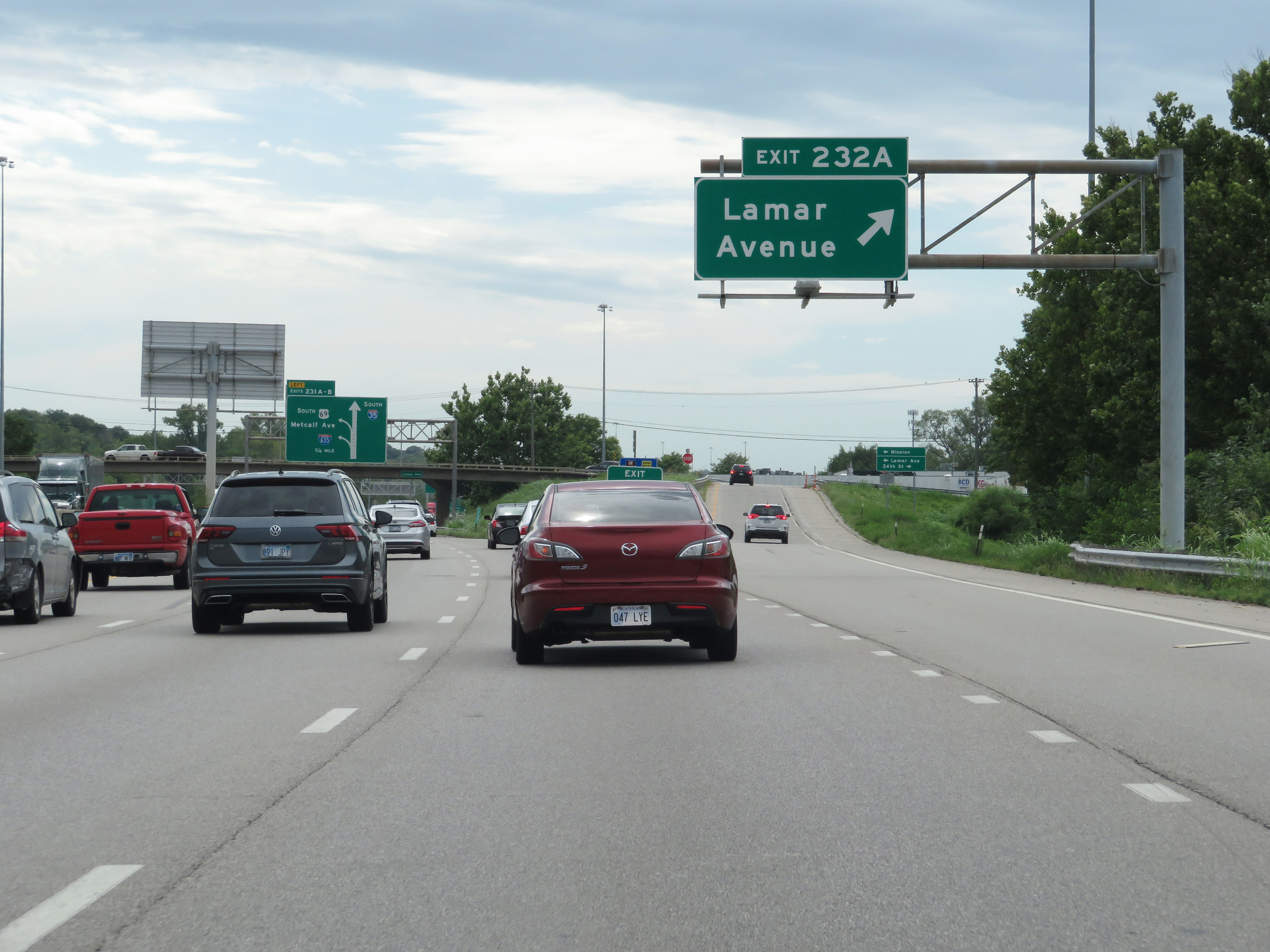 |
Interstate 35 South at Exit 232A: Lamar Avenue (Photo taken 8/10/20). |
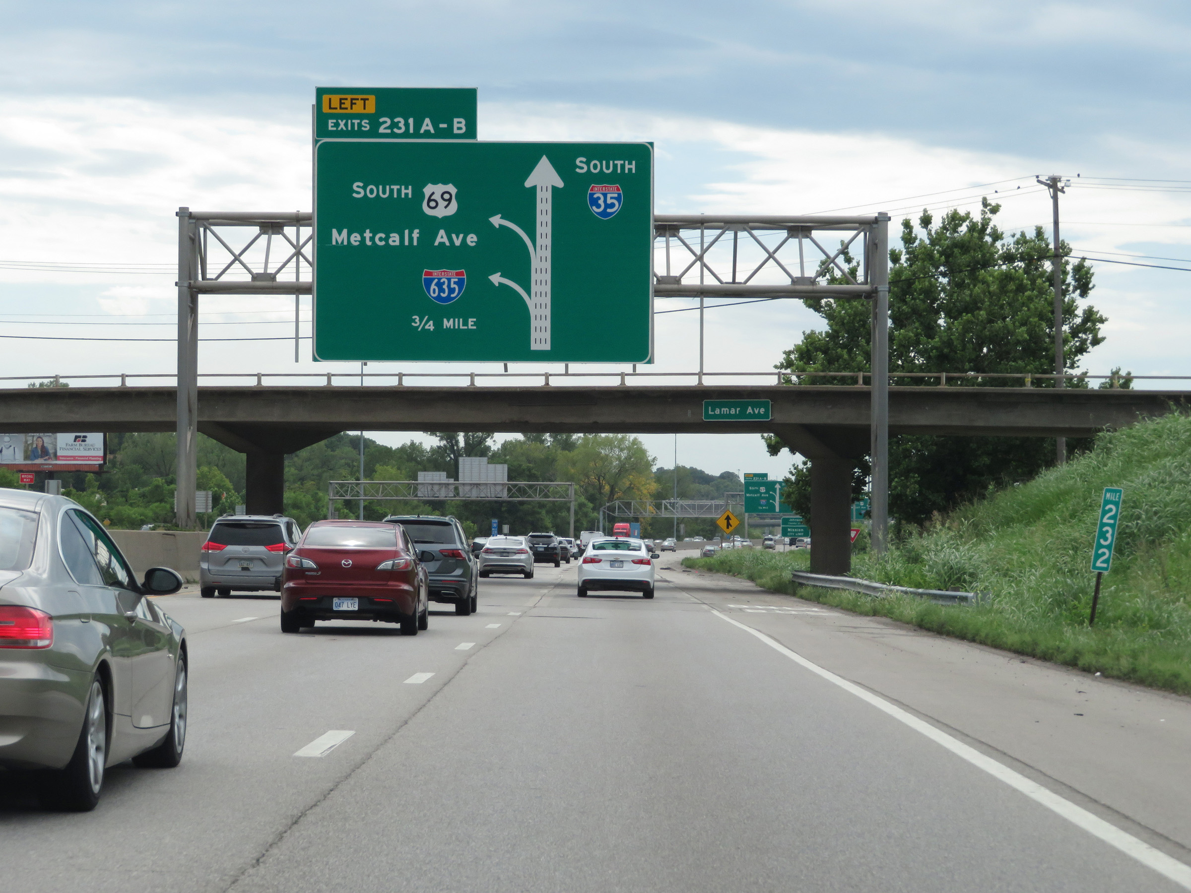 |
Interstate 35 South approaching Exits 231A-B - 3/4 mile. Both exits will be on the left. (Photo taken 8/10/20). |
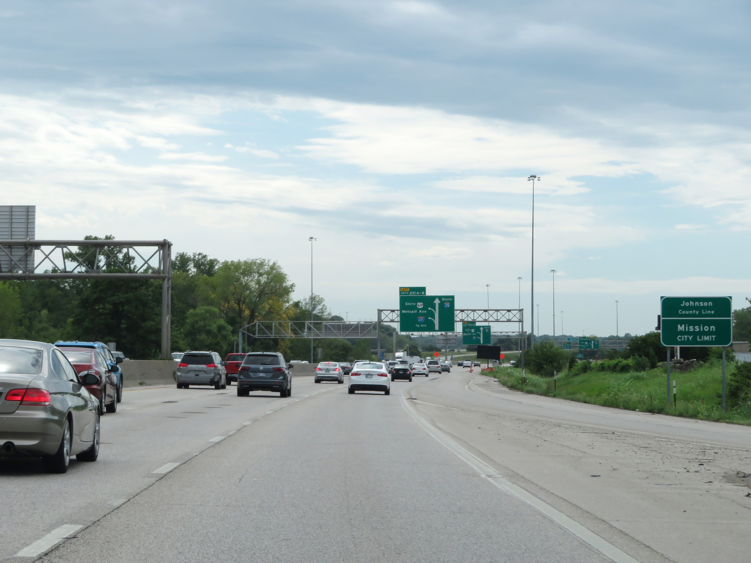 |
Interstate 35 South as it enters Johnson County. (Photo taken 8/10/20). |
 |
Interstate 35 South at Exit 231A: Interstate 635 (Photo taken 8/10/20). |
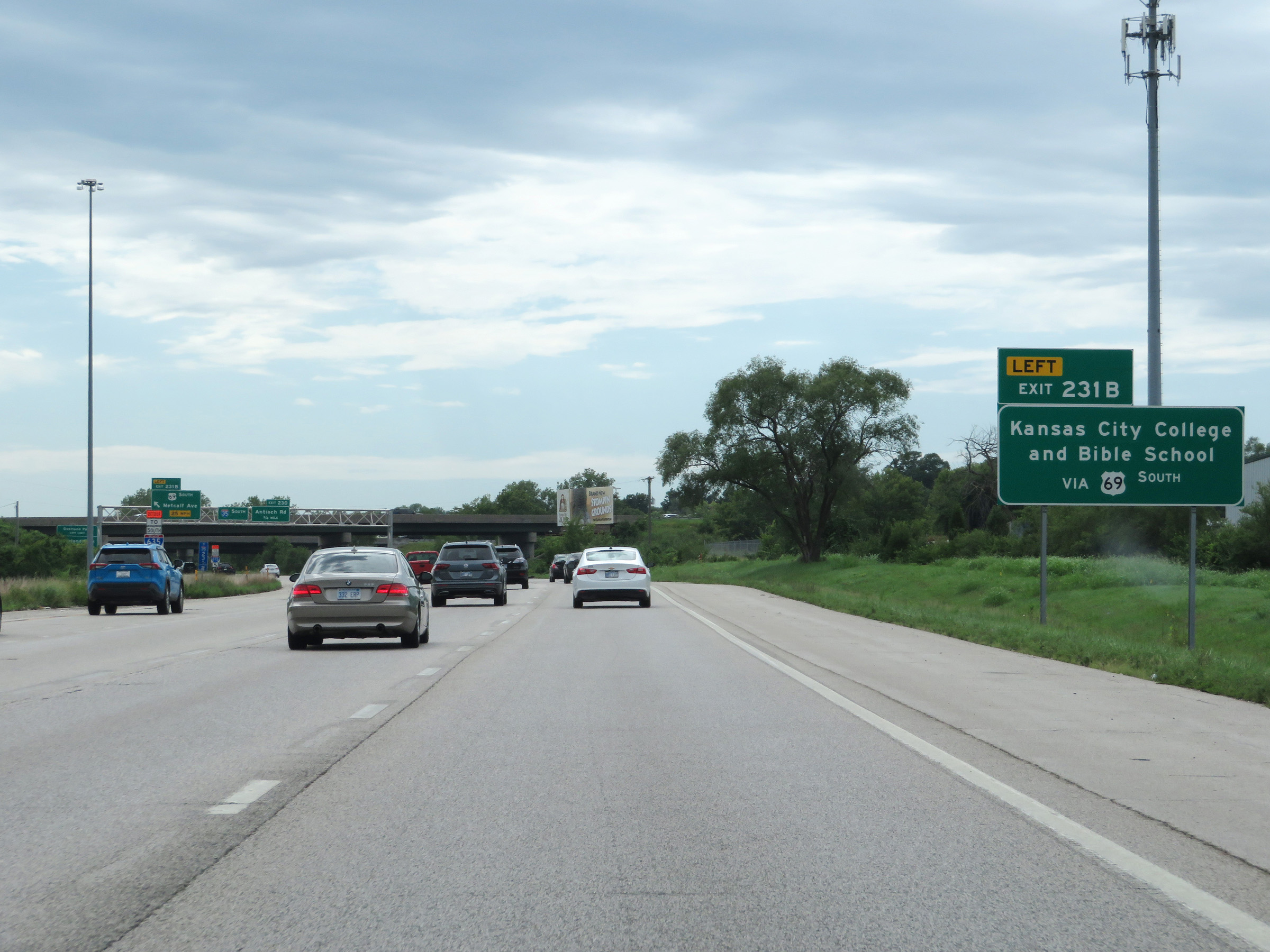 |
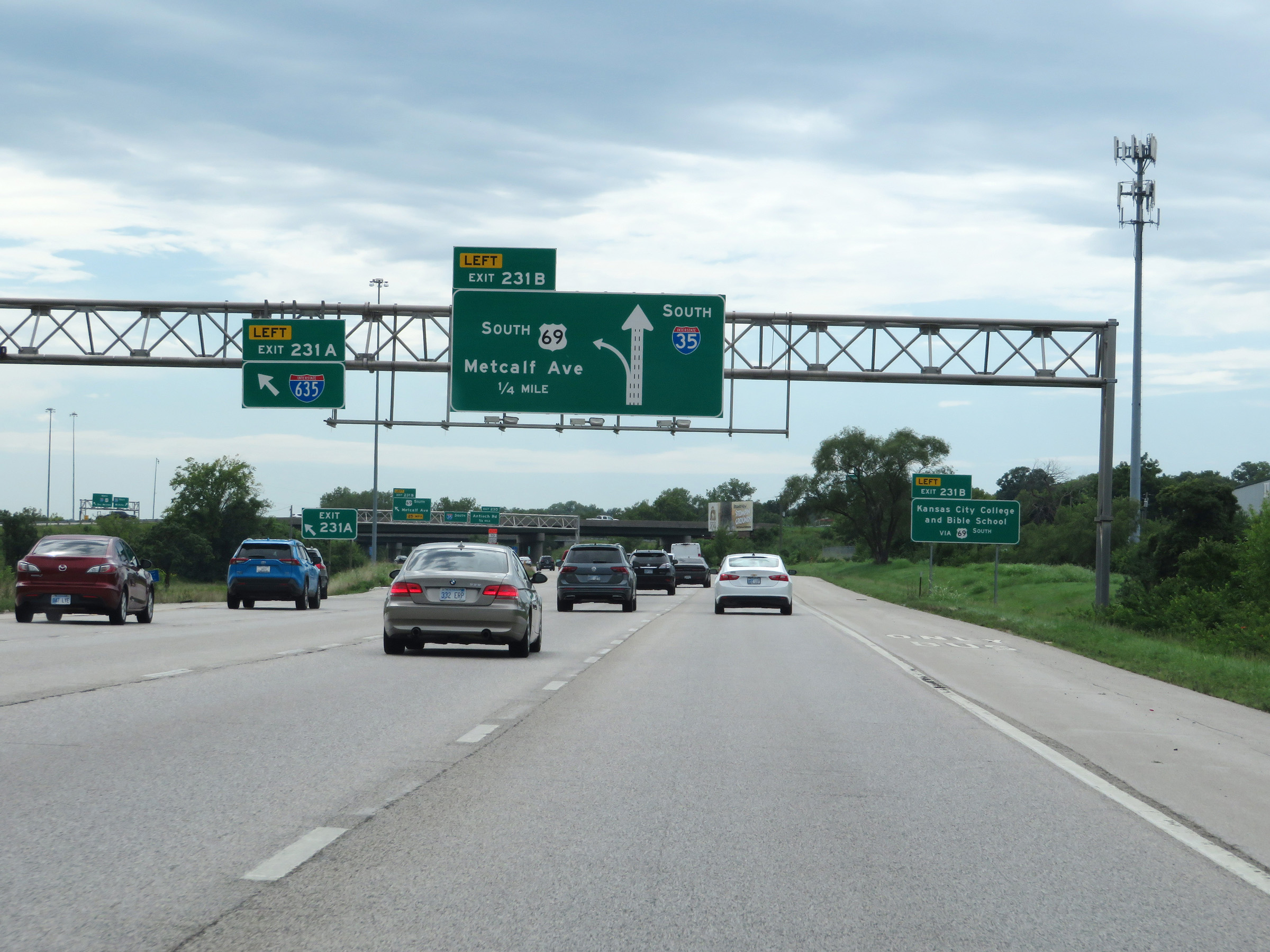
Take Exit 231B to Kansas City College and Bible School. (Photo taken 8/10/20). |
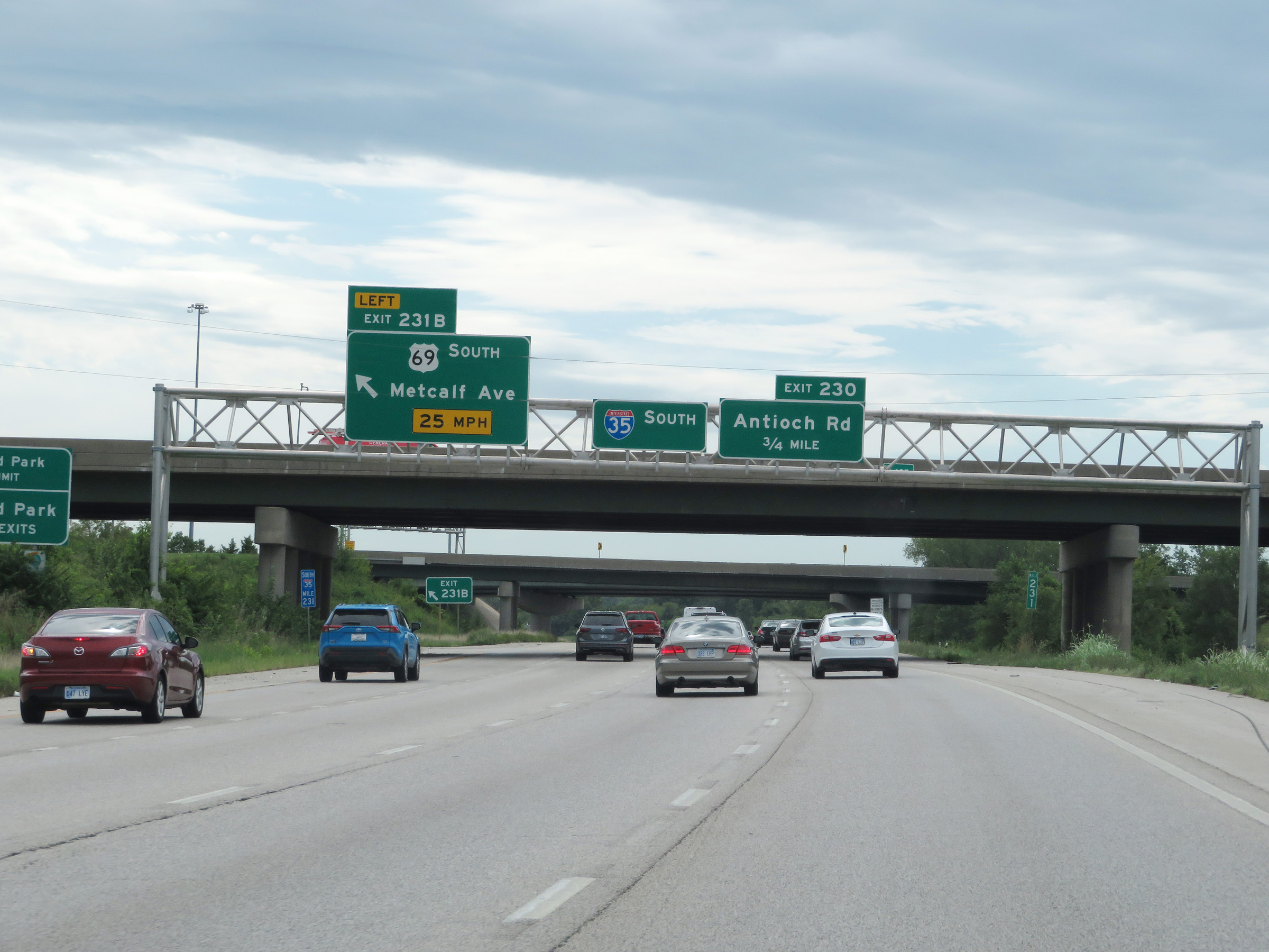 |
Interstate 35 South at Exit 231B: US 69 South - Metcalf Ave (Photo taken 8/10/20). |
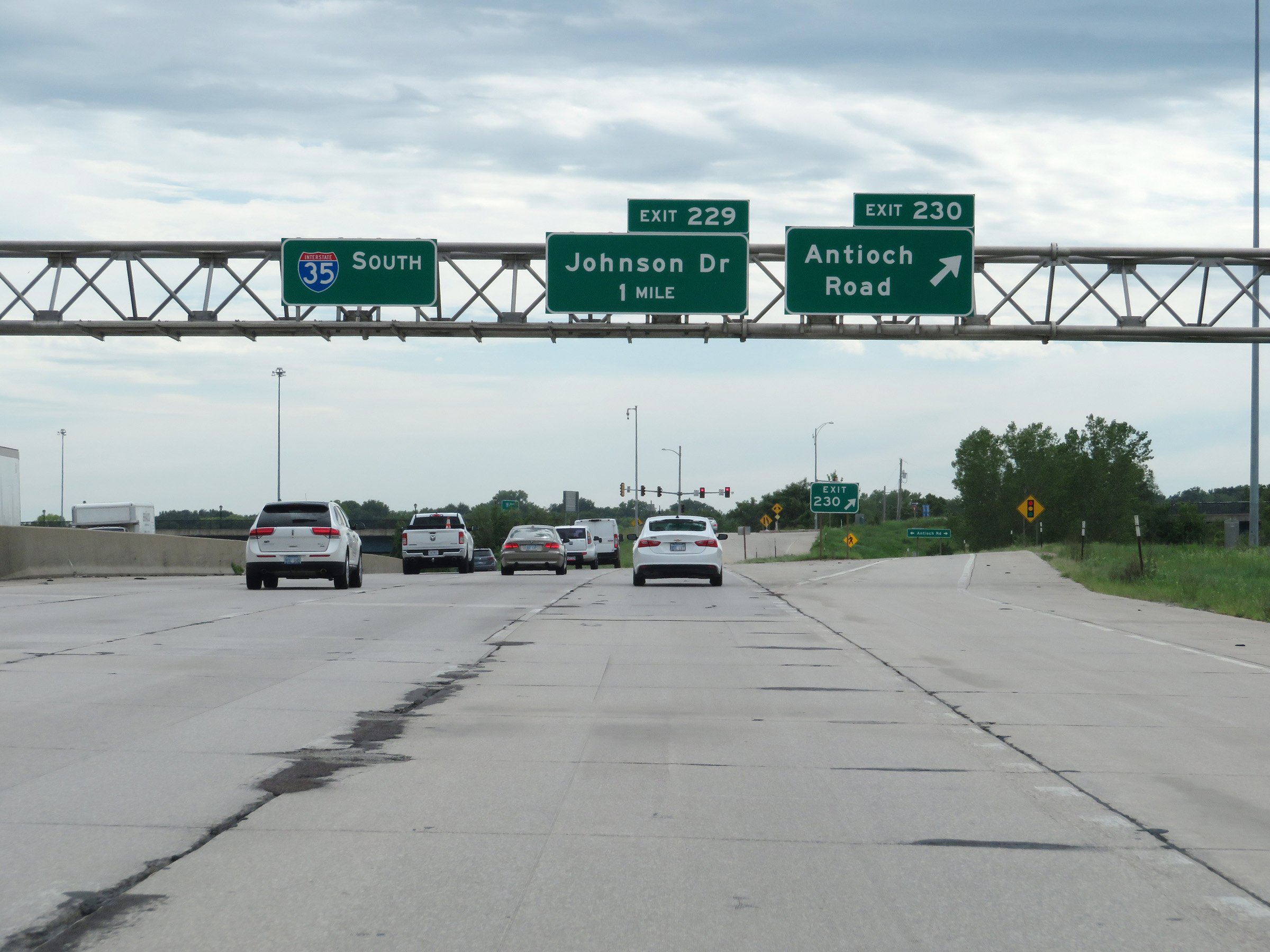 |
Interstate 35 South at Exit 230: Antioch Road (Photo taken 8/10/20). |
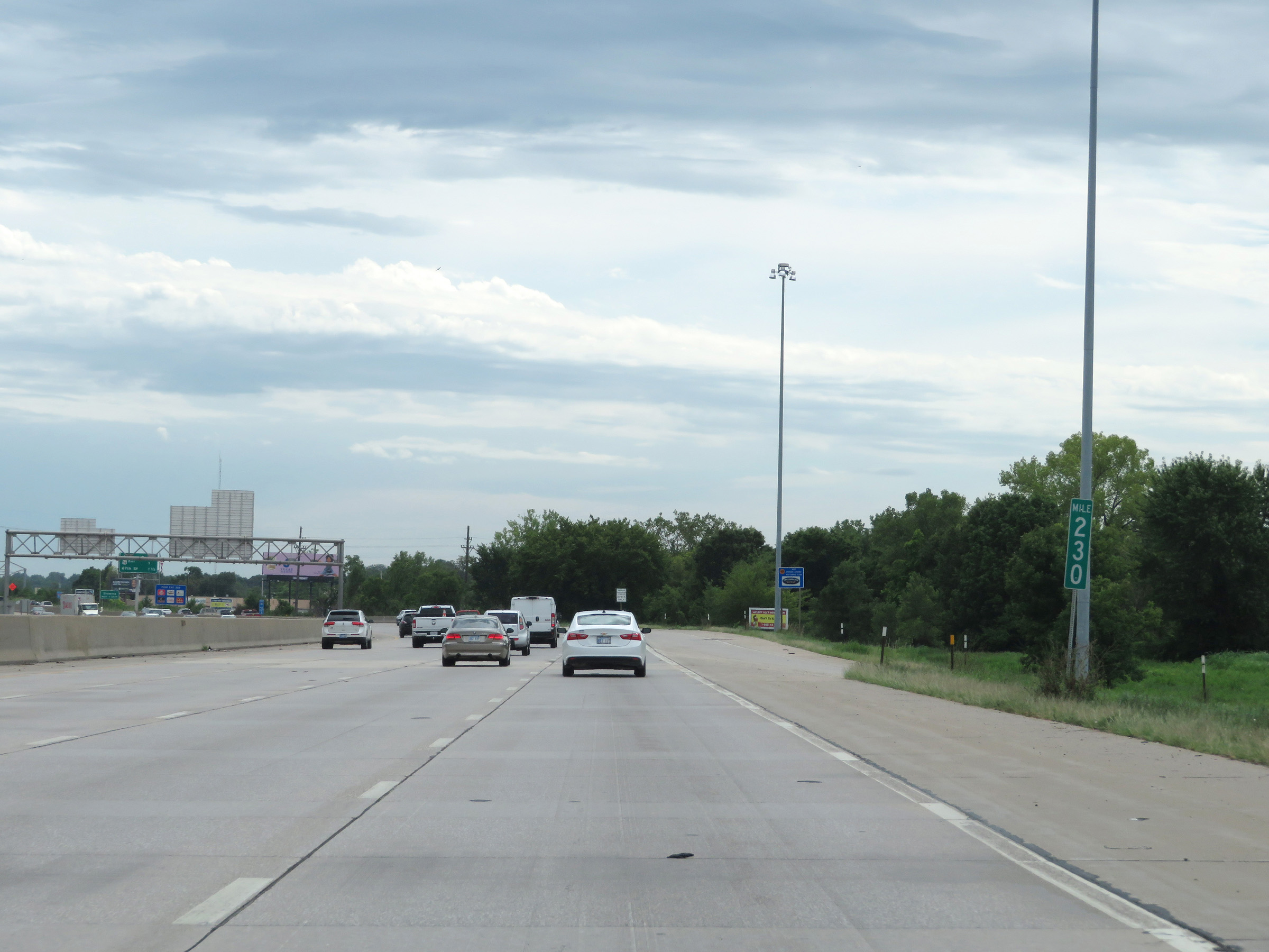 |
View on Interstate 35 South at mile marker 230. (Photo taken 8/10/20). |
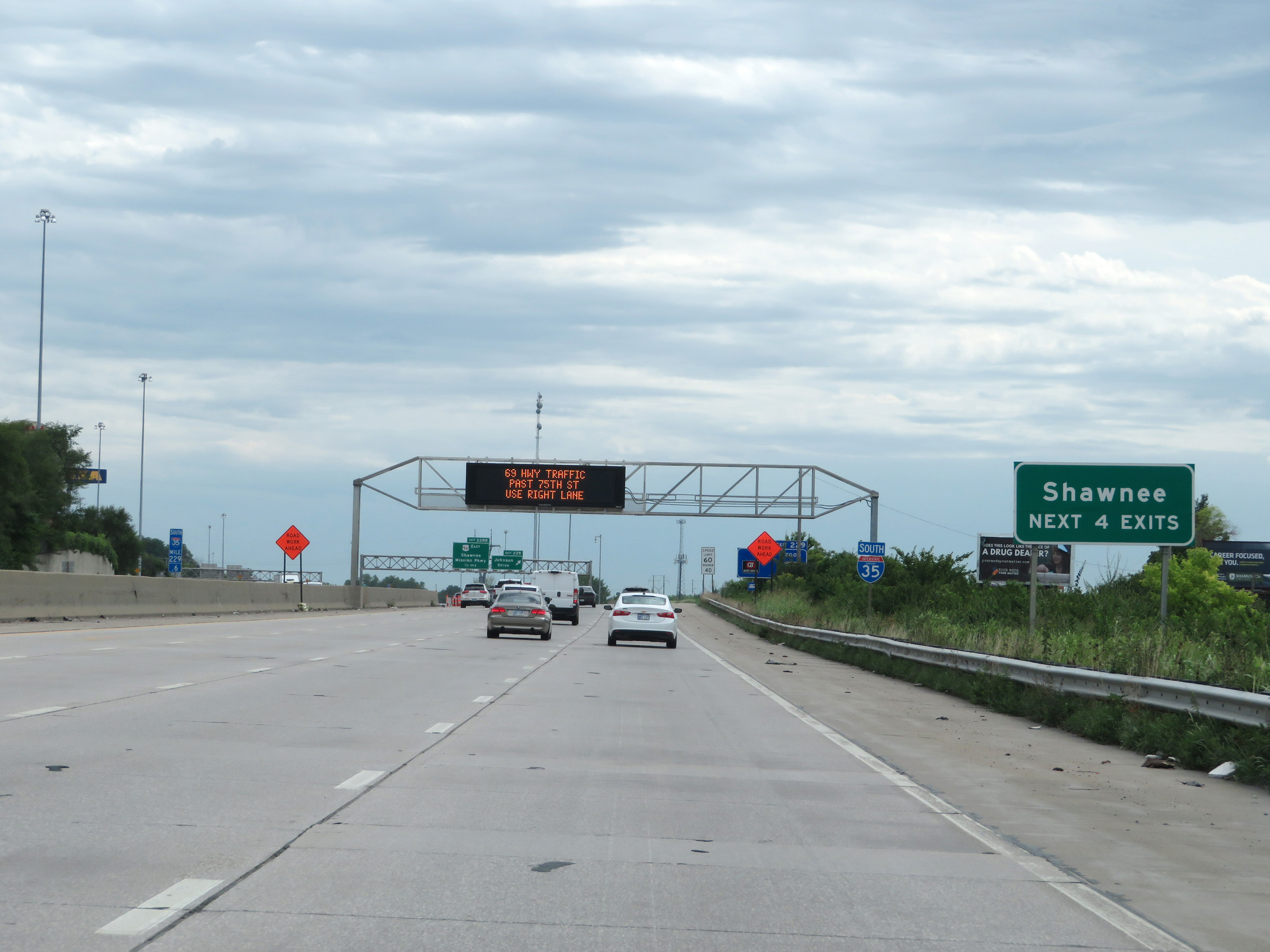 |
Take any of the next 4 exits to Shawnee. (Photo taken 8/10/20). |
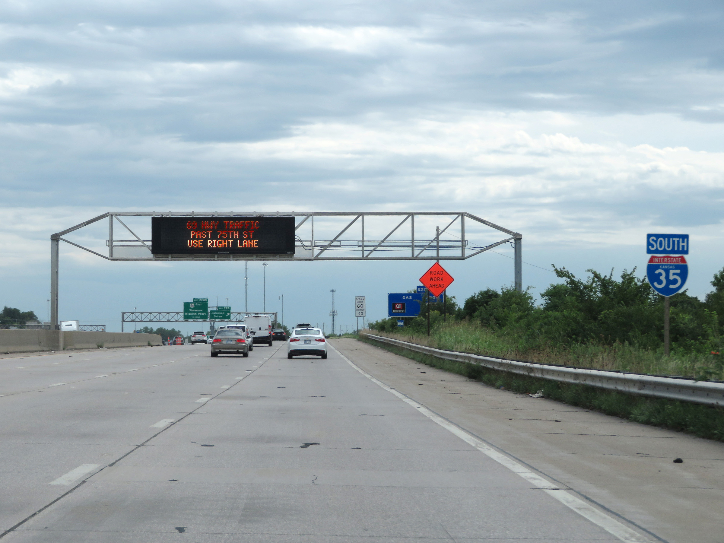 |
Another state-named Interstate 35 South reassurance shield. (Photo taken 8/10/20). |
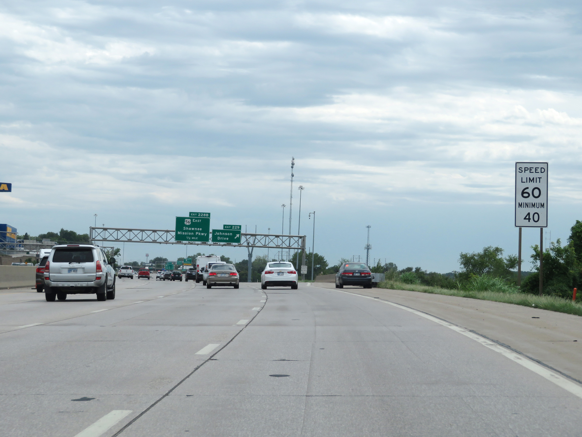 |
The speed limits remain 60 mph maximum and 40 mph minimum. (Photo taken 8/10/20). |
 |
Interstate 35 South at Exit 229: Johnson Drive (Photo taken 8/10/20). |
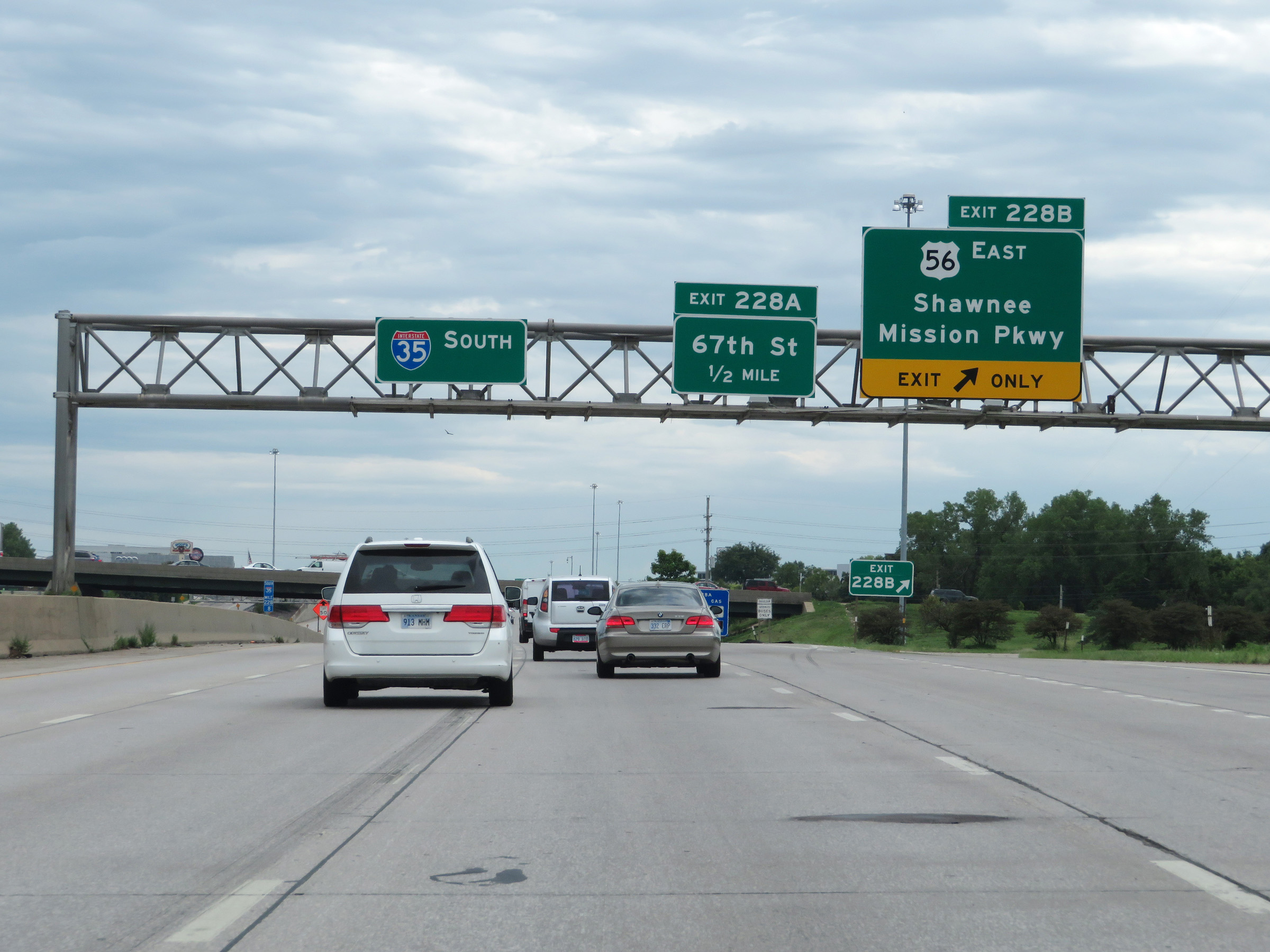 |
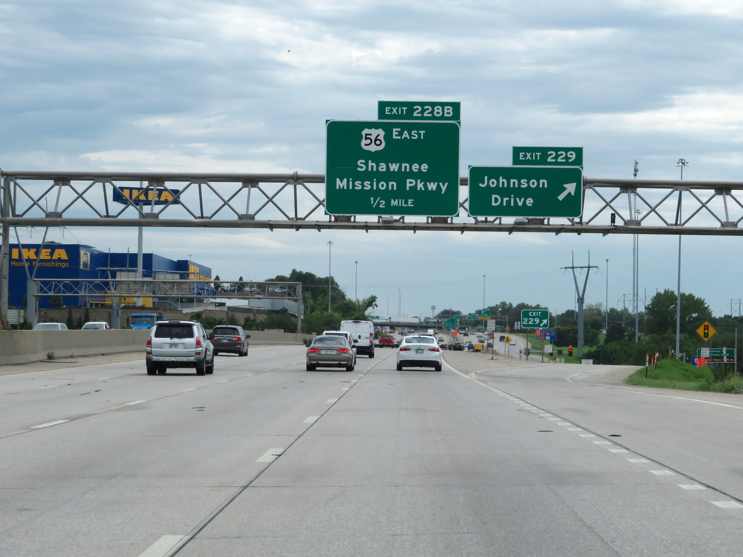
Interstate 35 South at Exit 228B: US 56 East - Shawnee Mission Pkwy (Photo taken 8/10/20). |
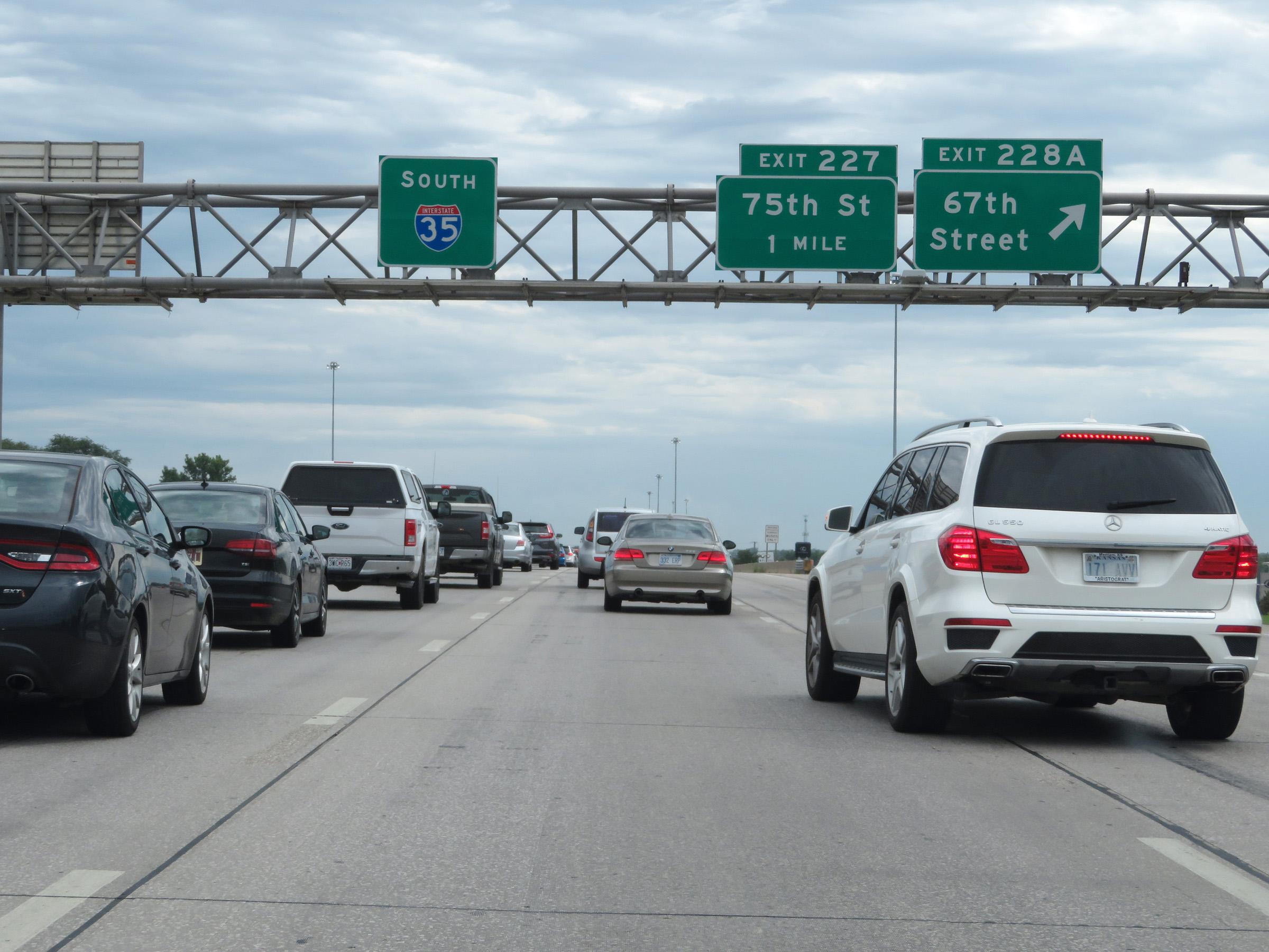 |
Interstate 35 South at Exit 228A: 67th Street (Photo taken 8/10/20). |
 |
View on Interstate 35 South at mile marker 228. (Photo taken 8/10/20). |
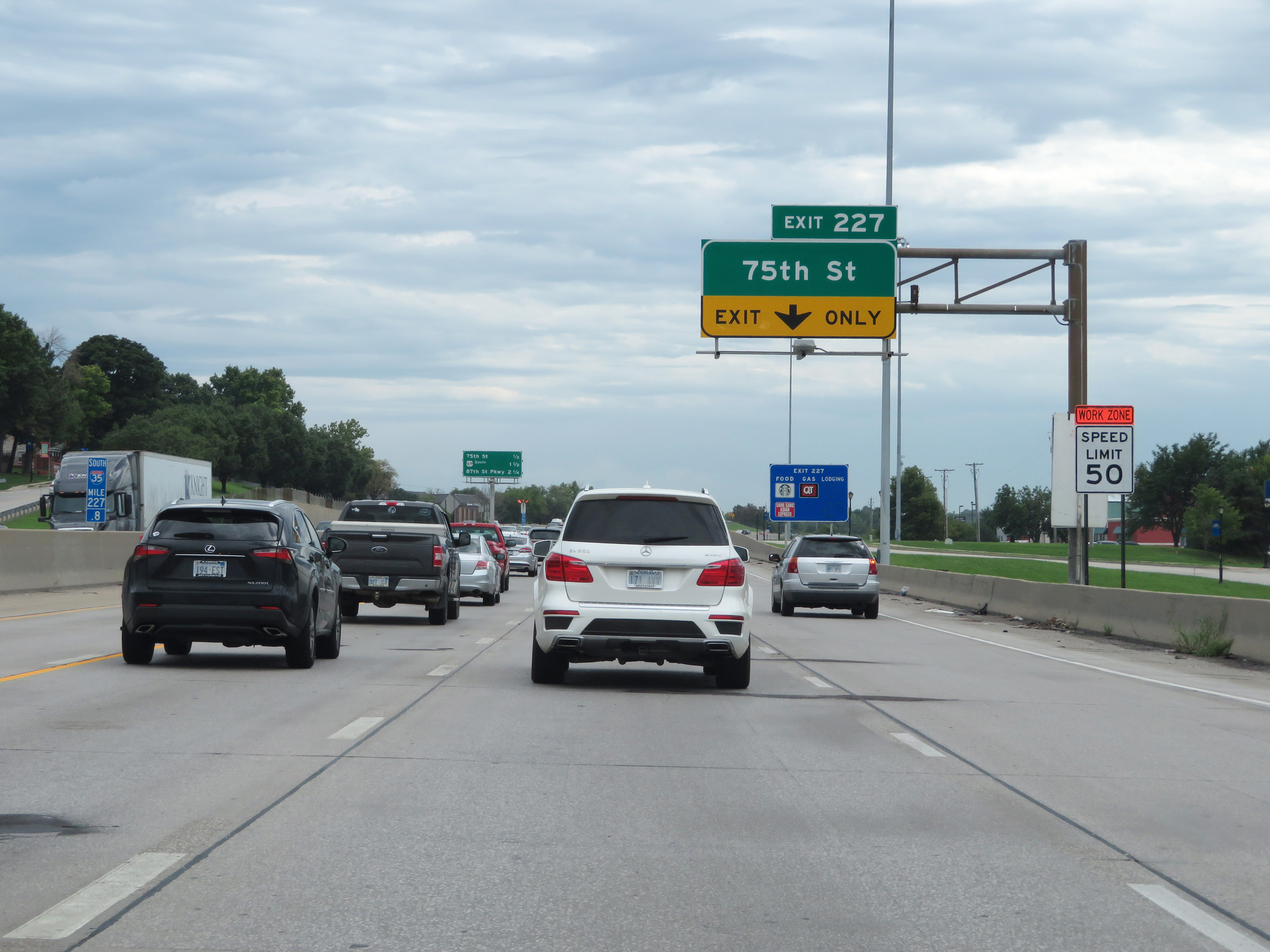 |
Interstate 35 South at Exit 227: 75th St (Photo taken 8/10/20). |
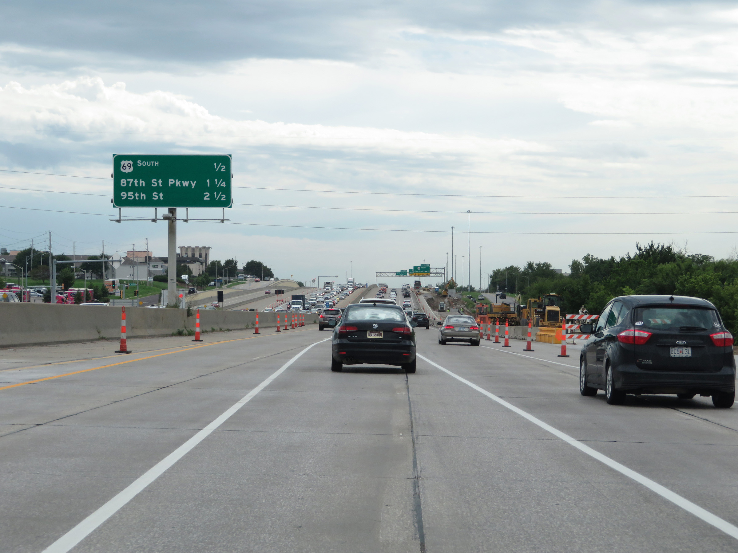 |
Another overhead mileage sign listing the distances to the three upcoming exits on Interstate 35 South. (Photo taken 8/10/20). |
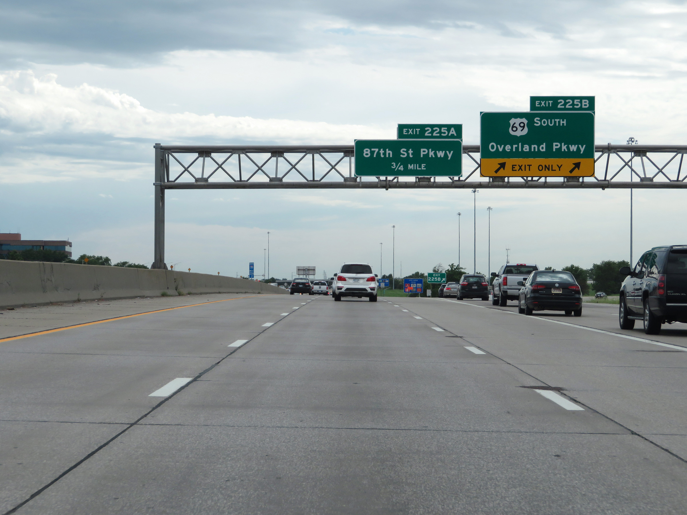 |
Interstate 35 South at Exit 225B: US 69 South - Overland Pkwy (Photo taken 8/10/20). |
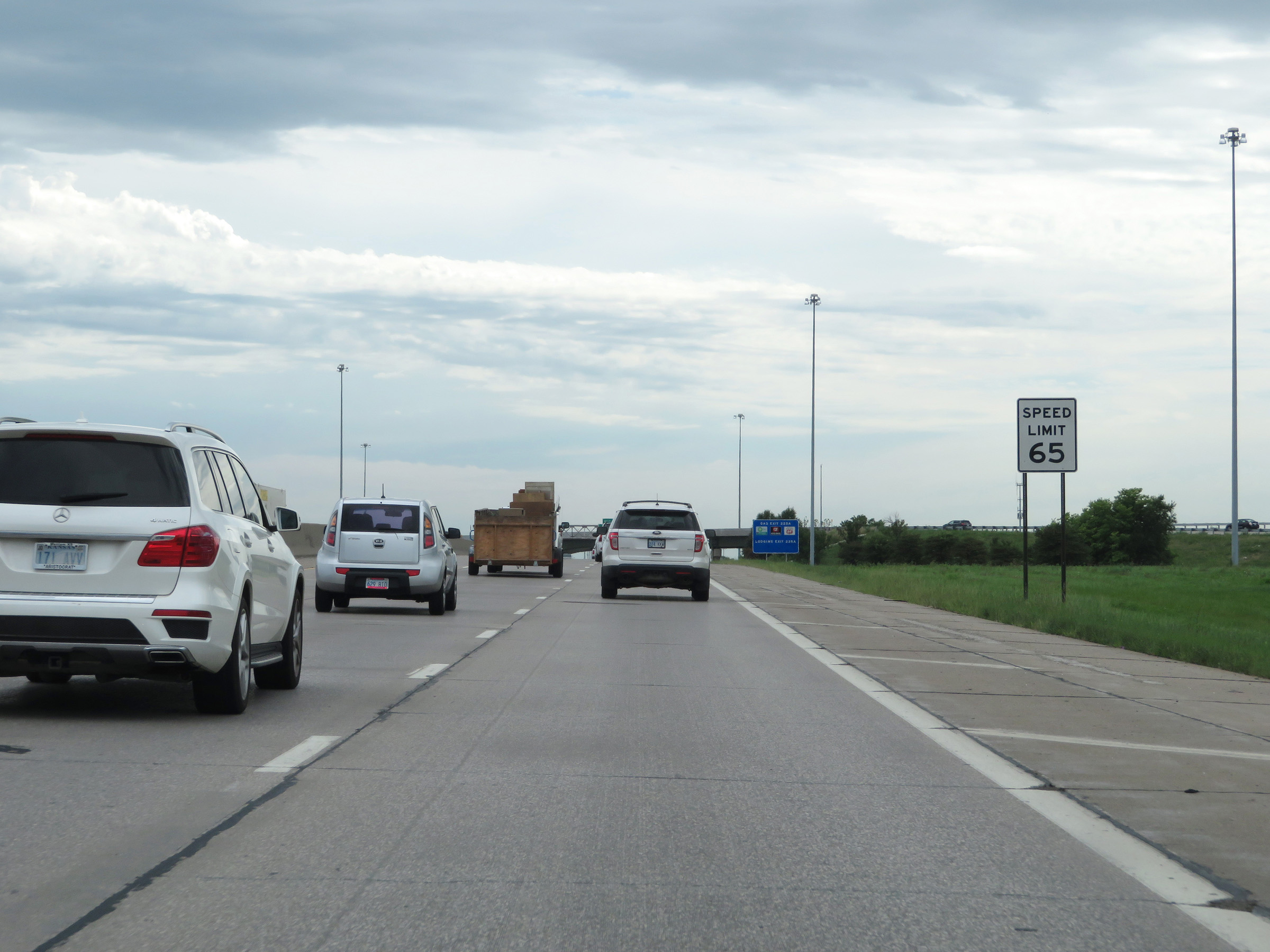 |
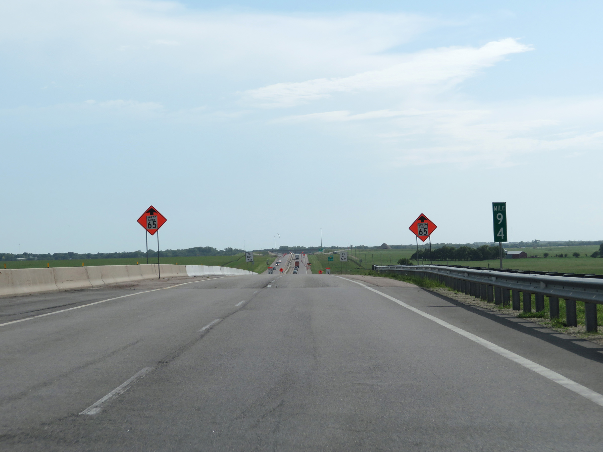
South of Exit 225B, the maximum speed limit increases to 65 mph. (Photo taken 8/10/20). |
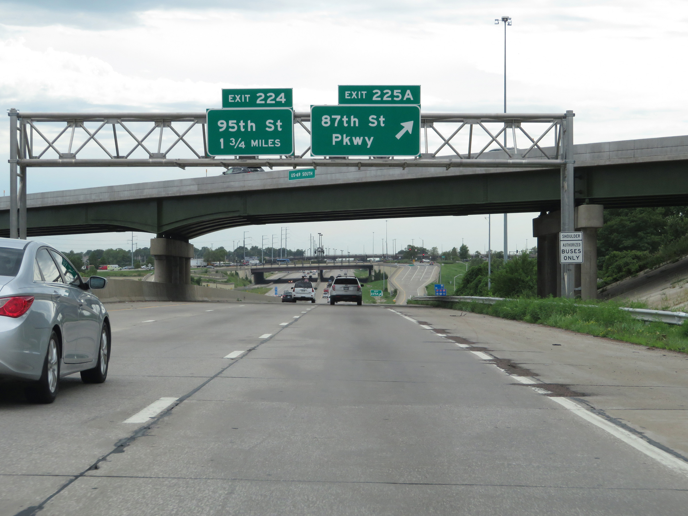 |
Interstate 35 South at Exit 225A: 87th St Pkwy (Photo taken 8/10/20). |
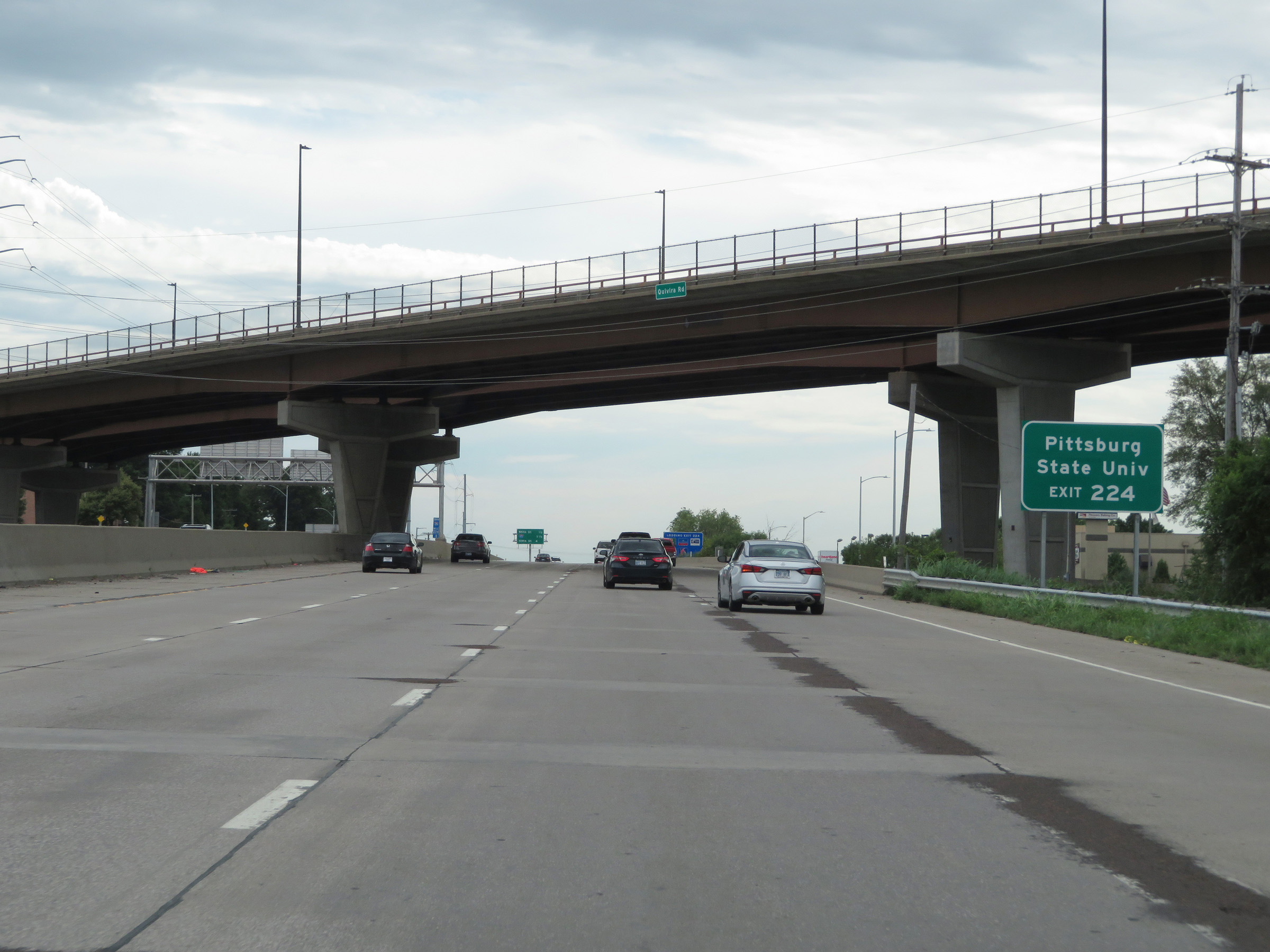 |
Take Exit 224 to Pittsburg State University. (Photo taken 8/10/20). |
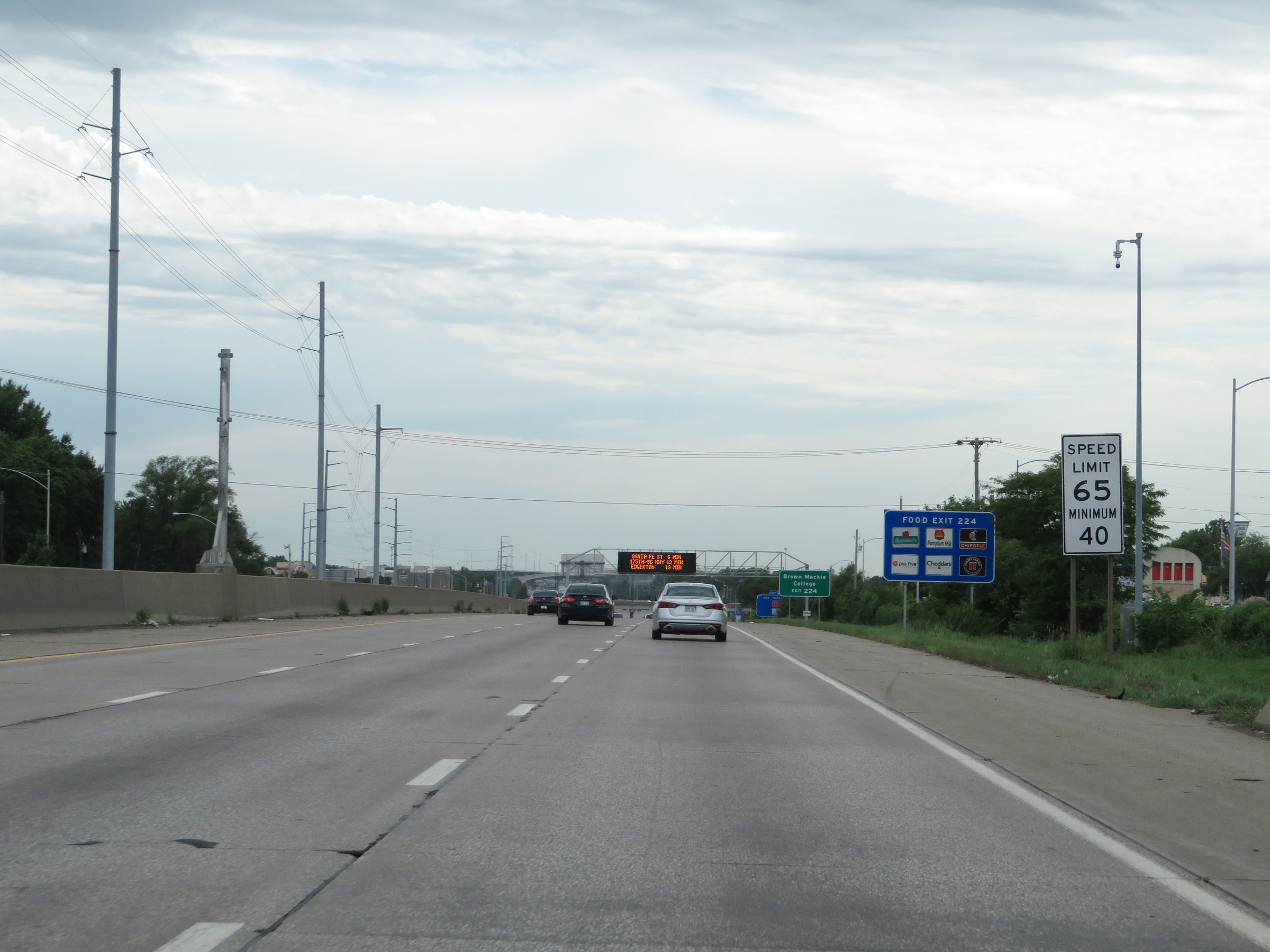 |
The minimum speed limit remains 40 mph. (Photo taken 8/10/20). |
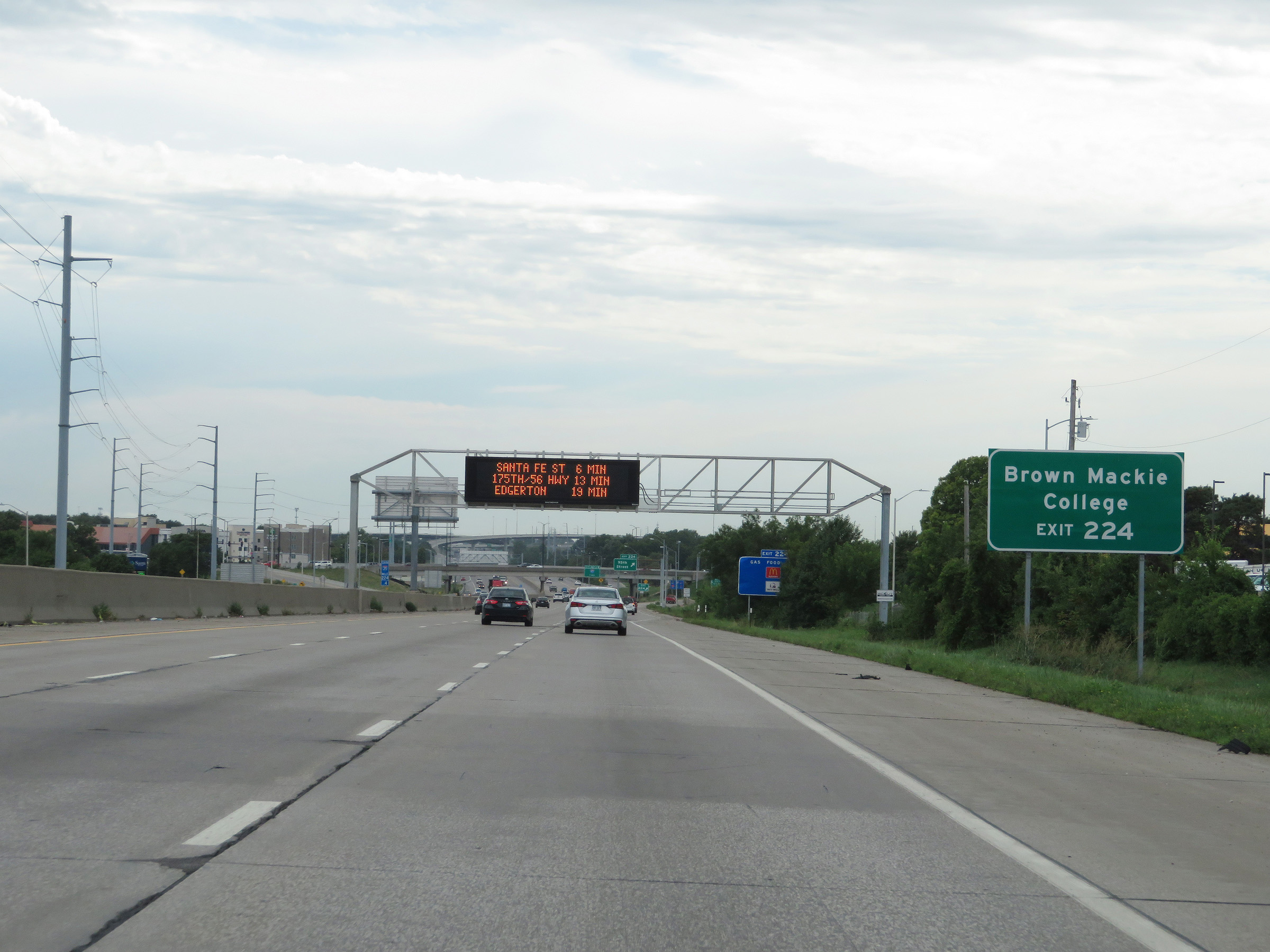 |
Also take Exit 224 to Brown Mackie College. (Photo taken 8/10/20). |
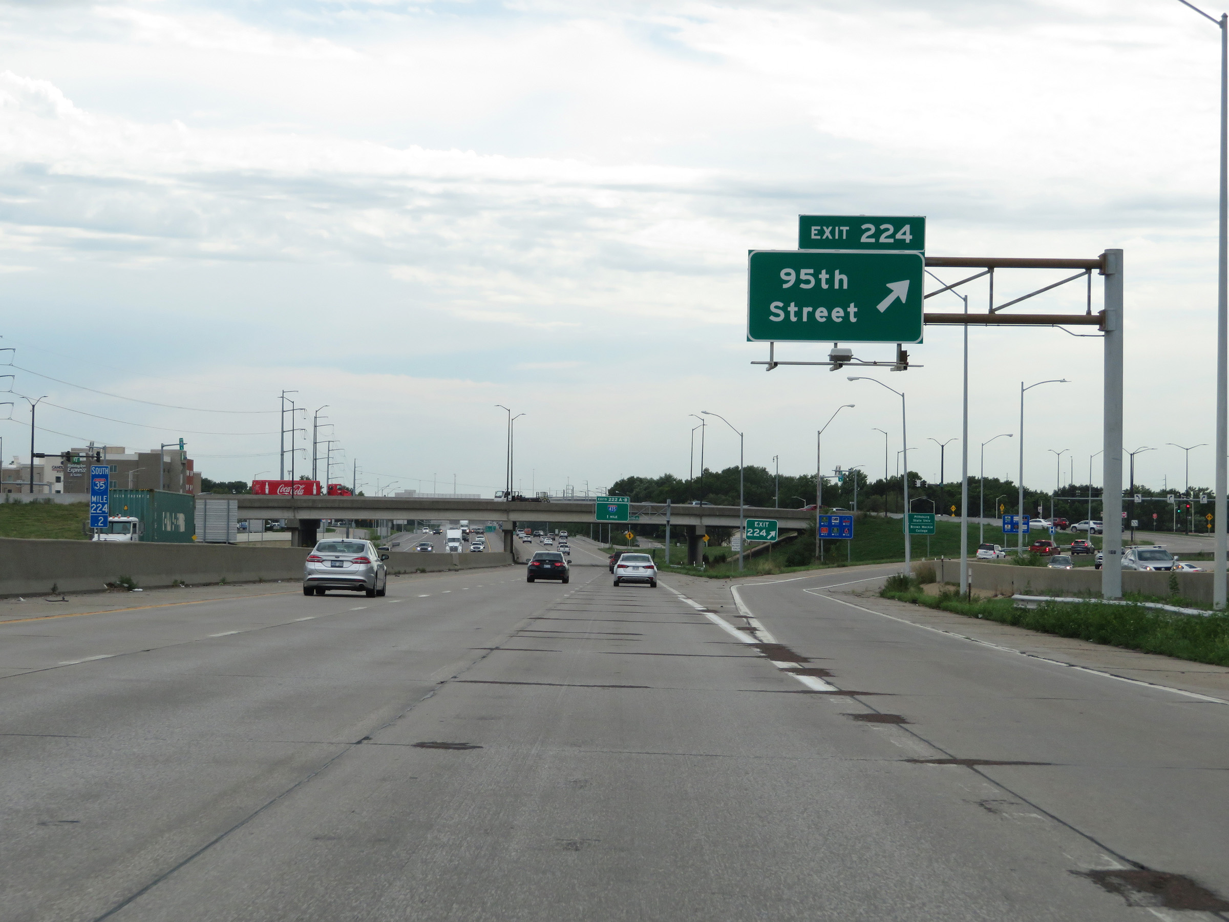 |
Interstate 35 South at Exit 224: 95th Street (Photo taken 8/10/20). |
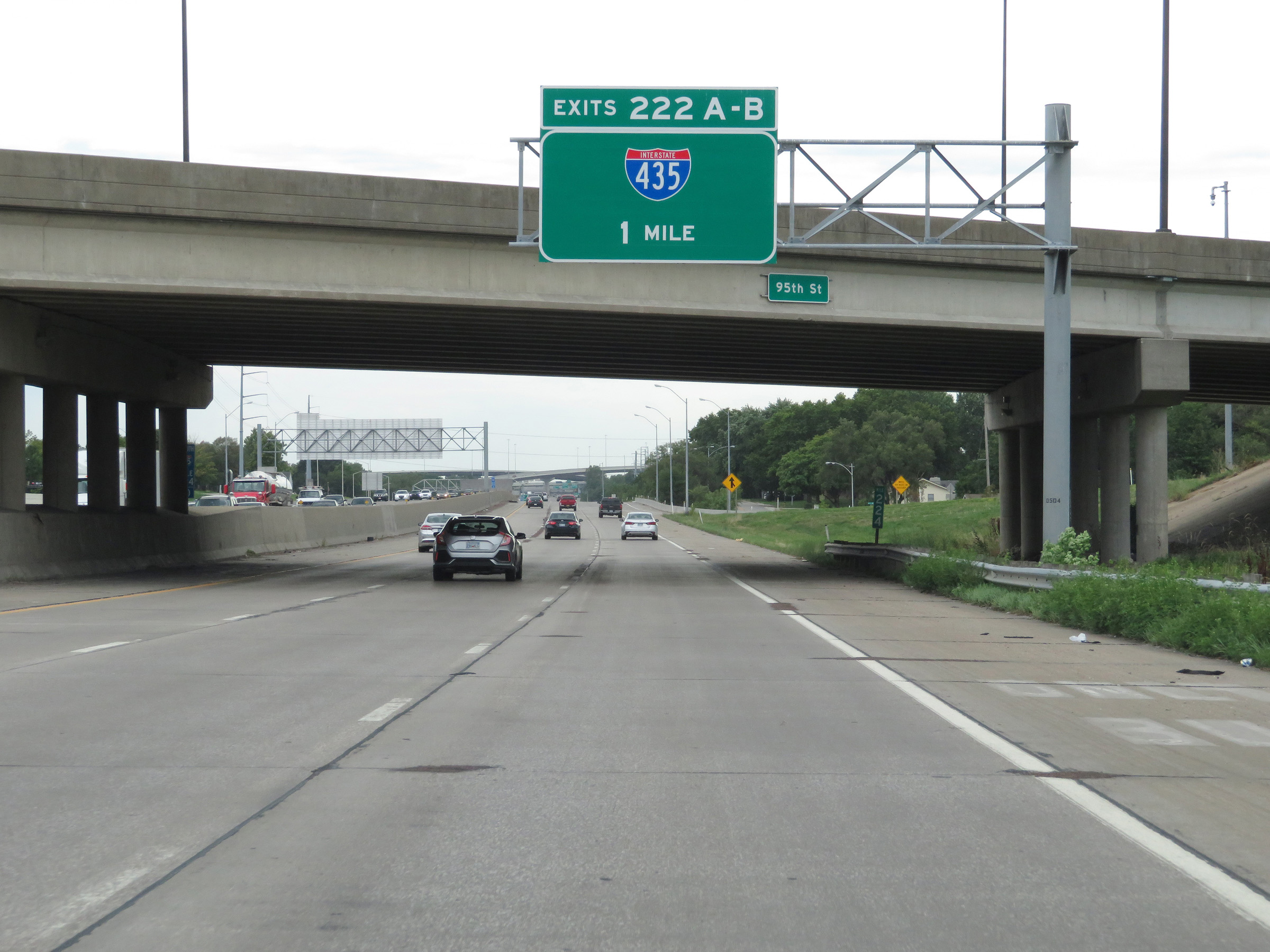 |
Interstate 35 South approaching Exits 222B-A - 1 mile. (Photo taken 8/10/20). |
 |
State-named Interstate 35 South reassurance shield alongside US 169 South and US 56 West markers. (Photo taken 8/10/20). |
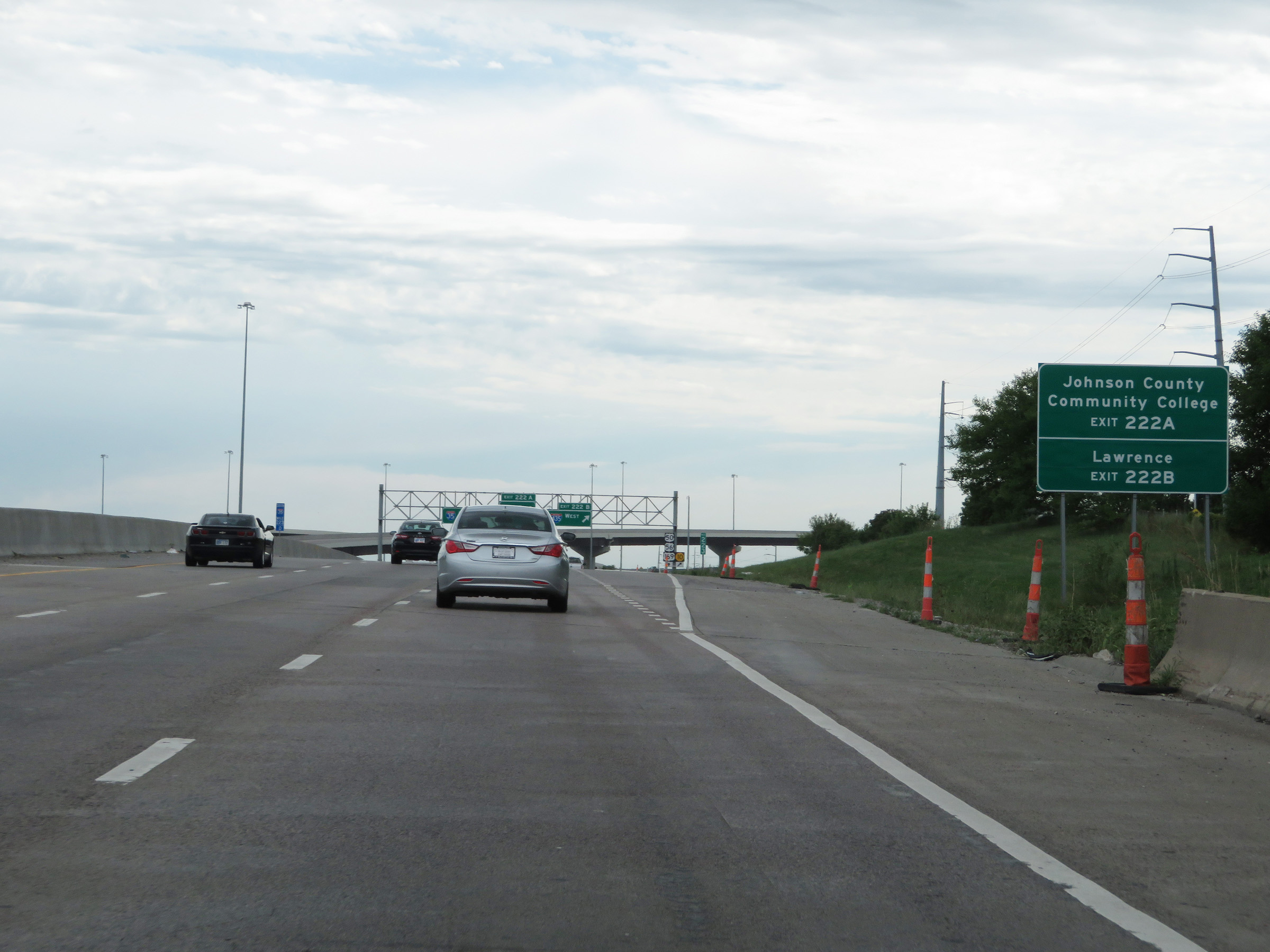 |
Take Exit 222A (Interstate 435 East) to Johnson County Community College. Take Exit 222B (Interstate 435 West) to Lawrence. (Photo taken 8/10/20). |
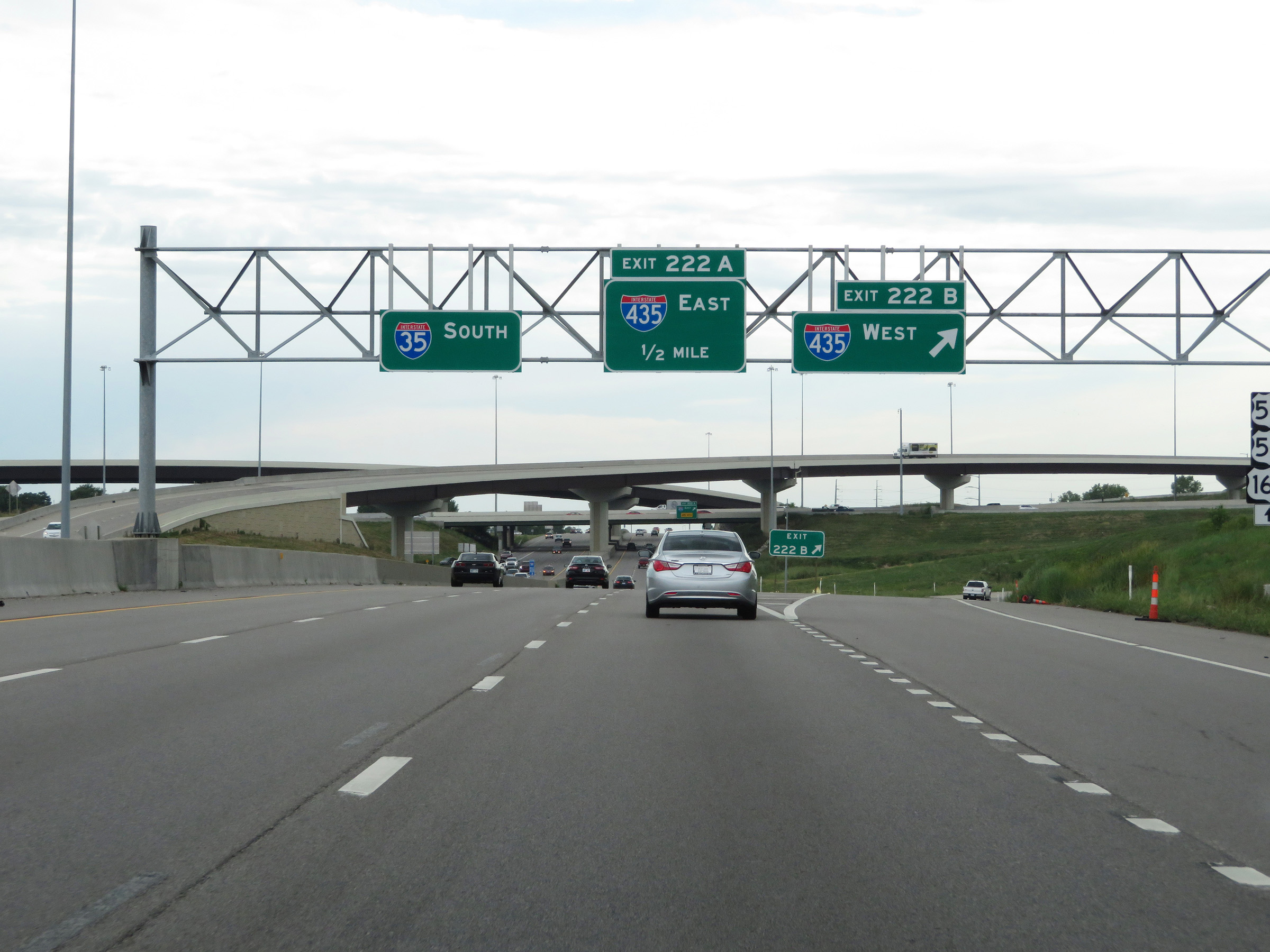 |
Interstate 35 South at Exit 222B: Interstate 435 West (Photo taken 8/10/20). |
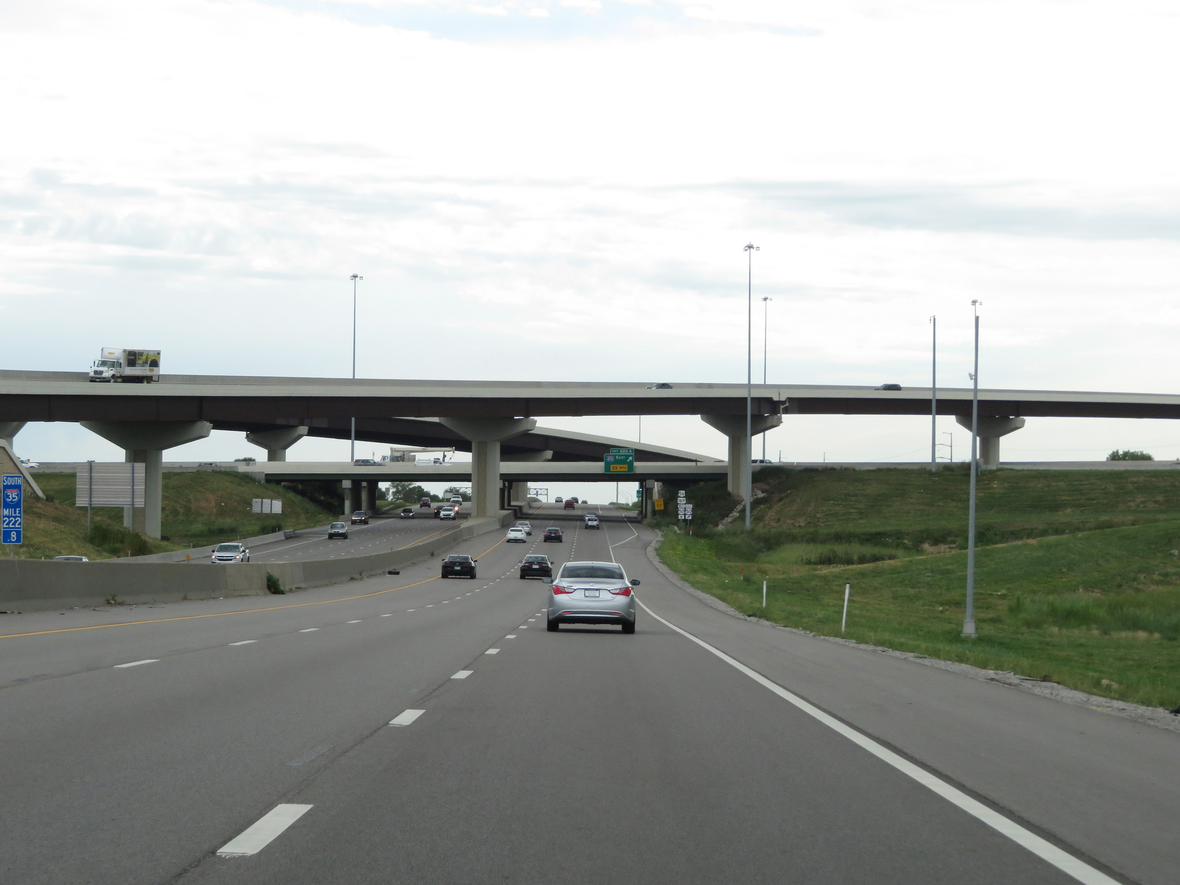 |
View of the Interstate 35 / Interstate 435 interchange from Interstate 222.8 on Interstate 35 South. (Photo taken 8/10/20). |
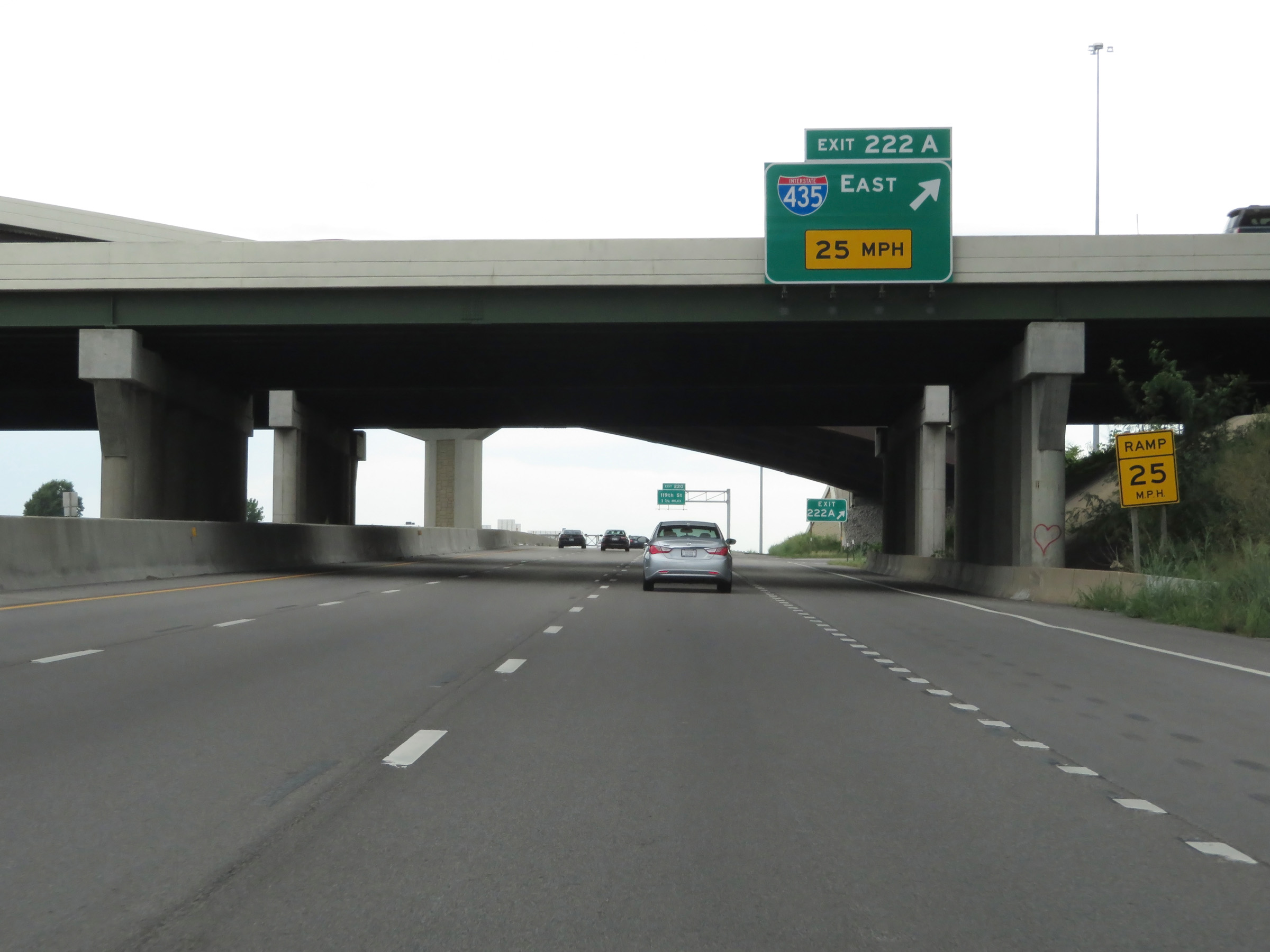 |
Interstate 35 South at Exit 222A: Interstate 435 East (Photo taken 8/10/20). |
 |
View on Interstate 35 South at mile marker 222.4. (Photo taken 8/10/20). |
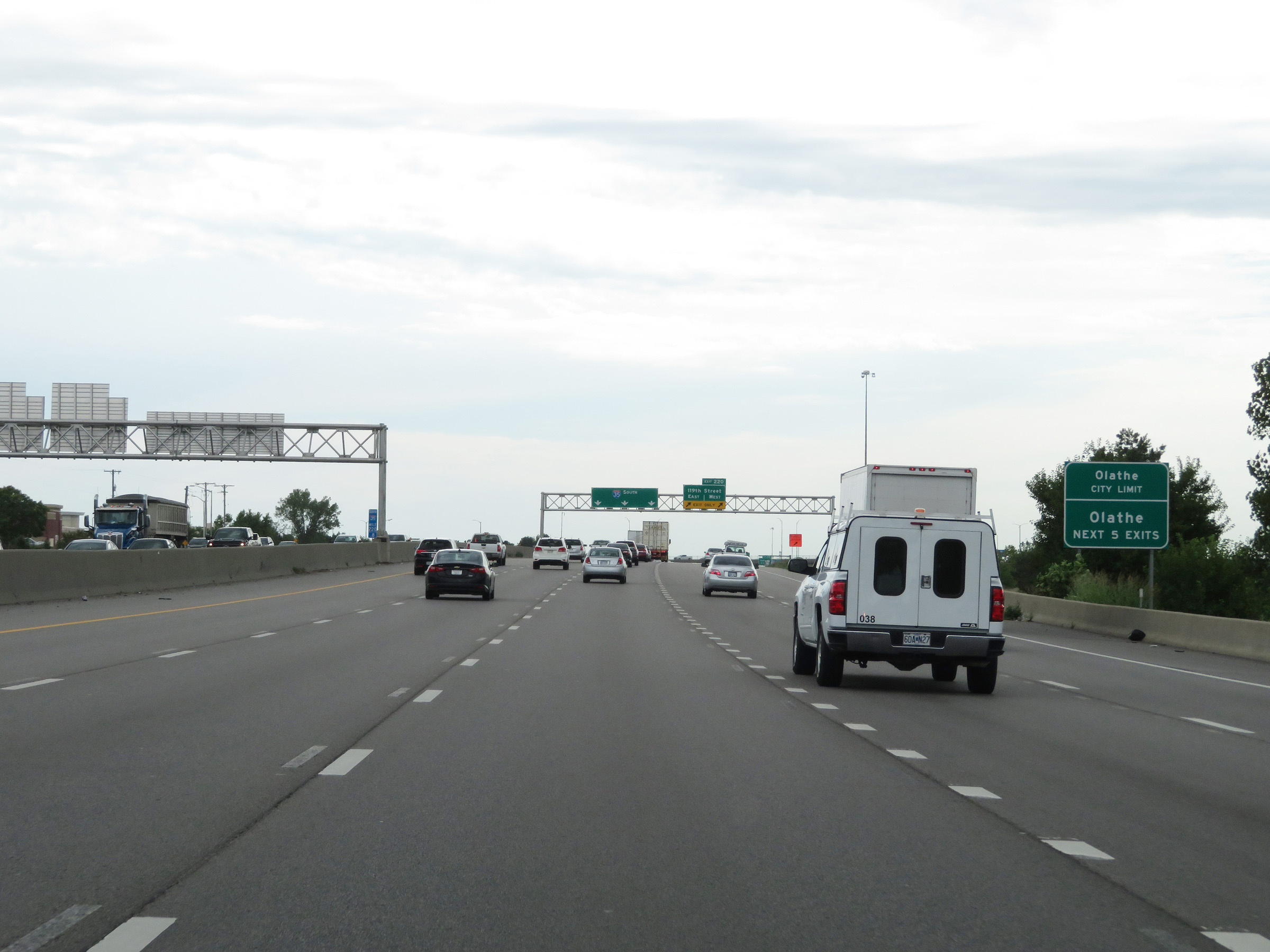 |
Take any of the next 5 exits to Olathe. (Photo taken 8/10/20). |
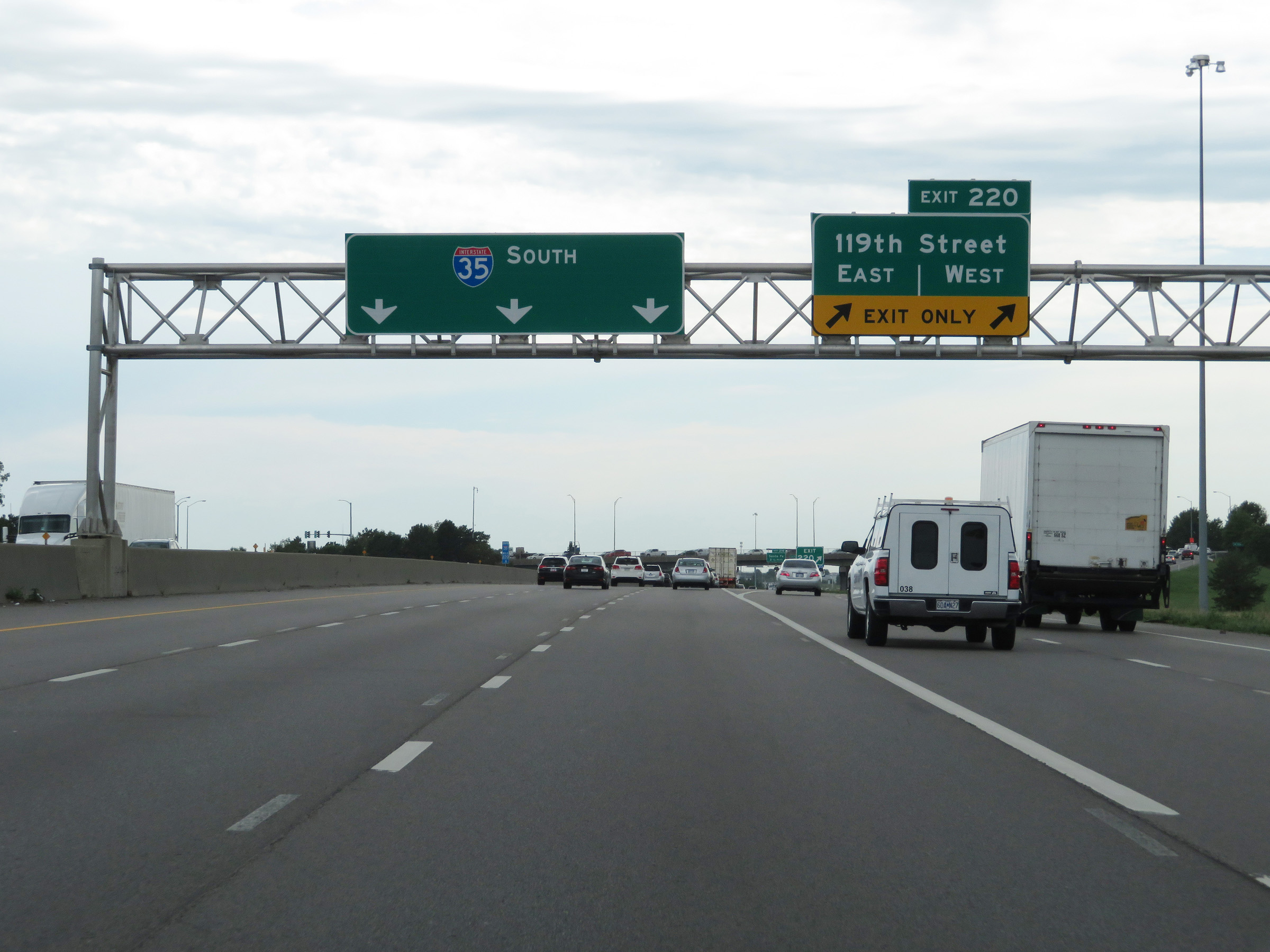 |
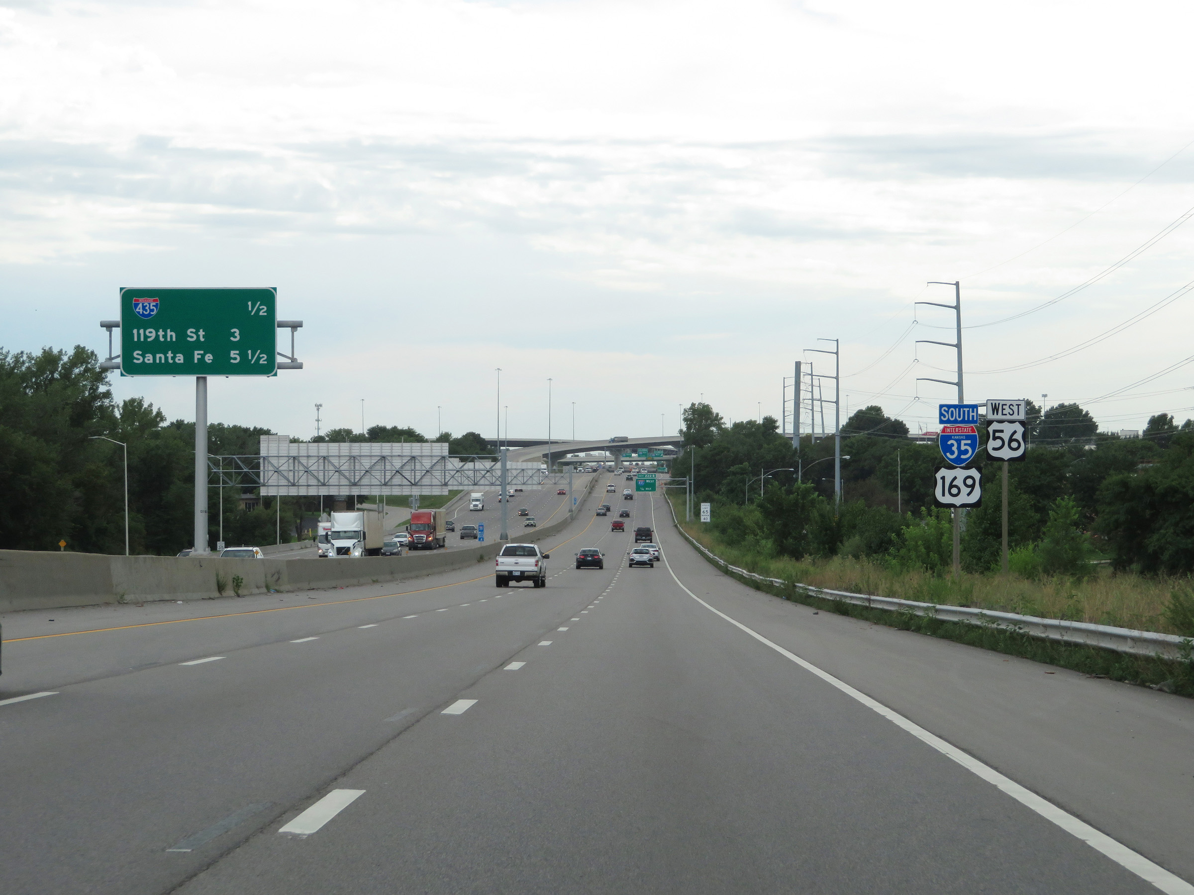
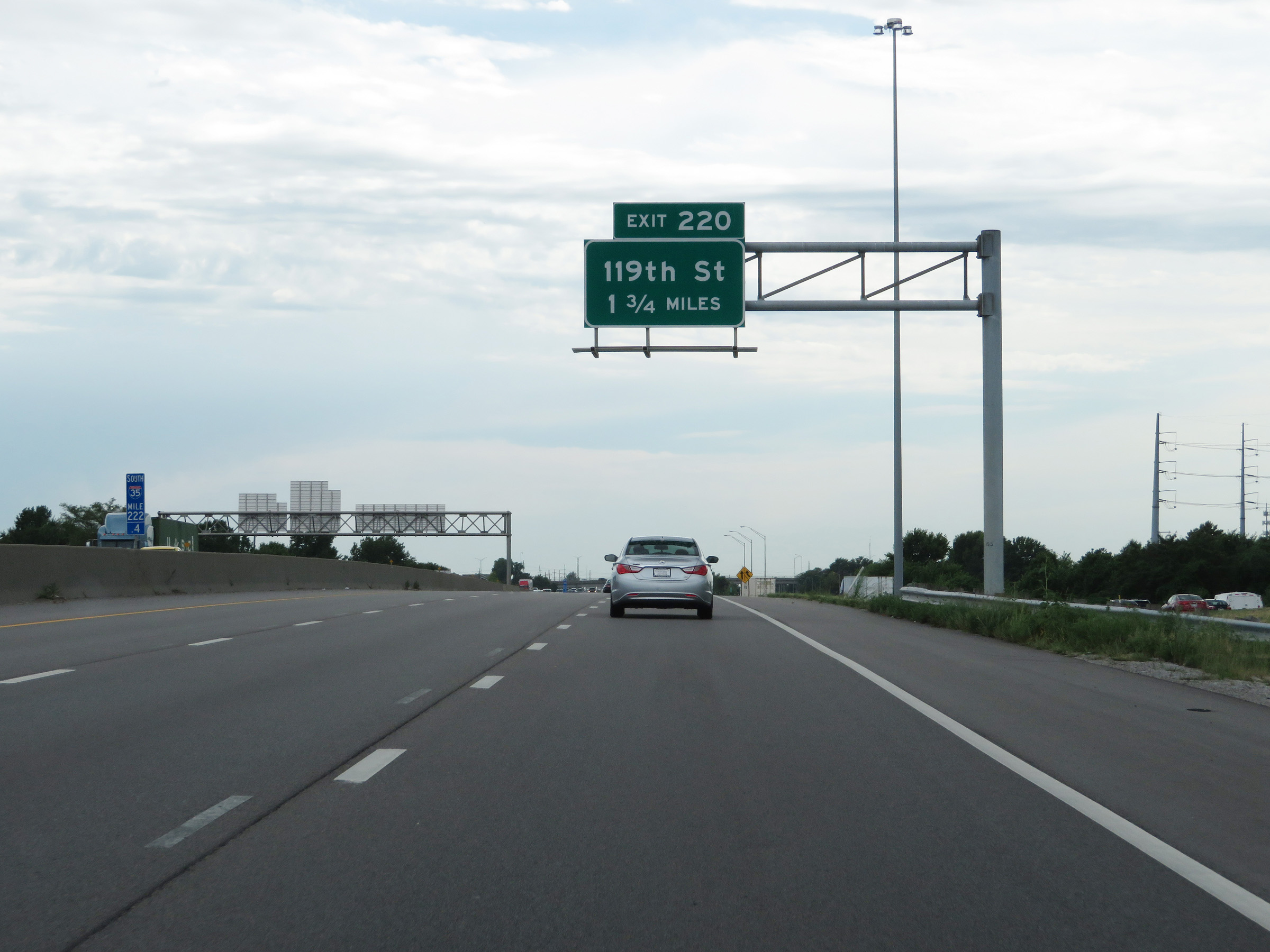
Interstate 35 South at Exit 220: 119th Street (Photo taken 8/10/20). |
 |
Interstate 35 South at mile marker 219. (Photo taken 8/10/20). |
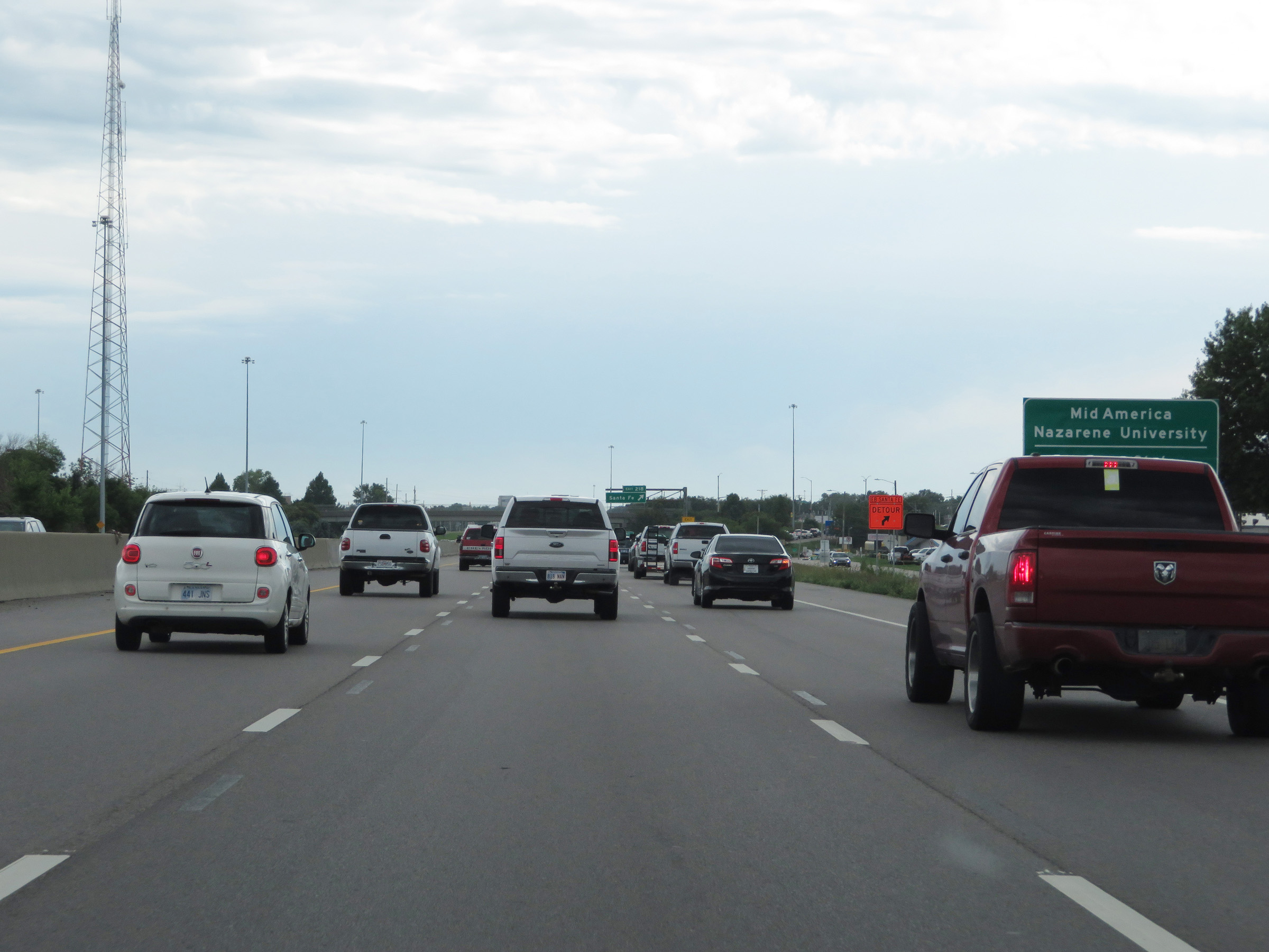 |
Take Exit 218 to Mid America Nazarene University. (Photo taken 8/10/20). |
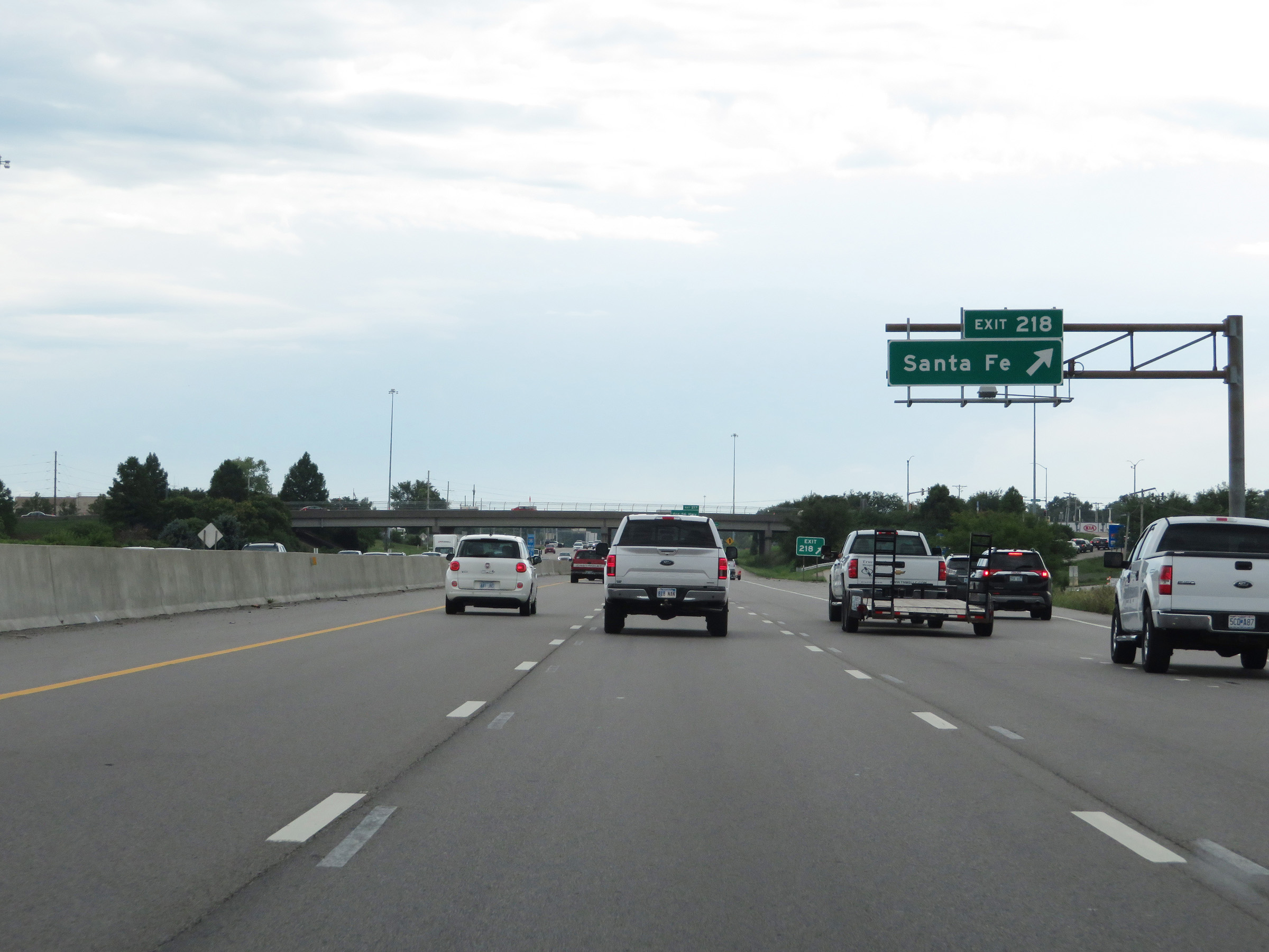 |
Interstate 35 South at Exit 218: Santa Fe (Photo taken 8/10/20). |
 |
Overhead mileage sign listing the distances to the next three interchanges on Interstate 35 South. (Photo taken 8/10/20). |
 |
Interstate 35 South at Exit 217: Old 56 Hwy (Photo taken 8/10/20). |
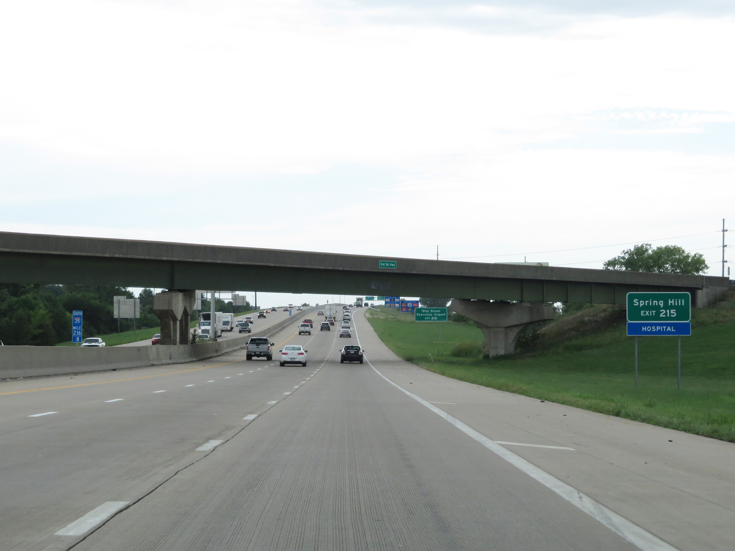 |
Take Exit 215 to Spring Hill. (Photo taken 8/10/20). |
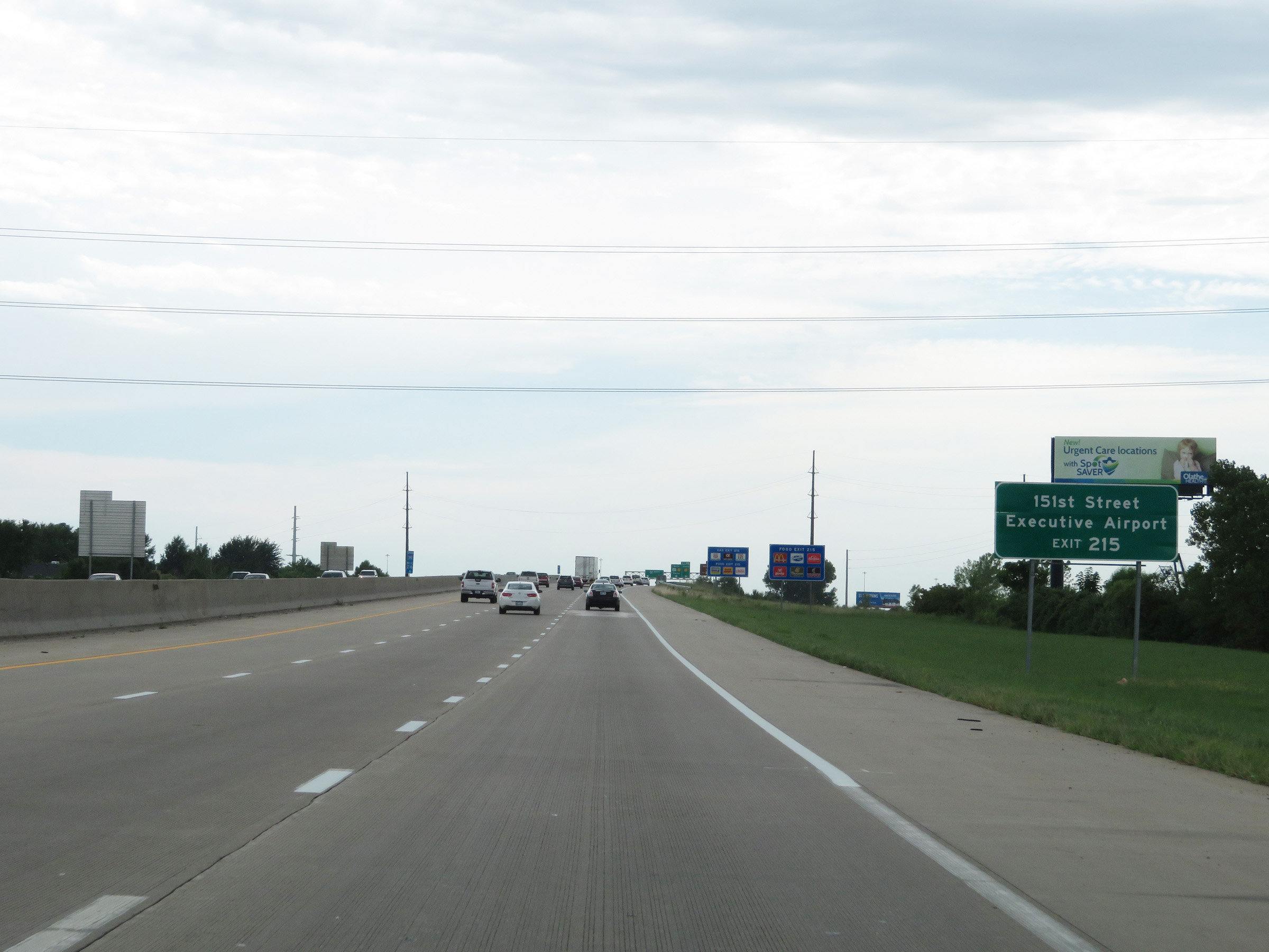 |
Also take Exit 215 to 151st Street and Johnson County Executive Airport. (Photo taken 8/10/20). |
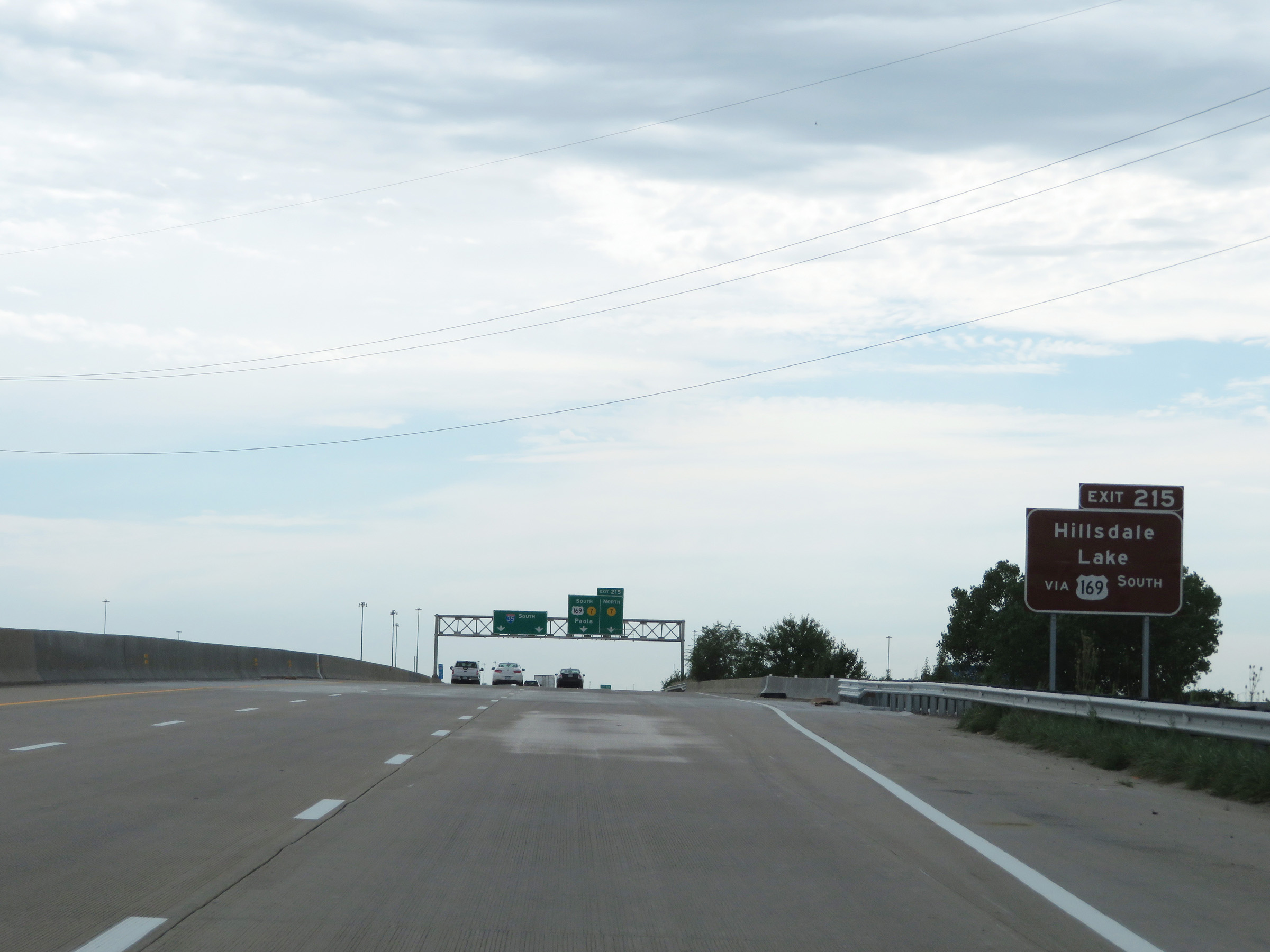 |
Take Exit 215 to Hillsdale Lake as well. (Photo taken 8/10/20). |
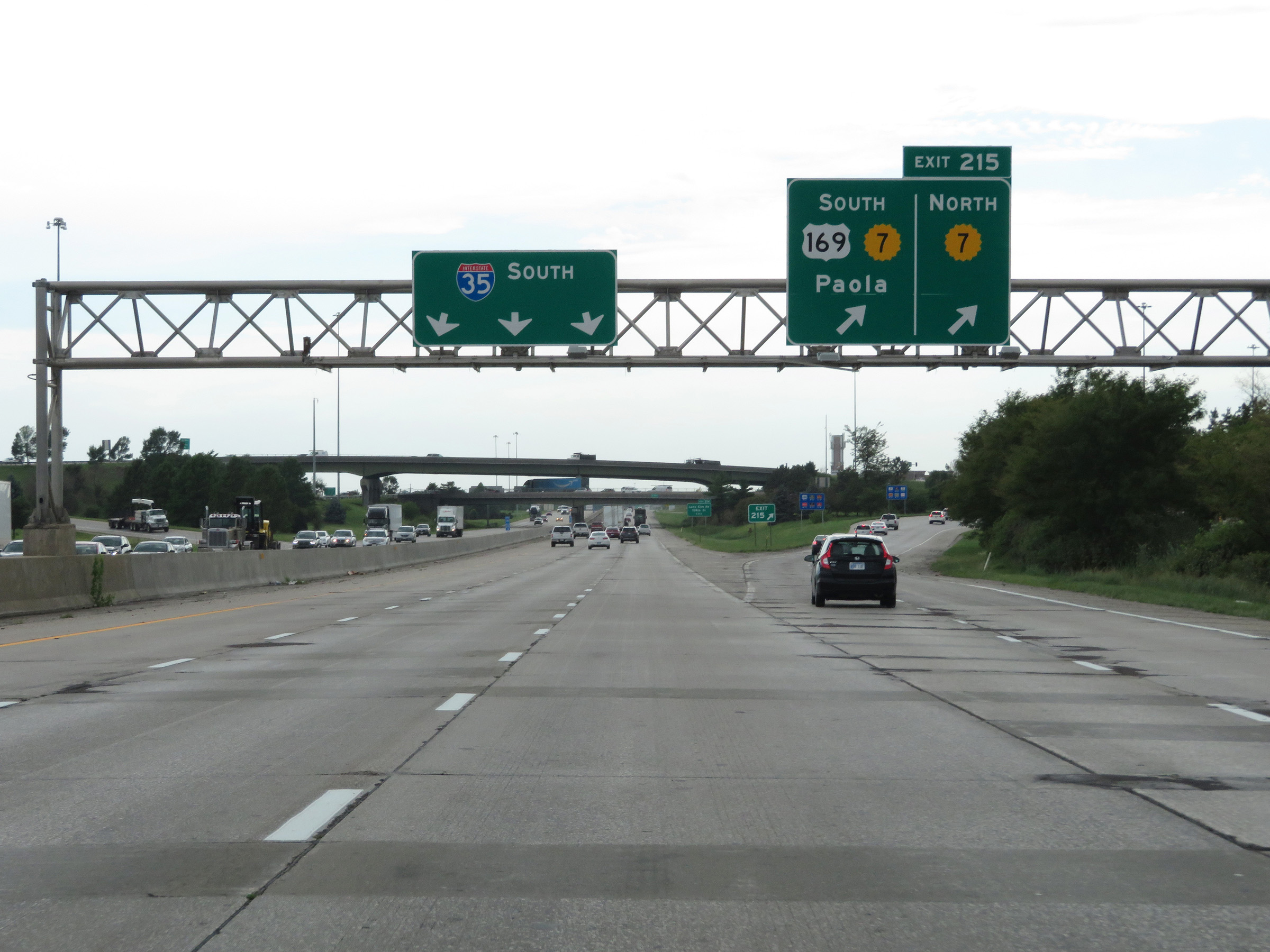 |
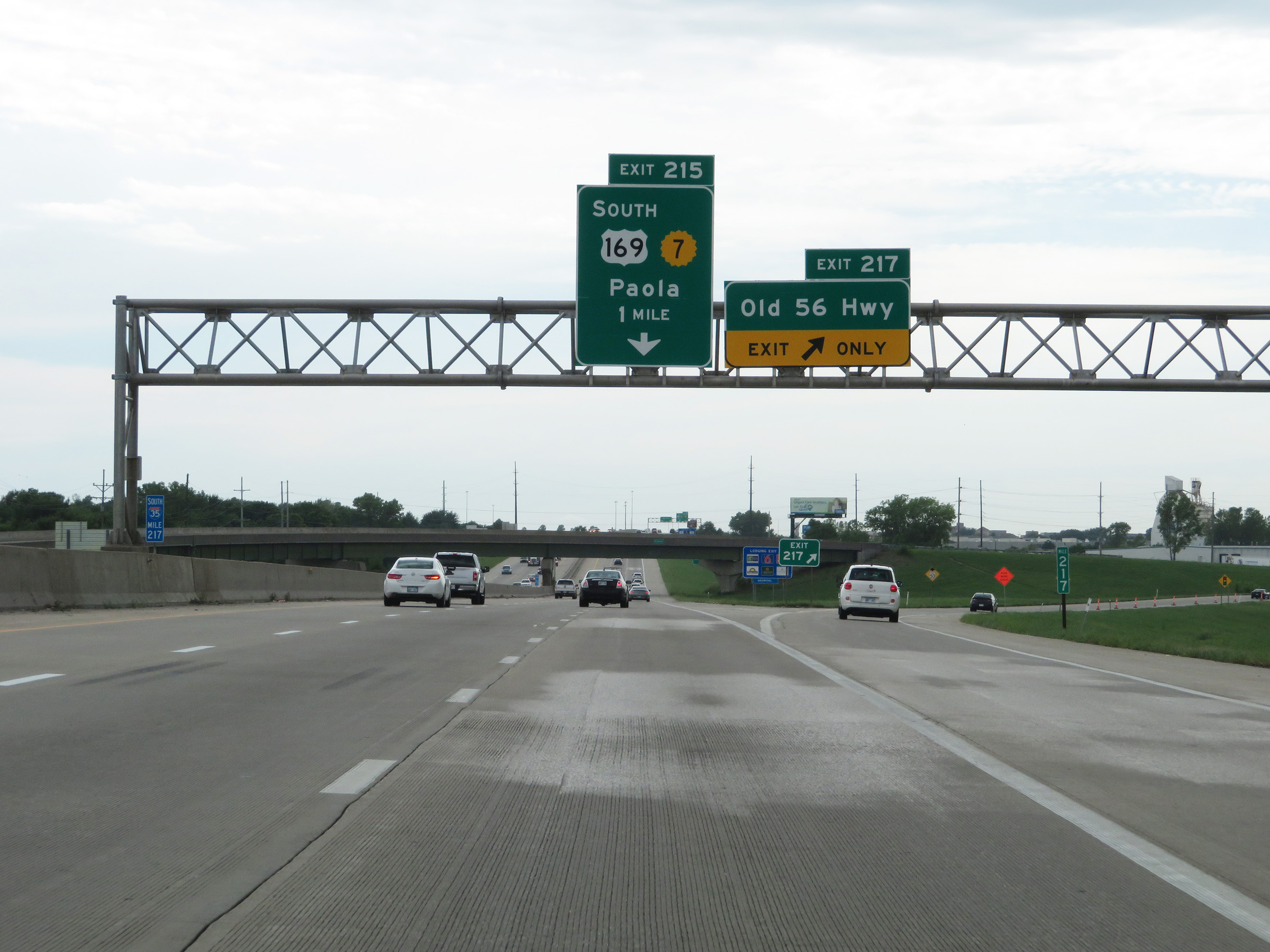
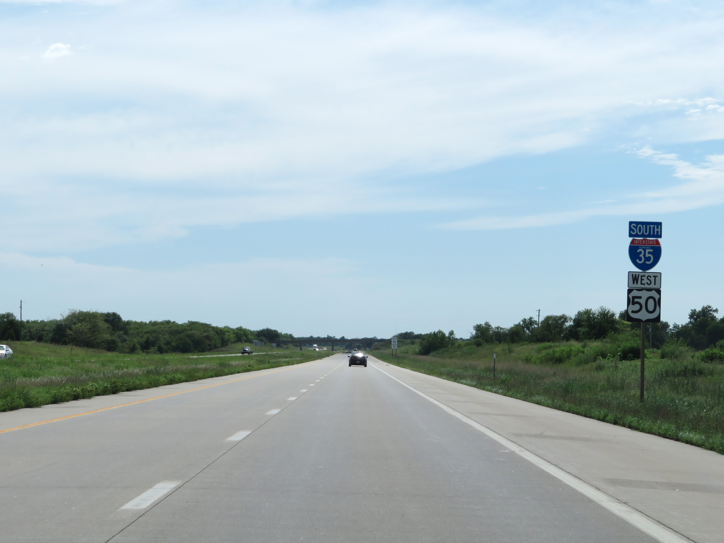
Interstate 35 South at Exit 215: US 169 South / K-7 - Paola (Photo taken 8/10/20). |
Section 2: Olathe (Exit 215) to Ottawa (Exit 183)
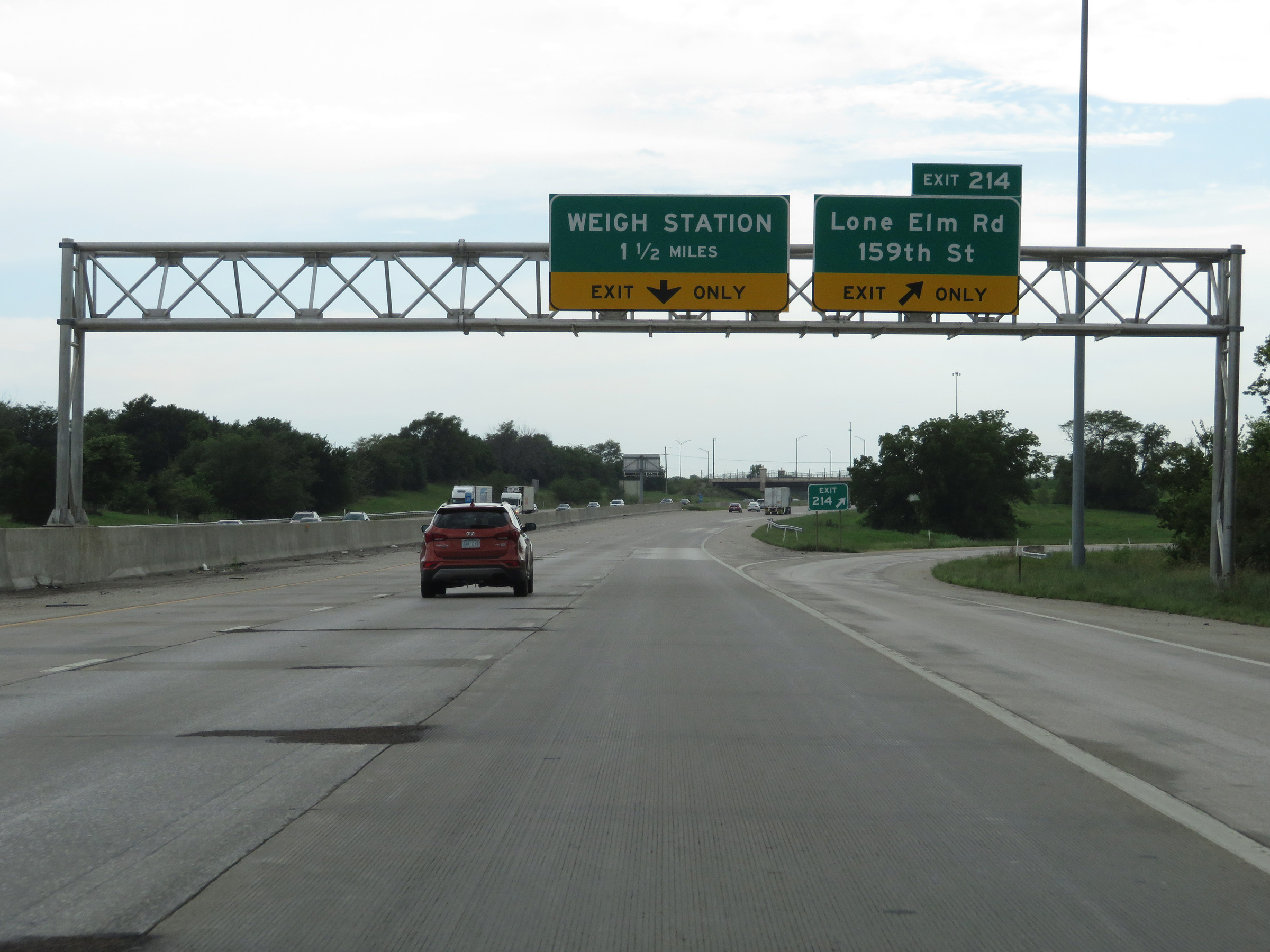 |
Interstate 35 South at Exit 214: Lone Elm Rd / 159th St (Photo taken 8/10/20). |
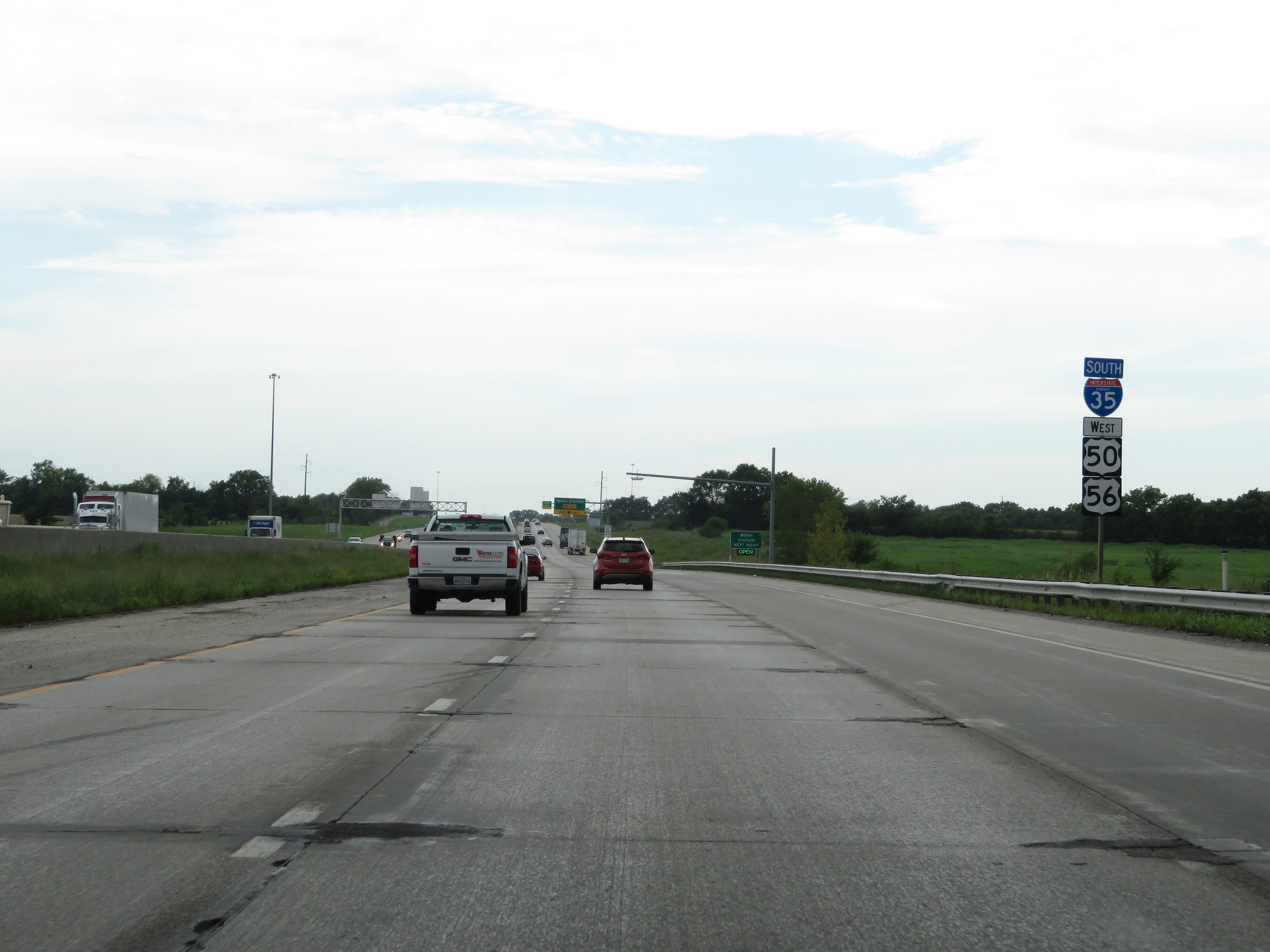 |
Another state-named Interstate 35 South reassurance shield alongside US 50 West / US 56 West reassurance shields. (Photo taken 8/10/20). |
 |
All trucks and commercial vehicles must stop at the Weigh Station ahead when it is open. (Photo taken 8/10/20). |
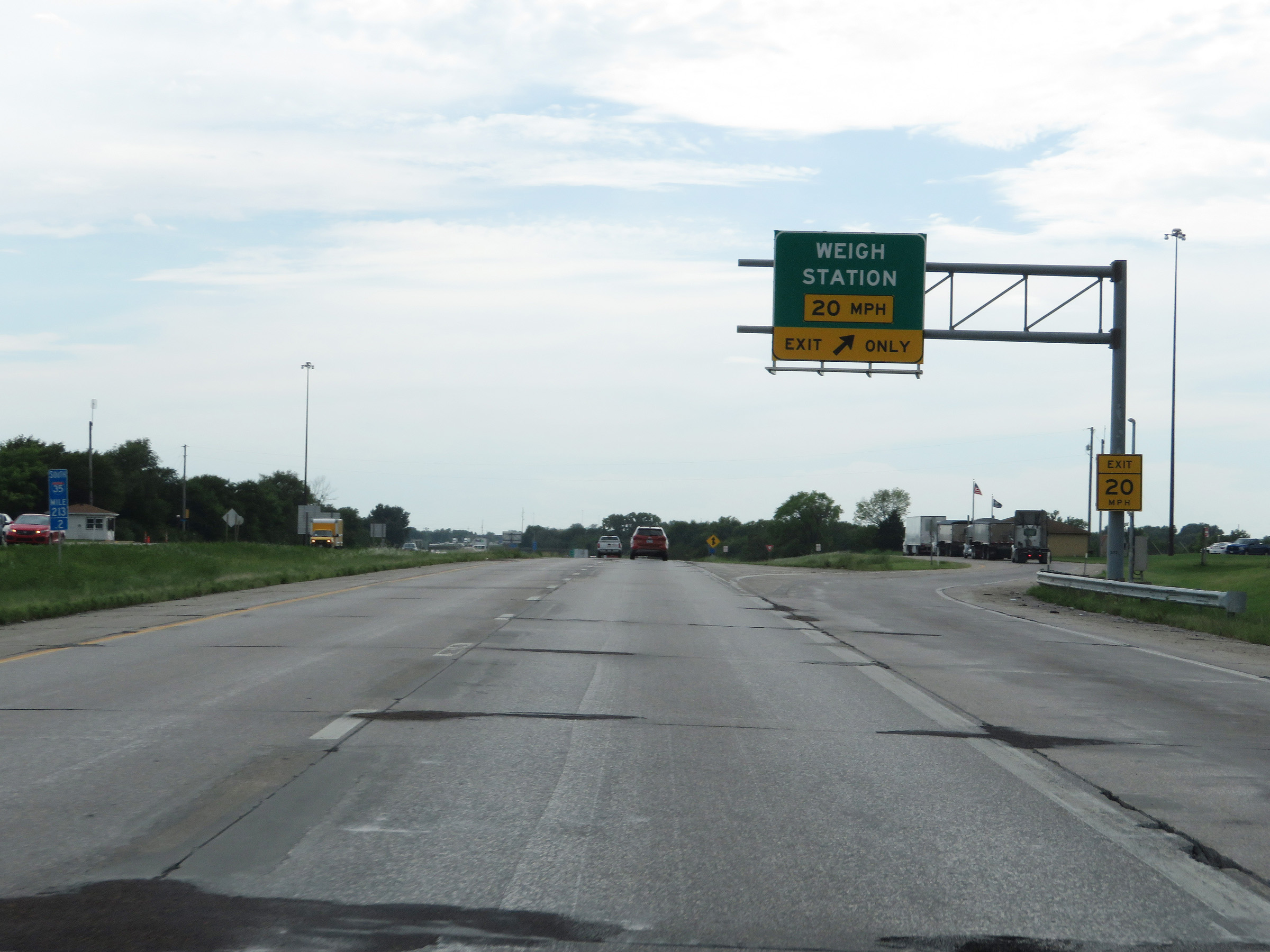 |
Weigh Station on Interstate 35 South in Johnson County at mile marker 213.2. (Photo taken 8/10/20). |
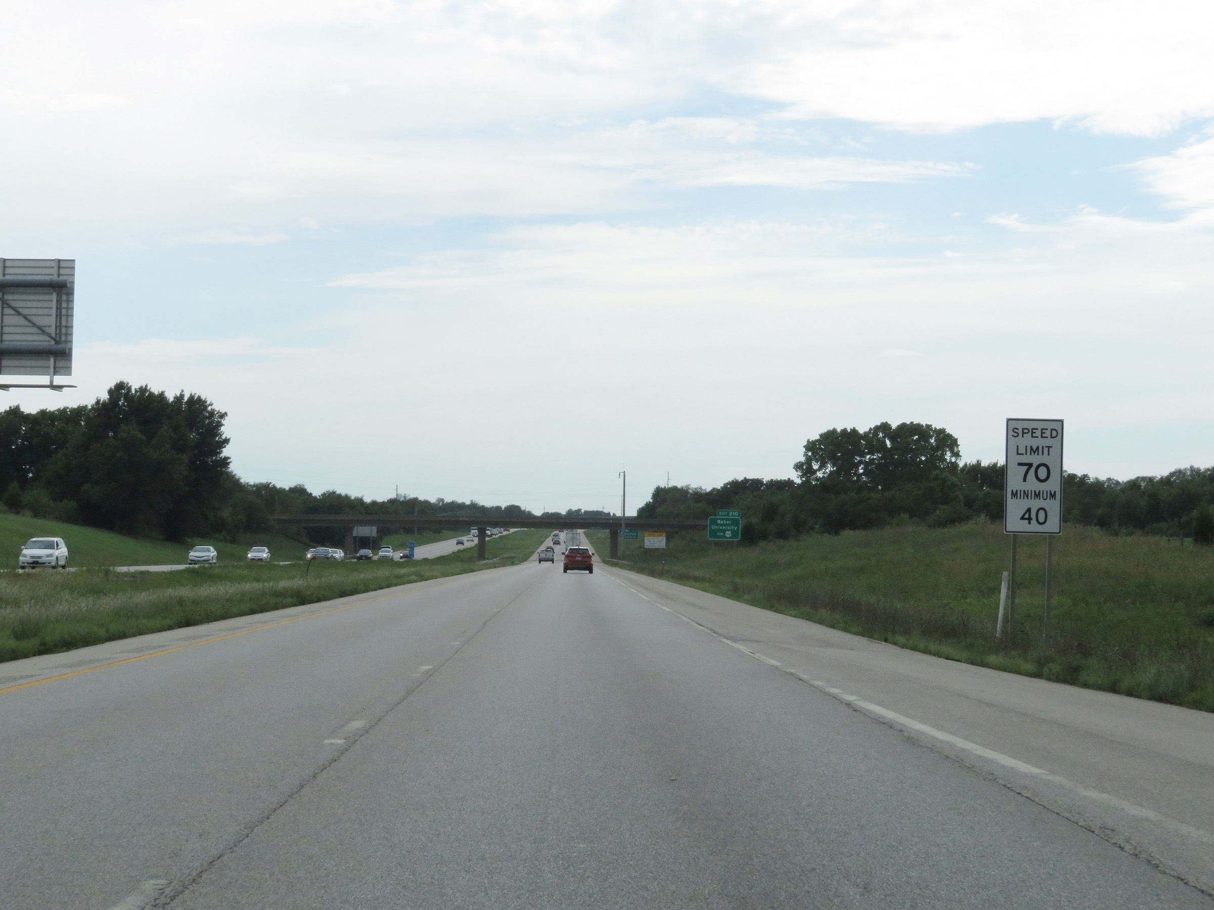 |
Beyond the Weigh Station, the maximum speed limit increases to 70 mph. The minimum speed limit remains 40 mph. (Photo taken 8/10/20). |
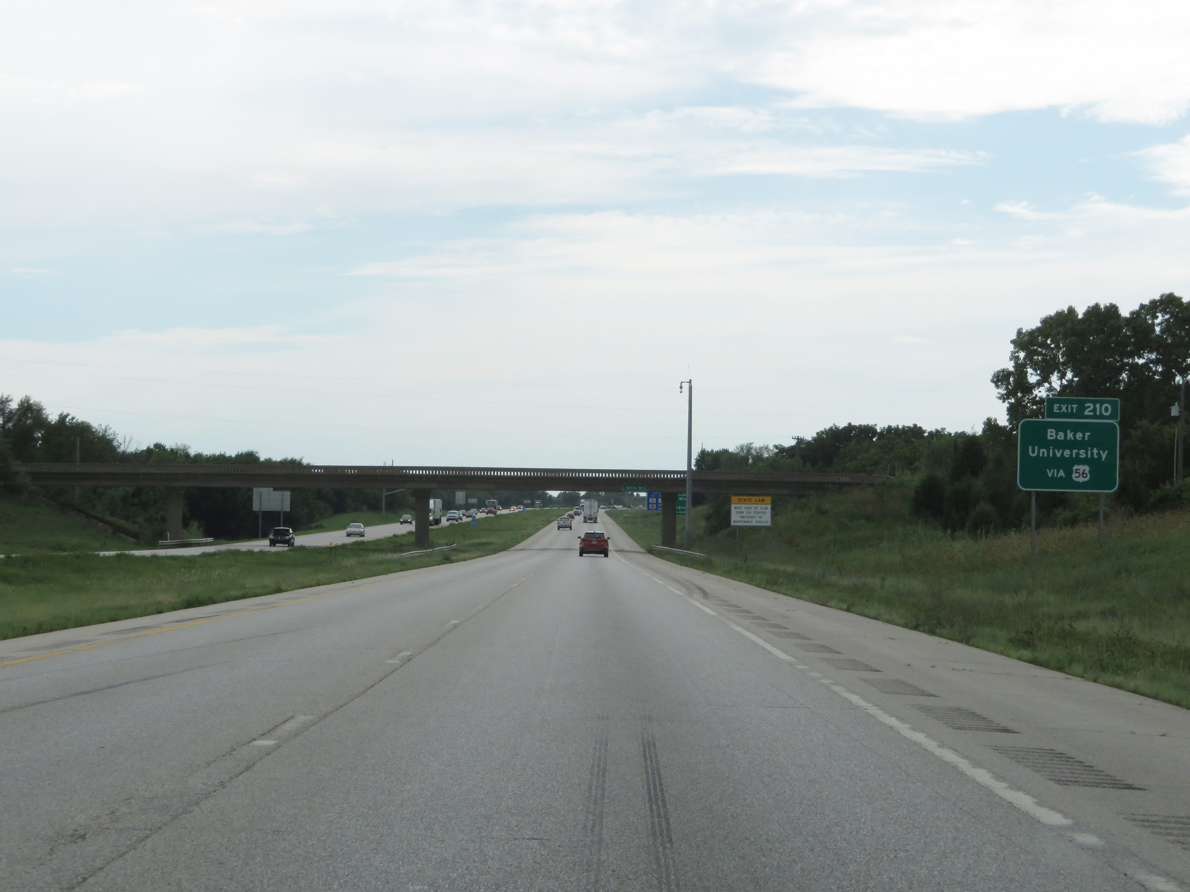 |
Take Exit 210 to Baker University. (Photo taken 8/10/20). |
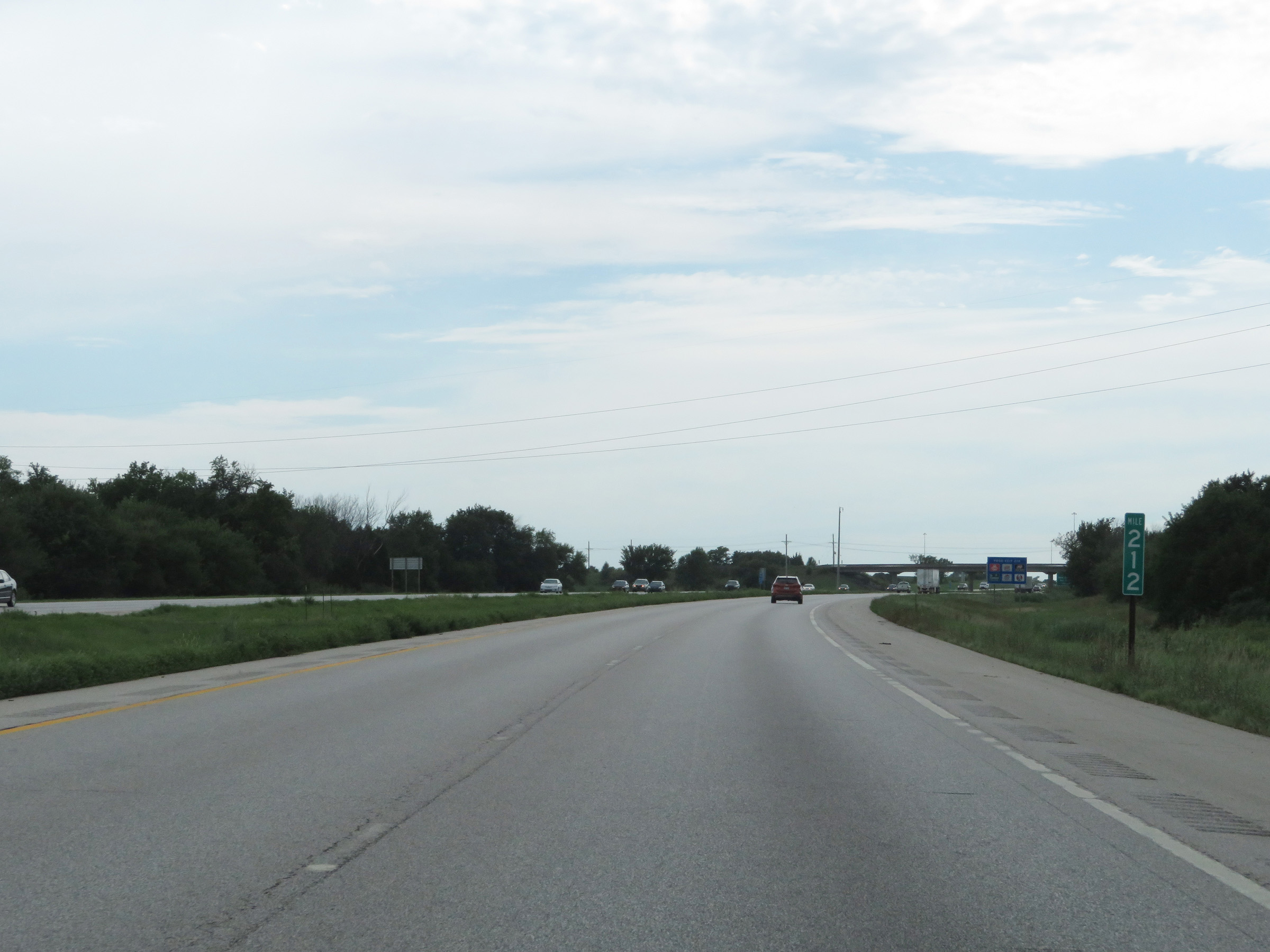 |
View on Interstate 35 South at mile marker 212. (Photo taken 8/10/20). |
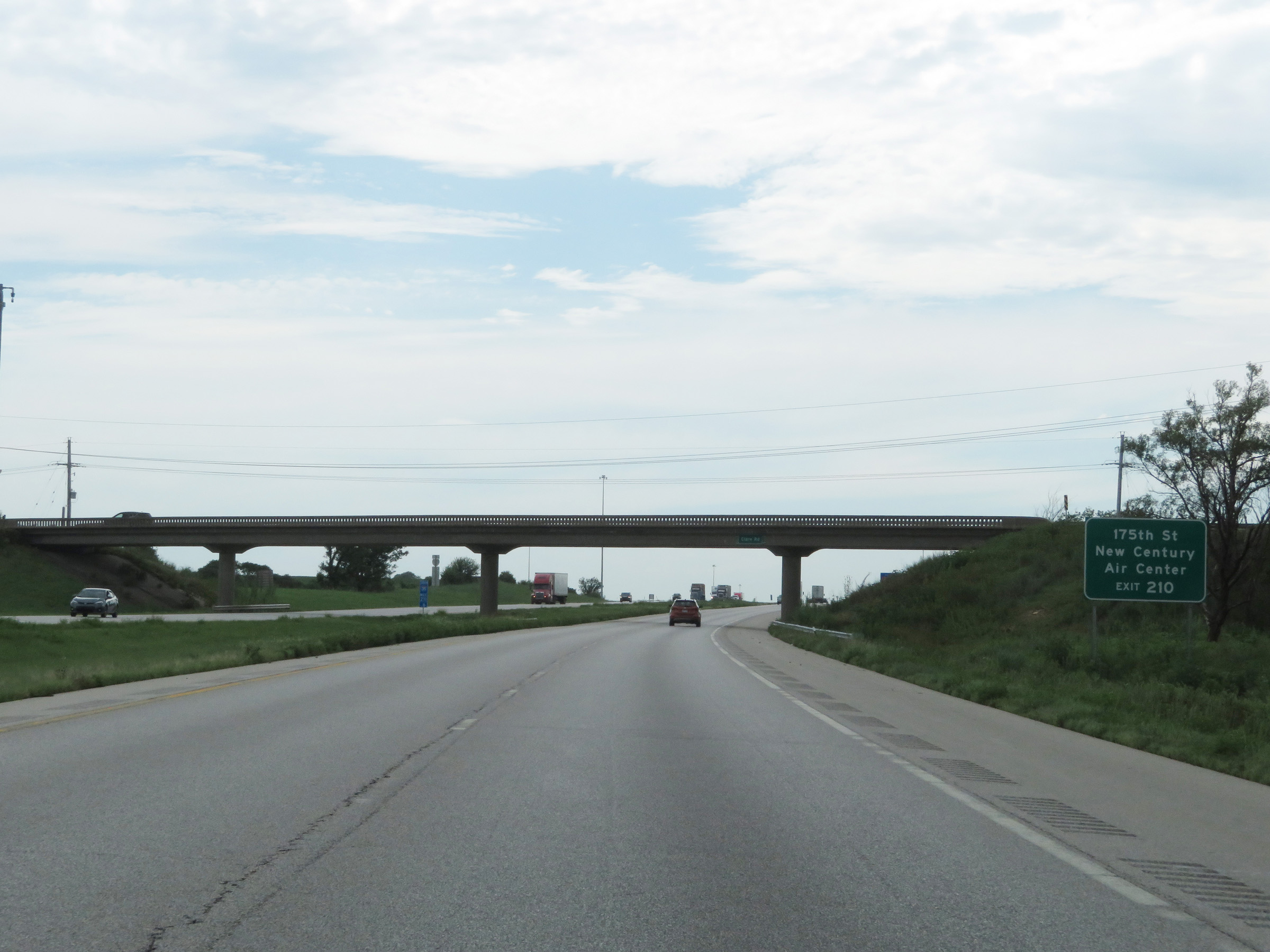 |
Also take Exit 210 to 175th St and New Century Air Center. (Photo taken 8/10/20). |
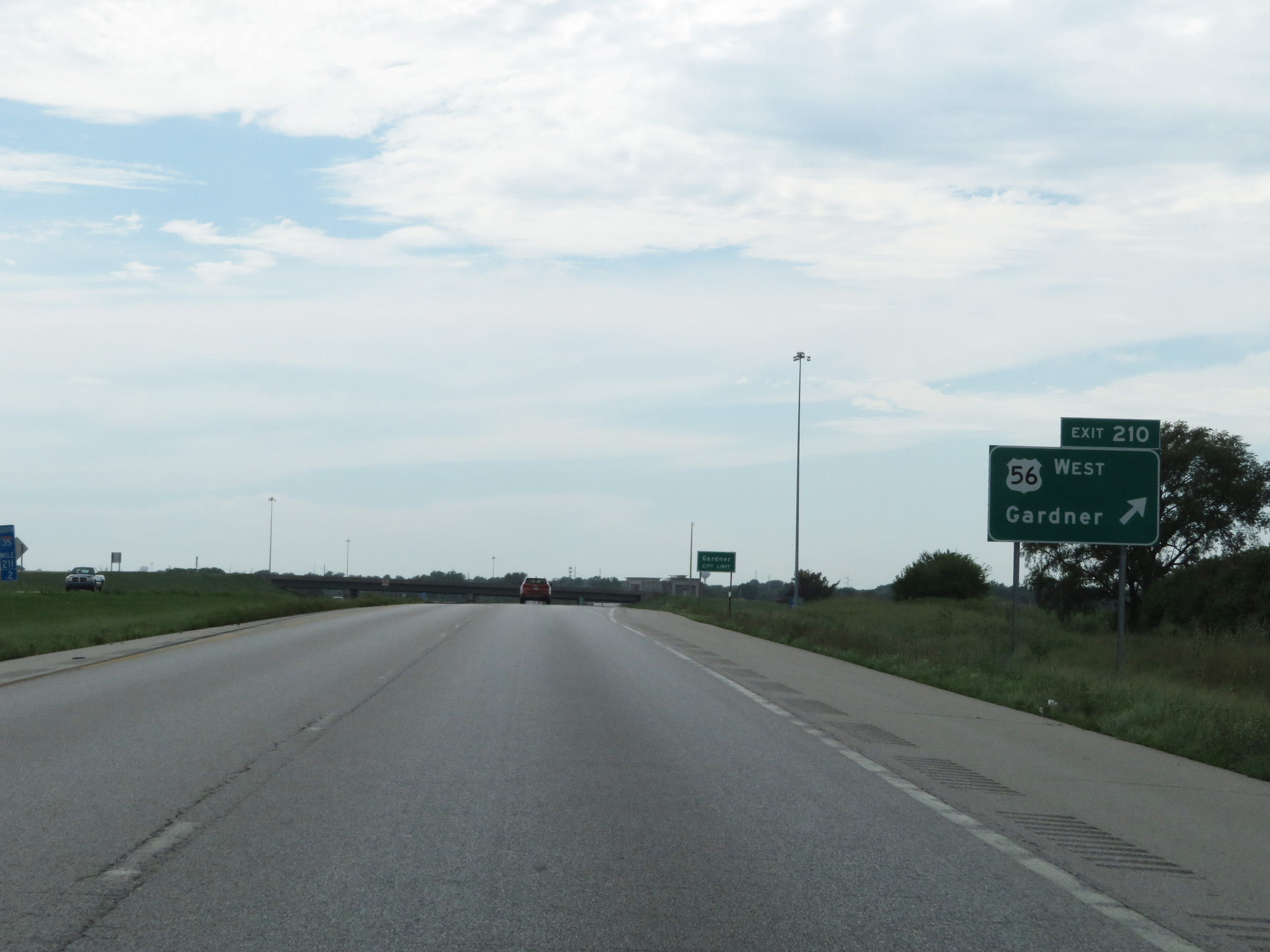 |
Interstate 35 South at Exit 210: US 56 West - Gardner (Photo taken 8/10/20). |
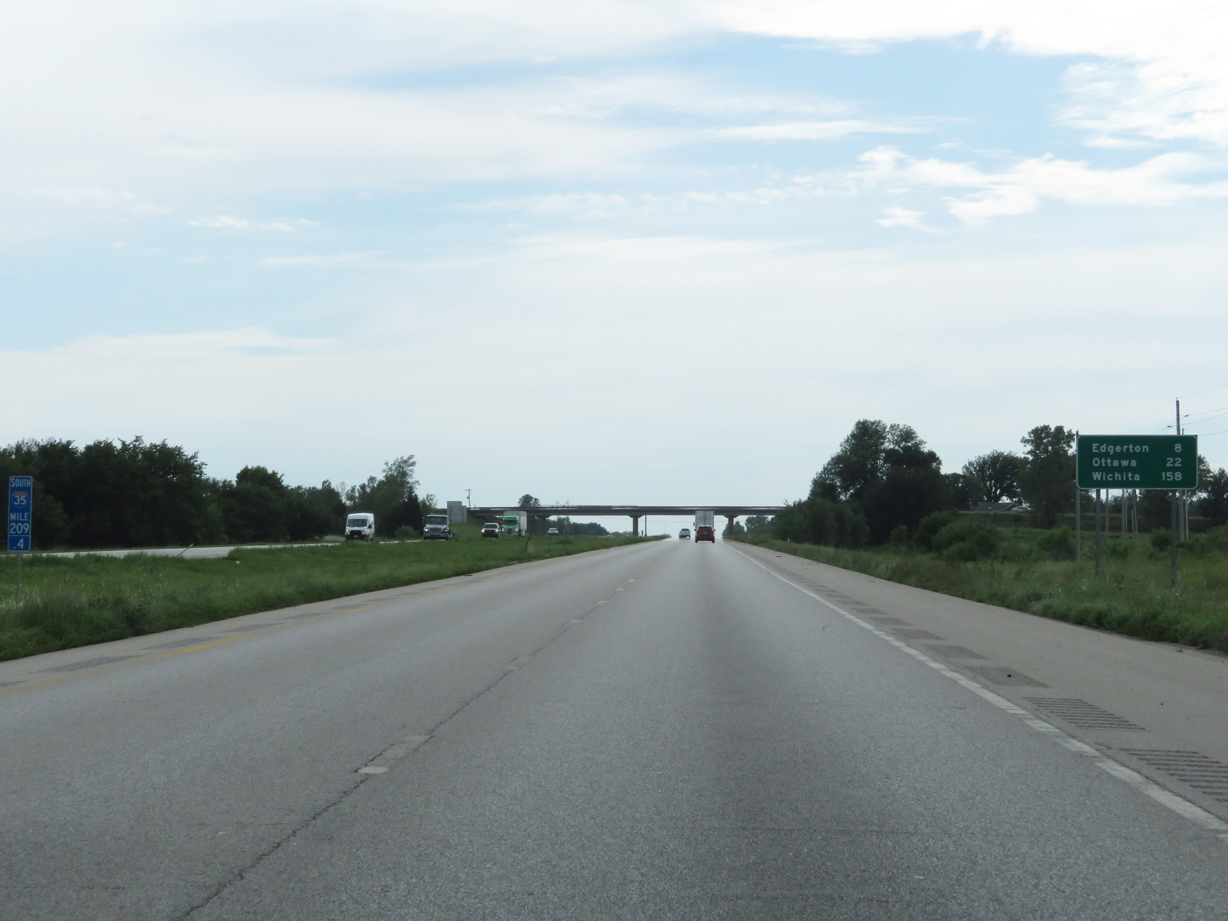 |
Mileage sign on Interstate 35 South at mile marker 209.4. It's 8 miles to Edgerton, 22 miles to Ottawa, and 158 miles to Wichita. (Photo taken 8/10/20). |
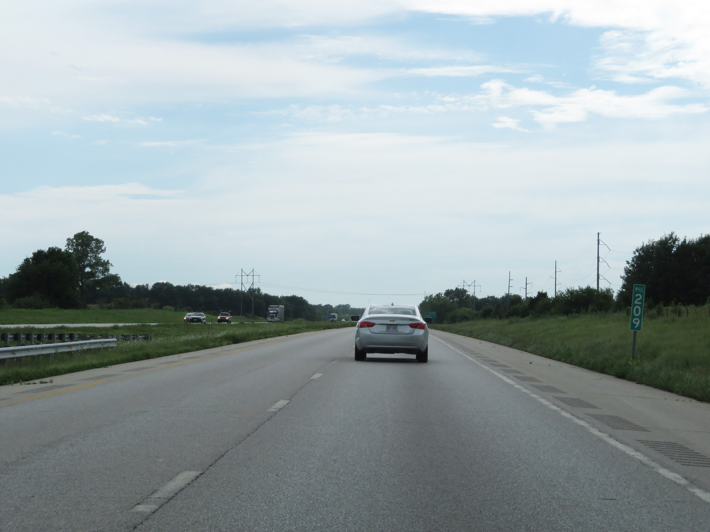 |
Interstate 35 South at mile marker 209. (Photo taken 8/10/20). |
 |
Interstate 35 South at Exit 207: Gardner Road (Photo taken 8/10/20). |
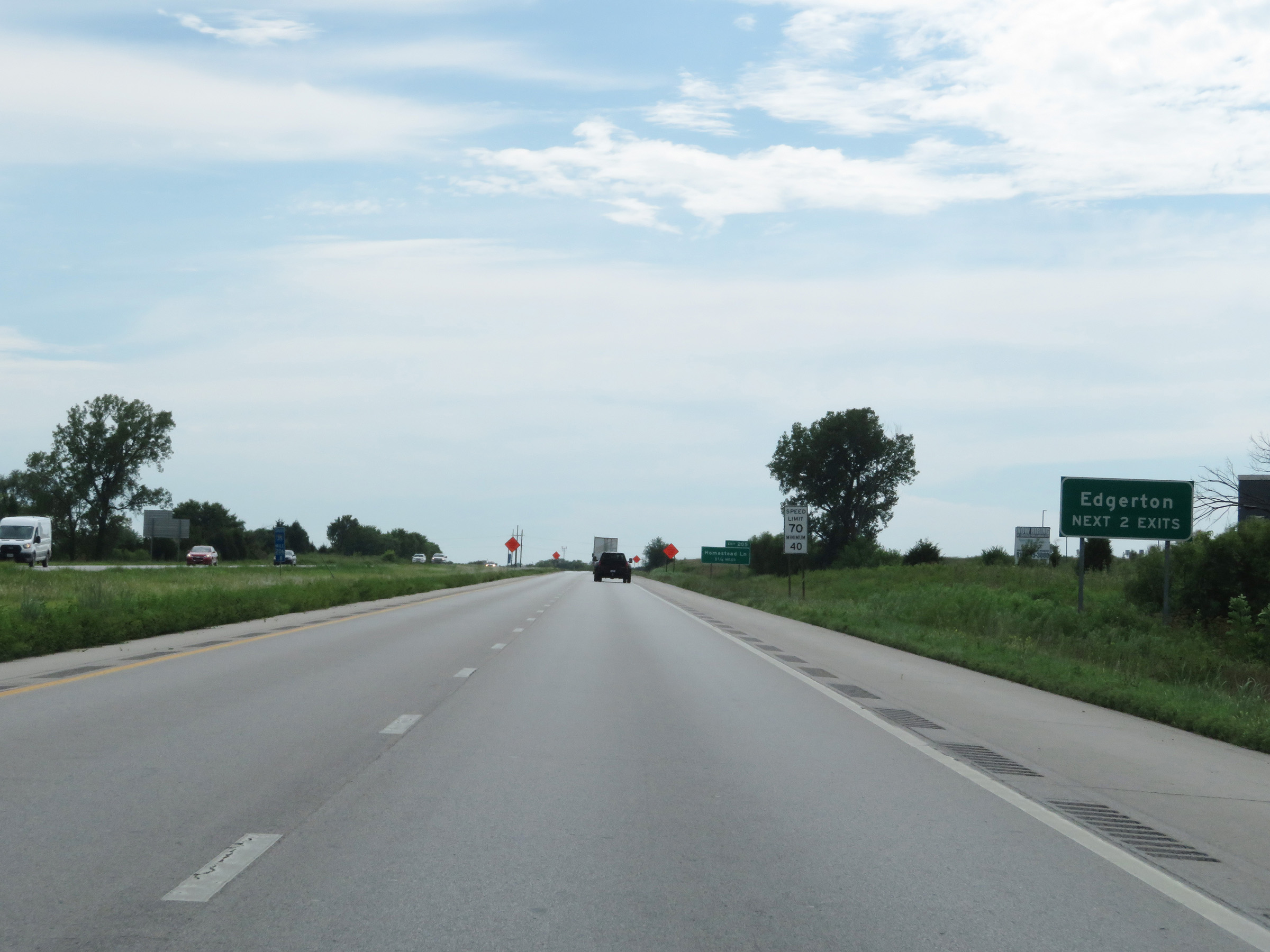 |
Take either of the next 2 exits to Edgerton. (Photo taken 8/10/20). |
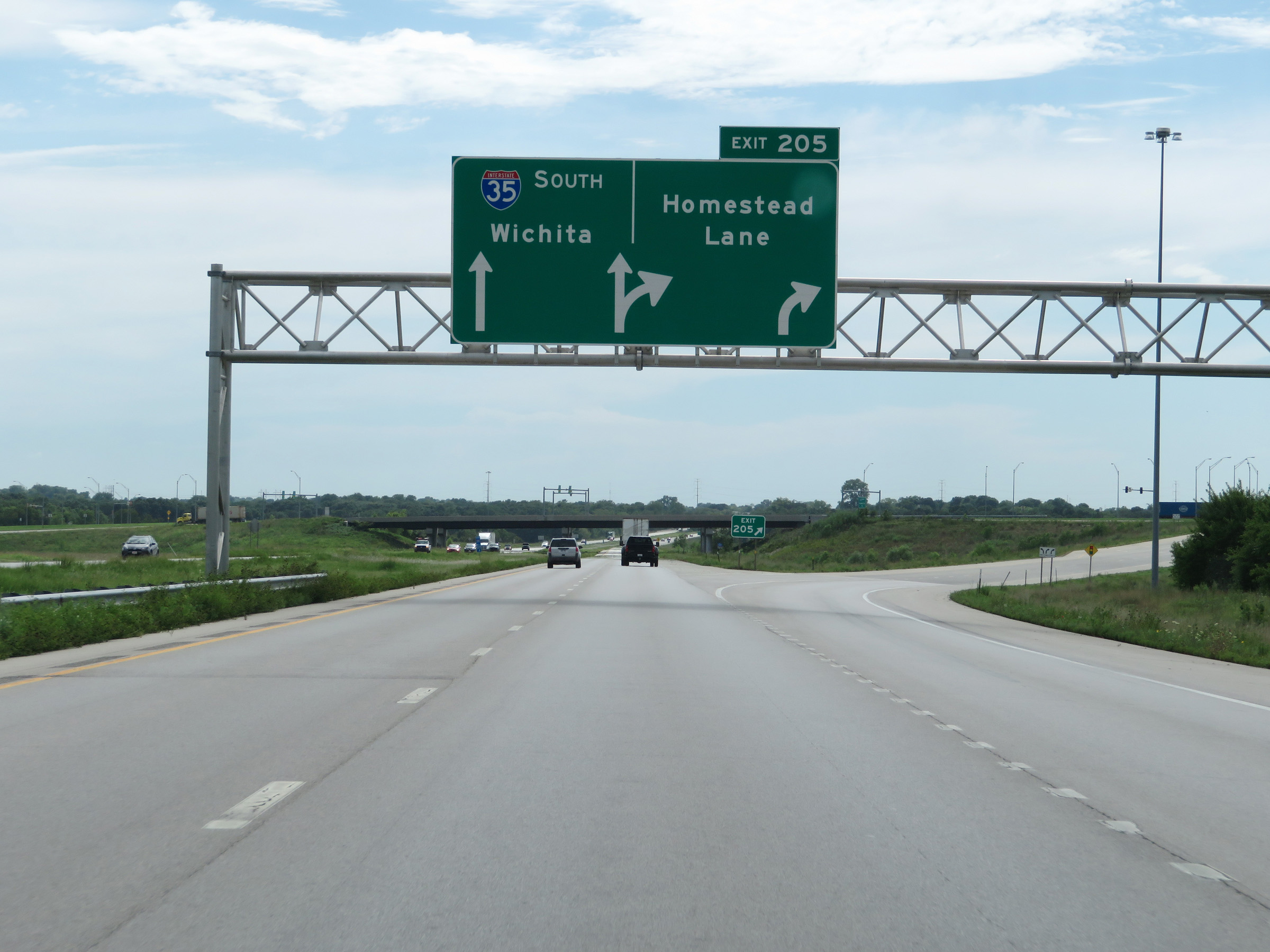 |
Interstate 35 South at Exit 205: Homestead Lane (Photo taken 8/10/20). |
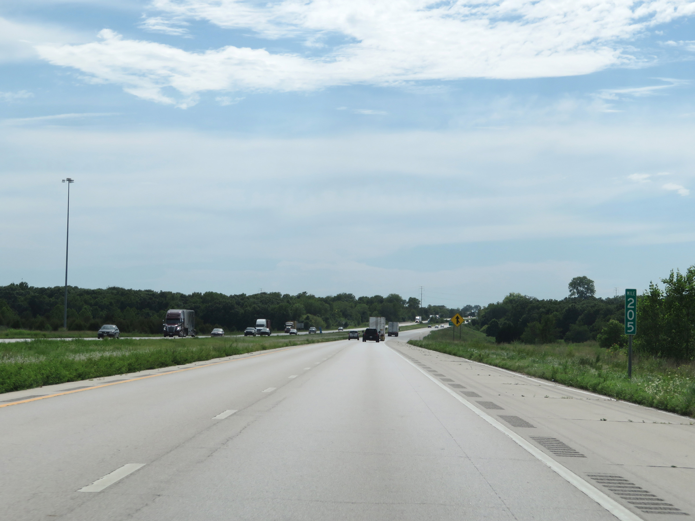 |
View on Interstate 35 South at mile marker 205. (Photo taken 8/10/20). |
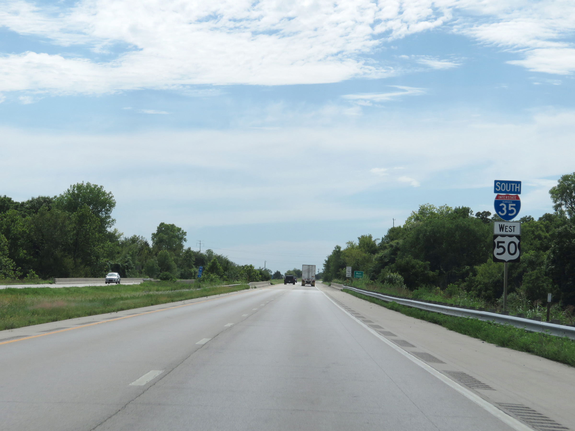 |
State-named Interstate 35 South reassurance shield with a US 50 West reassurance marker. (Photo taken 8/10/20). |
 |
The speed limits remain 70 mph maximum and 40 mph minimum. (Photo taken 8/10/20). |
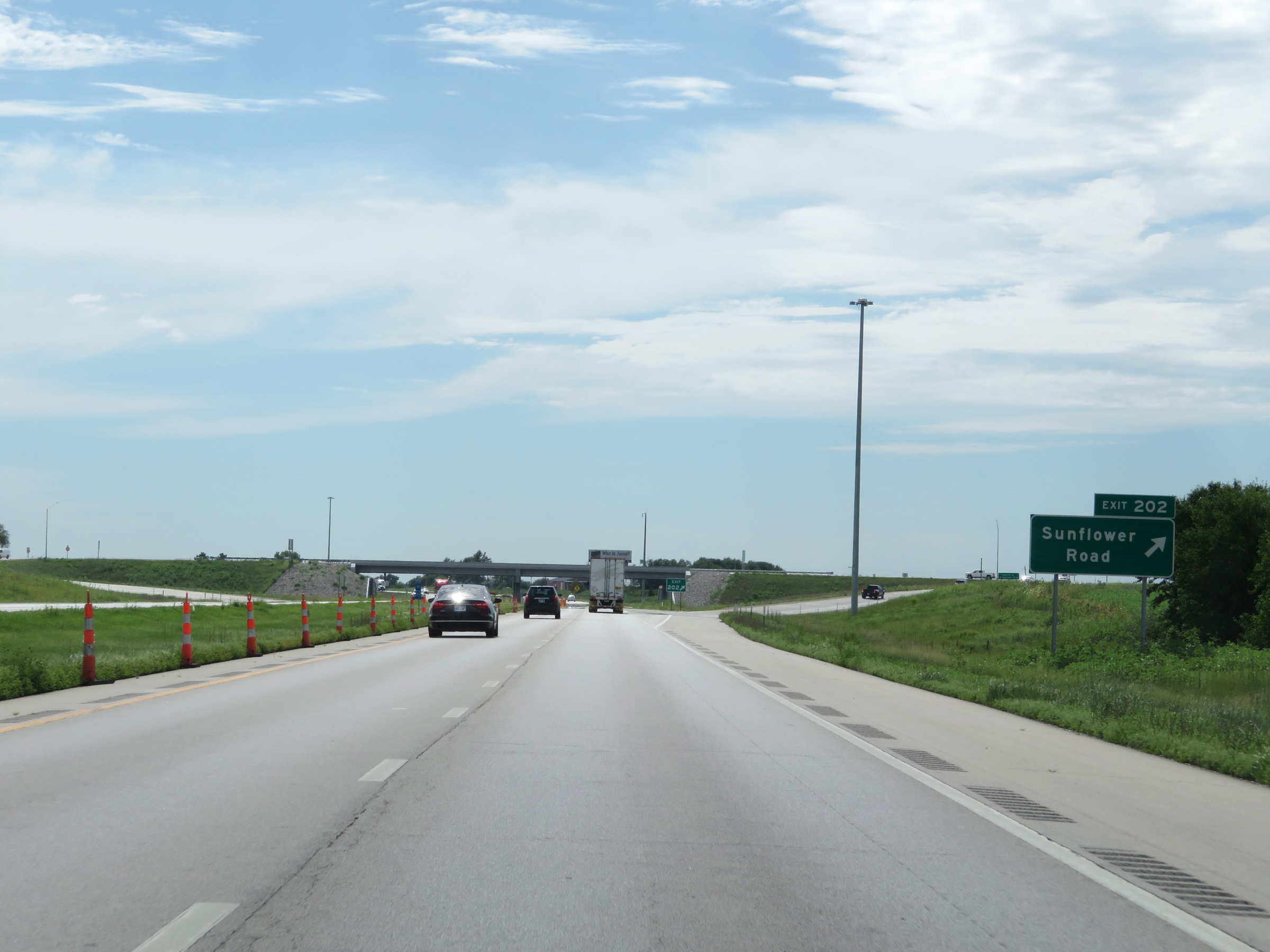 |
Interstate 35 South at Exit 202: Sunflower Road (Photo taken 8/10/20). |
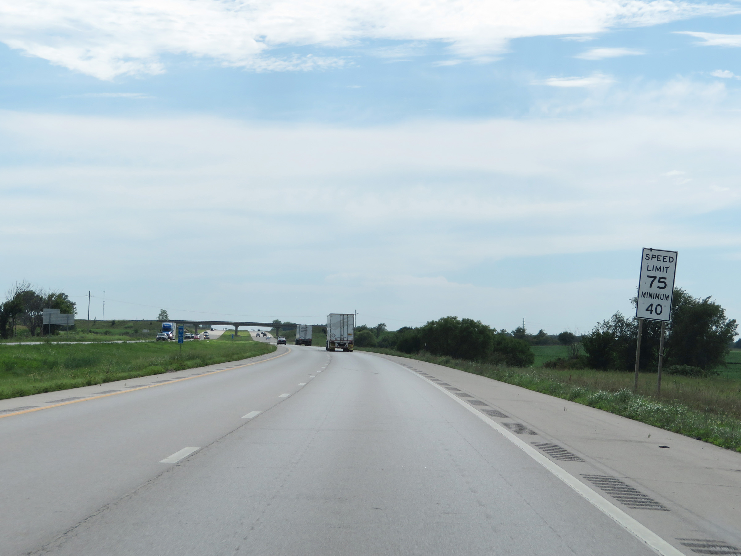 |
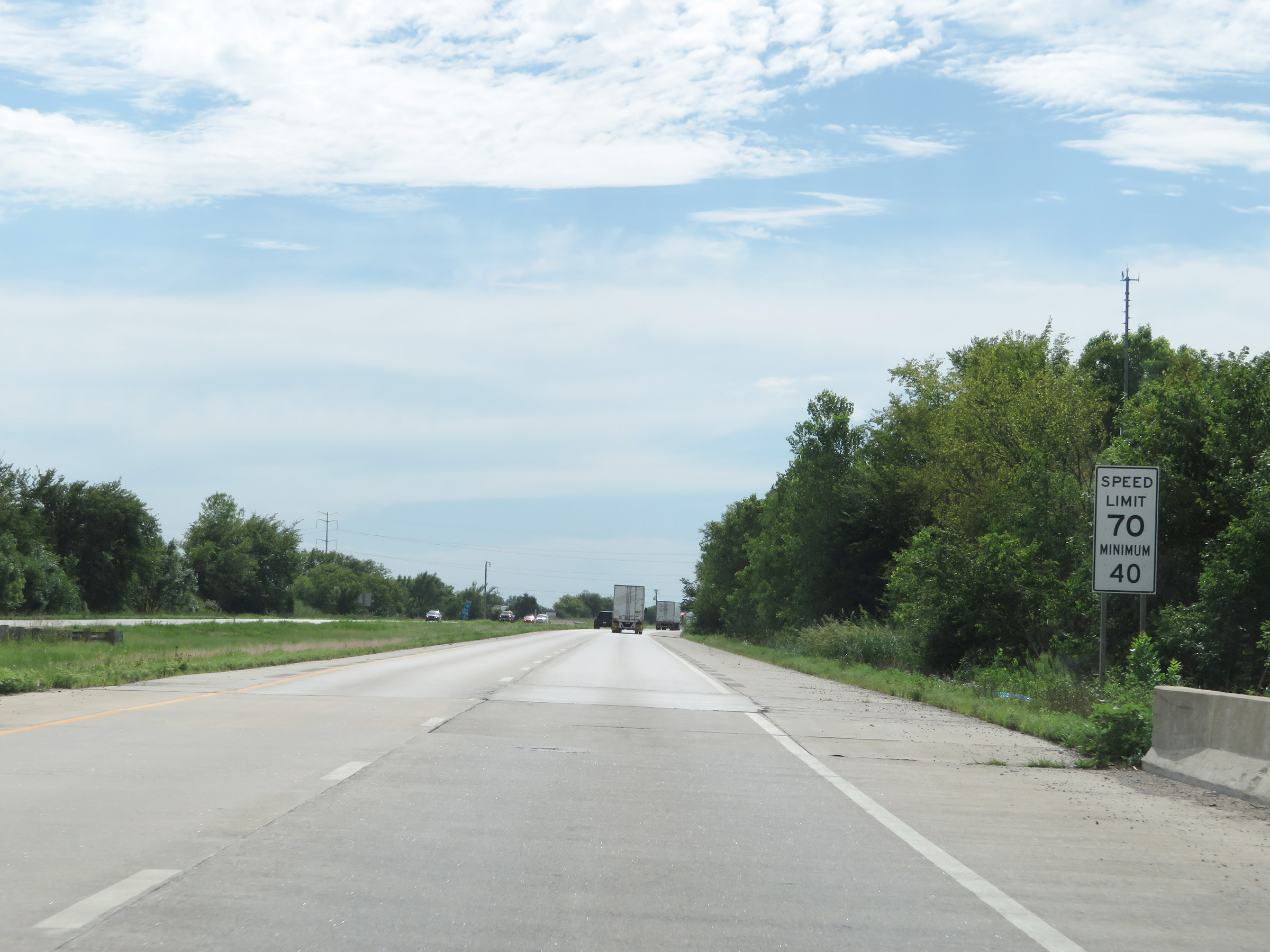
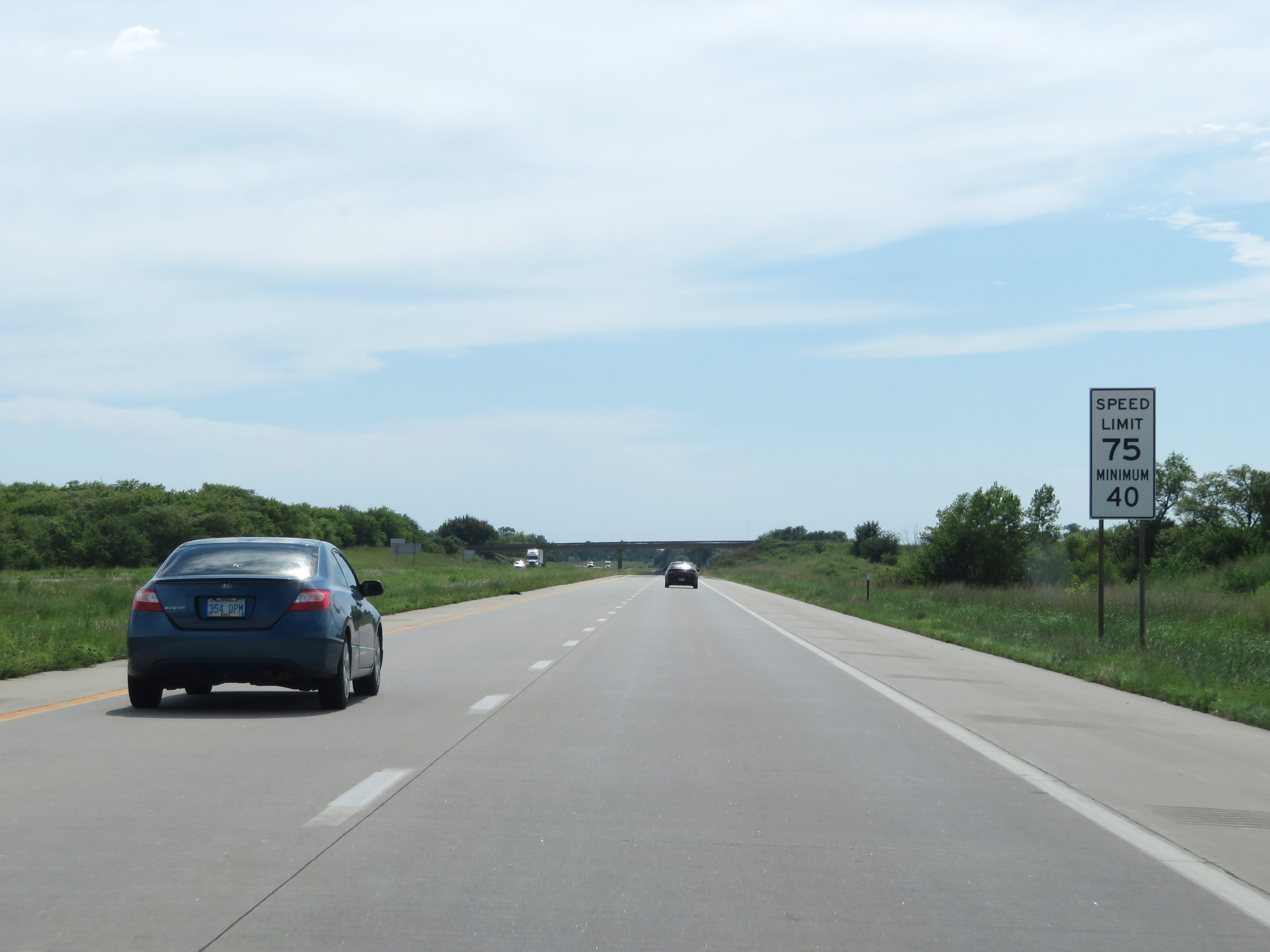
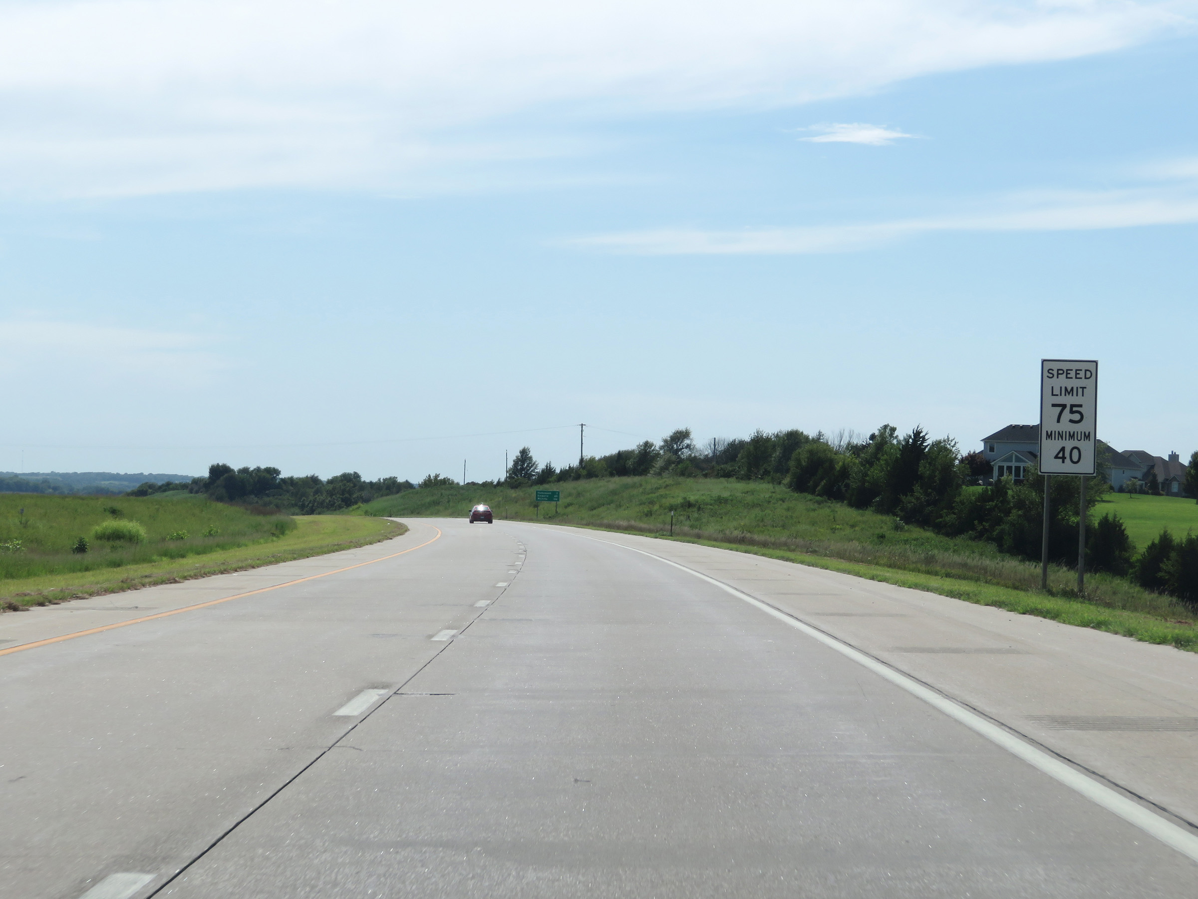
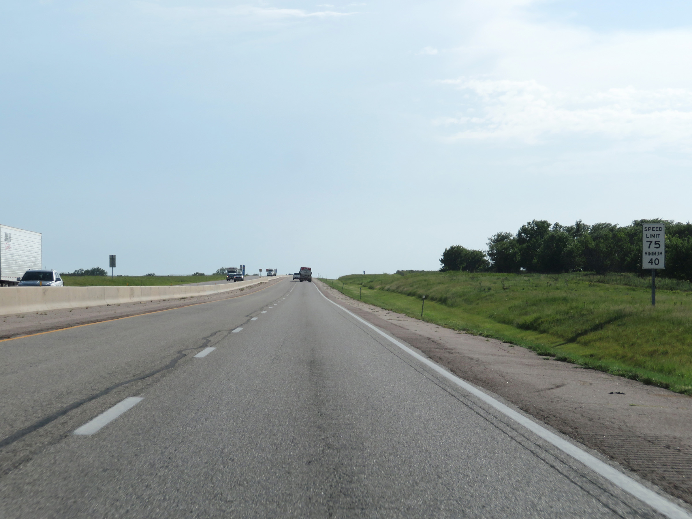
South of Exit 202, the maximum speed limit increases to 75 mph. The minimum remains 40 mph. These are the standard speed limits on most rural Interstate highways in Kansas. (Photo taken 8/10/20). |
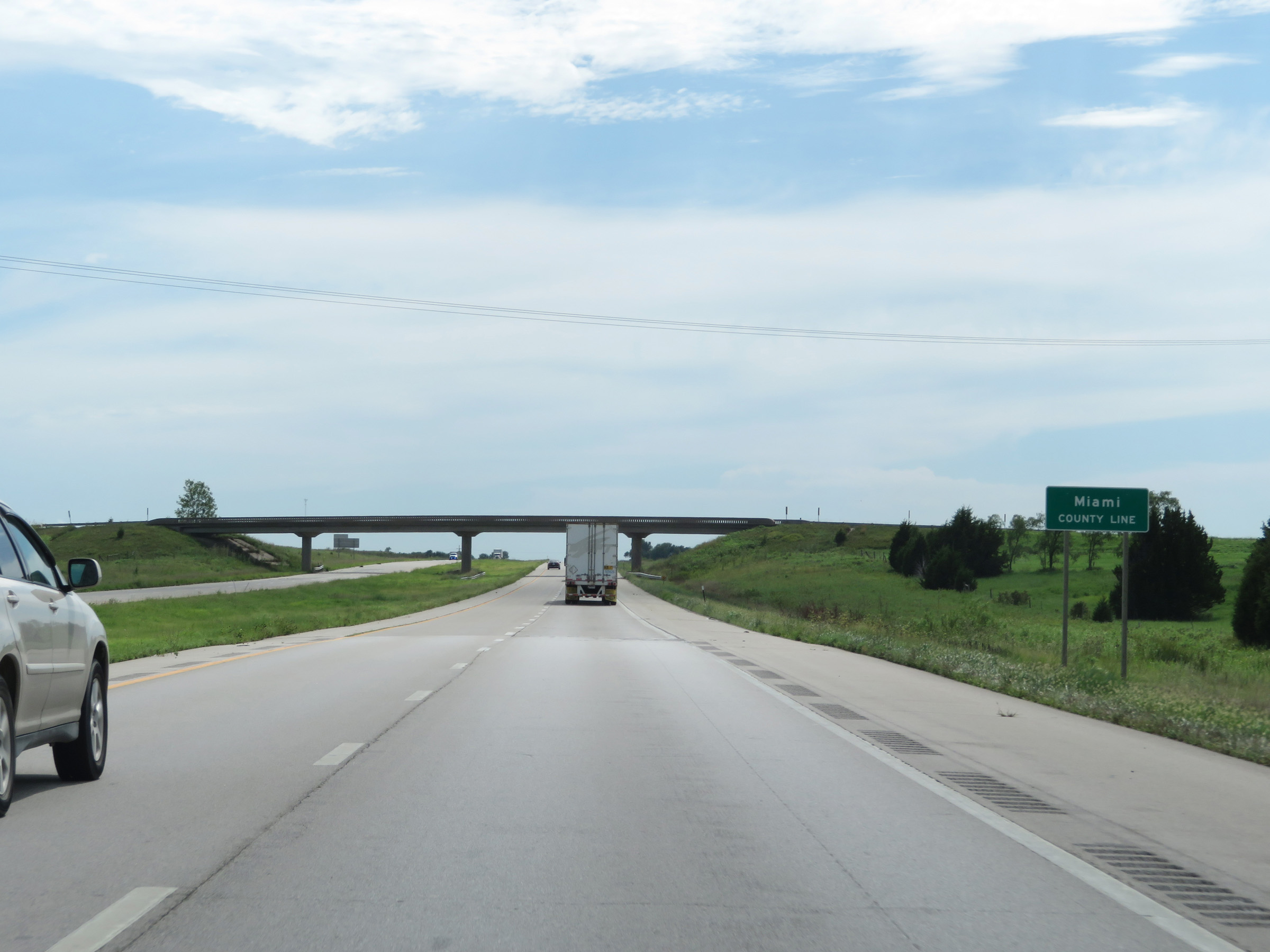 |
Interstate 35 South as it enters Miami County, where it will stay for a brief time. (Photo taken 8/10/20). |
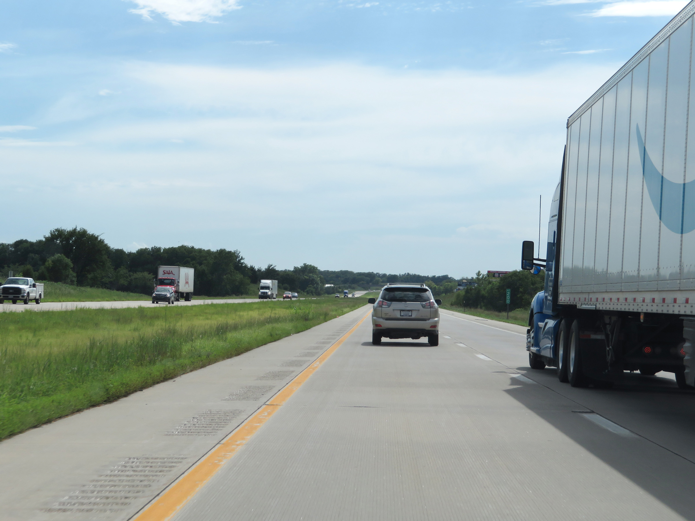 |
Interstate 35 South at mile marker 200. (Photo taken 8/10/20). |
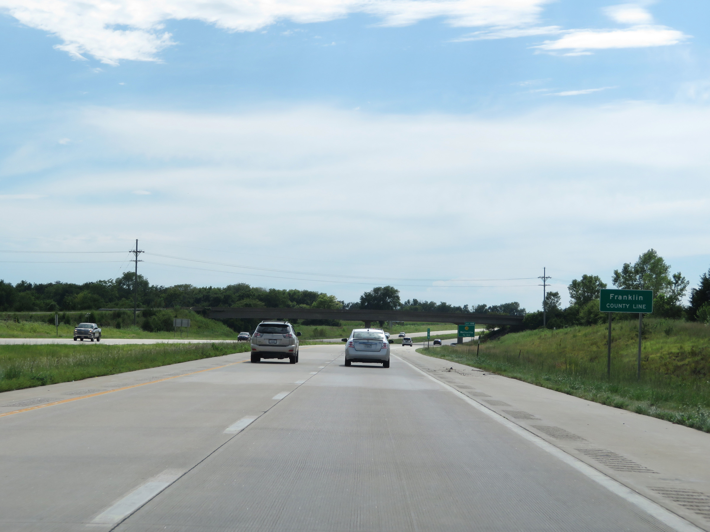 |
Entering Franklin County on Interstate 35 South. (Photo taken 8/10/20). |
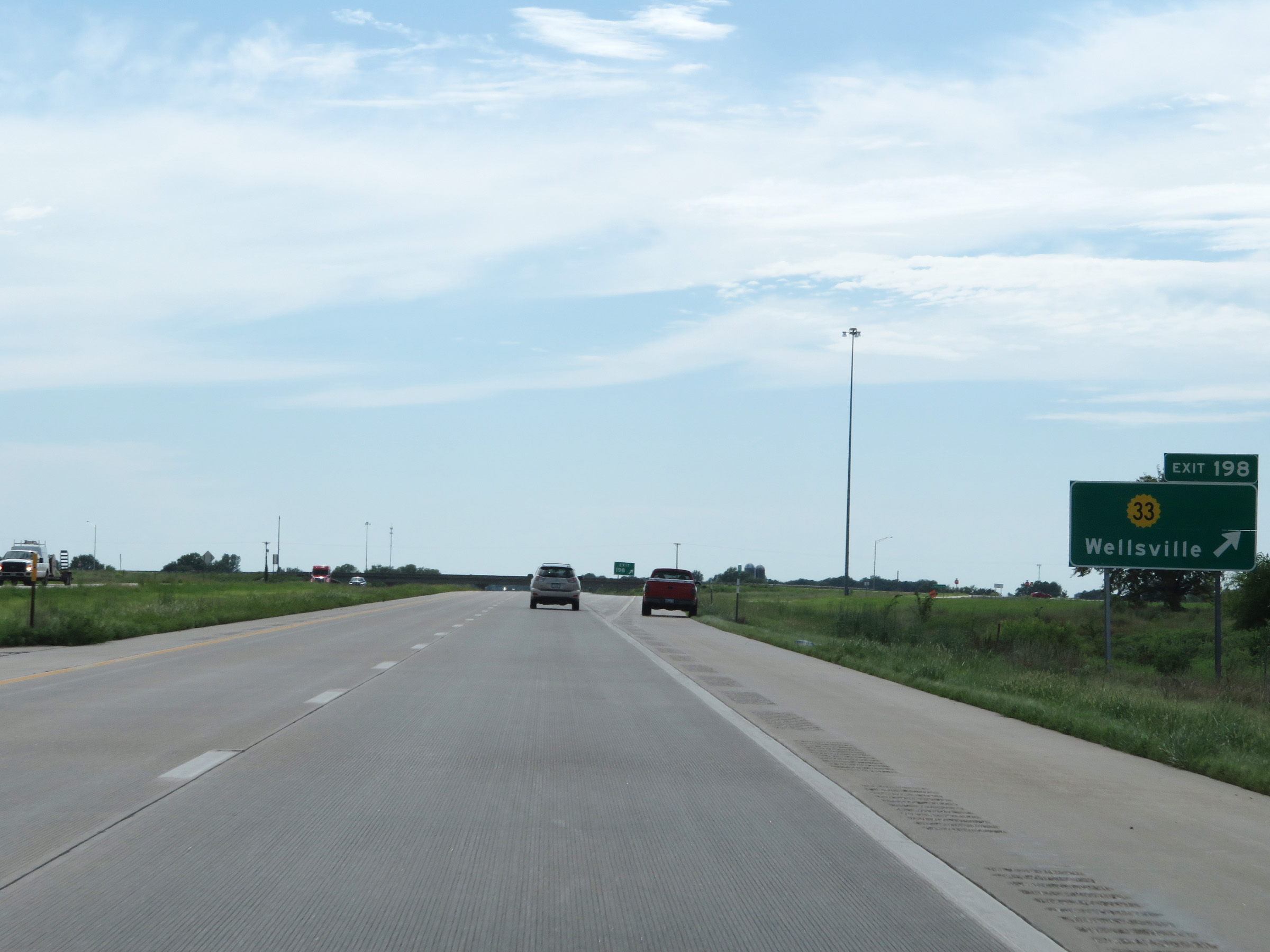 |
Interstate 35 South at Exit 198: K-33 - Wellsville (Photo taken 8/10/20). |
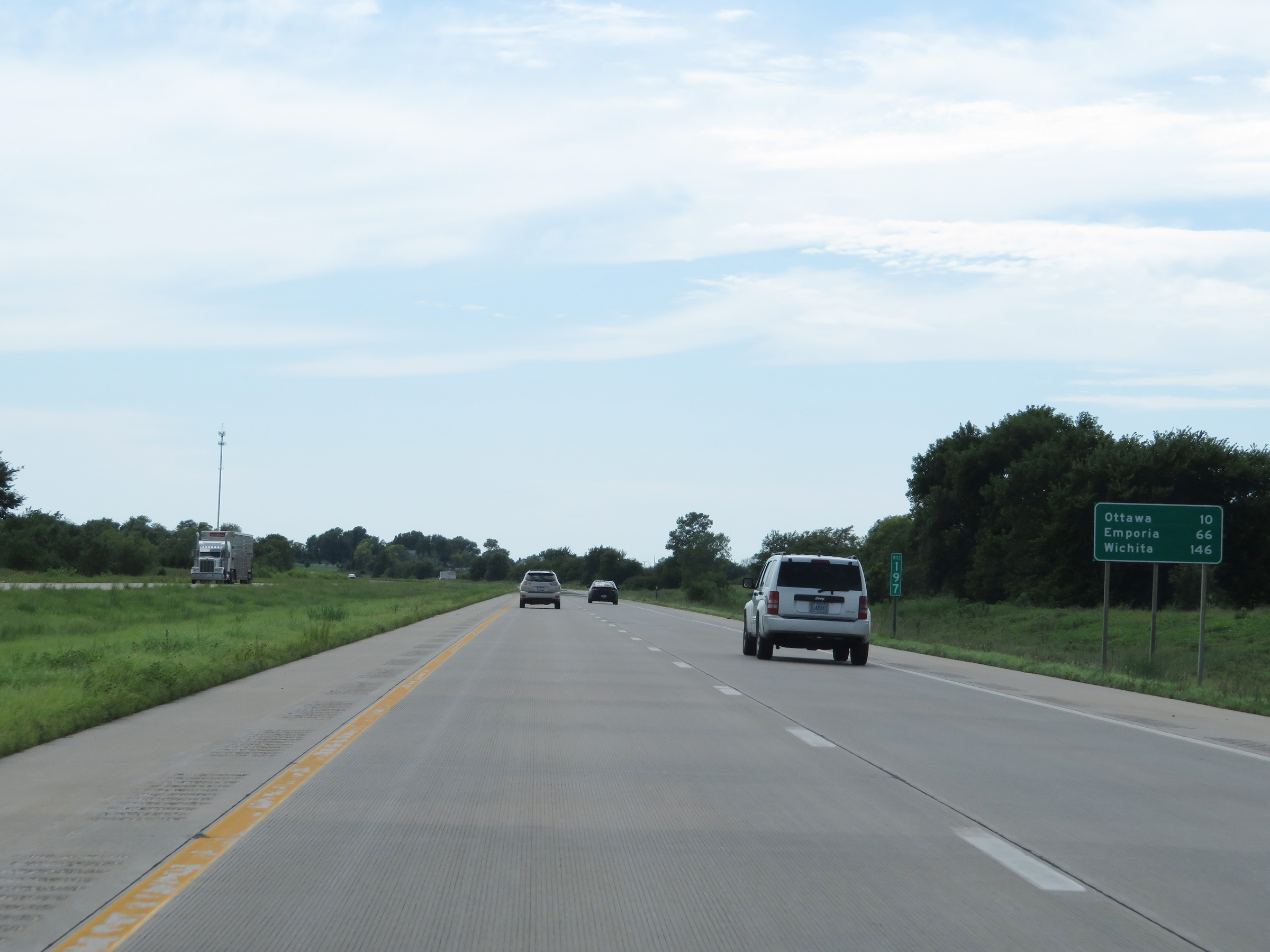 |
Mileage sign on Interstate 35 South at mile marker 197. It's 10 miles to Ottawa, 66 miles to Emporia, and 146 miles to Wichita. (Photo taken 8/10/20). |
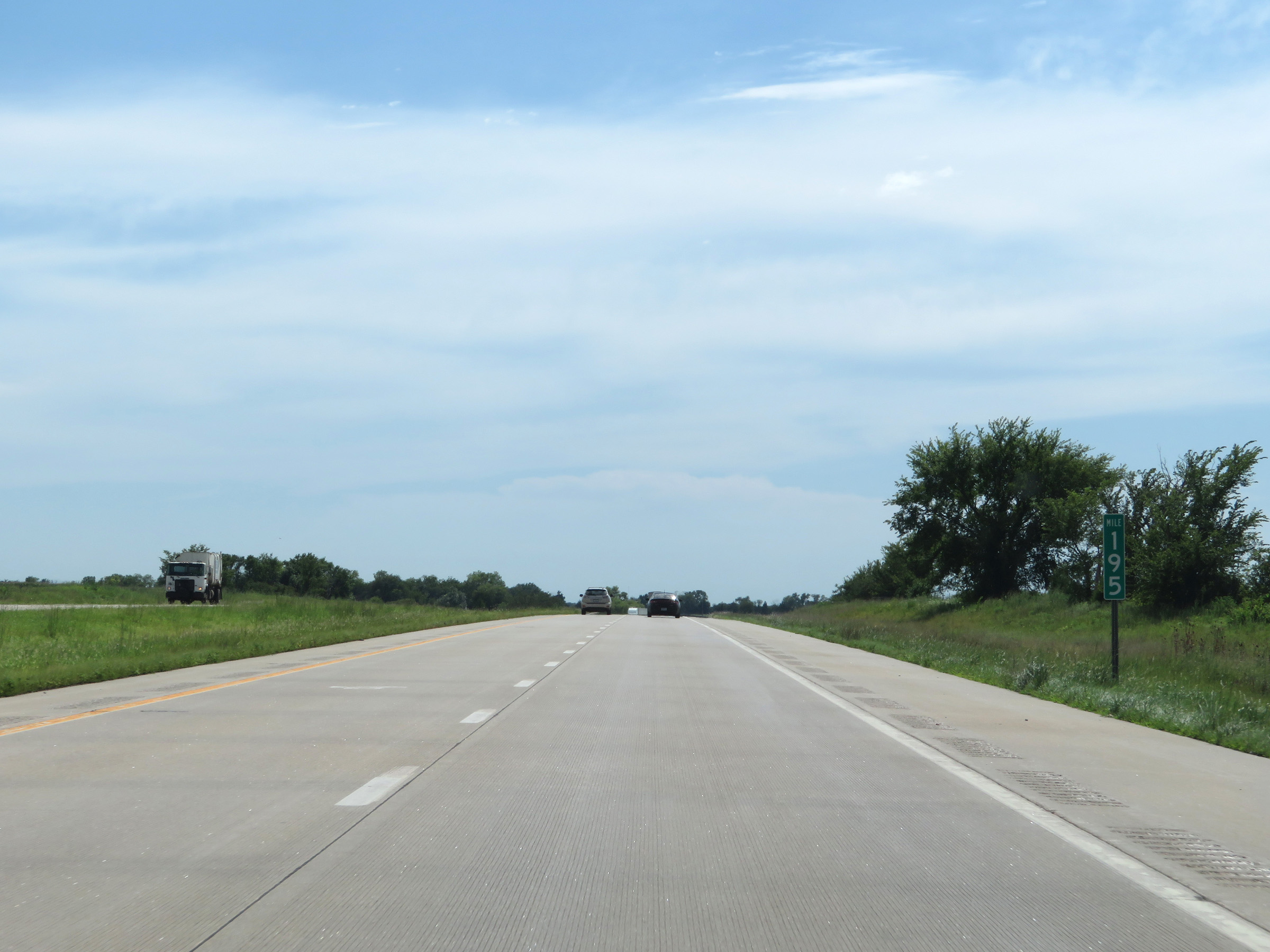 |
View on Interstate 35 South at mile marker 195. (Photo taken 8/10/20). |
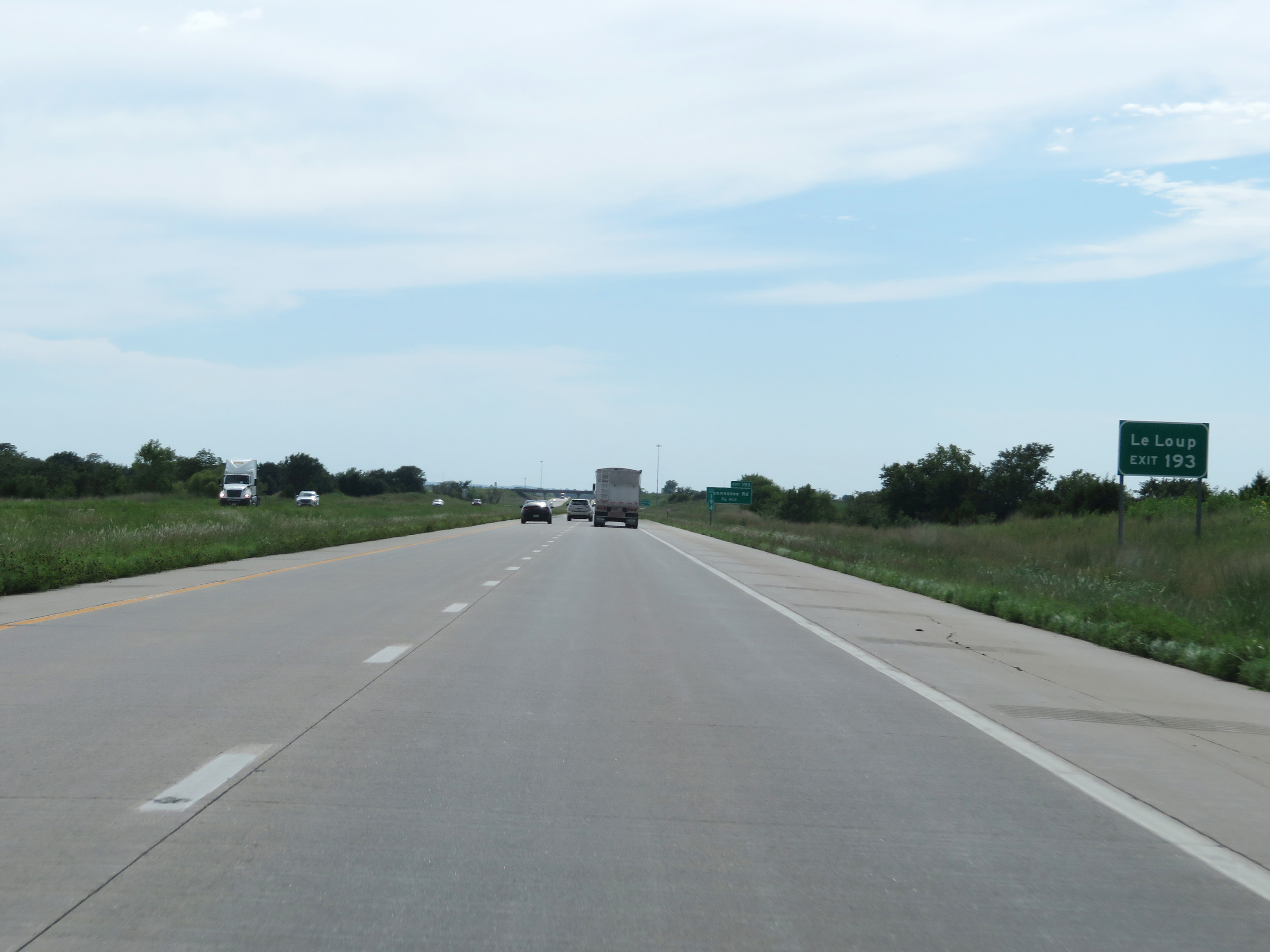 |
Take Exit 193 to LeLoup. (Photo taken 8/10/20). |
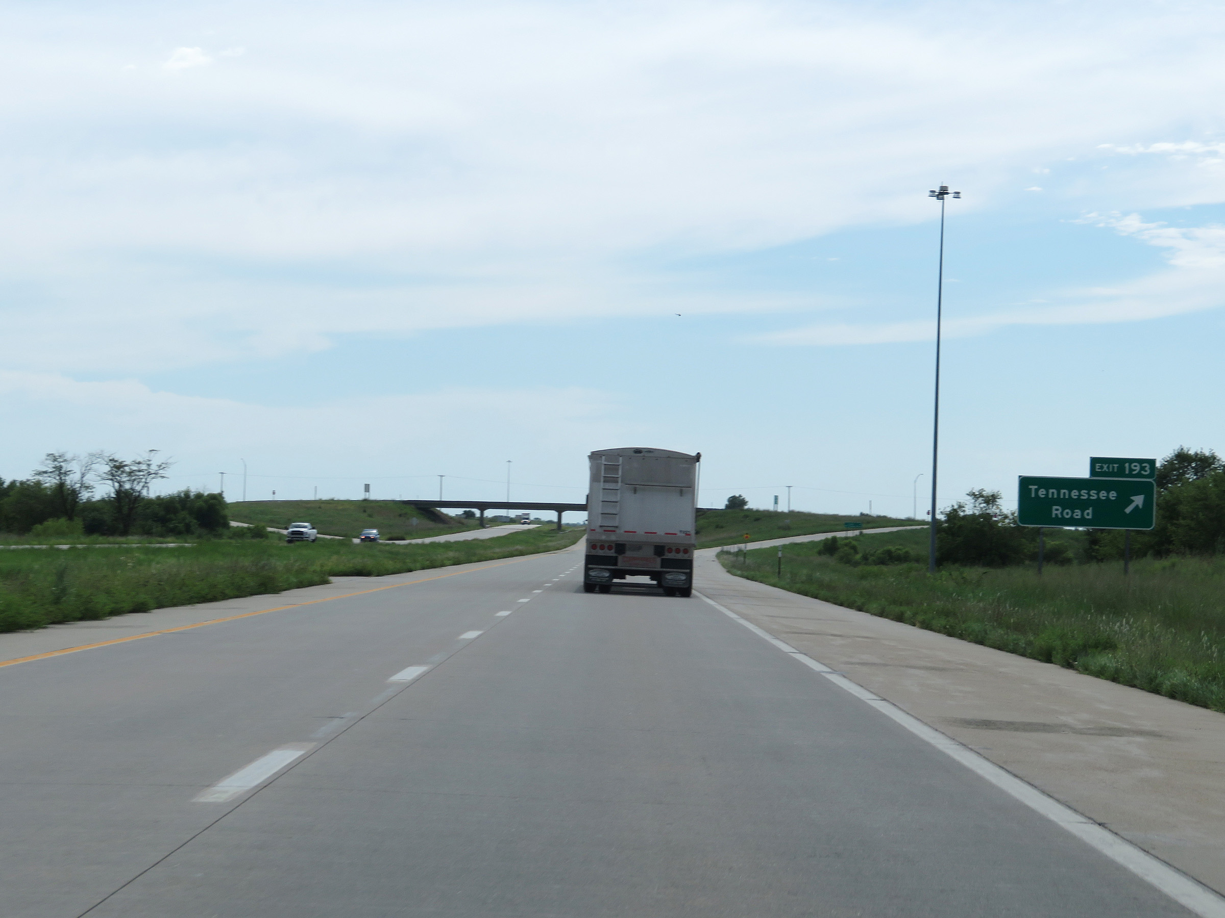 |
Interstate 35 South at Exit 193: Tennessee Road (Photo taken 8/10/20). |
 |
Another state-named Interstate 35 South reassurance shield. (Photo taken 8/10/20). |
 |
The speed limits remain 75 mph maximum and 40 mph minimum. (Photo taken 8/10/20). |
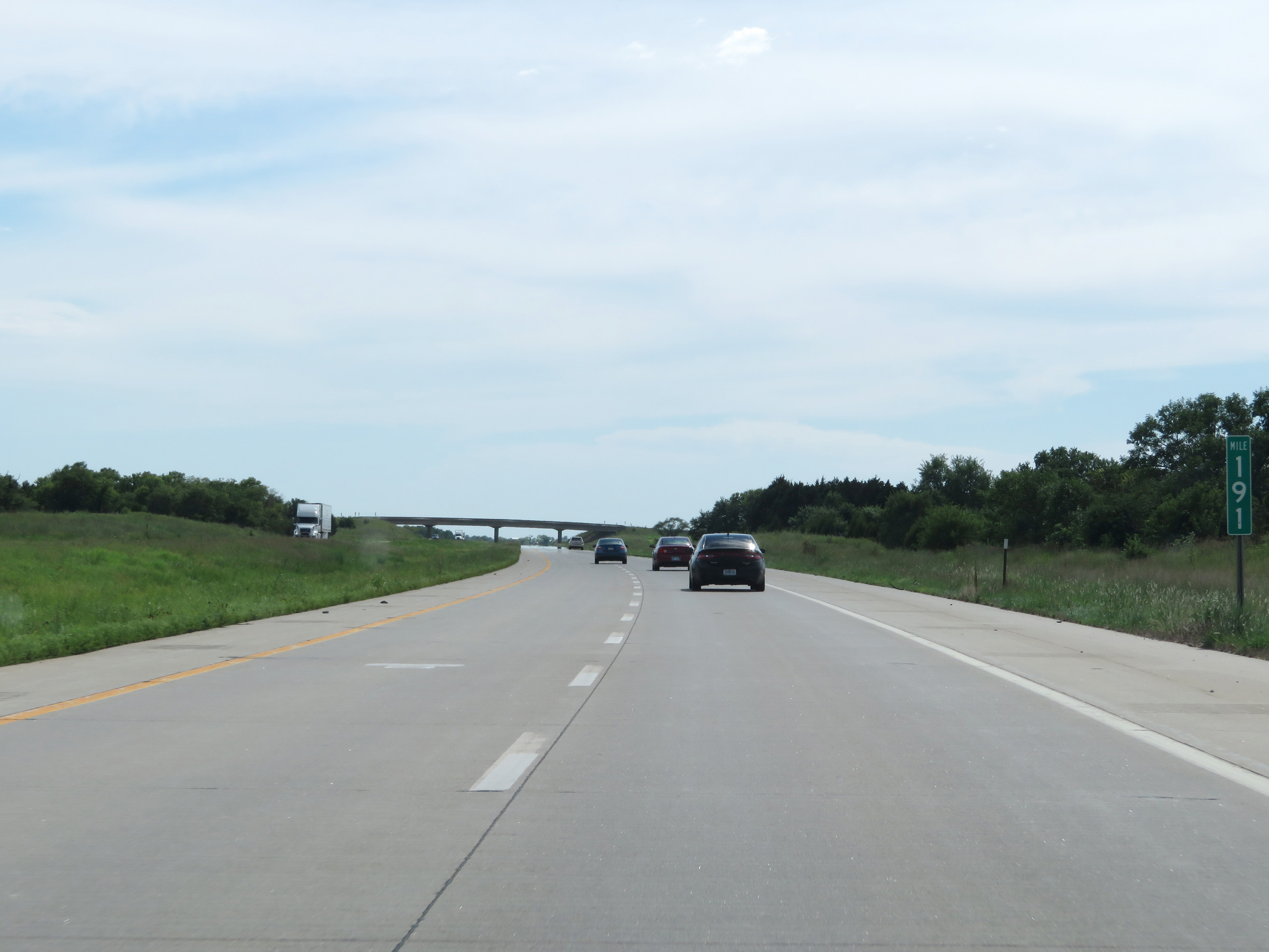 |
View on Interstate 35 South at mile marker 191. (Photo taken 8/10/20). |
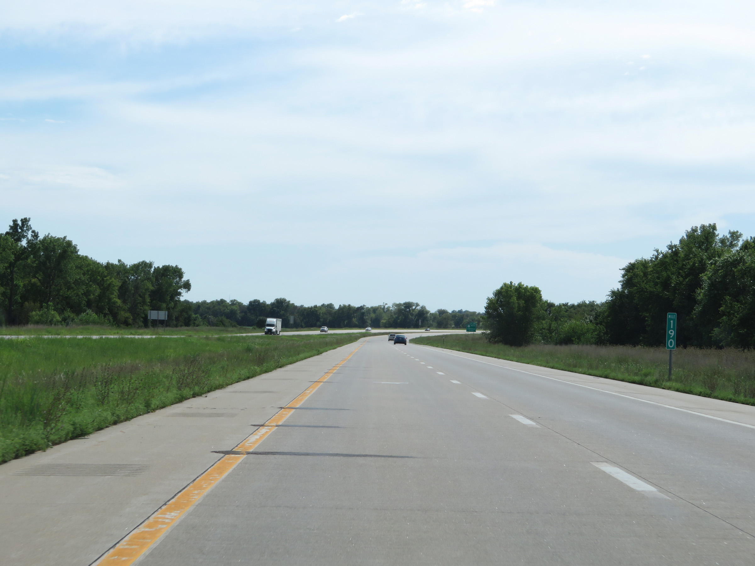 |
Interstate 35 South at mile marker 190. (Photo taken 8/10/20). |
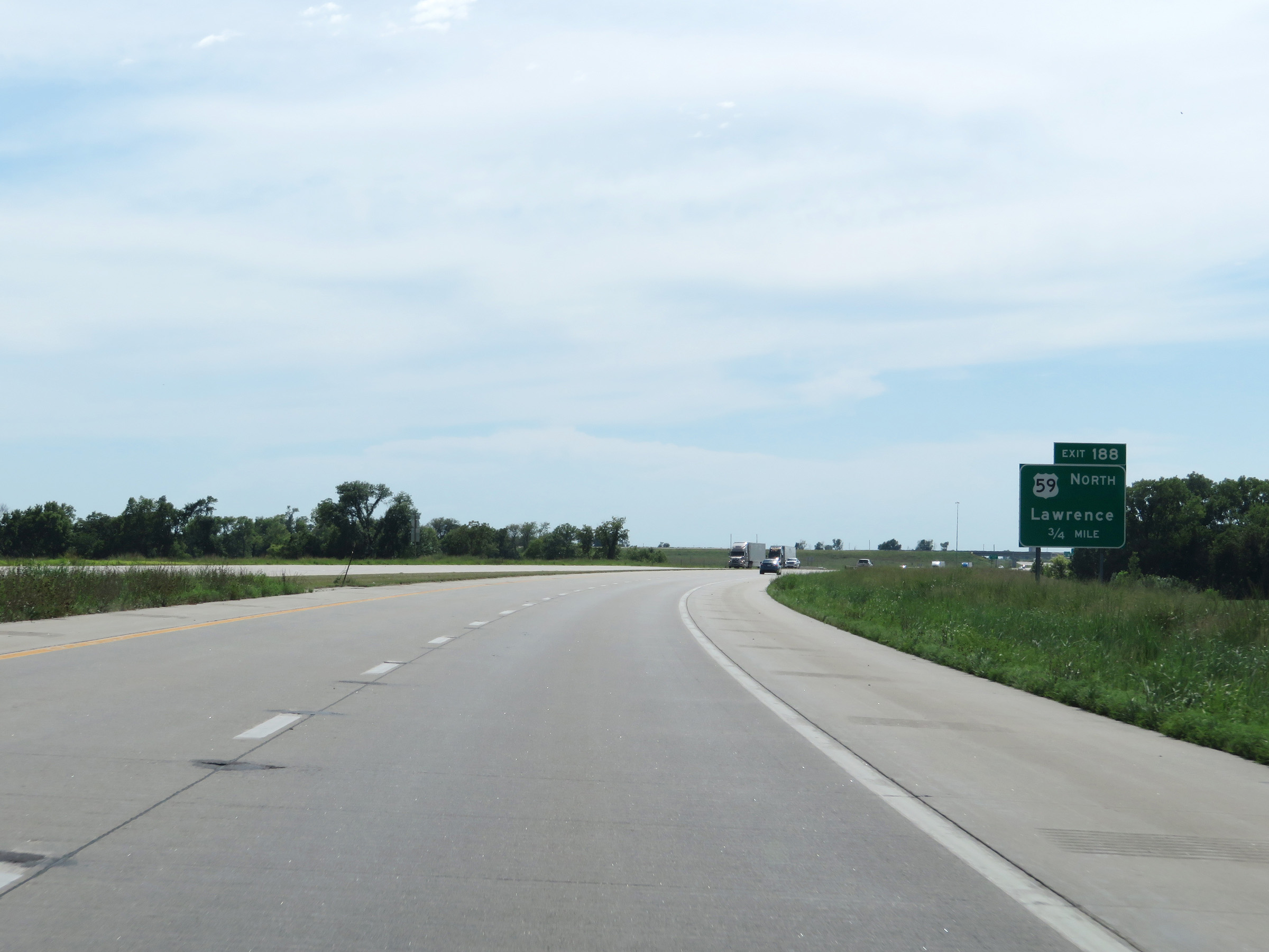 |
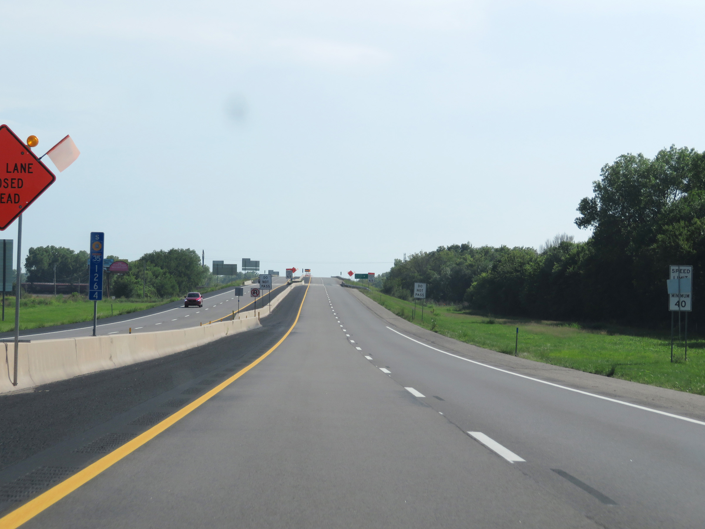
Interstate 35 South approaching Exit 188 - 3/4 mile. (Photo taken 8/10/20). |
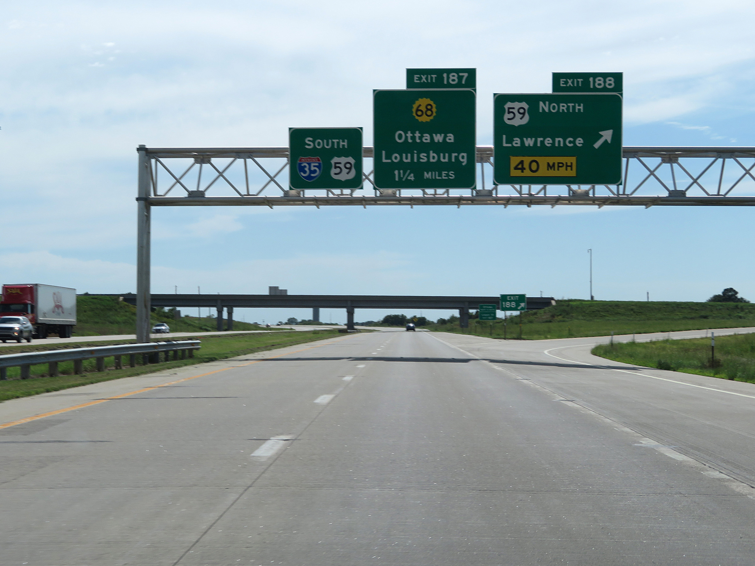 |
Interstate 35 South at Exit 188: US 59 North - Lawrence (Photo taken 8/10/20). |
 |
Take Exit 187 to Ottawa University and a Travel Info Center. (Photo taken 8/10/20). |
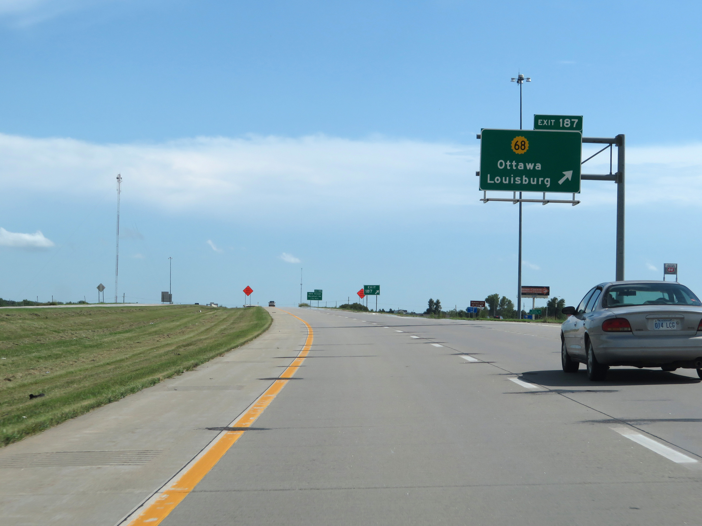 |
Interstate 35 South at Exit 187: K-68 - Ottawa / Louisburg (Photo taken 8/10/20). |
 |
Overhead mileage sign listing the distances to the three upcoming Ottawa exits. (Photo taken 8/10/20). |
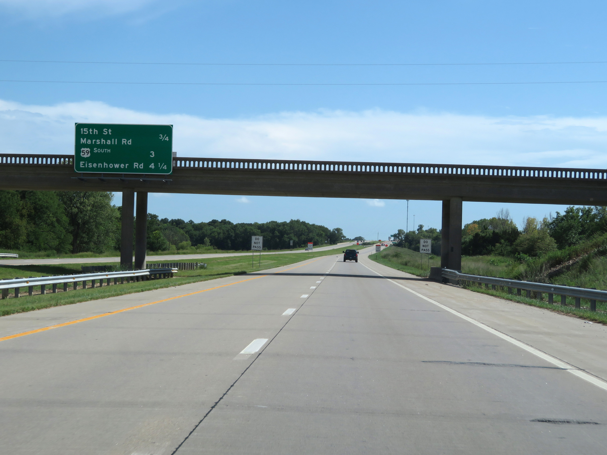
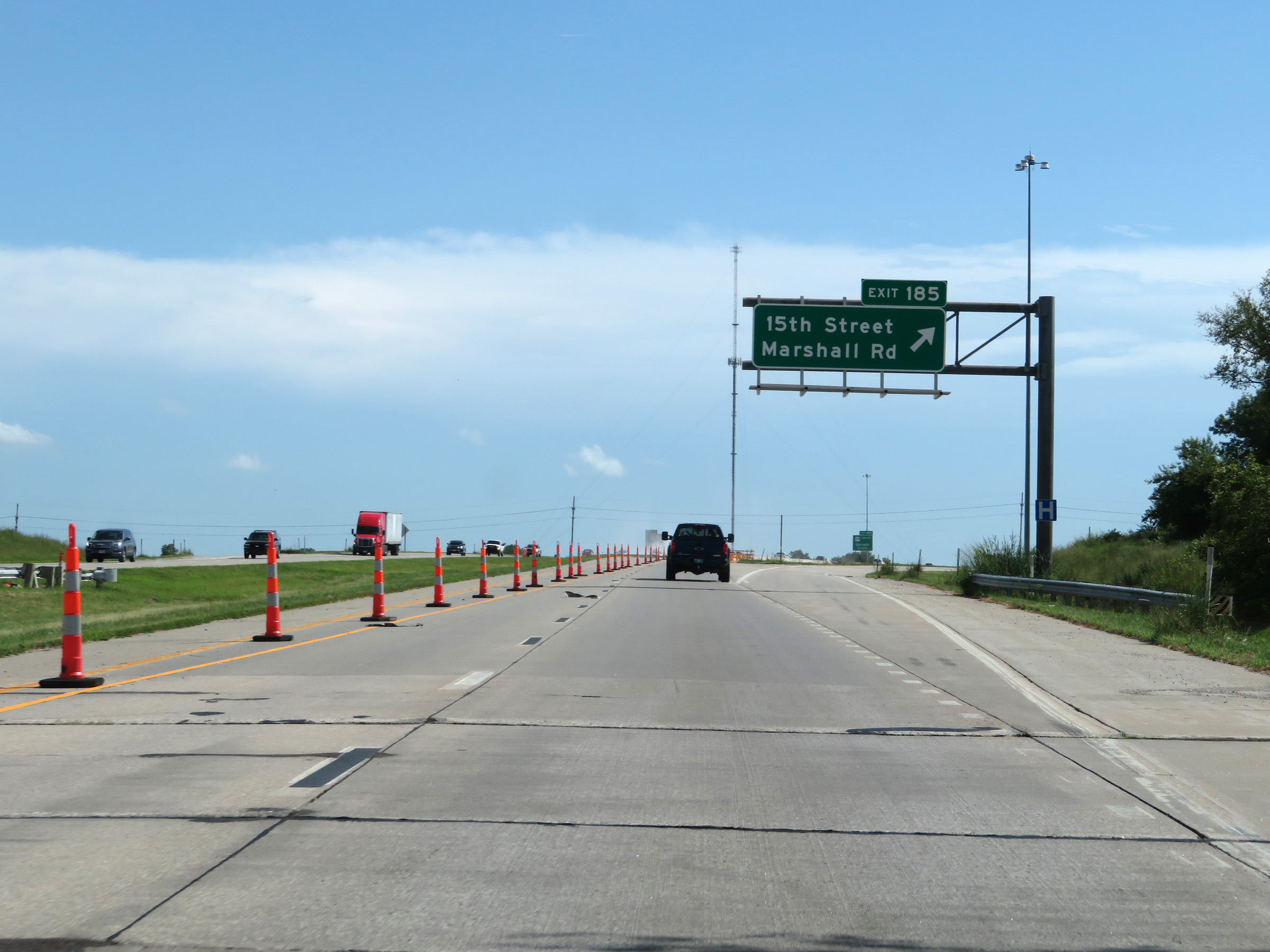 |
Interstate 35 South at Exit 185: 15th Street / Marshall Rd (Photo taken 8/10/20). |
 |
View on Interstate 35 South at mile marker 185. (Photo taken 8/10/20). |
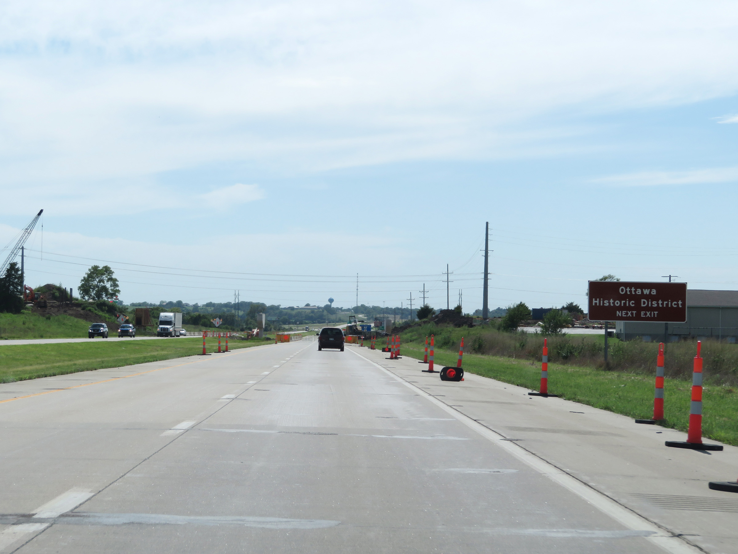 |
Take Exit 183 to Ottawa Historic District. (Photo taken 8/10/20). |
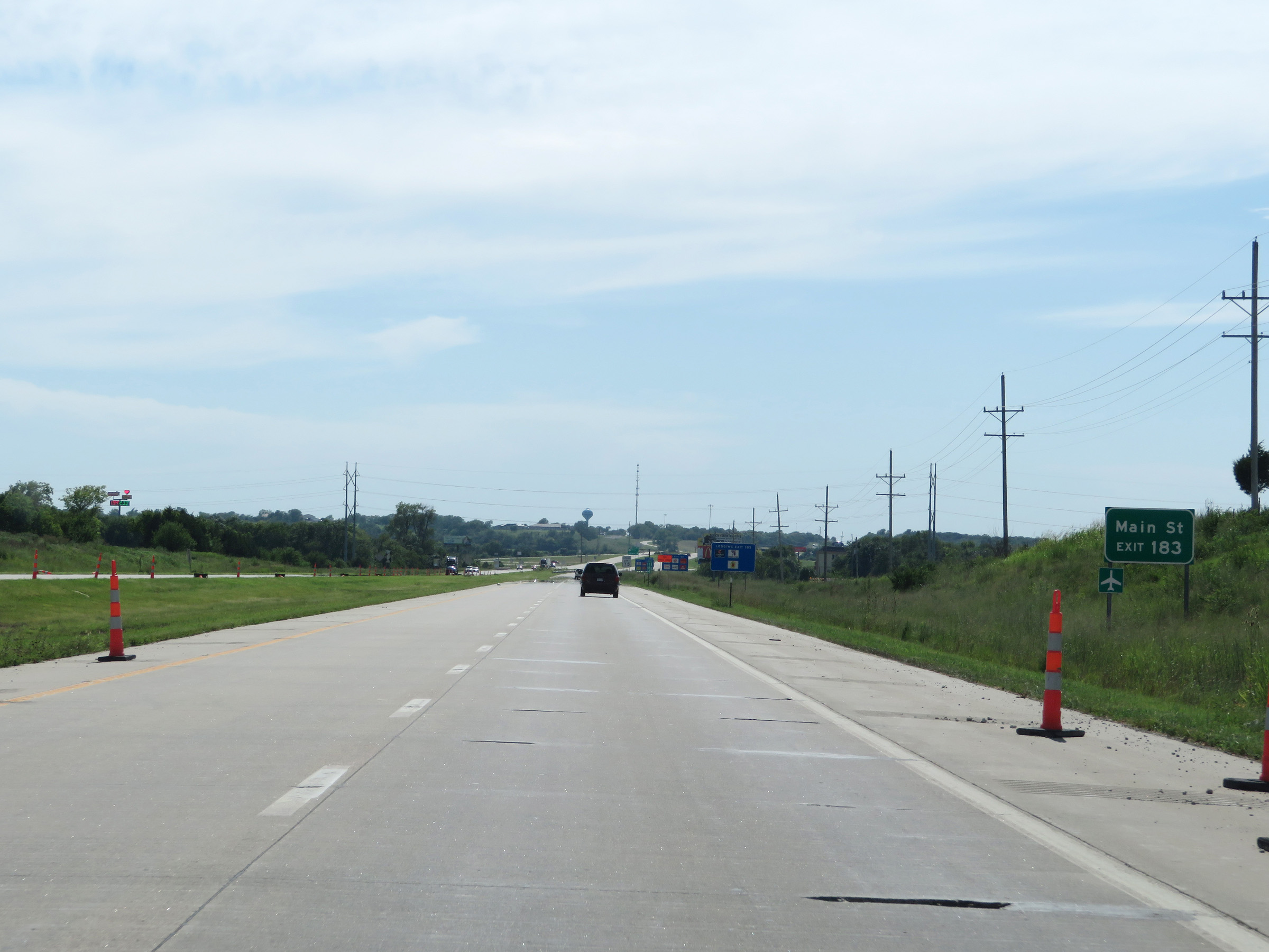 |
Also take Exit 183 to Main St. (Photo taken 8/10/20). |
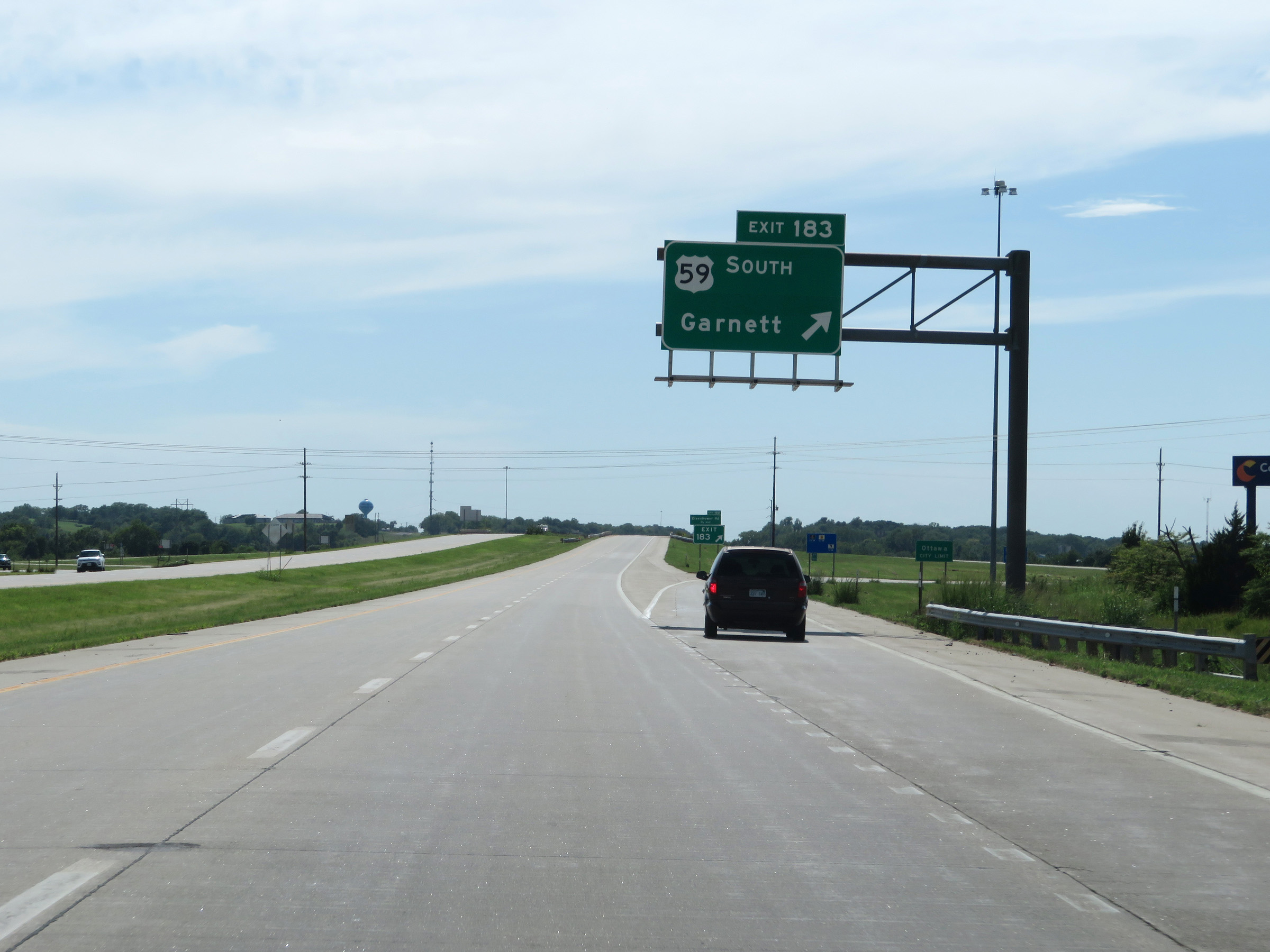 |
Interstate 35 South at Exit 183: US 59 South - Garnett (Photo taken 8/10/20). |
Section 3: Ottawa (Exit 183) to Emporia (Exit 127A)
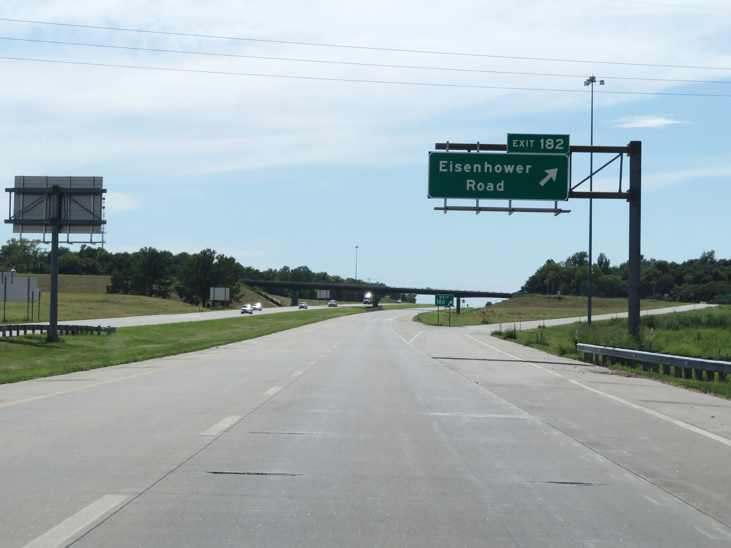 |
Interstate 35 South at Exit 182: Eisenhower Road (Photo taken 8/10/20). |
 |
The speed limits remain 75 mph maximum and 40 mph minimum. (Photo taken 8/10/20). |
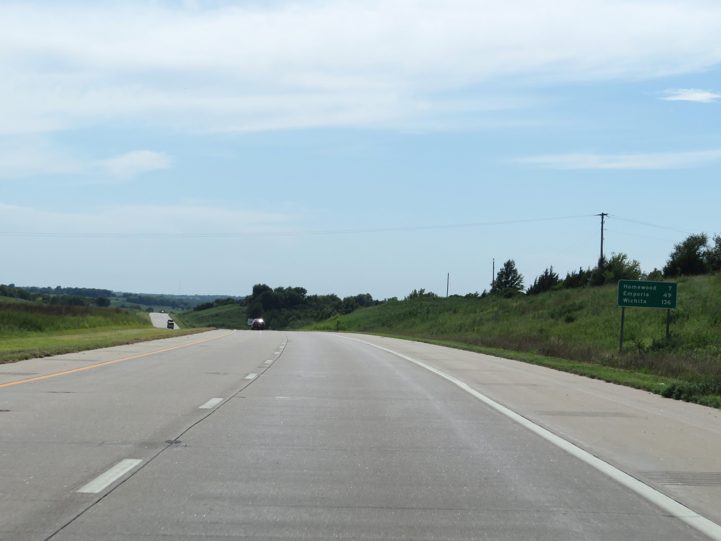 |
Mileage sign on Interstate 35 South. It's 7 miles to Homewood, 49 miles to Emporia, and 136 miles to Wichita. (Photo taken 8/10/20). |
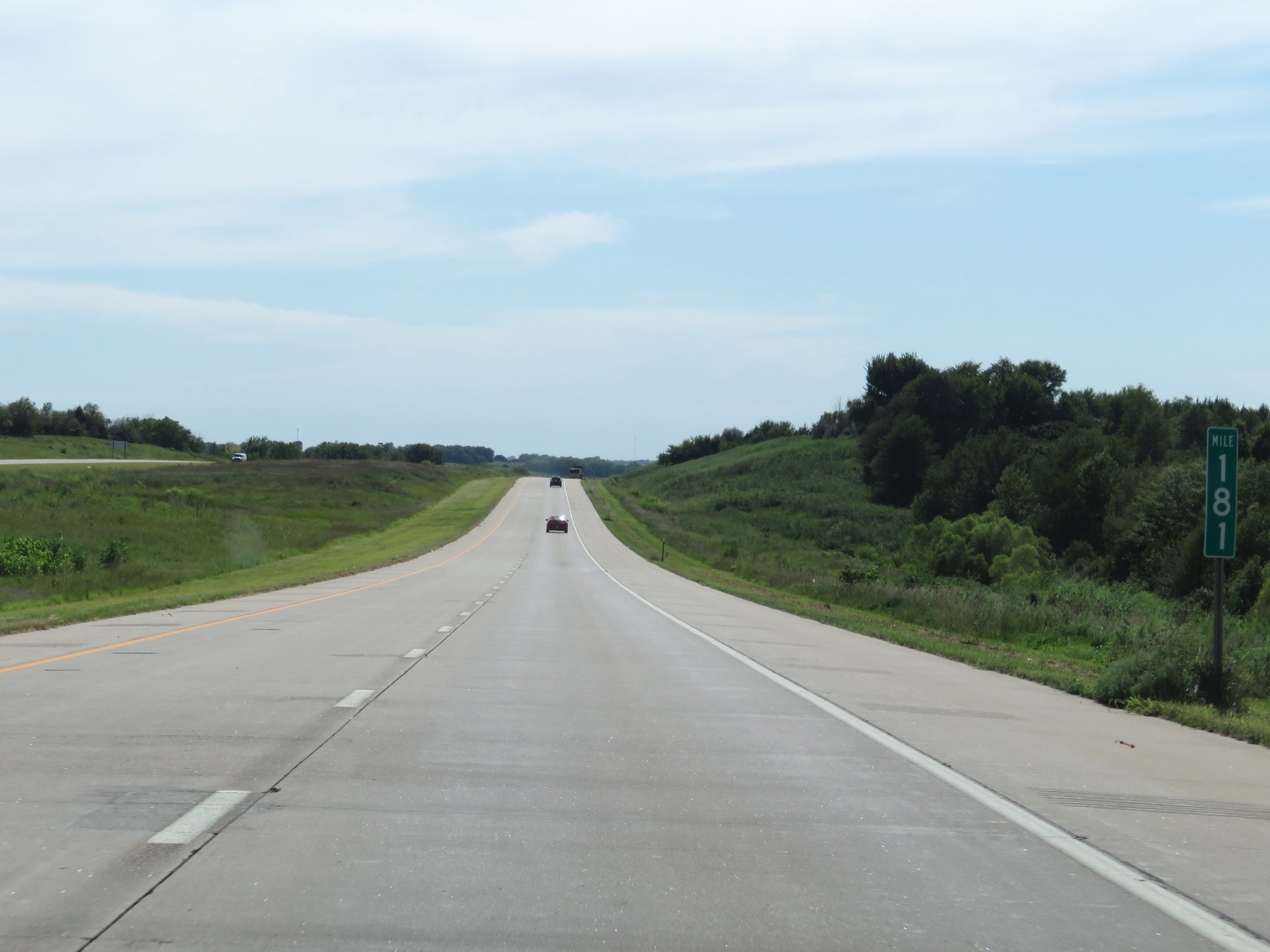 |
View on Interstate 35 South at mile marker 181. (Photo taken 8/10/20). |
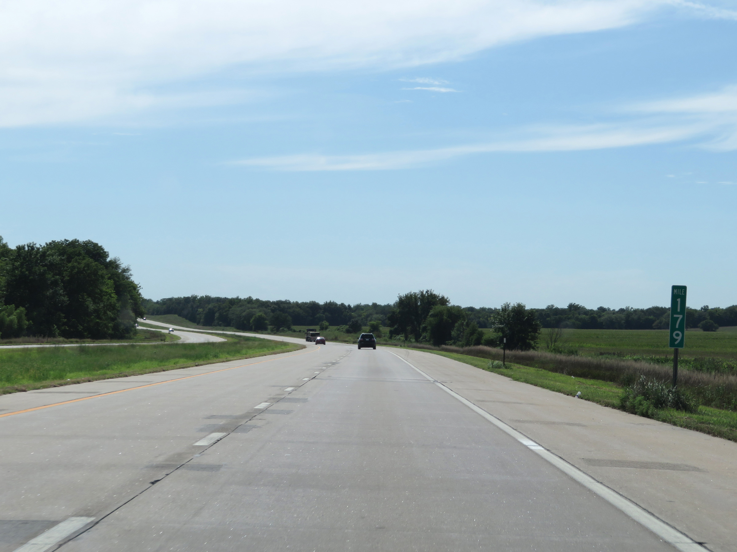 |
Interstate 35 South at mile marker 179. (Photo taken 8/10/20). |
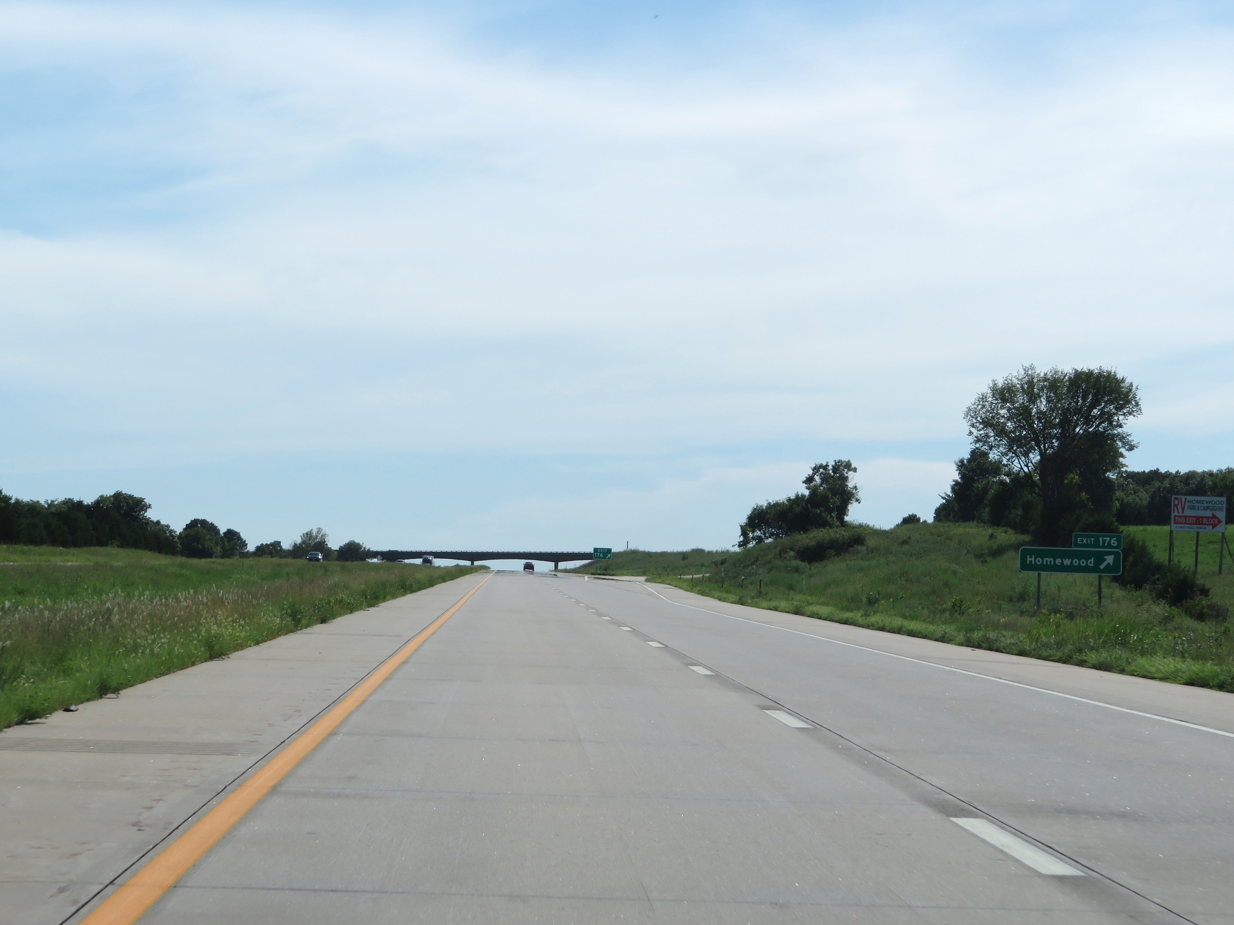 |
Interstate 35 South at Exit 176: Homewood (Photo taken 8/10/20). |
 |
Rest Area on Interstate 35 South in Franklin County. (Photo taken 8/10/20). |
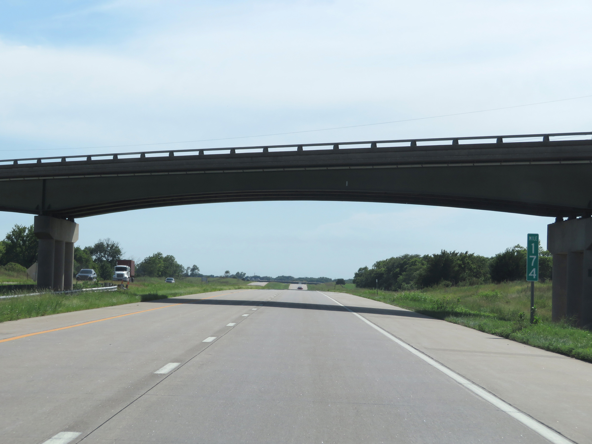 |
Interstate 35 South at mile marker 174. (Photo taken 8/10/20). |
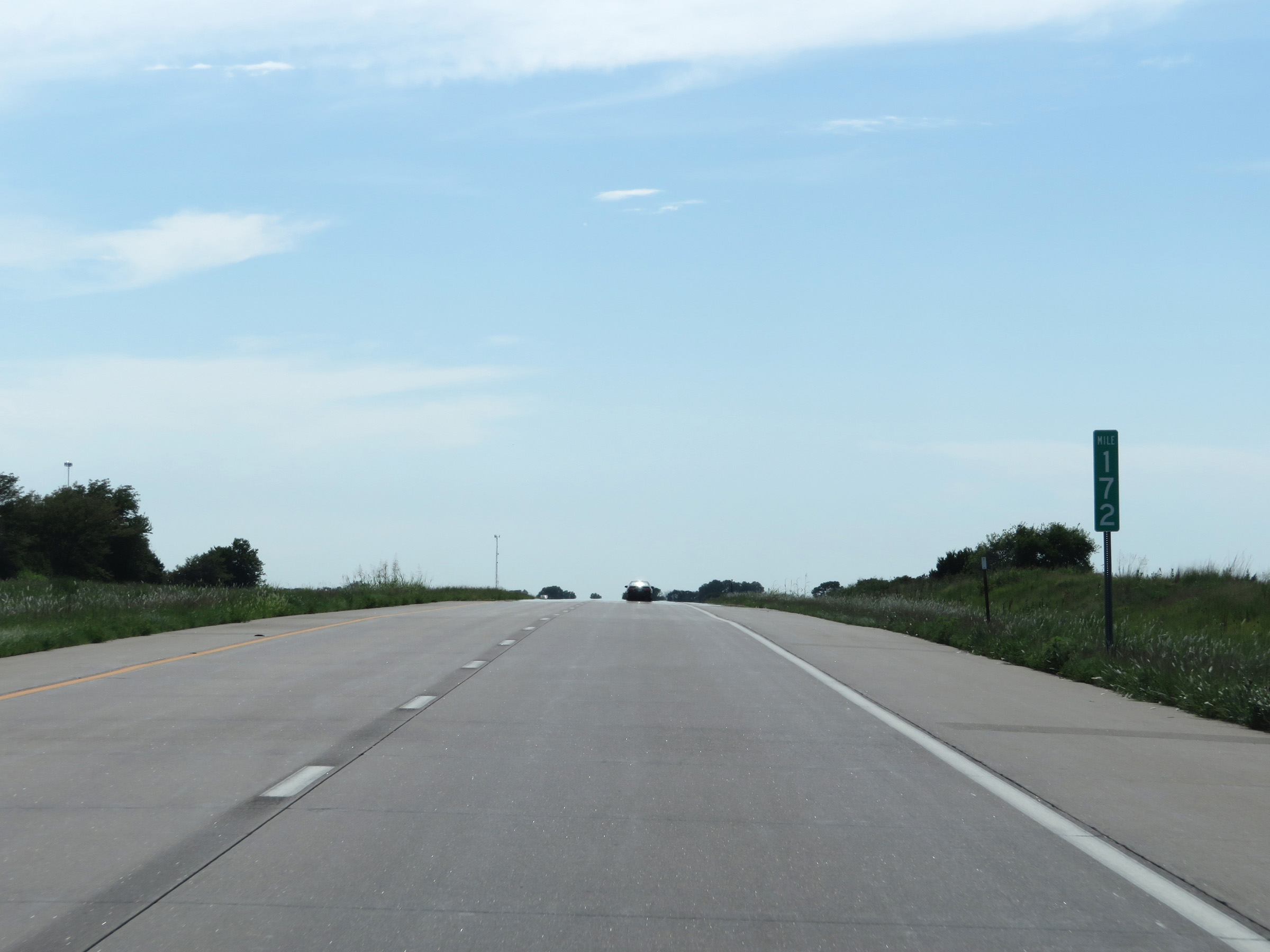 |
Mile marker 172 on Interstate 35 South in Franklin County. (Photo taken 8/10/20). |
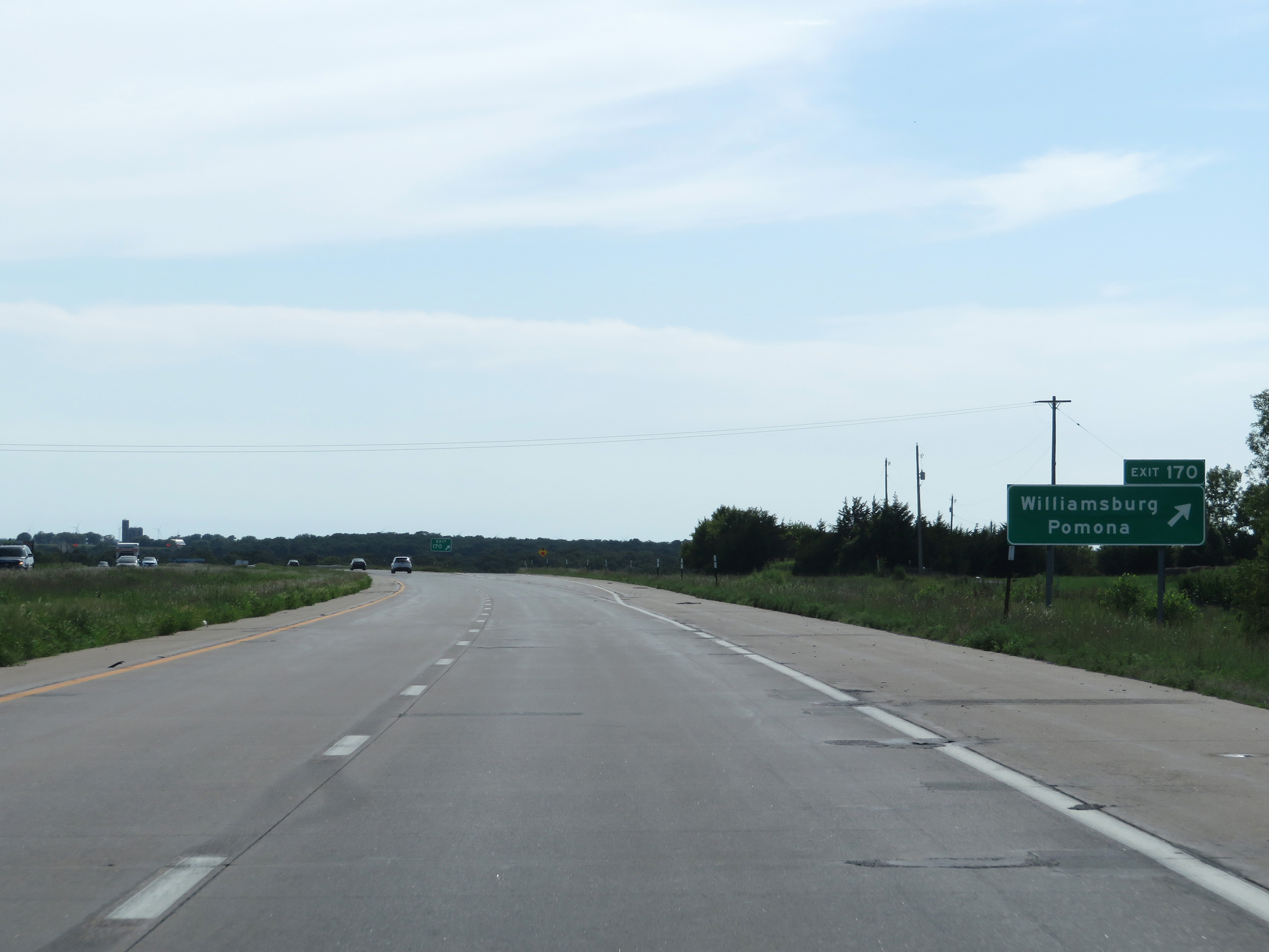 |
Interstate 35 South at Exit 170: Williamsburg / Pomona (Photo taken 8/10/20). |
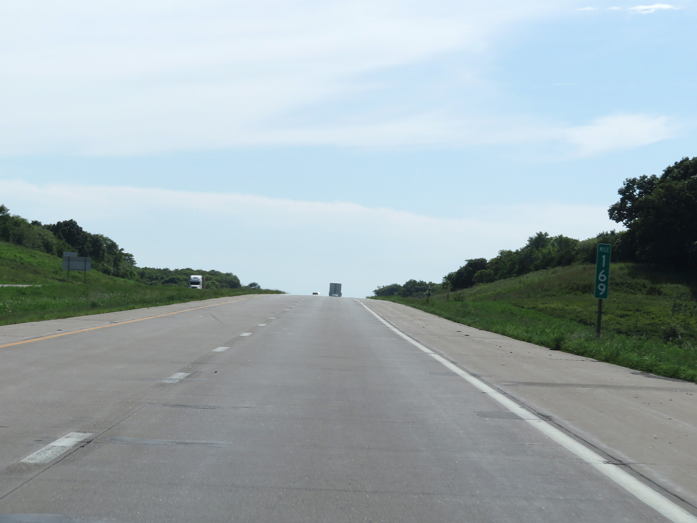 |
View on Interstate 35 South at mile marker 169. (Photo taken 8/10/20). |
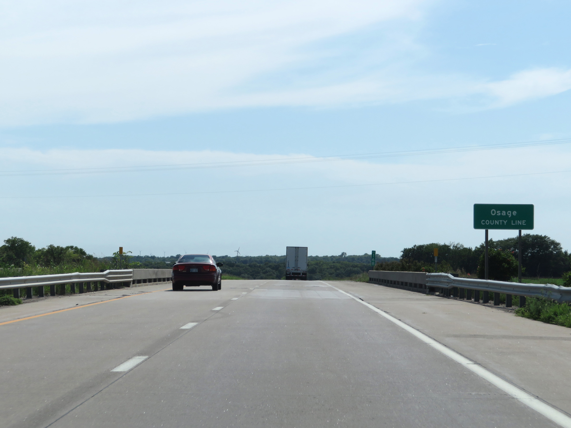 |
Interstate 35 South as it enters Osage County at mile marker 168. (Photo taken 8/10/20). |
 |
View on Interstate 35 South. (Photo taken 8/10/20). |
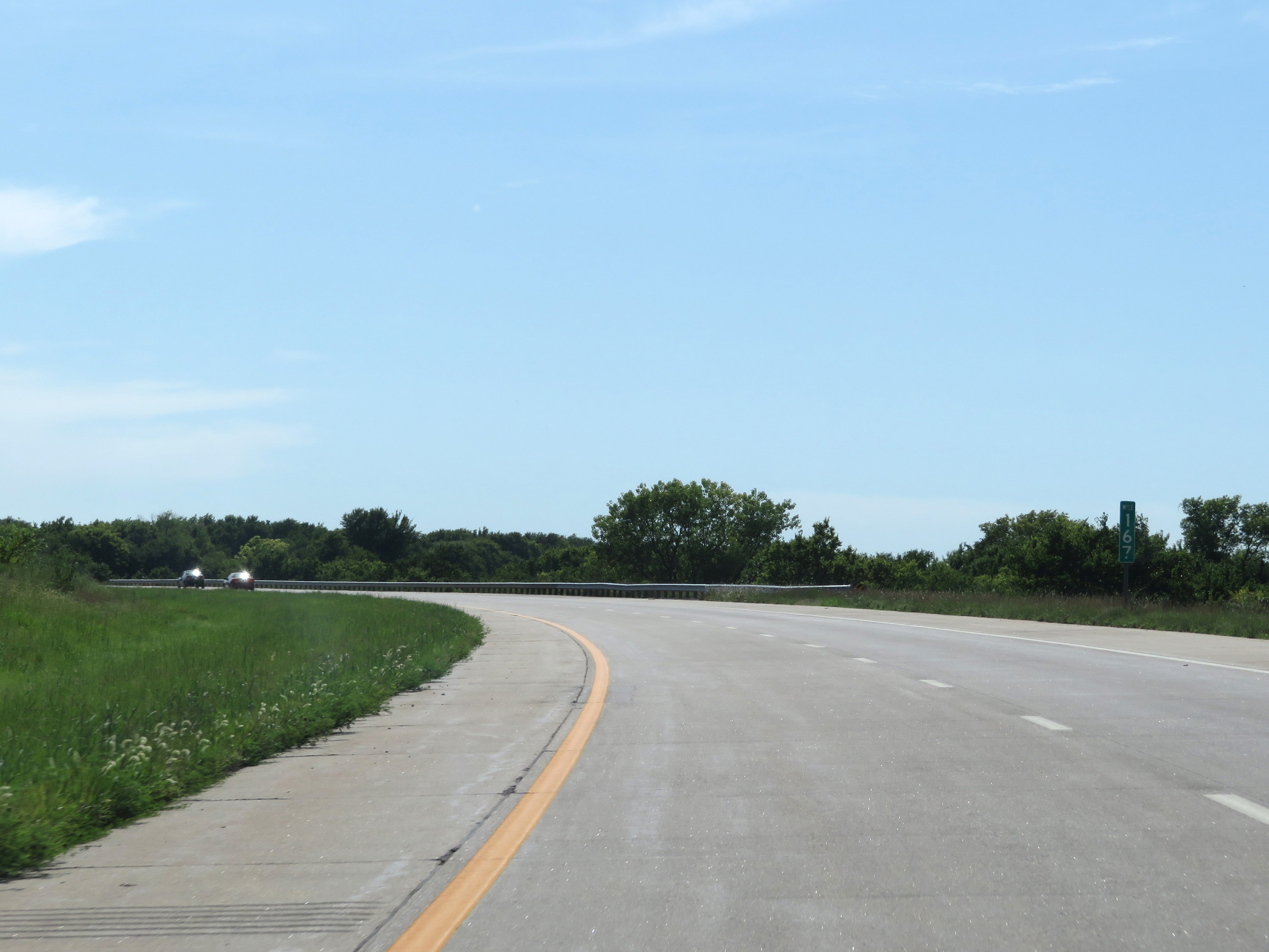 |
Interstate 35 South at mile marker 167. (Photo taken 8/10/20). |
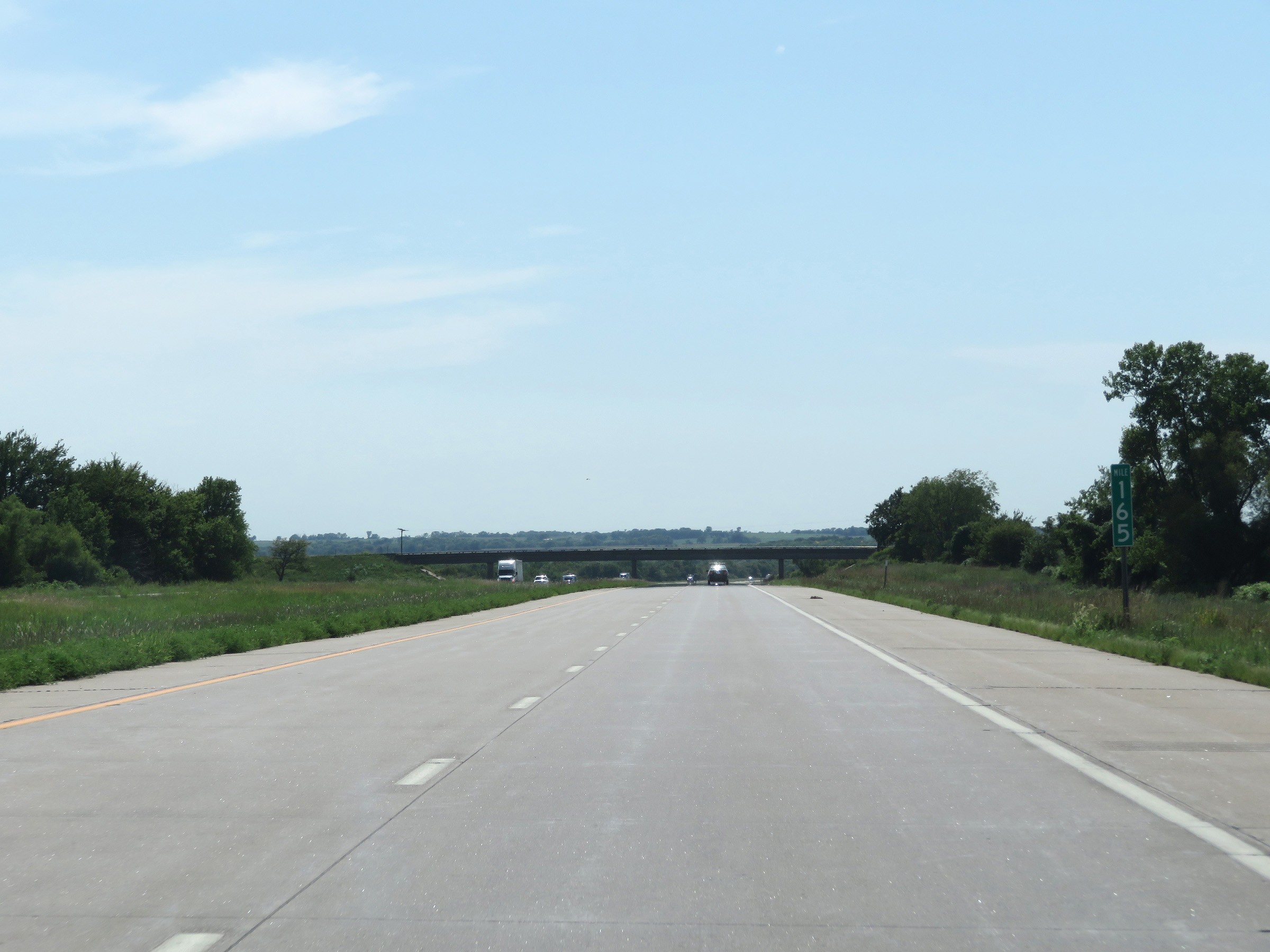 |
View on Interstate 35 South at mile marker 165. (Photo taken 8/10/20). |
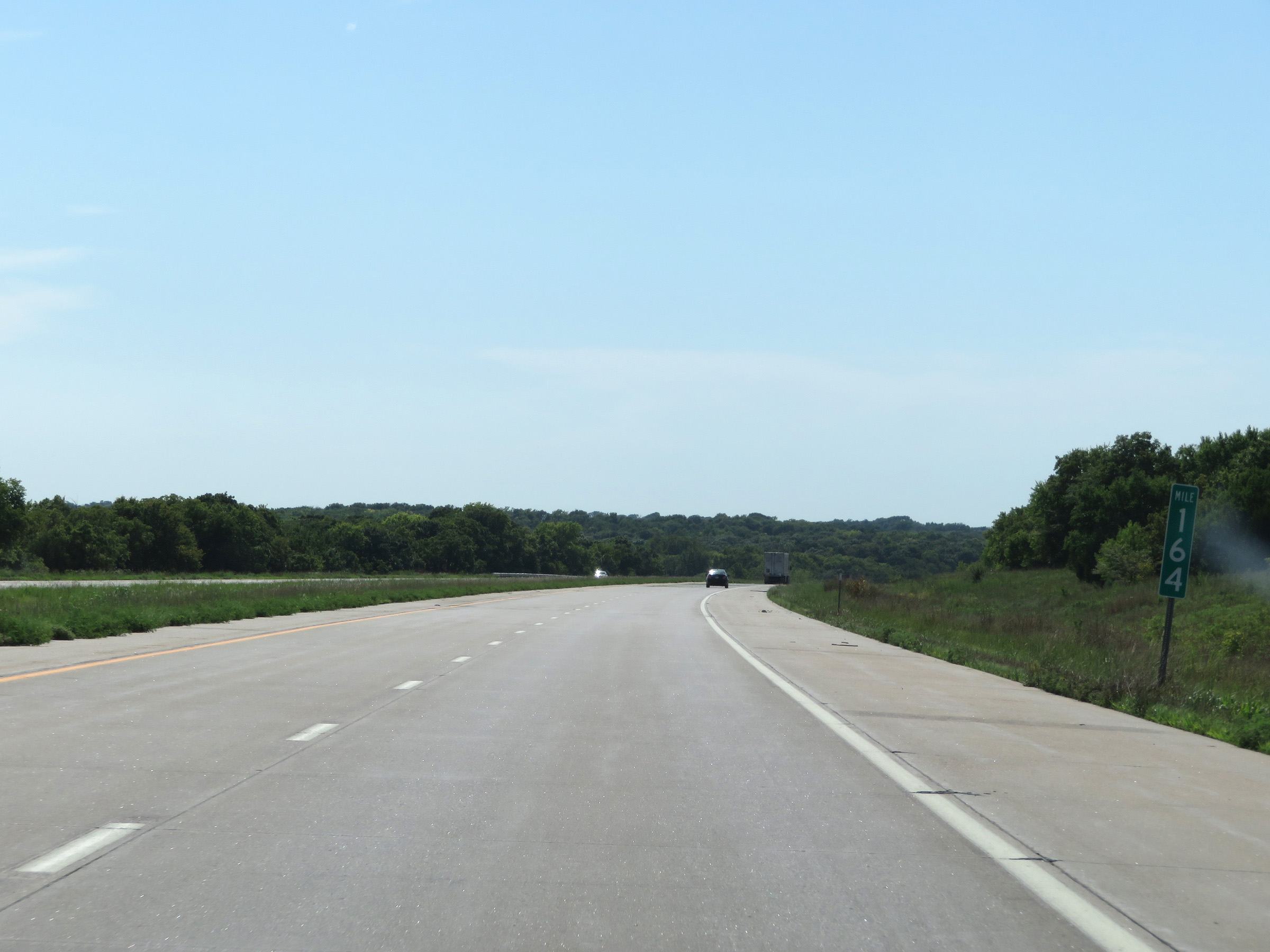 |
Interstate 35 South at mile marker 164. (Photo taken 8/10/20). |
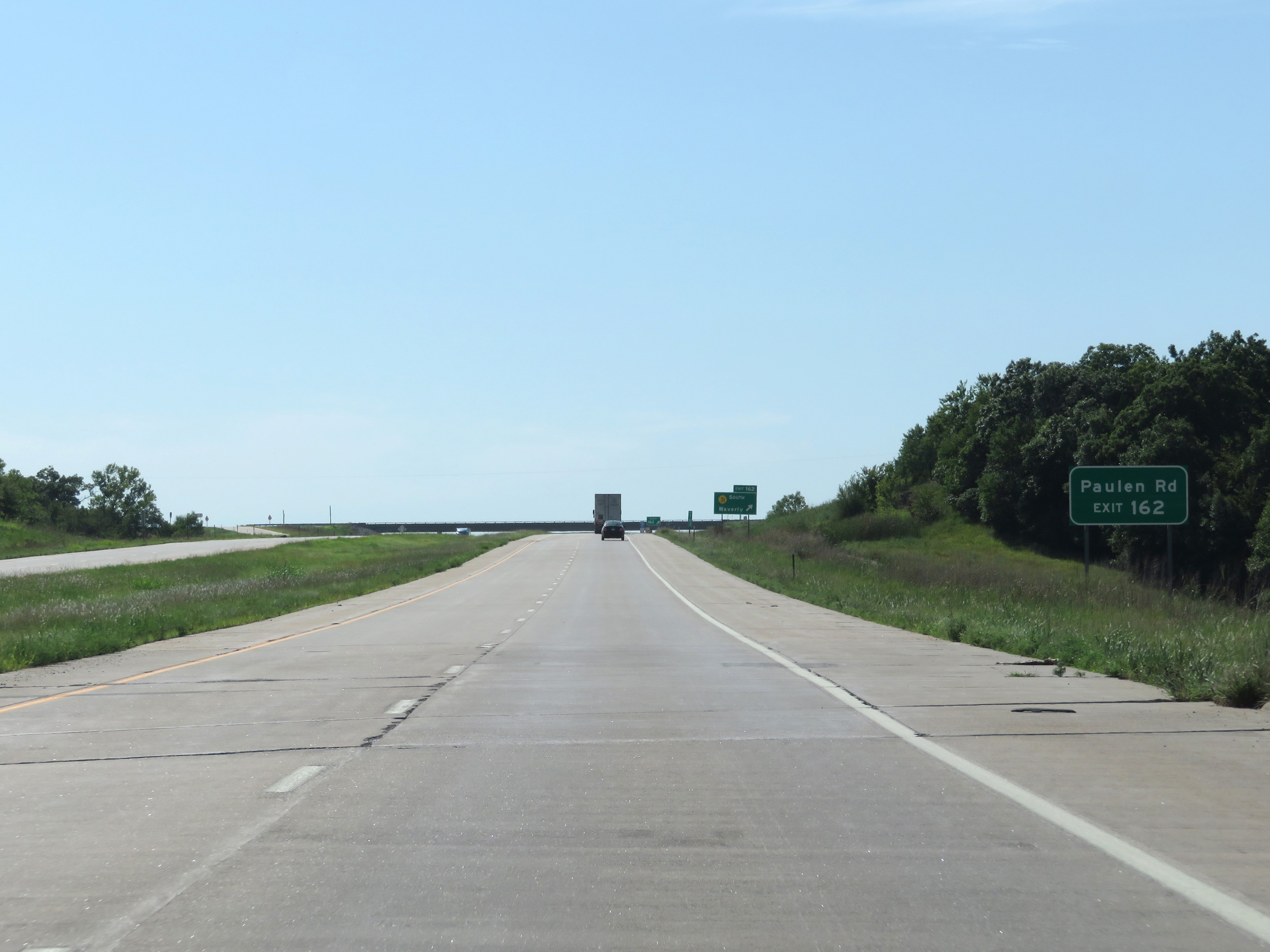 |
Take Exit 162 to Paulen Rd. (Photo taken 8/10/20). |
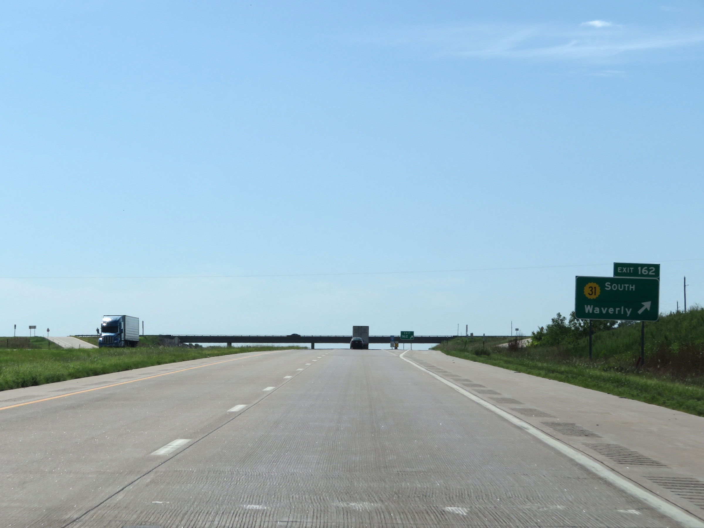 |
Interstate 35 South at Exit 162: K-31 South - Waverly (Photo taken 8/10/20). |
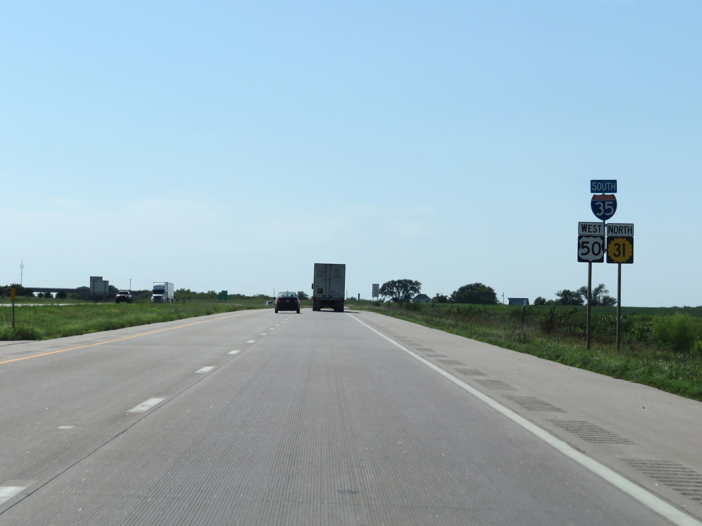 |
Interstate 35 South / US 50 West / K-31 North reassurance shields. (Photo taken 8/10/20). |
 |
The speed limits remain 75 mph maximum and 40 mph minimum. (Photo taken 8/10/20). |
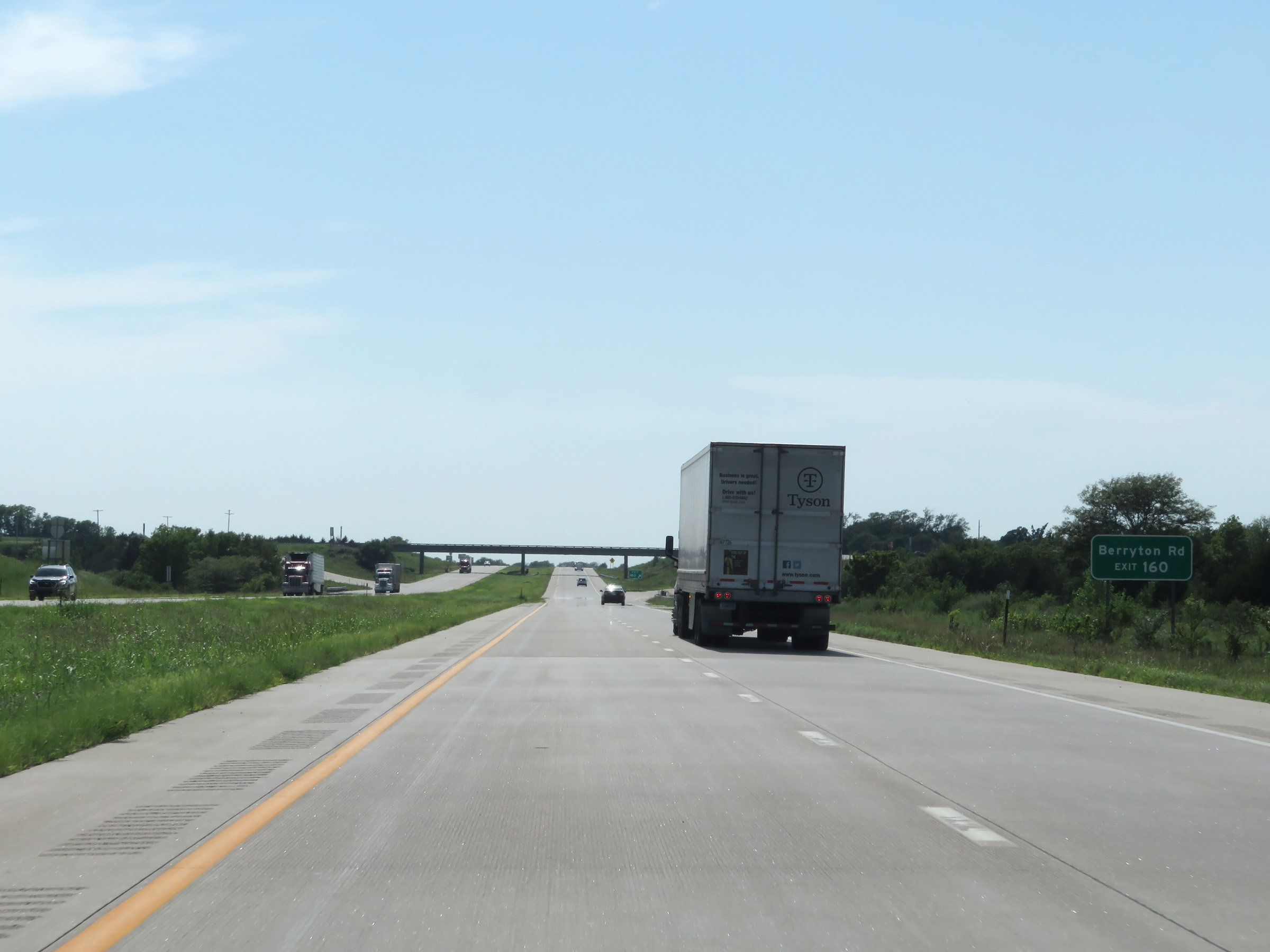 |
Take Exit 160 to Berryton Rd. (Photo taken 8/10/20). |
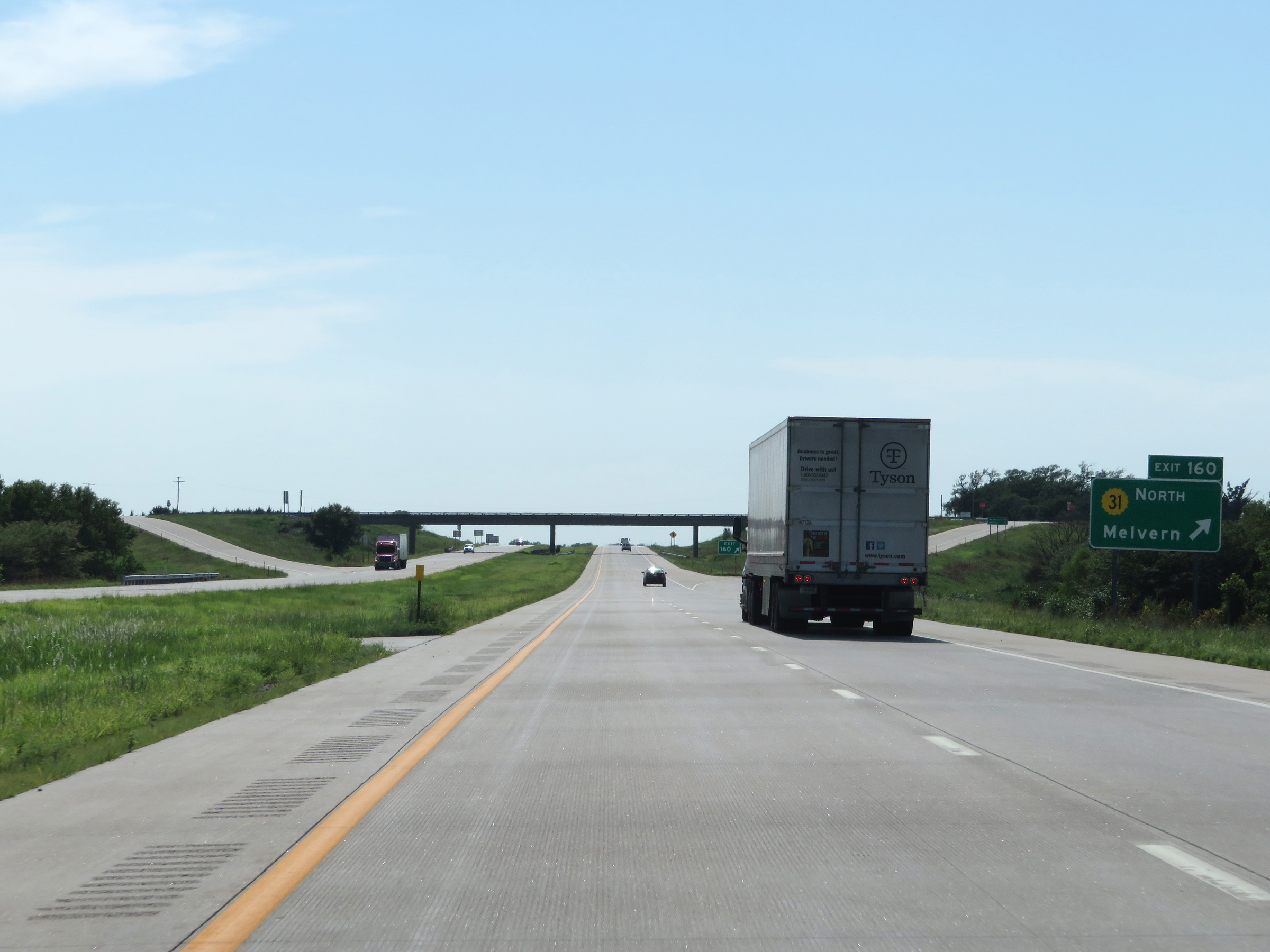 |
Interstate 35 South at Exit 160: K-31 North - Melvern (Photo taken 8/10/20). |
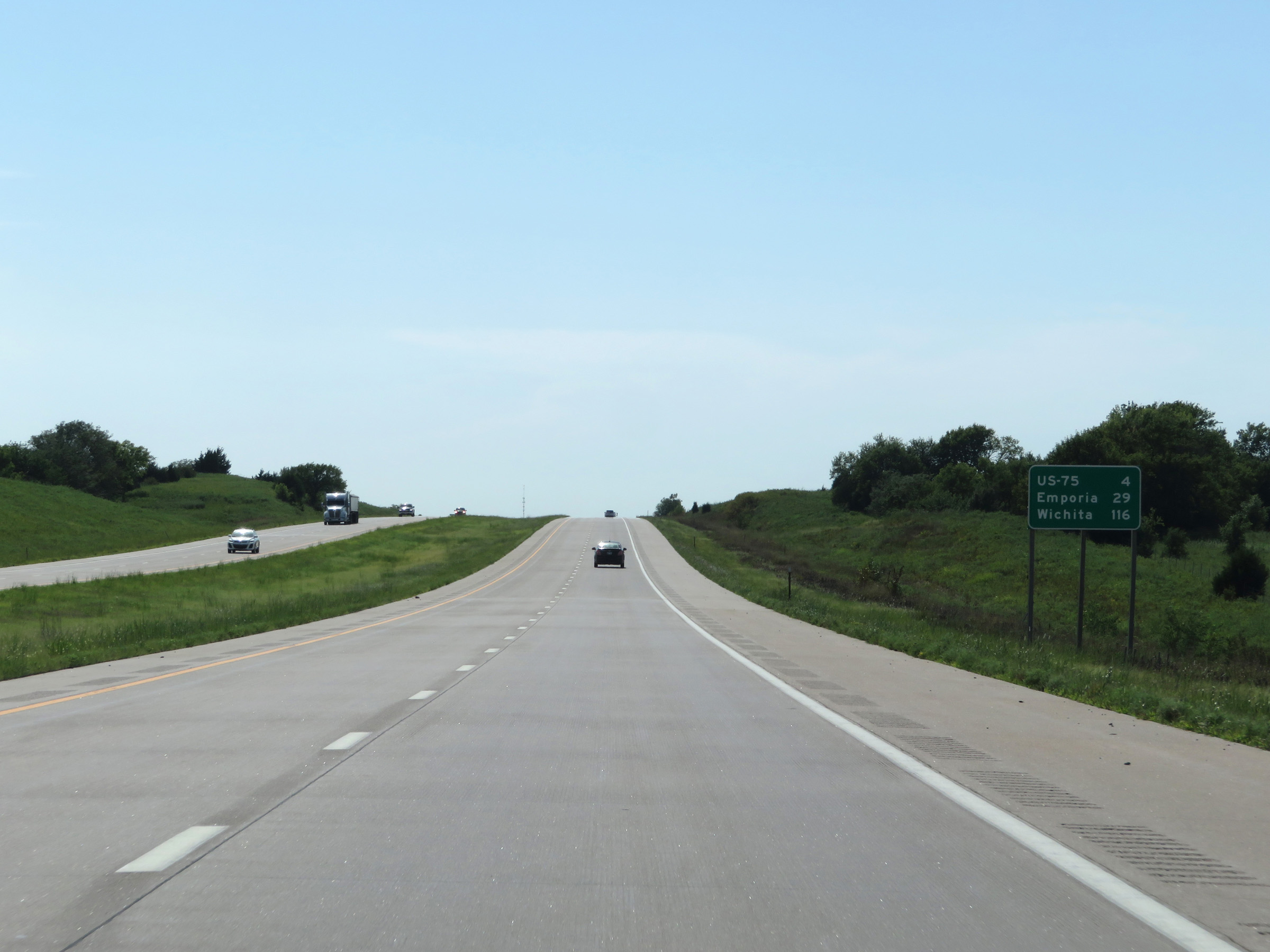 |
Mileage sign on Interstate 35 South. It's 4 miles to the junction of US 75, 29 miles to Emporia, and 116 miles to Wichita. (Photo taken 8/10/20). |
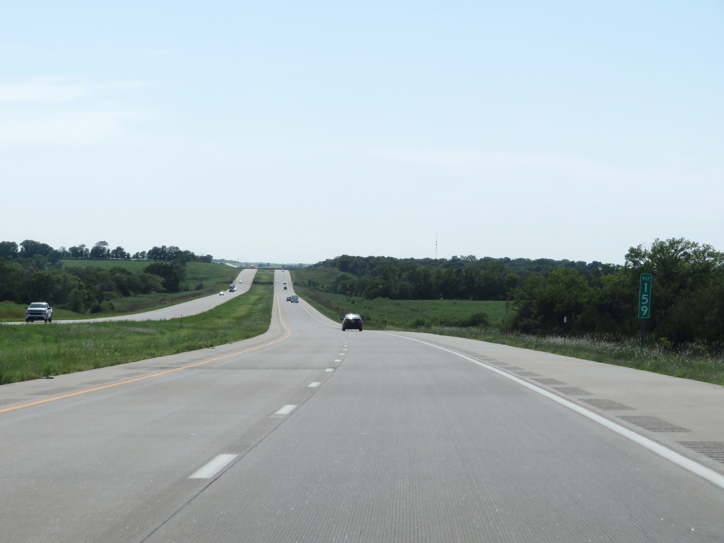 |
View on Interstate 35 South at mile marker 159. (Photo taken 8/10/20). |
 |
Interstate 35 South at mile marker 157. (Photo taken 8/10/20). |
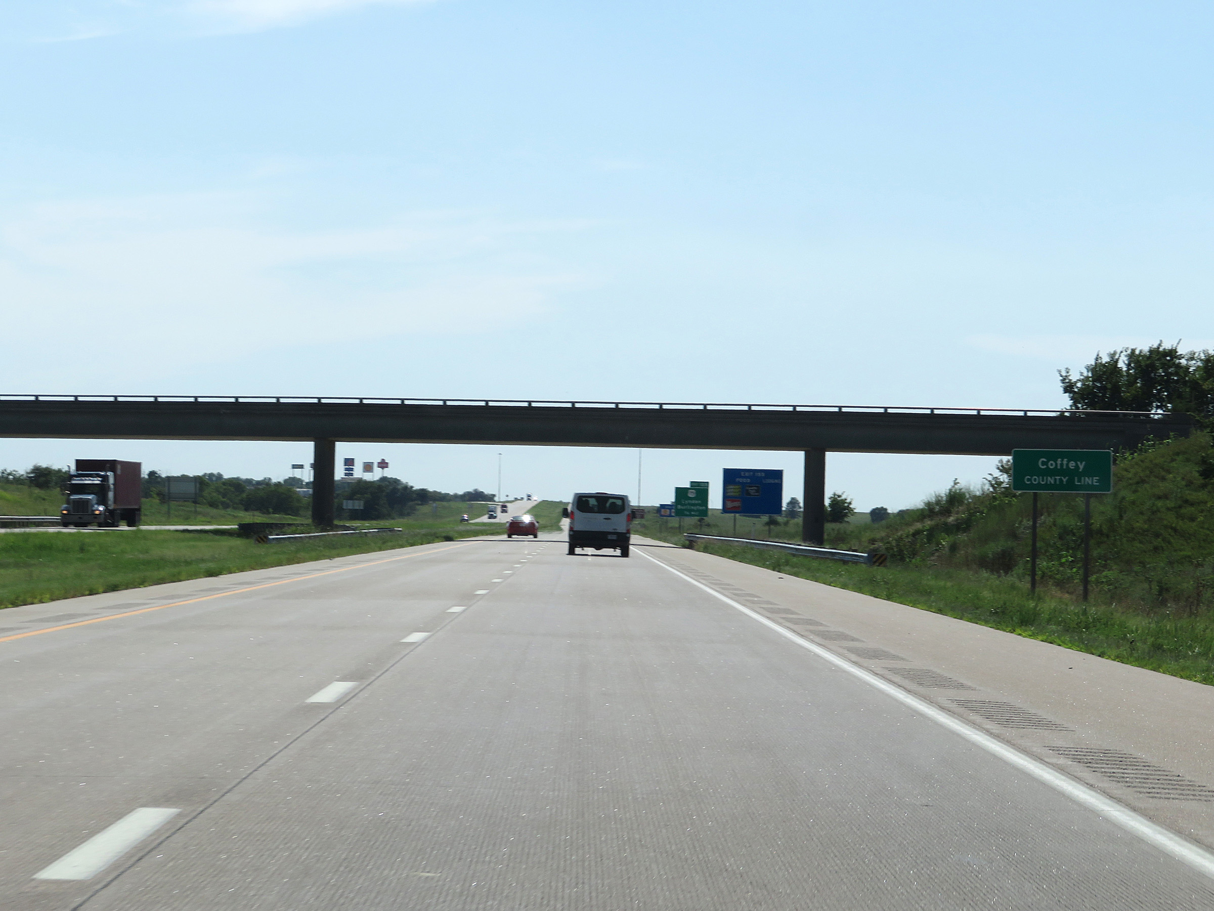 |
Entering Coffey County on Interstate 35 South. (Photo taken 8/10/20). |
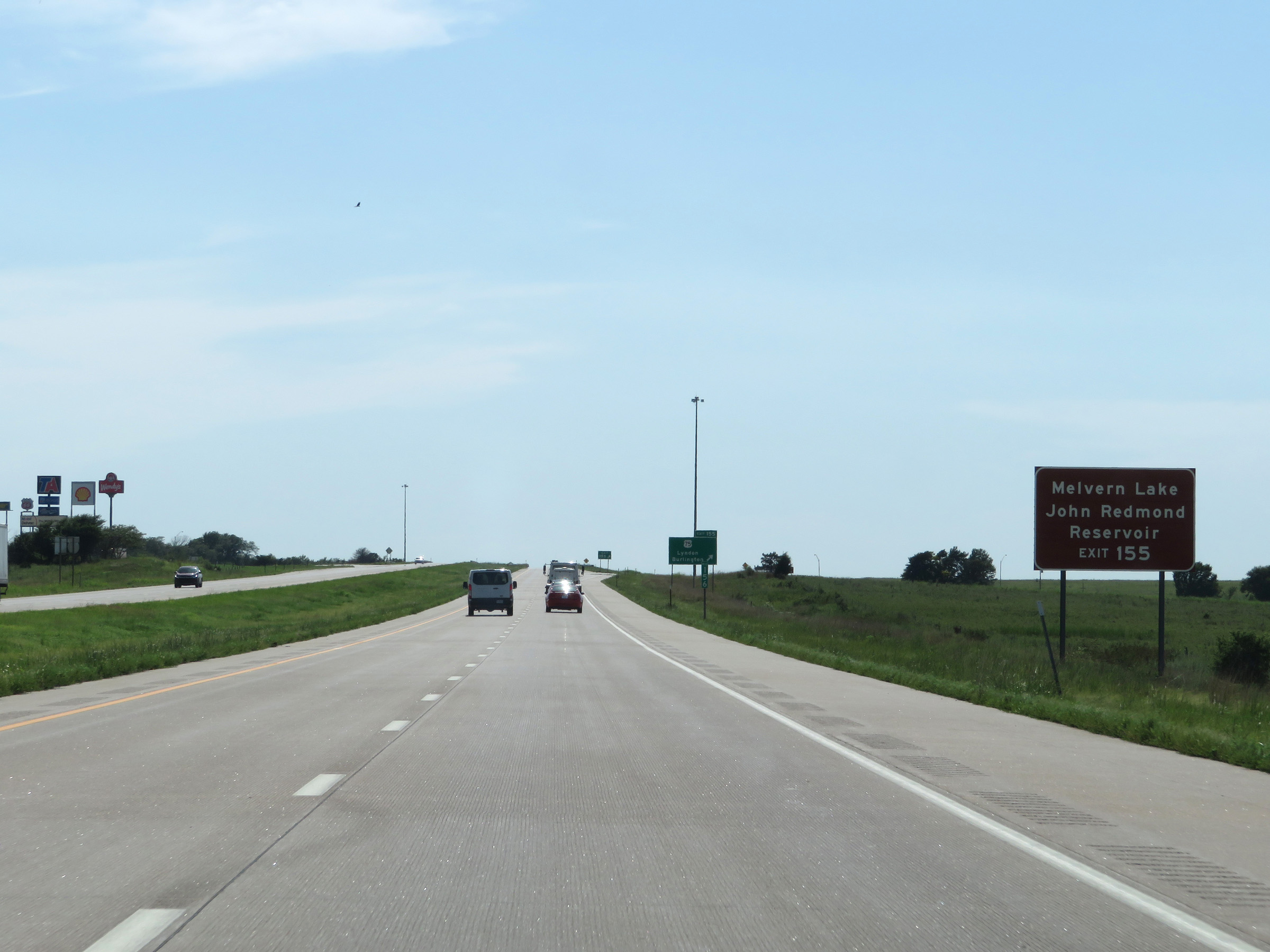 |
Take Exit 155 to Melvern Lake and John Redmond Reservoir. (Photo taken 8/10/20). |
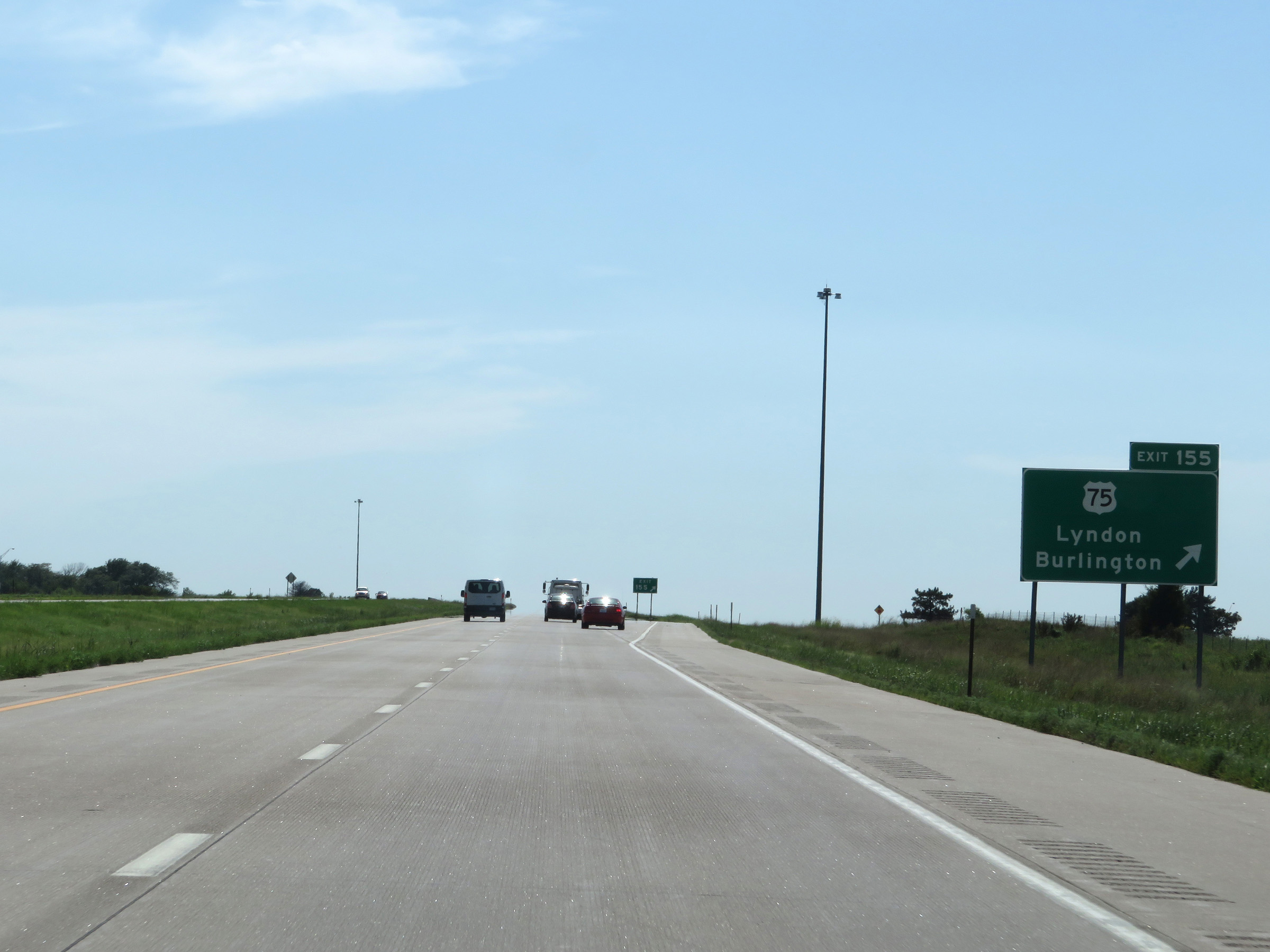 |
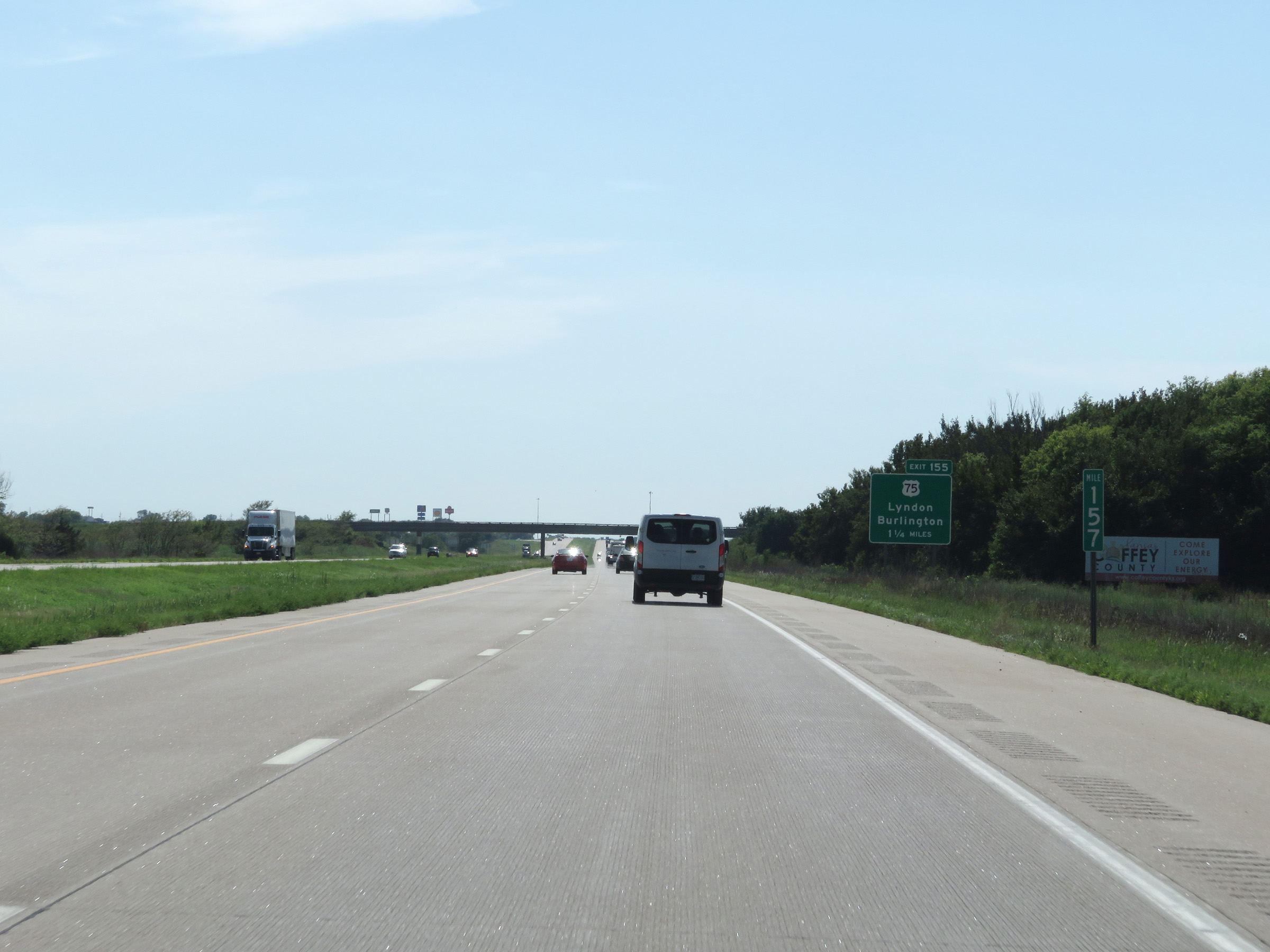
Interstate 35 South at Exit 155: US 75 - Lyndon / Burlington (Photo taken 8/10/20). |
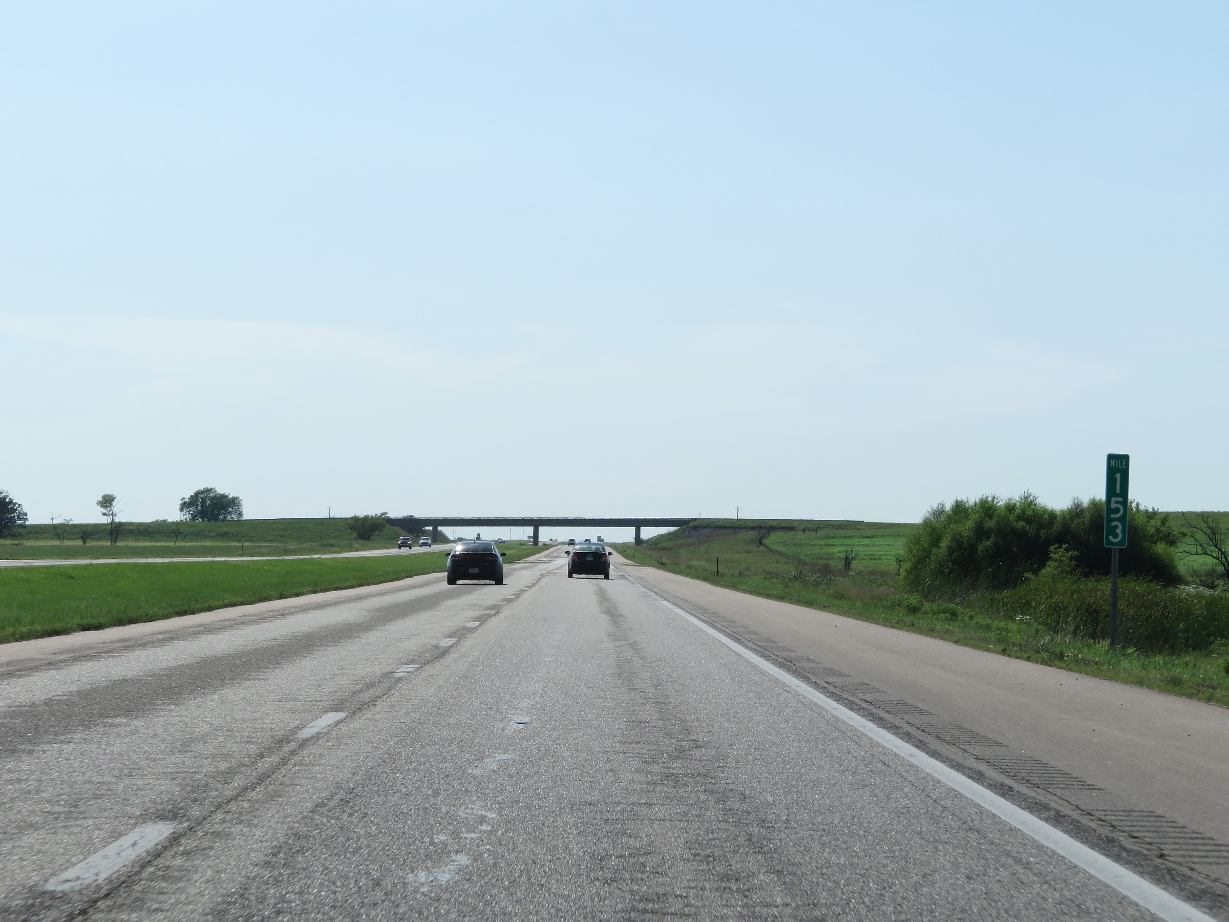 |
View on Interstate 35 South at mile marker 153. (Photo taken 8/10/20). |
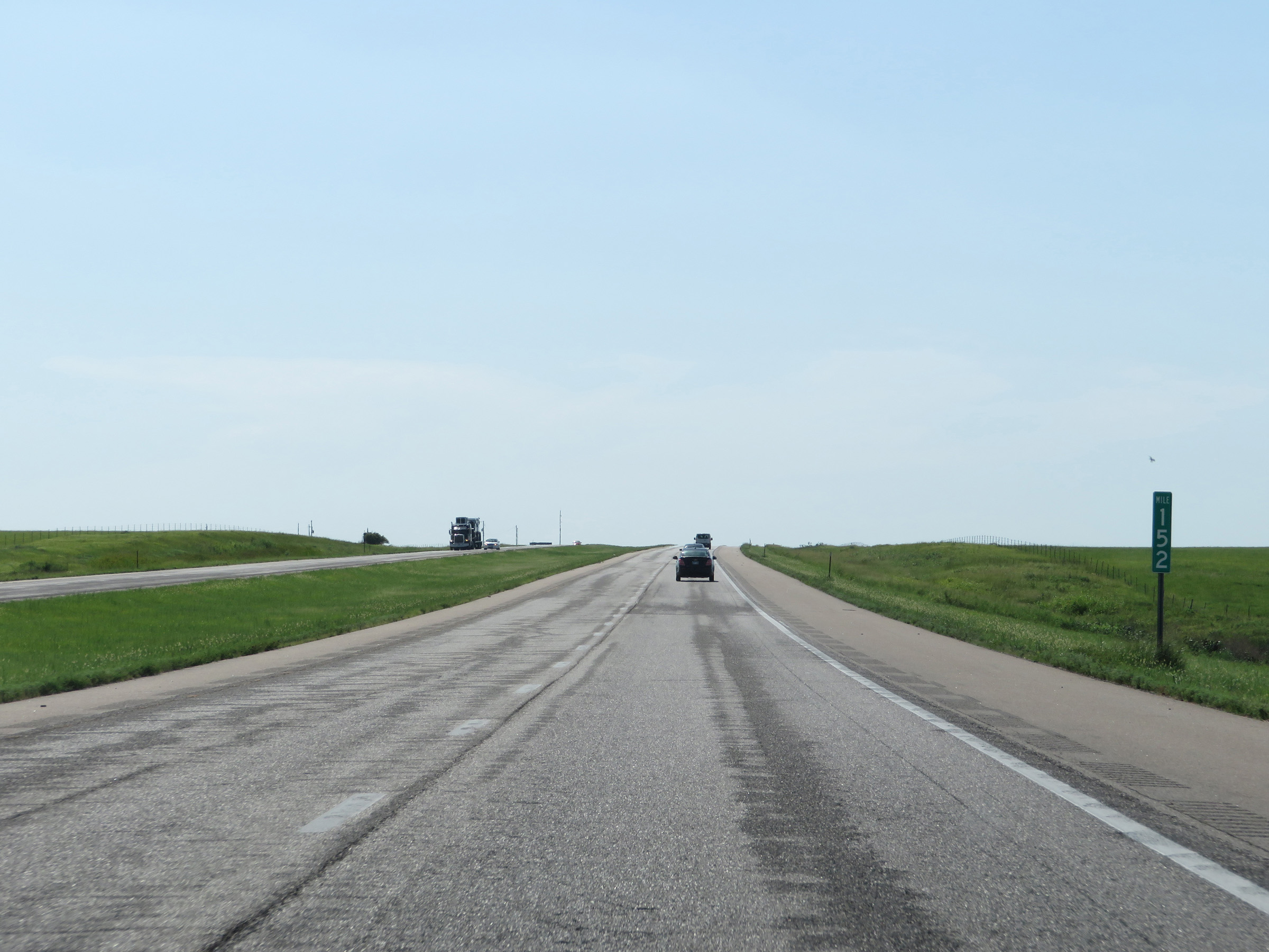 |
Interstate 35 South at mile marker 152. (Photo taken 8/10/20). |
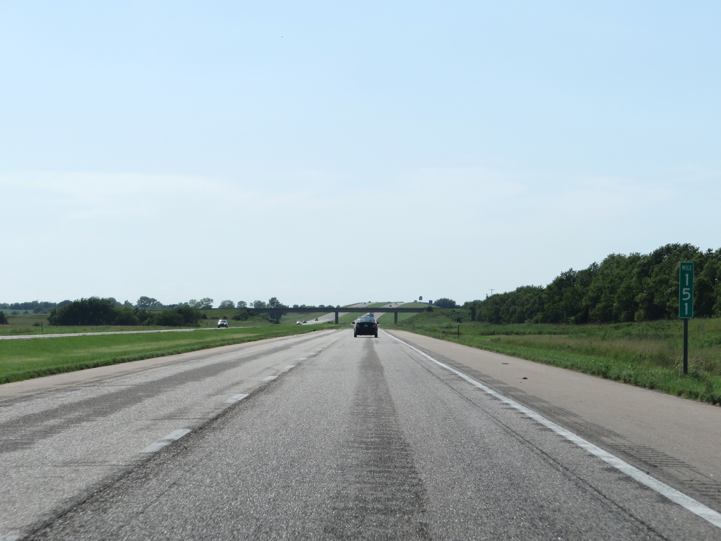 |
View on Interstate 35 South at mile marker 151. (Photo taken 8/10/20). |
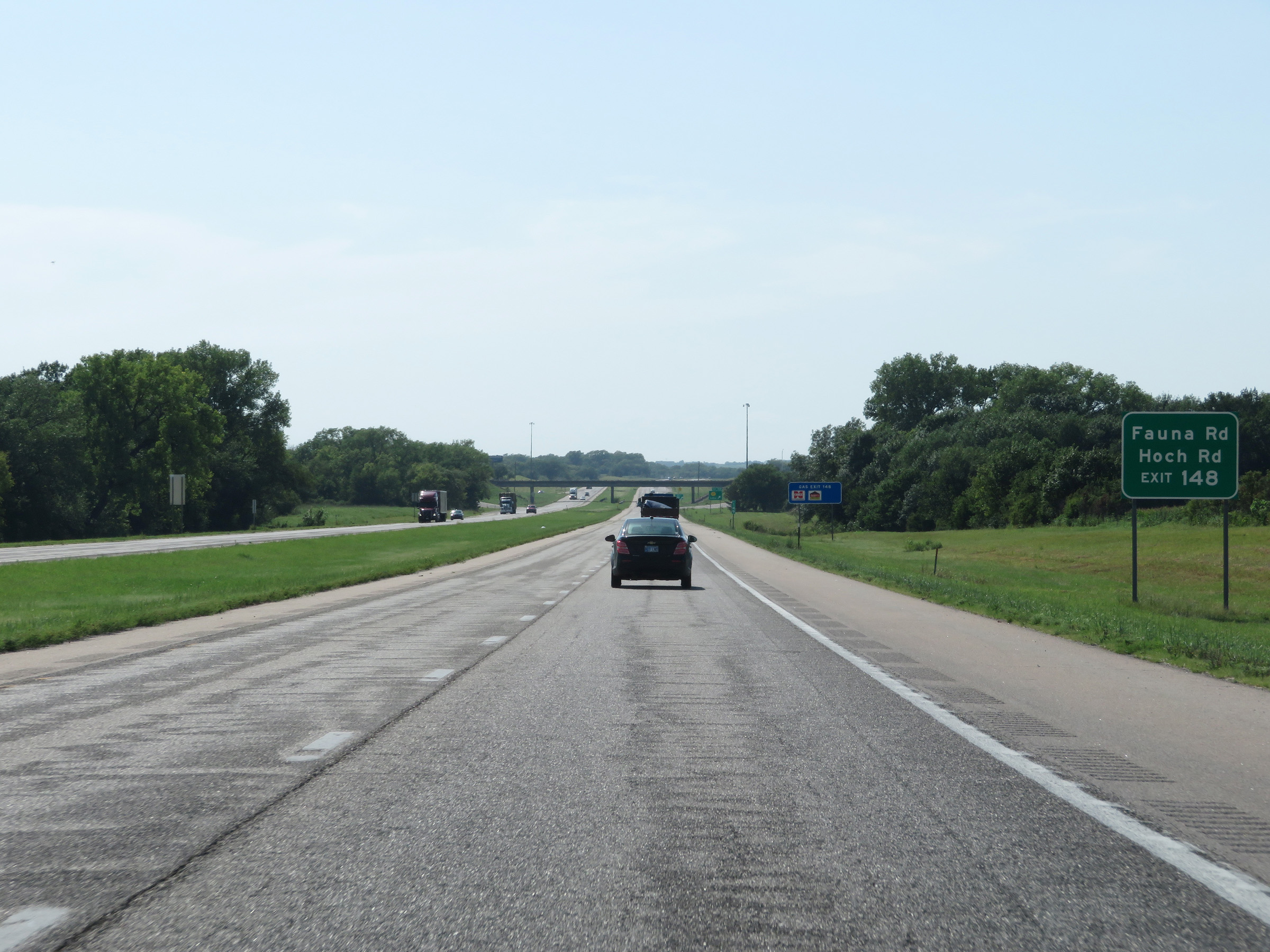 |
Take Exit 148 to Fauna Rd and Hoch Rd. (Photo taken 8/10/20). |
 |
Interstate 35 South at Exit 148: K-131 - Lebo (Photo taken 8/10/20). |
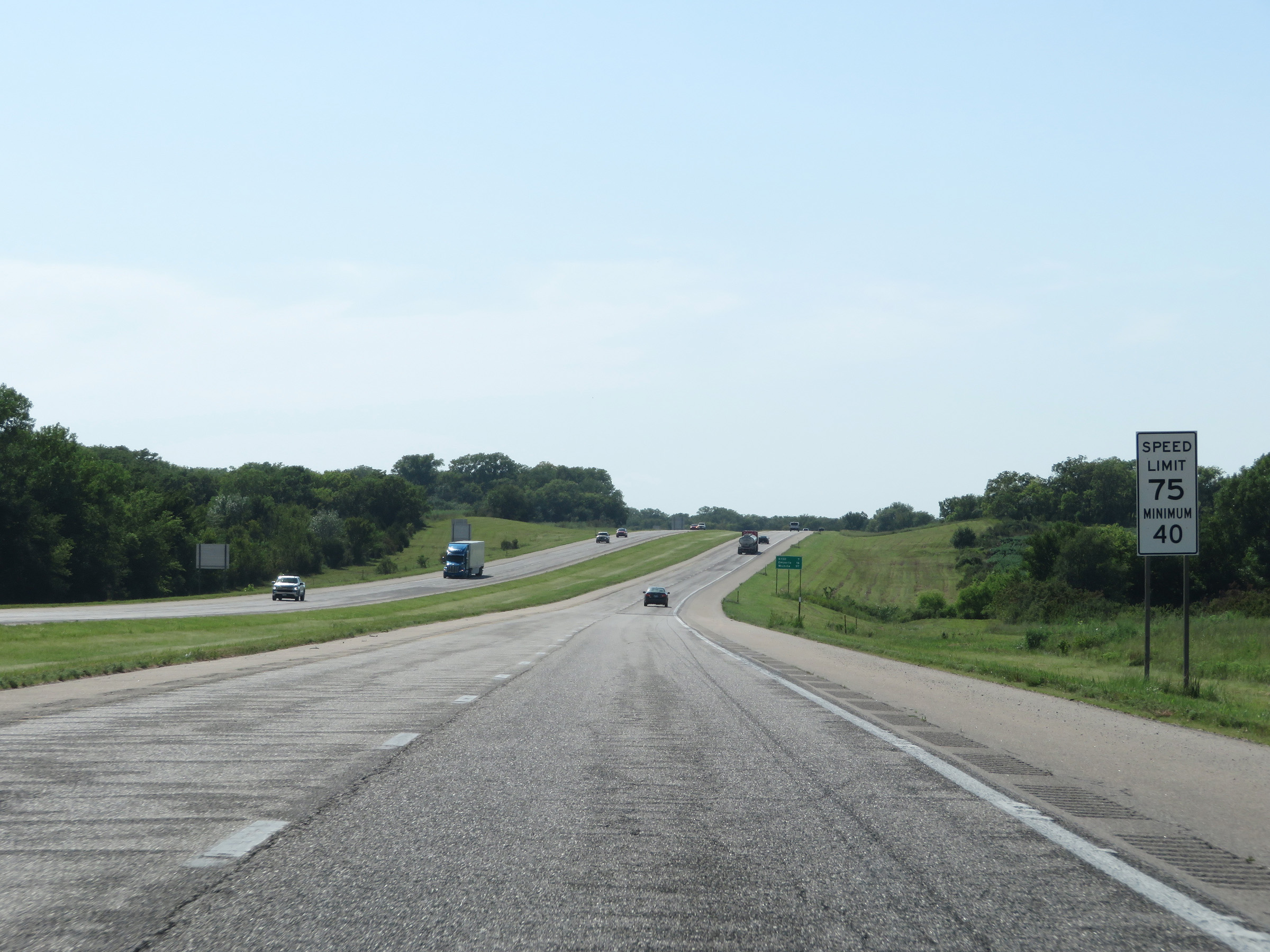 |
Speed limit sign on Interstate 35 South. The speed limits are 75 mph maximum and 40 mph minimum. (Photo taken 8/10/20). |
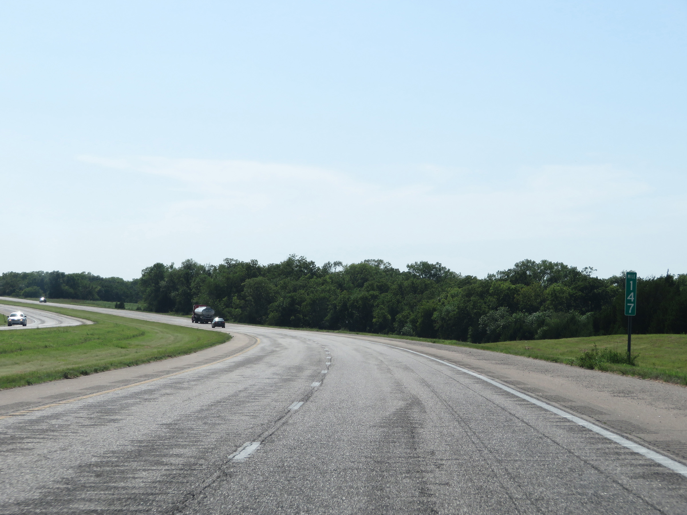 |
View on Interstate 35 South at mile marker 147. (Photo taken 8/10/20). |
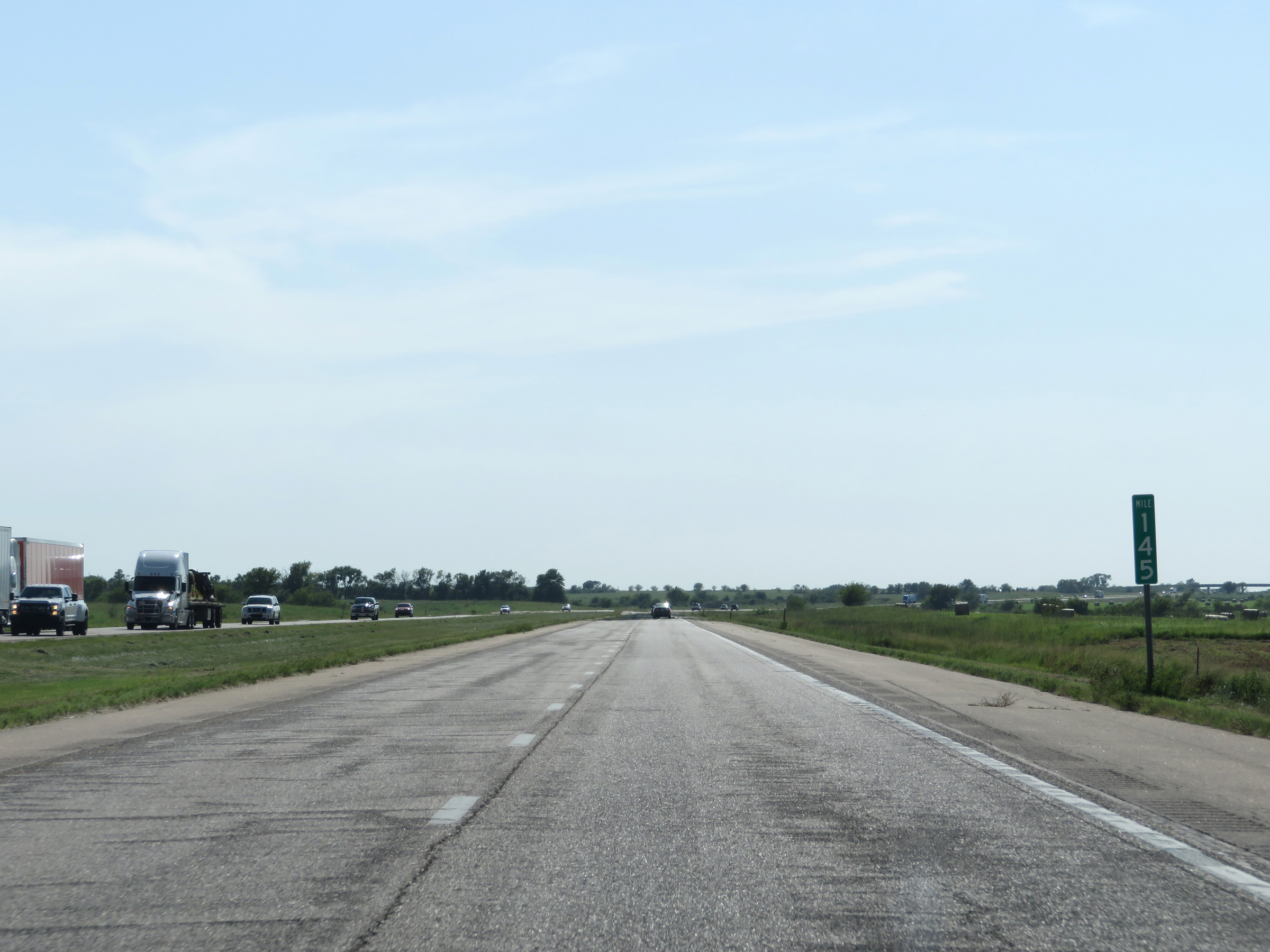 |
Interstate 35 South at mile marker 145. (Photo taken 8/10/20). |
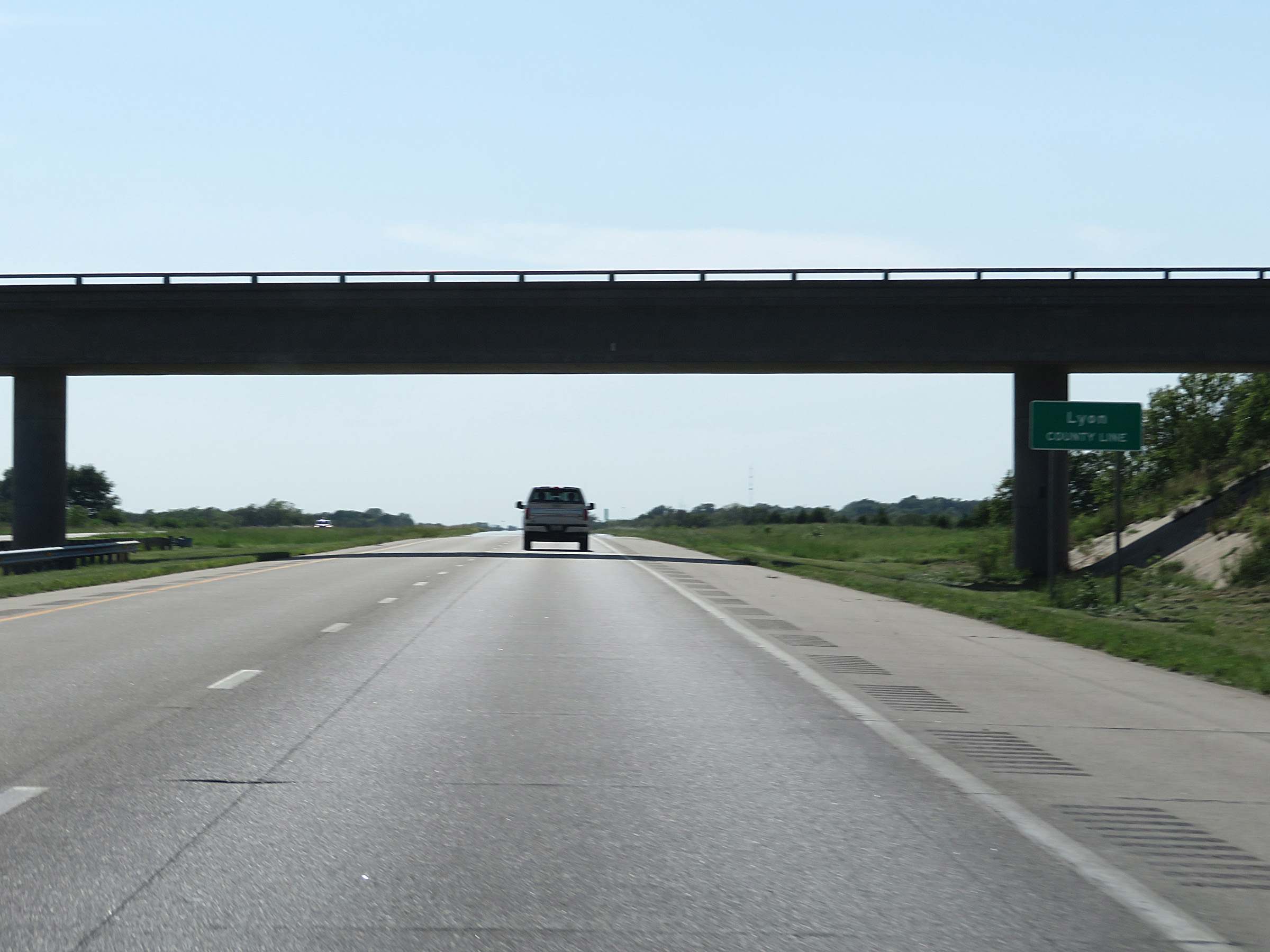 |
Interstate 35 South as it enters Lyon County. Yep, this one kinda got away from me. (Photo taken 8/10/20). |
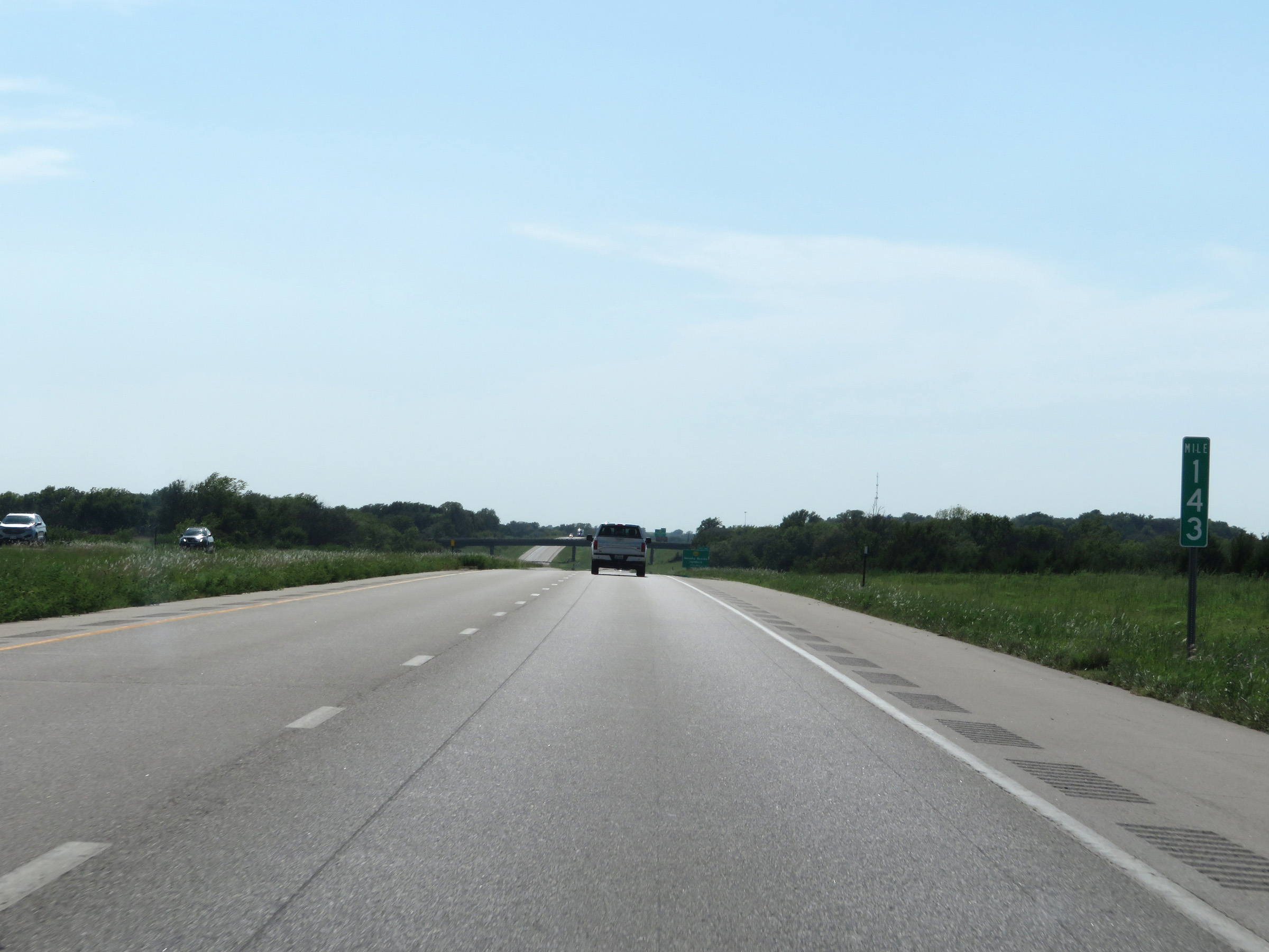 |
View on Interstate 35 South at mile marker 143. (Photo taken 8/10/20). |
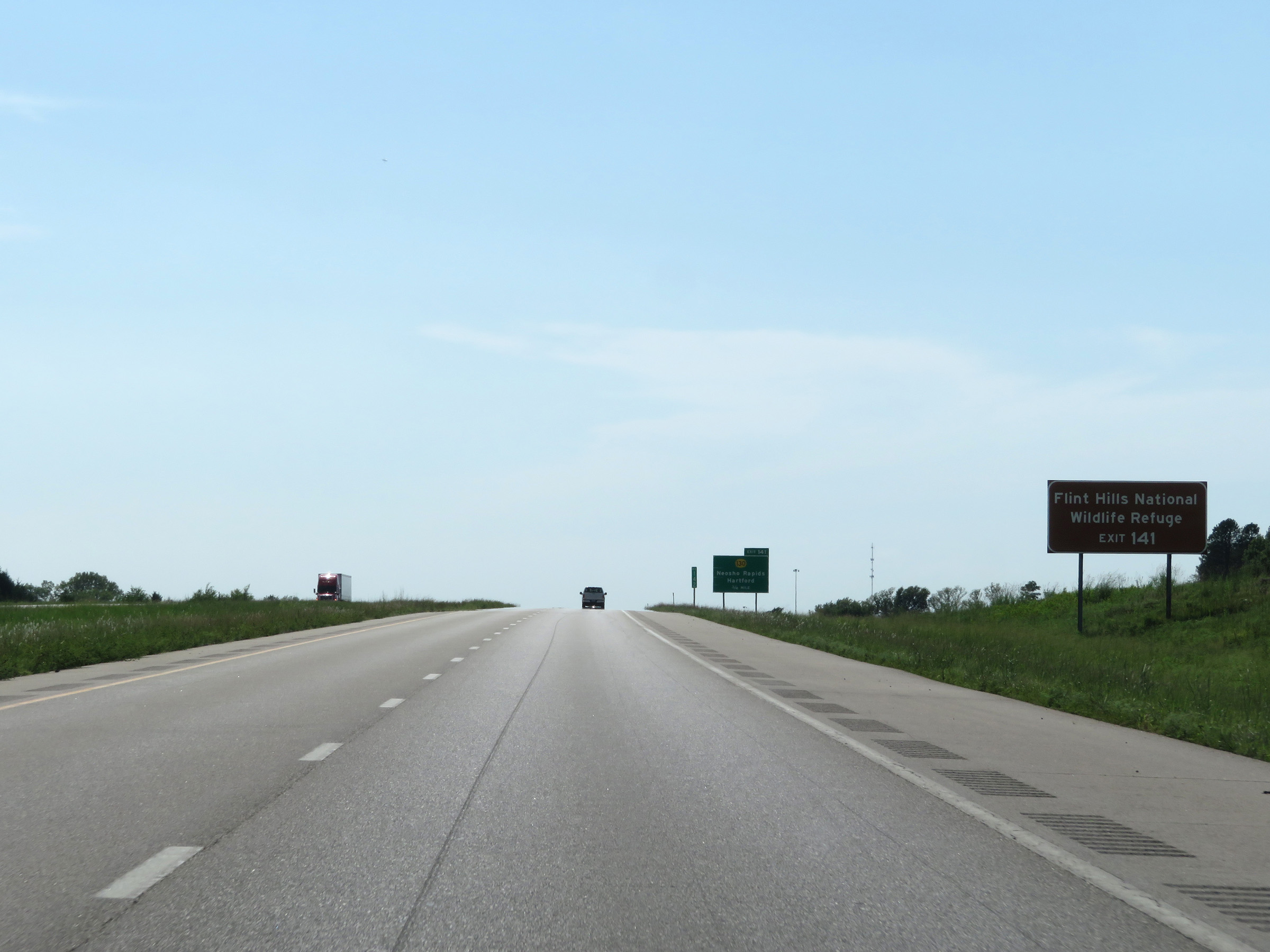 |
Take Exit 141 to Flint Hills National Wildlife Refuge. (Photo taken 8/10/20). |
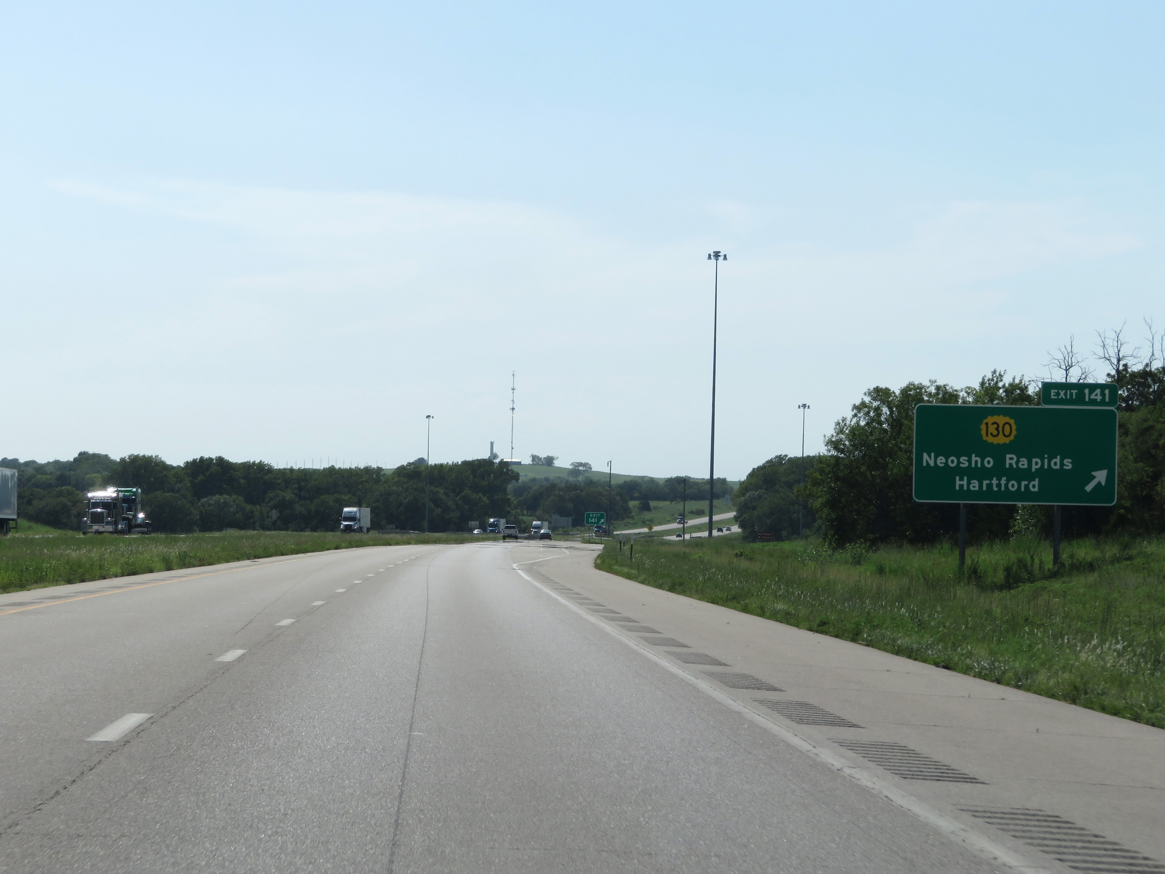 |
Interstate 35 South at Exit 141: K-130 - Neosho Rapids / Hartford (Photo taken 8/10/20). |
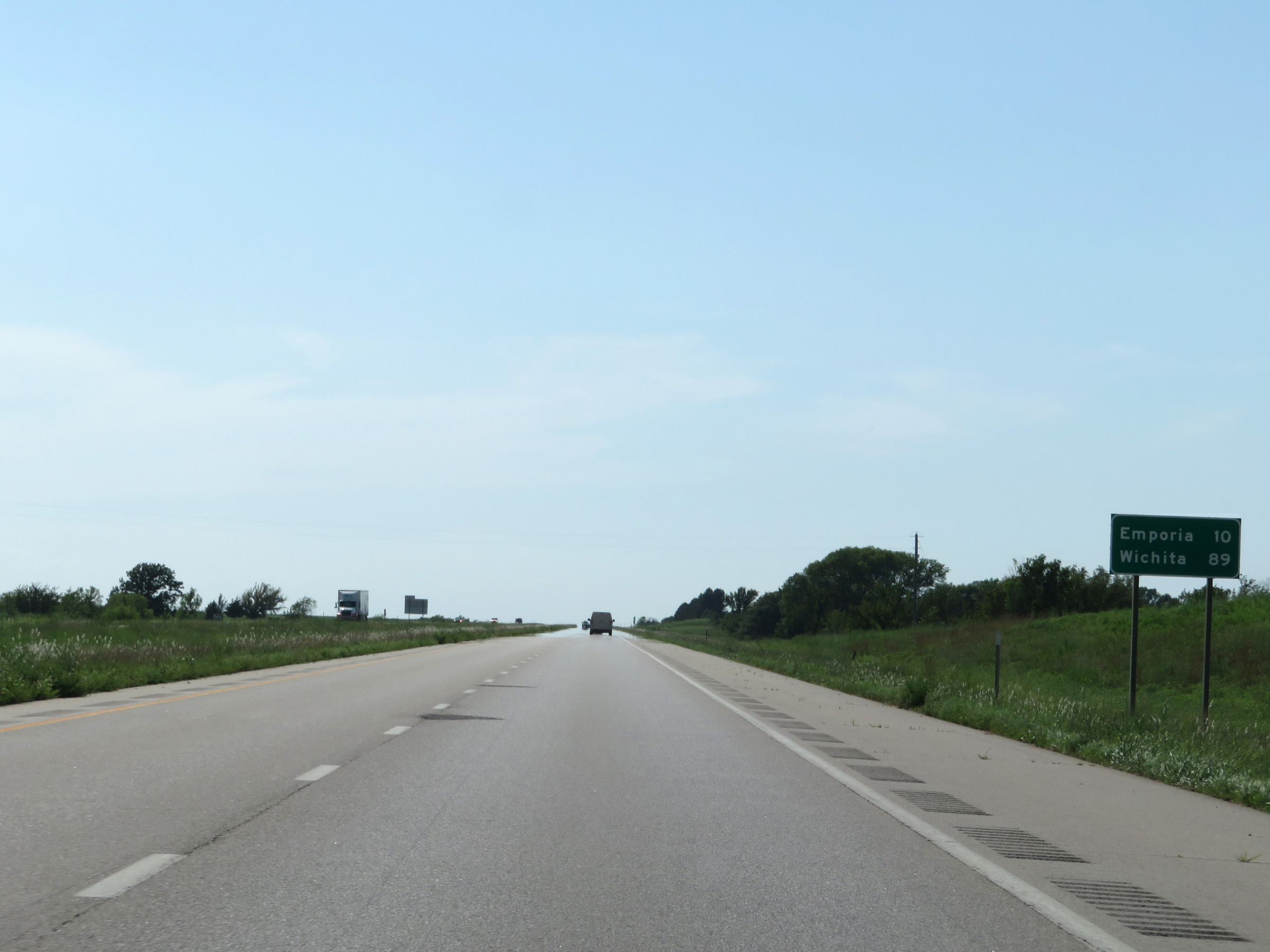 |
Mileage sign on Interstate 35 South. It's now just 10 miles to Emporia and 89 miles to Wichita. (Photo taken 8/10/20). |
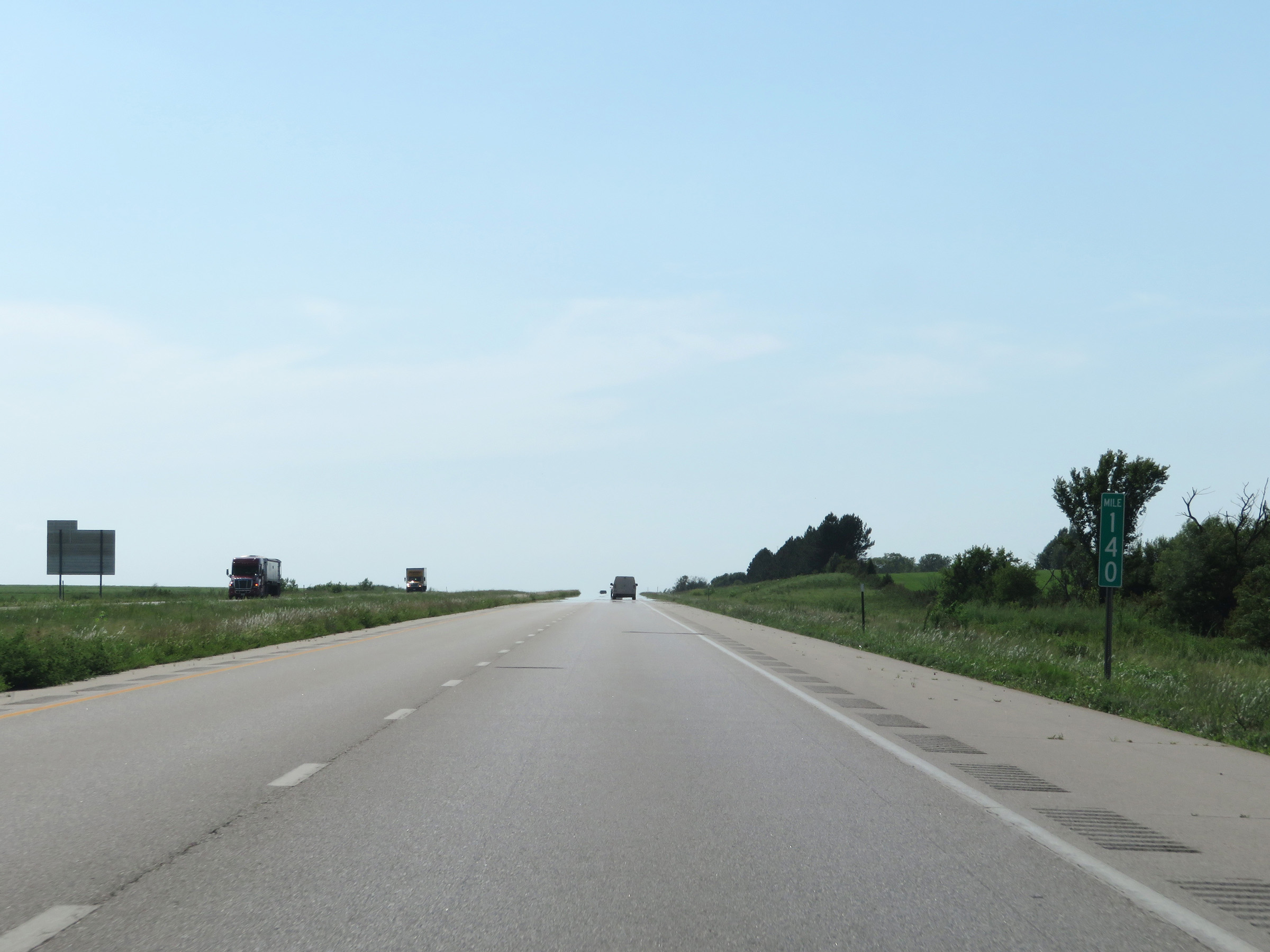 |
View on Interstate 35 South at mile marker 140. (Photo taken 8/10/20). |
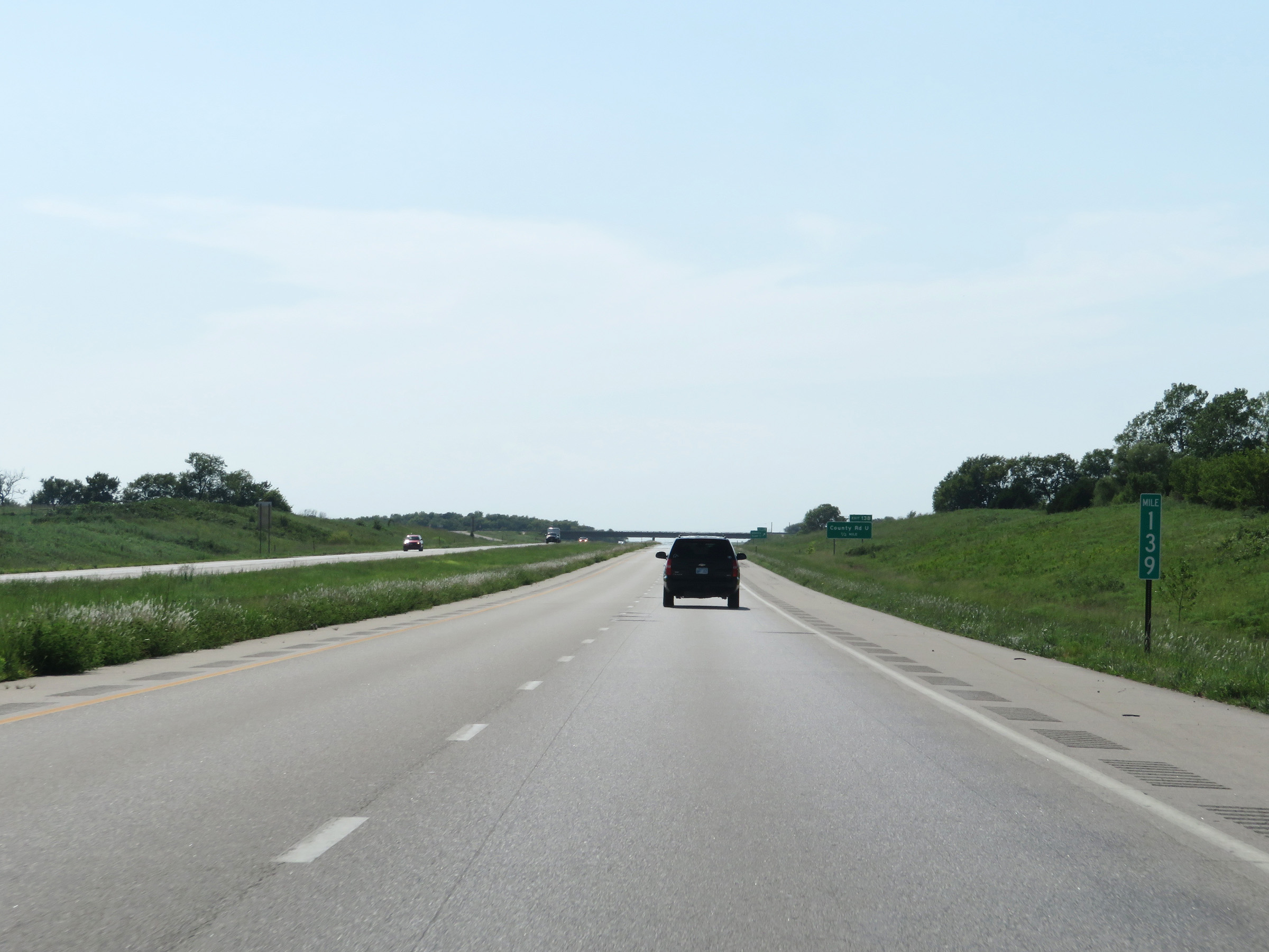 |
Interstate 35 South at mile marker 139. (Photo taken 8/10/20). |
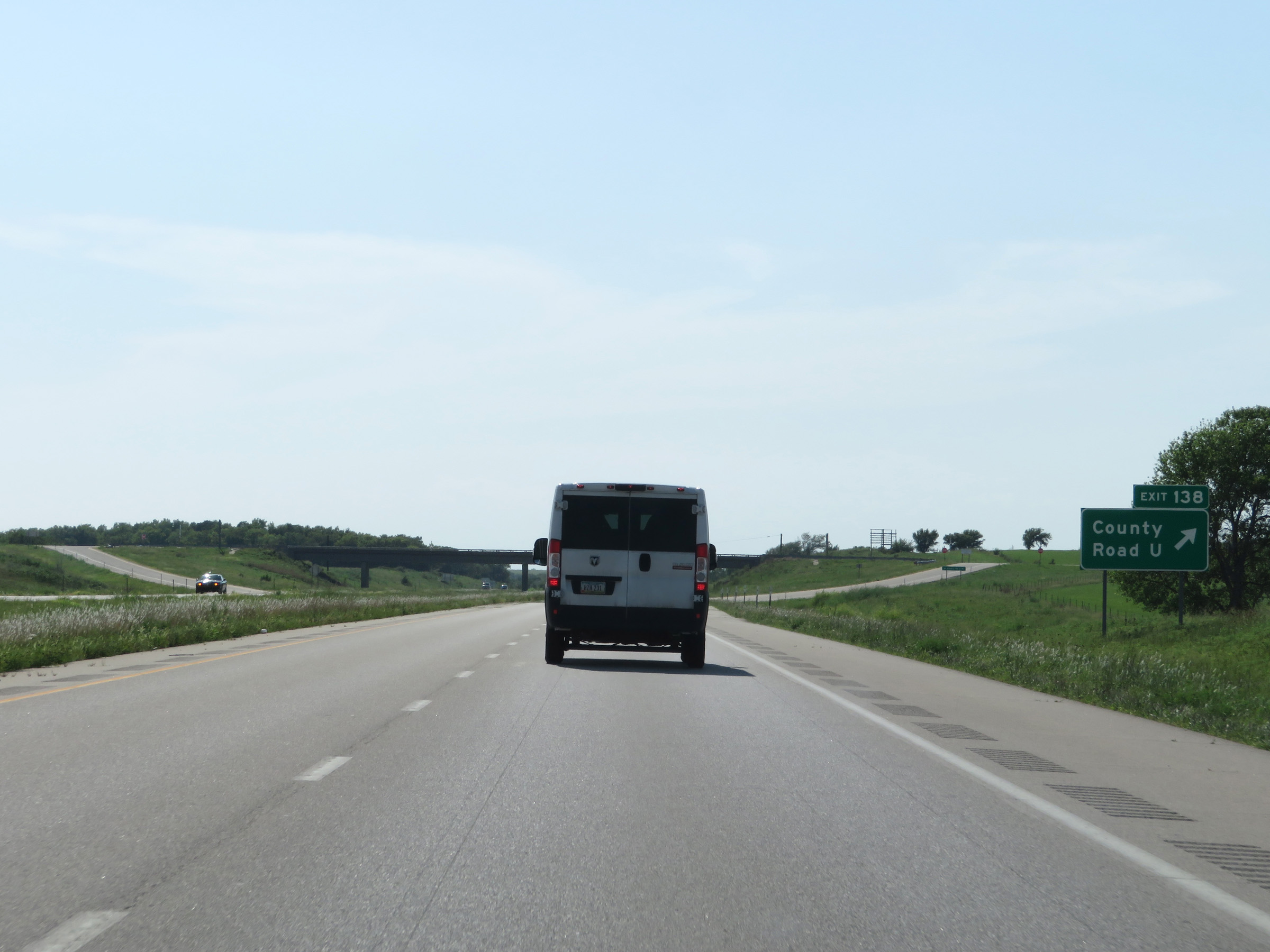 |
Interstate 35 South at Exit 138: County Road U (Photo taken 8/10/20). |
 |
View on Interstate 35 South at mile marker 136. (Photo taken 8/10/20). |
 |
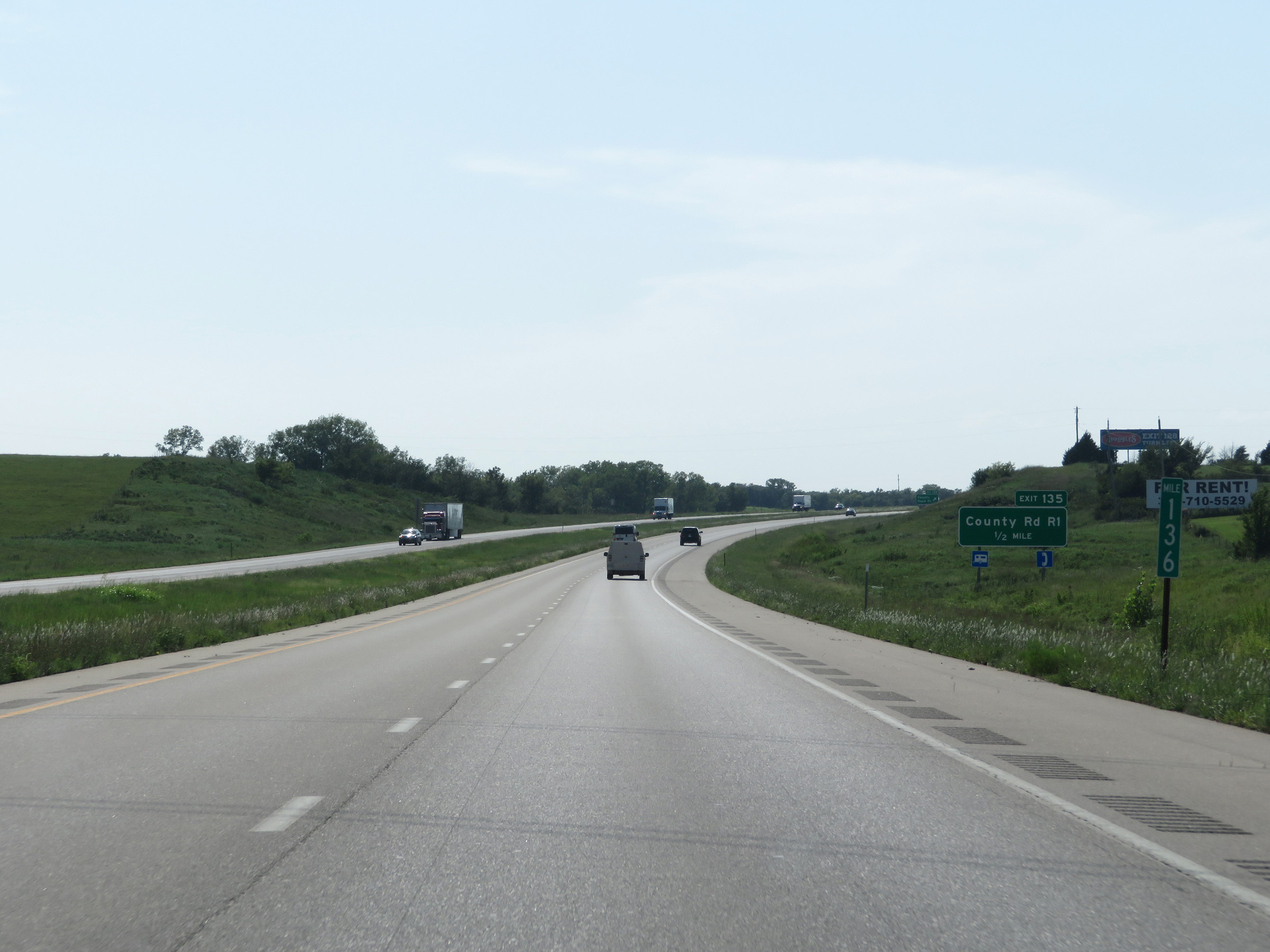
Interstate 35 South at Exit 135: County Road R1 (Photo taken 8/10/20). |
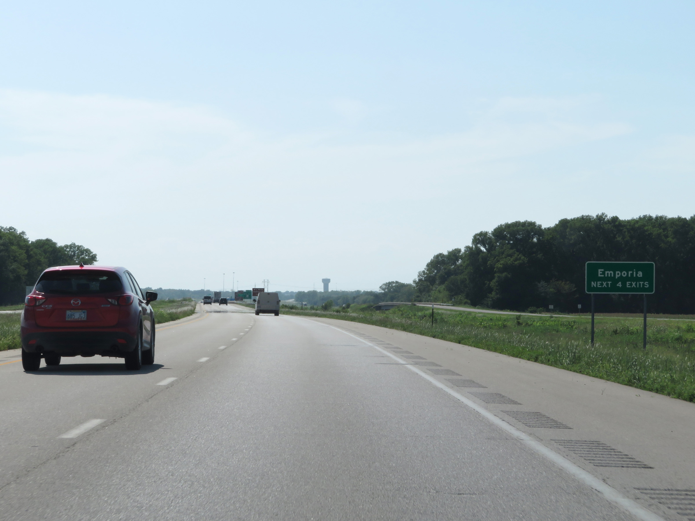 |
Take any of the next 4 exits to Emporia. (Photo taken 8/10/20). |
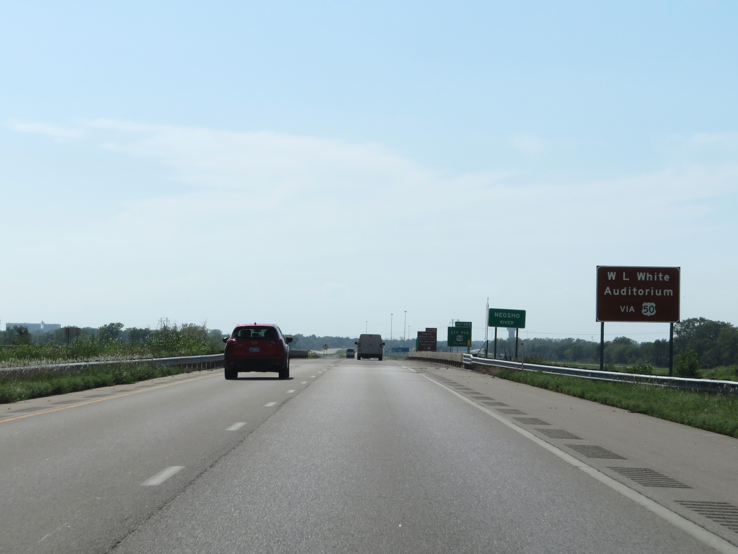 |
Take Exit 133 to W.L. White Auditorium. (Photo taken 8/10/20). |
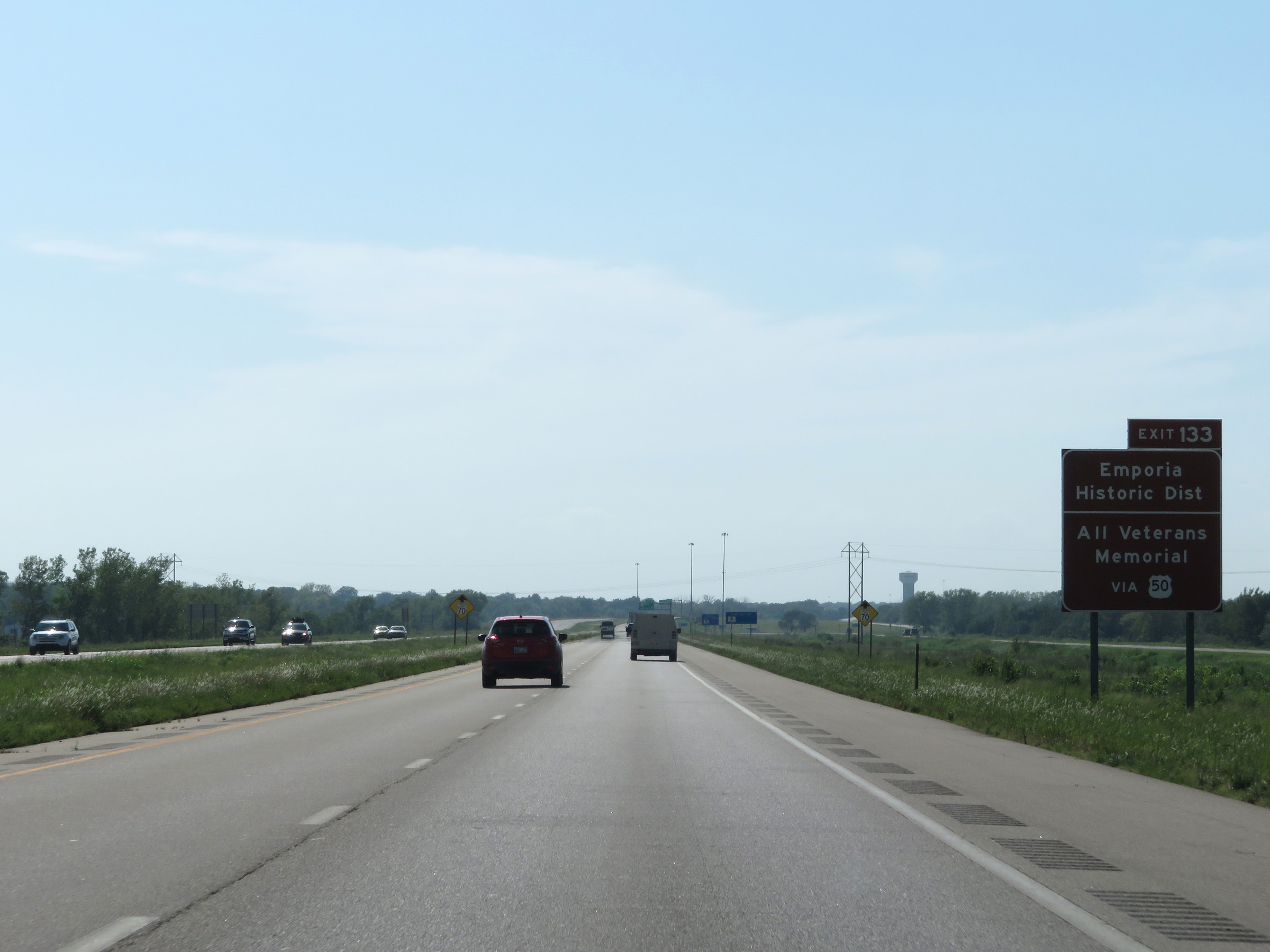 |
Also take Exit 133 to Emporia Historic District and All Veterans Memorial. (Photo taken 8/10/20). |
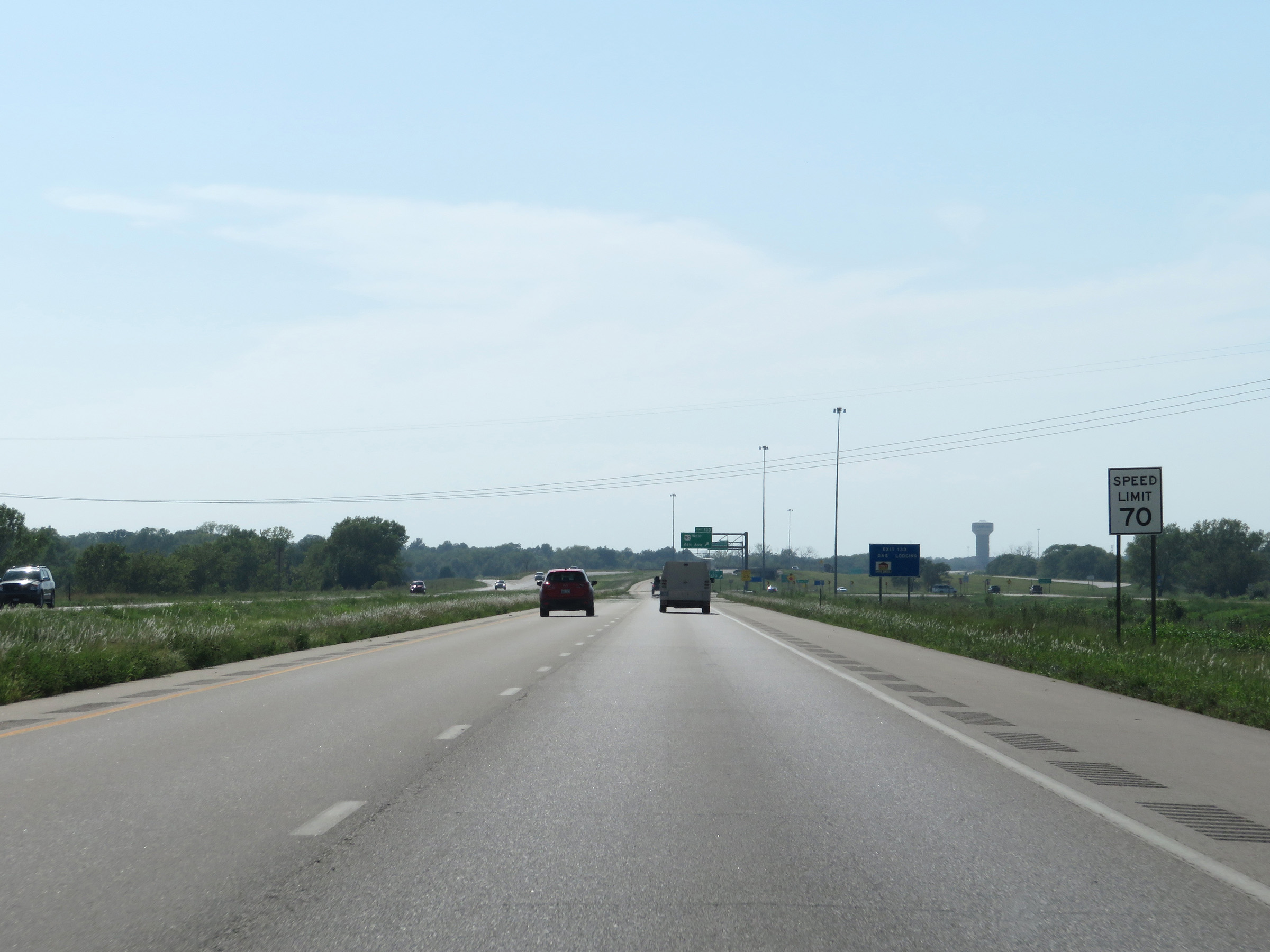 |
Entering the Emporia area, the maximum speed limit decreases to 70 mph. (Photo taken 8/10/20). |
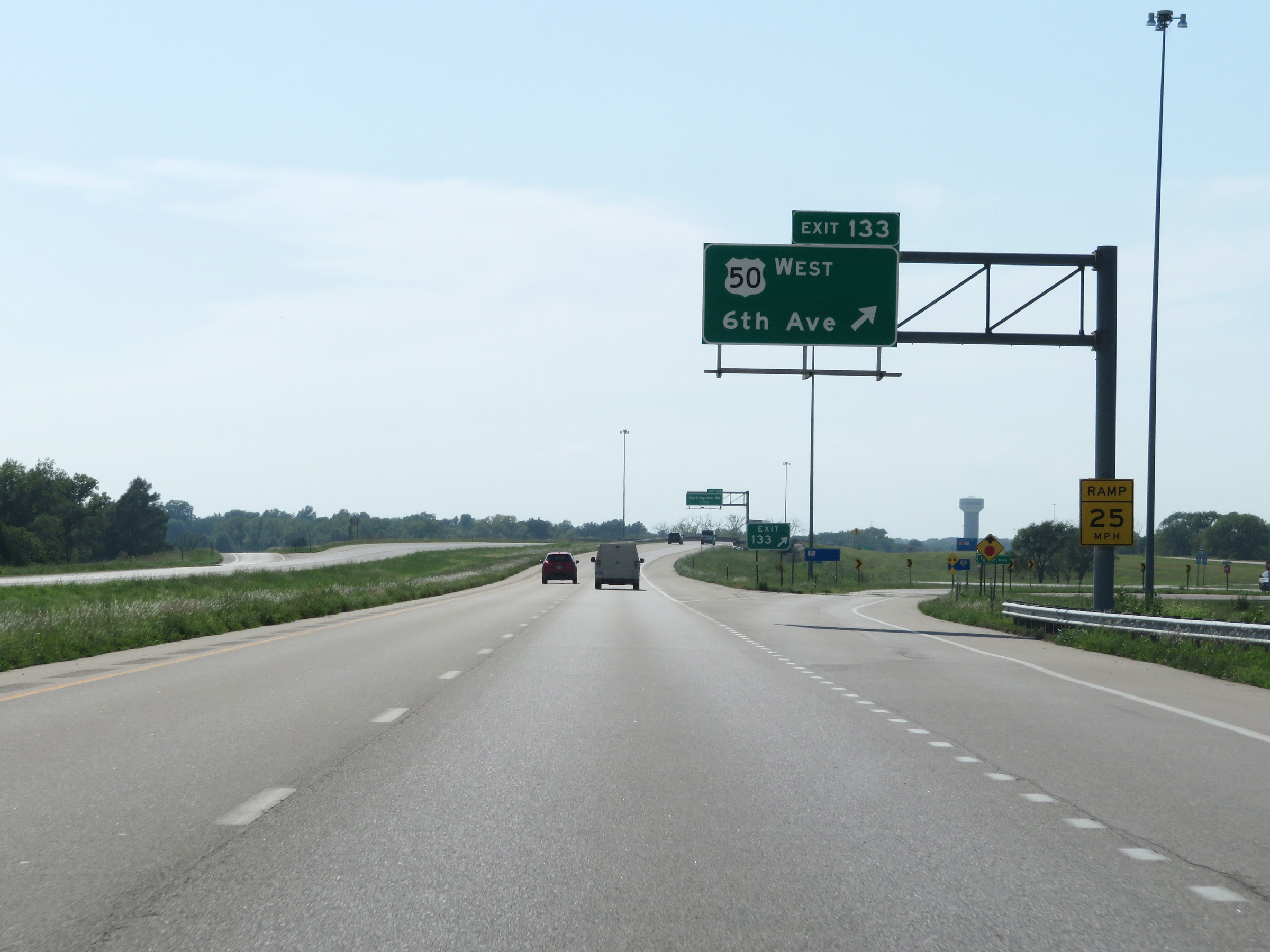 |
Interstate 35 South at Exit 133: US 50 West - 6th Ave (Photo taken 8/10/20). |
 |
Overhead mileage sign listing the distances to the next three exits to Emporia. (Photo taken 8/10/20). |
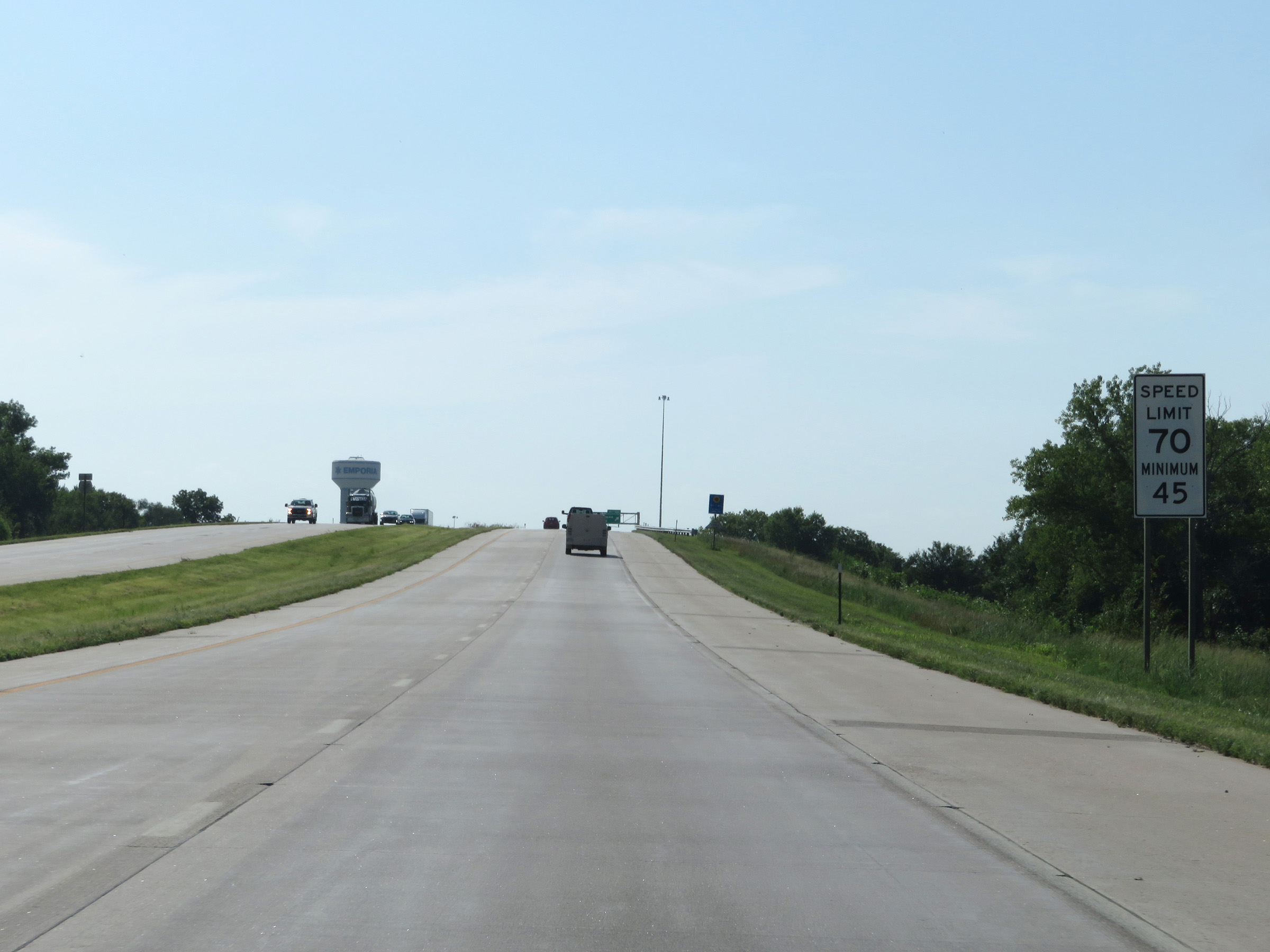 |
As the maximum speed limit decreases to 70 mph in Emporia, the minimum speed limit is increased to 45 mph. (Photo taken 8/10/20). |
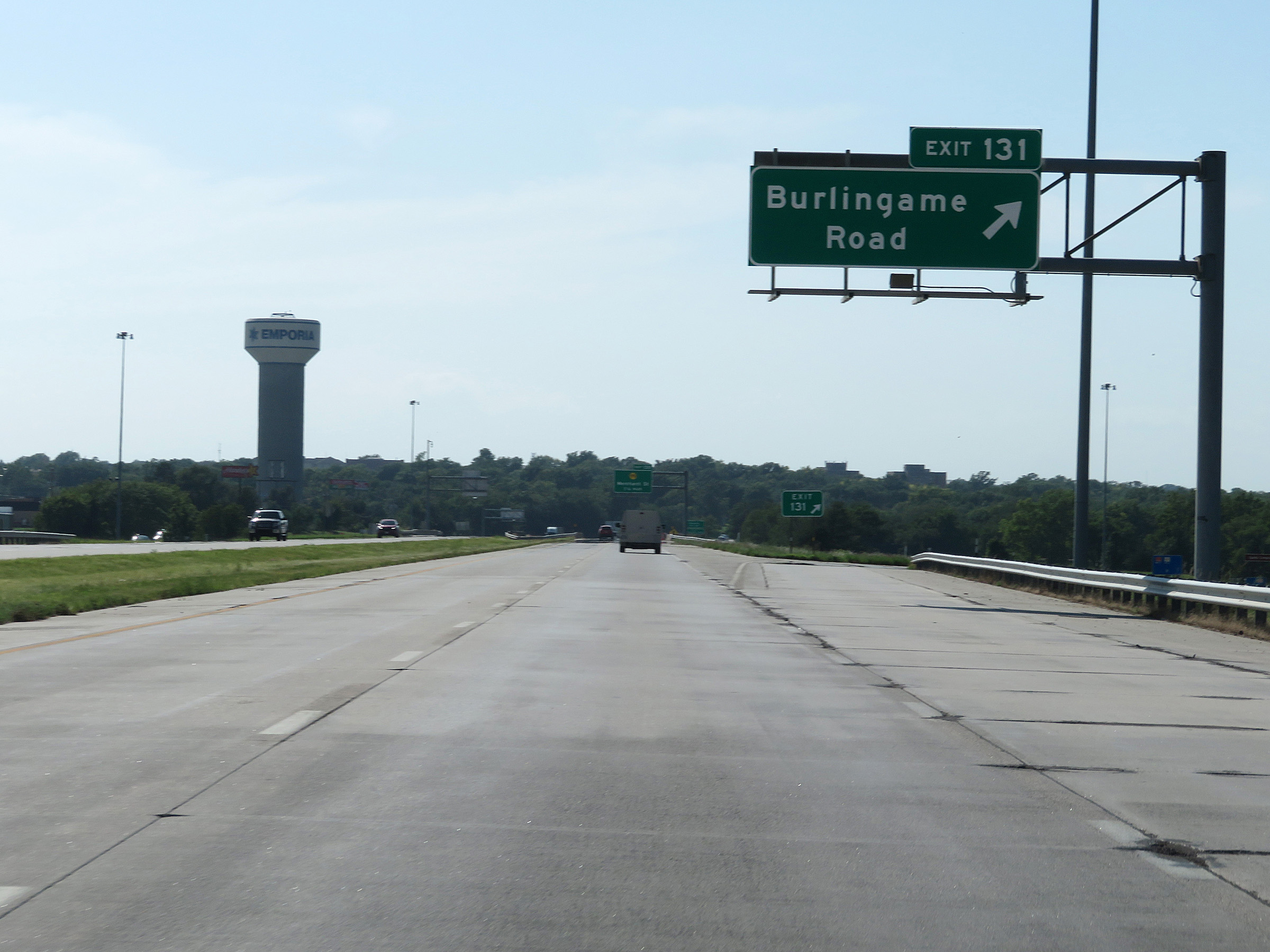 |
Interstate 35 South at Exit 131: Burlingame Road (Photo taken 8/10/20). |
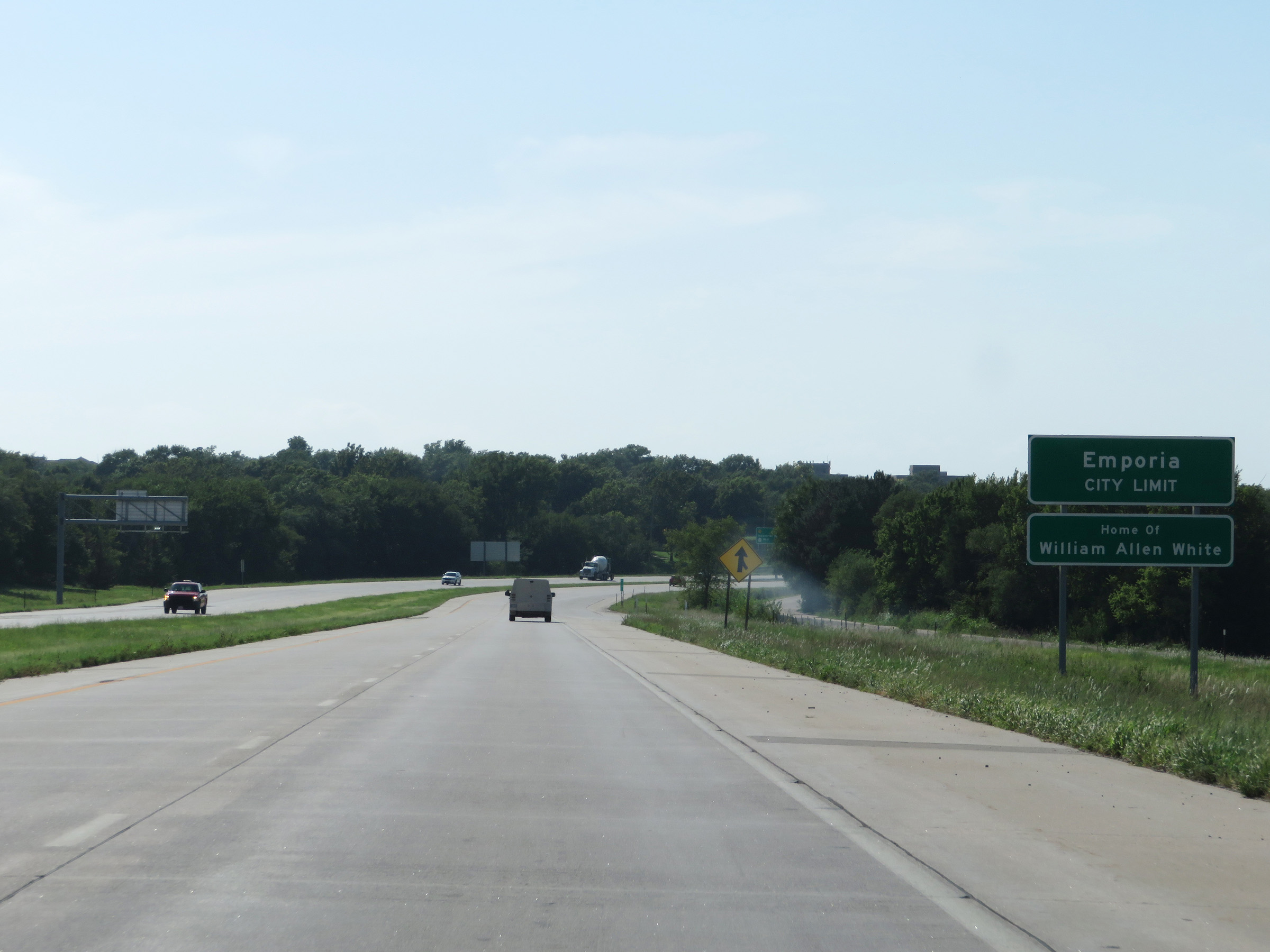 |
Interstate 35 South as it enters the Emporia city limits. Emporia is the home of politician William Allen White. (Photo taken 8/10/20). |
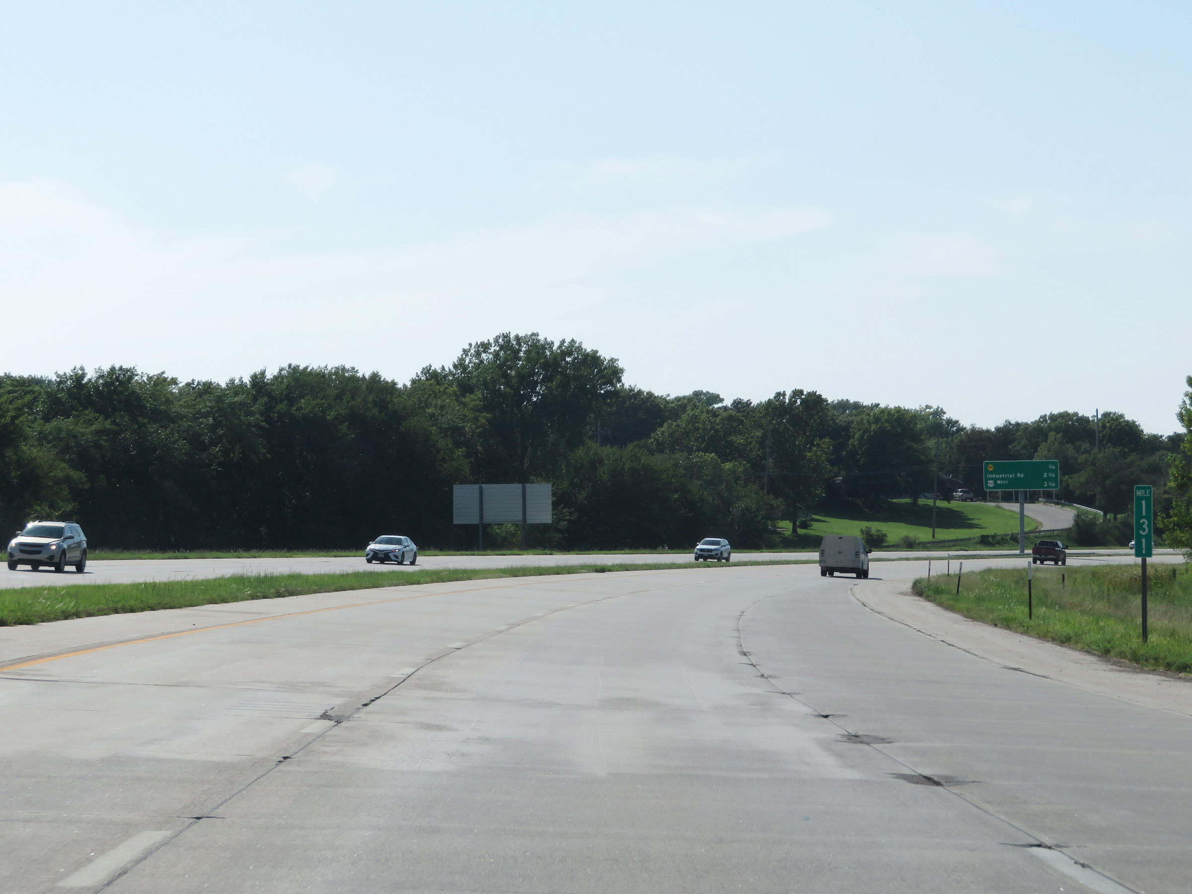 |
View on Interstate 35 South at mile marker 131. (Photo taken 8/10/20). |
 |
Take Exit 130 to Emporia State University and the Teachers Hall of Fame. (Photo taken 8/10/20). |
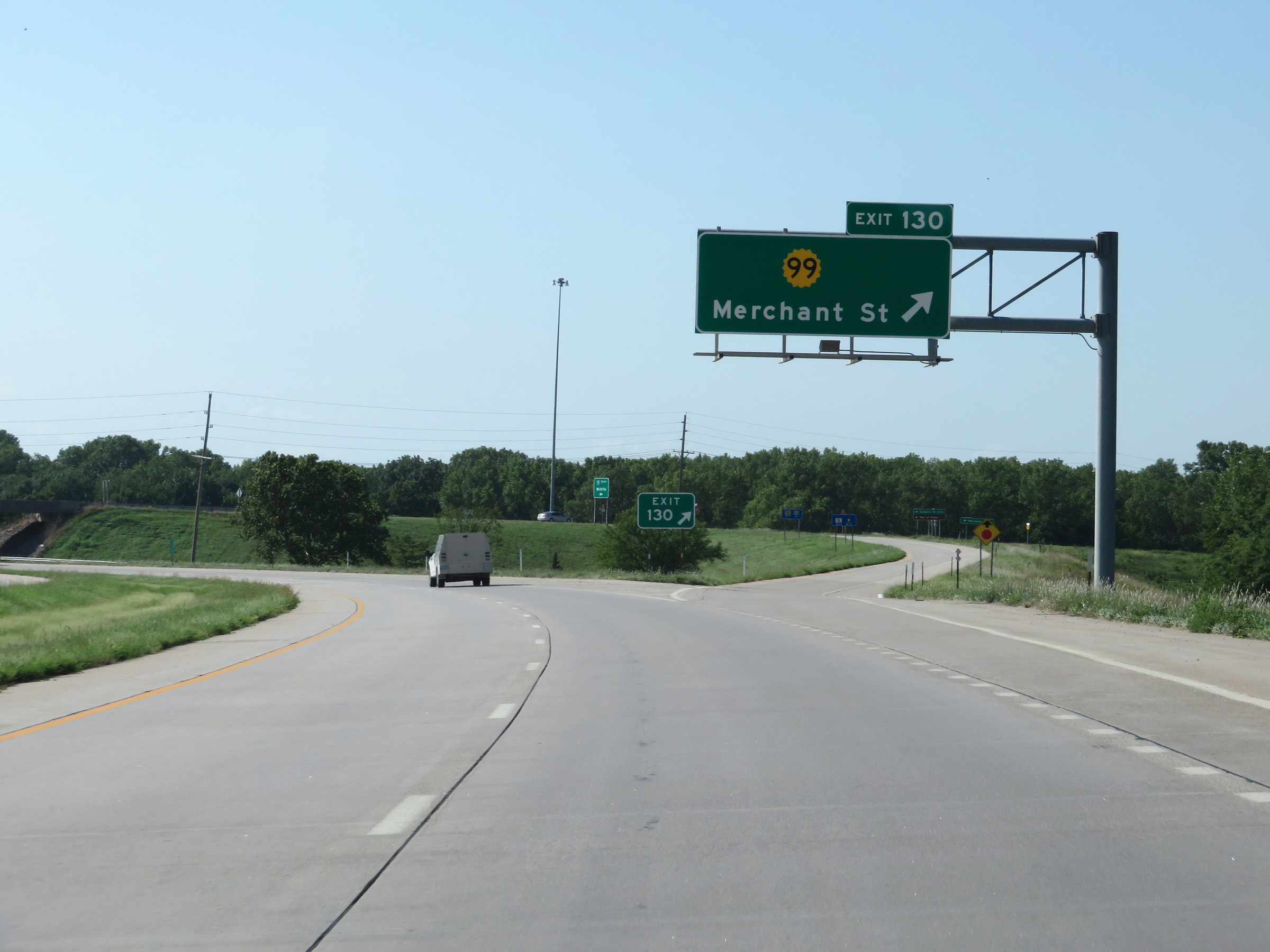 |
Interstate 35 South at Exit 130: K-99 - Merchant St (Photo taken 8/10/20). |
 |
Interstate 35 South at mile marker 130. (Photo taken 8/10/20). |
 |
State-named Interstate 35 South reassurance shield in Emporia. (Photo taken 8/10/20). |
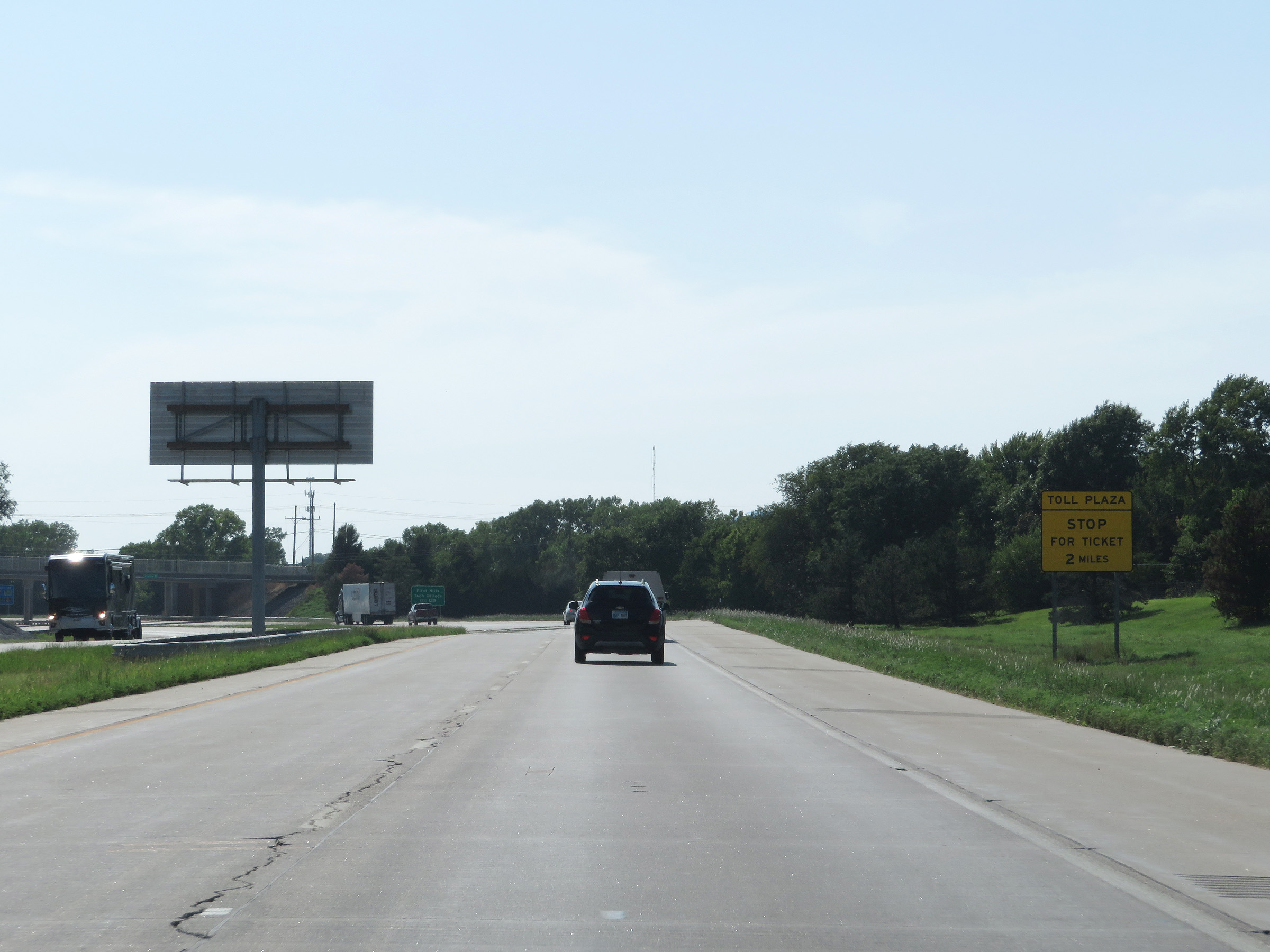 |
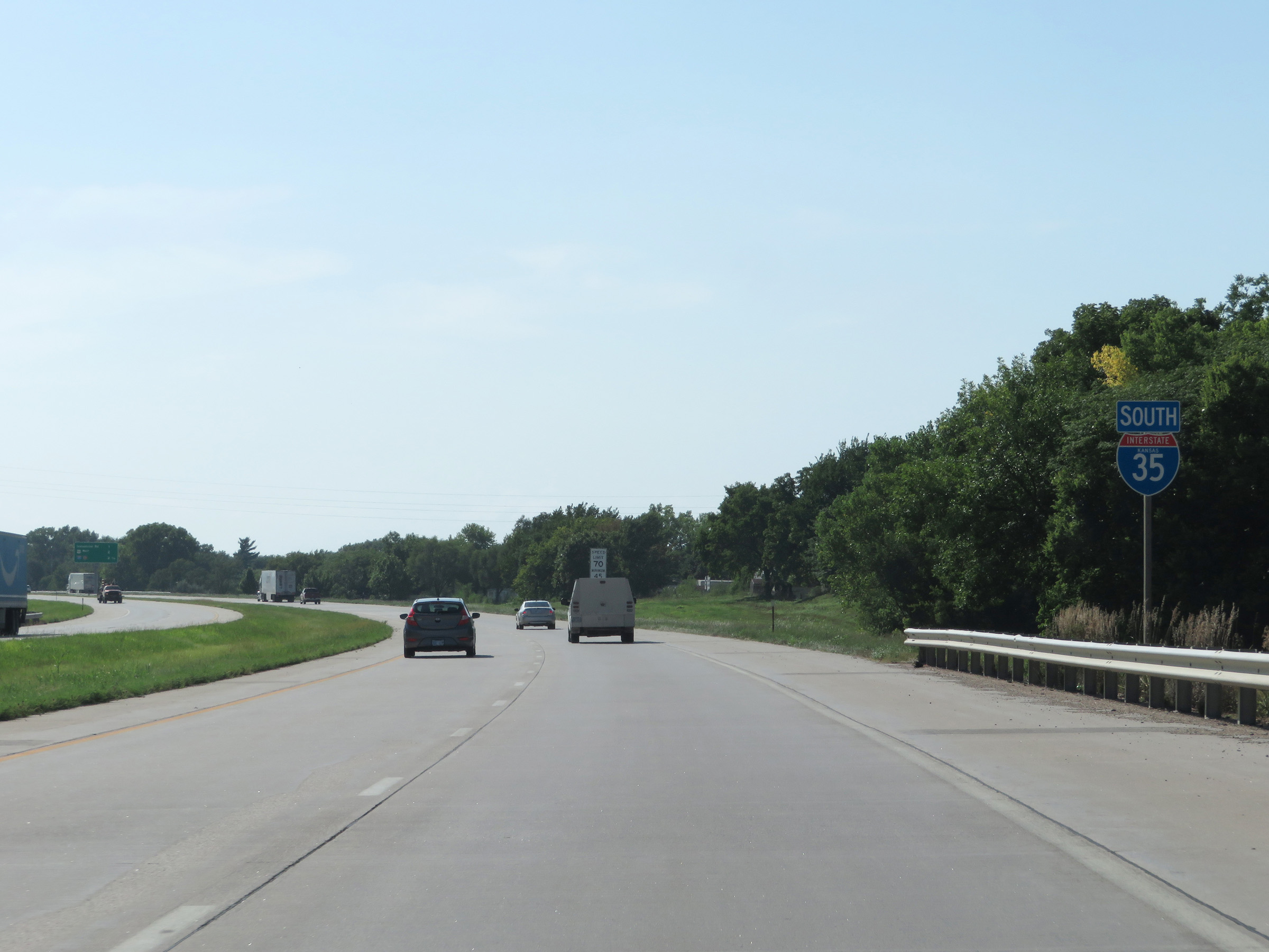
Two miles ahead, Interstate 35 South will enter the Kansas Turnpike. Stop at the toll plaza and take a ticket. (Photo taken 8/10/20). |
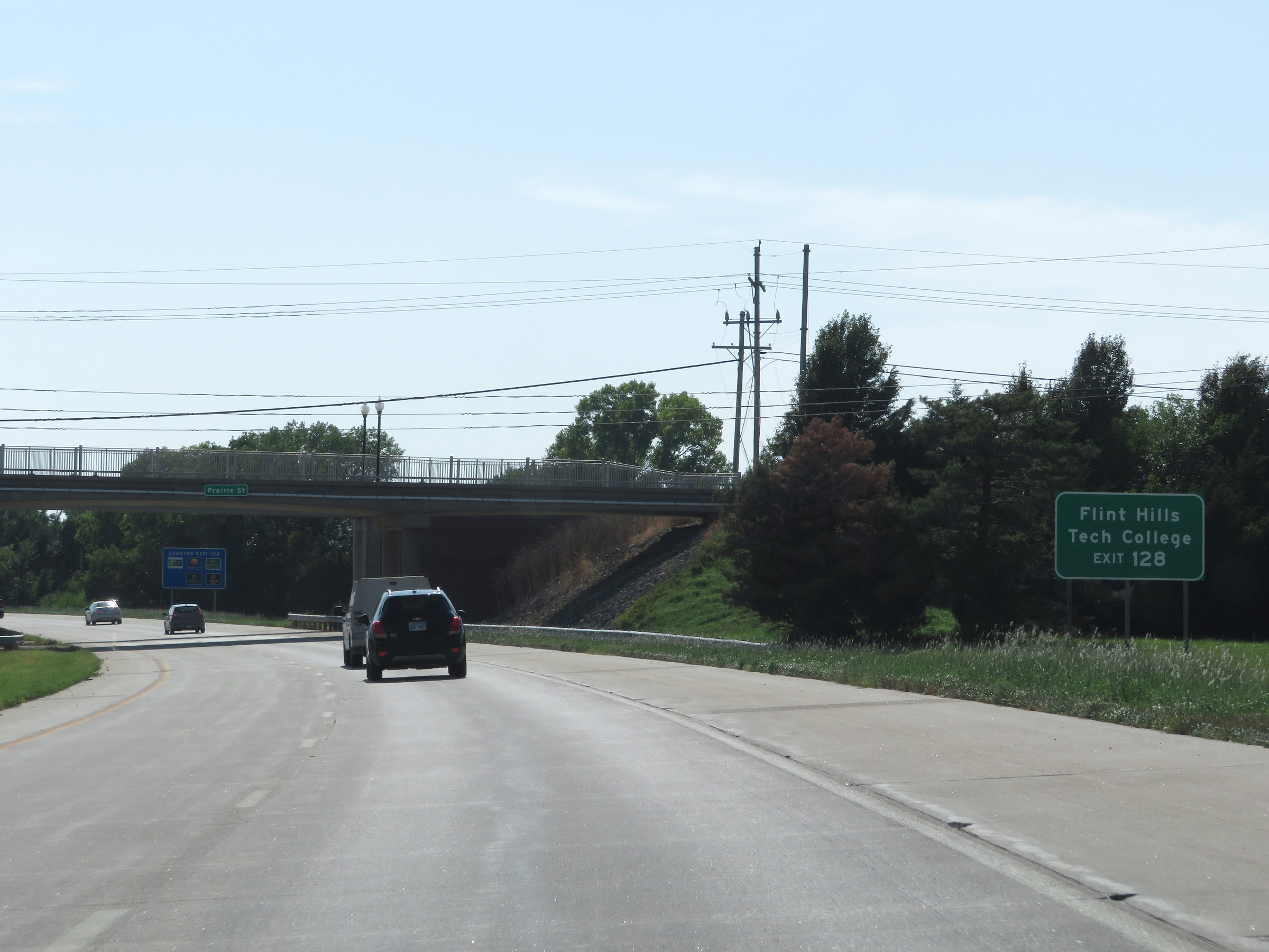 |
Take Exit 128 to Flint Hills Tech College. (Photo taken 8/10/20). |
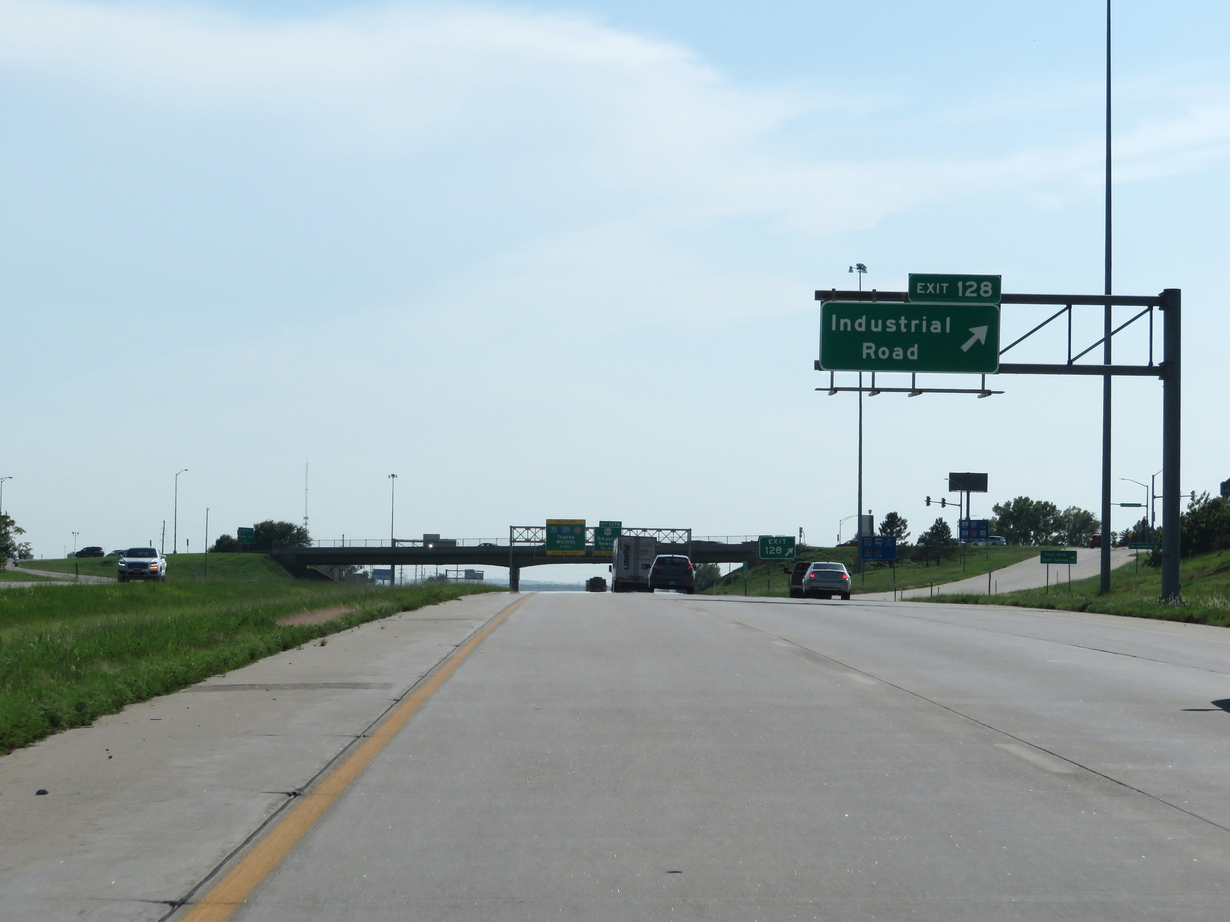 |
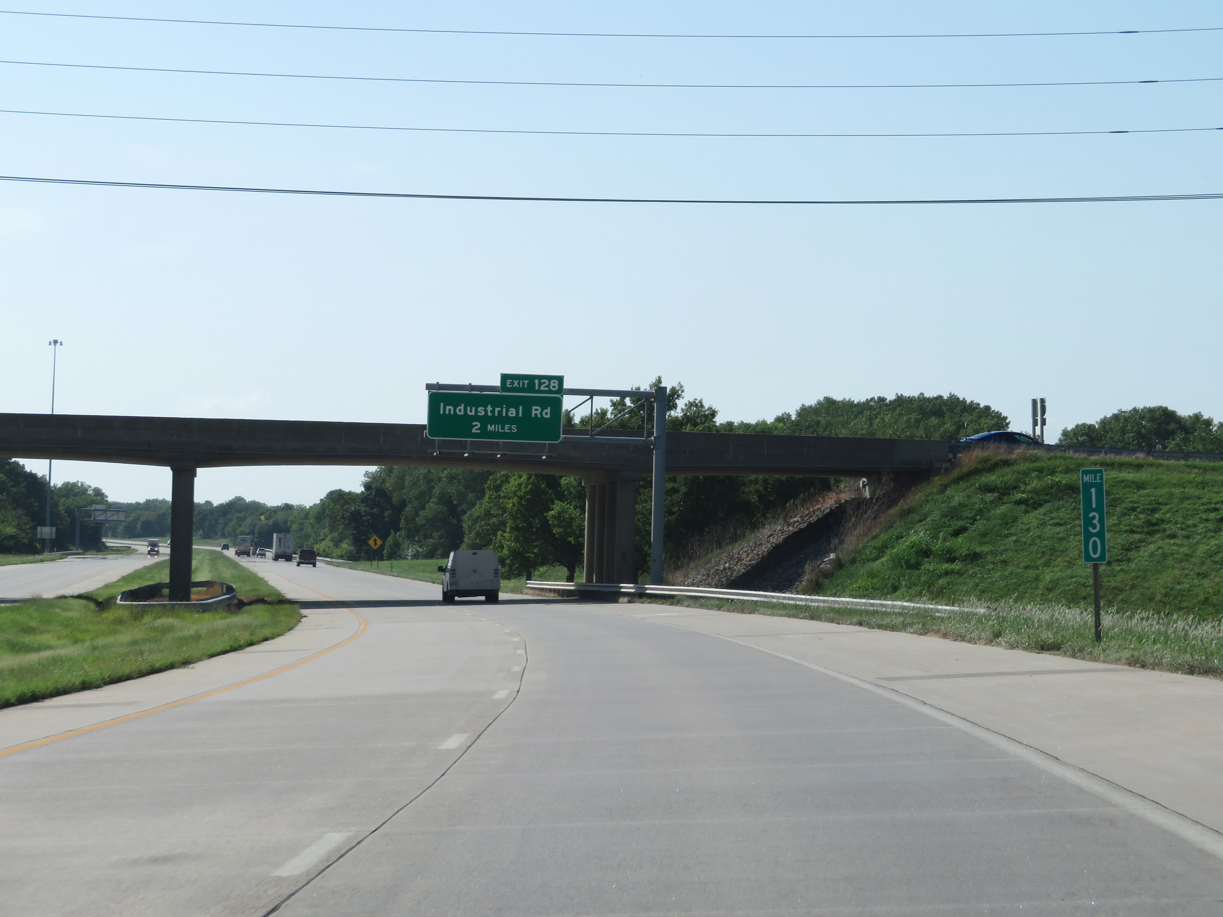
Interstate 35 South at Exit 128: Industrial Road (Photo taken 8/10/20). |
 |
Interstate 35 South approaching the junction of the Kansas Turnpike - 1 mile ahead. Exit 127A, which is right before the toll plaza for the Kansas Turnpike, is the last free exit on I-35 South before entering the turnpike. (Photo taken 8/10/20). |
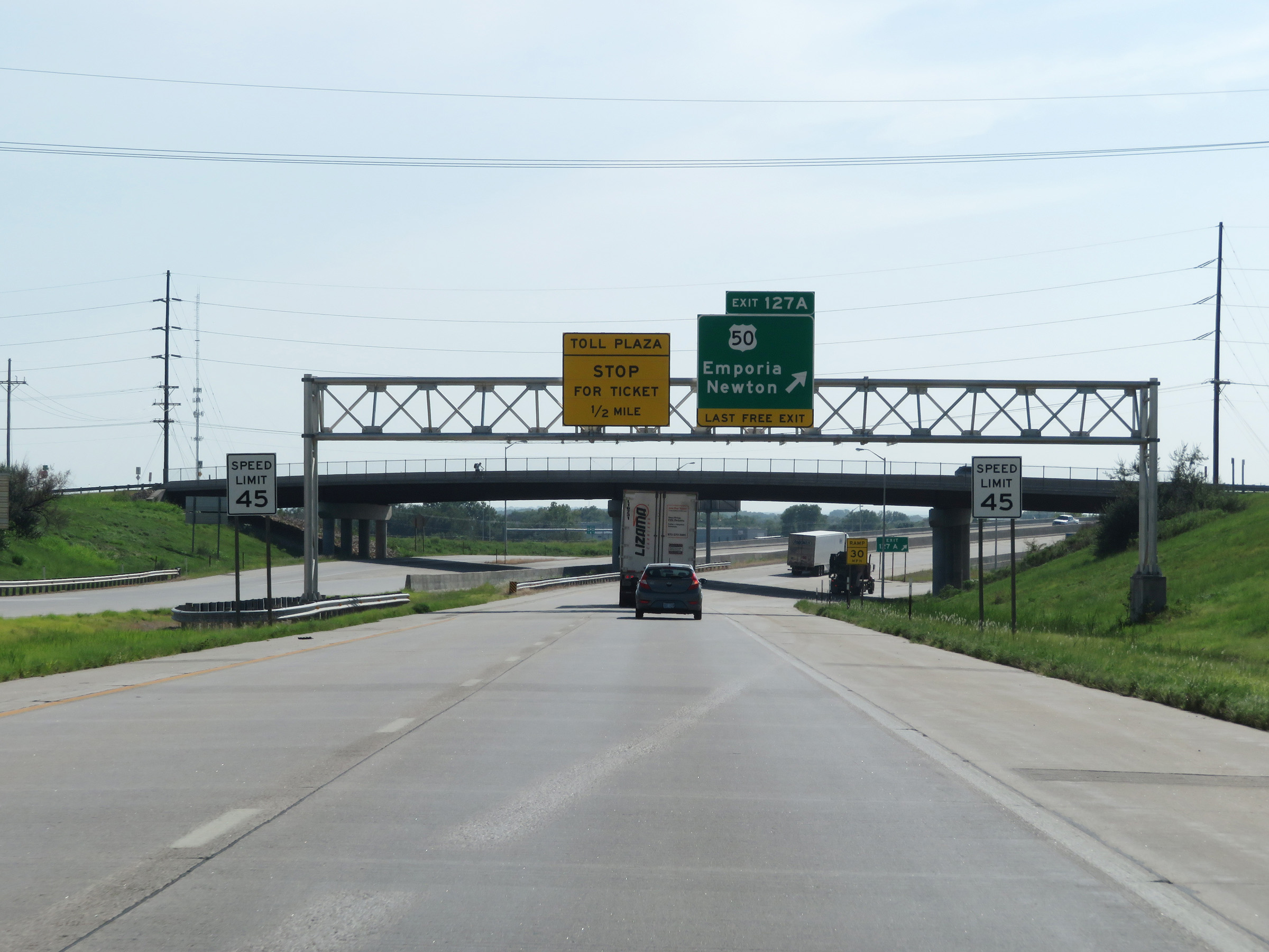 |
The speed limit decreases to 45 mph just before Exit 127A, as Interstate 35 South nears the toll plaza for the Kansas Turnpike. (Photo taken 8/10/20). |
 |
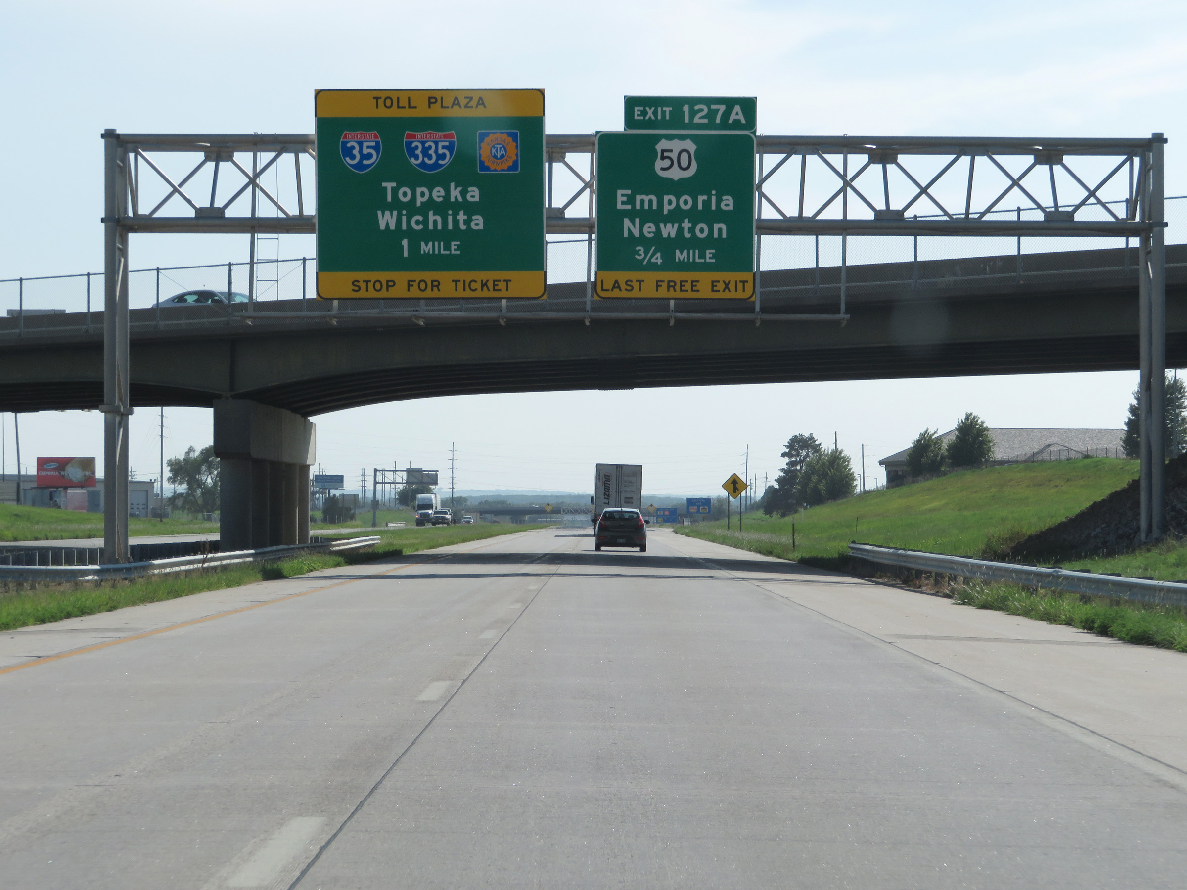
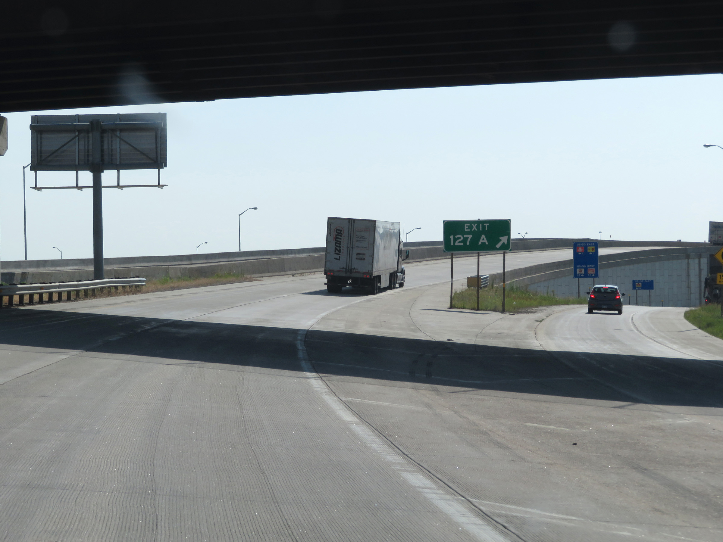
Interstate 35 South at Exit 127A: US 50 - Emporia / Newton (Photo taken 8/10/20). |
Section 4: Emporia (Exit 127A) to El Dorado (Exit 76)
 |
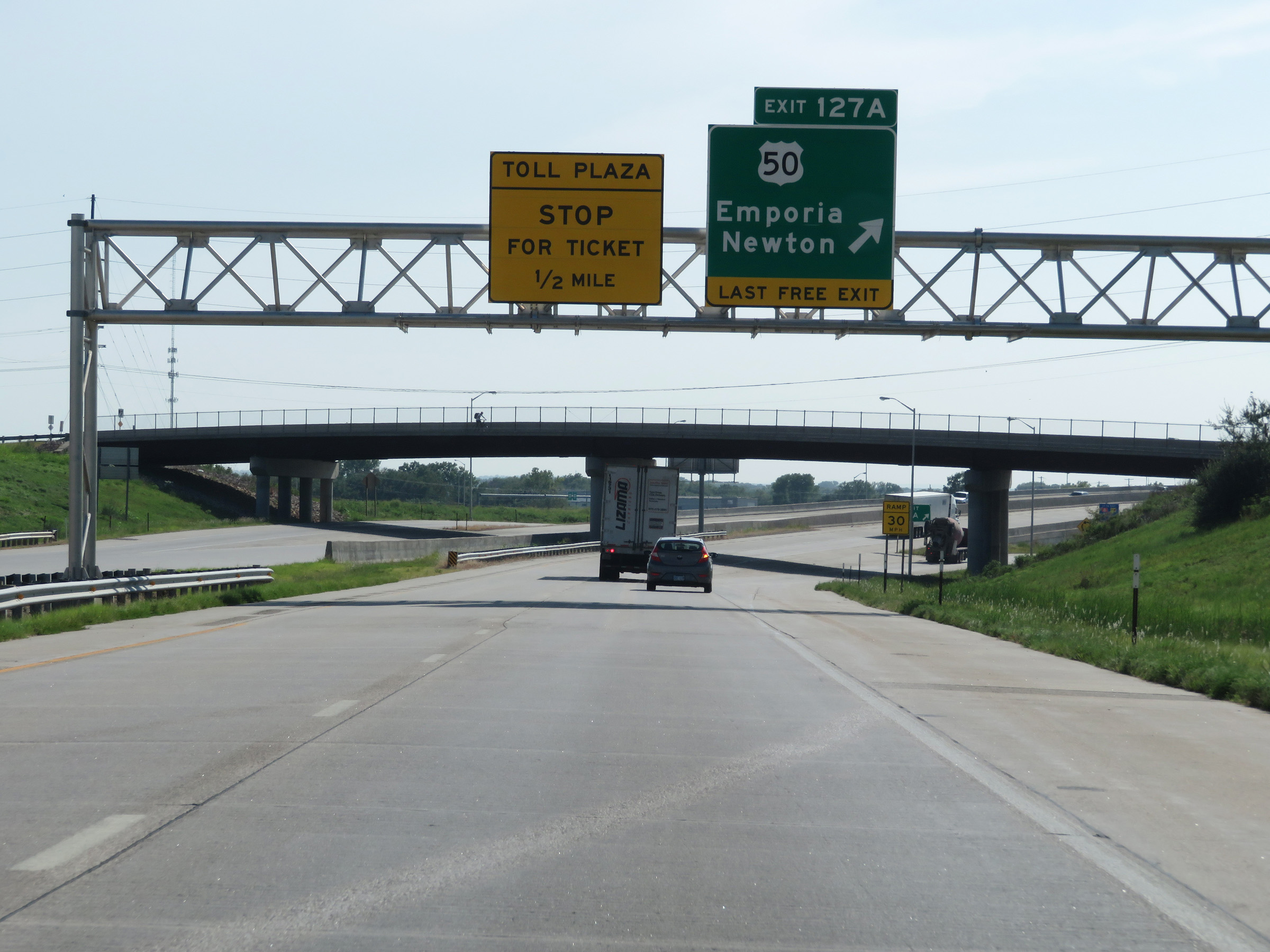
View of the ramp for Exit 127A, the last free exit on Interstate 35 South before entering the Kansas Turnpike ahead. (Photo taken 8/10/20). |
 |
Interstate 35 South at mile marker 127, as it begins to approach the toll plaza for the Kansas Turnpike. (Photo taken 8/10/20). |
 |
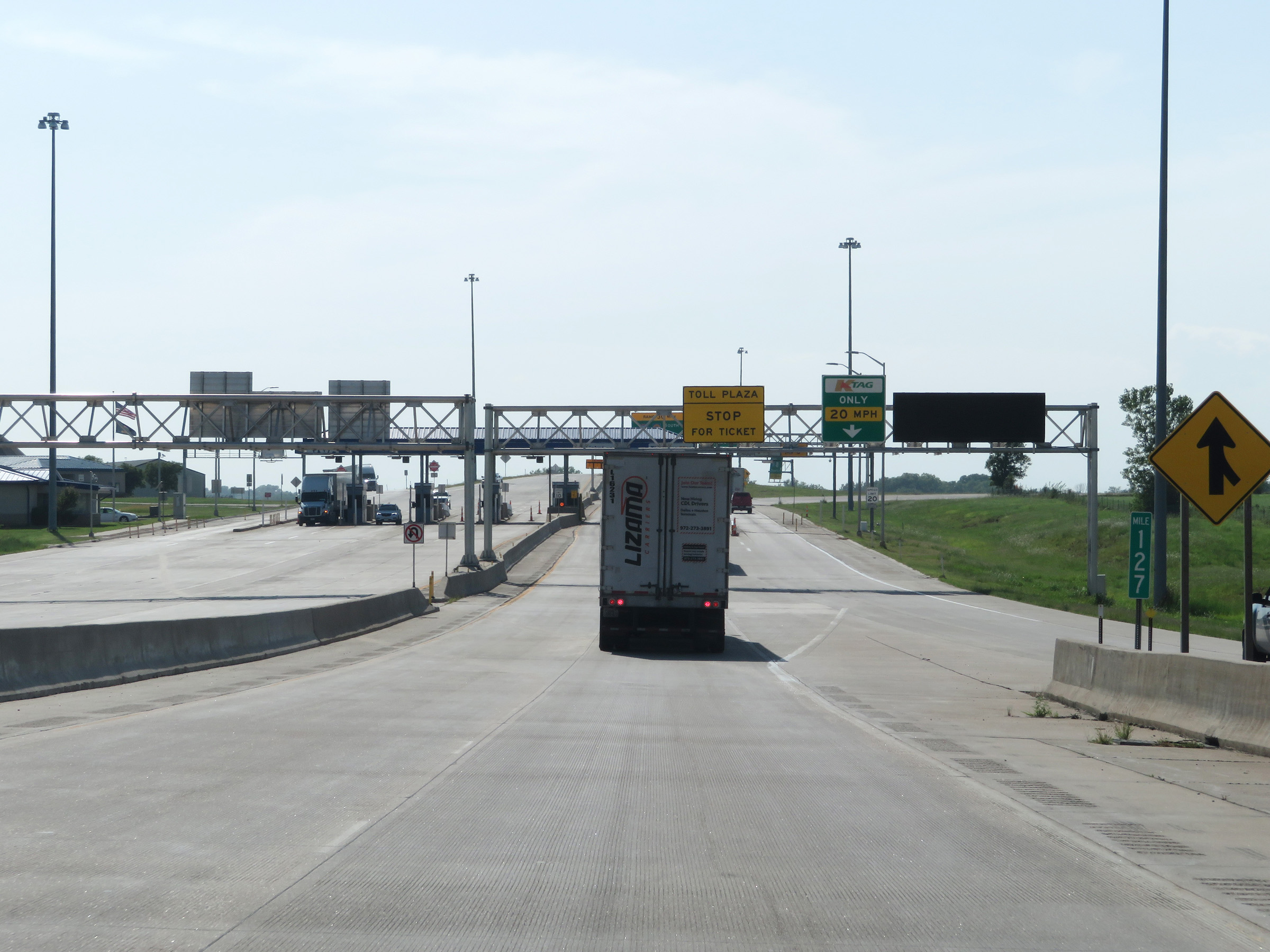
Cash customers should keep left to get a ticket ahead at the toll plaza. K Tag holders can bypass the toll plaza by keeping right and passing under the toll gantry. (Photo taken 8/10/20). |
 |
A view of the toll gantry and toll plaza on Interstate 35 South, as it prepares to enter the Kansas Turnpike. As a side note, K Tag is accepted in all lanes at the toll plaza. (Photo taken 8/10/20). |
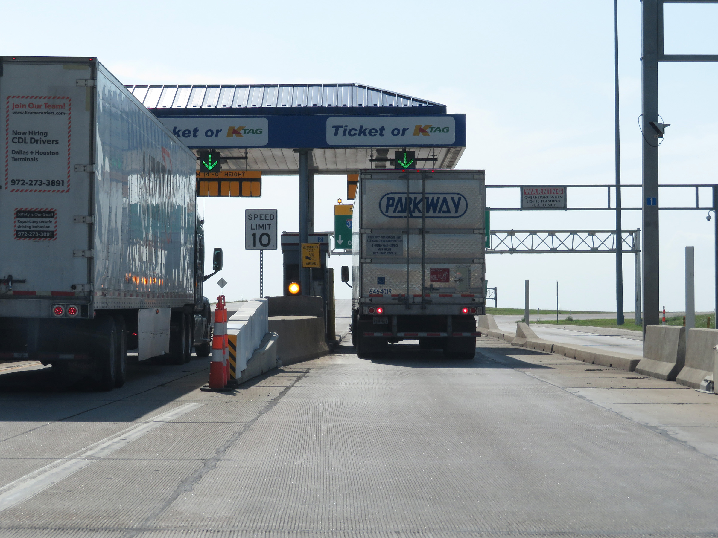 |
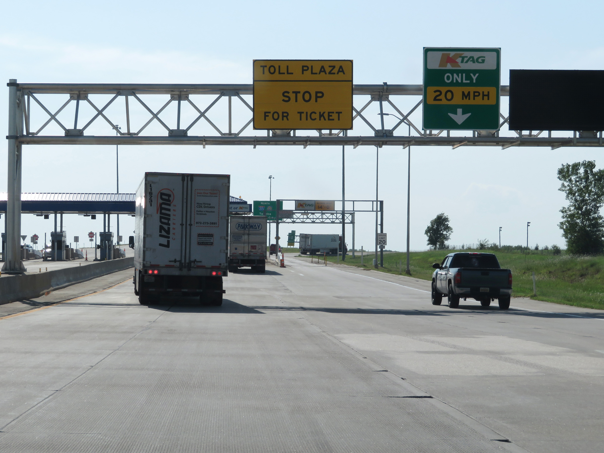
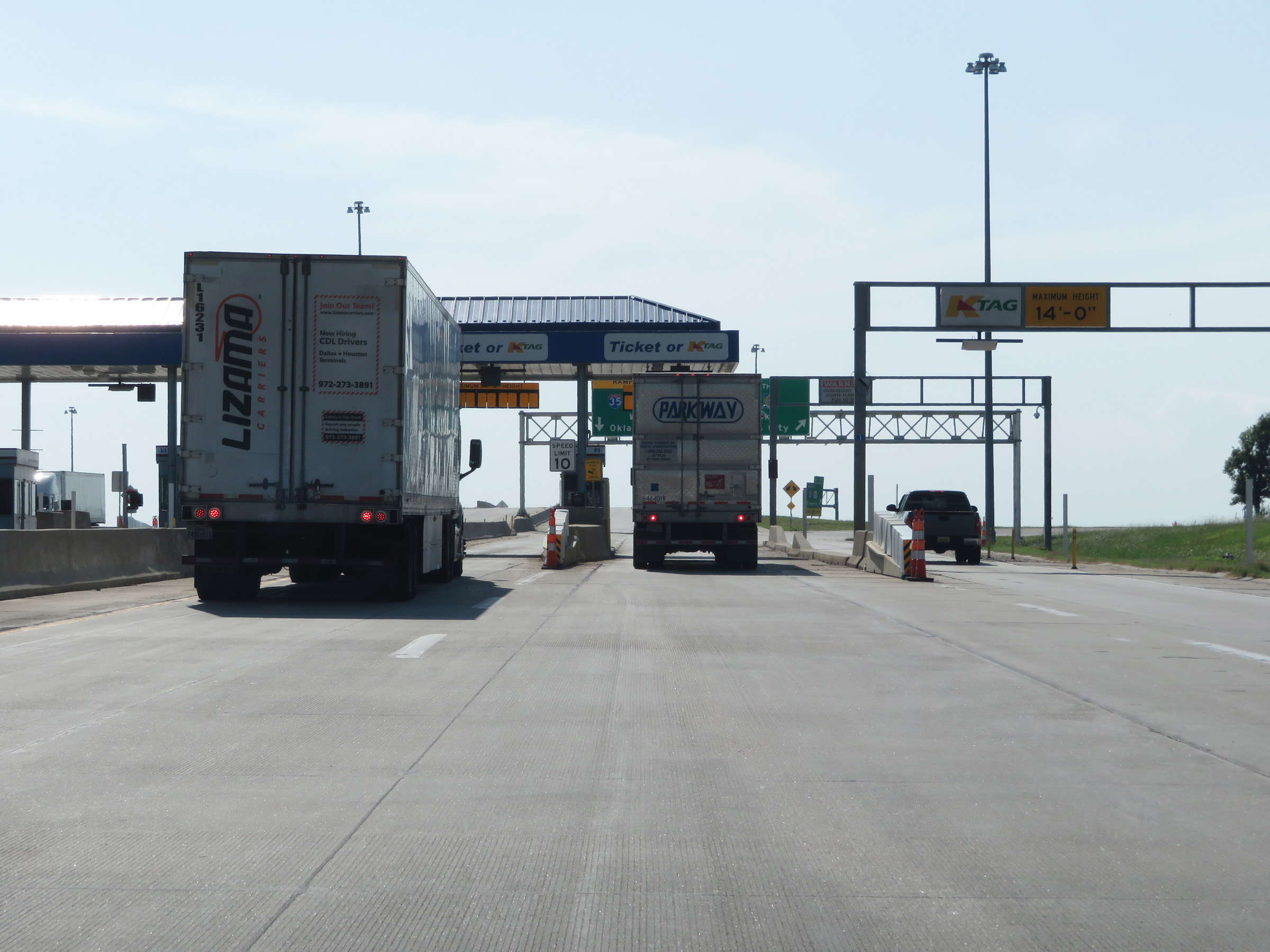
Interstate 35 South at the toll plaza to enter the Kansas Turnpike in Emporia. (Photo taken 8/10/20). |
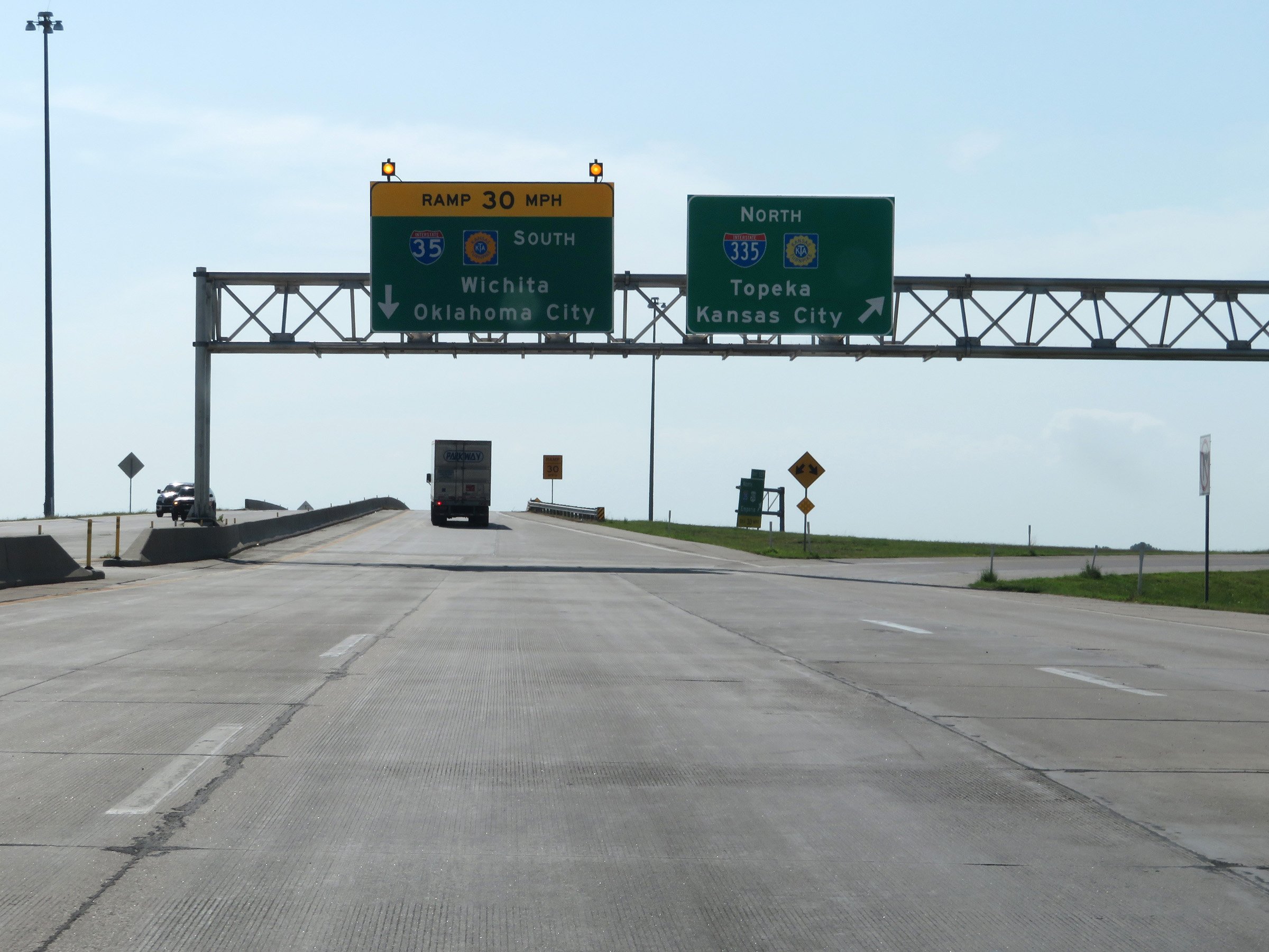 |
Leaving the toll plaza, Interstate 35 South traffic should stay straight ahead. Traffic to Interstate 335 North toward Topeka must exit to the right here. (Photo taken 8/10/20). |
 |
The ramp to the Kansas Turnpike to remain on Interstate 35 South is reduced to a single lane here. Ahead, the ramp will traverse a rather sharp 'S' curve. 30 mph is the advised speed around the curves. (Photo taken 8/10/20). |
 |
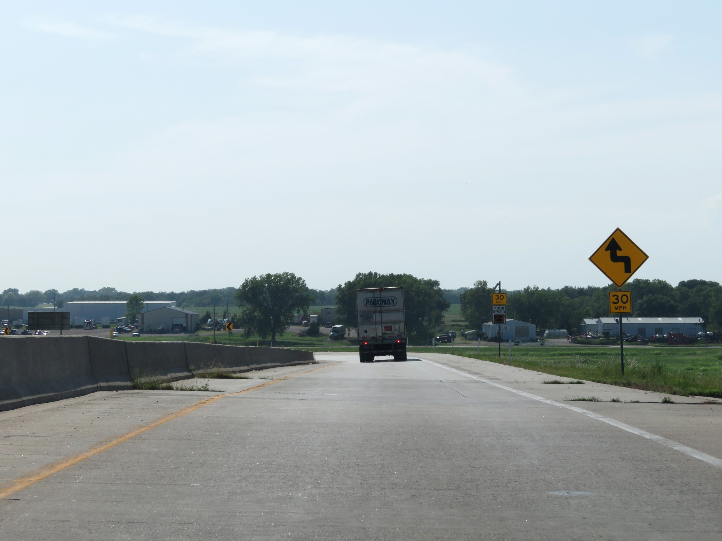
View on the ramp on Interstate 35 South to the Kansas Turnpike as it curves hard to the left. (Photo taken 8/10/20). |
 |
Another view on the ramp to remain on Interstate 35 South and enter the Kansas Turnpike. (Photo taken 8/10/20). |
 |
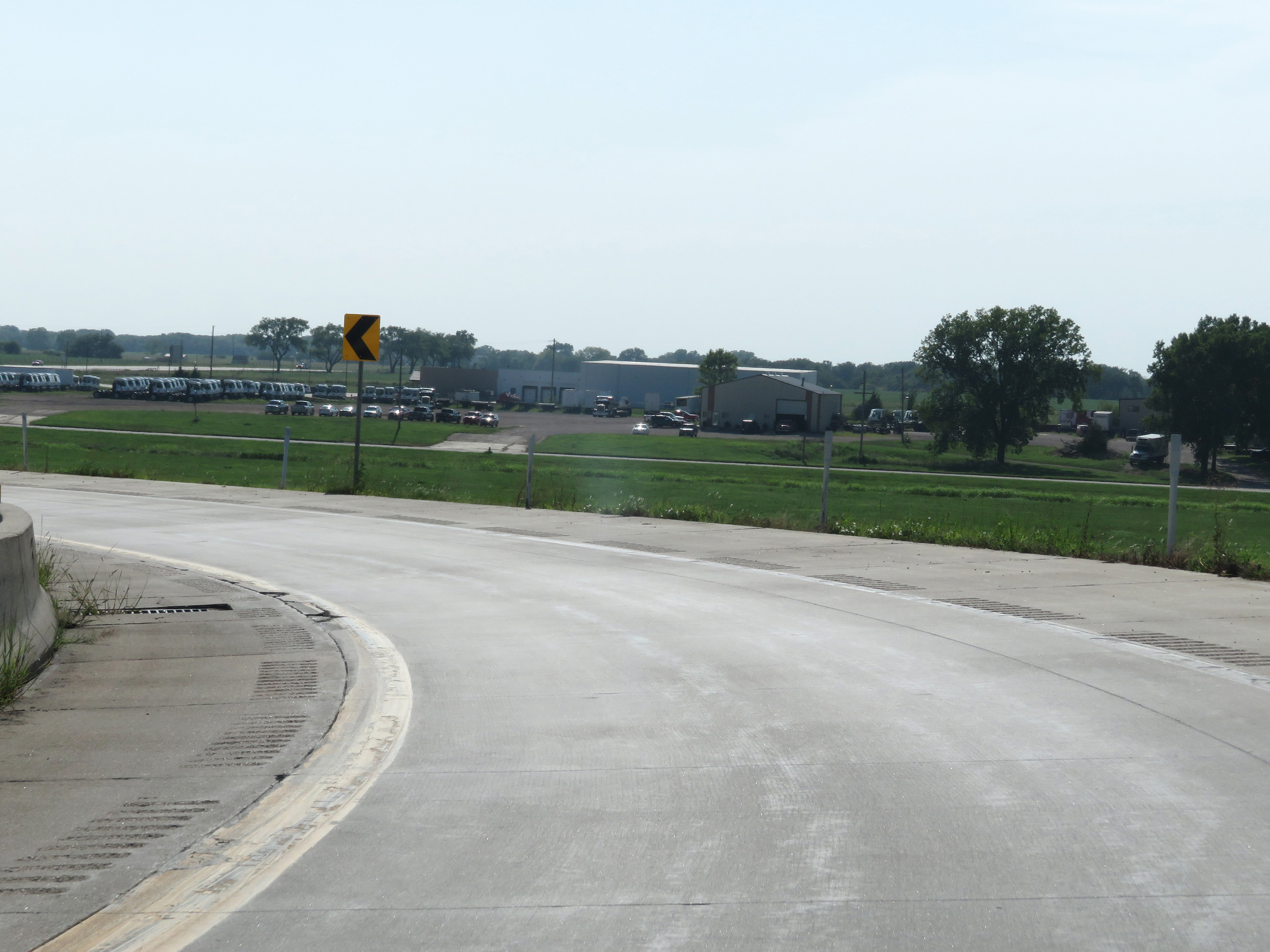
After the hard curve to the left, the ramp makes a sharp right curve in preparation for joining the turnpike ahead. (Photo taken 8/10/20). |
 |
Interstate 35 South / Kansas Turnpike reassurance shields as the ramp merges into the Kansas Turnpike, which will run concurrently with I-35 to the Oklahoma border. (Photo taken 8/10/20). |
 |
View on Interstate 35 South (Kansas Turnpike) at mile marker 126.4. (Photo taken 8/10/20). |
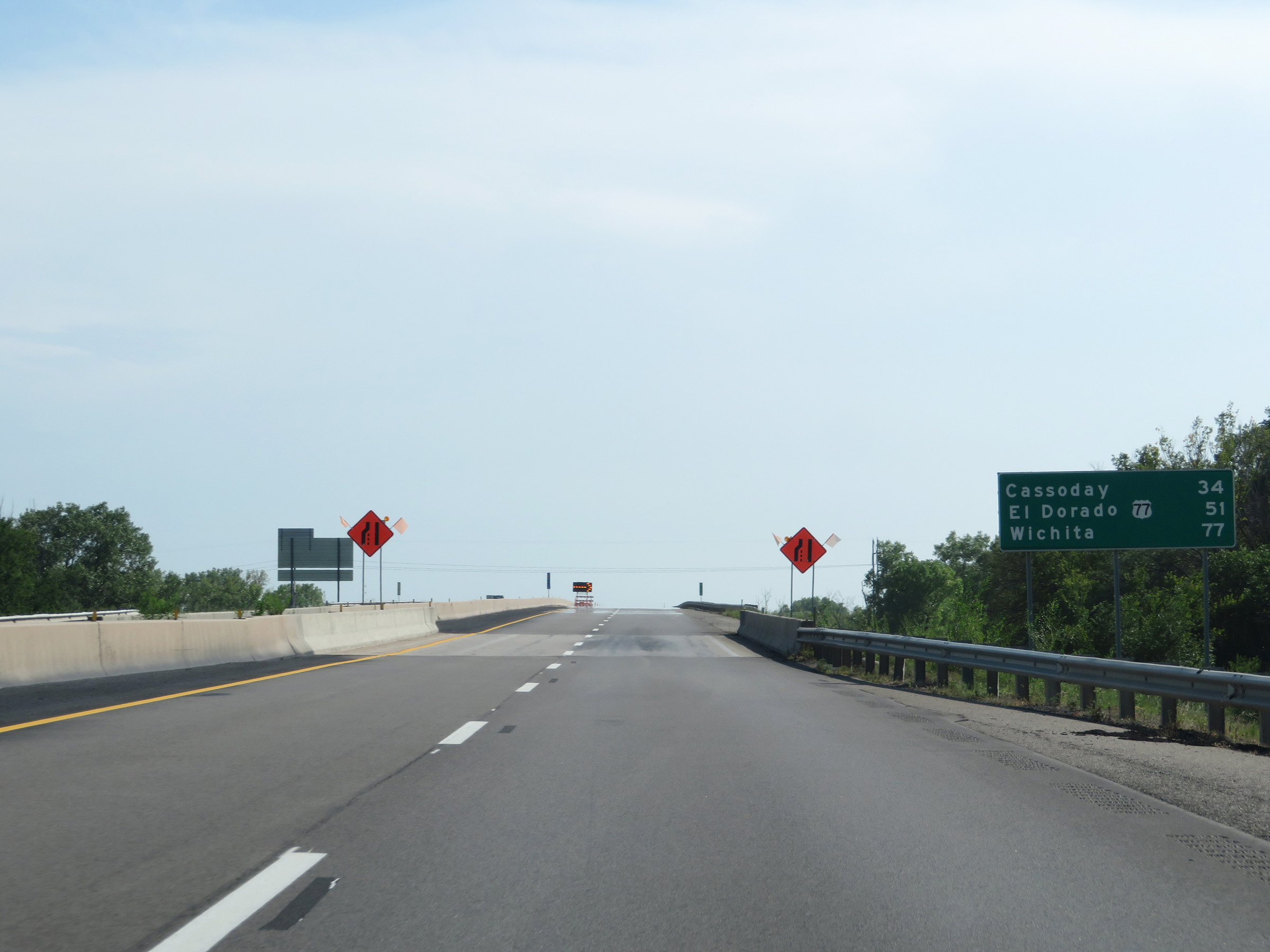 |
Mileage sign on Interstate 35 South (Kansas Turnpike). It's 34 miles to Cassoday, 51 miles to the junction of US 77 in El Dorado, and 77 miles to Wichita. It is several miles to the first exit on Interstate 35 South after it joins the turnpike in Emporia. (Photo taken 8/10/20). |
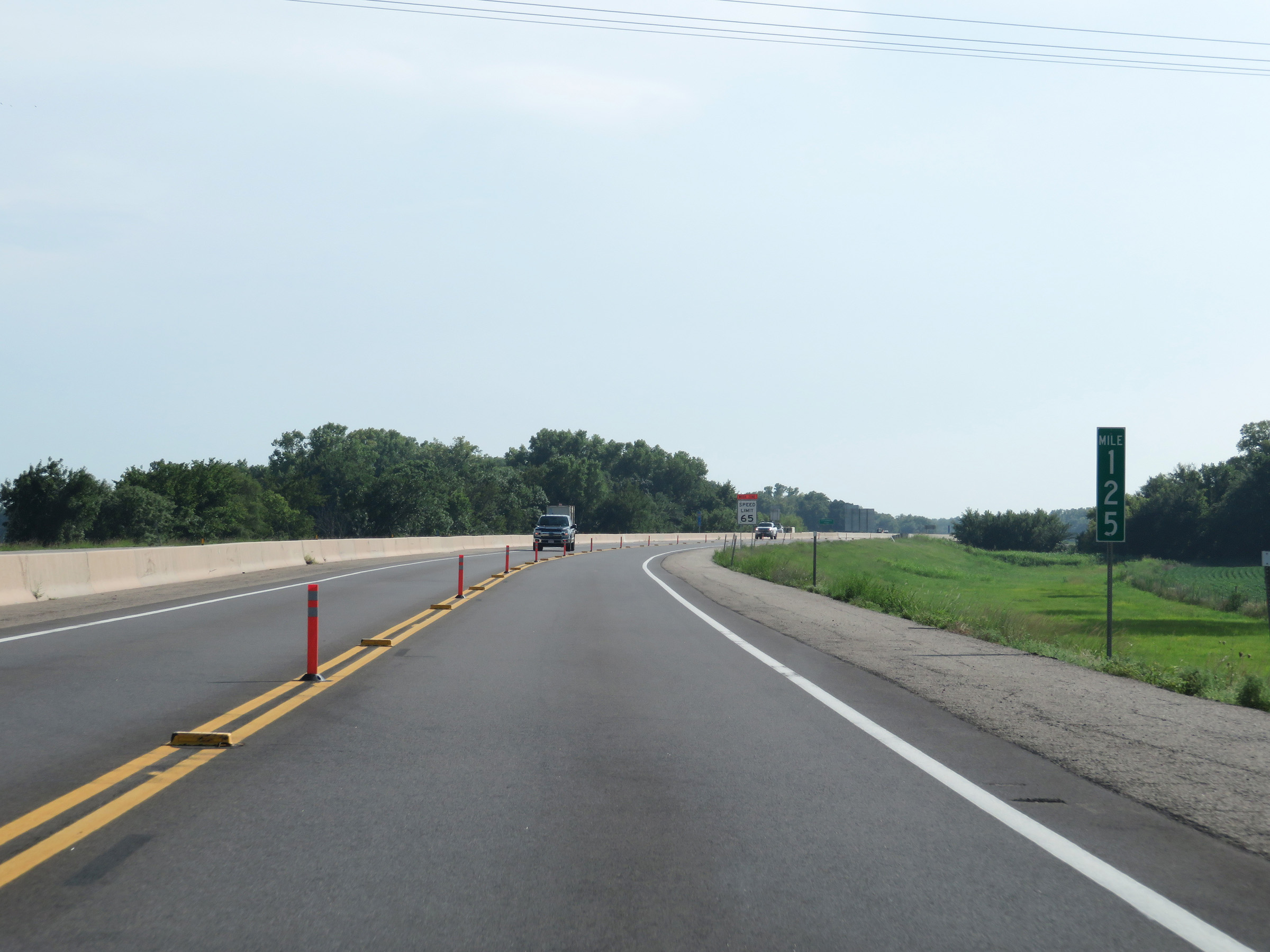 |
Interstate 35 South (Kansas Turnpike) at mile marker 125. (Photo taken 8/10/20). |
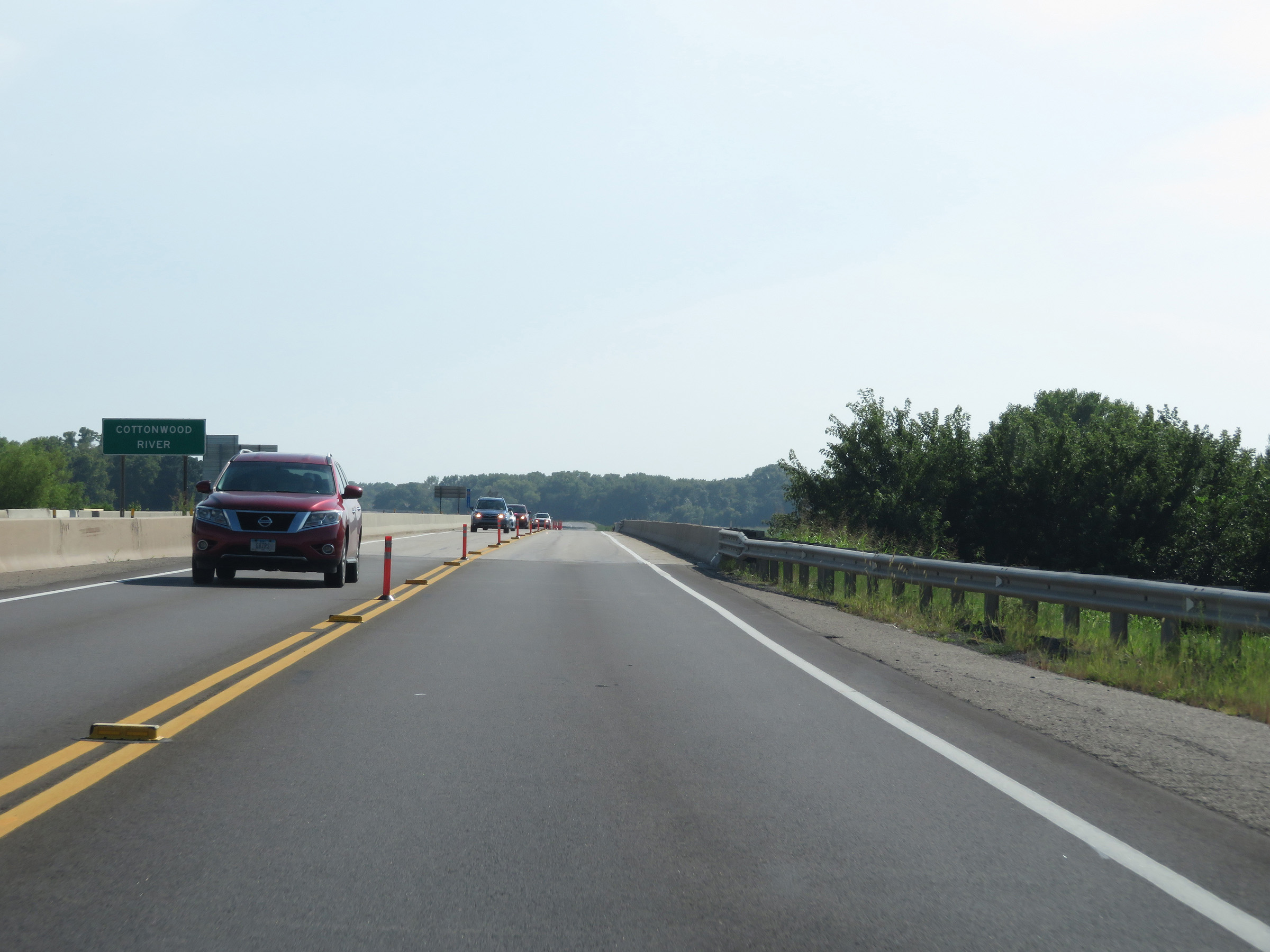 |
Crossing the Cottonwood River on Interstate 35 South (Kansas Turnpike) in Lyon County. (Photo taken 8/10/20). |
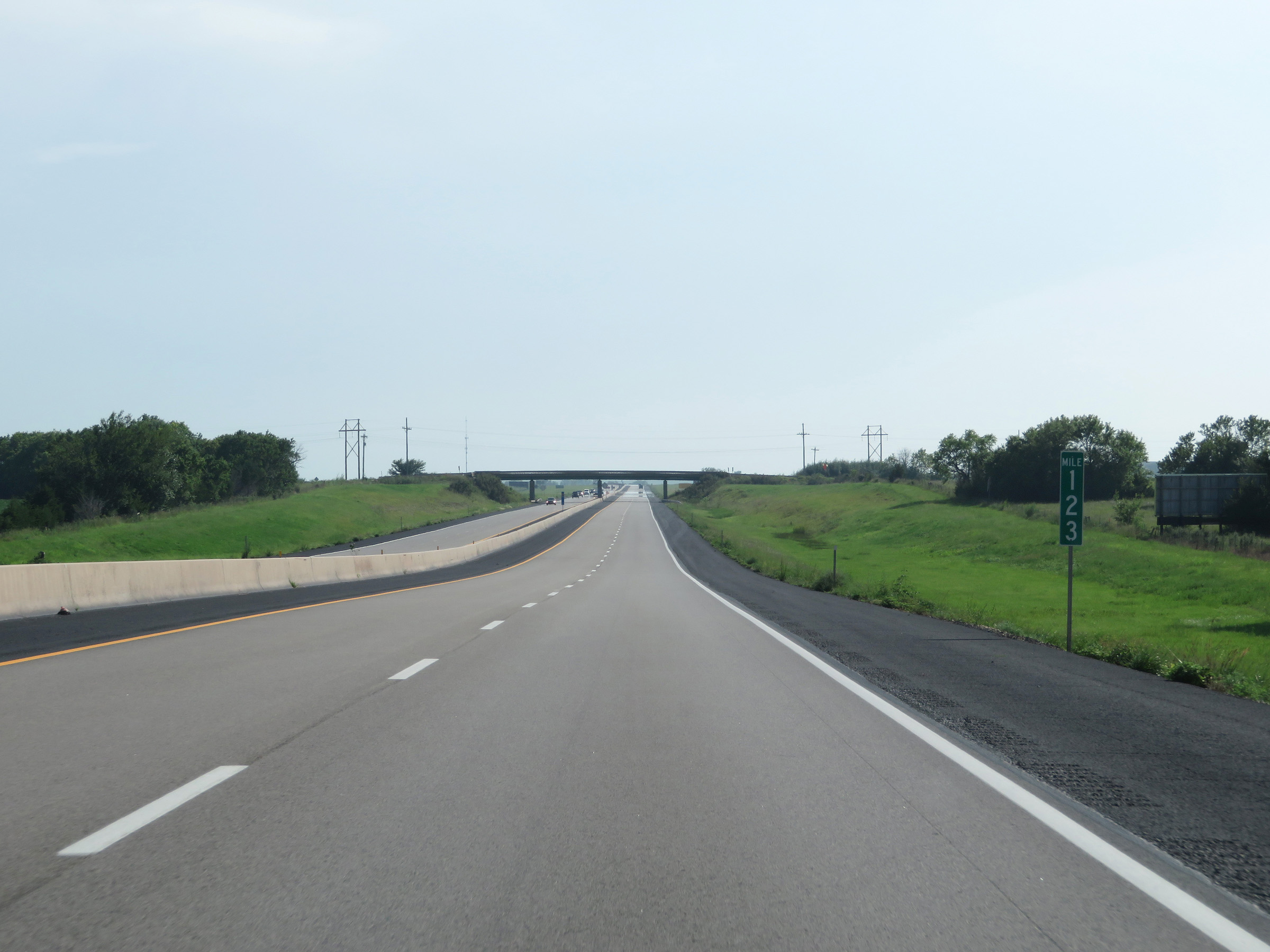 |
View on Interstate 35 South (Kansas Turnpike) at mile marker 123. (Photo taken 8/10/20). |
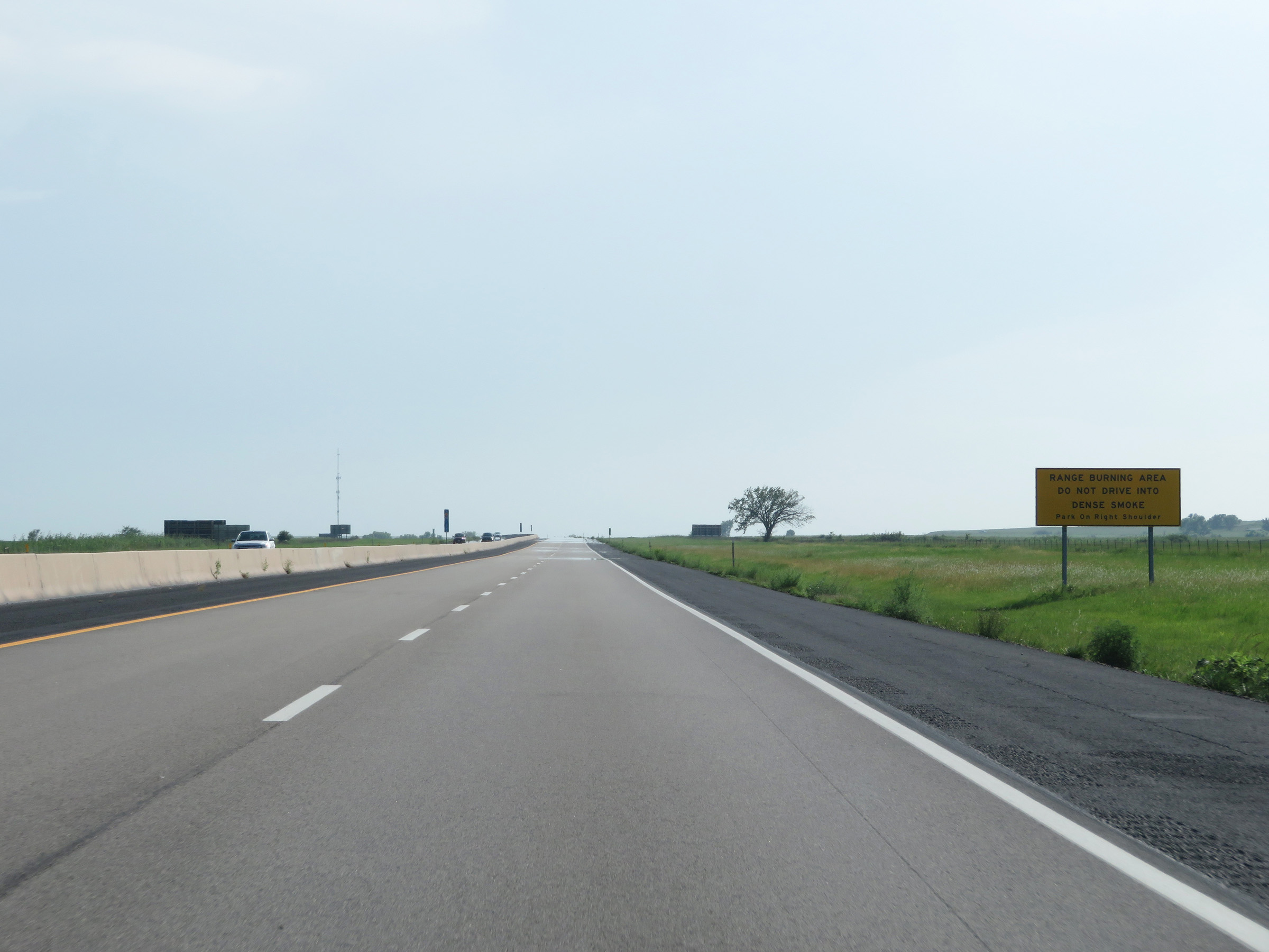 |
This sign warns that Interstate 35 South (Kansas Turnpike) is passing through a range burning area, and to not drive into dense smoke if it exists. Instead, the sign instructs motorists to park on the right shoulder. (Photo taken 8/10/20). |
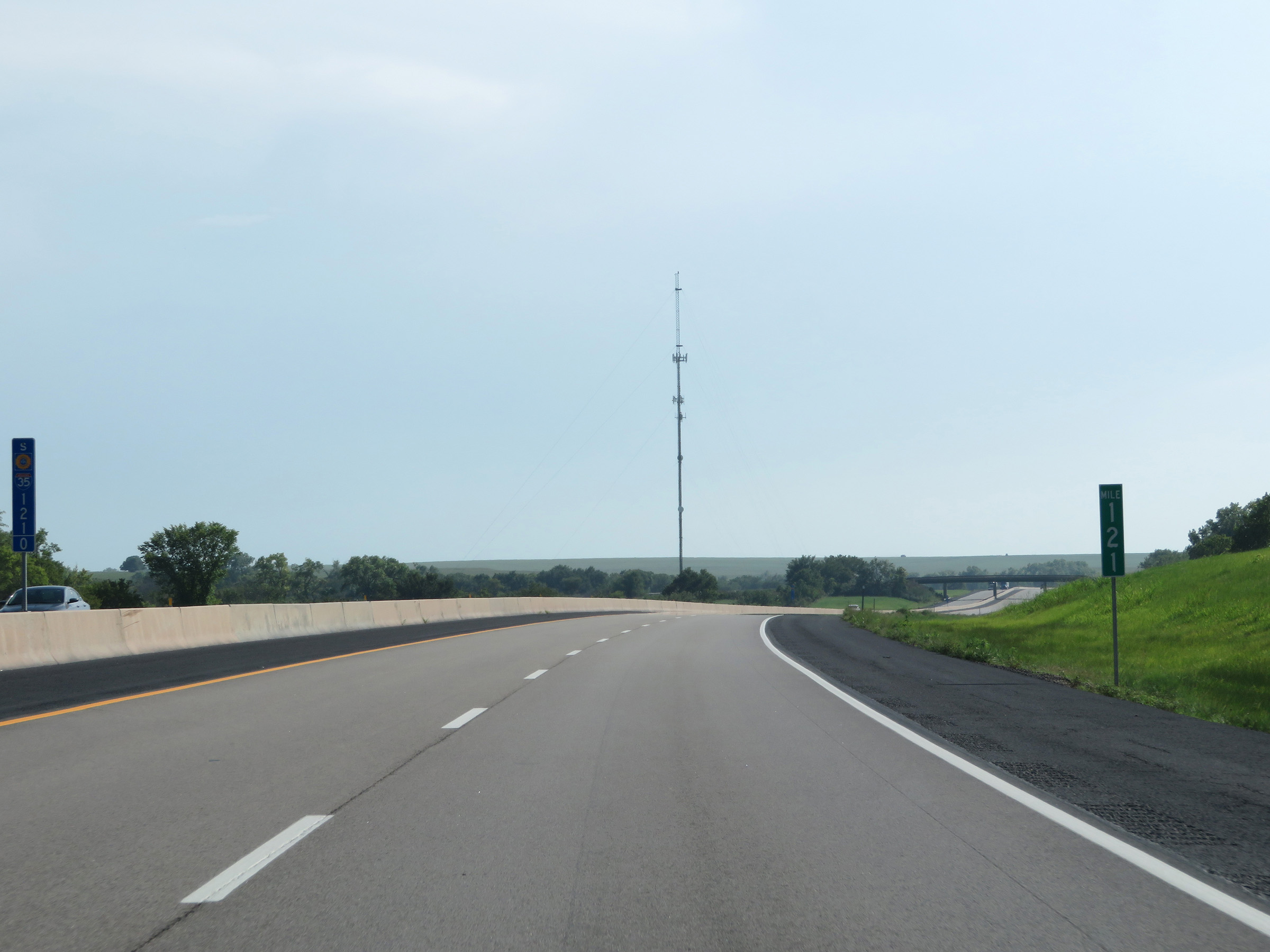 |
Interstate 35 South (Kansas Turnpike) at mile marker 121. (Photo taken 8/10/20). |
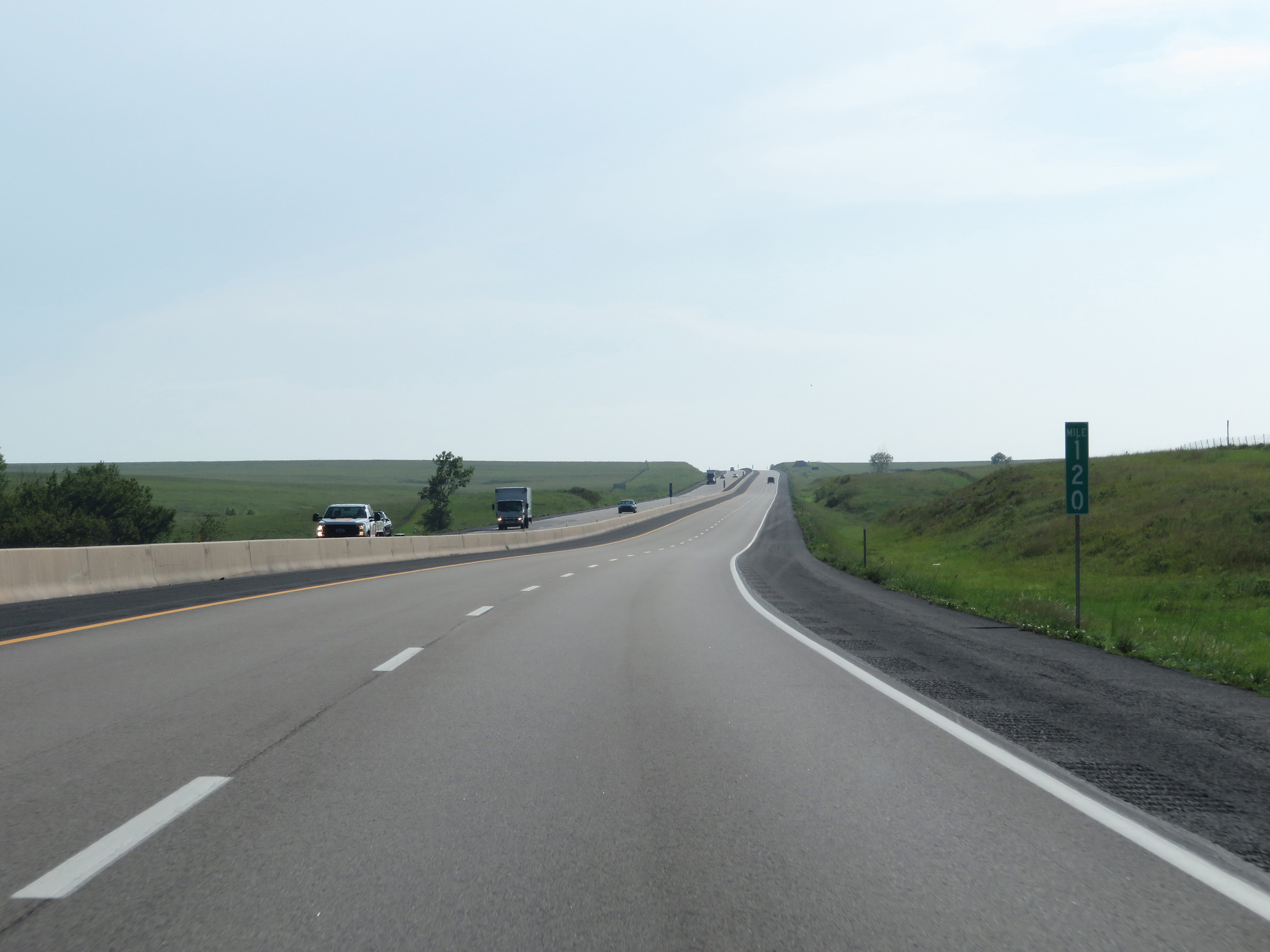 |
Mile marker 120 on Interstate 35 South (Kansas Turnpike) in Lyon County. (Photo taken 8/10/20). |
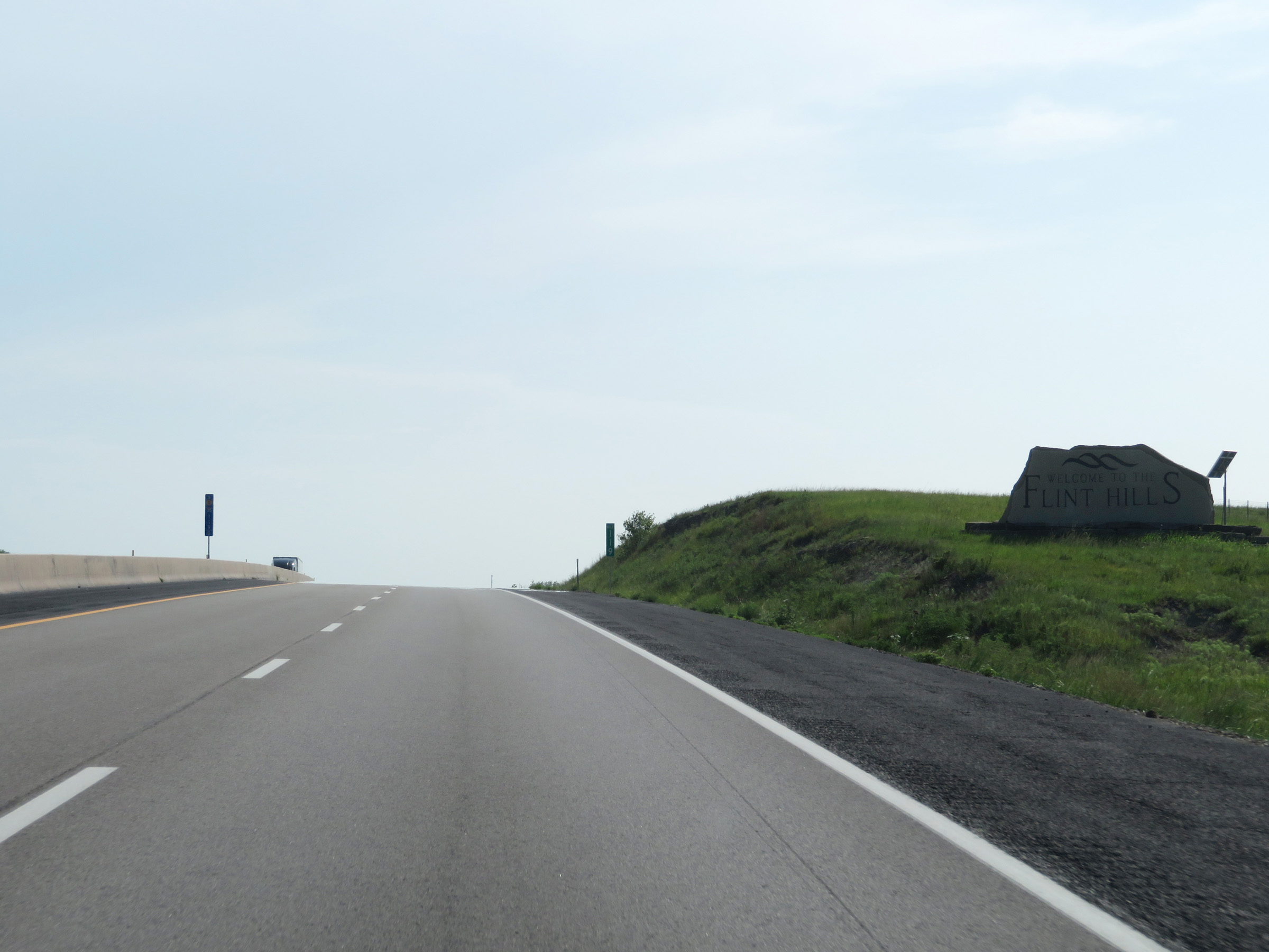 |
At mile marker 119, this sign welcomes motorists to the Flint Hills region of Kansas. (Photo taken 8/10/20). |
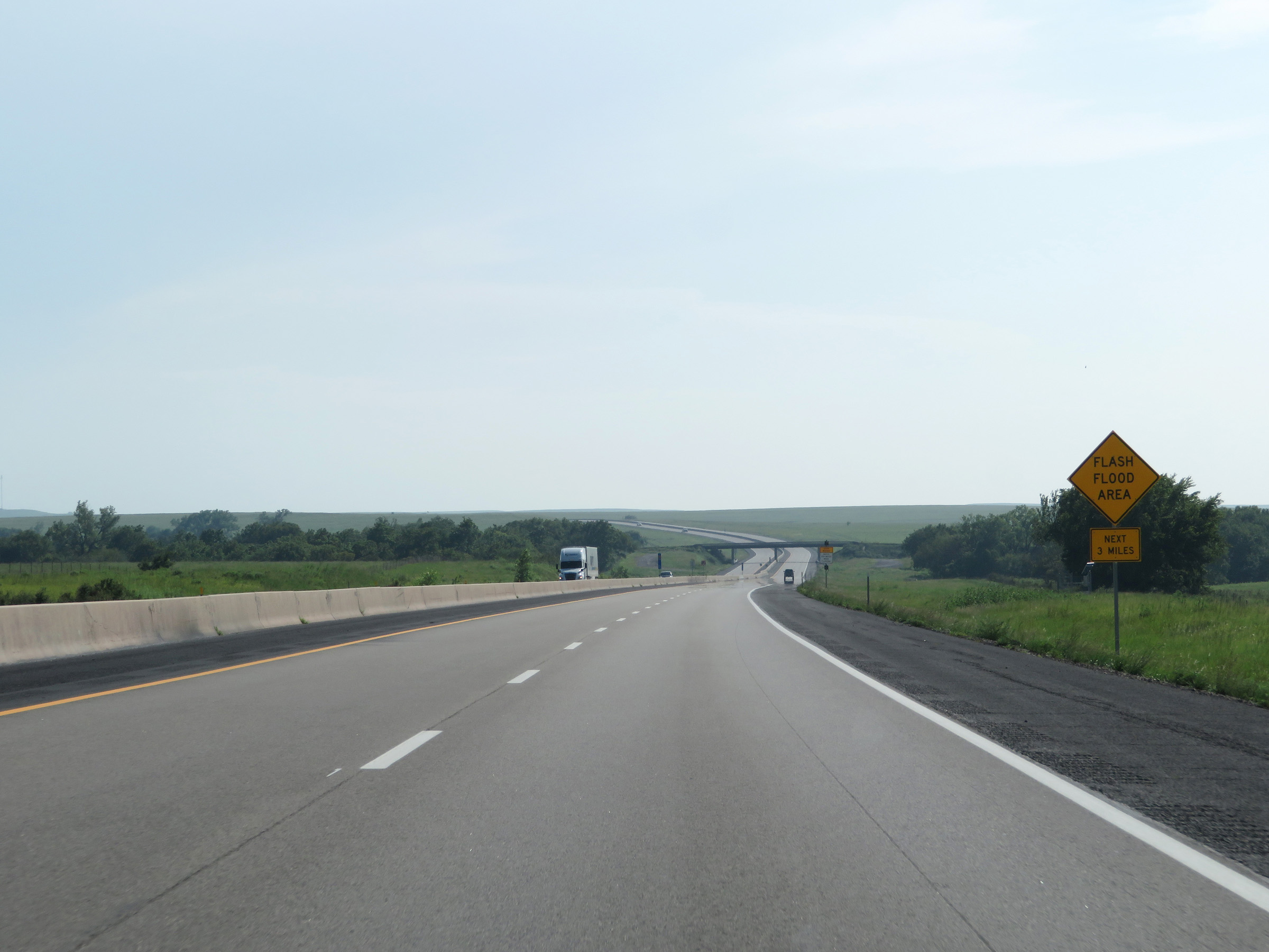 |
This sign warns of flash flooding being possible on Interstate 35 South (Kansas Turnpike) for the next 3 miles. (Photo taken 8/10/20). |
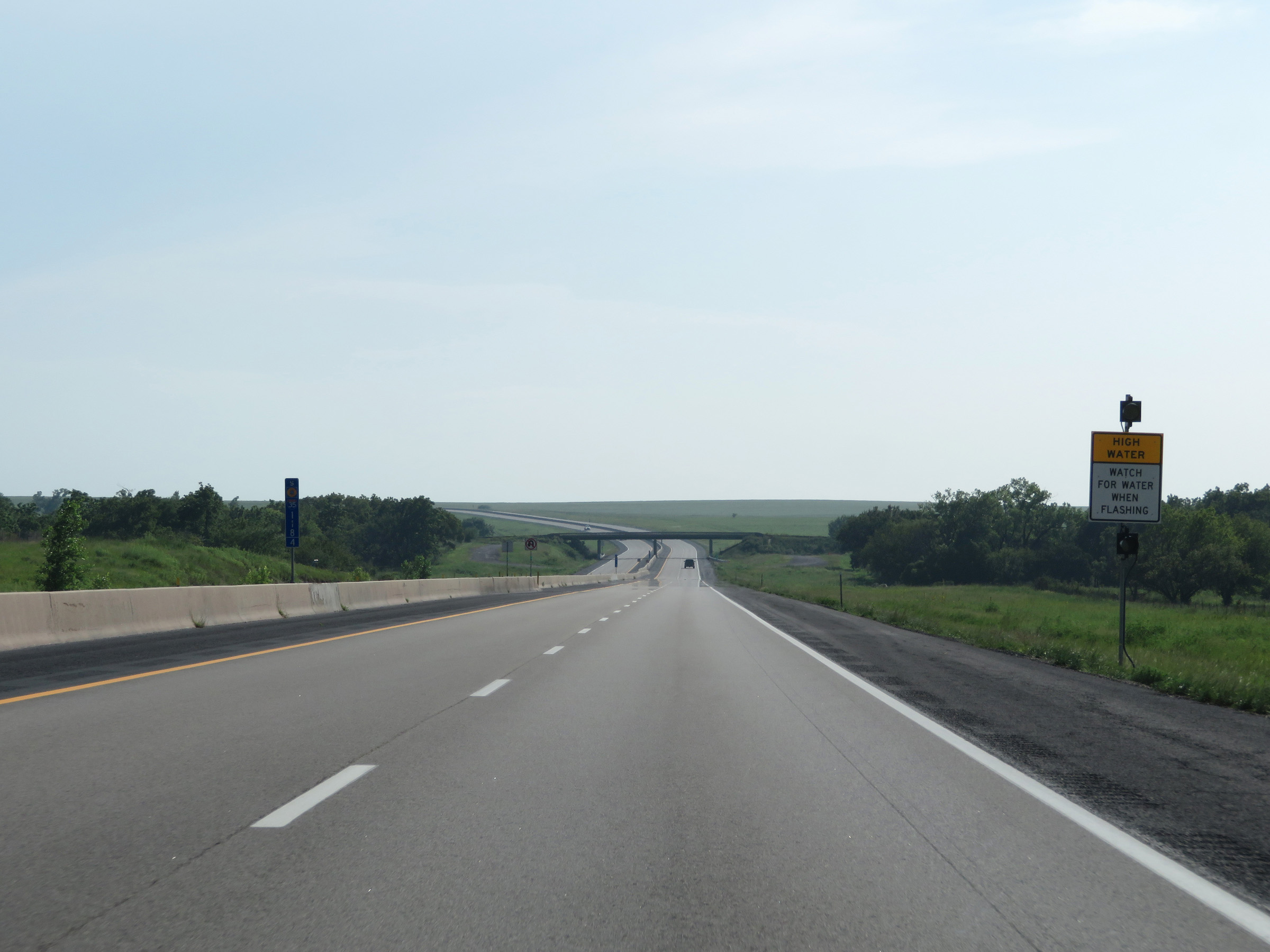 |
When the lights on this sign are flashing, motorists should watch for water on the roadway. (Photo taken 8/10/20). |
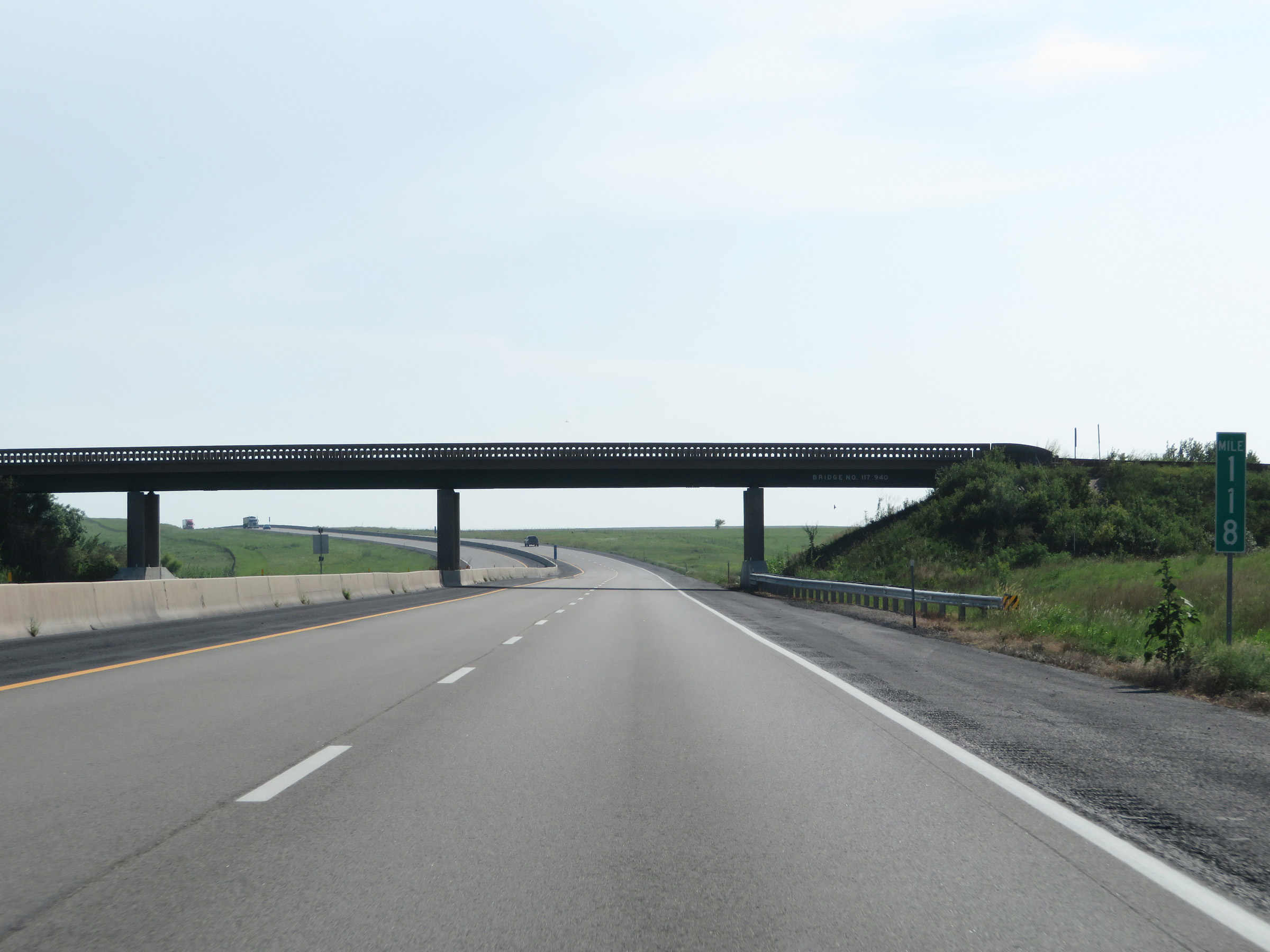 |
Interstate 35 South (Kansas Turnpike) at mile marker 118. (Photo taken 8/10/20). |
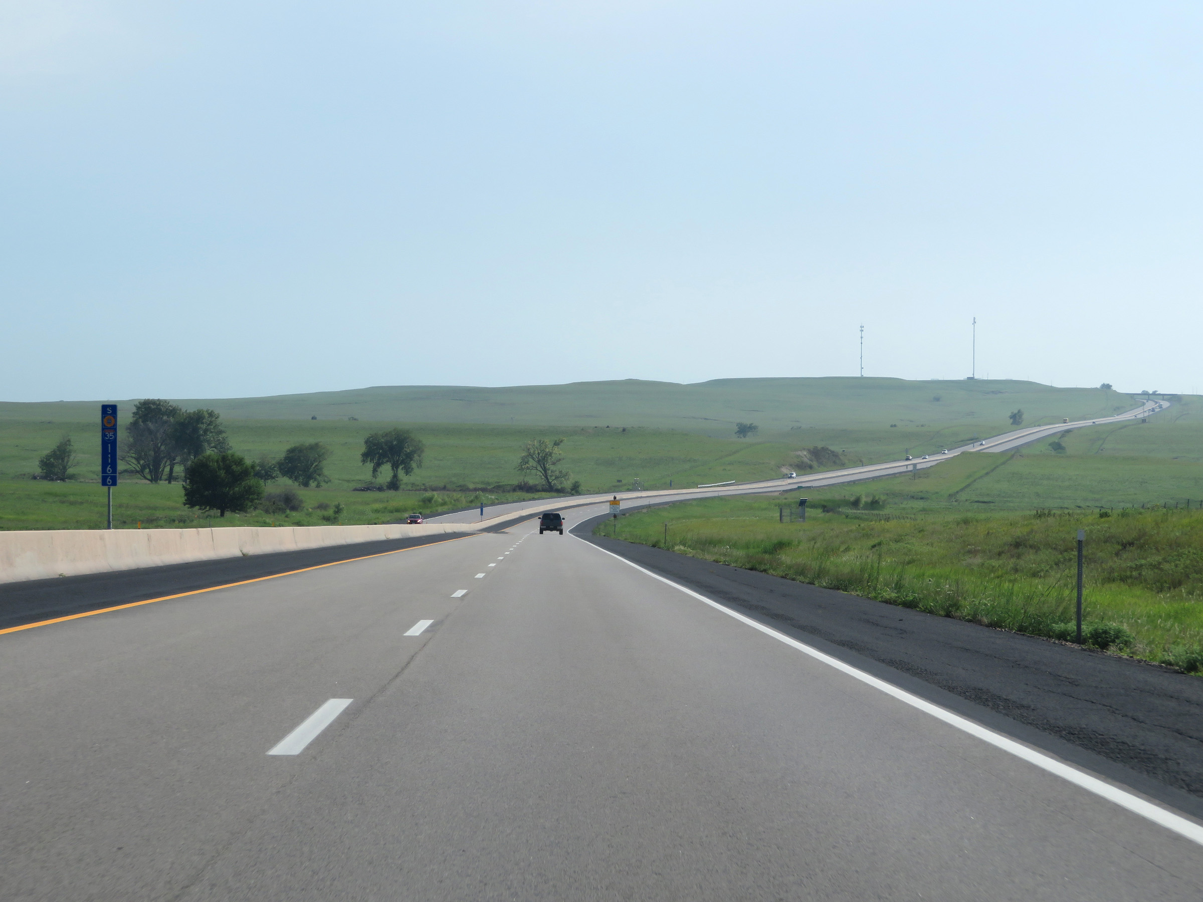 |
View on Interstate 35 South (Kansas Turnpike) at mile marker 116.6, in the Flint Hills. (Photo taken 8/10/20). |
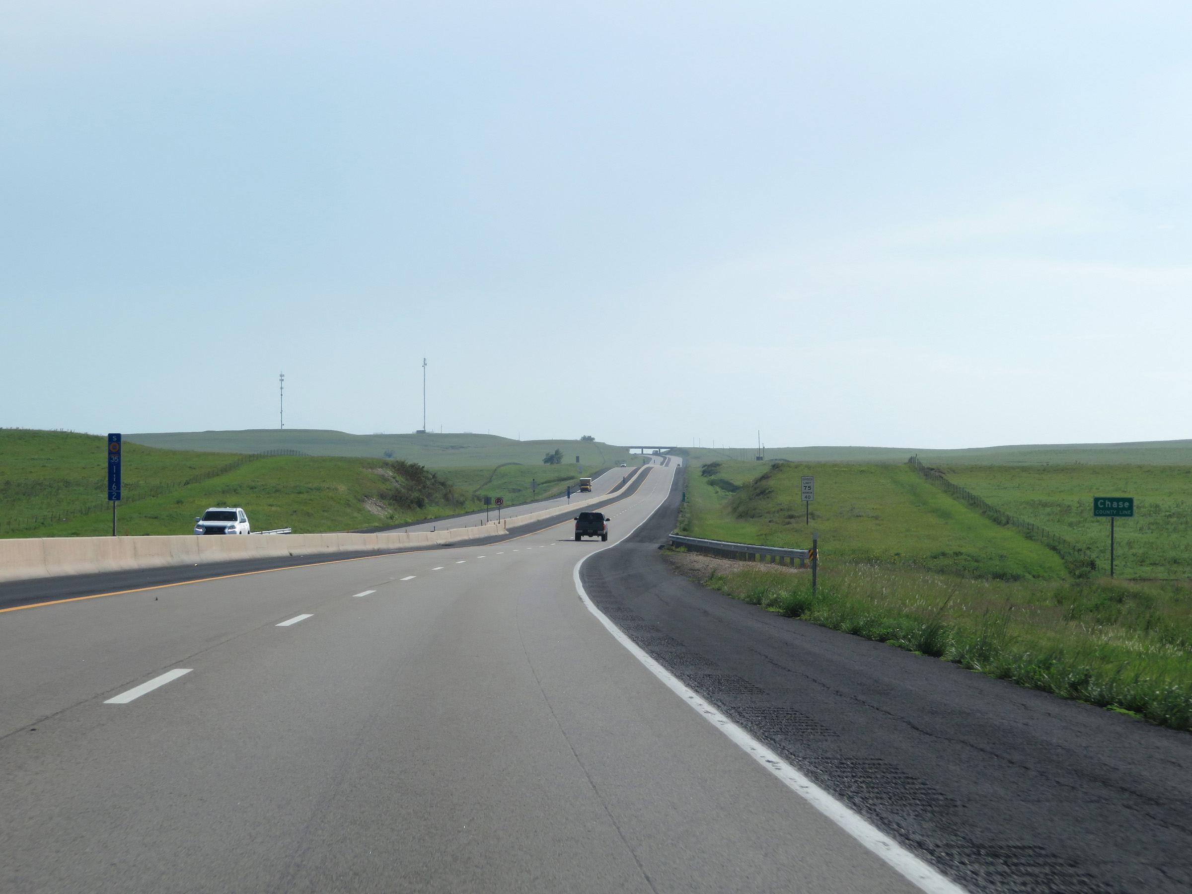 |
Interstate 35 South (Kansas Turnpike) enters Chase County at mile marker 116.2. (Photo taken 8/10/20). |
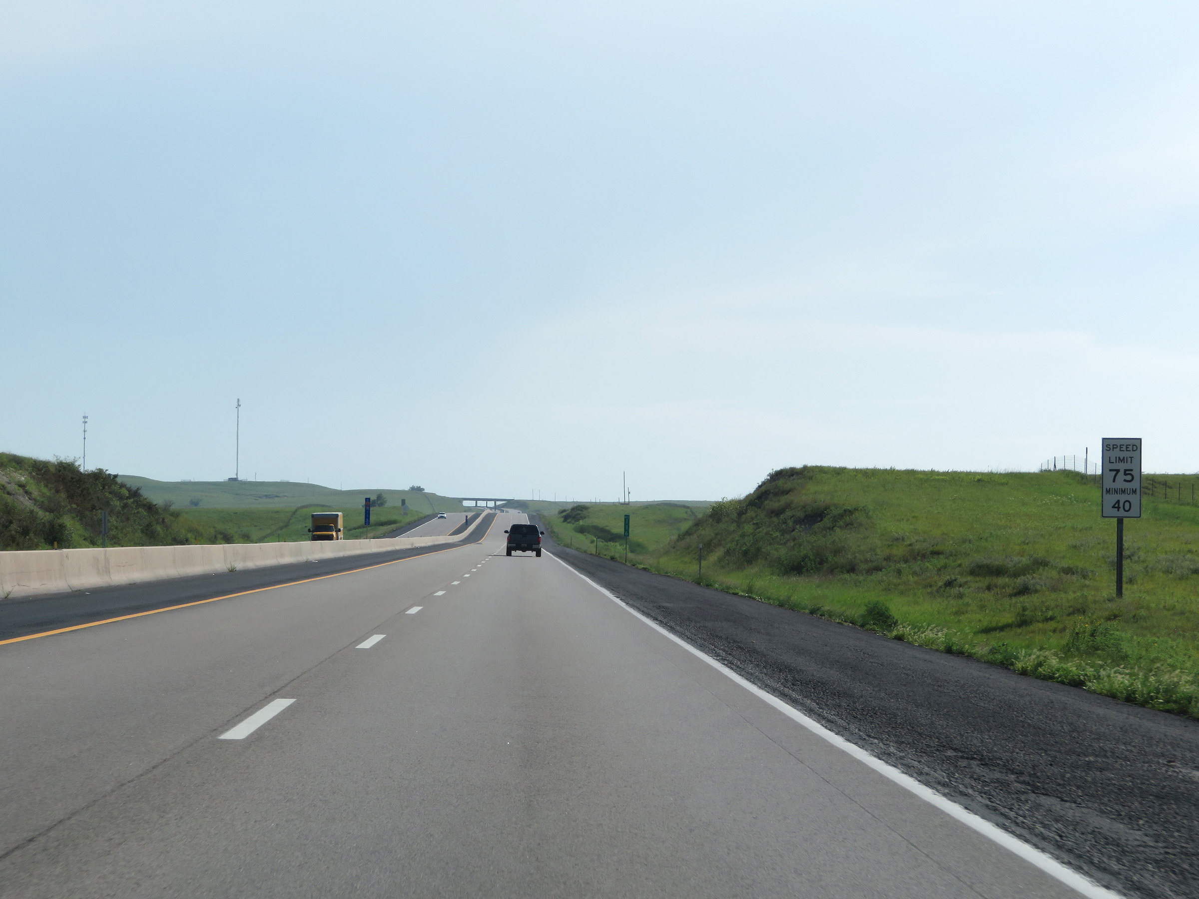 |
The speed limits on Interstate 35 South (Kansas Turnpike) remain 75 mph maximum and 40 mph minimum. These are the standard speed limits on most rural Interstate highways in Kansas. (Photo taken 8/10/20). |
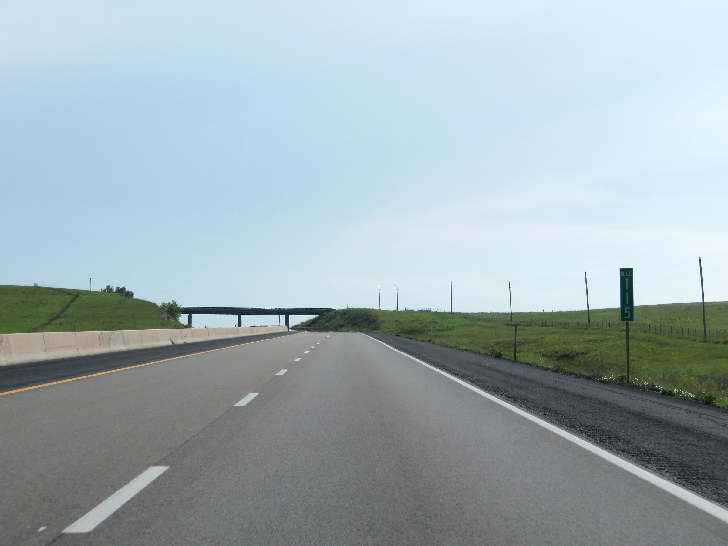 |
View on Interstate 35 South (Kansas Turnpike) at mile marker 115. (Photo taken 8/10/20). |
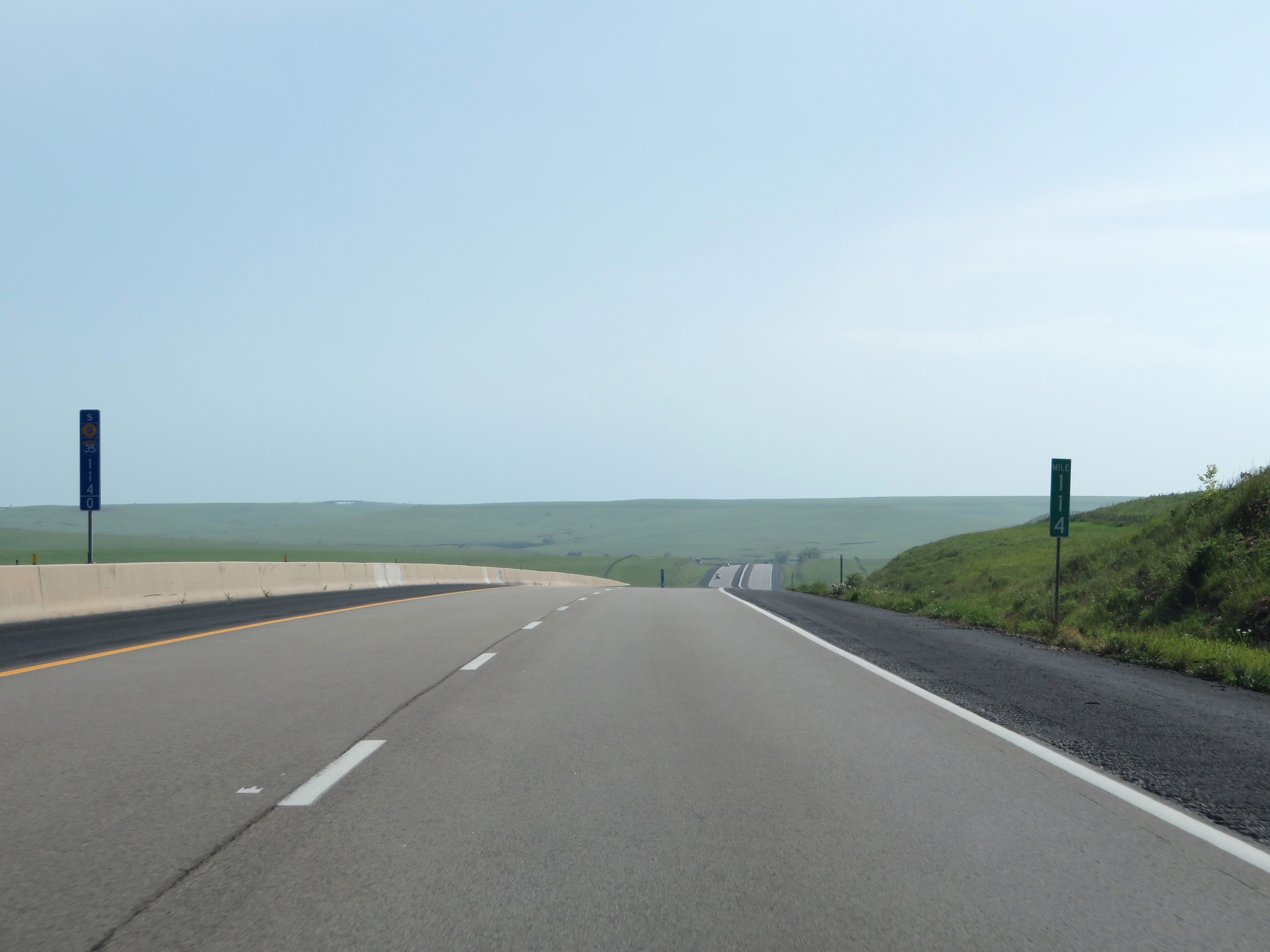 |
Interstate 35 South (Kansas Turnpike) at mile marker 114, in the Flint Hills. (Photo taken 8/10/20). |
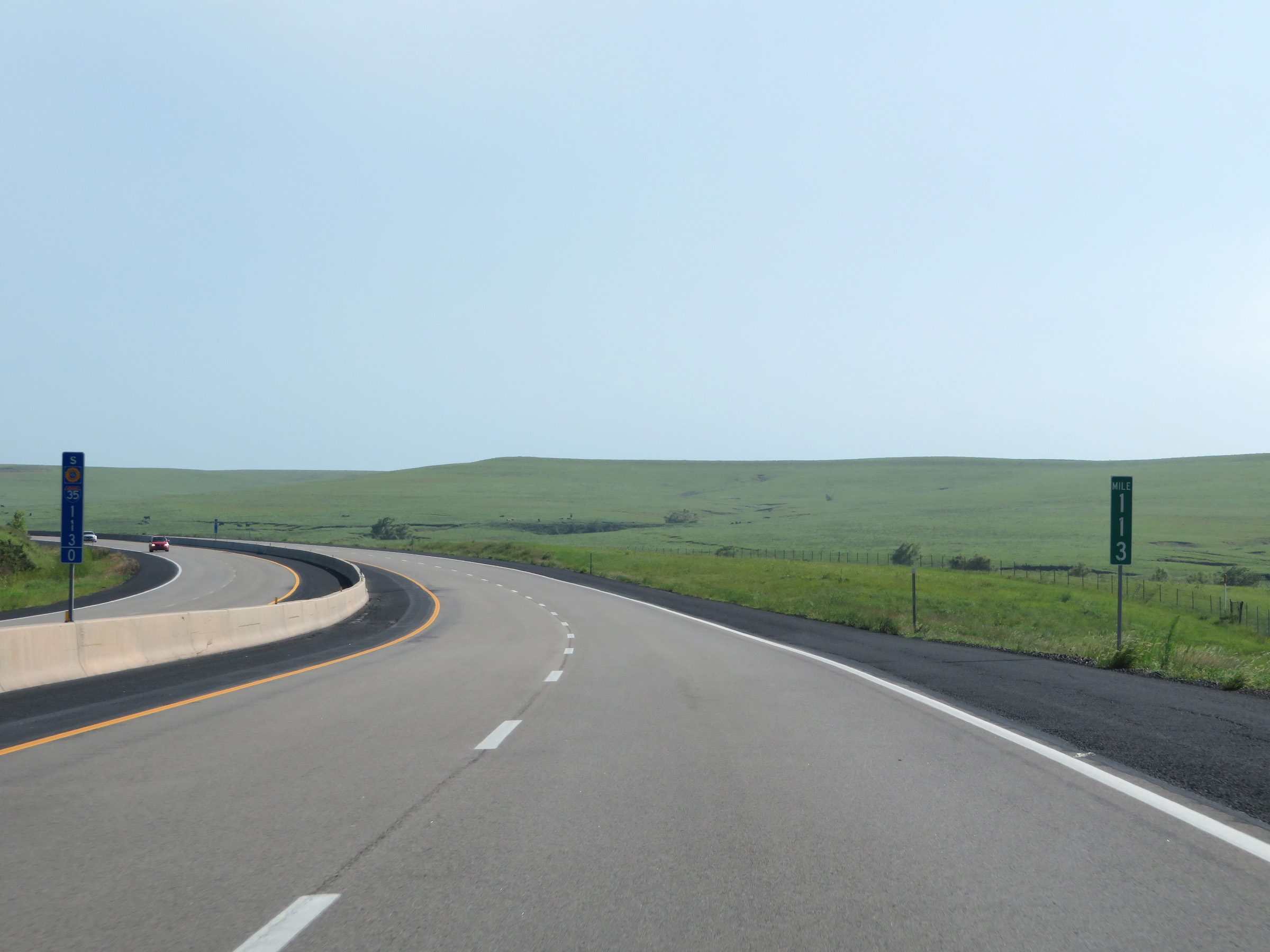 |
View on Interstate 35 South (Kansas Turnpike) at mile marker 113. (Photo taken 8/10/20). |
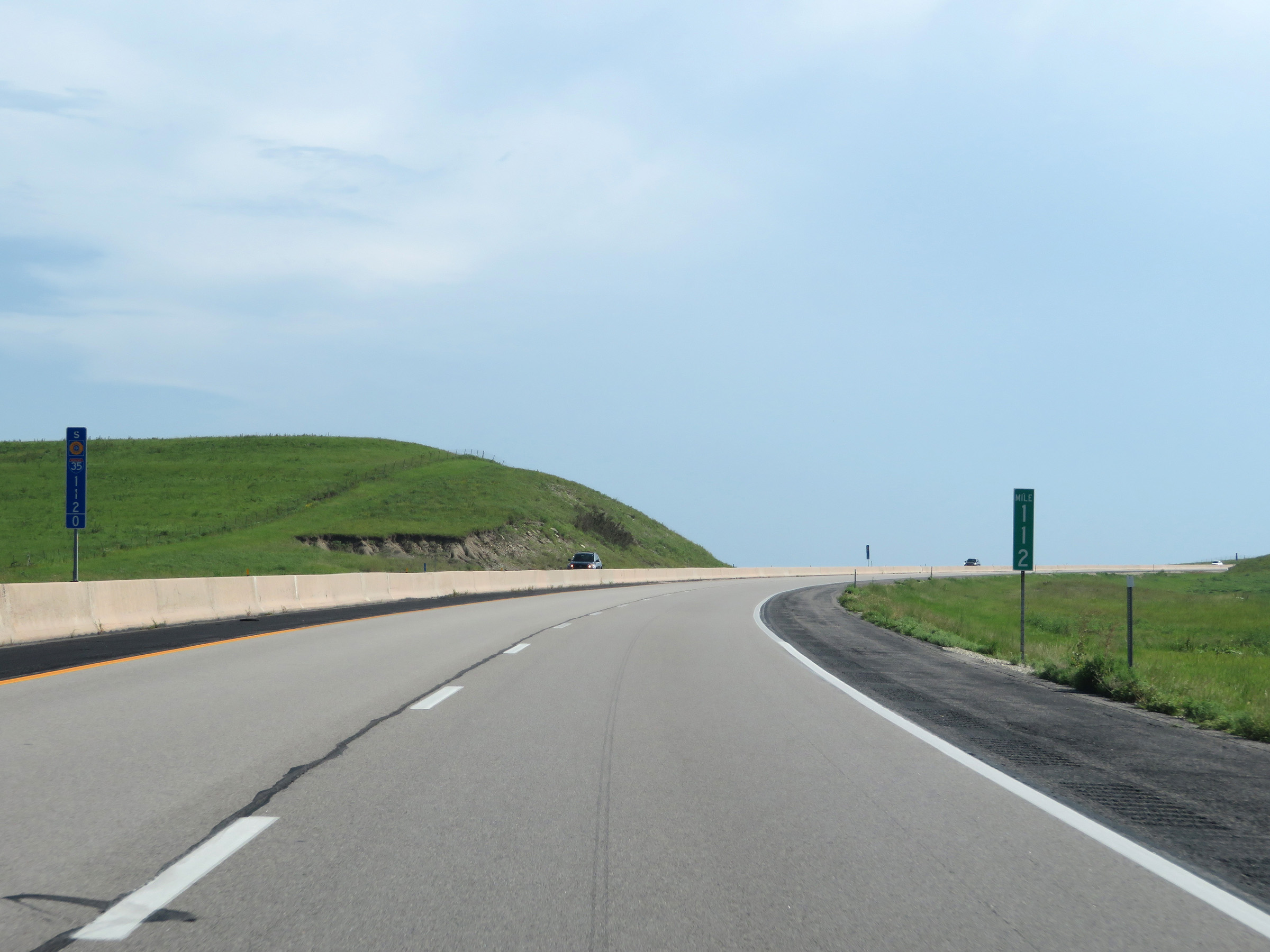 |
Mile marker 112 on Interstate 35 South (Kansas Turnpike) in Chase County. (Photo taken 8/10/20). |
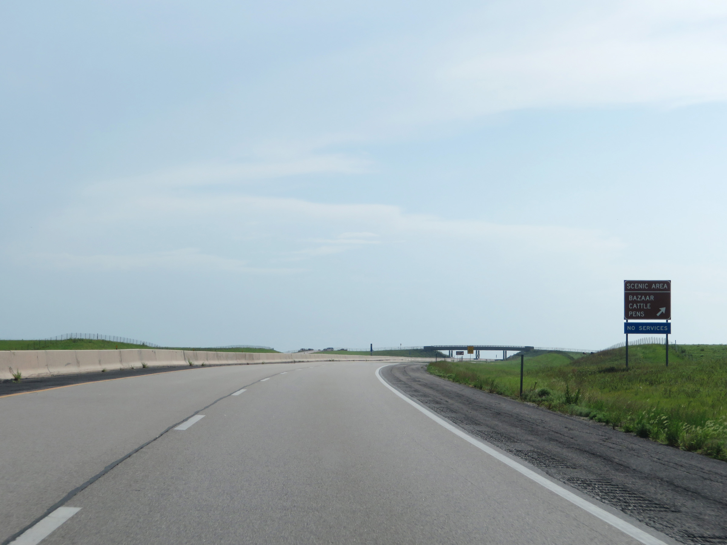 |
Interstate 35 South (Kansas Turnpike) at the Bazaar Cattle Pens Scenic Area in Chase County. (Photo taken 8/10/20). |
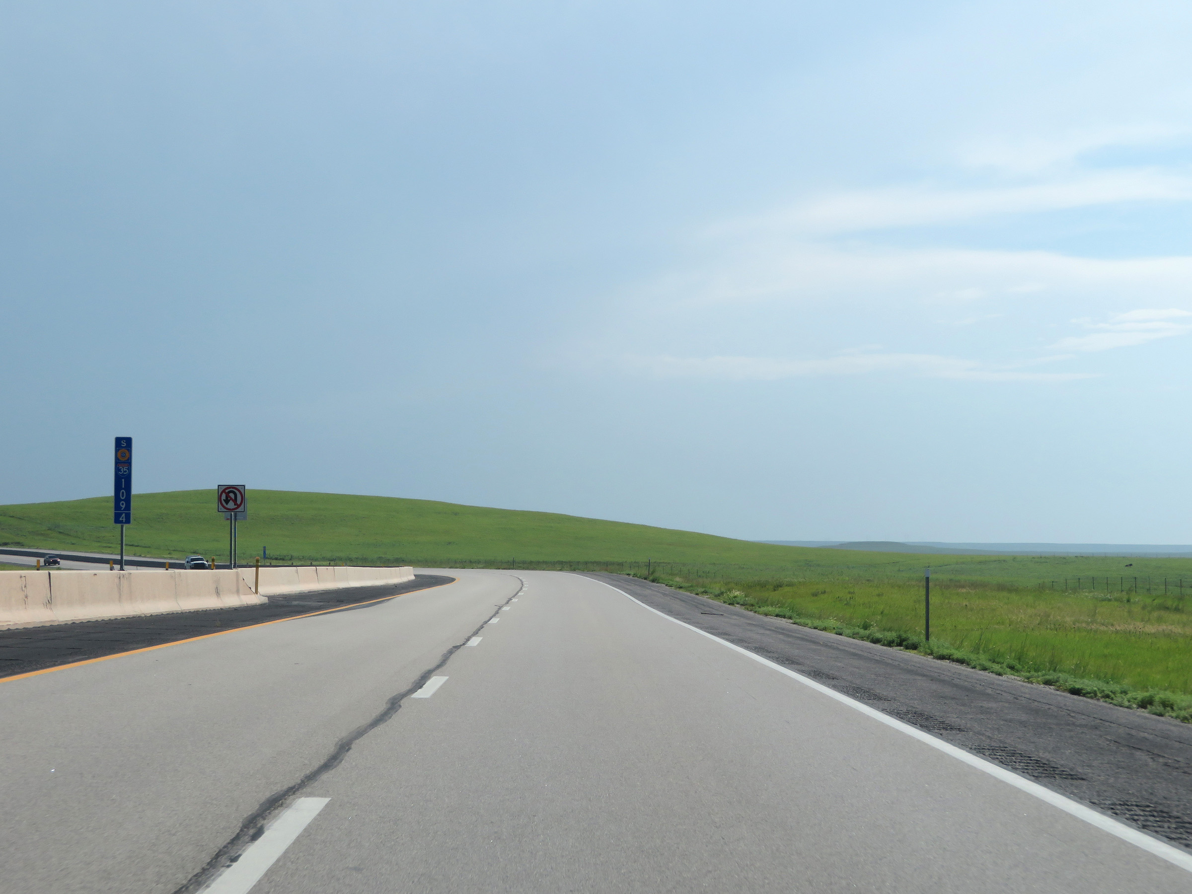 |
View on Interstate 35 South (Kansas Turnpike) at mile marker 109.4 in the Flint Hills. (Photo taken 8/10/20). |
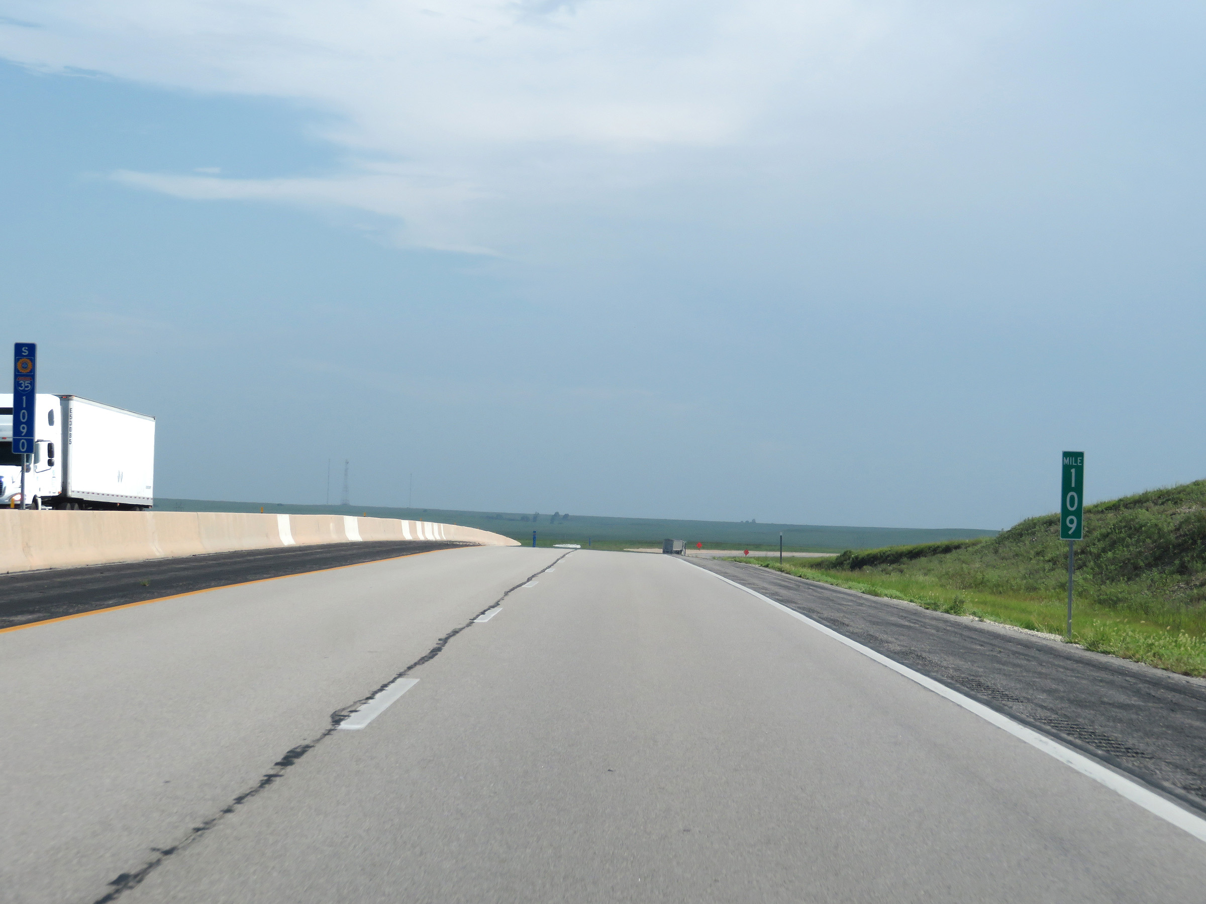 |
Interstate 35 South (Kansas Turnpike) at mile marker 109. (Photo taken 8/10/20). |
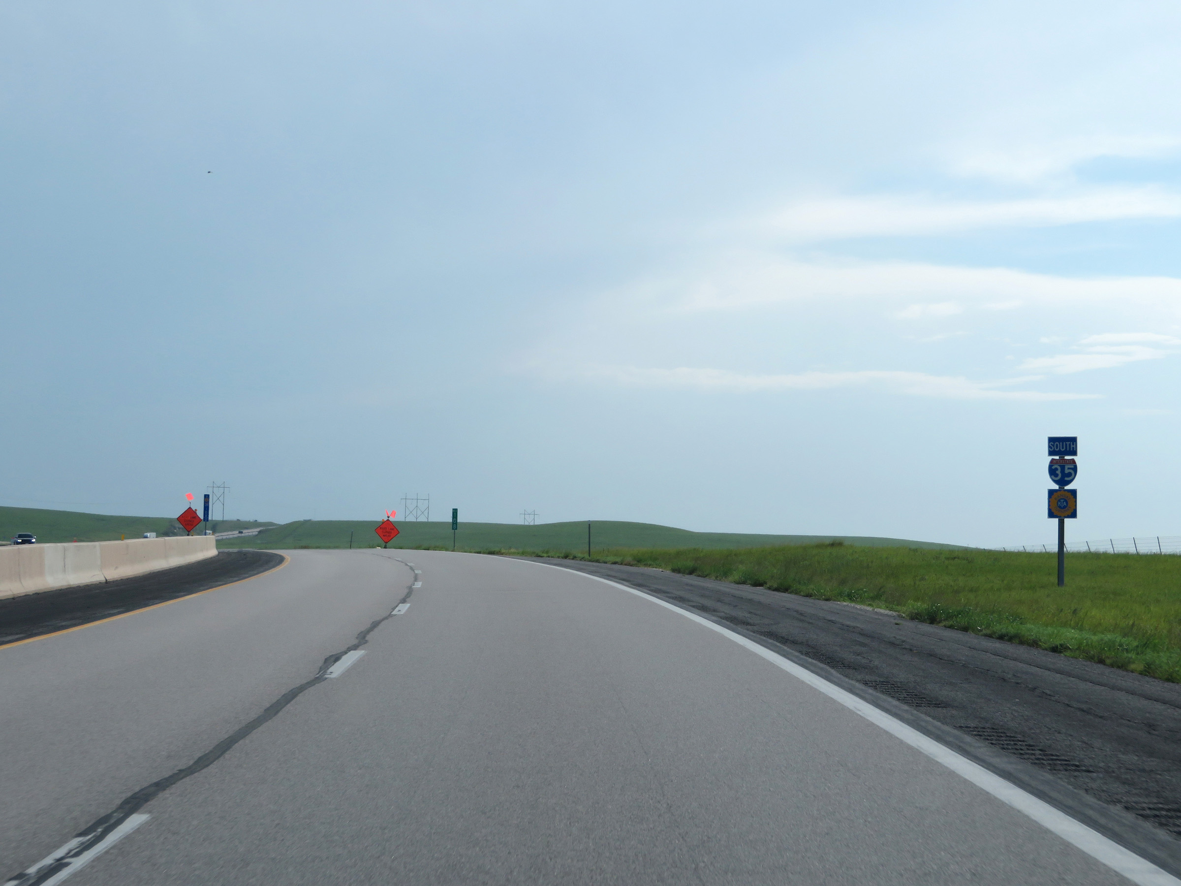 |
Interstate 35 South / Kansas Turnpike reassurance shields at mile marker 108. (Photo taken 8/10/20). |
 |
View on Interstate 35 South (Kansas Turnpike) at mile marker 106.4 in the Flint Hills region. (Photo taken 8/10/20). |
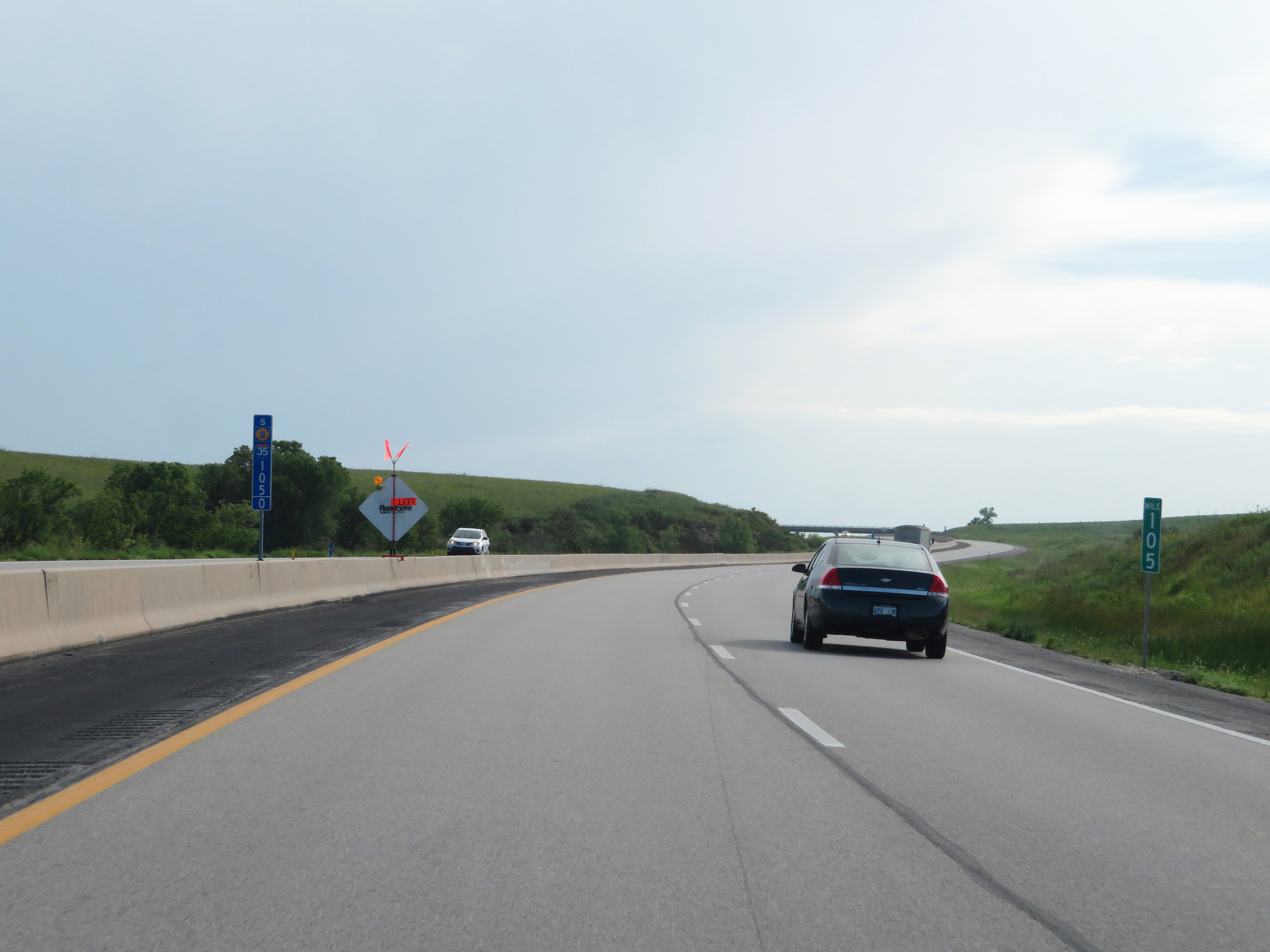 |
Interstate 35 South (Kansas Turnpike) at mile marker 105. (Photo taken 8/10/20). |
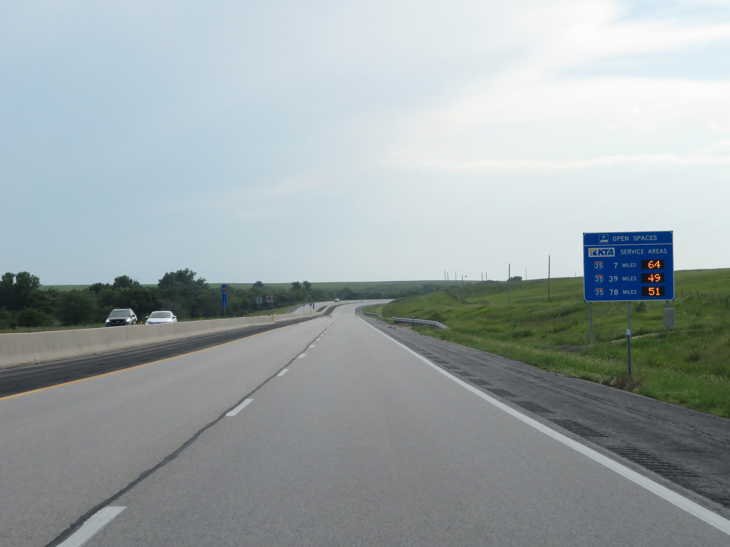 |
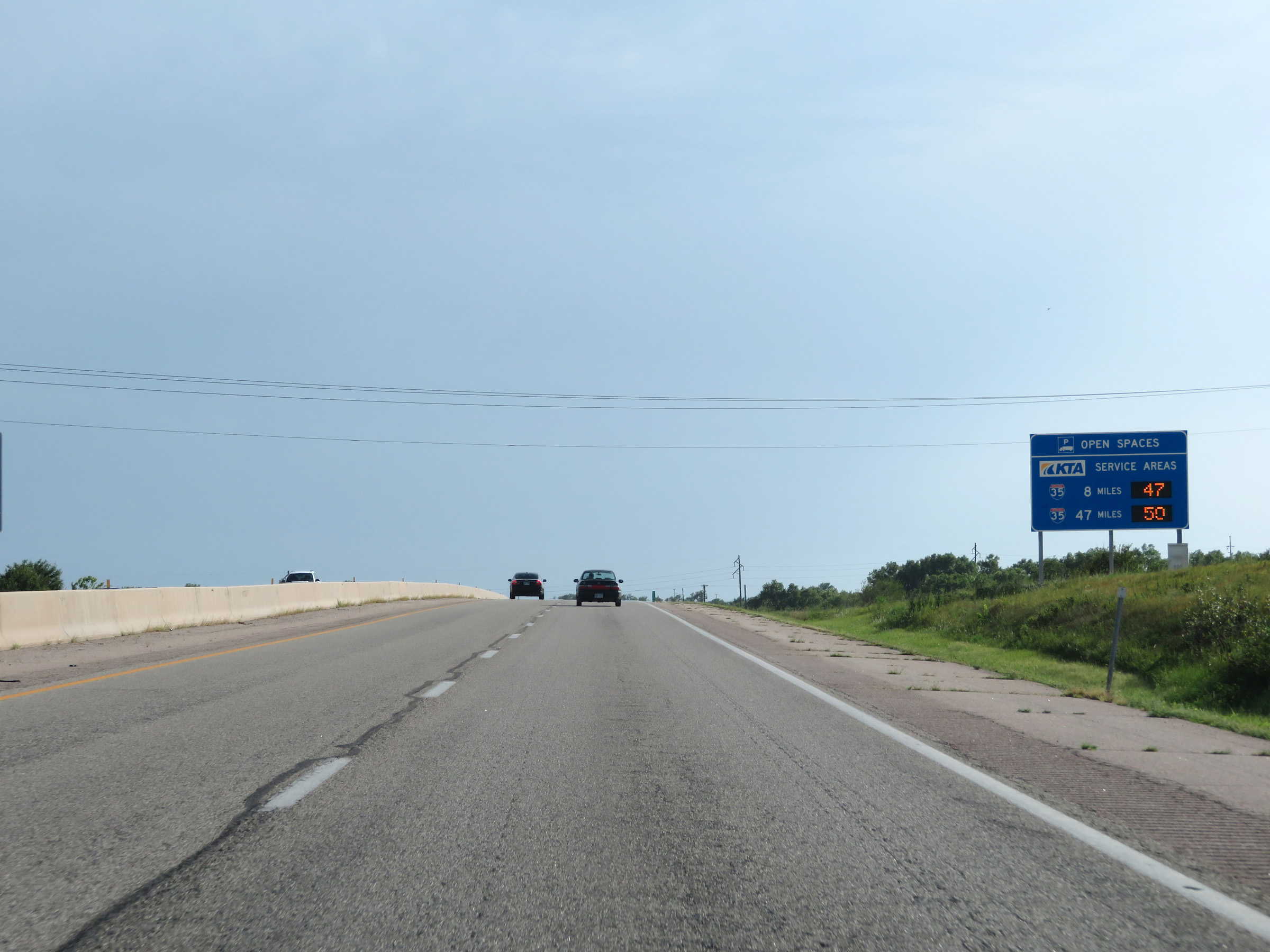
This sign dynamically displays the number of available truck parking spaces at the three remaining Service Areas on the Kansas Turnpike. (Photo taken 8/10/20). |
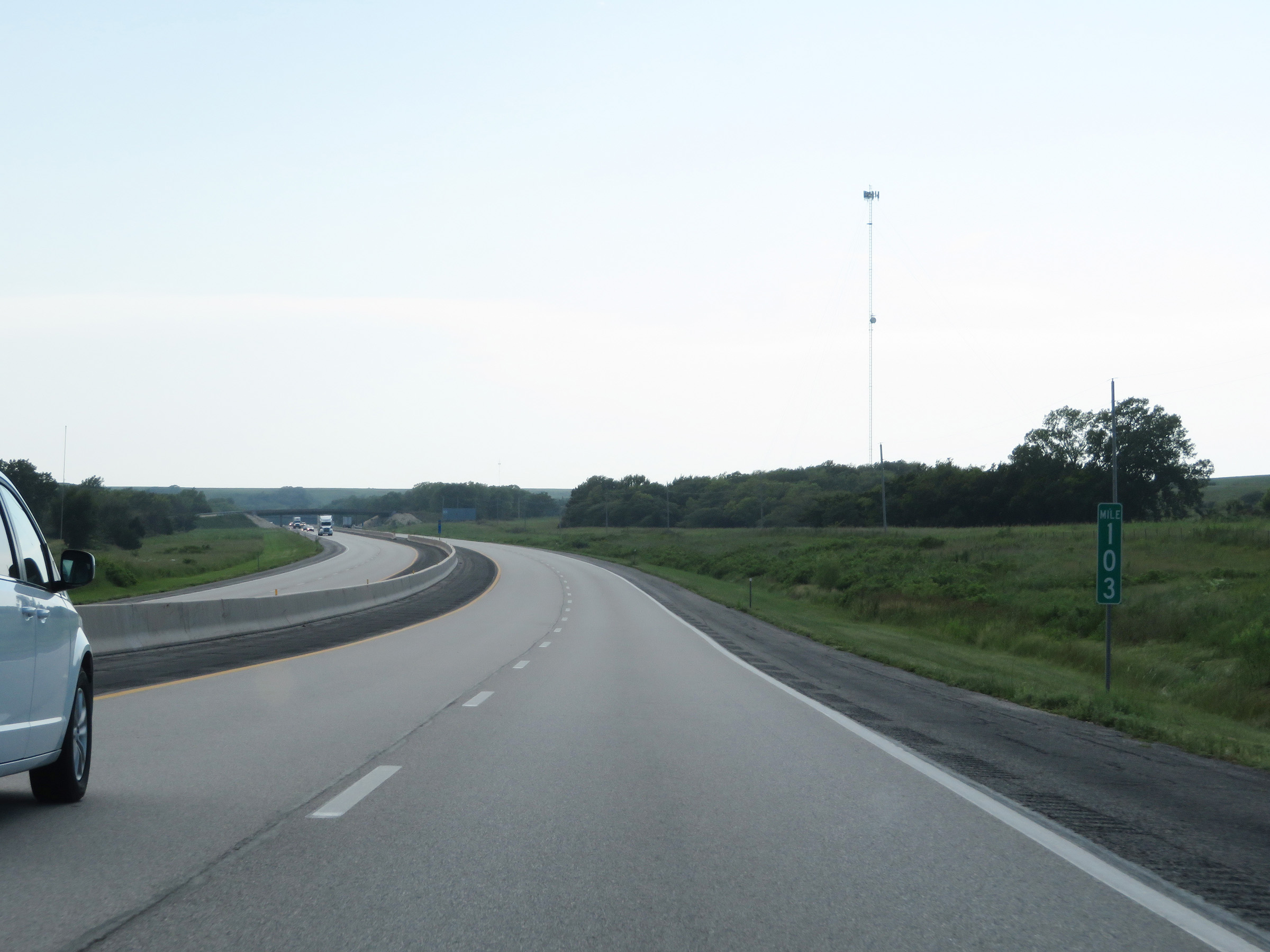 |
View on Interstate 35 South (Kansas Turnpike) at mile marker 103. (Photo taken 8/10/20). |
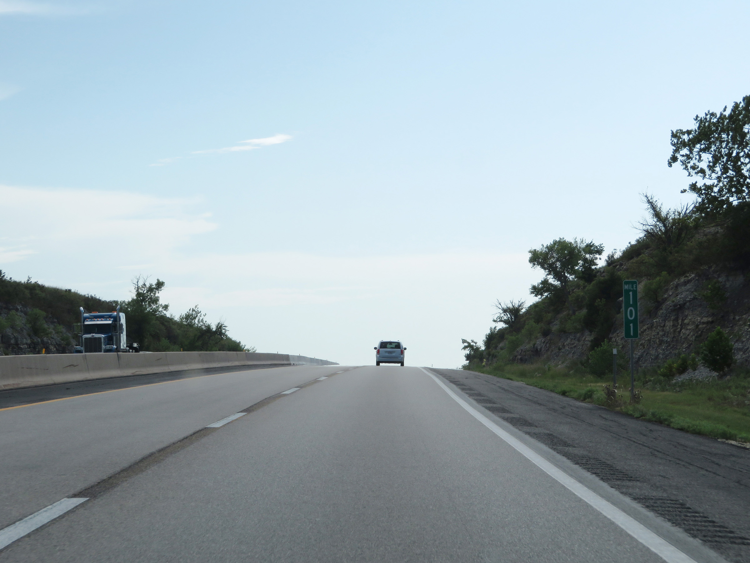 |
Interstate 35 South (Kansas Turnpike) at mile marker 101. (Photo taken 8/10/20). |
 |
Mile marker 100.4 on Interstate 35 South (Kansas Turnpike) in Chase County. (Photo taken 8/10/20). |
 |
View on Interstate 35 South (Kansas Turnpike) at mile marker 99. (Photo taken 8/10/20). |
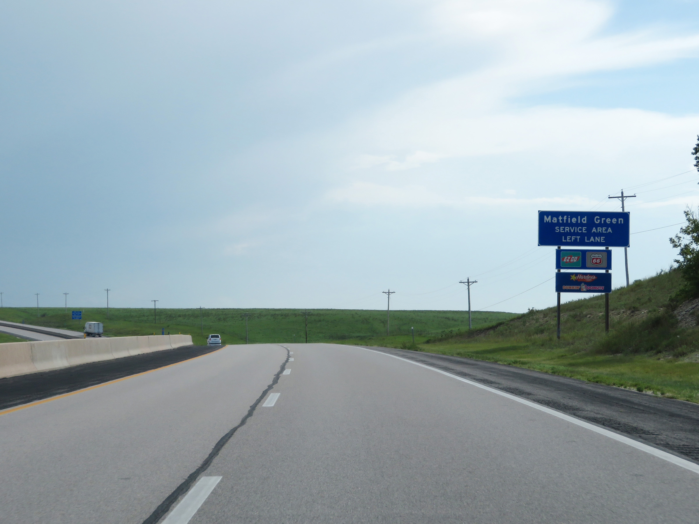 |
Approaching the Matfield Green Service Area, this sign displays some of the services available there. Traffic to the Service Area should use the left lane ahead. (Photo taken 8/10/20). |
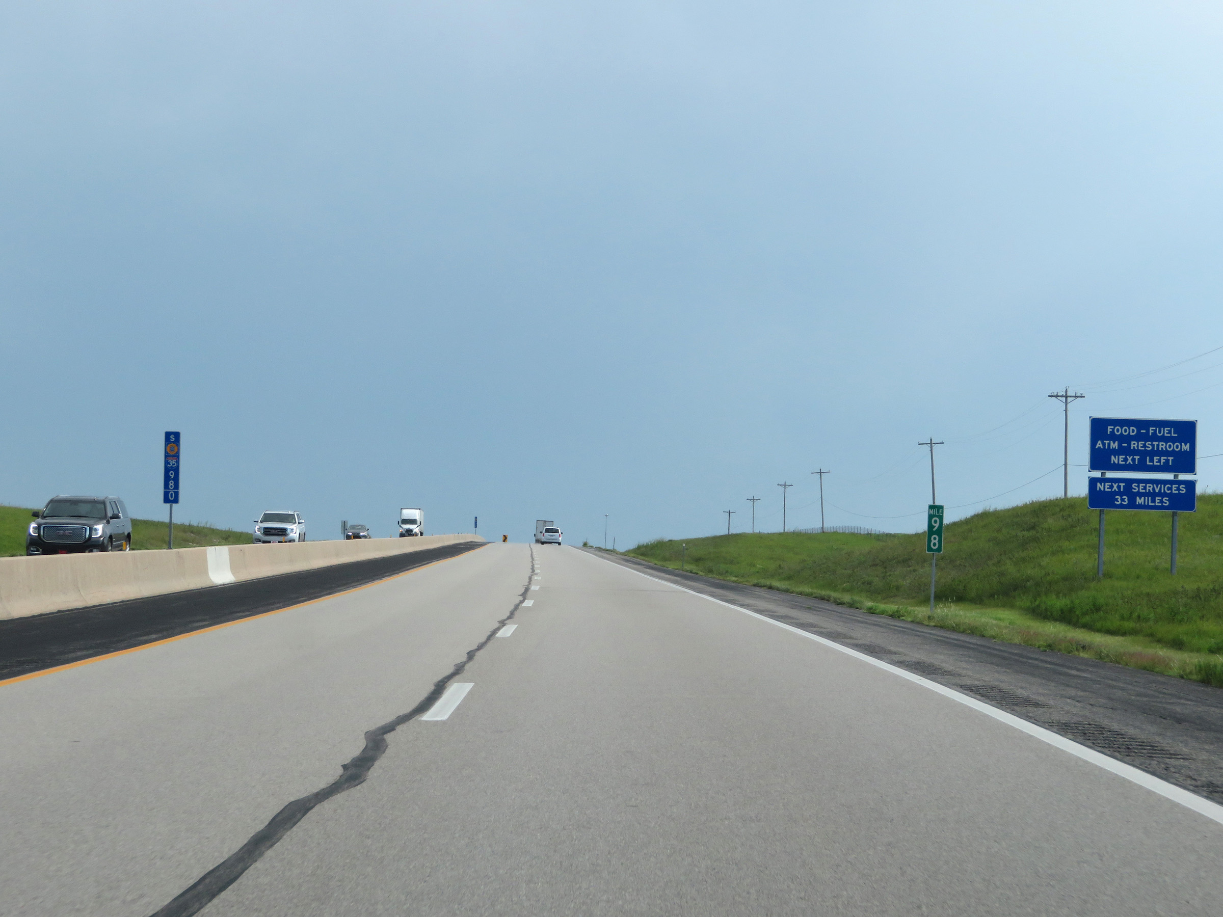 |
The next Service Area beyond the upcoming Matfield Green Service Area is 33 miles ahead. (Photo taken 8/10/20). |
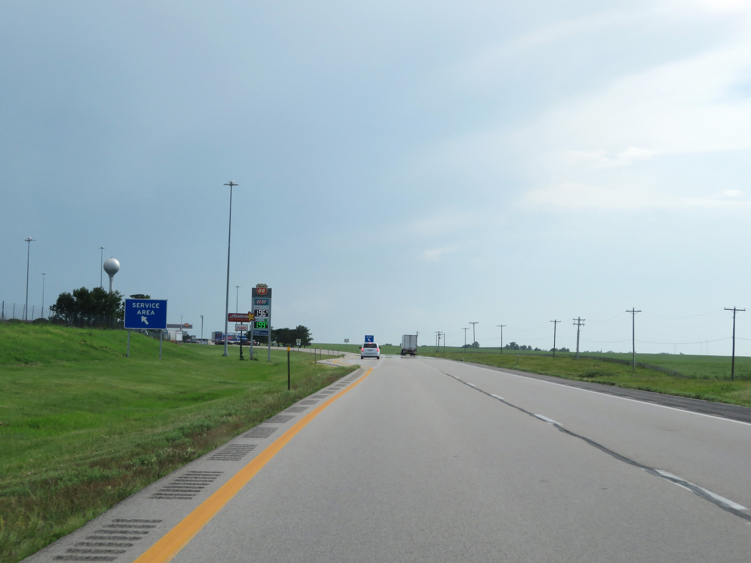 |
Interstate 35 South (Kansas Turnpike) at the Matfield Green Service Area in Chase County. (Photo taken 8/10/20). |
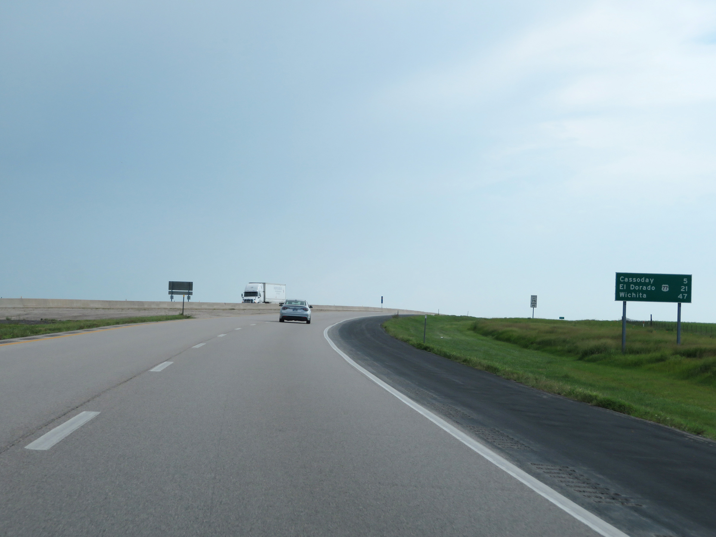 |
Mileage sign on Interstate 35 South (Kansas Turnpike). It's 5 miles to Cassoday, 21 miles to the junction of US 77 in El Dorado, and 47 miles to Wichita. (Photo taken 8/10/20). |
 |
Interstate 35 South (Kansas Turnpike) as it enters Butler County. (Photo taken 8/10/20). |
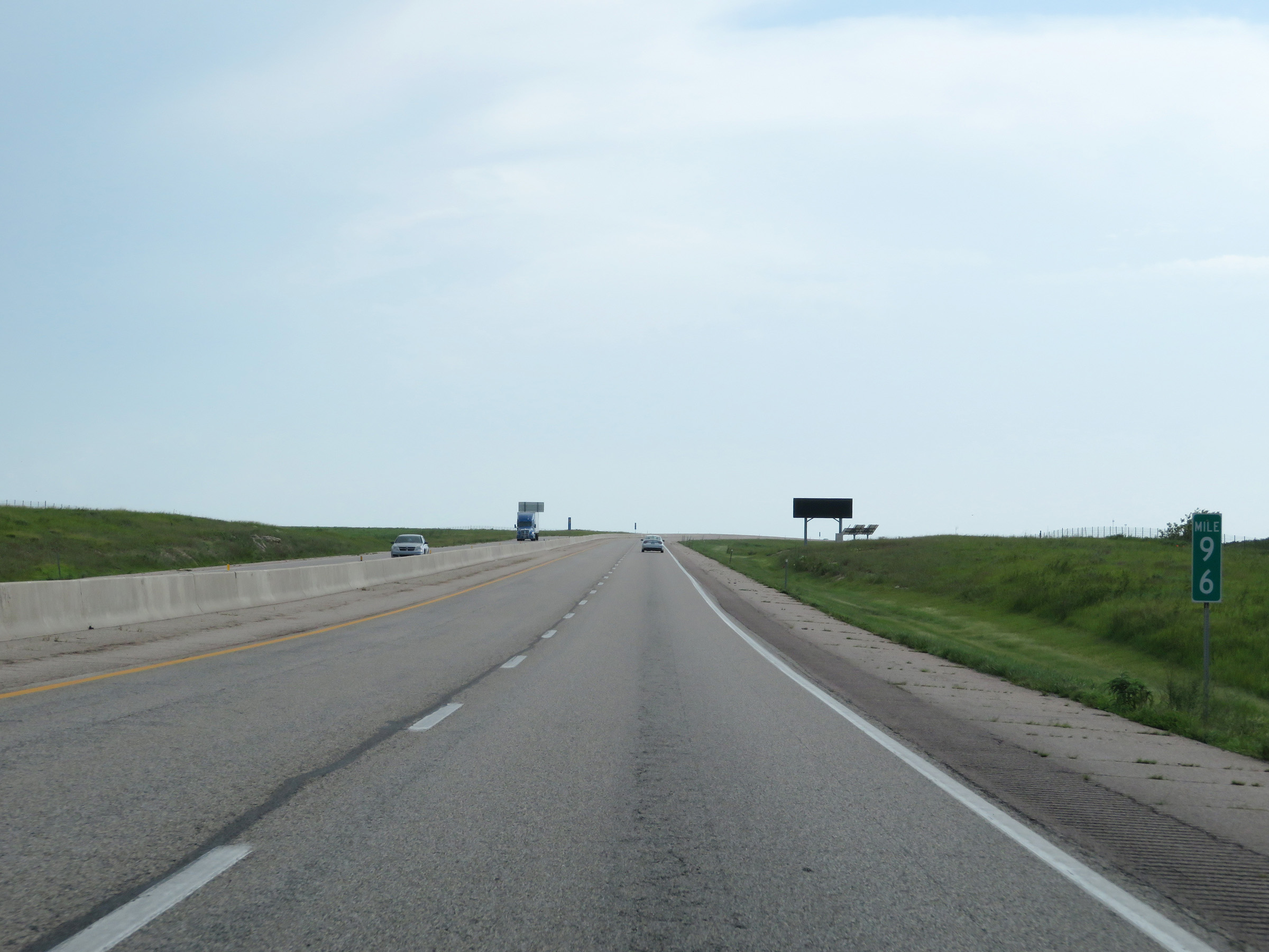 |
View on Interstate 35 South (Kansas Turnpike) at mile marker 96. (Photo taken 8/10/20). |
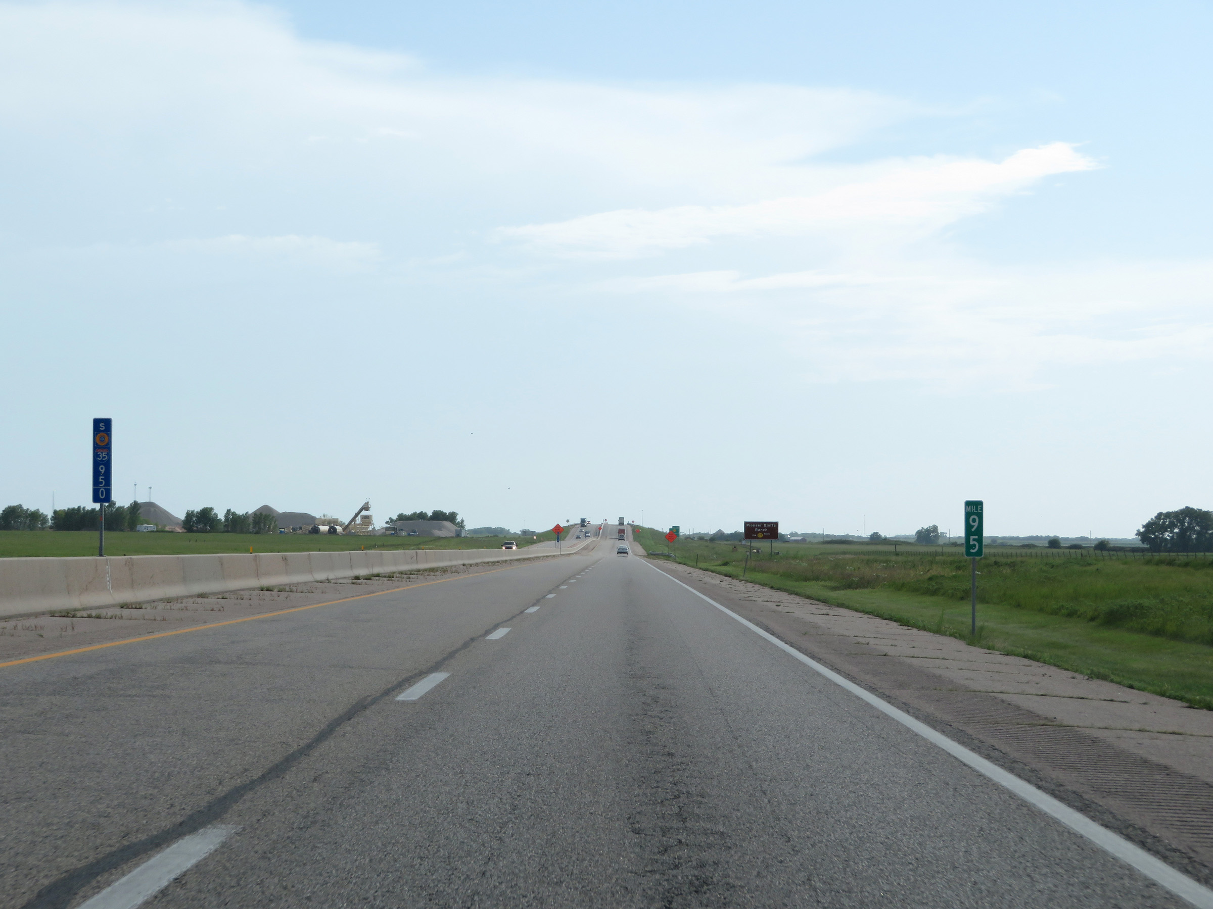 |
Interstate 35 South (Kansas Turnpike) at mile marker 95. (Photo taken 8/10/20). |
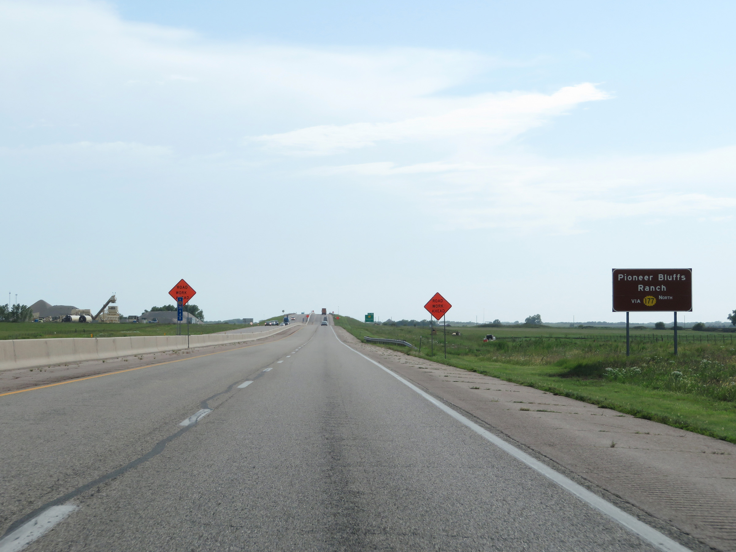 |
Take Exit 92 to Pioneer Bluffs Ranch via K-177 North. (Photo taken 8/10/20). |
 |
Interstate 35 South (Kansas Turnpike) approaching Exit 92 - 1 mile. (Photo taken 8/10/20). |
 |
View on Interstate 35 South (Kansas Turnpike) at mile marker 94. (Photo taken 8/10/20). |
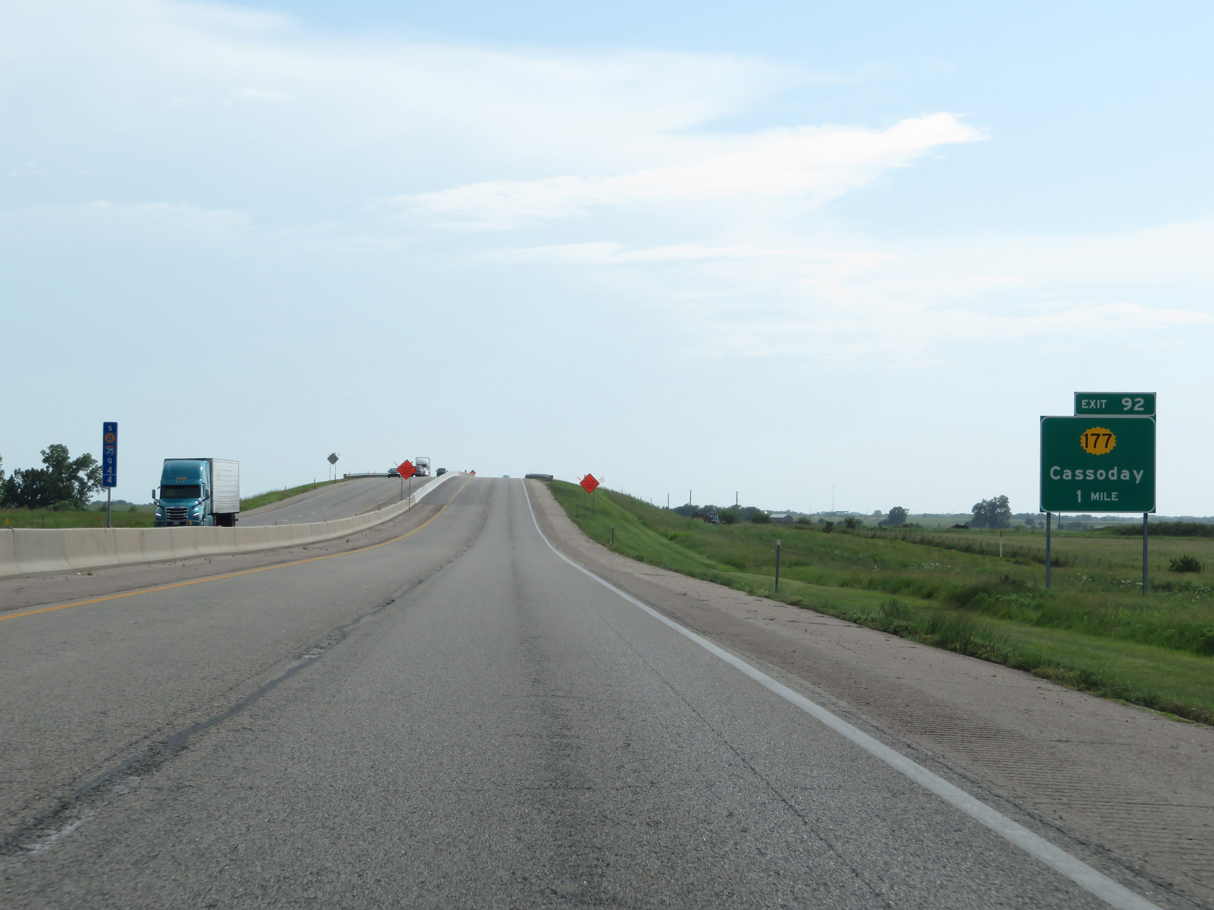
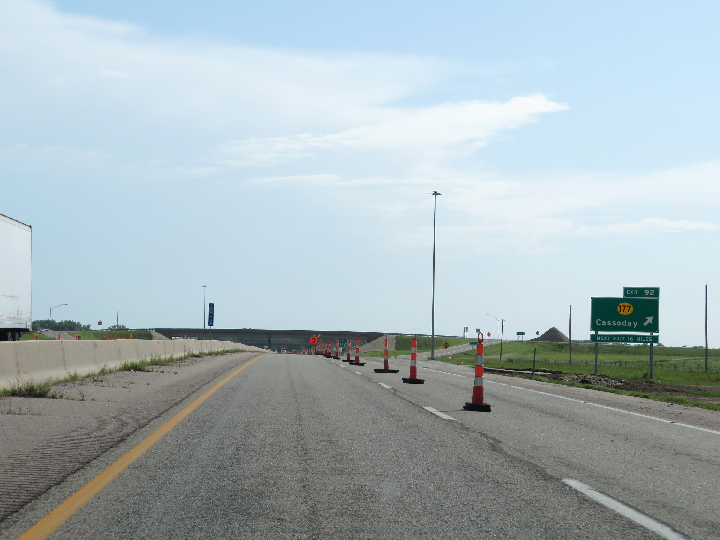 |
Interstate 35 South (Kansas Turnpike) at Exit 92: K-177 - Cassoday (Photo taken 8/10/20). |
 |
Mileage sign on Interstate 35 South (Kansas Turnpike). It's 16 miles to the junction of US 77 in El Dorado, 22 miles to the junction of K-196 / K-254 in El Dorado, and 43 miles to Wichita. (Photo taken 8/10/20). |
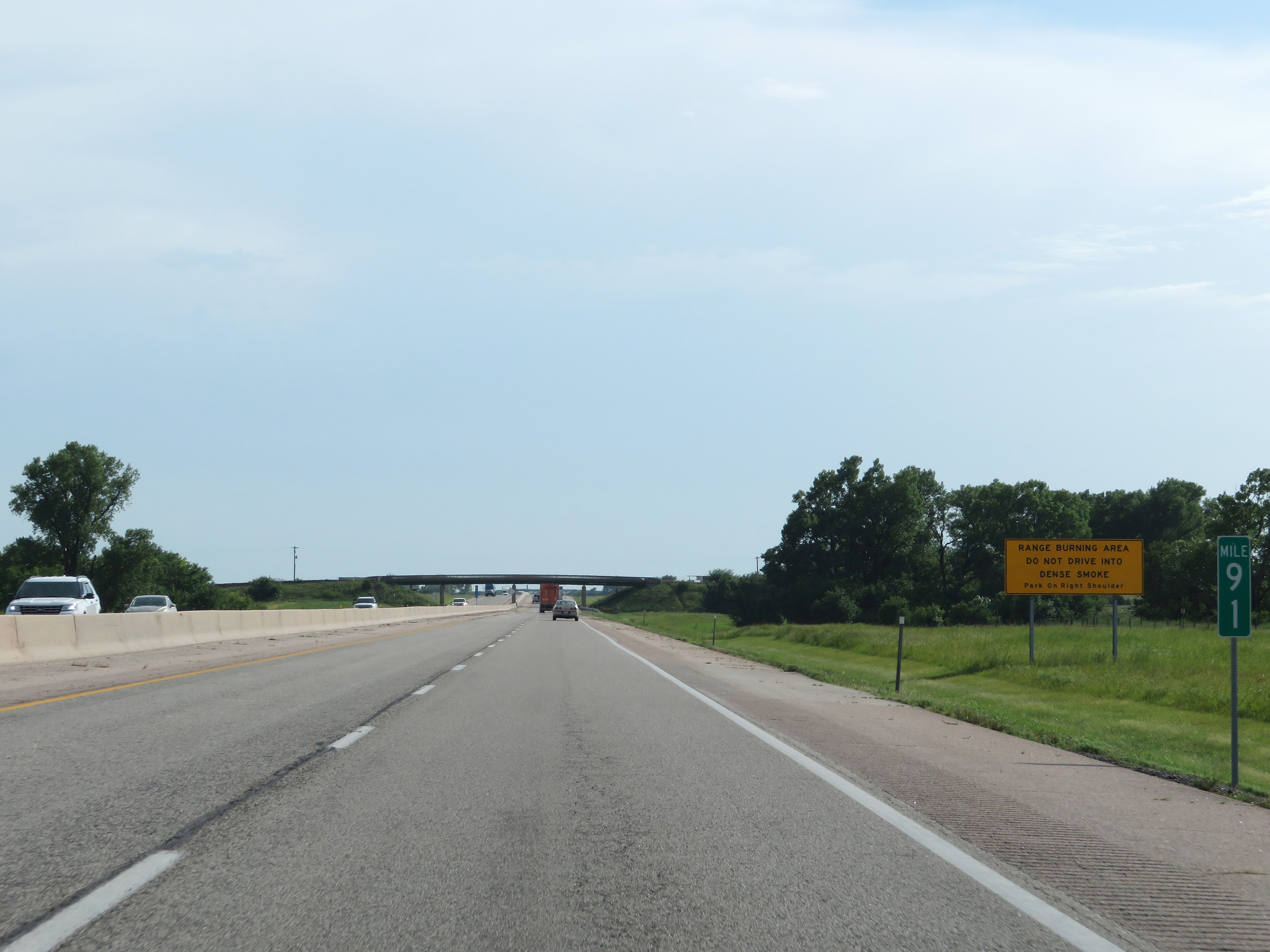 |
At mile marker 91, another sign warning ofthe possibility of dense smoke due to being in a range burning area exits. Do not drive into dense smoke. Instead, motorists are encouraged to park on the right shoulder. (Photo taken 8/10/20). |
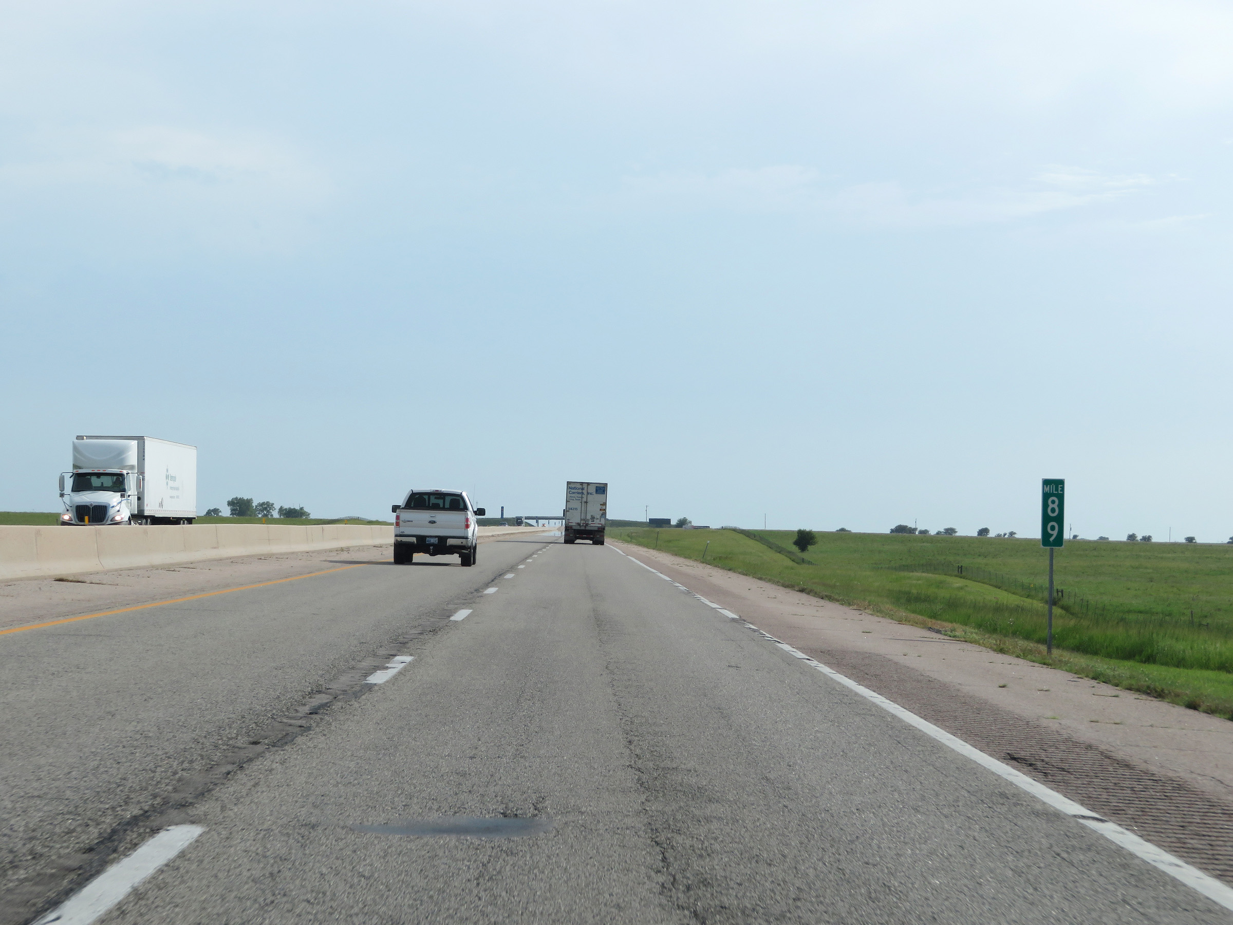 |
View on Interstate 35 South (Kansas Turnpike) at mile marker 89. (Photo taken 8/10/20). |
 |
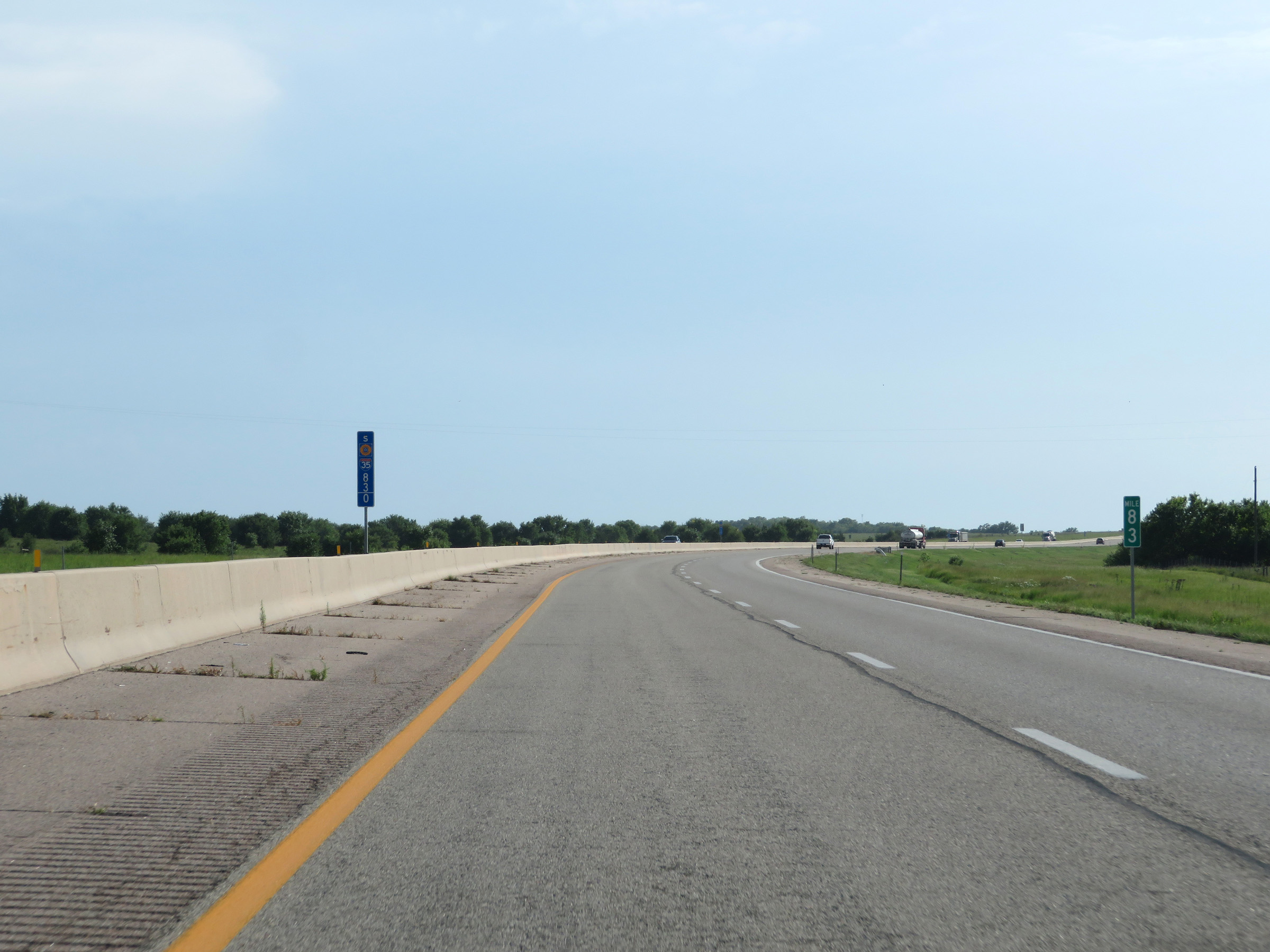
Interstate 35 South (Kansas Turnpike) at mile marker 86. (Photo taken 8/10/20). |
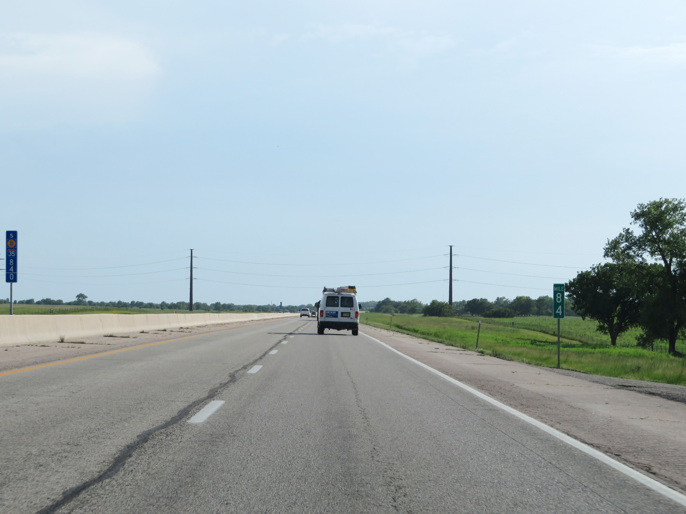 |
View on Interstate 35 South (Kansas Turnpike) at mile marker 84. (Photo taken 8/10/20). |
 |
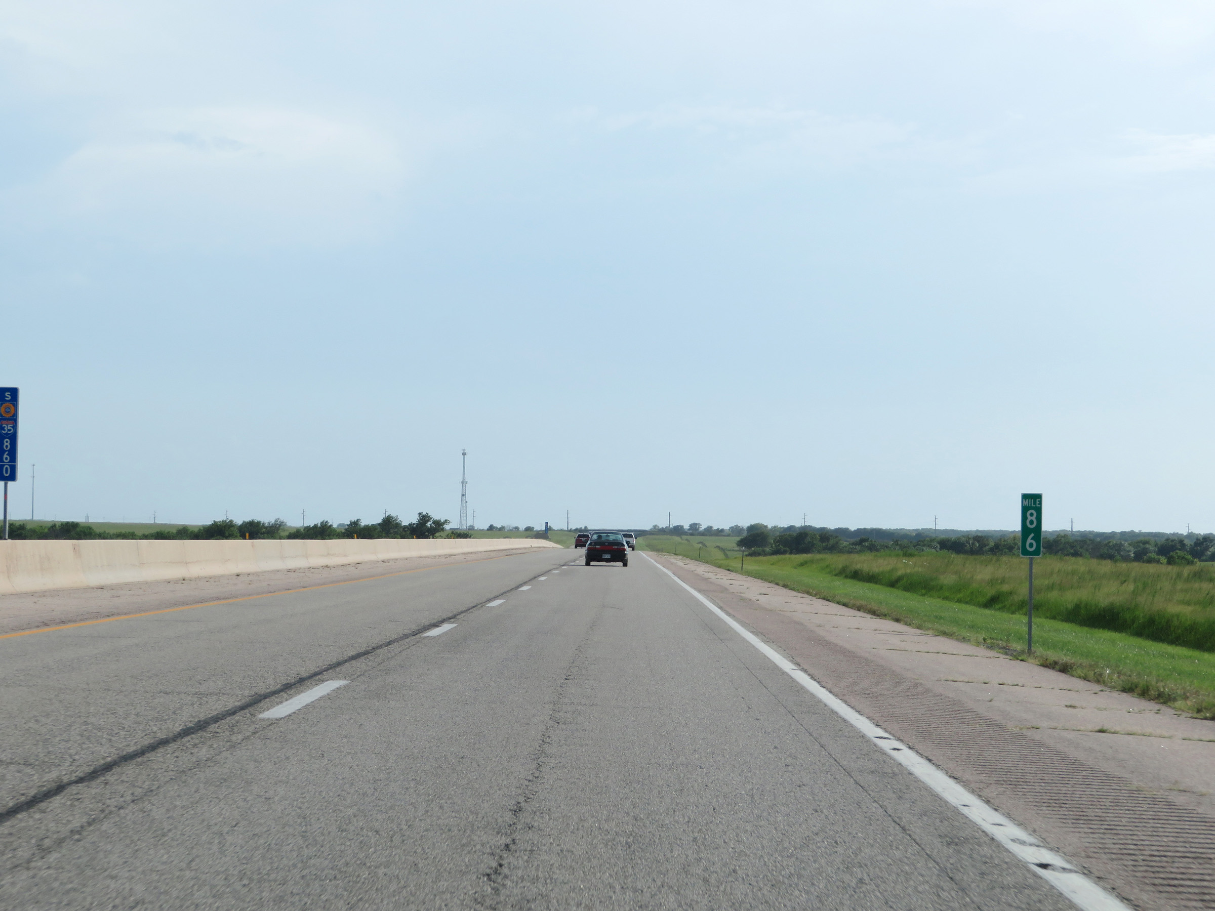
Mile marker 83 on Interstate 35 South (Kansas Turnpike) in Butler County. (Photo taken 8/10/20). |
 |
The speed limits remain 75 mph maximum and 40 mph minimum on Interstate 35 South (Kansas Turnpike). (Photo taken 8/10/20). |
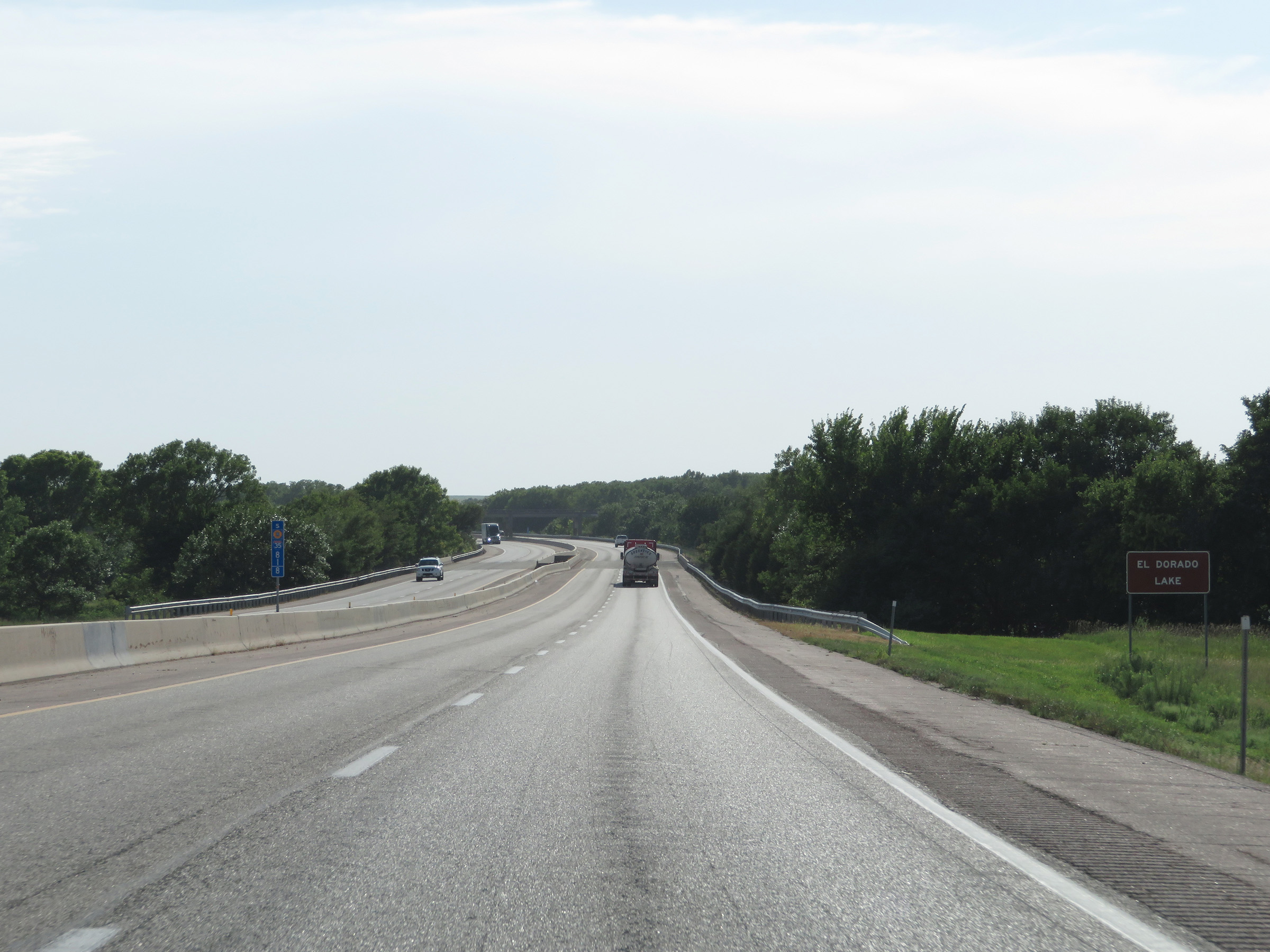 |
At mile marker 81.8, Interstate 35 South (Kansas Turnpike) starts to cross El Dorado Lake. (Photo taken 8/10/20). |
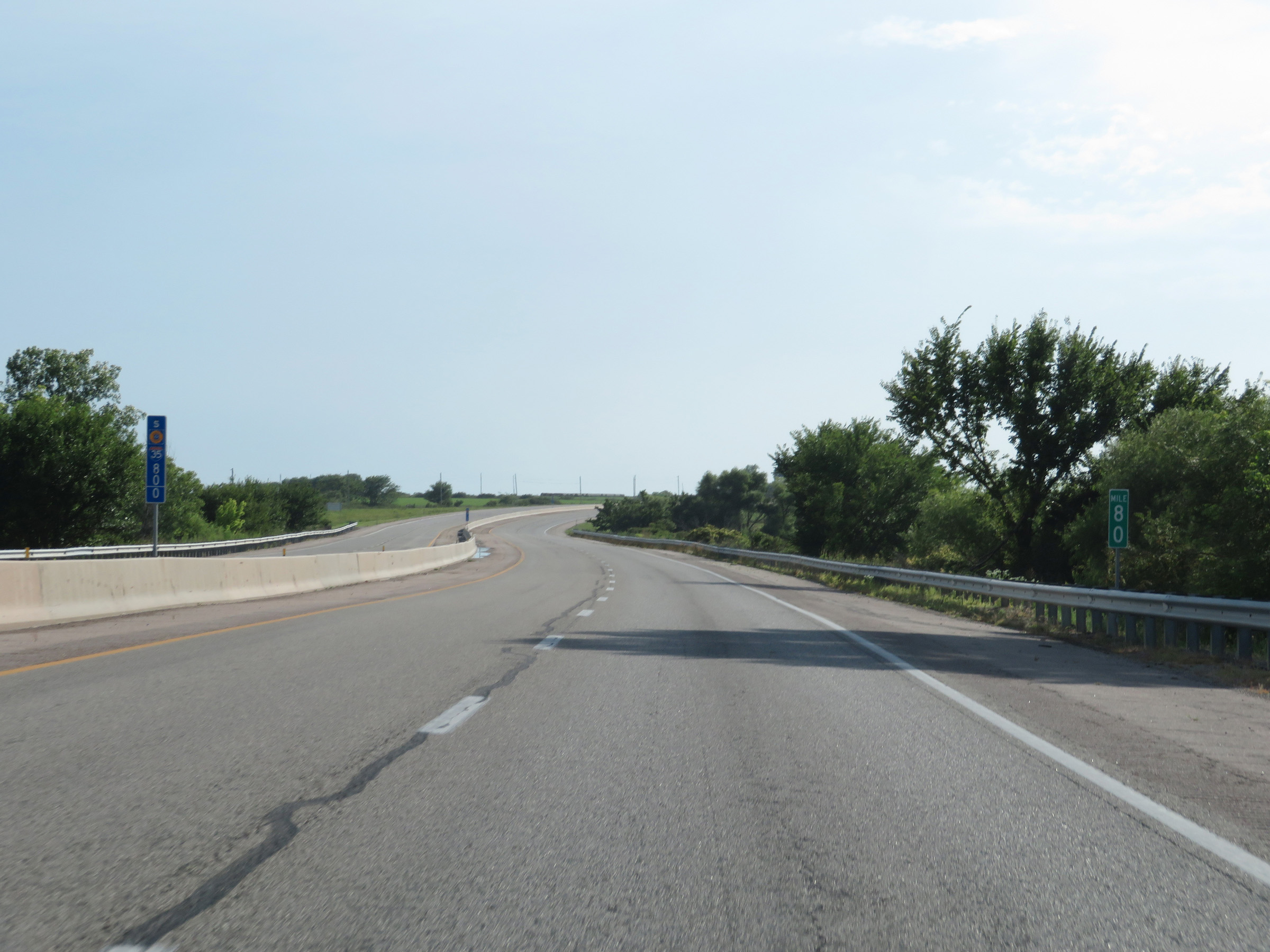 |
View on Interstate 35 South (Kansas Turnpike) at mile marker 80, as it nears the south side of El Dorado Lake. (Photo taken 8/10/20). |
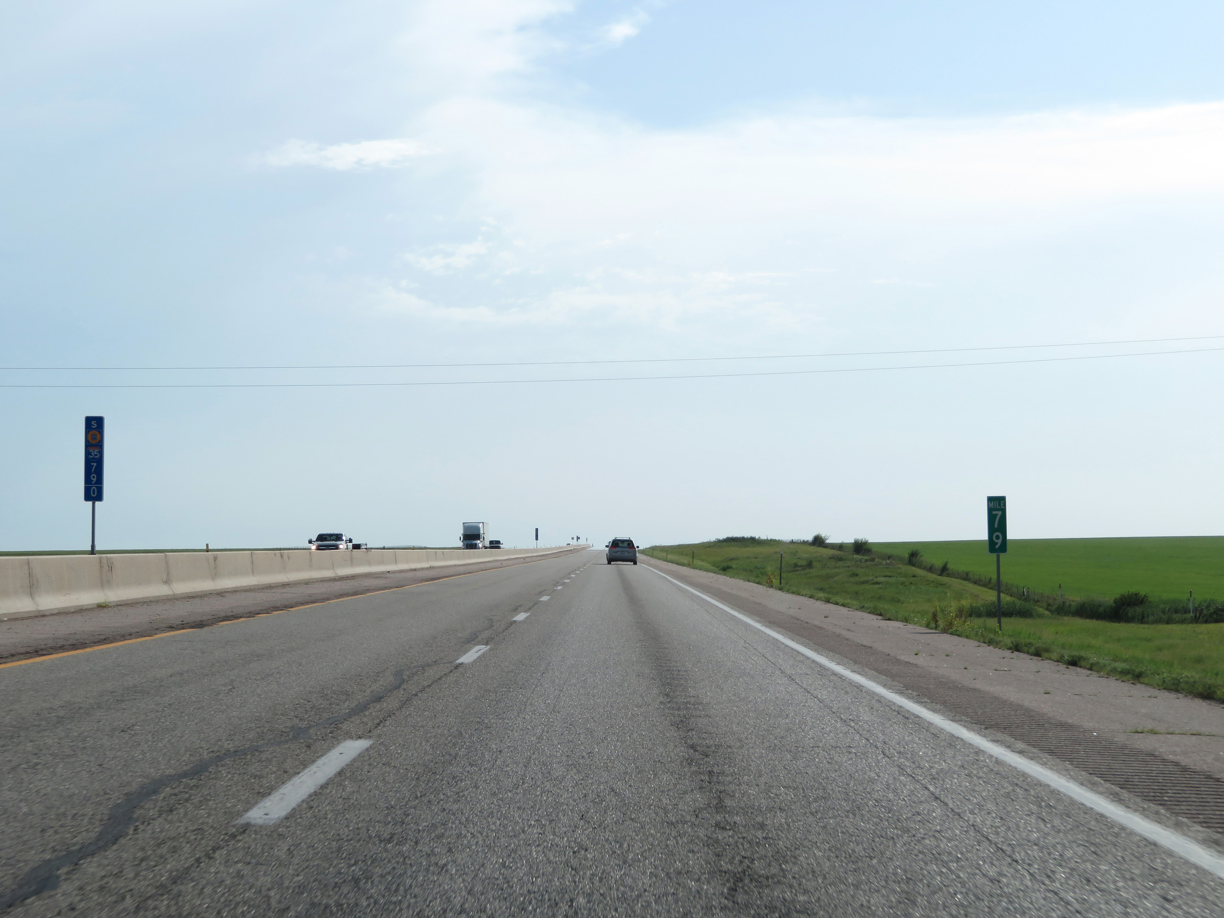 |
Interstate 35 South (Kansas Turnpike) at mile marker 79. (Photo taken 8/10/20). |
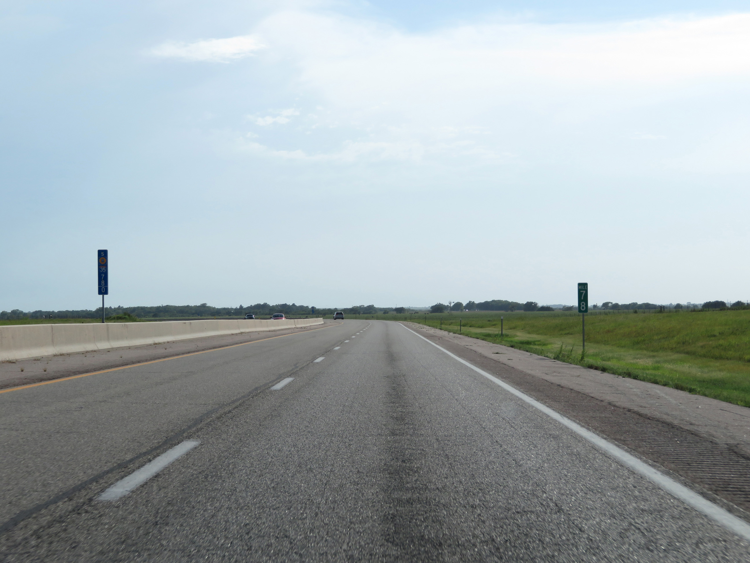 |
View on Interstate 35 South (Kansas Turnpike) at mile marker 78. (Photo taken 8/10/20). |
 |
Interstate 35 South (Kansas Turnpike) approaching Exit 76 - 1 mile. (Photo taken 8/10/20). |
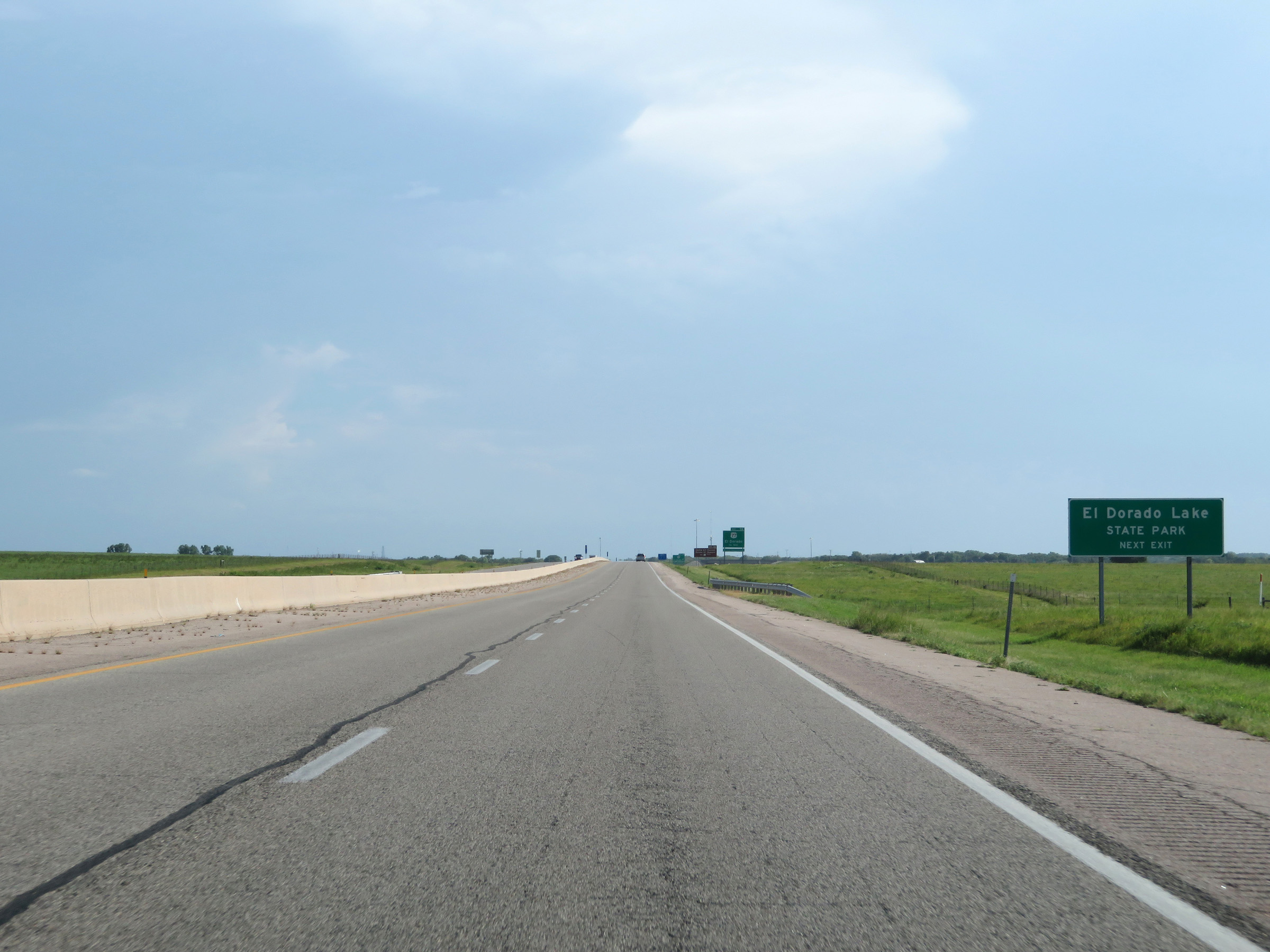 |
Take Exit 76 to El Dorado Lake State Park. (Photo taken 8/10/20). |
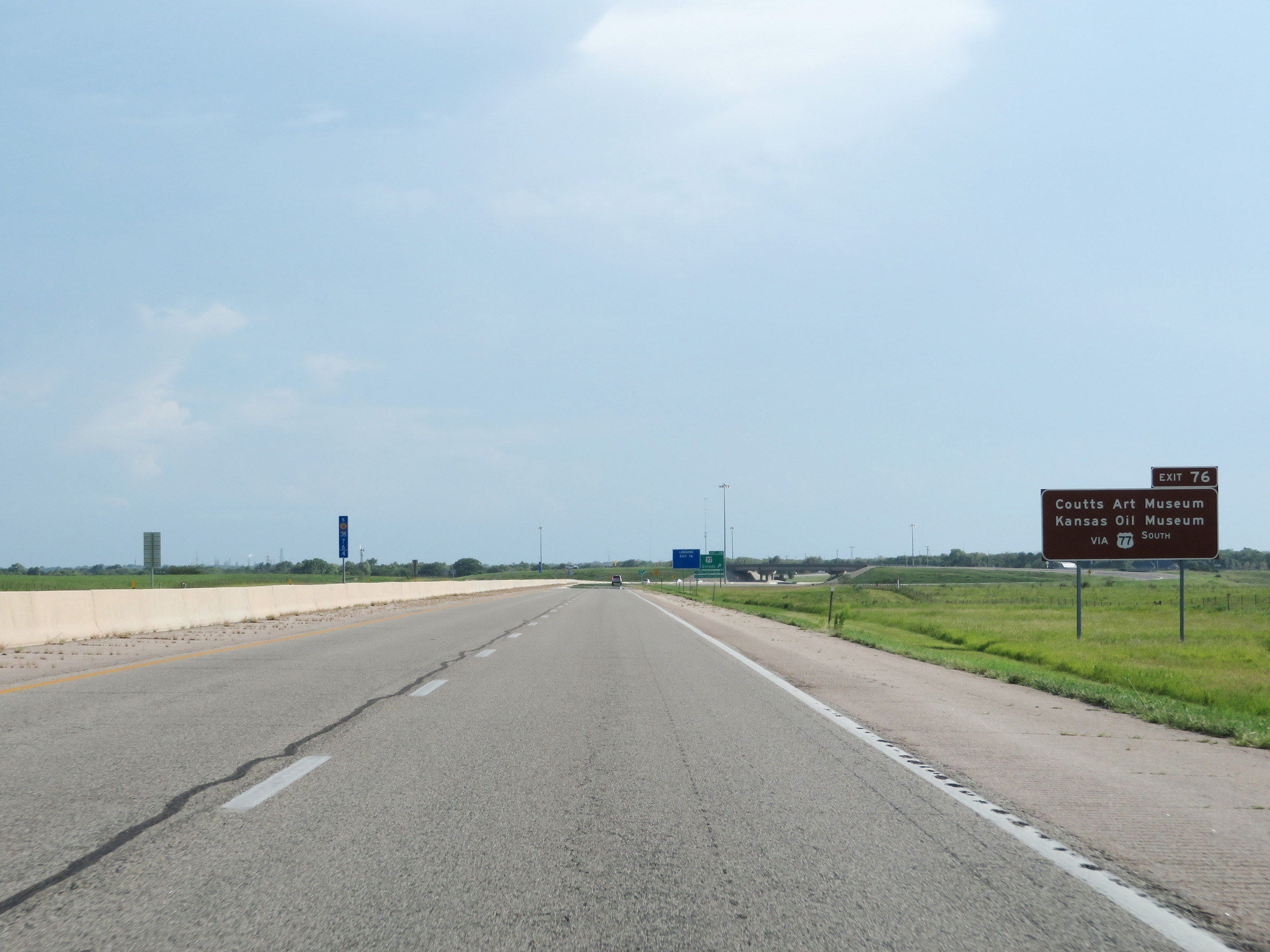 |
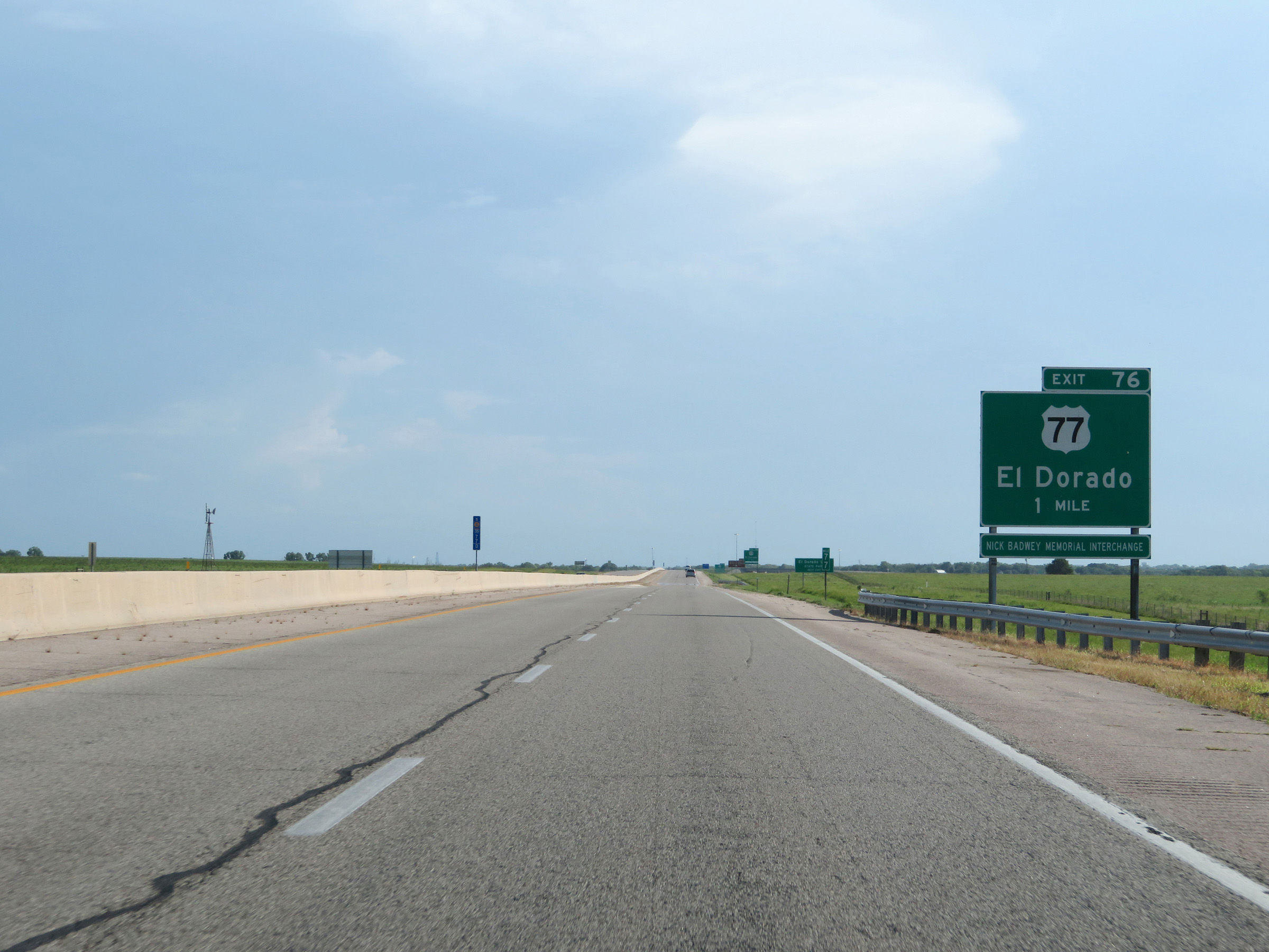
Also take Exit 76 to Coutts Art Museum and the Kansas Oil Museum via US 77 South. (Photo taken 8/10/20). |
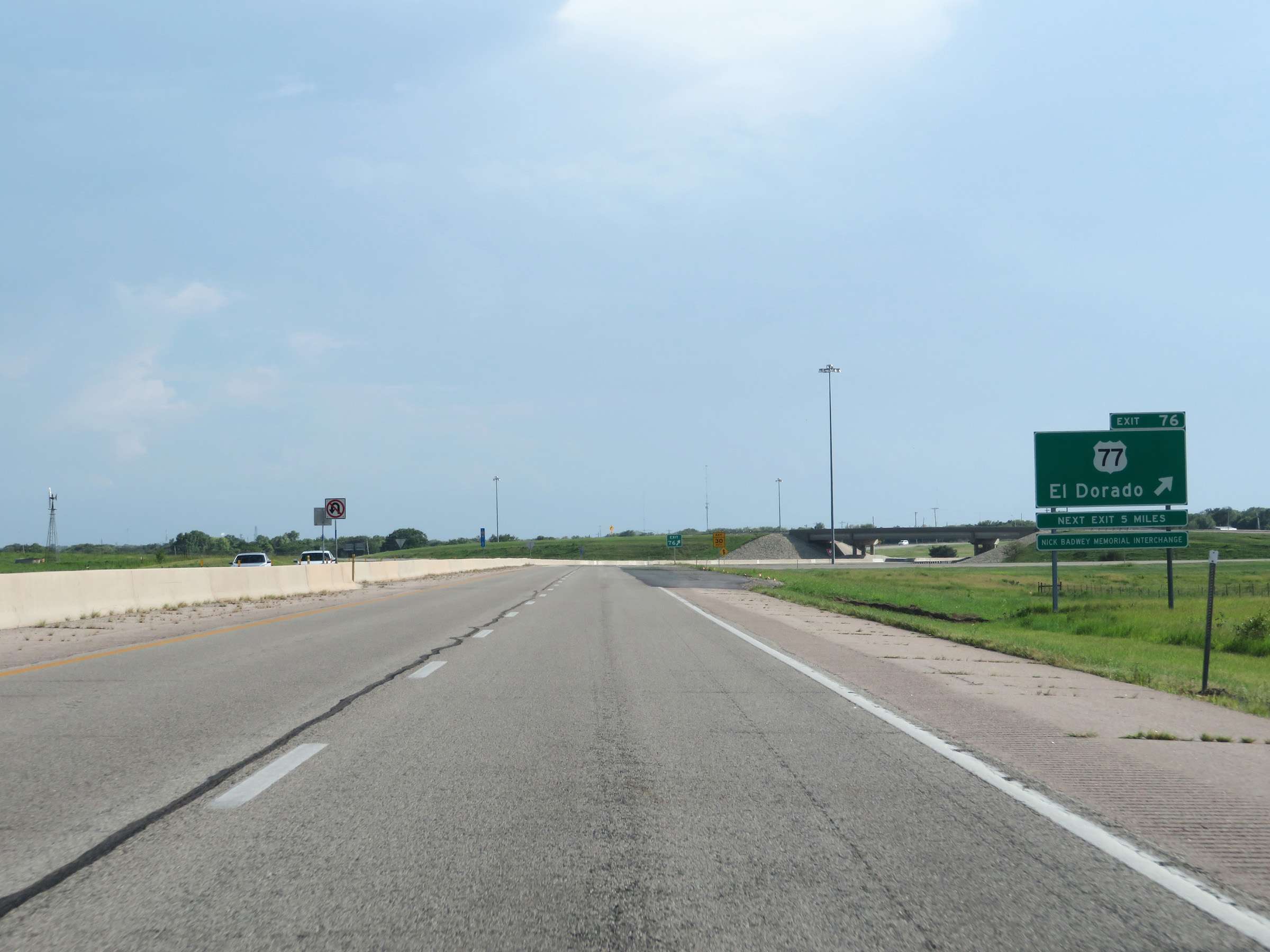 |
Interstate 35 South (Kansas Turnpike) at Exit 76: US 77 - El Dorado (Photo taken 8/10/20). |
Section 5: El Dorado (Exit 76) to Wichita (Exit 42)
 |
Interstate 35 South / Kansas Turnpike reassurance shields. (Photo taken 8/10/20). |
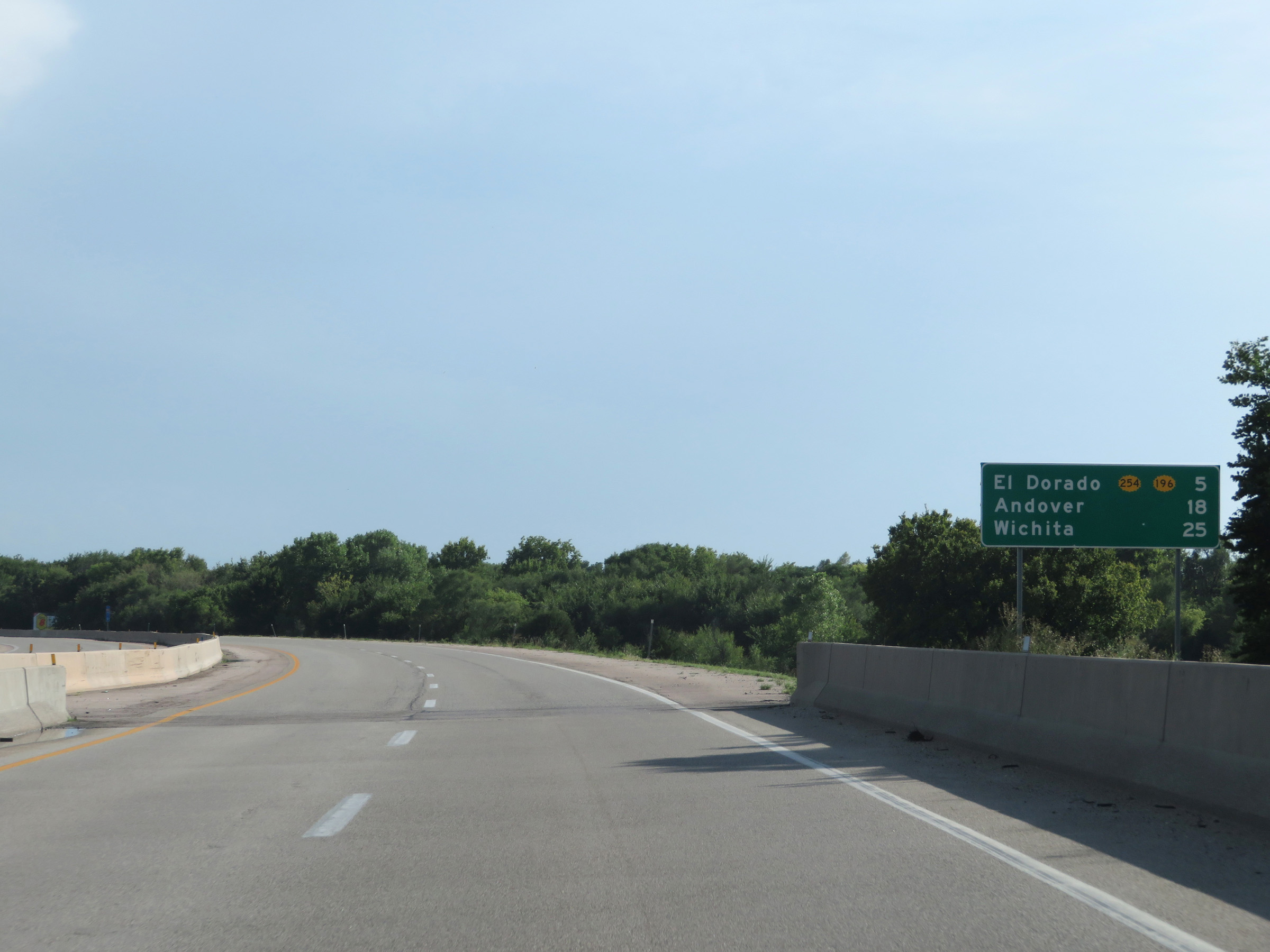 |
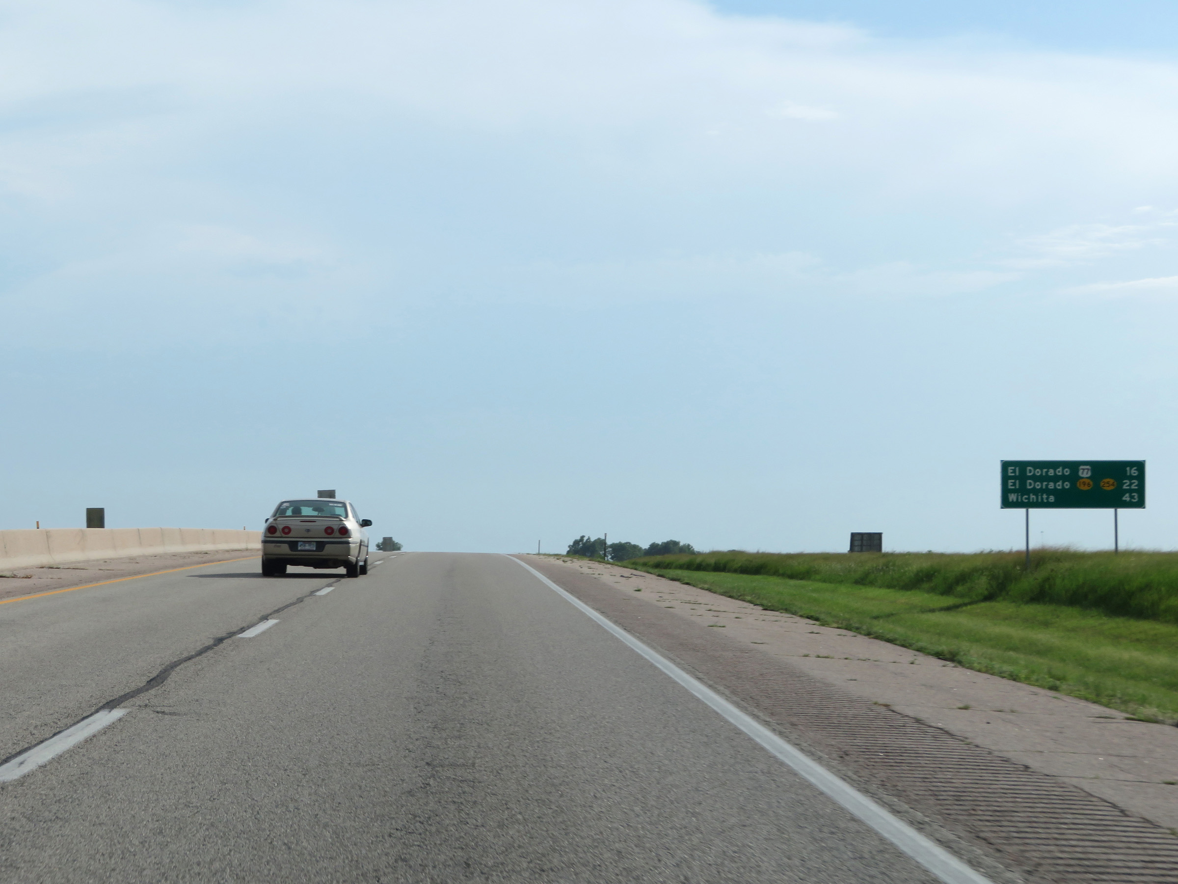
Mileage sign on Interstate 35 South (Kansas Turnpike). It's 5 miles to the junction of K-254 / K-196 in El Dorado, 18 miles to Andover, and 25 miles to Wichita. (Photo taken 8/10/20). |
 |
This sign dynamically displays the number of available truck parking spaces at the two remaining Service Areas on the Kansas Turnpike. (Photo taken 8/10/20). |
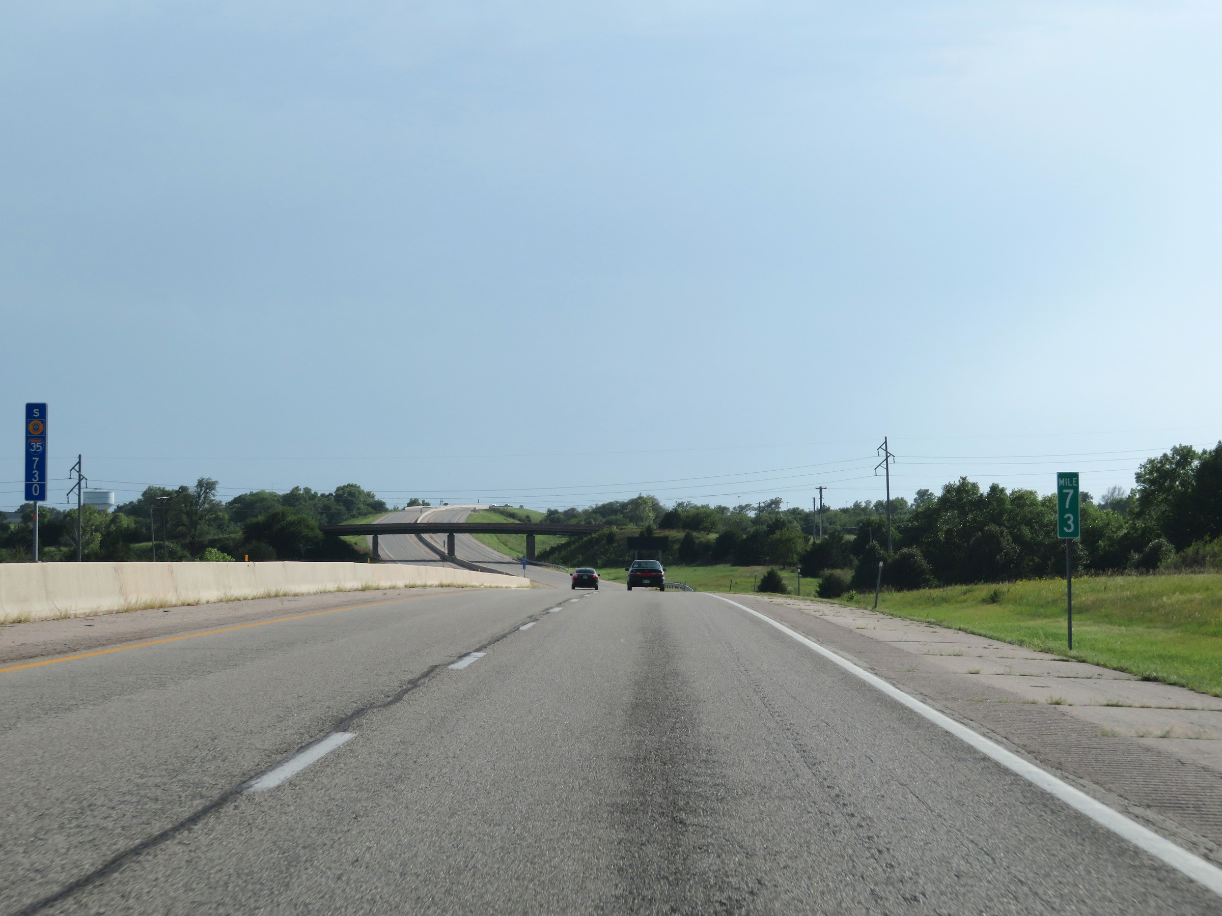 |
View on Interstate 35 South (Kansas Turnpike) at mile marker 73. (Photo taken 8/10/20). |
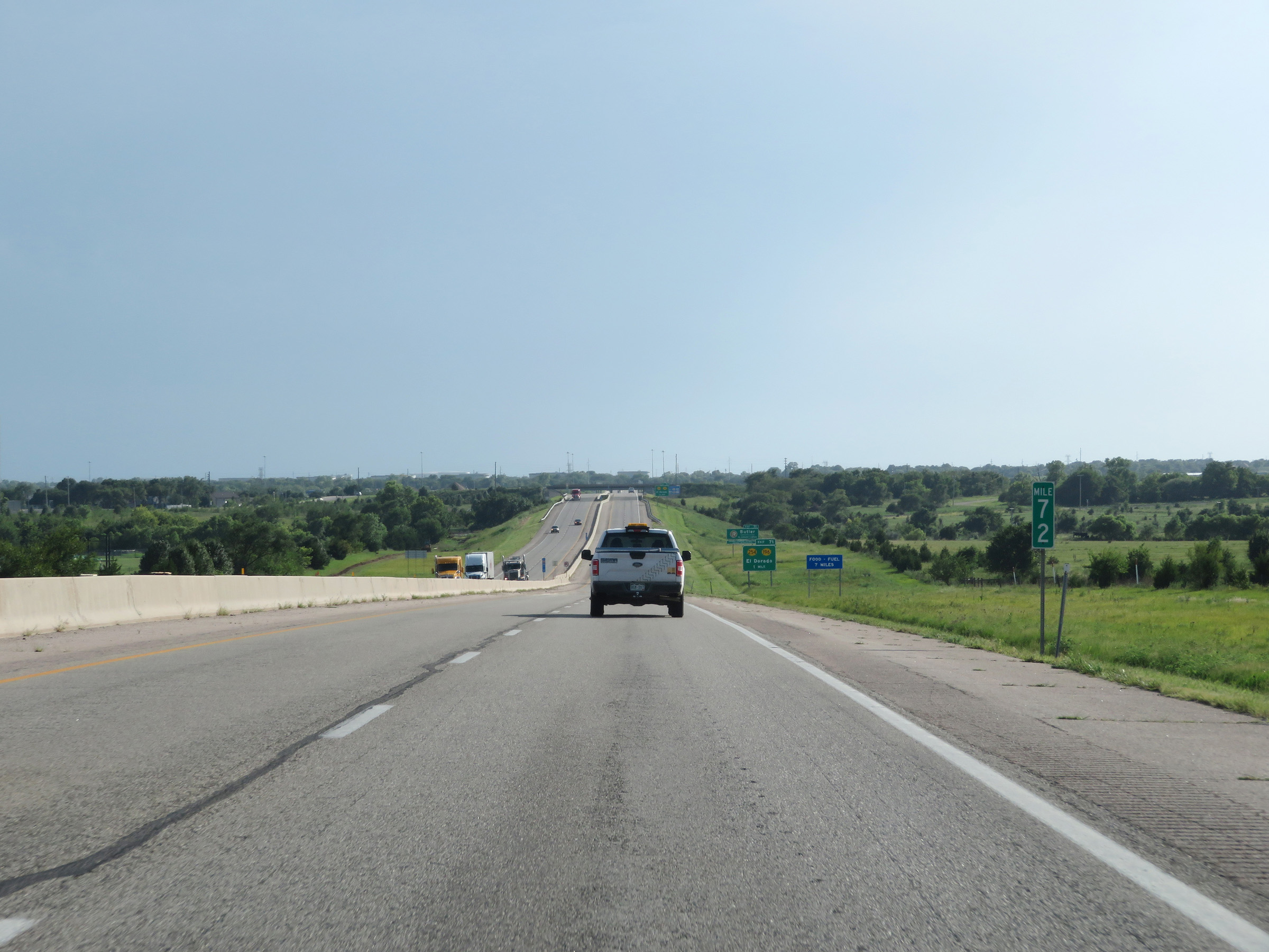 |
Interstate 35 South (Kansas Turnpike) at mile marker 72. (Photo taken 8/10/20). |
 |
Interstate 35 South (Kansas Turnpike) approaching Exit 71 - 1 mile. (Photo taken 8/10/20). |
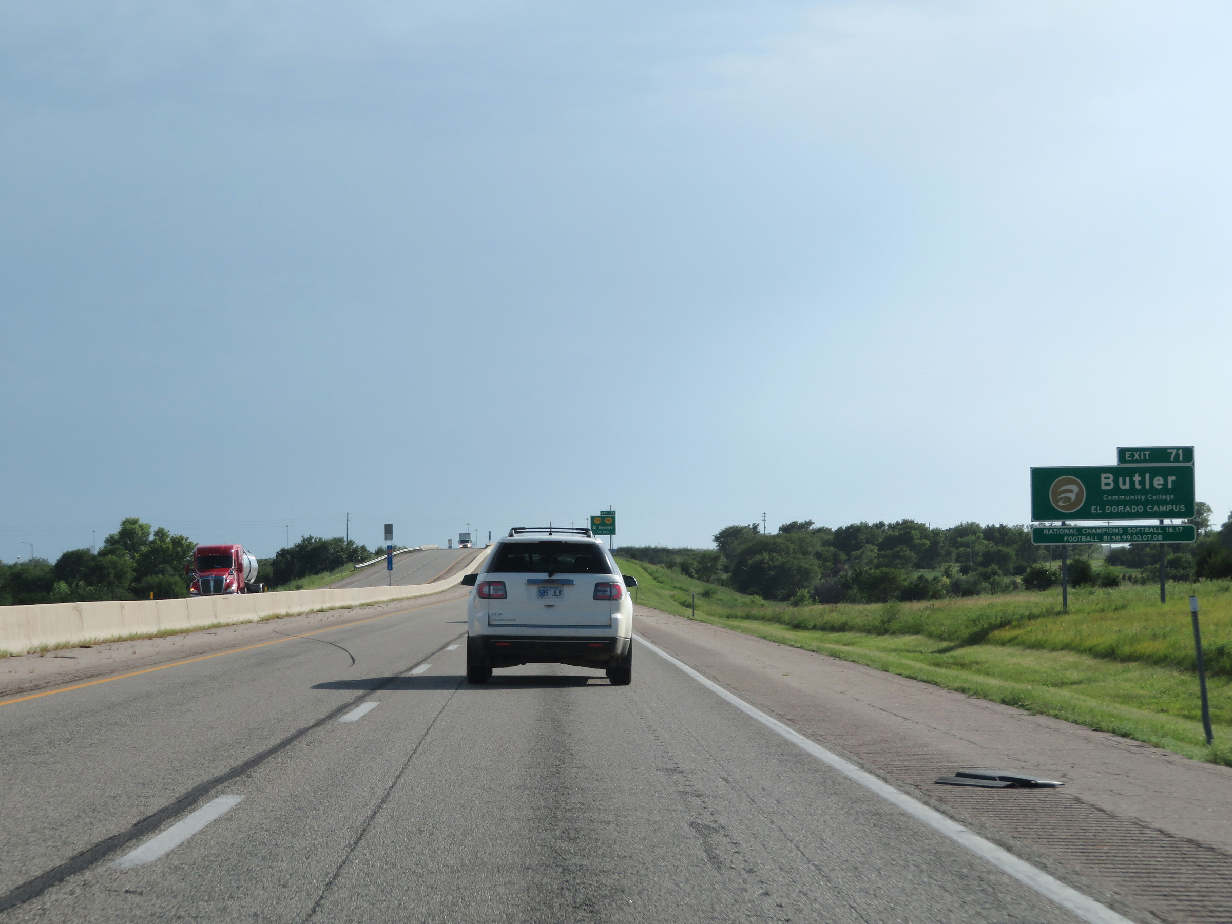 |
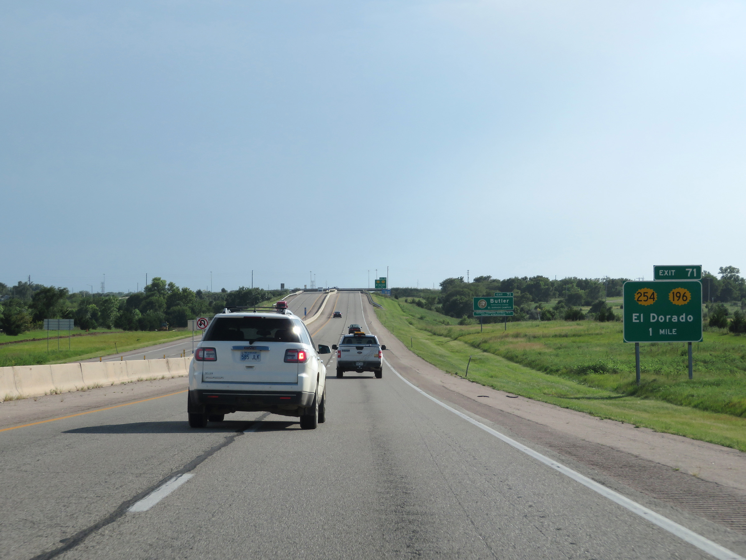
Take Exit 71 to Butler Community College El Dorado Campus. (Photo taken 8/10/20). |
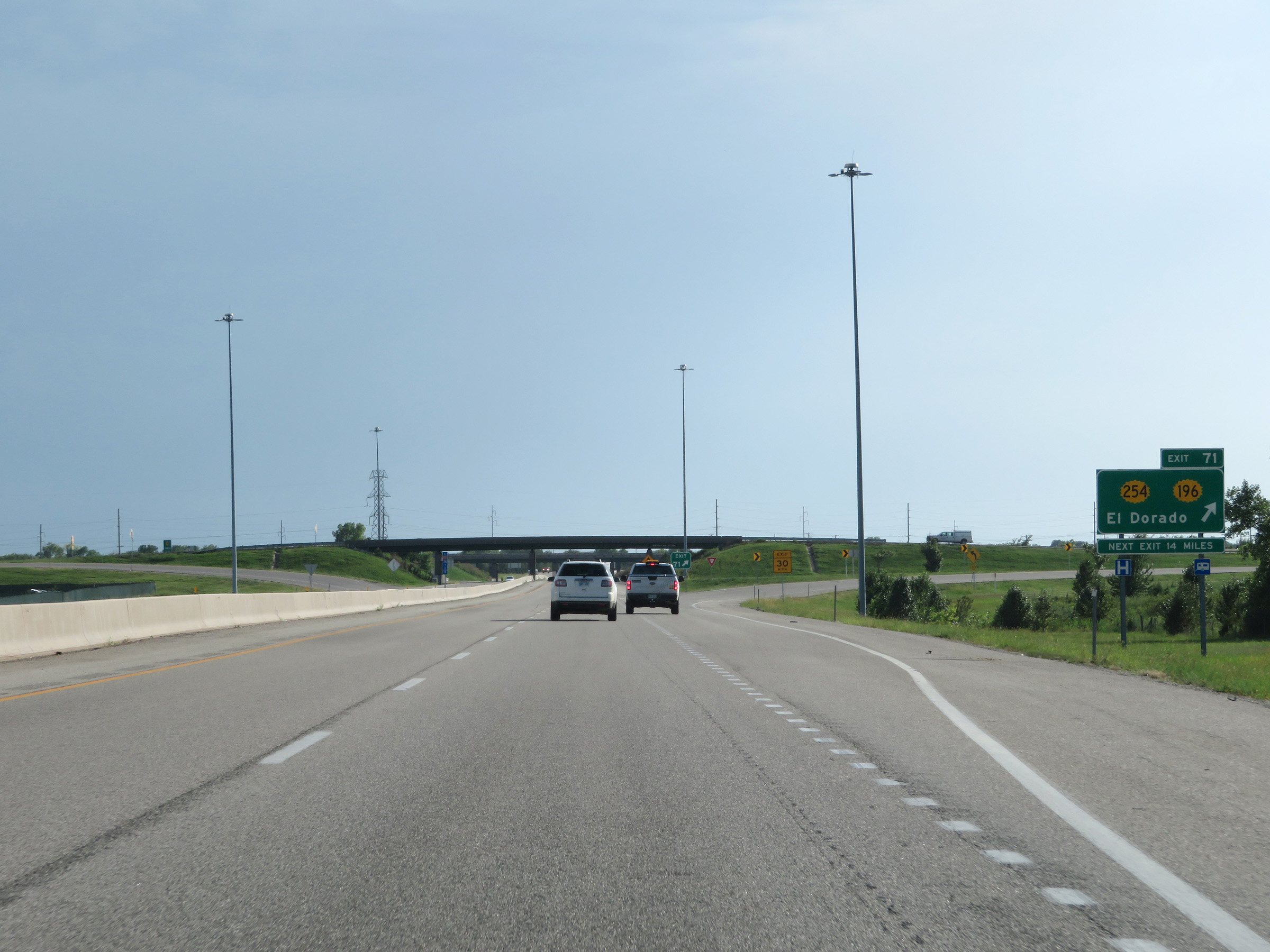 |
Interstate 35 South (Kansas Turnpike) at Exit 71: K-254 / K-196 - El Dorado (Photo taken 8/10/20). |
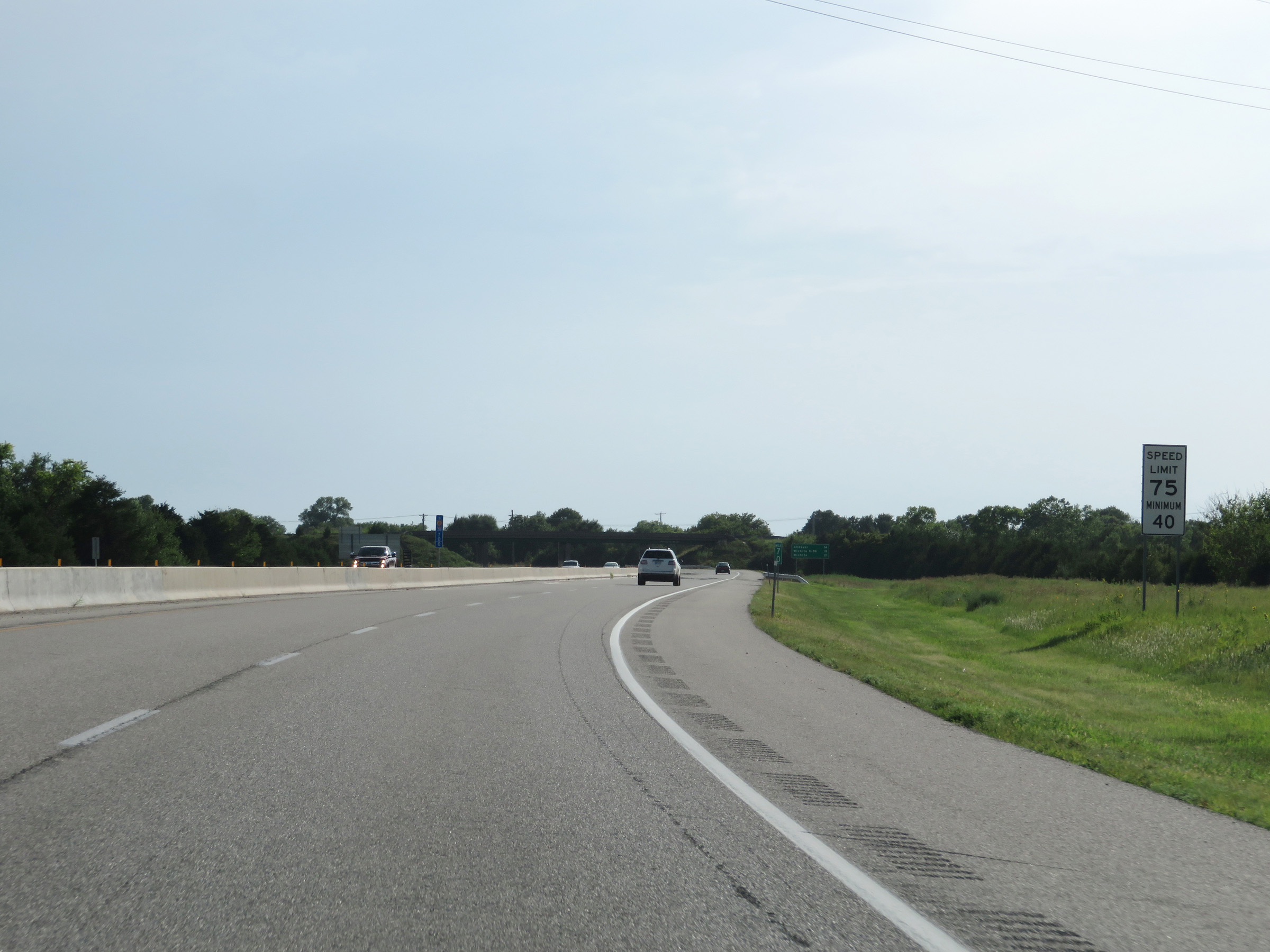 |
The speed limits remain 75 mph maximum and 40 mph minimum on Interstate 35 South (Kansas Turnpike). These are the standard speed limits on most rural Interstate highways in Kansas. (Photo taken 8/10/20). |
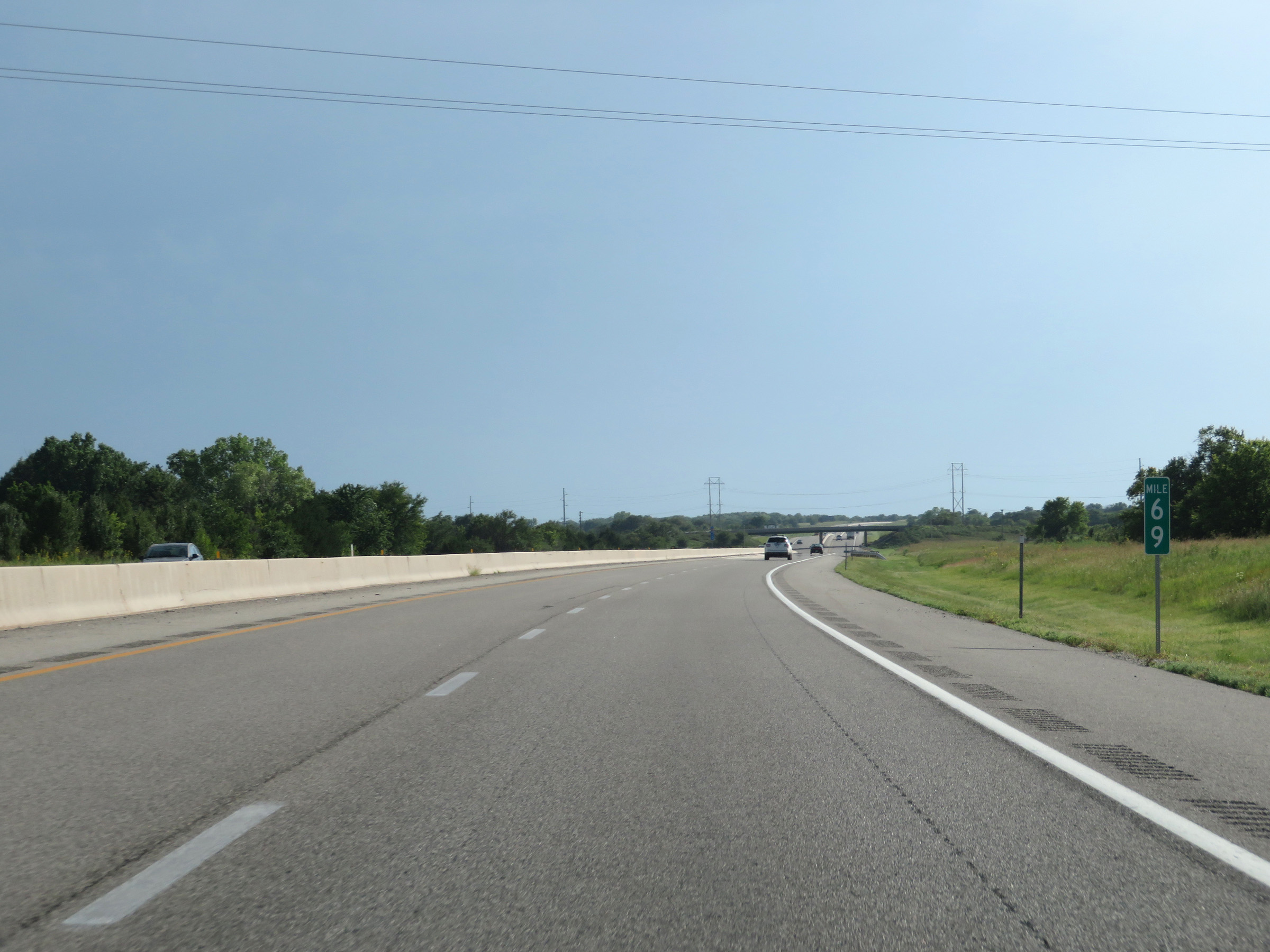 |
View on Interstate 35 South (Kansas Turnpike) at mile marker 69. (Photo taken 8/10/20). |
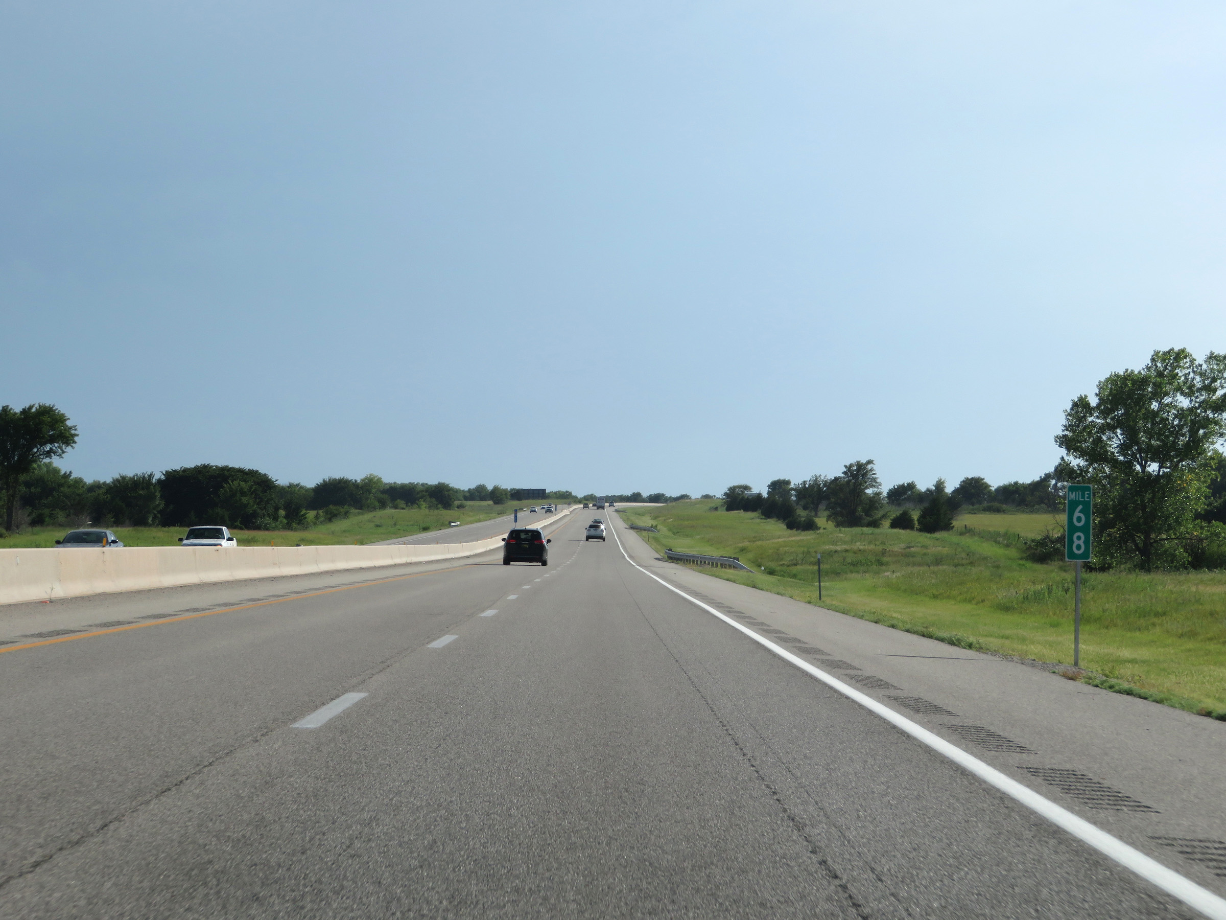 |
Interstate 35 South (Kansas Turnpike) at mile marker 68. (Photo taken 8/10/20). |
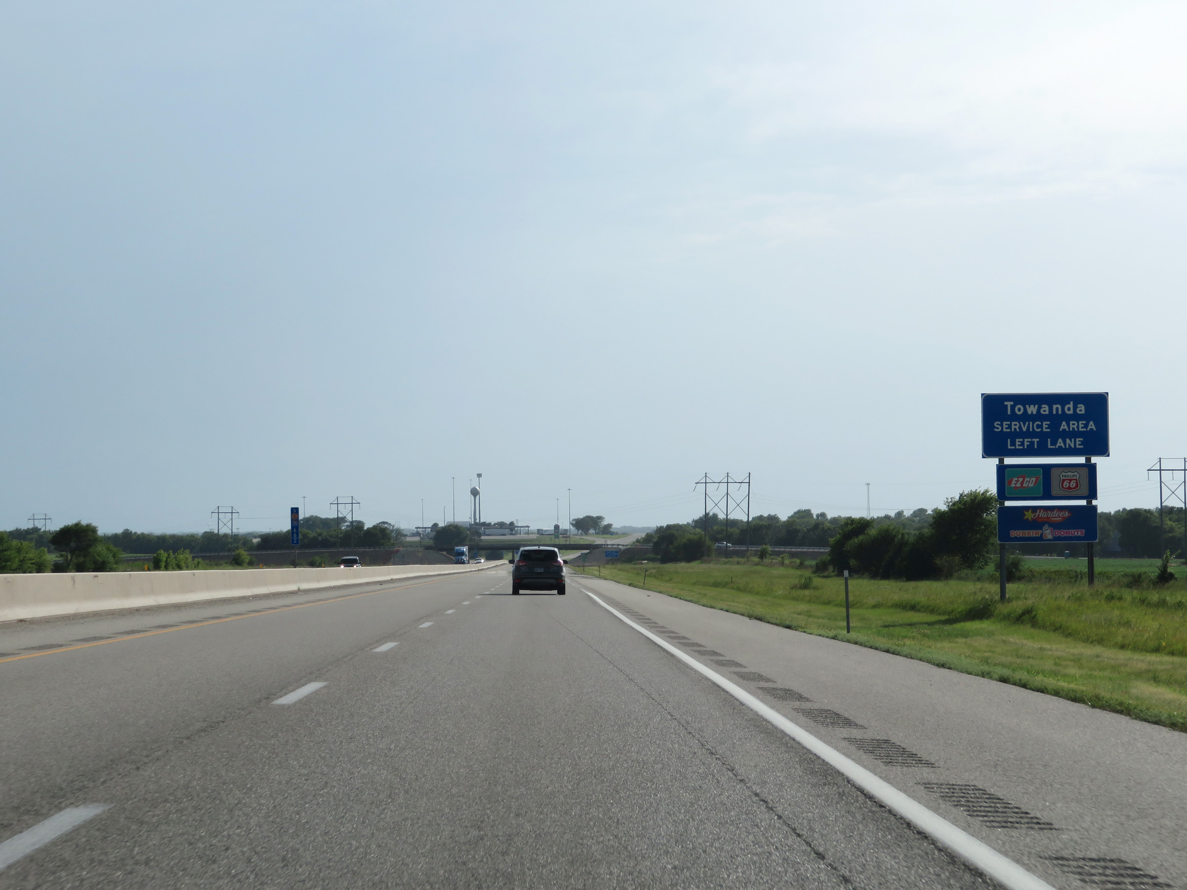 |
As Interstate 35 South (Kansas Turnpike) nears the Towanda Service Area, this sign displays some of the services available there. Traffic planning to enter the Service Area should use the left lane ahead. (Photo taken 8/10/20). |
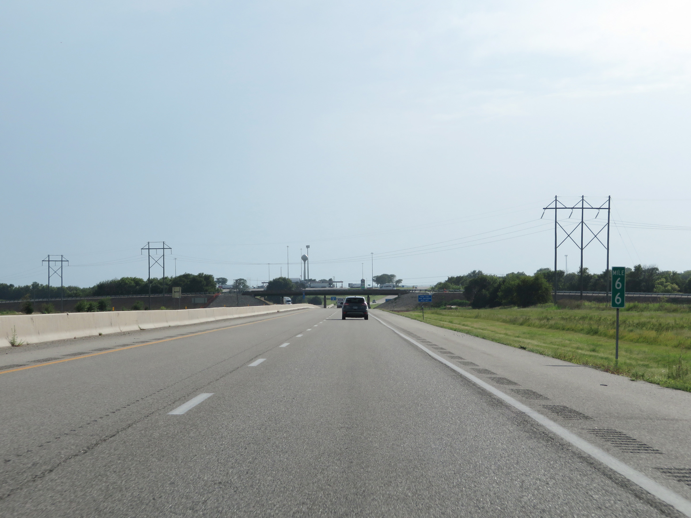 |
View on Interstate 35 South (Kansas Turnpike) at mile marker 66. (Photo taken 8/10/20). |
 |
Interstate 35 South (Kansas Turnpike) at the Towanda Service Area in Butler County. (Photo taken 8/10/20). |
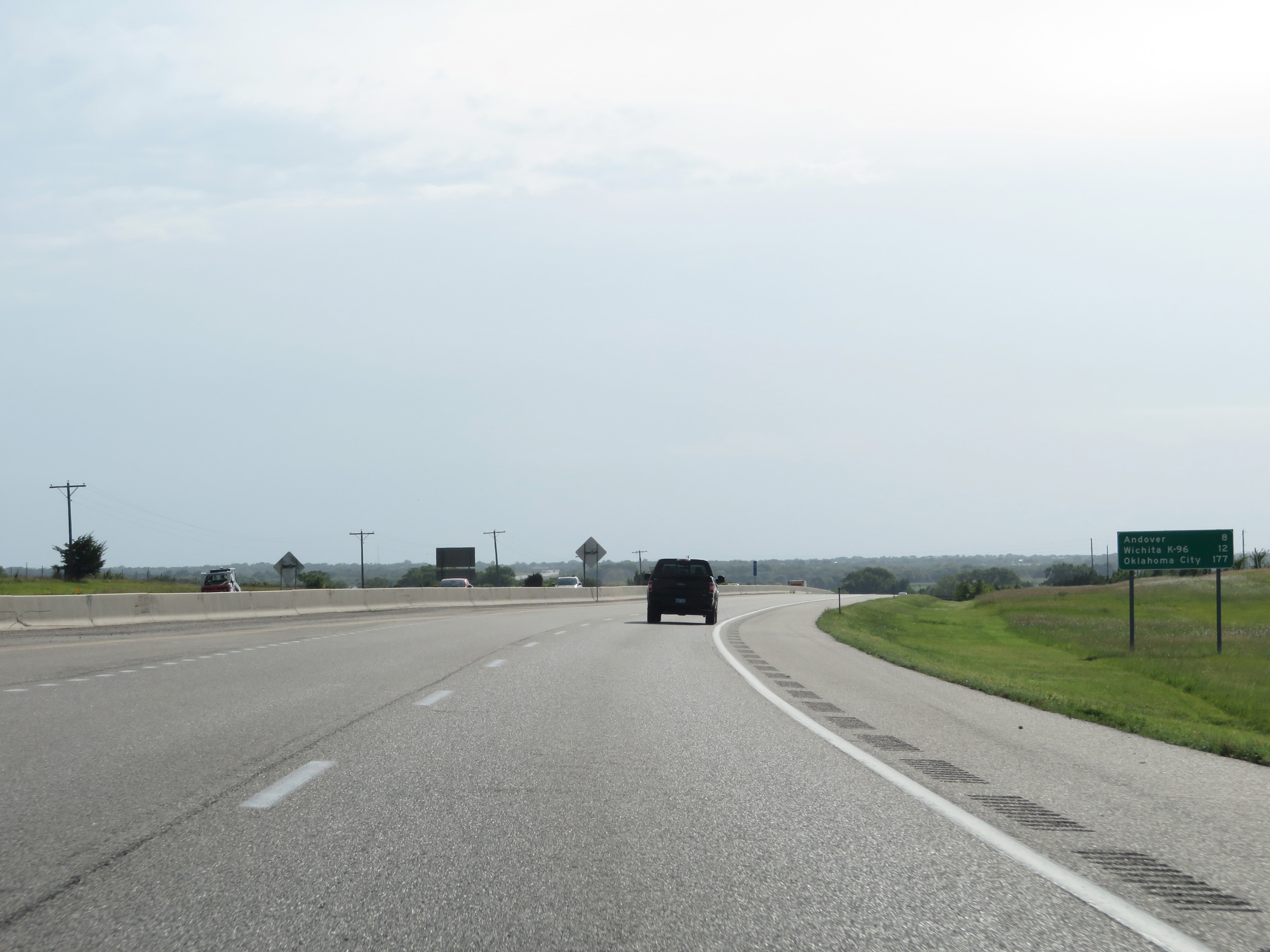 |
Mileage sign on Interstate 35 South (Kansas Turnpike). It's 8 miles to Andover, 12 miles to the junction of K-96 in Wichita, and 177 miles to Oklahoma City. (Photo taken 8/10/20). |
 |
View on Interstate 35 South (Kansas Turnpike) at mile marker 63. (Photo taken 8/10/20). |
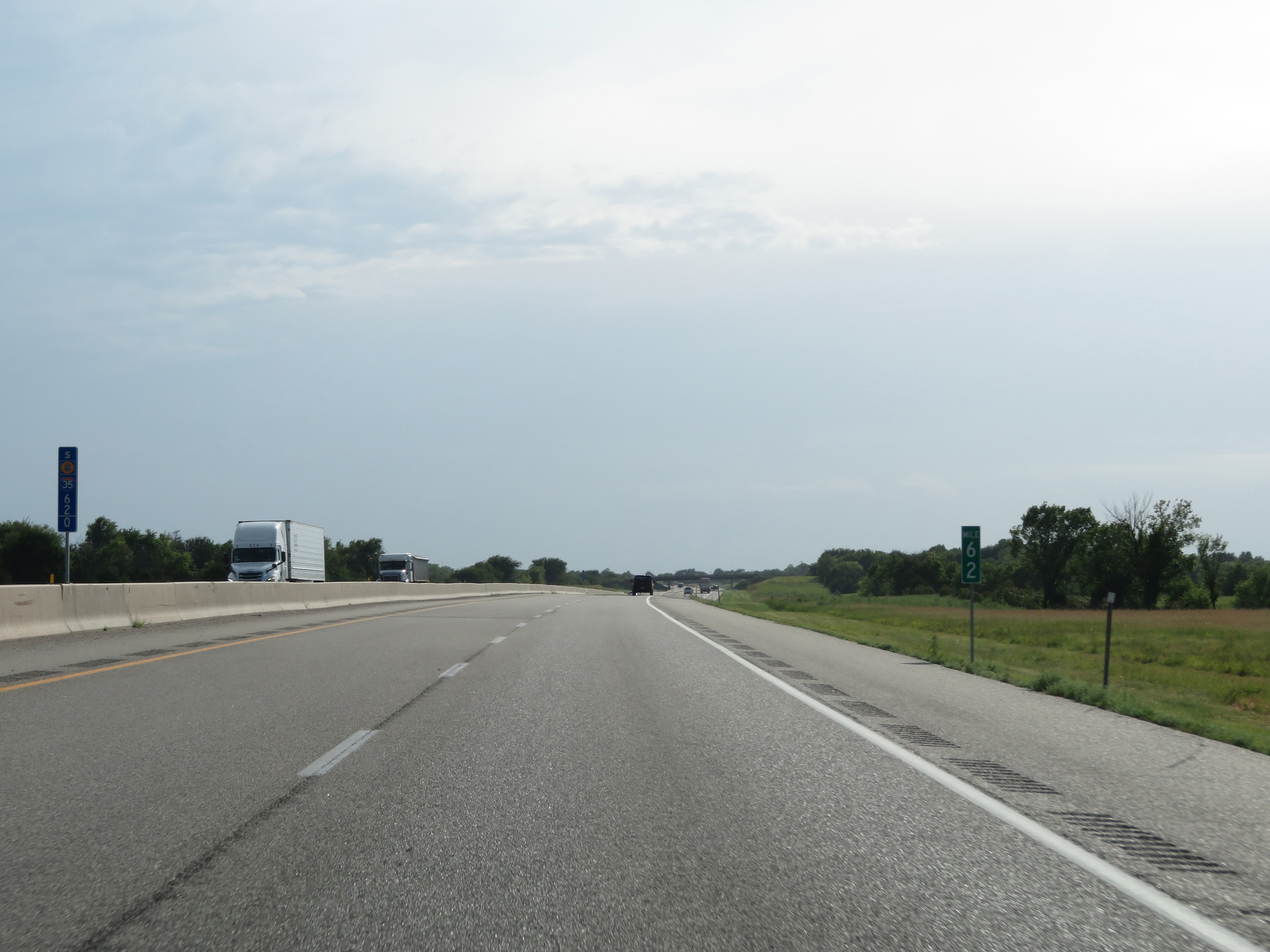 |
Interstate 35 South (Kansas Turnpike) at mile marker 62. (Photo taken 8/10/20). |
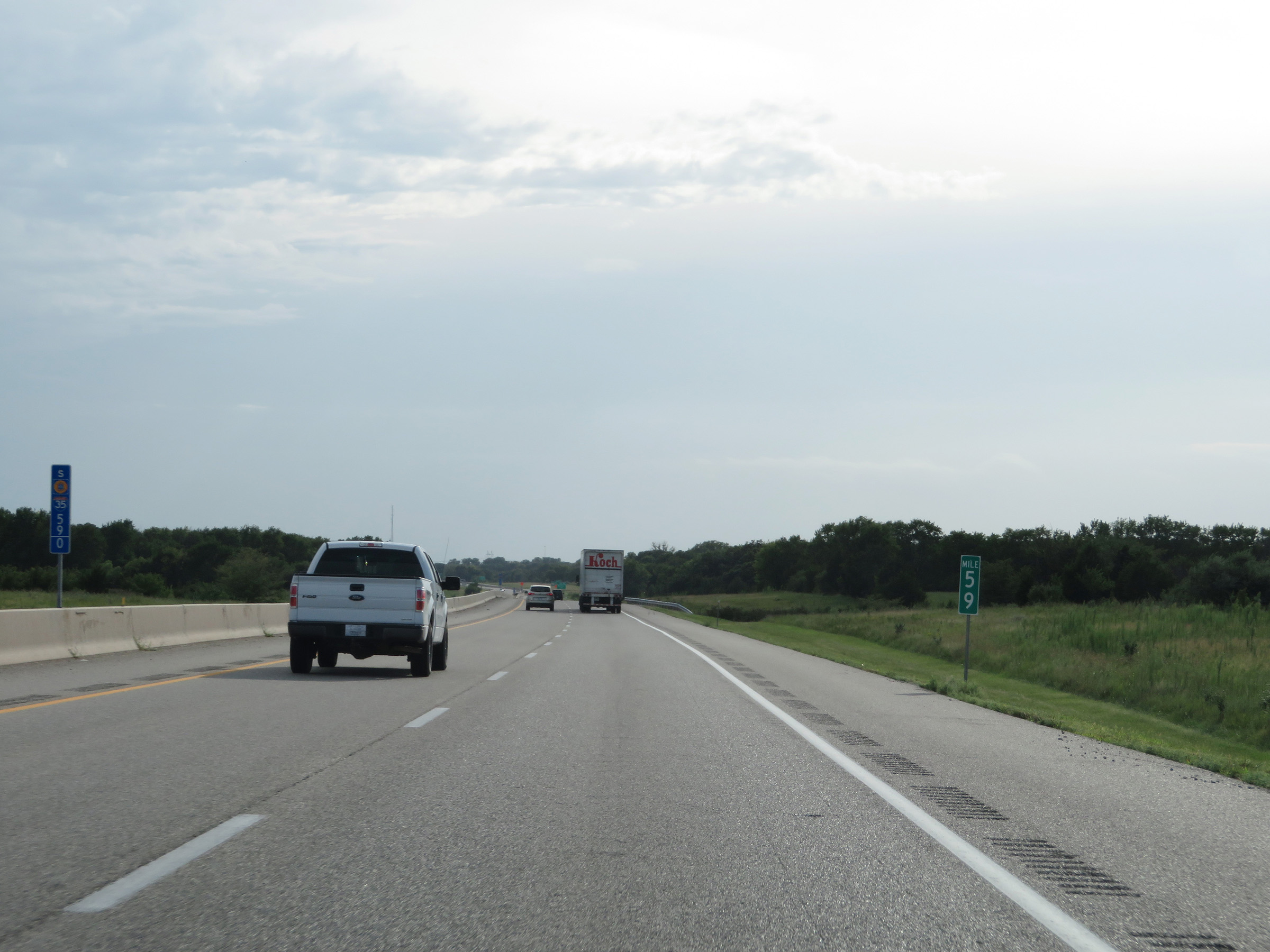 |
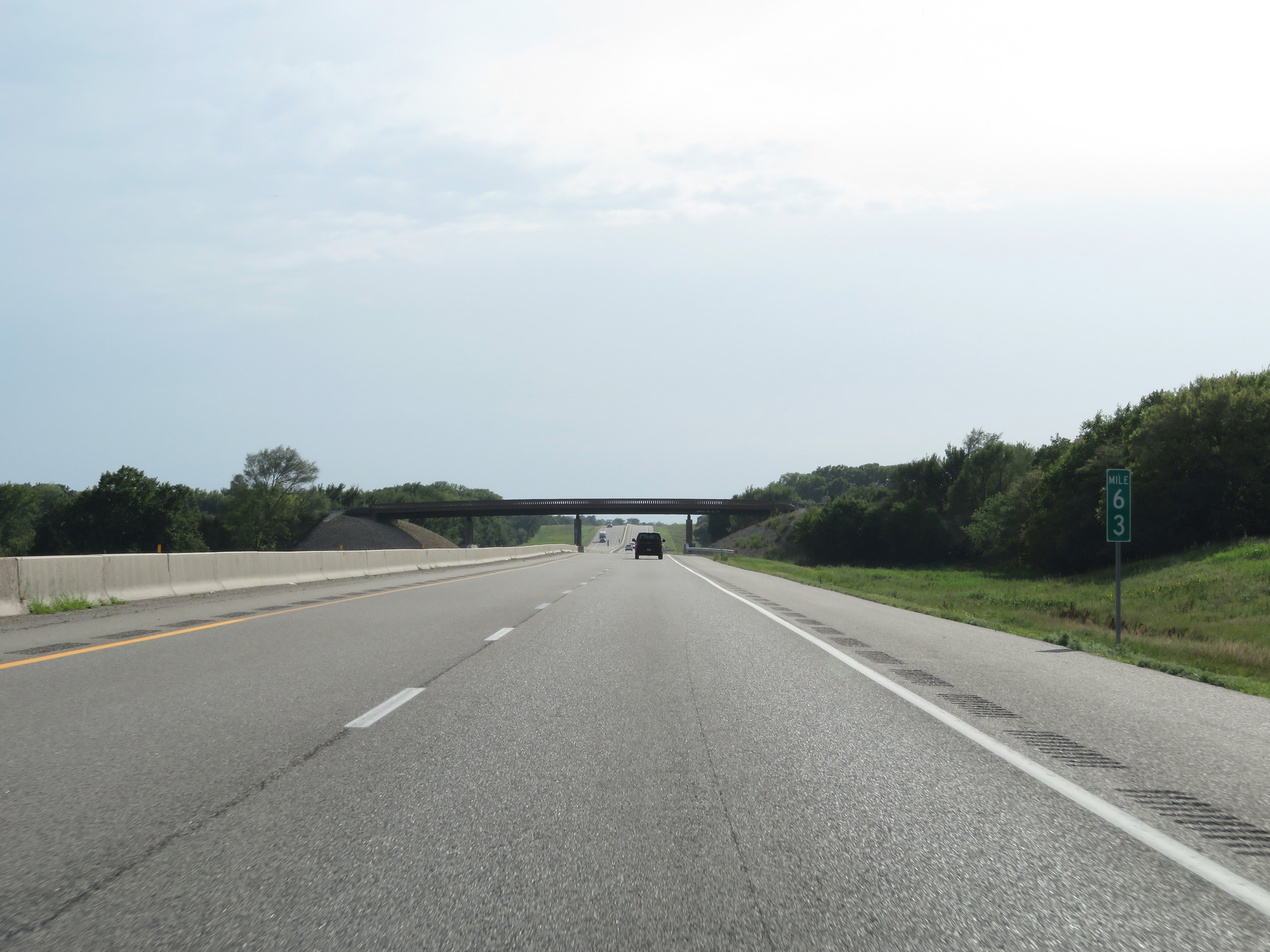
Mile marker 59 on Interstate 35 South (Kansas Turnpike) in Butler County. (Photo taken 8/10/20). |
 |
Interstate 35 South (Kansas Turnpike) approaching Exit 57 - 1 mile. (Photo taken 8/10/20). |
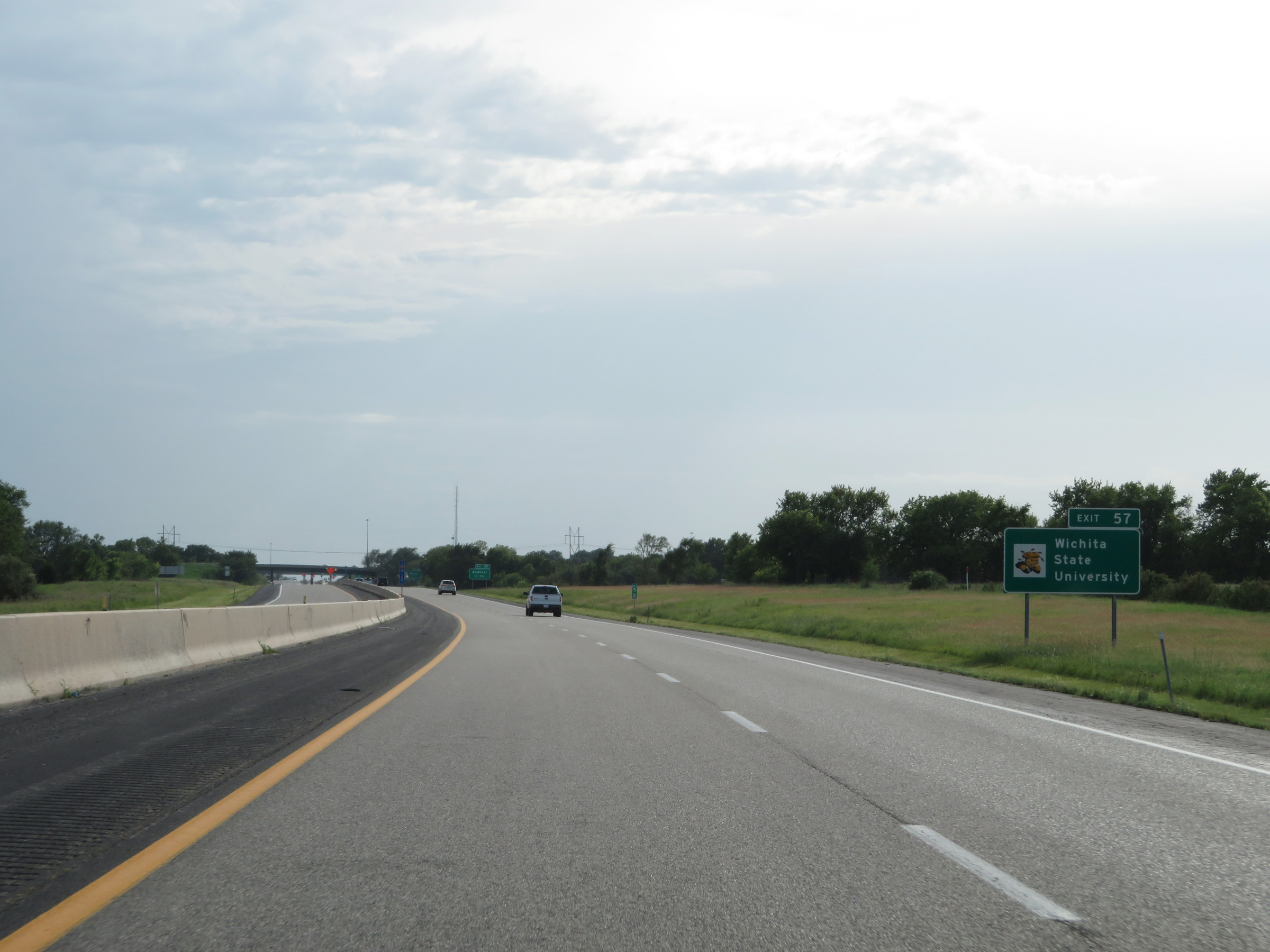 |
Take Exit 57 to Wichita State University. (Photo taken 8/10/20). |
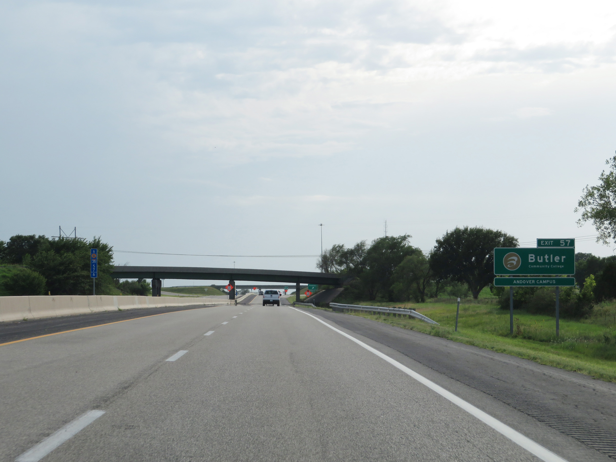 |
Also take Exit 57 to Butler Community College Andover Campus. (Photo taken 8/10/20). |
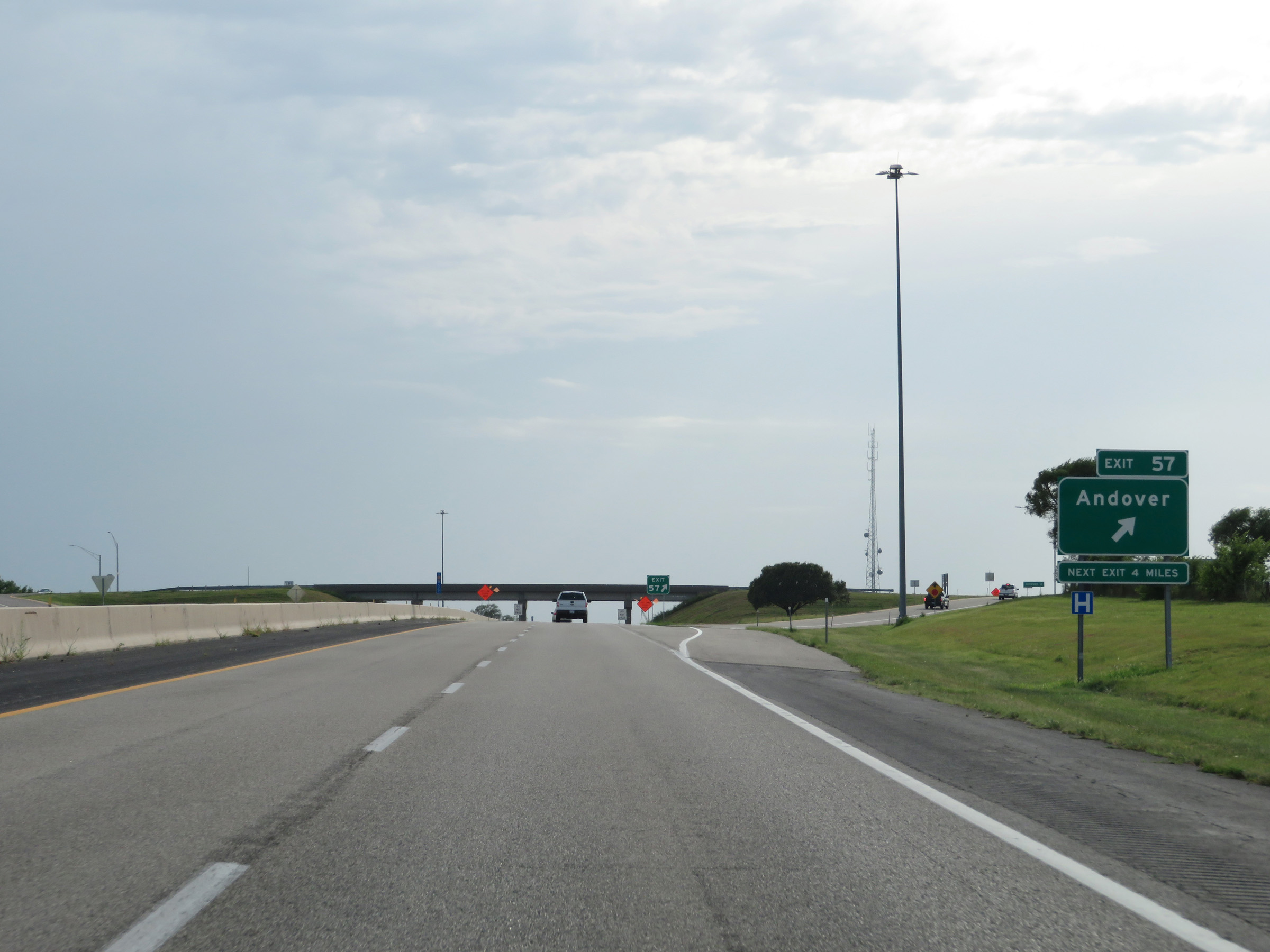 |
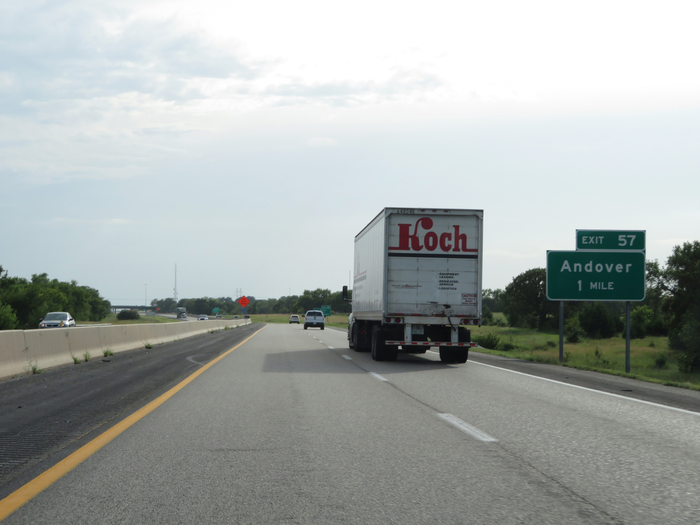
Interstate 35 South (Kansas Turnpike) at Exit 57: Andover (Photo taken 8/10/20). |
 |
Interstate 35 South / Kansas Turnpike reassurance shields. (Photo taken 8/10/20). |
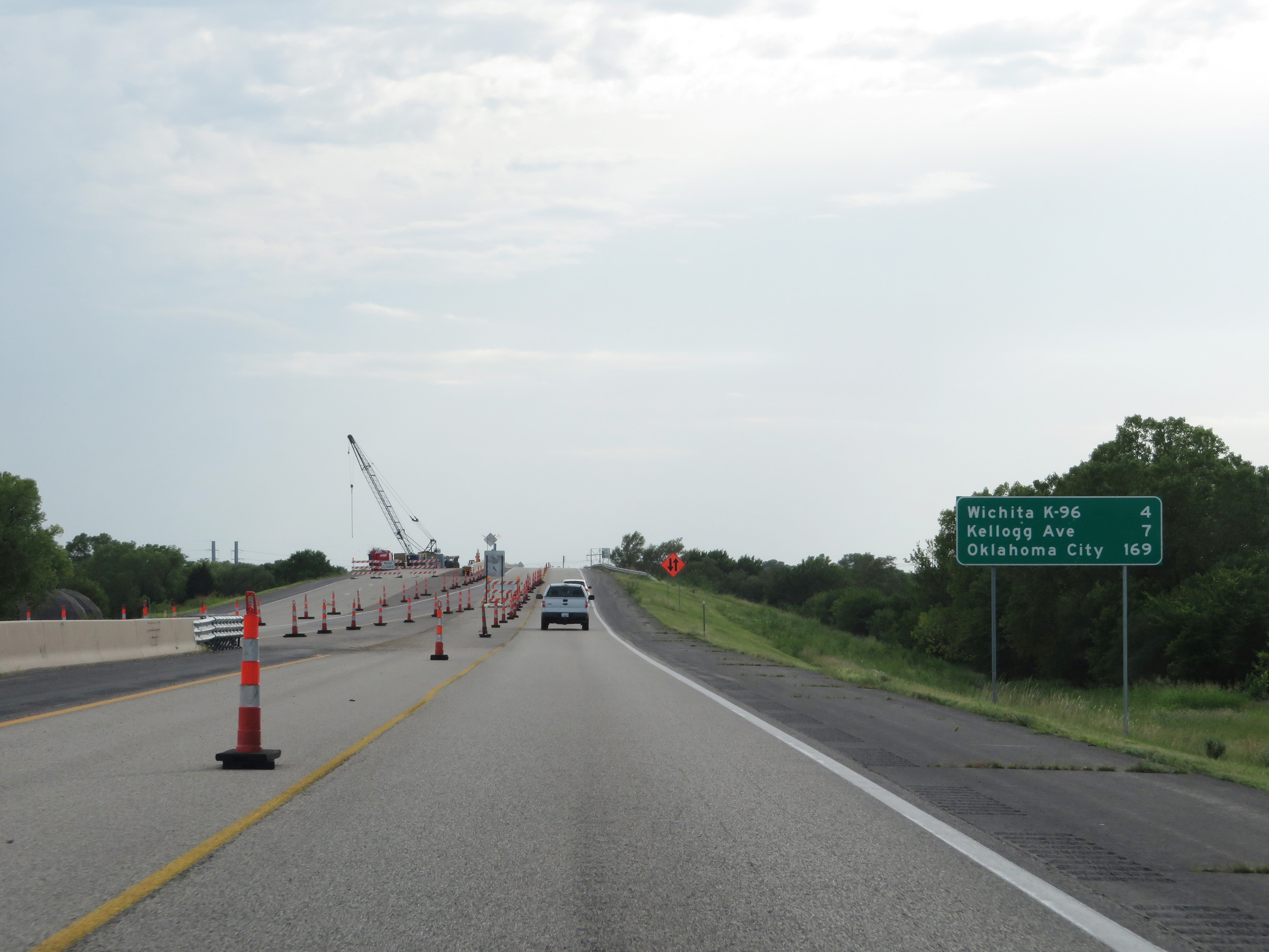 |
Mileage sign on Interstate 35 South (Kansas Turnpike). It's 4 miles to the junction of K-96 in Wichita, 7 miles to the junction of Kellogg Ave, and 169 miles to Oklahoma City. (Photo taken 8/10/20). |
 |
View on Interstate 35 South (Kansas Turnpike) at mile marker 55. (Photo taken 8/10/20). |
 |
Interstate 35 South (Kansas Turnpike) approaching Exit 53 - 1 mile. (Photo taken 8/10/20). |
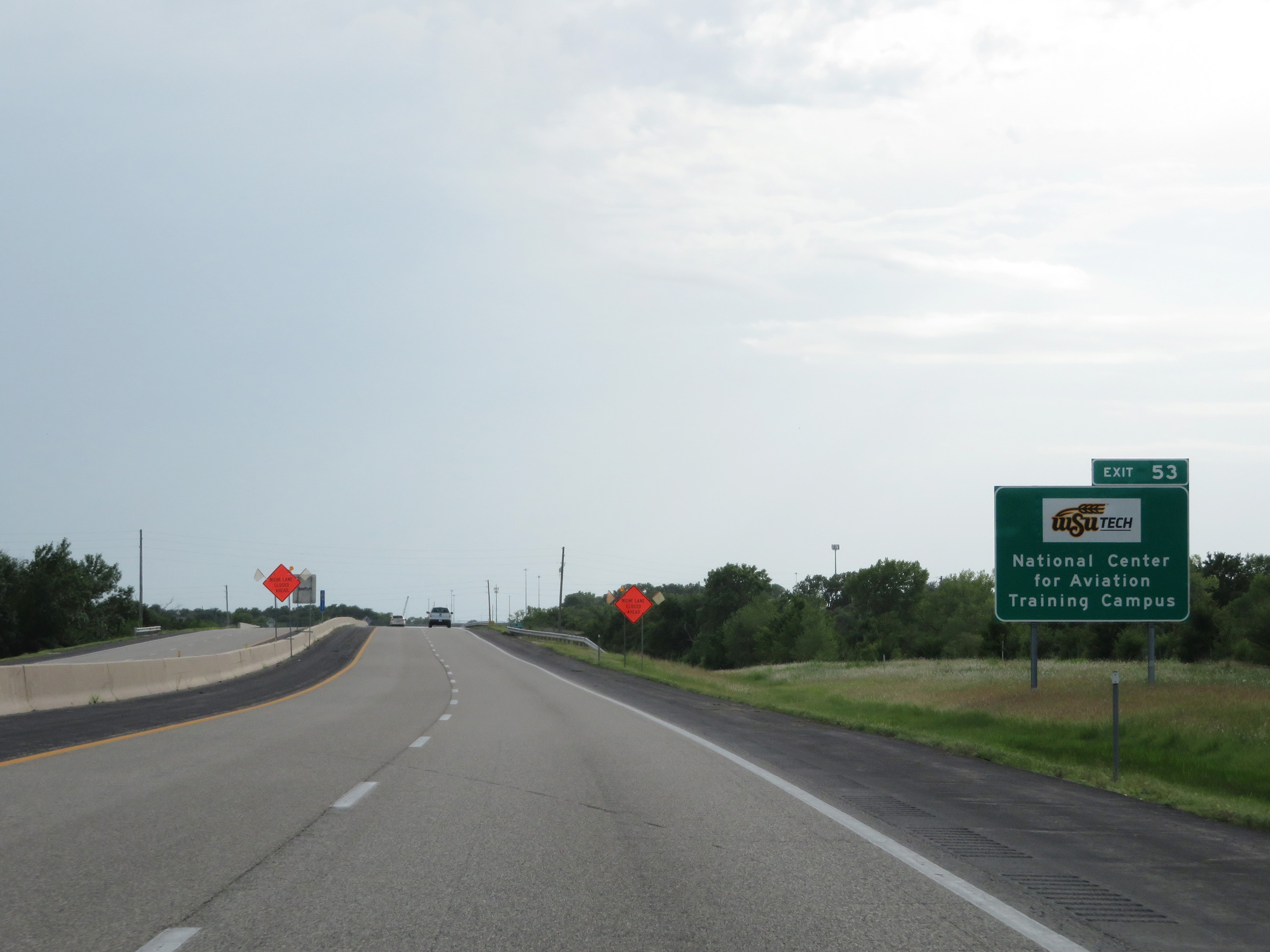 |
Take Exit 53 to the WSU Tech National Center for Aviation Training Campus. (Photo taken 8/10/20). |
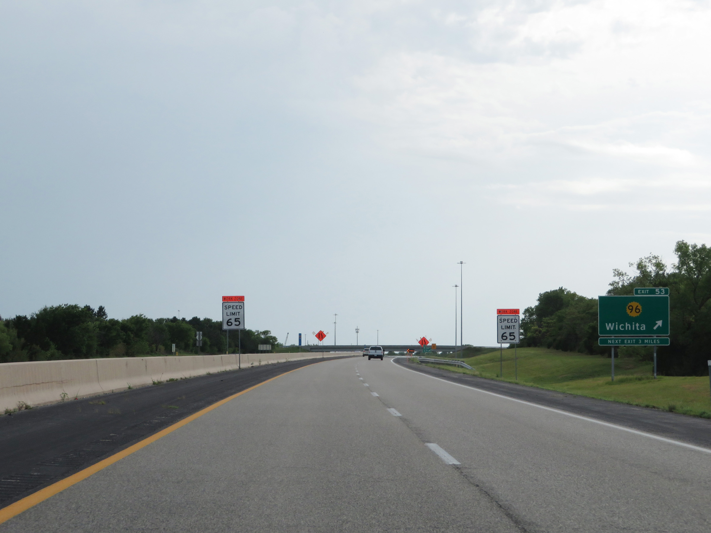 |
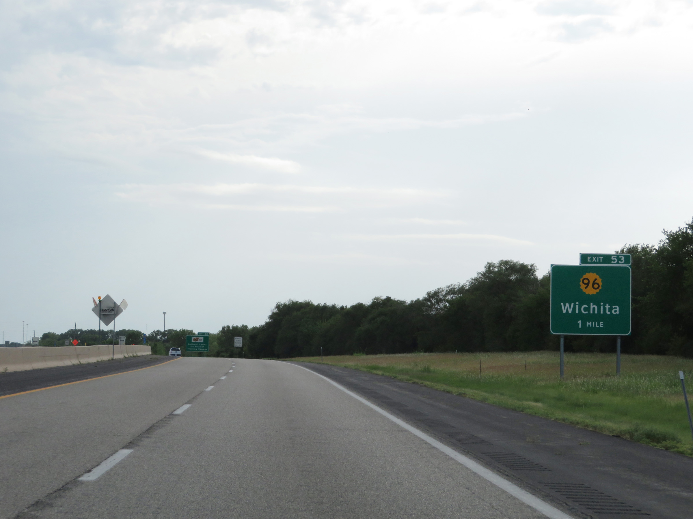
Interstate 35 South (Kansas Turnpike) at Exit 53: K-96 - Wichita (Photo taken 8/10/20). |
 |
Interstate 35 South (Kansas Turnpike) at mile marker 52. (Photo taken 8/10/20). |
 |
Interstate 35 South (Kansas Turnpike) approaching Exit 50 - 1 mile. (Photo taken 8/10/20). |
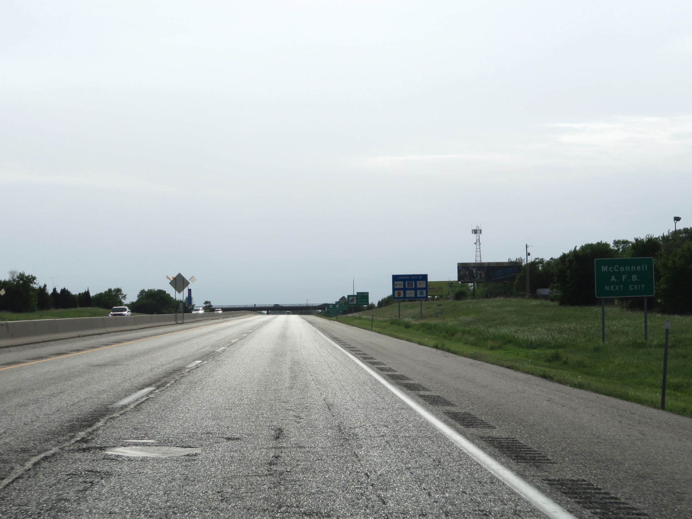 |
Take Exit 50 to McConnell Air Force Base. (Photo taken 8/10/20). |
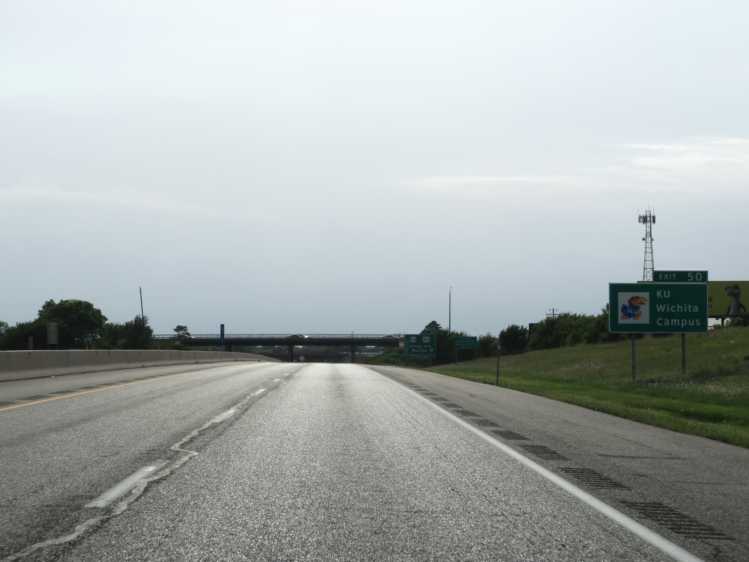 |
Also take Exit 50 to KU's Wichita Campus. (Photo taken 8/10/20). |
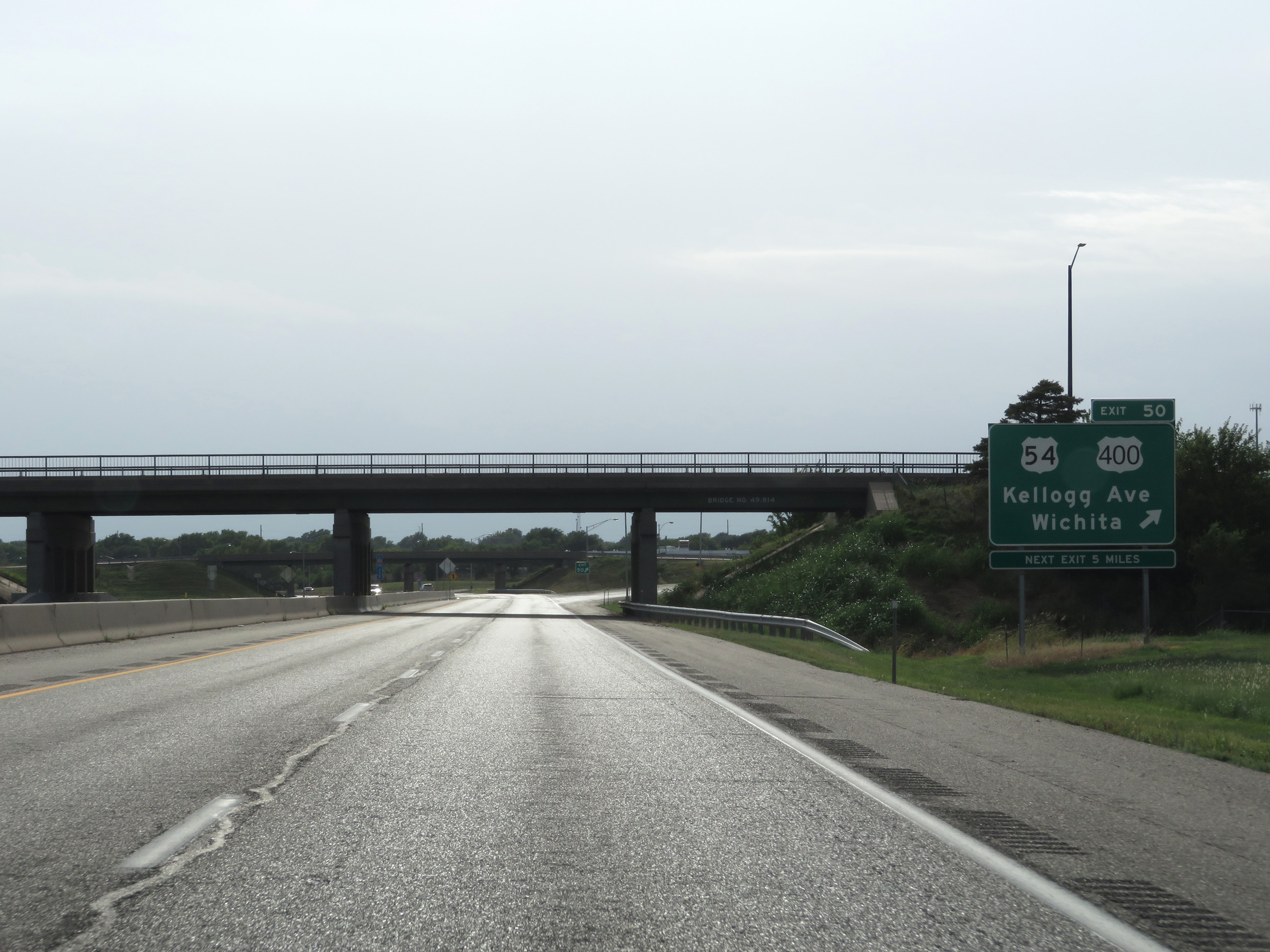 |
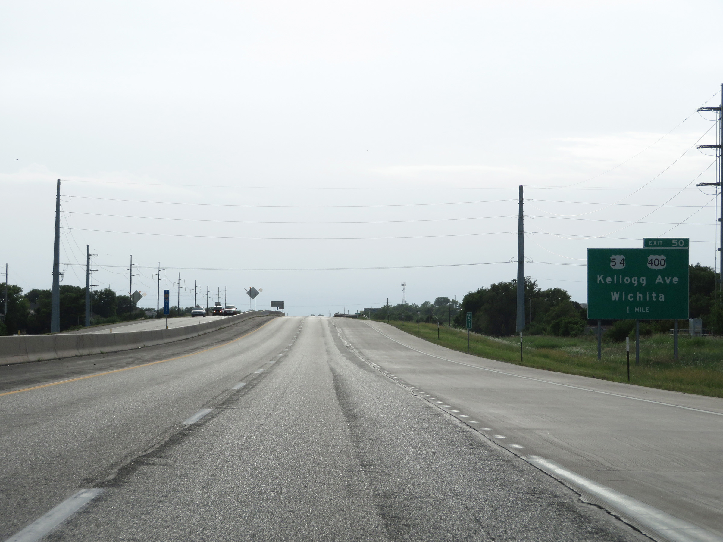
Interstate 35 South (Kansas Turnpike) at Exit 50: US 54 / US 400 - Kellogg Ave / Wichita (Photo taken 8/10/20). |
 |
Interstate 35 South / Kansas Turnpike reassurance markers. (Photo taken 8/11/20). |
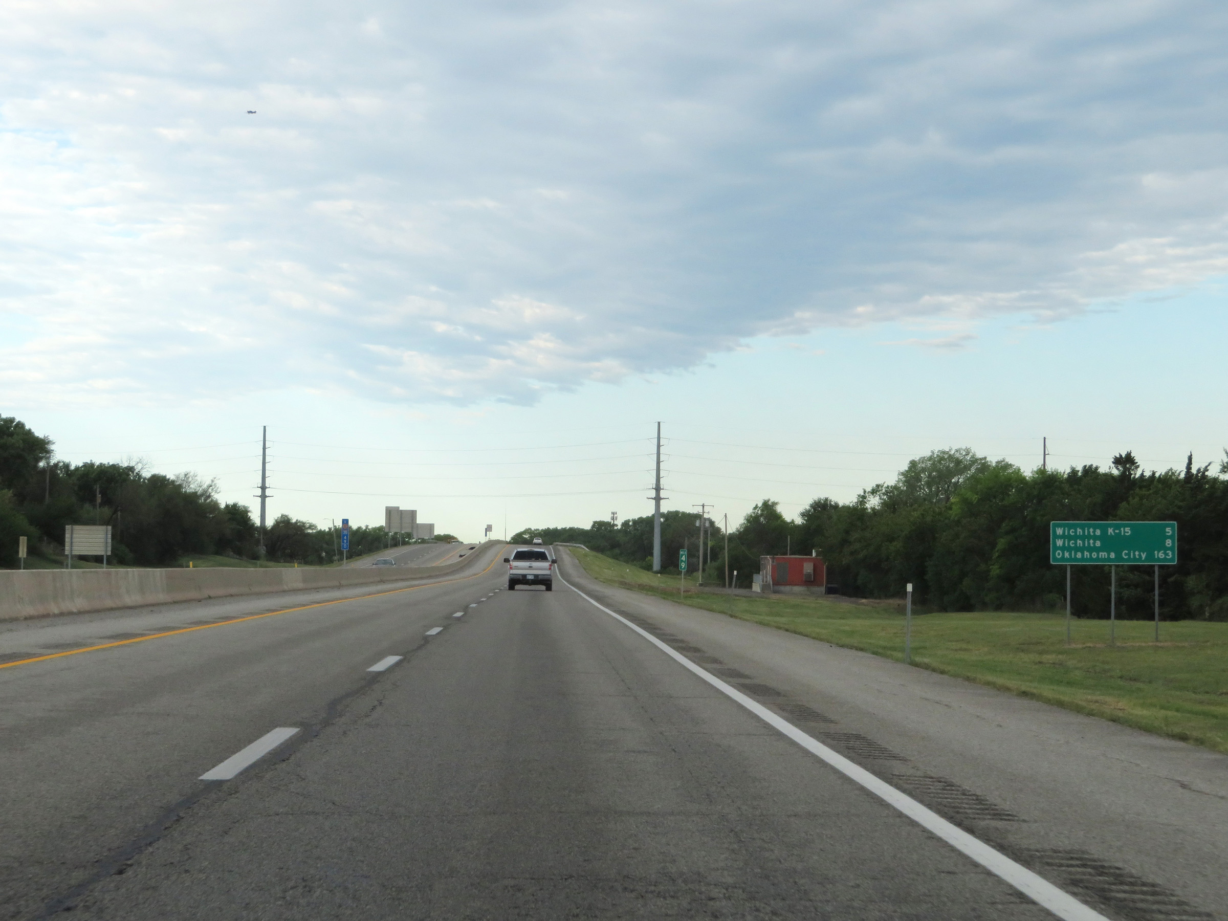 |
Mileage sign on Interstate 35 South (Kansas Turnpike) at mile marker 49. It's 5 miles to the junction of K-15, 8 miles to Wichita, and 163 miles to Oklahoma City. (Photo taken 8/11/20). |
 |
View on Interstate 35 South (Kansas Turnpike) at mile marker 48. (Photo taken 8/11/20). |
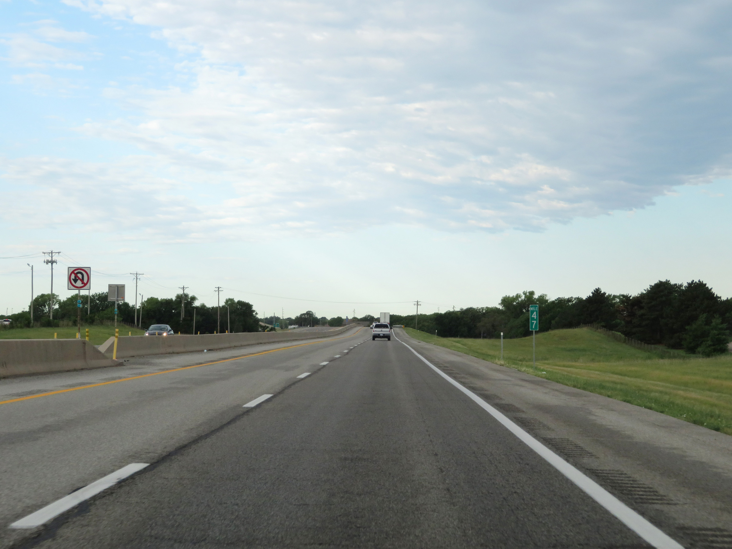 |
Interstate 35 South (Kansas Turnpike) at mile marker 47. (Photo taken 8/11/20). |
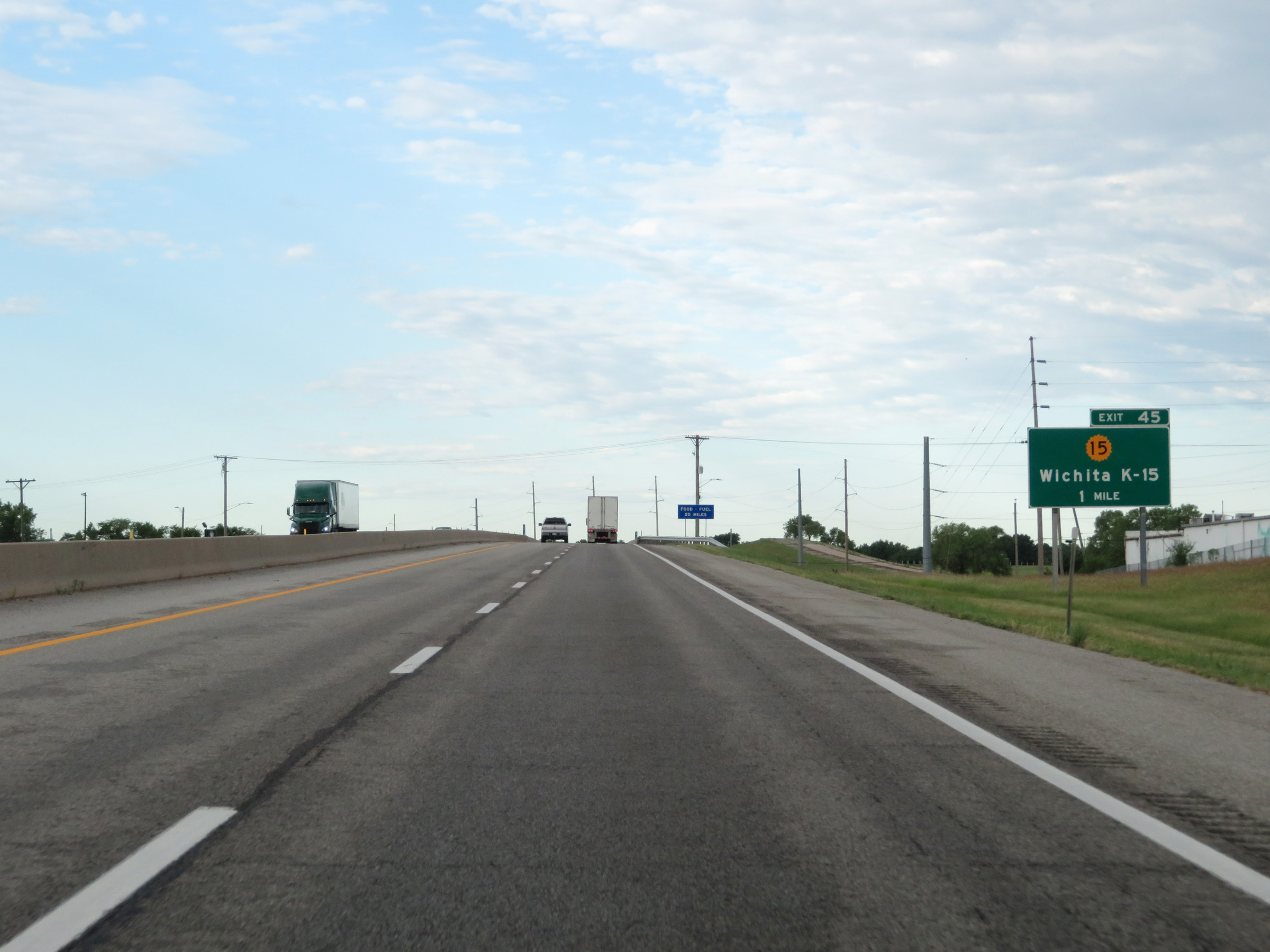 |
Interstate 35 South (Kansas Turnpike) approaching Exit 45 - 1 mile. (Photo taken 8/11/20). |
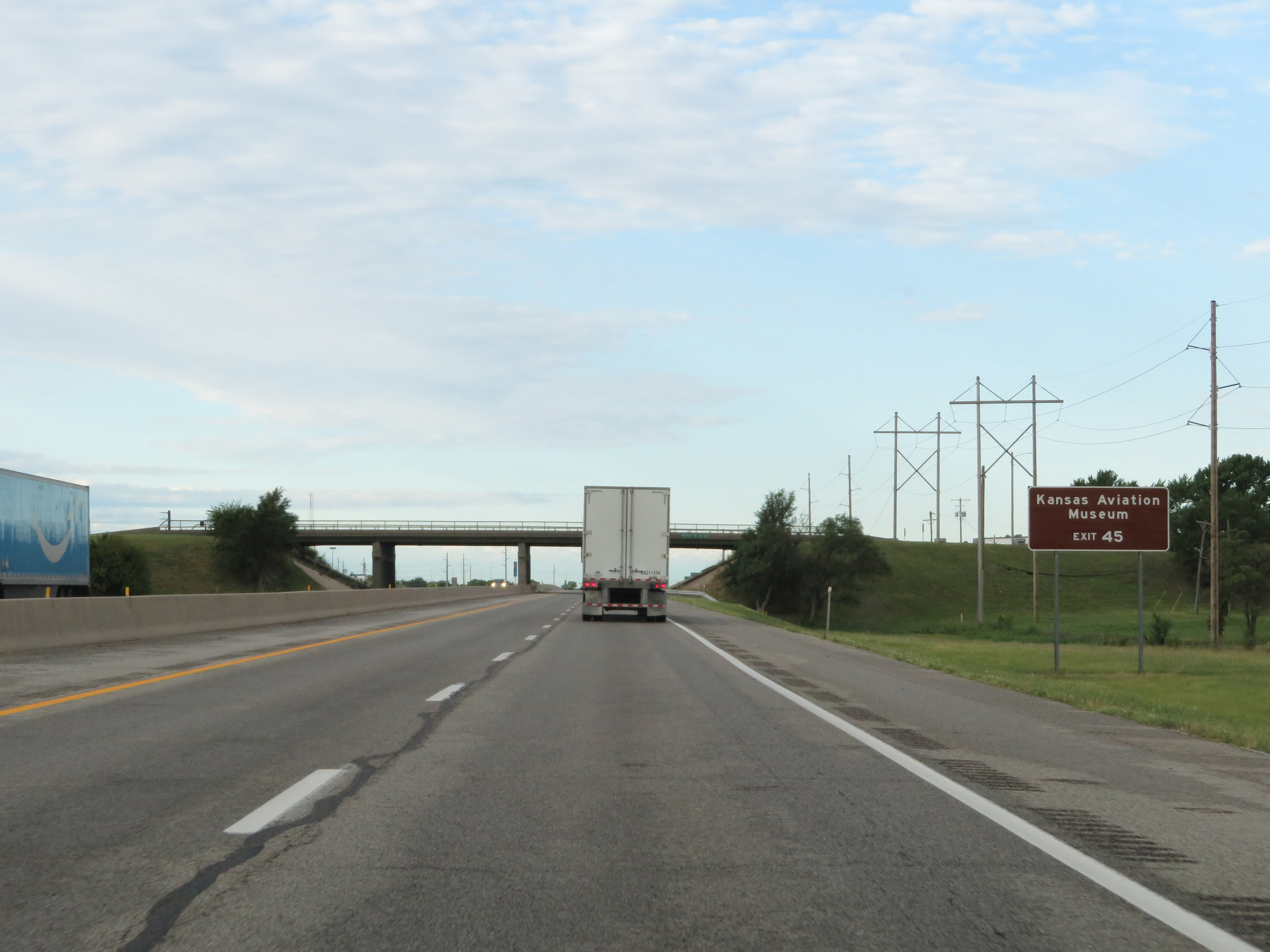 |
Take Exit 45 to the Kansas Aviation Museum. (Photo taken 8/11/20). |
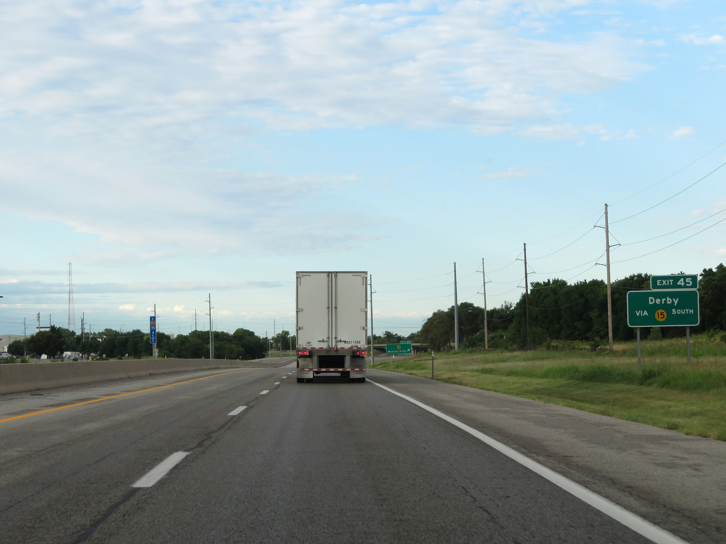 |
Also take Exit 45 to Derby via K-15 South. (Photo taken 8/11/20). |
 |
Interstate 35 South (Kansas Turnpike) at Exit 45: K-15 - Wichita (Photo taken 8/11/20). |
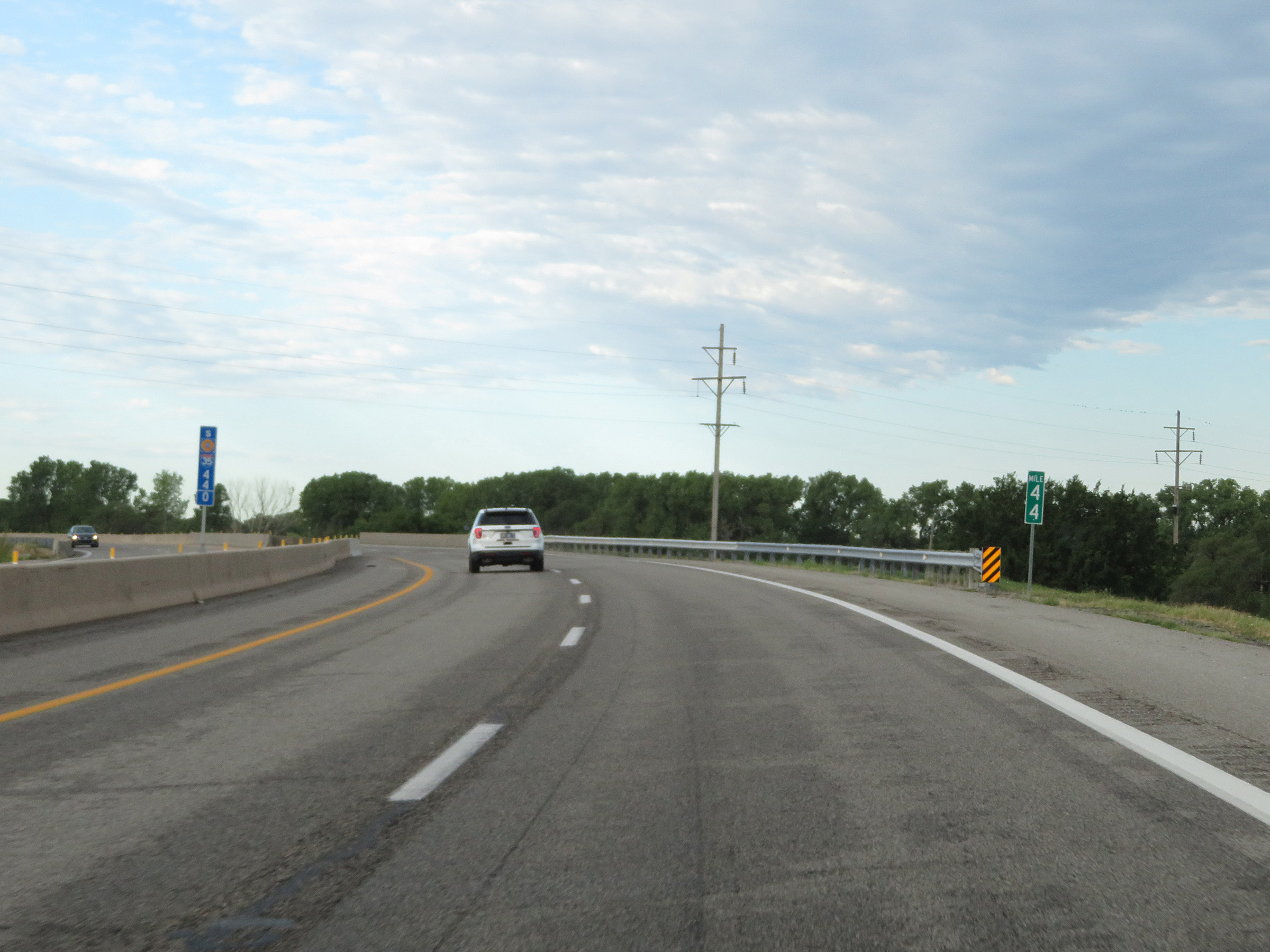 |
Interstate 35 South (Kansas Turnpike) at mile marker 44. (Photo taken 8/11/20). |
 |
Interstate 35 South (Kansas Turnpike) approaching Exit 42 - 1 mile. (Photo taken 8/11/20). |
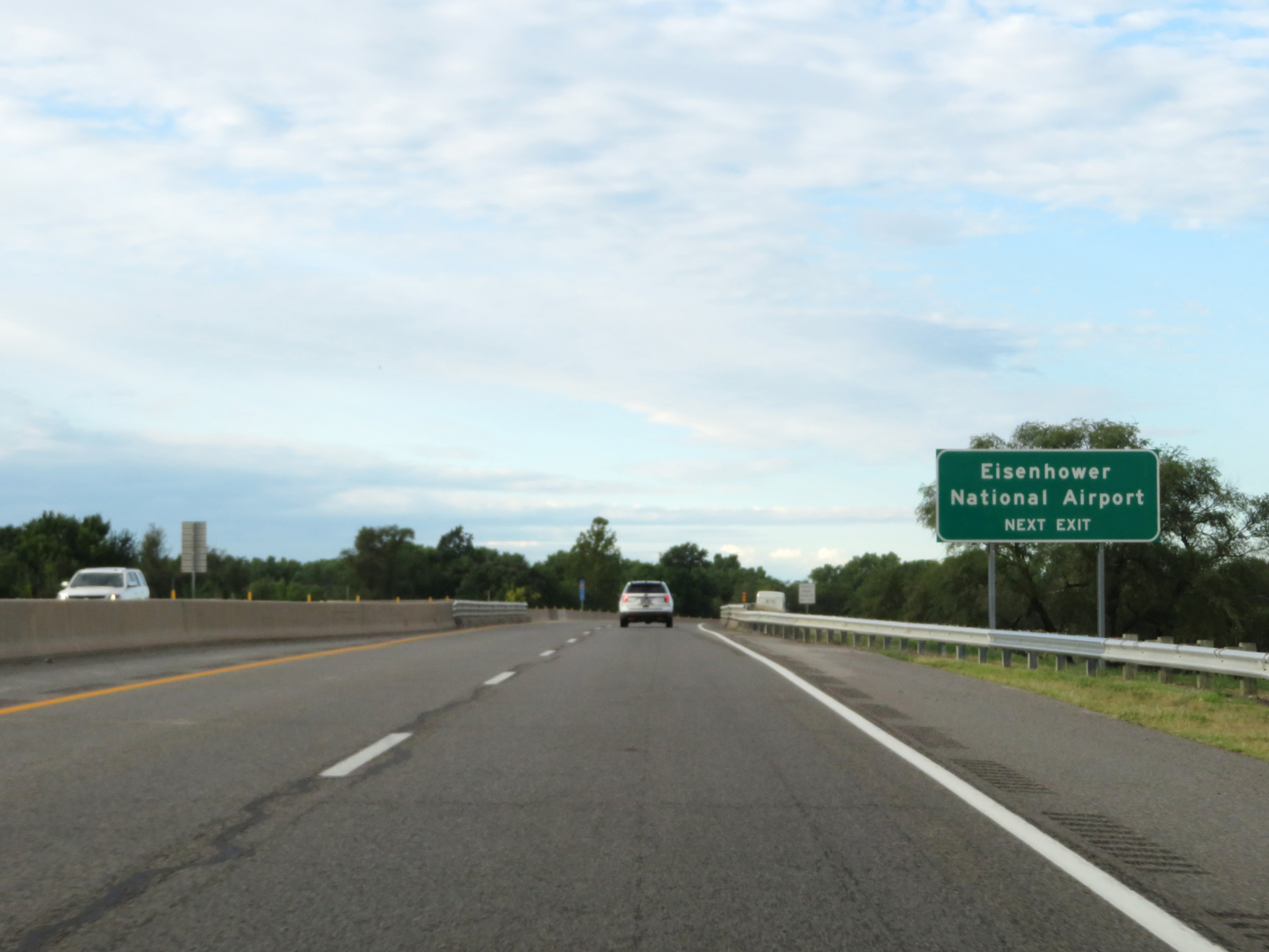 |
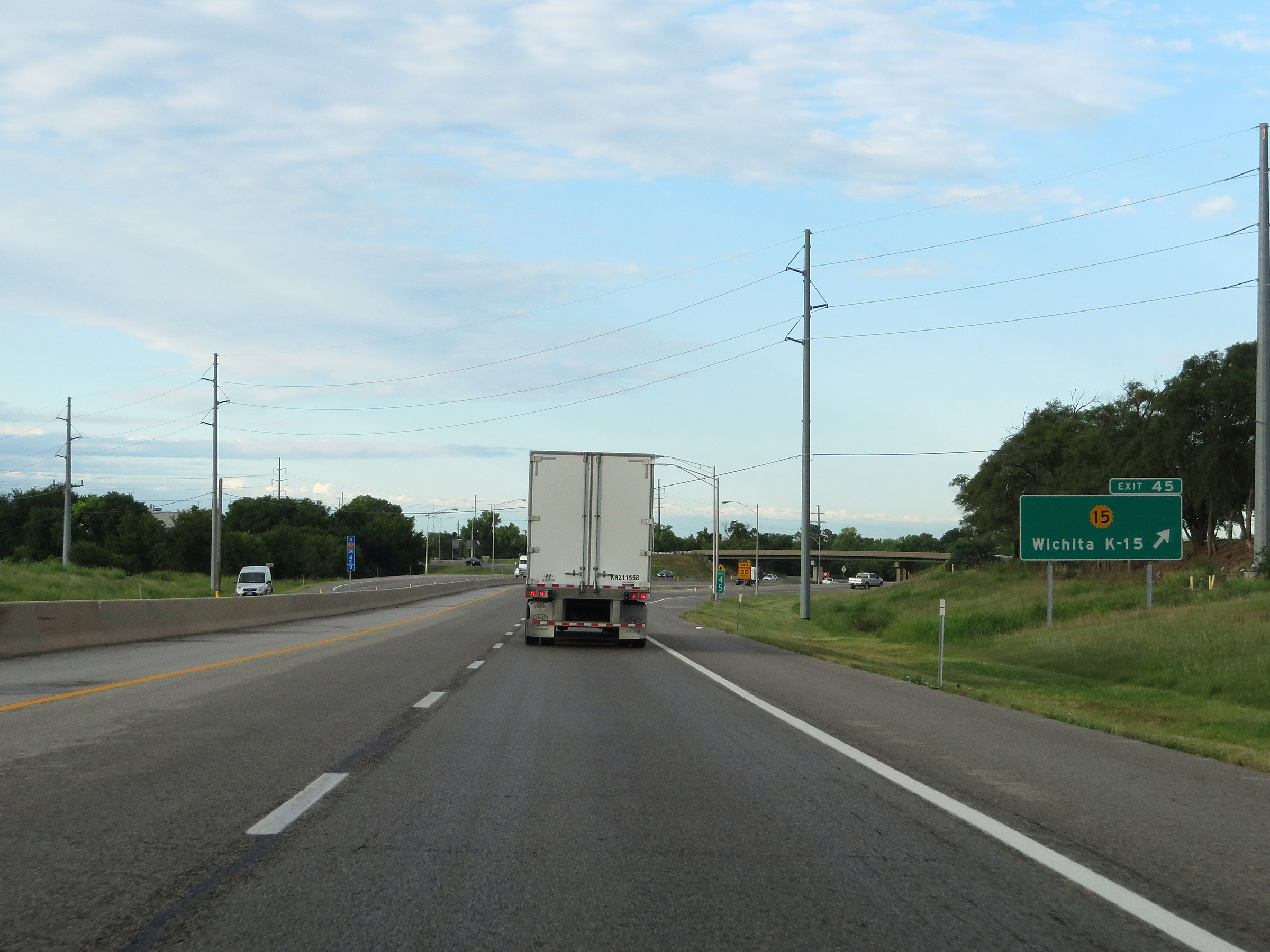
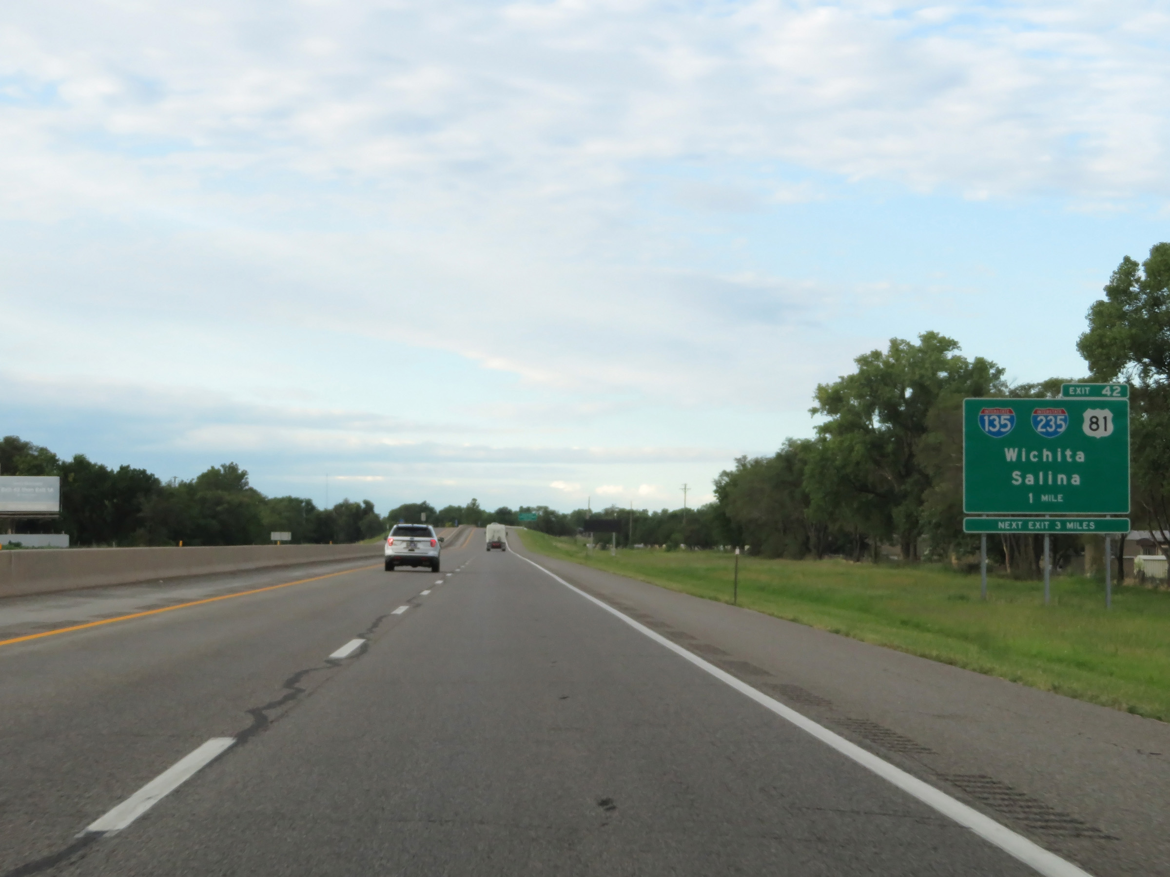
Take Exit 42 to Eisenhower National Airport. (Photo taken 8/11/20). |
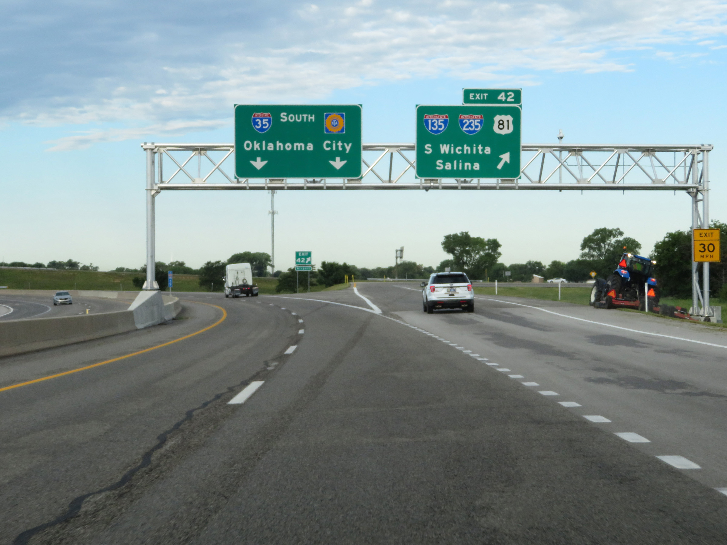 |
Interstate 35 South (Kansas Turnpike) at Exit 42: Interstate 135 / Interstate 235 / US 81 - South Wichita / Salina (Photo taken 8/11/20). |
Section 6: Wichita (Exit 42) to Oklahoma Border
 |
Interstate 35 South (Kansas Turnpike) approaching Exit 39 - 1 mile. (Photo taken 8/11/20). |
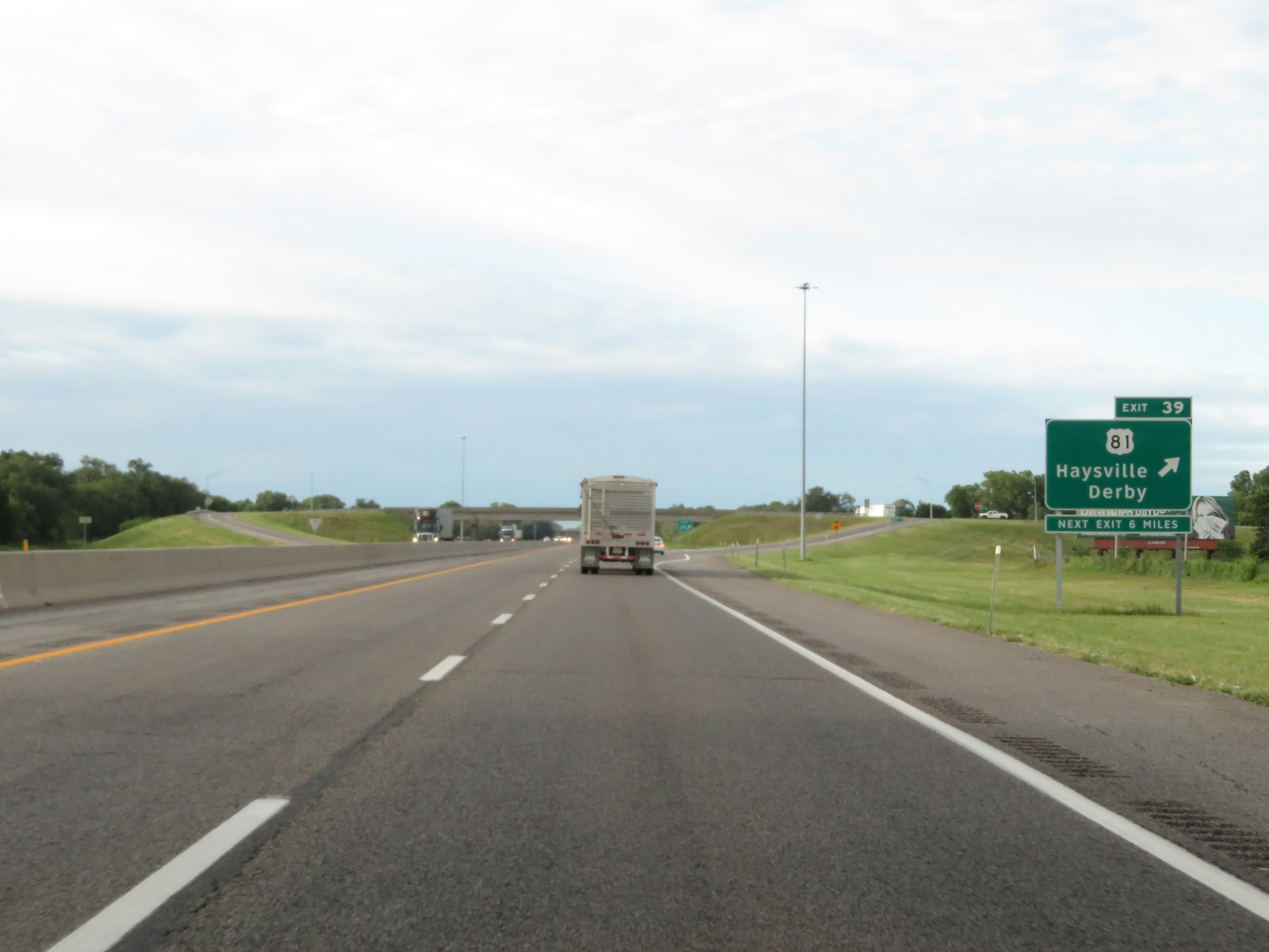 |
Interstate 35 South (Kansas Turnpike) at Exit 39: US 81 - Haysville / Derby (Photo taken 8/11/20). |
 |
View on Interstate 35 South (Kansas Turnpike) at mile marker 38. (Photo taken 8/11/20). |
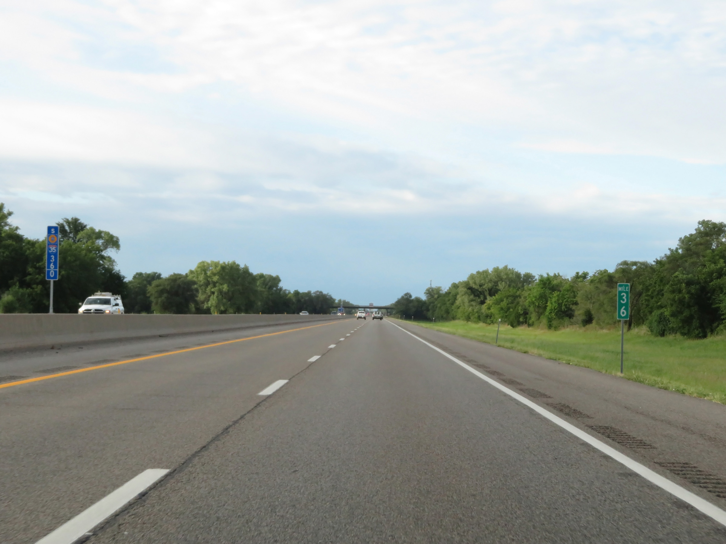 |
Interstate 35 South (Kansas Turnpike) at mile marker 36. (Photo taken 8/11/20). |
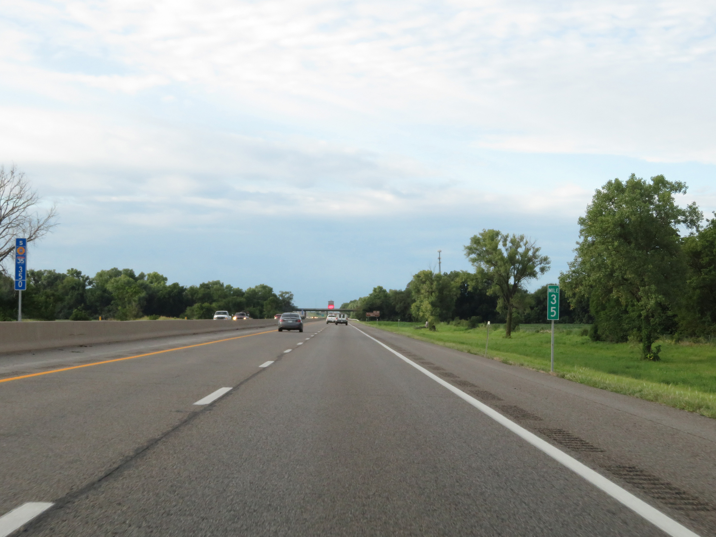 |
View on Interstate 35 South (Kansas Turnpike) at mile marker 35. (Photo taken 8/11/20). |
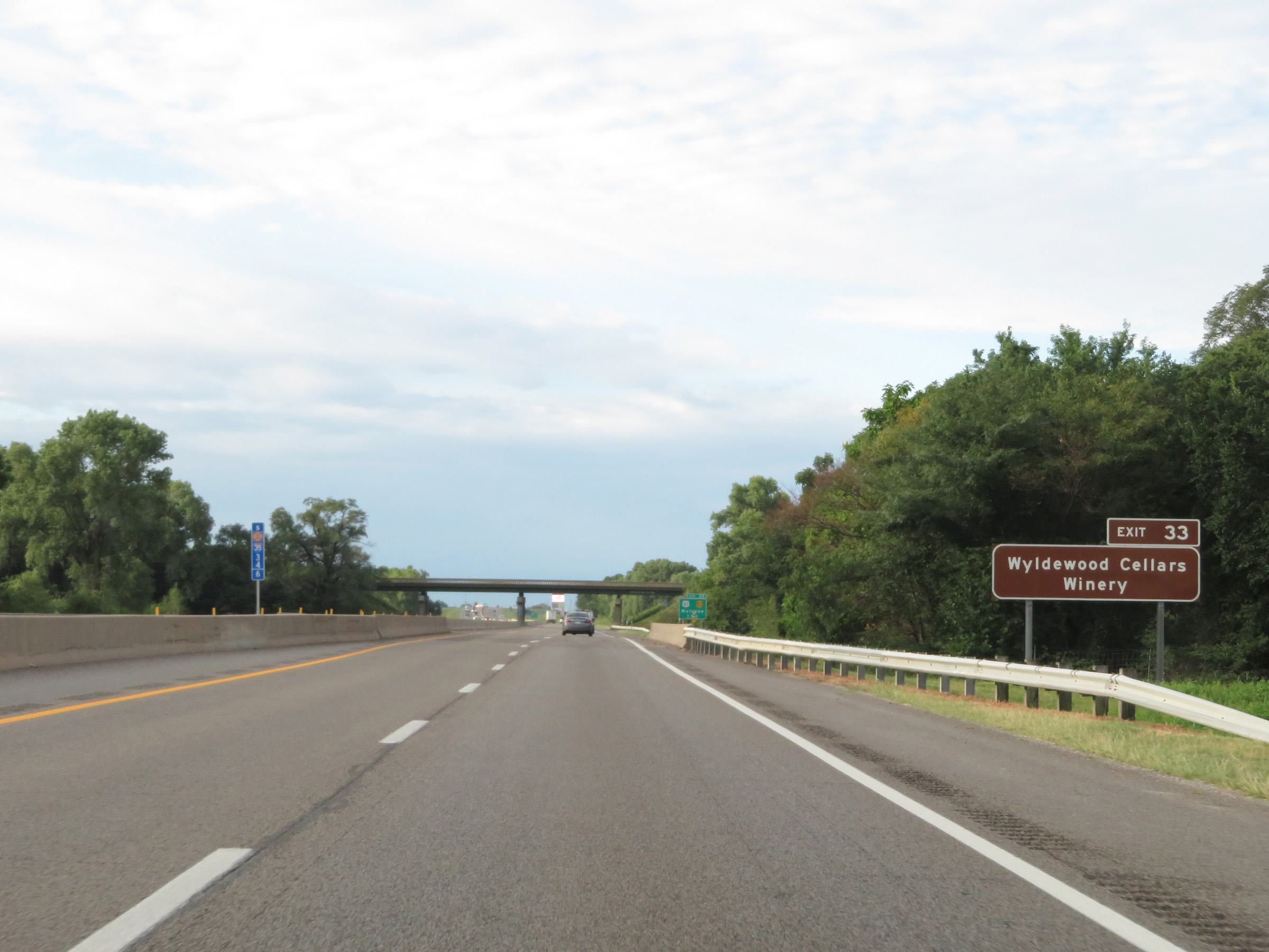 |
Take Exit 33 to Wyldewood Cellars Winery. (Photo taken 8/11/20). |
 |
Interstate 35 South (Kansas Turnpike) approaching Exit 33 - 1 mile. (Photo taken 8/11/20). |
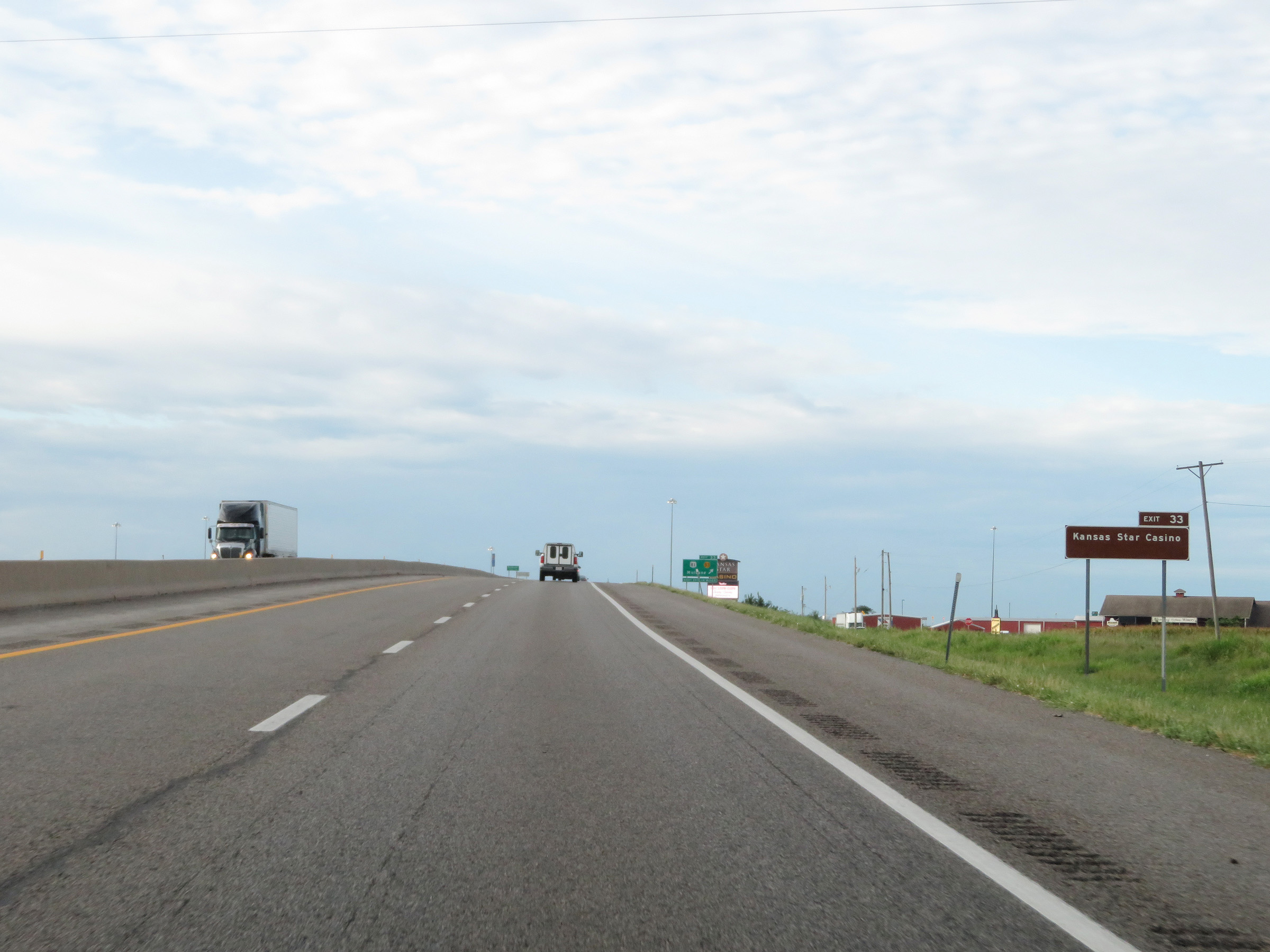 |
Also take Exit 33 to Kansas Star Casino. (Photo taken 8/11/20). |
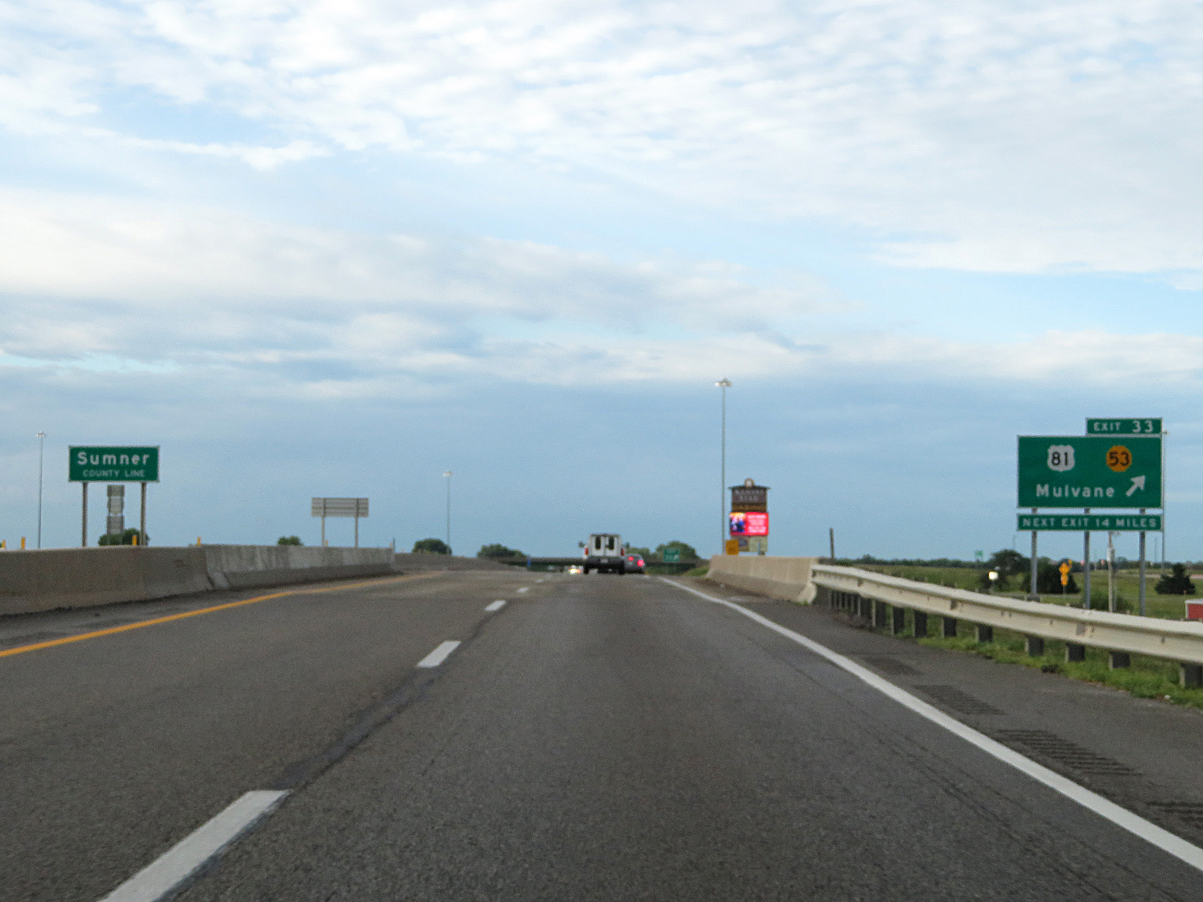 |
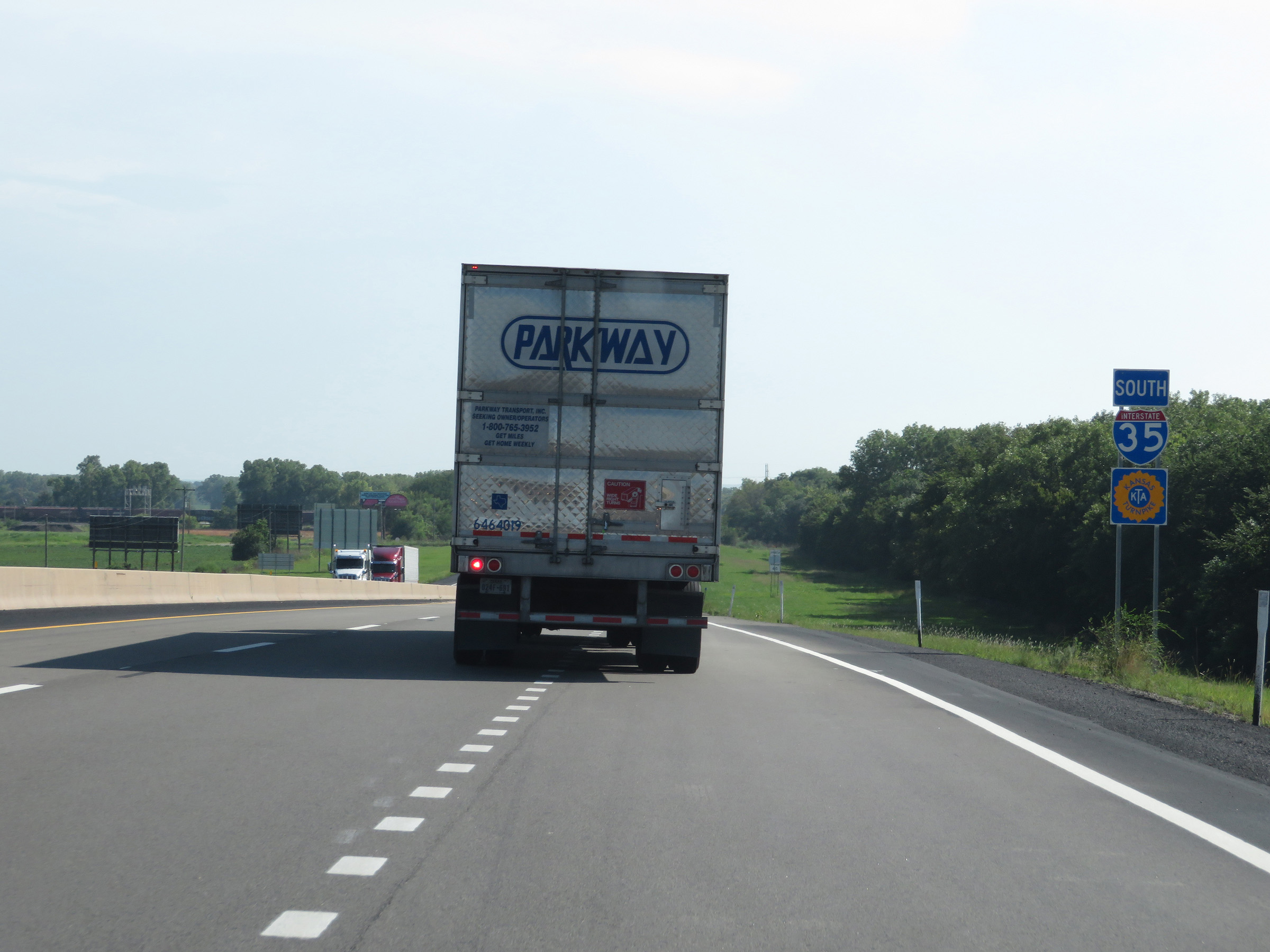
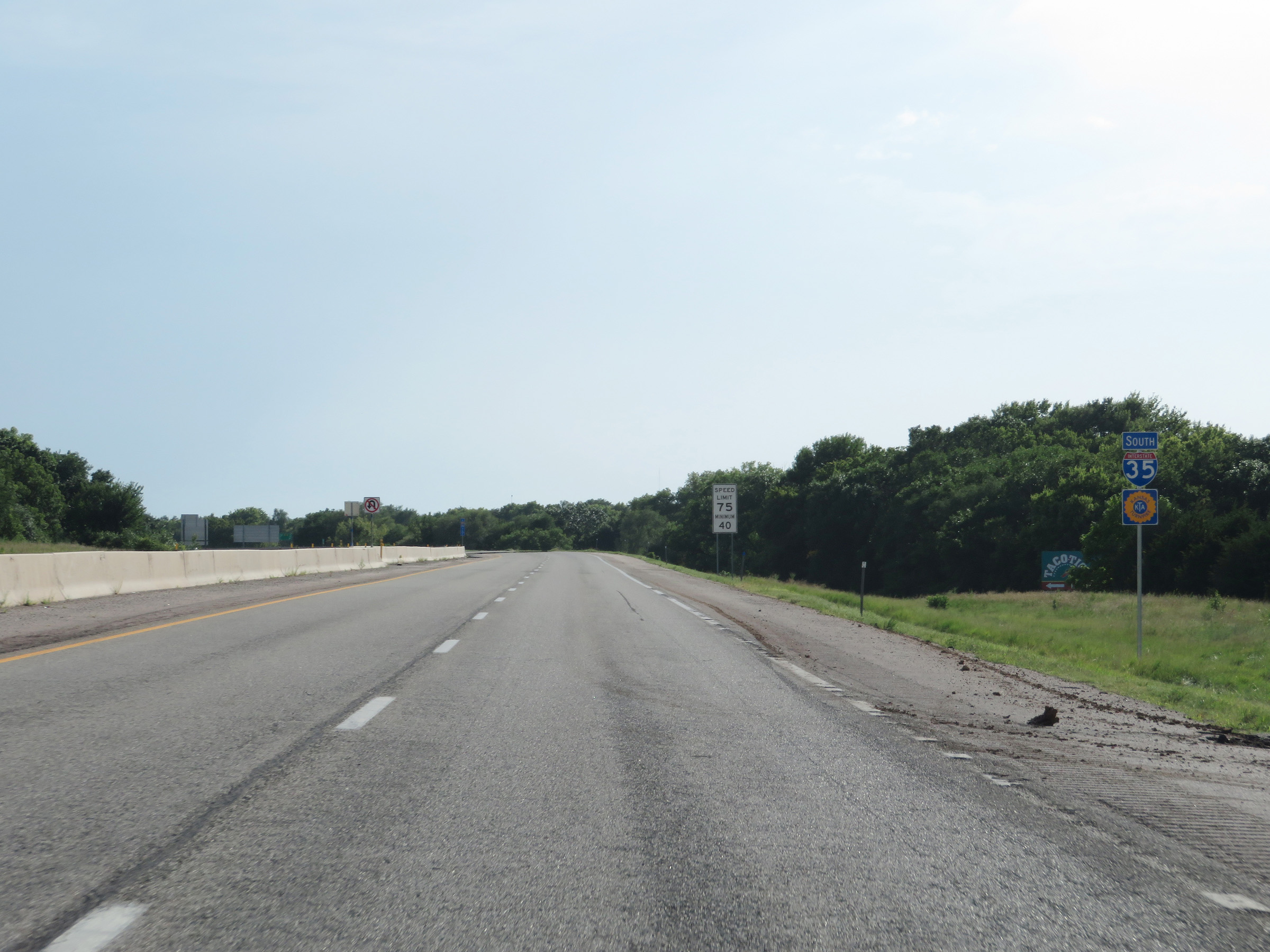
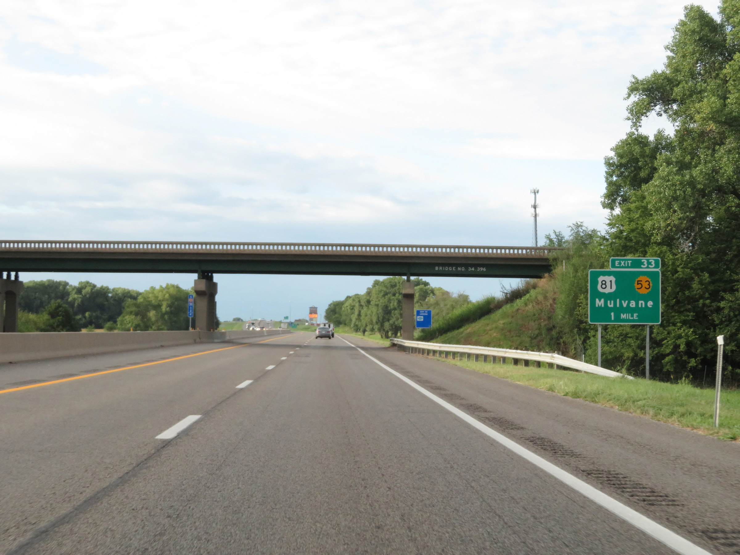
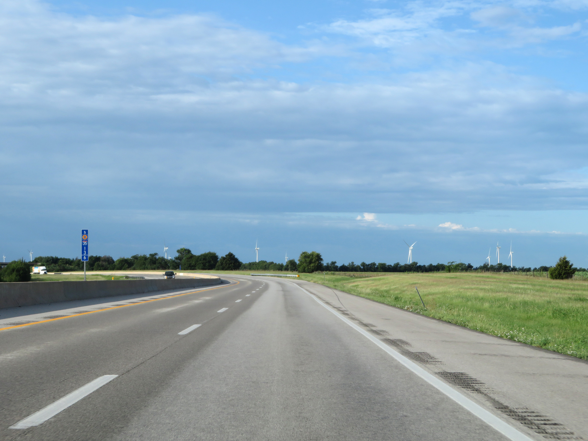
Interstate 35 South (Kansas Turnpike) at Exit 33: US 81 / K-53 - Mulvane. Also at this point, I-35 South and the Kansas Turnpike leave Sedgewick County to enter Sumner County. (Photo taken 8/11/20). |
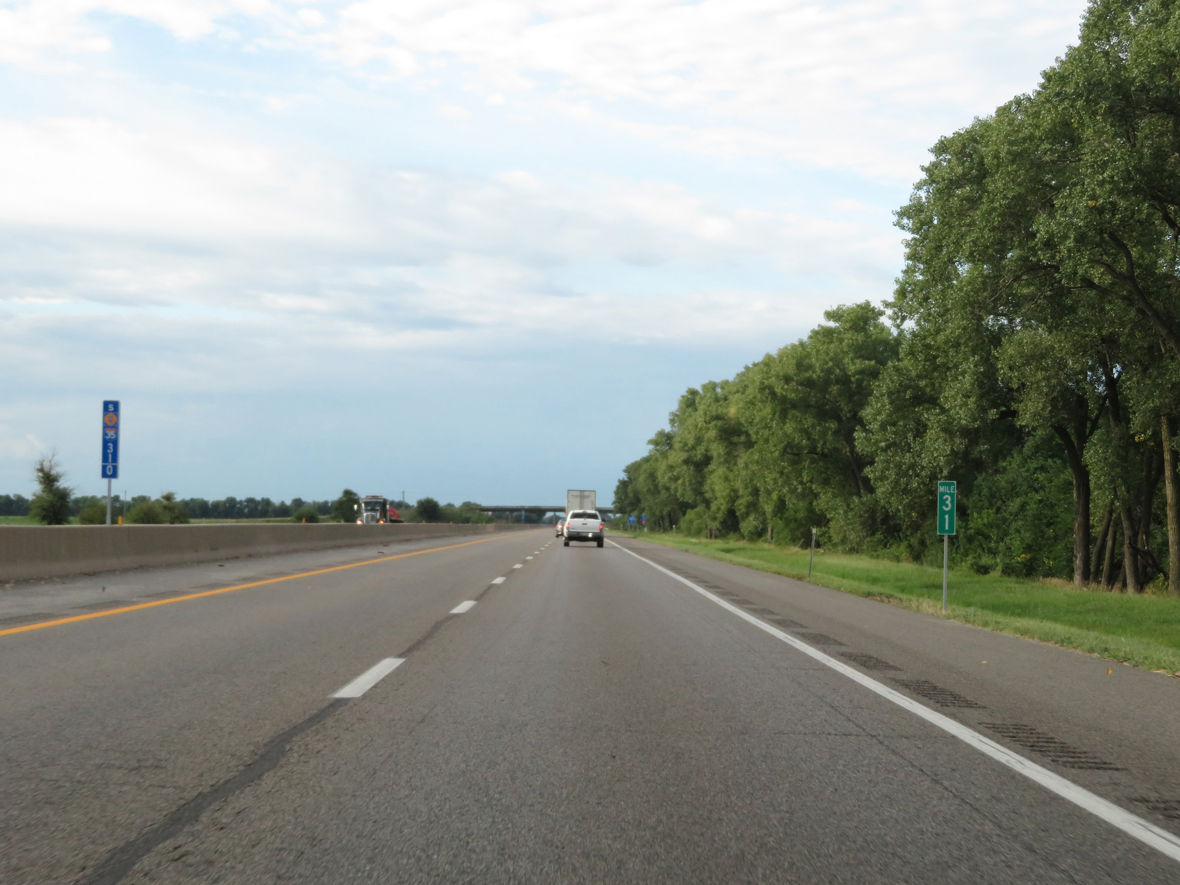 |
View on Interstate 35 South (Kansas Turnpike) at mile marker 31. (Photo taken 8/11/20). |
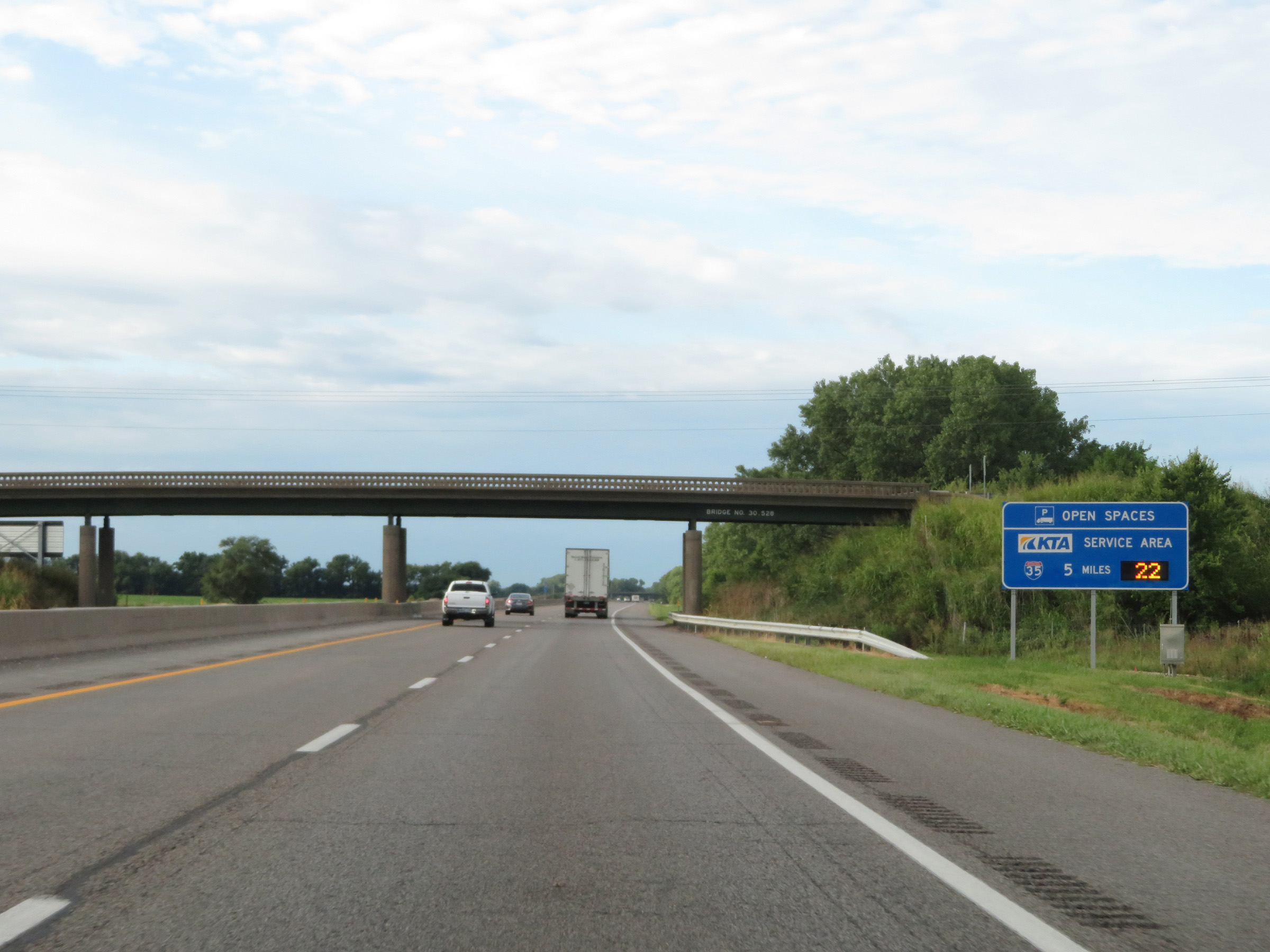 |
Another sign dynamically showing the number of truck parking spaces open at the final Service Area on the Kansas Turnpike, which is 5 miles ahead. (Photo taken 8/11/20). |
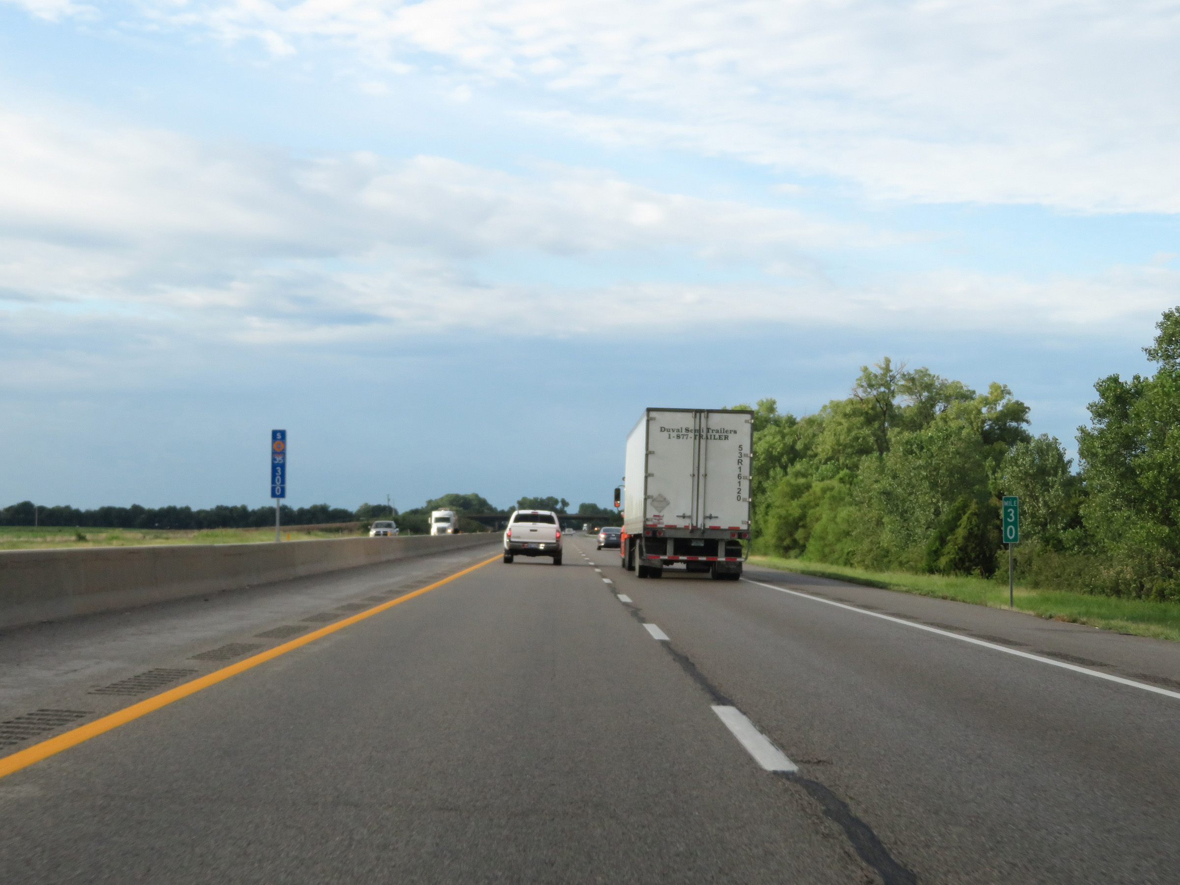 |
Interstate 35 South (Kansas Turnpike) at mile marker 30. (Photo taken 8/11/20). |
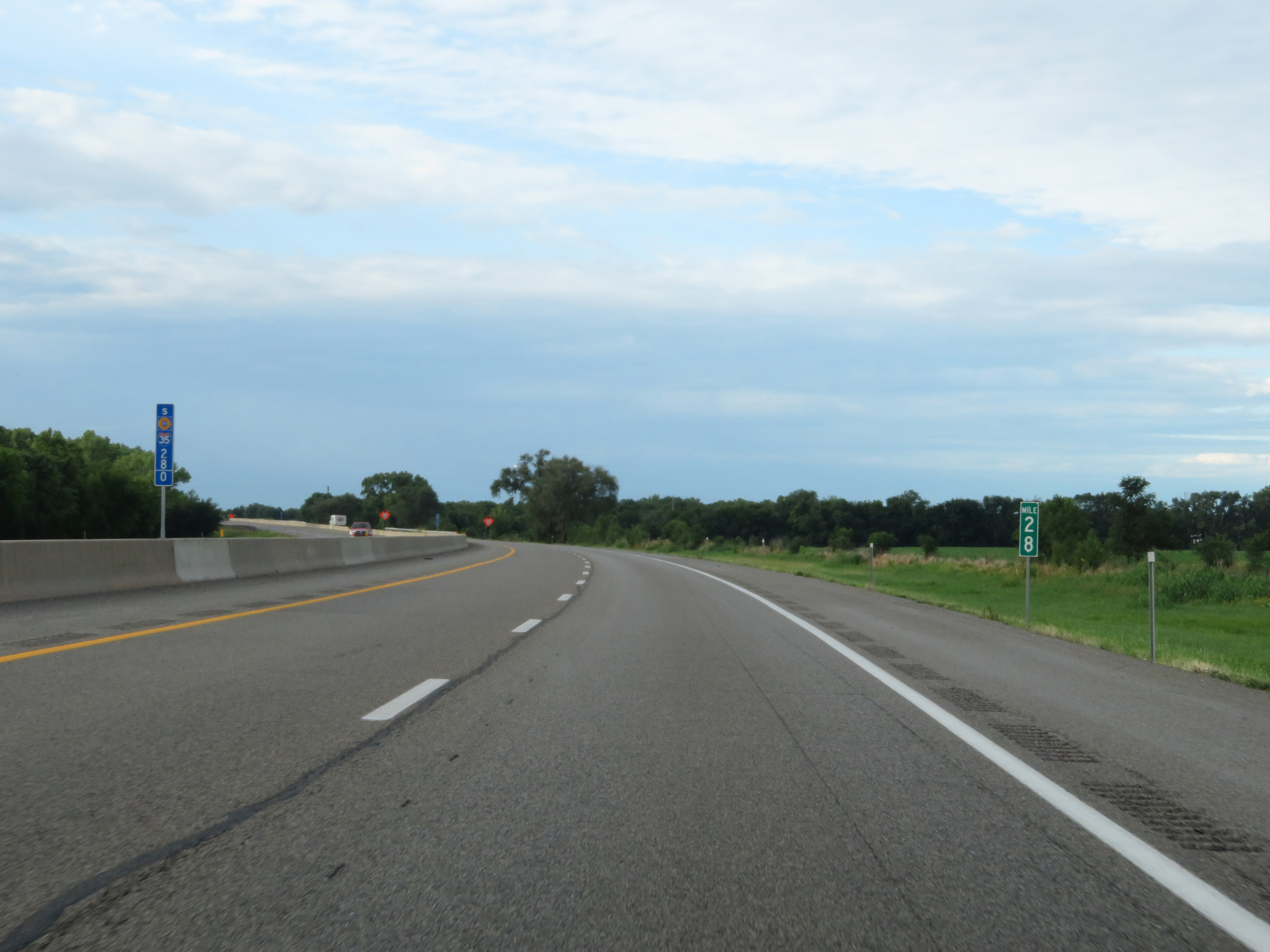 |
Mile marker 28 on Interstate 35 South (Kansas Turnpike) in Sumner County. (Photo taken 8/11/20). |
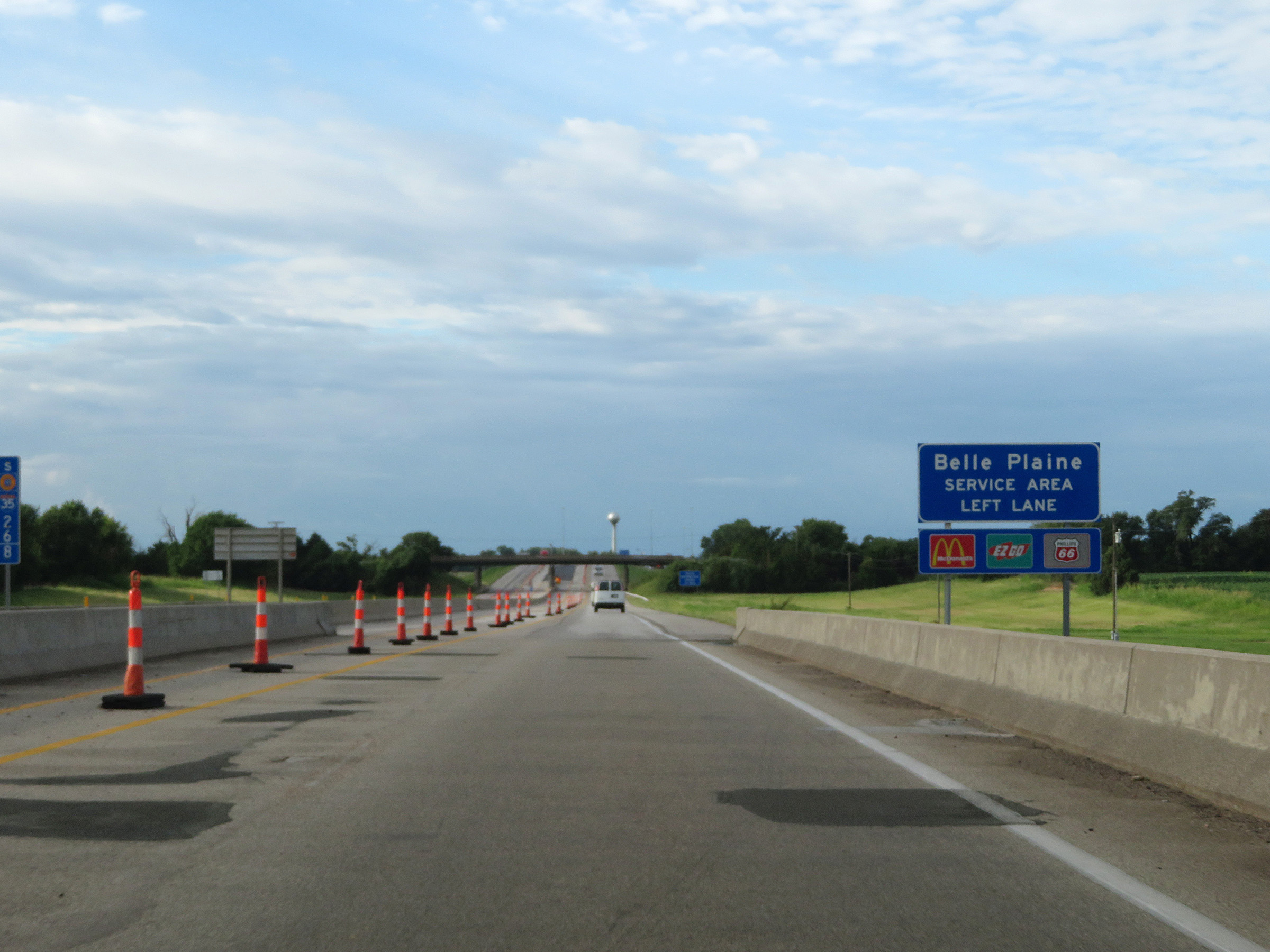 |
Interstate 35 South (Kansas Turnpike) approaching the Belle Plaine Service Area. Traffic planning to enter the Service Area should use the left lane ahead, since like the other service areas we've seen on the Kansas Turnpike, it is located in between the northbound and southbound lanes. (Photo taken 8/11/20). |
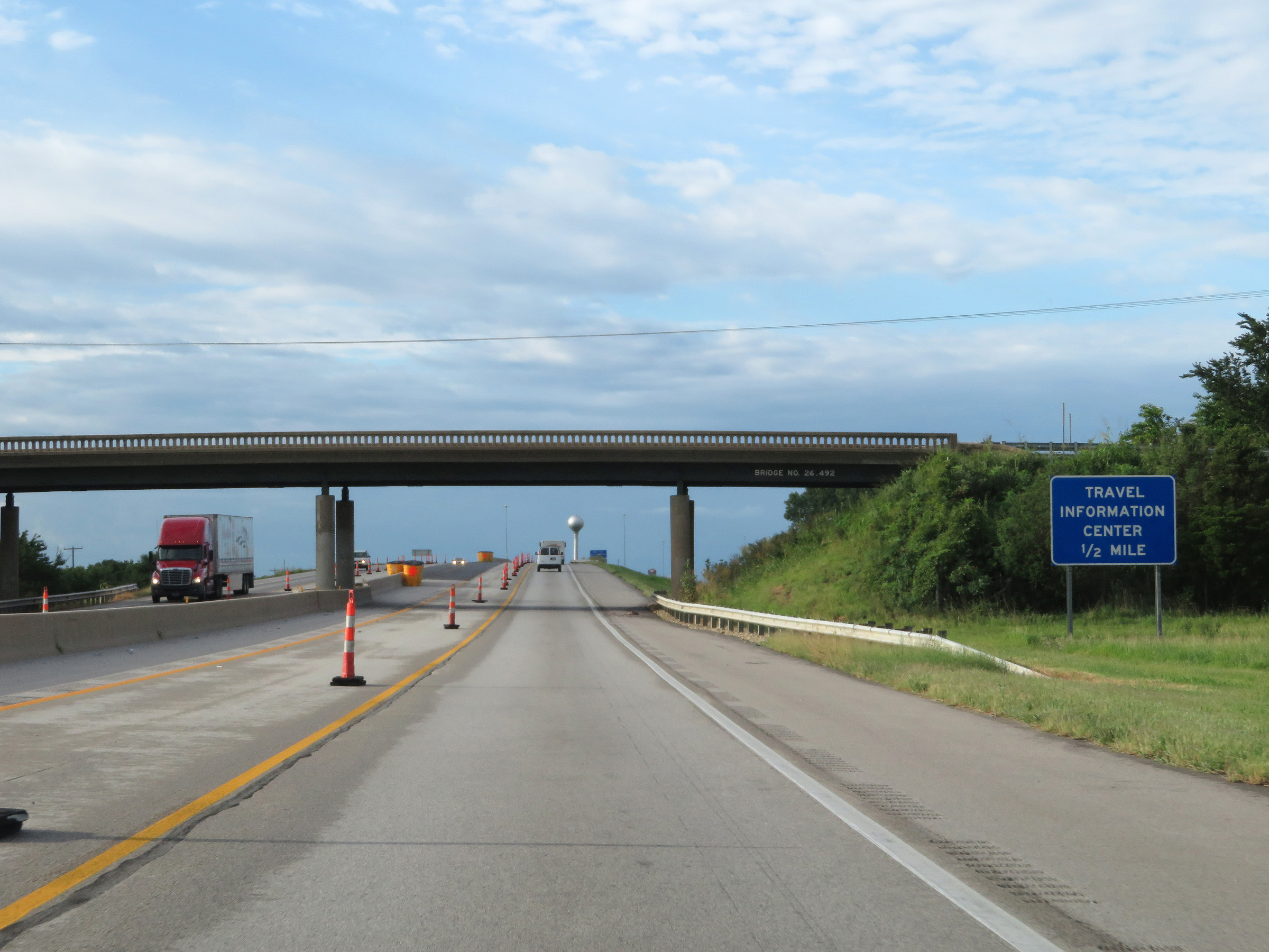 |
A Travel Information Center also exists at the Belle Plaine Service Area ahead. (Photo taken 8/11/20). |
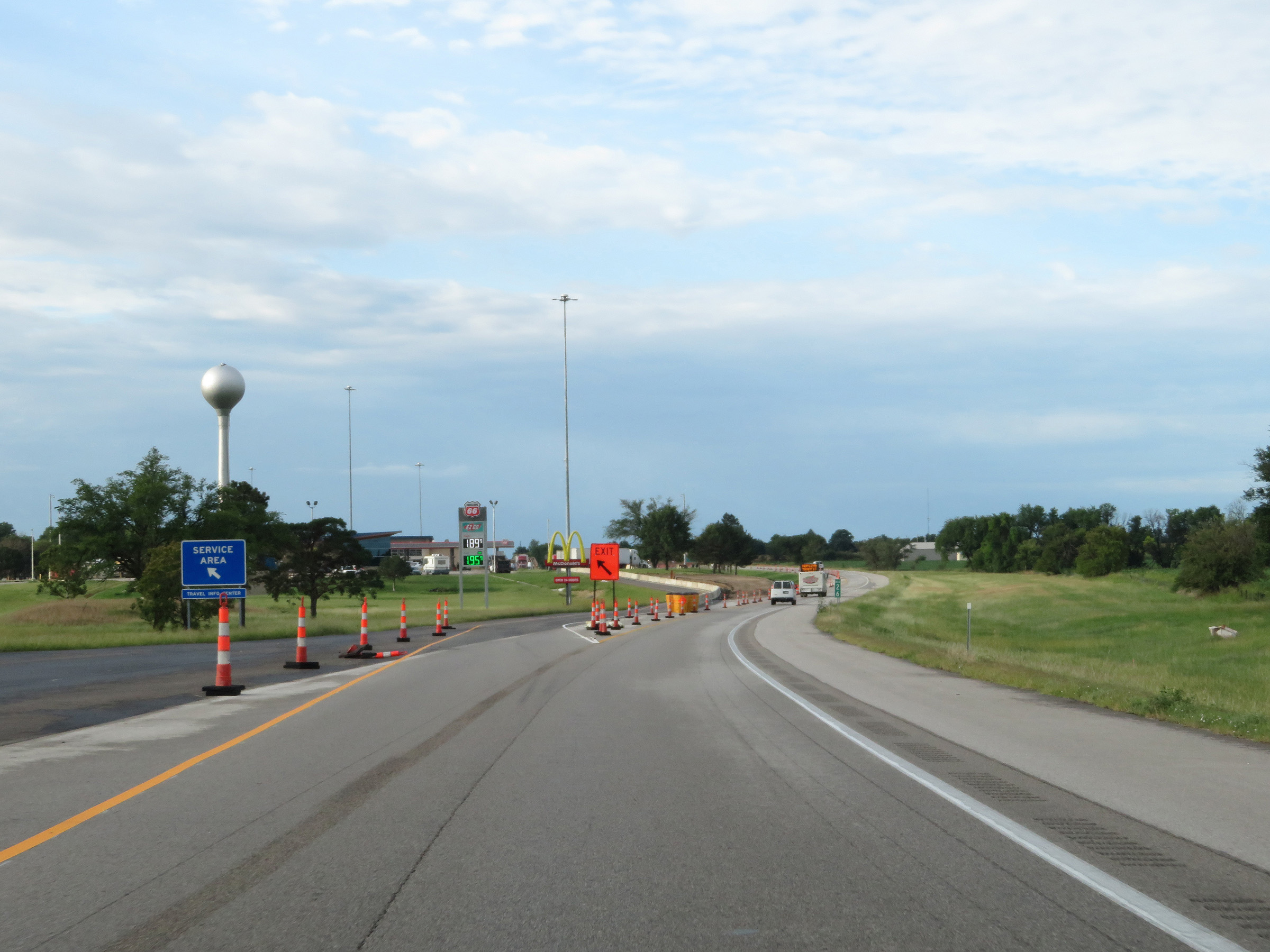 |
Interstate 35 South (Kansas Turnpike) at the Belle Plaine Service Area in Sumner County. This is the final Service Area on Interstate 35 South (Kansas Turnpike). (Photo taken 8/11/20). |
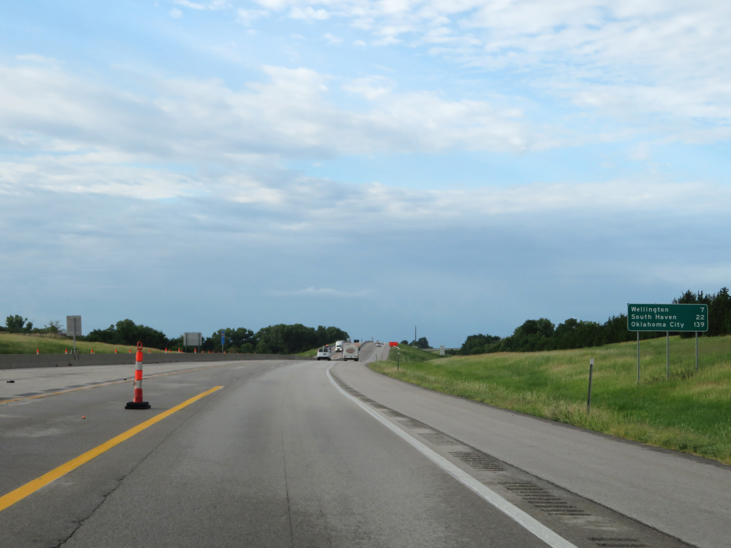 |
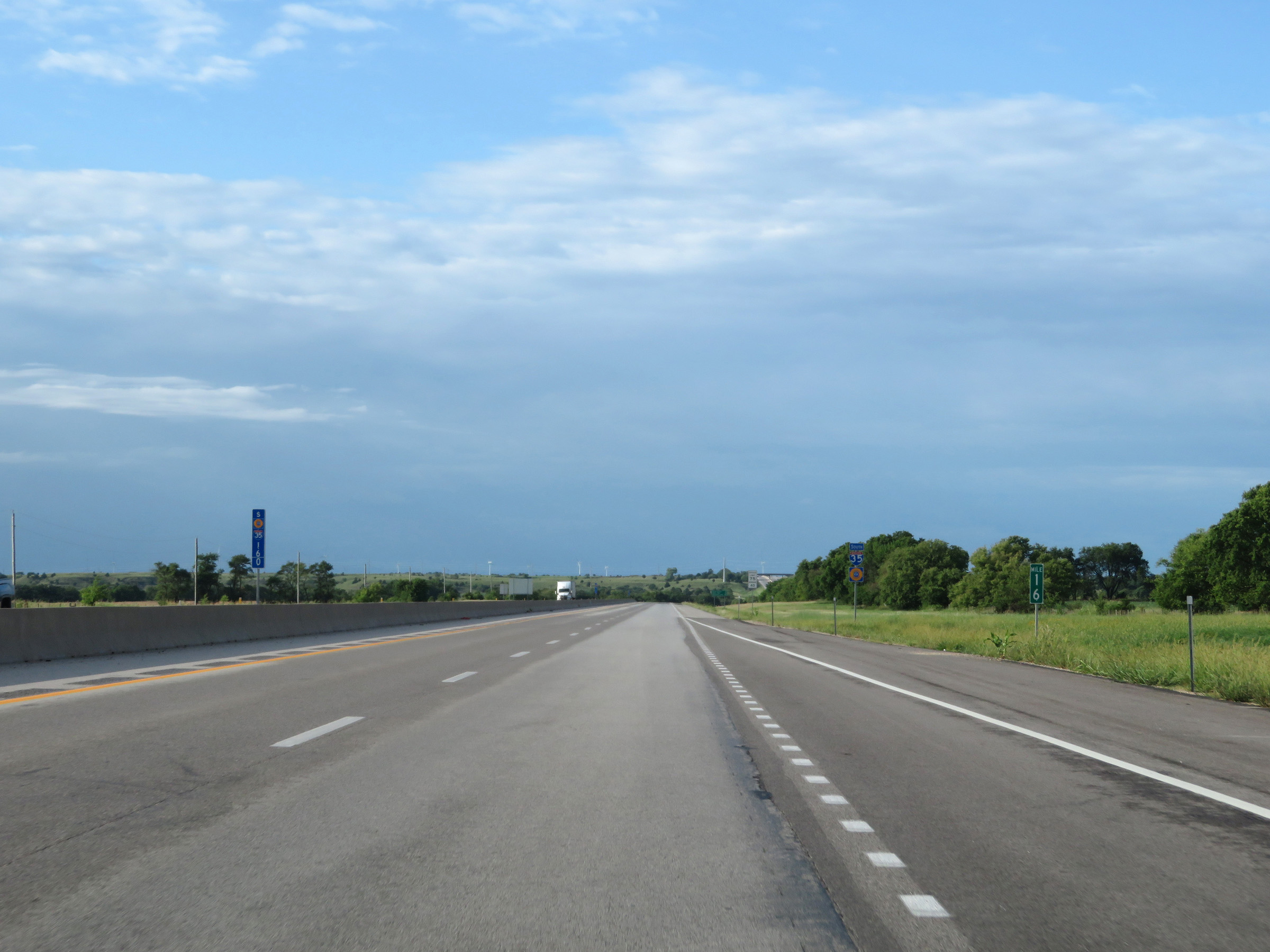
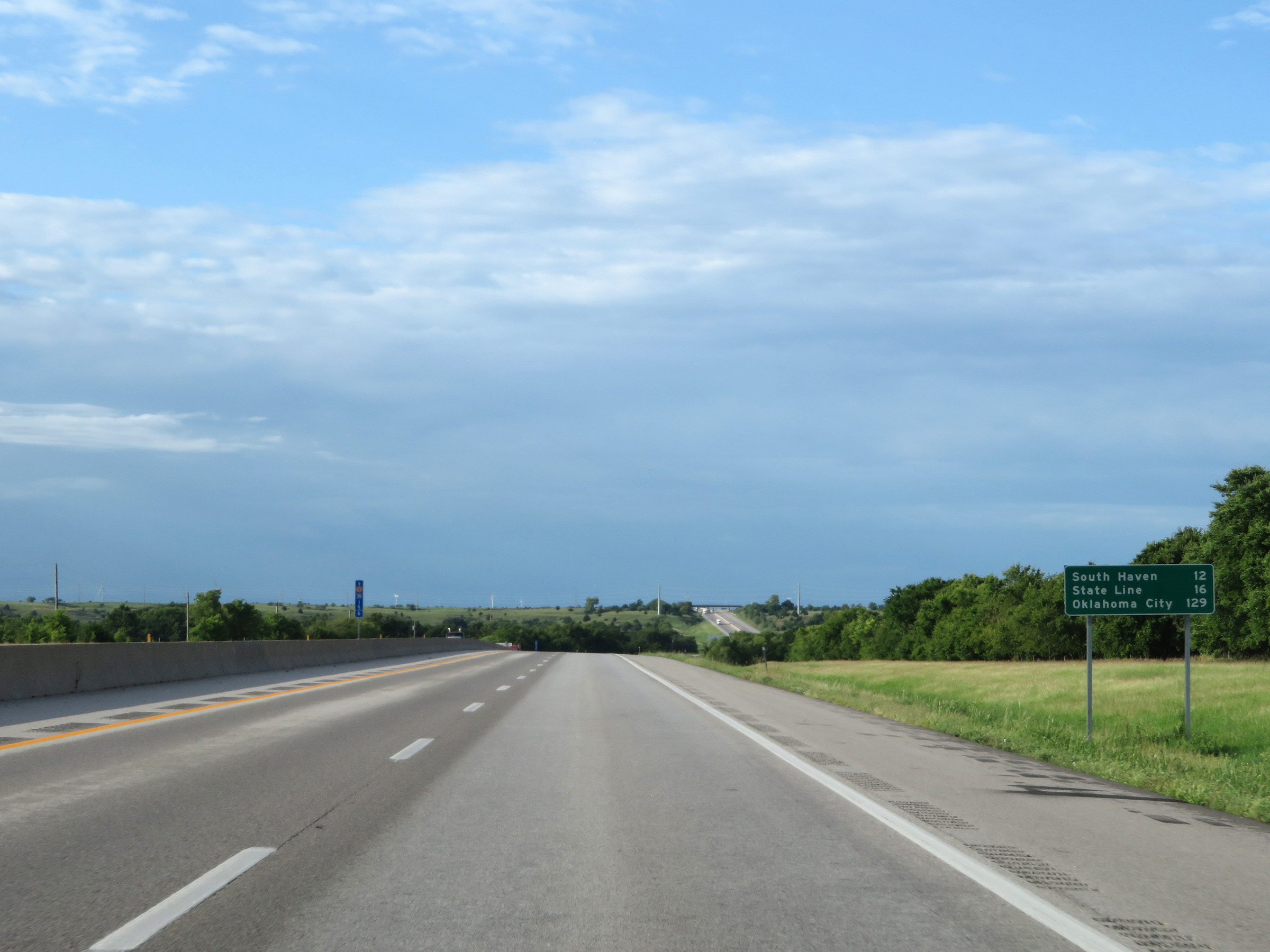
Mileage sign on Interstate 35 South (Kansas Turnpike). It's 7 miles to Wellington, 22 miles to South Haven, and 139 miles to Oklahoma City. (Photo taken 8/11/20). |
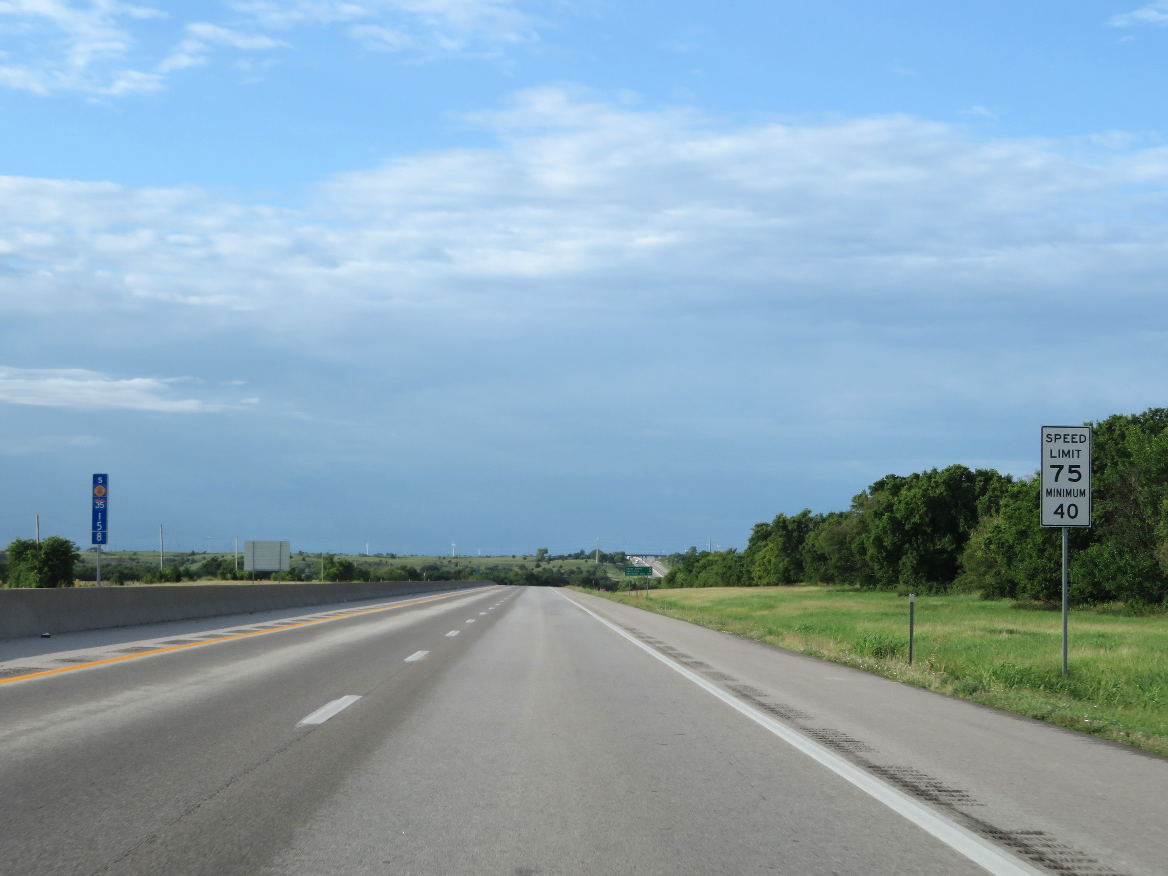
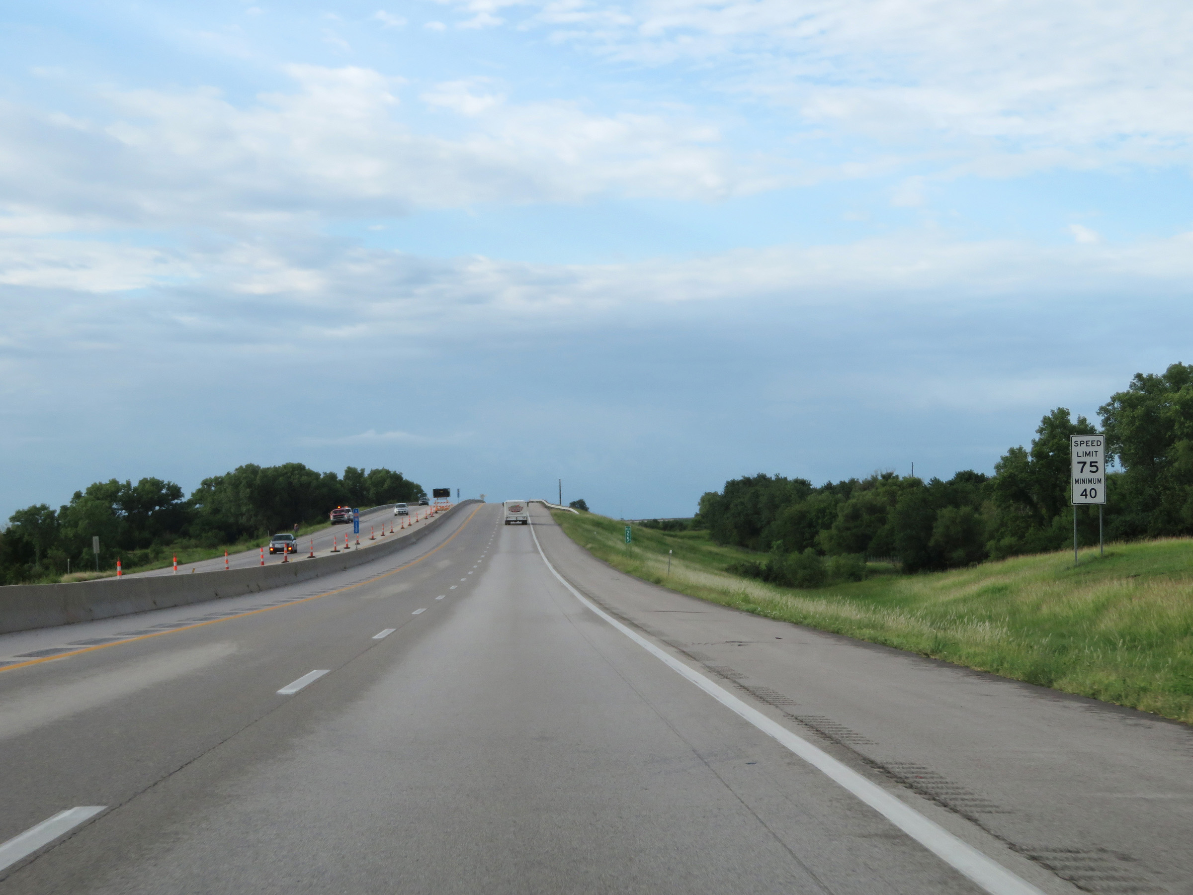 |
The speed limits on Interstate 35 South (Kansas Turnpike) remain the rural standard 75 mph maximum and 40 mph minimum. (Photo taken 8/11/20). |
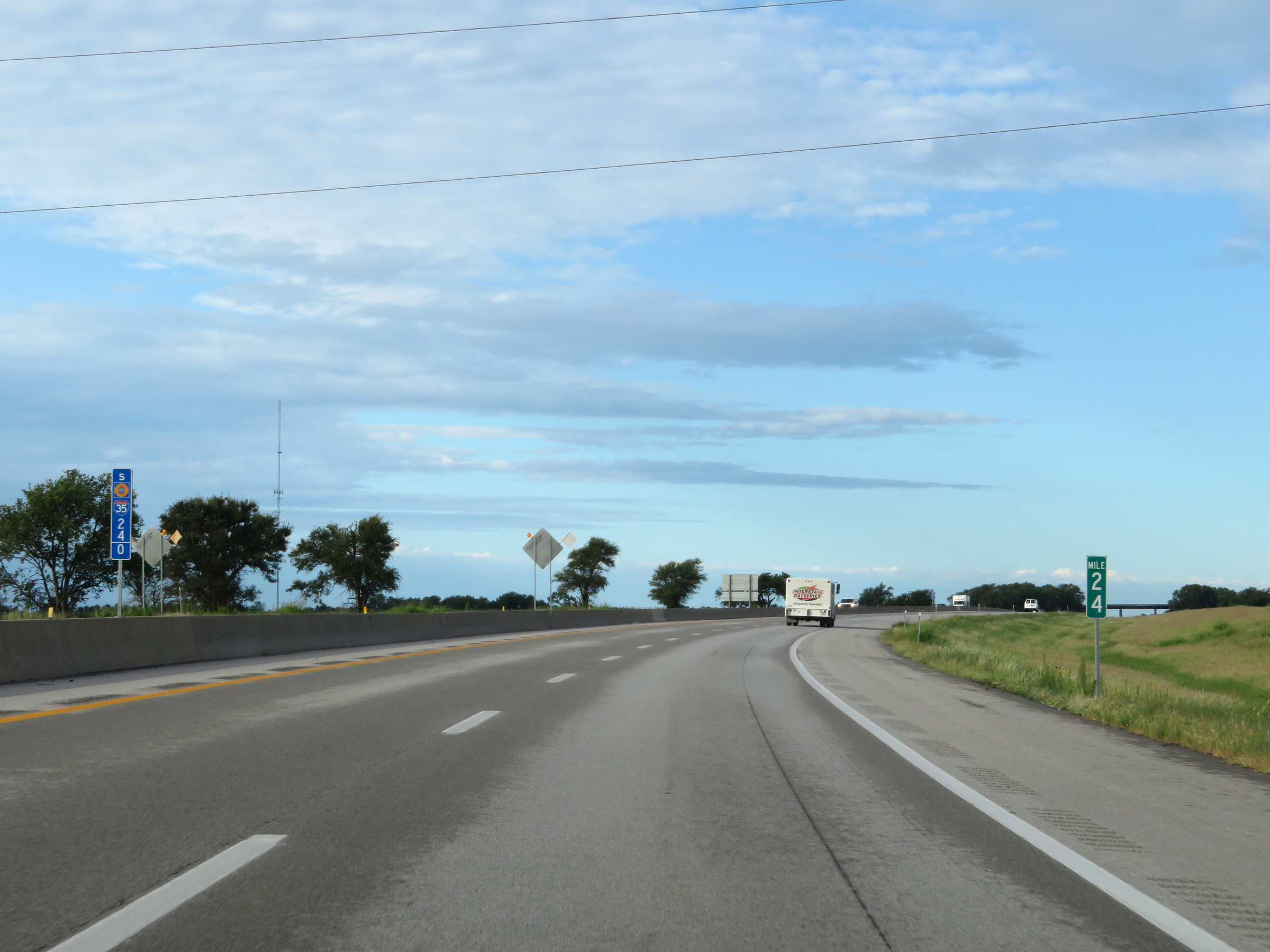 |
View on Interstate 35 South (Kansas Turnpike) at mile marker 24. (Photo taken 8/11/20). |
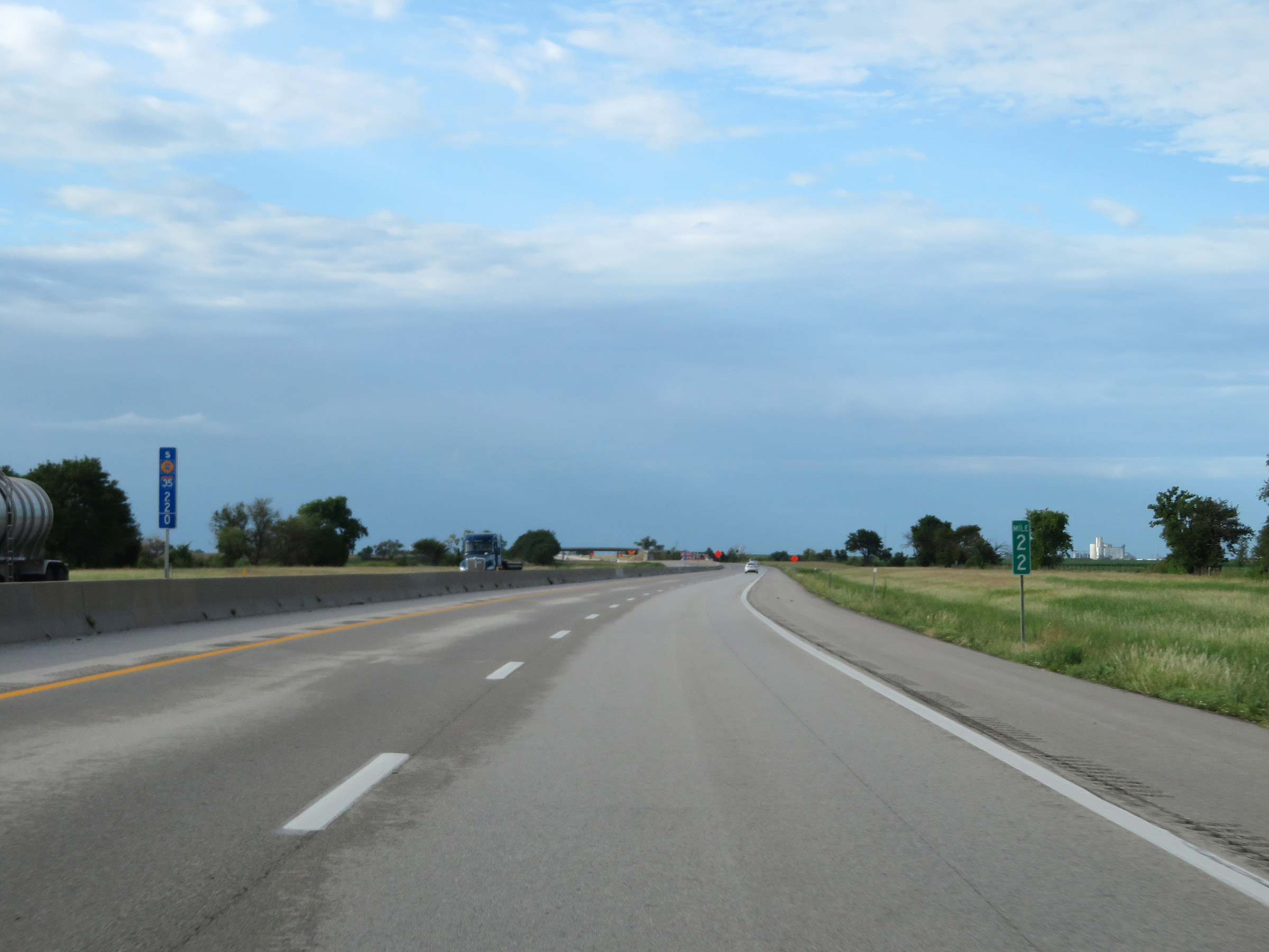 |
Interstate 35 South (Kansas Turnpike) at mile marker 22. (Photo taken 8/11/20). |
 |
Interstate 35 South (Kansas Turnpike) approaching Exit 19 - 1 mile. (Photo taken 8/11/20). |
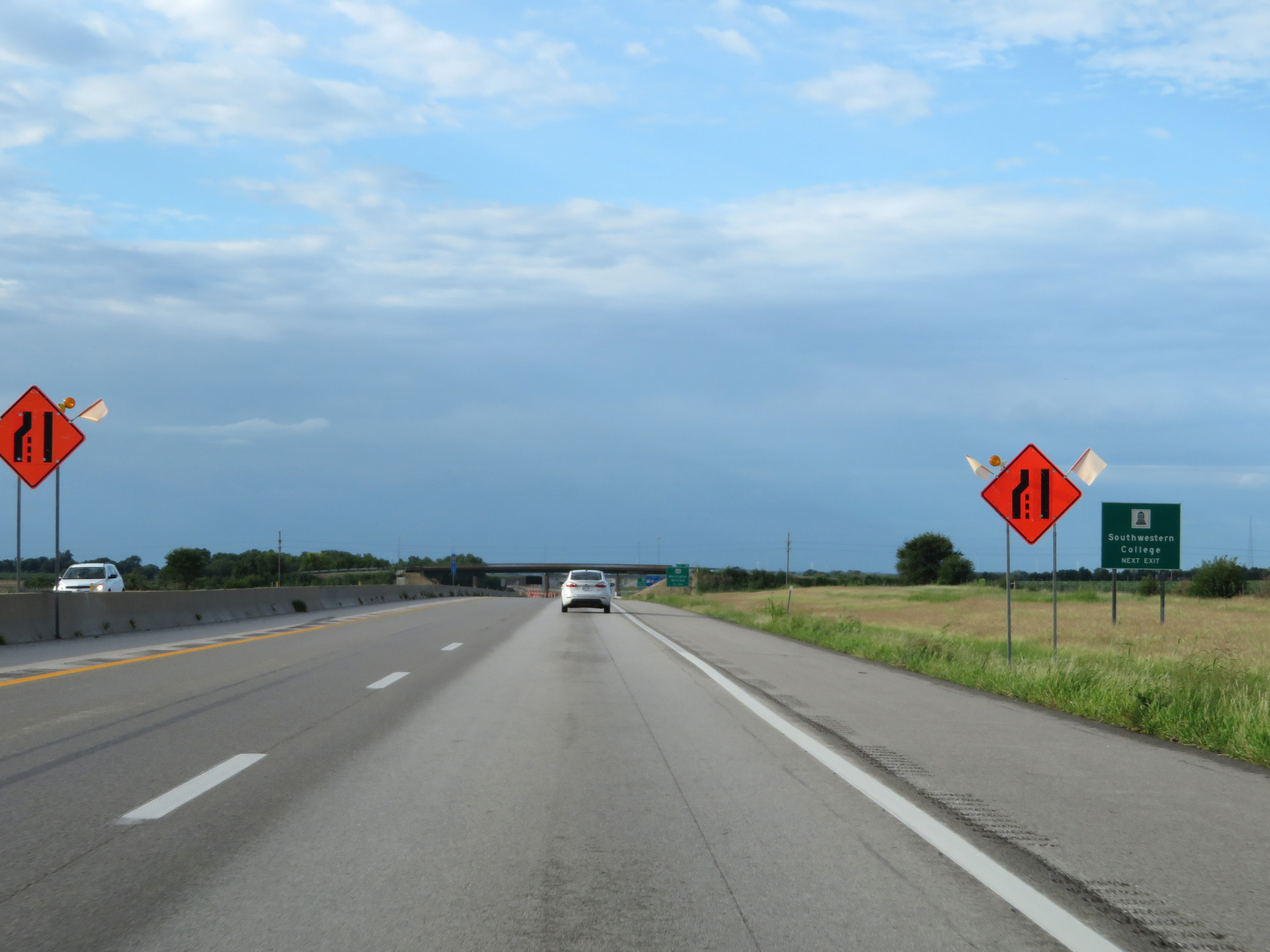 |
Take Exit 19 to Southwestern College. (Photo taken 8/11/20). |
 |
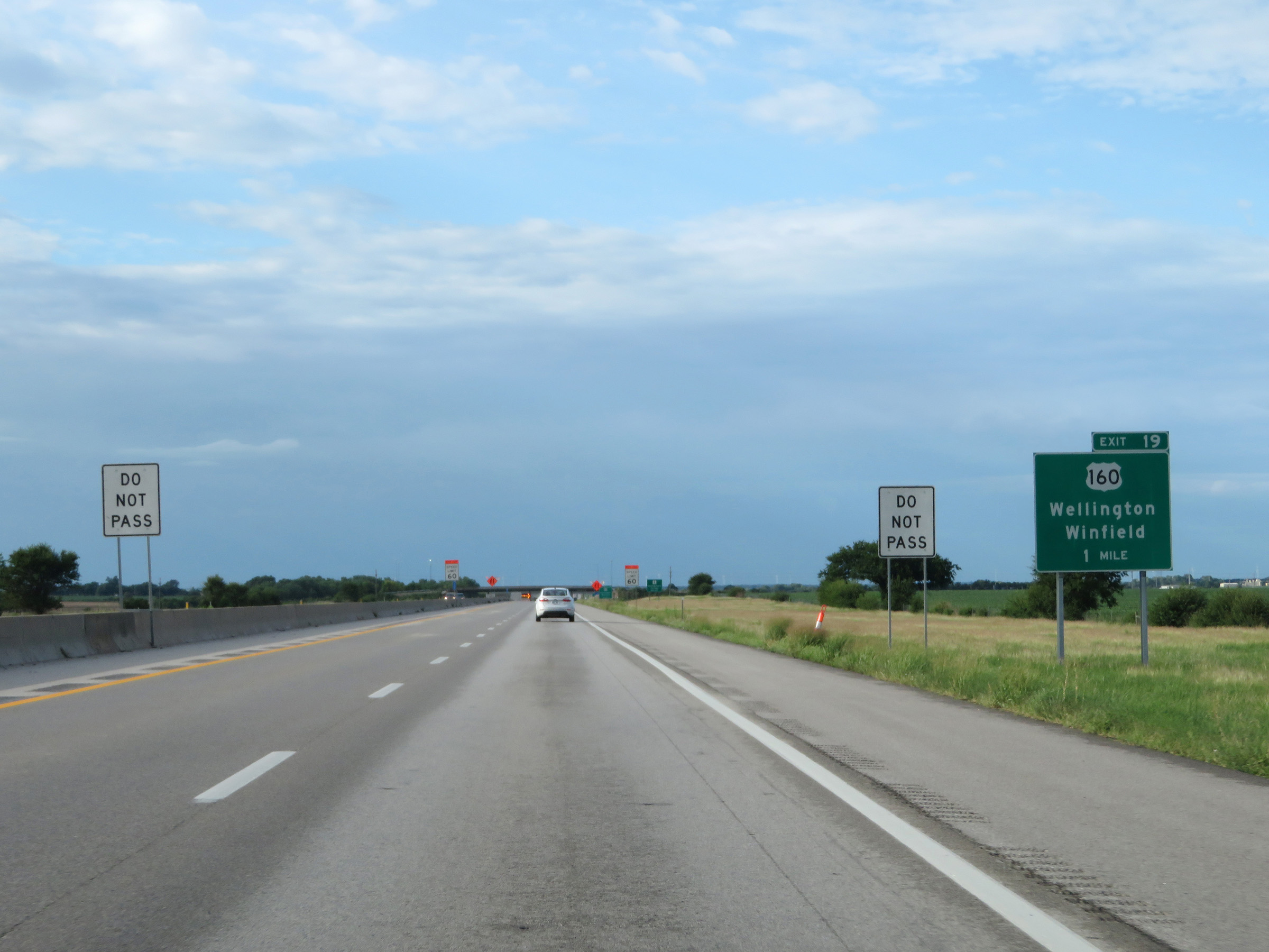
Interstate 35 South (Kansas Turnpike) at Exit 19: US 160 - Wellington / Winfield (Photo taken 8/11/20). |
 |
Another set of Interstate 35 South / Kansas Turnpike reassurance shields. (Photo taken 8/11/20). |
 |
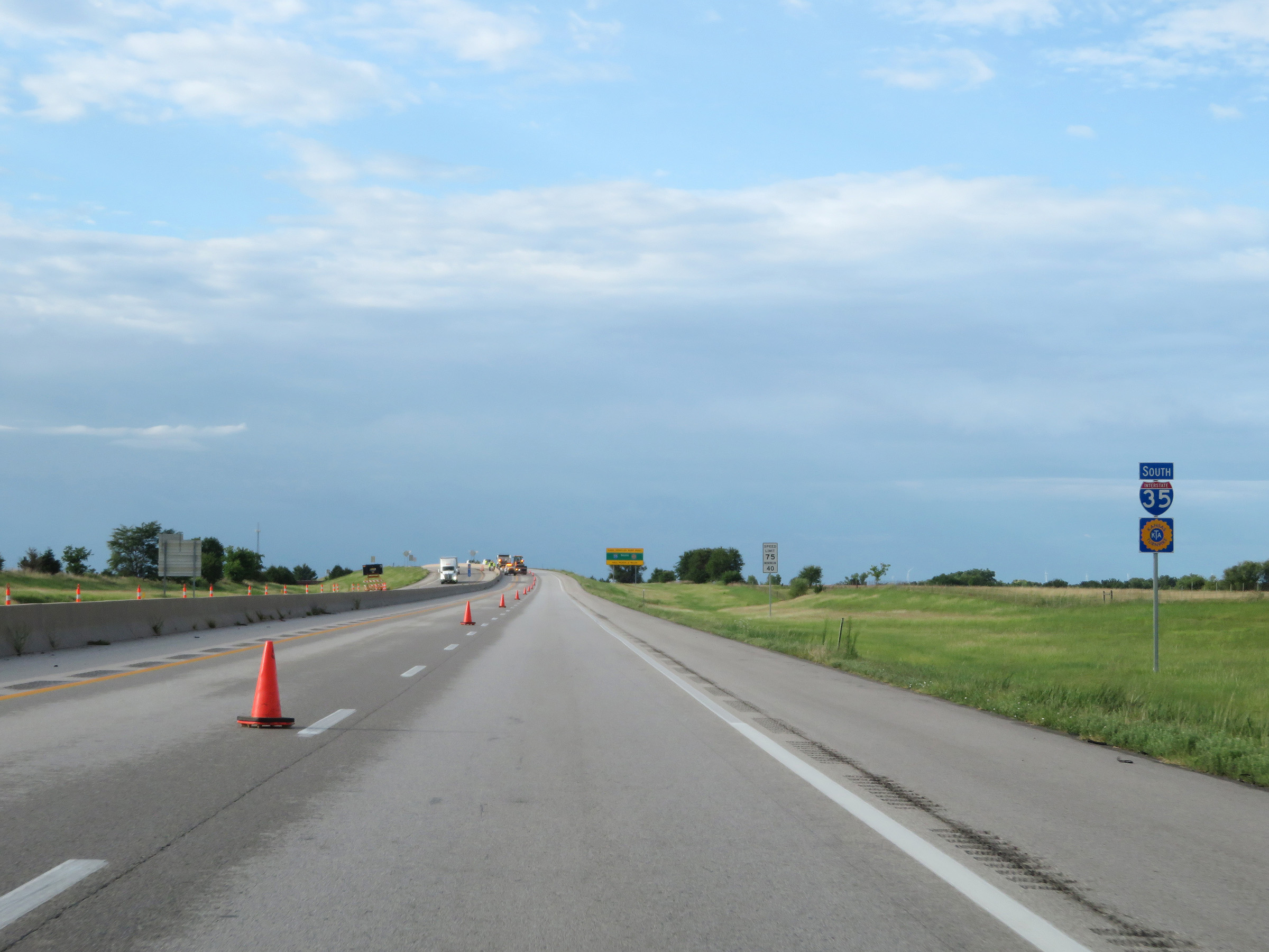
The Southern Terminal mainline toll plaza is 2 miles ahead. Cash customers should keep right. (Photo taken 8/11/20). |
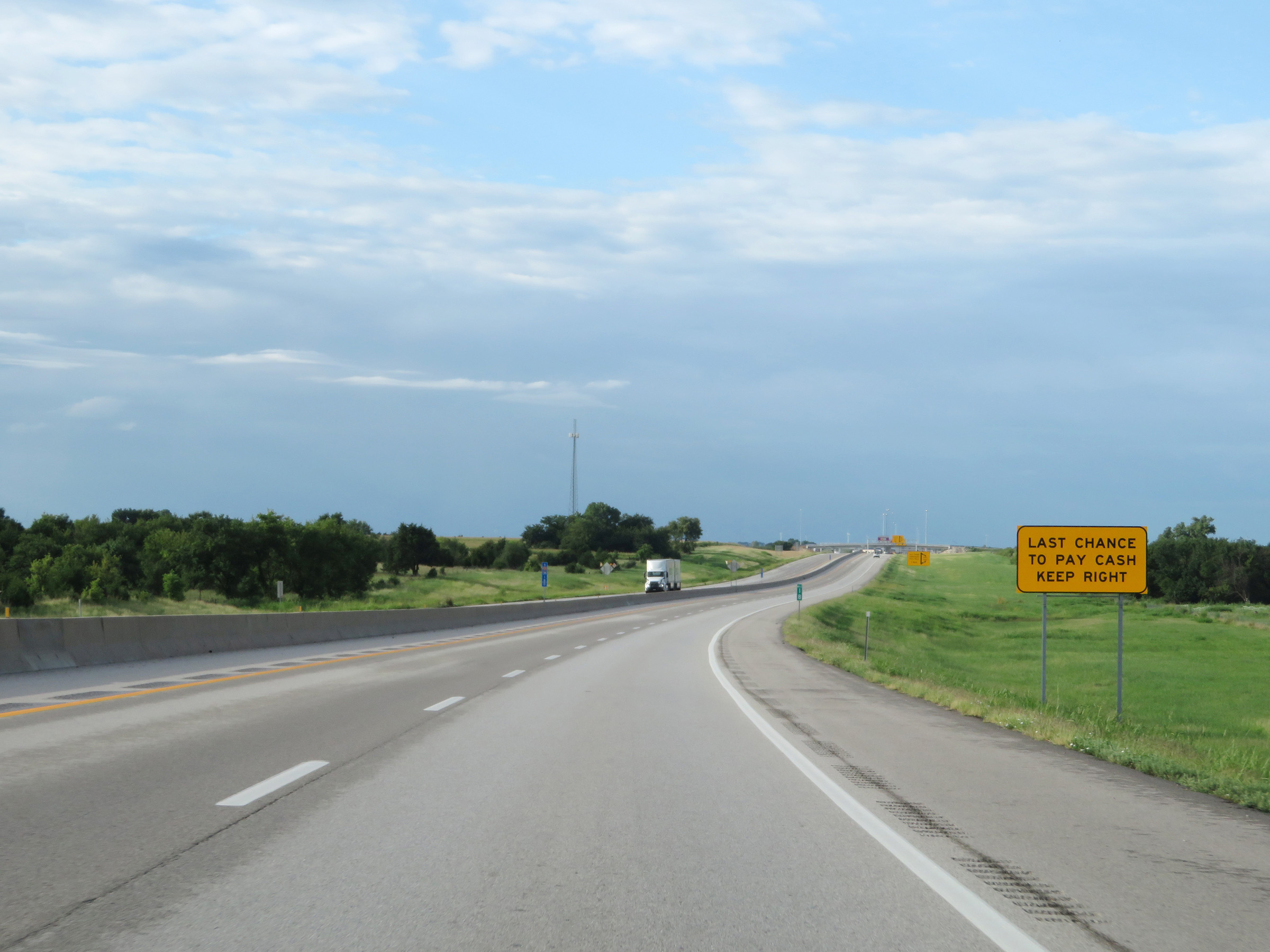 |
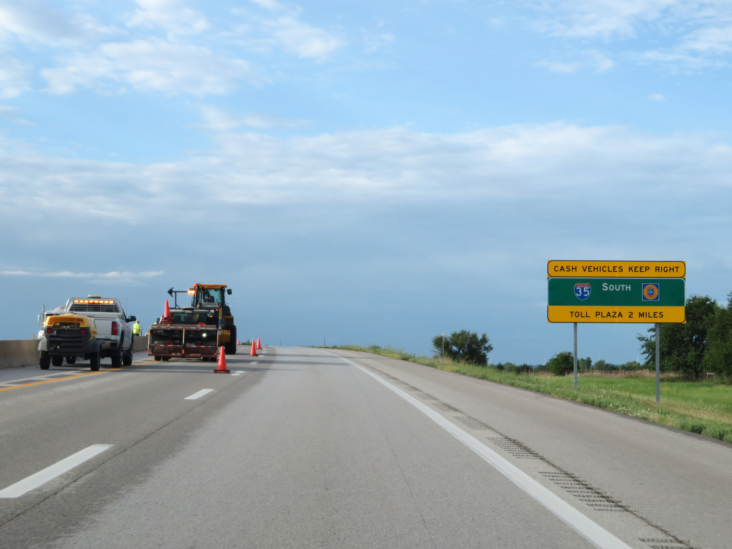
This sign warns that the Southern Terminal toll plaza ahead is the last chance to pay cash. Again, cash vehicles are urged to keep right. (Photo taken 8/11/20). |
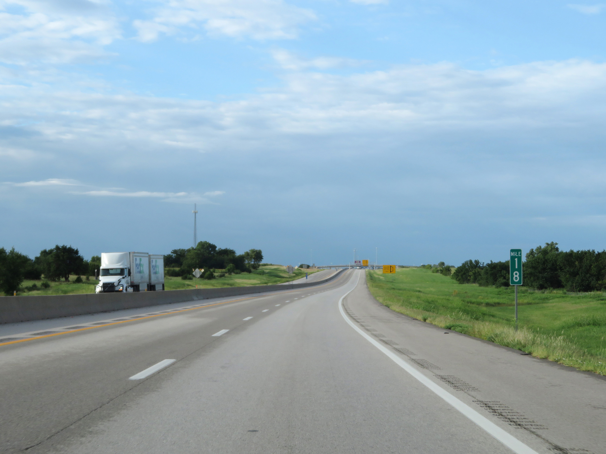 |
View on Interstate 35 South (Kansas Turnpike) at mile marker 18. (Photo taken 8/11/20). |
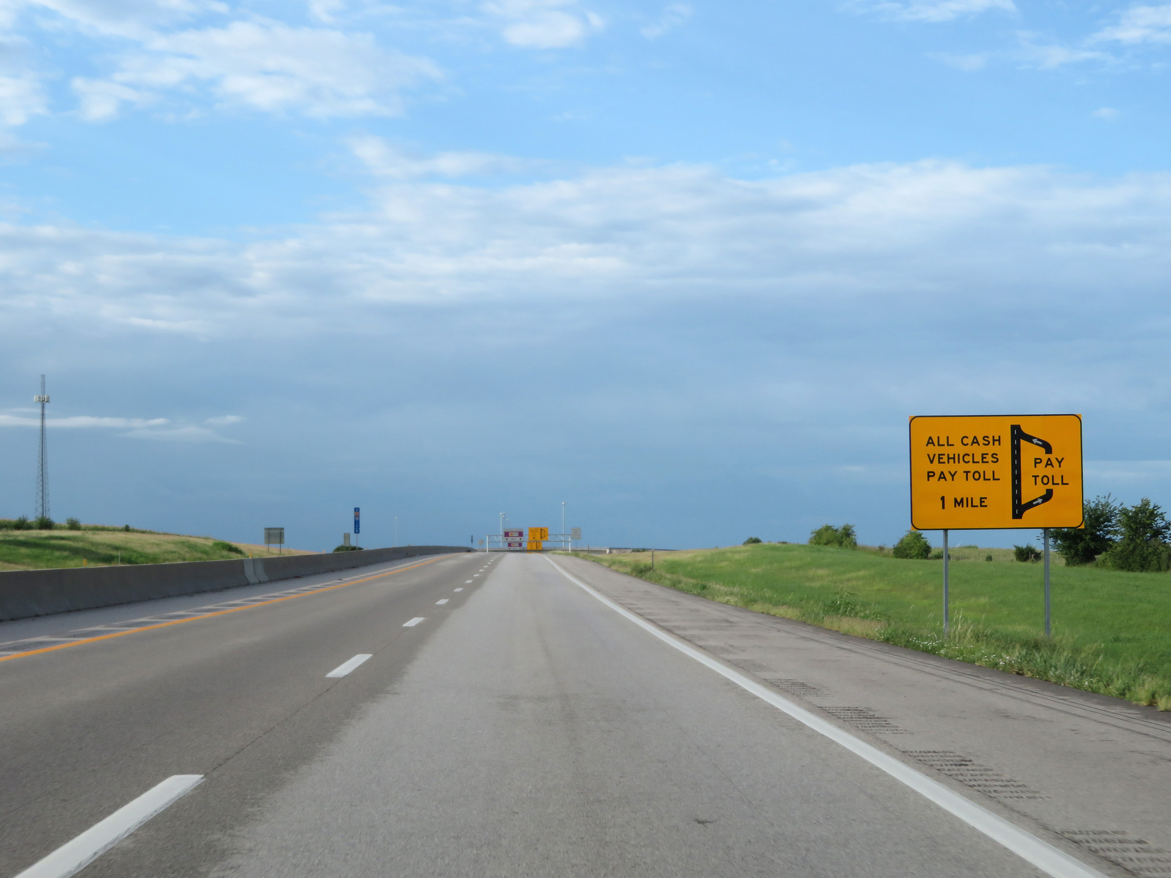 |
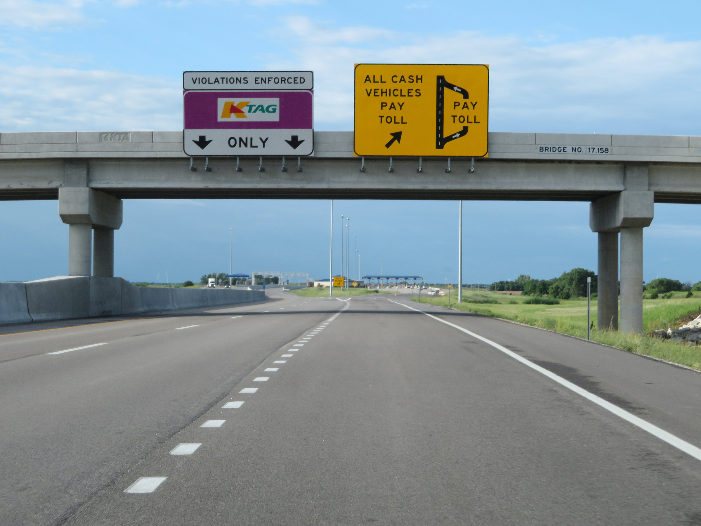
Now 1 mile from the Southern Terminal toll plaza, this sign shows the layout of the toll plaza. Cash customers will have to exit to the right to enter the toll plaza while K Tag holders can stay straight ahead and pay electronically via the express toll lanes on the mainline. (Photo taken 8/11/20). |
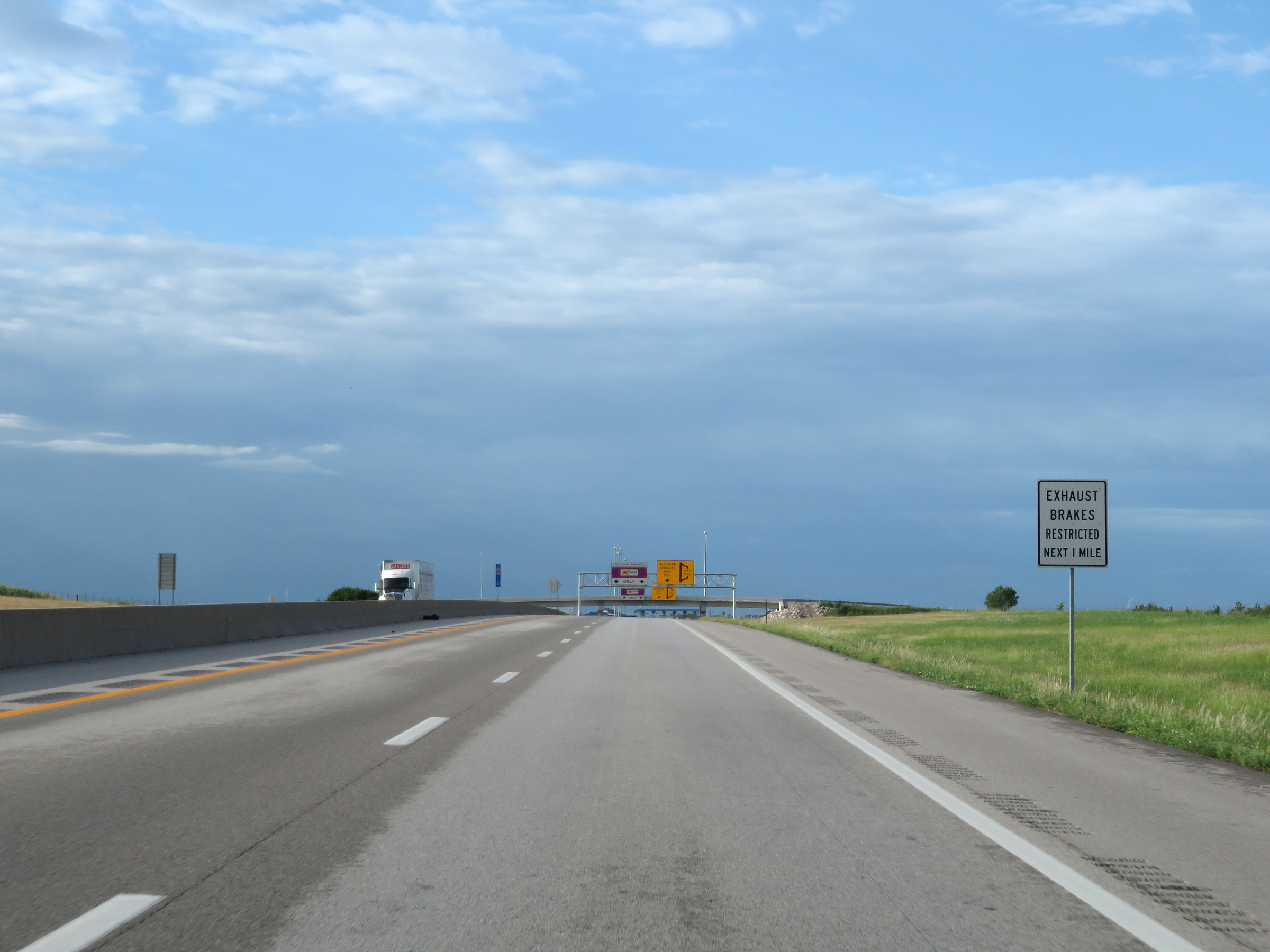 |
As this sign states, exhaust (or engine, jake) brakes are prohibited for the next mile approaching the toll plaza. (Photo taken 8/11/20). |
 |
Interstate 35 South (Kansas Turnpike) at the ramp for cash customers to exit to the toll plaza. K Tag holders can stay straight ahead and pay electronically via the toll gantry in the express toll lanes ahead. (Photo taken 8/11/20). |
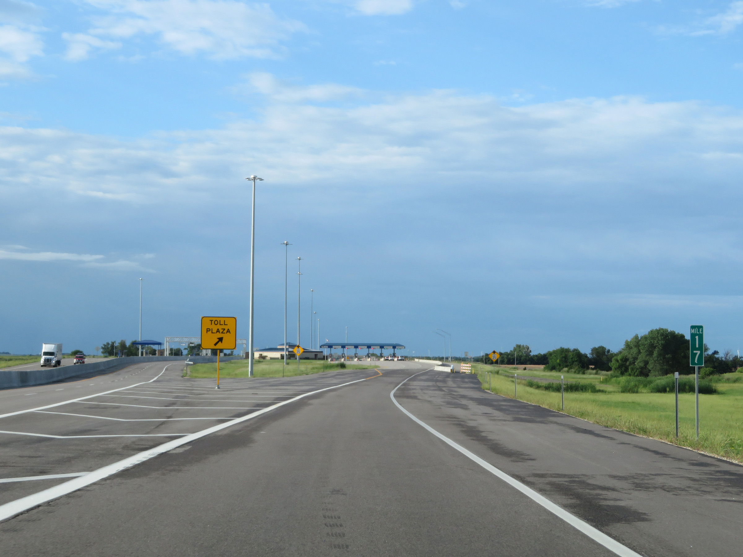 |
View of the ramp to the toll plaza at mile marker 17. (Photo taken 8/11/20). |
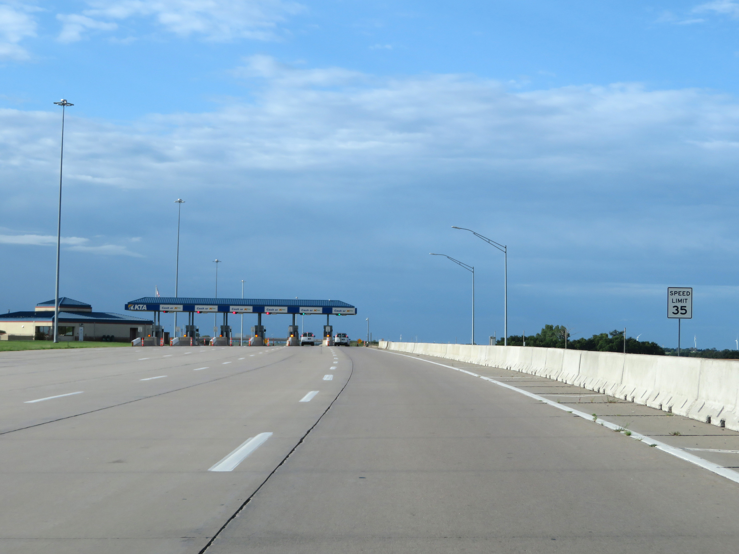 |
The speed limit decreases to 35 mph approaching the Southern Terminal toll plaza. (Photo taken 8/11/20). |
 |
Approaching the Southern Terminal toll plaza on Interstate 35 South (Kansas Turnpike). K Tag is also accepted in all lanes at the toll plaza. (Photo taken 8/11/20). |
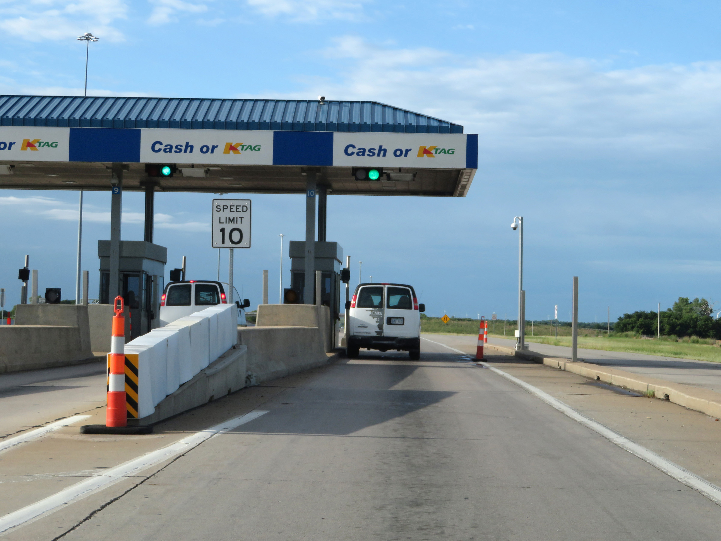 |
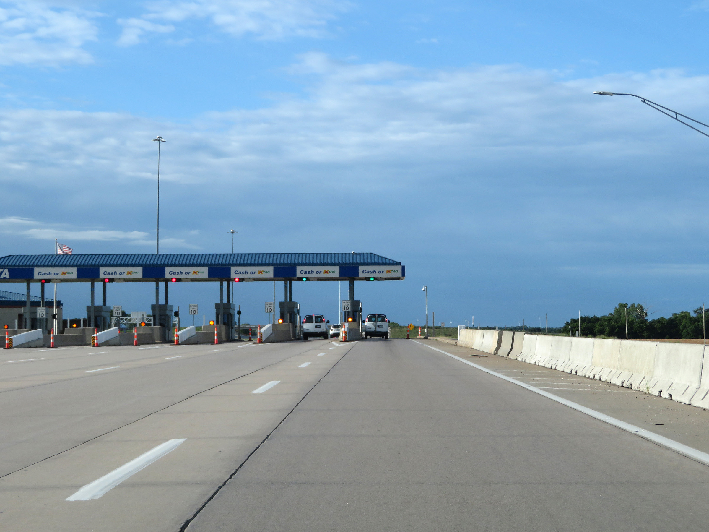
Interstate 35 South (Kansas Turnpike) at the Southern Terminal toll plaza. (Photo taken 8/11/20). |
 |
View on Interstate 35 South (Kansas Turnpike) leaving the Southern Terminal toll plaza. (Photo taken 8/11/20). |
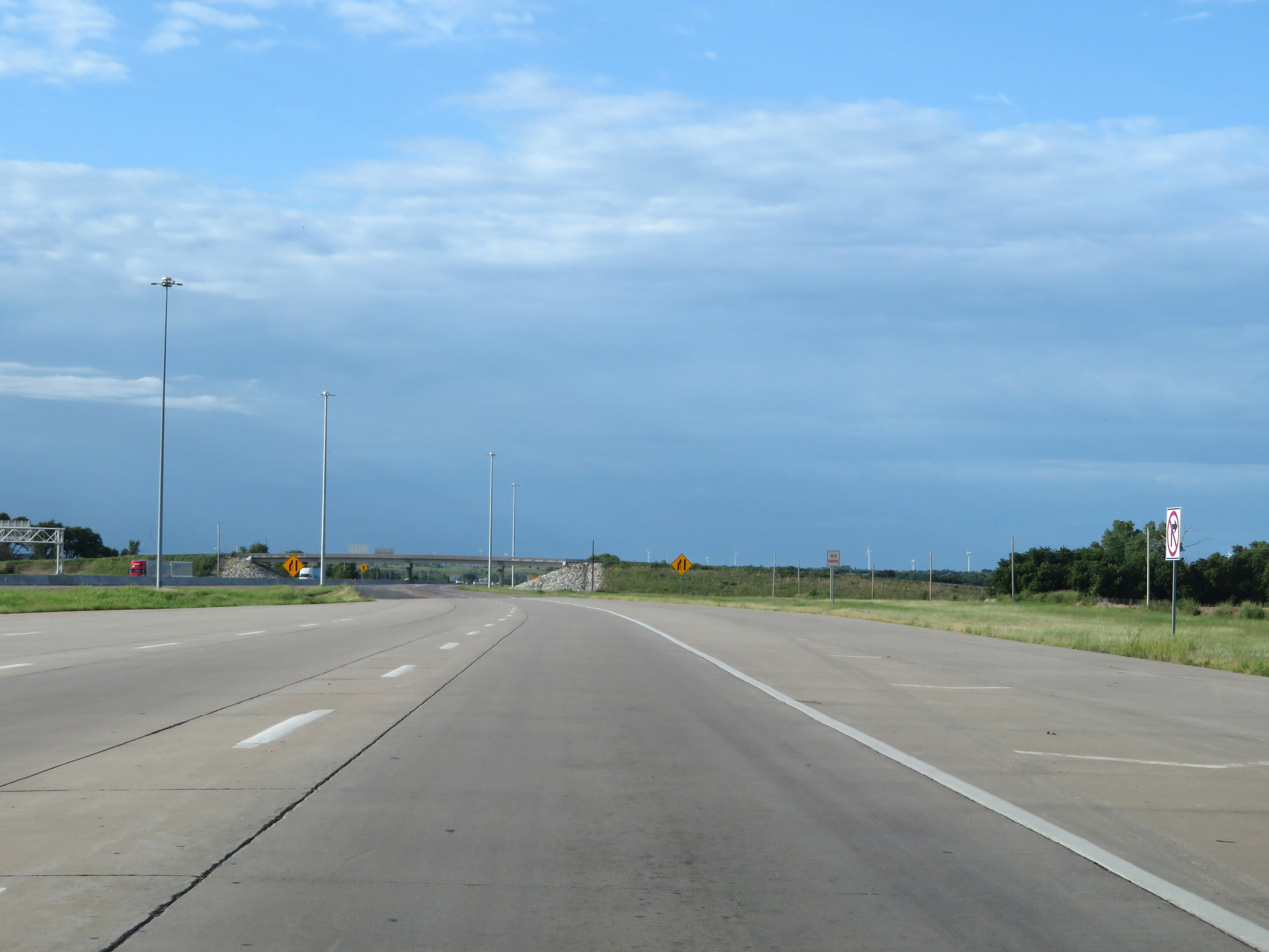
 |
At mile marker 16, the cash lanes from the toll plaza merge back into the mainline. (Photo taken 8/11/20). |
 |
The speed limits remain 75 mph maximum and 40 mph minimum. (Photo taken 8/11/20). |
 |
Mileage sign on Interstate 35 South (Kansas Turnpike). It's 12 miles to South Haven, 16 miles to the State Line, and 129 miles to Oklahoma City. (Photo taken 8/11/20). |
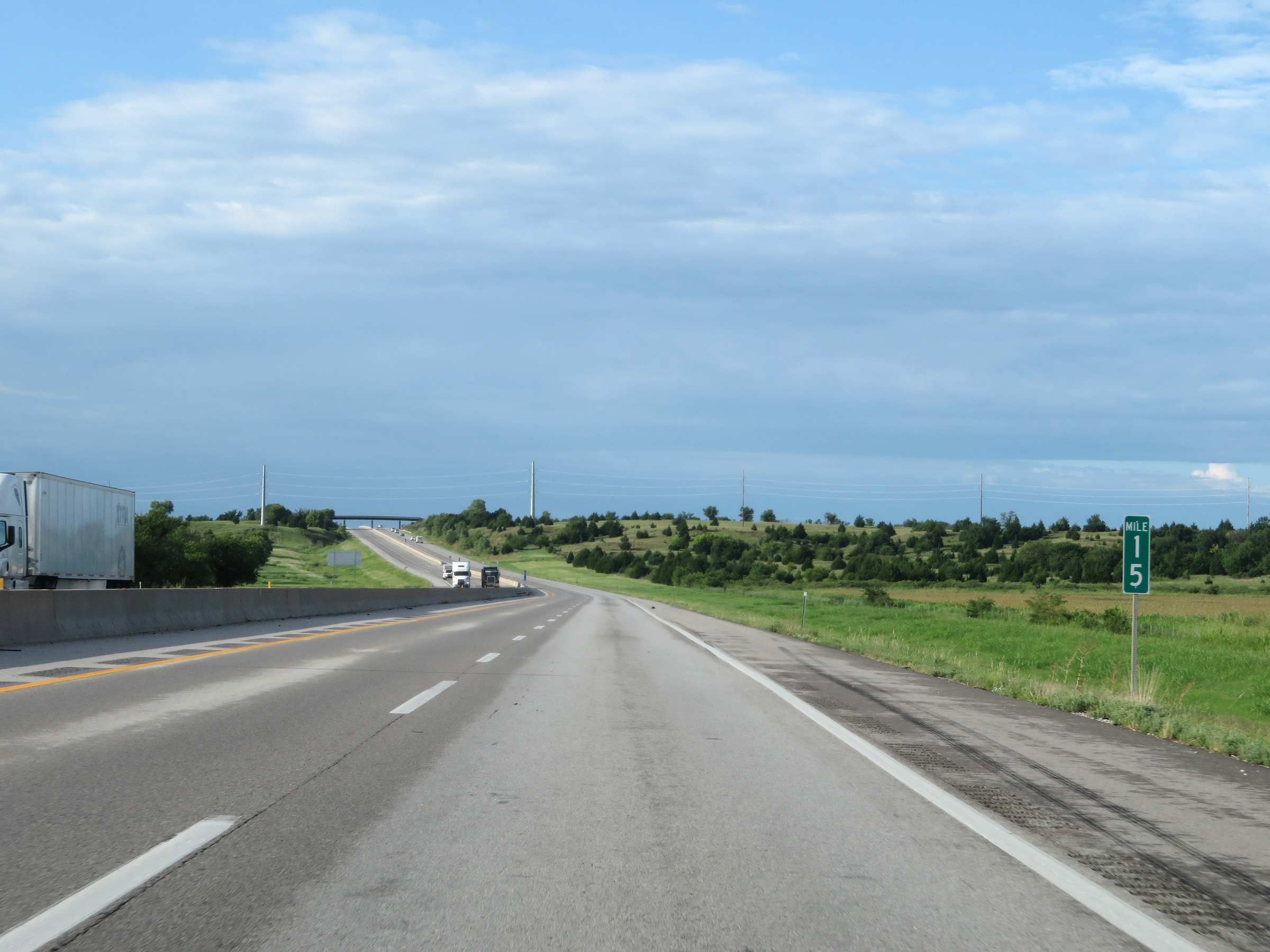 |
View on Interstate 35 South (Kansas Turnpike) at mile marker 15. (Photo taken 8/11/20). |
 |
Interstate 35 South (Kansas Turnpike) at mile marker 13.6. (Photo taken 8/11/20). |
 |
View on Interstate 35 South (Kansas Turnpike) at mile marker 11. (Photo taken 8/11/20). |
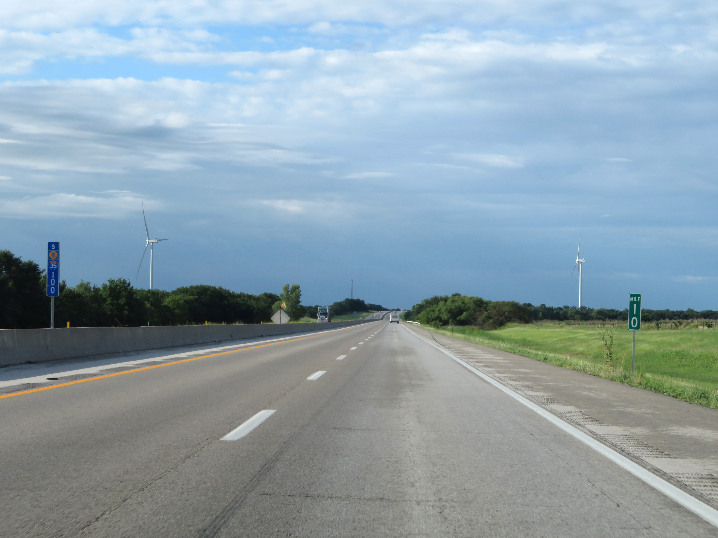 |
Mile marker 10 on Interstate 35 South (Kansas Turnpike) in Sumner County. (Photo taken 8/11/20). |
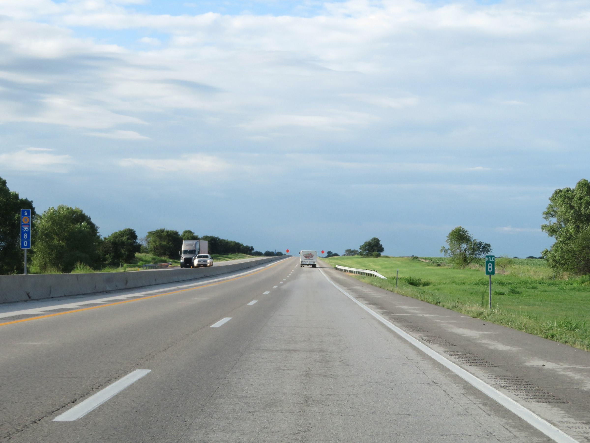 |
Interstate 35 South (Kansas Turnpike) at mile marker 8. (Photo taken 8/11/20). |
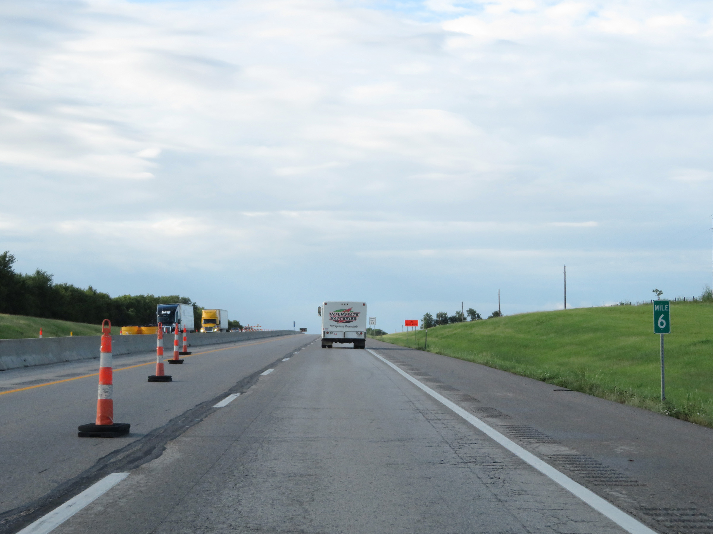 |
Interstate 35 South (Kansas Turnpike) at mile marker 6. (Photo taken 8/11/20). |
 |
Interstate 35 South (Kansas Turnpike) approaching Exit 4 - 1 mile. (Photo taken 8/11/20). |
 |
View on Interstate 35 South (Kansas Turnpike) at mile marker 5. (Photo taken 8/11/20). |
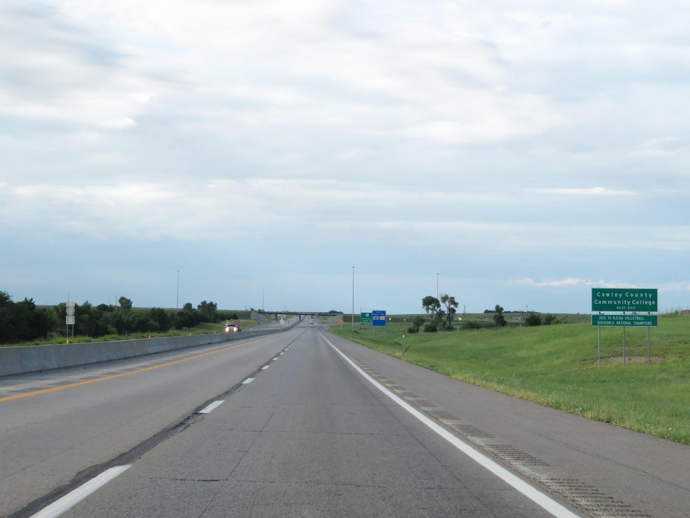 |
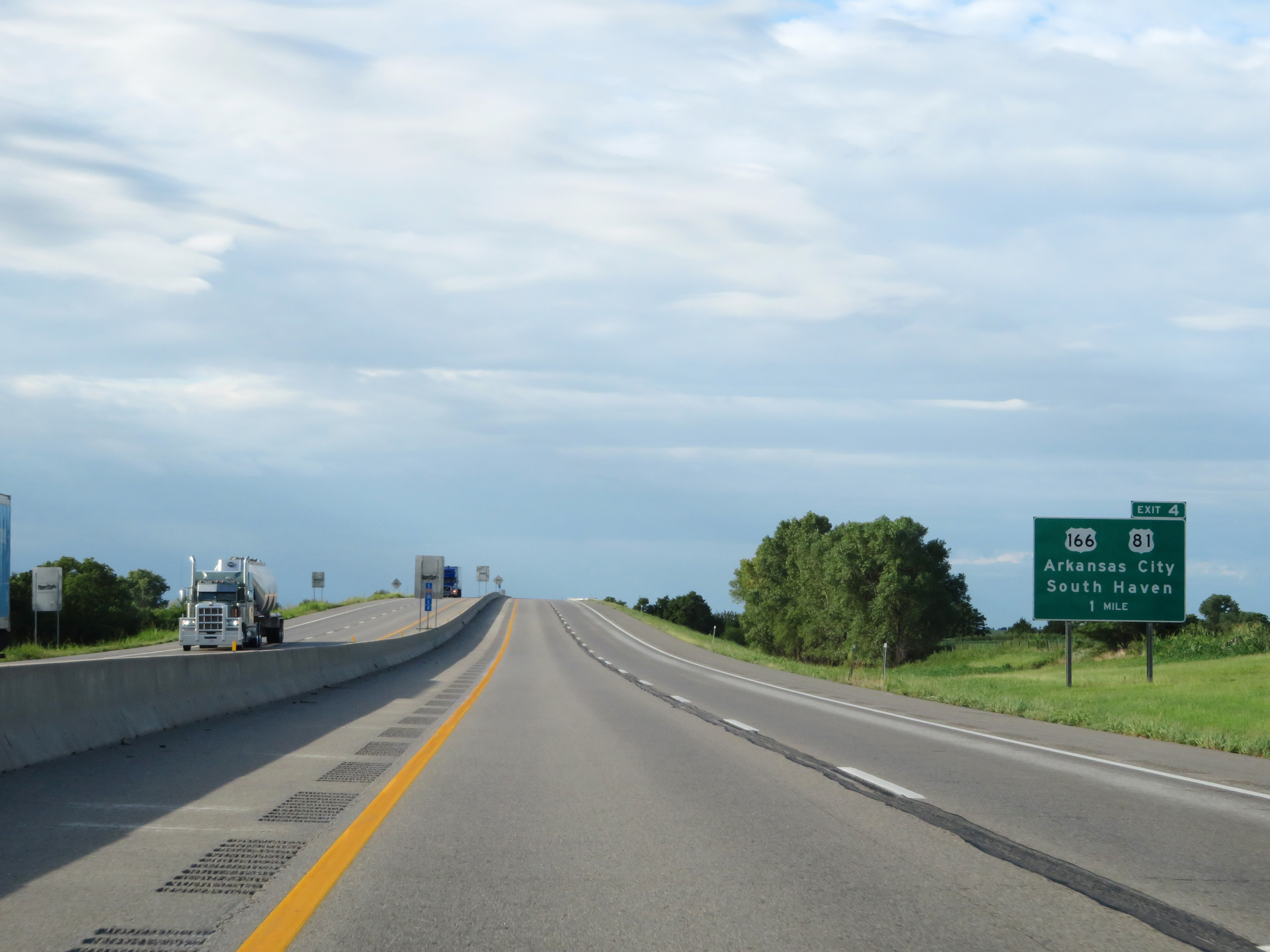
Take Exit 4 to Cowley County Community College. (Photo taken 8/11/20). |
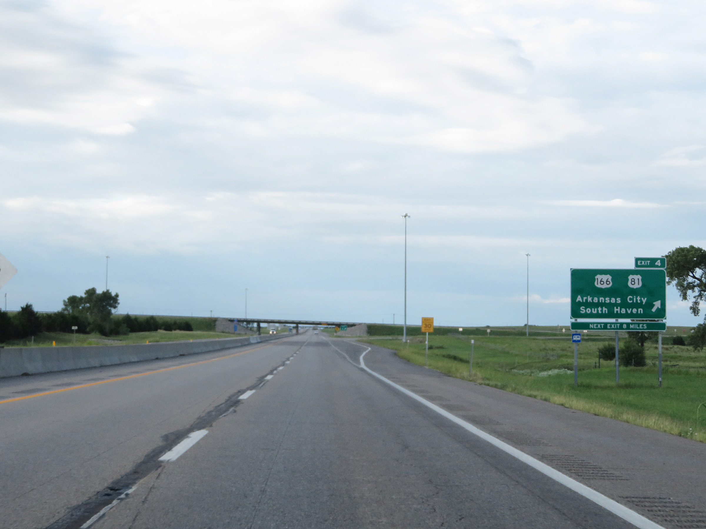 |
Interstate 35 South (Kansas Turnpike) at Exit 4: US 166 / US 81 - Arkansas City / South Haven (Photo taken 8/11/20). |
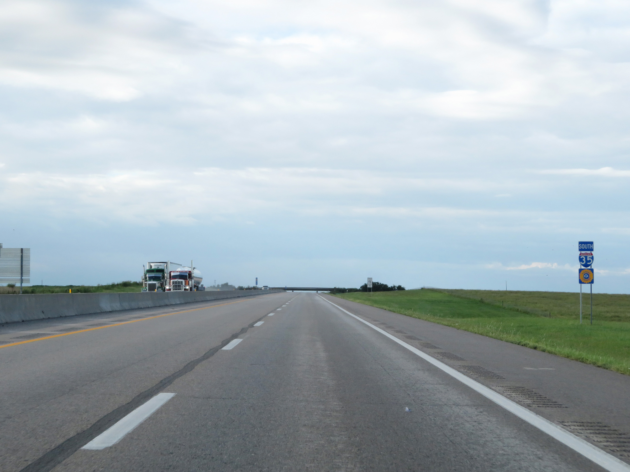 |
One last set of Interstate 35 South / Kansas Turnpike reassurance shields. (Photo taken 8/11/20). |
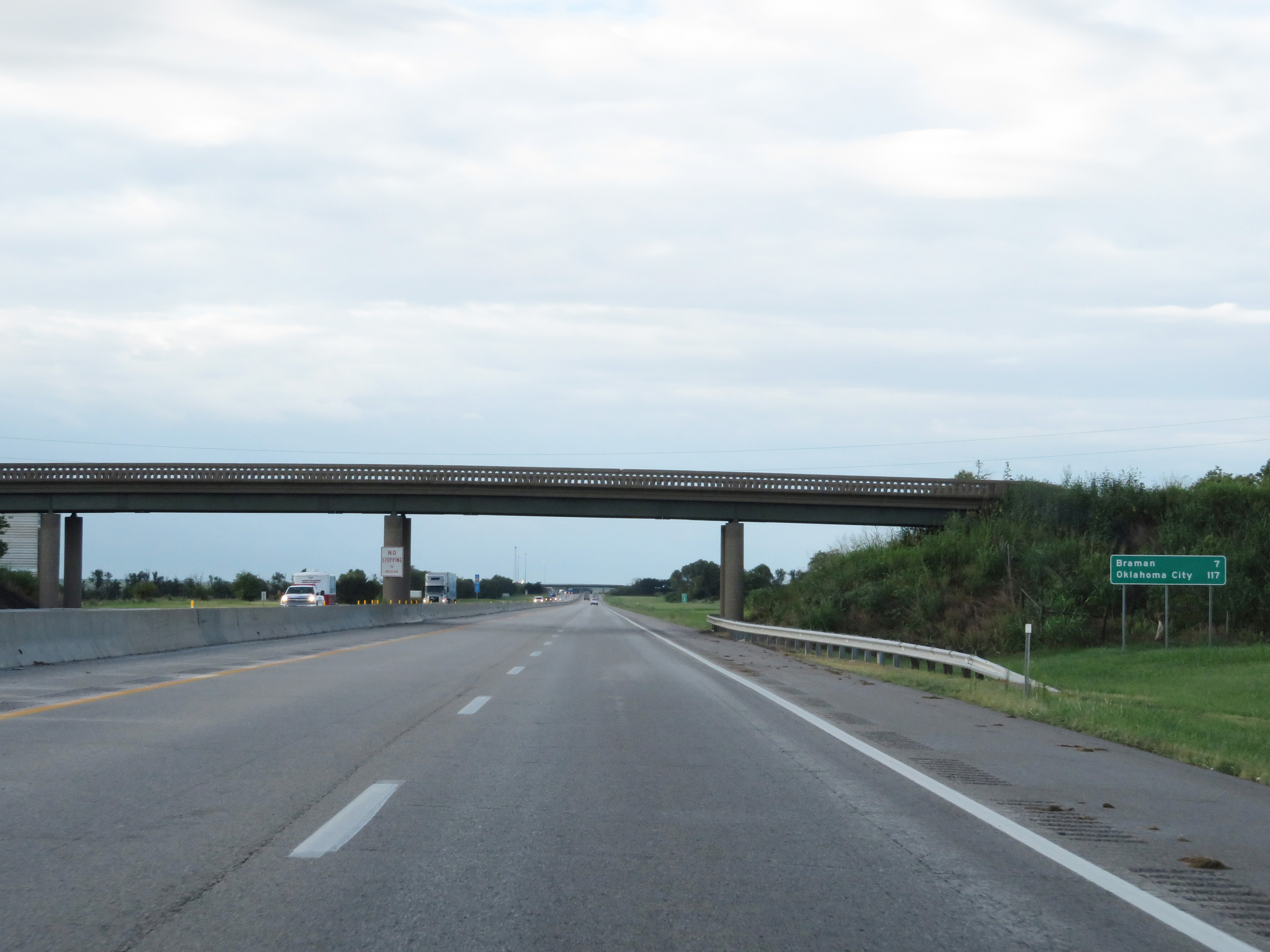 |
Mileage sign on Interstate 35 South (Kansas Turnpike). It's 7 miles to Braman and 117 miles to Oklahoma City. (Photo taken 8/11/20). |
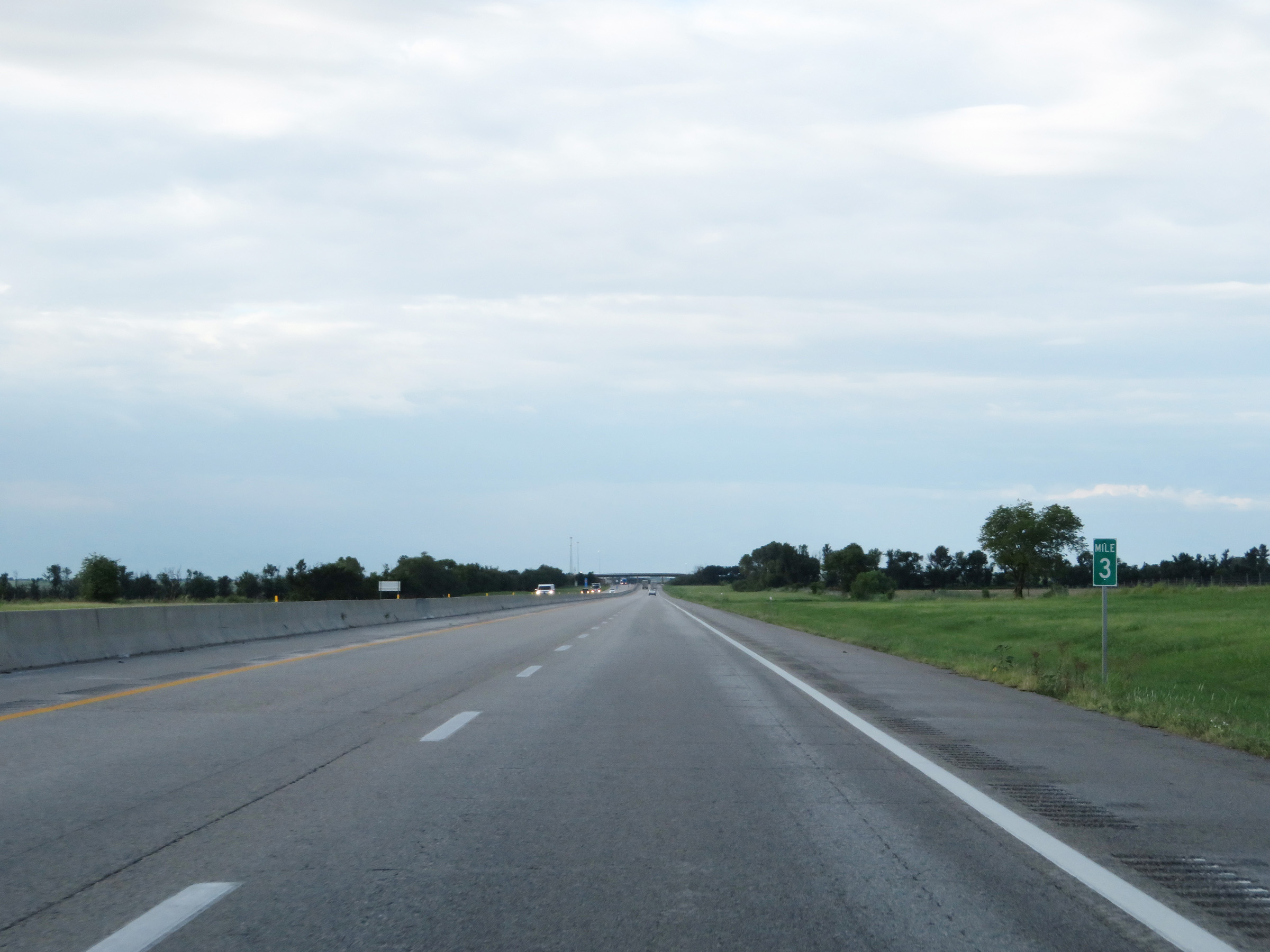 |
View on Interstate 35 South (Kansas Turnpike) at mile marker 3. (Photo taken 8/11/20). |
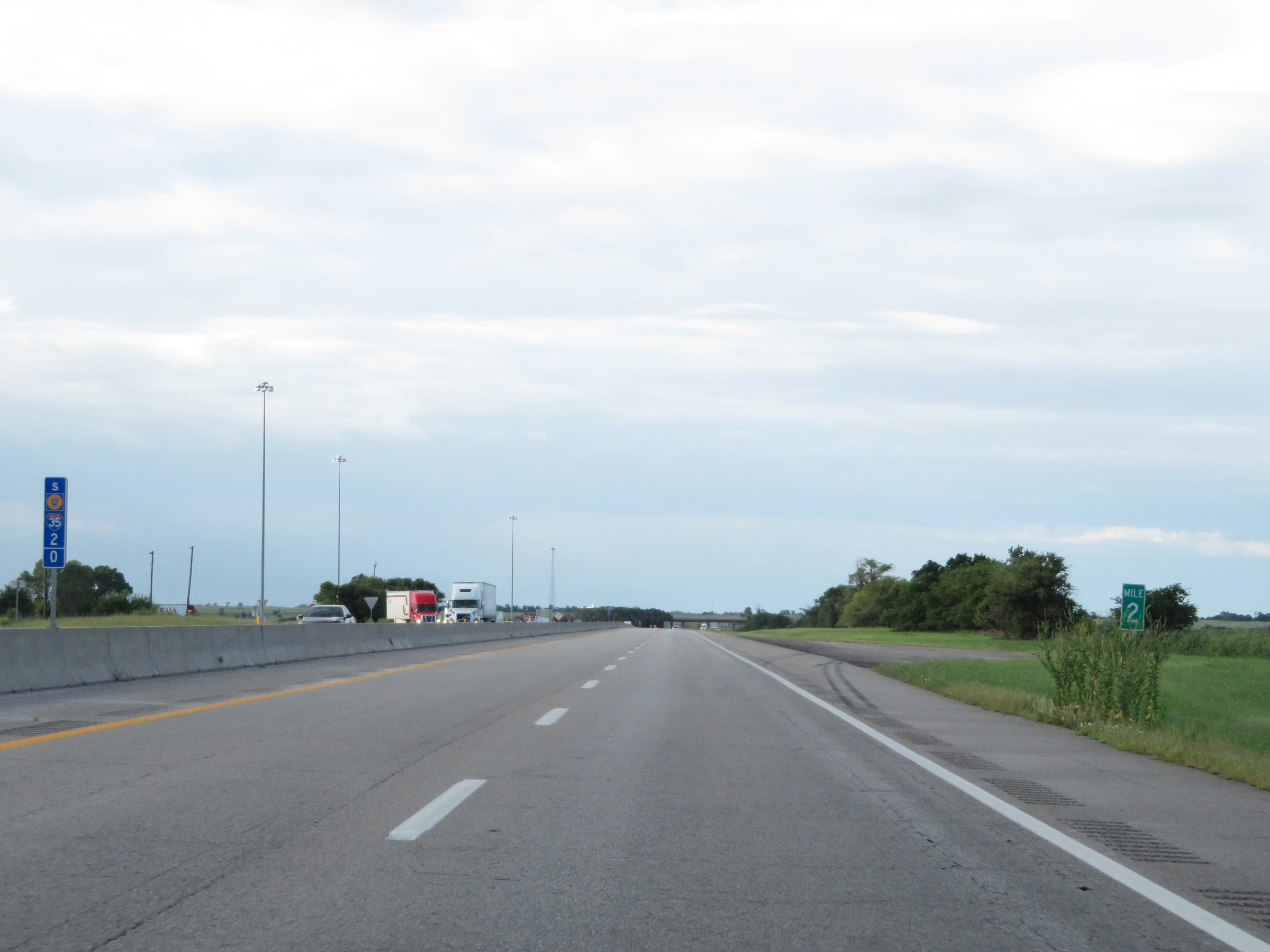 |
Interstate 35 South (Kansas Turnpike) at mile marker 2. (Photo taken 8/11/20). |
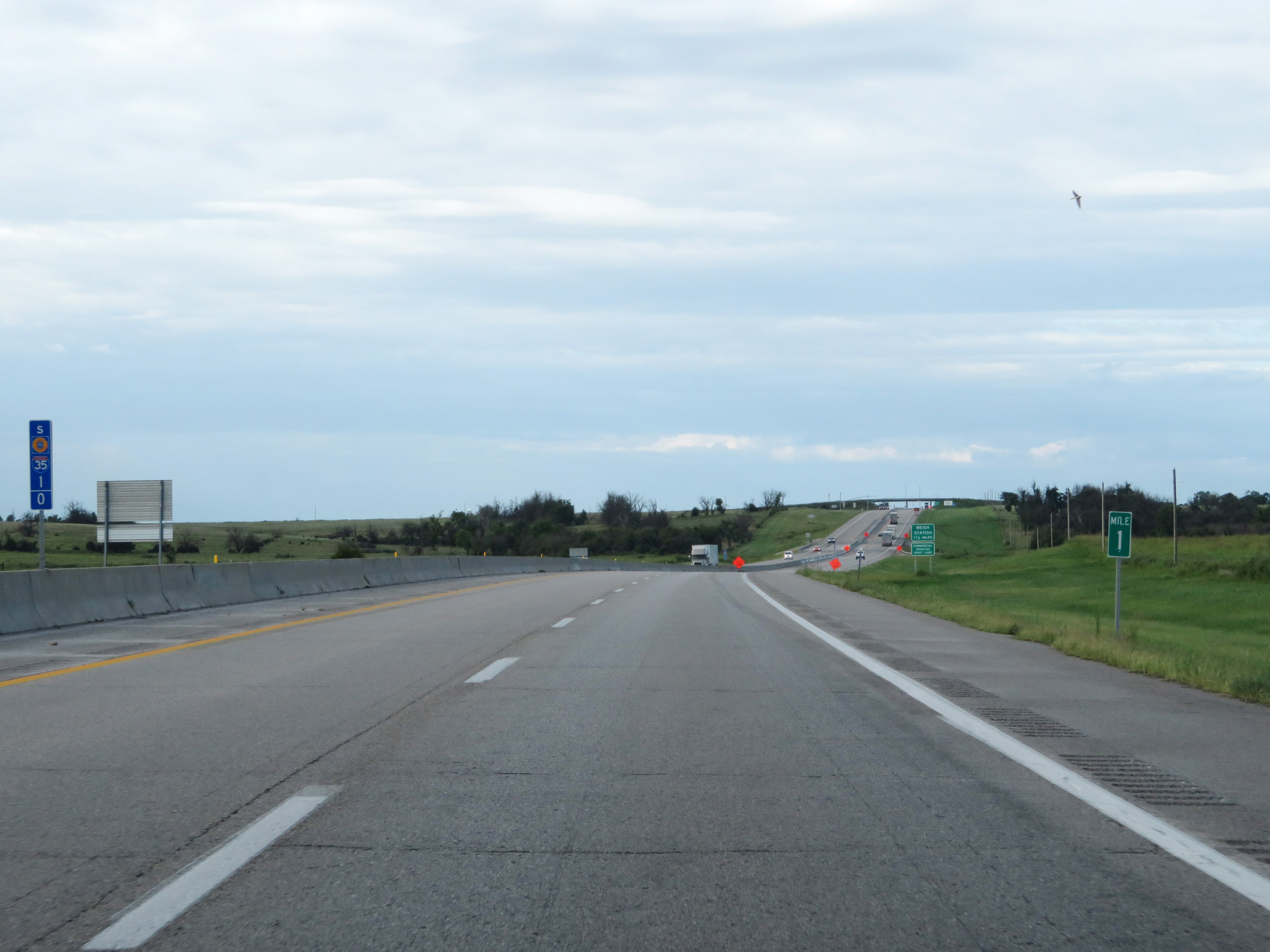 |
View on Interstate 35 South (Kansas Turnpike) at mile marker 1. (Photo taken 8/11/20). |
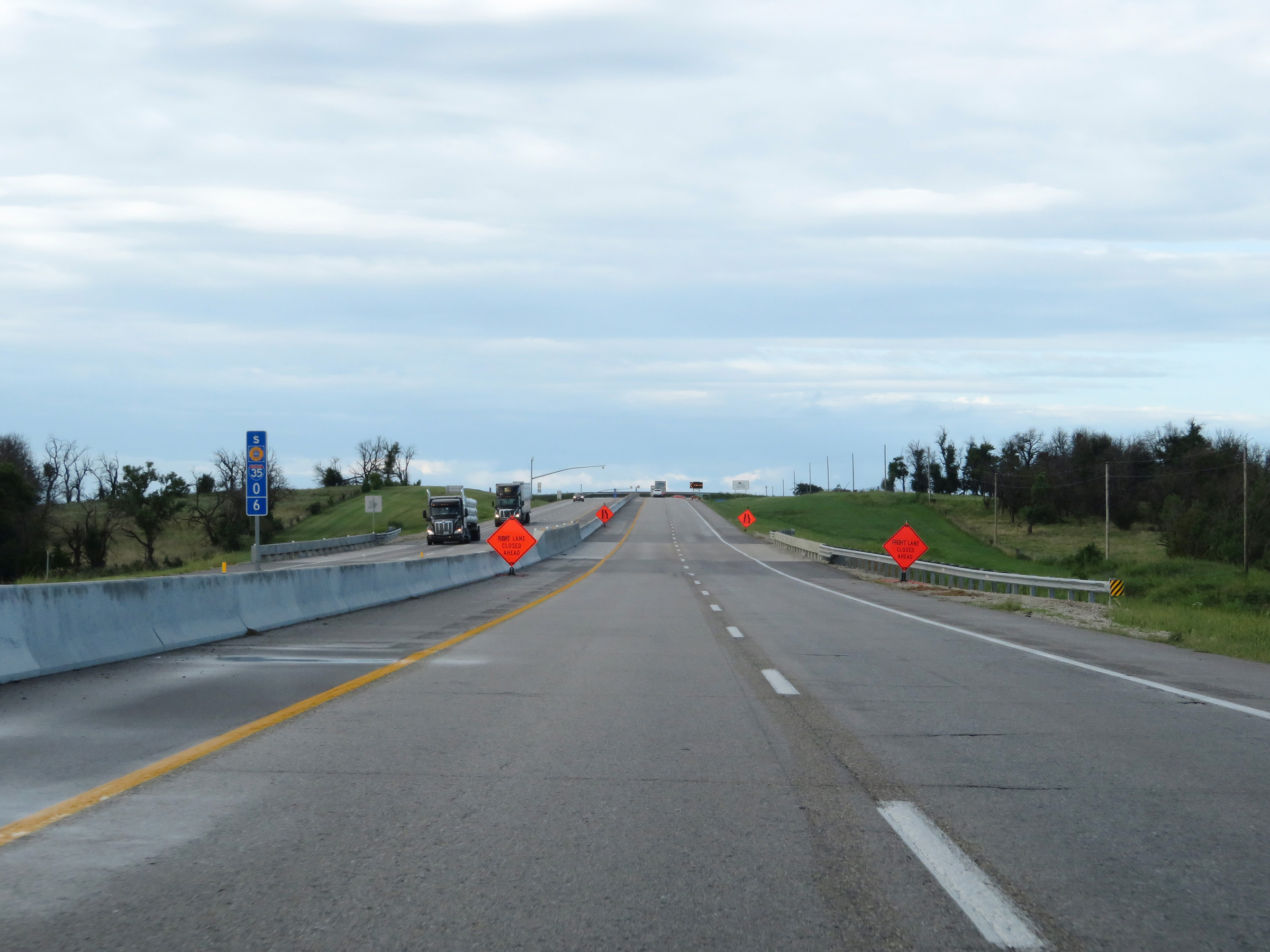 |
Interstate 35 South (Kansas Turnpike) at mile marker 0.6. The Oklahoma border is at the top of the slight hill ahead. (Photo taken 8/11/20). |
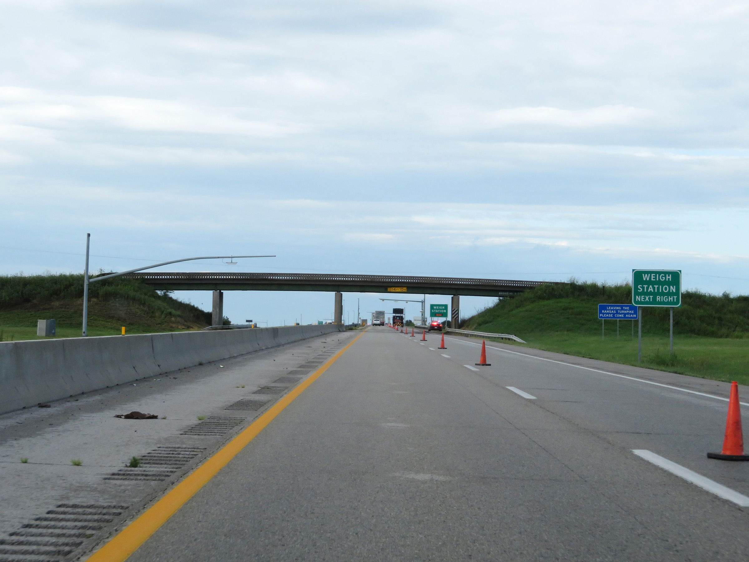 |
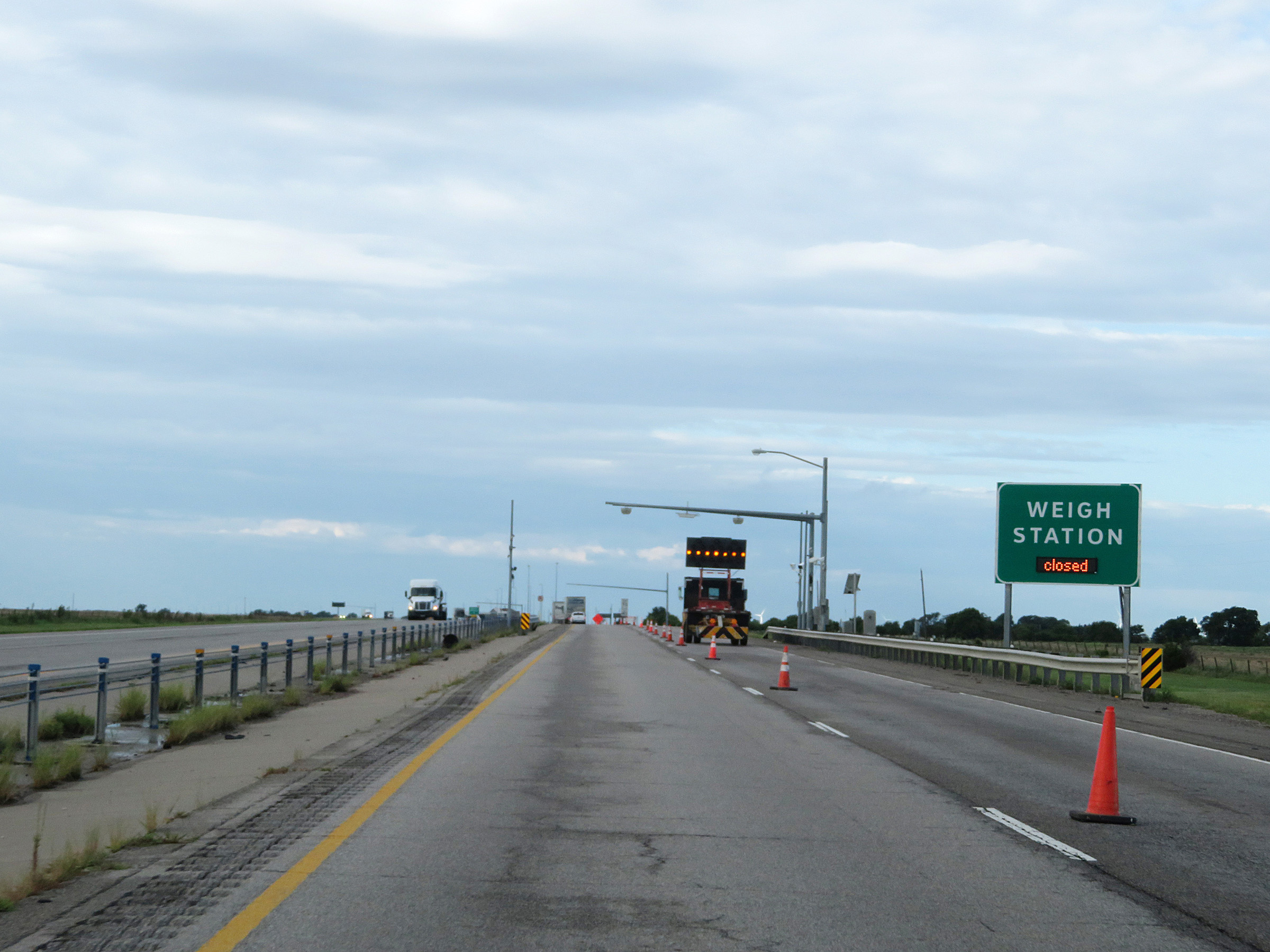
A Weigh Station exists immediately after crossing the state line into Oklahoma. (Photo taken 8/11/20). |
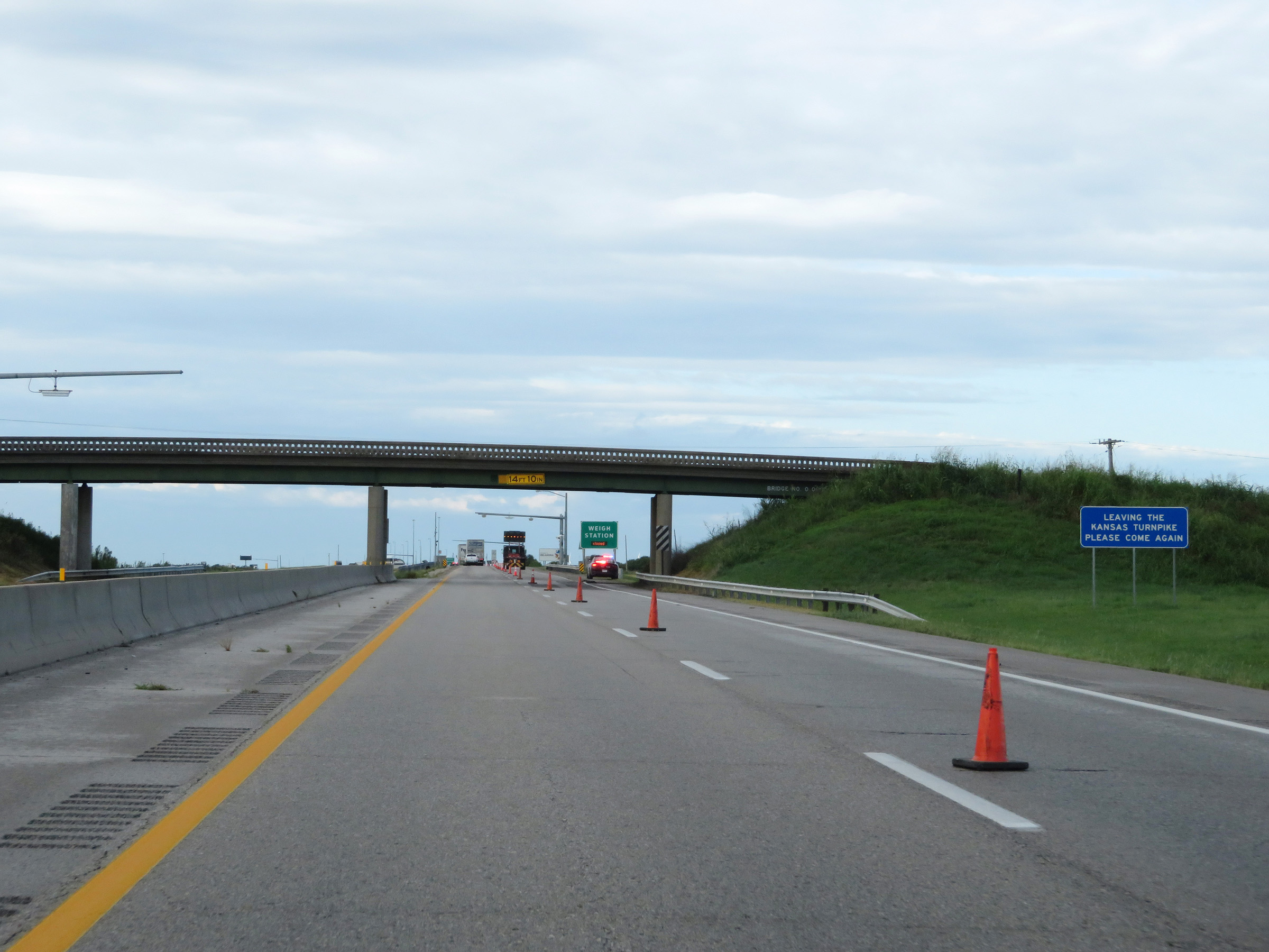 |
As this sign reads, at this point just before the state line you're leaving the Kansas Turnpike (and in turn, the state of Kansas). (Photo taken 8/11/20). |
 |
View on Interstate 35 South (Kansas Turnpike) at the state line, as I-35 South enters Oklahoma. (Photo taken 8/11/20). |