Road Information |
||
 |
||
| Total Mileage in State: | 235 miles | |
| Northern End: | At Missouri state line | |
| Southern End: | At Oklahoma state line | |
| Mileage covered in Photos: | 127 miles | |
| Counties covered in Photos: | Sumner, Sedgwick, Butler, Chase, Lyon | |
| Major Junctions in Photos: | I-135/I-235, in Wichita I-335 (Kansas Turnpike), in Emporia |
|
| Control Cities in Photos: | Wichita, El Dorado, Emporia | |
Northbound
- Section 1: Oklahoma Border to Wichita (Exit 50)
- Section 2: Wichita (Exit 50) to Emporia (Exit 127)
Section 1: Oklahoma Border to Wichita (Exit 50)
 |
Interstate 35 North as it enters Kansas from Oklahoma. This sign warns trucks equipped with Prepass transponders to follow their in-cab signals at the upcoming Weigh & Inspection Station. (Photo taken 8/11/20). |
 |
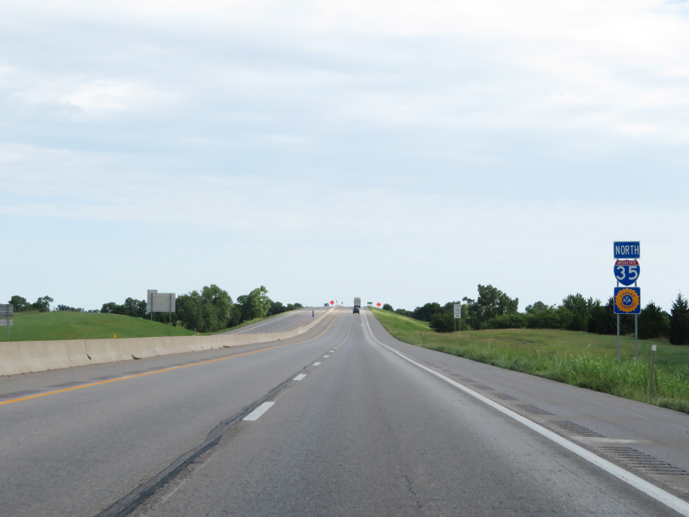
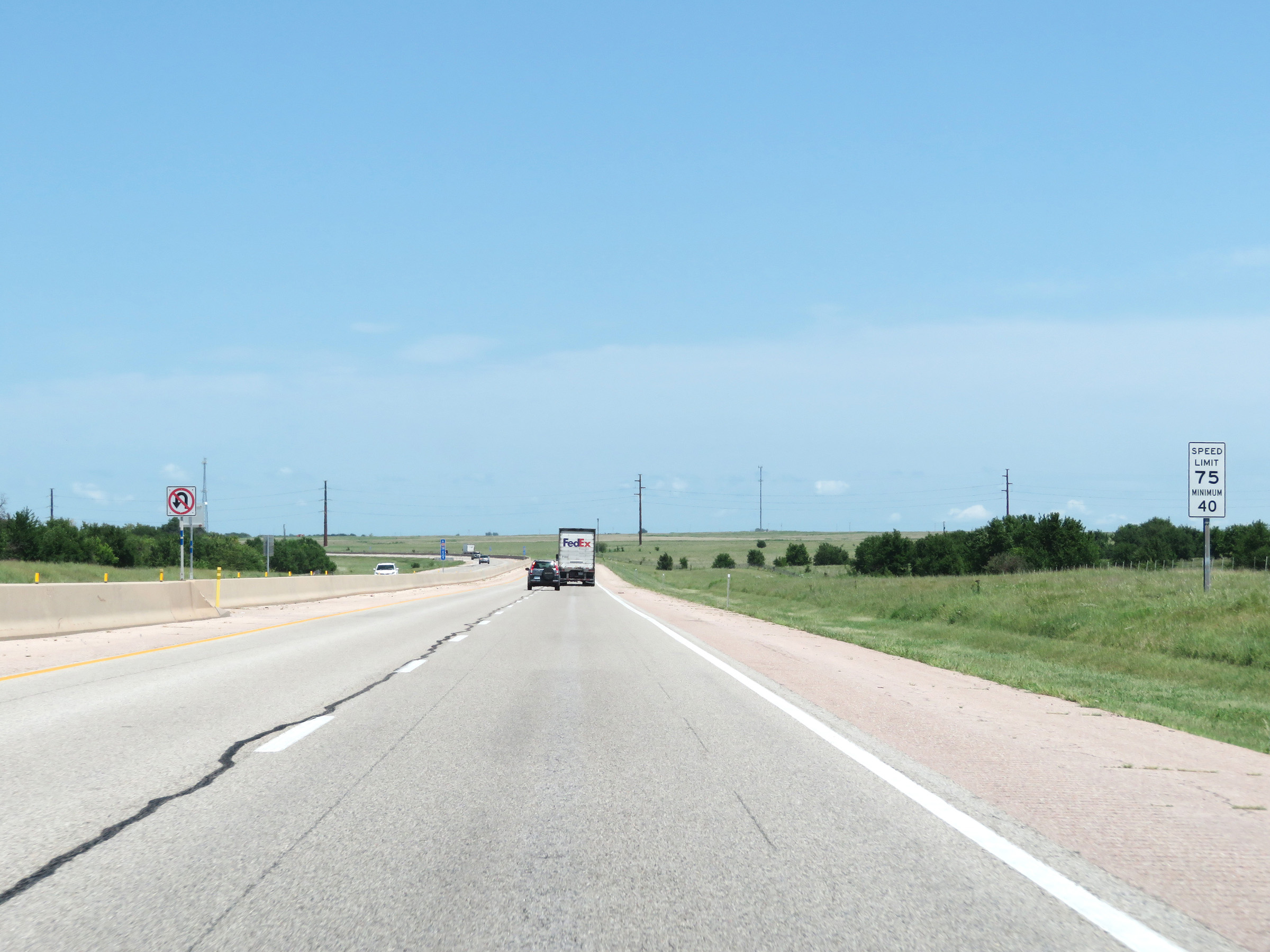
The speed limits on Interstate 35 North in Kansas start out at 75 mph maximum and 40 mph minimum. These are the standard speed limits on most rural Interstate highways in Kansas. (Photo taken 8/11/20). |
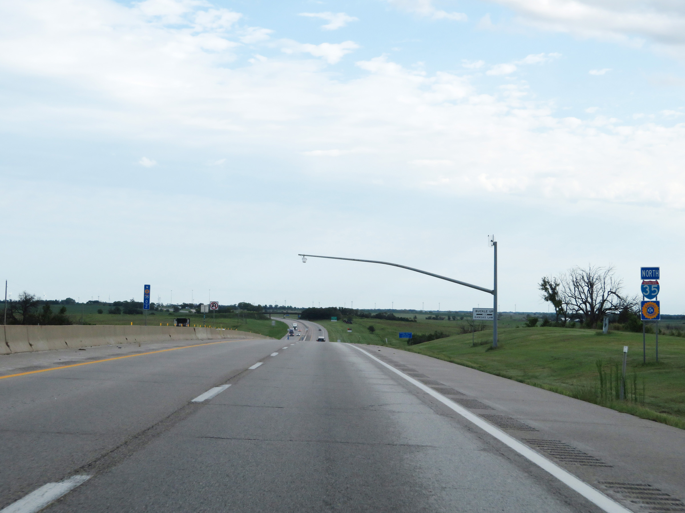 |
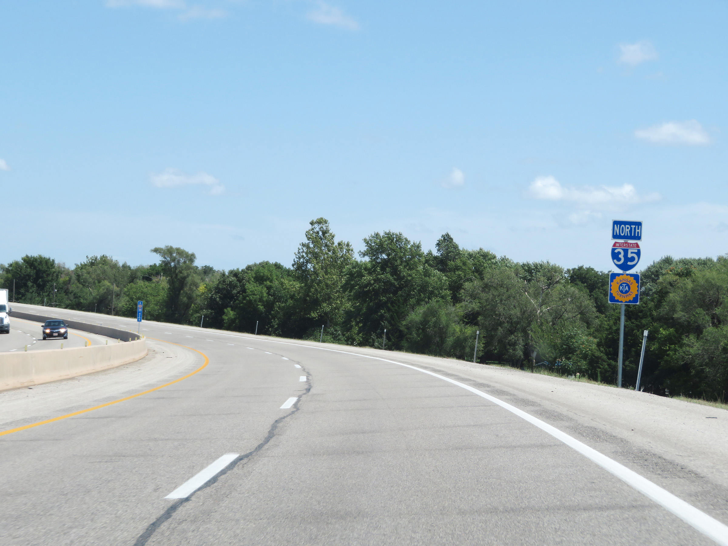
Interstate 35 North reassurance shield along with a Kansas Turnpike reassurance marker at mile marker 0.2. Interstate 35 North will run concurrently with the Kansas Turnpike for the next 127 miles to Emporia. (Photo taken 8/11/20). |
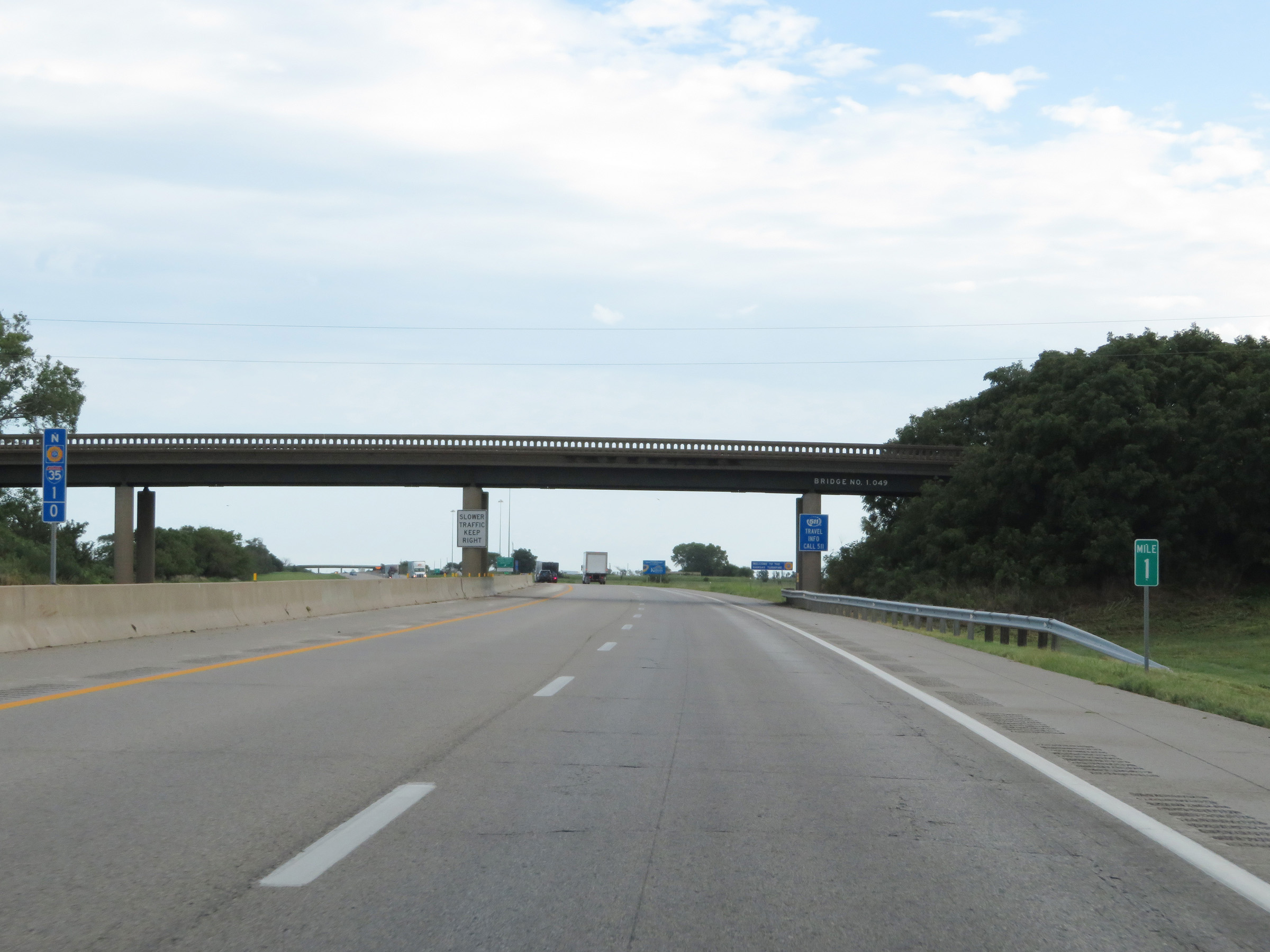 |
Interstate 35 North (Kansas Turnpike) at mile marker 1. (Photo taken 8/11/20). |
 |
This sign welcomes motorists to the Kansas Turnpike, as the toll road officially begins. (Photo taken 8/11/20). |
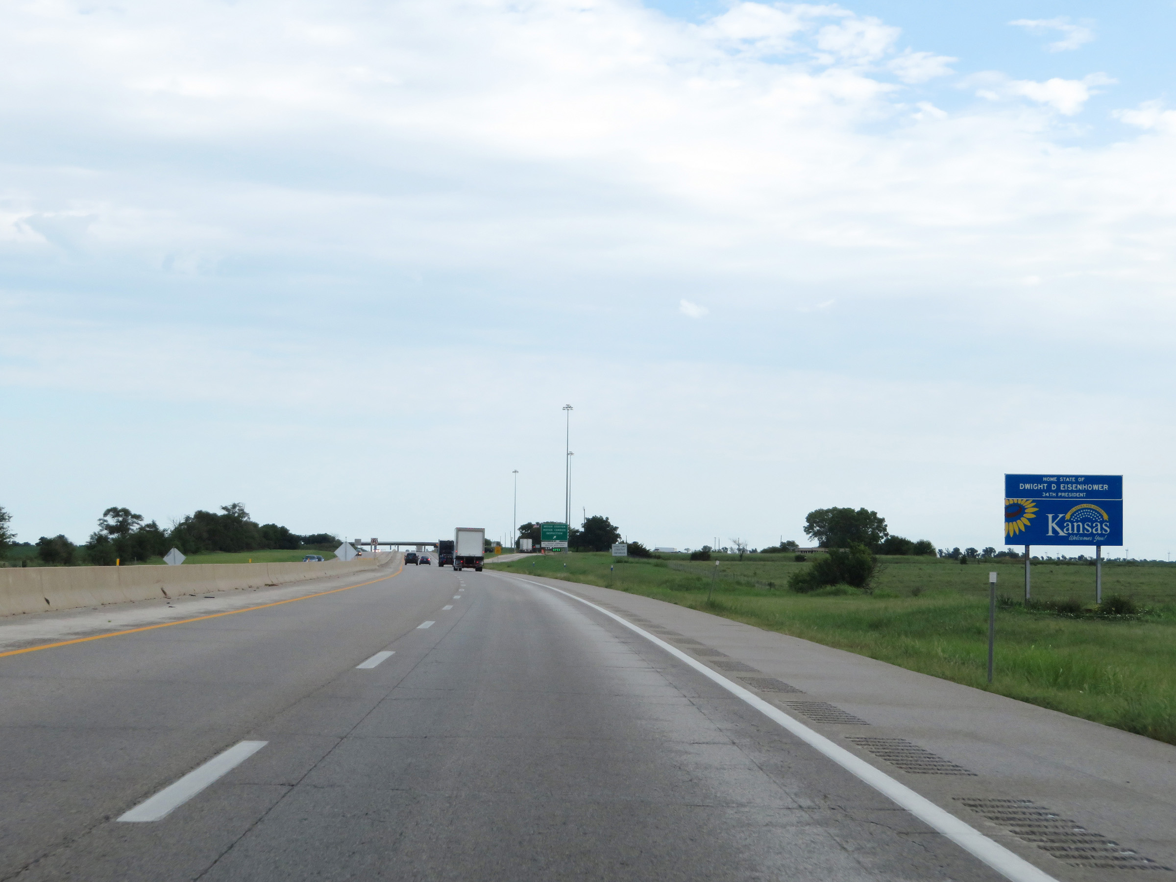 |
Kansas welcome sign on Interstate 35 North (Kansas Turnpike). (Photo taken 8/11/20). |
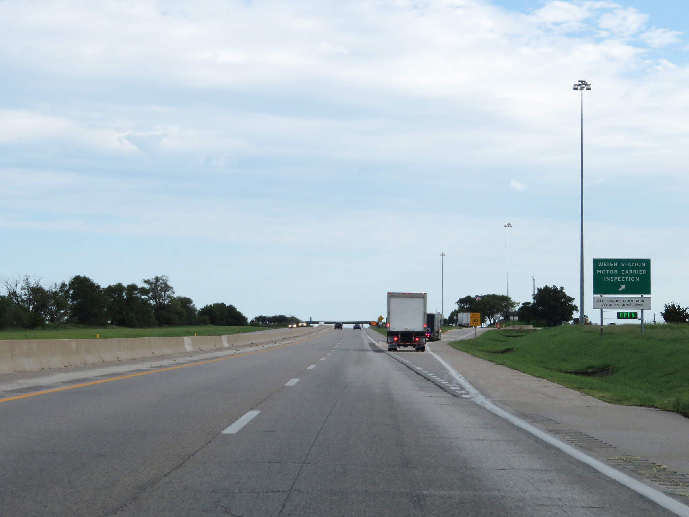 |
Weigh Station / Motor Carrier Inspection Station on Interstate 35 North (Kansas Turnpike) in Sumner County. (Photo taken 8/11/20). |
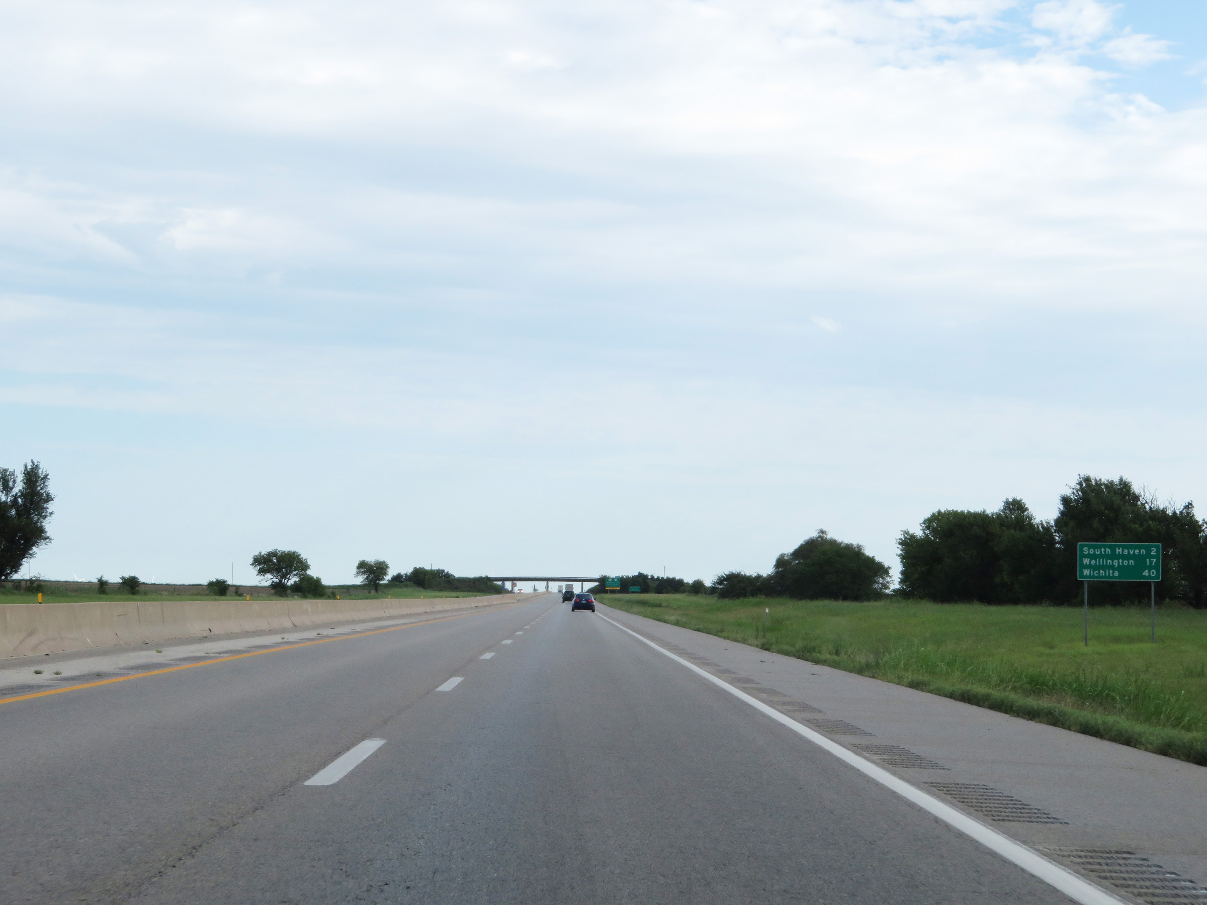 |
Mileage sign on Interstate 35 North (Kansas Turnpike). It's 2 miles to South Haven, 17 miles to Wellington, and 40 miles to Wichita. (Photo taken 8/11/20). |
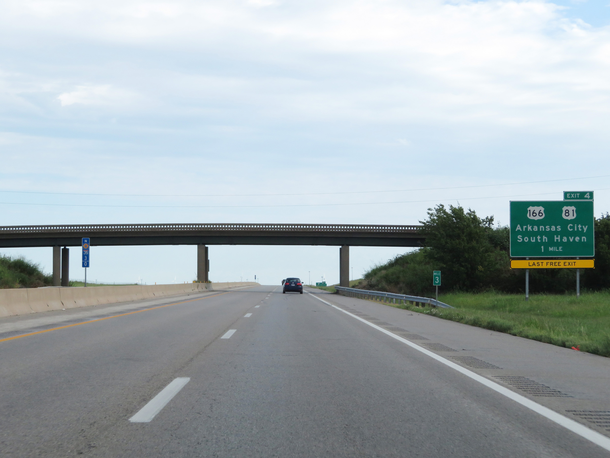 |
Advance signage for Exit 4, which is 1 mile ahead. As the signage reads, Exit 4 is the last free exit before the first toll plaza on the Kansas Turnpike. (Photo taken 8/11/20). |
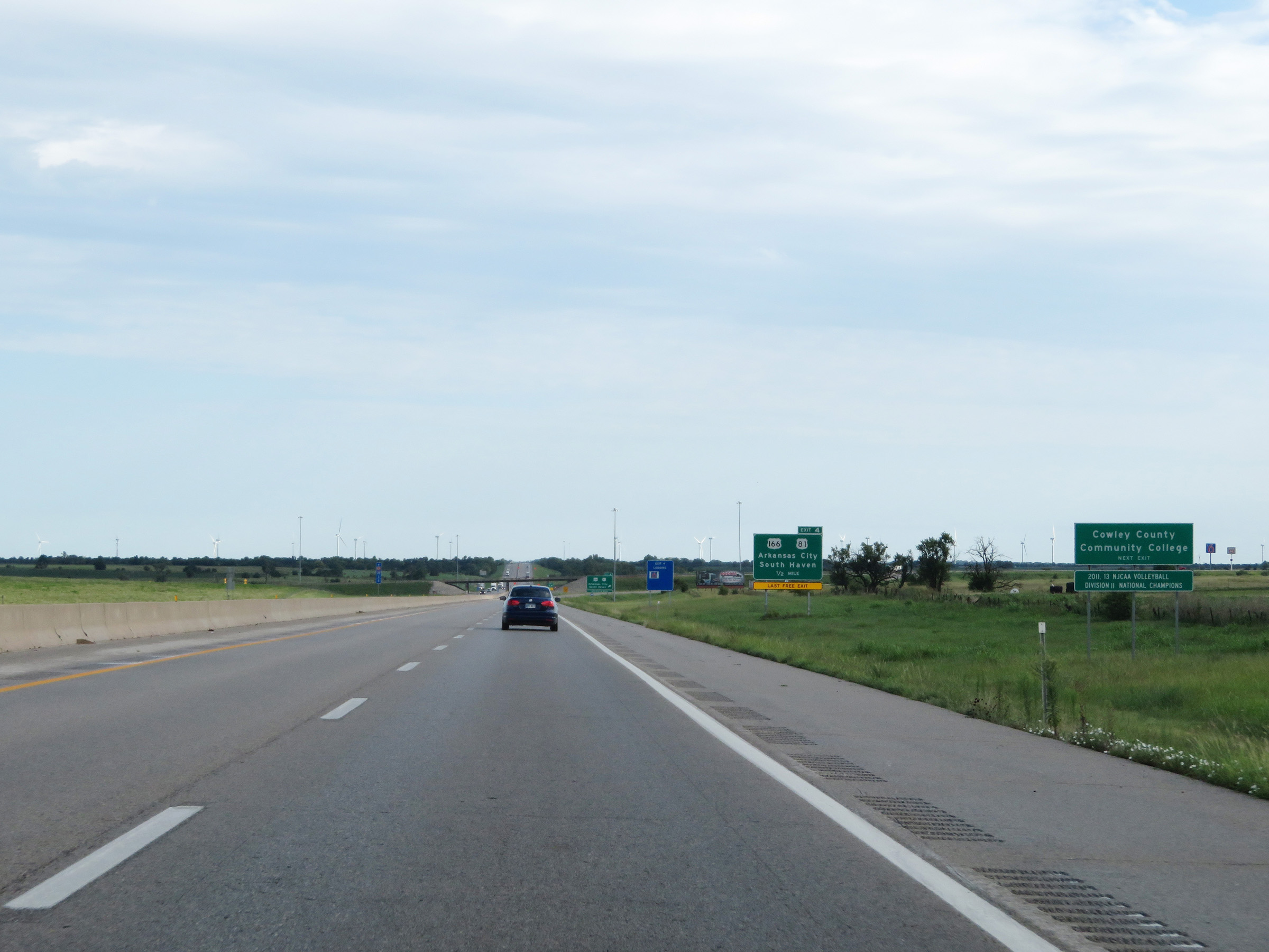 |
Take Exit 4 to Cowley County Community College. (Photo taken 8/11/20). |
 |
Interstate 35 North (Kansas Turnpike) at Exit 4: US 81 / US 166 - Arkansas City / South Haven (Photo taken 8/11/20). |
 |
Another set of Interstate 35 North / Kansas Turnpike reassurance markers. (Photo taken 8/11/20). |
 |
View on Interstate 35 North (Kansas Turnpike) at mile marker 6. (Photo taken 8/11/20). |
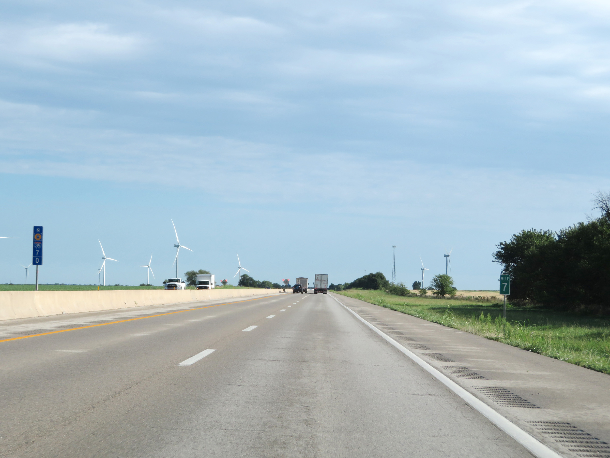 |
Mile marker 7 on Interstate 35 North (Kansas Turnpike) in Sumner County. (Photo taken 8/11/20). |
 |
Interstate 35 North (Kansas Turnpike) at mile marker 9. (Photo taken 8/11/20). |
 |
Mile marker 10 on Interstate 35 North (Kansas Turnpike) in Sumner County. (Photo taken 8/11/20). |
 |
View on Interstate 35 North (Kansas Turnpike) at mile marker 12. (Photo taken 8/11/20). |
 |
Interstate 35 North (Kansas Turnpike) at mile marker 15. (Photo taken 8/11/20). |
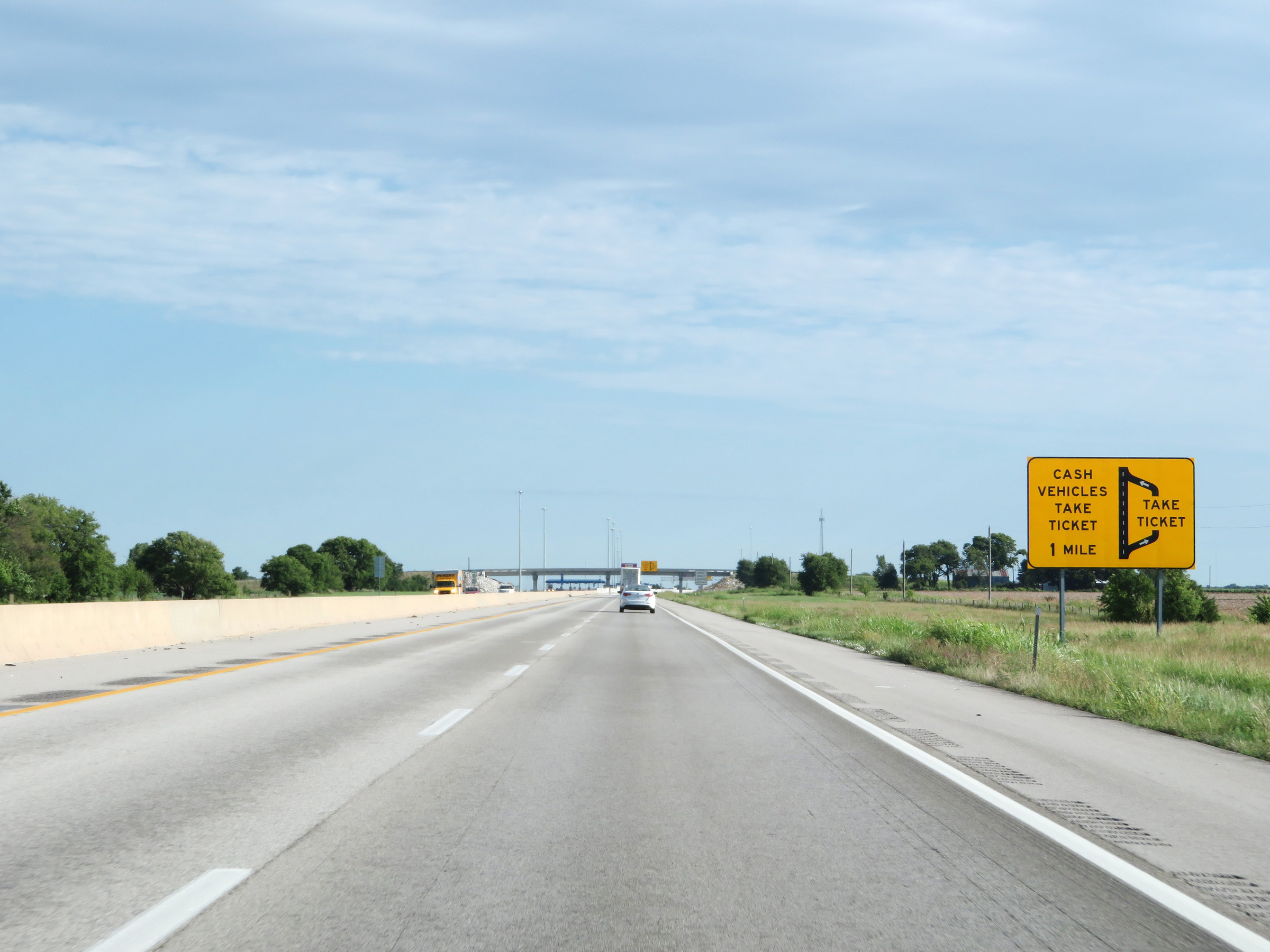 |
Interstate 35 North approaching the Southern Terminal Toll Plaza, which is the only mainline toll plaza on the I-35 portion of the Kansas Turnpike. One mile ahead, cash vehicles must exit off to the right to get a ticket at the toll plaza. (Photo taken 8/11/20). |
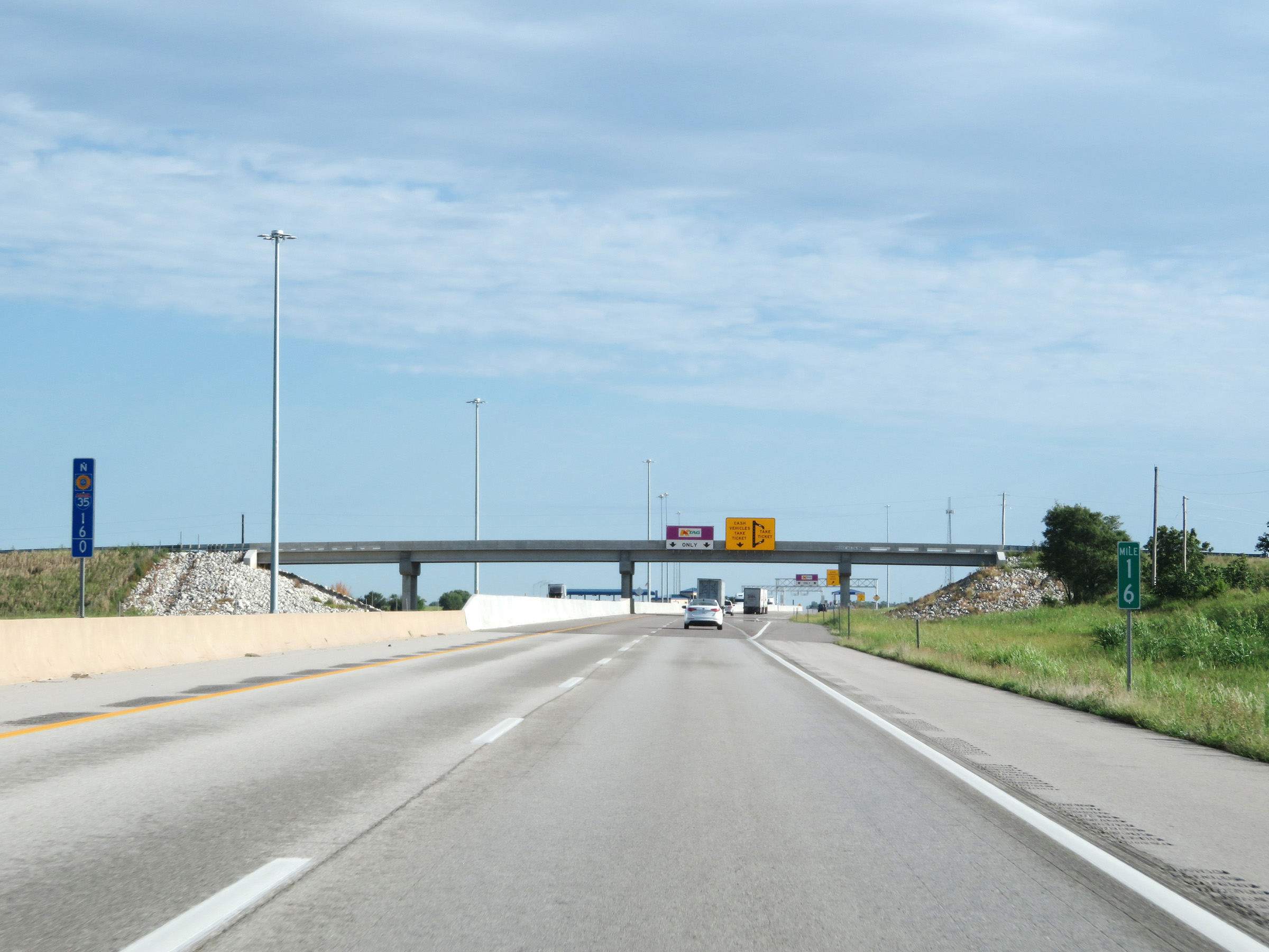 |
View on Interstate 35 North (Kansas Turnpike) at mile marker 16. (Photo taken 8/11/20). |
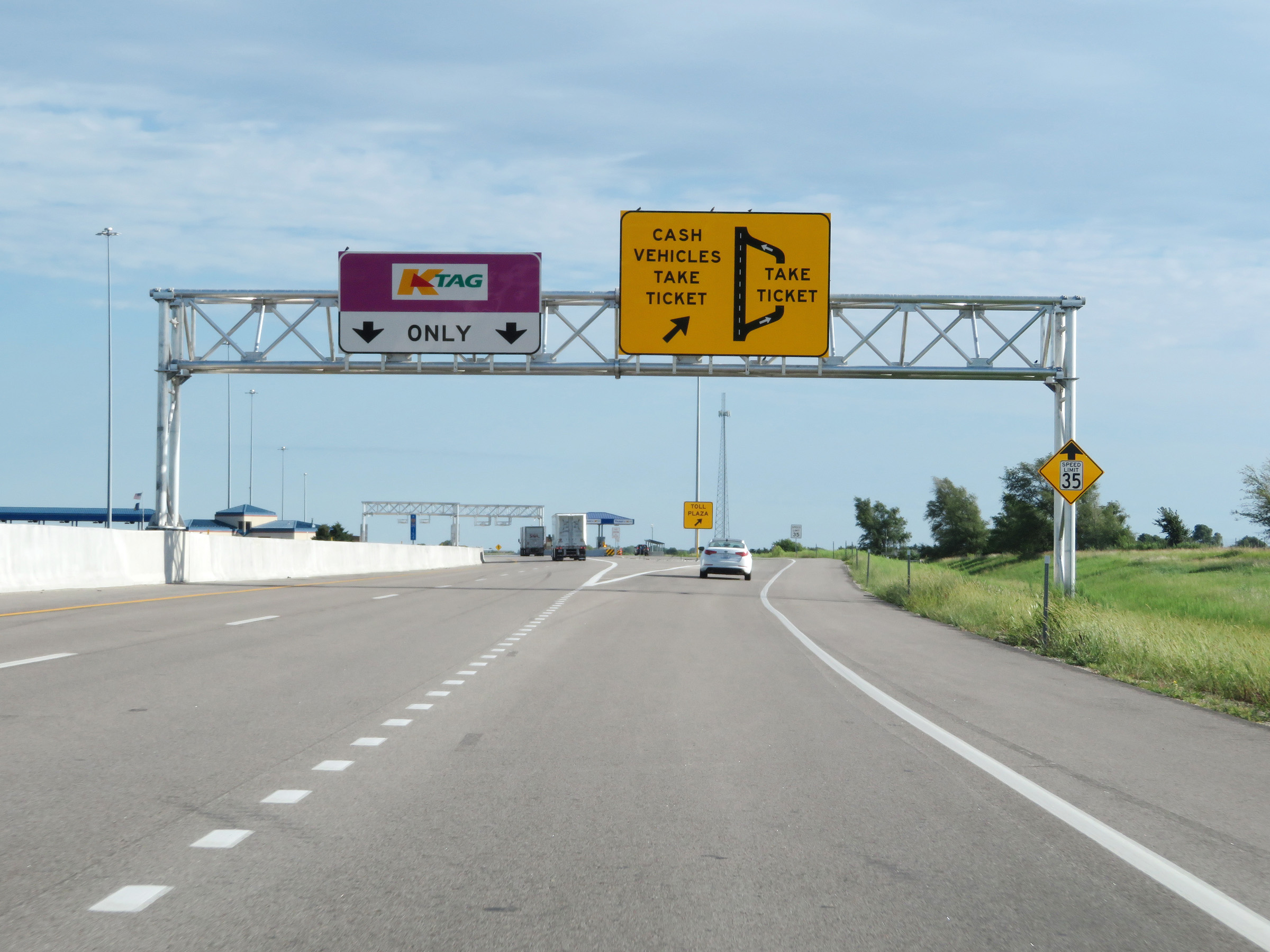 |
As Interstate 35 North reaches the Southern Terminal Toll Plaza, cash vehicles must exit to the right here to go to the toll plaza and get a toll ticket. Meanwhile, K Tag holders can stay straight at highway speed to pay electronically by having their transponder scanned at the toll gantry ahead. (Photo taken 8/11/20). |
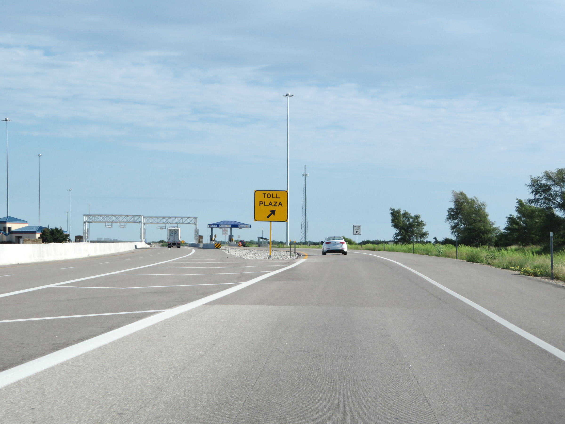 |
A closer view of the ramp to the toll plaza for cash vehicles at the Southern Terminal Toll Plaza on Interstate 35 North (Kansas Turnpike). (Photo taken 8/11/20). |
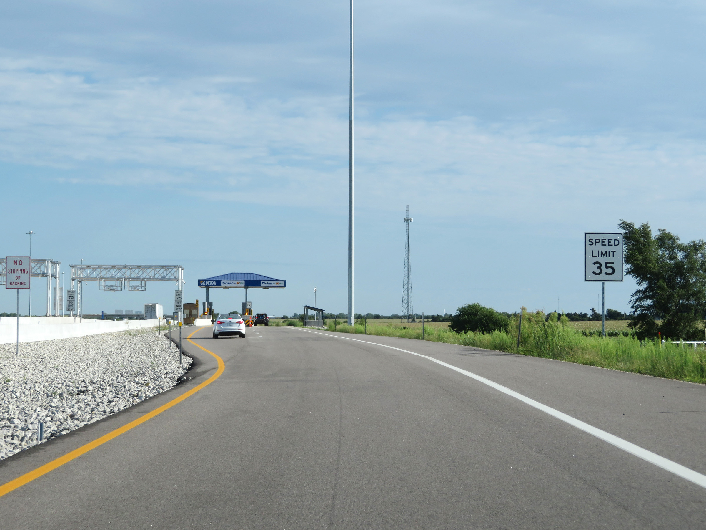 |
Approaching the toll plaza, the speed limit decreases to 35 mph for cash vehicles. (Photo taken 8/11/20). |
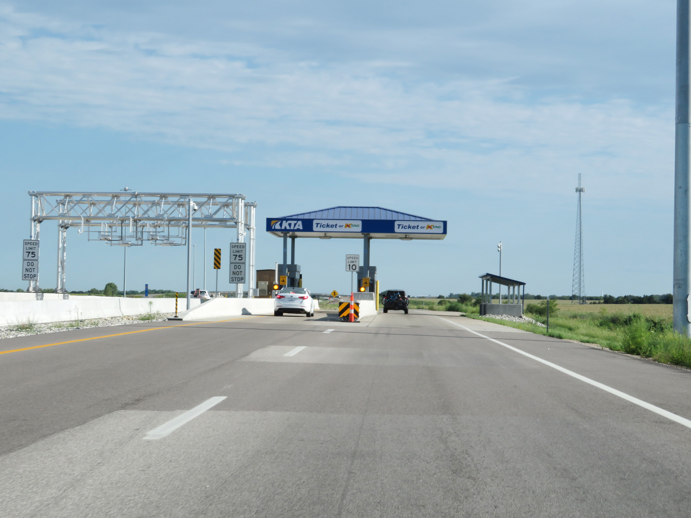 |
A view of the electronic toll gantry at the Southern Terminal Toll Plaza, seen here on the left. The speed limit remains 75 mph for vehicles with a K Tag transponder in the express toll lanes. (Photo taken 8/11/20). |
 |
View on Interstate 35 North (Kansas Turnpike) at the Southern Terminal Toll Plaza. (Photo taken 8/11/20). |
 |
Interstate 35 North (Kansas Turnpike) as it leaves the Southern Terminal Toll Plaza and prepares to merge back into the northbound lanes ahead. (Photo taken 8/11/20). |
 |
The ramp from the Southern Terminal Toll Plaza merges back into the mainline of Interstate 35 North (Kansas Turnpike) here at mile marker 16.8. (Photo taken 8/11/20). |
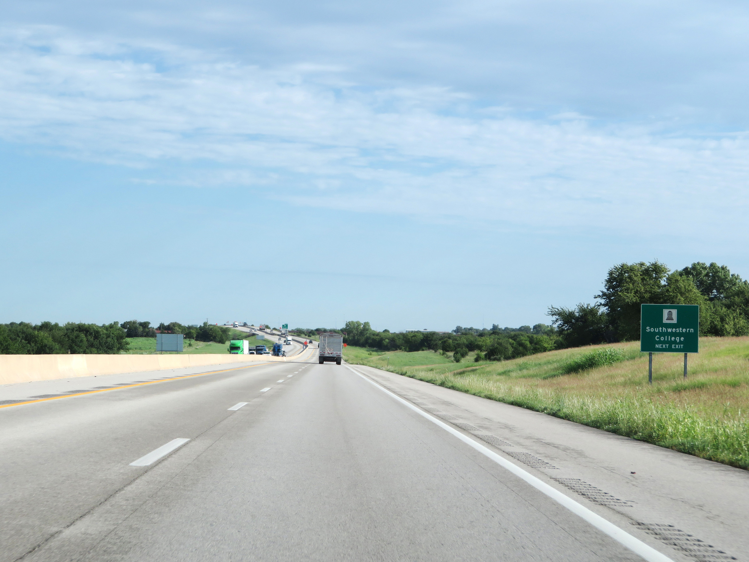 |
Take Exit 19 to Southwestern College. (Photo taken 8/11/20). |
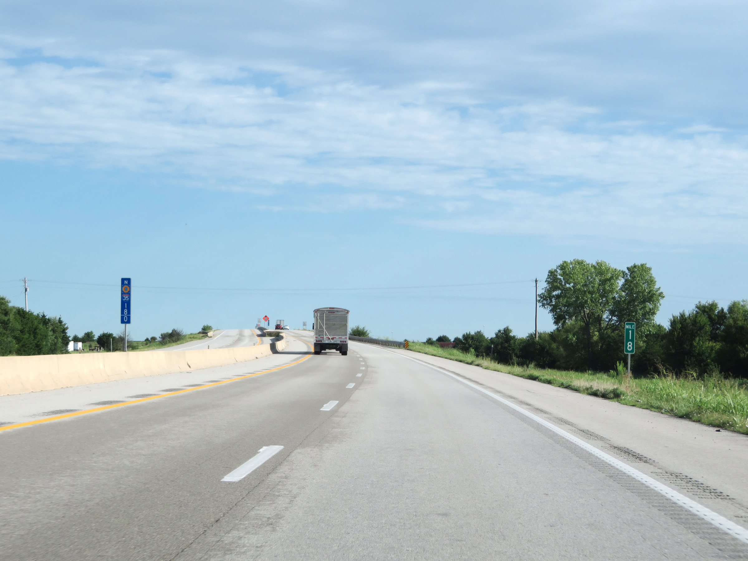 |
Interstate 35 North at mile marker 18. (Photo taken 8/11/20). |
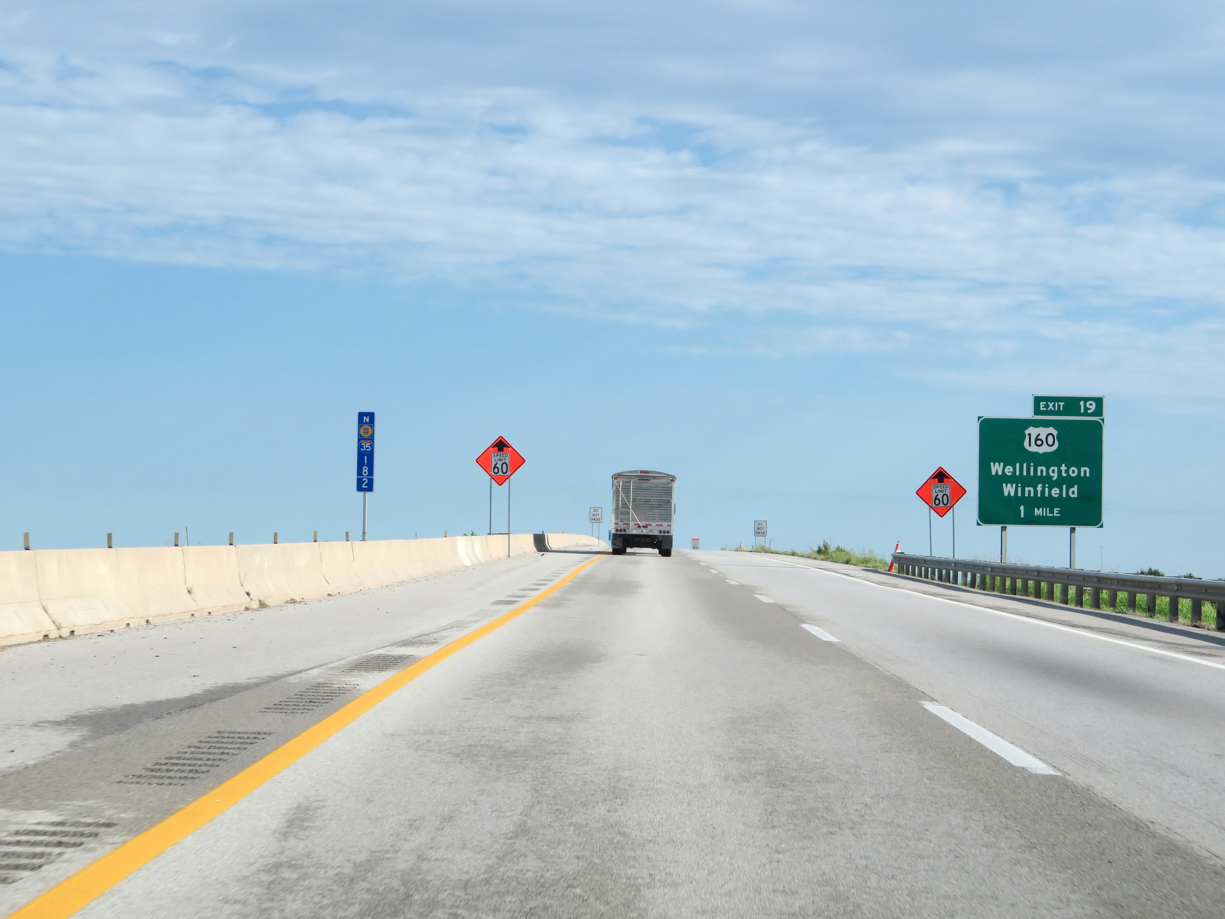 |
Advance signage for Exit 19 on Interstate 35 North (Kansas Turnpike), which is 1 mile ahead. (Photo taken 8/11/20). |
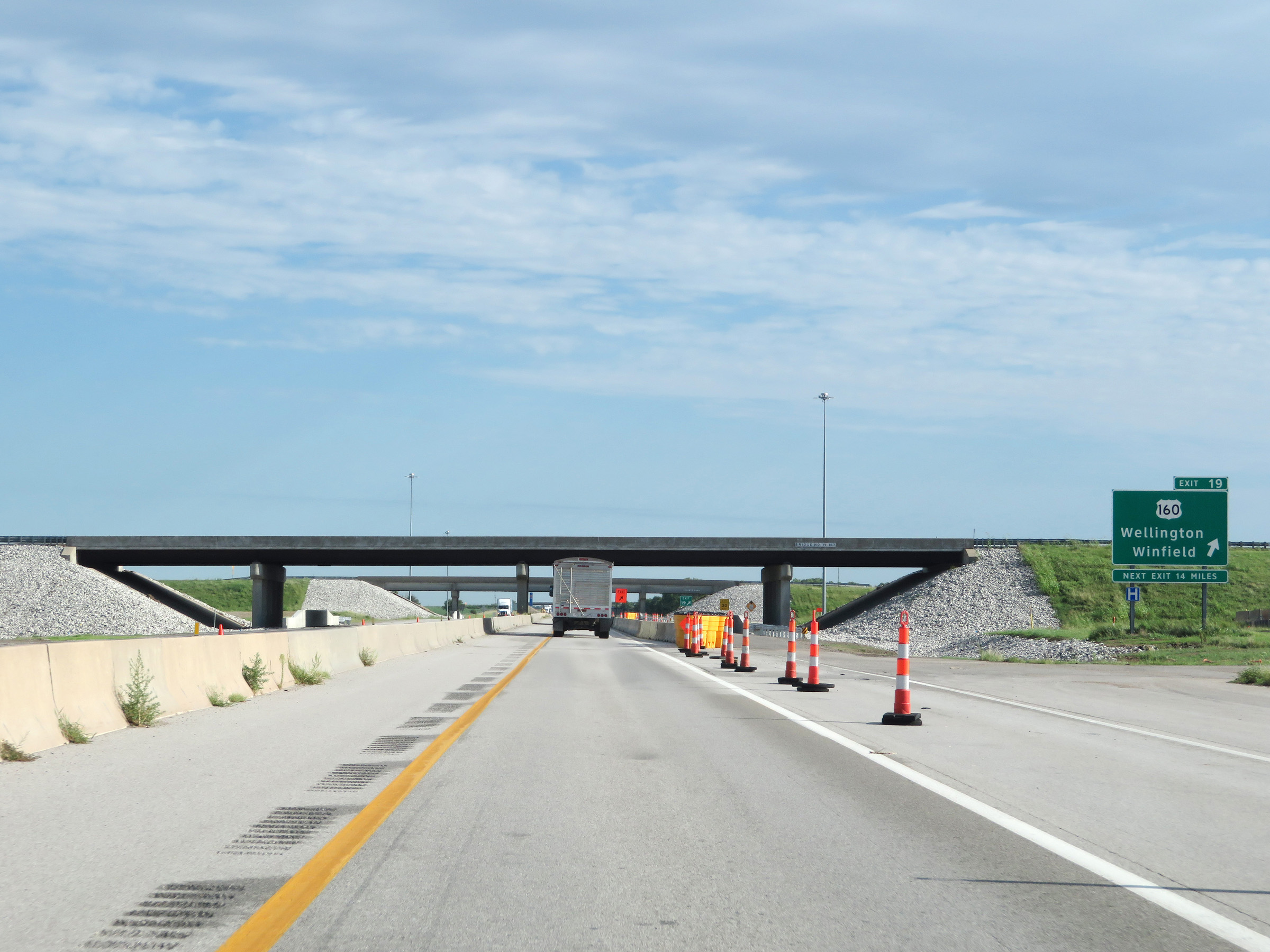 |
Interstate 35 North (Kansas Turnpike) at Exit 19: US 160 - Wellington / Winfield (Photo taken 8/11/20). |
 |
Topeka, the capital city of Kansas, is now 156 miles ahead on the Kansas Turnpike via Interstate 35 North and Interstate 335 North. (Photo taken 8/11/20). |
 |
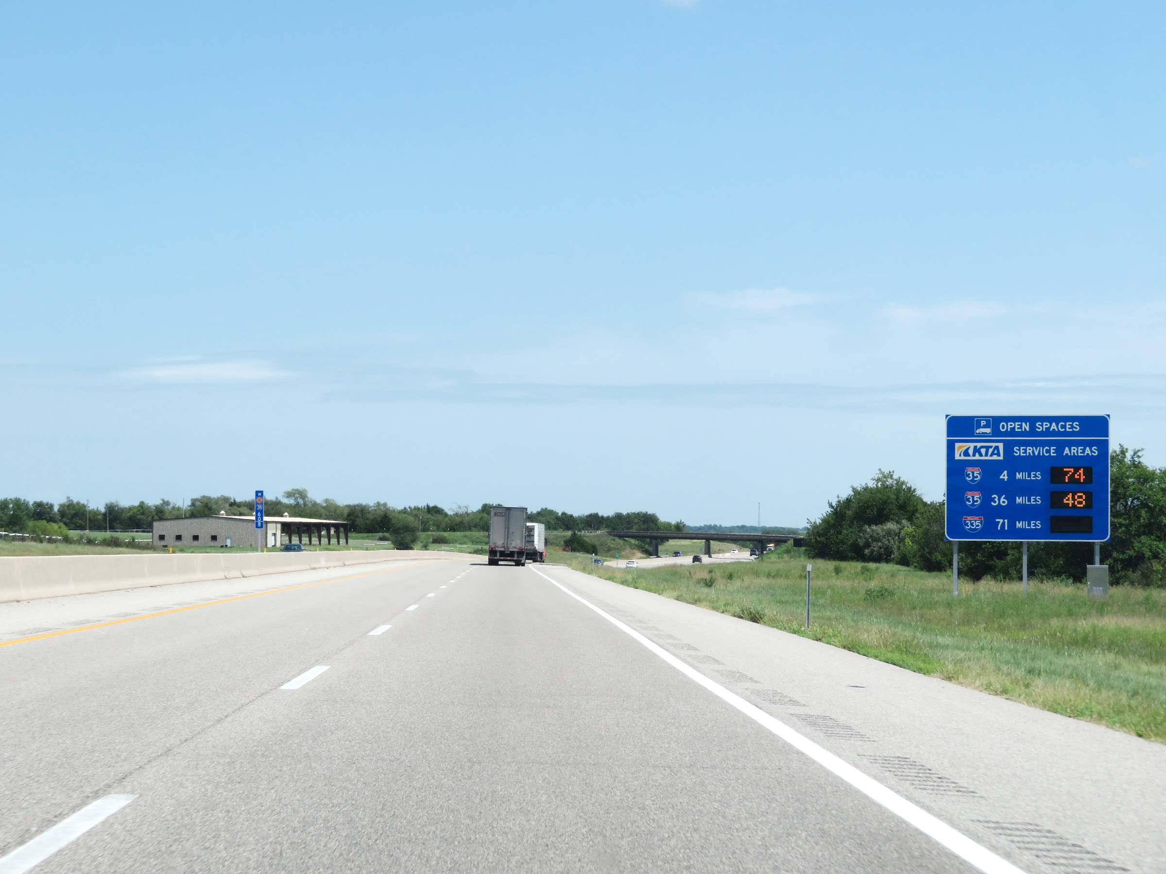
This sign dynamically displays the number of currently available truck parking spaces open at the next three service areas on Interstate 35 North (Kansas Turnpike). (Photo taken 8/11/20). |
 |
View on Interstate 35 North (Kansas Turnpike) at mile marker 23. (Photo taken 8/11/20). |
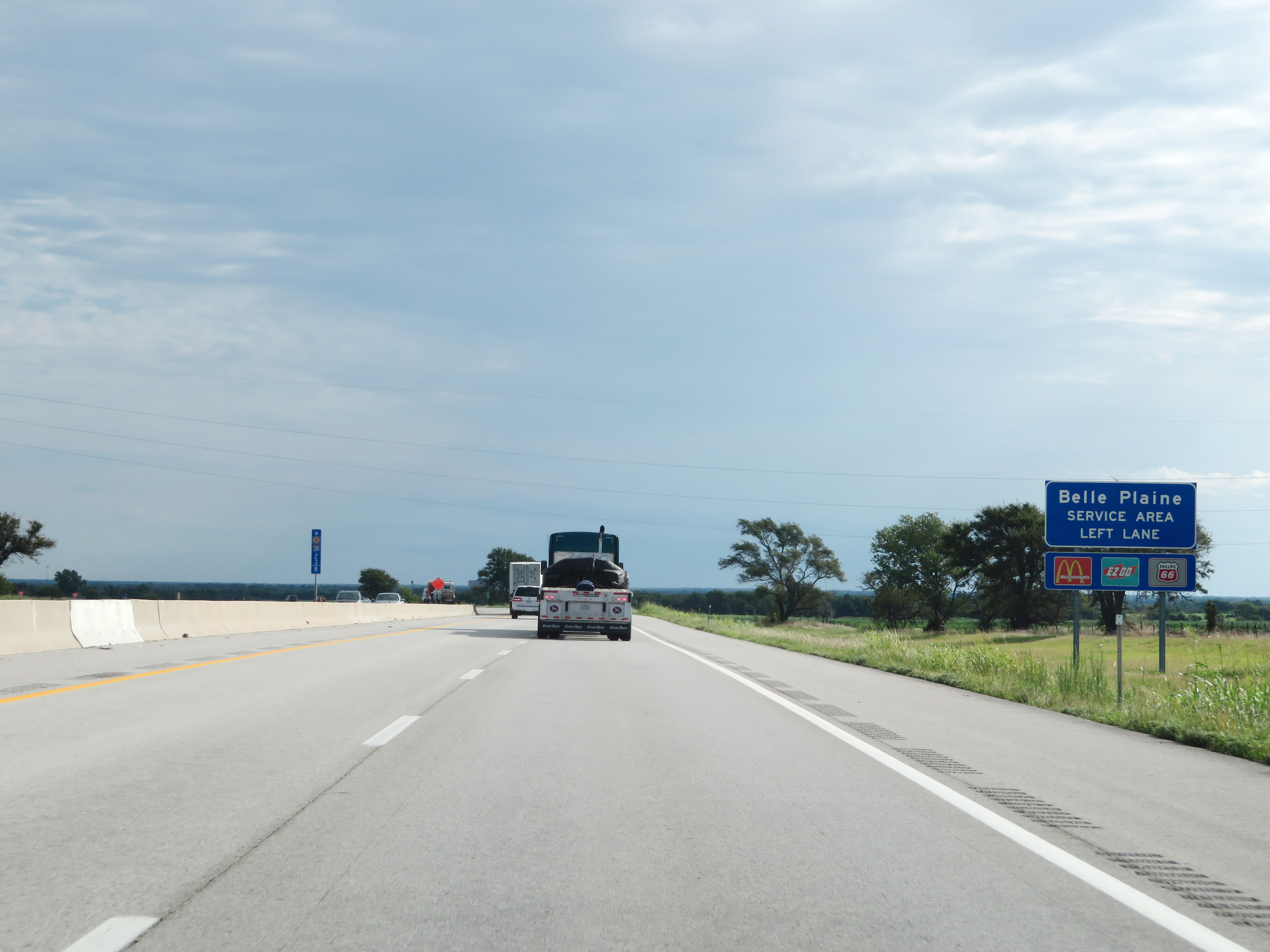 |
The Belle Plaine Service Area is ahead in the median of Interstate 35 North (Kansas Turnpike). Therefore, if you're planning to enter the service area, you should move to the left lane. (Photo taken 8/11/20). |
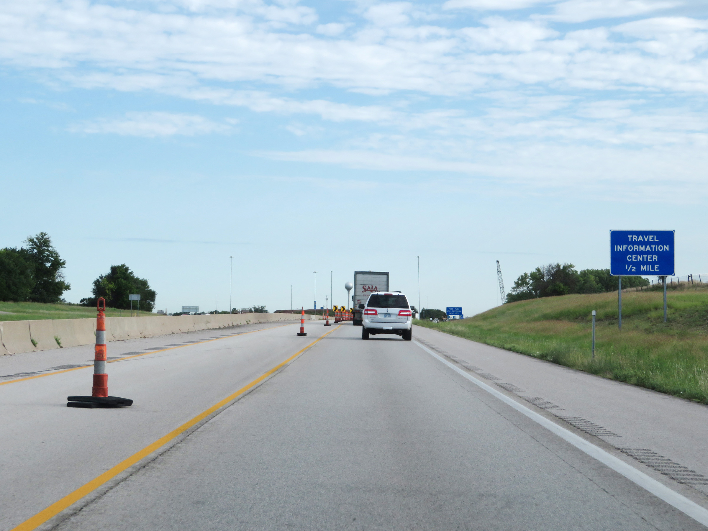 |
A Travel Information Center exists at the Belle Plaine Service Area ahead. (Photo taken 8/11/20). |
 |
Interstate 35 North (Kansas Turnpike) at the Belle Plaine Service Area. (Photo taken 8/11/20). |
 |
A closer view of the ramp to the Belle Plaine Service Area on Interstate 35 North (Kansas Turnpike). (Photo taken 8/11/20). |
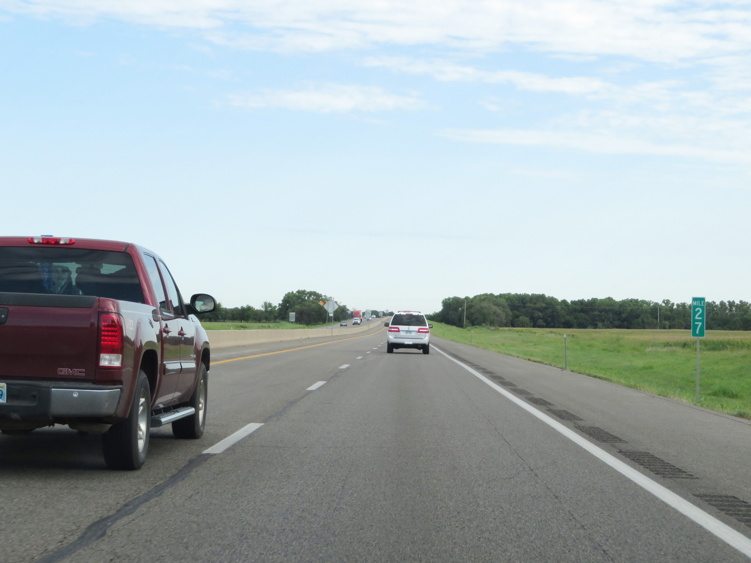 |
Interstate 35 North (Kansas Turnpike) at mile marker 27. (Photo taken 8/11/20). |
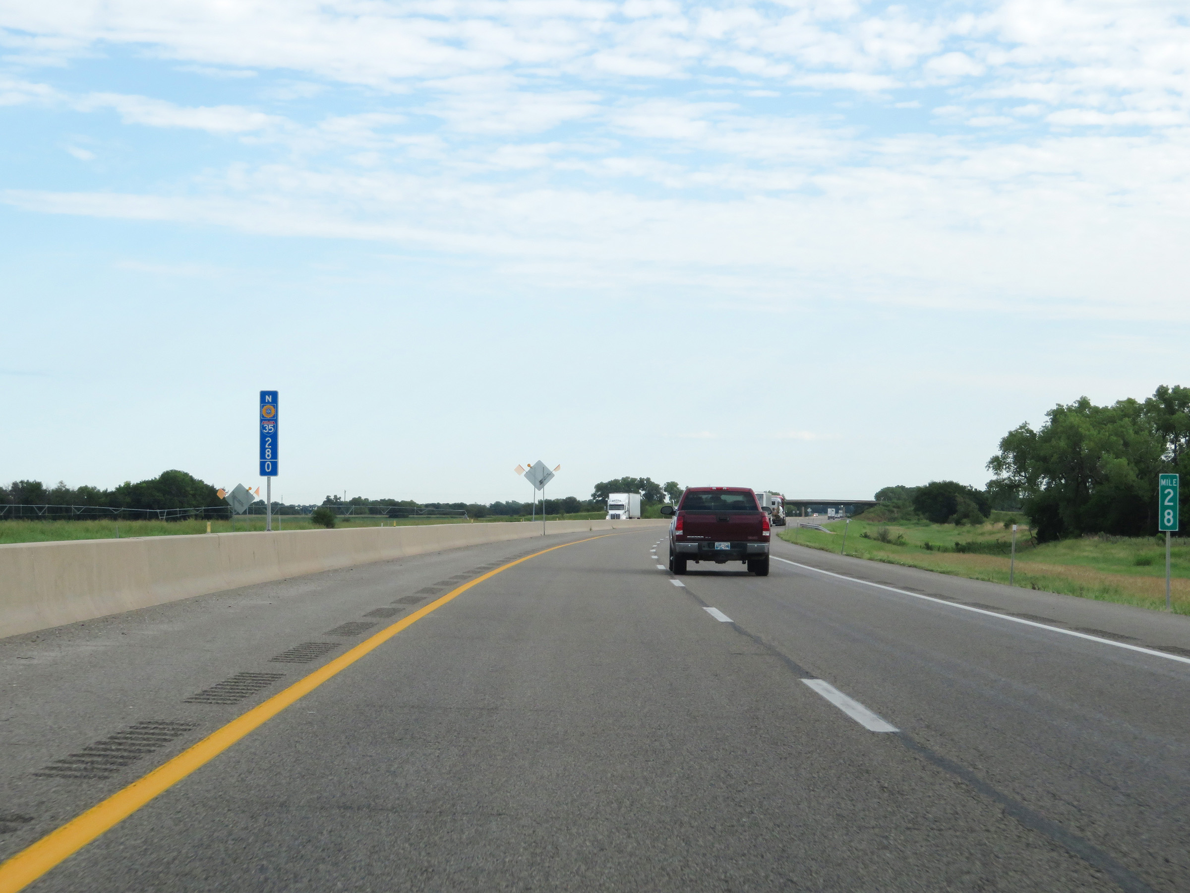 |
Mile marker 28 on Interstate 35 North (Kansas Turnpike) in Sumner County. (Photo taken 8/11/20). |
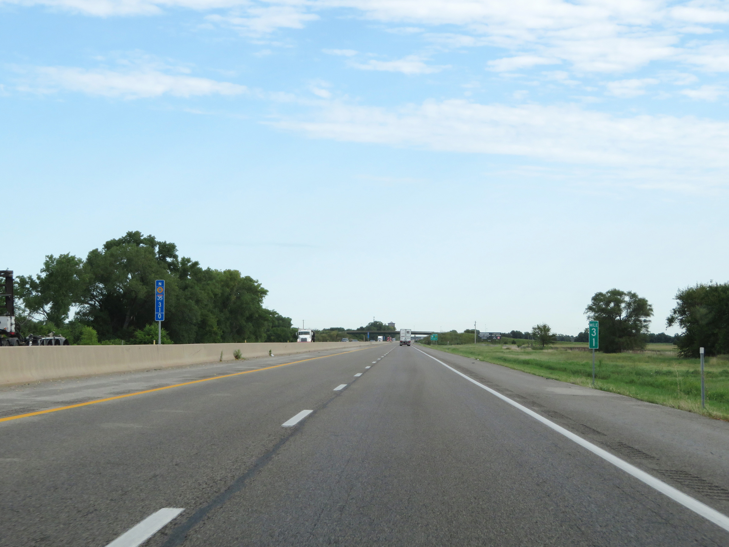 |
View on Interstate 35 North (Kansas Turnpike) at mile marker 31. (Photo taken 8/11/20). |
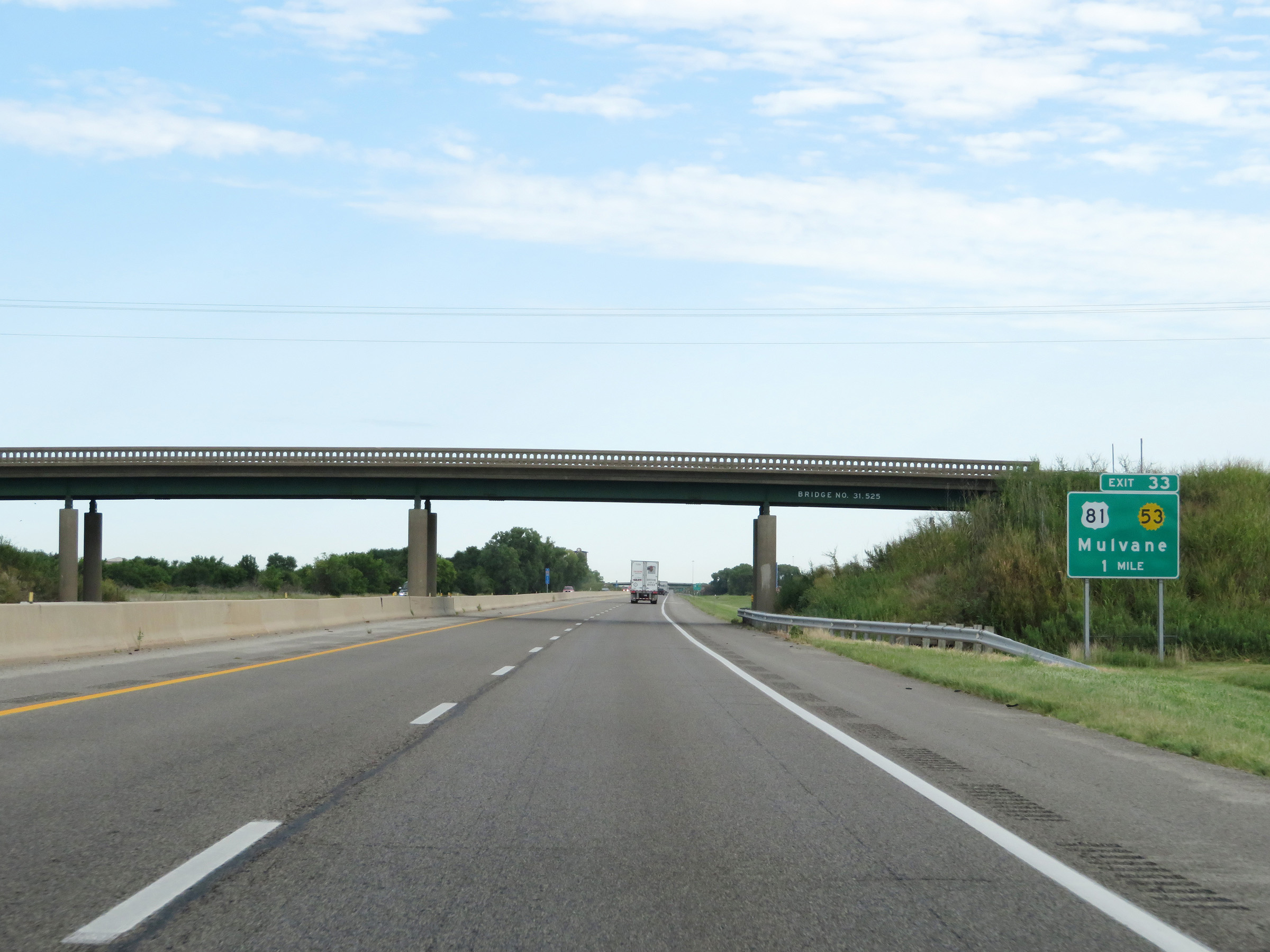 |
Advance signage for Exit 33 on Interstate 35 North (Kansas Turnpike) - 1 mile ahead. (Photo taken 8/11/20). |
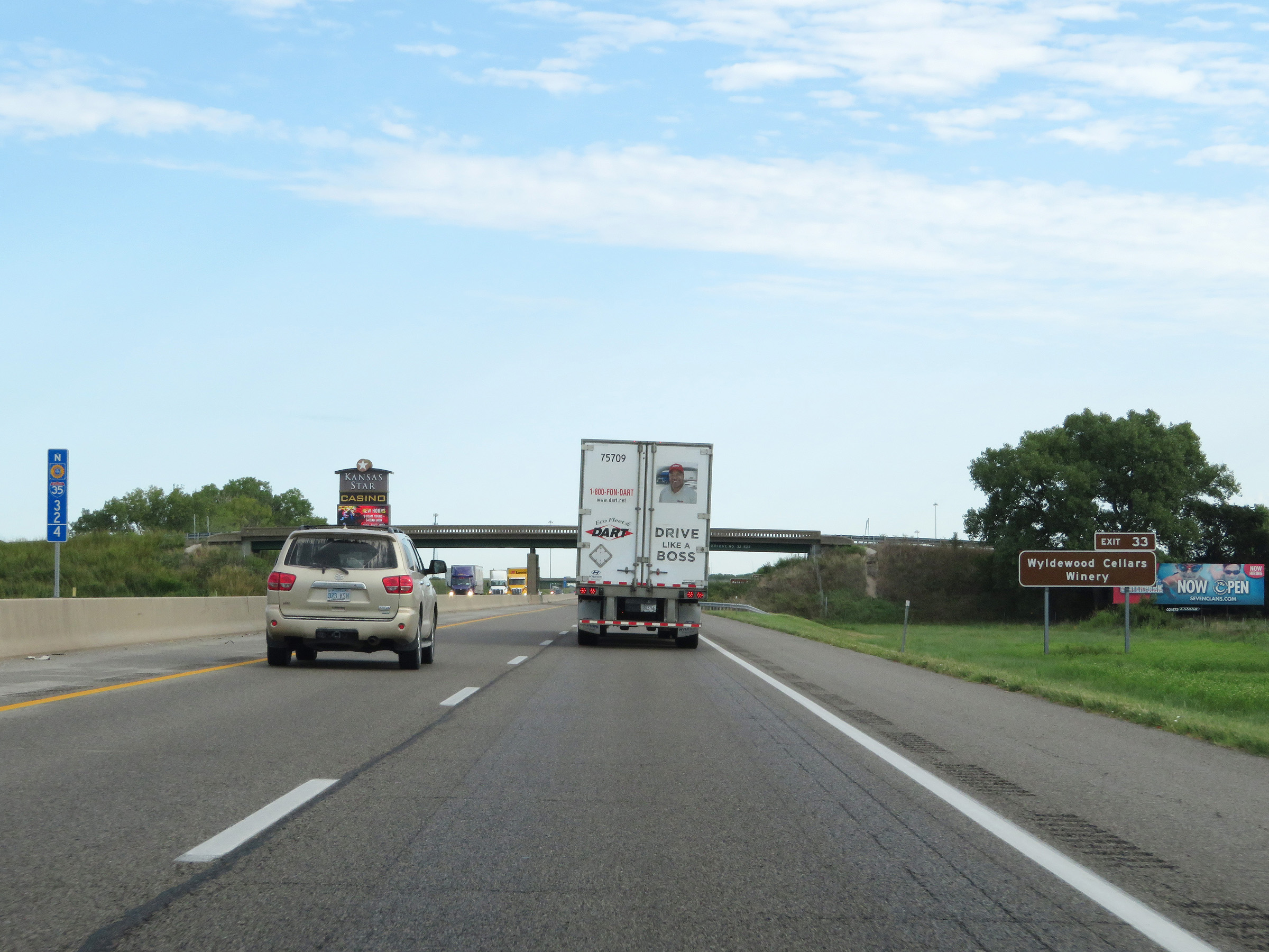 |
Take Exit 33 to Wyldewod Cellars Winery. (Photo taken 8/11/20). |
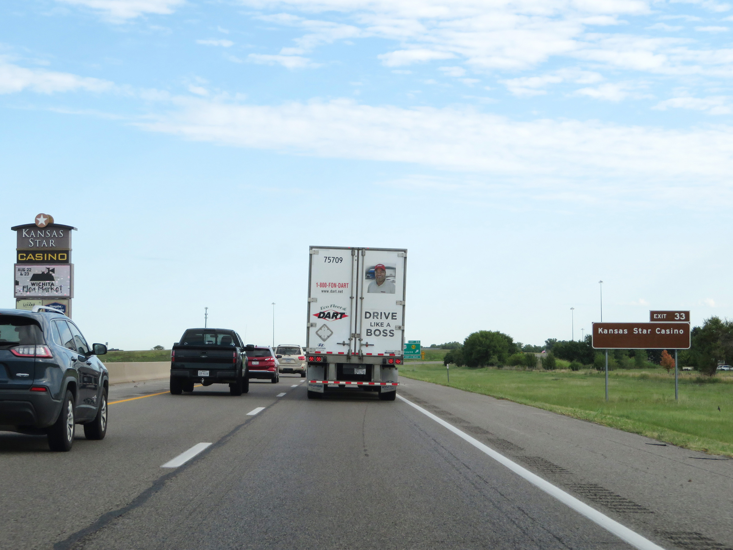 |
Also take Exit 33 to Kansas Star Casino. (Photo taken 8/11/20). |
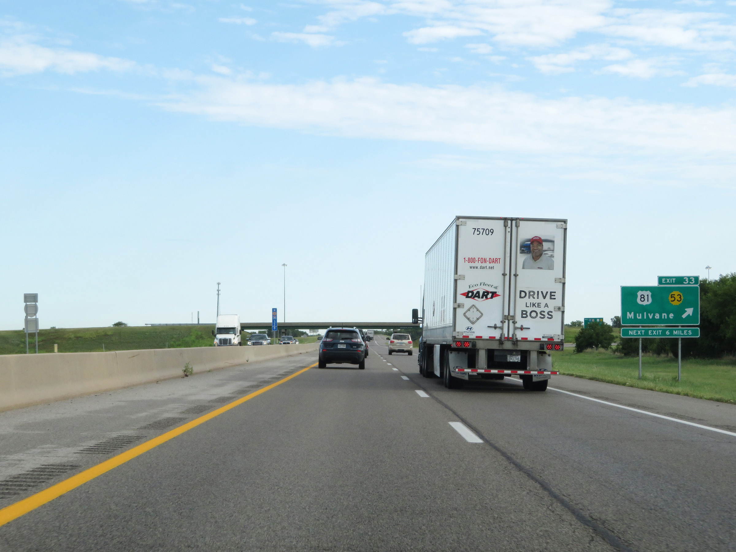 |
Interstate 35 North (Kansas Turnpike) at Exit 33: US 81 / K-53 - Mulvane (Photo taken 8/11/20). |
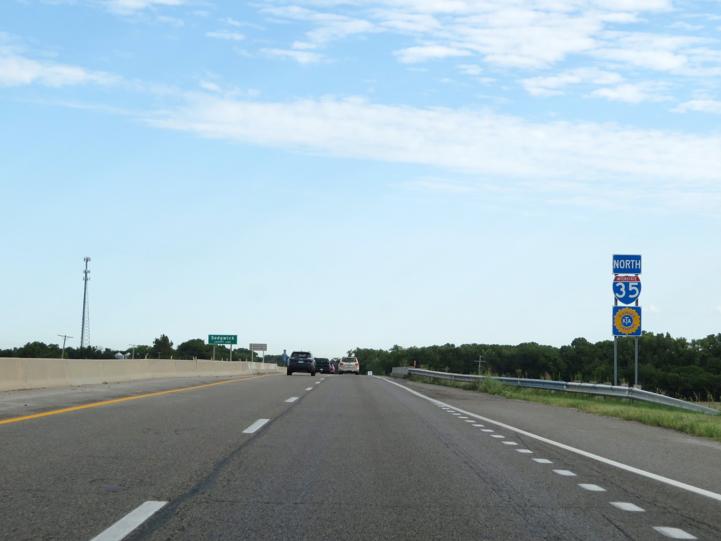 |
Interstate 35 North (Kansas Turnpike) as they enter Sedgewick County. (Photo taken 8/11/20). |
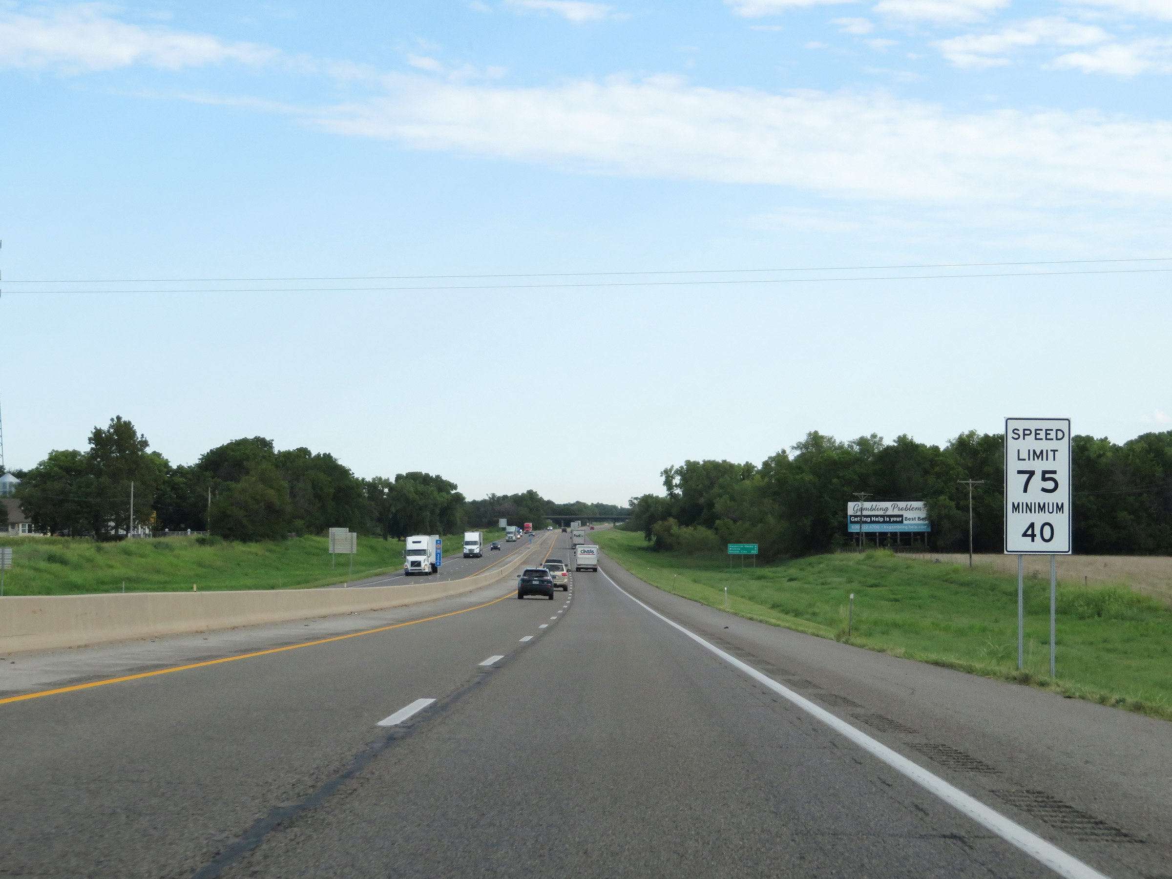 |
The speed limits remain the rural standard 75 mph maximum and 40 mph minimum. (Photo taken 8/11/20). |
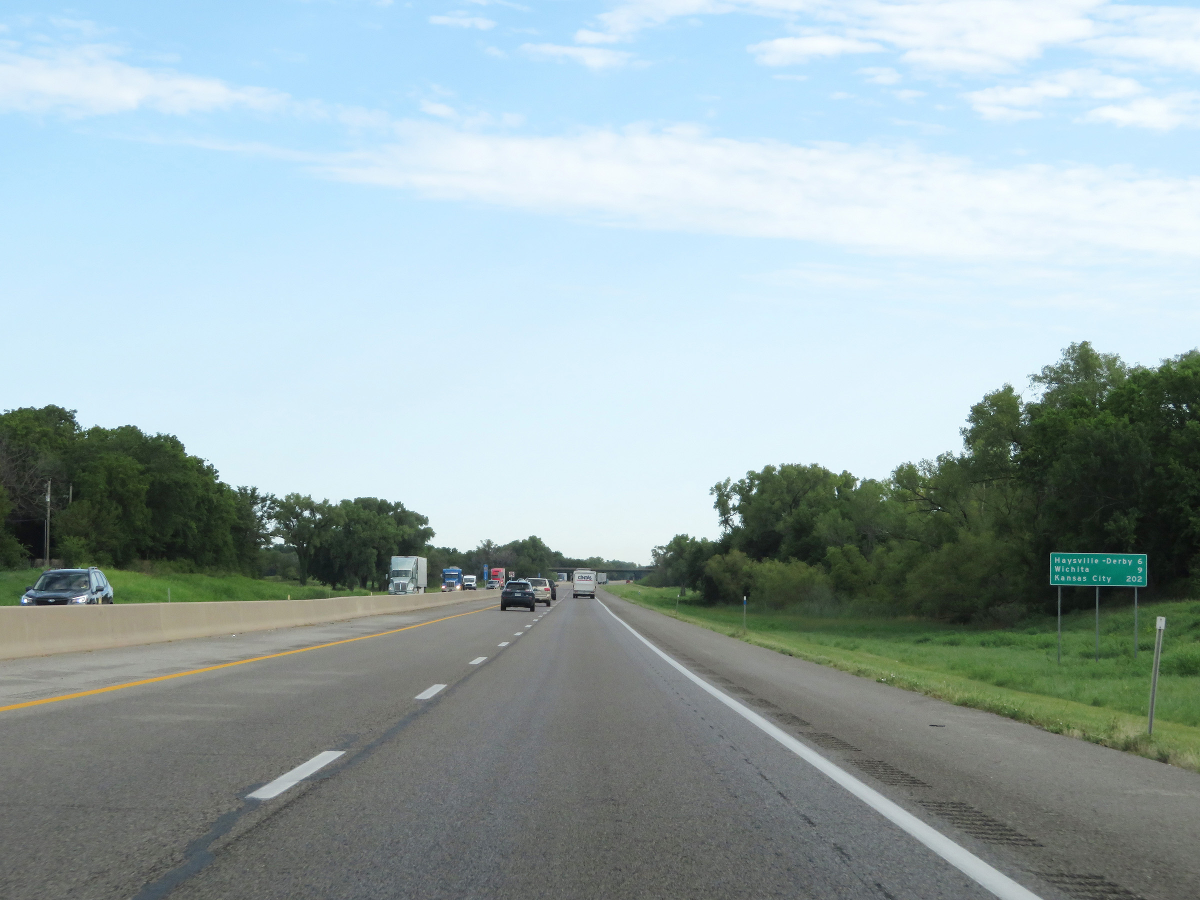 |
Another mileage sign on Interstate 35 North (Kansas Turnpike). It's 6 miles to the Haysville-Derby interchange, 9 miles to Wichita, and 202 miles to Kansas City. (Photo taken 8/11/20). |
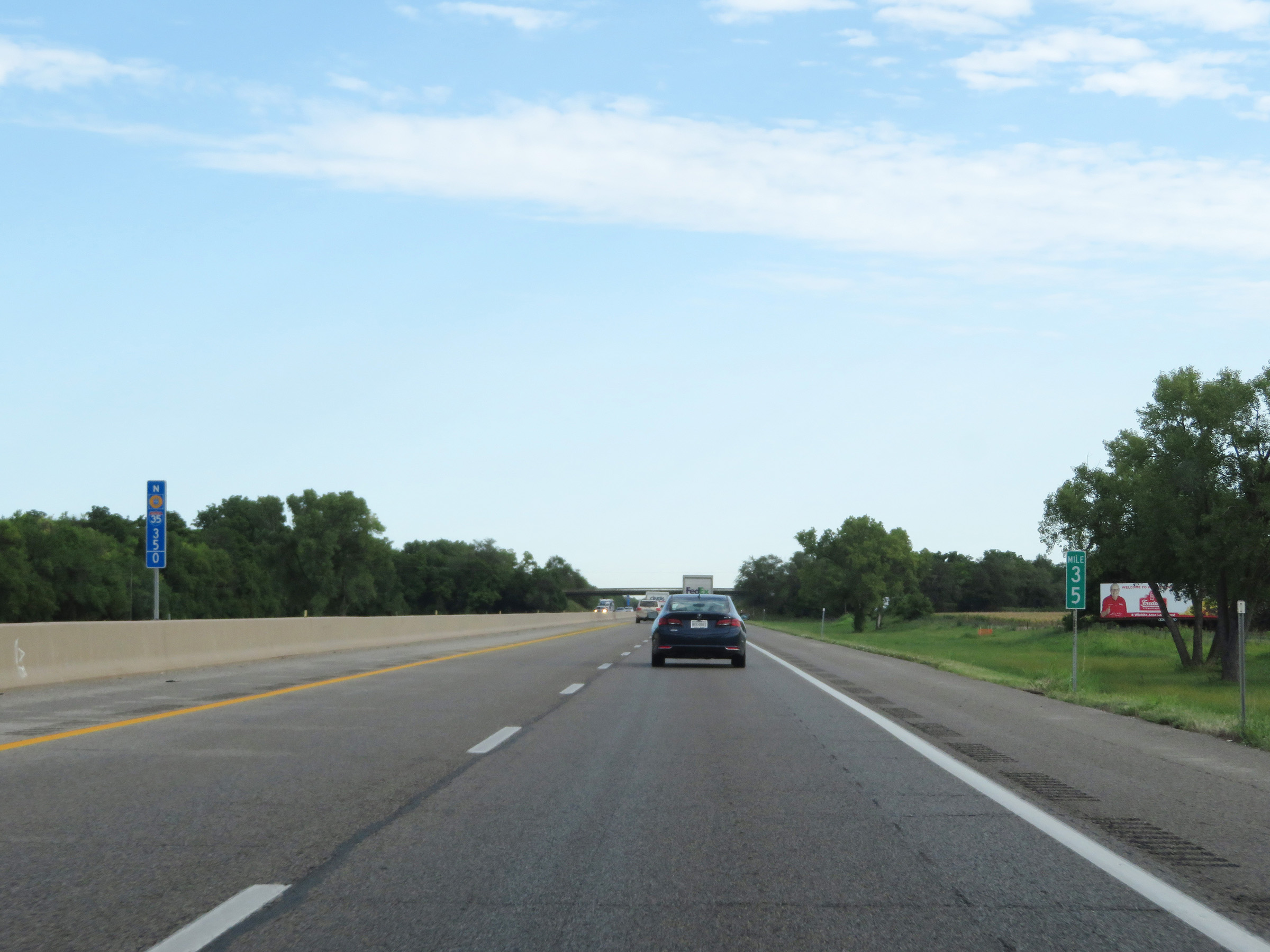 |
Mile marker 35 on Interstate 35 North (Kansas Turnpike) in Sedgewick County. (Photo taken 8/11/20). |
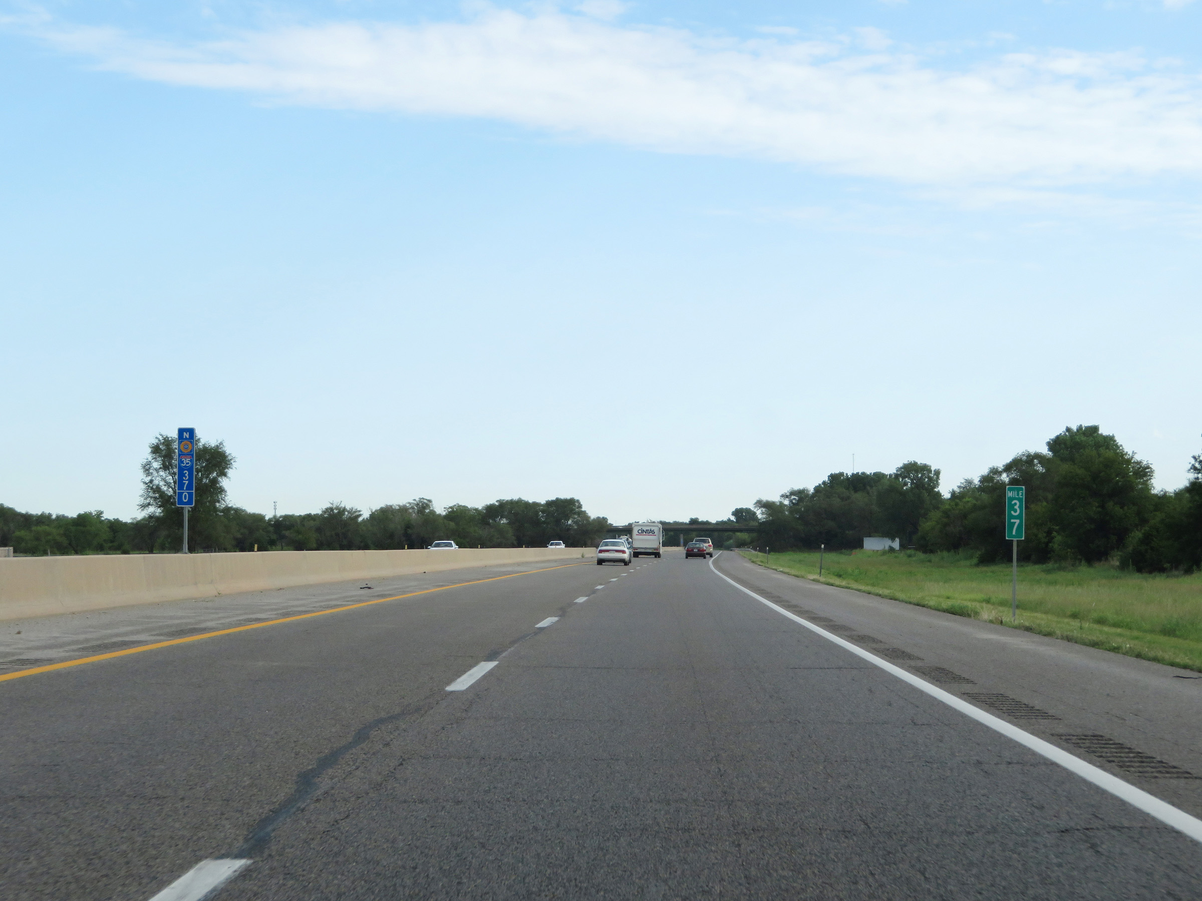 |
View on Interstate 35 North (Kansas Turnpike) at mile marker 37. (Photo taken 8/11/20). |
 |
Interstate 35 North (Kansas Turnpike) approaching Exit 39 - 1 mile. (Photo taken 8/11/20). |
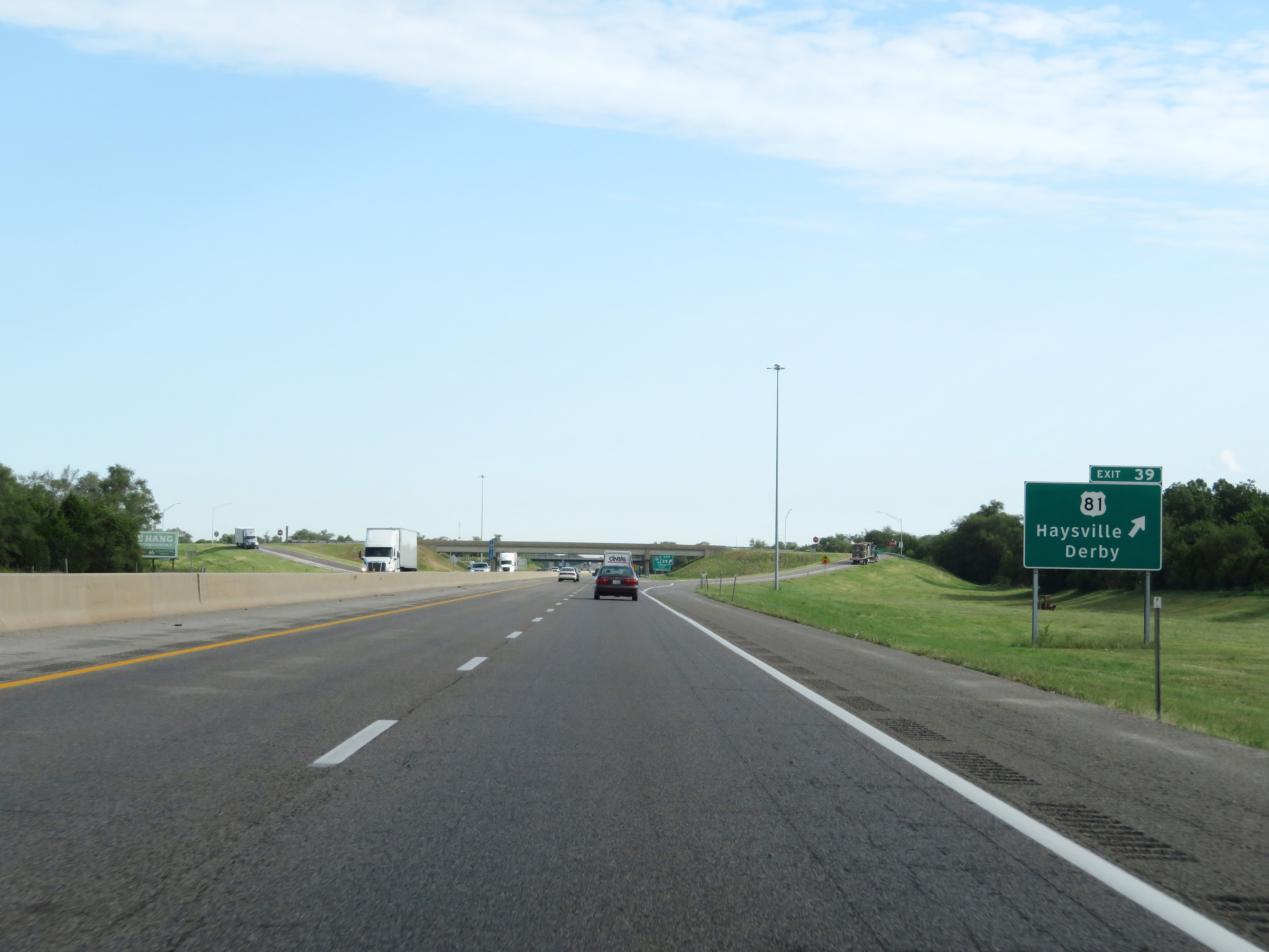 |
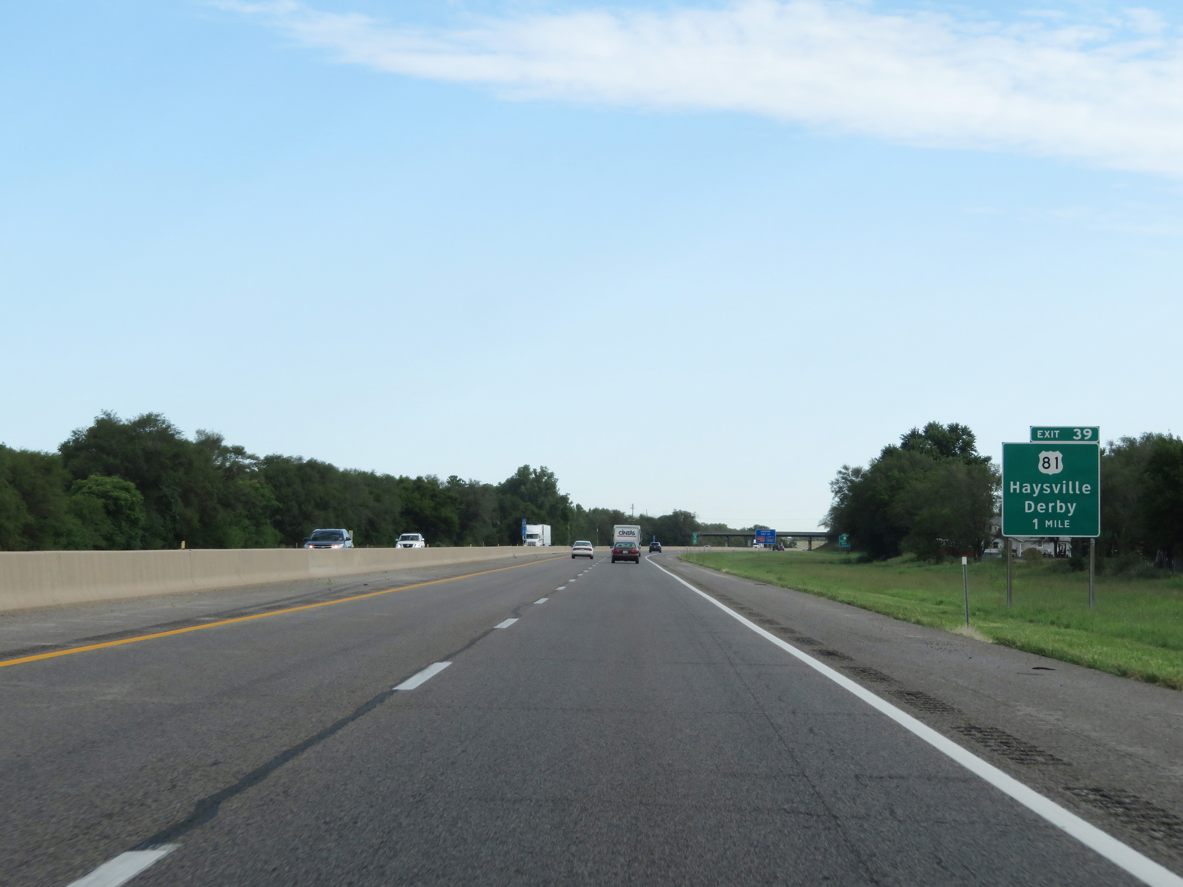
Interstate 35 North (Kansas Turnpike) at Exit 39: US 81 - Haysville / Derby (Photo taken 8/11/20). |
 |
Advance signage for the junction of Interstate 135 via Exit 42 - 2 miles ahead. (Photo taken 8/11/20). |
 |
Traffic to Denver should follow Interstate 135 North via Exit 42 to Interstate 70 West. (Photo taken 8/11/20). |
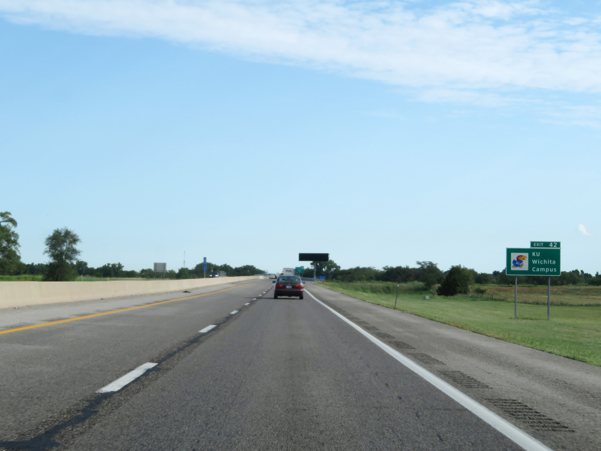 |
Take Exit 42 to the Wichita Campus of the University of Kansas. (Photo taken 8/11/20). |
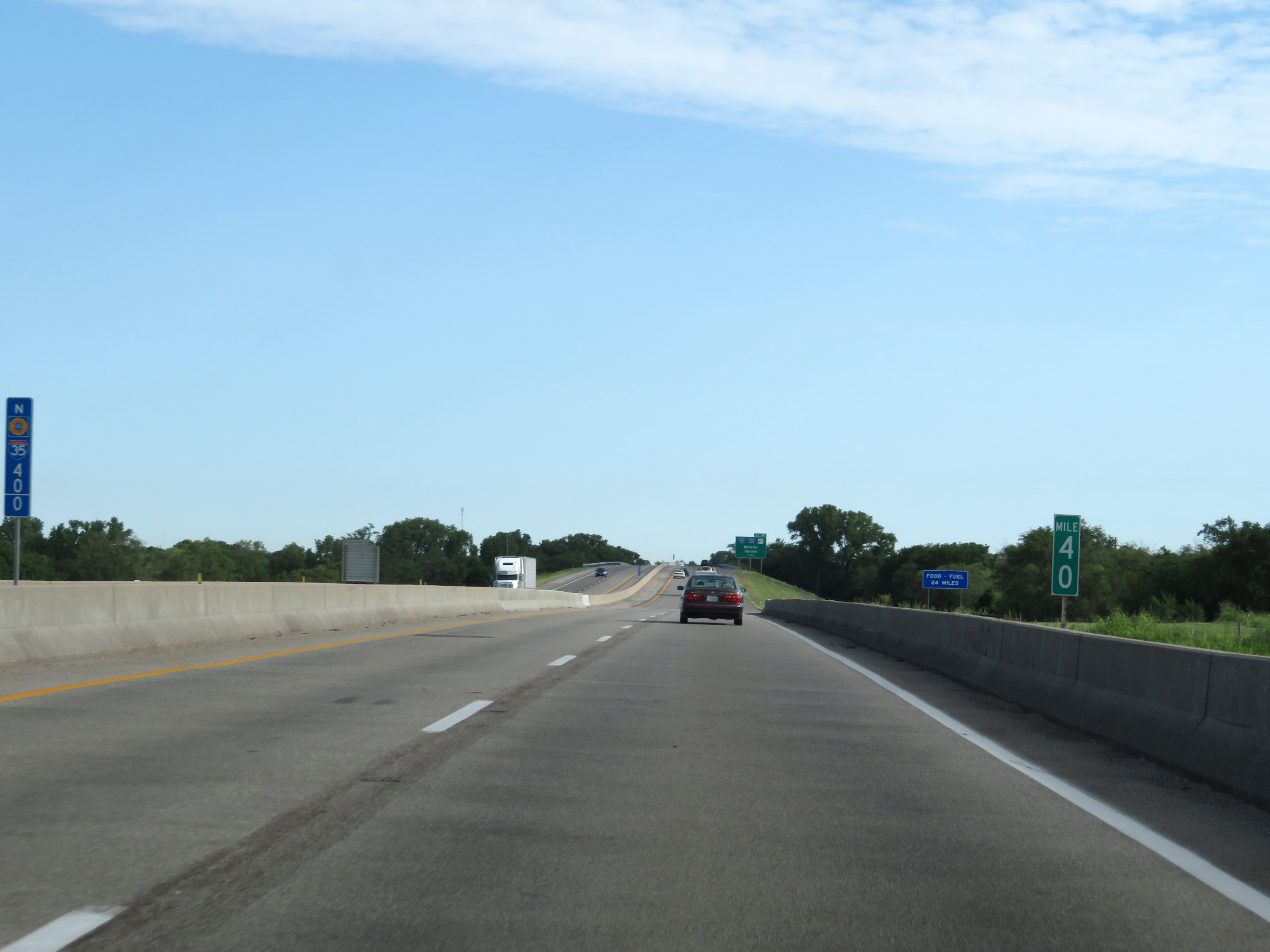 |
Mile marker 40 on Interstate 35 North (Kansas Turnpike) in Sedgewick County. (Photo taken 8/11/20). |
 |
More advance signage for Exit 42, now 1 mile ahead. (Photo taken 8/11/20). |
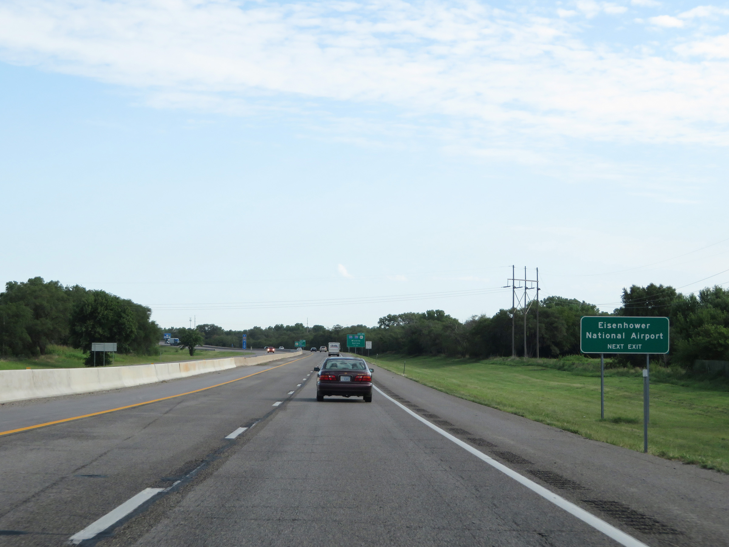 |
Also take Exit 42 (Interstate 135 North) to Eisenhower National Airport. (Photo taken 8/11/20). |
 |
Traffic to Wichita State University should use Exit 42 (Interstate 135 North). (Photo taken 8/11/20). |
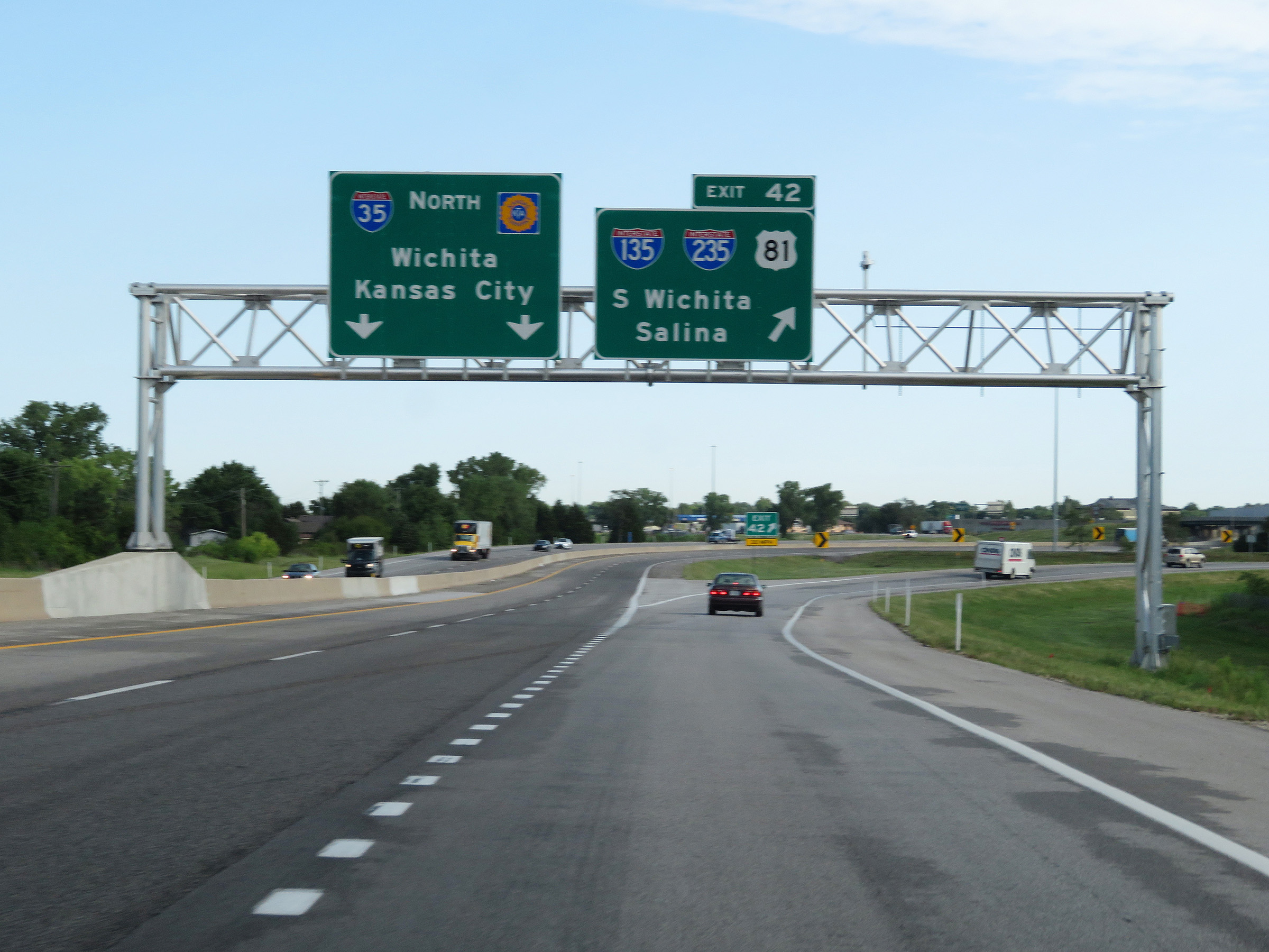 |
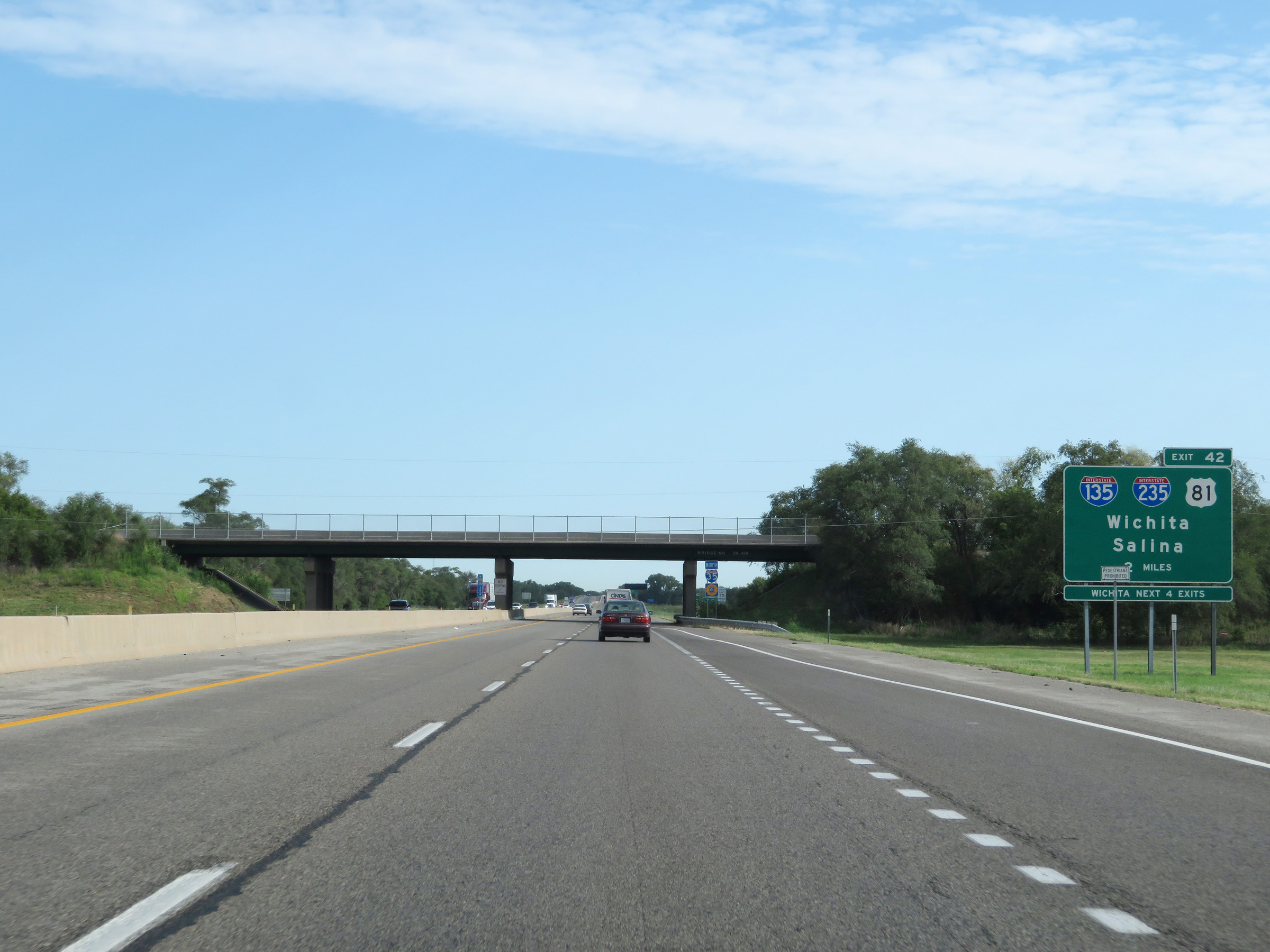
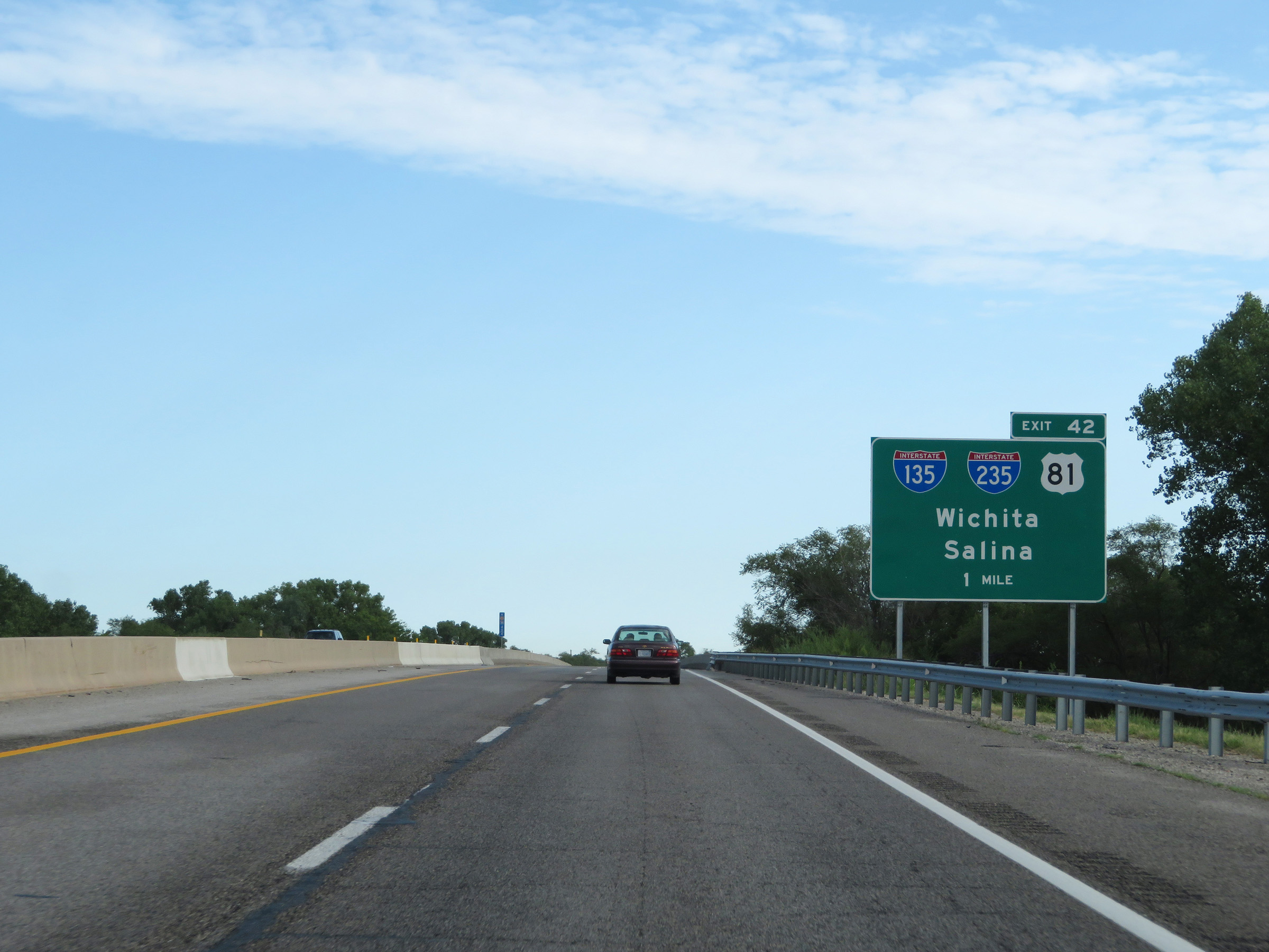
Interstate 35 North (Kansas Turnpike) at Exit 42: Interstate 135 / Interstate 235 / US 81 - South Wichita / Salina (Photo taken 8/11/20). |
 |
Interstate 35 North / Kansas Turnpike reassurance markers at mile marker 42.6. (Photo taken 8/11/20). |
 |
More speed limit signage on Interstate 35 North (Kansas Turnpike). The speed limits remain 75 mph maximum and 40 mph minimum. (Photo taken 8/11/20). |
 |
Advance signage for Exit 45, 1 mile ahead. (Photo taken 8/11/20). |
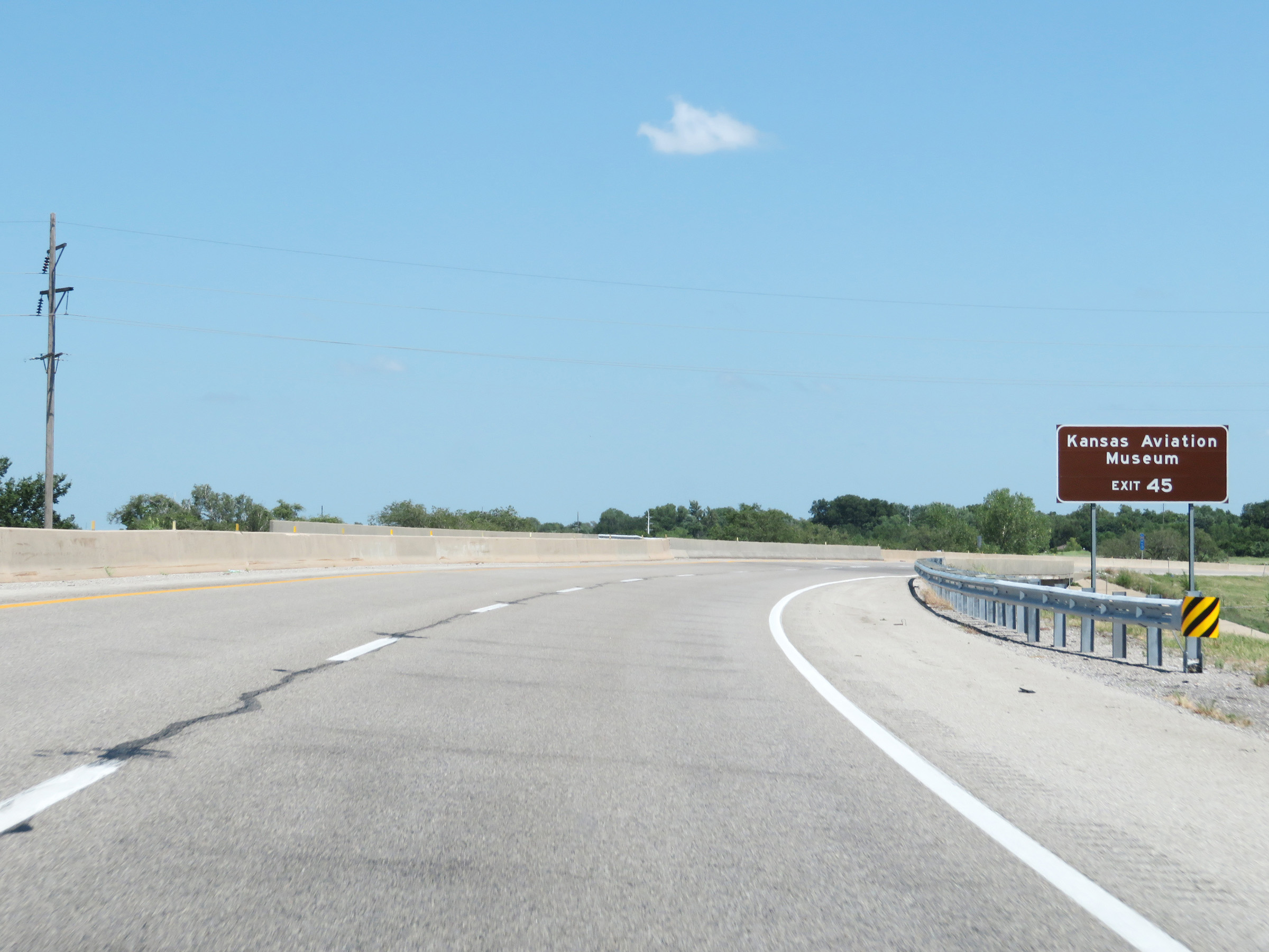 |
Take Exit 45 to the Kansas Aviation Museum. (Photo taken 8/11/20). |
 |
Also take Exit 45 to Derby via K-15 South. (Photo taken 8/11/20). |
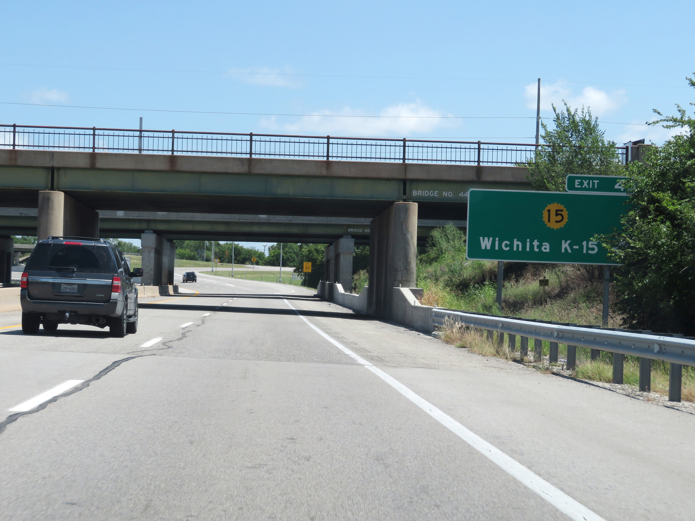 |
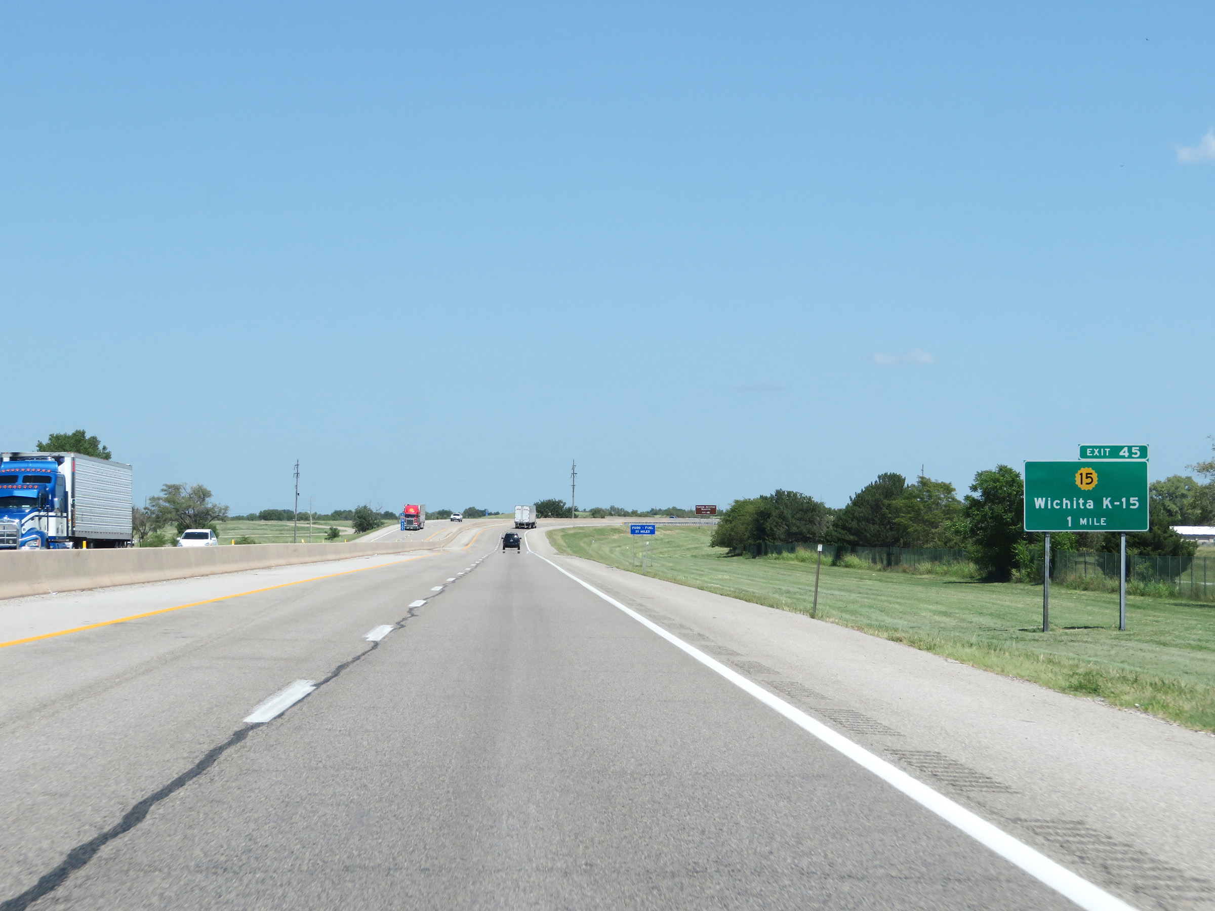
Interstate 35 North (Kansas Turnpike) at Exit 45: K-15 - Wichita (Photo taken 8/11/20). |
 |
View on Interstate 35 North (Kansas Turnpike) at mile marker 47. (Photo taken 8/11/20). |
 |
Advance signage for Exit 50 on Interstate 35 North (Kansas Turnpike) - 1 mile ahead. (Photo taken 8/11/20). |
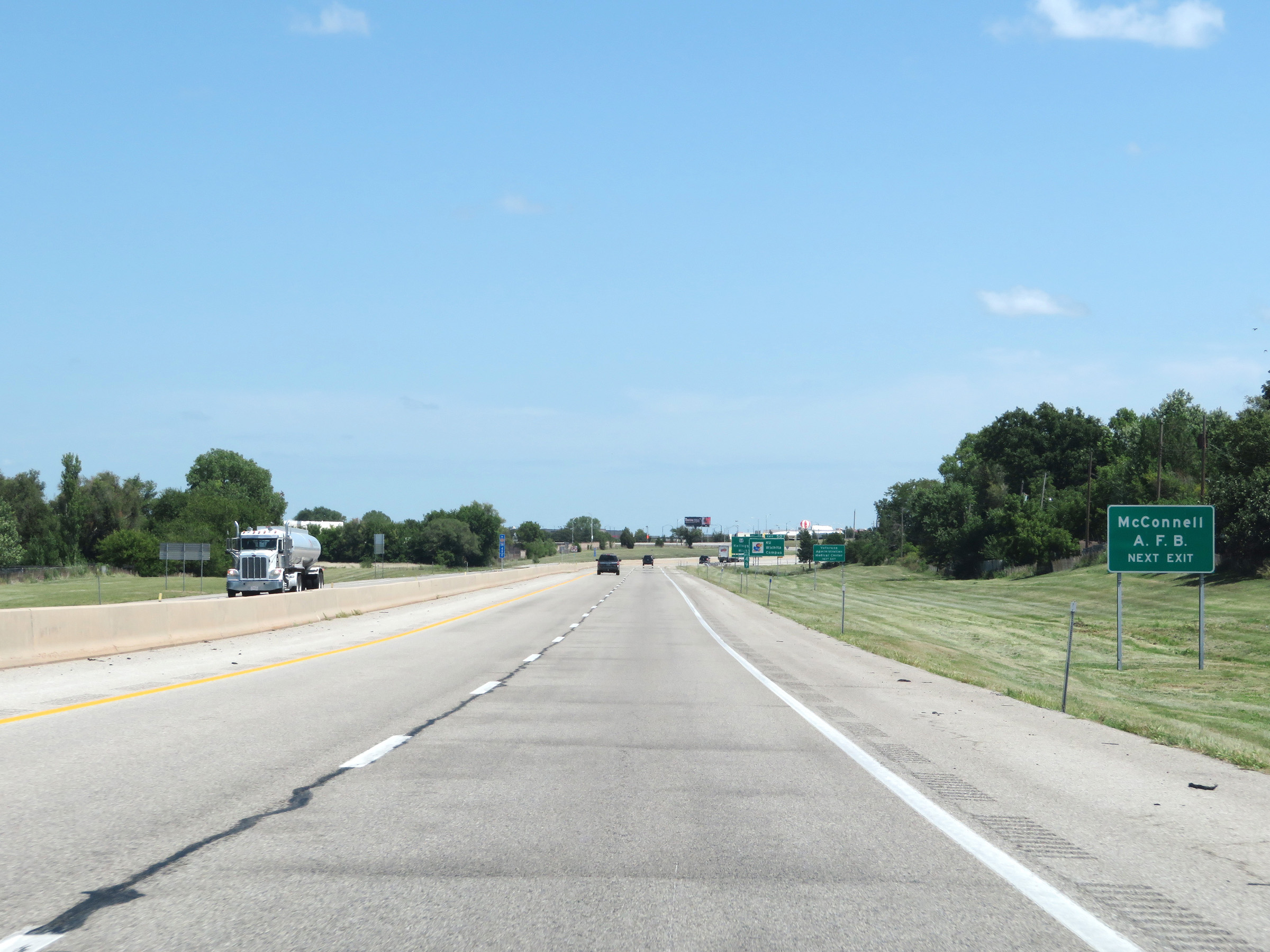 |
Take Exit 50 to McConnell Air Force Base. (Photo taken 8/11/20). |
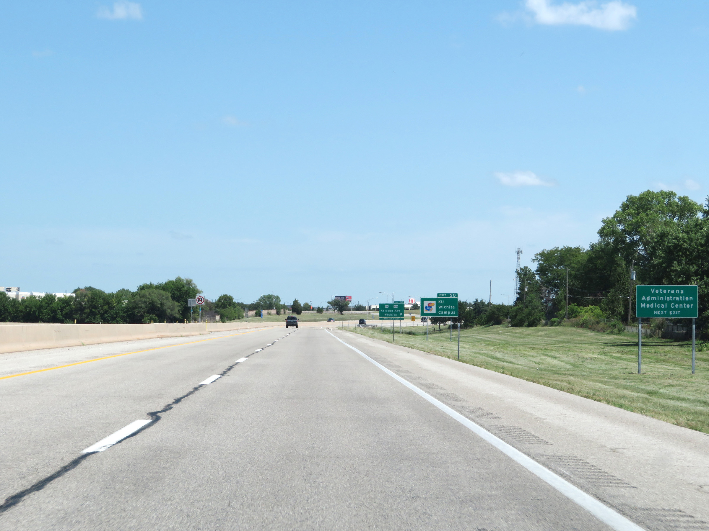 |
Also take Exit 50 to the Veterans Administration Medical Center. (Photo taken 8/11/20). |
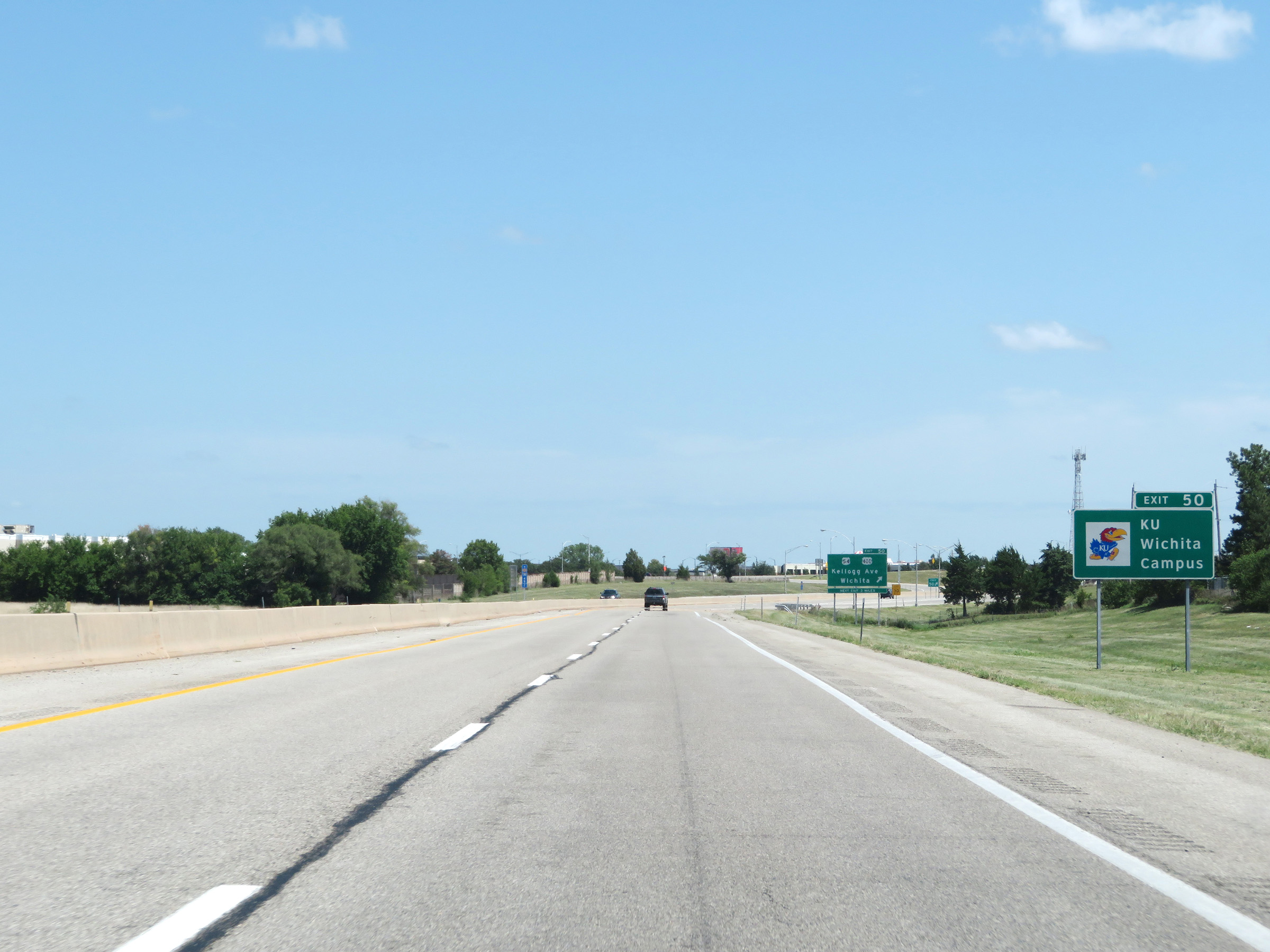 |
The Wichita Campus of the University of Kansas can also be accessed via Exit 50 ahead. (Photo taken 8/11/20). |
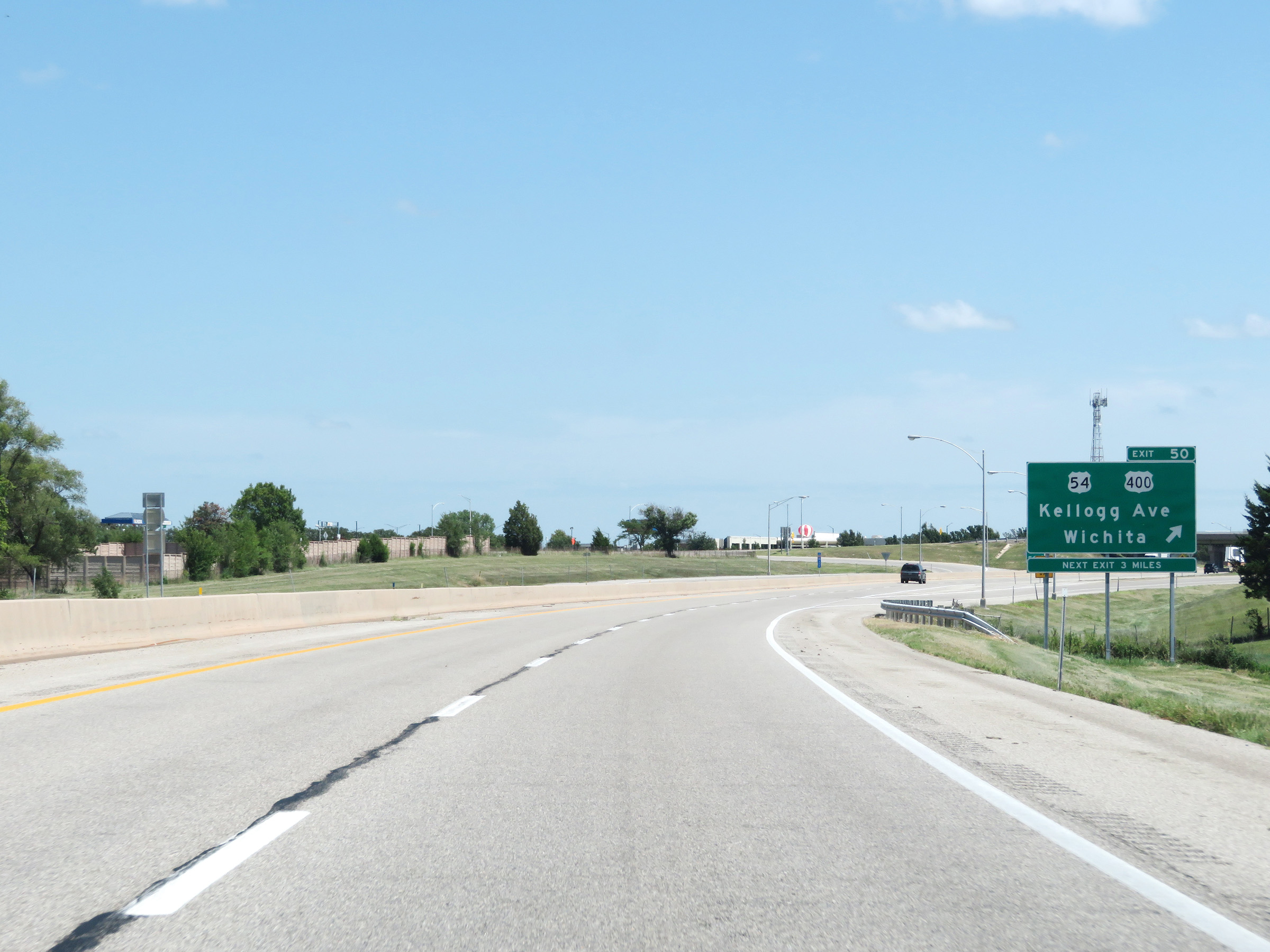 |
Interstate 35 North (Kansas Turnpike) at Exit 50: US 54 / US 400 - Kellogg Ave / Wichita (Photo taken 8/11/20). |
Section 2: Wichita (Exit 50) to Emporia (Exit 127)
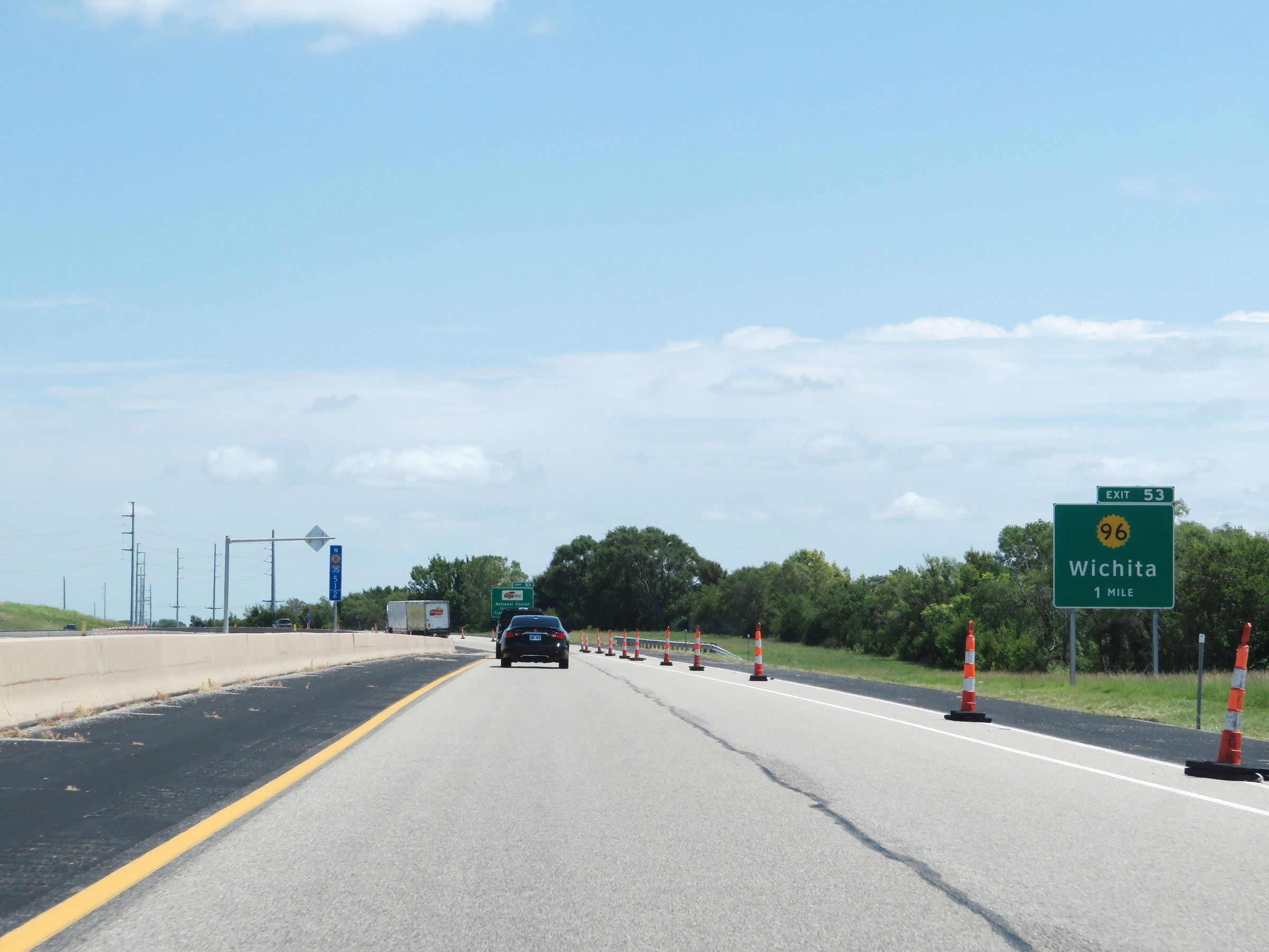 |
Advance signage for Exit 53 on Interstate 35 North (Kansas Turnpike) - 1 mile ahead. (Photo taken 8/11/20). |
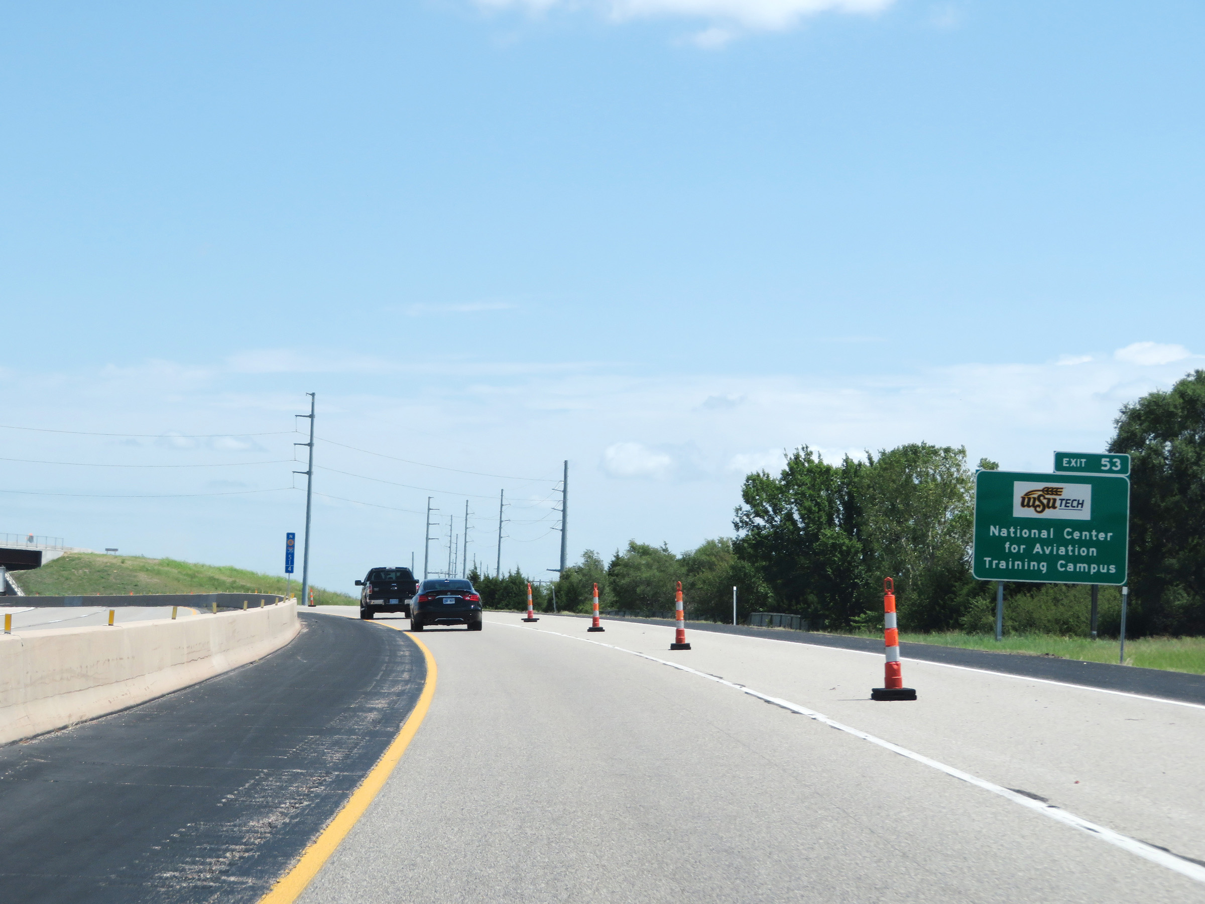 |
Take Exit 53 to the WSU Tech National Center for Aviation. (Photo taken 8/11/20). |
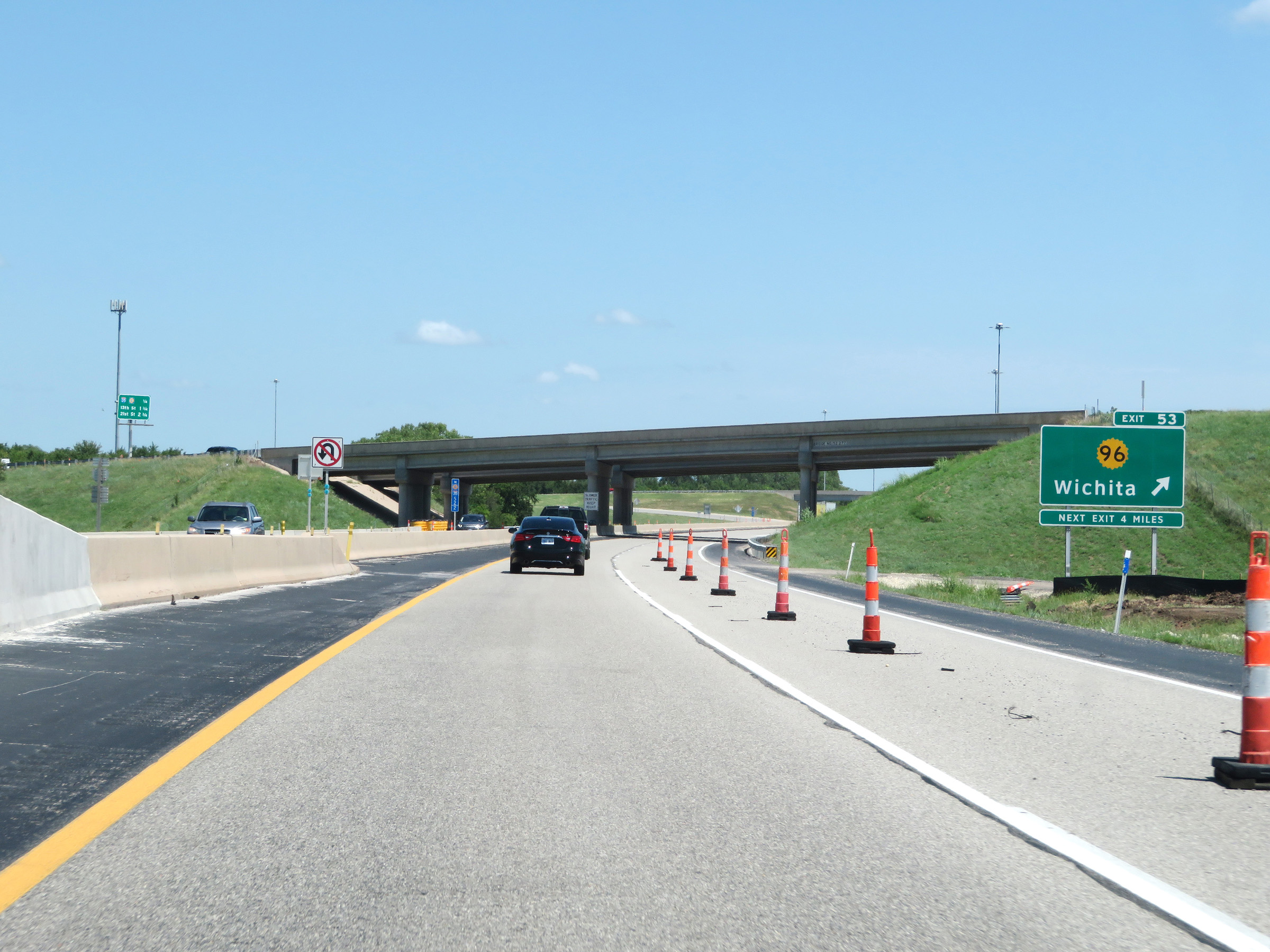 |
Interstate 35 North (Kansas Turnpike) at Exit 53: K-96 - Wichita (Photo taken 8/11/20). |
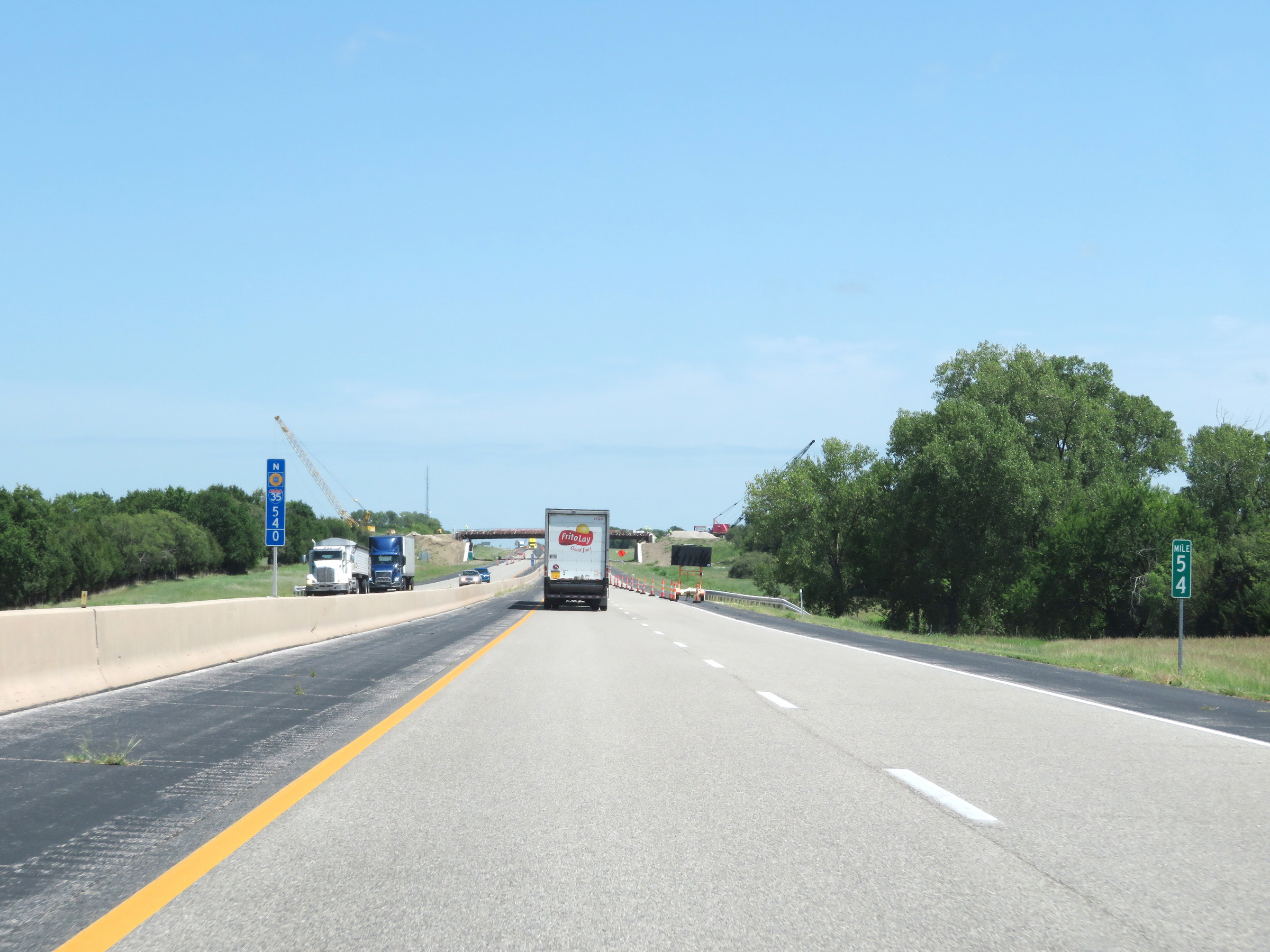 |
Interstate 35 North (Kansas Turnpike) at mile marker 54. (Photo taken 8/11/20). |
 |
Advance signage for Exit 57, which is 1 mile ahead. (Photo taken 8/11/20). |
 |
Take Exit 57 to the Andover Campus of Butler Community College. (Photo taken 8/11/20). |
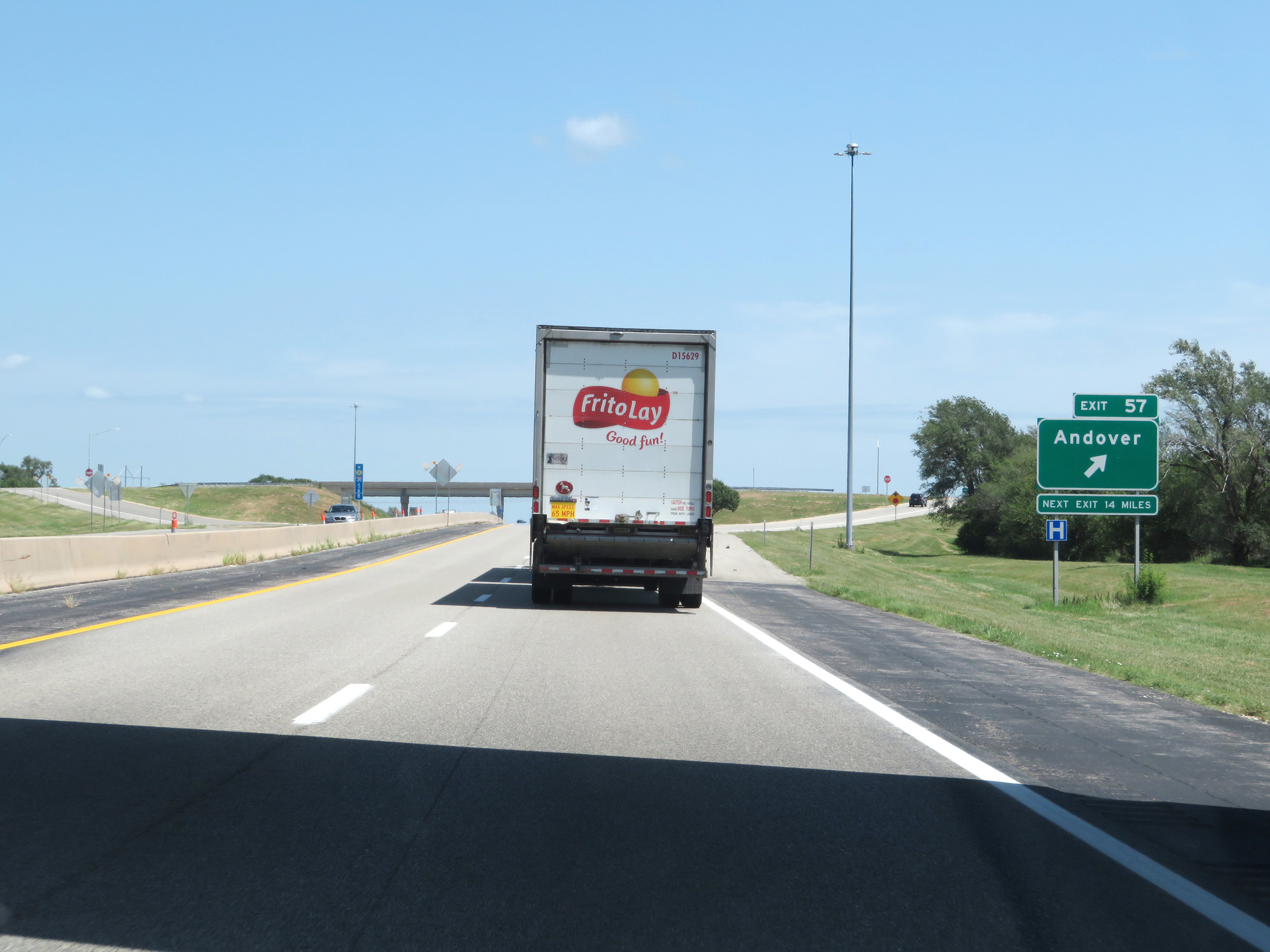 |
Interstate 35 North (Kansas Turnpike) at Exit 57: Andover (Photo taken 8/11/20). |
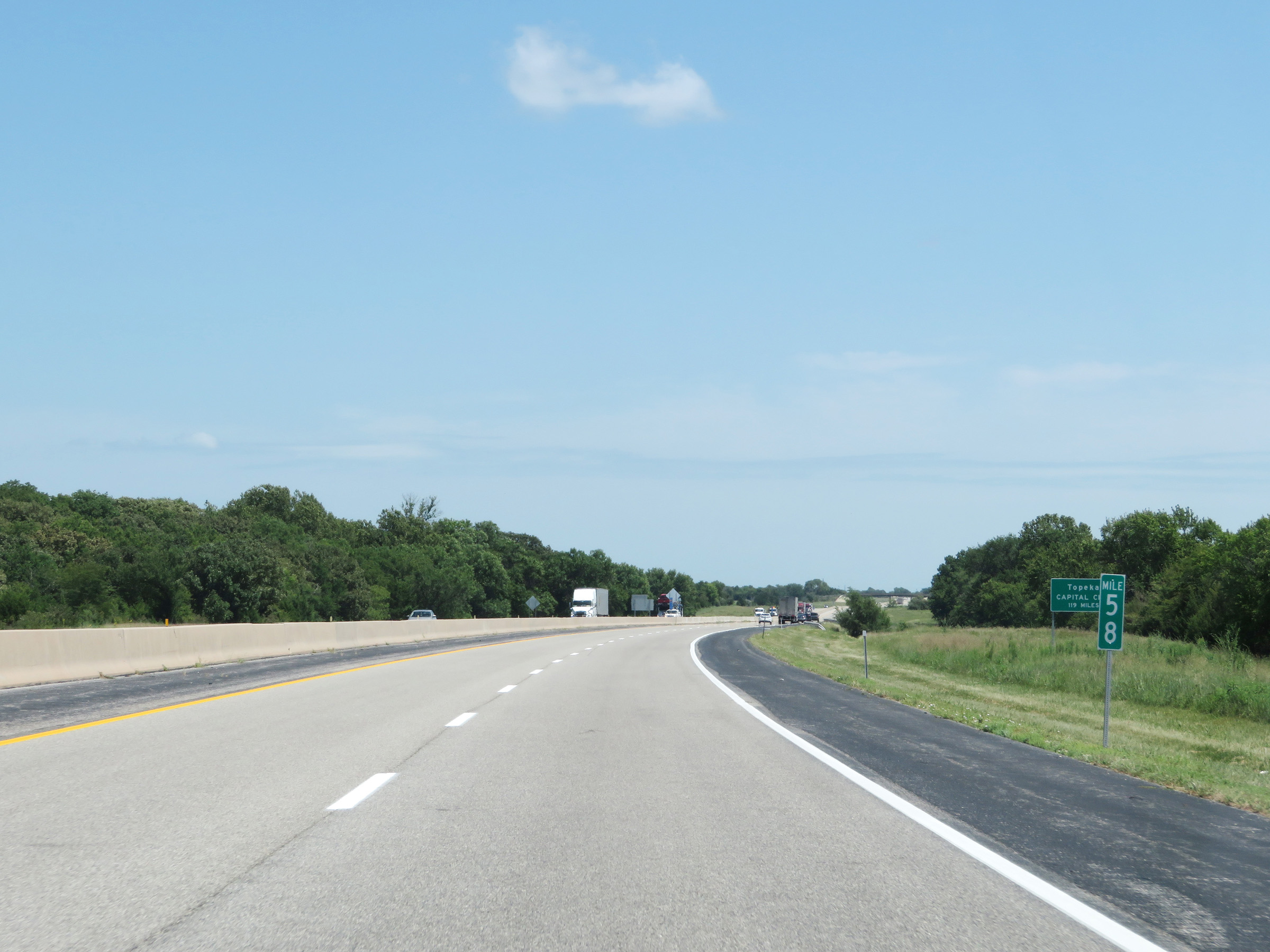 |
View on Interstate 35 North (Kansas Turnpike) at mile marker 58. (Photo taken 8/11/20). |
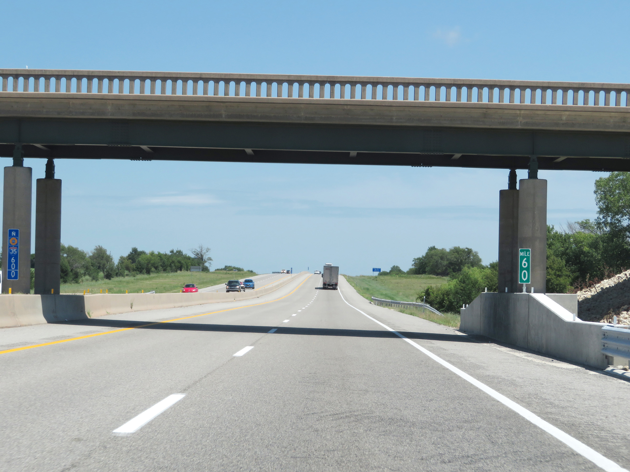 |
Mile marker 60 on Interstate 35 North (Kansas Turnpike) in Butler County. (Photo taken 8/11/20). |
 |
Another sign dynamically showing how many truck parking spaces are currently open at the next three service areas on the Kansas Turnpike. (Photo taken 8/11/20). |
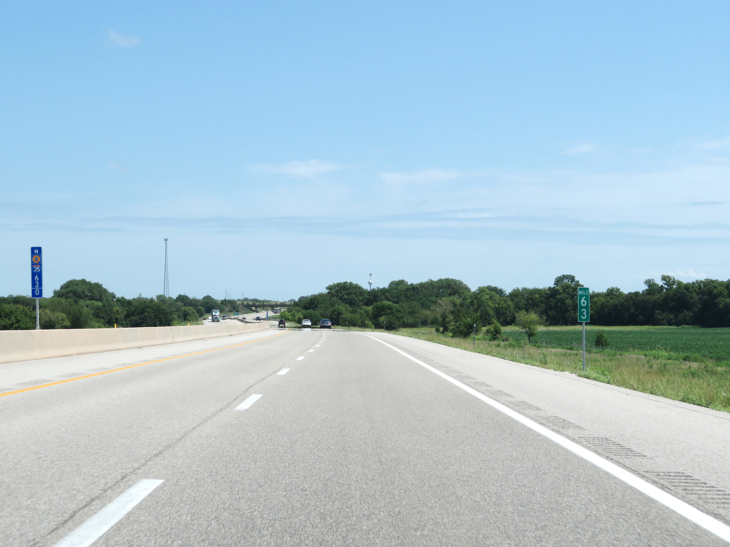 |
View on Interstate 35 North (Kansas Turnpike) at mile marker 63. (Photo taken 8/11/20). |
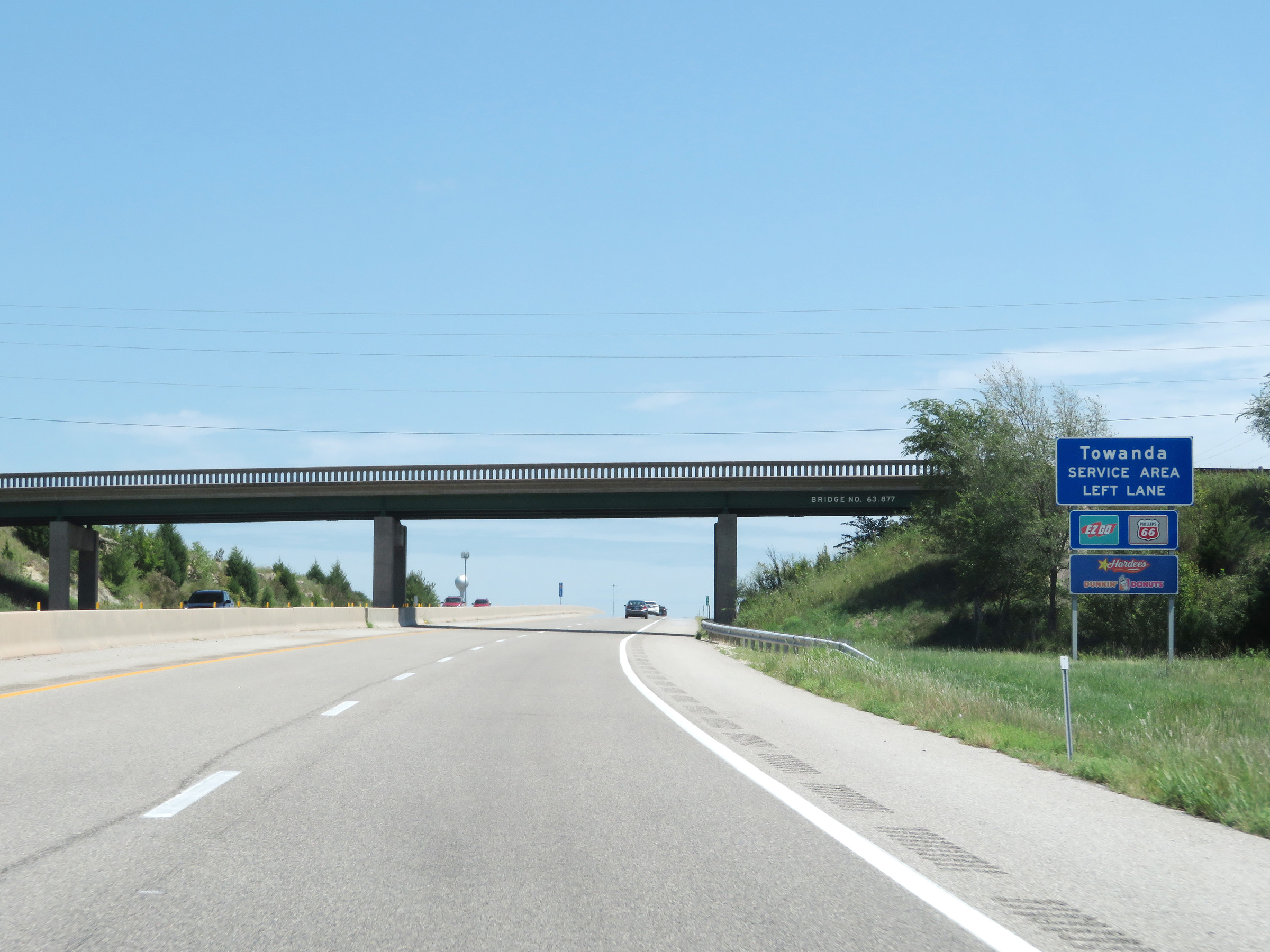 |
Interstate 35 North (Kansas Turnpike) approaching the Towanda Service Area. Traffic entering the service area should move to the left lane at this point. (Photo taken 8/11/20). |
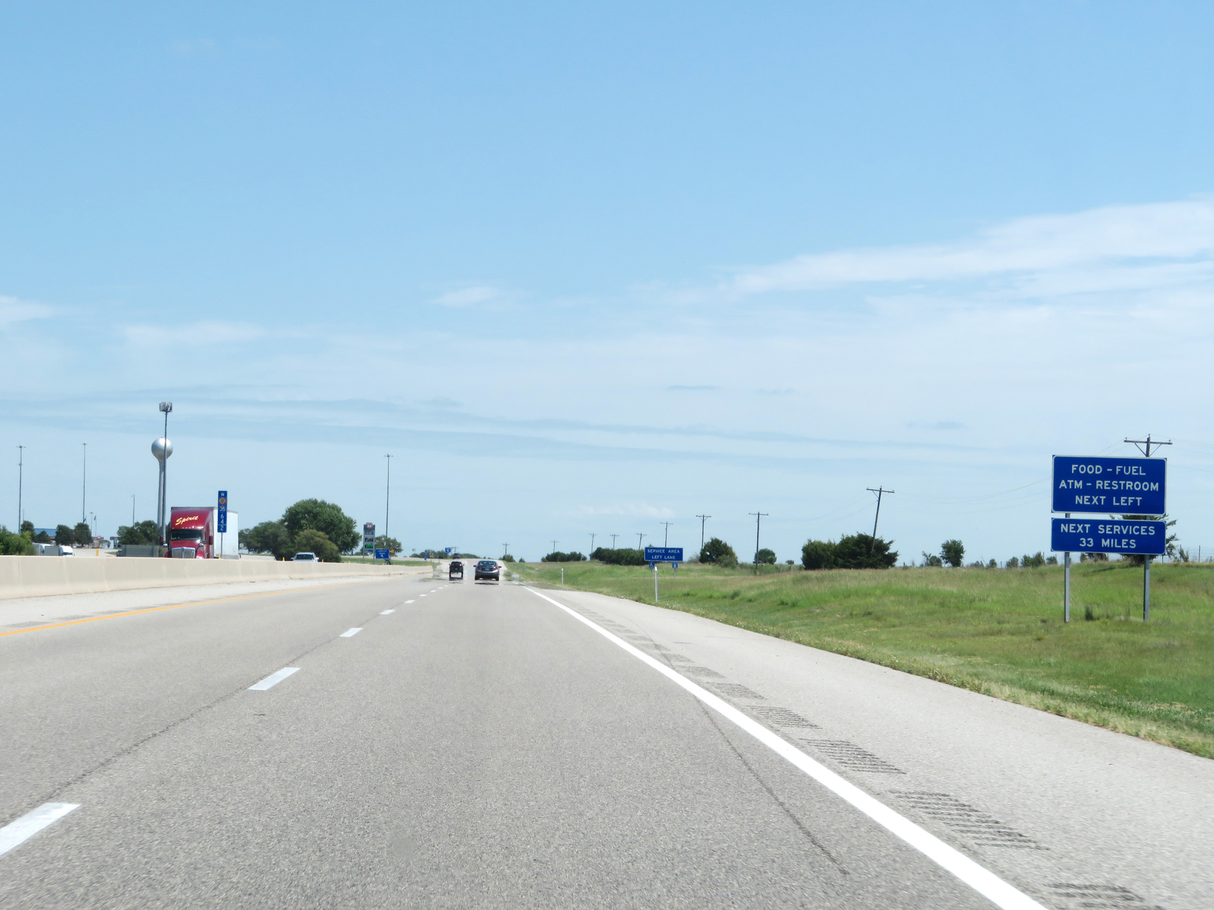 |
The next service area beyond the upcoming Towanda Service Area is 33 miles ahead. (Photo taken 8/11/20). |
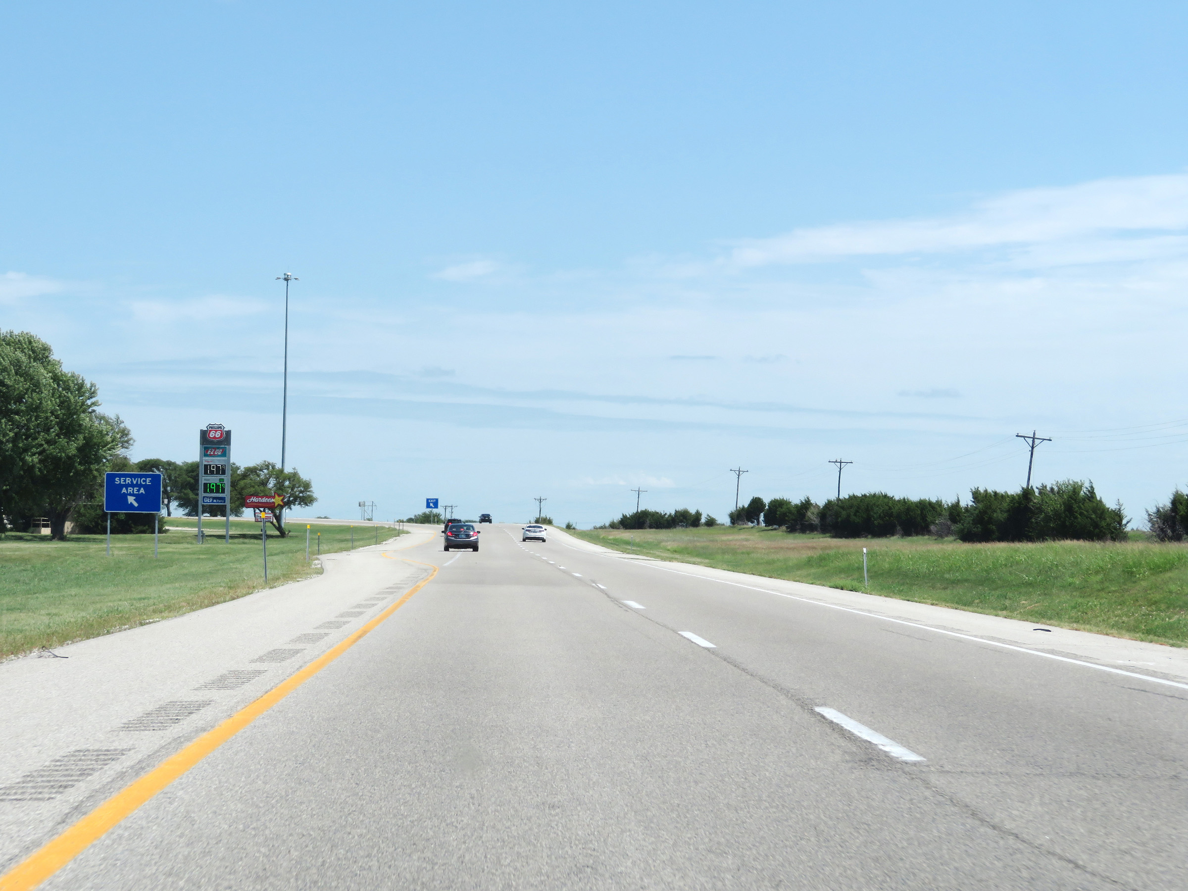 |
Interstate 35 North (Kansas Turnpike) at the Towanda Service Area in Butler County. (Photo taken 8/11/20). |
 |
Mile marker 67 on Interstate 35 North (Kansas Turnpike) in Butler County. (Photo taken 8/11/20). |
 |
View on Interstate 35 North (Kansas Turnpike) at mile marker 69. (Photo taken 8/11/20). |
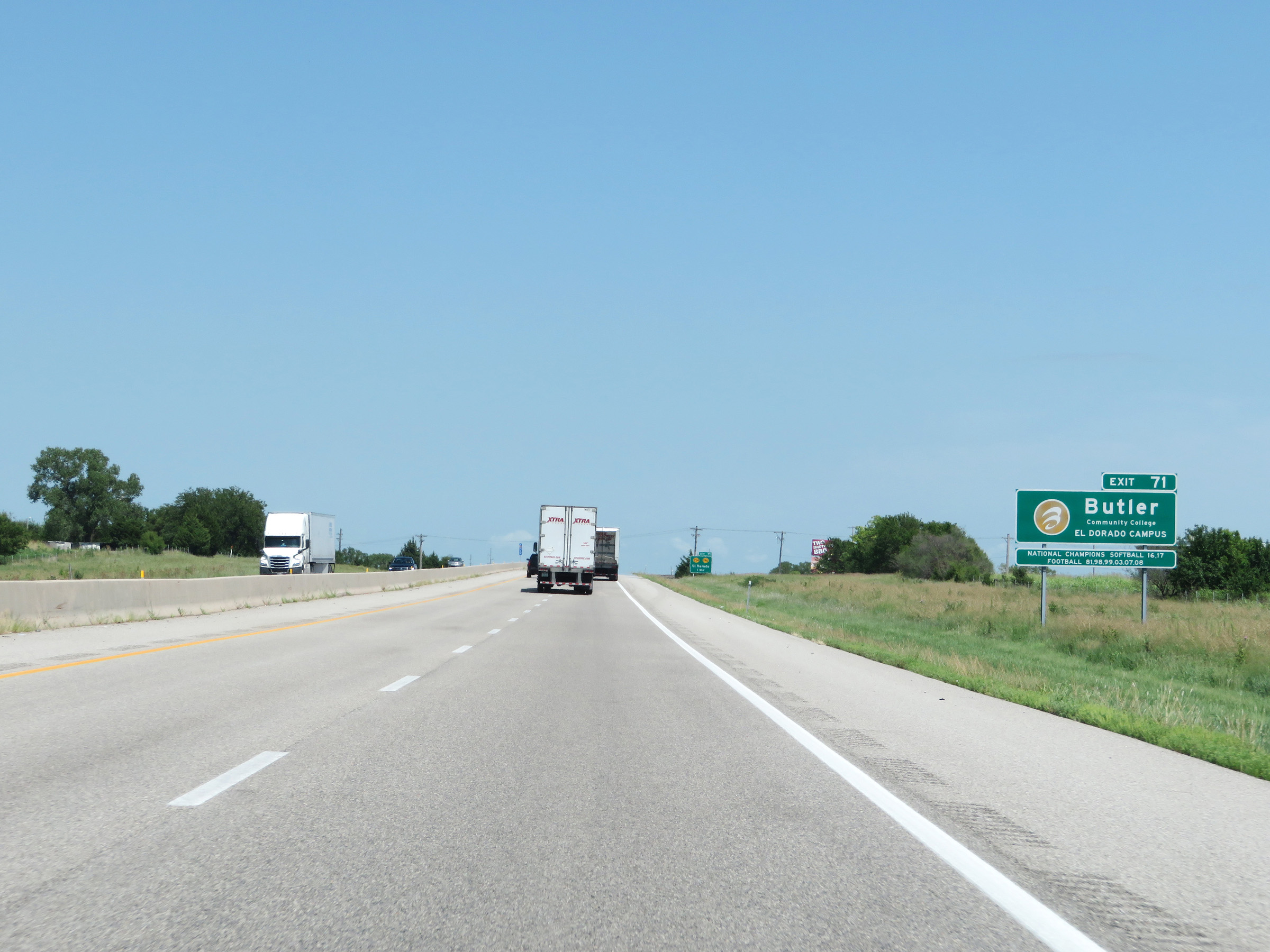 |
Take Exit 71 to the El Dorado Campus of Butler Community College. (Photo taken 8/11/20). |
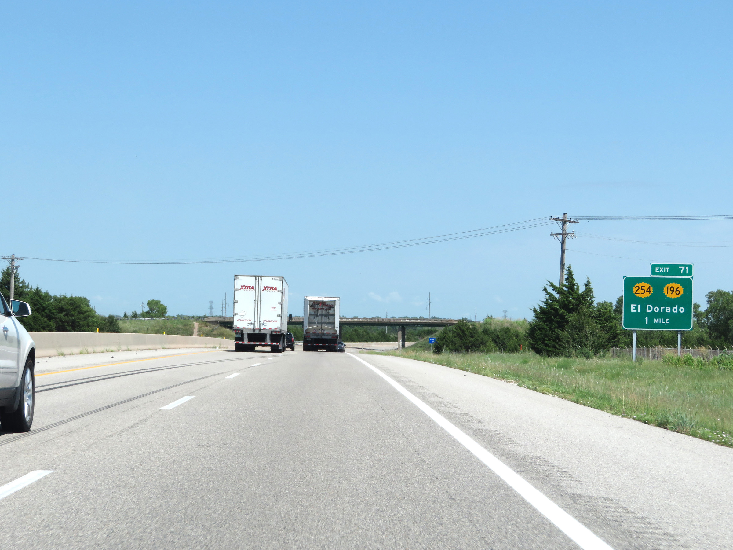 |
Advance signage for Exit 71 - 1 mile ahead. (Photo taken 8/11/20). |
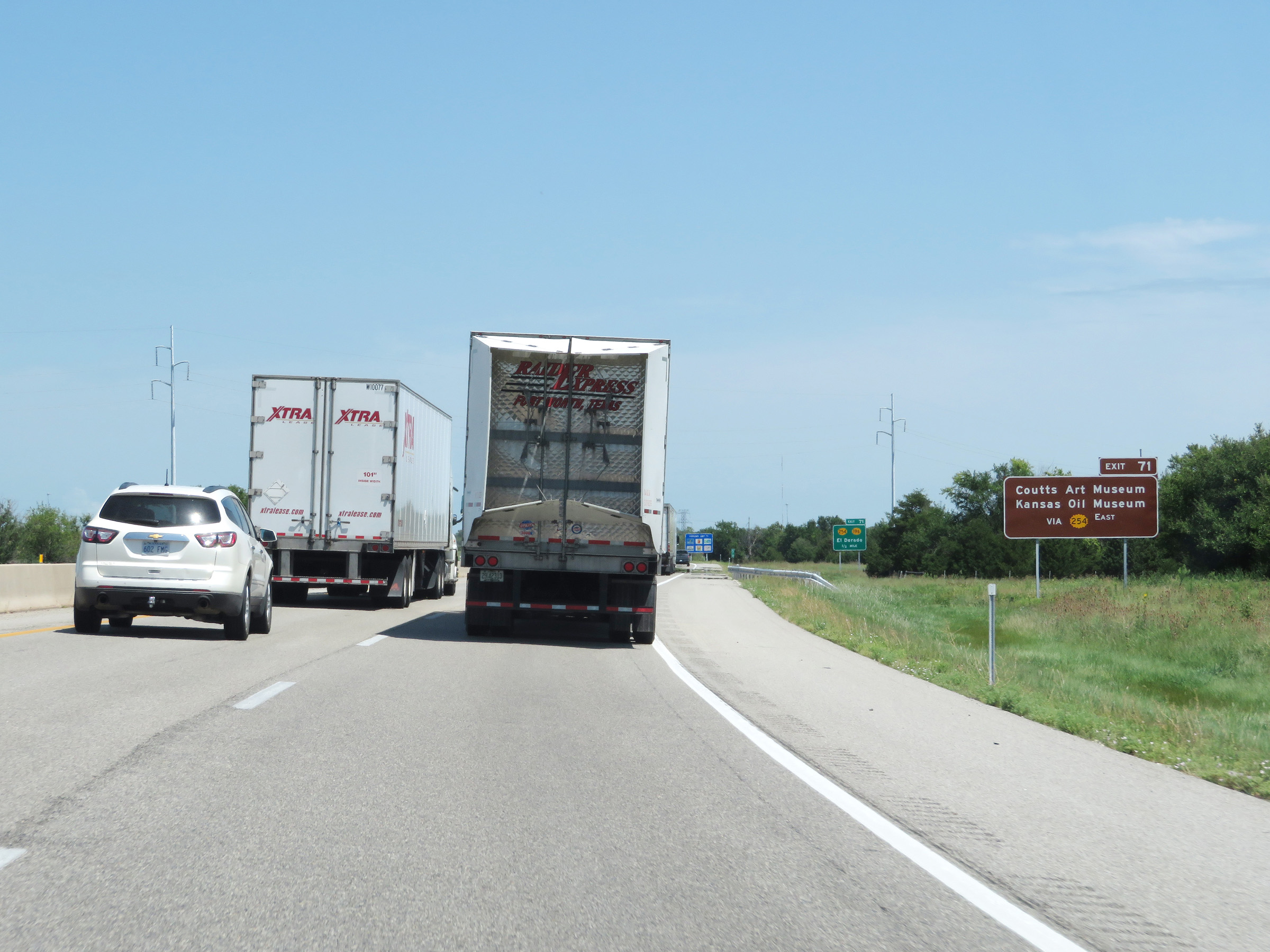 |
Take Exit 71 to Coutts Art Museum and the Kansas Oil Museum via K-254 East. (Photo taken 8/11/20). |
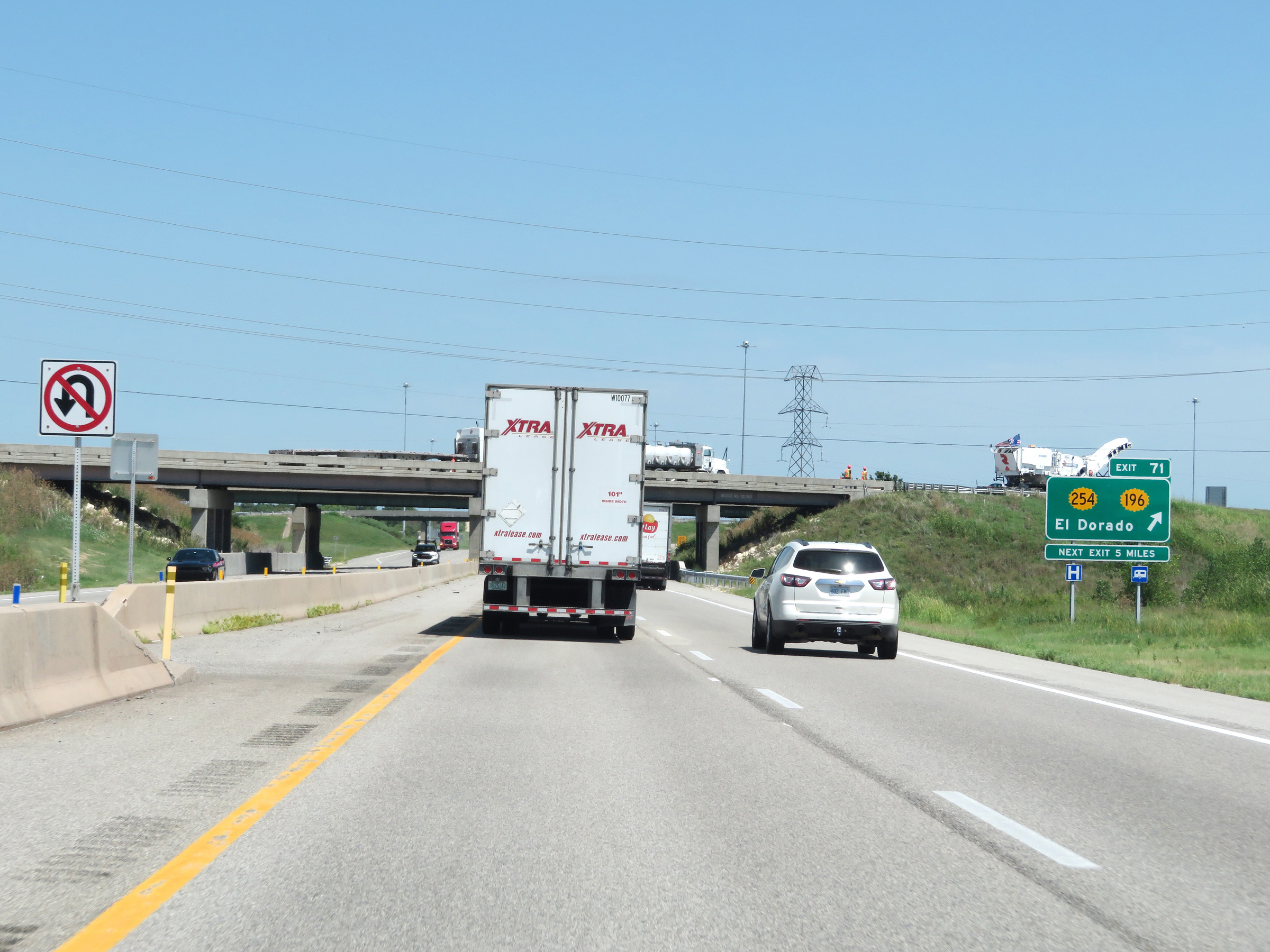 |
Interstate 35 North (Kansas Turnpike) at Exit 71: K-254 / K-196 - El Dorado (Photo taken 8/11/20). |
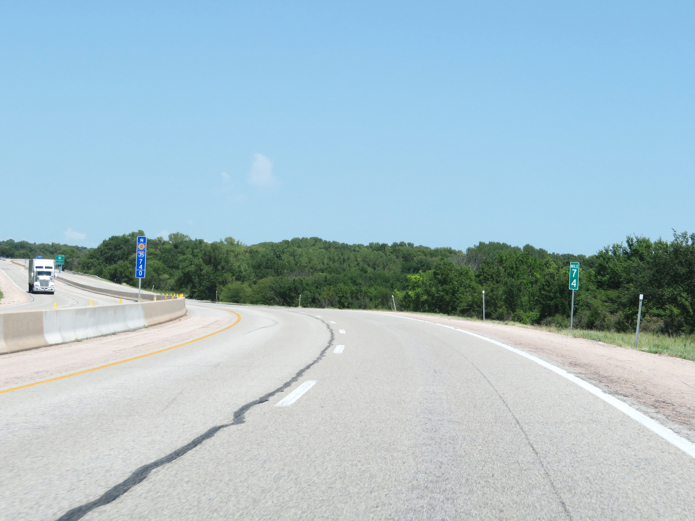 |
Mile marker 74 on Interstate 35 North (Kansas Turnpike) in Butler County. (Photo taken 8/11/20). |
 |
Advance signage for Exit 76 on Interstate 35 North (Kansas Turnpike) - 1 mile. (Photo taken 8/11/20). |
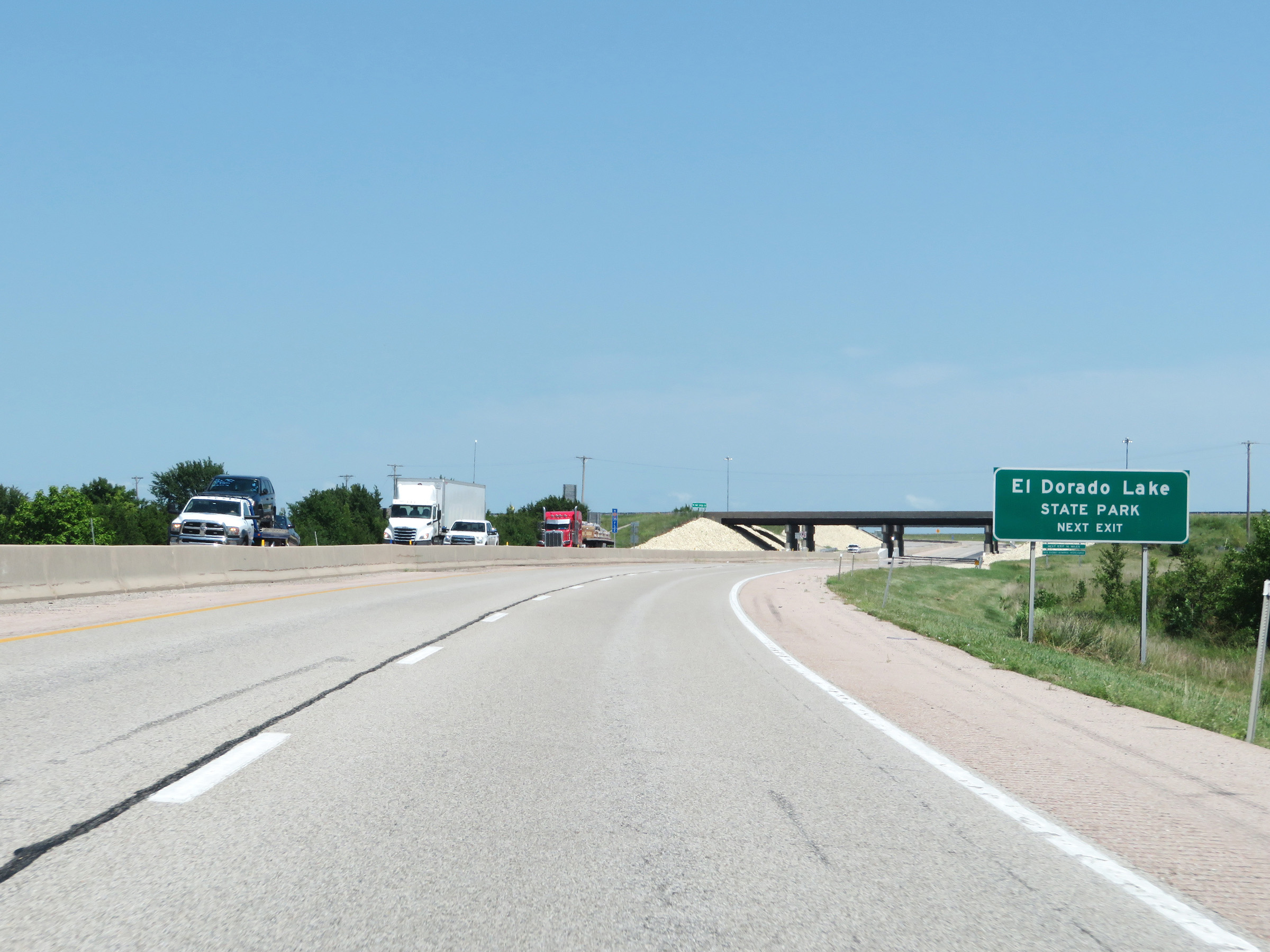 |
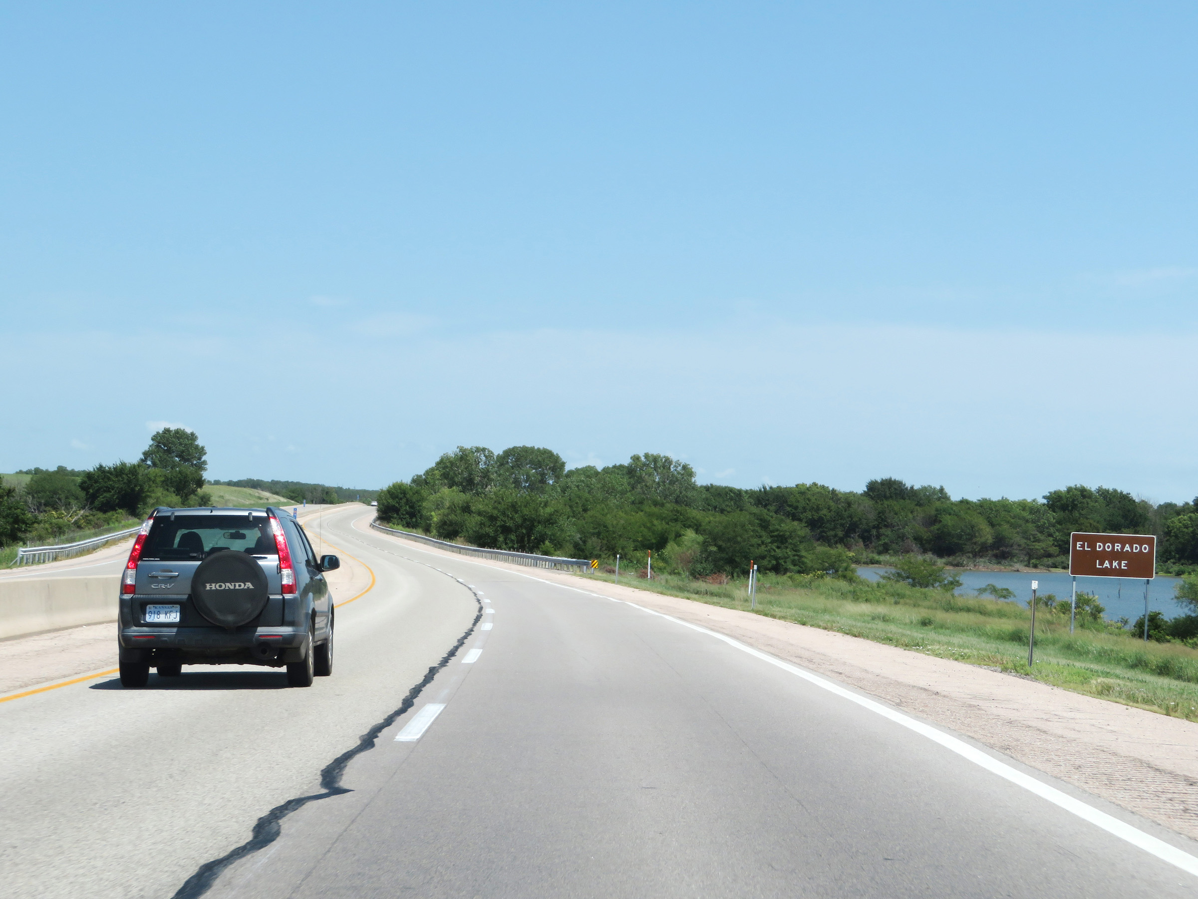
Take Exit 76 to El Dorado Lake State Park. (Photo taken 8/11/20). |
 |
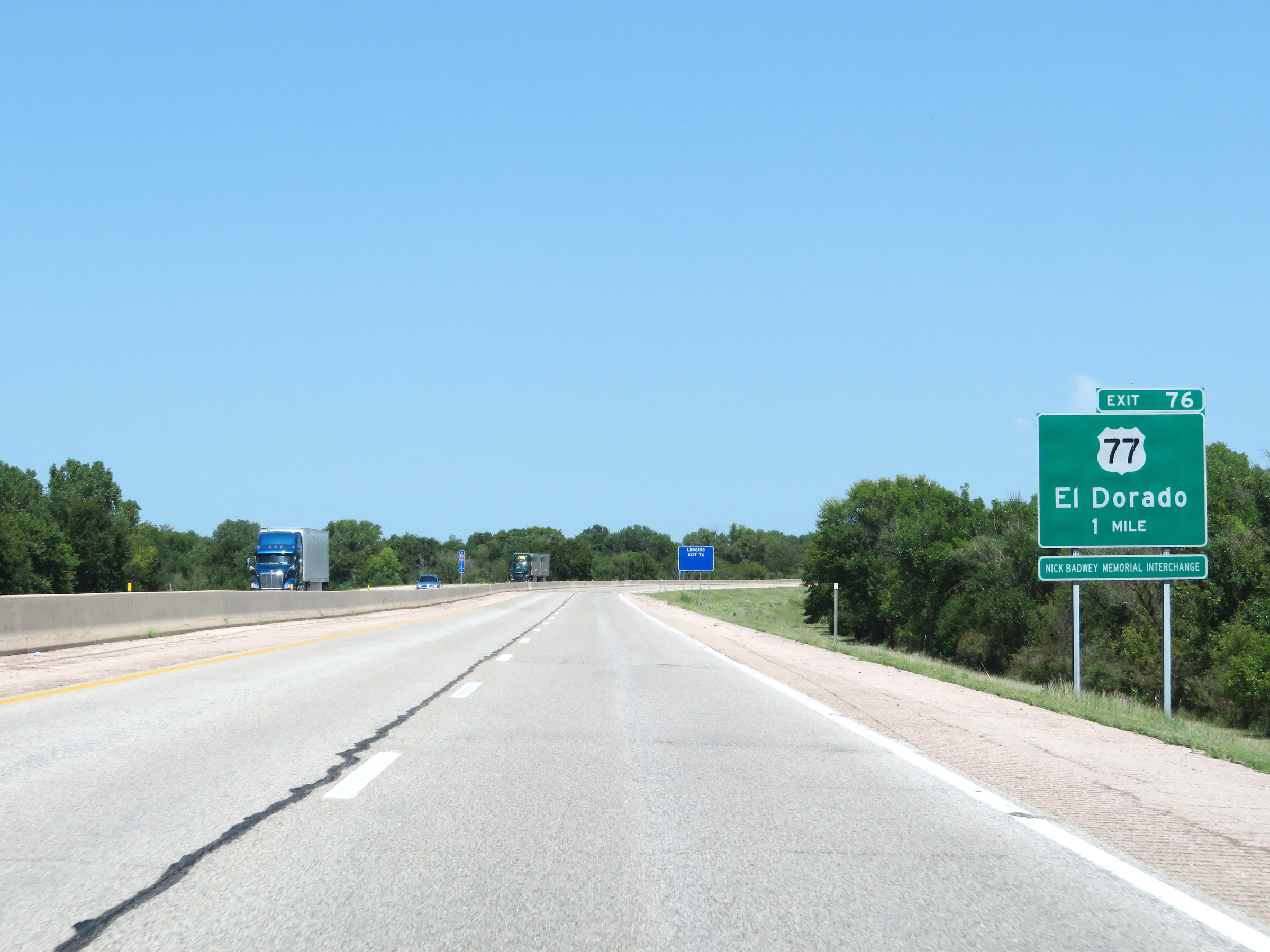
Interstate 35 North (Kansas Turnpike) at Exit 76: US 77 - El Dorado (Photo taken 8/11/20). |
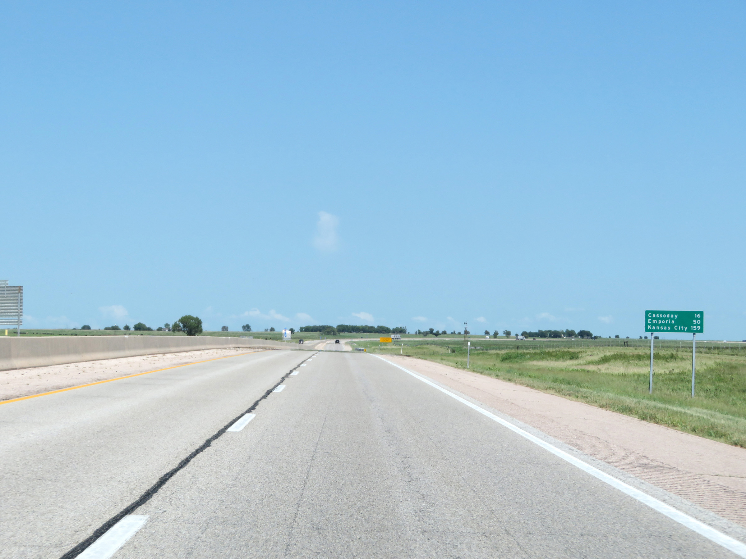 |
Mileage sign on Interstate 35 North (Kansas Turnpike). It's 16 miles to Cassaday, 50 miles to Emporia, and 159 miles to Kansas City. (Photo taken 8/11/20). |
 |
View on Interstate 35 North (Kansas Turnpike) at mile marker 77. (Photo taken 8/11/20). |
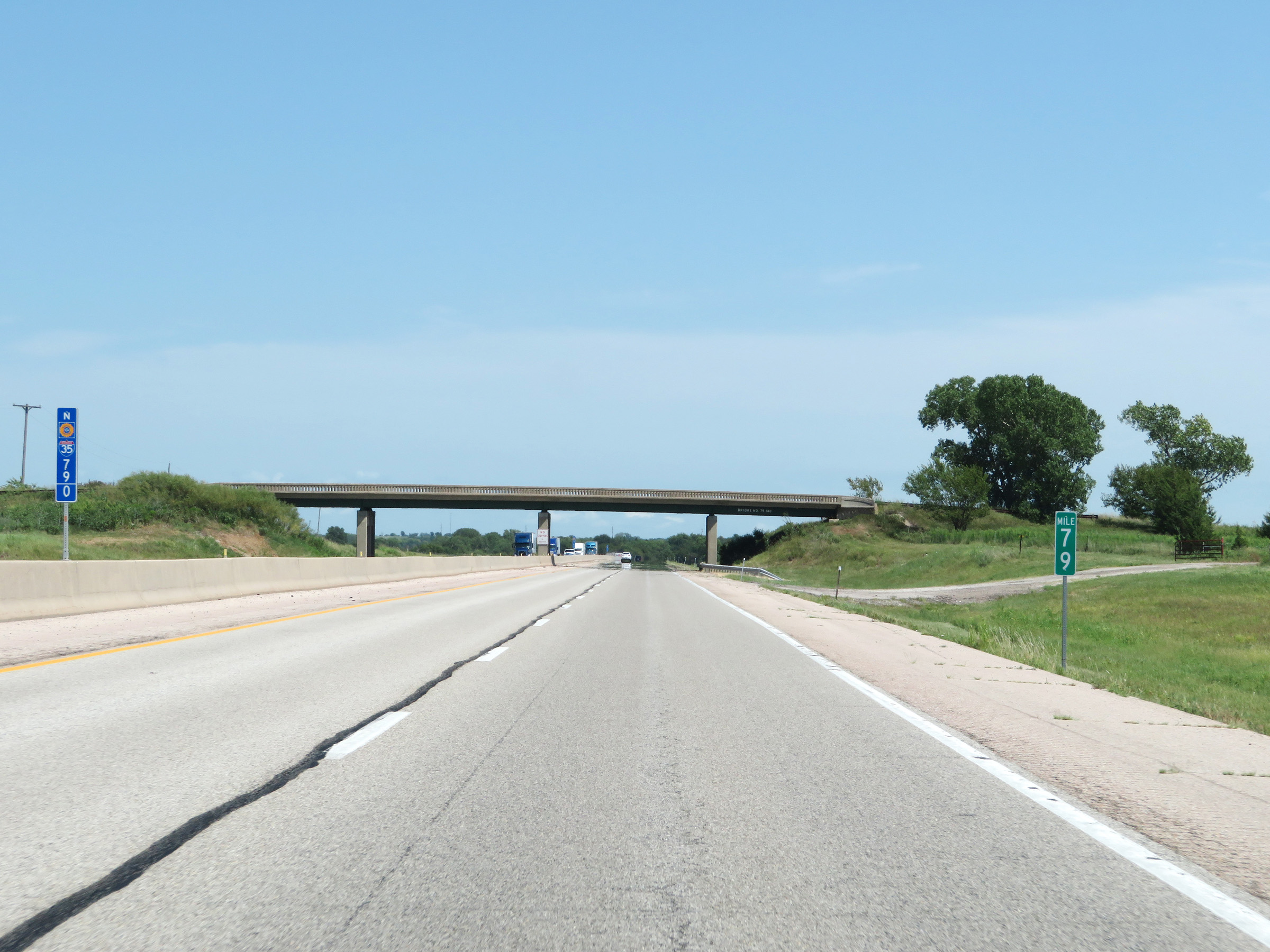 |
Mile marker 79 on Interstate 35 North (Kansas Turnpike) in Butler County. (Photo taken 8/11/20). |
 |
Interstate 35 North (Kansas Turnpike) as it crosses El Dorado Lake. (Photo taken 8/11/20). |
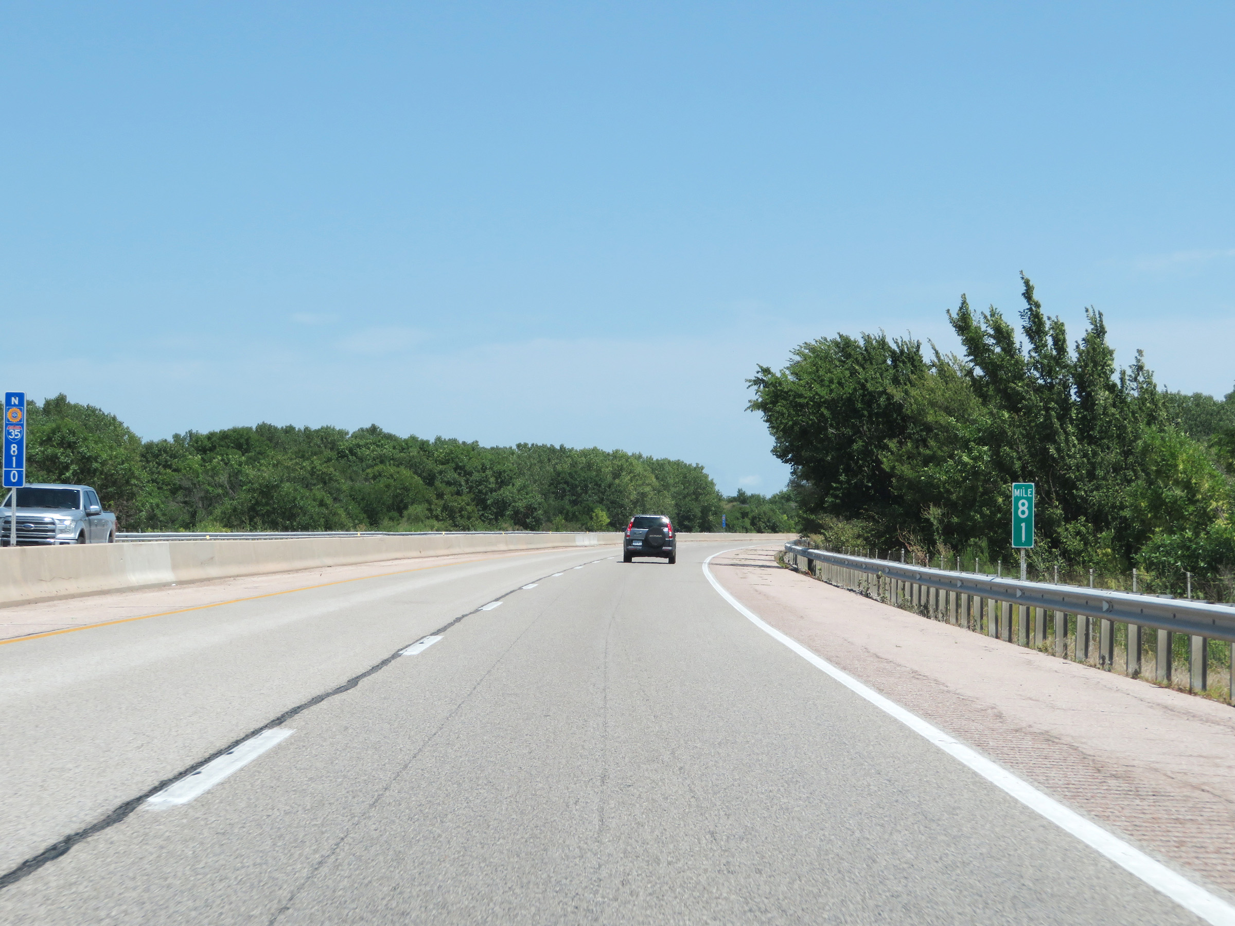 |
View on Interstate 35 North (Kansas Turnpike) at mile marker 81. (Photo taken 8/11/20). |
 |
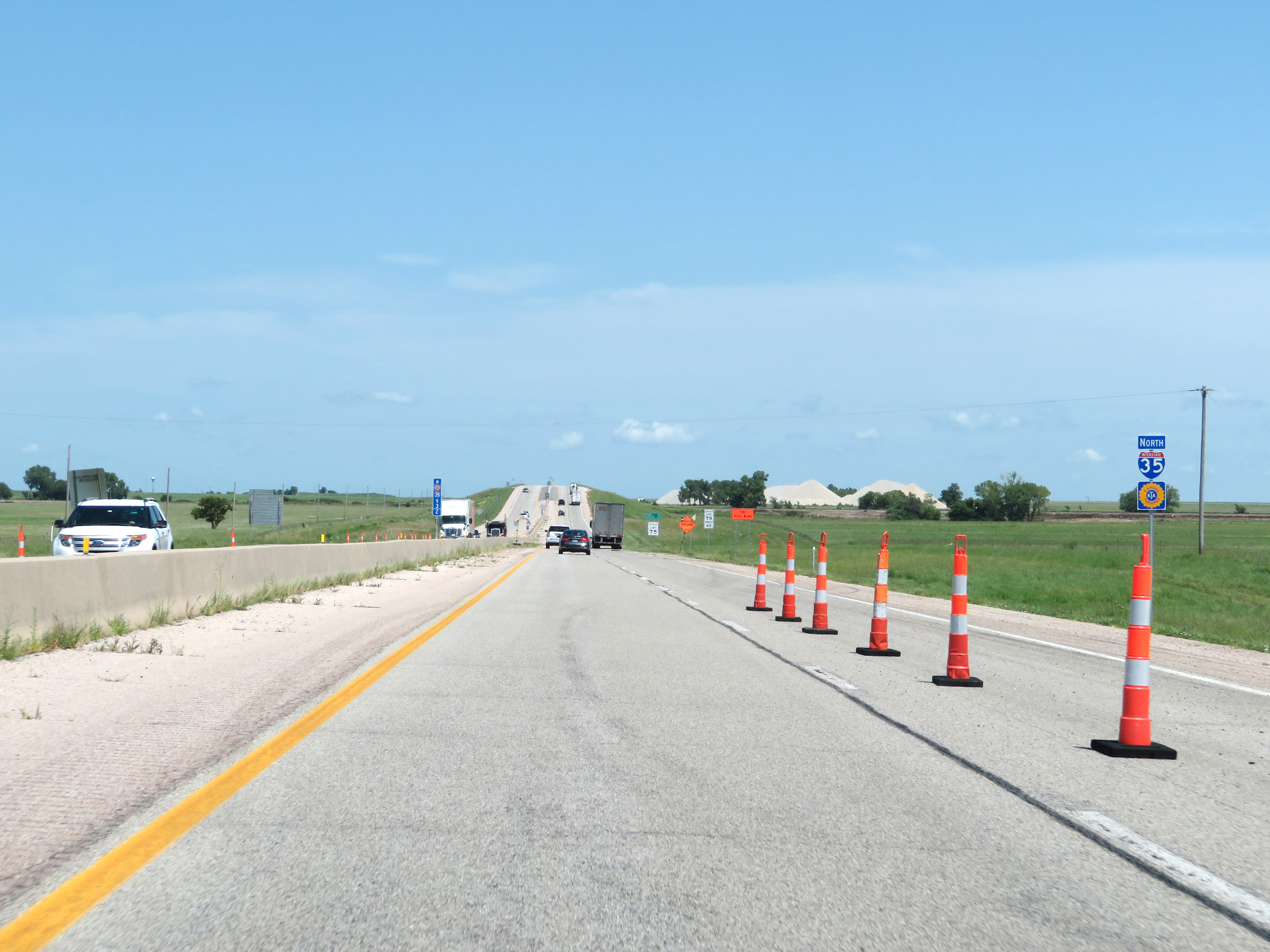
Speed limit signage on Interstate 35 North (Kansas Turnpike). The speed limits are 75 mph maximum and 40 mph minimum. (Photo taken 8/11/20). |
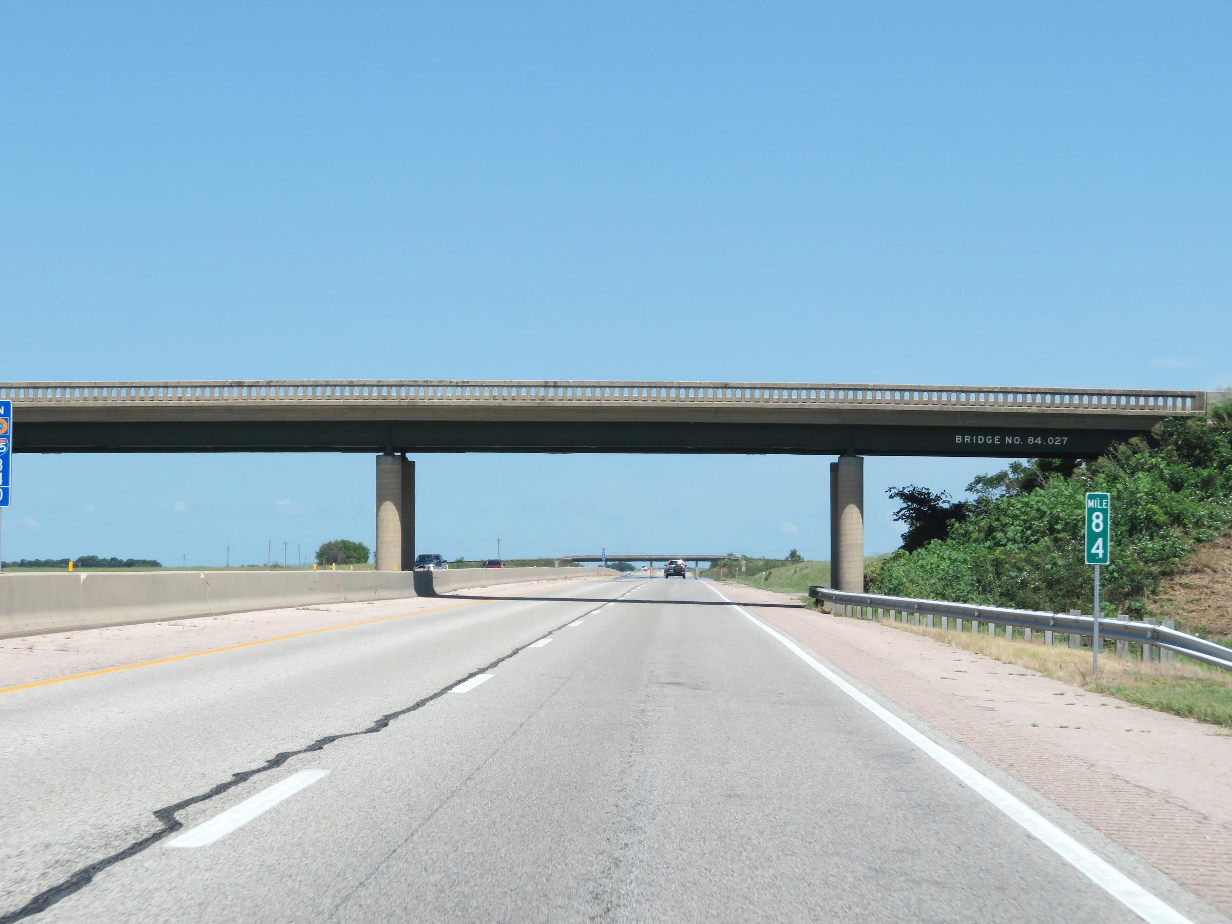 |
Interstate 35 North (Kansas Turnpike) at mile marker 84. (Photo taken 8/11/20). |
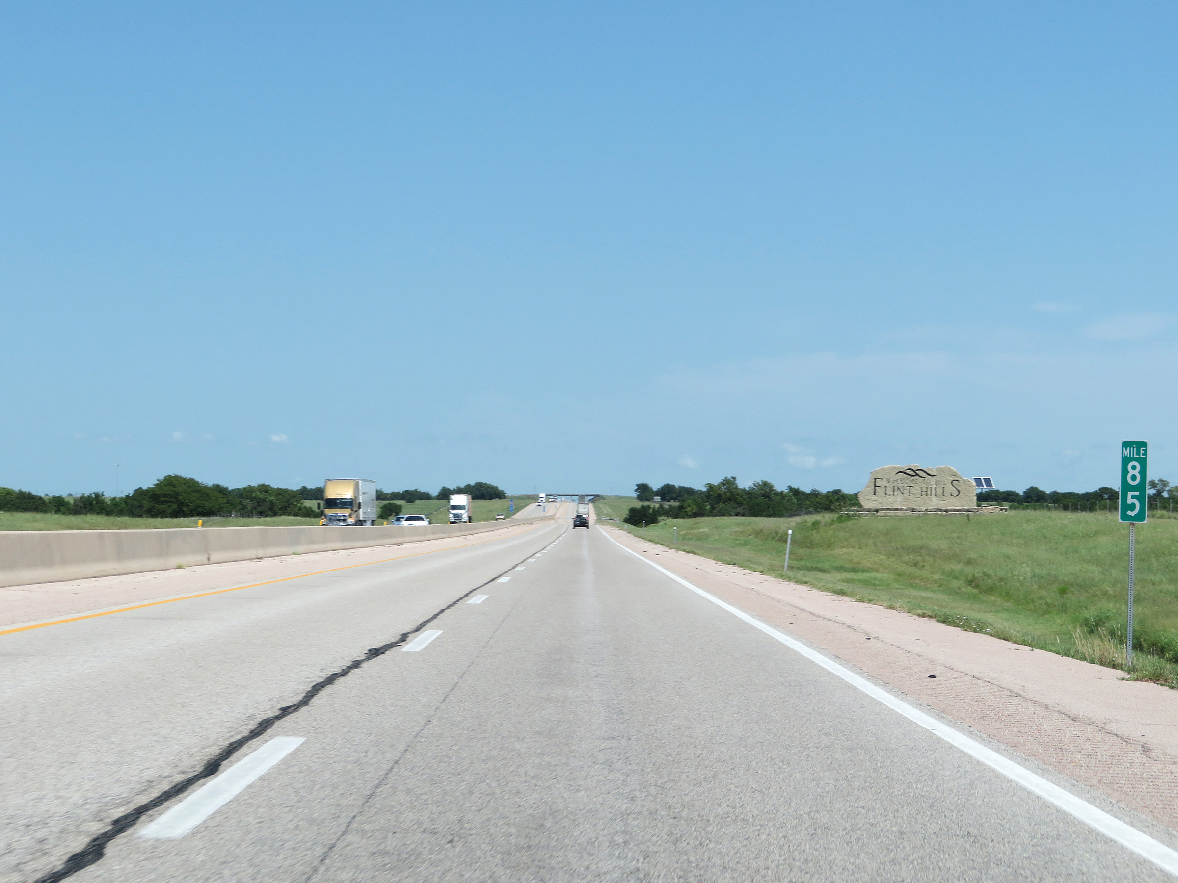 |
At mile marker 85, Interstate 35 North (Kansas Turnpike) enter the Flint Hills Region. (Photo taken 8/11/20). |
 |
View on Interstate 35 North (Kansas Turnpike) at mile marker 86. (Photo taken 8/11/20). |
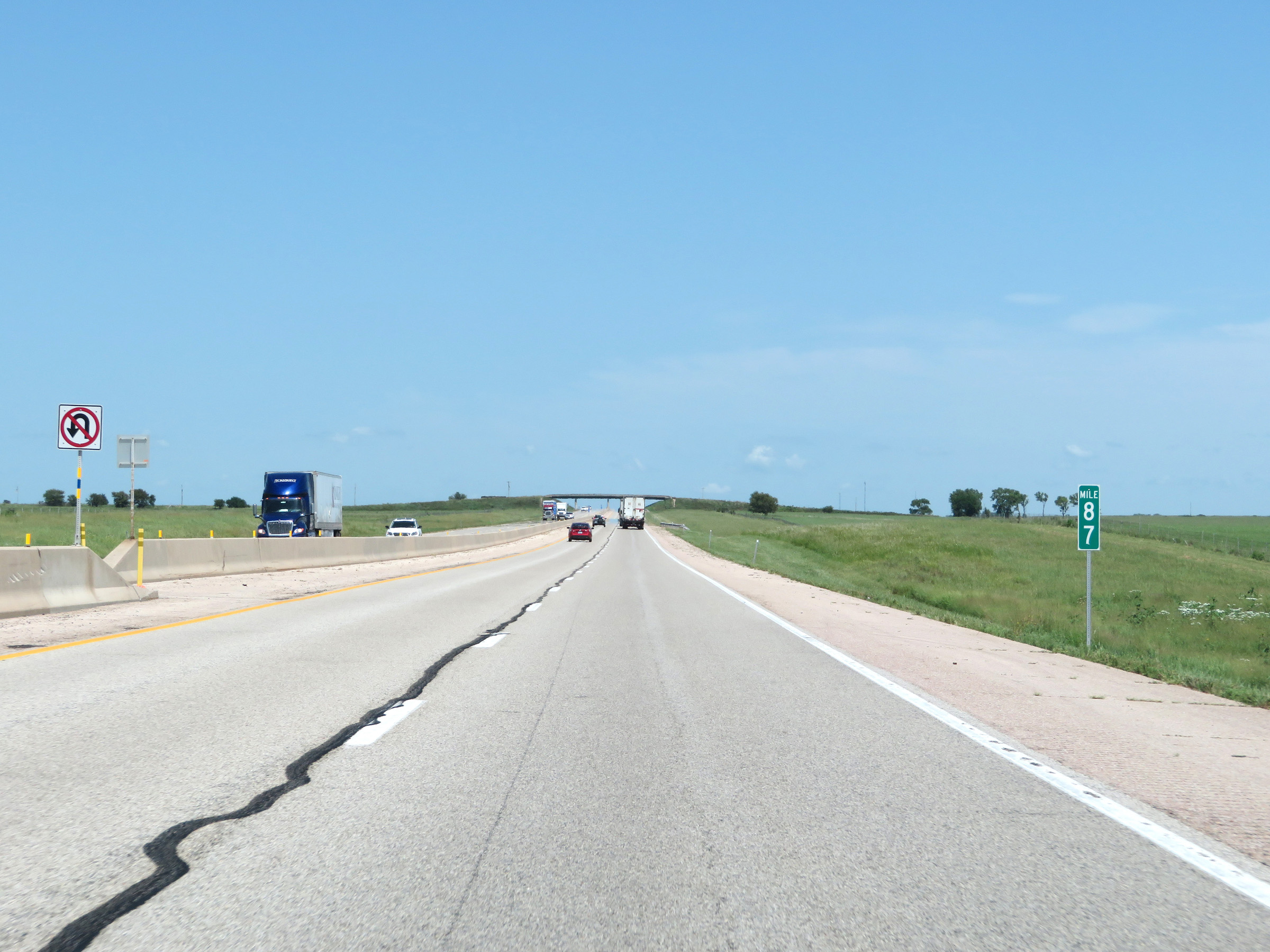 |
Mile marker 87 on Interstate 35 North (Kansas Turnpike) in Butler County. (Photo taken 8/11/20). |
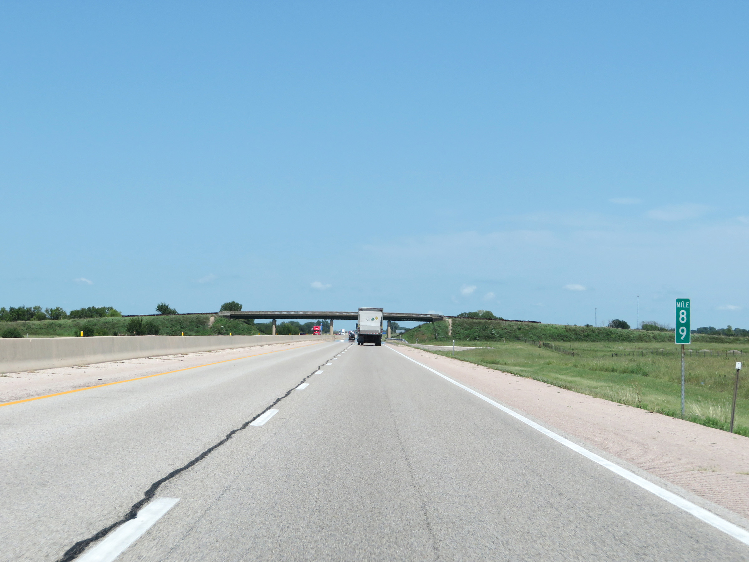 |
Interstate 35 North (Kansas Turnpike) at mile marker 89. (Photo taken 8/11/20). |
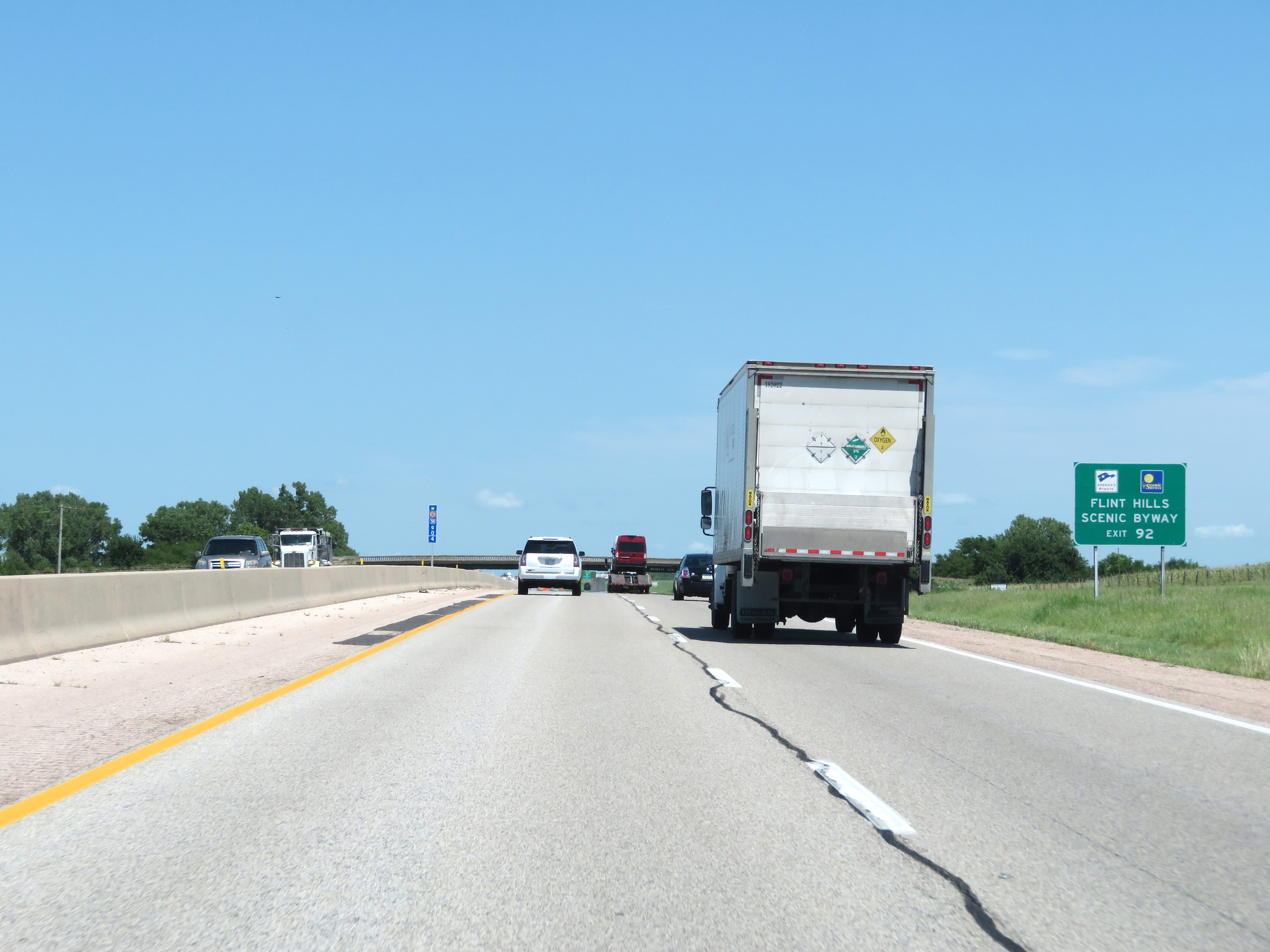 |
Take Exit 92 to the Flint Hills Scenic Byway. (Photo taken 8/11/20). |
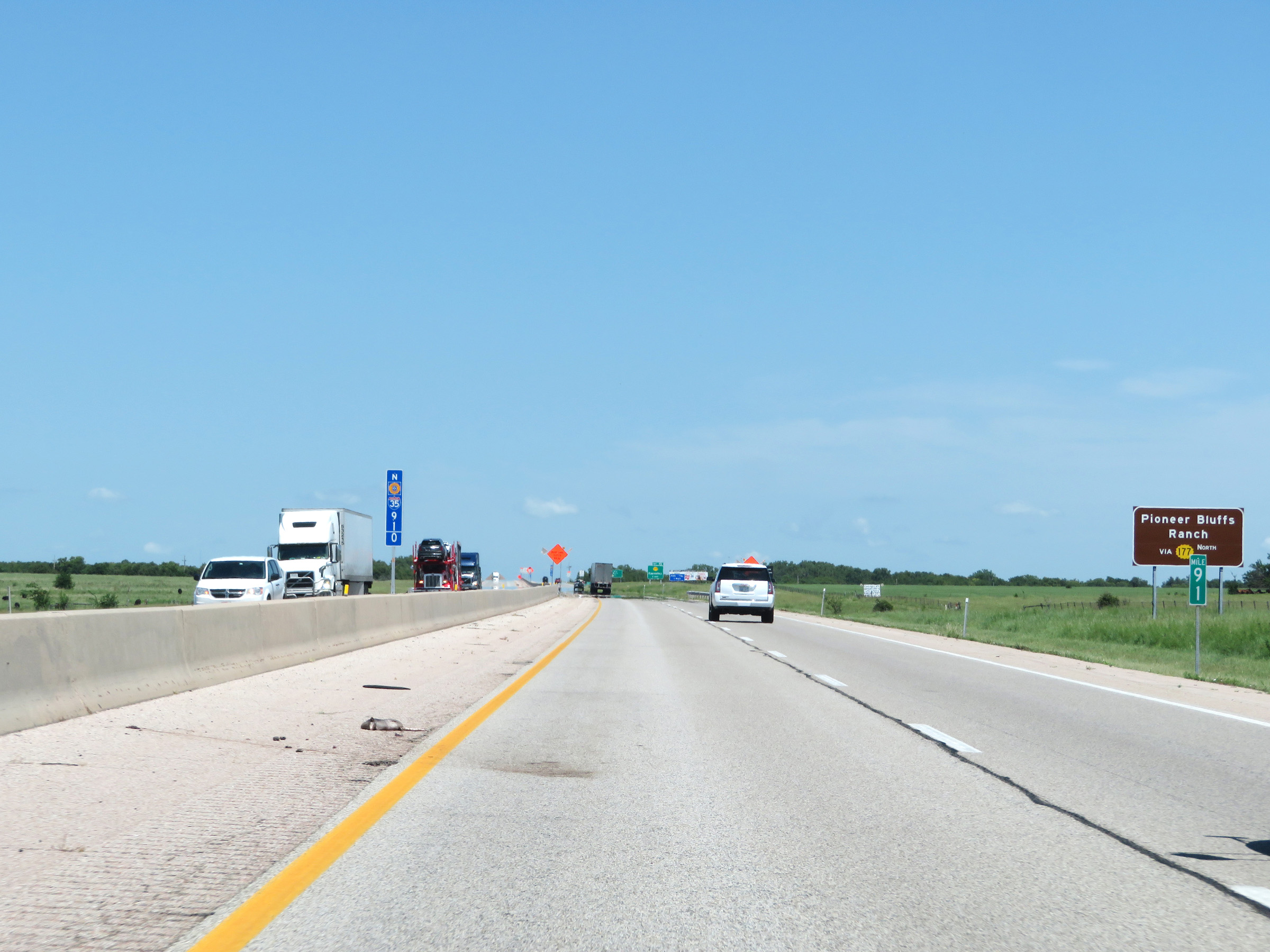 |
Also take Exit 92 to Pioneer Bluffs Ranch via K-177 North. (Photo taken 8/11/20). |
 |
Advance signage for Exit 92 on Interstate 35 North (Kansas Turnpike) - 1 mile ahead. (Photo taken 8/11/20). |
 |
Tallgrass Prairie National Preserve can also be accessed via Exit 92 by way of K-177 North. (Photo taken 8/11/20). |
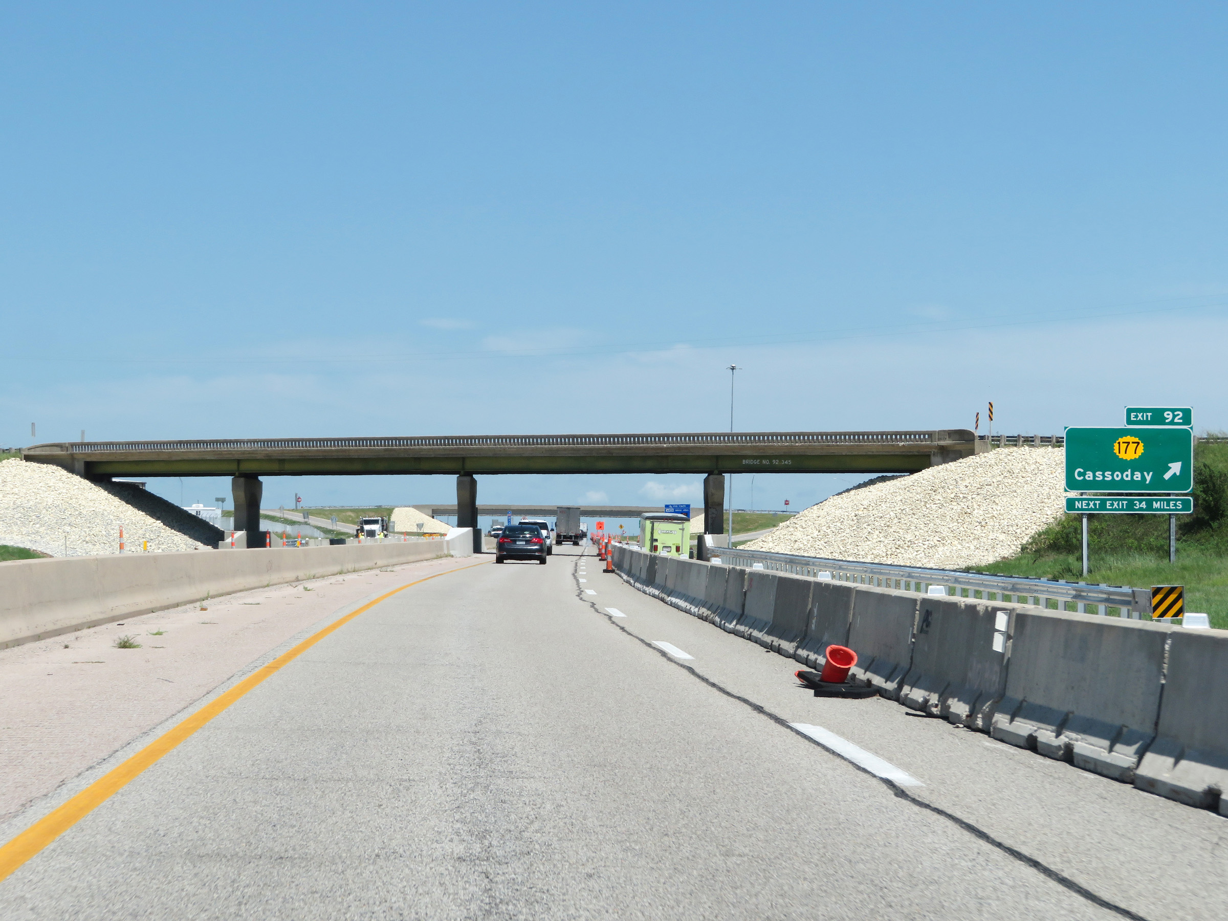 |
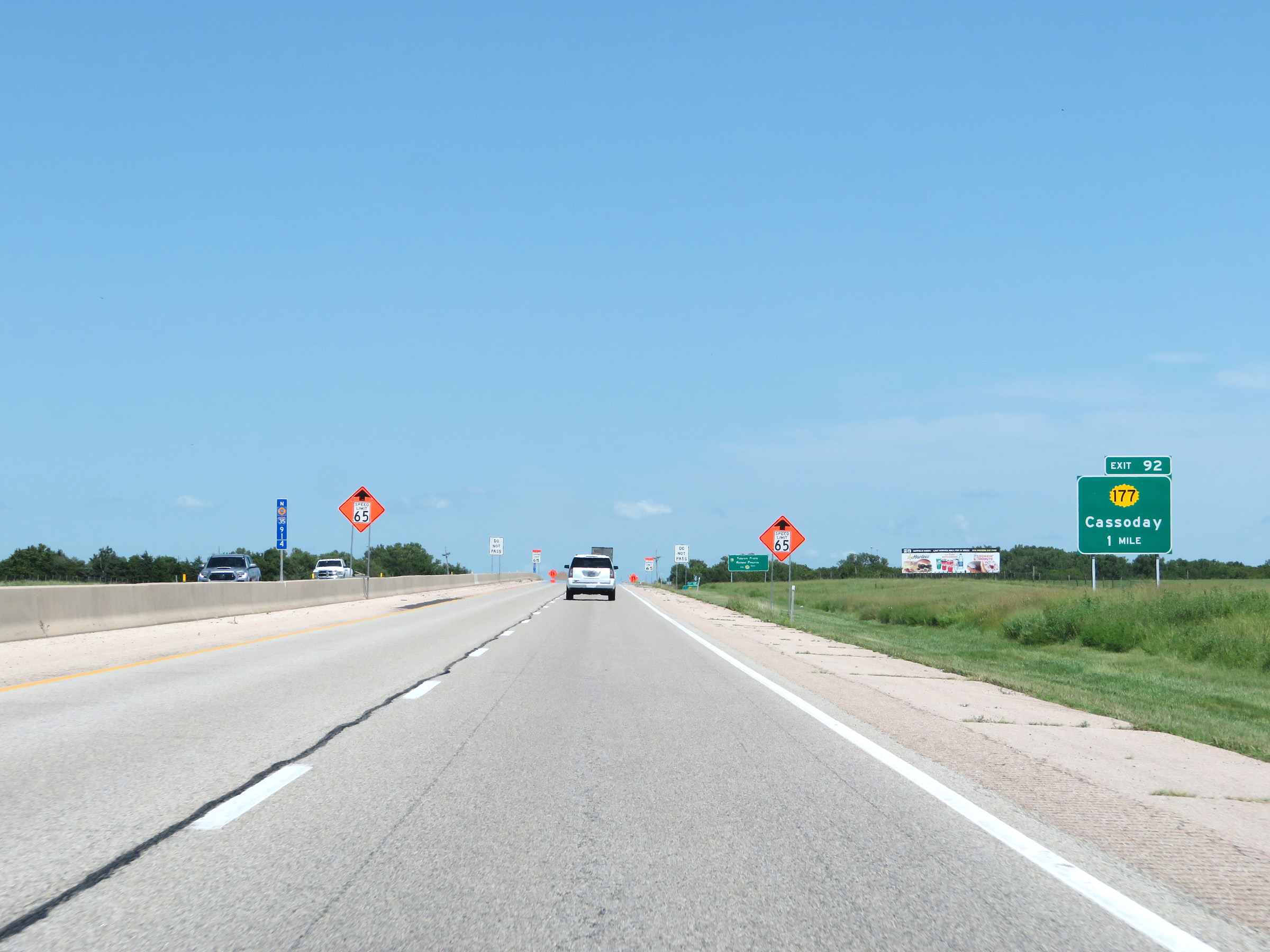
Interstate 35 North (Kansas Turnpike) at Exit 92: K-177 - Cassoday (Photo taken 8/11/20). |
 |
Another sign showing the current number of available parking spaces available for trucks at the next three service areas on the Kansas Turnpike. Note that there is only one more service area remaining on the Interstate 35 North portion of the turnpike. (Photo taken 8/11/20). |
 |
Interstate 35 North / Kansas Turnpike reassurance markers at mile marker 93.2. (Photo taken 8/11/20). |
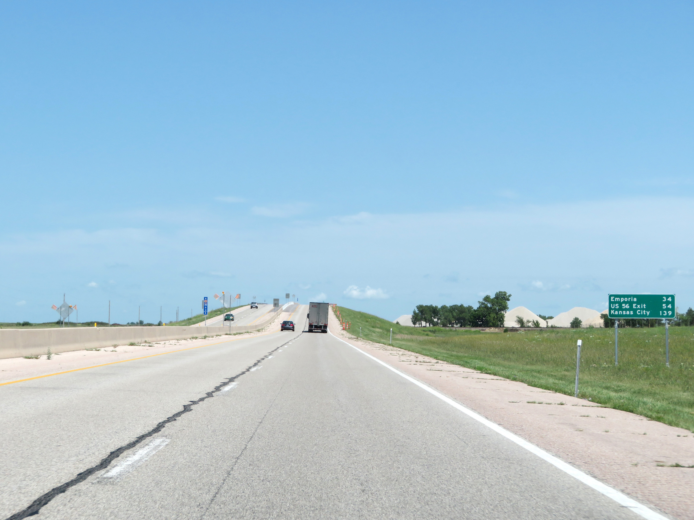 |
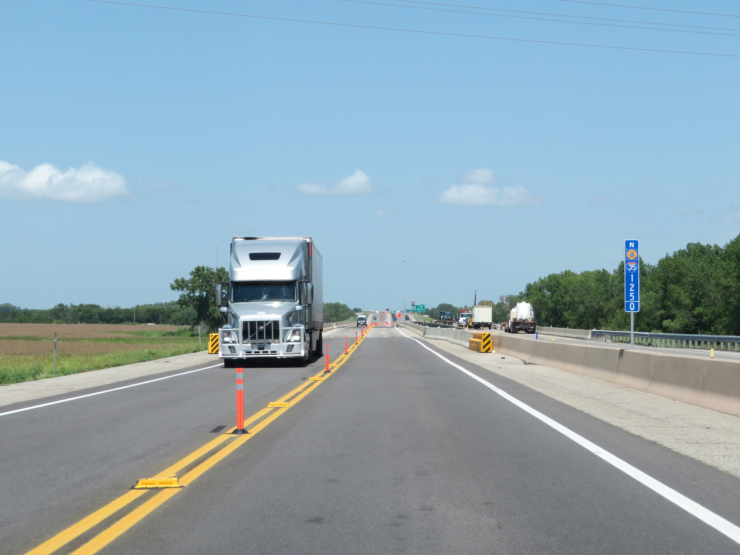
Mileage sign on Interstate 35 North (Kansas Turnpike) at mile marker 93.6. It's 34 miles to Emporia, 54 miles to the Exit for US 56 (via Interstate 355 North), and 139 miles to Kansas City. (Photo taken 8/11/20). |
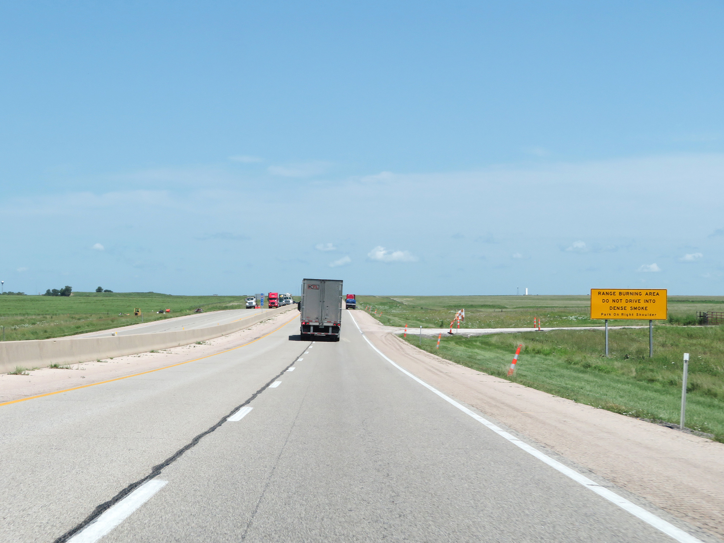 |
This sign warns motorists that this part of Interstate 35 North (Kansas Turnpike) is a Range Burning Area. Dense smoke is possible, and you should not attempt to drive through such smoke. Instead, the signage urges motorists to park on the right shoulder should this be the case. (Photo taken 8/11/20). |
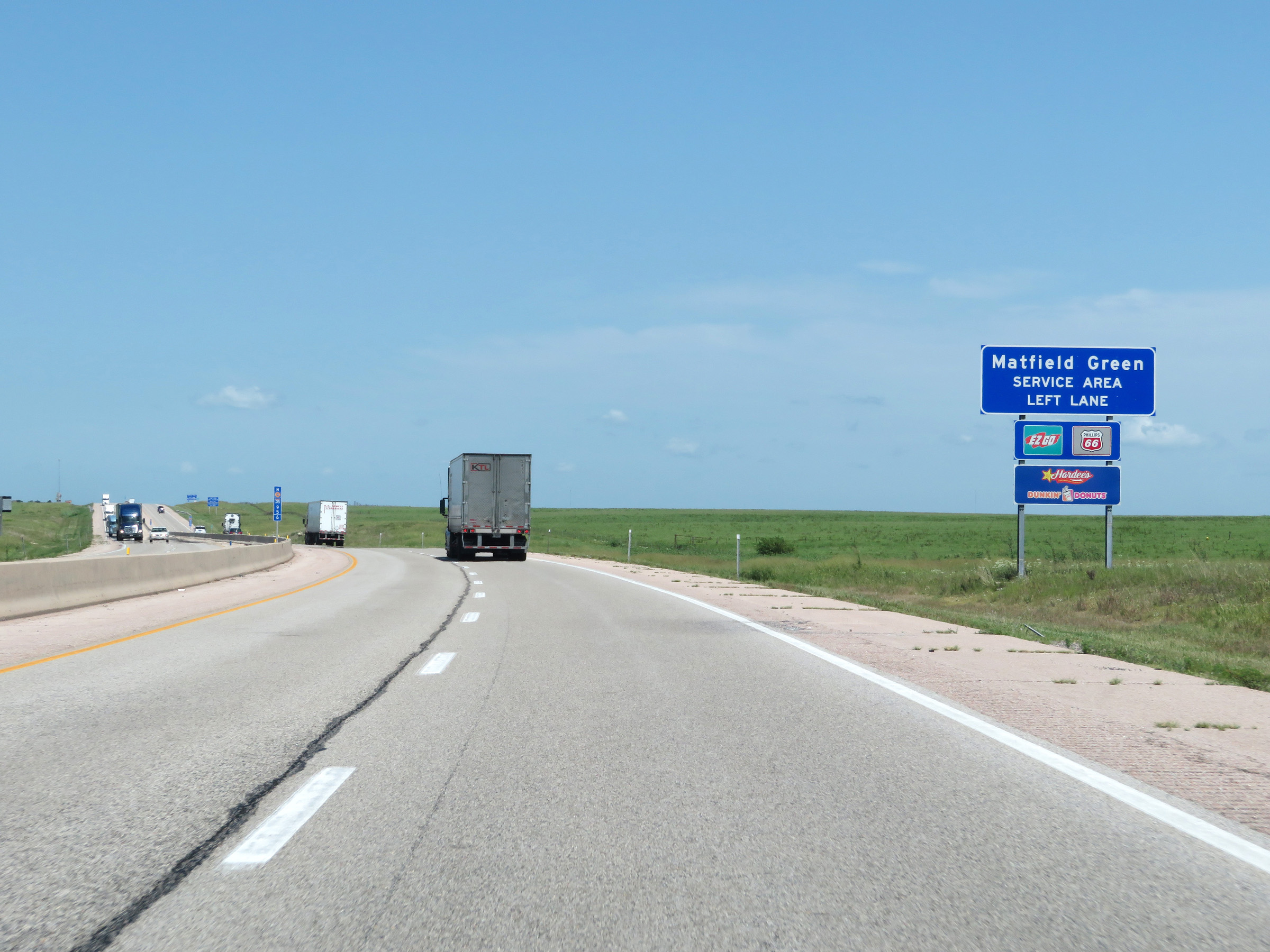 |
Interstate 35 North (Kansas Turnpike) approaching the Matfield Green Service Area, which will be in the median ahead. Traffic planning to enter the service area should move to the left lane ahead. (Photo taken 8/11/20). |
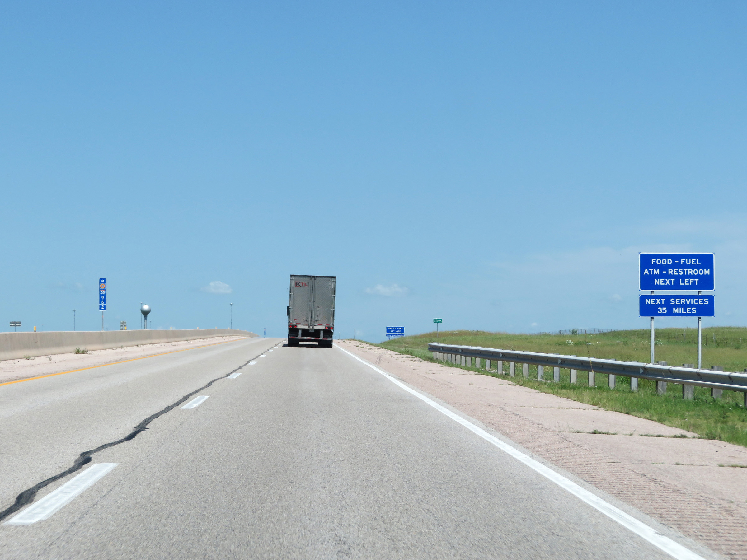 |
The Matfield Green Service Area is the final service area on the Interstate 35 North portion of the Kansas Turnpike. The next service area on the turnpike is 35 miles ahead on the Interstate 355 North portion, beyond Emporia. (Photo taken 8/11/20). |
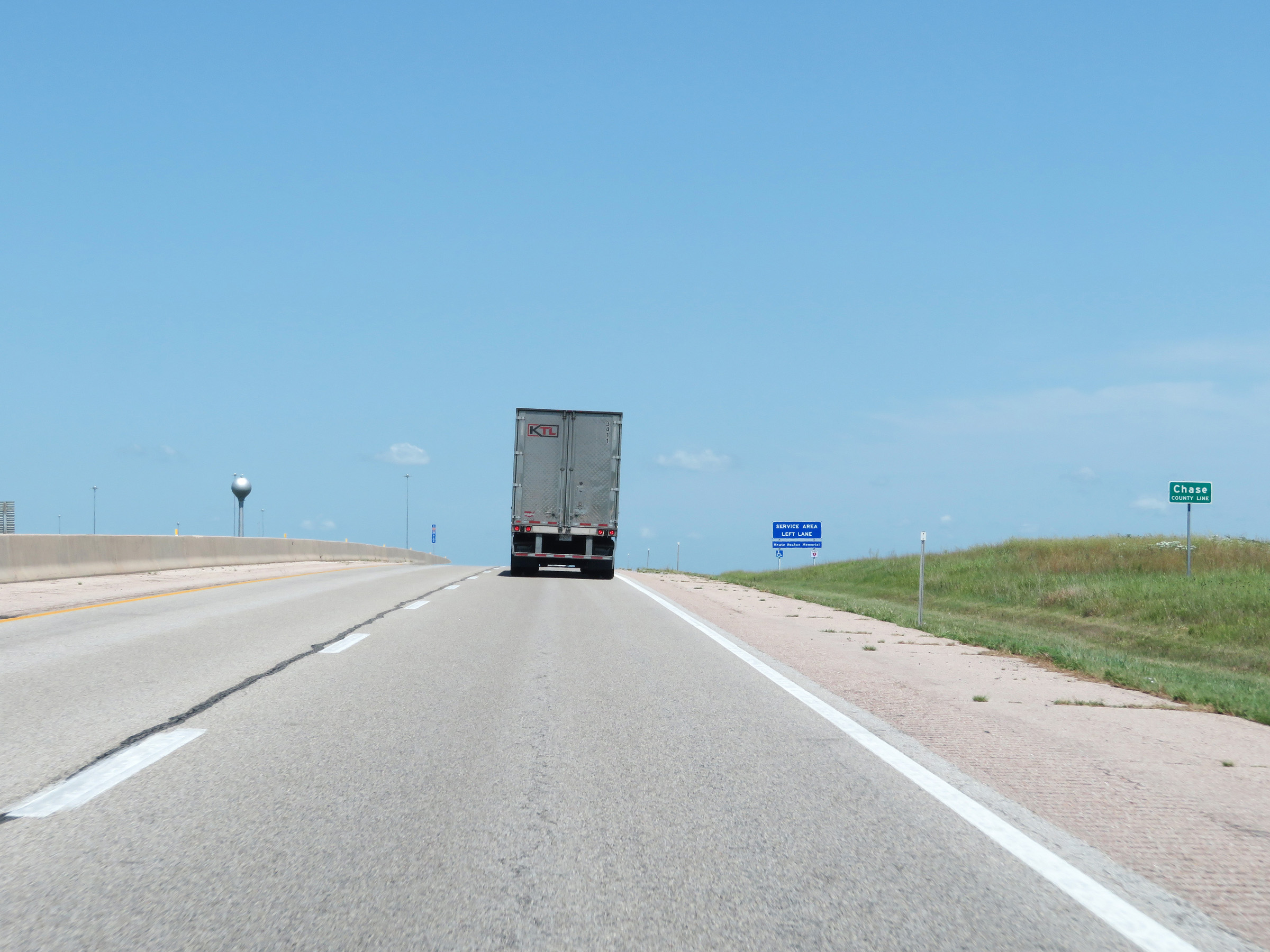 |
Interstate 35 North (Kansas Turnpike) as they enter Chase County. (Photo taken 8/11/20). |
 |
Interstate 35 North (Kansas Turnpike) at the Matfield Green Service Area in Chase County. (Photo taken 8/11/20). |
 |
View on Interstate 35 North (Kansas Turnpike) at mile marker 98. (Photo taken 8/11/20). |
 |
Mile marker 99 on Interstate 35 North (Kansas Turnpike) in Chase County. (Photo taken 8/11/20). |
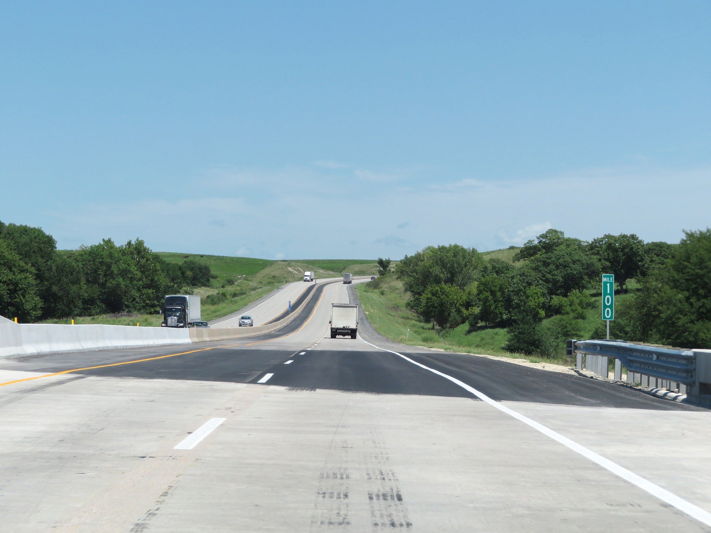 |
Interstate 35 North (Kansas Turnpike) at mile marker 100. (Photo taken 8/11/20). |
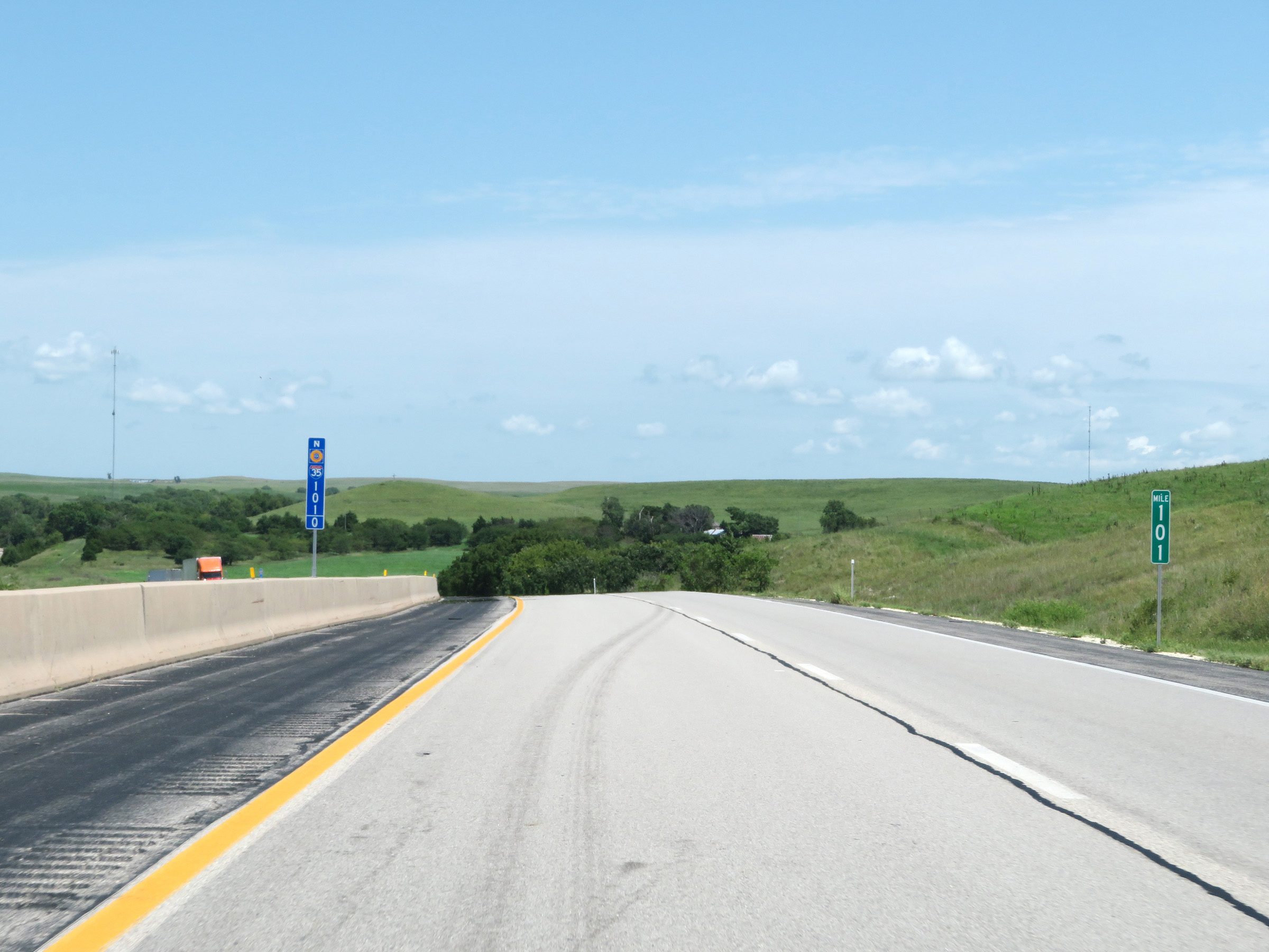 |
View on Interstate 35 North (Kansas Turnpike) at mile marker 101. (Photo taken 8/11/20). |
 |
Mile marker 102 on Interstate 35 North (Kansas Turnpike) in Chase County. (Photo taken 8/11/20). |
 |
View on Interstate 35 North (Kansas Turnpike) at mile marker 105. (Photo taken 8/11/20). |
 |
Interstate 35 North (Kansas Turnpike) at mile marker 106. (Photo taken 8/11/20). |
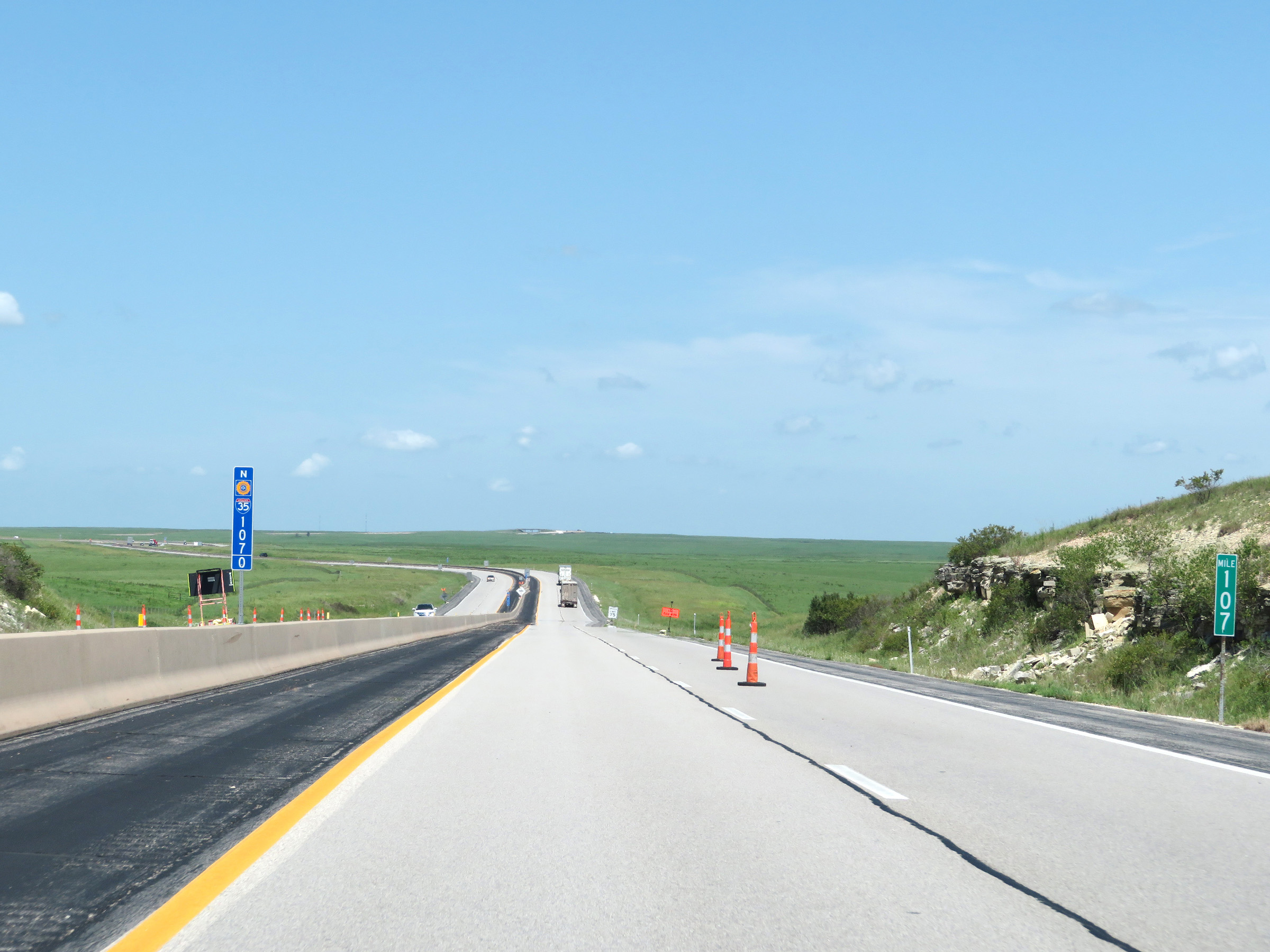 |
View on Interstate 35 North (Kansas Turnpike) at mile marker 107. (Photo taken 8/11/20). |
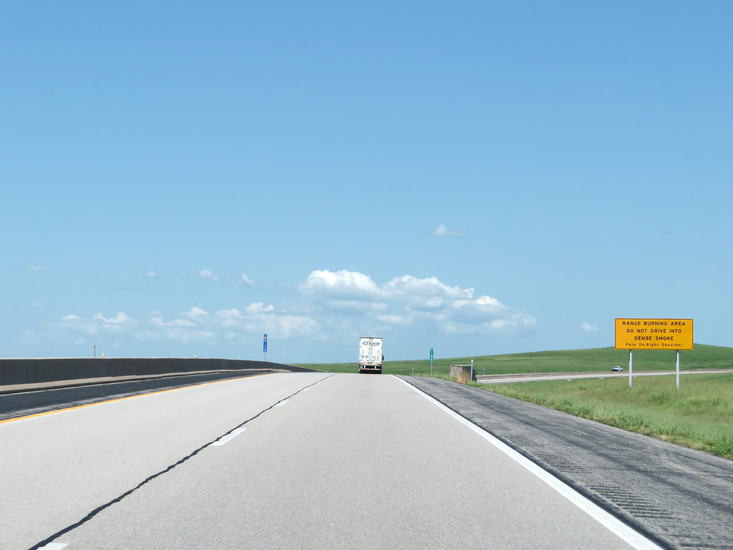 |
Another warning sign at mile marker 109 reminding motorists to avoid driving into dense smoke which may exist on this stretch of Interstate 35 North (Kansas Turnpike) due to it being a Range Burning Area. (Photo taken 8/11/20). |
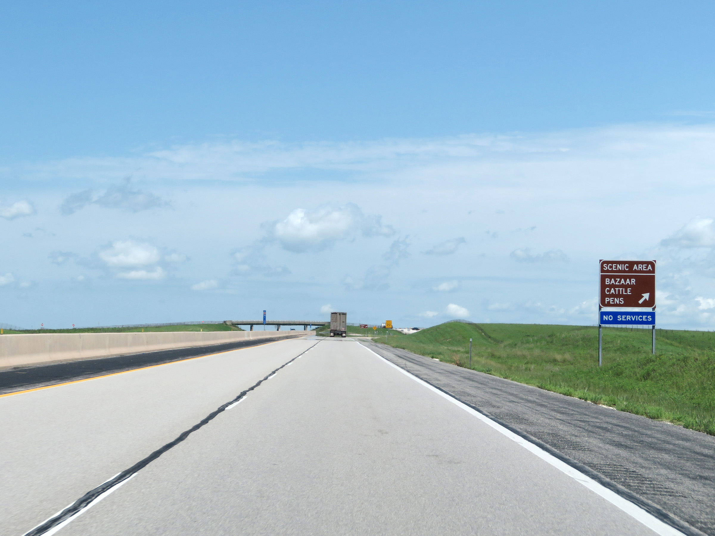 |
Interstate 35 North (Kansas Turnpike) at the Bazaar Cattle Pens Scenic Area in Chase County at mile marker 110.4. (Photo taken 8/11/20). |
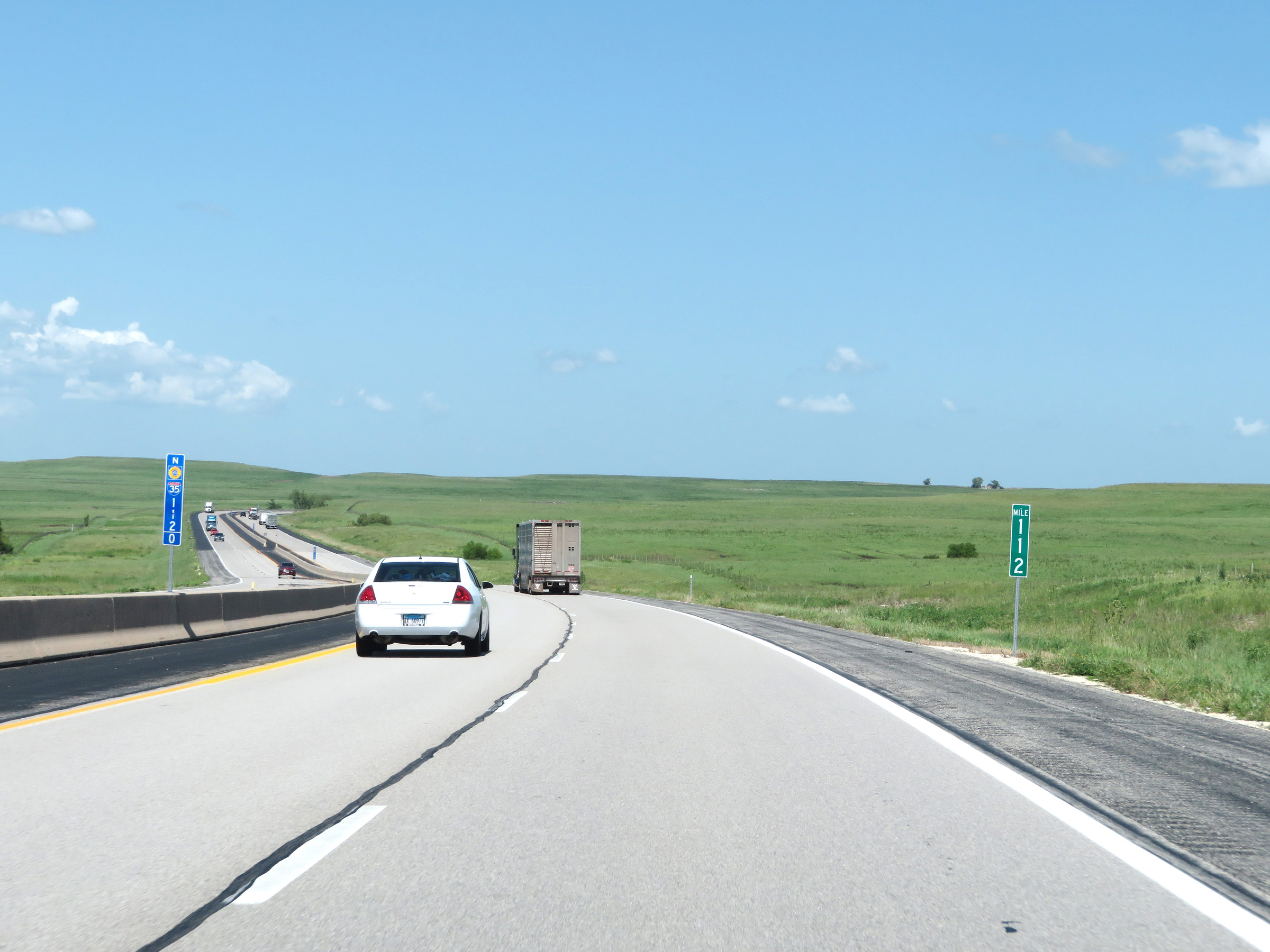 |
View on Interstate 35 North (Kansas Turnpike) at mile marker 112. (Photo taken 8/11/20). |
 |
Mile marker 114 on Interstate 35 North (Kansas Turnpike) in Chase County. (Photo taken 8/11/20). |
 |
Interstate 35 North (Kansas Turnpike) at mile marker 115. (Photo taken 8/11/20). |
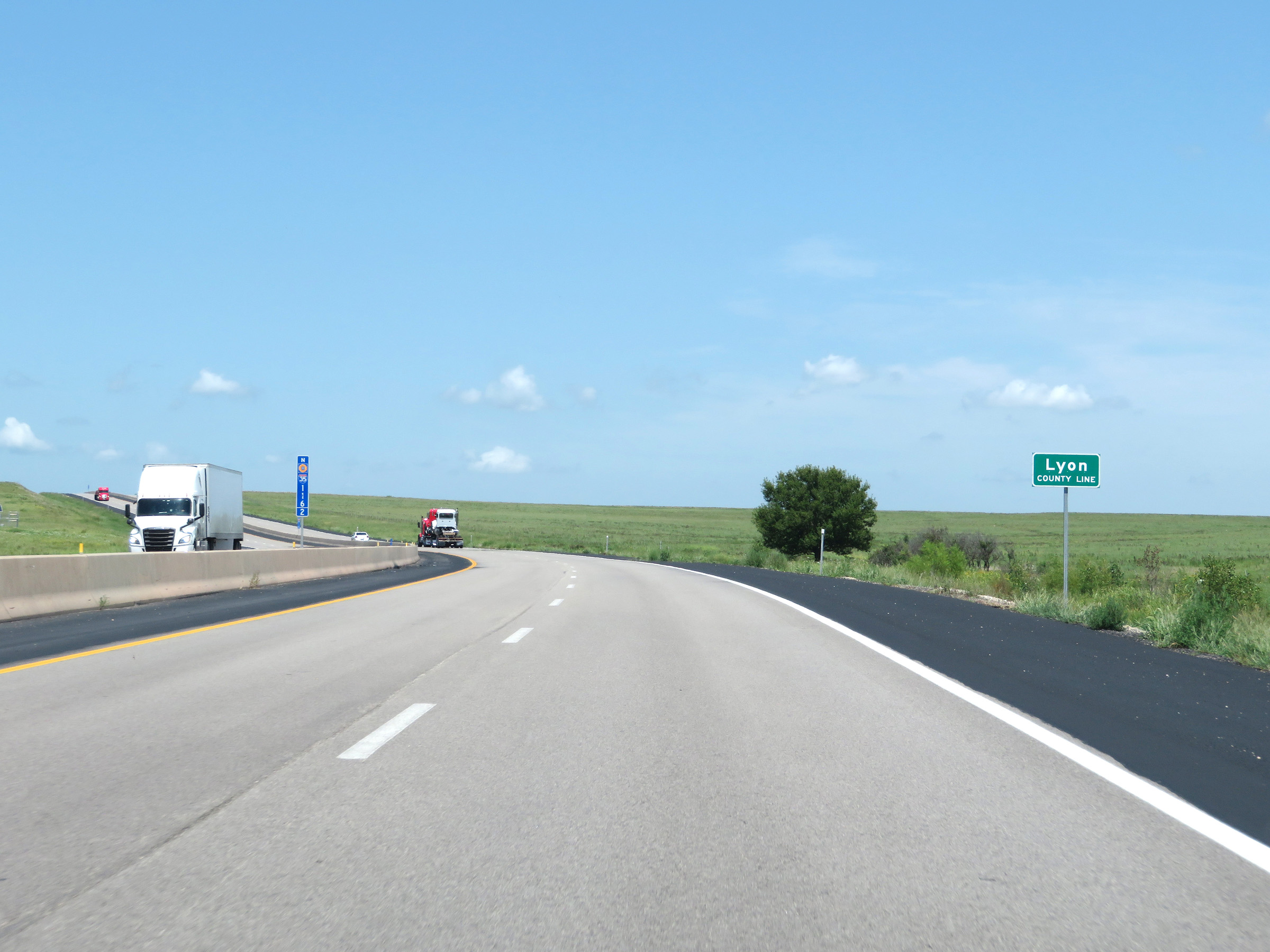 |
Interstate 35 North (Kansas Turnpike) entering Lyon County at mile marker 116.2. (Photo taken 8/11/20). |
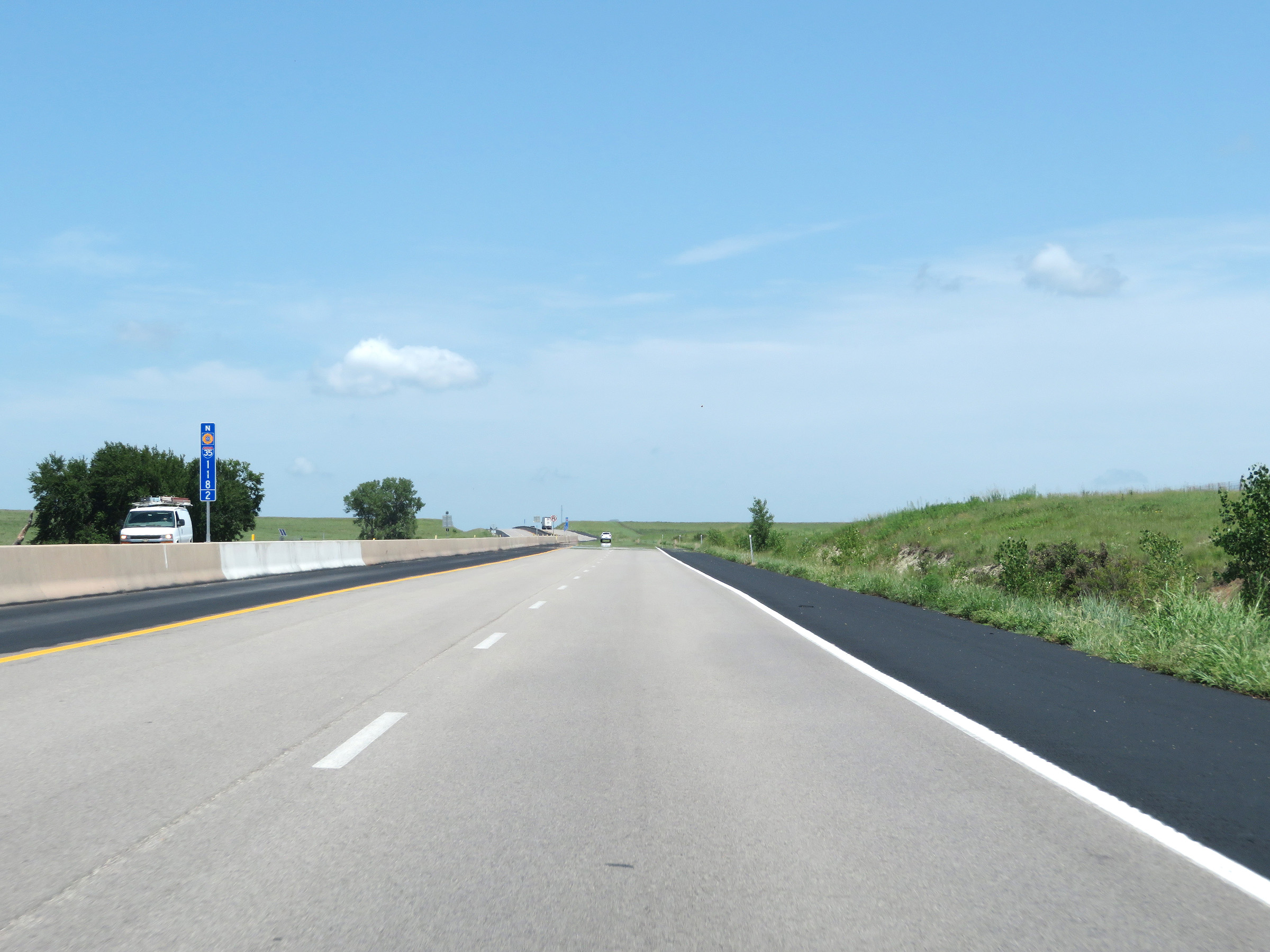 |
View on Interstate 35 North (Kansas Turnpike) at mile marker 118.2. (Photo taken 8/11/20). |
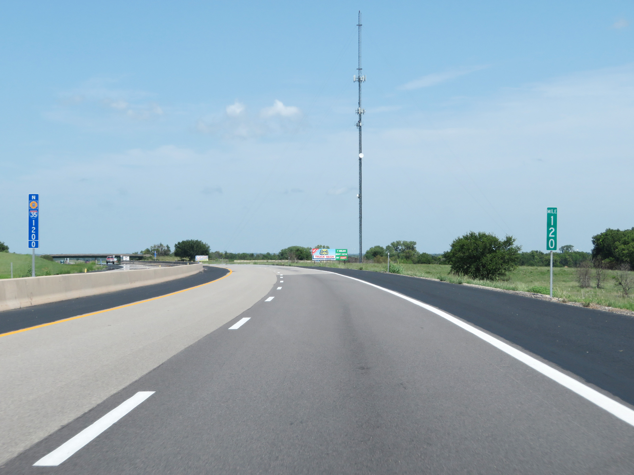 |
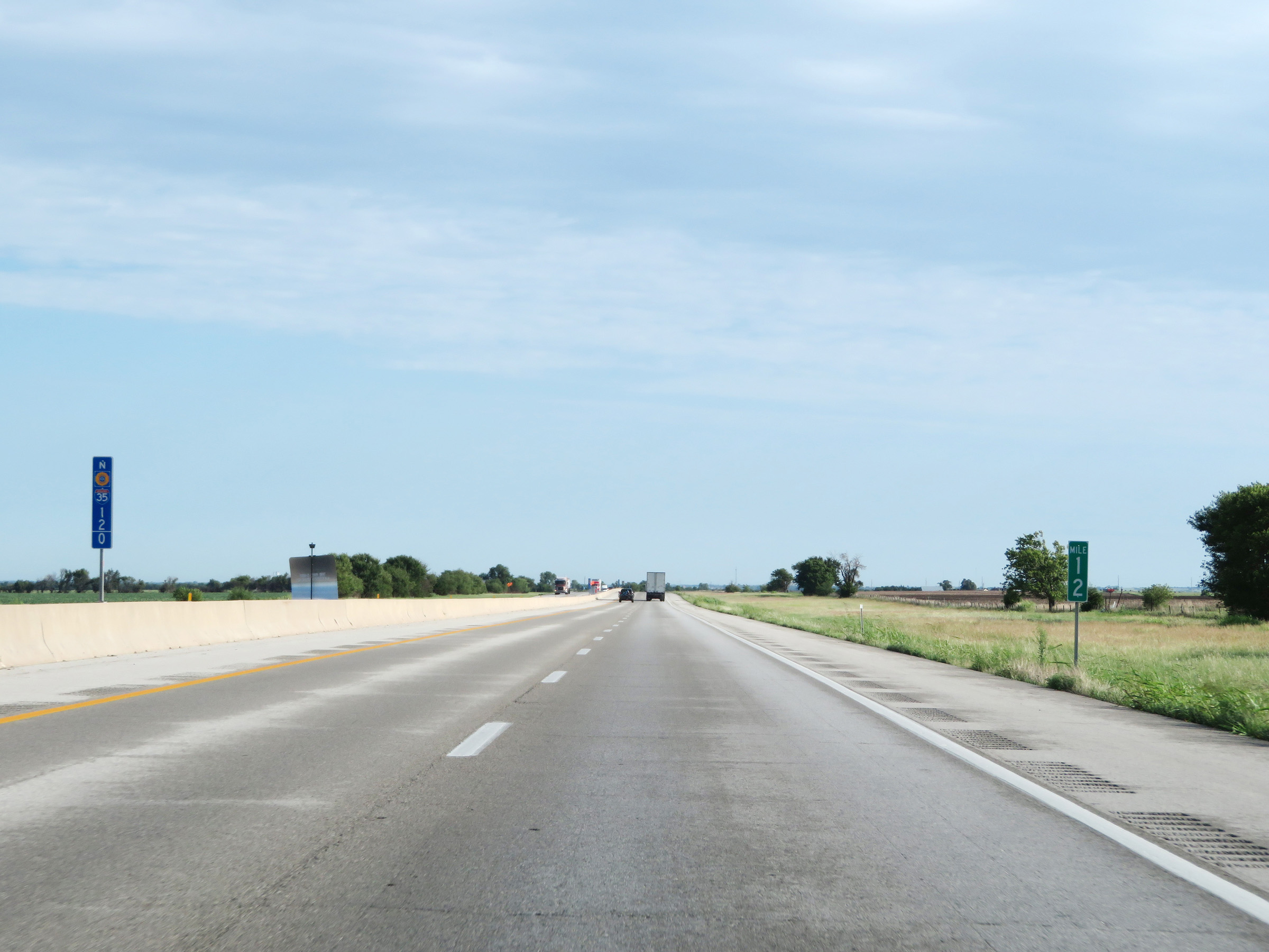
Mile marker 120 on Interstate 35 North (Kansas Turnpike) in Lyon County. (Photo taken 8/11/20). |
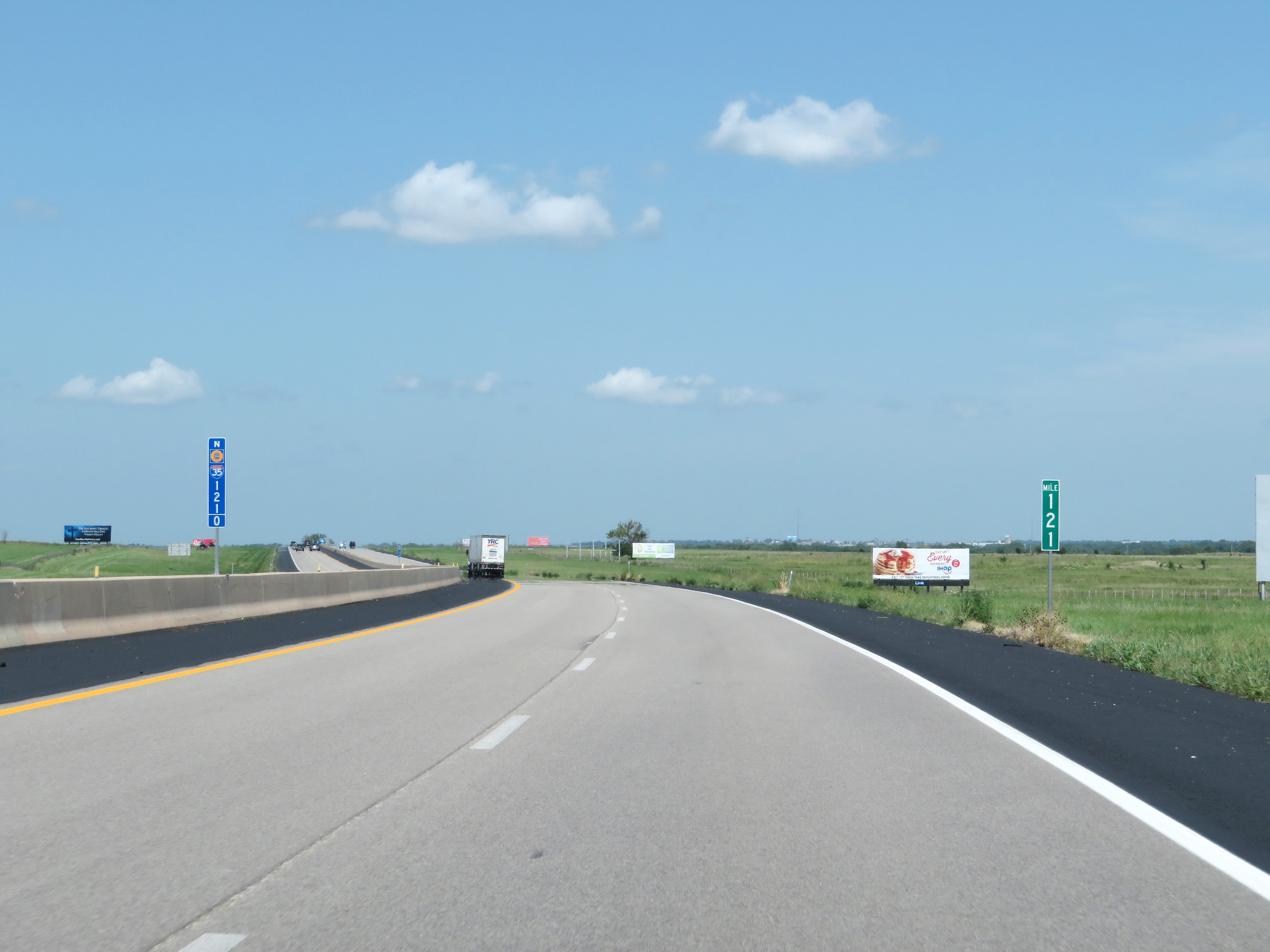 |
View on Interstate 35 North (Kansas Turnpike) at mile marker 121. (Photo taken 8/11/20). |
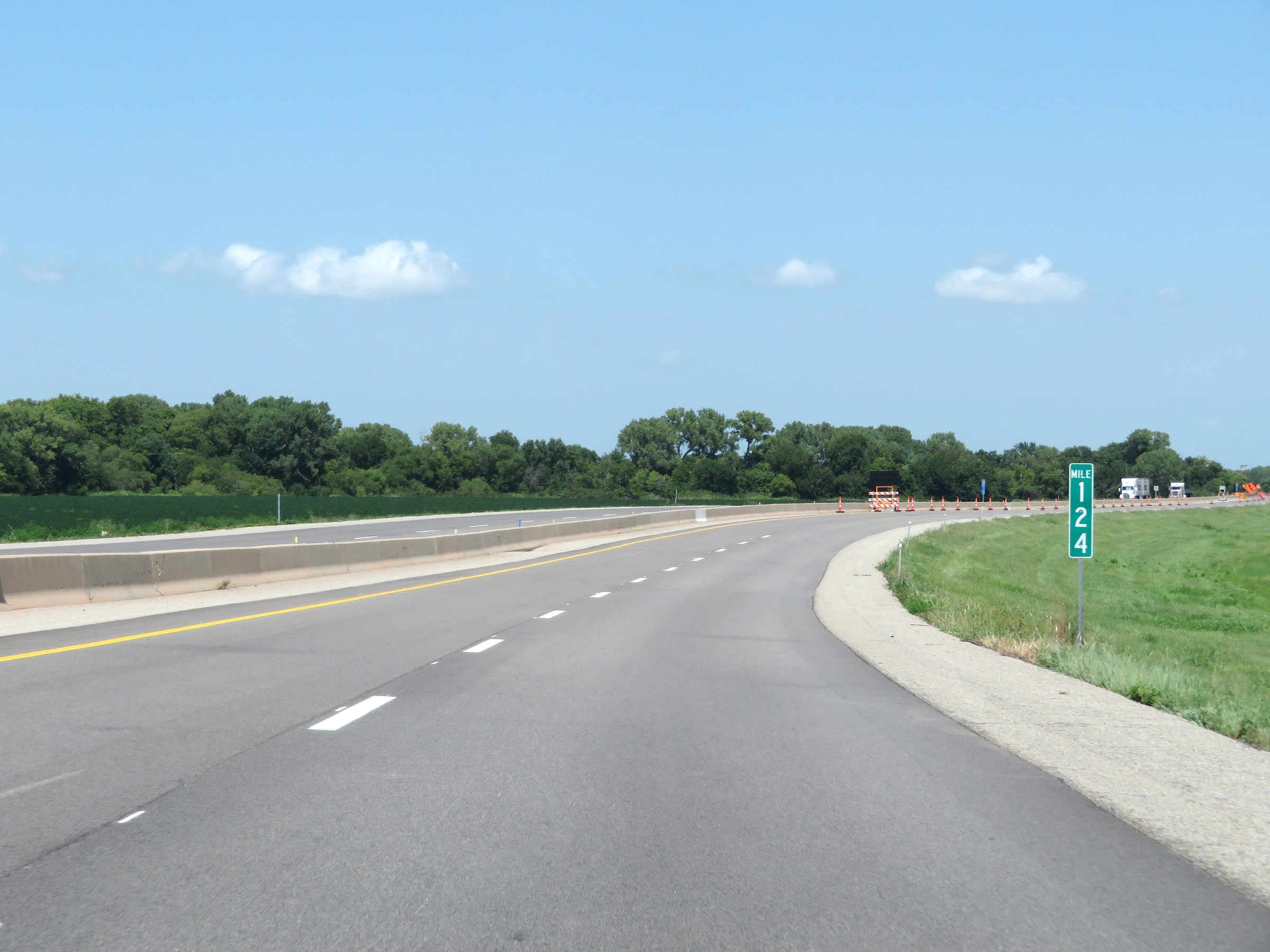 |
Interstate 35 North (Kansas Turnpike) at mile marker 124. (Photo taken 8/11/20). |
 |
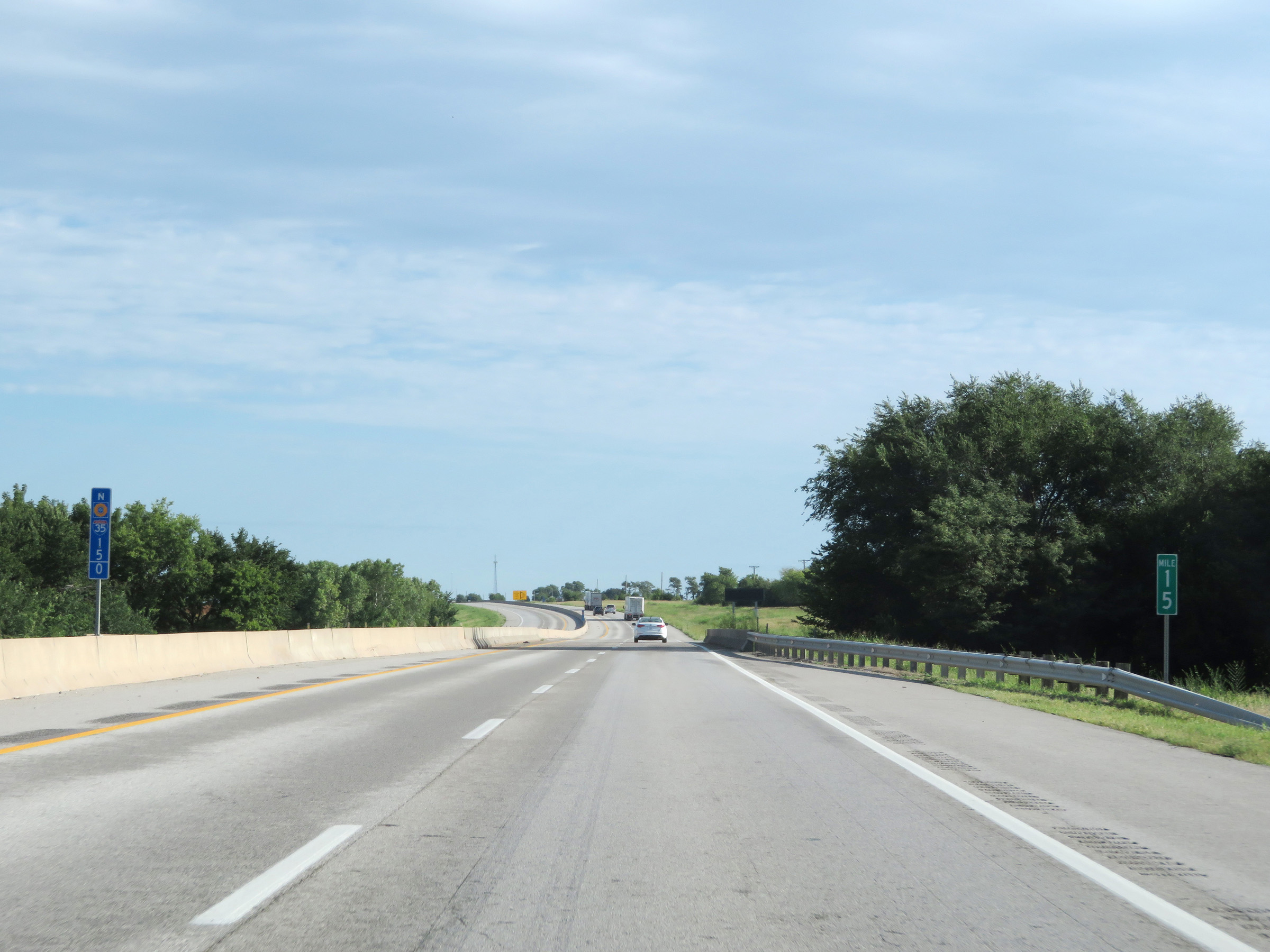
Mile marker 125 on Interstate 35 North (Kansas Turnpike) in Lyon County. (Photo taken 8/11/20). |
 |
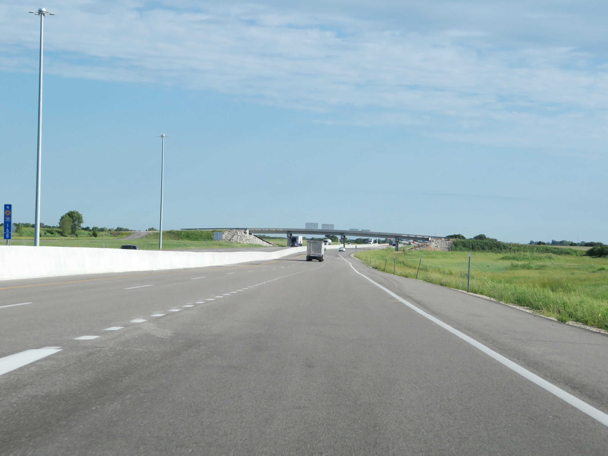
Advance signage for the junction of Interstate 335 North at Exit 127, 1 mile ahead on Interstate 35 North (Kansas Turnpike). (Photo taken 8/11/20). |
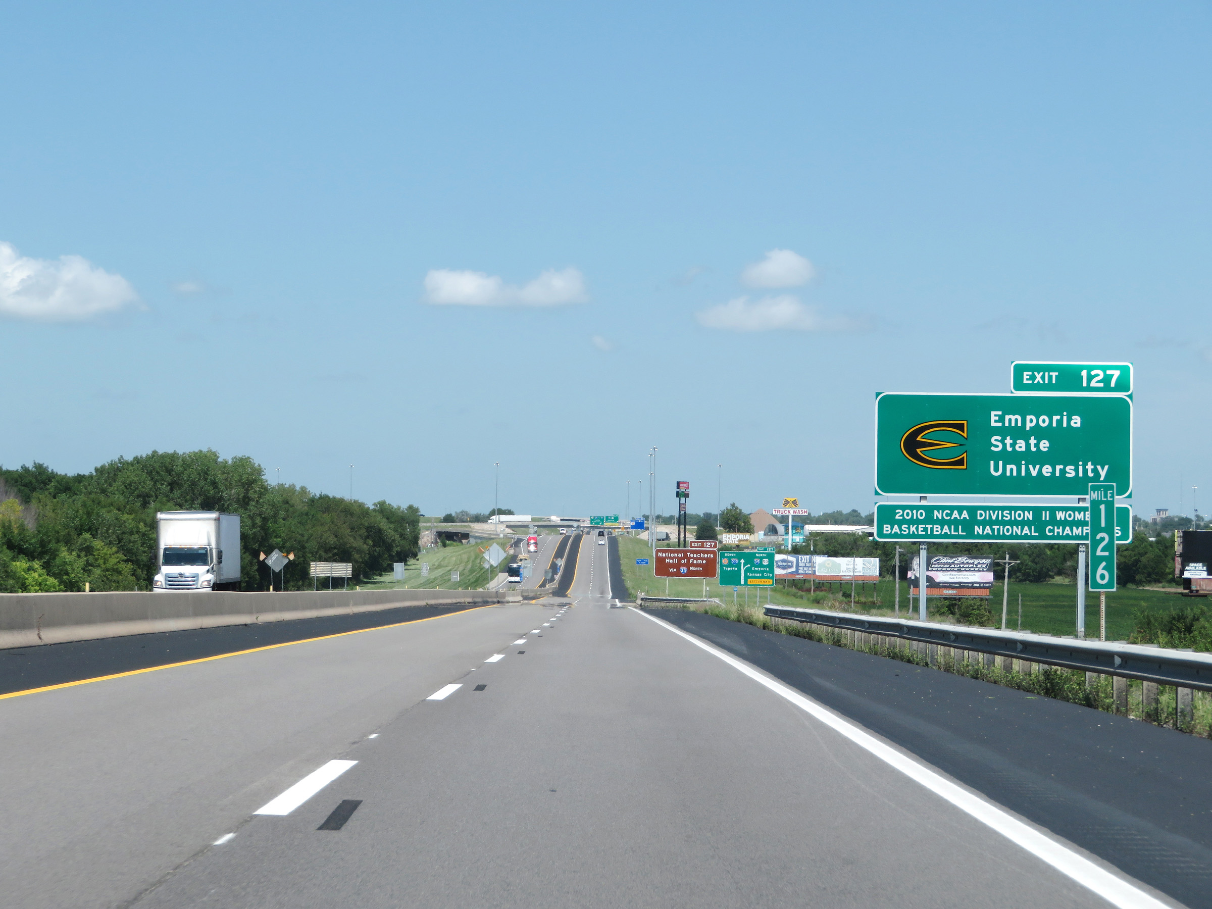 |
Take Exit 127 to Emporia State University. (Photo taken 8/11/20). |
 |
Also take Exit 127 and remain on Interstate 35 North to get to the National Teachers Hall of Fame. (Photo taken 8/11/20). |
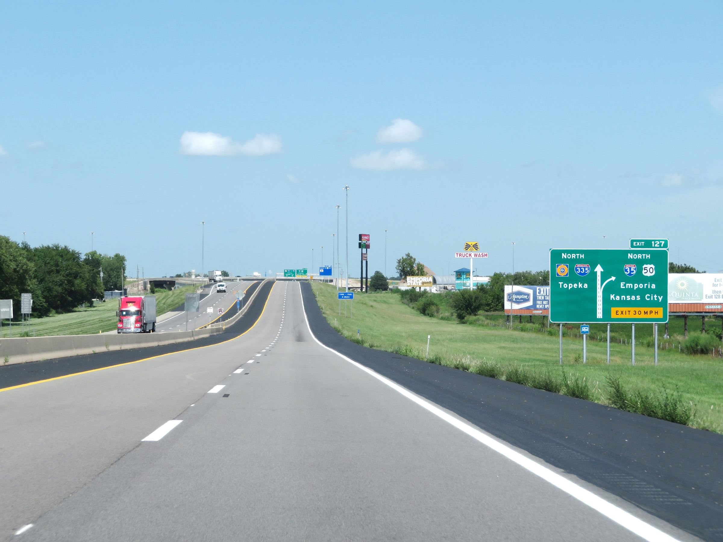 |
At Exit 127, Interstate 35 North will depart the Kansas Turnpike to head northeast toward Kansas City. The turnpike will continue straight ahead, running concurrently with Interstate 335 North beyond Exit 127 ahead. (Photo taken 8/11/20). |
 |
Interstate 35 North (Kansas Turnpike) at Exit 127: Interstate 35 North / US 50 - Emporia / Kansas City (Photo taken 8/11/20). |