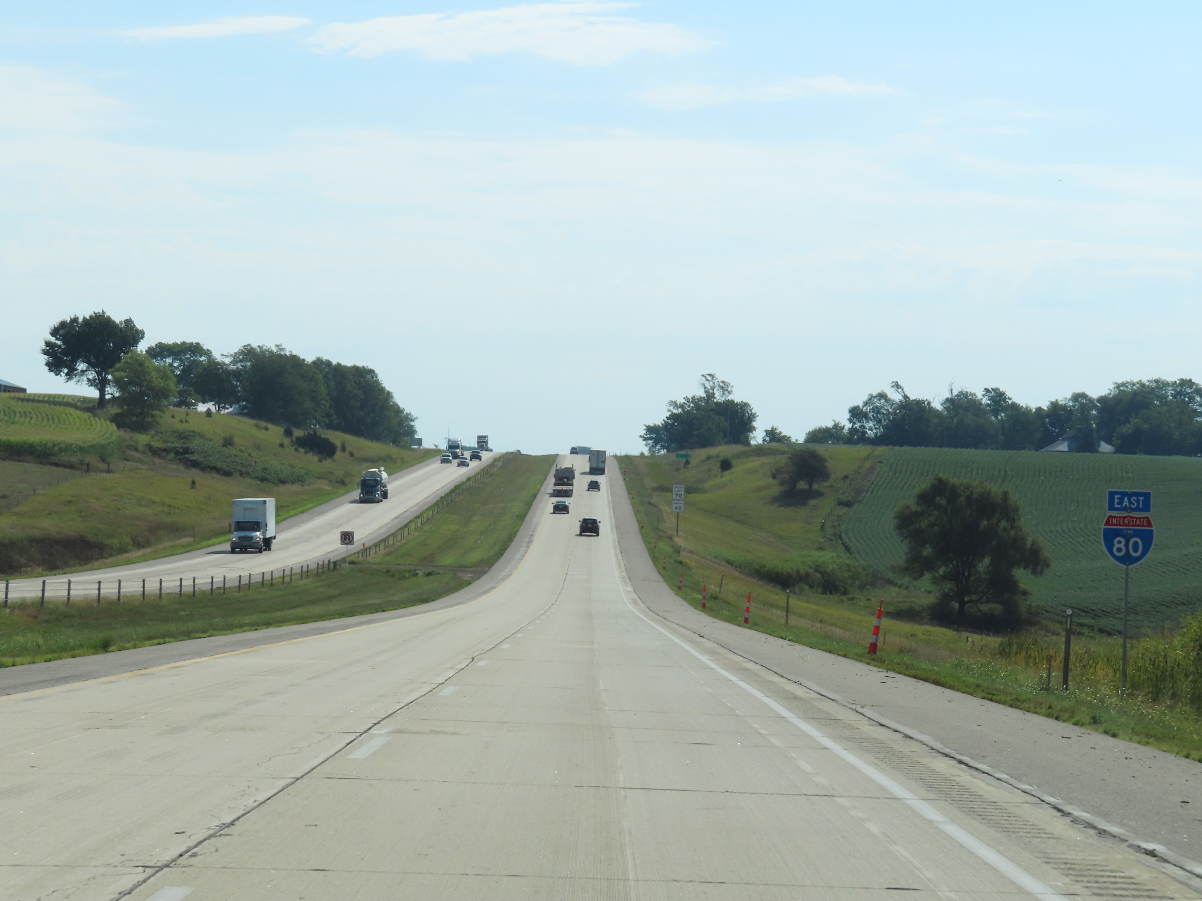
Road Information |
||
 |
||
| Total Mileage in State: | 306 miles | |
| Eastern End: | At Illinois state line | |
| Western End: | At Nebraska state line | |
| Mileage covered in Photos: | 306 miles | |
| Counties covered in Photos: | Pottawattamie, Cass, Adair, Madison, Dallas, Polk, Jasper, Poweshiek, Iowa, Johnson, Cedar, Scott | |
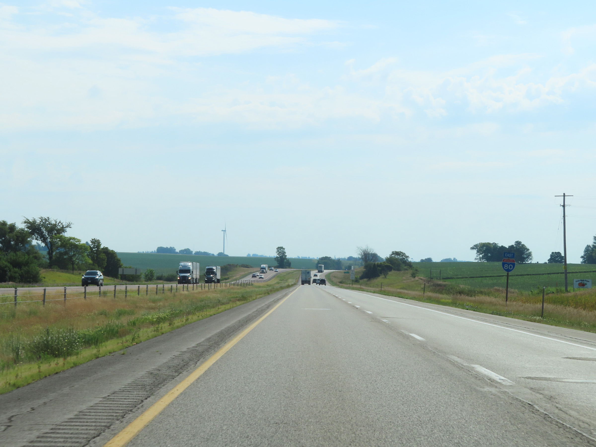
| Major Junctions in Photos: | I-29, in Council Bluffs I-880, near Neola I-35/I-235, near Des Moines I-380, near Iowa City I-280, in Davenport I-74, in Davenport |
|
| Control Cities in Photos: | Council Bluffs, Des Moines, Iowa City, Davenport, Bettendorf | |
Eastbound
- Section 1: Nebraska Border to Walnut (Exit 46)
- Section 2: Walnut (Exit 46) to West Des Moines (Exit 121)
- Section 3: West Des Moines (Exit 121) to Newton (Exit 164)
- Section 4: Newton (Exit 164) to Iowa City (Exit 244)
- Section 5: Iowa City (Exit 244) to Illinois Border
Section 1: Nebraska Border to Walnut (Exit 46)
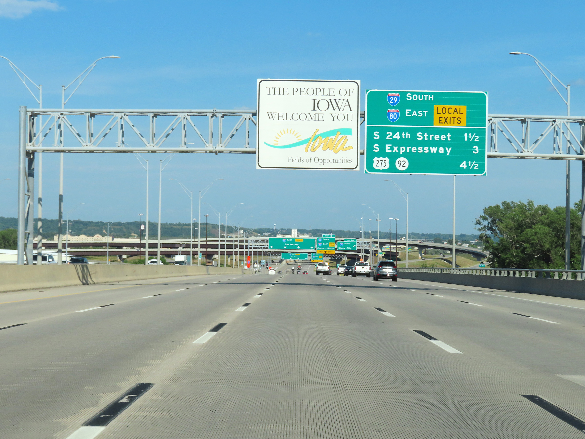 |
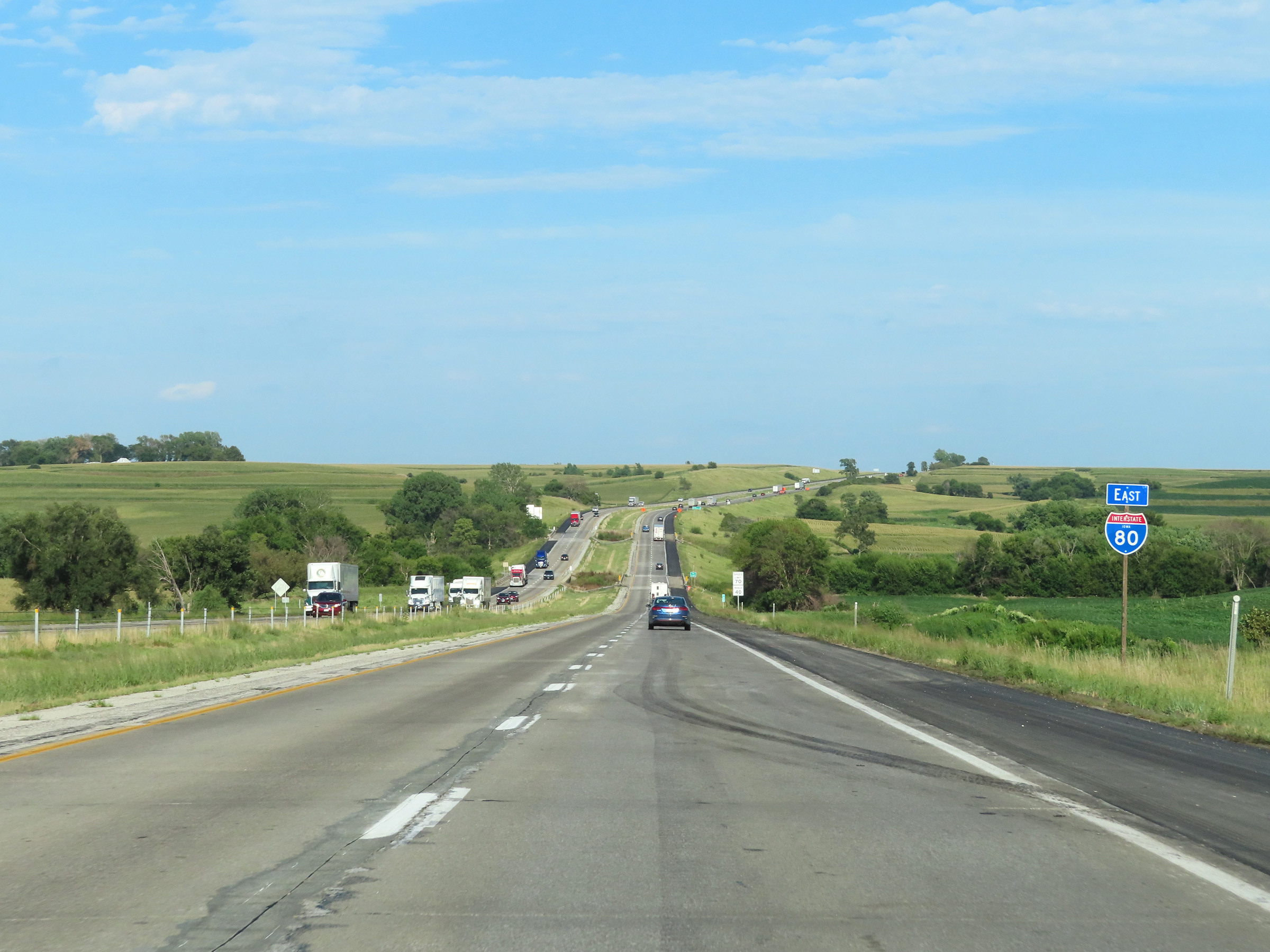
Overhead Iowa welcome sign on Interstate 80 East as it crosses the Interstate 80 bridge over the Missouri River from Nebraska into Iowa. (Photo taken 8/18/22). |
 |
Interstate 80 East at Exit 1A: Interstate 29 North - Sioux City (Photo taken 8/18/22). |
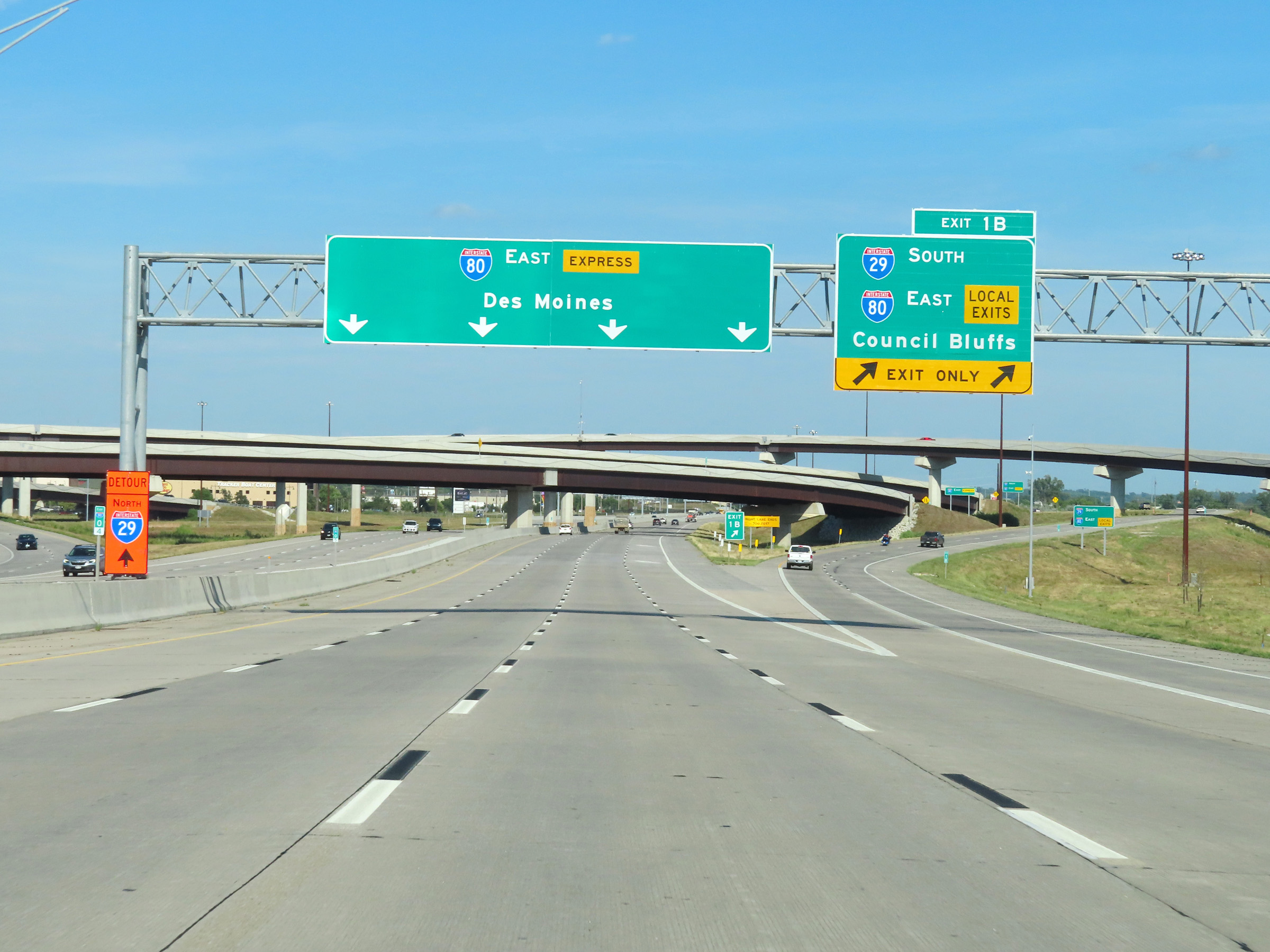 |
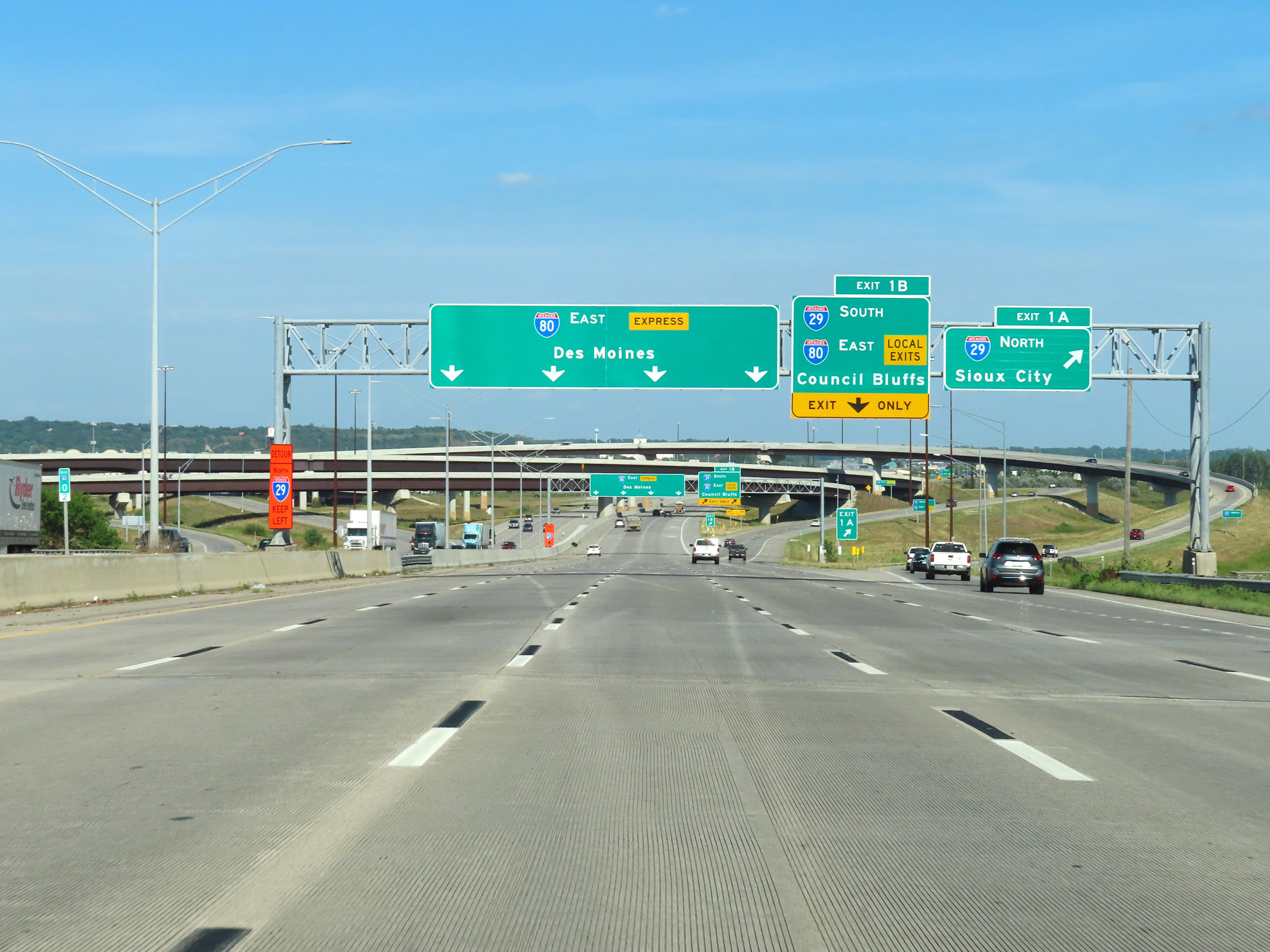
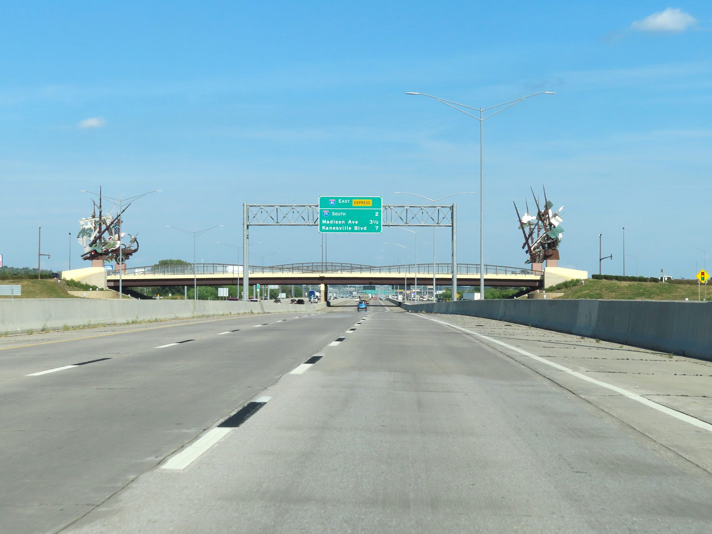
Interstate 80 East at Exit 1B: Interstate 29 South / Interstate 80 East (Local Exits) - Council Bluffs. All I-80 East traffic looking to take any exit to Council Bluffs must take Exit 1B to access said exits, since I-29 runs concurrently with the Local Lanes of I-80 in Council Bluffs. (Photo taken 8/18/22). |
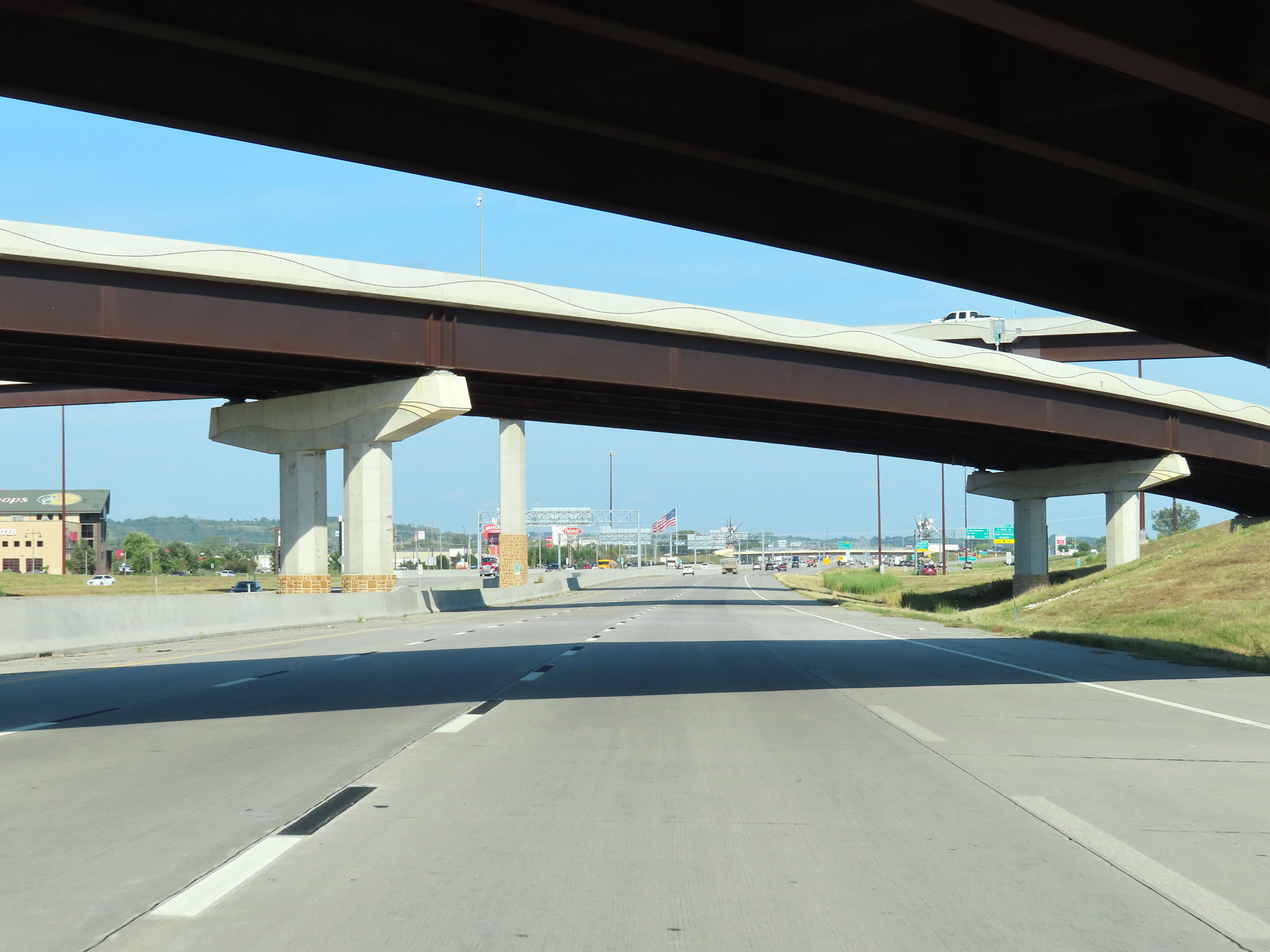 |
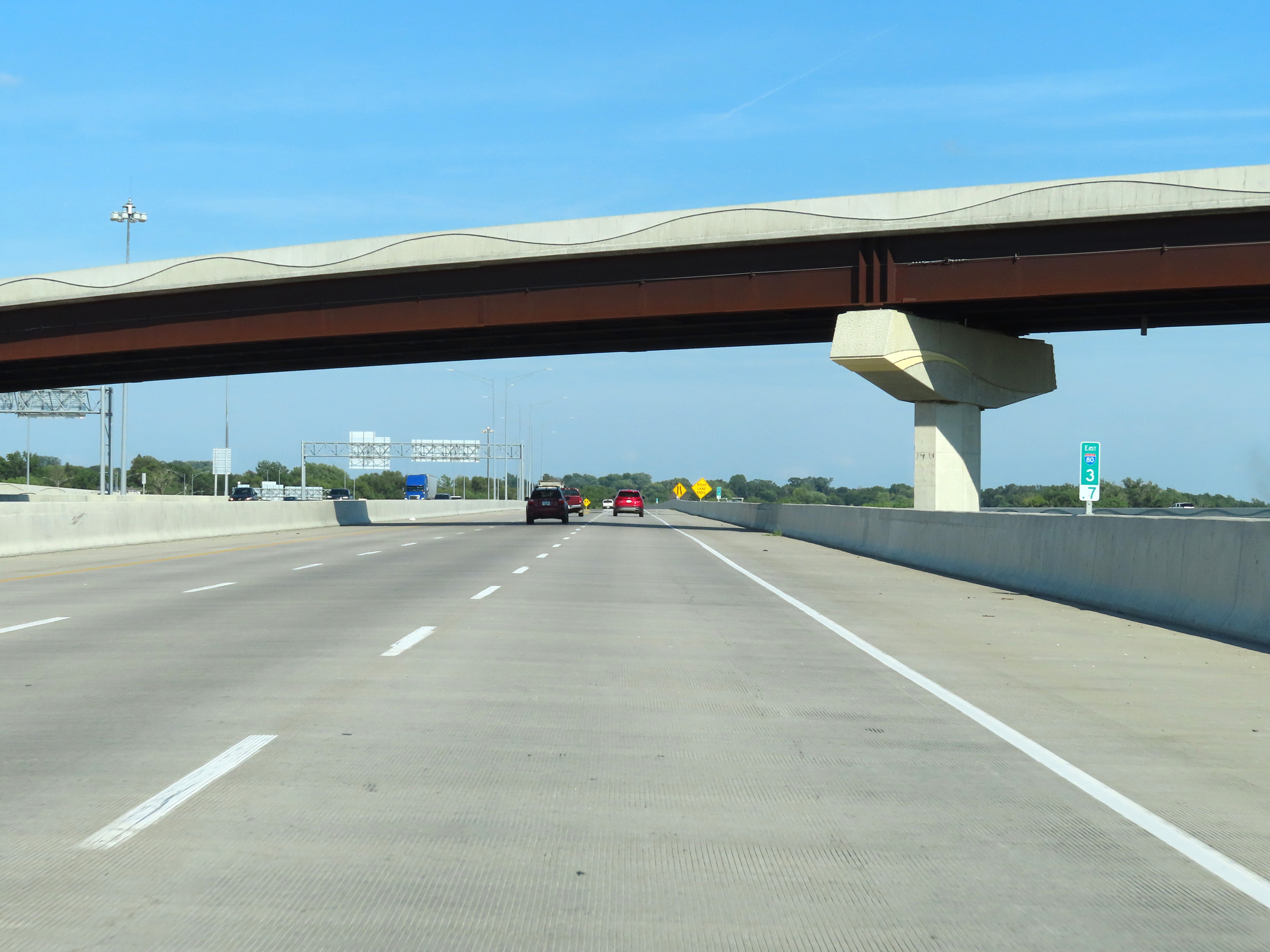
View on the express lanes of Interstate 80 East as they pass under Interstate 29 and some ramps to and from it in Council Bluffs. (Photo taken 8/18/22). |
 |
Interstate 80 East (Express Lanes) at mile marker 1.1. For the next 3 miles, Interstate 29 South will run alongside I-80 East. Again, no local exits to Council Bluffs are accessible from the express lanes. (Photo taken 8/18/22). |
 |
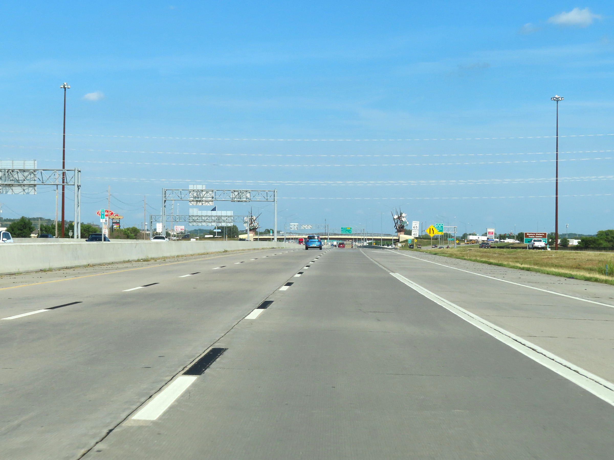
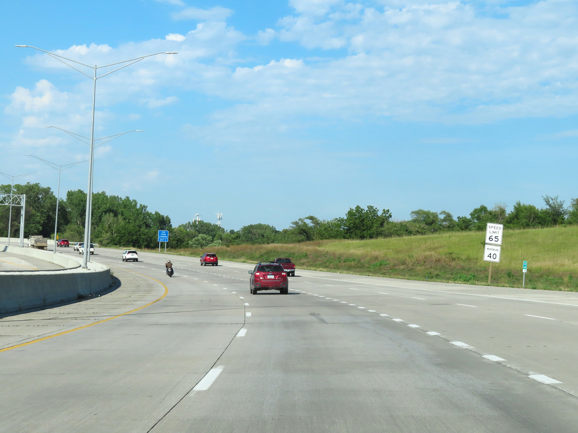
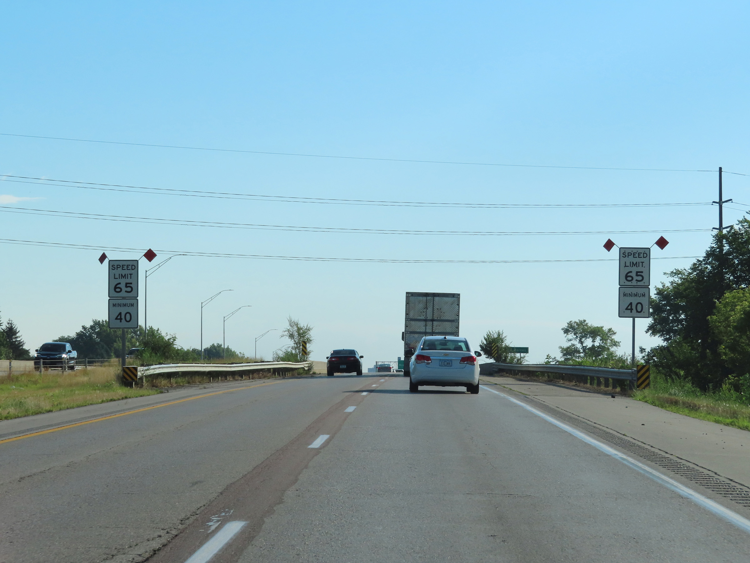
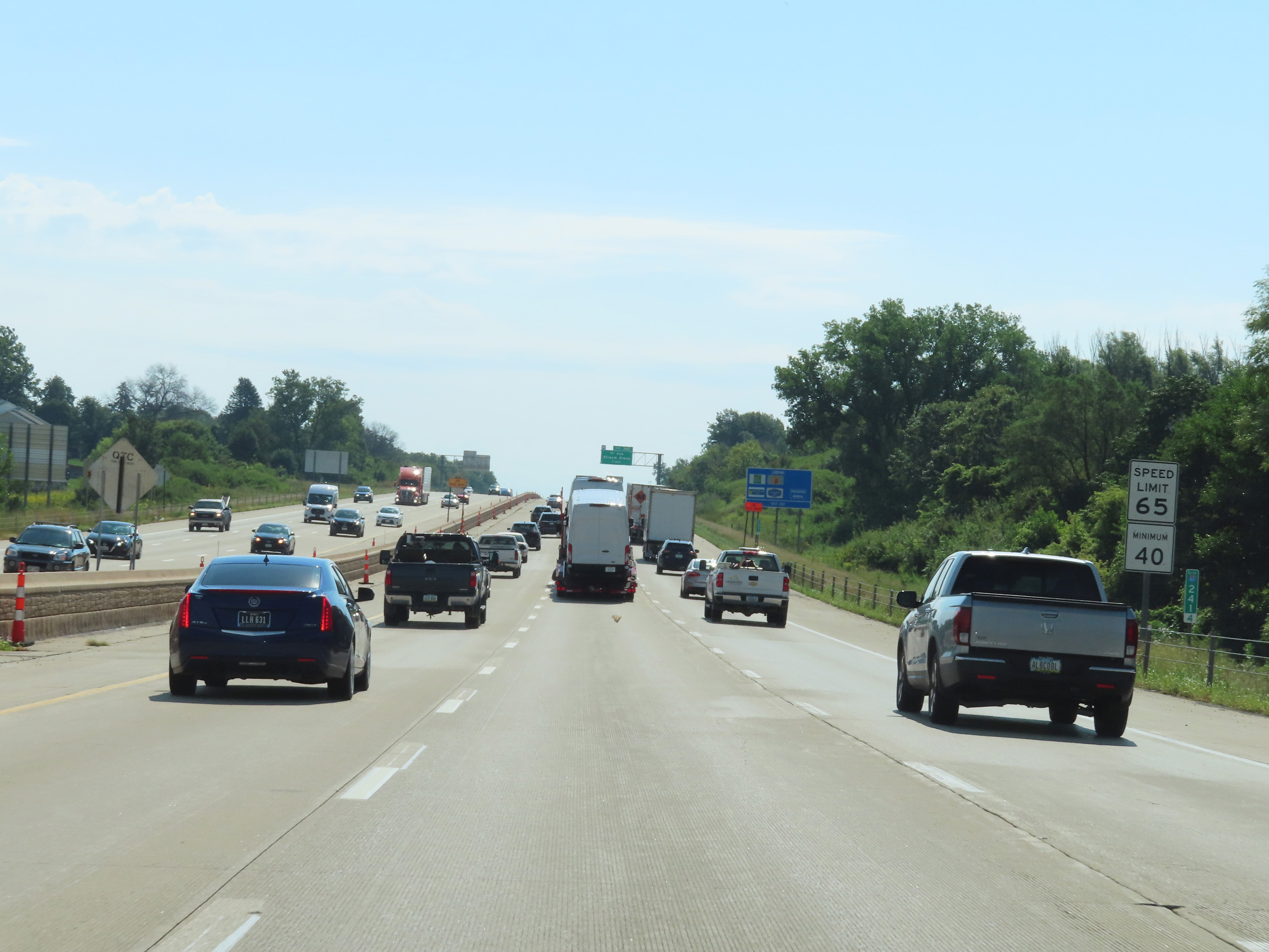
The speed limits on Interstate 80 East in Iowa start out at 65 mph maximum and 40 mph minimum in both the express and local lanes. (Photo taken 8/18/22). |
 |
Overhead mileage sign on Interstate 80 East (Express Lanes) showing the distances to the next three exits accessible from the express lanes. (Photo taken 8/18/22). |
 |
View on Interstate 80 East (Express Lanes) at mile marker 2. (Photo taken 8/18/22). |
 |
Interstate 80 East (Express Lanes) approaching Exit 4 - 1 mile. (Photo taken 8/18/22). |
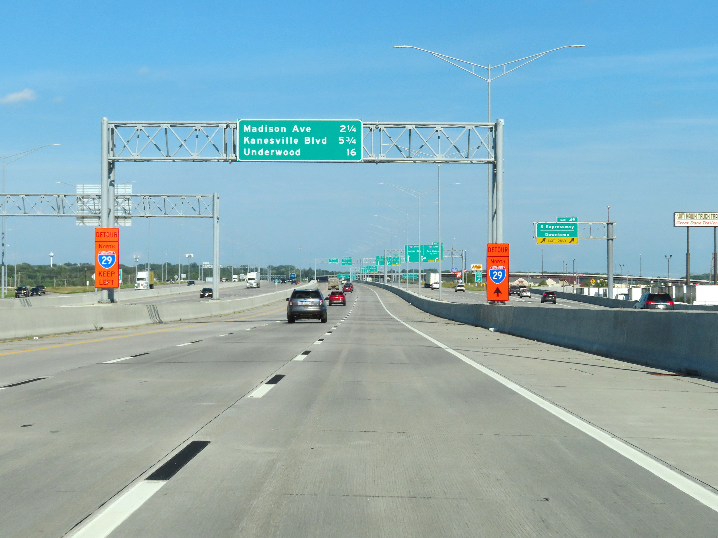 |
A view of Exit 49 on Interstate 29 South (Interstate 80 East Local Lanes). (Photo taken 8/18/22). |
 |
Overhead advance signage on Interstate 29 South (Interstate 80 East Local Lanes) for Exit 48 - 1/2 mile. Traffic which used Interstate 80 East's Local Lanes will need to take Exit 48 to remain on I-80 East. (Photo taken 8/18/22). |
 |
Mile marker 3 on Interstate 80 East (Express Lanes) in Council Bluffs. (Photo taken 8/18/22). |
 |
A view of the ramp for Exit 48 on Interstate 29 South (Interstate 80 East Local Lanes). For the I-80 East traffic which used the local lanes, they must take Exit 48 to remain on I-80 East as the local/express lanes configuration comes to an end ahead after I-29 departs to the south. (Photo taken 8/18/22). |
 |
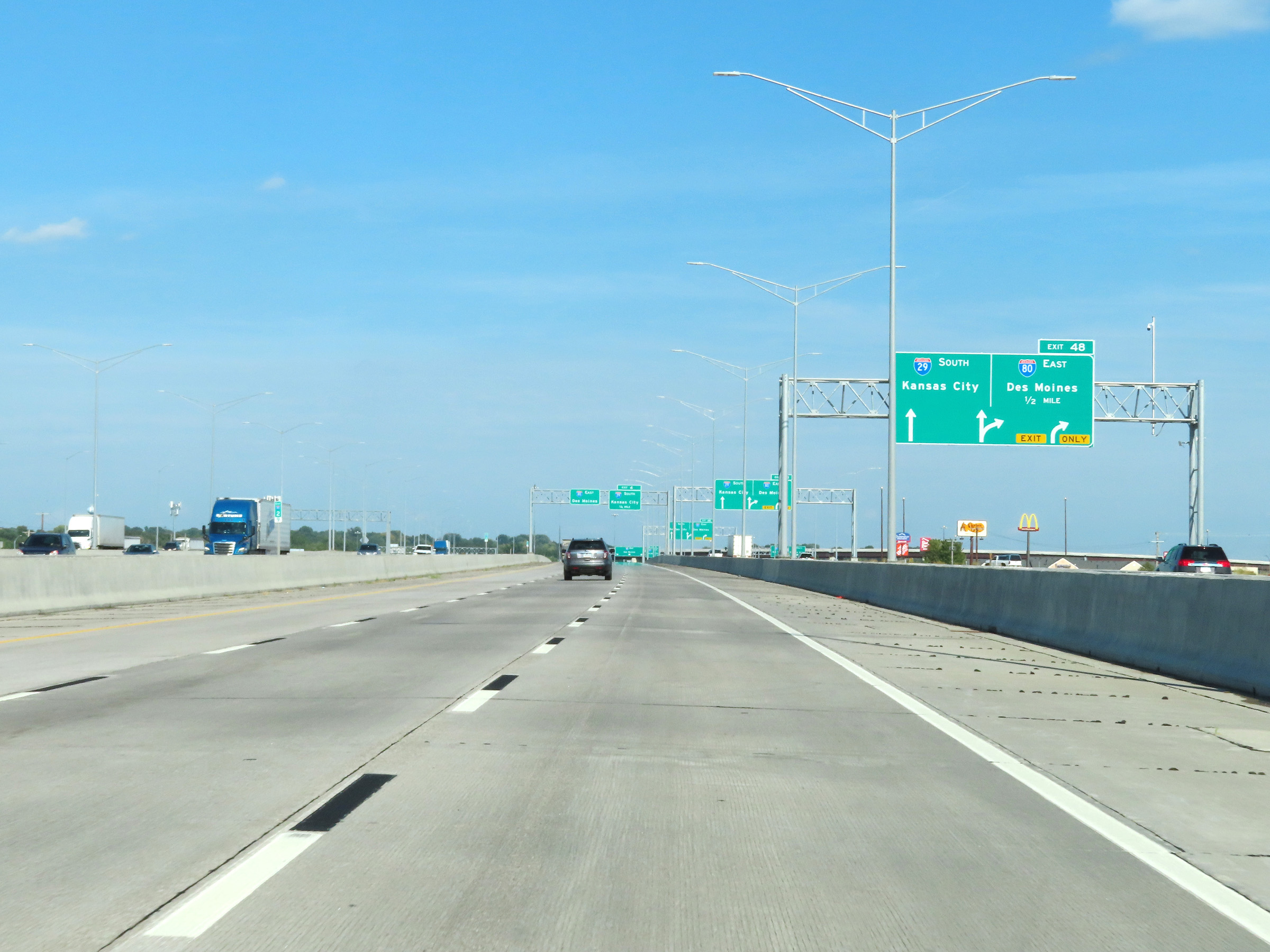
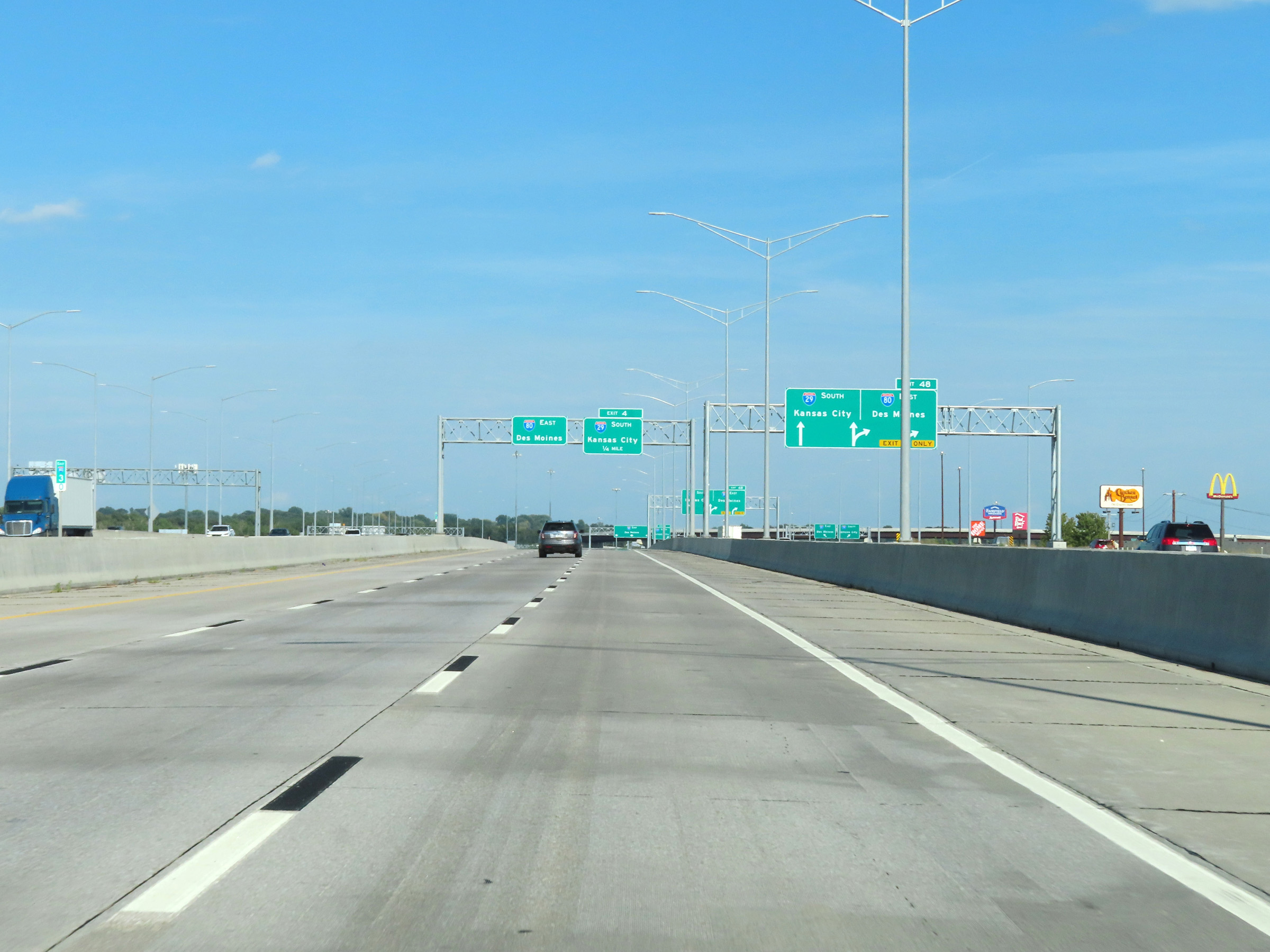
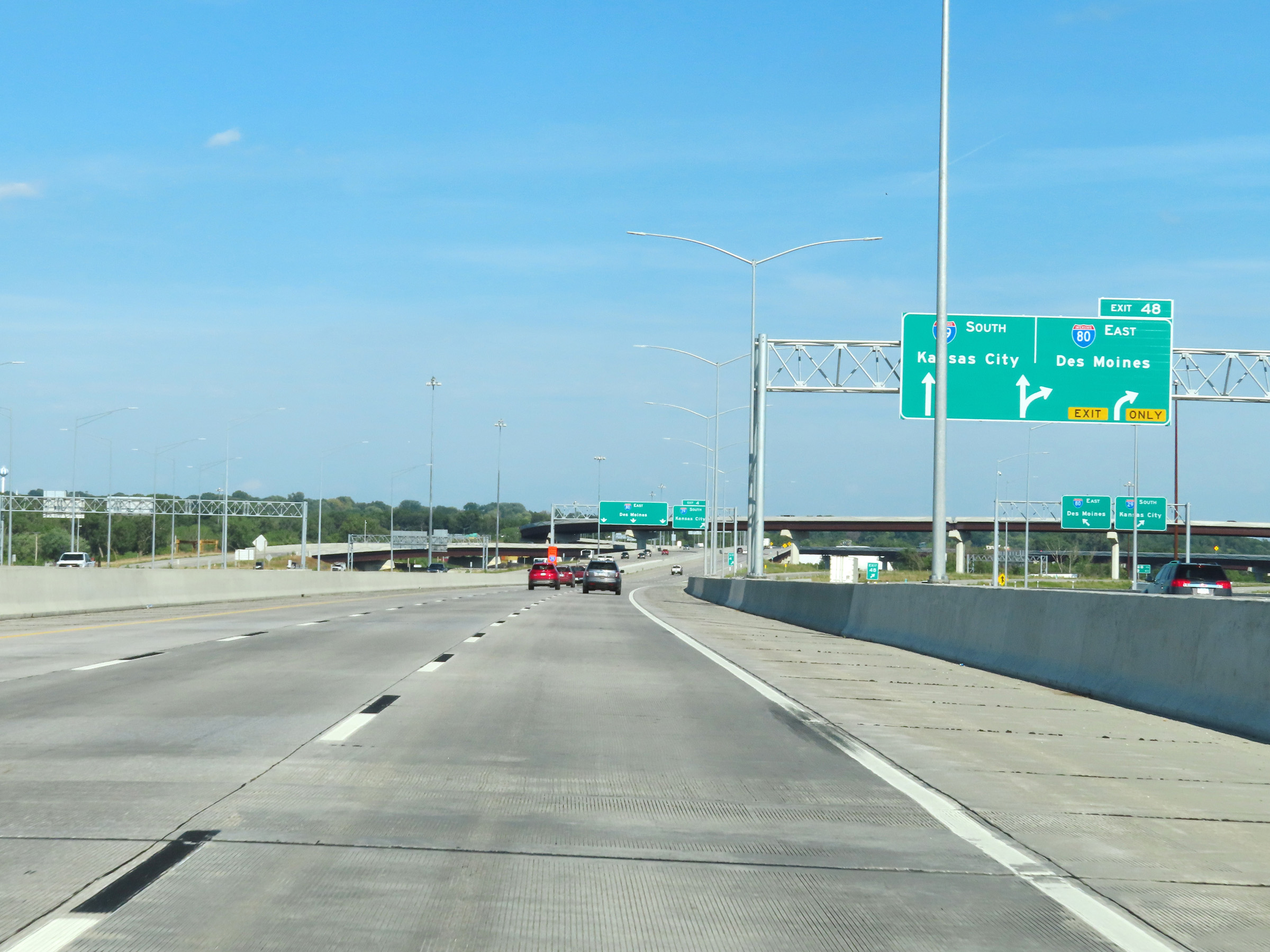
Interstate 80 East (Express Lanes) at Exit 4: Interstate 29 South - Kansas City (Photo taken 8/18/22). |
 |
View on Interstate 80 East (Express Lanes) at mile marker 3.7, as it passes under the ramp from I-80 West to Interstate 29 South. (Photo taken 8/18/22). |
 |
Interstate 80 East (Express Lanes) at mile marker 4.1, as the local/express lane configuration comes to an end ahead. On the right, we see traffic from the local lanes of I-80 East prepare to merge together with the remainder of the express lanes. (Photo taken 8/18/22). |
 |
At mile marker 4.4, the local/express lane configuration of Interstate 80 East comes to an end as the two merge together into a single I-80 East. The speed limits remain 65 mph maximum and 40 mph minimum. (Photo taken 8/18/22). |
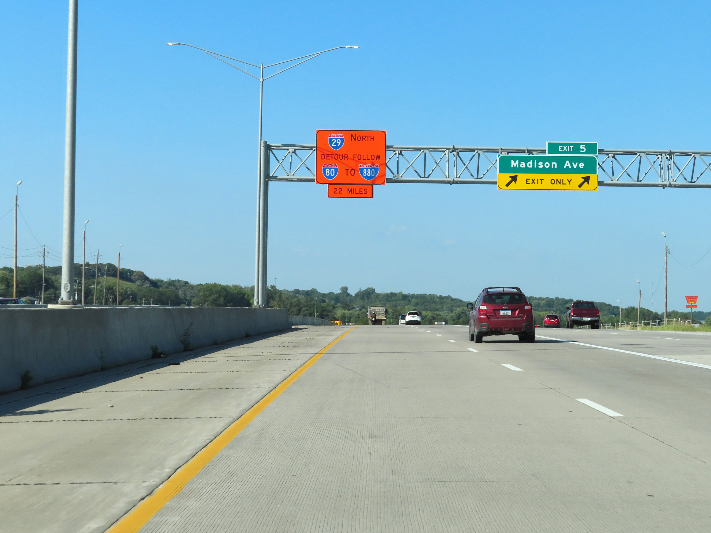 |
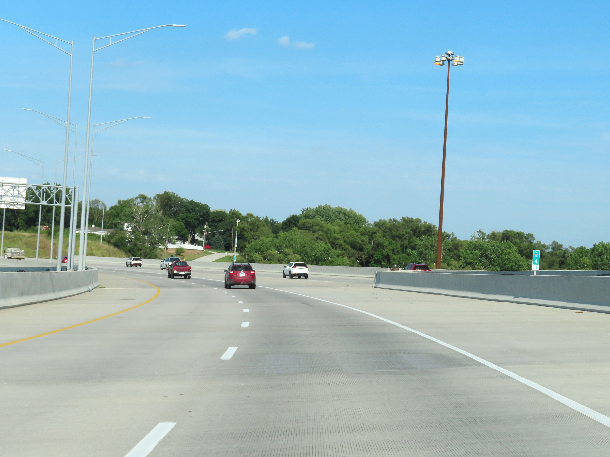
Interstate 80 East at Exit 5: Madison Ave (Photo taken 8/18/22). |
 |
State-named Interstate 80 East reassurance shield at mile marker 5.5. (Photo taken 8/18/22). |
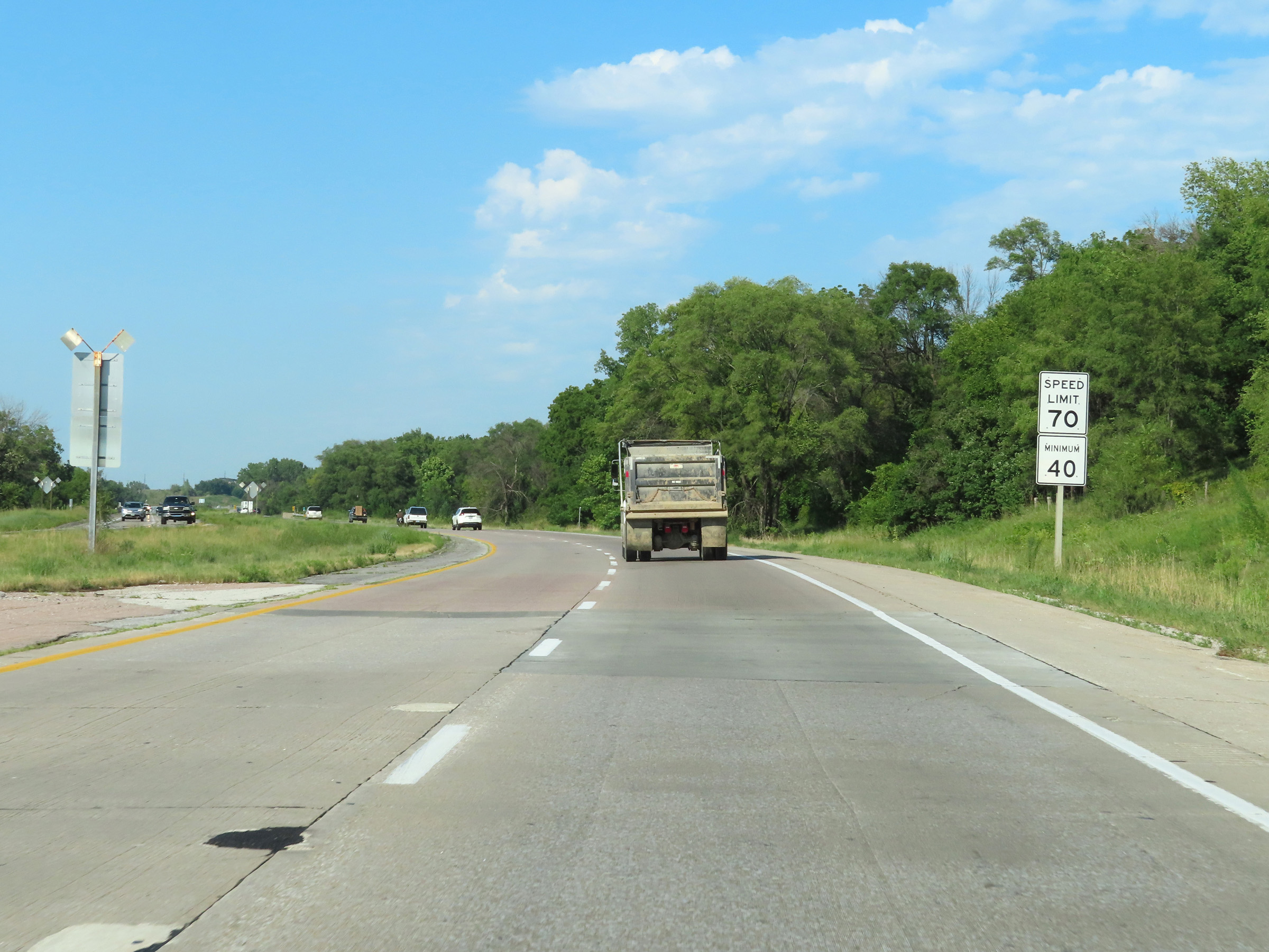 |
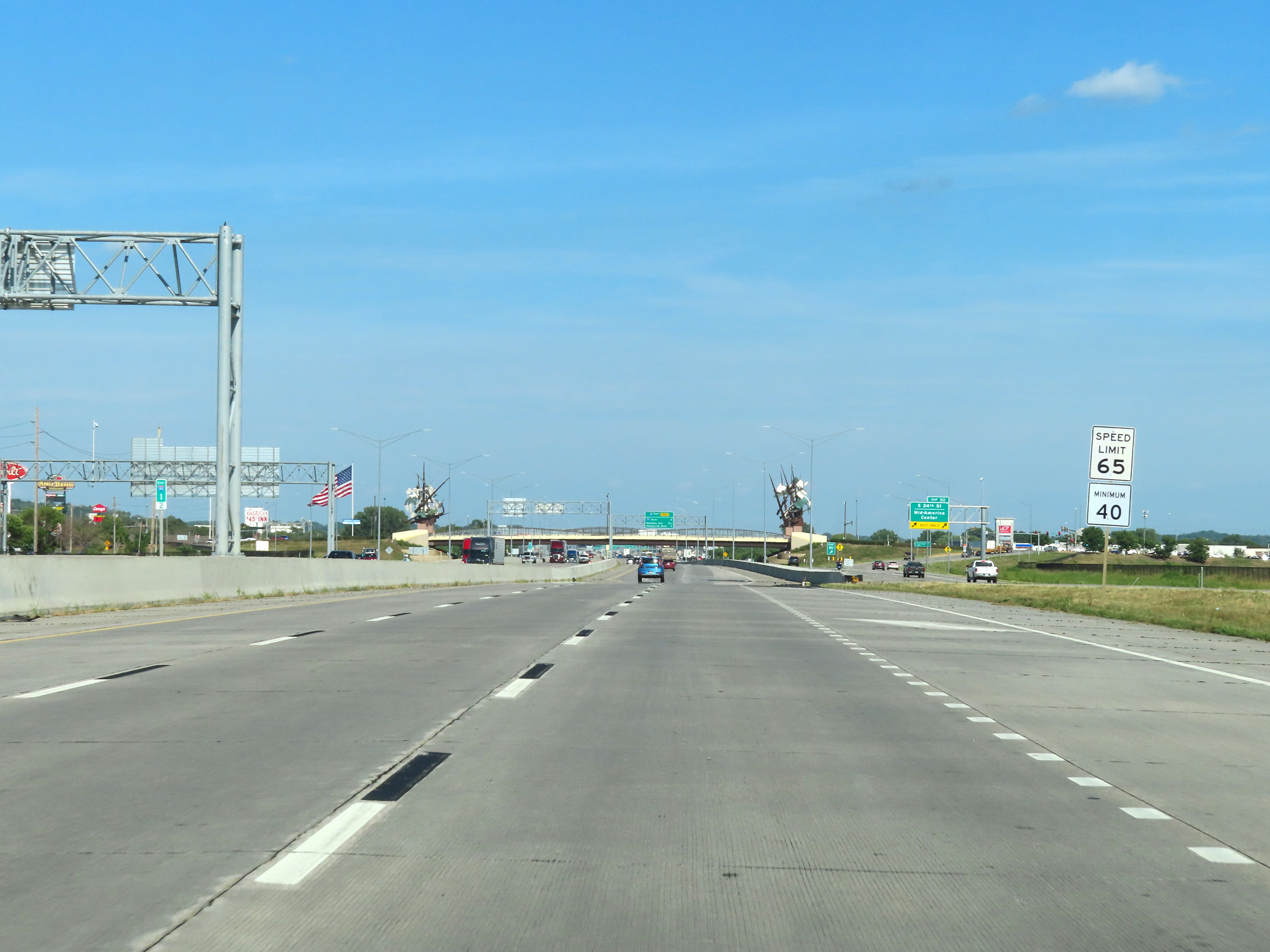
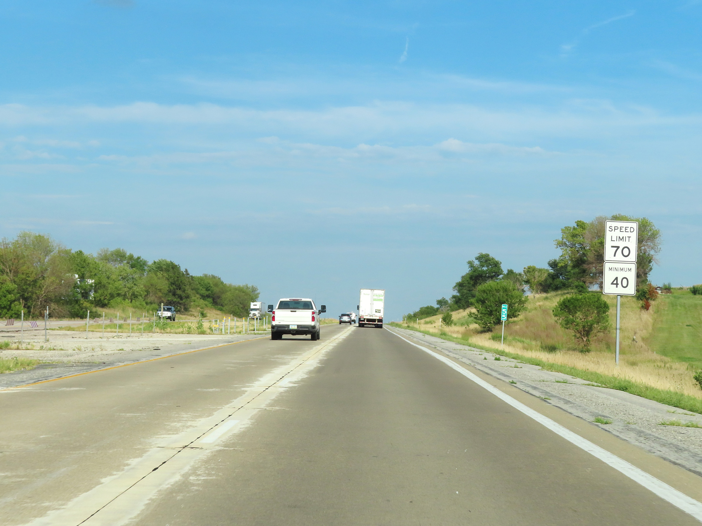
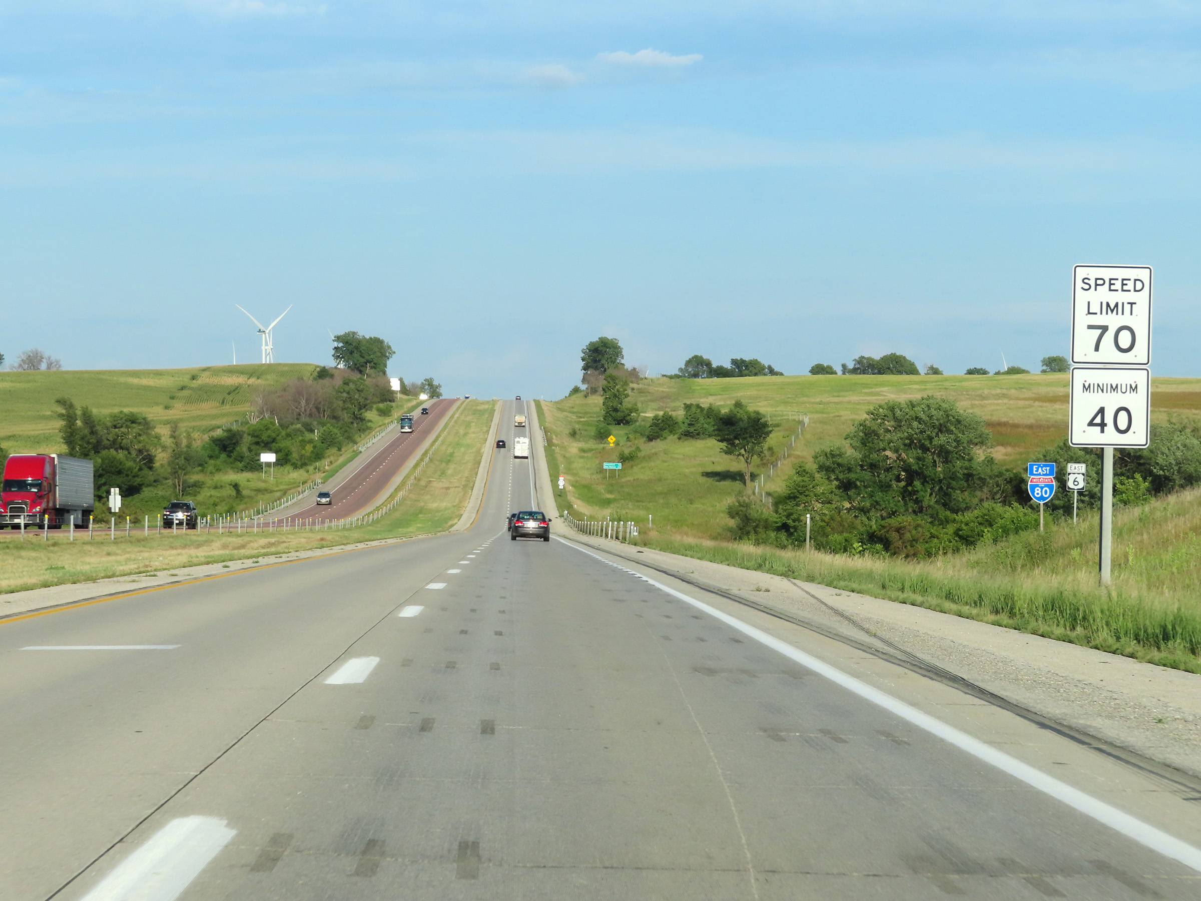
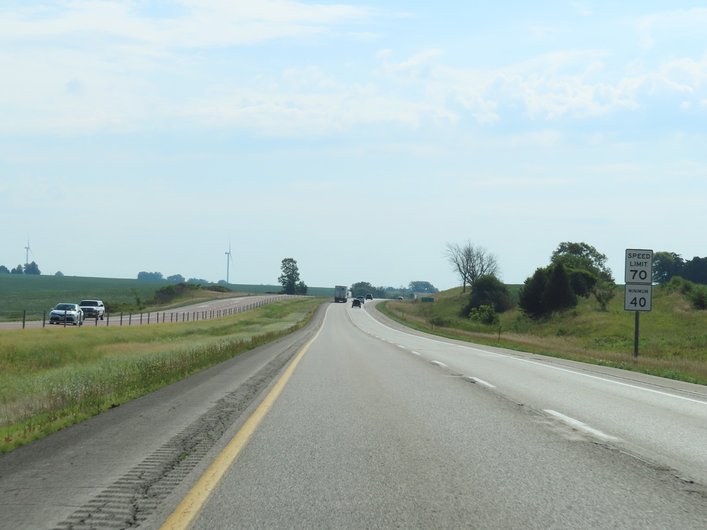
At mile marker 5.6, the maximum speed limit increases to 70 mph on Interstate 80 East. The minimum speed limit remains 40 mph. These are the standard speed limits on most rural Interstate highways in Iowa. (Photo taken 8/18/22). |
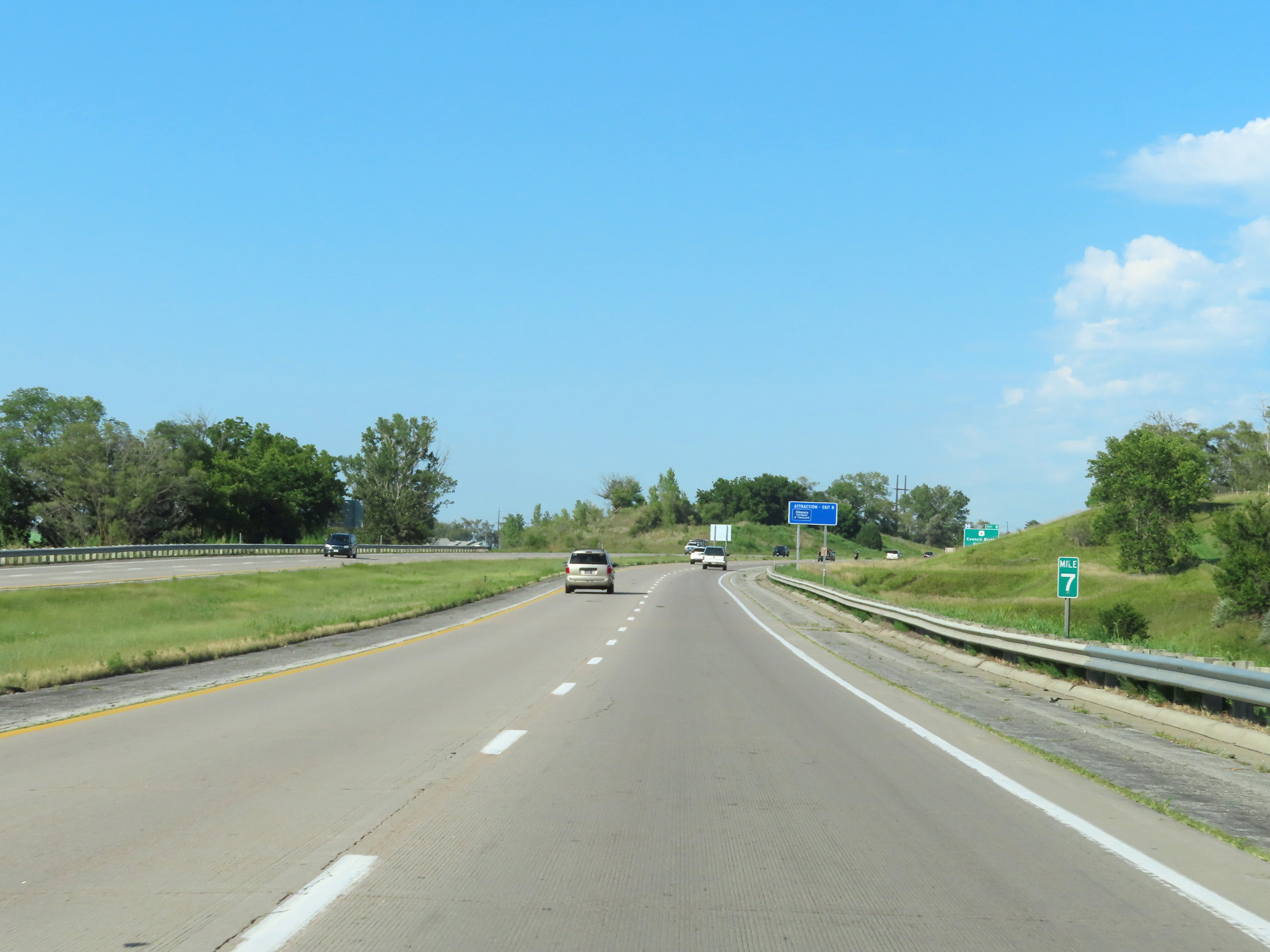 |
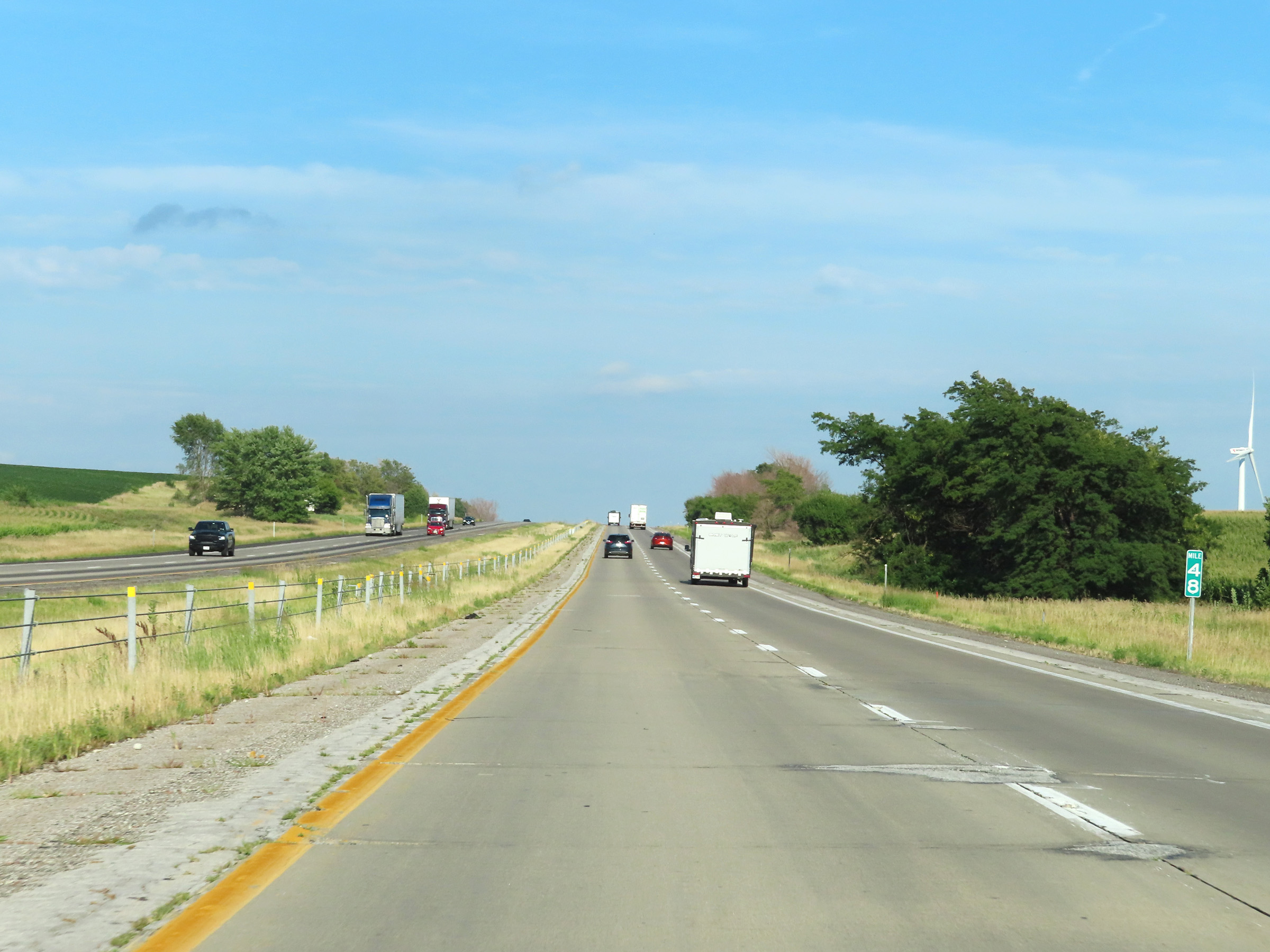
Mile marker 7 on Interstate 80 East in Pottawattamie County. (Photo taken 8/18/22). |
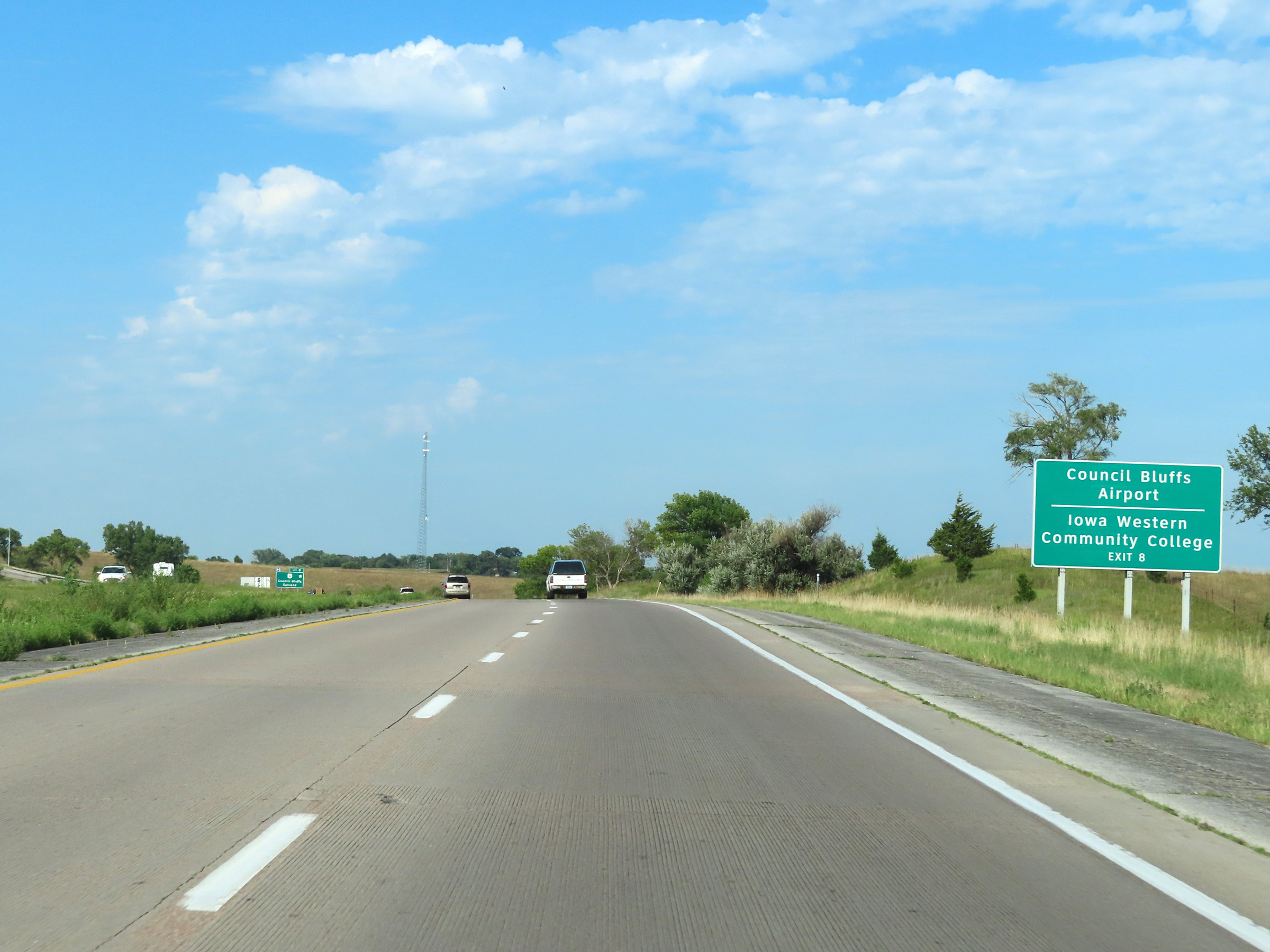 |
Take Exit 8 to Council Bluffs Airport and Iowa Western Community College. (Photo taken 8/18/22). |
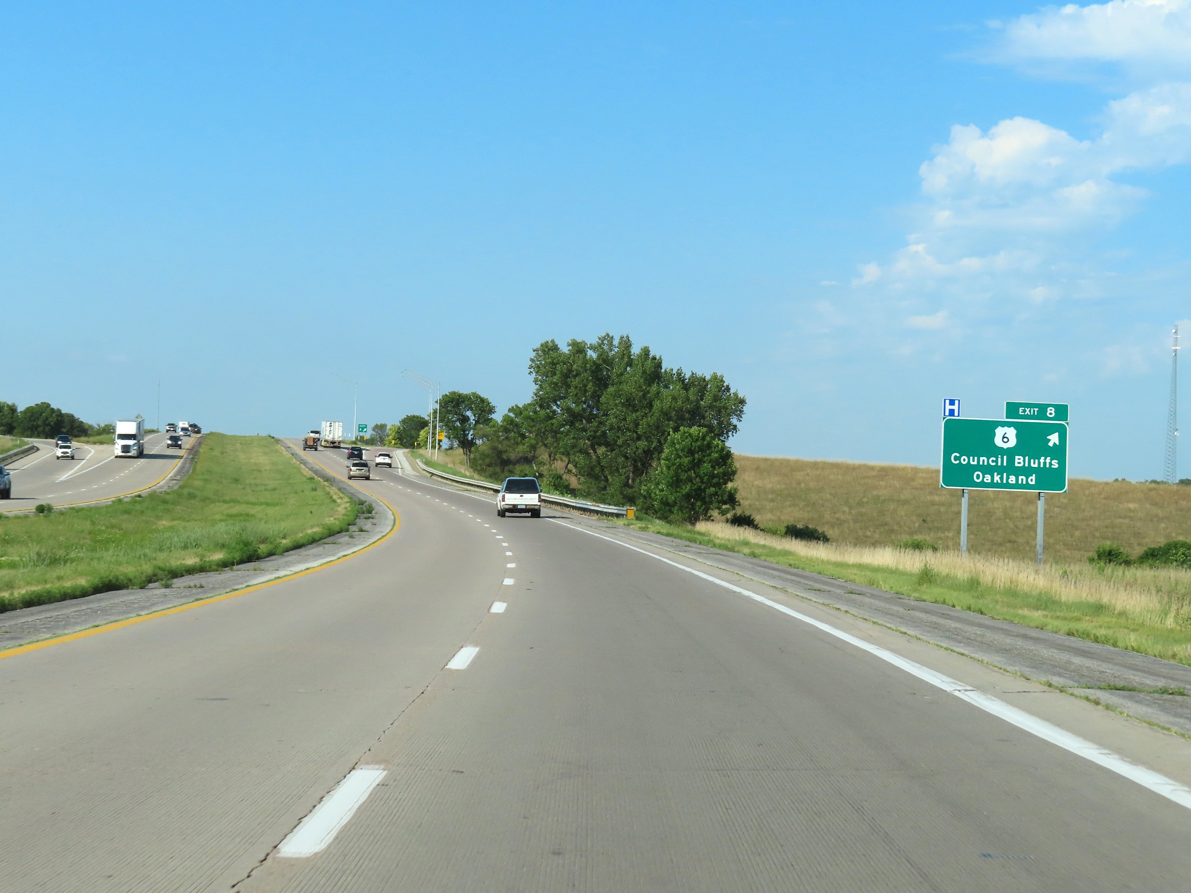 |
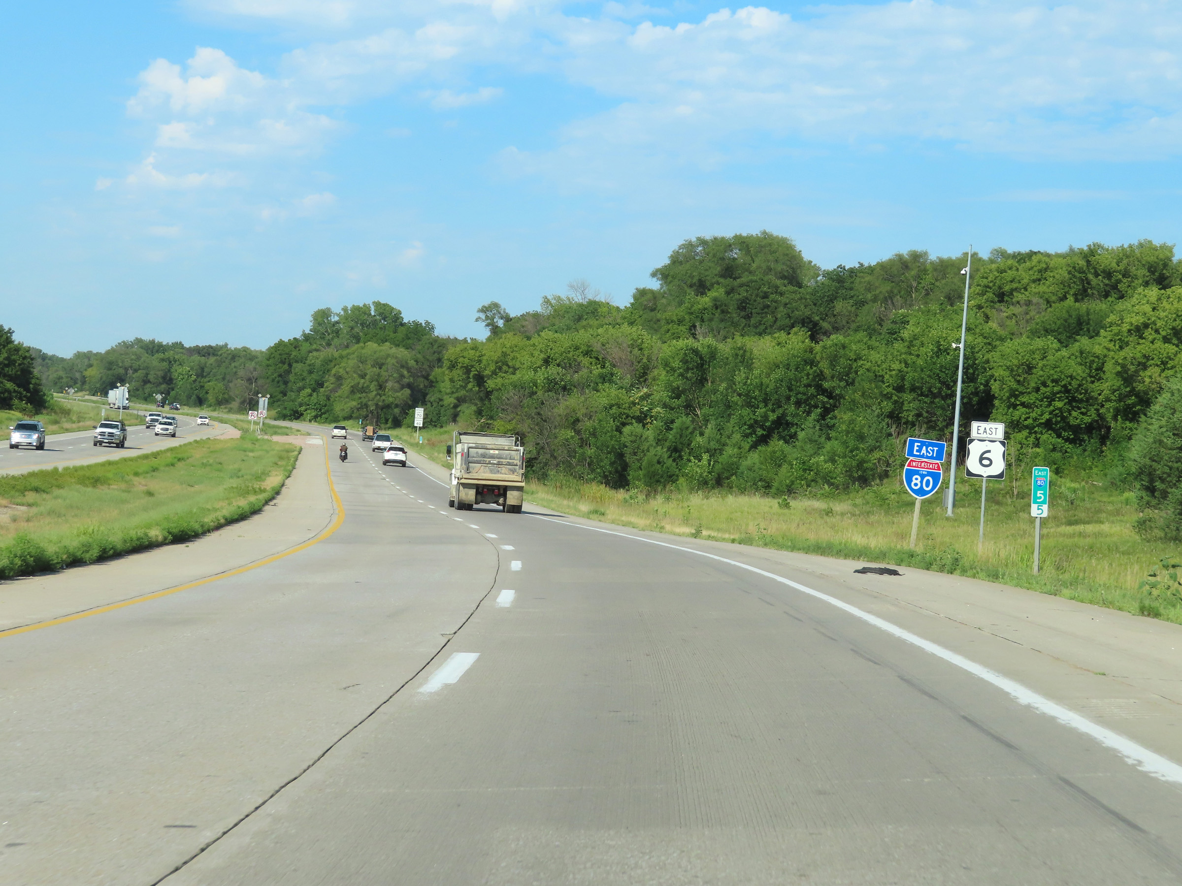
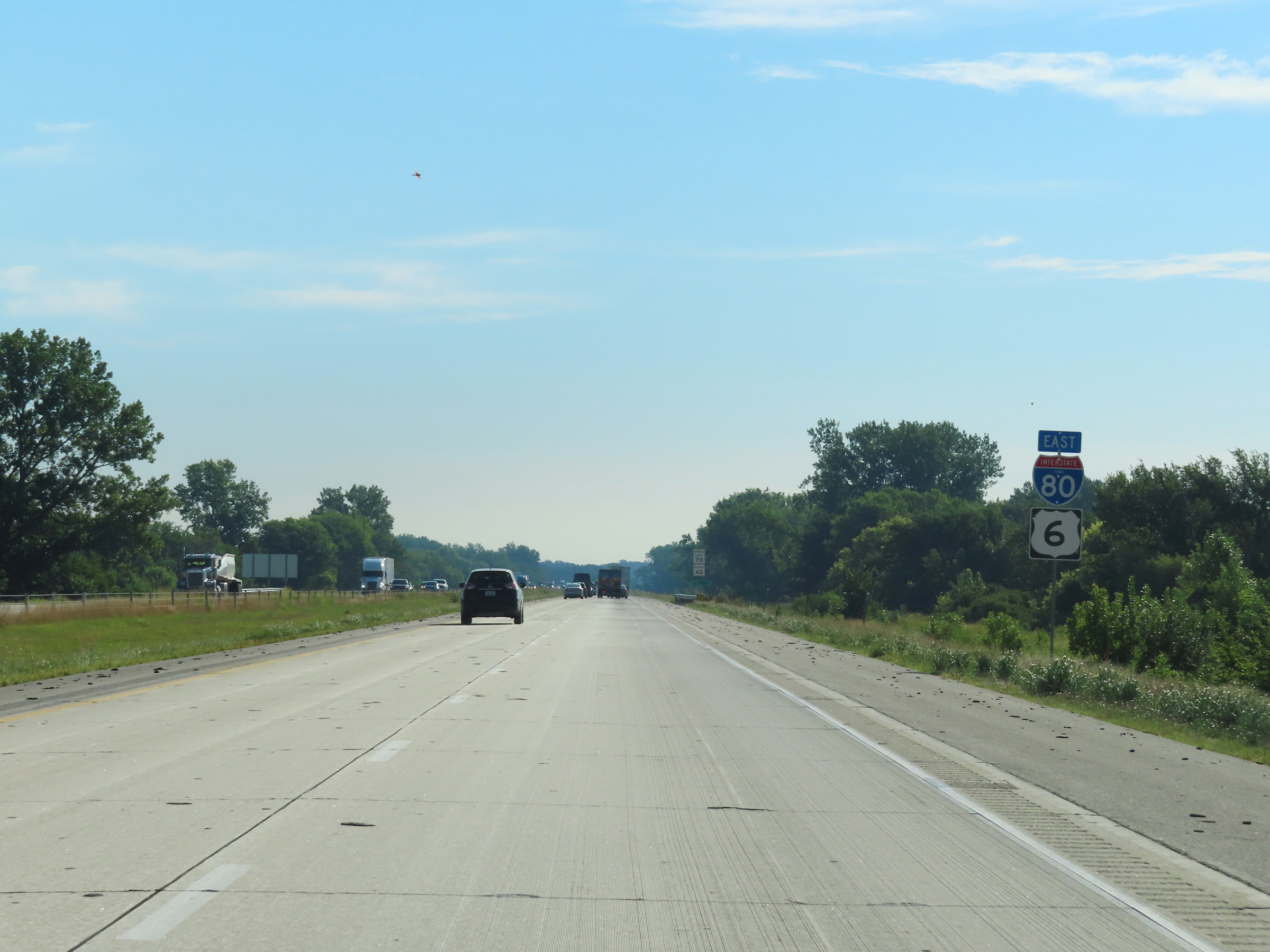
Interstate 80 East at Exit 8: US 6 - Council Bluffs / Oakland (Photo taken 8/18/22). |
 |
View on Interstate 80 East at mile marker 9. (Photo taken 8/18/22). |
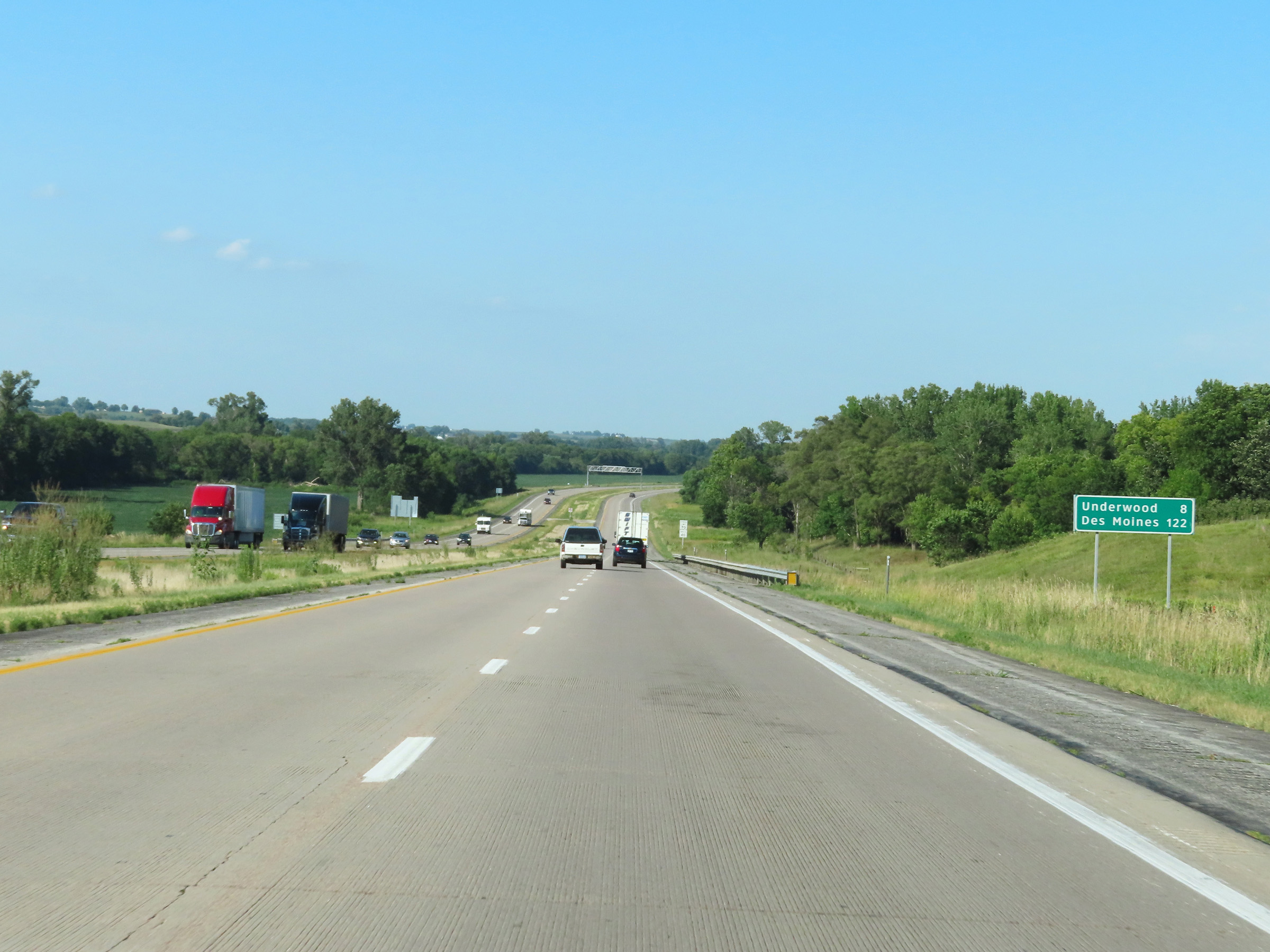 |
Mileage sign on Interstate 80 East. It's 8 miles to Underwood and 122 miles to Des Moines. (Photo taken 8/18/22). |
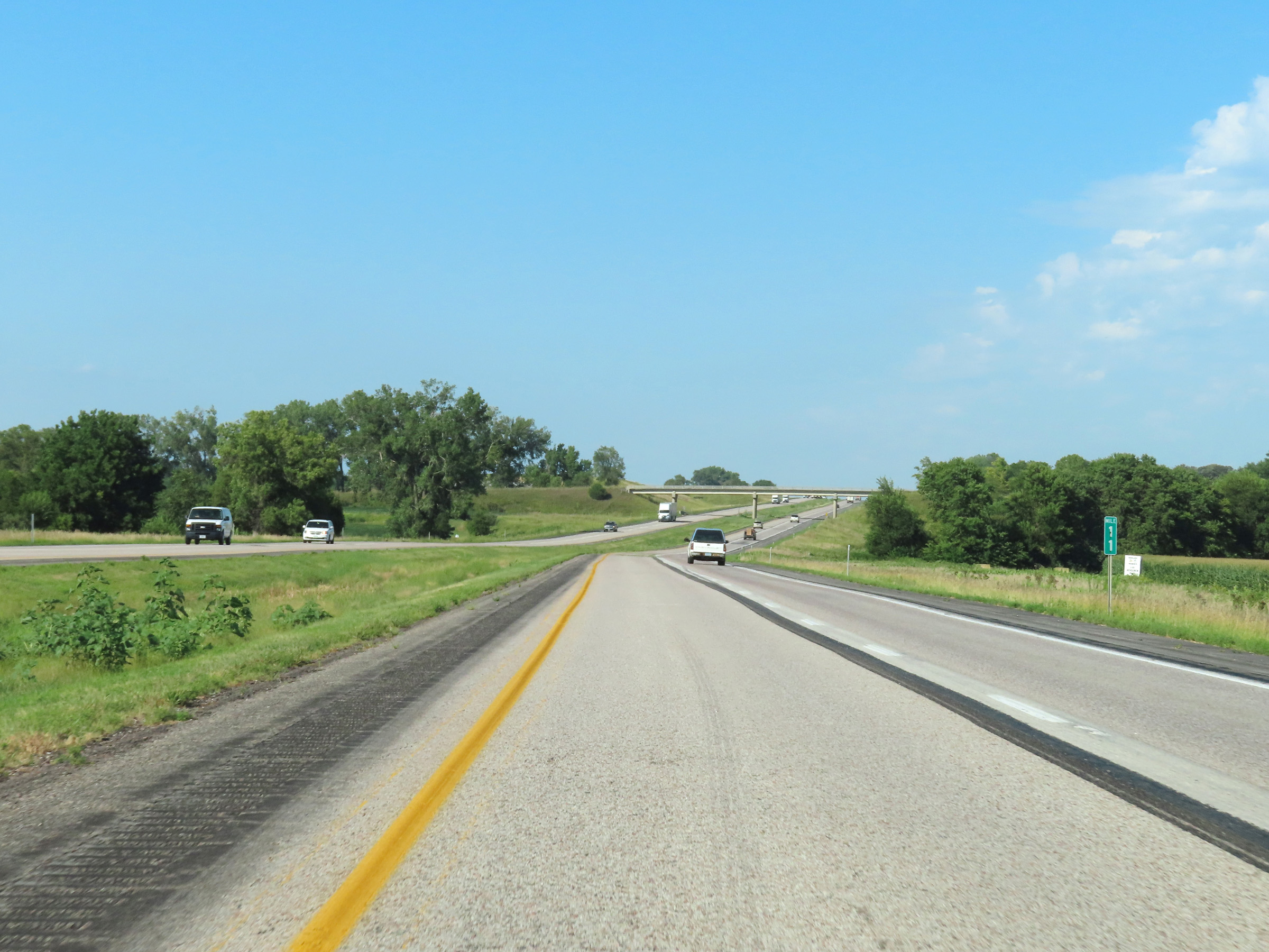 |
Interstate 80 East at mile marker 11. (Photo taken 8/18/22). |
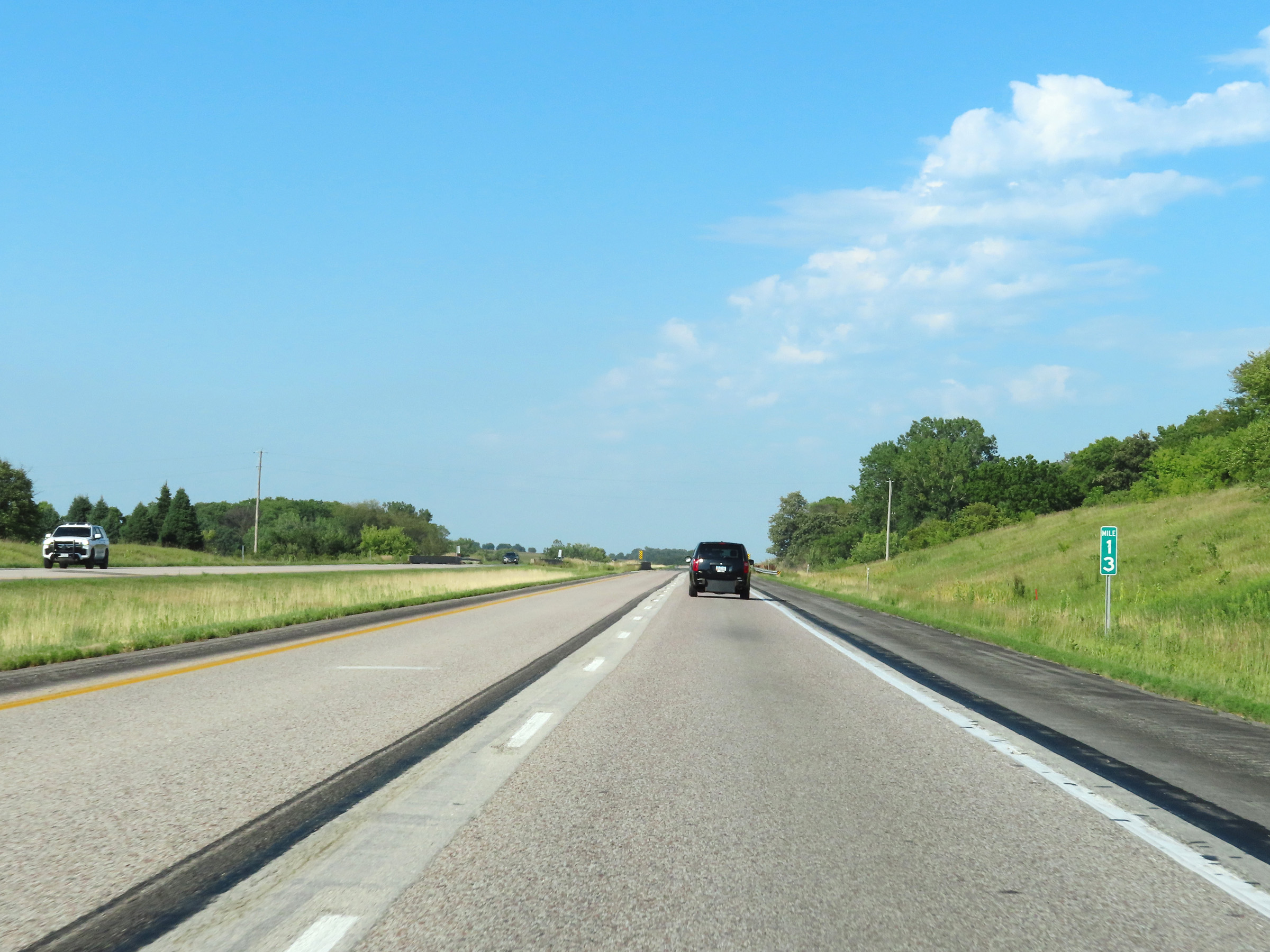 |
Mile marker 13 on Interstate 80 East in Pottawattamie County. (Photo taken 8/18/22). |
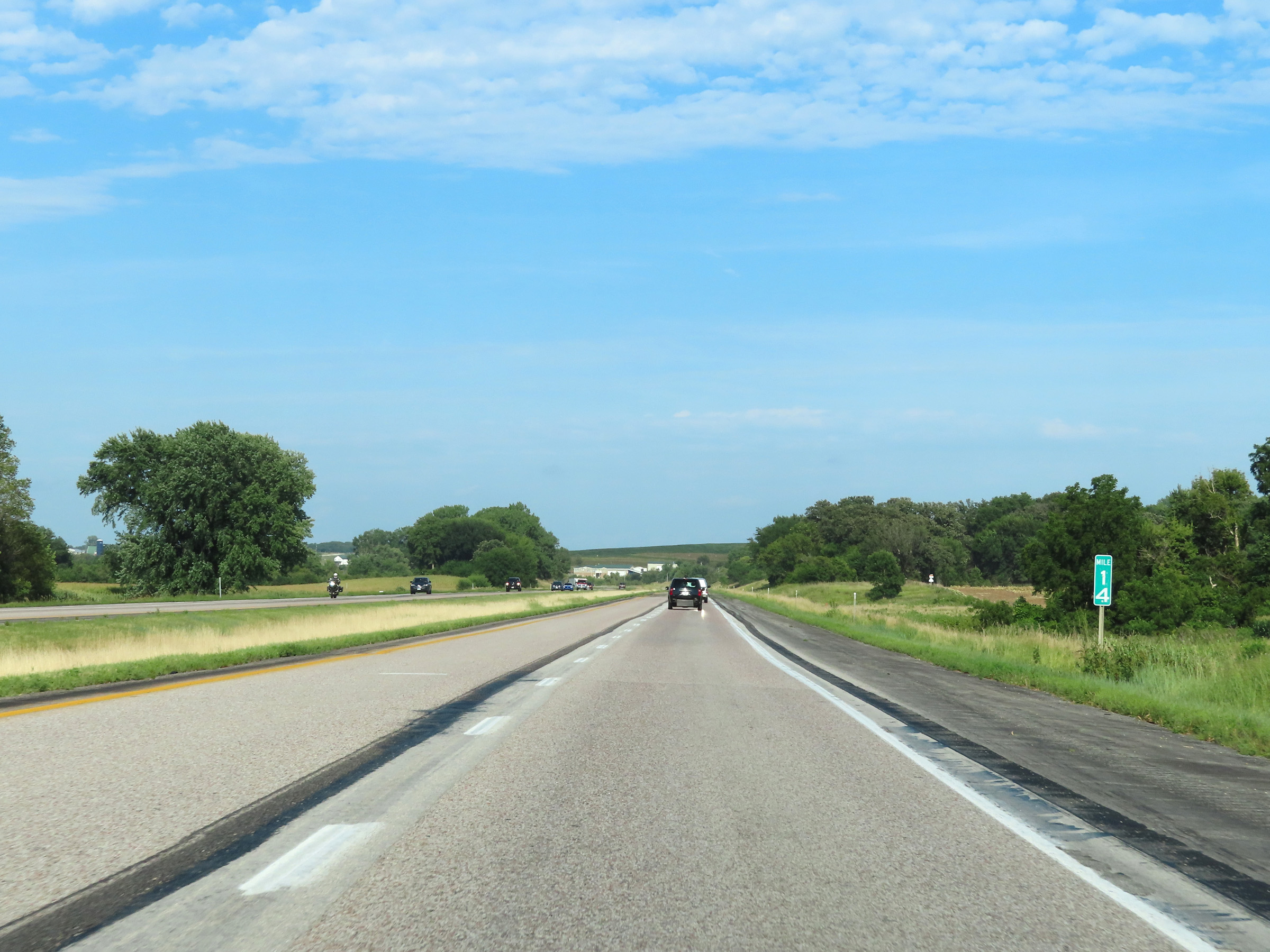 |
View on Interstate 80 East at mile marker 14. (Photo taken 8/18/22). |
 |
Interstate 80 East at mile marker 16. (Photo taken 8/18/22). |
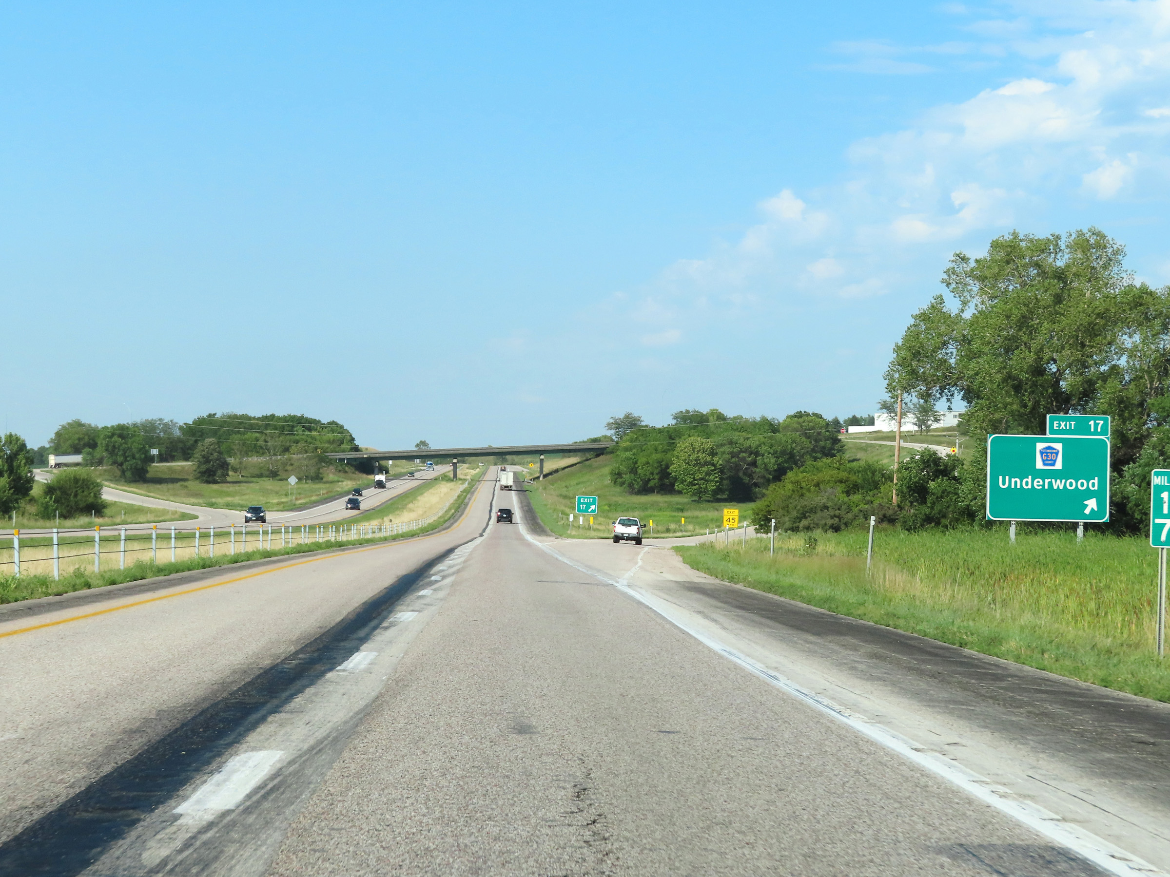 |
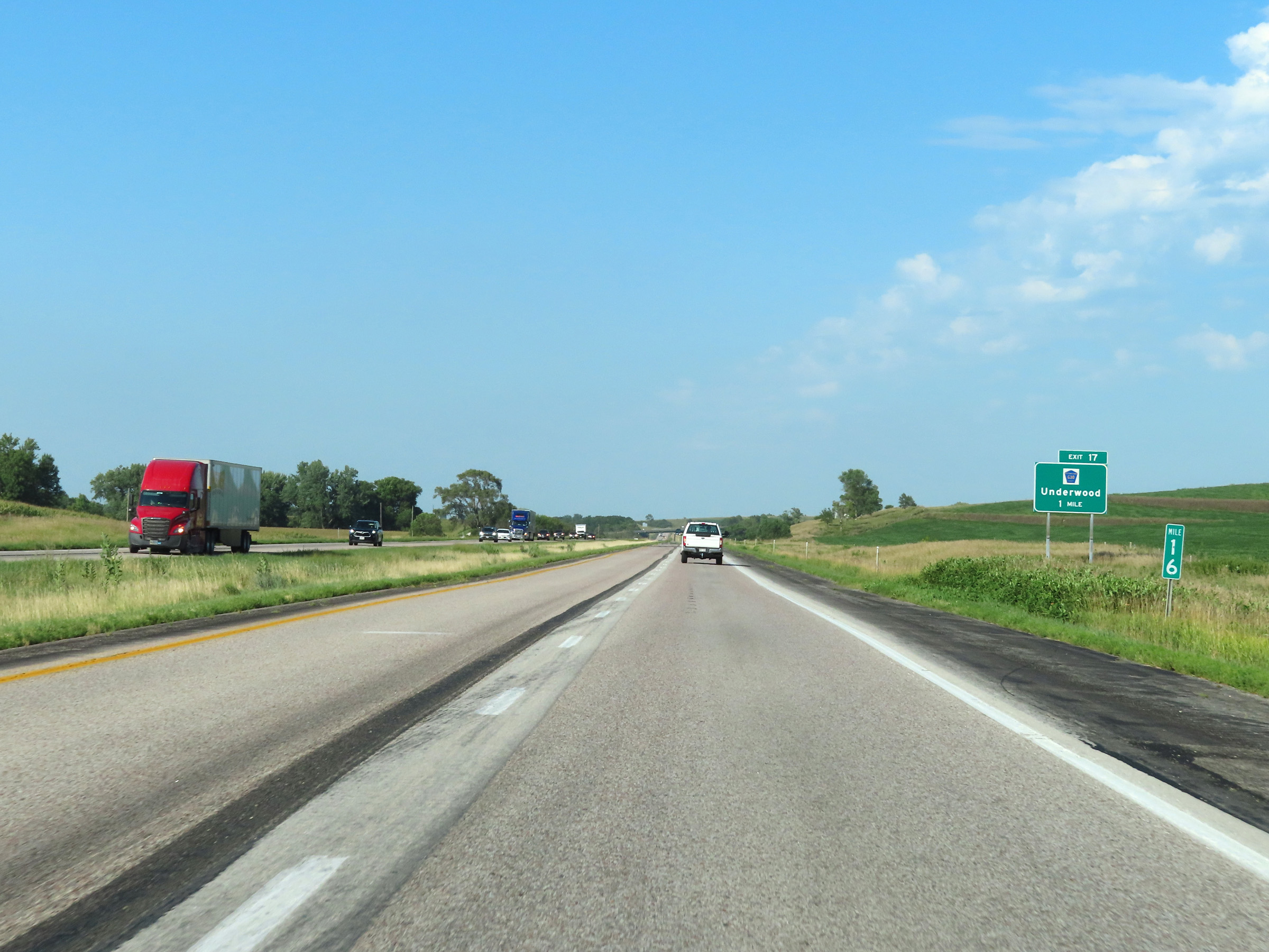
Interstate 80 East at Exit 17: CR G30 - Underwood (Photo taken 8/18/22). |
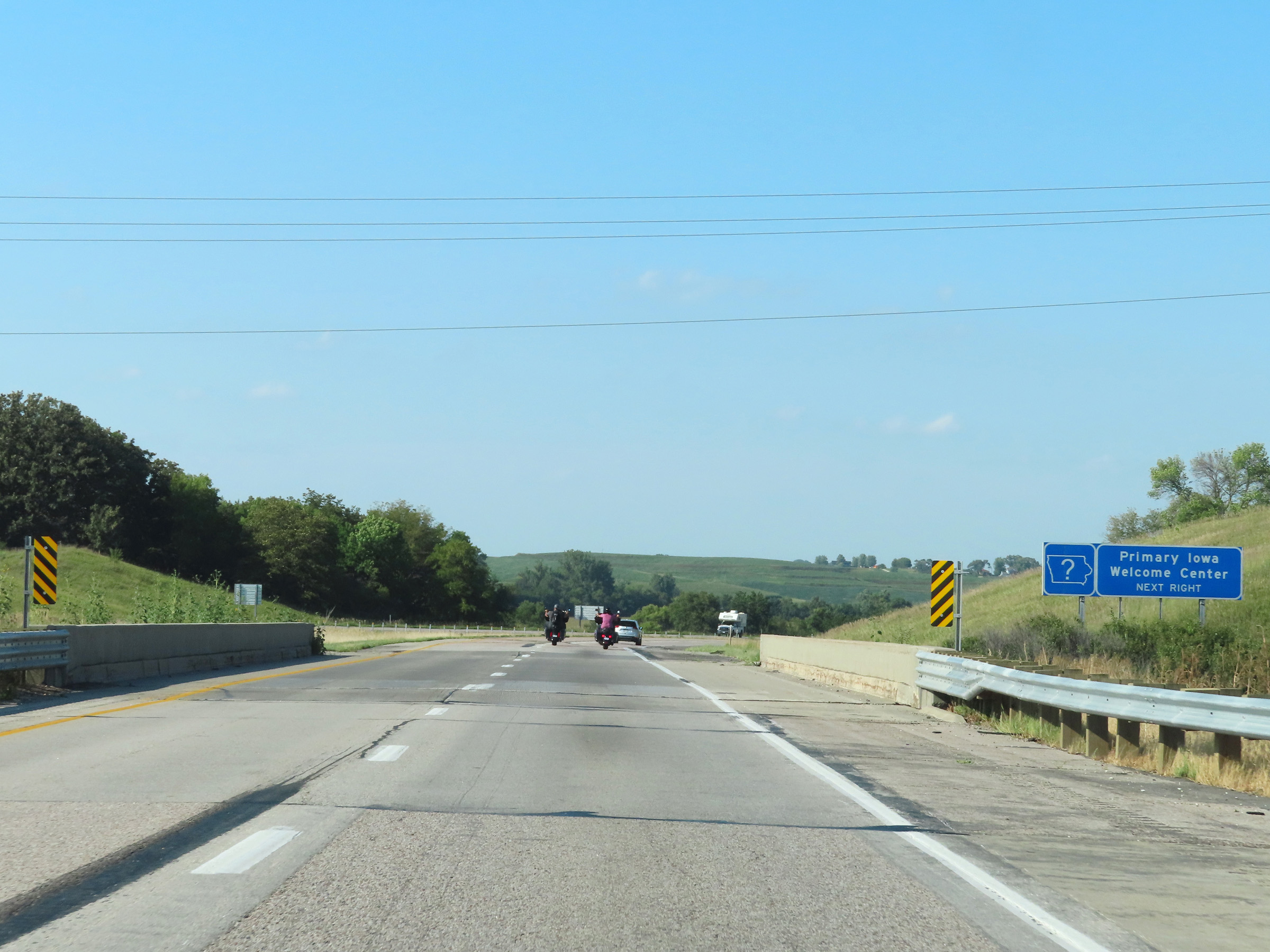 |
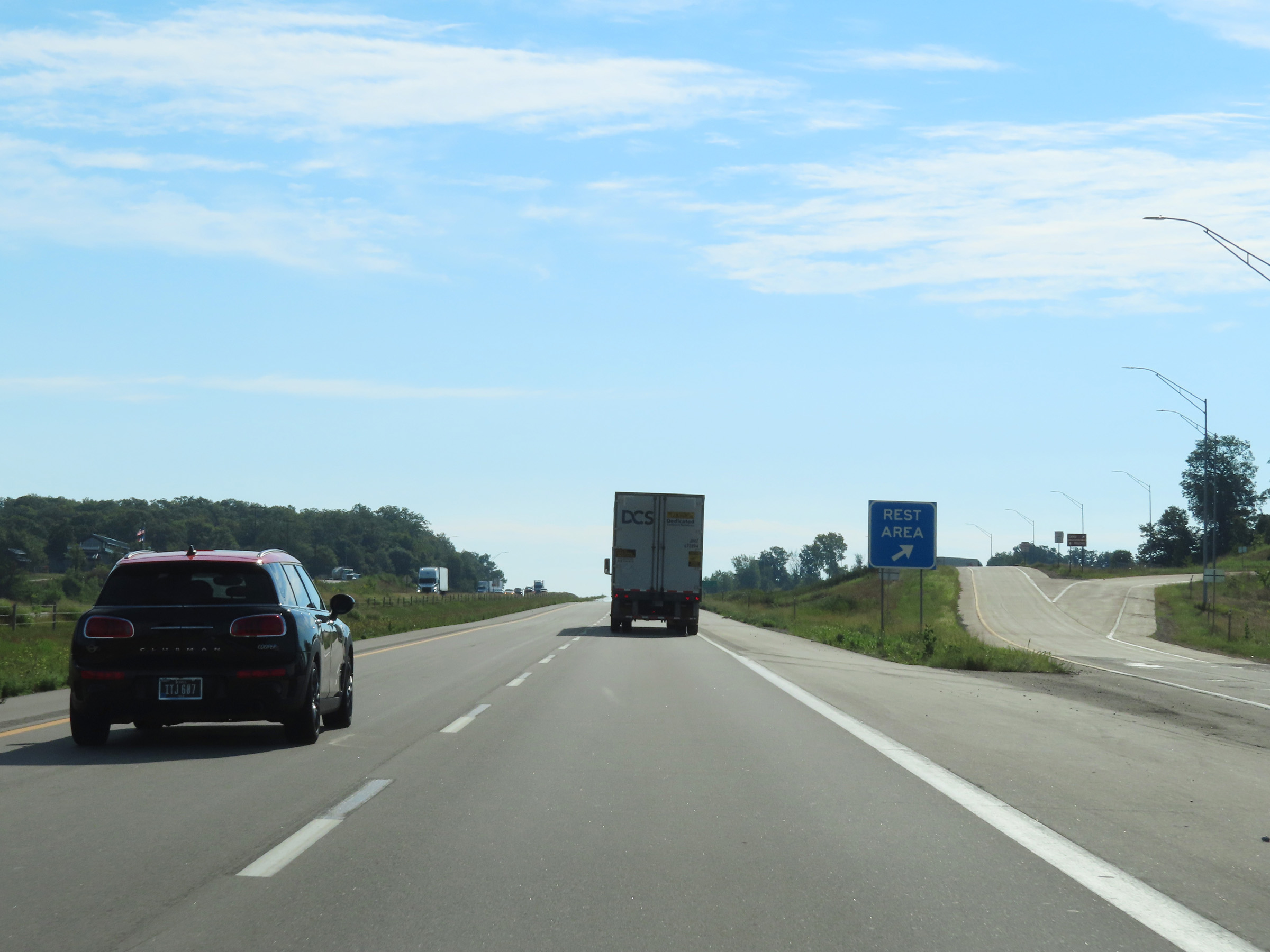
An Iowa Welcome Center exists at the Rest Area ahead. (Photo taken 8/18/22). |
 |
Rest Area on Interstate 80 East in Pottawattamie County. (Photo taken 8/18/22). |
 |
View on Interstate 80 East at mile marker 20. (Photo taken 8/18/22). |
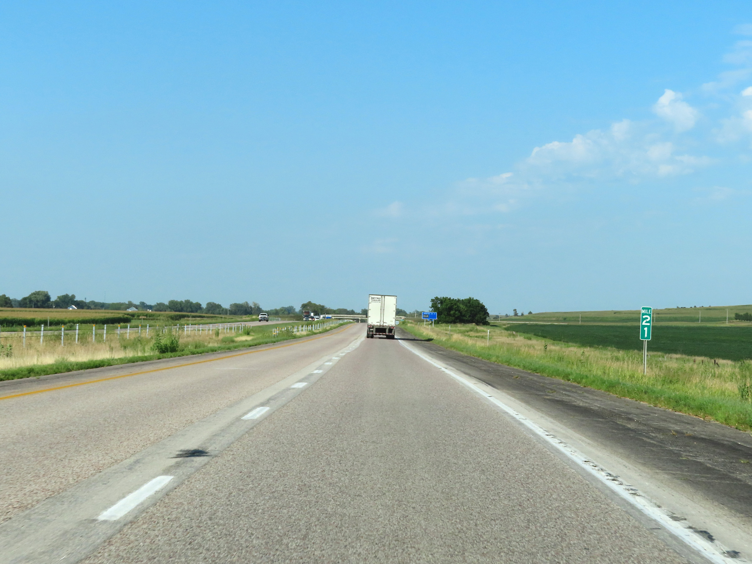 |
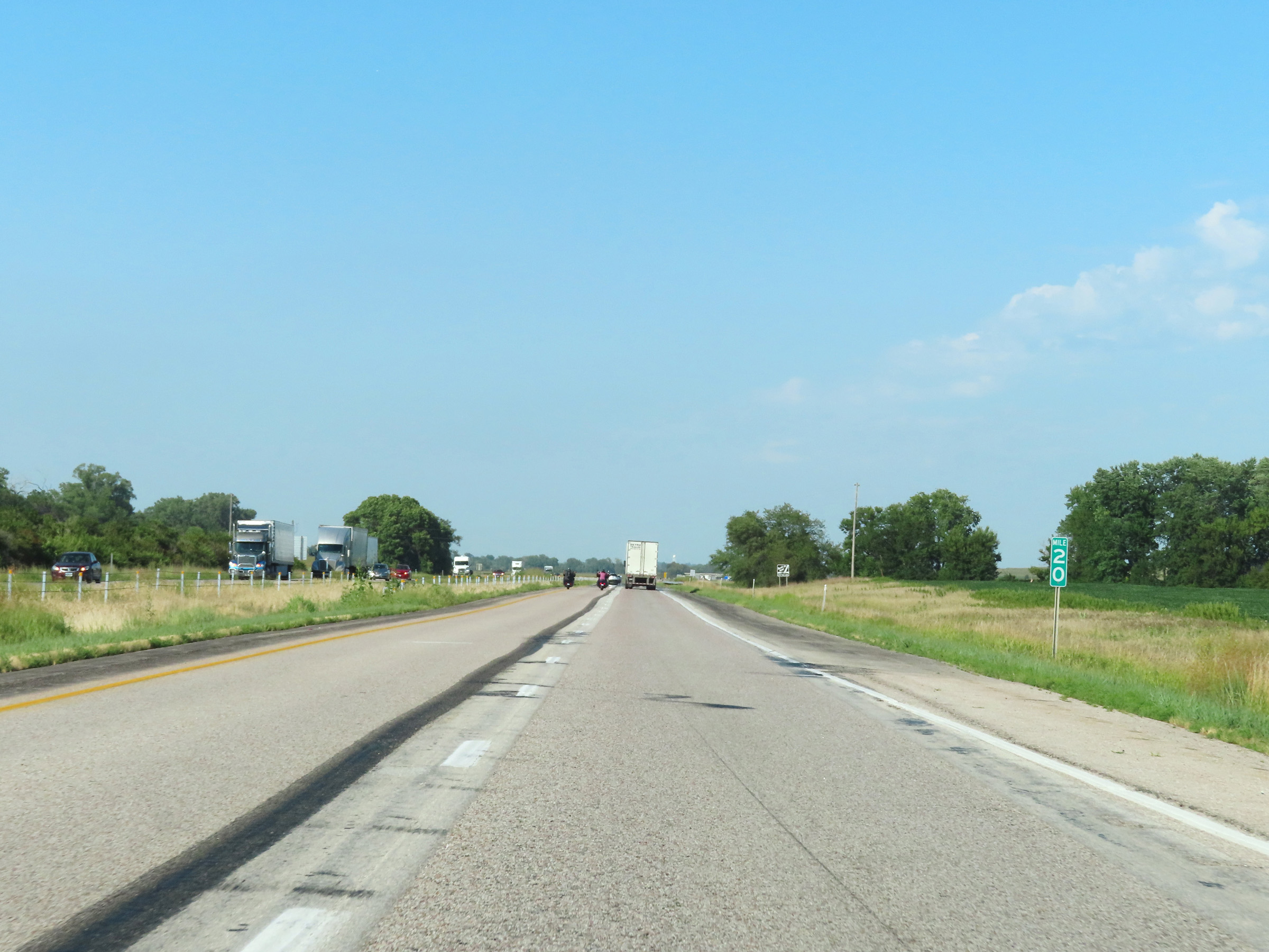
Interstate 80 East at mile marker 21. (Photo taken 8/18/22). |
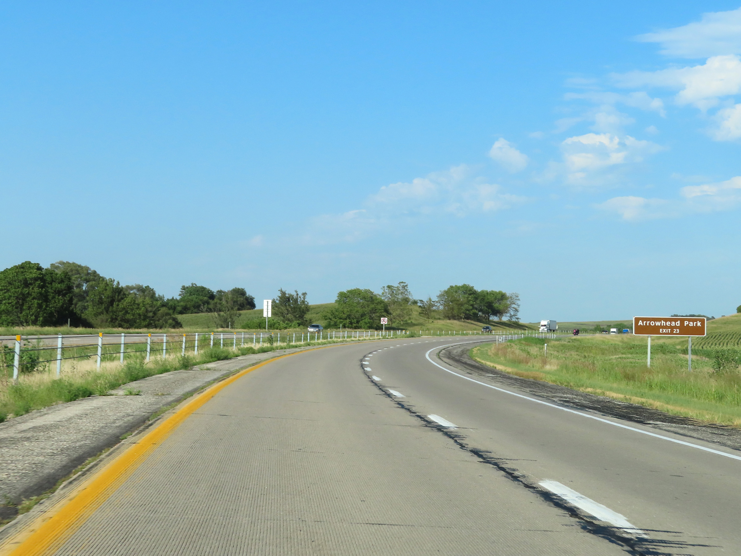 |
Take Exit 23 to Arrowhead Park. (Photo taken 8/18/22). |
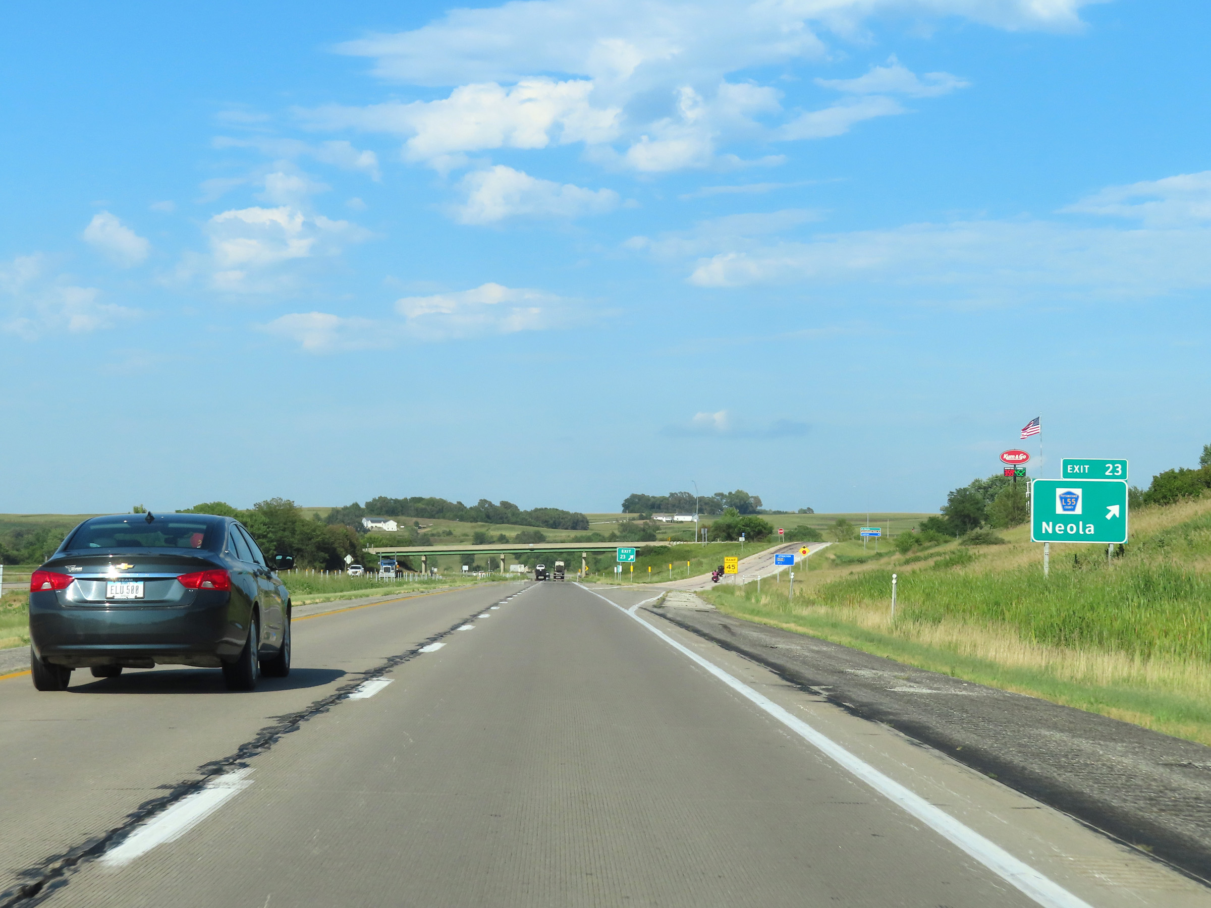 |
Interstate 80 East at Exit 23: CR L55 - Neola (Photo taken 8/18/22). |
 |
Another state-named Interstate 80 East reassurance shield. (Photo taken 8/18/22). |
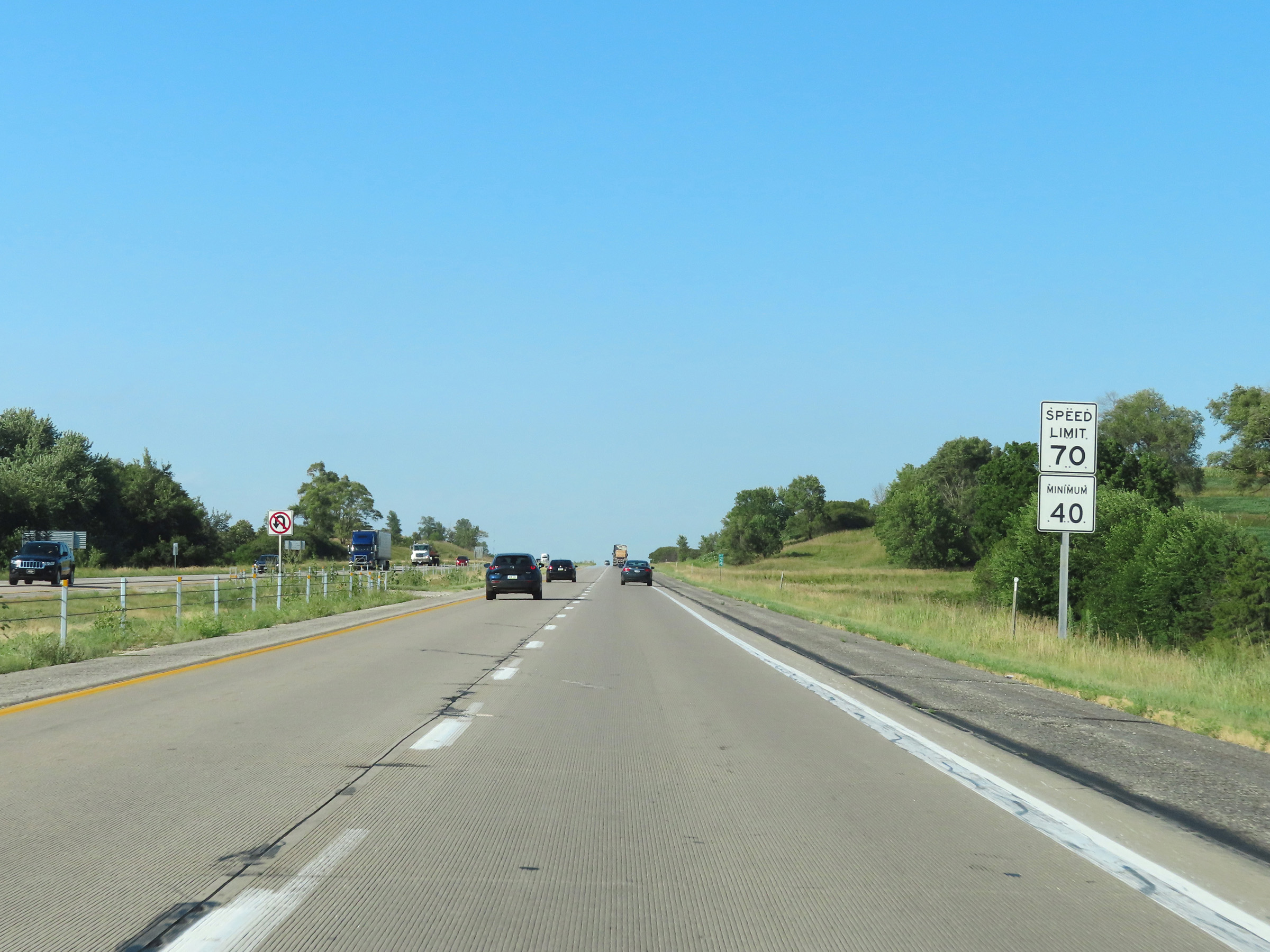 |
The speed limits remain 70 mph maximum and 40 mph minimum. (Photo taken 8/18/22). |
 |
View on Interstate 80 East at mile marker 25. (Photo taken 8/18/22). |
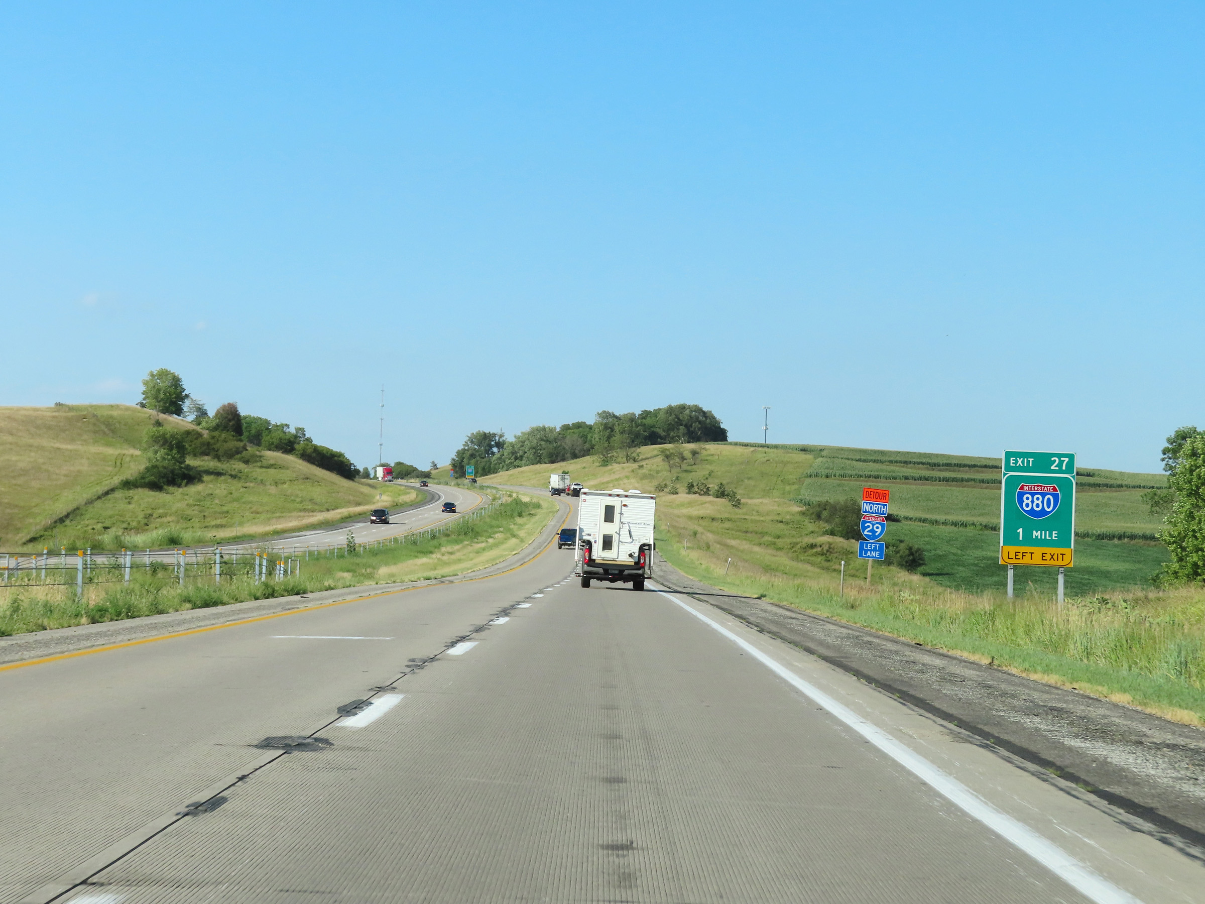 |
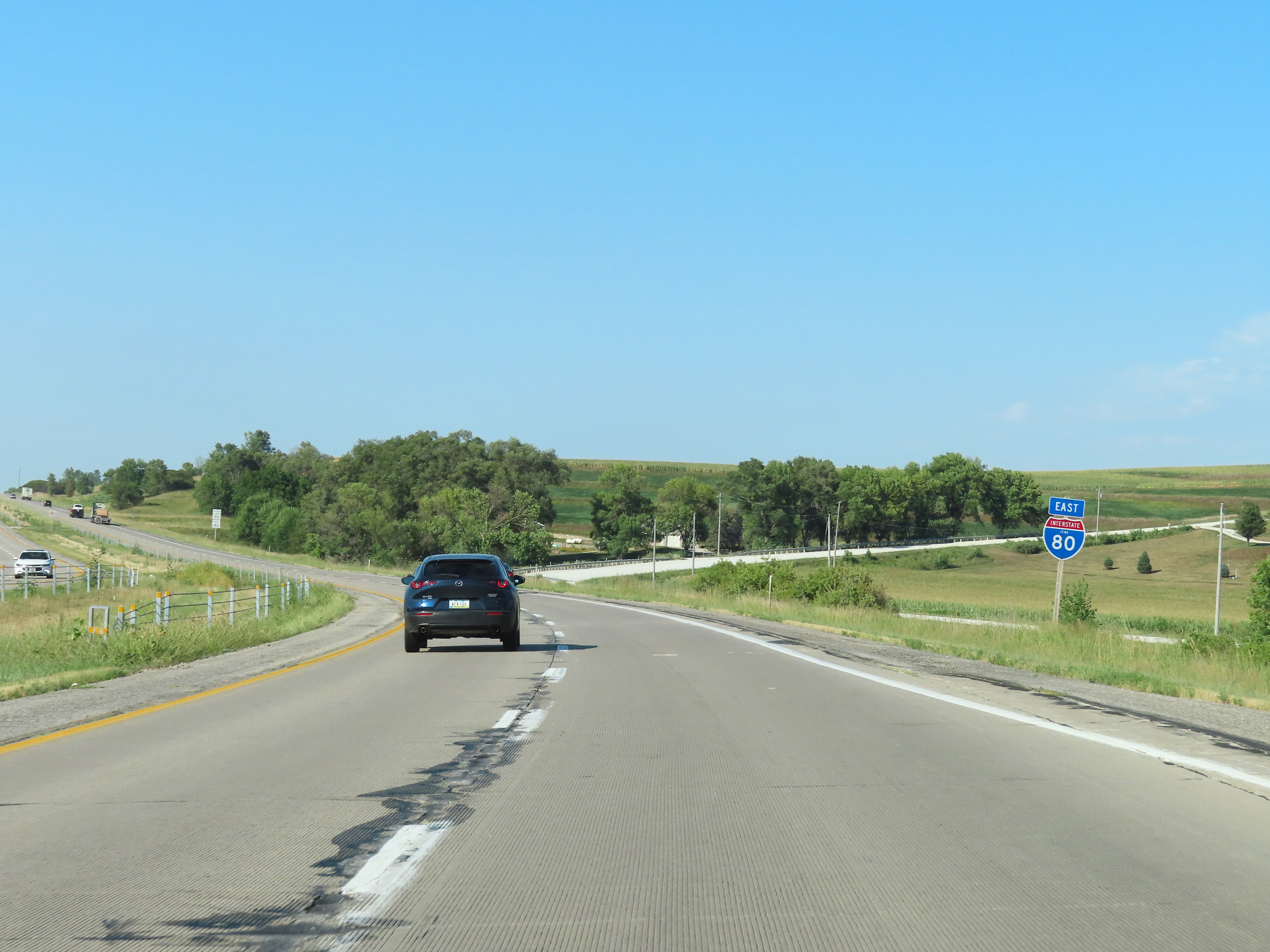
Interstate 80 East approaching the junction of Interstate 880 via Exit 27 - 1 mile on the left. (Photo taken 8/18/22). |
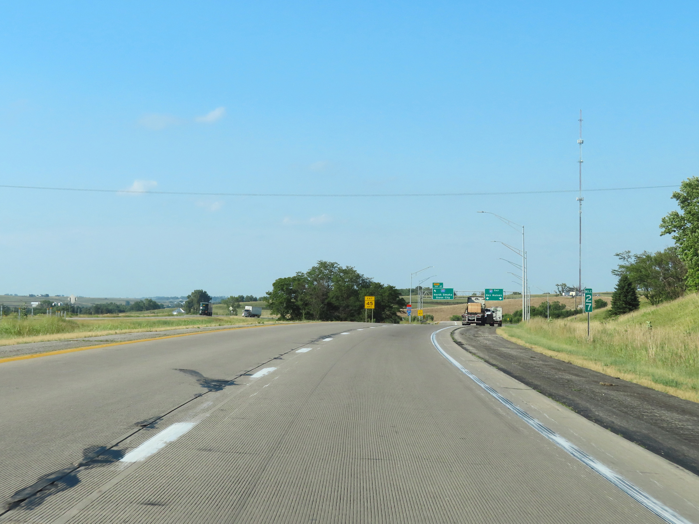 |
View on Interstate 80 East at mile marker 27. (Photo taken 8/18/22). |
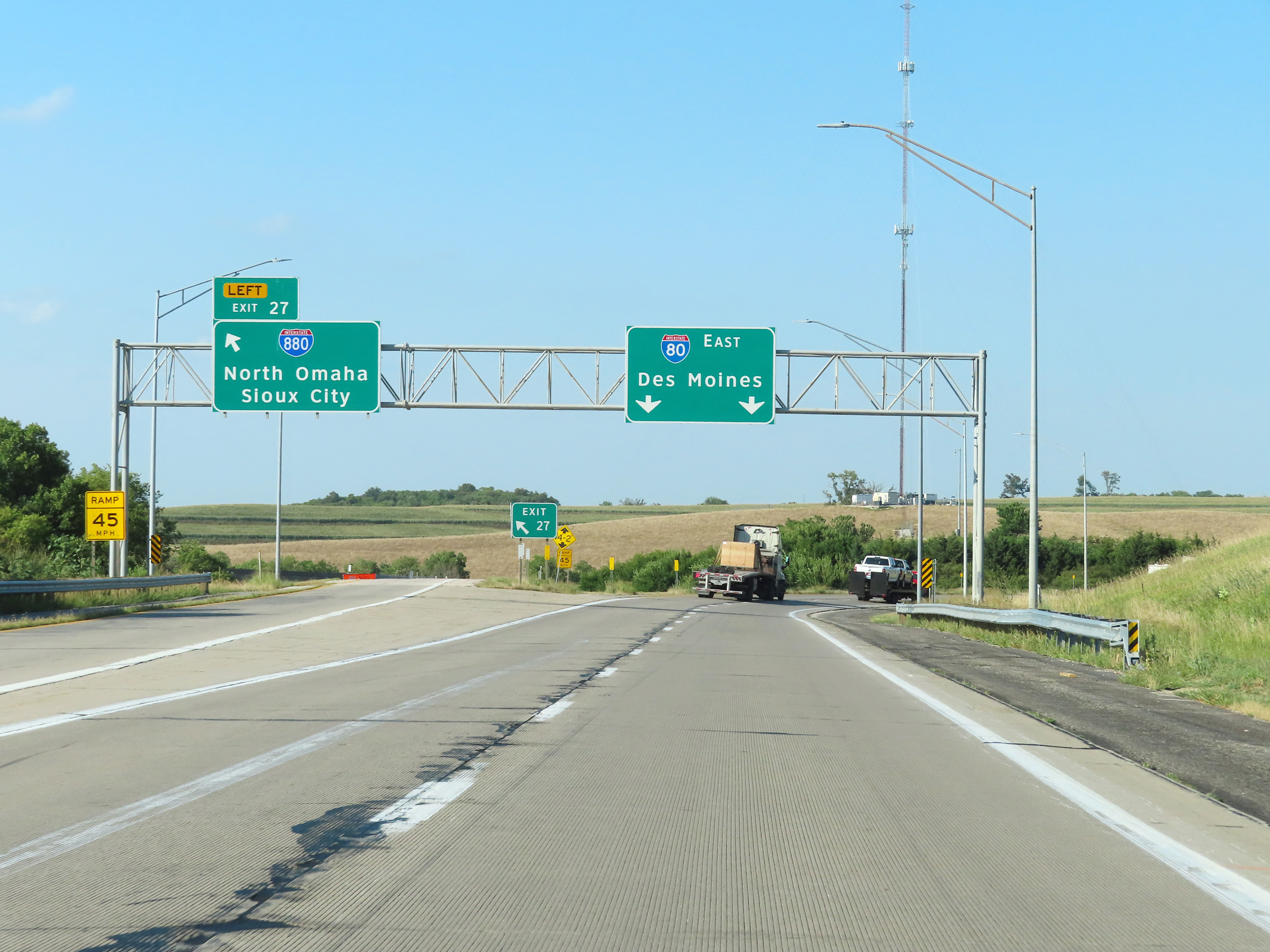 |
Interstate 80 East at Exit 27: Interstate 880 West - North Omaha / Sioux City (Photo taken 8/18/22). |
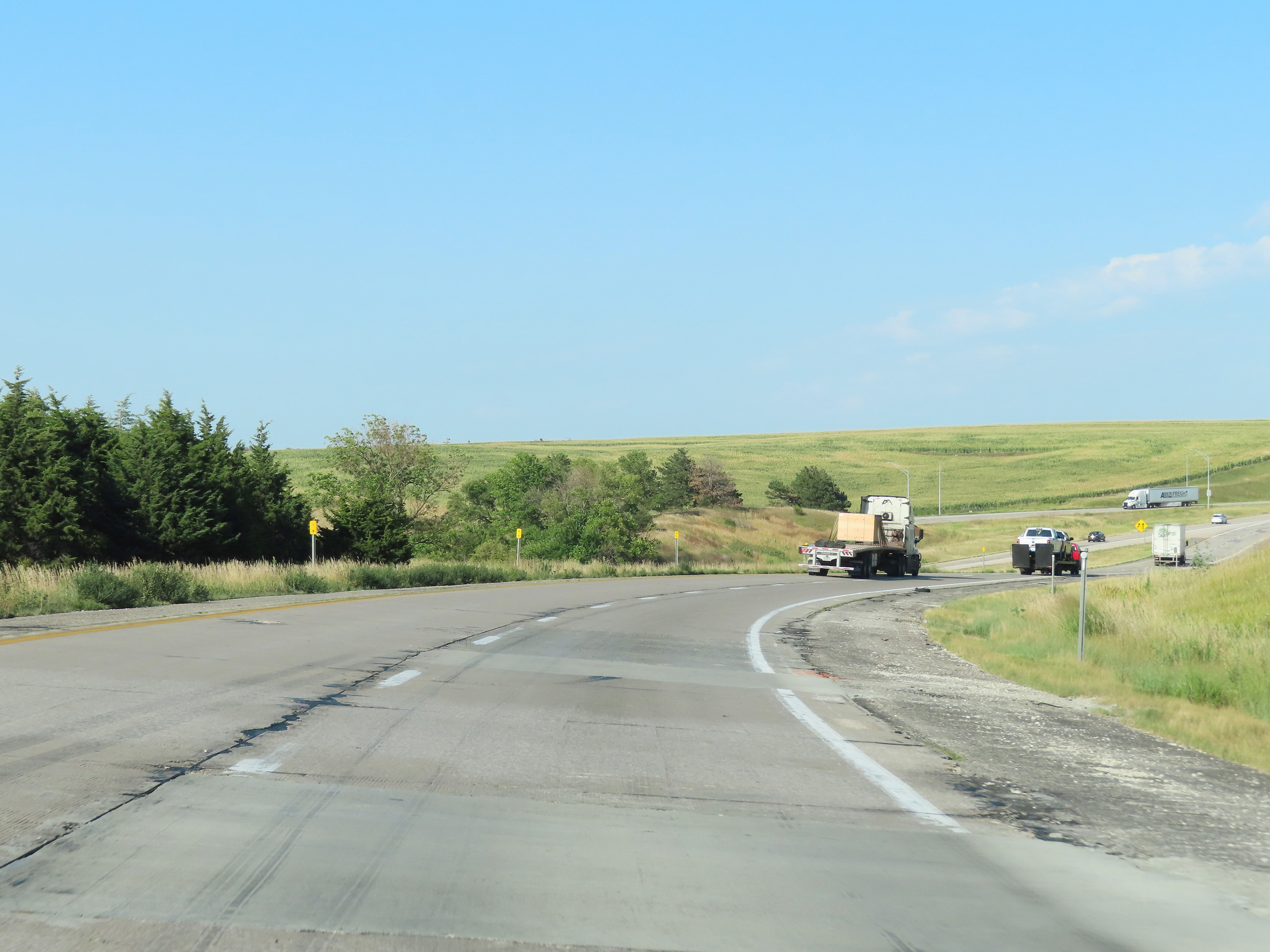 |
Beyond Exit 27, Interstate 80 curves more to the east. Traffic from Interstate 880 East will merge into the two eastbound lanes of I-80 ahead from the left. (Photo taken 8/18/22). |
 |
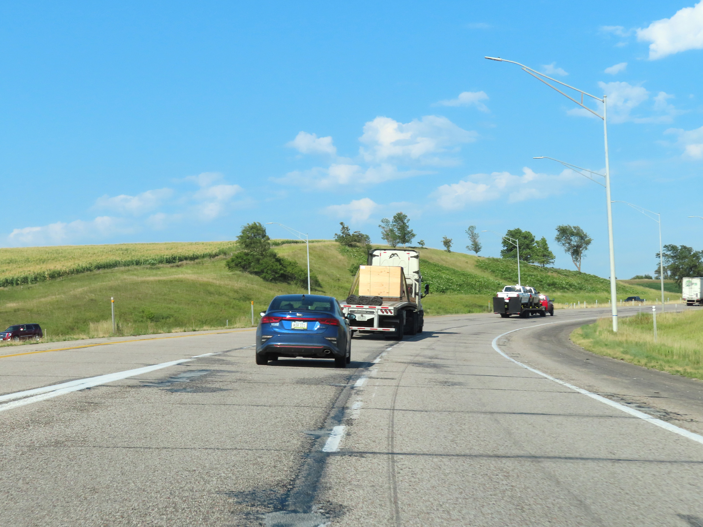
View on Interstate 80 East as Interstate 880 East traffic prepares to merge into its two thru lanes from the left side. (Photo taken 8/18/22). |
 |
Interstate 880 East traffic merges into the eastbound lanes of Interstate 80 at this point. (Photo taken 8/18/22). |
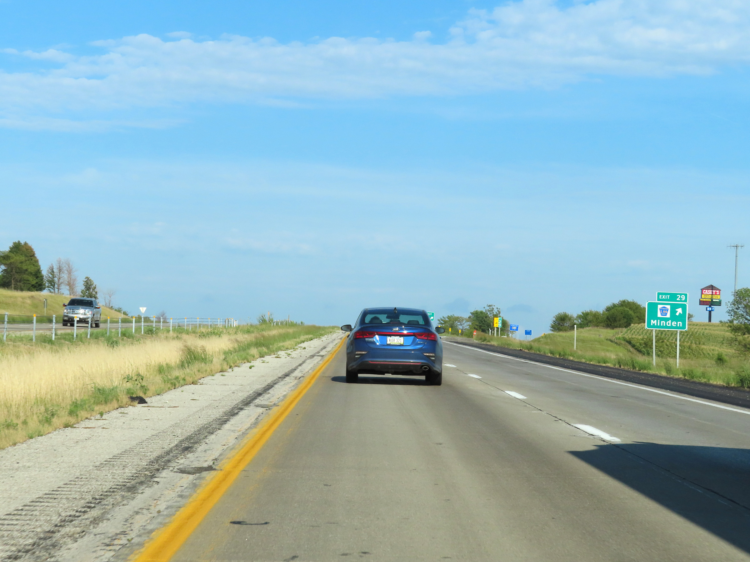 |
Interstate 80 East at Exit 29: CR L66 - Minden (Photo taken 8/18/22). |
 |
State-named Interstate 80 East reassurance shield. (Photo taken 8/18/22). |
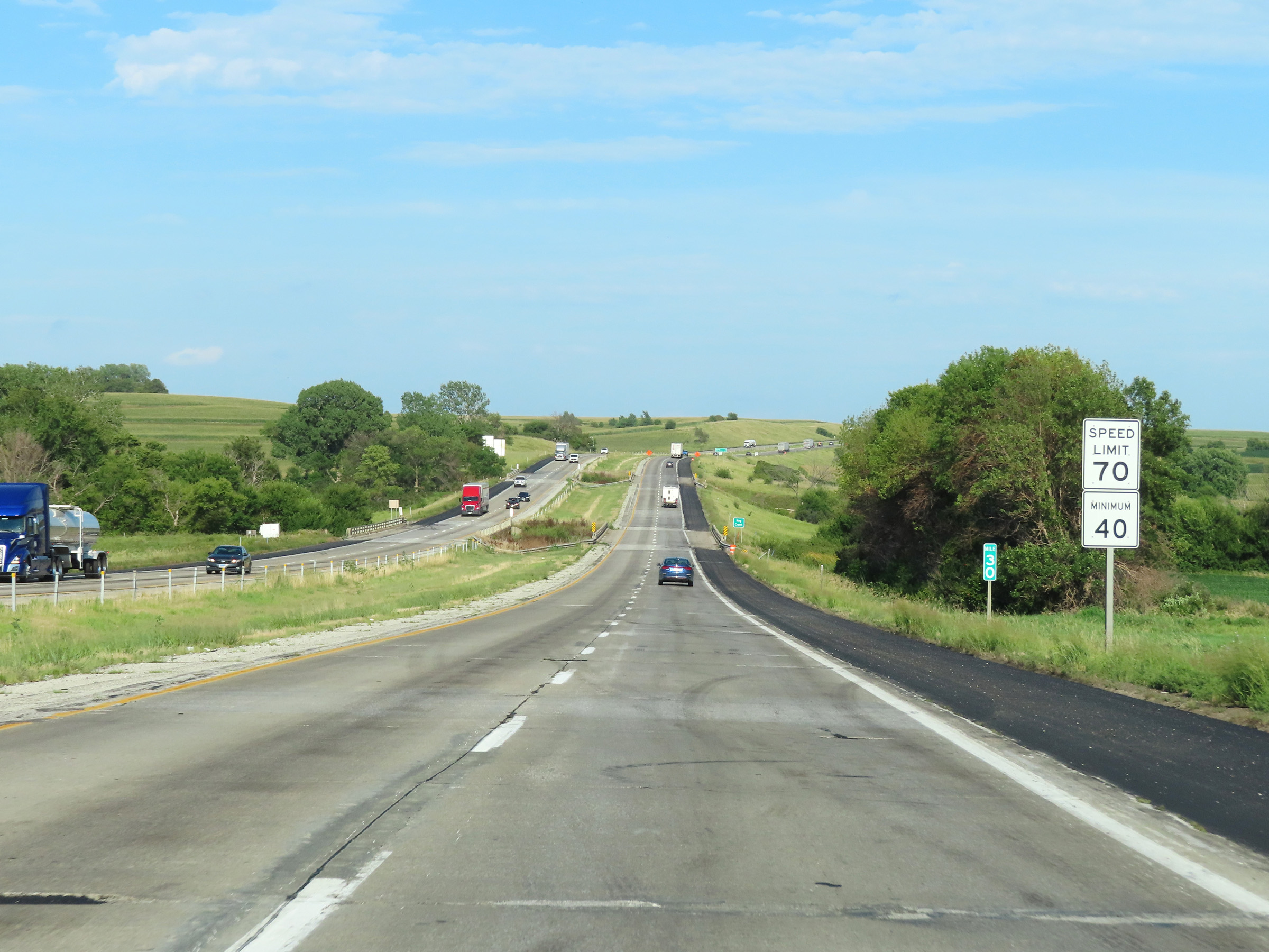 |
Speed limit signs at mile marker 30. The speed limits remain the rural standard 70 mph maximum and 40 mph minimum. (Photo taken 8/18/22). |
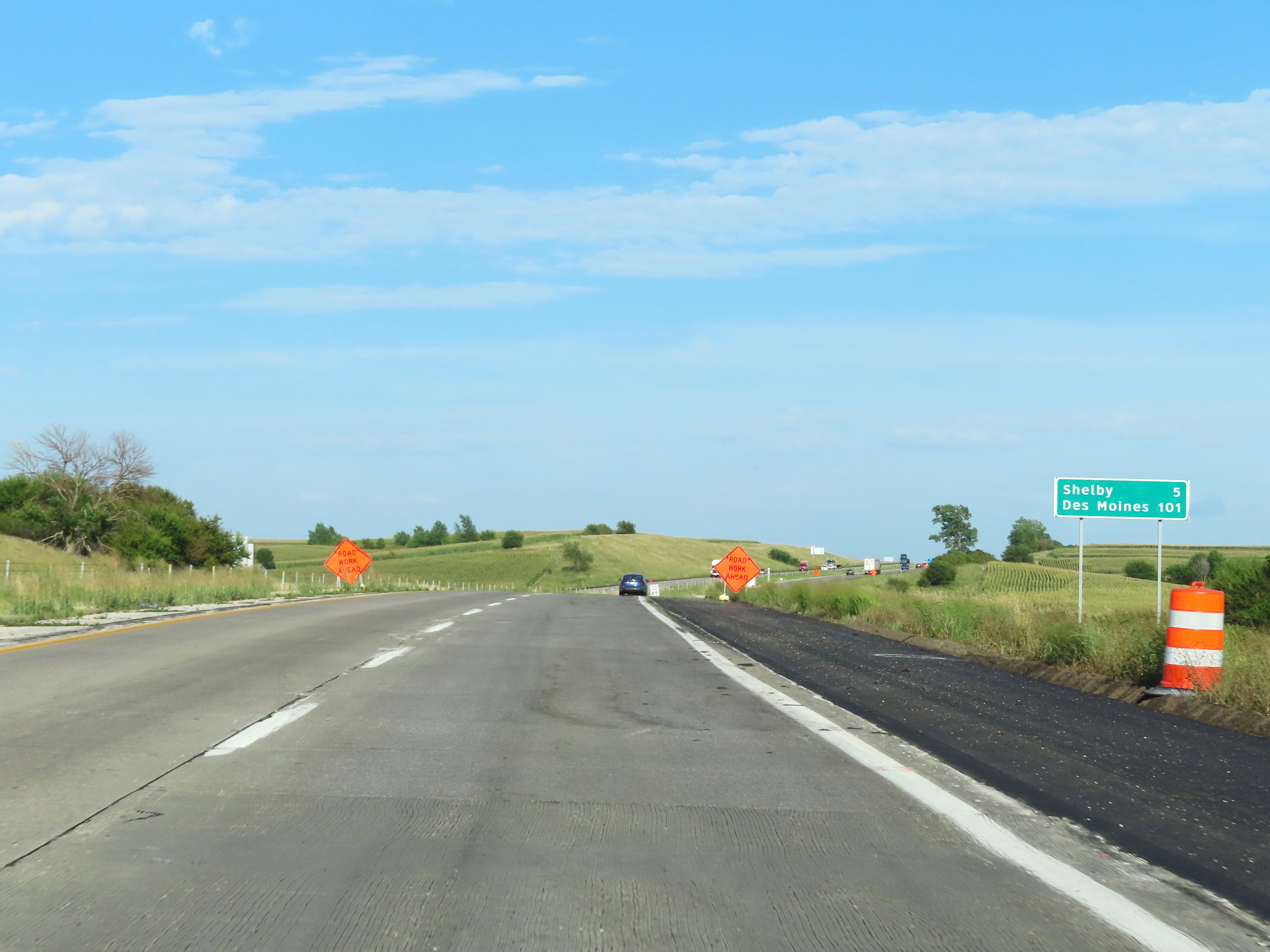 |
Another mileage sign on Interstate 80 East. It's 5 miles to Shelby and 101 miles to Des Moines. (Photo taken 8/18/22). |
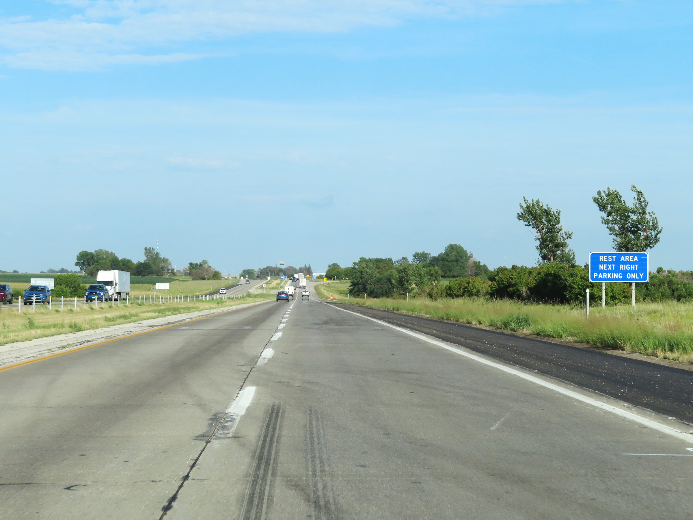 |
The Rest Area ahead is for parking only. There are no facilities available. (Photo taken 8/18/22). |
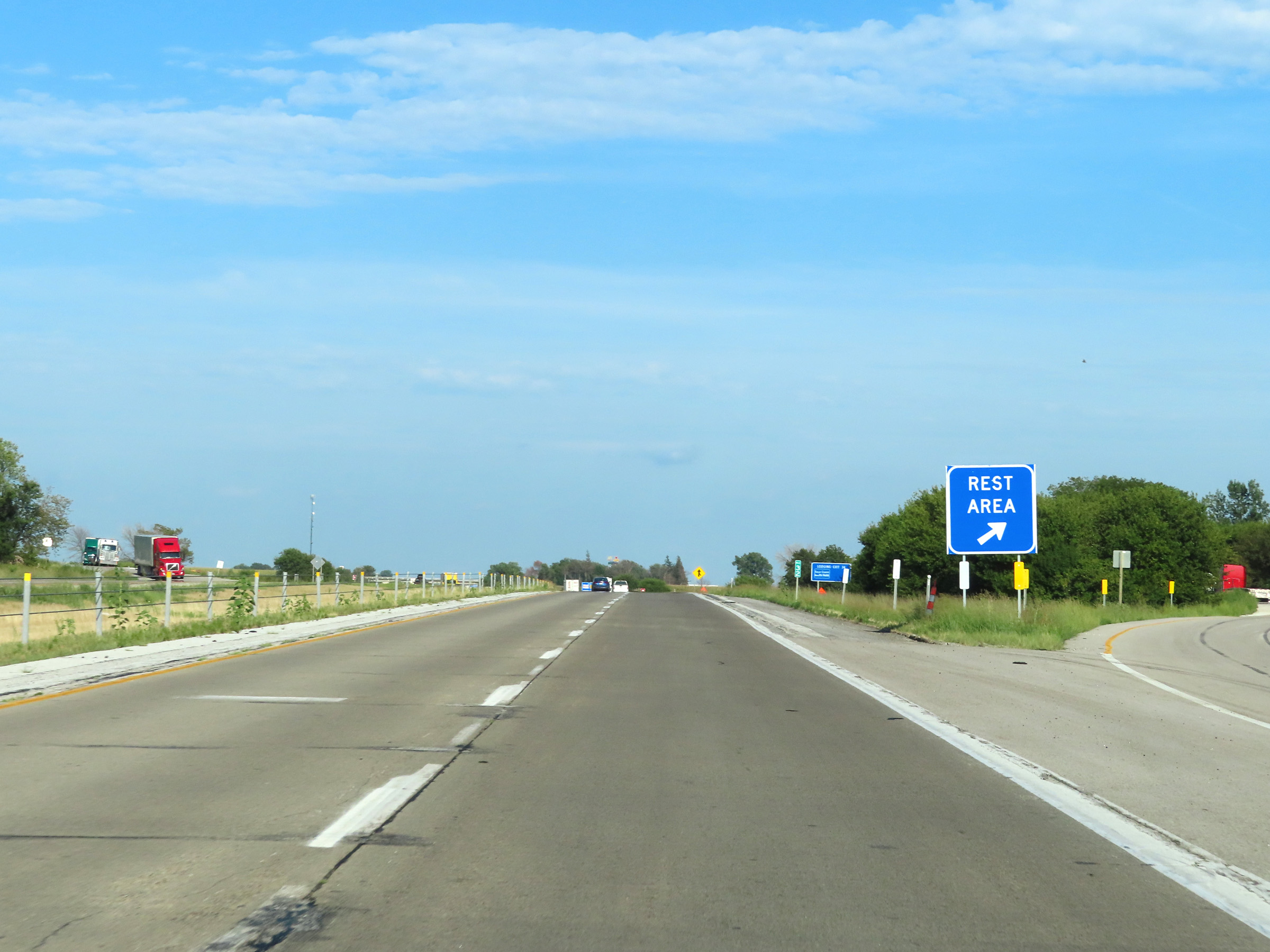 |
Rest Area on Interstate 80 East at mile marker 32 in Pottawattamie County. (Photo taken 8/18/22). |
 |
View on Interstate 80 East at mile marker 33. (Photo taken 8/18/22). |
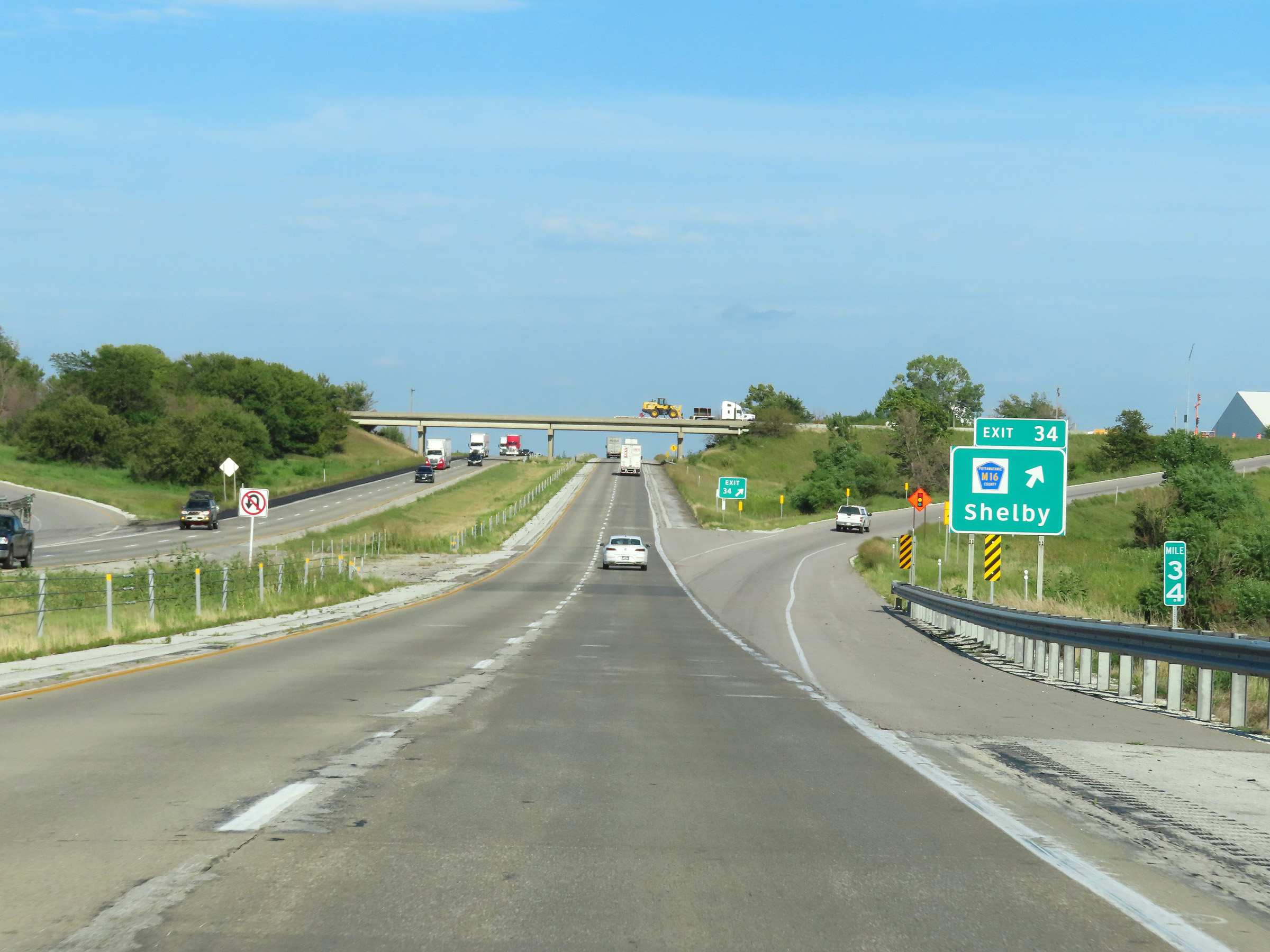 |
Interstate 80 East at Exit 34: CR M16 - Shelby (Photo taken 8/18/22). |
 |
Mile marker 36 on Interstate 80 East in Pottawattamie County. (Photo taken 8/18/22). |
 |
Interstate 80 East at mile marker 37. (Photo taken 8/18/22). |
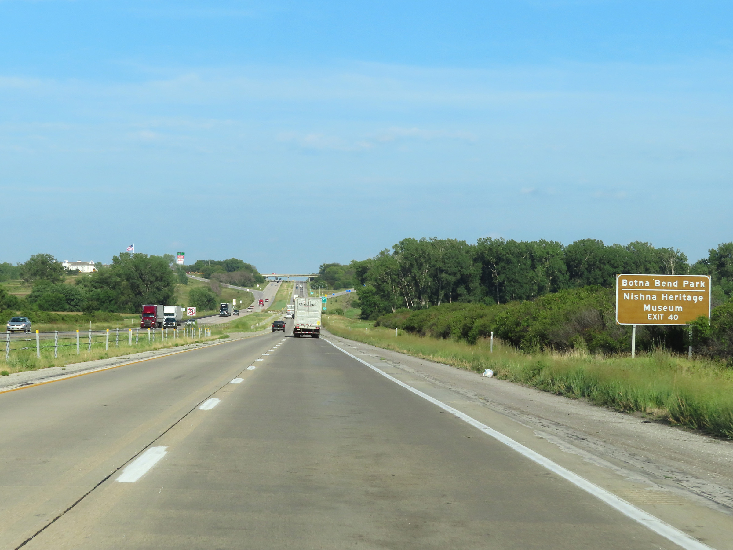 |
Take Exit 40 to Botna Bend Park and Nishna Heritage Museum. (Photo taken 8/18/22). |
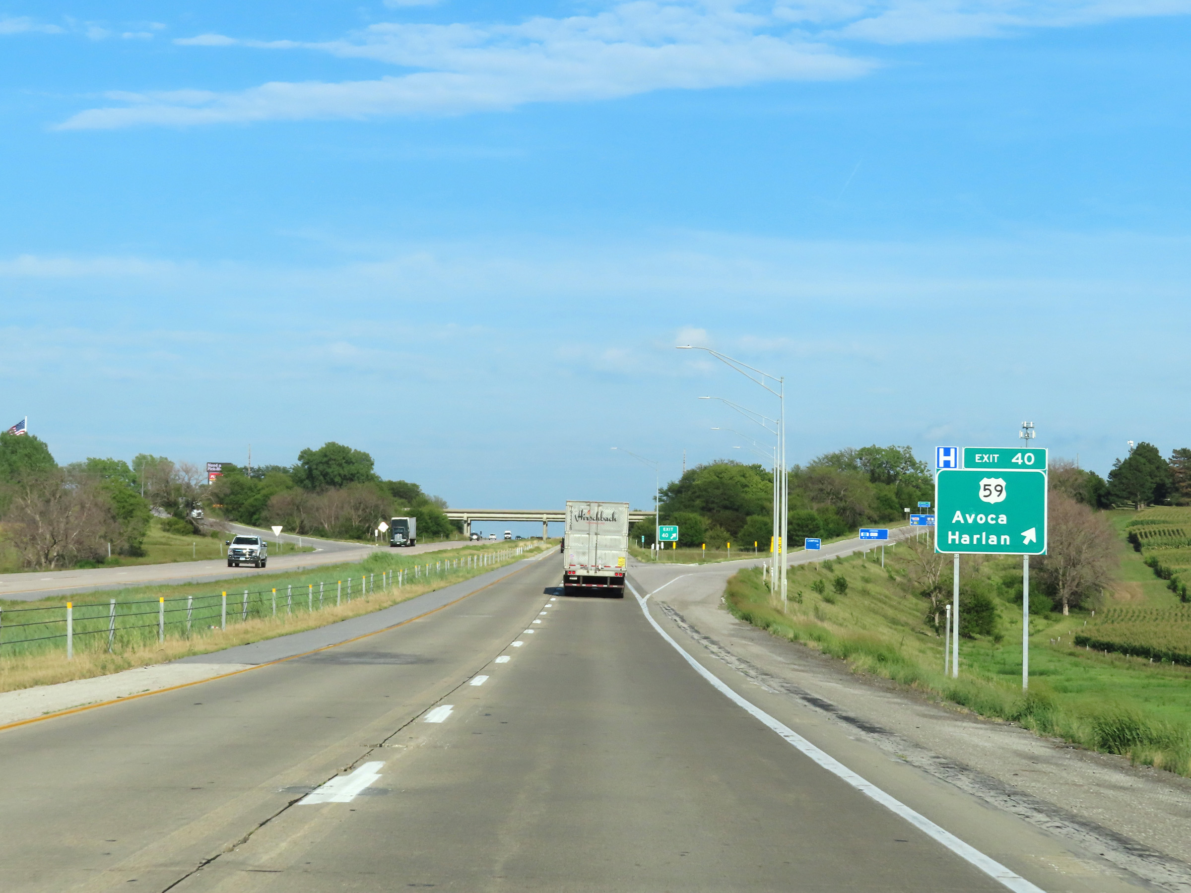 |
Interstate 80 East at Exit 40: US 59 - Avoca / Harlan (Photo taken 8/18/22). |
 |
VIew on Interstate 80 East at mile marker 41. (Photo taken 8/18/22). |
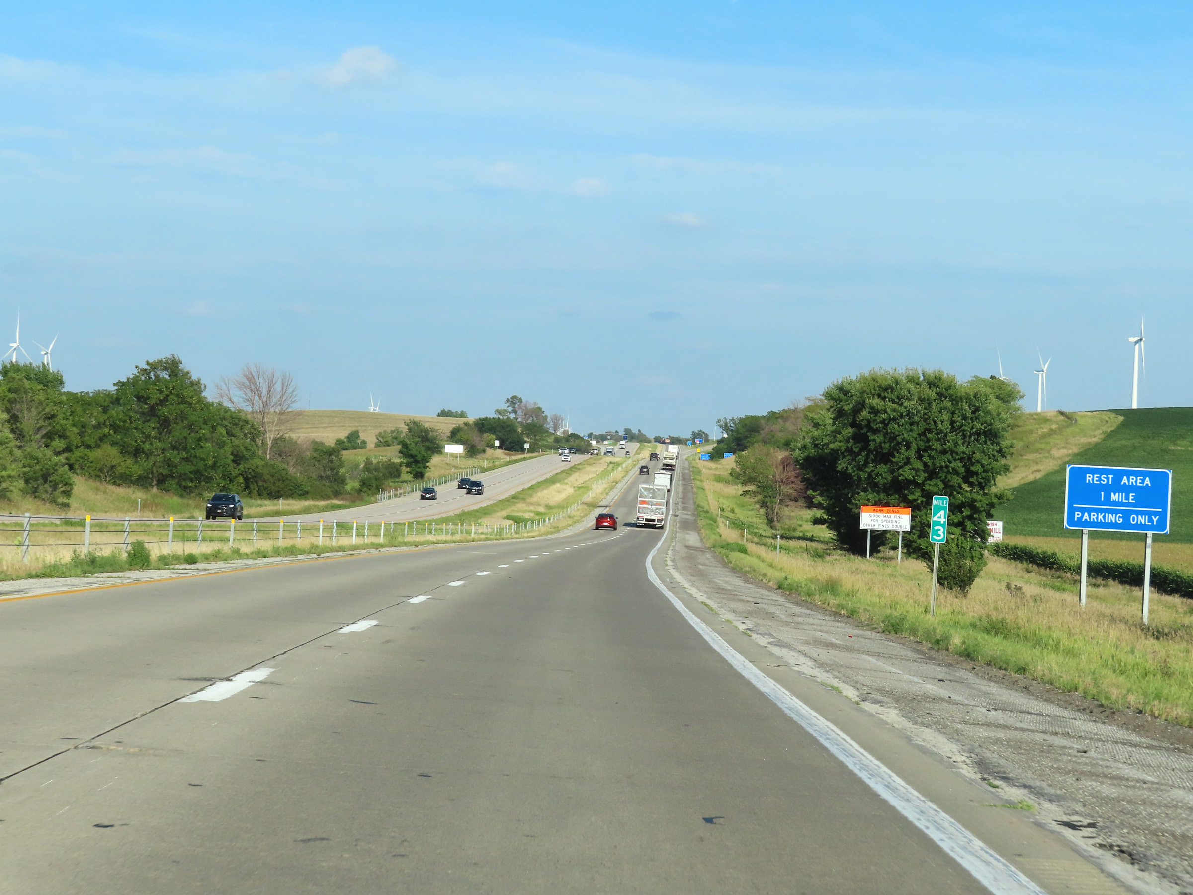 |
Mile marker 43 on Interstate 80 East in Pottawattamie County. The Rest Area ahead is another one which has no facilities and is for parking only. (Photo taken 8/18/22). |
 |
Rest Area on Interstate 80 East at mile marker 42 in Pottawattamie County. (Photo taken 8/18/22). |
 |
Take Exit 46 to Prairie Rose State Park. (Photo taken 8/18/22). |
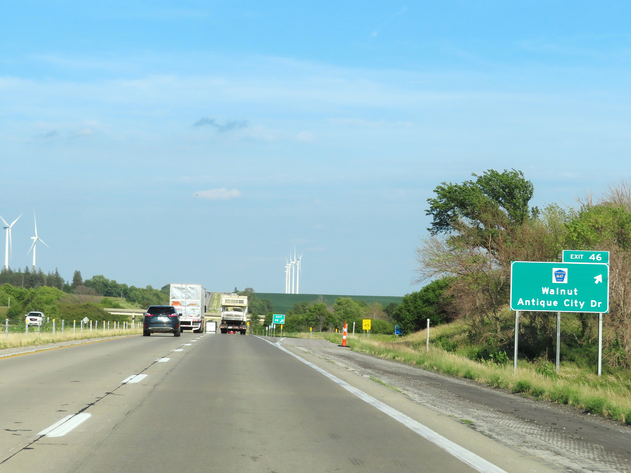 |
Interstate 80 East at Exit 46: CR M47 - Walnut / Antique City Dr (Photo taken 8/18/22). |
Section 2: Walnut (Exit 46) to West Des Moines (Exit 121)
 |
View on Interstate 80 East at mile marker 48. (Photo taken 8/18/22). |
 |
Mile marker 49 on Interstate 80 East in Pottawattamie County. (Photo taken 8/18/22). |
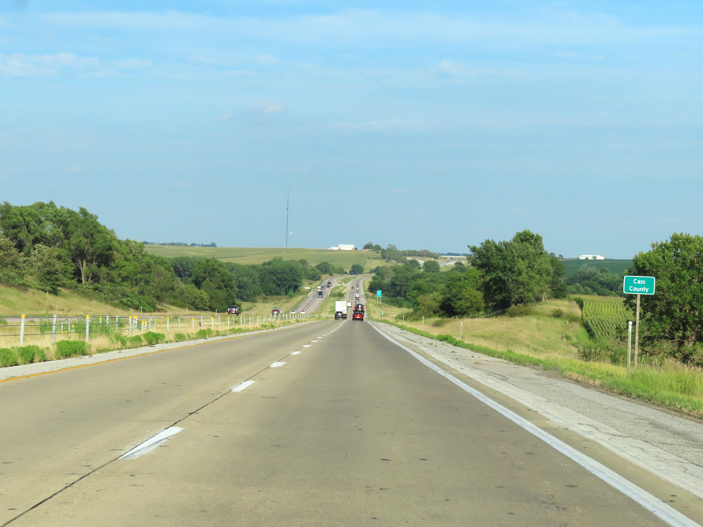 |
Interstate 80 East as it enters Cass County. (Photo taken 8/18/22). |
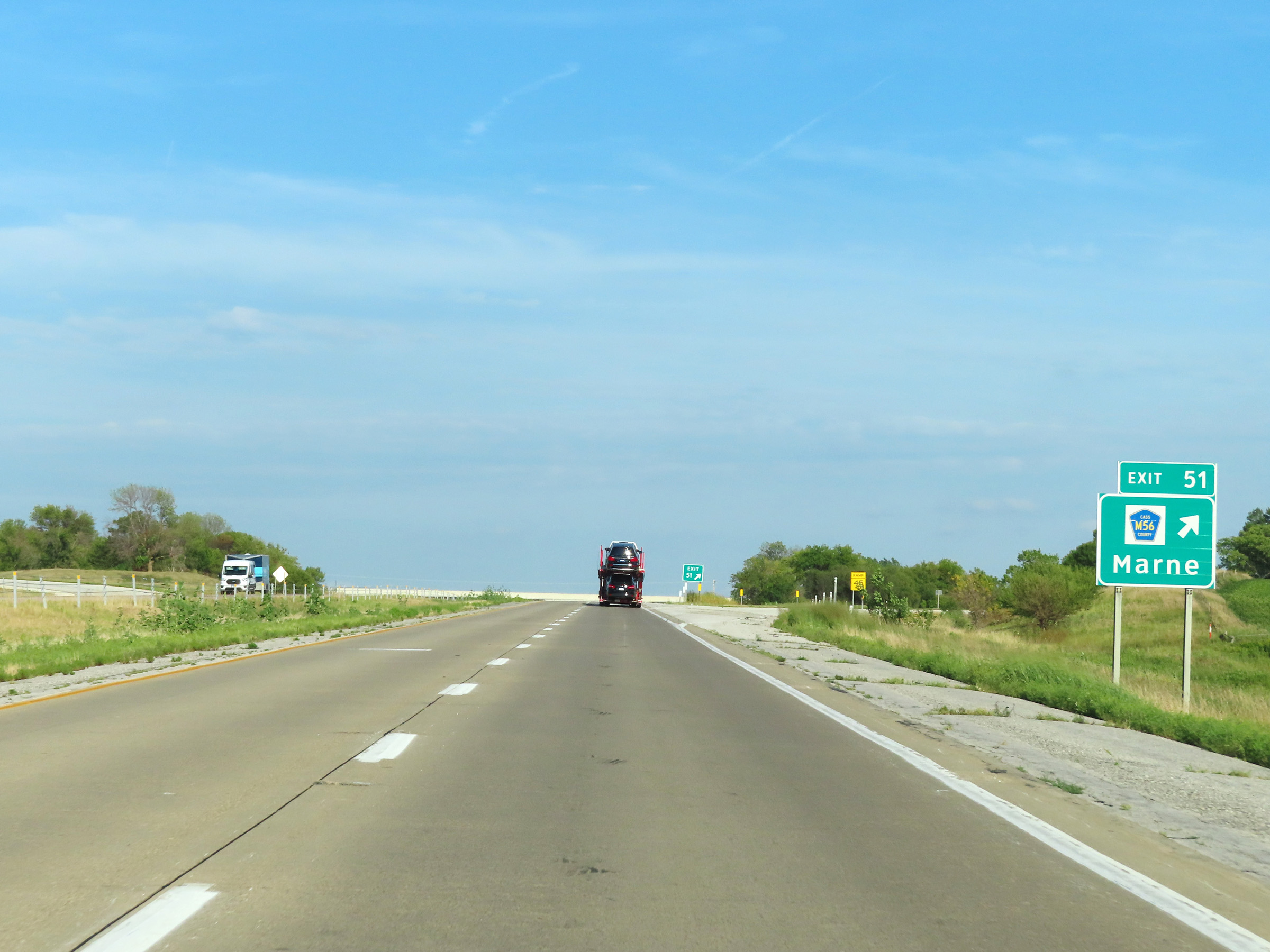 |
Interstate 80 East at Exit 51: CR M56 - Marne (Photo taken 8/18/22). |
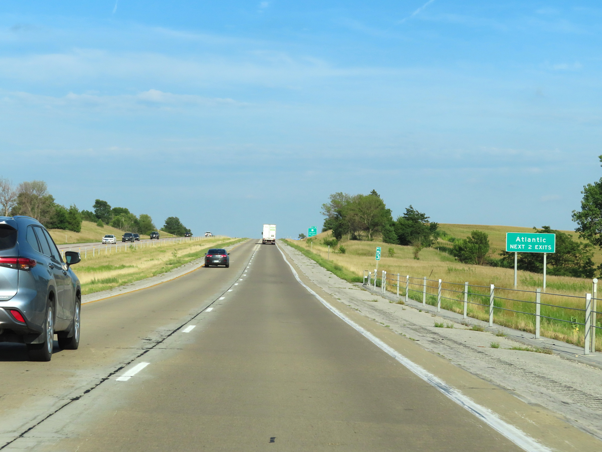 |
Take either of the next 2 exits to Atlantic. (Photo taken 8/18/22). |
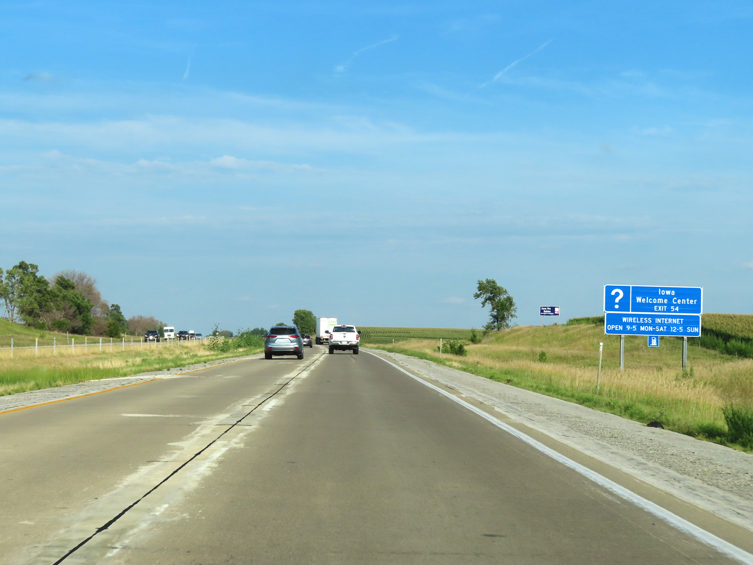 |
An Iowa Welcome Center exists off Exit 54 ahead. (Photo taken 8/18/22). |
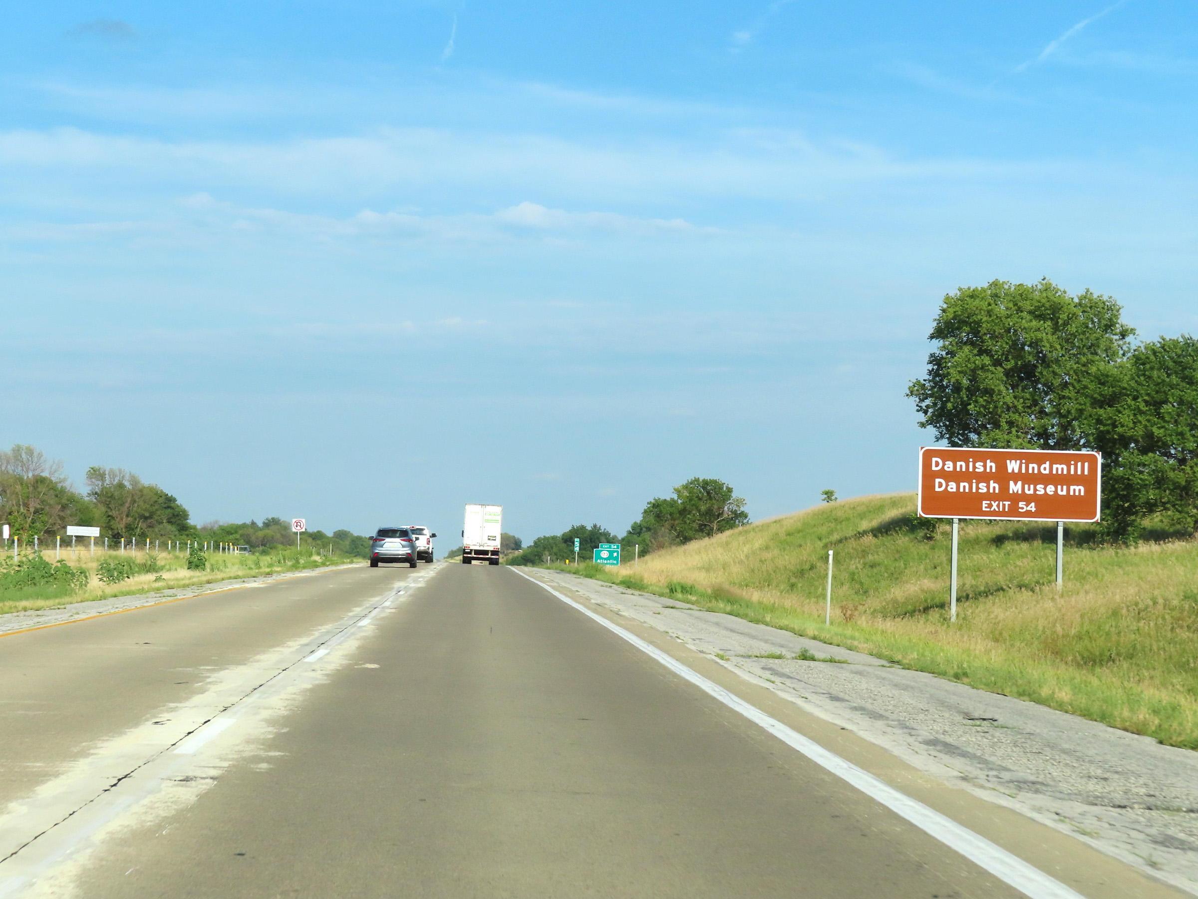 |
Take Exit 54 to the Danish Windmill and Danish Museum. (Photo taken 8/18/22). |
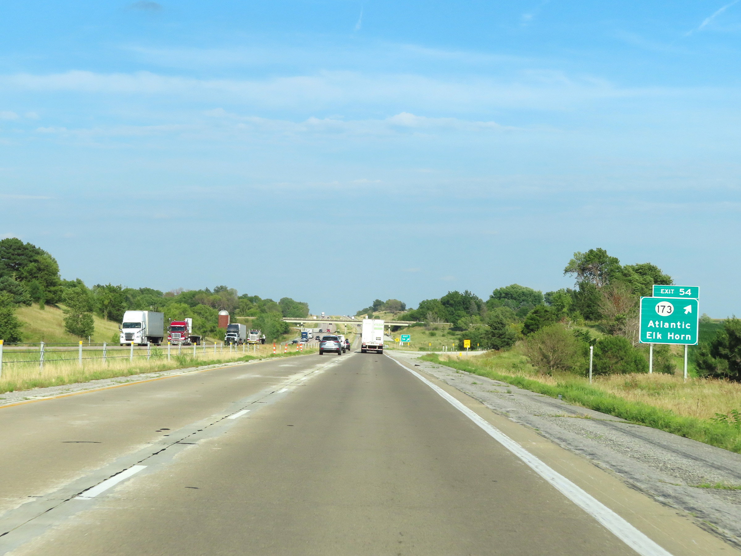 |
Interstate 80 East at Exit 54: IA 173 - Atlantic / Elk Horn (Photo taken 8/18/22). |
 |
State-named Interstate 80 East reassurance shield. (Photo taken 8/18/22). |
 |
The speed limits on Interstate 80 East remain 70 mph maximum and 40 mph minimum. (Photo taken 8/18/22). |
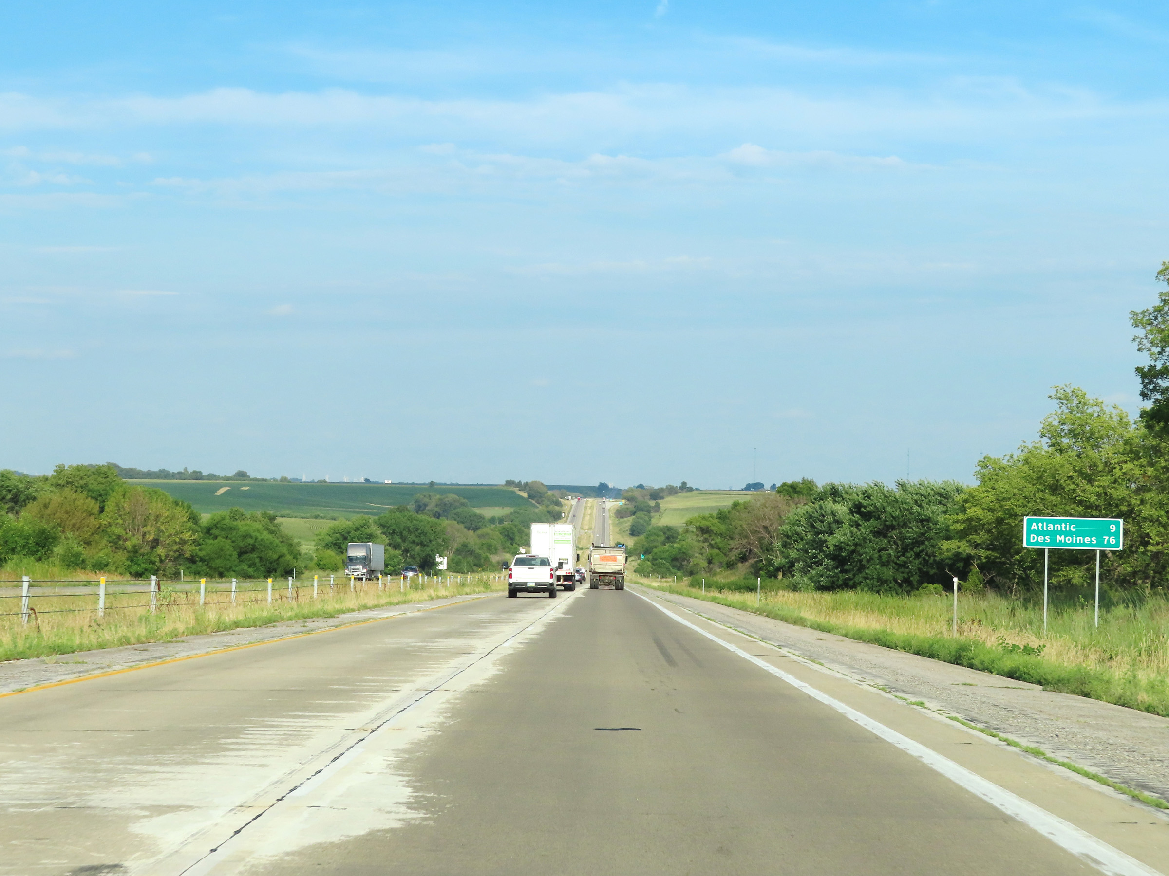 |
Mileage sign on Interstate 80 East. It's 9 miles to Atlantic and 76 miles to Des Moines. (Photo taken 8/18/22). |
 |
View on Interstate 80 East at mile marker 56. (Photo taken 8/18/22). |
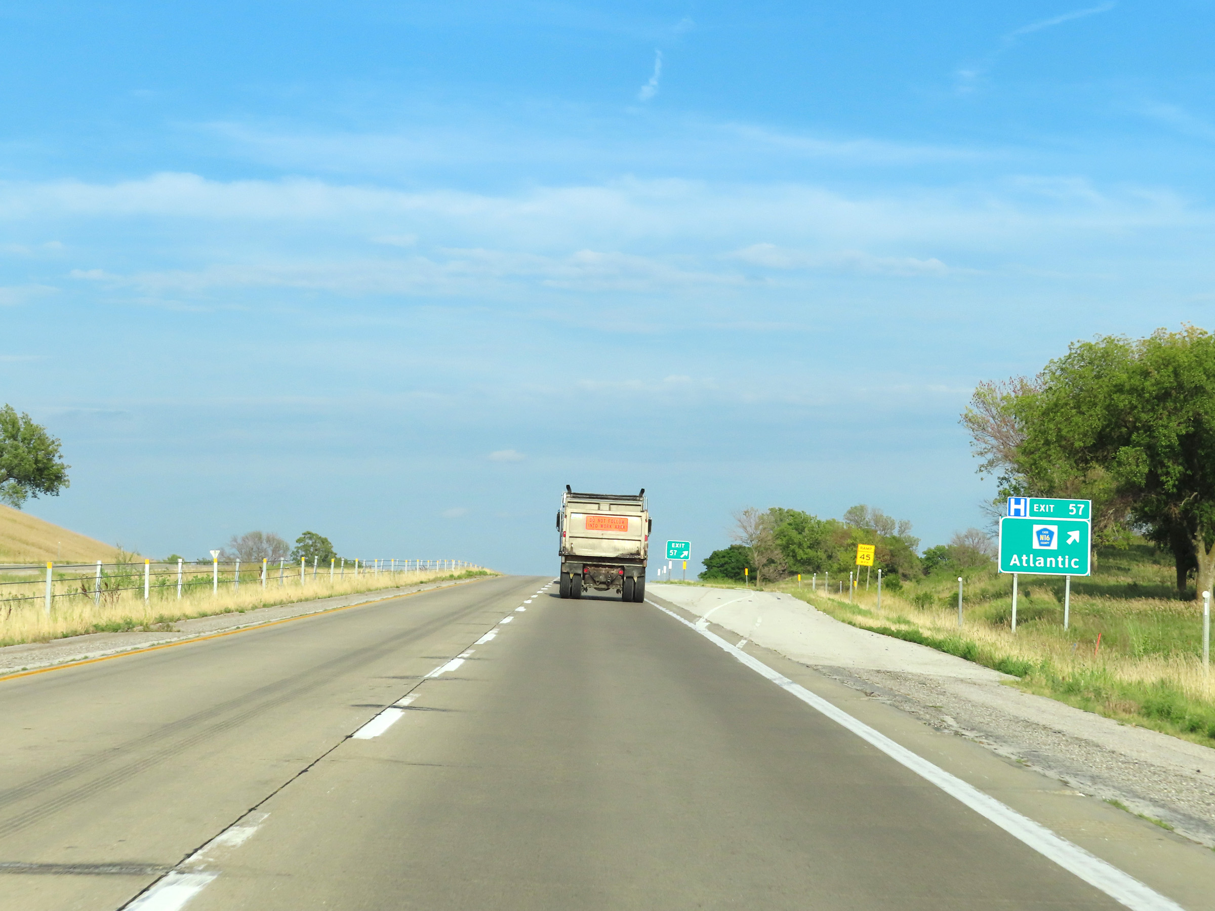 |
Interstate 80 East at Exit 57: CR N16 - Atlantic (Photo taken 8/18/22). |
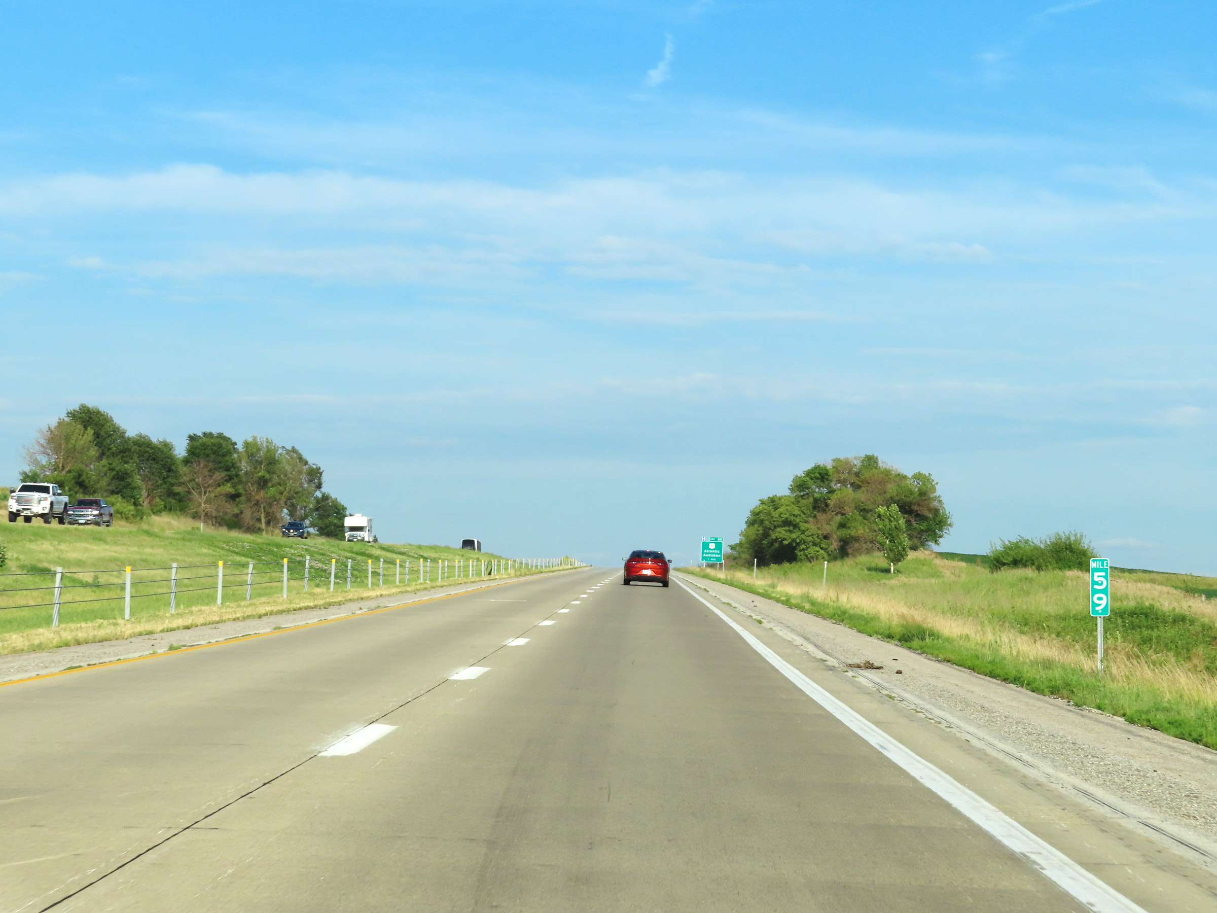 |
Interstate 80 East at mile marker 59. (Photo taken 8/18/22). |
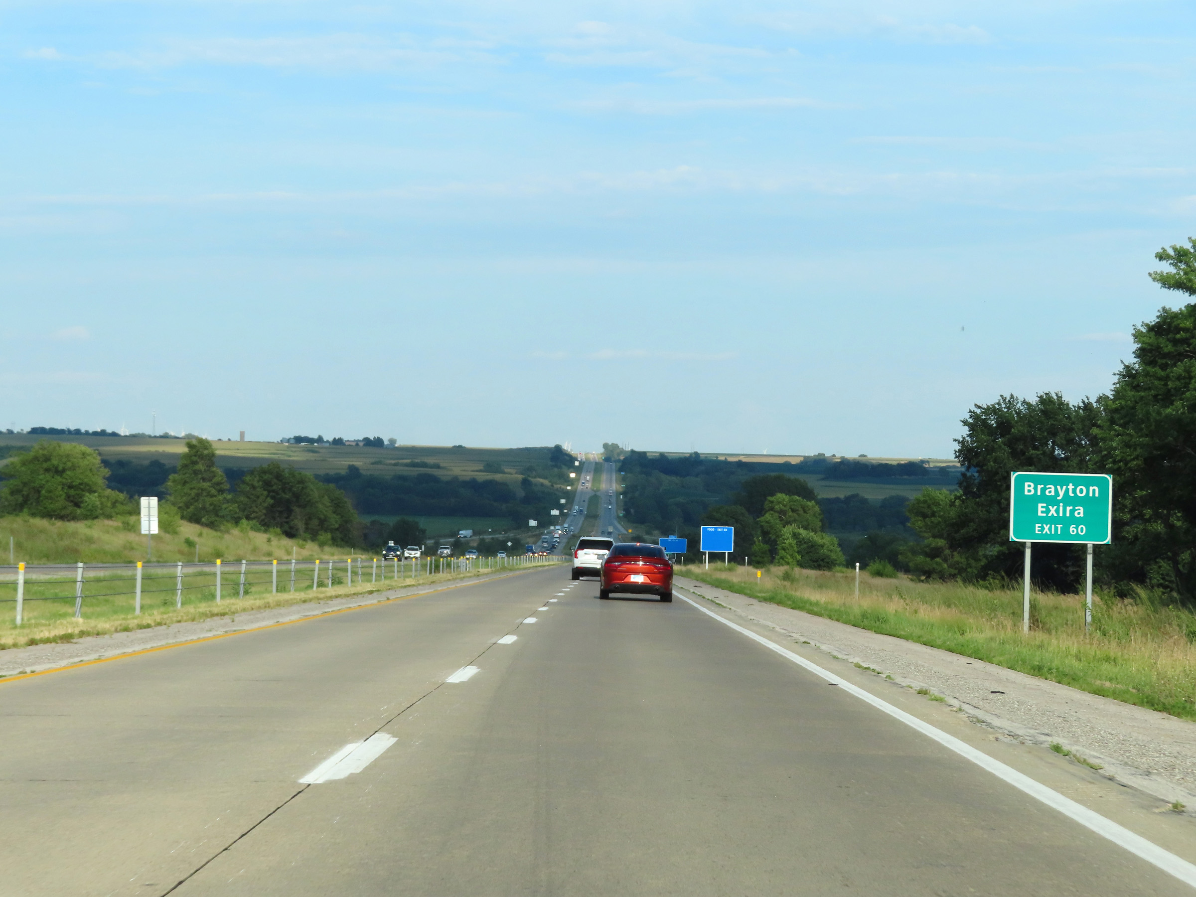 |
Take Exit 60 to Brayton and Exira. (Photo taken 8/18/22). |
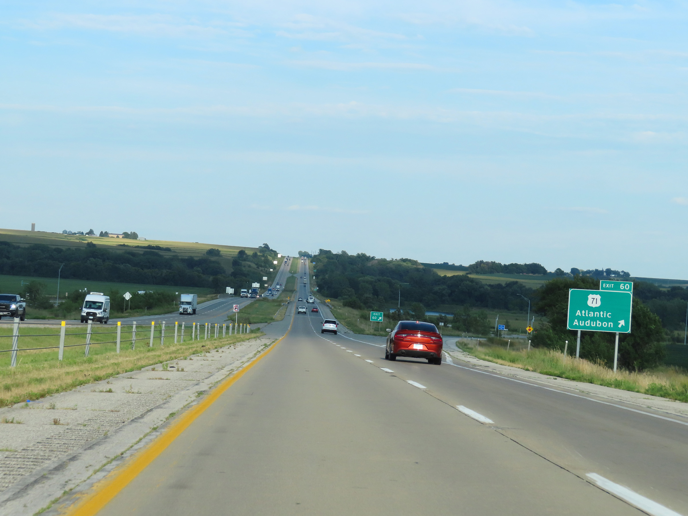 |
Interstate 80 East at Exit 60: US 71 - Atlantic / Audubon (Photo taken 8/18/22). |
 |
View on Interstate 80 East at mile marker 61. (Photo taken 8/18/22). |
 |
Mile marker 63 on Interstate 80 East in Cass County. (Photo taken 8/18/22). |
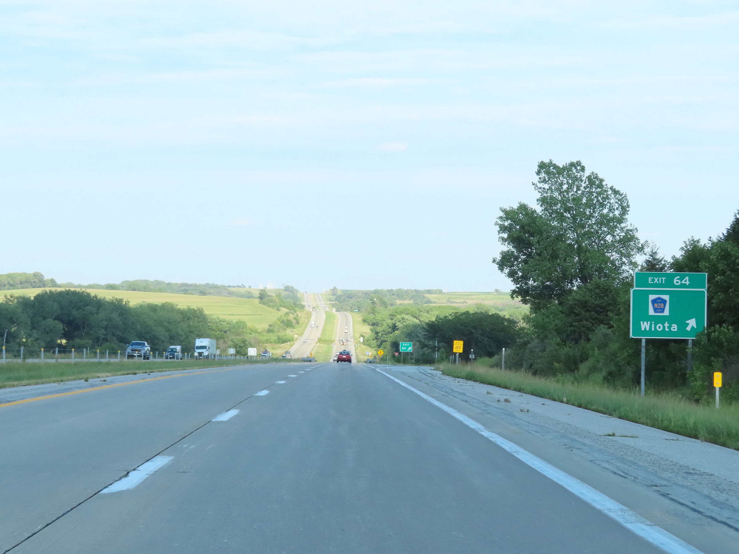 |
Interstate 80 East at Exit 64: CR N28 - Wiota (Photo taken 8/18/22). |
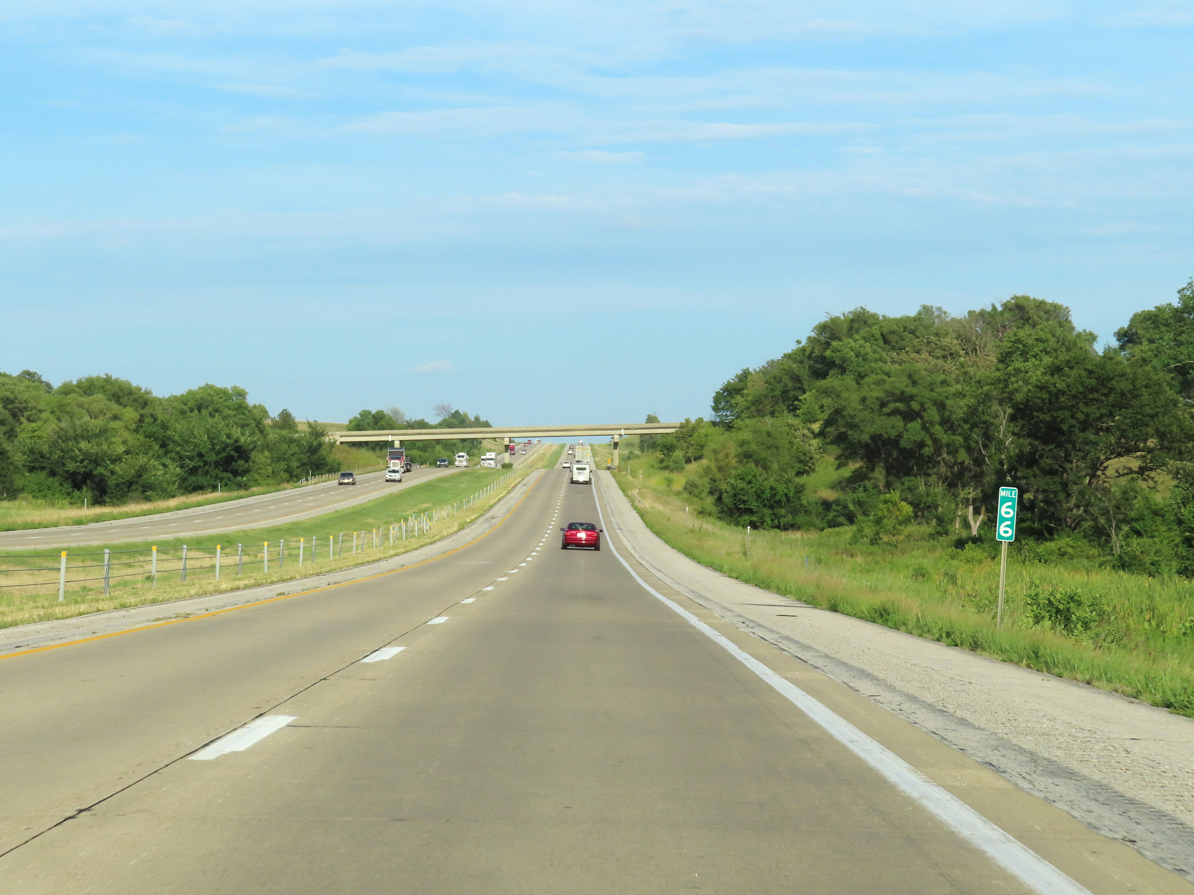 |
View on Interstate 80 East at mile marker 66. (Photo taken 8/18/22). |
 |
Take Exit 70 to Lake Anita State Park and Massena. (Photo taken 8/18/22). |
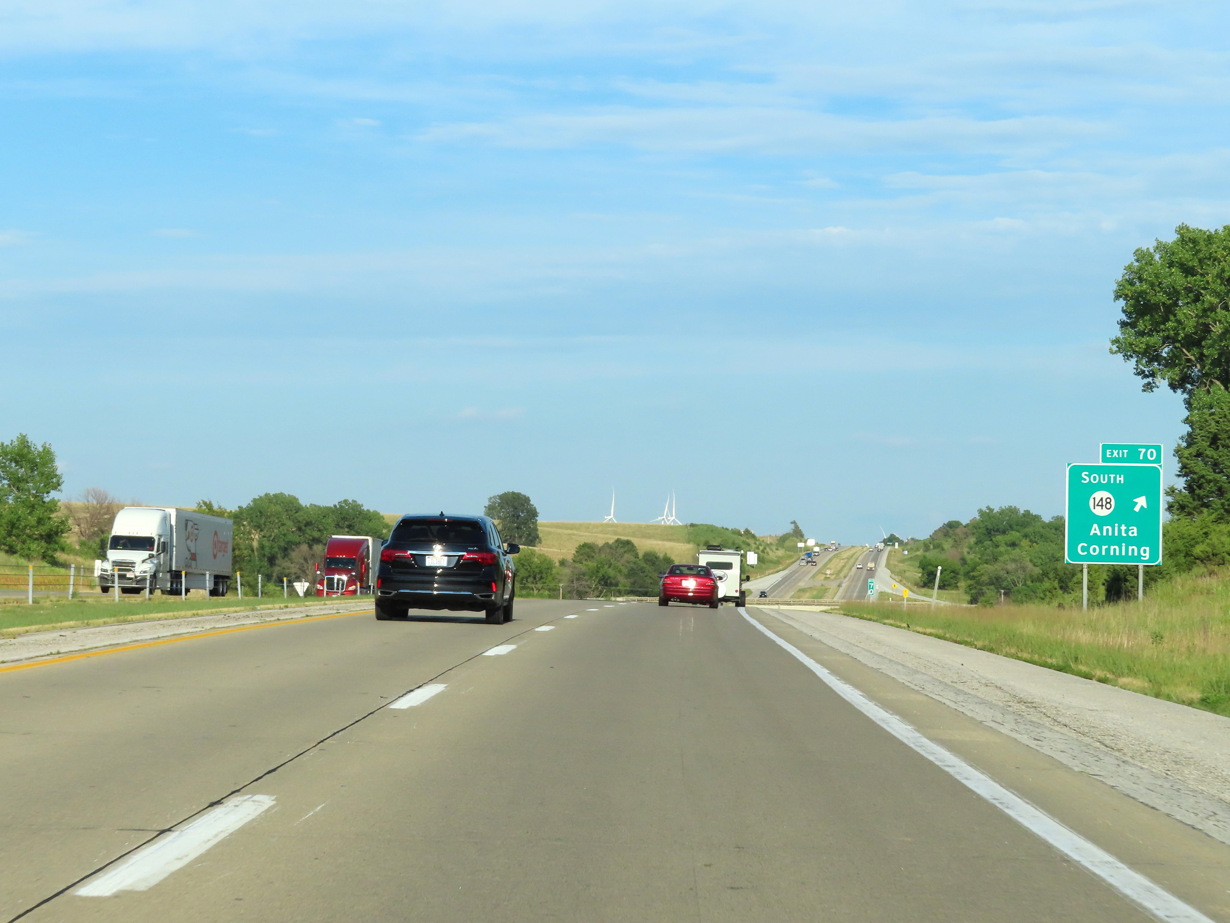 |
Interstate 80 East at Exit 70: IA 148 South - Anita / Corning (Photo taken 8/18/22). |
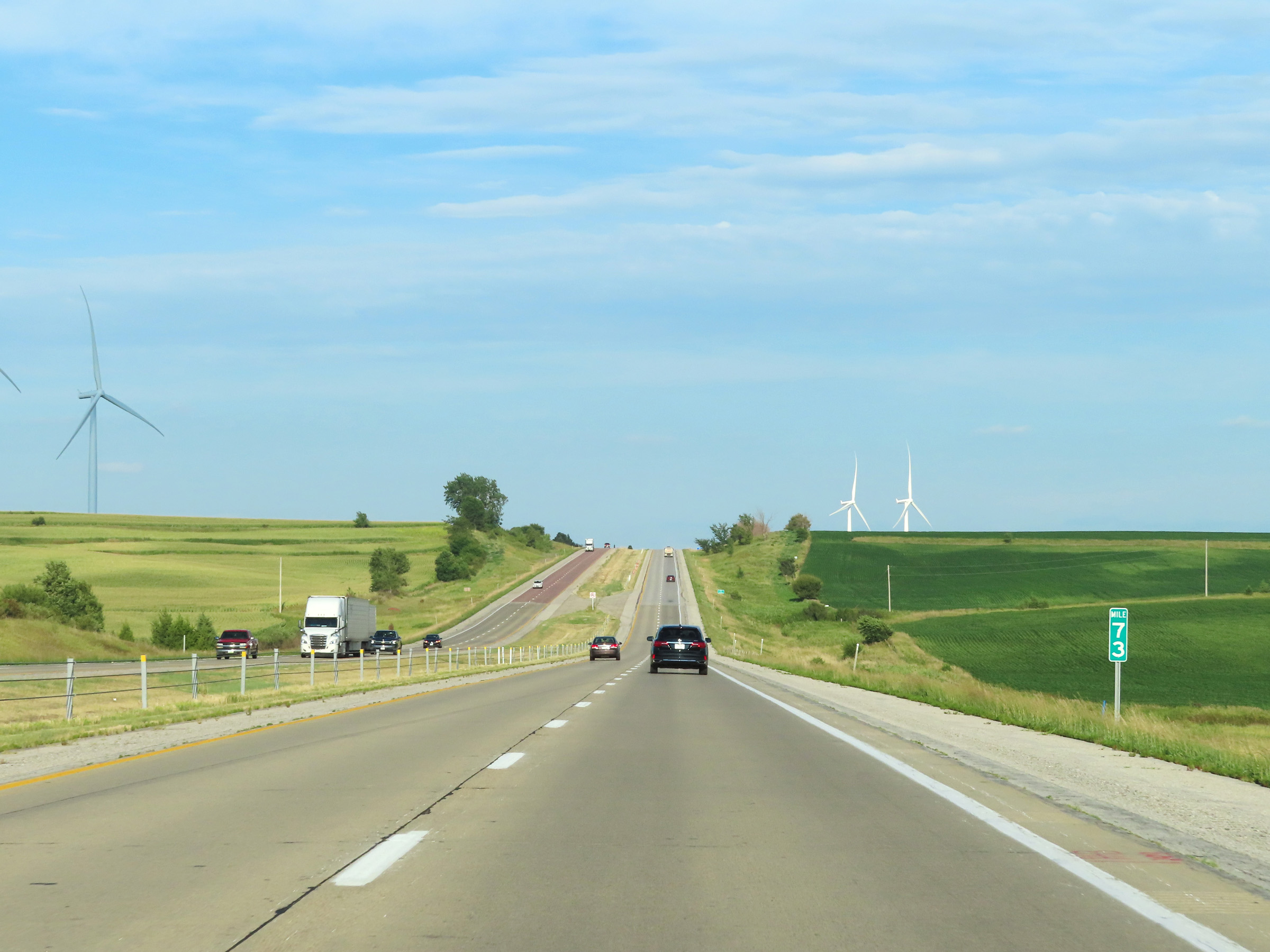 |
View on Interstate 80 East at mile marker 73. (Photo taken 8/18/22). |
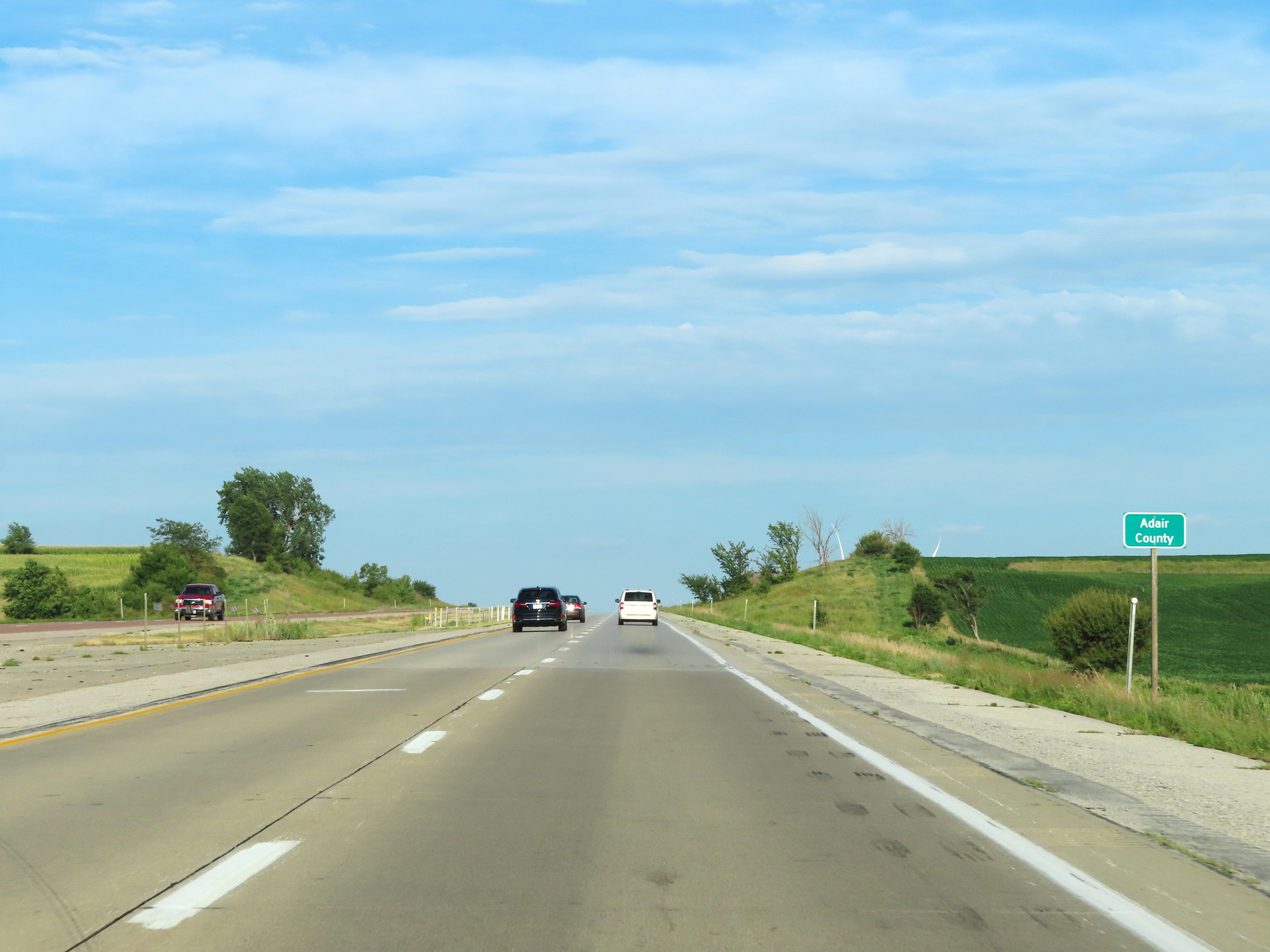 |
Interstate 80 East as it enters Adair County. (Photo taken 8/18/22). |
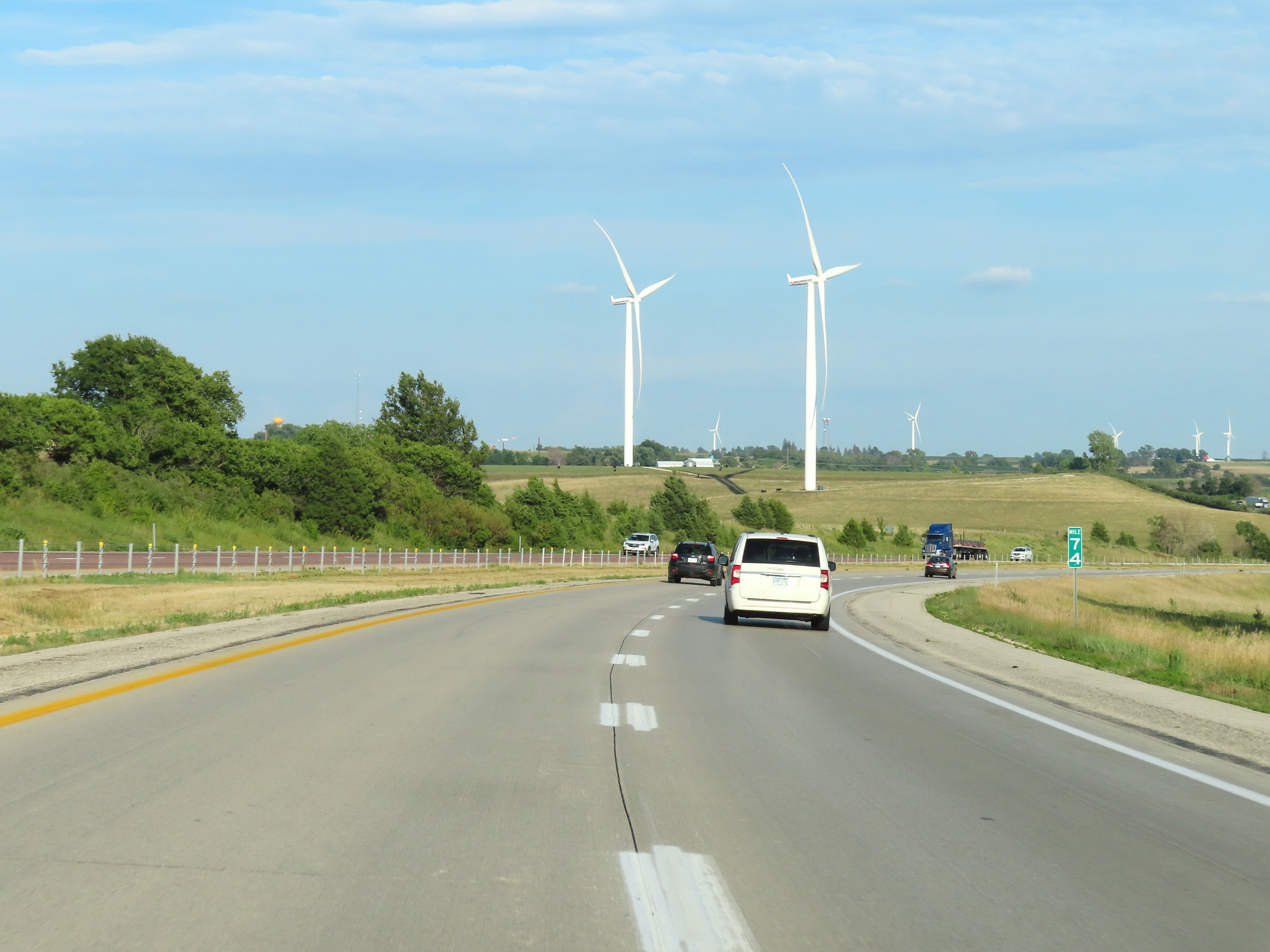 |
Interstate 80 East at mile marker 74. (Photo taken 8/18/22). |
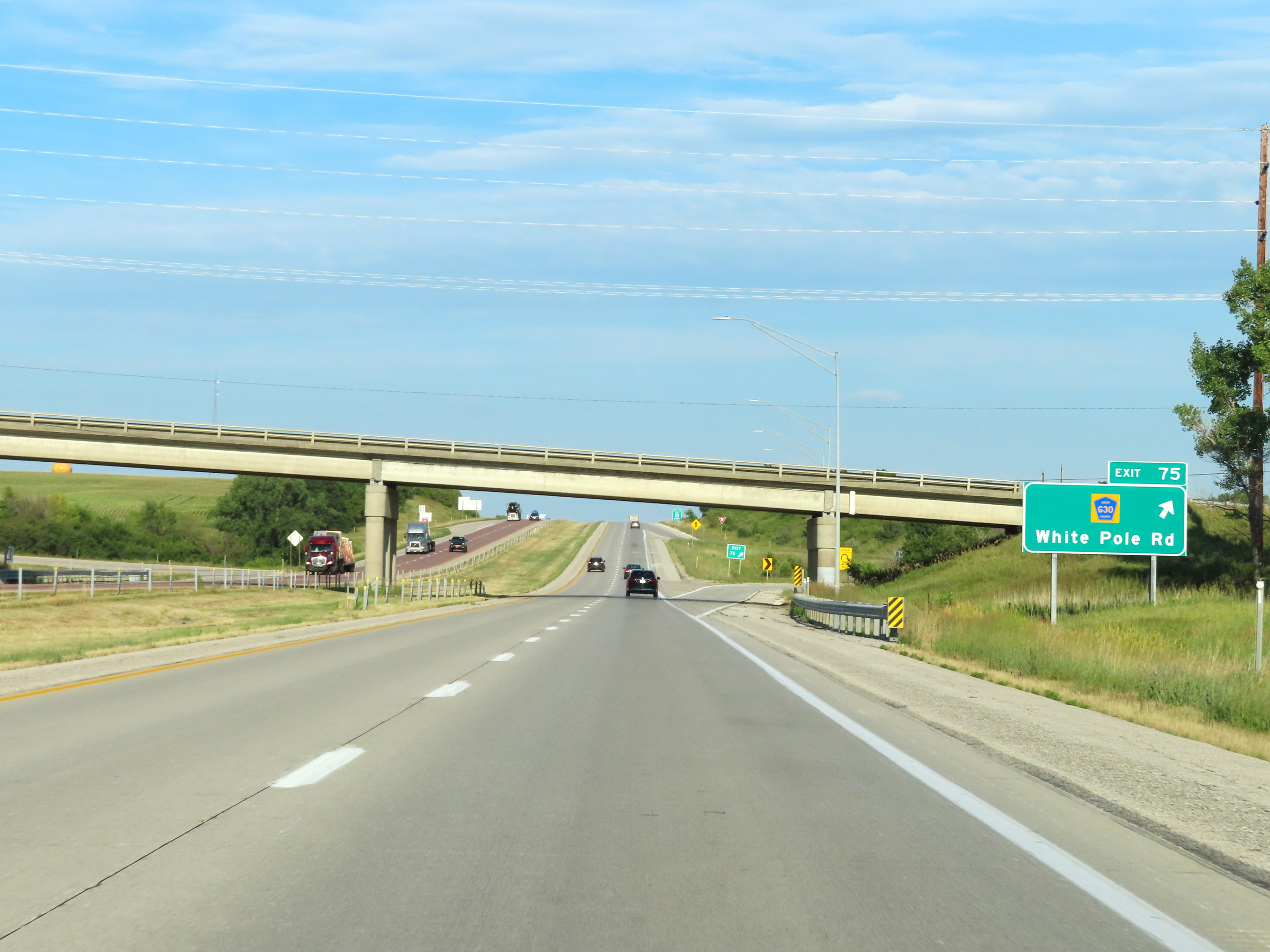 |
Interstate 80 East at Exit 75: CR G30 - White Pole Rd (Photo taken 8/18/22). |
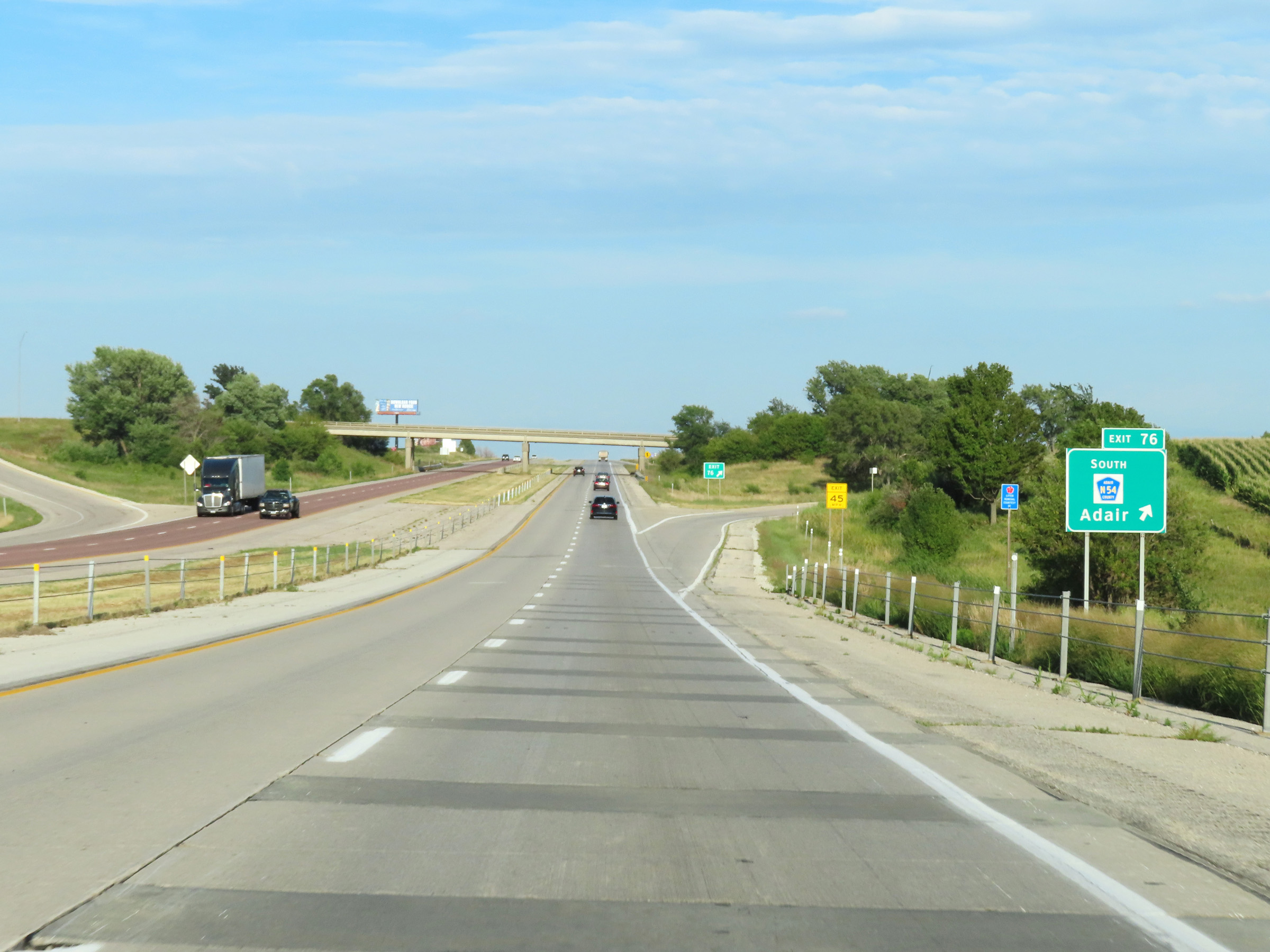 |
Interstate 80 East at Exit 76: CR N54 South - Adair (Photo taken 8/18/22). |
 |
Mile marker 78 on Interstate 80 East in Adair County. (Photo taken 8/18/22). |
 |
Rest Area on Interstate 80 East in Adair County. (Photo taken 8/18/22). |
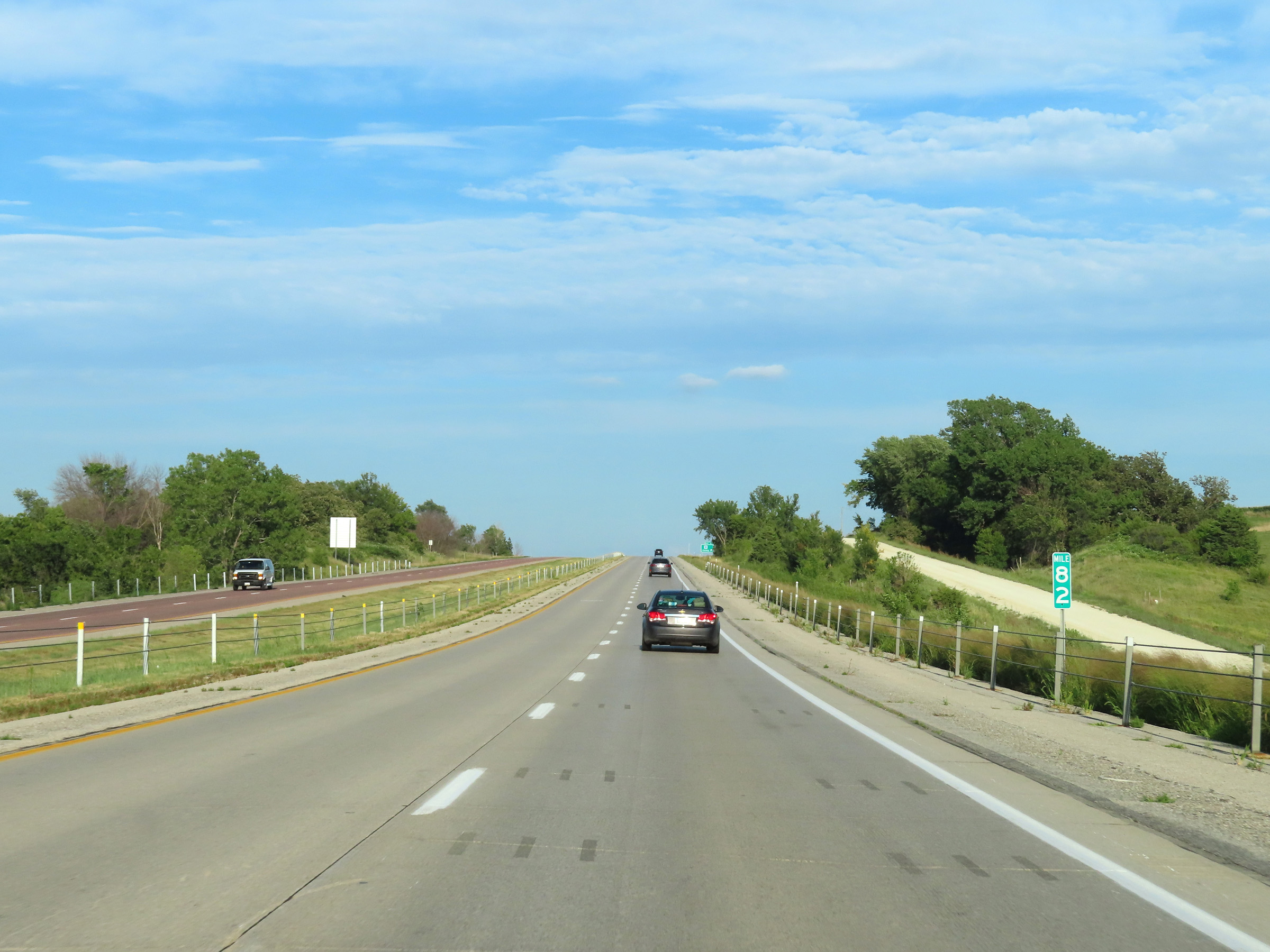 |
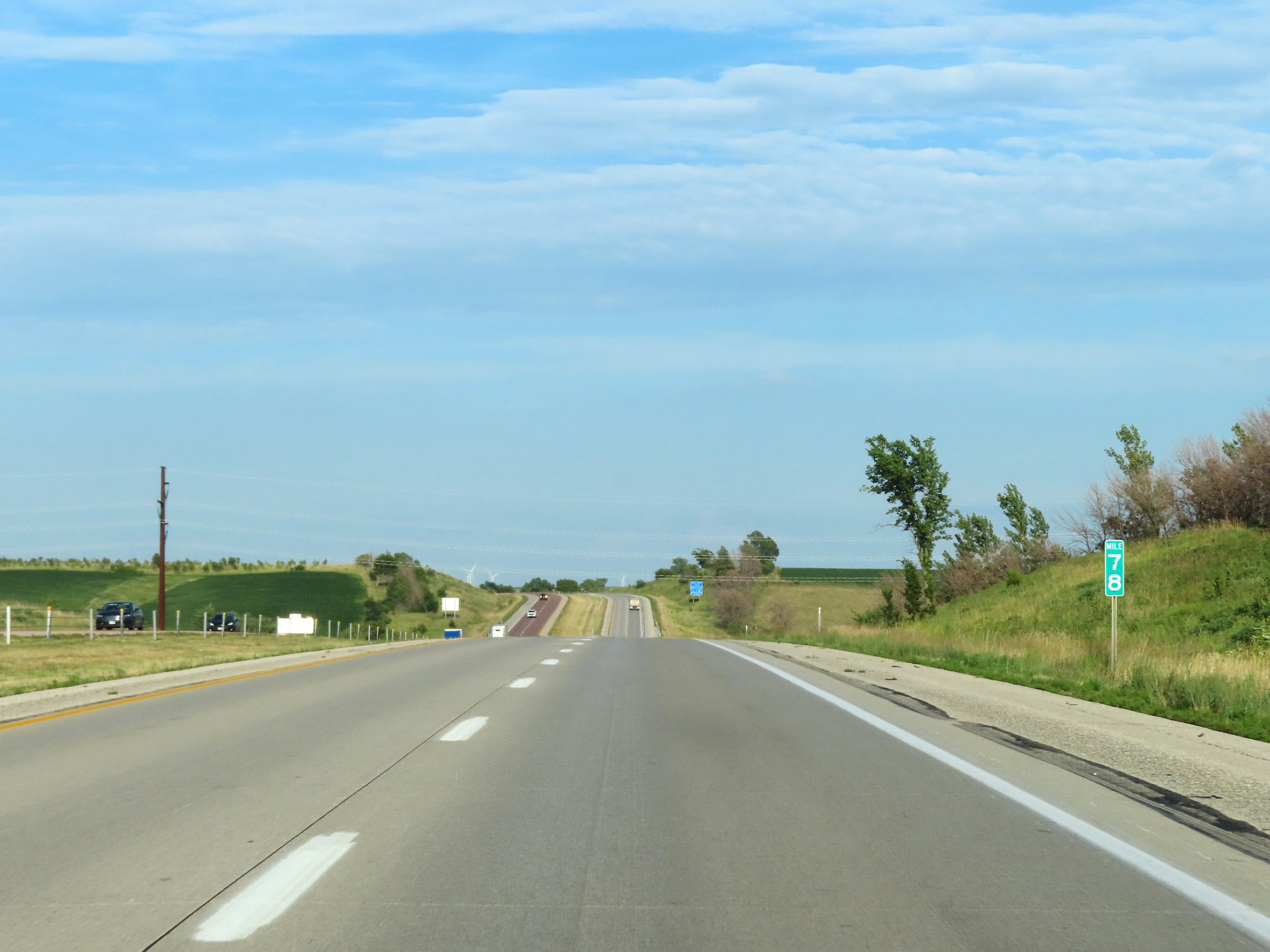
View on Interstate 80 East at mile marker 82. (Photo taken 8/18/22). |
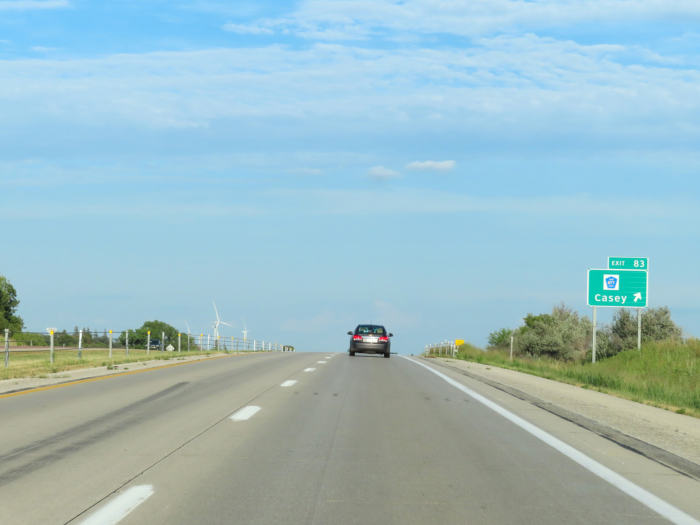 |
Interstate 80 East at Exit 83: CR N77 - Casey (Photo taken 8/18/22). |
 |
Another state-named Interstate 80 East reassurance shield along with speed limit reassurance signage. The speed limits remain 70 mph maximum and 40 mph minimum. (Photo taken 8/18/22). |
 |
Mileage sign on Interstate 80 East. It's 16 miles to Greenfield and 48 miles to Des Moines. (Photo taken 8/18/22). |
 |
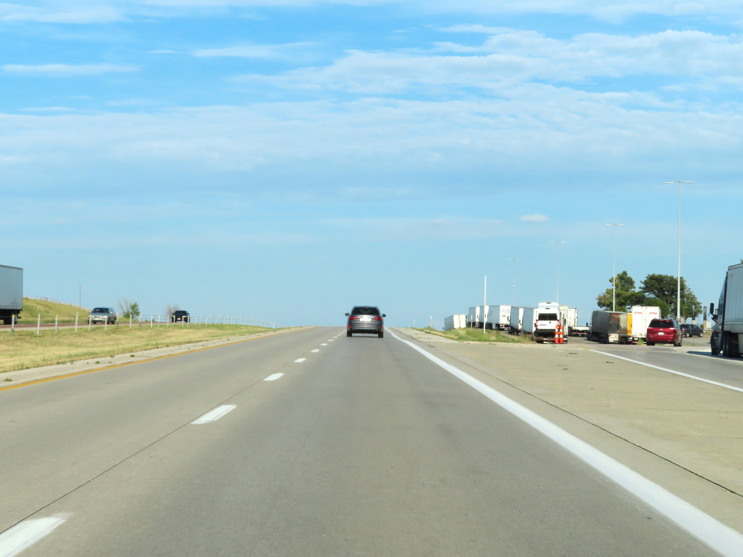
View on Interstate 80 East at mile marker 85. (Photo taken 8/18/22). |
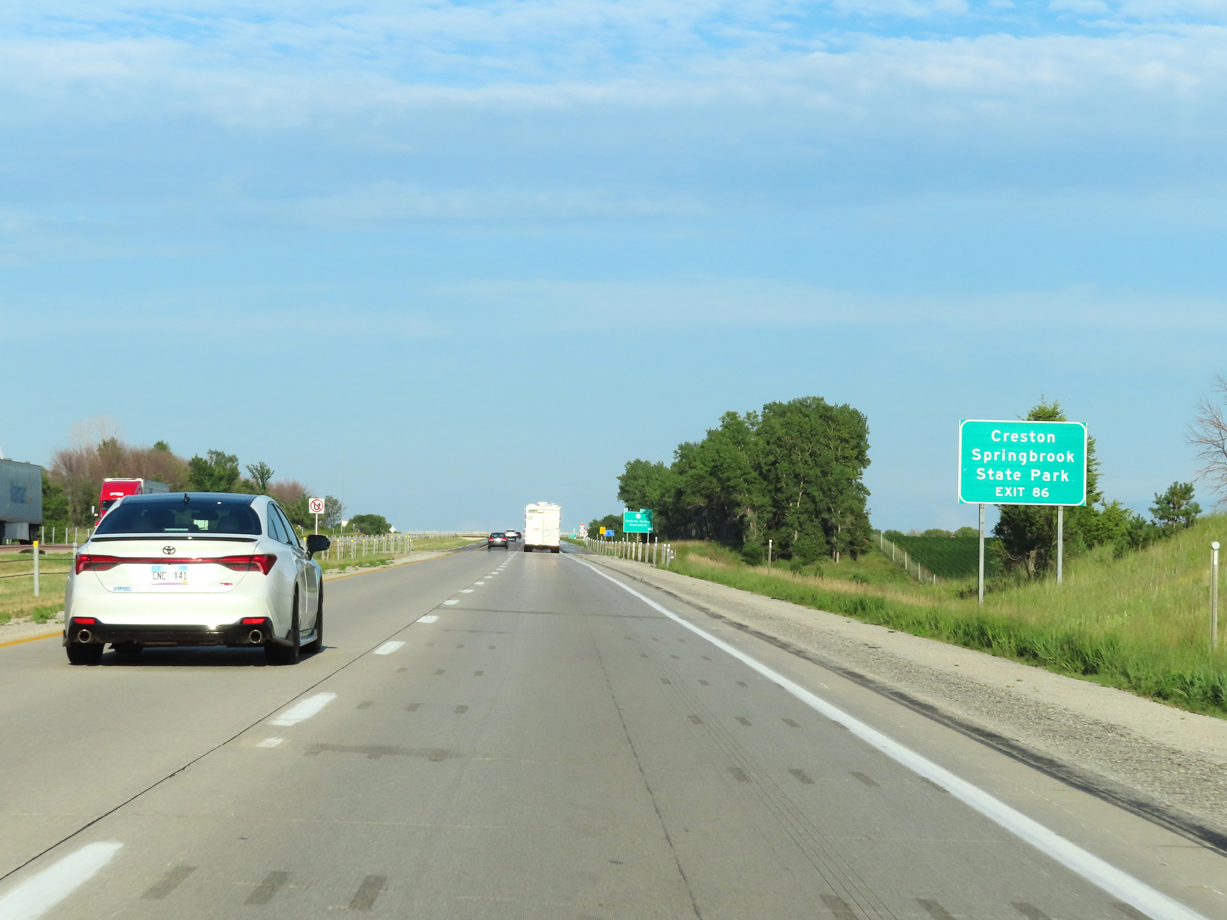 |
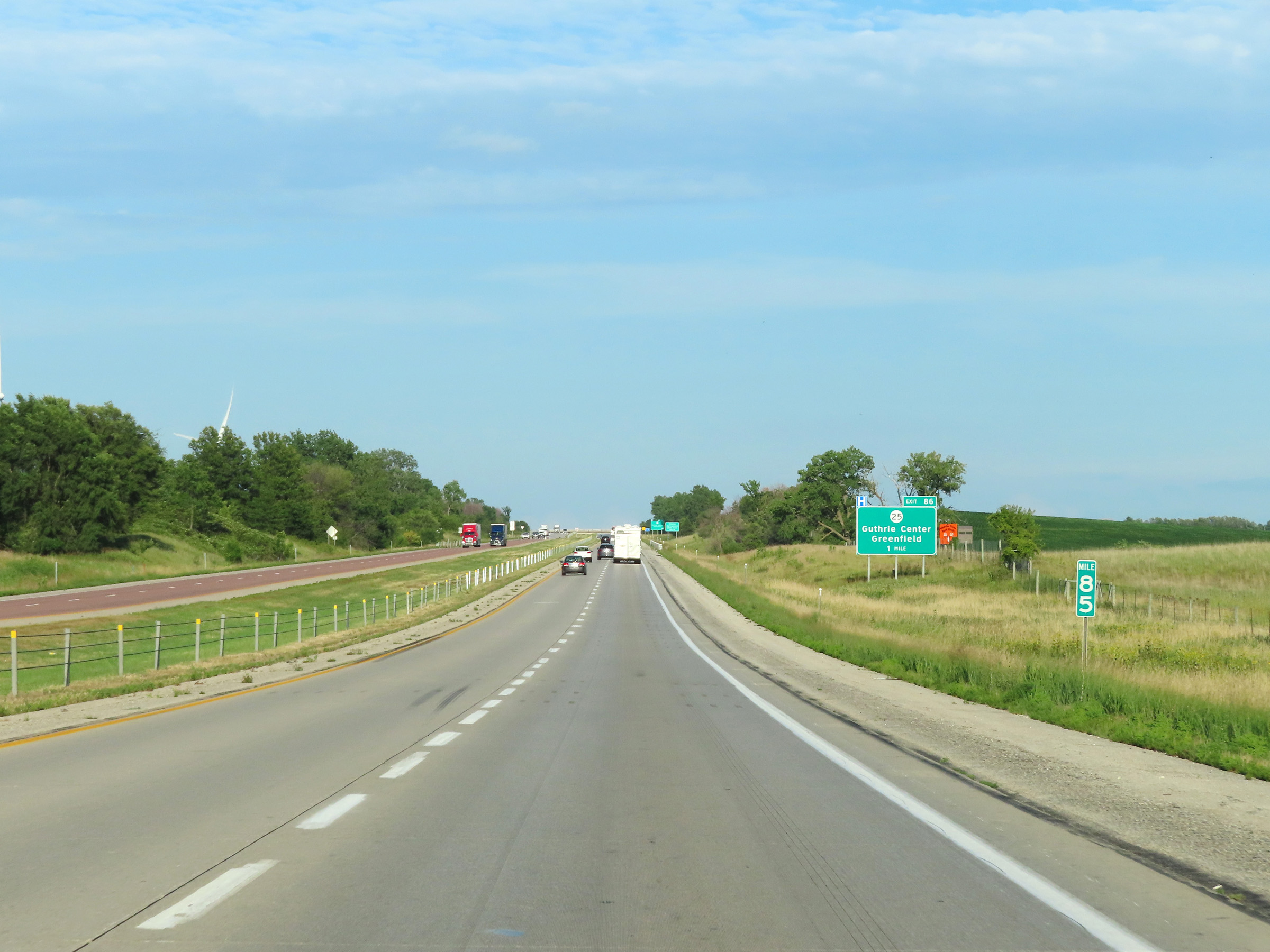
Take Exit 86 to Creston and Springbrook State Park. (Photo taken 8/18/22). |
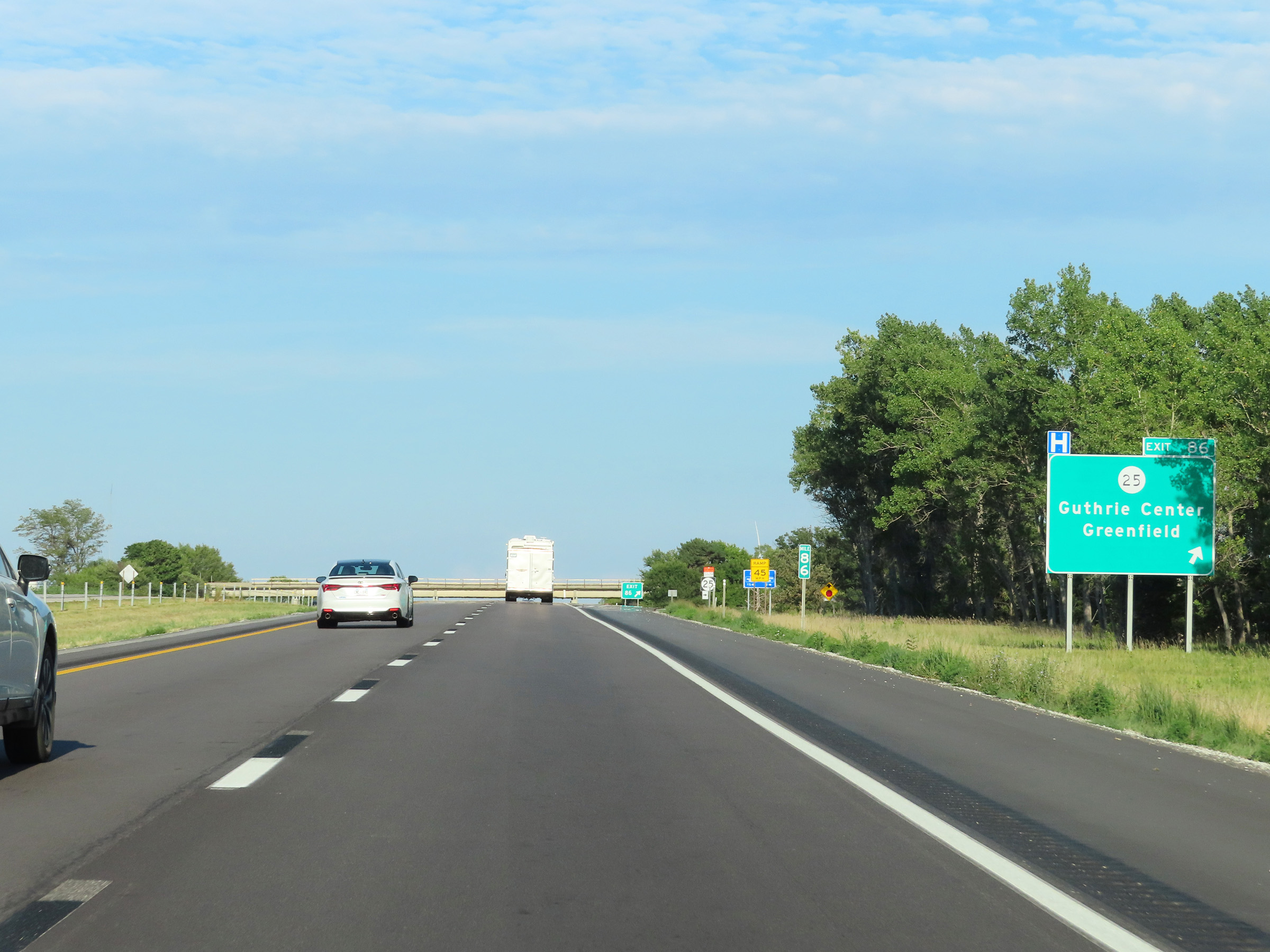 |
Interstate 80 East at Exit 86: IA 25 - Guthrie Center / Greenfield (Photo taken 8/18/22). |
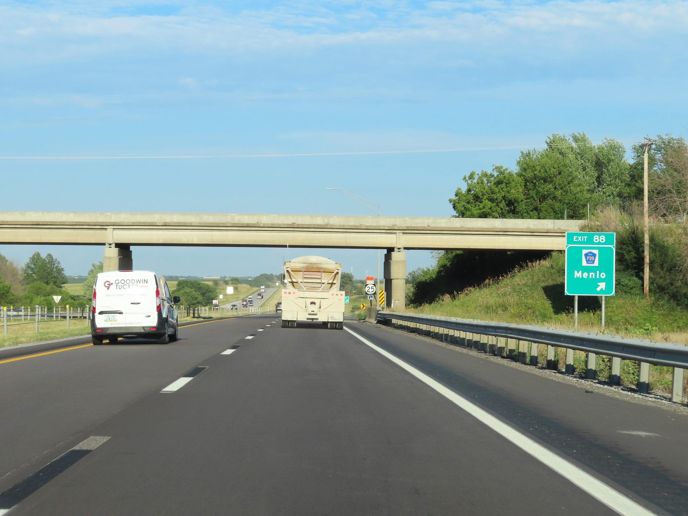 |
Interstate 80 East at Exit 88: CR P20 - Menlo (Photo taken 8/18/22). |
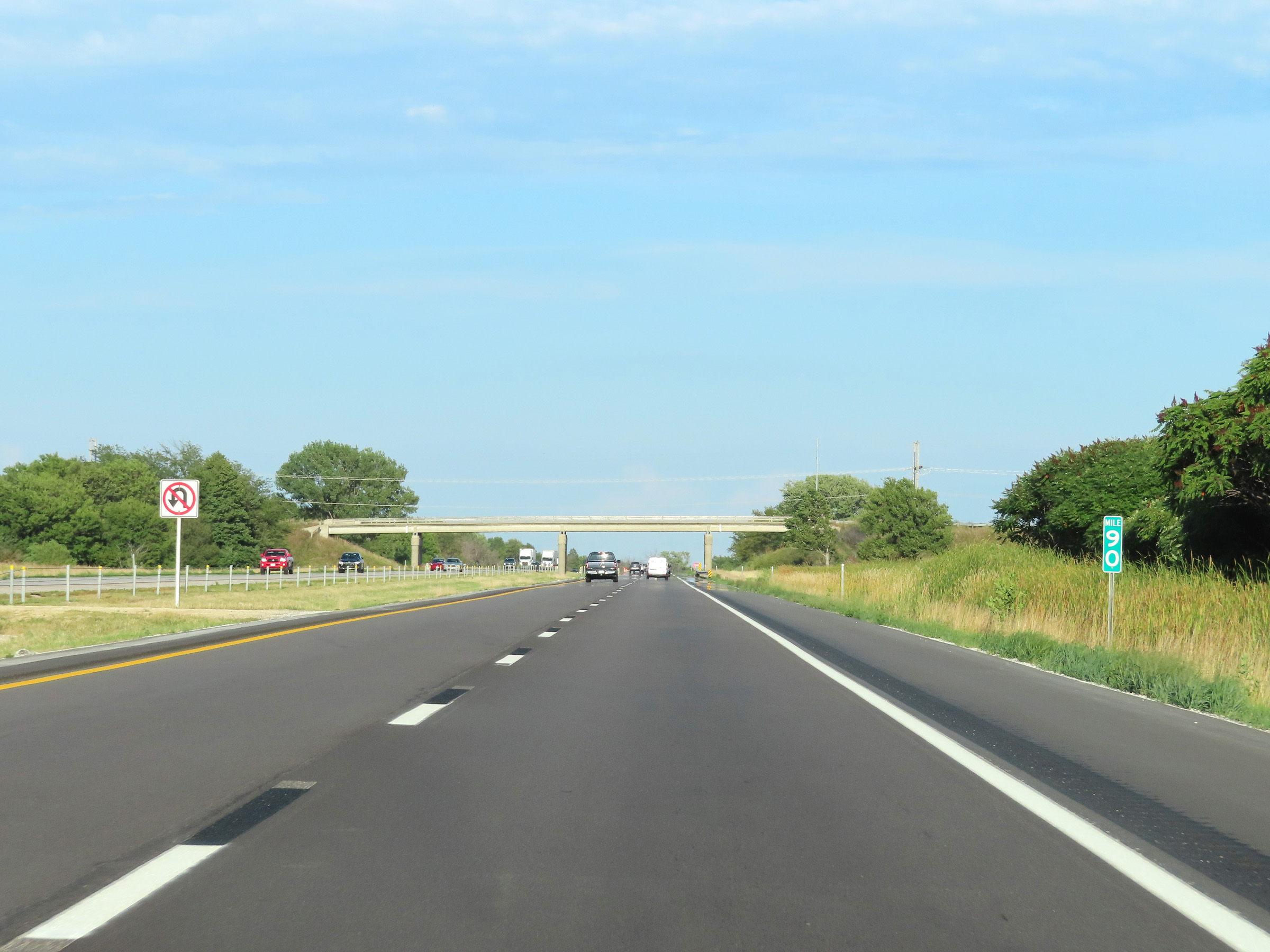 |
View on Interstate 80 East at mile marker 90. (Photo taken 8/18/22). |
 |
Mile marker 91 on Interstate 80 East in Adair County. (Photo taken 8/18/22). |
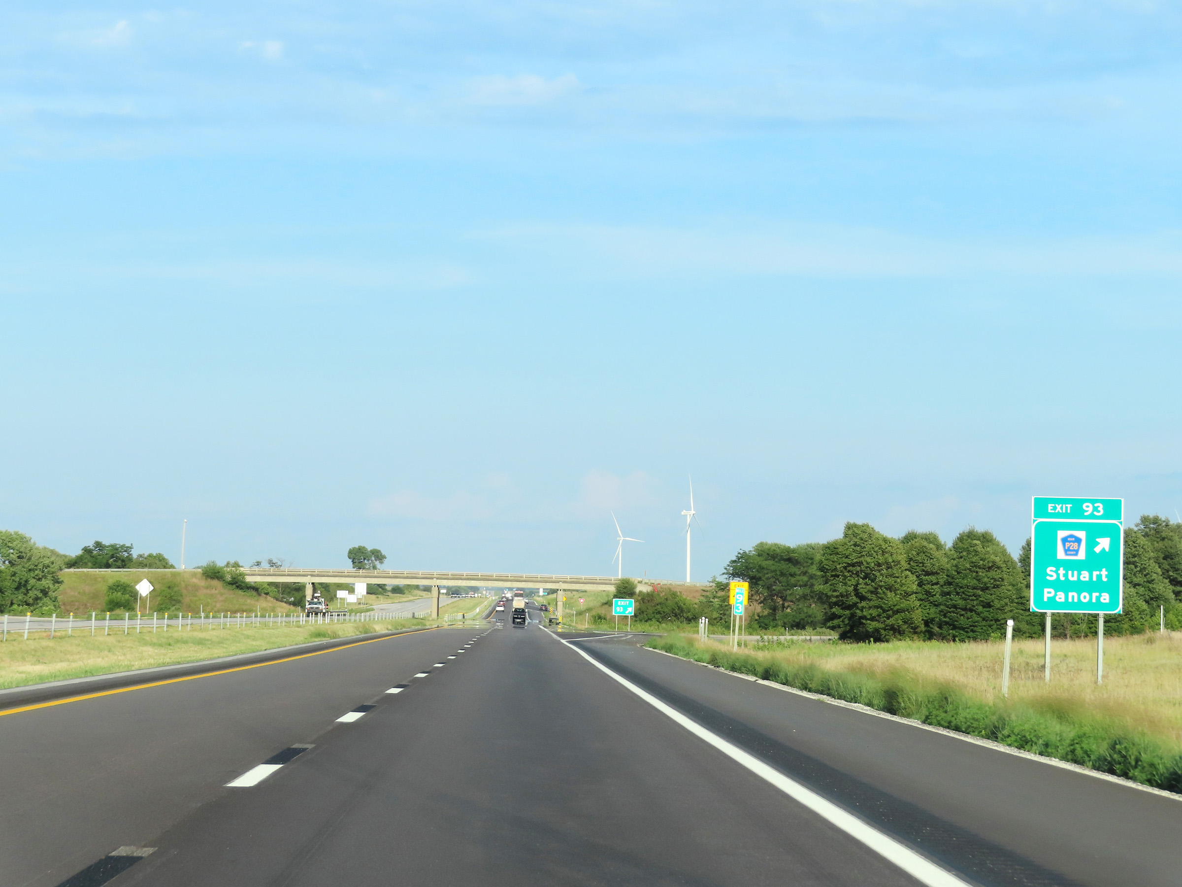 |
Interstate 80 East at Exit 93: CR P28 - Stuart / Panora (Photo taken 8/18/22). |
 |
Interstate 80 East at mile marker 95. (Photo taken 8/19/22). |
 |
Interstate 80 East at Exit 97: CR P48 - Dexter (Photo taken 8/19/22). |
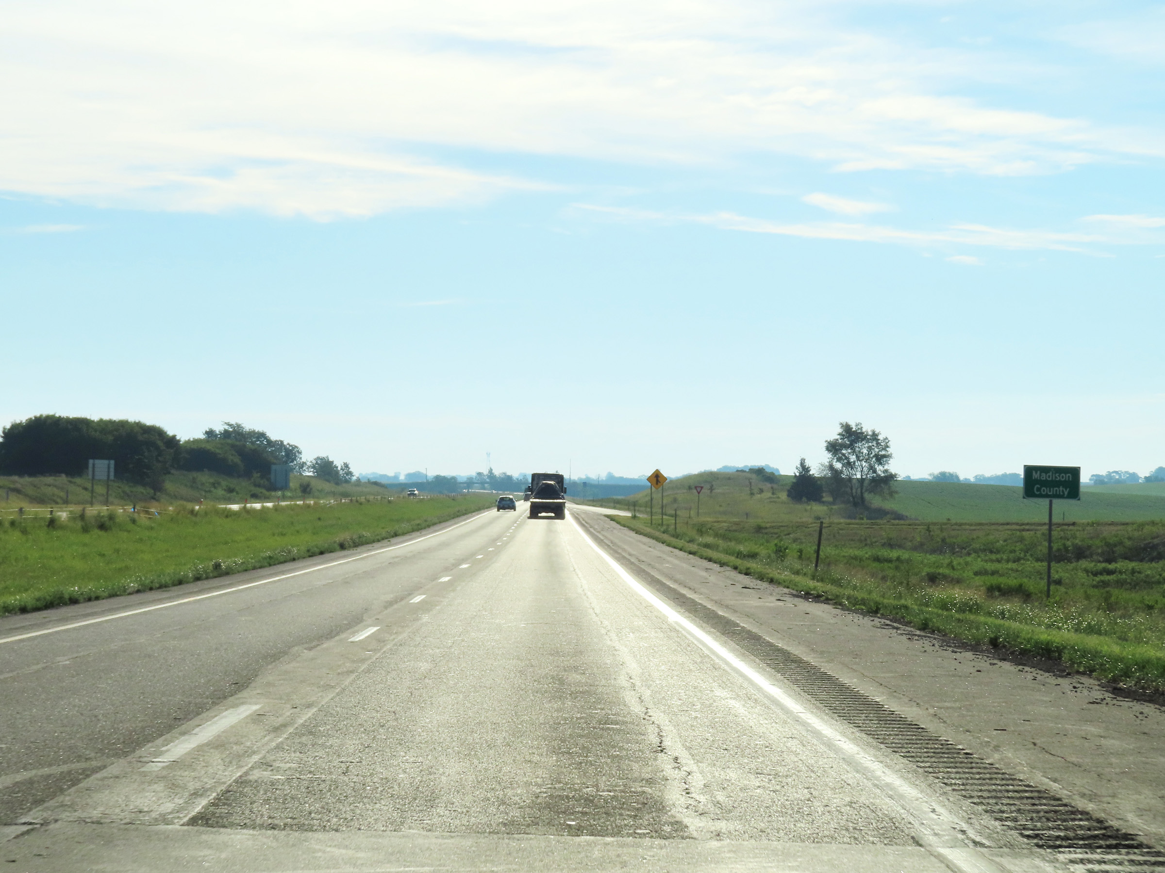 |
Entering Madison County on Interstate 80 East. (Photo taken 8/19/22). |
 |
View on Interstate 80 East at mile marker 99. (Photo taken 8/19/22). |
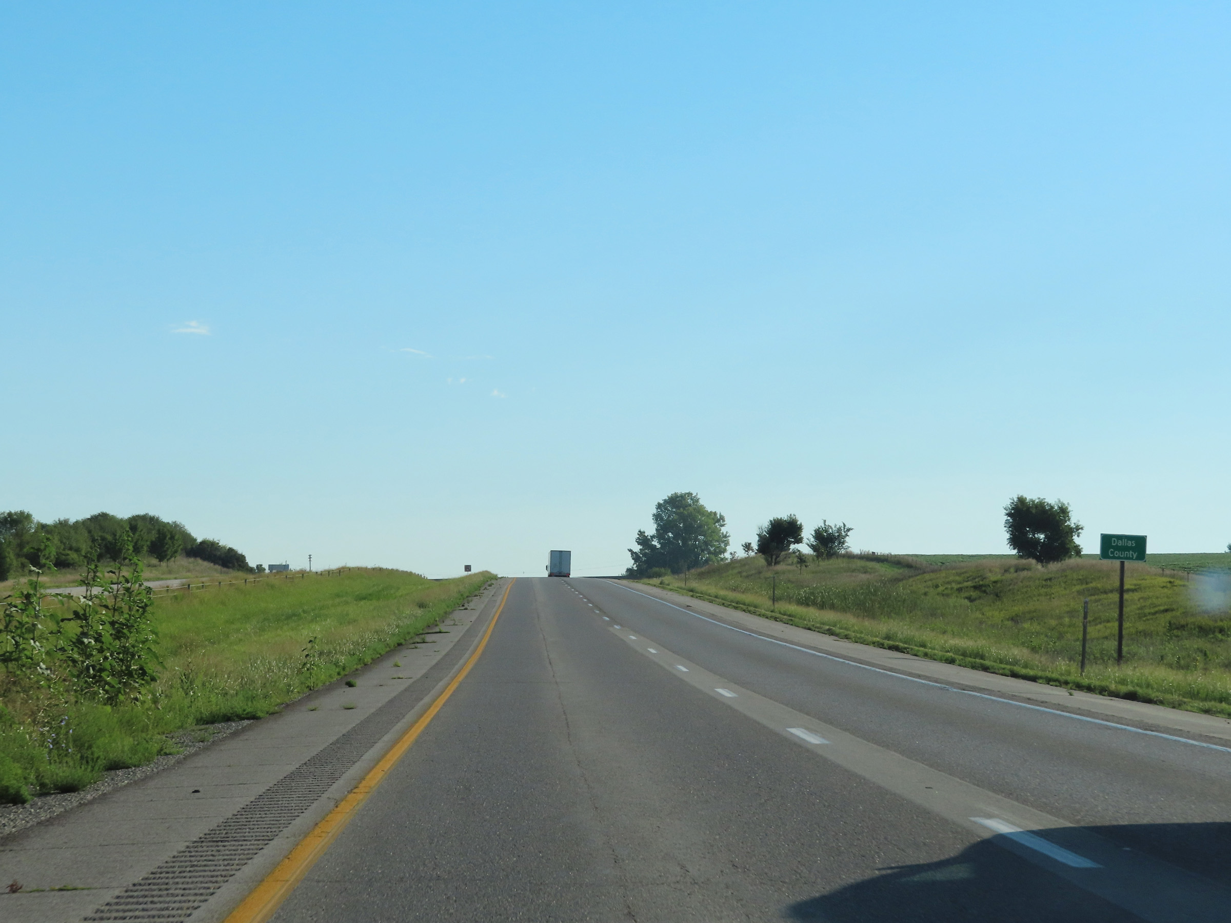 |
Interstate 80 East as it enters Dallas County. (Photo taken 8/19/22). |
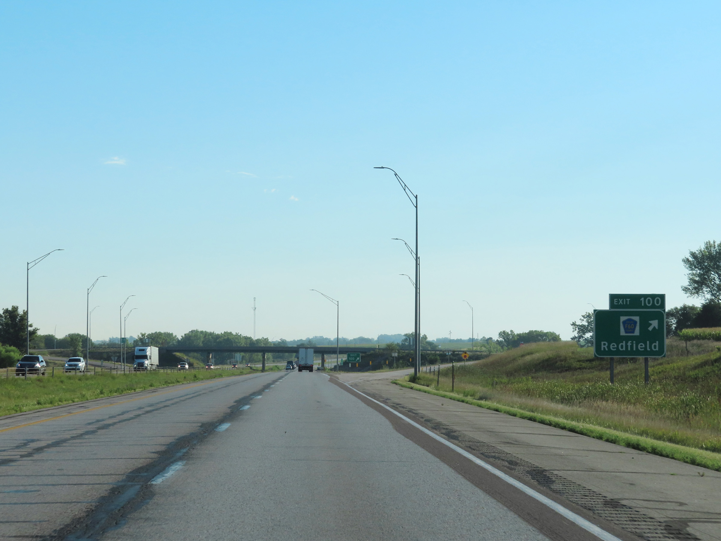 |
Interstate 80 East at Exit 100: CR F60 - Redfield (Photo taken 8/19/22). |
 |
Speed limit signage on Interstate 80 East in Dallas County. The speed limits remain 70 mph maximum and 40 mph minimum. (Photo taken 8/19/22). |
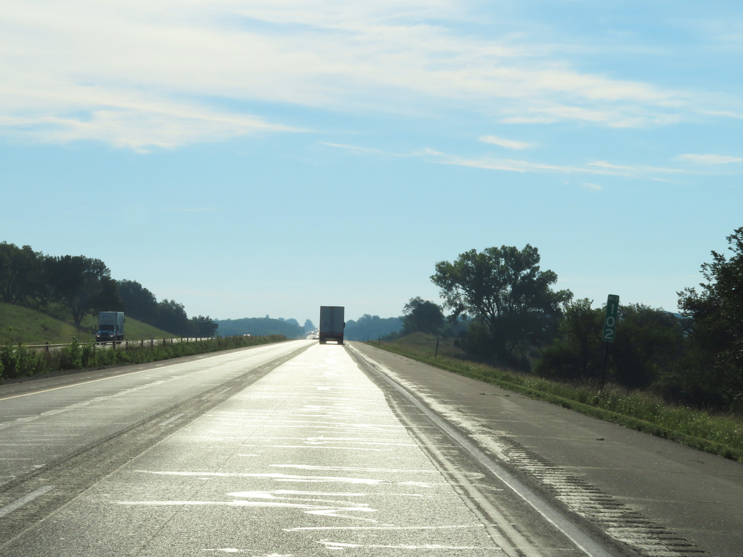 |
View on Interstate 80 East at mile marker 102. (Photo taken 8/19/22). |
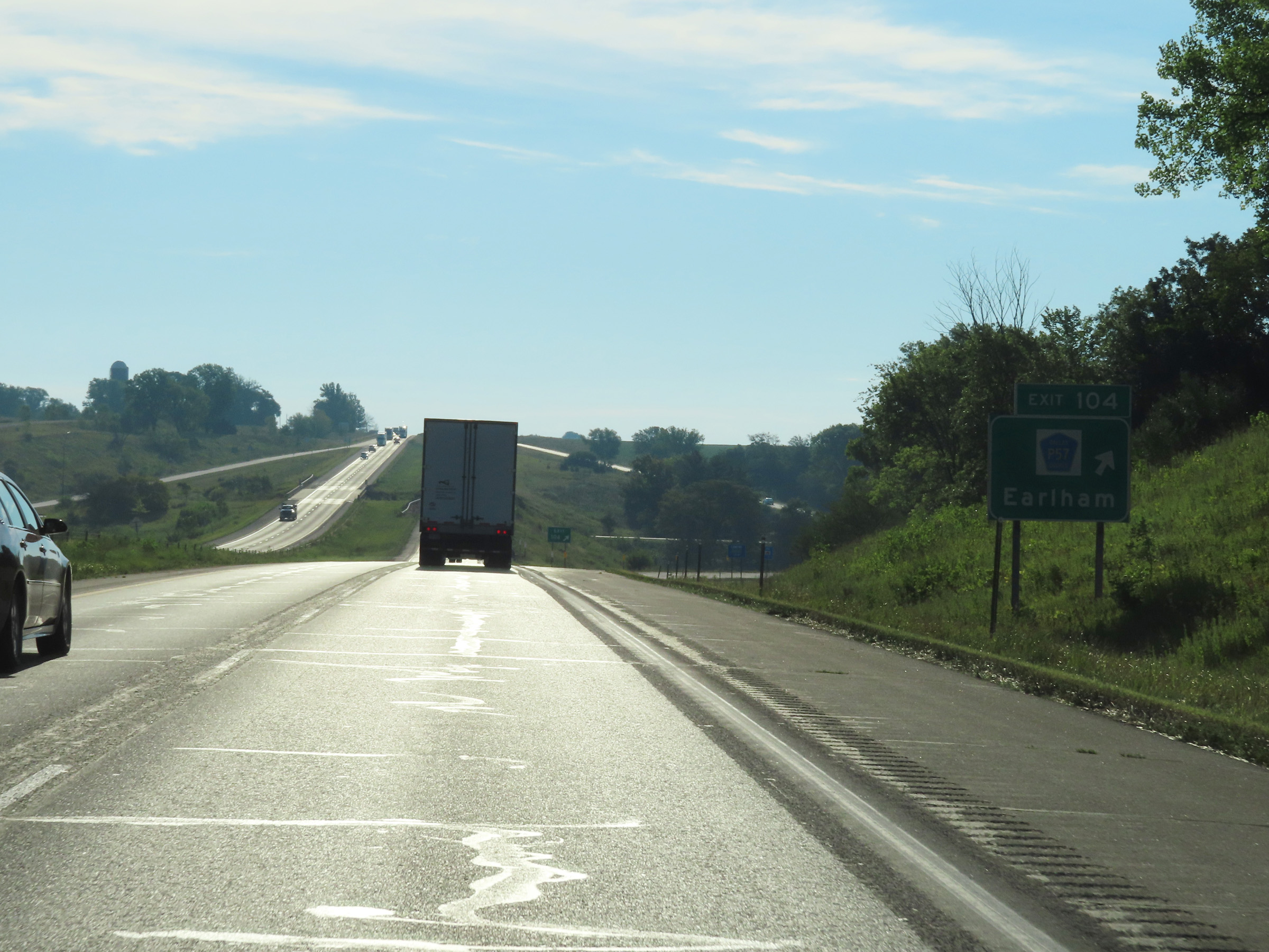 |
Interstate 80 East at Exit 104: CR P57 - Earlham (Photo taken 8/19/22). |
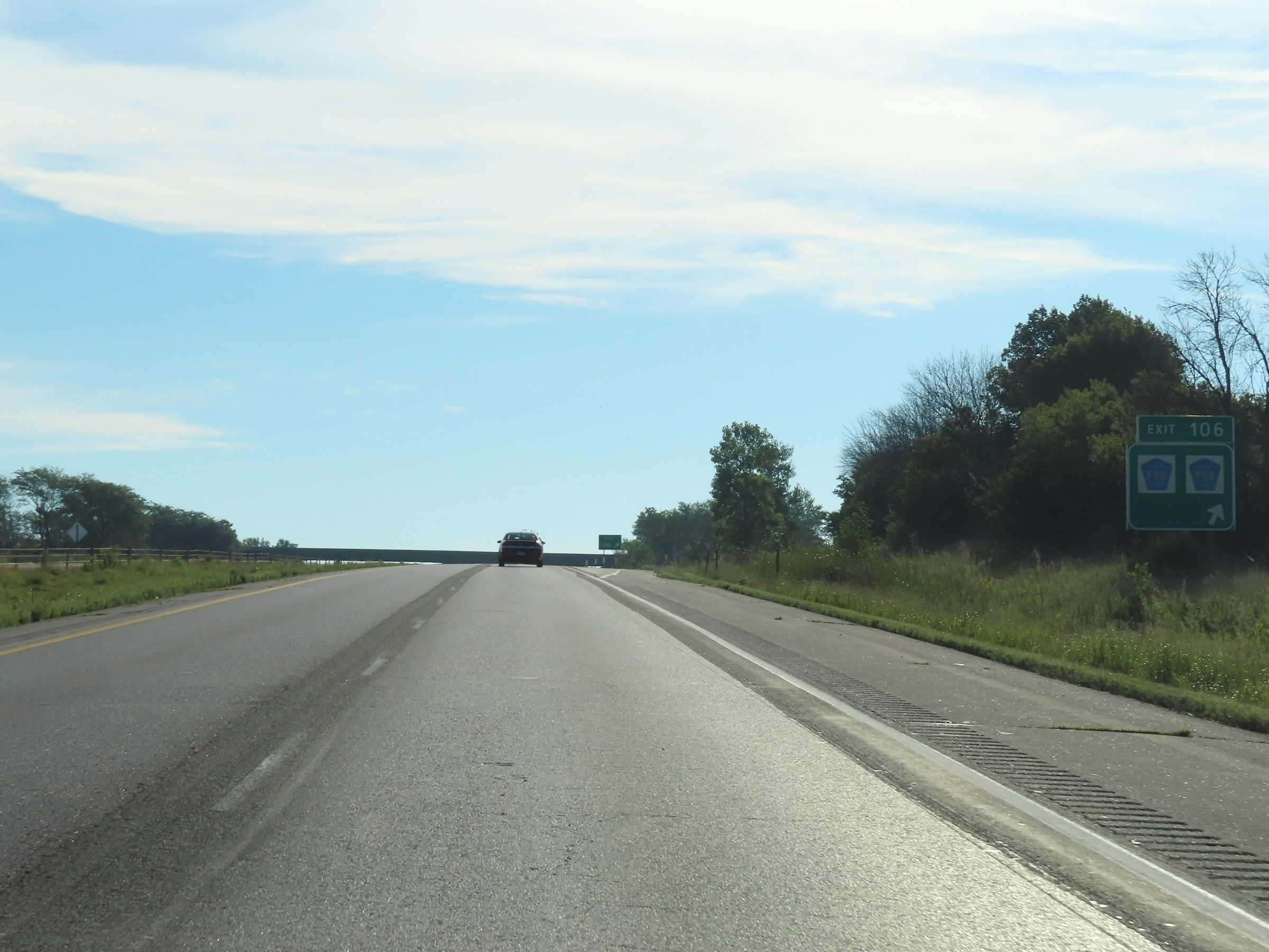 |
Interstate 80 East at Exit 106: CR F90 / CR P58 (Photo taken 8/19/22). |
 |
View on Interstate 80 East at mile marker 107. (Photo taken 8/19/22). |
 |
Mile marker 109 on Interstate 80 East in Dallas County. (Photo taken 8/19/22). |
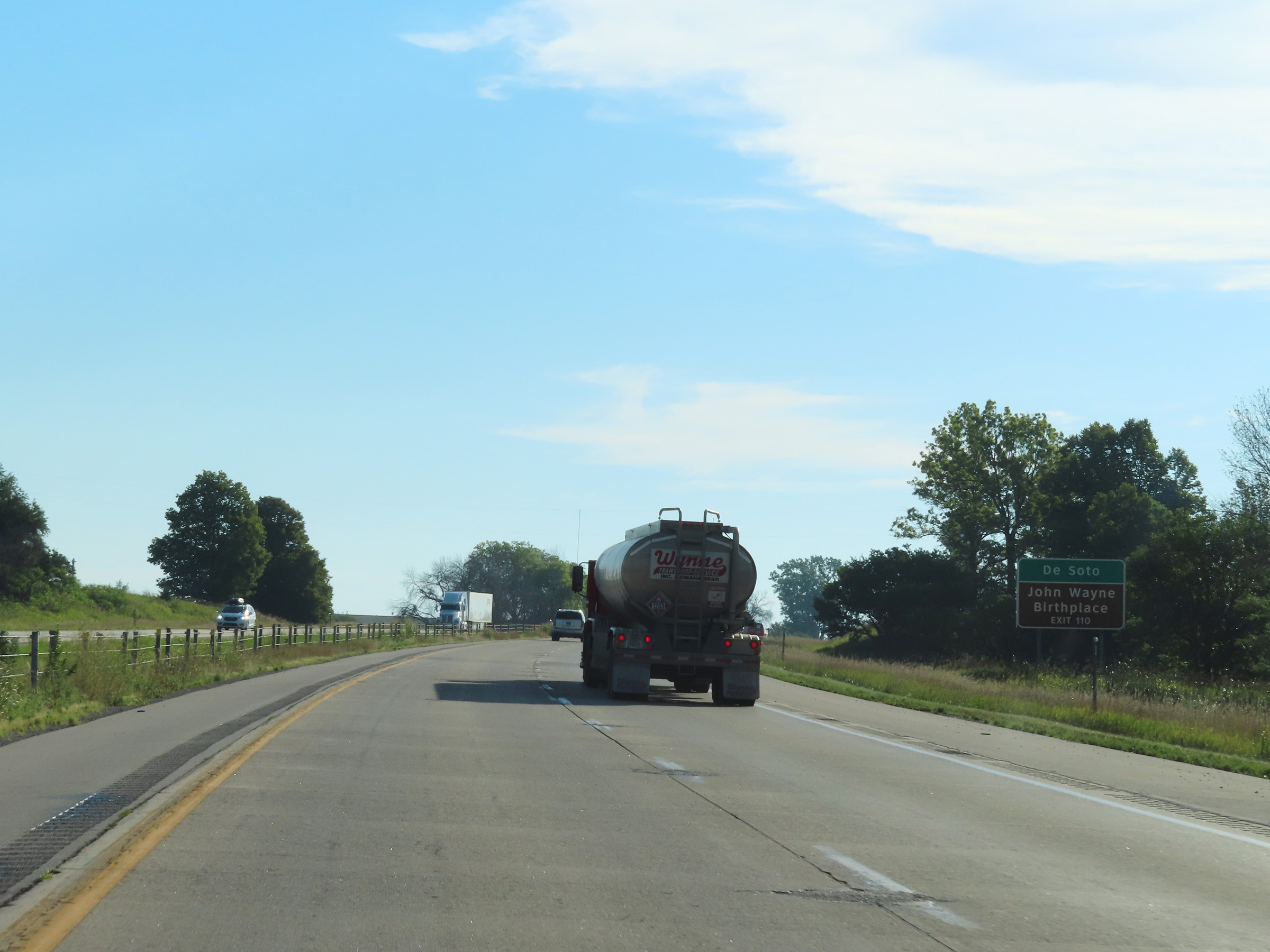 |
Take Exit 110 to De Soto and the John Wayne Birthplace. (Photo taken 8/19/22). |
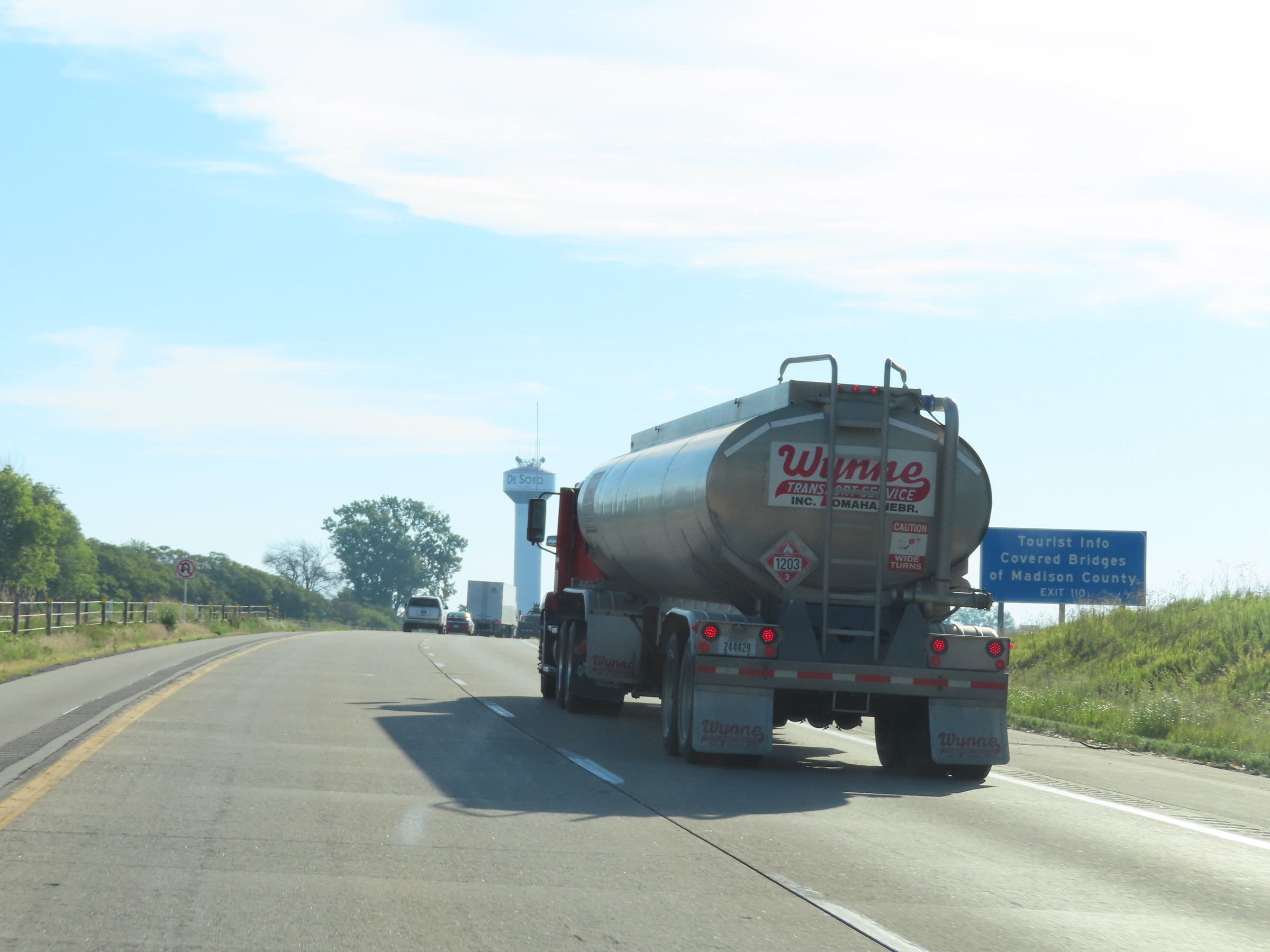 |
Also take Exit 110 for Tourist Info on the Covered Bridges of Madison County. (Photo taken 8/19/22). |
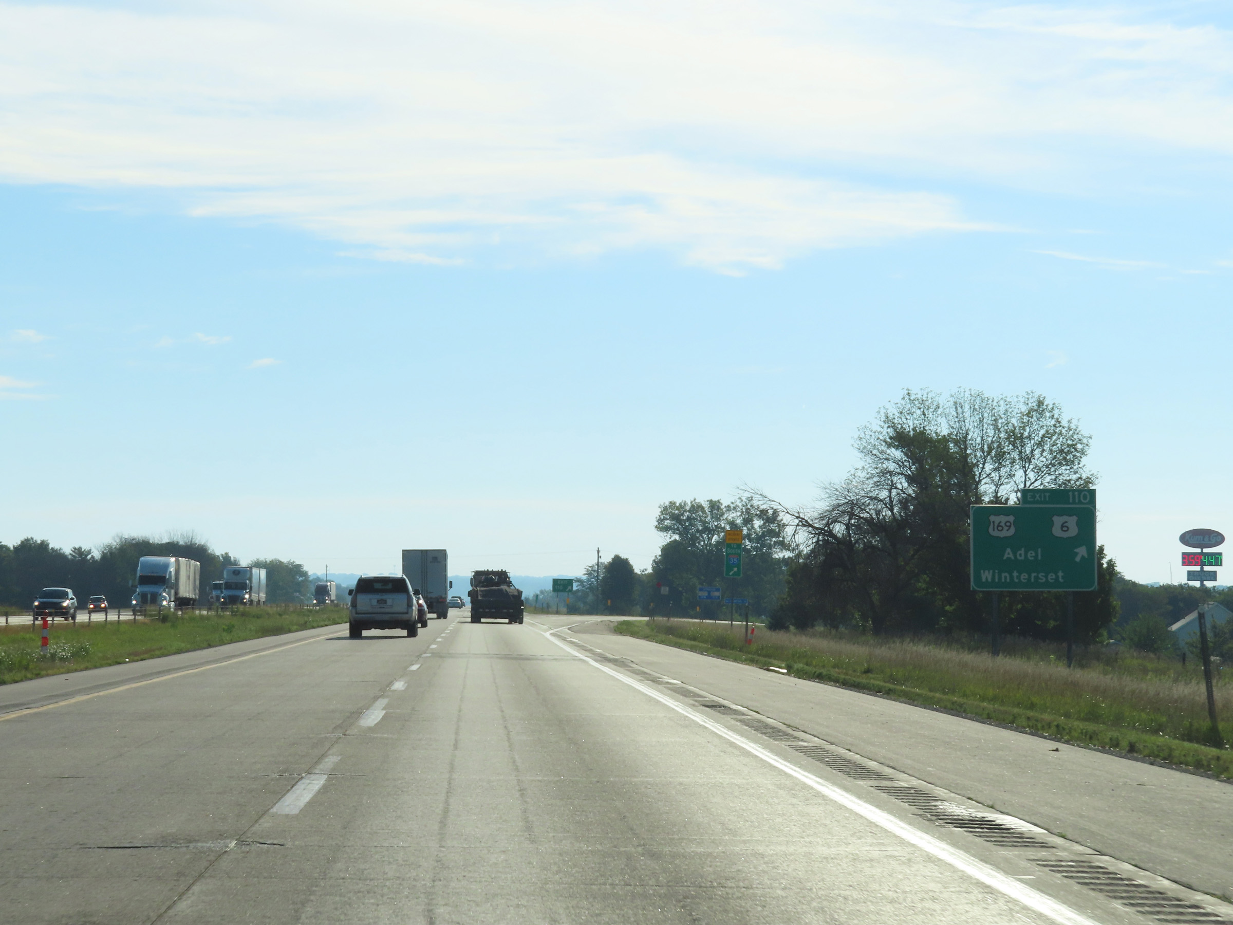 |
Interstate 80 East at Exit 110: US 169 / US 6 - Adel / Winterset (Photo taken 8/19/22). |
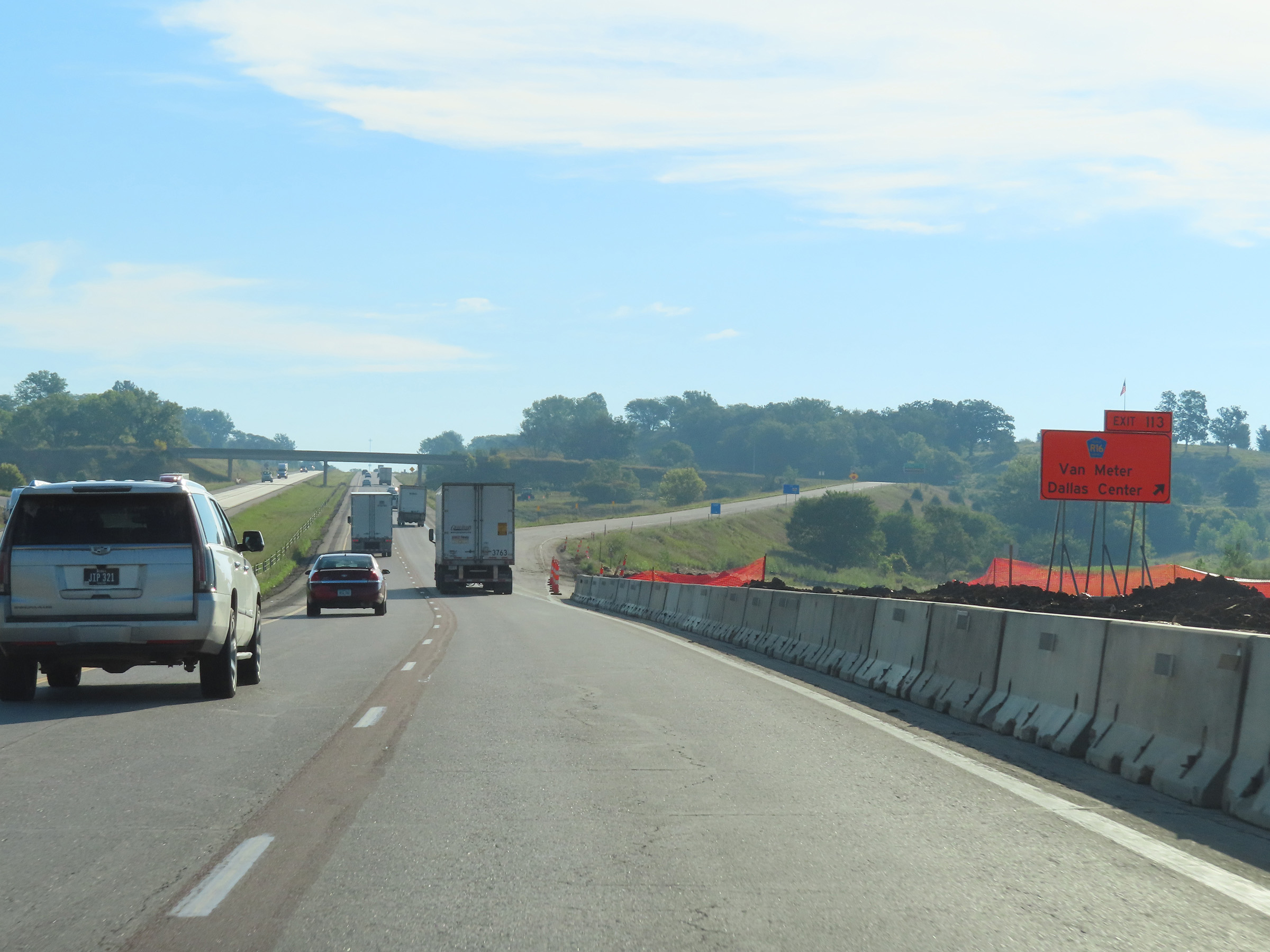 |
Interstate 80 East at Exit 113: CR R16 - Van Meter / Dallas Center (Photo taken 8/19/22). |
 |
Mile marker 114 on Interstate 80 East in Dallas County. (Photo taken 8/19/22). |
 |
Weigh Station on Interstate 80 East in Dallas County. (Photo taken 8/19/22). |
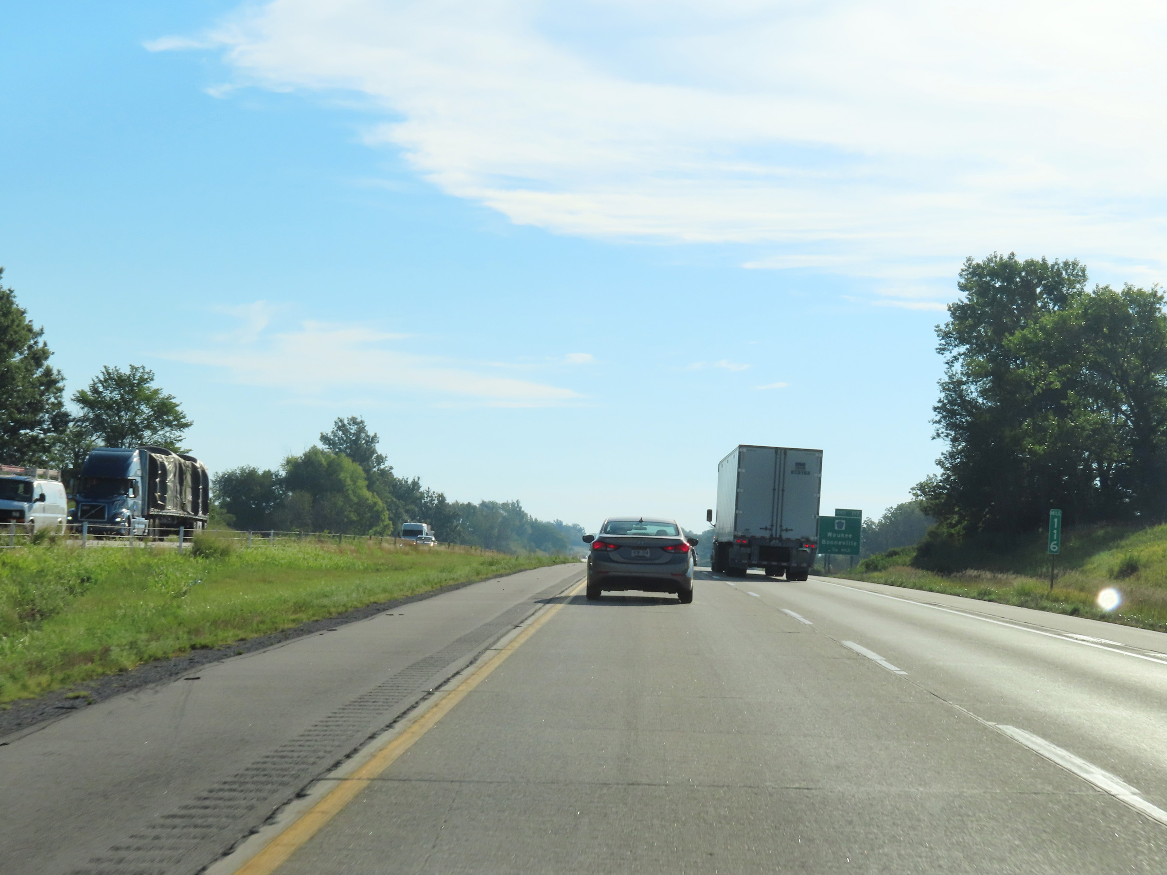 |
Interstate 80 East at mile marker 116. (Photo taken 8/19/22). |
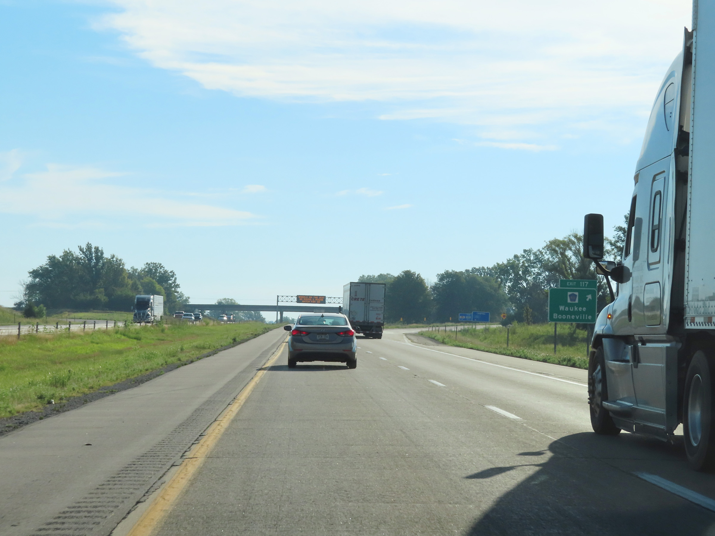 |
Interstate 80 East at Exit 117: CR R22 - Waukee / Booneville (Photo taken 8/19/22). |
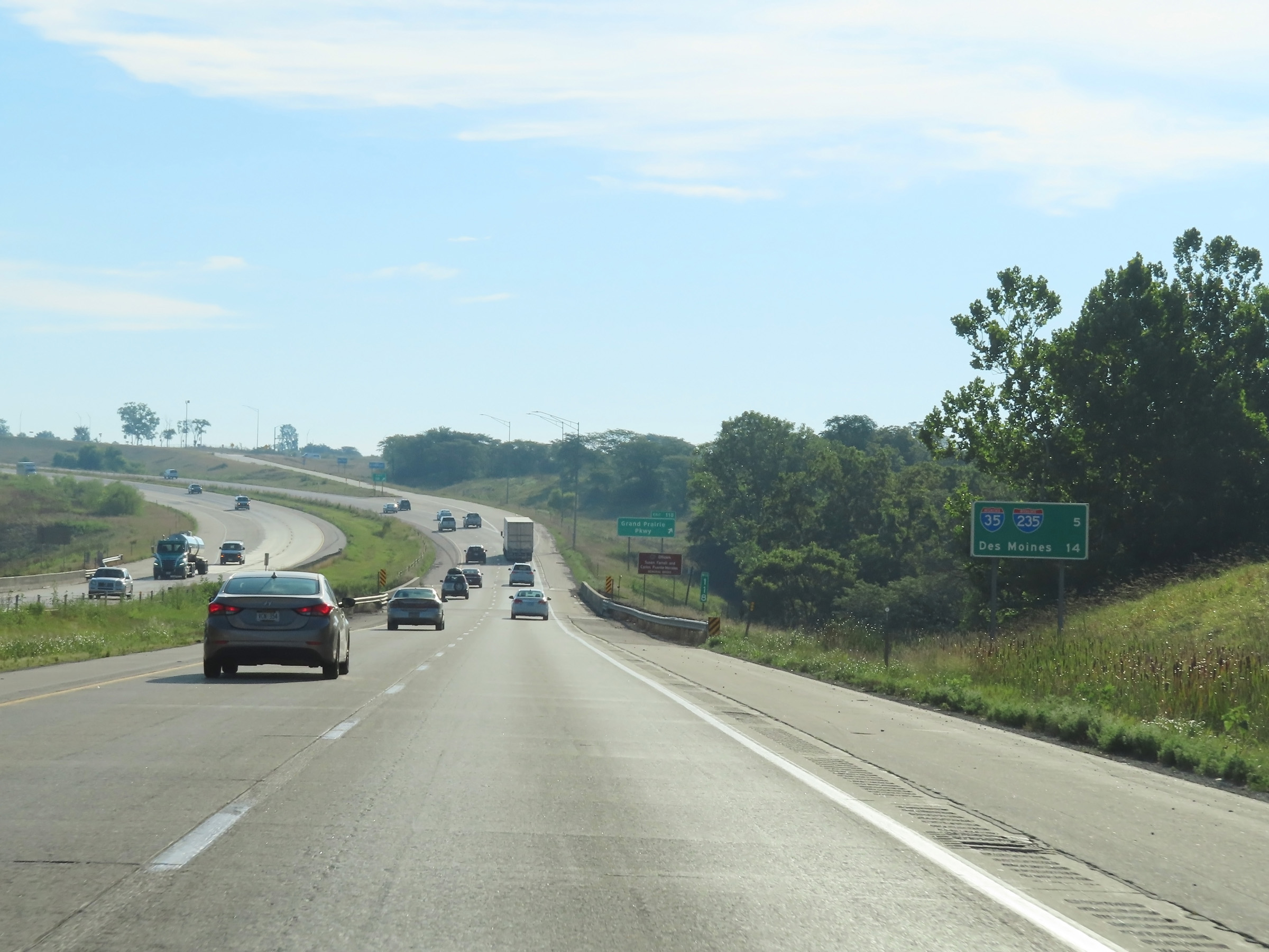 |
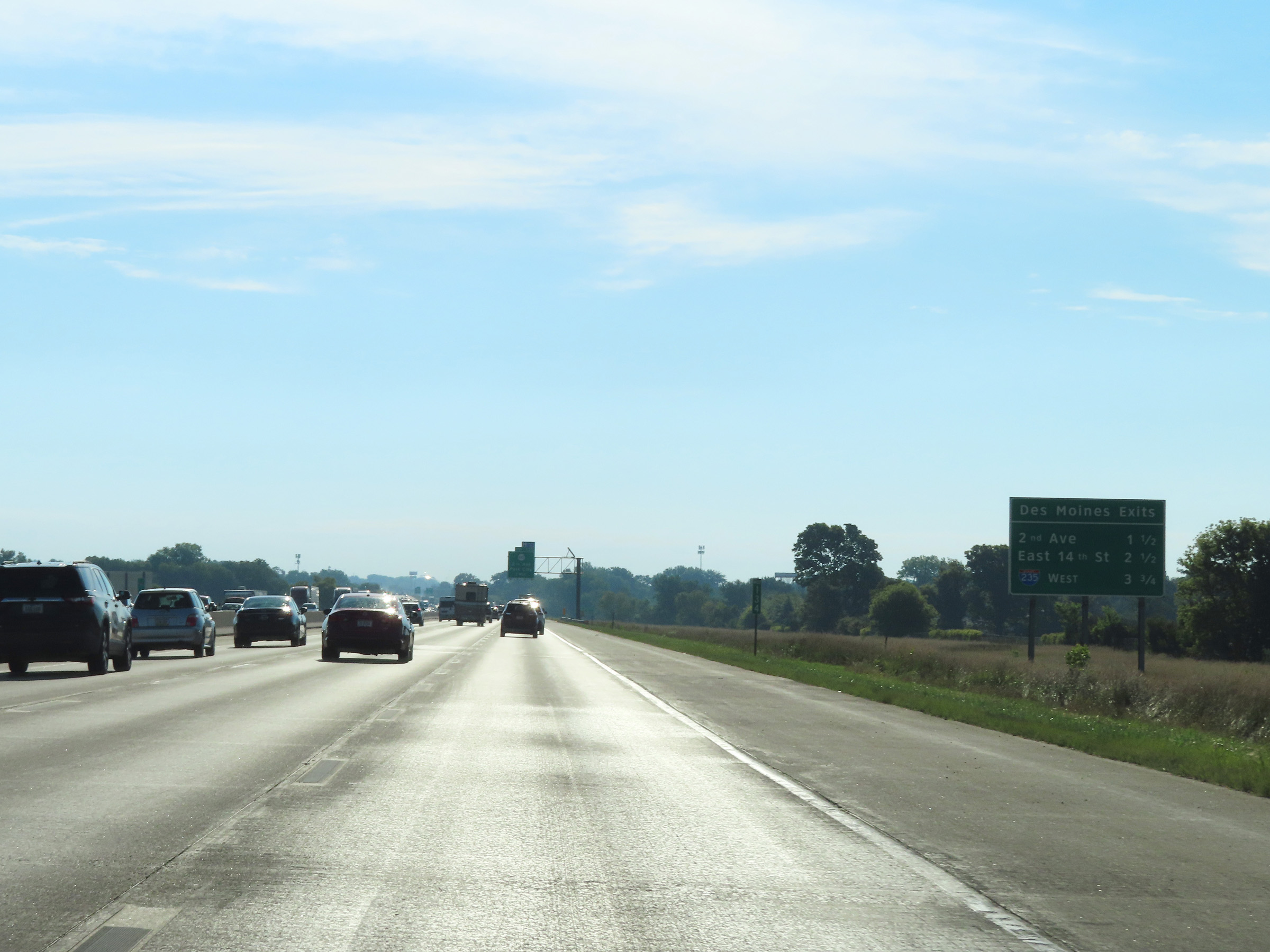
Mileage sign at mile marker 118 on Interstate 80 East. It's 5 miles to the junction of Interstate 35 / Interstate 235 and 14 miles to Des Moines. (Photo taken 8/19/22). |
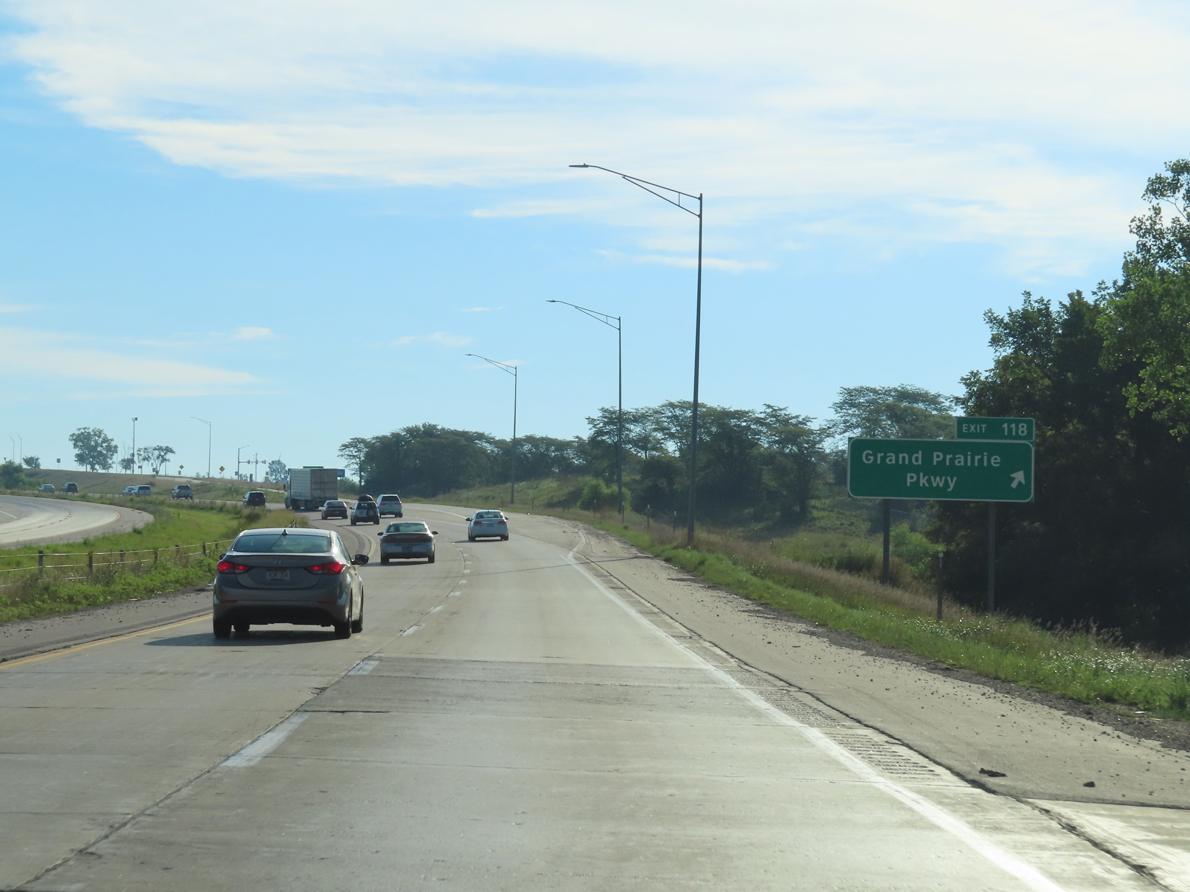 |
Interstate 80 East at Exit 118: Grand Prairie Pkwy (Photo taken 8/19/22). |
 |
View on Interstate 80 East at mile marker 120. (Photo taken 8/19/22). |
 |
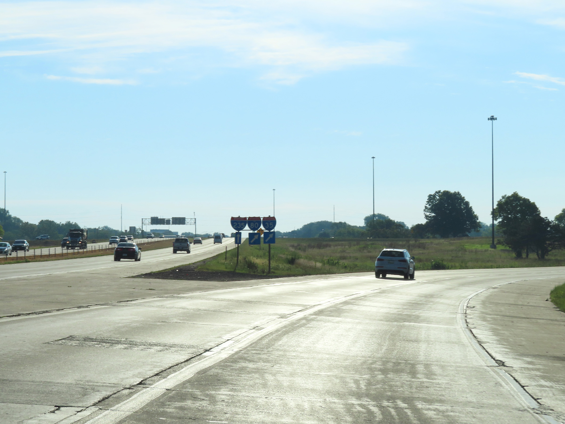
The junction of Interstate 35 / Interstate 235 is now 2 1/2 miles ahead at Exits 123A-B. (Photo taken 8/19/22). |
 |
As Interstate 80 East enters West Des Moines, the maximum speed limit decreases to 65 mph. The minimum speed limit remains 40 mph. (Photo taken 8/19/22). |
 |
Interstate 80 East at Exit 121: Jordan Creek Pkwy / West Des Moines (Photo taken 8/19/22). |
Section 3: West Des Moines (Exit 121) to Newton (Exit 164)
 |
Interstate 80 East approaching Exit 123A - 1 mile on the left. (Photo taken 8/19/22). |
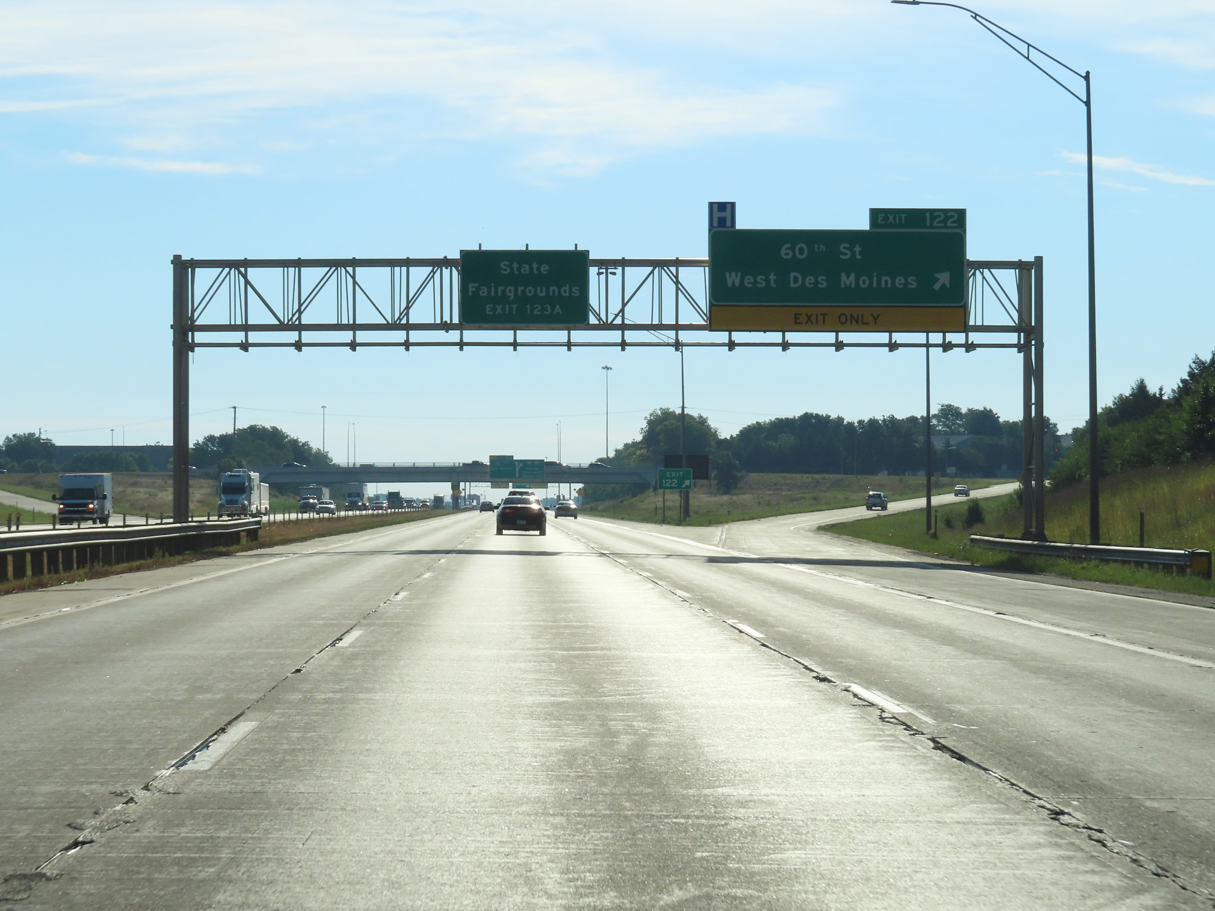 |
Interstate 80 East at Exit 122: 60th St / West Des Moines (Photo taken 8/19/22). |
 |
Approaching Exit 123A, Interstate 80 East enters Polk County. I-80 East thru traffic must keep right ahead. (Photo taken 8/19/22). |
 |
Interstate 80 East at Exit 123A: Interstate 235 East - Des Moines (Photo taken 8/19/22). |
 |
At Exit 123A, the maximum speed limit decreases to 60 mph on Interstate 80 East. The minimum remains 40 mph as always. (Photo taken 8/19/22). |
 |
A closer view of Exit 123A (on the left) as Interstate 235 East begins. Interstate 80 East will loop around and join with Interstate 35 North ahead. (Photo taken 8/19/22). |
 |
View on Interstate 80 East as it approaches Exit 123B and prepares to cross over Interstate 35. (Photo taken 8/19/22). |
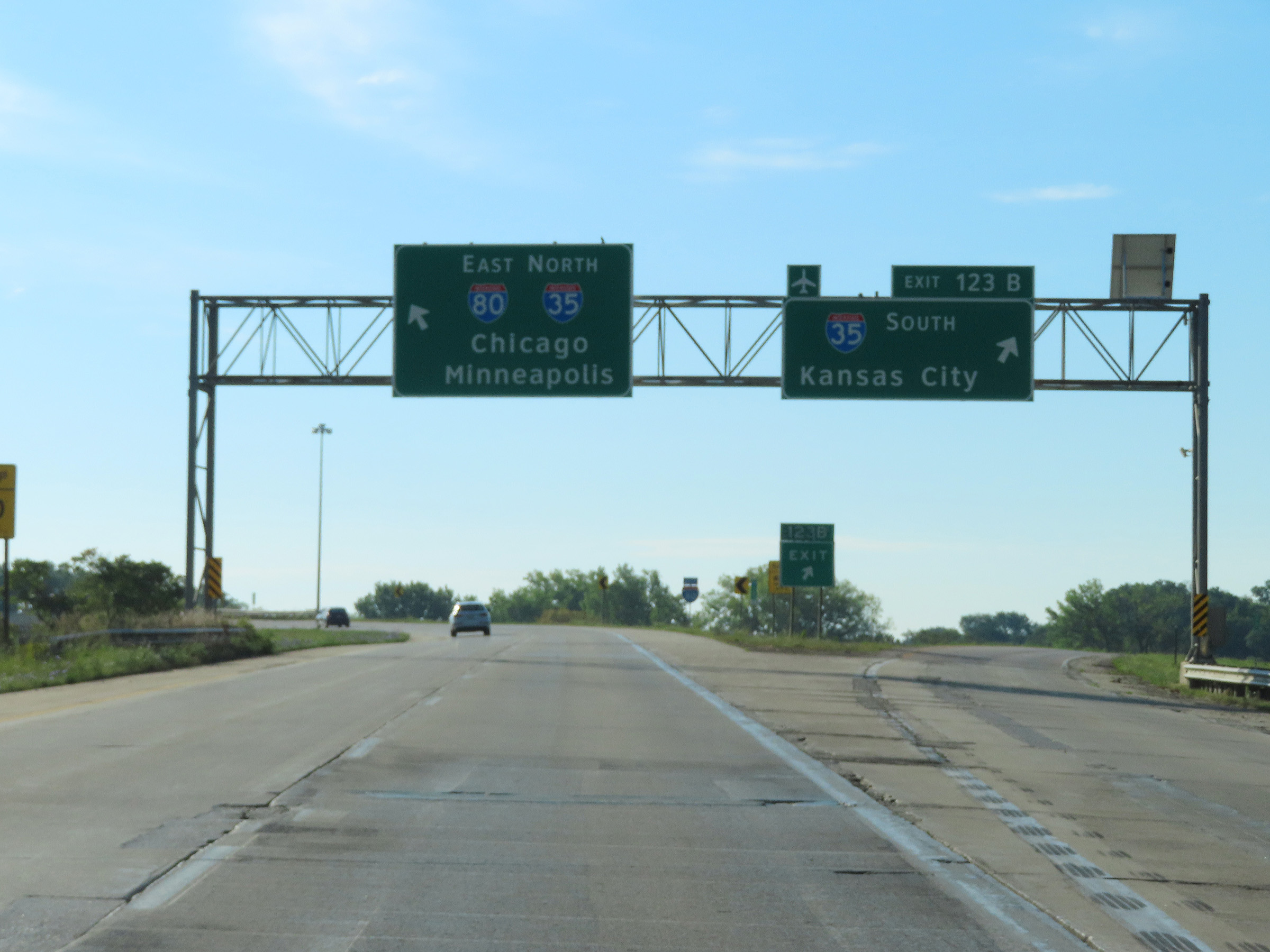 |
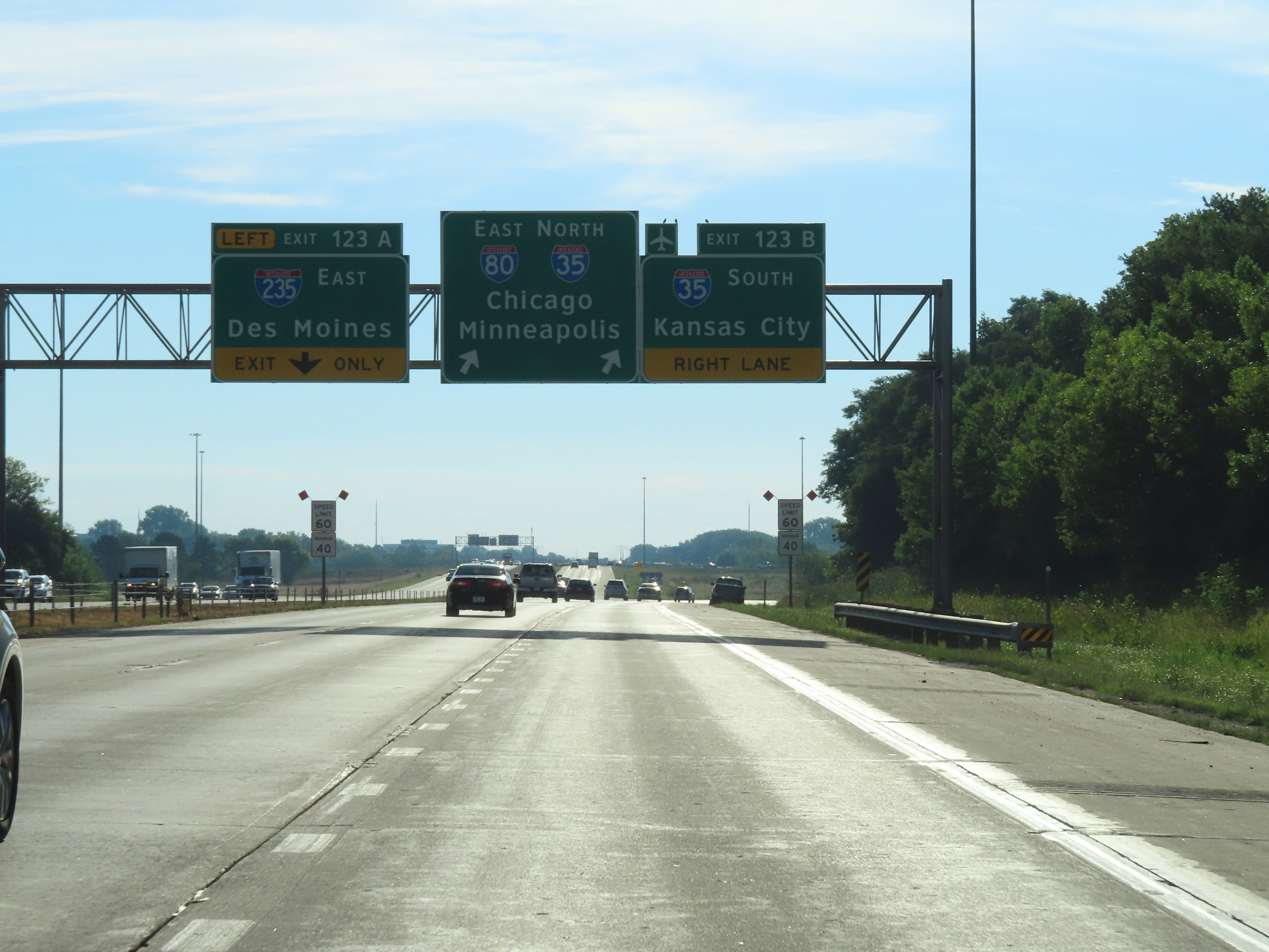
Interstate 80 East at Exit 123B: Interstate 35 South - Kansas City (Photo taken 8/19/22). |
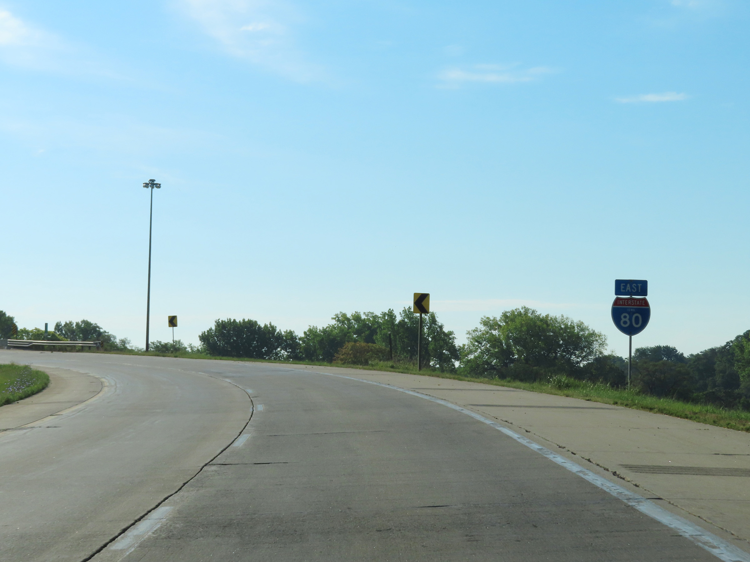 |
A state-named Interstate 80 East reassurance shield as it prepares to curve to the north and pass over Interstate 35. (Photo taken 8/19/22). |
 |
View on Interstate 80 East at mile marker 123.3, as it continues to curve to the north. Ahead, I-80 East will be joined from the left by the northbound lanes of Interstate 35 at the southwestern corner of the Des Moines area, and a concurrency will begin. (Photo taken 8/19/22). |
 |
Interstate 80 East at mile marker 123.5, as it finishes curving to the north in preparation for joining Interstate 35 North. (Photo taken 8/19/22). |
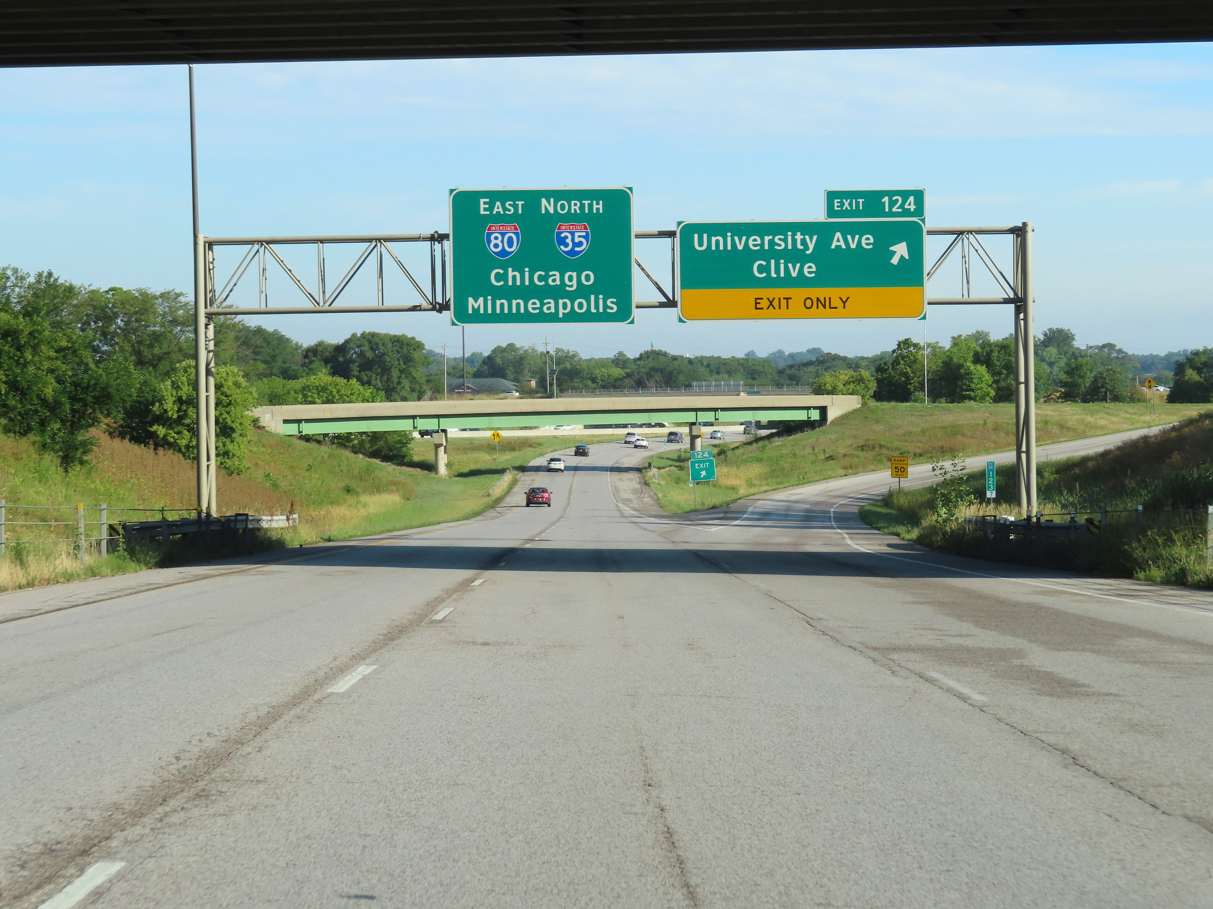 |
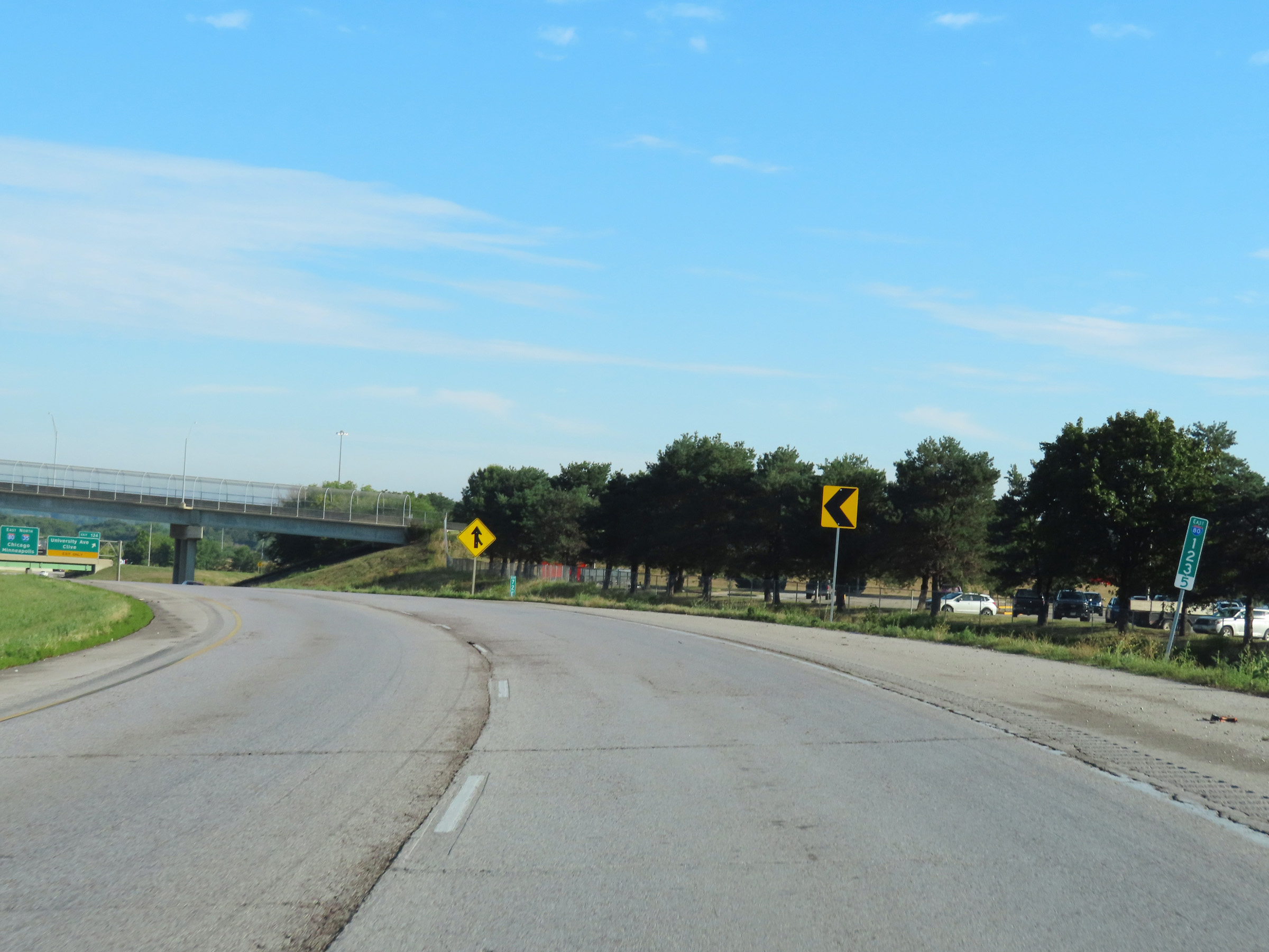
Interstate 80 East at Exit 124: University Ave / Clive (Photo taken 8/19/22). |
 |
Here, we see Interstate 35 North traffic on the left as it prepares to join the two thru lanes of Interstate 80 East at the southwestern corner of the Des Moines area. (Photo taken 8/19/22). |
 |
Interstate 80 East as Interstate 35 North traffic joins it, beginning their concurrency in the Des Moines area. I-80 East and I-35 North will run concurrently for the next 13 miles around the west and north sides of Des Moines. During the concurrency, the mileage and exit numbers are based on the total mileage of I-80 in Iowa. (Photo taken 8/19/22). |
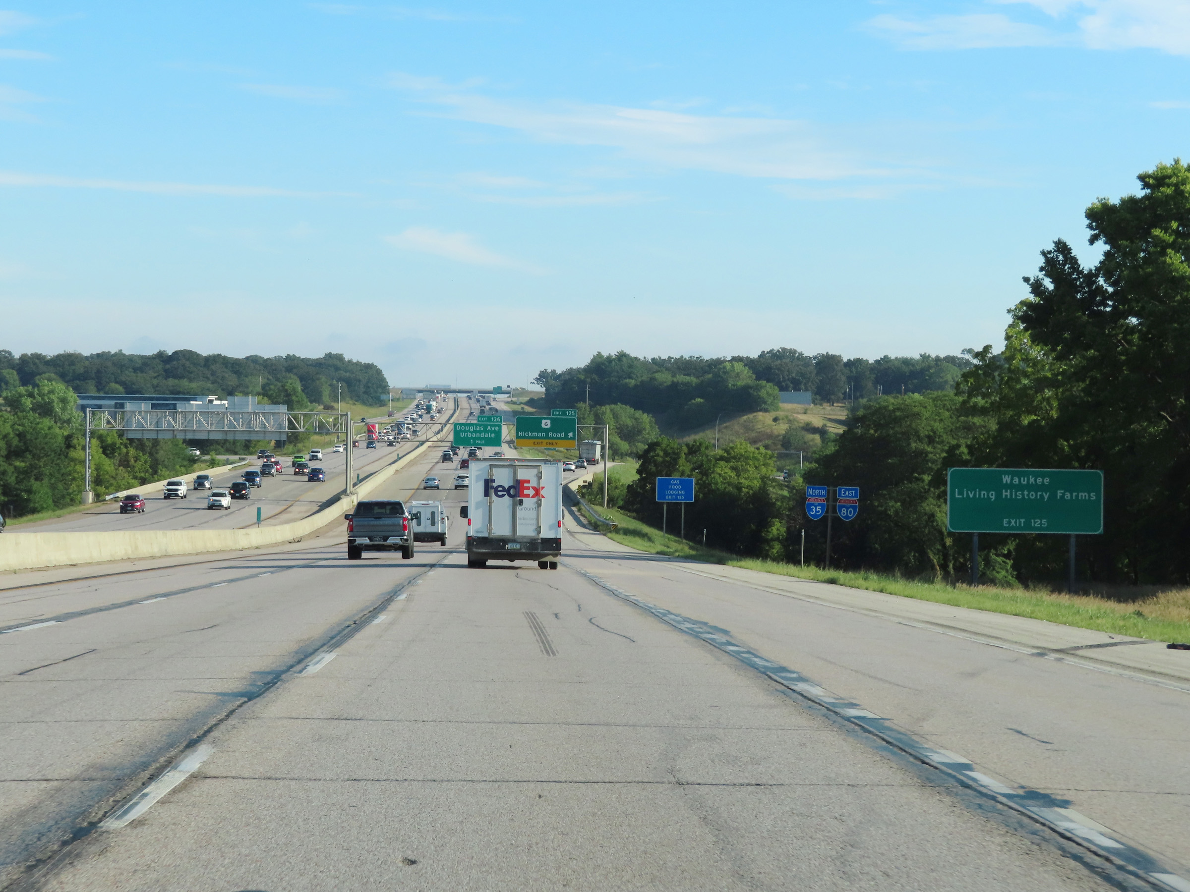 |
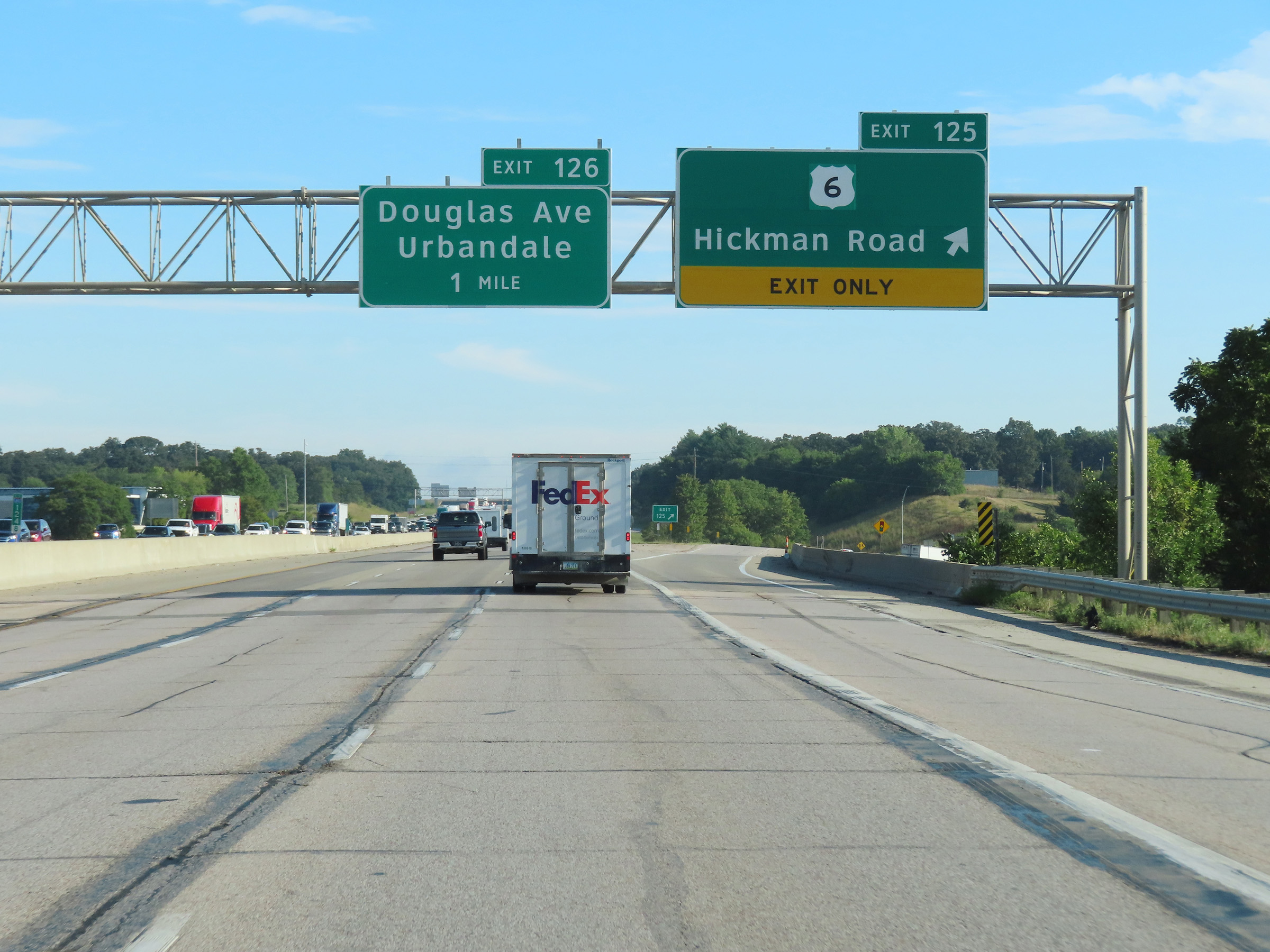
Take Exit 126 to Waukee and Living History Farms. (Photo taken 8/19/22). |
 |
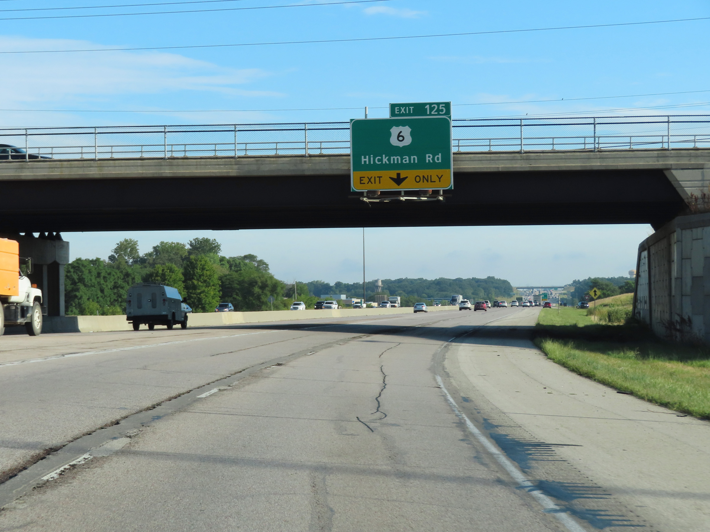
Interstate 80 East / Interstate 35 North at Exit 125: US 6 - Hickman Road (Photo taken 8/19/22). |
 |
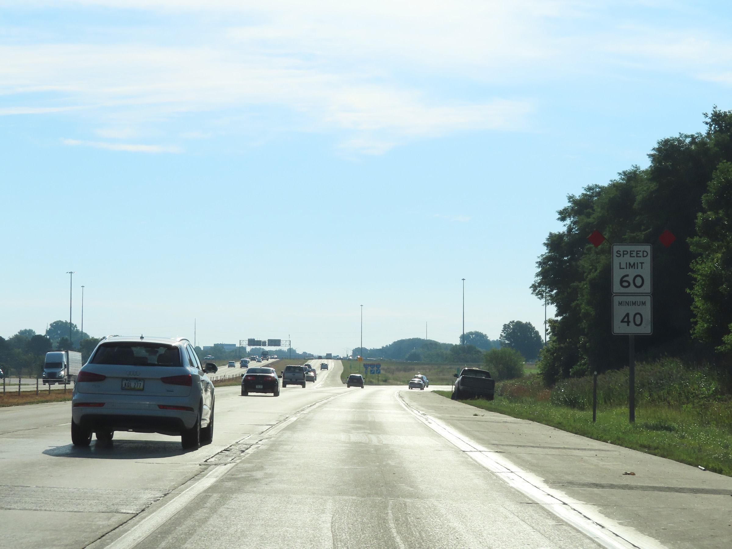
The speed limits during the Interstate 80 East / Interstate 35 North concurrency are 65 mph maximum and 40 mph minimum. (Photo taken 8/19/22). |
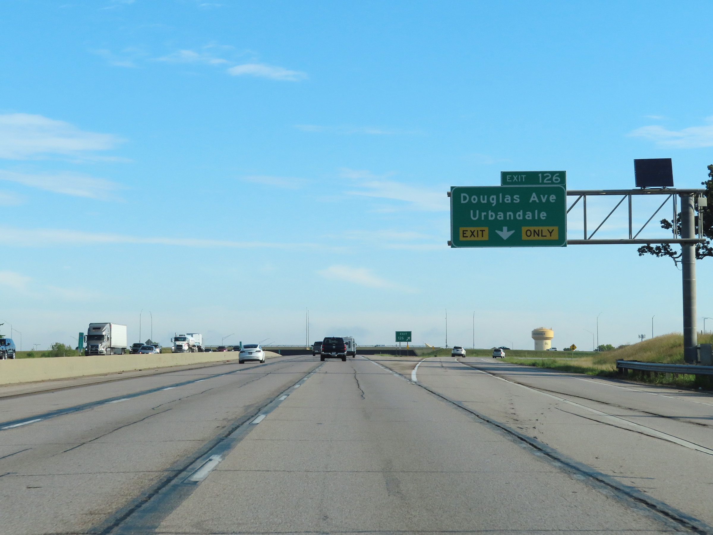 |
Interstate 80 East / Interstate 35 North at Exit 126: Douglas Ave / Urbandale (Photo taken 8/19/22). |
 |
State-named Interstate 80 East / Interstate 35 North reassurance shields. (Photo taken 8/19/22). |
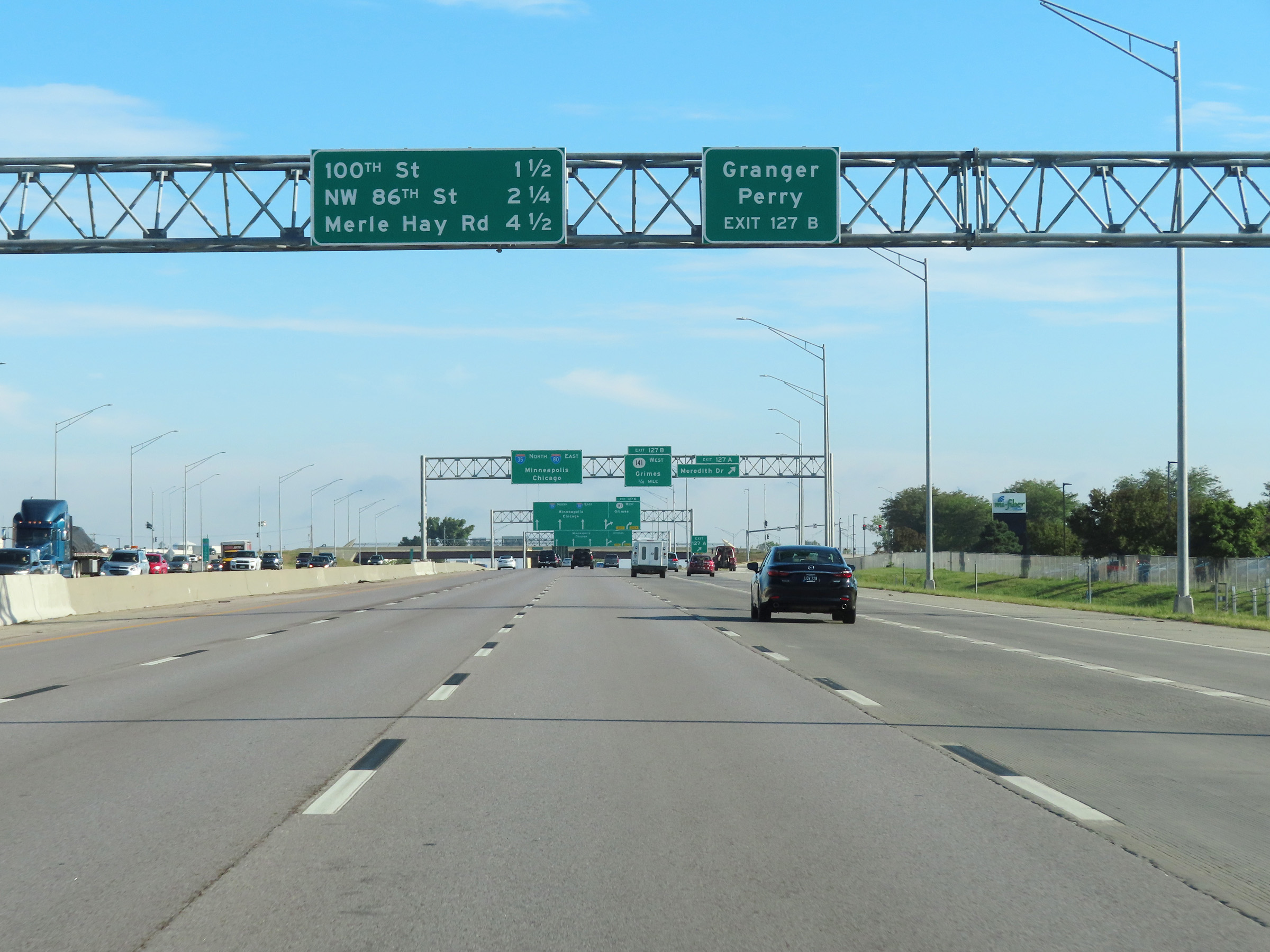 |
Take Exit 127B to Granger and Perry. (Photo taken 8/19/22). |
 |
Interstate 80 East / Interstate 35 North at Exit 127A: Meredith Dr (Photo taken 8/19/22). |
 |
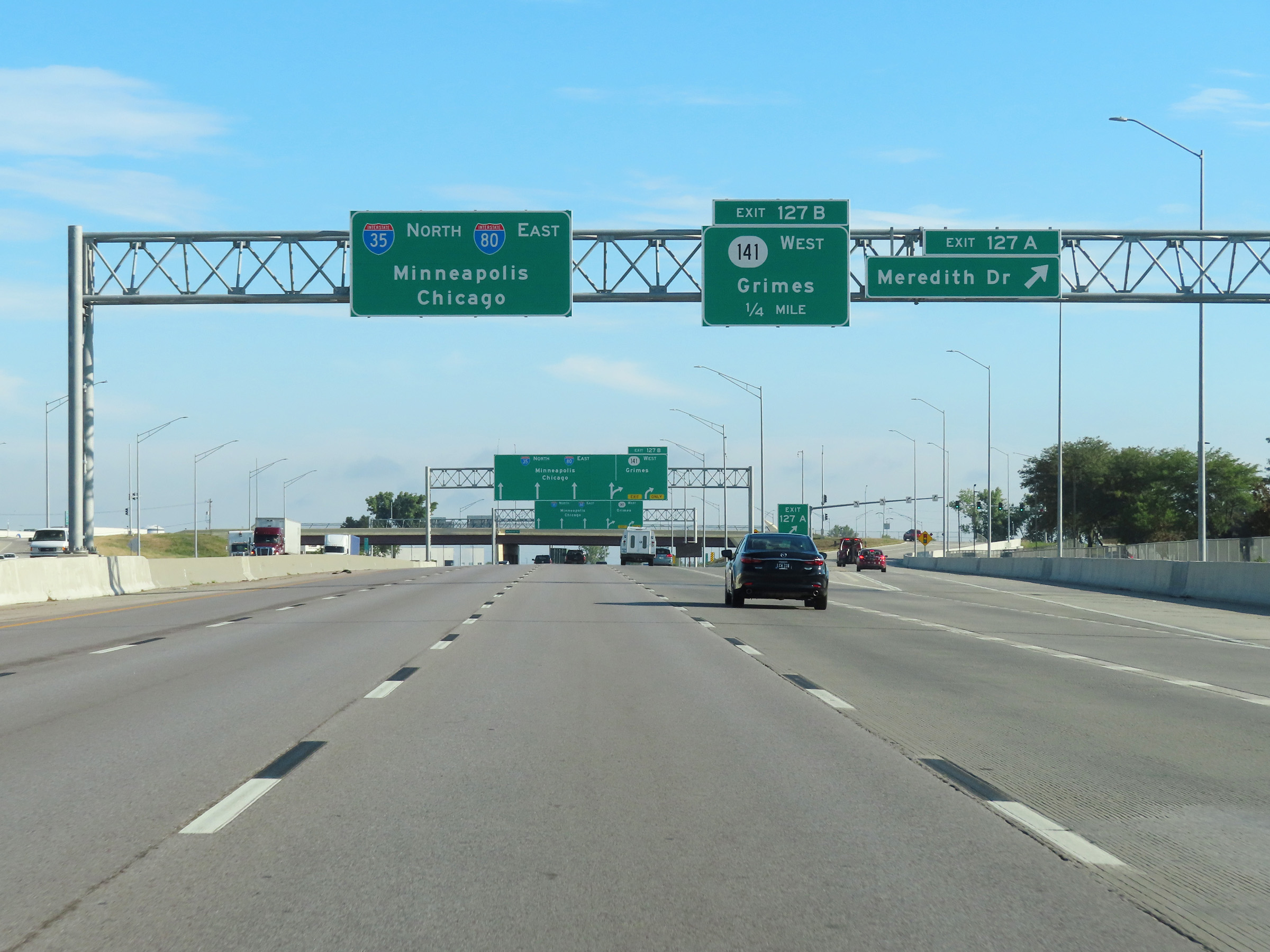
Interstate 80 East / Interstate 35 North at Exit 127B: IA 141 West - Grimes (Photo taken 8/19/22). |
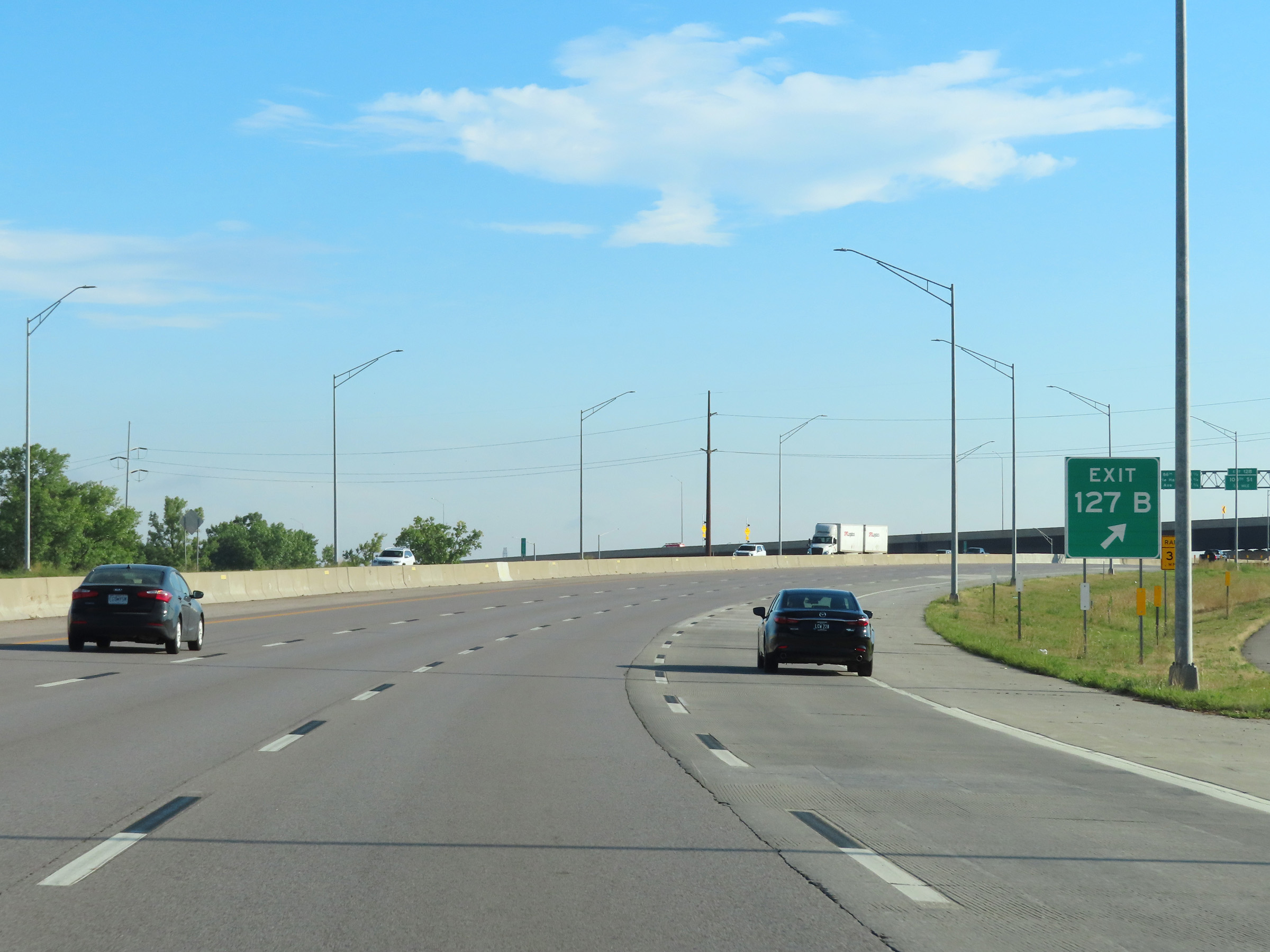 |
At Exit 127B, Interstate 80 East / Interstate 35 North begin to curve to the east at the northwestern corner of the Des Moines area. (Photo taken 8/19/22). |
 |
View on Interstate 80 East / Interstate 35 North at mile marker 127.7, as the duplex continues to curve to the east. (Photo taken 8/19/22). |
 |
Interstate 80 East / Interstate 35 North at Exit 128: 100th St (Photo taken 8/19/22). |
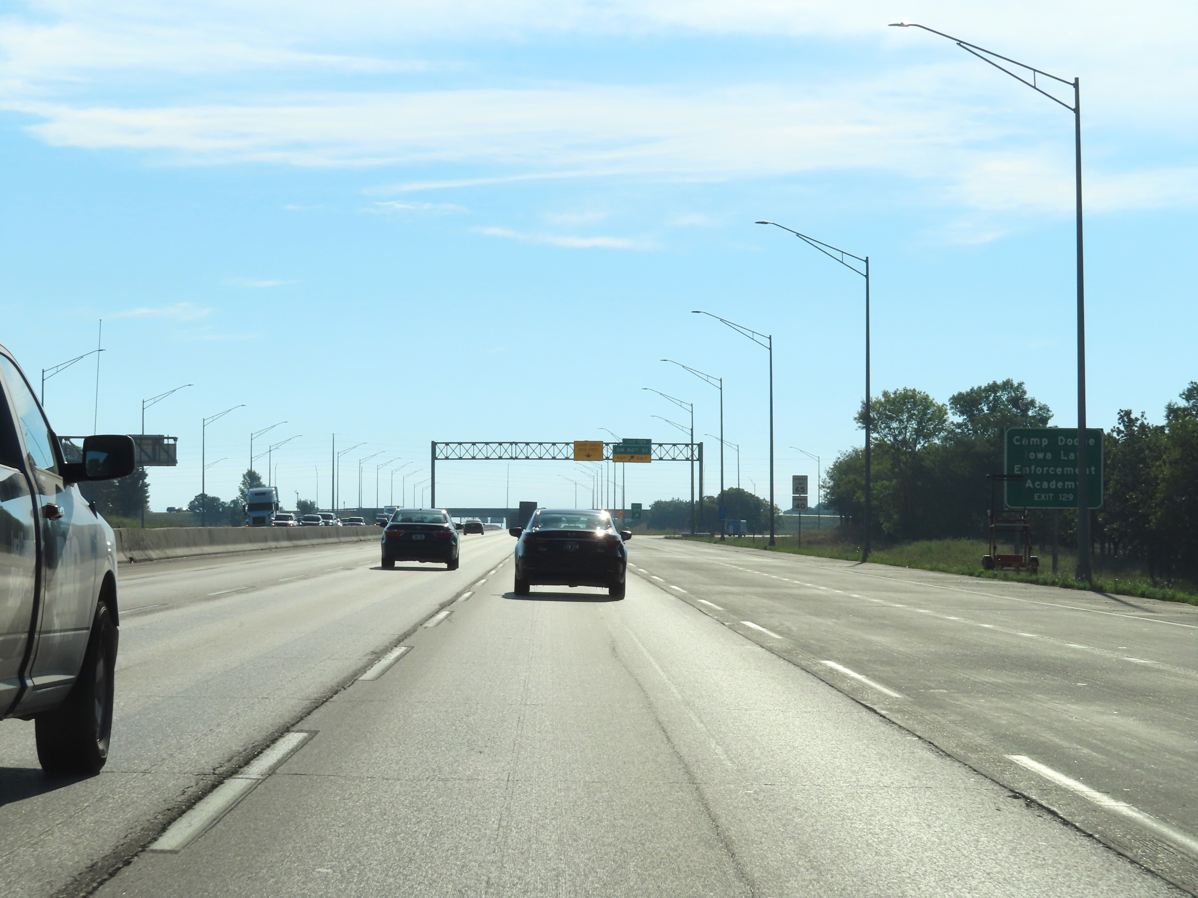 |
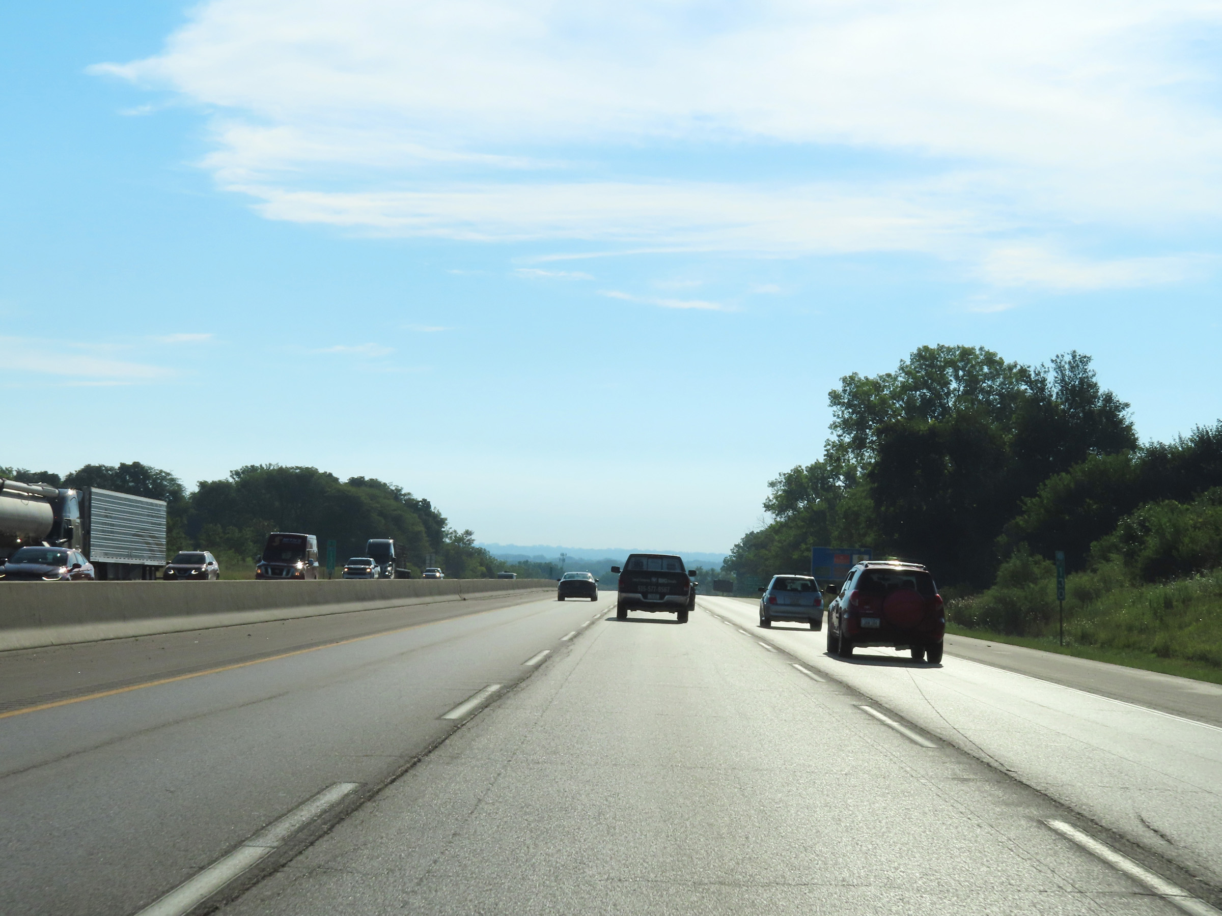
Take Exit 129 to Camp Dodge and the Iowa Law Enforcement Academy. (Photo taken 8/19/22). |
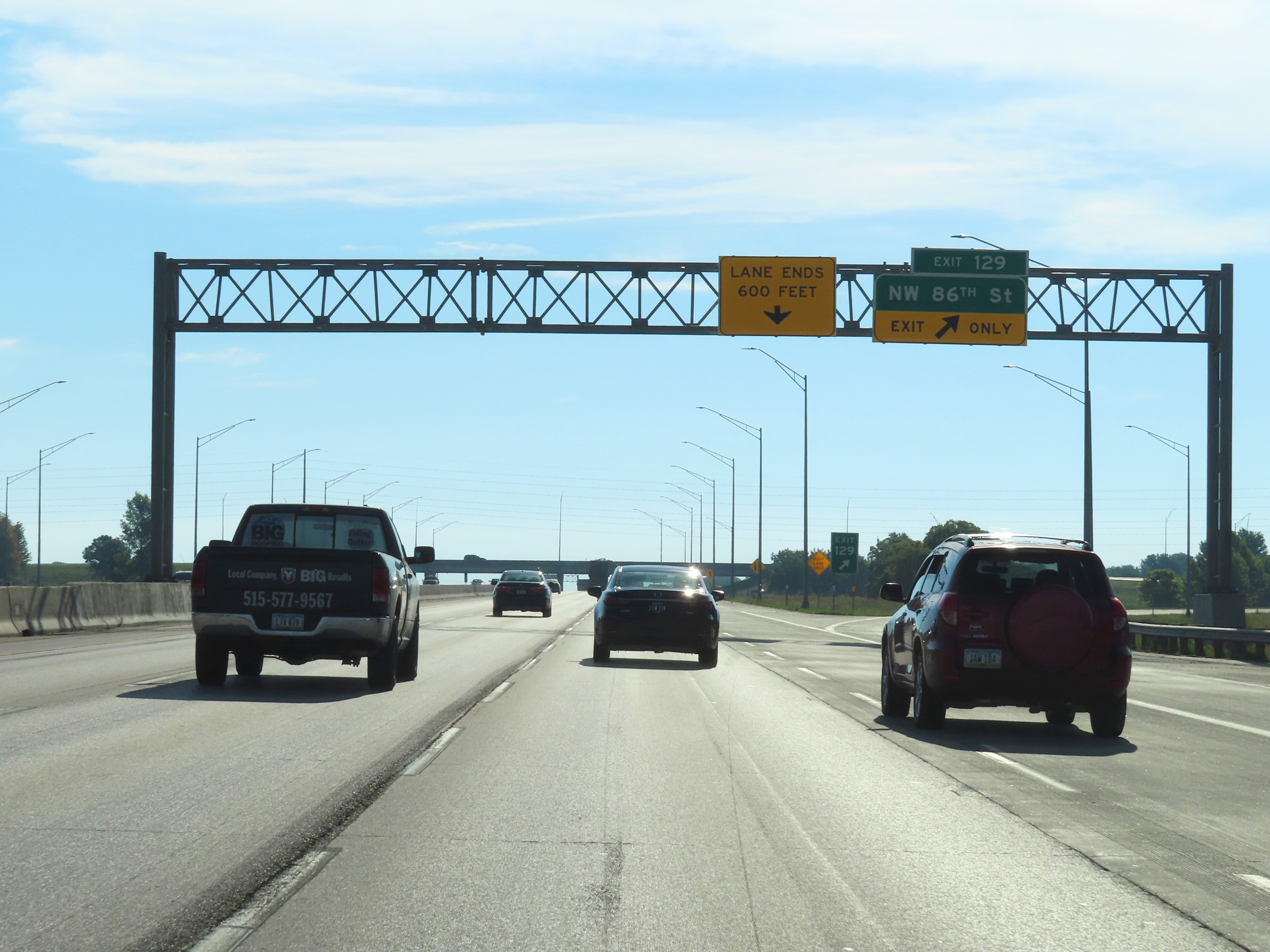 |
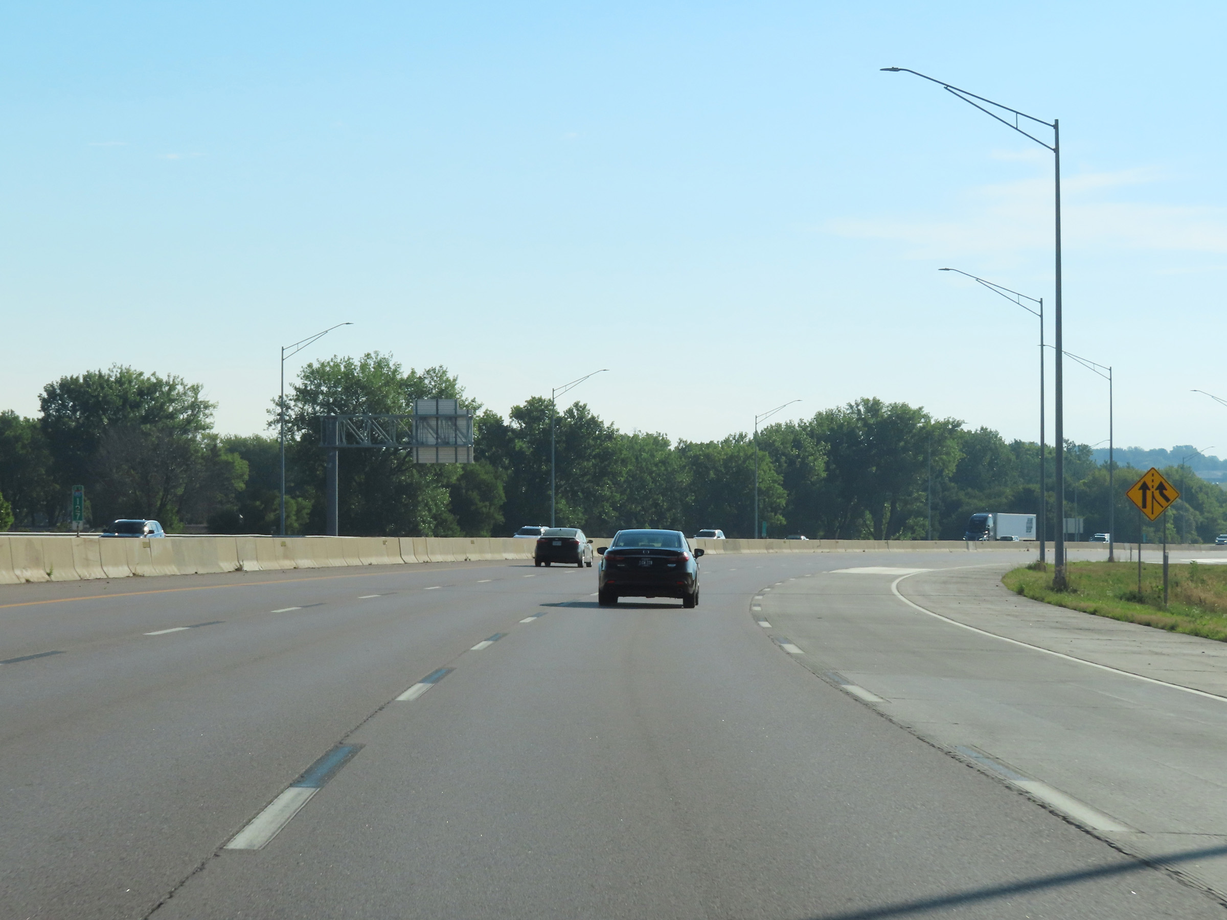
Interstate 80 East / Interstate 35 North at Exit 129: NW 86th St (Photo taken 8/19/22). |
 |
View on Interstate 80 East / Interstate 35 North at mile marker 130. (Photo taken 8/19/22). |
 |
Mileage sign listing the distances to the three upcoming exits to Des Moines on Interstate 80 East / Interstate 35 North. (Photo taken 8/19/22). |
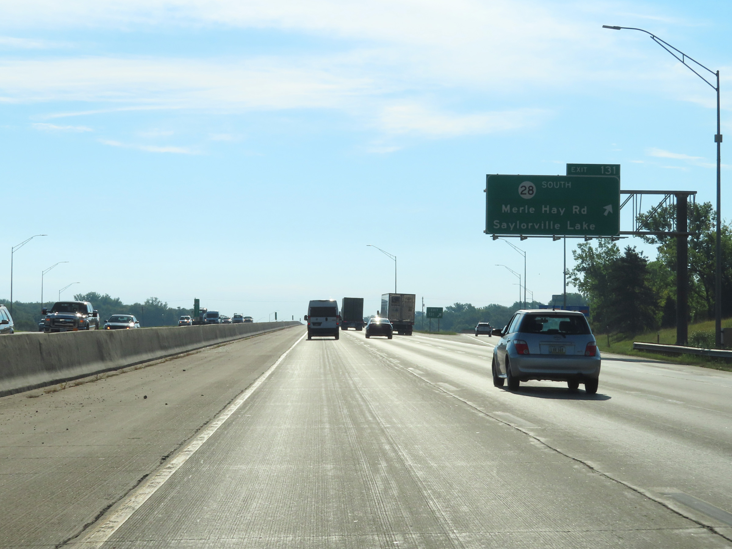 |
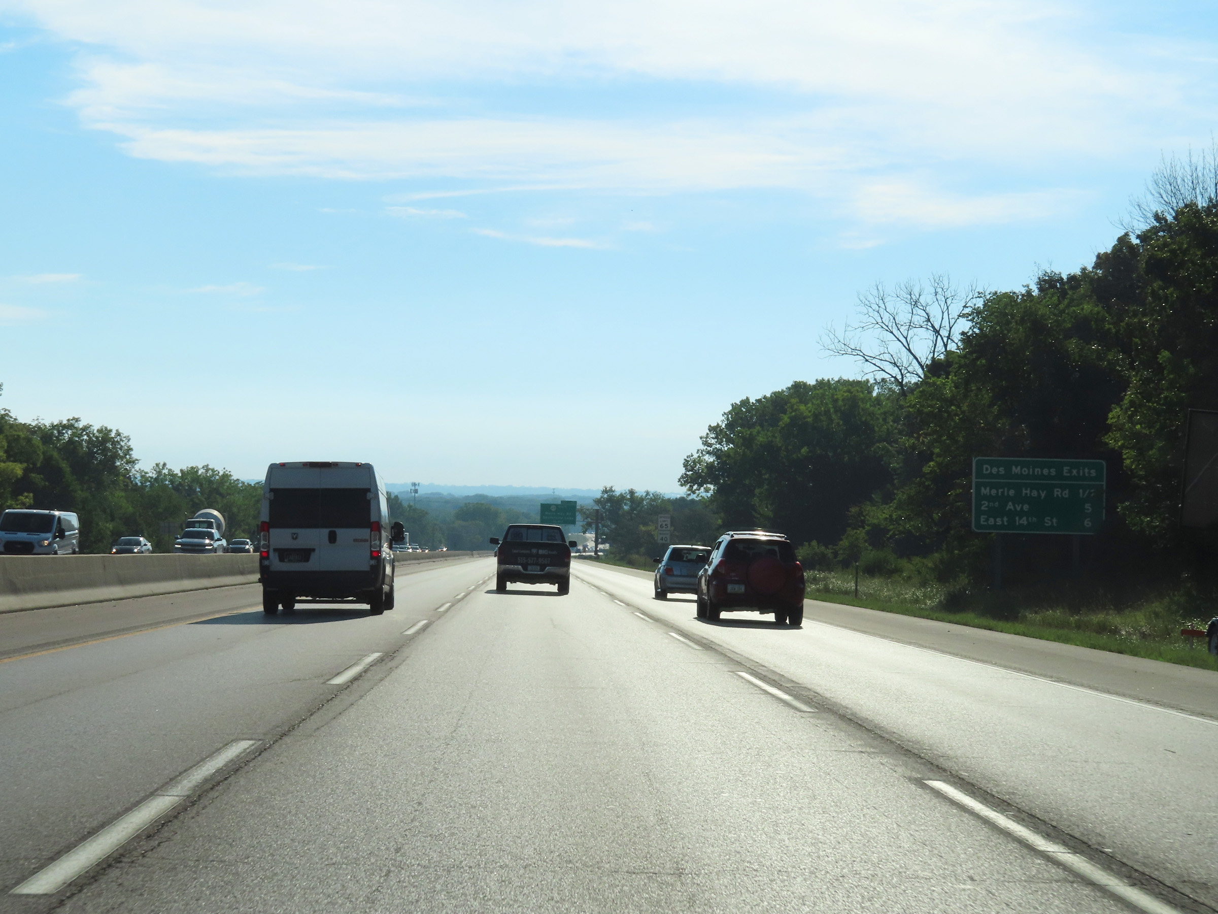
Interstate 80 East / Interstate 35 North at Exit 131: IA 28 South - Merle Hay Rd / Saylorville Lake (Photo taken 8/19/22). |
 |
Interstate 80 East / Interstate 35 North as they cross the Des Moines River at mile marker 133. (Photo taken 8/19/22). |
 |
Another mileage sign at mile marker 134, which lists the distances to the next three exits to Des Moines. (Photo taken 8/19/22). |
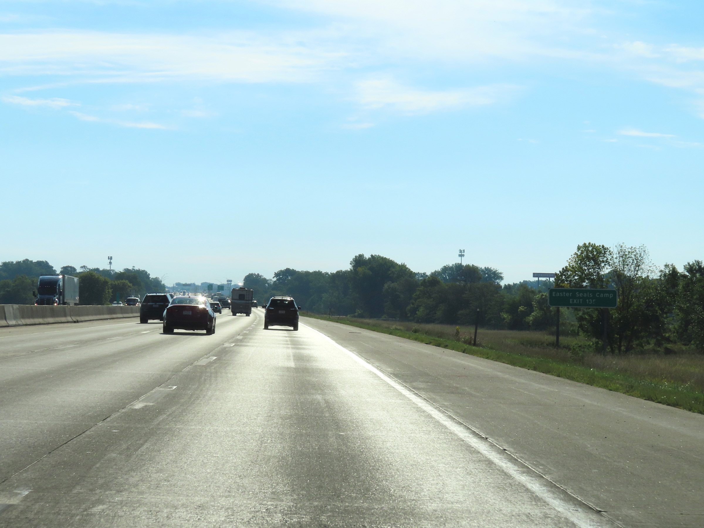 |
Take Exit 135 to Easter Seals Camp. (Photo taken 8/19/22). |
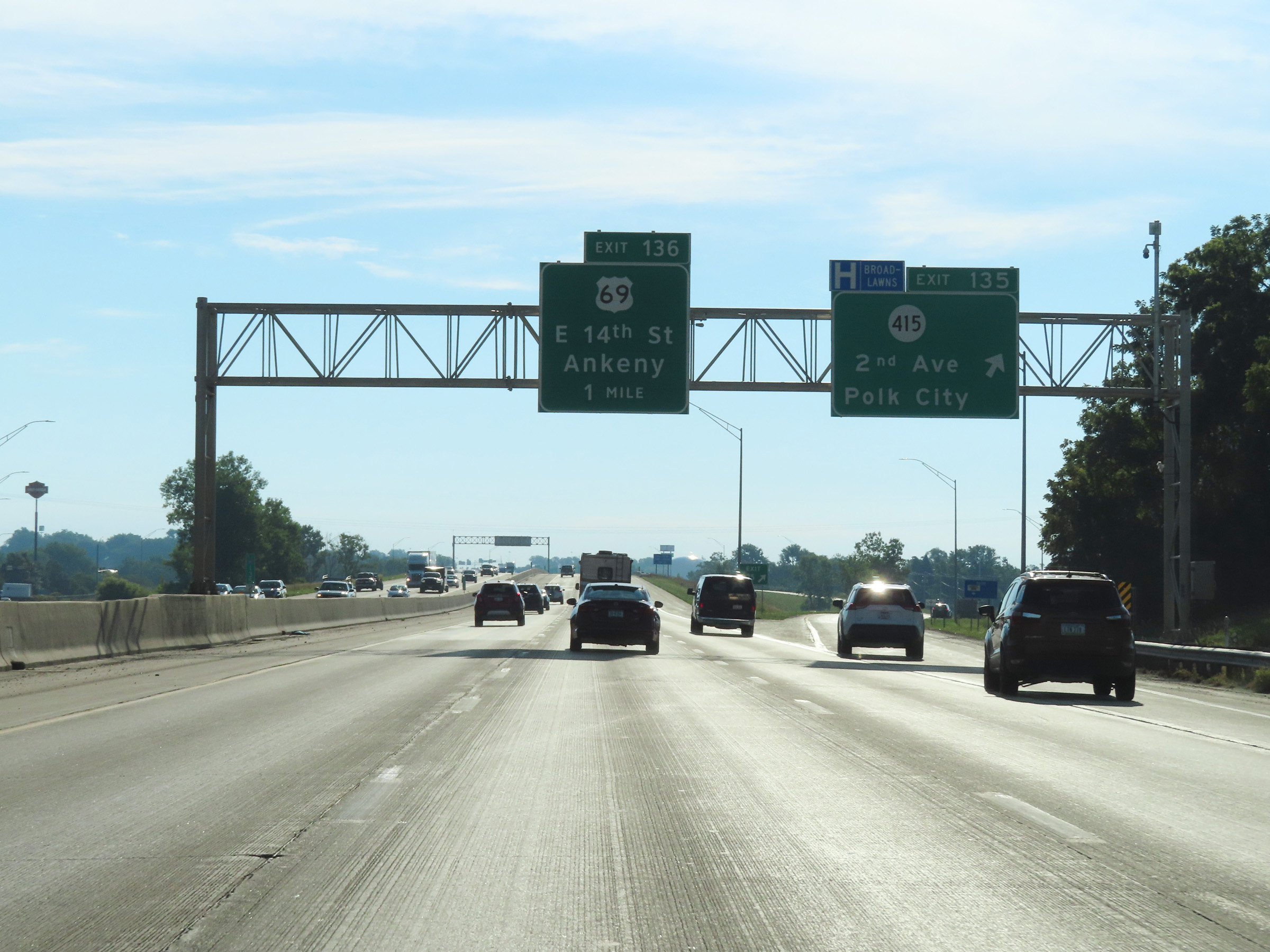 |
Interstate 80 East / Interstate 35 North at Exit 135: IA 415 - 2nd Ave / Polk City (Photo taken 8/19/22). |
 |
Interstate 80 East / Interstate 35 North at Exit 136: US 69 - East 14th St / Ankeny (Photo taken 8/19/22). |
 |
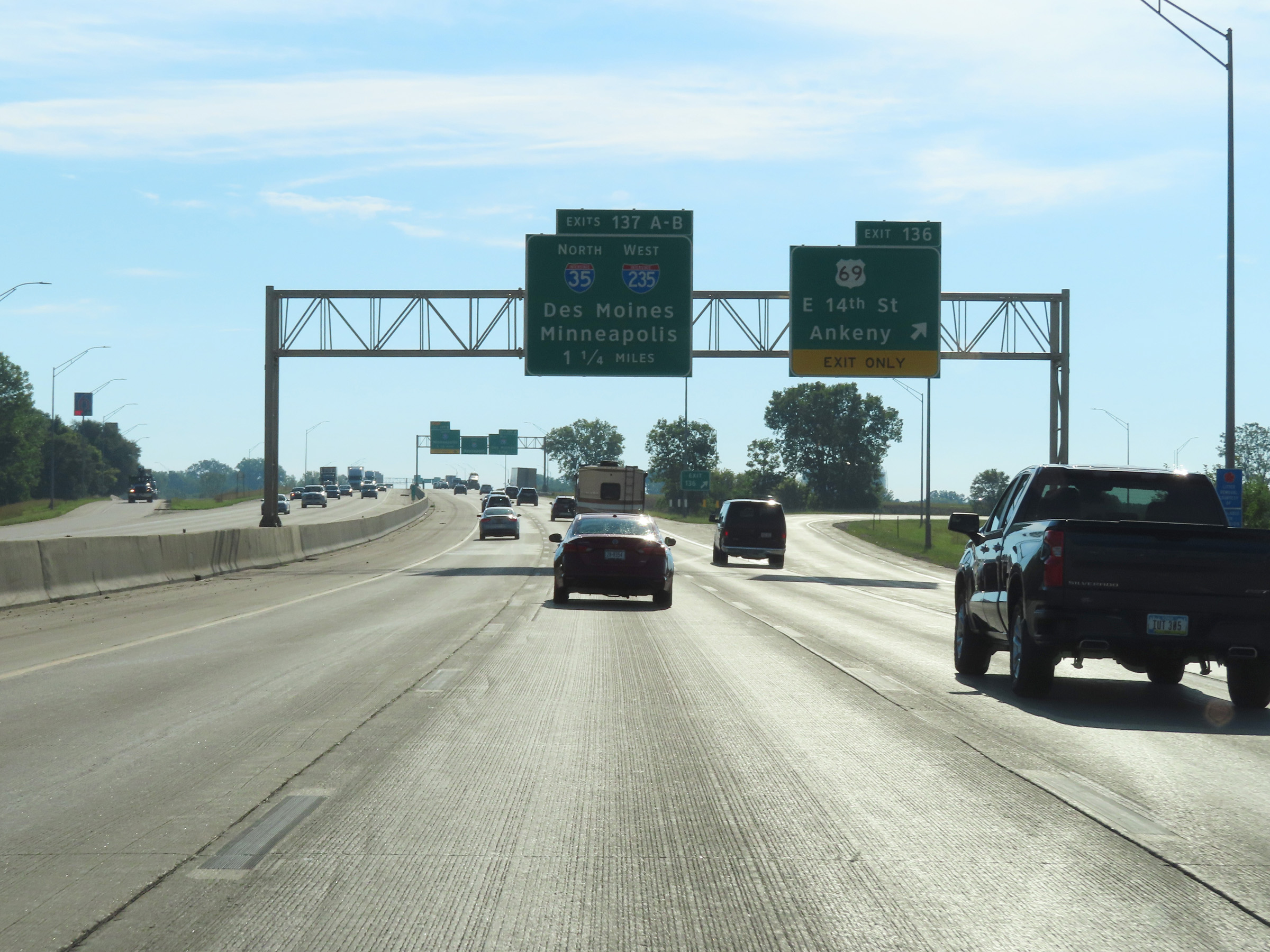
Interstate 80 East / Interstate 35 North approaching Exits 137A-B - 1 mile and 1 1/4 miles respectively. As they signage shows, Exit 137B to Interstate 35 North is a left exit. (Photo taken 8/19/22). |
 |
View on Interstate 80 East / Interstate 35 North at mile marker 136.5. (Photo taken 8/19/22). |
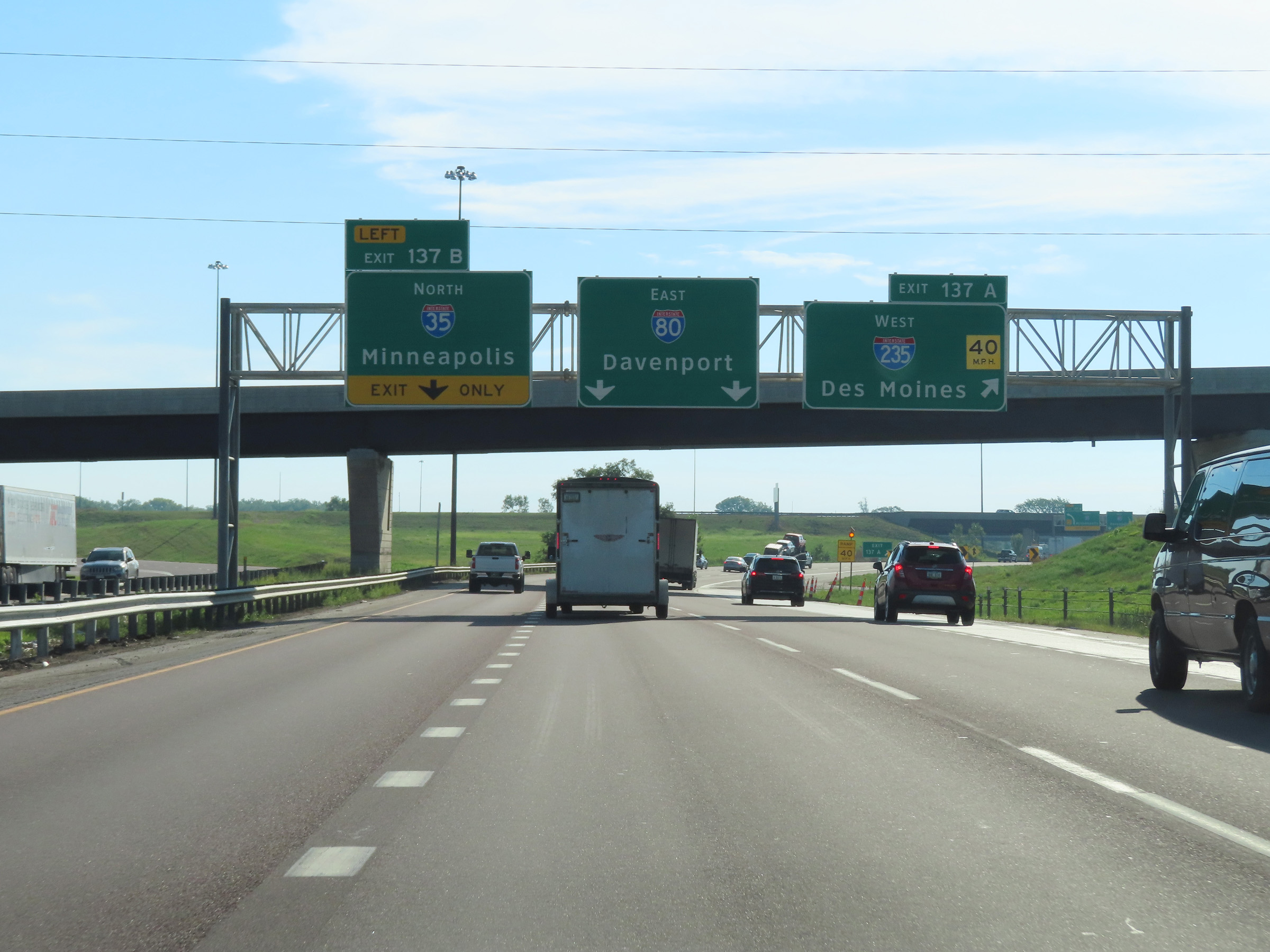 |
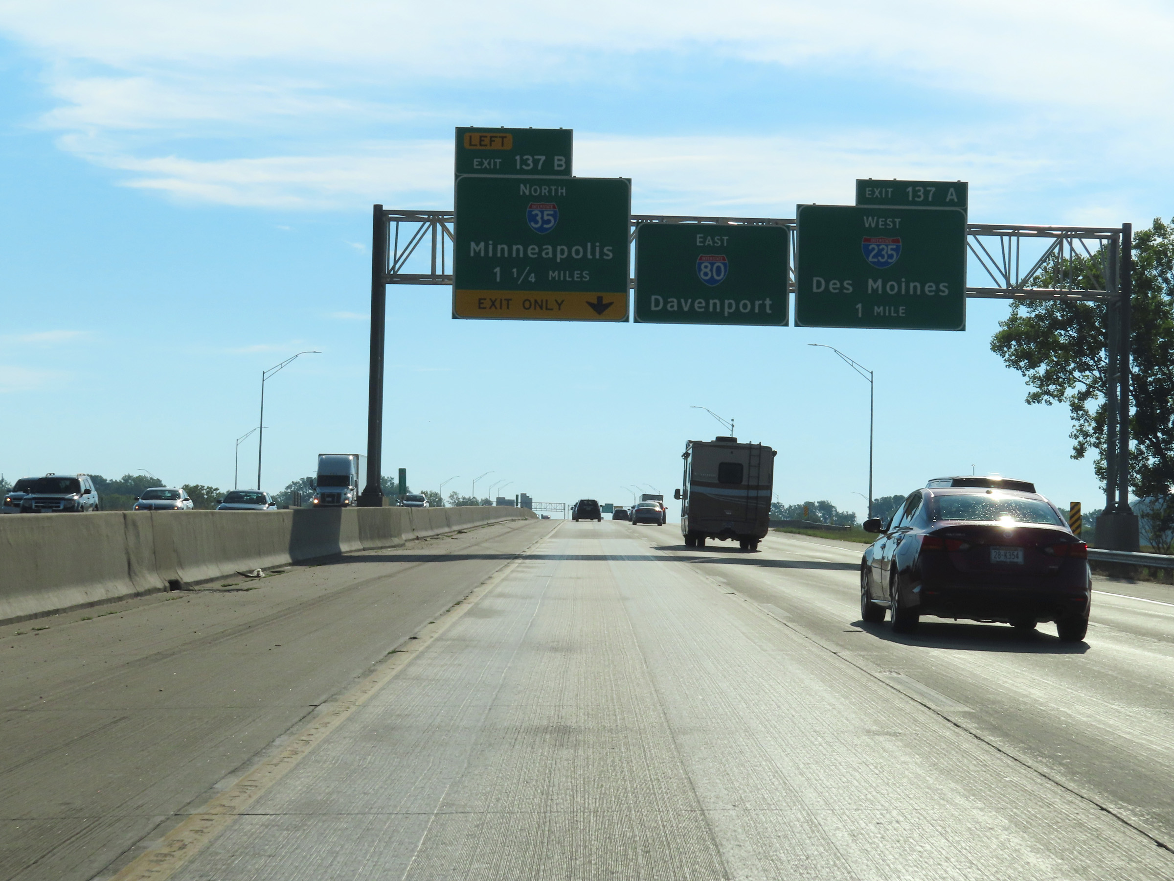
Interstate 80 East / Interstate 35 North at Exit 137A: Interstate 235 West - Des Moines (Photo taken 8/19/22). |
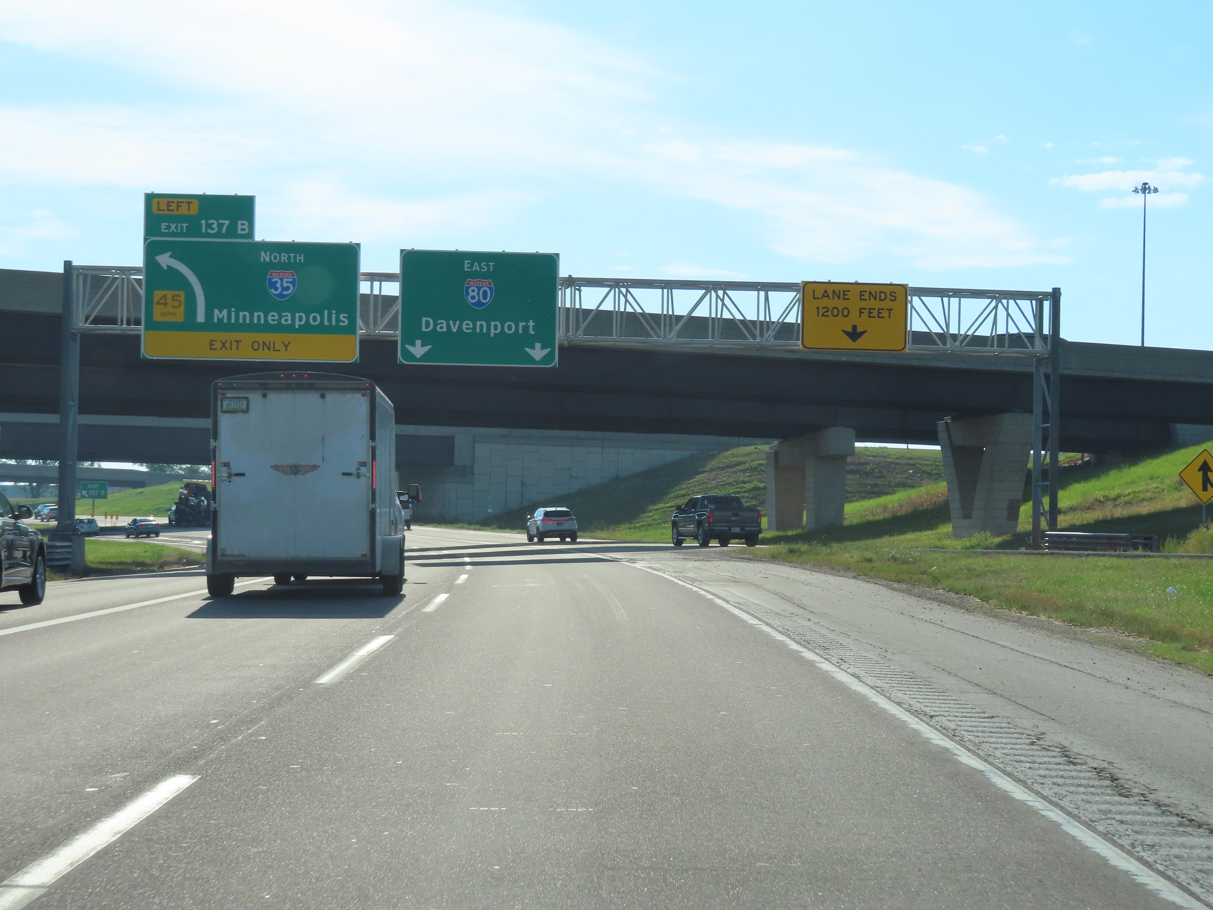 |
Interstate 80 East / Interstate 35 North at Exit 137B: Interstate 35 North - Minneapolis (Photo taken 8/19/22). |
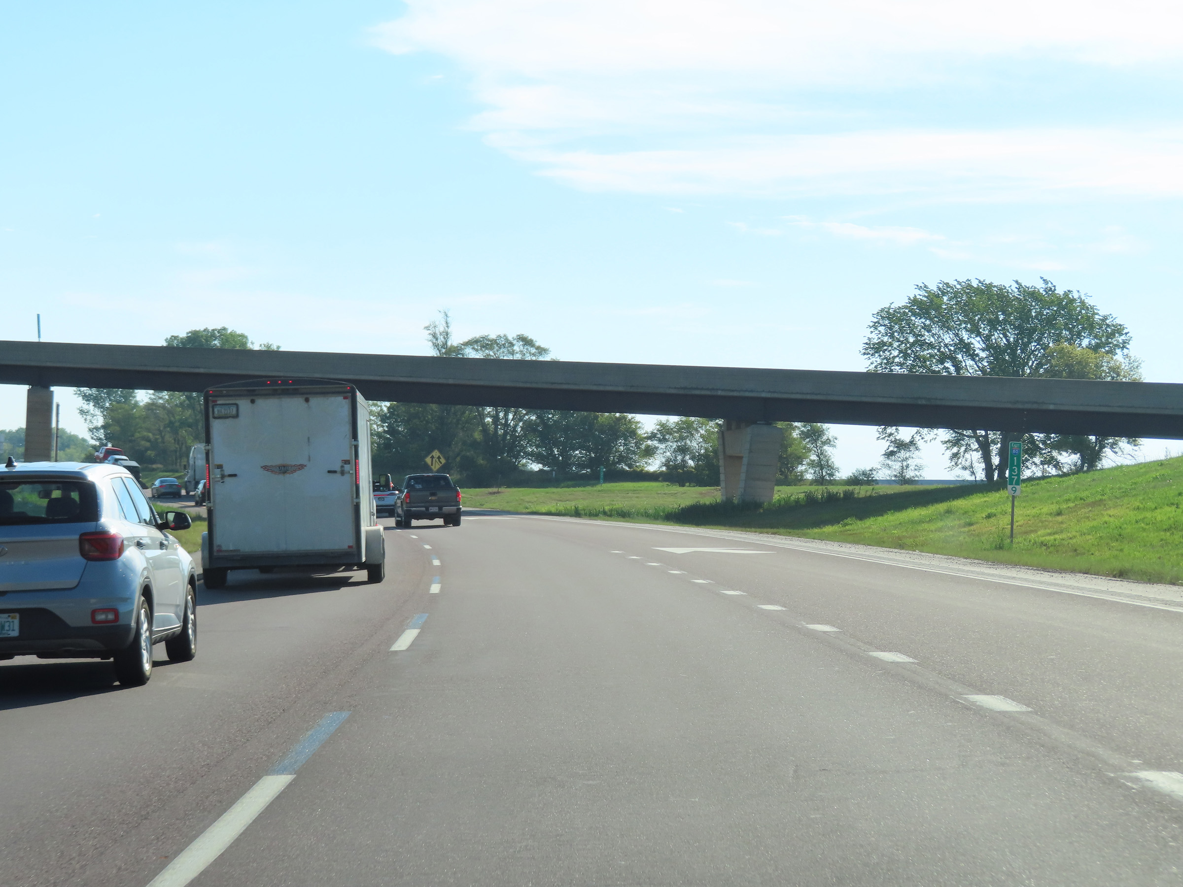 |
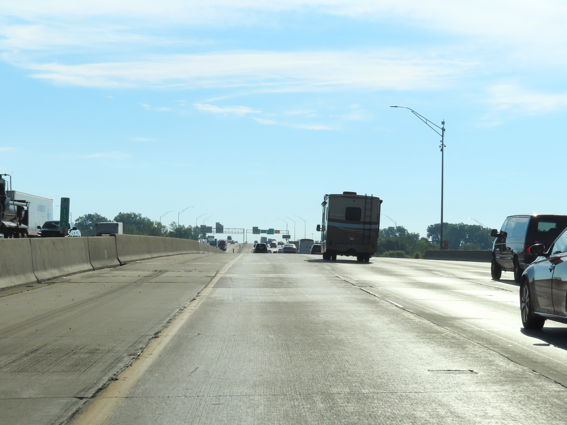
View on Interstate 80 East at mile marker 137.9, just after the departure of Interstate 35 North. (Photo taken 8/19/22). |
 |
Mile marker 139 on Interstate 80 East in Polk County. (Photo taken 8/19/22). |
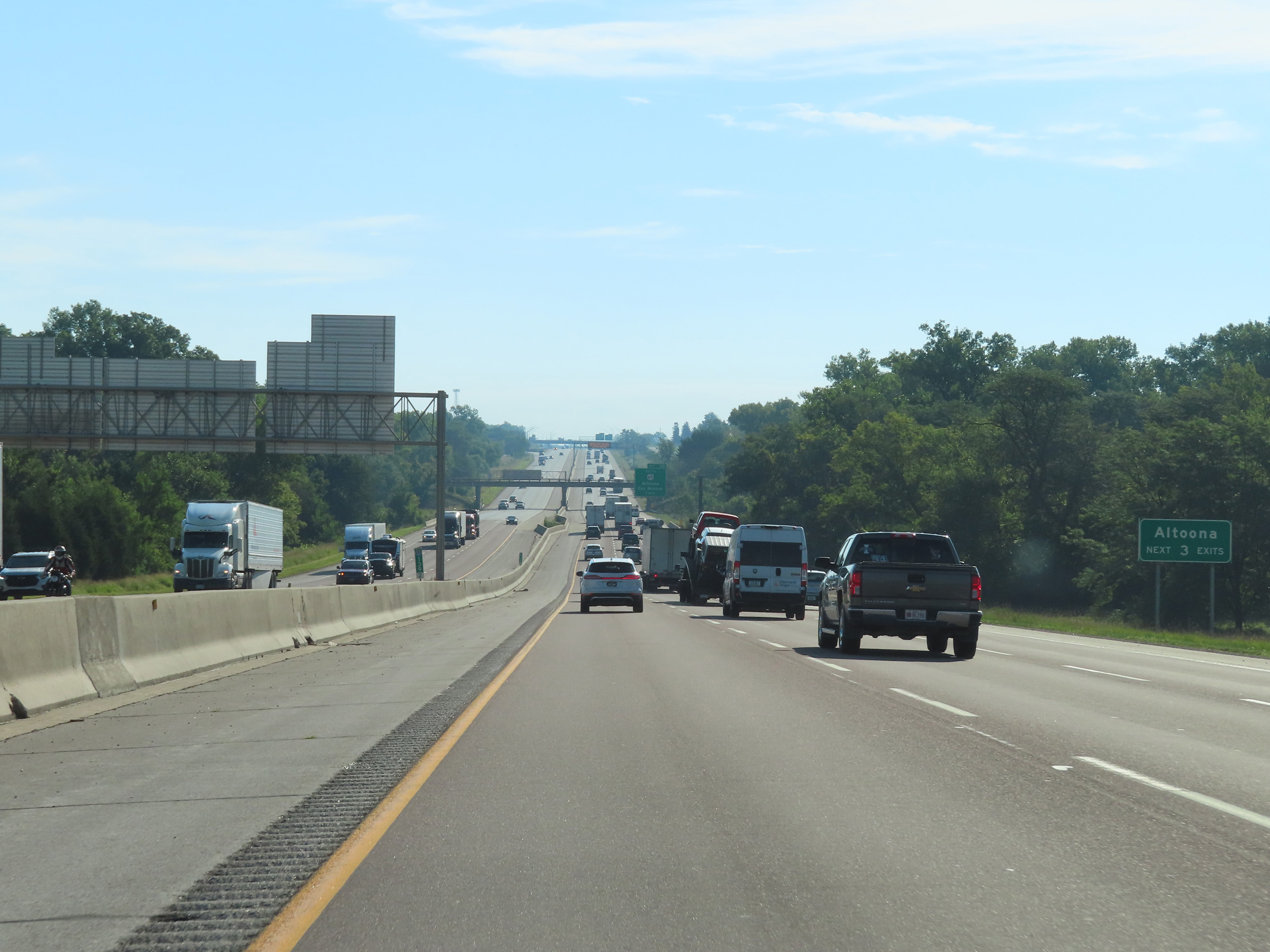 |
Take any of the next 3 exits to Altoona. (Photo taken 8/19/22). |
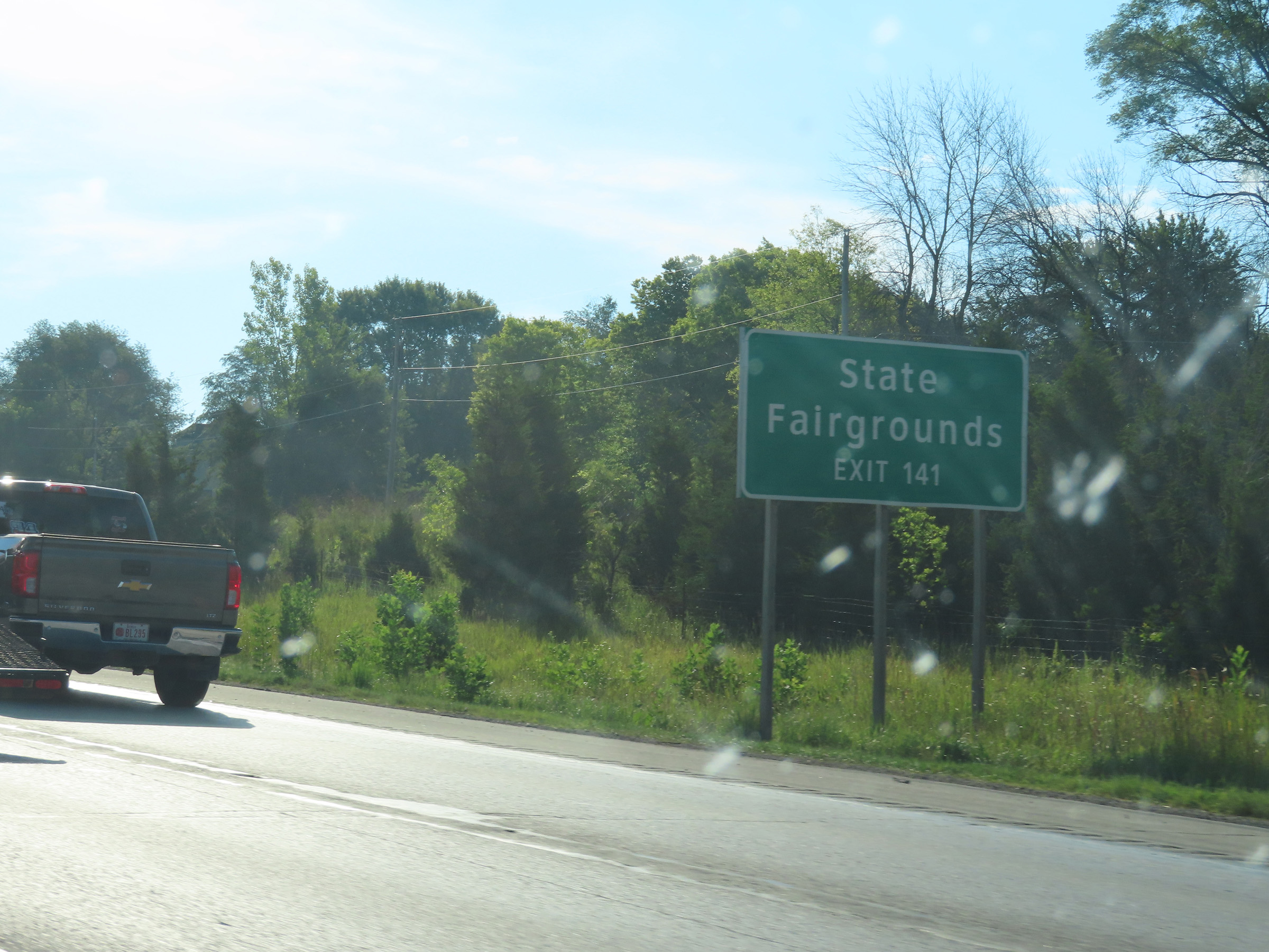 |
Take Exit 141 to the State Fairgrounds. (Photo taken 8/19/22). |
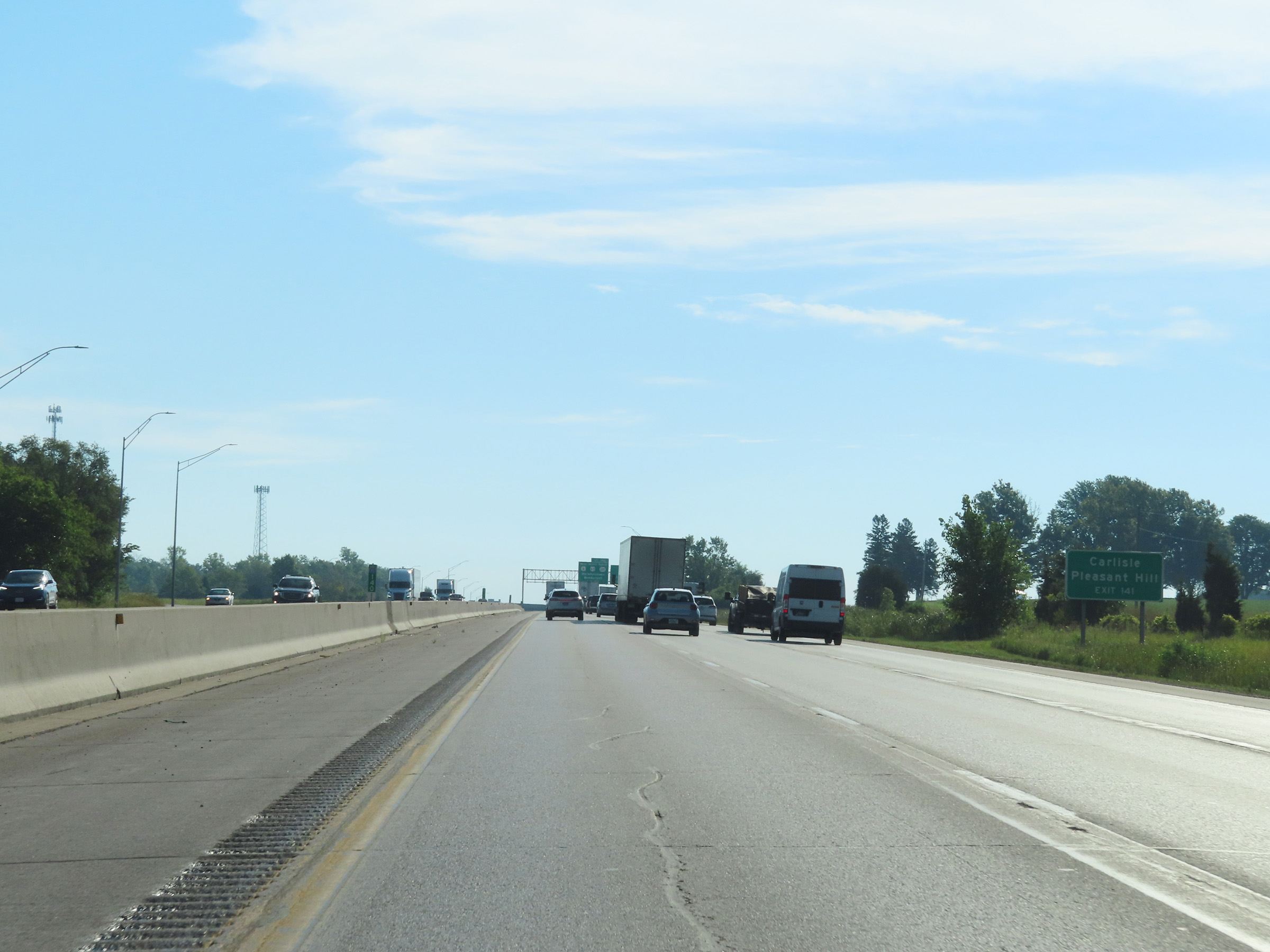 |
Also take Exit 141 to Carlisle and Pleasant Hill. (Photo taken 8/19/22). |
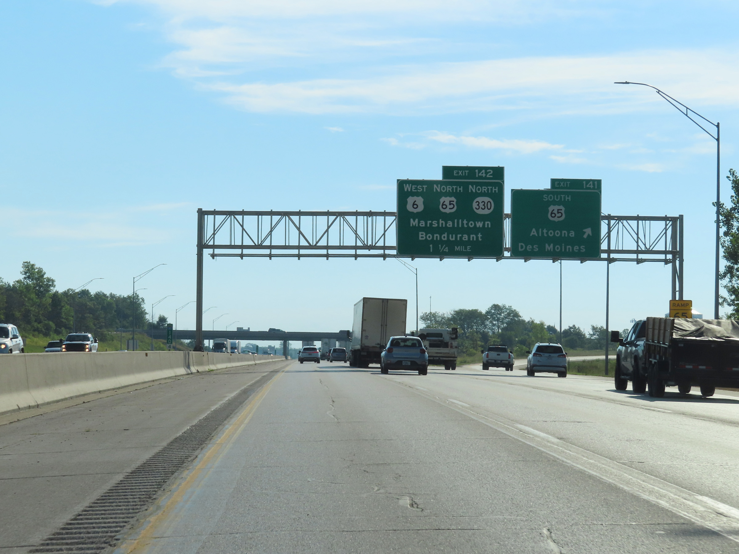 |
Interstate 80 East at Exit 141: US 65 South - Altoona / Des Moines (Photo taken 8/19/22). |
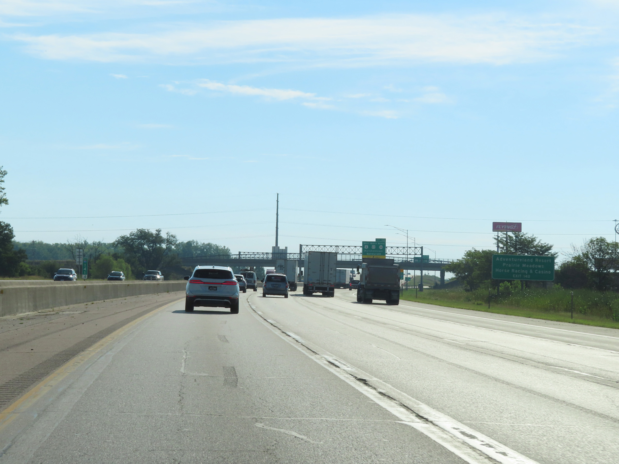 |
Take Exit 142 to Adventureland Resort and Prairie Meadows Horse Racing & Casino. (Photo taken 8/19/22). |
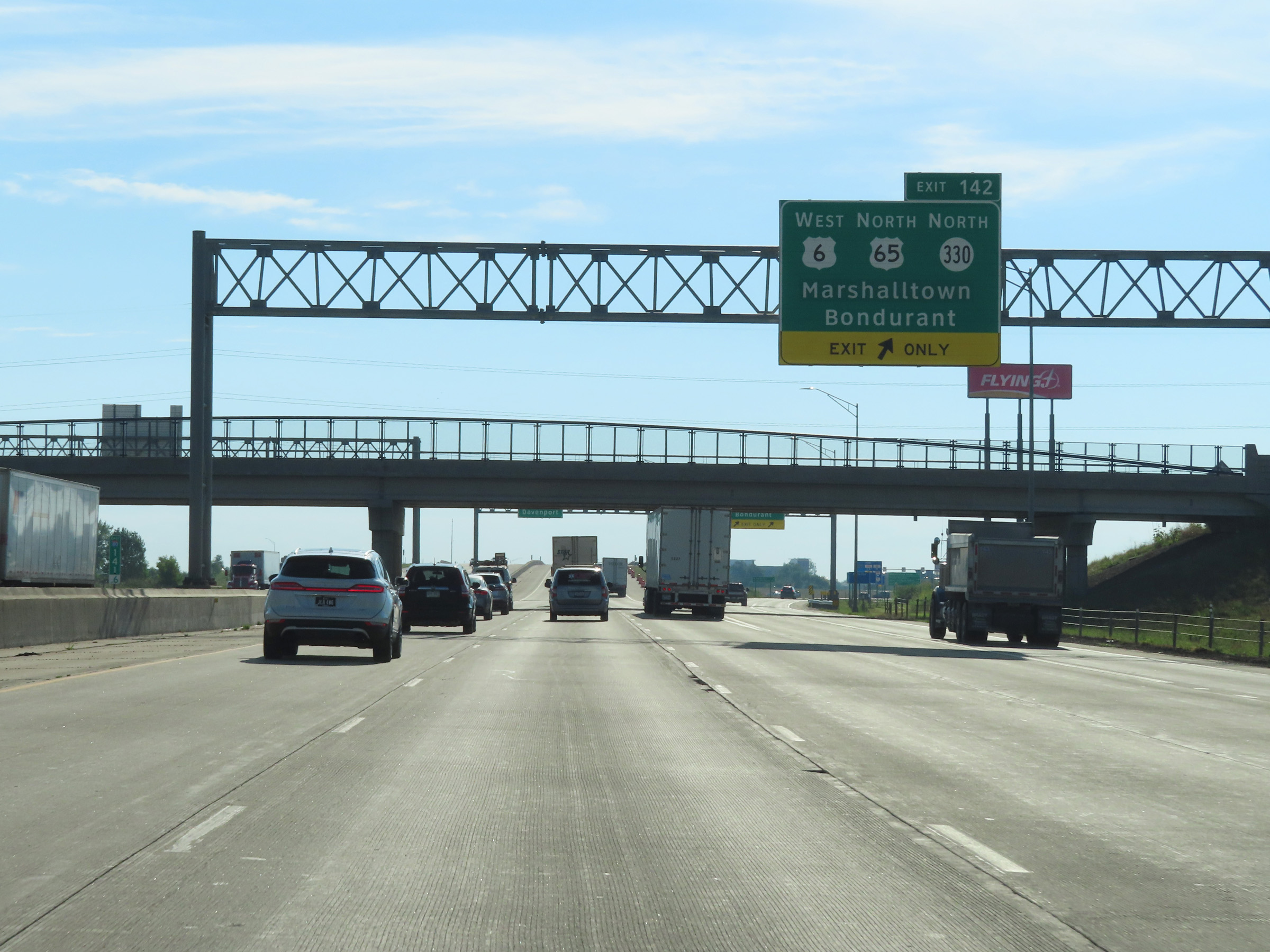 |
Interstate 80 East at Exit 142: US 6 West / US 65 North / IA 330 North - Marshalltown / Bondurant (Photo taken 8/19/22). |
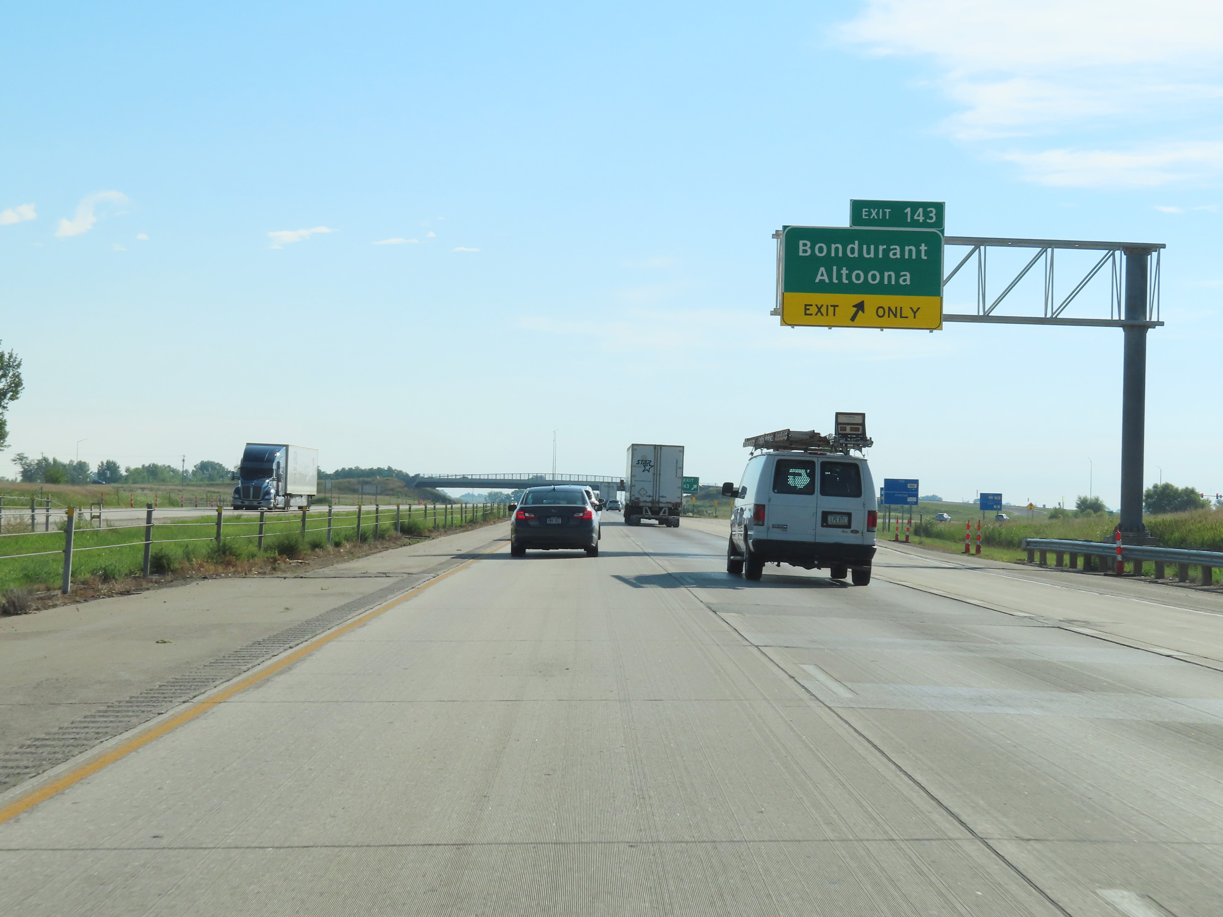 |
Interstate 80 East at Exit 143: Bondurant / Altoona (Photo taken 8/19/22). |
 |
Another state-named Interstate 80 East reassurance shield. (Photo taken 8/19/22). |
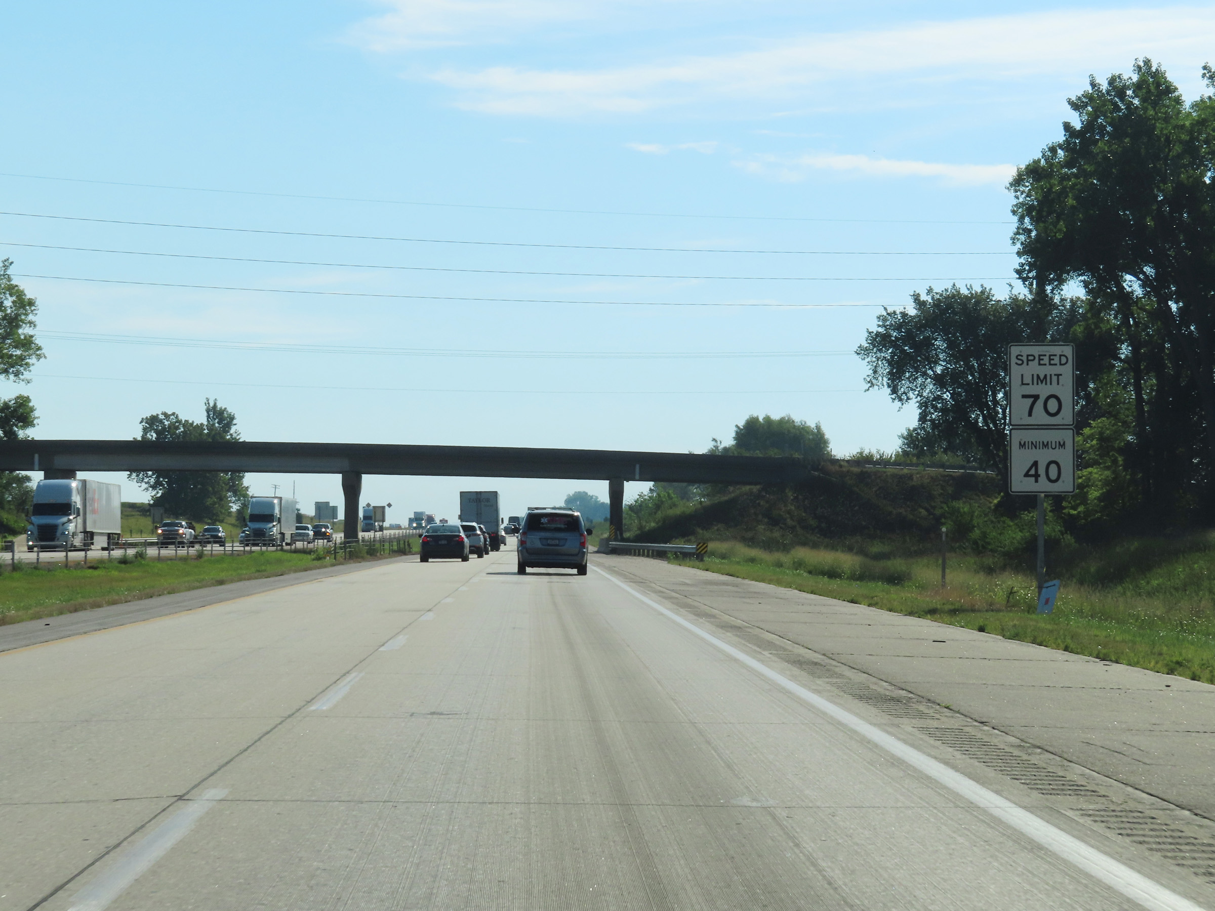 |
East of Exit 143, the maximum speed limit on Interstate 80 East increases to 70 mph once again. As always, the minimum speed limit remains 40 mph. (Photo taken 8/19/22). |
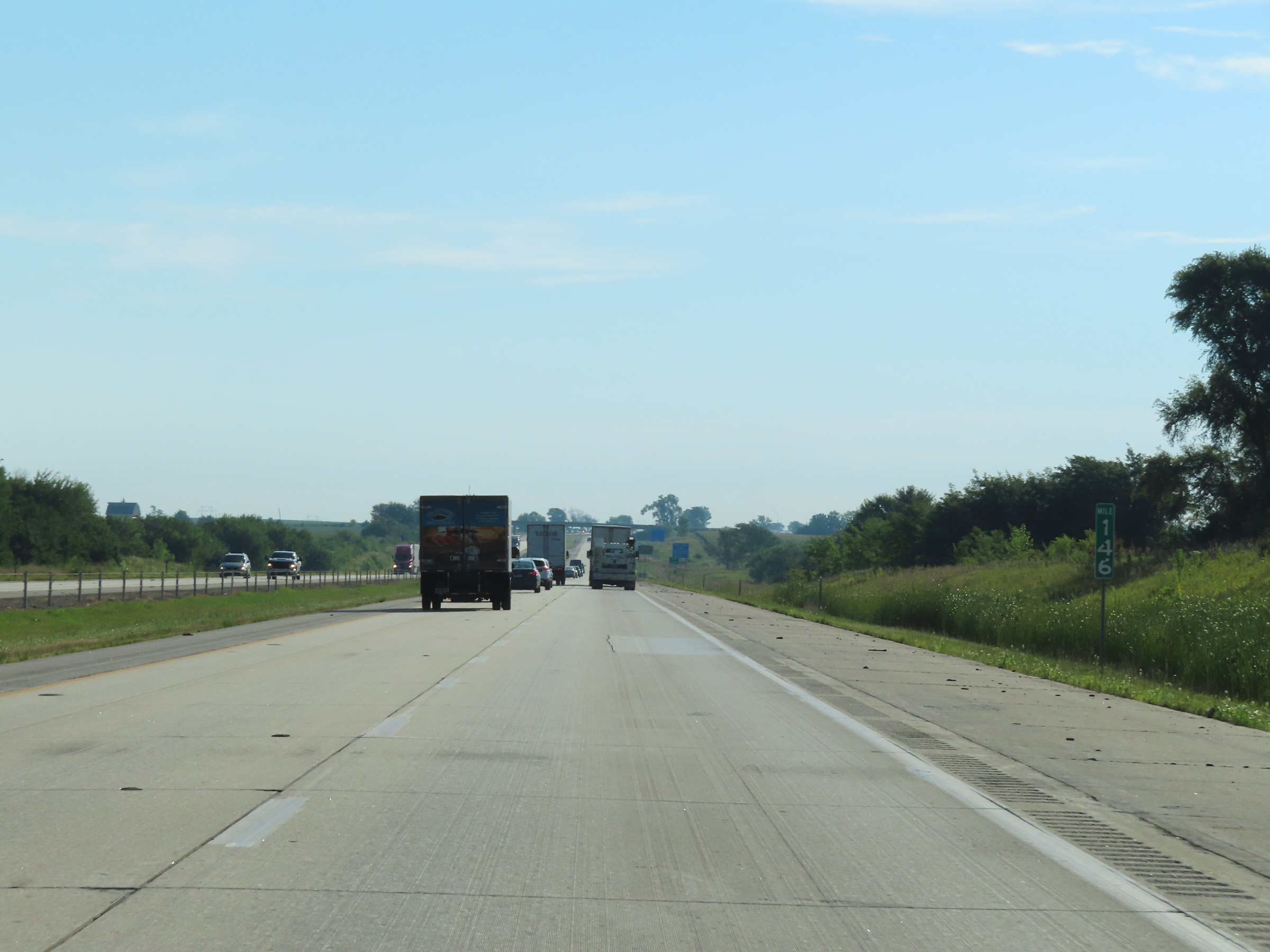 |
View on Interstate 80 East at mile marker 146. (Photo taken 8/19/22). |
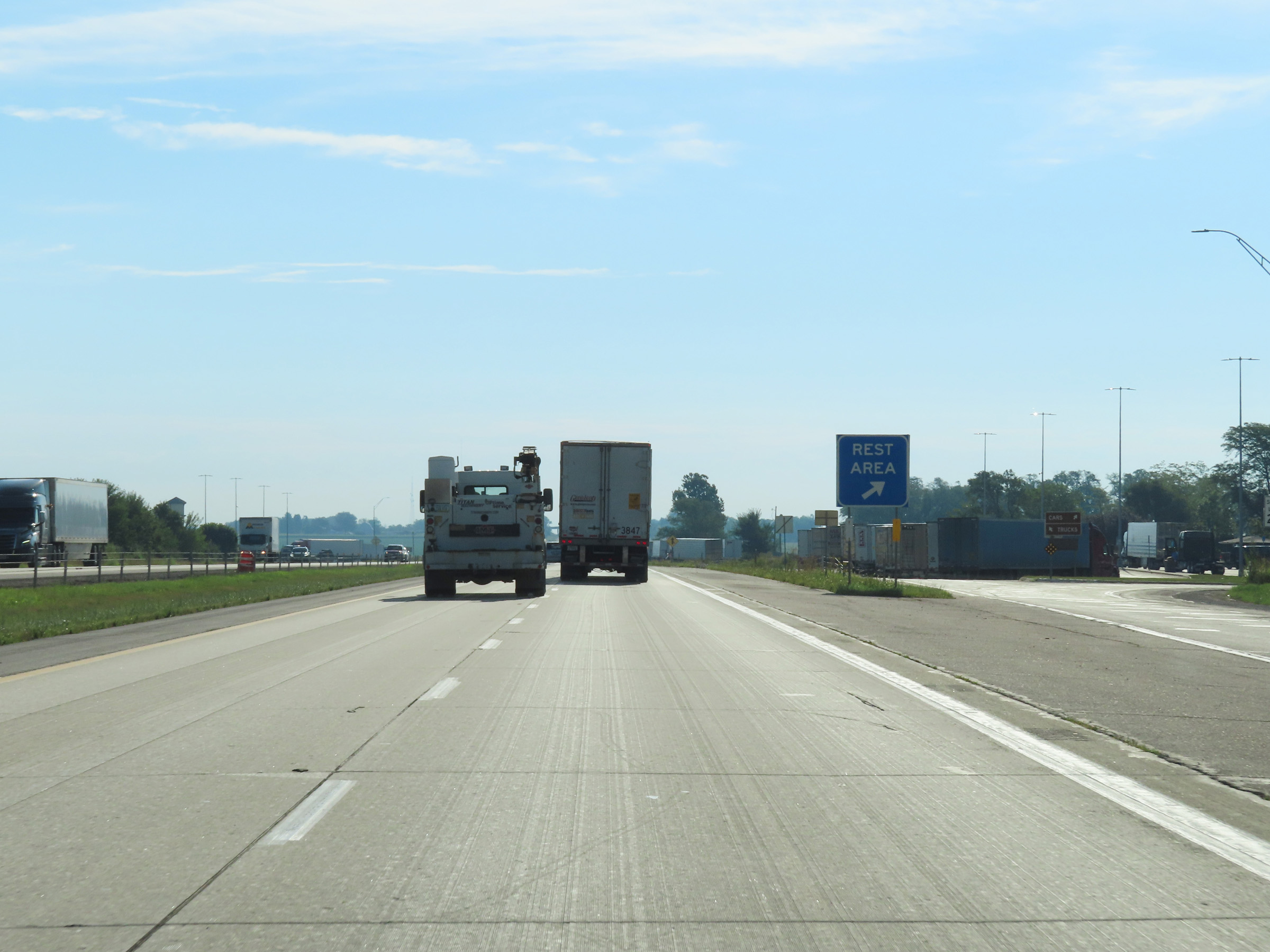 |
Rest Area on Interstate 80 East in Polk County. (Photo taken 8/19/22). |
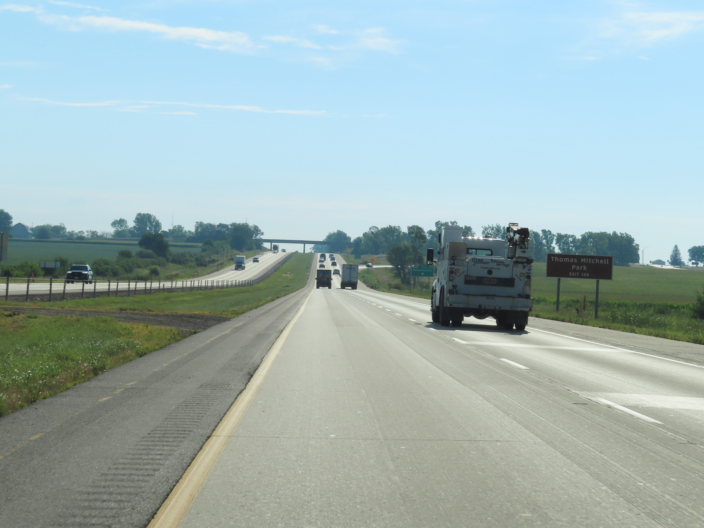 |
Take Exit 149 to Thomas Mitchell Park. (Photo taken 8/19/22). |
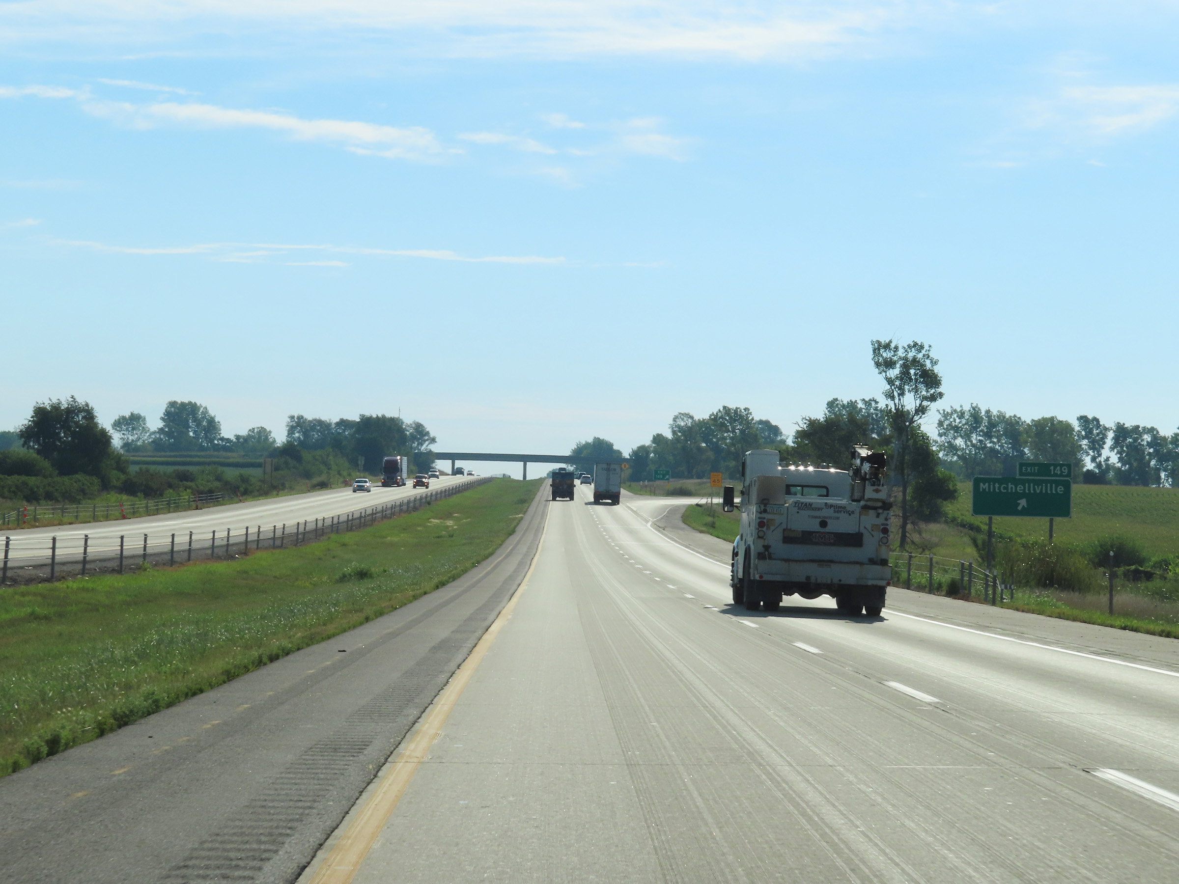 |
Interstate 80 East at Exit 149: Mitchellville (Photo taken 8/19/22). |
 |
Interstate 80 East as it enters Jasper County. (Photo taken 8/19/22). |
 |
View on Interstate 80 East at mile marker 152. (Photo taken 8/19/22). |
 |
Mile marker 153 on Interstate 80 East in Jasper County. (Photo taken 8/19/22). |
 |
Take Exit 155 to Prairie City. (Photo taken 8/19/22). |
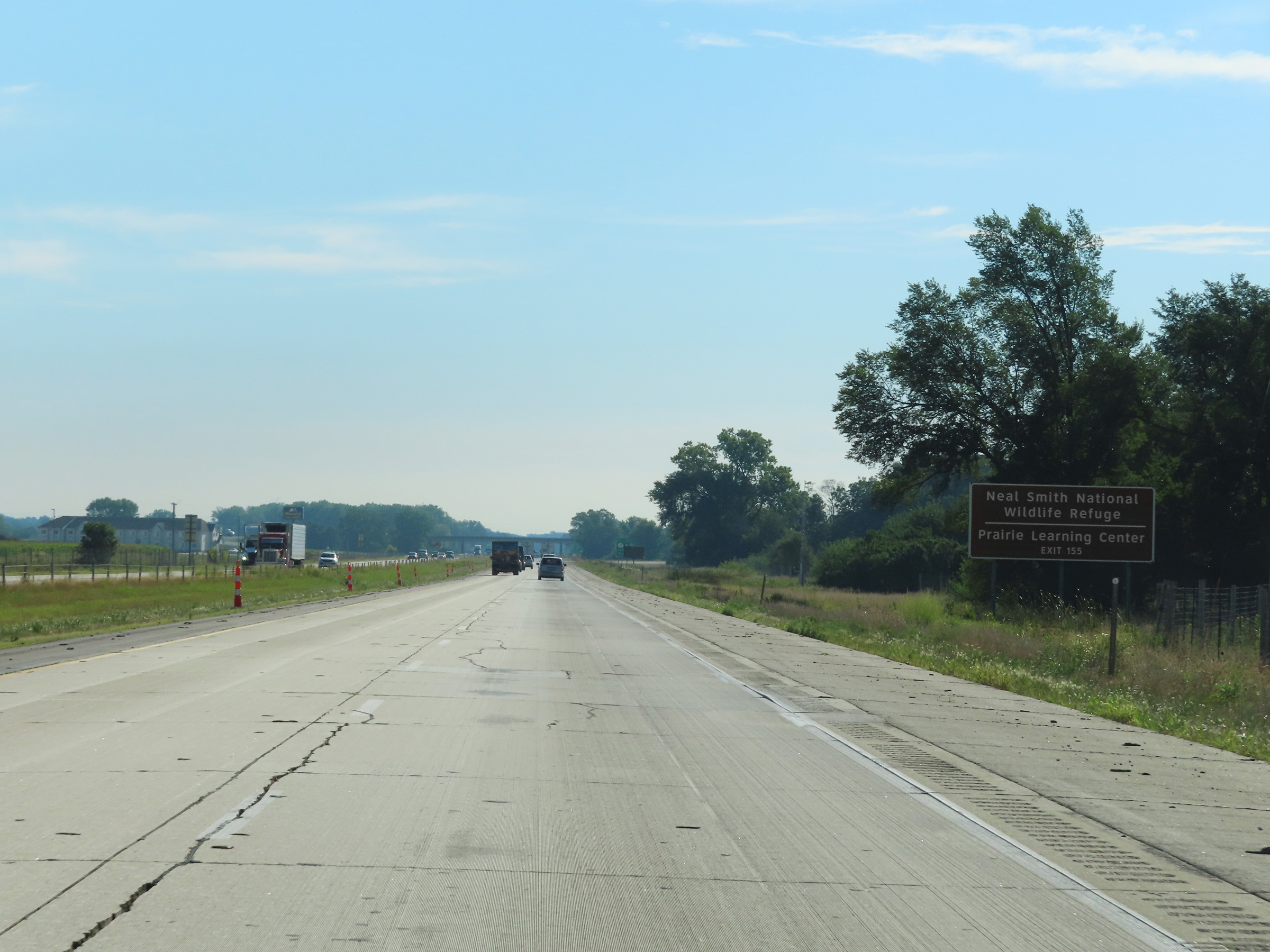 |
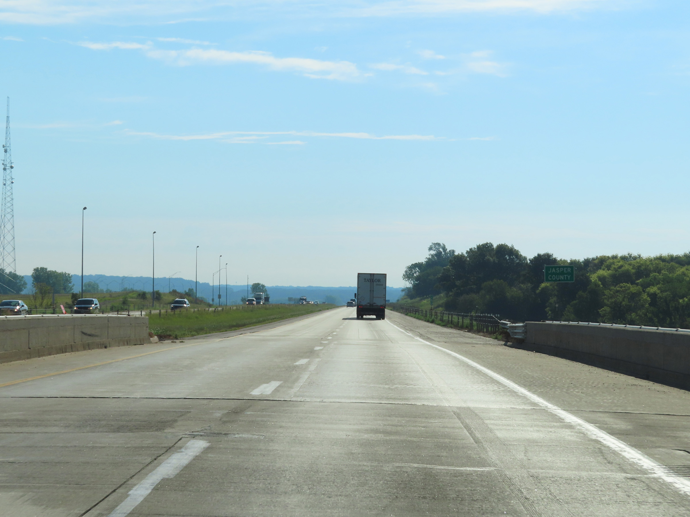
Also take Exit 155 to Neal Smith National Wildlife Refuge and Prairie Learning Center. (Photo taken 8/19/22). |
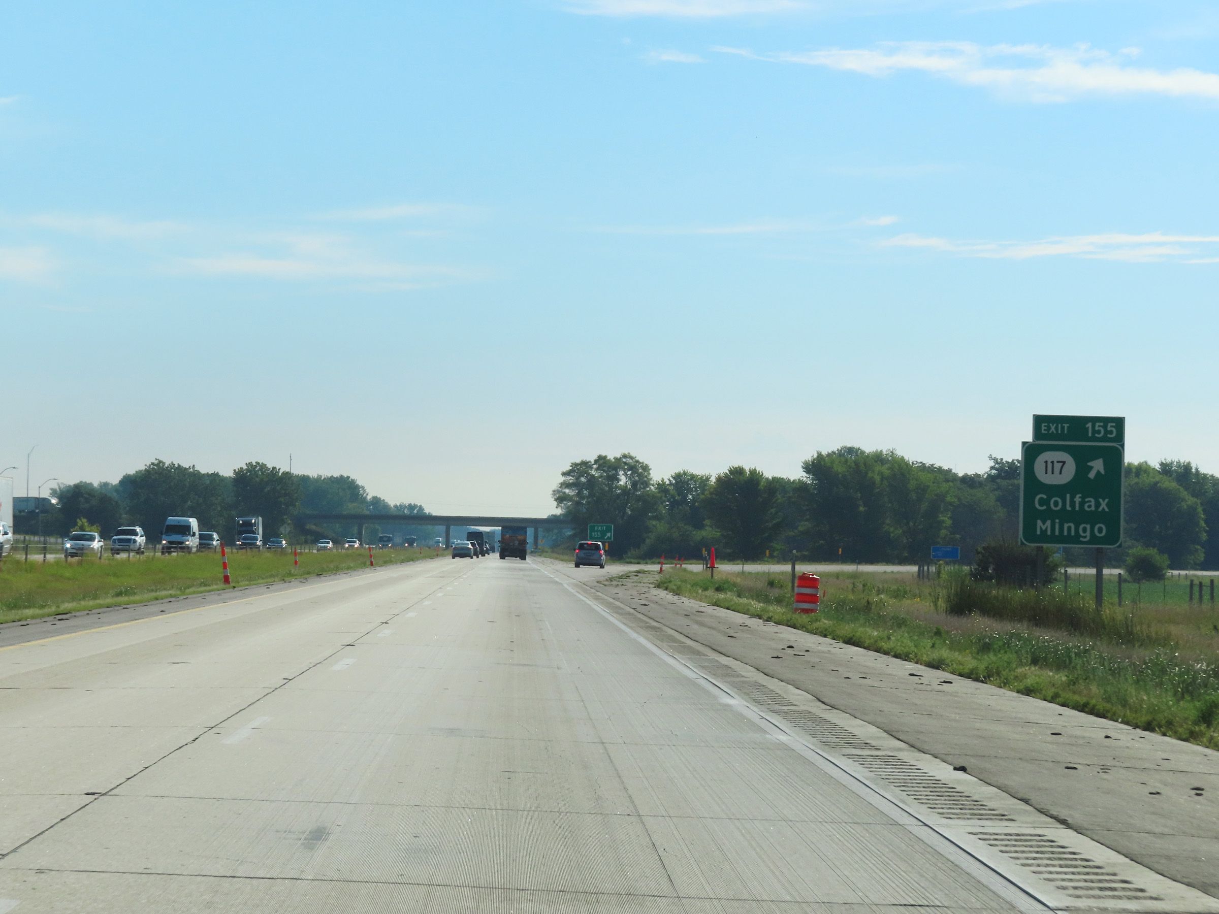 |
Interstate 80 East at Exit 155: IA 117 - Colfax / Mingo (Photo taken 8/19/22). |
 |
State-named Interstate 80 East reassurance shield. (Photo taken 8/19/22). |
 |
The speed limits remain the rural standard 70 mph maximum and 40 mph minimum on Interstate 80 East in Jasper County. (Photo taken 8/19/22). |
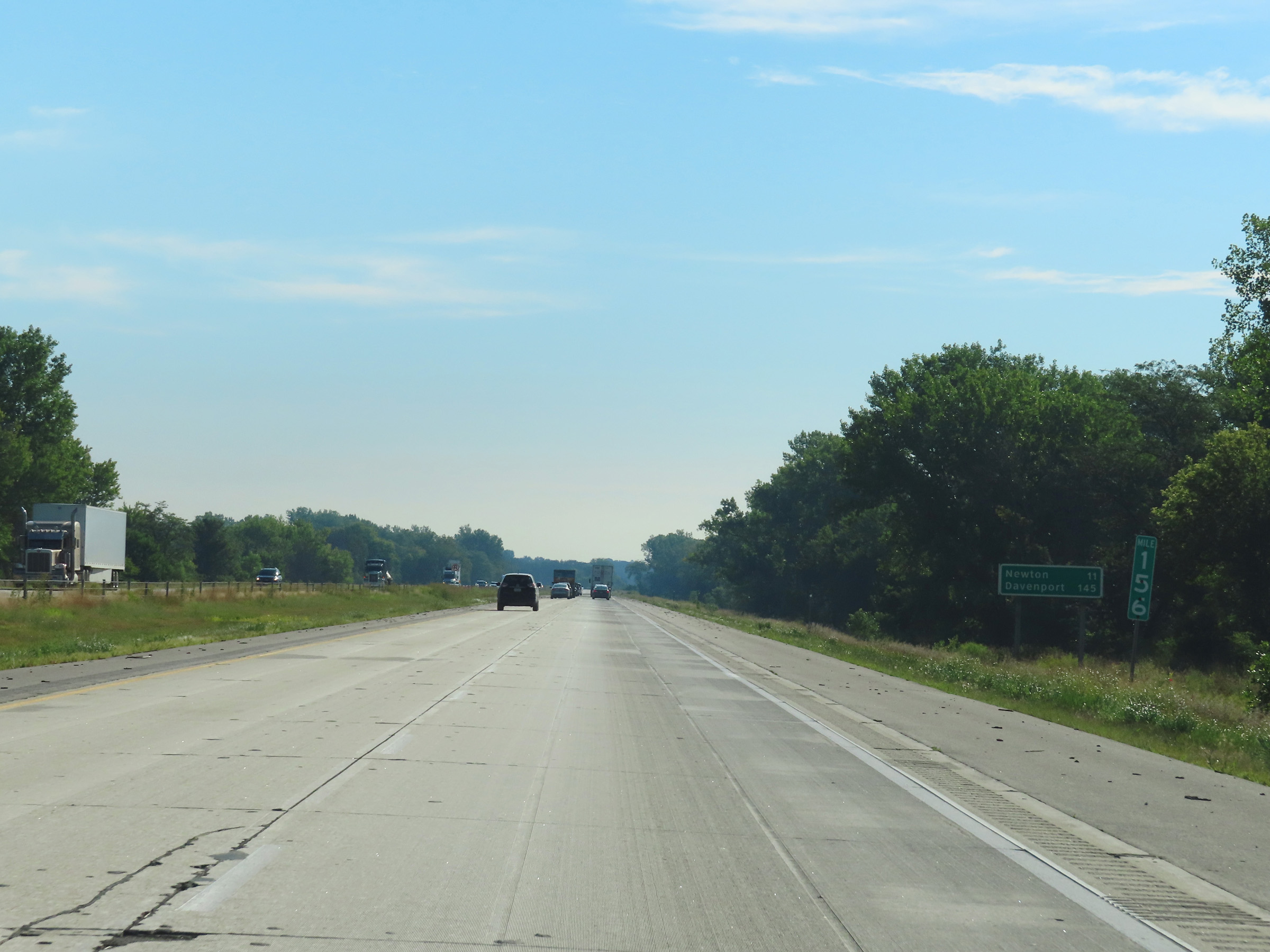 |
Another mileage sign at mile marker 156. It's 11 miles to Newton and 145 miles to Davenport. (Photo taken 8/19/22). |
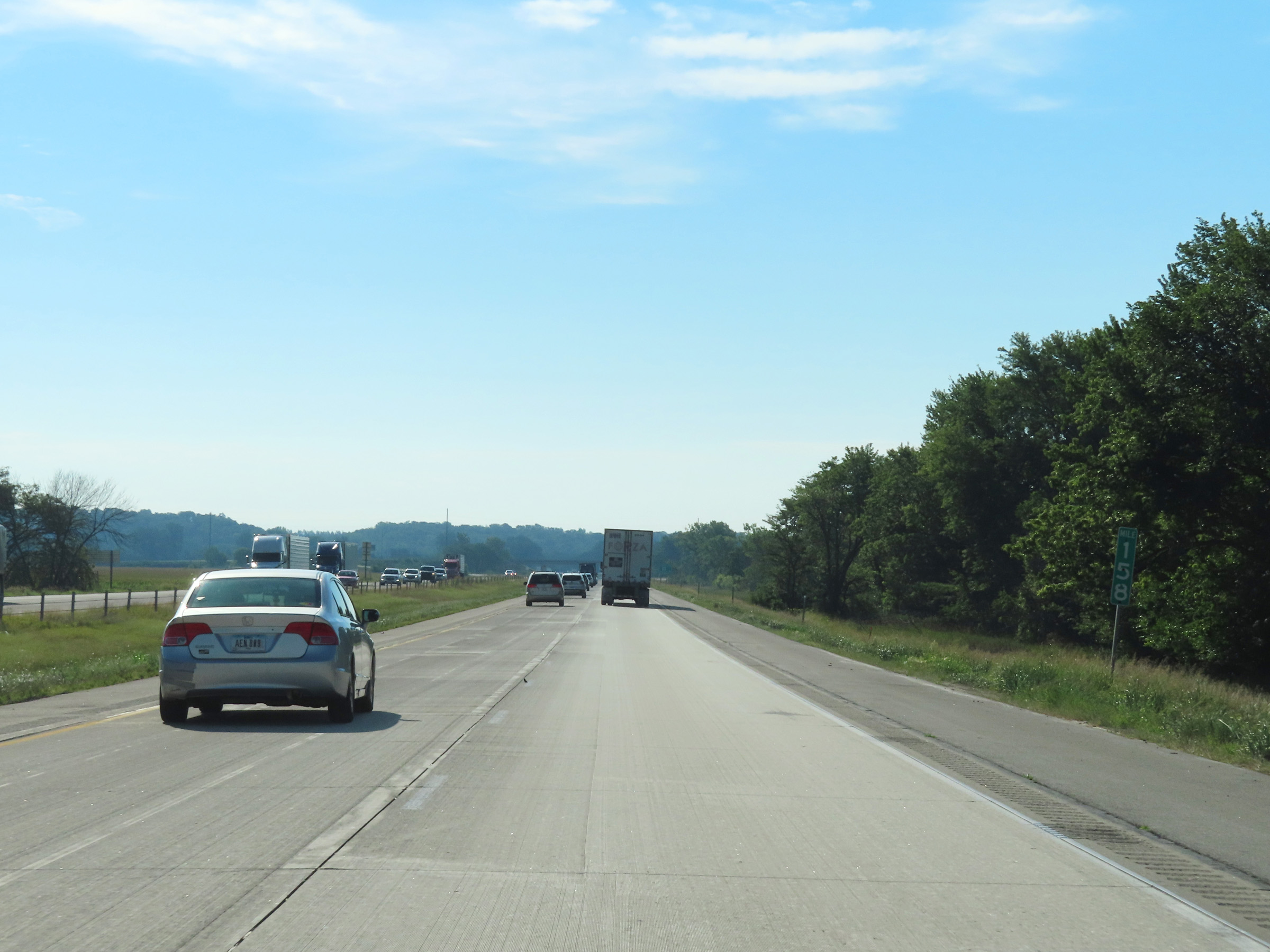 |
View on Interstate 80 East at mile marker 158. (Photo taken 8/19/22). |
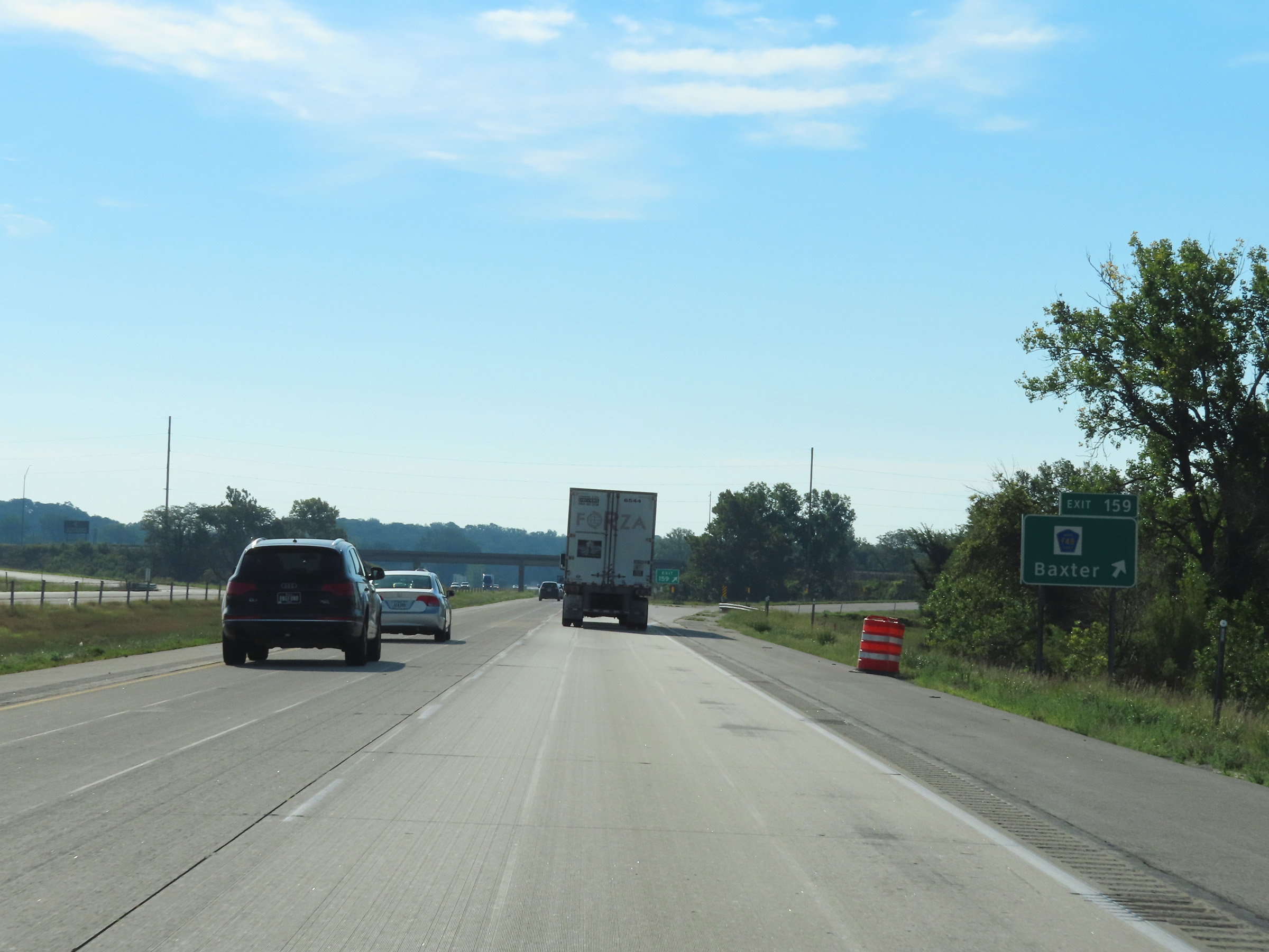 |
Interstate 80 East at Exit 159: CR F48 - Baxter (Photo taken 8/19/22). |
 |
Mile marker 160 on Interstate 80 East in Jasper County. (Photo taken 8/19/22). |
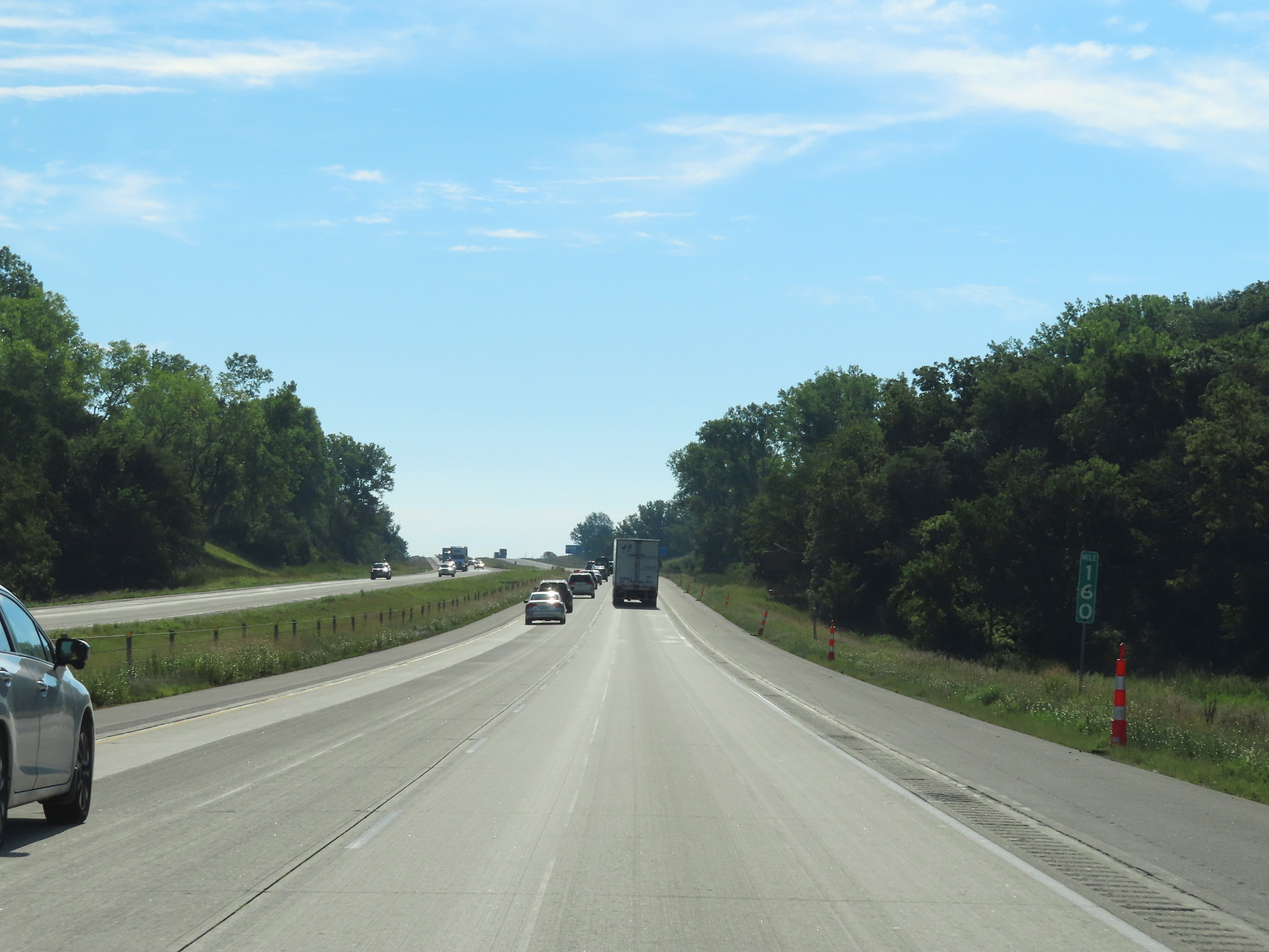
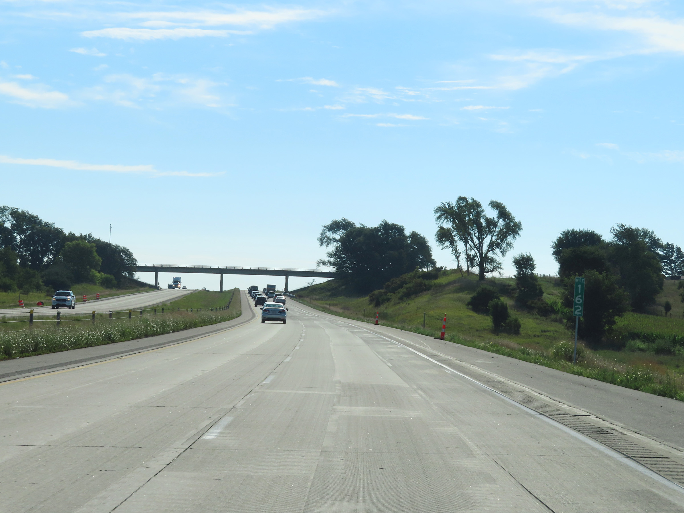 |
View on Interstate 80 East at mile marker 162. (Photo taken 8/19/22). |
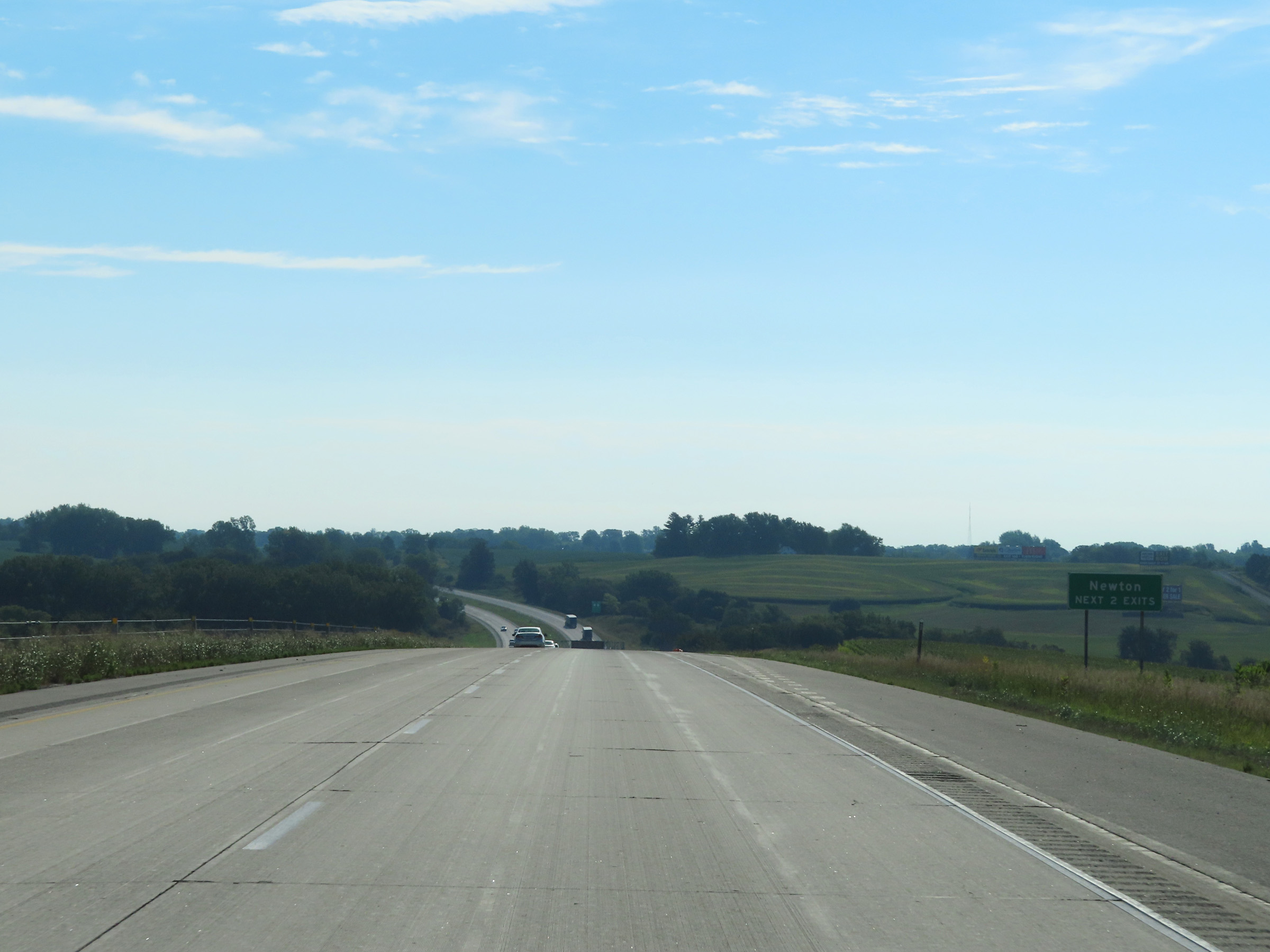 |
Take either of the next 2 exits to Newton. (Photo taken 8/19/22). |
 |
Take Exit 164 to Lake Red Rock and Central College. (Photo taken 8/19/22). |
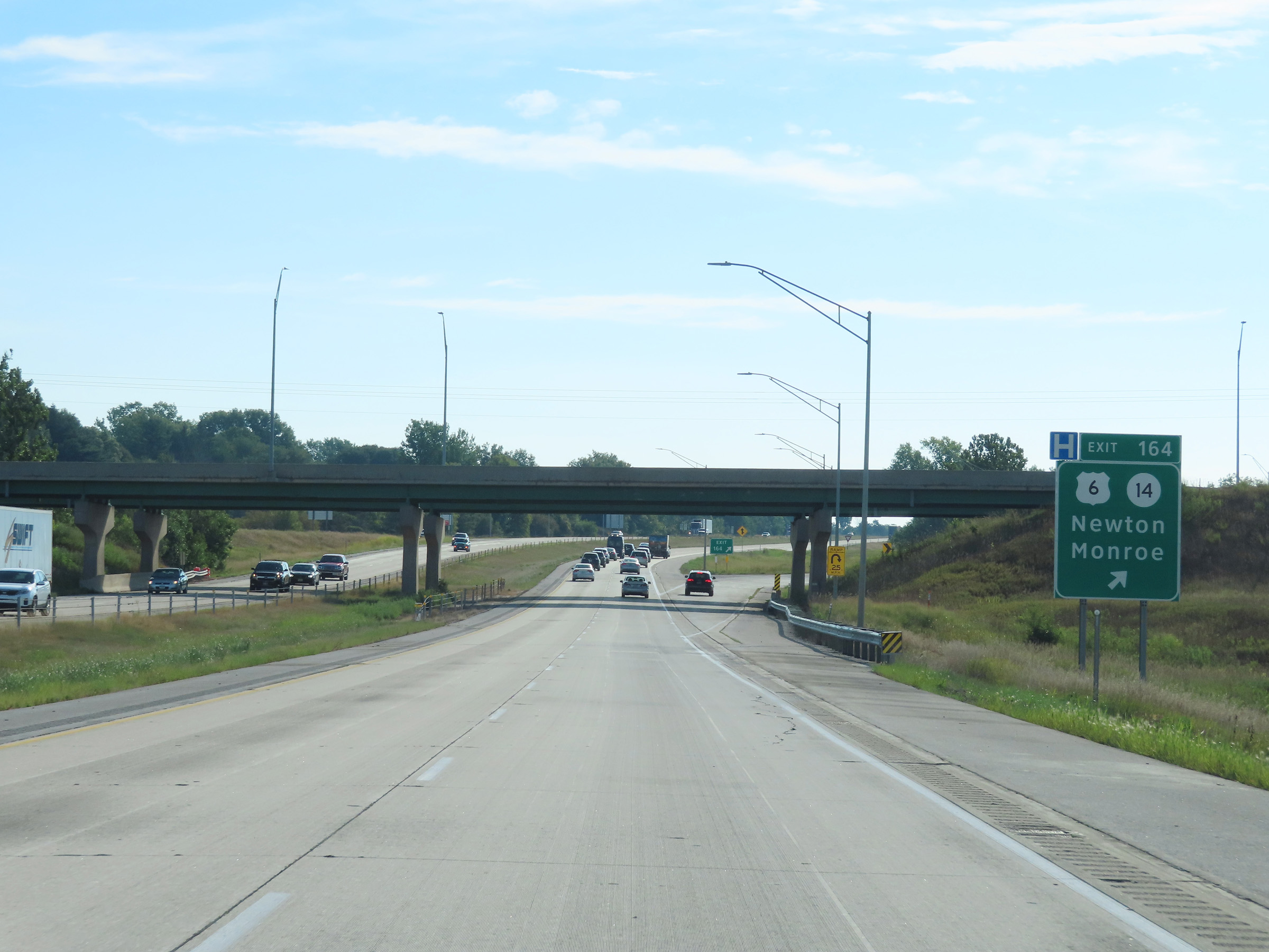 |
Interstate 80 East at Exit 164: US 6 / IA 14 - Newton / Monroe (Photo taken 8/19/22). |
Section 4: Newton (Exit 164) to Iowa City (Exit 244)
 |
Mile marker 165 on Interstate 80 East in Newton, Jasper County. (Photo taken 8/19/22). |
 |
View on Interstate 80 East at mile marker 167. (Photo taken 8/19/22). |
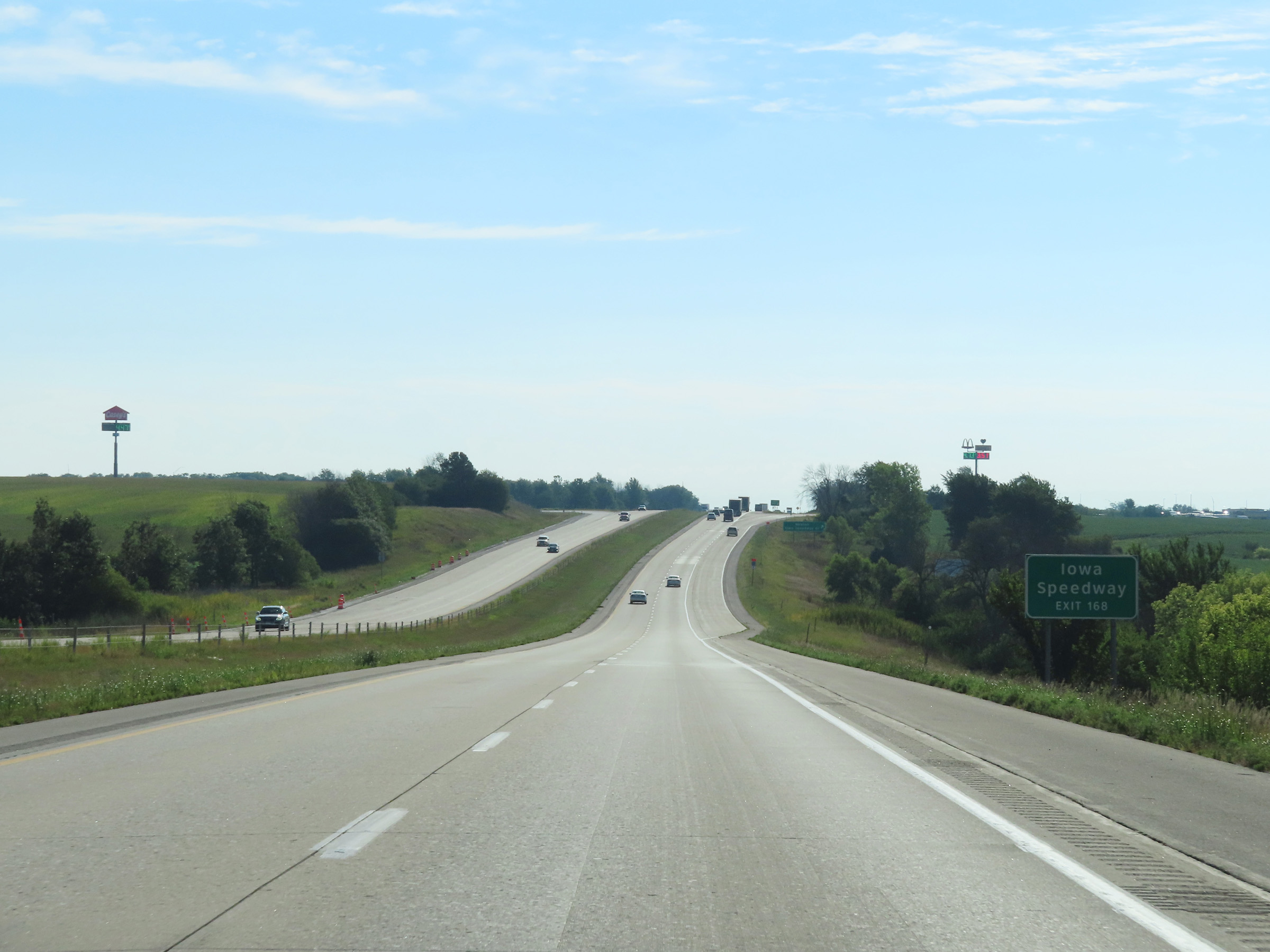 |
Take Exit 168 to Iowa Speedway. (Photo taken 8/19/22). |
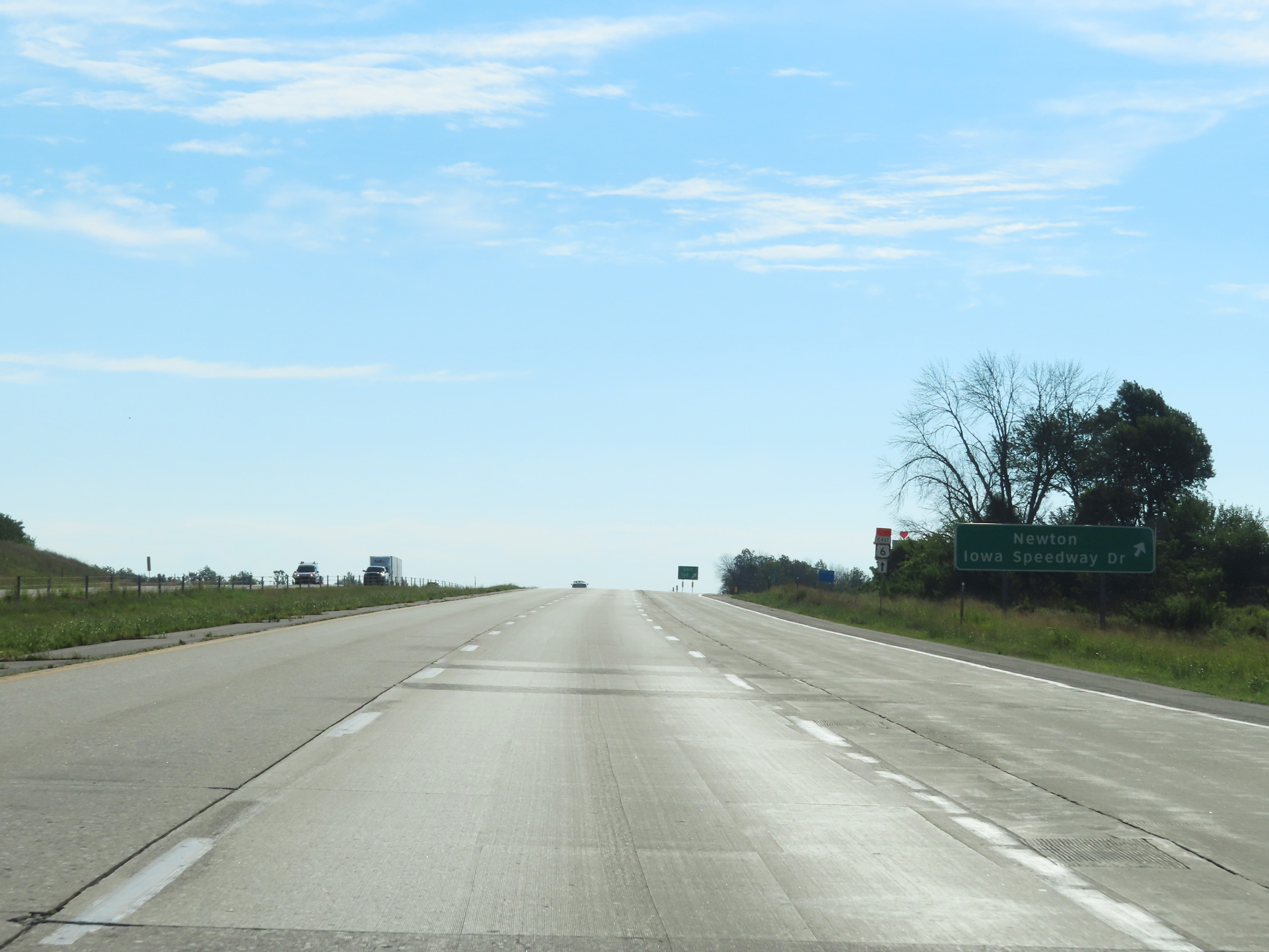 |
Interstate 80 East at Exit 168: Newton / Iowa Speedway Dr (Photo taken 8/19/22). |
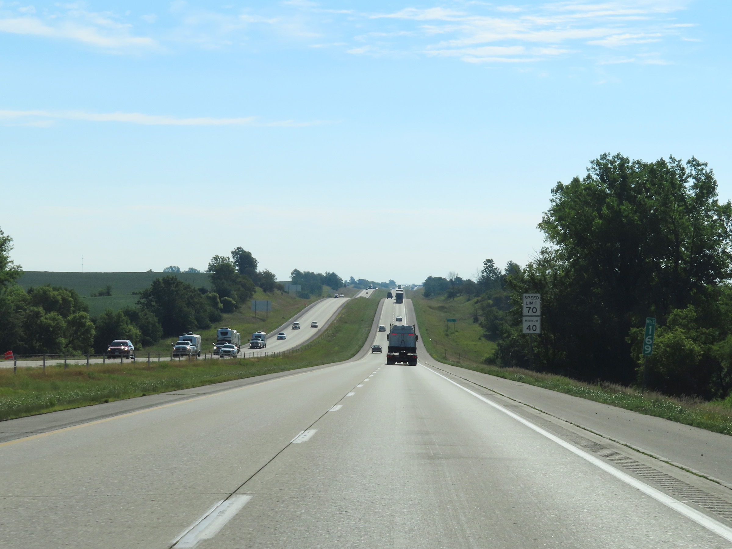 |
View on Interstate 80 East at mile marker 169. (Photo taken 8/19/22). |
 |
Interstate 80 East at mile marker 171. (Photo taken 8/19/22). |
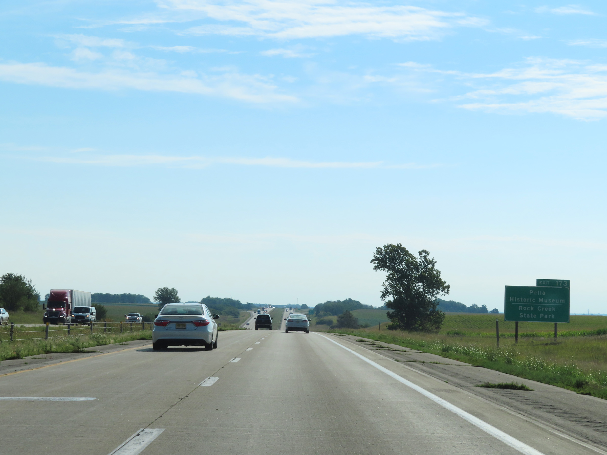 |
Take Exit 173 to Pella Historic Museum and Rock Creek State Park. (Photo taken 8/19/22). |
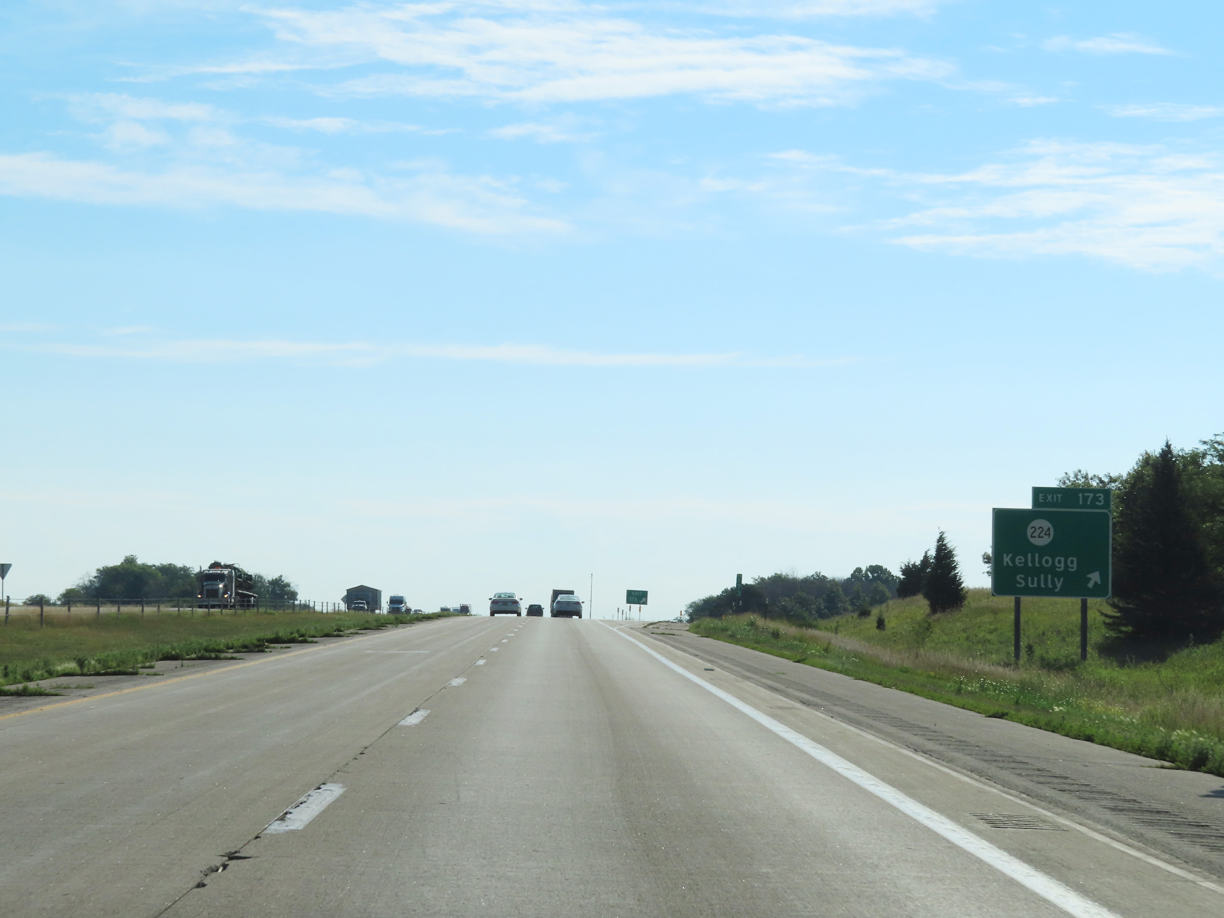 |
Interstate 80 East at Exit 173: IA 224 - Kellogg / Sully (Photo taken 8/19/22). |
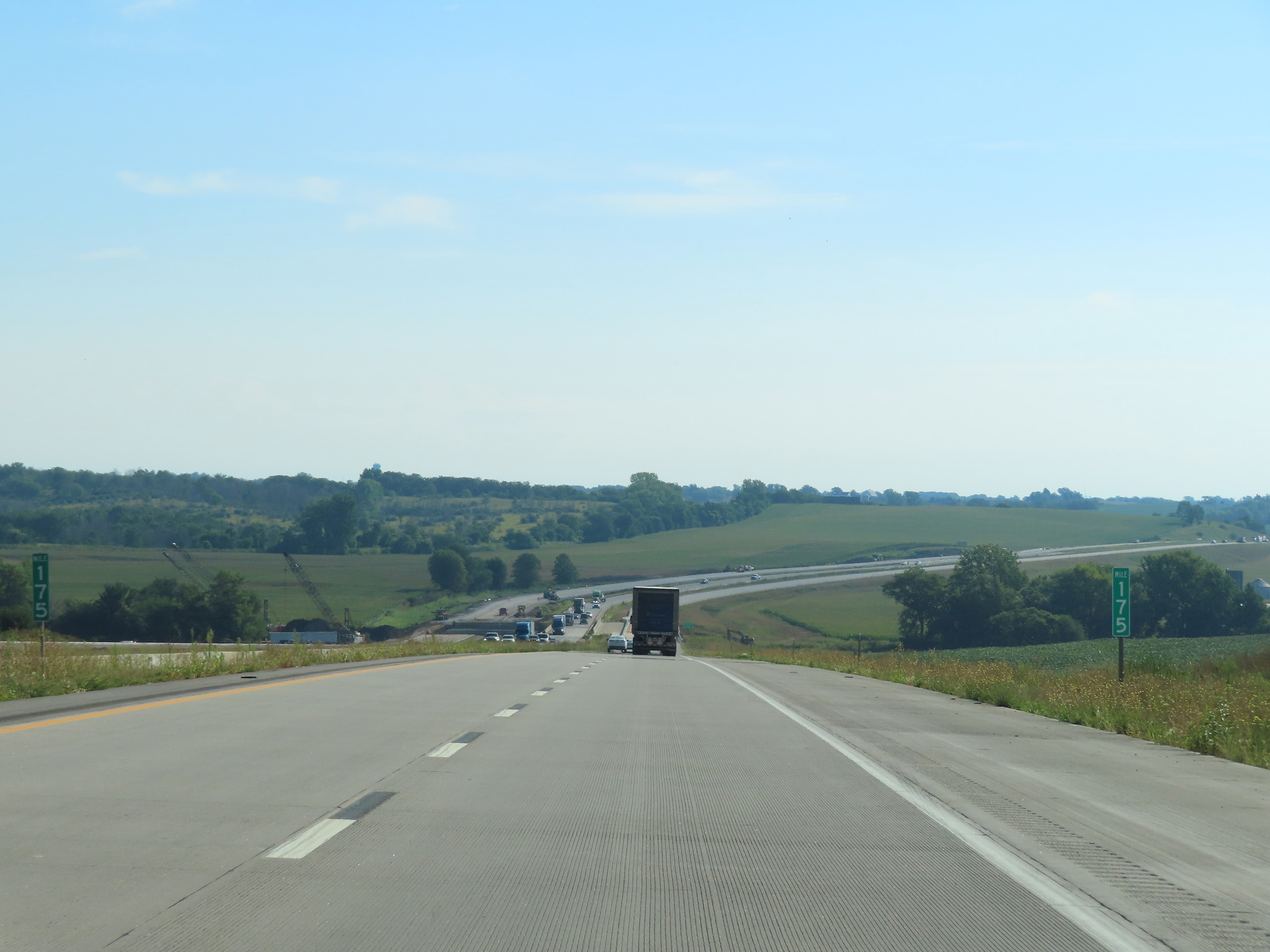 |
View on Interstate 80 East at mile marker 175. (Photo taken 8/19/22). |
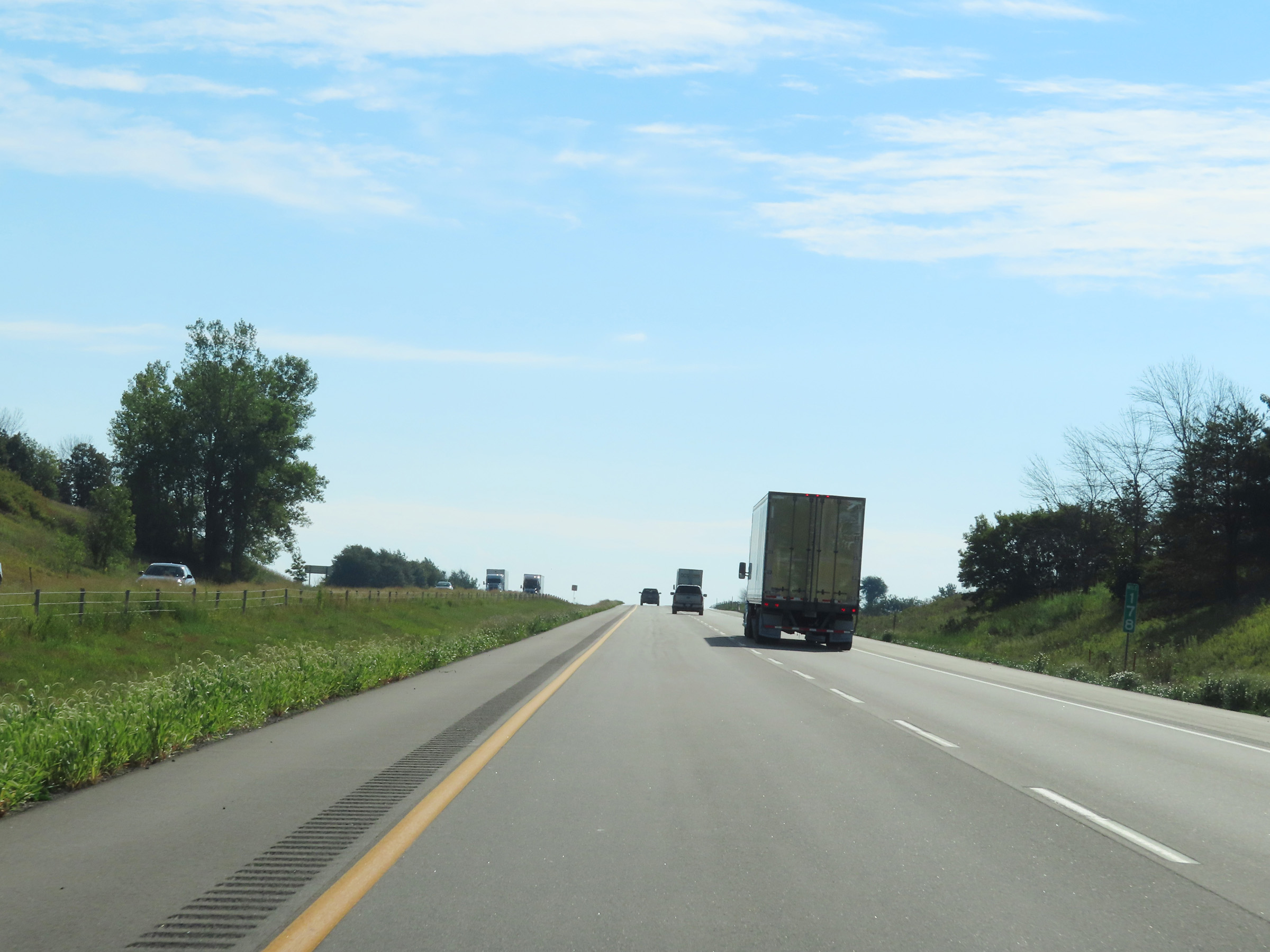 |
Mile marker 178 on Interstate 80 East in Jasper County. (Photo taken 8/19/22). |
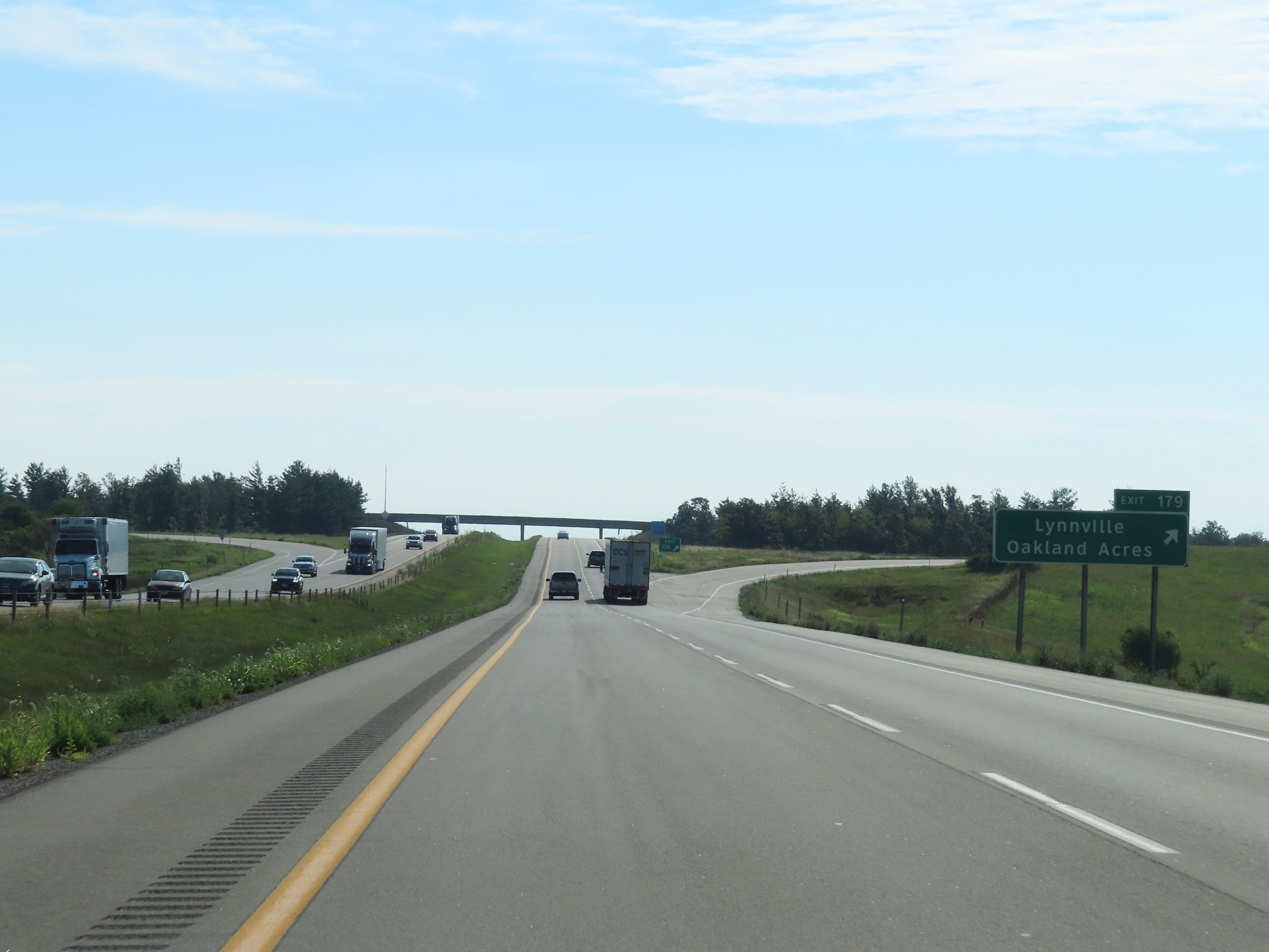 |
Interstate 80 East at Exit 179: Lynnville / Oakland Acres (Photo taken 8/19/22). |
 |
Rest Area on Interstate 80 East in Jasper County. (Photo taken 8/19/22). |
 |
Interstate 80 East as it enters Poweshiek County. (Photo taken 8/19/22). |
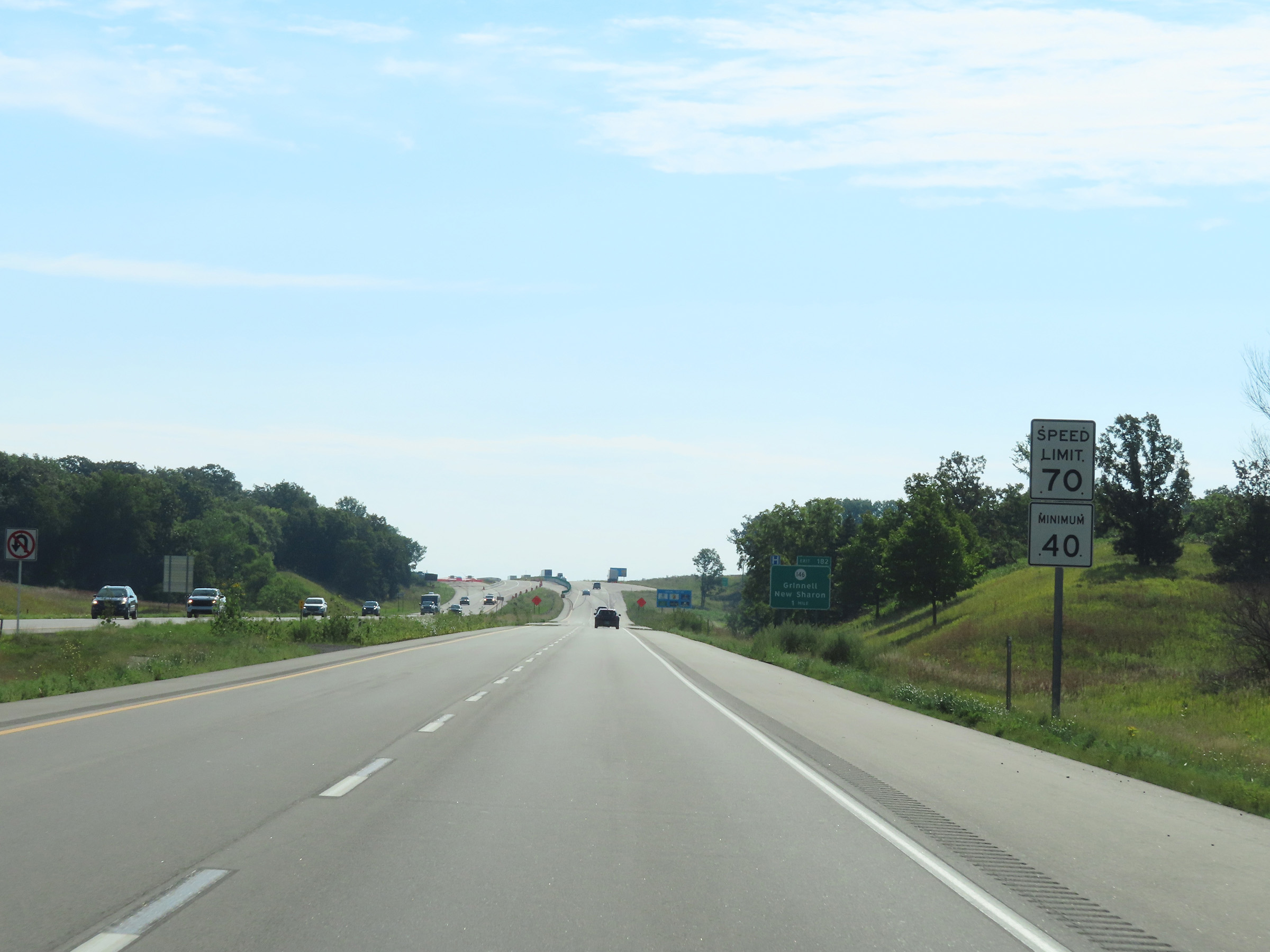 |
The speed limits remain 70 mph maximum and 40 mph minimum. (Photo taken 8/19/22). |
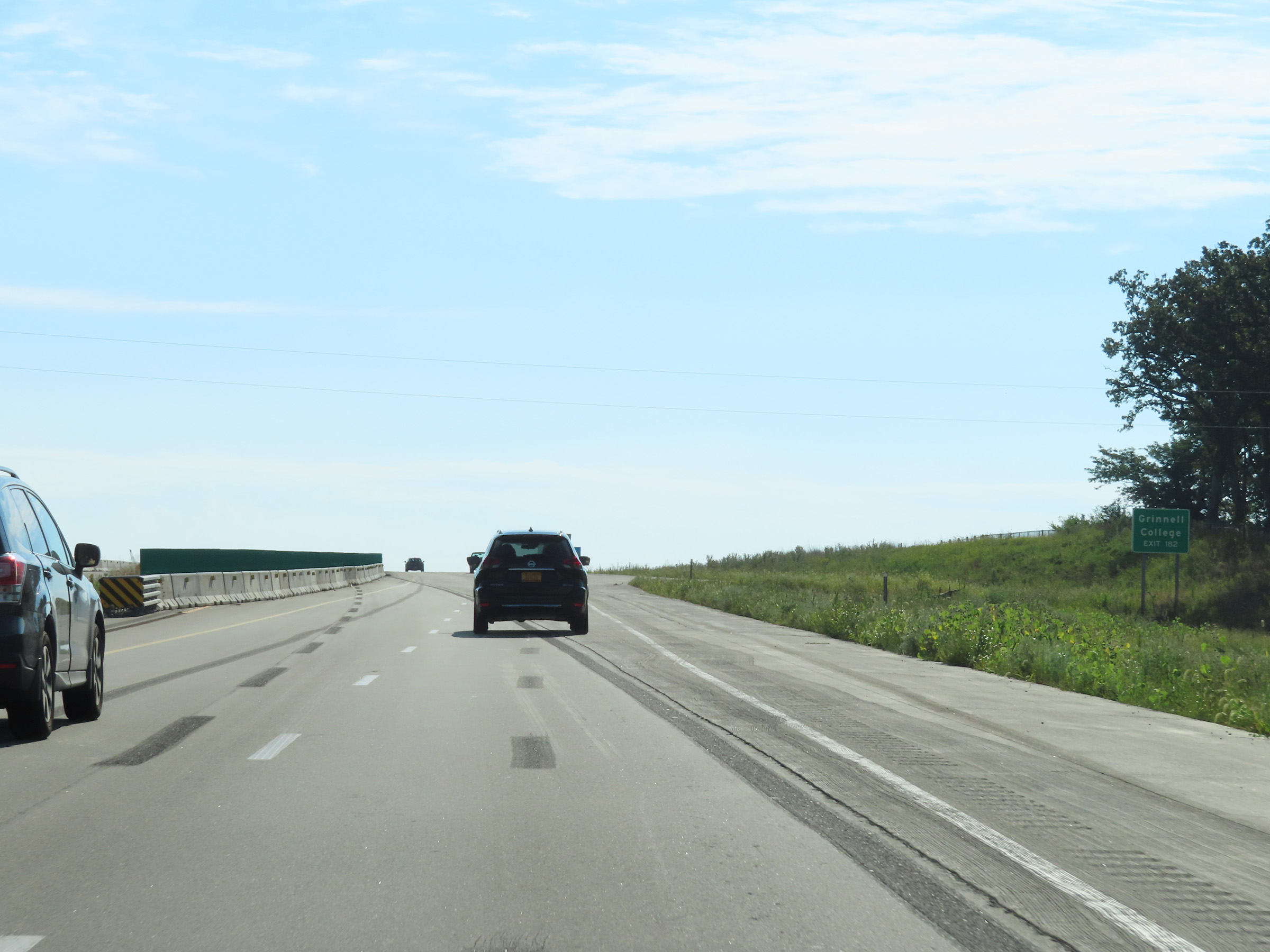 |
Take Exit 182 to Grinnell College. (Photo taken 8/19/22). |
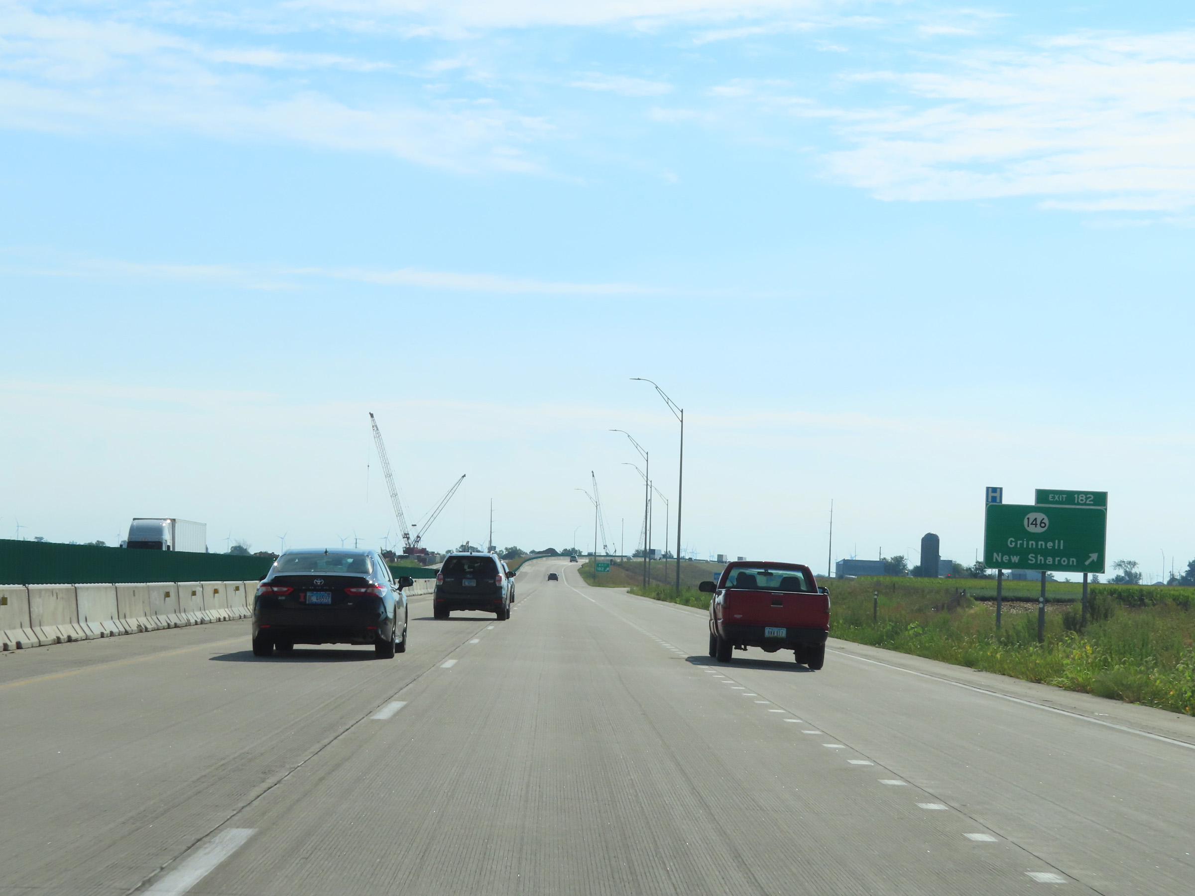 |
Interstate 80 East at Exit 182: IA 146 - Grinnell / New Sharon (Photo taken 8/19/22). |
 |
View on Interstate 80 East at mile marker 184. (Photo taken 8/19/22). |
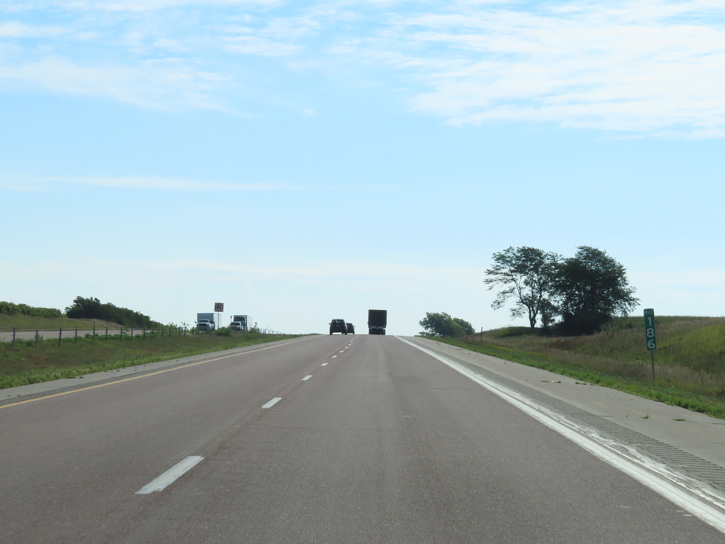 |
Mile marker 186 on Interstate 80 East in Poweshiek County. (Photo taken 8/19/22). |
 |
Interstate 80 East at mile marker 188. (Photo taken 8/19/22). |
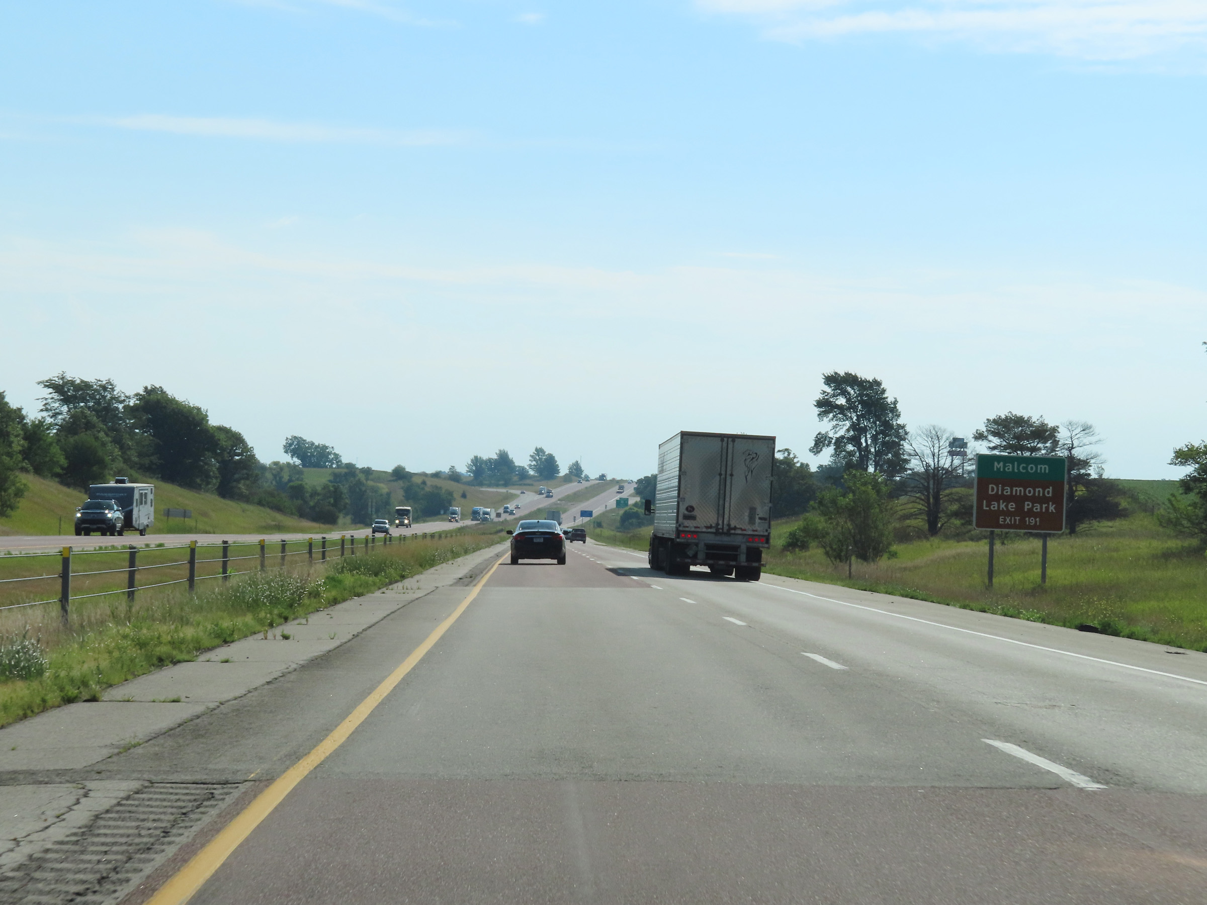 |
Take Exit 191 to Malcom and Diamond Lake Park. (Photo taken 8/19/22). |
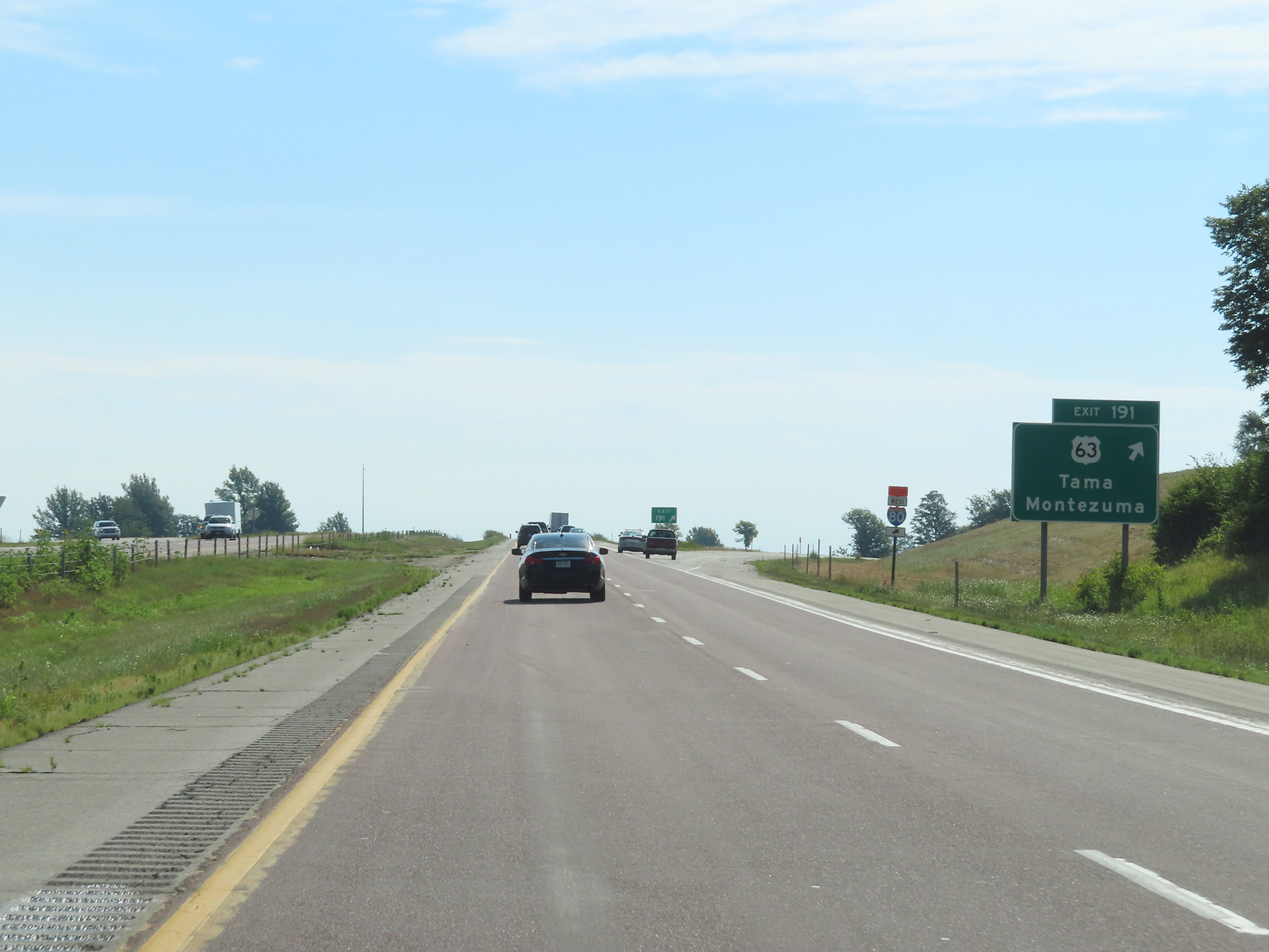 |
Interstate 80 East at Exit 191: US 63 - Tama / Montezuma (Photo taken 8/19/22). |
 |
Mileage sign on Interstate 80 East. It's 8 miles to Brooklyn and 109 miles to Davenport. (Photo taken 8/19/22). |
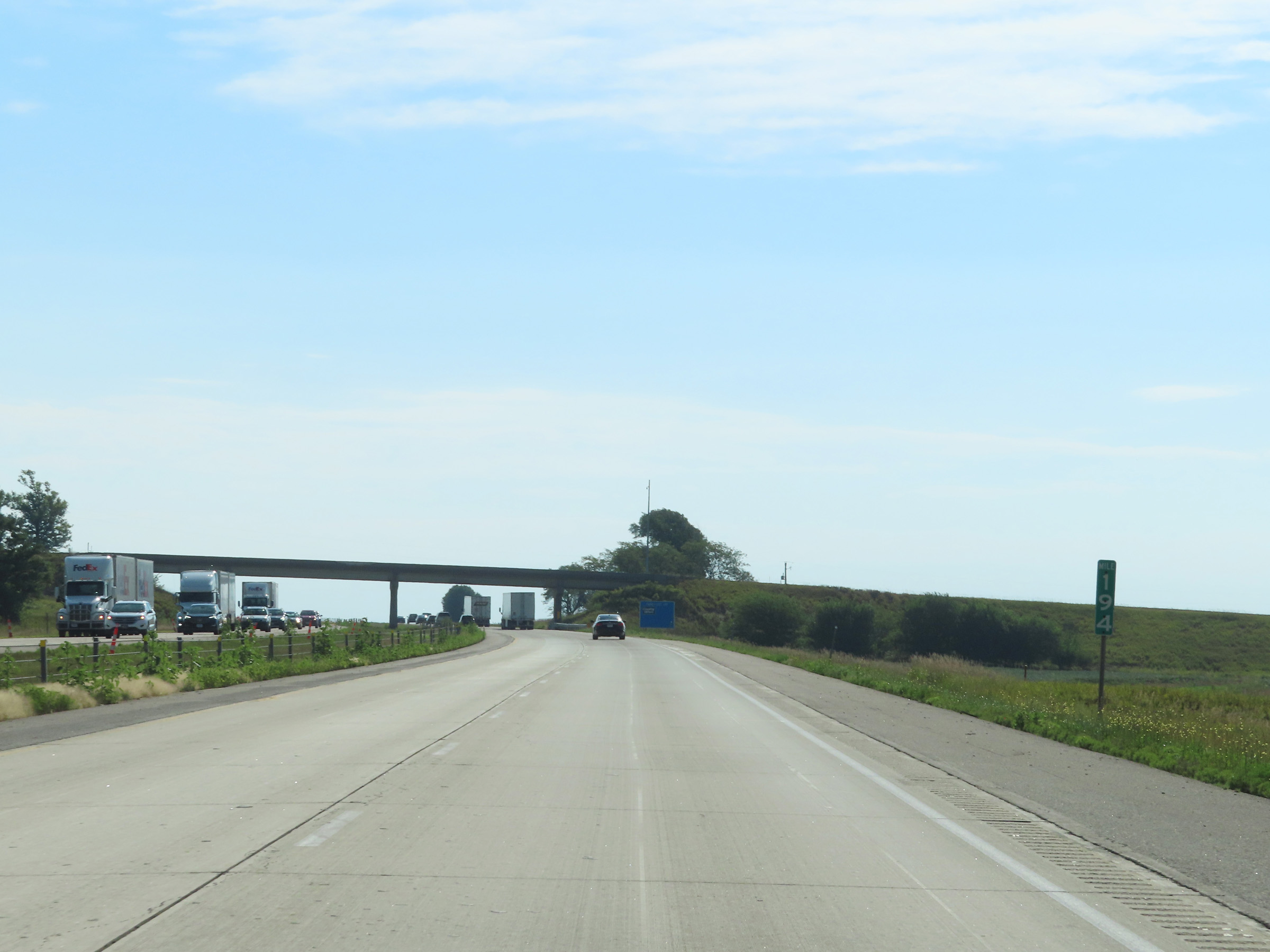 |
Interstate 80 East at mile marker 194. (Photo taken 8/19/22). |
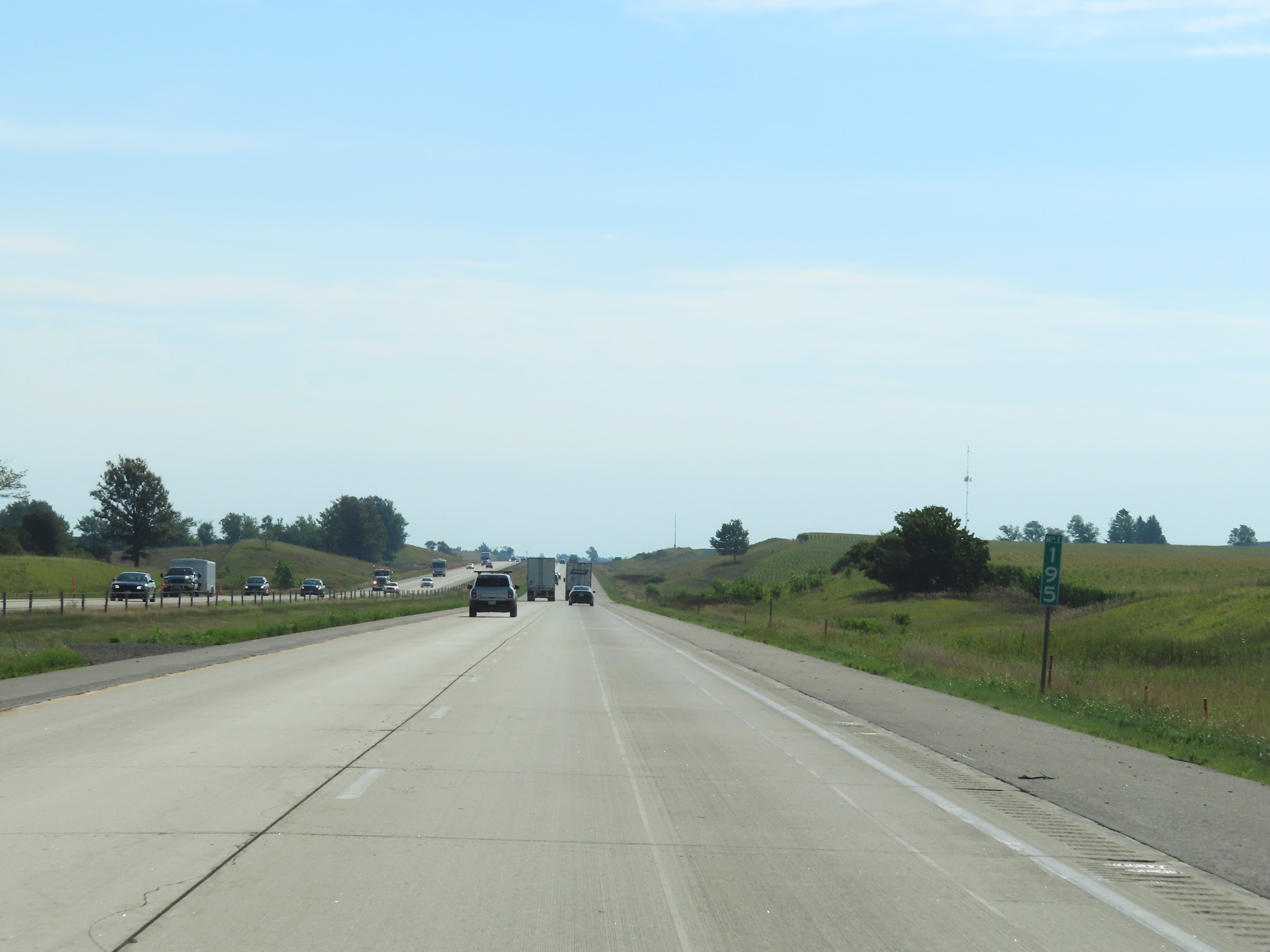 |
View on Interstate 80 East at mile marker 195. (Photo taken 8/19/22). |
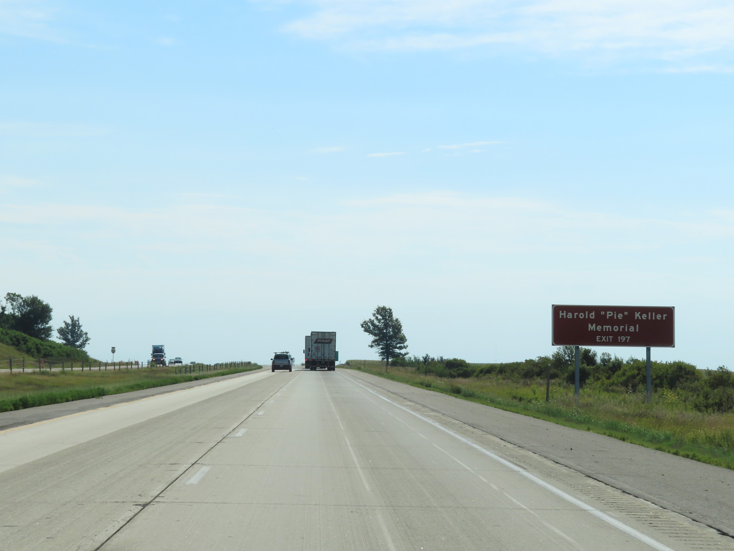 |
Take Exit 197 to the Harold "Pie" Keller Memorial. (Photo taken 8/19/22). |
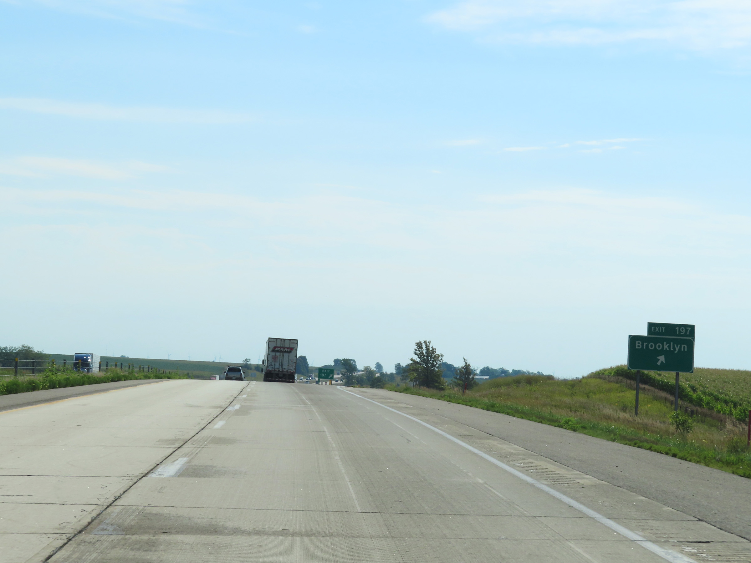 |
Interstate 80 East at Exit 197: Brooklyn (Photo taken 8/19/22). |
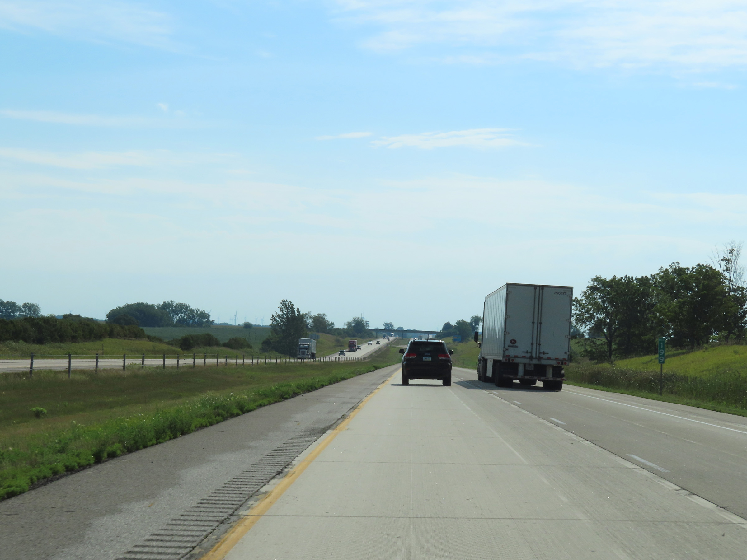 |
Mile marker 199 on Interstate 80 East in Poweshiek County. (Photo taken 8/19/22). |
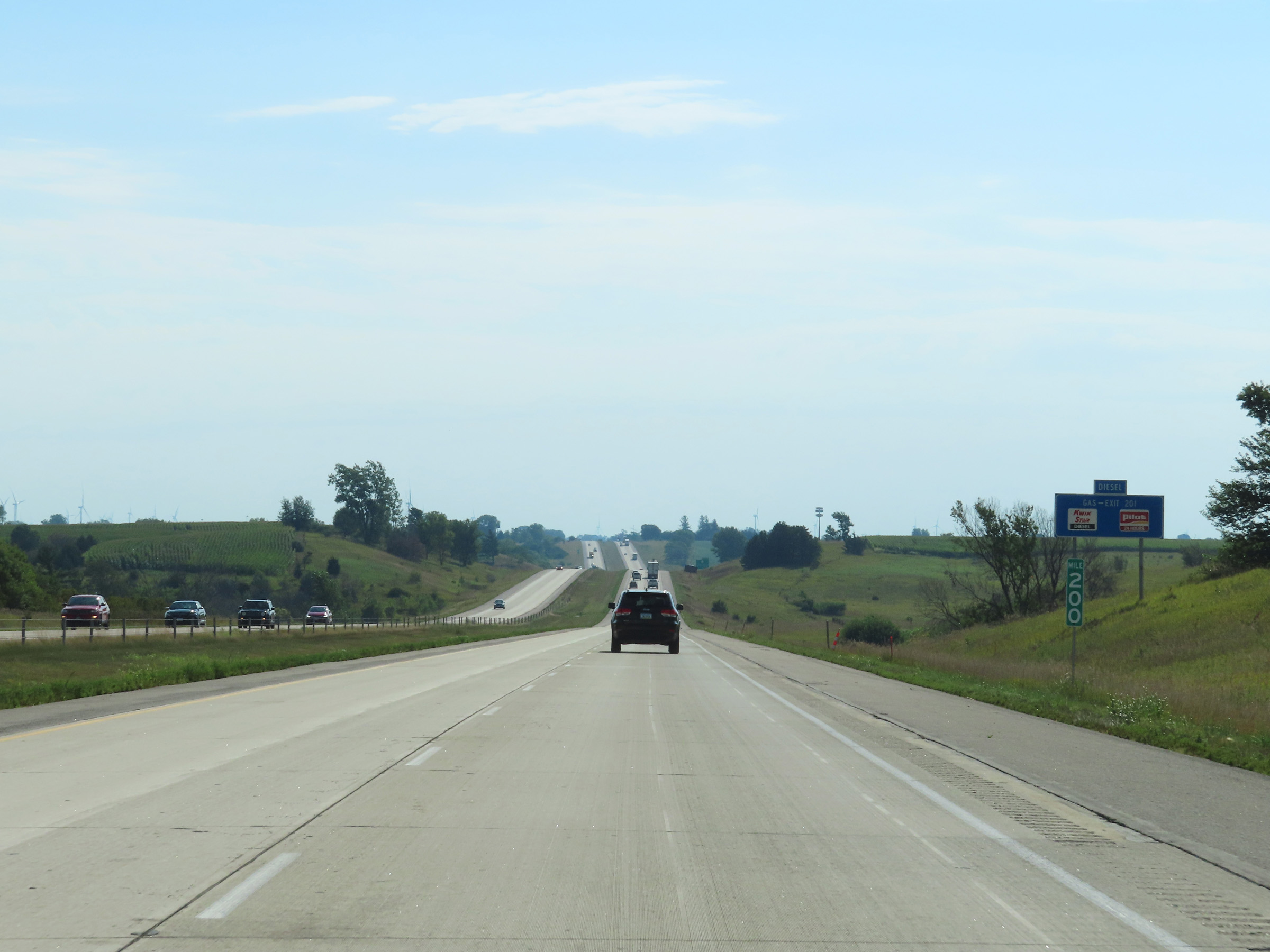 |
View on Interstate 80 East at mile marker 200. (Photo taken 8/19/22). |
 |
Take Exit 201 to Guernsey and Deep River. (Photo taken 8/19/22). |
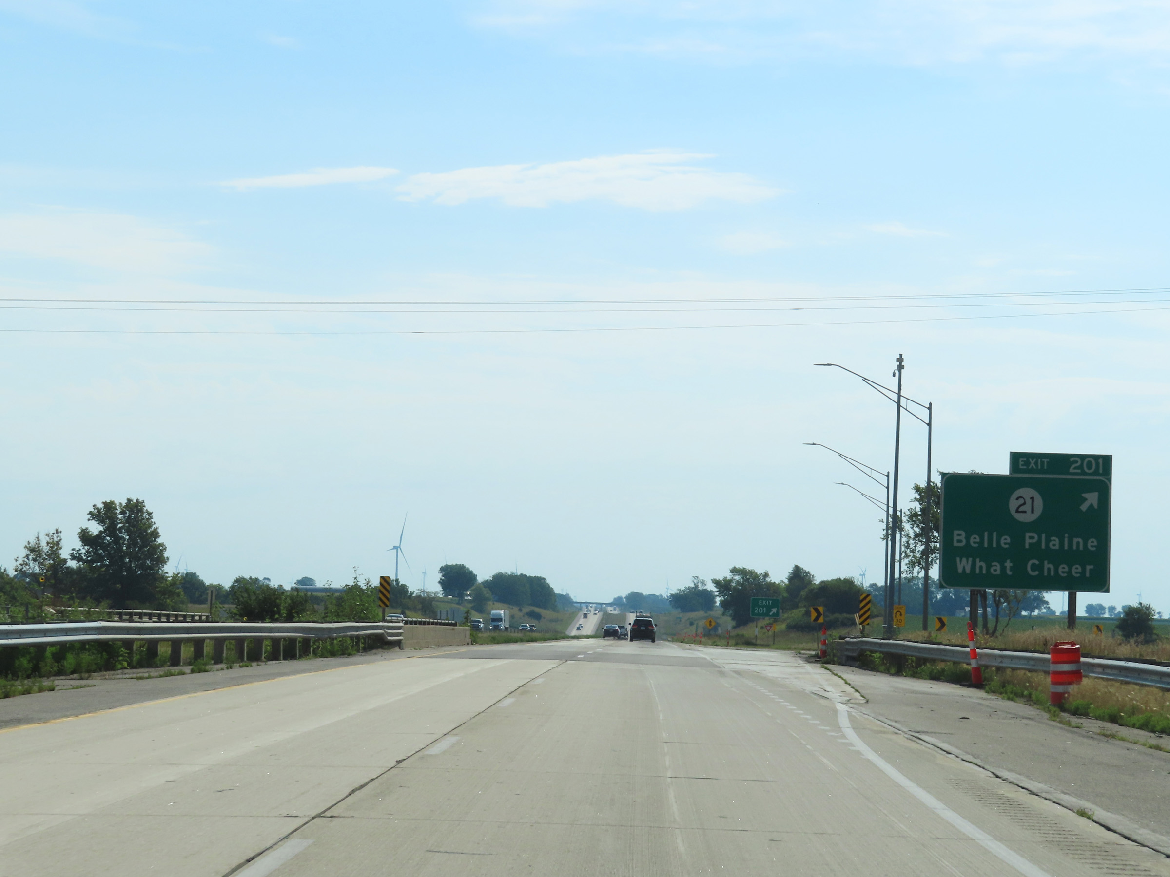 |
Interstate 80 East at Exit 201: IA 21 - Belle Plaine / What Cheer (Photo taken 8/19/22). |
 |
Another state-named Interstate 80 East reassurance shield. (Photo taken 8/19/22). |
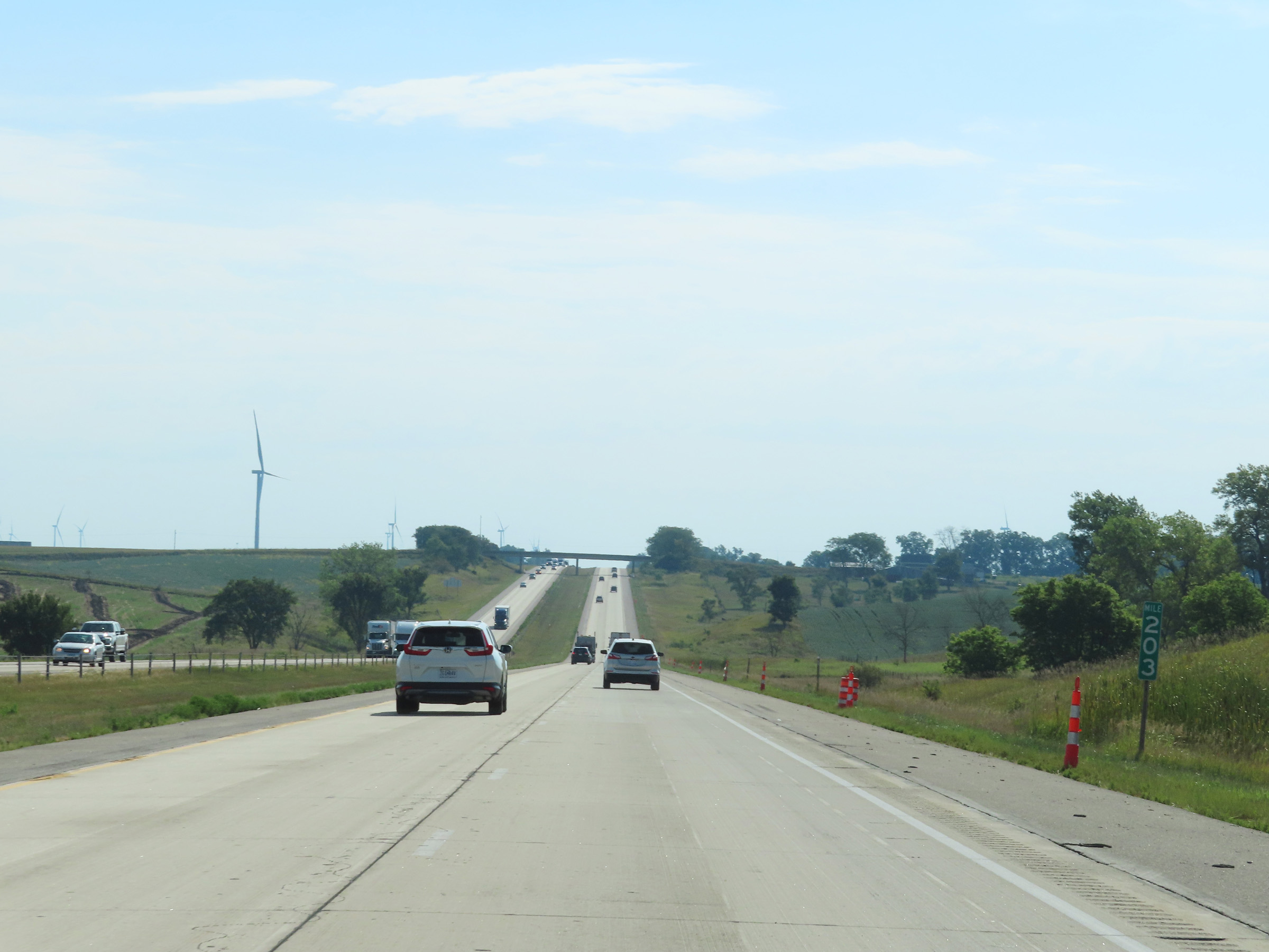 |
View on Interstate 80 East at mile marker 203. (Photo taken 8/19/22). |
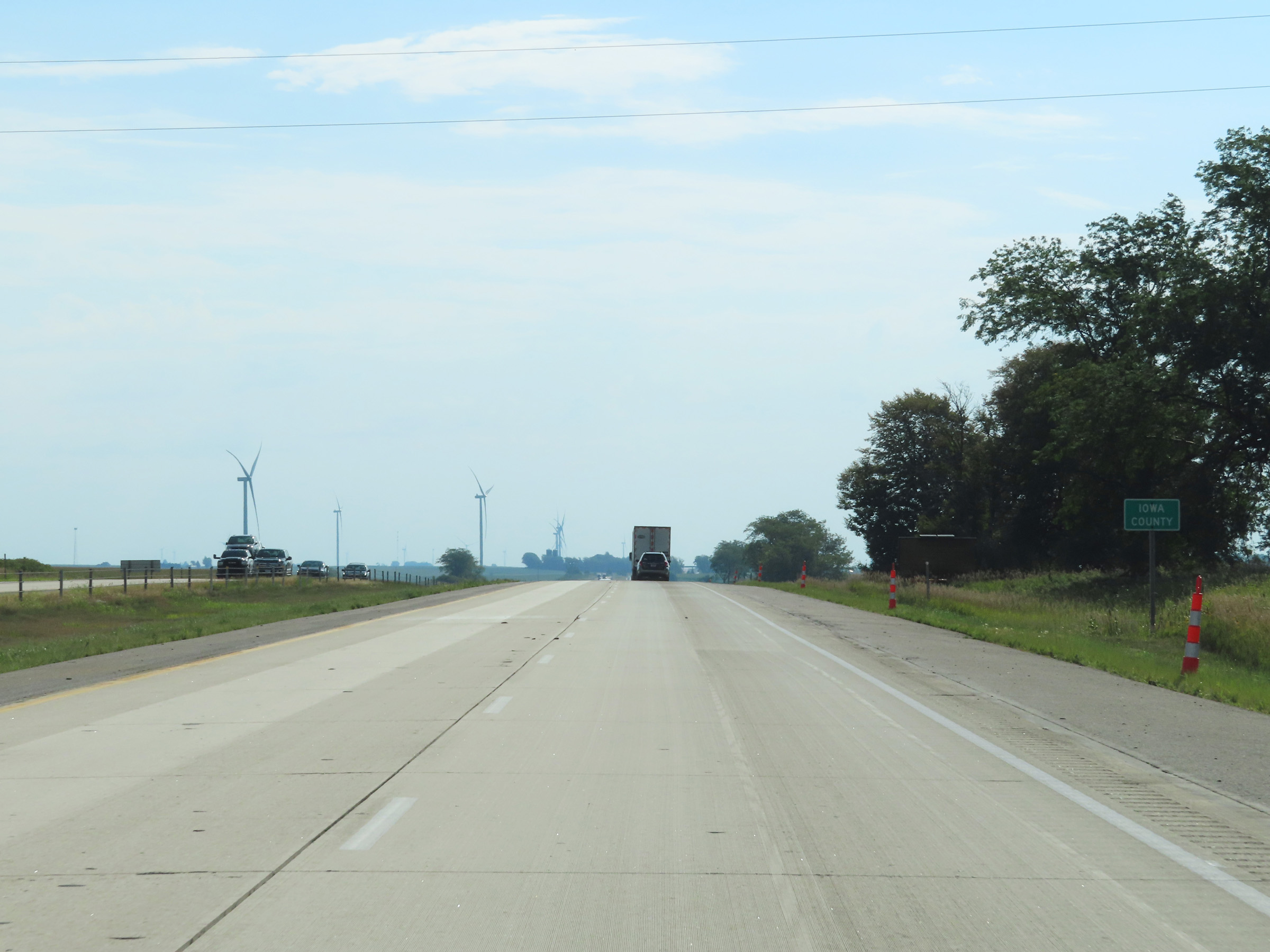 |
Interstate 80 East as it enters Iowa County. (Photo taken 8/19/22). |
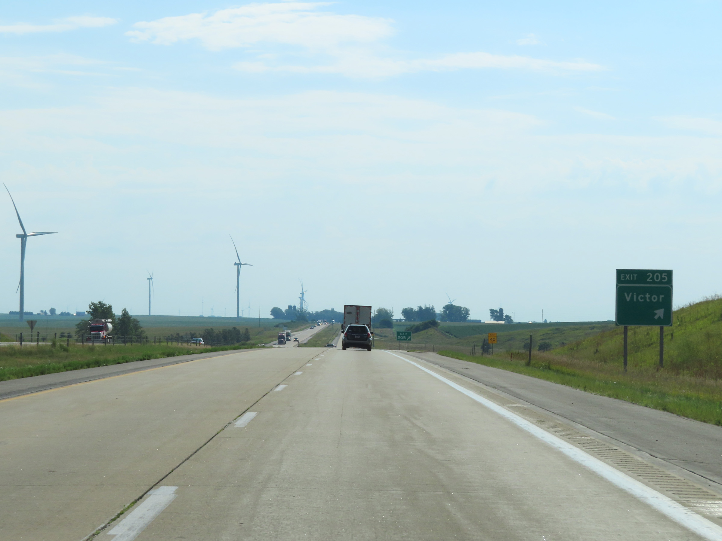 |
Interstate 80 East at Exit 205: Victor (Photo taken 8/19/22). |
 |
Mile marker 207 on Interstate 80 East in Iowa County. (Photo taken 8/19/22). |
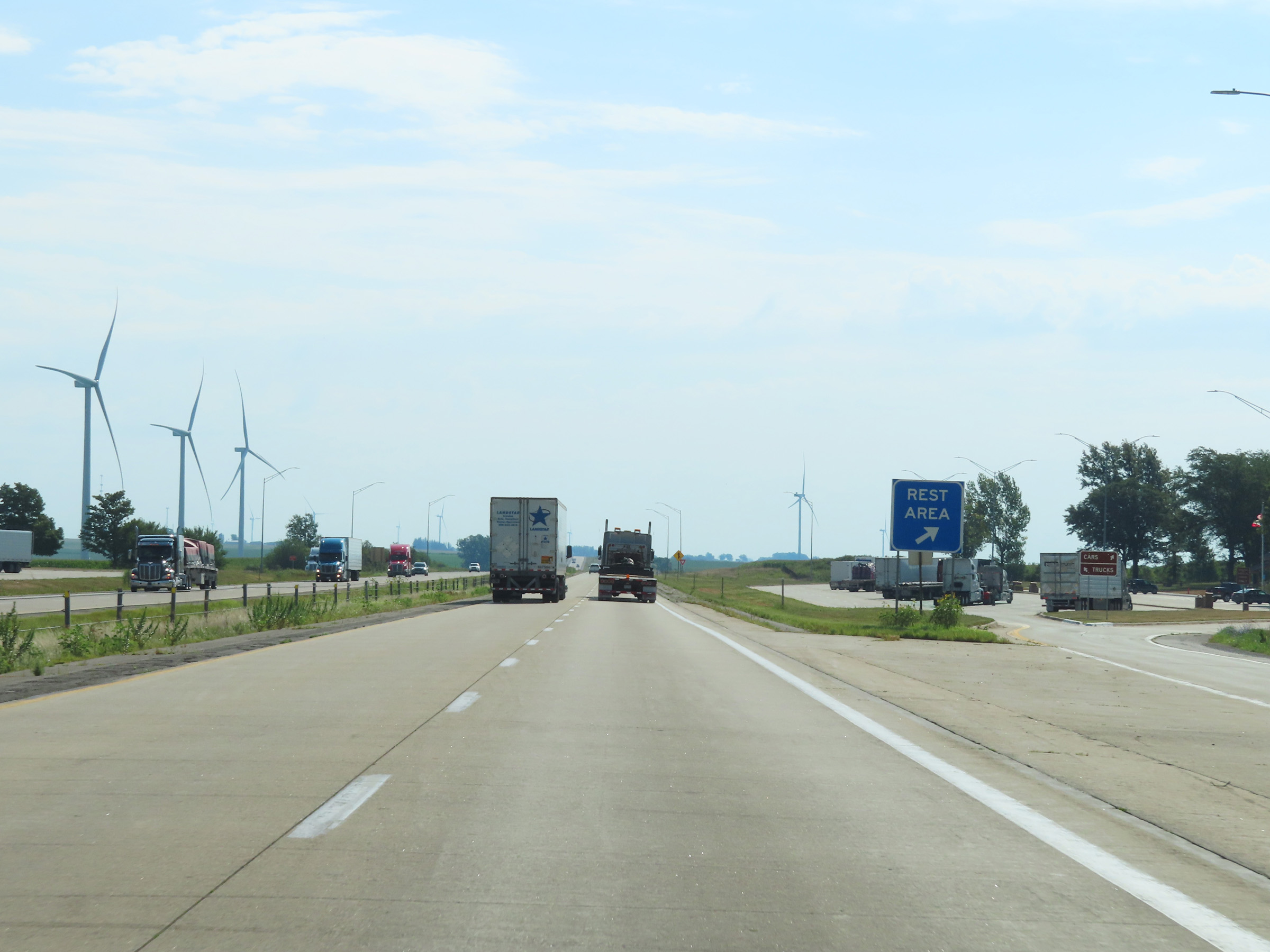 |
Rest Area on Interstate 80 East in Iowa County. (Photo taken 8/19/22). |
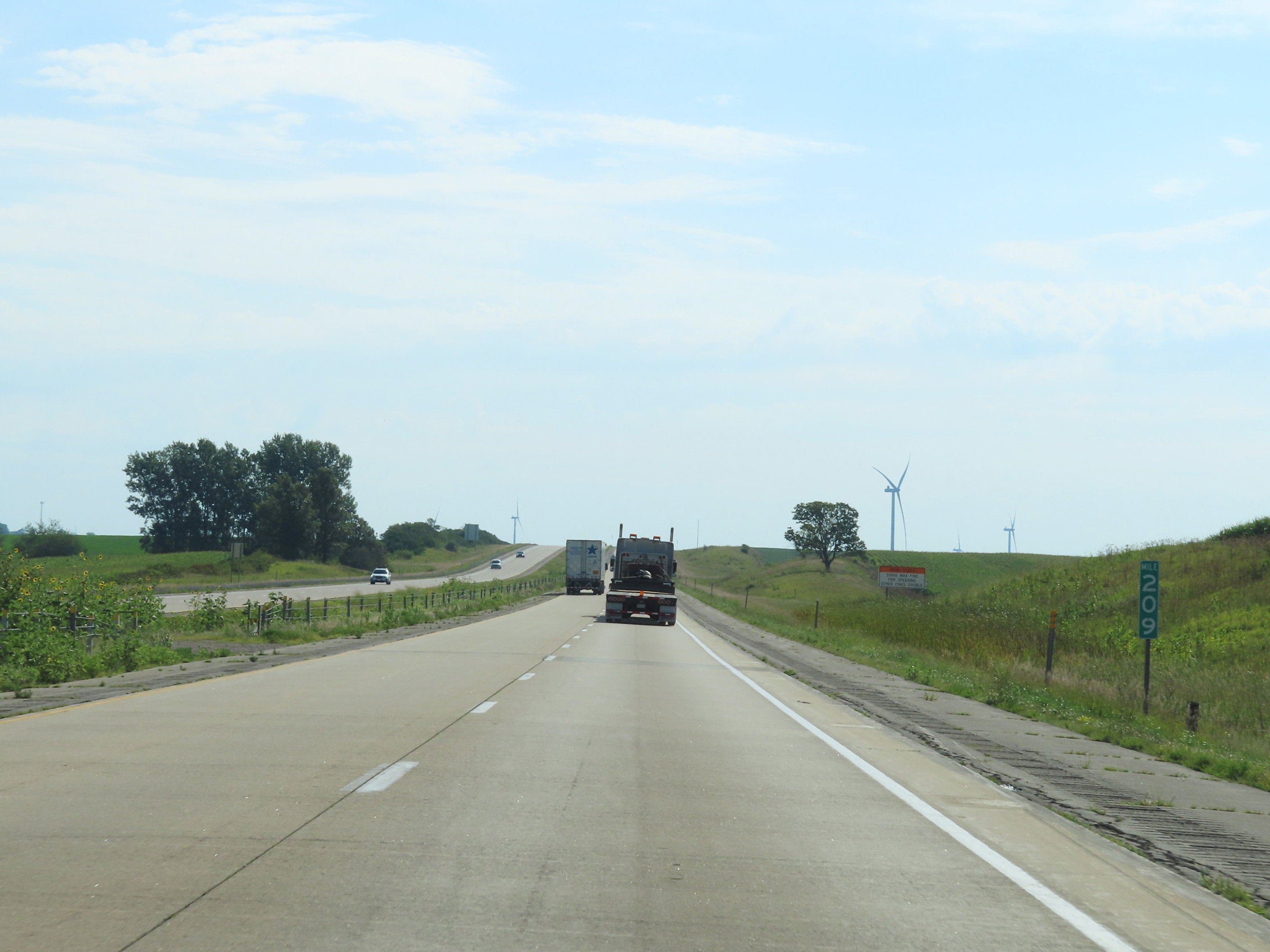 |
Interstate 80 East at mile marker 209. (Photo taken 8/19/22). |
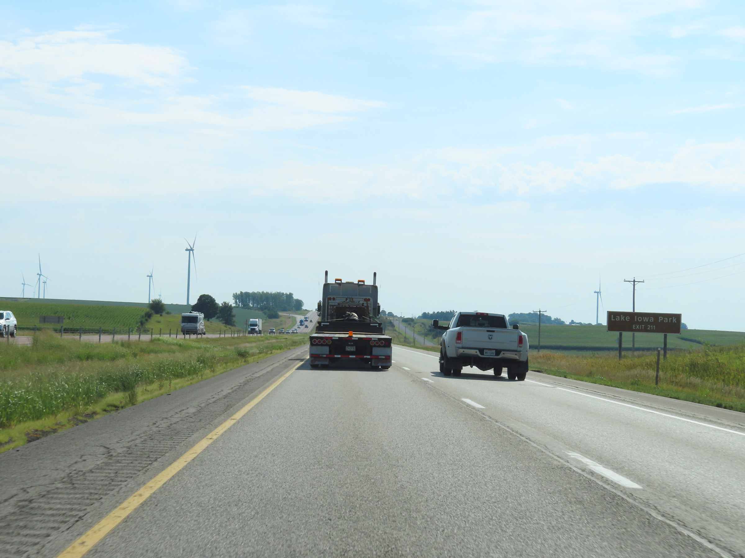 |
Take Exit 211 to Lake Iowa Park. (Photo taken 8/19/22). |
 |
Interstate 80 East at Exit 211: Millersburg / Ladora (Photo taken 8/19/22). |
 |
State-named Interstate 80 East reassurance shield. (Photo taken 8/19/22). |
 |
The speed limits on Interstate 80 East in Iowa County remain the rural standard 70 mph maximum and 40 mph minimum. (Photo taken 8/19/22). |
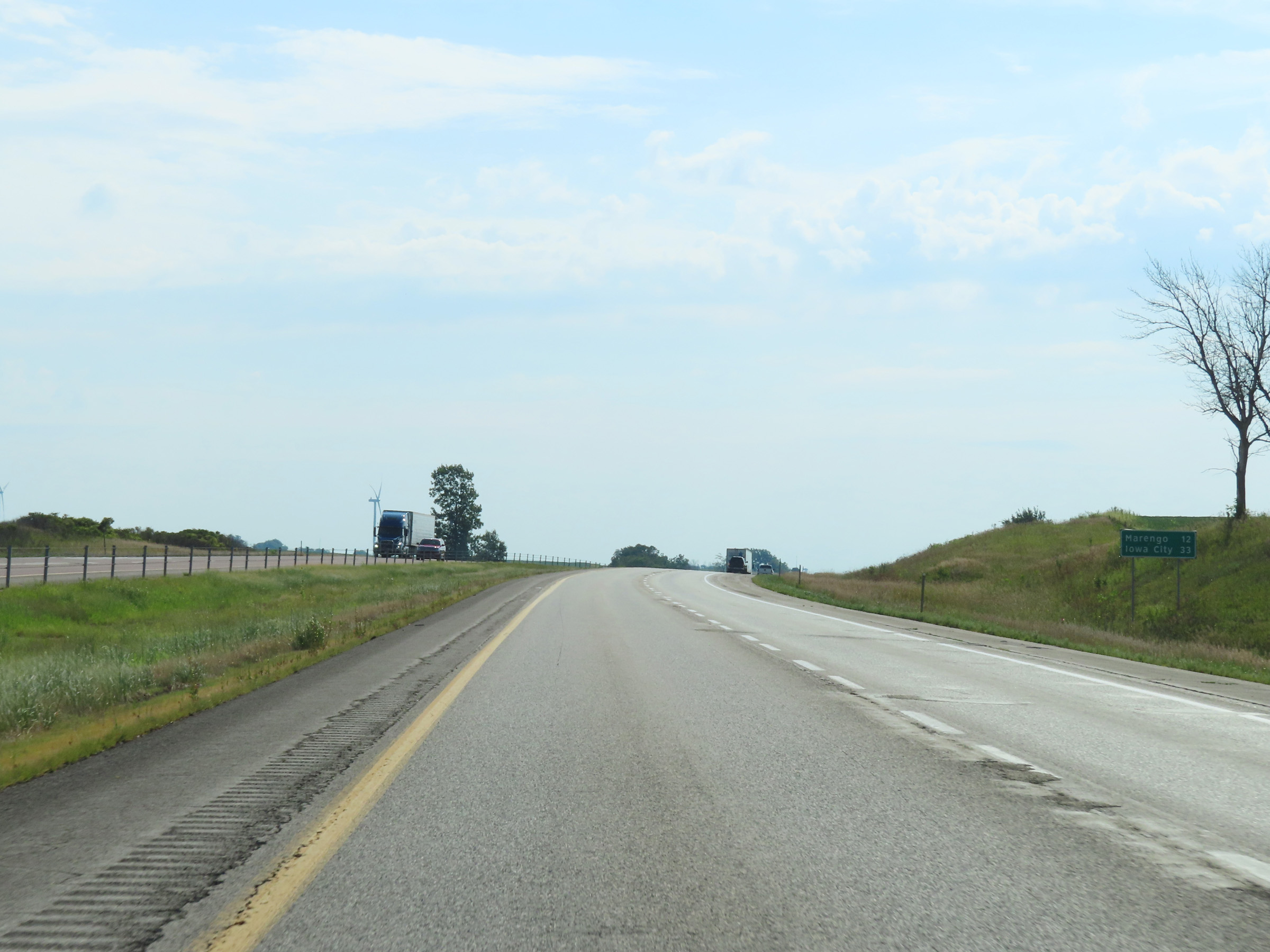 |
Another mileage sign on Interstate 80 East. It's 12 miles to Marengo and 33 miles to Iowa City. (Photo taken 8/19/22). |
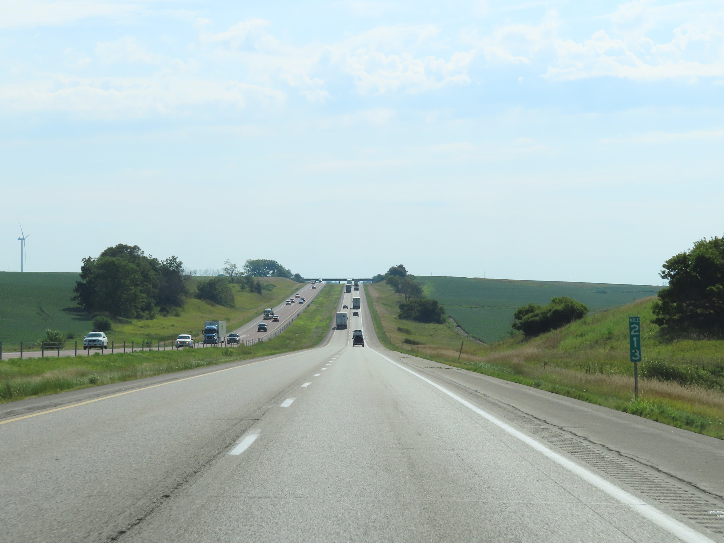 |
View on Interstate 80 East at mile marker 213. (Photo taken 8/19/22). |
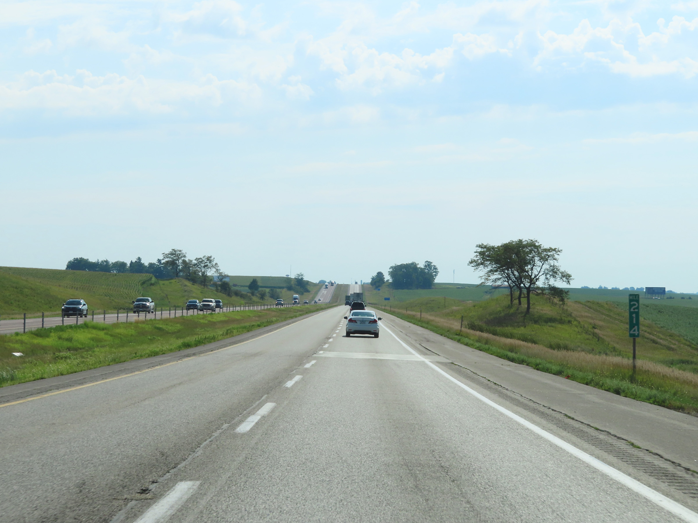 |
Mile marker 214 on Interstate 80 East in Iowa County. (Photo taken 8/19/22). |
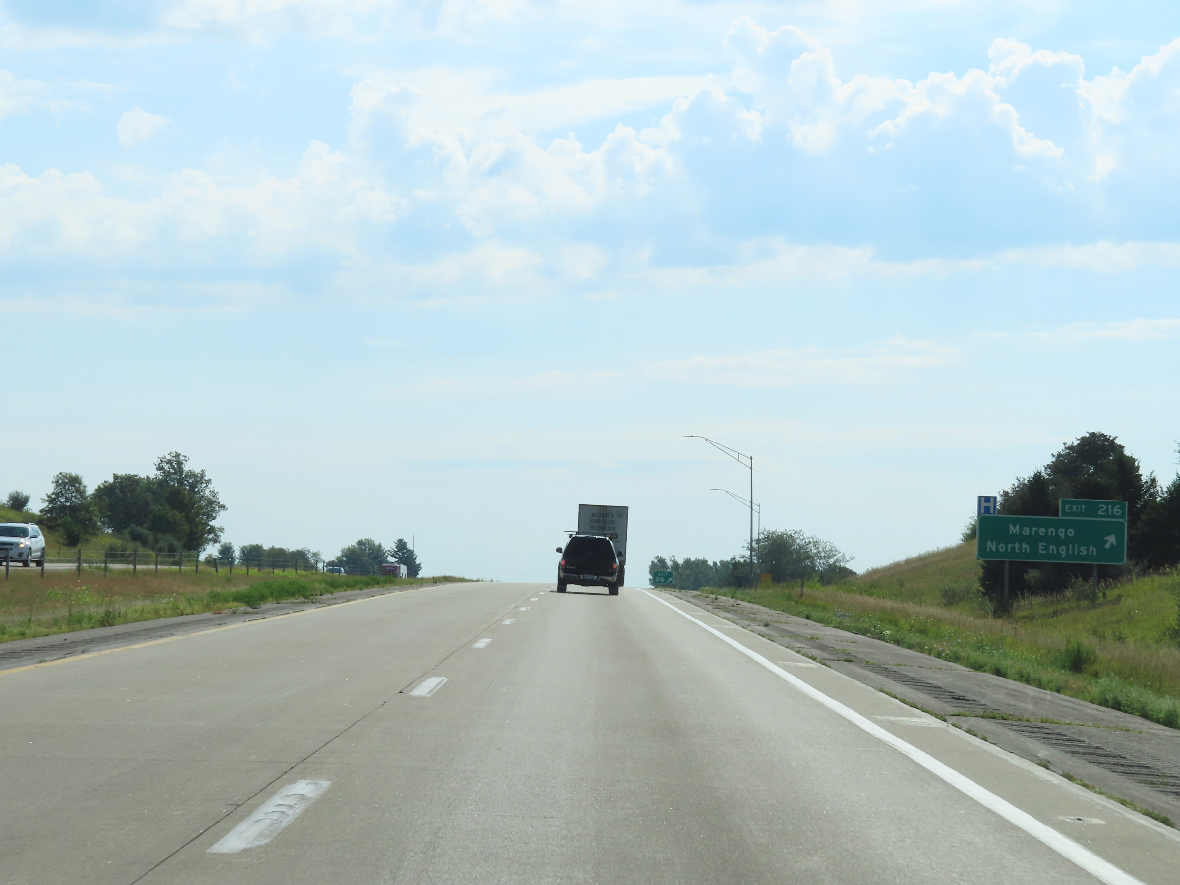 |
Interstate 80 East at Exit 216: Marengo / North English (Photo taken 8/19/22). |
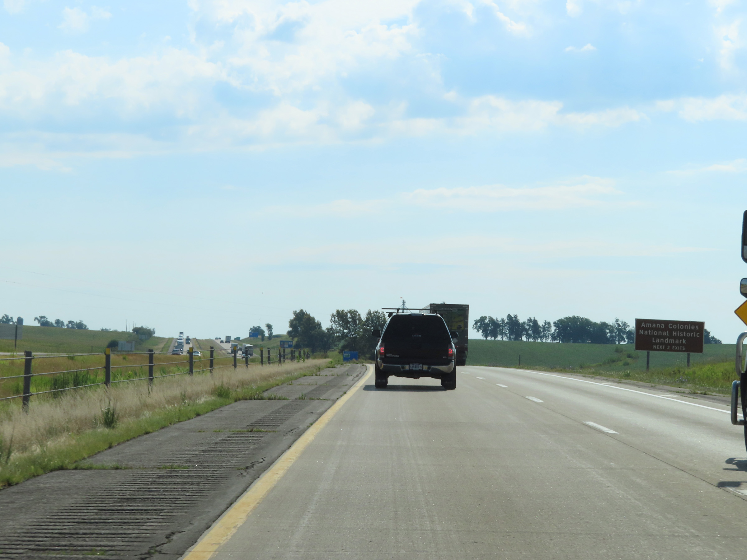 |
Take either of the next 2 exits to the Amana Colonies National Historic Landmark. (Photo taken 8/19/22). |
 |
Interstate 80 East at Exit 220: IA 149 South / CR V77 North - Williamsburg / Parnell (Photo taken 8/19/22). |
 |
Mile marker 223 on Interstate 80 East in Iowa County. (Photo taken 8/19/22). |
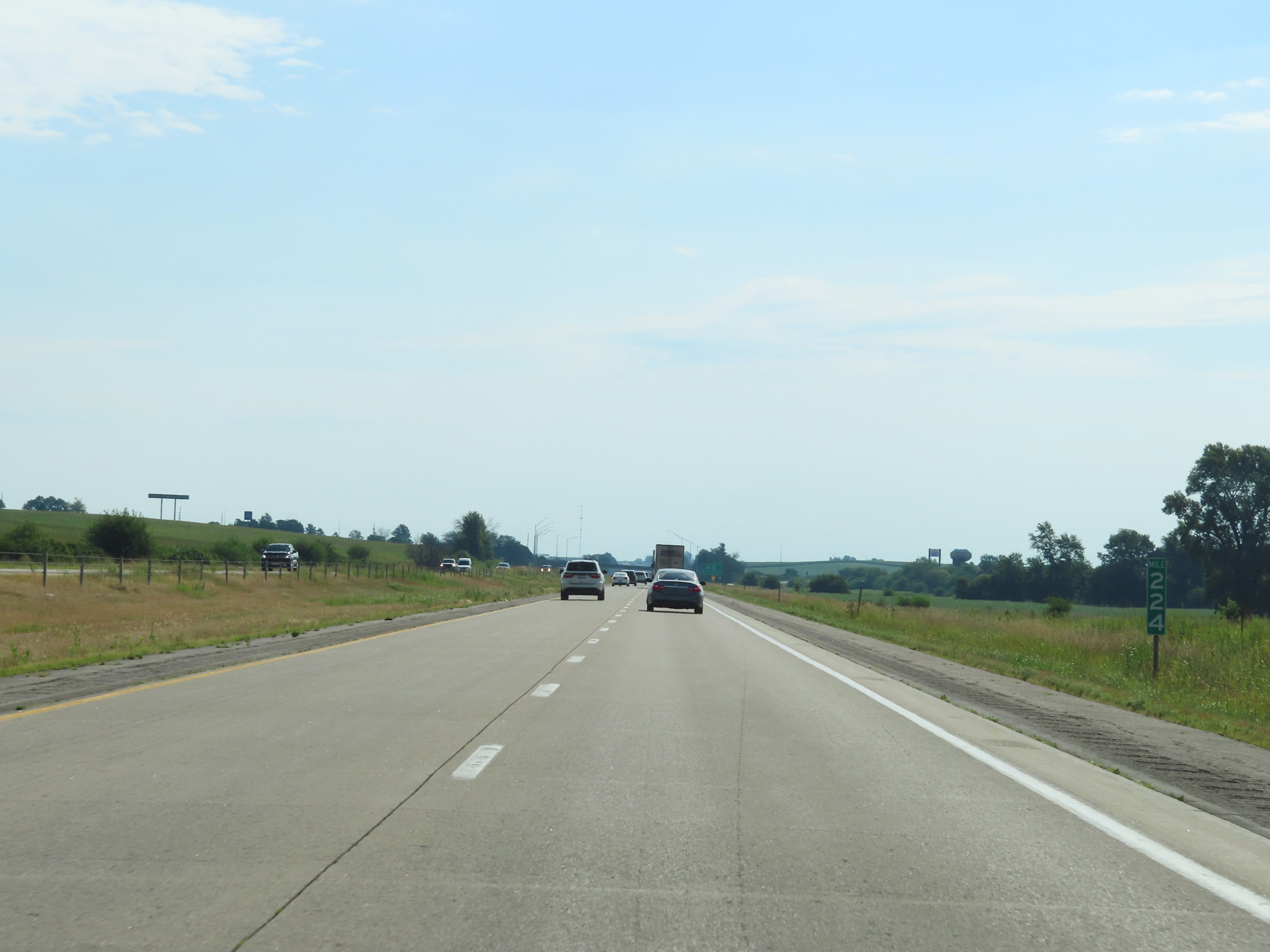 |
View on Interstate 80 East at mile marker 224. (Photo taken 8/19/22). |
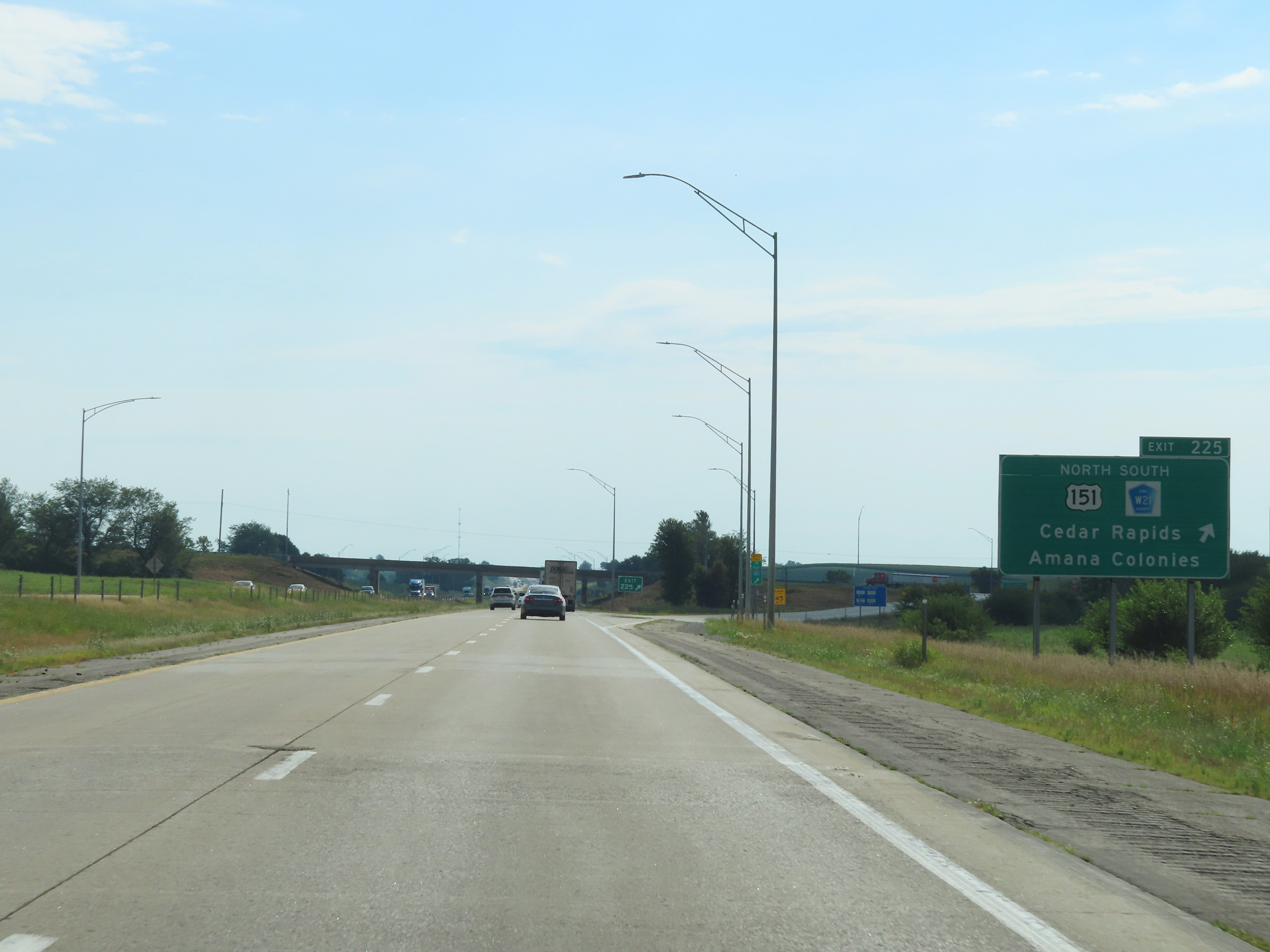 |
Interstate 80 East at Exit 225: US 151 North / CR W21 South - Cedar Rapids / Amana Colonies (Photo taken 8/19/22). |
 |
Interstate 80 East at mile marker 227. (Photo taken 8/19/22). |
 |
View on Interstate 80 East at mile marker 228. (Photo taken 8/19/22). |
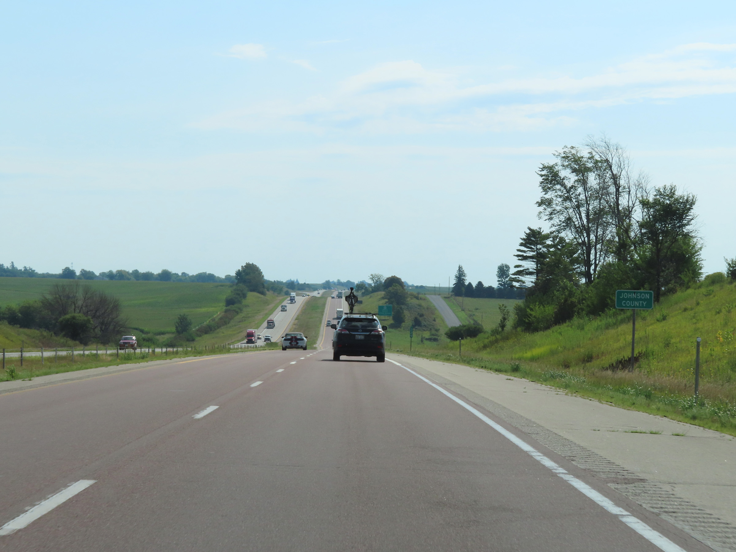 |
Interstate 80 East as it enters Johnson County. (Photo taken 8/19/22). |
 |
Take Exit 230 to FW Kent Park. (Photo taken 8/19/22). |
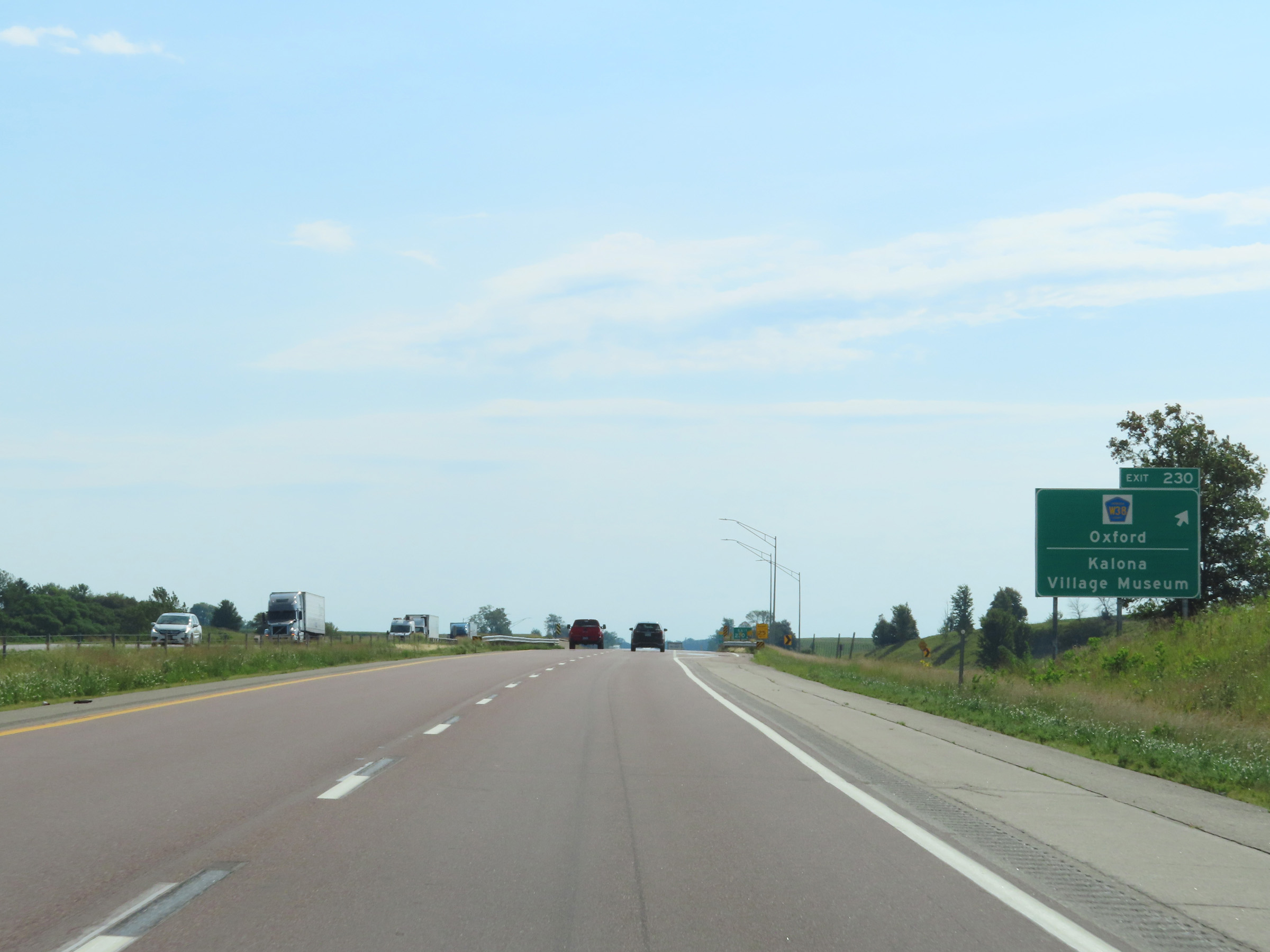 |
Interstate 80 East at Exit 230: CR W38 - Oxford / Kalona Village Museum (Photo taken 8/19/22). |
 |
Mileage sign on Interstate 80 East. It's 7 miles to Tiffin, 14 miles to Iowa City, and 24 miles to the Herbert Hoover Museum. (Photo taken 8/19/22). |
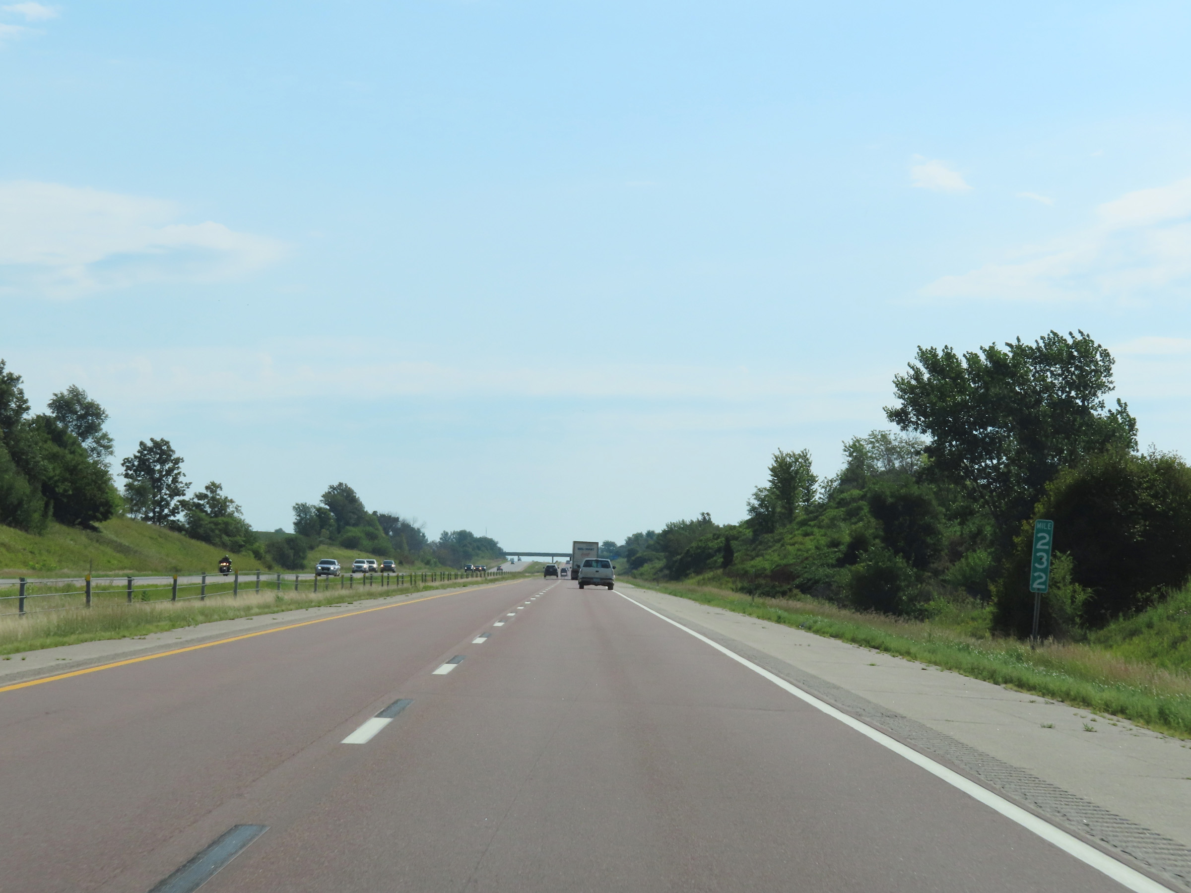 |
View on Interstate 80 East at mile marker 232. (Photo taken 8/19/22). |
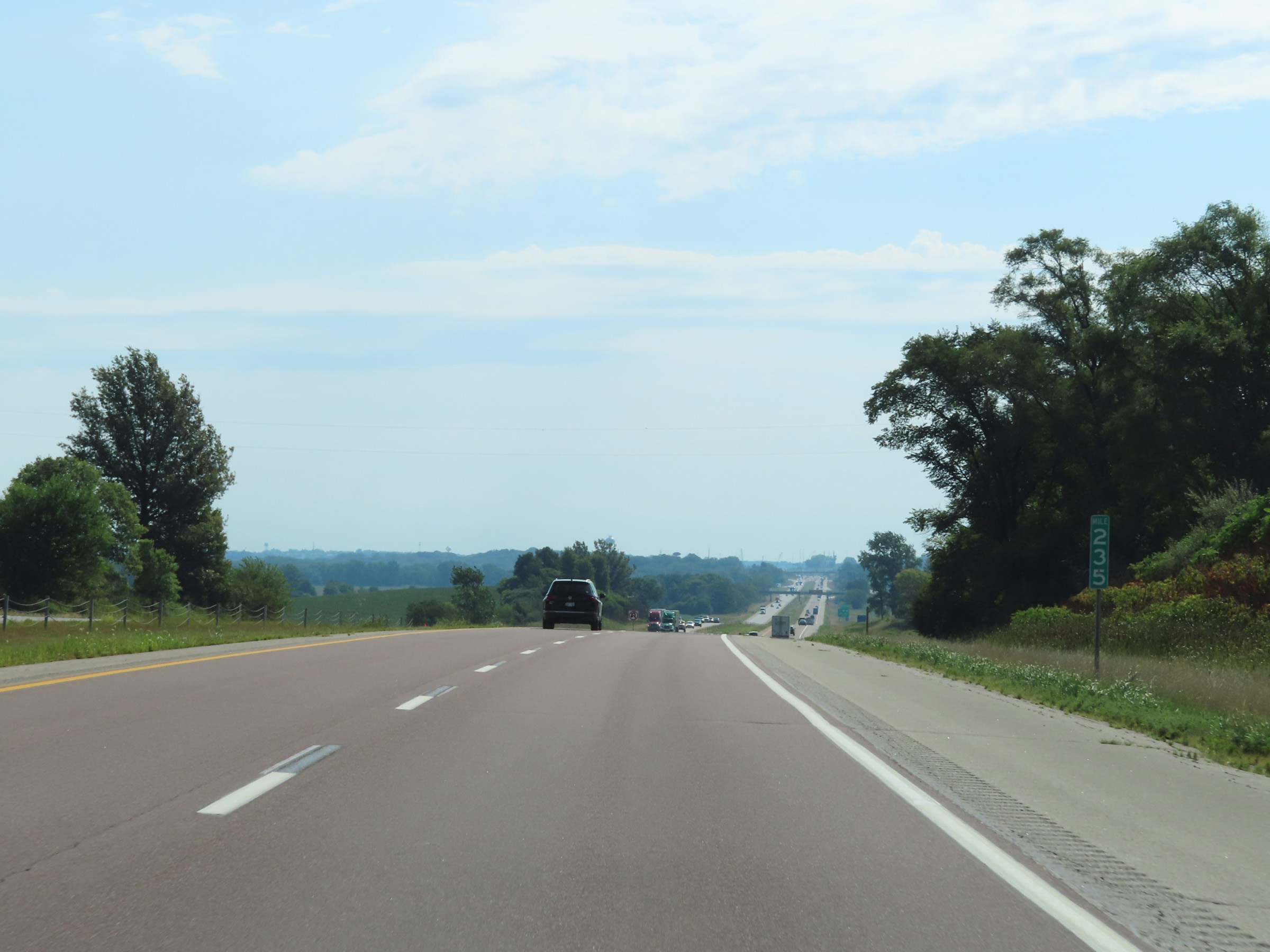 |
Mile marker 235 on Interstate 80 East in Johnson County. (Photo taken 8/19/22). |
 |
Advance signage for Exit 239 - 3 miles ahead. (Photo taken 8/19/22). |
 |
View on Interstate 80 East at mile marker 236. (Photo taken 8/19/22). |
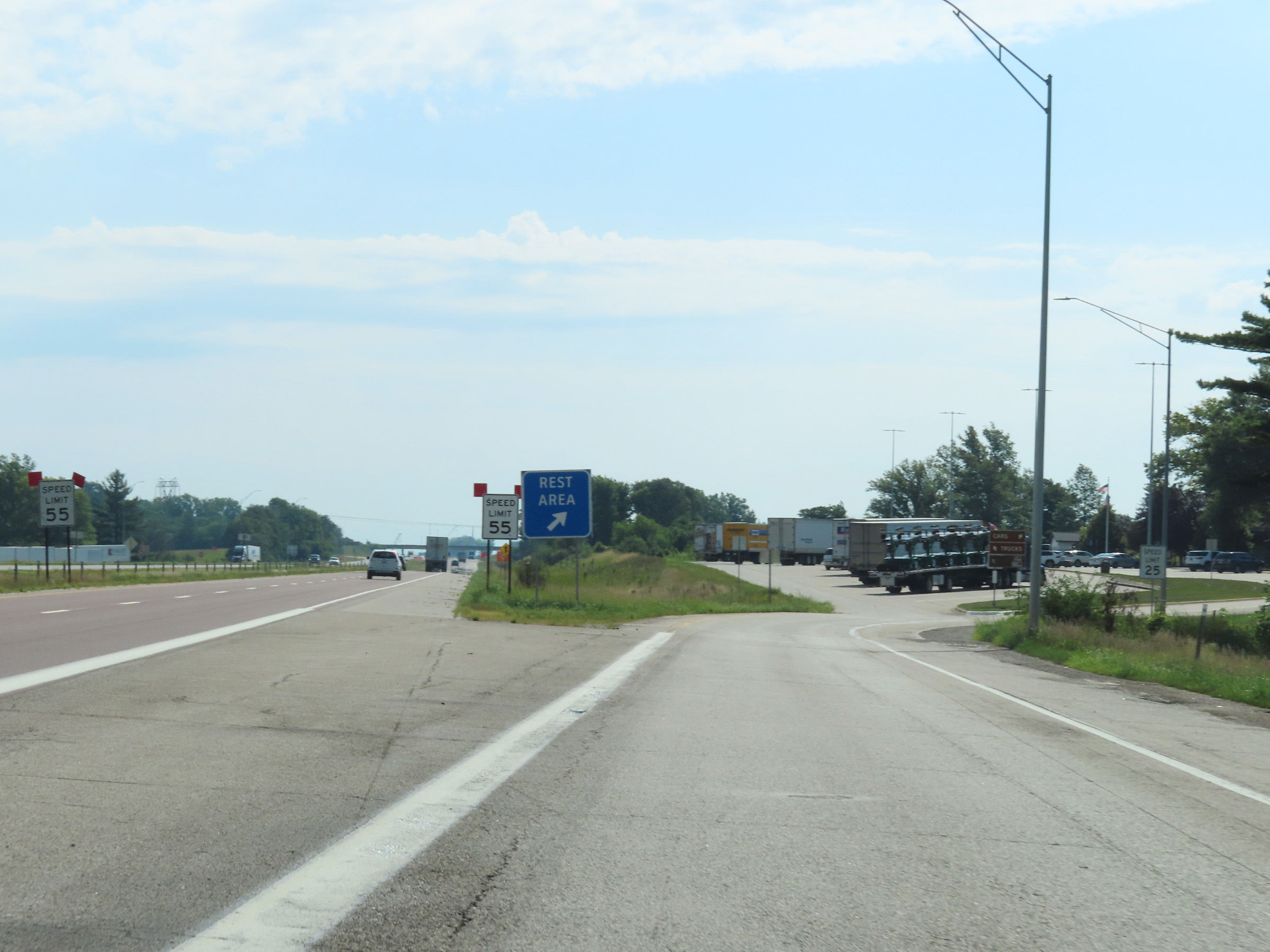 |
Rest Area on Interstate 80 East in Johnson County. (Photo taken 8/19/22). |
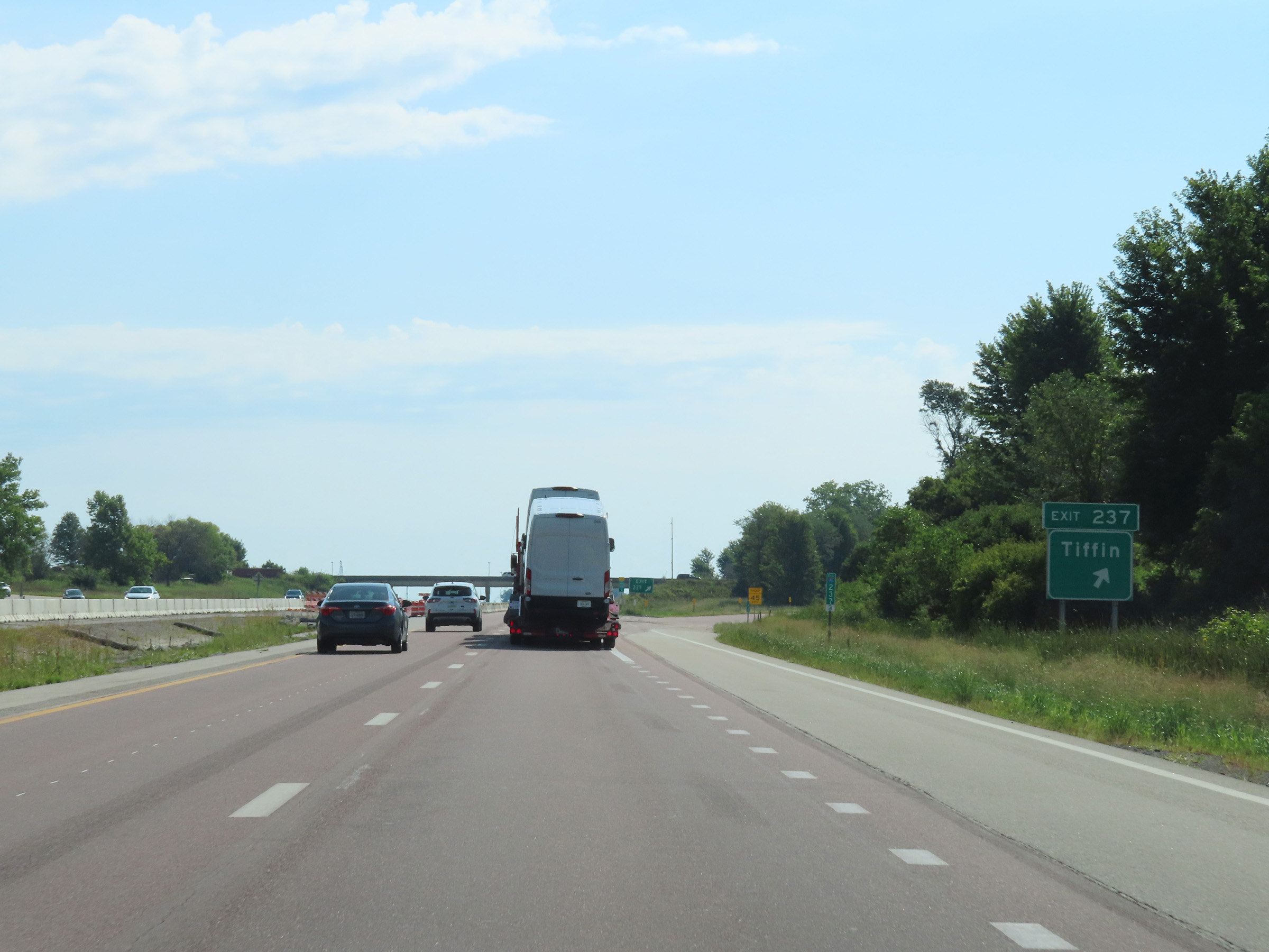 |
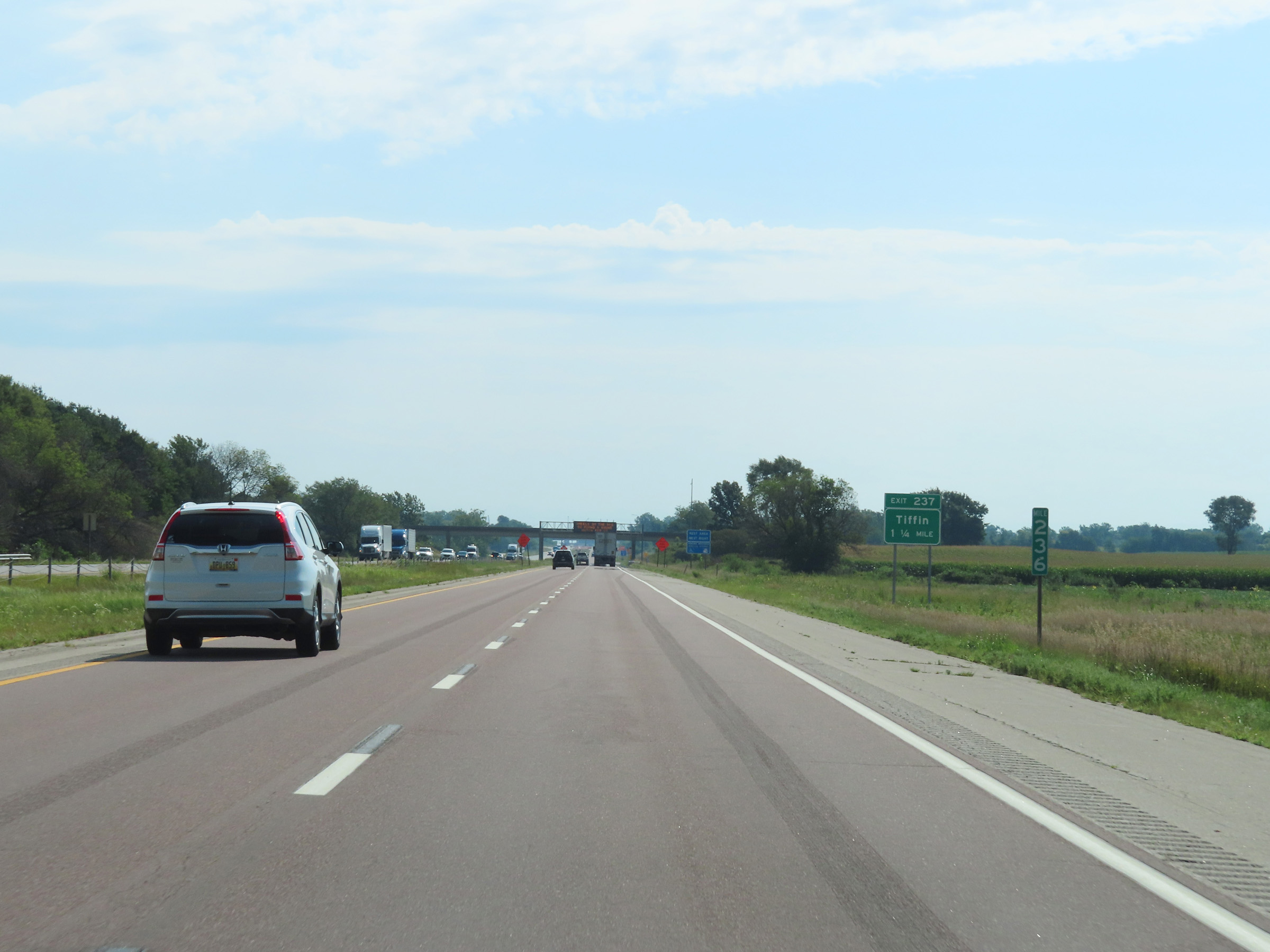
Interstate 80 East at Exit 237: Tiffin (Photo taken 8/19/22). |
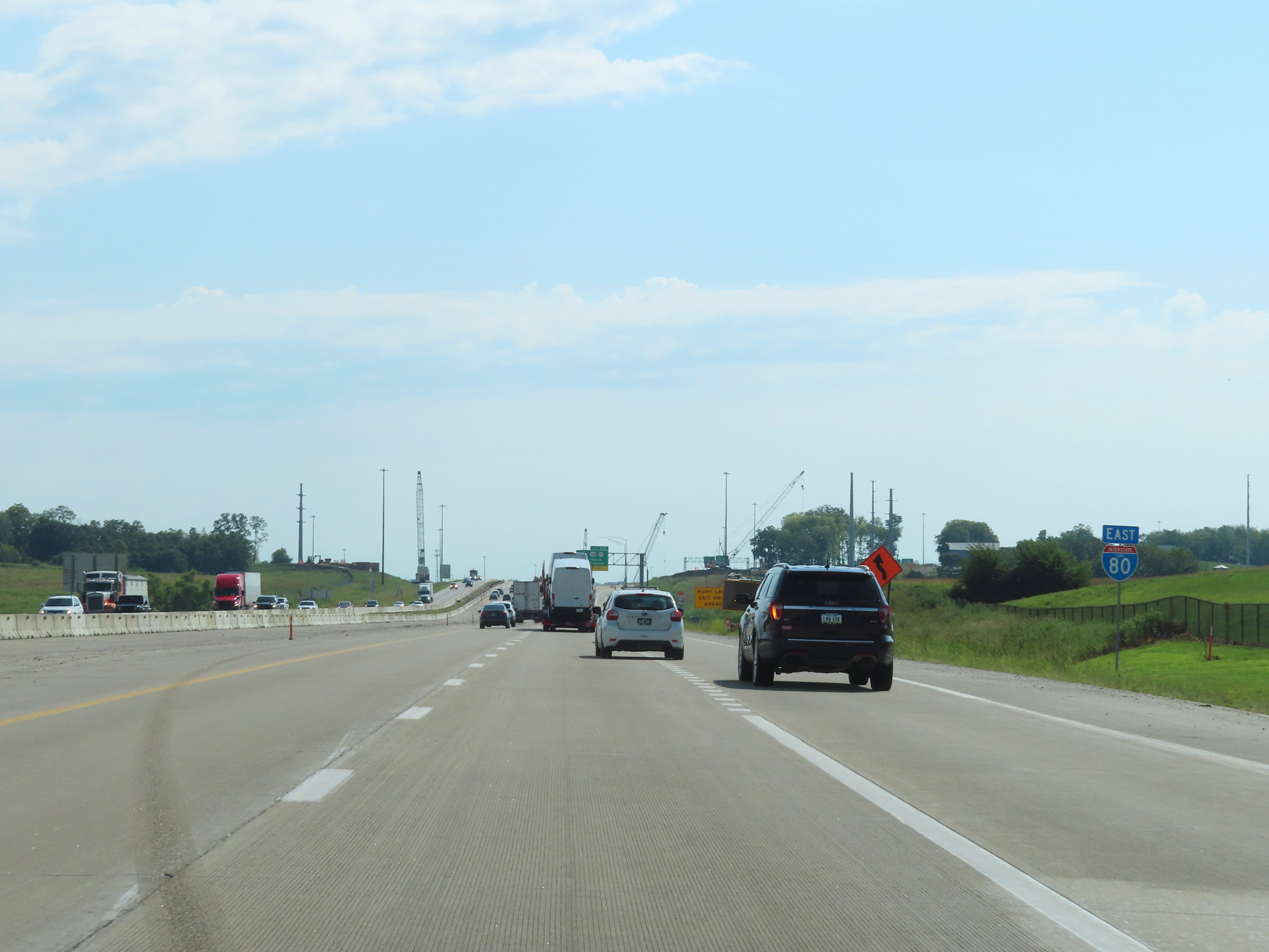 |
State-named Interstate 80 East reassurance shield approaching the junction of Interstate 380 via Exit 239 in Coralville. (Photo taken 8/19/22). |
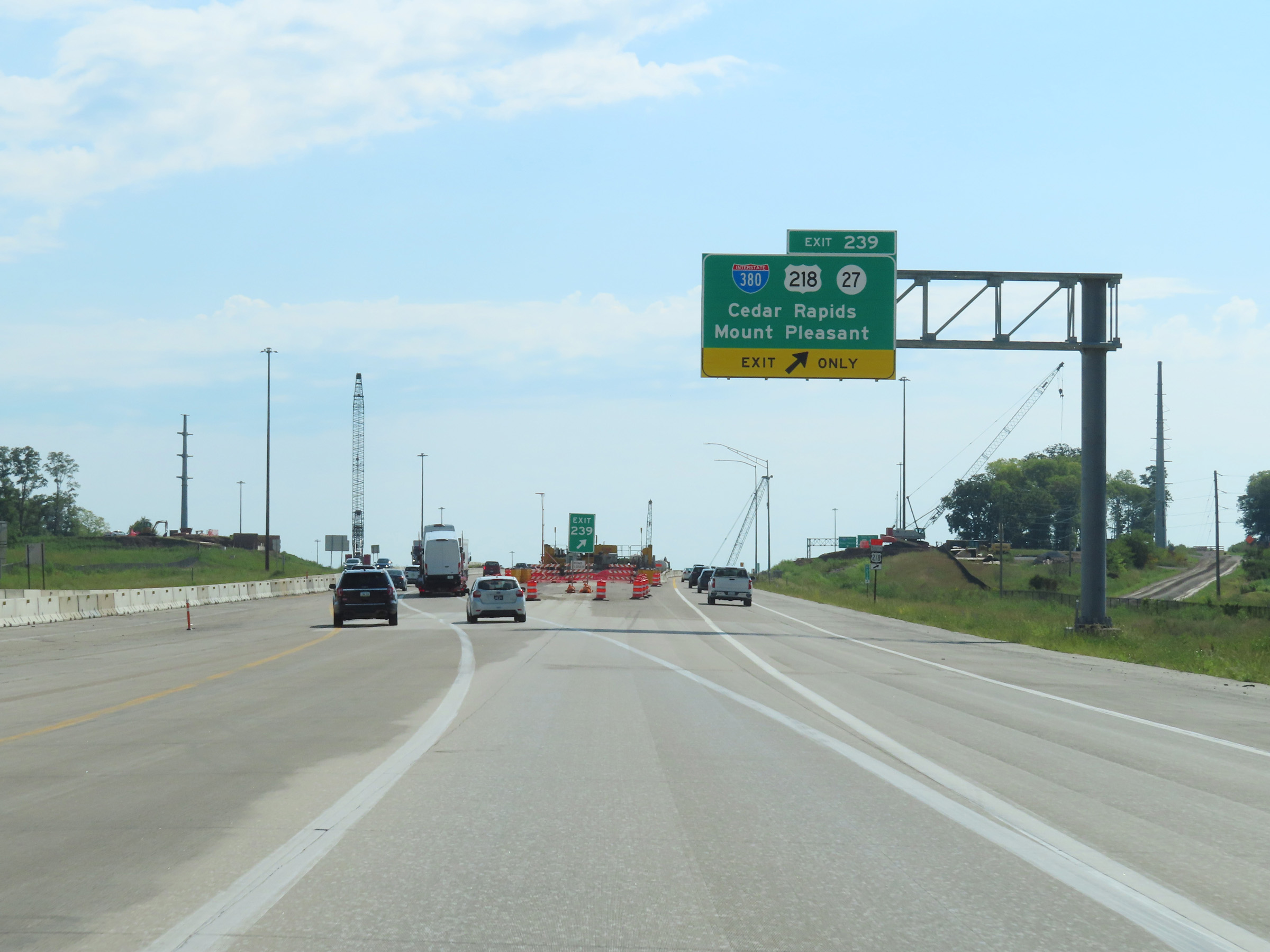 |
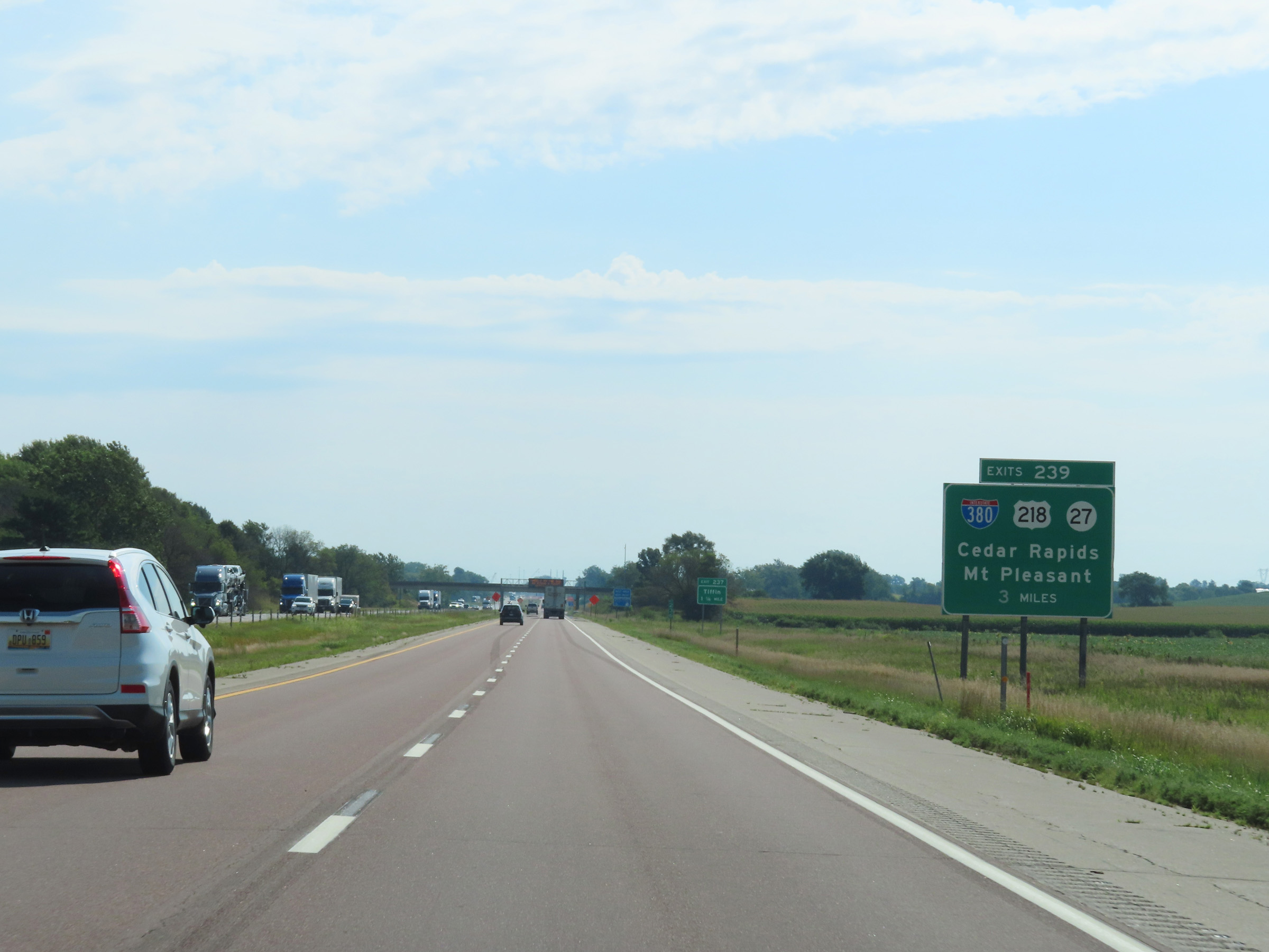
Interstate 80 East at Exit 239: Interstate 380 / US 218 / IA 27 - Cedar Rapids / Mount Pleasant (Photo taken 8/19/22). |
 |
A closer view of the ramp for Exit 239, as it splits into ramps to Interstate 380 North toward Cedar Rapids and another to US 318 South / IA 27 South toward Mount Pleasant. (Photo taken 8/19/22). |
 |
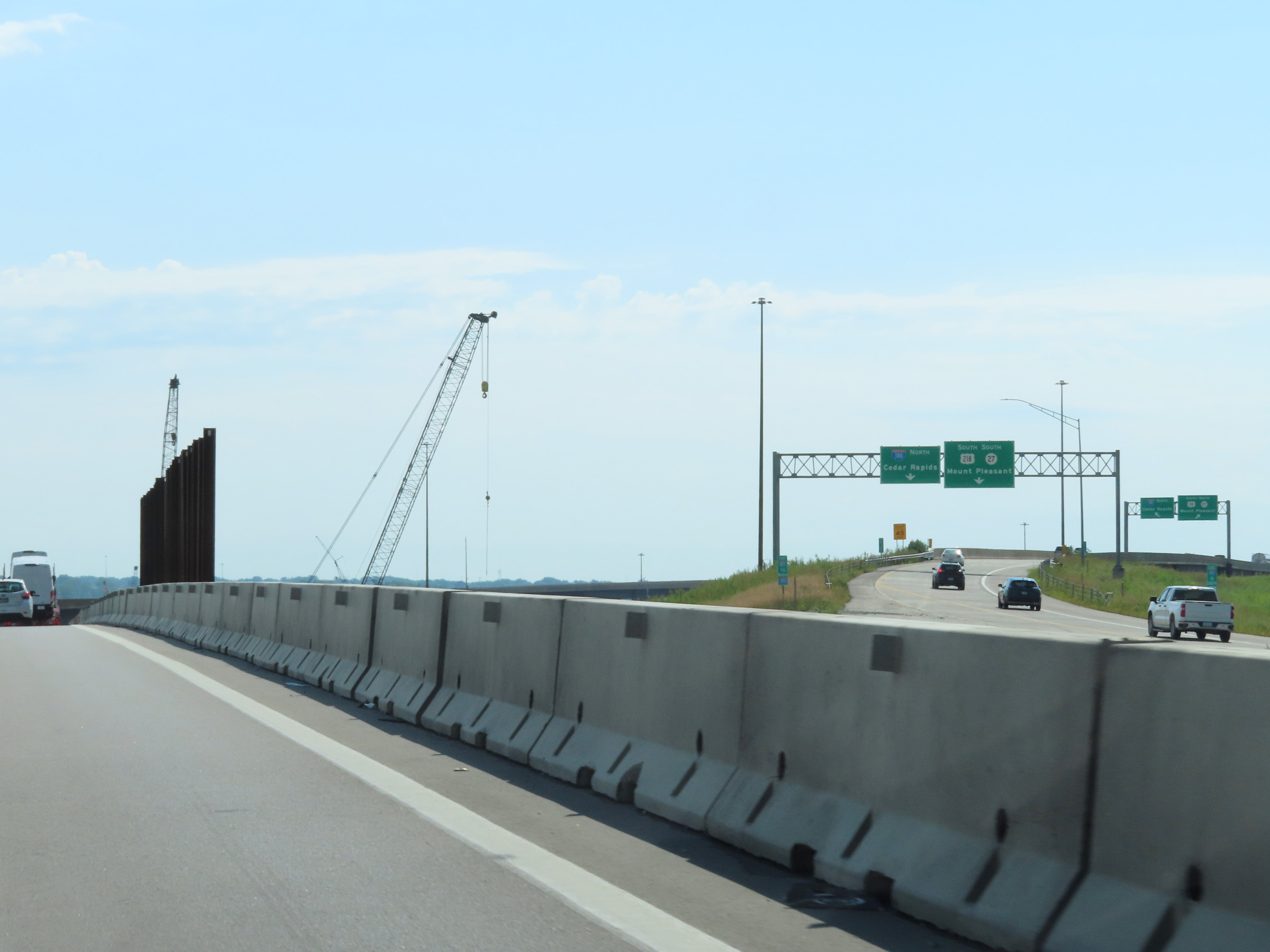
View on Interstate 80 East as it passes under Interstate 380 / US 218 / IA 27 in Coralville. (Photo taken 8/19/22). |
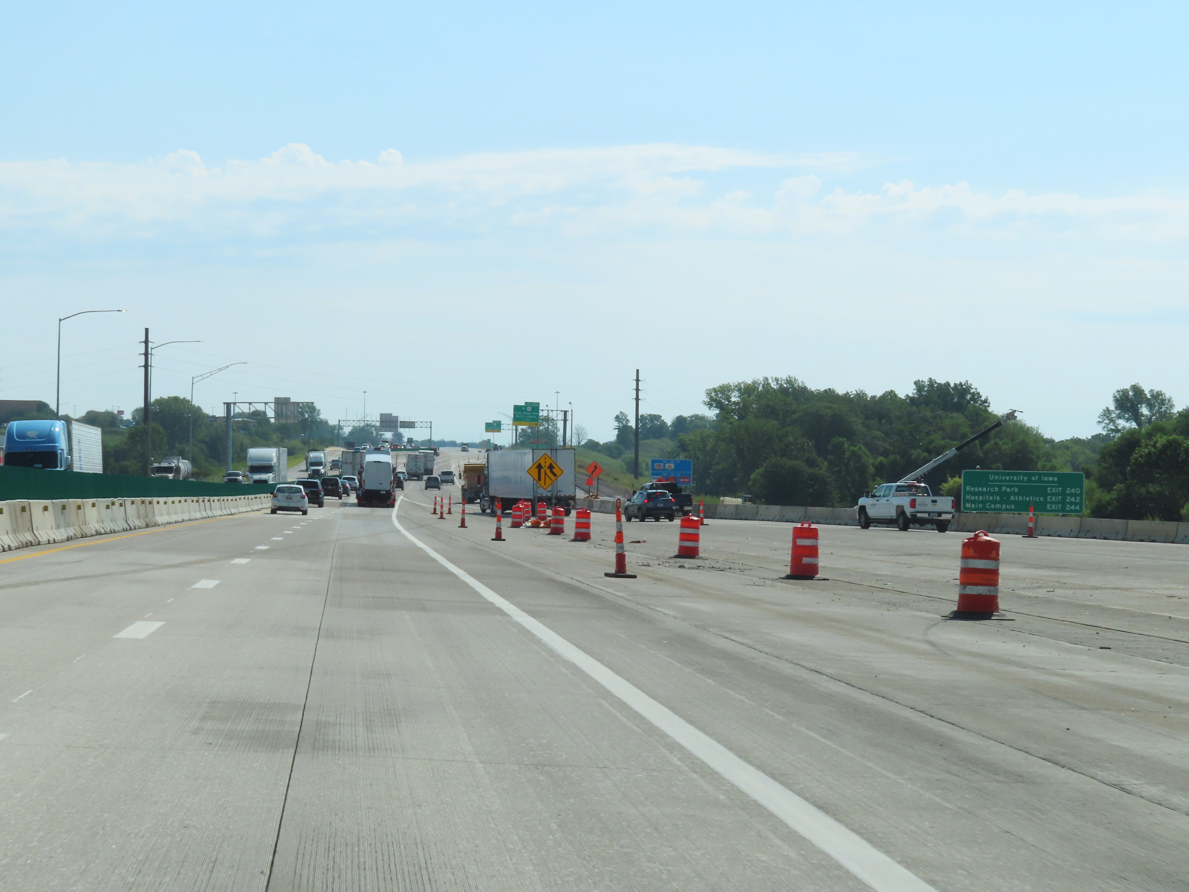 |
Mileage sign listing the exit numbers for the three upcoming exits to the University of Iowa. (Photo taken 8/19/22). |
 |
Take Exit 240 to The Iowa Children's Museum and University of Iowa Research Park. (Photo taken 8/19/22). |
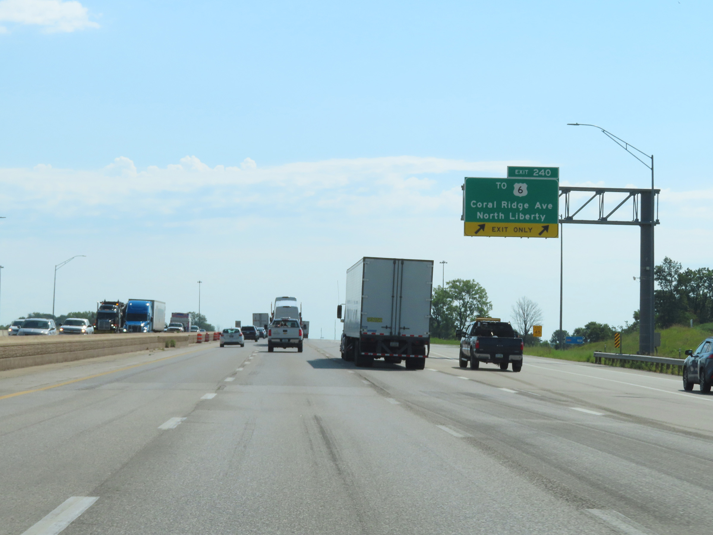 |
Interstate 80 East at Exit 240: To US 6 - Coral Ridge Ave / North Liberty (Photo taken 8/19/22). |
 |
Speed limit signs at mile marker 241.4. Through Iowa City, the maximum speed limit decreases to 65 mph. The minimum remains the standard 40 mph. (Photo taken 8/19/22). |
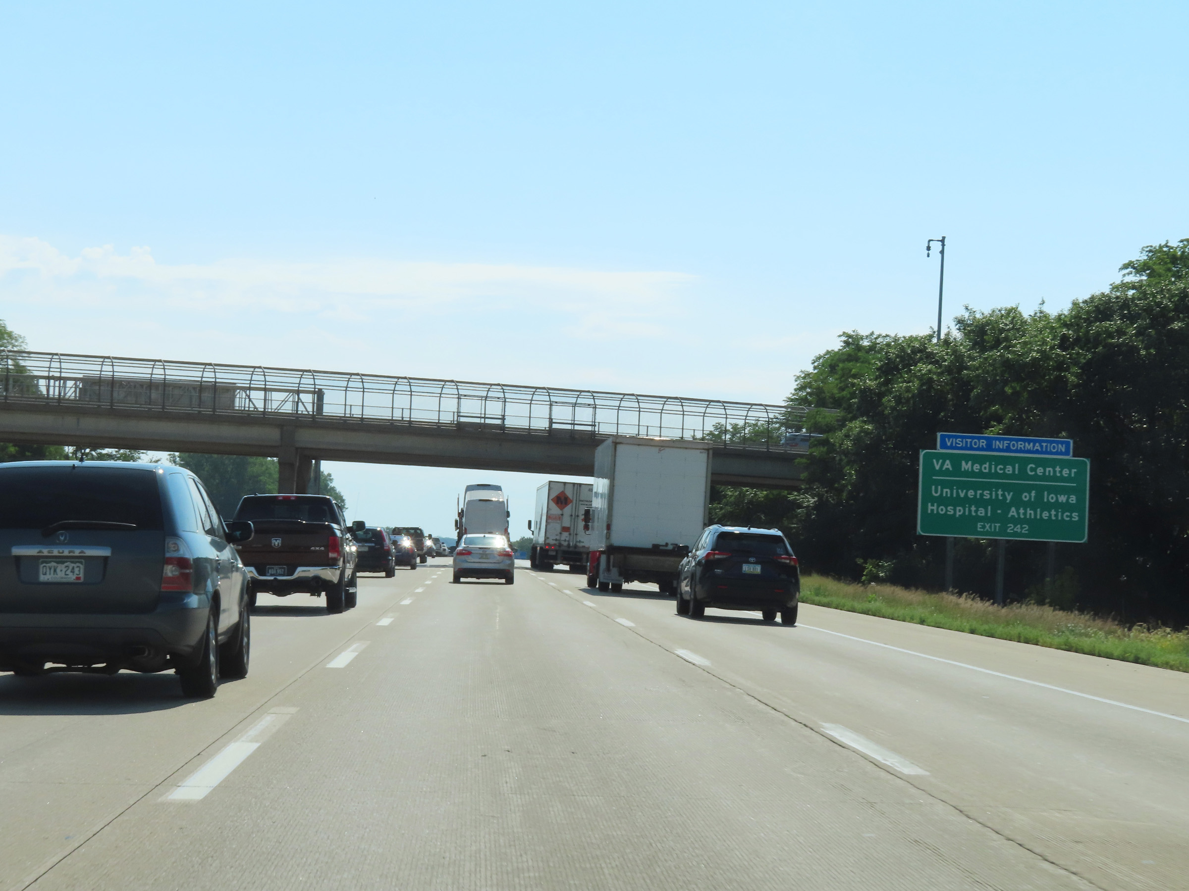 |
Take Exit 242 to the VA Medical Center and the University of Iowa Hospital & Athletics facilities. (Photo taken 8/19/22). |
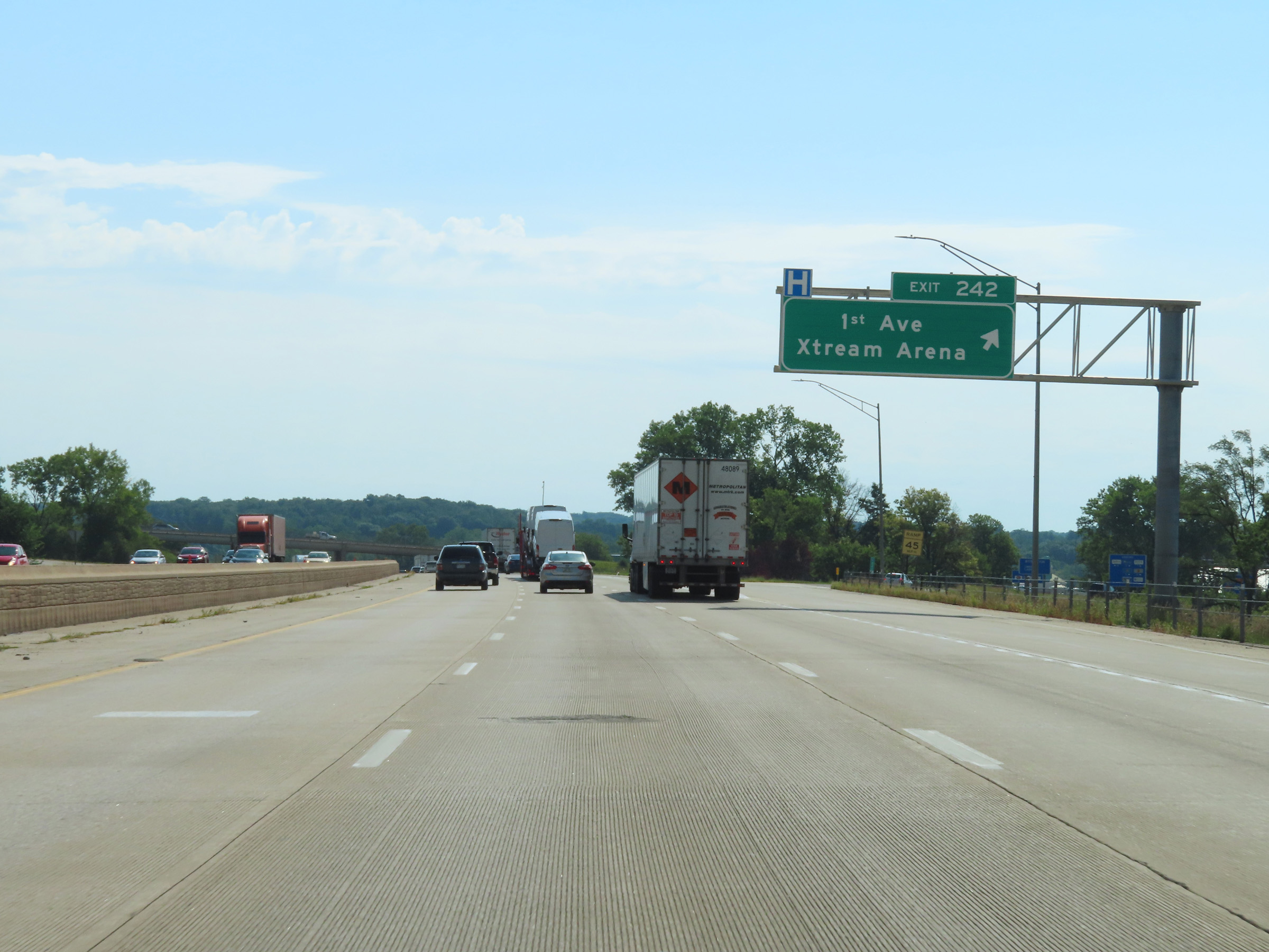 |
Interstate 80 East at Exit 242: 1st Ave / Xtream Arena (Photo taken 8/19/22). |
 |
Take any of the next 3 exits to Iowa City. (Photo taken 8/19/22). |
 |
Take Exit 244 to Coralville Lake and the University of Iowa Main Campus. (Photo taken 8/19/22). |
 |
Interstate 80 East at Exit 244: Dubuque St / Downtown (Photo taken 8/19/22). |
Section 5: Iowa City (Exit 244) to Illinois Border
 |
Take Exit 246 to Lake Macbride and Mt. Vernon. (Photo taken 8/19/22). |
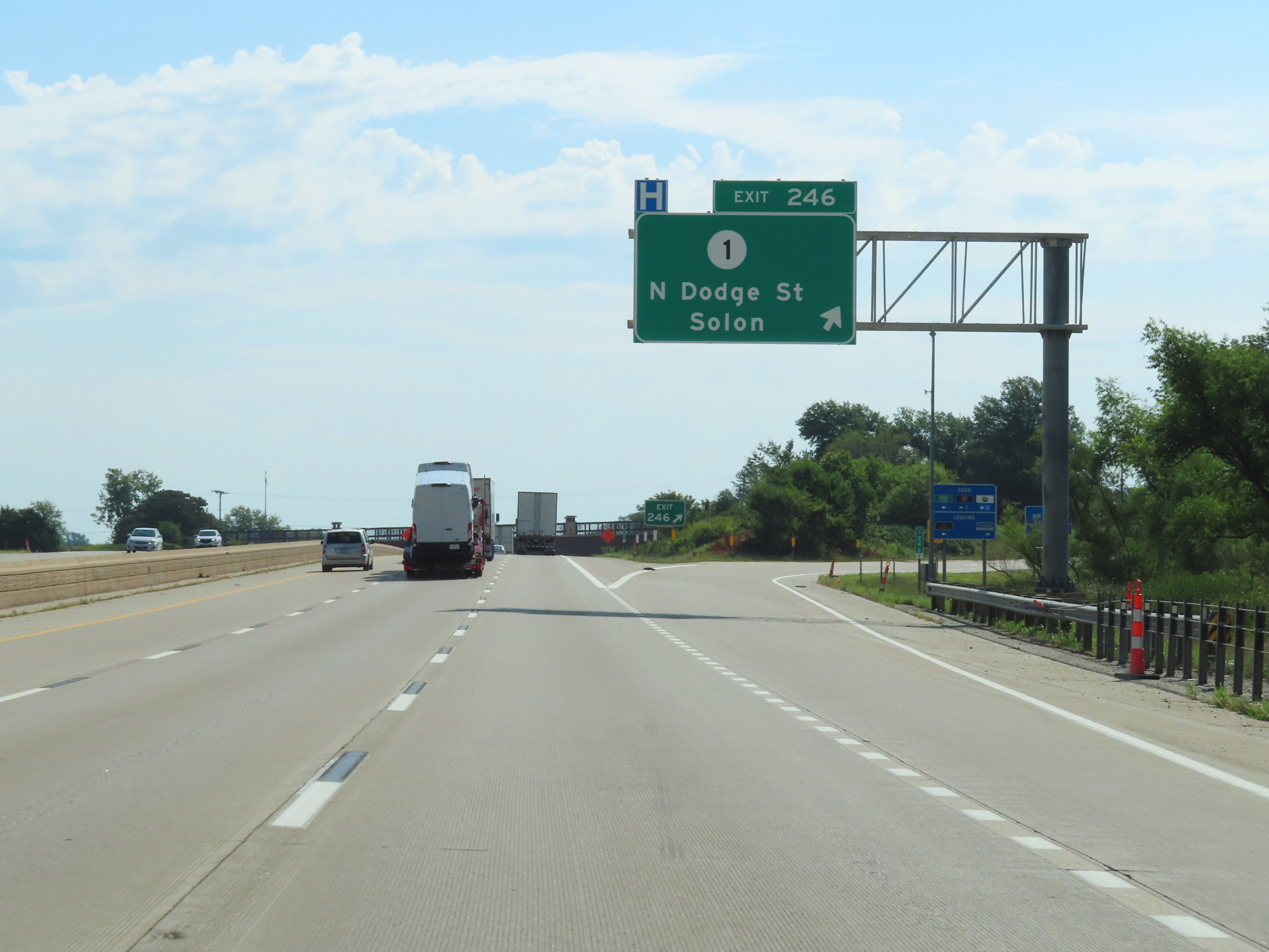 |
Interstate 80 East at Exit 246: IA 1 - North Dodge St / Solon (Photo taken 8/19/22). |
 |
View on Interstate 80 East at mile marker 247. (Photo taken 8/19/22). |
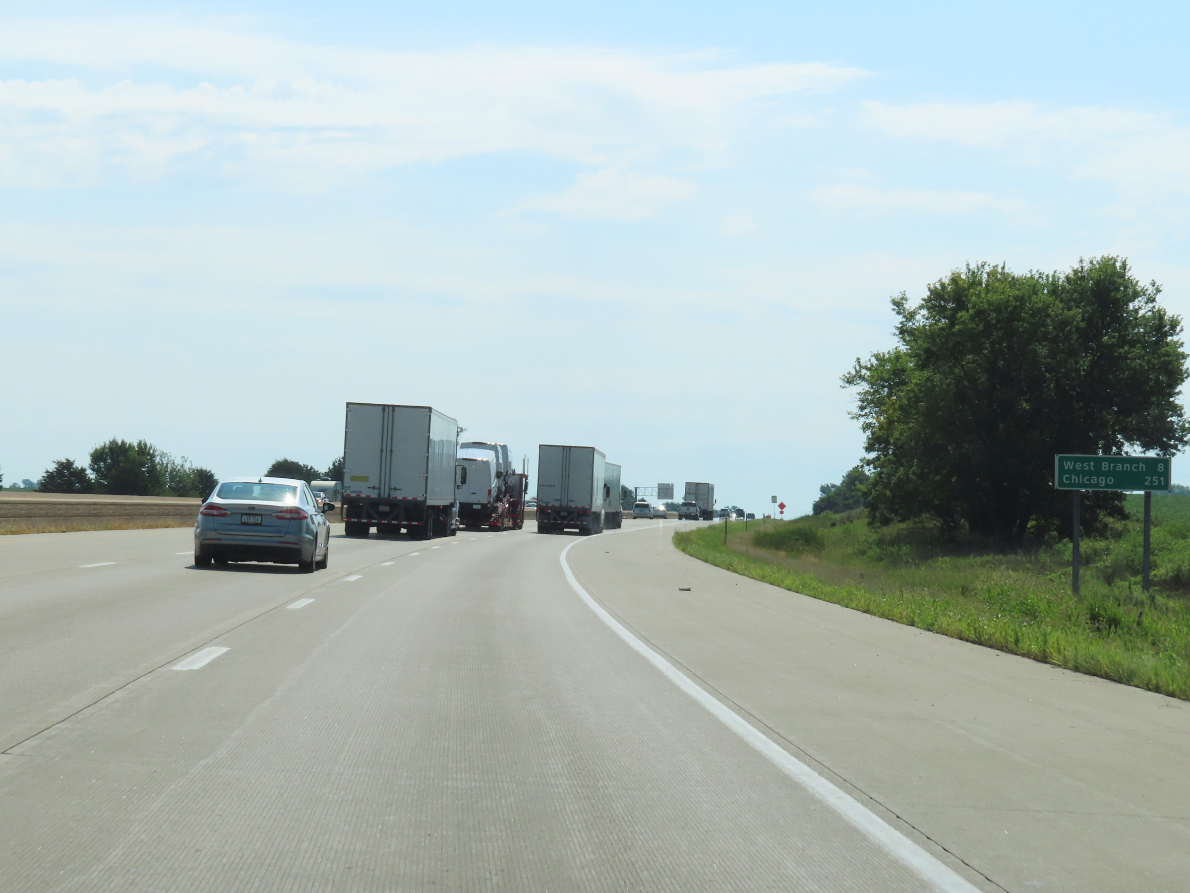 |
Mileage sign on Interstate 80 East as it leaves the Iowa City area. It's 8 miles to West Branch and 251 miles to Chicago. (Photo taken 8/19/22). |
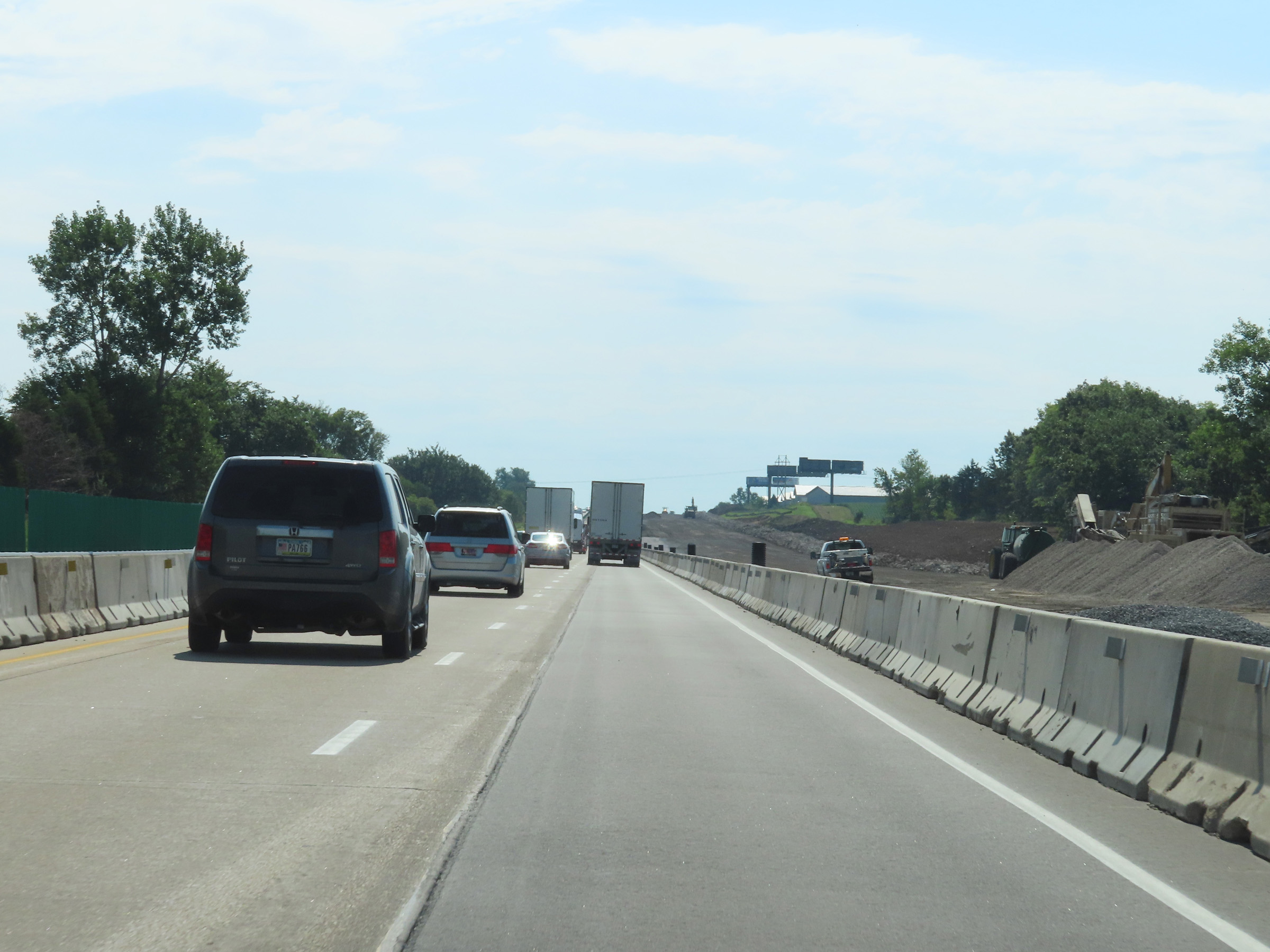 |
Interstate 80 East in Johnson County. (Photo taken 8/19/22). |
 |
View on Interstate 80 East in Johnson County, east of Iowa City. (Photo taken 8/19/22). |
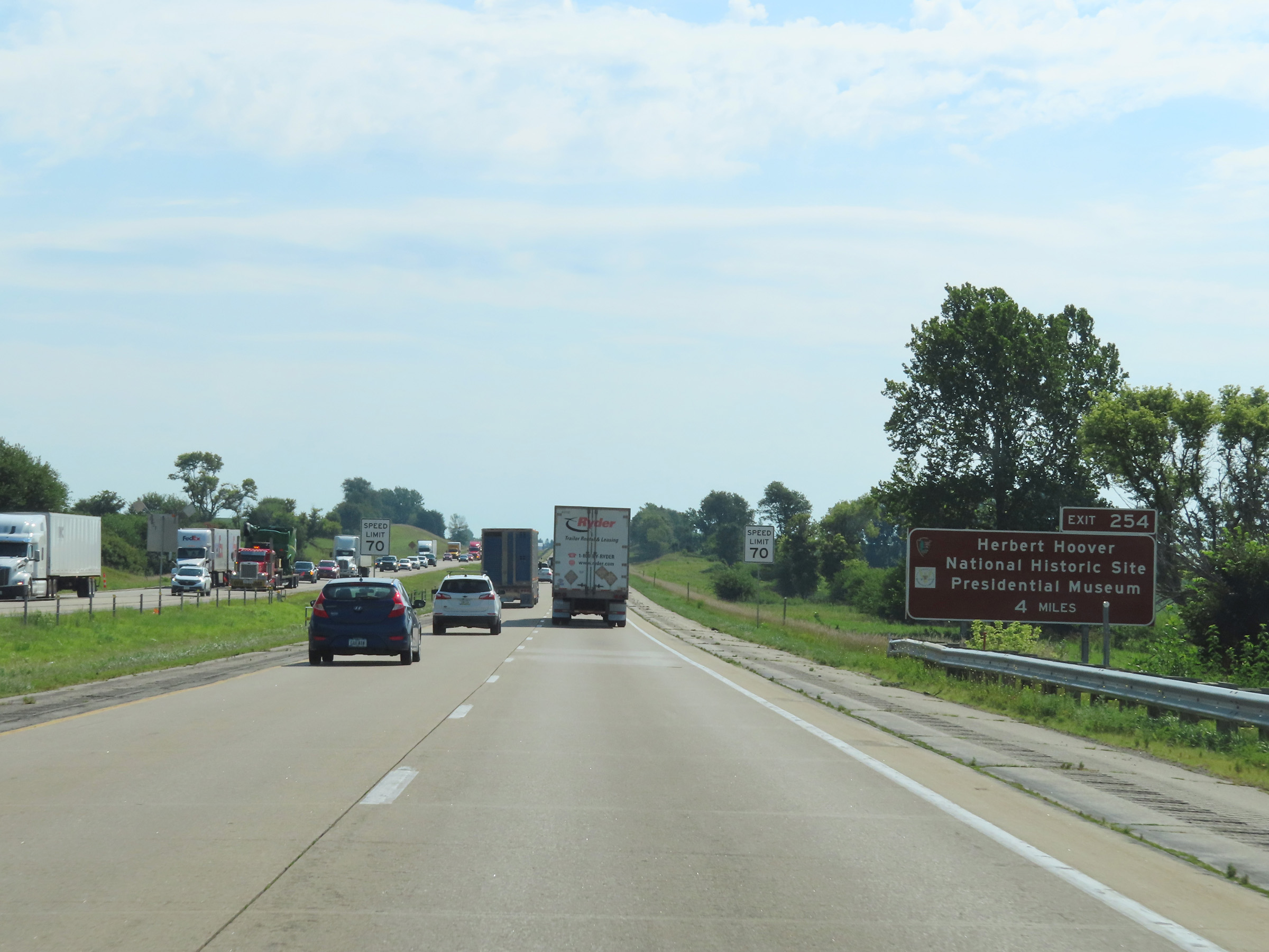 |
Take Exit 254 (4 miles ahead) to the Herbert Hoover National Presidential Museum. (Photo taken 8/19/22). |
 |
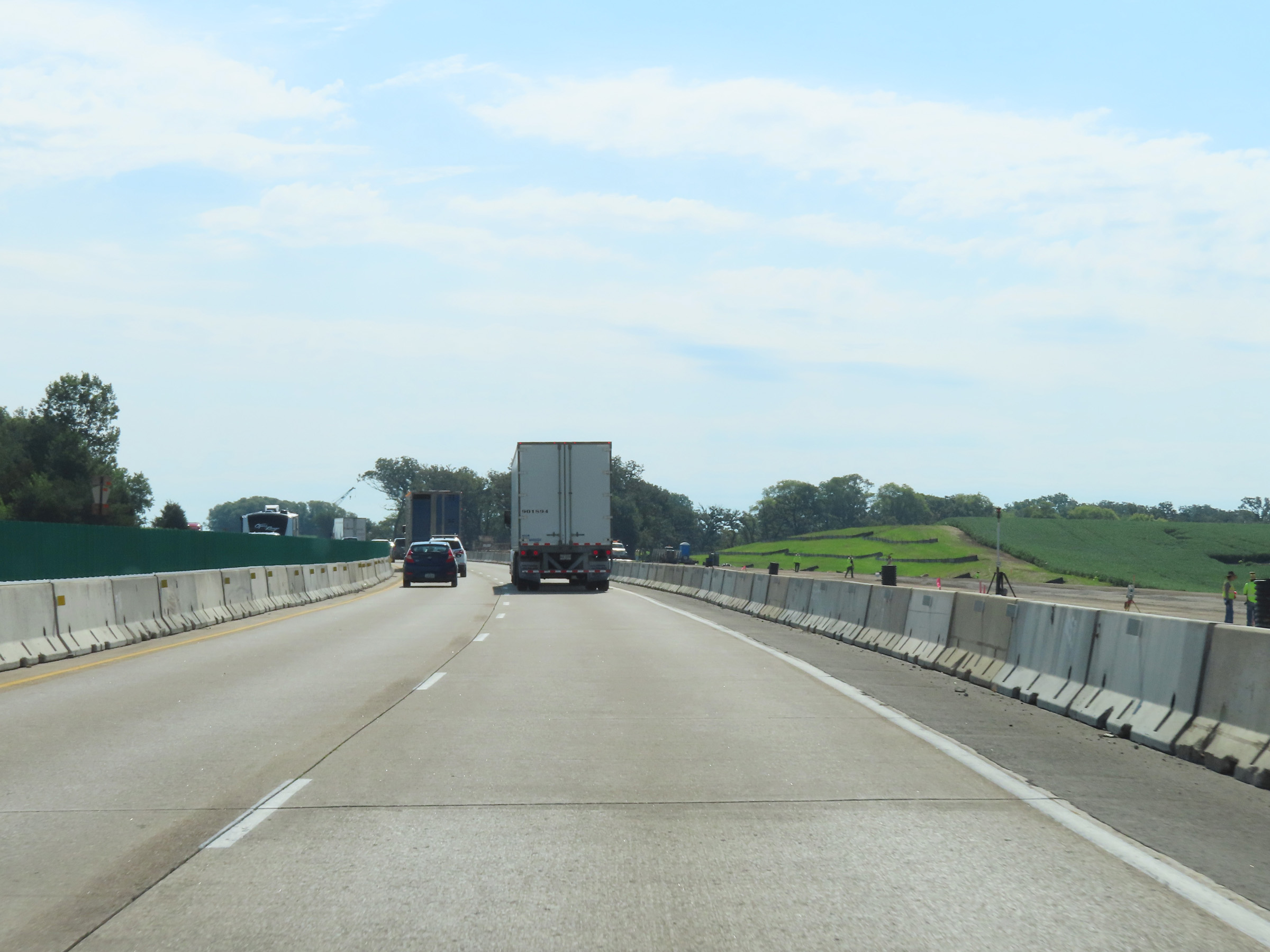
Interstate 80 East at mile marker 252. (Photo taken 8/19/22). |
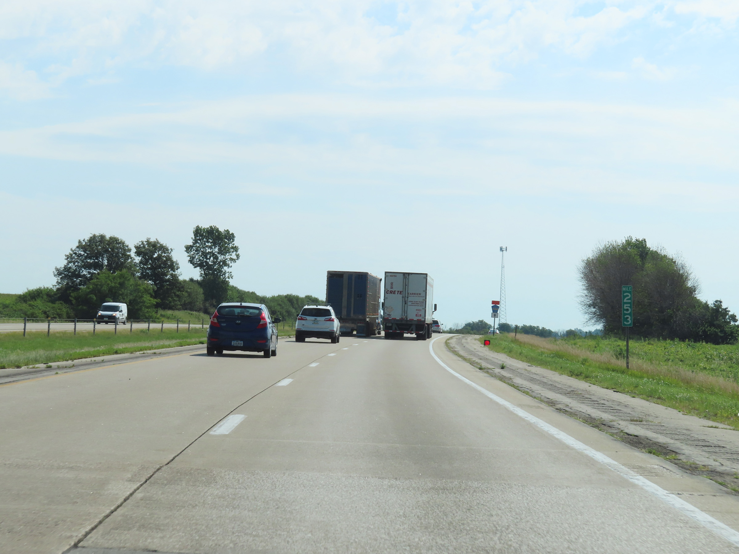 |
View on Interstate 80 East at mile marker 253. (Photo taken 8/19/22). |
 |
Interstate 80 East as it enters Cedar County. (Photo taken 8/19/22). |
 |
Take Exit 254 to the Herbert Hoover National Historic Site and Presidential Museum. (Photo taken 8/19/22). |
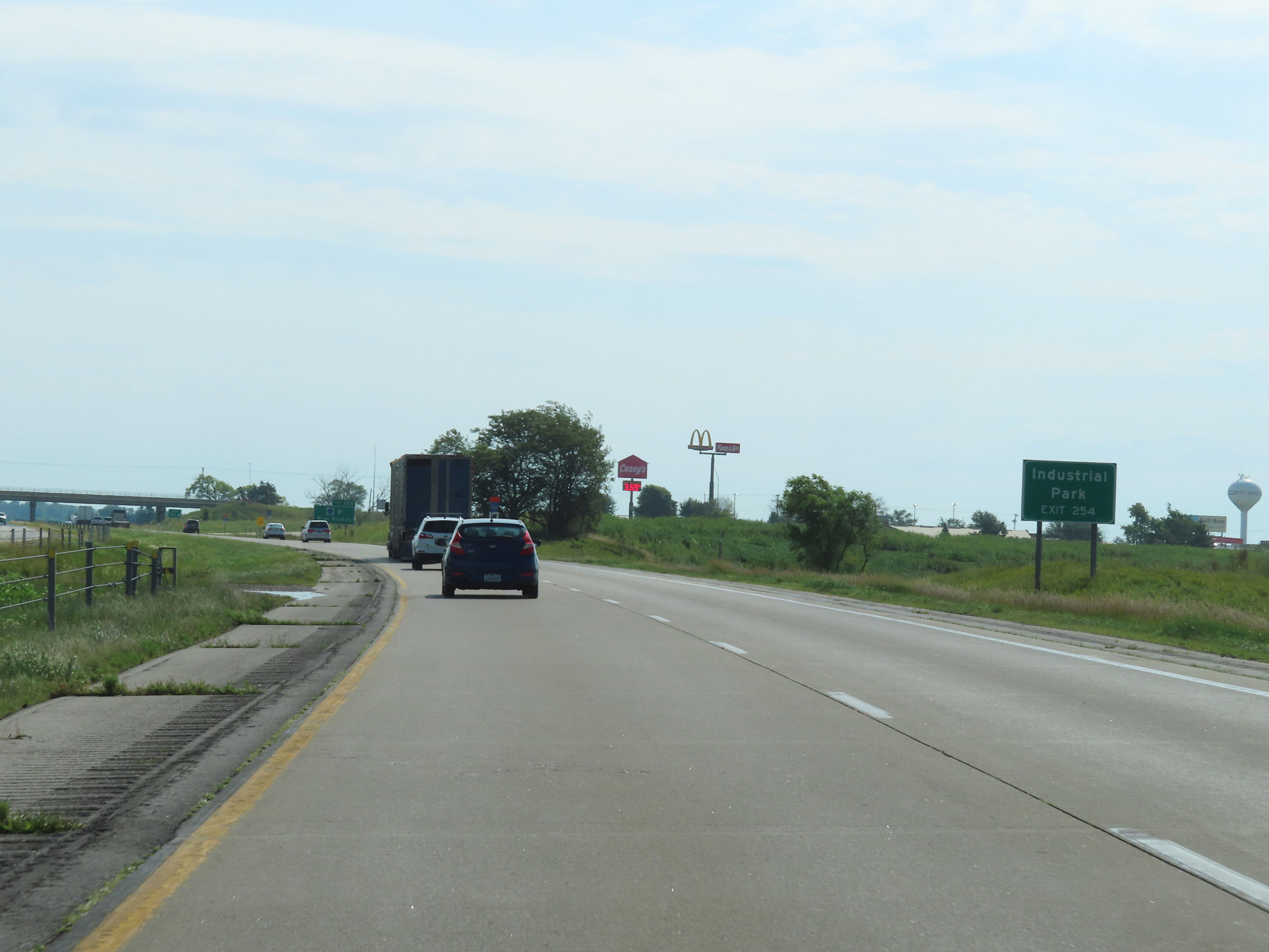 |
Also take Exit 254 to the Industrial Park. (Photo taken 8/19/22). |
 |
Interstate 80 East at Exit 254: CR X30 - West Branch (Photo taken 8/19/22). |
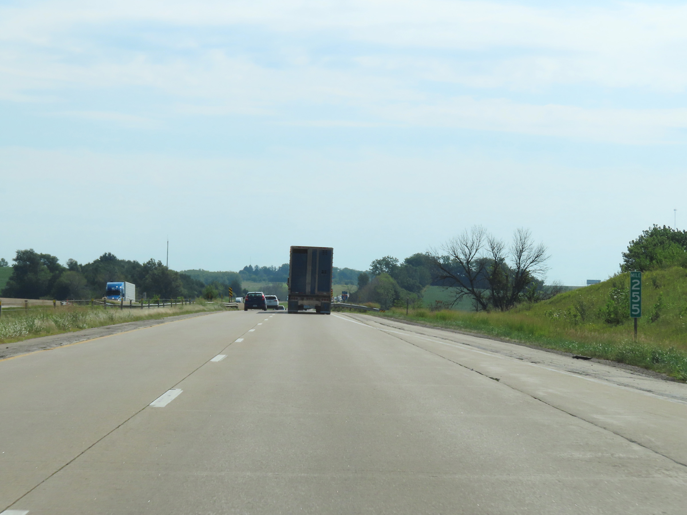 |
Mile marker 255 on Interstate 80 East in Cedar County. (Photo taken 8/19/22). |
 |
Interstate 80 East at mile marker 257. (Photo taken 8/19/22). |
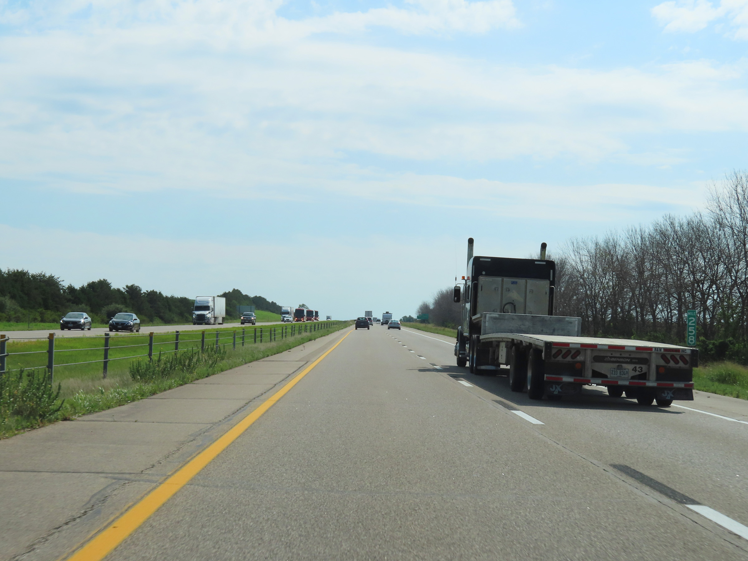 |
View on Interstate 80 East at mile marker 258. (Photo taken 8/19/22). |
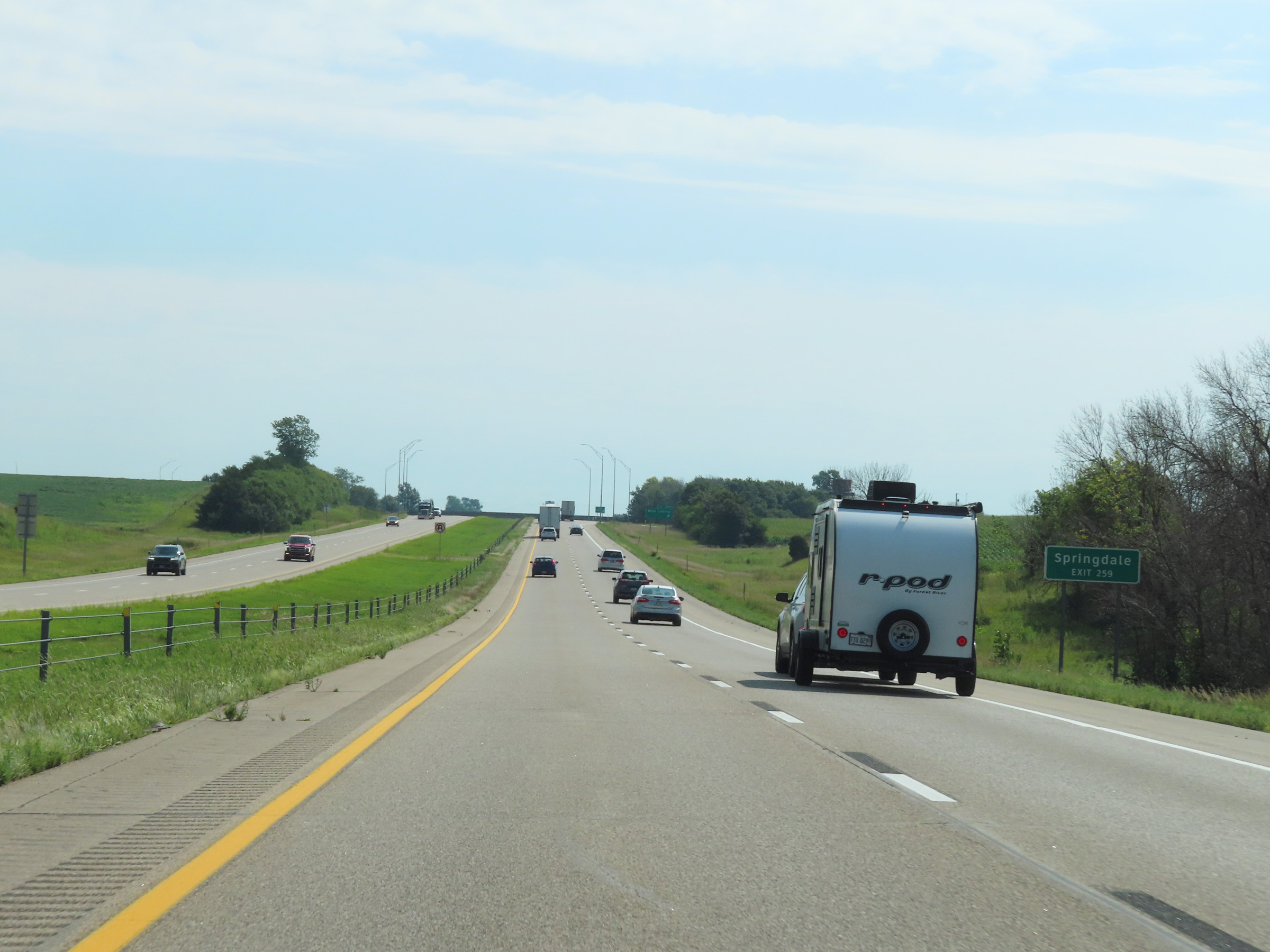 |
Take Exit 259 to Springdale. (Photo taken 8/19/22). |
 |
Interstate 80 East at Exit 259: West Liberty (Photo taken 8/19/22). |
 |
State-named Interstate 80 East reassurance shield in Cedar County. (Photo taken 8/19/22). |
 |
View on Interstate 80 East at mile marker 261. (Photo taken 8/19/22). |
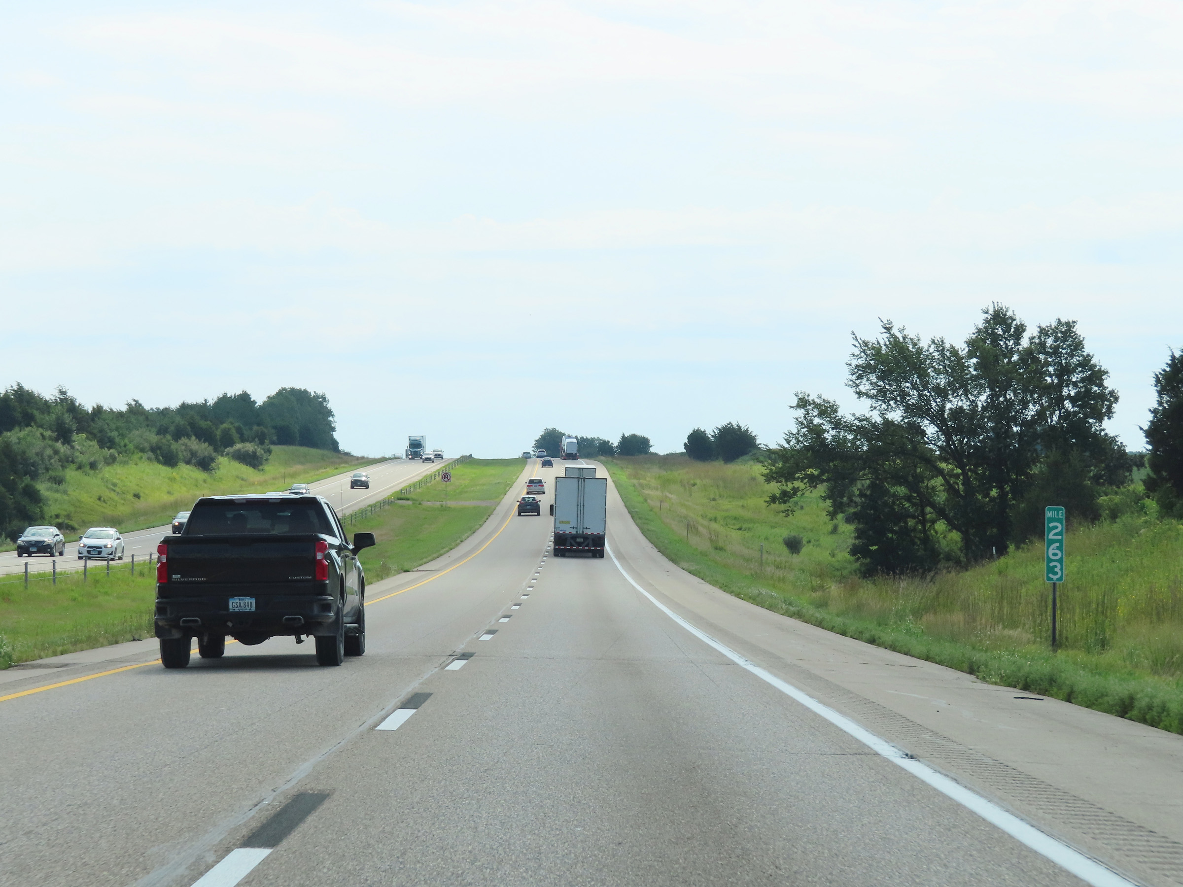 |
Interstate 80 East at mile marker 263. (Photo taken 8/19/22). |
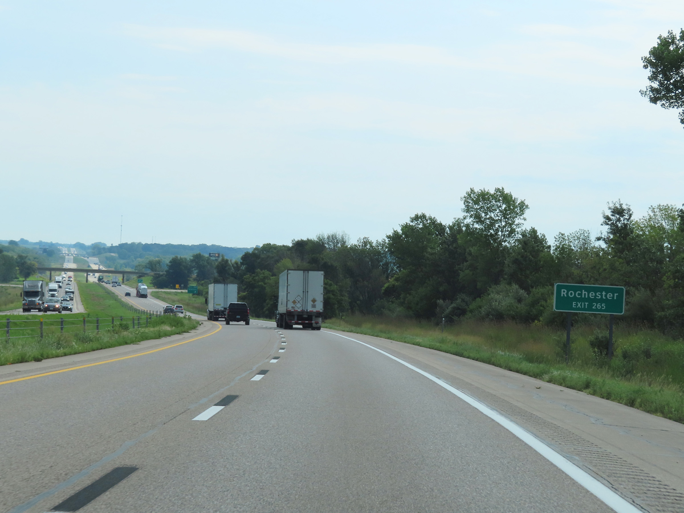 |
Take Exit 265 to Rochester. (Photo taken 8/19/22). |
 |
Interstate 80 East at Exit 265: Atalissa (Photo taken 8/19/22). |
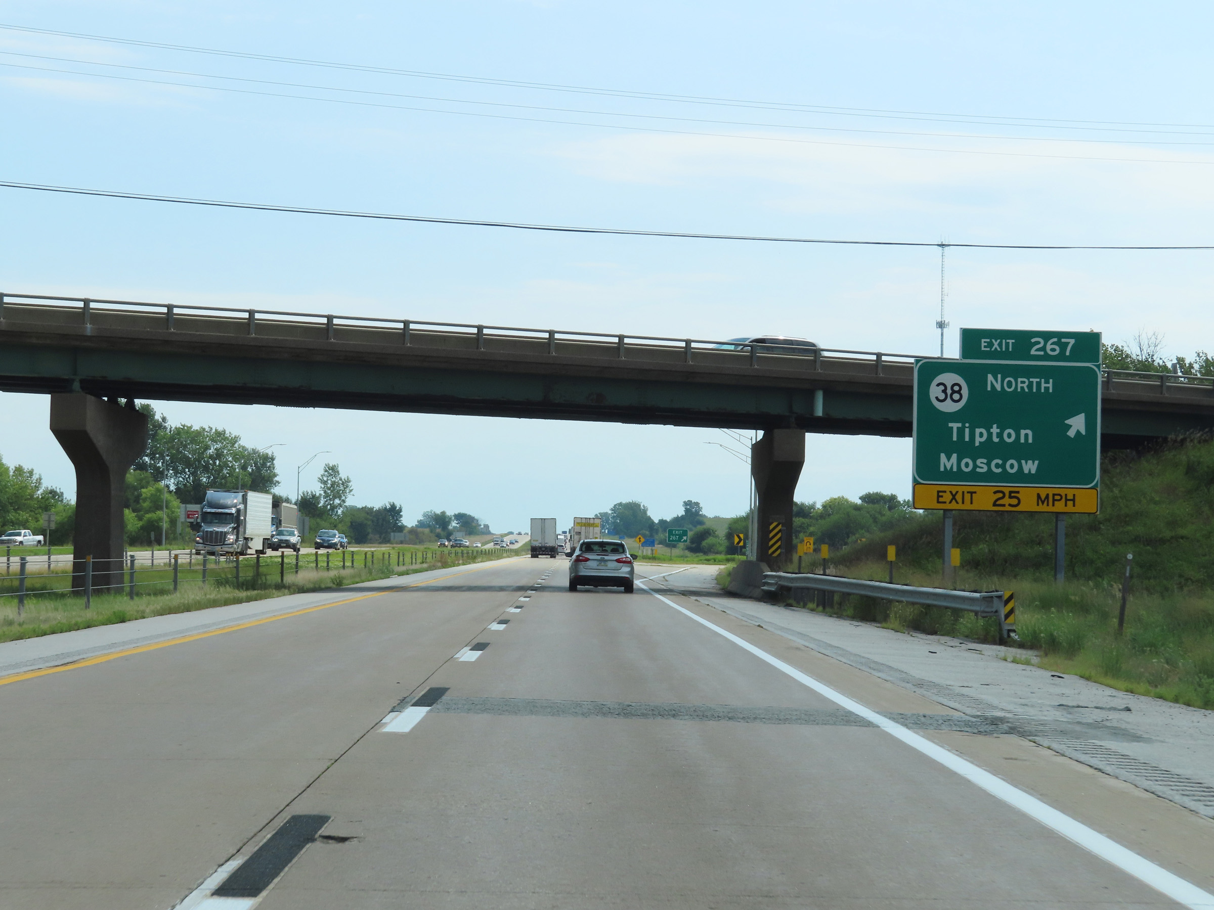 |
Interstate 80 East at Exit 267: IA 38 North - Tipton / Moscow (Photo taken 8/19/22). |
 |
The Rest Area ahead is for parking only. However, there is a Rest Area with facilities just beyond it. (Photo taken 8/19/22). |
 |
Rest Area (Parking Only) on Interstate 80 East in Cedar County. (Photo taken 8/19/22). |
 |
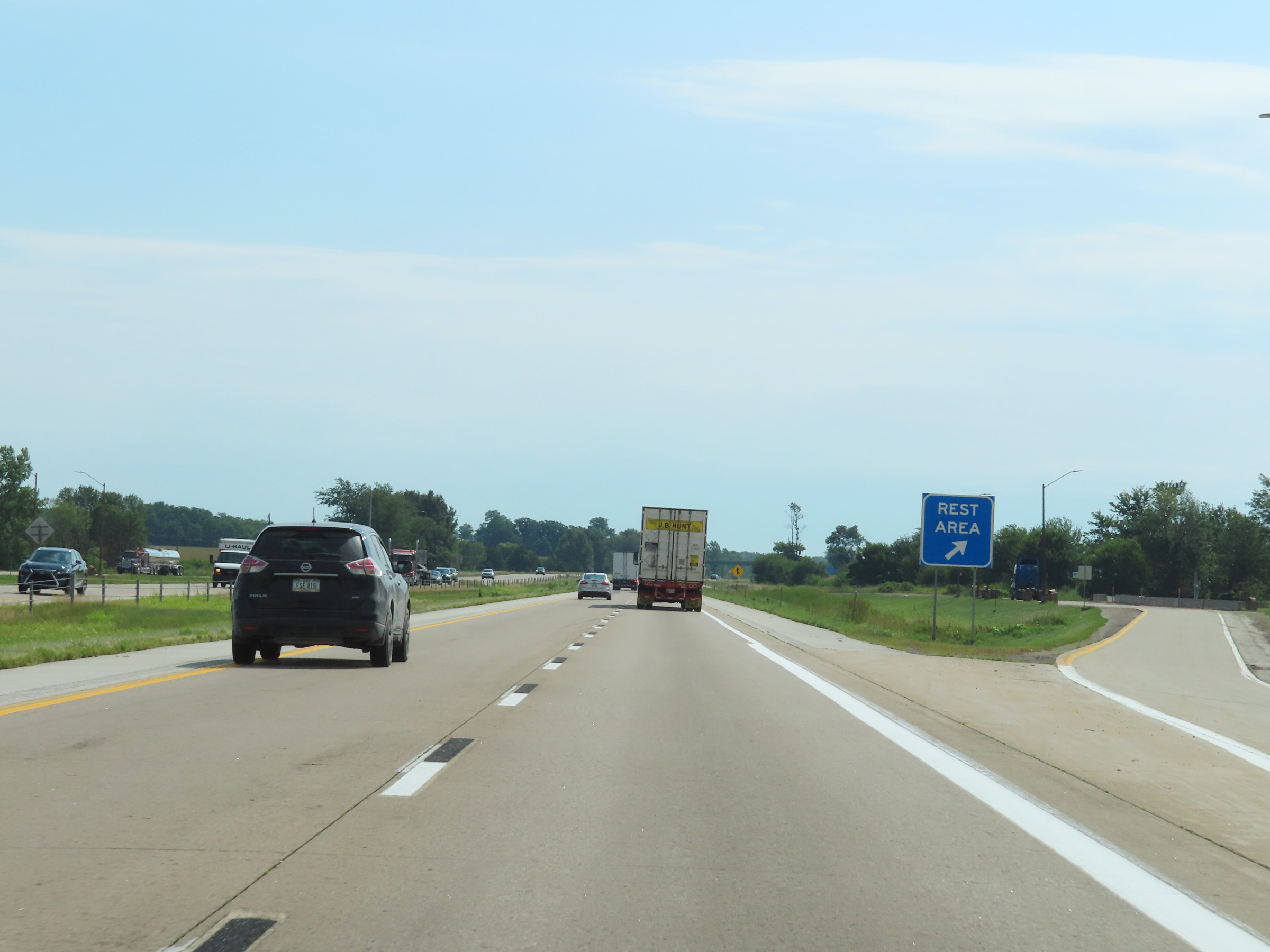
As previously mentioned, the Rest Area now 1 mile ahead has facilities unlike the previous one. (Photo taken 8/19/22). |
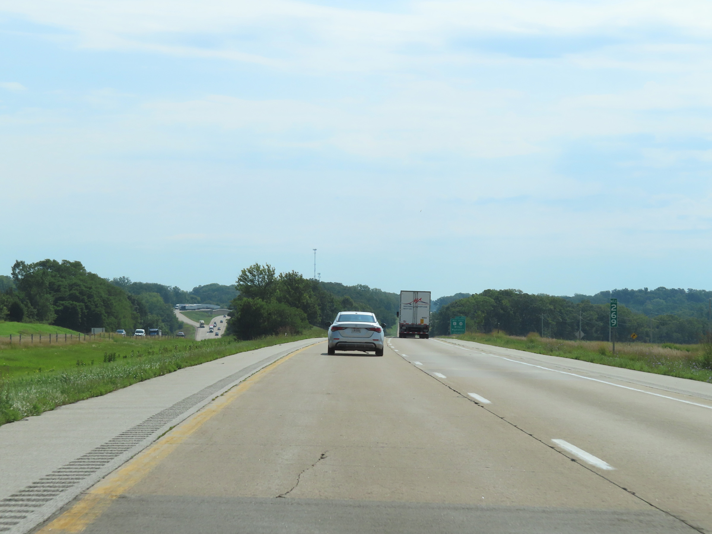 |
Interstate 80 East at mile marker 269. (Photo taken 8/19/22). |
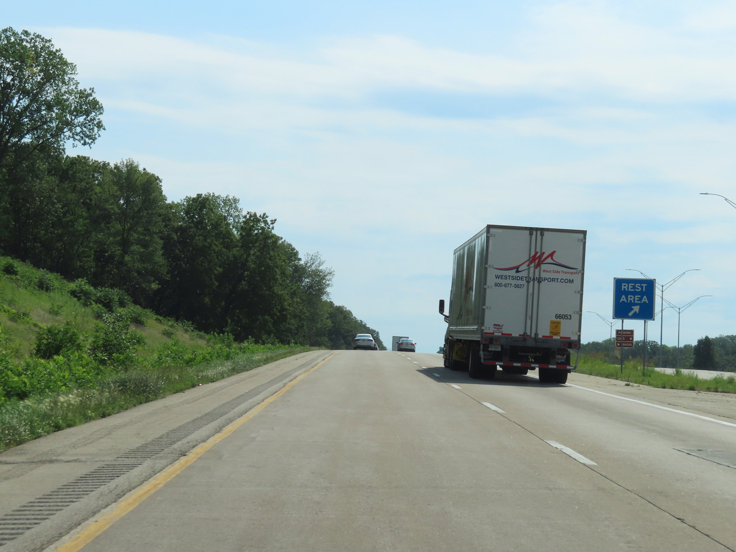 |
Rest Area (with facilities) on Interstate 80 East in Cedar County. (Photo taken 8/19/22). |
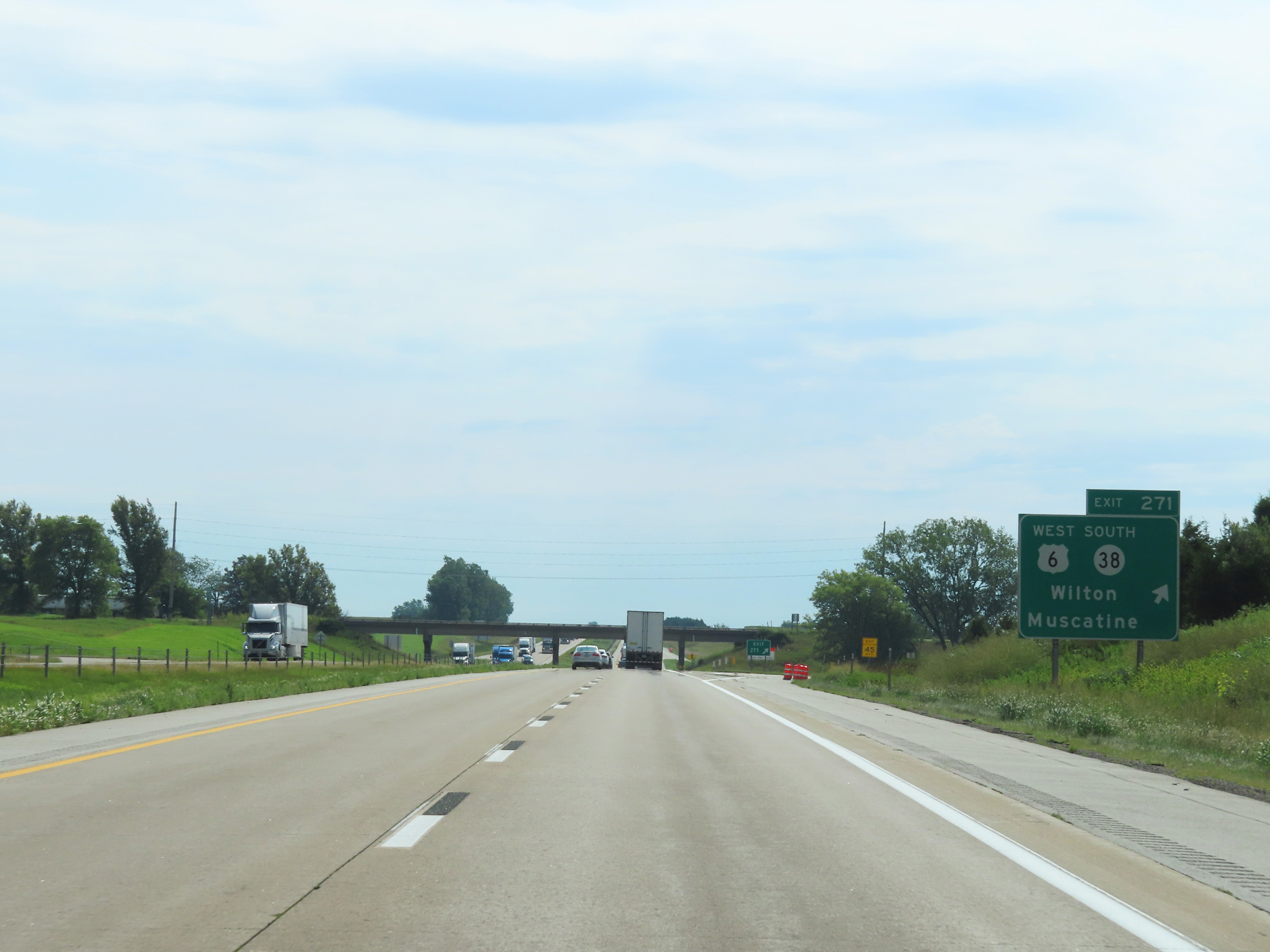 |
Interstate 80 East at Exit 271: US 6 West / IA 38 South - Wilton / Muscatine (Photo taken 8/19/22). |
 |
The speed limits on Interstate 80 East in Cedar County remain 70 mph maximum and 40 mph minimum. (Photo taken 8/19/22). |
 |
Mileage sign on Interstate 80 East. It's 8 miles to Durant and 30 miles to Davenport. (Photo taken 8/19/22). |
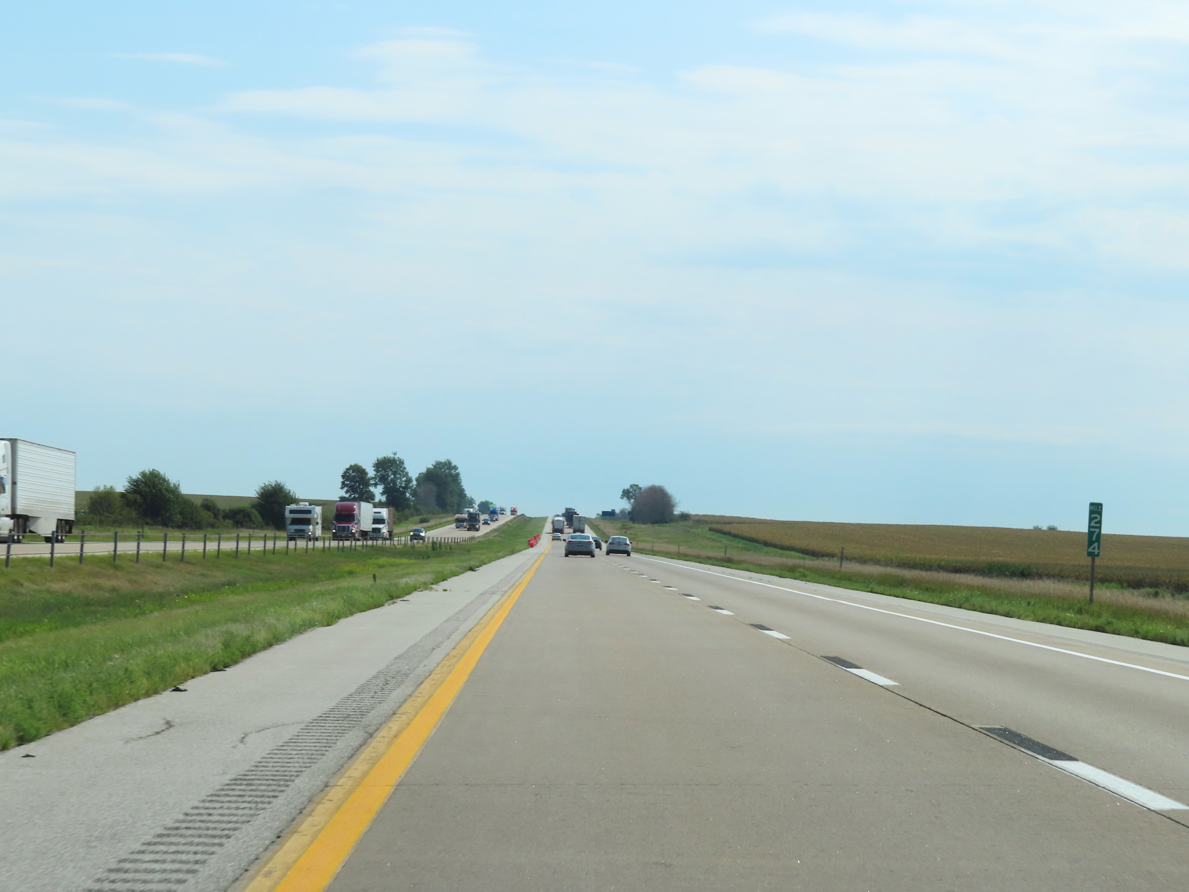 |
View on Interstate 80 East at mile marker 274. (Photo taken 8/19/22). |
 |
Mile marker 276 on Interstate 80 East in Cedar County. (Photo taken 8/19/22). |
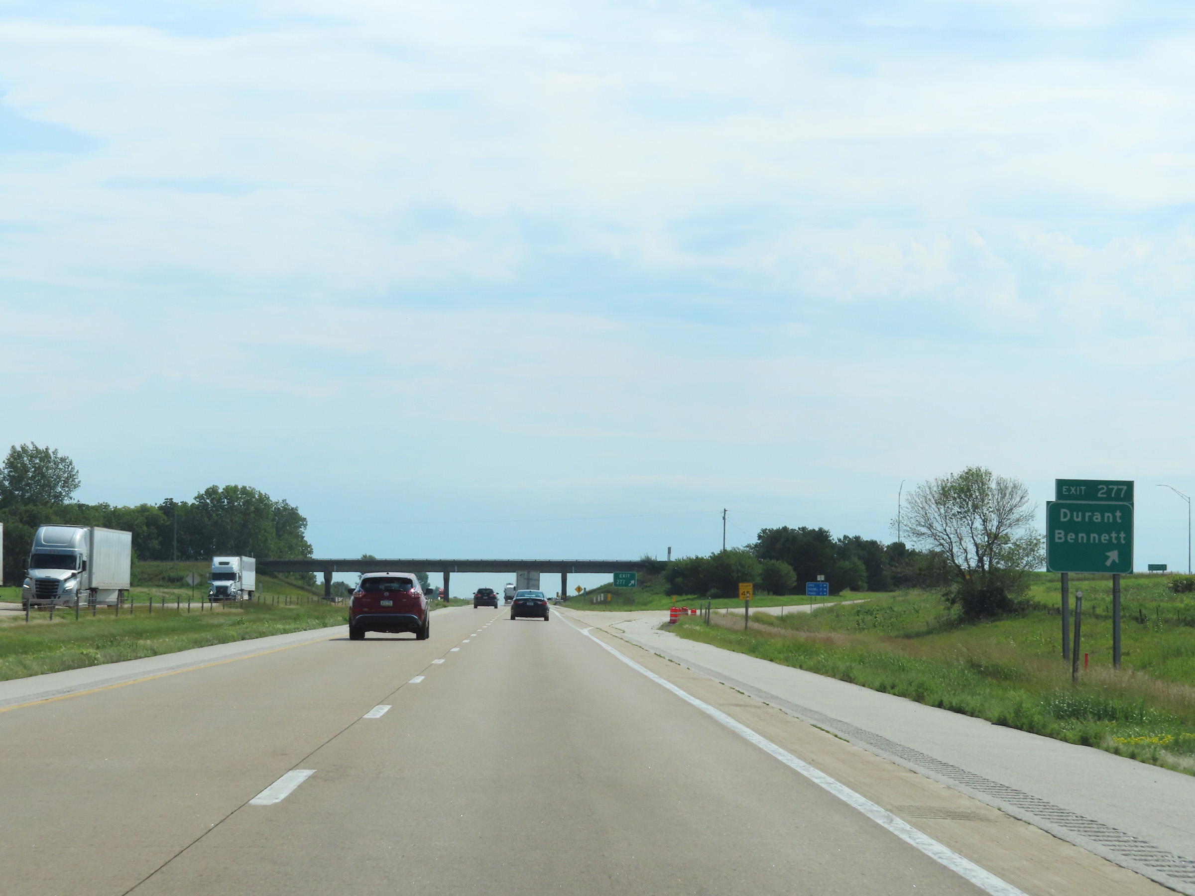 |
Interstate 80 East at Exit 277: Durant / Bennett (Photo taken 8/19/22). |
 |
Interstate 80 East as it enters Scott County. (Photo taken 8/19/22). |
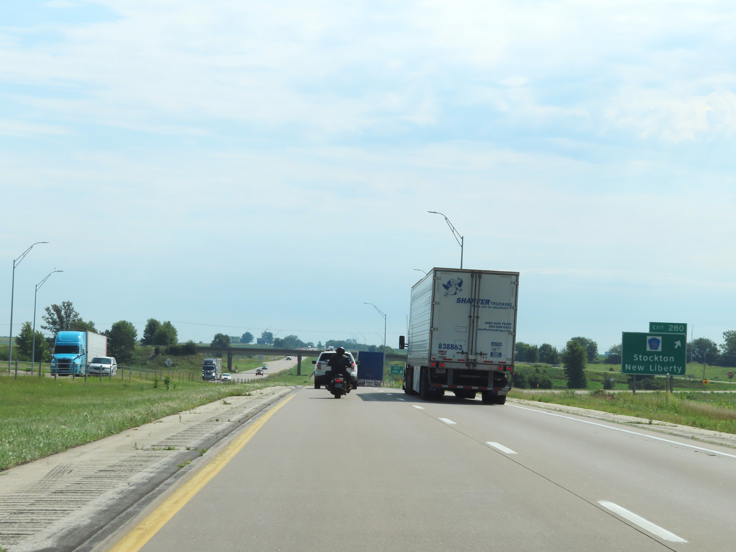 |
Interstate 80 East at Exit 280: CR Y30 - Stockton / New Liberty (Photo taken 8/19/22). |
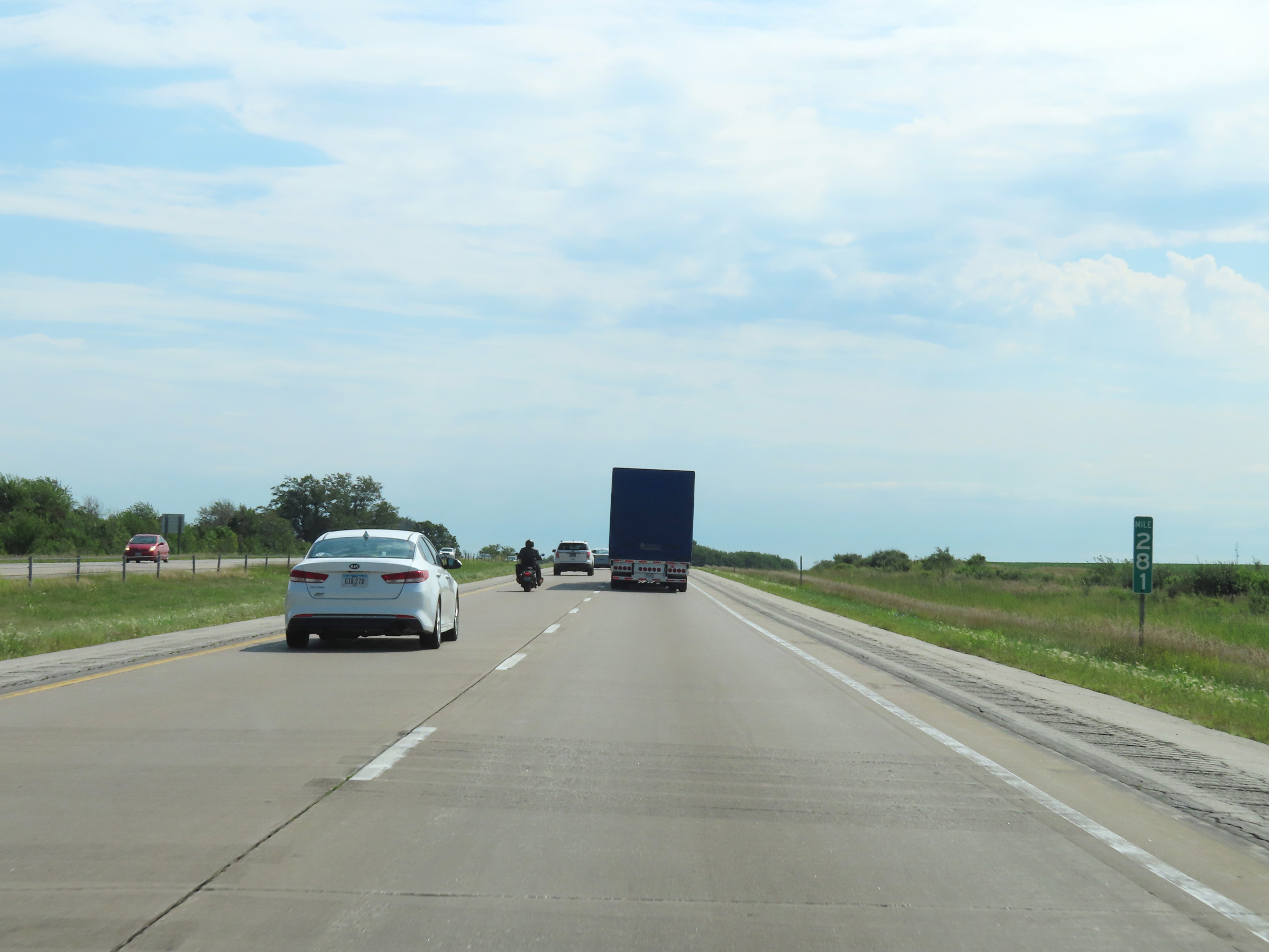 |
Mile marker 281 on Interstate 80 East in Scott County. (Photo taken 8/19/22). |
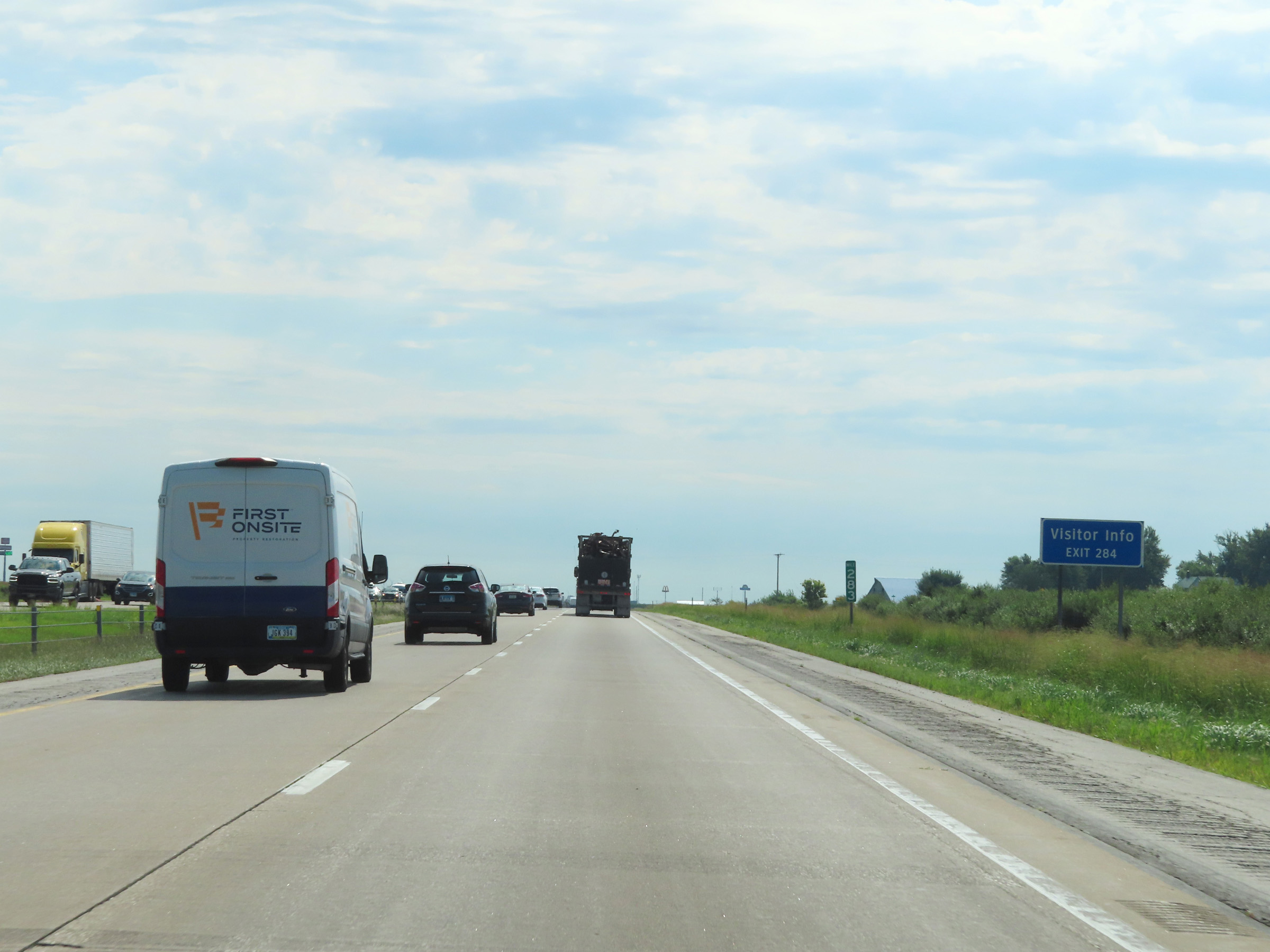 |
Visitor Information is available at Exit 284. (Photo taken 8/19/22). |
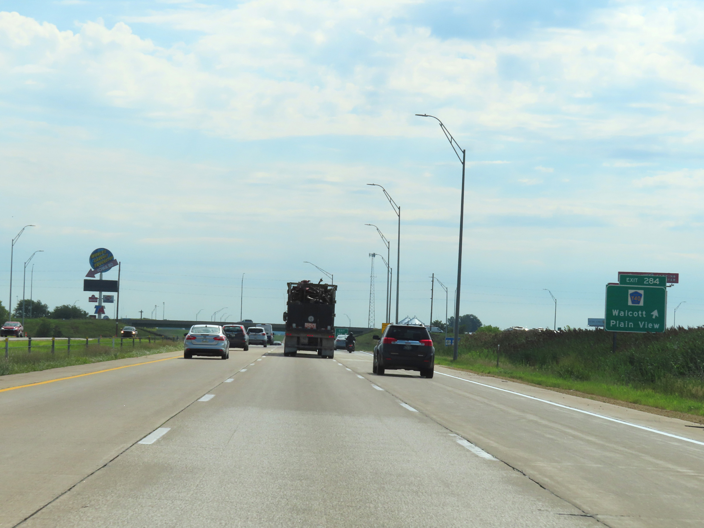 |
Interstate 80 East at Exit 284: CR Y40 - Walcott / Plain View (Photo taken 8/19/22). |
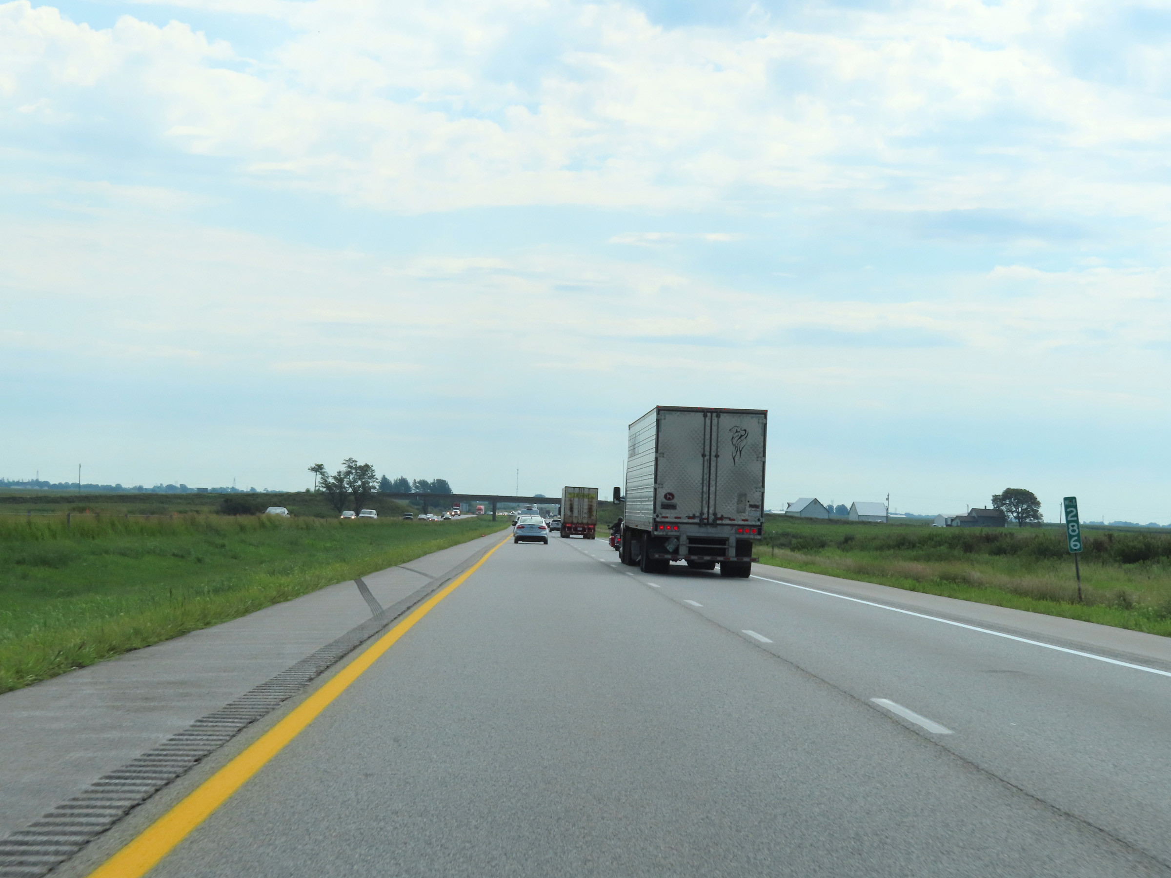 |
View on Interstate 80 East at mile marker 286. (Photo taken 8/19/22). |
 |
Quad Cities Airport is 18 miles ahead via Interstate 280 East (Exit 290). (Photo taken 8/19/22). |
 |
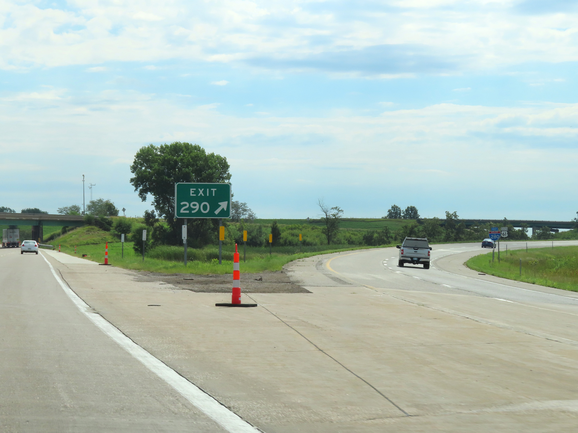
Interstate 80 East approaching Exit 290 - 1 mile. (Photo taken 8/19/22). |
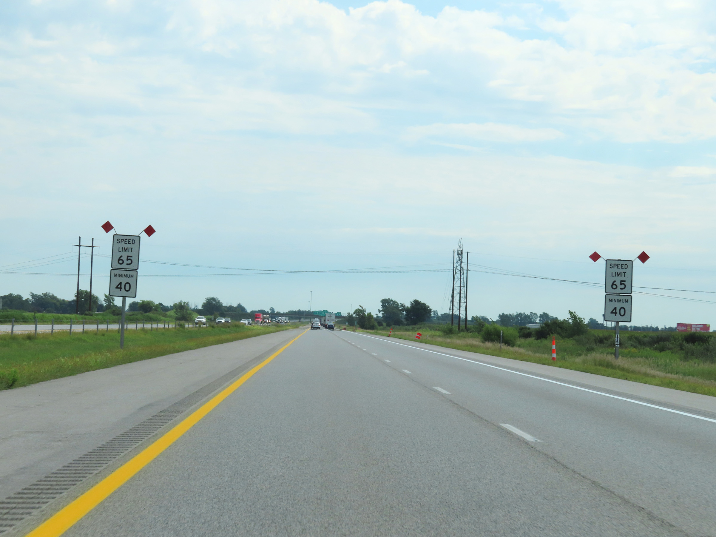 |
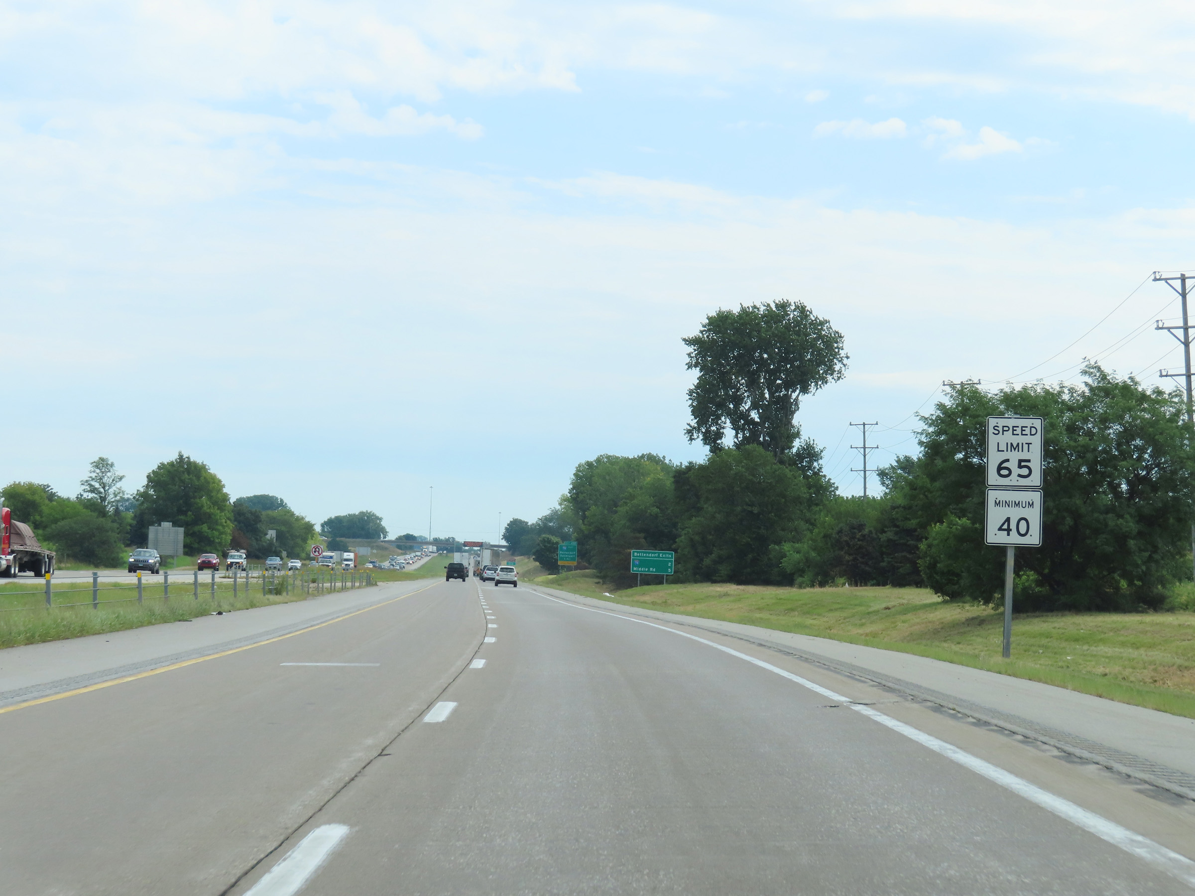
Approaching the Davenport area, the maximum speed limit on Interstate 80 East decreases to 65 mph. The minimum speed limit remains 40 mph. (Photo taken 8/19/22). |
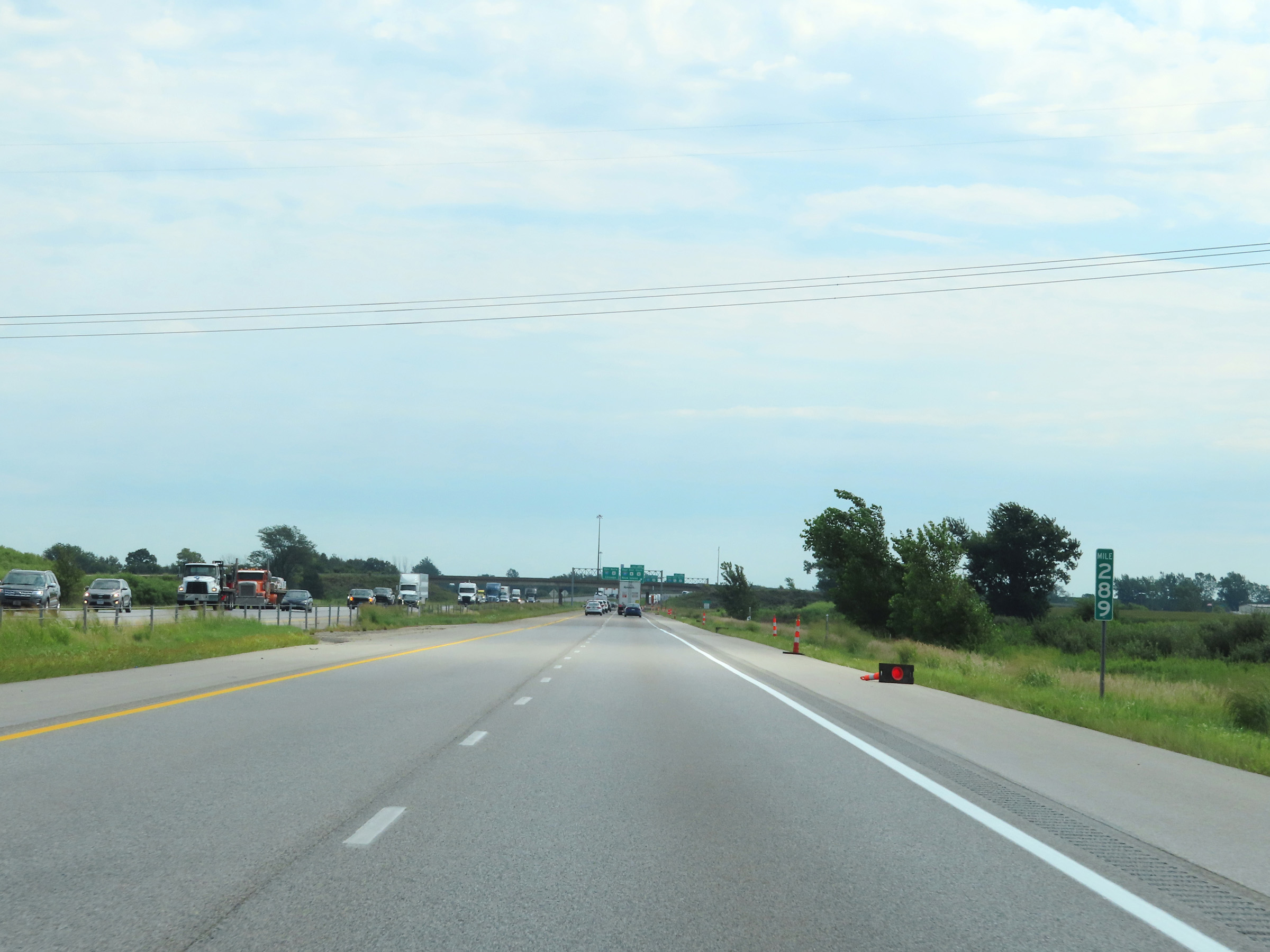 |
View on Interstate 80 East at mile marker 289. (Photo taken 8/19/22). |
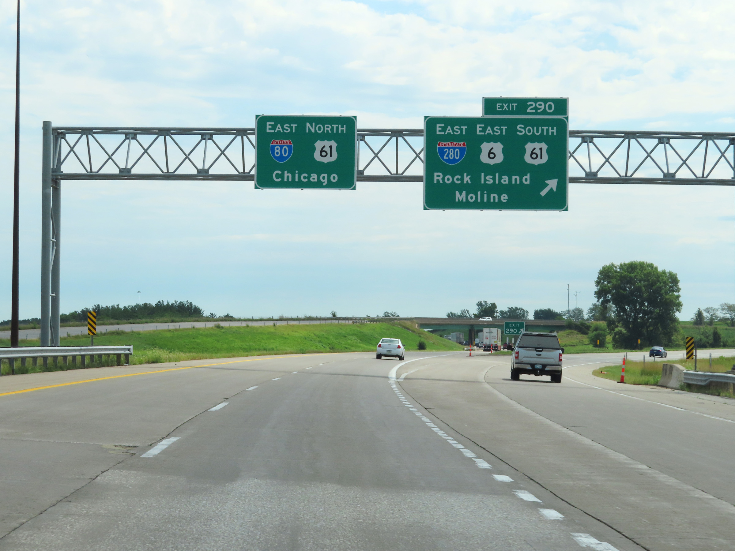 |
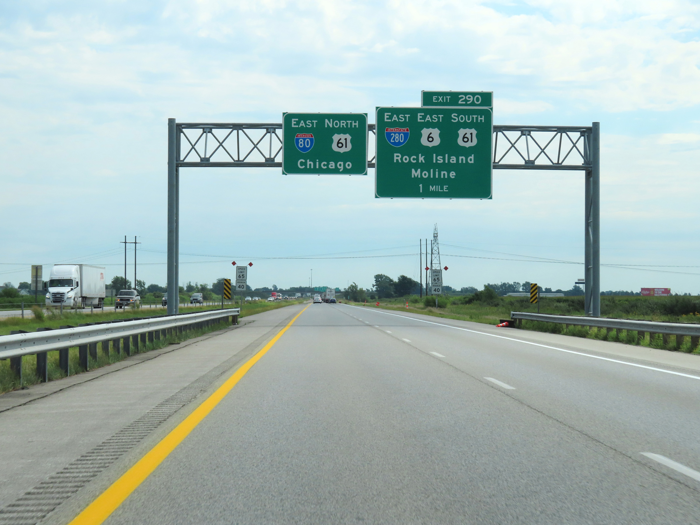
Interstate 80 East at Exit 290: Interstate 280 East / US 6 East / US 61 South - Rock Island / Moline (Photo taken 8/19/22). |
 |
A closer view of the ramp to Interstate 280 East via Exit 290. (Photo taken 8/19/22). |
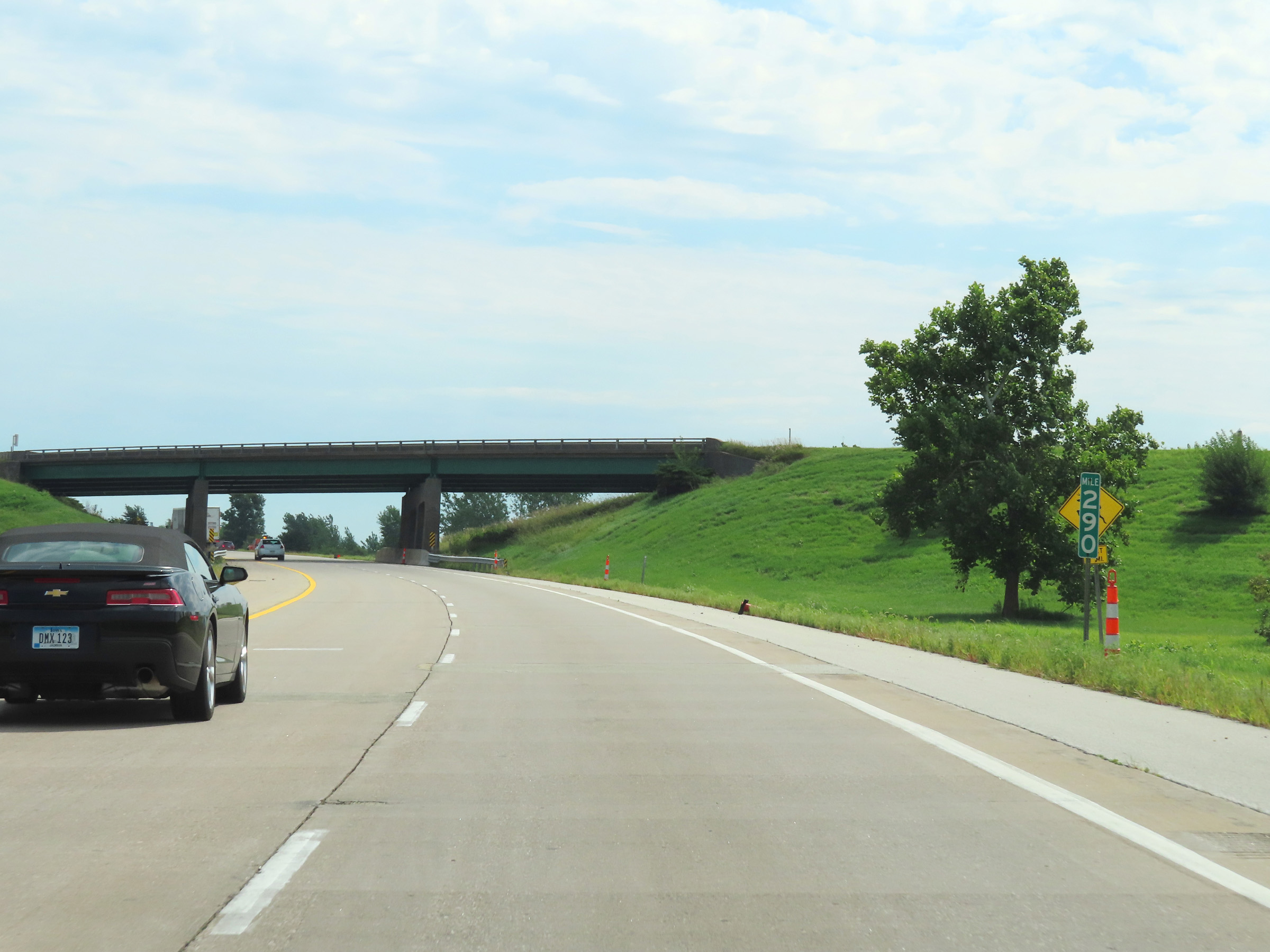 |
Mile marker 290 on Interstate 80 East in Scott County, as it prepares to pass under the ramp from I-80 West to Interstate 280 East. (Photo taken 8/19/22). |
 |
Mileage sign listing the distances to the next three exits to Davenport on Interstate 80 East. (Photo taken 8/19/22). |
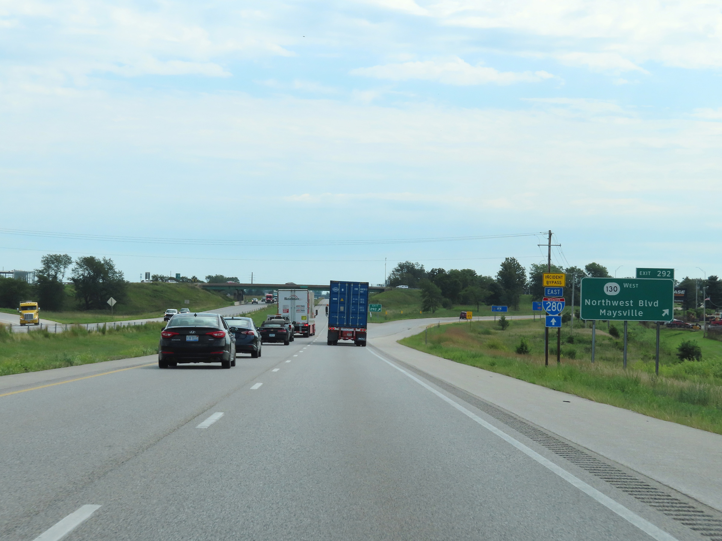 |
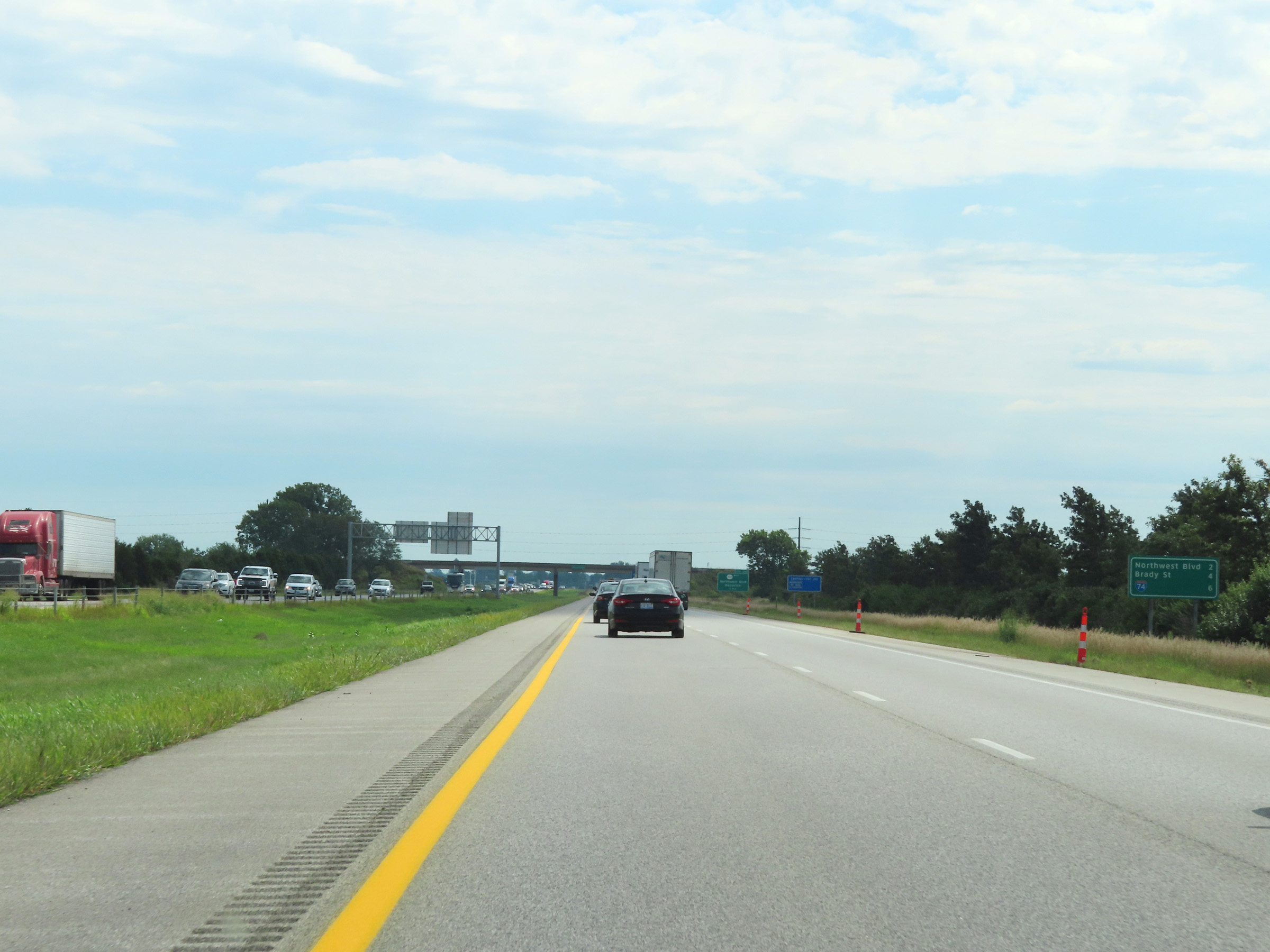
Interstate 80 East at Exit 292: IA 130 West - Northwest Blvd / Maysville (Photo taken 8/19/22). |
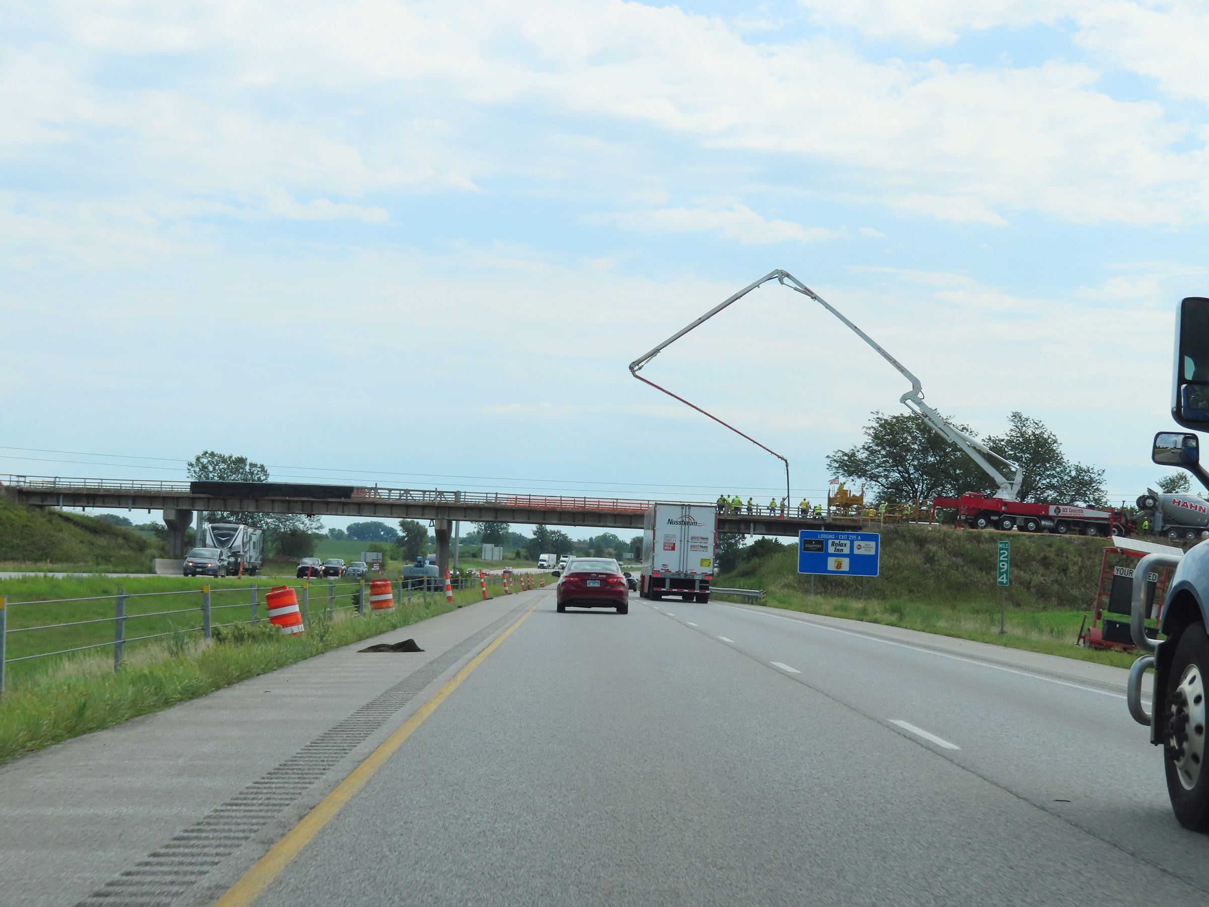 |
Interstate 80 East at mile marker 294. (Photo taken 8/19/22). |
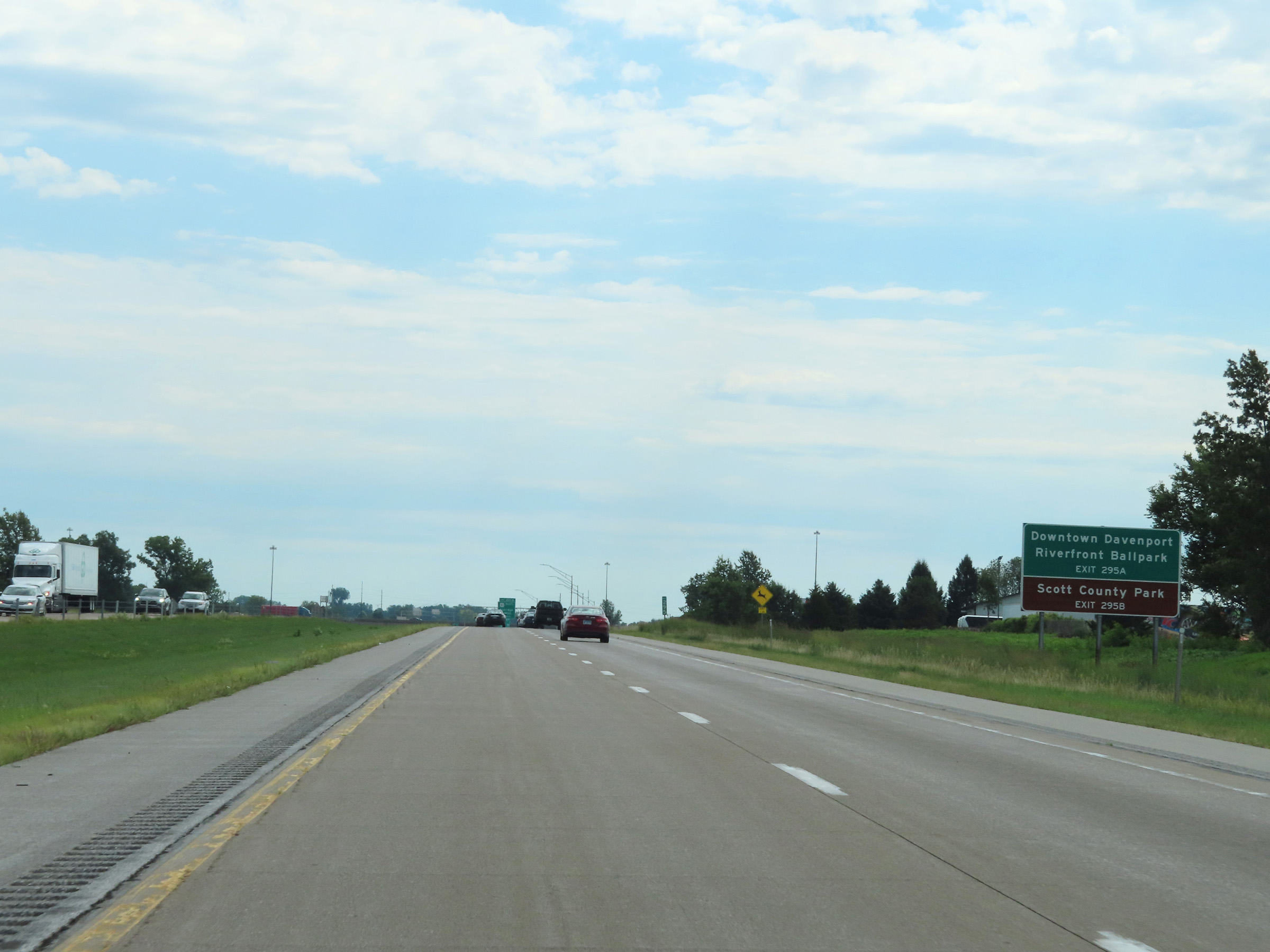 |
Take Exit 295A to Downtown Davenport and Riverfront Ballpark. Take Exit 295B to Scott County Park. (Photo taken 8/19/22). |
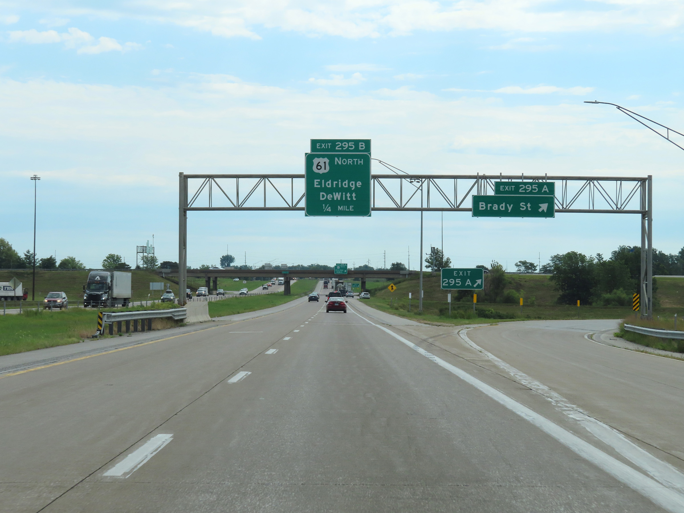 |
Interstate 80 East at Exit 295A: Brady St (Photo taken 8/19/22). |
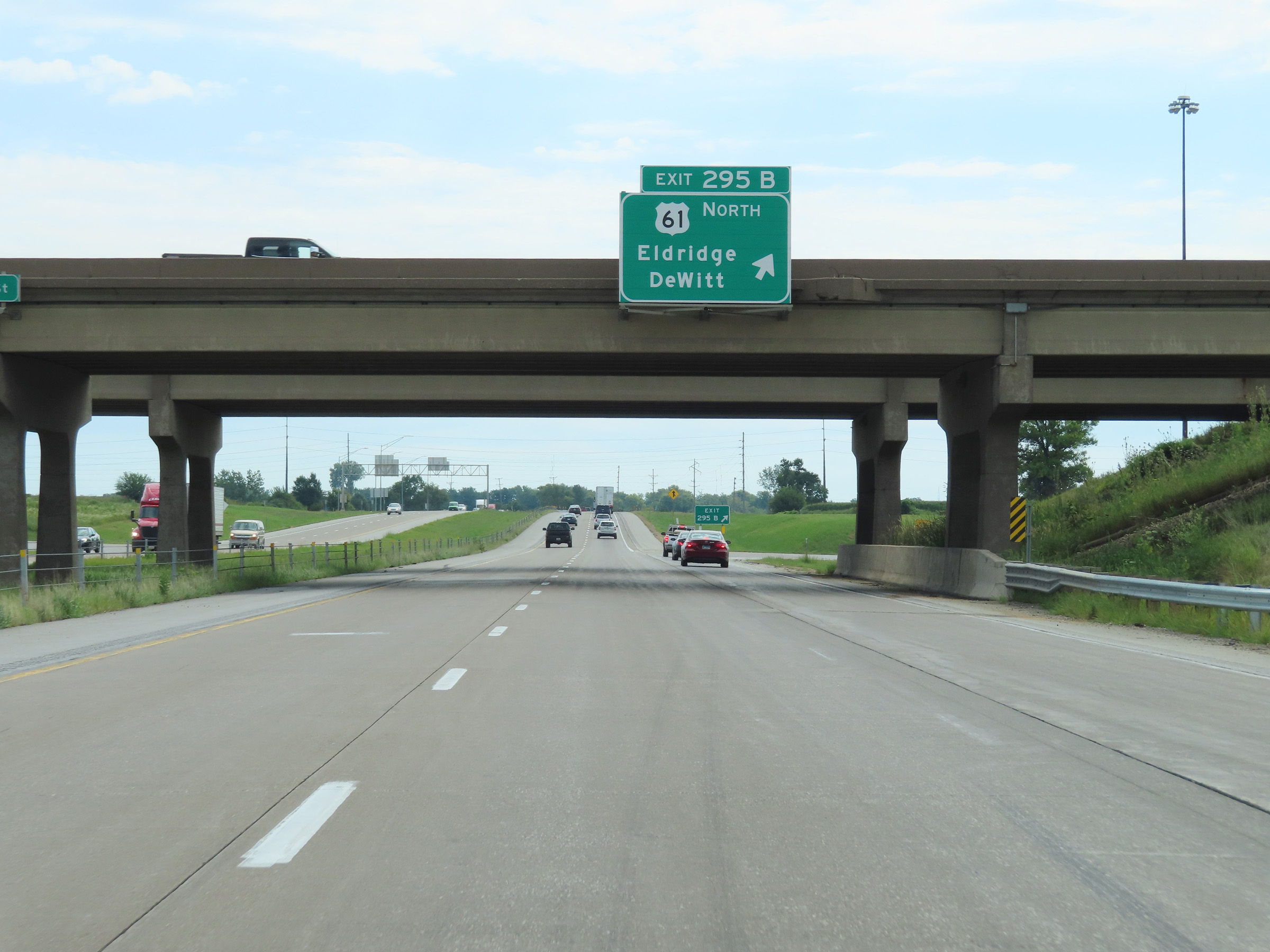 |
Interstate 80 East at Exit 295B: US 61 North - Eldridge / DeWitt (Photo taken 8/19/22). |
 |
Another state-named Interstate 80 East reassurance shield. (Photo taken 8/19/22). |
 |
The speed limits remain 65 mph maximum and 40 mph minimum. (Photo taken 8/19/22). |
 |
Mileage sign listing the distances to the two upcoming exits to Bettendorf on Interstate 80 East. (Photo taken 8/19/22). |
 |
Interstate 80 East approaching Exit 298 - 1 mile. (Photo taken 8/19/22). |
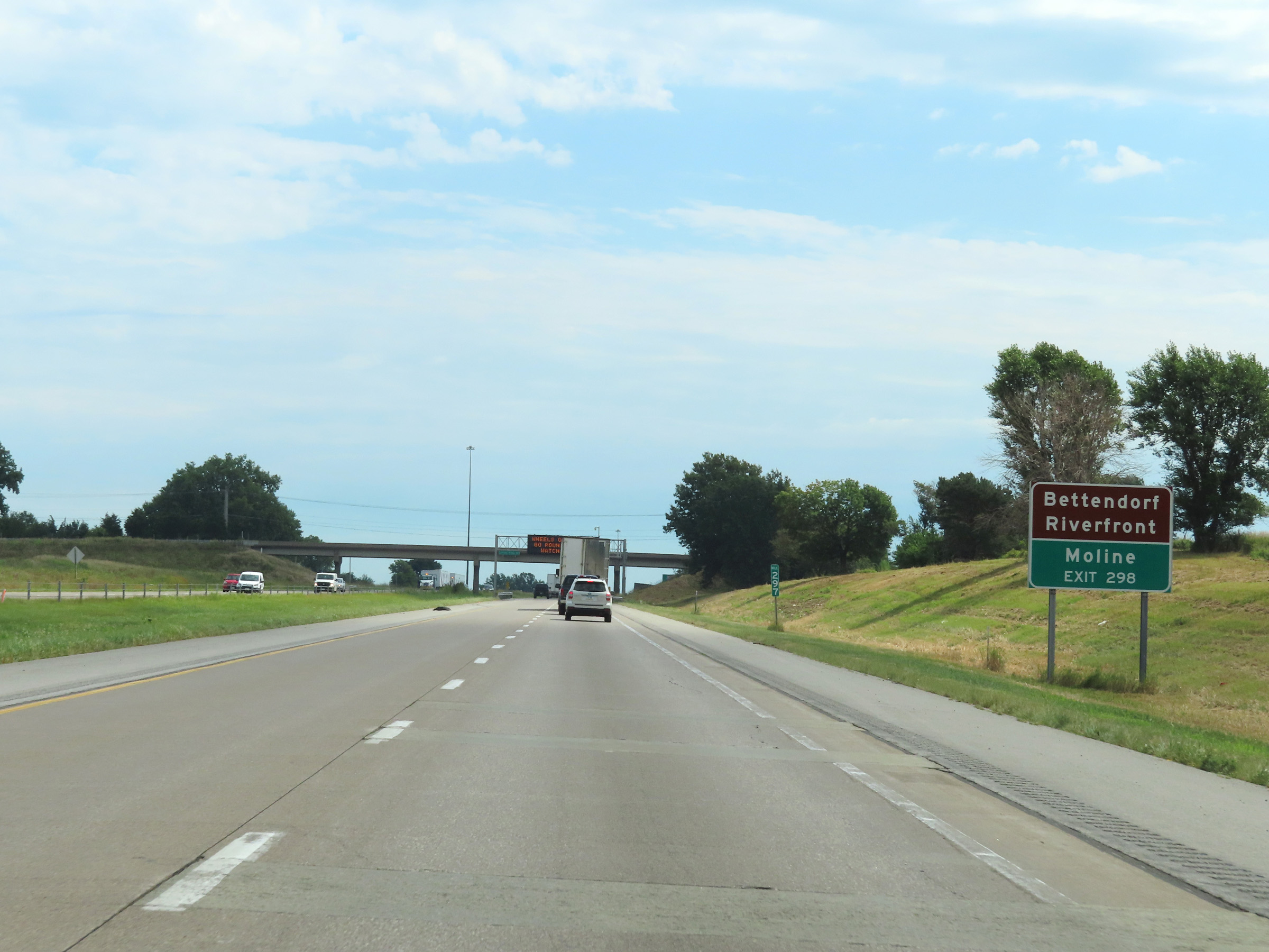 |
Take Exit 298 to the Bettendorf Riverfront and Moline. (Photo taken 8/19/22). |
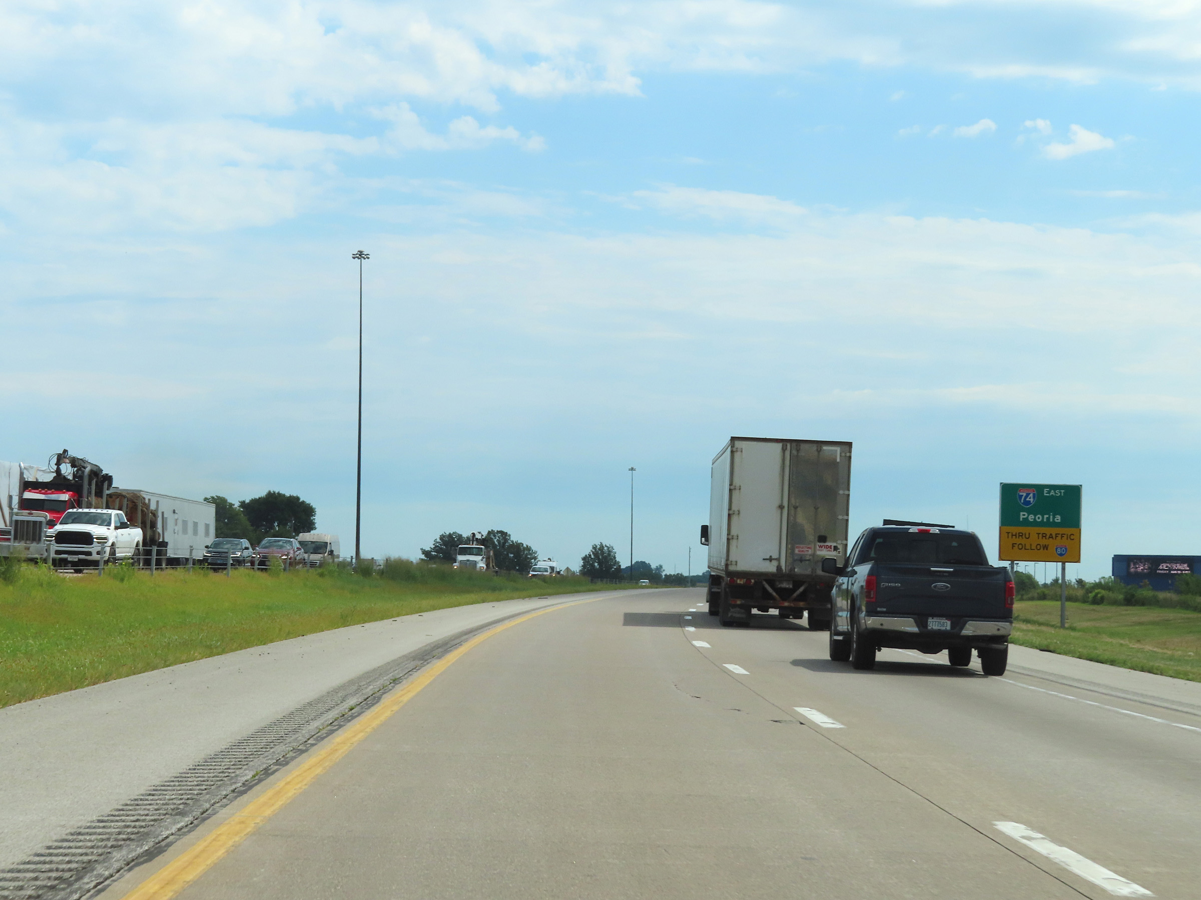 |
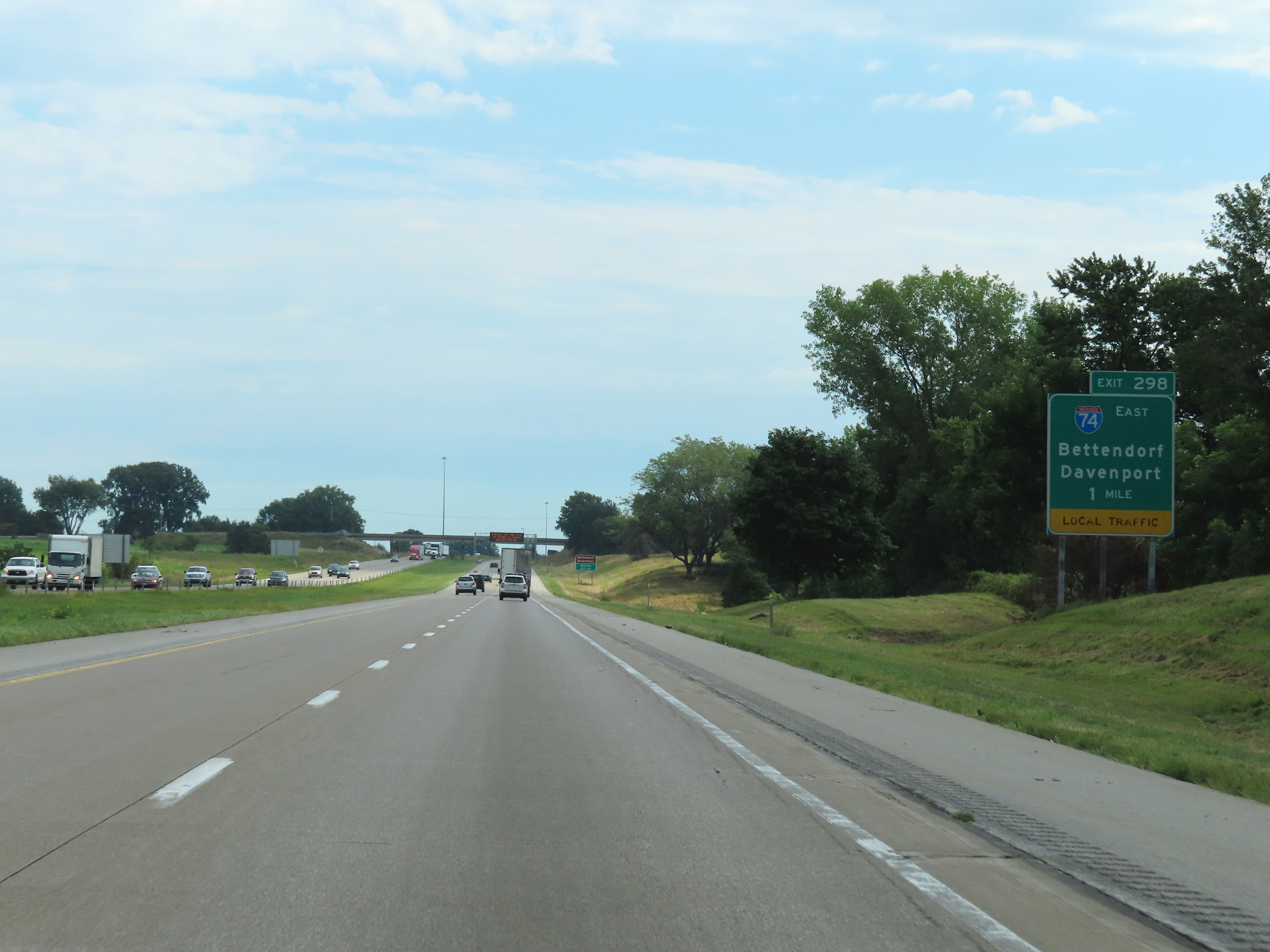
Interstate 74 East thru traffic to Peoria and beyond is advised to follow Interstate 80 East into Illinois. (Photo taken 8/19/22). |
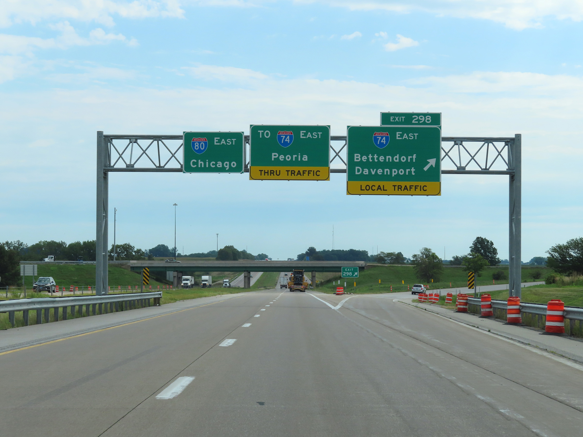 |
Interstate 80 East at Exit 298: Interstate 74 East / Bettendorf / Davenport (Photo taken 8/19/22). |
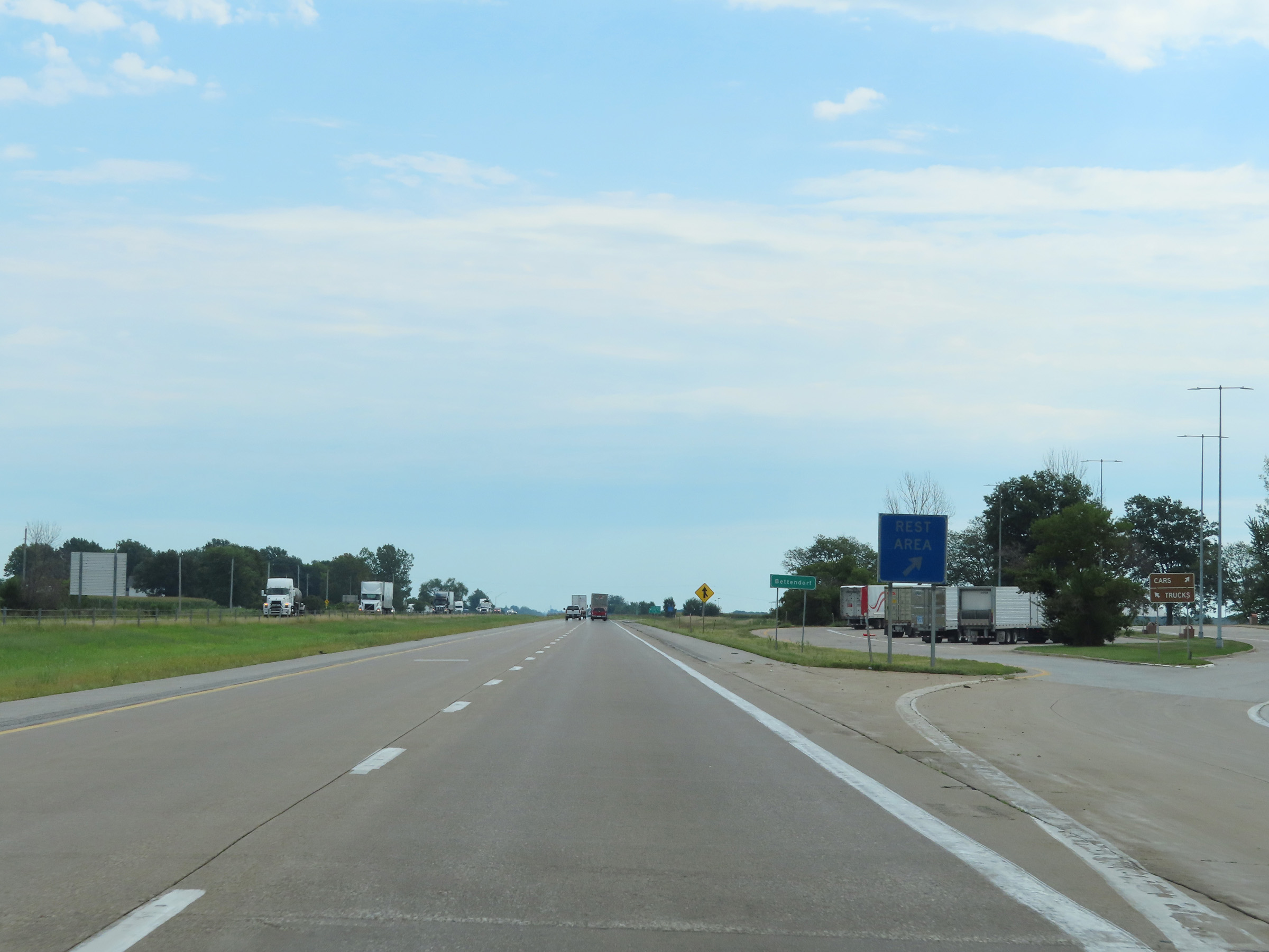 |
Rest Area on Interstate 80 East in Scott County as it enters the Bettendorf city limits. (Photo taken 8/19/22). |
 |
View on Interstate 80 East at mile marker 300. (Photo taken 8/19/22). |
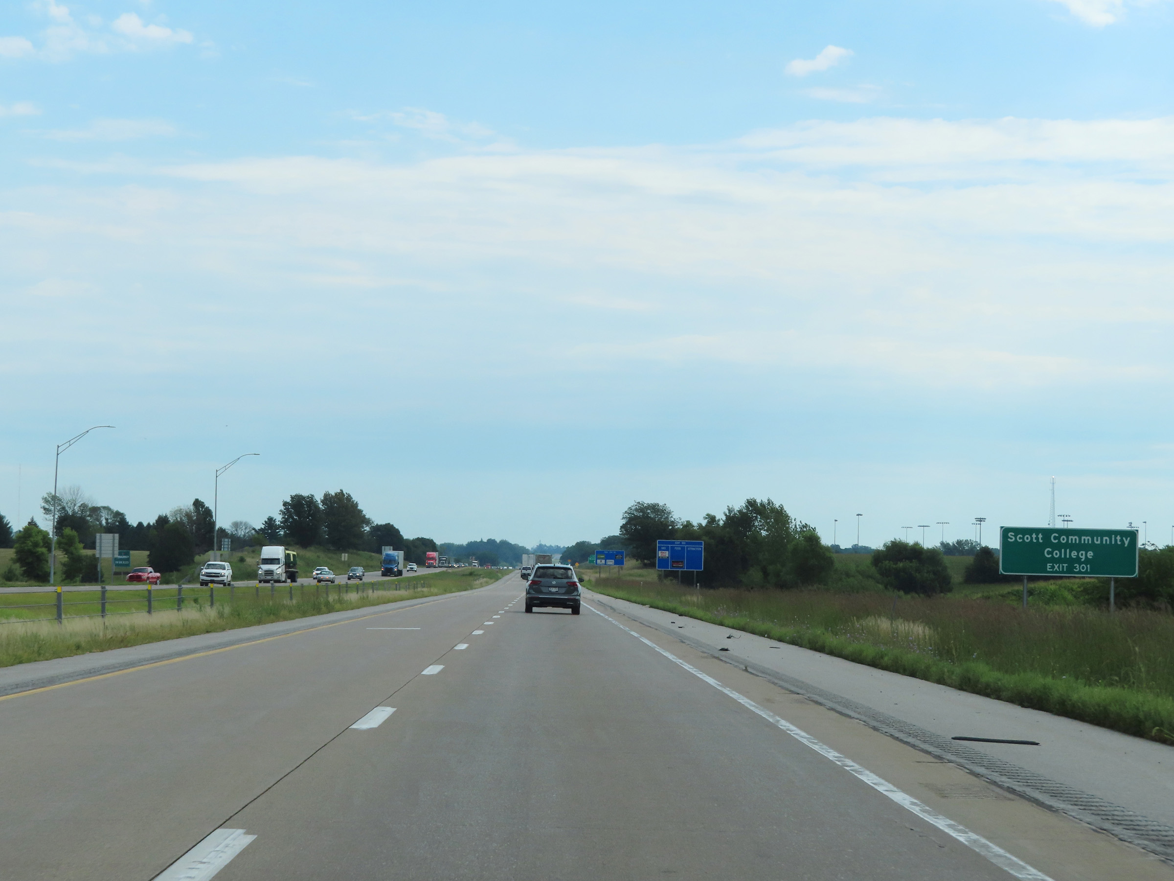 |
Take Exit 301 to Scott Community College. (Photo taken 8/19/22). |
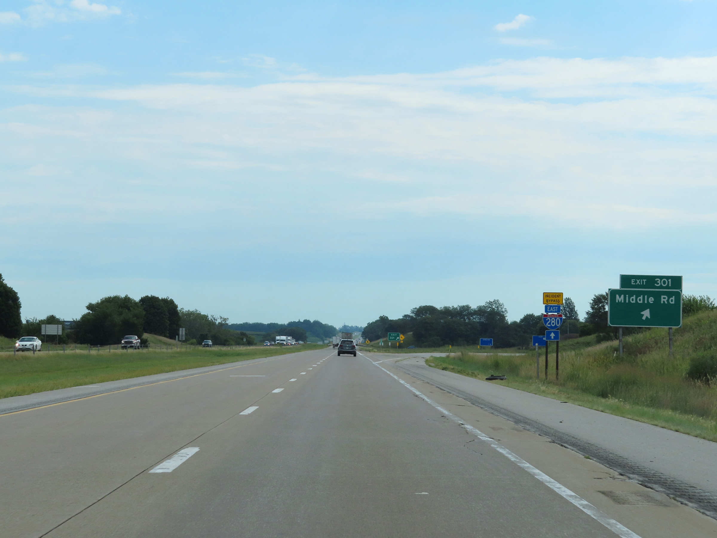 |
Interstate 80 East at Exit 301: Middle Rd (Photo taken 8/19/22). |
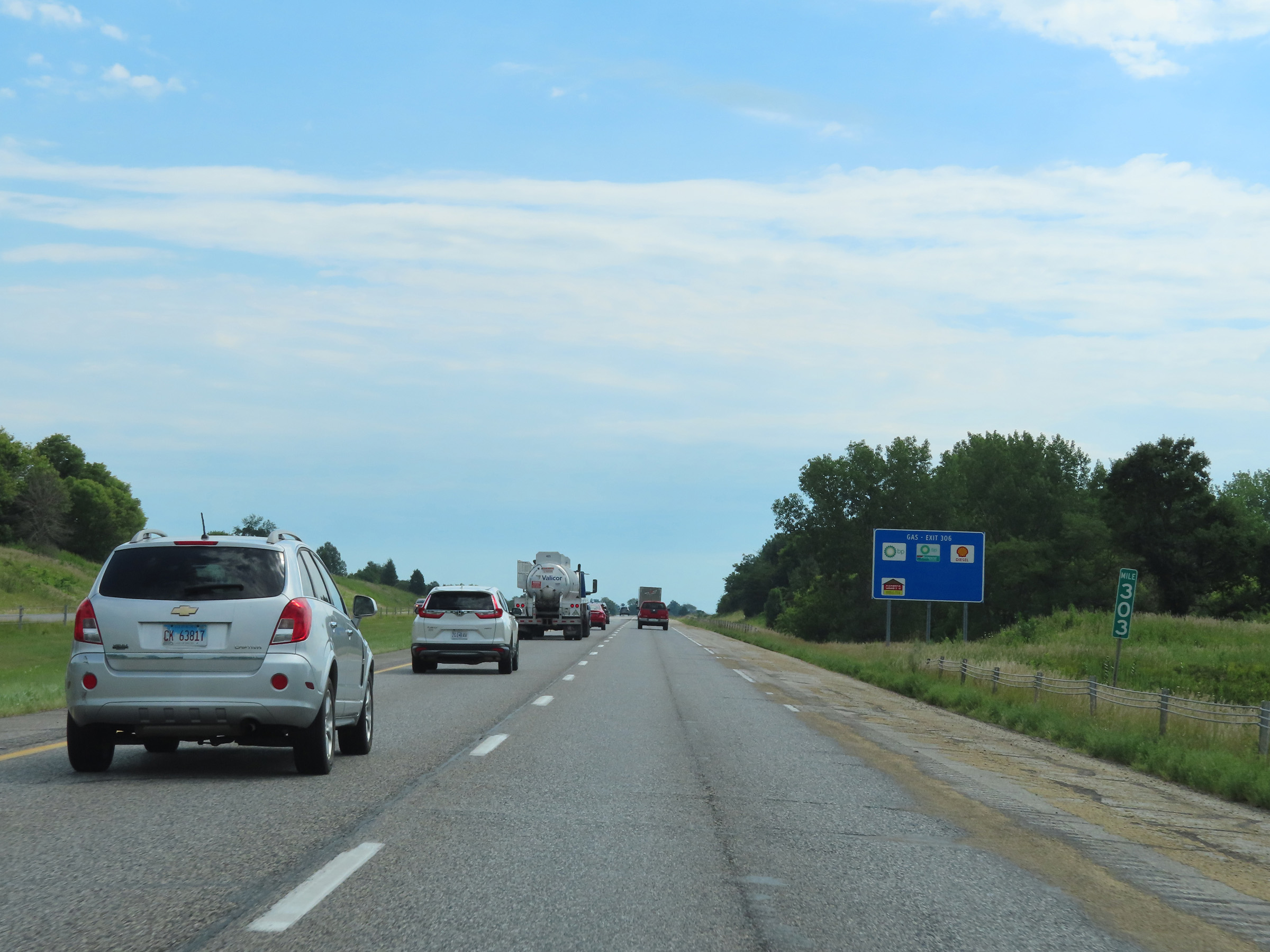 |
Mile marker 303 on Interstate 80 East in Scott County. (Photo taken 8/19/22). |
 |
Interstate 80 East at mile marker 304. (Photo taken 8/19/22). |
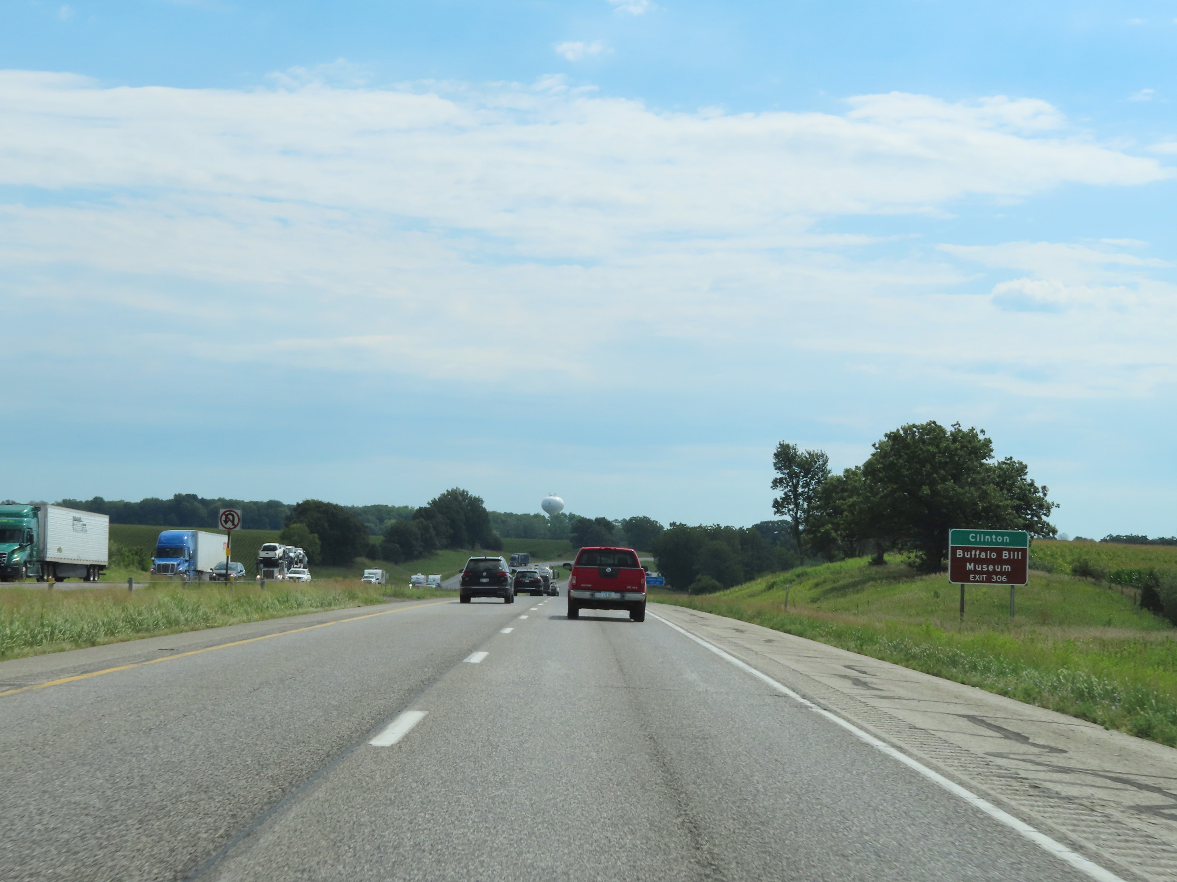 |
Take Exit 306 to Clinton and the Buffalo Bill Museum. (Photo taken 8/19/22). |
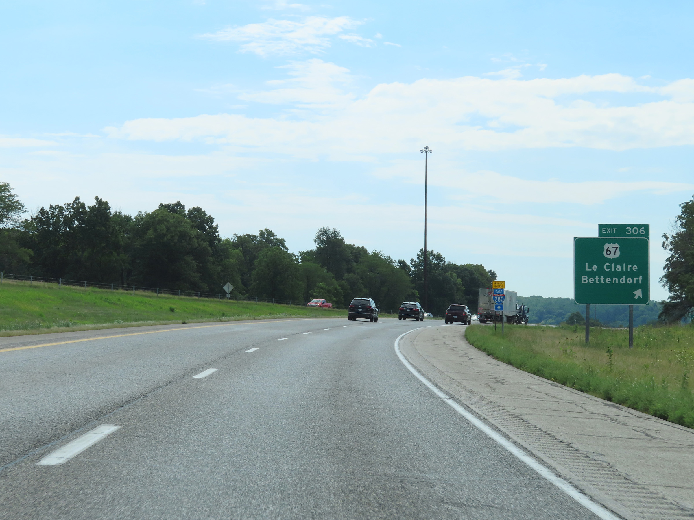 |
Interstate 80 East at Exit 306: US 67 - Le Claire / Bettendorf (Photo taken 8/19/22). |
 |
Now facing south, Interstate 80 East makes its approach to the Mississippi River. (Photo taken 8/19/22). |
 |
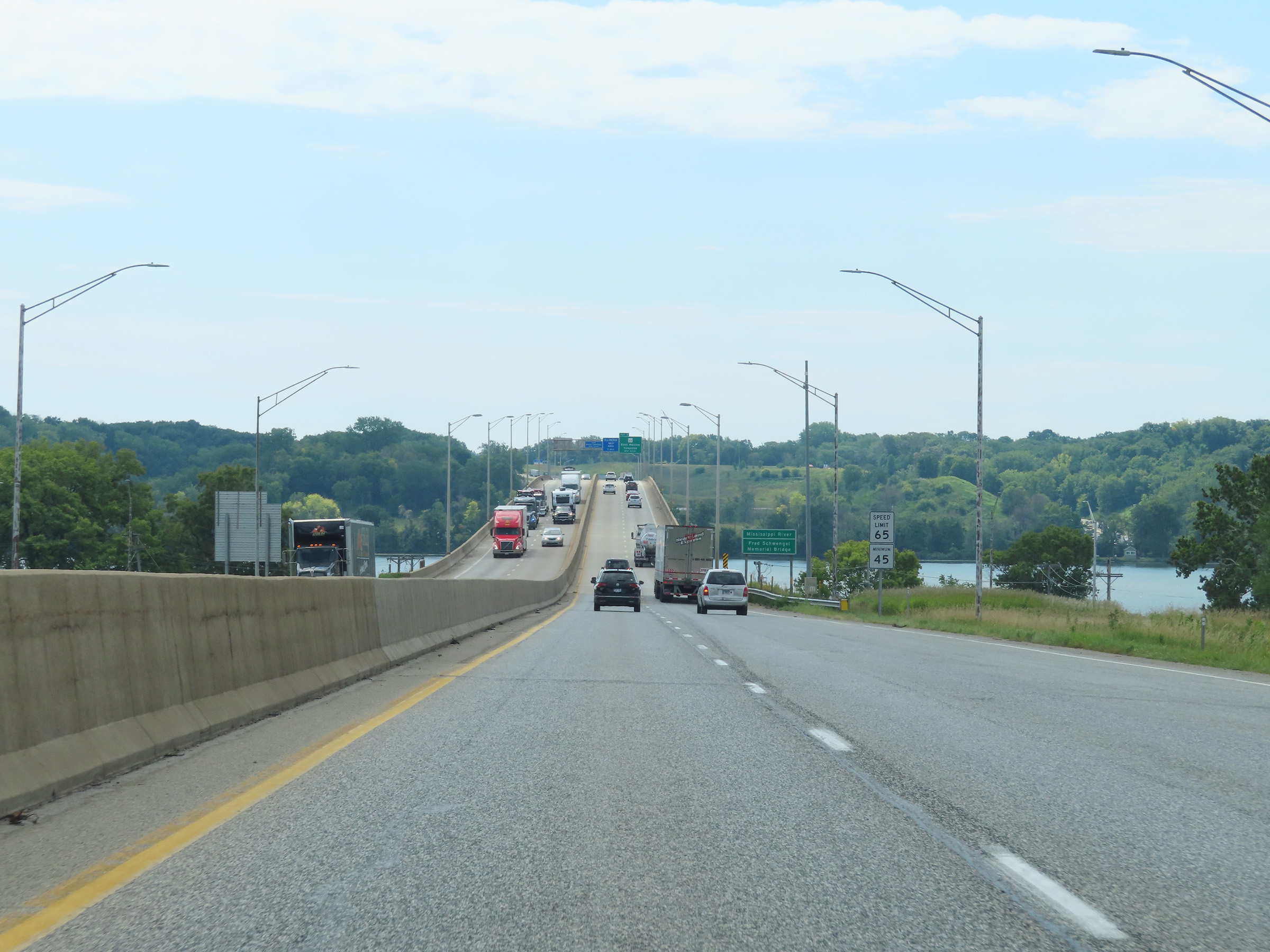
Interstate 80 East as it starts to cross the Mississippi River on the Fred Schwengel Memorial Bridge. (Photo taken 8/19/22). |
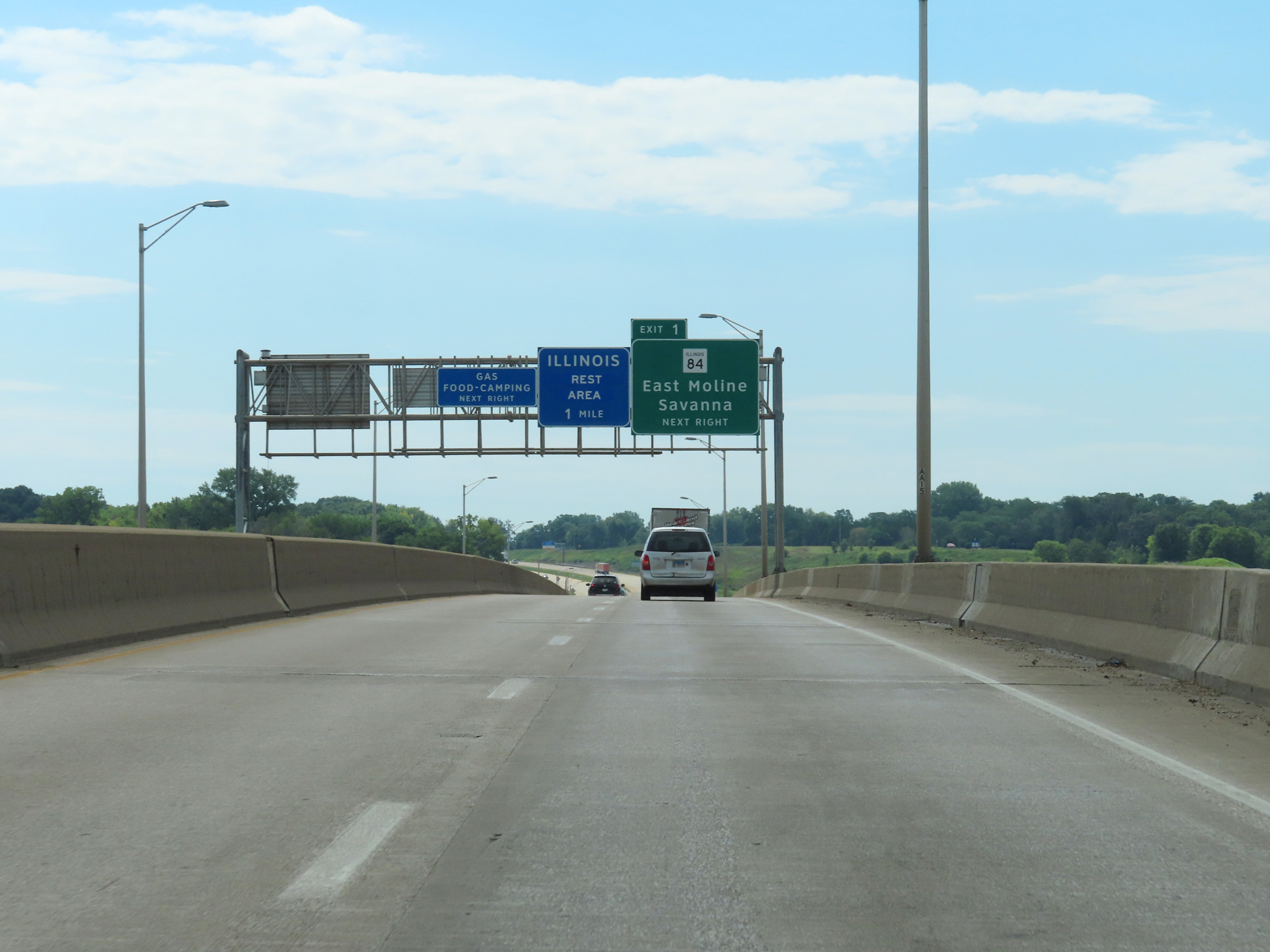 |
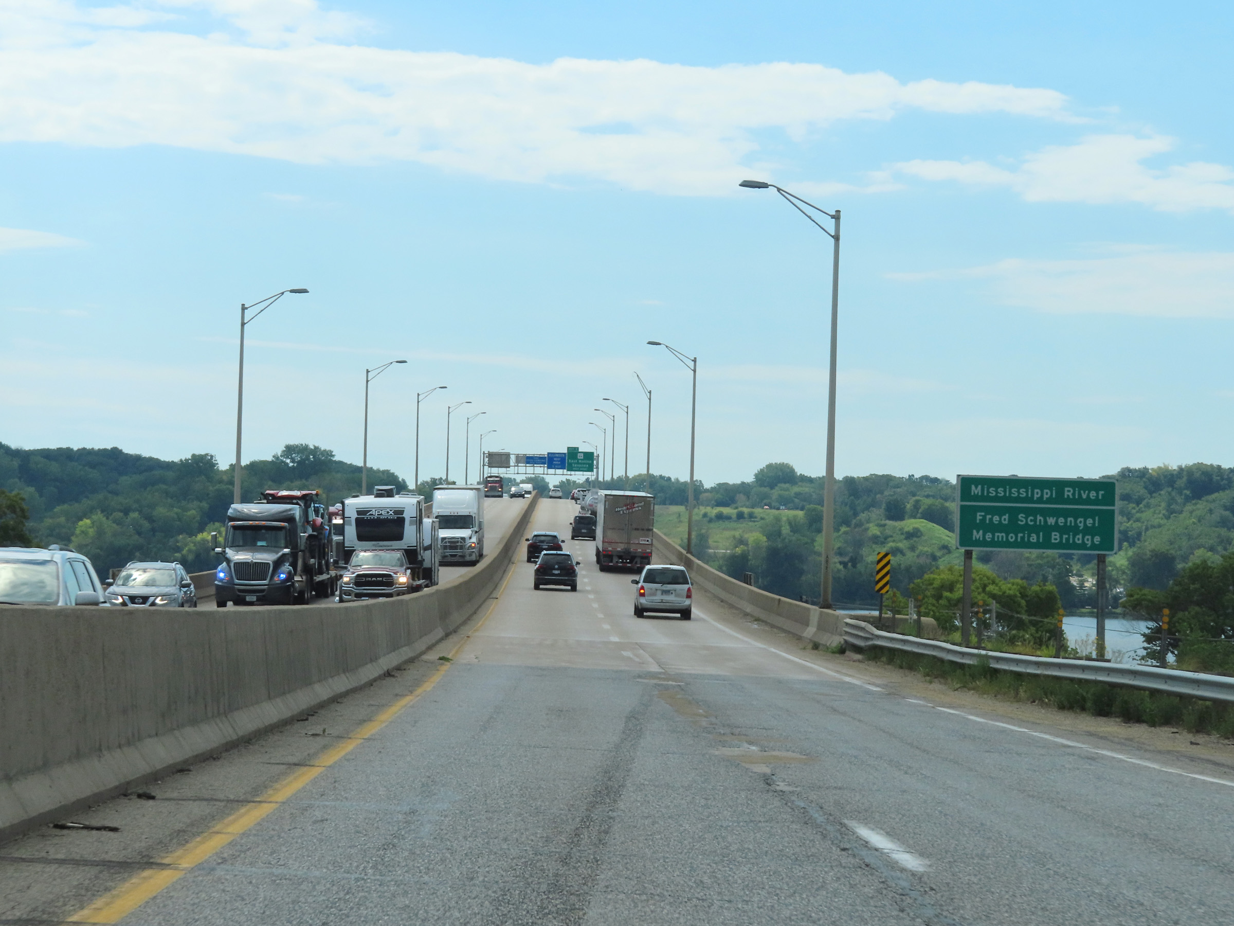
View on Interstate 80 East as it continues across the Fred Schwengel Memorial Bridge over the Mississippi River, which carries it into Illinois. (Photo taken 8/19/22). |