Road Information |
||
 |
||
| Total Mileage in State: | 306 miles | |
| Eastern End: | At Illinois state line | |
| Western End: | At Nebraska state line | |
| Mileage covered in Photos: | 306 miles | |
| Counties covered in Photos: | Pottawattamie, Cass, Adair, Madison, Dallas, Polk, Jasper, Poweshiek, Iowa, Johnson, Cedar, Scott | |
| Major Junctions in Photos: | I-29, in Council Bluffs I-680, near Neola I-35/I-235, near Des Moines I-380, near Iowa City I-280, in Davenport I-74, in Davenport |
|
| Control Cities in Photos: | Council Bluffs, Des Moines, Iowa City, Davenport, Bettendorf | |
Eastbound
- Section 1: Nebraska Border to Adair (Exit 76)
- Section 2: Adair (Exit 76) to Des Moines (Exit 137B)
- Section 3: Des Moines (Exit 137B) to Iowa City (Exit 239B)
- Section 4: Iowa City (Exit 239B) to Illinois Border
Section 1: Nebraska Border to Adair (Exit 76)
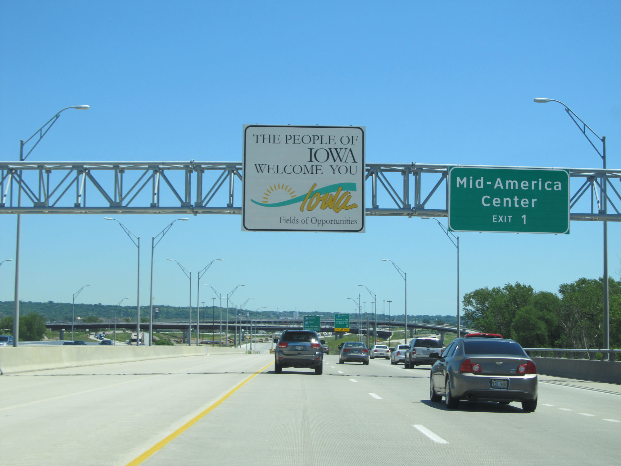 |
Iowa welcome sign as Interstate 80 East enters the Hawkeye State by crossing the Missouri River from Omaha, NE. (Photo taken 5/29/16). |
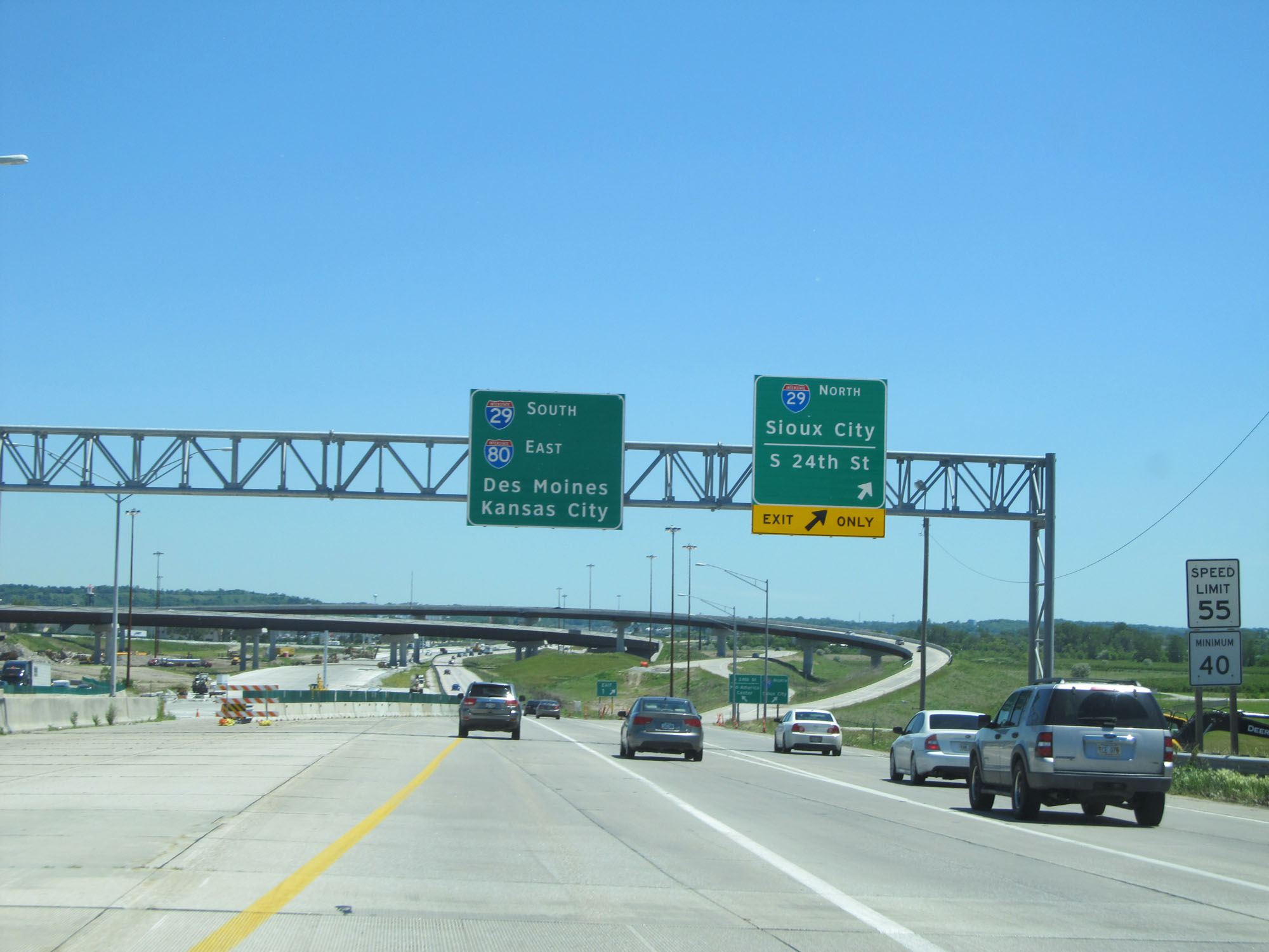 |
Interstate 80 East at Exit 1: Interstate 29 North - Sioux City / S 24th St. Also, the speed limit starts out at 55 mph with a minimum speed limit of 40 mph as I-80 passes through the Council Bluffs area. (Photo taken 5/29/16). |
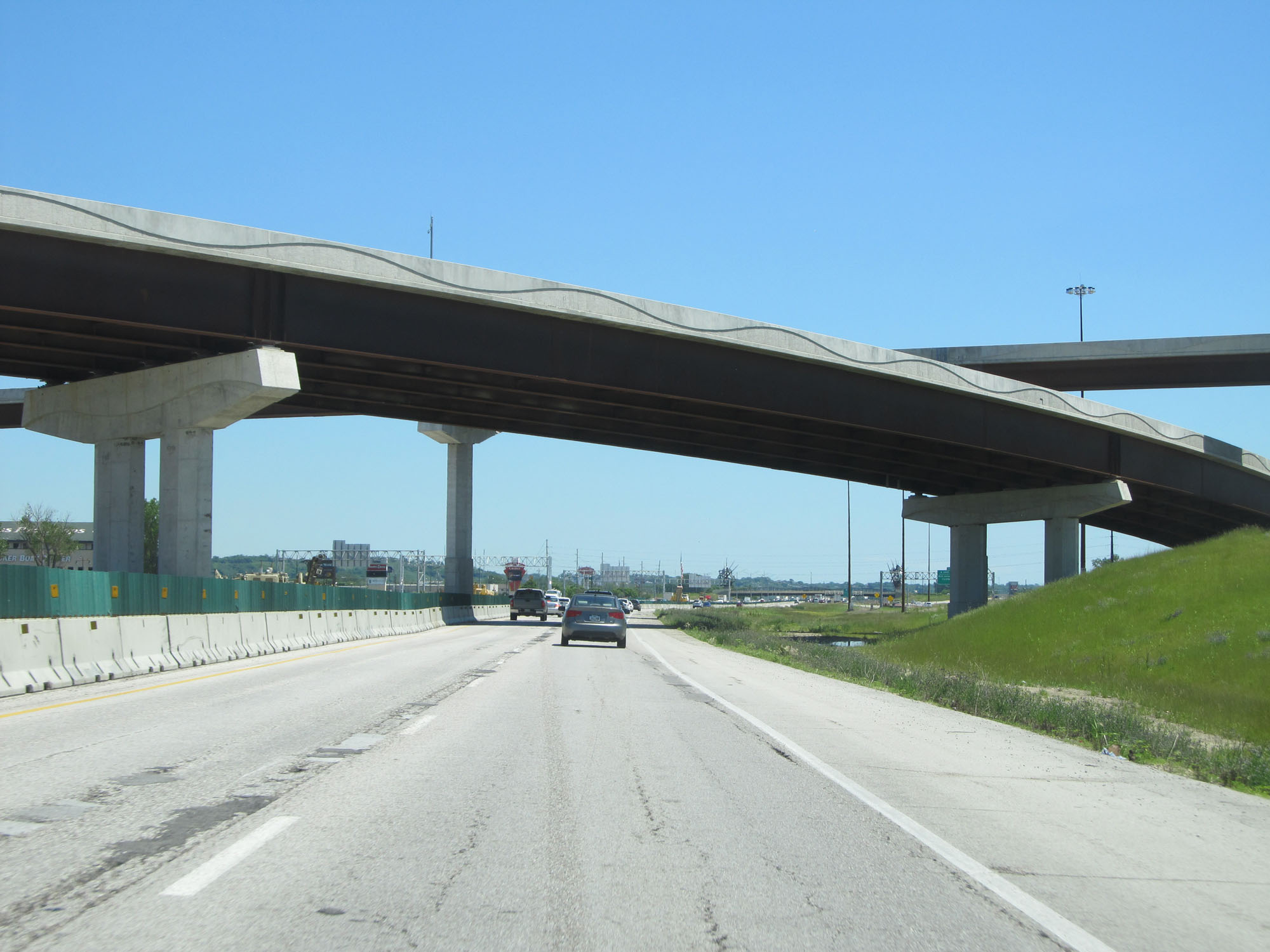 |
View on Interstate 80 East as it passes under the ramps to and from Interstate 29. (Photo taken 5/29/16). |
 |
Interstate 80 East at mile marker 1. (Photo taken 5/29/16). |
 |
Interstate 80 East /Interstate 29 South approaching Exit 3 - 1 mile. (Photo taken 5/29/16). |
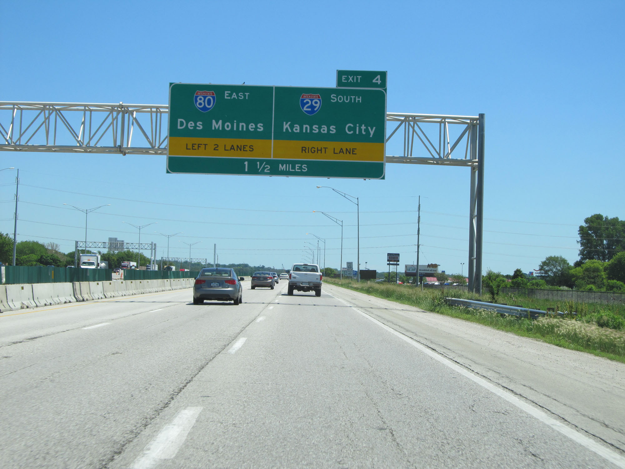 |
Interstate 80 East / Interstate 29 South approaching Exit 4 - 1 1/2 miles. (Photo taken 5/29/16). |
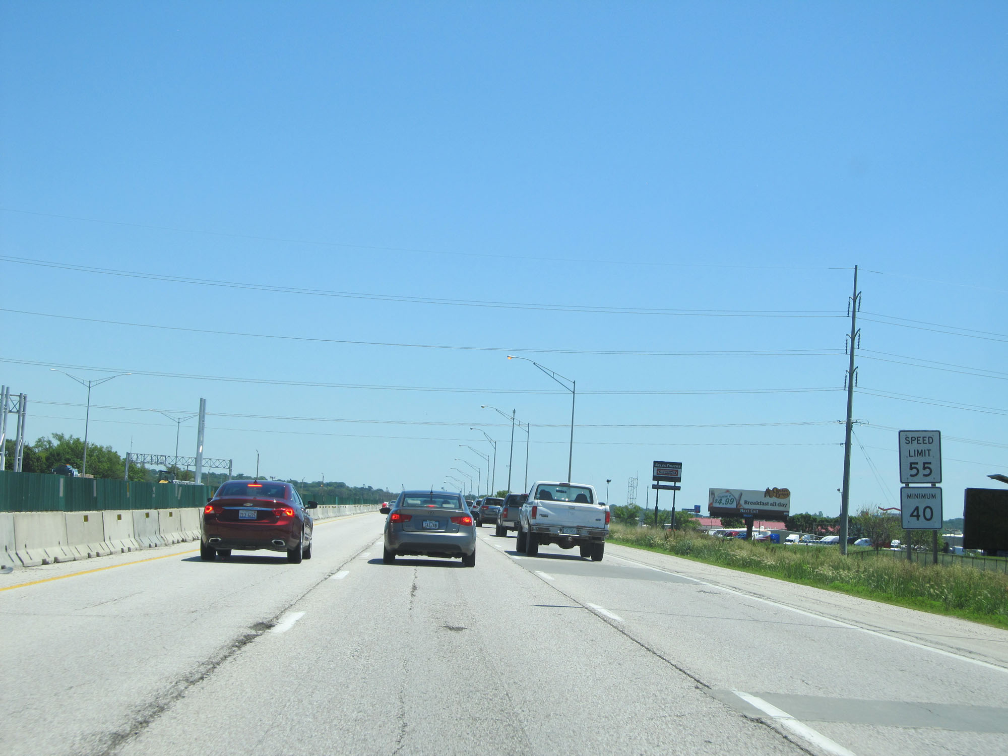 |
The speed limit on Interstate 80 East starts out at 55 mph in the Council Bluffs area. The minimum speed limit is 40 mph. (Photo taken 5/29/16). |
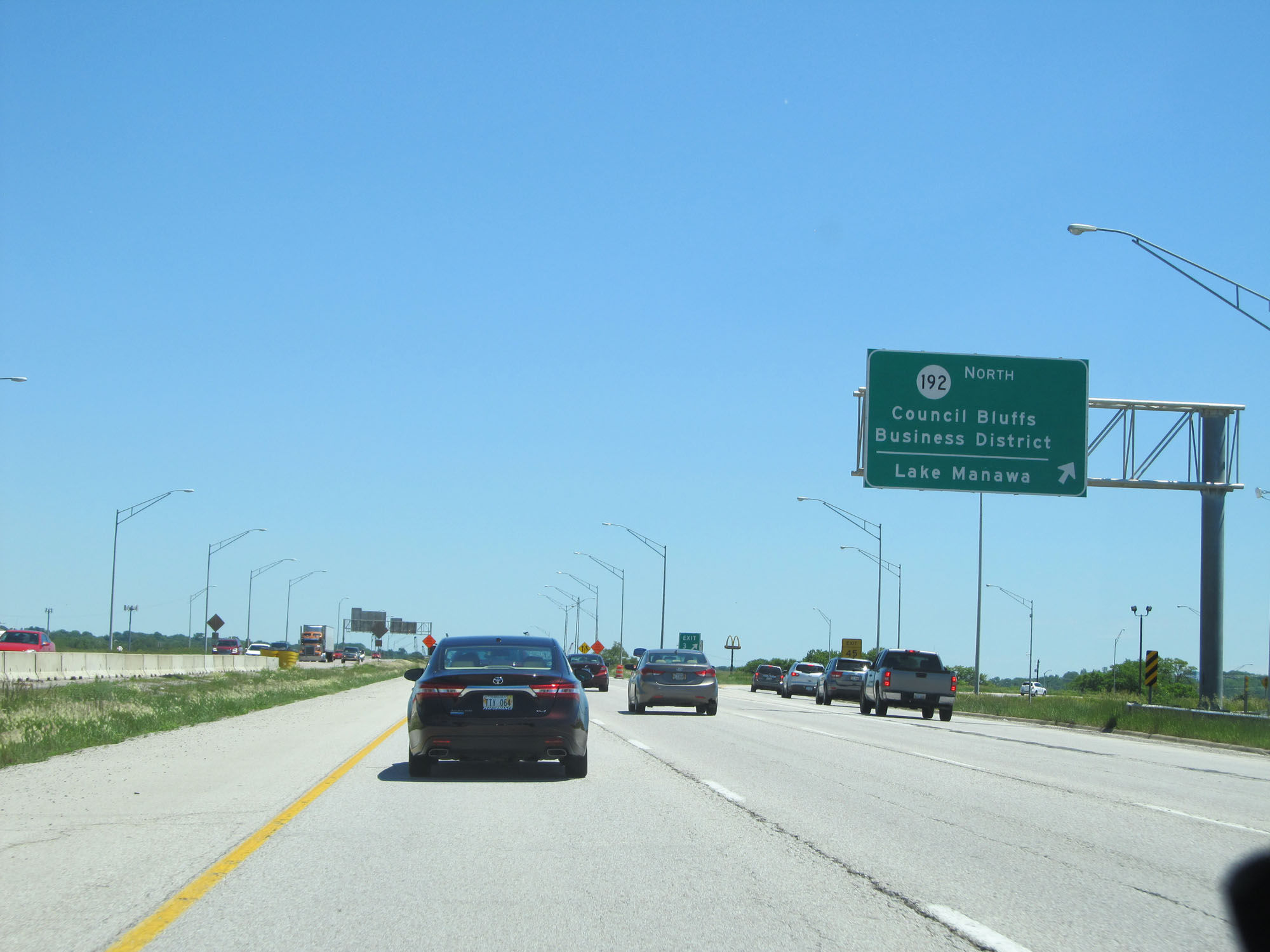 |
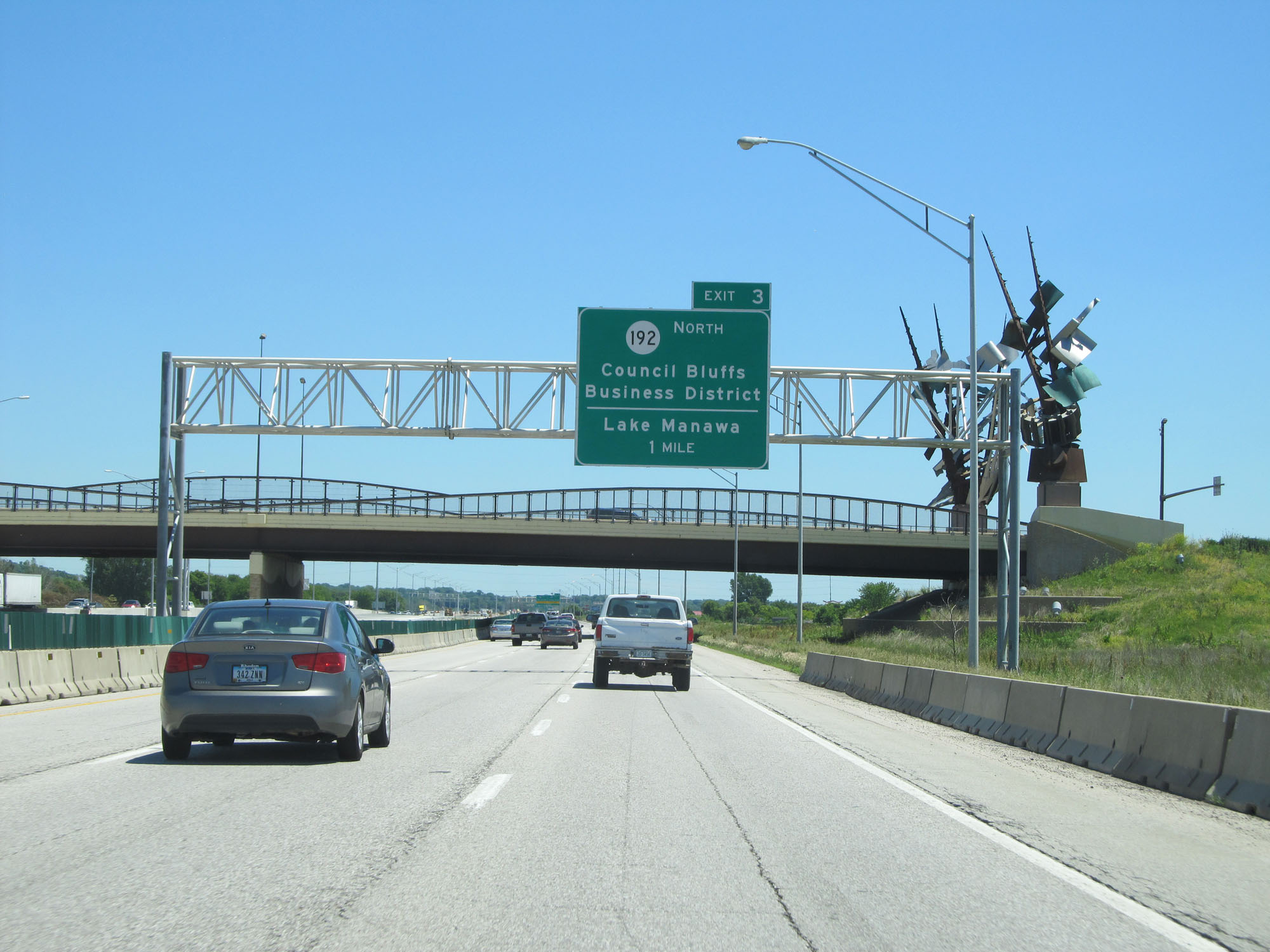
Interstate 80 East / Interstate 29 South at Exit 3: IA 192 North - Council Bluffs Business District / Lake Manawa (Photo taken 5/29/16). |
 |
Interstate 80 East / Interstate 29 South approaching Exit 4 - 1/2 mile. (Photo taken 5/29/16). |
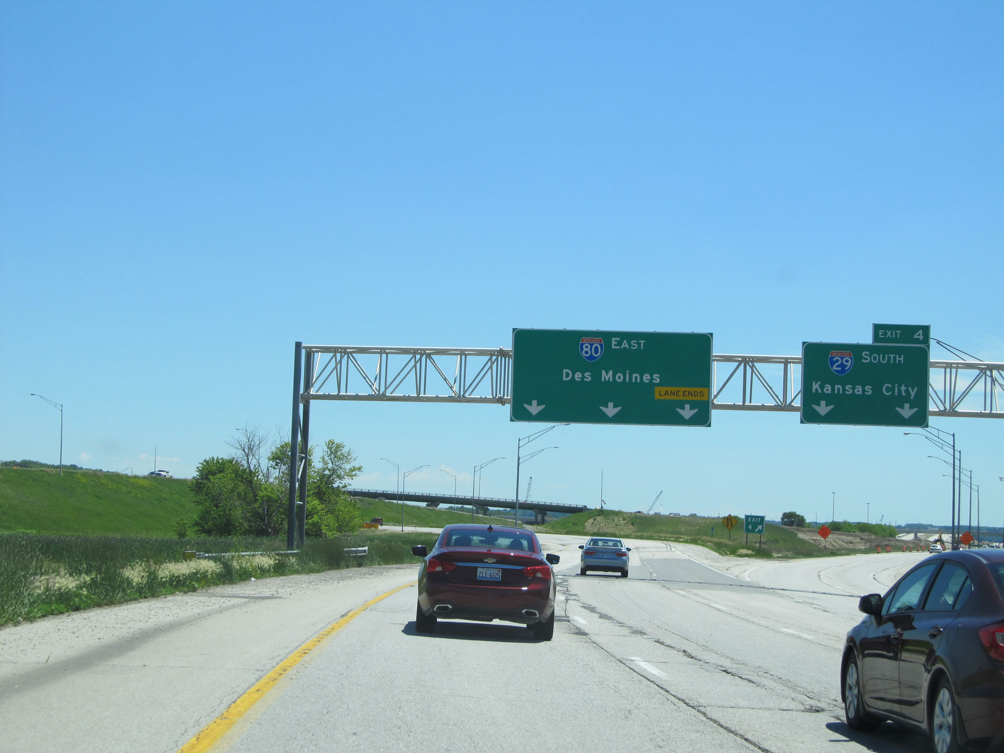 |
Interstate 80 East / Interstate 29 South at Exit 4: Interstate 29 South - Kansas City (Photo taken 5/29/16). |
 |
Interstate 80 East at Exit 5: Madison Ave / Council Bluffs (Photo taken 5/29/16). |
 |
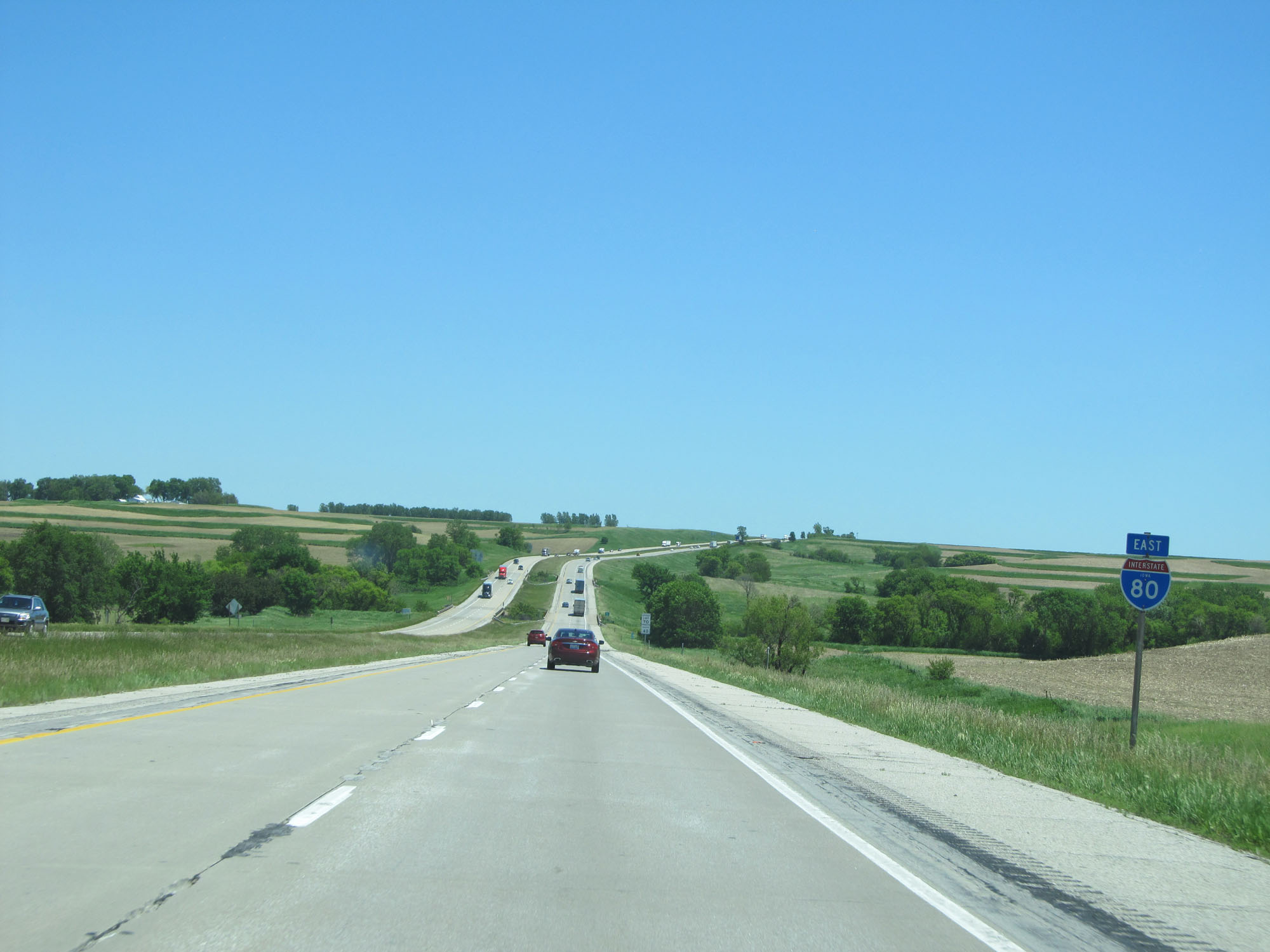
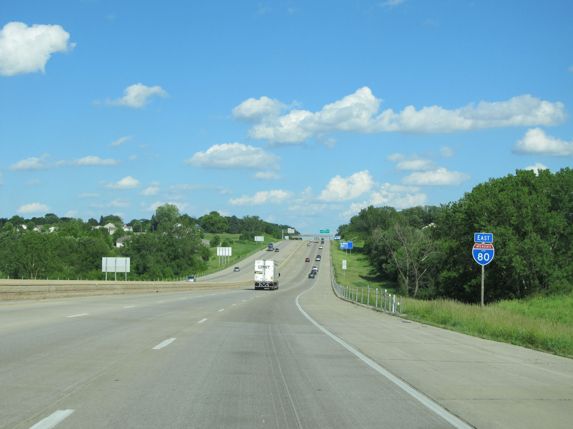
State-named Interstate 80 East reassurance shield. (Photo taken 5/29/16). |
 |
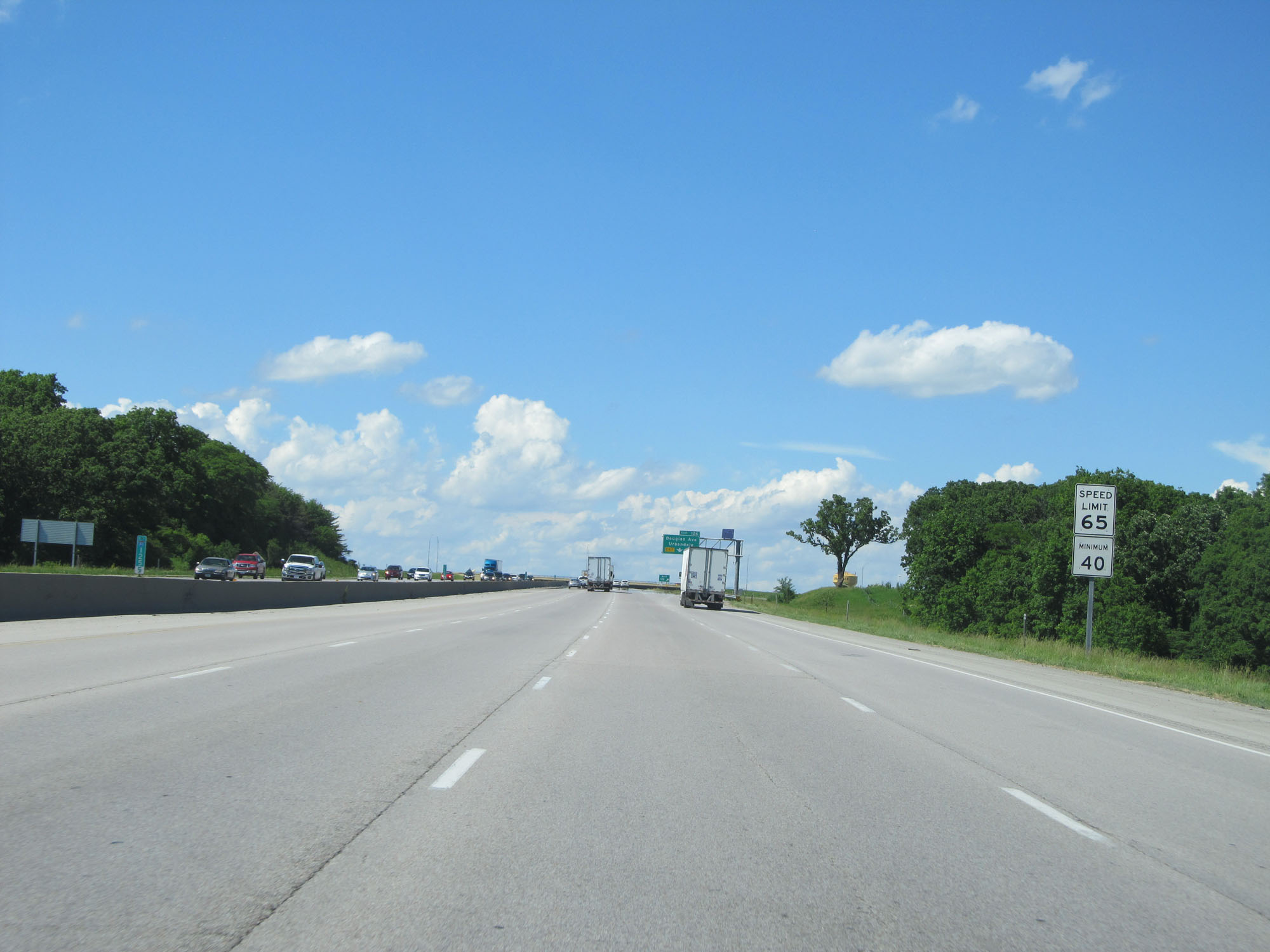
East of Exit 5, the speed limit increases to 65 mph with the minimum speed limit remaining 40 mph. (Photo taken 5/29/16). |
 |
Interstate 80 East at mile marker 7. (Photo taken 5/29/16). |
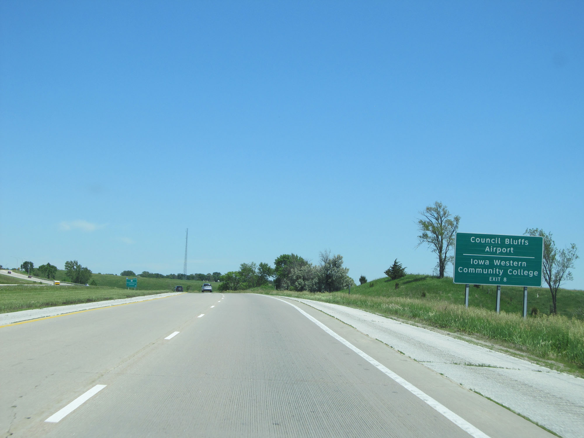 |
Take Exit 8 to Council Bluffs Airport and Iowa Western Community College. (Photo taken 5/29/16). |
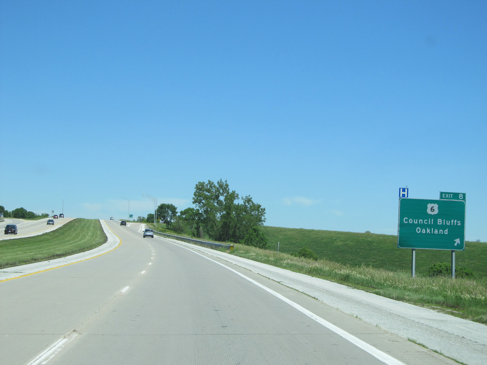 |
Interstate 80 East at Exit 8: US 6 - Council Bluffs / Oakland (Photo taken 5/29/16). |
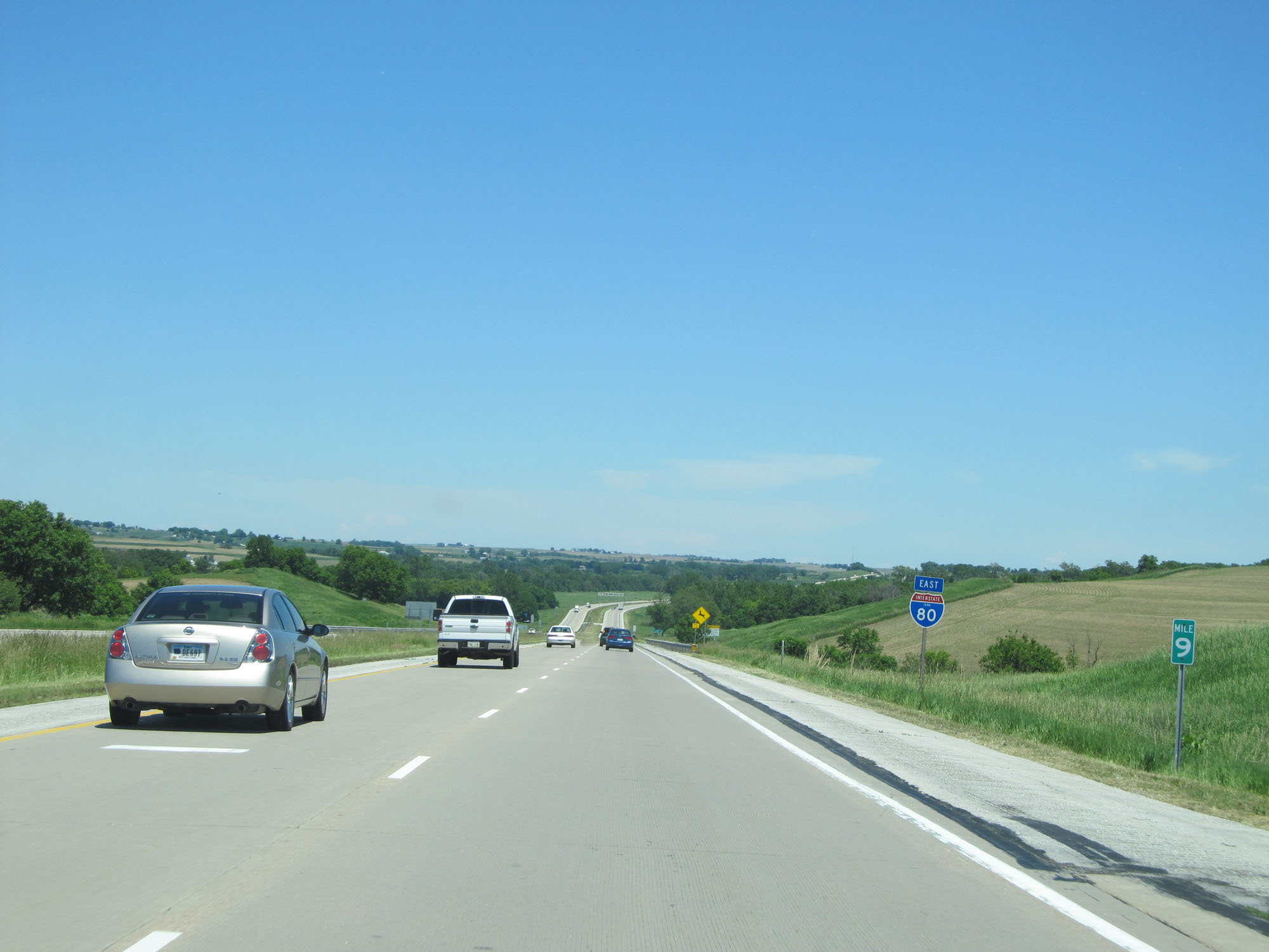 |
Interstate 80 East at mile marker 9. (Photo taken 5/29/16). |
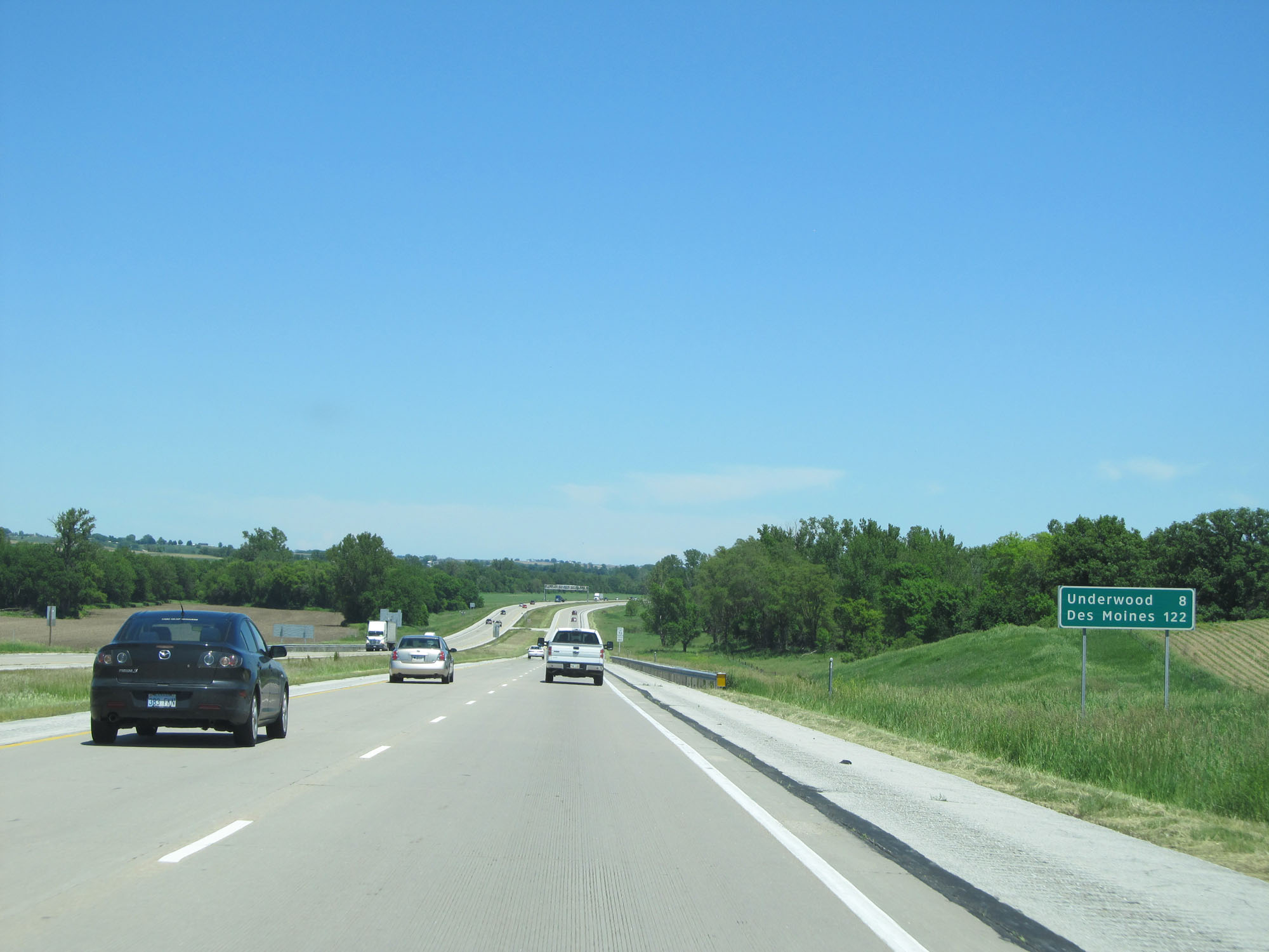 |
Mileage sign on Interstate 80 East. It's 8 miles to Underwood and 122 miles to Des Moines. (Photo taken 5/29/16). |
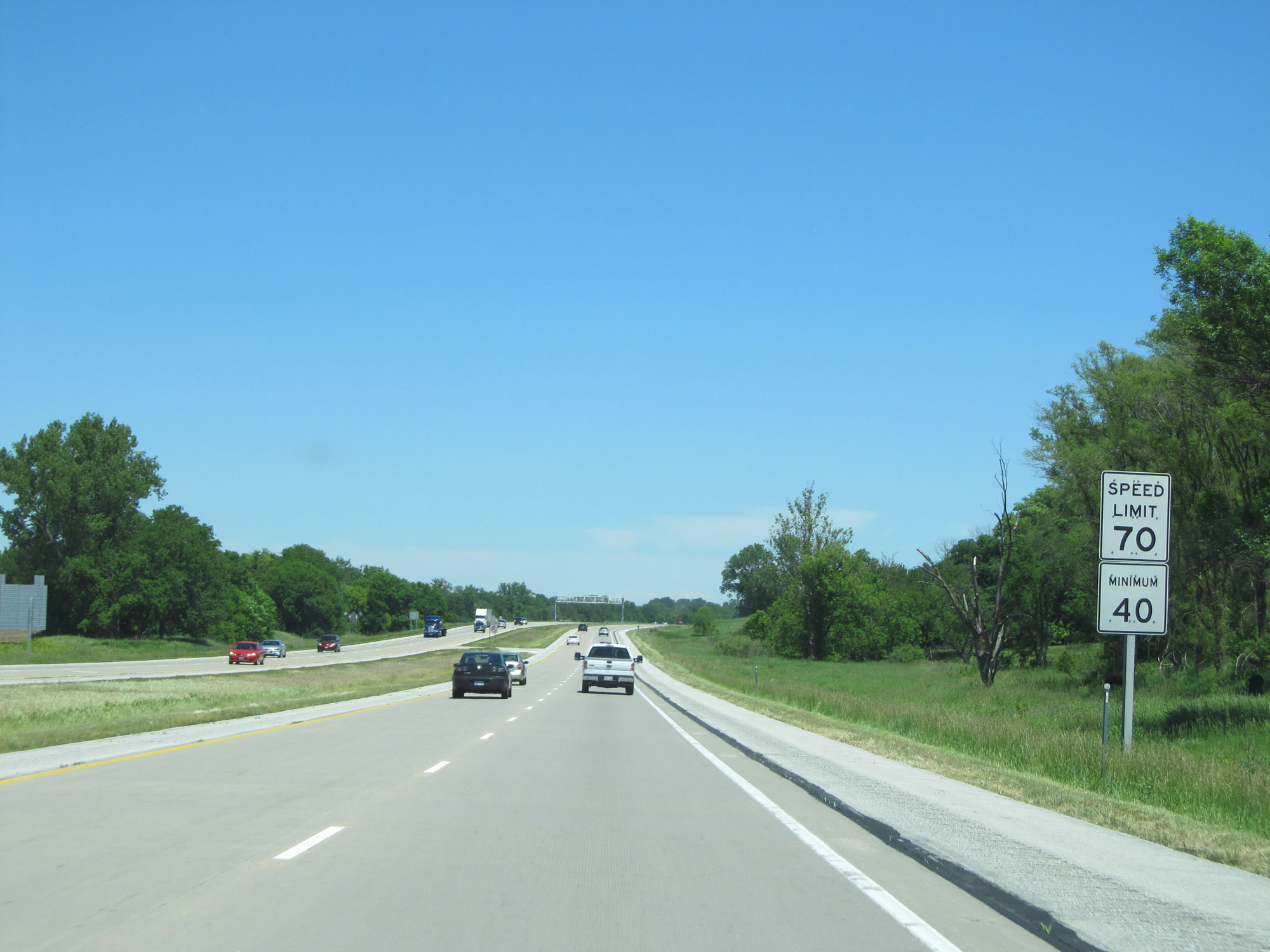 |
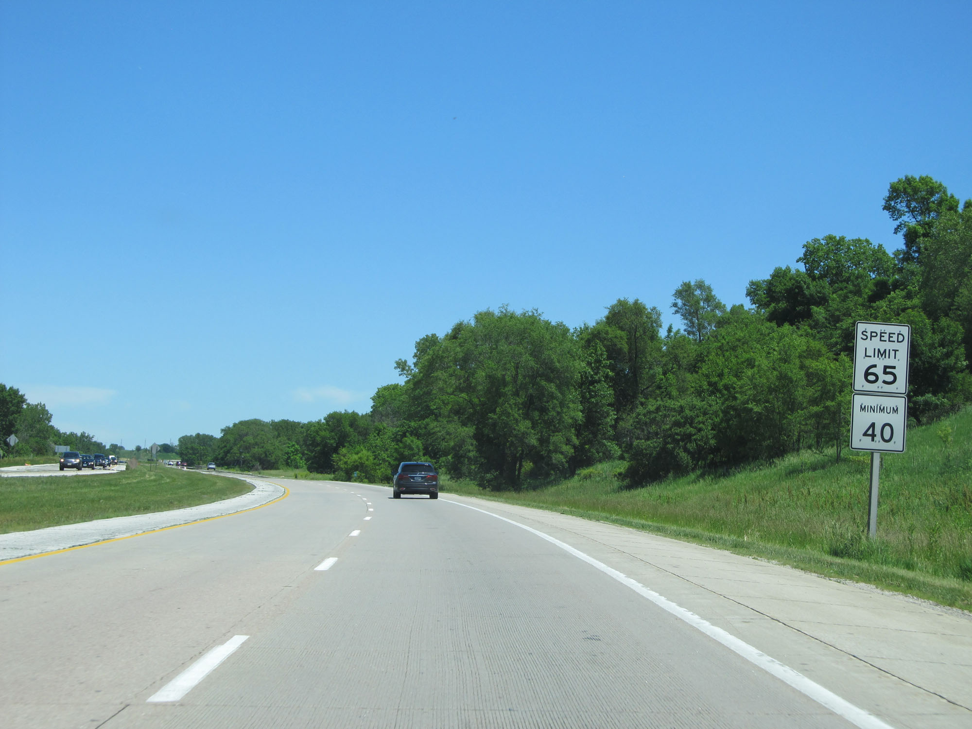
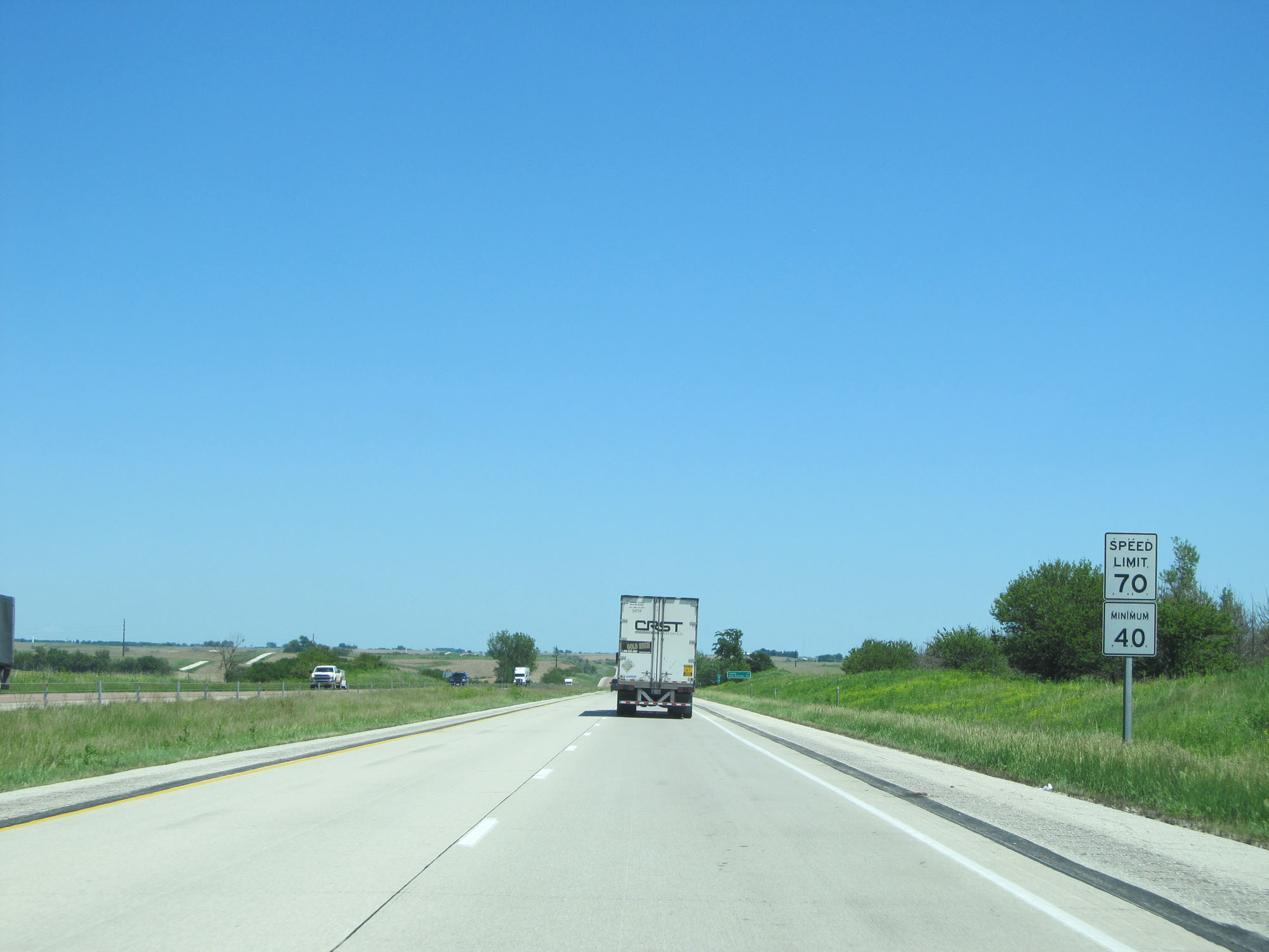
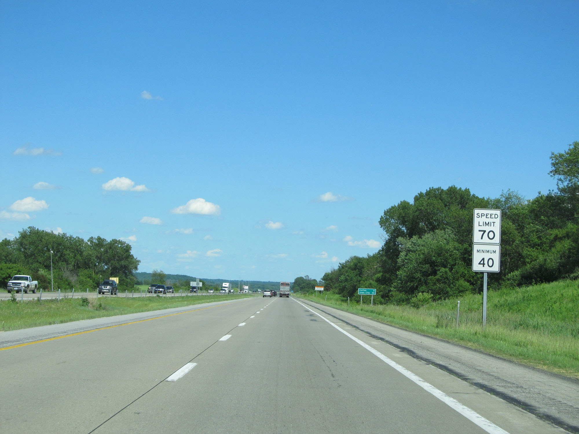
Near mile marker 10, the speed limit increases to 70 mph with a minimum speed limit of 40 mph. These are the standard speed limits on most rural Interstate highways in Iowa. (Photo taken 5/29/16). |
 |
Interstate 80 East at mile marker 14. (Photo taken 5/29/16). |
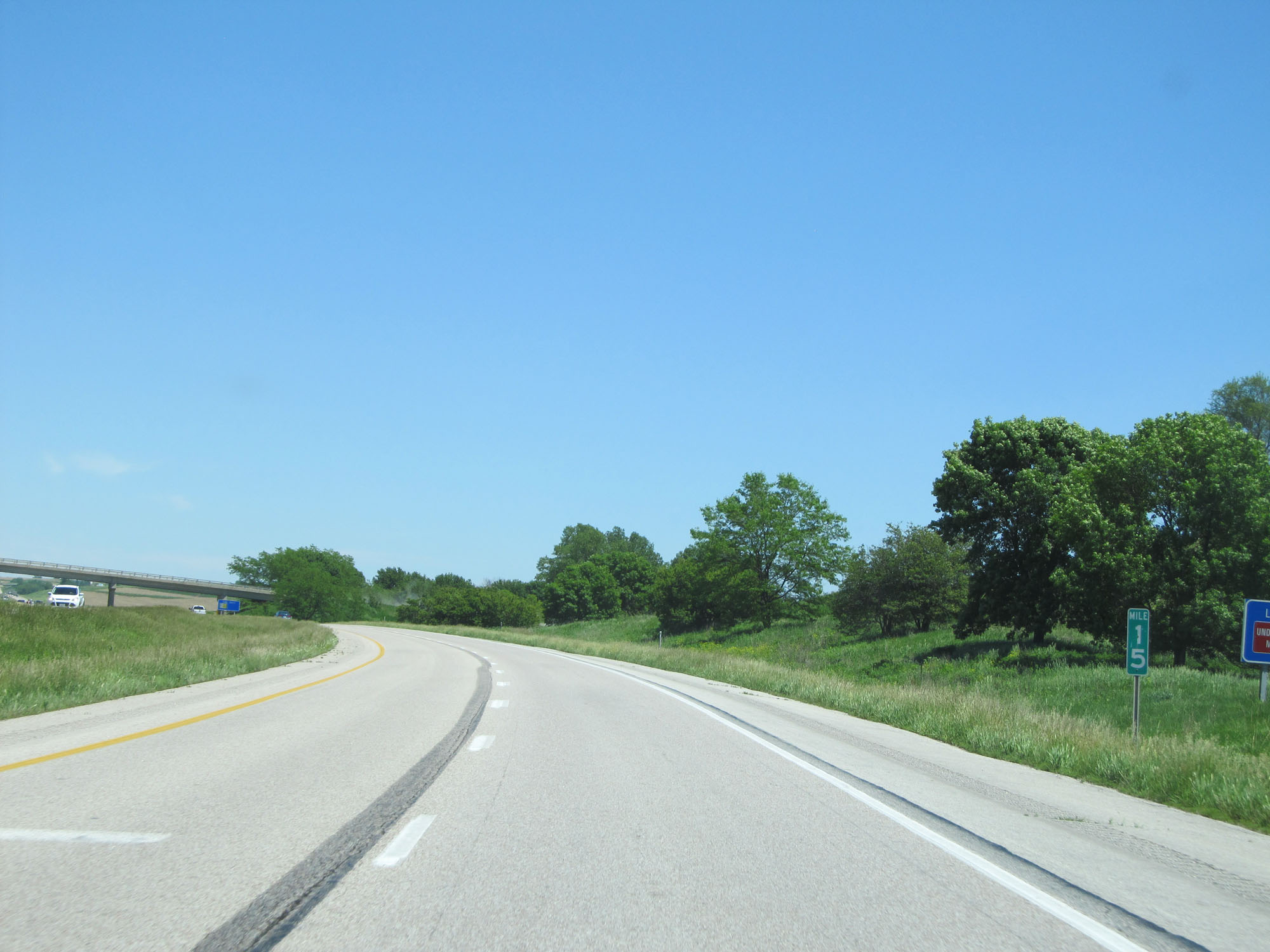 |
Interstate 80 East at mile marker 15. (Photo taken 5/29/16). |
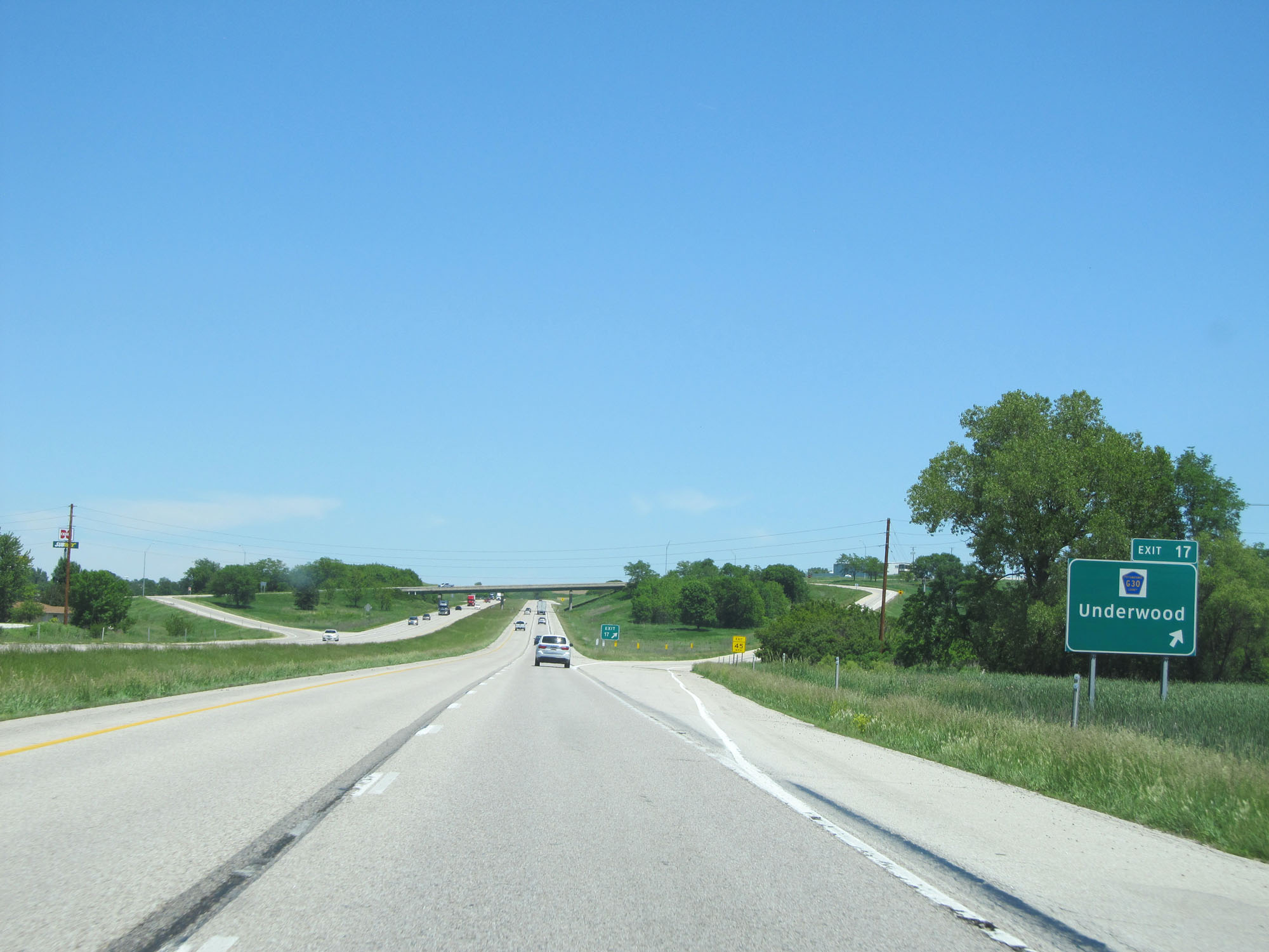 |
Interstate 80 East at Exit 17: CR G30 - Underwood (Photo taken 5/29/16). |
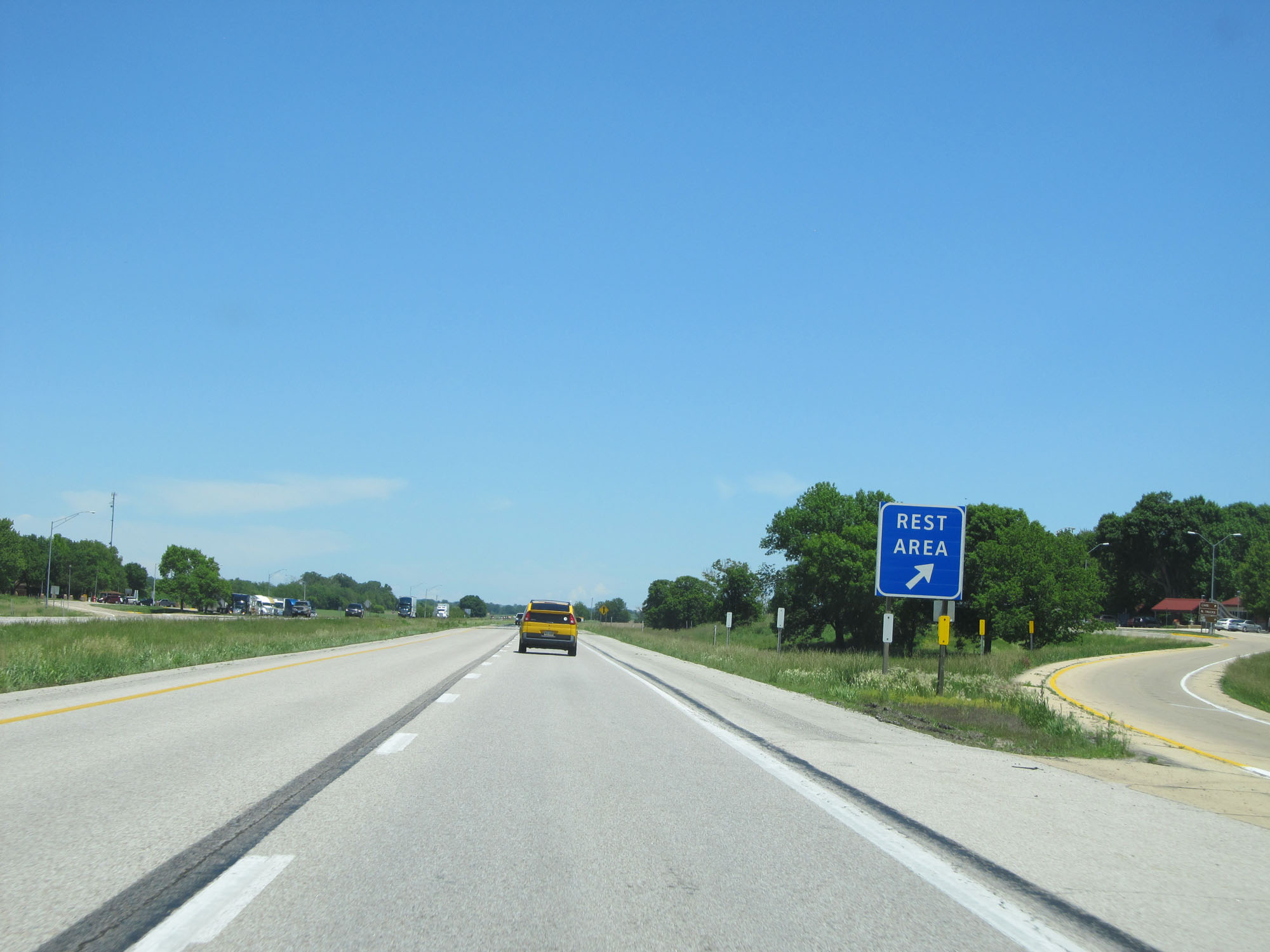 |
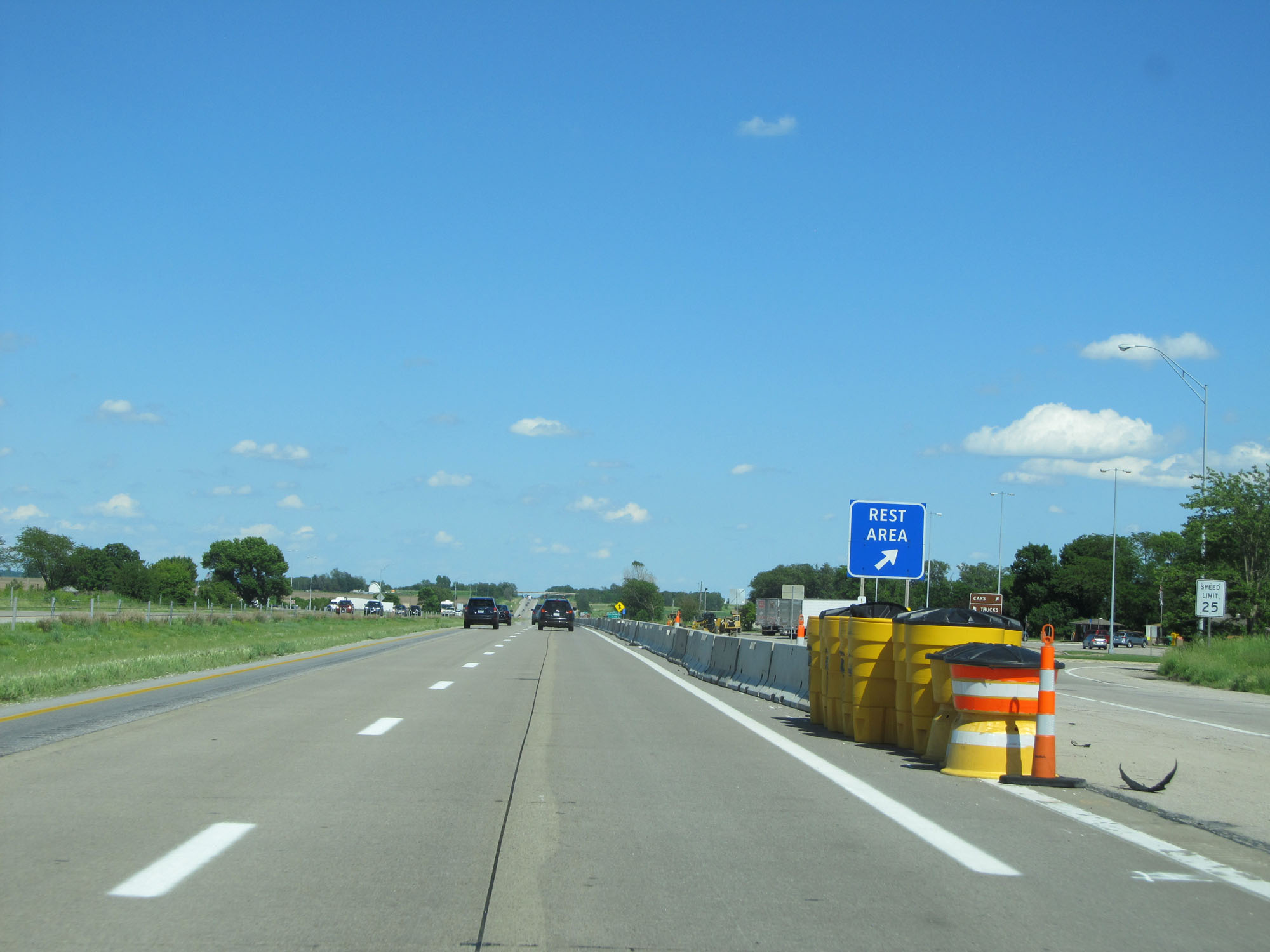
Interstate 80 East at the Rest Area in Pottawattamie County. (Photo taken 5/29/16). |
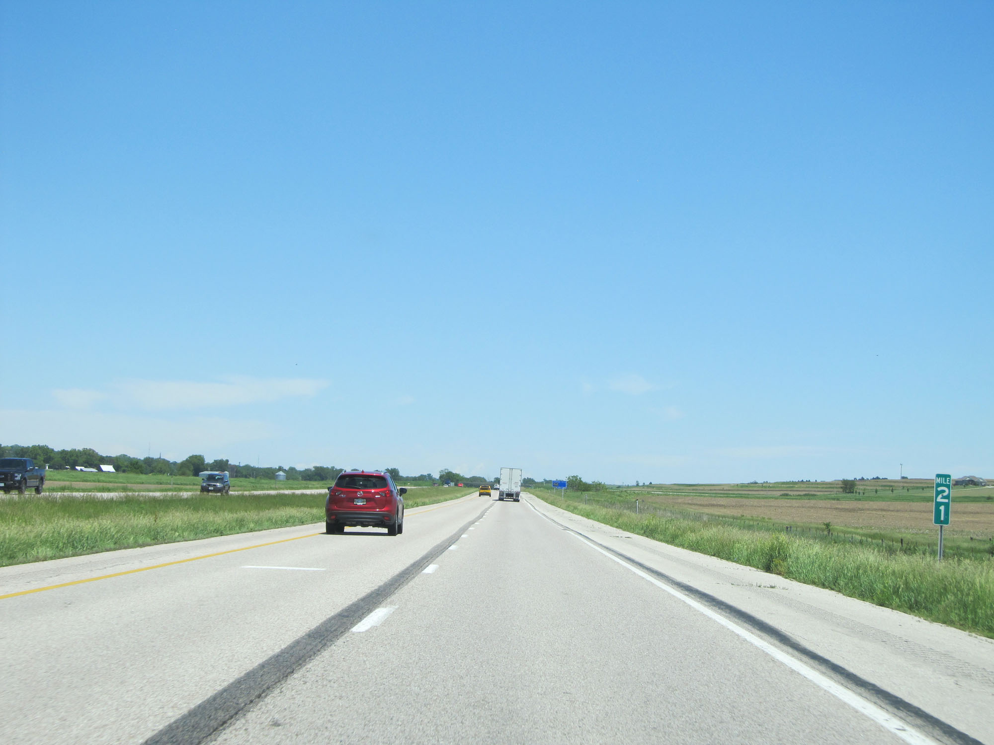 |
Interstate 80 East at mile marker 21. (Photo taken 5/29/16). |
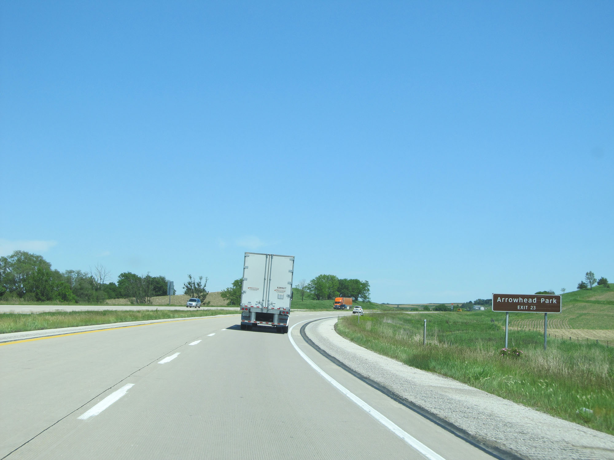 |
Take Exit 23 to Arrowhead Park. (Photo taken 5/29/16). |
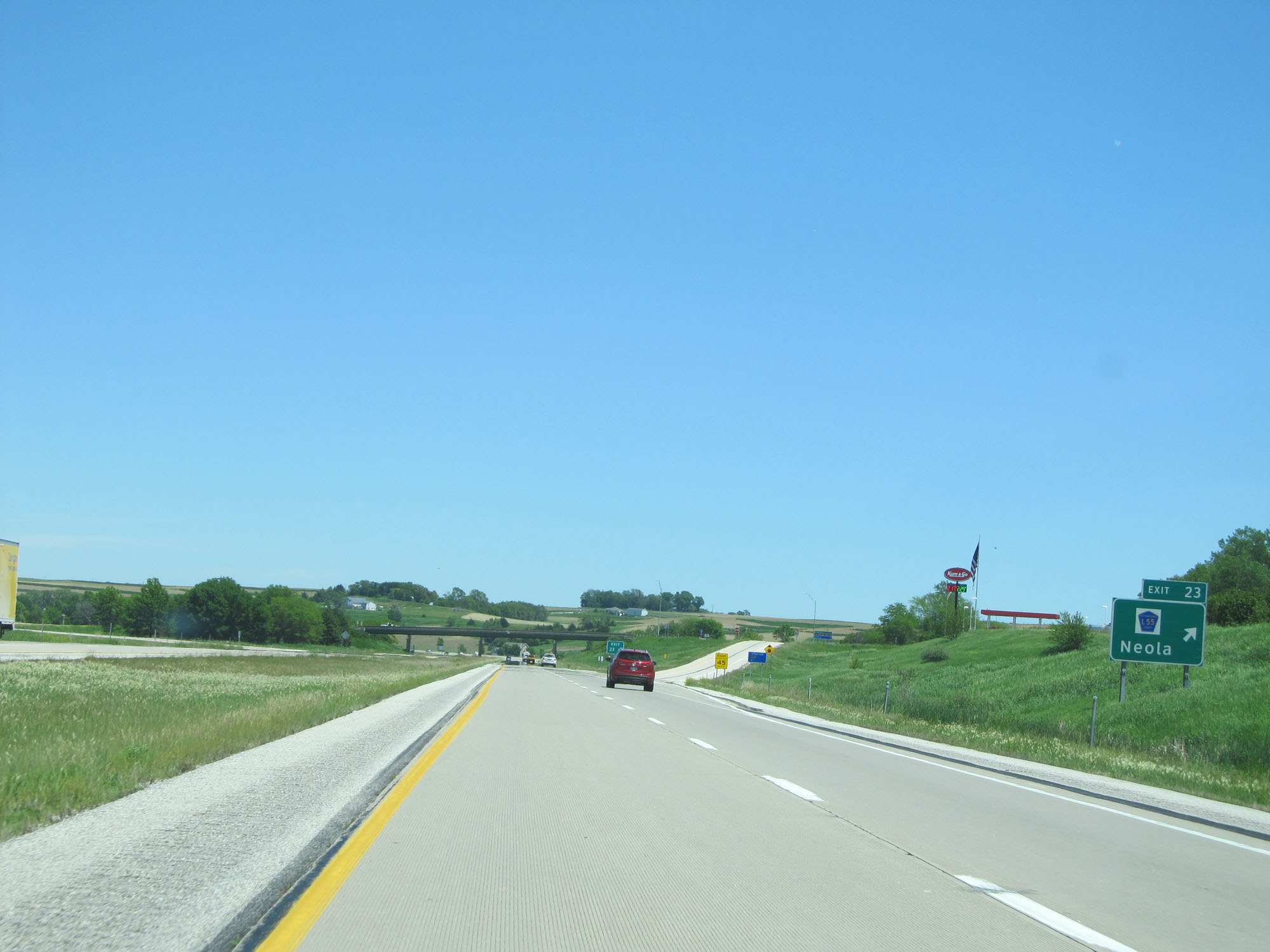 |
Interstate 80 East at Exit 23: CR L55 - Neola (Photo taken 5/29/16). |
 |
State-named Interstate 80 East reassurance shield. (Photo taken 5/29/16). |
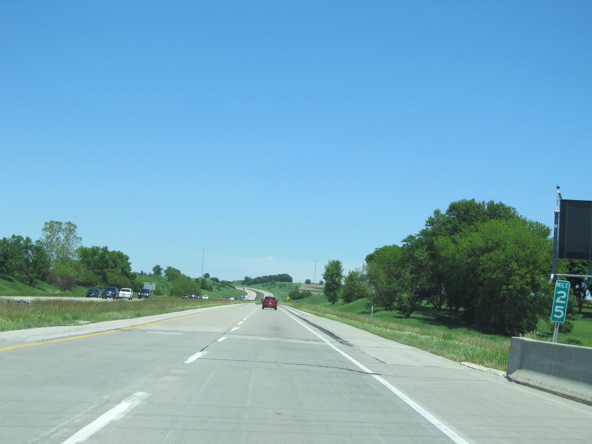 |
Interstate 80 East at mile marker 25. (Photo taken 5/29/16). |
 |
Interstate 80 East approaching Exit 27 - 1 mile on the left. (Photo taken 5/29/16). |
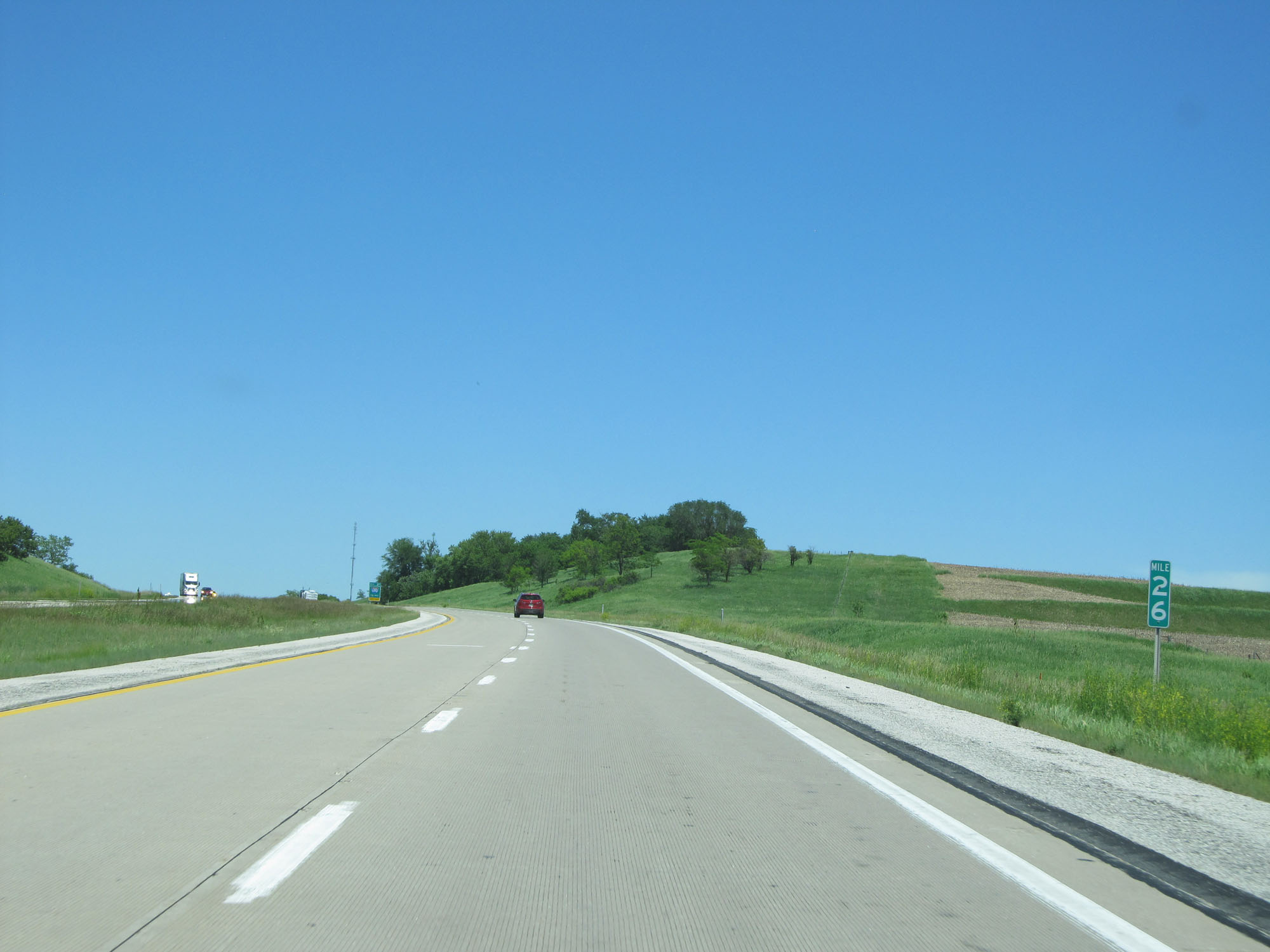 |
Interstate 80 East at mile marker 26. (Photo taken 5/29/16). |
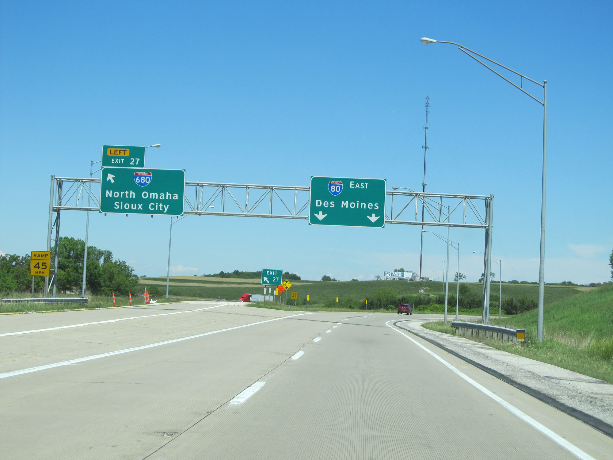 |
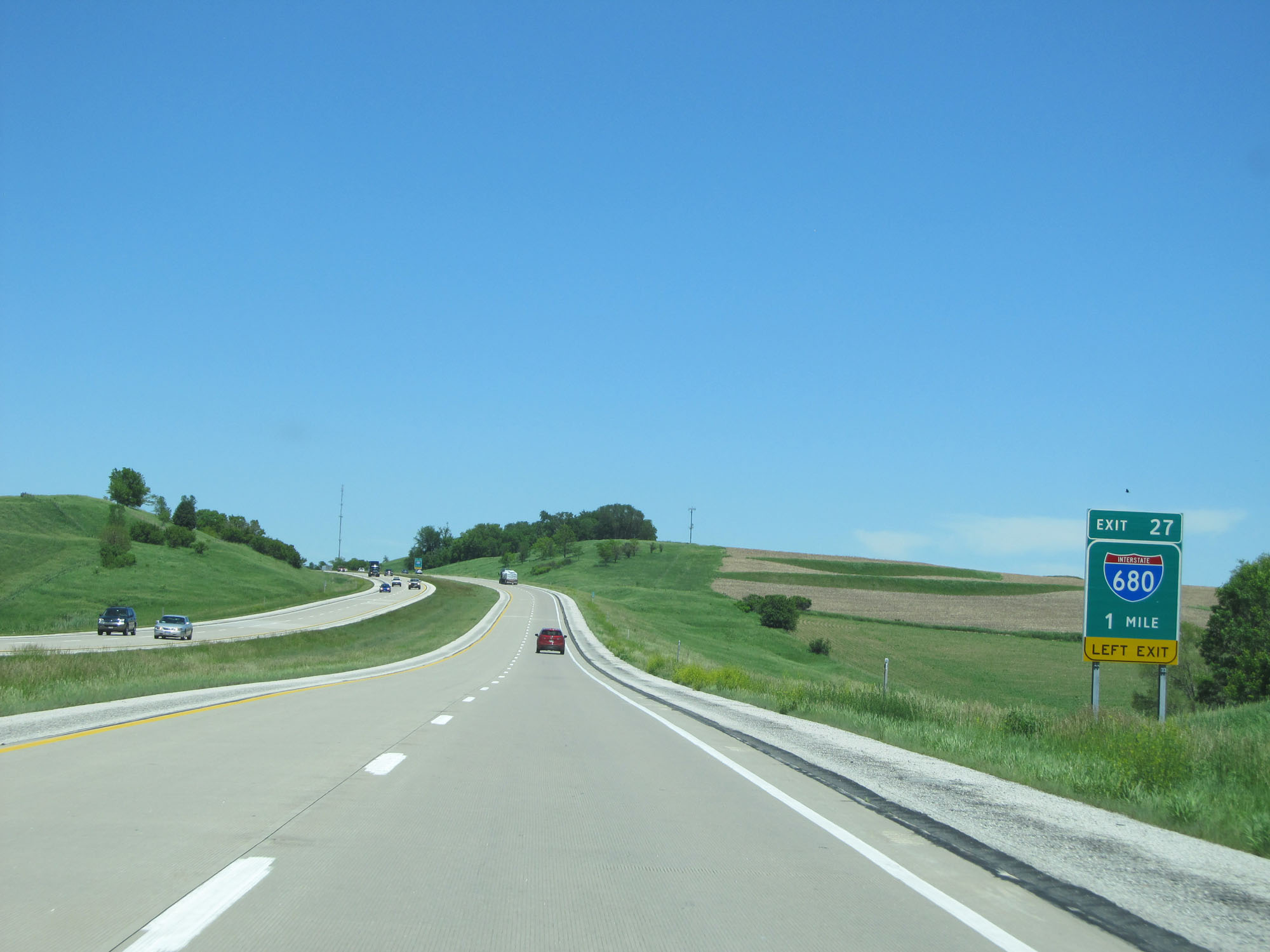
Interstate 80 East at Exit 27: Interstate 680 - North Omaha / Sioux City (Photo taken 5/29/16). |
 |
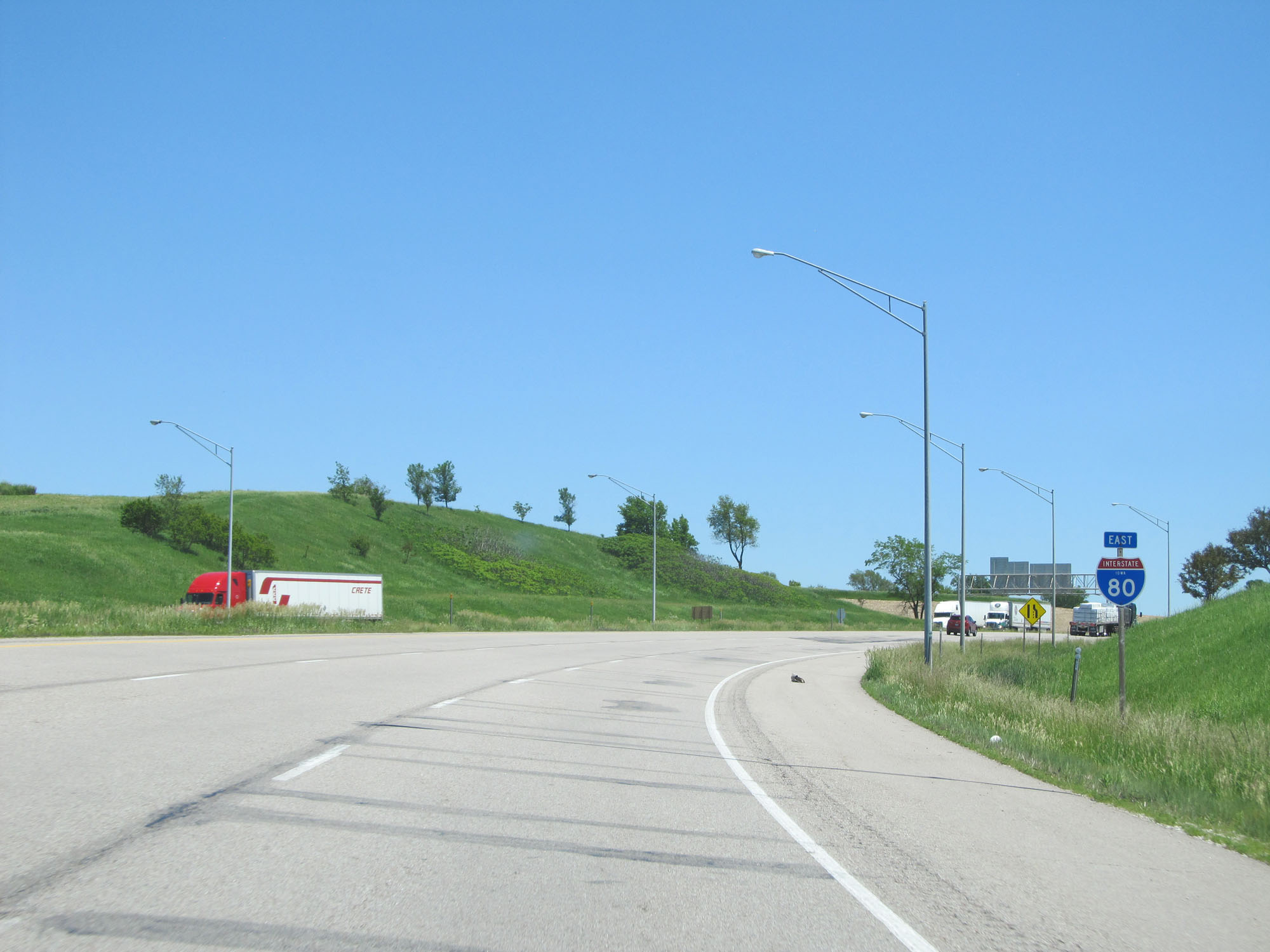
View on Interstate 80 East as it curves to the east after heading primarily northeast from Council Bluffs to this point. (Photo taken 5/29/16). |
 |
Another state-named Interstate 80 East reassurance shield. (Photo taken 5/29/16). |
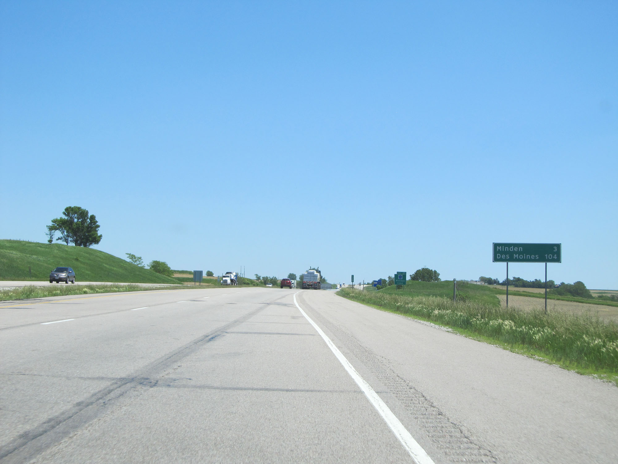 |
Mileage sign on Interstate 80 East. It's 3 miles to Minden and 104 miles to Des Moines. (Photo taken 5/29/16). |
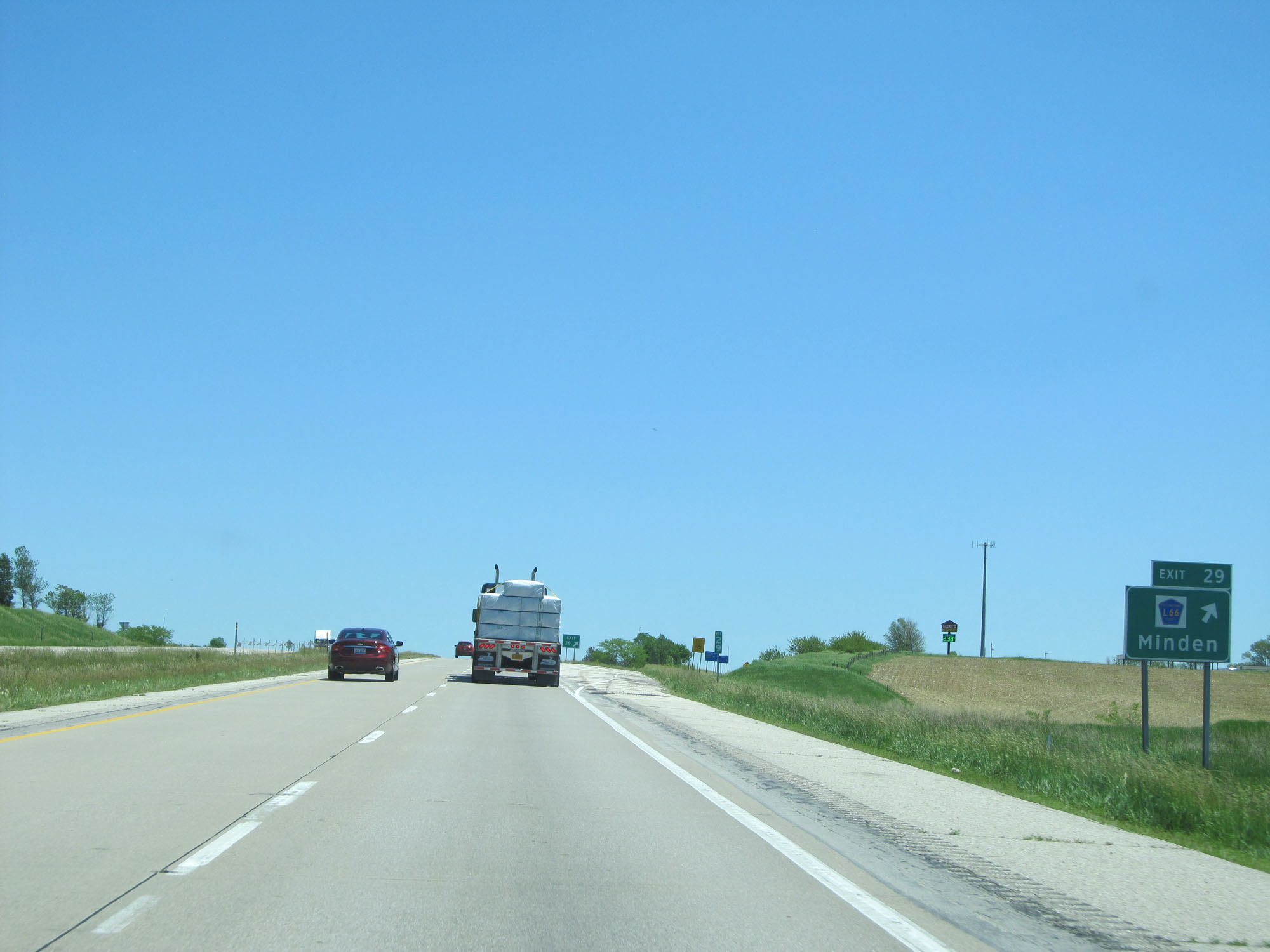 |
Interstate 80 East at Exit 29: CR L66 - Minden (Photo taken 5/29/16). |
 |
Another state-named Interstate 80 East reassurance shield. (Photo taken 5/29/16). |
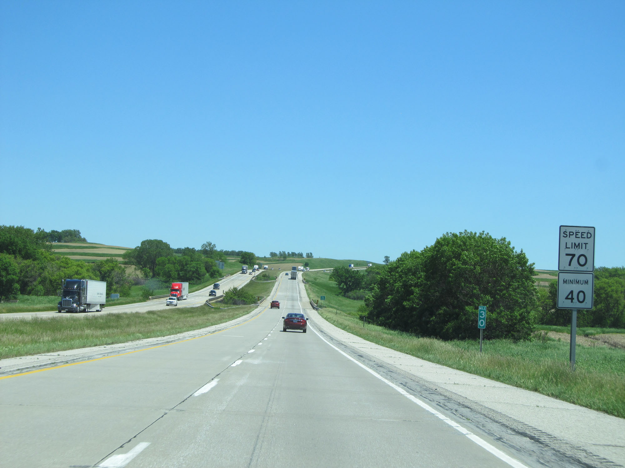 |
The speed limit remains 70 mph with a minimum speed limit of 40 mph. (Photo taken 5/29/16). |
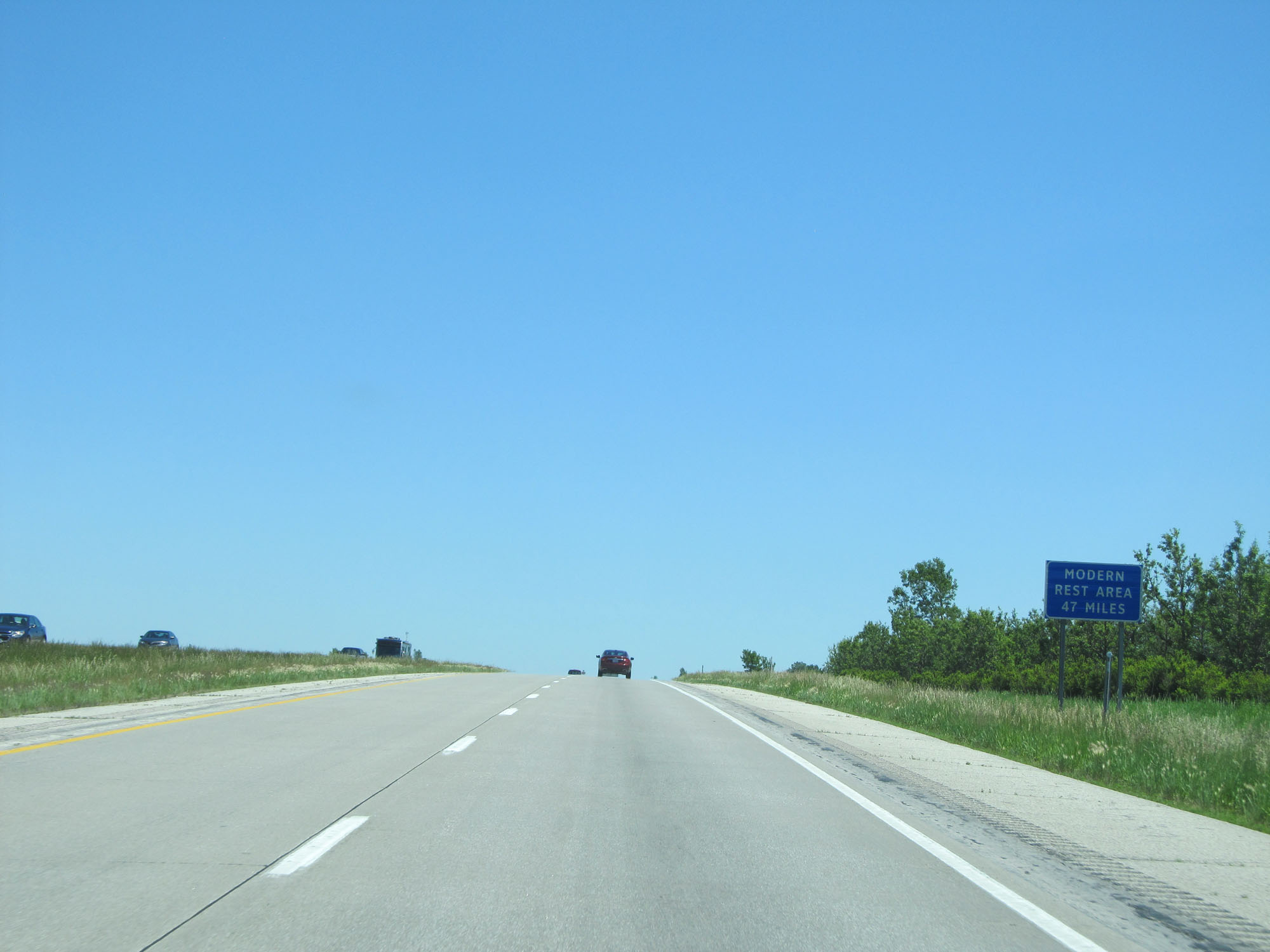 |
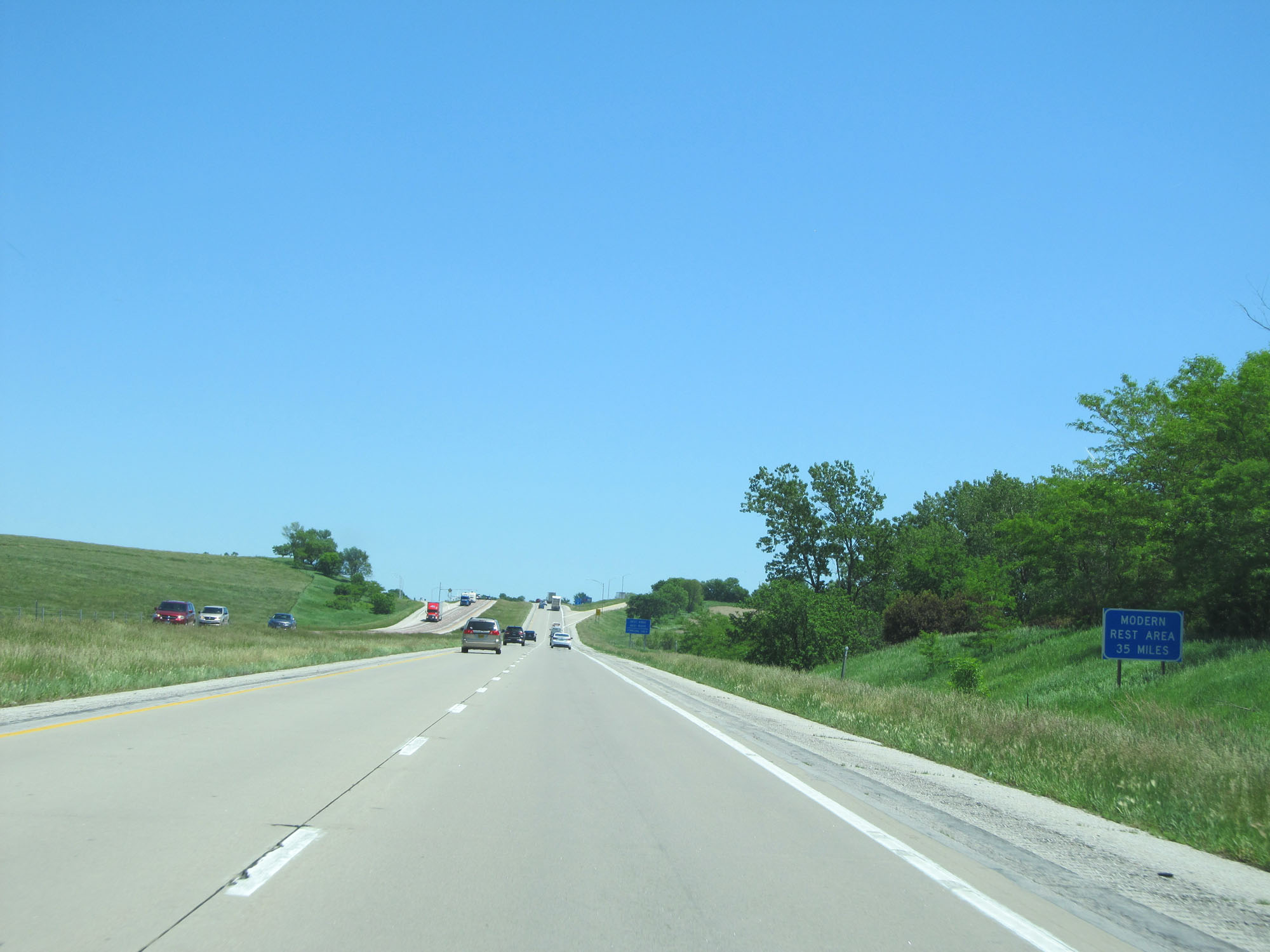
The next modern Rest Area is 47 miles ahead. By 'modern' they mean one that has actual facilities. (Photo taken 5/29/16). |
 |
Interstate 80 East at a second Rest Area in Pottawattamie County. No facilities. (Photo taken 5/29/16). |
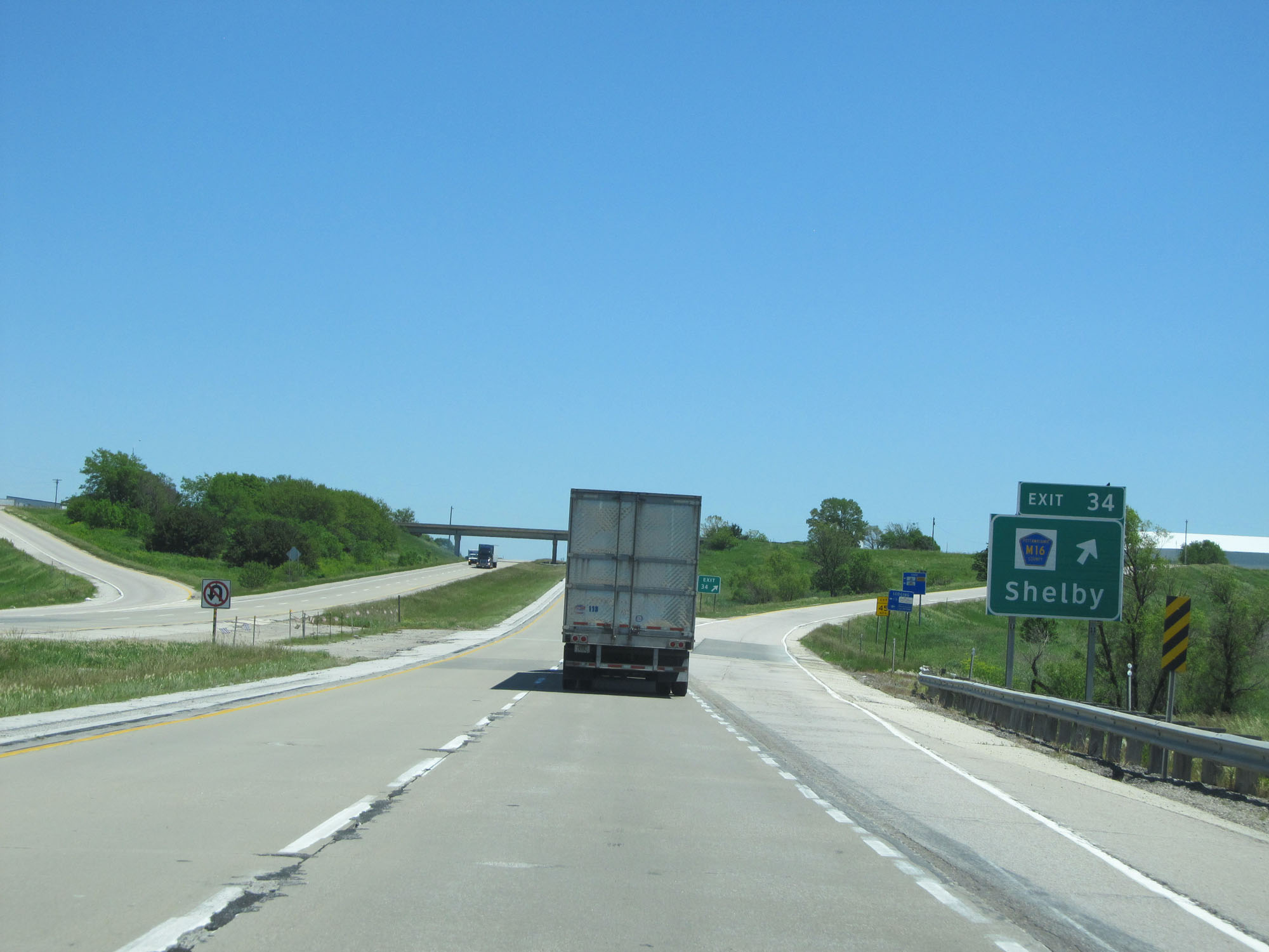 |
Interstate 80 East at Exit 34: CR M16 - Shelby (Photo taken 5/29/16). |
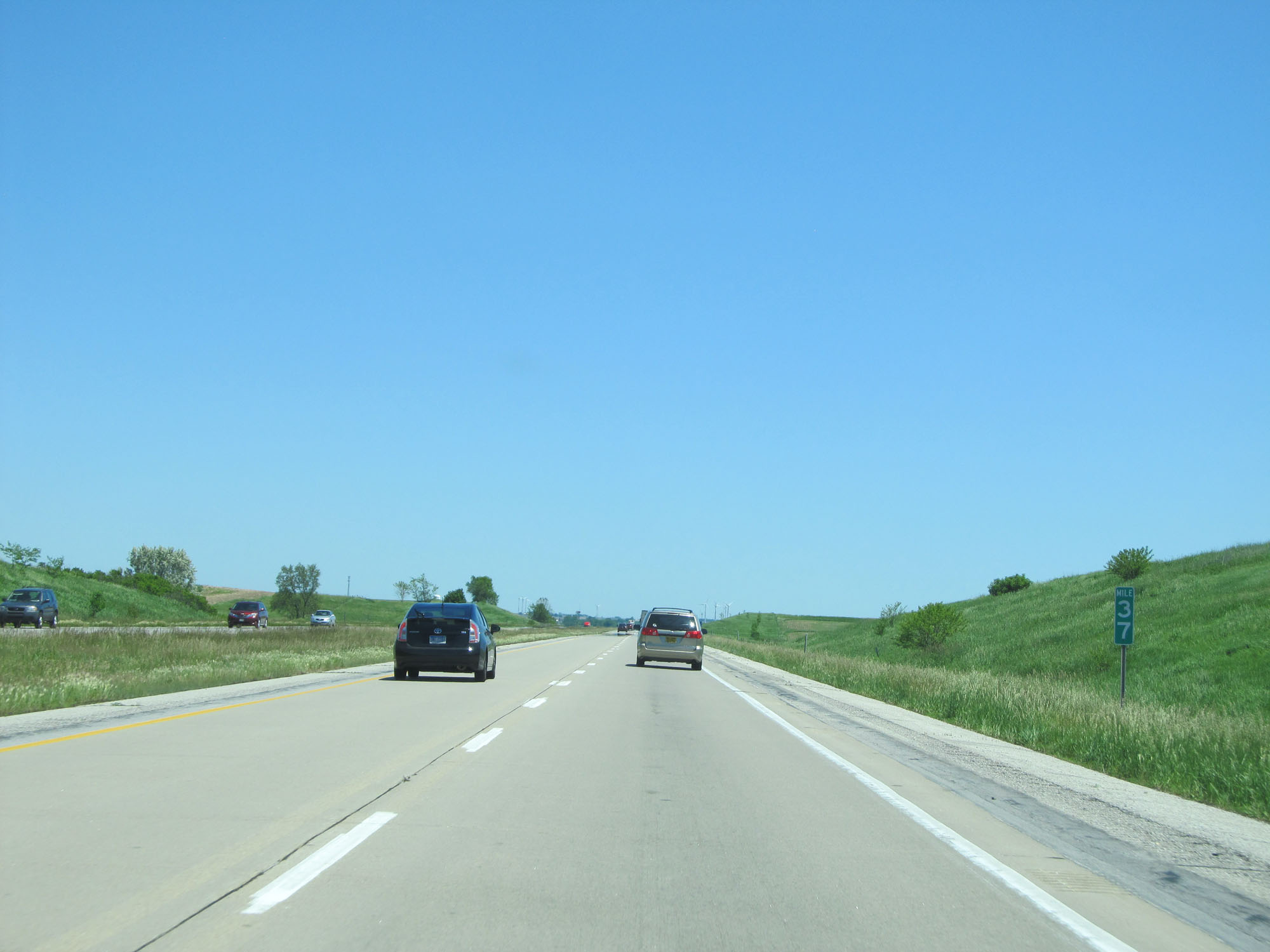 |
Interstate 80 East at mile marker 37. (Photo taken 5/29/16). |
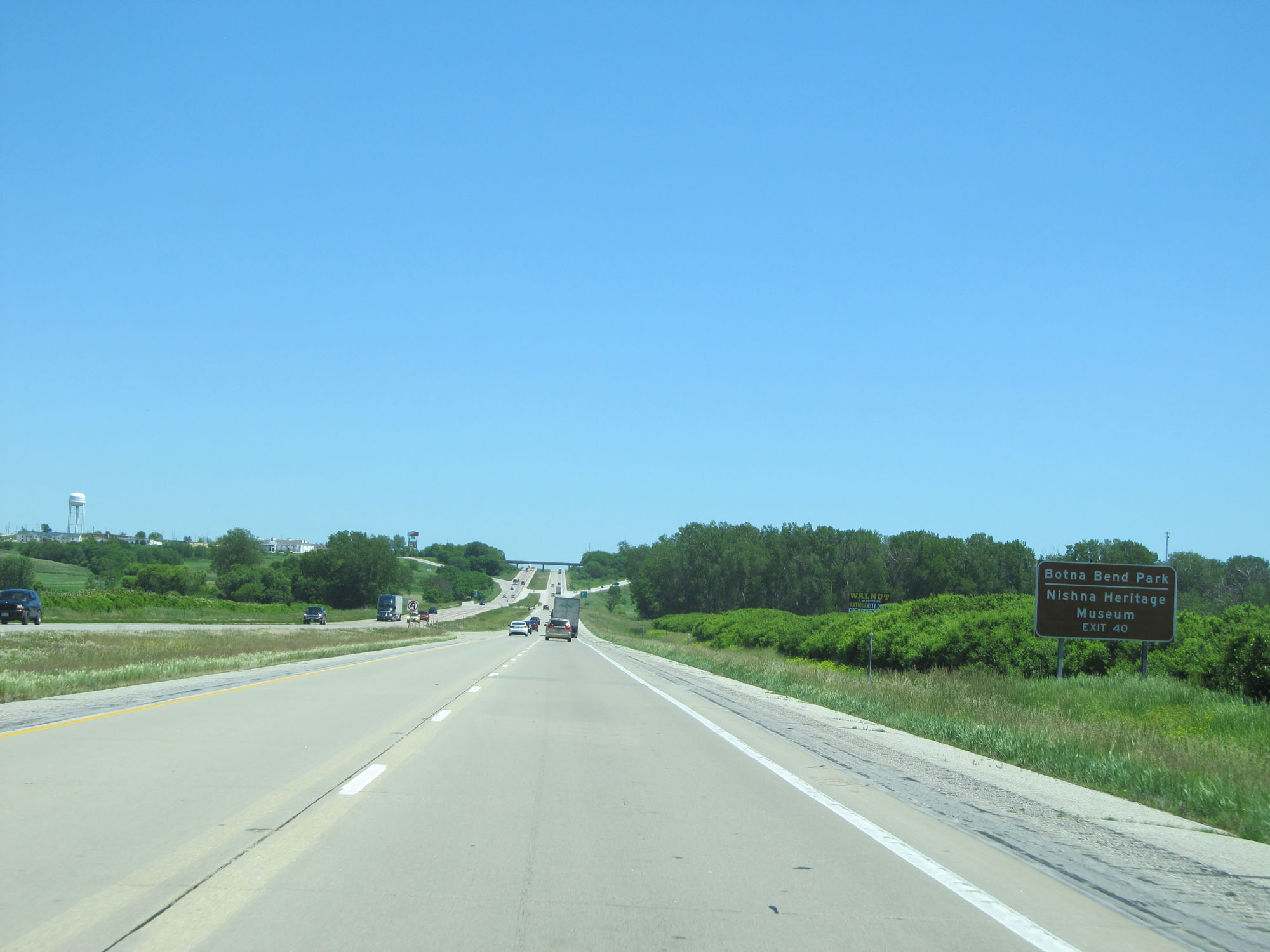 |
Take Exit 40 to Botna Bend Park and Nishna Heritage Museum. (Photo taken 5/29/16). |
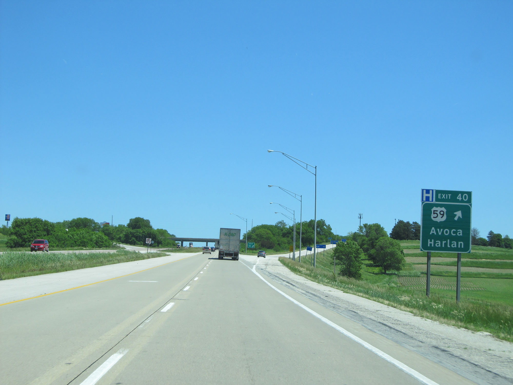 |
Interstate 80 East at Exit 40: US 59 - Avoca / Harlan (Photo taken 5/29/16). |
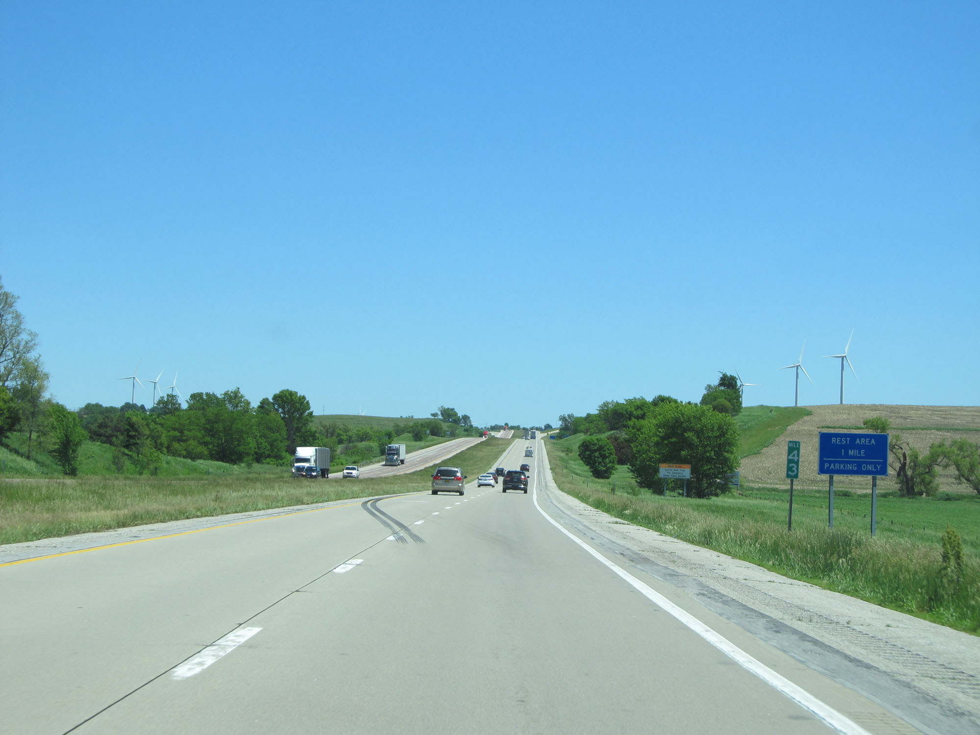 |
Interstate 80 East at mile marker 43. (Photo taken 5/29/16). |
 |
The next modern Rest Area (one that has facilities and isn't just a Parking Area) is 35 miles ahead. (Photo taken 5/29/16). |
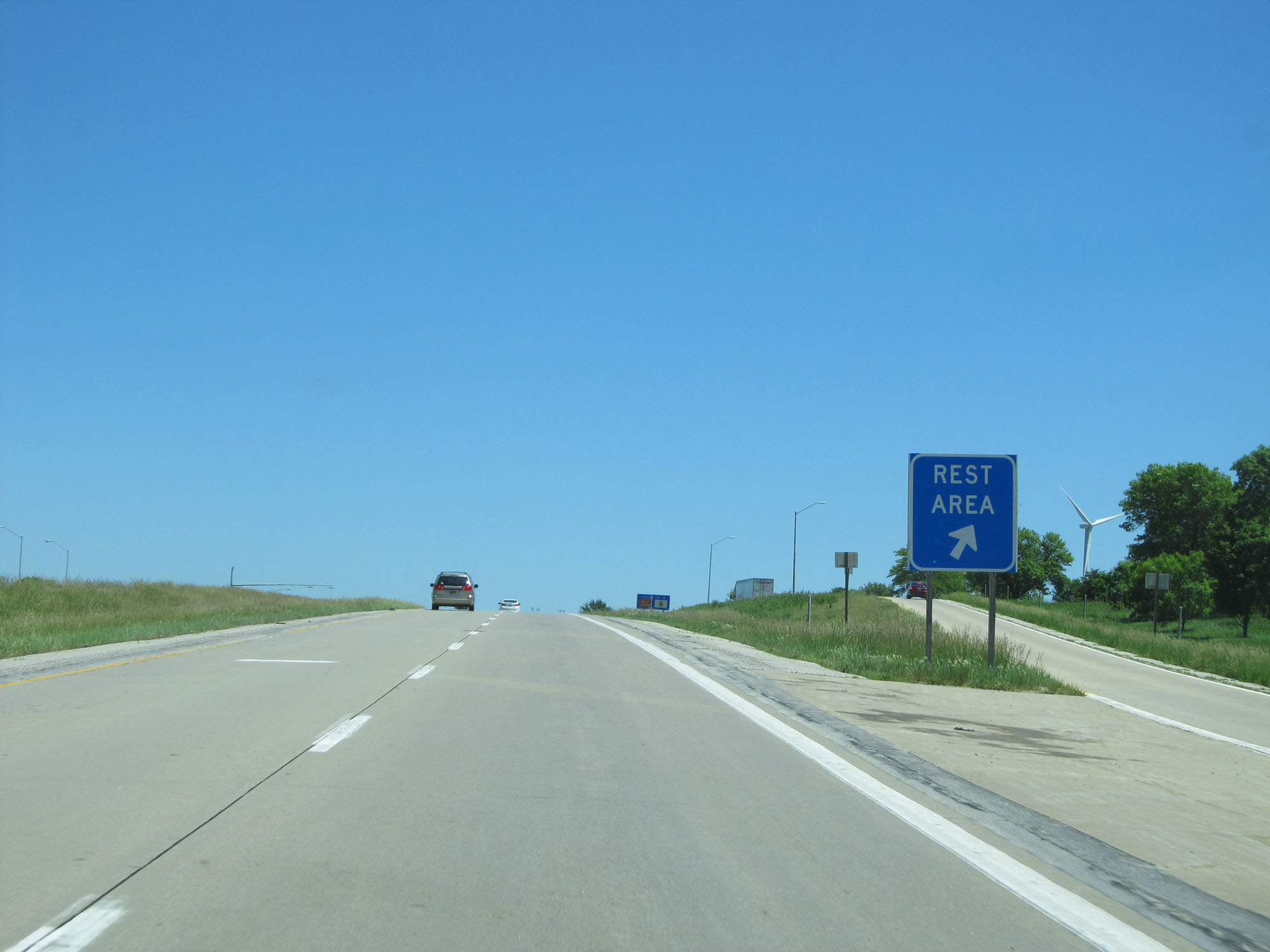 |
Interstate 80 East at a third Rest Area in Pottawattamie County. Again, this Rest Area has parking only. (Photo taken 5/29/16). |
 |
Take Exit 46 to Prairie Rose State Park. (Photo taken 5/29/16). |
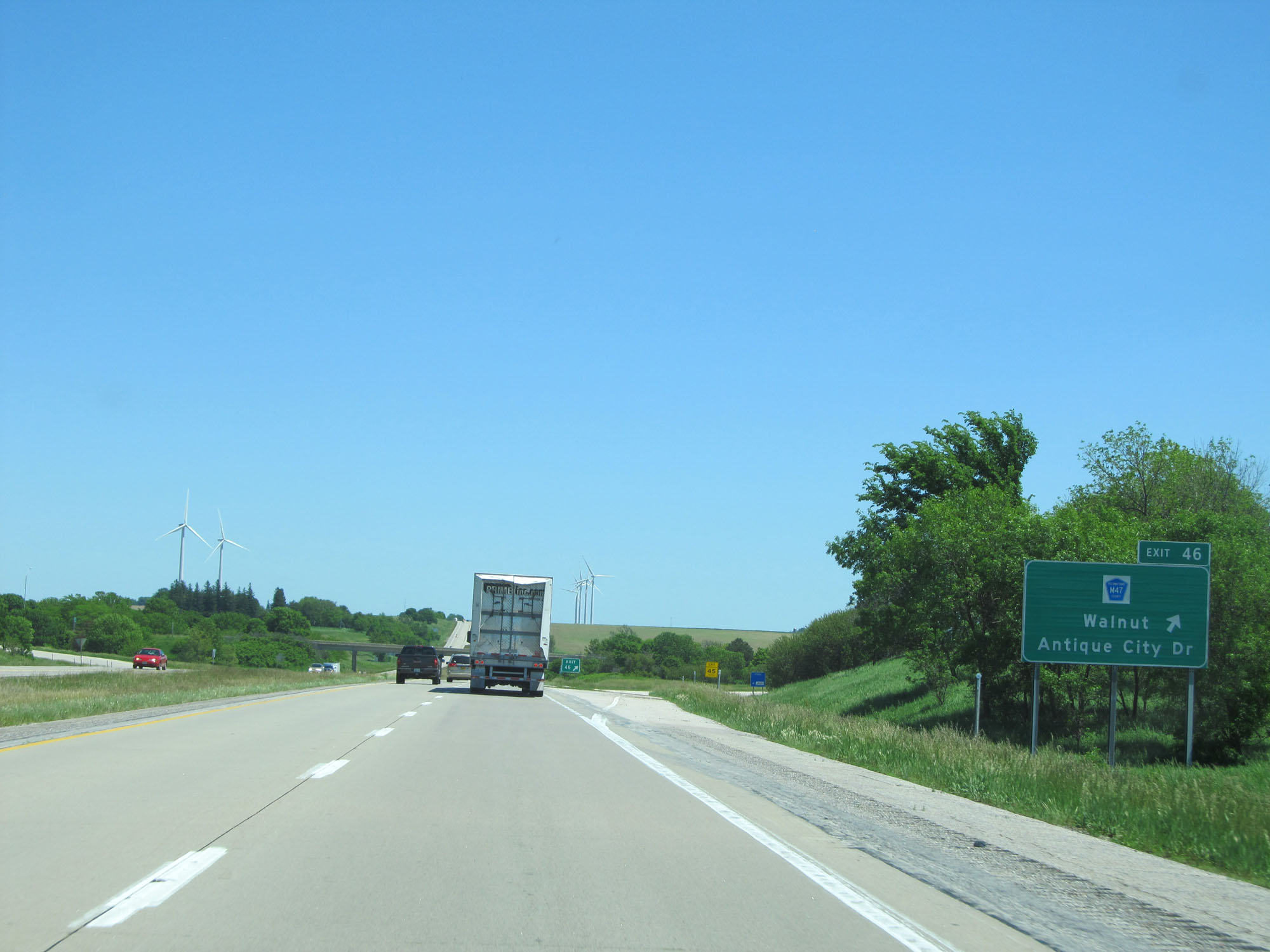 |
Interstate 80 East at Exit 46: CR M47 - Walnut / Antique City Dr (Photo taken 5/29/16). |
 |
State-named Interstate 80 East reassurance shield. (Photo taken 5/29/16). |
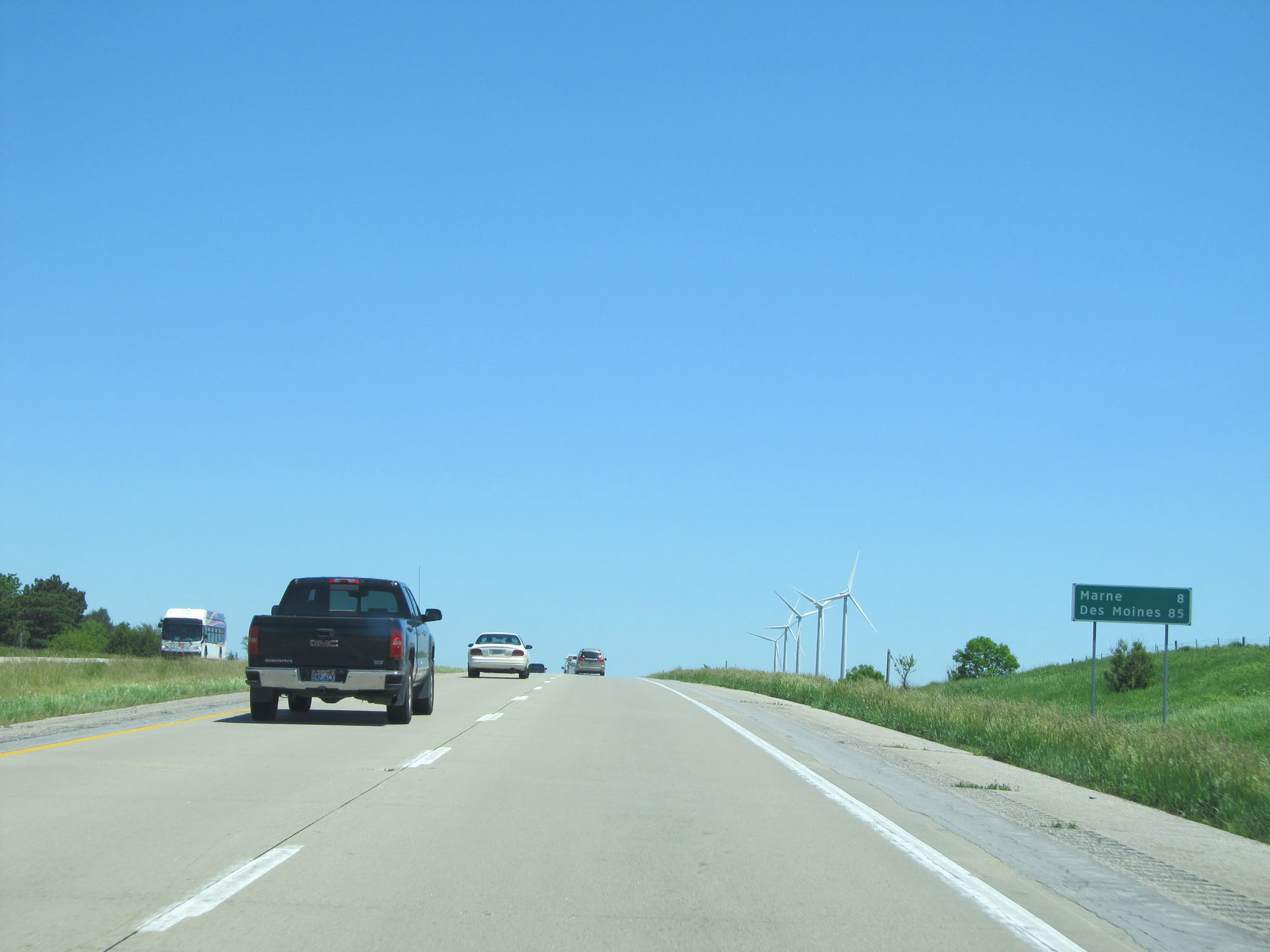 |
Mileage sign on Interstate 80 East. It's 8 miles to Marne and 85 miles to Des Moines. (Photo taken 5/29/16). |
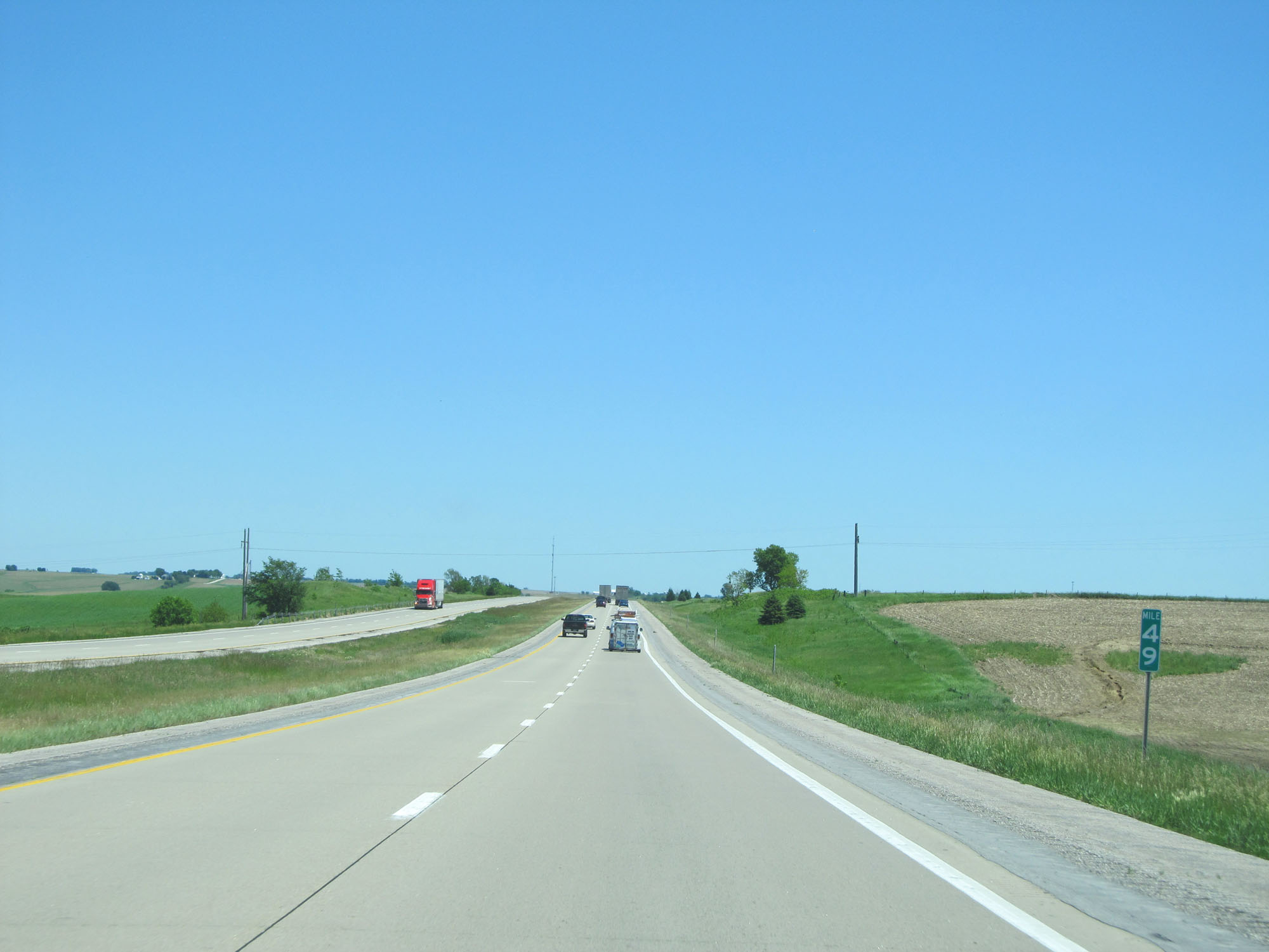 |
Interstate 80 East at mile marker 49. (Photo taken 5/29/16). |
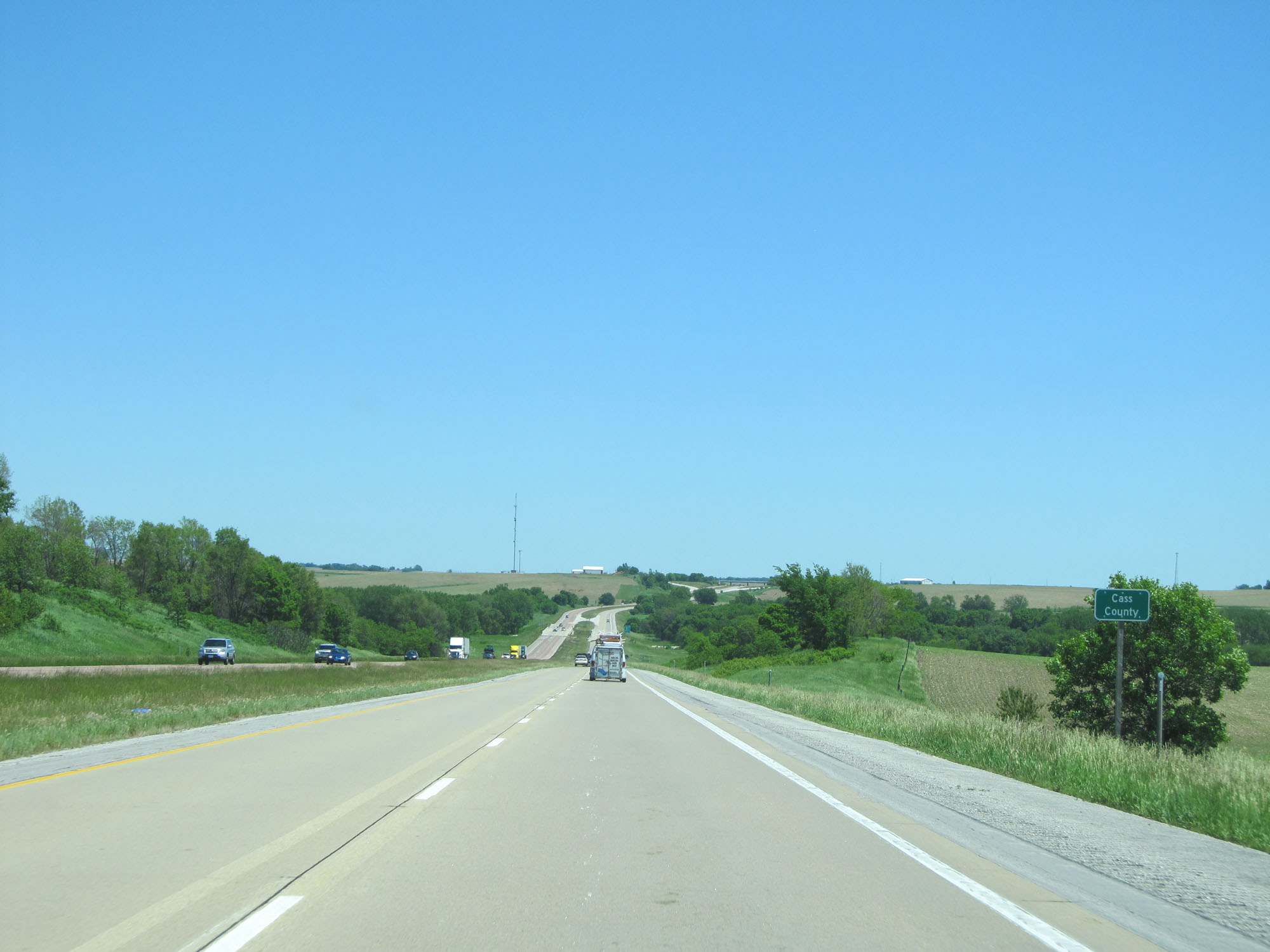 |
Interstate 80 East entering Cass County. (Photo taken 5/29/16). |
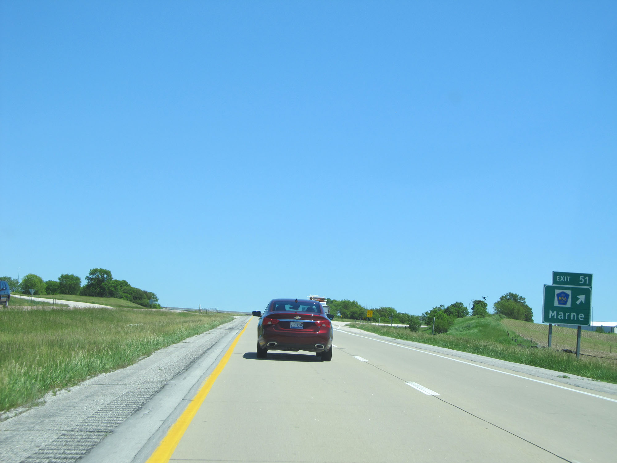 |
Interstate 80 East at Exit 51: CR M56 - Marne (Photo taken 5/29/16). |
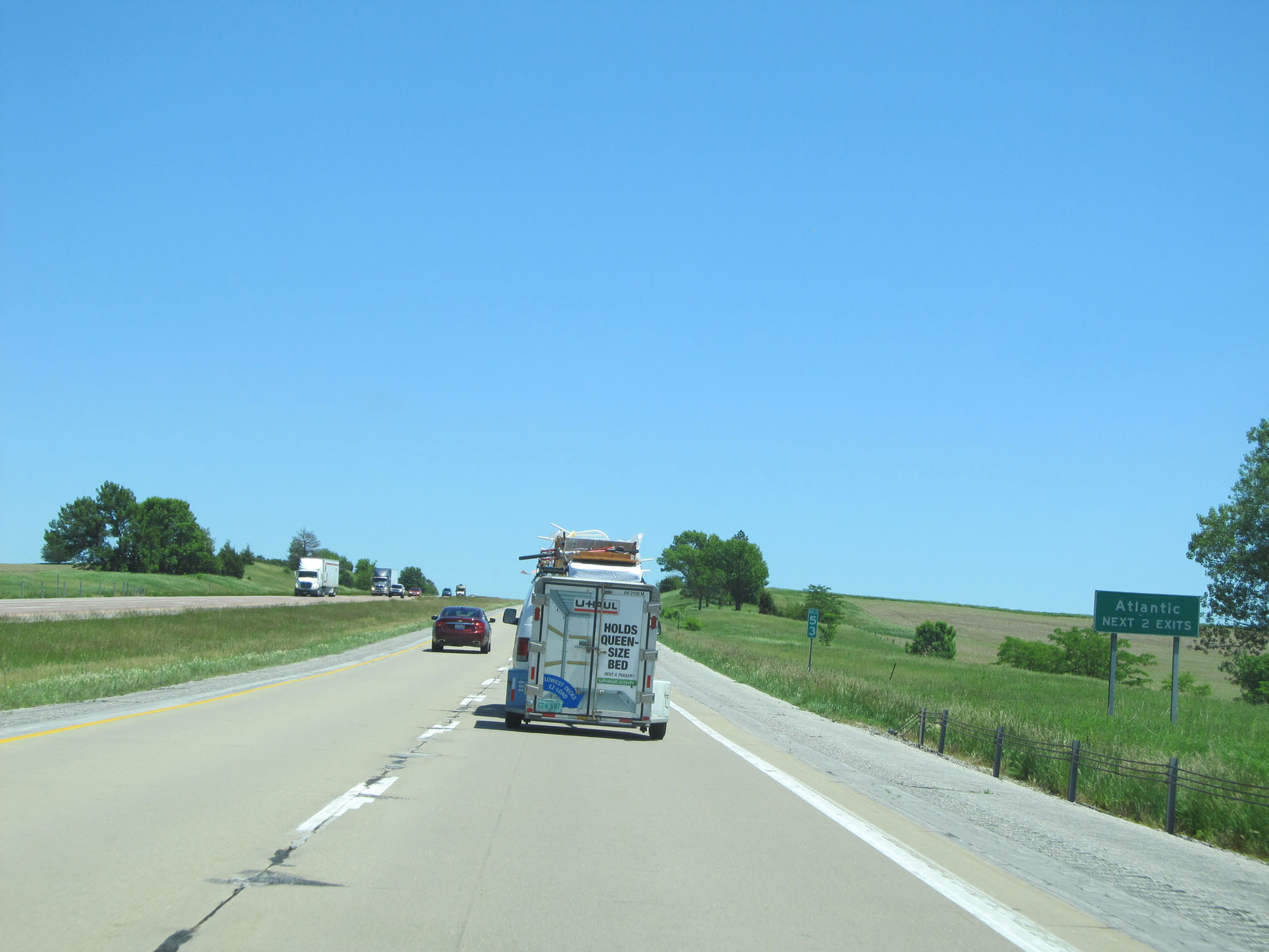 |
Take either of the next 2 exits to Atlantic. (Photo taken 5/29/16). |
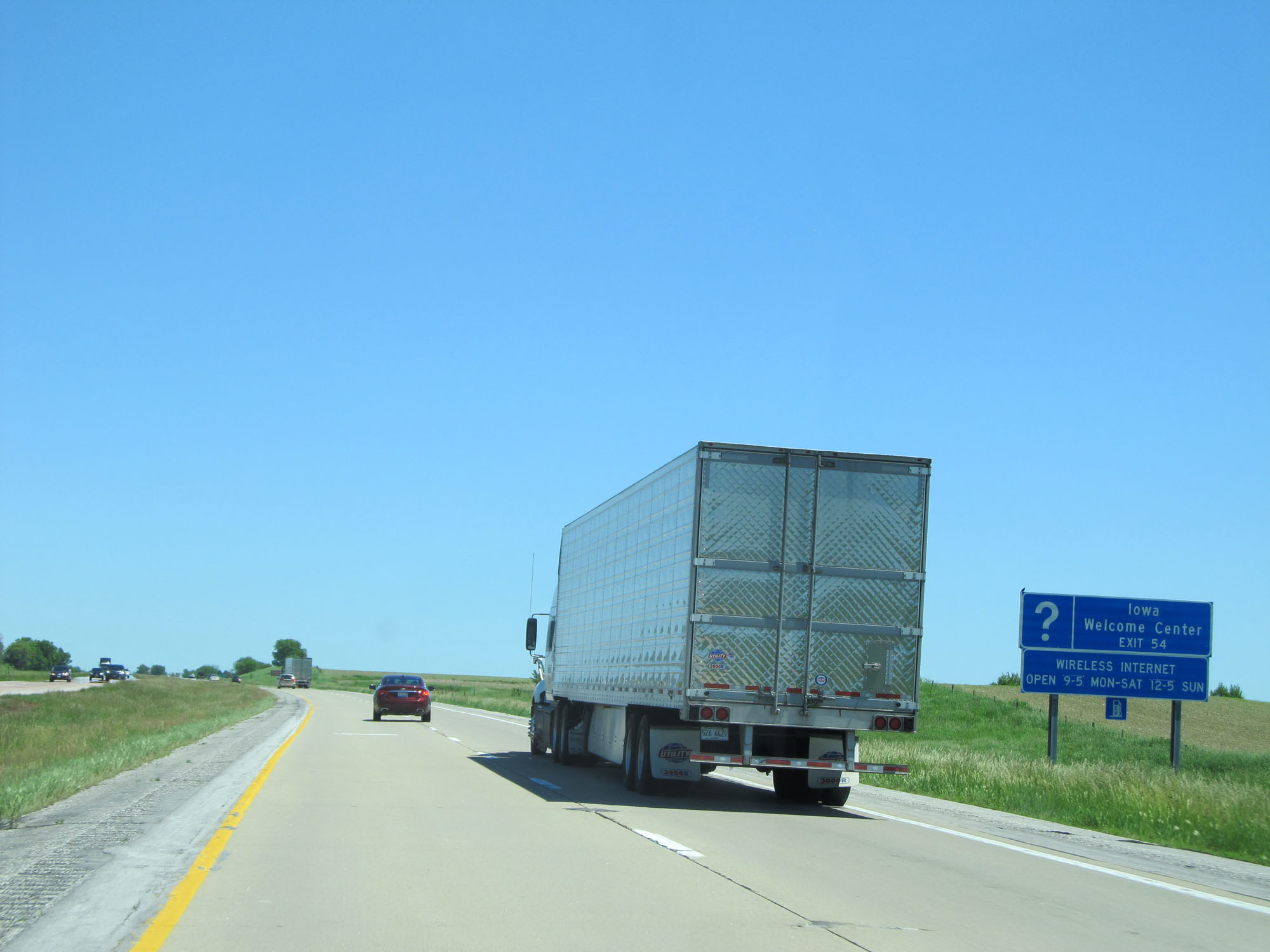 |
Take Exit 54 to an Iowa Welcome Center. (Photo taken 5/29/16). |
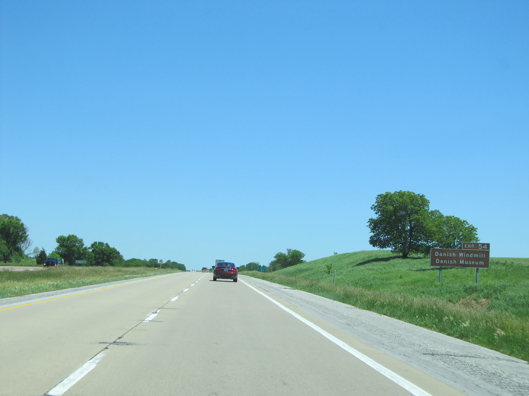 |
Also take Exit 54 to the Danish Windmill and Danish Museum. (Photo taken 5/29/16). |
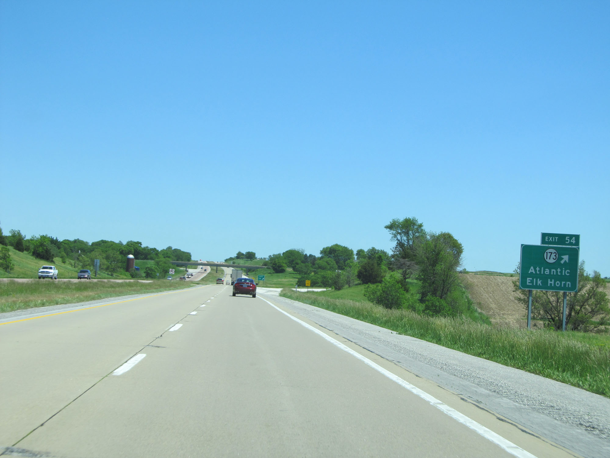 |
Interstate 80 East at Exit 54: IA 173 - Atlantic / Elk Horn (Photo taken 5/29/16). |
 |
Mileage sign on Interstate 80 East. It's 9 miles to Atlantic and 76 miles to Des Moines. (Photo taken 5/29/16). |
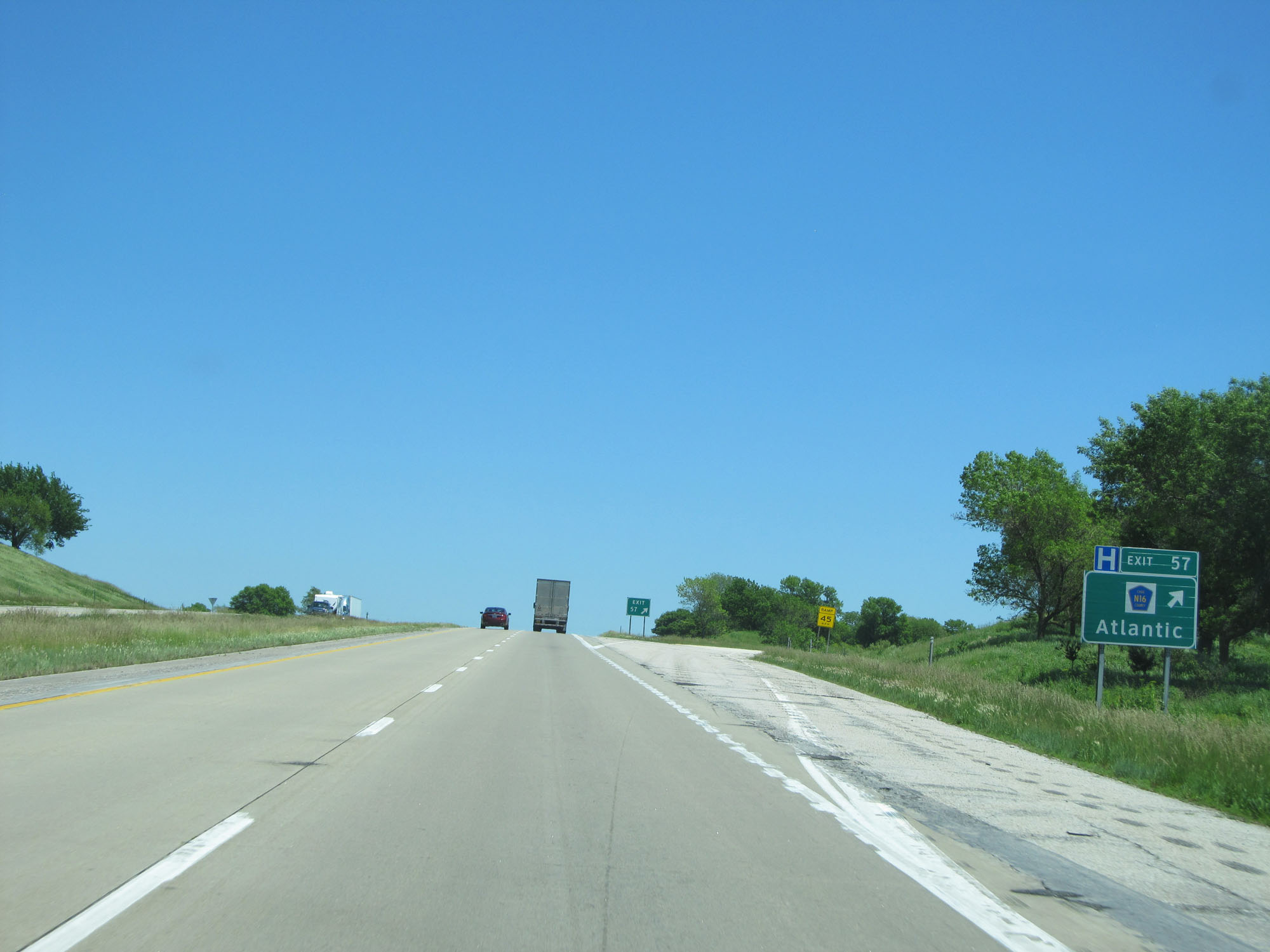 |
Interstate 80 East at Exit 57: CR N16 - Atlantic (Photo taken 5/29/16). |
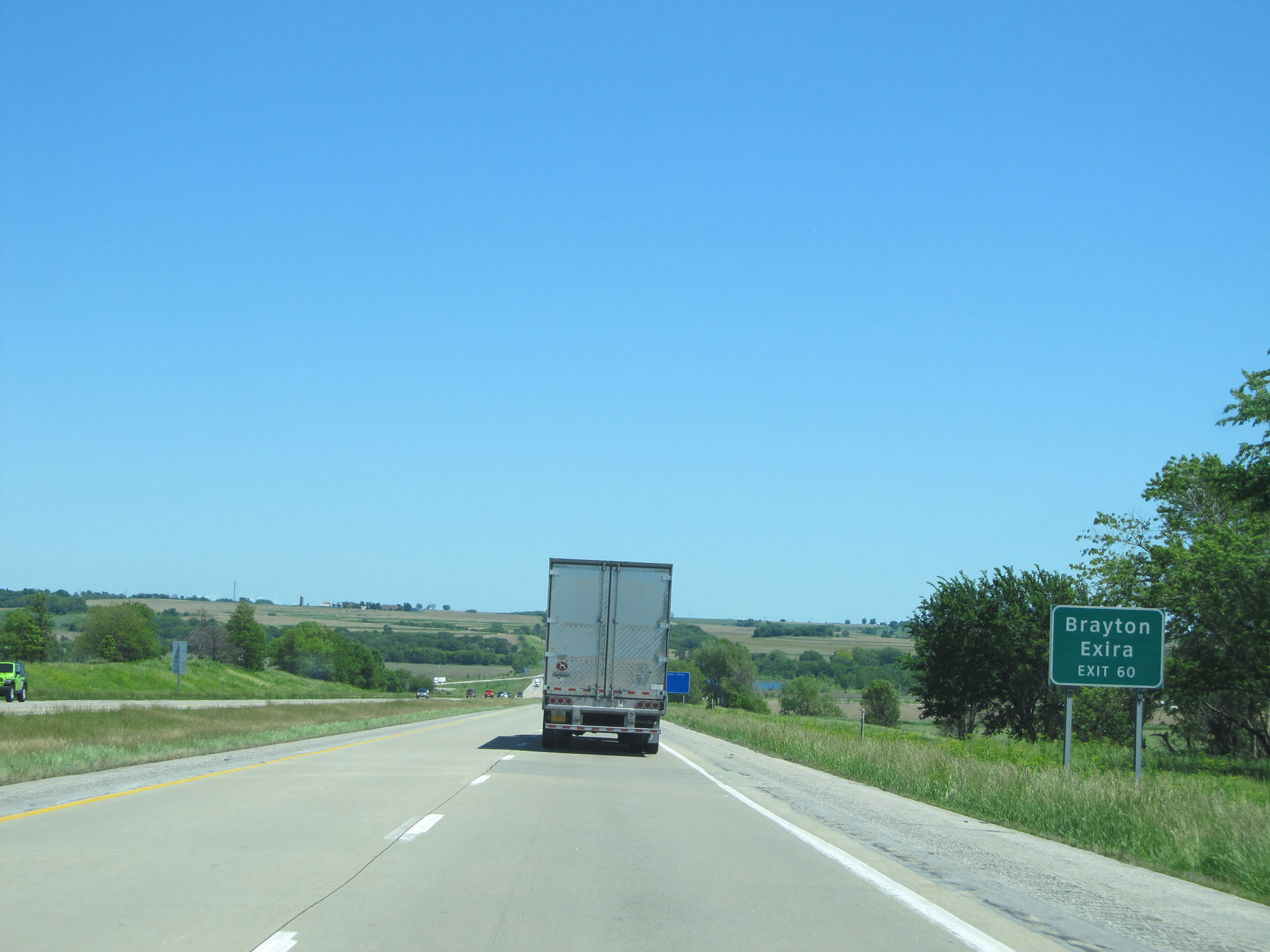 |
Take Exit 60 to Brayton and Exira. (Photo taken 5/29/16). |
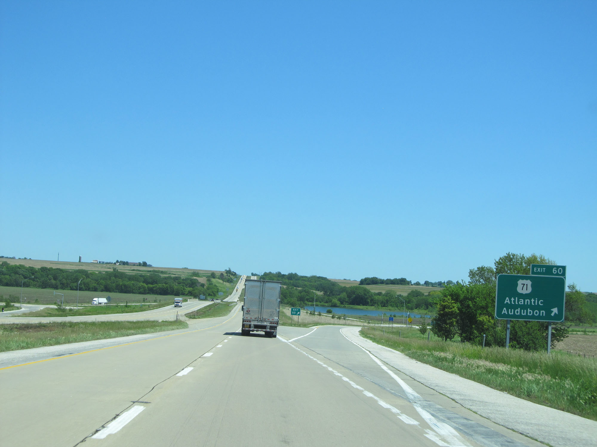 |
Interstate 80 East at Exit 60: US 71 - Atlantic / Audubon (Photo taken 5/29/16). |
 |
Interstate 80 East at Exit 64: CR N28 - Wiota (Photo taken 5/29/16). |
 |
Interstate 80 East at mile marker 68. (Photo taken 5/29/16). |
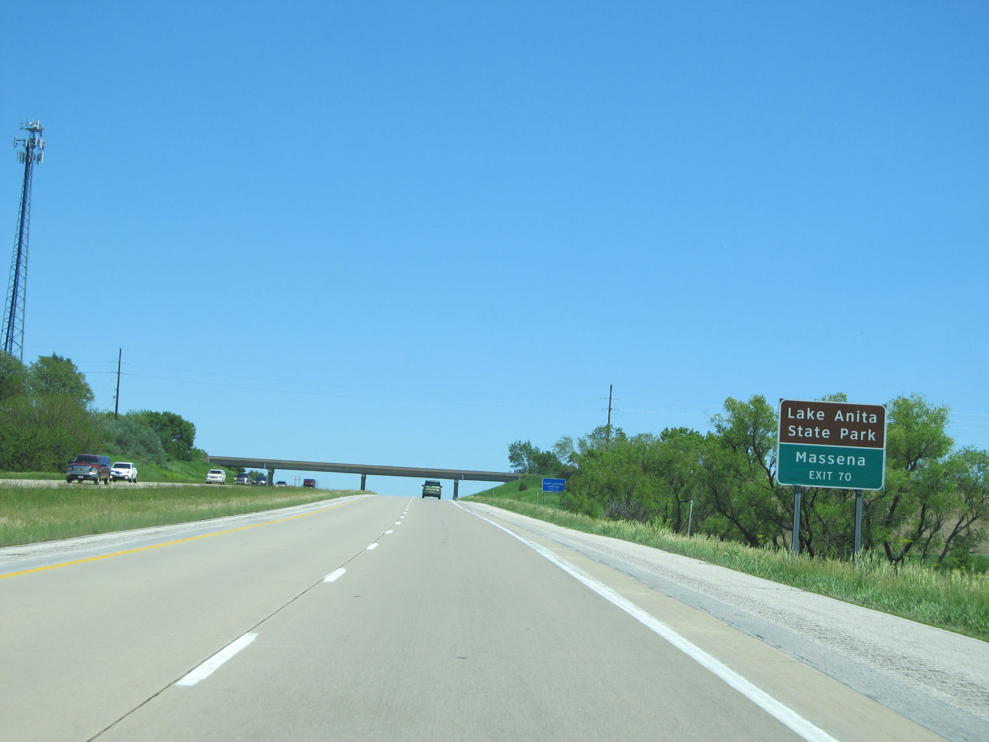 |
Take Exit 70 to Lake Anita State Park and Massena. (Photo taken 5/29/16). |
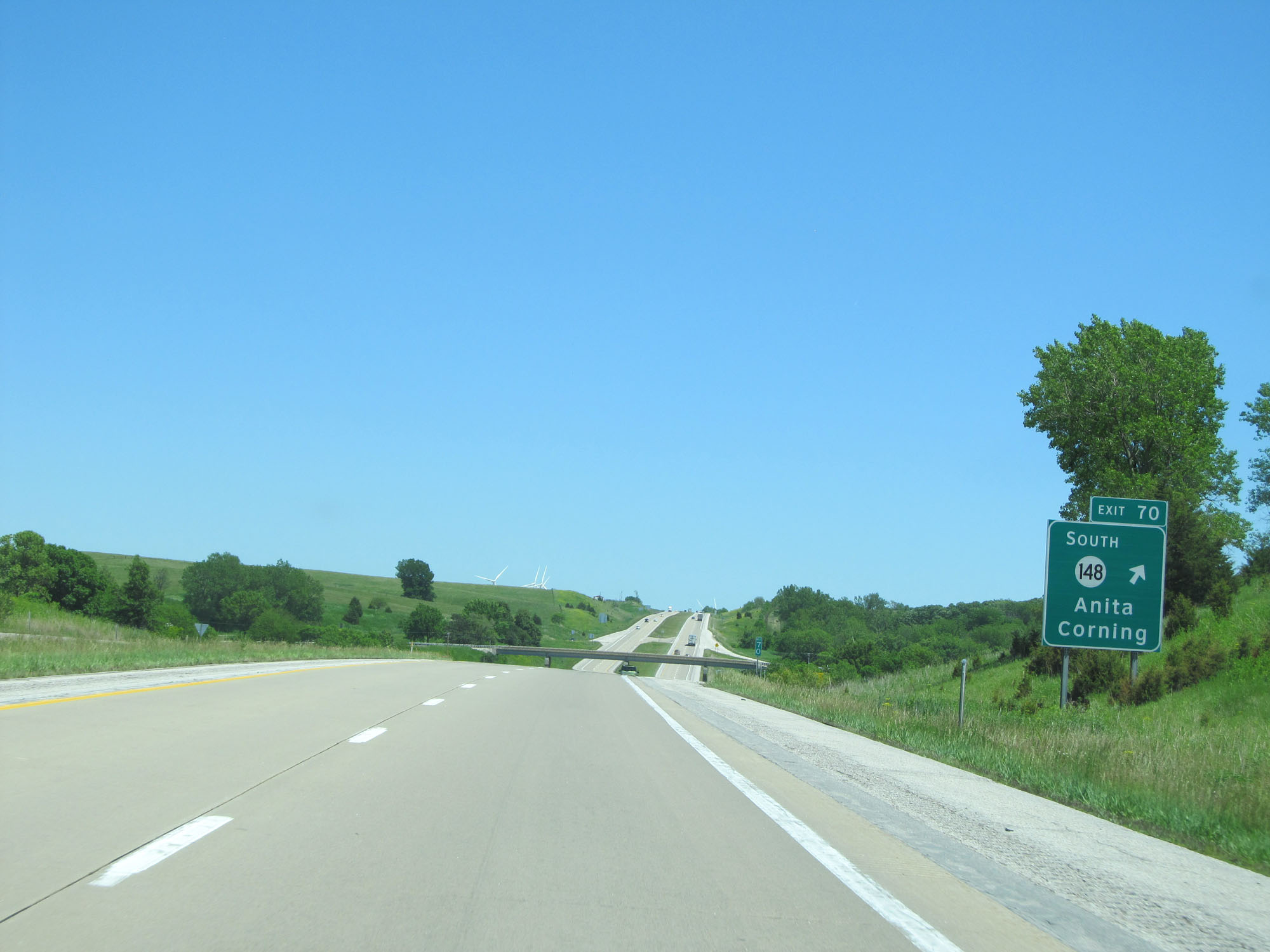 |
Interstate 80 East at Exit 70: IA 148 South - Anita / Corning (Photo taken 5/29/16). |
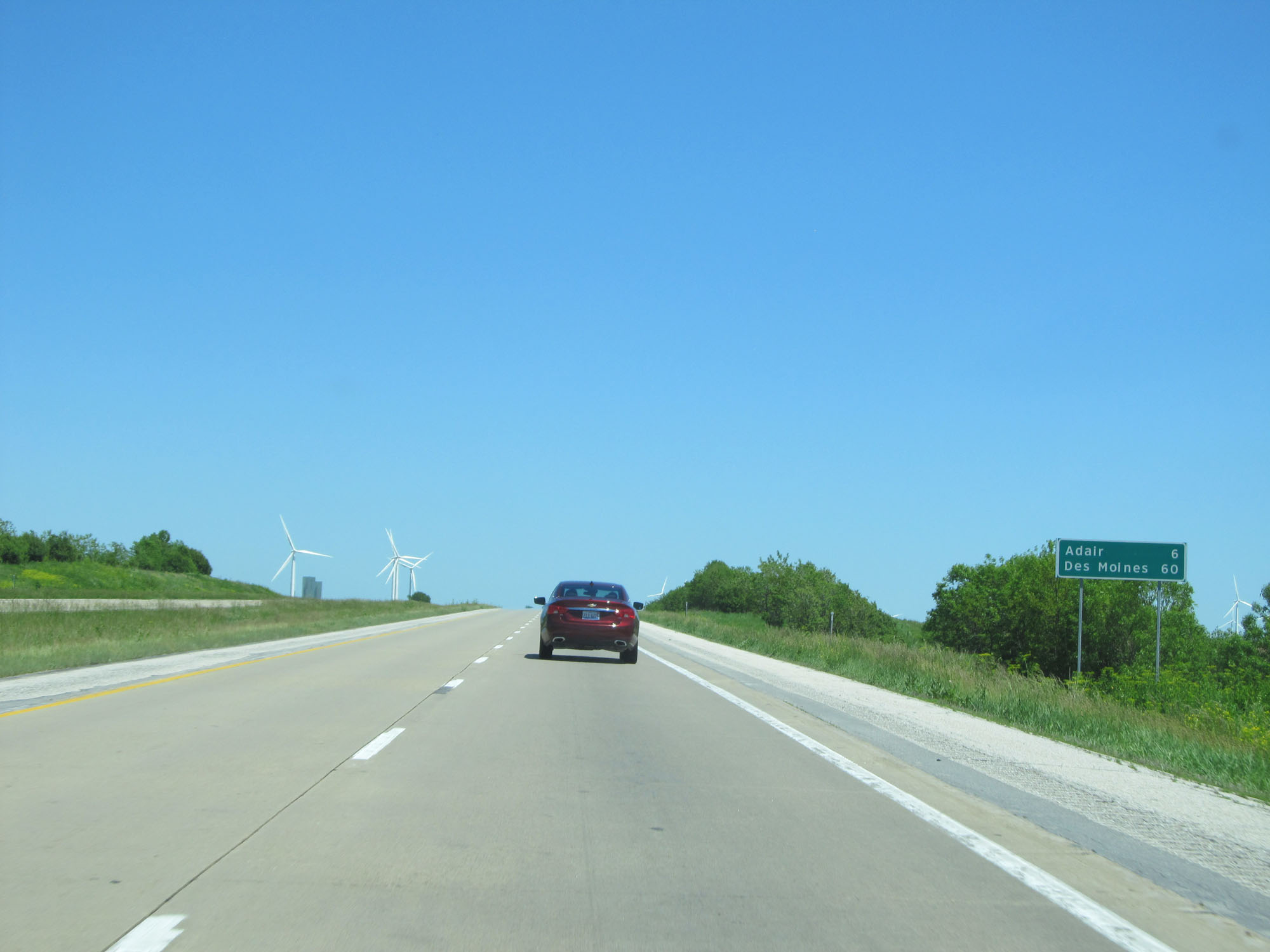 |
Mileage sign on Interstate 80 East. It's 6 miles to Adair and 60 miles to Des Moines. (Photo taken 5/29/16). |
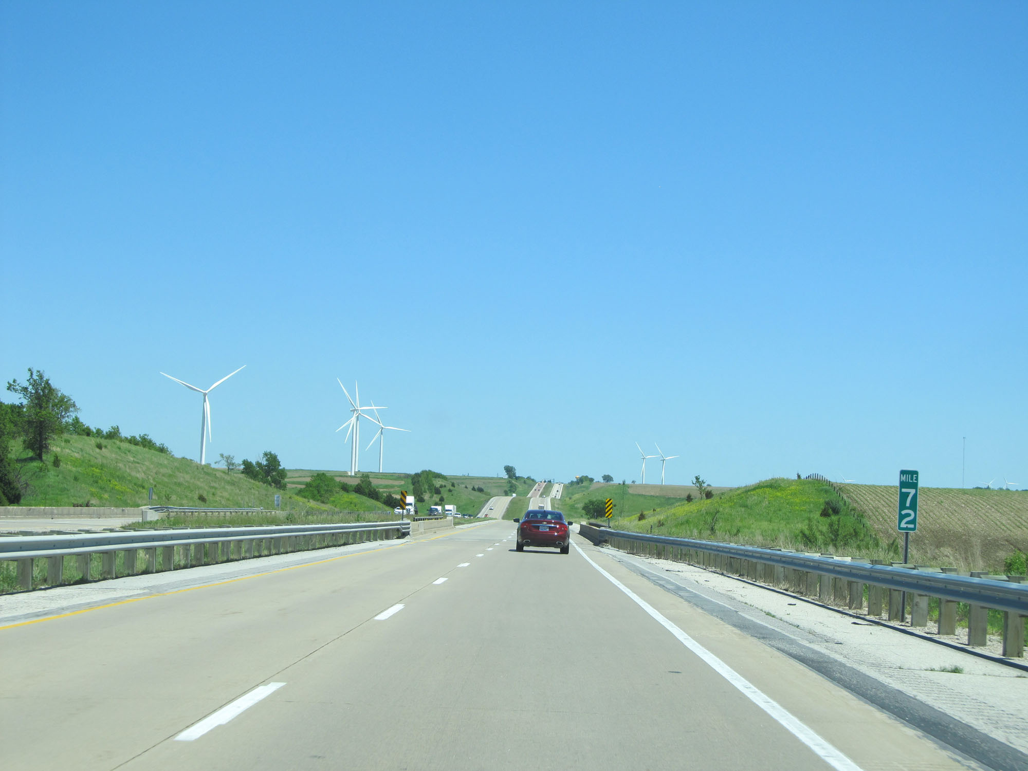 |
Interstate 80 East at mile marker 72. (Photo taken 5/29/16). |
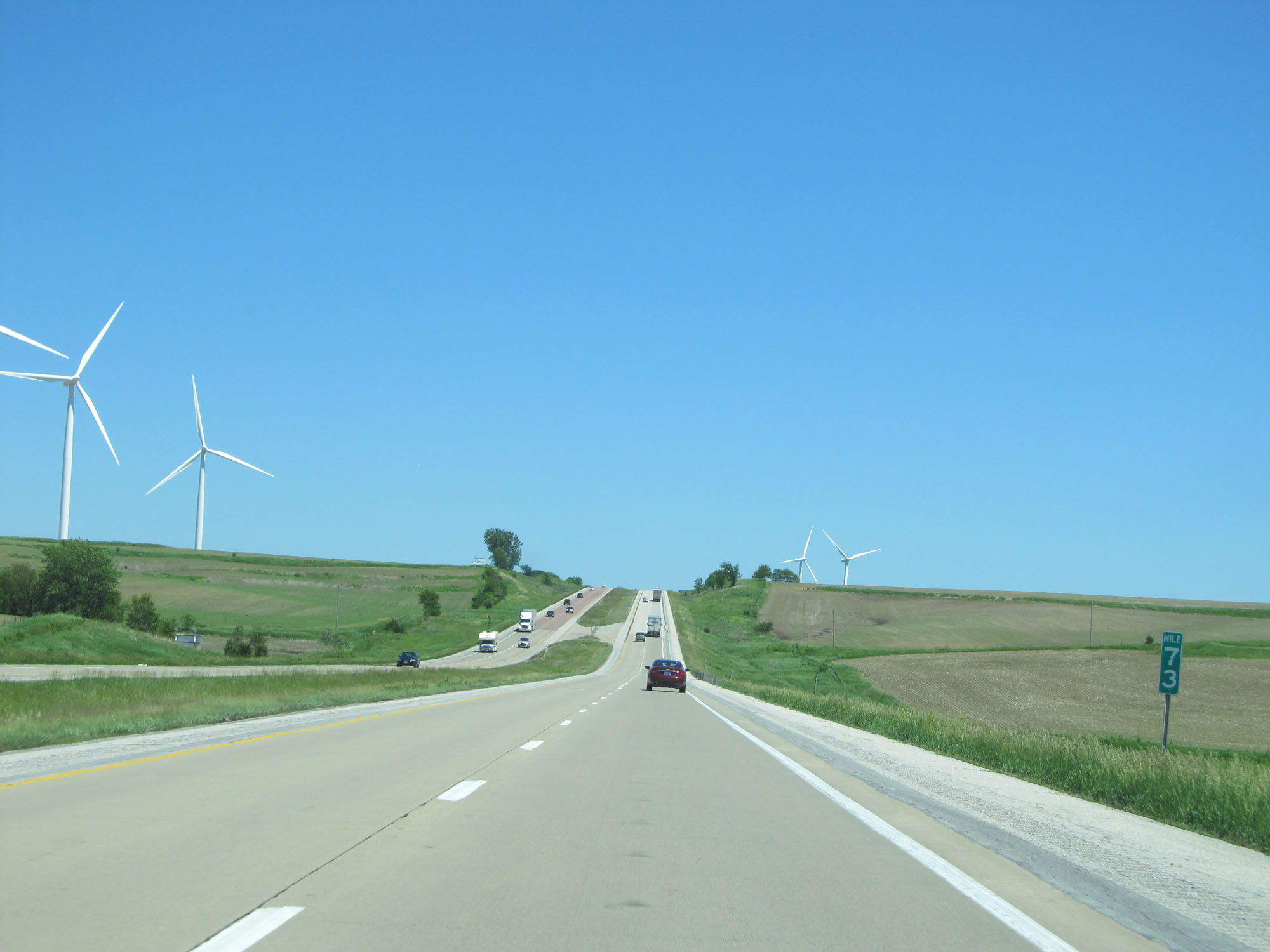 |
Interstate 80 East at mile marker 73. (Photo taken 5/29/16). |
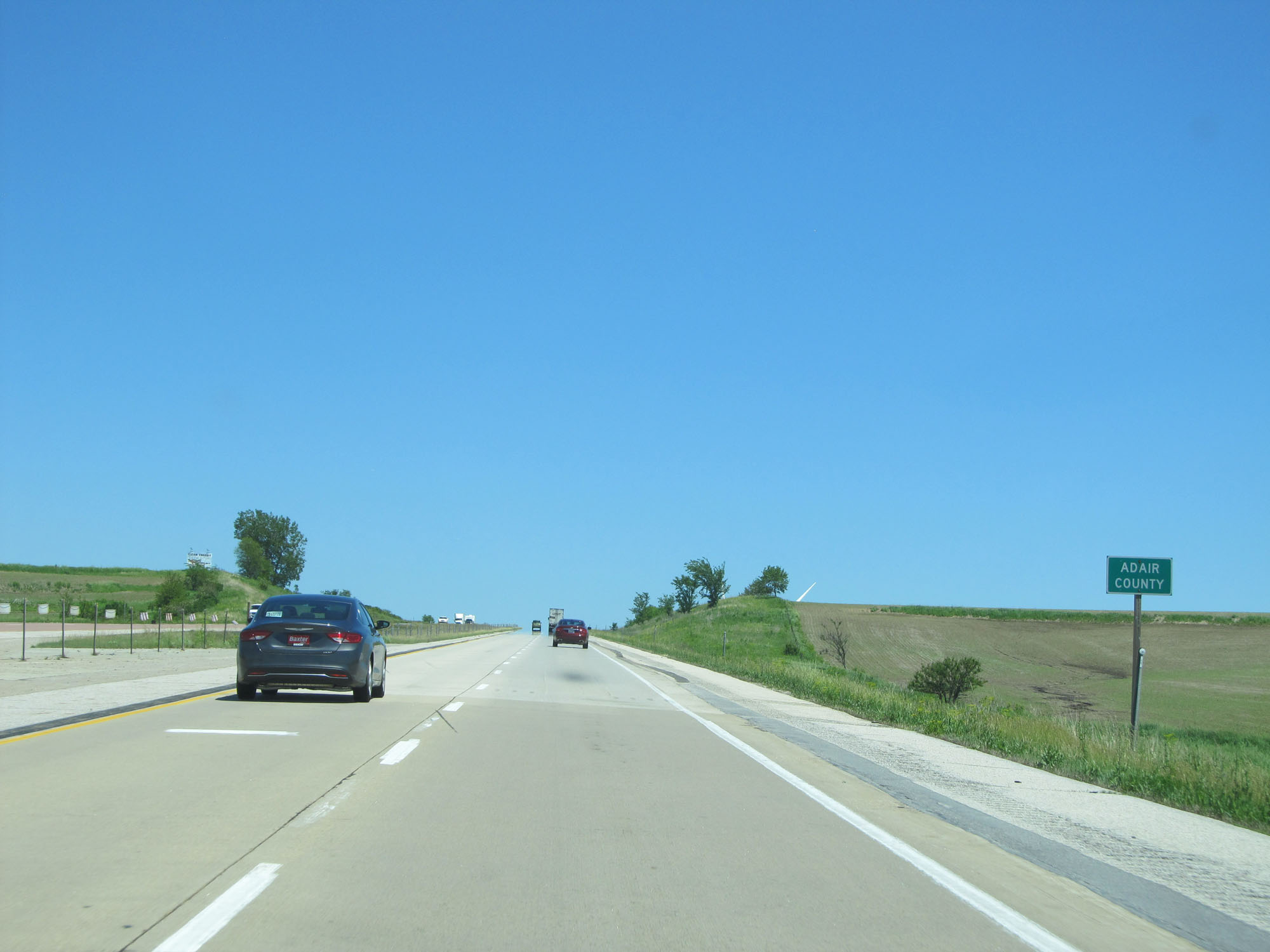 |
Interstate 80 East entering Adair County. (Photo taken 5/29/16). |
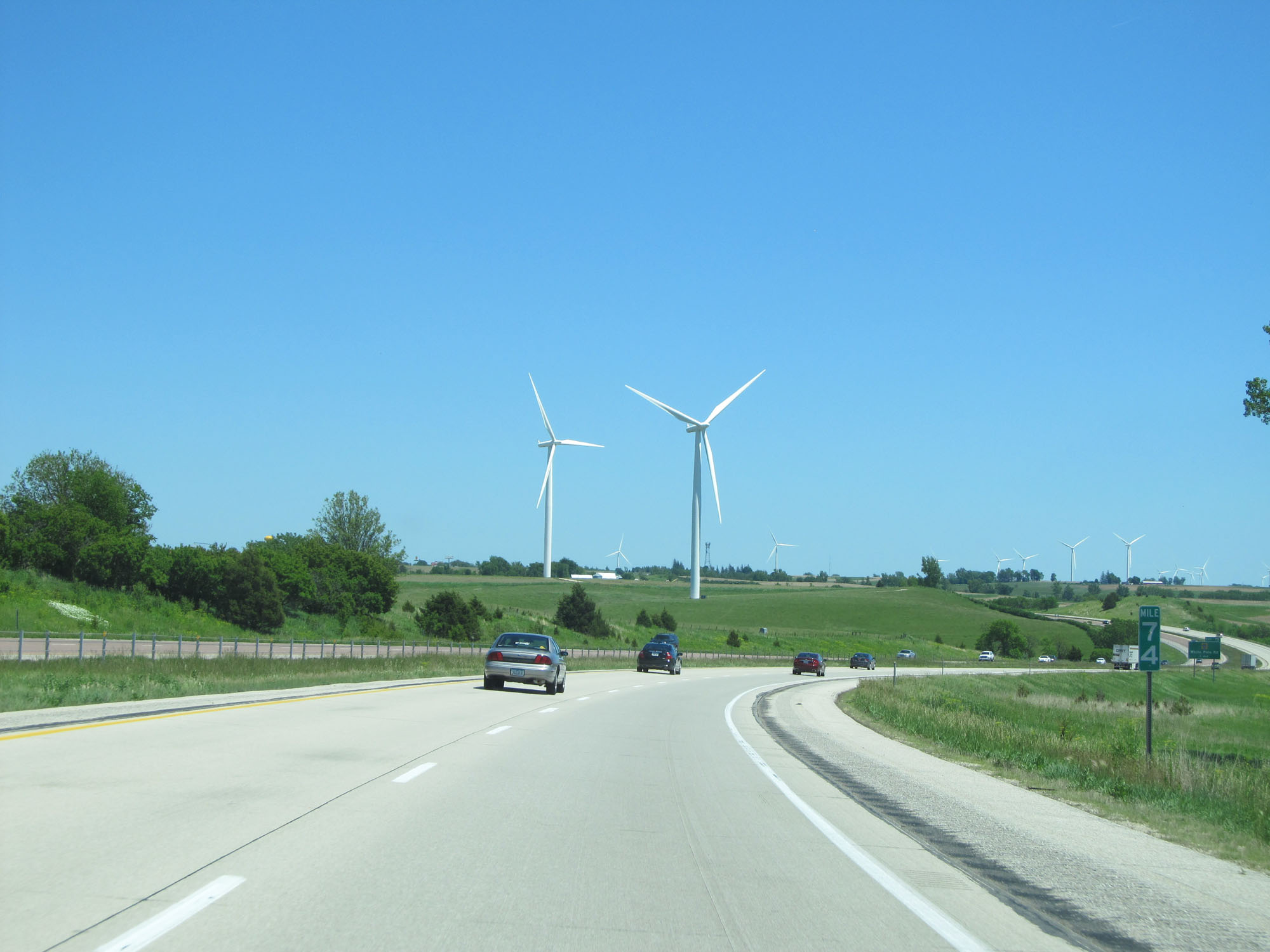 |
Interstate 80 East at mile marker 74. Adair is known locally for the big wind turbines you see here along Interstate 80. (Photo taken 5/29/16). |
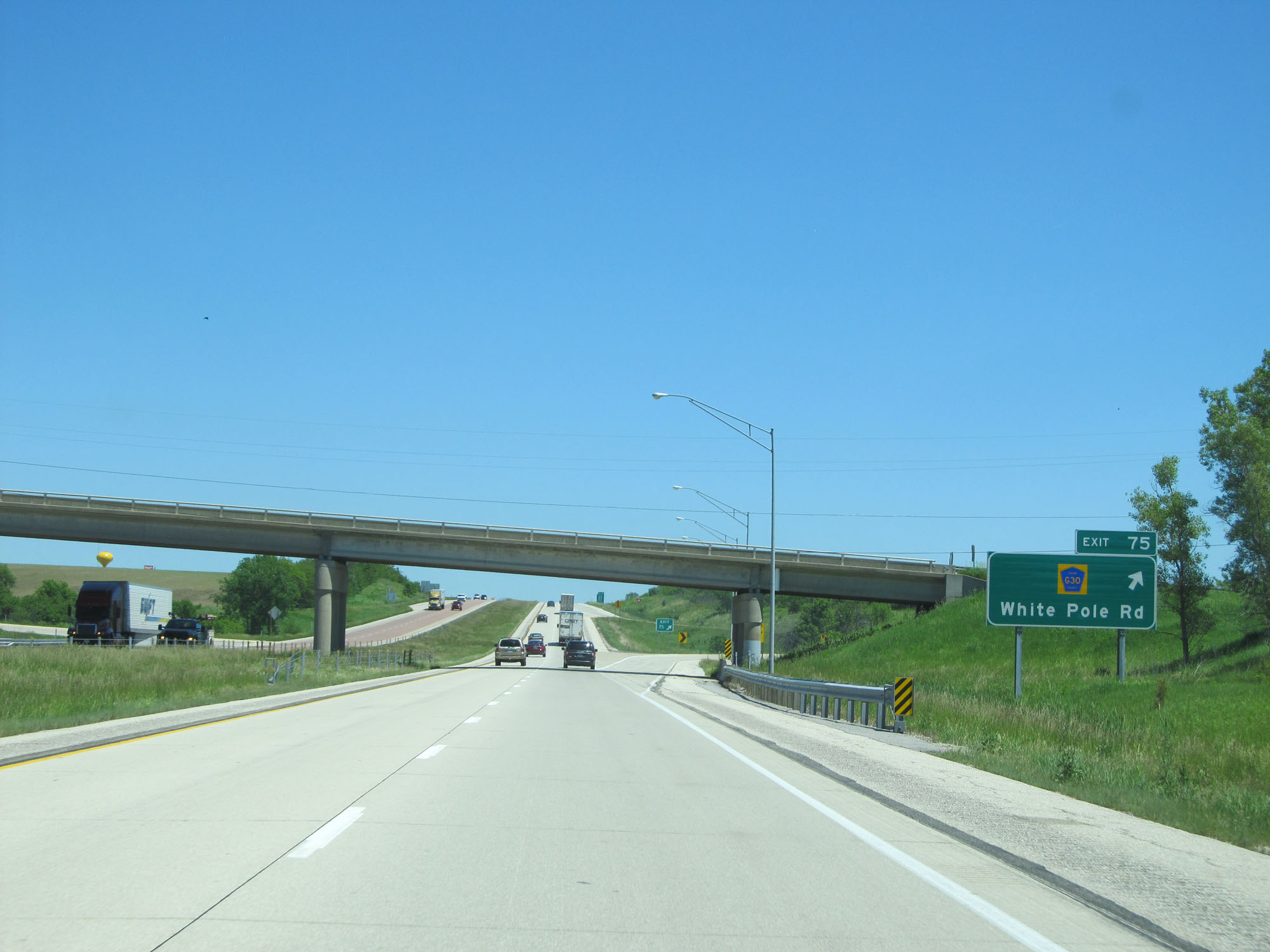 |
Interstate 80 East at Exit 75: CR G30 - White Pole Rd (Photo taken 5/29/16). |
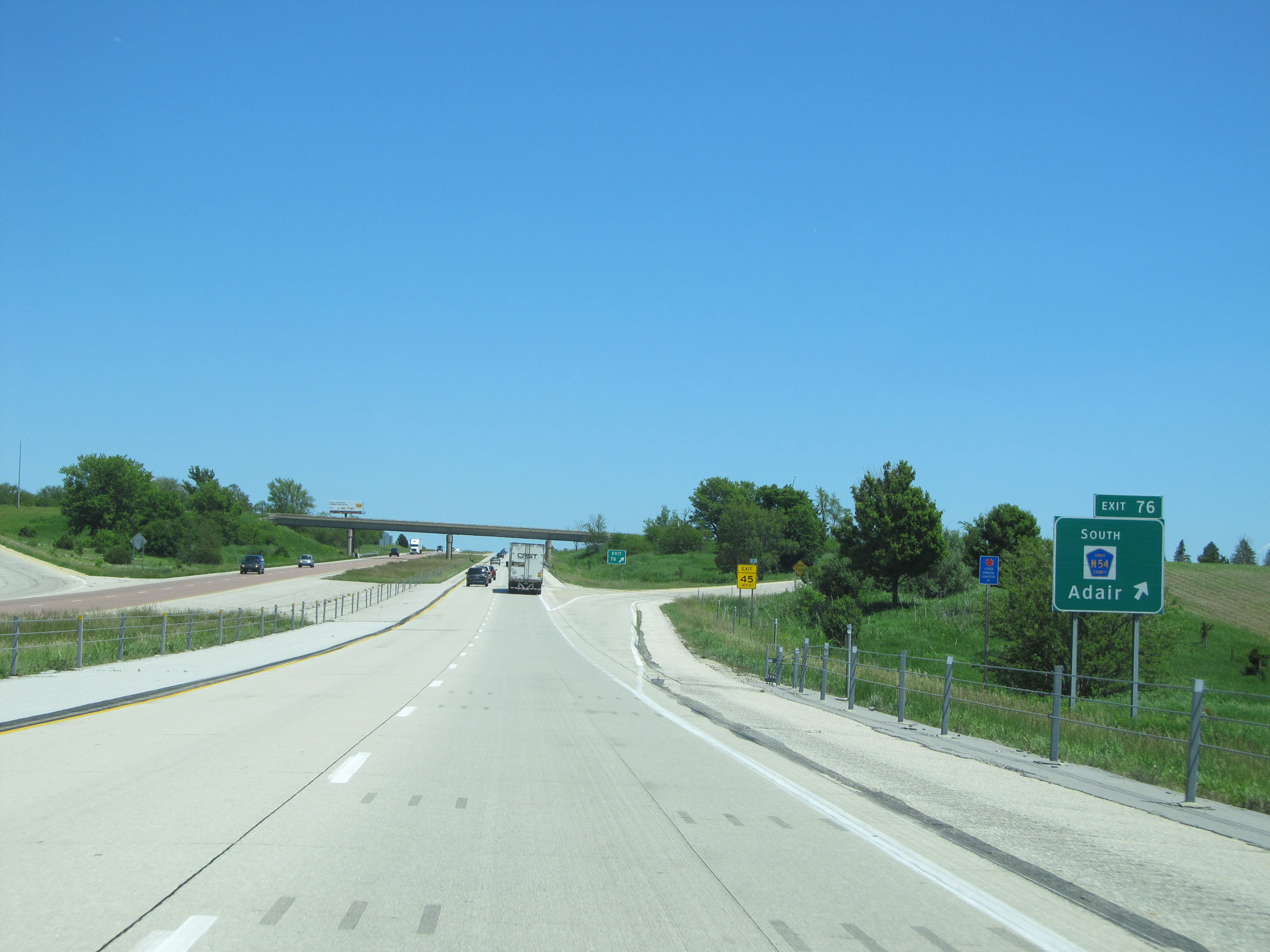 |
Interstate 80 East at Exit 76: CR N54 - Adair (Photo taken 5/29/16). |
Section 2: Adair (Exit 76) to Des Moines (Exit 137B)
 |
The speed limit remains 70 mph with a minimum speed limit of 40 mph. (Photo taken 5/29/16). |
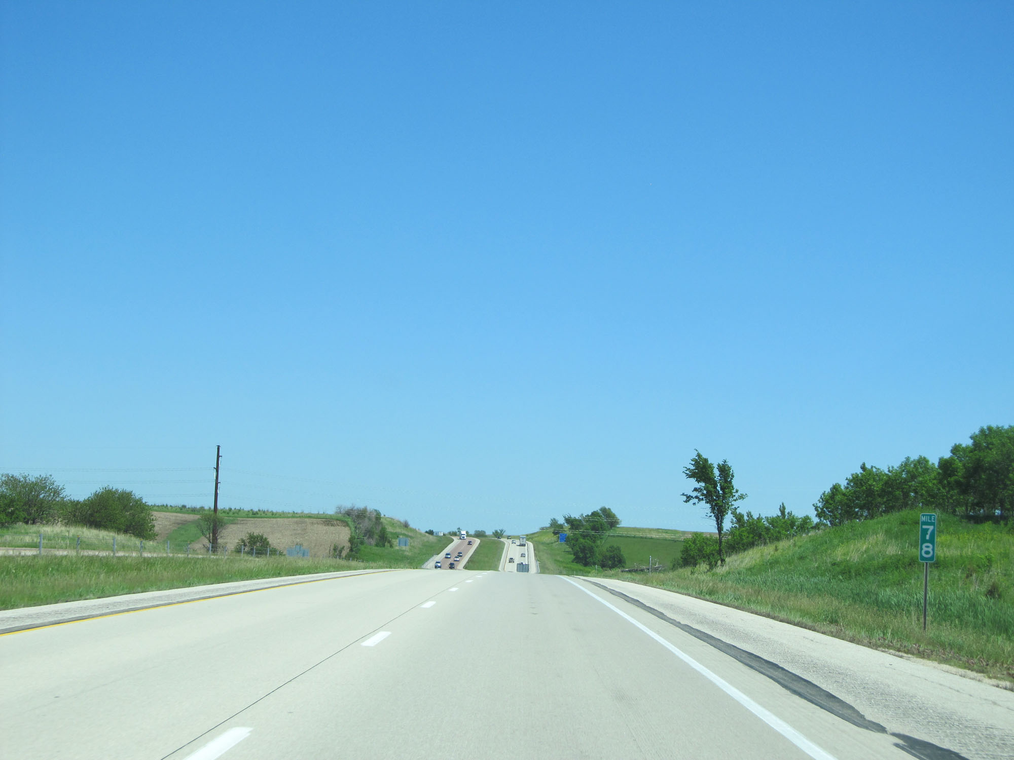 |
Interstate 80 East at mile marker 78. (Photo taken 5/29/16). |
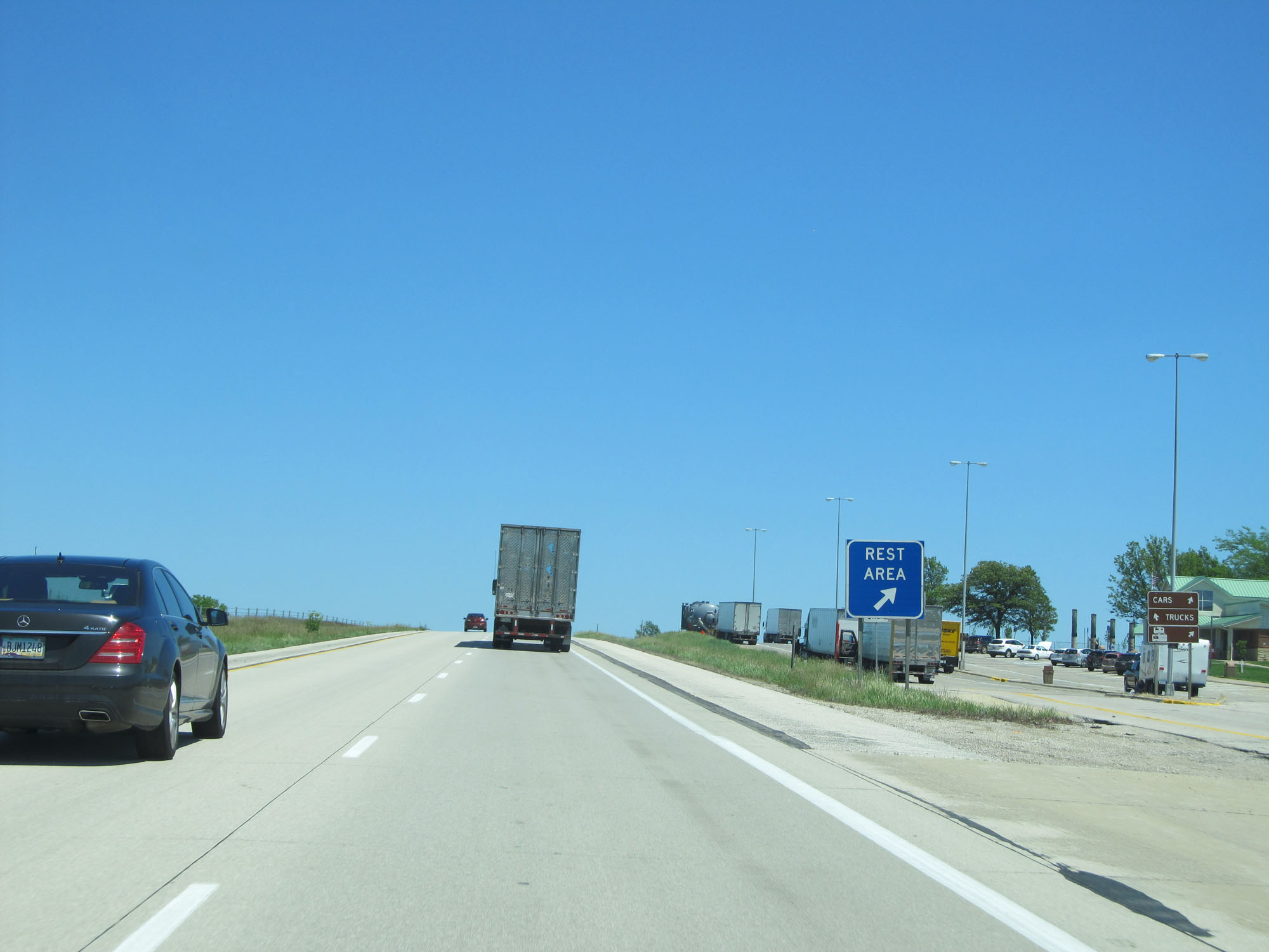 |
Interstate 80 East at a Rest Area in Adair County. (Photo taken 5/29/16). |
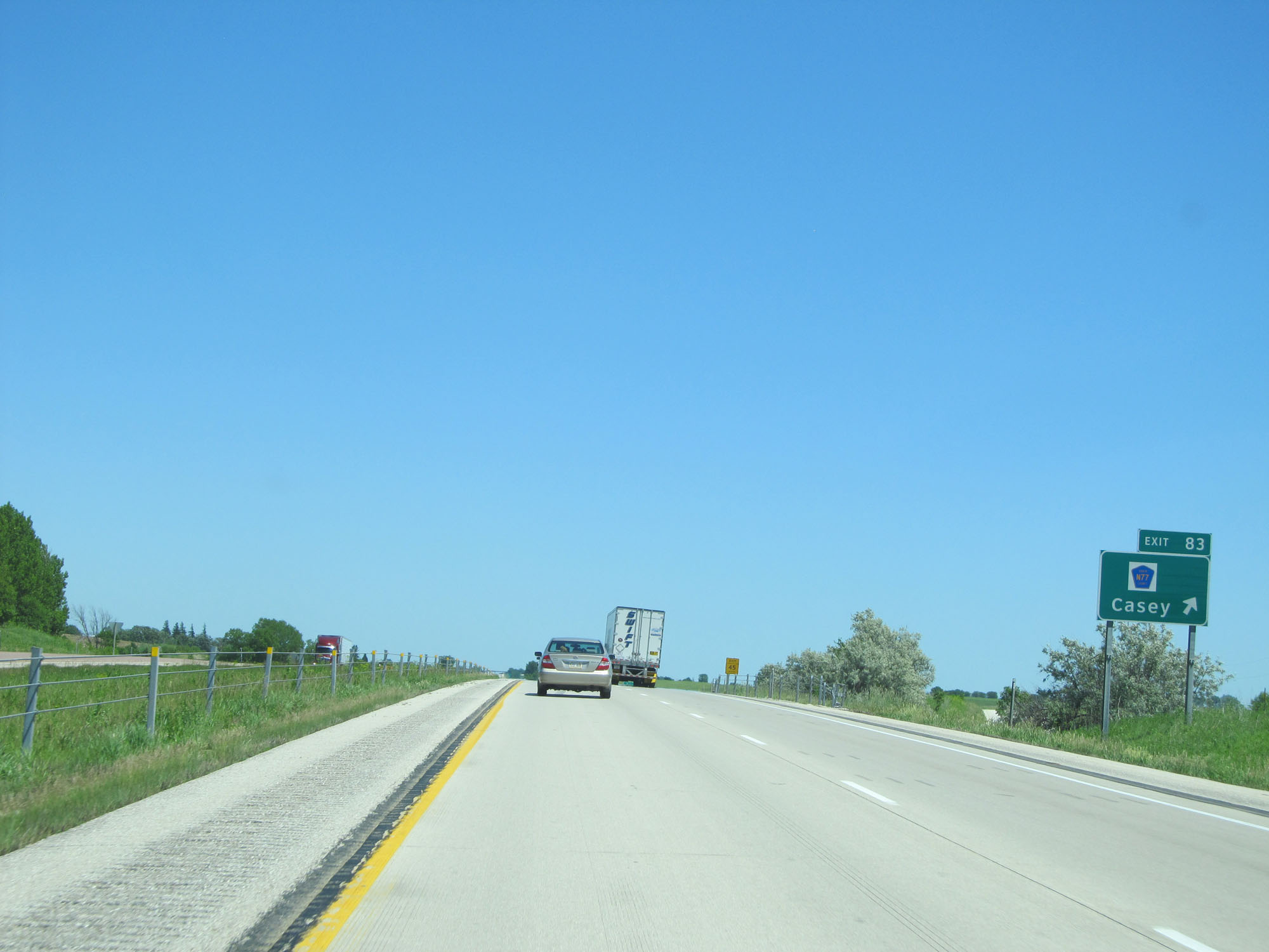 |
Interstate 80 East at Exit 83: CR N77 - Casey (Photo taken 5/29/16). |
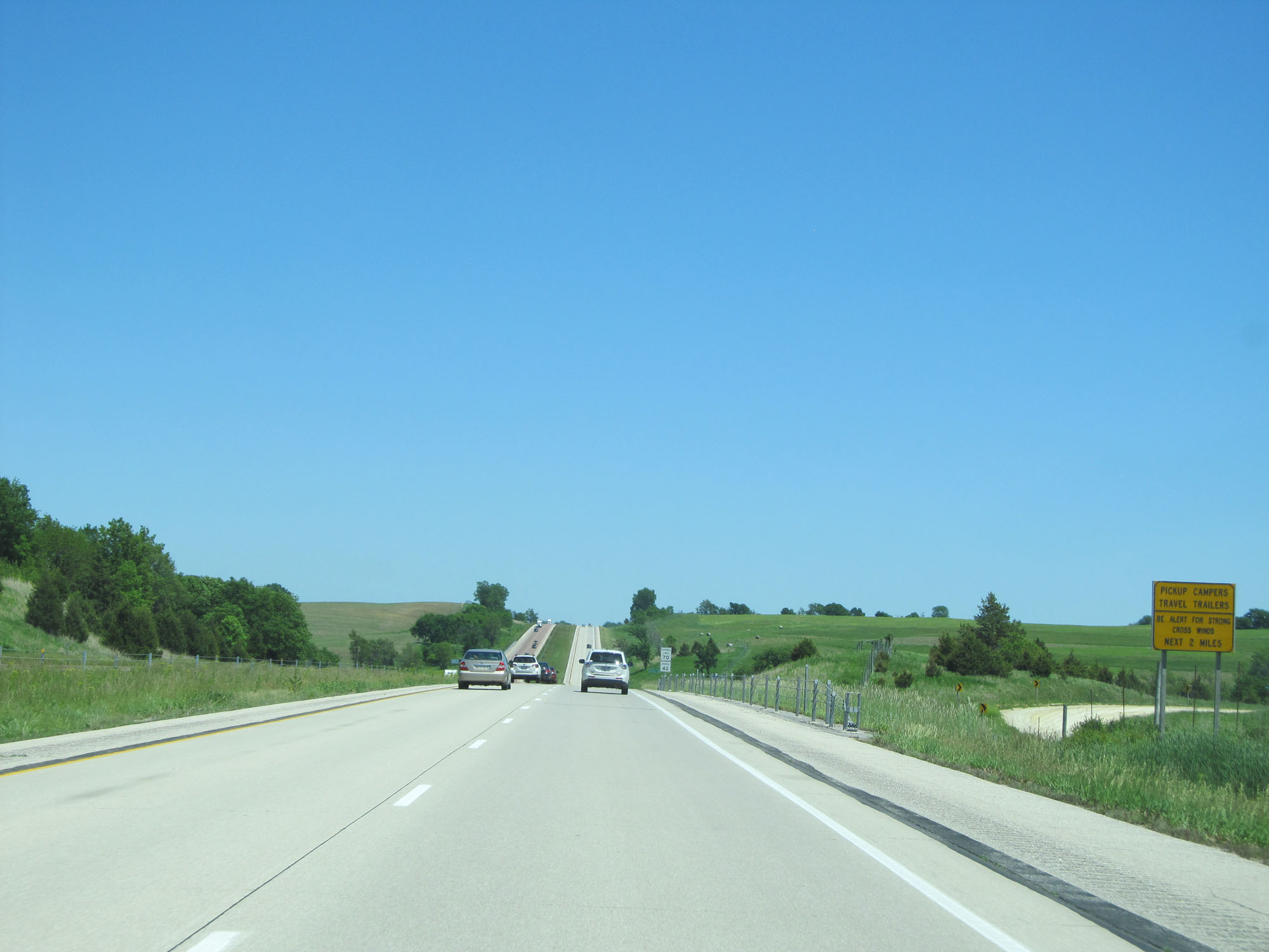 |
This sign warns of possible high crosswinds for the next 2 miles. (Photo taken 5/29/16). |
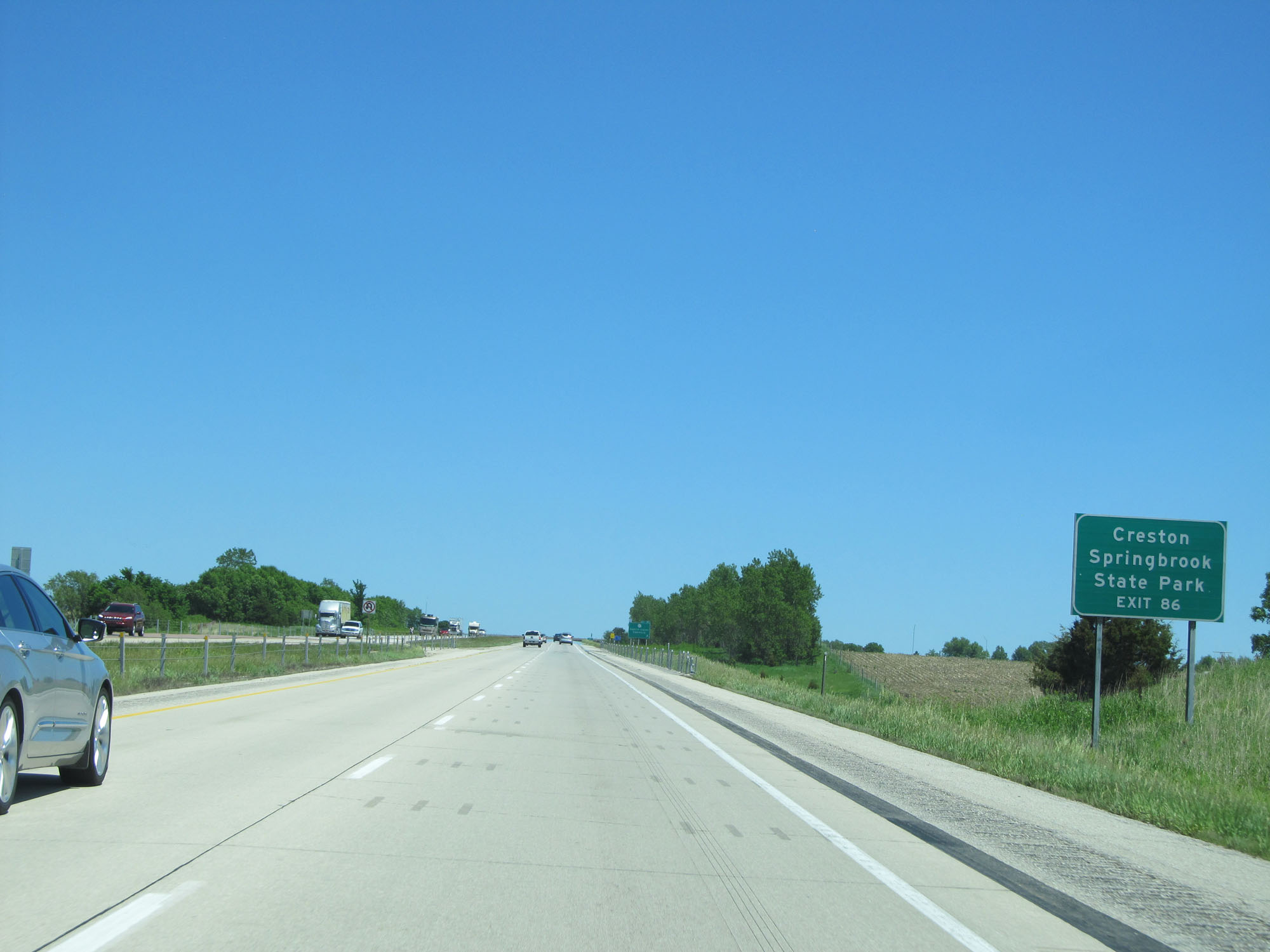 |
Take Exit 86 to Creston and Springbrook State Park. (Photo taken 5/29/16). |
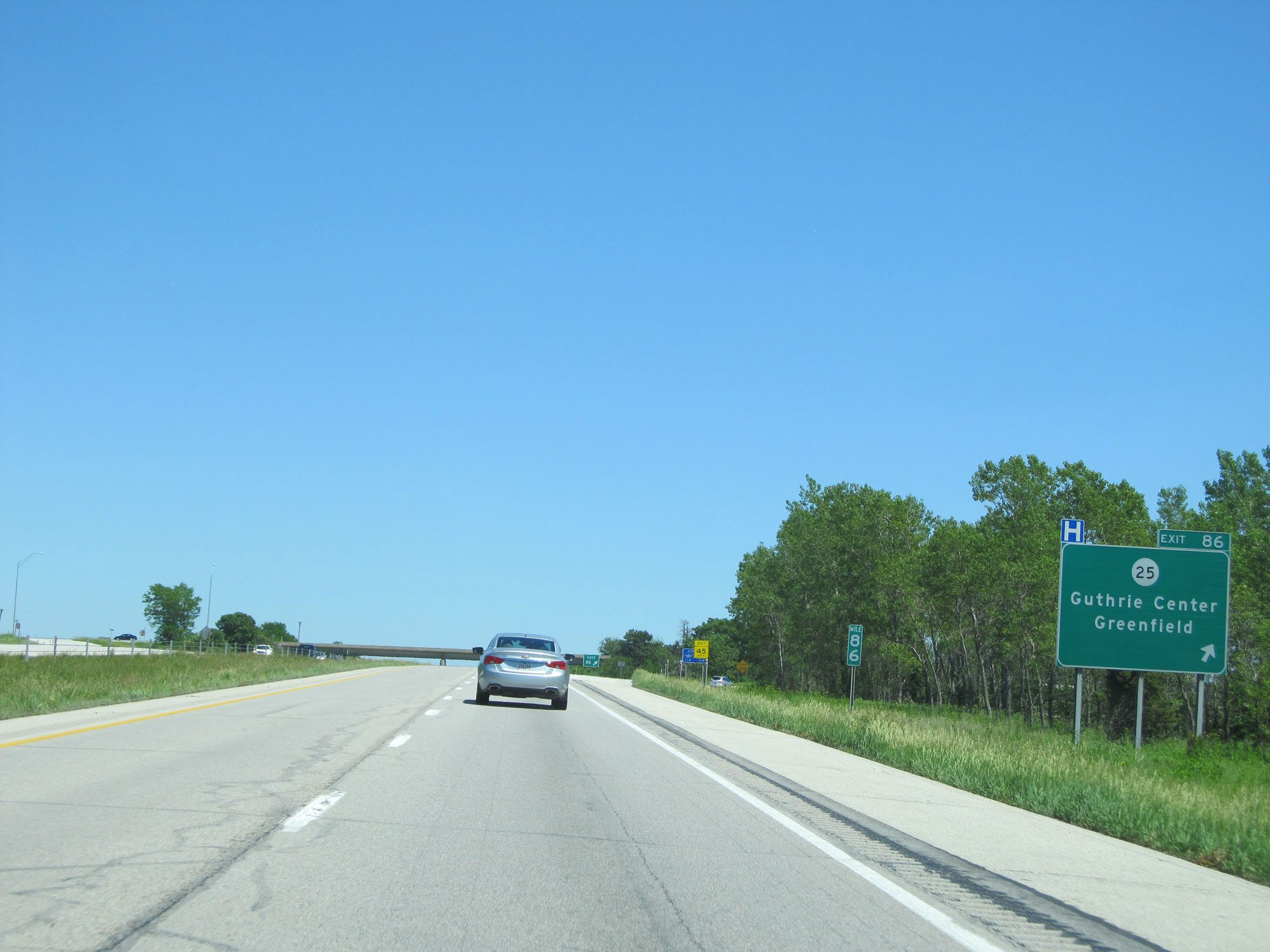 |
Interstate 80 East at Exit 86: IA 25 - Guthrie Center / Greenfield (Photo taken 5/29/16). |
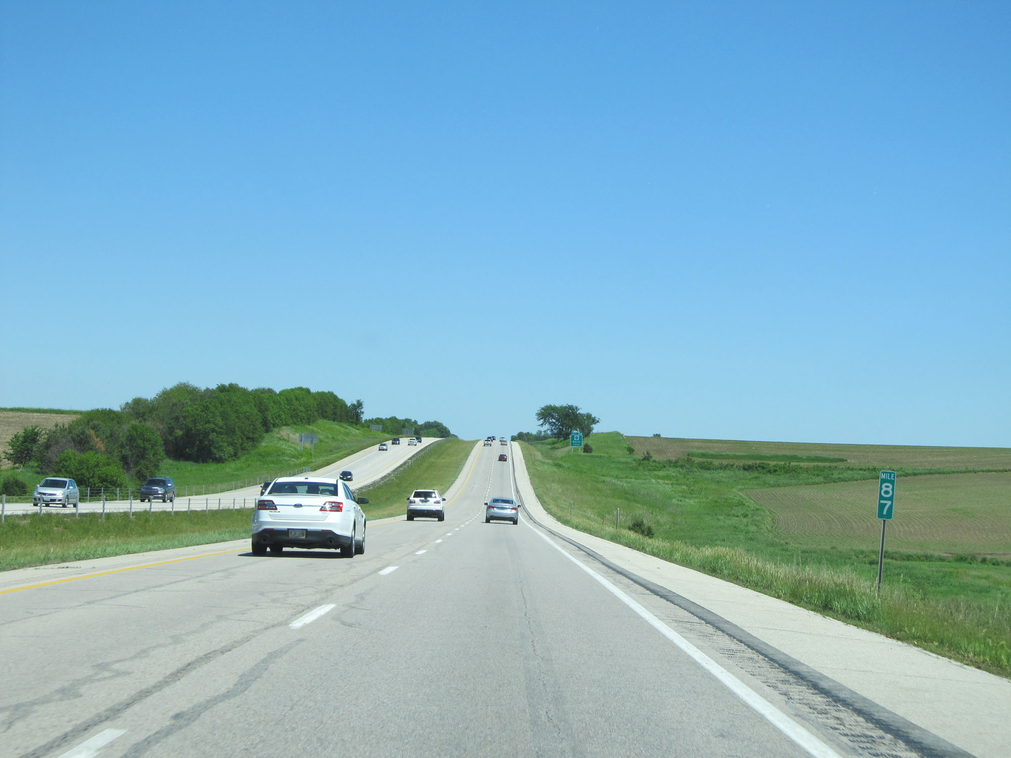 |
Interstate 80 East at mile marker 87. (Photo taken 5/29/16). |
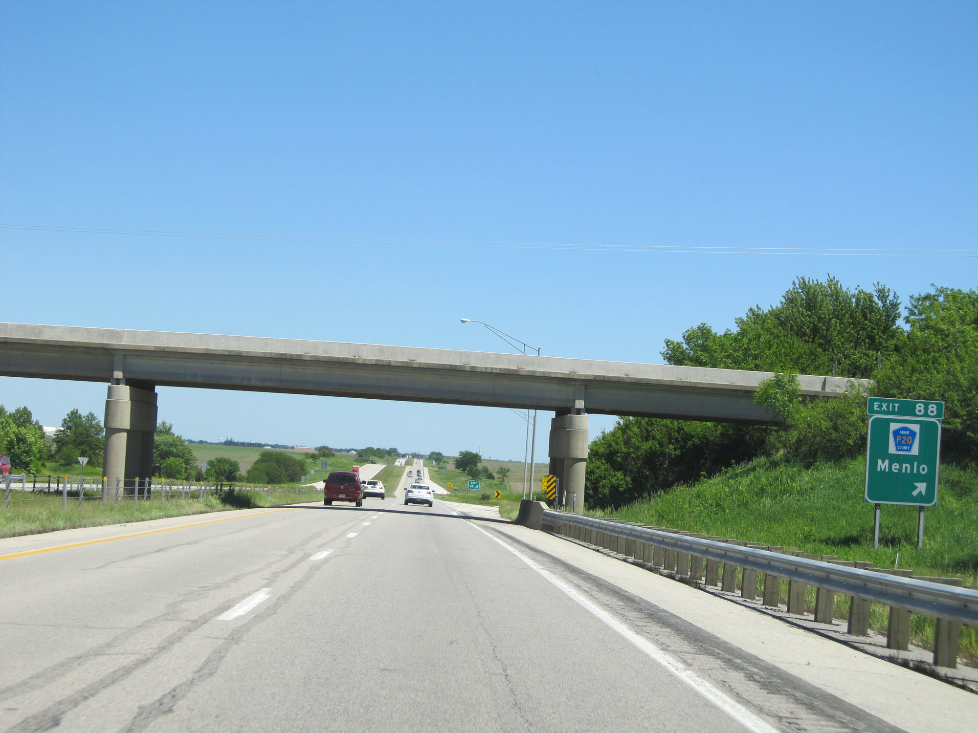 |
Interstate 80 East at Exit 88: CR P20 - Menlo (Photo taken 5/29/16). |
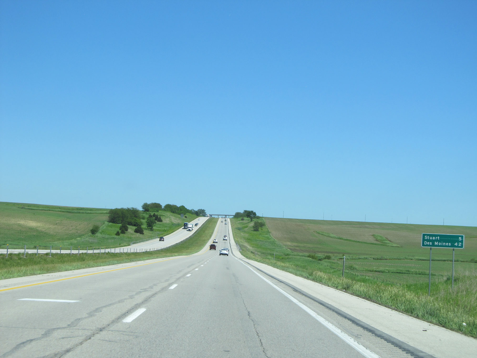 |
Mileage sign on Interstate 80 East. It's 5 miles to Stuart and 42 miles to Des Moines. (Photo taken 5/29/16). |
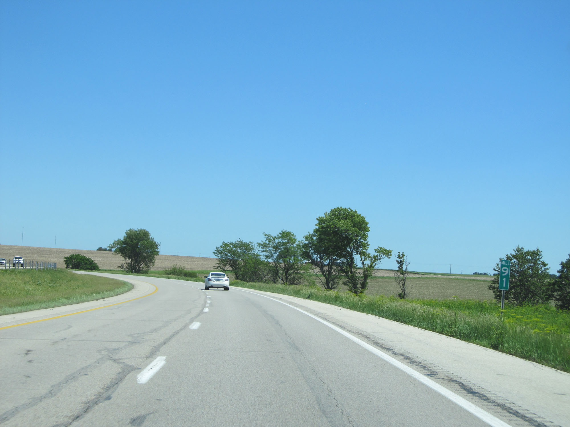 |
Interstate 80 East at mile marker 91. (Photo taken 5/29/16). |
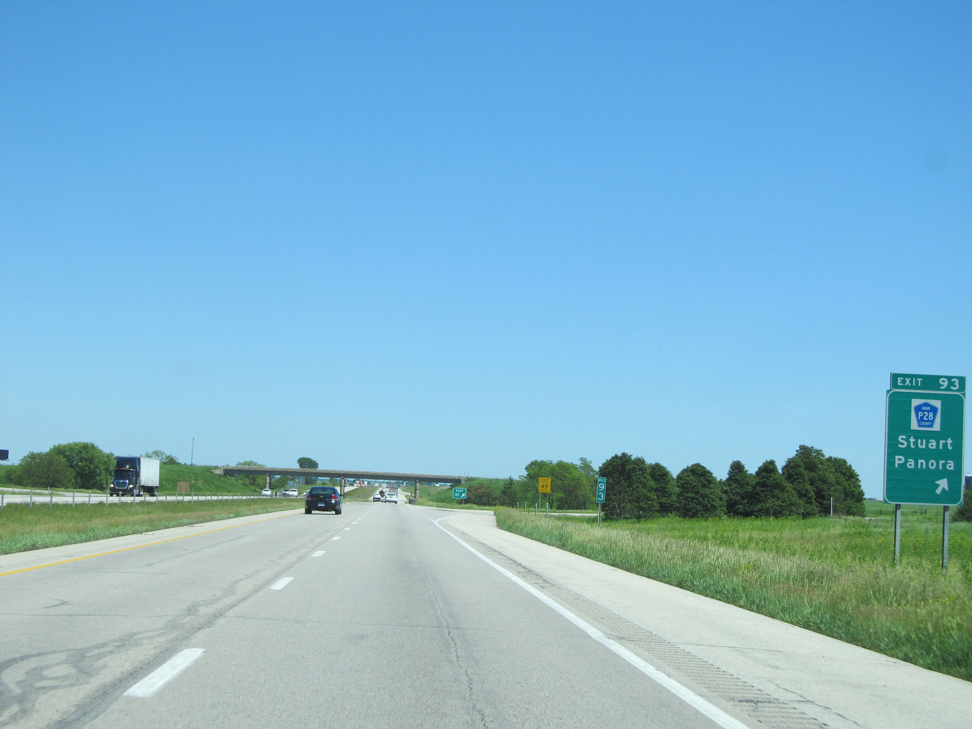 |
Interstate 80 East at Exit 93: CR P28 - Stuart / Panora (Photo taken 5/29/16). |
 |
Interstate 80 East at mile marker 95. (Photo taken 5/29/16). |
 |
Interstate 80 East at Exit 97: CR P48 - Dexter (Photo taken 5/29/16). |
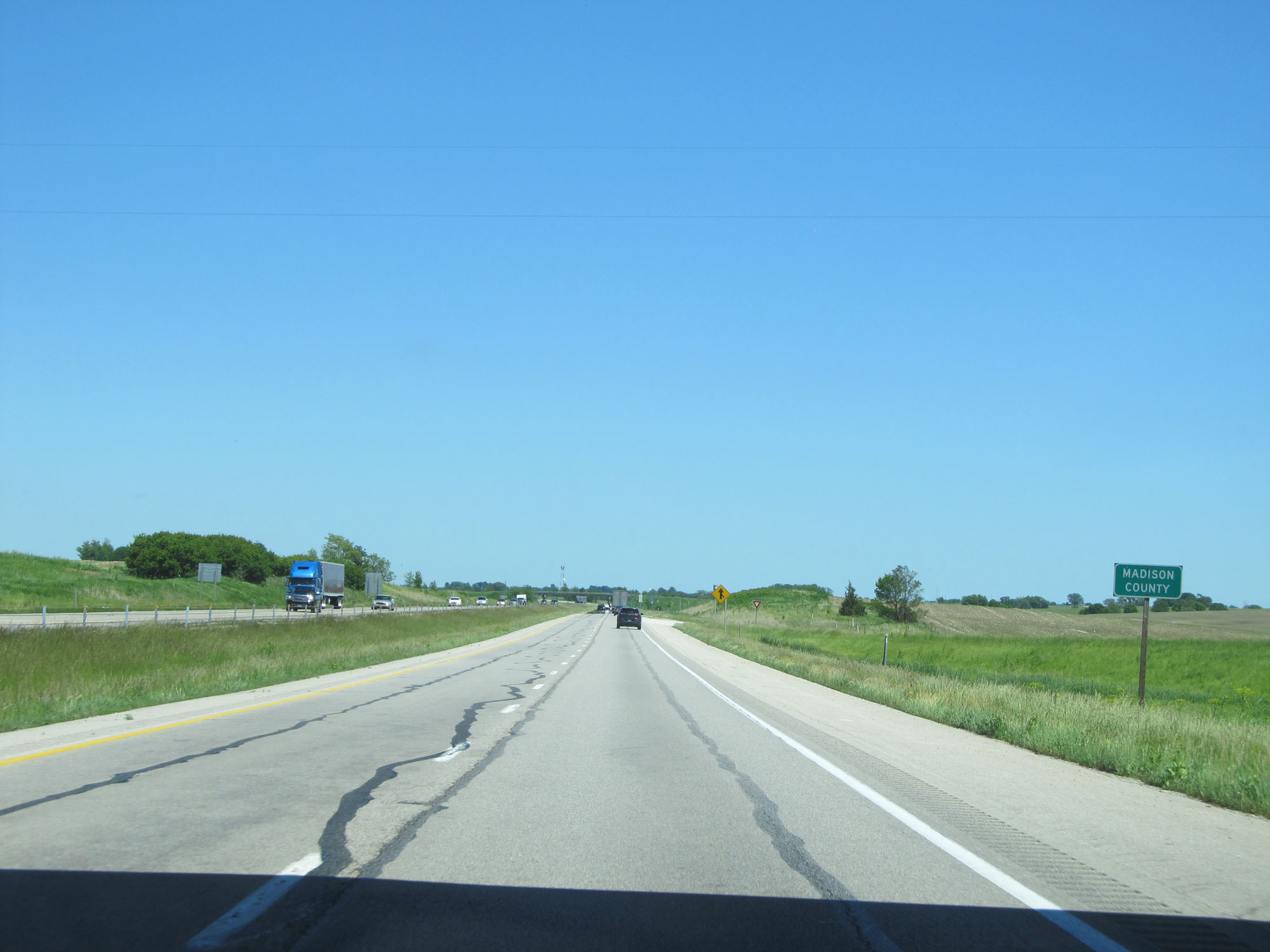 |
Interstate 80 East as it enters Madison County. (Photo taken 5/29/16). |
 |
State-named Interstate 80 East reassurance shield. (Photo taken 5/29/16). |
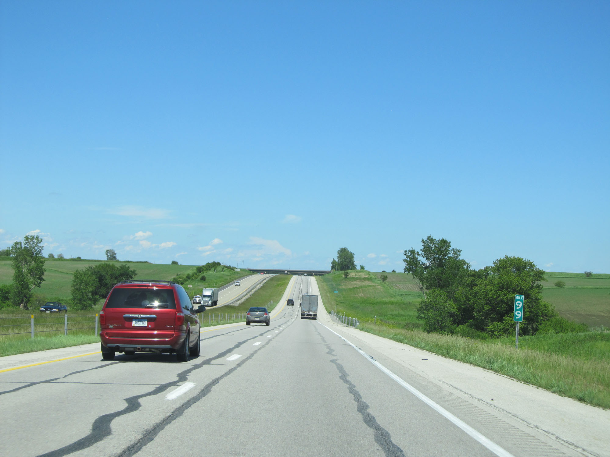 |
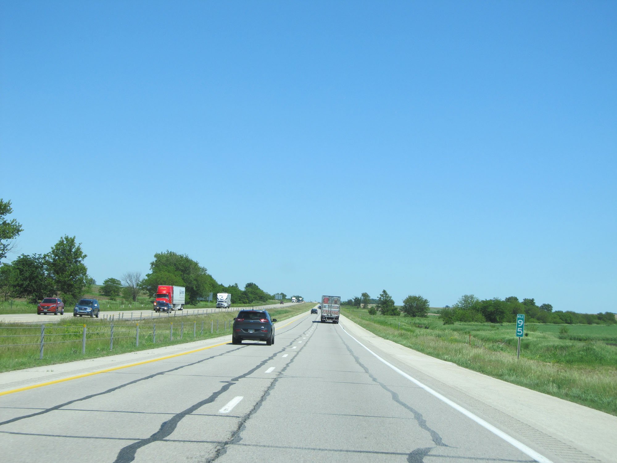
Interstate 80 East at mile marker 99. (Photo taken 5/29/16). |
 |
Interstate 80 East entering Dallas County. (Photo taken 5/29/16). |
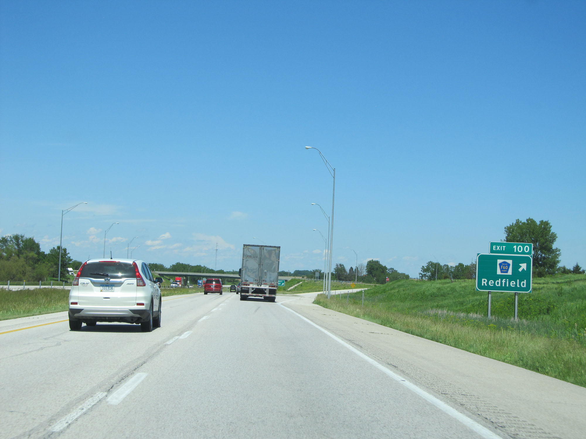 |
Interstate 80 East at Exit 100: CR F60 - Redfield (Photo taken 5/29/16). |
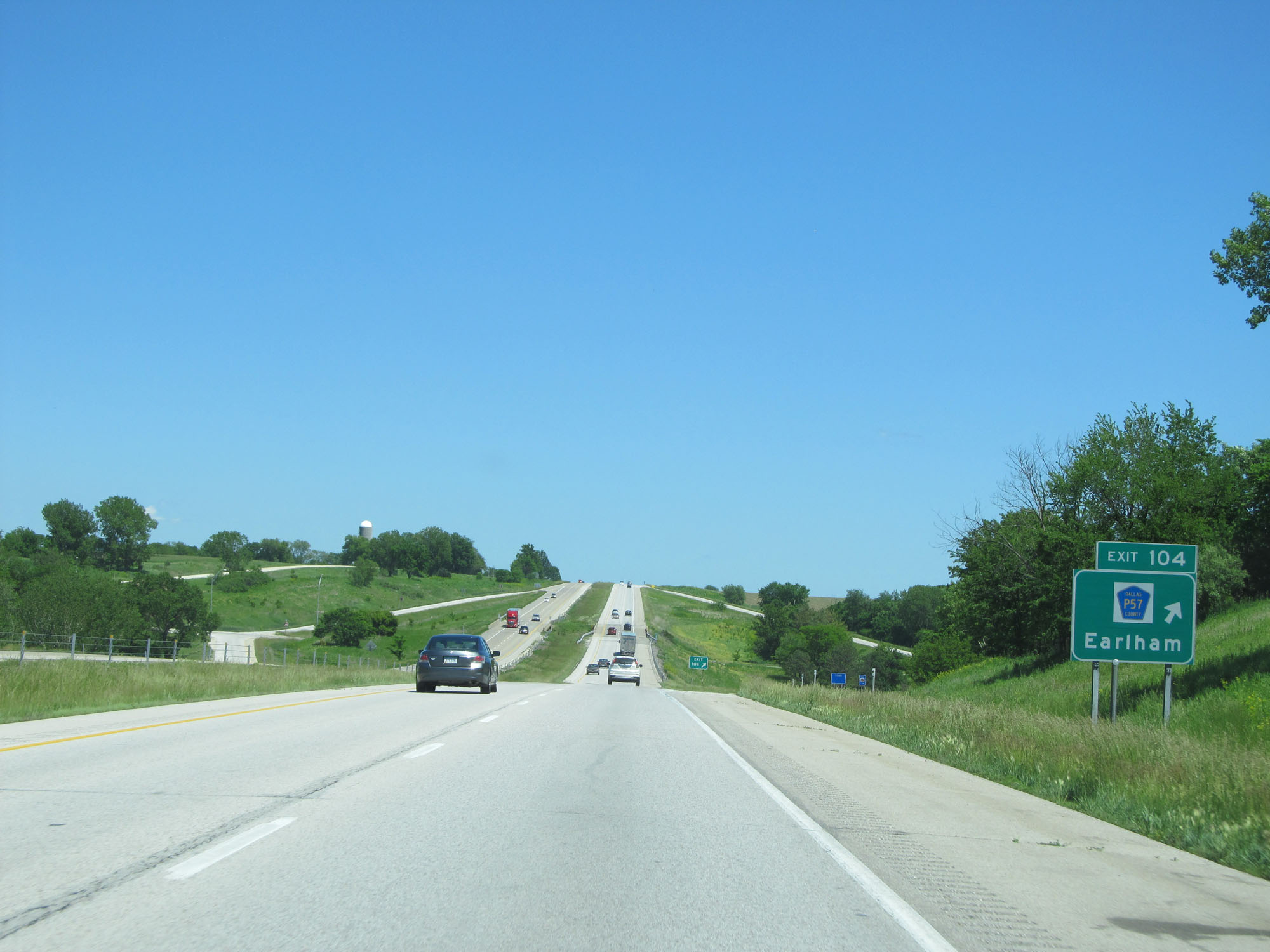 |
Interstate 80 East at Exit 104: CR P57 - Earlham (Photo taken 5/29/16). |
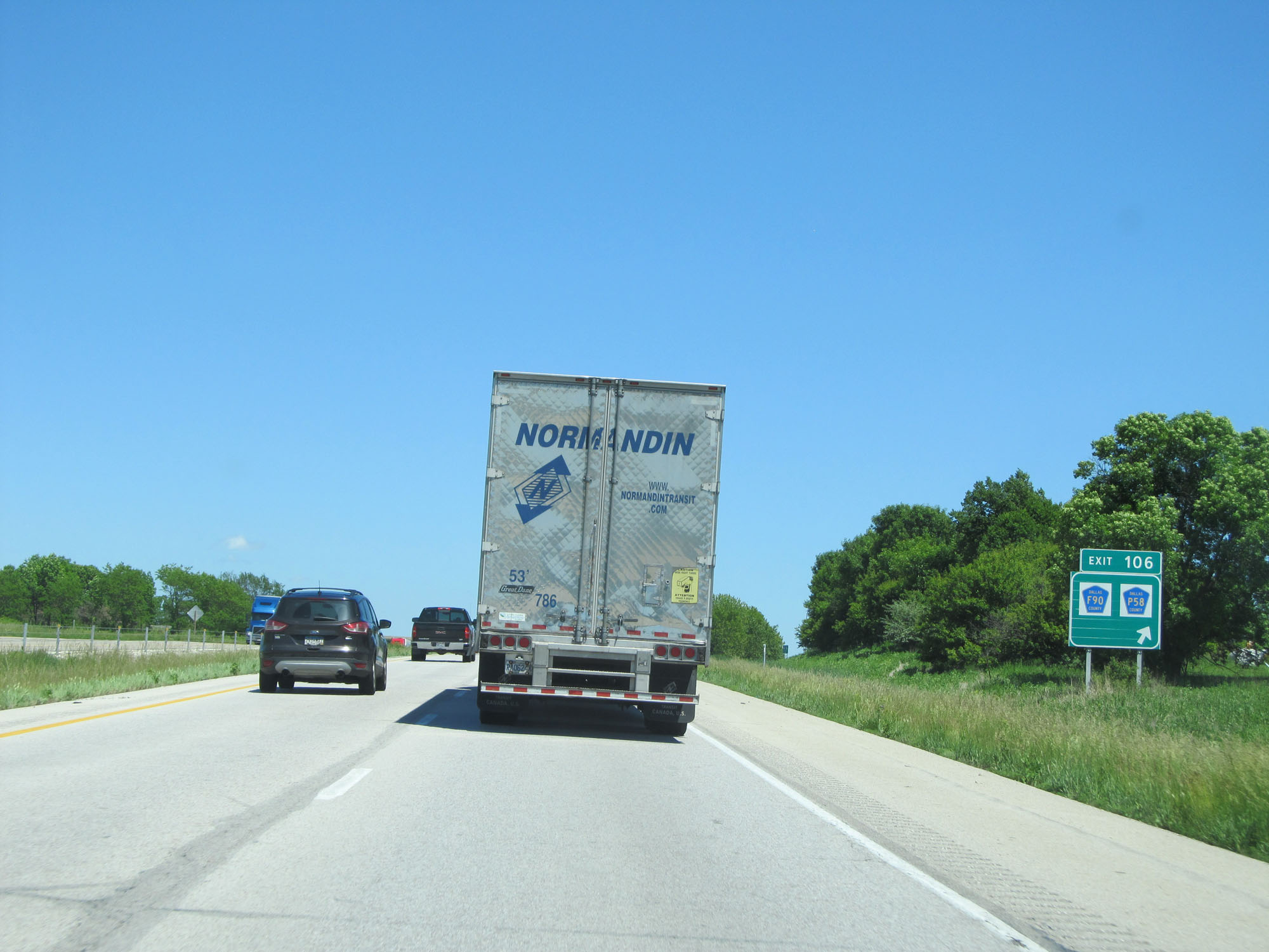 |
Interstate 80 East at Exit 106: CR F90 / CR P58 (Photo taken 5/29/16). |
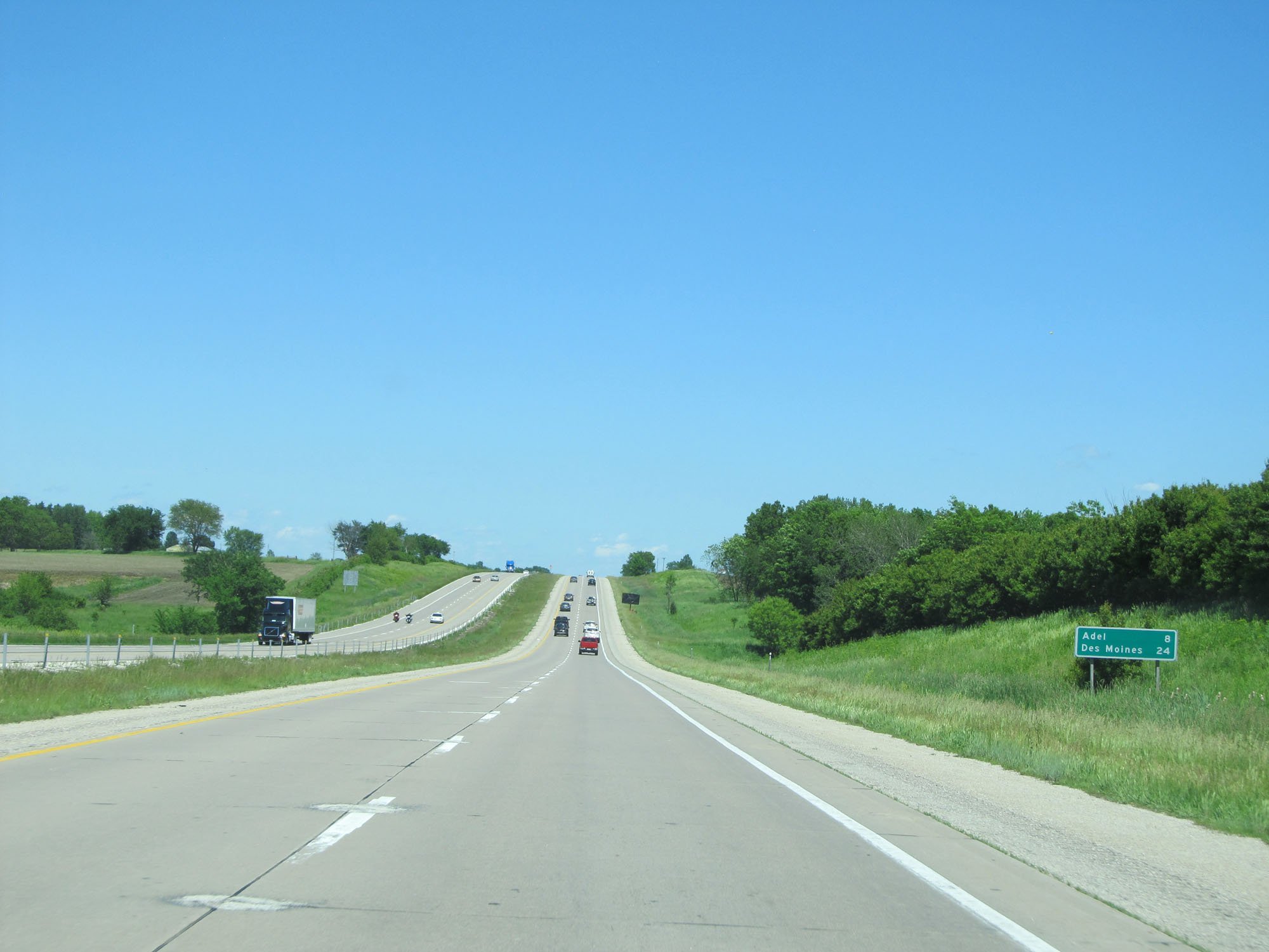 |
Mileage sign on Interstate 80 East. It's 8 miles to Adel and 24 miles to Des Moines. (Photo taken 5/29/16). |
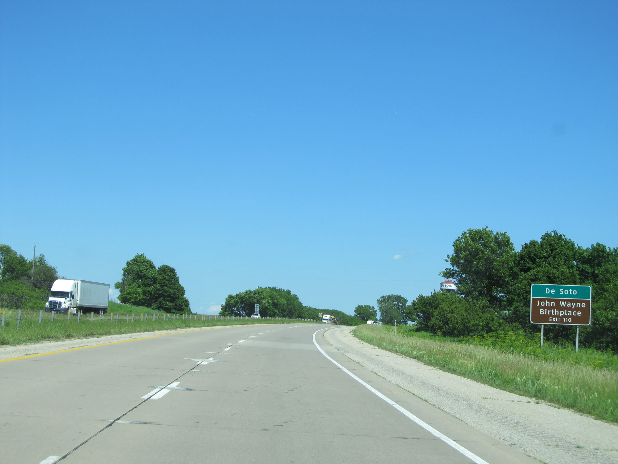 |
Take Exit 110 to De Soto and the John Wayne Birthplace. (Photo taken 5/29/16). |
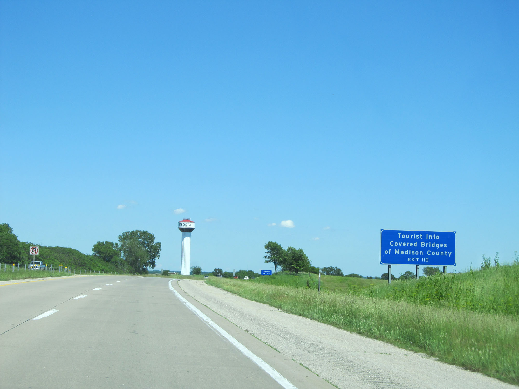 |
Take Exit 110 for Tourist Info on the Covered Bridges of Madison County. (Photo taken 5/29/16). |
 |
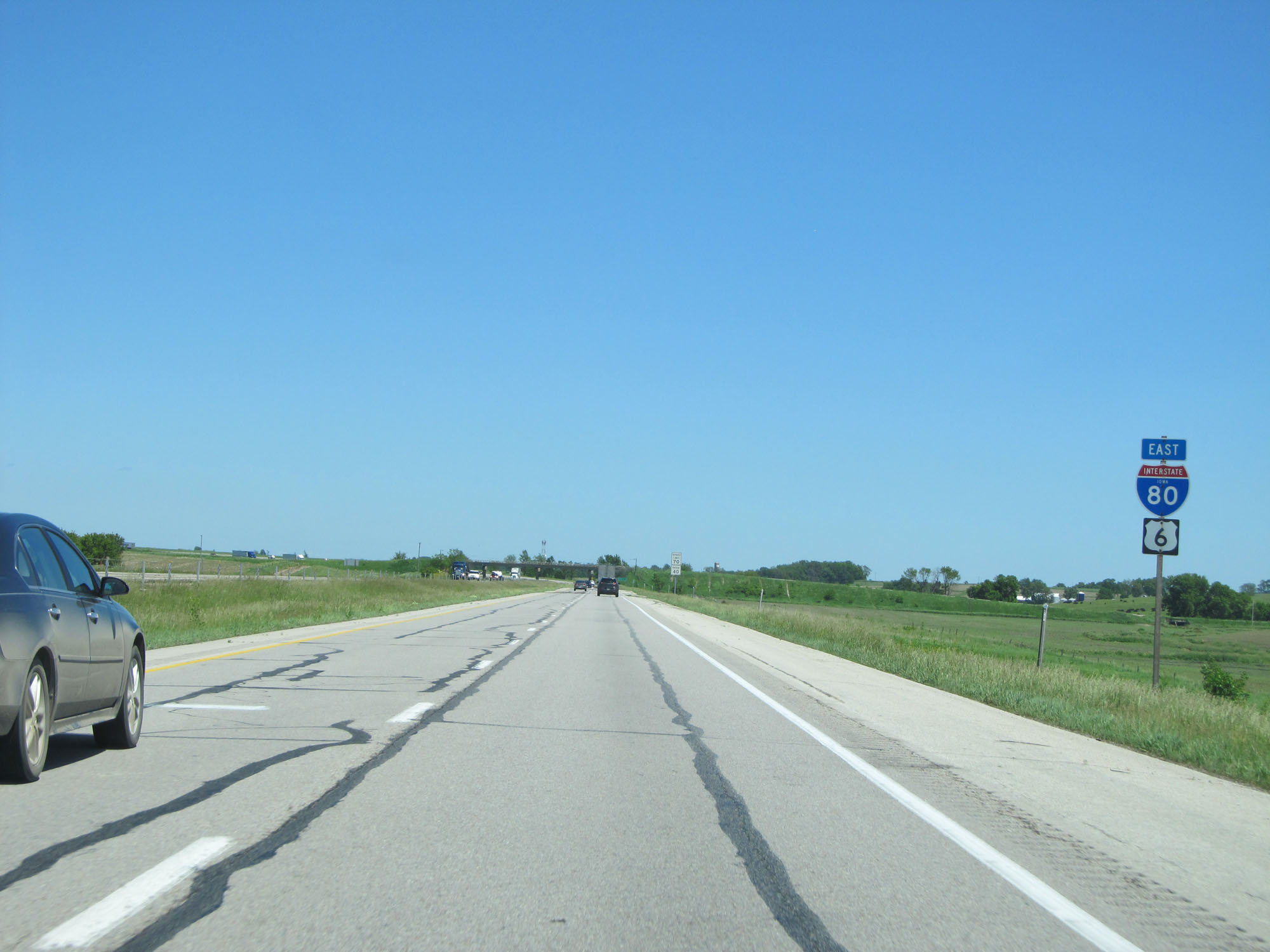
Interstate 80 East at Exit 110: US 169 / US 6 - Adel / Winterset (Photo taken 5/29/16). |
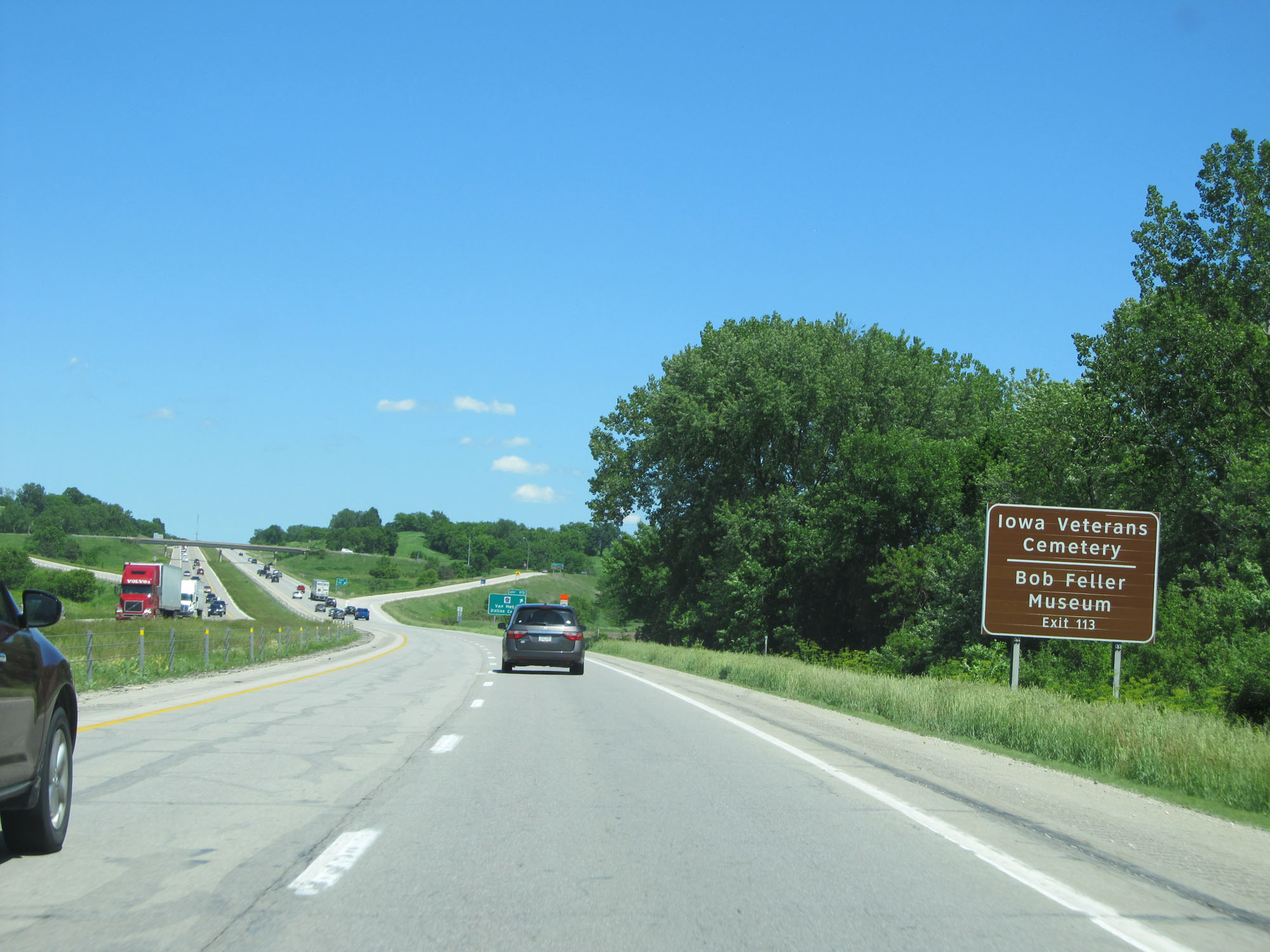 |
Take Exit 113 to Iowa Veterans Cemetery and Bob Feller Museum. (Photo taken 5/29/16). |
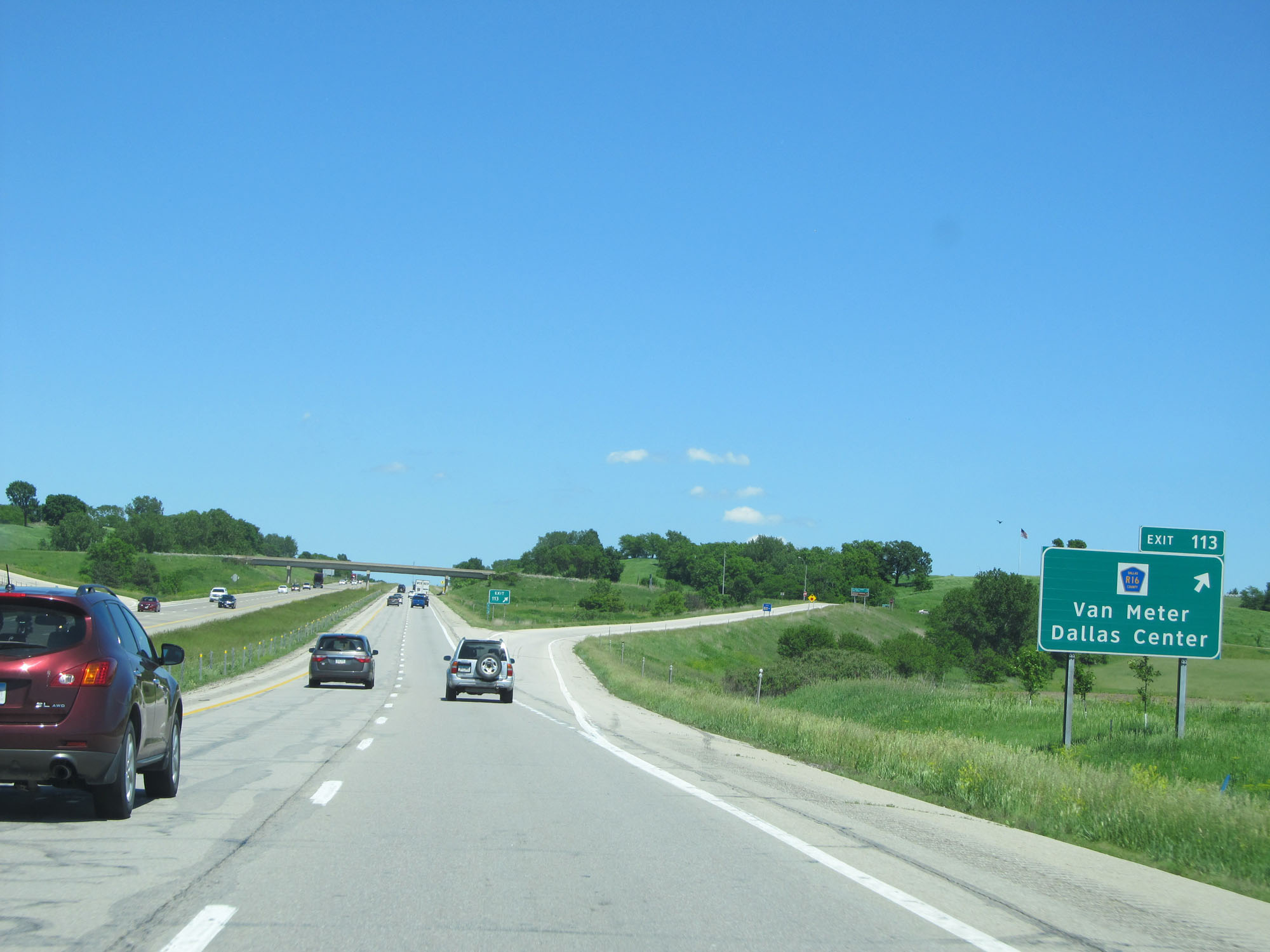 |
Interstate 80 East at Exit 113: CR R16 - Van Meter / Dallas Center (Photo taken 5/29/16). |
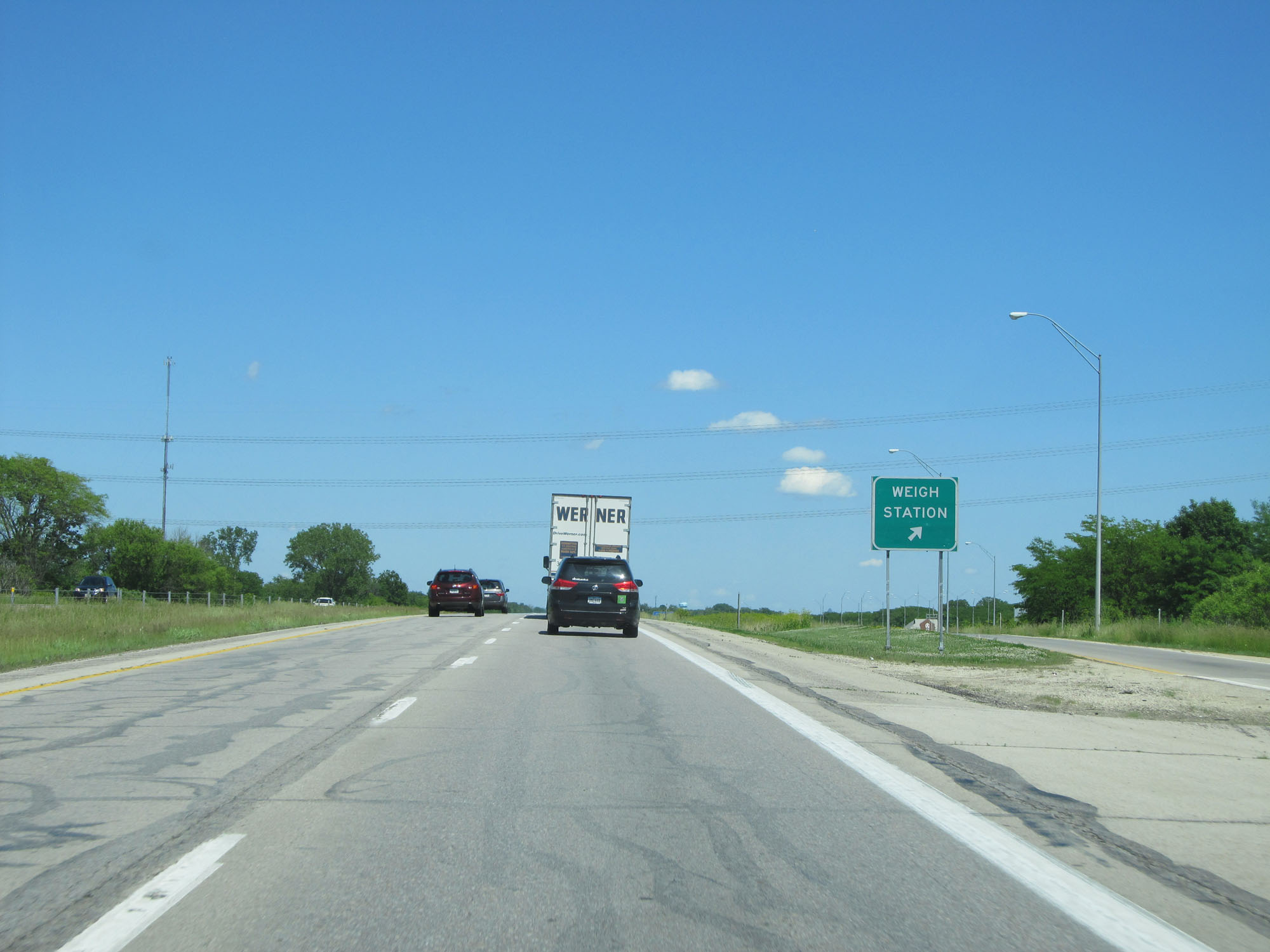 |
Interstate 80 East at the Weigh Station in Dallas County. (Photo taken 5/29/16). |
 |
Interstate 80 East at Exit 117: CR R22 - Waukee / Booneville (Photo taken 5/29/16). |
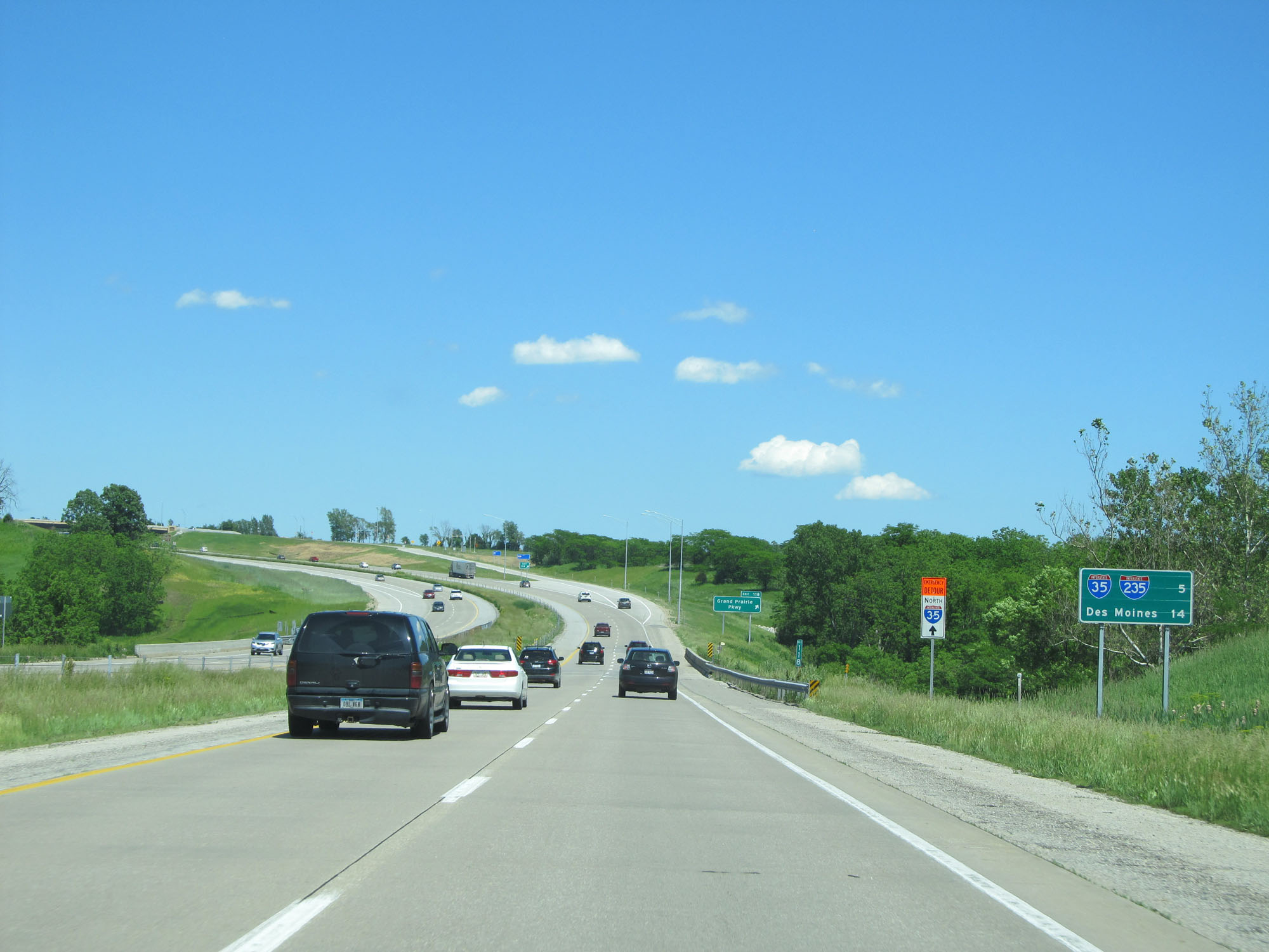 |
Mileage sign on Interstate 80 East. It's 5 miles to the junction of Interstate 35 and Interstate 235 while it's 14 miles to Des Moines. (Photo taken 5/29/16). |
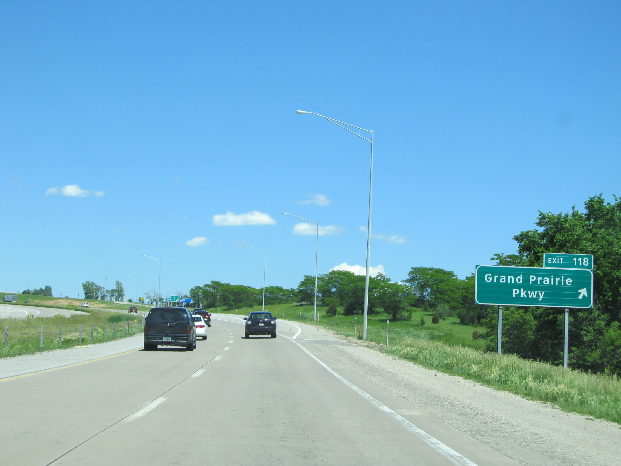 |
Interstate 80 East at Exit 118: Grand Prairie Pkwy (Photo taken 5/29/16). |
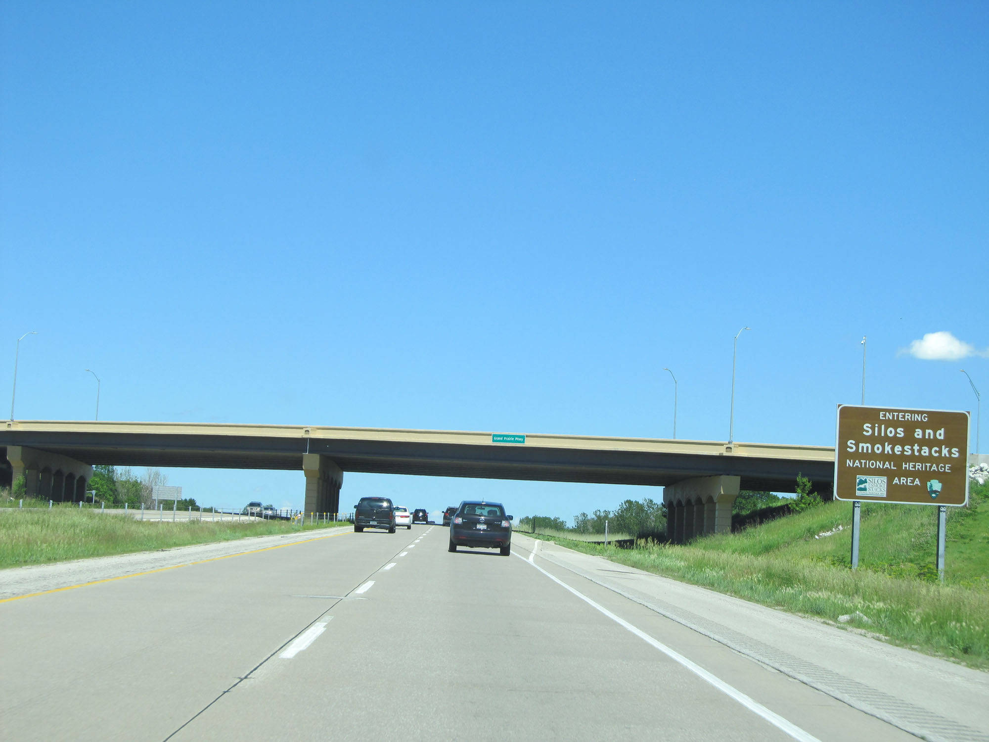 |
Interstate 80 East as it enters what is known as the Silos and Smokestacks National Heritage Area. (Photo taken 5/29/16). |
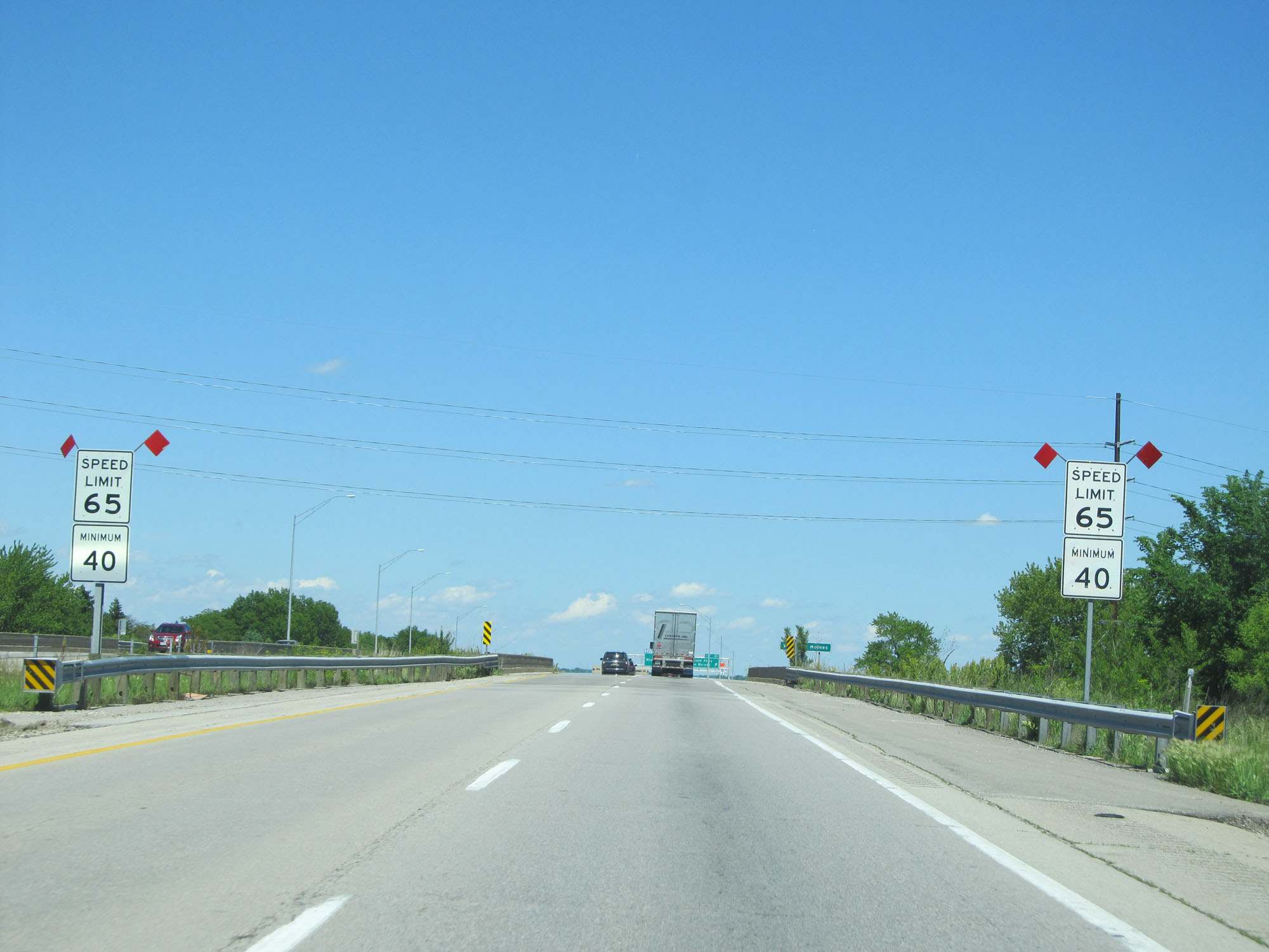 |
Approaching the Des Moines area, the speed limit decreases slightly to 65 mph. The 40 mph minimum speed limit remains in effect. (Photo taken 5/29/16). |
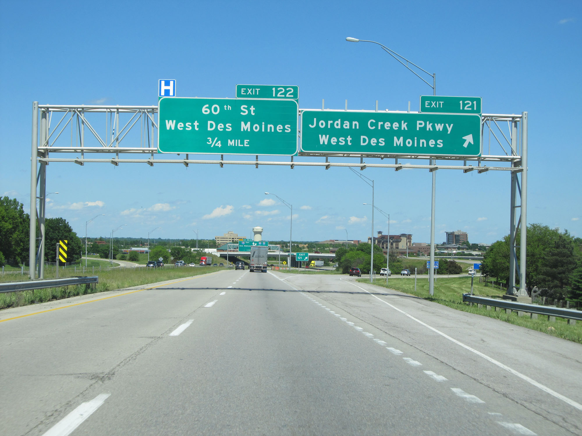 |
Interstate 80 East at Exit 121: Jordan Creek Pkwy / West Des Moines (Photo taken 5/29/16). |
 |
Interstate 80 East approaching Exit 123A - 1 mile on the left. (Photo taken 5/29/16). |
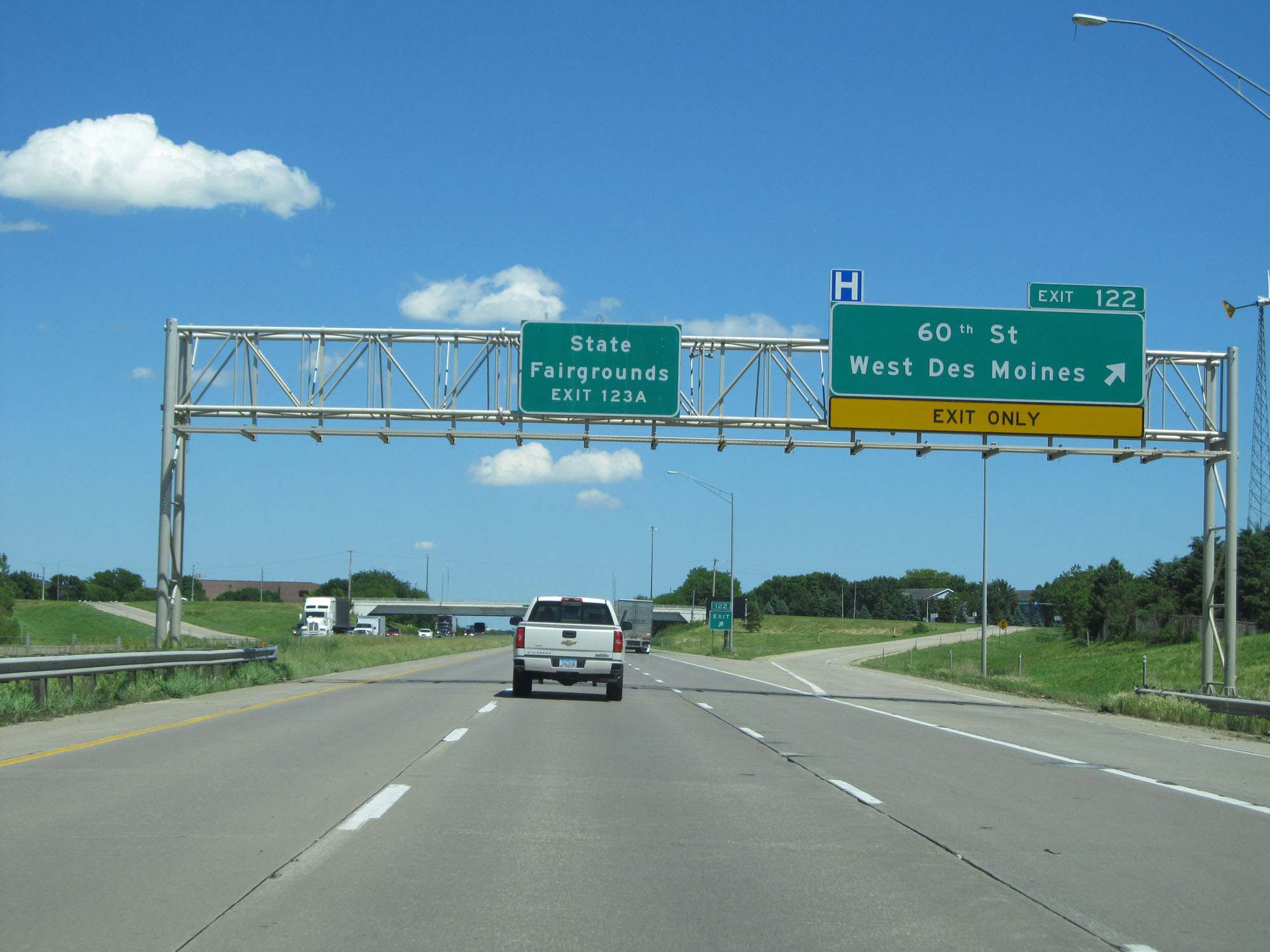 |
Interstate 80 East at Exit 122: 60th St / West Des Moines (Photo taken 5/29/16). |
 |
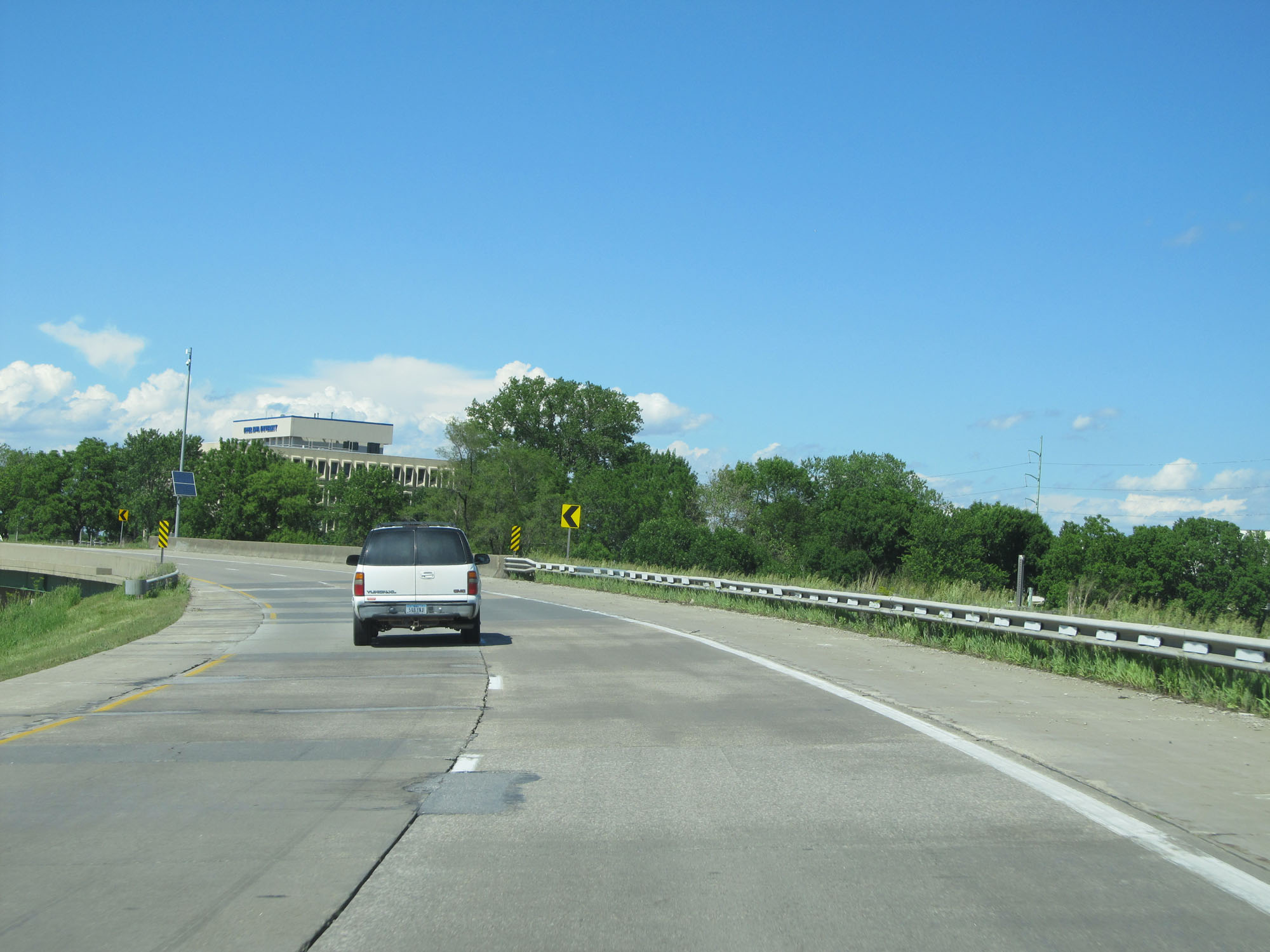
Interstate 80 East as it enters Polk County, approaching the junction of Interstate 35 and Interstate 235. The speed limit decreases to 60 mph just ahead. (Photo taken 5/29/16). |
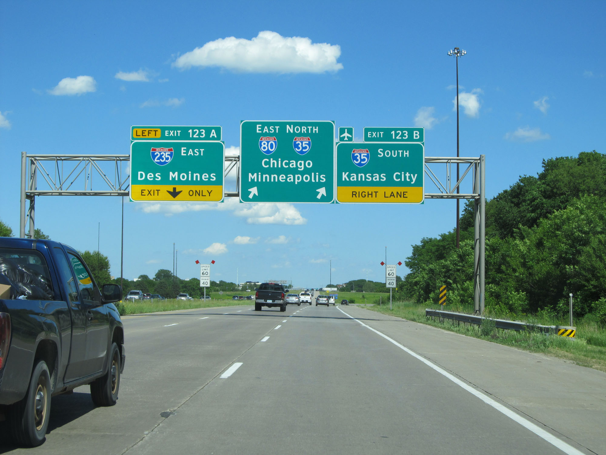 |
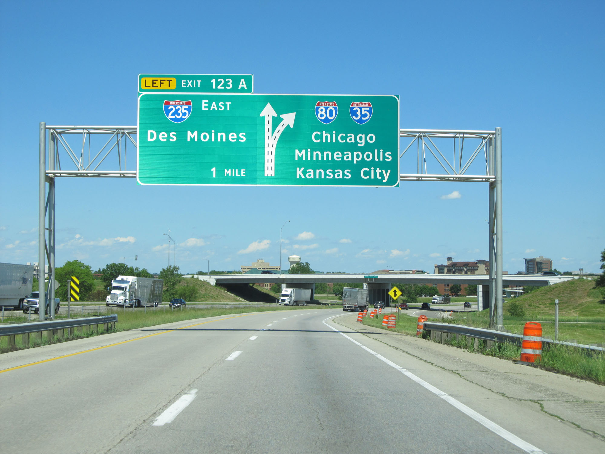
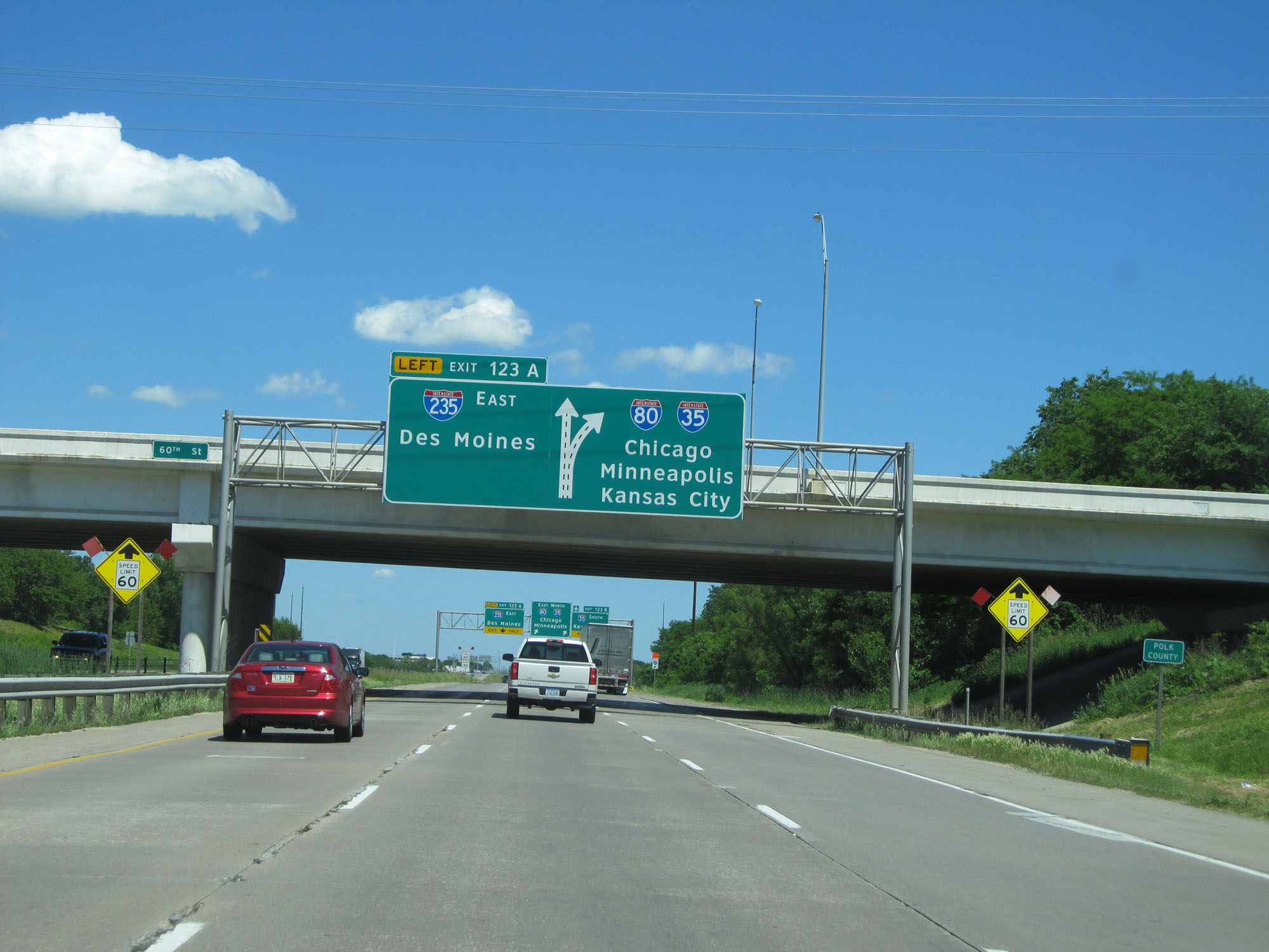
Interstate 80 East at Exit 123A: Interstate 235 East - Des Moines (Photo taken 5/29/16). |
 |
View of the ramp for Exit 123A to Interstate 235 East. All three shields here at the split are state-named. (Photo taken 5/29/16). |
 |
Interstate 80 East at Exit 123B: Interstate 35 South - Kansas City (Photo taken 5/29/16). |
 |
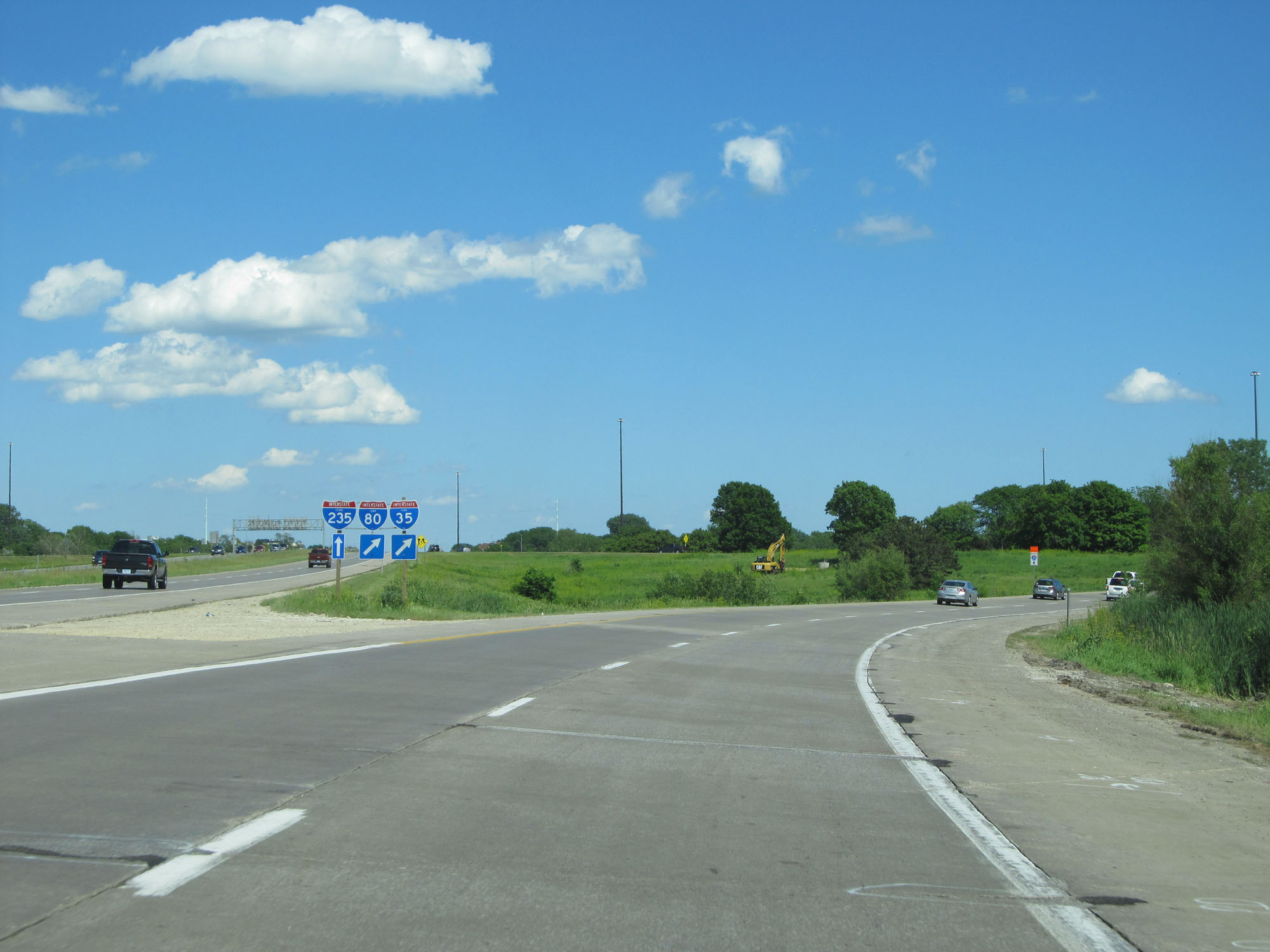
View on Interstate 80 East as it prepares to join up with Interstate 35 North to the west of downtown Des Moines. (Photo taken 5/29/16). |
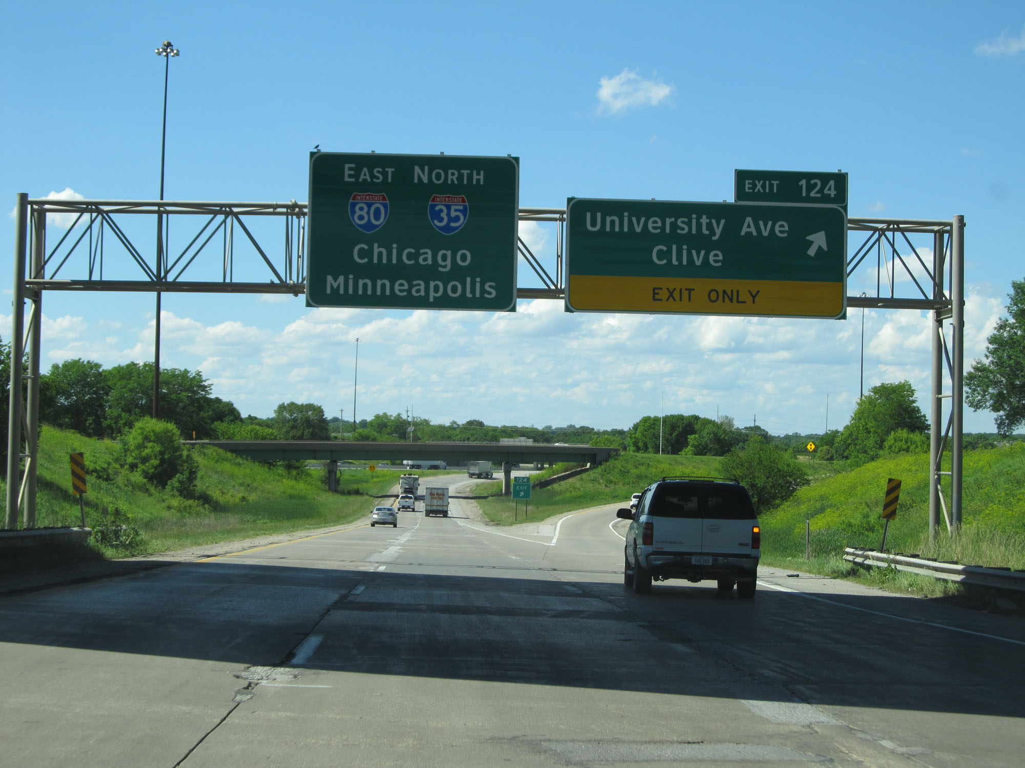 |
Interstate 80 East at Exit 124: University Ave / Clive (Photo taken 5/29/16). |
 |
Speed limit signs on Interstate 80 East / Interstate 35 North. The speed limit during this concurrency is 65 mph with a minimum speed limit of 40 mph. (Photo taken 5/29/16). |
 |
Take Exit 125 to Waukee and Living History Farms. (Photo taken 5/29/16). |
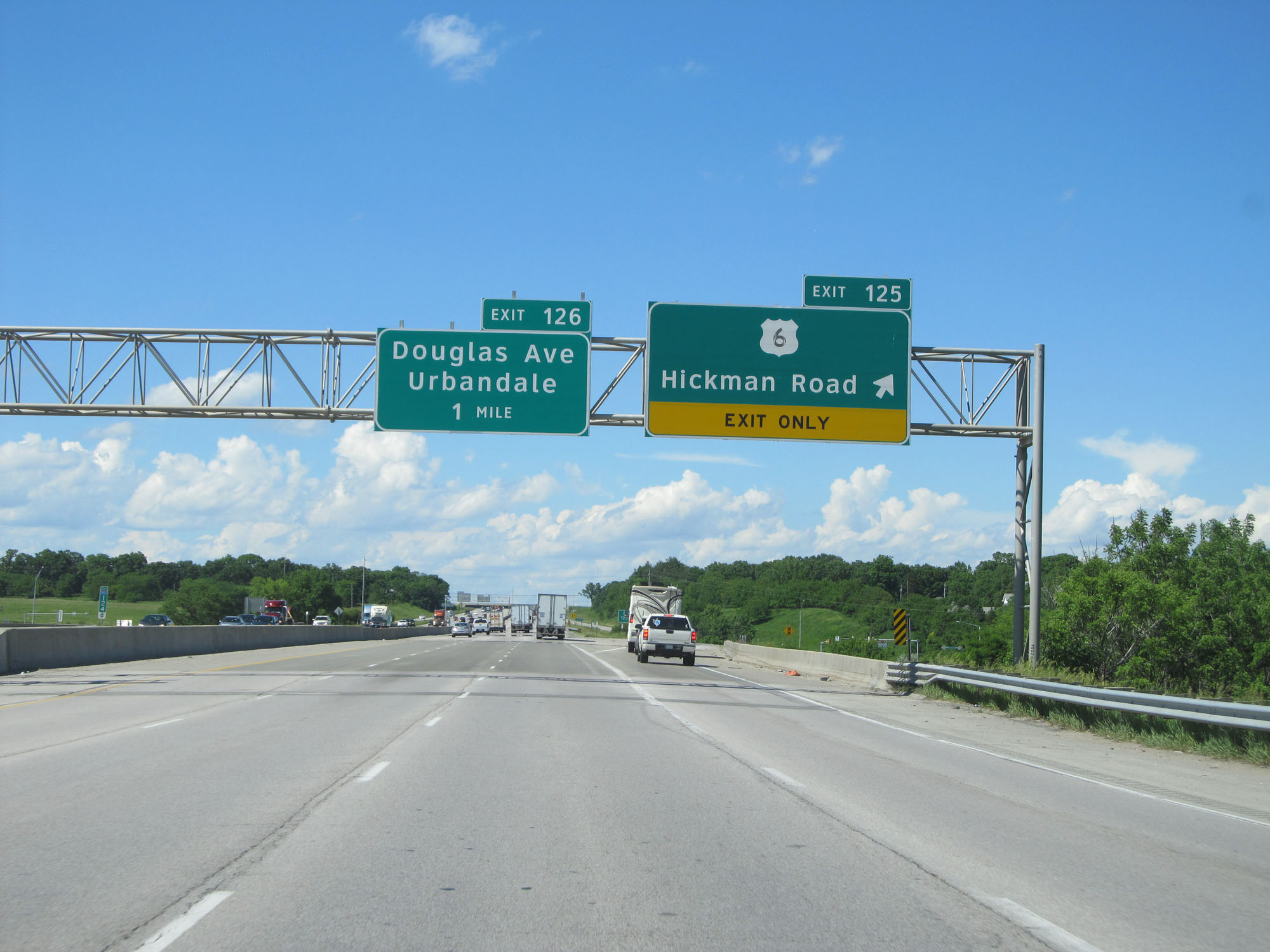 |
Interstate 80 East / Interstate 35 North at Exit 125: US 6 - Hickman Road (Photo taken 5/29/16). |
 |
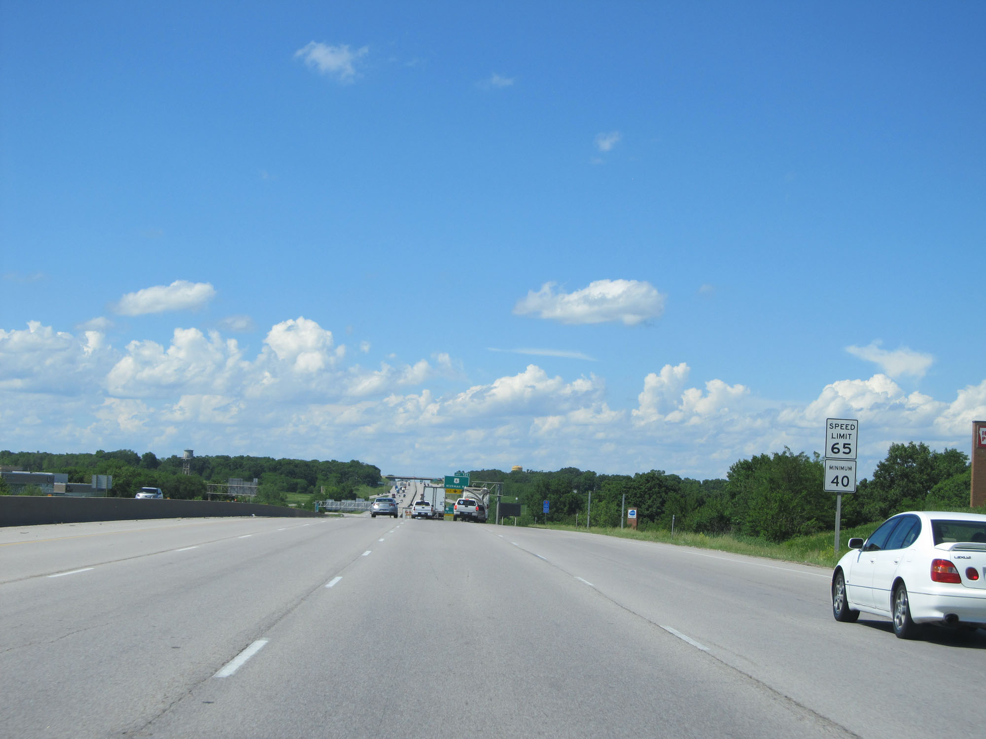
The speed limit remains 65 mph and the minimum speed limit remains 40 mph. (Photo taken 5/29/16). |
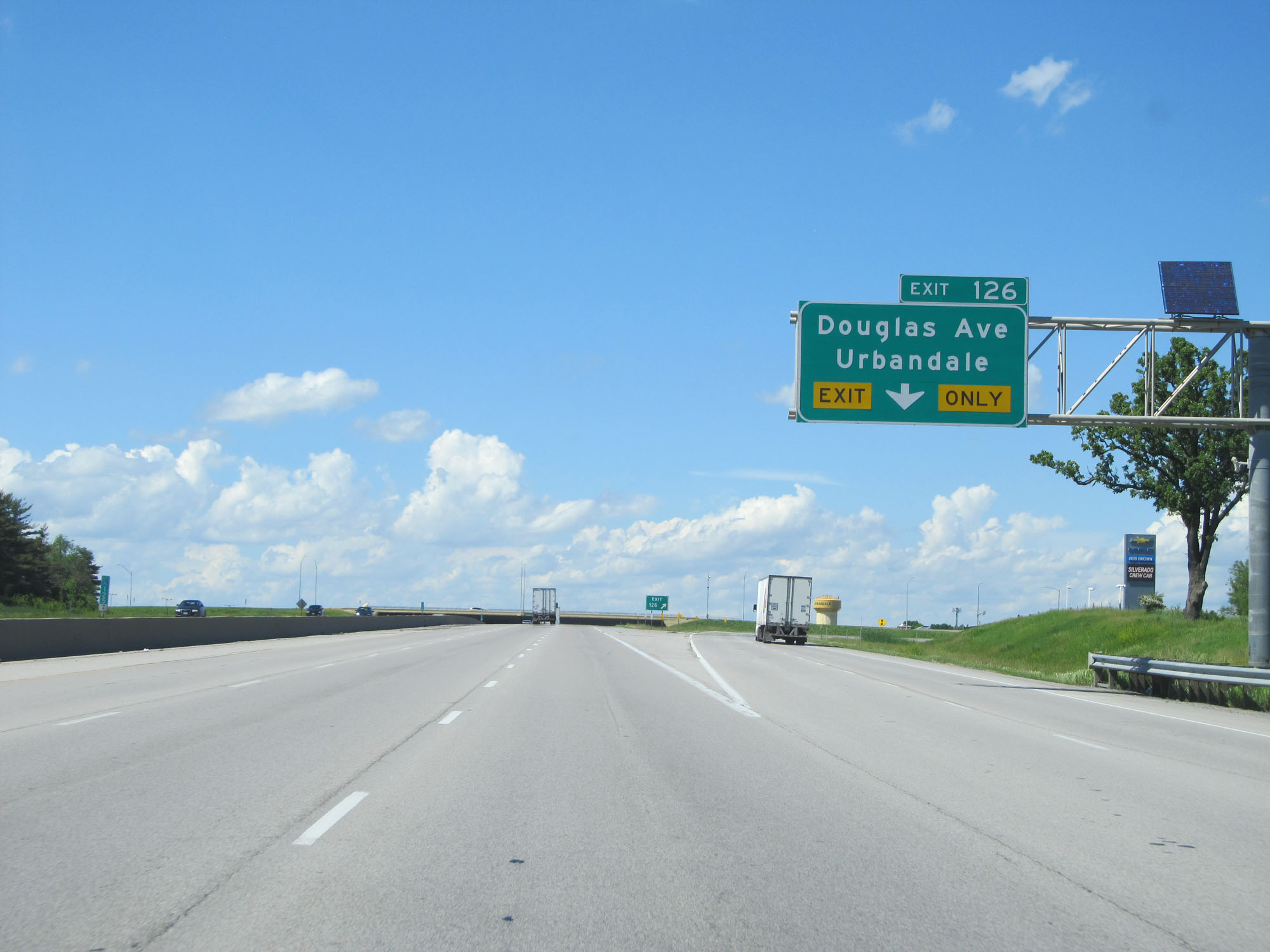 |
Interstate 80 East / Interstate 35 North at Exit 126: Douglas Ave / Urbandale (Photo taken 5/29/16). |
 |
Take Exit 127 to Granger and Perry. (Photo taken 5/29/16). |
 |
Interstate 80 East / Interstate 35 North as the duplex begins to curve to the east at the northwestern corner of the Des Moines area. (Photo taken 5/29/16). |
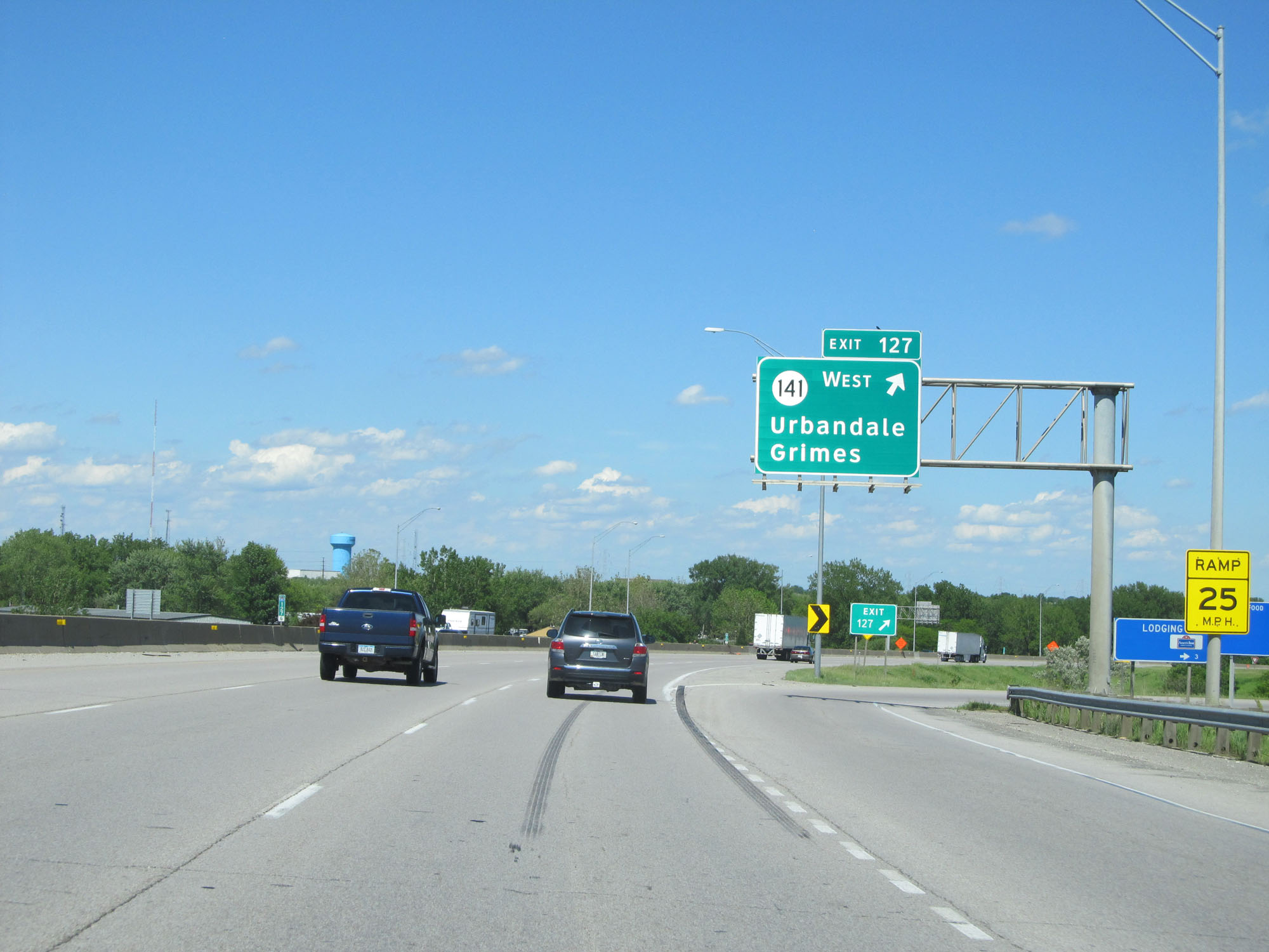 |
Interstate 80 East / Interstate 35 North at Exit 127: IA 141 West - Urbandale / Grimes (Photo taken 5/29/16). |
 |
State-named Interstate 80 East / Interstate 35 North reassurance shields. (Photo taken 5/29/16). |
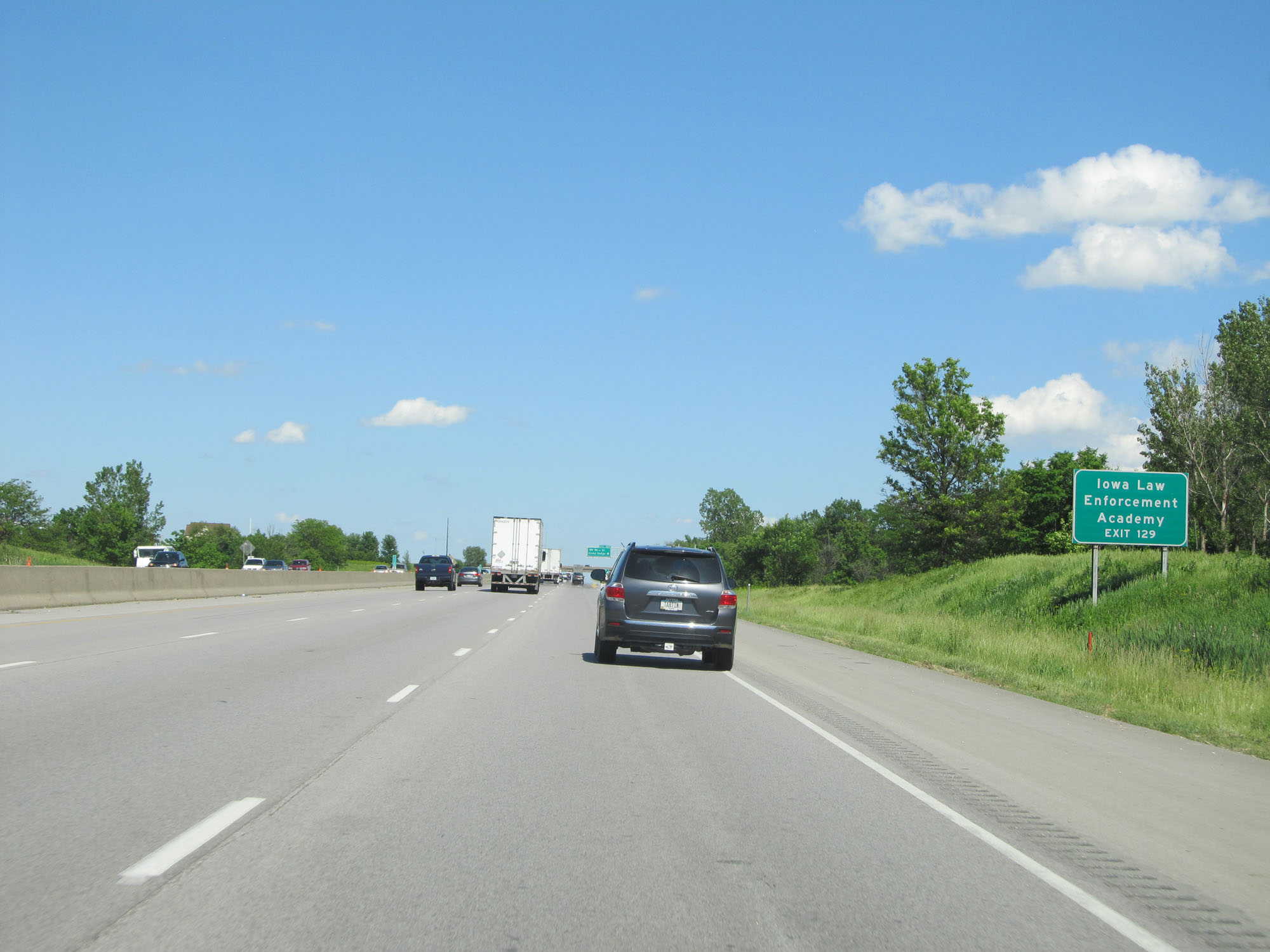 |
Take Exit 129 to the Iowa Law Enforcement Academy. (Photo taken 5/29/16). |
 |
Interstate 80 East / Interstate 35 North at Exit 129: NW 86th St / Camp Dodge (Photo taken 5/29/16). |
 |
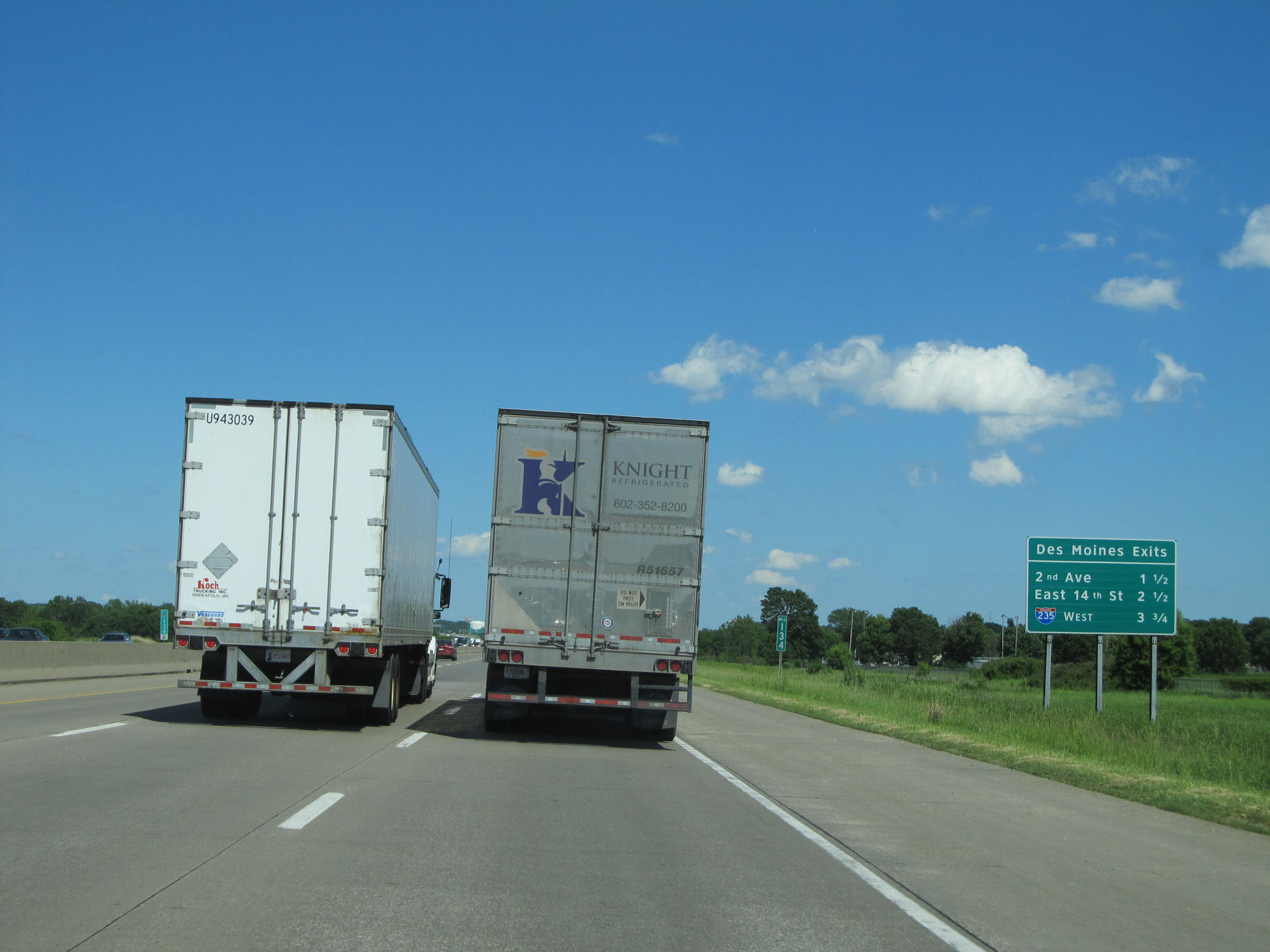
Sign listing the distances to the three upcoming Des Moines exits. (Photo taken 5/29/16). |
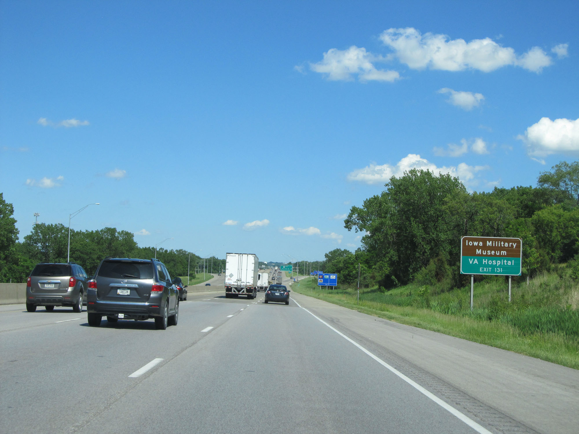 |
Take Exit 131 to the Iowa Military Museum and VA Hospital. (Photo taken 5/29/16). |
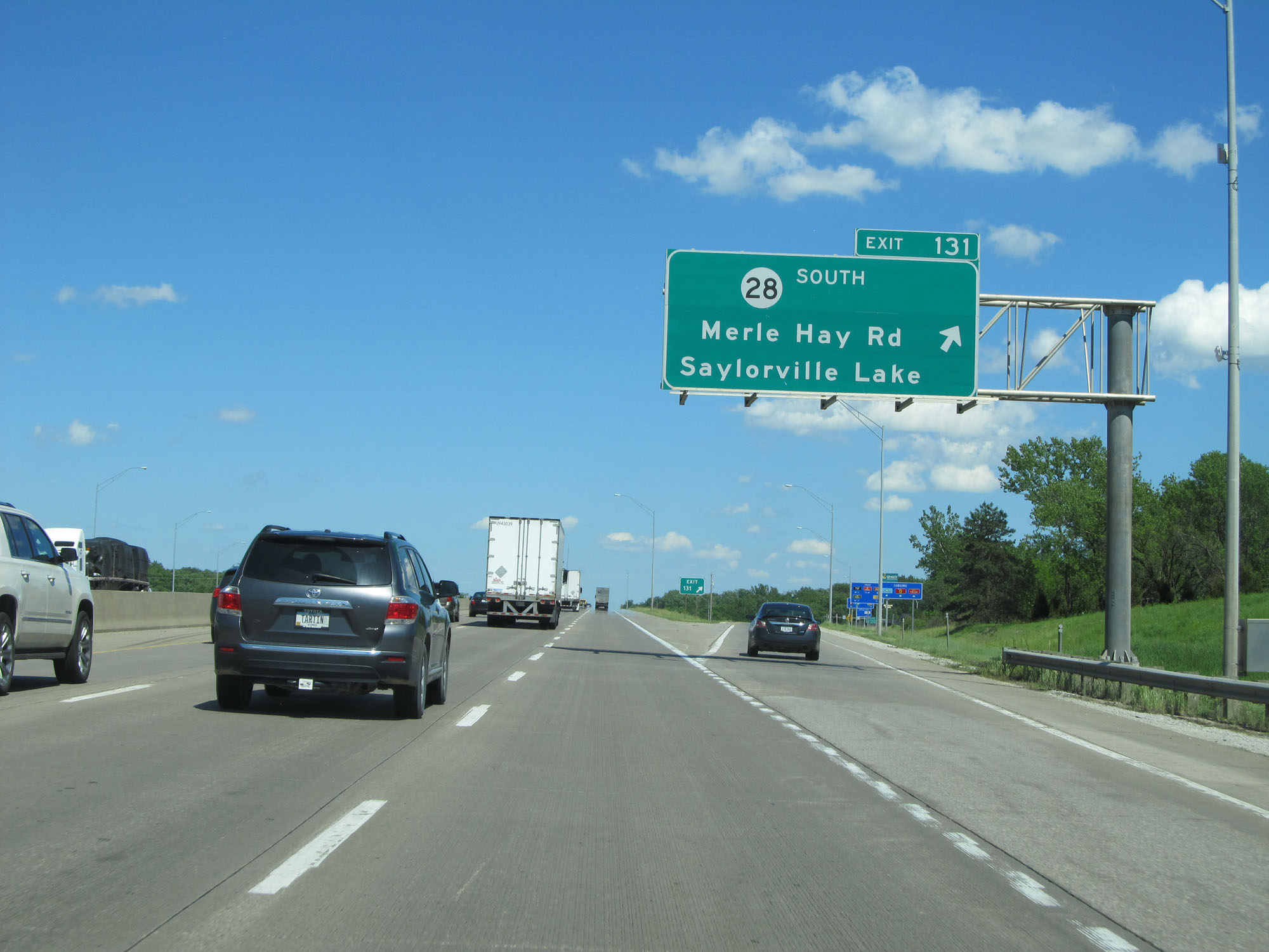 |
Interstate 80 East / Interstate 35 North at Exit 131: IA 28 South - Merle Hay Rd / Saylorville Lake (Photo taken 5/29/16). |
 |
Interstate 80 East / Interstate 35 North as they cross the Des Moines River at mile marker 133. (Photo taken 5/29/16). |
 |
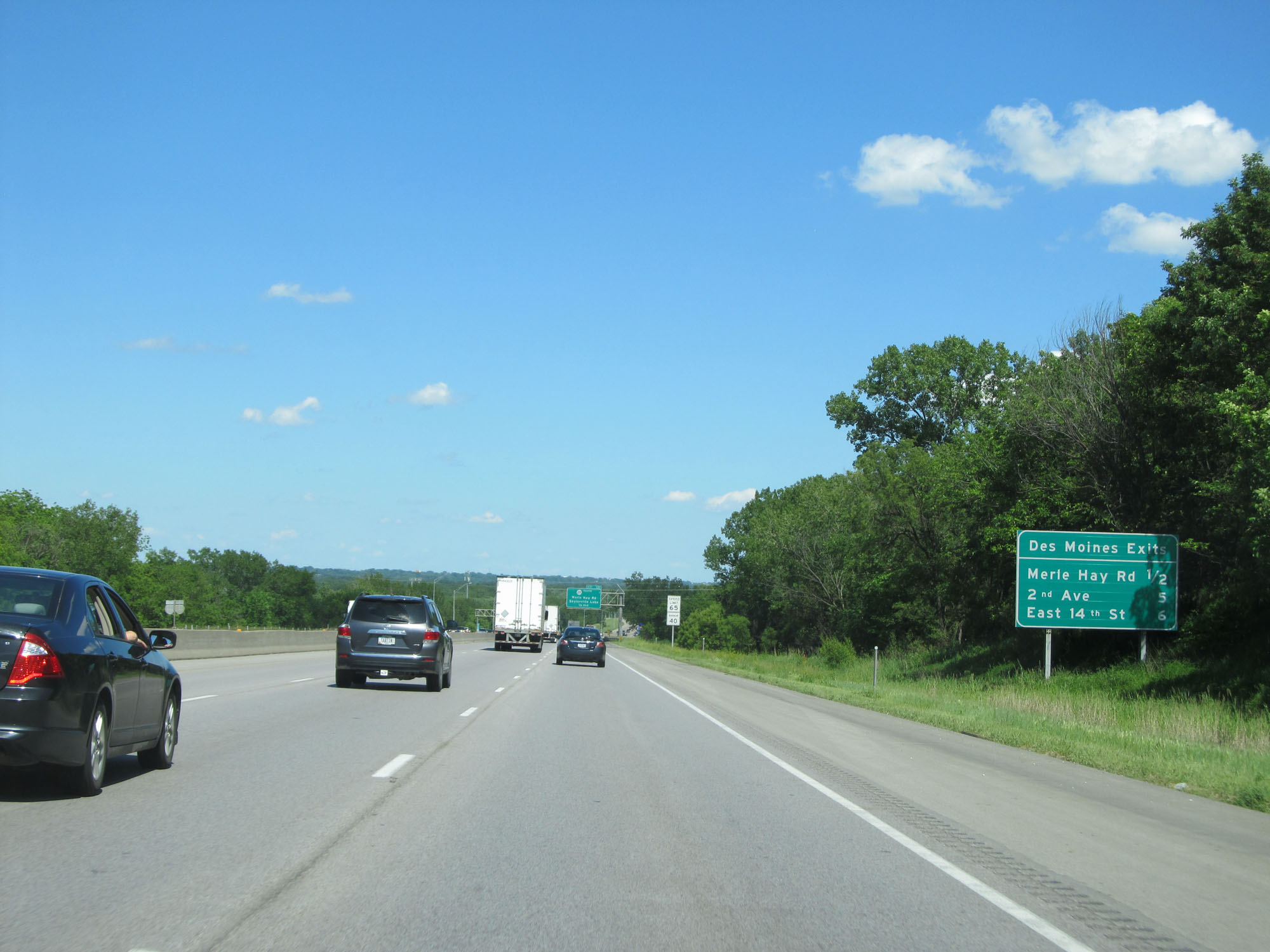
Sign listing the distances to the next 3 exits to Des Moines. (Photo taken 5/29/16). |
 |
Take Exit 135 to Easter Seals Camp. (Photo taken 5/29/16). |
 |
Interstate 80 East / Interstate 35 North at Exit 135: IA 415 - 2nd Ave / Polk City (Photo taken 5/29/16). |
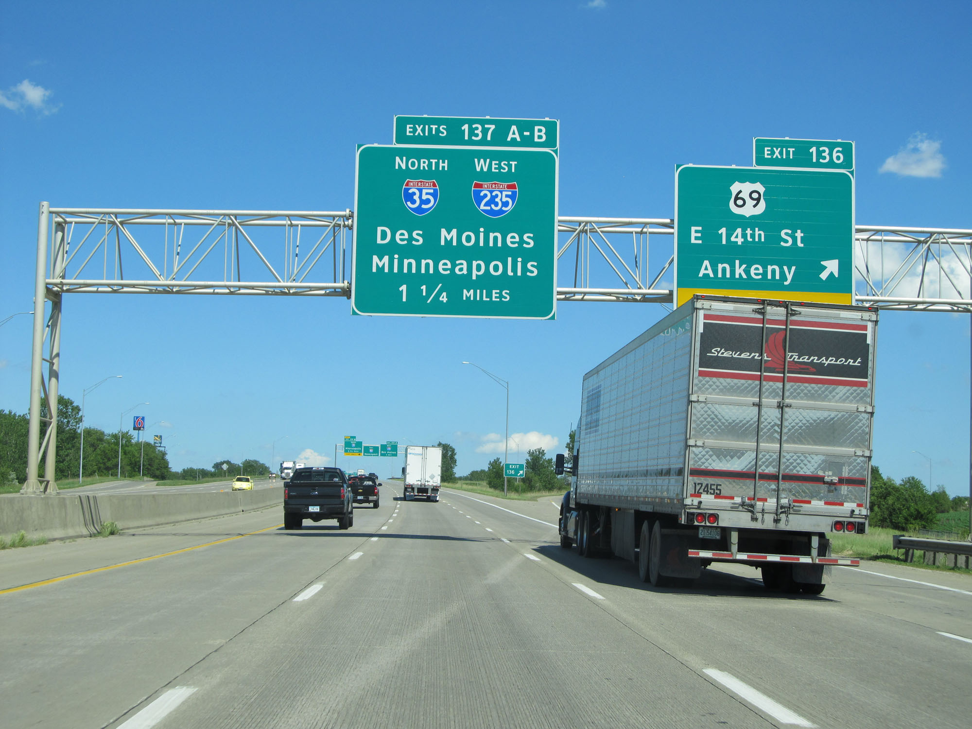 |
Interstate 80 East / Interstate 35 North at Exit 136: US 69 - E 14th St / Ankeny (Photo taken 5/29/16). |
 |
Interstate 80 East / Interstate 35 North approaching Exit 137A - 1 mile. (Photo taken 5/29/16). |
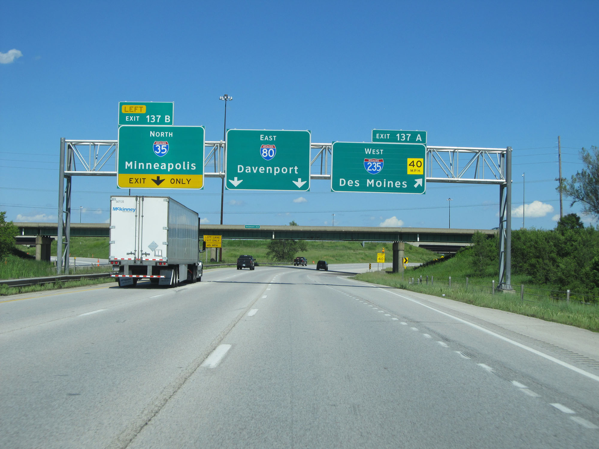 |
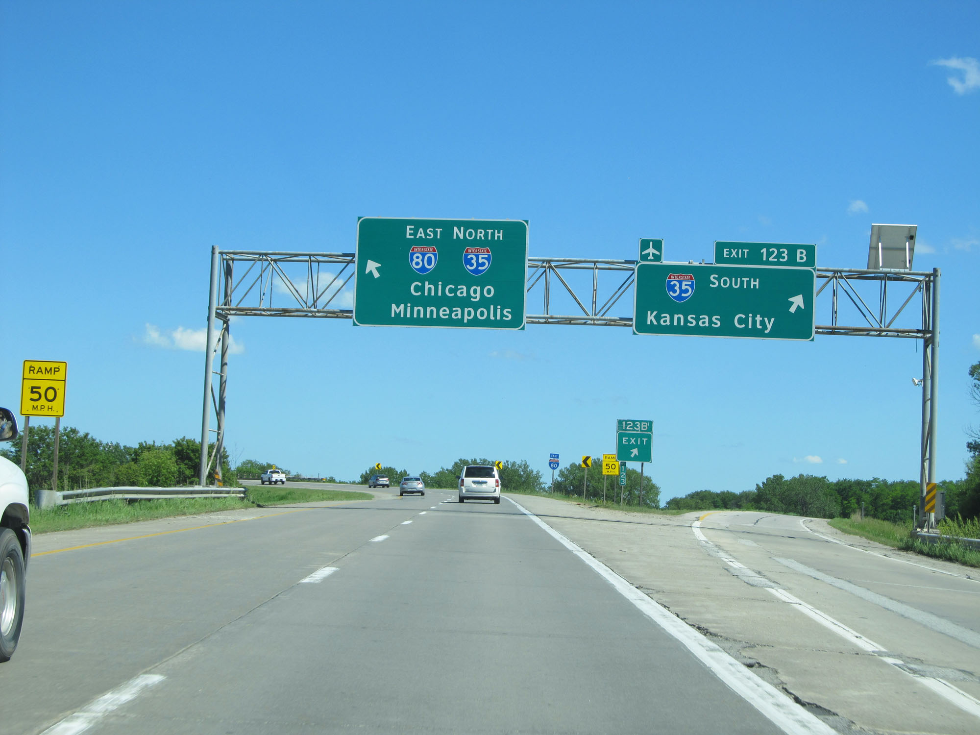
Interstate 80 East / Interstate 35 North at Exit 137A: Interstate 235 West - Des Moines (Photo taken 5/29/16). |
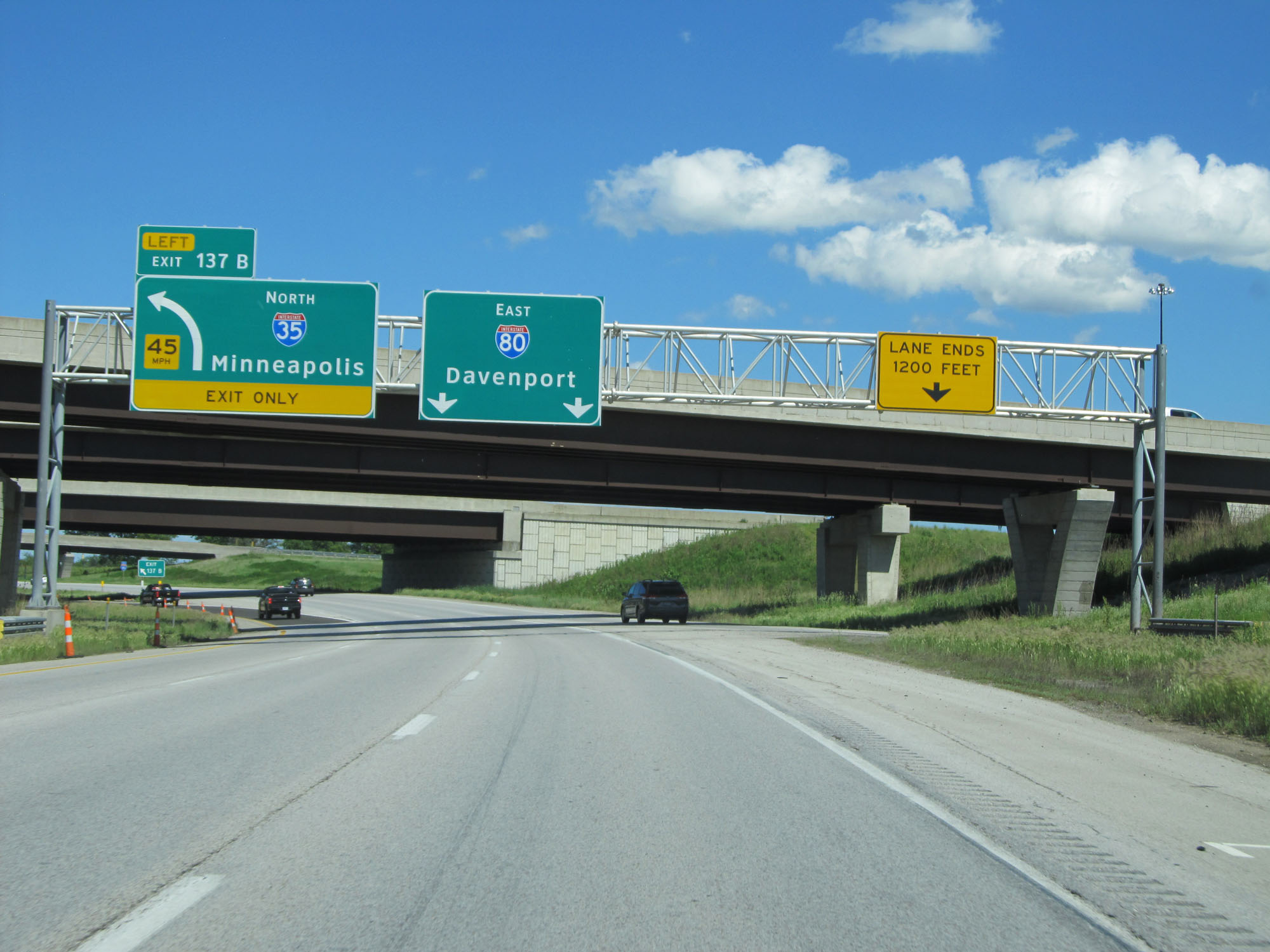 |
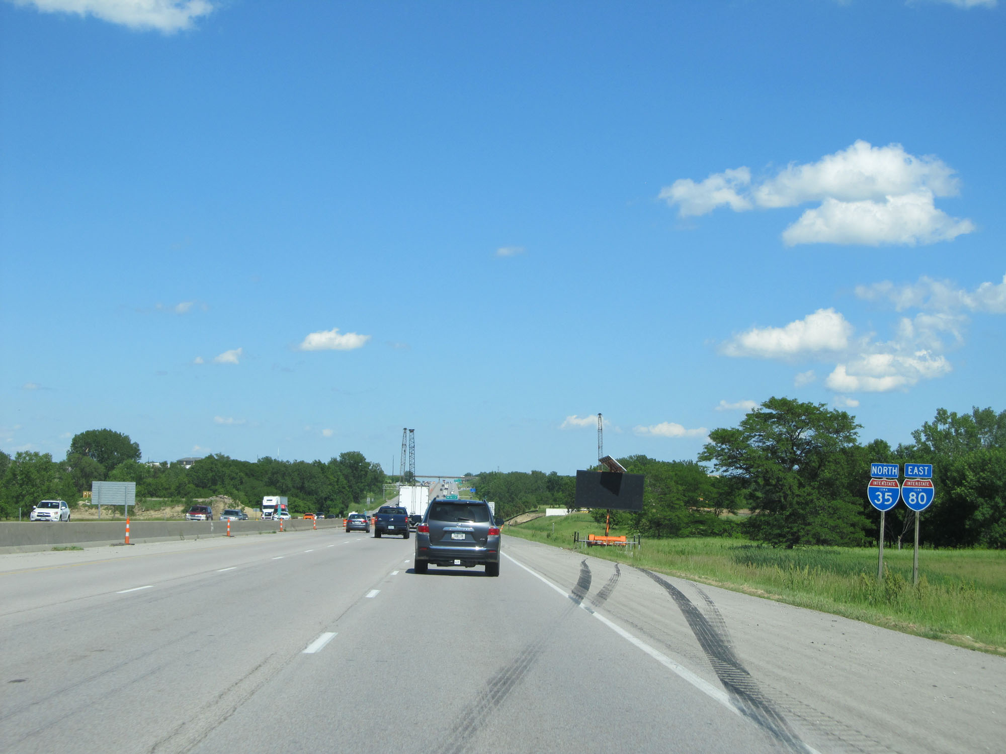
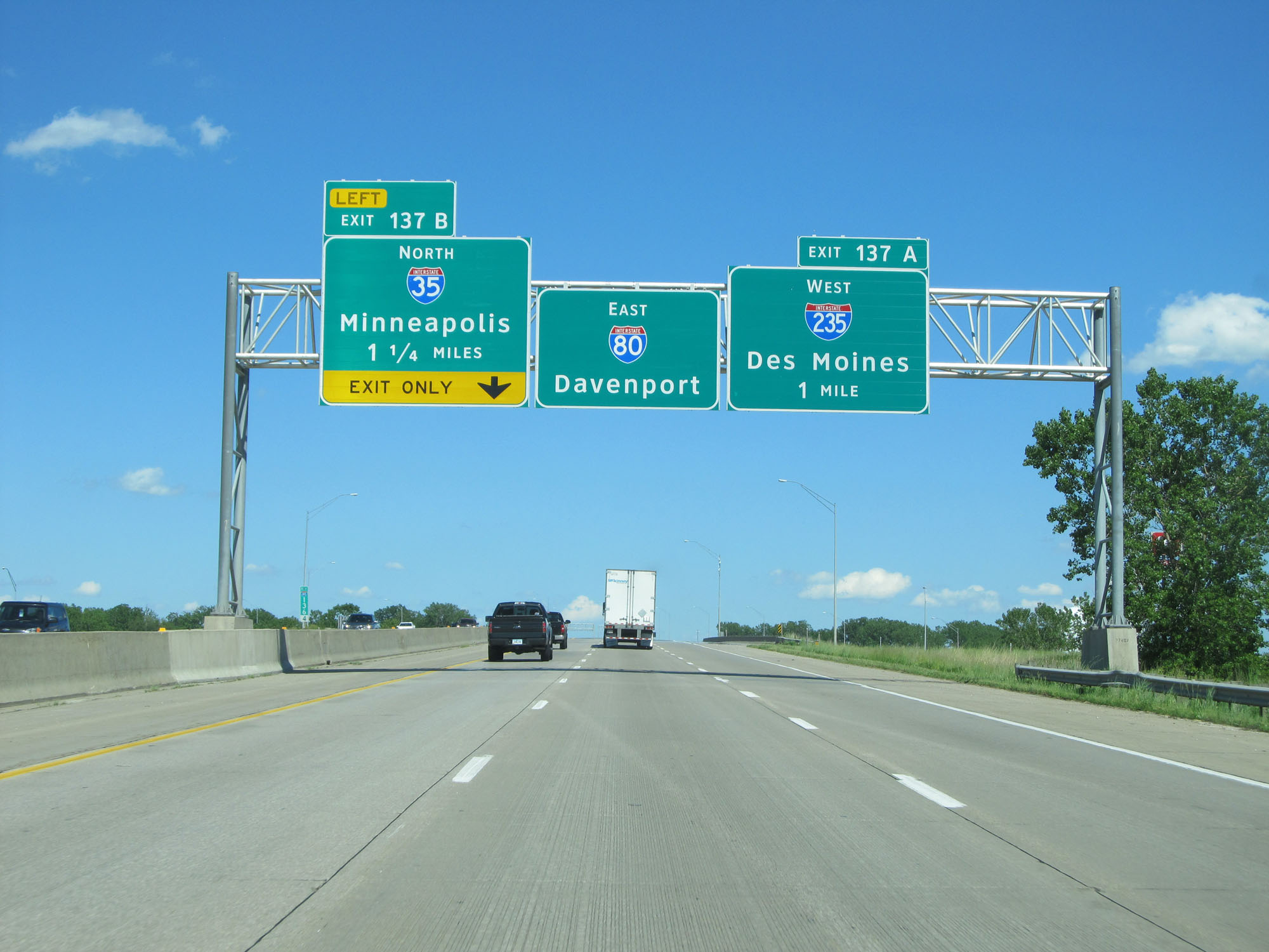
Interstate 80 East / Interstate 35 North at Exit 137B: Interstate 35 North - Minneapolis (Photo taken 5/29/16). |
Section 3: Des Moines (Exit 137B) to Iowa City (Exit 239B)
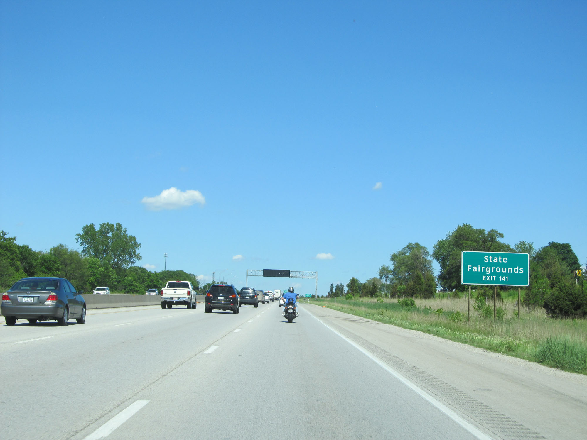 |
Take Exit 141 to the State Fairgrounds. (Photo taken 5/29/16). |
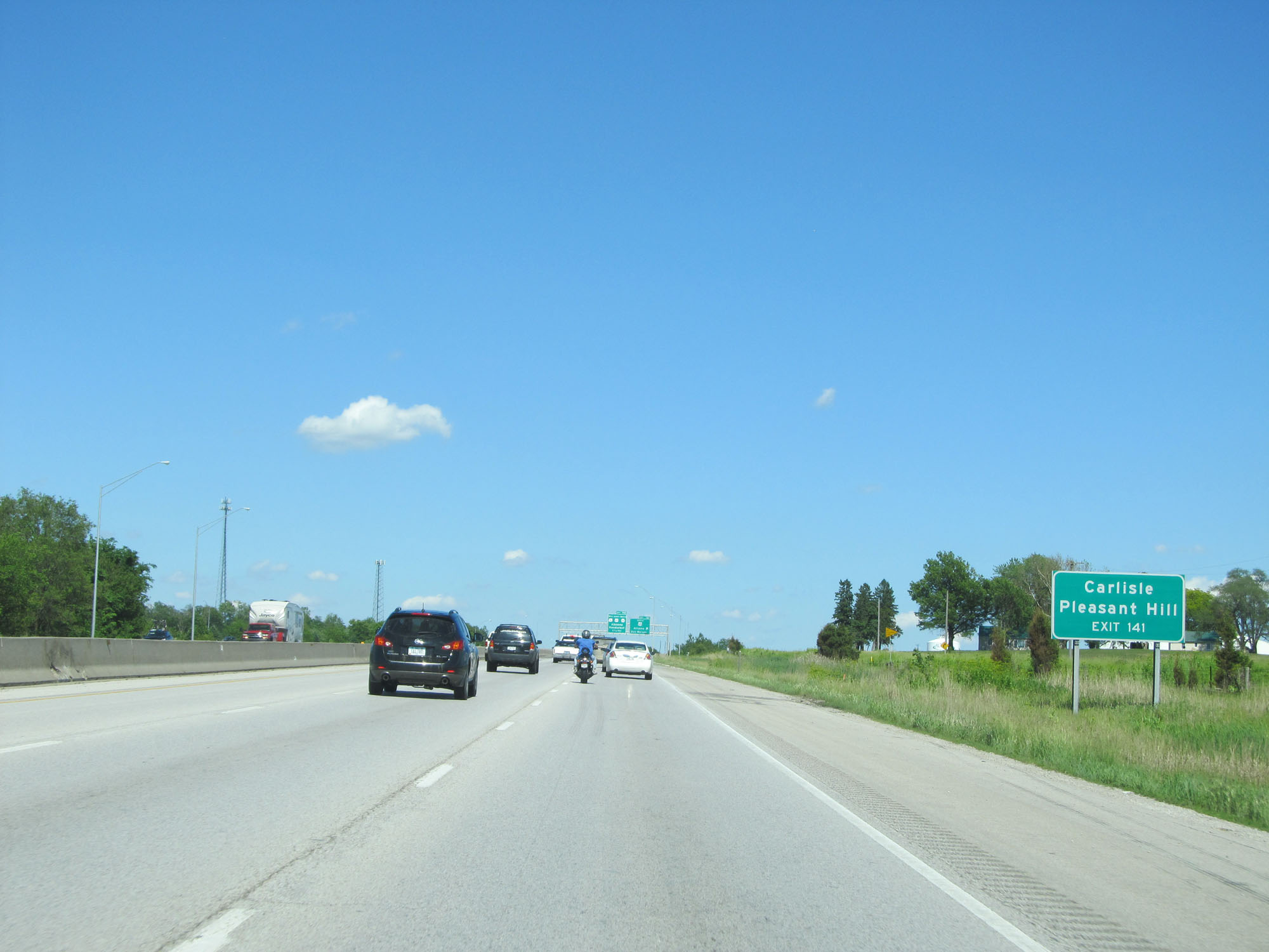 |
Also take Exit 141 to Carlisle and Pleasant Hill. (Photo taken 5/29/16). |
 |
Interstate 80 East at Exit 141: US 65 South - Altoona / Des Moines (Photo taken 5/29/16). |
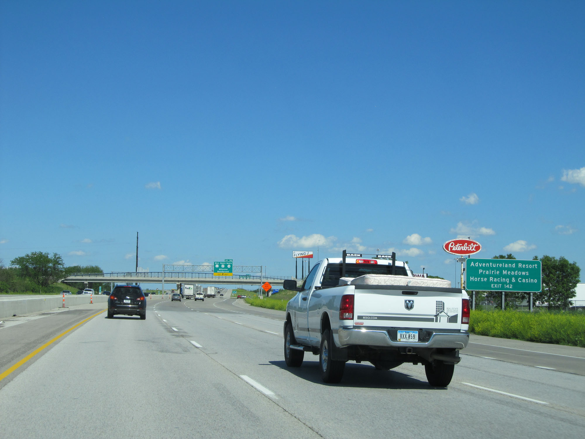 |
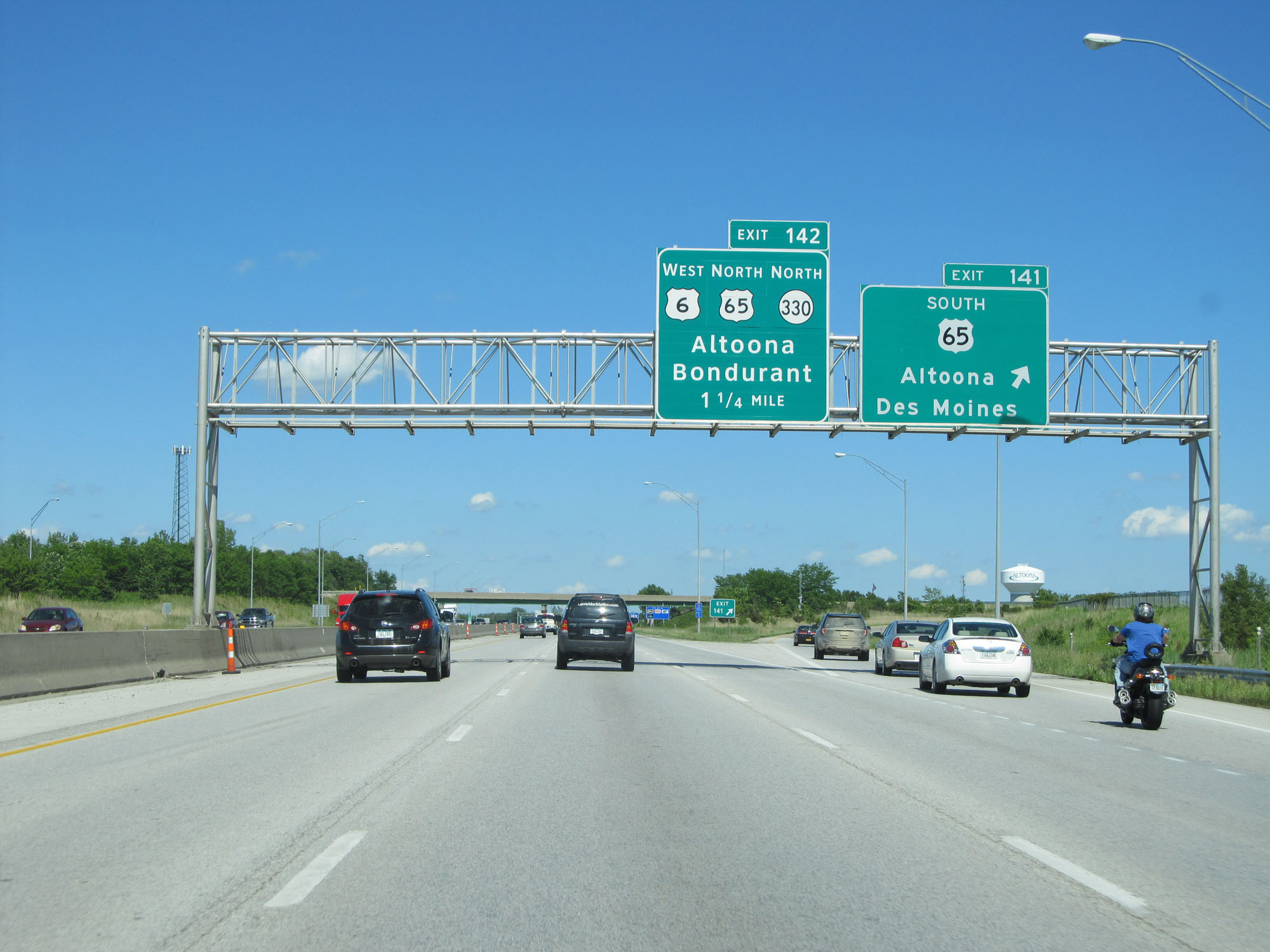
Take Exit 142 to Adventureland Resort and Prairie Meadows Horse Racing & Casino. (Photo taken 5/29/16). |
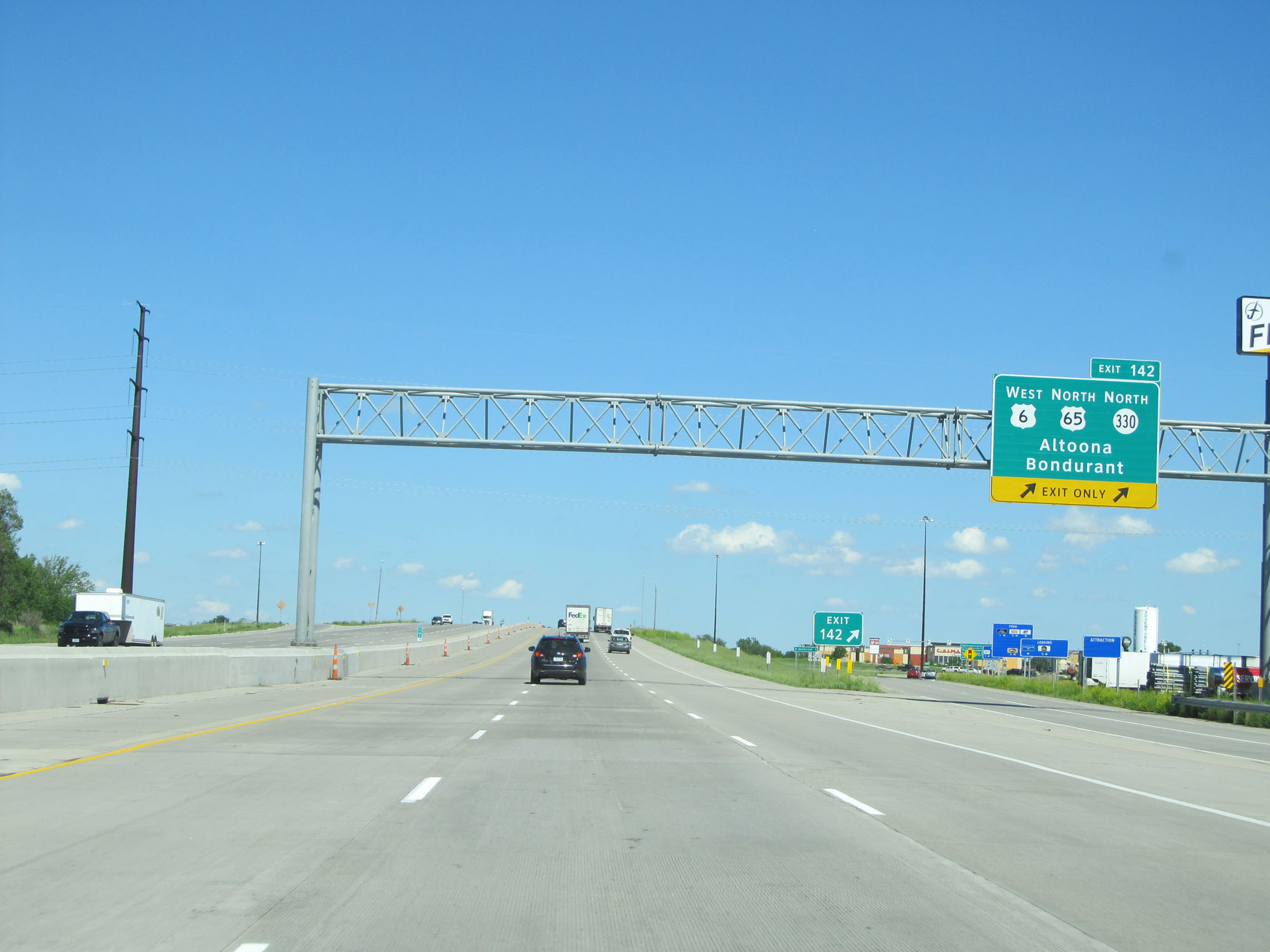 |
Interstate 80 East at Exit 142: US 6 West / US 65 North / IA 330 North - Altoona / Bondurant (Photo taken 5/29/16). |
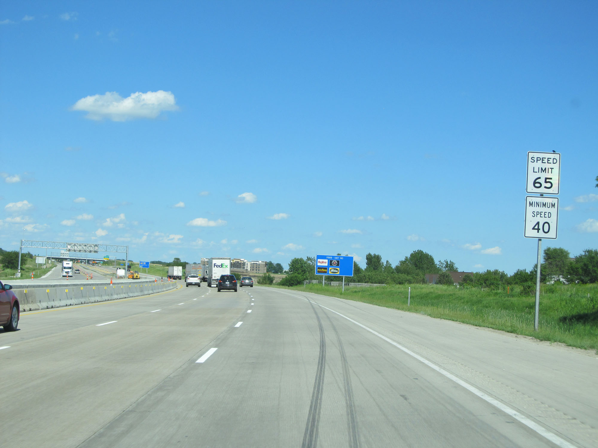 |
The speed limit remains 65 mph for a little while longer. (Photo taken 5/29/16). |
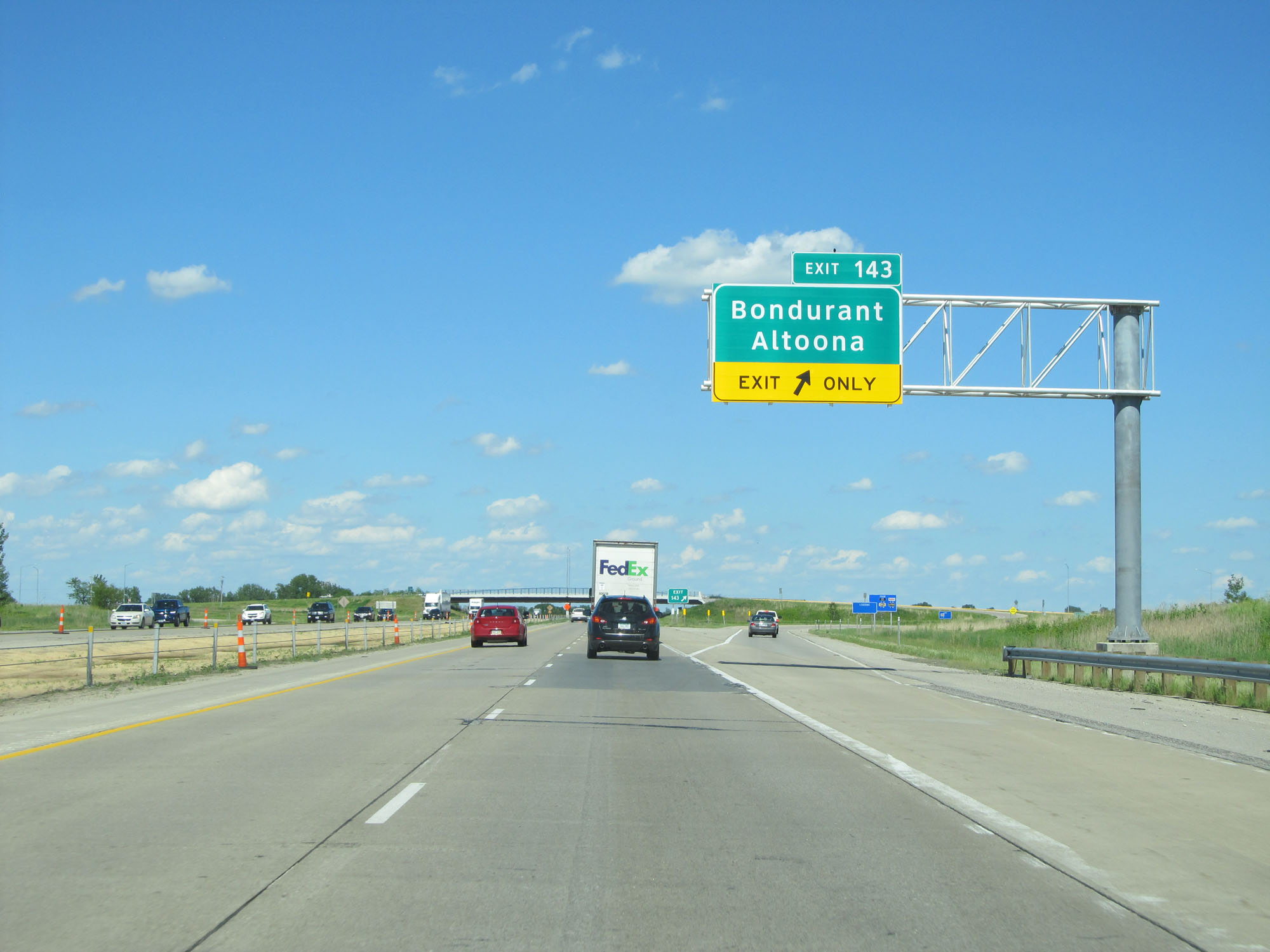 |
Interstate 80 East at Exit 143: Bondurant / Altoona (Photo taken 5/29/16). |
 |
Interstate 80 East at a Rest Area in Polk County. (Photo taken 5/29/16). |
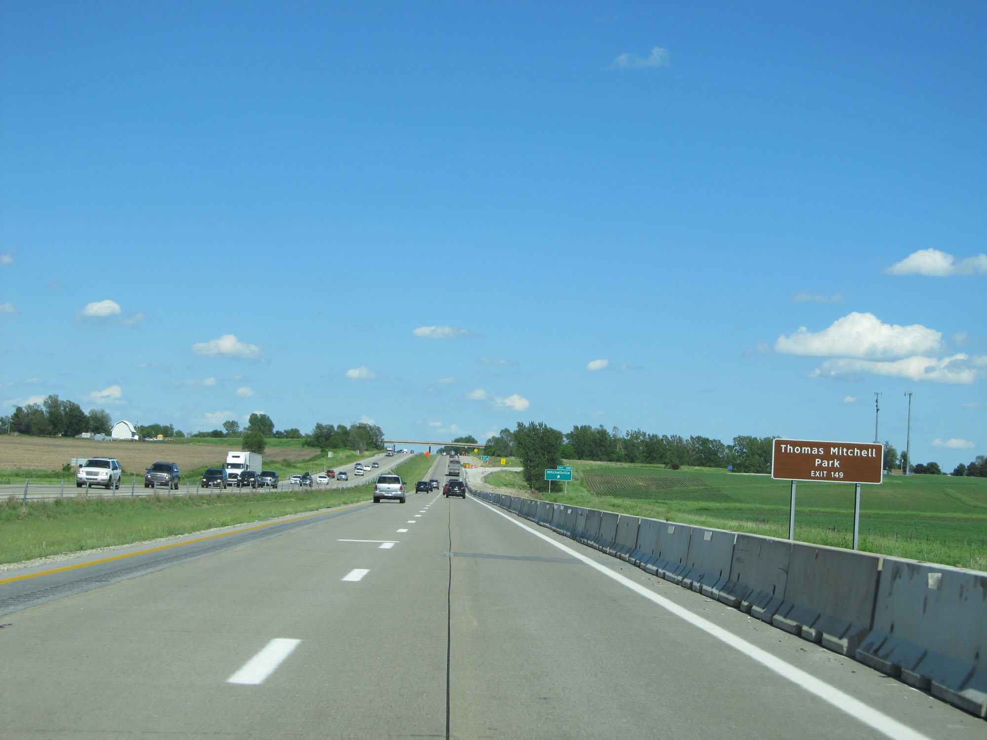 |
Take Exit 149 to Thomas Mitchell Park. (Photo taken 5/29/16). |
 |
Interstate 80 East at Exit 149: Mitchellville (Photo taken 5/29/16). |
 |
East of Exit 149, the standard rural speed limit of 70 mph resumes. (Photo taken 5/29/16). |
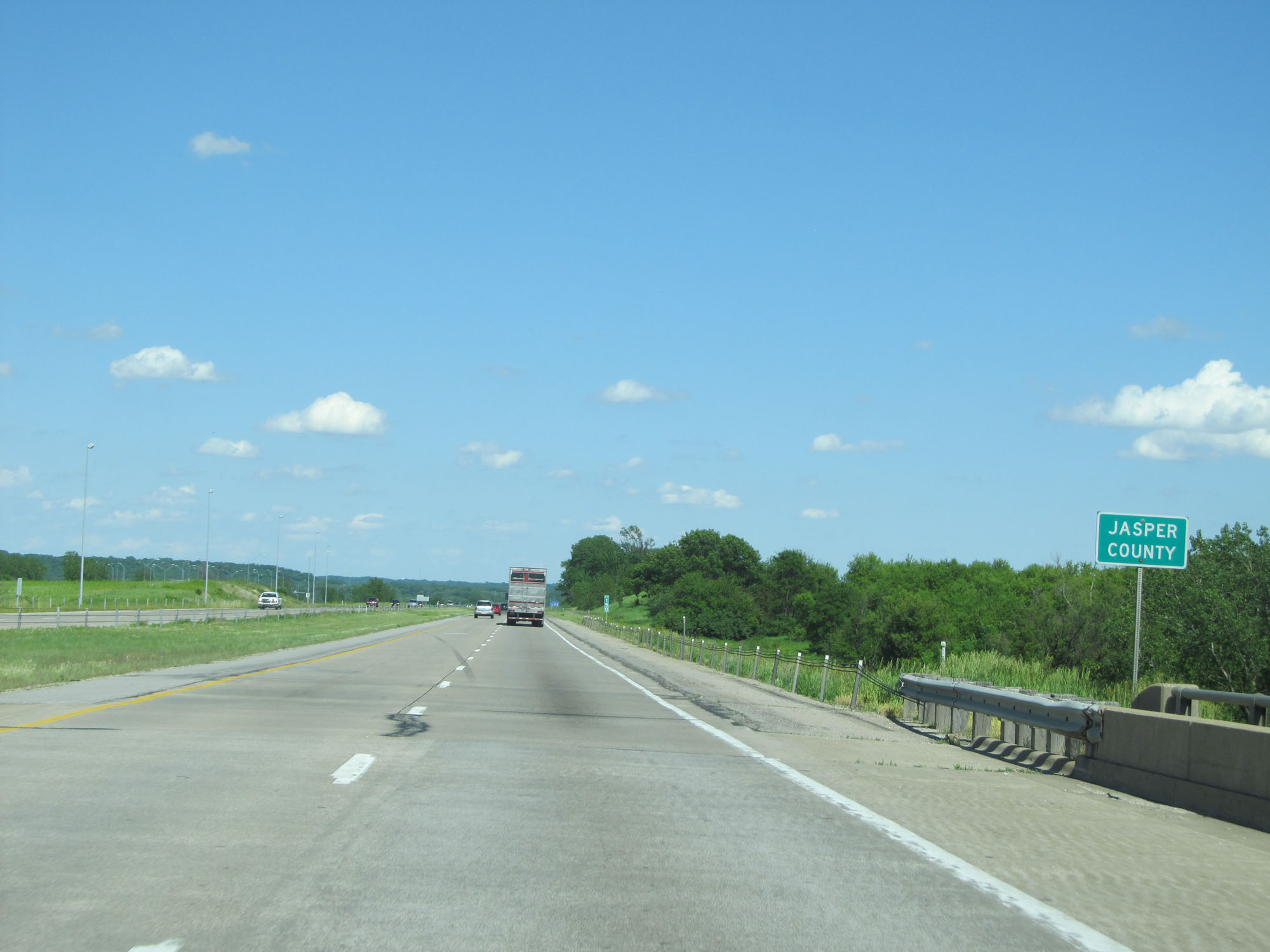 |
Interstate 80 East entering Jasper County. (Photo taken 5/29/16). |
 |
Interstate 80 East at mile marker 151. (Photo taken 5/29/16). |
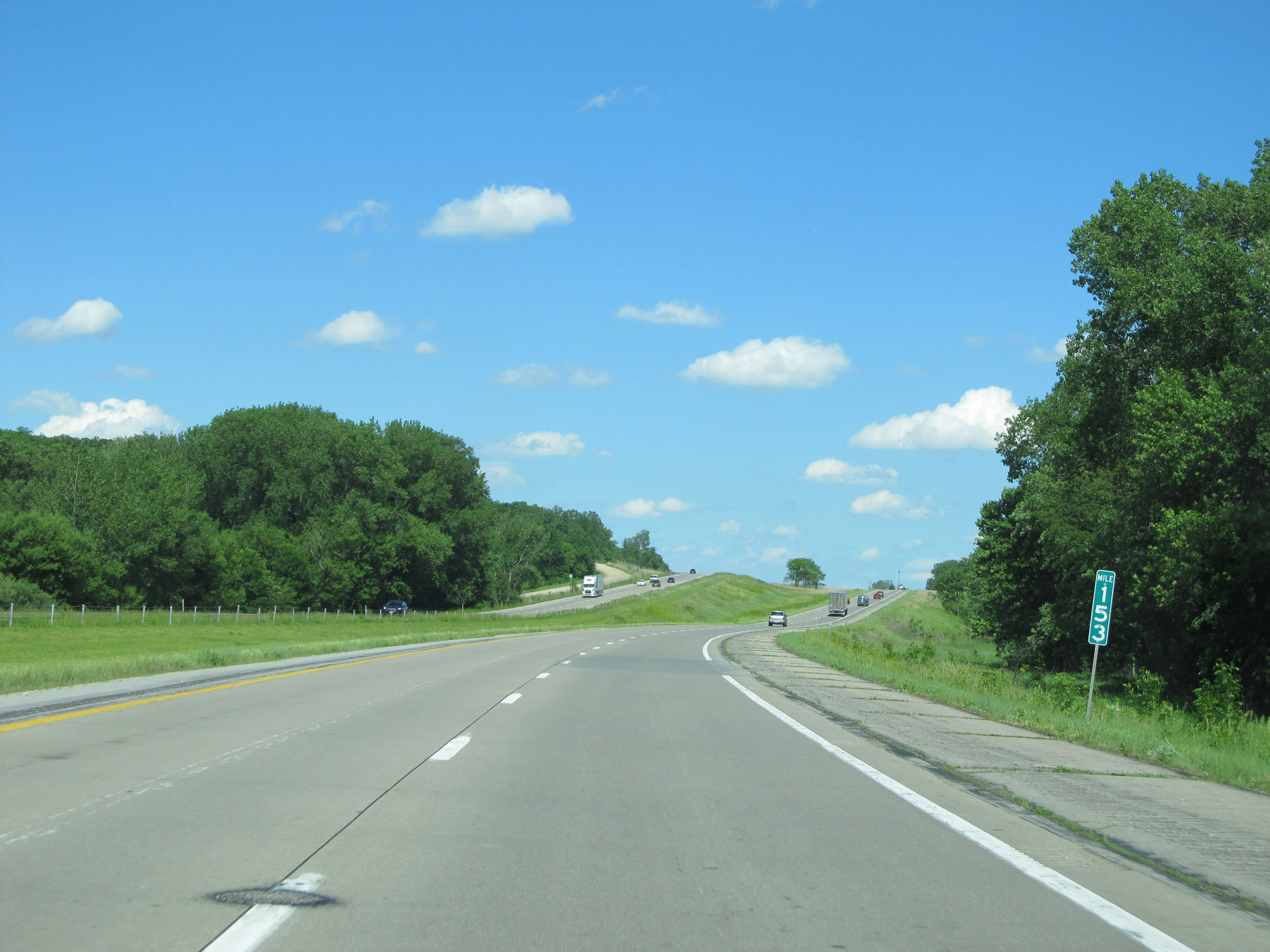 |
Interstate 80 East at mile marker 153. (Photo taken 5/29/16). |
 |
Take Exit 155 to Prairie City. (Photo taken 5/29/16). |
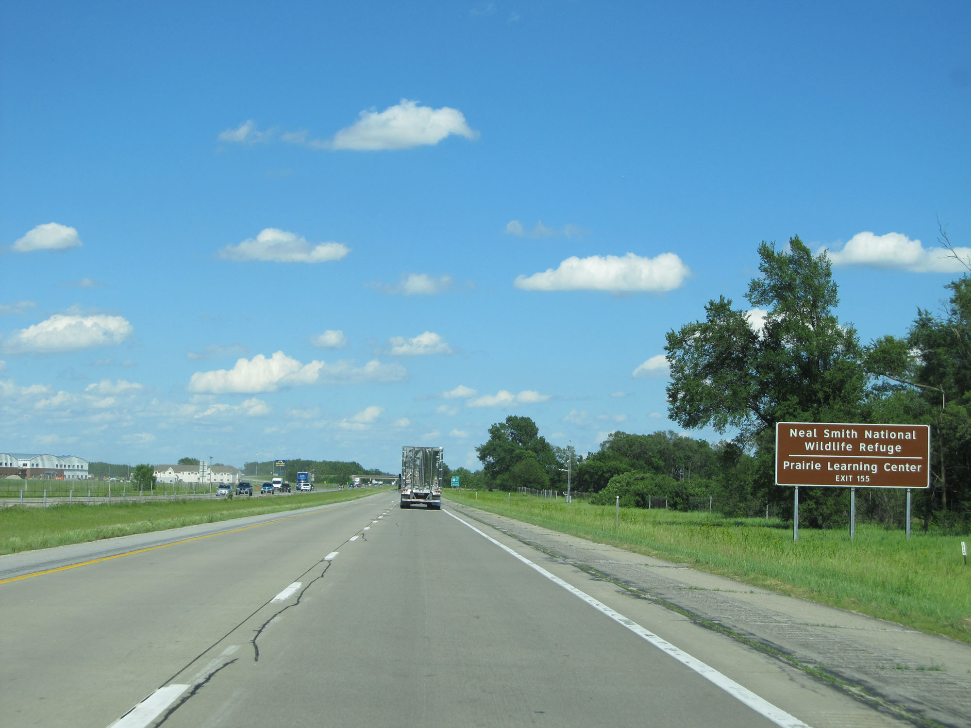 |
Also take Exit 155 to Neal Smith National Wildlife Refuge and Prairie Learning Center. (Photo taken 5/29/16). |
 |
Interstate 80 East at Exit 155: IA 117 - Colfax / Mingo (Photo taken 5/29/16). |
 |
Another state-named Interstate 80 East reassurance shield. (Photo taken 5/29/16). |
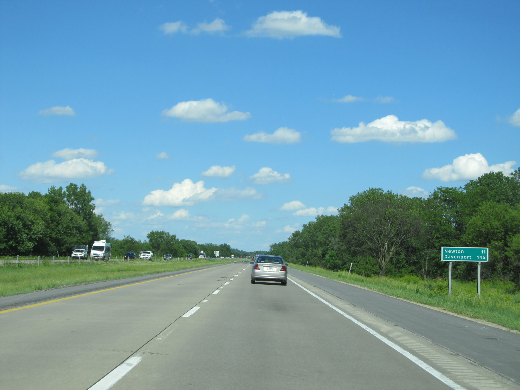 |
Mileage sign on Interstate 80 East. It's 11 miles to Newton and 145 miles to Davenport. (Photo taken 5/29/16). |
 |
Interstate 80 East at Exit 159: CR F48 - Baxter (Photo taken 5/29/16). |
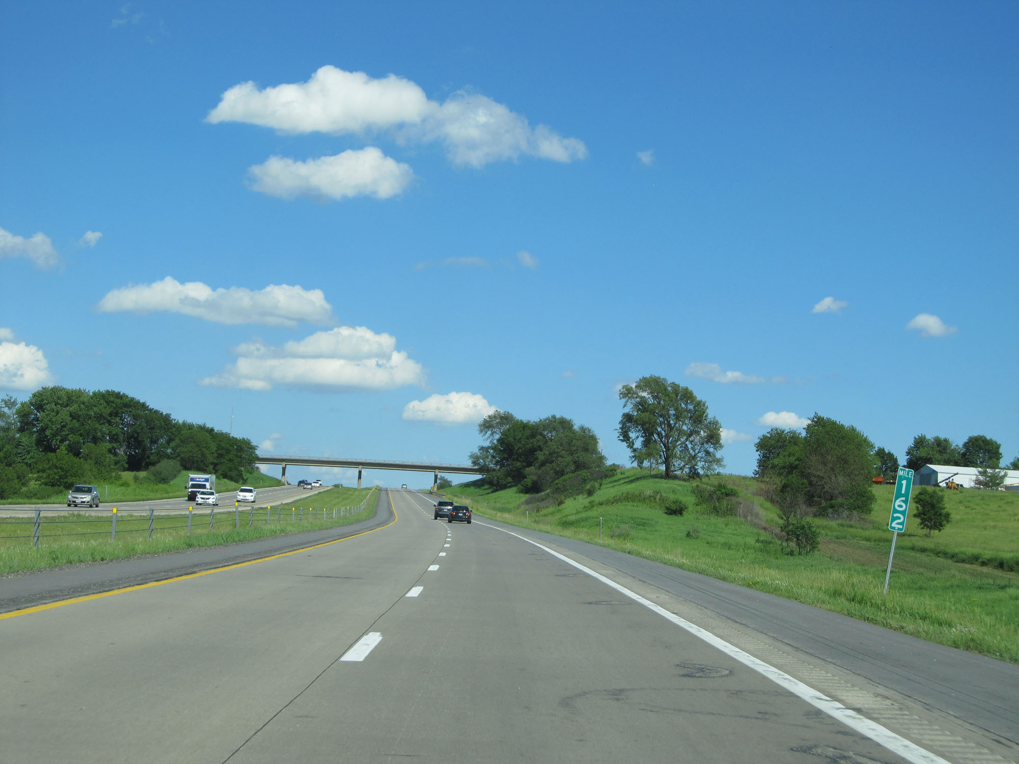 |
Interstate 80 East at mile marker 162. (Photo taken 5/29/16). |
 |
Take either of the next 2 exits to Newton. (Photo taken 5/29/16). |
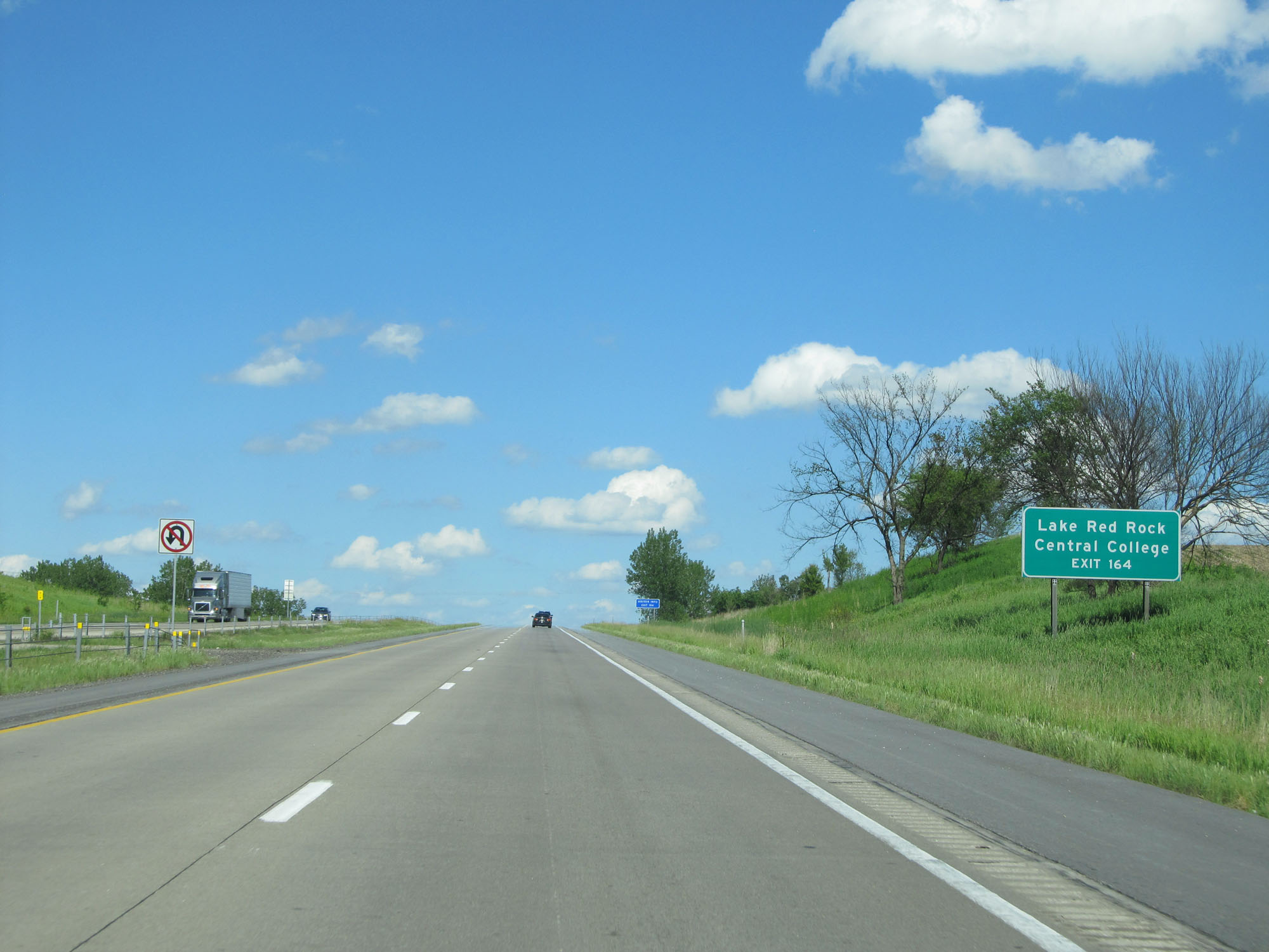 |
Take Exit 164 to Lake Red Rock and Central College. (Photo taken 5/29/16). |
 |
Interstate 80 East at Exit 164: US 6 / IA 14 - Newton / Monroe (Photo taken 5/29/16). |
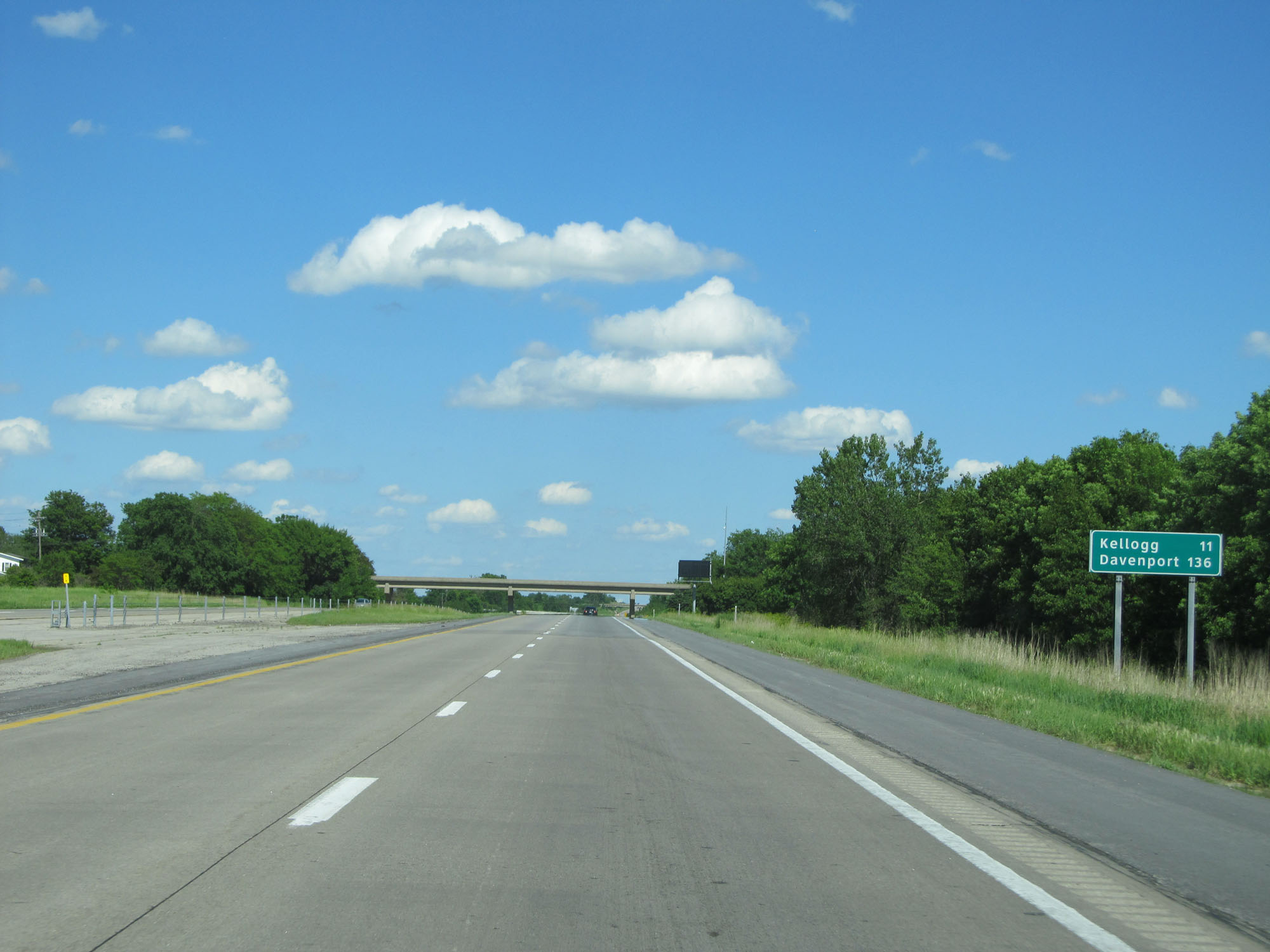 |
Mileage sign on Interstate 80 East. It's 11 miles to Kellogg and 136 miles to Davenport. (Photo taken 5/29/16). |
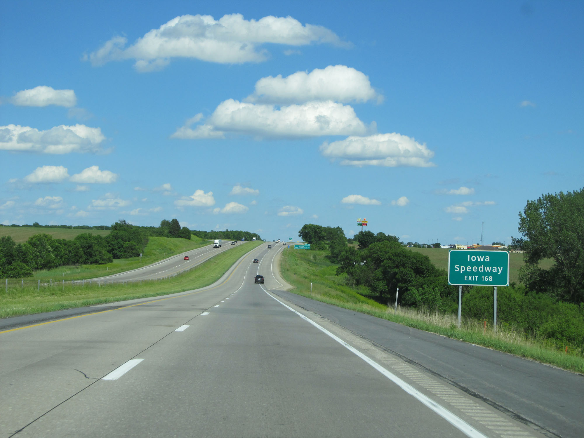 |
Take Exit 168 to Iowa Speedway. (Photo taken 5/29/16). |
 |
Interstate 80 East at Exit 168: Newton / Iowa Speedway Dr (Photo taken 5/29/16). |
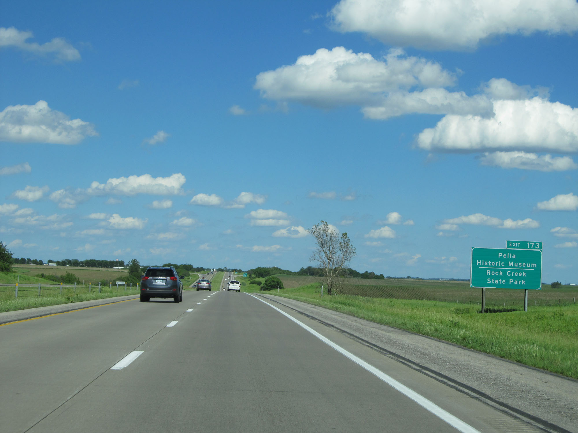 |
Take Exit 173 to Pella Historic Museum and Rock Creek State Park. (Photo taken 5/29/16). |
 |
Interstate 80 East at Exit 173: IA 224 - Kellogg / Sully (Photo taken 5/29/16). |
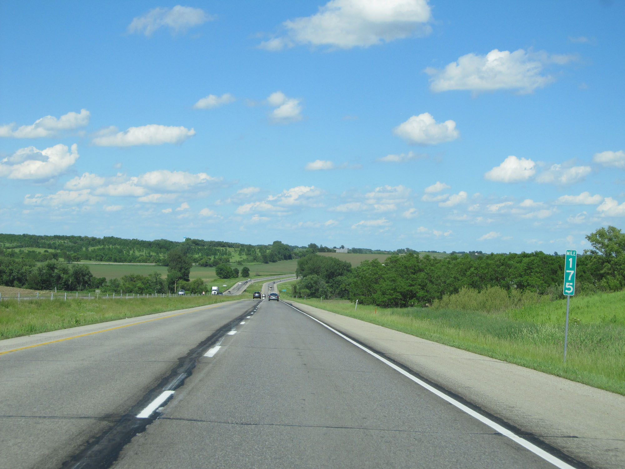 |
Interstate 80 East at mile marker 175. (Photo taken 5/29/16). |
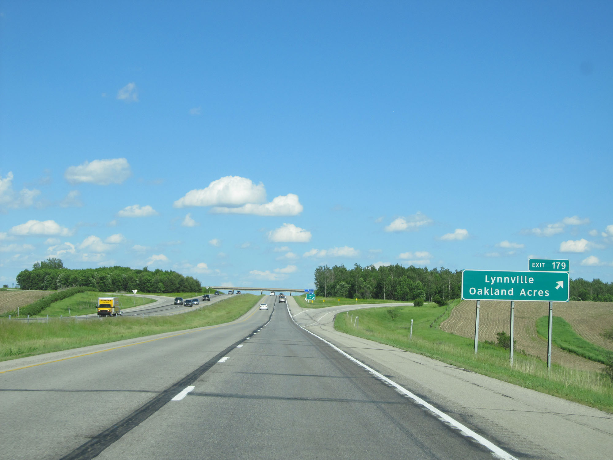 |
Interstate 80 East at Exit 179: Lynnville / Oakland Acres (Photo taken 5/29/16). |
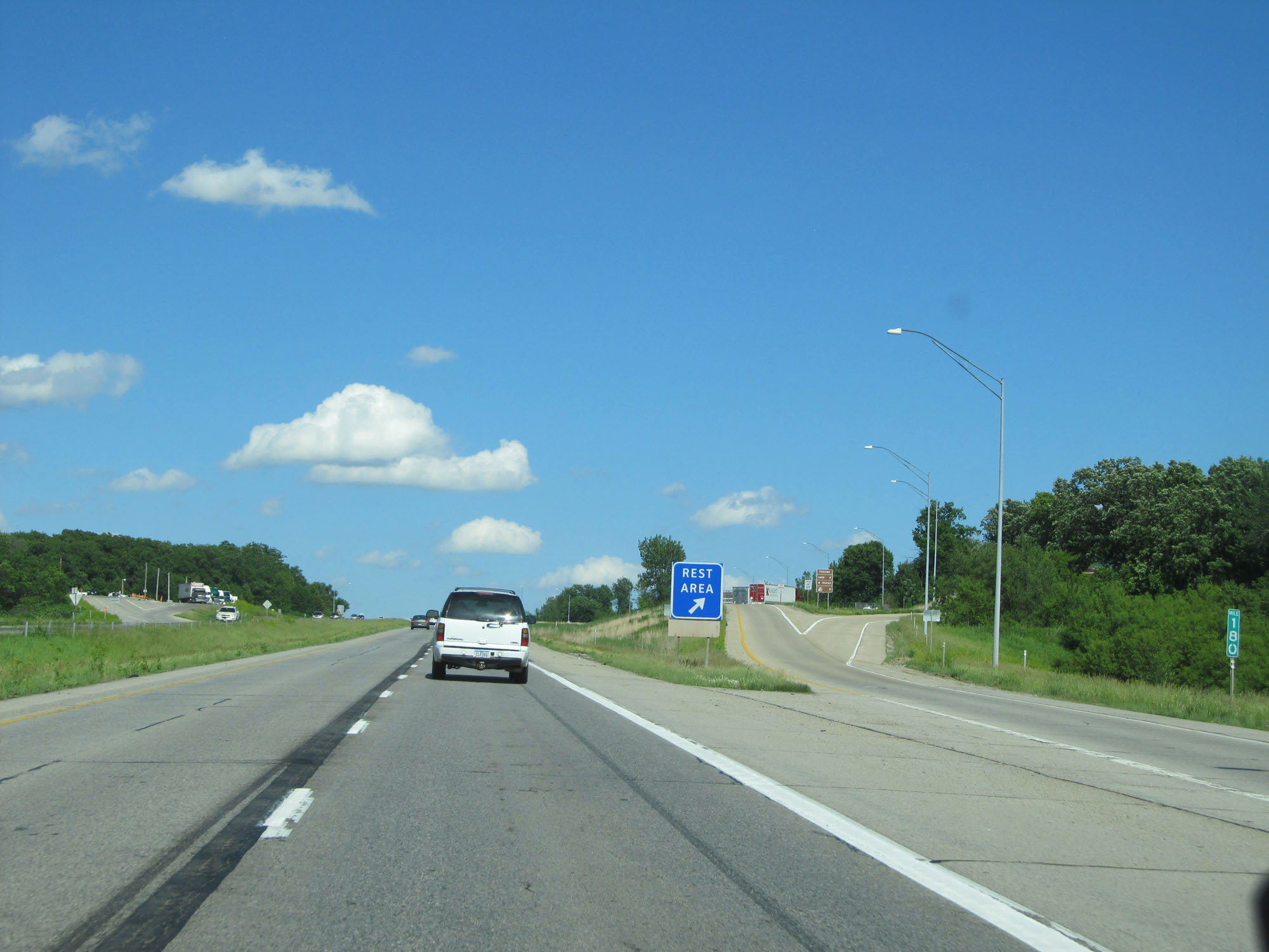 |
Interstate 80 East at the Rest Area in Jasper County, located at mile marker 180. (Photo taken 5/29/16). |
 |
Interstate 80 East entering Poweshiek County. (Photo taken 5/29/16). |
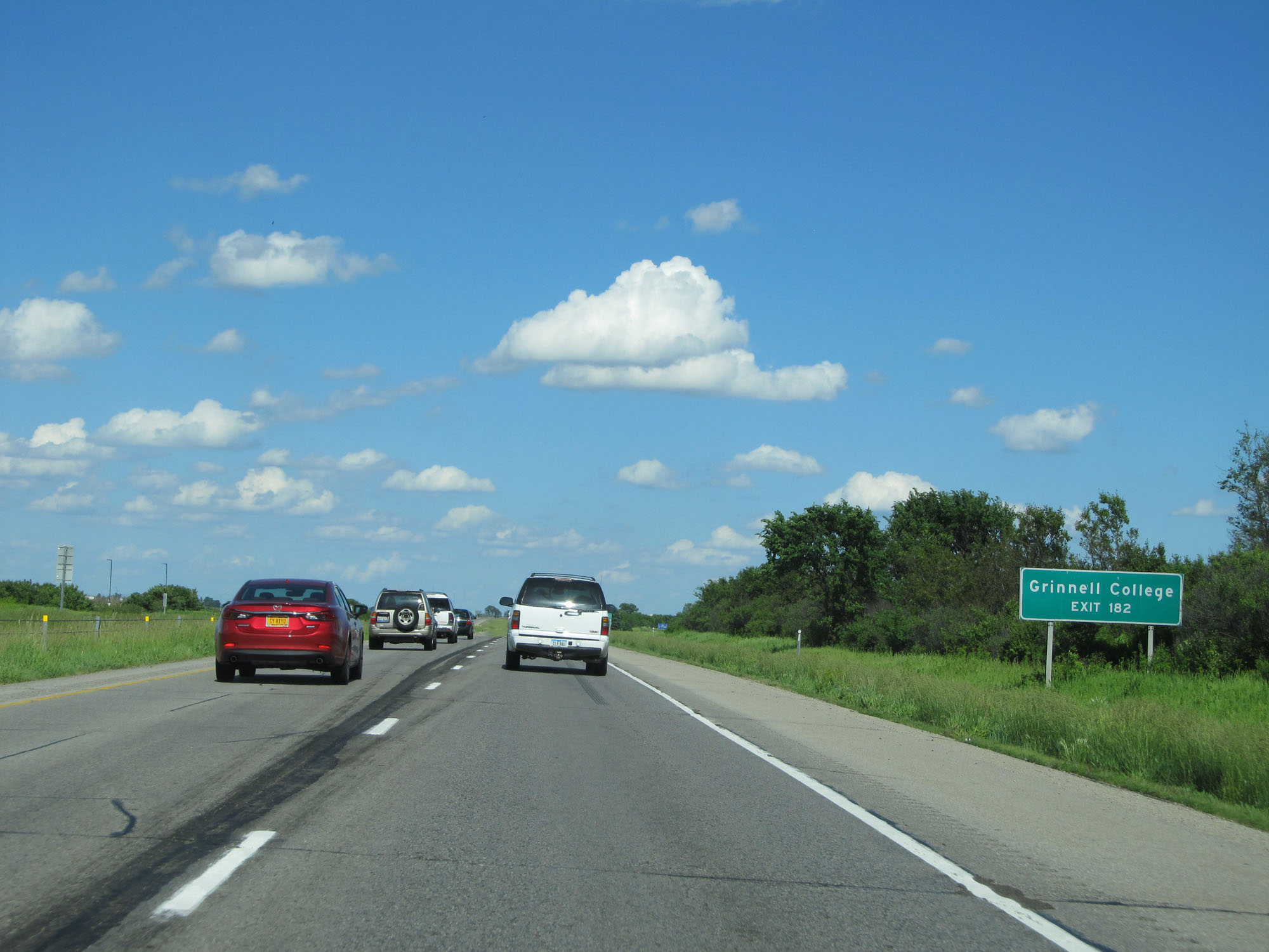 |
Take Exit 182 to Grinnell College. (Photo taken 5/29/16). |
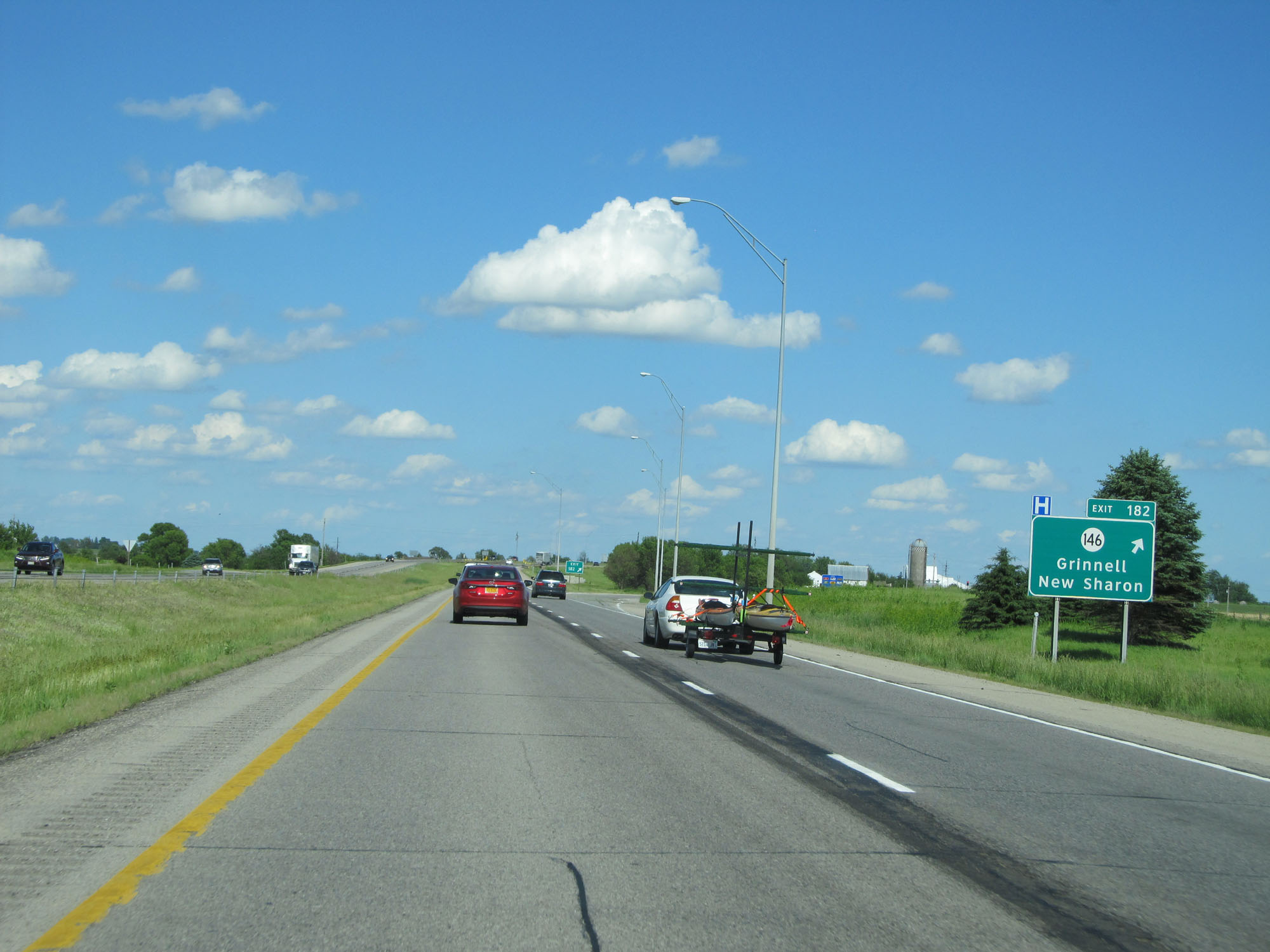 |
Interstate 80 East at Exit 182: IA 146 - Grinnell / New Sharon (Photo taken 5/29/16). |
 |
Interstate 80 East at mile marker 185. (Photo taken 5/29/16). |
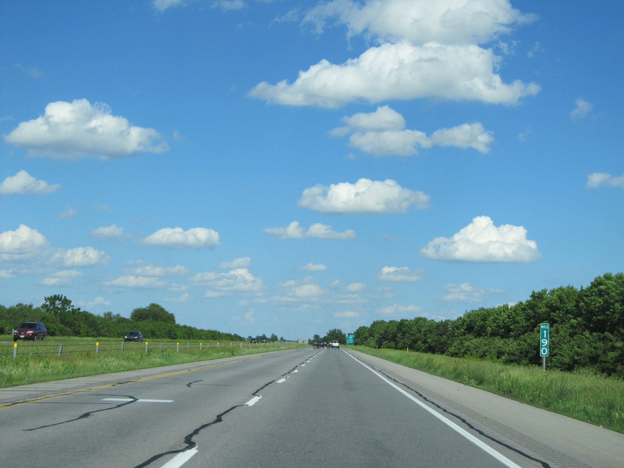 |
Interstate 80 East at mile marker 190. (Photo taken 5/29/16). |
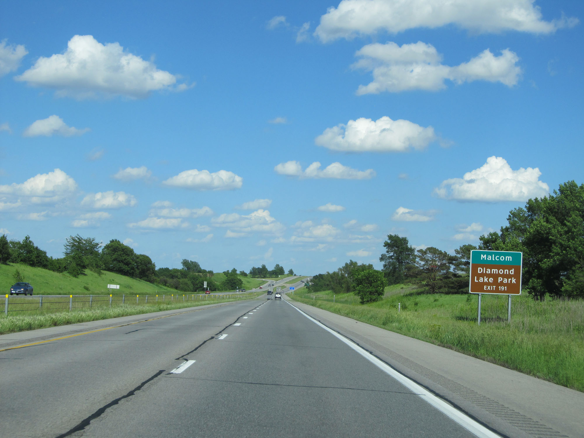 |
Take Exit 191 to Malcom and Diamond Lake Park. (Photo taken 5/29/16). |
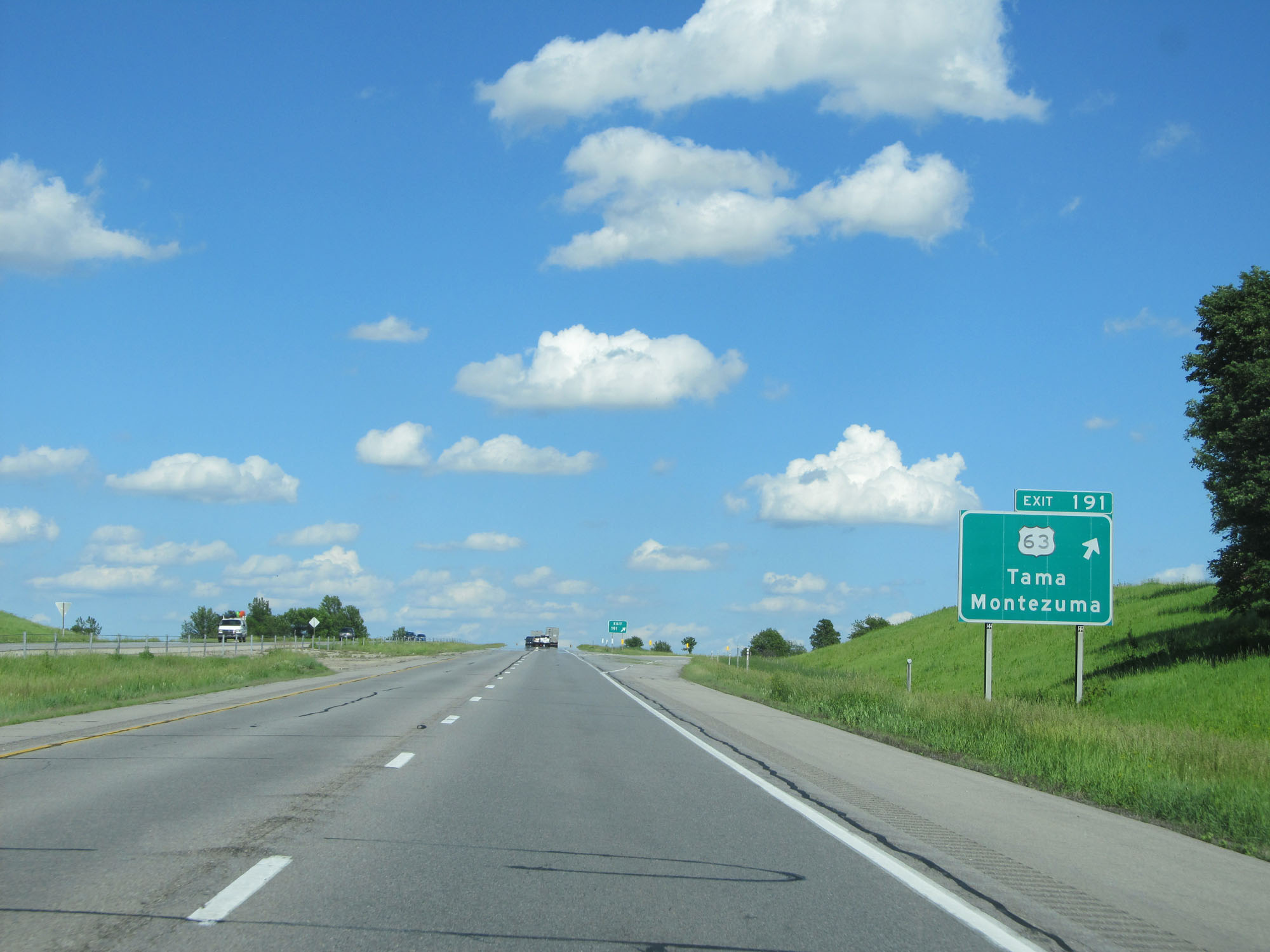 |
Interstate 80 East at Exit 191: US 63 - Tama / Montezuma (Photo taken 5/29/16). |
 |
Interstate 80 East reassurance shield. (Photo taken 5/29/16). |
 |
Mileage sign on Interstate 80 East. It's 8 miles to Brooklyn and 109 miles to Davenport. (Photo taken 5/29/16). |
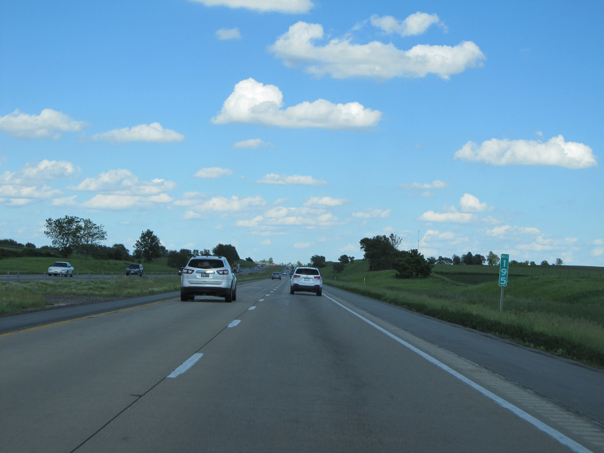 |
Interstate 80 East at mile marker 195. (Photo taken 5/29/16). |
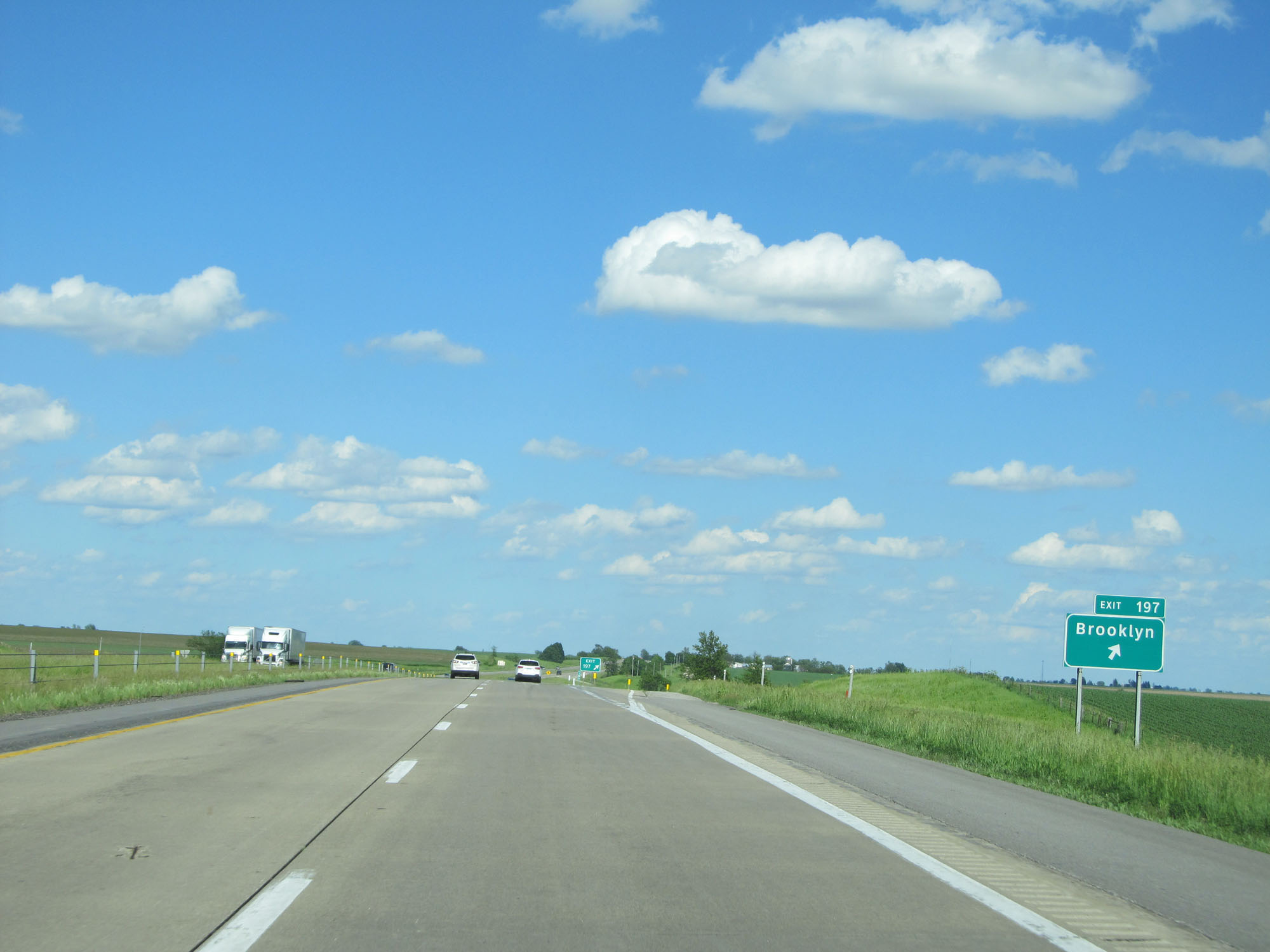 |
Interstate 80 East at Exit 197: Brooklyn (Photo taken 5/29/16). |
 |
Interstate 80 East at mile marker 199. (Photo taken 5/29/16). |
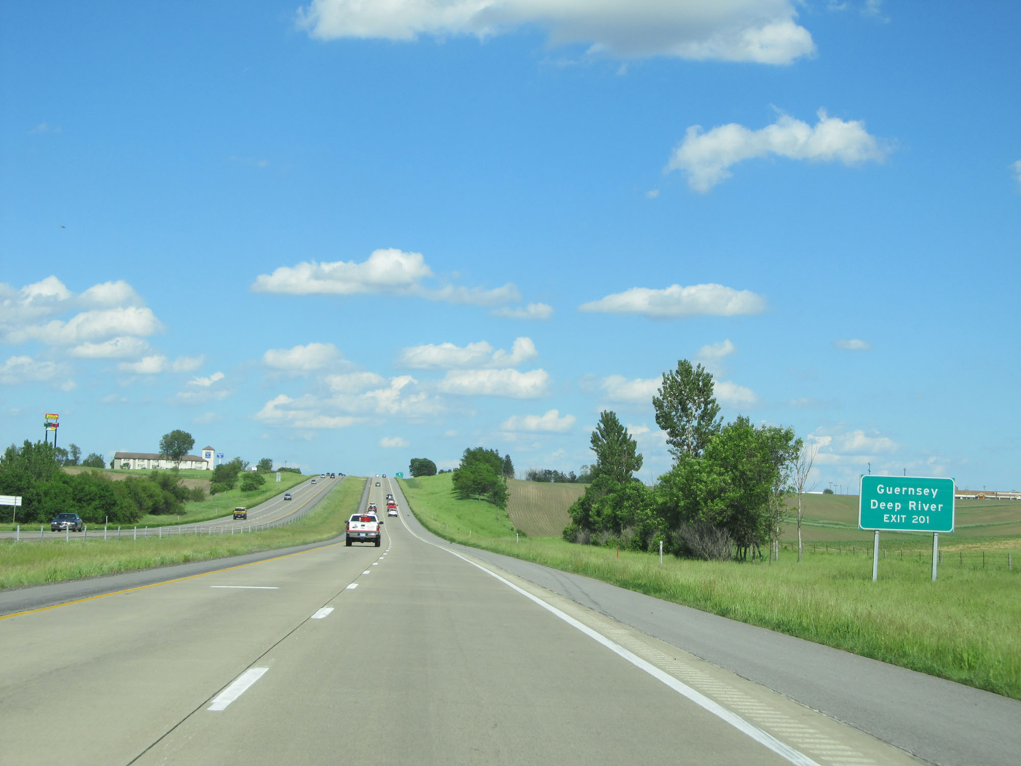 |
Take Exit 201 to Guernsey and Deep River. (Photo taken 5/29/16). |
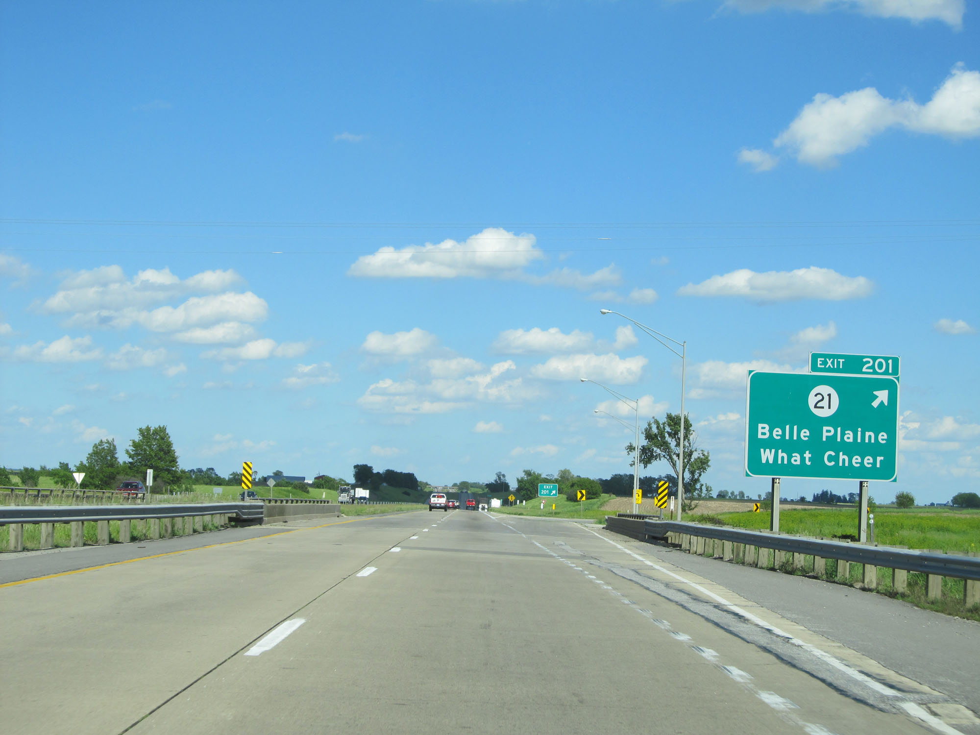 |
Interstate 80 East at Exit 201: IA 21 - Belle Plaine / What Cheer (Photo taken 5/29/16). |
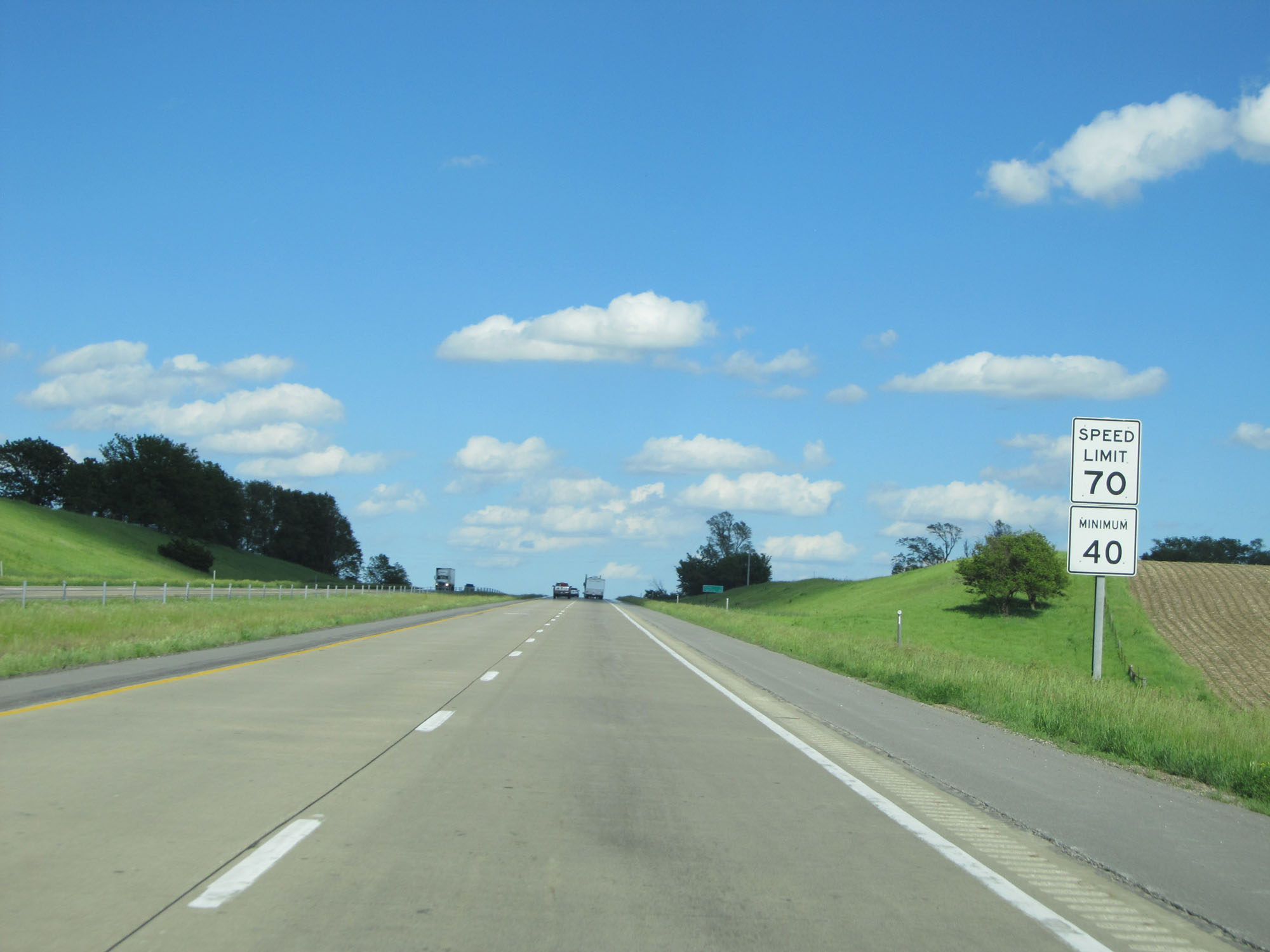 |
Speed Limit - 70 mph. Minimum speed limit - 40 mph. (Photo taken 5/29/16). |
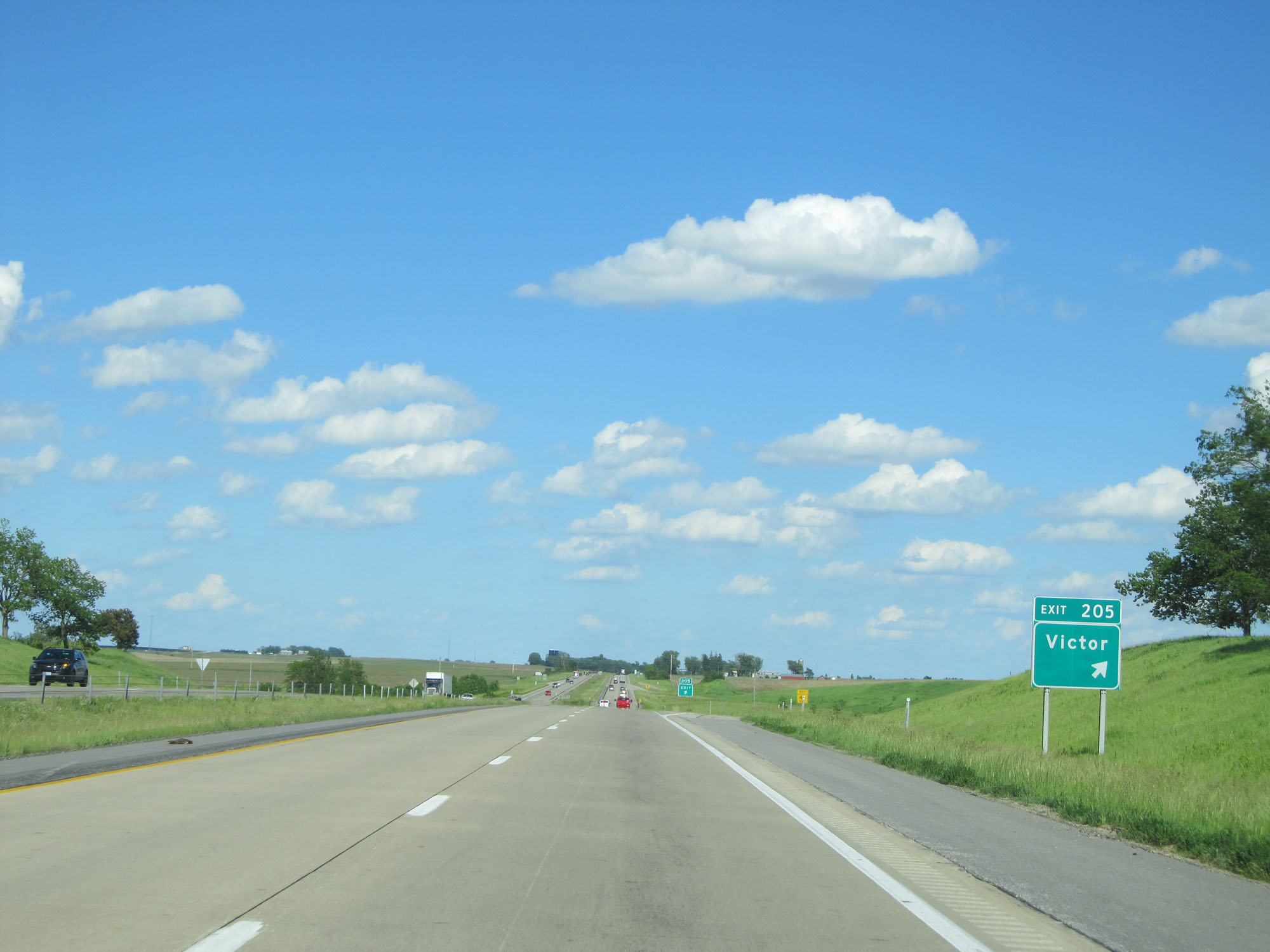 |
Interstate 80 East at Exit 205: Victor (Photo taken 5/29/16). |
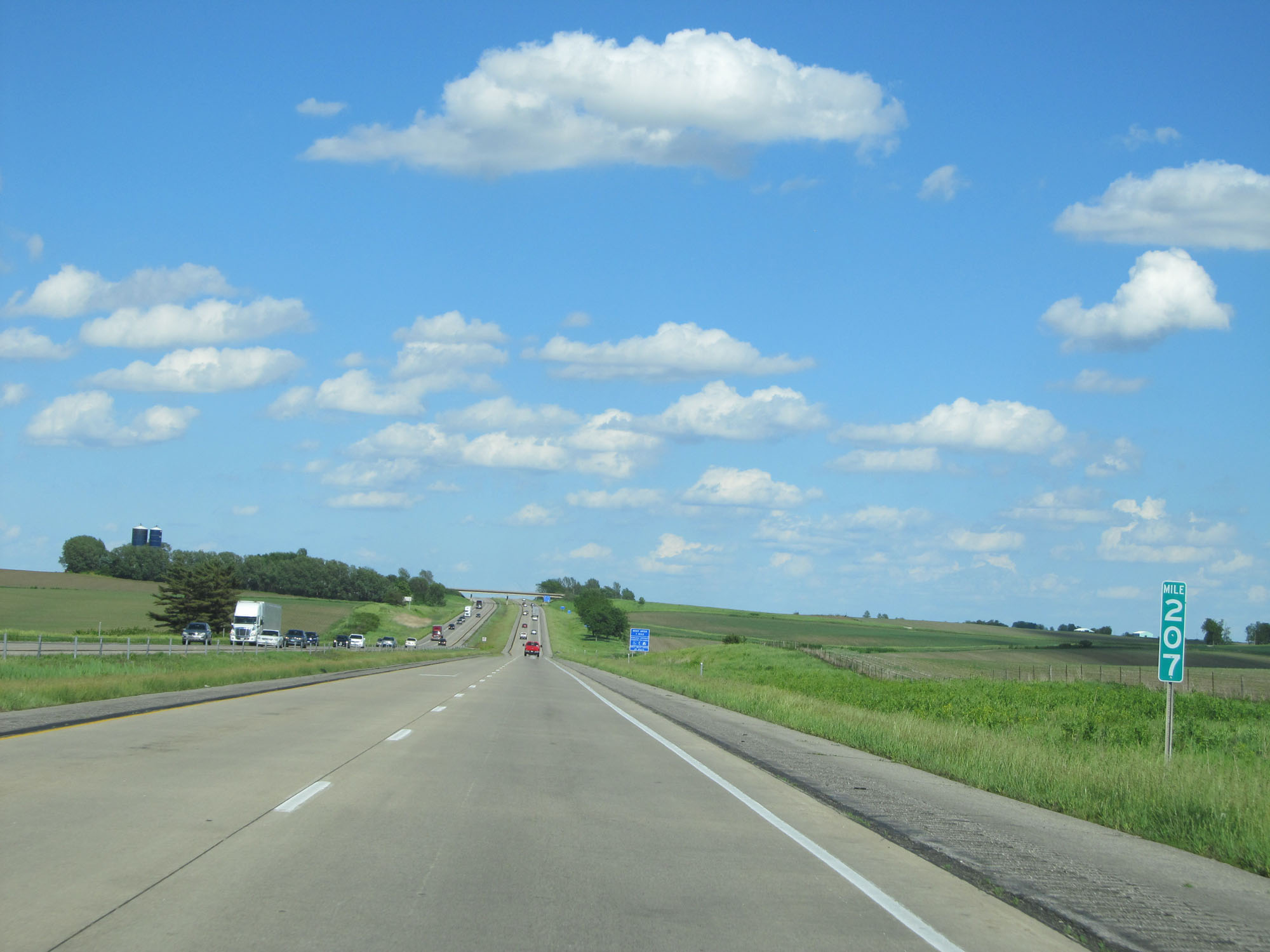 |
Interstate 80 East at mile marker 207. (Photo taken 5/29/16). |
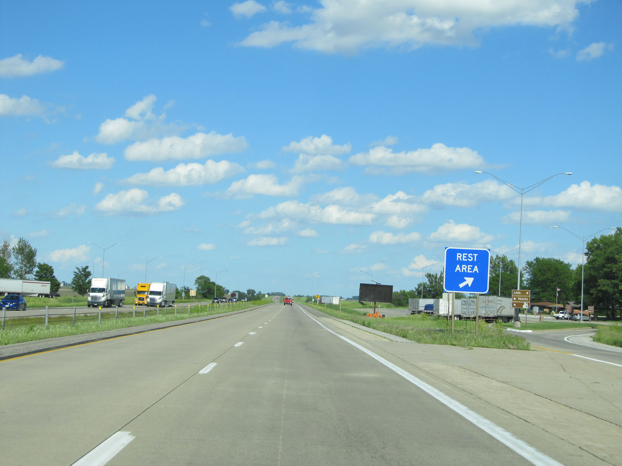 |
Interstate 80 East at the Rest Area in Poweshiek County. (Photo taken 5/29/16). |
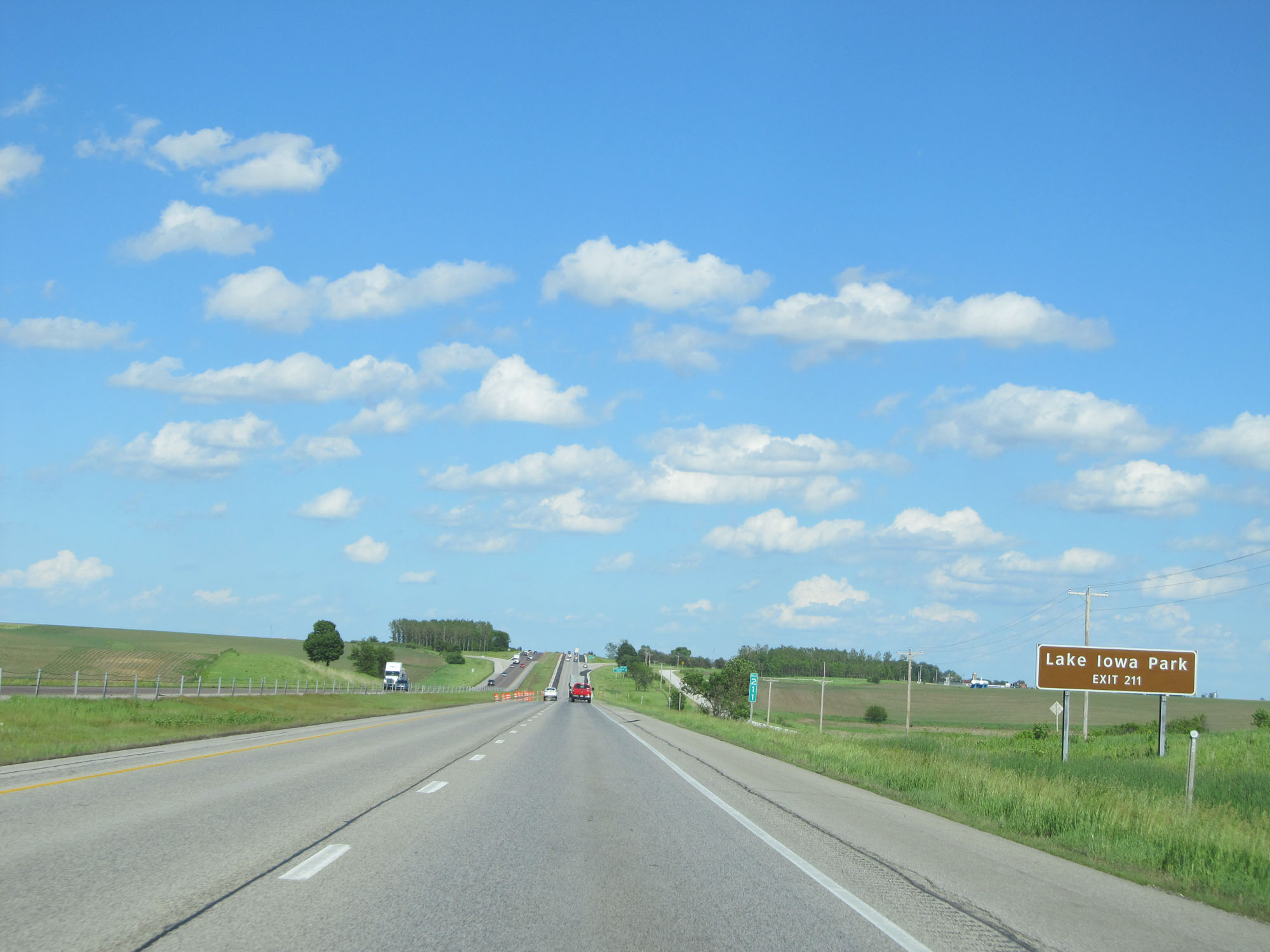 |
Take Exit 211 to Lake Iowa Park. (Photo taken 5/29/16). |
 |
Interstate 80 East at Exit 211: Millersburg / Ladora (Photo taken 5/29/16). |
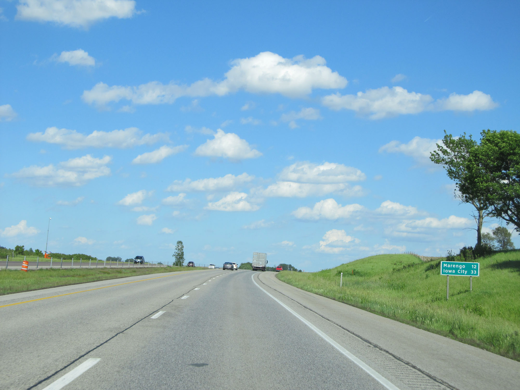 |
Mileage sign on Interstate 80 East. It's 12 miles to Marengo and 33 miles to Iowa City. (Photo taken 5/29/16). |
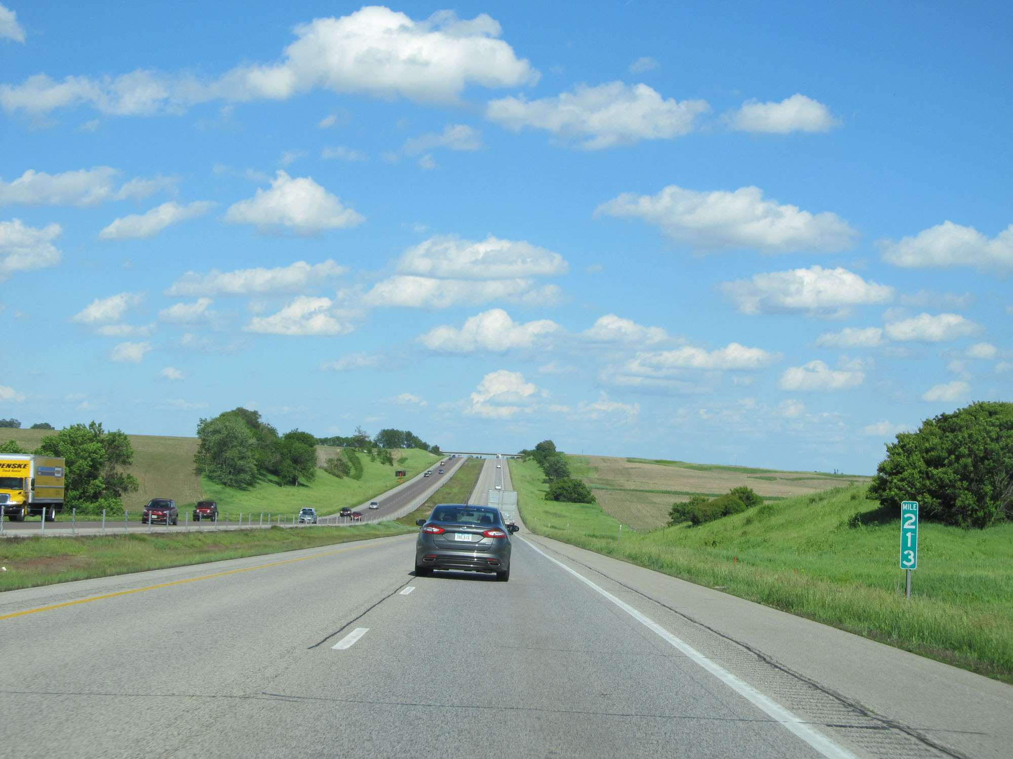 |
Interstate 80 East at mile marker 213. (Photo taken 5/29/16). |
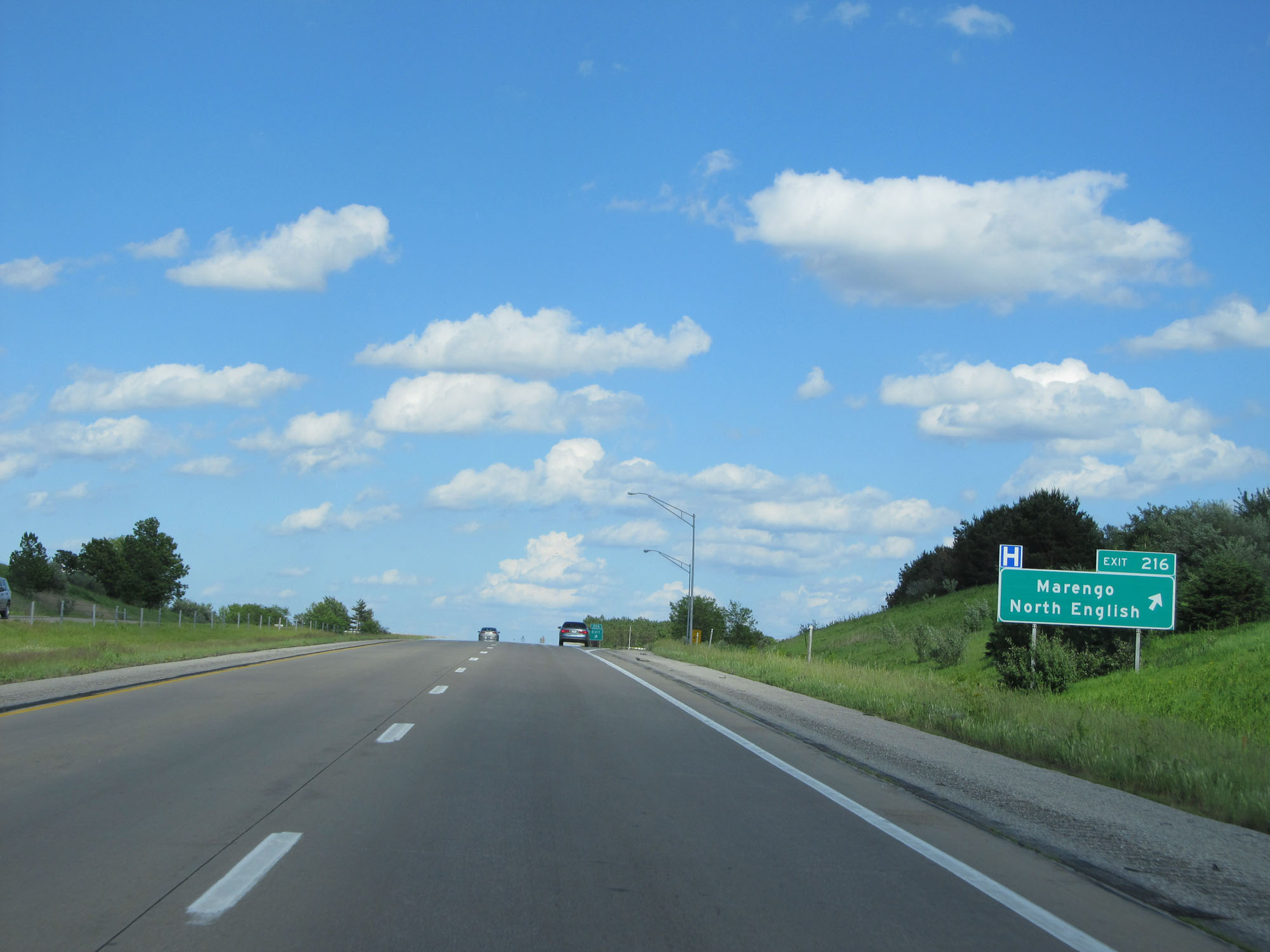 |
Interstate 80 East at Exit 216: Marengo / North English (Photo taken 5/29/16). |
 |
Take either of the next 2 exits to Amana Colonies National Historic Landmark. (Photo taken 5/29/16). |
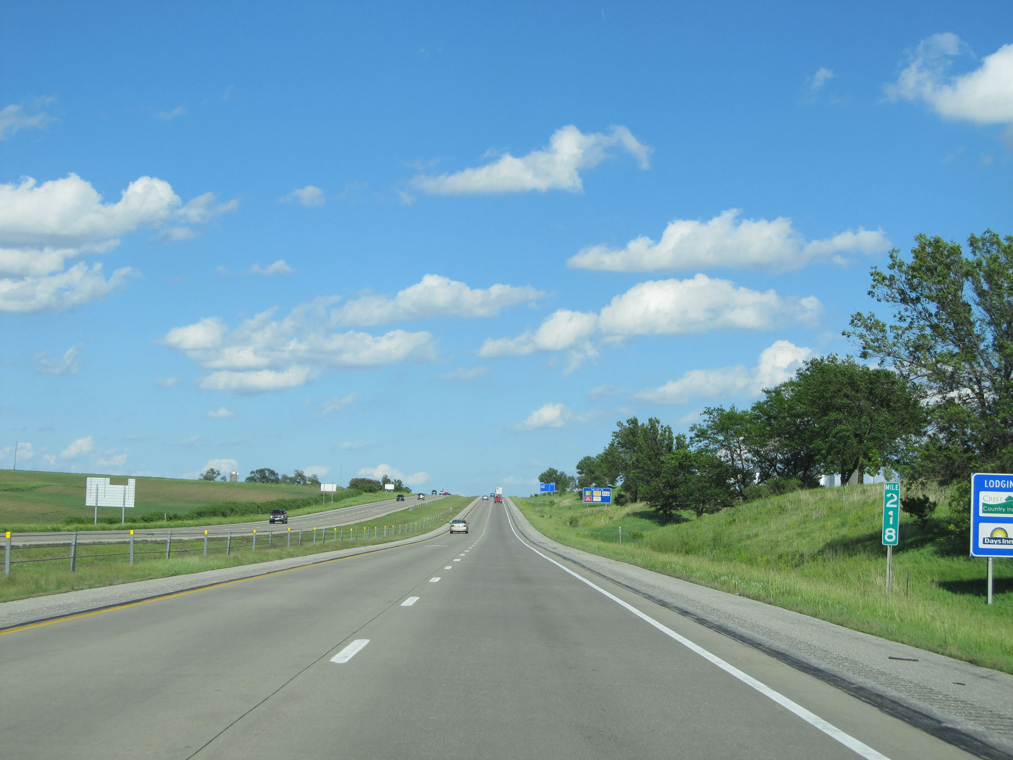 |
Interstate 80 East at mile marker 218. (Photo taken 5/29/16). |
 |
Interstate 80 East at Exit 220: IA 149 South / CR V77 North - Williamsburg / Parnell (Photo taken 5/29/16). |
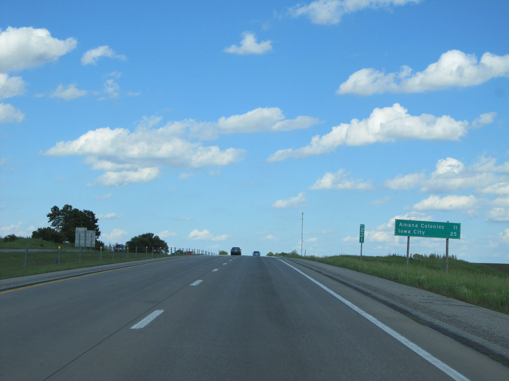 |
Mileage sign on Interstate 80 East. It's 11 miles to Amana Colonies and 25 miles to Iowa City. (Photo taken 5/29/16). |
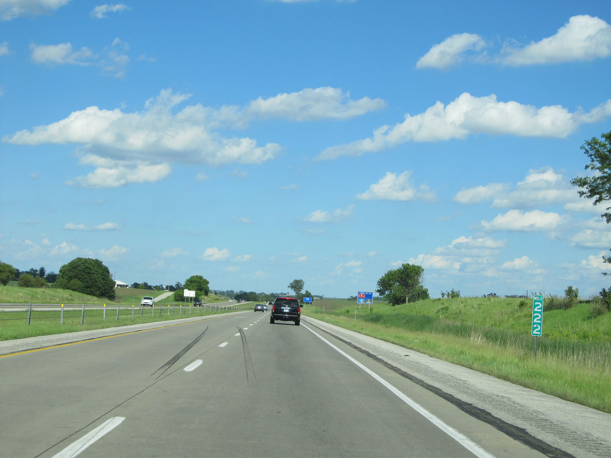 |
Interstate 80 East at mile marker 222. (Photo taken 5/29/16). |
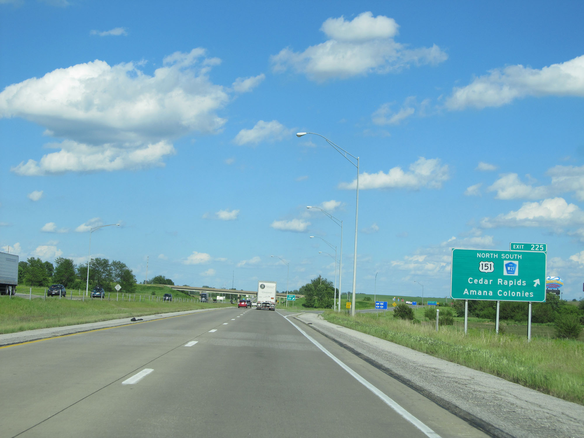 |
Interstate 80 East at Exit 225: US 151 North / CR W21 South - Cedar Rapids / Amana Colonies (Photo taken 5/29/16). |
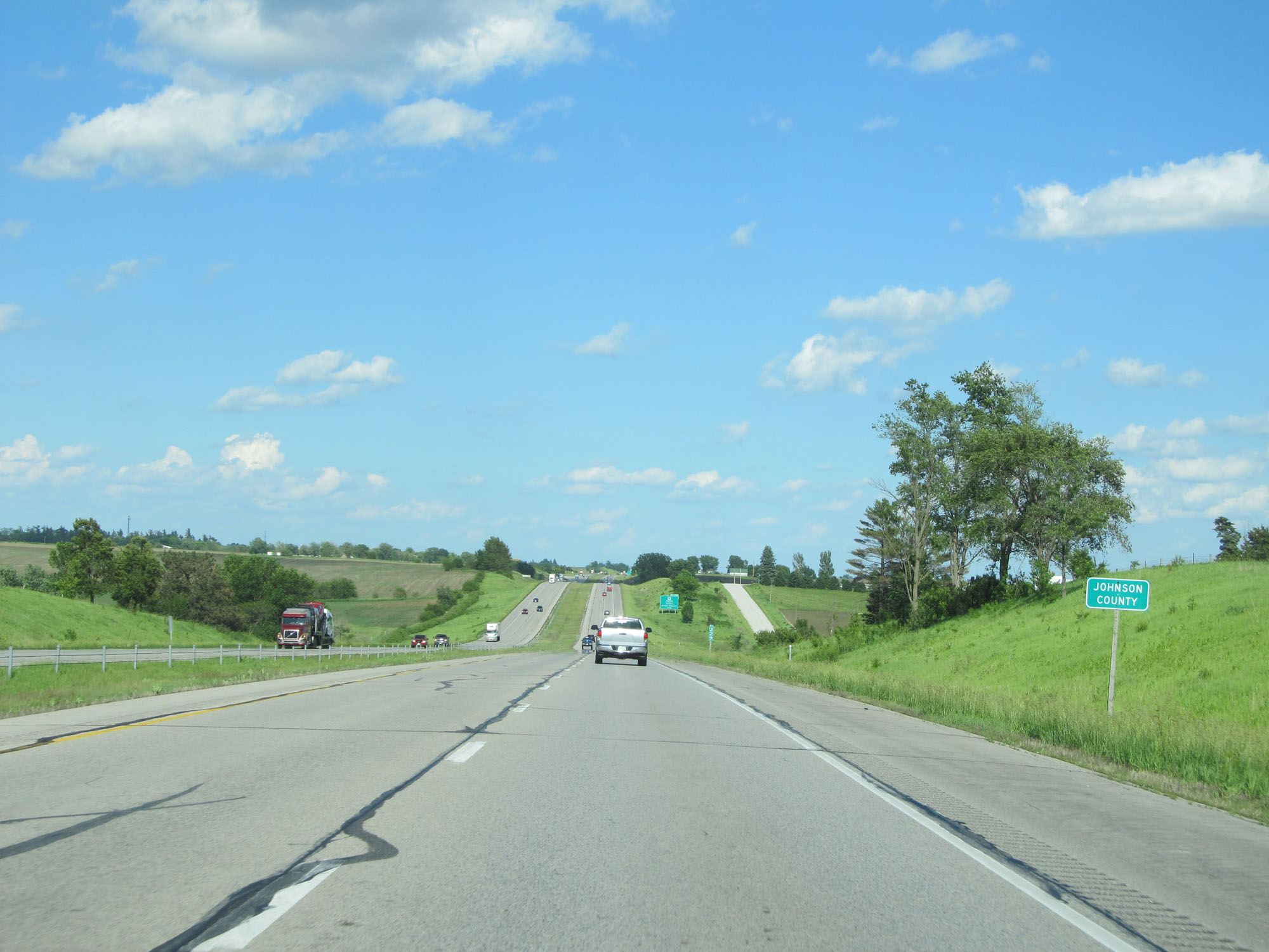 |
Interstate 80 East entering Johnson County. (Photo taken 5/29/16). |
 |
Take Exit 230 to FW Kent Park. (Photo taken 5/29/16). |
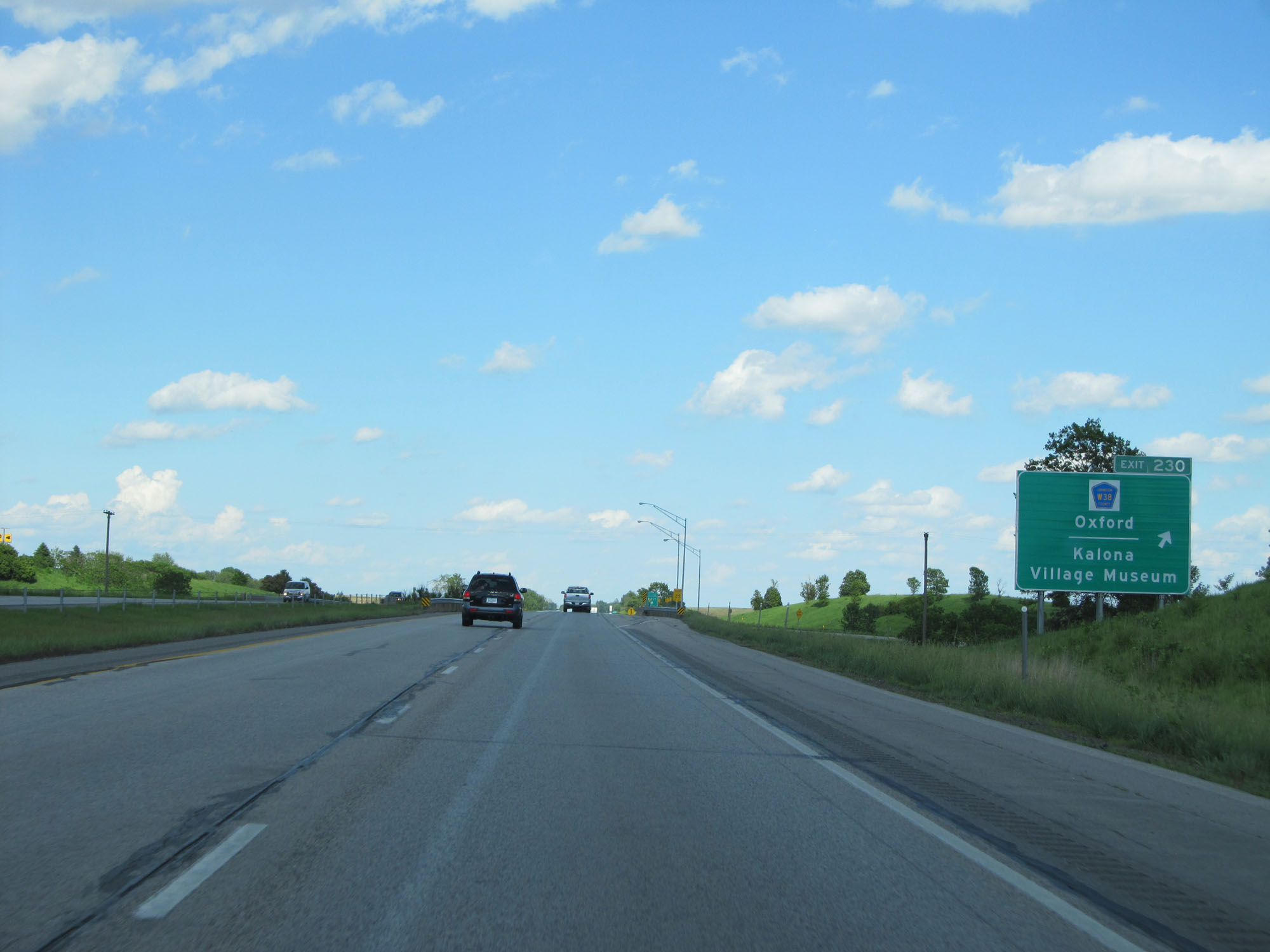 |
Interstate 80 East at Exit 230: CR W38 - Oxford / Kalona Village Museum (Photo taken 5/29/16). |
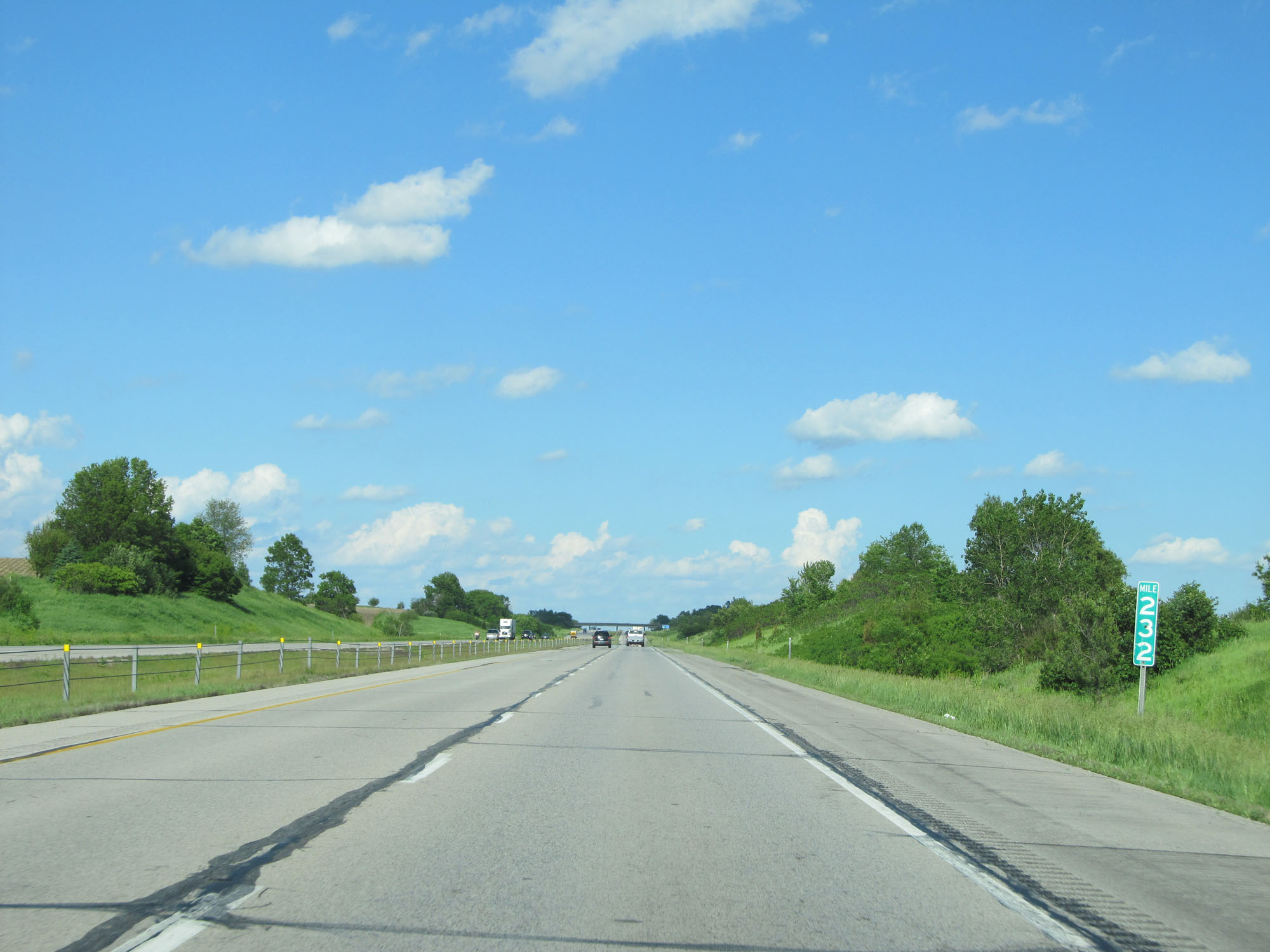 |
Interstate 80 East at mile marker 232. (Photo taken 5/29/16). |
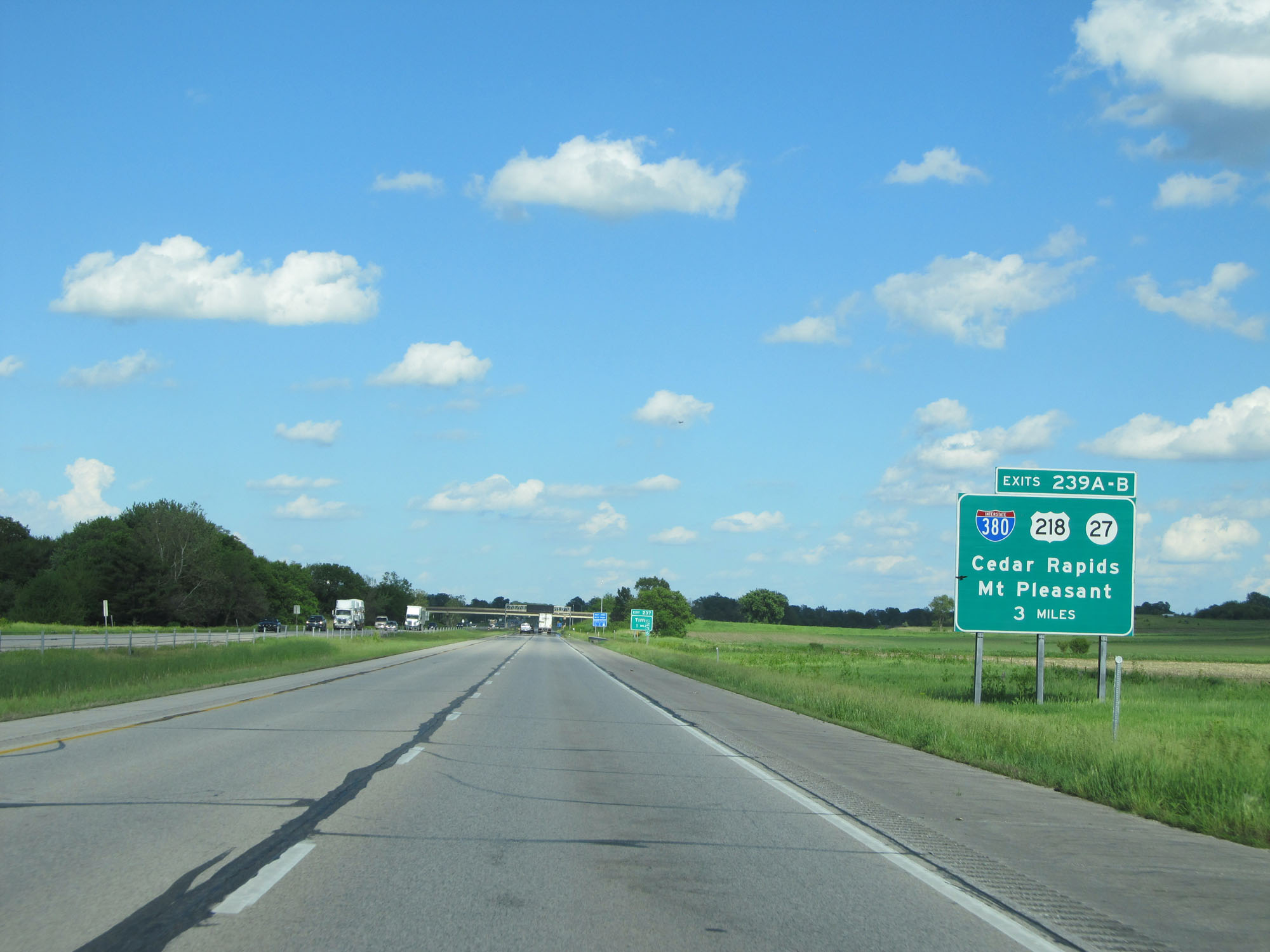 |
Interstate 80 East approaching Exits 239A-B - 3 miles. (Photo taken 5/29/16). |
 |
Interstate 80 East at the Rest Area in Johnson County. (Photo taken 5/29/16). |
 |
Interstate 80 East at Exit 237: Tiffin (Photo taken 5/29/16). |
 |
Interstate 80 East approaching Exit 239B: 1 1/4 miles. (Photo taken 5/29/16). |
 |
Interstate 80 East at Exit 239A: US 218 South / IA 27 South - Mt Pleasant / Keokuk (Photo taken 5/29/16). |
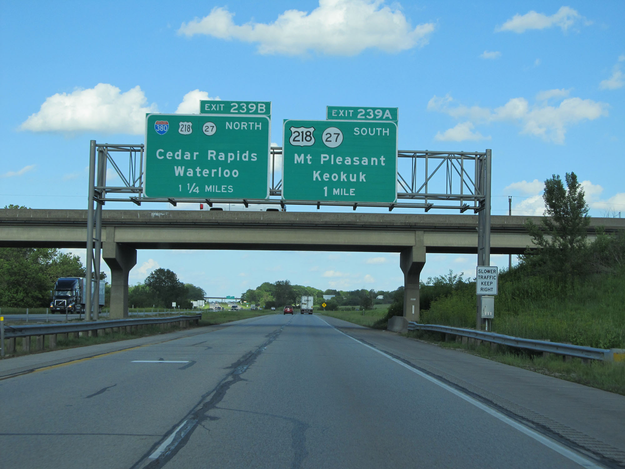
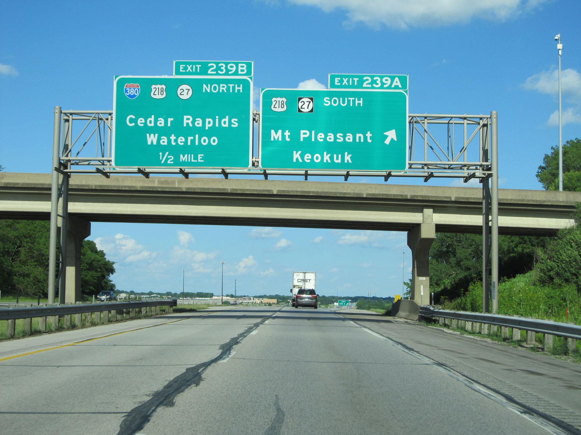
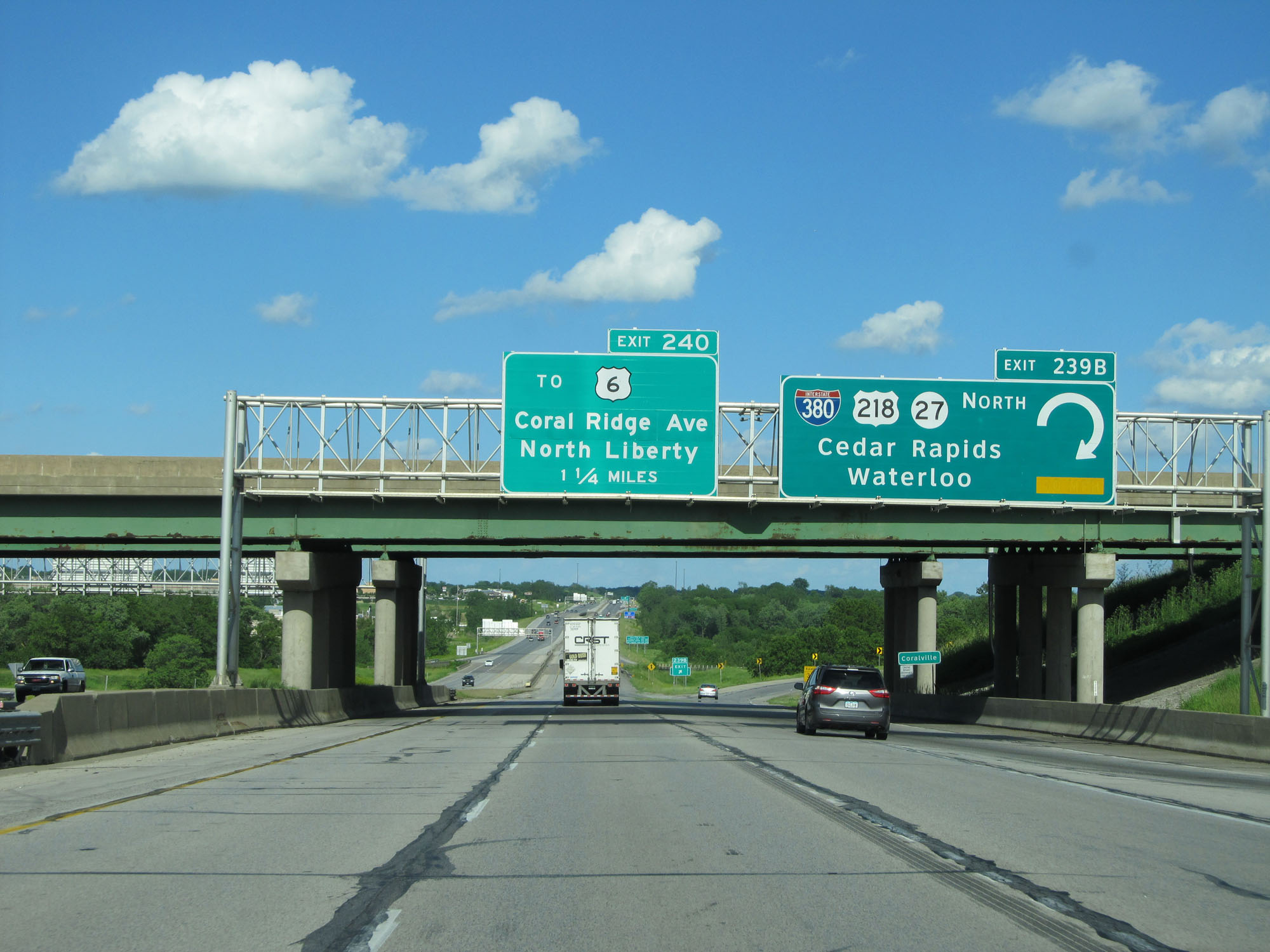 |
Interstate 80 East at Exit 239B: Interstate 380 North / US 218 North / IA 27 North - Cedar Rapids / Waterloo (Photo taken 5/29/16). |
Section 4: Iowa City (Exit 239B) to Illinois Border
 |
Take either of the next 2 exits to Coralville. (Photo taken 5/29/16). |
 |
This sign lists the exits to take to the different University of Iowa destinations shown here. (Photo taken 5/29/16). |
 |
Approaching the Iowa City area, the speed limit once again decreases to 65 mph. (Photo taken 5/29/16). |
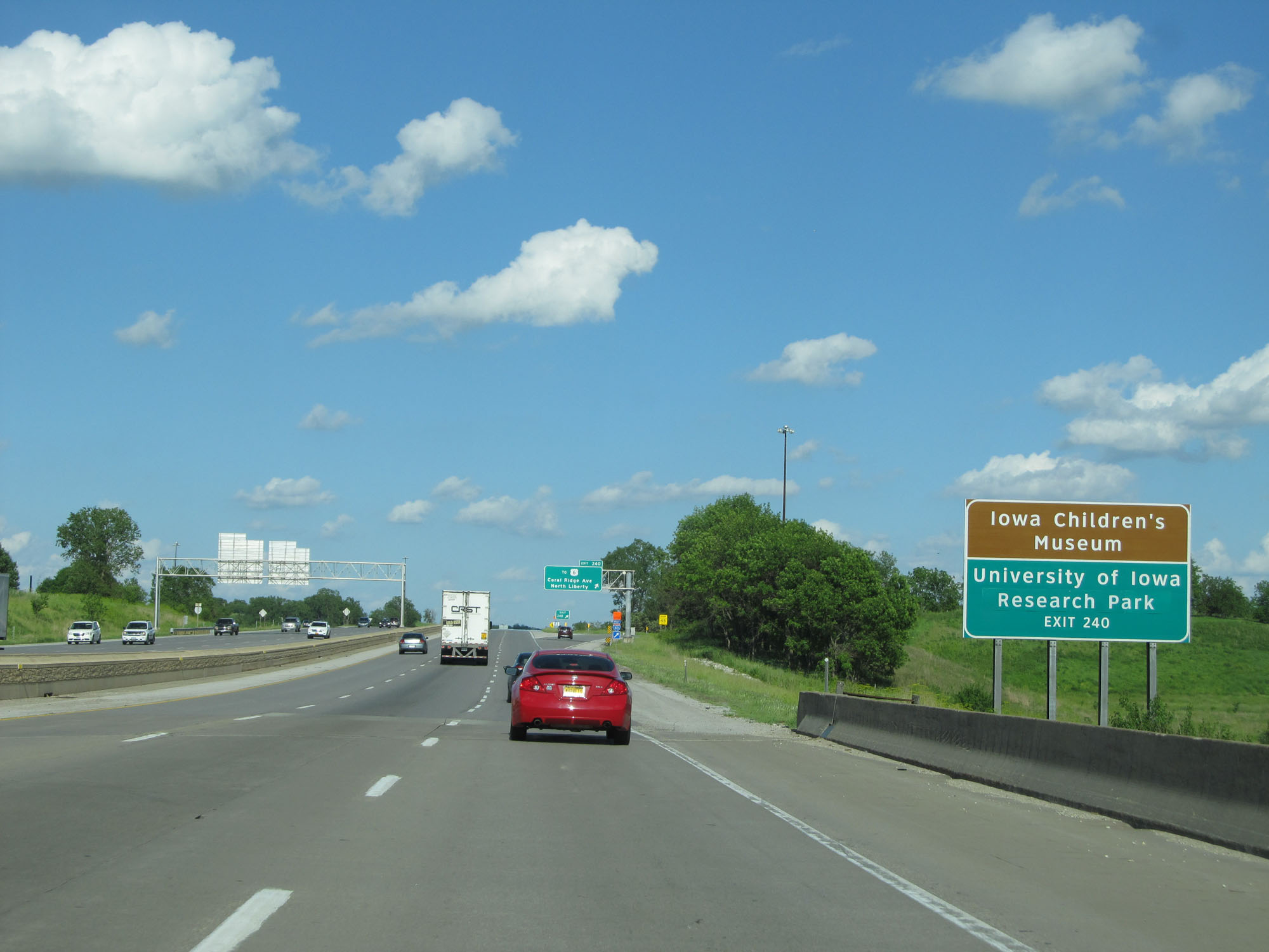 |
Take Exit 240 to Iowa Children's Museum and University of Iowa Research Park. (Photo taken 5/29/16). |
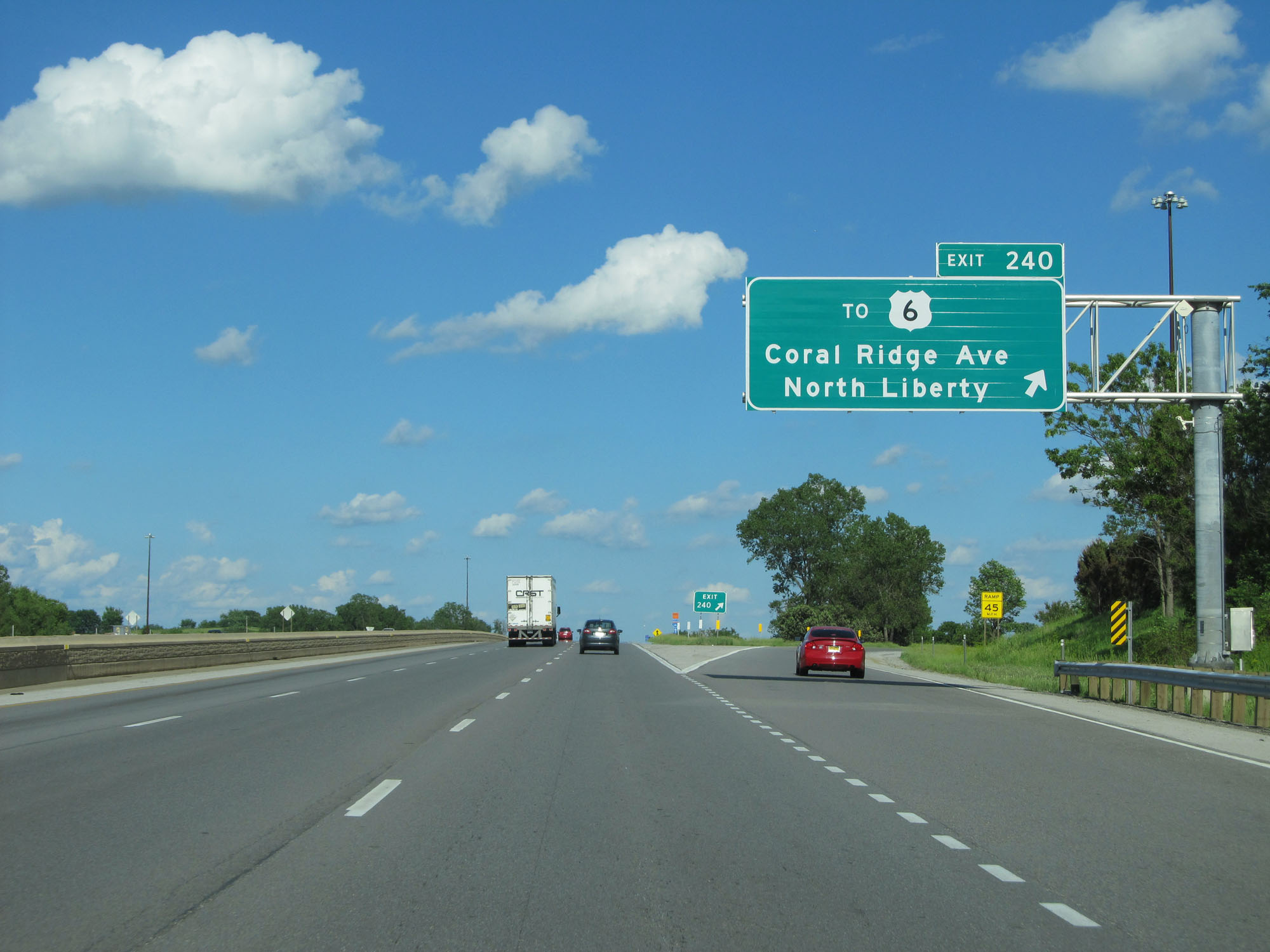 |
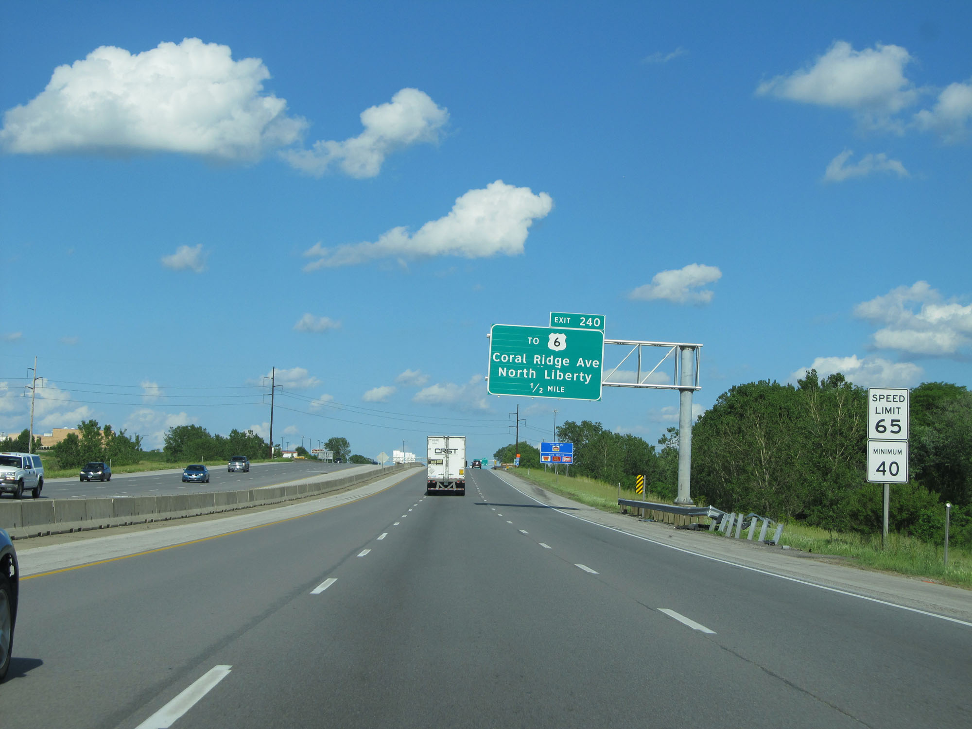
Interstate 80 East at Exit 240: To US 6 - Coral Ridge Ave / North Liberty (Photo taken 5/29/16). |
 |
State-named Interstate 80 East reassurance shield. (Photo taken 5/29/16). |
 |
Take Exit 242 to the Firefighters Memorial and University of Iowa Hospitals & Sports Area. (Photo taken 5/29/16). |
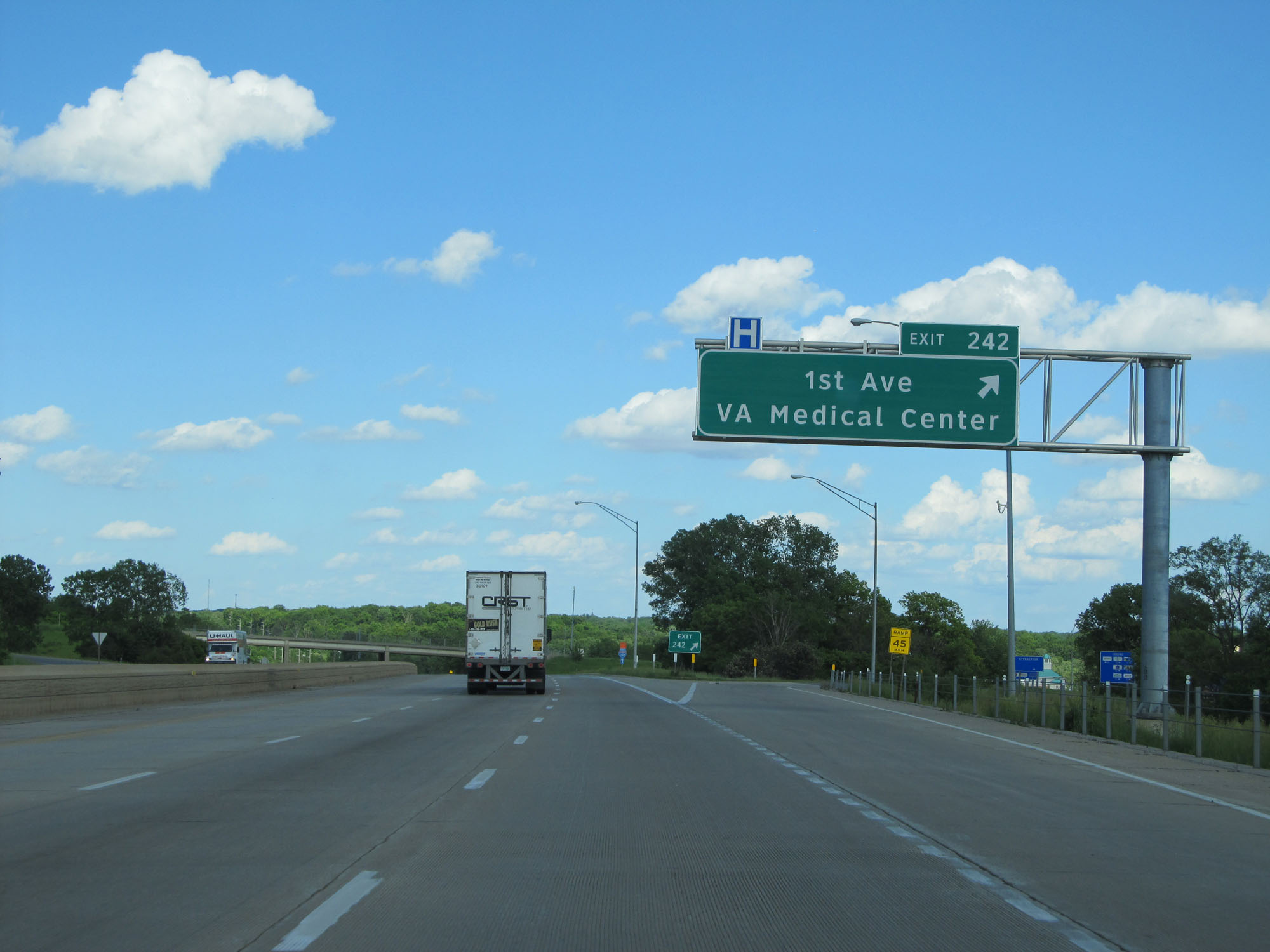 |
Interstate 80 East at Exit 242: 1st Ave / VA Medical Center (Photo taken 5/29/16). |
 |
Take either of the next 2 exits to Iowa City. (Photo taken 5/29/16). |
 |
Interstate 80 East entering the Iowa City city limits. (Photo taken 5/29/16). |
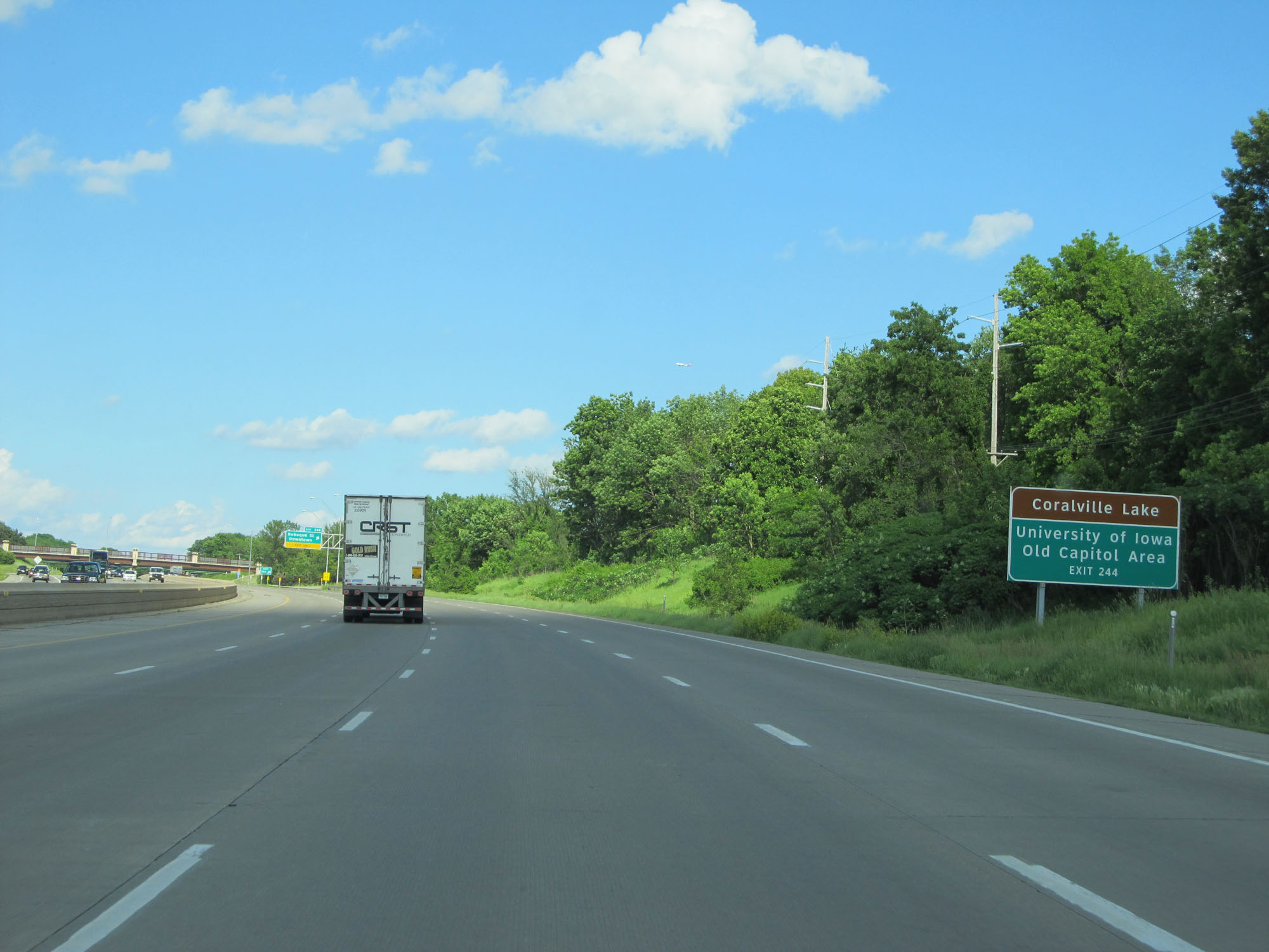 |
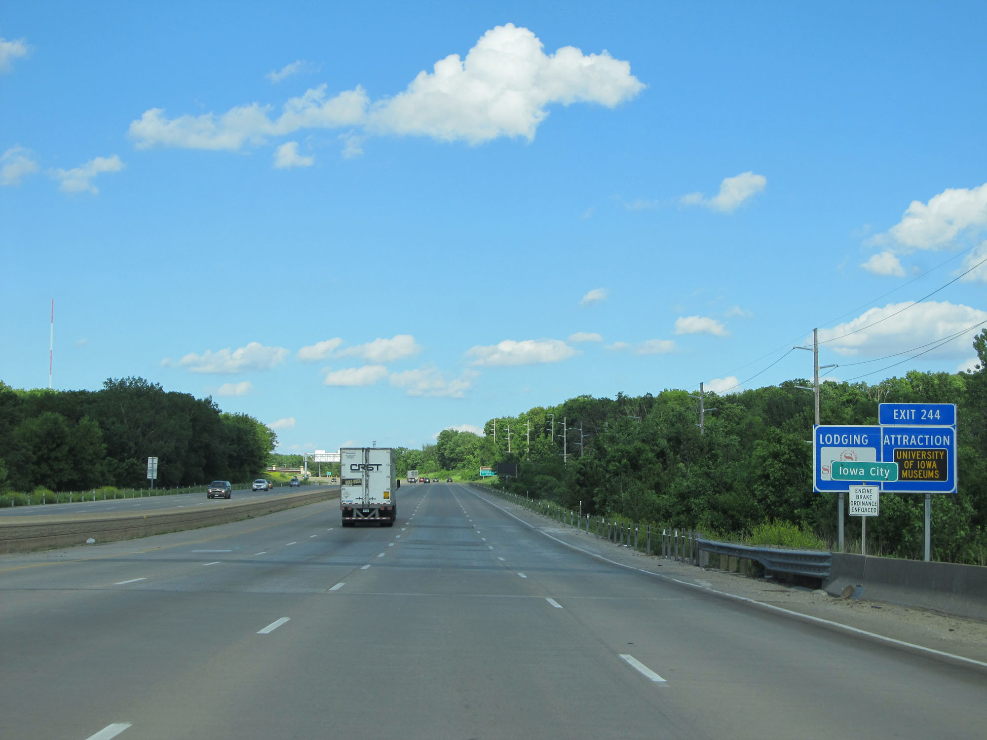
Take Exit 244 to Coralville Lake and University of Iowa Old Capitol Area. (Photo taken 5/29/16). |
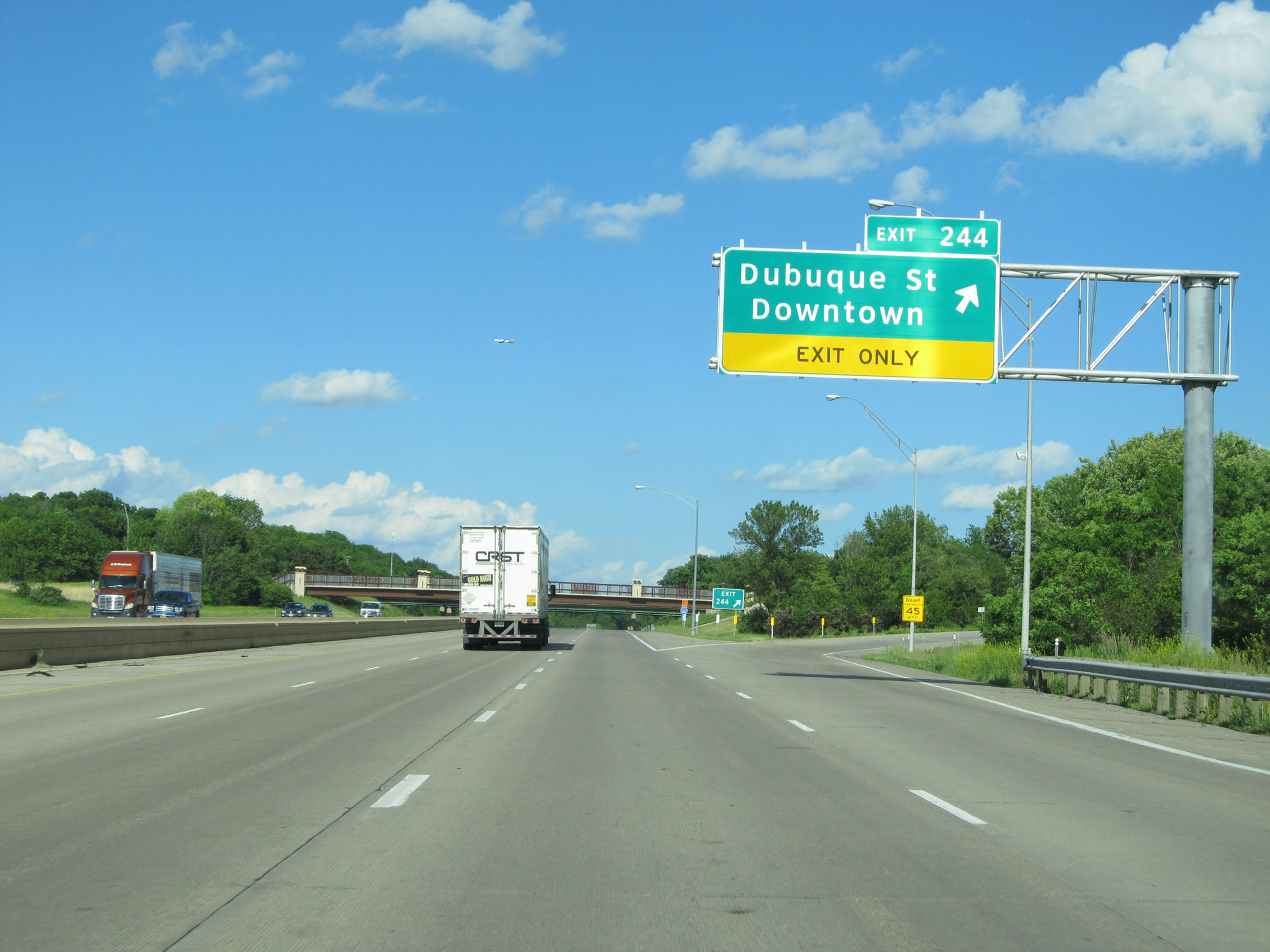 |
Interstate 80 East at Exit 244: Dubuque St / Downtown (Photo taken 5/29/16). |
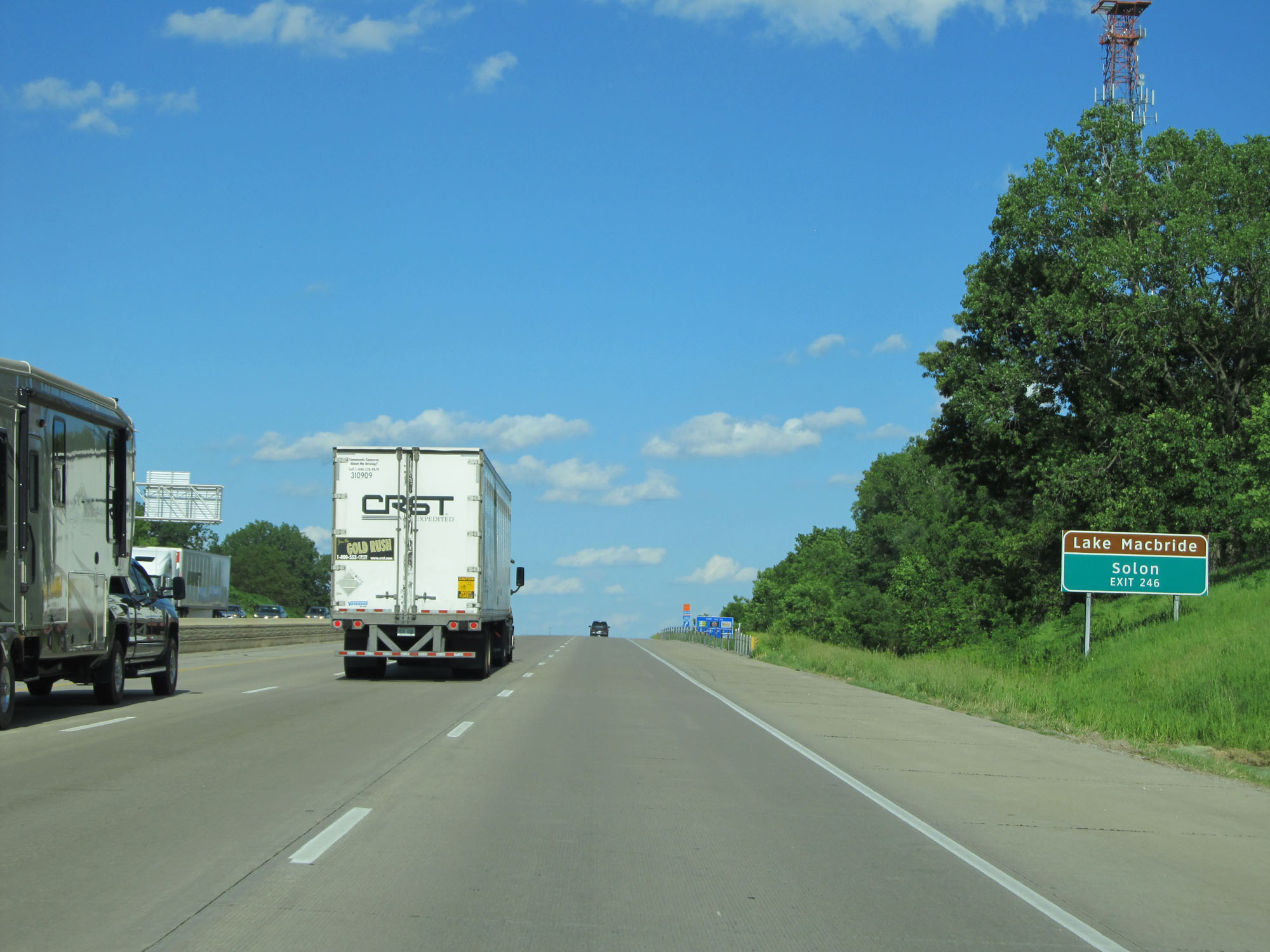 |
Take Exit 246 to Lake Macbride and Solon. (Photo taken 5/29/16). |
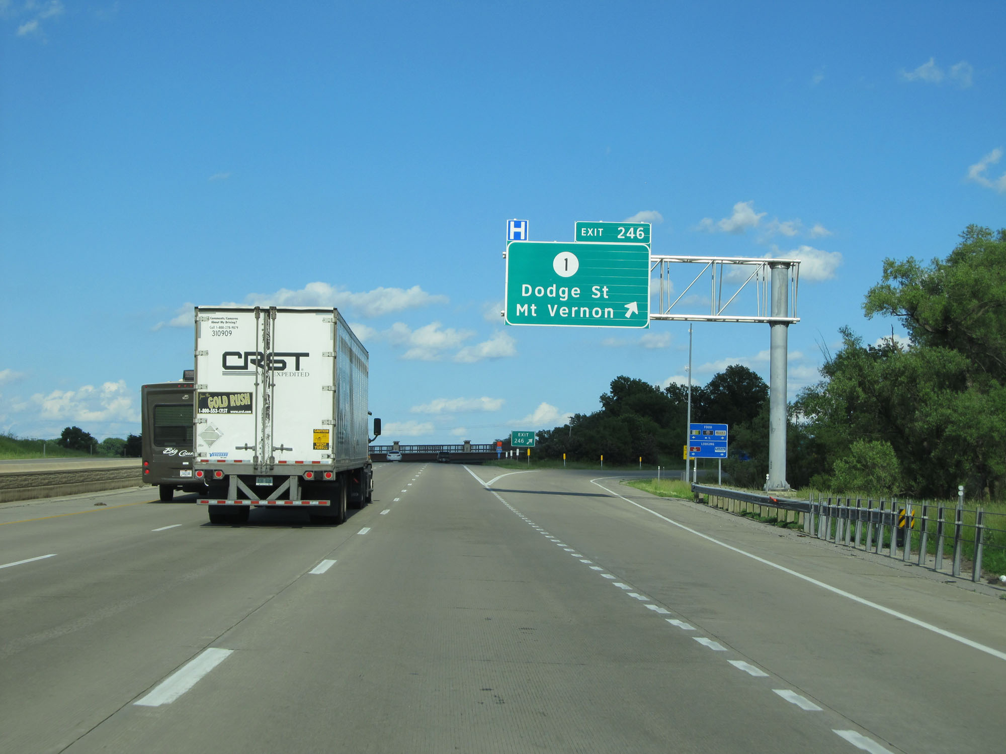 |
Interstate 80 East at Exit 246: IA 1 - Dodge St / Mt Vernon (Photo taken 5/29/16). |
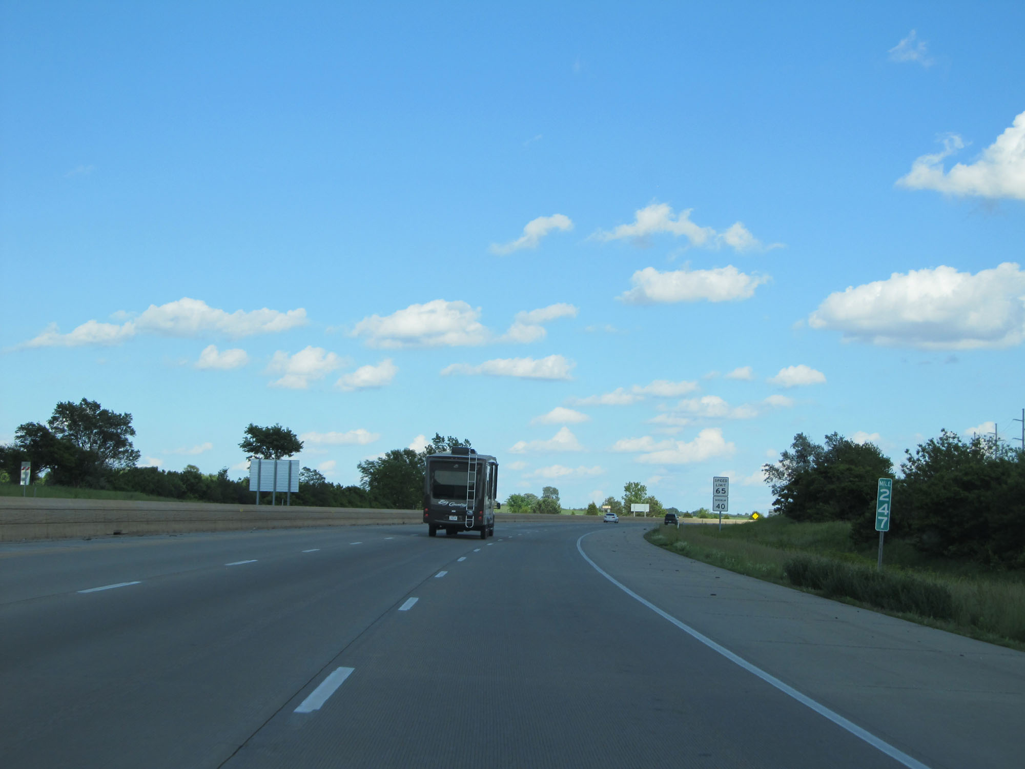 |
Interstate 80 East at mile marker 247. (Photo taken 5/29/16). |
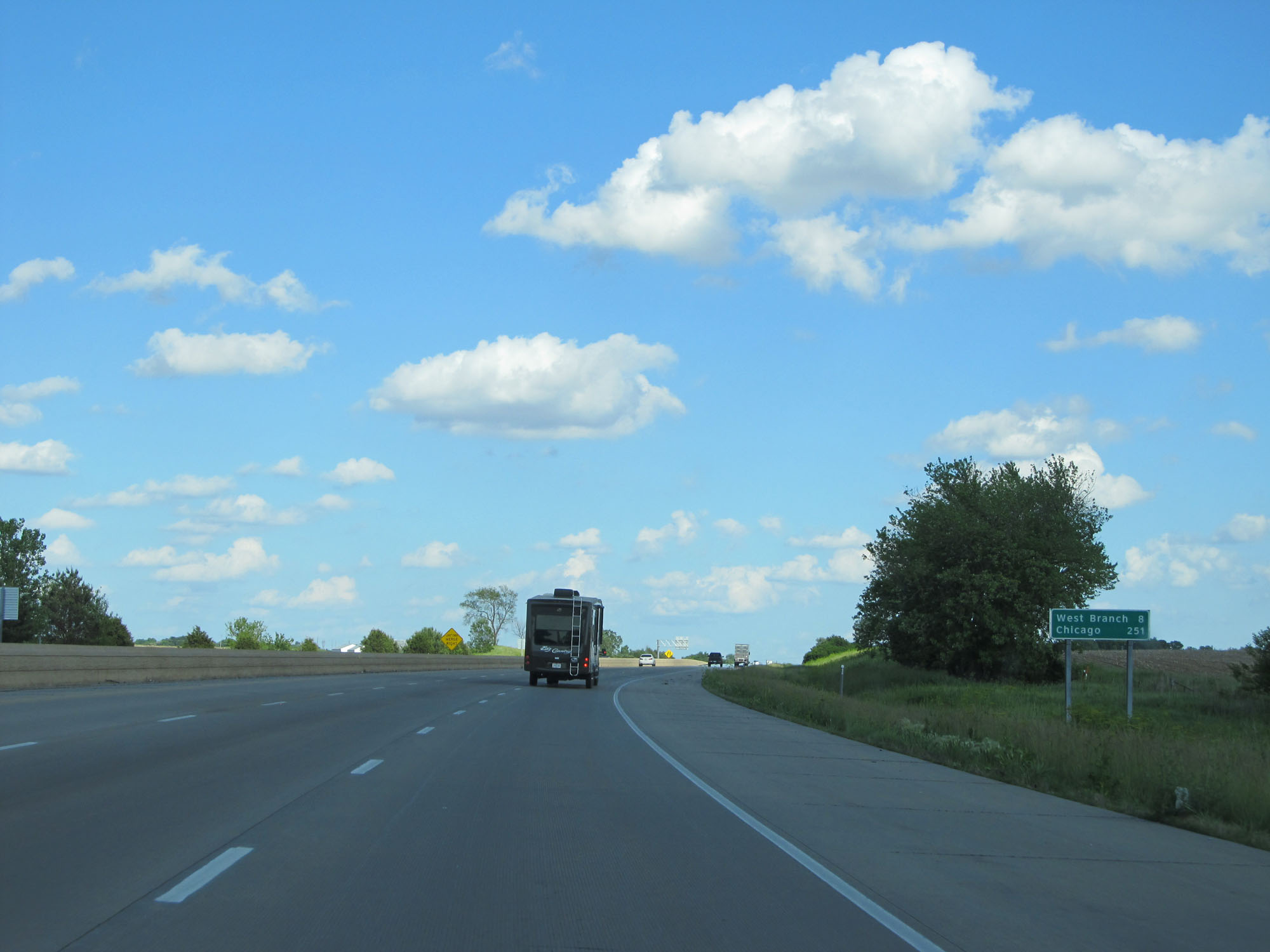 |
Mileage sign on Interstate 80 East. It's 8 miles to West Branch and 251 miles to Chicago. (Photo taken 5/29/16). |
 |
To the east of Iowa City, the standard rural speed limit of 70 mph resumes. The 40 mph minimum speed limit remains in effect as usual. (Photo taken 5/29/16). |
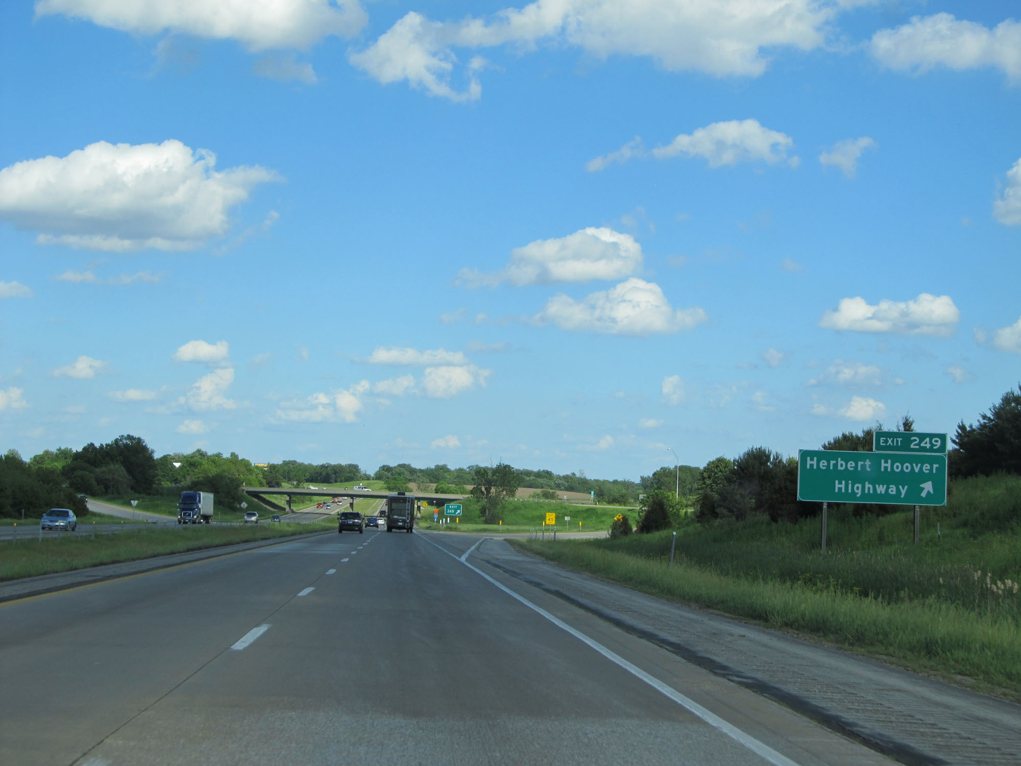 |
Interstate 80 East at Exit 249: Herbert Hoover Highway (Photo taken 5/29/16). |
 |
Interstate 80 East at mile marker 250. (Photo taken 5/29/16). |
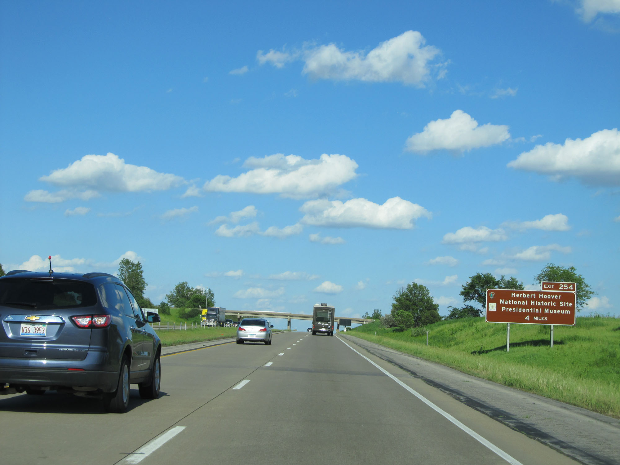 |
Take Exit 254, 4 miles ahead, to Herbert Hoover National Historic Site and Presidential Museum. (Photo taken 5/29/16). |
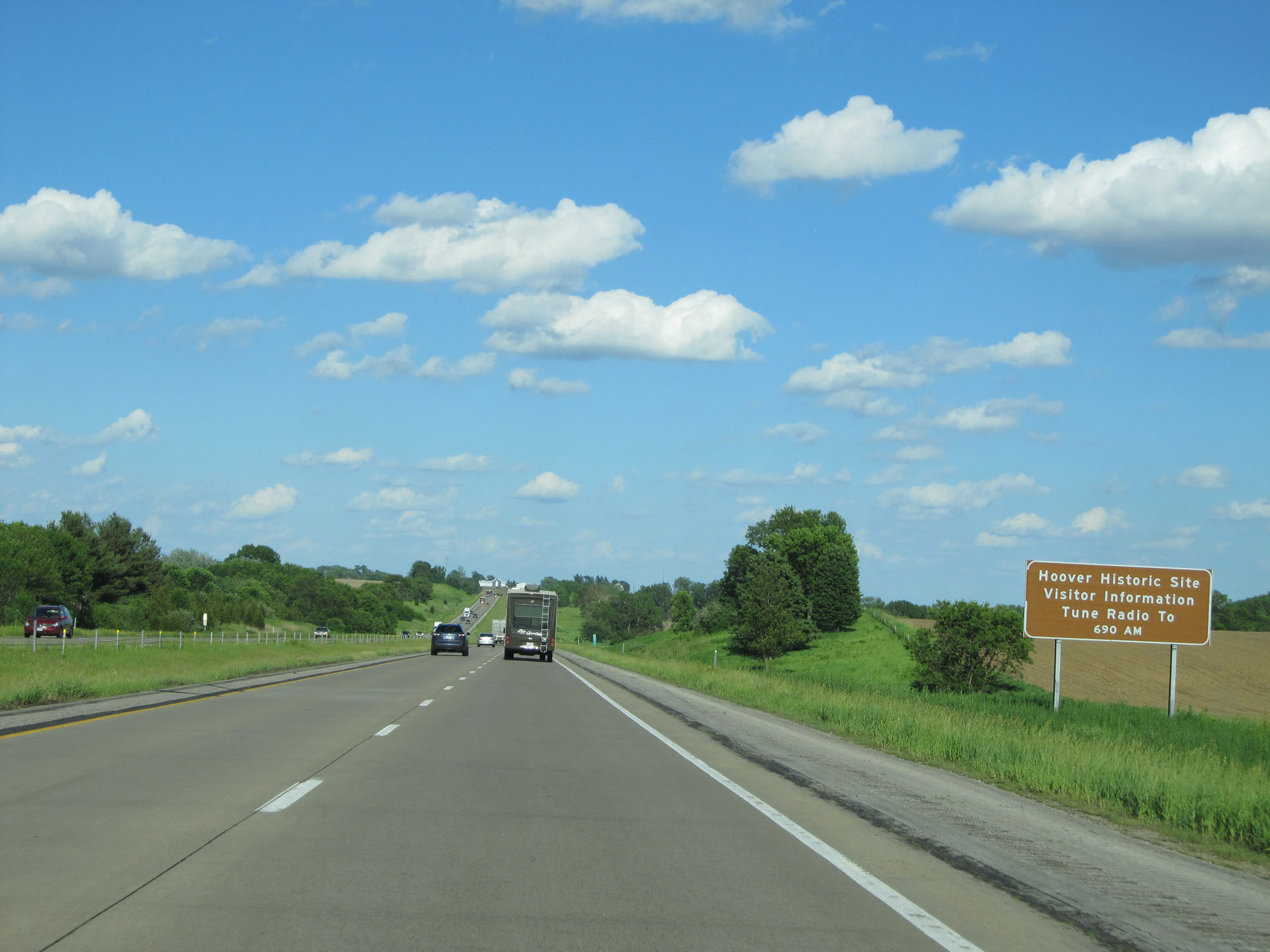 |
Tune your radio to 690 AM for tourist information regarding the Herbert Hoover Historic Site. (Photo taken 5/29/16). |
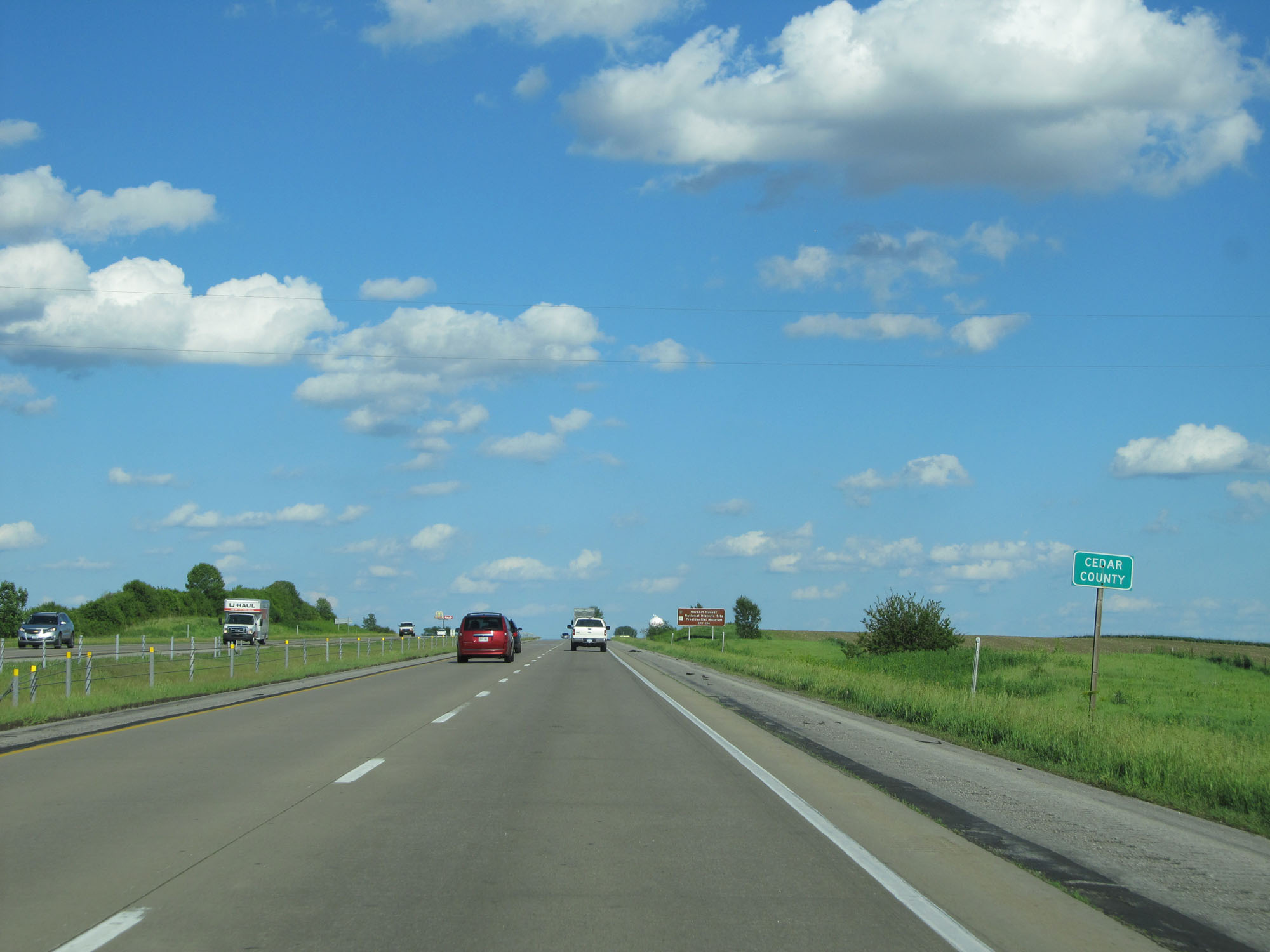 |
Interstate 80 East entering Cedar County. (Photo taken 5/29/16). |
 |
Again, take Exit 254 to the Herbert Hoover Historic Site and Presidential Museum. (Photo taken 5/29/16). |
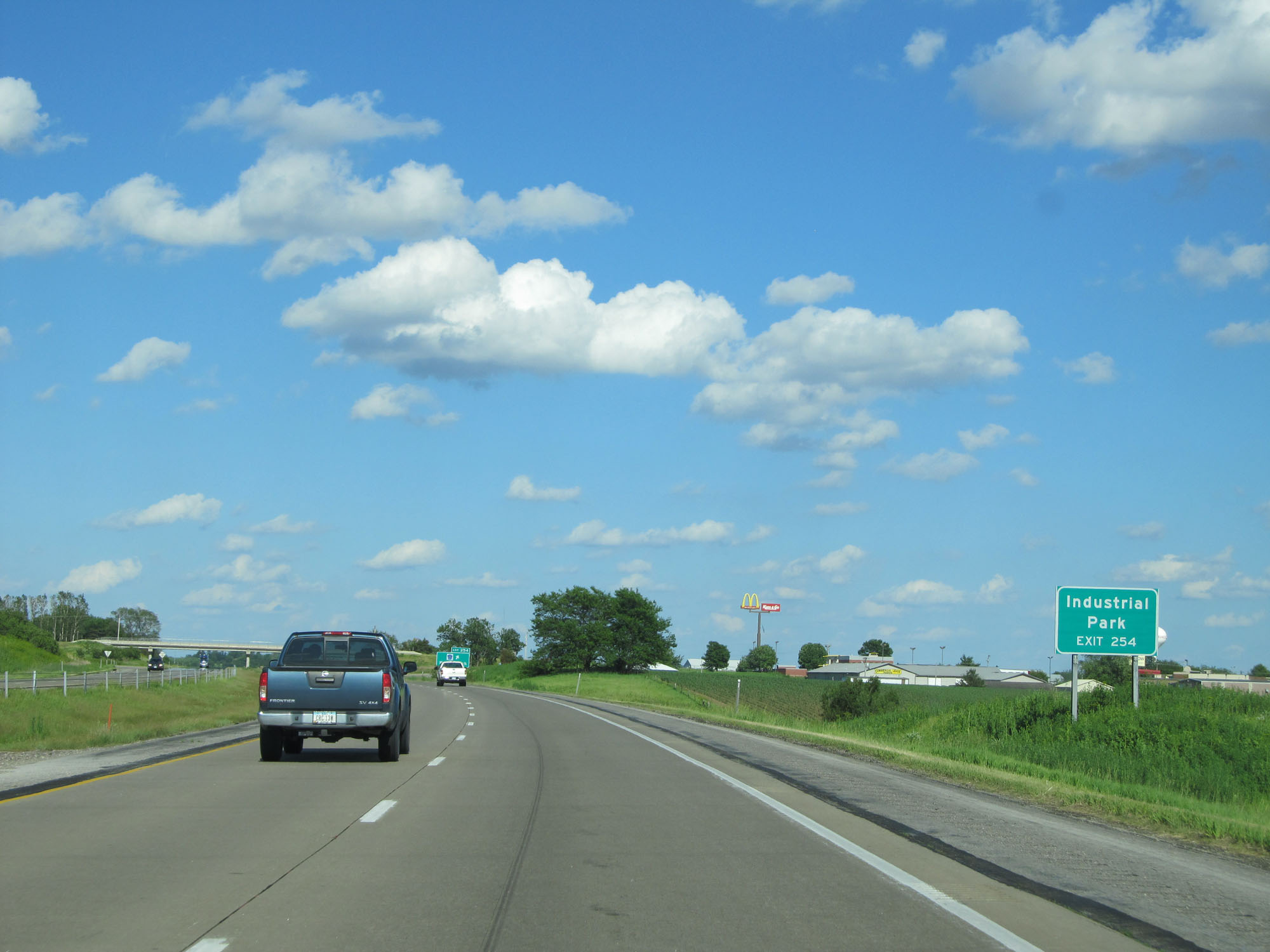 |
Take Exit 254 to the Industrial Park as well. (Photo taken 5/29/16). |
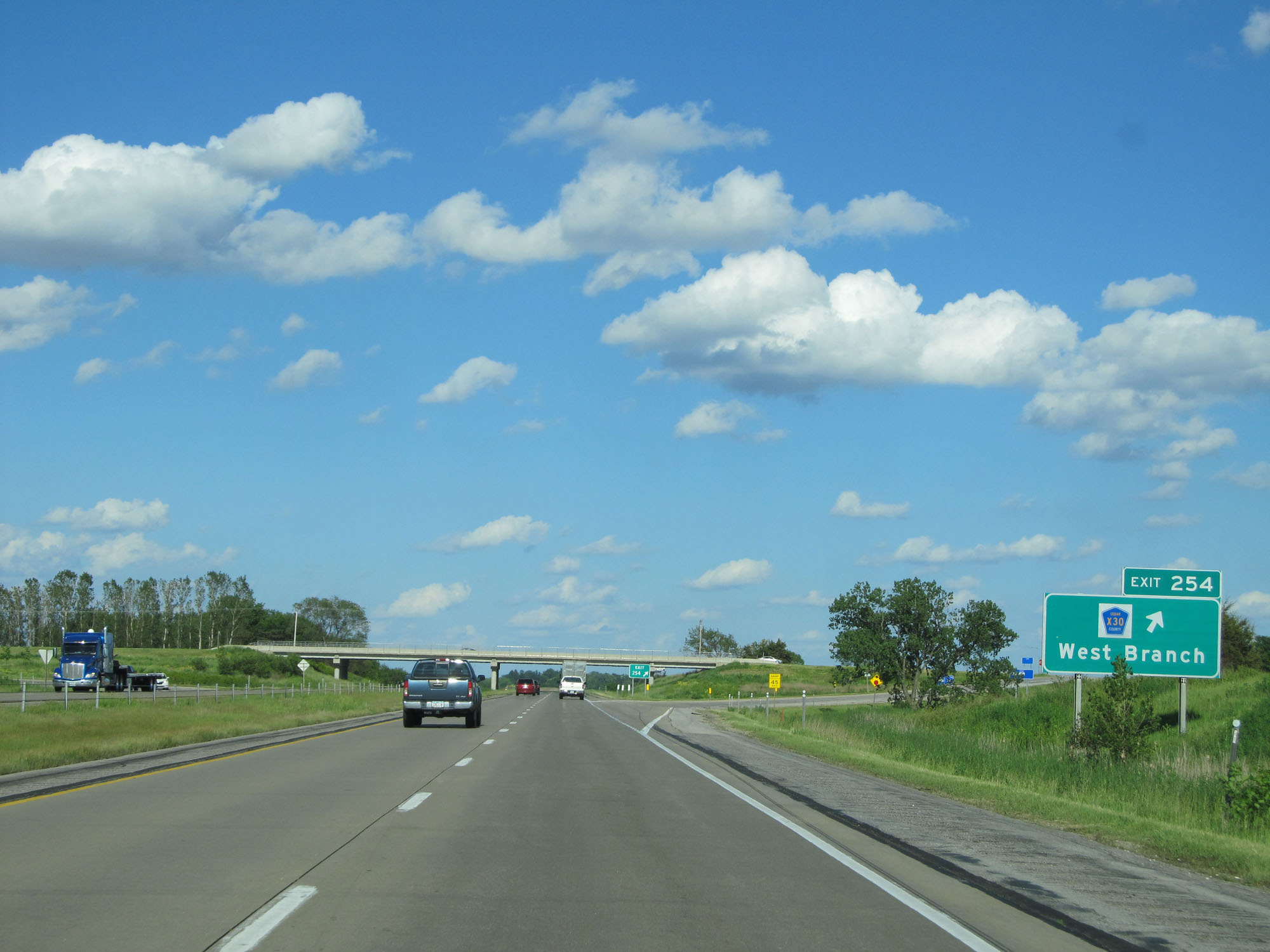 |
Interstate 80 East at Exit 254: CR X30 - West Branch (Photo taken 5/29/16). |
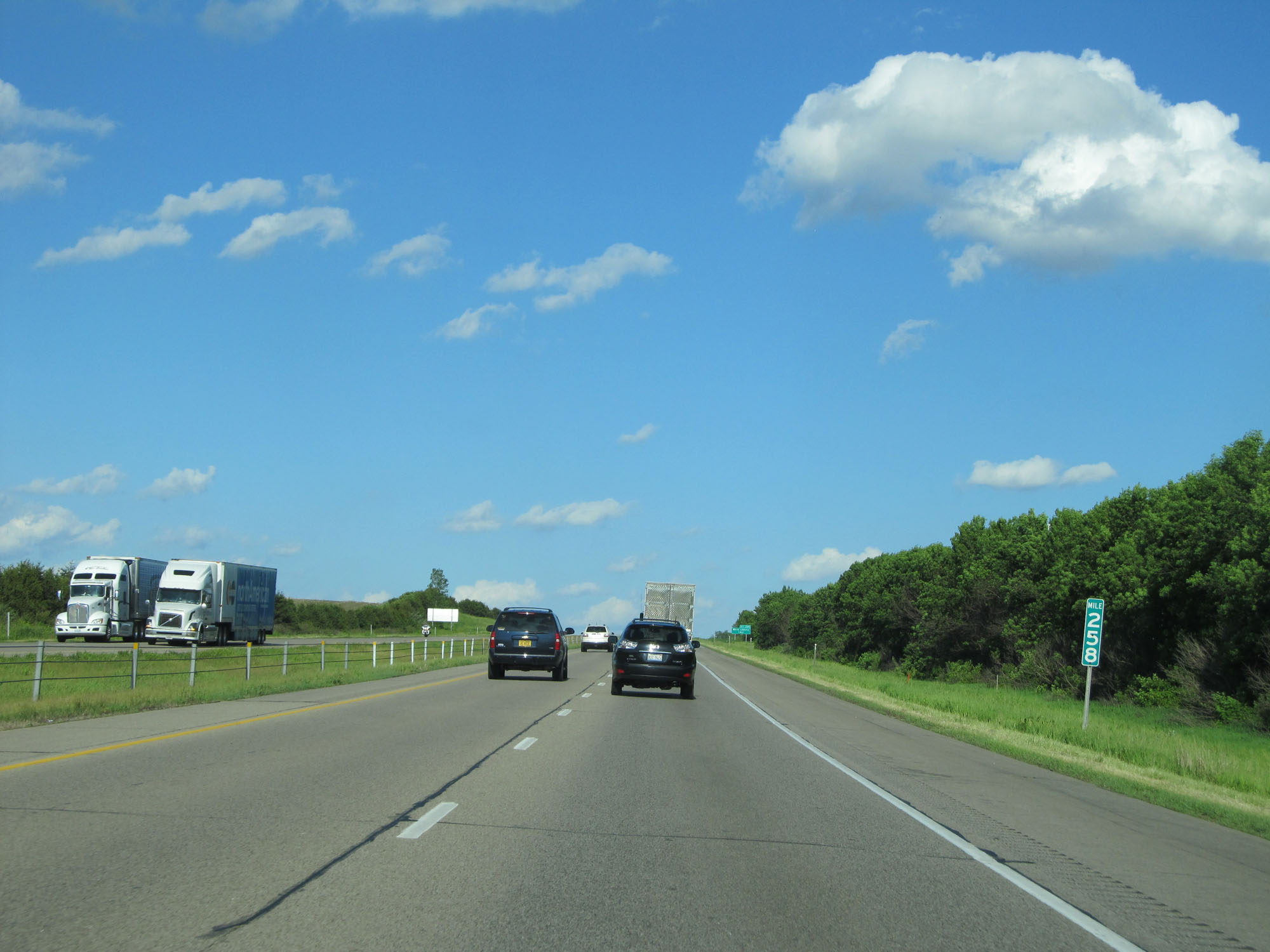 |
Interstate 80 East at mile marker 258. (Photo taken 5/29/16). |
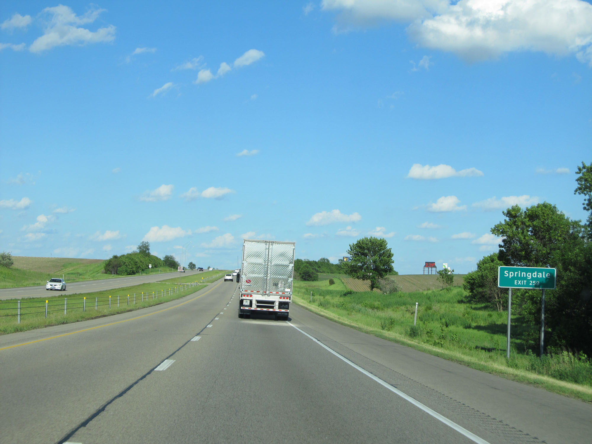 |
Take Exit 259 to Springdale. (Photo taken 5/29/16). |
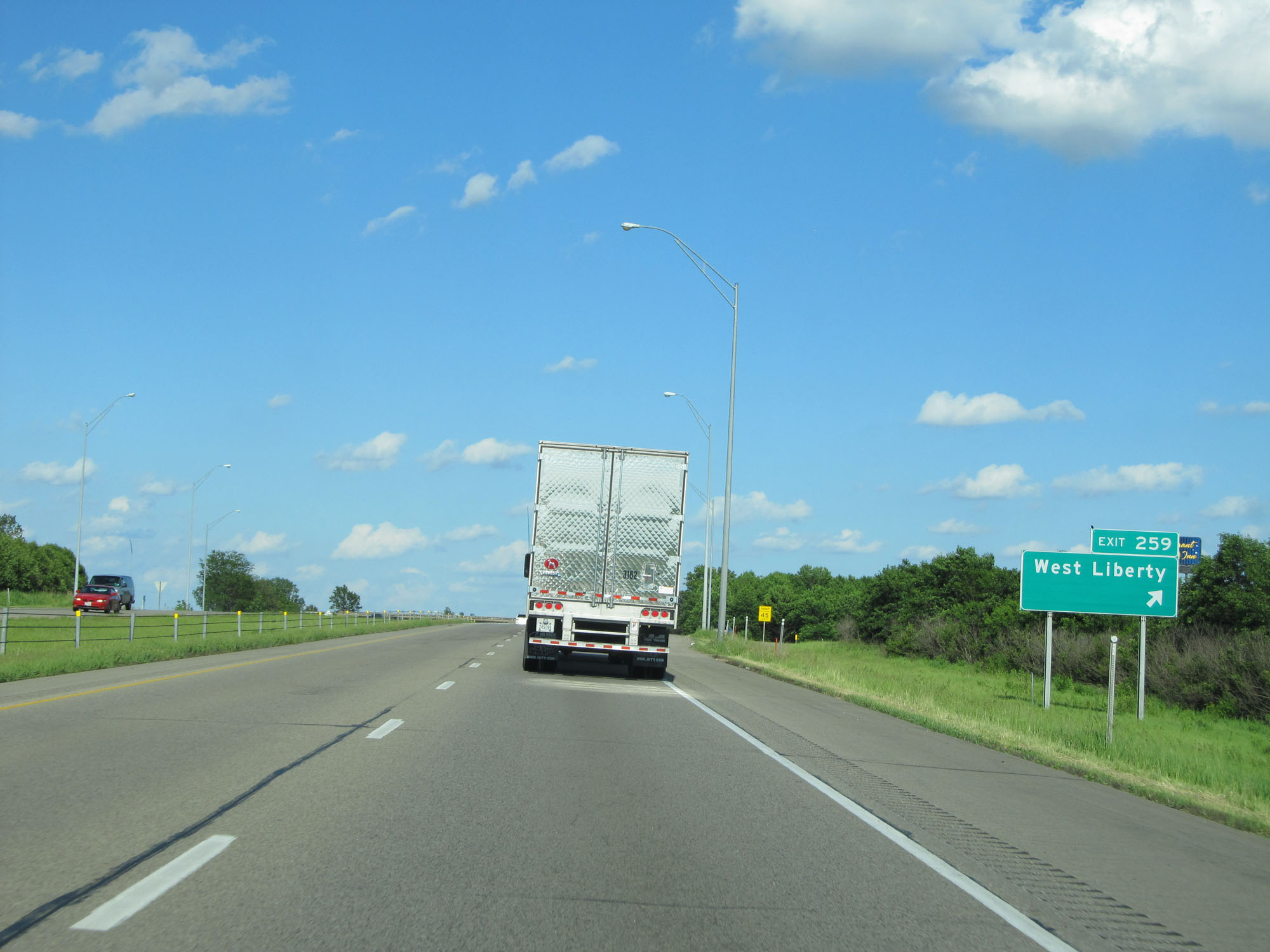 |
Interstate 80 East at Exit 259: West Liberty (Photo taken 5/29/16). |
 |
Interstate 80 East at mile marker 264. (Photo taken 5/29/16). |
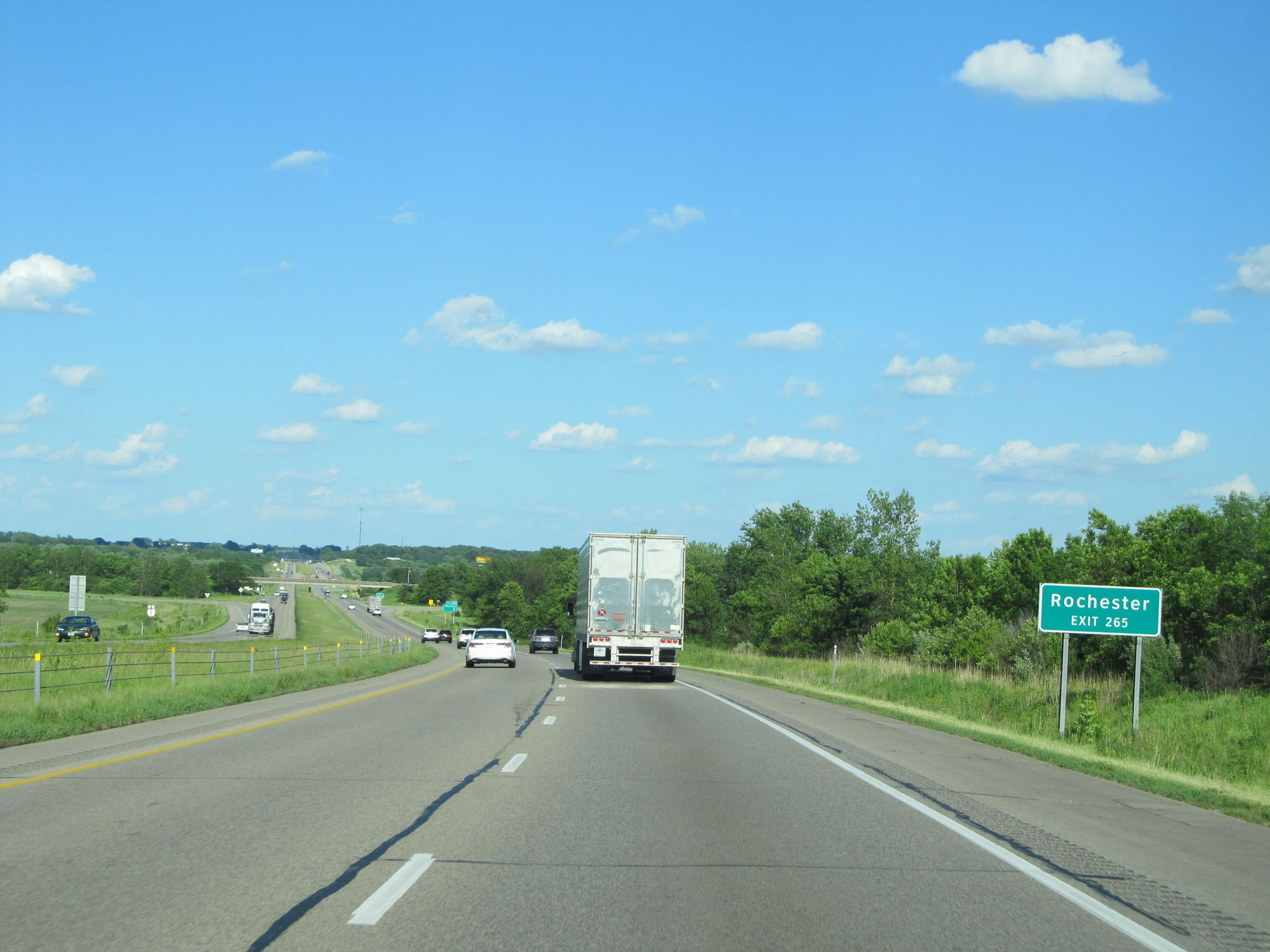 |
Take Exit 265 to Rochester. (Photo taken 5/29/16). |
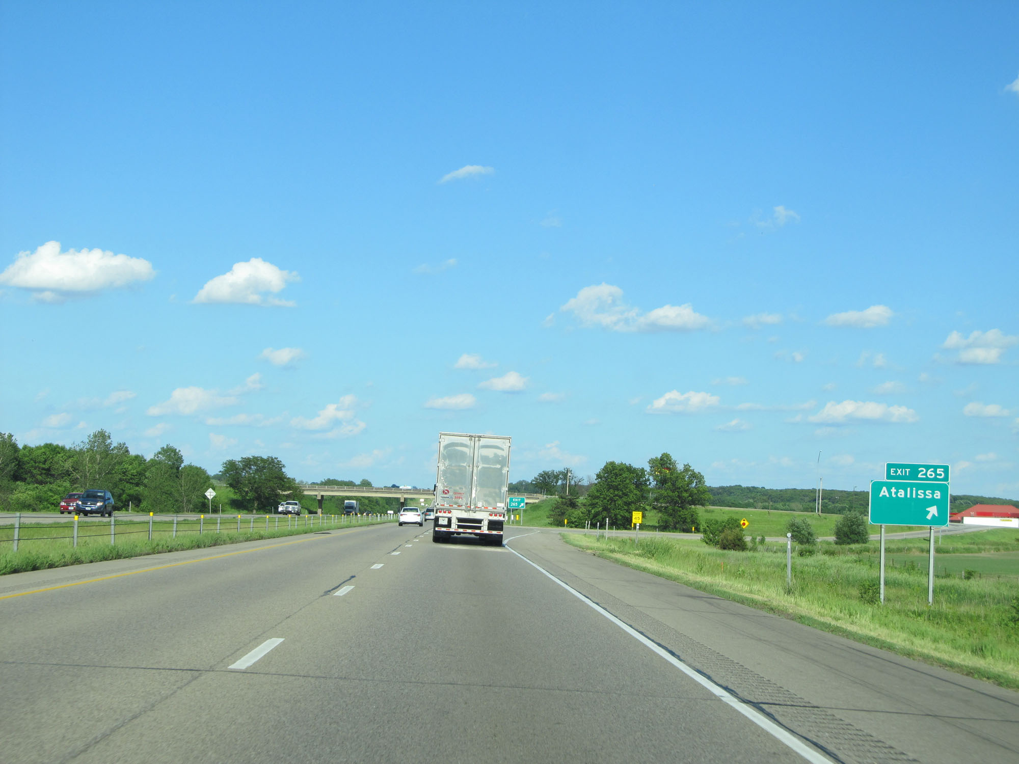 |
Interstate 80 East at Exit 265: Atalissa (Photo taken 5/29/16). |
 |
Interstate 80 East at Exit 267: IA 38 North - Tipton / Moscow (Photo taken 5/29/16). |
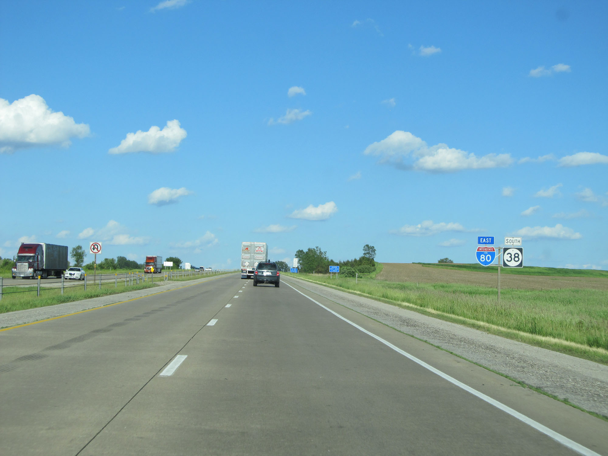 |
State-named Interstate 80 East reassurance shield. (Photo taken 5/29/16). |
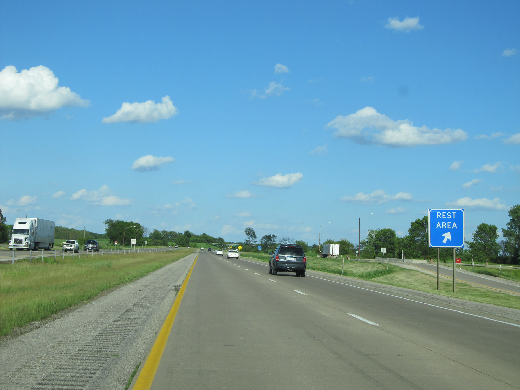 |
Interstate 80 East at the Rest Area in Cedar County. (Photo taken 5/29/16). |
 |
Interstate 80 East approaching Exit 271 - 1 1/2 miles. (Photo taken 5/29/16). |
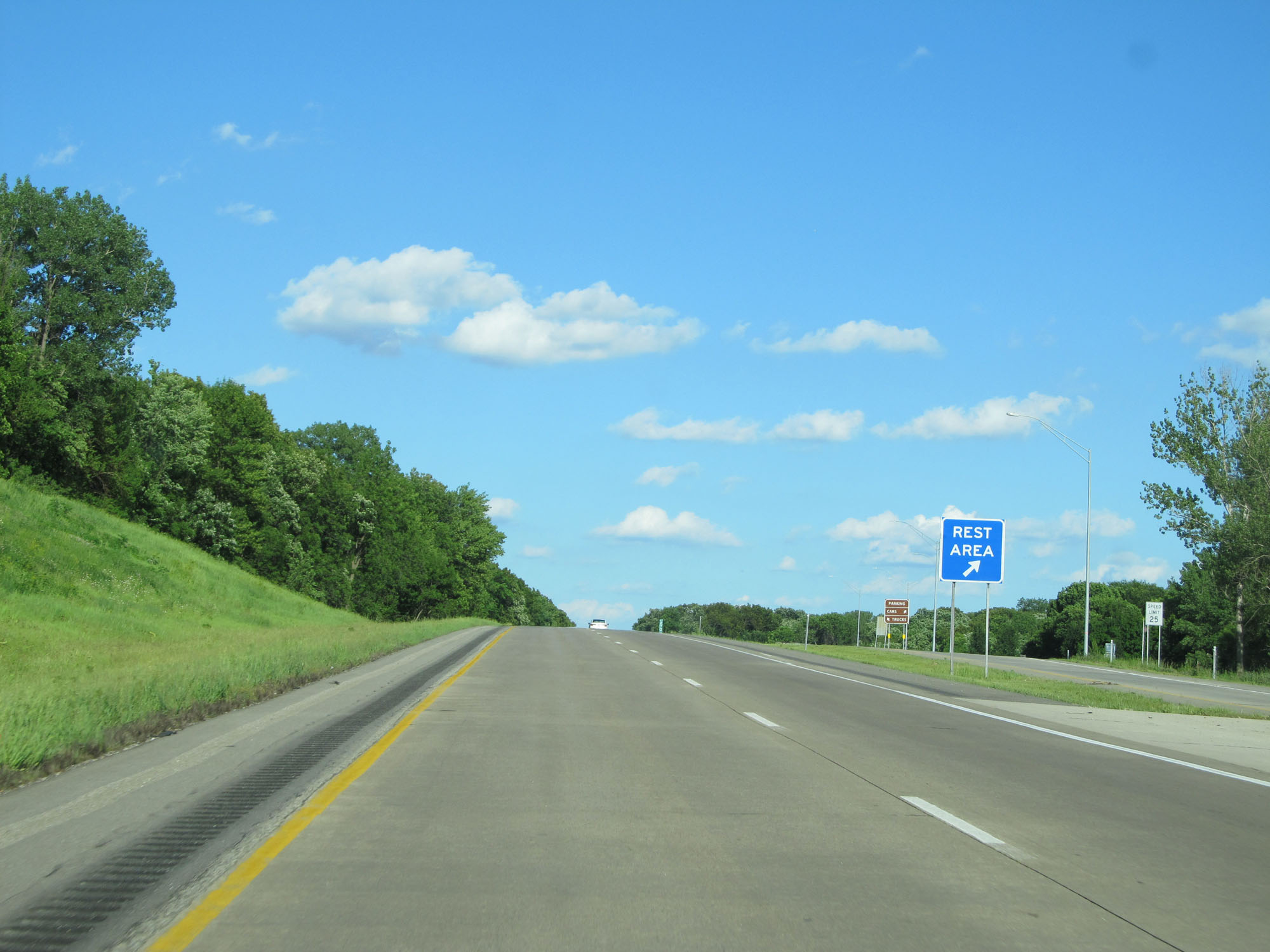 |
A second Rest Area on Interstate 80 East in Cedar County. (Photo taken 5/29/16). |
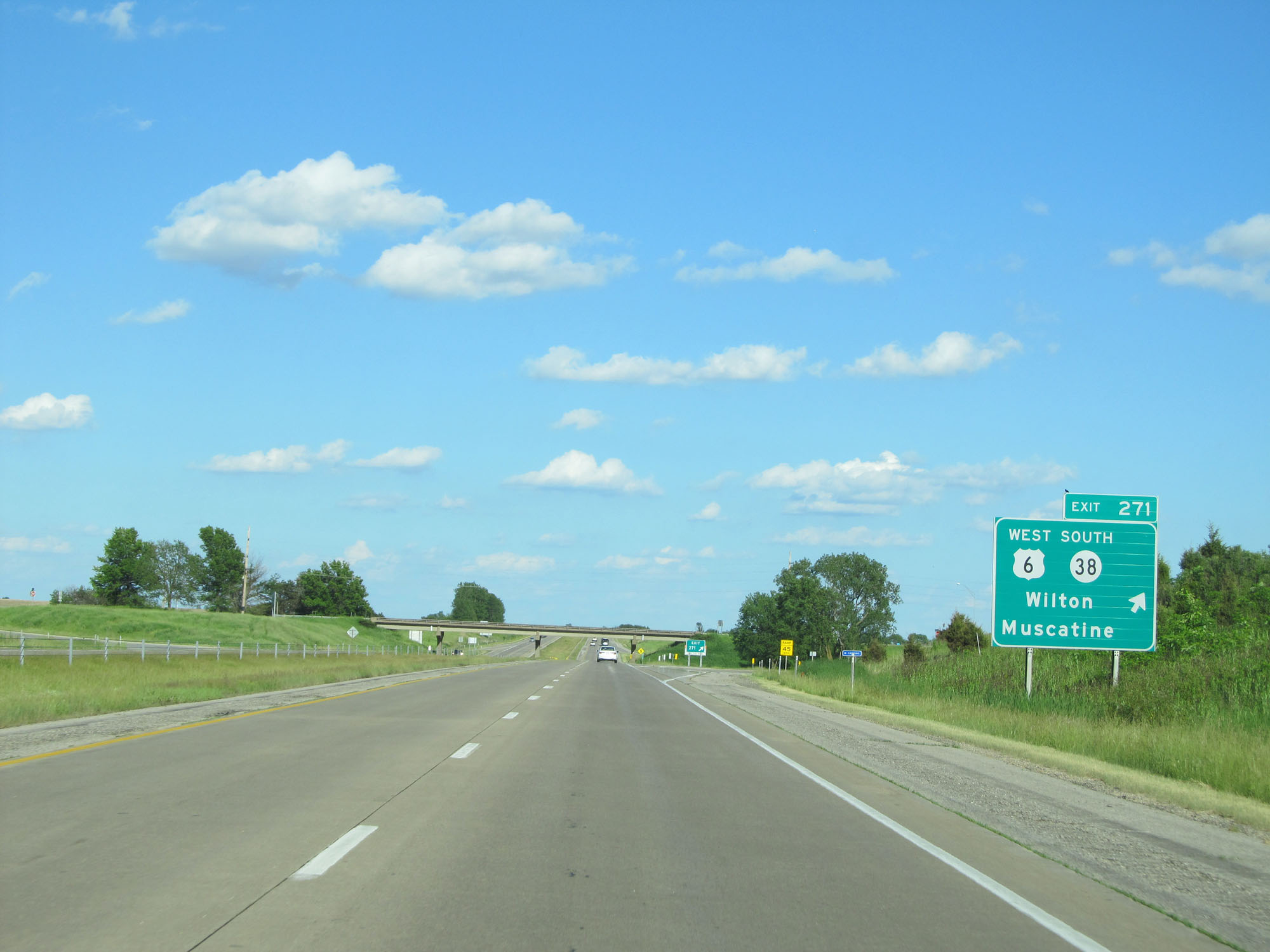 |
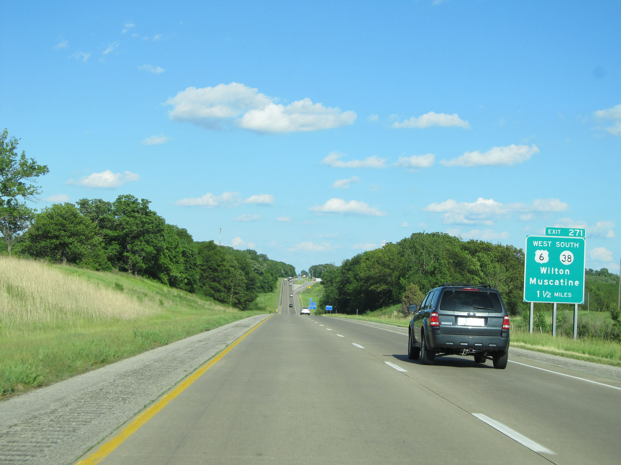
Interstate 80 East at Exit 271: US 6 West / IA 38 South - Wilton / Muscatine (Photo taken 5/29/16). |
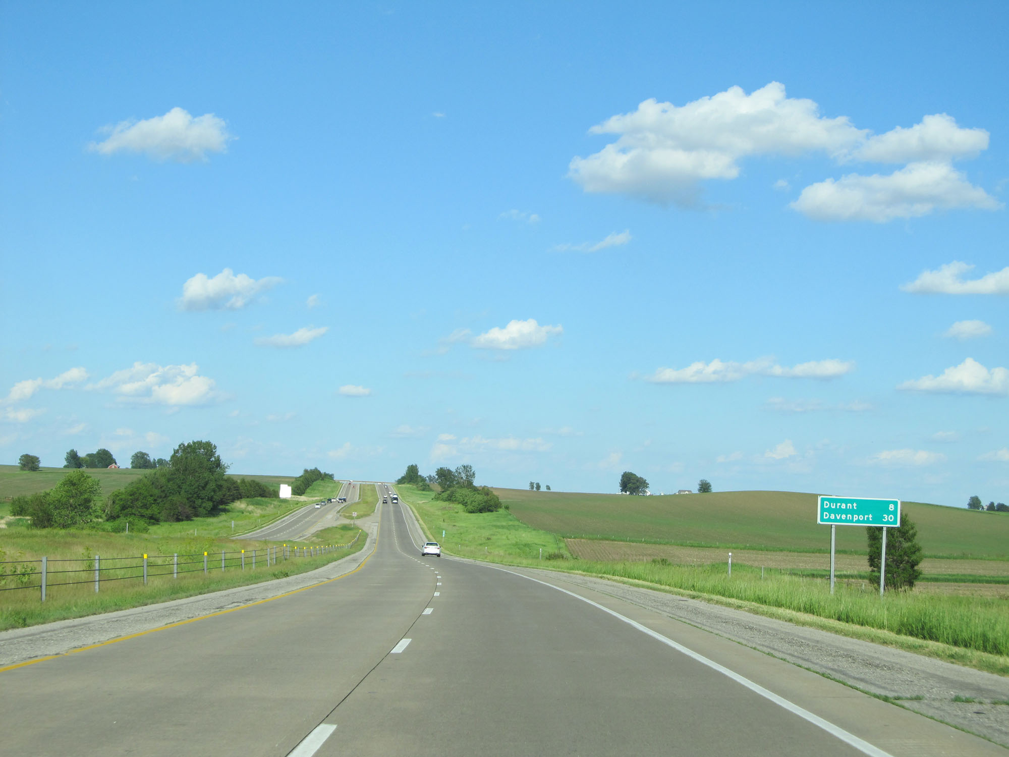 |
Mileage sign on Interstate 80 East. It's 8 miles to Durant and 30 miles to Davenport. (Photo taken 5/29/16). |
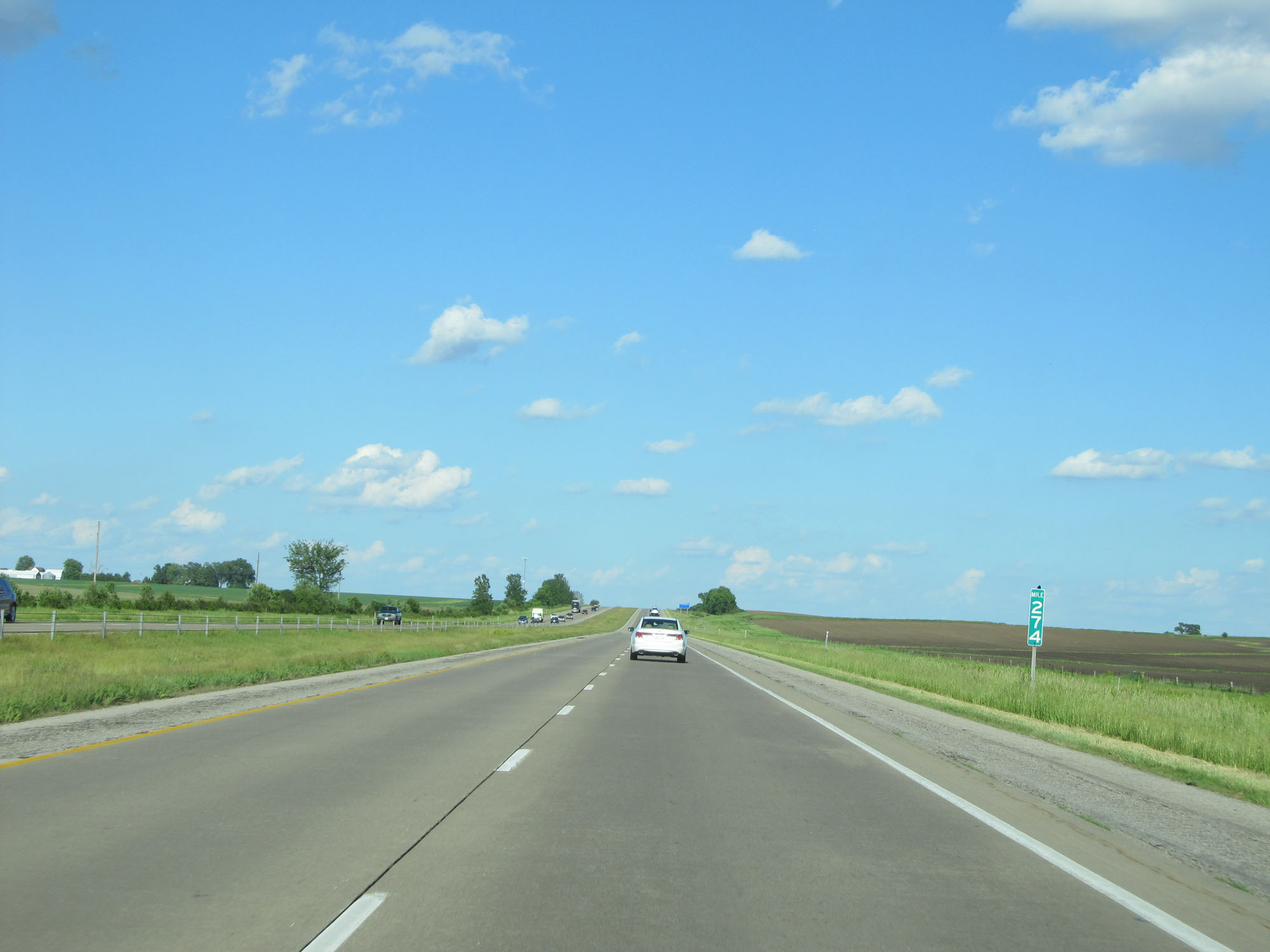 |
Interstate 80 East at mile marker 274. (Photo taken 5/29/16). |
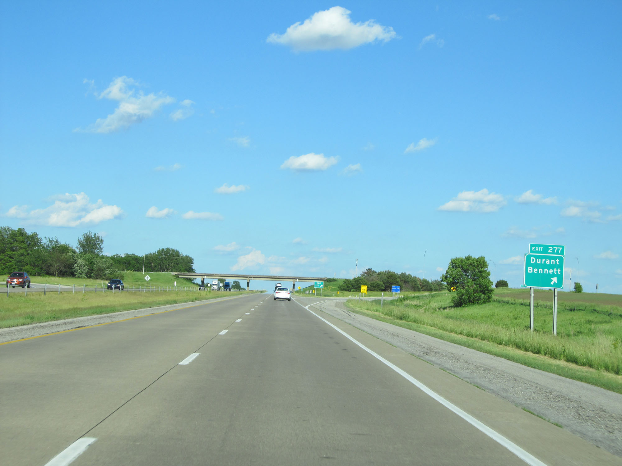 |
Interstate 80 East at Exit 277: Durant / Bennett (Photo taken 5/29/16). |
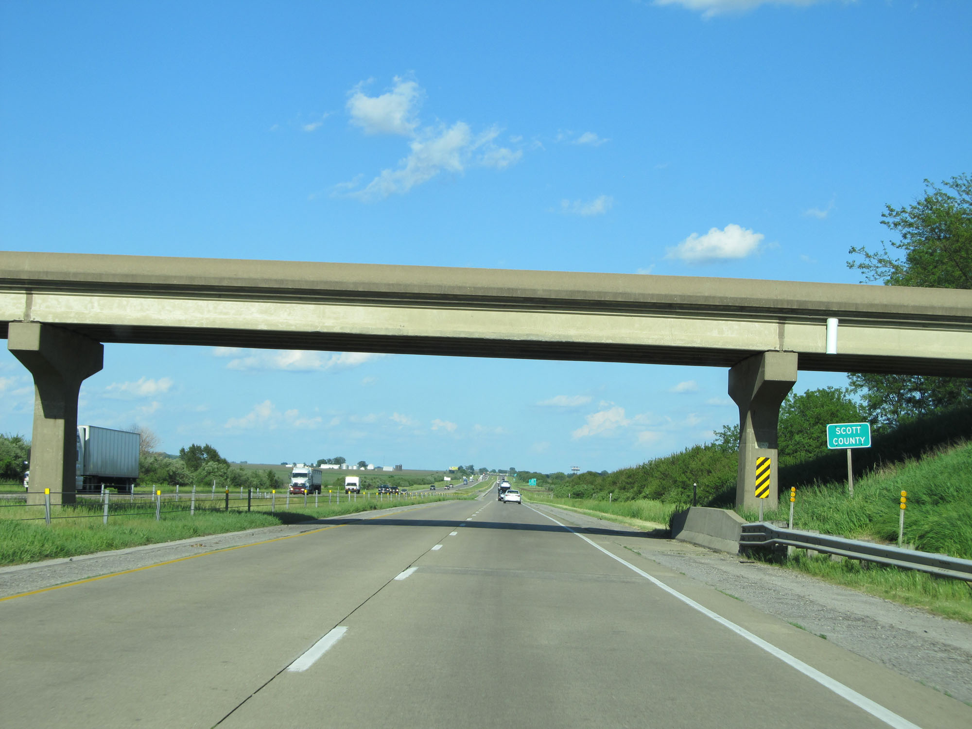 |
Interstate 80 East entering Scott County. (Photo taken 5/29/16). |
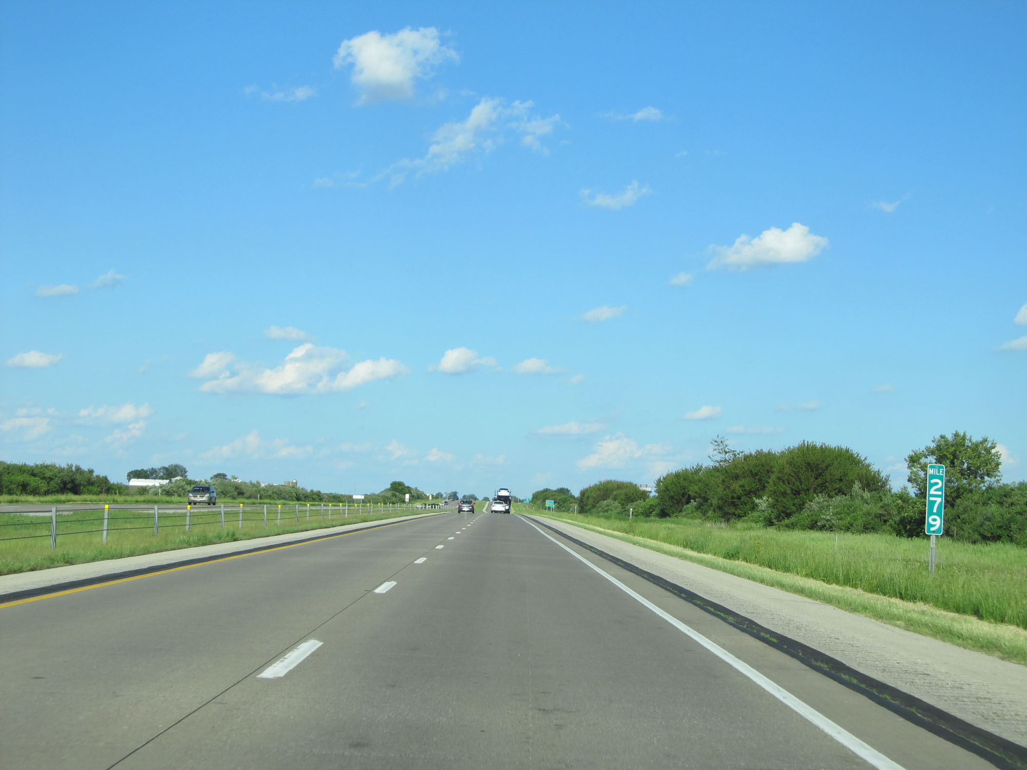 |
Interstate 80 East at mile marker 279. (Photo taken 5/29/16). |
 |
Interstate 80 East at Exit 280: CR Y30 - Stockton / New Liberty (Photo taken 5/29/16). |
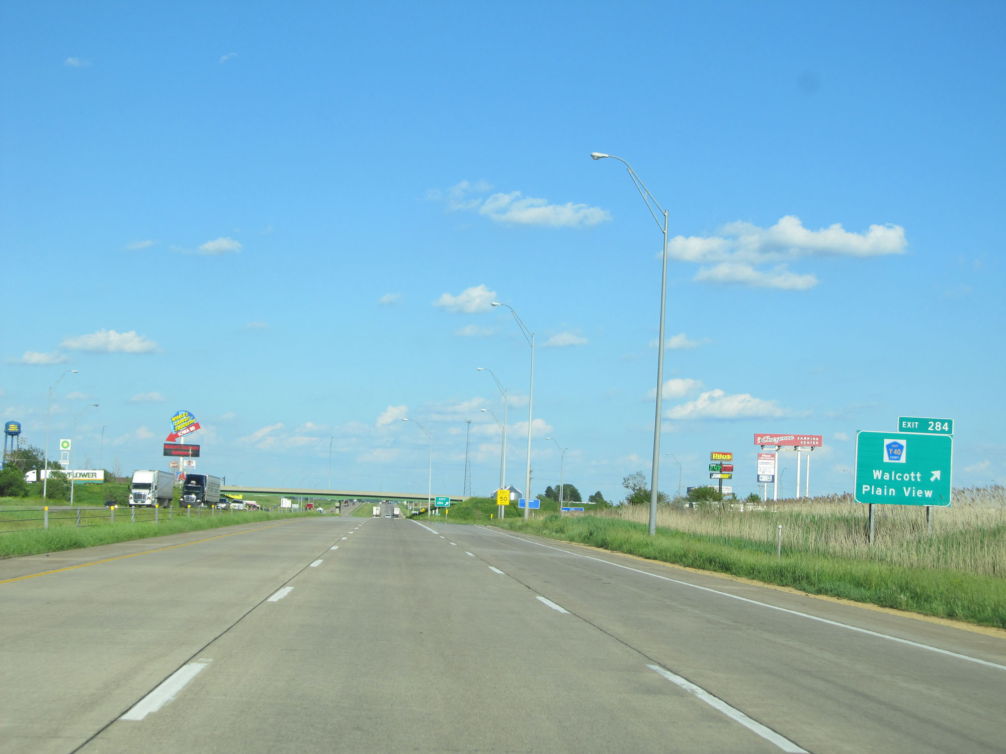 |
Interstate 80 East at Exit 284: CR Y40 - Walcott / Plain View. Off this exit is Iowa 80, the world's largest truck stop. (Photo taken 5/29/16). |
 |
On the left in this photo, we can see Iowa 80, the worlds' largest truck stop. (Photo taken 5/29/16). |
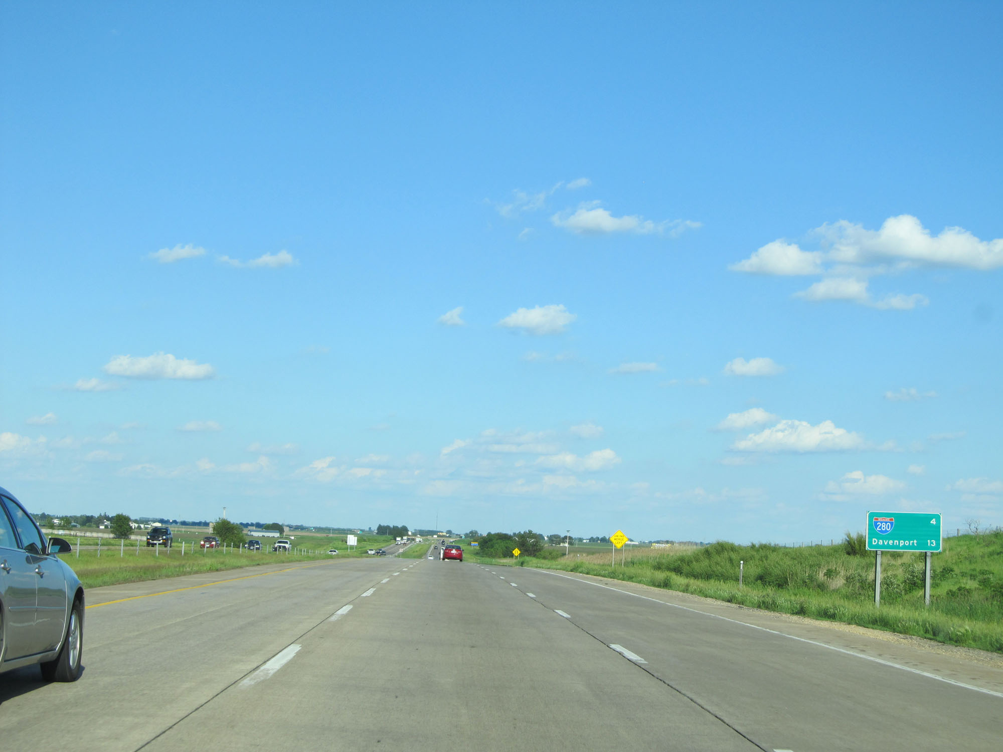 |
Mileage sign on Interstate 80 East. It's 4 miles to the junction of Interstate 280 and 13 miles to Davenport. (Photo taken 5/29/16). |
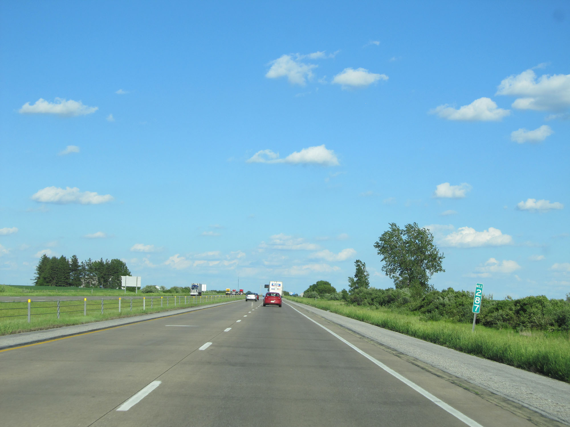 |
Interstate 80 East at mile marker 287. (Photo taken 5/29/16). |
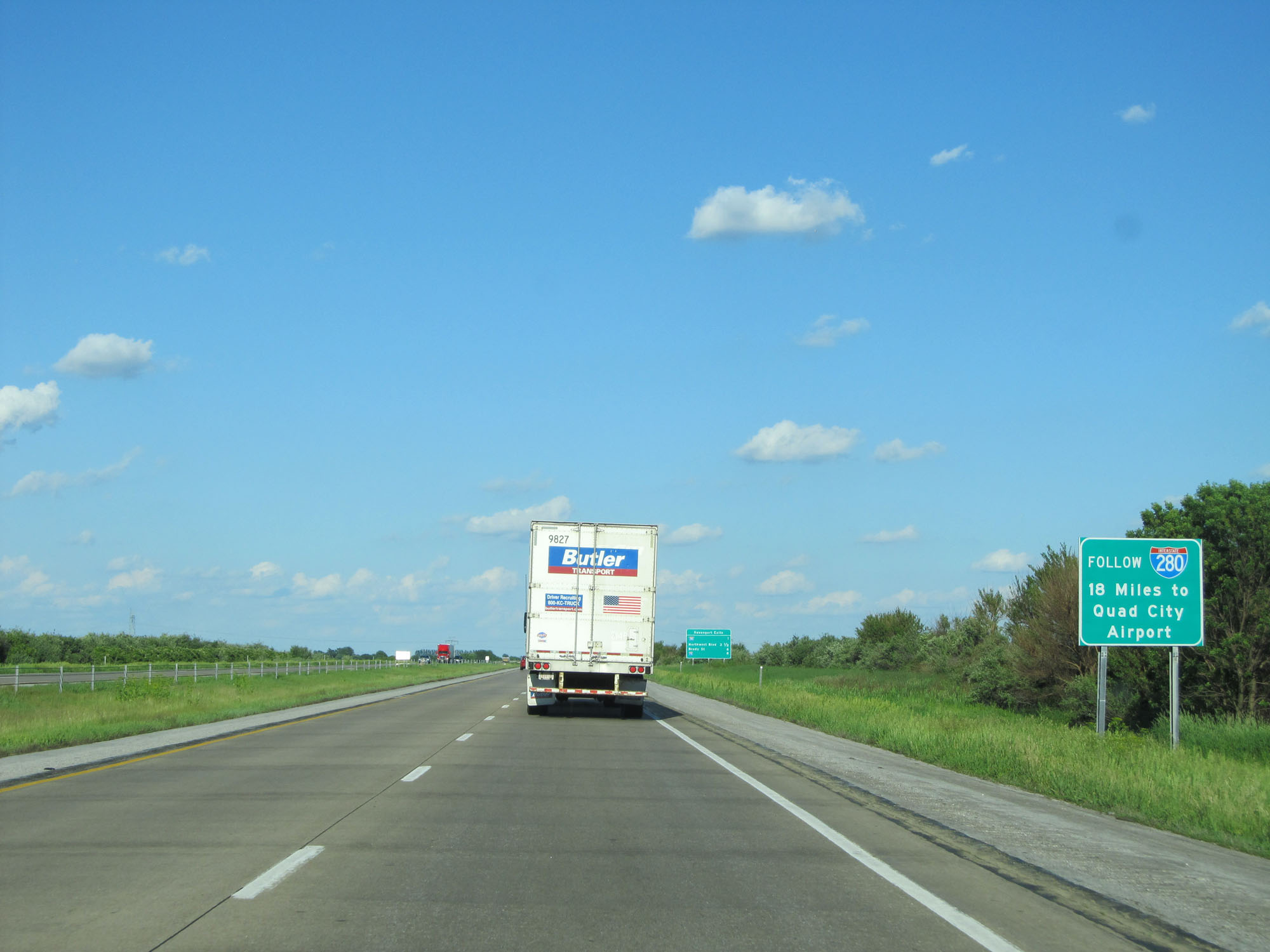 |
Follow Interstate 280 East for 18 miles to get to the Quad City Airport. (Photo taken 5/29/16). |
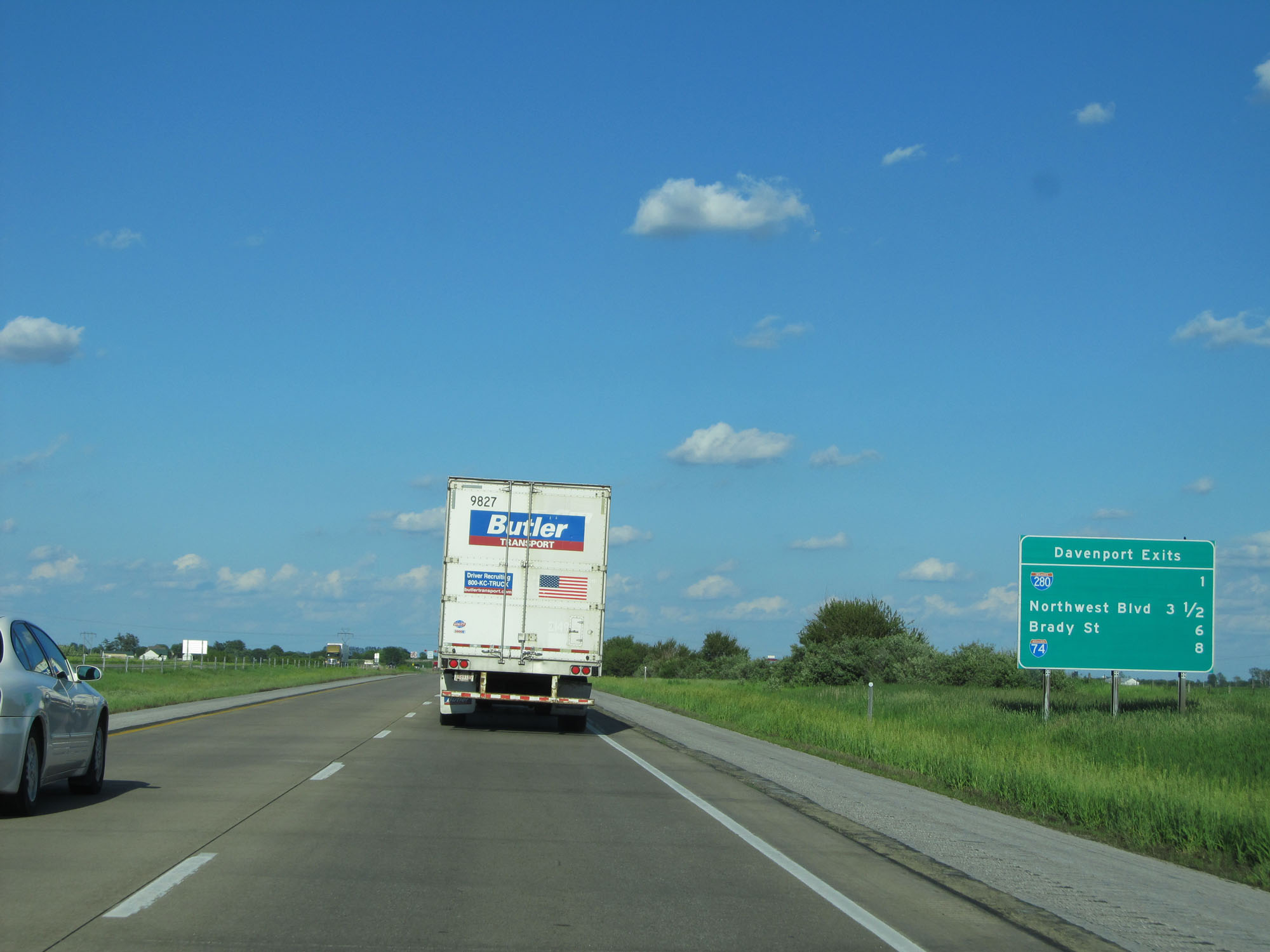 |
Sign listing the distances to the 4 upcoming exits to Davenport. (Photo taken 5/29/16). |
 |
Interstate 80 East approaching Exit 290 - 1 mile. (Photo taken 5/29/16). |
 |
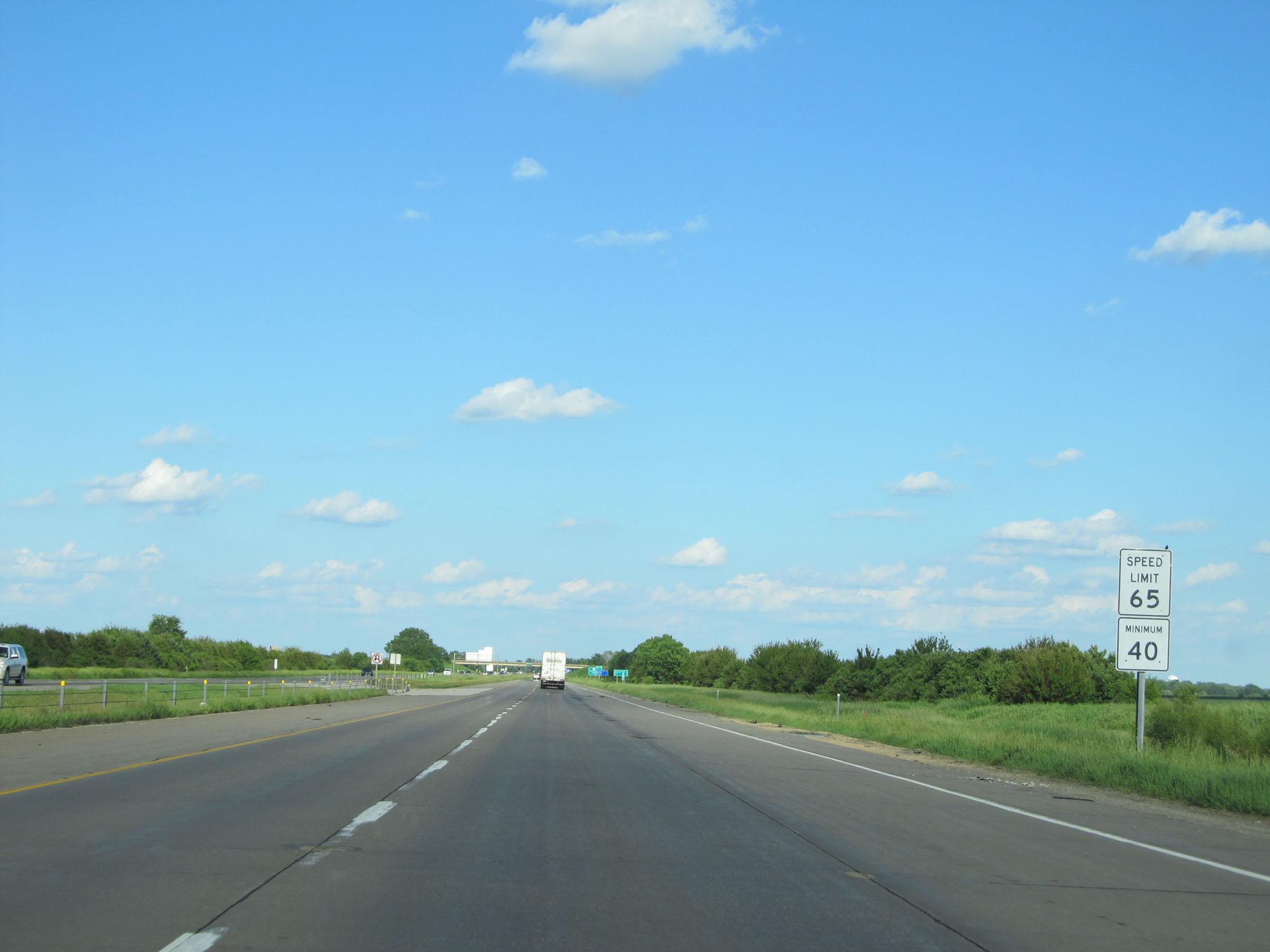
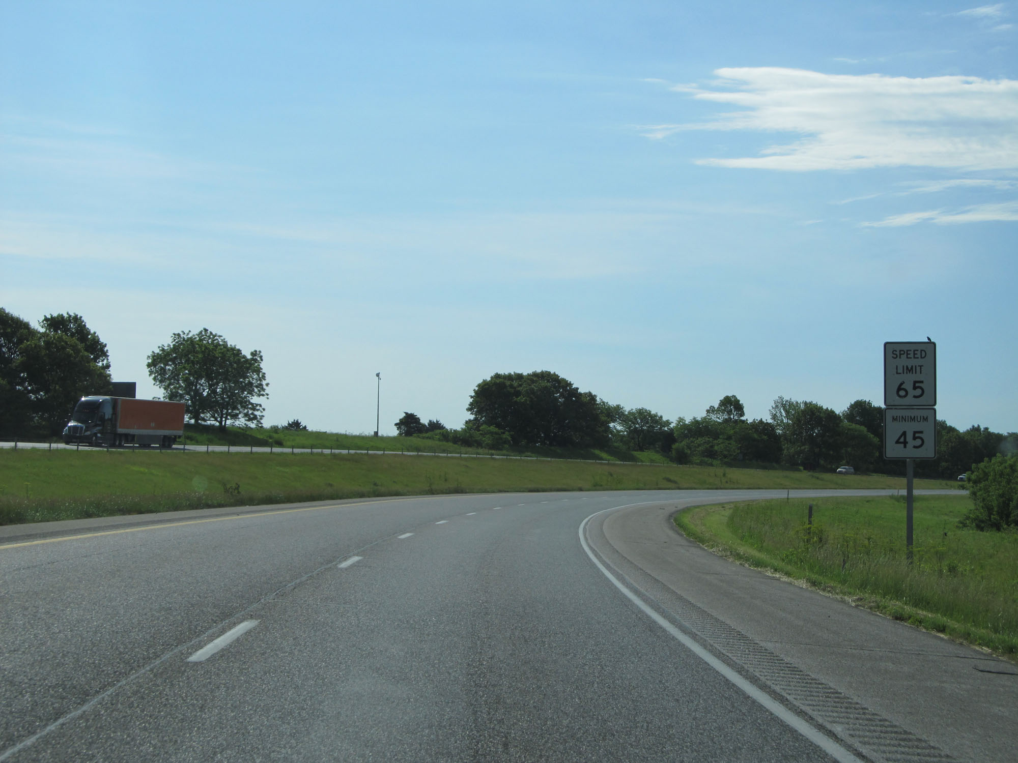
Approaching the Davenport area, the speed limit decreases to 65 mph and remains that way for the rest of Interstate 80's duration in Iowa. (Photo taken 5/29/16). |
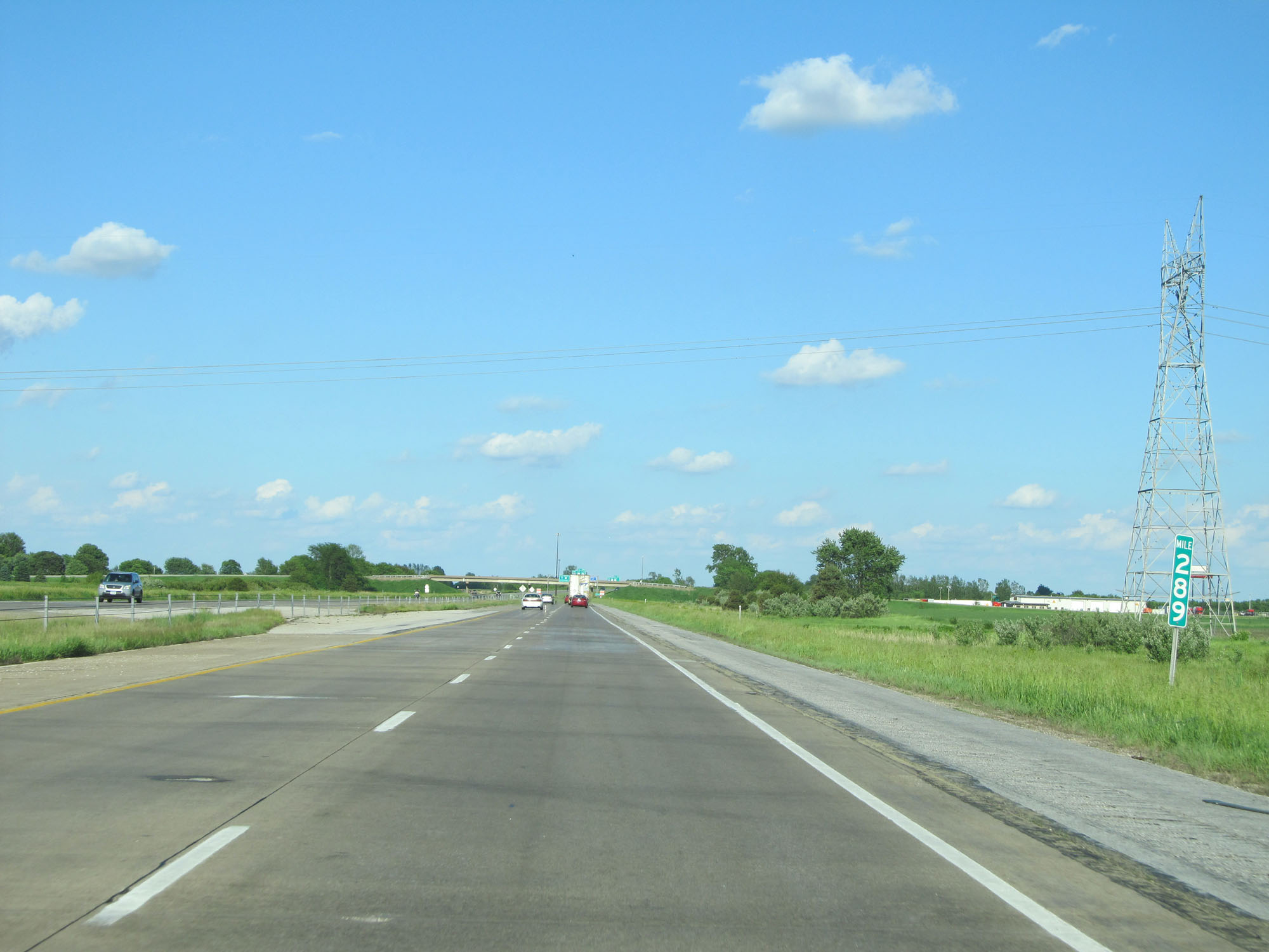 |
Interstate 80 East at mile marker 289. (Photo taken 5/29/16). |
 |
Interstate 80 East as it enters the Davenport city limits. (Photo taken 5/29/16). |
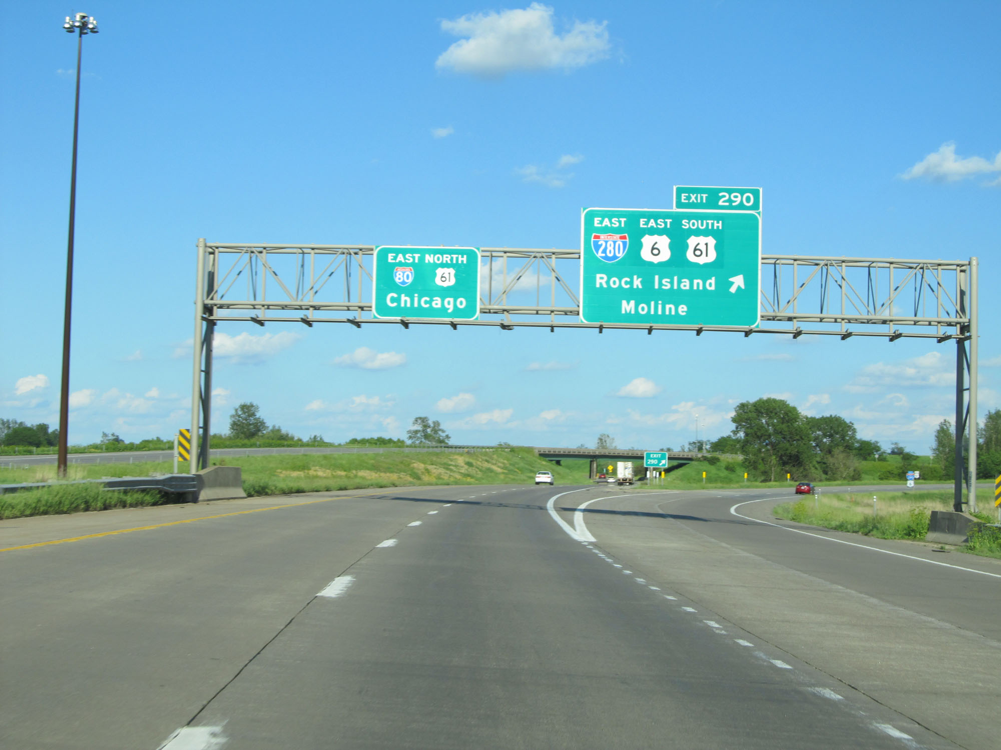 |
Interstate 80 East at Exit 290: Interstate 280 East / US 6 East / US 61 South - Rock Island / Moline (Photo taken 5/29/16). |
 |
Speed Limit - 65 mph. Minimum speed limit - 40 mph. (Photo taken 5/29/16). |
 |
Take Exit 292 to Putnam Museum and Theater. (Photo taken 5/29/16). |
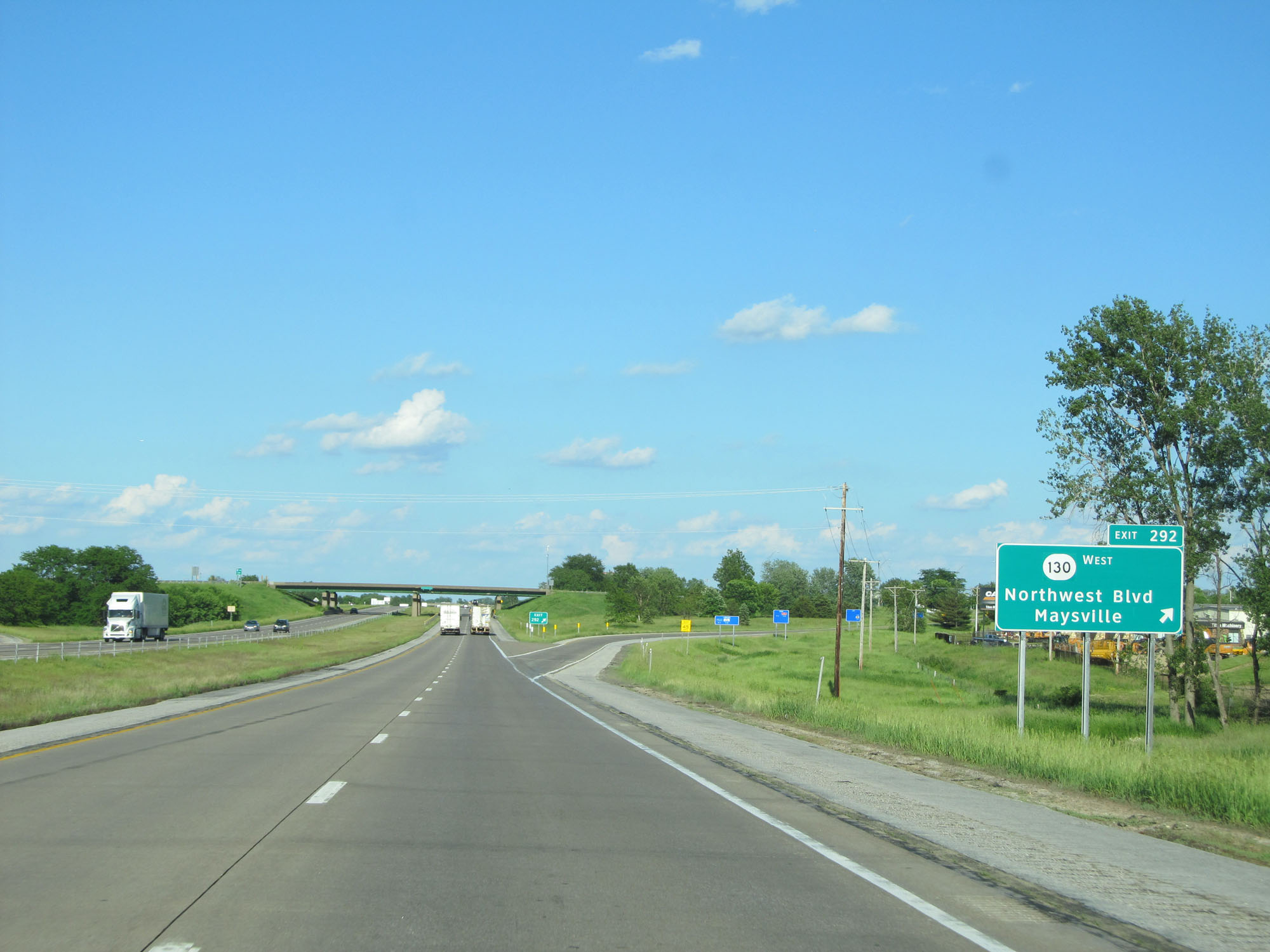 |
Interstate 80 East at Exit 292: IA 130 West - Northwest Blvd / Maysville (Photo taken 5/29/16). |
 |
Take Exit 295A to Downtown Davenport Riverfront. Take Exit 295B to Scott County Park. (Photo taken 5/29/16). |
 |
Interstate 80 East at Exit 295A: Brady St (Photo taken 5/29/16). |
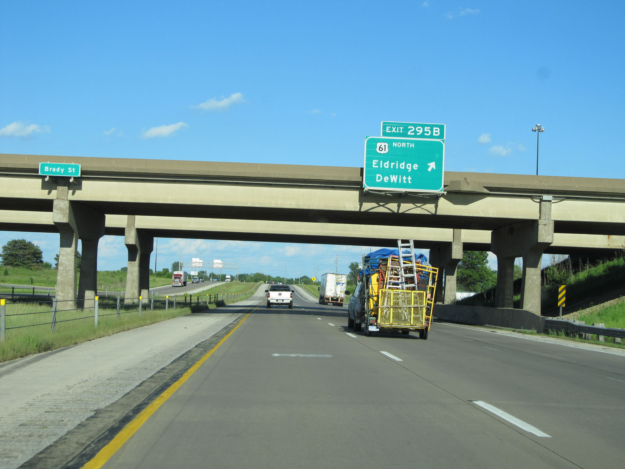 |
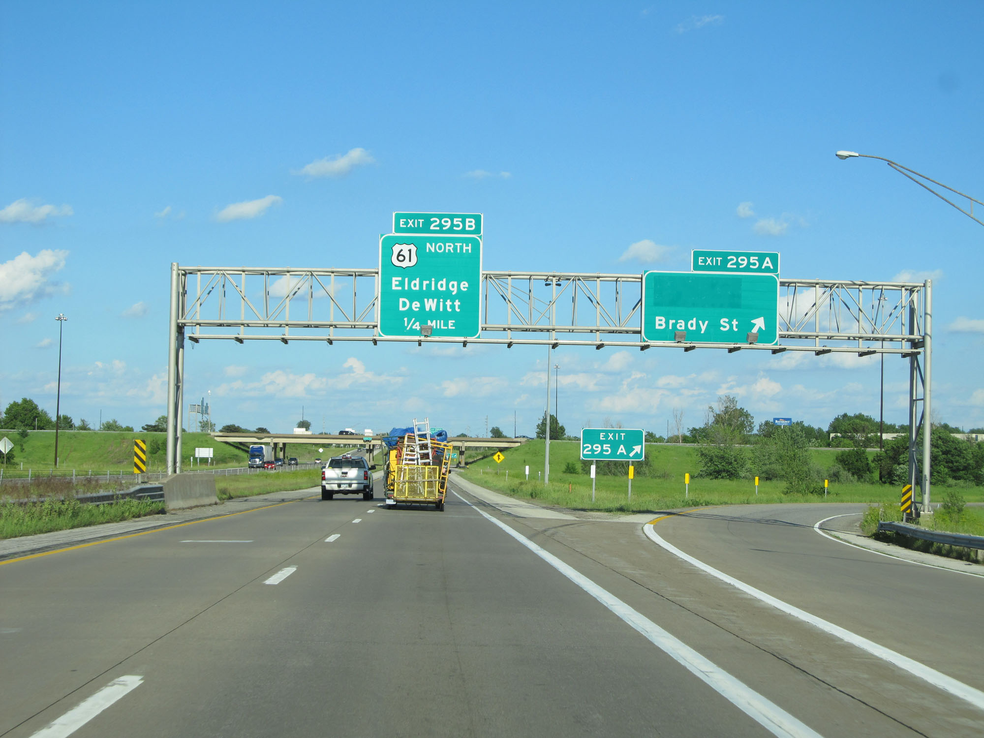
Interstate 80 East at Exit 295B: US 61 North - Eldridge / DeWitt (Photo taken 5/29/16). |
 |
State-named Interstate 80 East reassurance shield. (Photo taken 5/29/16). |
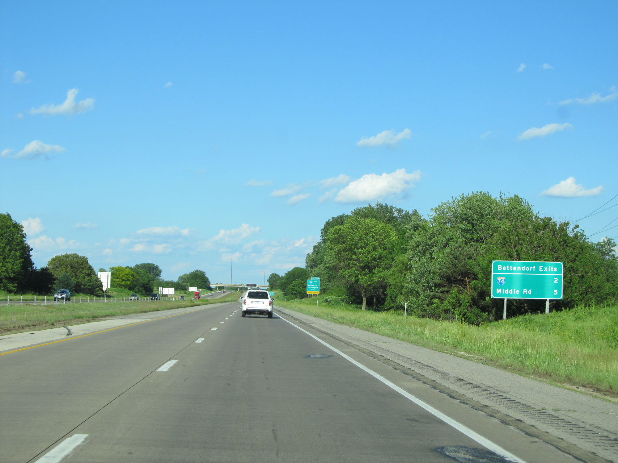 |
Sign listing the distances to the two upcoming exits to Bettendorf. (Photo taken 5/29/16). |
 |
Interstate 80 East approaching Exit 298 - 1 mile. (Photo taken 5/29/16). |
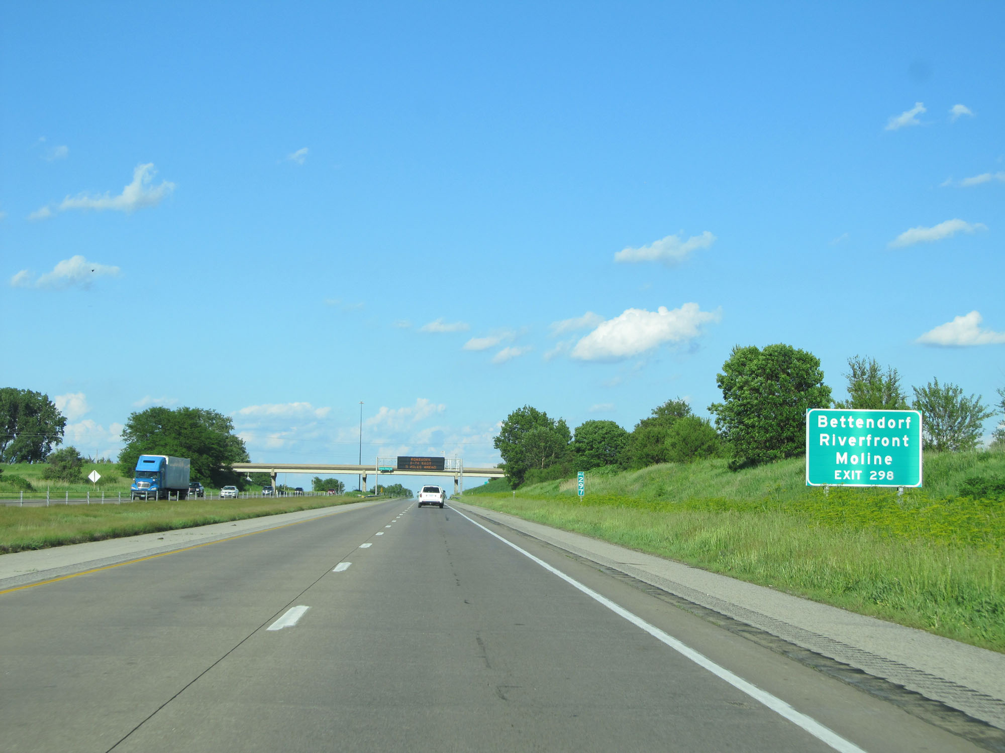 |
Take Exit 298 to Bettendorf Riverfront and Moline. (Photo taken 5/29/16). |
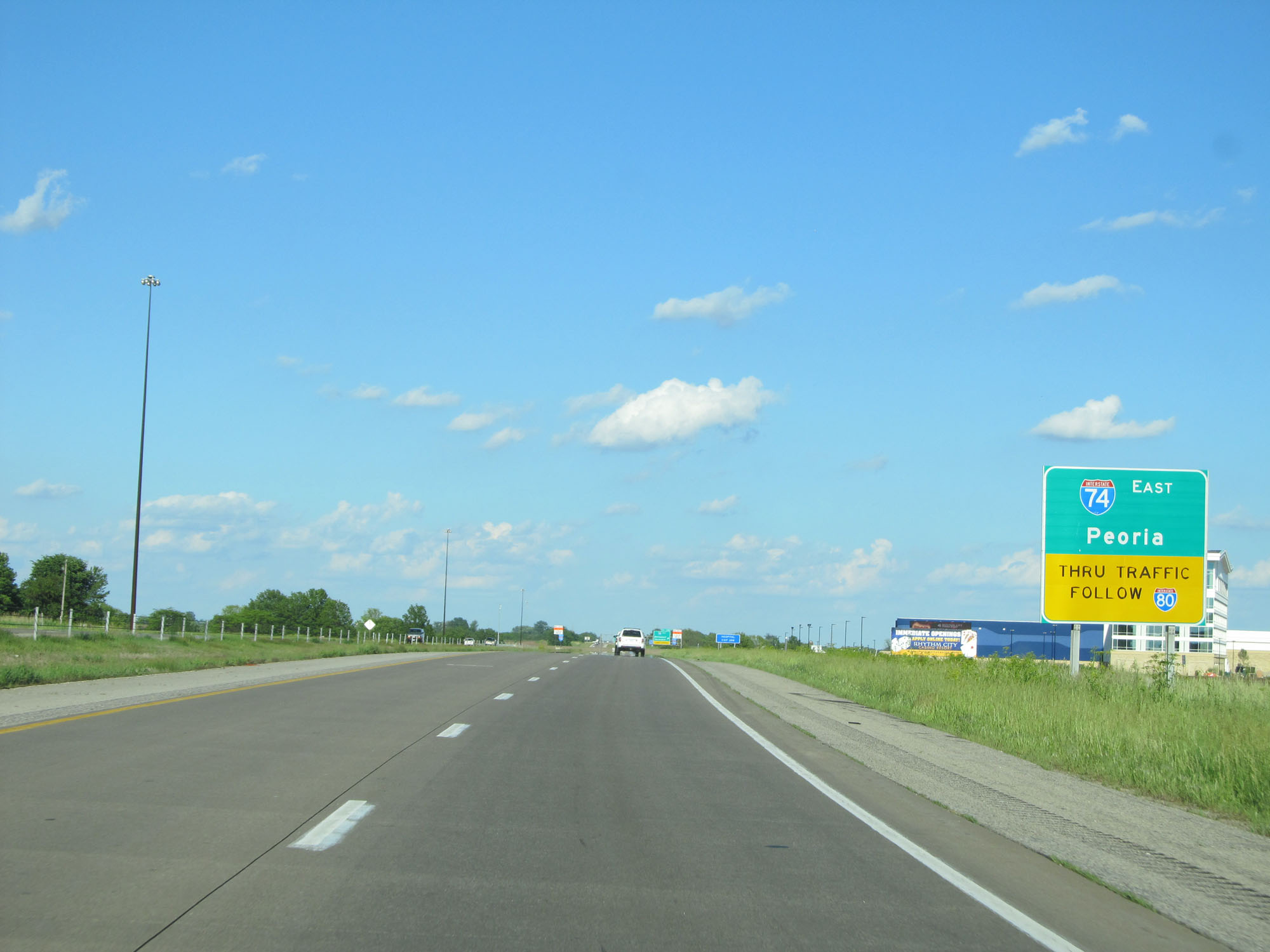 |
Thru traffic destined for Interstate 74 East to Peoria is advised to remain on Interstate 80 into Illinois. (Photo taken 5/29/16). |
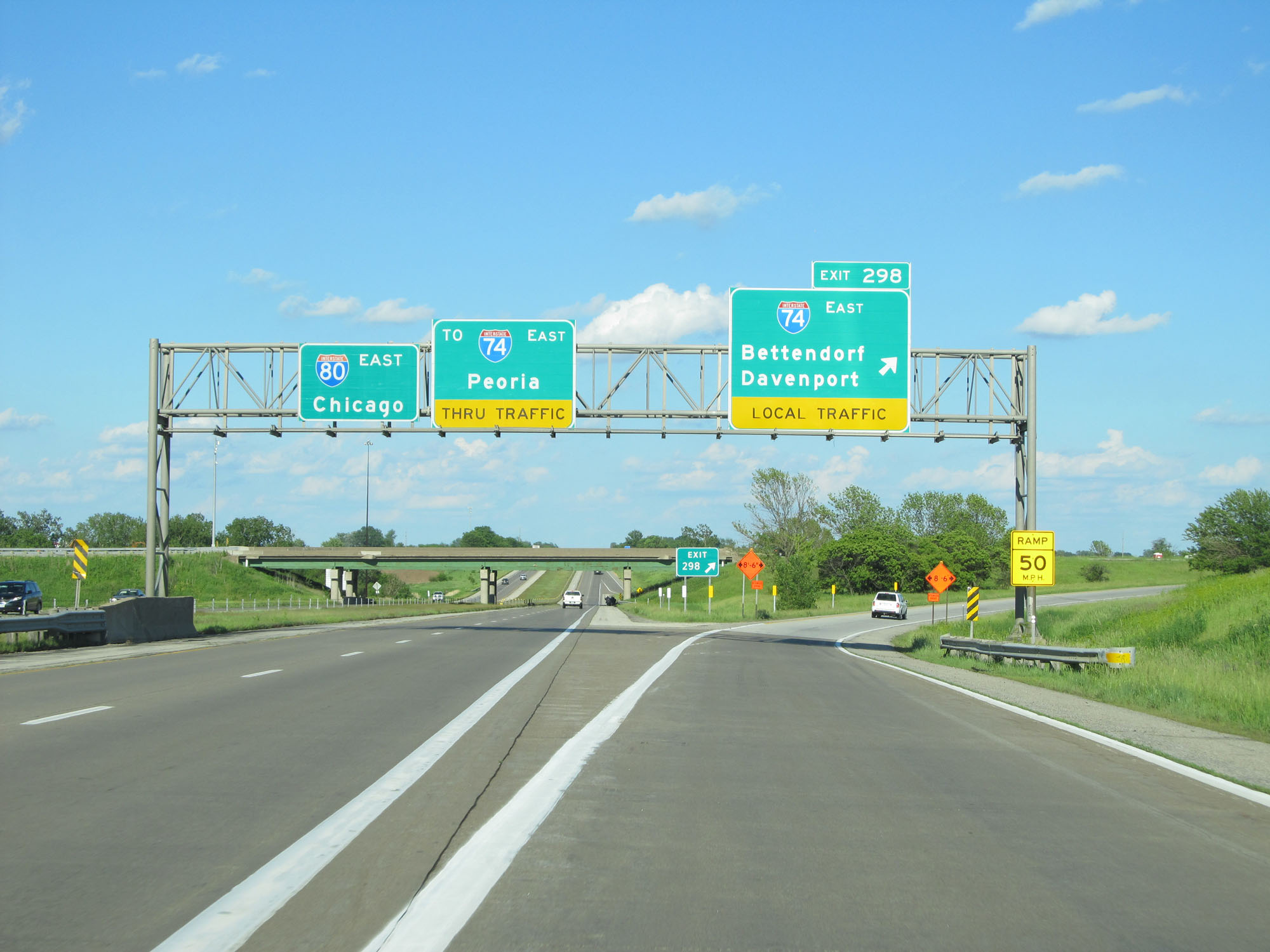 |
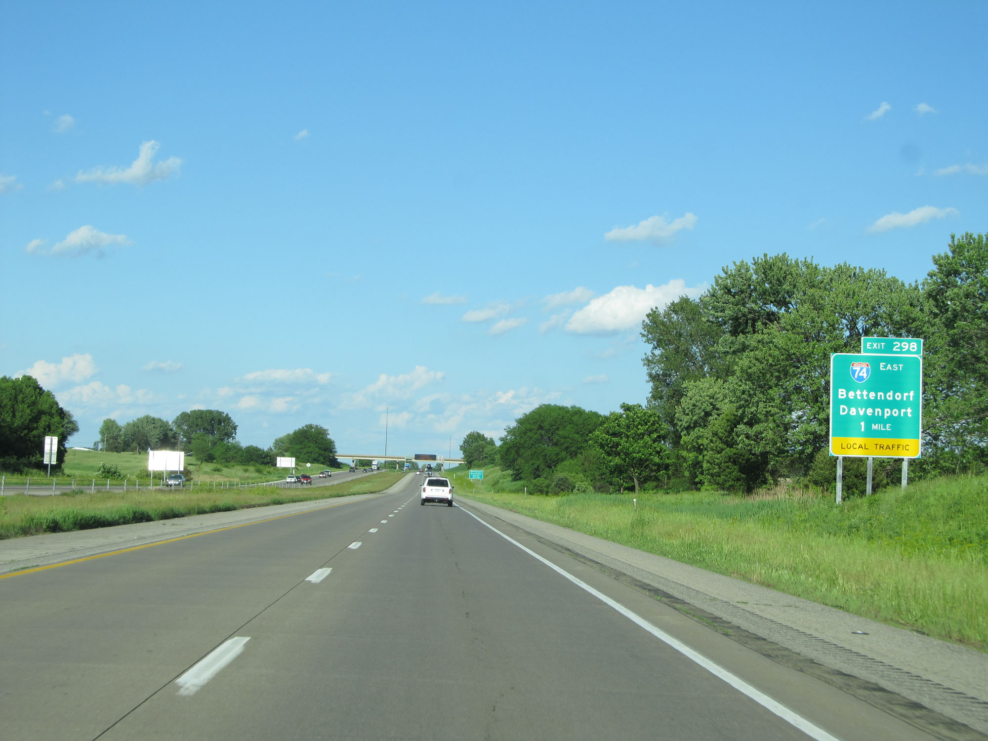
Interstate 80 East at Exit 298: Interstate 74 East - Bettendorf / Davenport (Photo taken 5/29/16). |
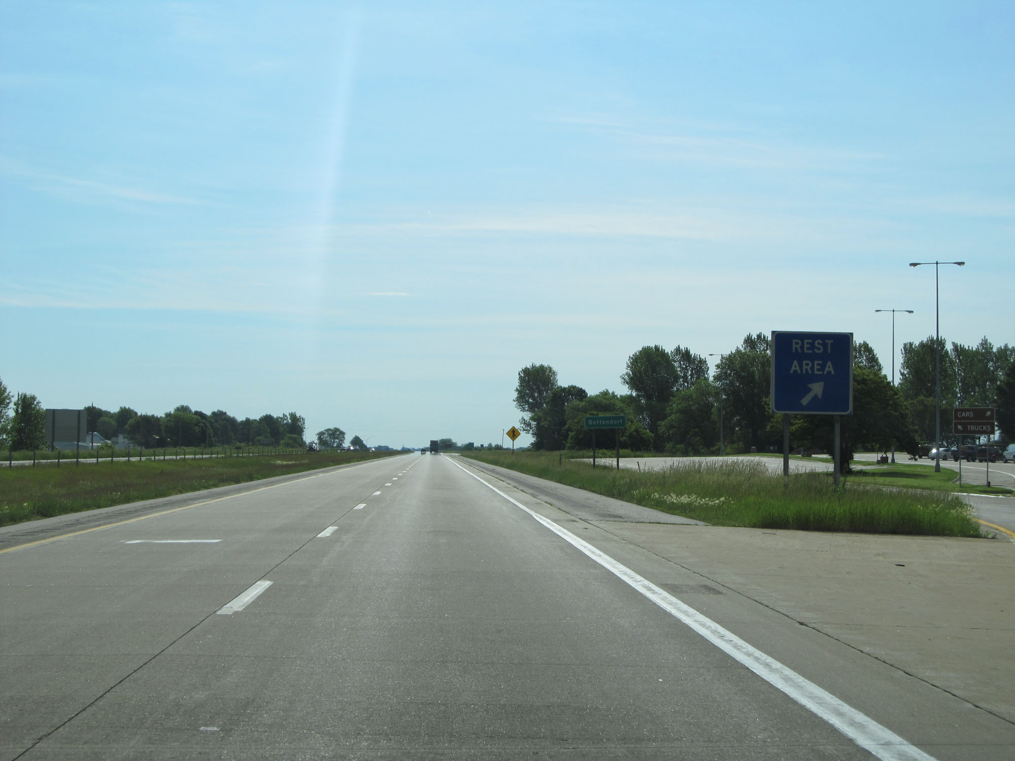 |
Interstate 80 East at the Rest Area in Scott County. (Photo taken 5/30/16). |
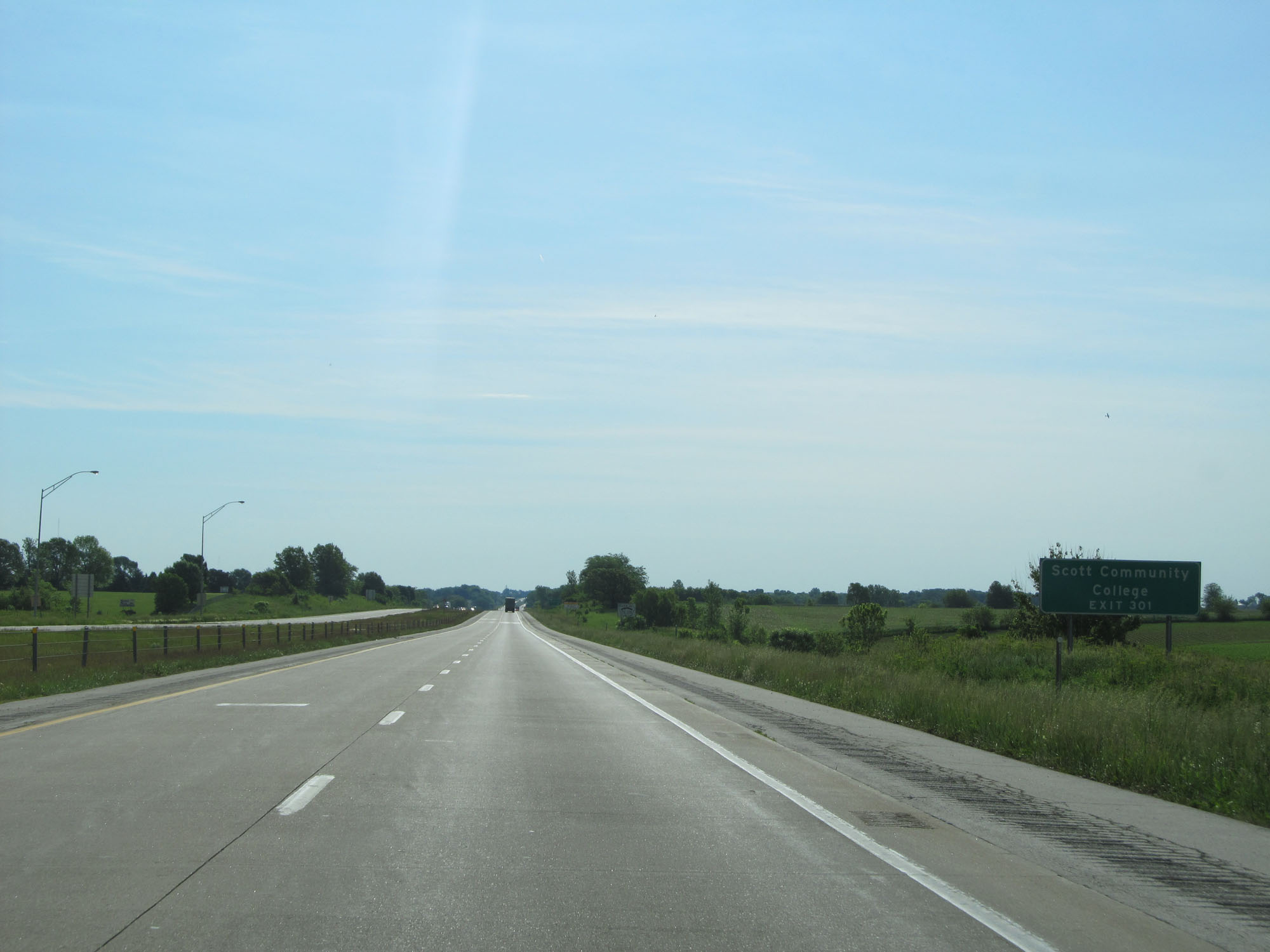 |
Take Exit 301 to Scott Community College. (Photo taken 5/30/16). |
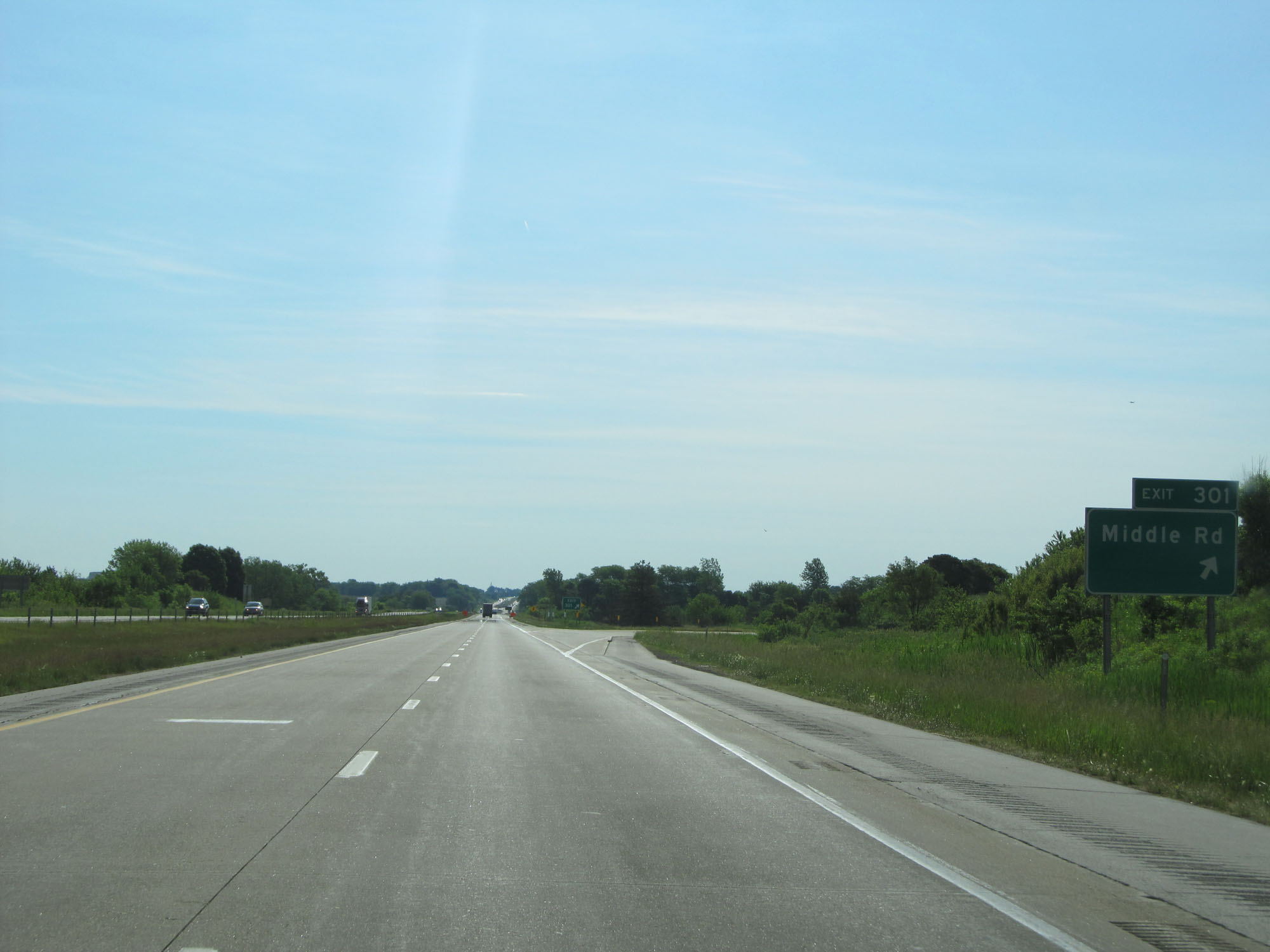 |
Interstate 80 East at Exit 301: Middle Rd (Photo taken 5/30/16). |
 |
Mileage sign on Interstate 80 East. It's 7 miles to LeClaire and 177 miles to Chicago. (Photo taken 5/30/16). |
 |
Interstate 80 East at mile marker 302. (Photo taken 5/30/16). |
 |
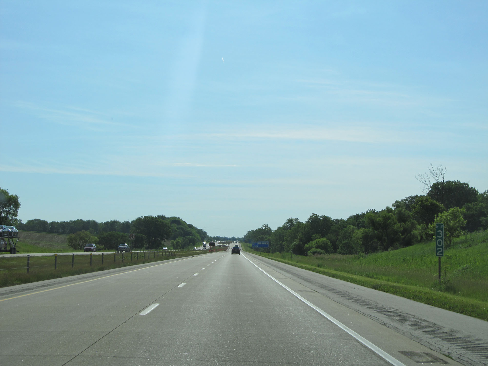
Interstate 80 East at mile marker 304. (Photo taken 5/30/16). |
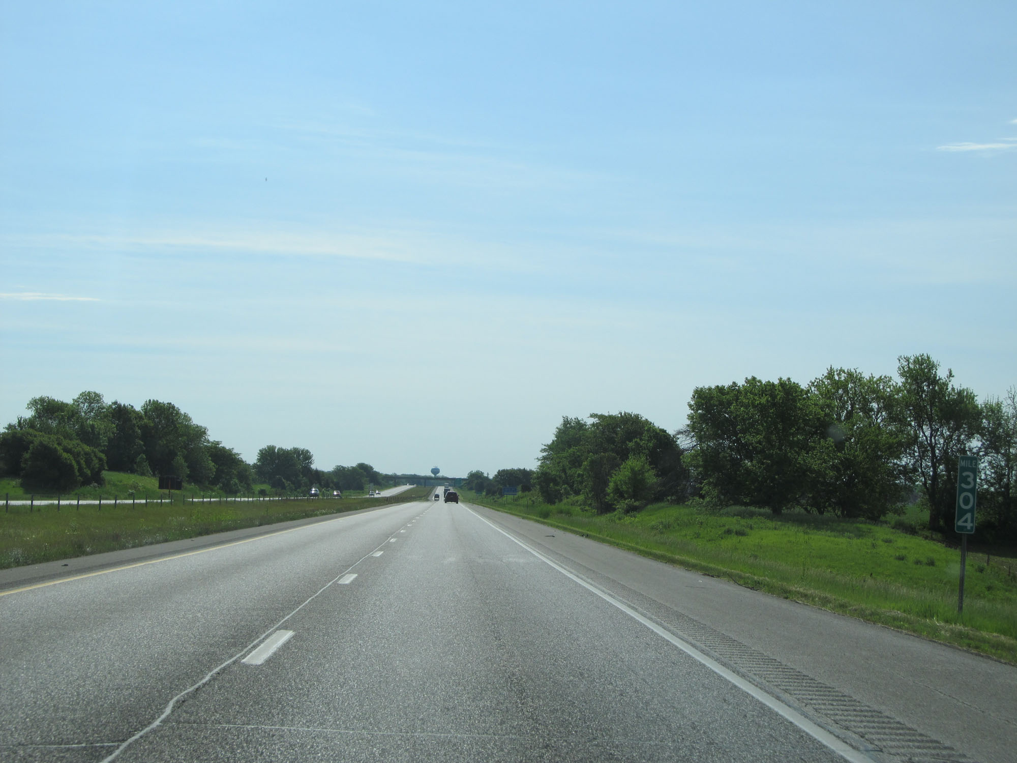
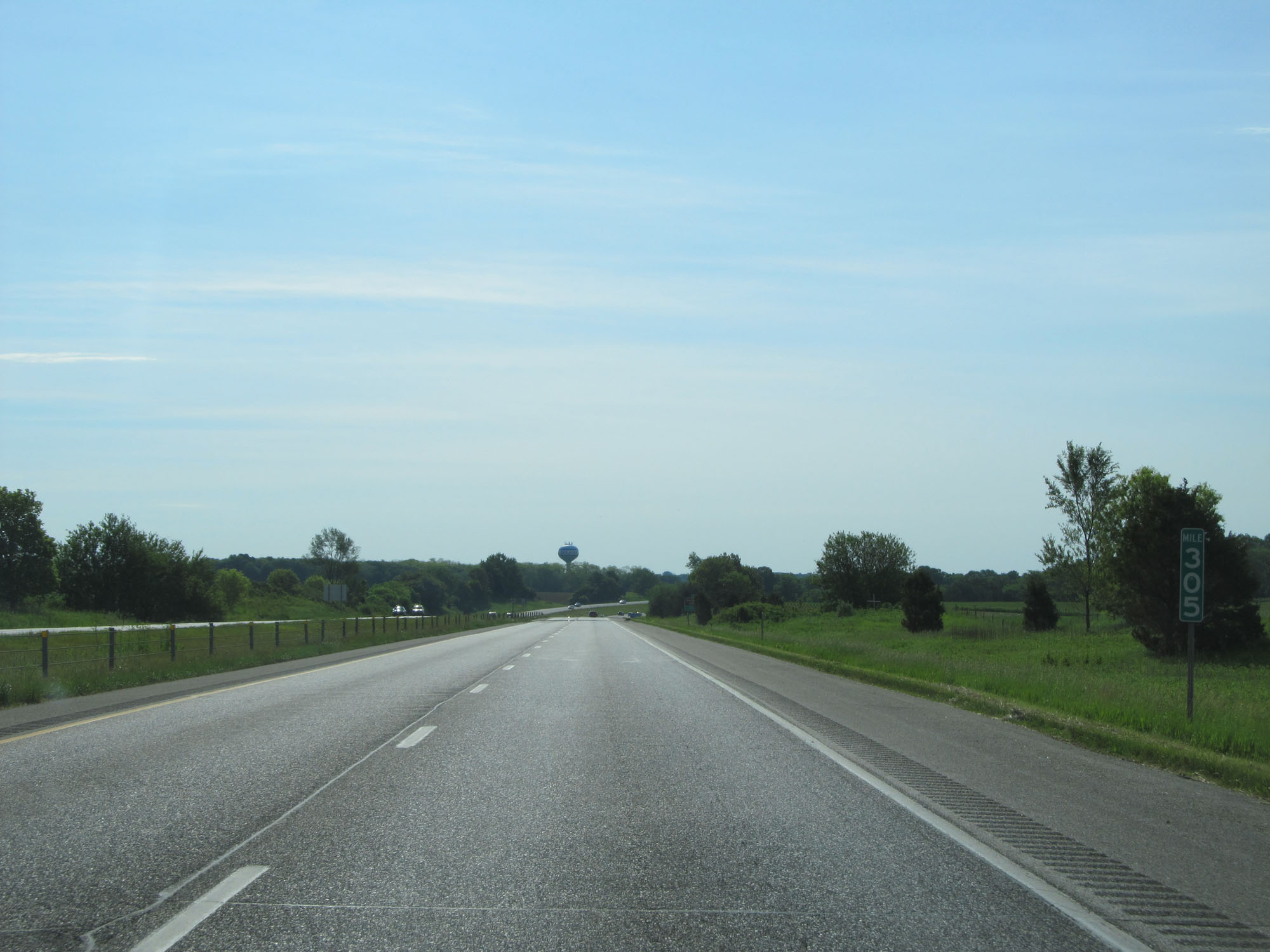 |
Interstate 80 East at mile marker 305. (Photo taken 5/30/16). |
 |
Take Exit 306 to Buffalo Bill Museum and Clinton. (Photo taken 5/30/16). |
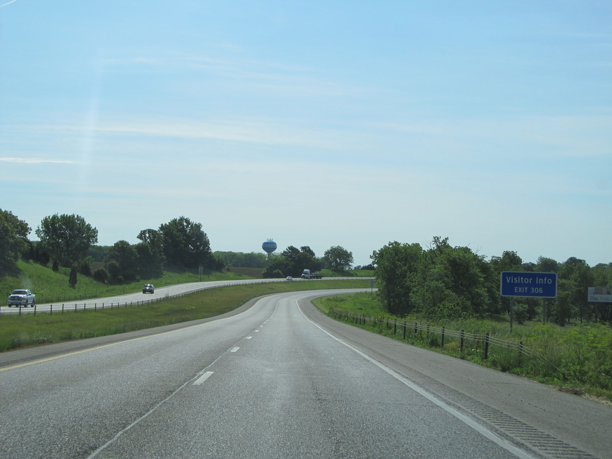 |
Take Exit 306 for Visitor Info as well. (Photo taken 5/30/16). |
 |
Interstate 80 East as it begins to curve to the south toward the Mississippi River and the Illinois border. (Photo taken 5/30/16). |
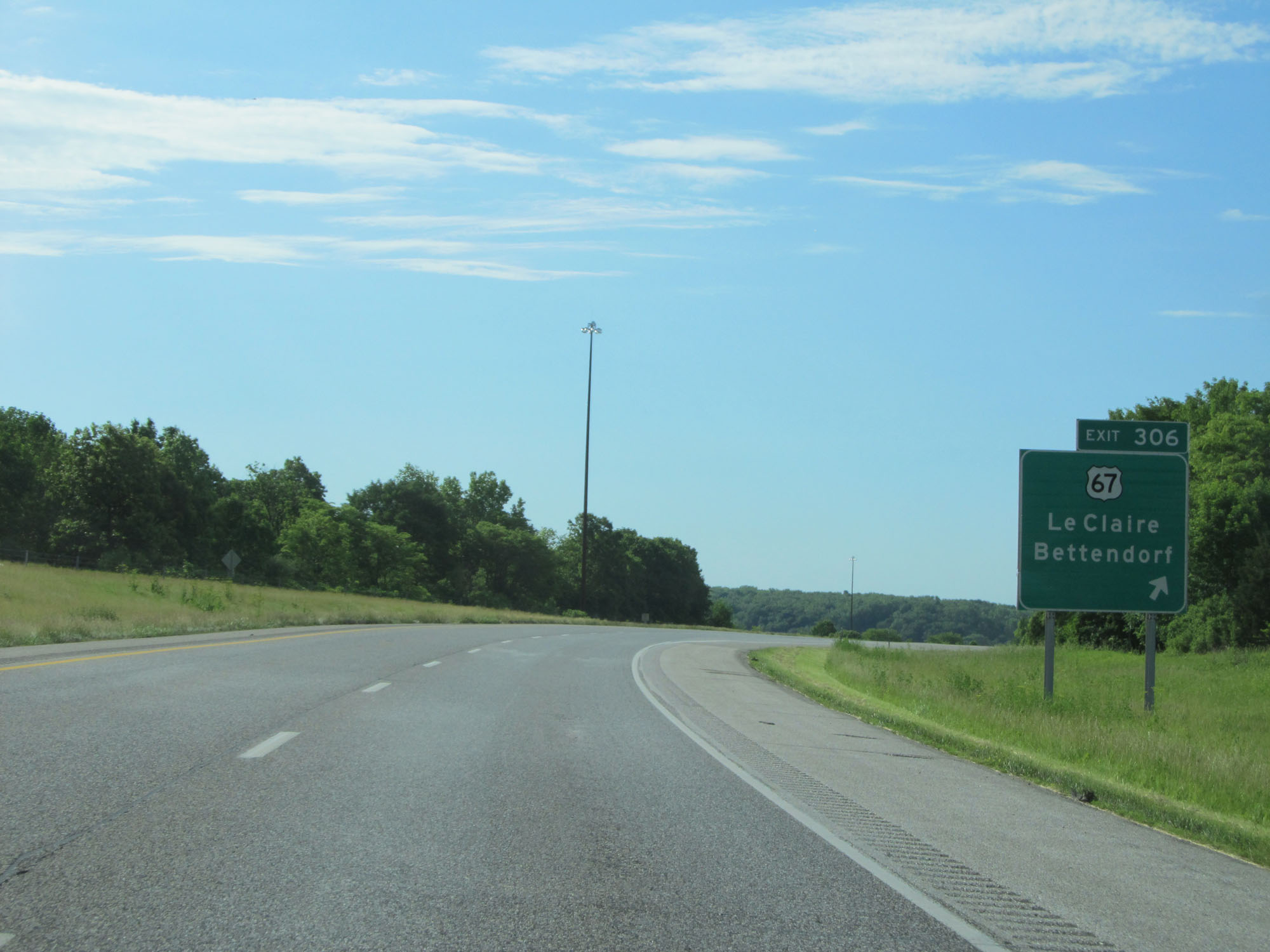 |
Interstate 80 East at Exit 306: US 67 - LeClaire / Bettendorf (Photo taken 5/30/16). |
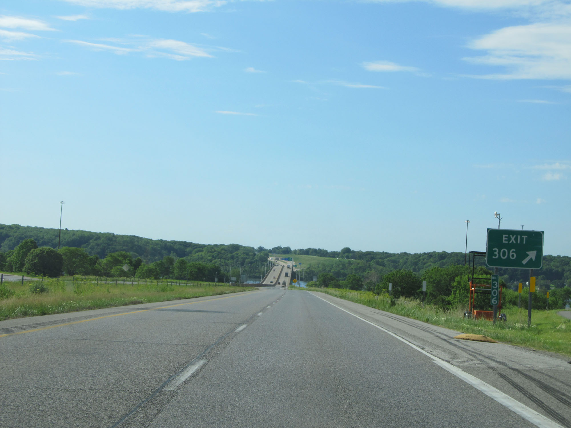 |
Interstate 80 East at mile marker 306. (Photo taken 5/30/16). |
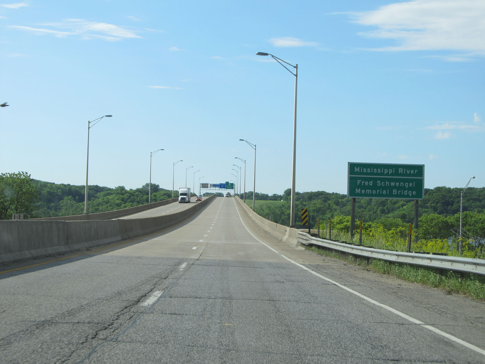 |
Interstate 80 East as it starts across the Mississippi River via Fred Schwengel Memorial Bridge. (Photo taken 5/30/16). |
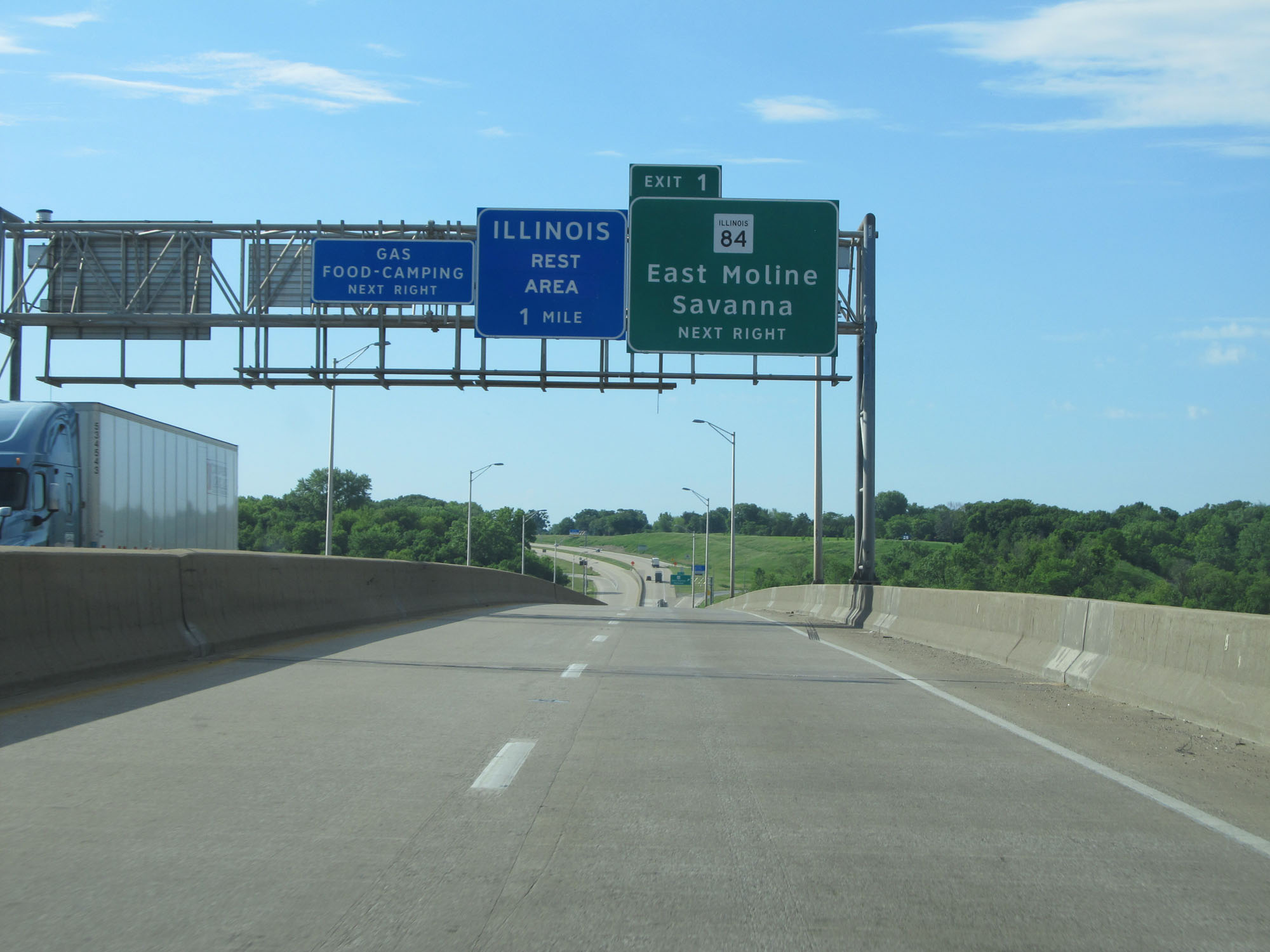 |
Interstate 80 East as it crosses the Mississippi River into Illinois. (Photo taken 5/30/16). |