Road Information |
||
 |
||
| Total Mileage in State: | 74 miles | |
| Eastern End: | At Montana state line | |
| Western End: | At Washington state line | |
| Mileage covered in Photos: | 74 miles | |
| Counties covered in Photos: | Kootenai, Shoshone | |
| Major Junctions in Photos: | US 95, in Coeur d'Alene | |
| Control Cities in Photos: | Post Falls, Coeur d'Alene, Kellogg, Wallace | |
Eastbound
- Section 1: Washington Border to 4th of July Pass (Exit 28)
- Section 2: 4th of July Pass (Exit 28) to Montana Border
Section 1: Washington Border to 4th of July Pass (Exit 28)
 |
Sign listing the distances to the three upcoming exits to Post Falls, just before crossing into Idaho from Washington. (Photo taken 5/25/16). |
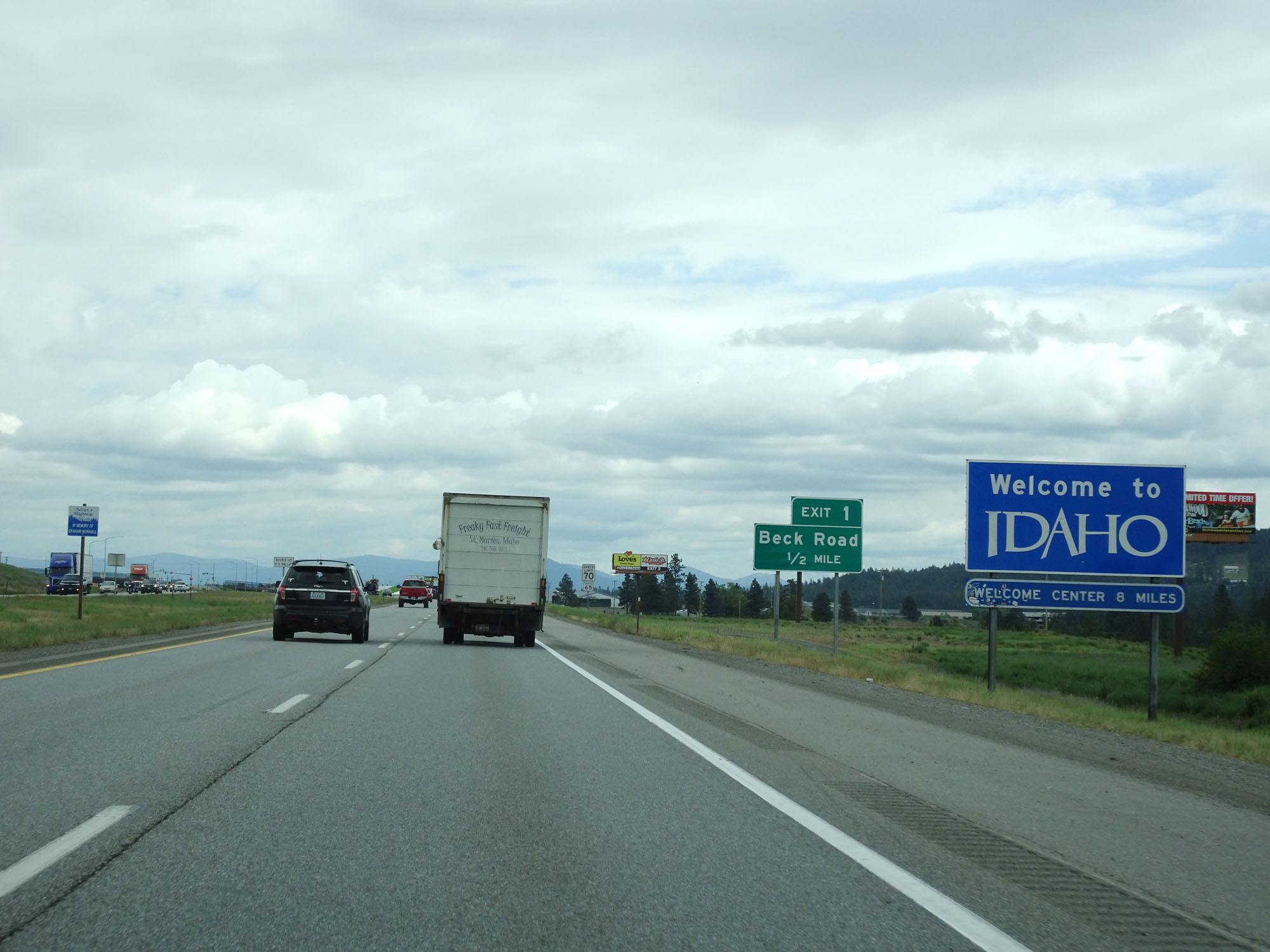 |
Idaho welcome sign on Interstate 90 East. (Photo taken 5/25/16). |
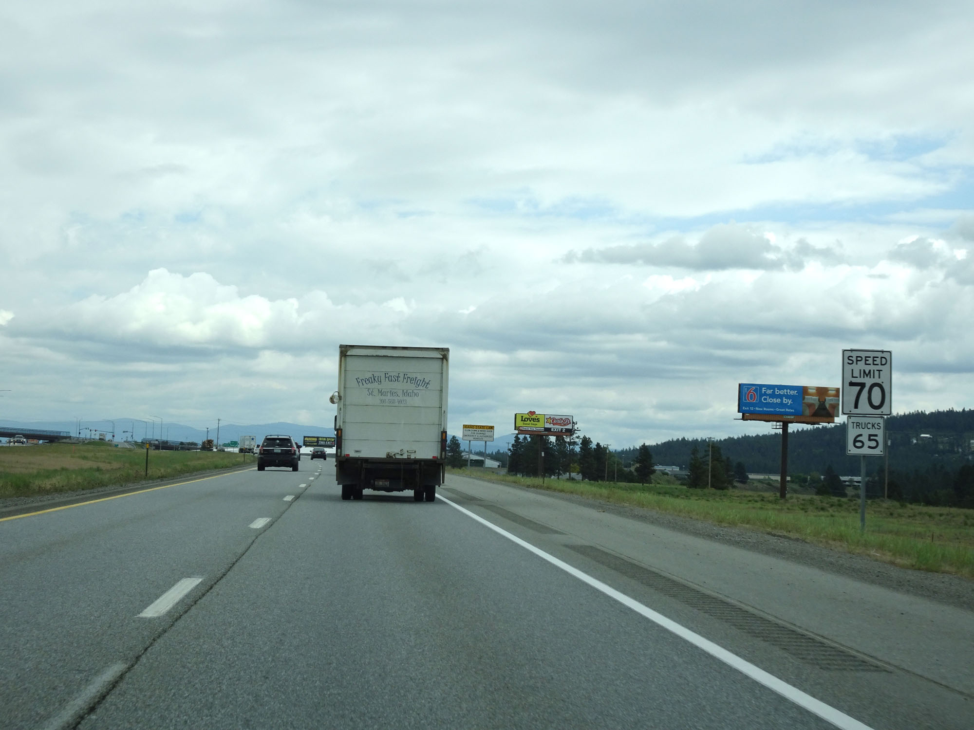 |
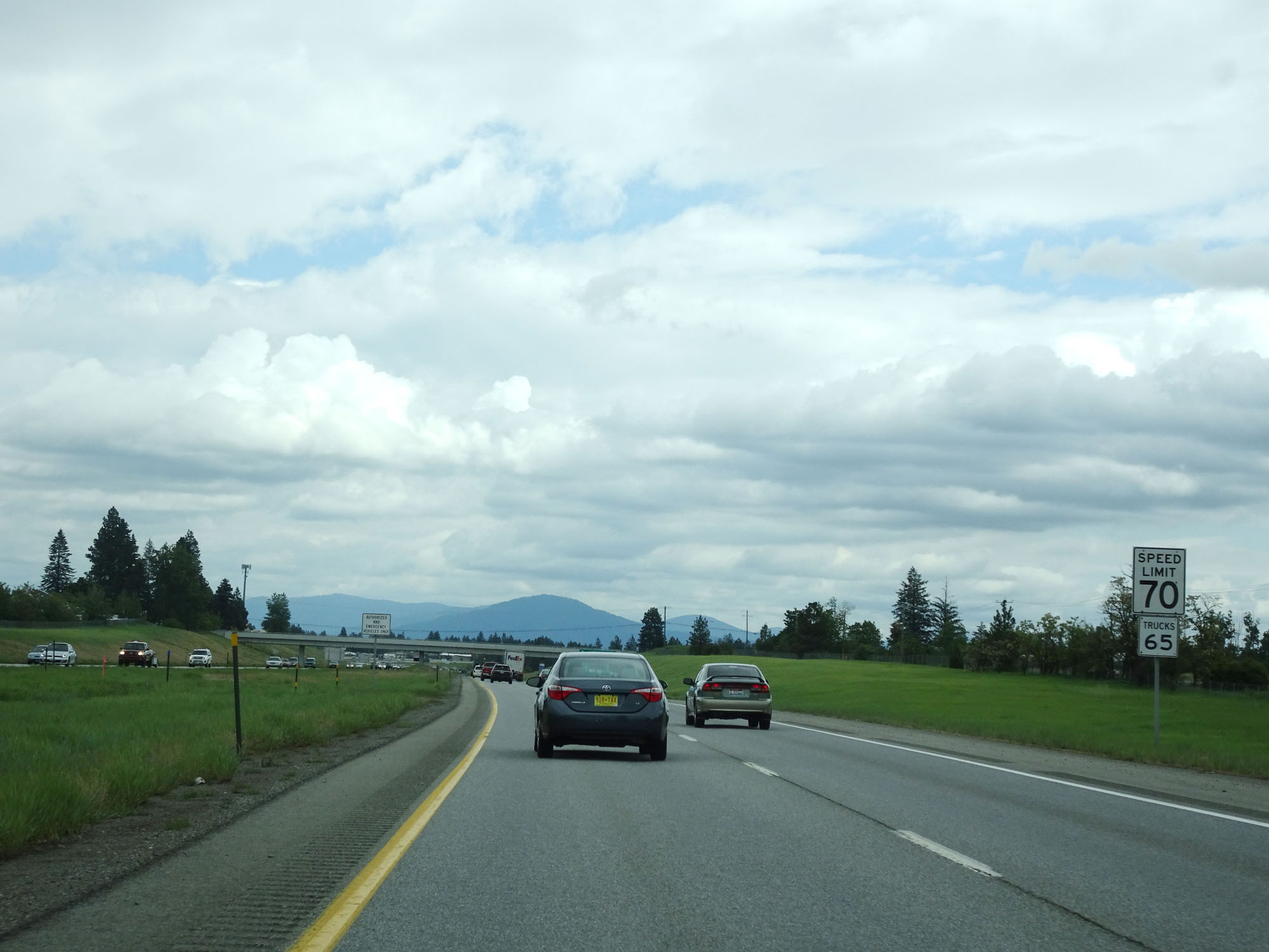
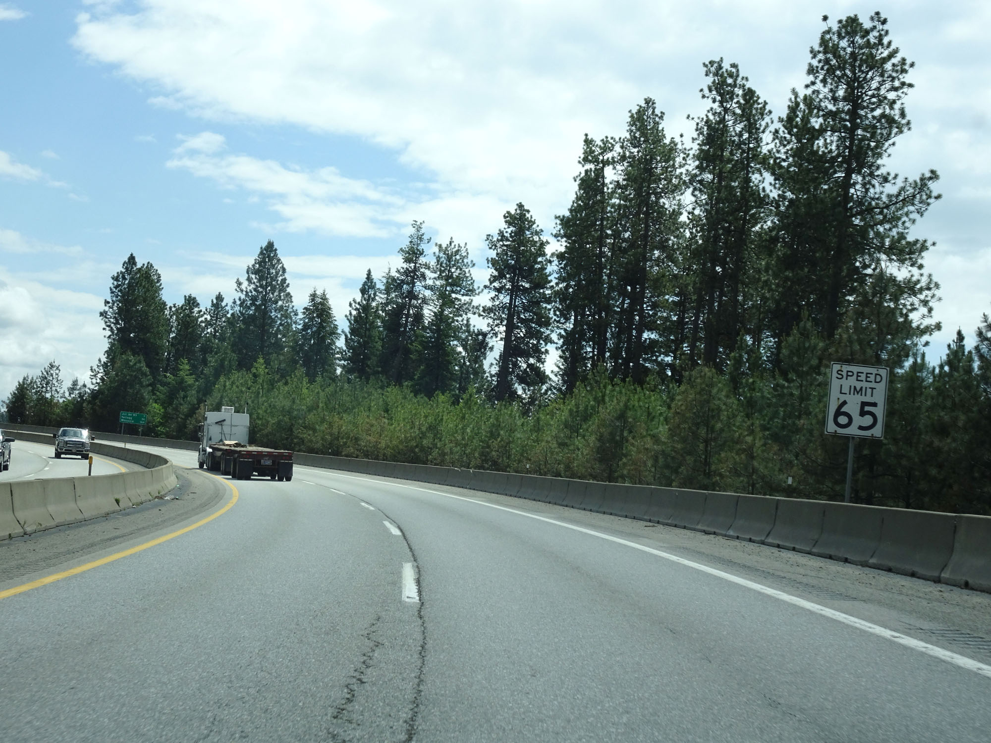
The speed limit on Interstate 90 East in the Post Falls area starts out at 70 mph for automobiles and 65 mph for trucks. (Photo taken 5/25/16). |
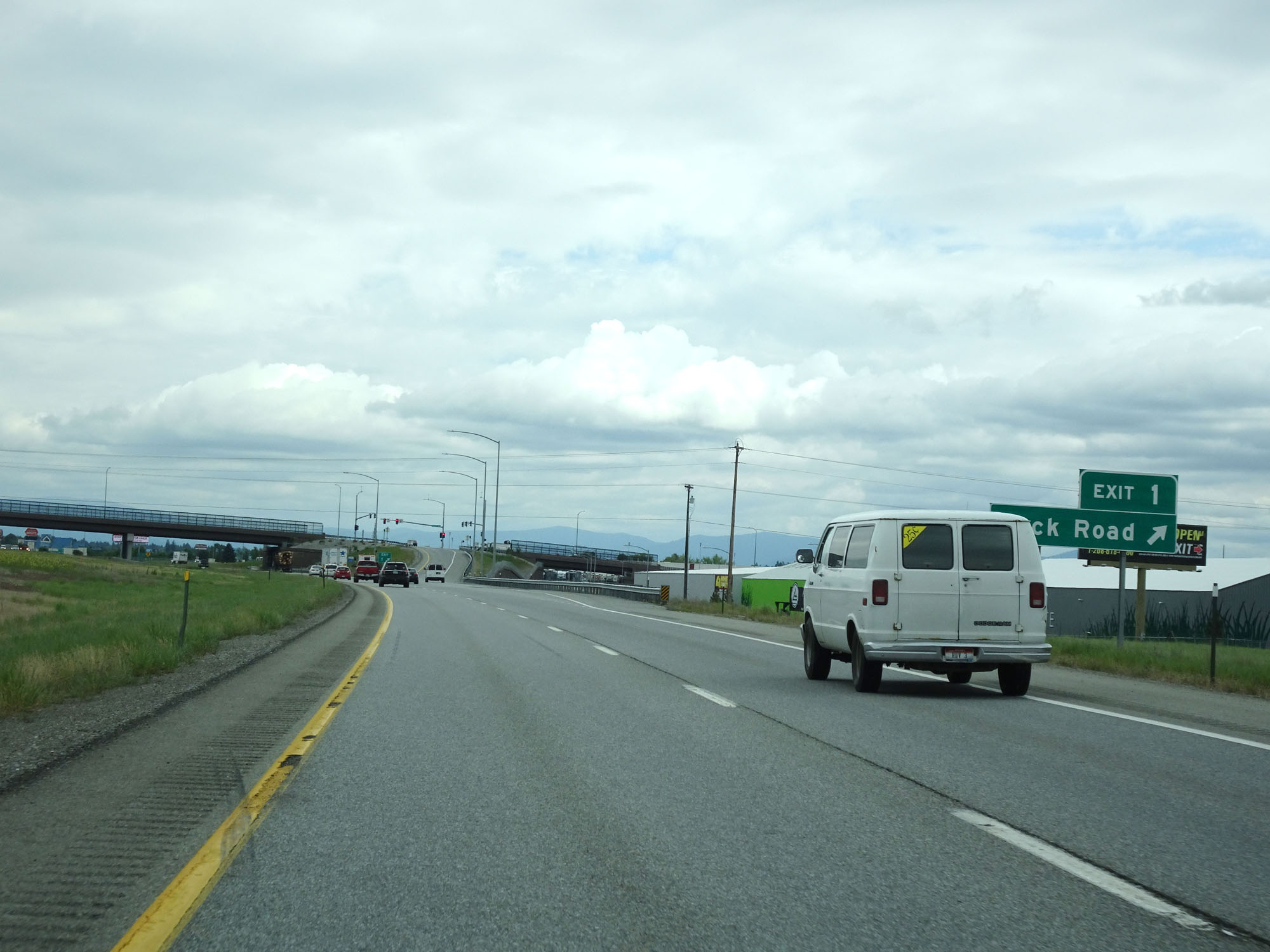 |
Interstate 90 East at Exit 1: Beck Road (Photo taken 5/25/16). |
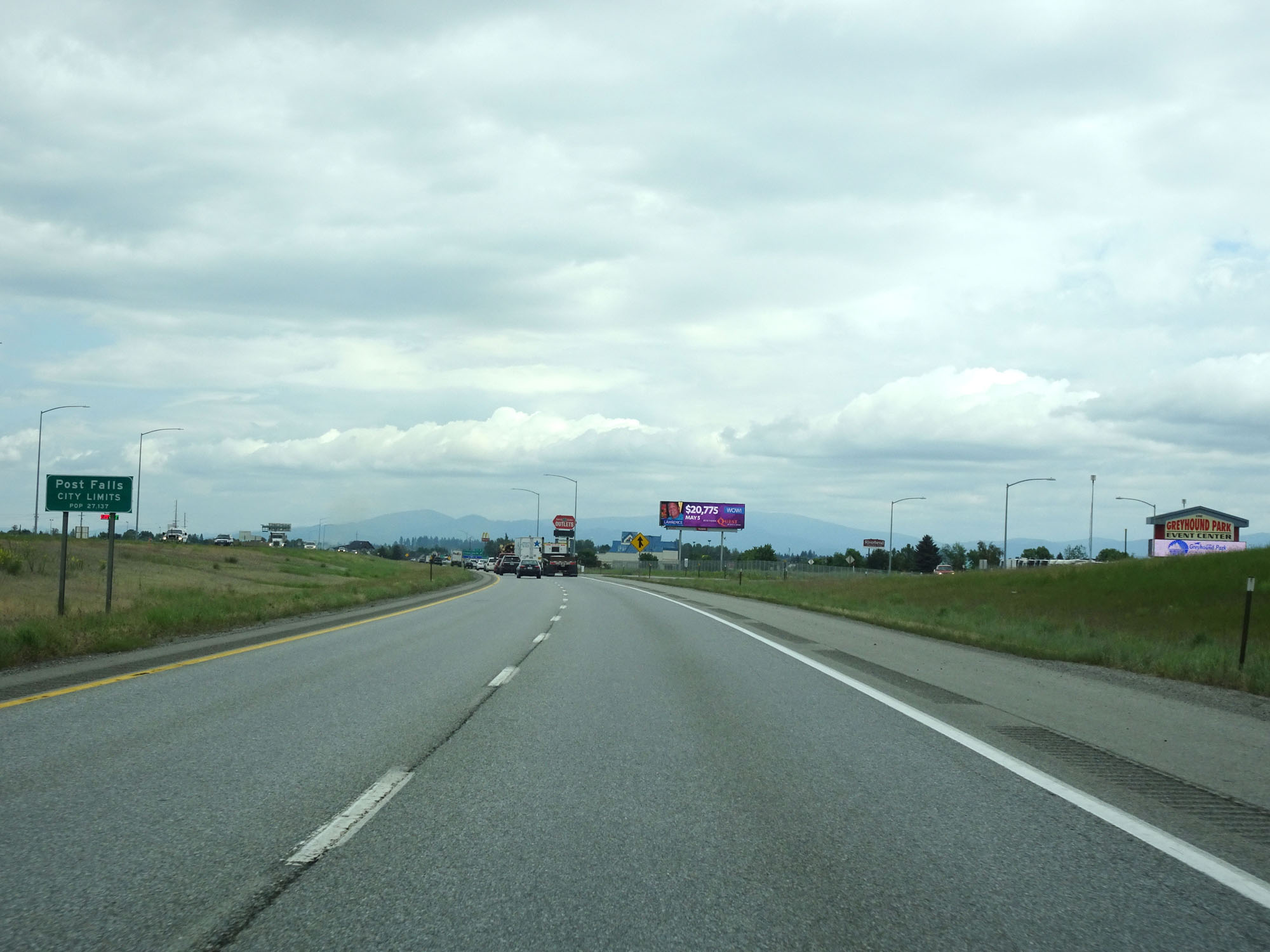 |
Interstate 90 East as it enters the Post Falls city limits. (Photo taken 5/25/16). |
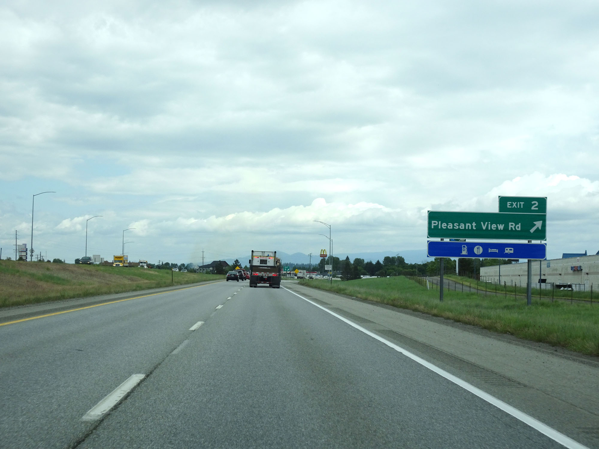 |
Interstate 90 East at Exit 2: Pleasant View Rd (Photo taken 5/25/16). |
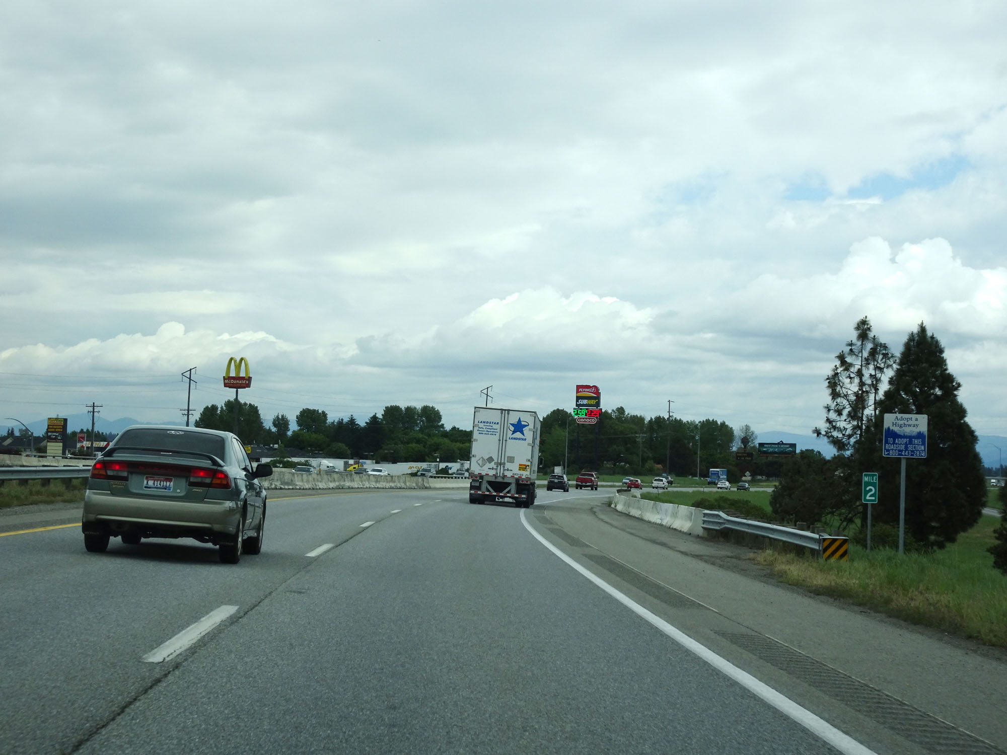 |
Interstate 90 East at mile marker 2. (Photo taken 5/25/16). |
 |
Again, the speed limit through the Post Falls area on Interstate 90 is 70 mph for automobiles and 65 mph for trucks. (Photo taken 5/25/16). |
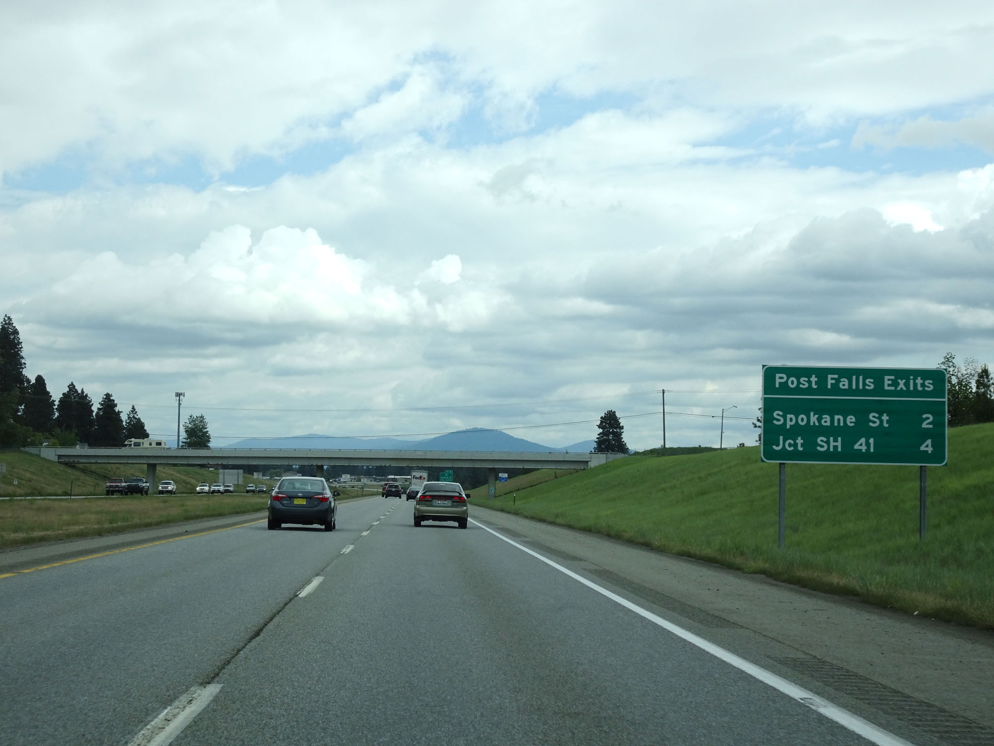 |
Sign listing the distances to the next two exits to Post Falls. (Photo taken 5/25/16). |
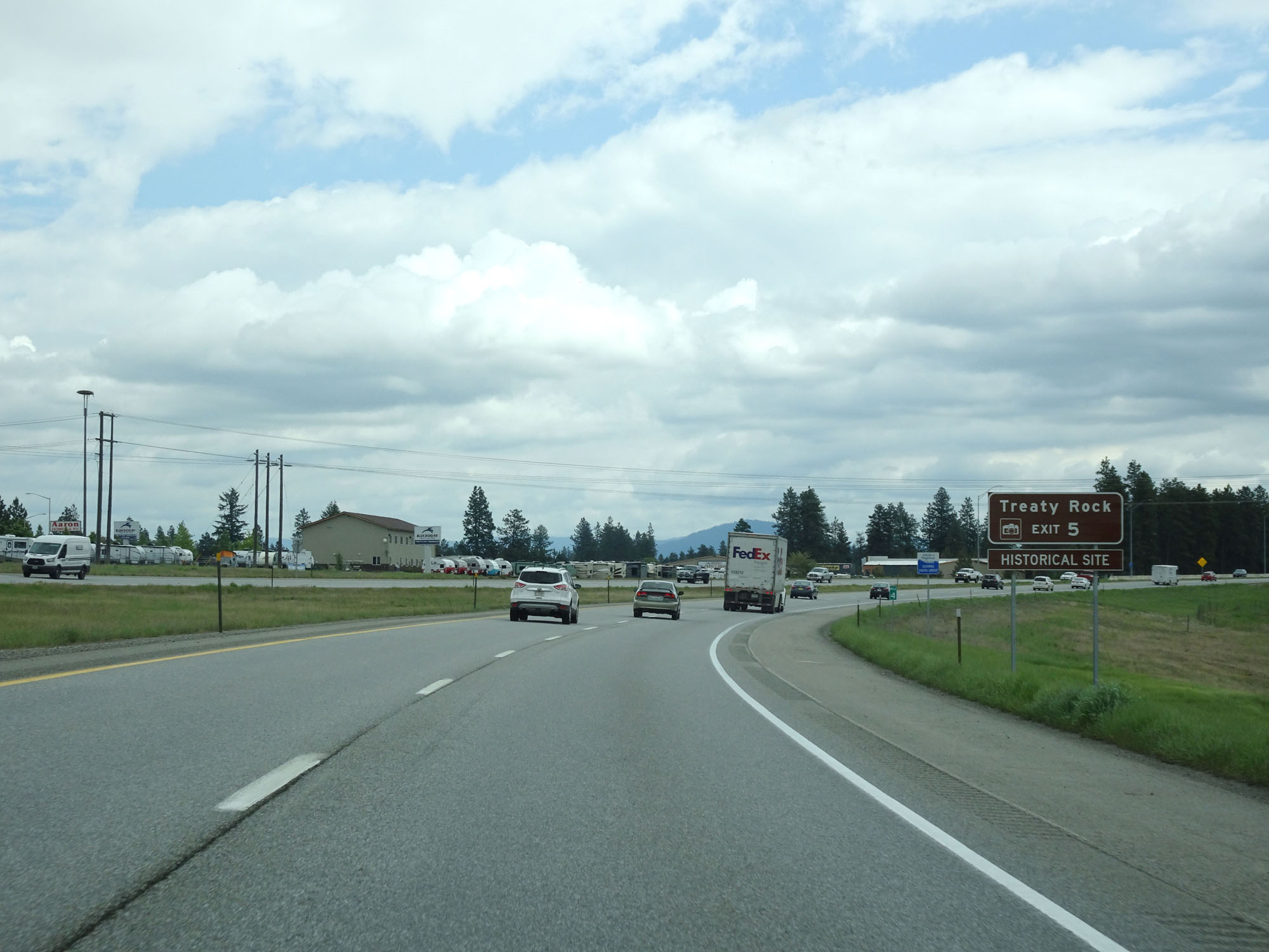 |
Take Exit 5 to Treaty Rock Historical Site. (Photo taken 5/25/16). |
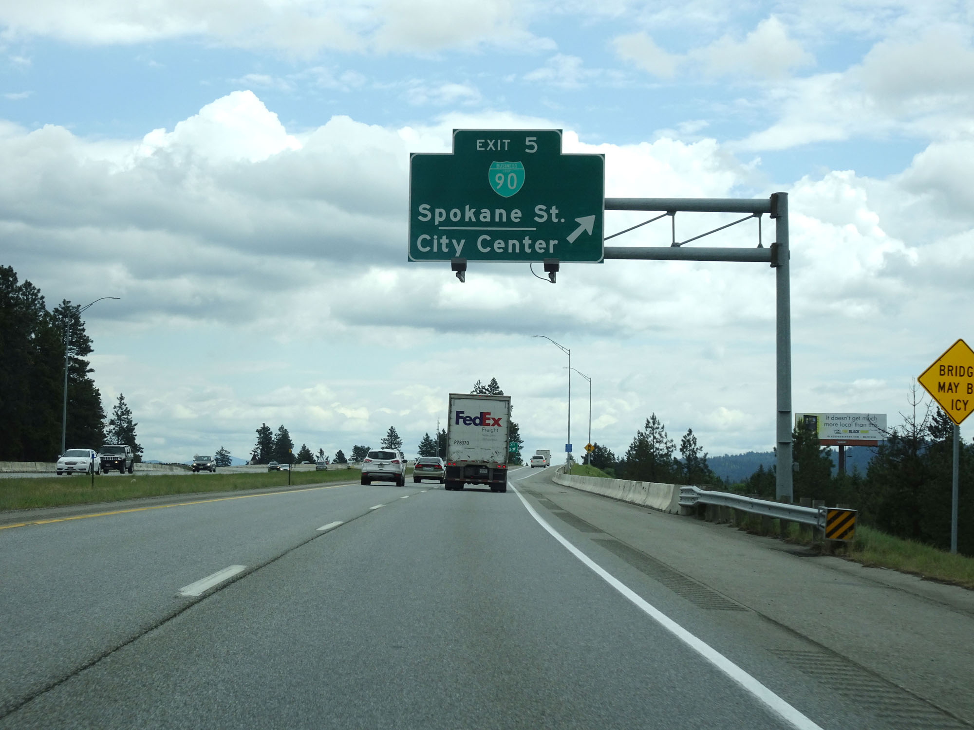 |
Interstate 90 East at Exit 5: Interstate 90 BL - Spokane St / City Center (Photo taken 5/25/16). |
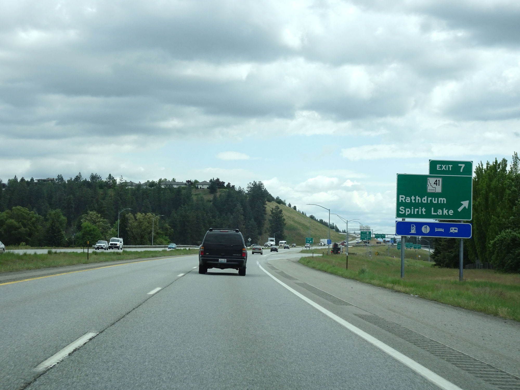 |
Interstate 90 East at Exit 7: ID 41 - Rathdrum / Spirit Lake (Photo taken 5/25/16). |
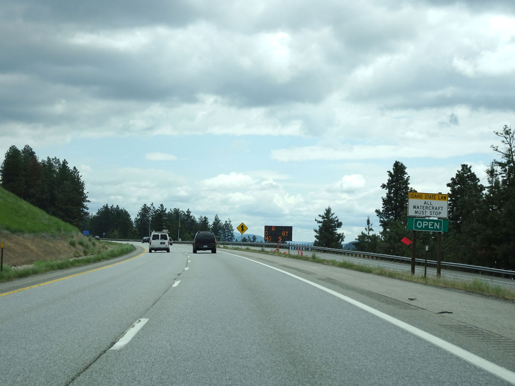 |
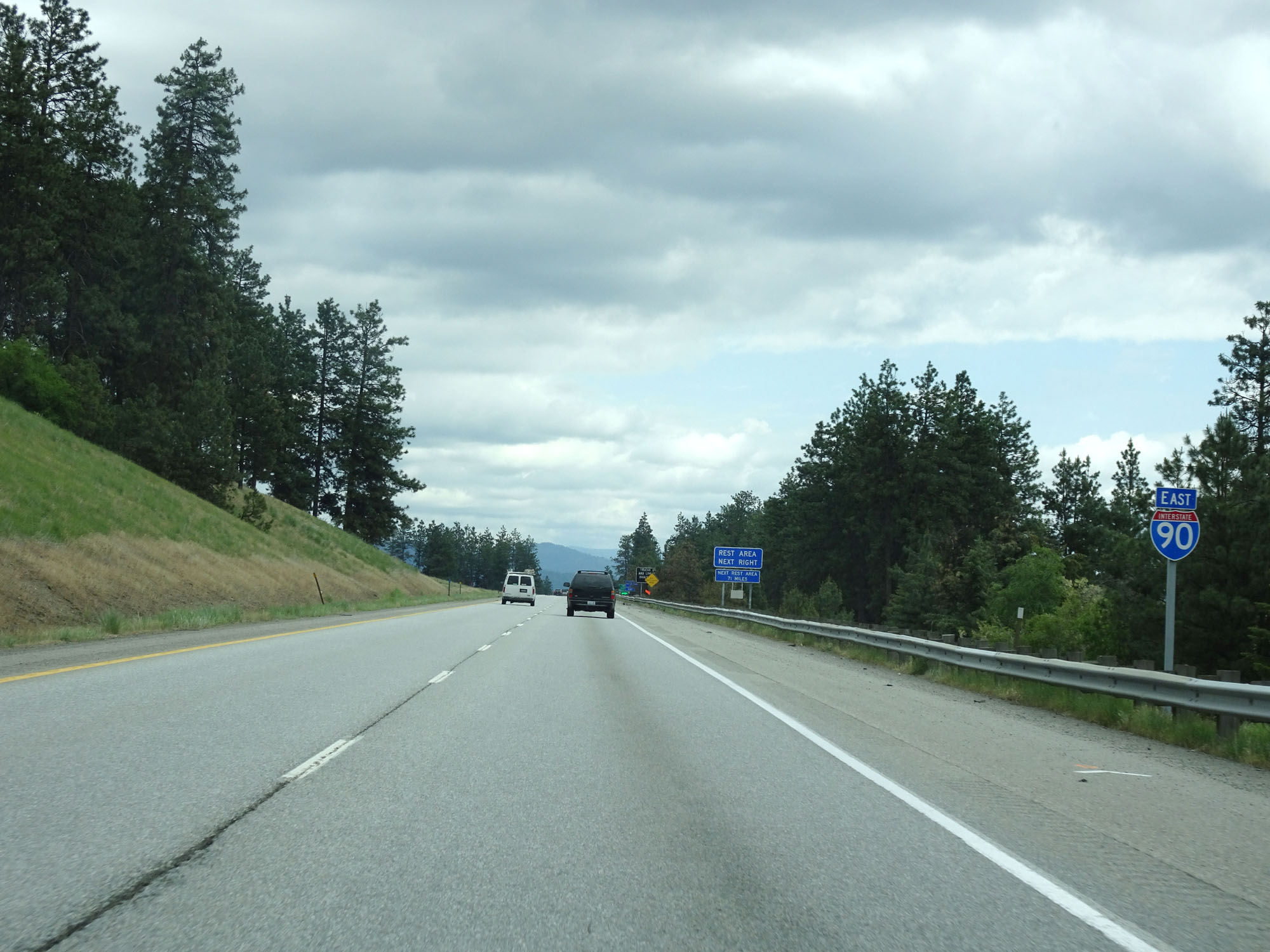
Approaching the Weigh Station ahead, this sign warns that all watercraft must stop for inspection per Idaho state law. (Photo taken 5/25/16). |
 |
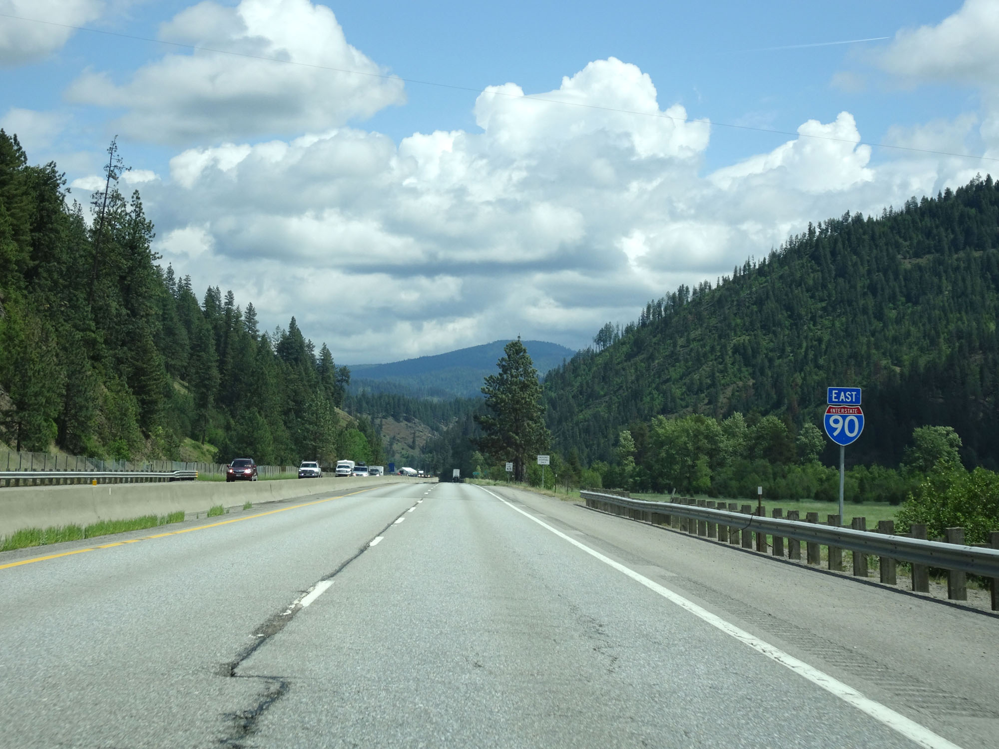
Interstate 90 East assurance shield near mile marker 7.5. (Photo taken 5/25/16). |
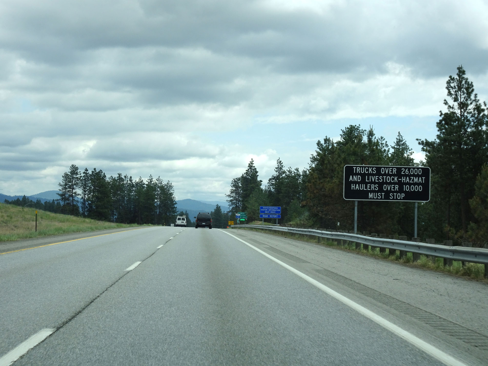 |
Trucks over 26,000 lbs and trucks hauling hazardous materials or livestock with a weight over 10,000 lbs must stop at the Weigh Station ahead. (Photo taken 5/25/16). |
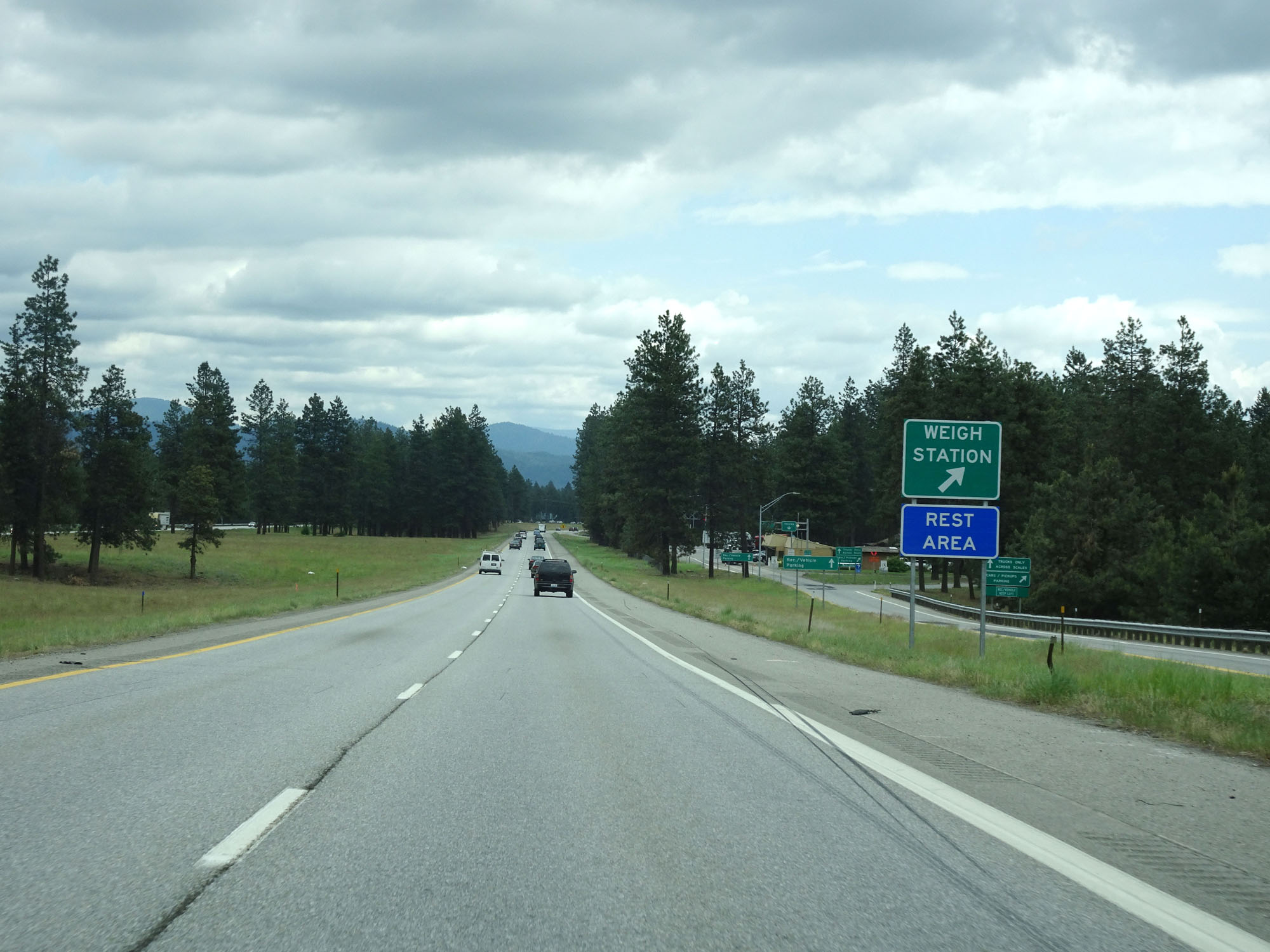 |
Interstate 90 East at the Weigh Station / Rest Area located just east of mile marker 8. (Photo taken 5/25/16). |
 |
Another Interstate 90 East assurance shield. (Photo taken 5/25/16). |
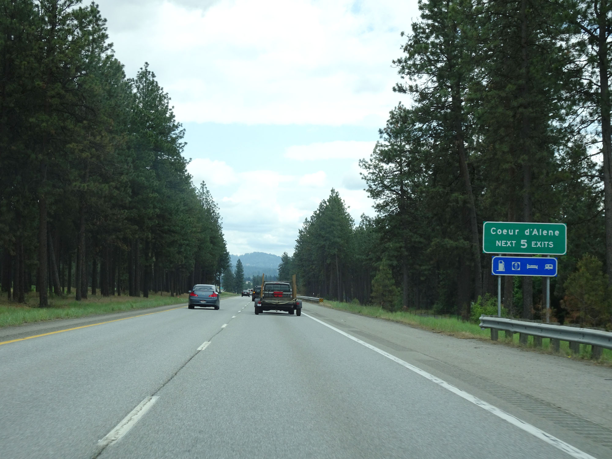 |
Take any of the next 5 exits to Coeur d'Alene. (Photo taken 5/25/16). |
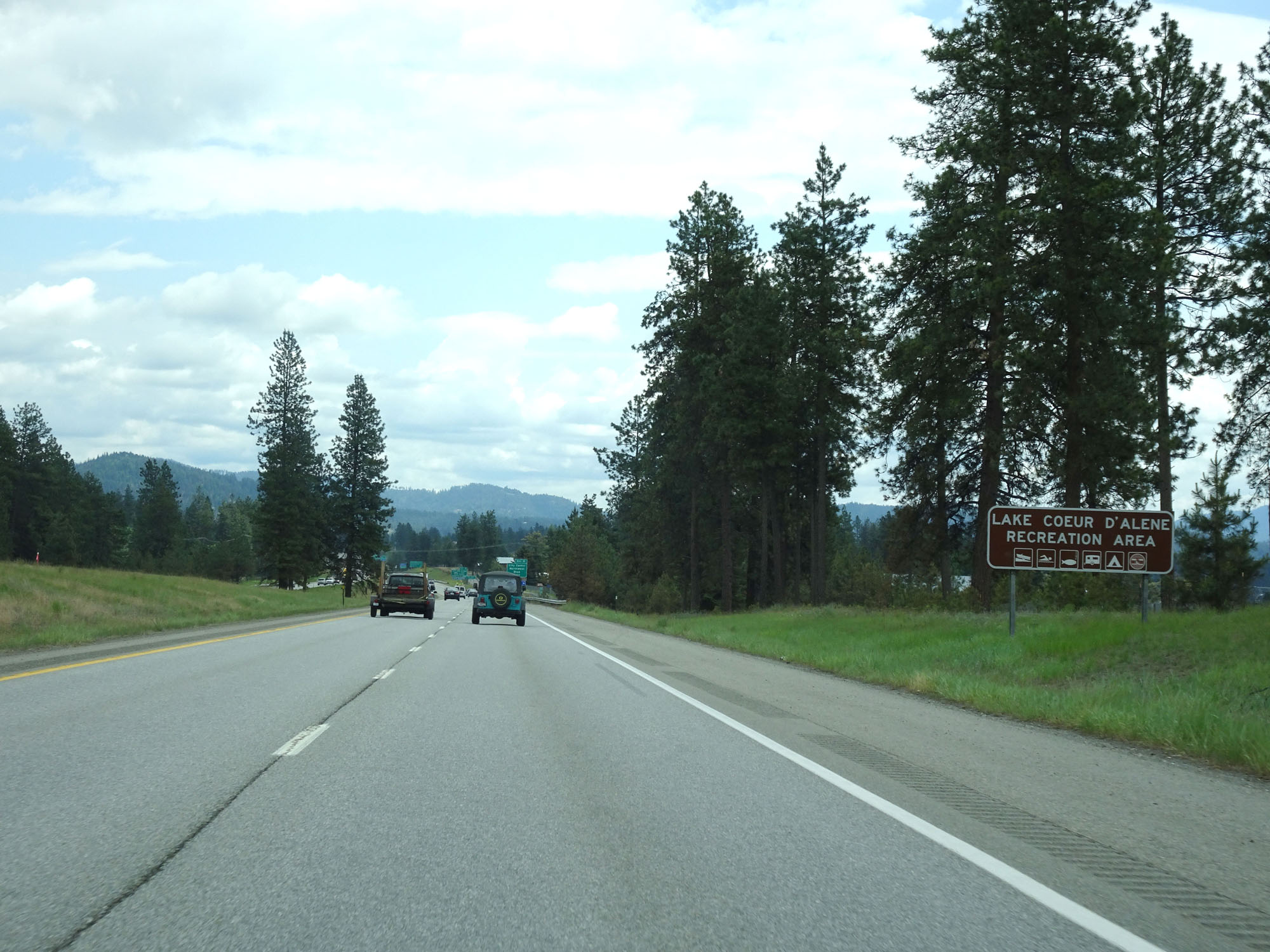 |
Upon entering Lake Coeur d'Alene, this sign shows icons for the different activities available there. (Photo taken 5/25/16). |
 |
Interstate 90 East at mile marker 10. (Photo taken 5/25/16). |
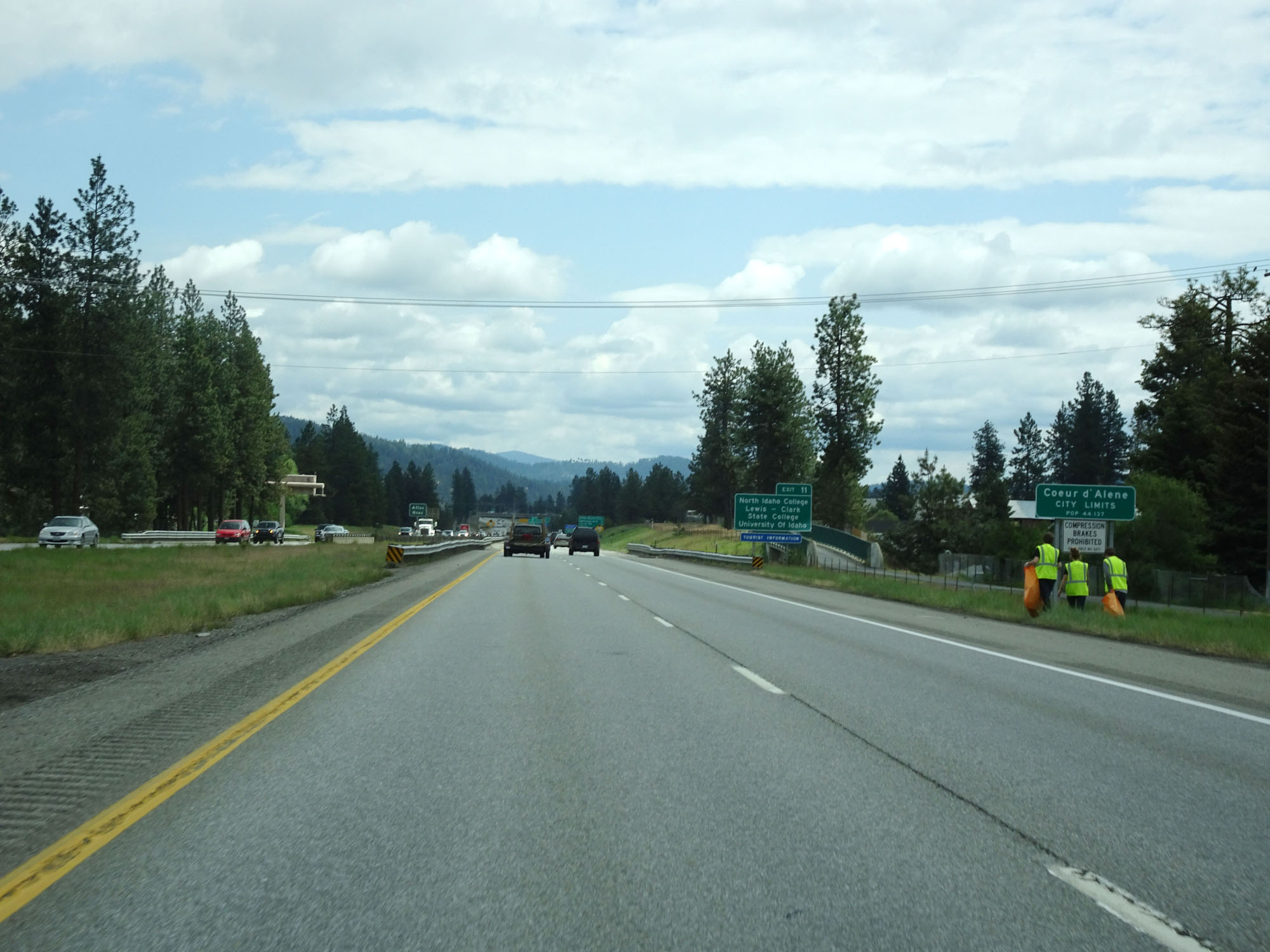 |
Interstate 90 East as it enters the Coeur d'Alene city limits. (Photo taken 5/25/16). |
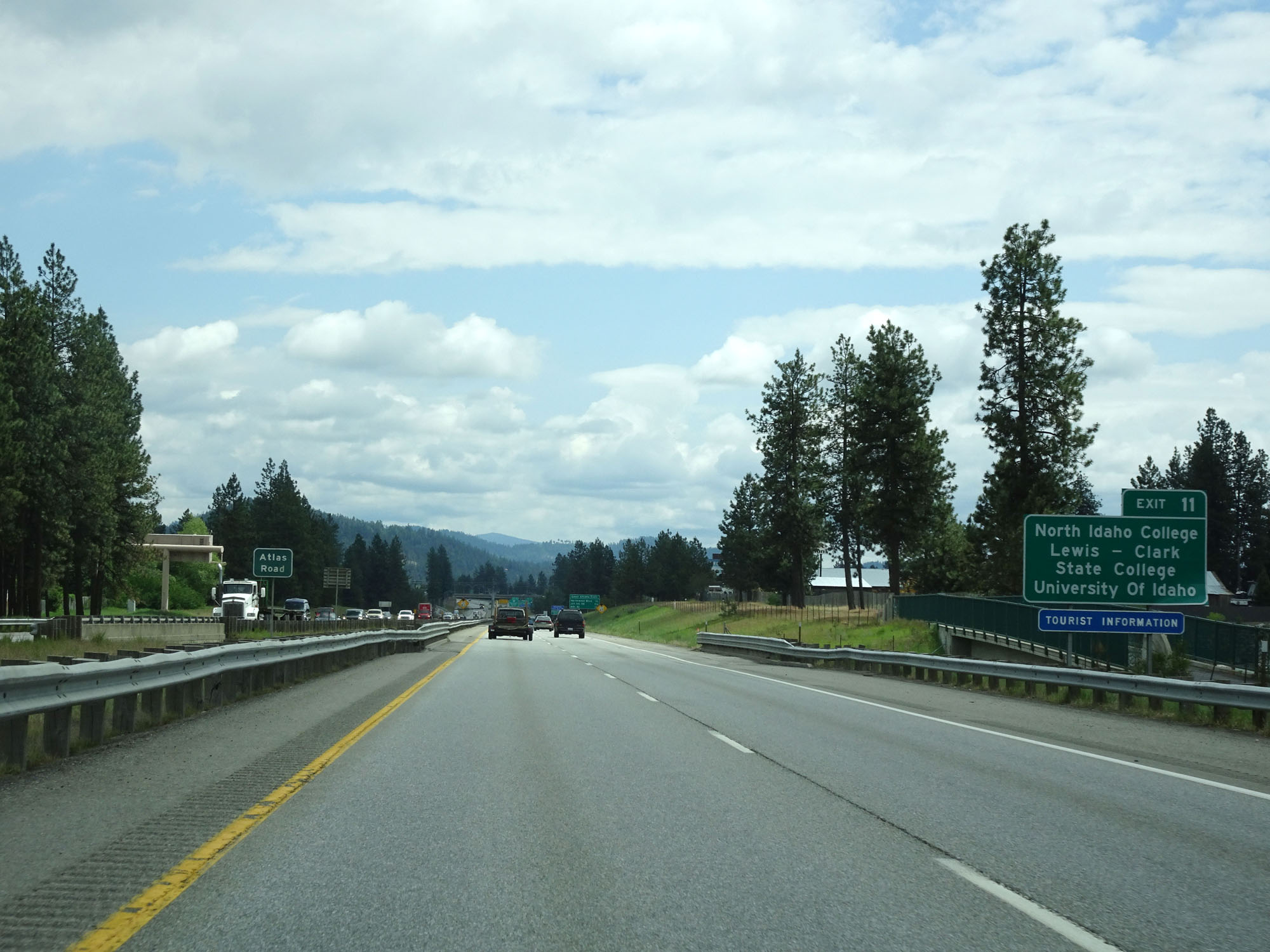 |
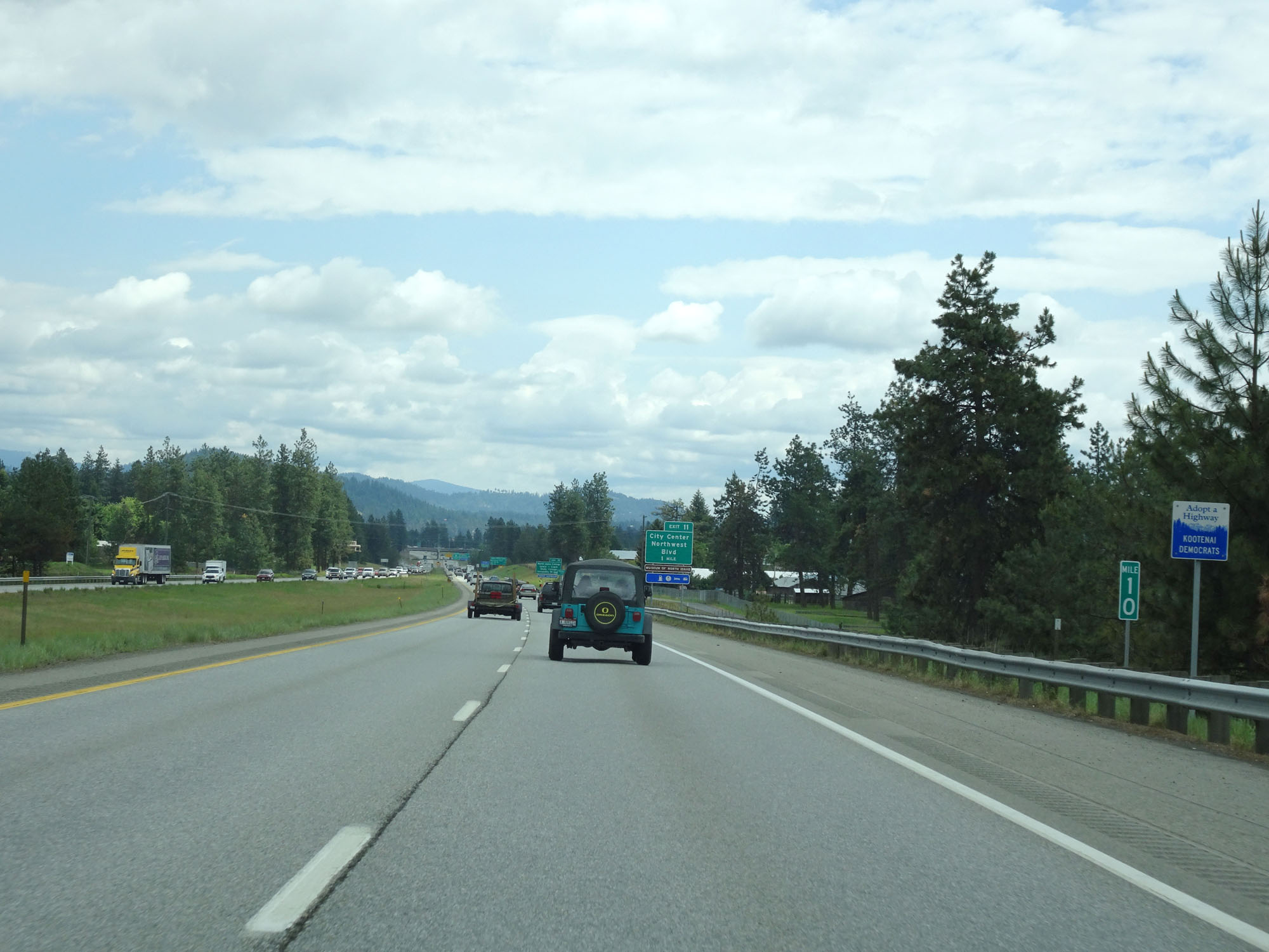
Take Exit 11 to North Idaho College, Lewis & Clark State College, and the University of Idaho. (Photo taken 5/25/16). |
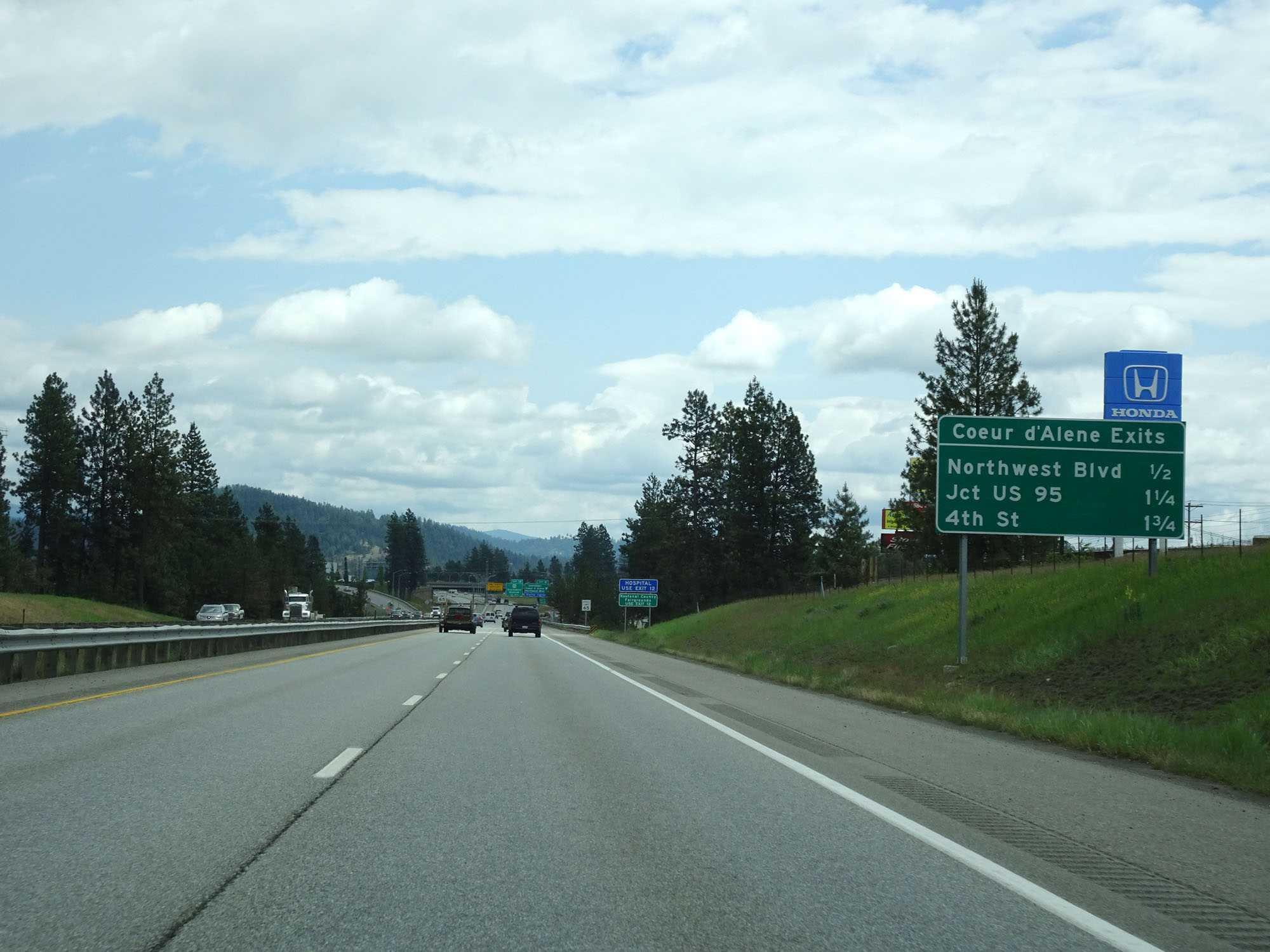 |
This sign lists the distances to the three upcoming Coeur d'Alene exits. (Photo taken 5/25/16). |
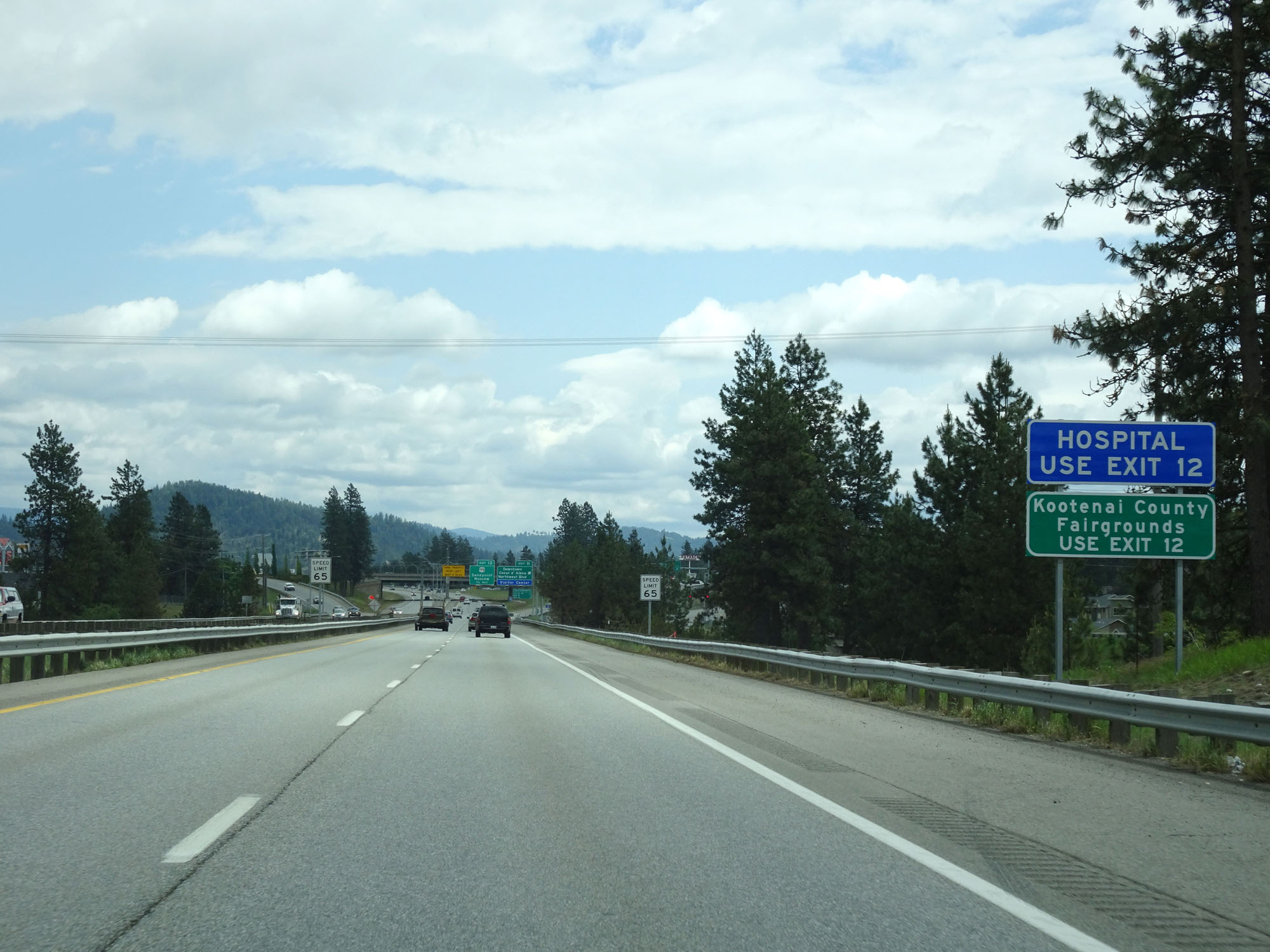 |
Take Exit 12 to the Kootenai County Fairgrounds. (Photo taken 5/25/16). |
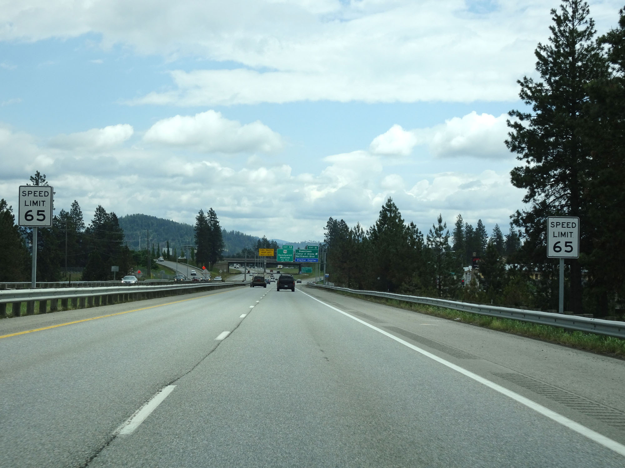 |
The speed limit decreases to 65 mph for all traffic as Interstate 90 passes through Coeur d'Alene. (Photo taken 5/25/16). |
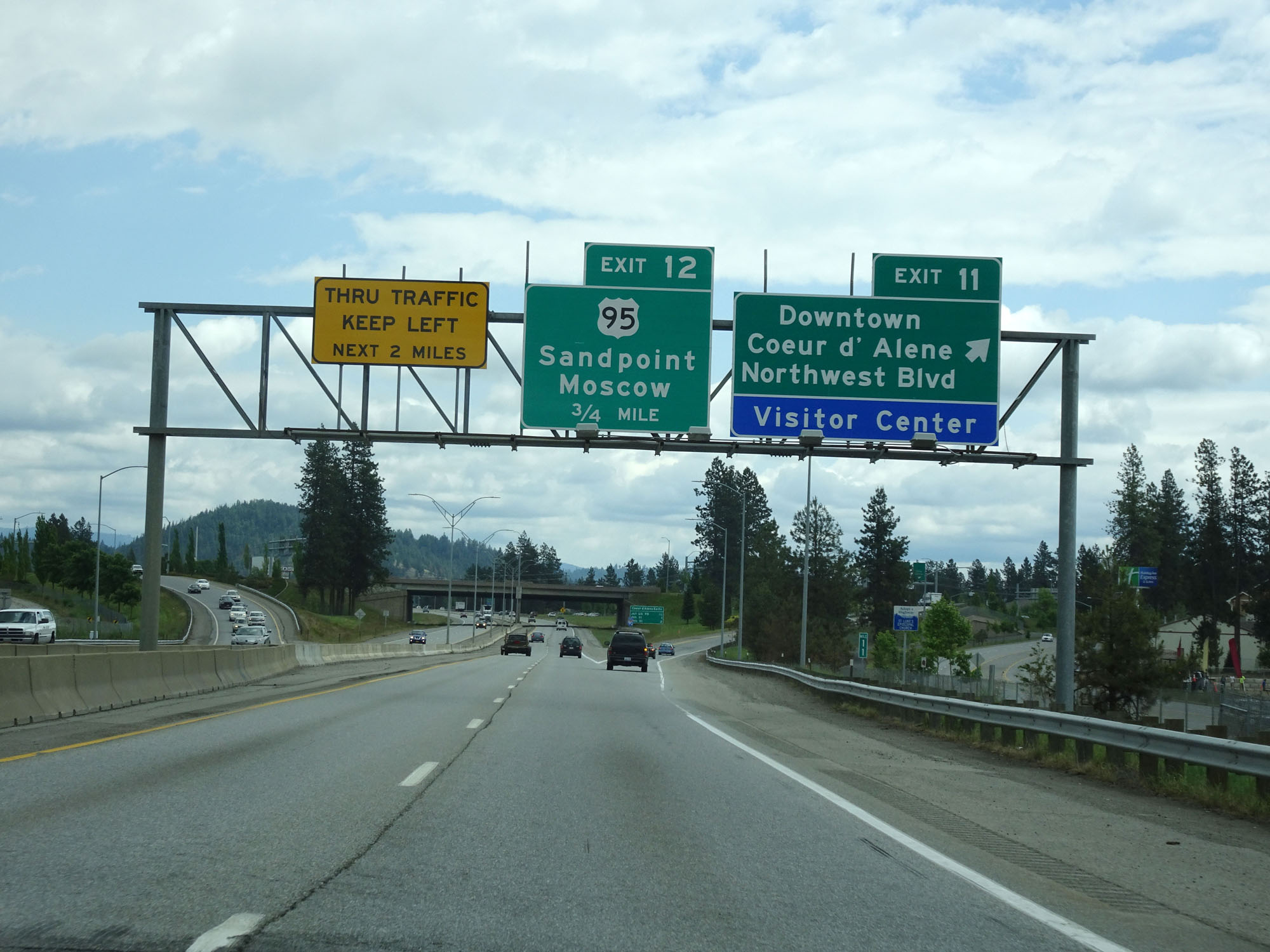 |
Interstate 90 East at Exit 11: Downtown Coeur d'Alene / Northwest Blvd / Visitor Center (Photo taken 5/25/16). |
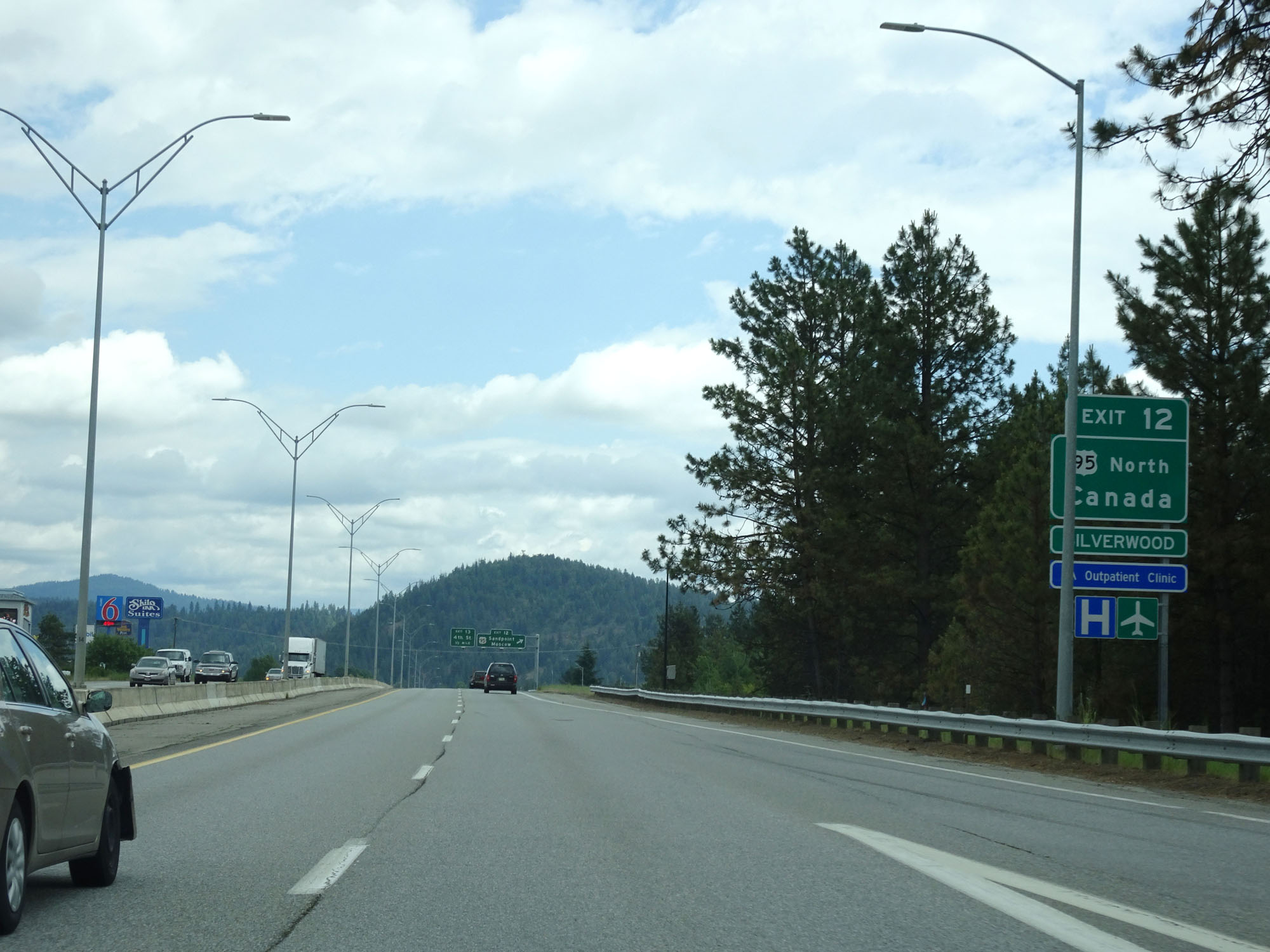 |
Take Exit 12 for US 95 North to Canada and Silverwood. (Photo taken 5/25/16). |
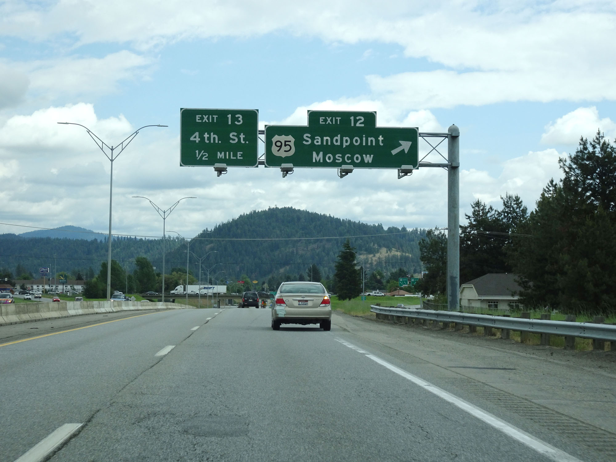 |
Interstate 90 East at Exit 12: US 95 - Sandpoint / Moscow (Photo taken 5/25/16). |
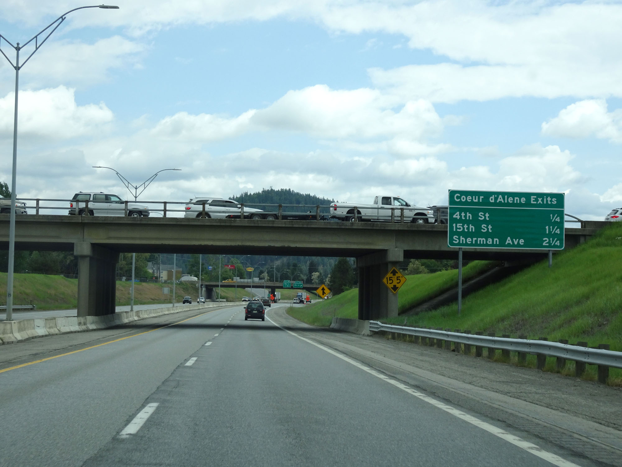 |
Sign listing the distances to the remaining Coeur d'Alene exits. (Photo taken 5/25/16). |
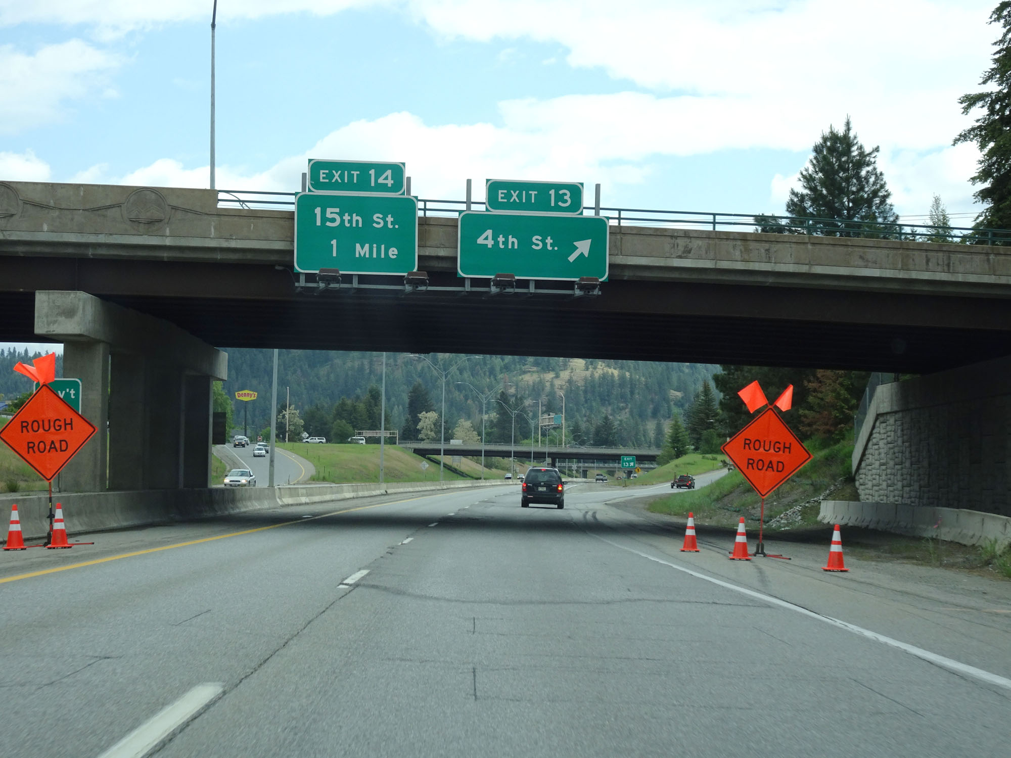 |
Interstate 90 East at Exit 13: 4th St (Photo taken 5/25/16). |
 |
Interstate 90 East at mile marker 13. (Photo taken 5/25/16). |
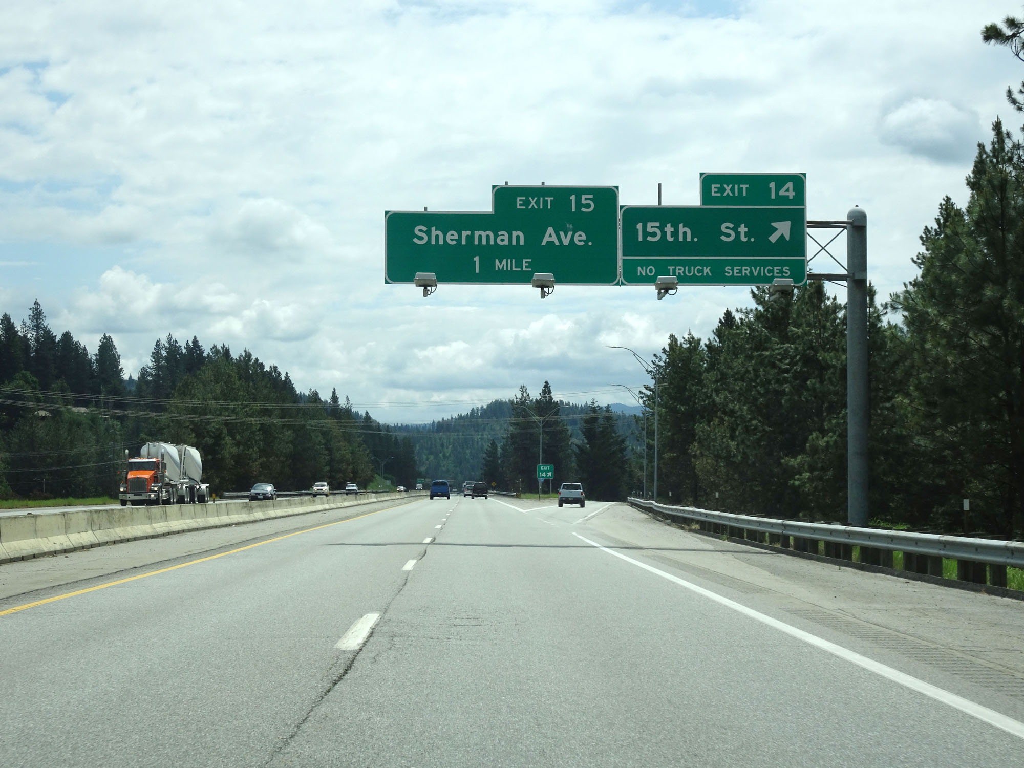 |
Interstate 90 East at Exit 14: 15th St (Photo taken 5/25/16). |
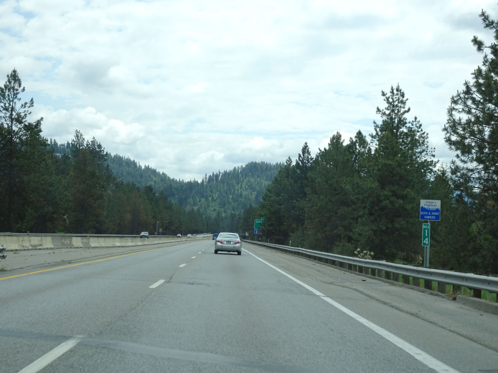 |
Interstate 90 East at mile marker 14. (Photo taken 5/25/16). |
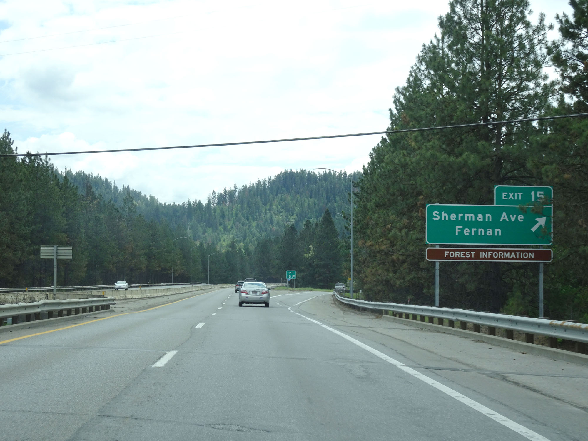 |
Interstate 90 East at Exit 15: Sherman Ave / Fernan (Photo taken 5/25/16). |
 |
Interstate 90 East assurance shield just east of Exit 15. (Photo taken 5/25/16). |
 |
The speed limit remains 65 mph for all traffic. (Photo taken 5/25/16). |
 |
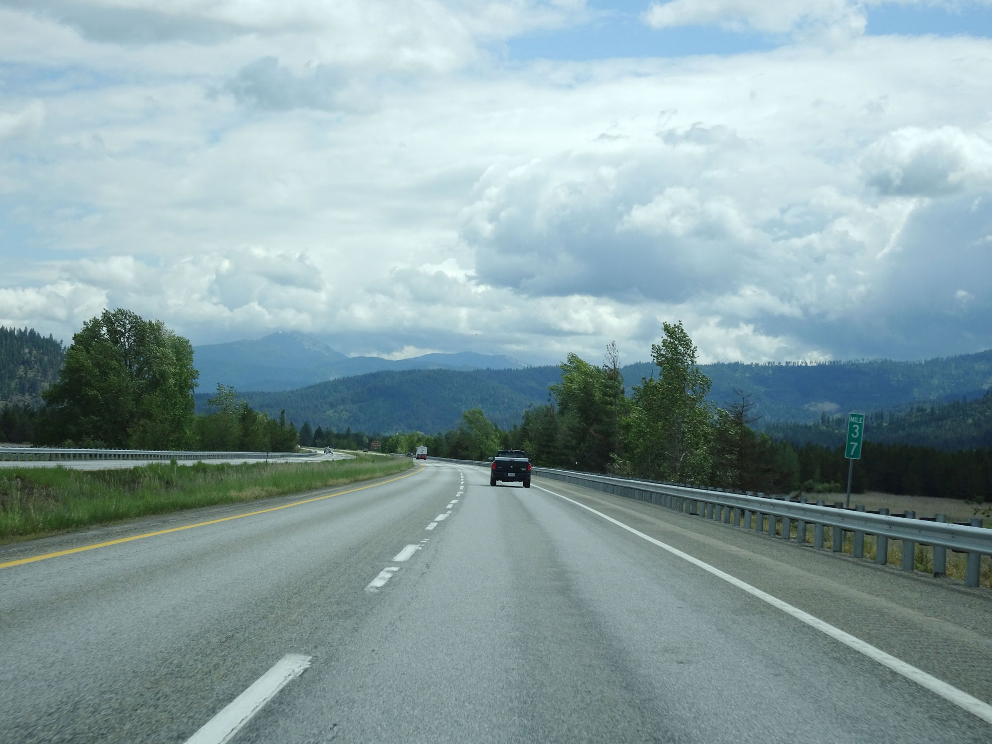
Mileage sign near mile marker 16. It's 7 miles to the junction of ID 97, 36 miles to Kellogg, and 164 miles to Missoula. (Photo taken 5/25/16). |
 |
Interstate 90 East approaching Exit 17 - 1 mile. (Photo taken 5/25/16). |
 |
View on Interstate 90 East, approaching Exit 17. (Photo taken 5/25/16). |
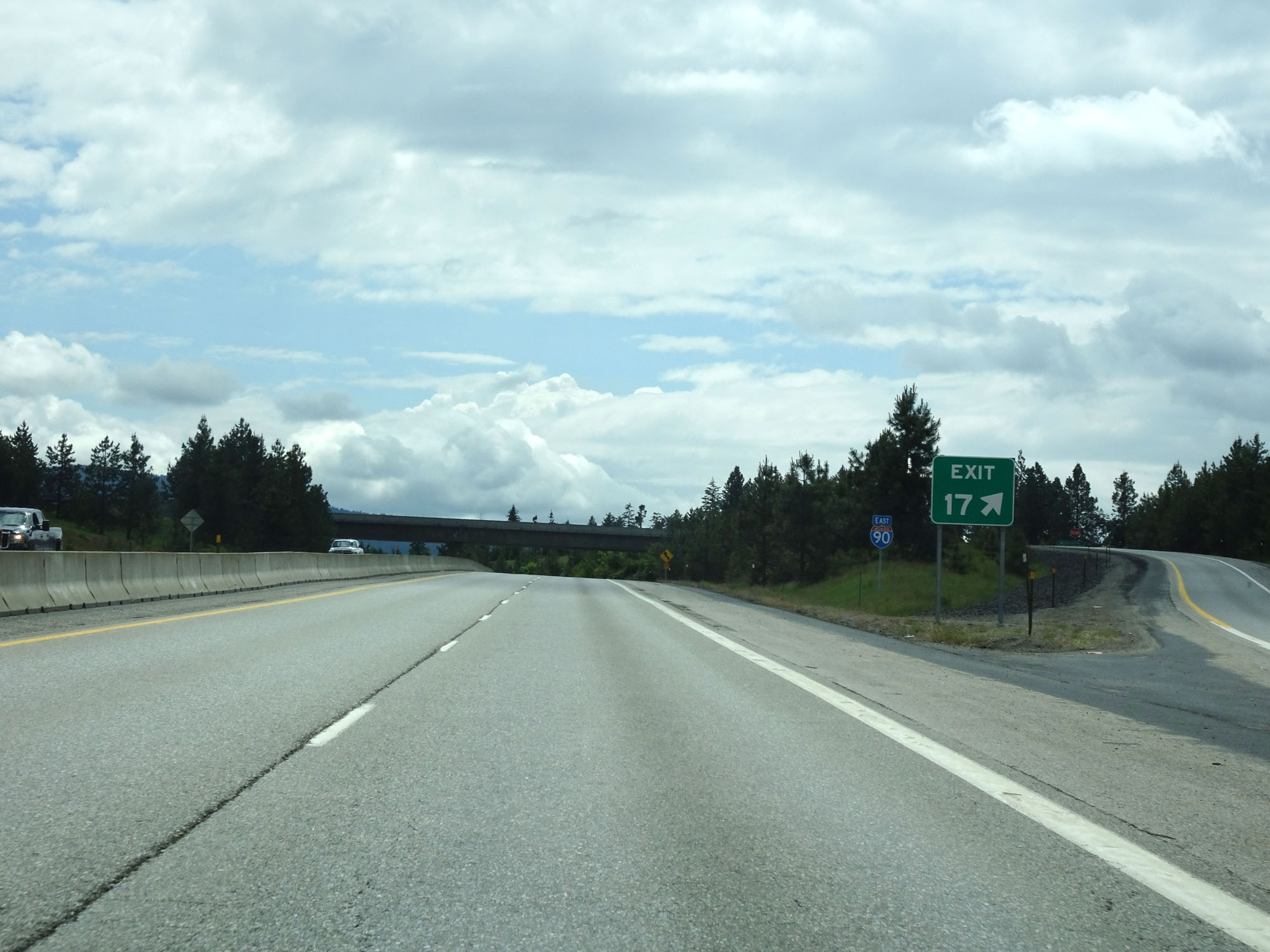 |
Interstate 90 East at Exit 17: Mullan Trail Road (Photo taken 5/25/16). |
 |
Interstate 90 East assurance shield east of Exit 17. (Photo taken 5/25/16). |
 |
Interstate 90 East at mile marker 18. (Photo taken 5/25/16). |
 |
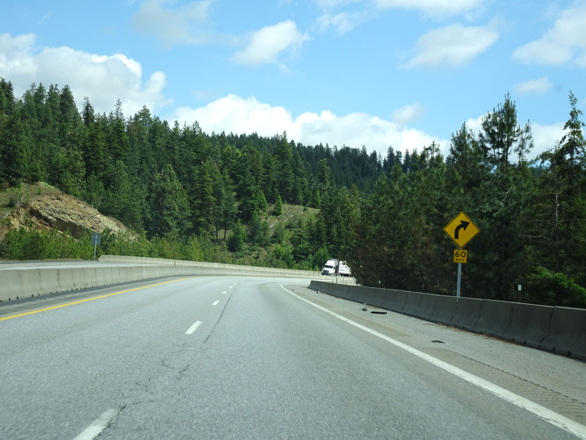
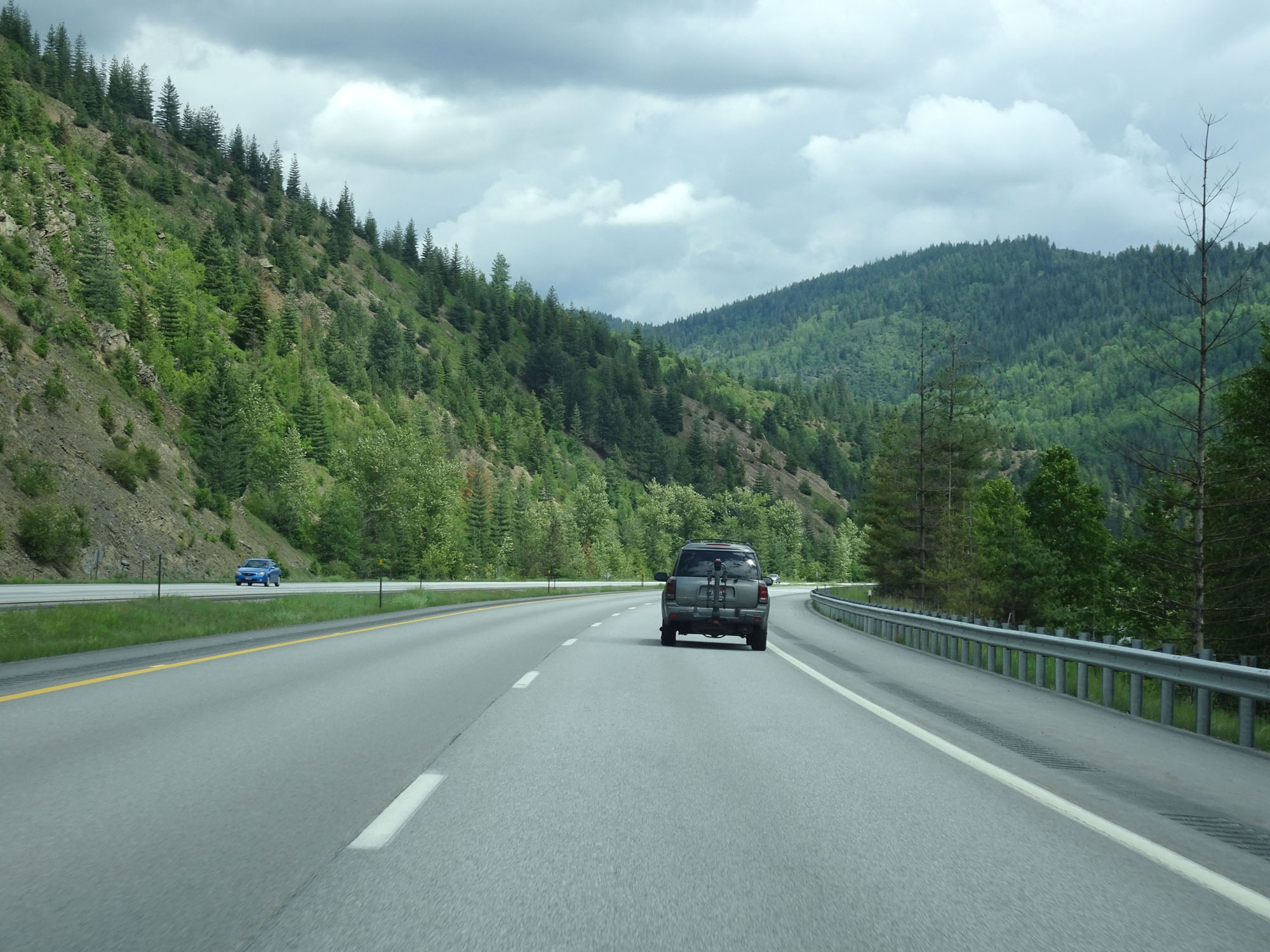
Winding curves ahead. 60 mph is advised. (Photo taken 5/25/16). |
 |
Interstate 90 East as it prepares to traverse a 55 mph curve to the left. (Photo taken 5/25/16). |
 |
View on Interstate 90 East, as we continue this descent down toward Lake Coeur d'Alene. (Photo taken 5/25/16). |
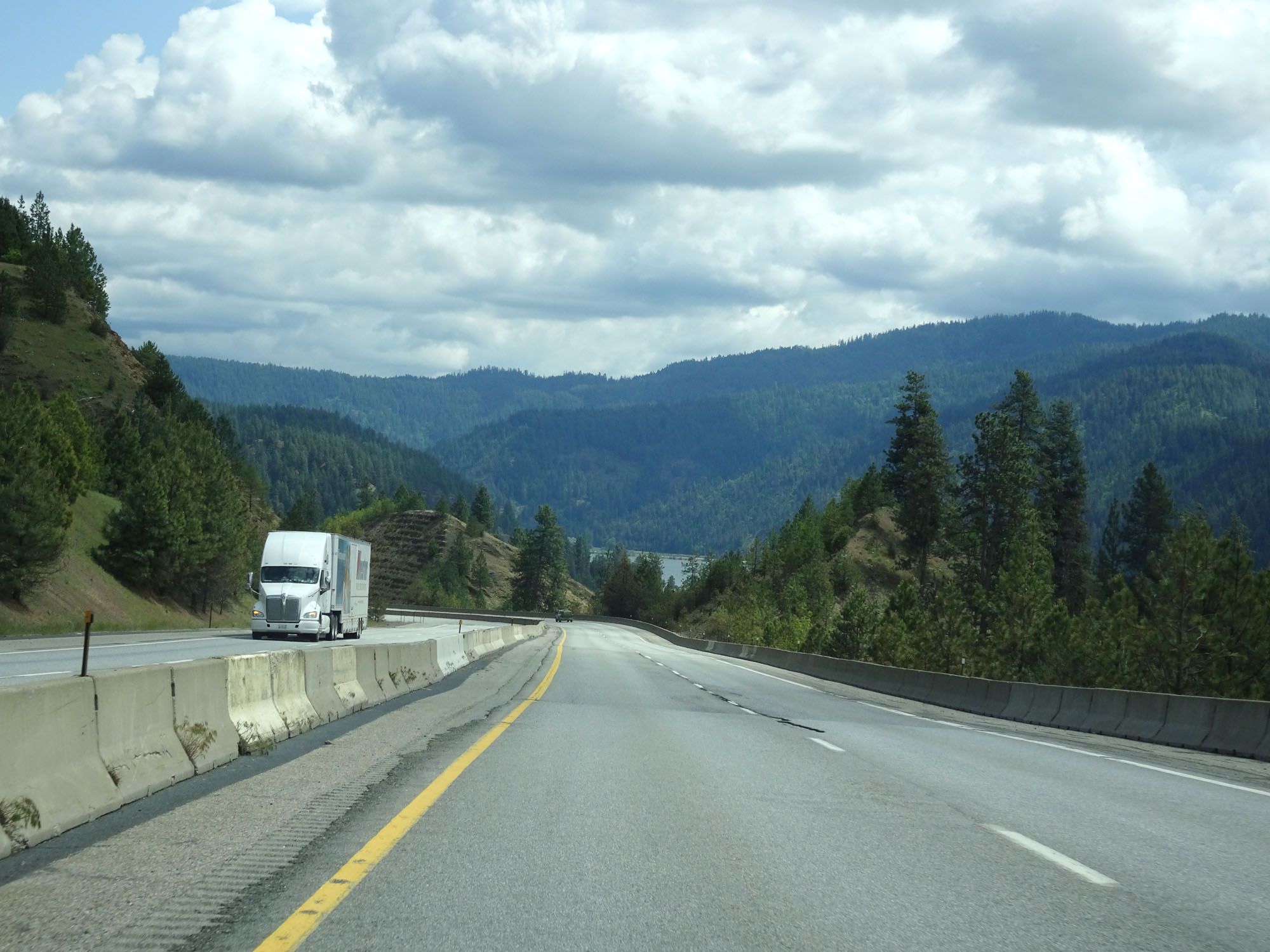 |
View on Interstate 90 East as Lake Coeur d'Alene comes into view. (Photo taken 5/25/16). |
 |
Another view on Interstate 90 East continuing down the grade. (Photo taken 5/25/16). |
 |
View on Interstate 90 East, almost to the bottom of the grade. (Photo taken 5/25/16). |
 |
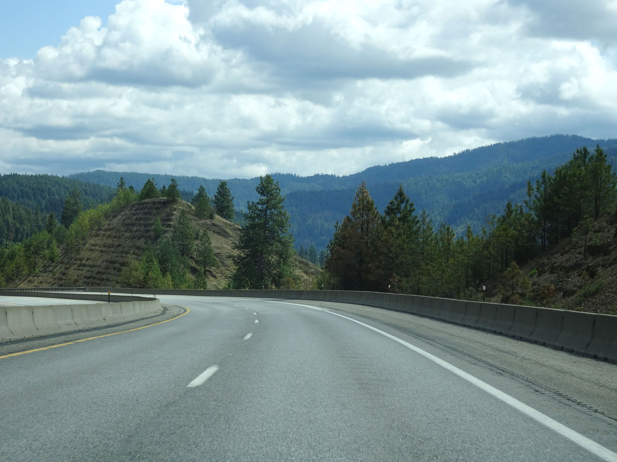
Interstate 90 East at mile marker 20. (Photo taken 5/25/16). |
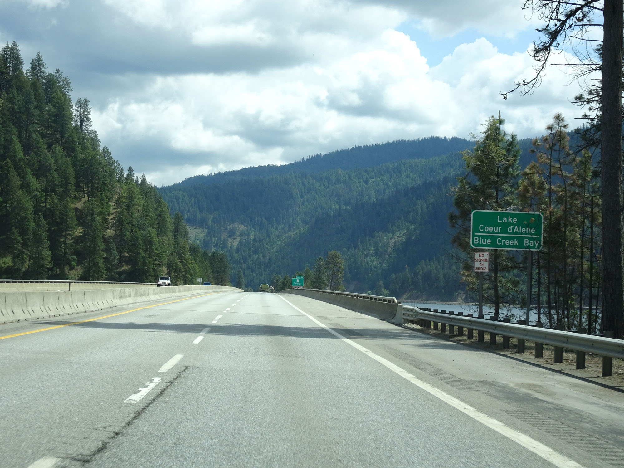 |
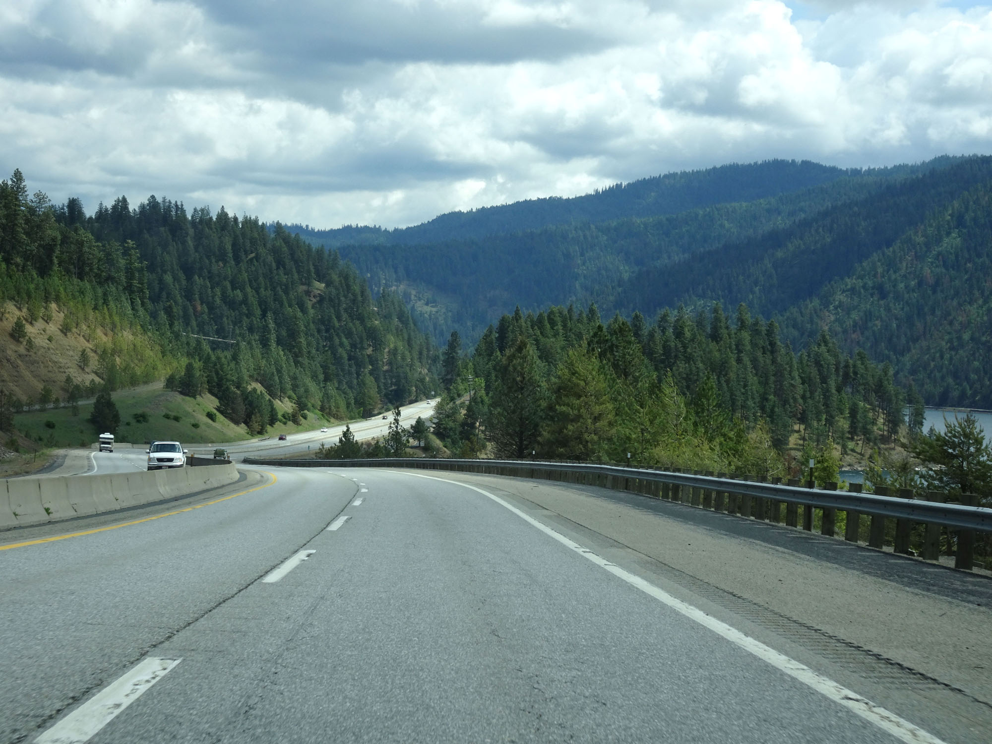
At the bottom of the grade, Interstate 90 East crosses Lake Coeur d'Alene's Blue Creek Bay. (Photo taken 5/25/16). |
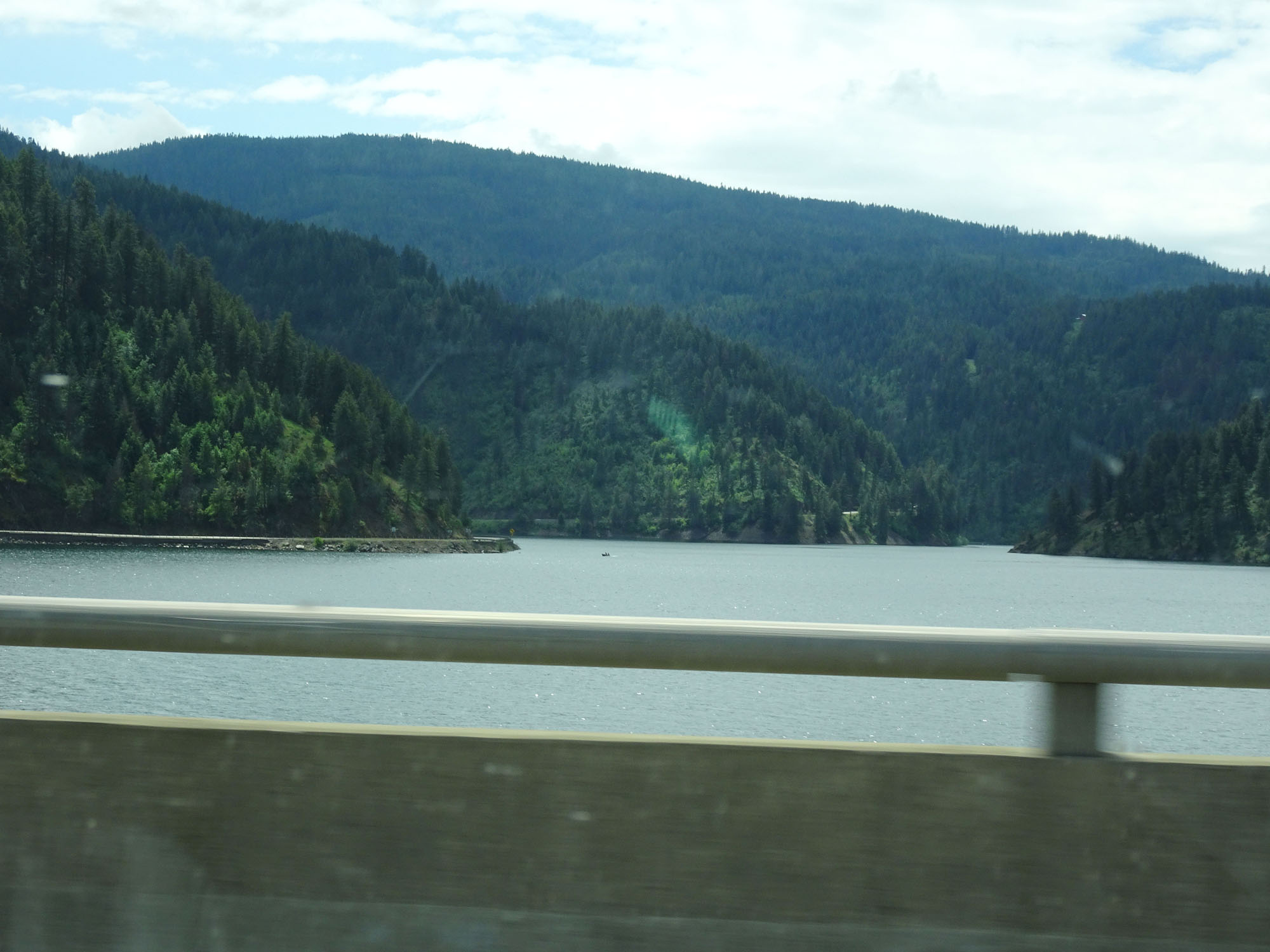 |
View of Lake Coeur d'Alene from Interstate 90 East, looking to the south. (Photo taken 5/25/16). |
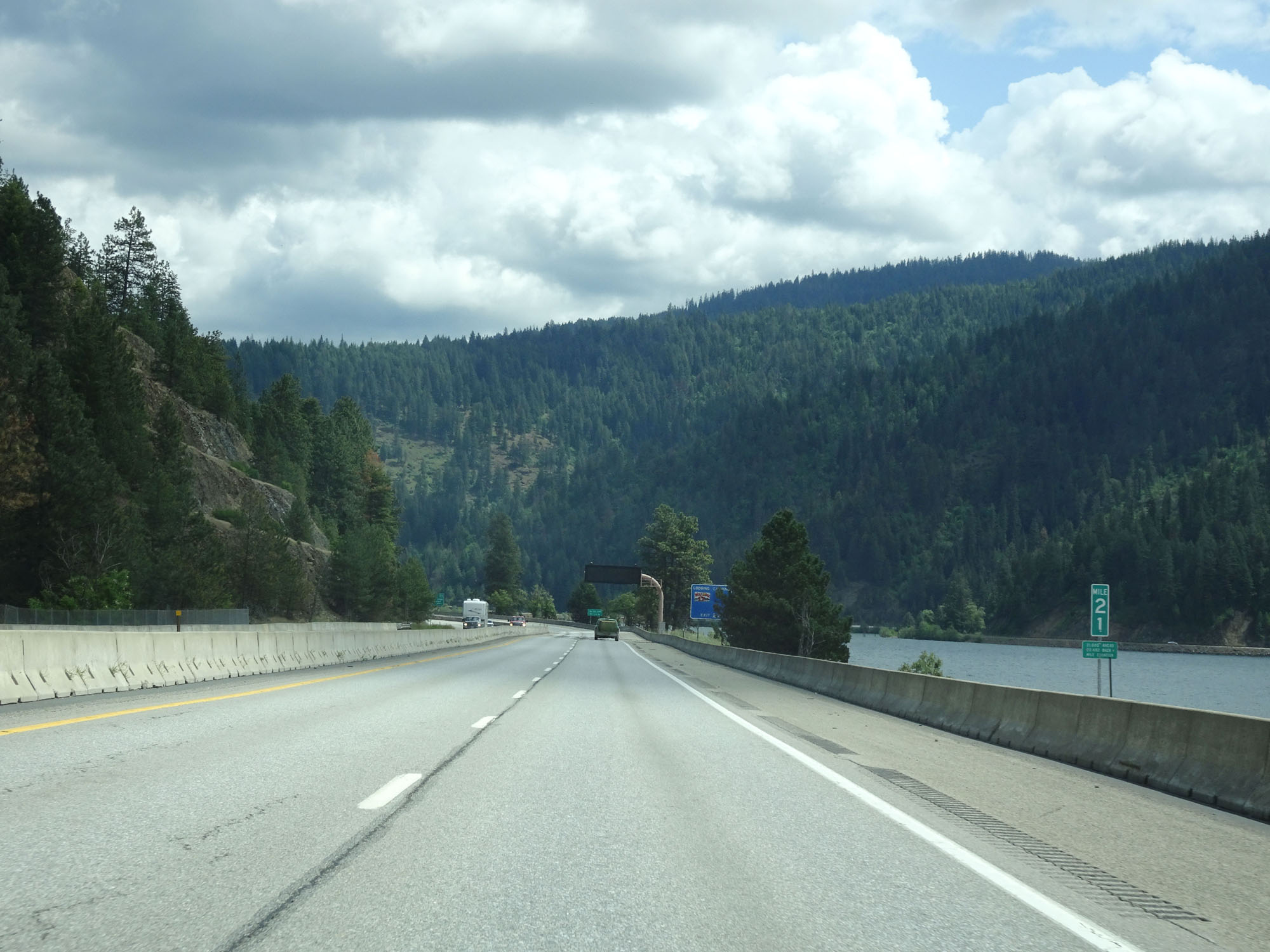 |
Interstate 90 East at mile marker 21. (Photo taken 5/25/16). |
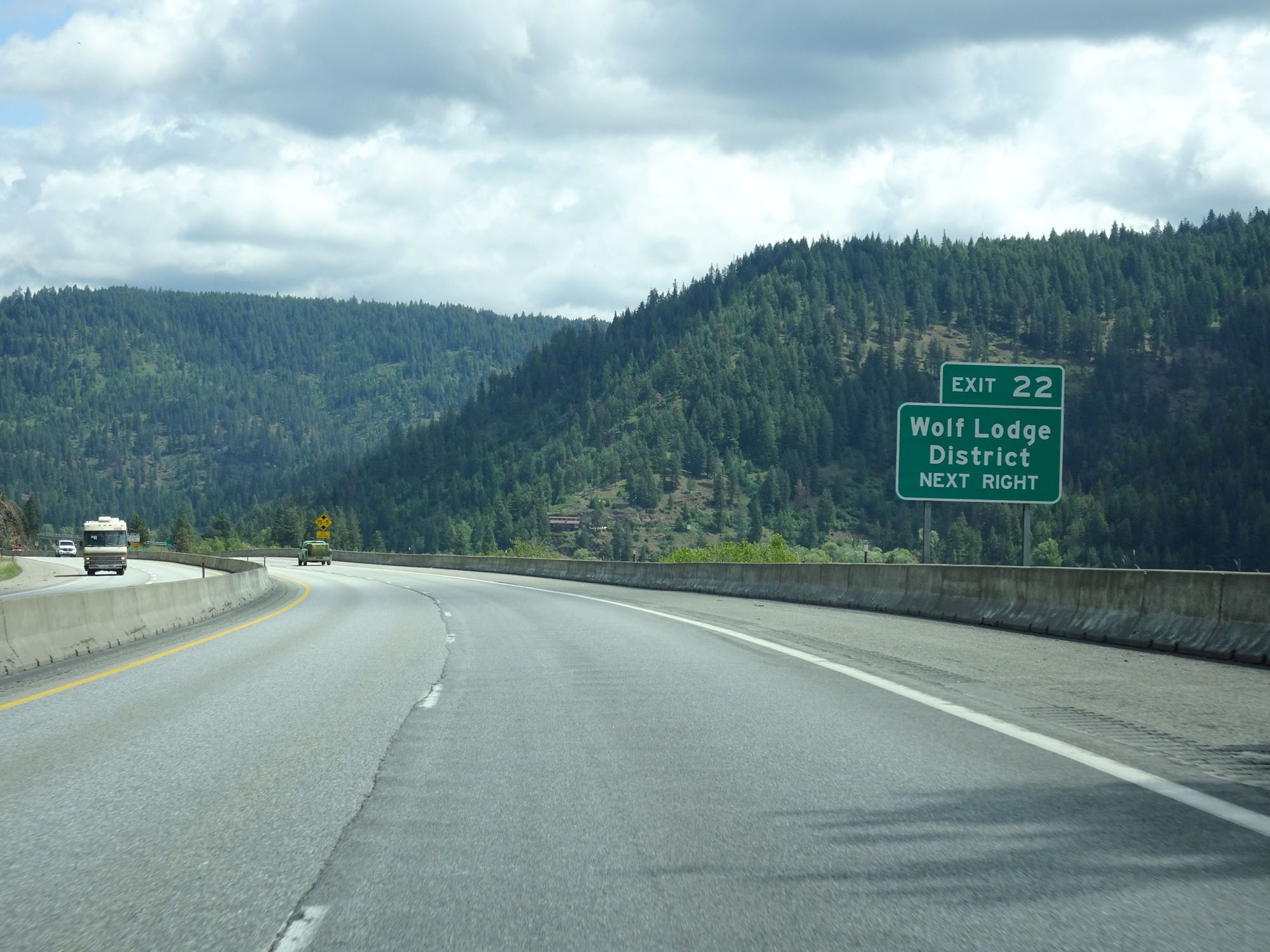 |
Take Exit 22 to Wolf Lodge District. (Photo taken 5/25/16). |
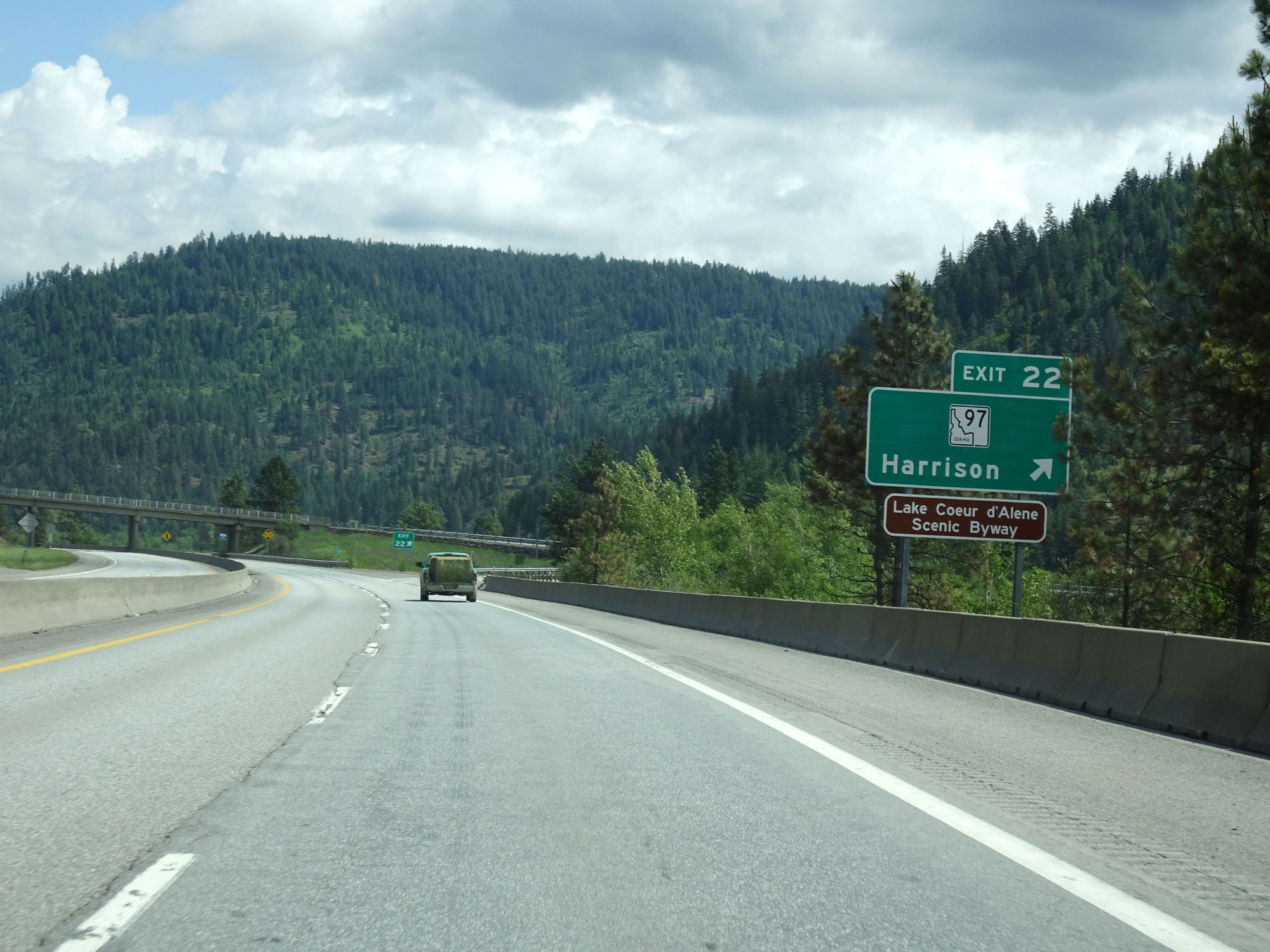 |
Interstate 90 East at Exit 22: ID 97 - Harrison (Photo taken 5/25/16). |
 |
Interstate 90 East assurance shield beyond Exit 22. (Photo taken 5/25/16). |
 |
Interstate 90 East at mile marker 23. (Photo taken 5/25/16). |
 |
When the lights on this sign are flashing, Idaho state law requires tire chains to be installed on commercial vehicles before proceeded up 4th of July Pass ahead. (Photo taken 5/25/16). |
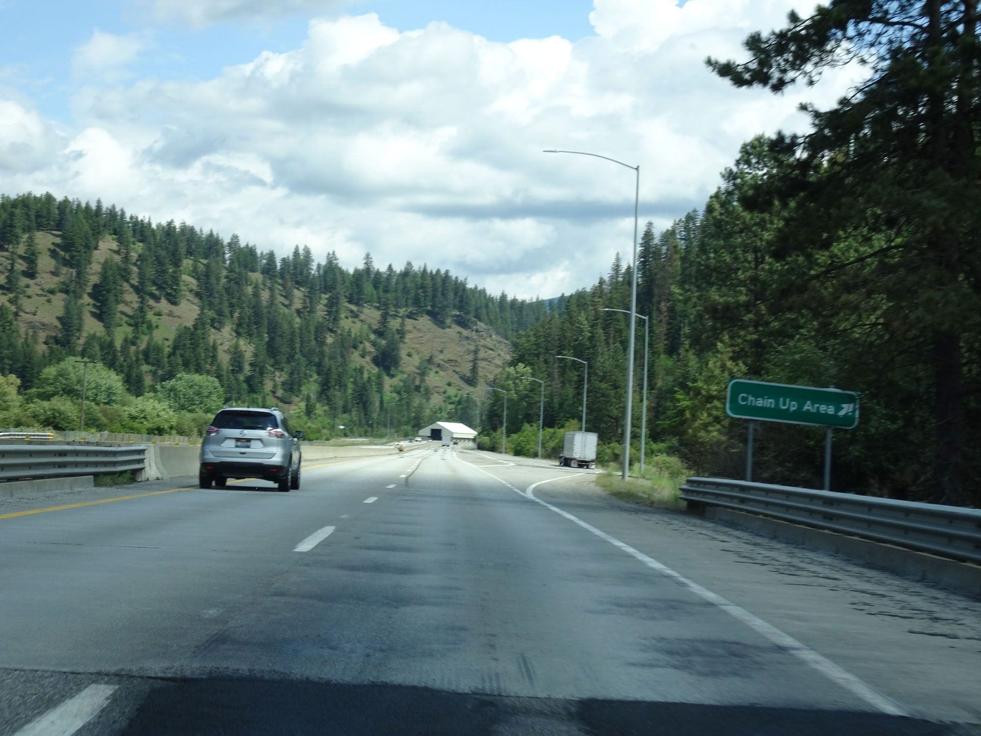 |
Interstate 90 East at the Chain Up Area located near mile marker 23.5. (Photo taken 5/25/16). |
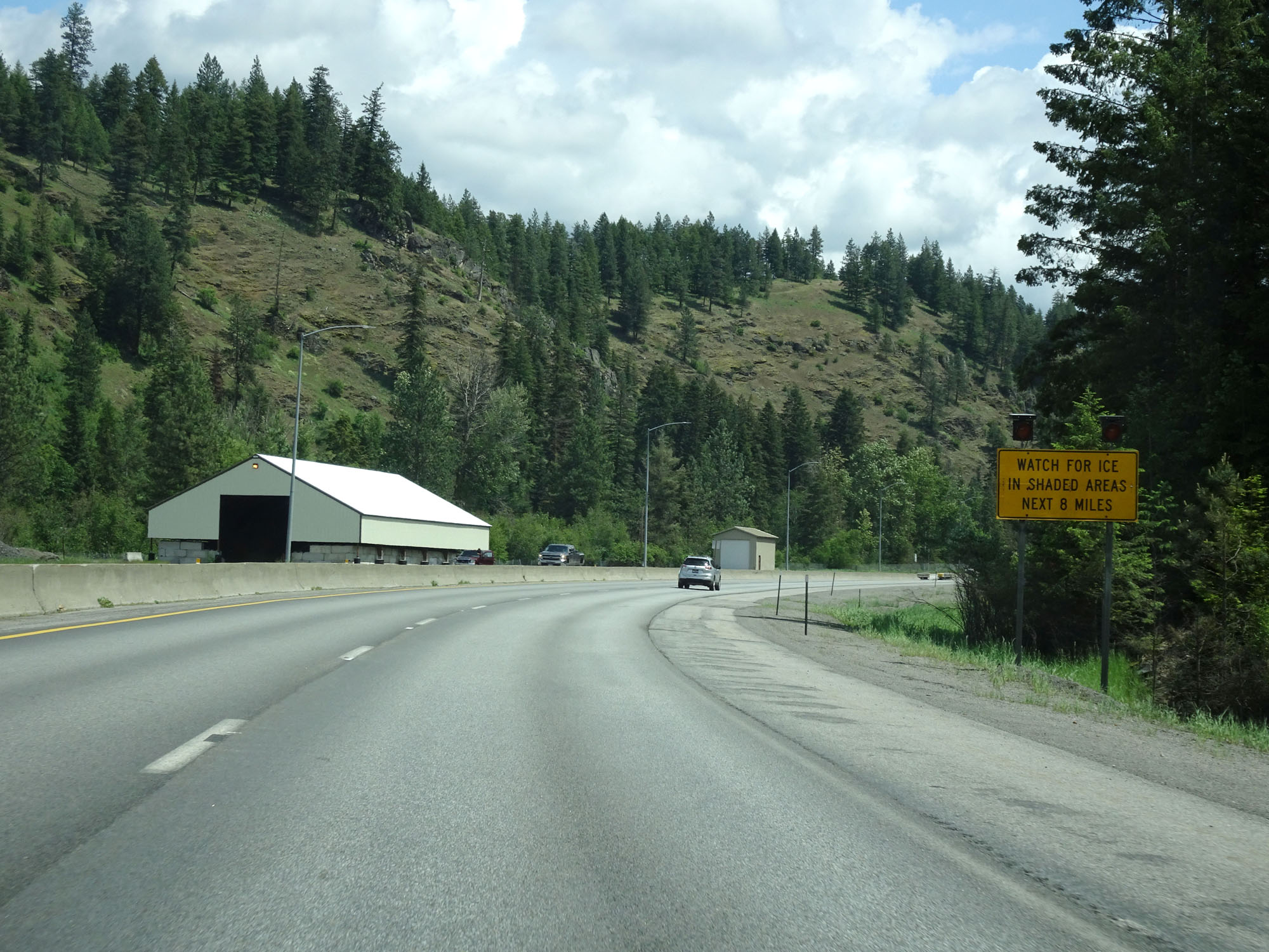 |
This warning sign states that motorists should watch for ice in shaded areas for the next 8 miles. It can get pretty nasty through here in the winter months. (Photo taken 5/25/16). |
 |
Interstate 90 East at mile marker 24, as it begins to climb 4th of July Pass. (Photo taken 5/25/16). |
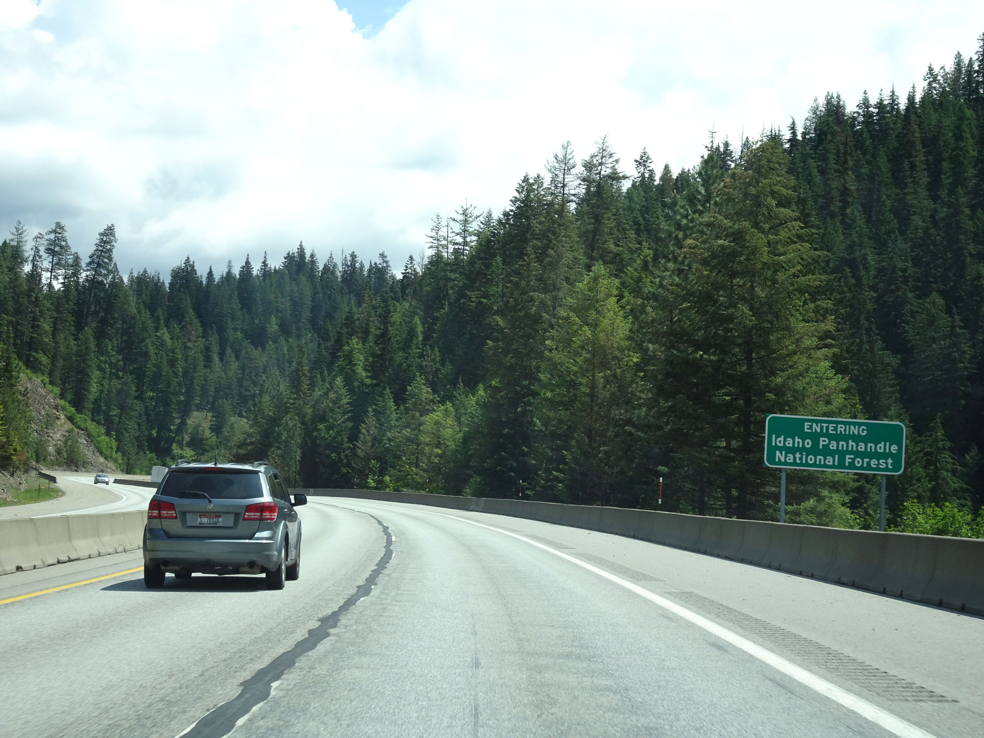 |
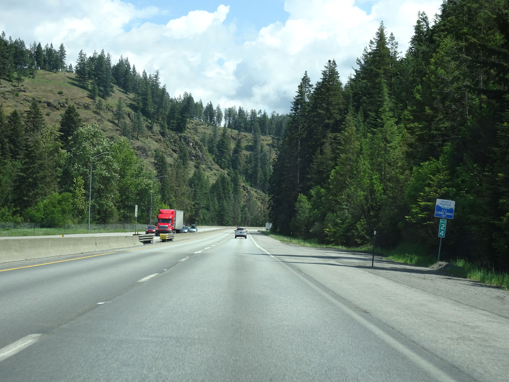
Interstate 90 East as it enters the Idaho Panhandle National Forest. (Photo taken 5/25/16). |
 |
View on Interstate 90 East, as the climb continues. (Photo taken 5/25/16). |
 |
Interstate 90 East at mile marker 26. (Photo taken 5/25/16). |
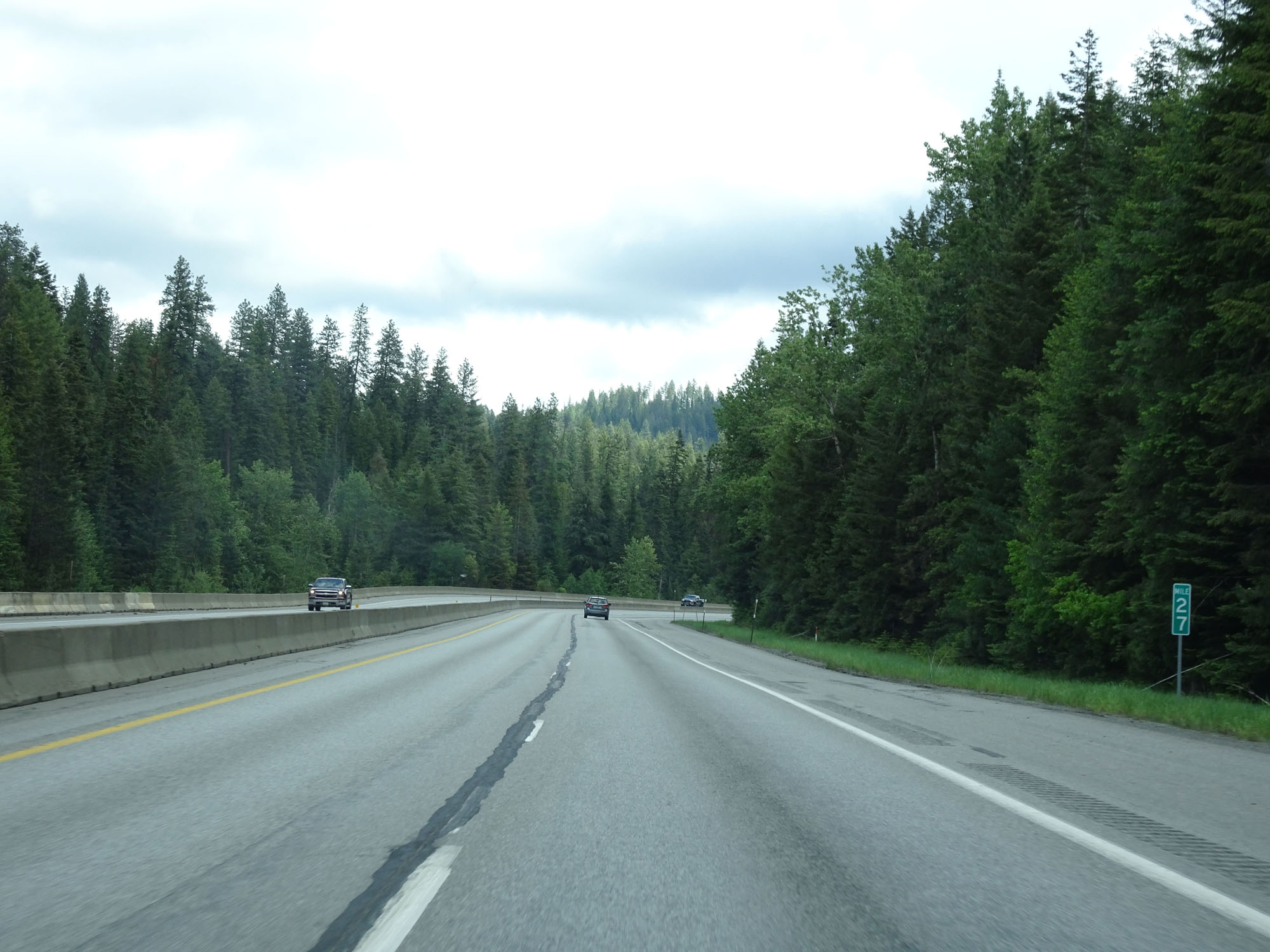 |
Interstate 90 East at mile marker 27. (Photo taken 5/25/16). |
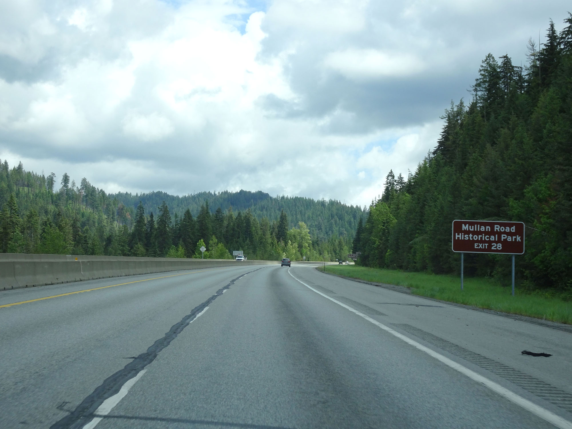 |
Take Exit 28 to Mullan Road Historical Park. (Photo taken 5/25/16). |
 |
Interstate 90 East at Exit 28: 4th of July Pass Recreation Area (Photo taken 5/25/16). |
Section 2: 4th of July Pass (Exit 28) to Montana Border
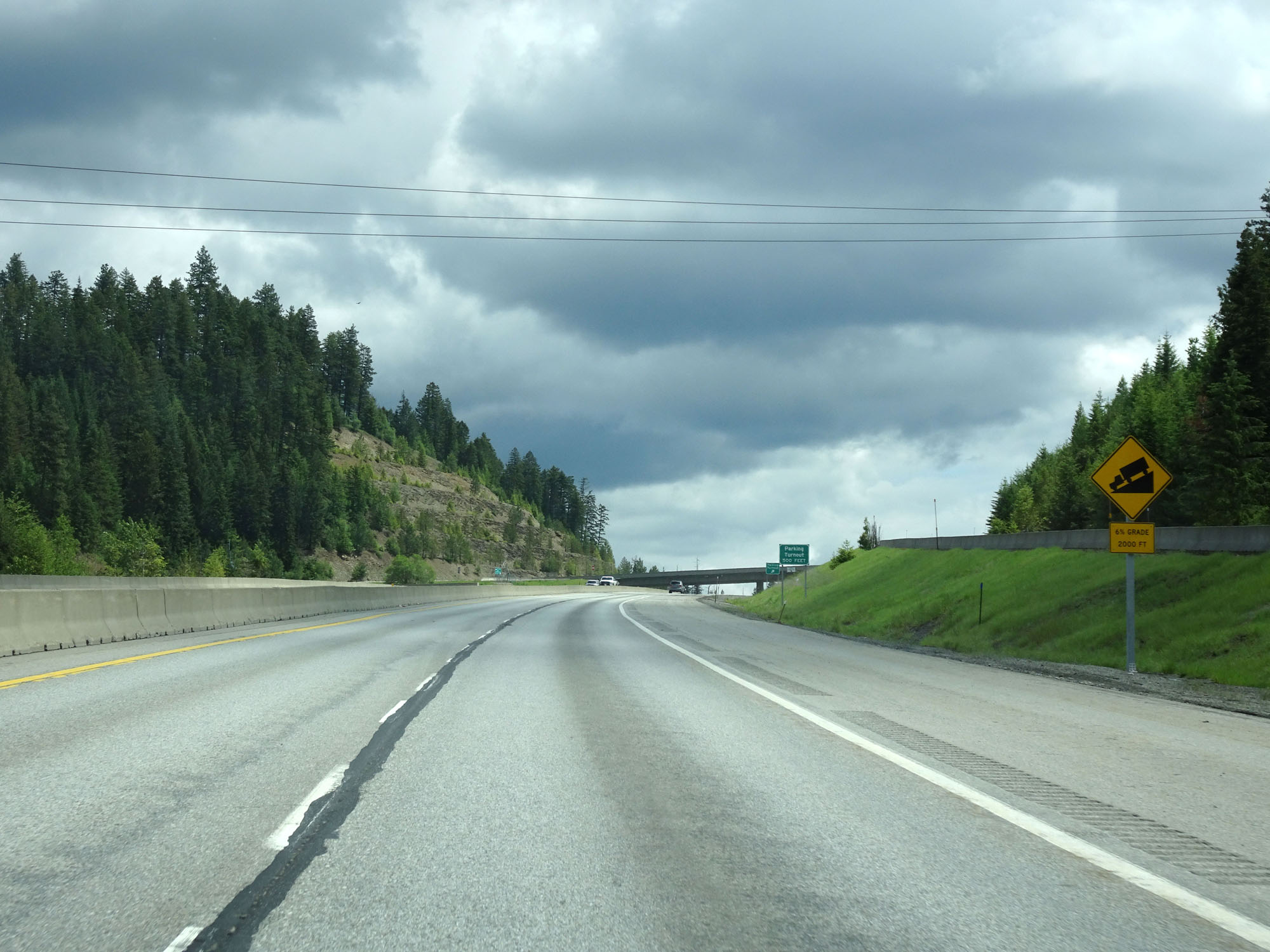 |
Nearing the top of 4th of July Pass, this warning sign reminds us that what goes up must come down. Interstate 90 East traverses a 6% grade 2000 feet ahead. (Photo taken 5/25/16). |
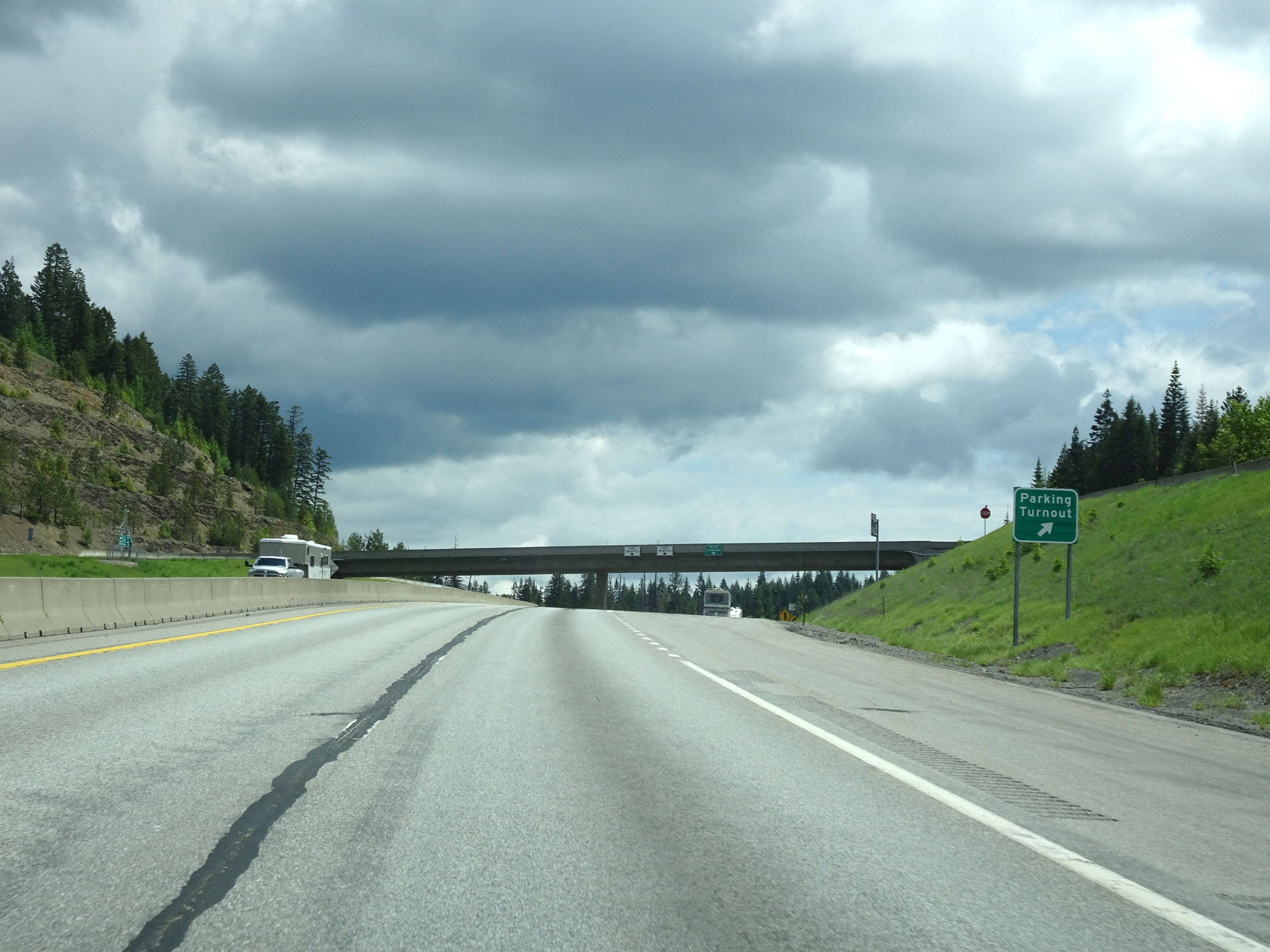 |
Interstate 90 East at the Parking Turnout at the top of 4th of July Pass. Trucks should use this opportunity to check their brakes before heading down the other side of 4th of July Pass. (Photo taken 5/25/16). |
 |
A closer view of the Parking Turnout at the top of the pass. (Photo taken 5/25/16). |
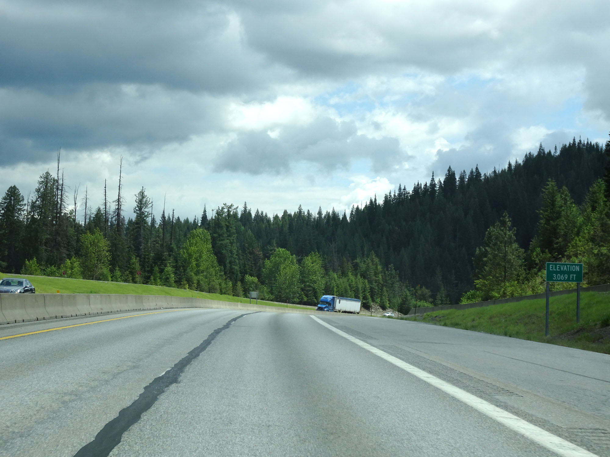 |
At the summit of 4th of July Pass, this signs states that we've reached an elevation of 3,069 feet. Time to head down. (Photo taken 5/25/16). |
 |
Starting down the grade, this sign warns that the 6% grade lasts for the next 4 miles. Gear down. (Photo taken 5/25/16). |
 |
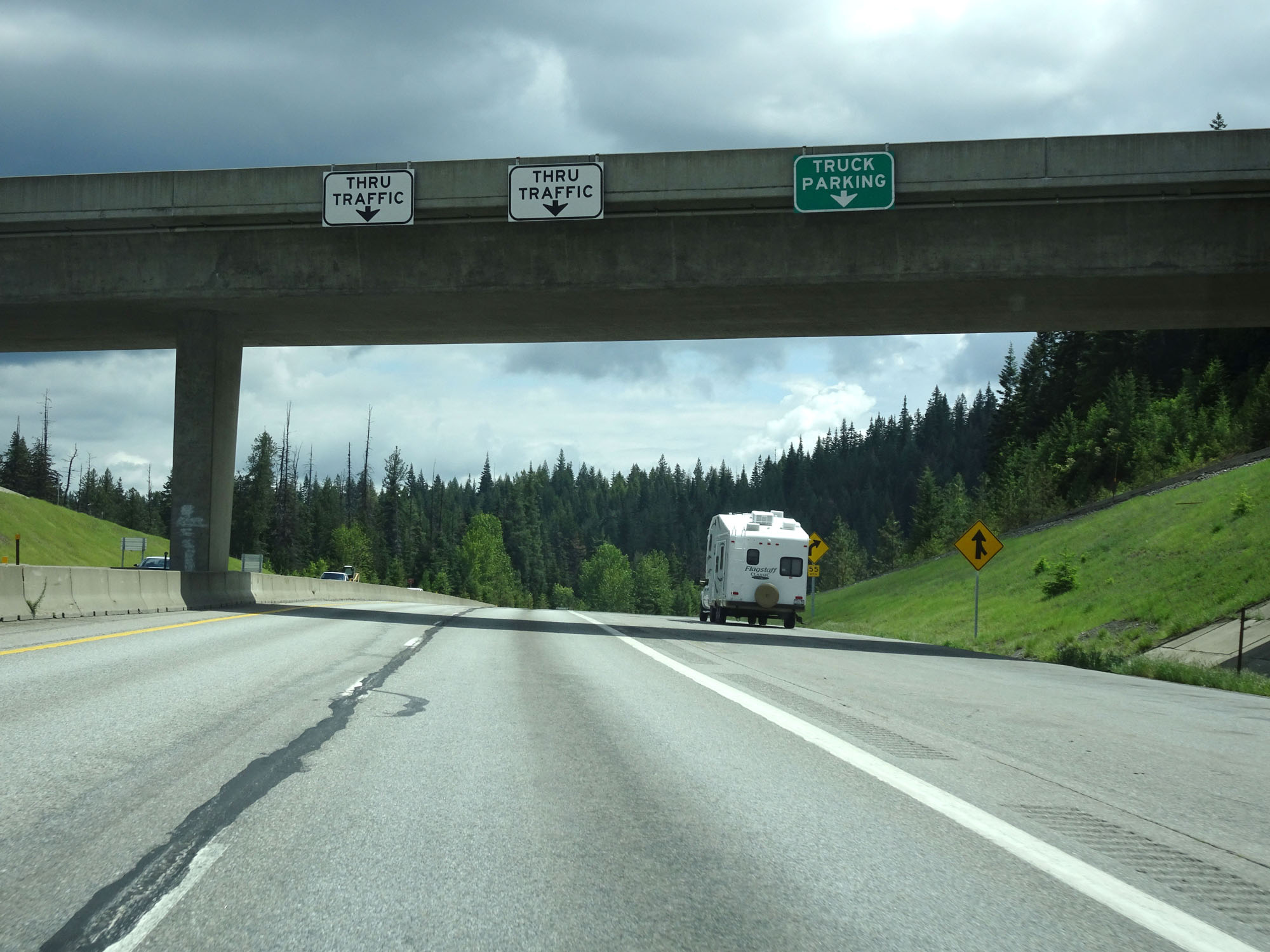
Interstate 90 East assurance shield as the traffic from the Parking Turnout finally merges into I-90 East. (Photo taken 5/25/16). |
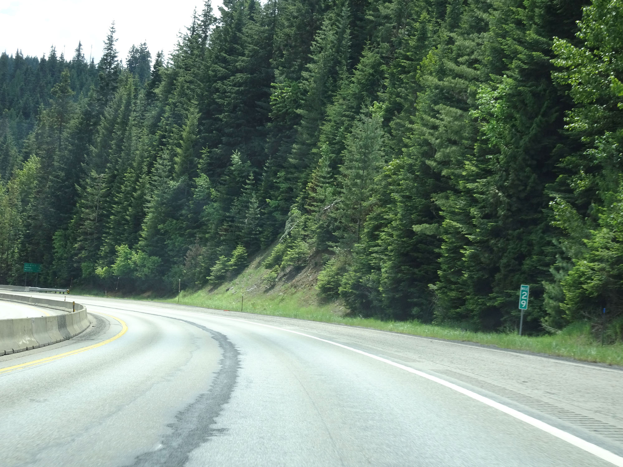 |
Interstate 90 East at mile marker 29. (Photo taken 5/25/16). |
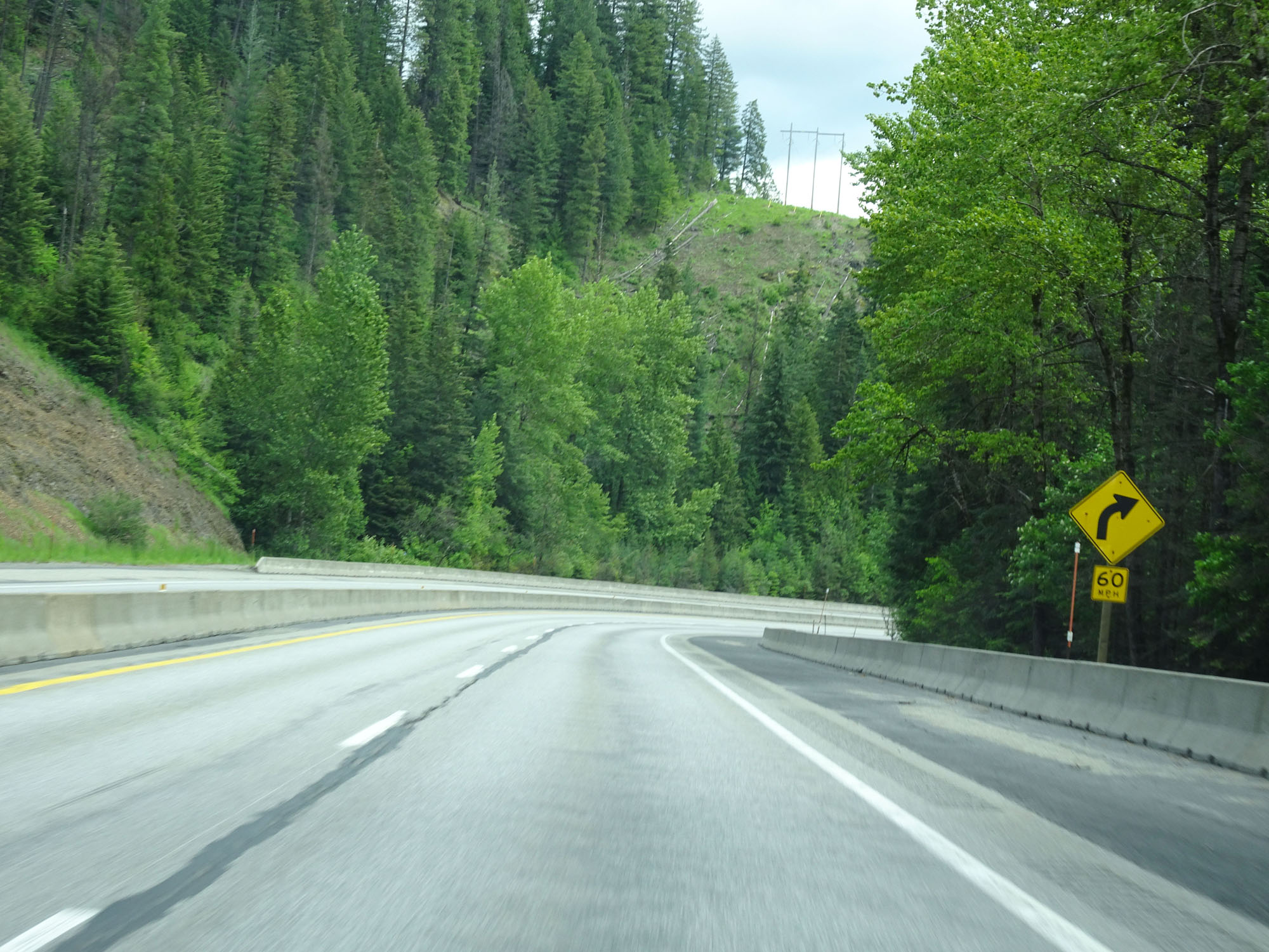 |
View on Interstate 90 East heading down the 6% grade. 60 mph curve to the right ahead. (Photo taken 5/25/16). |
 |
Another view on Interstate 90 East, heading down 4th of July Pass. (Photo taken 5/25/16). |
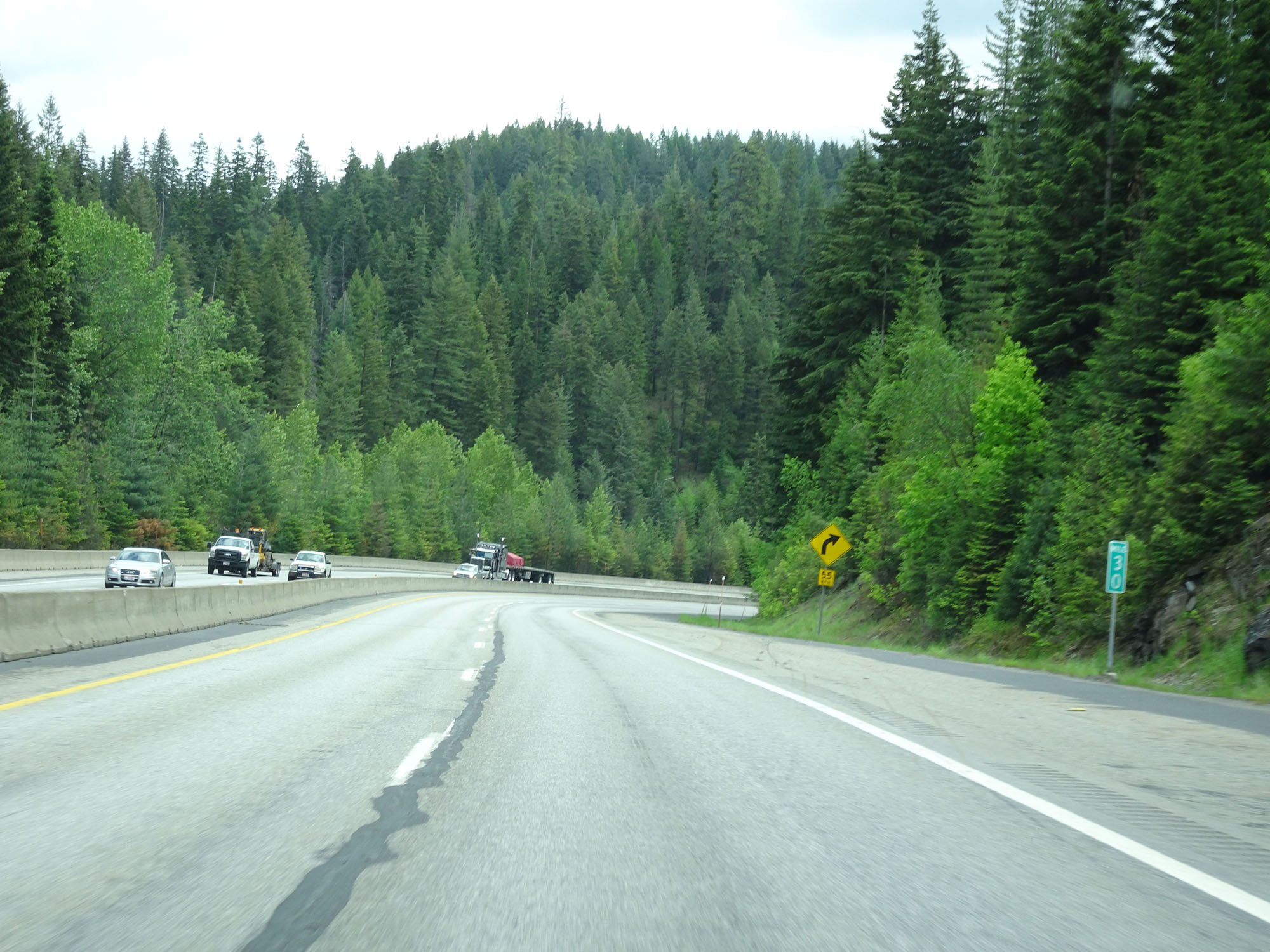 |
Interstate 90 East at mile marker 30. (Photo taken 5/25/16). |
 |
Nearing mile marker 31, the grade's steepness is reduced to 5%, lasting for the next 2 miles according to this warning sign. (Photo taken 5/25/16). |
 |
View on Interstate 90 East. (Photo taken 5/25/16). |
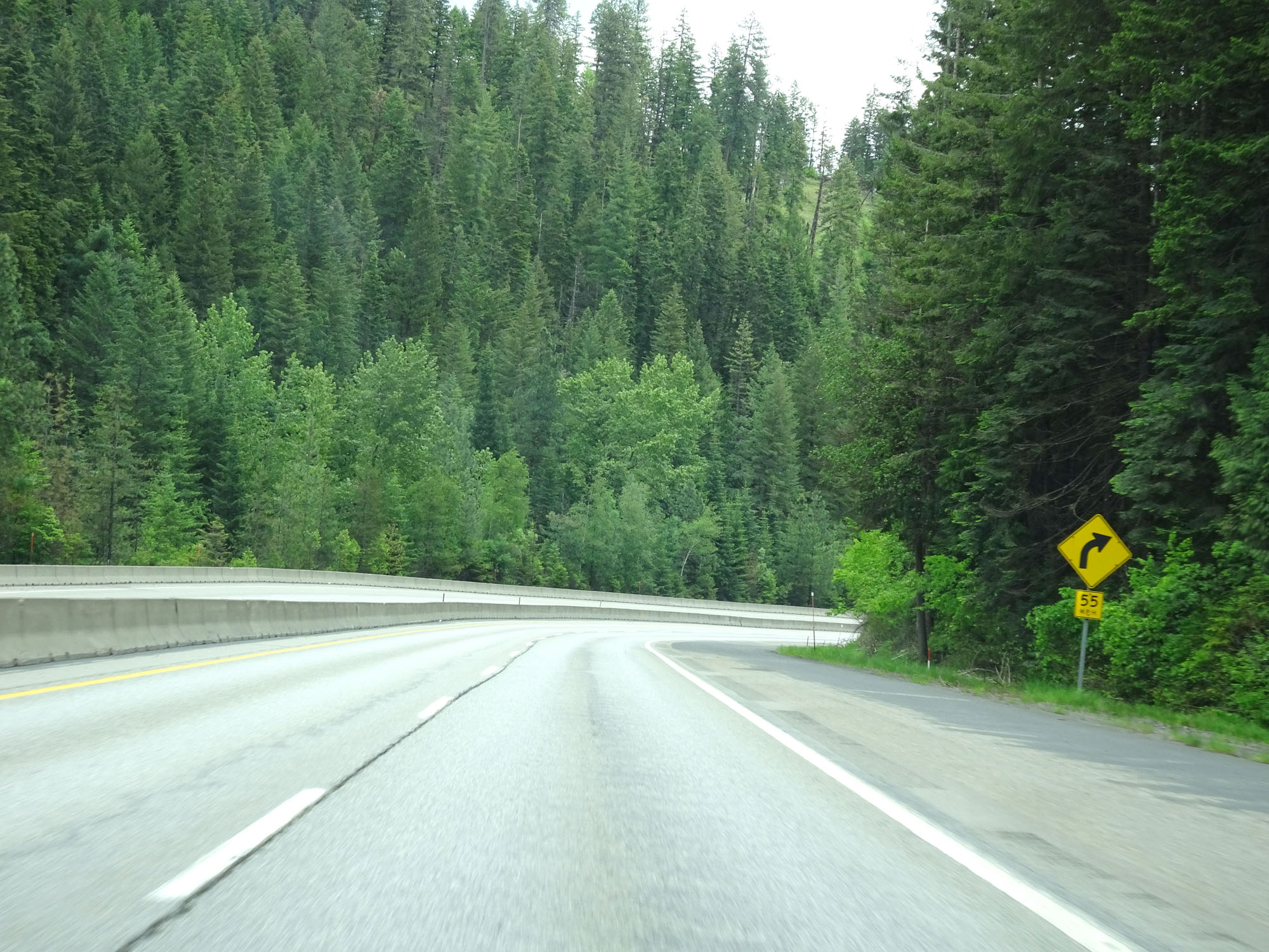 |
Another view on Interstate 90 East. (Photo taken 5/25/16). |
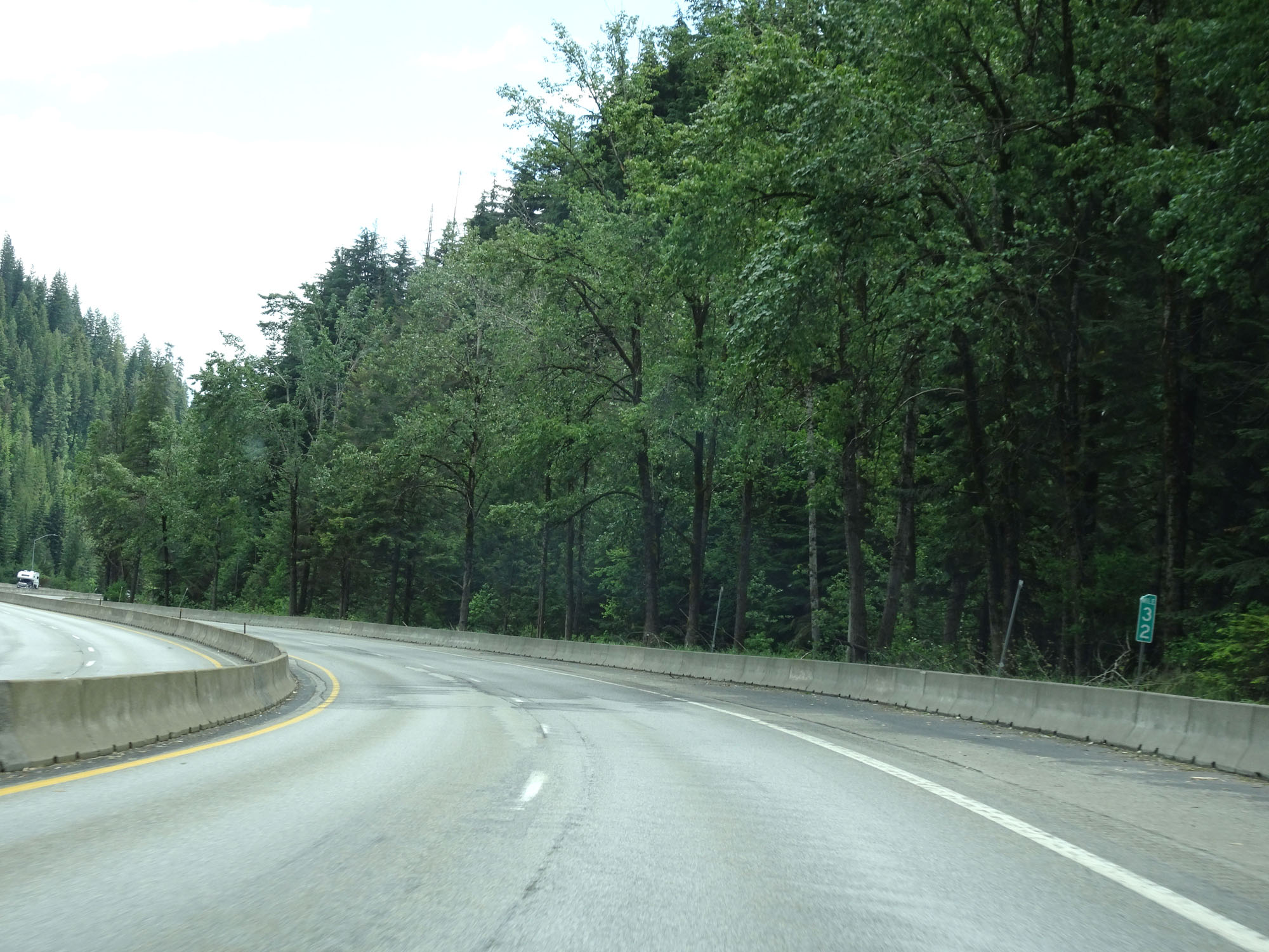 |
Interstate 90 East at mile marker 32. (Photo taken 5/25/16). |
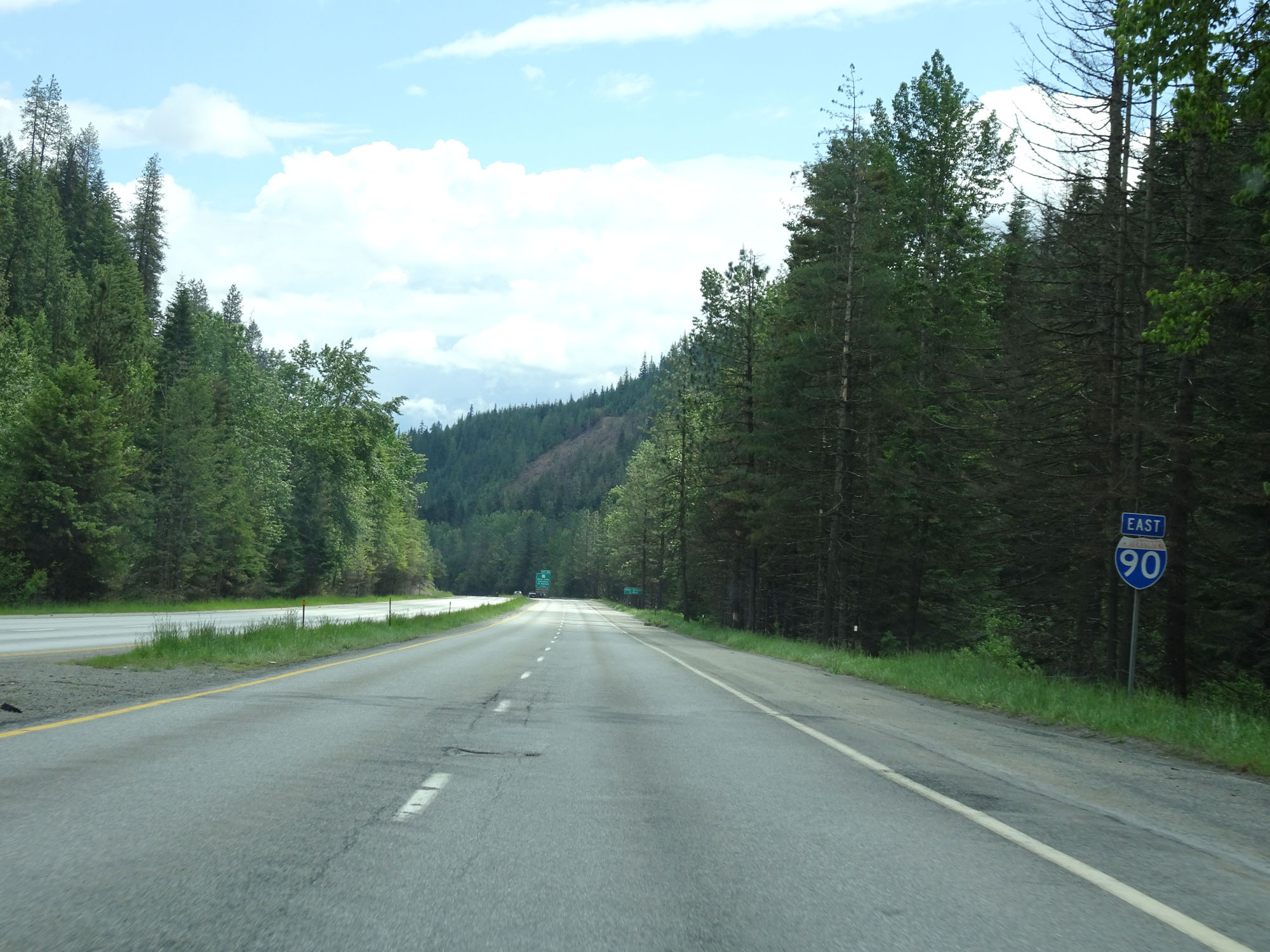 |
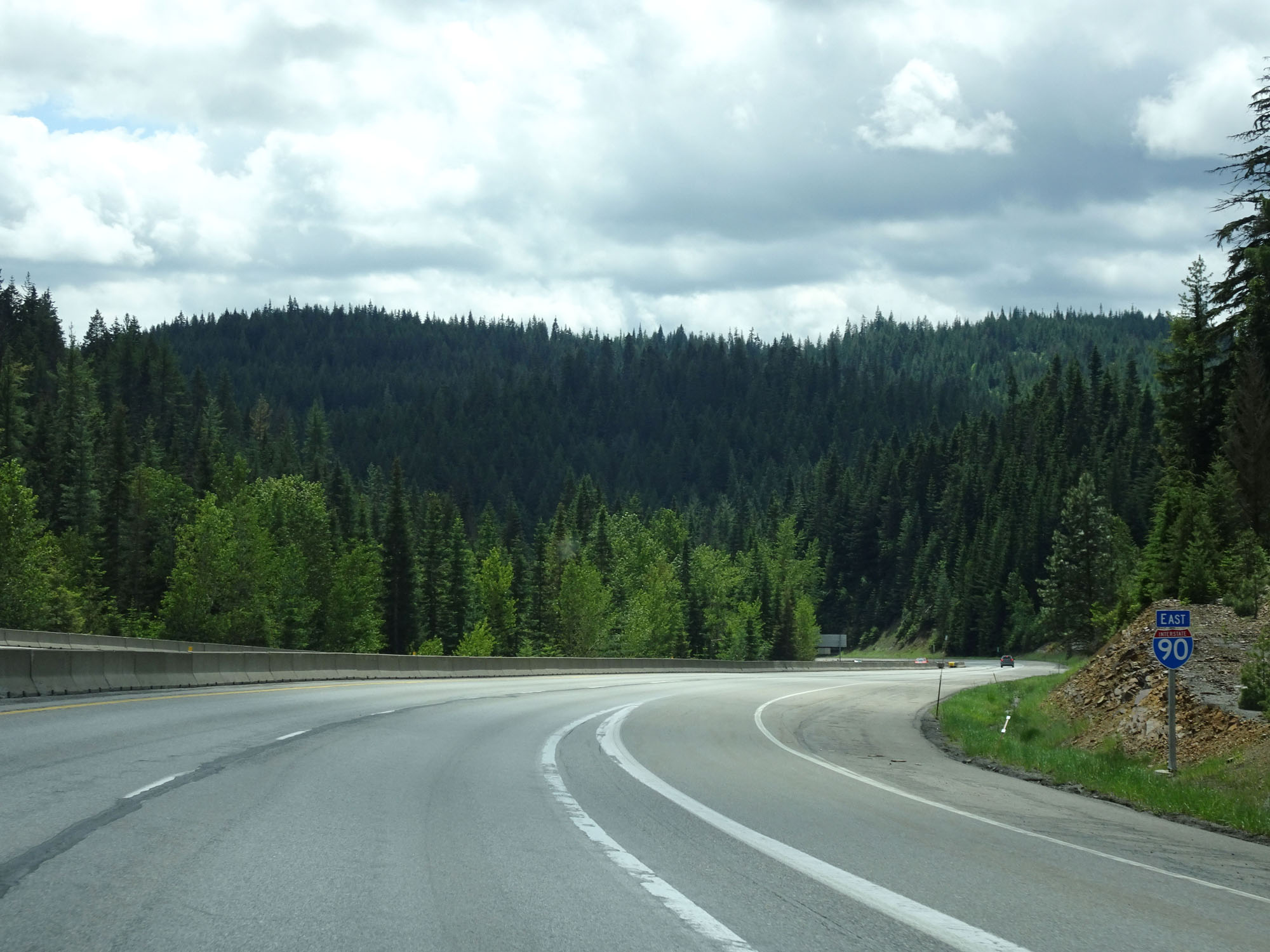
Interstate 90 East assurance shield at the bottom of 4th of July Pass. That was the first of two mountain passes on I-90 in the Idaho panhandle. The other, Lookout Pass, is on the Montana border. (Photo taken 5/25/16). |
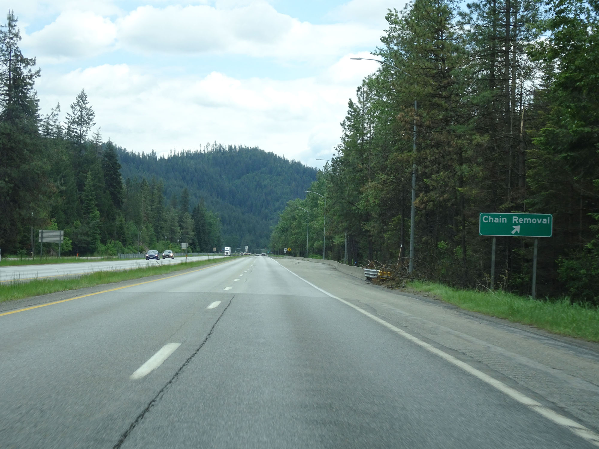 |
Interstate 90 East at the Chain Removal Area at the bottom of the grade. (Photo taken 5/25/16). |
 |
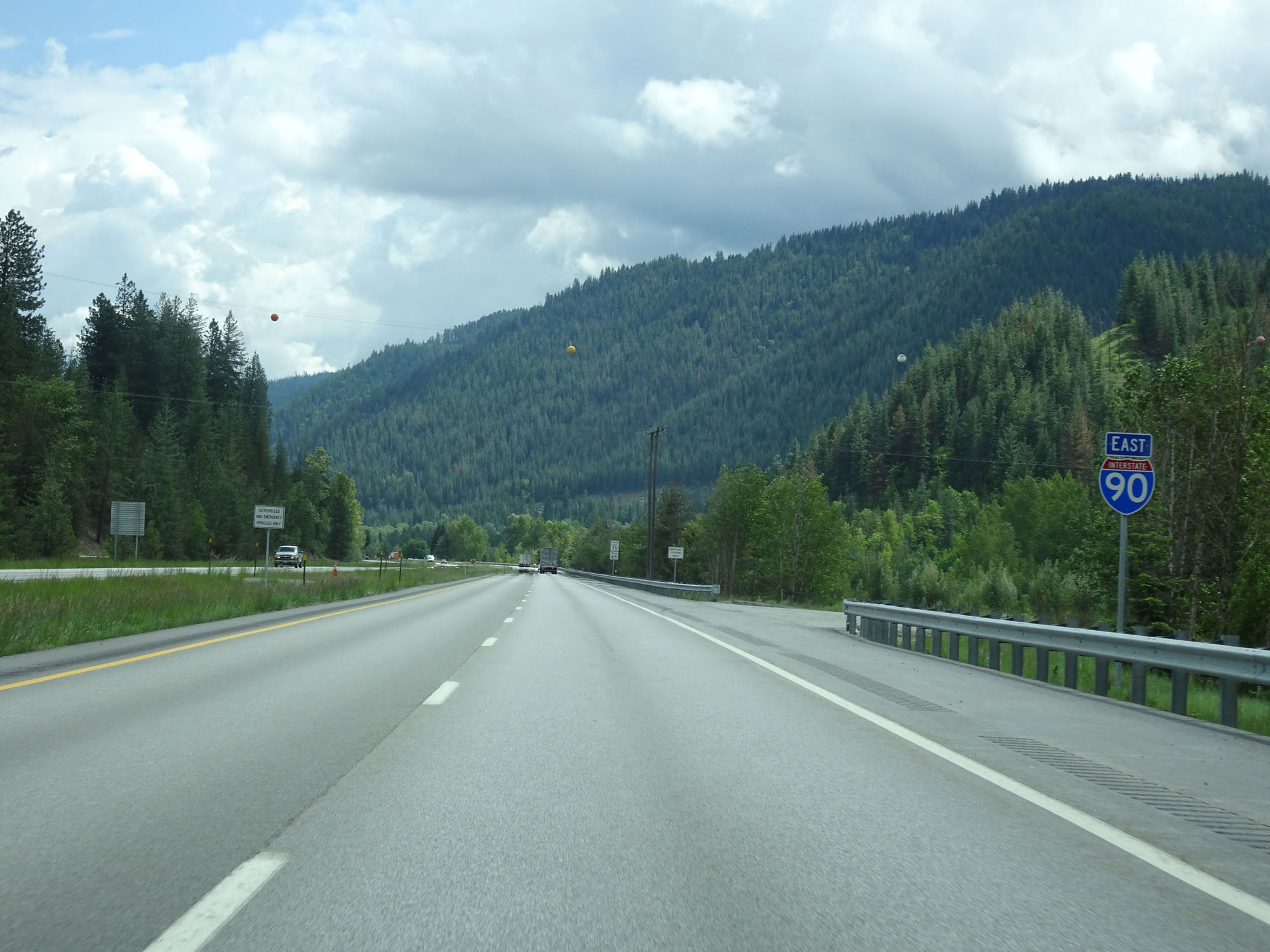
Now that we're done climbing, winding, and descending for the time being the speed limit increases to 75 mph for automobiles and 65 mph for trucks. 75 mph is the highest speed limit seen on Interstate 90 in Idaho. Most other rural Interstates in the Gem State have seen their speed limits increased to 80 mph for automobiles and 70 mph for trucks. (Photo taken 5/25/16). |
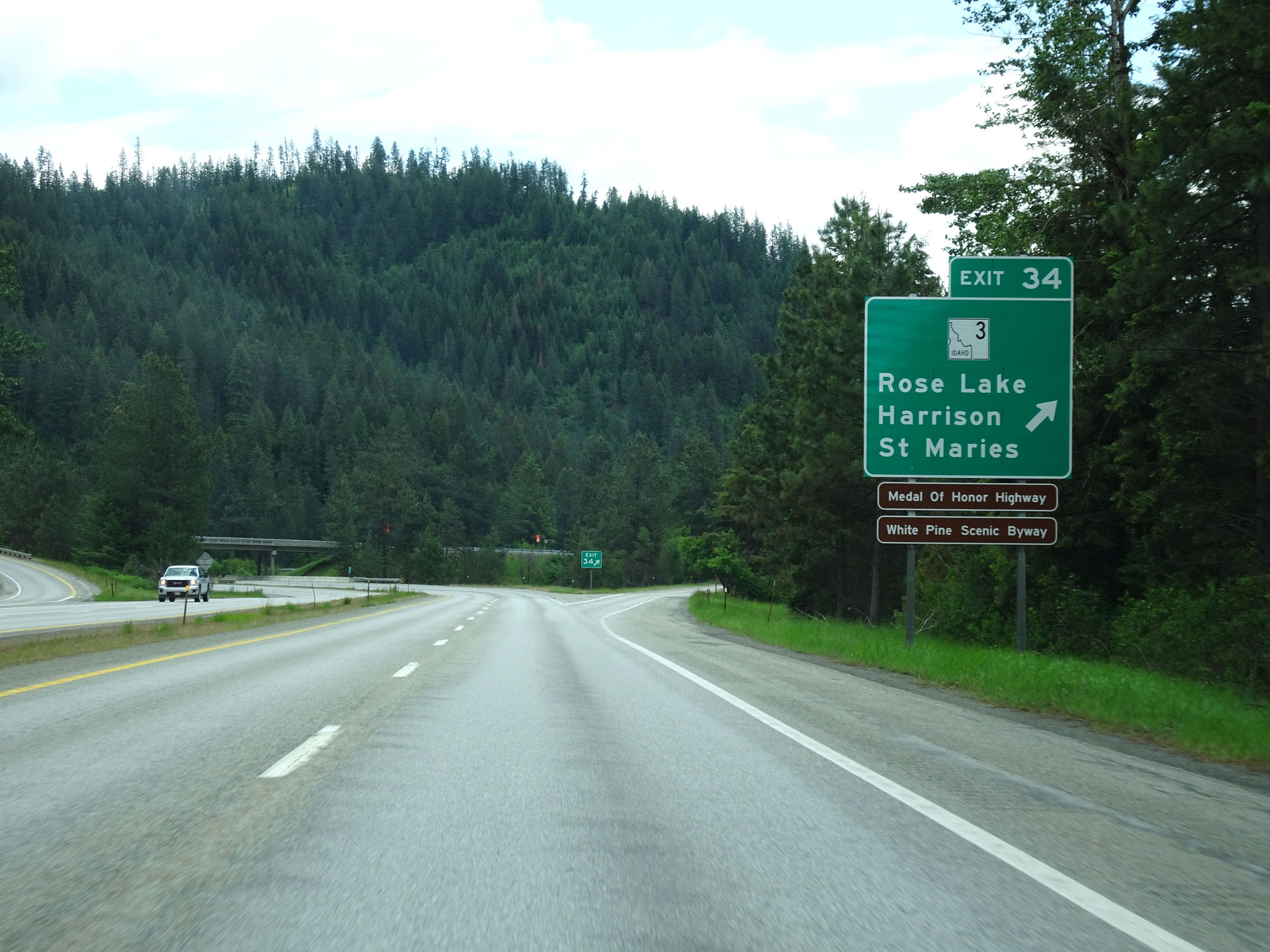 |
Interstate 90 East at Exit 34: ID 3 - Rose Lake / Harrison / St Maries (Photo taken 5/25/16). |
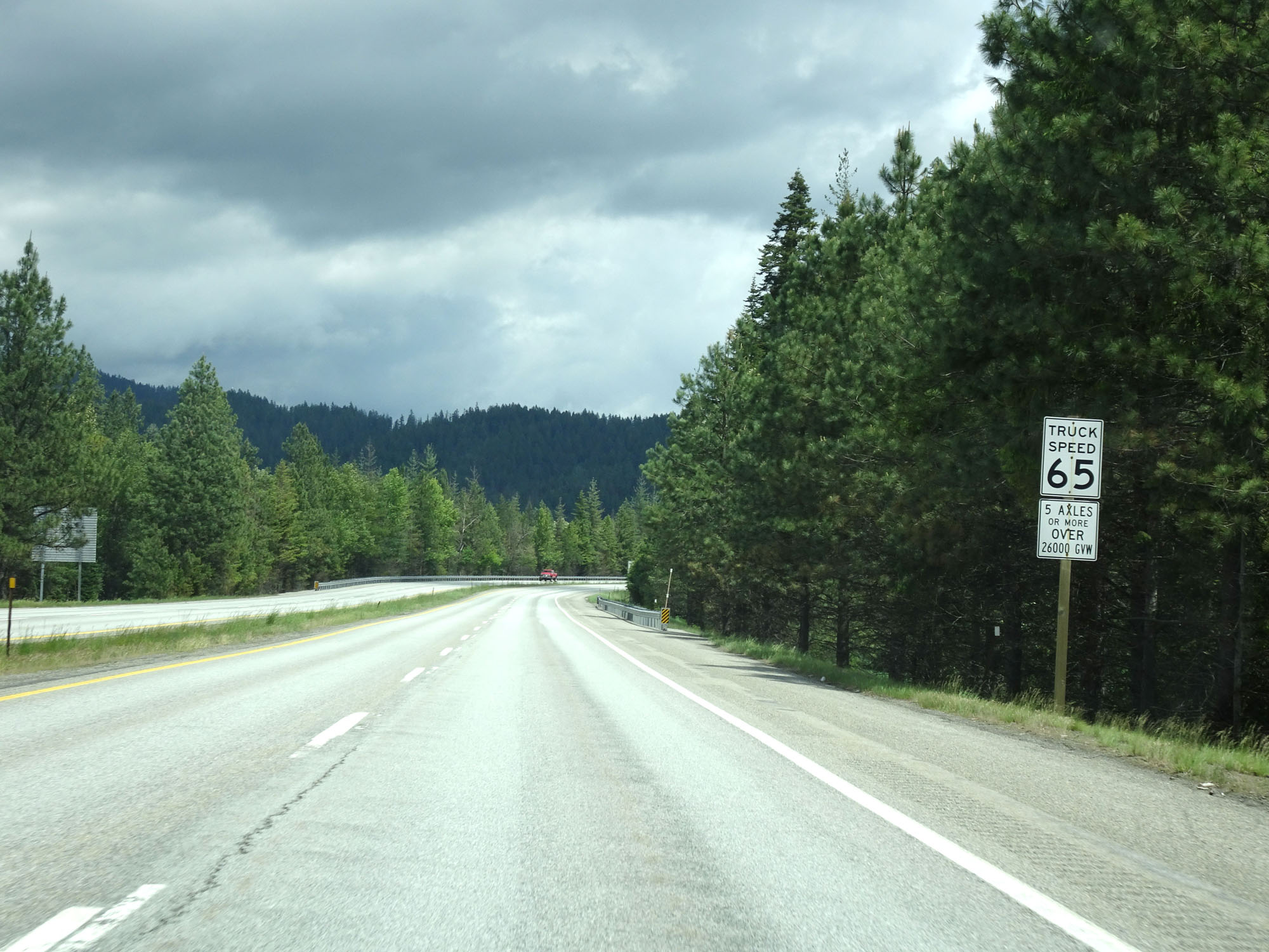 |
This sign explains exactly what trucks are restricted to the 65 mph truck speed limit: Any vehicle 5 axles or more over 26,000 gross vehicle weight. (Photo taken 5/25/16). |
 |
Mileage sign east of Exit 34. It's 5 miles to Cataldo, 16 miles to Kellogg, and 145 miles to Missoula. (Photo taken 5/25/16). |
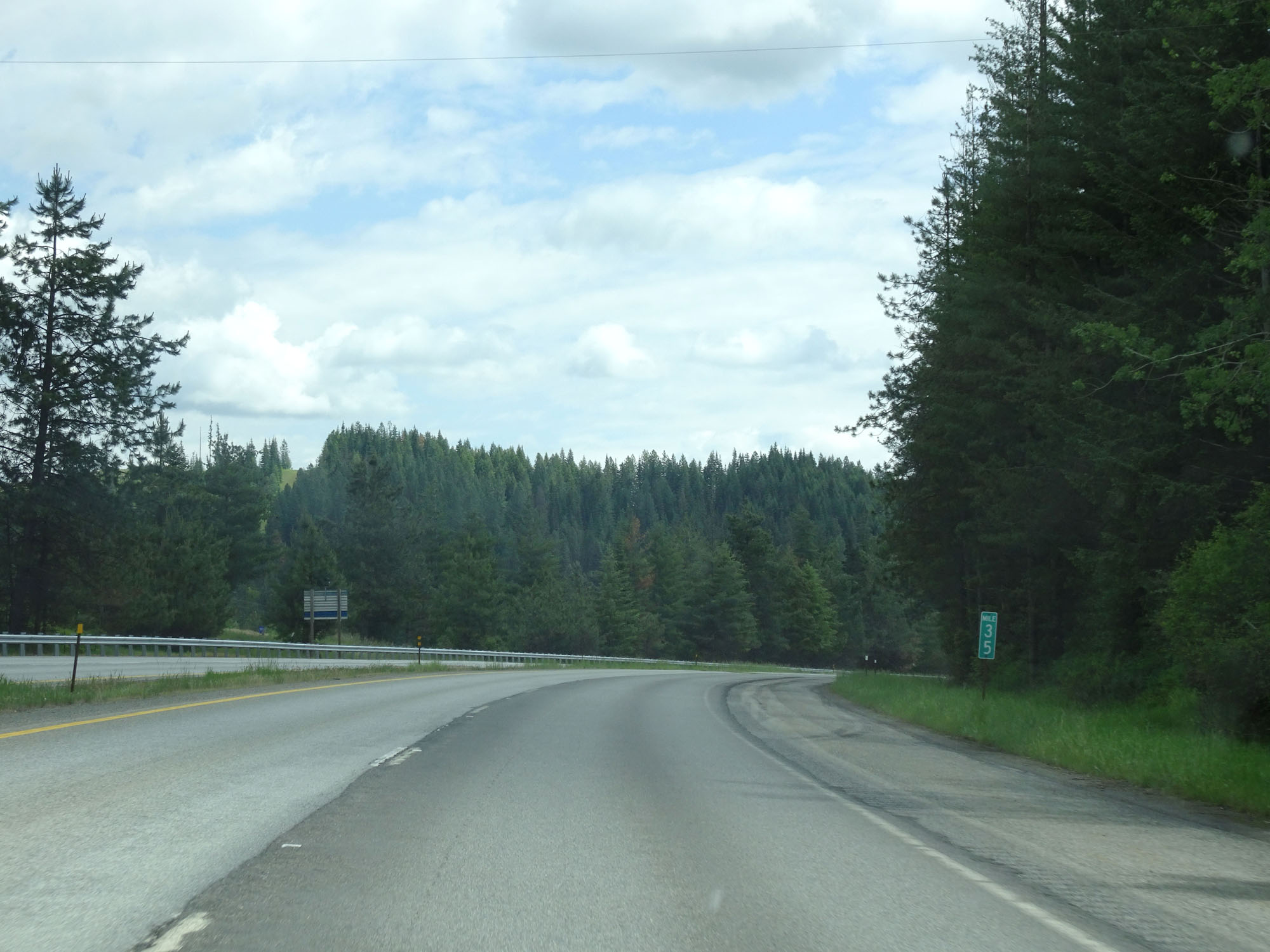 |
Interstate 90 East at mile marker 35. (Photo taken 5/25/16). |
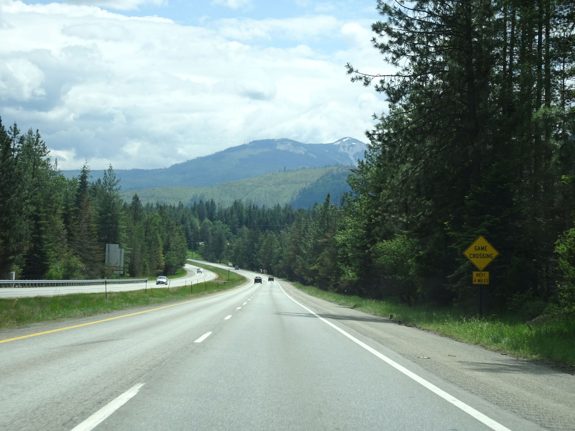 |
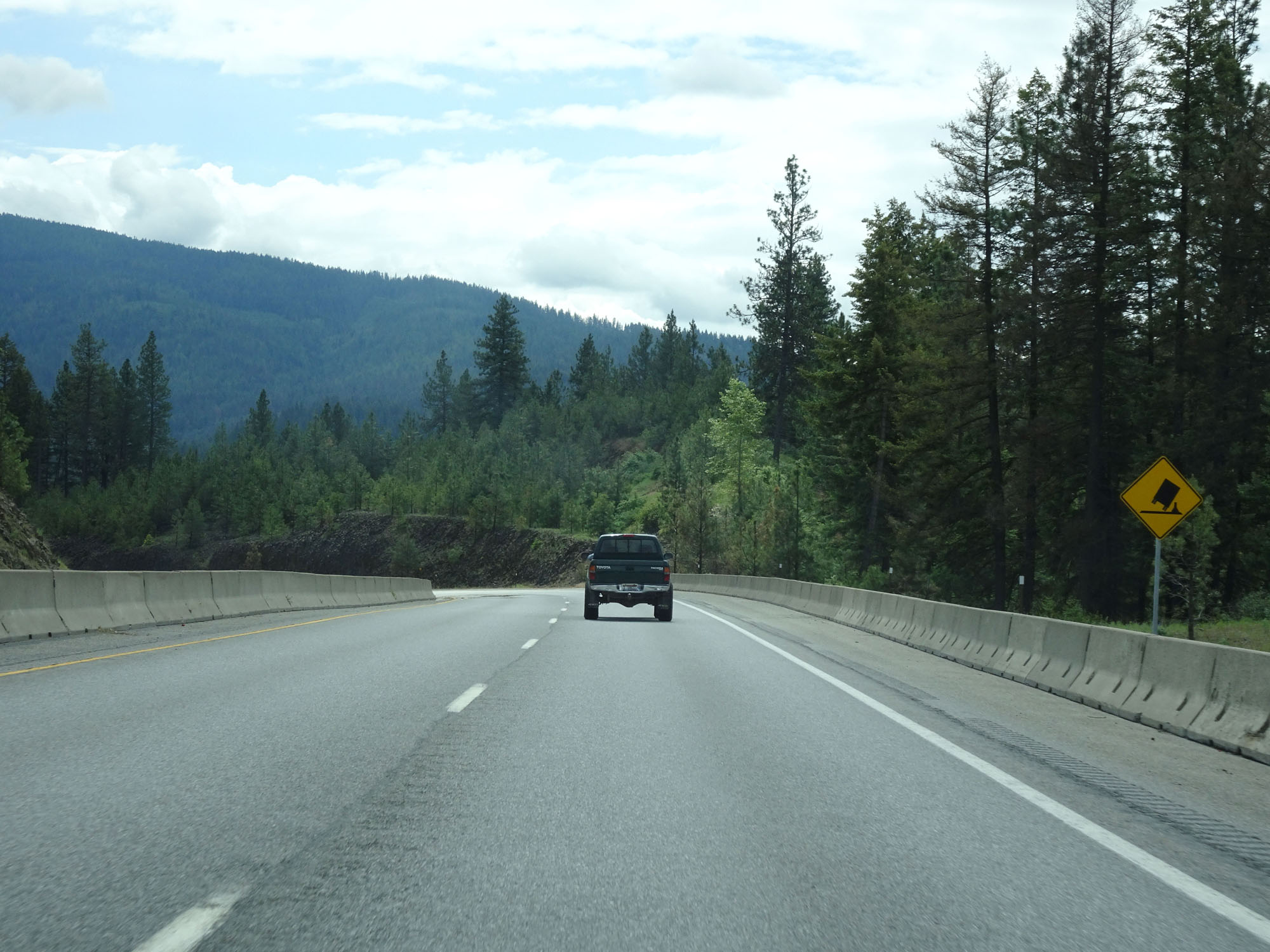
This warning sign states that you should watch for game crossing the highway for the next 4 miles. (Photo taken 5/25/16). |
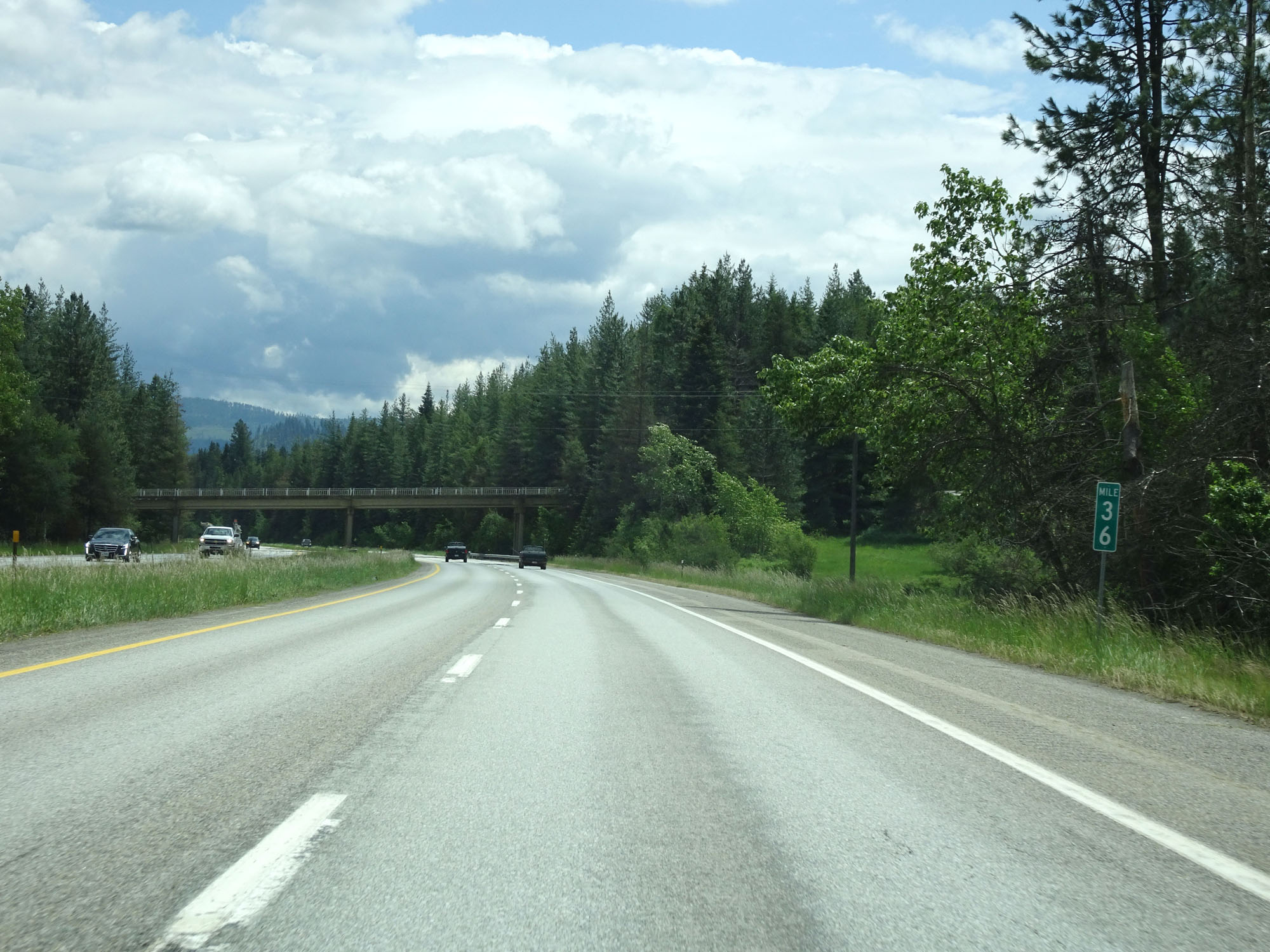 |
Interstate 90 East at mile marker 36. (Photo taken 5/25/16). |
 |
Interstate 90 East at mile marker 37. (Photo taken 5/25/16). |
 |
View on Interstate 90 East. (Photo taken 5/25/16). |
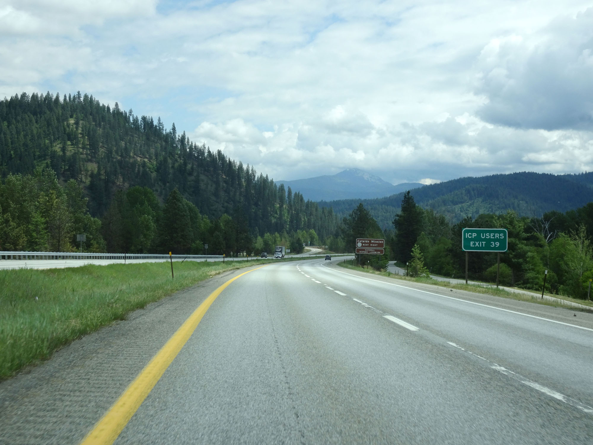 |
ICP Users should take Exit 39. (Photo taken 5/25/16). |
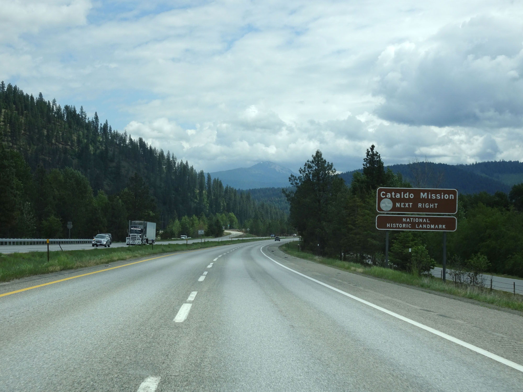 |
Also take Exit 39 to Cataldo Mission National Historic Landmark. (Photo taken 5/25/16). |
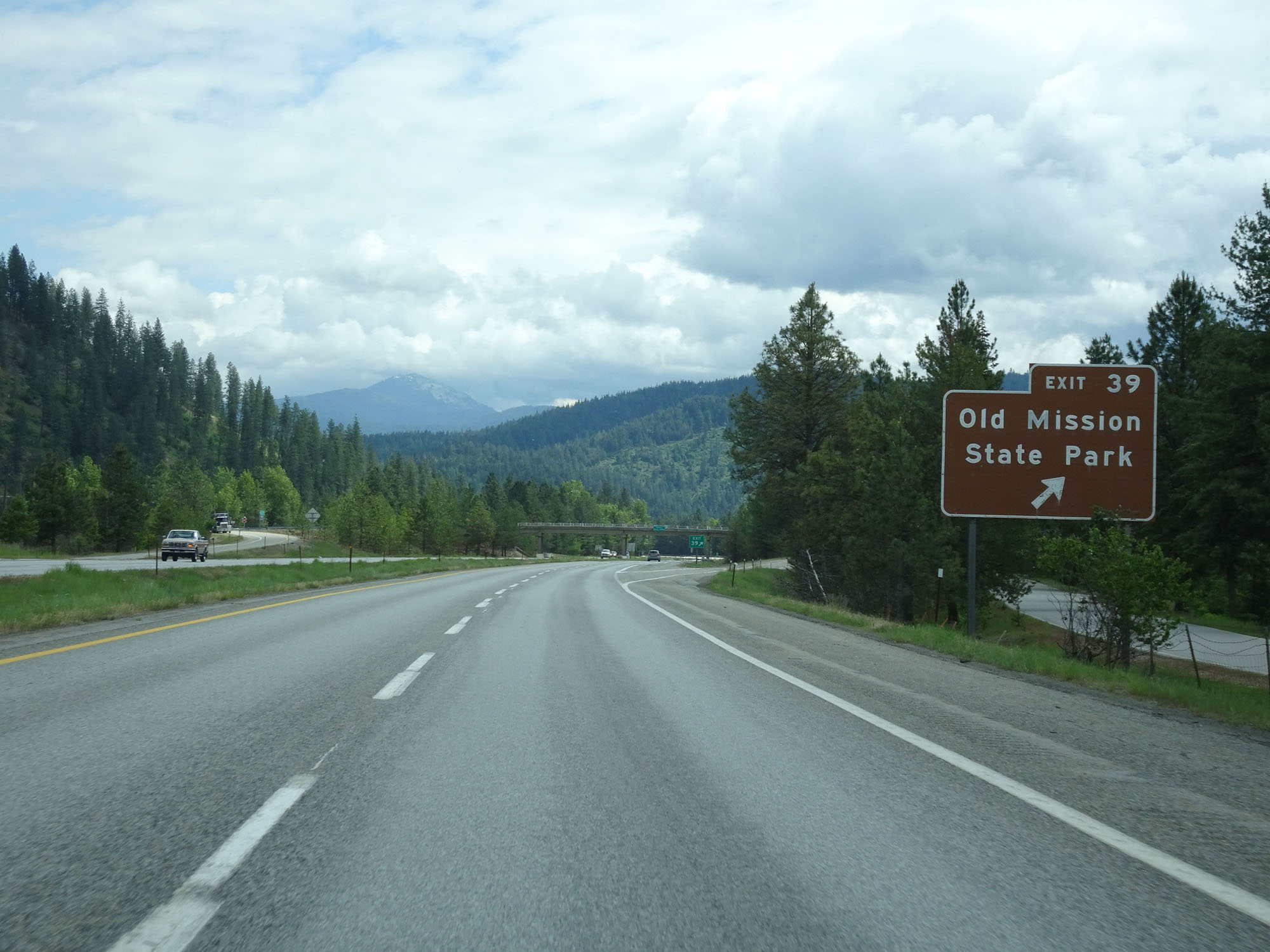 |
Interstate 90 East at Exit 39: Old Mission State Park (Photo taken 5/25/16). |
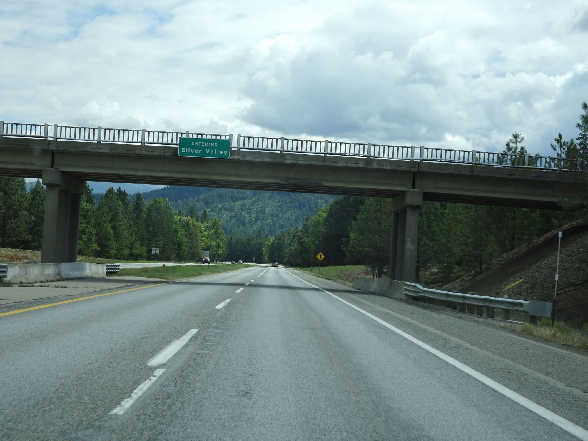 |
Interstate 90 East entering the Silver Valley Region. (Photo taken 5/25/16). |
 |
Interstate 90 East as it crosses the Coeur d'Alene River. (Photo taken 5/25/16). |
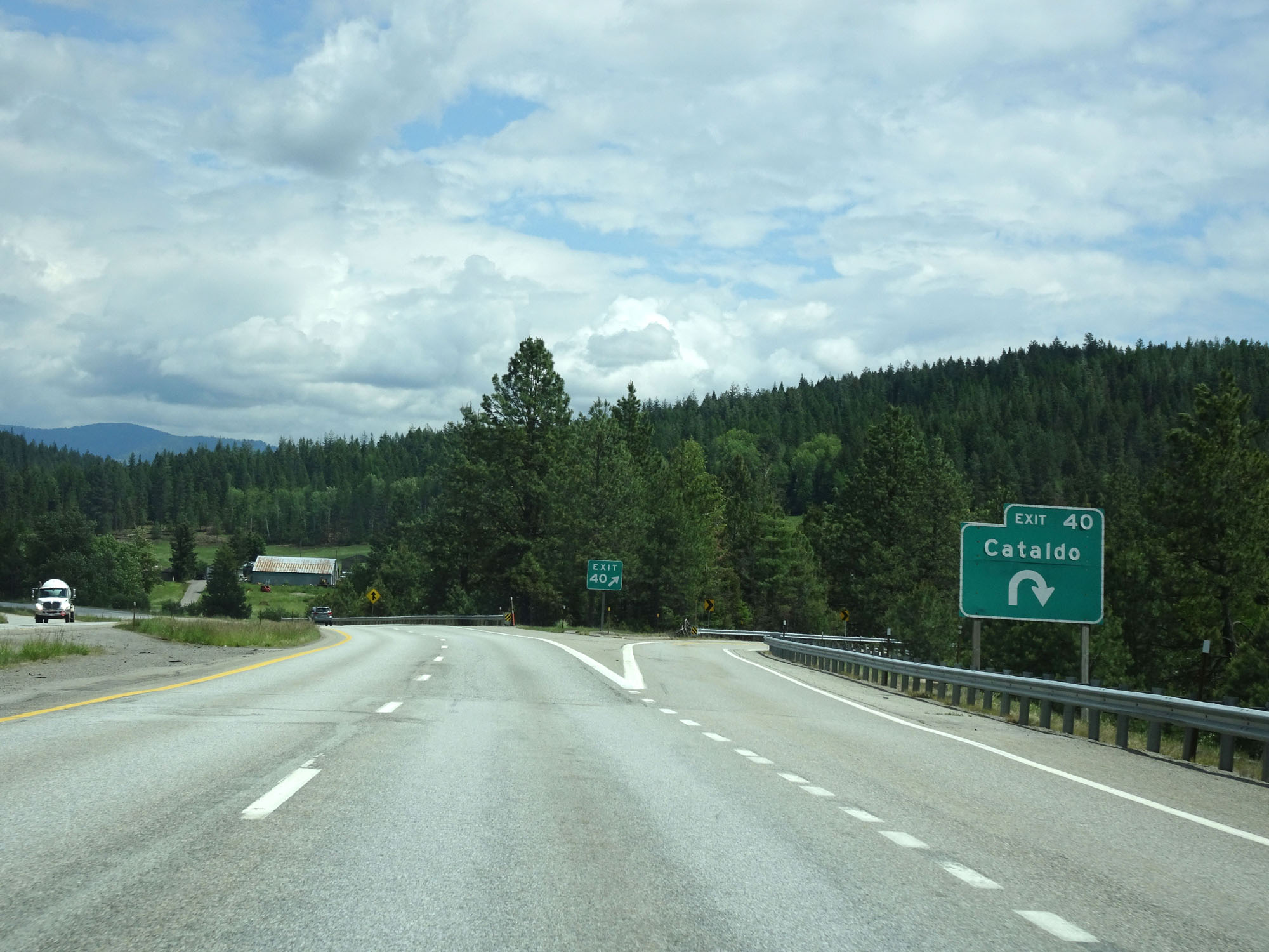 |
Interstate 90 East at Exit 40: Cataldo (Photo taken 5/25/16). |
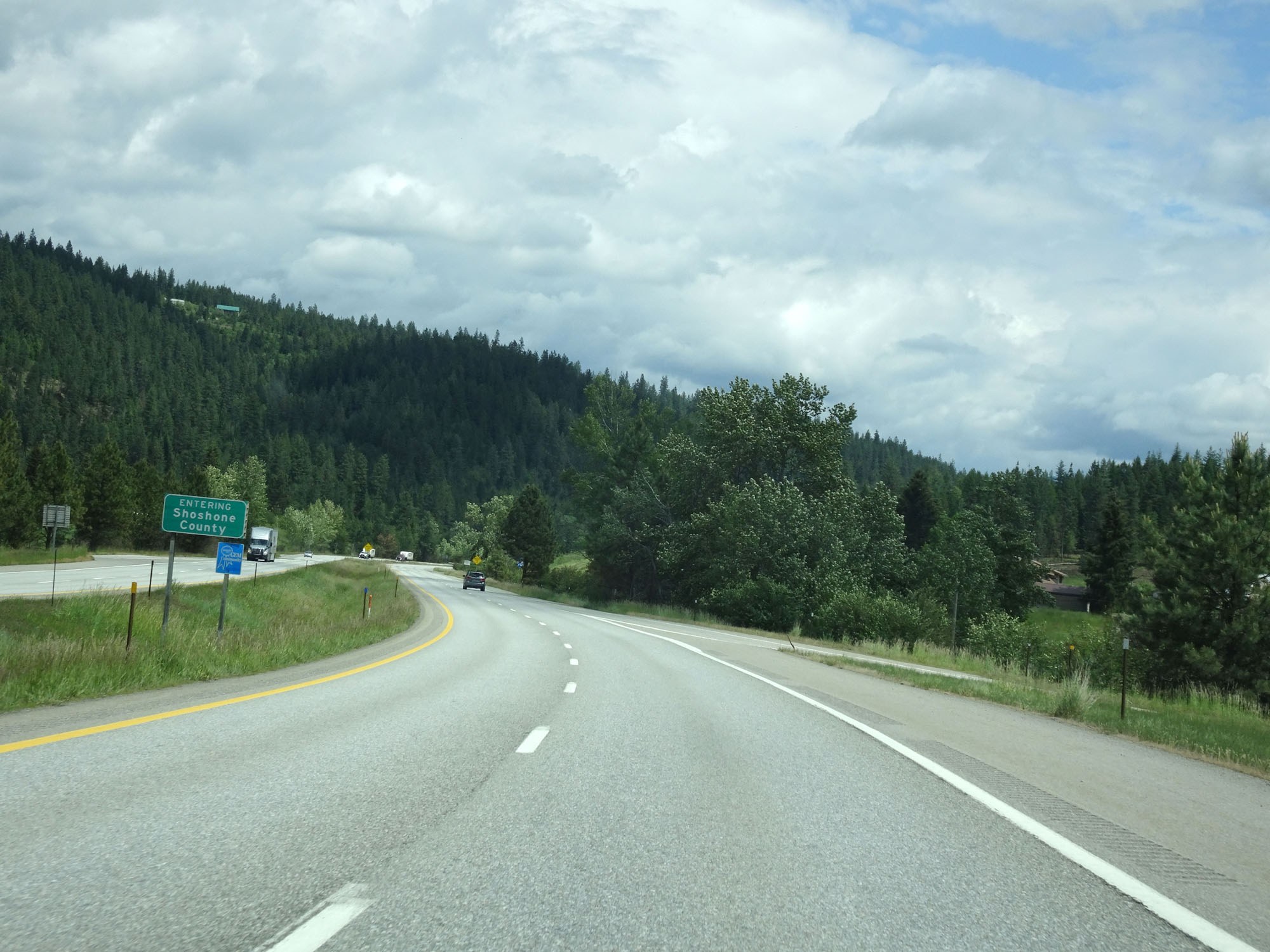 |
Interstate 90 East as it enters Shoshone County, just east of Exit 40. (Photo taken 5/25/16). |
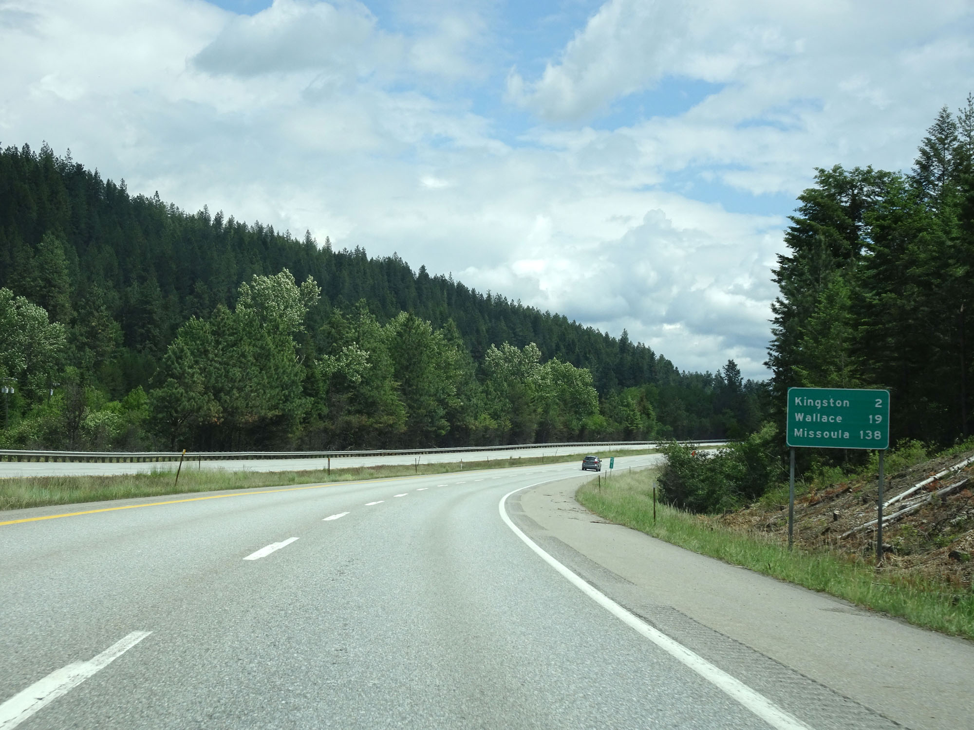 |
Mileage sign upon entering Shoshone County. It's 2 miles to Kingston, 19 miles to Wallace, and 138 miles to Missoula. (Photo taken 5/25/16). |
 |
Interstate 90 East at mile marker 41. (Photo taken 5/25/16). |
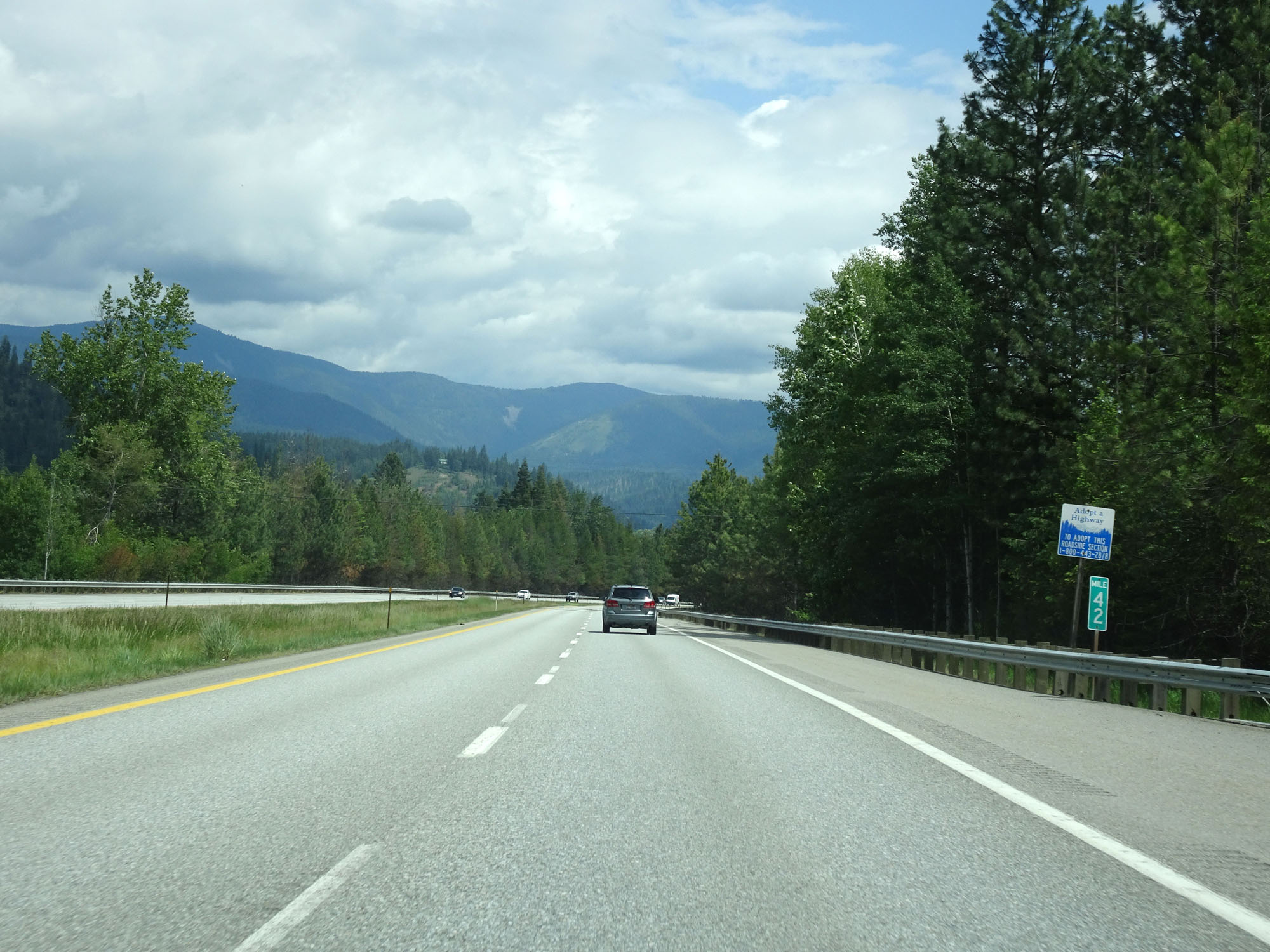 |
Interstate 90 East at mile marker 42. (Photo taken 5/25/16). |
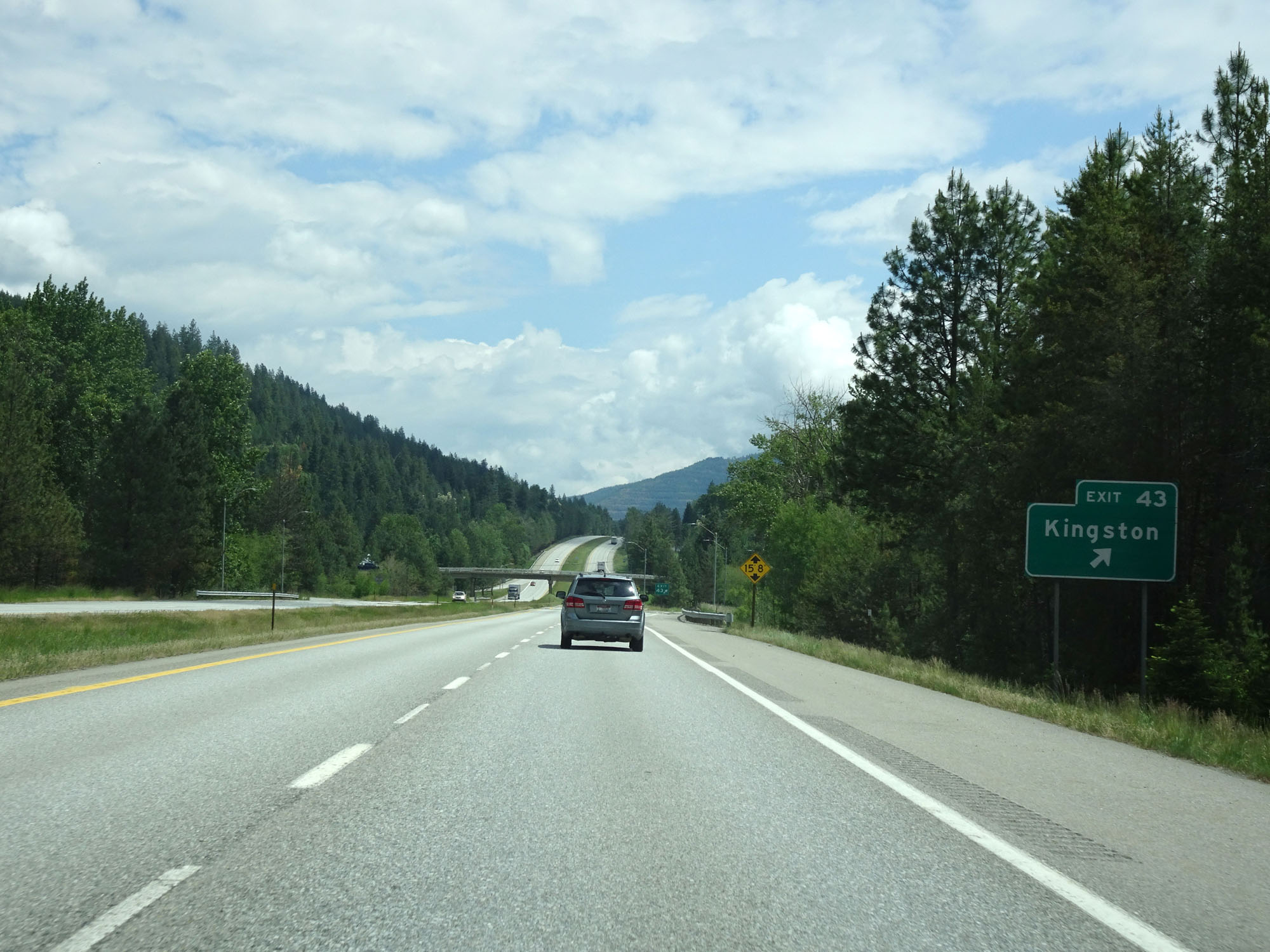 |
Interstate 90 East at Exit 43: Kingston (Photo taken 5/25/16). |
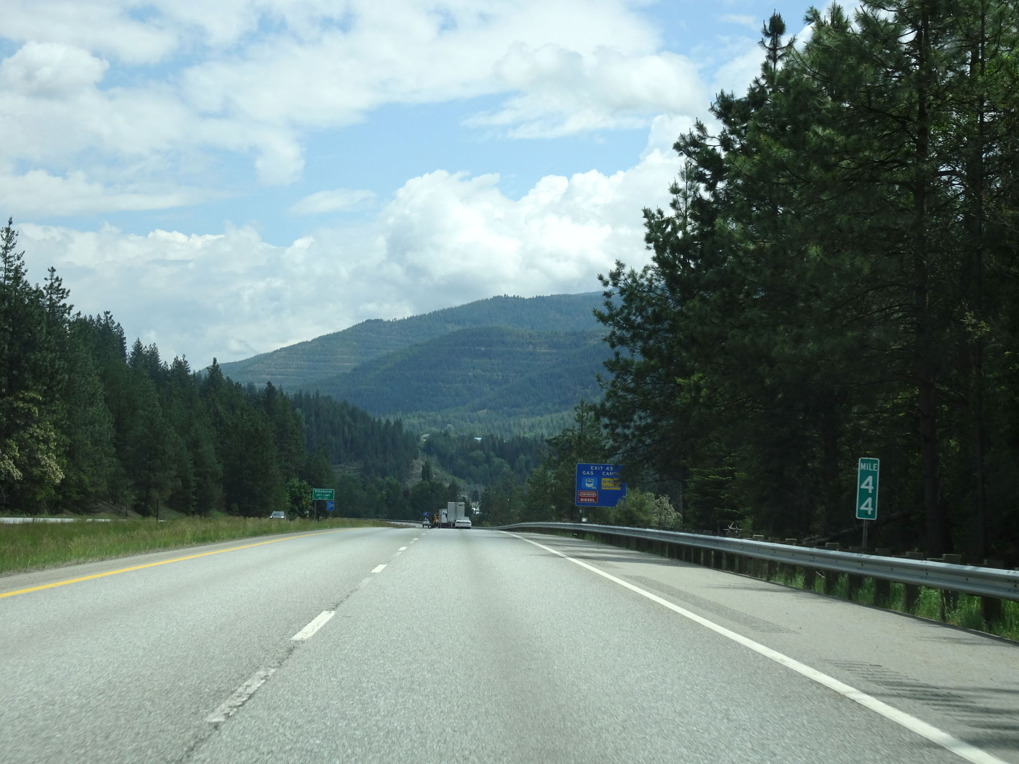 |
Interstate 90 East at mile marker 44. (Photo taken 5/25/16). |
 |
Interstate 90 East at Exit 45: Pinehurst / Smelterville (Photo taken 5/25/16). |
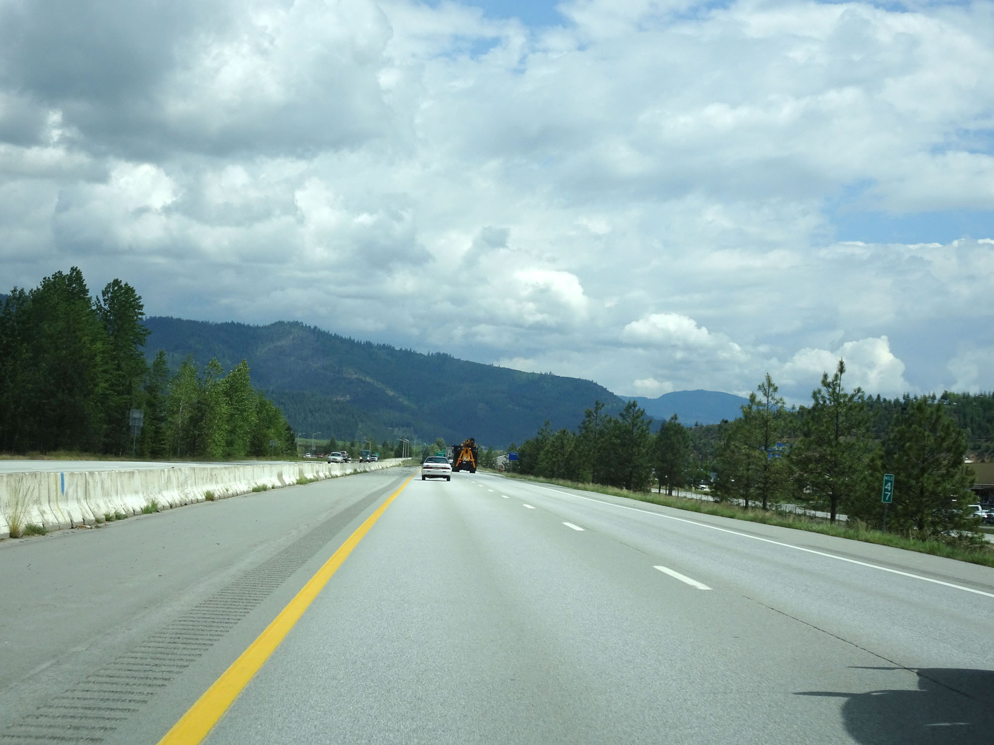 |
Interstate 90 East at mile marker 47. (Photo taken 5/25/16). |
 |
Interstate 90 East at Exit 48: Smelterville / Shoshone County Airport (Photo taken 5/25/16). |
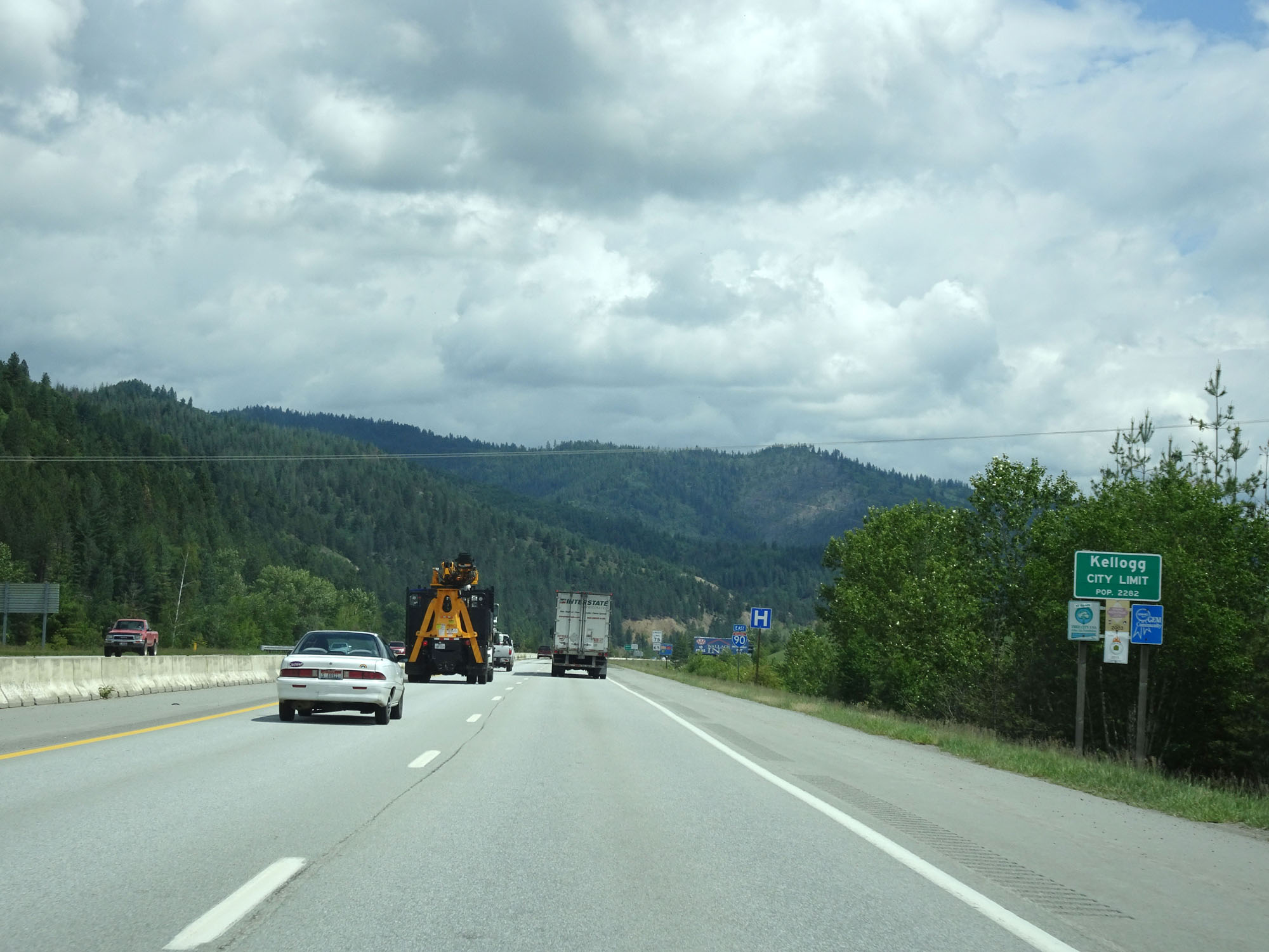 |
Interstate 90 East entering the Kellogg city limits. (Photo taken 5/25/16). |
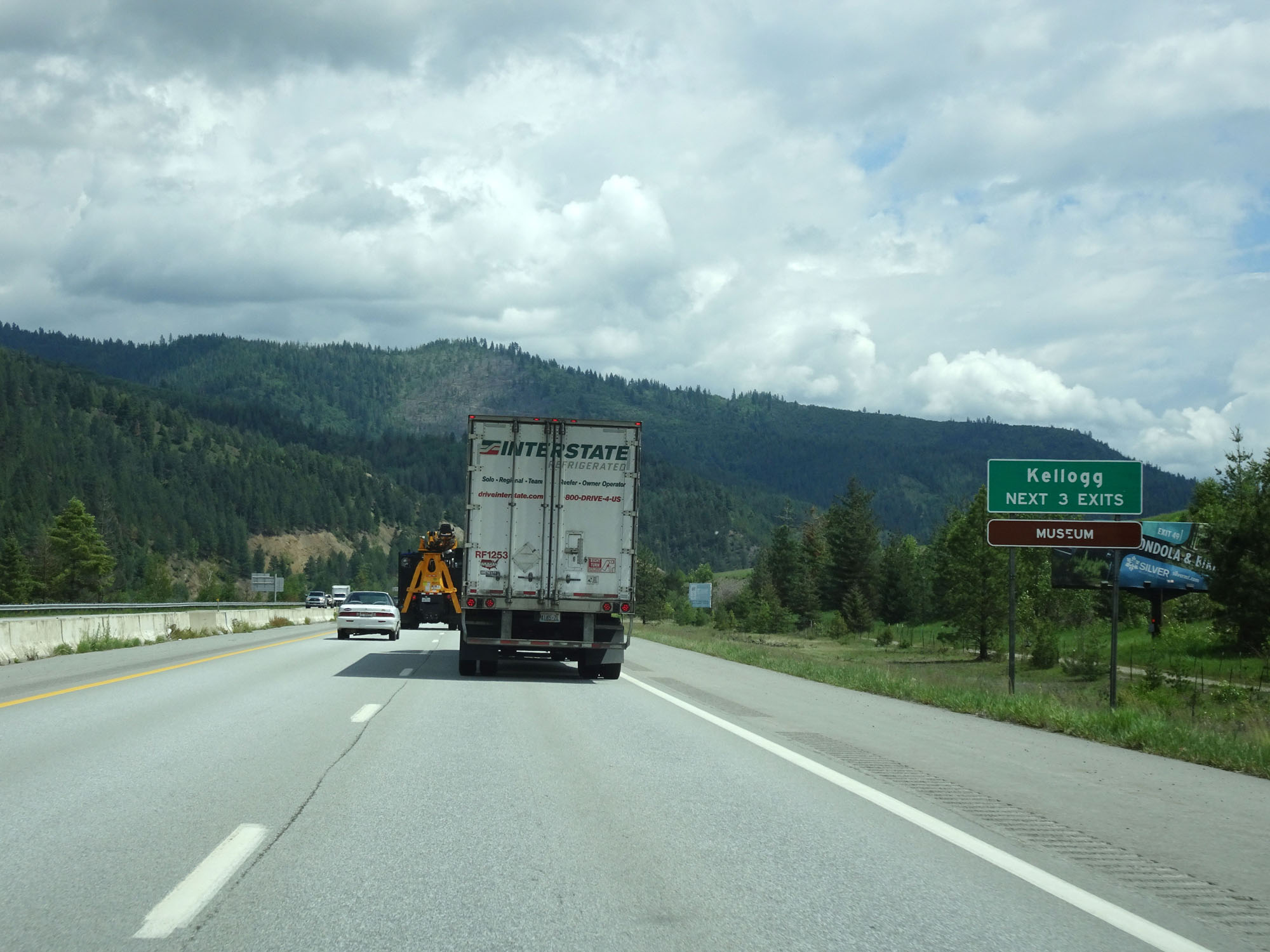 |
Take any of the next 3 exits to Kellogg. (Photo taken 5/25/16). |
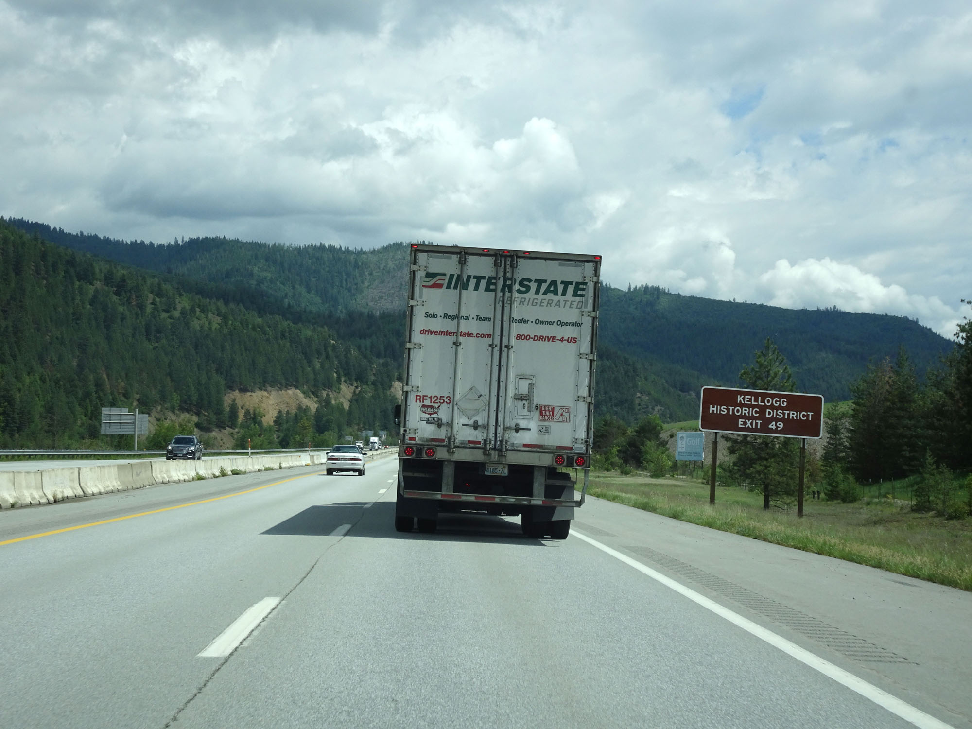 |
Take Exit 49 to Kellogg Historic District. (Photo taken 5/25/16). |
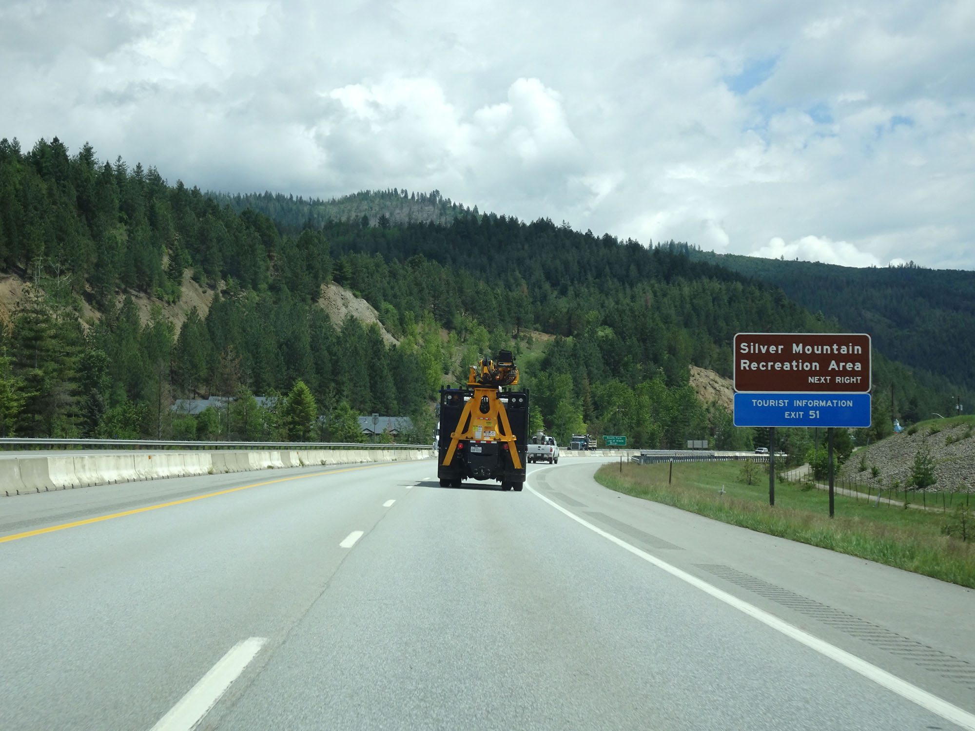 |
Also take Exit 49 to Silver Mountain Recreation Area. (Photo taken 5/25/16). |
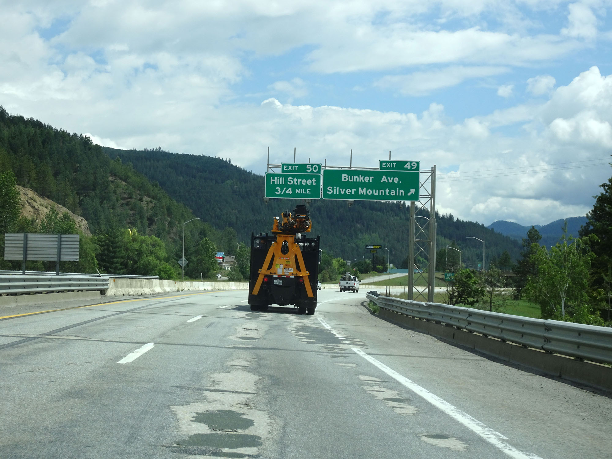 |
Interstate 90 East at Exit 49: Bunker Ave / Silver Mountain (Photo taken 5/25/16). |
 |
Interstate 90 East at Exit 50: Hill Street (Photo taken 5/25/16). |
 |
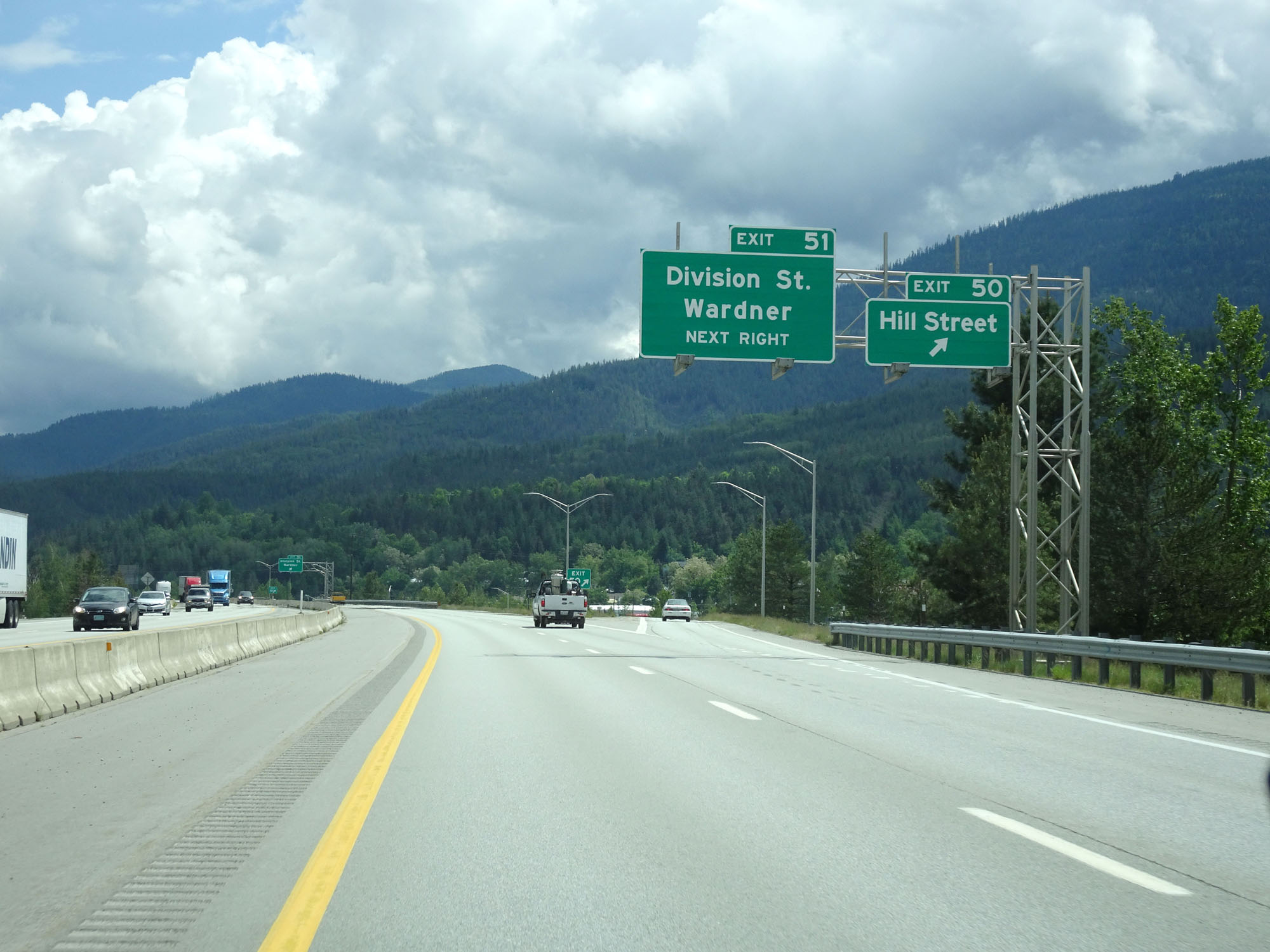
Interstate 90 East at Exit 51: Division St / Wardner (Photo taken 5/25/16). |
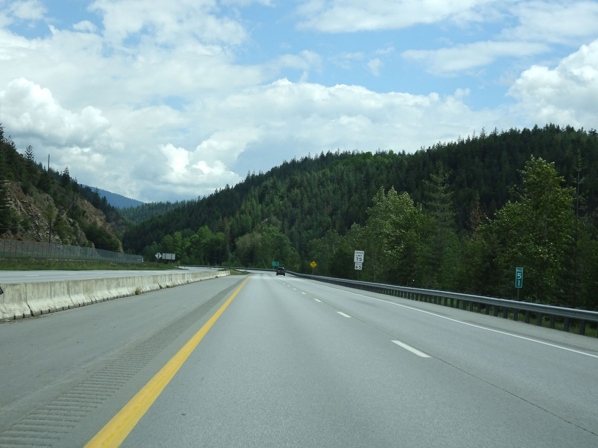 |
Interstate 90 East at mile marker 51. (Photo taken 5/25/16). |
 |
View on Interstate 90 East. (Photo taken 5/25/16). |
 |
Interstate 90 East at Exit 54: Big Creek (Photo taken 5/25/16). |
 |
Interstate 90 East assurance shield just past Exit 54. (Photo taken 5/25/16). |
 |
Interstate 90 East at mile marker 55. (Photo taken 5/25/16). |
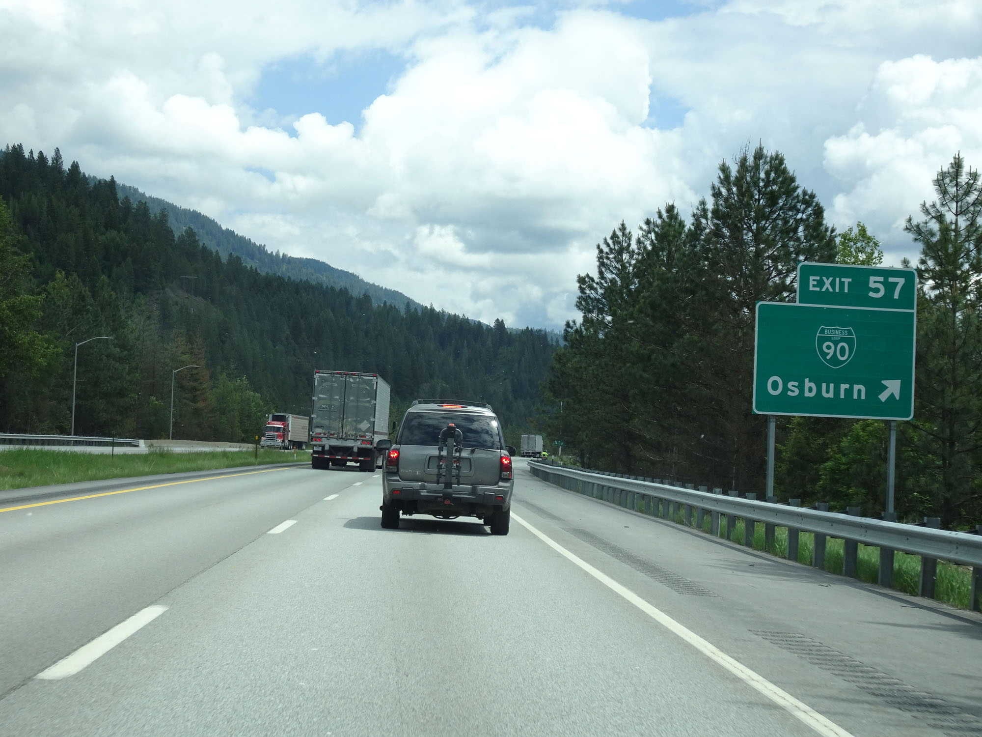 |
Interstate 90 East at Exit 57: Interstate 90 BL - Osburn (Photo taken 5/25/16). |
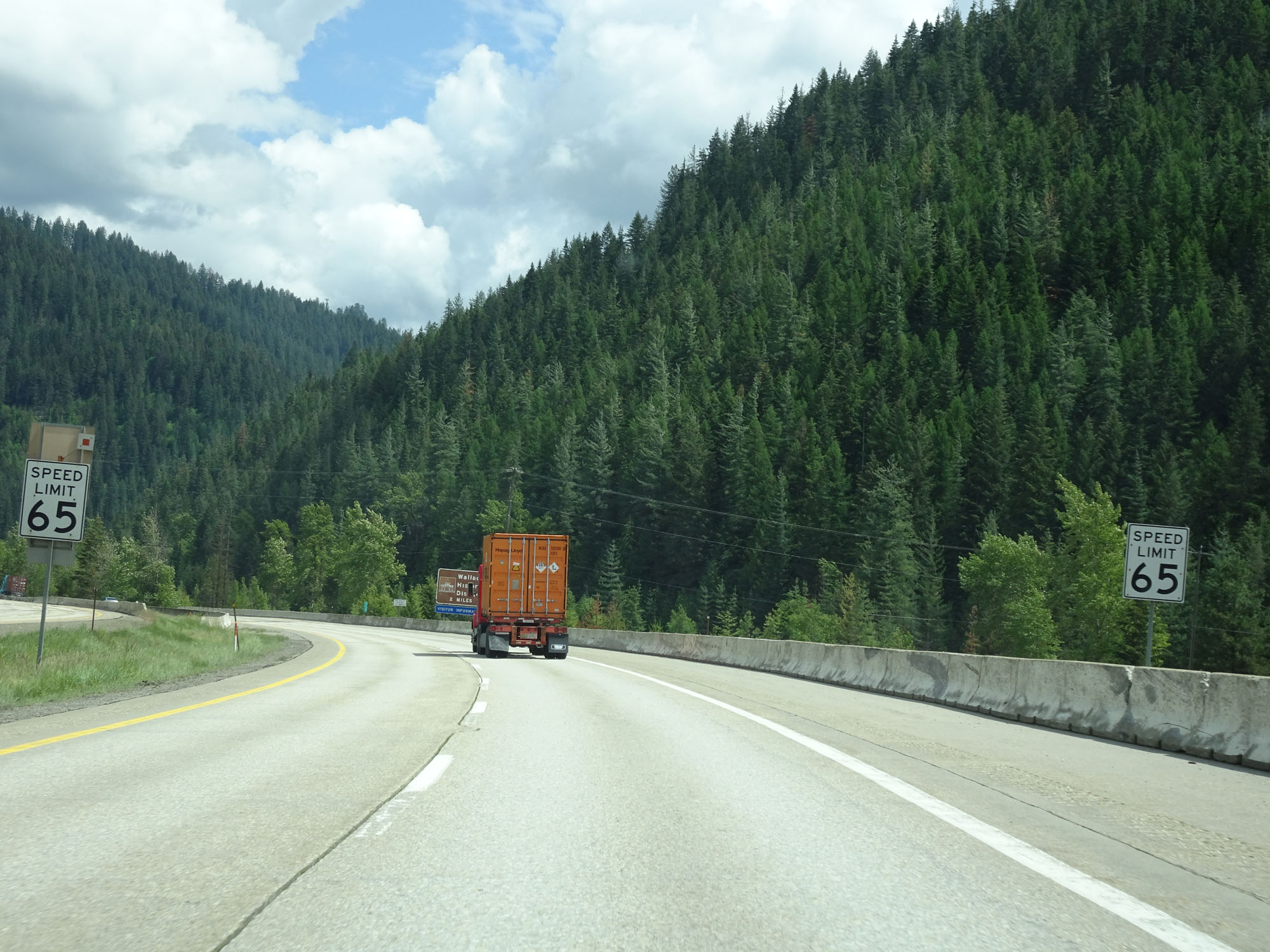 |
Approaching Wallace, the speed limit decreases to 65 mph for all traffic. (Photo taken 5/25/16). |
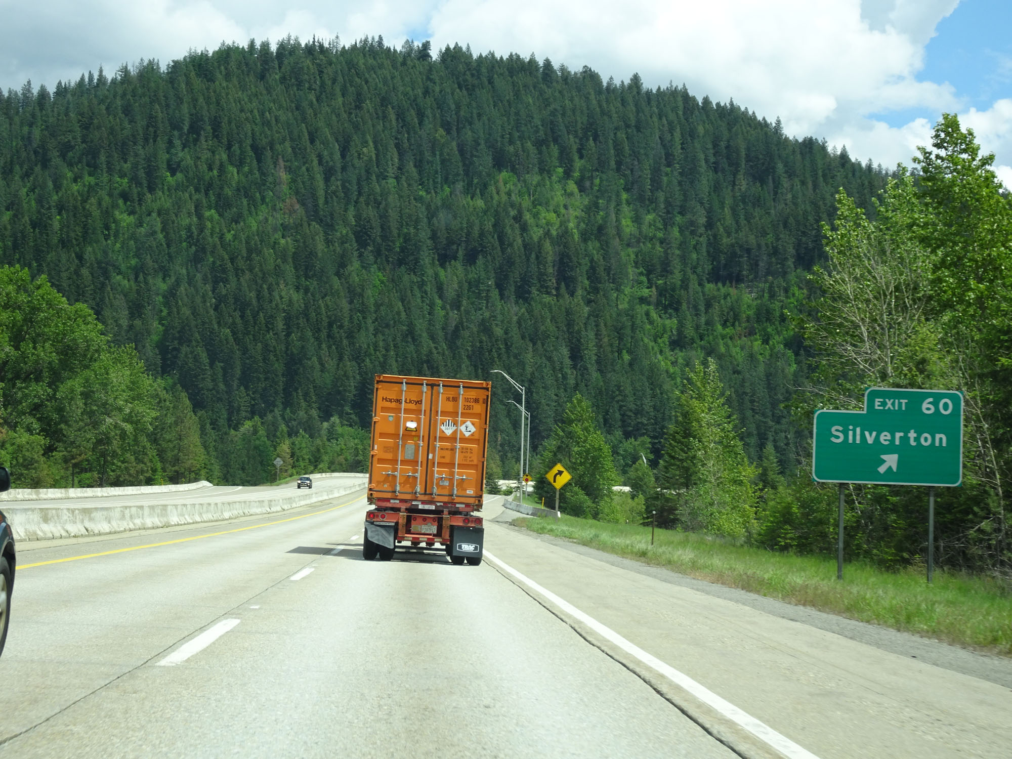 |
Interstate 90 East at Exit 60: Silverton (Photo taken 5/25/16). |
 |
Interstate 90 East assurance shield at mile marker 60. (Photo taken 5/25/16). |
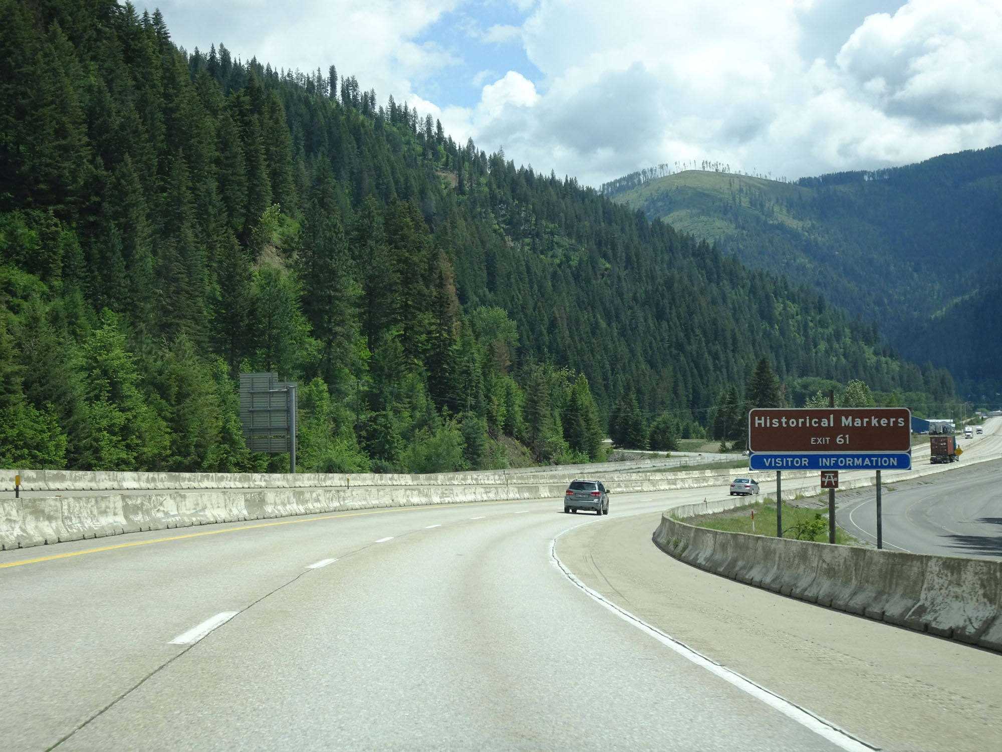 |
Take Exit 61 to the Historical Markers in Wallace. (Photo taken 5/25/16). |
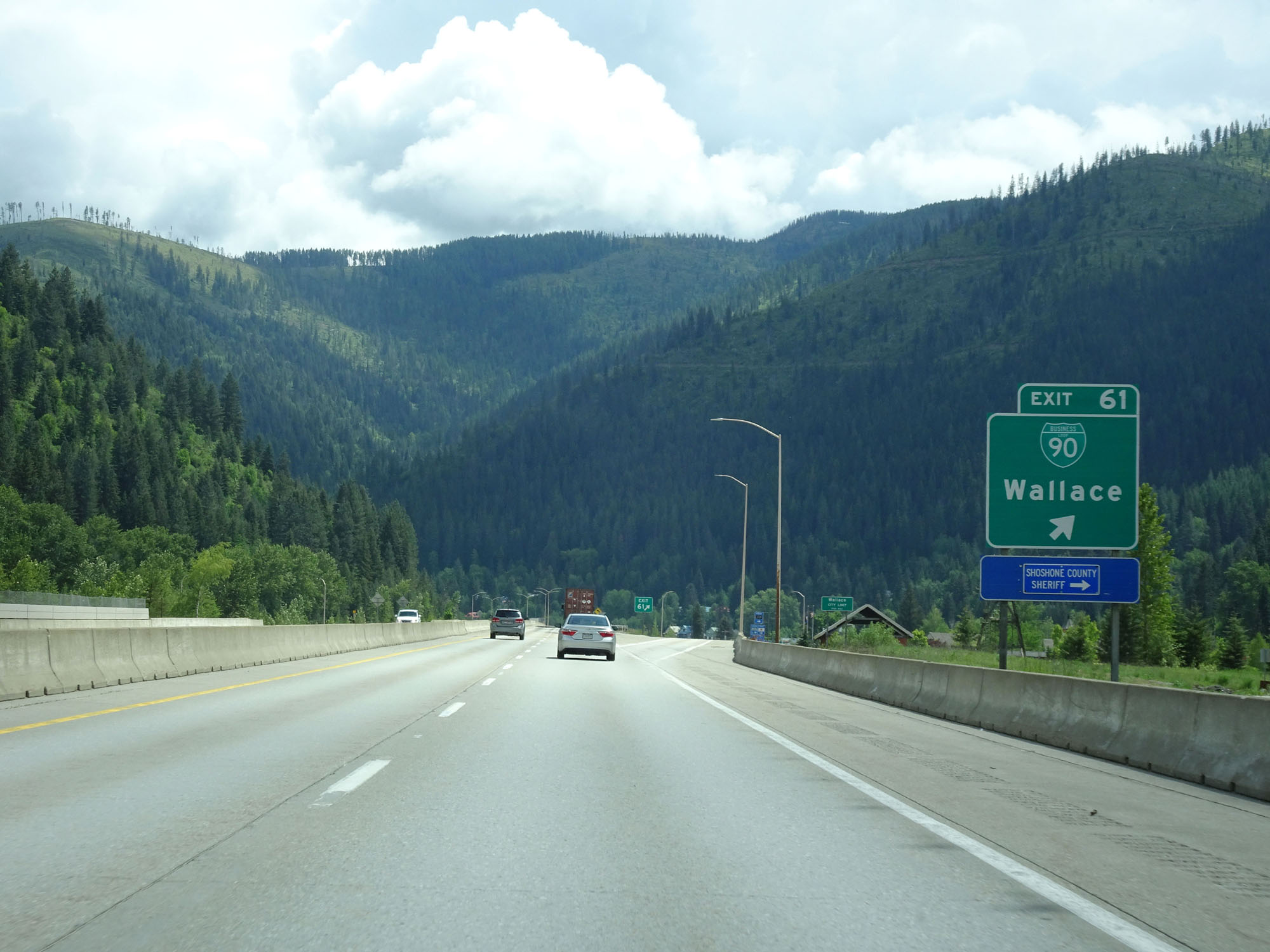 |
Interstate 90 East at Exit 61: Interstate 90 BL - Wallace (Photo taken 5/25/16). |
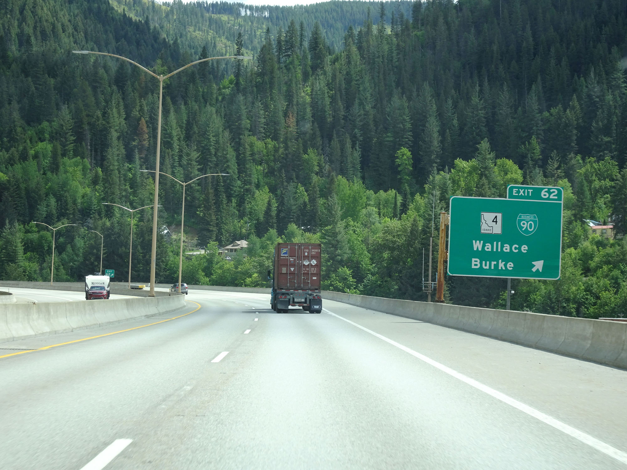 |
Interstate 90 East at Exit 62: ID 4 / Interstate 90 BL - Wallace / Burke (Photo taken 5/25/16). |
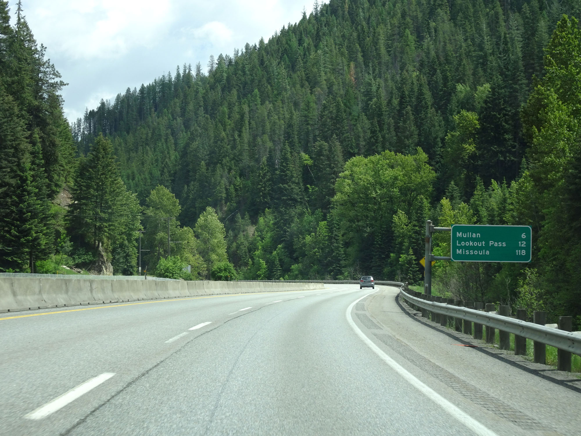 |
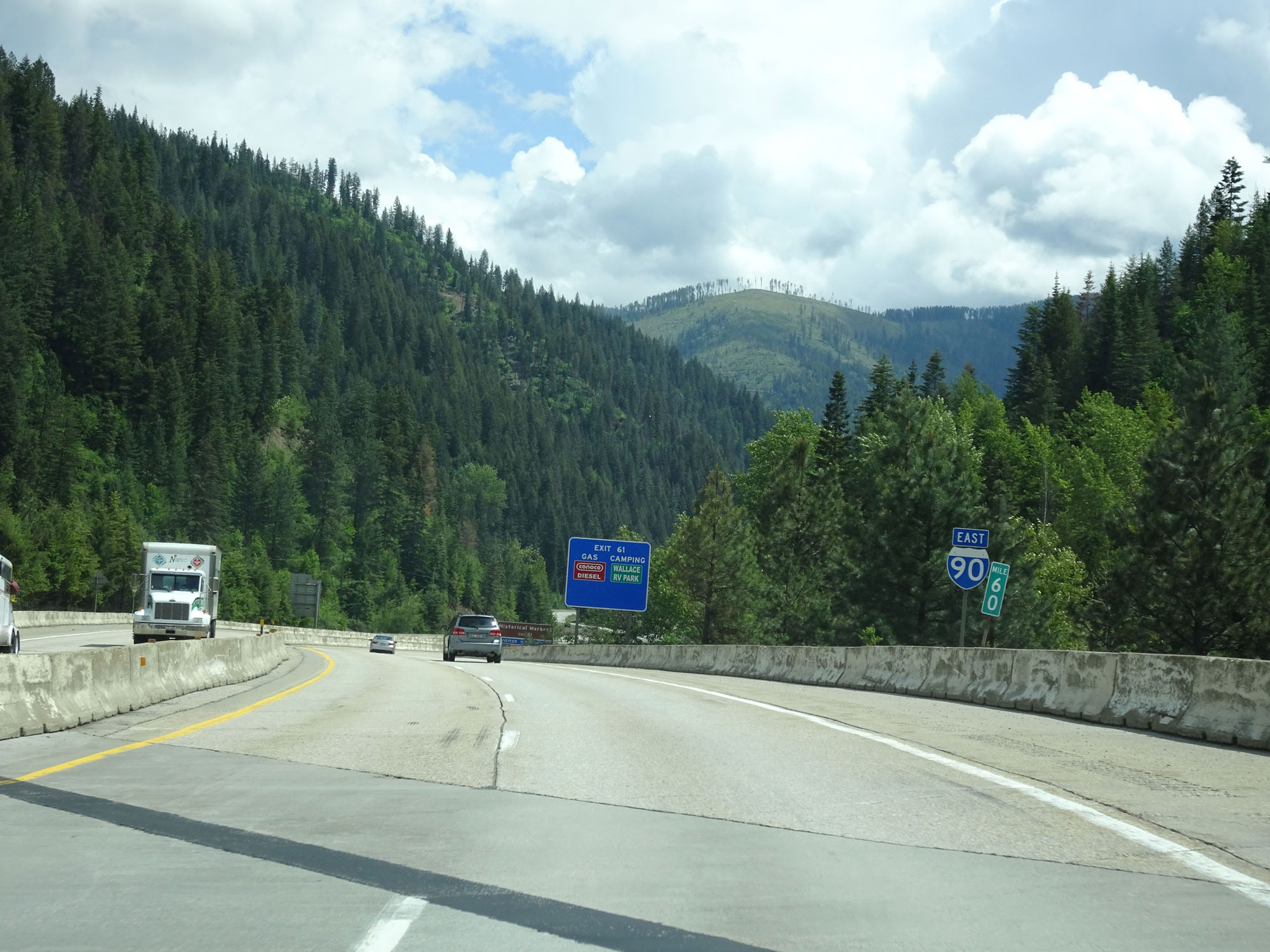
Mileage sign beyond Exit 62. It's 6 miles to Mullan, 12 miles to Lookout Pass, and 118 miles to Missoula. (Photo taken 5/25/16). |
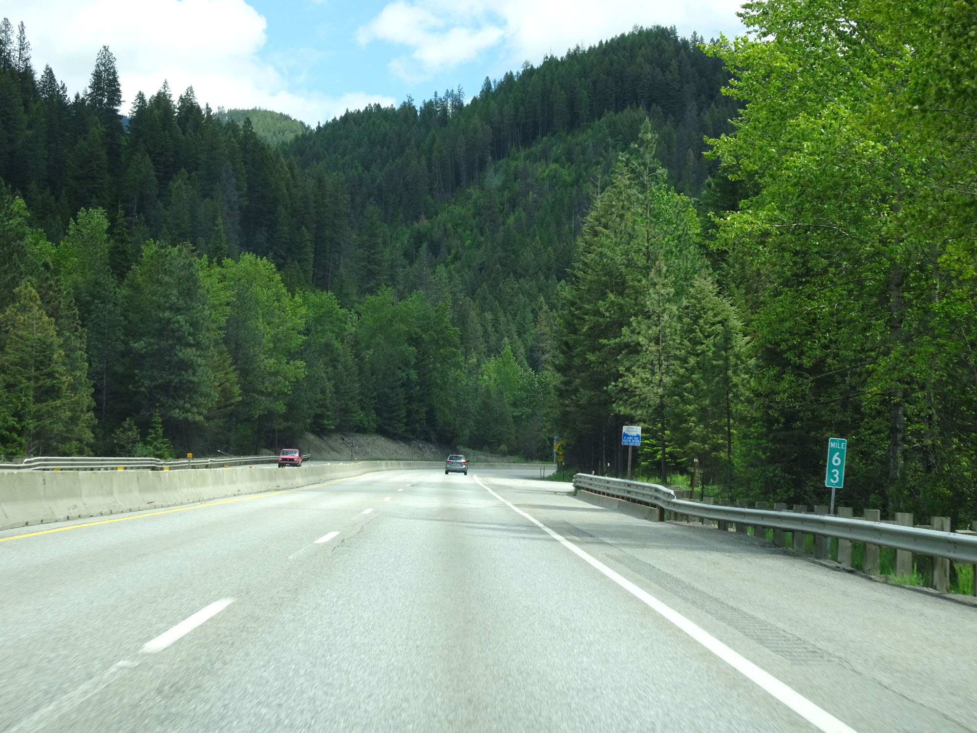 |
Interstate 90 East at mile marker 63. (Photo taken 5/25/16). |
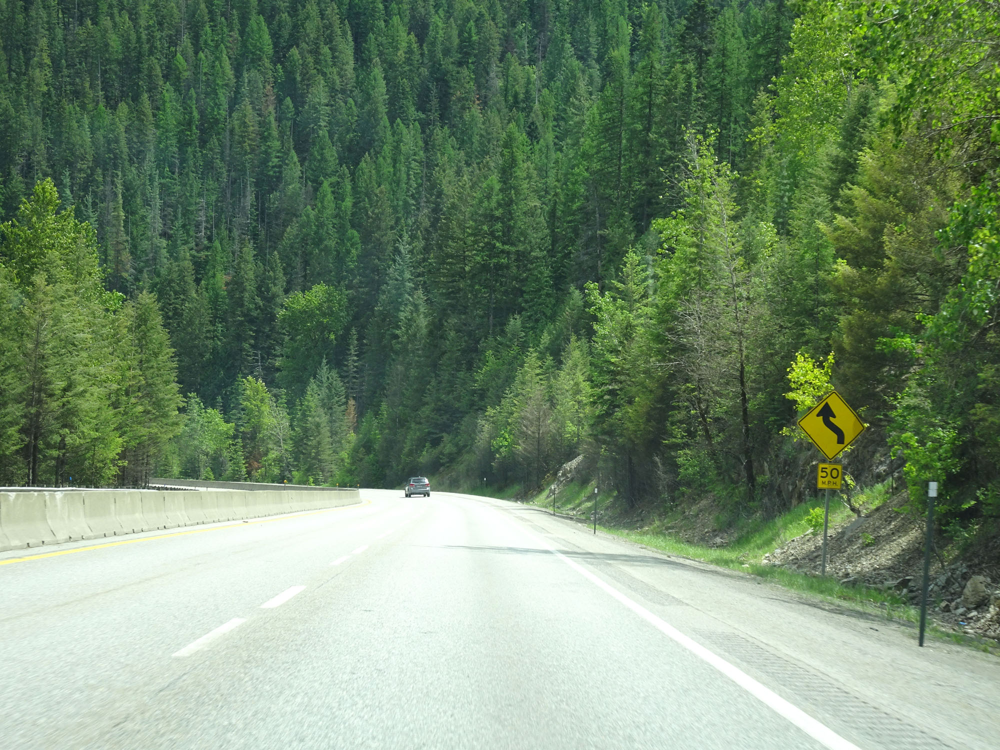 |
View on Interstate 90 East. (Photo taken 5/25/16). |
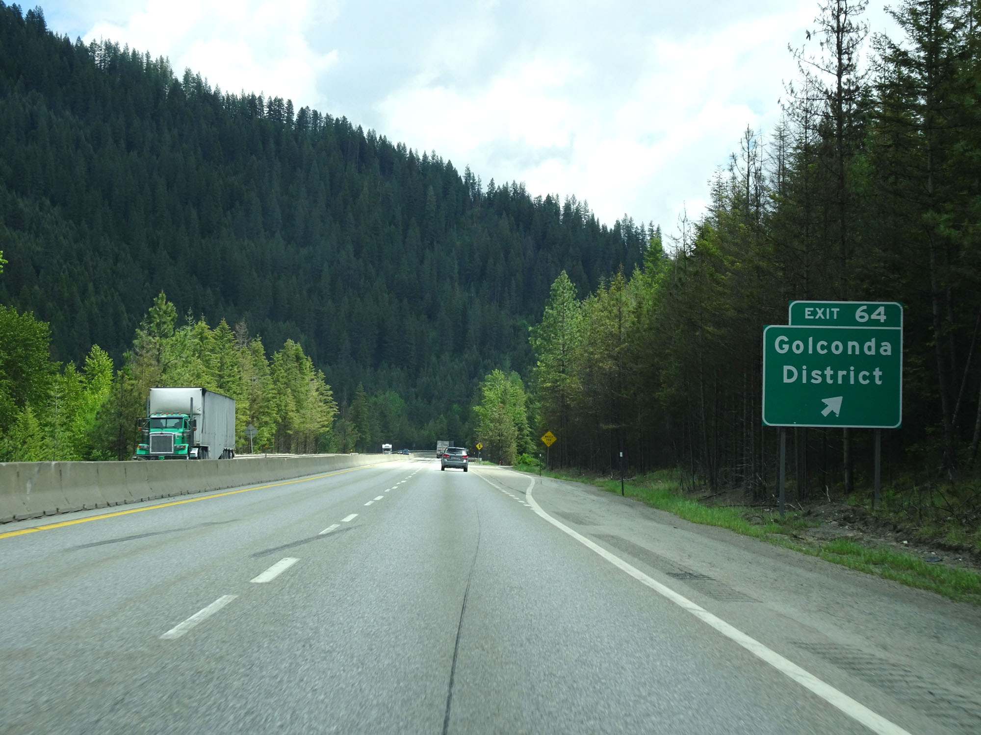 |
Interstate 90 East at Exit 64: Golconda District (Photo taken 5/25/16). |
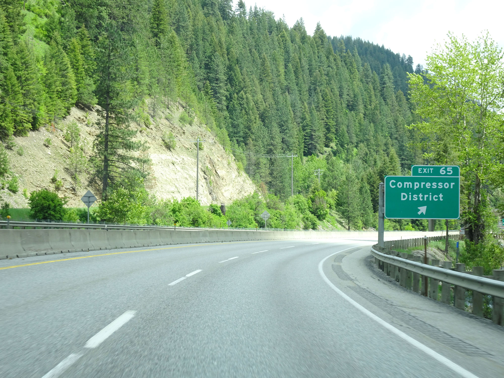 |
Interstate 90 East at Exit 65: Compressor District (Photo taken 5/25/16). |
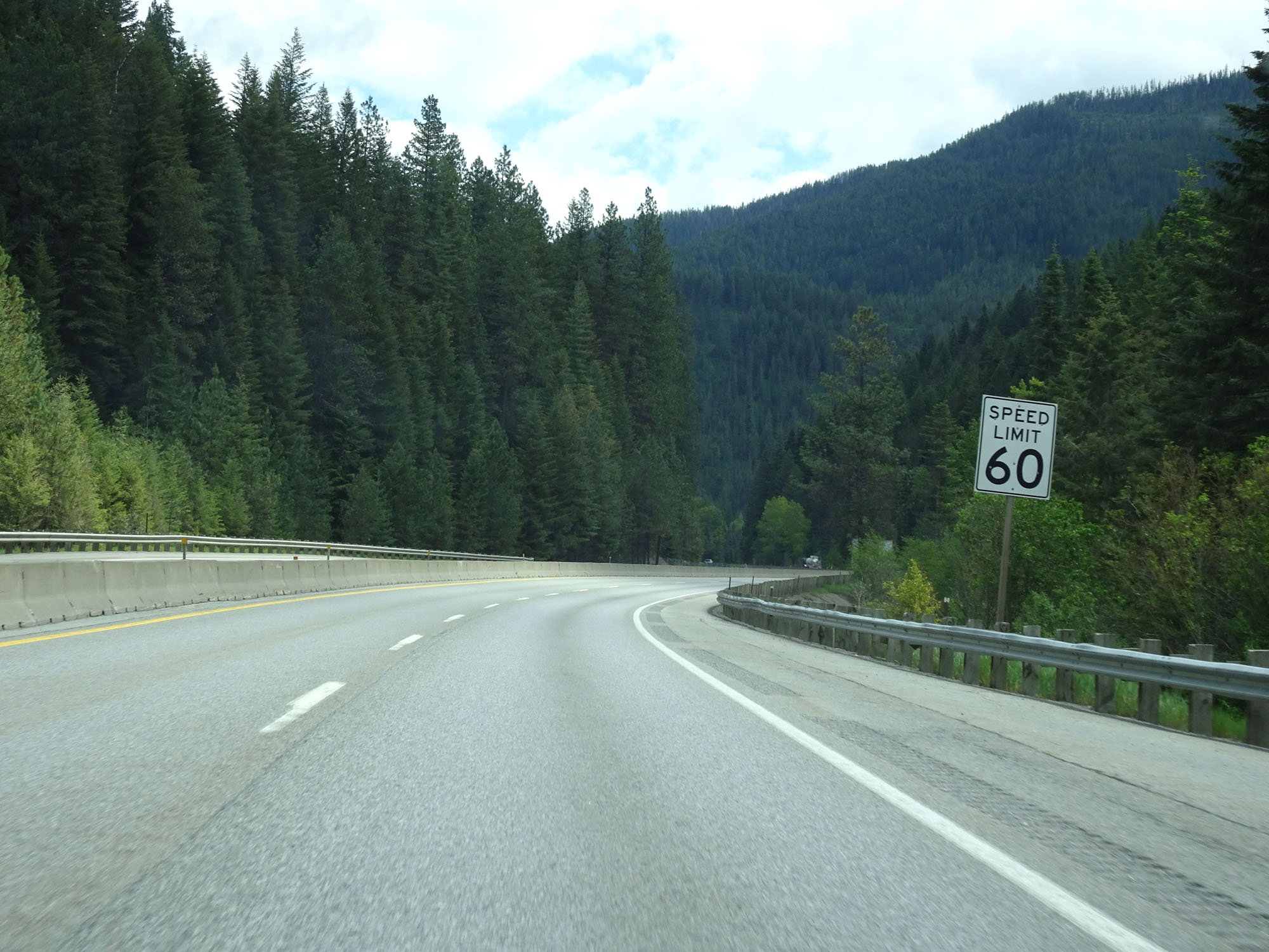 |
East of Exit 65, the speed limit decreases to 60 mph for all traffic as Interstate 90 East approaches Mullan and the foot of Lookout Pass. (Photo taken 5/25/16). |
 |
Interstate 90 East at mile marker 66. (Photo taken 5/25/16). |
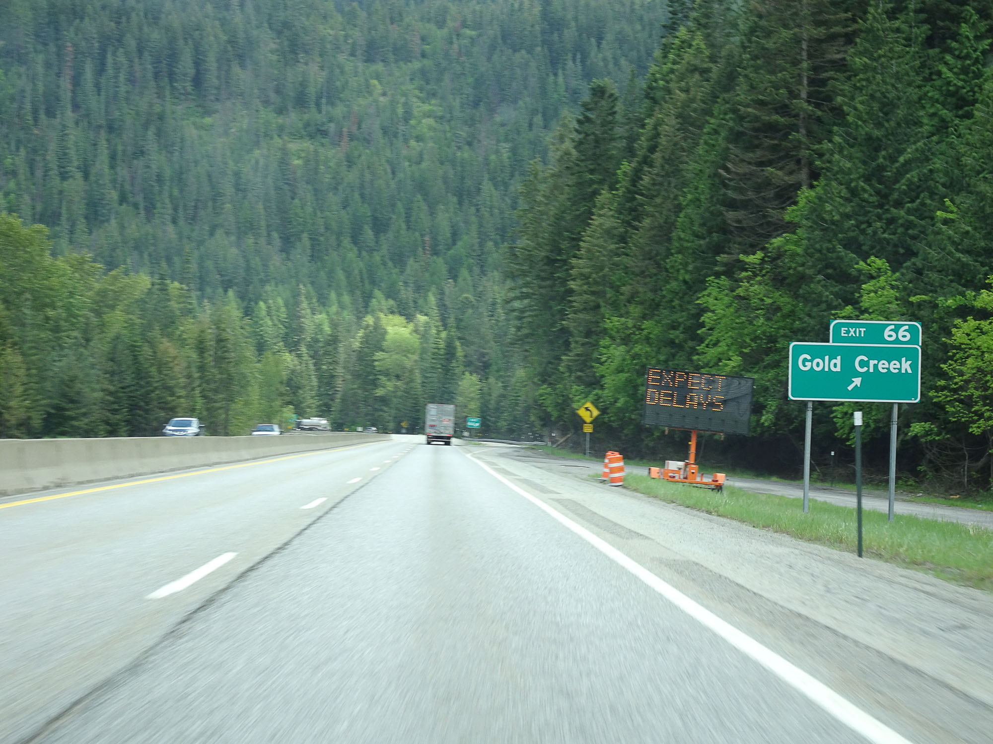 |
Interstate 90 East at Exit 66: Gold Creek (Photo taken 5/25/16). |
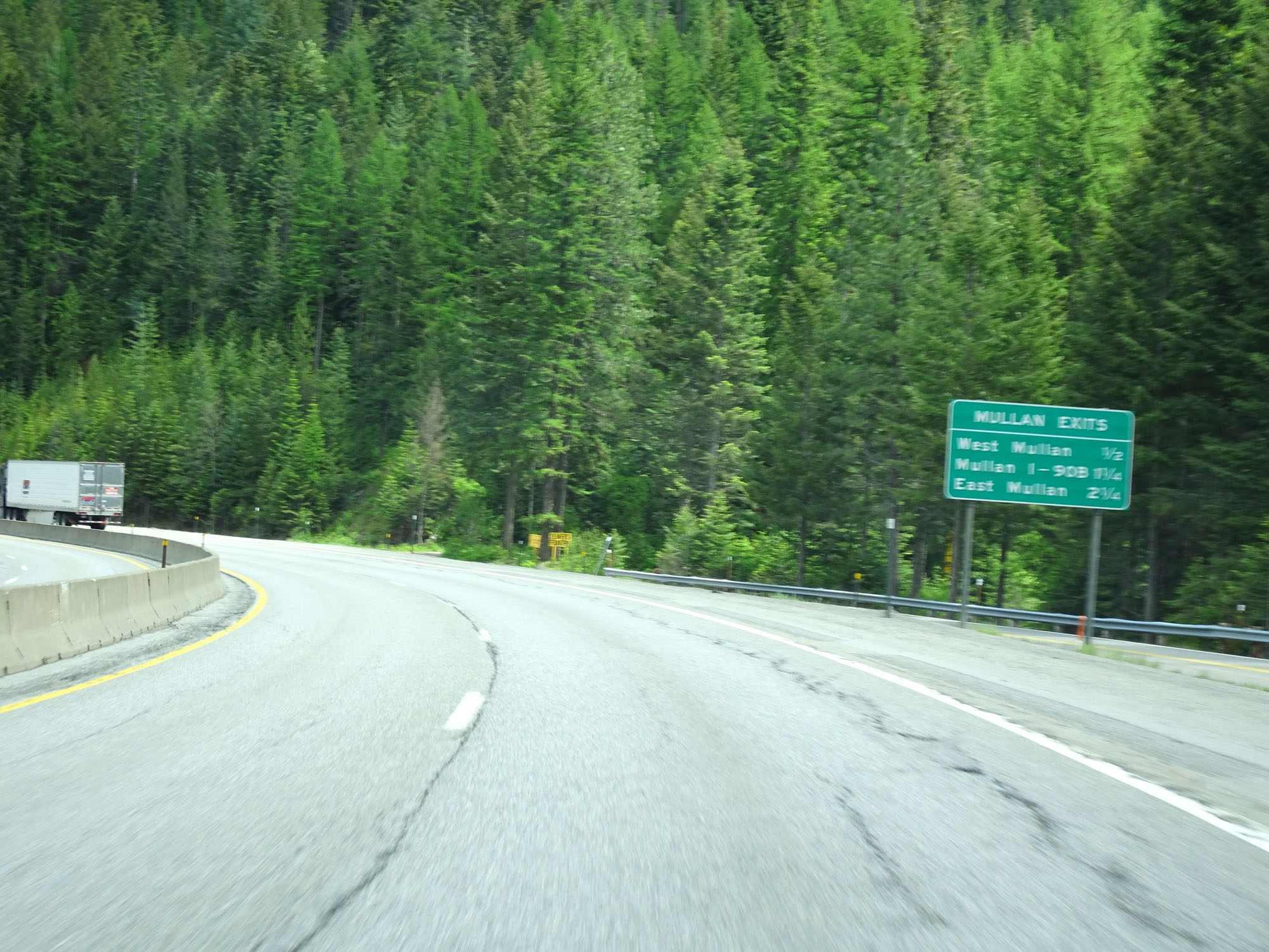 |
This sign lists the distances to the three upcoming exits to Mullan. Too bad I screwed the photo of it up. (Photo taken 5/25/16). |
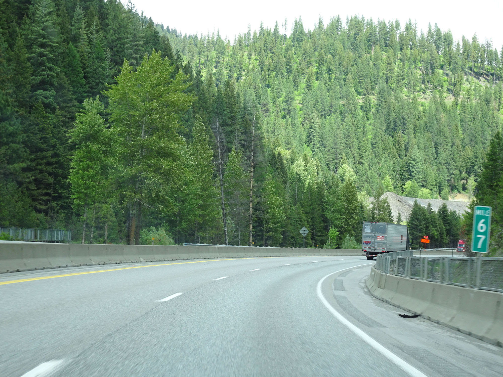 |
Interstate 90 East at mile marker 67. (Photo taken 5/25/16). |
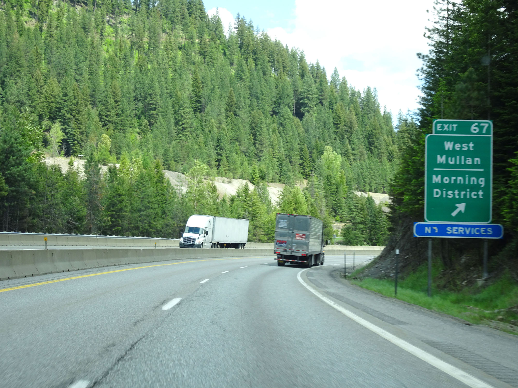 |
Interstate 90 East at Exit 67: West Mullan / Morning District (Photo taken 5/25/16). |
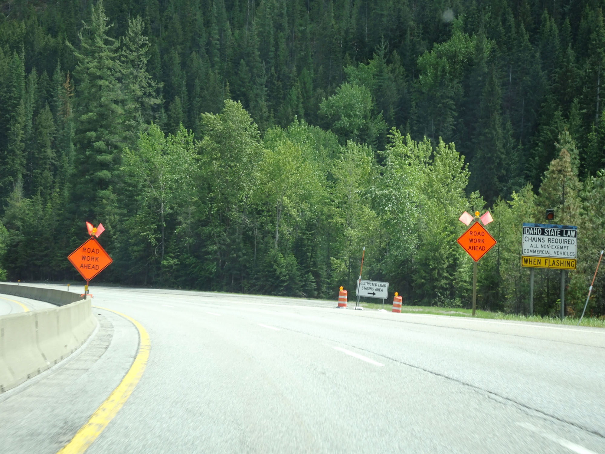 |
Just like before climbing 4th of July Pass earlier, this sign states that when its lights are flashing, chains are required for commercial vehicles to proceed up Lookout Pass. (Photo taken 5/25/16). |
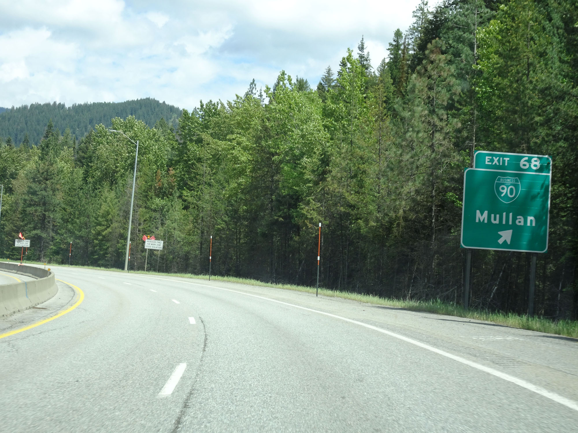 |
Interstate 90 East at Exit 68: Interstate 90 BL - Mullan (Photo taken 5/25/16). |
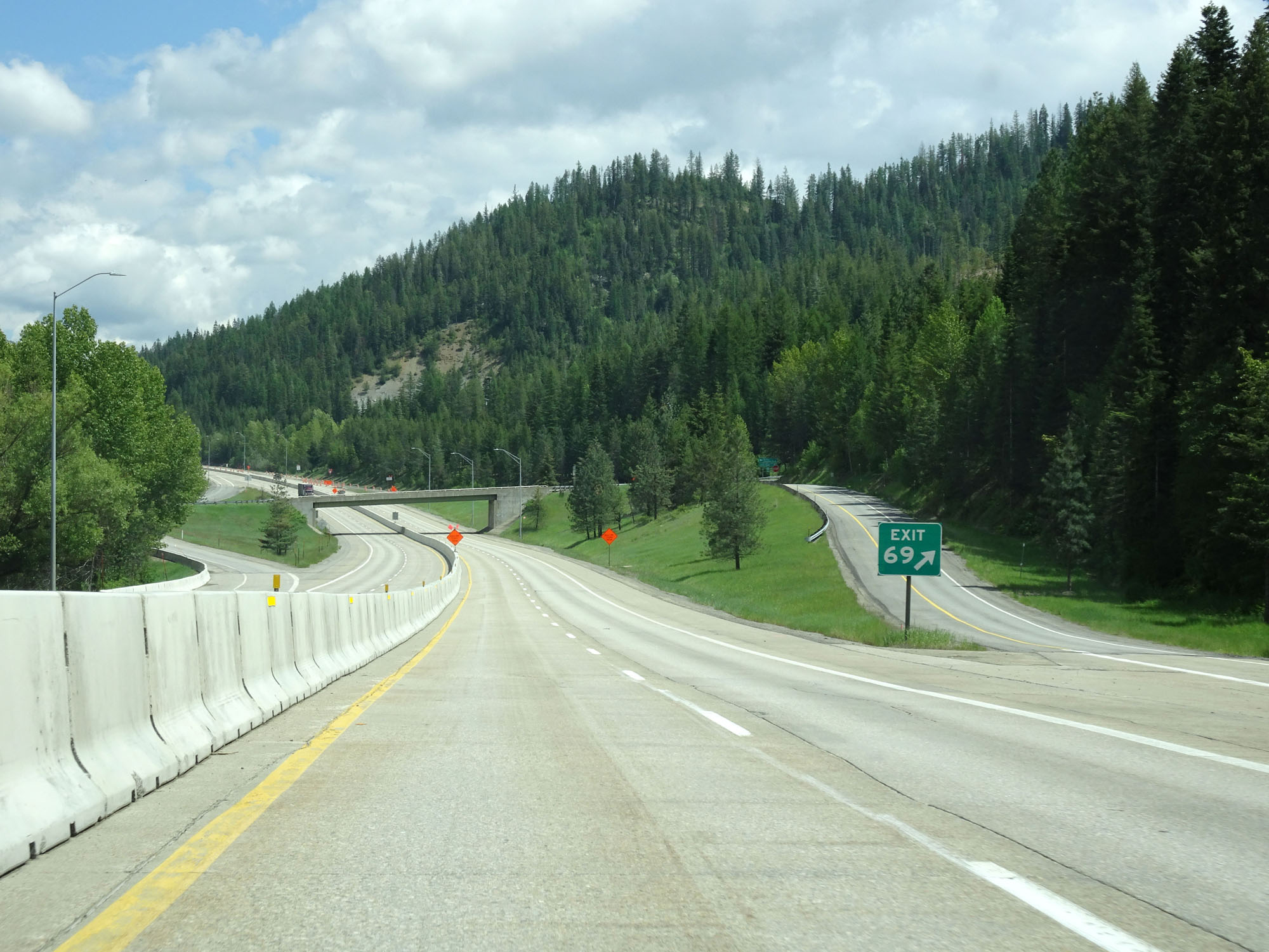 |
Interstate 90 East at Exit 69: Interstate 90 BL - East Mullan (Photo taken 5/25/16). |
 |
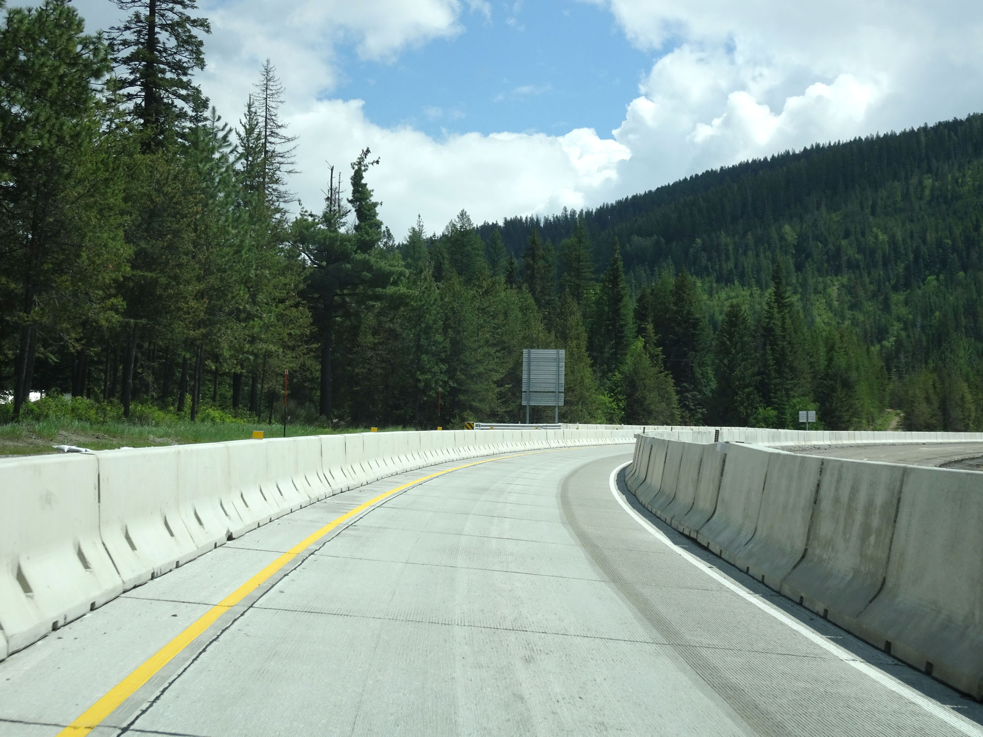
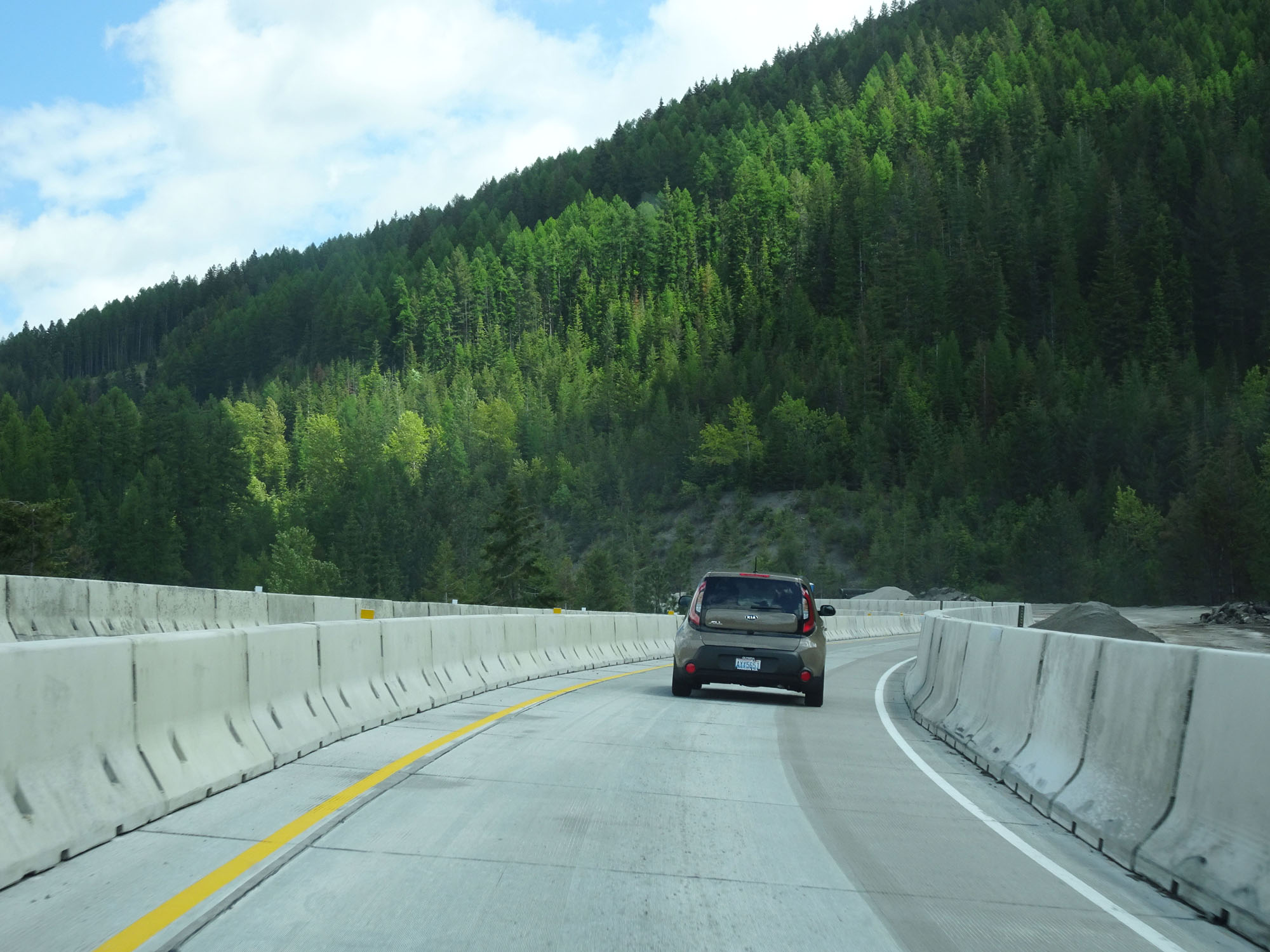
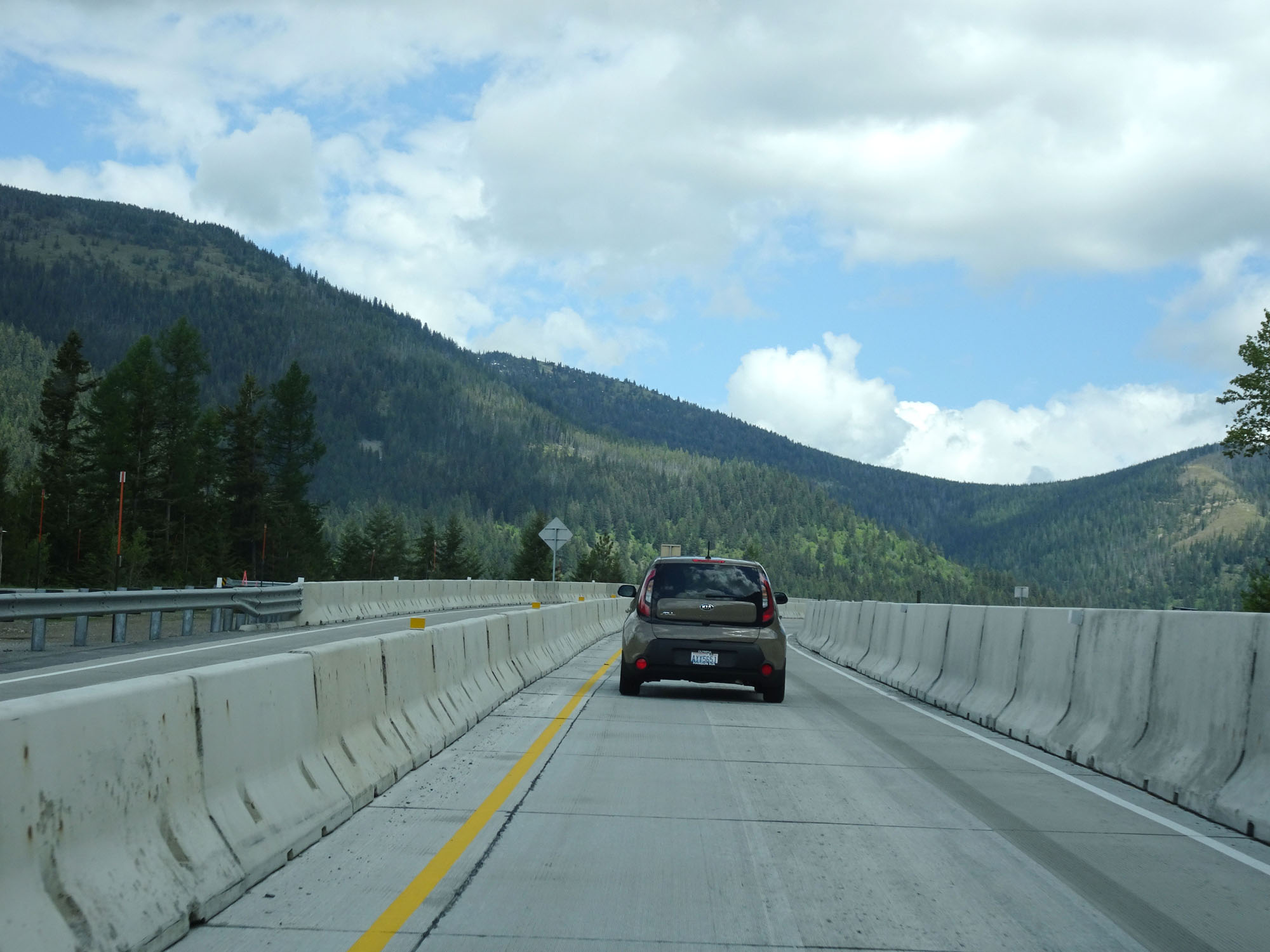
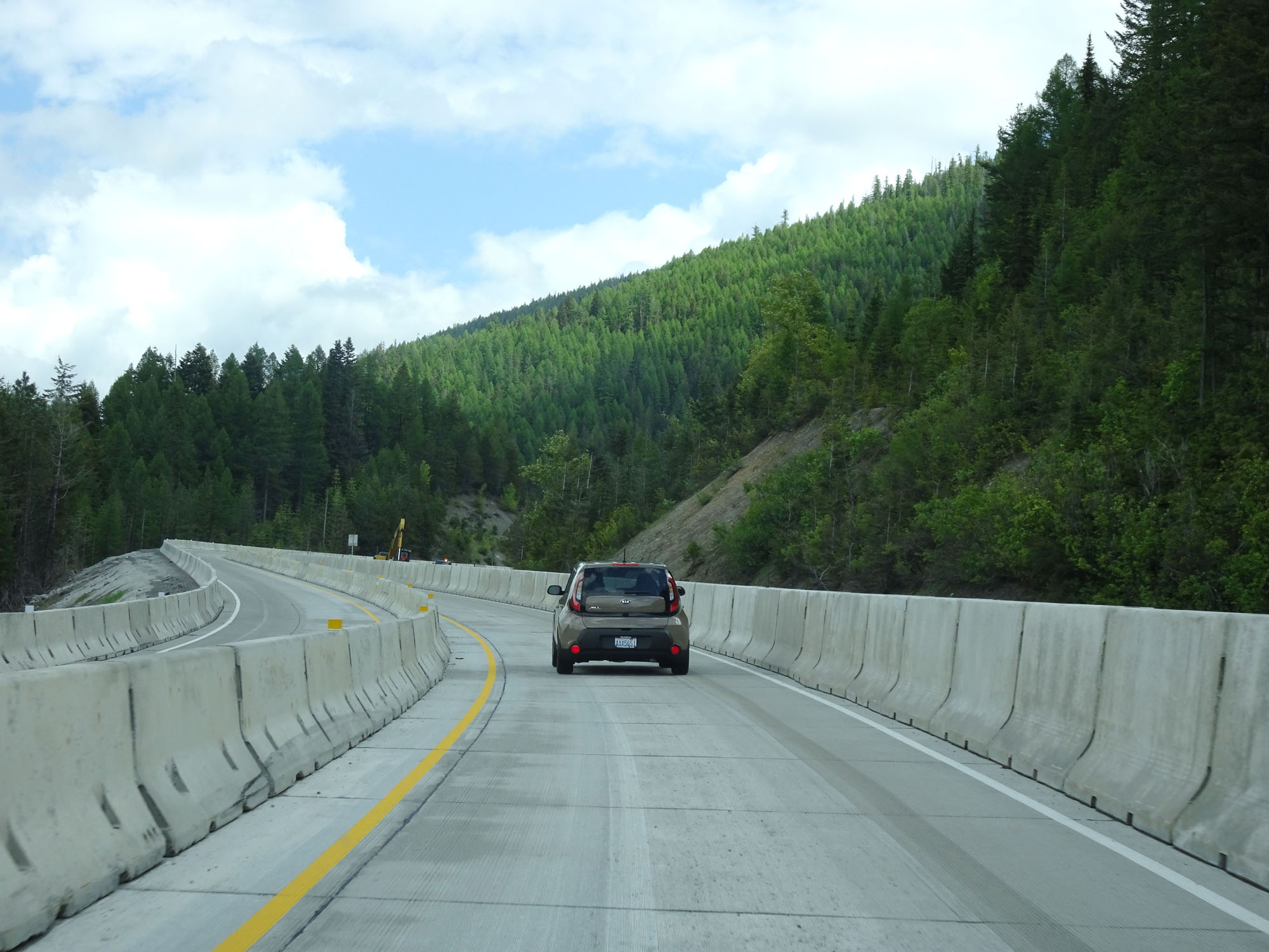
Just east of Exit 69, Interstate 90 begins to climb Lookout Pass. This is a long, steep climb which lasts until the Montana border. As you can see from this photo, this stretch of I-90 was undergoing major construction at the time. (Photo taken 5/25/16). |
 |
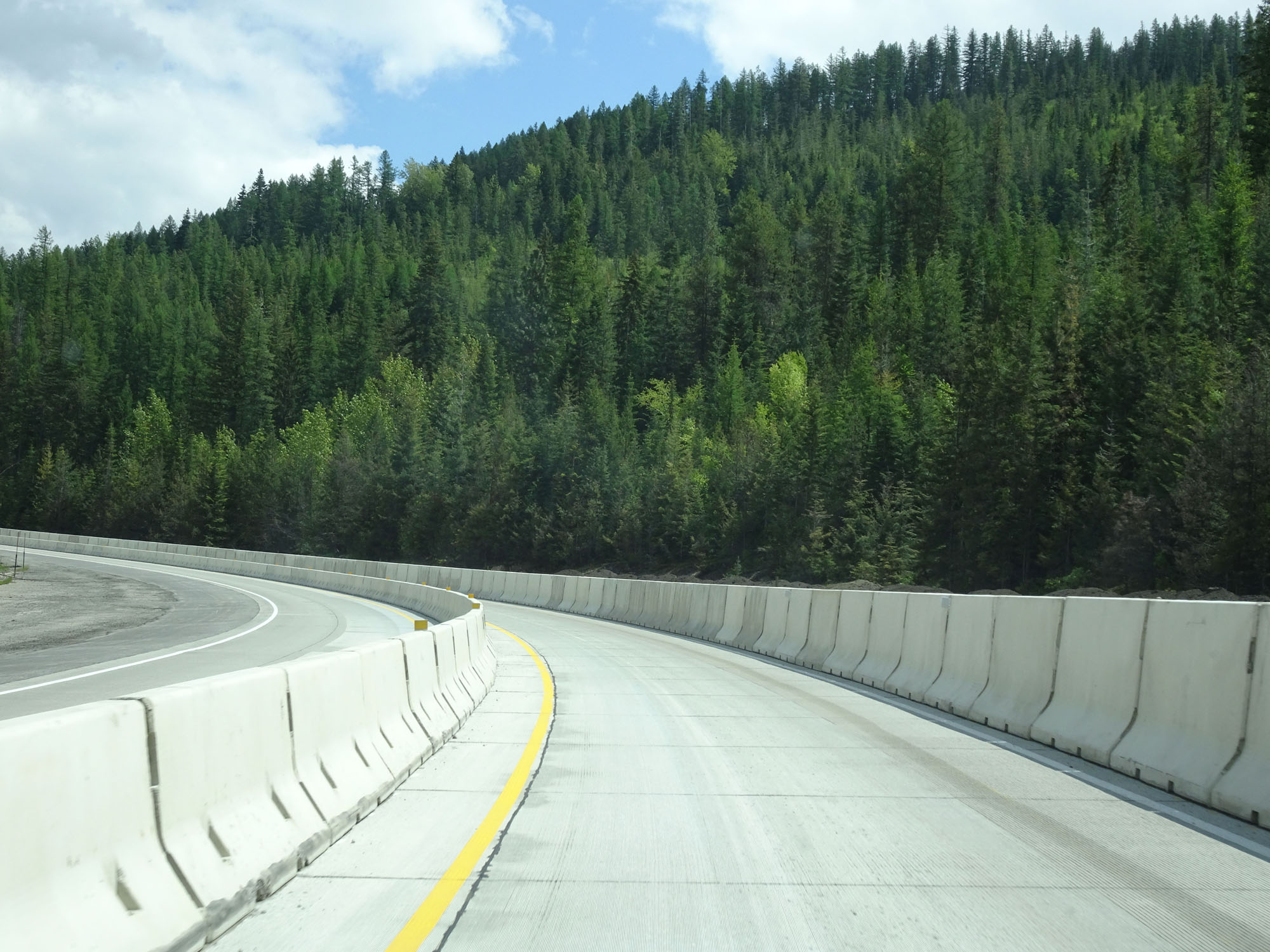
View on Interstate 90 East climbing Lookout Pass. This single-lane "cattle chute" lasts for the entirety of this construction zone, which lasts the rest of the way through Idaho. (Photo taken 5/25/16). |
 |
Another view on Interstate 90 East proceeding up the grade. With jersey barriers lining the eastbound lane like this, there are absolutely no emergency turnouts on the way up Lookout Pass during this construction. My question is, what if a truck overheats while climbing this long steep grade? Where are they going to go? They will be blocking the entire eastbound side of the road with absolutely no way for traffic behind them to get around. This sounds dangerous and risky to me. (Photo taken 5/25/16). |
 |
Another view on Interstate 90 East. One can only imagine how long it took them to set up these jersey barriers for this construction zone. (Photo taken 5/25/16). |
 |
Another view on Interstate 90 East climbing Lookout Pass. See what I meant about there being no emergency turnouts in the case of a truck overheating? (Photo taken 5/25/16). |
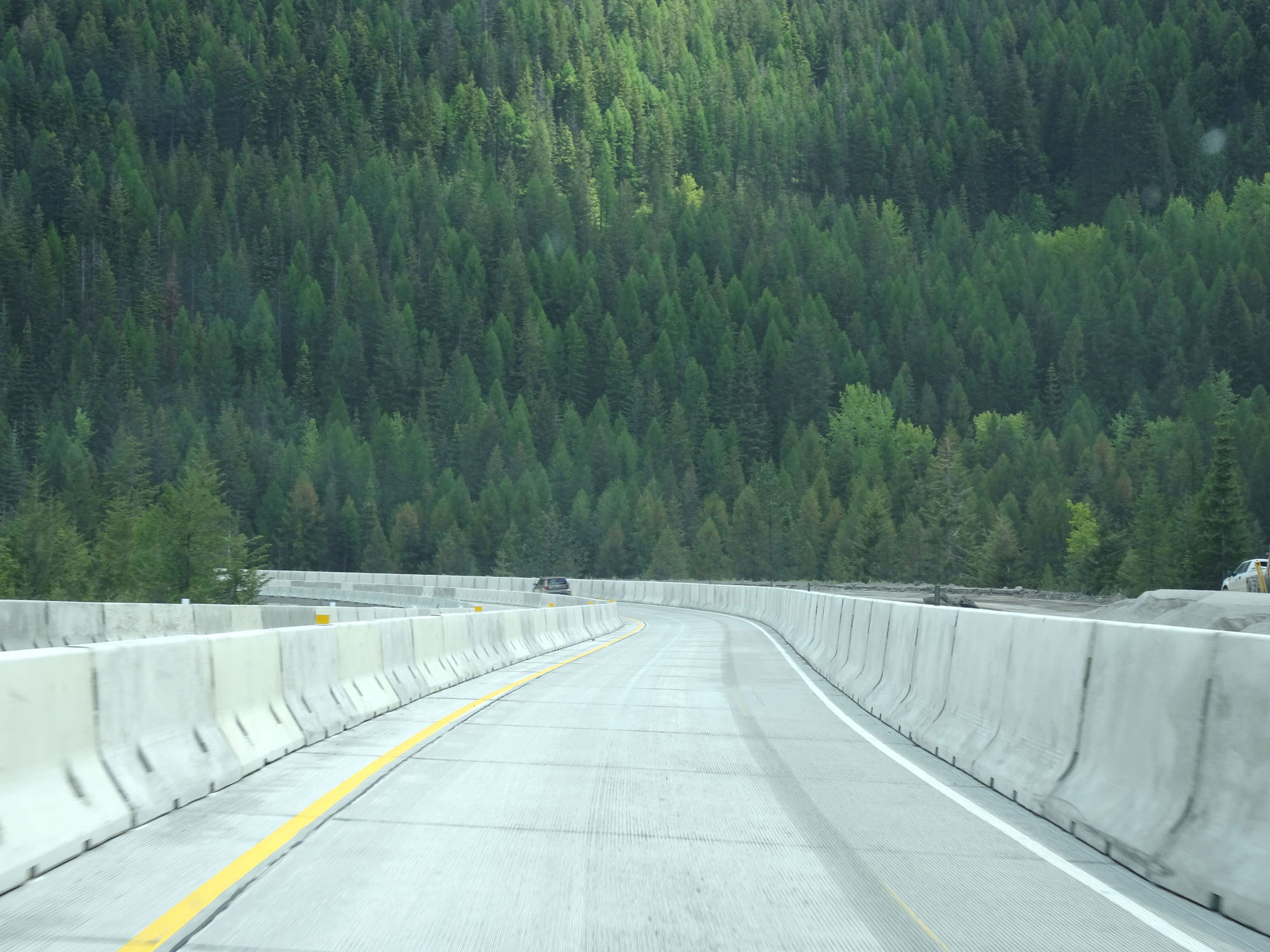 |
Or maybe not even just a truck overheating, but how about an automobile breaking down or getting a flat tire? Where are they supposed to go? How would any tow truck or roadside service vehicle get to them? Would you feel comfortable changing your flat in this cattle chute? (Photo taken 5/25/16). |
 |
View on Interstate 90 East. (Photo taken 5/25/16). |
 |
Another view on Interstate 90 East, nearing the top of Lookout Pass. (Photo taken 5/25/16). |
 |
View on Interstate 90 East. Almost there......... (Photo taken 5/25/16). |
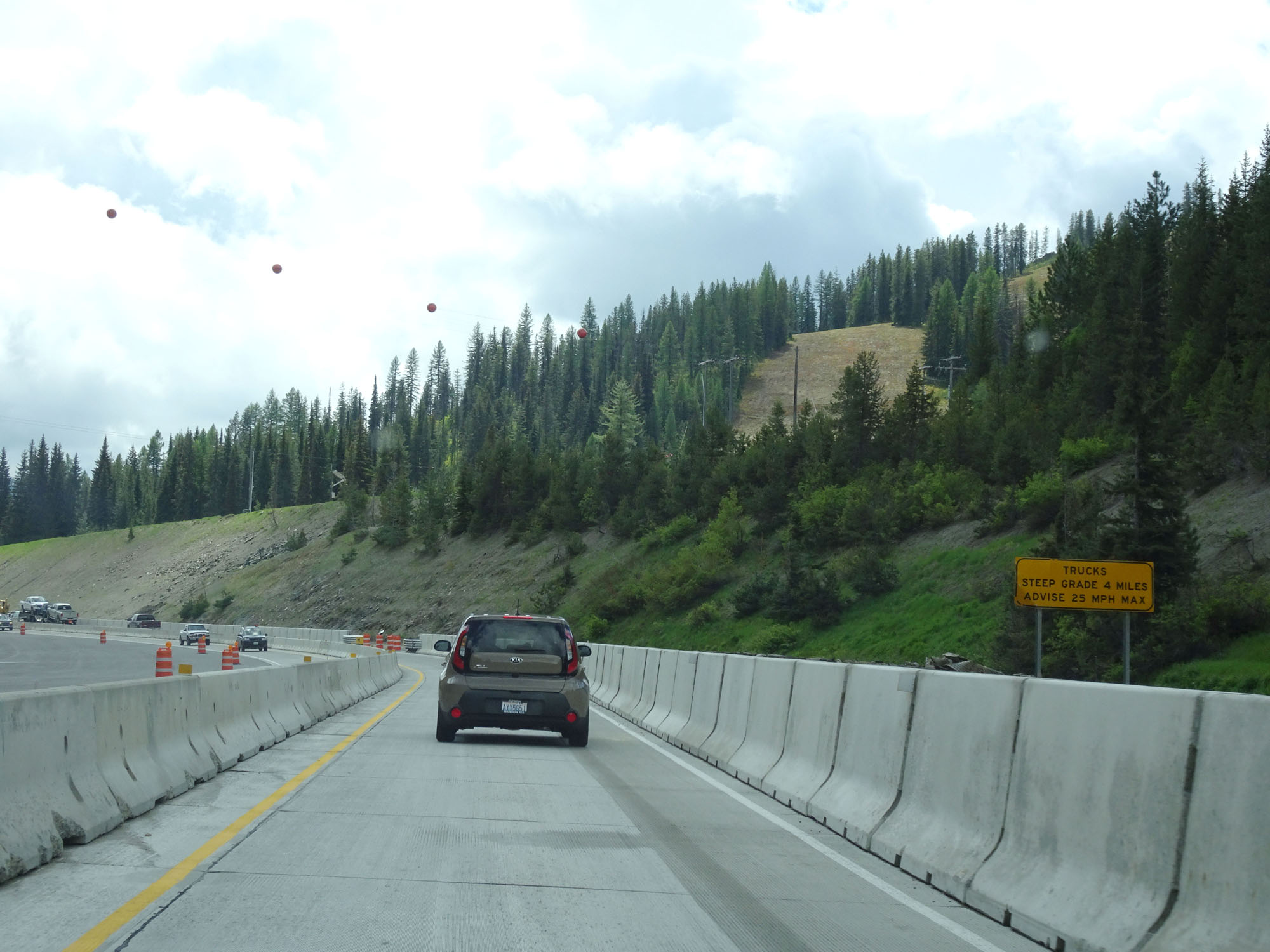 |
Nearing the top of Lookout Pass and the Montana border, this sign warns that a steep 4-mile long grade exists ahead once we enter Montana. The advised speed for trucks down the grade is 25 mph. (Photo taken 5/25/16). |