Road Information |
||
 |
||
| Total Mileage in State: | 154 miles | |
| Eastern End: | At Arizona state line | |
| Western End: | At I-15, in Barstow | |
| Mileage covered in Photos: | 154 miles | |
| Counties covered in Photos: | San Bernardino | |
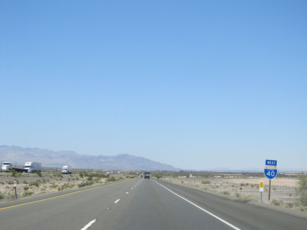
| Major Junctions in Photos: | US 95, near Needles | |
| Control Cities in Photos: | Needles, Barstow | |
Westbound
- Section 1: Arizona Border to Ludlow (Exit 50)
- Section 2: Ludlow (Exit 50) to Barstow
Section 1: Arizona Border to Ludlow (Exit 50)
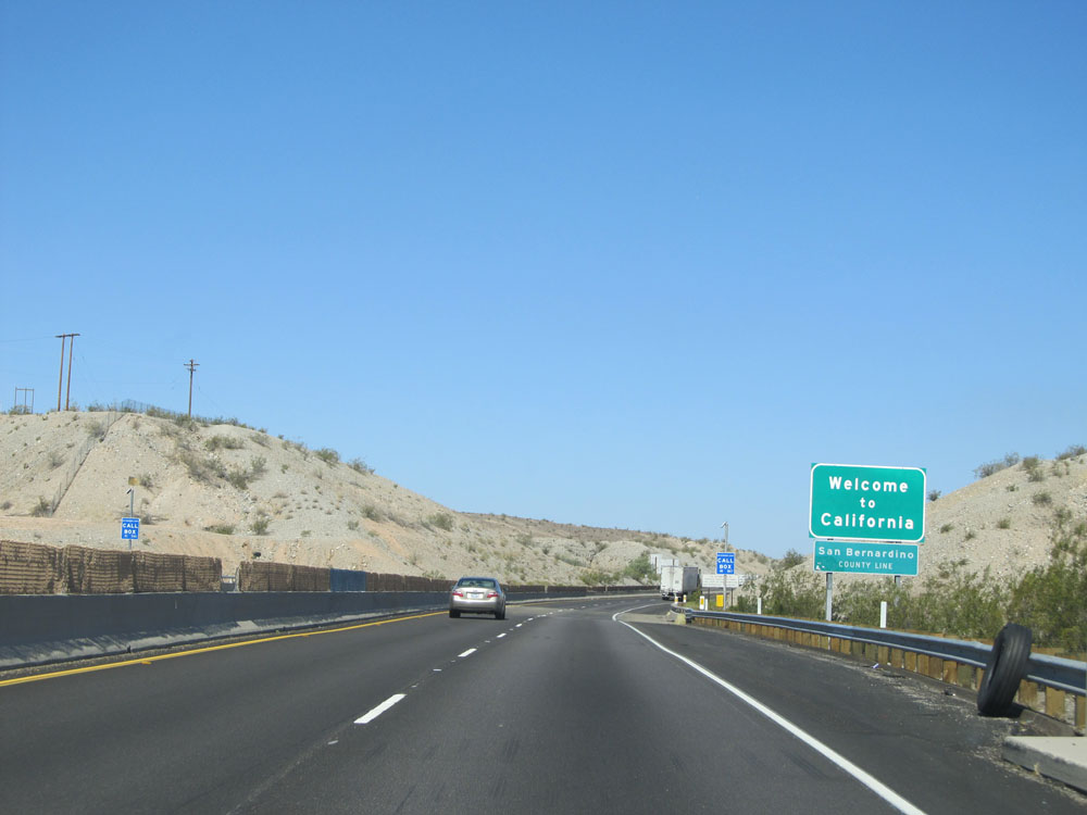 |
California welcome sign as Interstate 40 West enters the Golden State from Arizona. (Photo taken 5/19/15). |
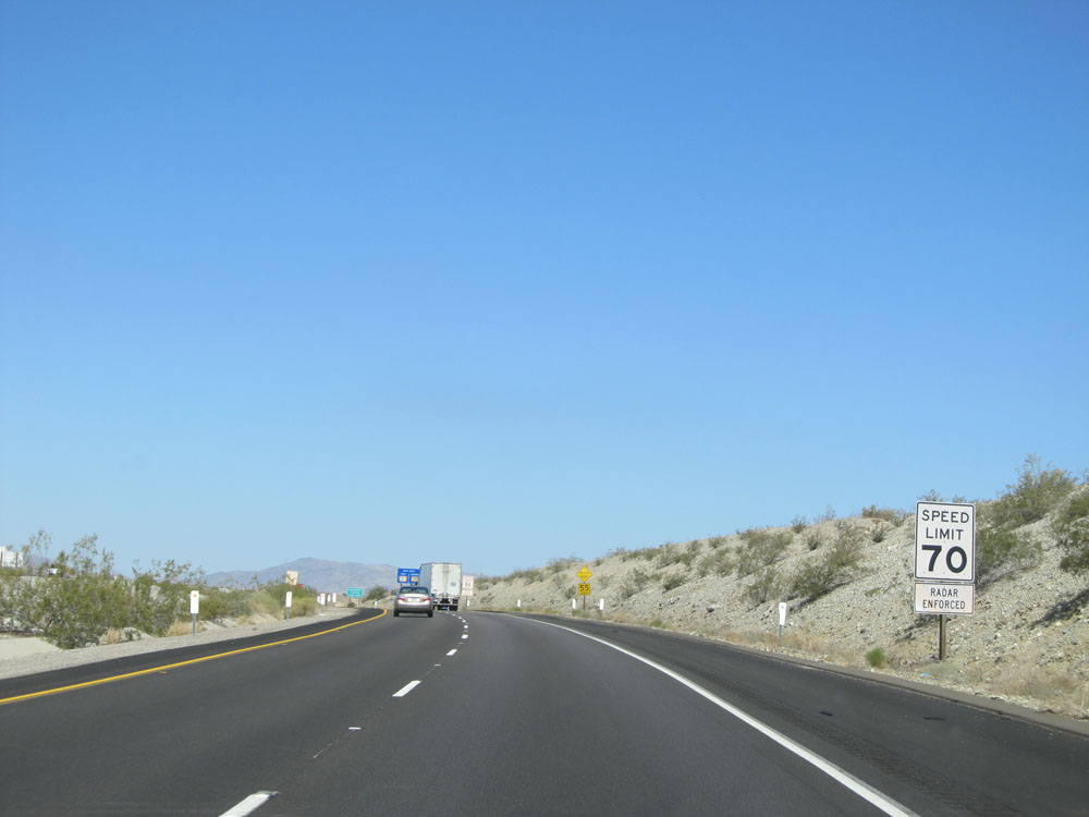 |
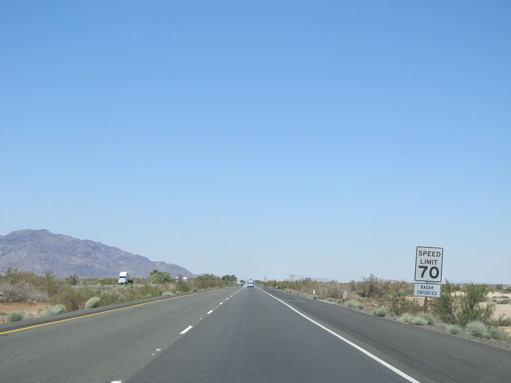
Speed limit sign upon entering California. The speed limit on most rural Interstates in California is 70 mph for automobiles. (Photo taken 5/19/15). |
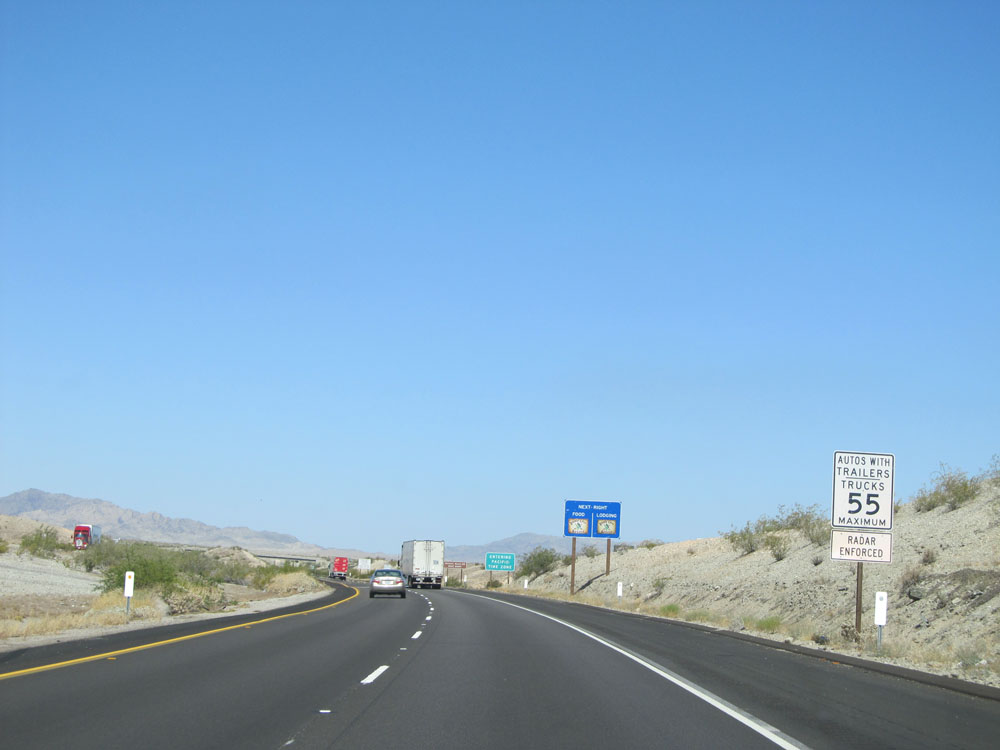 |
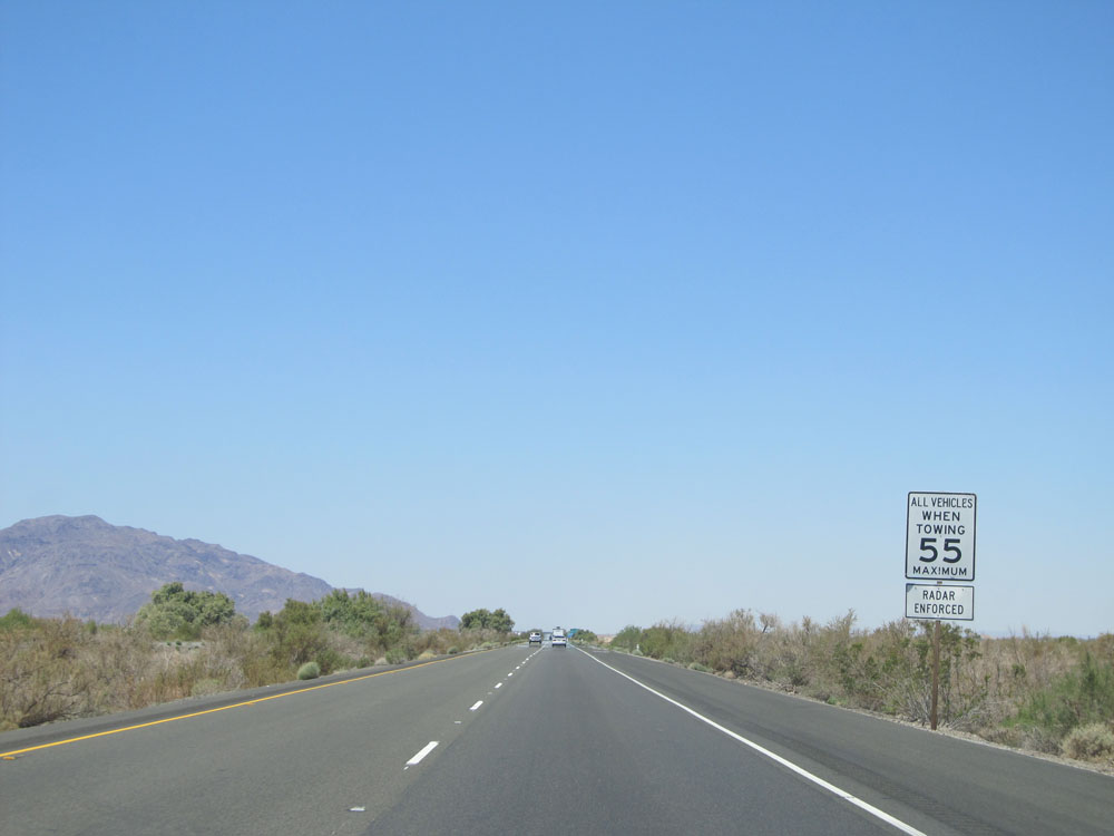
Another speed limit sign accompanied by the previous one. In California, the speed limit for trucks and other vehicles pulling trailers is 55 mph. Don't even get me started on how stupid this law is. (Photo taken 5/19/15). |
 |
This sign informs you that you have now entered the Pacific Time Zone upon entering California. (Photo taken 5/19/15). |
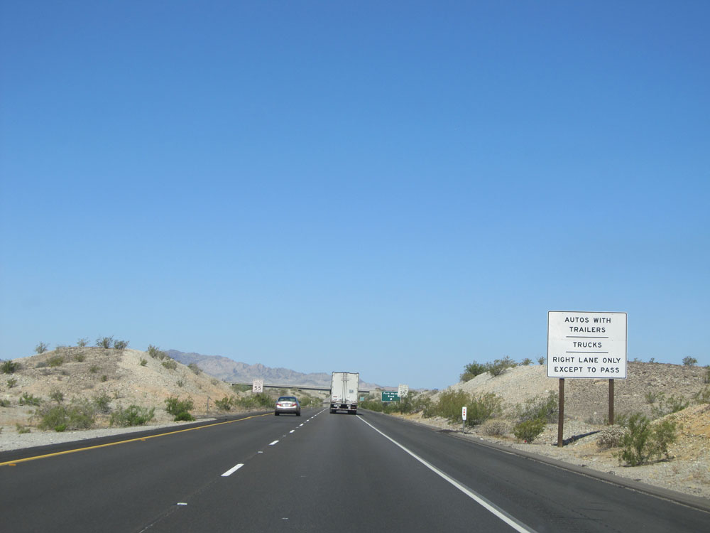 |
This sign states that automobiles with trailers and trucks are to use the right lane only except to pass. Shouldn't that be a rule of thumb for all vehicles though? (Photo taken 5/19/15). |
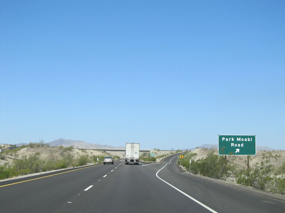 |
Interstate 40 West at Exit 153: Park Moabi Road (Photo taken 5/19/15). |
 |
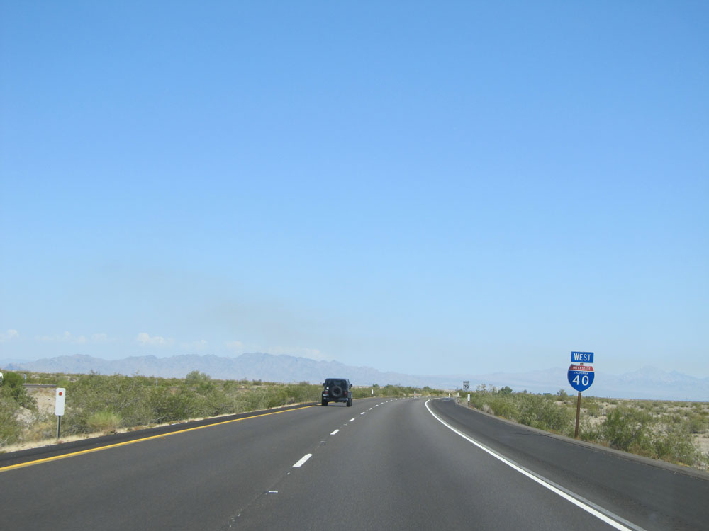
Interstate 40 West shield just past Exit 153. (Photo taken 5/19/15). |
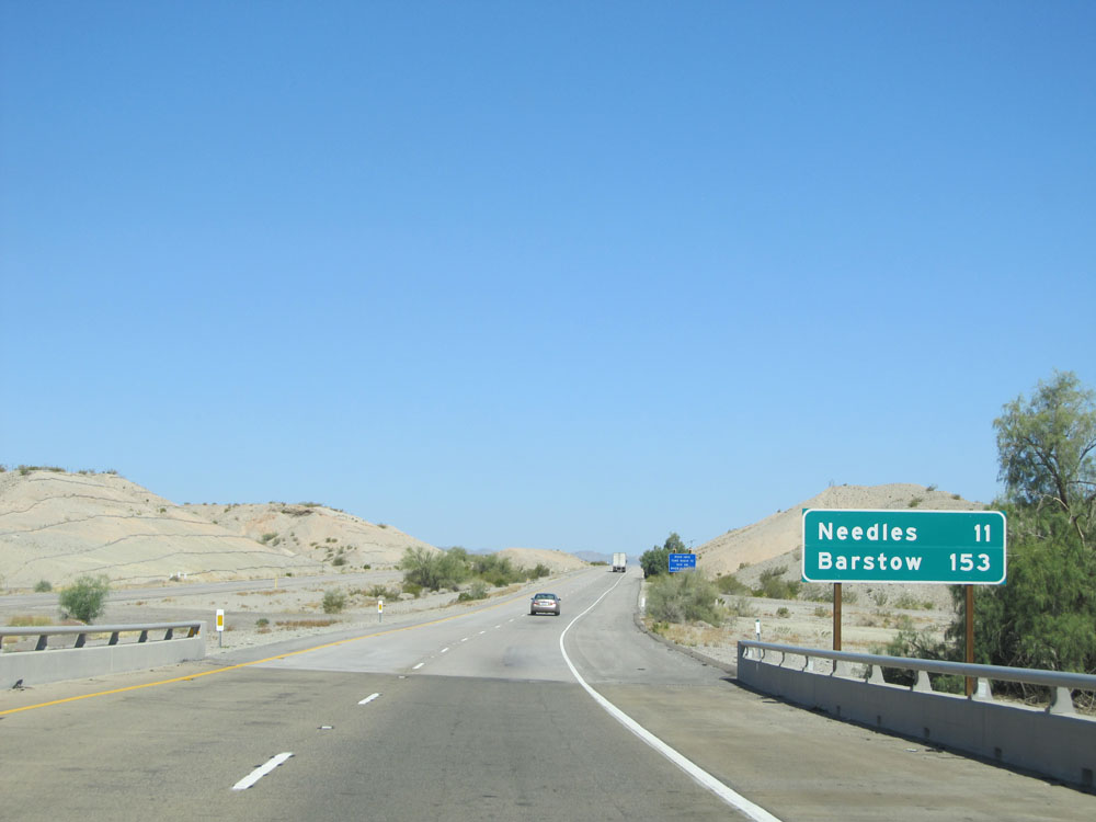 |
Mileage sign on Interstate 40 West. It's 11 miles to Needles and 153 miles to Barstow. (Photo taken 5/19/15). |
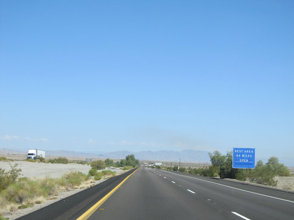 |
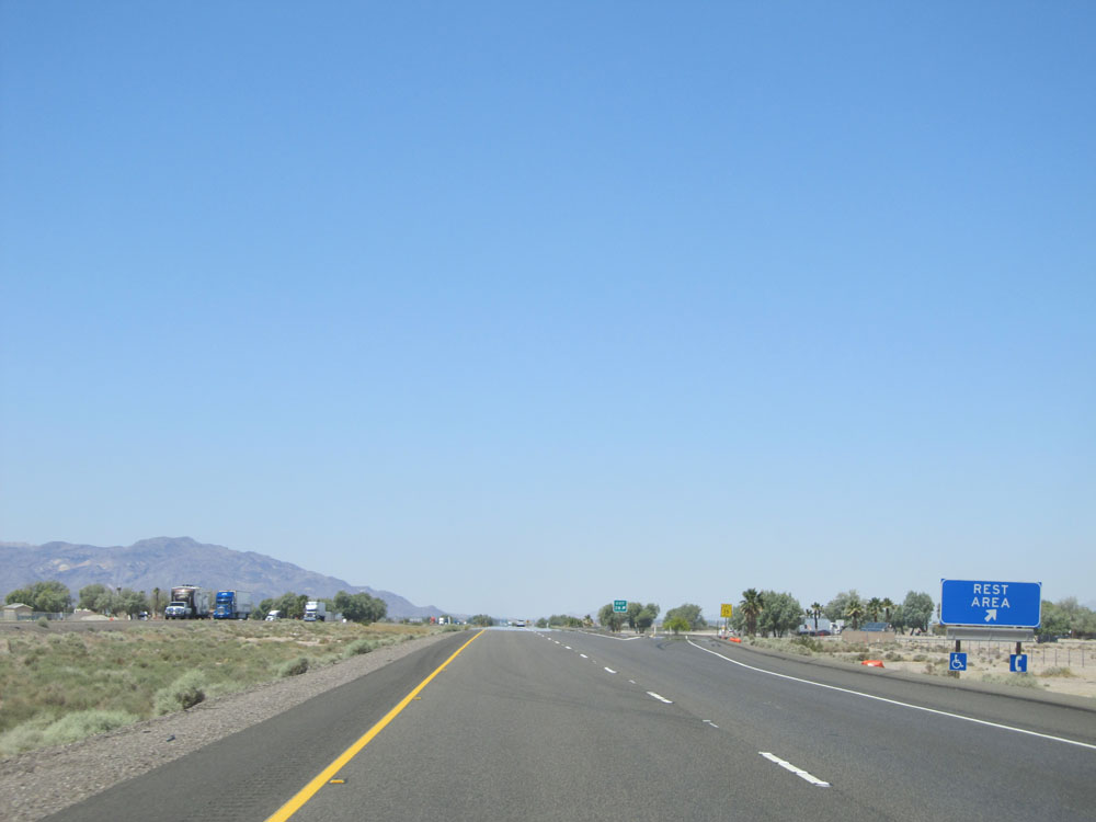
The first Rest Area on Interstate 40 West in California is 44 miles ahead. (Photo taken 5/19/15). |
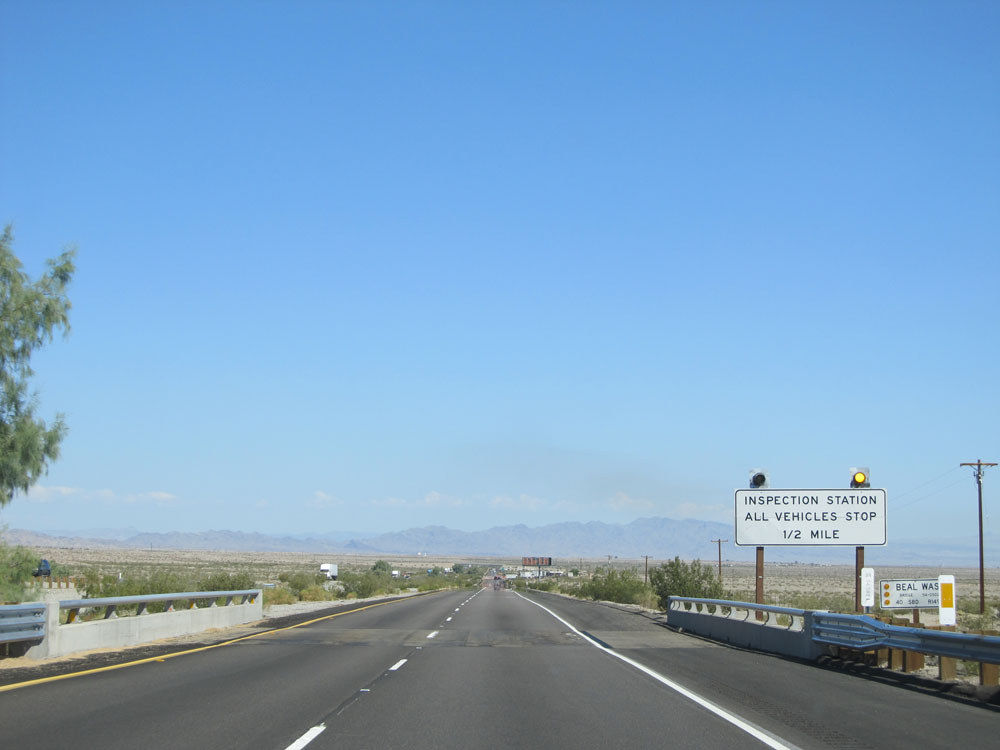 |
Interstate 40 West approaching the Inspection Station - 1/2 mile. All vehicles are required to stop. (Photo taken 5/19/15). |
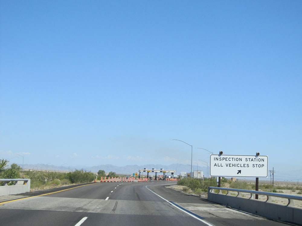 |
Interstate 40 West approaching the Inspection Station. (Photo taken 5/19/15). |
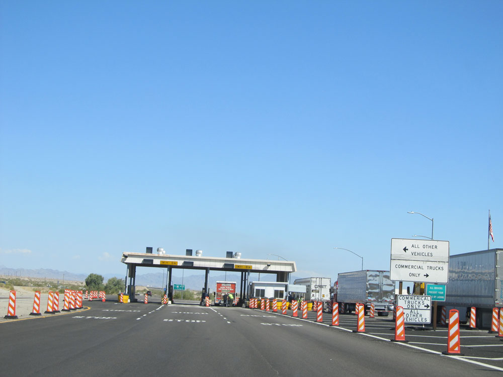 |
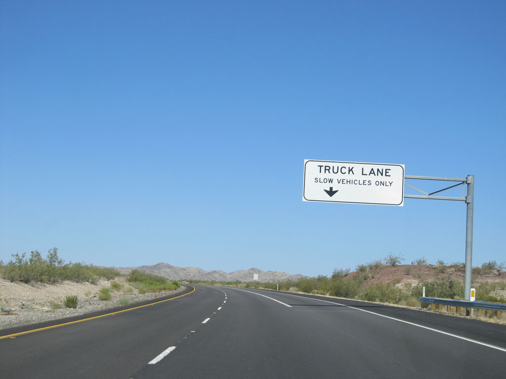
Trucks and other commercial vehicles should keep right. All other vehicles stay left. (Photo taken 5/19/15). |
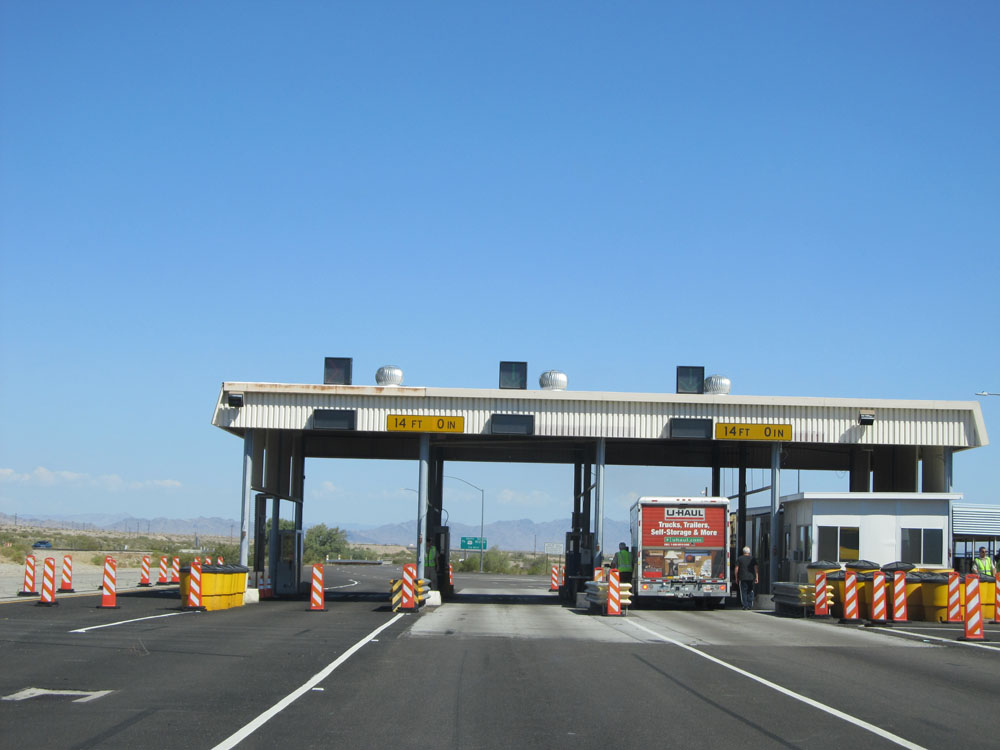 |
A closer view of the Inspection Station. These are Agricultural Checkpoints that exist on all entrances into California. Sometimes the inspector will simply wave you right on through, and other times they will ask you if you have any plants or the like with you. When you answer "No", they will wave you on through. (Photo taken 5/19/15). |
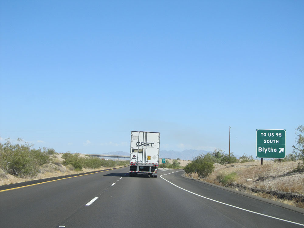 |
Interstate 40 West at Exit 148: To US 95 South - Blythe (Photo taken 5/19/15). |
 |
Interstate 40 West assurance shield just past Exit 148. (Photo taken 5/19/15). |
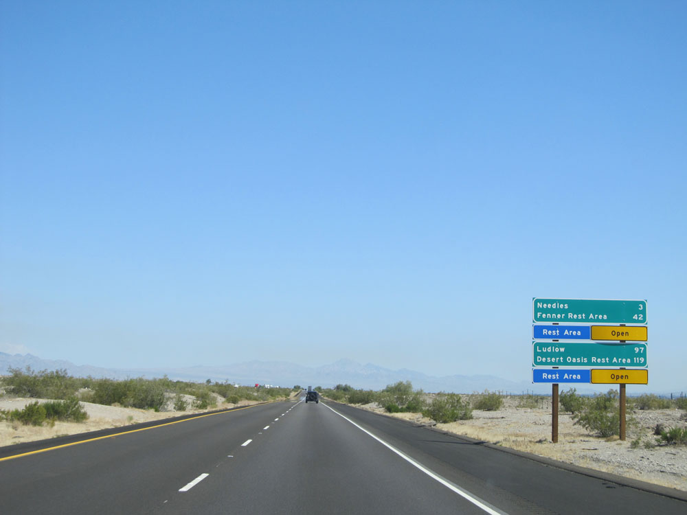 |
Mileage sign on Interstate 40 West. It's 3 miles to Needles, 42 miles to the Fenner Rest Area, 97 miles to Ludlow, and 119 miles to the Desert Oasis Rest Area. (Photo taken 5/19/15). |
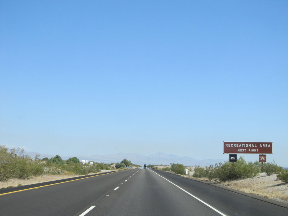 |
Take Exit 144 to Recreational Area. (Photo taken 5/19/15). |
 |
Take any of the next 3 exits to Needles. (Photo taken 5/19/15). |
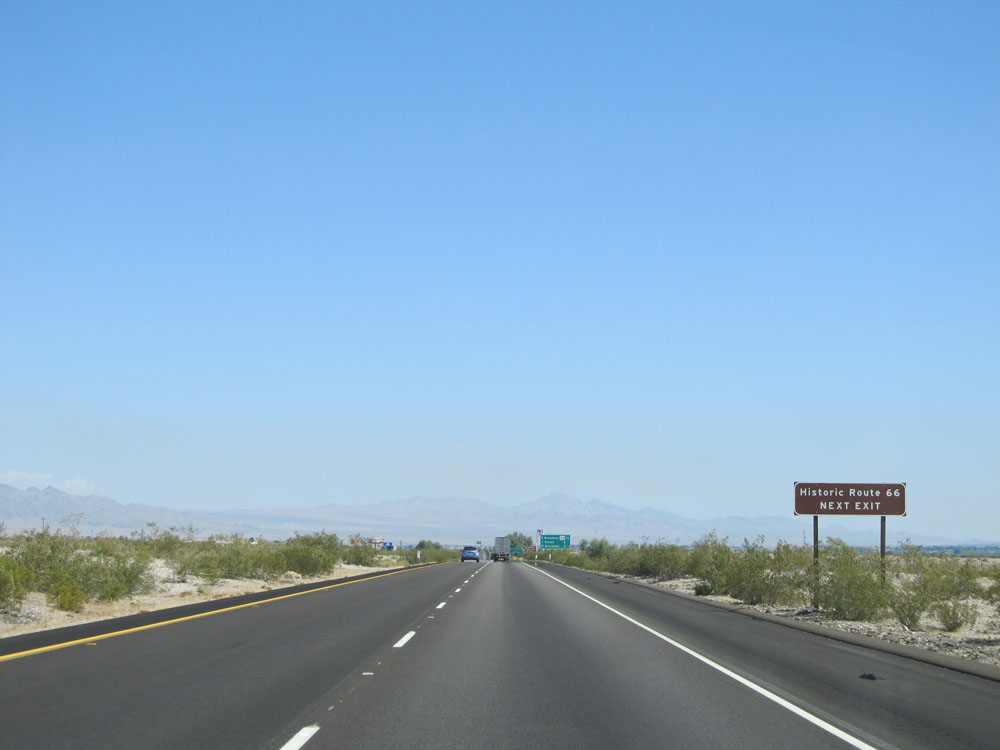 |
Take Exit 144 to Historic Route 66. (Photo taken 5/19/15). |
 |
Sign listing the distances to the three upcoming exits to Needles. (Photo taken 5/19/15). |
 |
Take Exit 144 to the Mojave Desert Information Center. (Photo taken 5/19/15). |
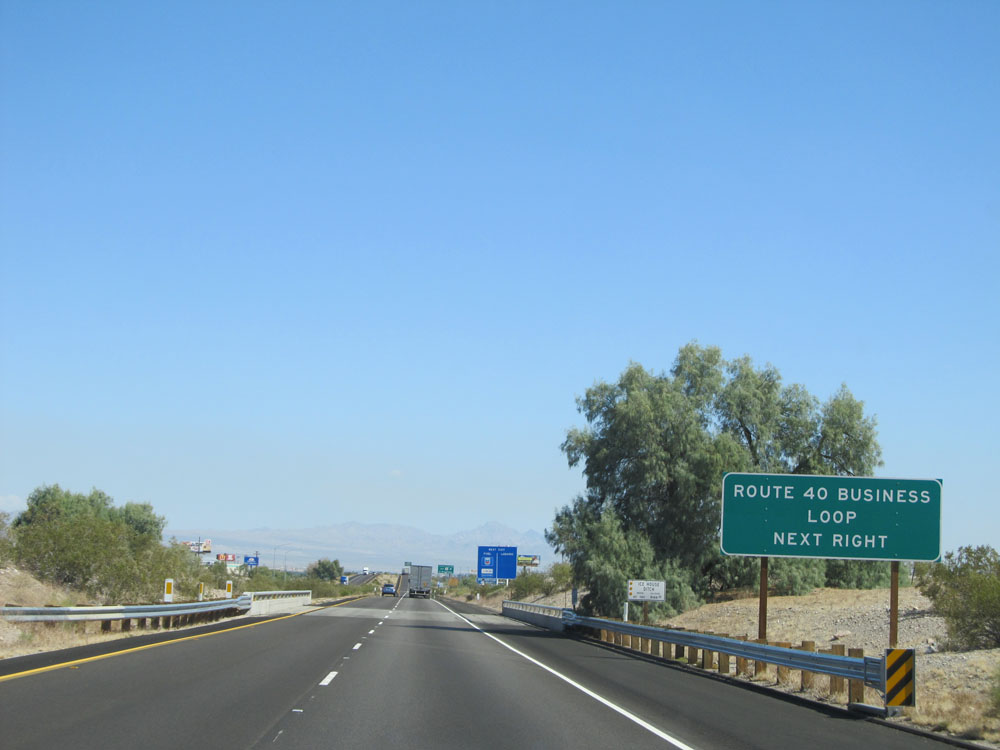 |
Also take Exit 144 to Interstate 40 BL. (Photo taken 5/19/15). |
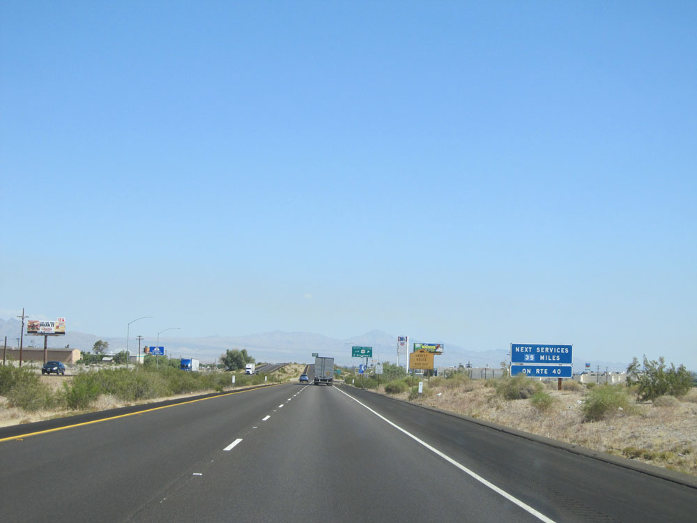 |
It's 35 miles to the next services on Interstate 40 West past Needles. If your tank is low at this point, fill it up. (Photo taken 5/19/15). |
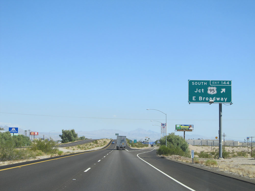 |
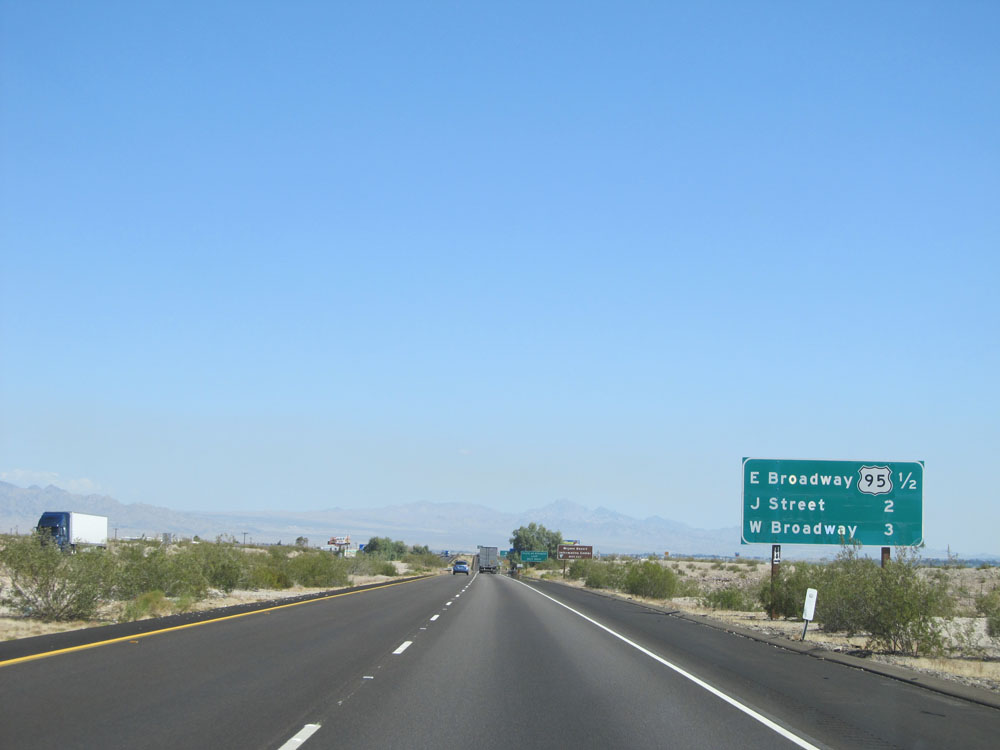
Interstate 40 West at Exit 144: US 95 South - E Broadway (Photo taken 5/19/15). |
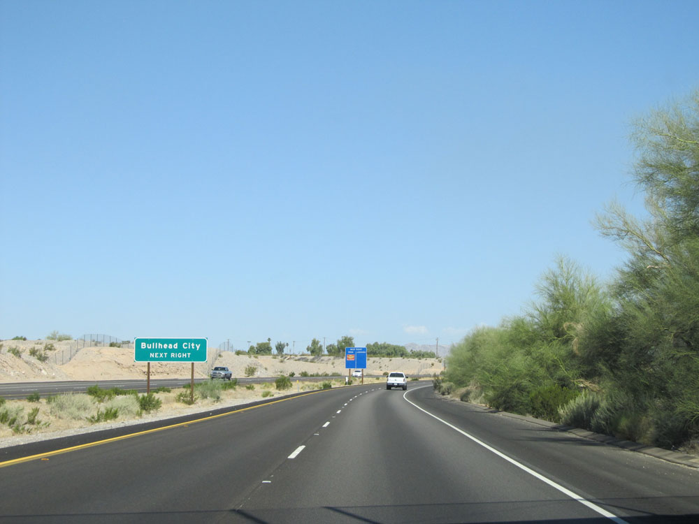 |
Take Exit 142 to Bullhead City. (Photo taken 5/19/15). |
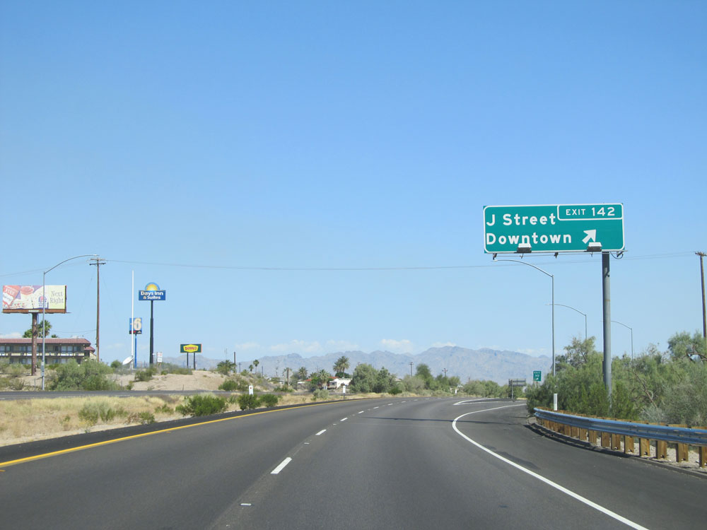 |
Interstate 40 West at Exit 142: J Street / Downtown (Photo taken 5/19/15). |
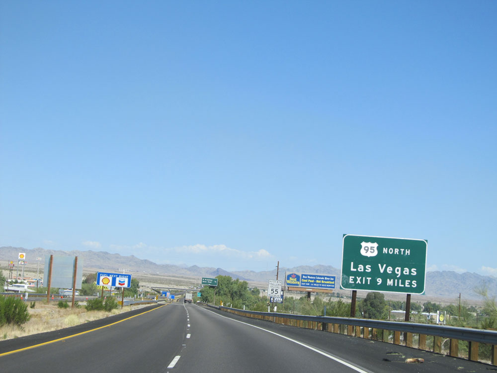 |
It's 9 miles to the junction of US 95 North toward Las Vegas. (Photo taken 5/19/15). |
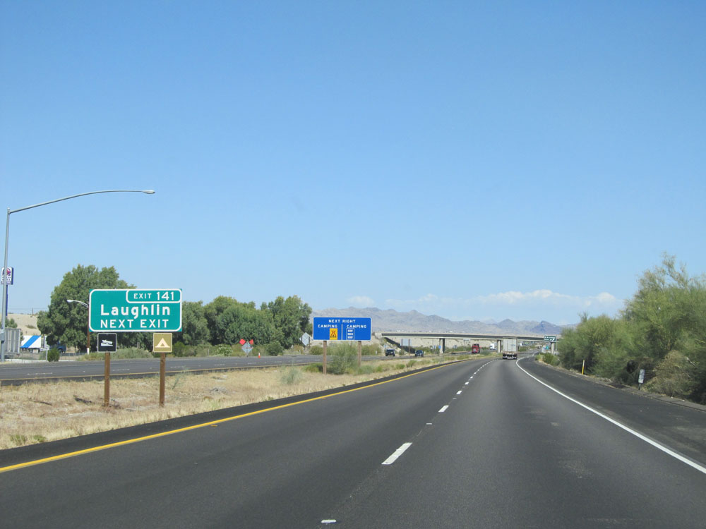 |
Take Exit 141 to Laughlin. (Photo taken 5/19/15). |
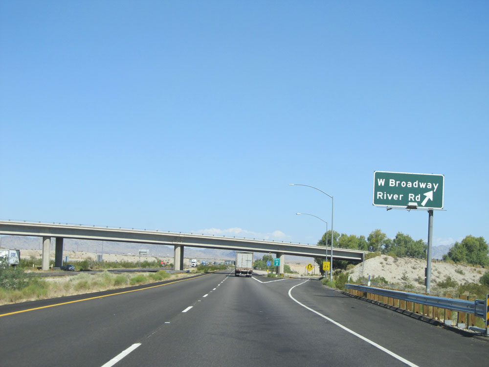 |
Interstate 40 West at Exit 141: W Broadway / River Rd (Photo taken 5/19/15). |
 |
Interstate 40 West: Road view as you leave Needles. (Photo taken 5/19/15). |
 |
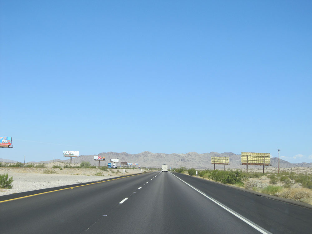
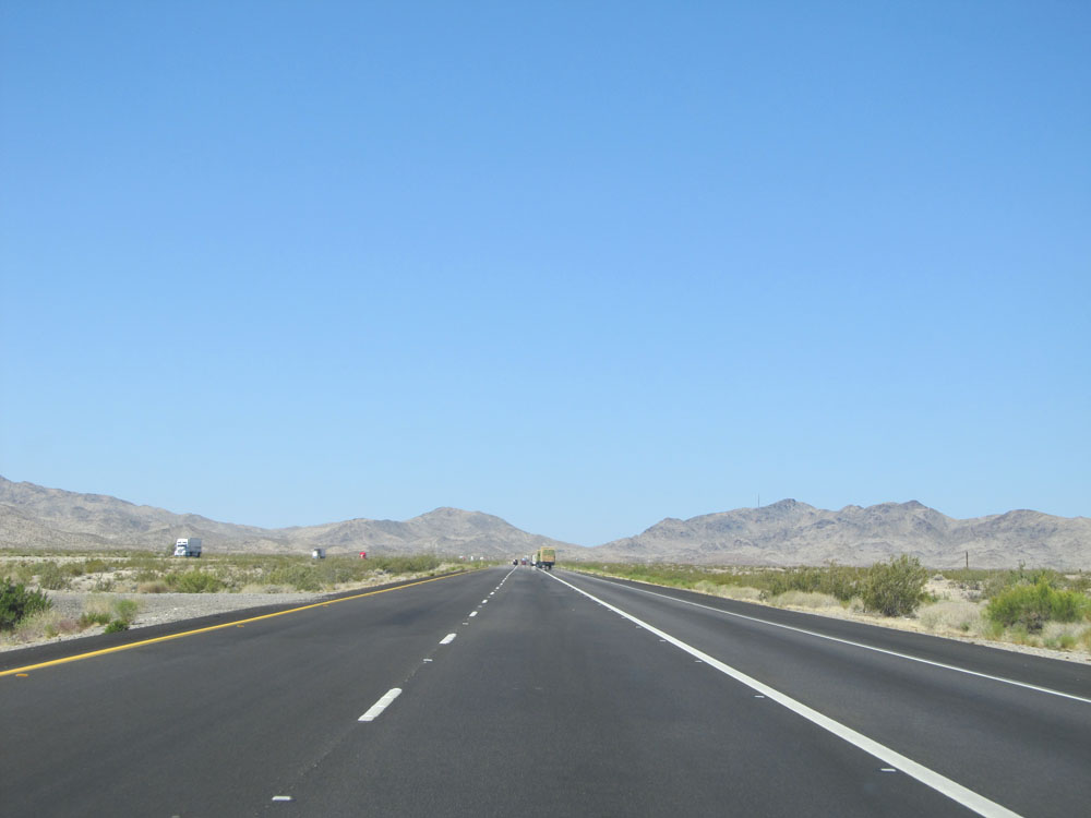
Road view on Interstate 40 West. (Photo taken 5/19/15). |
 |
Another view on Interstate 40 West. (Photo taken 5/19/15). |
 |
Interstate 40 West approaching Exit 133 - 2 miles. (Photo taken 5/19/15). |
 |
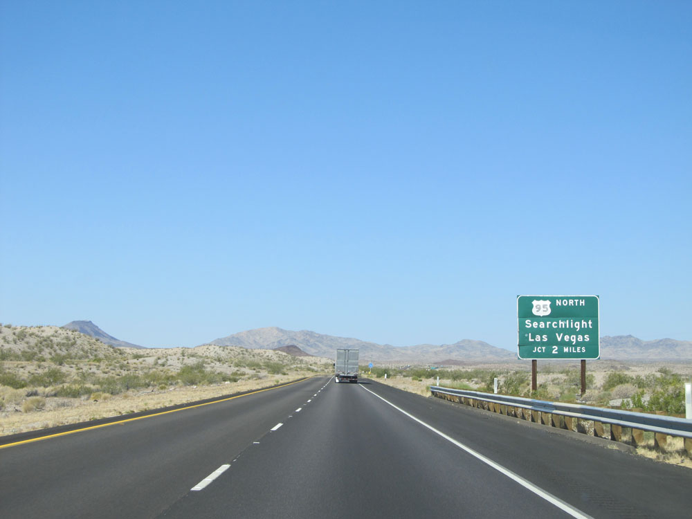
Interstate 40 West at Exit 133: US 95 North - Searchlight / Las Vegas (Photo taken 5/19/15). |
 |
Interstate 40 West assurance shield just past Exit 133. (Photo taken 5/19/15). |
 |
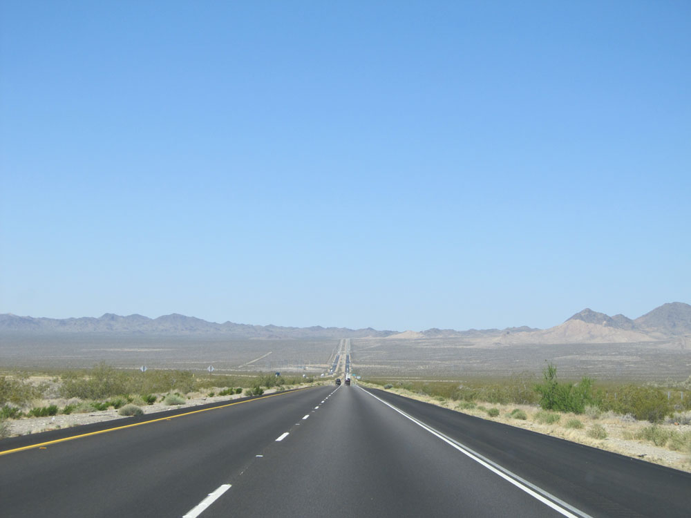
View on Interstate 40 West. (Photo taken 5/19/15). |
 |
Interstate 40 West as a truck climbing lane appears just before we start up a grade, known as Mountain Springs Summit. (Photo taken 5/19/15). |
 |
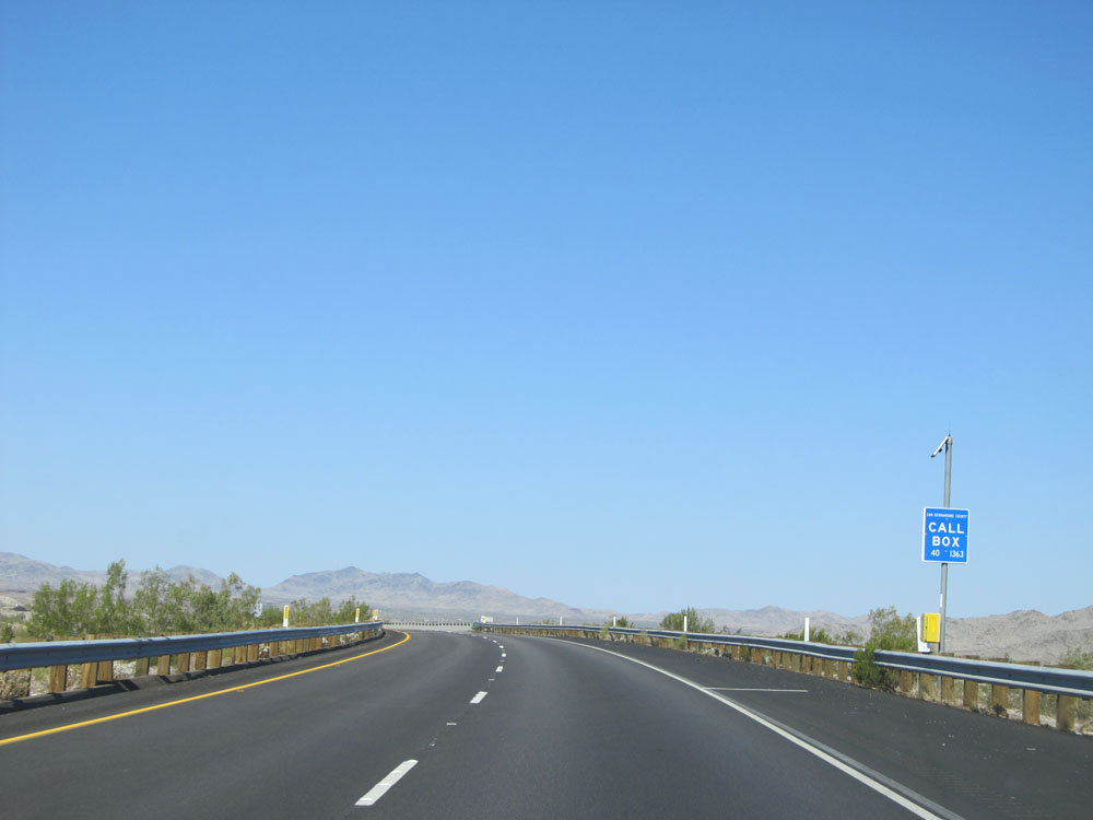
Road view on Interstate 40 West. (Photo taken 5/19/15). |
 |
View on Interstate 40 West, about halfway up the grade. (Photo taken 5/19/15). |
 |
Another road view on Interstate 40 West. (Photo taken 5/19/15). |
 |
And another. (Photo taken 5/19/15). |
 |
Road view on Interstate 40 West, nearing the top of the first grade. (Photo taken 5/19/15). |
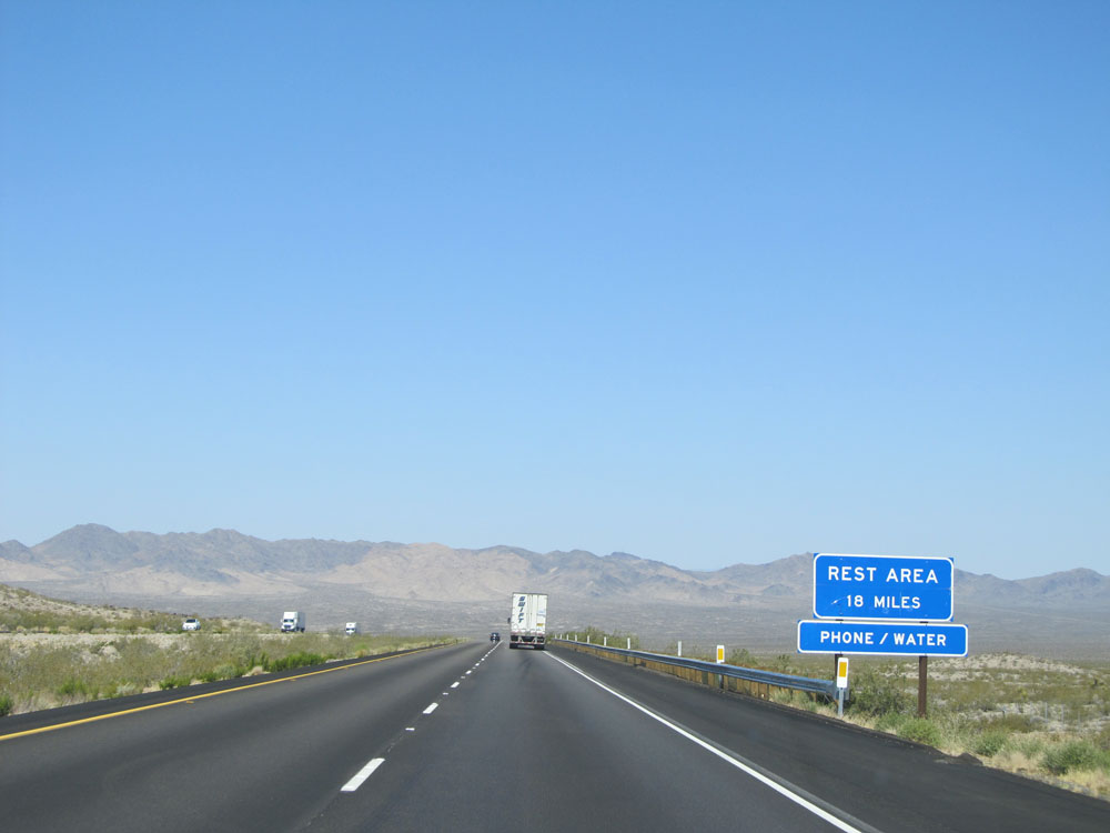 |
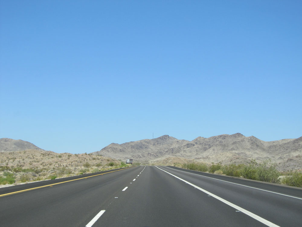
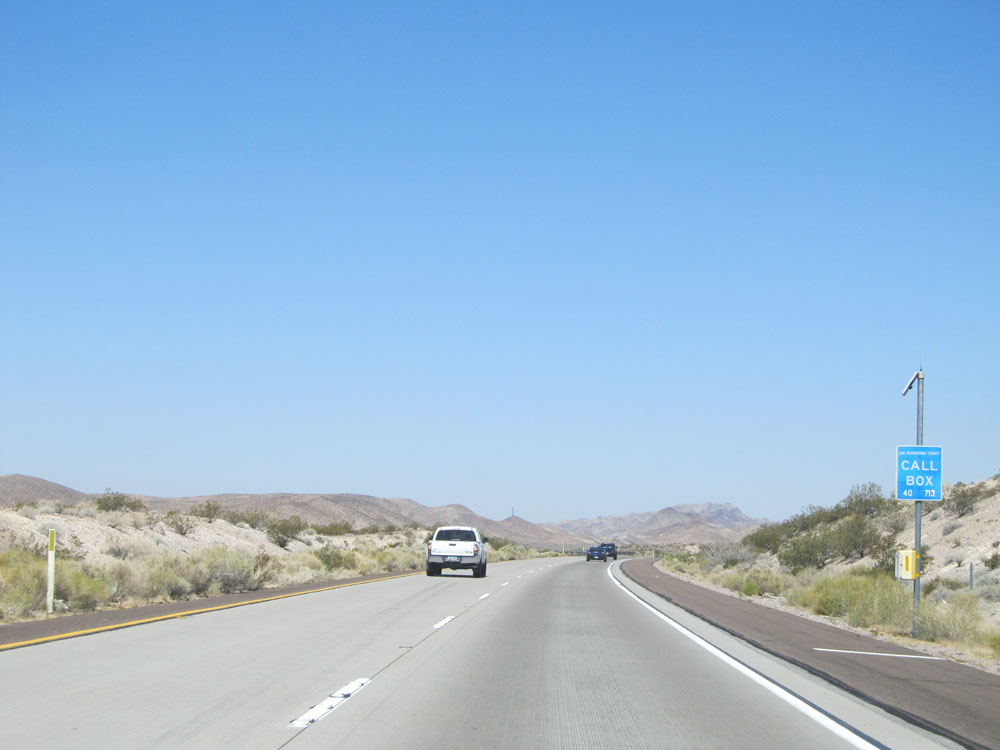
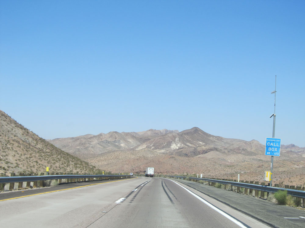
The first Rest Area, which is the Fenner Rest Area, is 18 miles ahead. I like how it advertises that it has water there. I guess we are in the middle of the Mojave Desert, after all. (Photo taken 5/19/15). |
 |
Road view on Interstate 40 West. (Photo taken 5/19/15). |
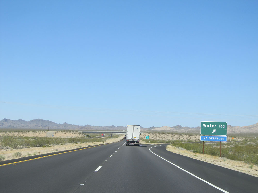 |
Interstate 40 West at Exit 120: Water Rd (Photo taken 5/19/15). |
 |
Another truck climbing lane appears as we prepare to do some more climbing up Mountain Springs Summit. (Photo taken 5/19/15). |
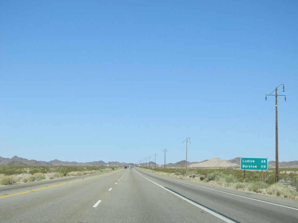 |
Mileage sign on Interstate 40 West. It's 68 miles to Ludlow and 119 miles to Barstow. (Photo taken 5/19/15). |
 |
Take Exit 115 to Historic Route 66. (Photo taken 5/19/15). |
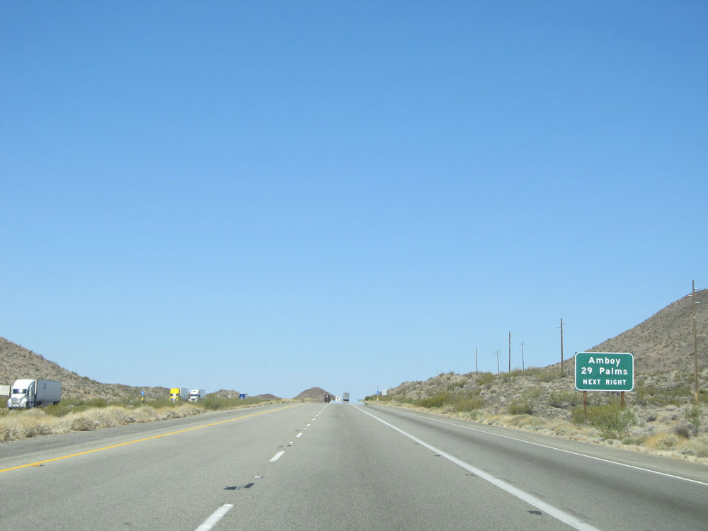 |
Also take Exit 115 to Amboy and 29 Palms. (Photo taken 5/19/15). |
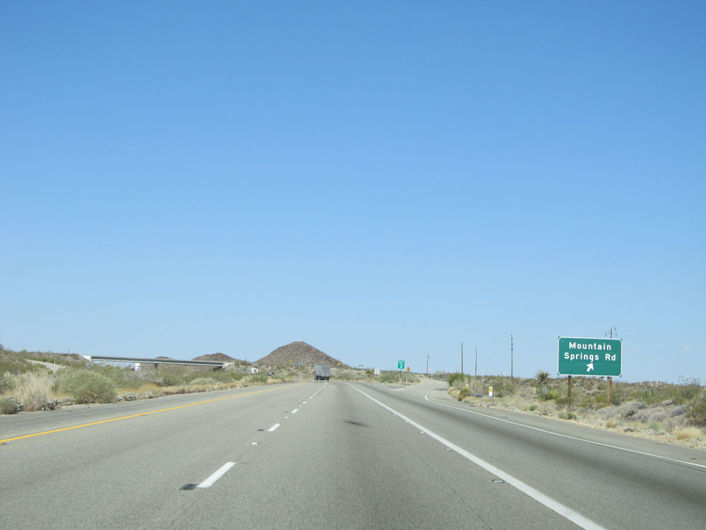 |
Interstate 40 West at Exit 115: Mountain Springs Rd (Photo taken 5/19/15). |
 |
Interstate 40 West at the top of Mountain Springs Summit. Elevation: 2,770 feet. (Photo taken 5/19/15). |
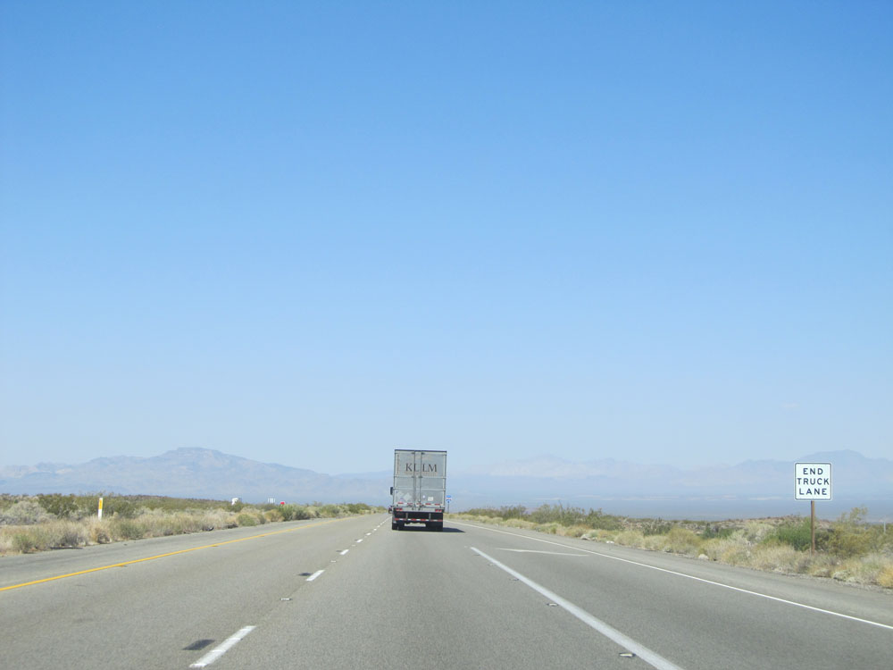 |
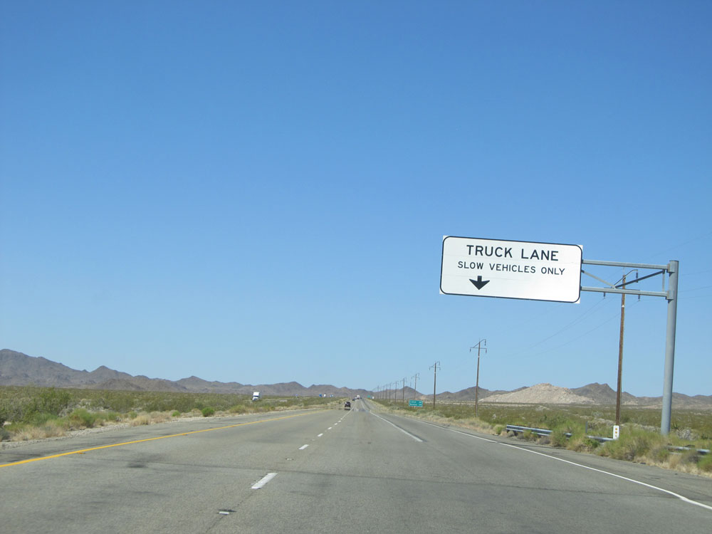
Since we've reached the summit, the truck climbing lane is no longer needed and comes to an end. (Photo taken 5/19/15). |
 |
Road view on Interstate 40 West. (Photo taken 5/19/15). |
 |
The next services available on Interstate 40 West are 55 miles ahead, in Ludlow. (Photo taken 5/19/15). |
 |
Take Exit 107 to Mojave National Preserve. (Photo taken 5/19/15). |
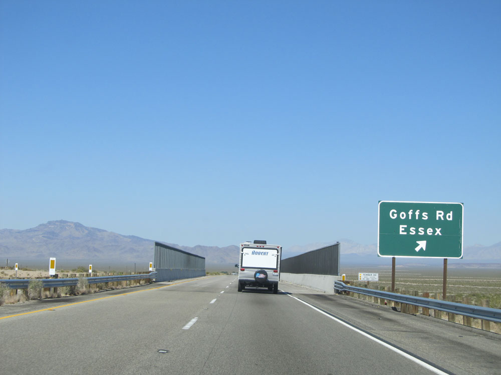 |
Interstate 40 West at Exit 107: Goffs Rd / Essex (Photo taken 5/19/15). |
 |
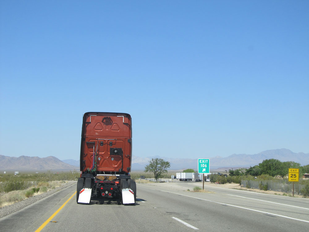
Interstate 40 West at Exit 106: Rest Area (Photo taken 5/19/15). |
 |
A closer view of the Fenner Rest Area and its exit sign. (Photo taken 5/19/15). |
 |
View on Interstate 40 West. (Photo taken 5/19/15). |
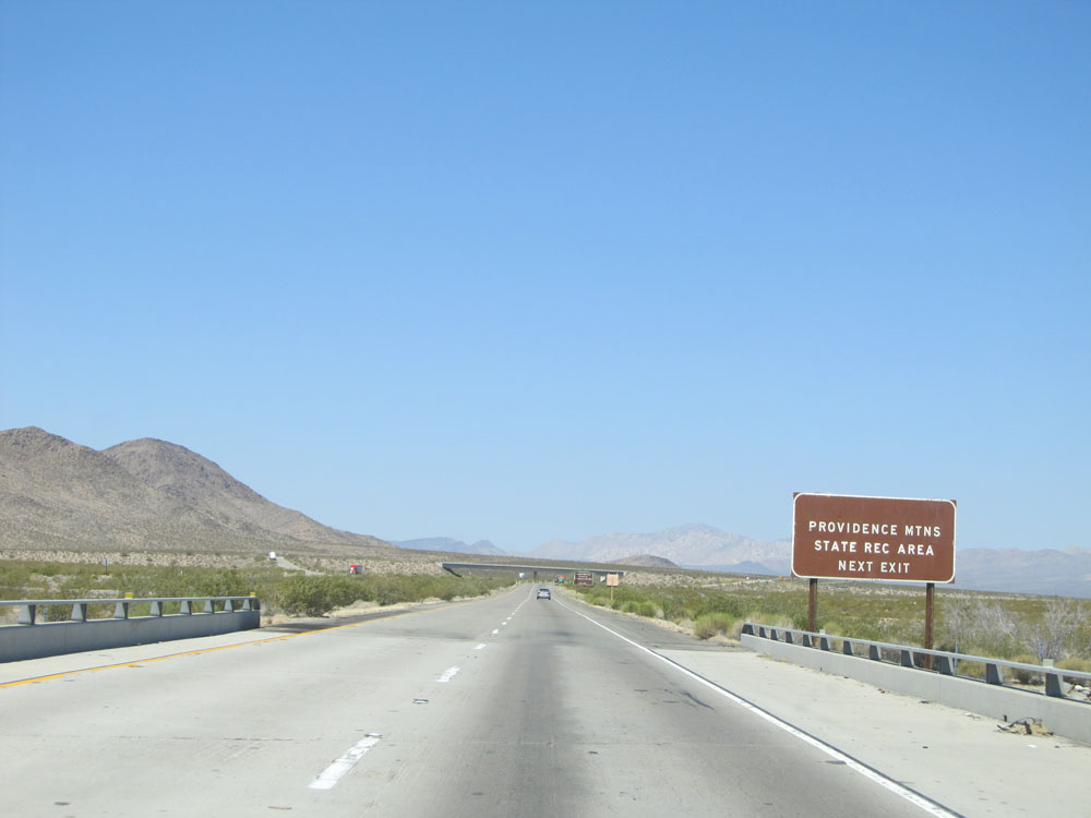 |
Take Exit 100 to Providence Mountains State Recreational Area. (Photo taken 5/19/15). |
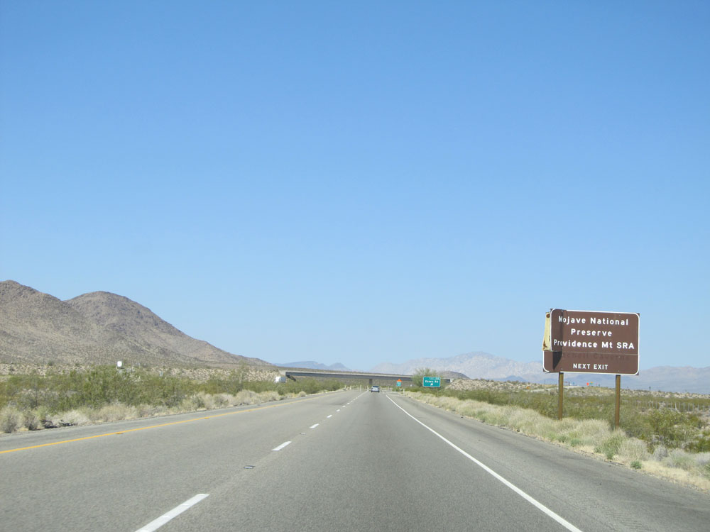 |
Also take Exit 100 to Mojave National Preserve. (Photo taken 5/19/15). |
 |
Interstate 40 West at Exit 100: Essex Rd (Photo taken 5/19/15). |
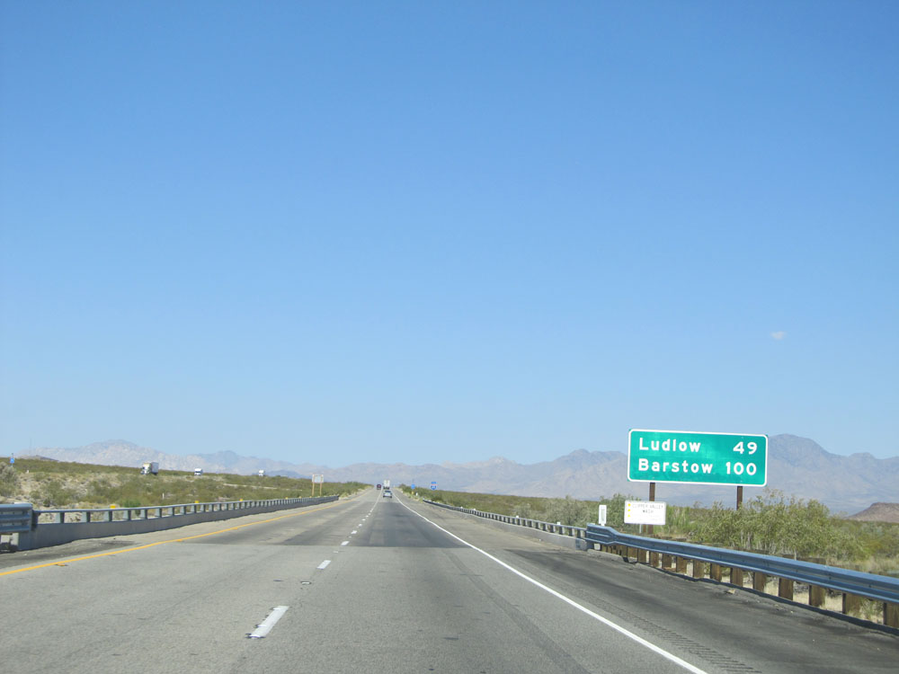 |
Mileage sign just past Exit 100. It's 49 miles to Ludlow and 100 miles to Barstow. (Photo taken 5/19/15). |
 |
Interstate 40 West assurance shield. (Photo taken 5/19/15). |
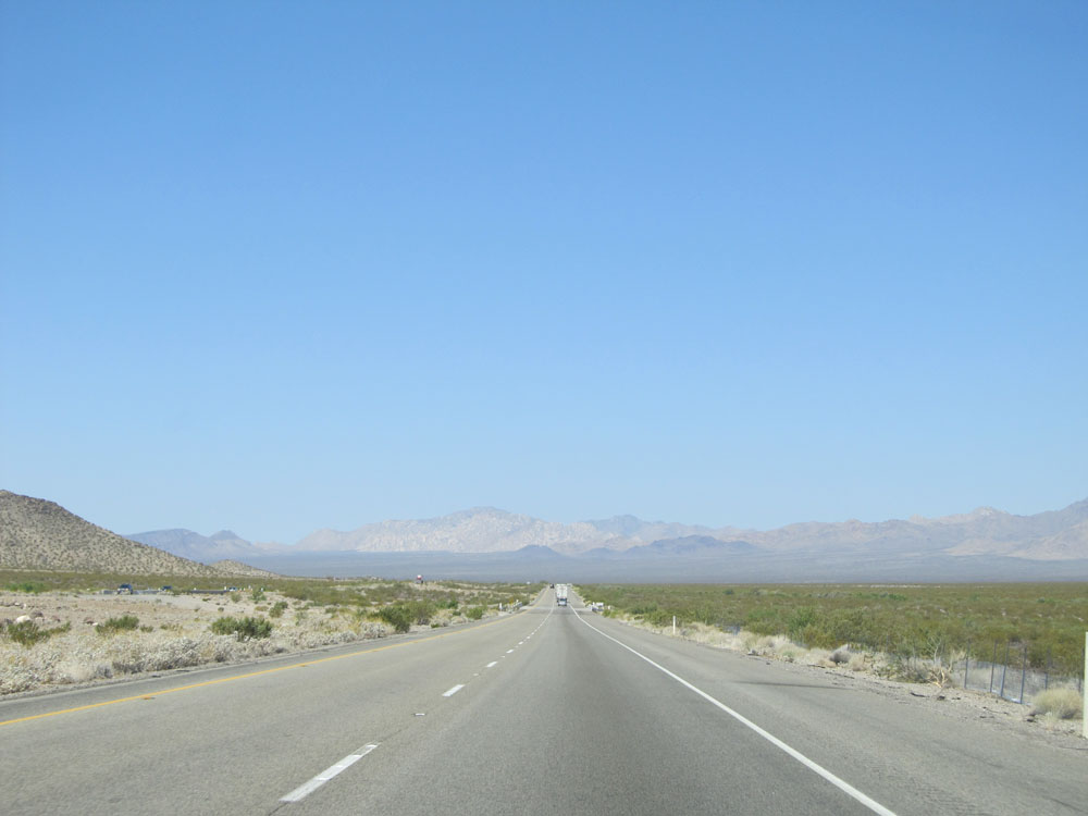 |
Road view on Interstate 40 West. (Photo taken 5/19/15). |
 |
View on Interstate 40 West. (Photo taken 5/19/15). |
 |
Another view on Interstate 40 West. (Photo taken 5/19/15). |
 |
Take Exit 78 (2 miles ahead) to Amboy and Kelso. (Photo taken 5/19/15). |
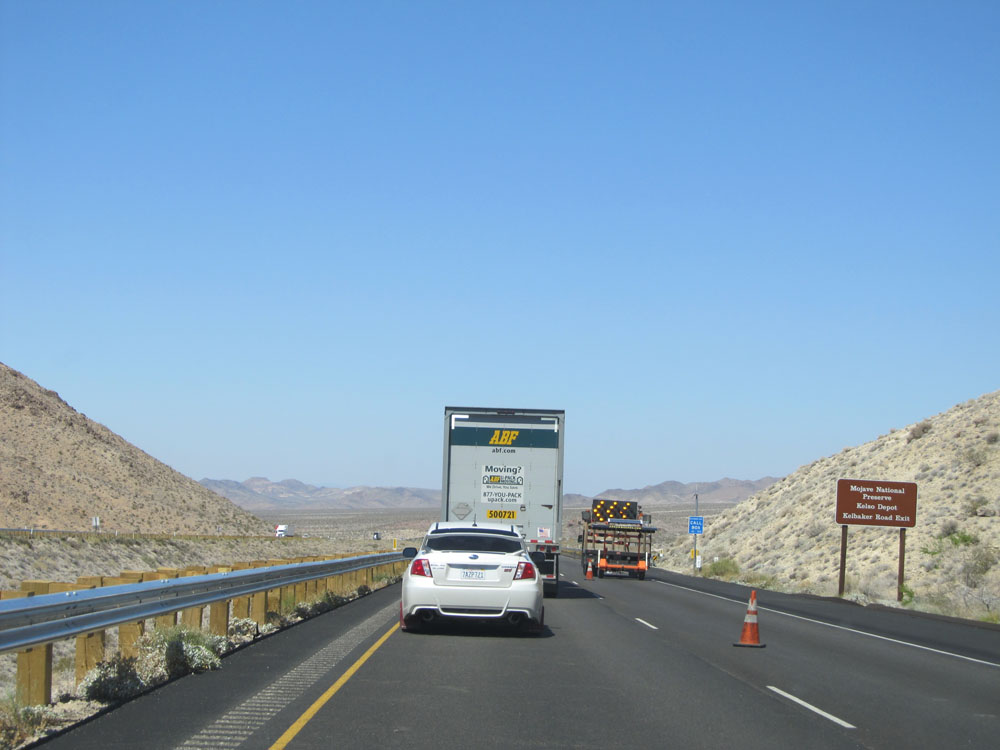 |
Take Exit 78 to Mojave National Preserve and Kelso Depot. (Photo taken 5/19/15). |
 |
Also take Exit 78 to Historic Route 66. (Photo taken 5/19/15). |
 |
Interstate 40 West at Exit 78: Kelbaker Road (Photo taken 5/19/15). |
 |
Road view on Interstate 40 West. (Photo taken 5/19/15). |
 |
Mileage sign on Interstate 40 West. It's 26 miles to Ludlow and 77 miles to Barstow. (Photo taken 5/19/15). |
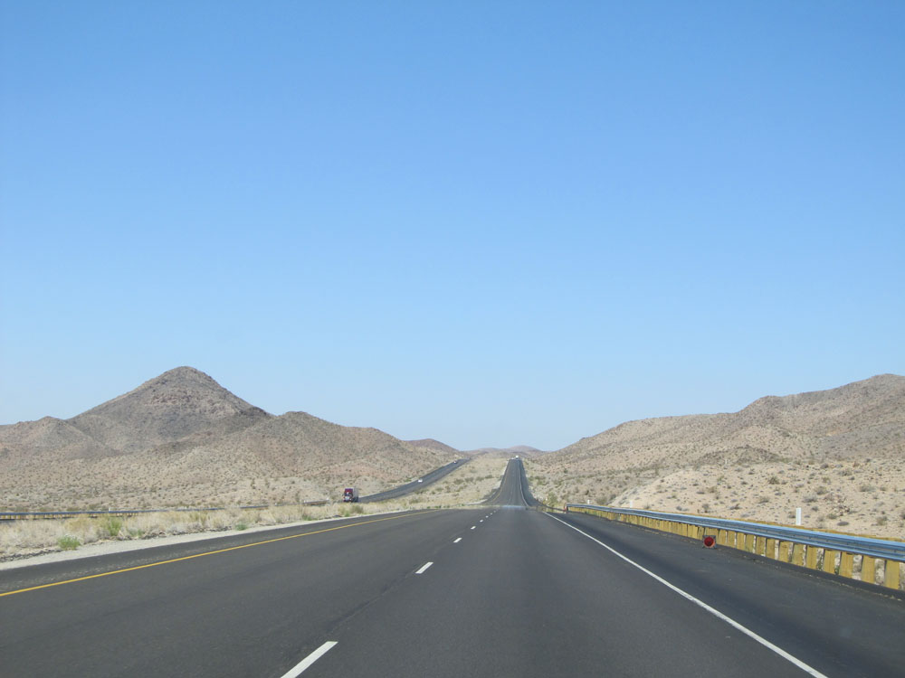 |
Road view on Interstate 40 West. (Photo taken 5/19/15). |
 |
View on Interstate 40 West. (Photo taken 5/19/15). |
 |
Another road view on Interstate 40 West. (Photo taken 5/19/15). |
 |
And another. (Photo taken 5/19/15). |
 |
Another. (Photo taken 5/19/15). |
 |
Right curve ahead. (Photo taken 5/19/15). |
 |
Road view on Interstate 40 West. (Photo taken 5/19/15). |
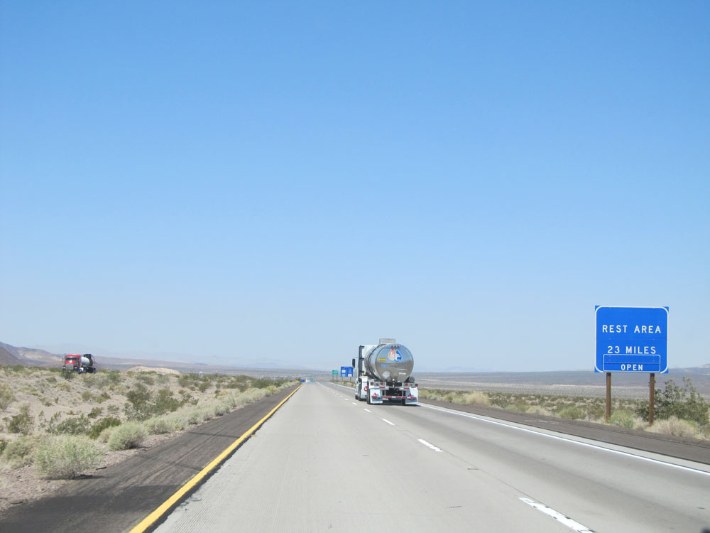 |
The next Rest Area, the Desert Oasis Rest Area, is 23 miles ahead. (Photo taken 5/19/15). |
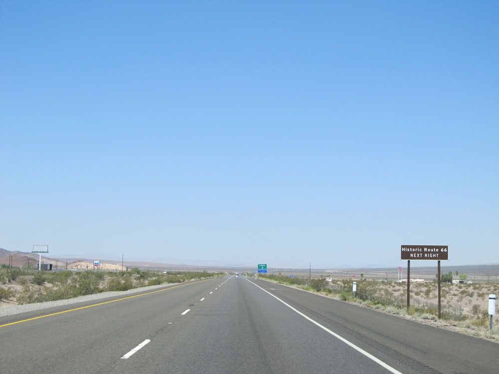 |
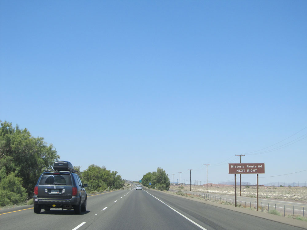
Take Exit 50 to Historic Route 66. (Photo taken 5/19/15). |
 |
Interstate 40 West at Exit 50: Ludlow (Photo taken 5/19/15). |
Section 2: Ludlow (Exit 50) to Barstow
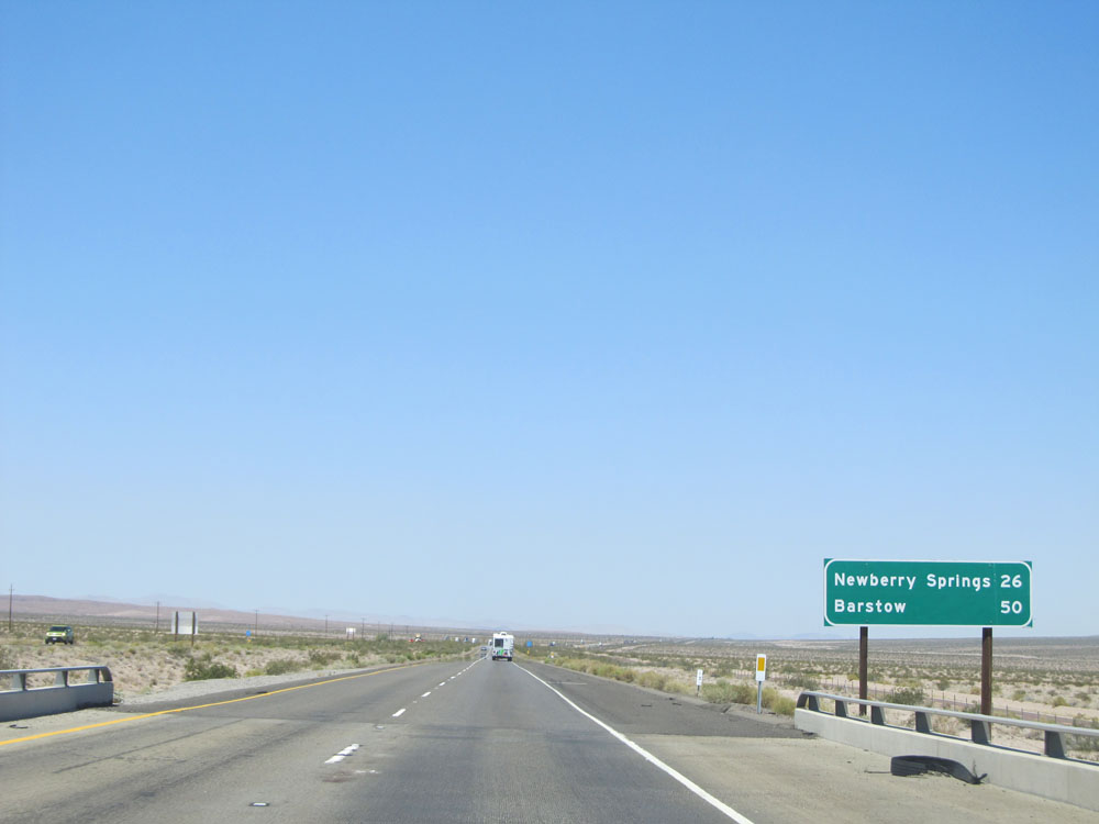 |
Mileage sign just past Exit 50. It's 26 miles to Newberry Springs and 50 miles to Barstow. (Photo taken 5/19/15). |
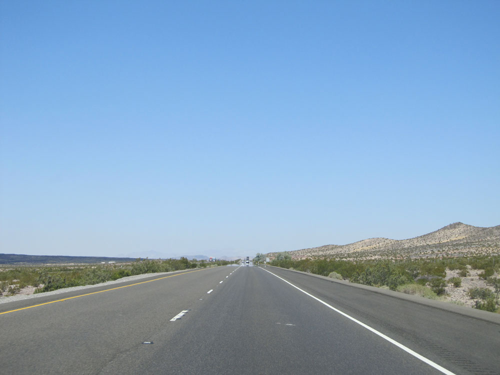 |
Road view on Interstate 40 West. (Photo taken 5/19/15). |
 |
View on Interstate 40 West. (Photo taken 5/19/15). |
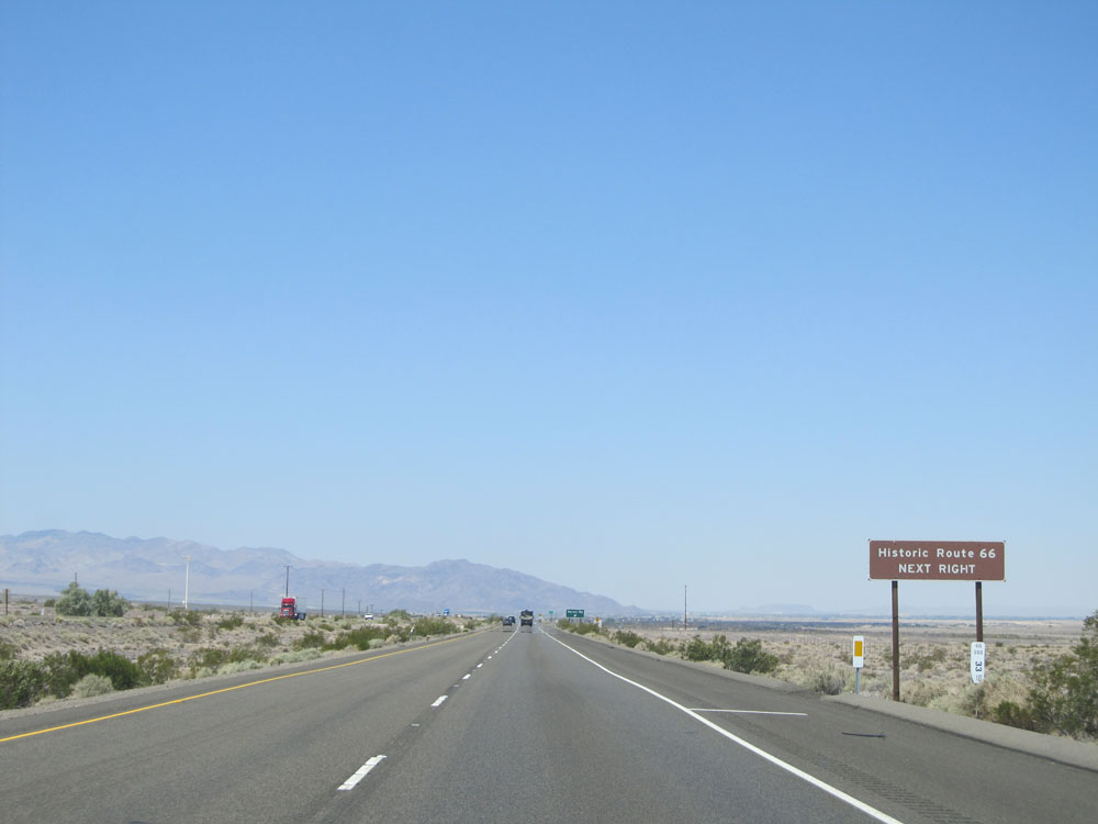 |
Take Exit 33 to Historic Route 66. (Photo taken 5/19/15). |
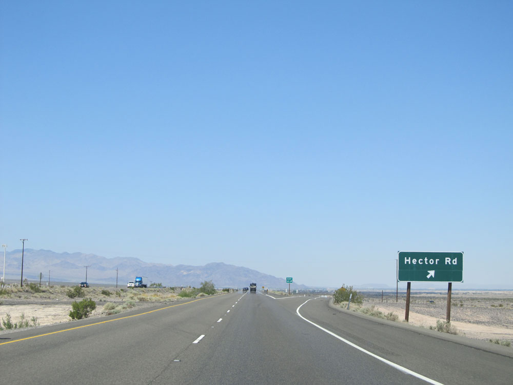 |
Interstate 40 West at Exit 33: Hector Rd (Photo taken 5/19/15). |
 |
Interstate 40 West assurance shield just past Exit 33. (Photo taken 5/19/15). |
 |
Interstate 40 West at Exit 28: Rest Area (Photo taken 5/19/15). |
 |
A closer view of the Desert Oasis Rest Area and its exit sign. (Photo taken 5/19/15). |
 |
Speed limit sign just past Exit 28. Again, the speed limit on most rural Interstates in California is 70 mph for automobiles. (Photo taken 5/19/15). |
 |
Speed limit sign for trucks and automobiles towing trailers. As a refresher, the speed limit for trucks and vehicles pulling trailers in California is 55 mph. (Photo taken 5/19/15). |
 |
Take either of the next 2 exits to Newberry Springs. (Photo taken 5/19/15). |
 |
Interstate 40 West at Exit 23: Fort Cady Rd / Newberry Springs (Photo taken 5/19/15). |
 |
Interstate 40 West assurance shield. (Photo taken 5/19/15). |
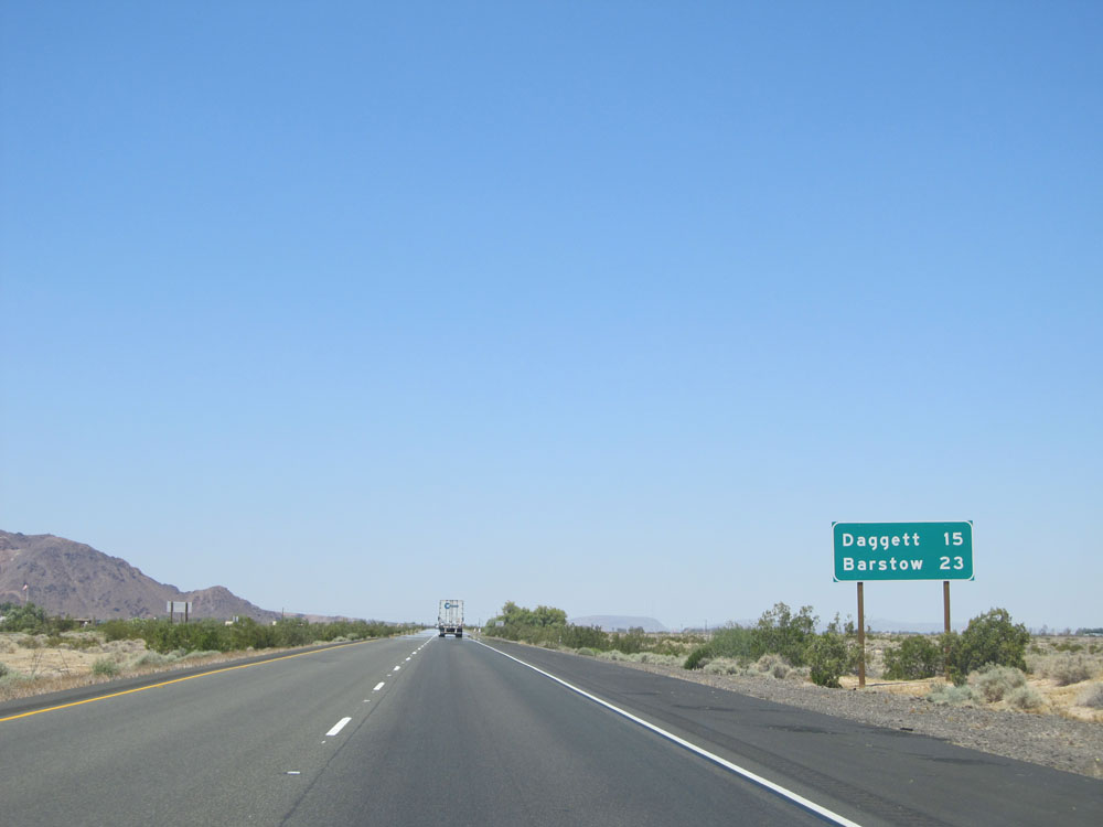 |
Mileage sign on Interstate 40 West. It's 15 miles to Daggett and 23 miles to Barstow. (Photo taken 5/19/15). |
 |
Interstate 40 West approaching Exit 18. (Photo taken 5/19/15). |
 |
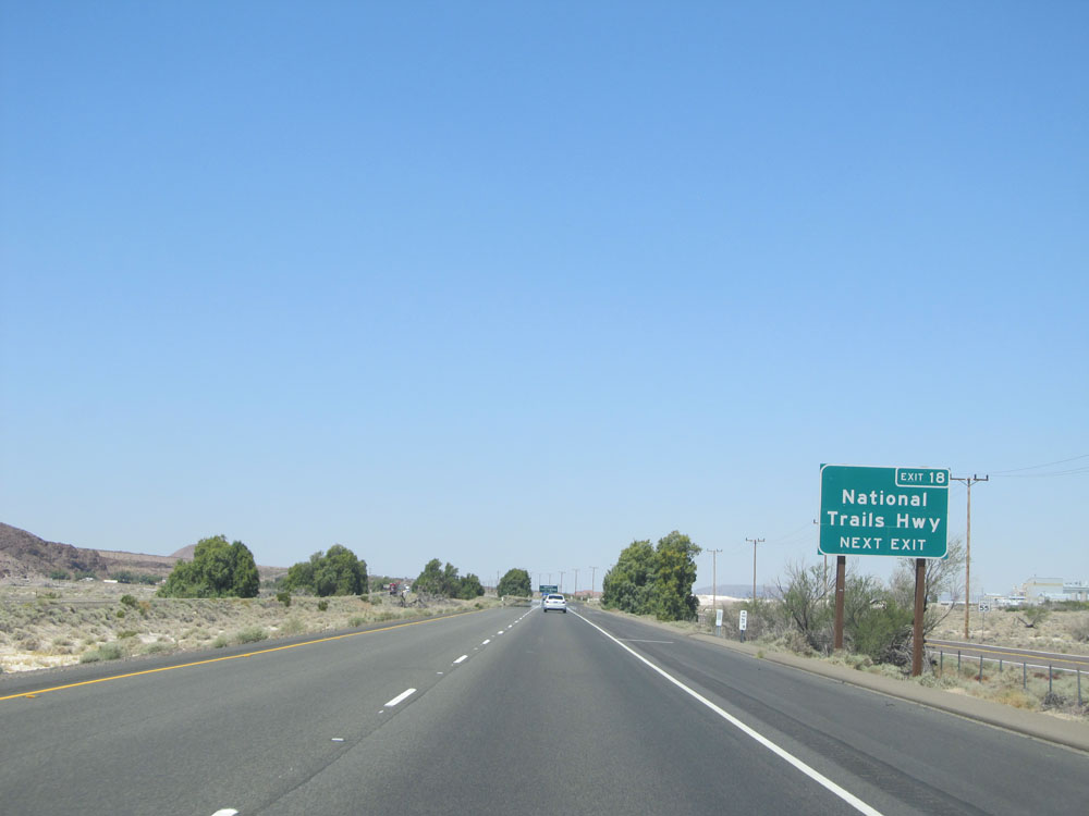
Take Exit 18 to Historic Route 66. (Photo taken 5/19/15). |
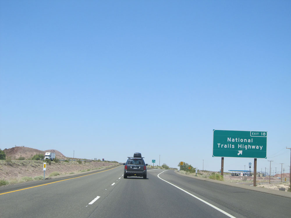 |
Interstate 40 West at Exit 18: National Trails Highway (Photo taken 5/19/15). |
 |
Road view on Interstate 40 West. (Photo taken 5/19/15). |
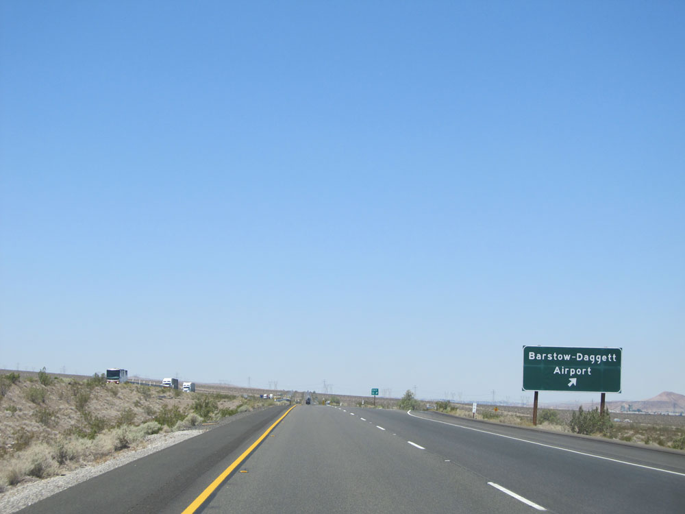 |
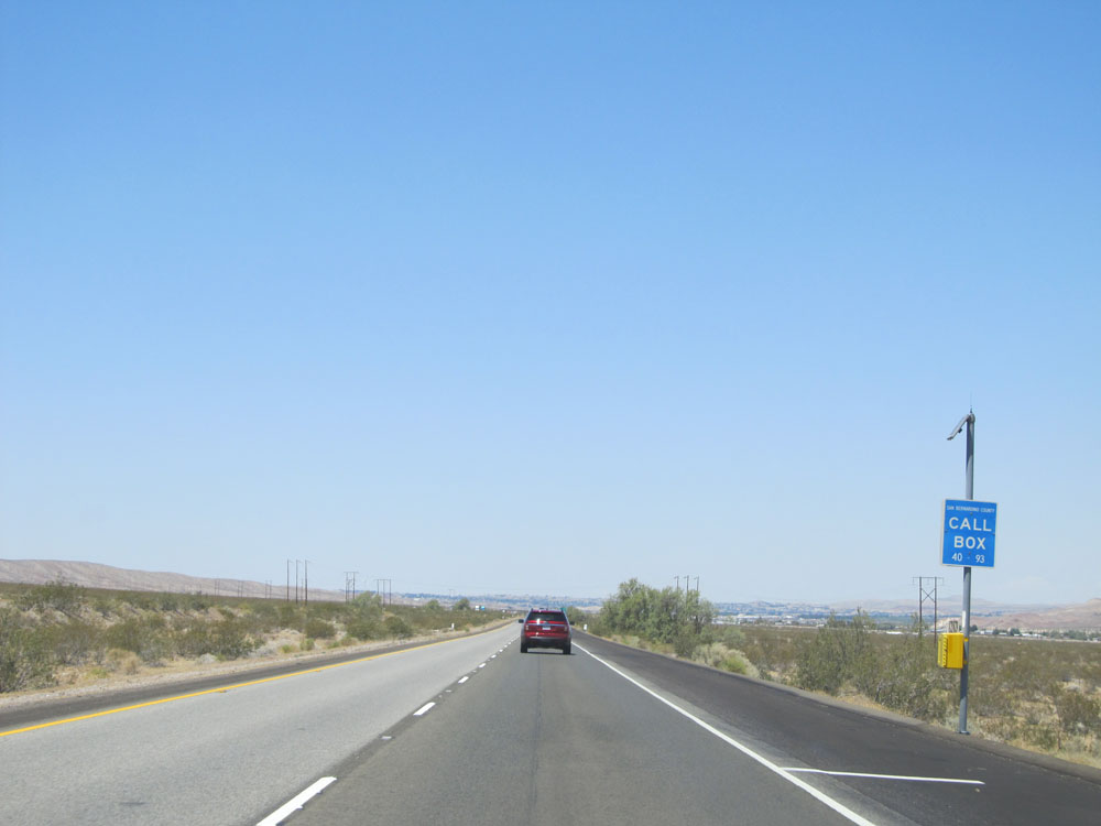
Interstate 40 West at Exit 12: Barstow-Daggett Airport (Photo taken 5/19/15). |
 |
Interstate 40 West assurance shield just past Exit 12. (Photo taken 5/19/15). |
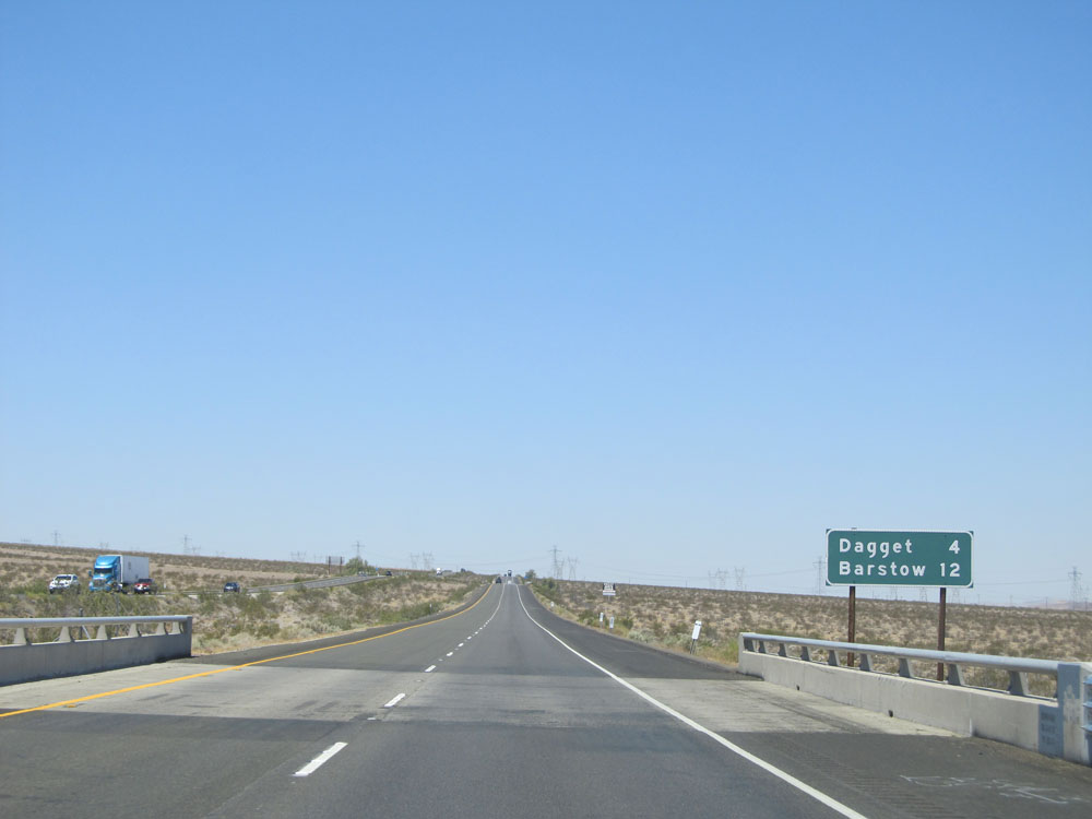 |
Mileage sign just past Exit 12. It's 4 miles to Daggett and 12 miles to Barstow. Anyone else notice the misspelling of 'Daggett'? (Photo taken 5/19/15). |
 |
View on Interstate 40 West. (Photo taken 5/19/15). |
 |
Interstate 40 West at Exit 7: Daggett (Photo taken 5/19/15). |
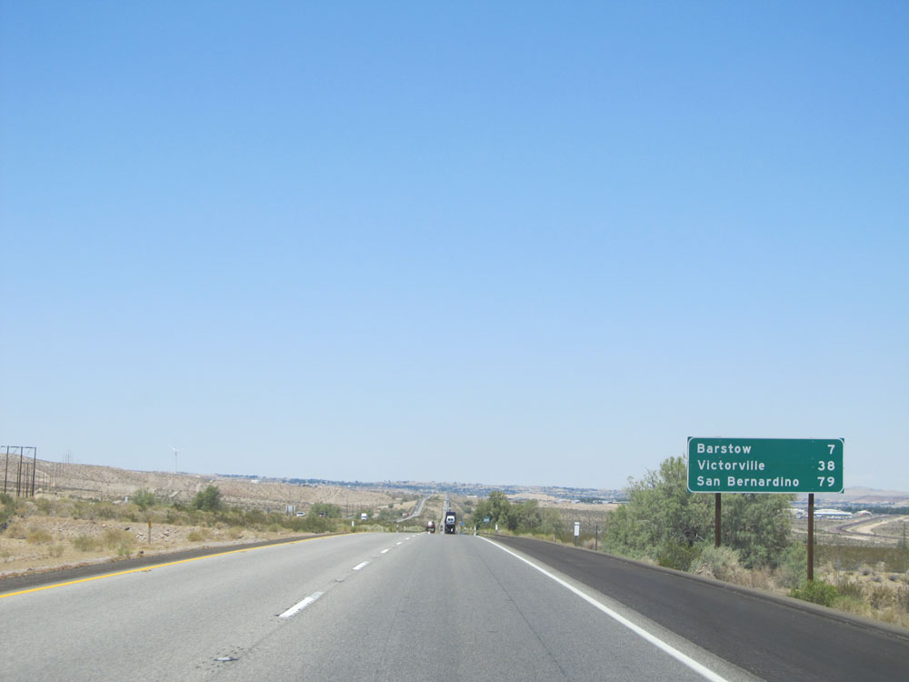 |
Mileage sign just past Exit 7. From this point, it's 7 miles to Barstow, 38 miles to Victorville, and 79 miles to San Bernardino. (Photo taken 5/19/15). |
 |
Interstate 40 West at Exit 2: Marine Corps Logistics Base (Photo taken 5/19/15). |
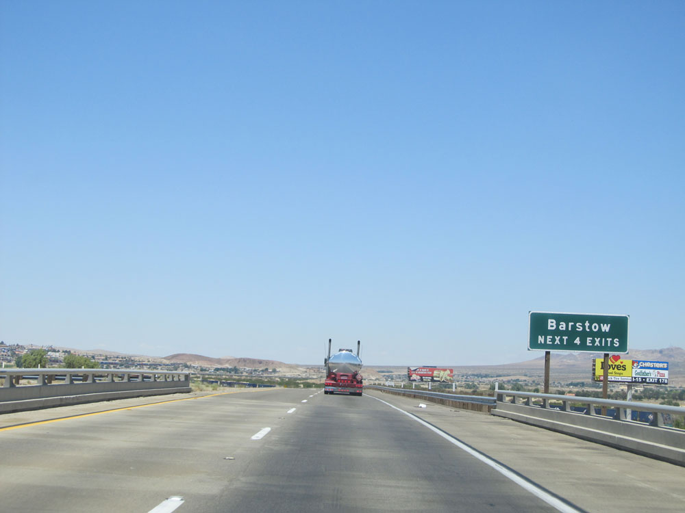 |
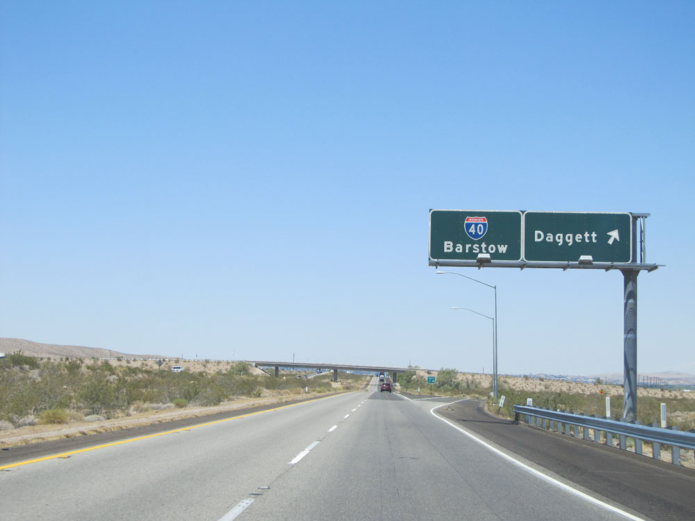
Take any of the next 4 exits on Interstate 40 West and Interstate 15 South to Barstow. (Photo taken 5/19/15). |
 |
Interstate 40 West approaching the junction of Interstate 15 and the western terminus of I-40 - 3/4 mile. (Photo taken 5/19/15). |
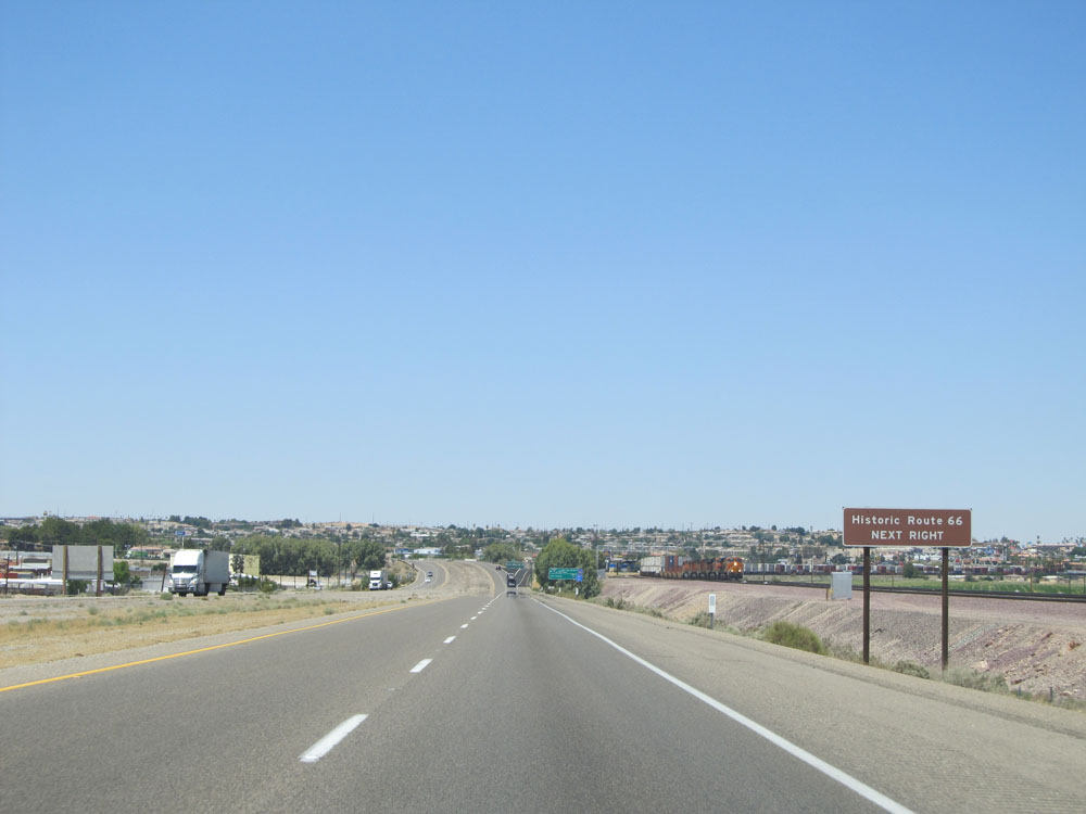 |
Take Exit 1 to Historic Route 66. (Photo taken 5/19/15). |
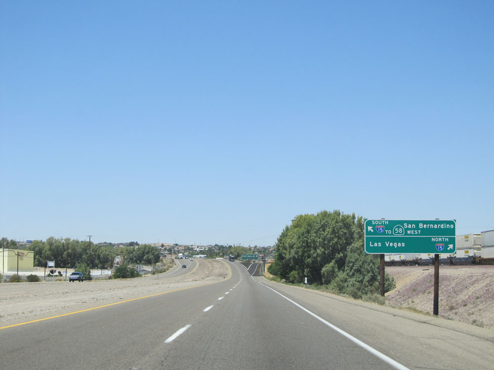 |
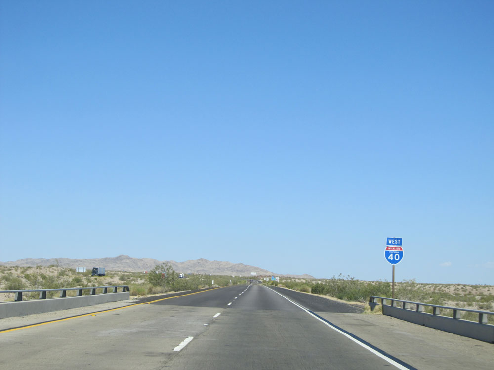
Take Exit 1 to get to Interstate 15 North toward Las Vegas. Stay straight to go onto Interstate 15 South to San Bernardino and CA 58 West toward Bakersfield. (Photo taken 5/19/15). |
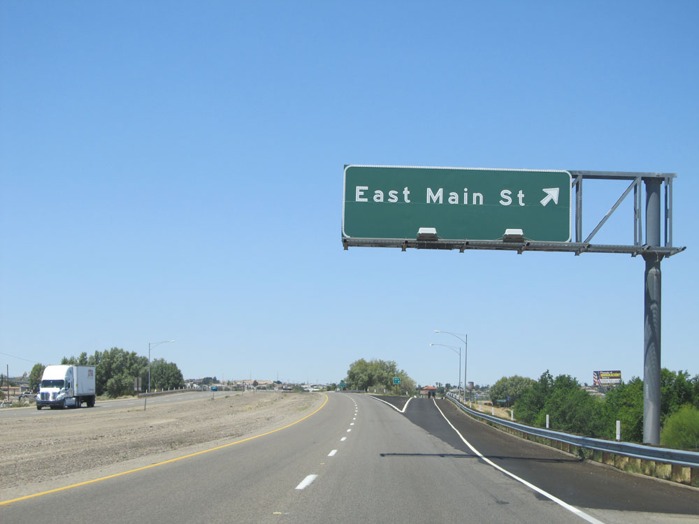 |
Interstate 40 West at Exit 1: East Main St (Photo taken 5/19/15). |
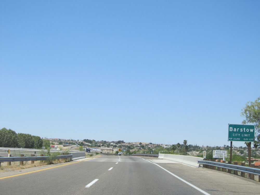 |
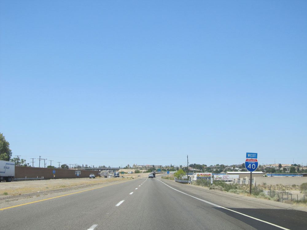
Interstate 40 West as it enters the Barstow city limits and approaches its western terminus. (Photo taken 5/19/15). |
 |
Interstate 40 West shield at its western terminus. Straight ahead, you're taken onto Interstate 15 South. (Photo taken 5/19/15). |