Road Information |
||
 |
||
| Total Mileage in State: | 154 miles | |
| Eastern End: | At Arizona state line | |
| Western End: | At I-15, in Barstow | |
| Mileage covered in Photos: | 154 miles | |
| Counties covered in Photos: | San Bernardino | |
| Major Junctions in Photos: | US 95, near Needles | |
| Control Cities in Photos: | Barstow, Needles | |
Eastbound
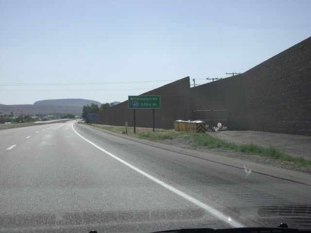 |
Mileage sign shortly after merging onto Interstate 40 East from Interstate 15. The sign reads that it is 2,554 miles to Wilmington, NC from this point. That is the point at which I-40 ends on the east coast. (Photo taken 5/21/10). |
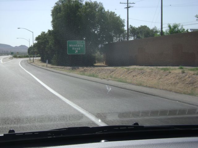 |
Interstate 40 East at Exit 1: Montara Road (Photo taken 5/21/10). |
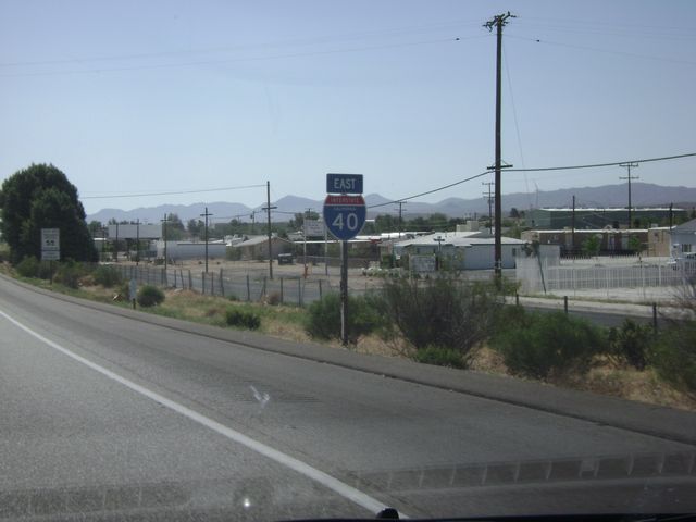 |
Interstate 40 East shield sign located near mile marker 1. (Photo taken 5/21/10). |
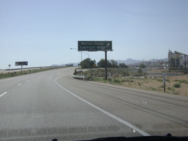 |
Interstate 40 East at Exit 2: Marine Corps Logistics Base (Photo taken 5/21/10). |
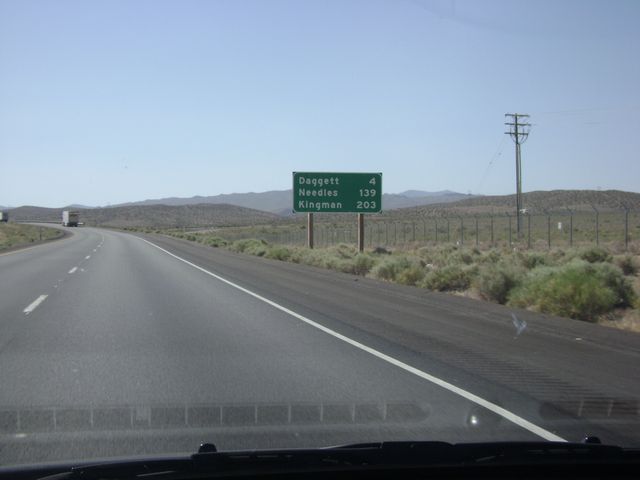 |
Mileage sign near mile marker 2. It's 4 miles to Daggett, 139 miles to Needles, and Kingman, AZ lies 203 miles ahead on I-40. (Photo taken 5/21/10). |
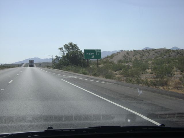 |
Interstate 40 East at Exit 5: Nebo St (Photo taken 5/21/10). |
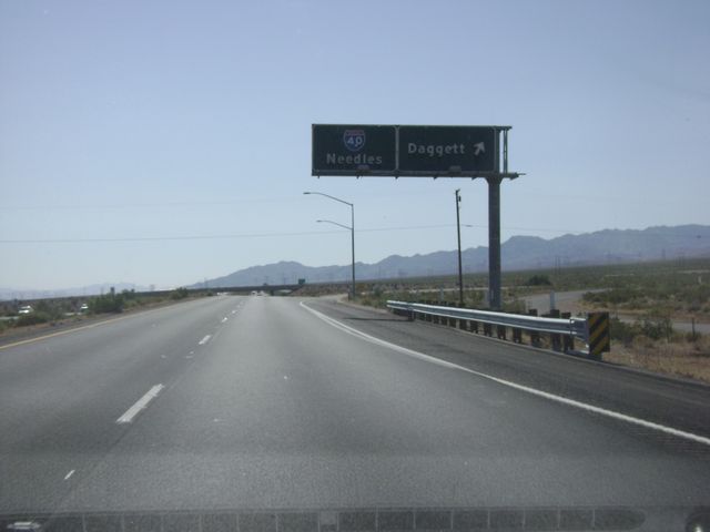 |
Interstate 40 East at Exit 7: Daggett (Photo taken 5/21/10). |
 |
Interstate 40 East at Exit 12: Barstow-Daggett Airport (Photo taken 5/21/10). |
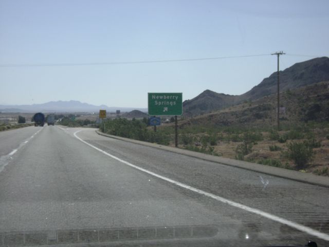 |
Interstate 40 East at Exit 18: Newberry Springs (Photo taken 5/21/10). |
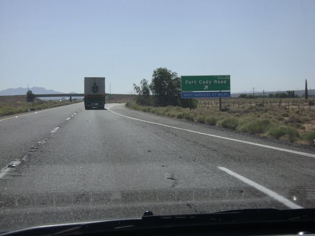 |
Interstate 40 East at Exit 23: Fort Cady Road. This next services past this exit are in 27 miles. (Photo taken 5/21/10). |
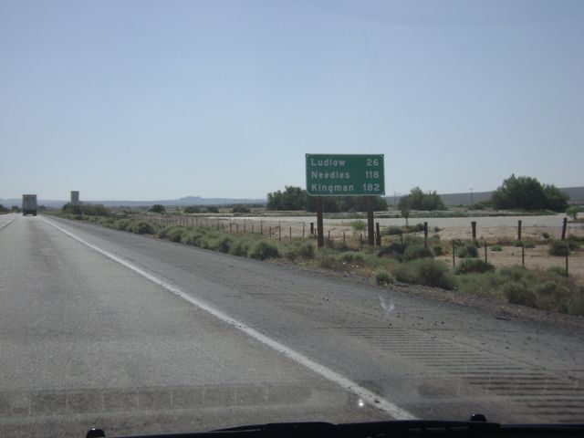 |
Mileage sign located near mile marker 24. Ludlow is 26 miles ahead, Needles is 118 miles ahead, and it's 182 miles to Kingman, AZ from this point. (Photo taken 5/21/10). |
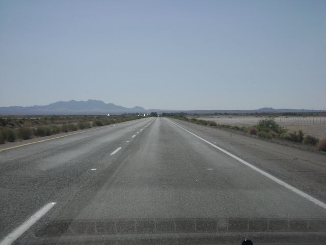 |
Interstate 40 East: Road view from near mile marker 27. (Photo taken 5/21/10). |
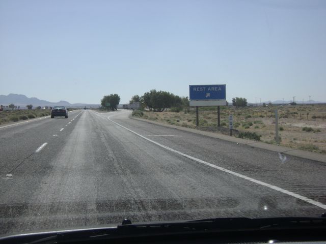 |
Interstate 40 East at the Rest Area near mile marker 28. (Photo taken 5/21/10). |
 |
Interstate 40 East at Exit 33: Hector Rd (Photo taken 5/21/10). |
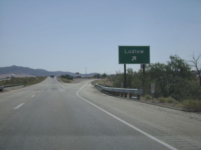 |
Interstate 40 East at Exit 50: Ludlow (Photo taken 5/21/10). |
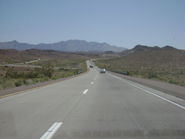 |
Interstate 40 East: Road view from near mile marker 66. (Photo taken 5/21/10). |
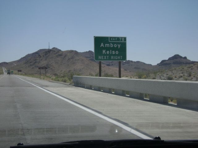 |
Interstate 40 East approaching Exit 78. Take Exit 78 to get to Amboy and Kelso. (Photo taken 5/21/10). |
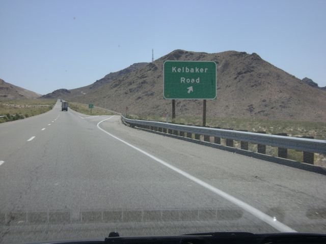 |
Interstate 40 East at Exit 78: Kelbaker Road (Photo taken 5/21/10). |
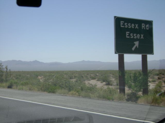 |
Interstate 40 East at Exit 100: Essex Rd / Essex (Photo taken 5/21/10). |
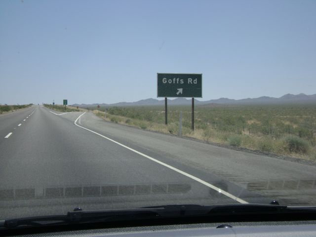 |
Interstate 40 East at Exit 107: Goffs Rd (Photo taken 5/21/10). |
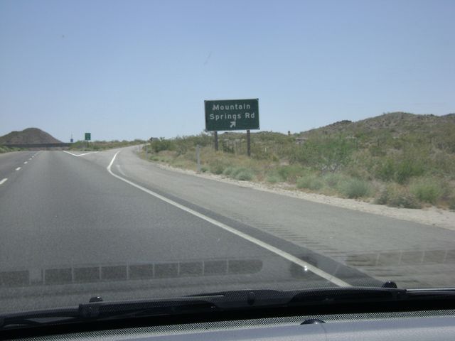 |
Interstate 40 East at Exit 115: Mountain Springs Rd (Photo taken 5/21/10). |
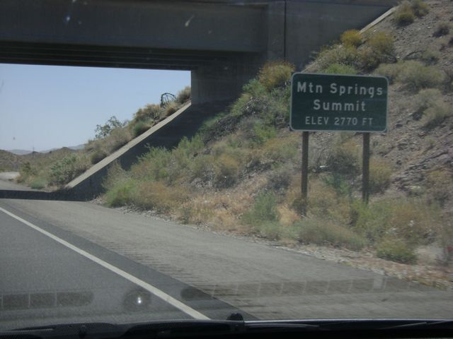 |
Interstate 40 East at Mountain Springs Summit, which is at an elevation of 2,770 feet. (Photo taken 5/21/10). |
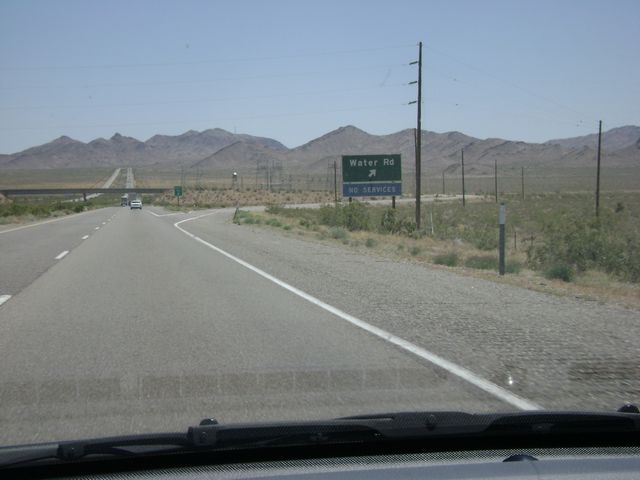 |
Interstate 40 East at Exit 120: Water Rd (Photo taken 5/21/10). |
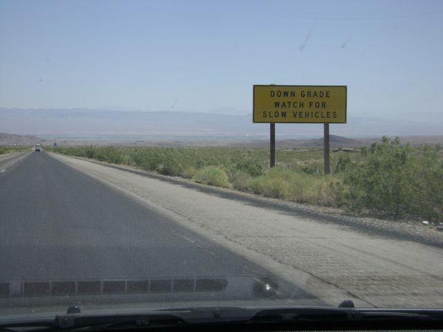 |
Warning sign near mile marker 129, warning motorists to watch for slow moving vehicles as Interstate 40 begins a long downgrade. (Photo taken 5/21/10). |
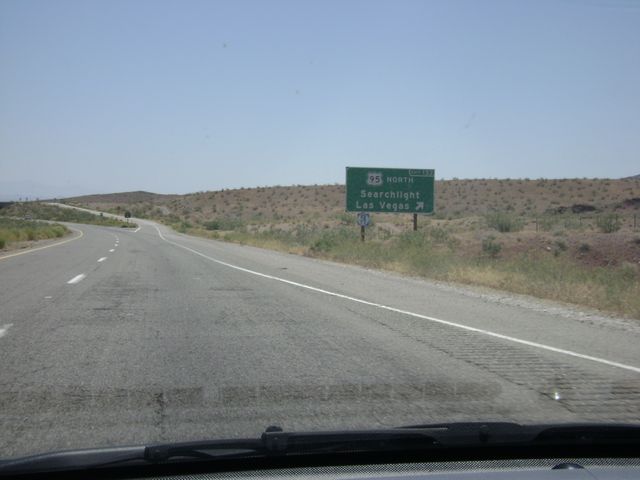 |
Interstate 40 East at Exit 133: US 95 North - Searchlight / Las Vegas (Photo taken 5/21/10). |
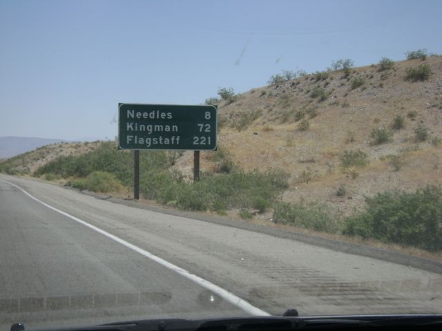 |
Mileage sign near mile marker 136. Needles is now just 8 miles ahead, while Kingman, AZ is 72 miles ahead and it's 221 miles yet to Flagstaff, AZ on I-40. (Photo taken 5/21/10). |
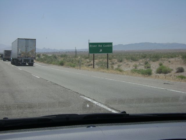 |
Interstate 40 East at Exit 139: River Rd Cutoff (Photo taken 5/21/10). |
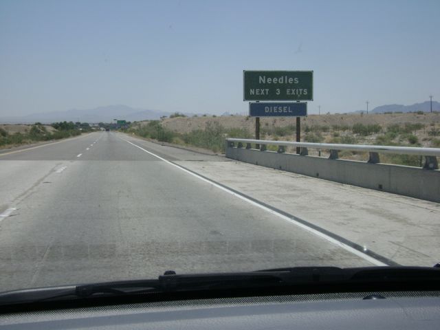 |
Take any of the next 3 exits to get to Needles. (Photo taken 5/21/10). |
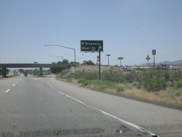 |
Interstate 40 East at Exit 141: W Broadway / River Rd (Photo taken 5/21/10). |
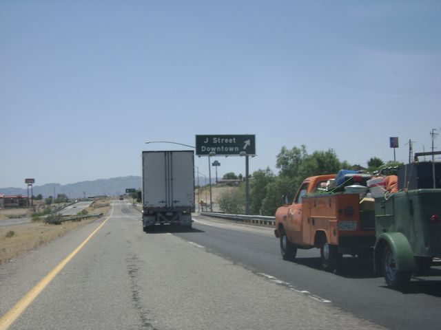 |
Interstate 40 East at Exit 142: J Street / Downtown (Photo taken 5/21/10). |
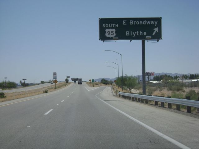 |
Interstate 40 East at Exit 144: US 95 South - E Broadway / Blythe (Photo taken 5/21/10). |
 |
Interstate 40 East at Exit 148: Five Mile Road (Photo taken 5/21/10). |
 |
Interstate 40 East: Road view from just east of Exit 148. (Photo taken 5/21/10). |
 |
Interstate 40 East at Exit 153: Park Moabi Road (Photo taken 5/21/10). |
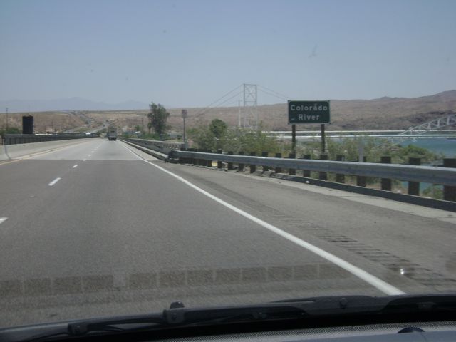 |
Sign indicating you are now about to cross the Colorado River, and into the state of Arizona. (Photo taken 5/21/10). |
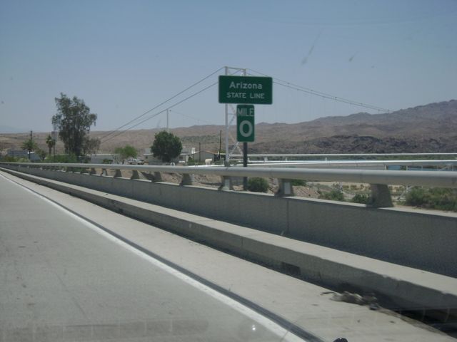 |
Sign saying that you are now crossing the Arizona state line, and leaving California. (Photo taken 5/21/10). |