Road Information |
||
 |
||
| Total Mileage in State: | 3.5 miles | |
| Western End: | At I-94/I-43, in Milwaukee | |
| Southern End: | At WI 794, in Milwaukee | |
| Mileage covered in Photos: | 3.5 miles | |
| Counties covered in Photos: | Milwaukee | |
| Major Junctions in Photos: | None |
|
| Control Cities in Photos: | Milwaukee | |
Eastbound
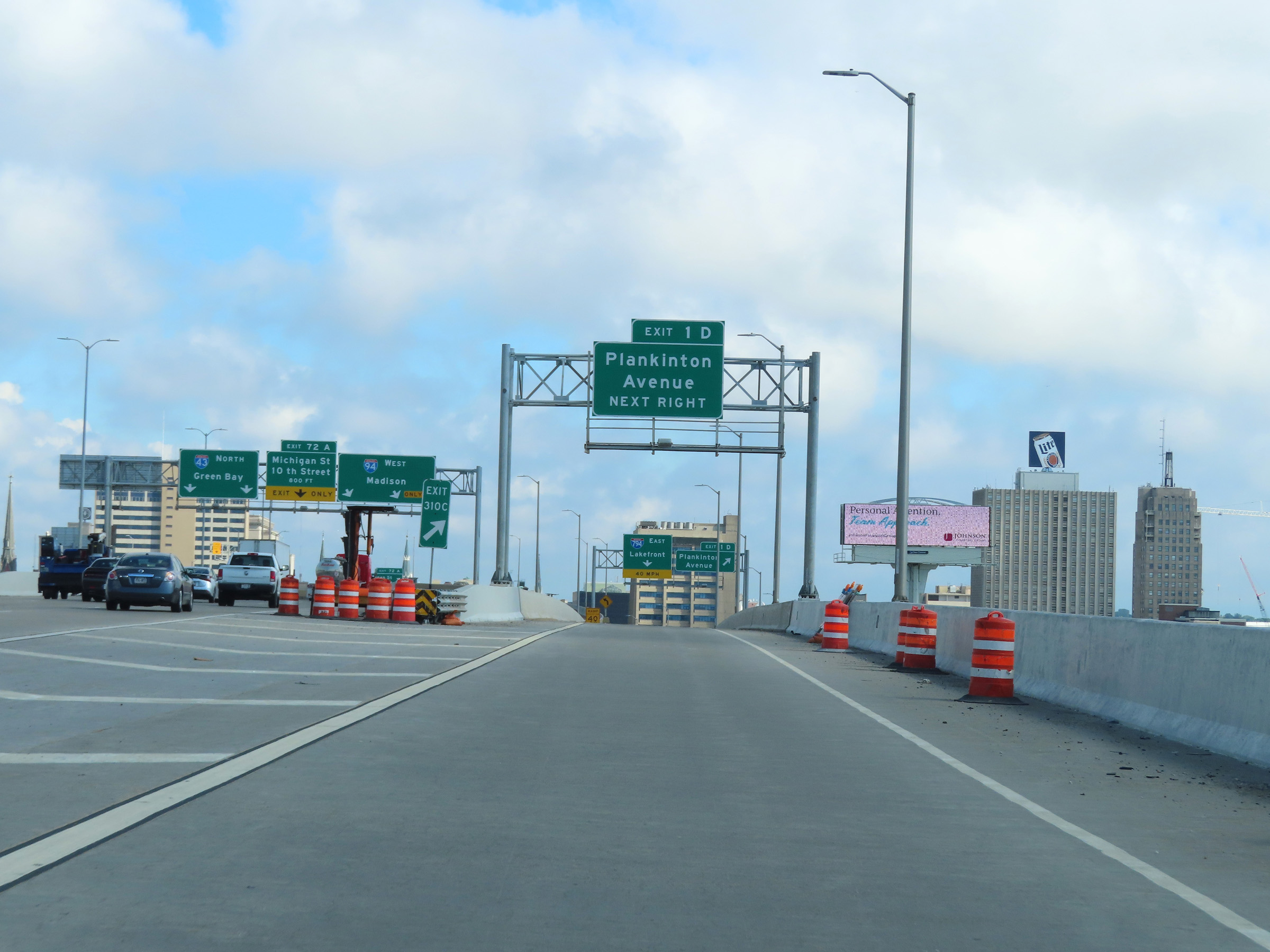 |
Merging onto Interstate 794 East via Exit 310C on Interstate 94 West / Interstate 43 North in downtown Milwaukee. (Photo taken 8/15/22). |
 |
Interstate 794 East at Exit 1D: Plankinton Avenue (Photo taken 8/15/22). |
 |
At the ramp to Exit 1D, Interstate 794 East will curve to the east ahead to head further into downtown Milwaukee. (Photo taken 8/15/22). |
 |
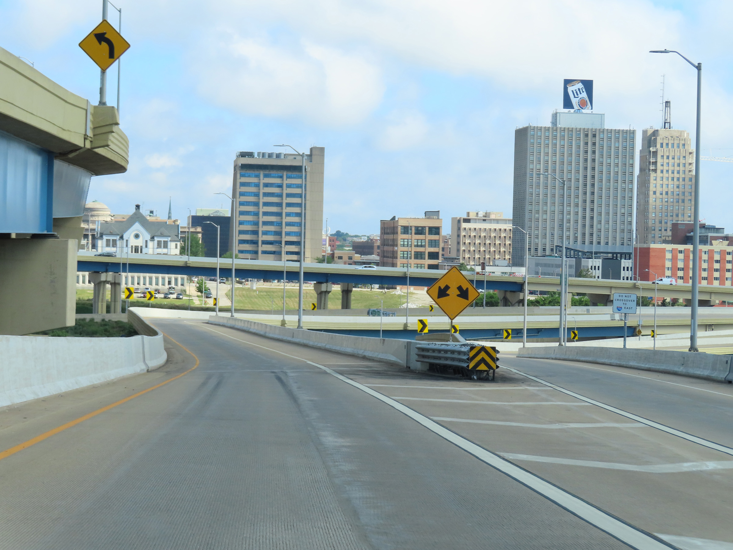
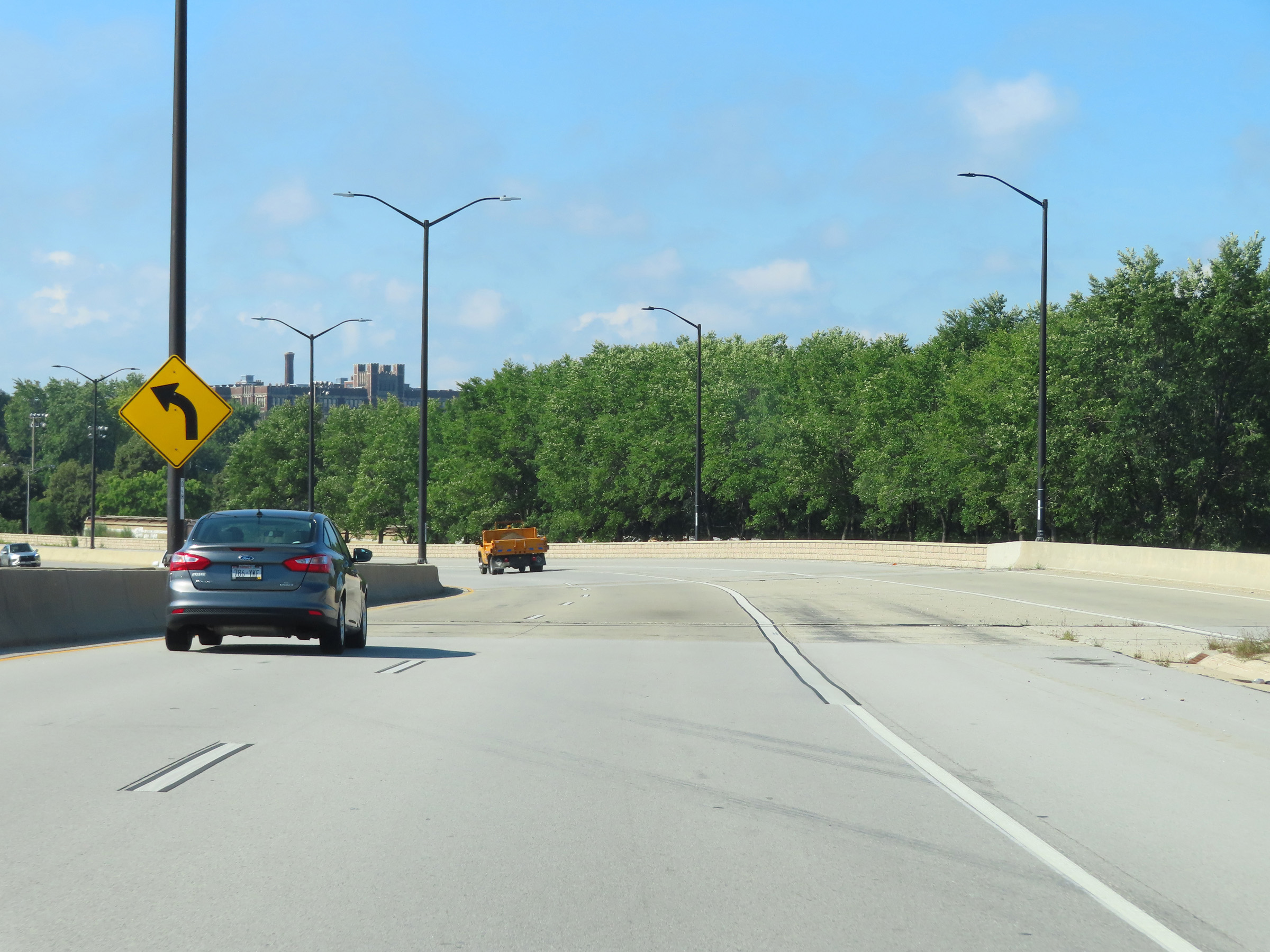
View on Interstate 794 East's ramp from Interstate 94 West / Interstate 43 North as it begins to curve to the east and head toward downtown. (Photo taken 8/15/22). |
 |
Advance signage for Exit 1E seen on the ramp from Interstate 94 East to Interstate 794 East. (Photo taken 8/15/22). |
 |
At mile marker 0.4, the ramp from Interstate 94 West / Interstate 43 North joins the two-lane ramp from Interstate 94 East. (Photo taken 8/15/22). |
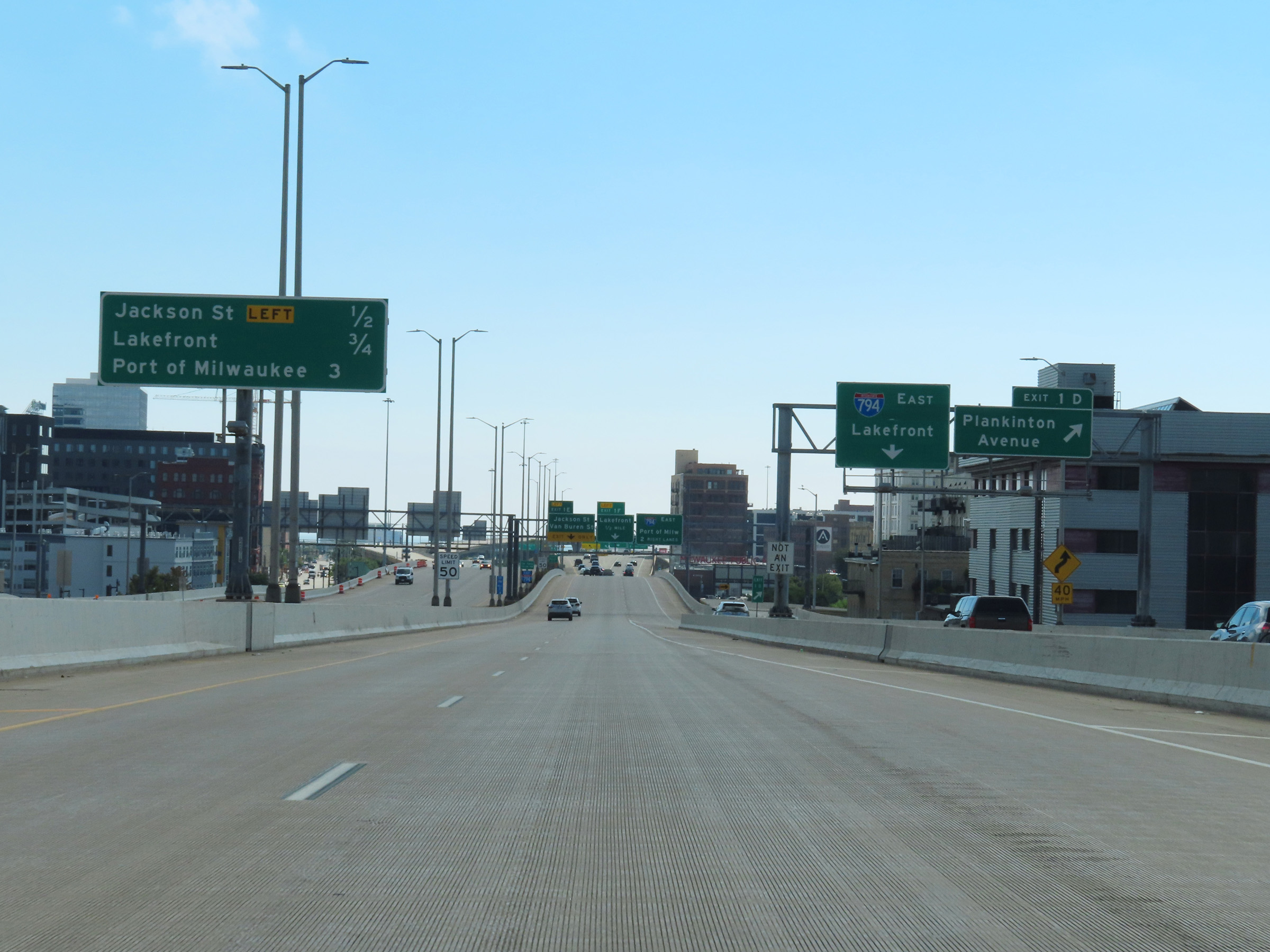 |
Overhead mileage sign on the center barrier which lists the distances to the three upcoming exits to downtown Milwaukee on Interstate 794 East. We also see the ramp for Exit 1D, which is not directly accessible to traffic having come from Interstate 94 East to I-794 East. (Photo taken 8/15/22). |
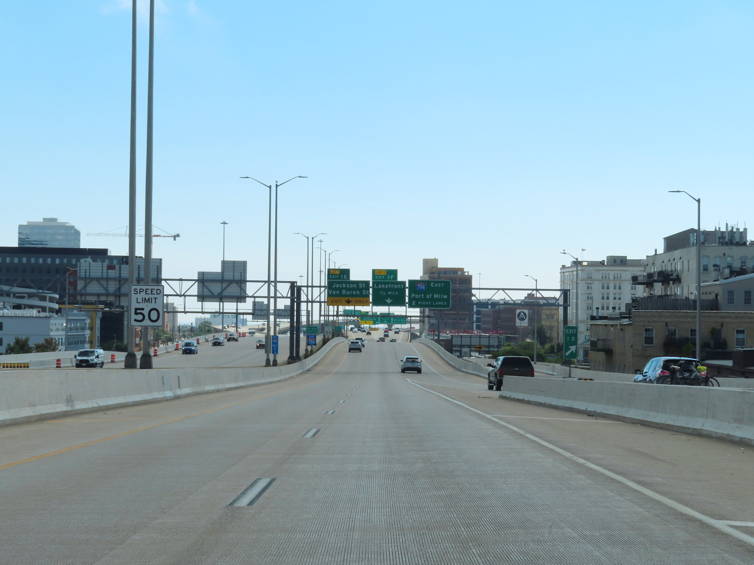 |
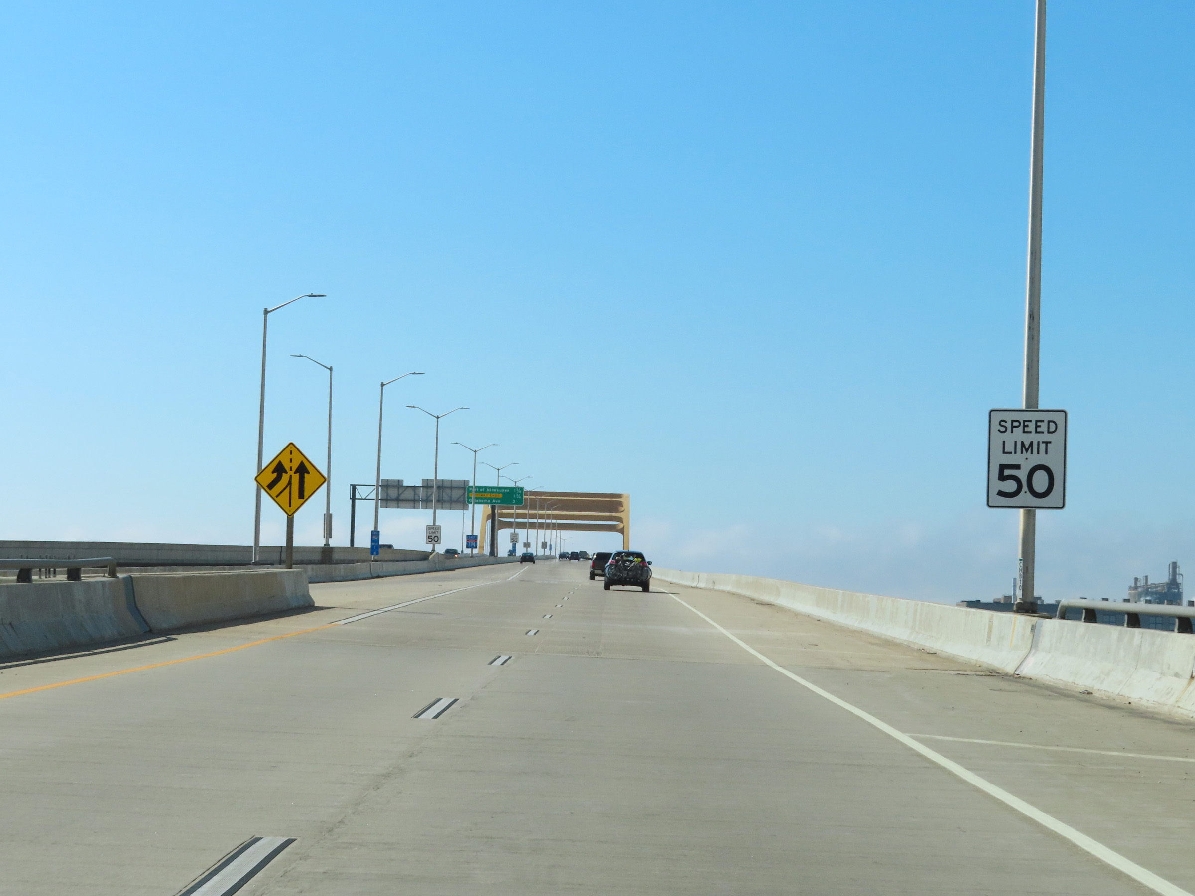
The speed limit on Interstate 794 East is 50 mph. (Photo taken 8/15/22). |
 |
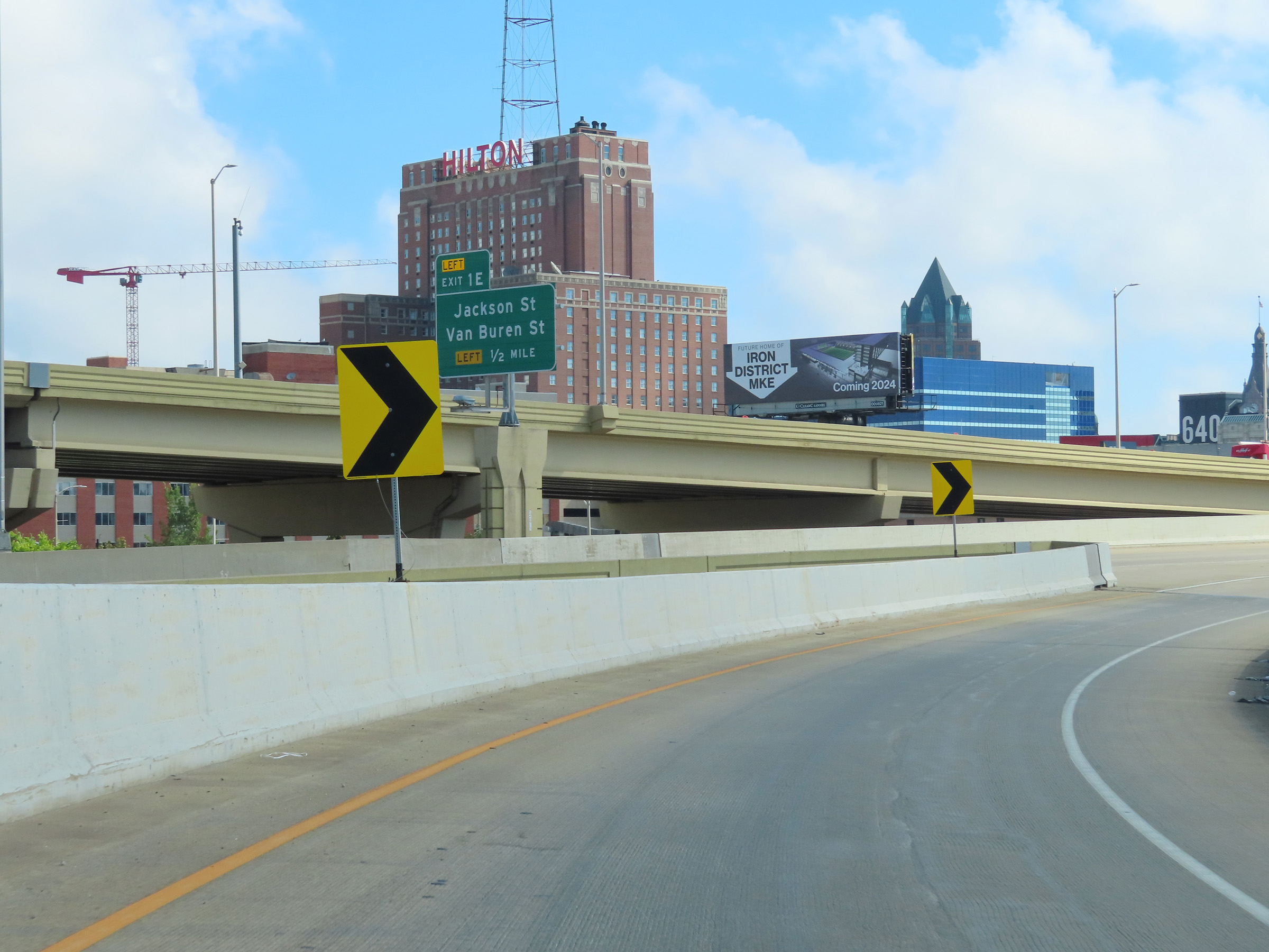
Interstate 794 East reassurance shield approaching Exit 1E. (Photo taken 8/15/22). |
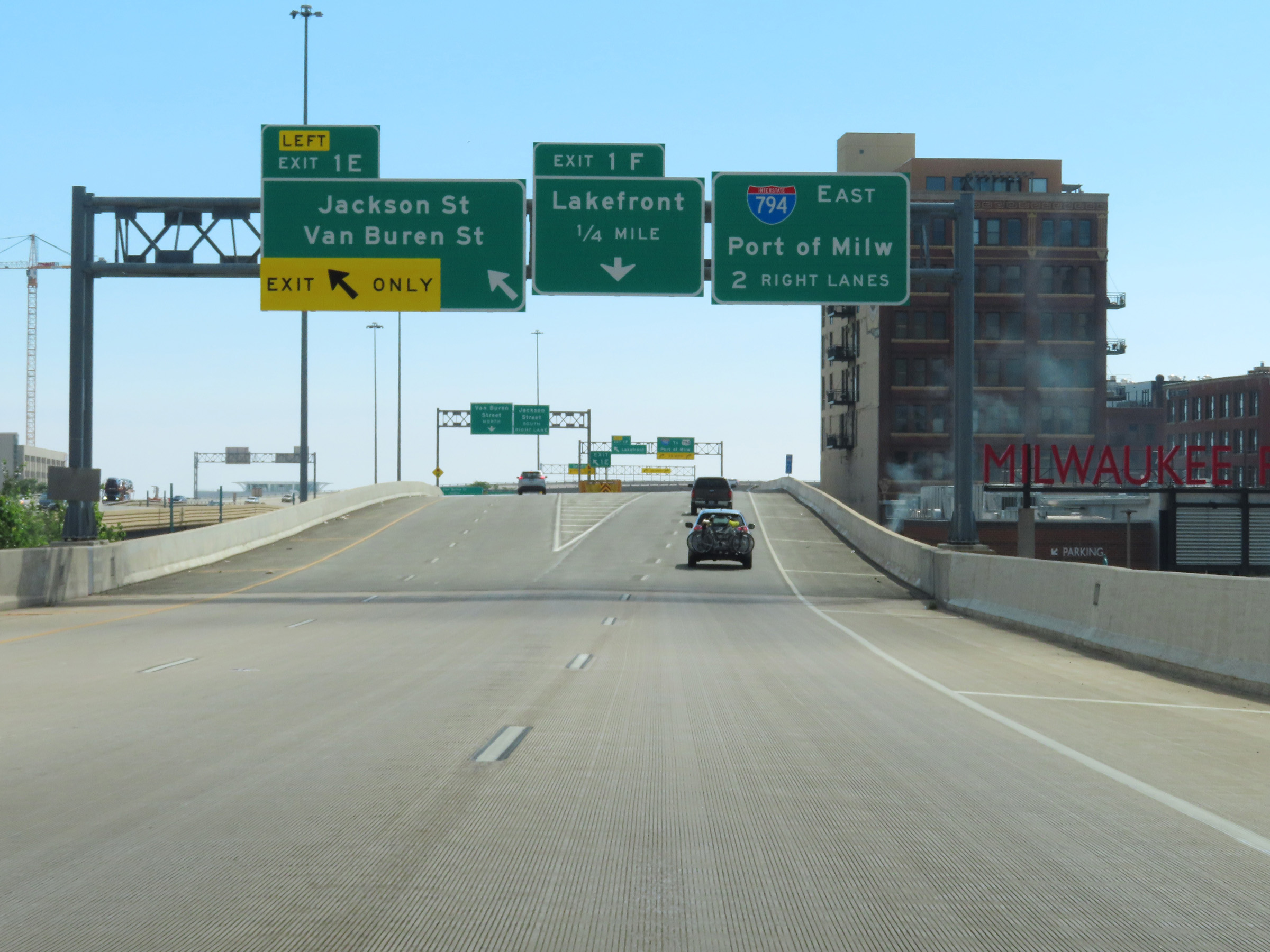 |
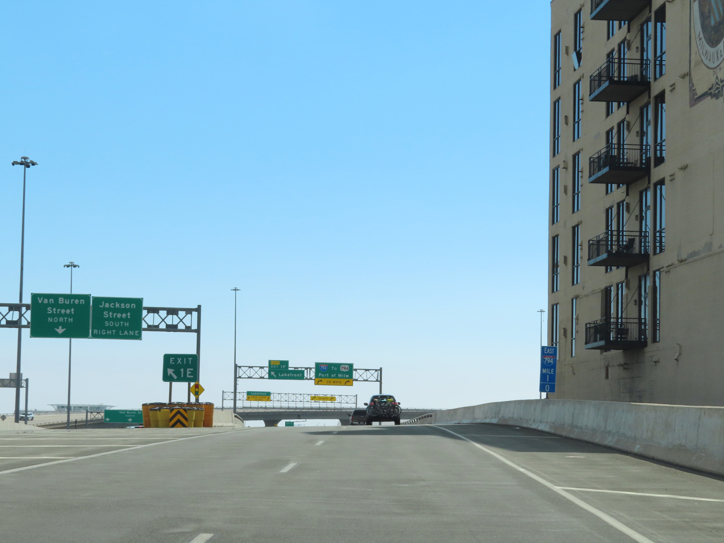
Interstate 794 East at Exit 1E: Jackson St / Van Buren St (Photo taken 8/15/22). |
 |
View on Interstate 794 East at mile marker 1 in downtown Milwaukee. (Photo taken 8/15/22). |
 |
Interstate 794 East at Exit 1F: Lakefront (Photo taken 8/15/22). |
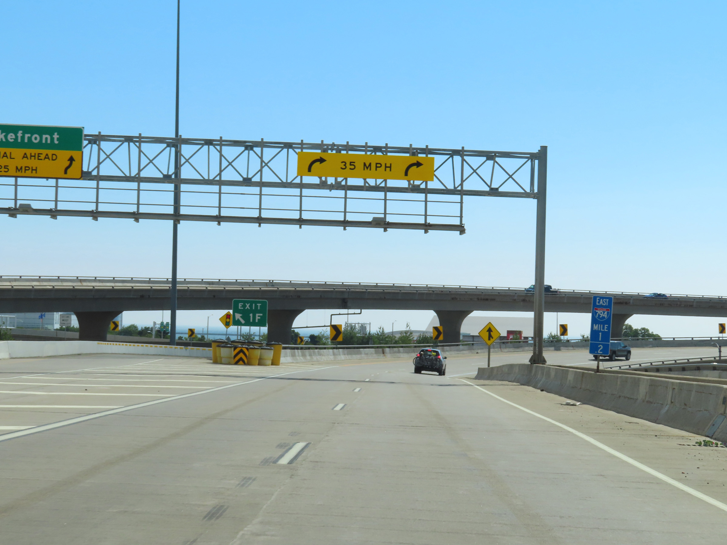 |
At mile marker 1.2 and the ramp for Exit 1F, Interstate 794 East prepares to curve hard to the south and leave the downtown area. (Photo taken 8/15/22). |
 |
View on Interstate 794 East as it curves to the south in downtown Milwaukee. On the right, we see the on ramp from East Clybourn St. (Photo taken 8/15/22). |
 |
Interstate 794 East at mile marker 1.4, now heading directly south toward the Kinnicknnic River. (Photo taken 8/15/22). |
 |
As Interstate 794 East begins to cross the Daniel W. Hoan Memorial Bridge over the Kinnicknnic River, traffic from North Lincoln Memorial Dr and East Clybourn St merges into it from the left. (Photo taken 8/15/22). |
 |
Another Interstate 794 East reassurance shield as its two thru lanes climb the Daniel W. Hoan Memorial Bridge over the Kinnicknnic River. (Photo taken 8/15/22). |
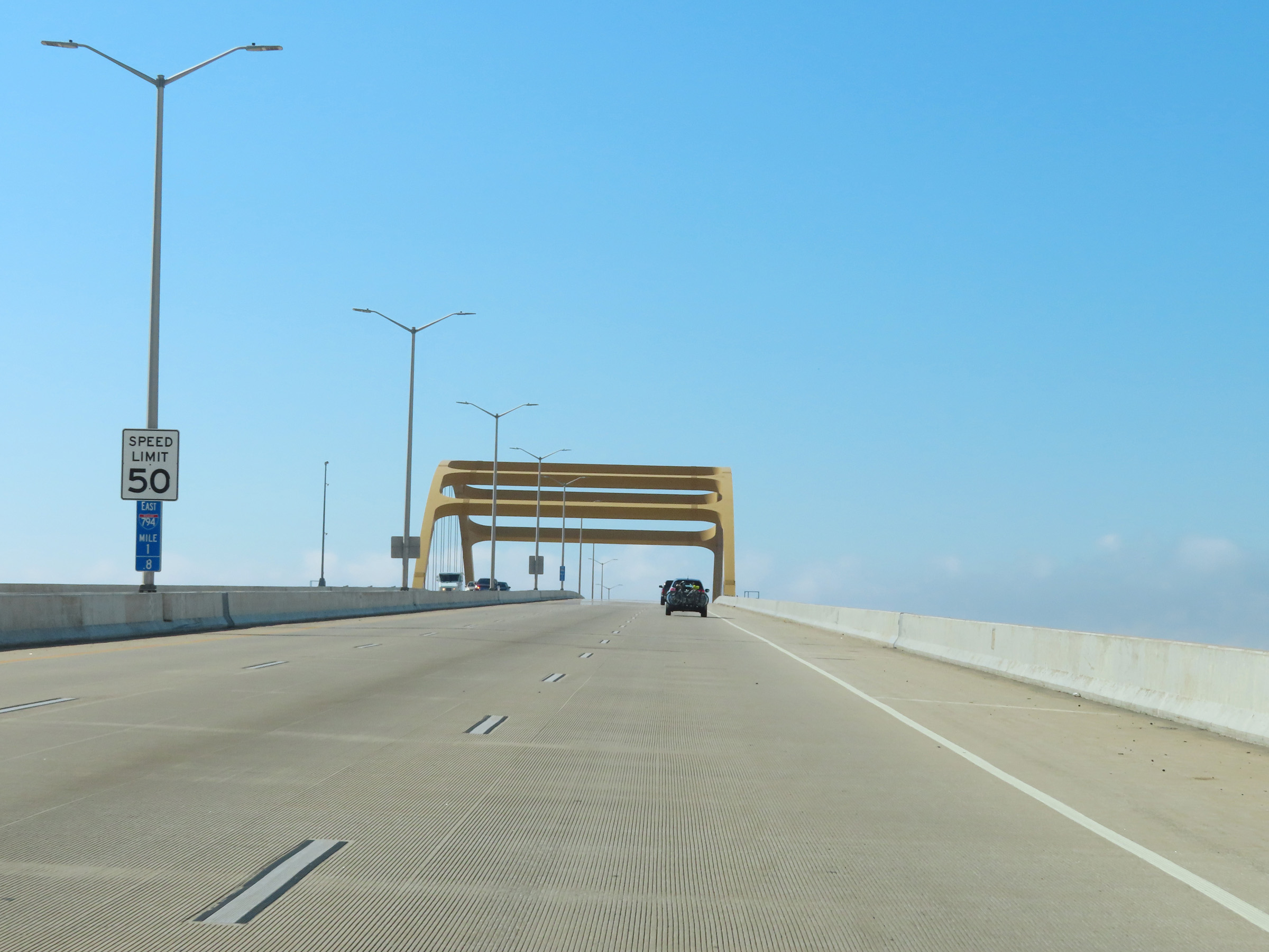 |
The speed limit on Interstate 794 East remains 50 mph at mile marker 1.8 as it crosses the Daniel W. Hoan Memorial Bridge. (Photo taken 8/15/22). |
 |
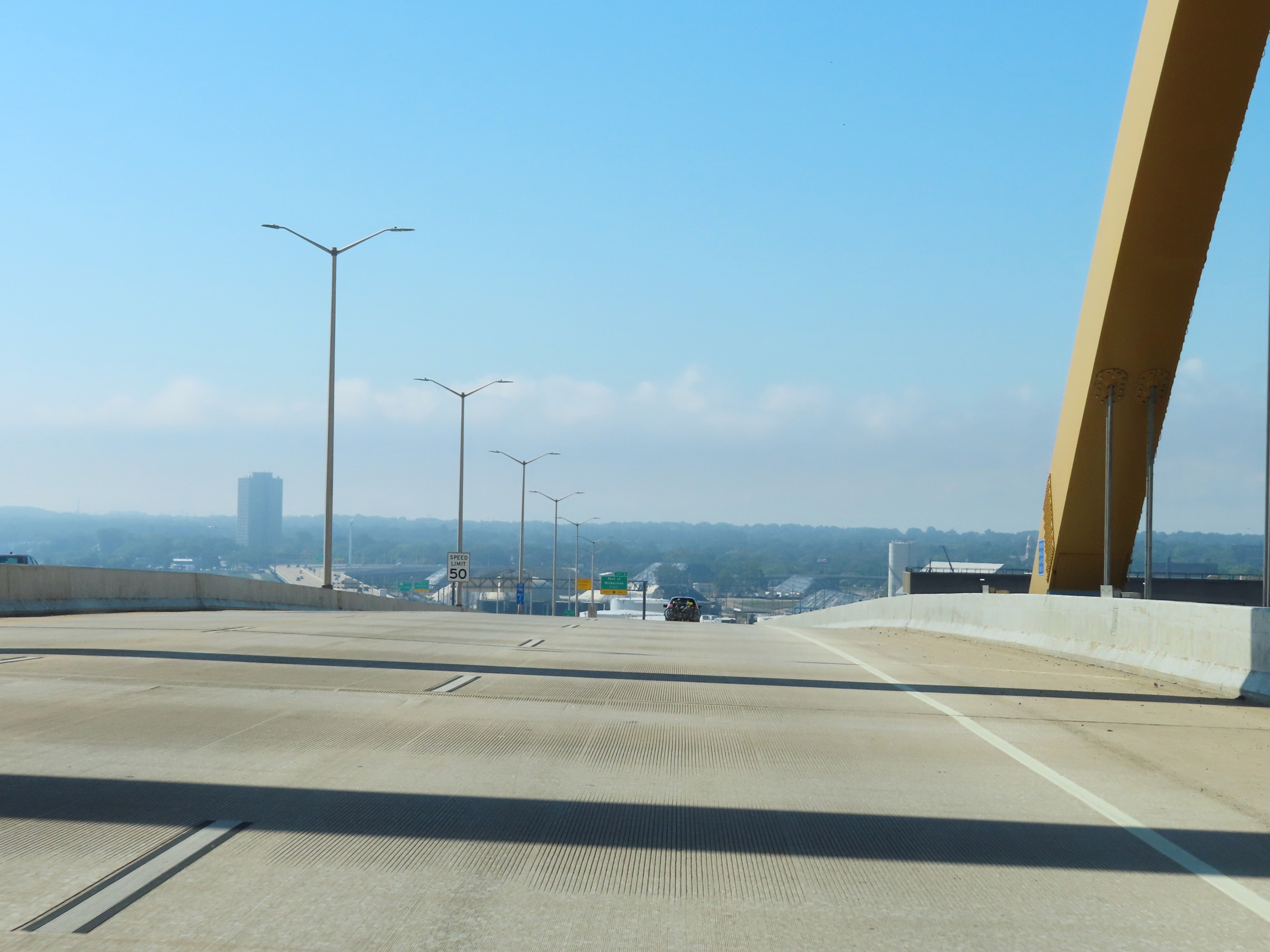
At mile marker 2, Interstate 794 East nears the peak of the Daniel W. Hoan Memorial Bridge over the Kinnicknnic River. (Photo taken 8/15/22). |
 |
Interstate 794 East as it reaches the peak of the Daniel W. Hoan Memorial Bridge over the Kinnicknnic River and begins to descend it to the south. (Photo taken 8/15/22). |
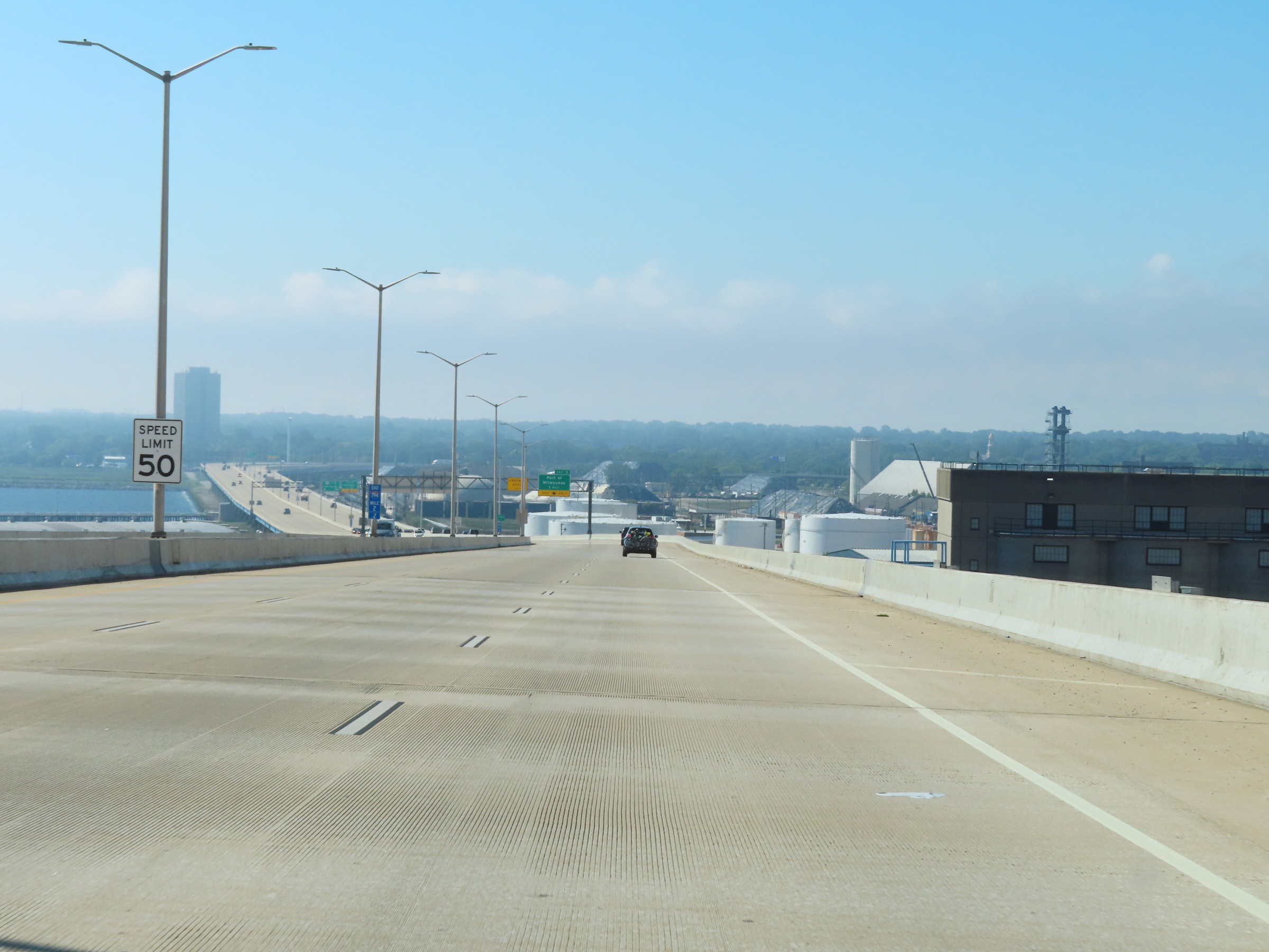 |
View on Interstate 794 East at mile marker 2.2, as it descends the Daniel W. Hoan Memorial Bridge over the Kinnicknnic River. (Photo taken 8/15/22). |
 |
Take exit 3 to the Car Ferry. (Photo taken 8/15/22). |
 |
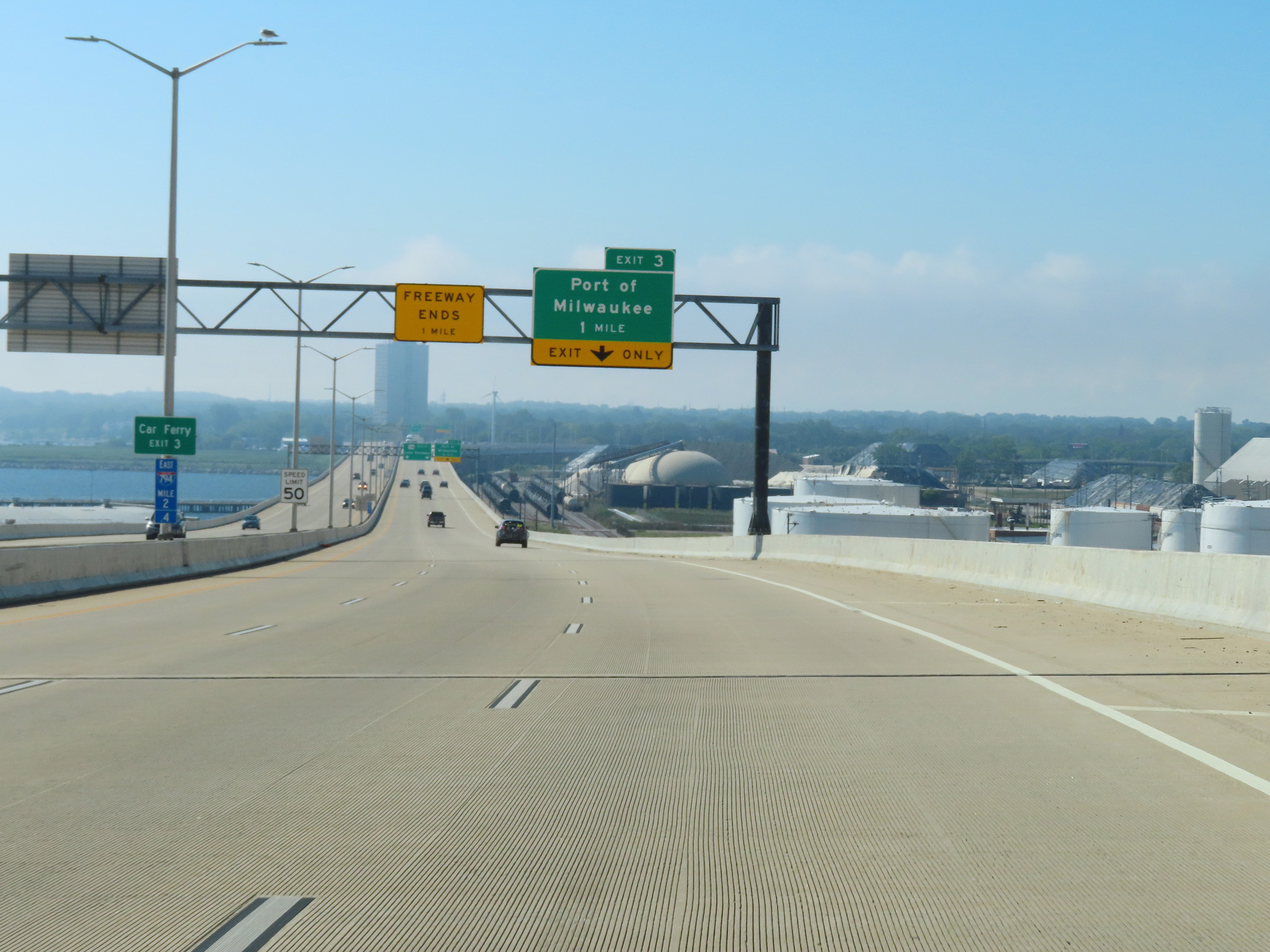
Approaching Exit 3, we see this Interstate 794 East END marker posted on the center barrier. I-794 East will end about 1/2 mile ahead, just beyond Exit 3. (Photo taken 8/15/22). |
 |
Interstate 794 East at Exit 3: Port of Milwaukee (Photo taken 8/15/22). |
 |
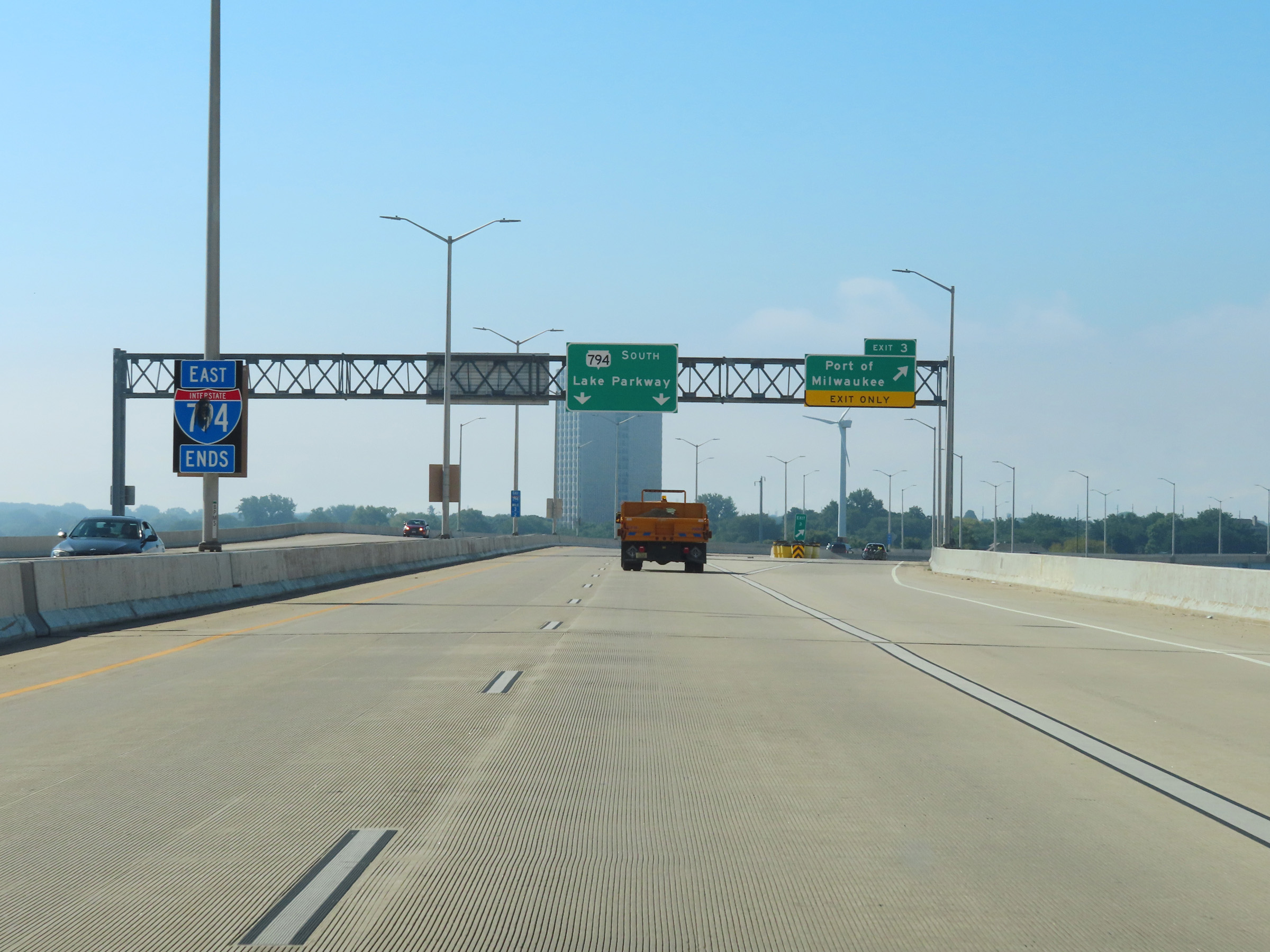
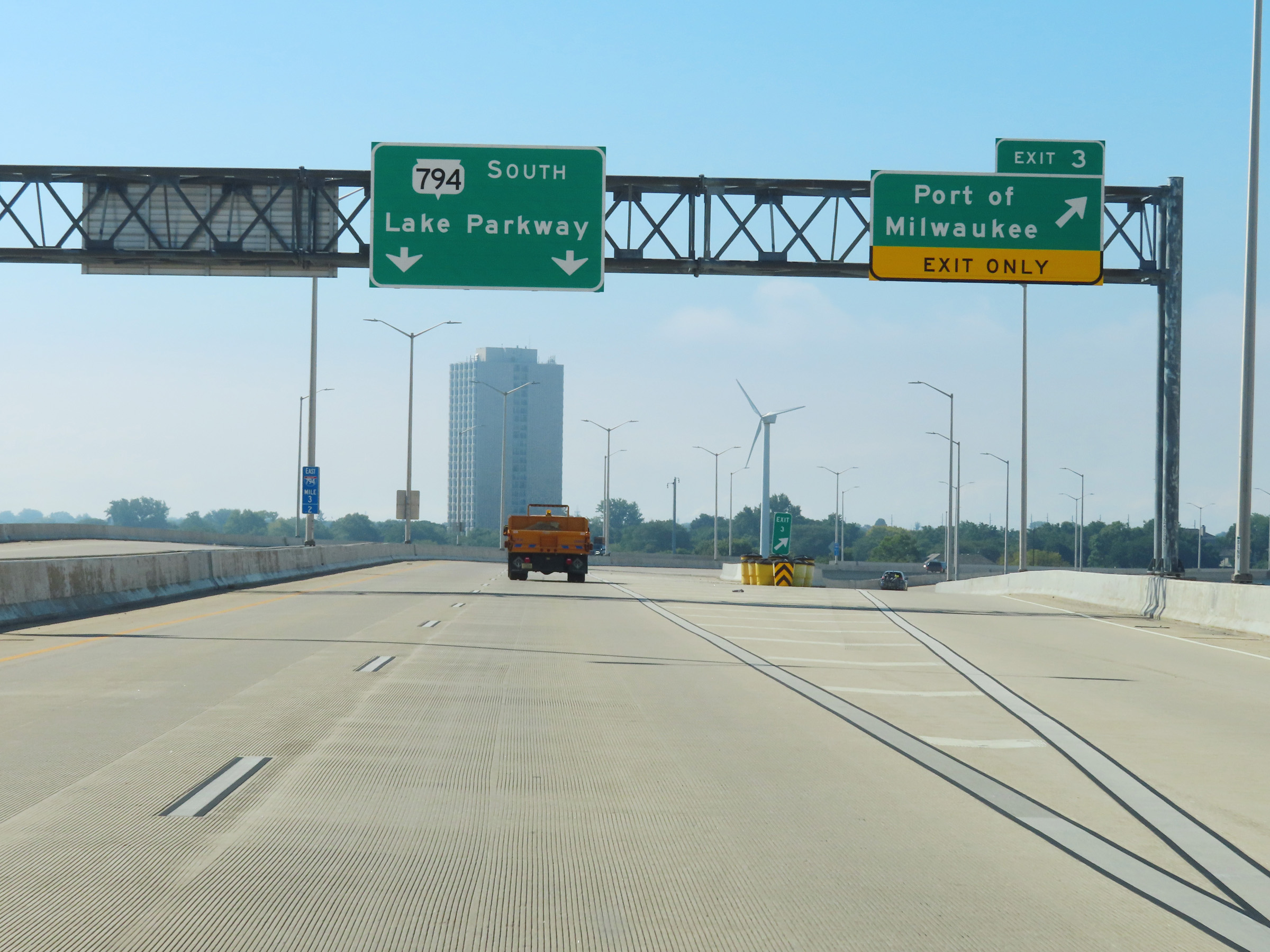
Gore point signage for Exit 3 as Interstate 794 East approaches its eastern terminus. (Photo taken 8/15/22). |
 |
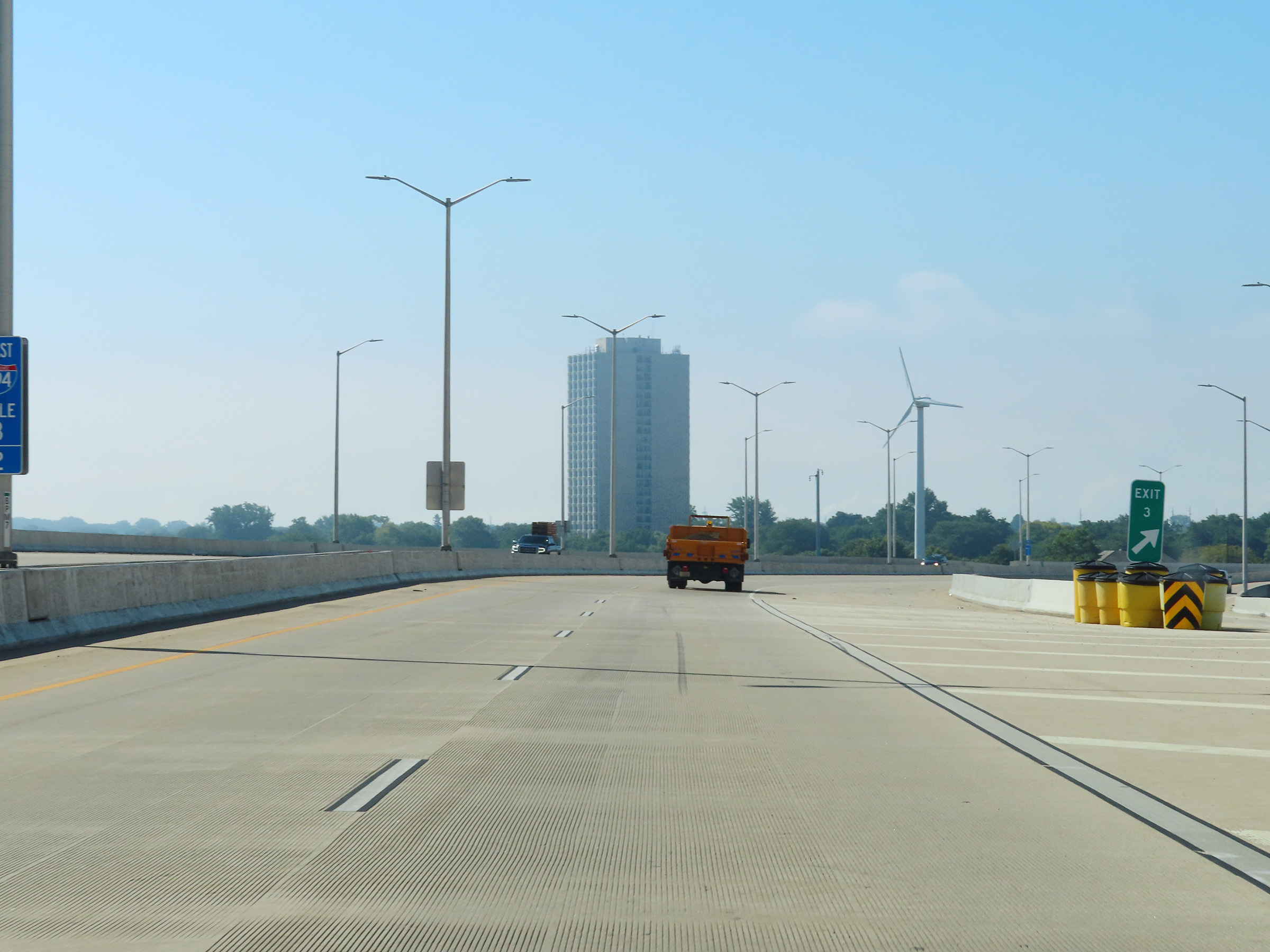
View on Interstate 794 East at mile marker 3.4. (Photo taken 8/15/22). |
 |
At mile marker 3.5, Interstate 794 East ends here. Traffic from South Carferry Dr merges into its two thru lanes ahead on the right as it becomes WI 794 East. (Photo taken 8/15/22). |
 |
WI 794 East reassurance marker just beyond the eastern terminus of Interstate 794. (Photo taken 8/15/22). |