Road Information |
||
 |
||
| Total Mileage in State: | 160 miles | |
| Northern End: | At Pennsylvania state line | |
| Southern End: | At I-77, in Charleston | |
| Mileage covered in Photos: | 160 miles | |
| Counties covered in Photos: | Kanawha, Roane, Clay, Braxton, Gilmer, Lewis, Harrison, Marion, Monongalia | |
| Major Junctions in Photos: | US 19 South, near Sutton US 33/US 119, in Weston US 50, near Clarksburg I-68, near Morgantown |
|
| Control Cities in Photos: | Charleston, Sutton, Weston, Clarksburg, Fairmont, Morgantown | |
Northbound
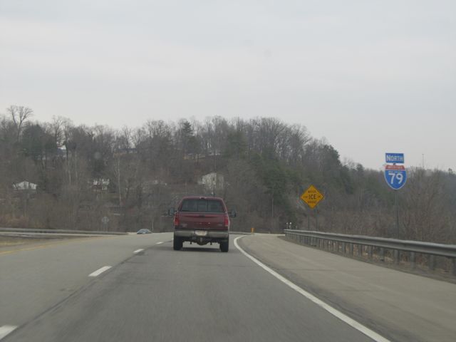 |
Interstate 79 North shield sign located at mile marker 0, near the southern terminus of I-79 in West Virginia. (Photo taken 1/31/11). |
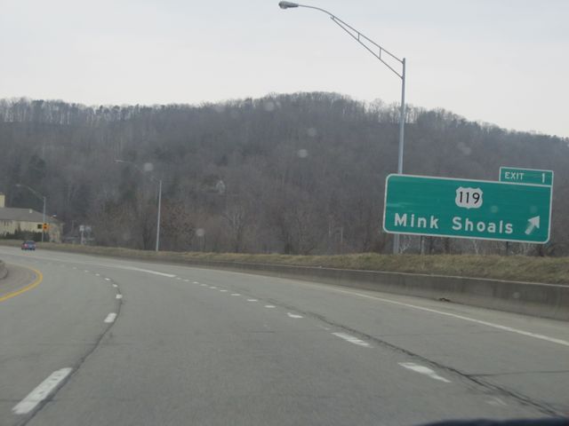 |
Interstate 79 North at Exit 1: US 119 - Mink Shoals (Photo taken 1/31/11). |
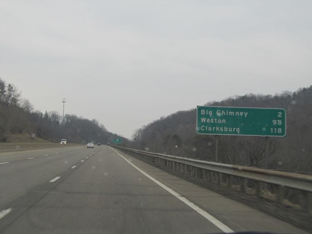 |
Mileage sign located near mile marker 3. From this point, it's 2 miles to Big Chimney, 98 miles to Weston, and 118 miles to Clarksburg on Interstate 79 North. (Photo taken 1/31/11). |
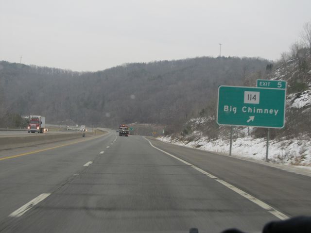 |
Interstate 79 North at Exit 5: WV 114 - Big Chimney (Photo taken 1/31/11). |
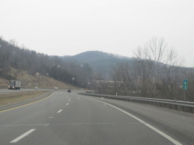 |
Interstate 79 North: Road view from mile marker 9. (Photo taken 1/31/11). |
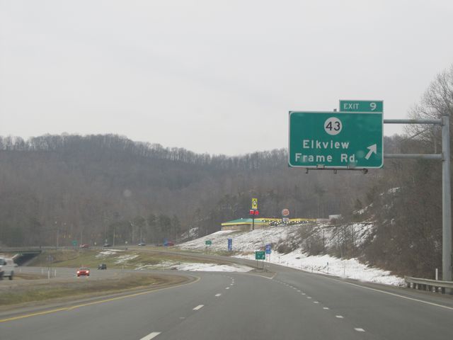 |
Interstate 79 North at Exit 9: CR 43 - Elkview / Frame Rd (Photo taken 1/31/11). |
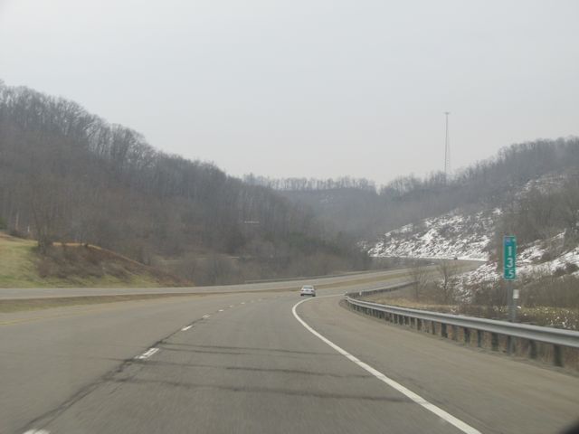 |
Interstate 79 North: Road view from mile marker 13.5. (Photo taken 1/31/11). |
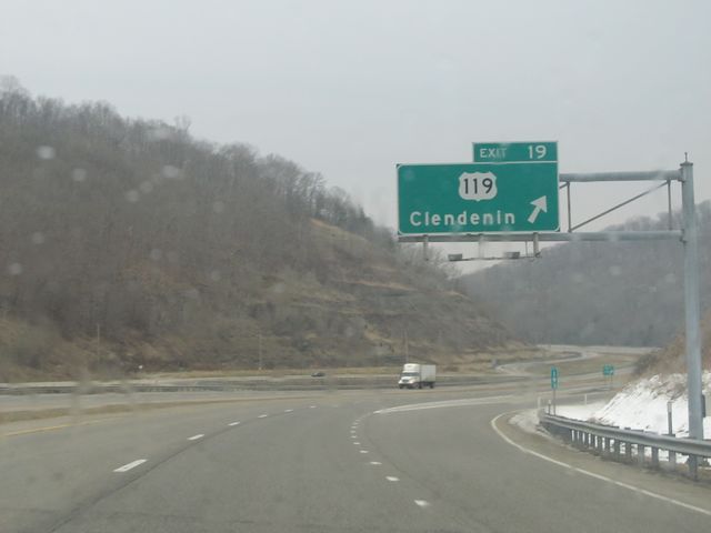 |
Interstate 79 North at Exit 19: US 119 - Clendenin (Photo taken 1/31/11). |
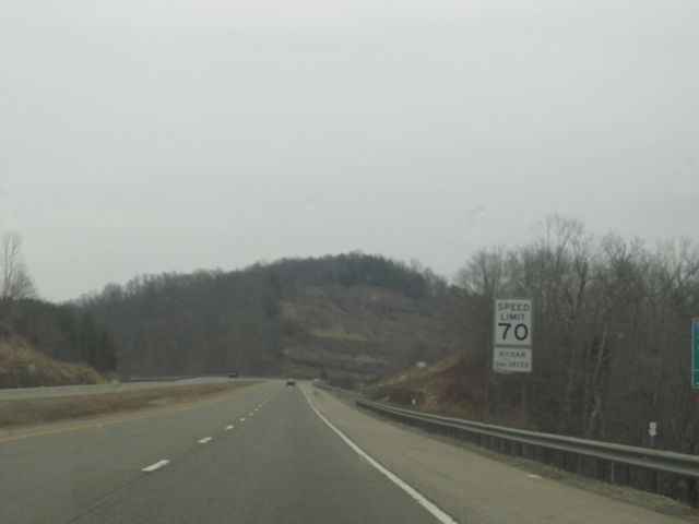 |
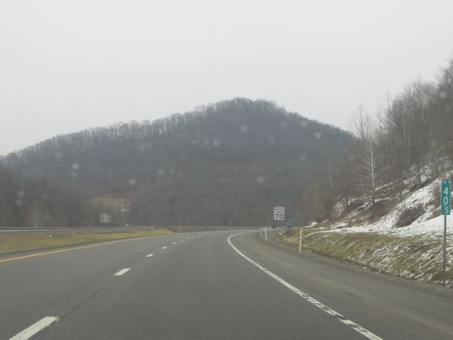
Speed limit sign located near mile marker 21. The speed limit on most rural Interstate highways in West Virginia is 70 mph. (Photo taken 1/31/11). |
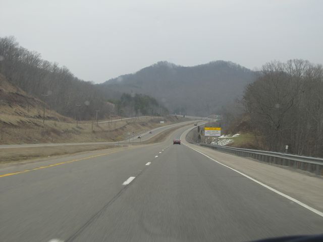 |
Interstate 79 North: Road view from near mile marker 22. (Photo taken 1/31/11). |
.JPG) |
Interstate 79 North at Exit 25: CR 29 - Amma (Photo taken 7/8/11). |
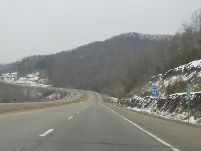 |
Interstate 79 North: Road view from mile marker 26. You can also see another Interstate 79 North shield sign here too. (Photo taken 1/31/11). |
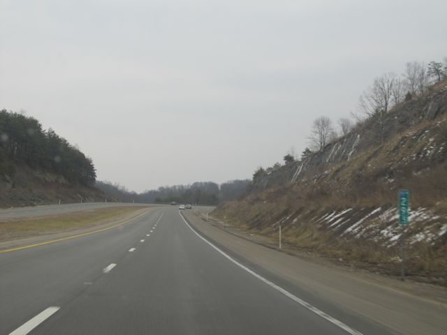 |
Interstate 79 North: Road view from mile marker 29.5. (Photo taken 1/31/11). |
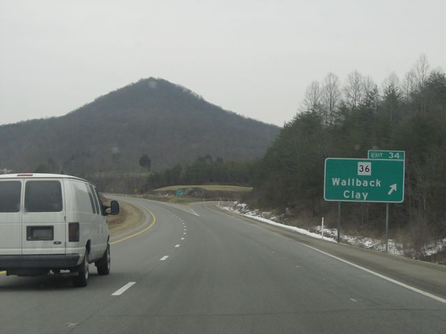 |
Interstate 79 North at Exit 34: WV 36 - Wallback / Clay (Photo taken 1/31/11). |
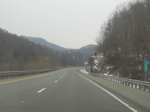 |
Interstate 79 North: Road view from mile marker 38. (Photo taken 1/31/11). |
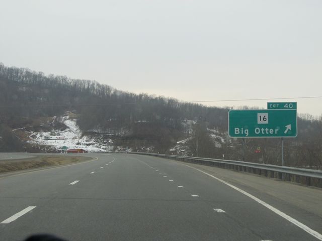 |
Interstate 79 North at Exit 40: WV 16 - Big Otter (Photo taken 1/31/11). |
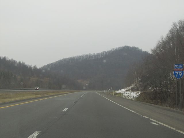 |
Interstate 79 North shield sign located near mile marker 41. (Photo taken 1/31/11). |
 |
Interstate 79 North: Road view from mile marker 40.5. (Photo taken 1/31/11). |
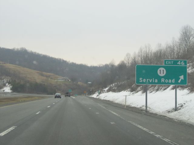 |
Interstate 79 North at Exit 46: CR 11 - Servia Road (Photo taken 1/31/11). |
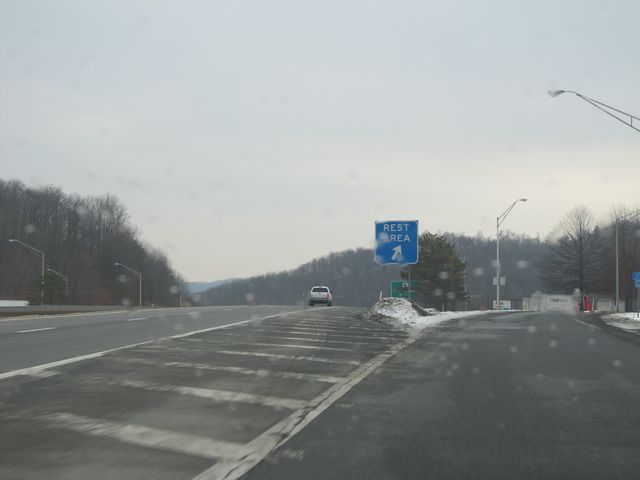 |
Interstate 79 North at the Rest Area located near mile marker 49. (Photo taken 1/31/11). |
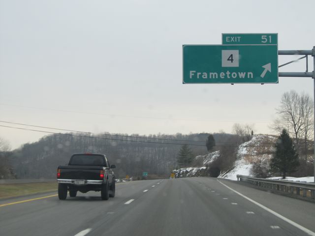 |
Interstate 79 North at Exit 51: WV 4 - Frametown (Photo taken 1/31/11). |
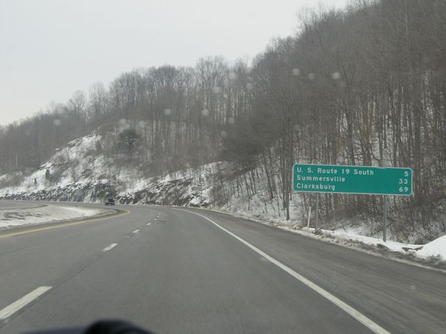 |
Mileage sign located near mile marker 52. It's 5 miles to the US 19 South interchange, 33 miles to Summersville, and 69 miles to Clarksburg. (Photo taken 1/31/11). |
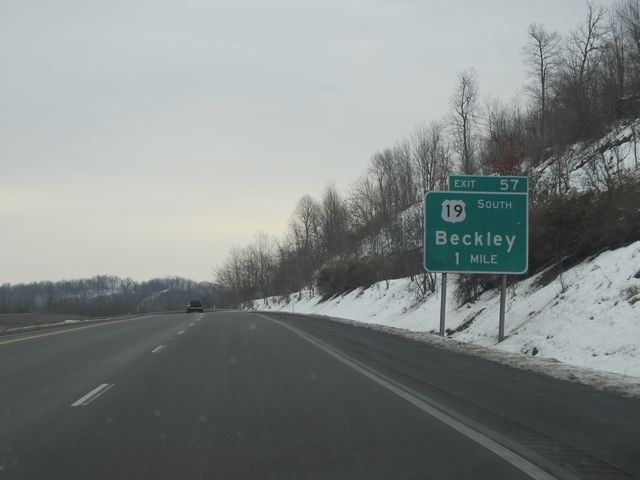 |
Interstate 79 North approaching Exit 57 - 1 mile. (Photo taken 1/31/11). |
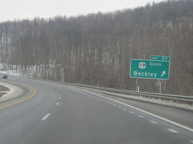 |
Interstate 79 North at Exit 57: US 19 South - Beckley (Photo taken 1/31/11). |
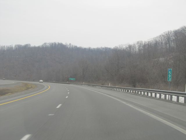 |
Interstate 79 North: Road view from mile marker 59. (Photo taken 1/31/11). |
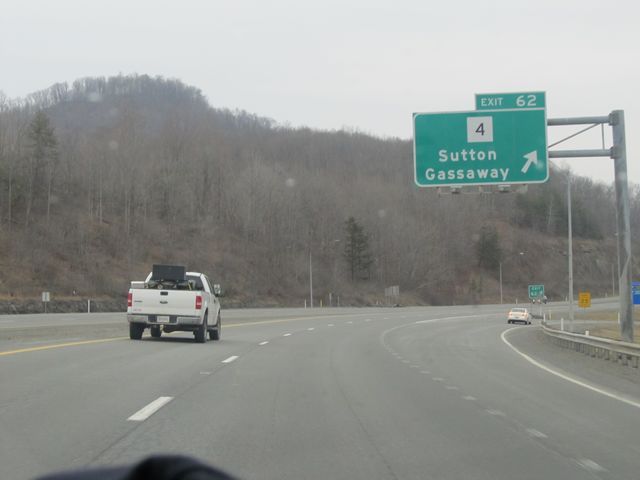 |
Interstate 79 North at Exit 62: WV 4 - Sutton / Gassaway (Photo taken 1/31/11). |
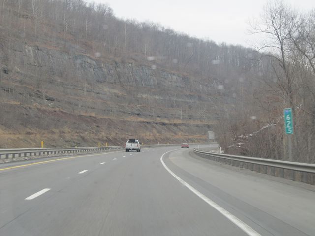 |
Interstate 79 North: Road view from mile marker 62.5. (Photo taken 1/31/11). |
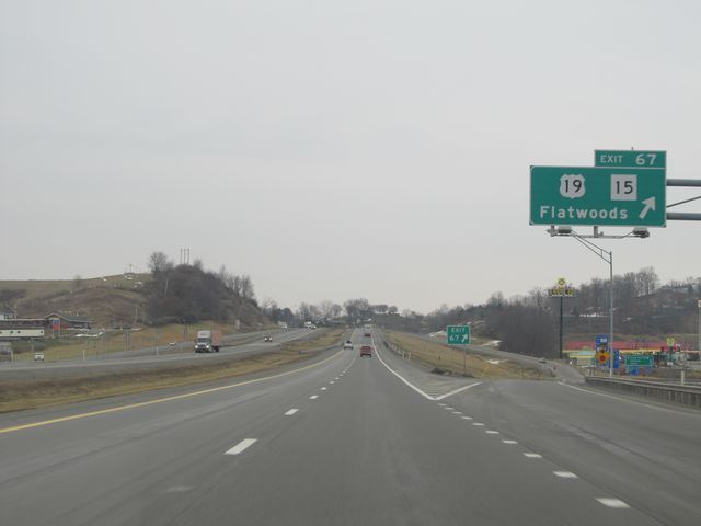 |
Interstate 79 North at Exit 67: US 19 / WV 15 - Flatwoods (Photo taken 1/31/11). |
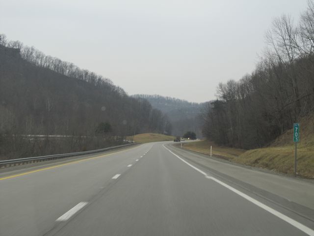 |
Interstate 79 North: Road view from mile marker 70.5. (Photo taken 1/31/11). |
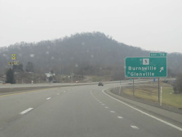 |
Interstate 79 North at Exit 79: WV 5 - Burnsville / Glenville (Photo taken 1/31/11). |
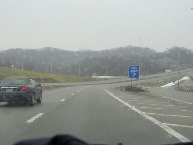 |
Interstate 79 North at the Rest Area located near mile marker 84. (Photo taken 1/31/11). |
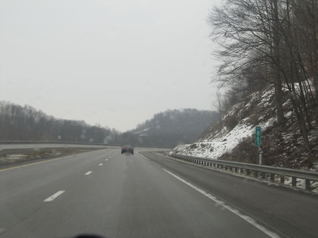 |
Interstate 79 North: Road view from mile marker 86.5. (Photo taken 1/31/11). |
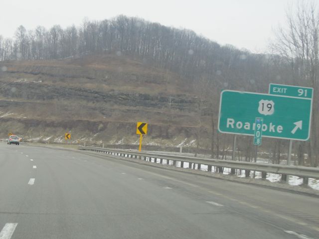 |
Interstate 79 North at Exit 91: US 19 - Roanoke (Photo taken 1/31/11). |
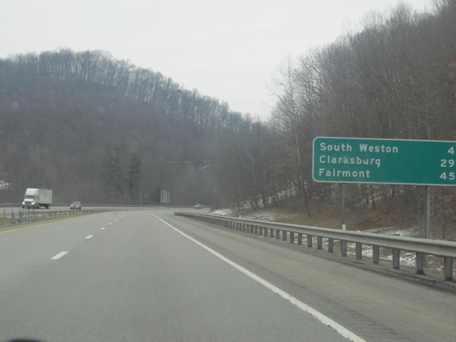 |
Mileage sign located near mile marker 92. From here, it's 4 miles to South Weston, 29 miles to Clarksburg, and 45 miles to Fairmont. (Photo taken 1/31/11). |
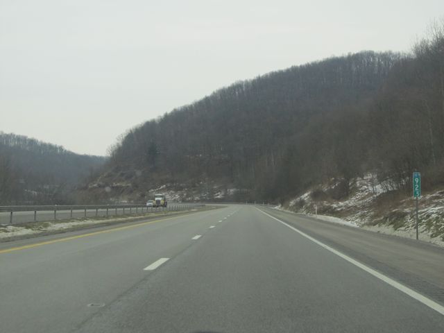 |
Interstate 79 North: Road view from mile marker 92.5. (Photo taken 1/31/11). |
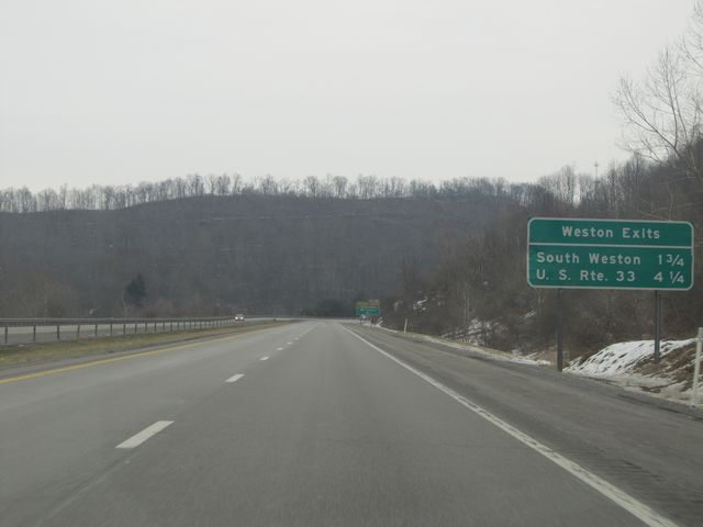 |
Sign near mile marker 94 which lists the distances to the upcoming Weston exits. (Photo taken 1/31/11). |
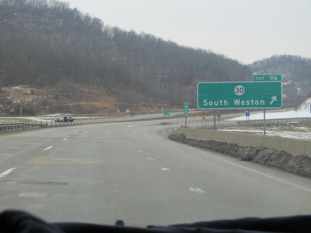 |
Interstate 79 North at Exit 96: CR 30 - South Weston (Photo taken 1/31/11). |
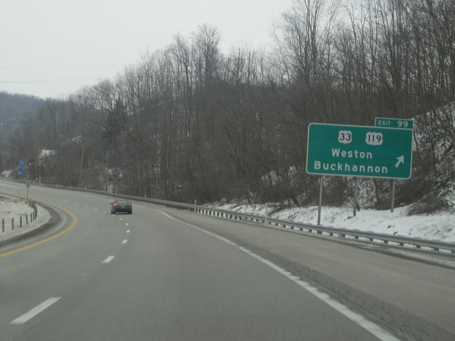 |
Interstate 79 North at Exit 99: US 33 / US 119 - Weston / Buckhannon (Photo taken 1/31/11). |
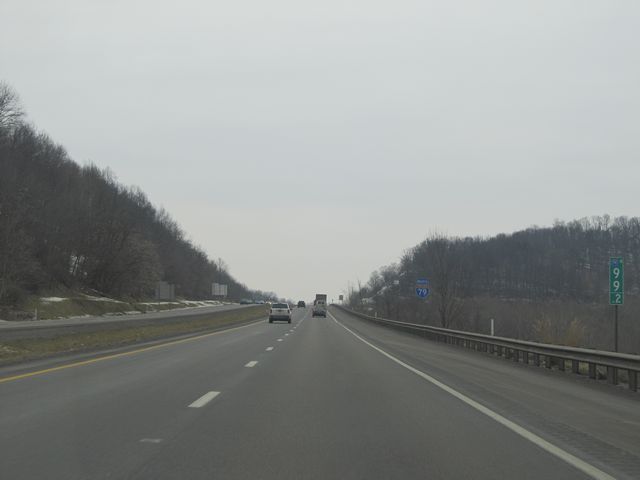 |
Interstate 79 North: Road view from mile marker 99.2. (Photo taken 1/31/11). |
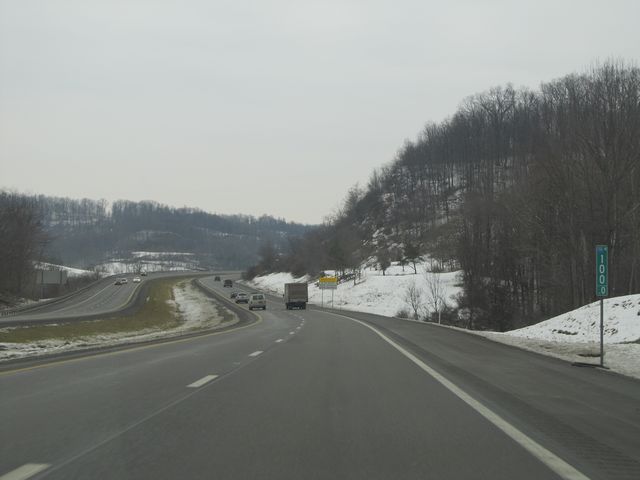 |
Interstate 79 North: Road view from mile marker 100. (Photo taken 1/31/11). |
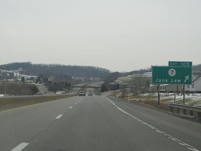 |
Interstate 79 North at Exit 105: CR 7 - Jane Lew (Photo taken 1/31/11). |
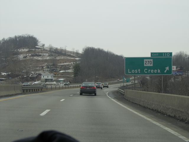 |
Interstate 79 North at Exit 110: WV 270 - Lost Creek (Photo taken 1/31/11). |
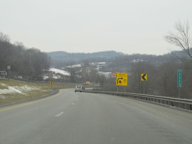 |
Interstate 79 North: Road view from mile marker 111.5, where there is a big sign warning truck drivers of the sharp curve ahead. The recommended speed for trucks on this curve is 55 mph to prevent rollovers. (Photo taken 1/31/11). |
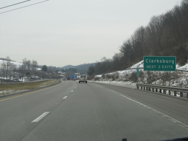 |
Take any of the next 3 exits to get to Clarksburg. (Photo taken 1/31/11). |
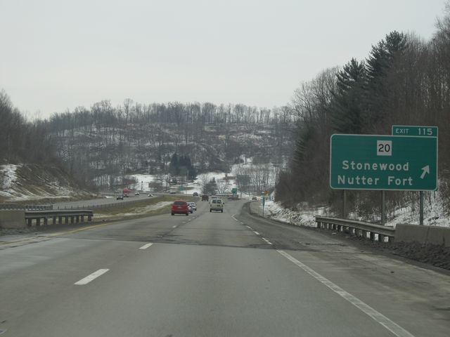 |
Interstate 79 North at Exit 115: WV 20 - Stonewood / Nutter Fort (Photo taken 1/31/11). |
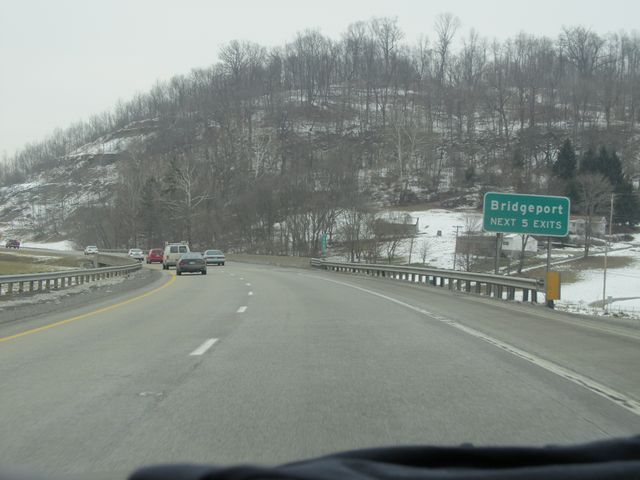 |
Use any of the next 5 exits to get to Bridgeport. (Photo taken 1/31/11). |
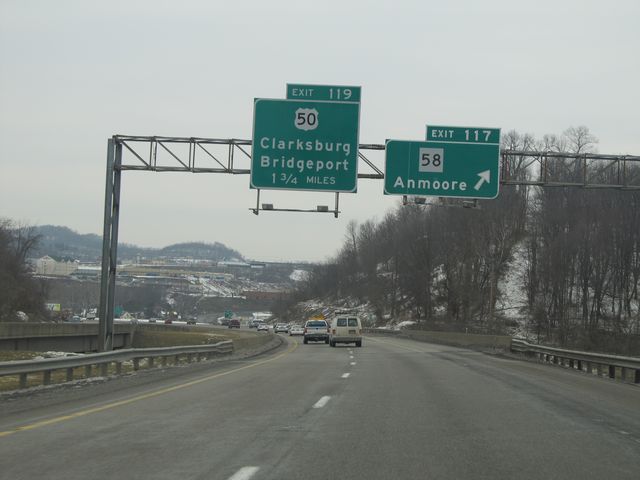 |
Interstate 79 North at Exit 117: WV 58 - Anmoore (Photo taken 1/31/11). |
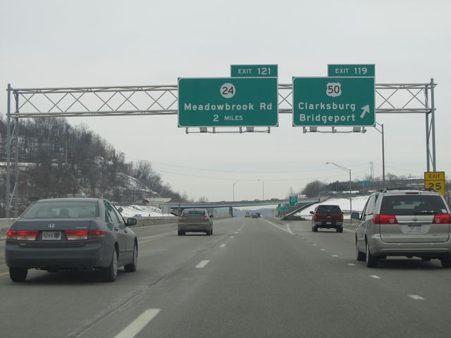 |
Interstate 79 North at Exit 119: US 50 - Clarksburg / Bridgeport (Photo taken 1/31/11). |
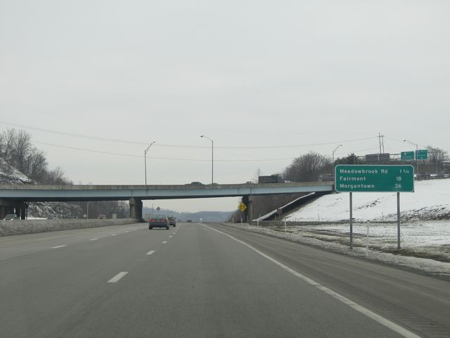 |
Mileage sign located near mile marker 120. It's 1 3/4 miles to the Meadowbrook Rd exit, 18 miles to Fairmont, and 36 miles to Morgantown. (Photo taken 1/31/11). |
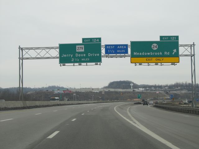 |
Interstate 79 North at Exit 121: CR 24 - Meadowbrook Rd (Photo taken 1/31/11). |
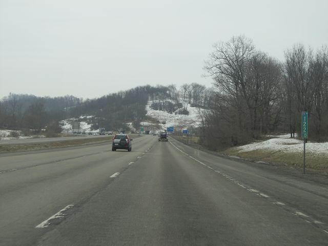 |
Interstate 79 North: Road view from mile marker 122. (Photo taken 1/31/11). |
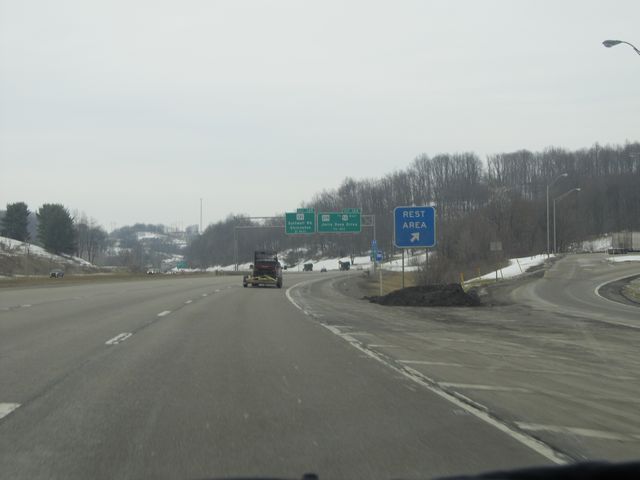 |
Interstate 79 North at the Rest Area just past mile marker 122. (Photo taken 1/31/11). |
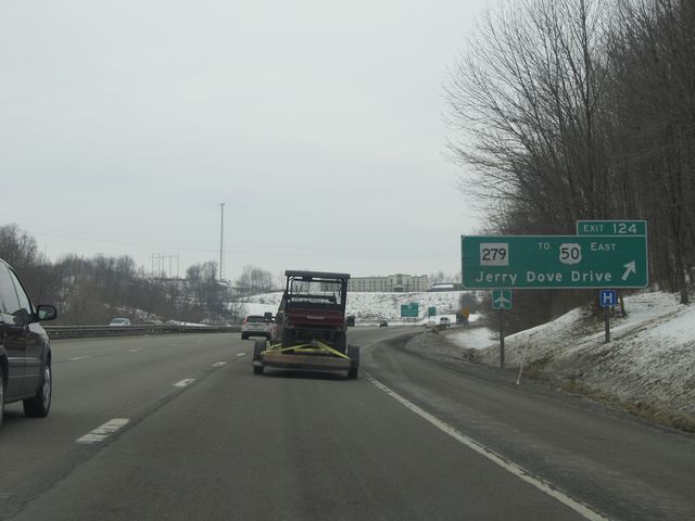 |
Interstate 79 North at Exit 124: WV 279 / To US 50 East - Jerry Dove Drive (Photo taken 1/31/11). |
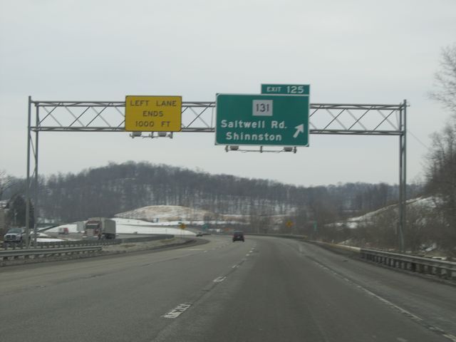 |
Interstate 79 North at Exit 125: WV 131 - Saltwell Rd / Shinnston (Photo taken 1/31/11). |
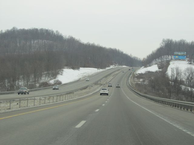 |
Interstate 79 North: Road view from near mile marker 127. (Photo taken 1/31/11). |
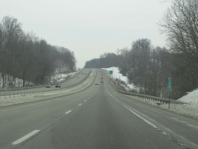 |
Interstate 79 North: Another road view, this time from mile marker 128. (Photo taken 1/31/11). |
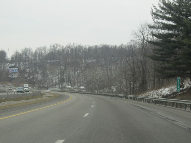 |
Interstate 79 North: Road view from mile marker 129.5. (Photo taken 1/31/11). |
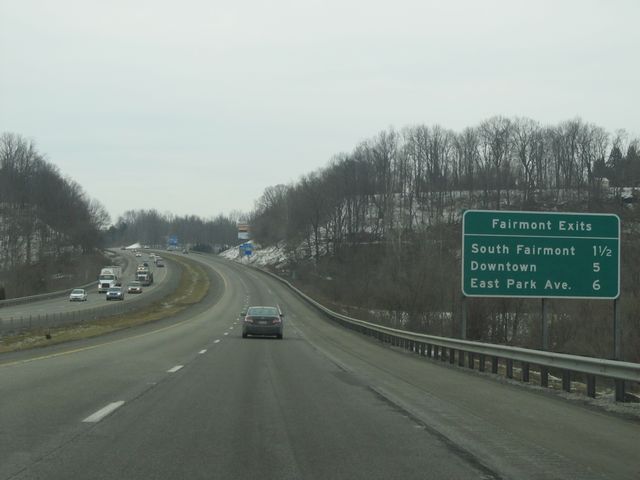 |
Sign near mile marker 130 listing the distances to the upcoming Fairmont exits. (Photo taken 1/31/11). |
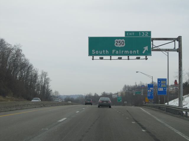 |
Interstate 79 North at Exit 132: US 250 - South Fairmont (Photo taken 1/31/11). |
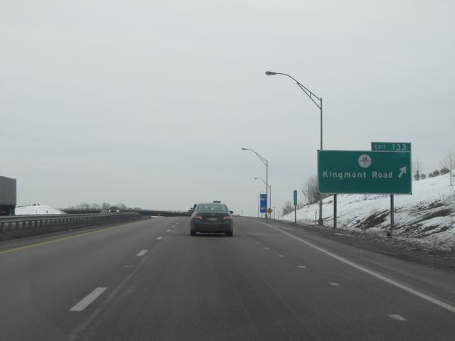 |
Interstate 79 North at Exit 133: CR 64/1 - Kingmont Road (Photo taken 1/31/11). |
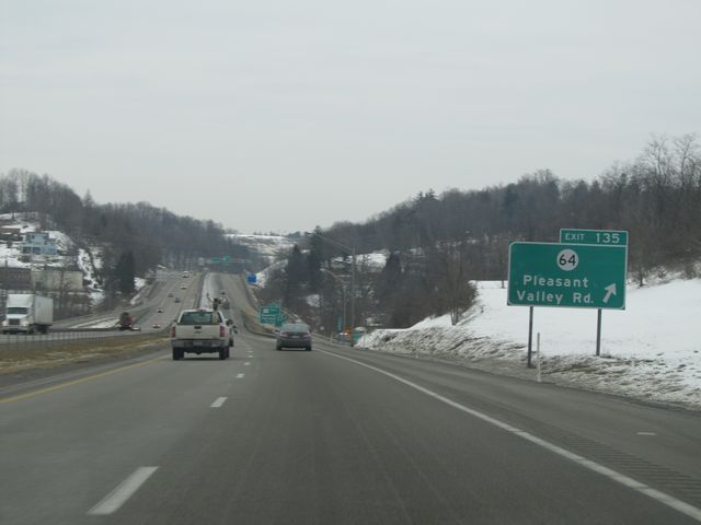 |
Interstate 79 North at Exit 135: CR 64 - Pleasant Valley Rd (Photo taken 1/31/11). |
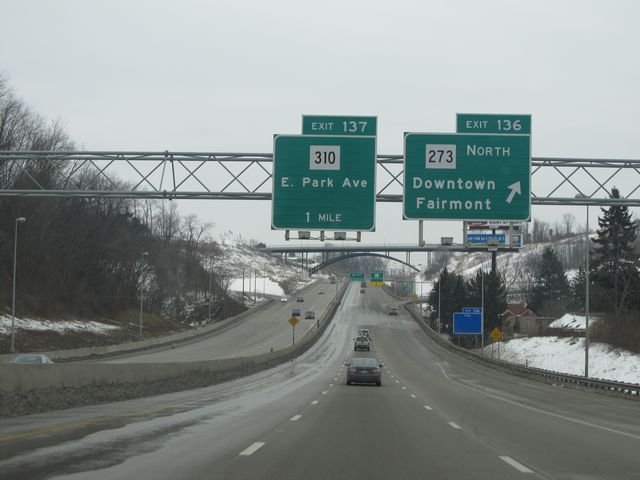 |
Interstate 79 North at Exit 136: WV 273 North - Downtown Fairmont (Photo taken 1/31/11). |
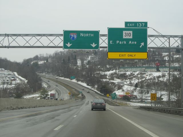 |
Interstate 79 North at Exit 137: WV 310 - E Park Ave (Photo taken 1/31/11). |
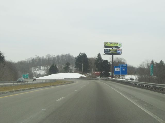 |
Interstate 79 North: Road view from mile marker 137.4. (Photo taken 1/31/11). |
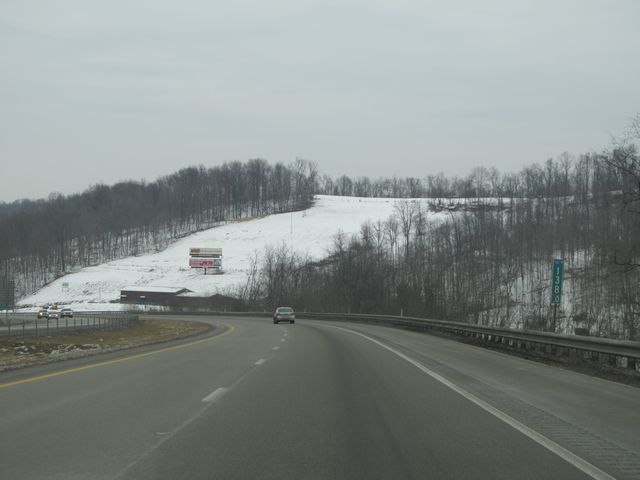 |
Interstate 79 North: Another road view, this time from mile marker 138. (Photo taken 1/31/11). |
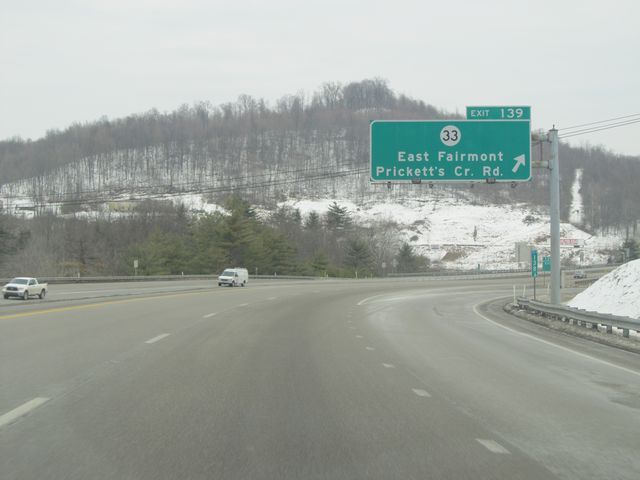 |
Interstate 79 North at Exit 139: CR 33 - East Fairmont / Prickett's Creek Rd (Photo taken 1/31/11). |
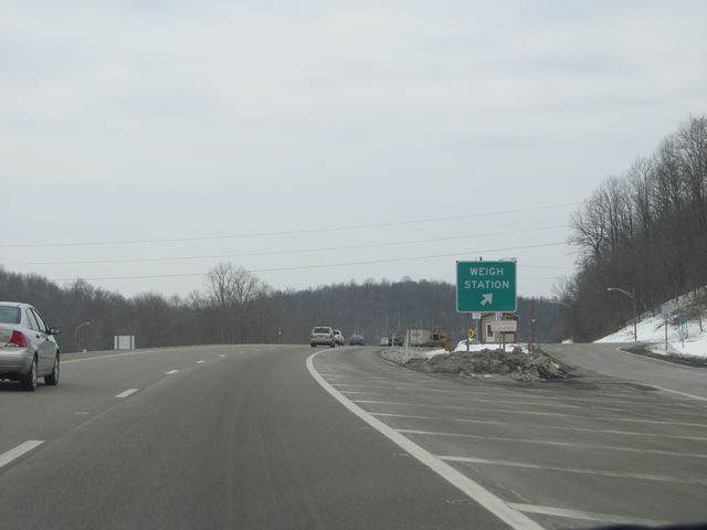 |
Interstate 79 North at the Weigh Station located near mile marker 141. (Photo taken 1/31/11). |
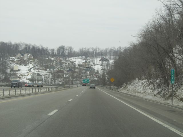 |
Interstate 79 North: Road view from mile marker 145. (Photo taken 1/31/11). |
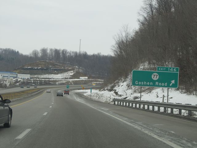 |
Interstate 79 North at Exit 146: CR 77 - Goshen Road (Photo taken 1/31/11). |
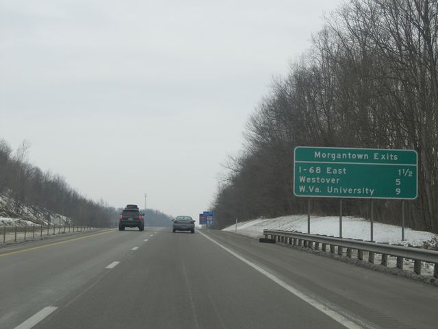 |
Sign near mile marker 147 listing the distances to the different Interstate 79 exits for Morgantown. (Photo taken 1/31/11). |
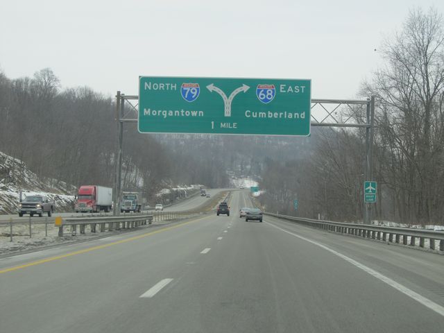 |
Interstate 79 North approaching Exit 148 - 1 mile. (Photo taken 1/31/11). |
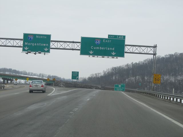 |
Interstate 79 North at Exit 148: Interstate 68 East - Cumberland (Photo taken 1/31/11). |
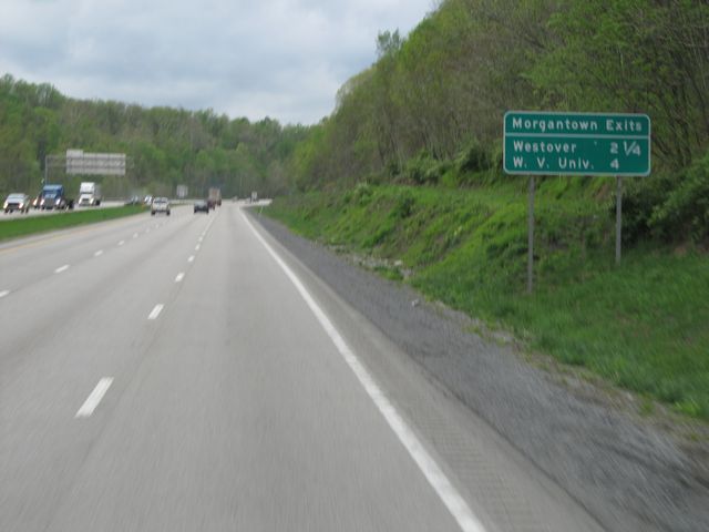 |
Sign near mile marker 149 listing the distances to the two upcoming Morgantown exits. (Photo taken 4/29/11). |
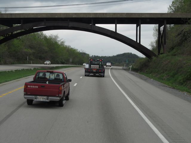 |
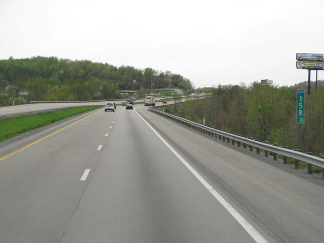
Interstate 79 North: Road view from near mile marker 150. (Photo taken 4/29/11). |
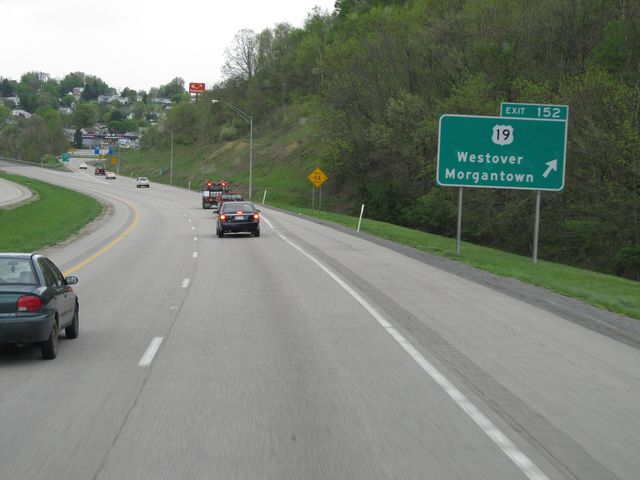 |
Interstate 79 North at Exit 152: US 19 - Westover / Morgantown (Photo taken 4/29/11). |
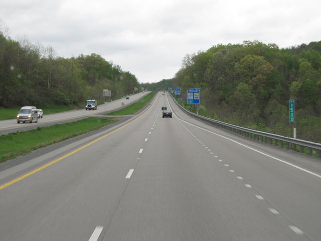 |
Interstate 79 North: Road view from mile marker 153. (Photo taken 4/29/11). |
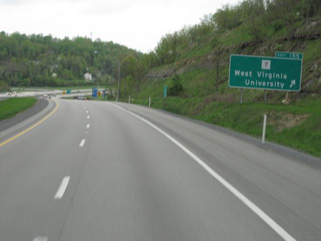 |
Interstate 79 North at Exit 155: WV 7 - West Virginia University (Photo taken 4/29/11). |
 |
Interstate 79 North: Road view from mile marker 158, as I-79 prepares to cross into Pennsylvania. (Photo taken 4/29/11). |