Road Information |
||
 |
||
| Total Mileage in State: | 14 miles | |
| Eastern End: | At Pennsylvania state line | |
| Western End: | At Ohio state line | |
| Mileage covered in Photos: | 14 miles | |
| Counties covered in Photos: | Ohio | |
| Major Junctions in Photos: | US 250, in Wheeling | |
| Control Cities in Photos: | Wheeling, Elm Grove | |
Eastbound
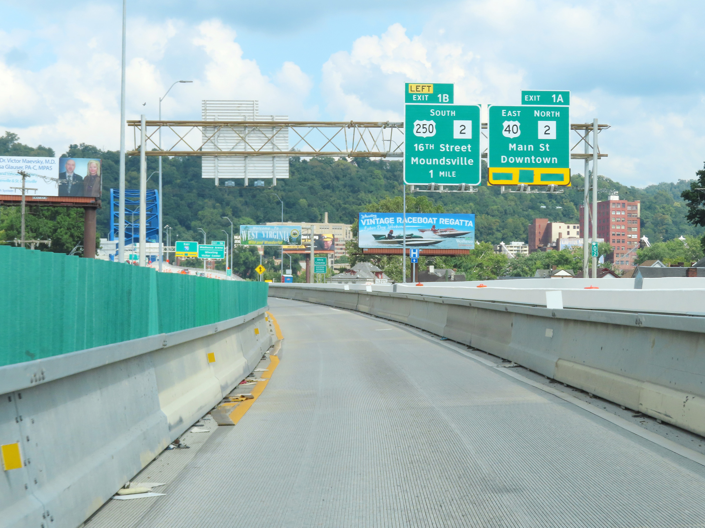 |
Advance signage for Exits 1A-B on Interstate 70 East after it enters the Mountain State from Ohio. (Photo taken 8/21/22). |
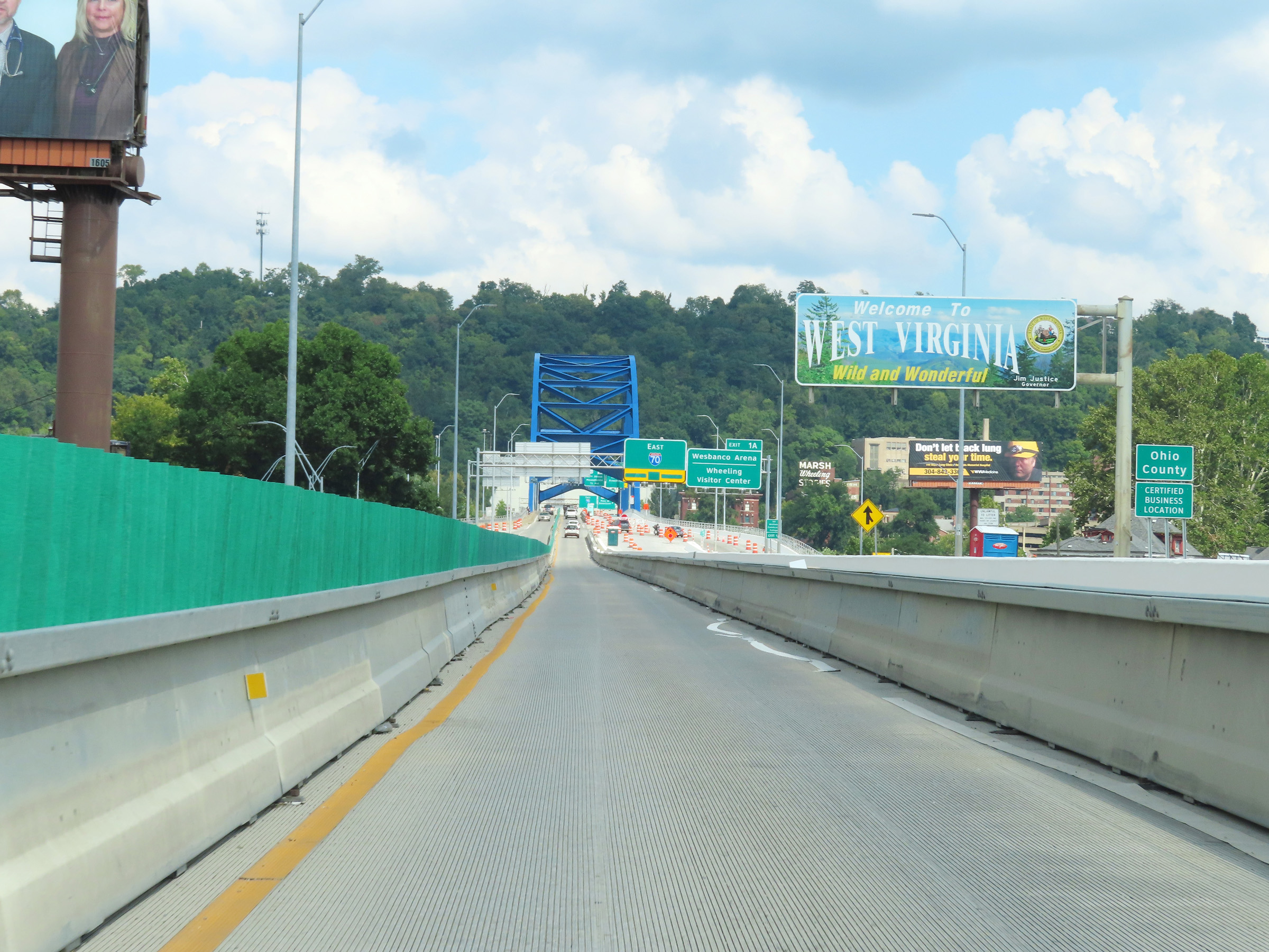 |
Overhead West Virginia welcome sign on Interstate 70 East in downtown Wheeling. I-70 in West Virginia is entirely located within Ohio County. (Photo taken 8/21/22). |
 |
Take Exit 1A to Wesbanco Arena, Wheeling Visitor Center, and WV Northern Community College. (Photo taken 8/21/22). |
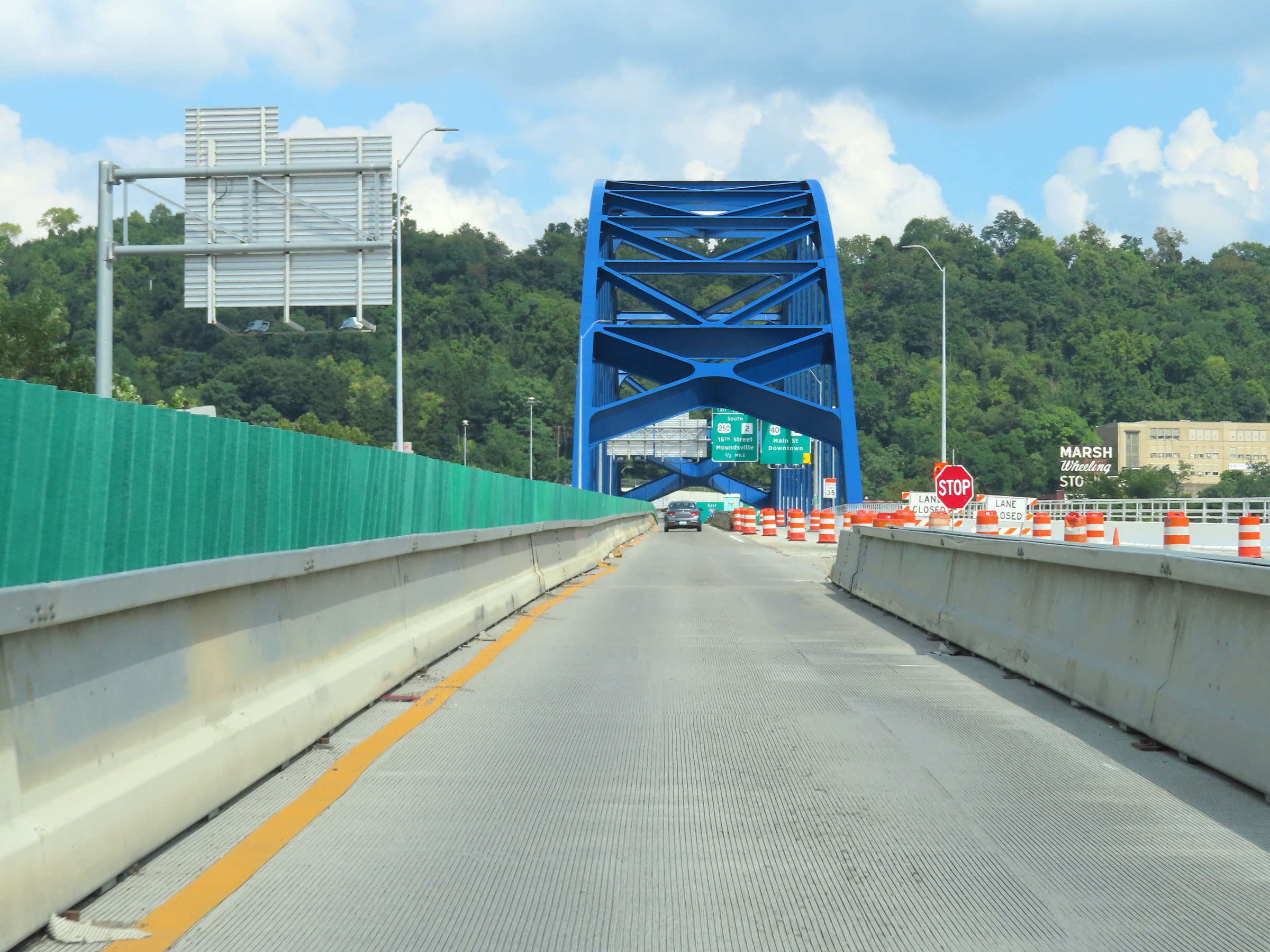 |
View on Interstate 70 East as it starts across the Fort Henry Bridge over the Ohio River in downtown Wheeling. On the other side of the bridge, I-70 East will enter the Wheeling Tunnel. (Photo taken 8/21/22). |
 |
Interstate 70 East as it continues across the Ohio River on the Fort Henry Bridge at mile marker 0.6 in downtown Wheeling. (Photo taken 8/21/22). |
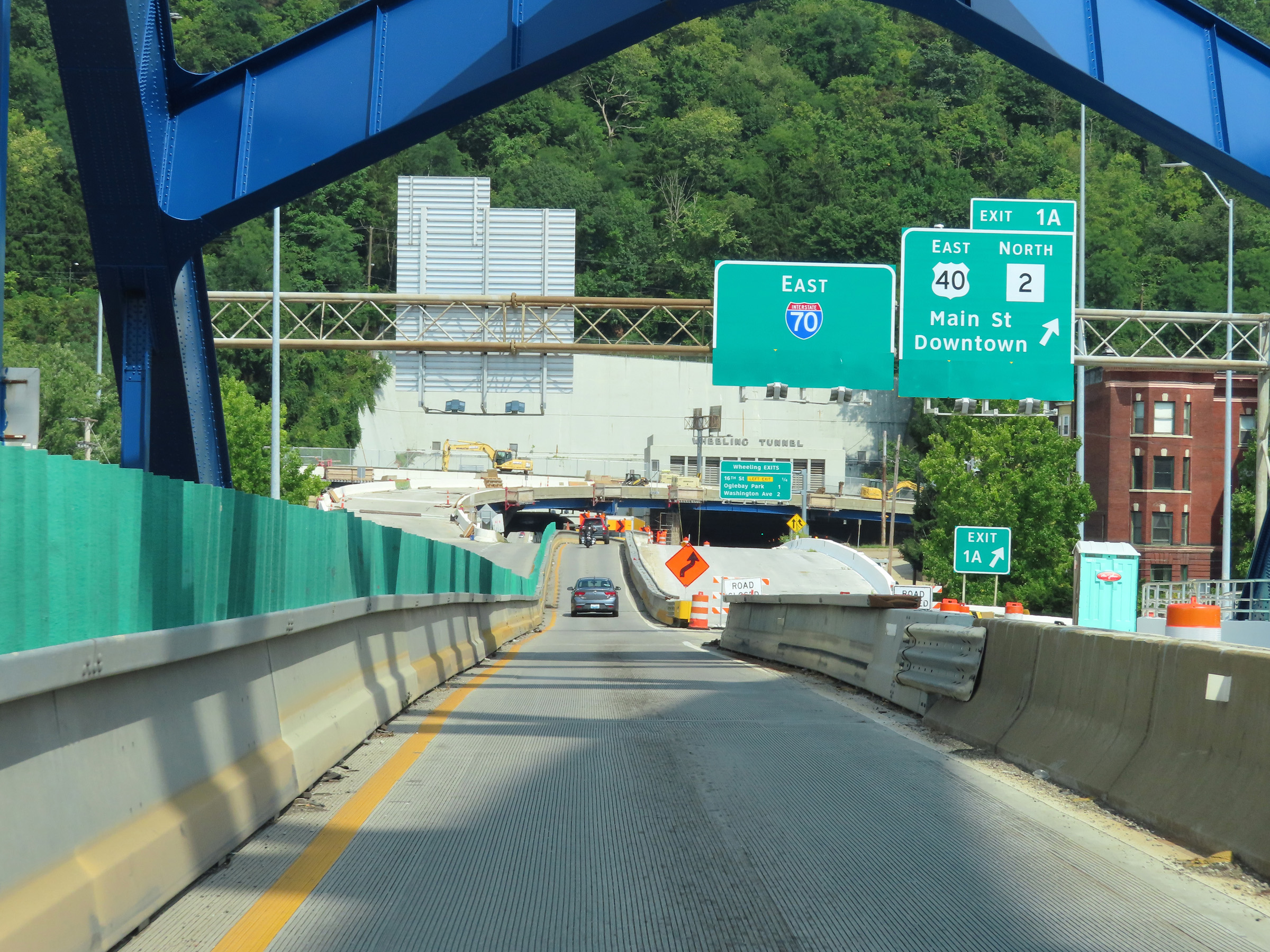 |
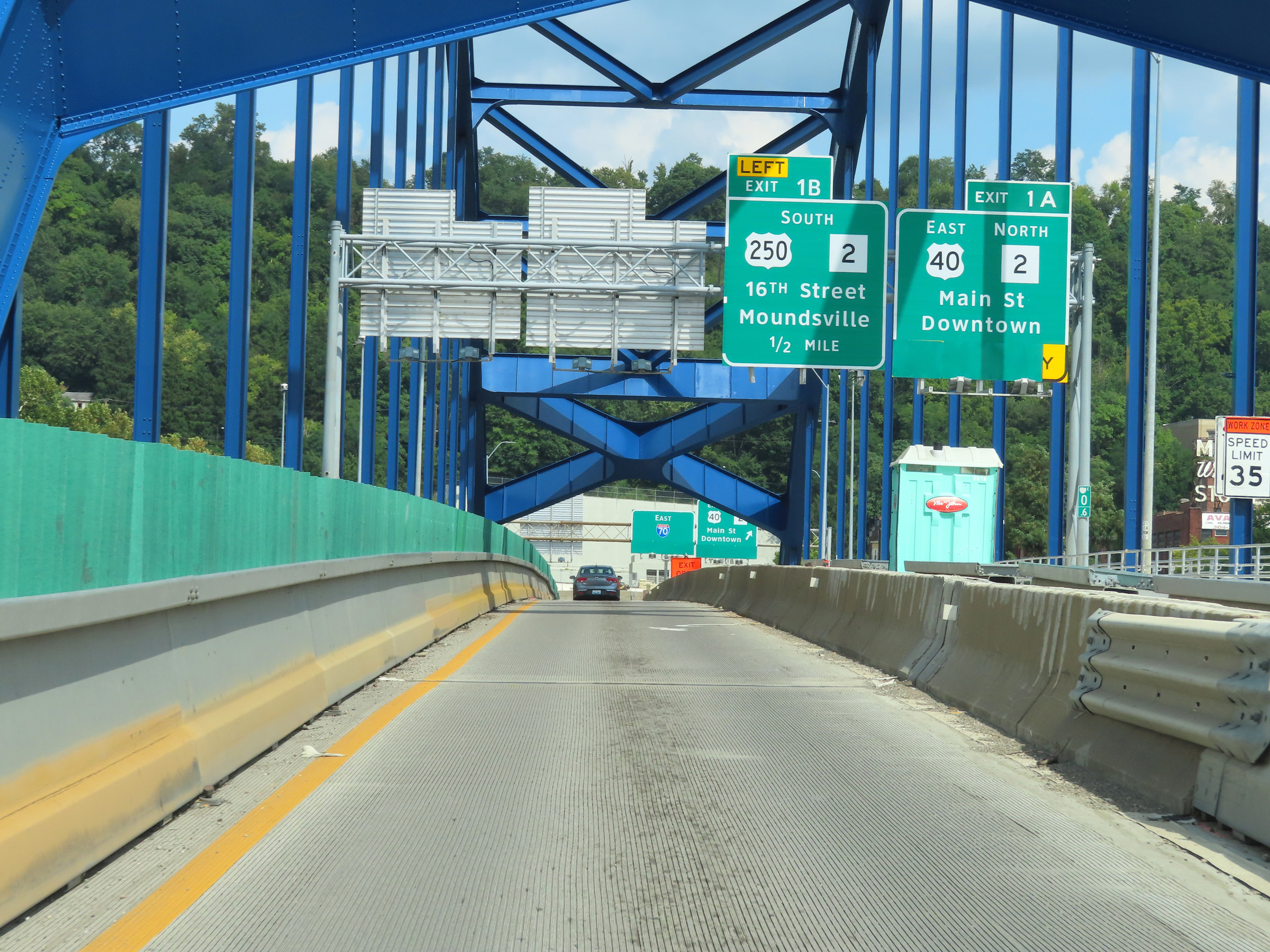
Interstate 70 East at Exit 1A: US 40 East / WV 2 North - Main St / Downtown (Photo taken 8/21/22). |
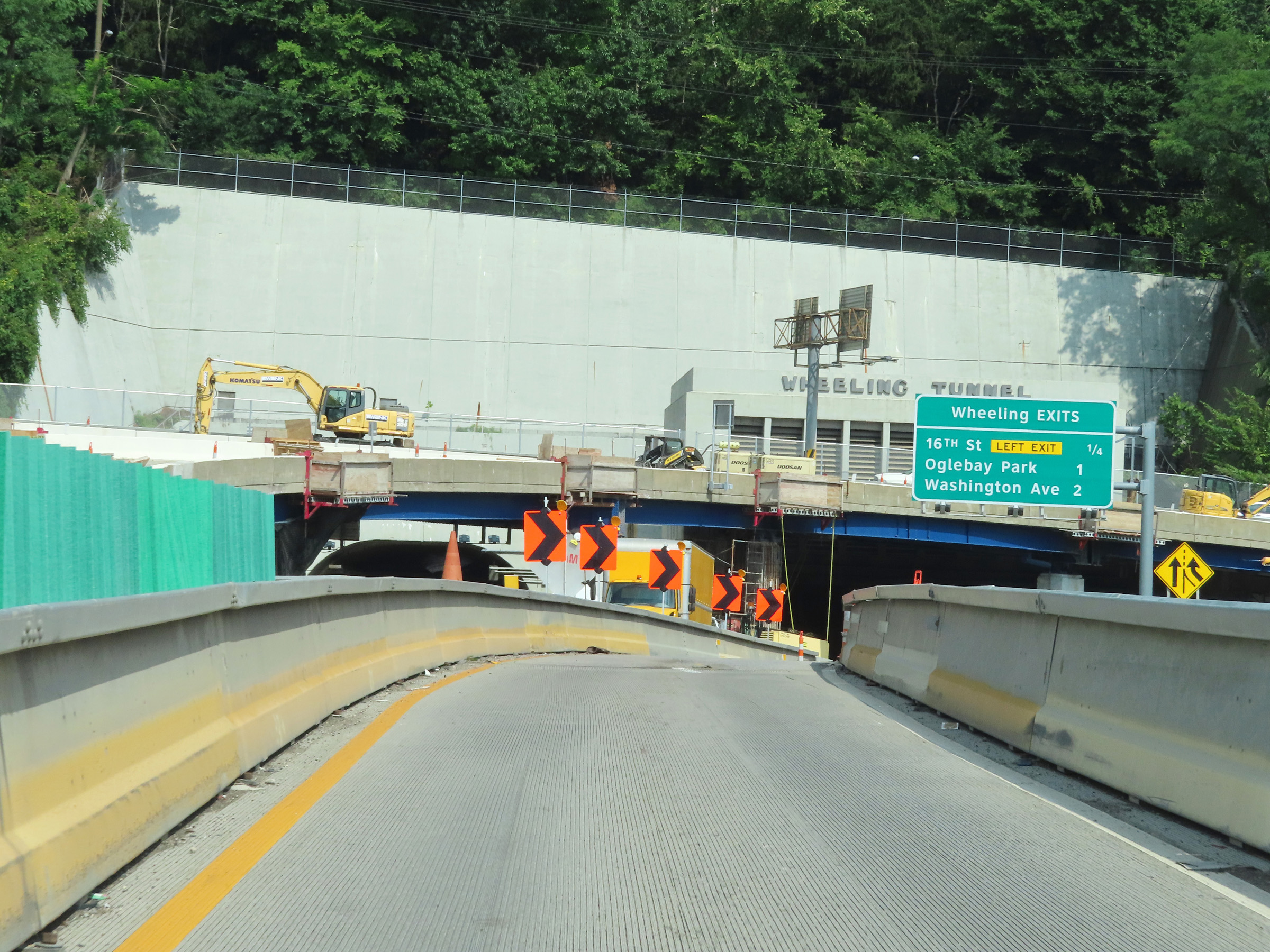 |
Overhead mileage sign listing the distances to the three upcoming Wheeling exits on Interstate 70 East, just before it enters the Wheeling Tunnel. Hazardous Materials of classes 1 (Explosives) are prohibited in the tunnel. Also prohibited are hazard classes 2.1, 3, and 4 (Flammable Gases, Flammable Liquids, and Flammable Solids). (Photo taken 8/21/22). |
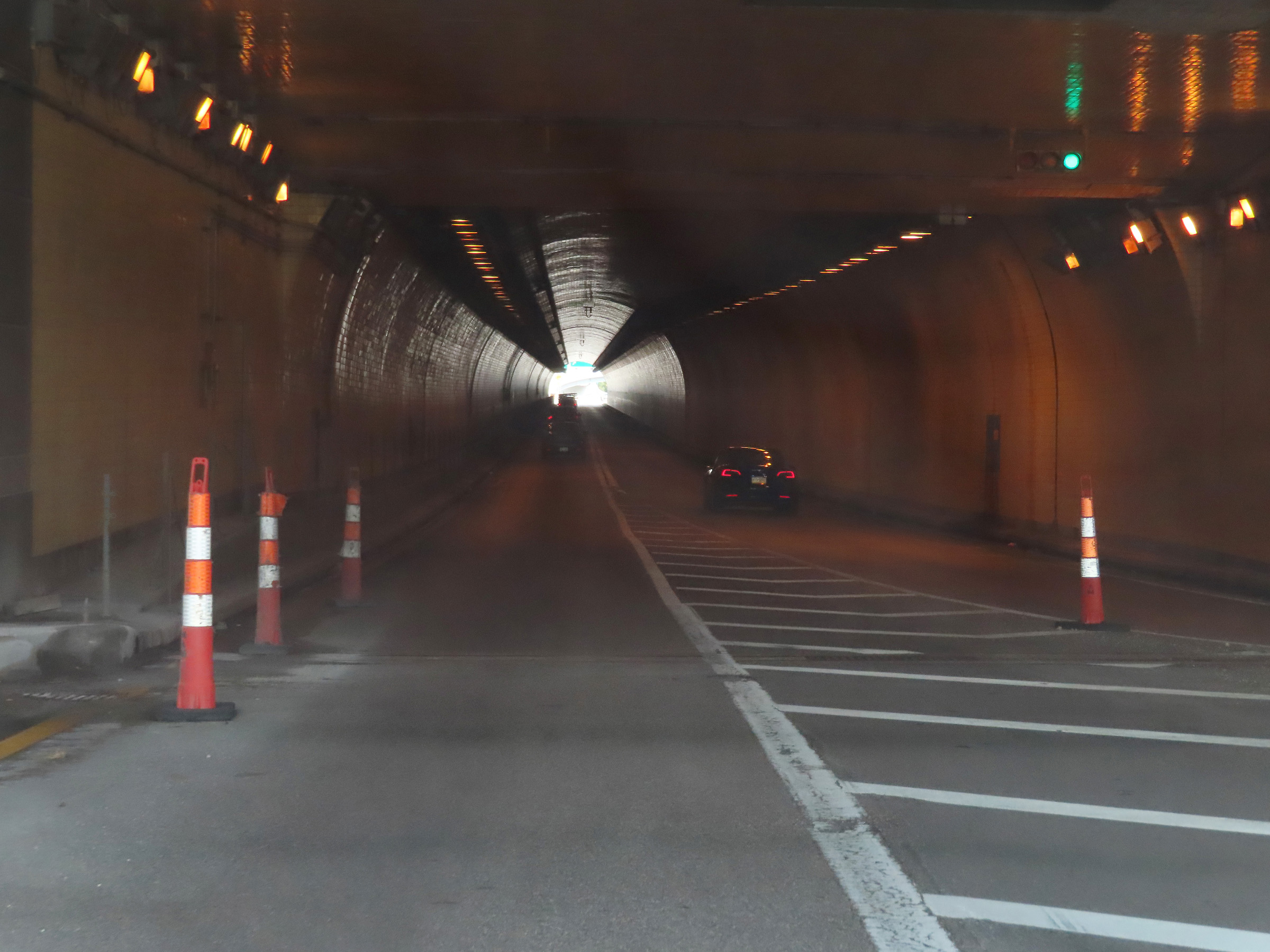 |
View on Interstate 70 East as it enters the Wheeling Tunnel. Notice that I-70 East is reduced to a single lane from the Fort Henry Bridge into the tunnel, but gains a second lane once again as the on ramp from WV 2 (Market St) continues on the right. (Photo taken 8/21/22). |
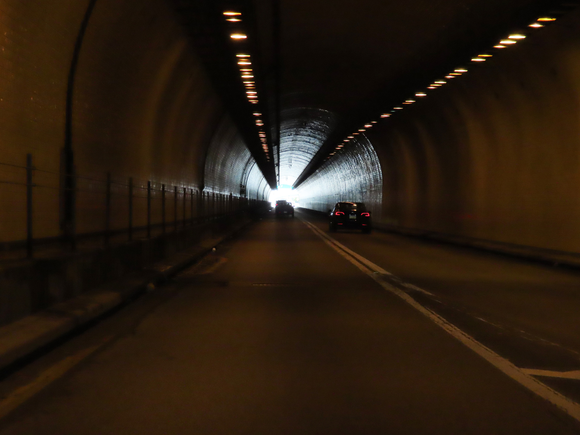 |
Interstate 70 East as it passes through the Wheeling Tunnel. (Photo taken 8/21/22). |
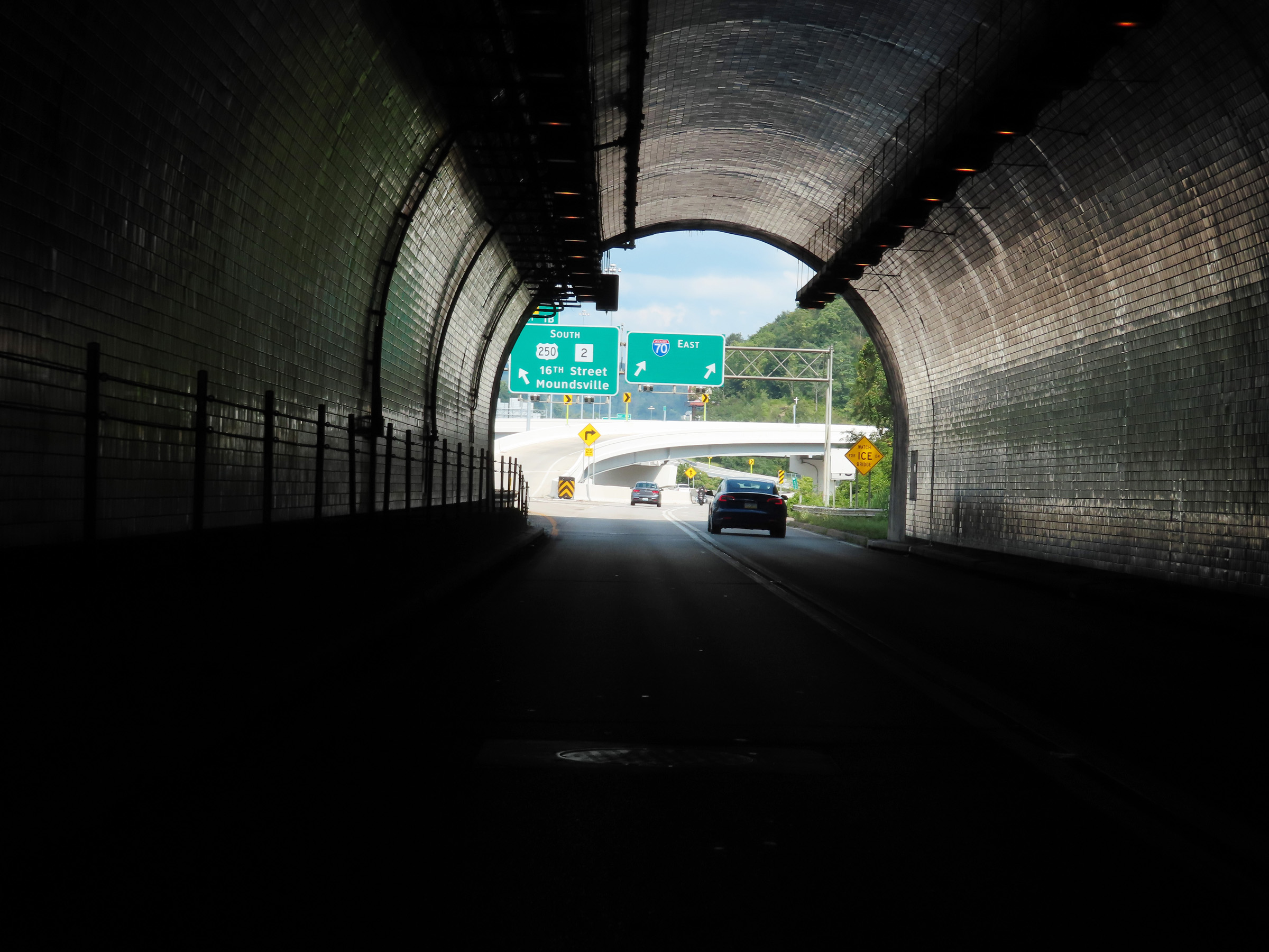 |
View on Interstate 70 East as it prepares to exit the east side of the Wheeling Tunnel. Exit 1B will occur immediately after exiting the tunnel, on the left. (Photo taken 8/21/22). |
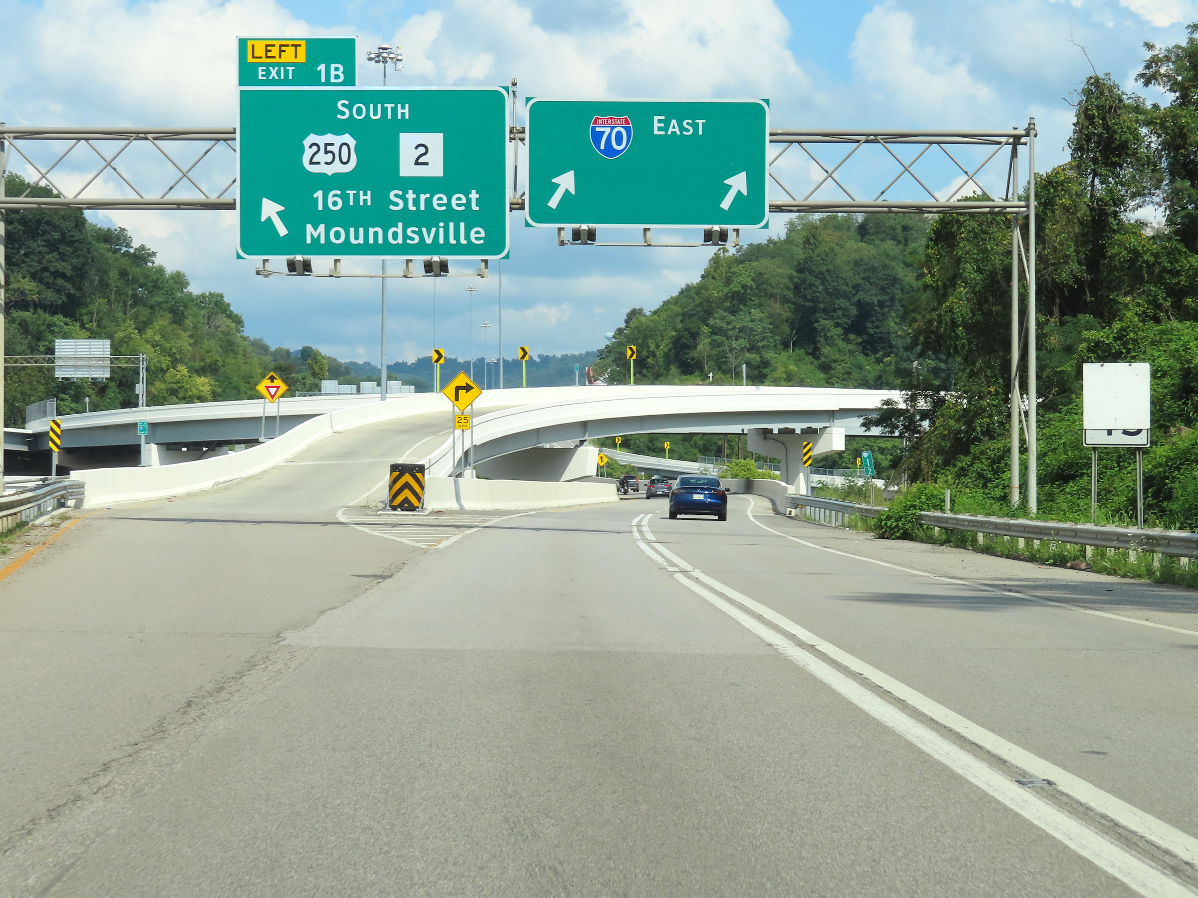 |
Interstate 70 East at Exit 1B: US 250 South / WV 2 South - 16th Street / Moundsville (Photo taken 8/21/22). |
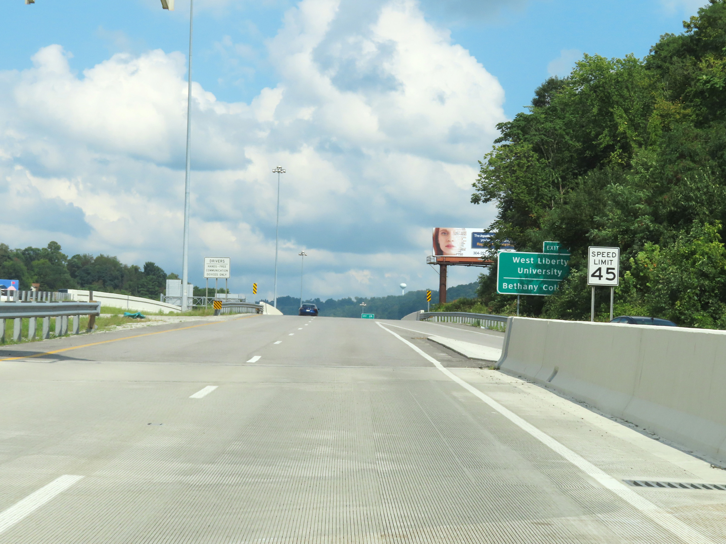 |
The speed limit on Interstate 70 East in downtown Wheeling and the surrounding area is 45 mph for all traffic. (Photo taken 8/21/22). |
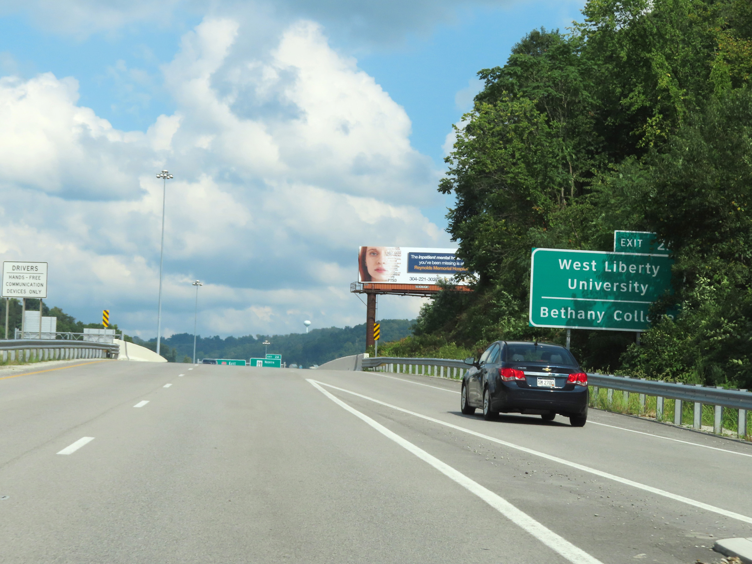 |
Take Exit 2A to West Liberty University and Bethany College. (Photo taken 8/21/22). |
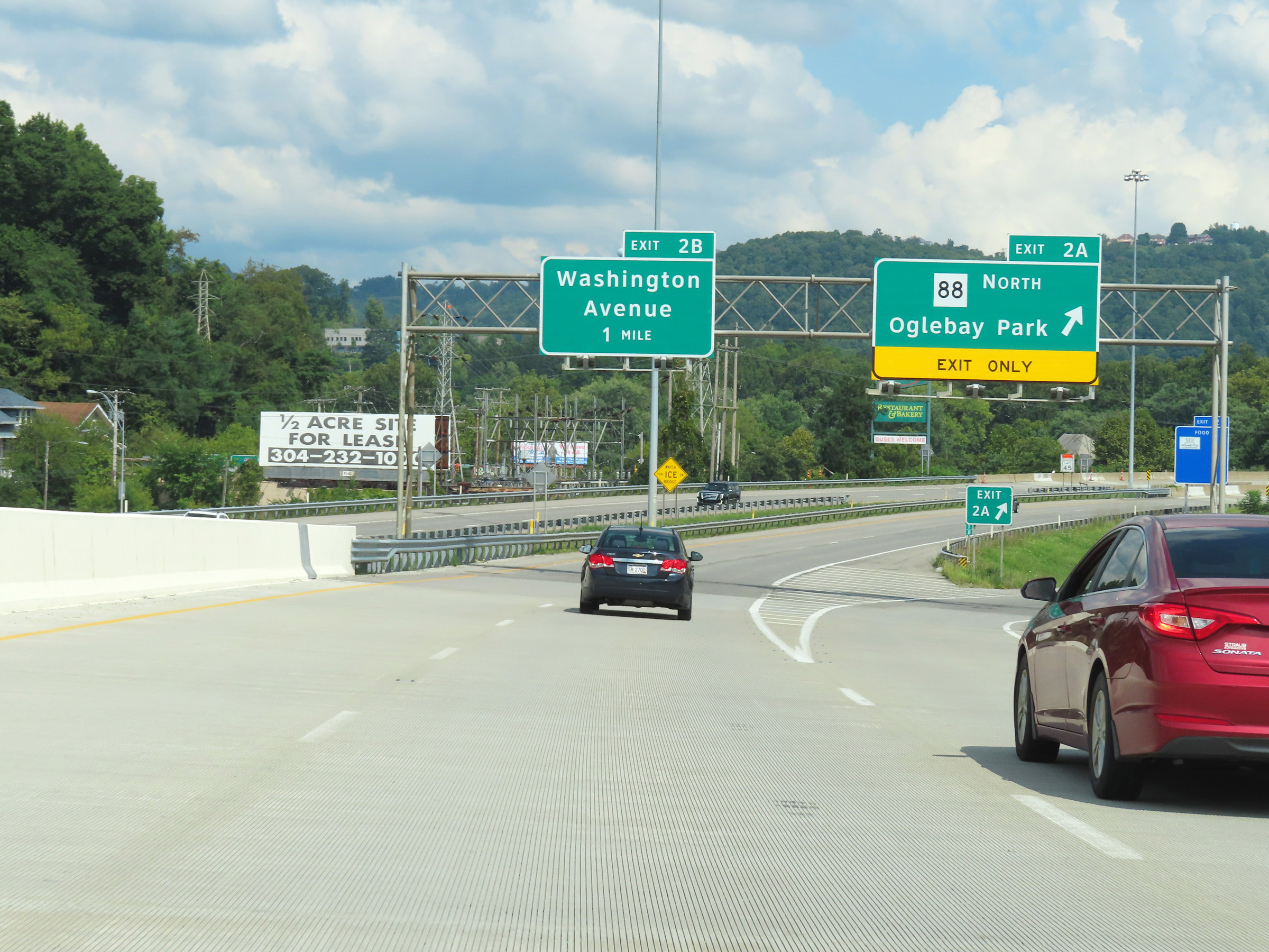 |
Interstate 70 East at Exit 2A: WV 88 North - Oglebay Park (Photo taken 8/21/22). |
 |
Another overhead mileage sign at mile marker 2, listing the distances to the next three exits to Wheeling on Interstate 70 East. (Photo taken 8/21/22). |
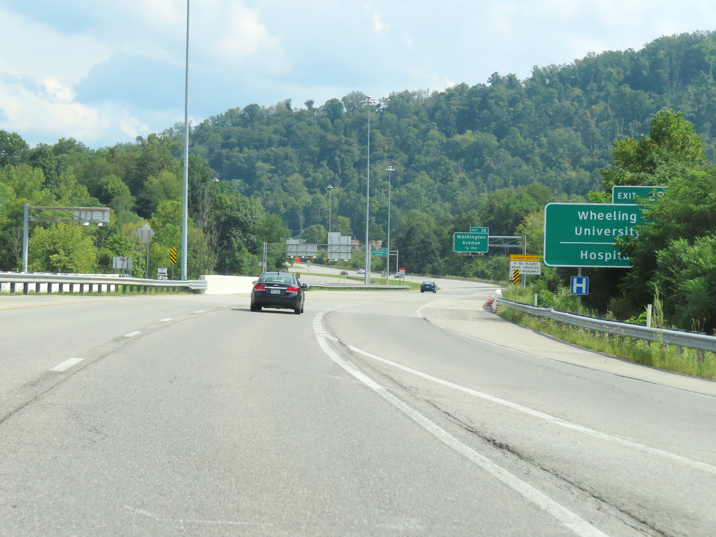 |
Take Exit 2B to Wheeling University and the Hospital. (Photo taken 8/21/22). |
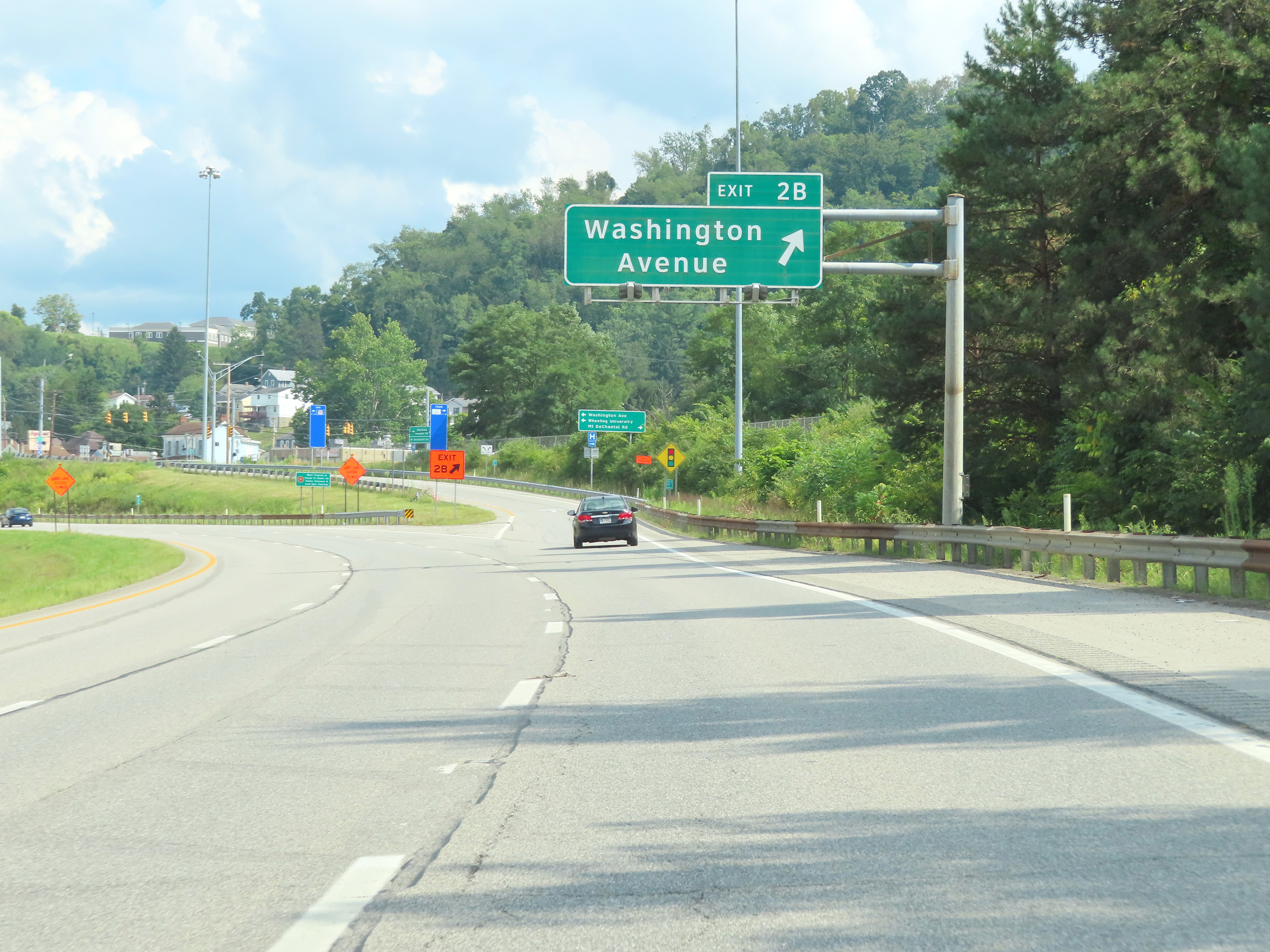 |
Interstate 70 East at Exit 2B: Washington Avenue (Photo taken 8/21/22). |
 |
View on Interstate 70 East at mile marker 2.8. (Photo taken 8/21/22). |
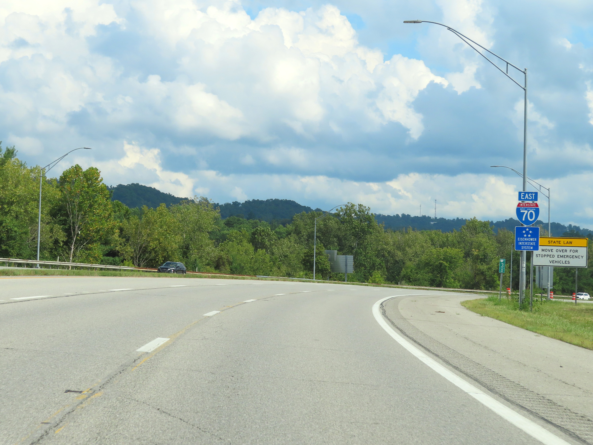 |
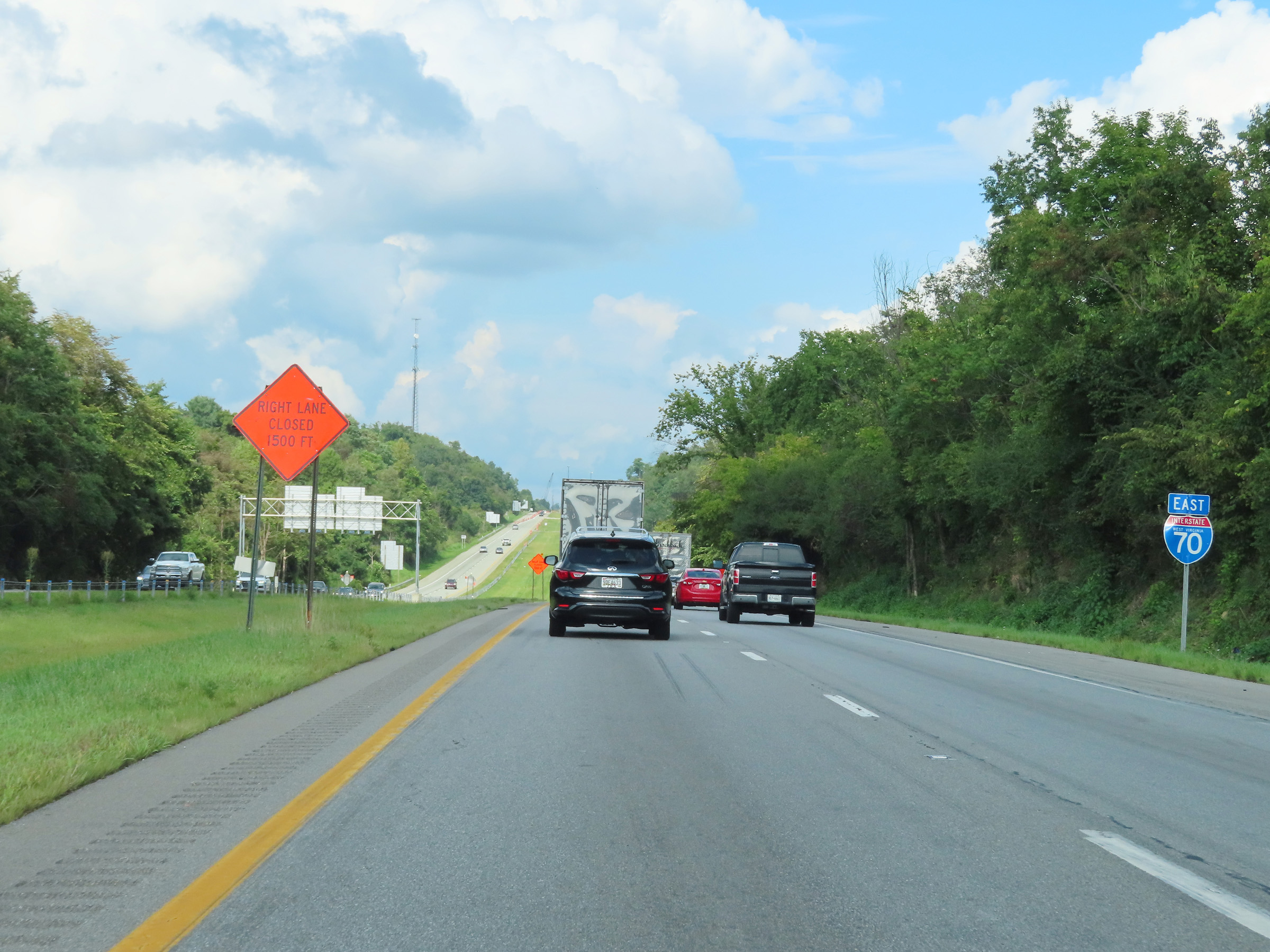
State-named Interstate 70 East reassurance shield at mile marker 3. (Photo taken 8/21/22). |
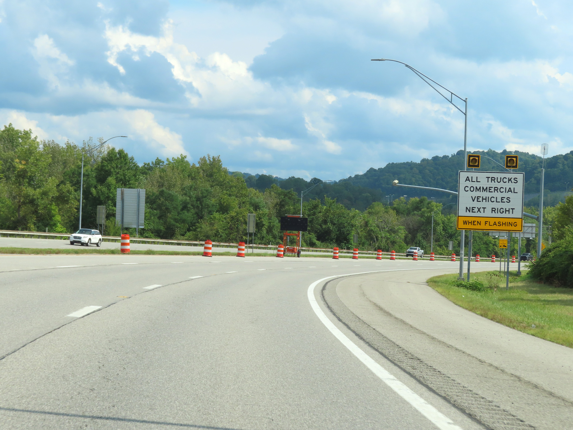 |
All trucks and commercial vehicles must enter the Weigh Station ahead when the lights on this sign are flashing. (Photo taken 8/21/22). |
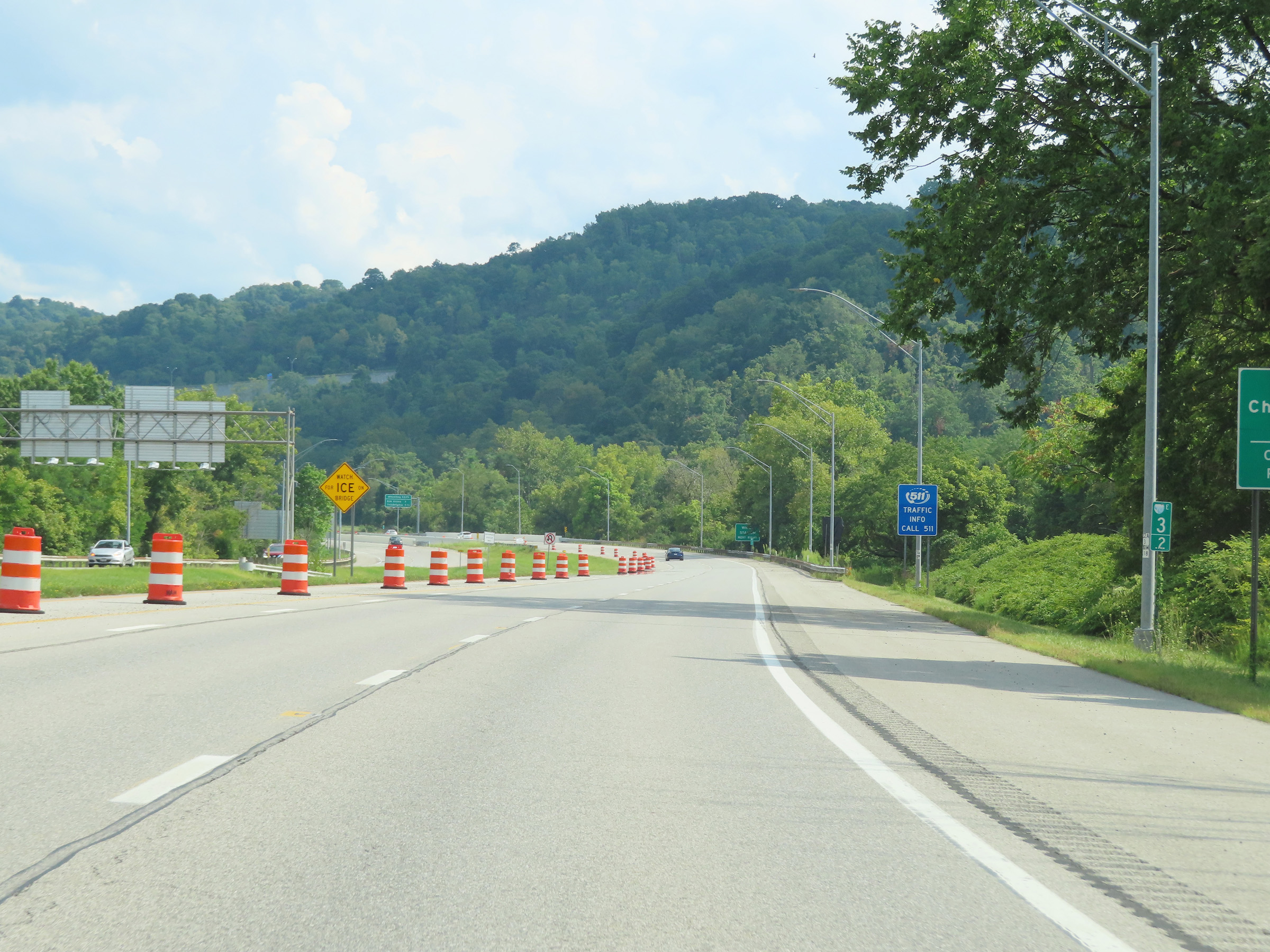 |
Mile marker 3.2 on Interstate 70 East in Ohio County. (Photo taken 8/21/22). |
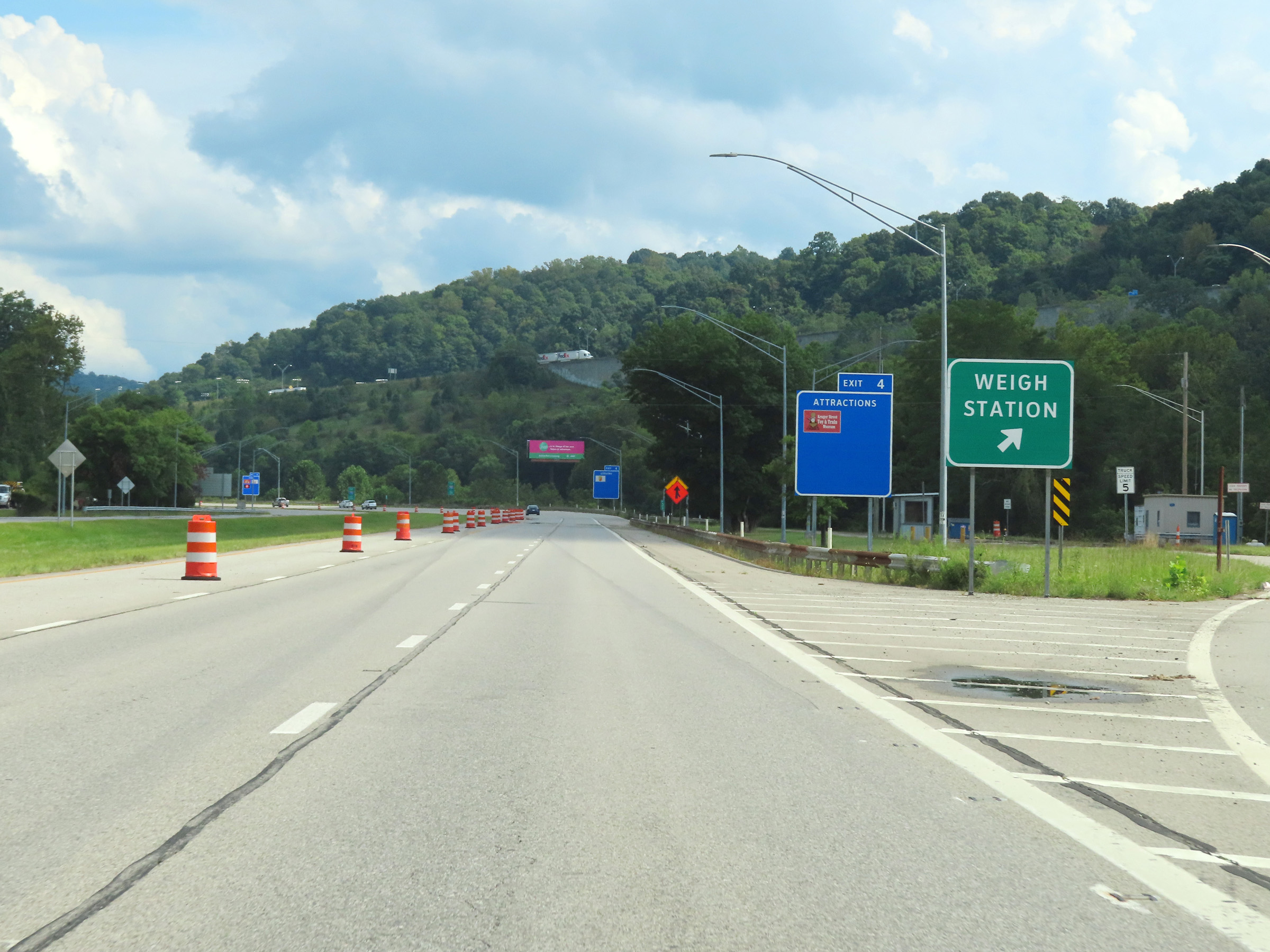 |
Weigh Station on Interstate 70 East in Ohio County. (Photo taken 8/21/22). |
 |
View on Interstate 70 East at mile marker 4. (Photo taken 8/21/22). |
 |
Interstate 70 East will once again be briefly reduced to a single lane ahead, as its right lane becomes and Exit Only lane for Exit 4. I-70 East thru traffic should move to the left lane at this point. (Photo taken 8/21/22). |
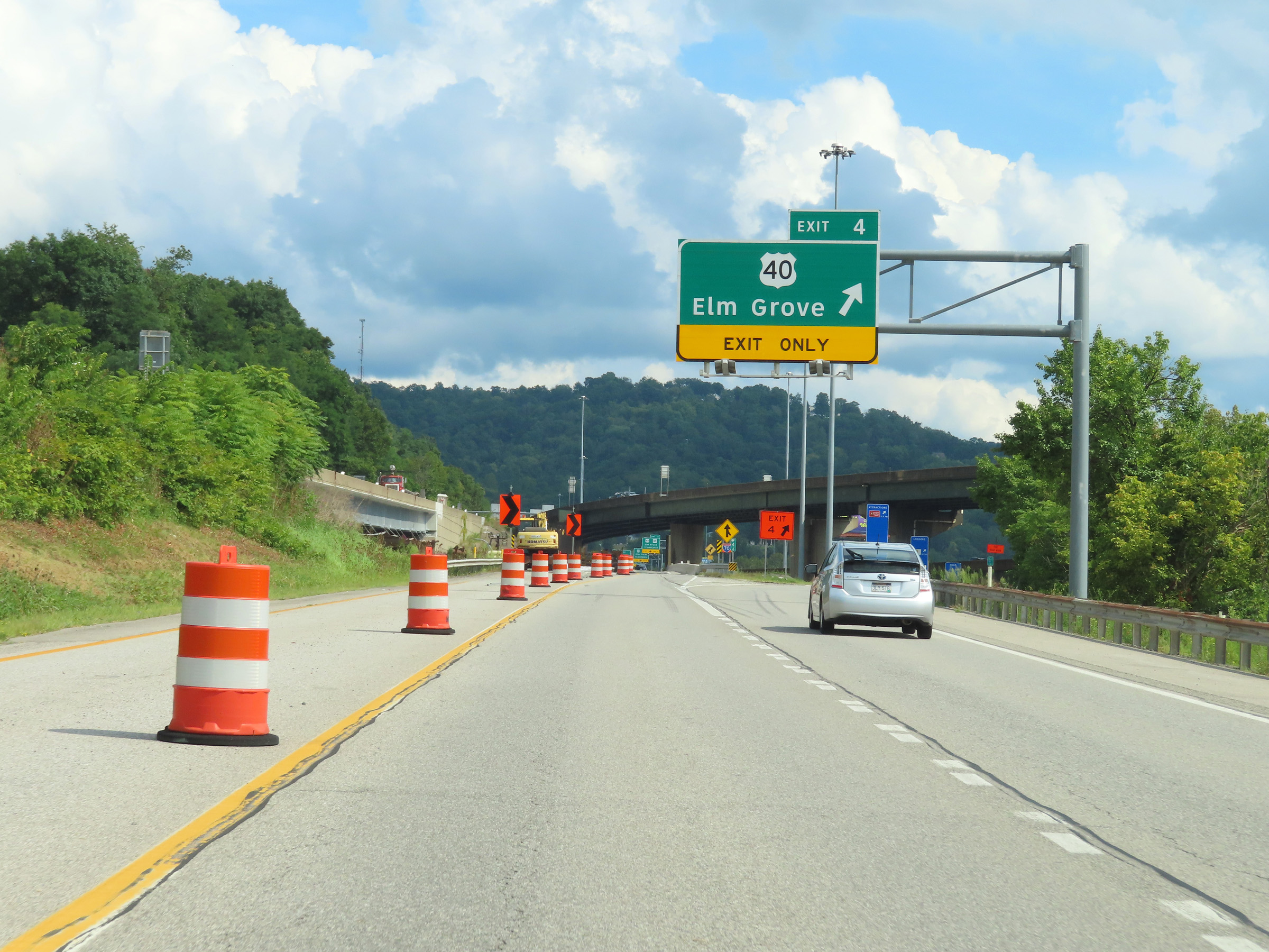 |
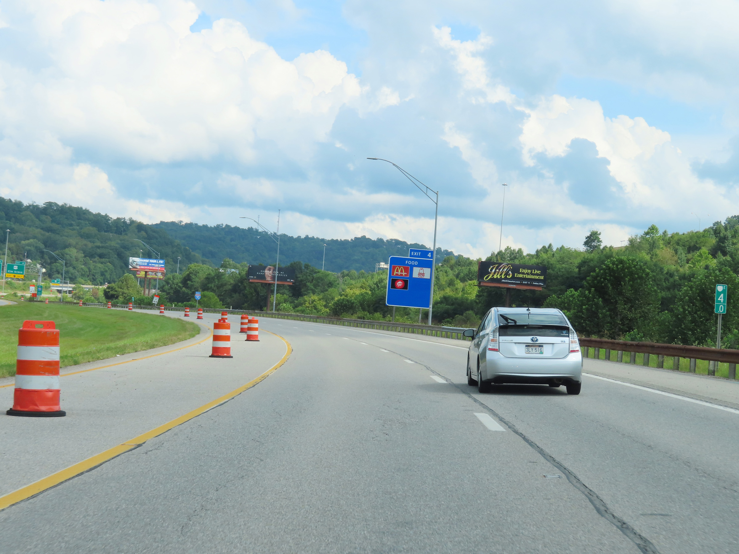
Interstate 70 East at Exit 4: US 40 - Elm Grove (Photo taken 8/21/22). |
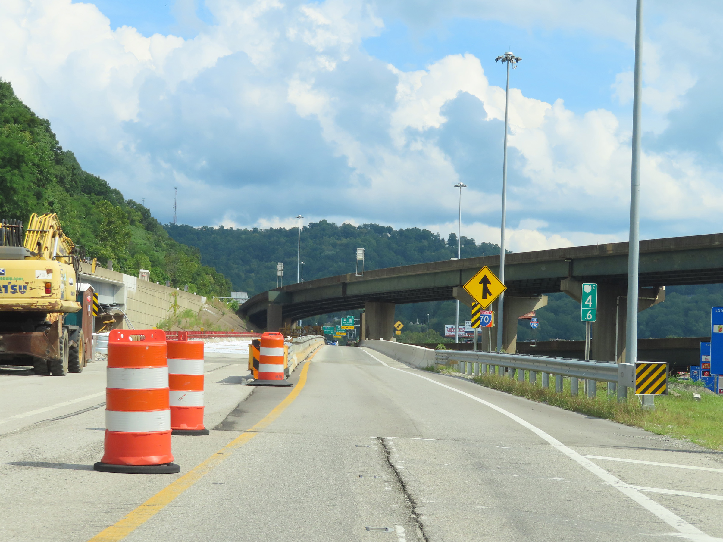 |
Interstate 70 East at mile marker 4.6, as Interstate 470 East traffic prepares to merge into it ahead on the right. (Photo taken 8/21/22). |
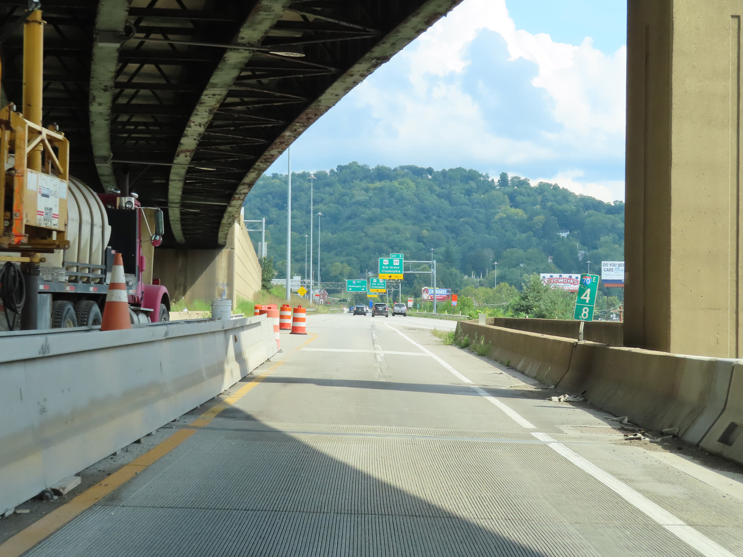 |
View on Interstate 70 East at mile marker 4.8, as Interstate 470 East traffic will merge into it ahead on the right, giving I-70 East two thru lanes once again. (Photo taken 8/21/22). |
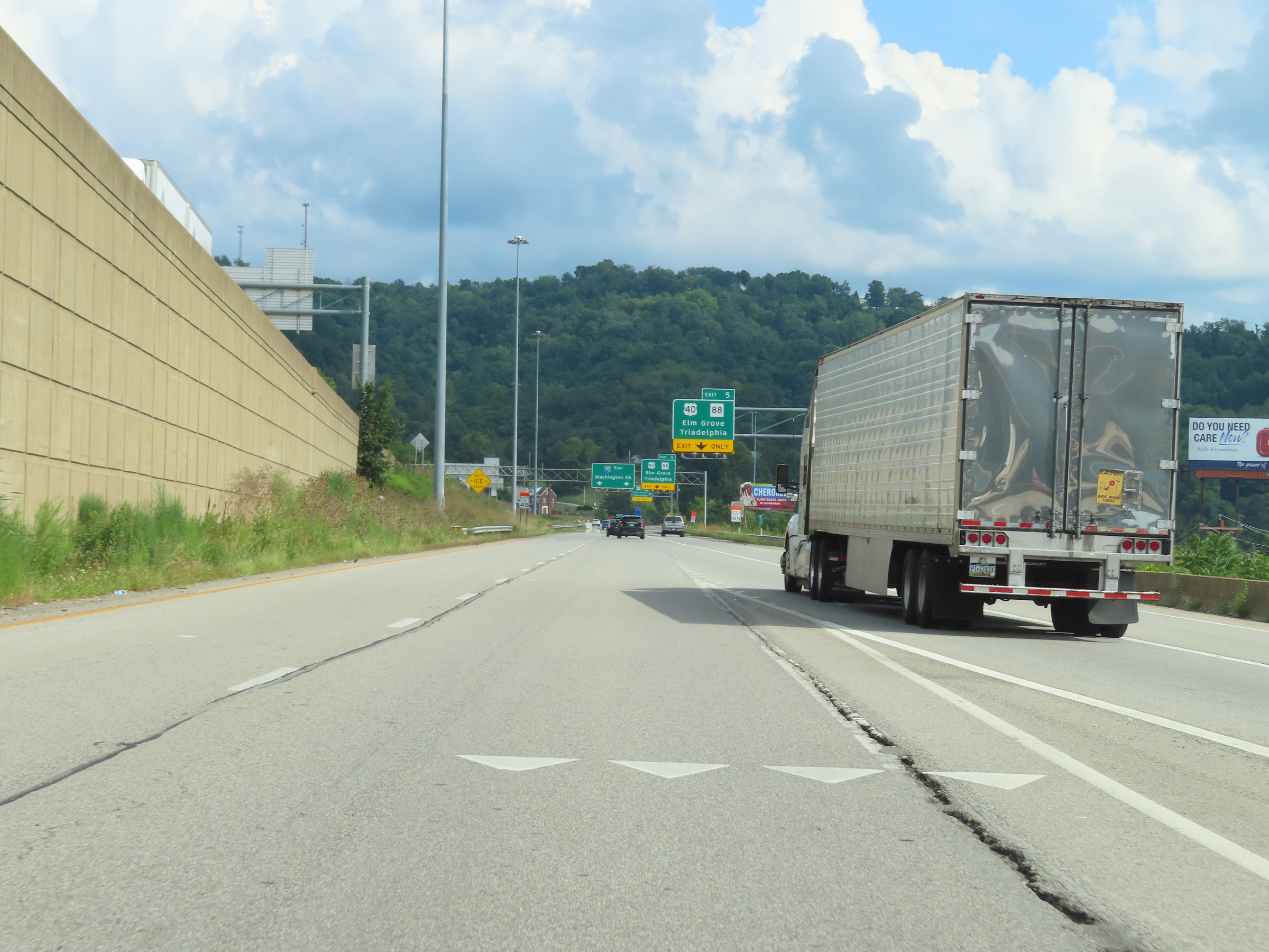 |
Here, we see Interstate 470 East traffic merging into the eastbound lanes of Interstate 70 from the right. (Photo taken 8/21/22). |
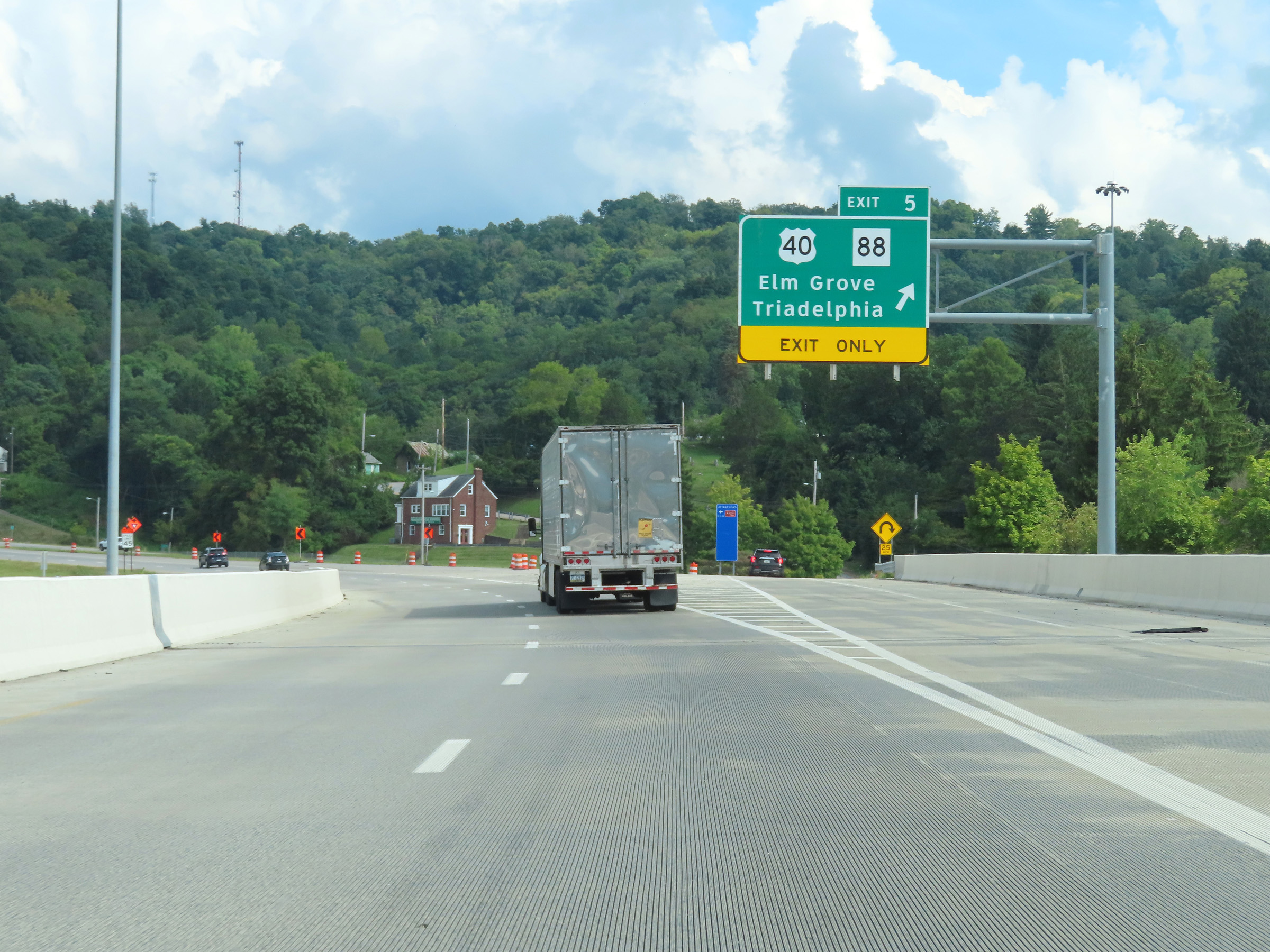 |
Interstate 70 East at Exit 5: US 40 / WV 88 - Elm Grove / Triadelphia (Photo taken 8/21/22). |
 |
View on Interstate 70 East at mile marker 6. (Photo taken 8/21/22). |
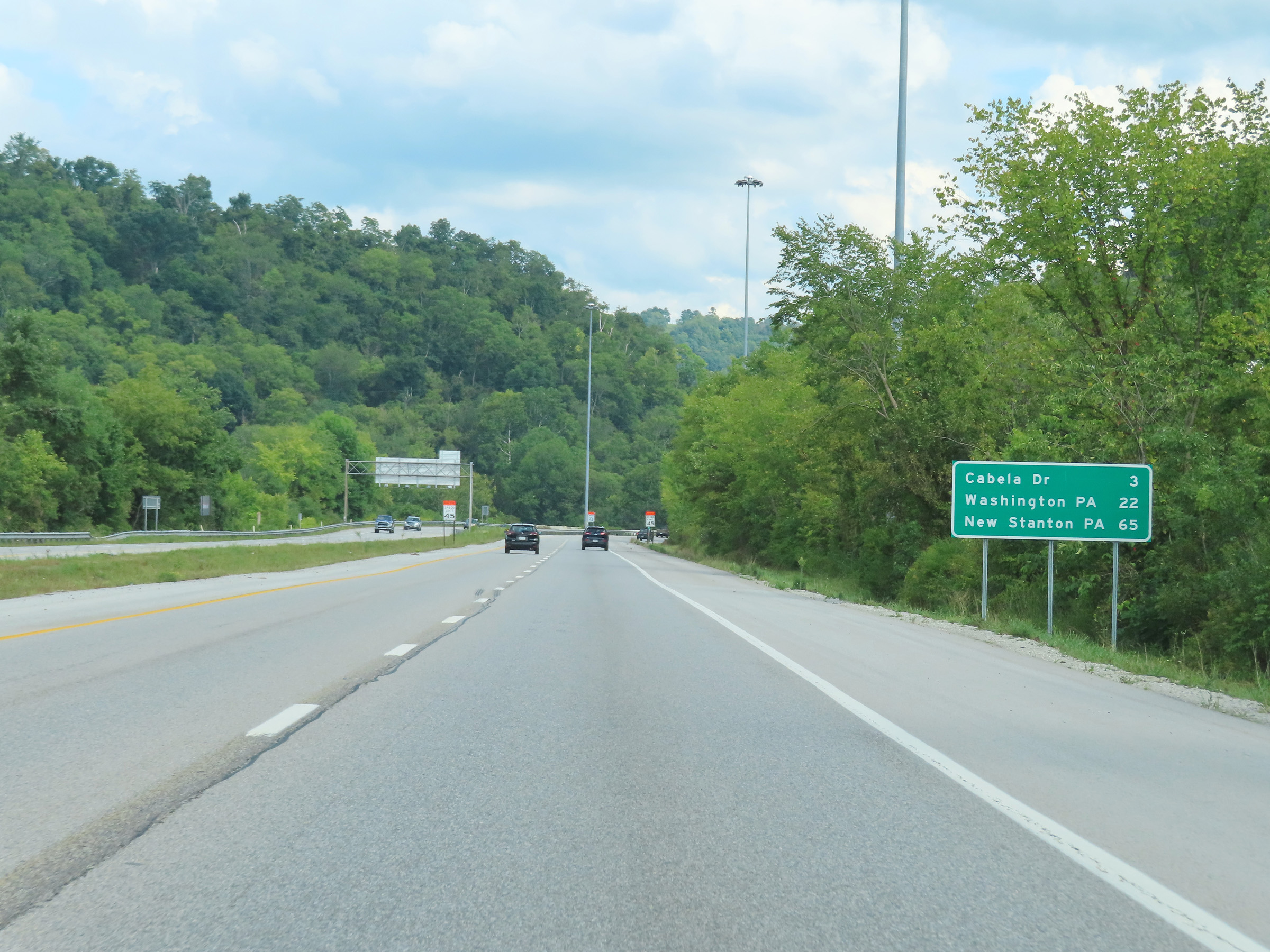 |
Mileage sign on Interstate 70 East. It's 3 miles to the junction of Cabela Dr, 22 miles to Washington, PA and 65 miles to New Stanton, PA. (Photo taken 8/21/22). |
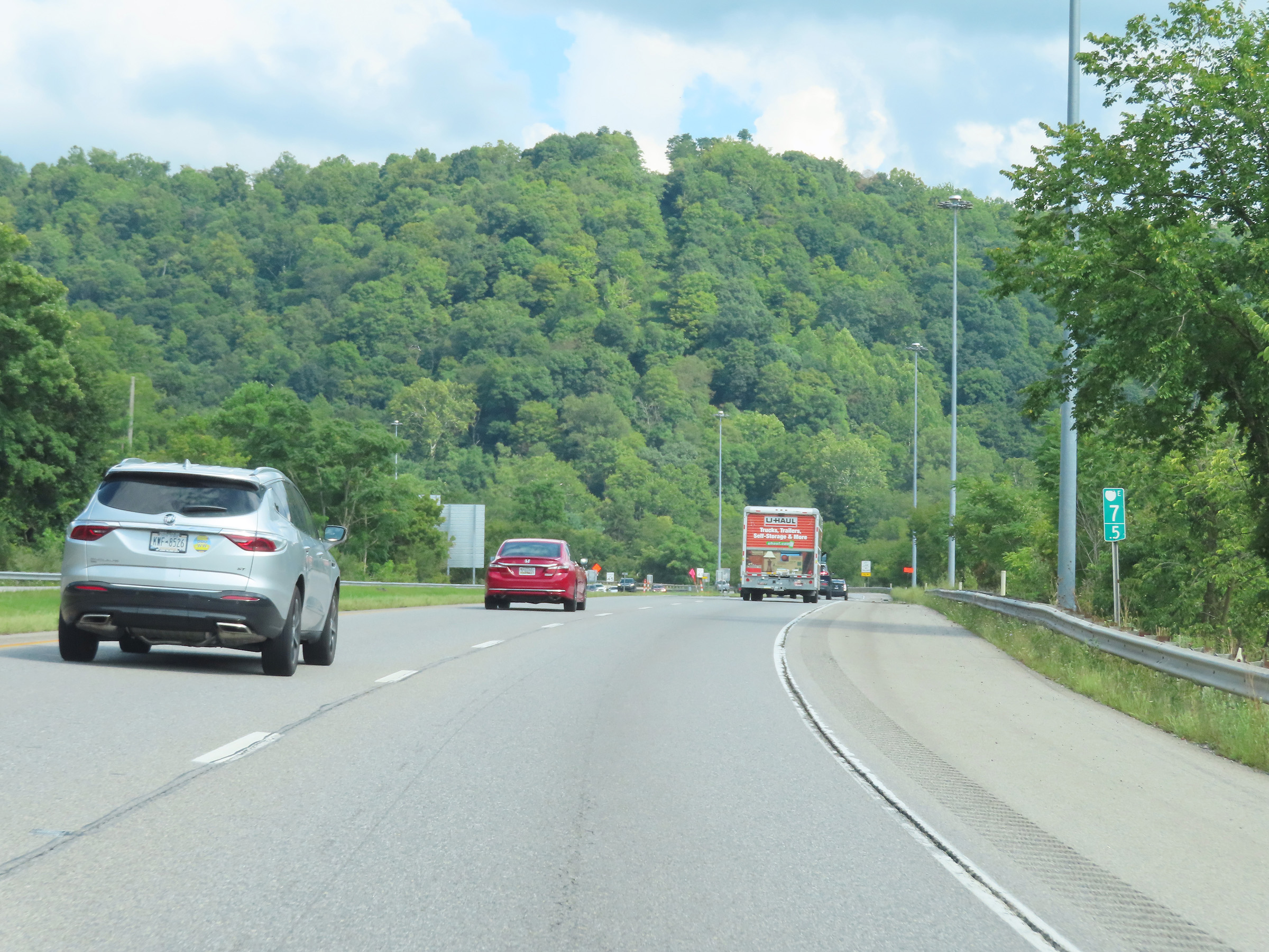 |
Interstate 70 East at mile marker 7.5. (Photo taken 8/21/22). |
 |
At mile marker 8, a truck climbing lane appears as Interstate 70 East begins to climb a steep grade. Trucks are prohibited in the left lane for the duration of the truck climbing lane. (Photo taken 8/21/22). |
 |
View on Interstate 70 East at mile marker 8.5. (Photo taken 8/21/22). |
 |
Interstate 70 East at mile marker 9, as it continues to climb the steep grade. (Photo taken 8/21/22). |
 |
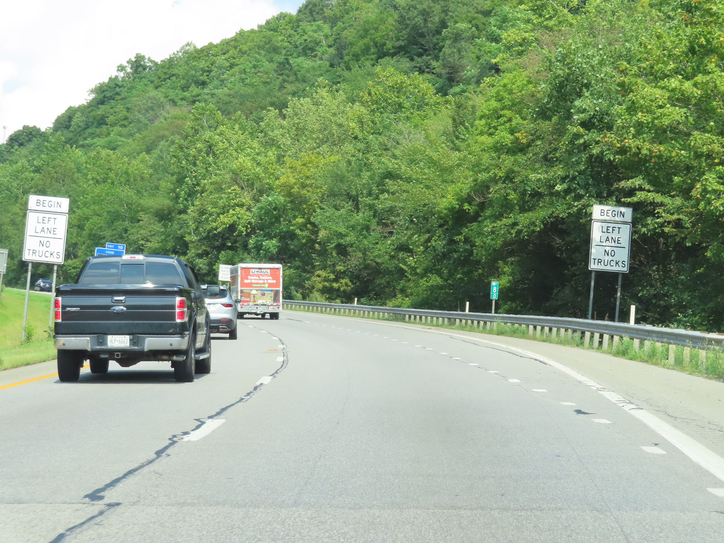
Interstate 70 East at Exit 10: CR 65 - Cabela Dr (Photo taken 8/21/22). |
 |
View on Interstate 70 East at mile marker 9.8, as the truck climbing lane prepares to come to an end as I-70 East nears the top of the grade. (Photo taken 8/21/22). |
 |
Interstate 70 East as it reaches the top of the grade and the truck climbing lane comes to an end. Thus, so do the truck lane restrictions. (Photo taken 8/21/22). |
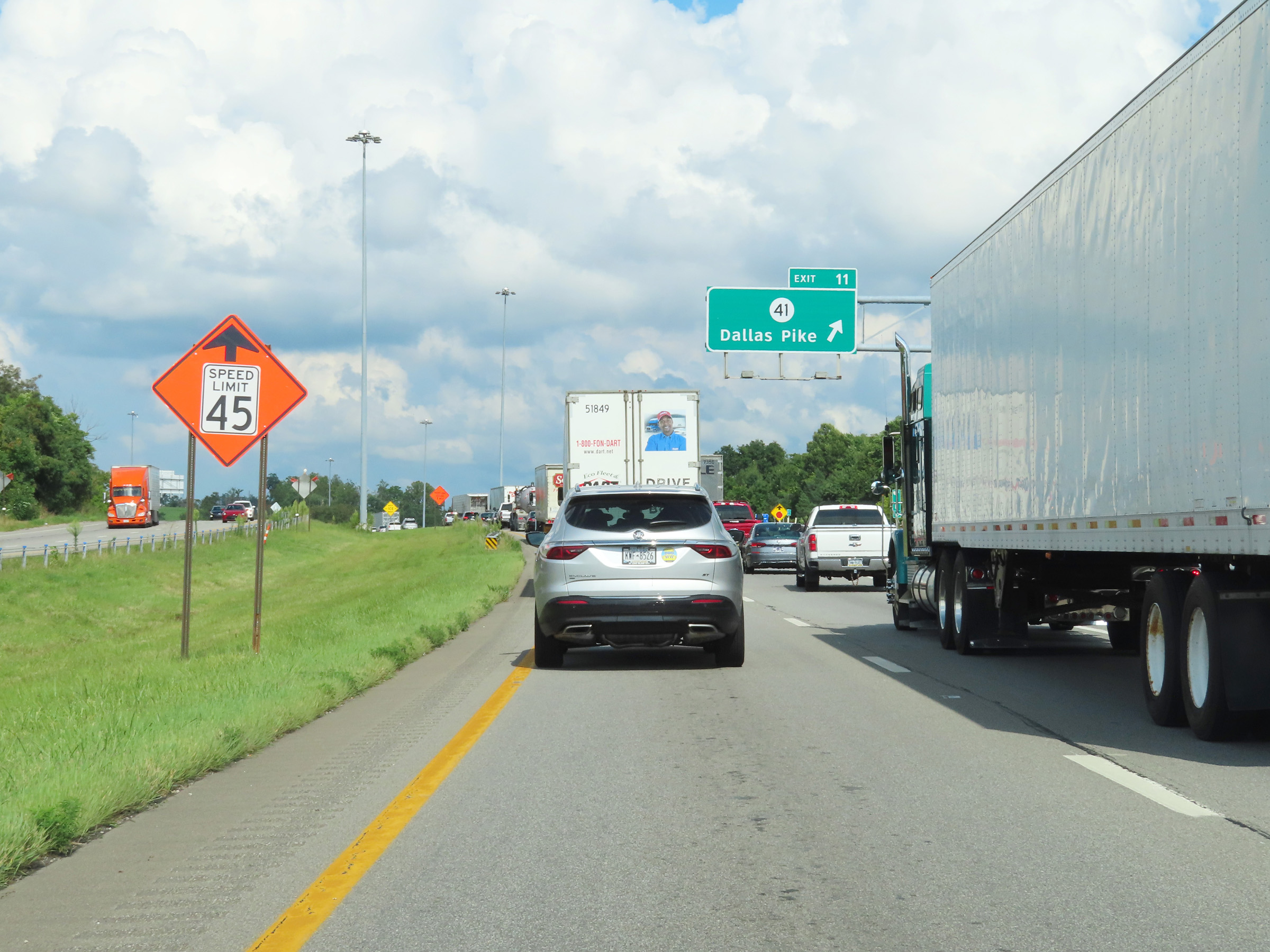 |
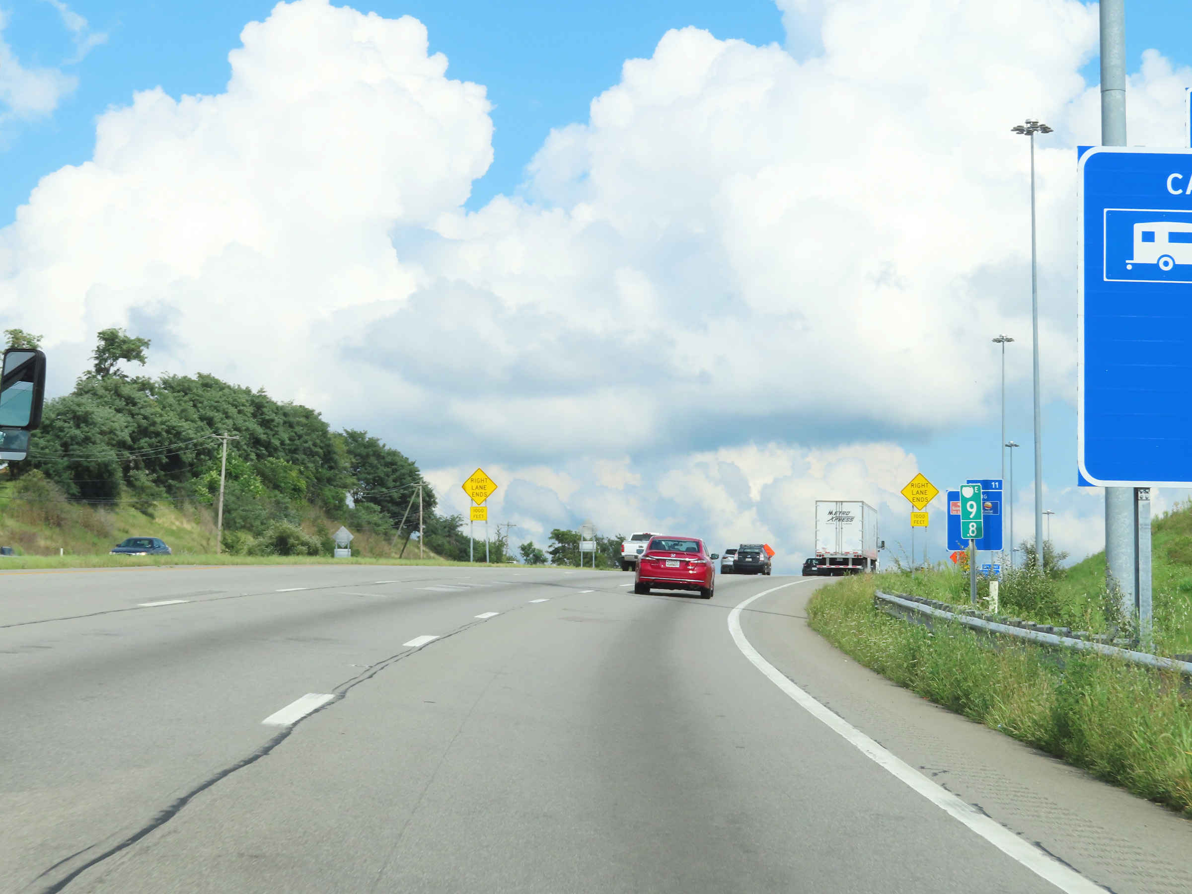
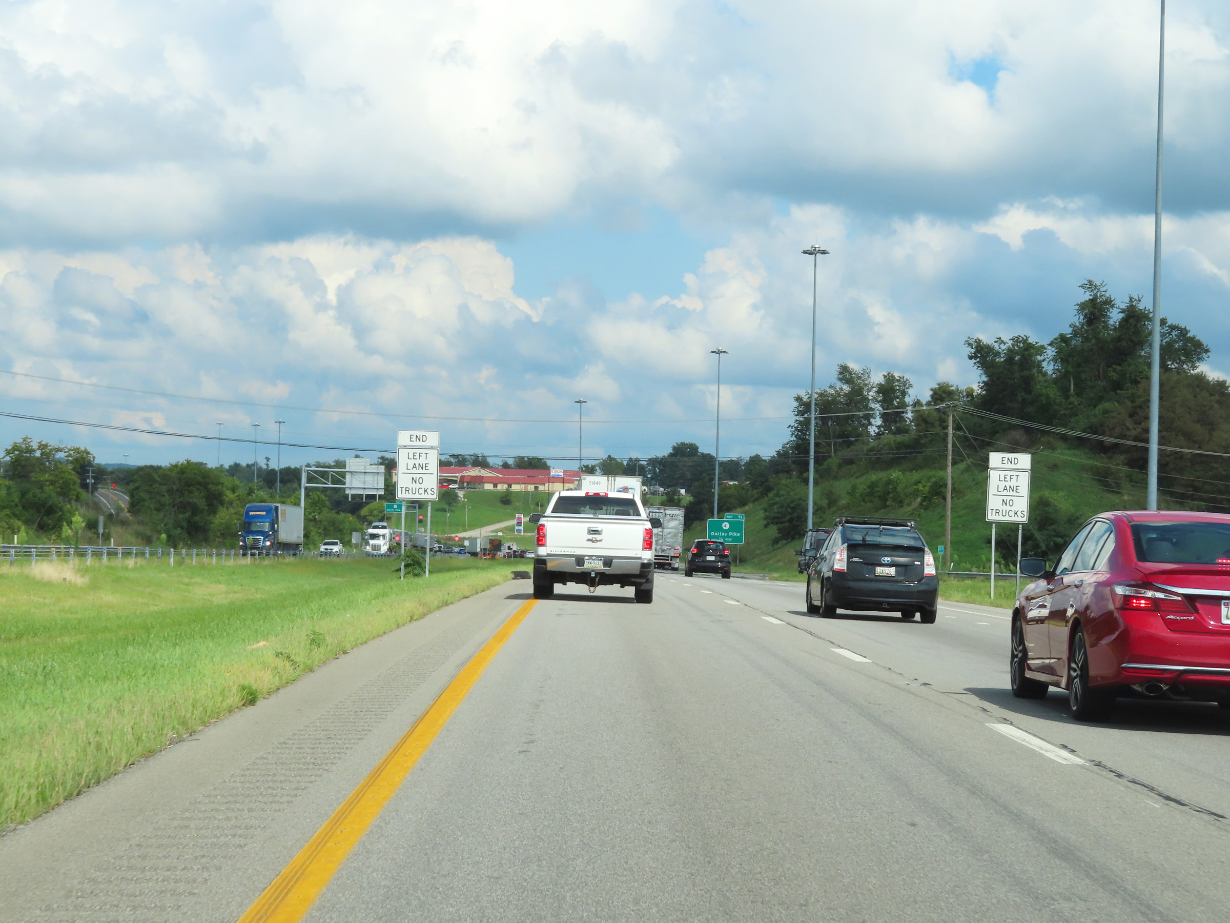
Interstate 70 East at Exit 11: CR 41 - Dallas Pike (Photo taken 8/21/22). |
 |
Another state-named Interstate 70 East reassurance shield. (Photo taken 8/21/22). |
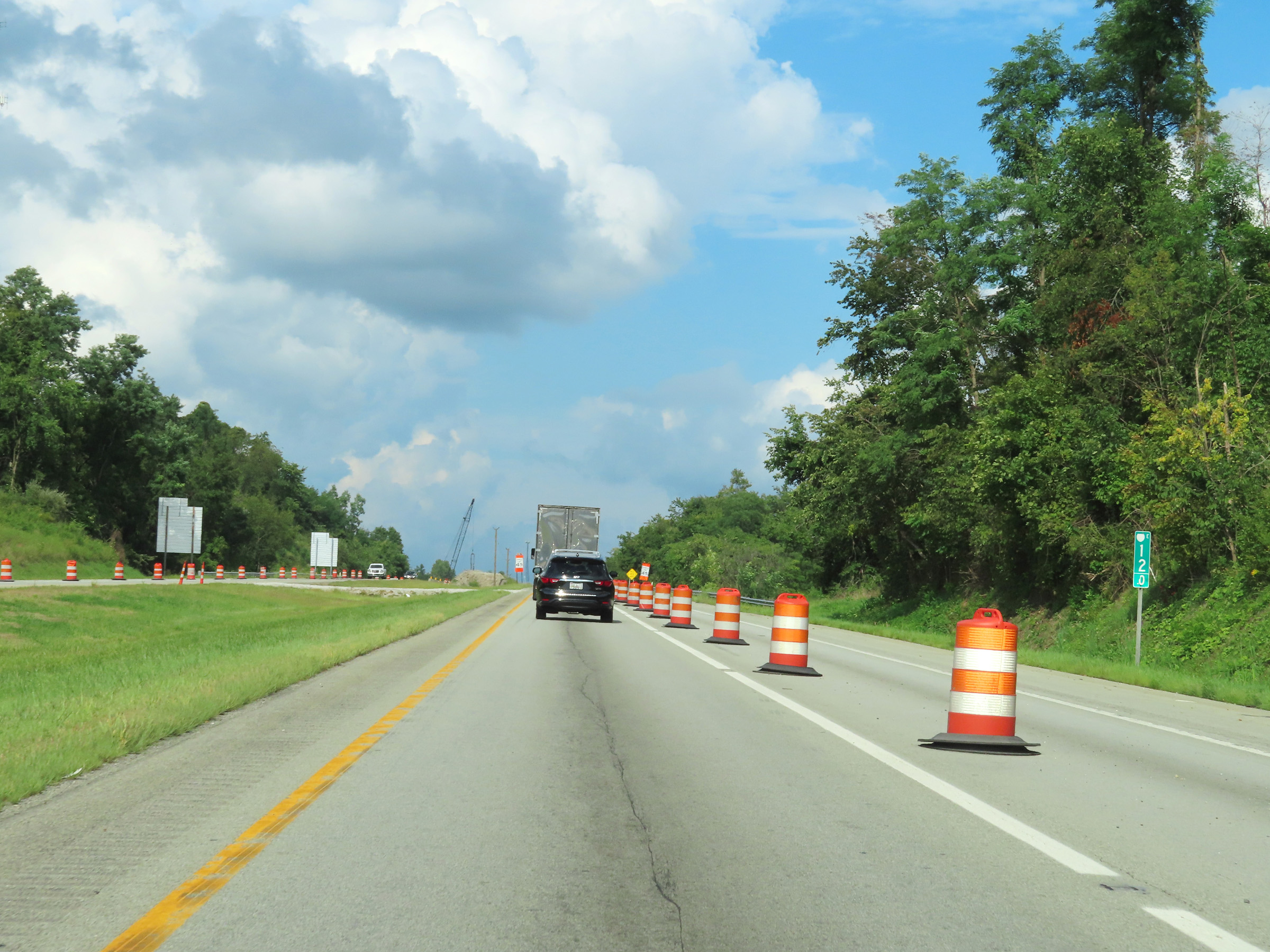 |
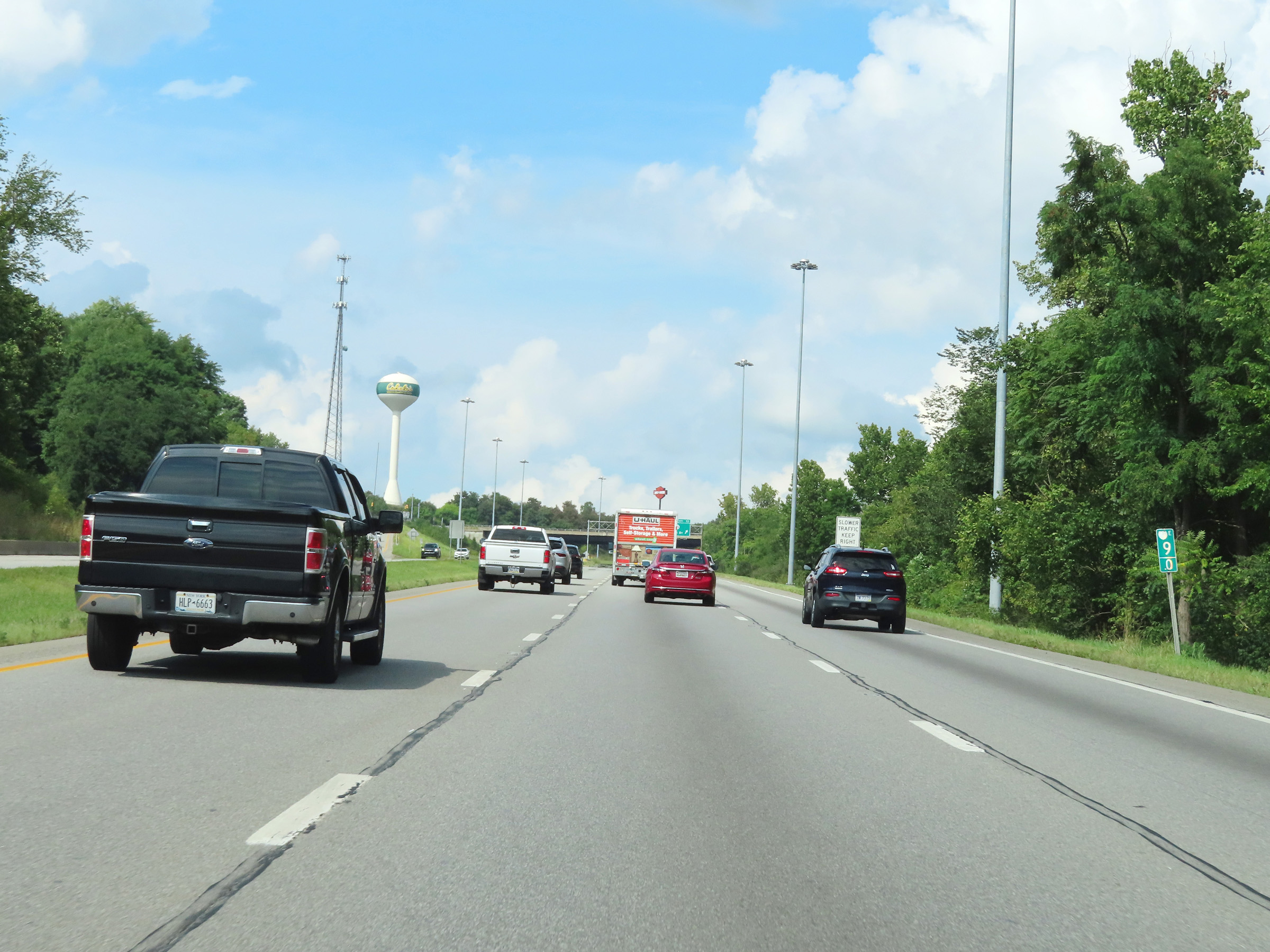
Mile marker 12 on Interstate 70 East in Ohio County. (Photo taken 8/21/22). |
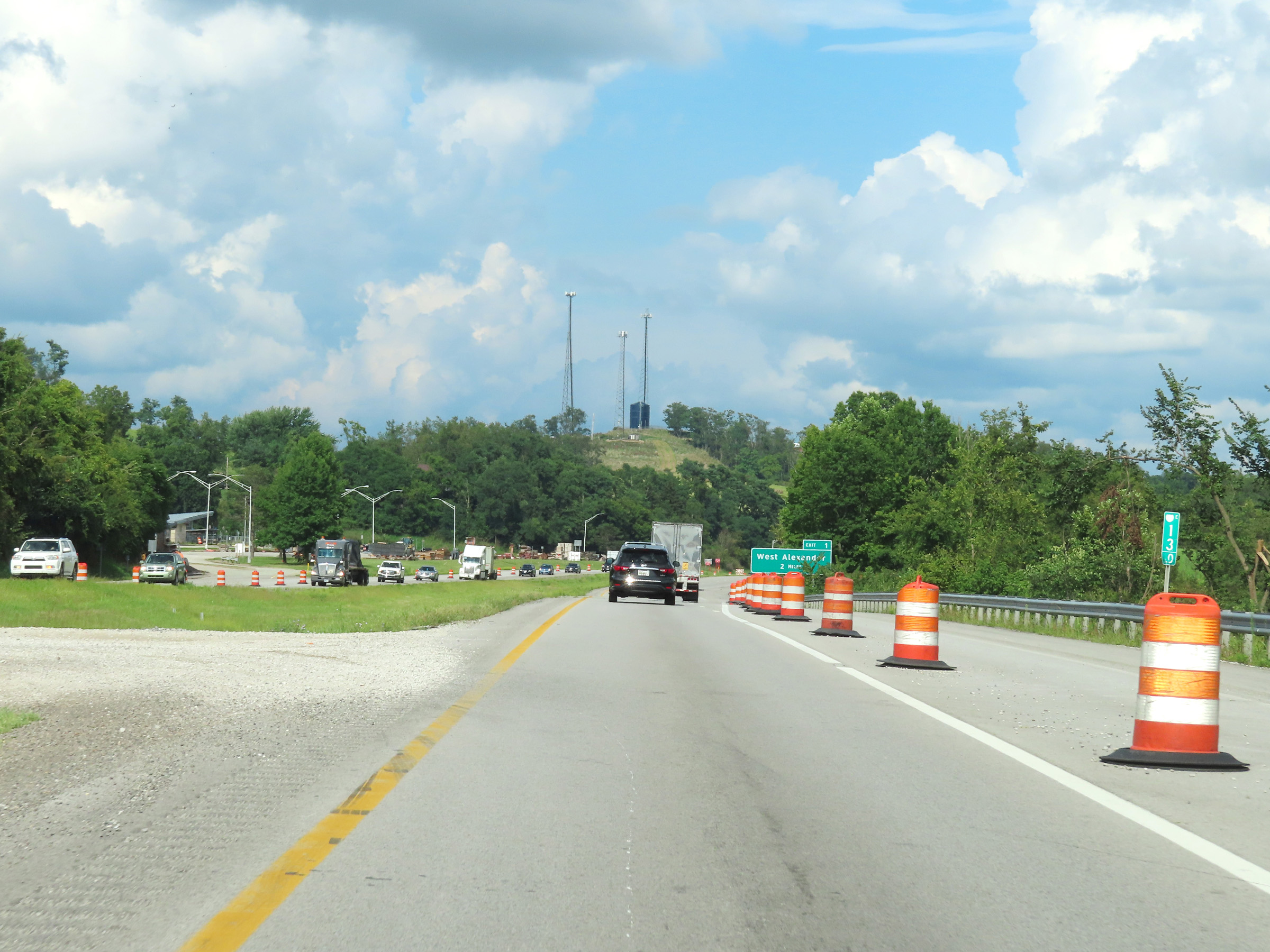 |
View on Interstate 70 East at mile marker 13. (Photo taken 8/21/22). |
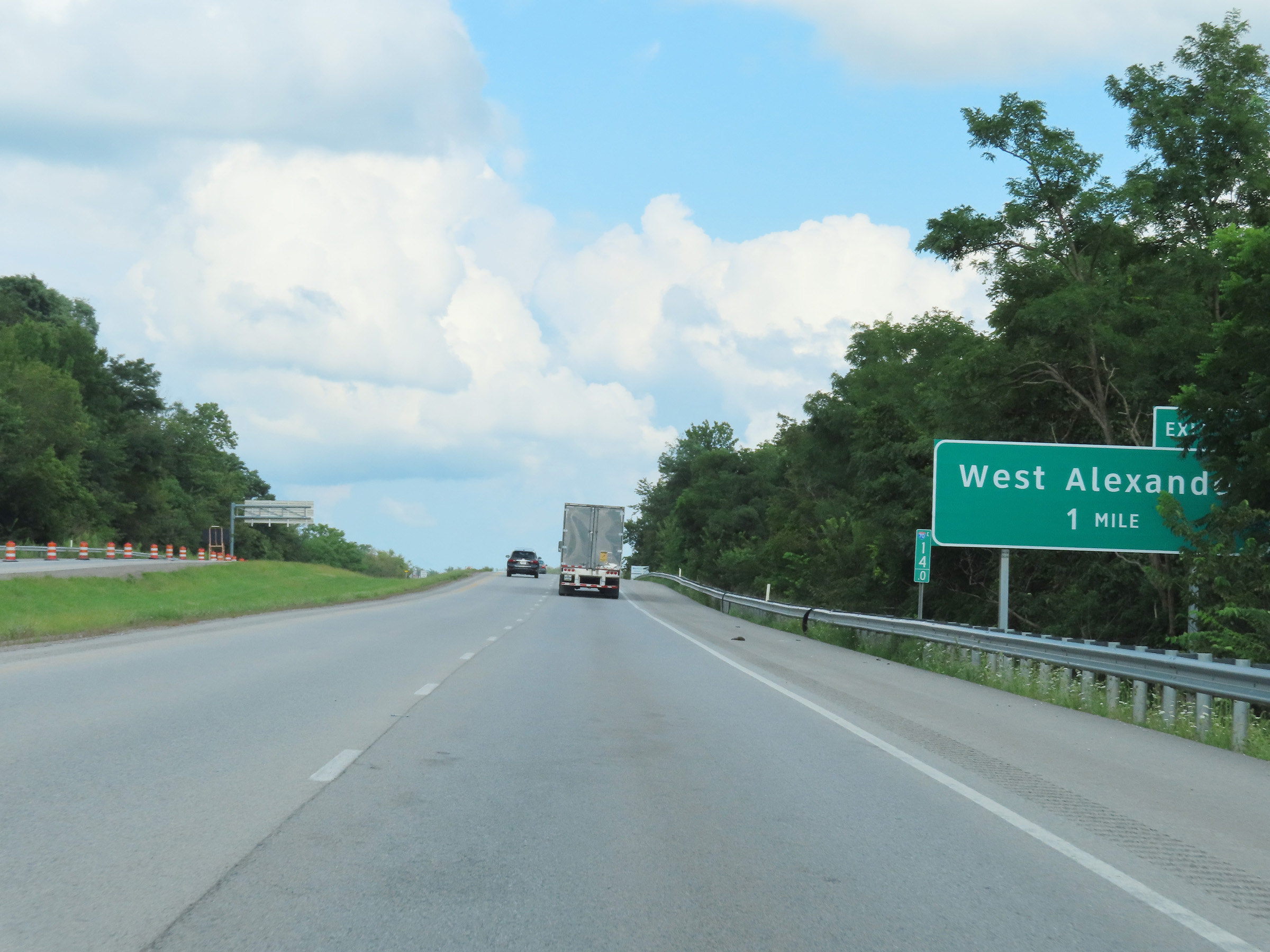 |
Advance signage for Exit 1 in Pennsylvania at mile marker 14, as Interstate 70 East prepares to leave West Virginia to enter the Keystone State ahead. (Photo taken 8/21/22). |