Road Information |
||
 |
||
| Total Mileage in State: | 32 miles | |
| Eastern End: | At Maryland state line | |
| Western End: | At I-79, in Morgantown | |
| Mileage covered in Photos: | 32 miles | |
| Counties covered in Photos: | Monongalia, Preston | |
| Major Junctions in Photos: | None | |
| Control Cities in Photos: | Morgantown | |
Eastbound
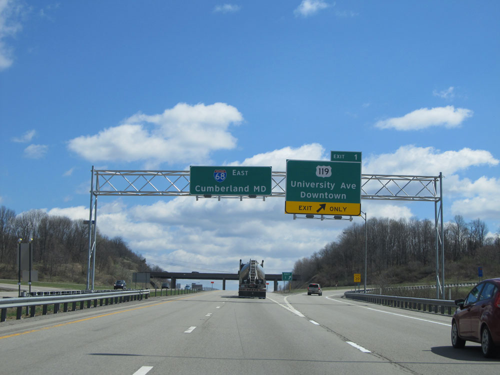 |
Interstate 68 East at Exit 1: US 119 - University Ave / Downtown (Photo taken 4/11/15). |
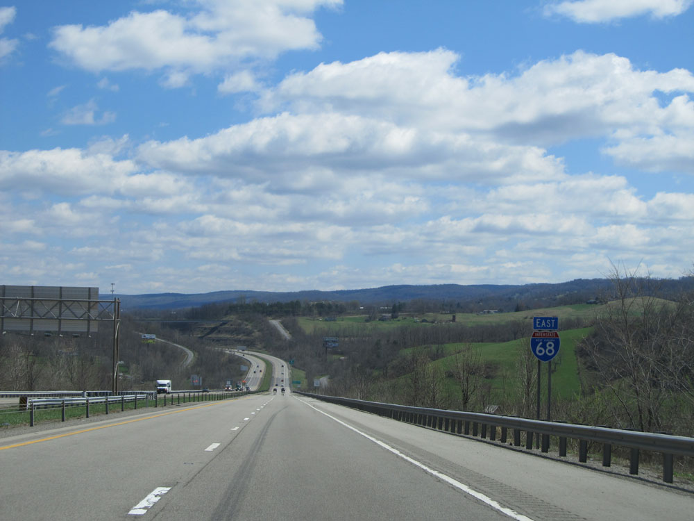 |
Interstate 68 East shield. (Photo taken 4/11/15). |
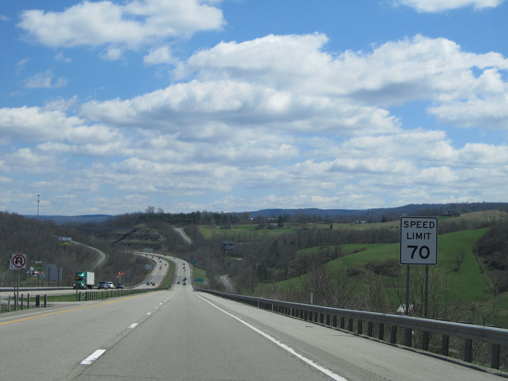 |
Speed limit sign on Interstate 68 East. The speed limit on most rural West Virginia Interstate highways is 70 mph. (Photo taken 4/11/15). |
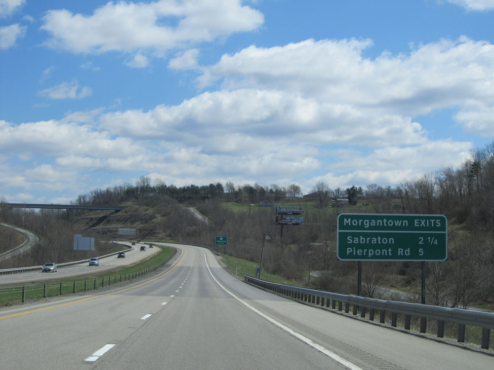 |
Sign listing the distances to the upcoming Morgantown exits. (Photo taken 4/11/15). |
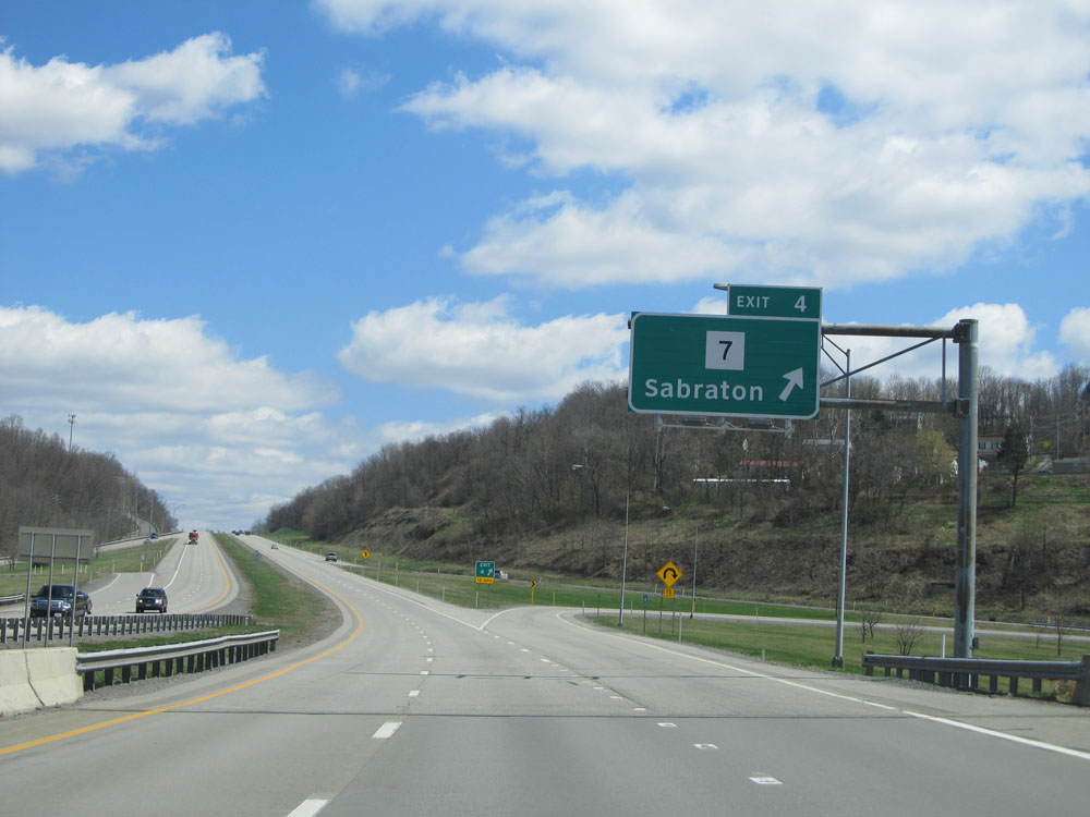 |
Interstate 68 East at Exit 4: WV 7 - Sabraton (Photo taken 4/11/15). |
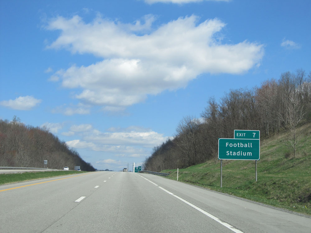 |
Use Exit 7 to get to the WVU Football Stadium. (Photo taken 4/11/15). |
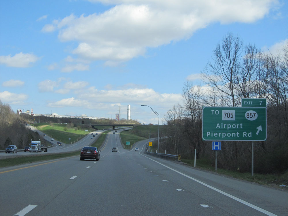 |
Interstate 68 East at Exit 7: CR 857 / To WV 705 - Airport / Pierpont Rd (Photo taken 4/11/15). |
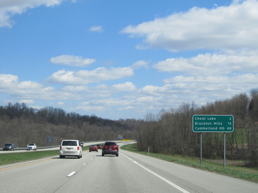 |
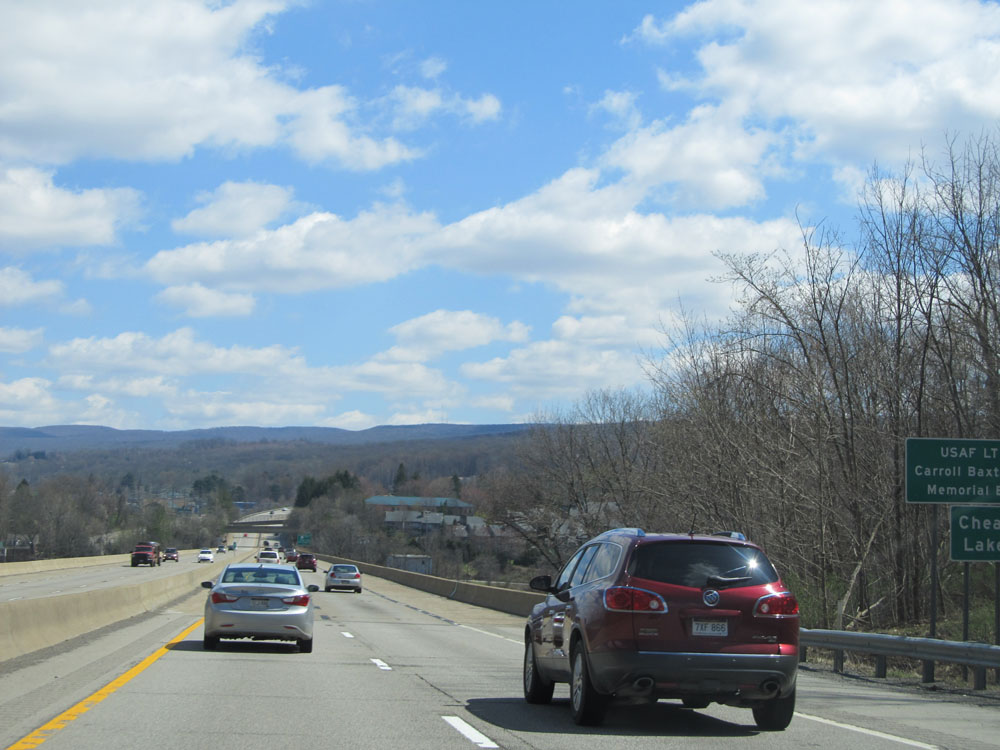
Mileage sign located near mile marker 8. From here, it's 2 miles to Cheat Lake, 15 miles to Bruceton Mills, and 68 miles to Cumberland, MD. (Photo taken 4/11/15). |
 |
Interstate 68 East: Road view from near mile marker 9, as you prepare to cross Cheat Lake. (Photo taken 4/11/15). |
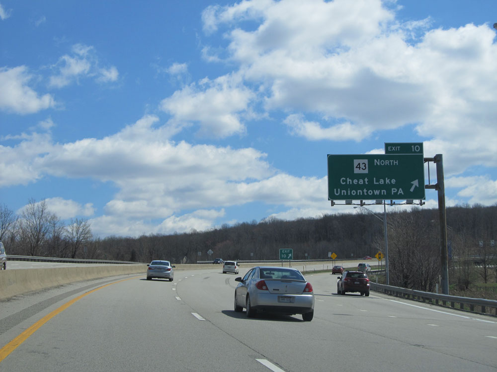 |
Interstate 68 East at Exit 10: WV 43 North - Cheat Lake / Uniontown, PA (Photo taken 4/11/15). |
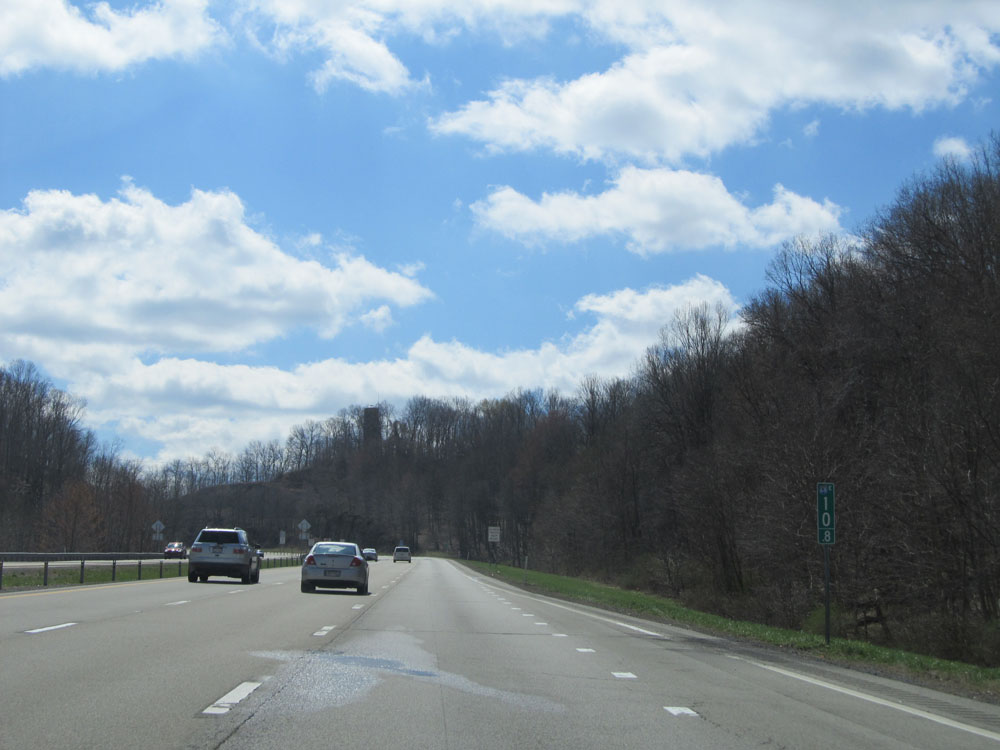 |
Interstate 68 East: Road view from mile marker 10.8, as you begin to climb a rather long and steep mountain. (Photo taken 4/11/15). |
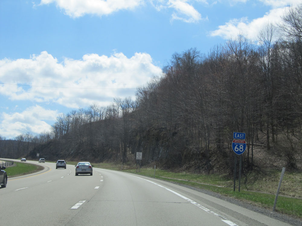 |
Interstate 68 East shield located near mile marker 11.5. (Photo taken 4/11/15). |
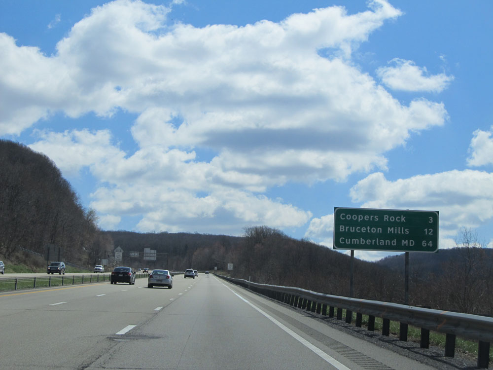 |
Mileage sign on Interstate 68 East as you continue the steep climb. It's 3 miles to Coopers Rock, 12 miles to Bruceton Mills, and 64 miles to Cumberland, MD. (Photo taken 4/11/15). |
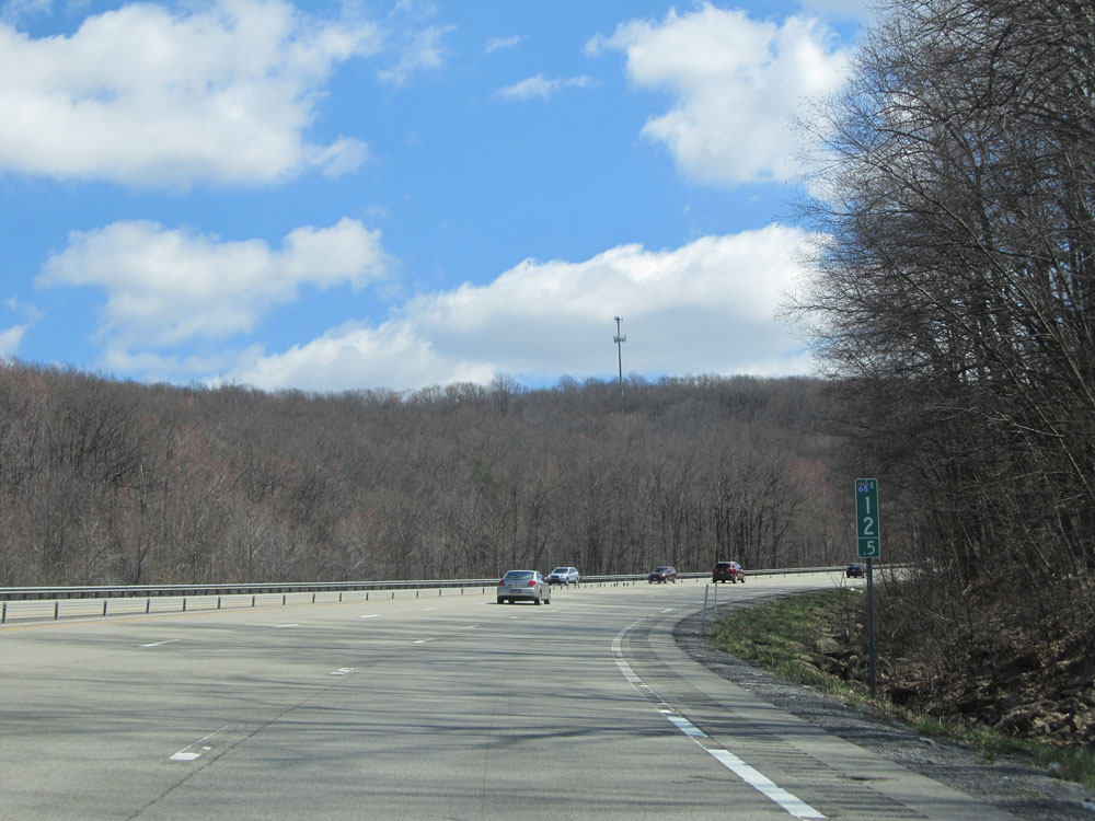 |
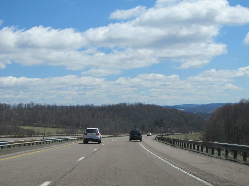
Interstate 68 East: Road view from mile marker 12.5. (Photo taken 4/11/15). |
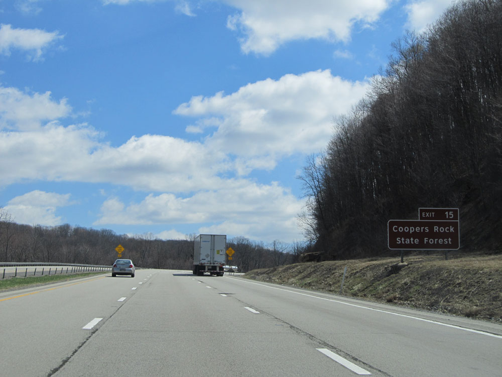 |
Use Exit 15 to get to Coopers Rock State Forest. (Photo taken 4/11/15). |
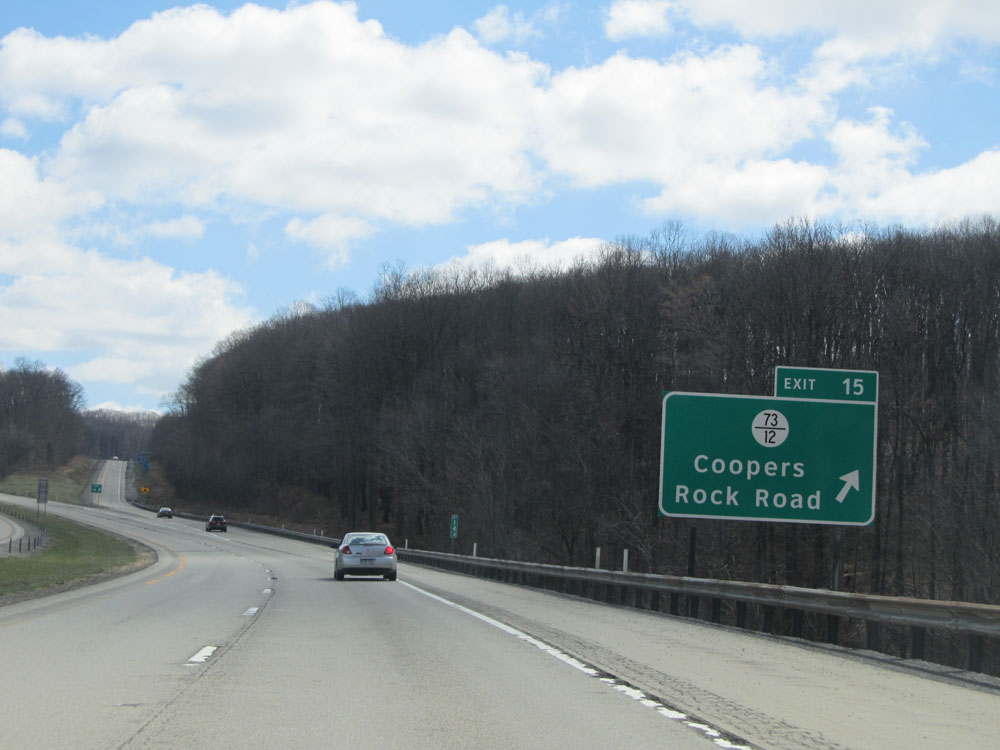 |
Interstate 68 East at Exit 15: CR 73/12 - Coopers Rock Road (Photo taken 4/11/15). |
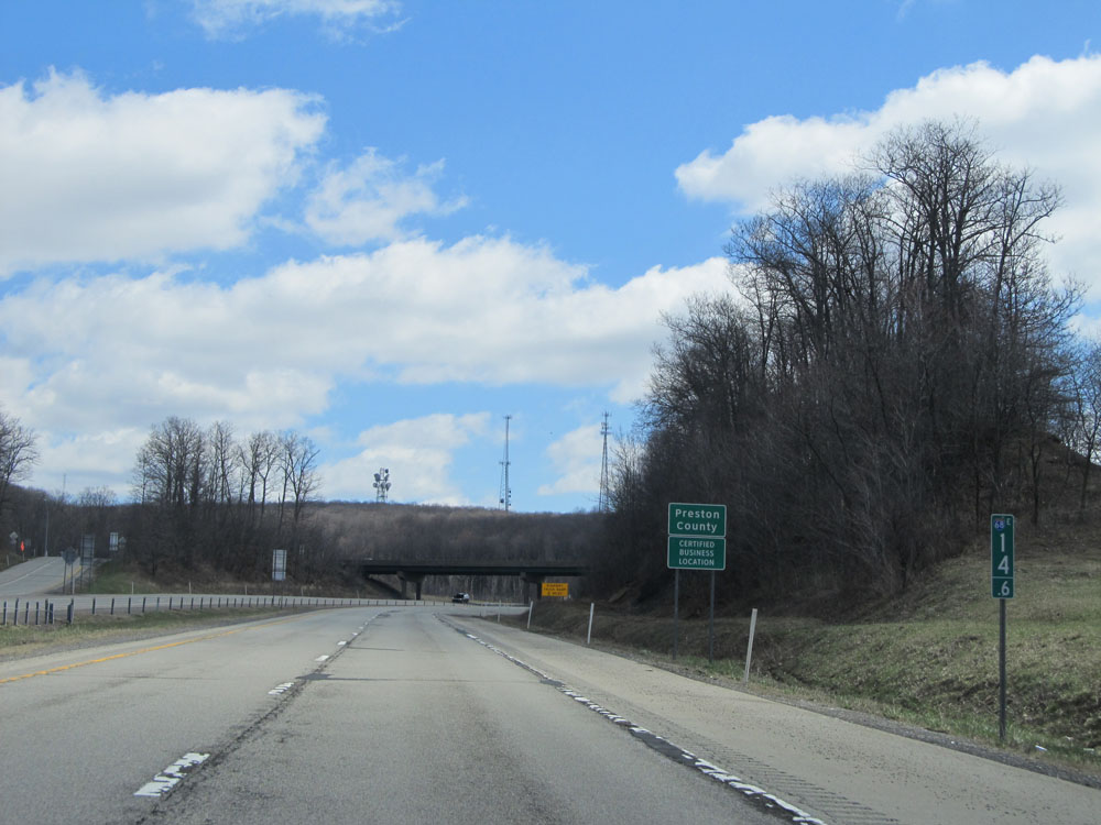 |
Interstate 68 East as it enters Preston County at mile marker 14.6. (Photo taken 4/11/15). |
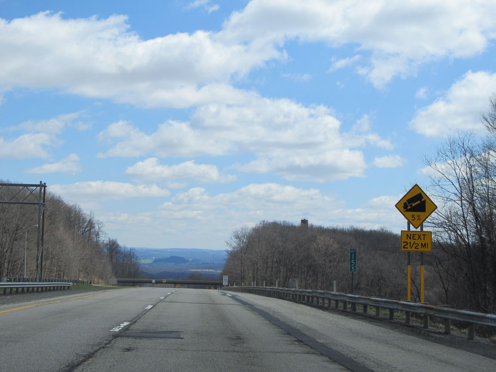 |
Warning sign near mile marker 15.5 alerting truck drivers that they are about to go down a 5% grade which lasts for the next 2 1/2 miles. (Photo taken 4/11/15). |
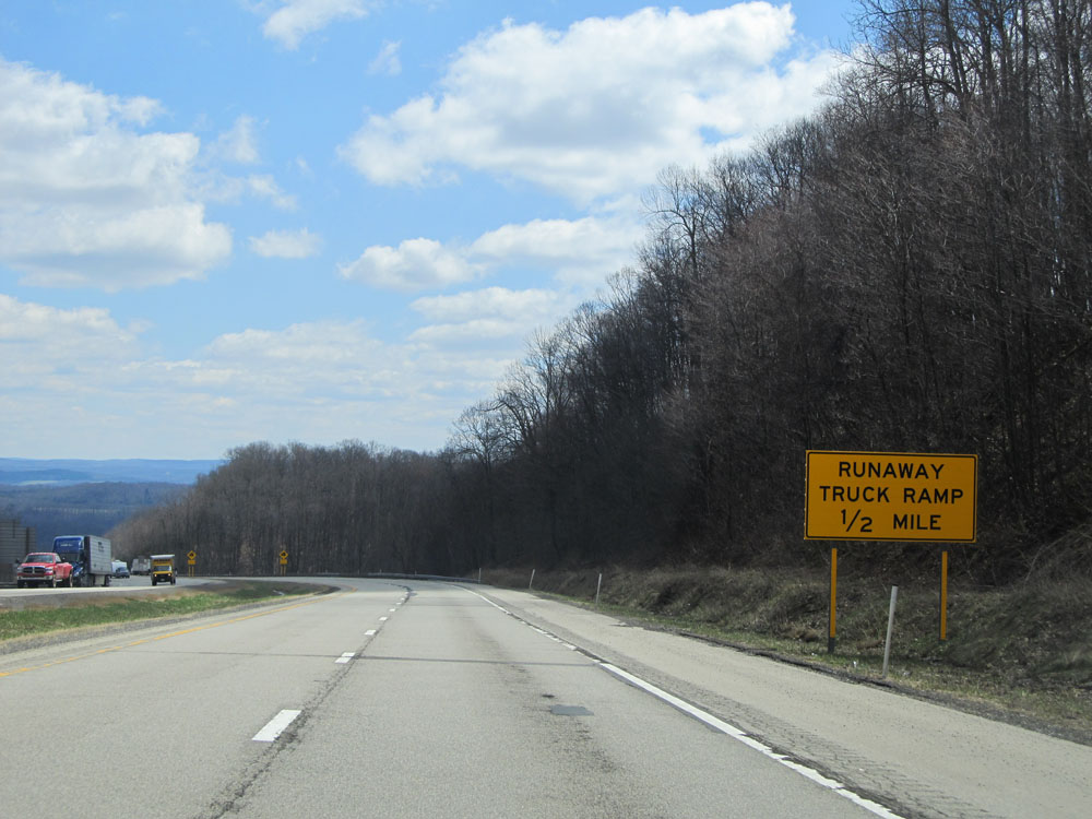 |
As you start down the grade, this sign warns of a Runaway Truck Ramp which is 1/2 mile ahead. (Photo taken 4/11/15). |
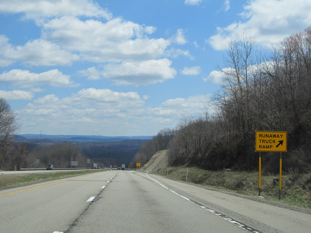 |
Interstate 68 East at the Runaway Truck Ramp, located near mile marker 17. (Photo taken 4/11/15). |
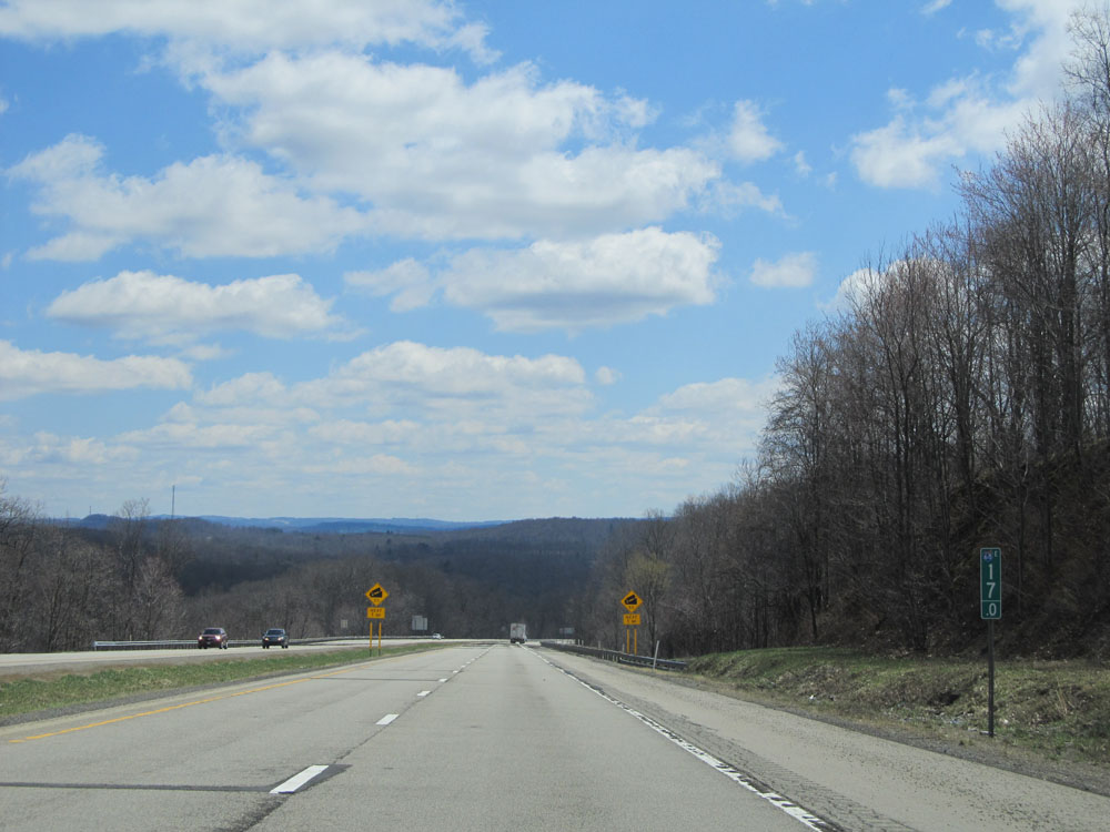 |
Interstate 68 East: Road view from mile marker 17. (Photo taken 4/11/15). |
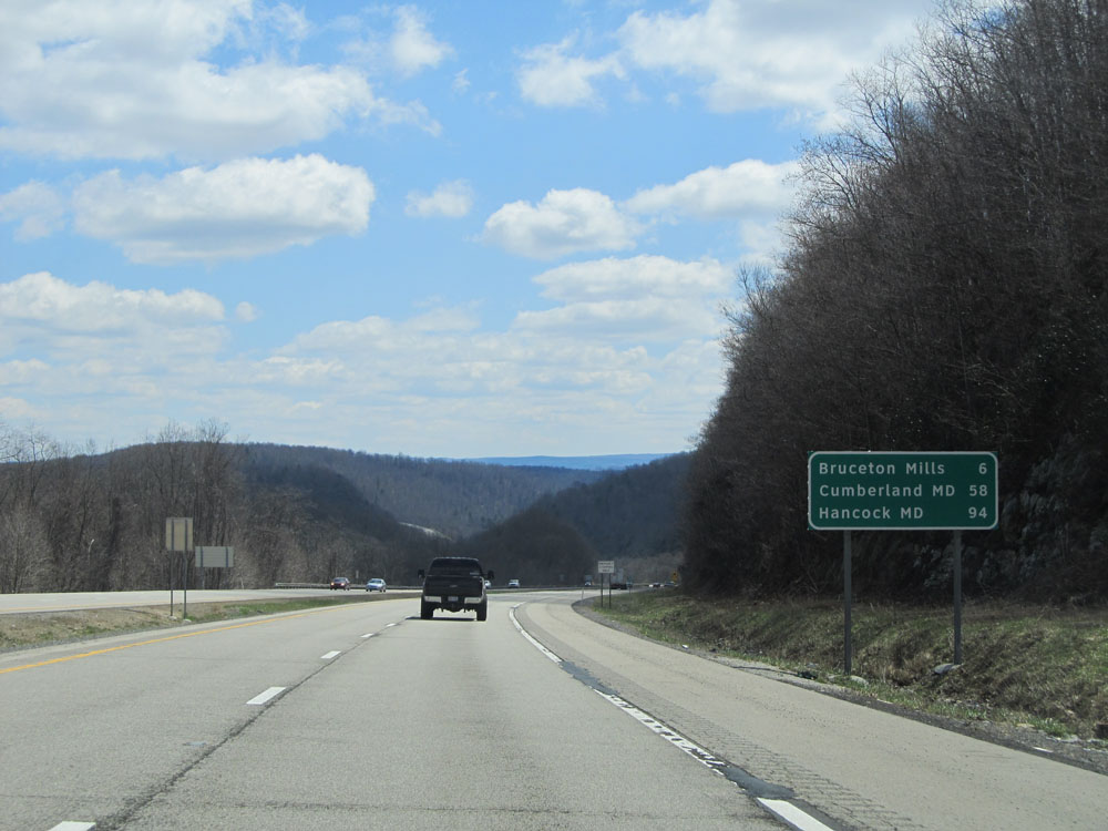 |
Mileage sign located near mile marker 17. It's 6 miles to Bruceton Mills, 58 miles to Cumberland, MD, and 94 miles to Hancock, MD, which is the eastern terminus of Interstate 68. (Photo taken 4/11/15). |
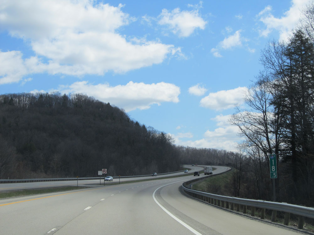 |
Interstate 68 East: Road view from mile marker 18.5. (Photo taken 4/11/15). |
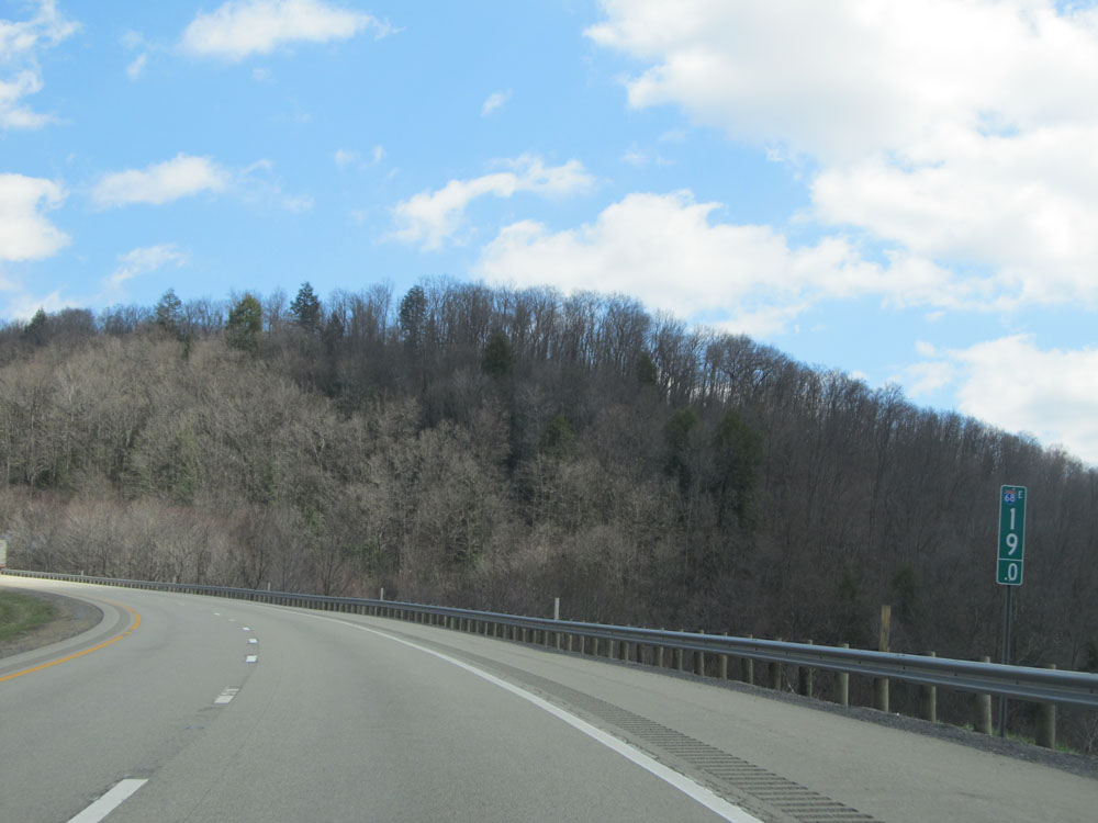 |
Interstate 68 East: Another road view, with this one being from mile marker 19. (Photo taken 4/11/15). |
 |
Interstate 68 East: Road view from mile marker 21. (Photo taken 4/11/15). |
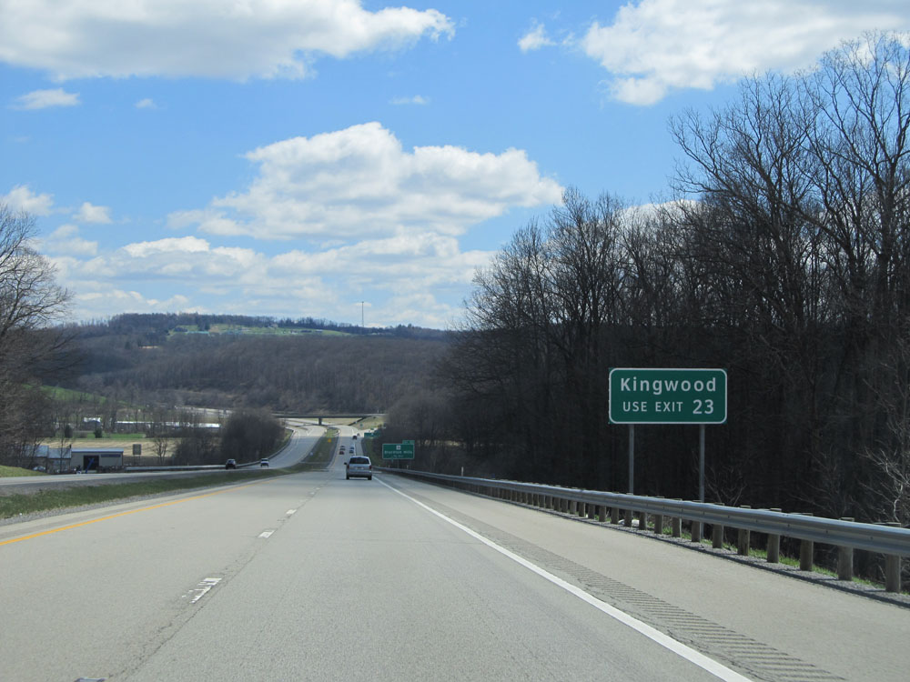 |
Use Exit 23 to Kingwood. (Photo taken 4/11/15). |
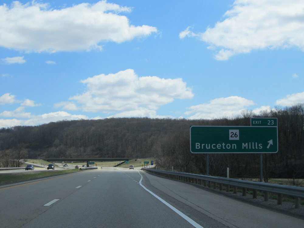 |
Interstate 68 East at Exit 23: WV 26 - Bruceton Mills (Photo taken 4/11/15). |
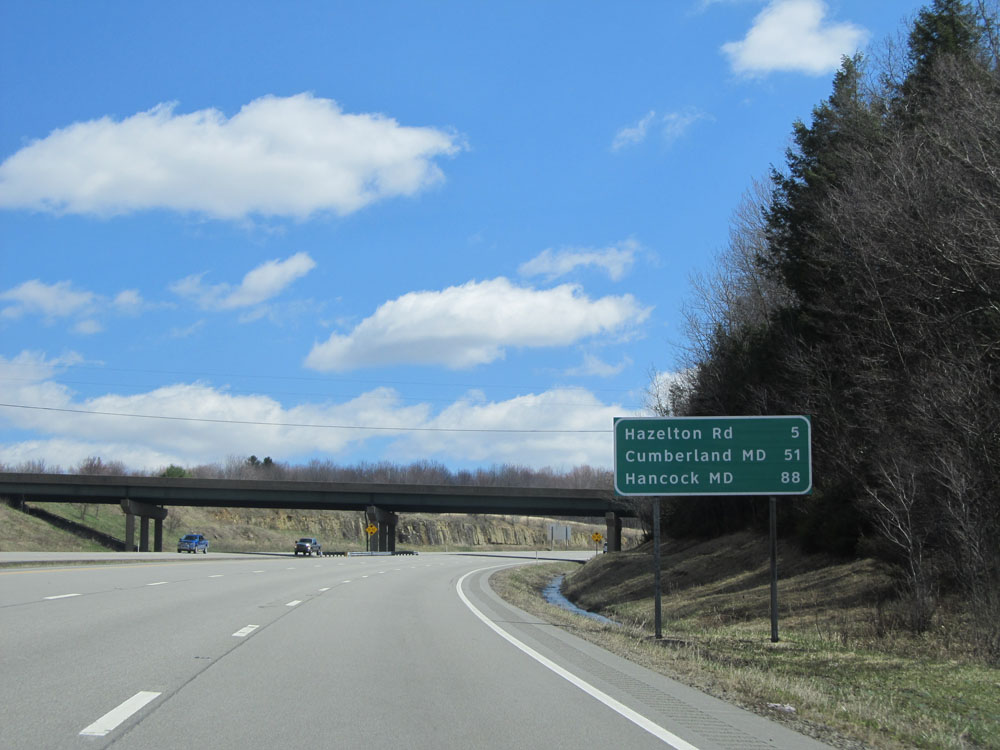 |
Mileage sign located near mile marker 24. It's 5 miles to the next exit, which is Hazelton Rd. Meanwhile, it's 51 miles to Cumberland, MD and 88 miles to Hancock, MD. (Photo taken 4/11/15). |
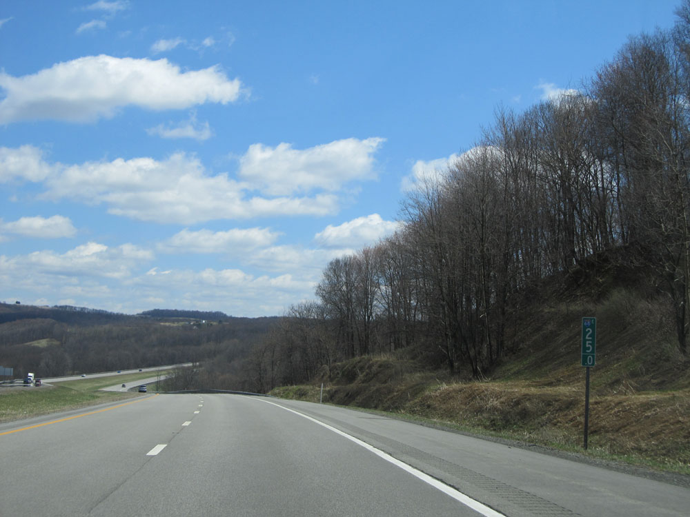 |
Interstate 68 East: Road view from mile marker 25. (Photo taken 4/11/15). |
 |
Interstate 68 East at Exit 29: CR 5 - Hazelton Rd (Photo taken 4/11/15). |
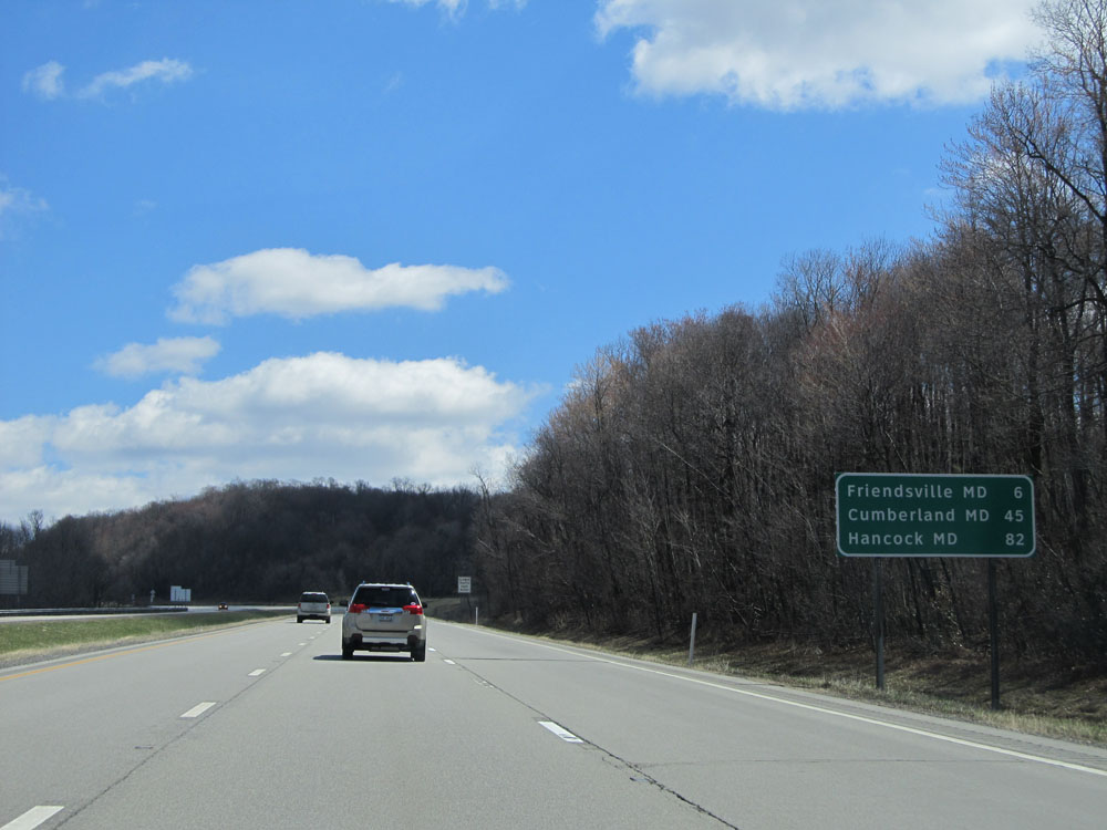 |
Mileage sign located near mile marker 29. It's 6 miles to Friendsville, MD, 45 miles to Cumberland, MD, and 82 miles to Hancock, MD. (Photo taken 4/11/15). |
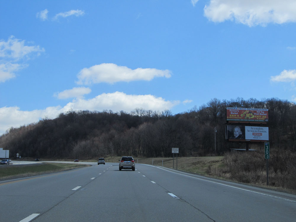 |
Interstate 68 East: Road view from mile marker 30. (Photo taken 4/11/15). |
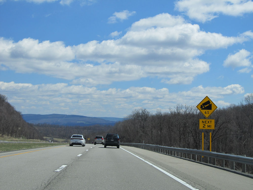 |
Warning sign located near mile marker 31, once again alerting truck drivers of a steep downgrade ahead. This one is a 6% grade which lasts for the next 2 miles, into Maryland. (Photo taken 4/11/15). |
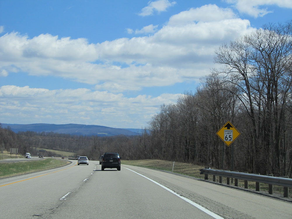 |
Warning sign showing that the speed limit drops to 65 mph ahead once you cross into Maryland. (Photo taken 4/11/15). |
 |
Interstate 68 East: Road view from mile marker 32, as I-68 continues down the grade and prepares to cross into Maryland. (Photo taken 4/11/15). |