Road Information |
||
 |
||
| Total Mileage in State: | 132 miles | |
| Eastern End: | At Oregon state line | |
| Western End: | At I-90, in Ellensburg | |
| Mileage covered in Photos: | 132 miles | |
| Counties covered in Photos: | Benton, Yakima, Kittitas | |
| Major Junctions in Photos: | US 395, in Kennewick I-182/US 12, near Richland US 12, in Yakima I-90, in Ellensburg |
|
| Control Cities in Photos: | Kennewick, Prosser, Yakima, Ellensburg | |
Westbound
- Section 1: Oregon Border to Sunnyside (Exit 67)
- Section 2: Sunnyside (Exit 67) to Yakima (Exit 31)
- Section 3: Yakima (Exit 31) to Interstate 90
Section 1: Oregon Border to Sunnyside (Exit 67)
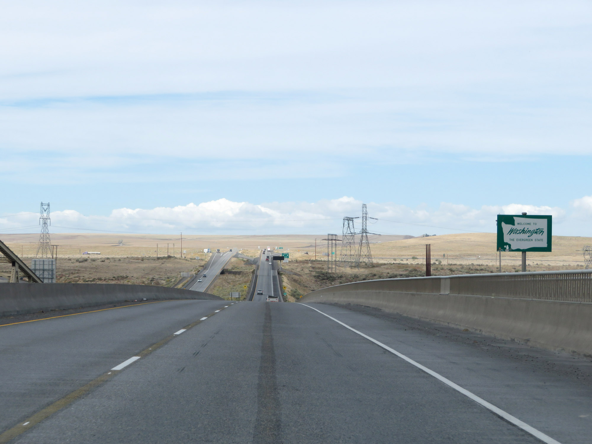 |
Washington welcome sign as Interstate 82 West enters the Evergreen State from Oregon by crossing the Columbia River on the Umatilla Bridge. (Photo taken 9/26/19). |
 |
I just had to get a photo of this sign, as Interstate 82 West touches solid ground after crossing the Columbia River. Just because we were on a bridge, I guess some consider that not being on a "freeway", and we therefore enter it now! (Photo taken 9/26/19). |
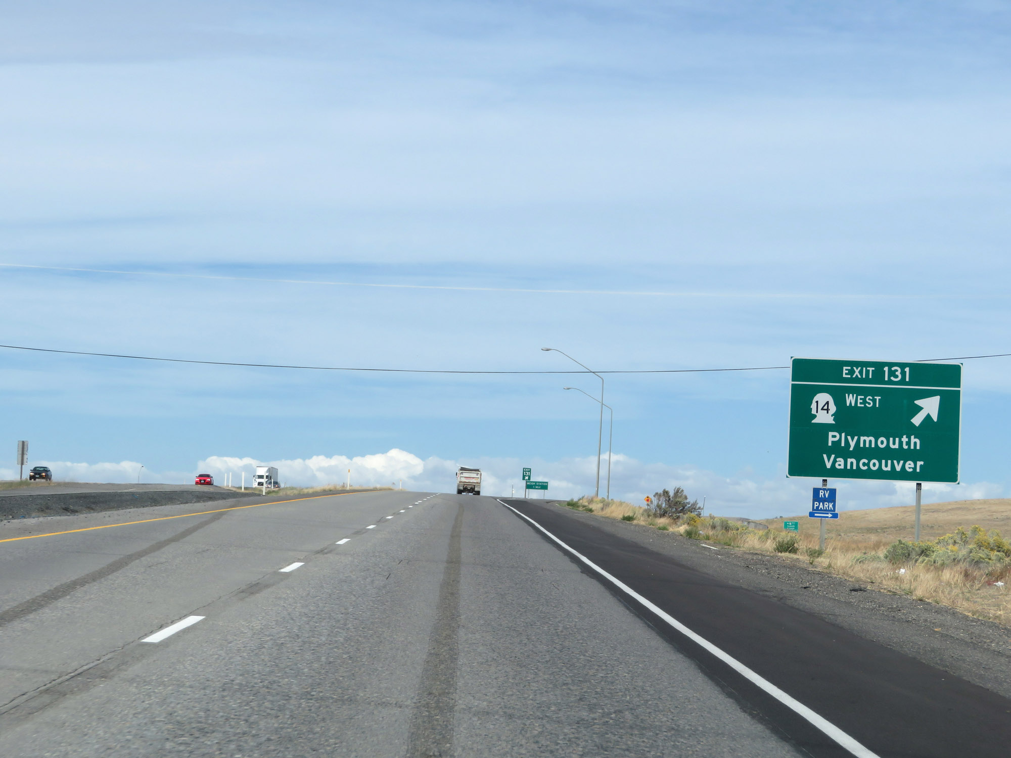 |
Interstate 82 West at Exit 181: WA 14 West - Plymouth / Vancouver (Photo taken 9/26/19). |
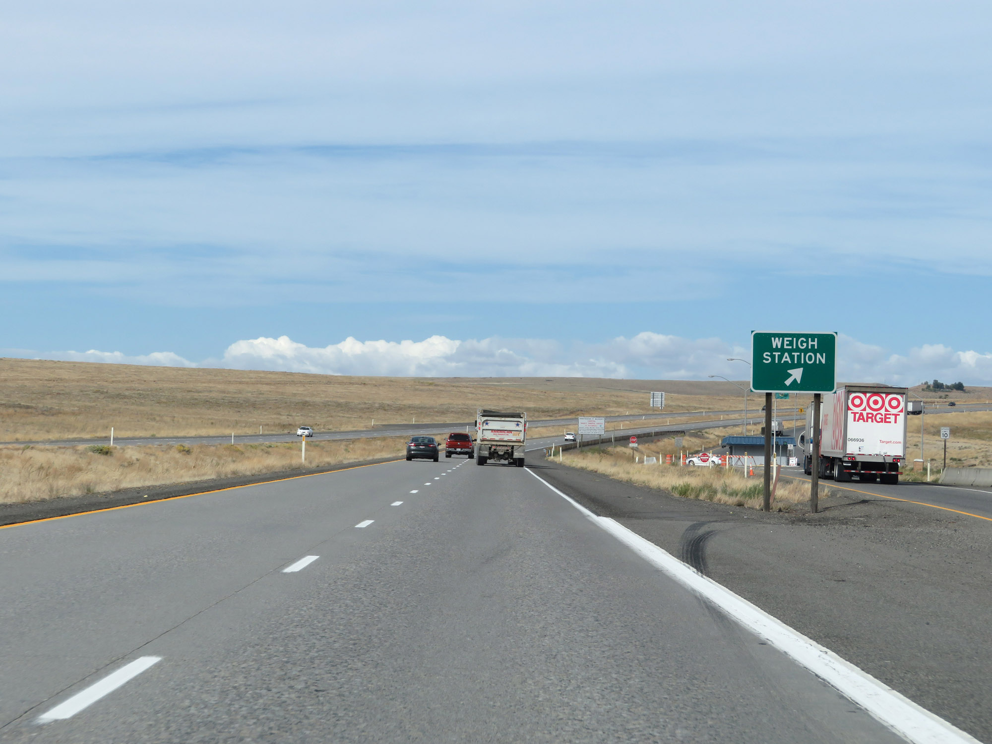 |
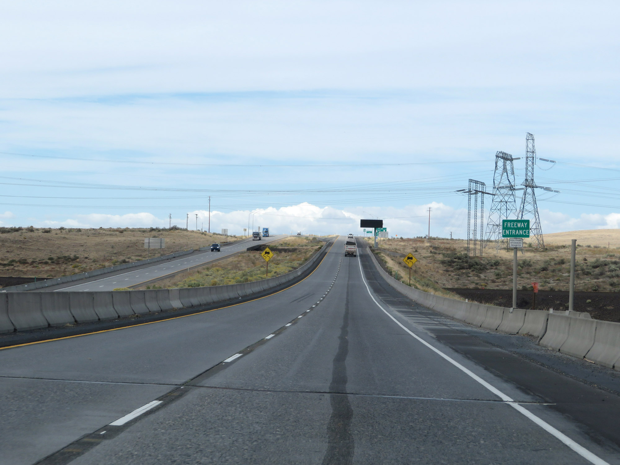
Weigh Station on Interstate 82 West in Benton County, upon entering Washington State. (Photo taken 9/26/19). |
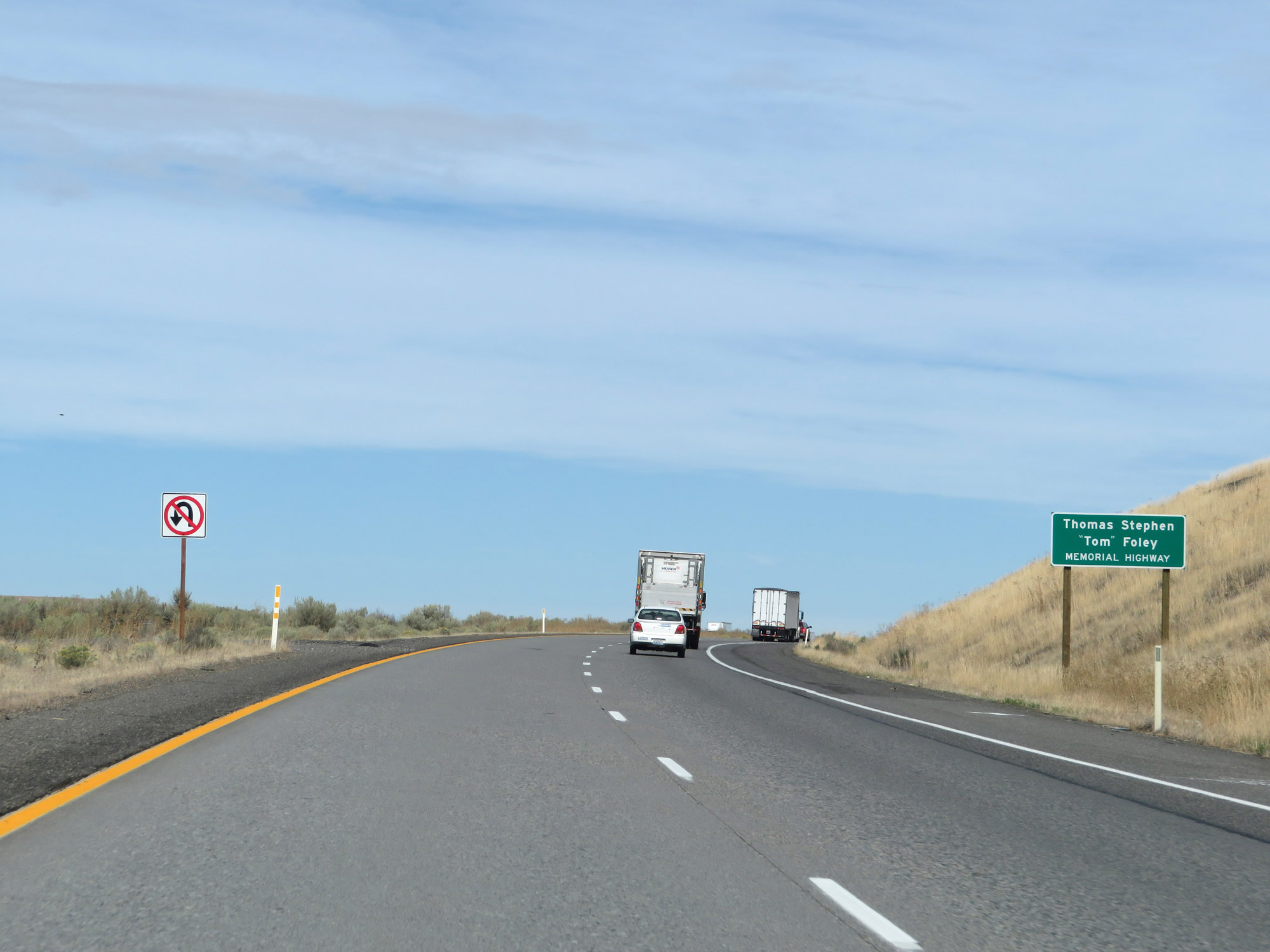 |
This section of Interstate 82 is also known as Thomas Stephen "Tom" Foley Memorial Highway. (Photo taken 9/26/19). |
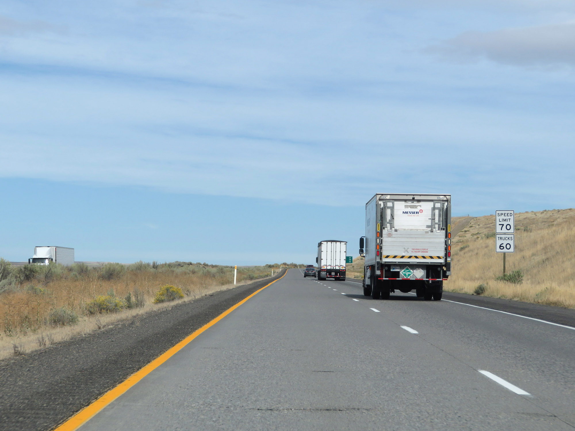 |
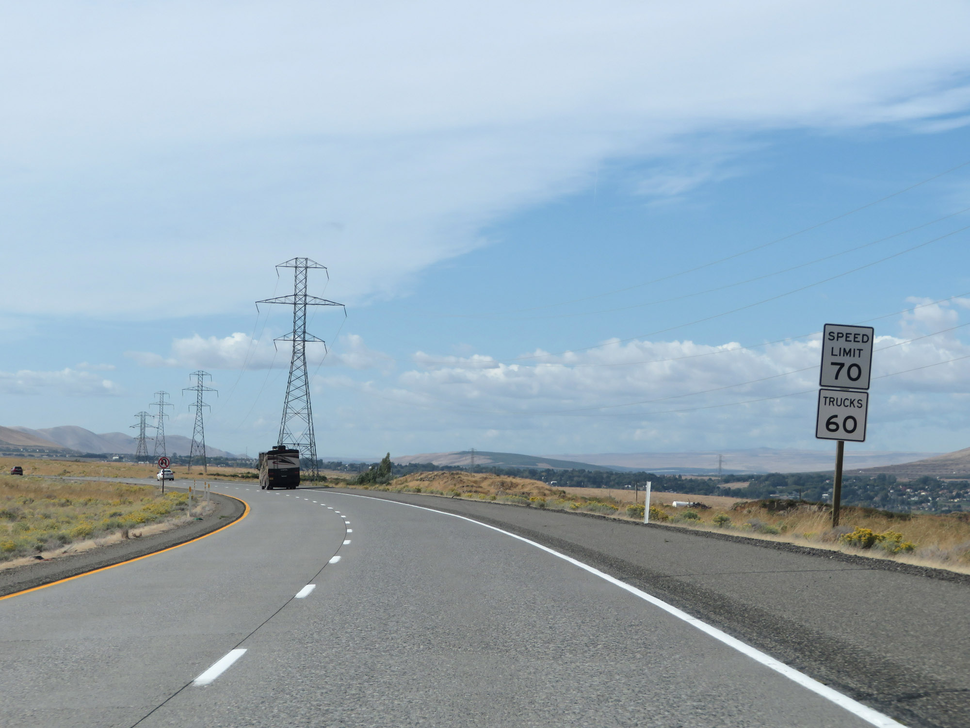
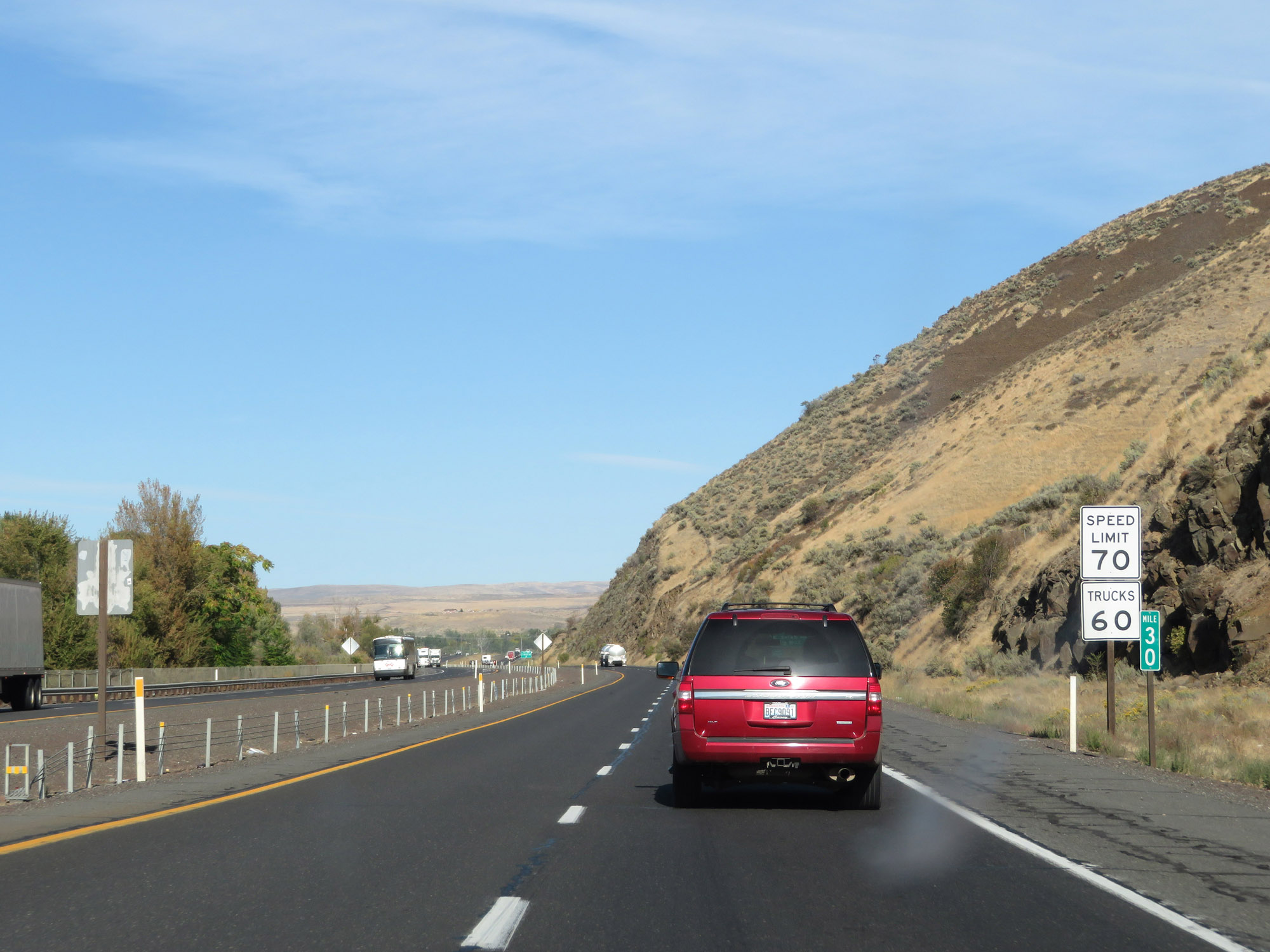
The speed limits on Interstate 82 West start out at 70 mph for automobiles and 60 mph for trucks. These are the standard speed limits on most rural Interstate highways in Washington State. (Photo taken 9/26/19). |
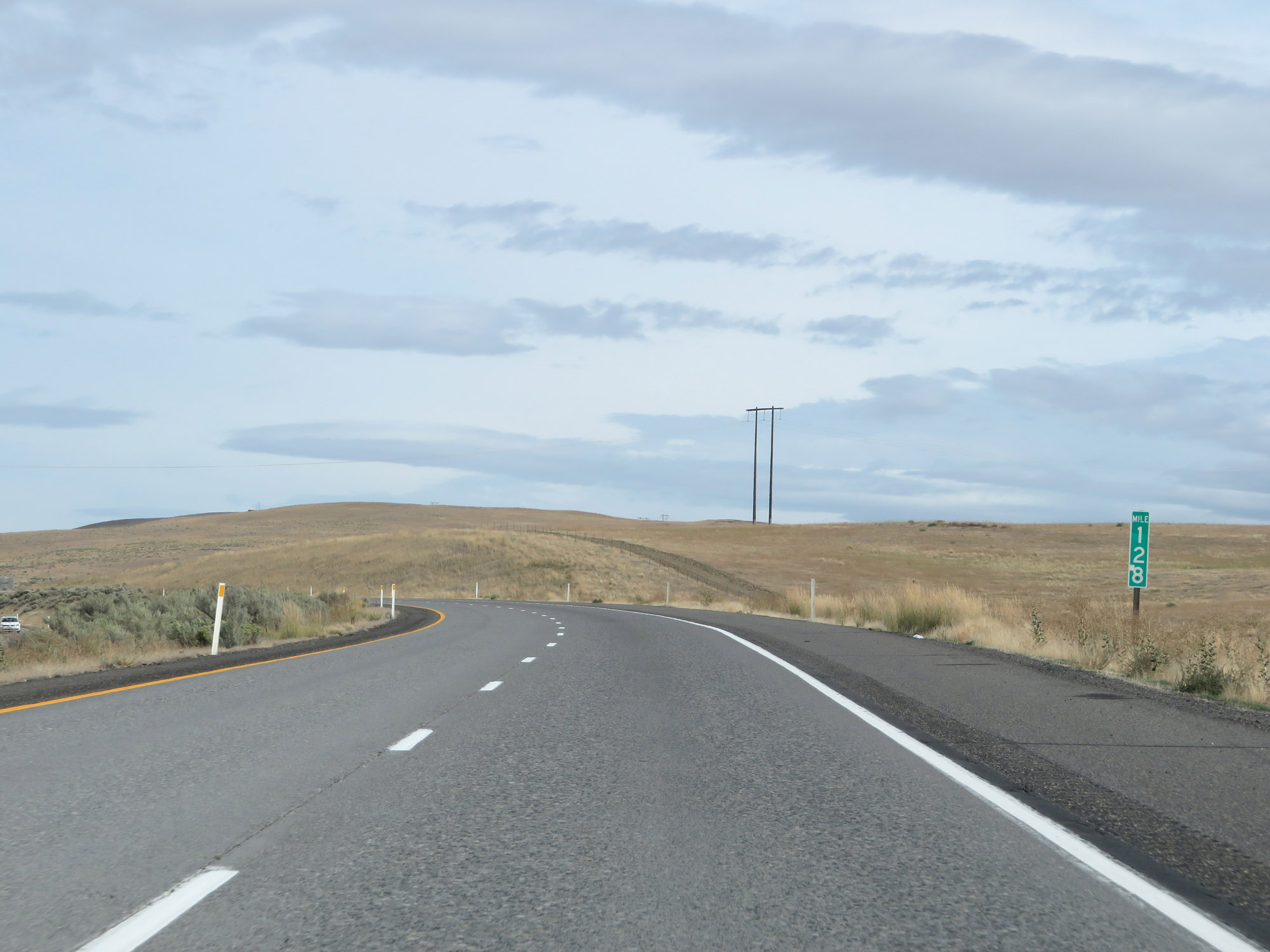 |
View on Interstate 82 West at mile marker 128. (Photo taken 9/26/19). |
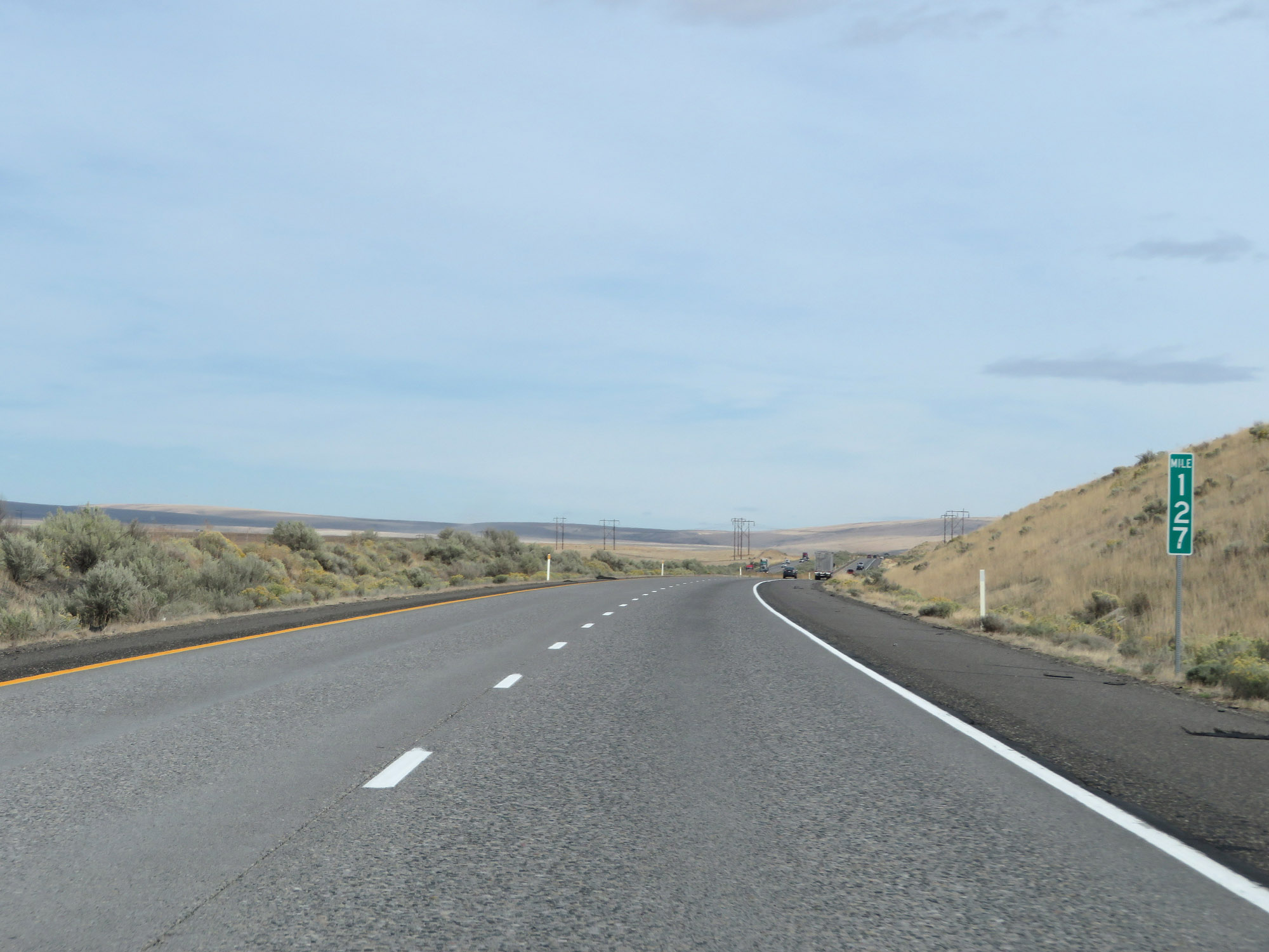 |
Interstate 82 West at mile marker 127. (Photo taken 9/26/19). |
 |
Interstate 82 West at mile marker 125. (Photo taken 9/26/19). |
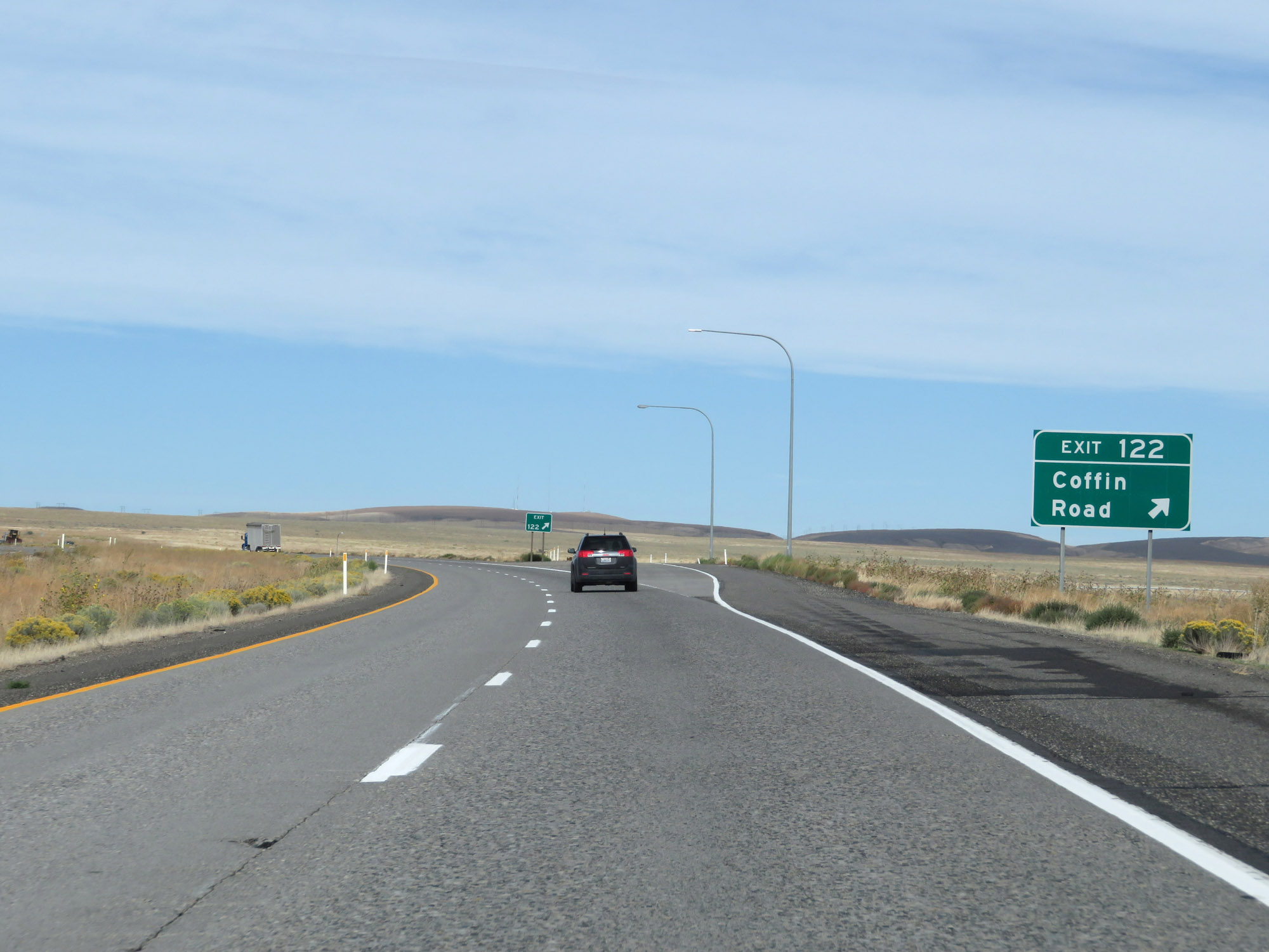 |
Interstate 82 West at Exit 122: Coffin Road (Photo taken 9/26/19). |
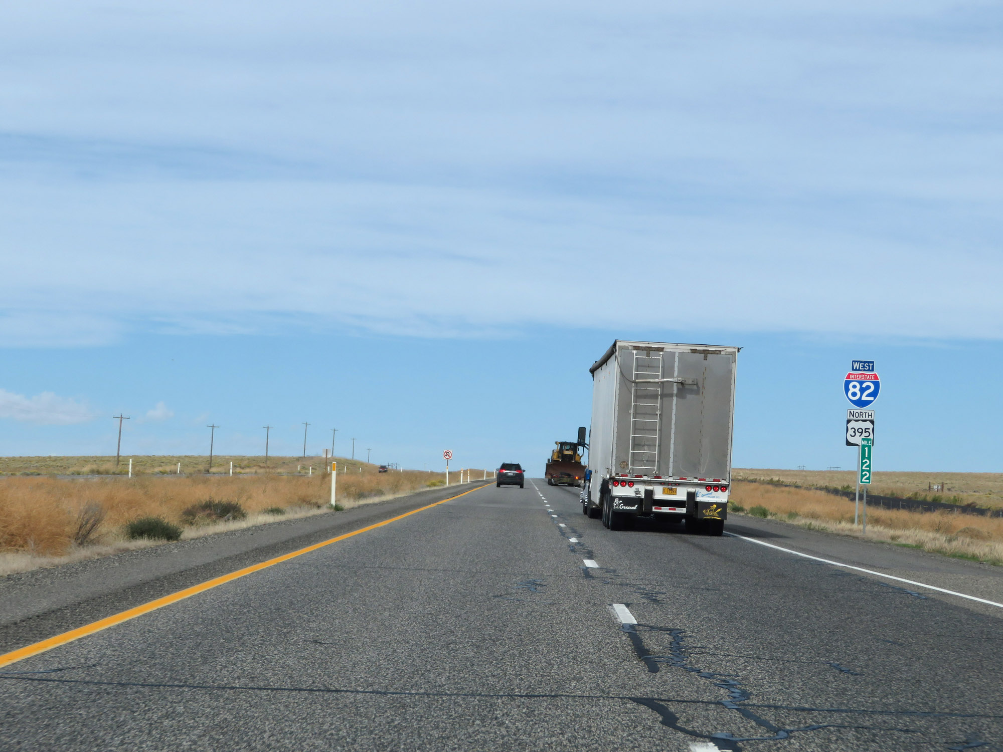 |
Interstate 82 West / US 395 North reassurance shields at mile marker 122. (Photo taken 9/26/19). |
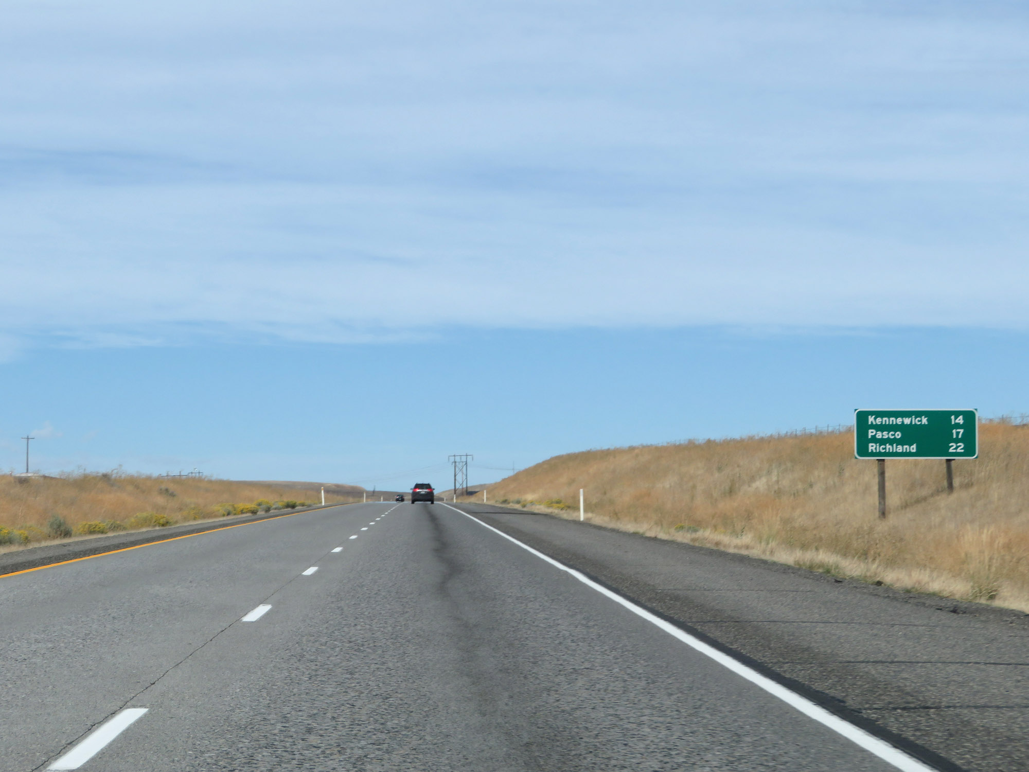 |
Mileage sign on Interstate 82 West. It's 14 miles to Kennewick, 17 miles to Pasco, and 22 miles to Richland. (Photo taken 9/26/19). |
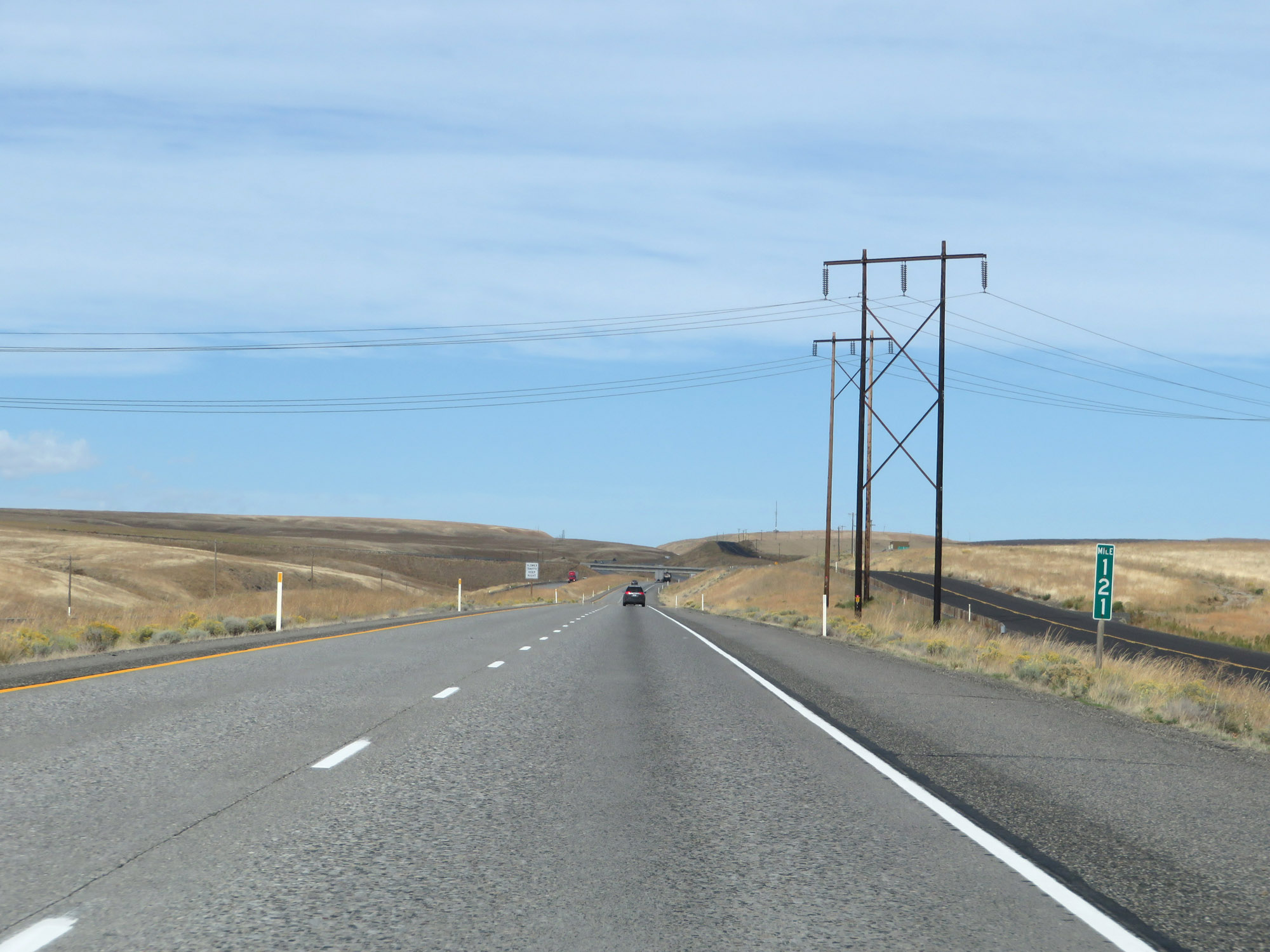 |
View on Interstate 82 West at mile marker 121. (Photo taken 9/26/19). |
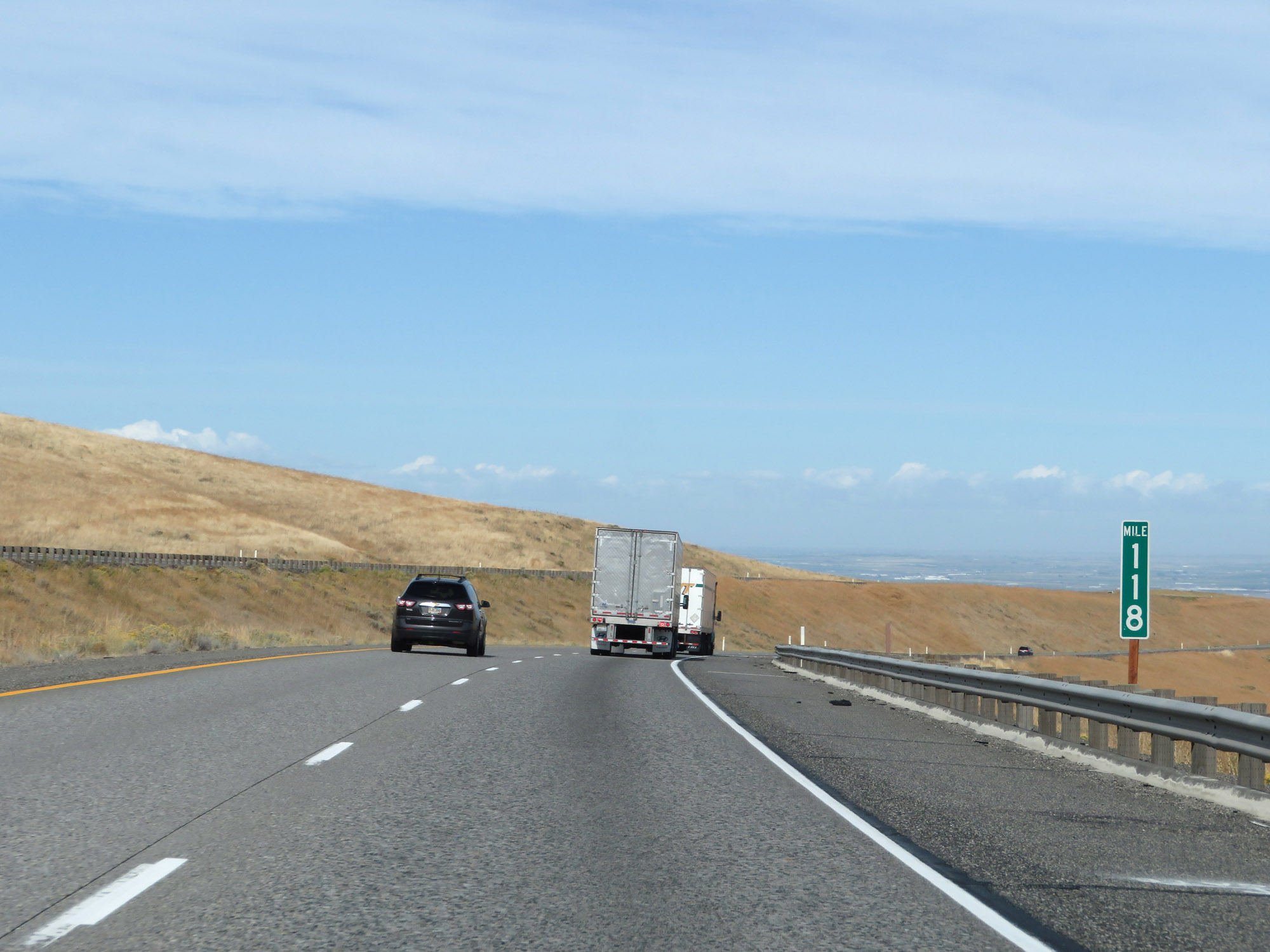 |
Interstate 82 West at mile marker 118. (Photo taken 9/26/19). |
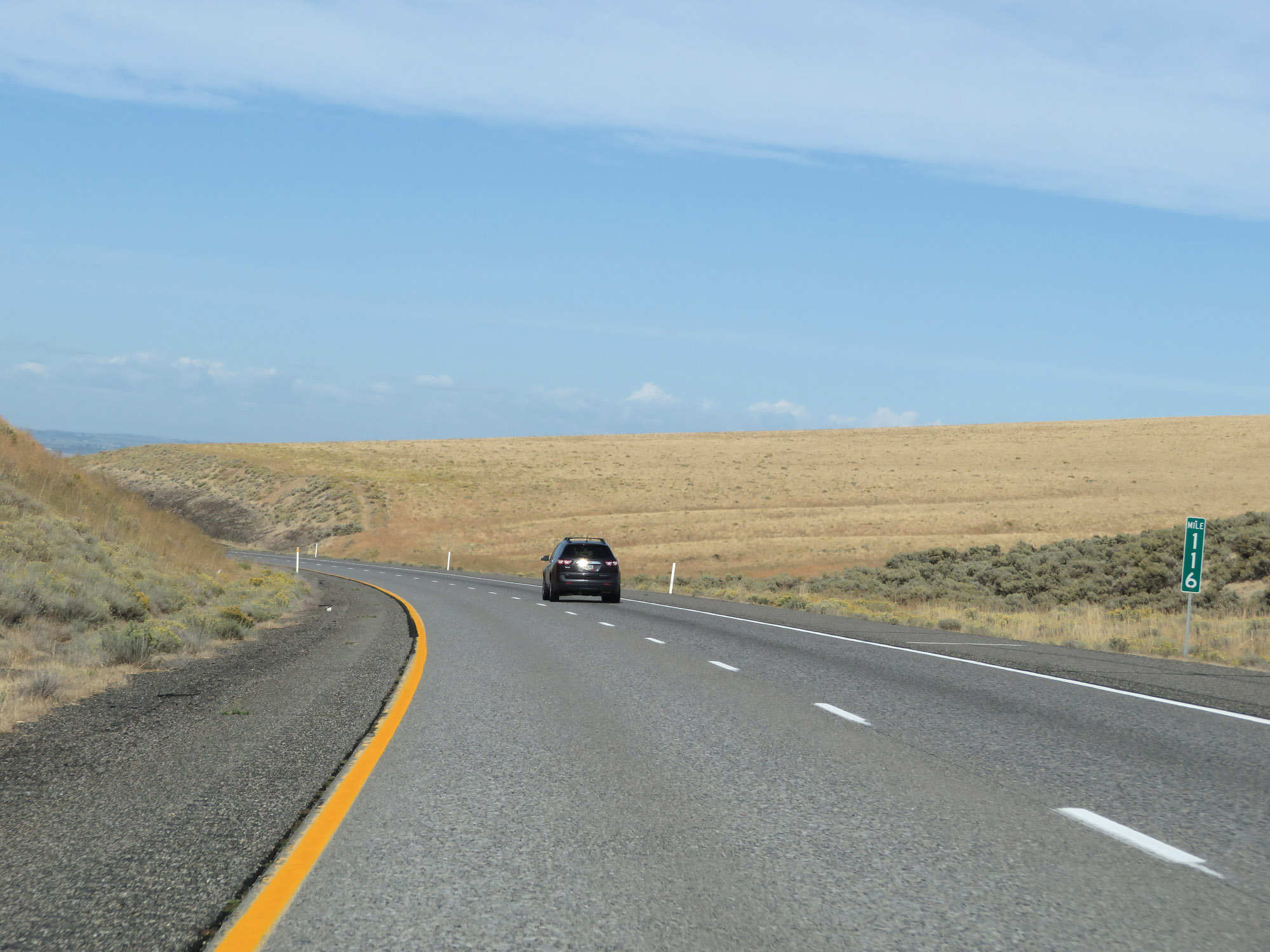 |
View on Interstate 82 West at mile marker 116. (Photo taken 9/26/19). |
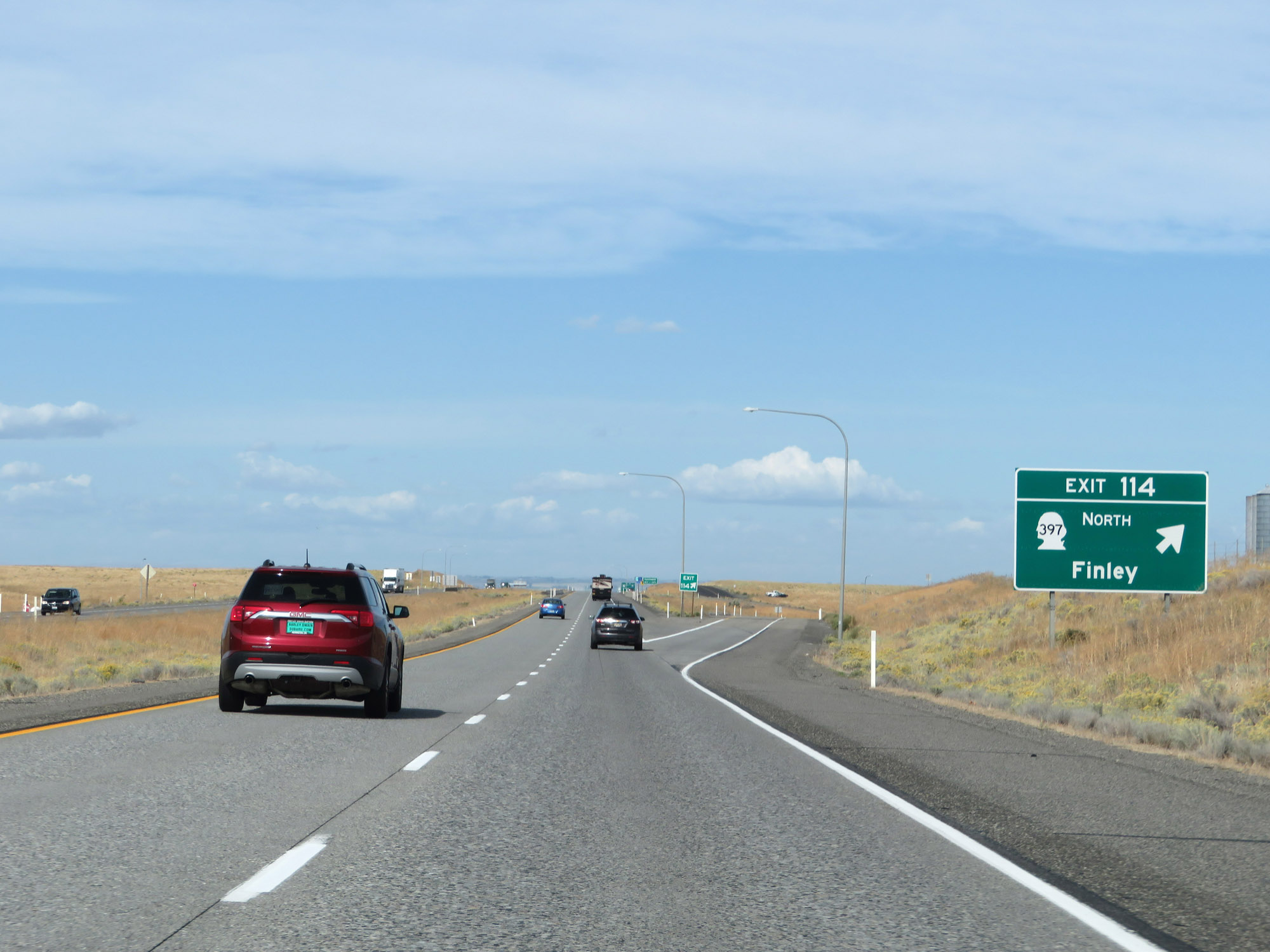 |
Interstate 82 West at Exit 114: WA 397 North - Finley (Photo taken 9/26/19). |
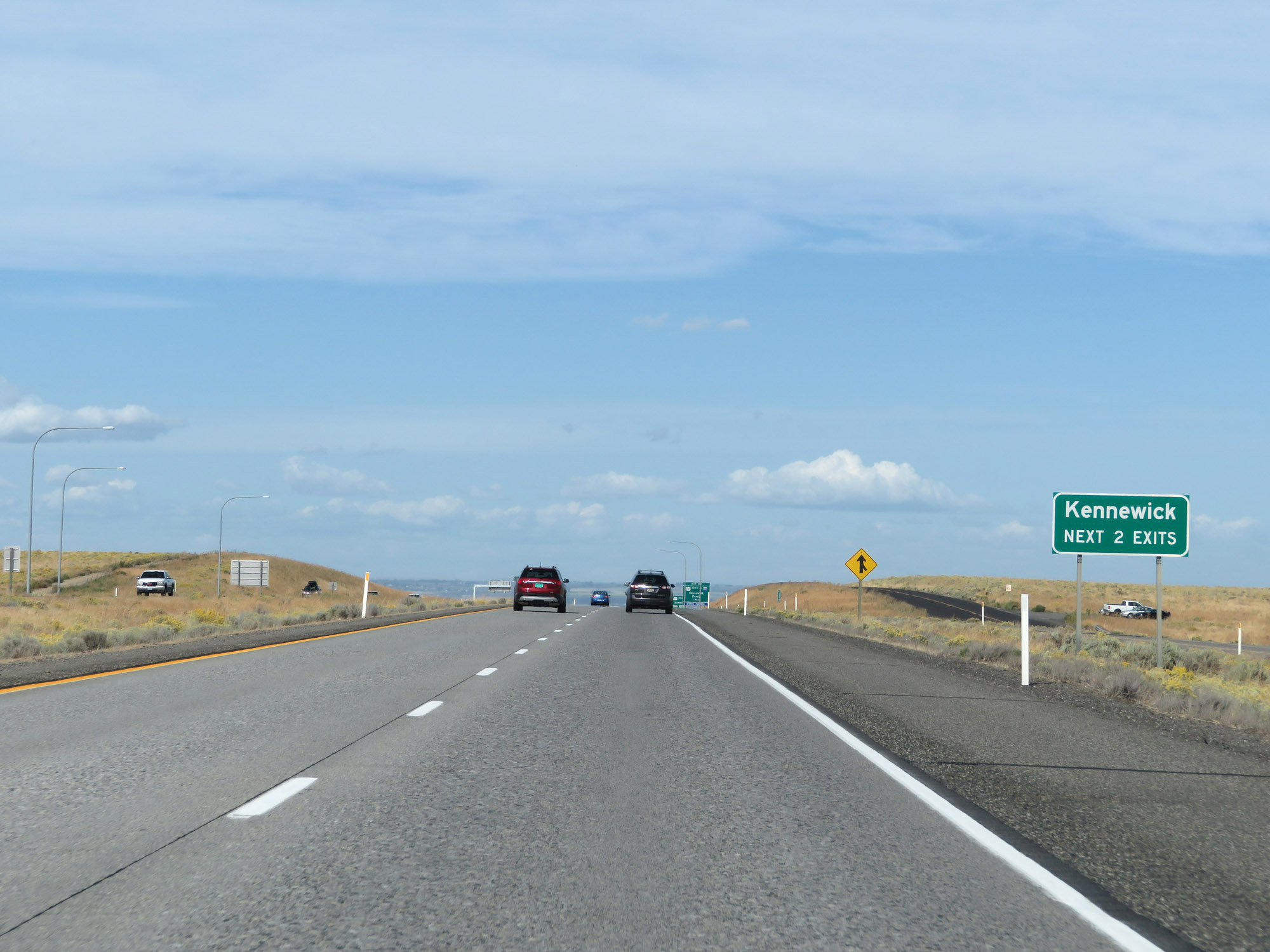 |
Take either of the next 2 exits to Kennewick. (Photo taken 9/26/19). |
 |
Interstate 82 West approaching Exit 113 - 1 mile. (Photo taken 9/26/19). |
 |
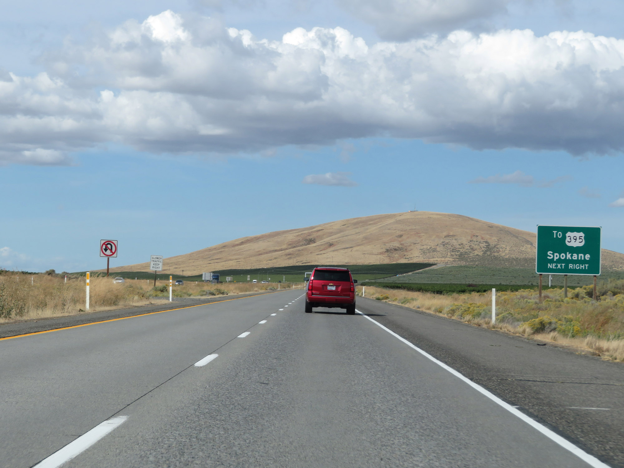
Take Exit 113 to Spokane and Walla Walla via US 395 North. (Photo taken 9/26/19). |
 |
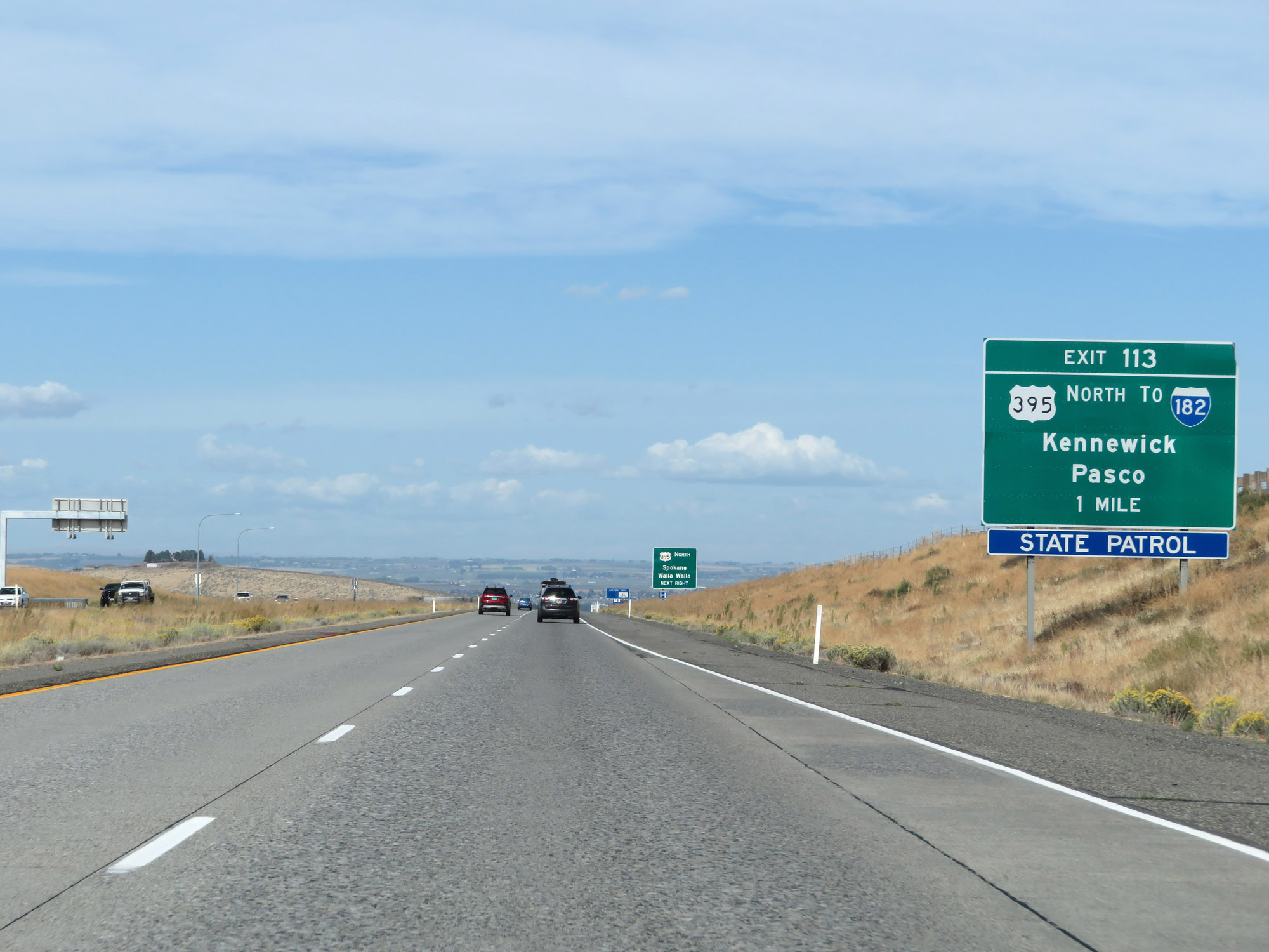
Interstate 82 West at Exit 113: US 395 North / To Interstate 182 - Kennewick / Pasco (Photo taken 9/26/19). |
 |
Interstate 82 West reassurance shield. (Photo taken 9/26/19). |
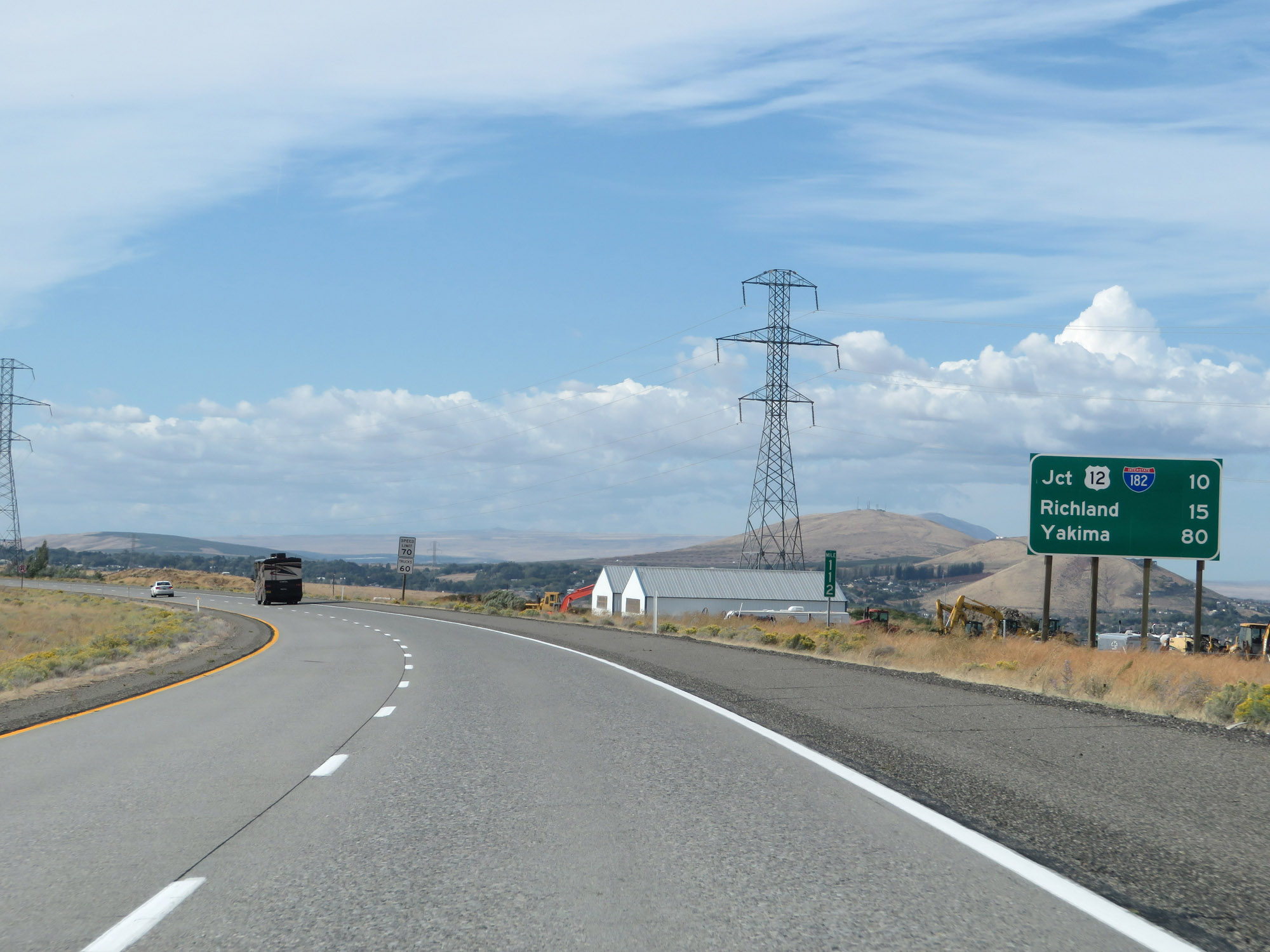 |
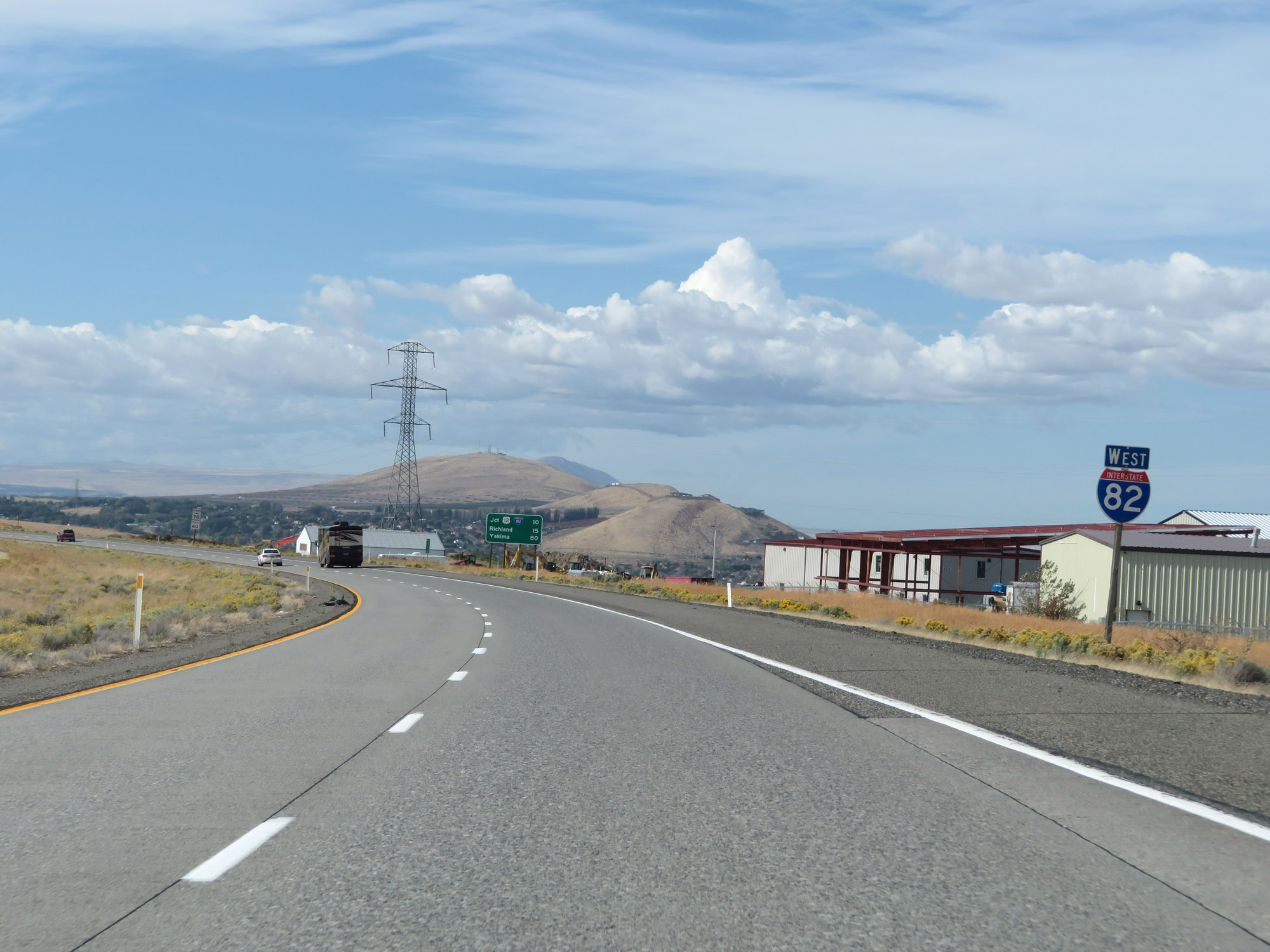
Mileage sign on Interstate 82 West. It's 10 miles to the junction of Interstate 182 / US 12, 15 miles to Richland, and 80 miles to Yakima. (Photo taken 9/26/19). |
 |
The speed limits remain 70 mph for cars and 60 mph for trucks. (Photo taken 9/26/19). |
 |
View on Interstate 82 West at mile marker 110. (Photo taken 9/26/19). |
 |
Take Exit 109 to Clearwater Ave. (Photo taken 9/26/19). |
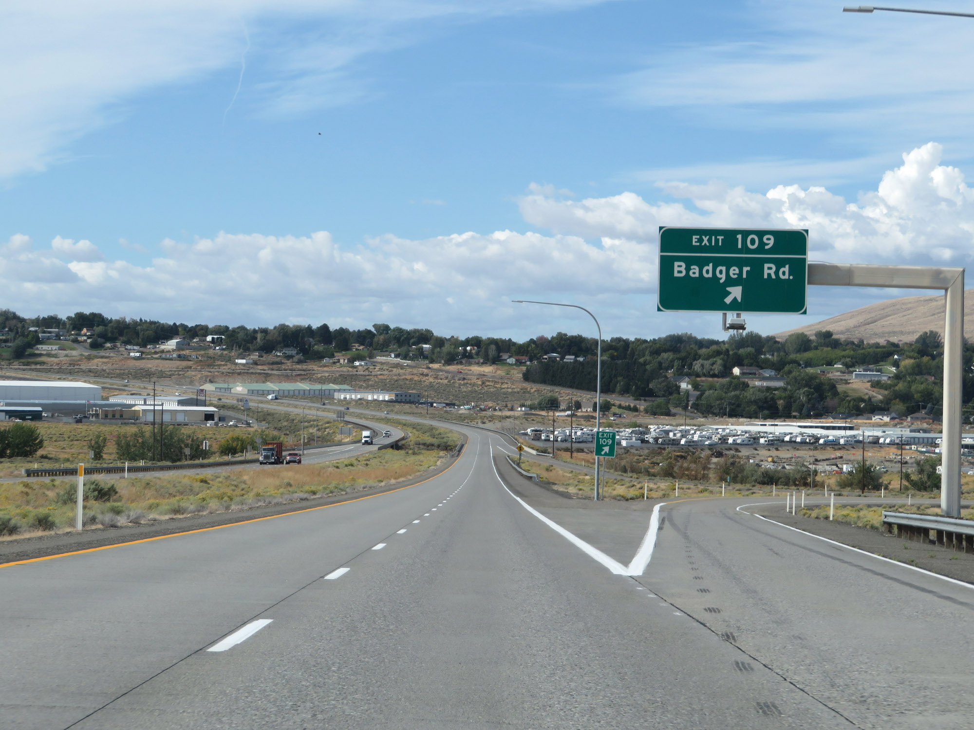 |
Interstate 82 West at Exit 109: Badger Rd (Photo taken 9/26/19). |
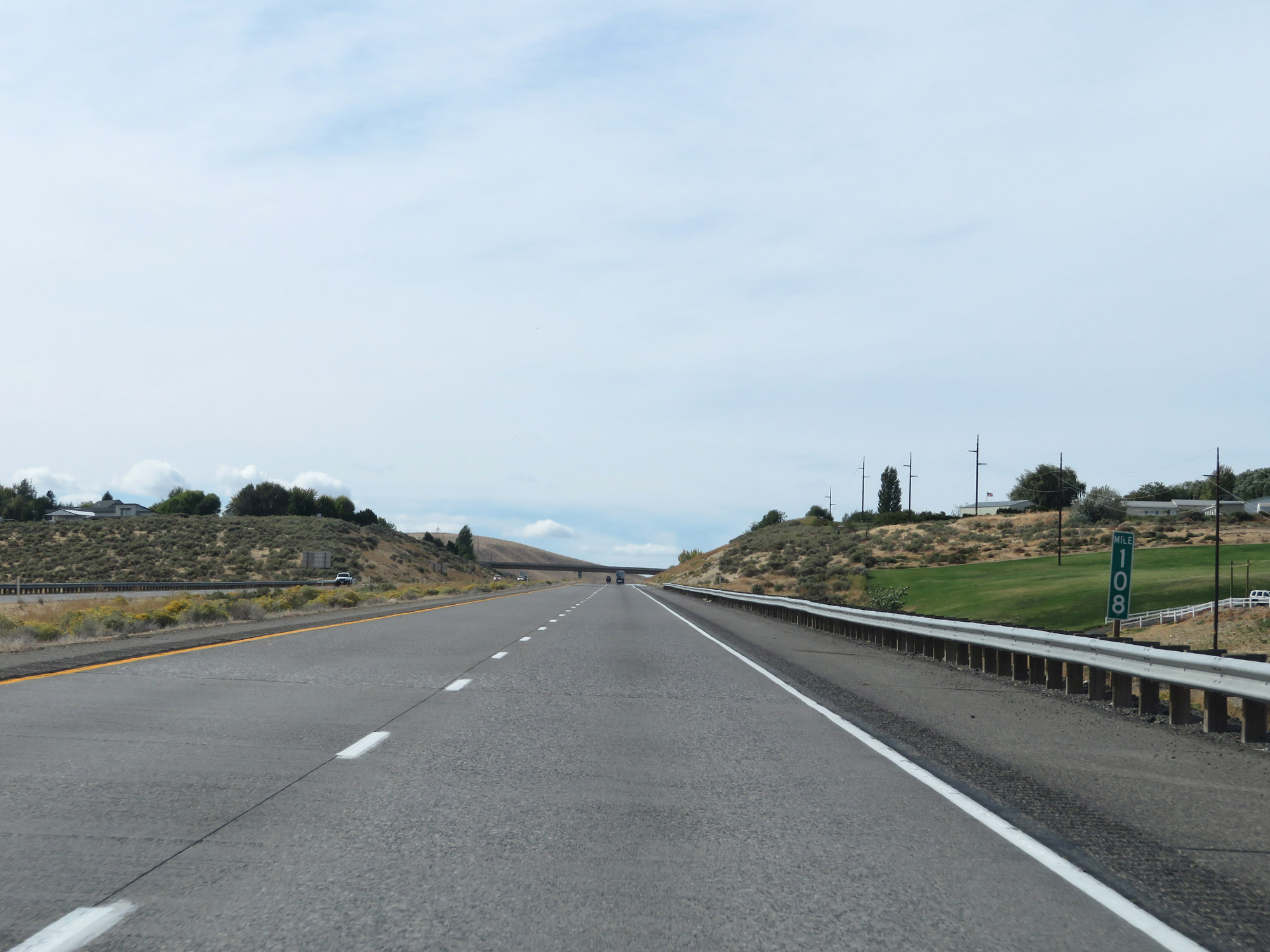 |
Interstate 82 West at mile marker 108. (Photo taken 9/26/19). |
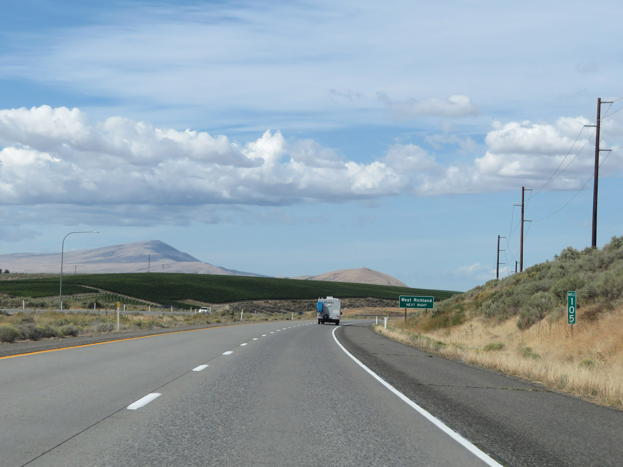 |
View on Interstate 82 West at mile marker 105. (Photo taken 9/26/19). |
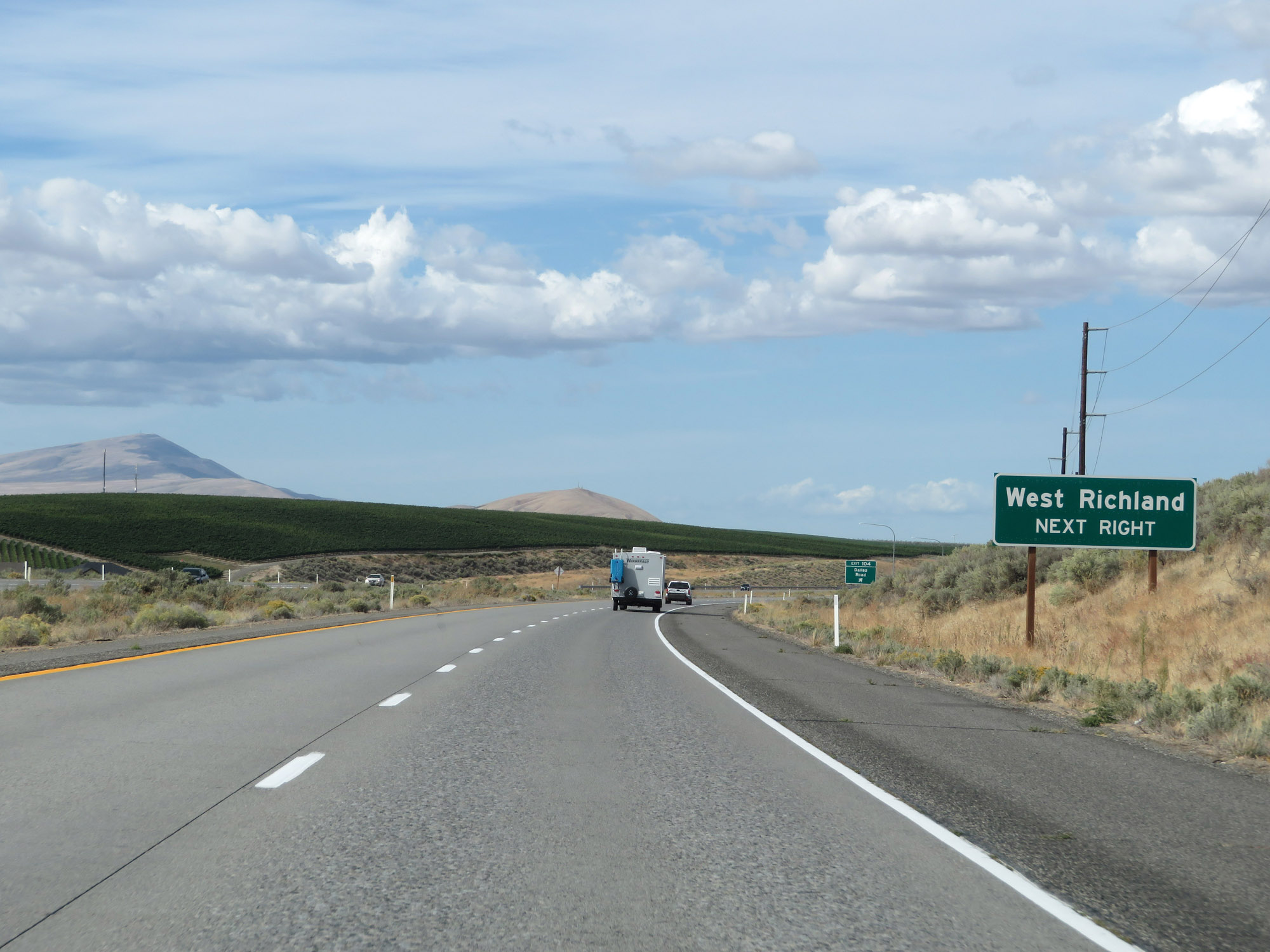 |
Take Exit 104 to West Richland. (Photo taken 9/26/19). |
 |
Interstate 82 West at Exit 104: Dallas Road (Photo taken 9/26/19). |
 |
Interstate 82 West approaching Exit 102 - 1 mile. (Photo taken 9/26/19). |
 |
Take Exit 102 (Interstate 182 East) to US 395 and Spokane. (Photo taken 9/26/19). |
 |
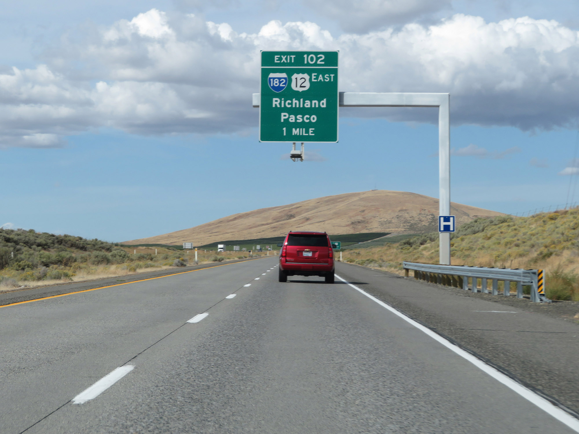
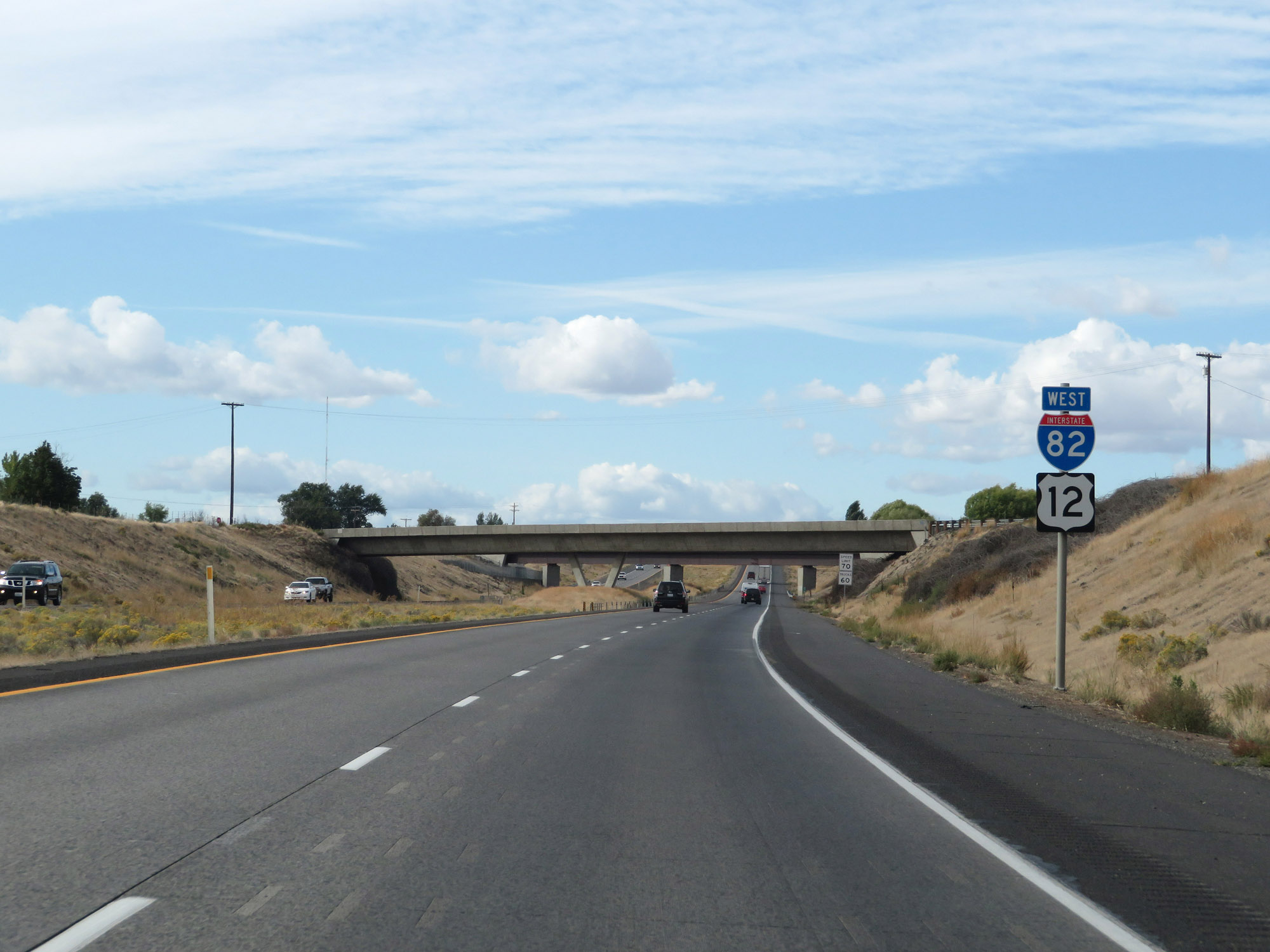
Interstate 82 West at Exit 102: Interstate 182 East / US 12 East - Richland / Pasco (Photo taken 9/26/19). |
 |
View on Interstate 82 West as traffic from Interstate 182 West / US 12 West prepares to merge into it on the right. (Photo taken 9/26/19). |
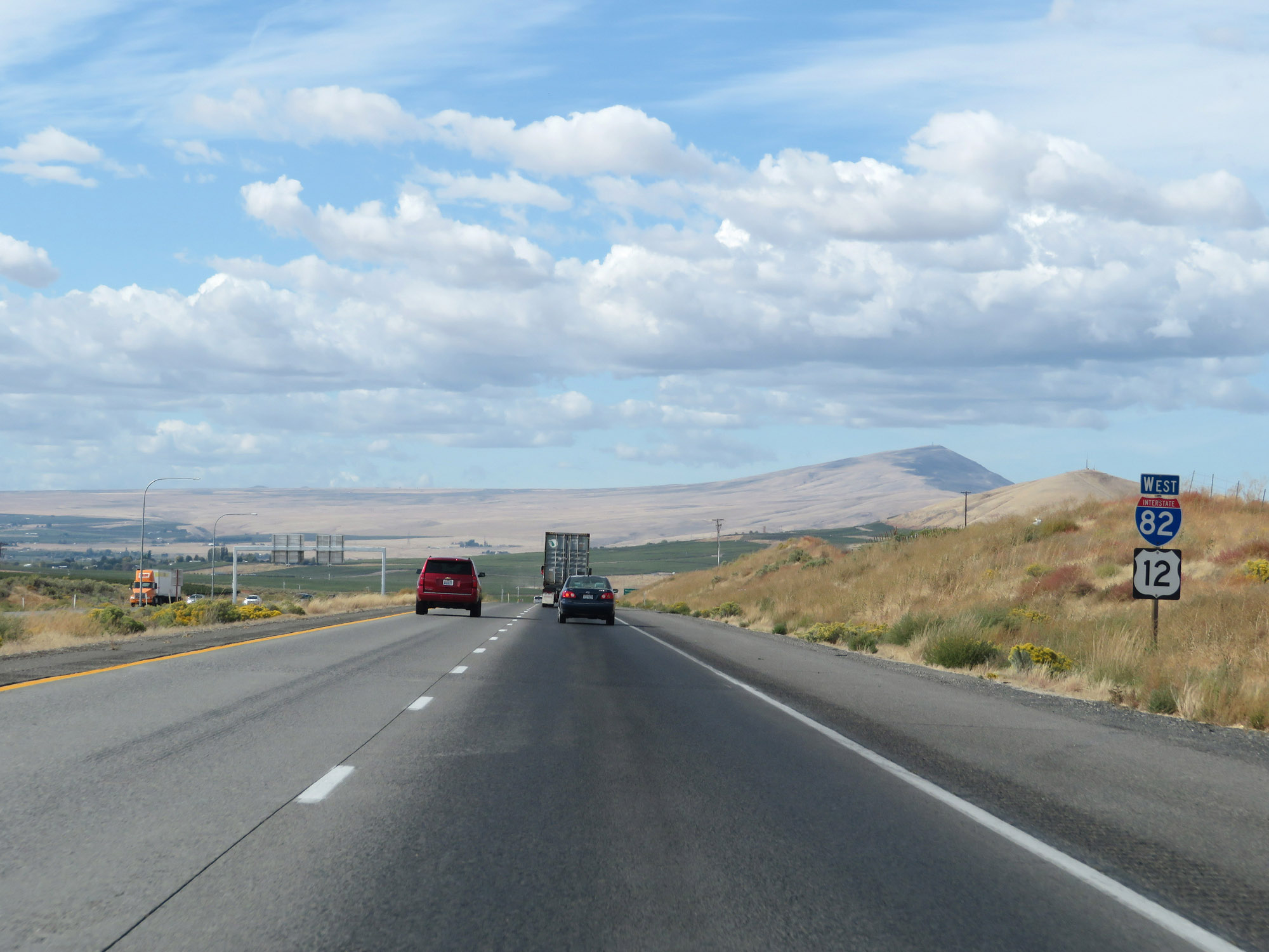 |
Interstate 82 West / US 12 West reassurance shields. I-82 and US 12 will run concurrently from here to Yakima. (Photo taken 9/26/19). |
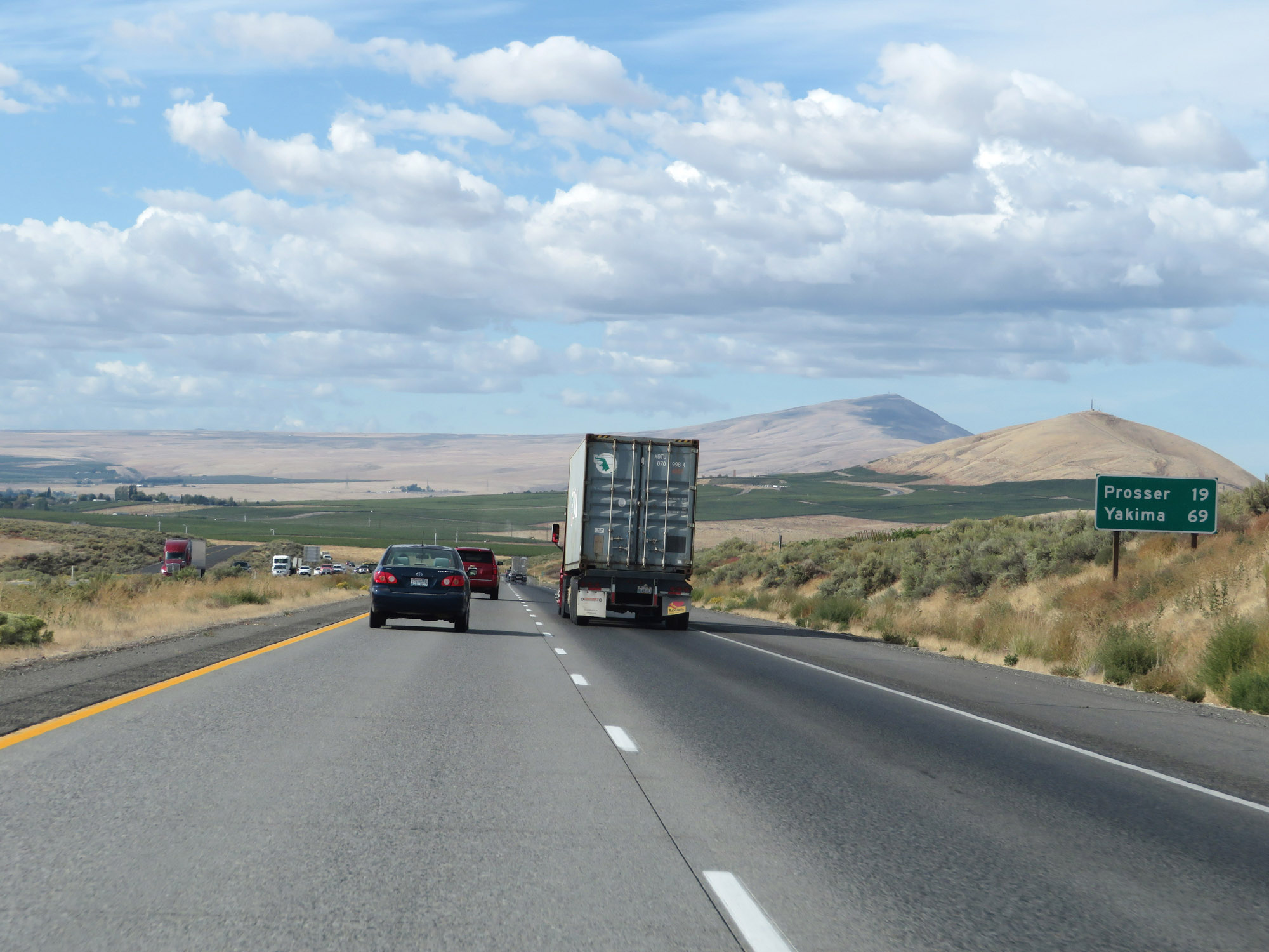 |
Mileage sign on Interstate 82 West. It's 19 miles to Prosser and 69 miles to Yakima. (Photo taken 9/26/19). |
 |
View on Interstate 82 West at mile marker 101. (Photo taken 9/26/19). |
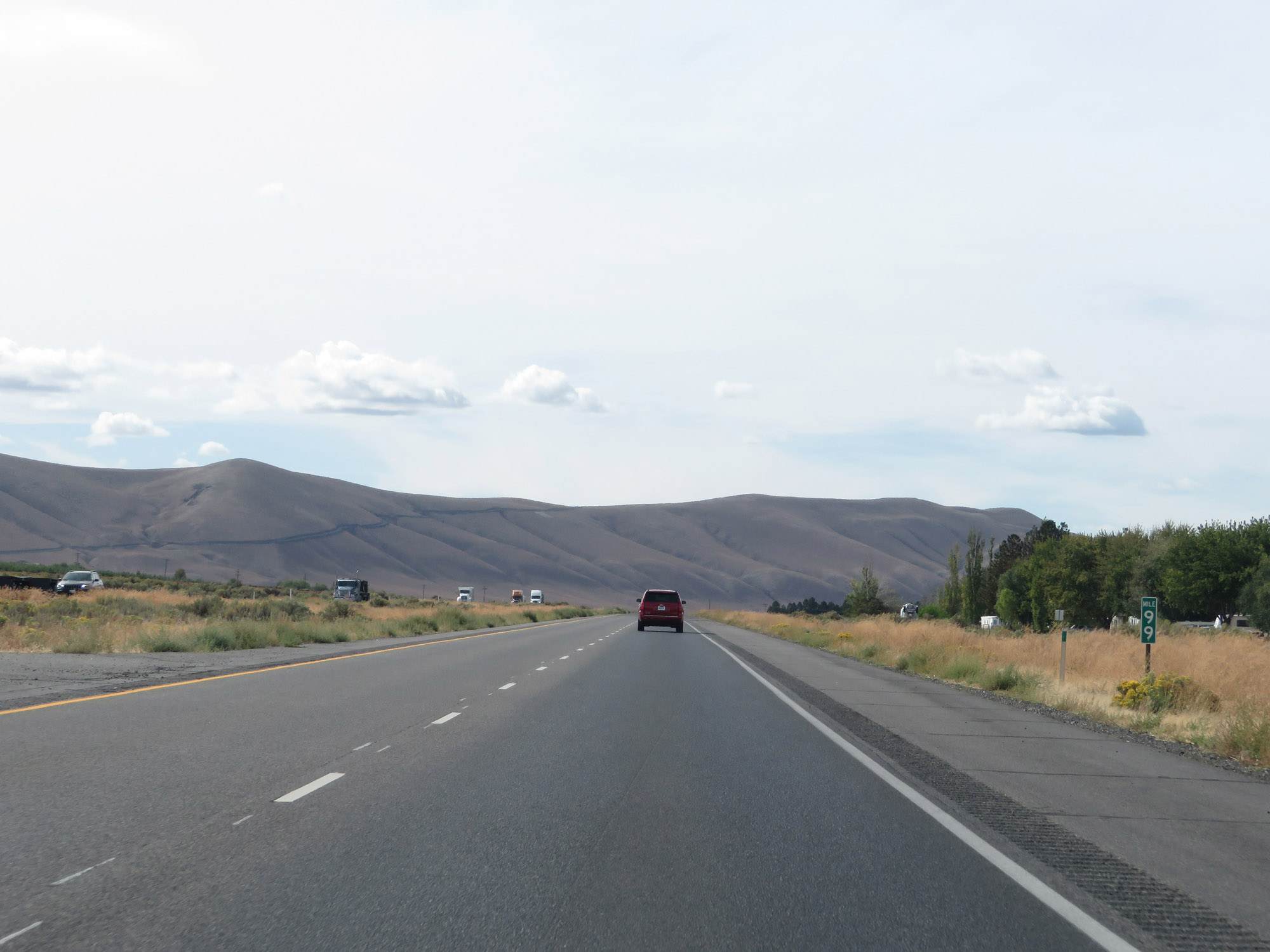 |
Interstate 82 West at mile marker 99. (Photo taken 9/26/19). |
 |
Interstate 82 West at Exit 96: WA 224 East / WA 225 North - West Richland / Benton City (Photo taken 9/26/19). |
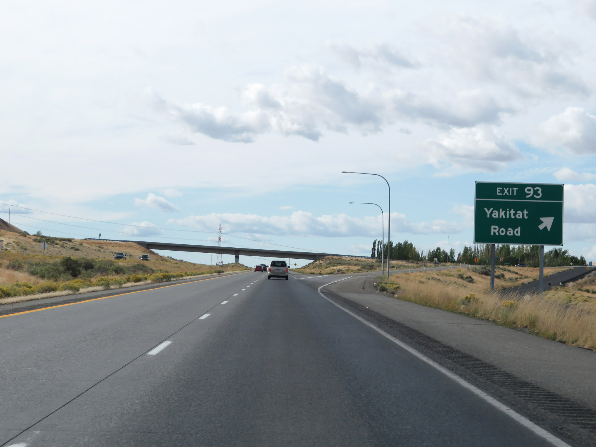 |
Interstate 82 West at Exit 93: Yakitat Road (Photo taken 9/26/19). |
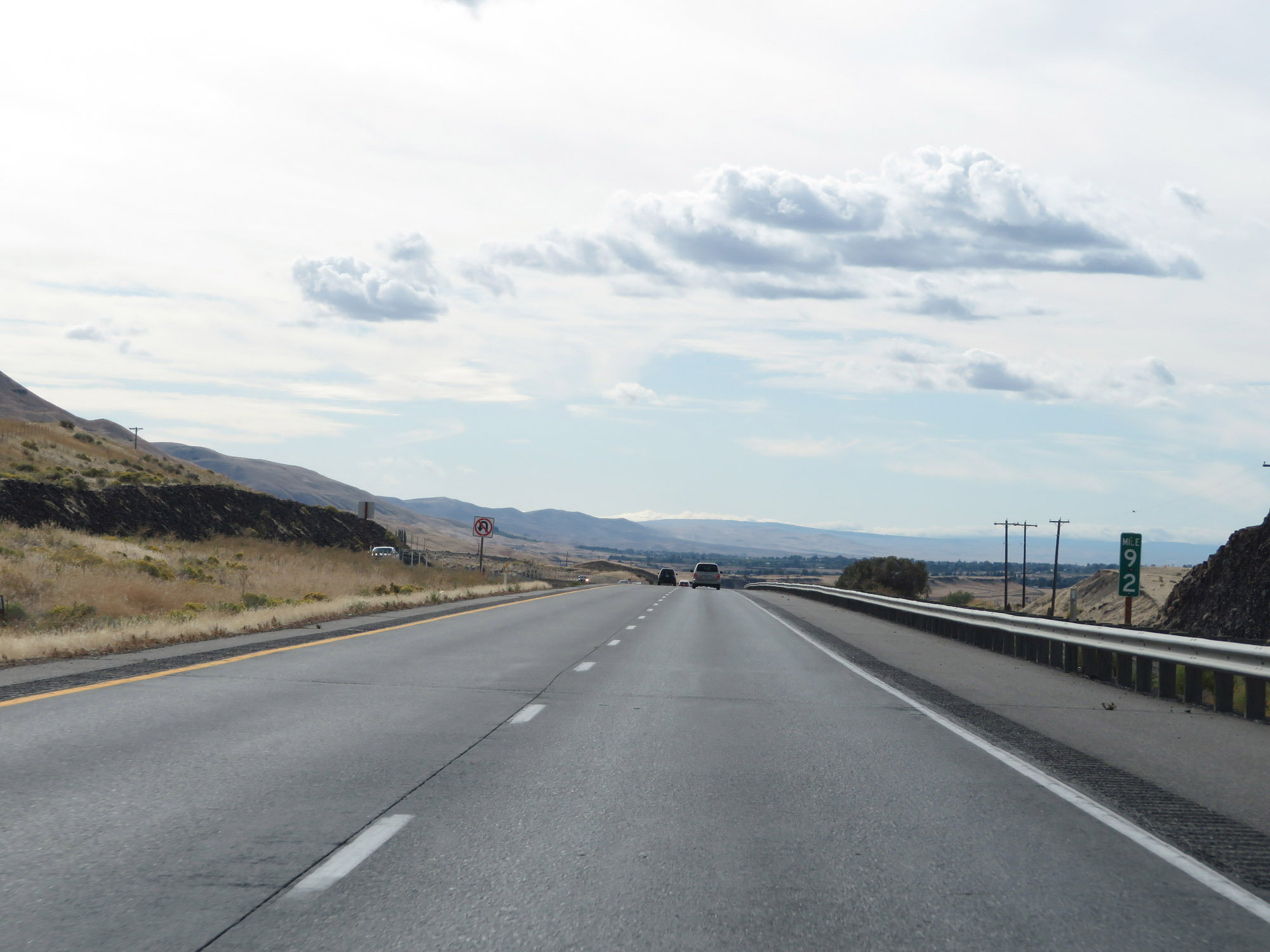 |
View on Interstate 82 West at mile marker 92. (Photo taken 9/26/19). |
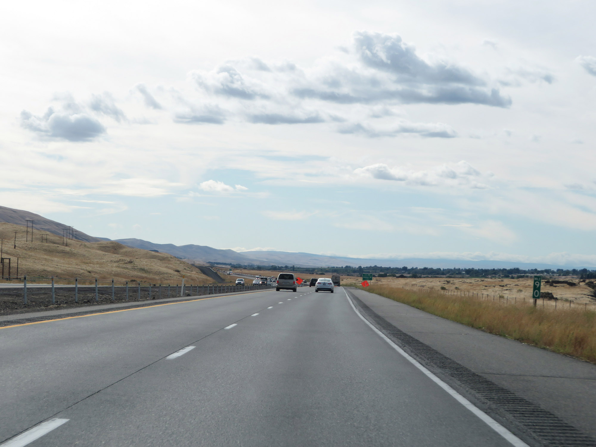 |
Interstate 82 West at mile marker 90. (Photo taken 9/26/19). |
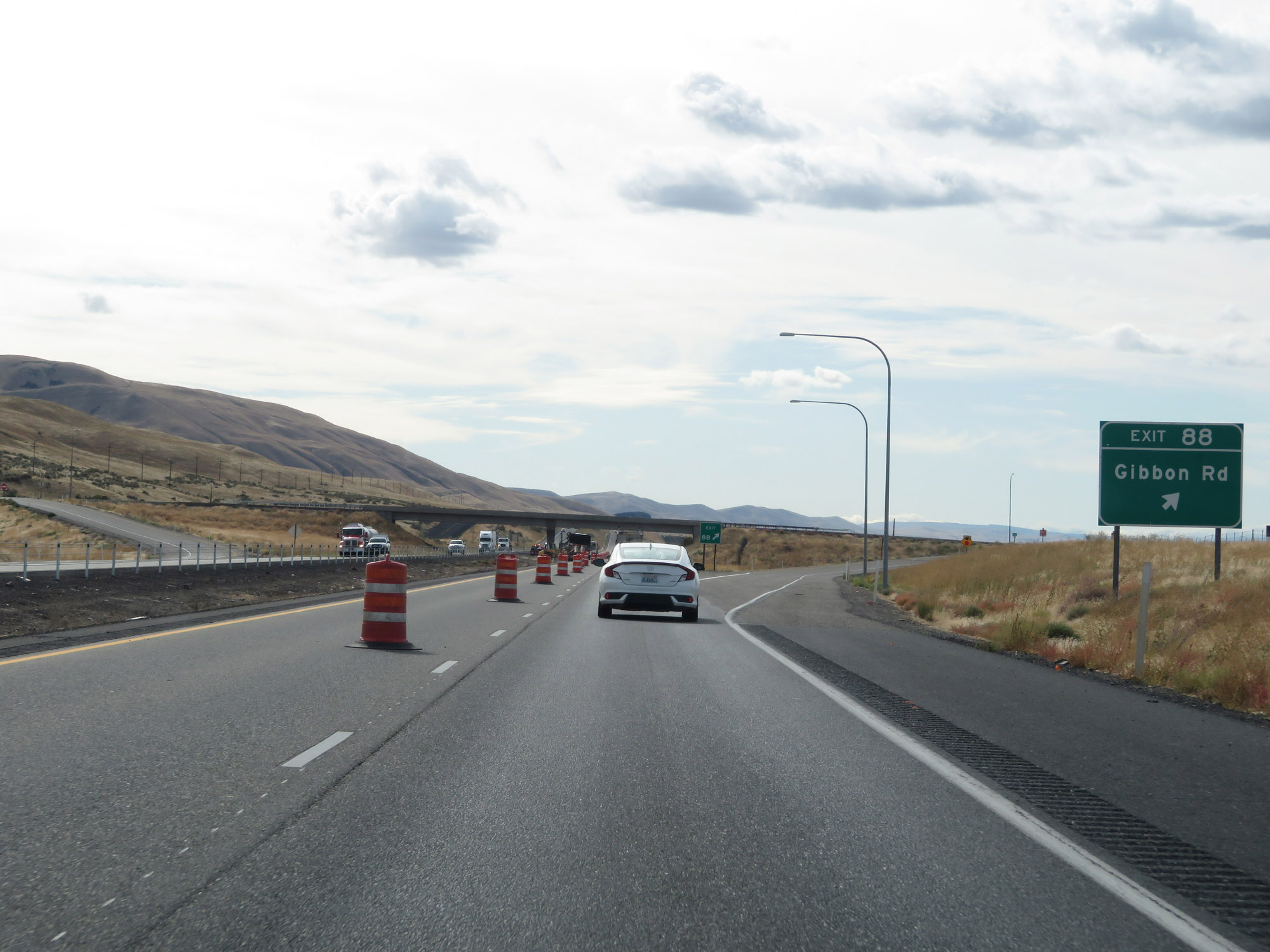 |
Interstate 82 West at Exit 88: Gibbon Rd (Photo taken 9/26/19). |
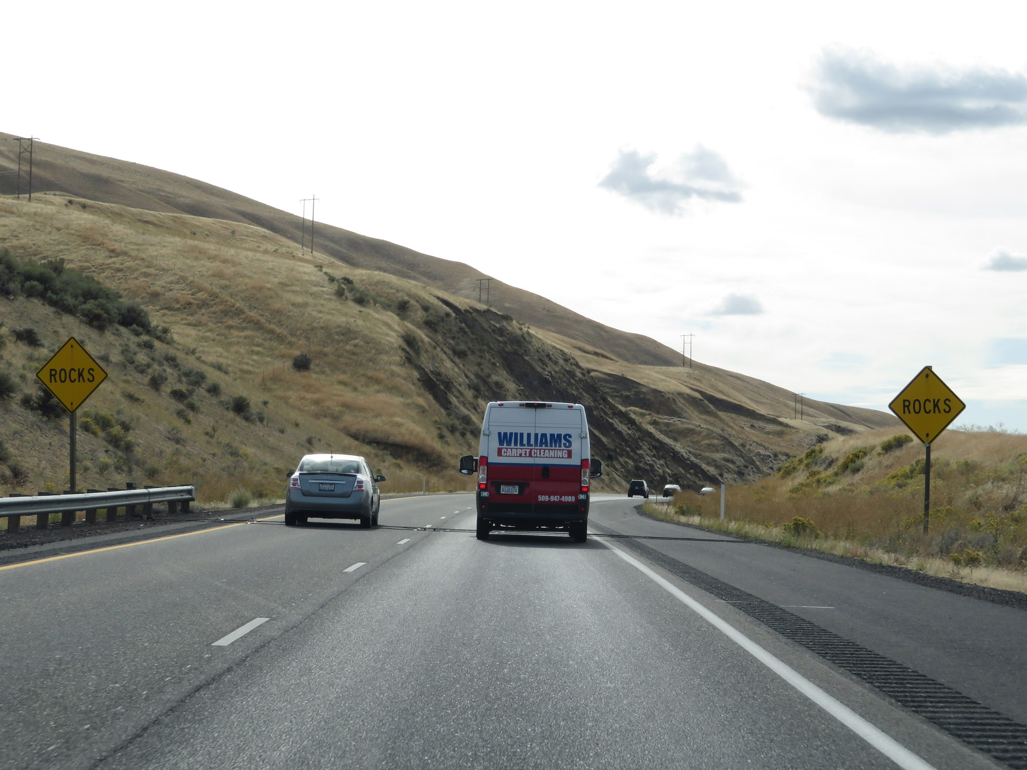 |
These signs warn motorists to watch for rocks in the roadway which have fallen. (Photo taken 9/26/19). |
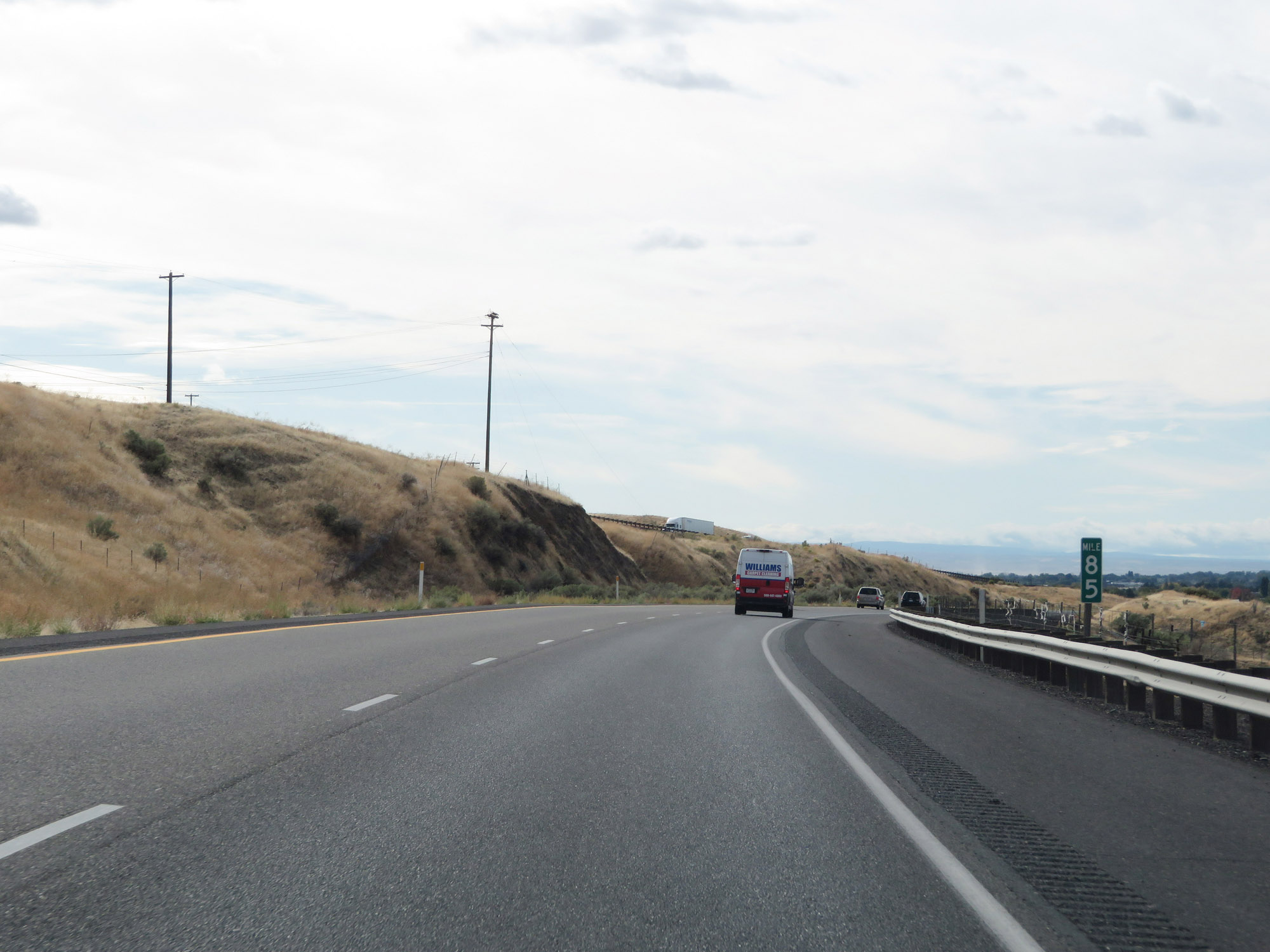 |
View on Interstate 82 West at mile marker 85. (Photo taken 9/26/19). |
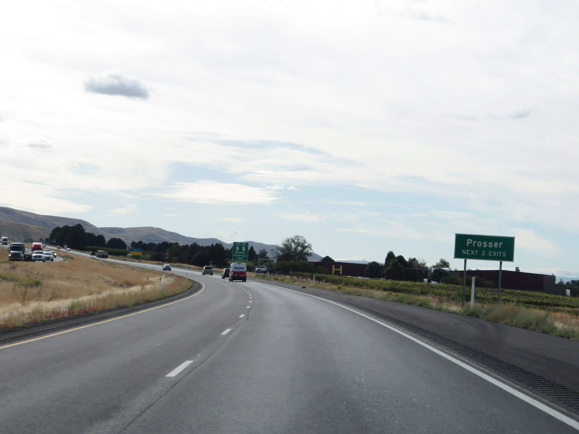 |
Take either of the next 2 exits to Prosser. (Photo taken 9/26/19). |
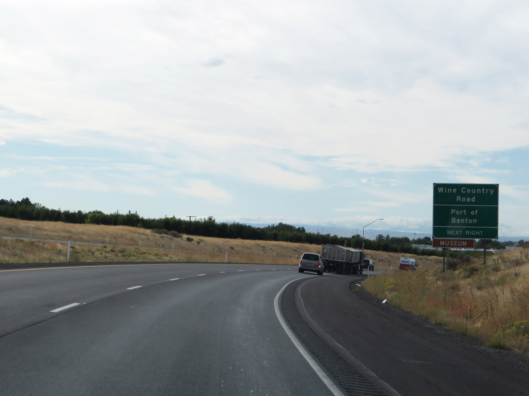 |
Take Exit 82 to Wine Country Road and Port of Benton. (Photo taken 9/26/19). |
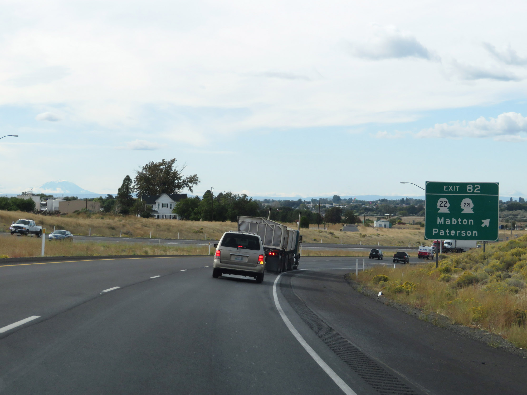 |
Interstate 82 West at Exit 82: WA 22 / WA 221 - Mabton / Paterson (Photo taken 9/26/19). |
 |
Crossing the Yakima River for the first time on Interstate 82 West. (Photo taken 9/26/19). |
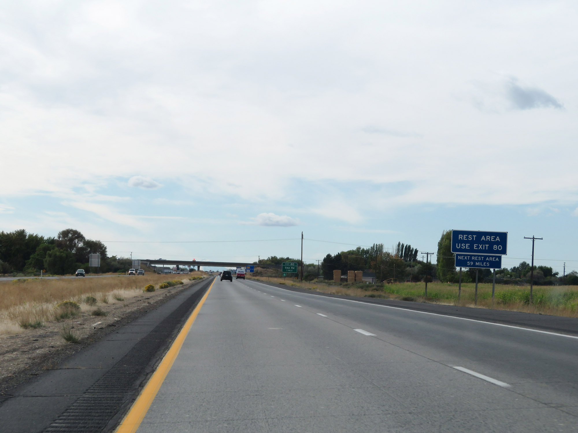 |
A Rest Area exists off Exit 80. The next Rest Area beyond that is 59 miles ahead. (Photo taken 9/26/19). |
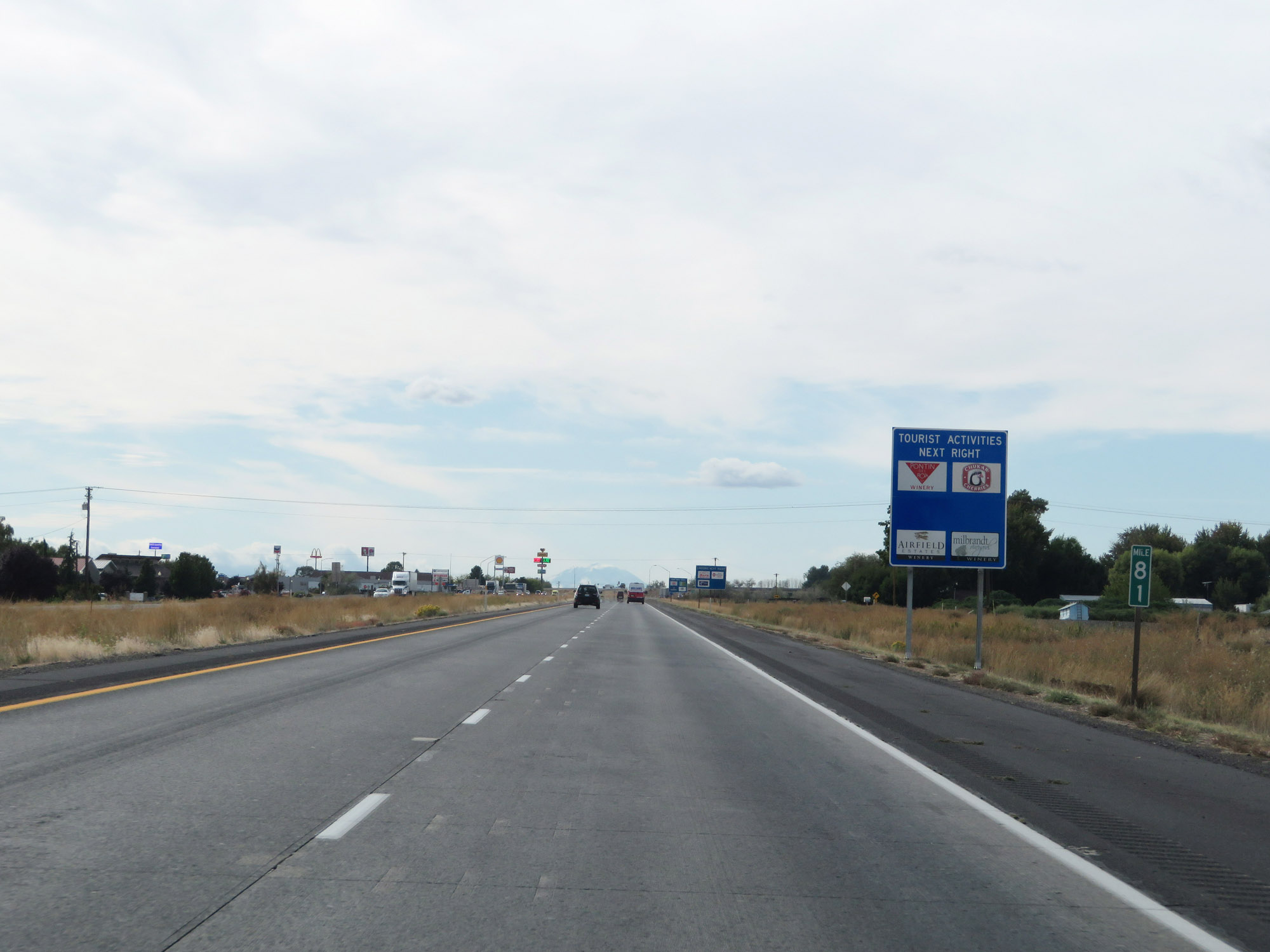 |
Interstate 82 West at mile marker 81. (Photo taken 9/26/19). |
 |
Interstate 82 West at Exit 80: Gap Rd / Prosser (Photo taken 9/26/19). |
 |
Another set of Interstate 82 West / US 12 West reassurance shields. (Photo taken 9/26/19). |
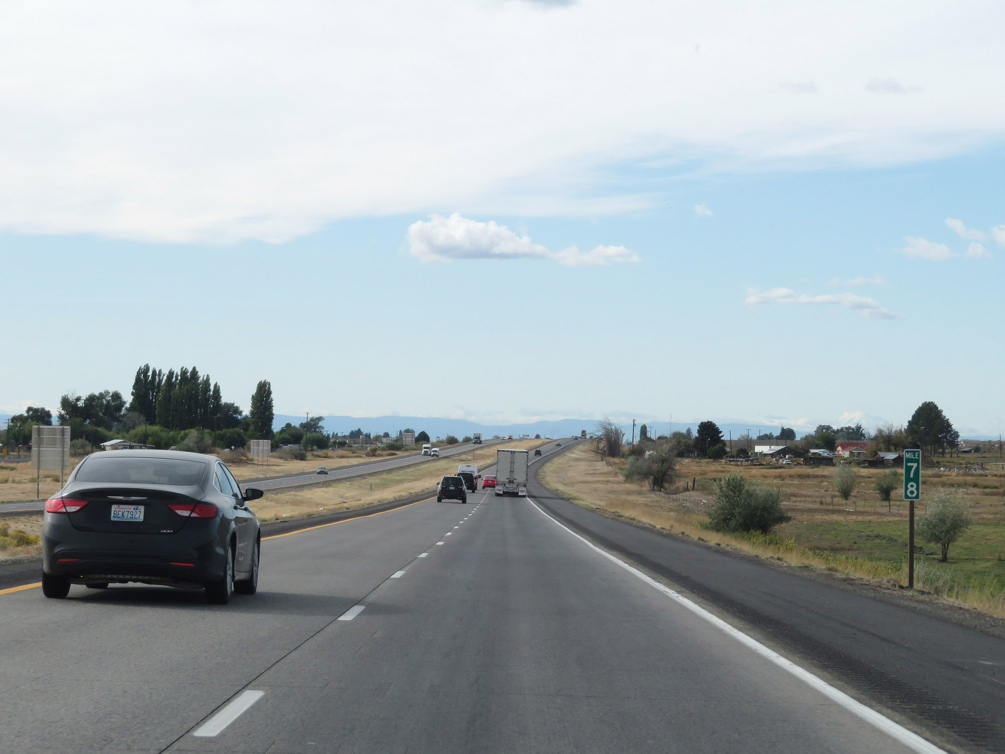 |
View on Interstate 82 West at mile marker 78. (Photo taken 9/26/19). |
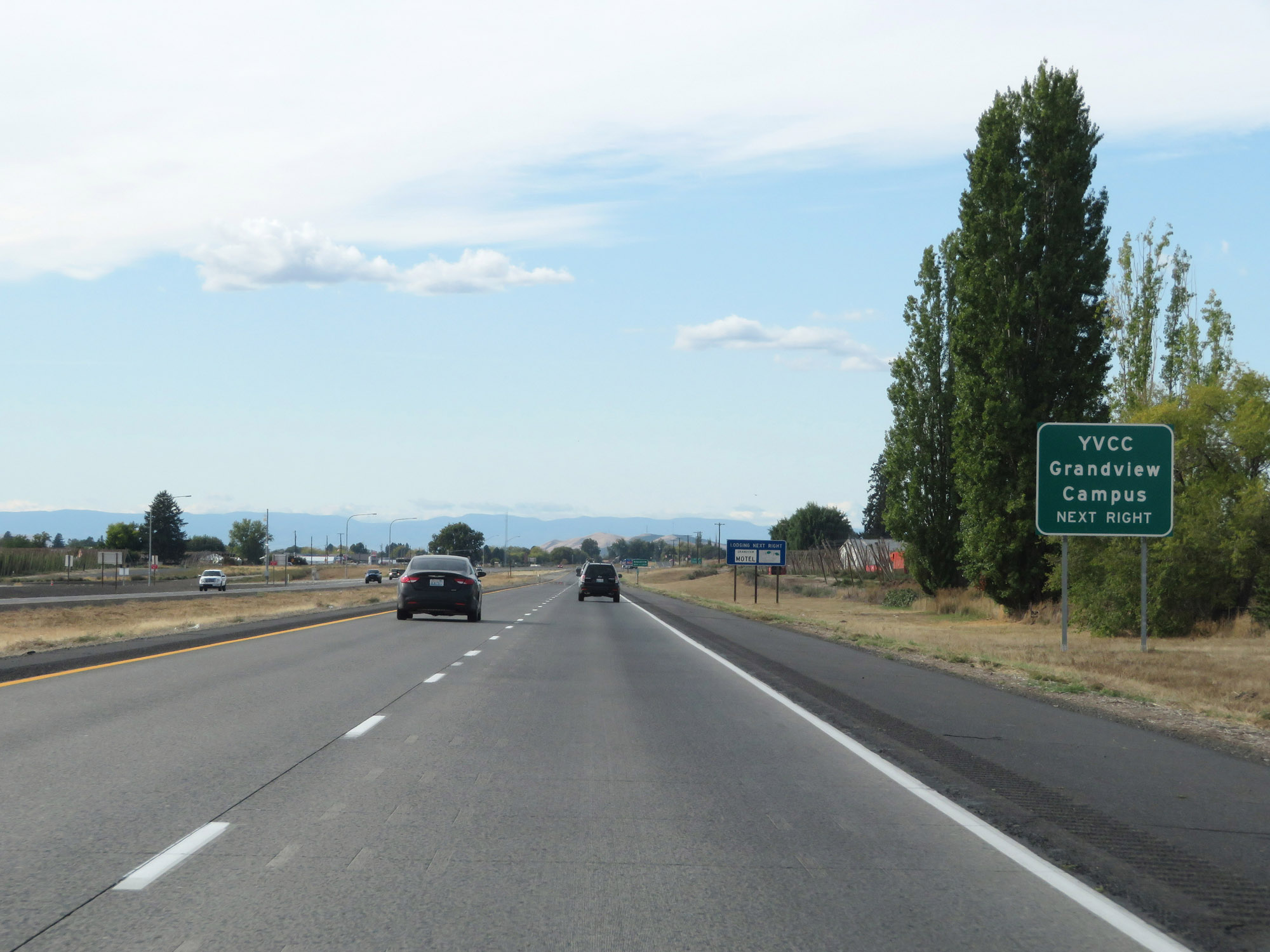 |
Take Exit 75 to YVCC Grandview Campus. (Photo taken 9/26/19). |
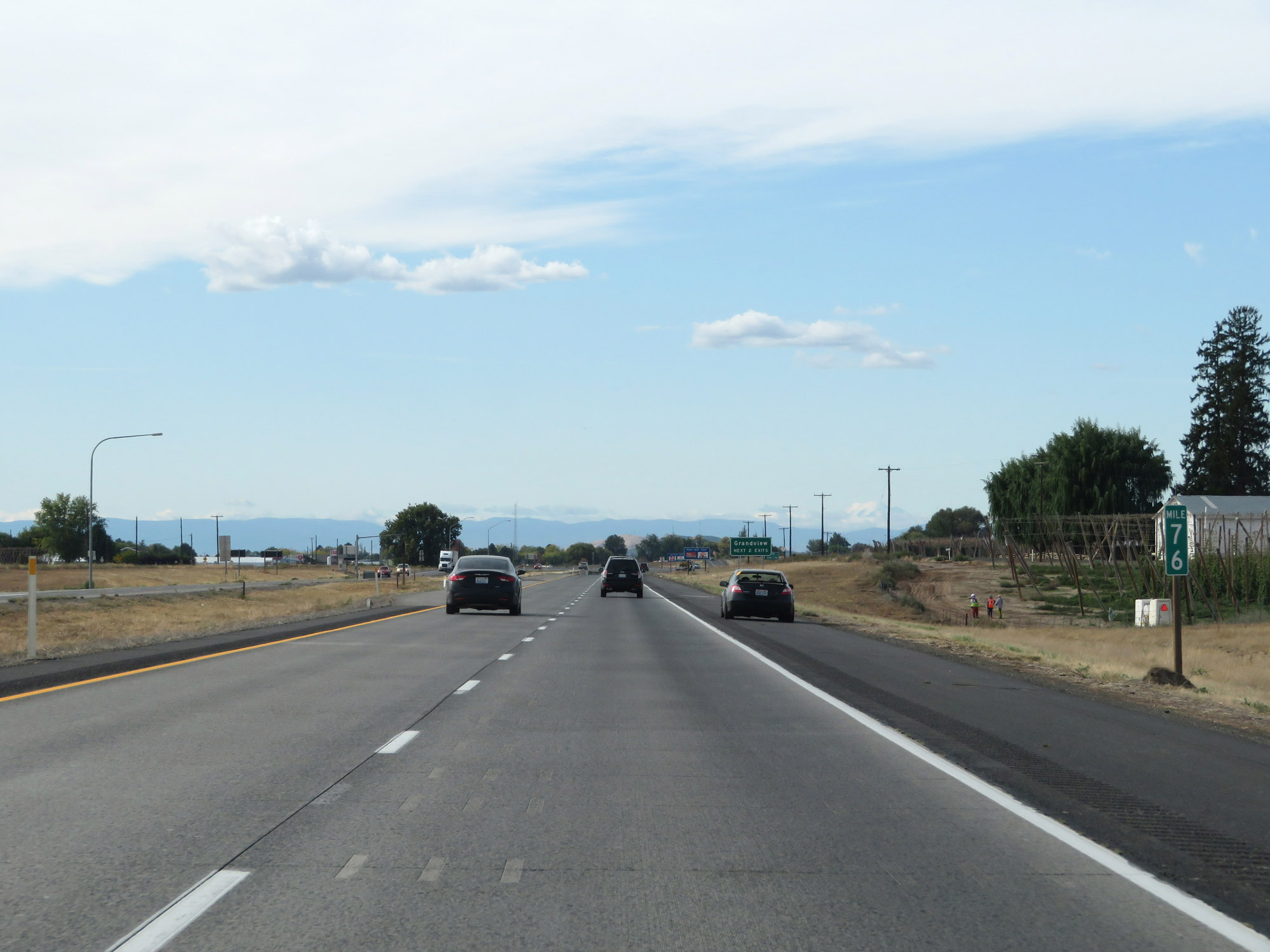 |
Interstate 82 West at mile marker 76. (Photo taken 9/26/19). |
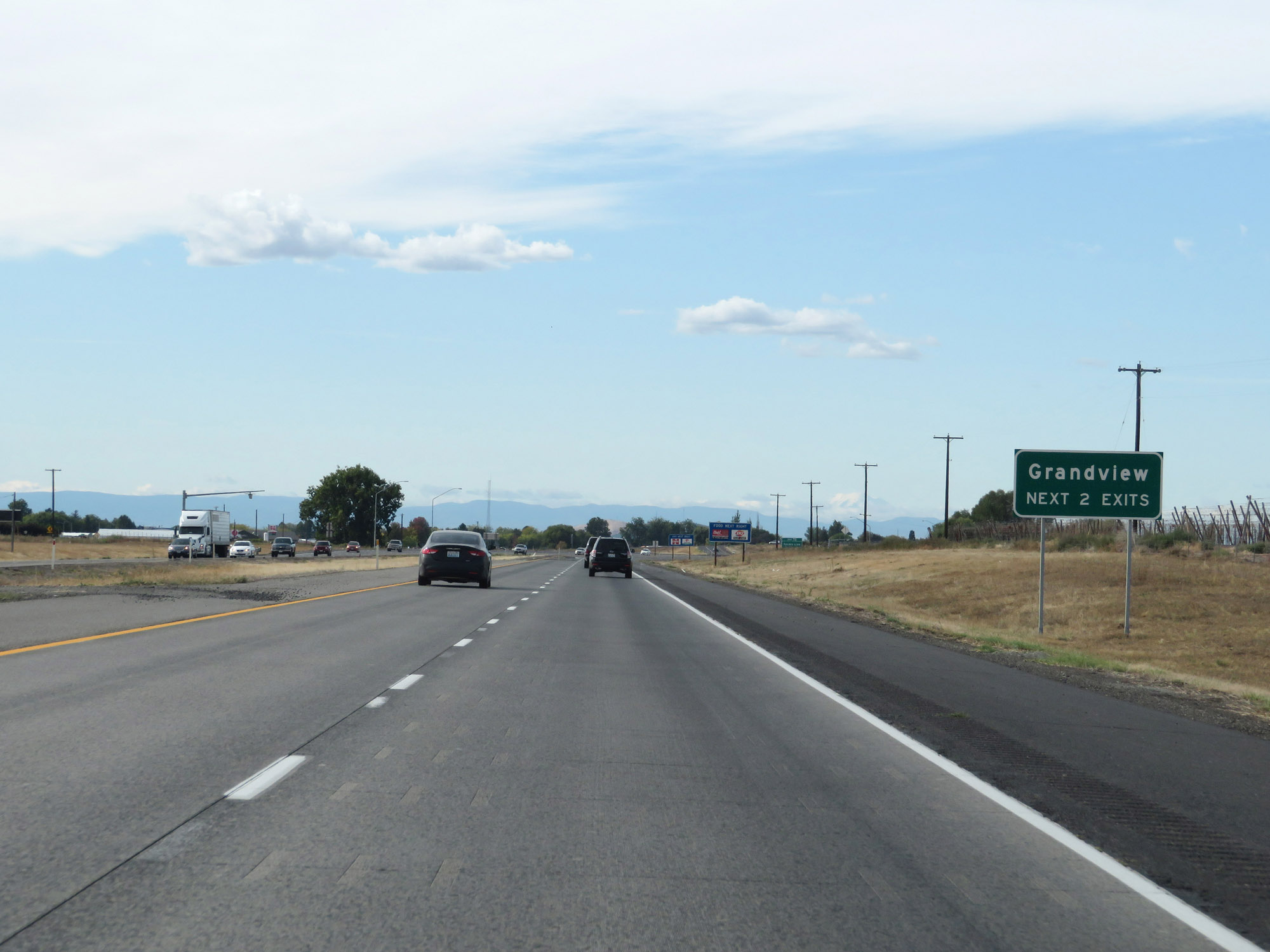 |
Take either of the next 2 exits to Grandview. (Photo taken 9/26/19). |
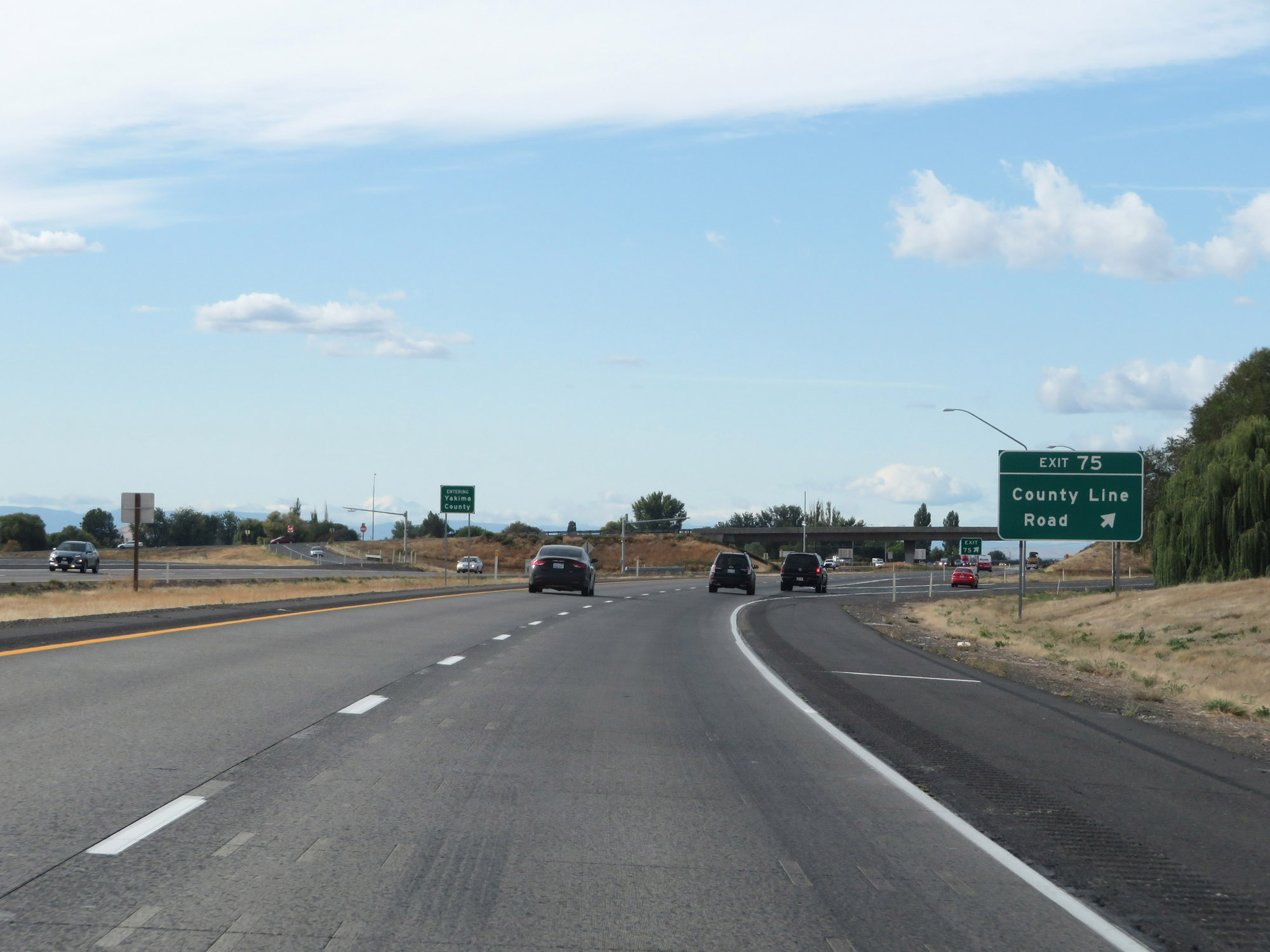 |
Interstate 82 West at Exit 75: County Line Road (Photo taken 9/26/19). |
 |
At Exit 75, Interstate 82 West enters Yakima County. (Photo taken 9/26/19). |
 |
Take Exit 73 to Yakima Valley Highway and Wine Country Rd. (Photo taken 9/26/19). |
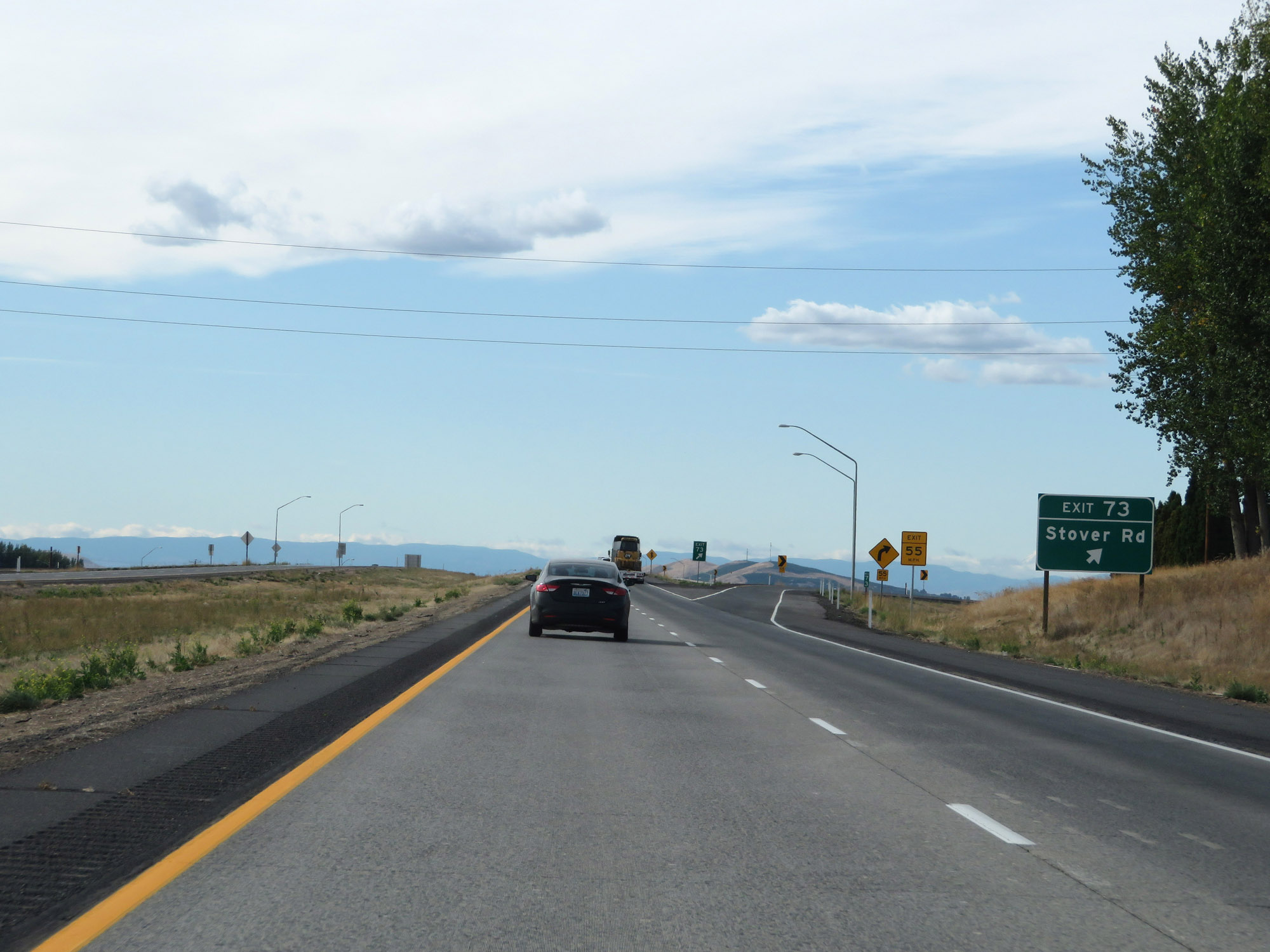 |
Interstate 82 West at Exit 73: Stover Rd (Photo taken 9/26/19). |
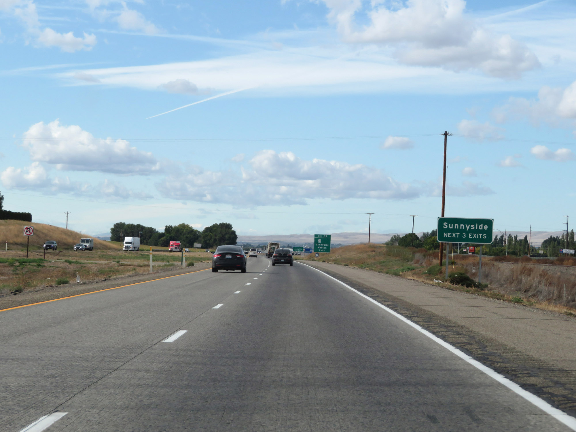 |
Take any of the next 3 exits to Sunnyside. (Photo taken 9/26/19). |
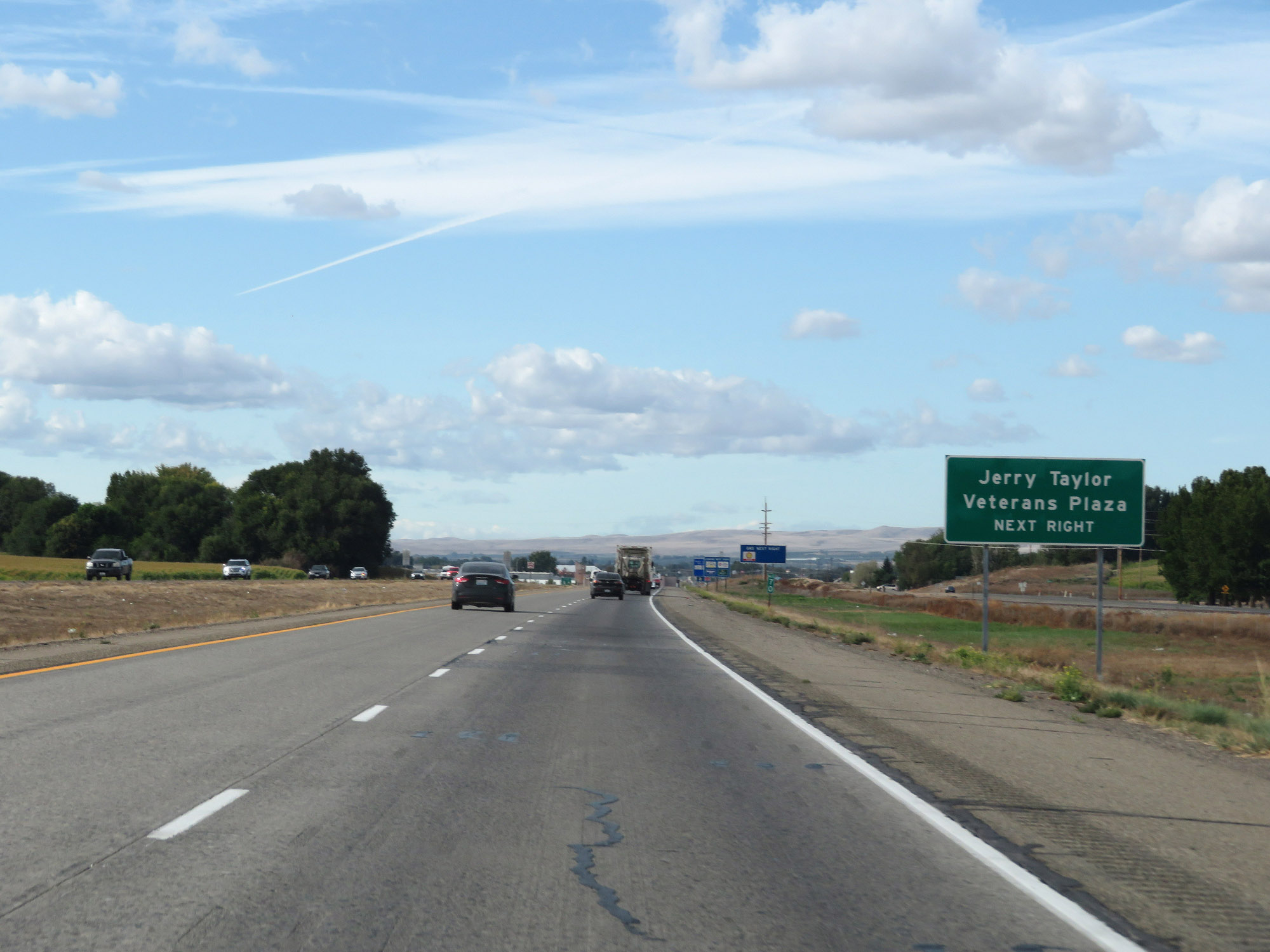 |
Take Exit 69 to Jerry Taylor Veterans Plaza. (Photo taken 9/26/19). |
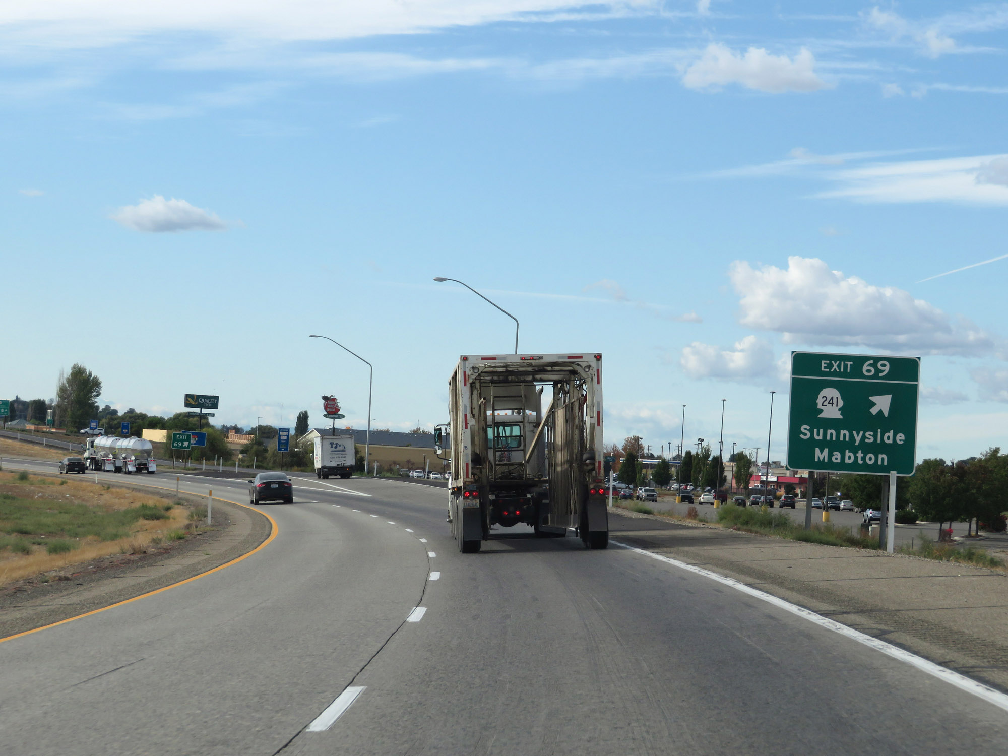 |
Interstate 82 West at Exit 69: WA 241 - Sunnyside / Mabton (Photo taken 9/26/19). |
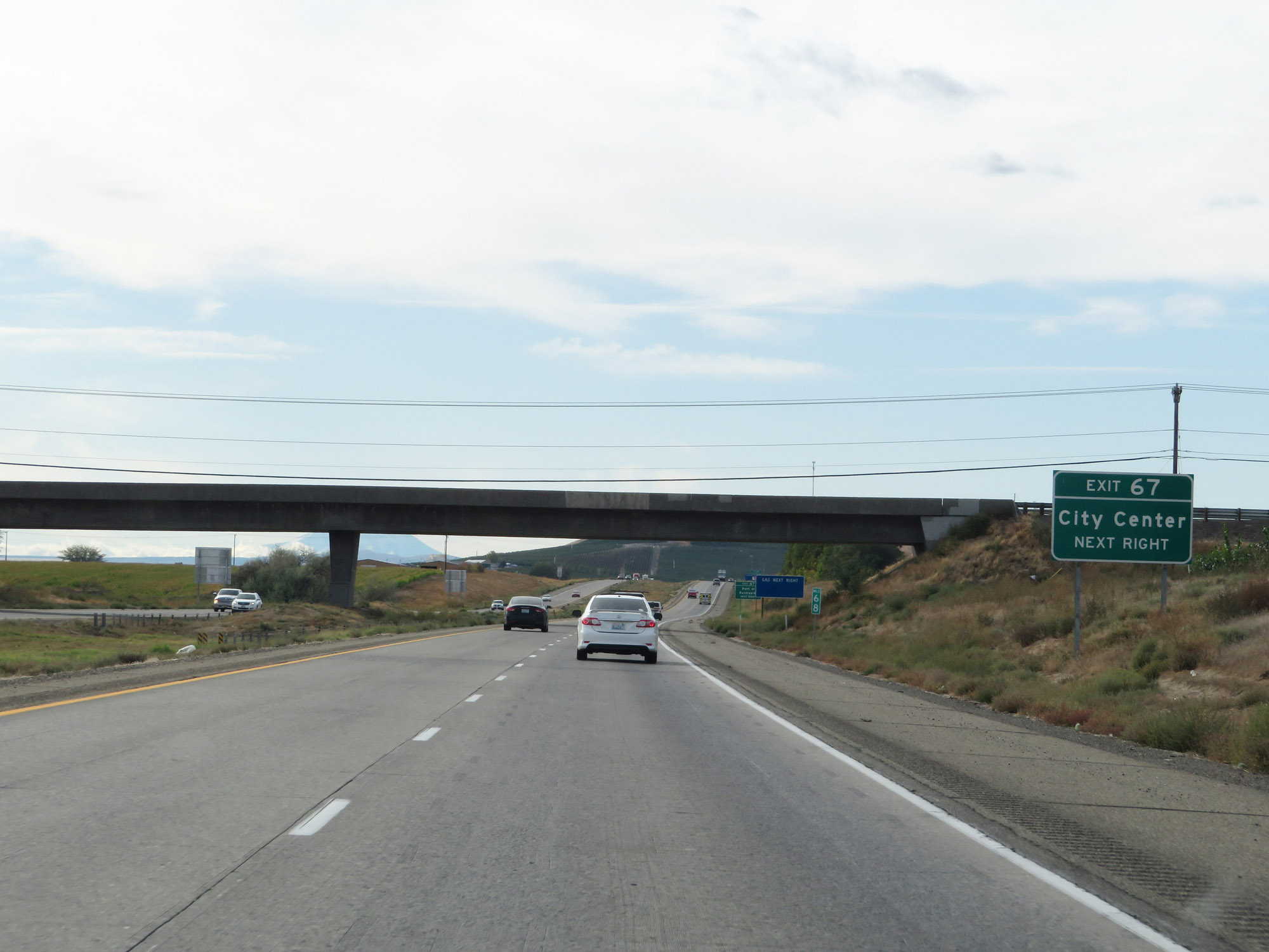 |
Take Exit 67 to Sunnyside City Center. (Photo taken 9/26/19). |
 |
Also take Exit 67 to the Port of Sunnyside. (Photo taken 9/26/19). |
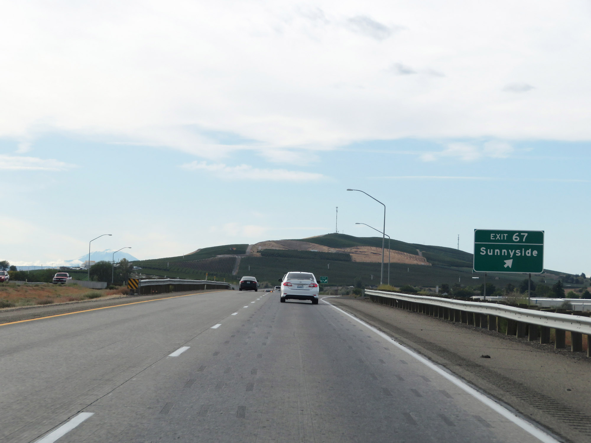 |
Interstate 82 West at Exit 67: Sunnyside (Photo taken 9/26/19). |
Section 2: Sunnyside (Exit 67) to Yakima (Exit 31)
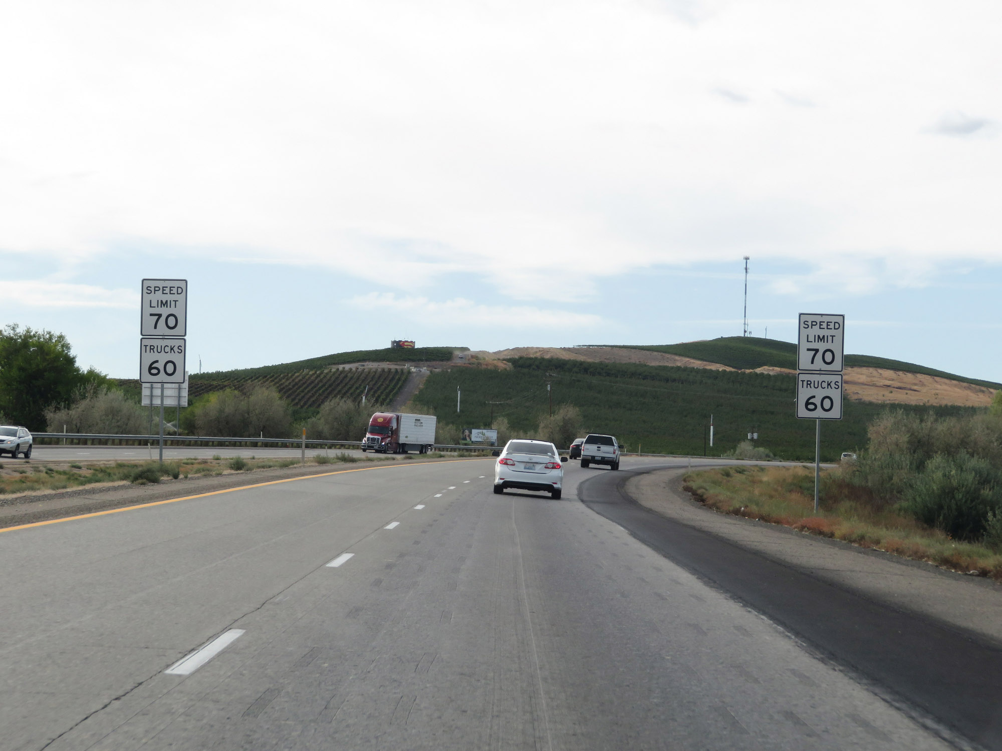 |
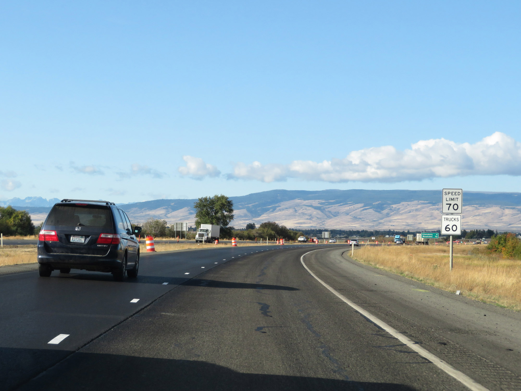
The speed limits remain 70 mph for automobiles and 60 mph for trucks. These are the standard speed limits on most rural Interstate highways in Washington State. (Photo taken 9/26/19). |
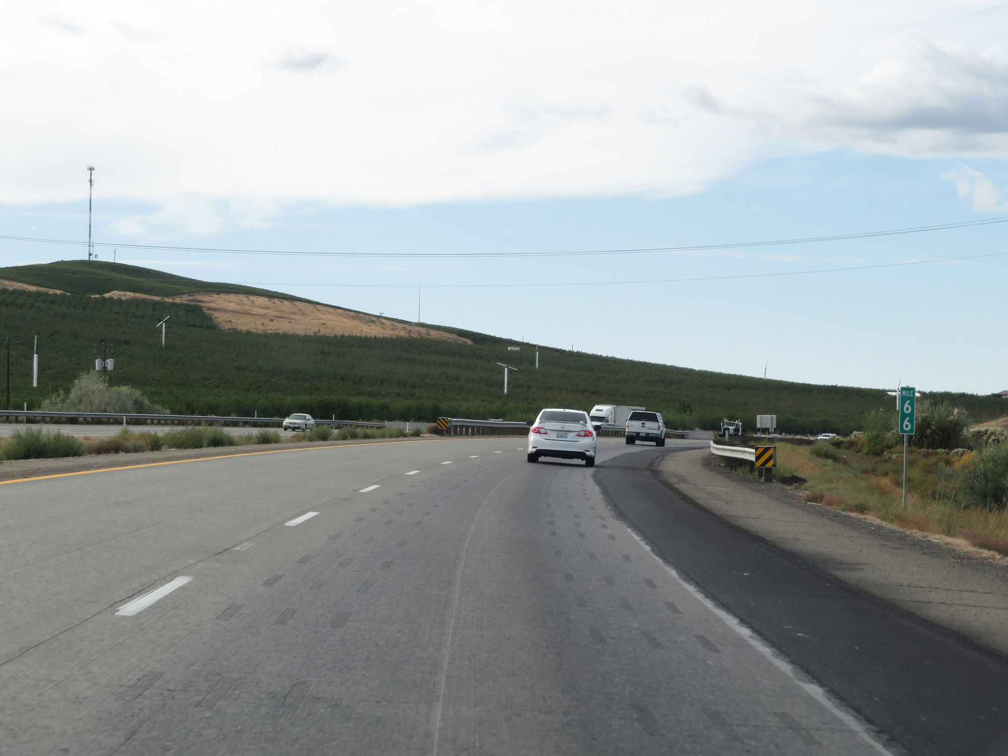 |
View on Interstate 82 West at mile marker 66. (Photo taken 9/26/19). |
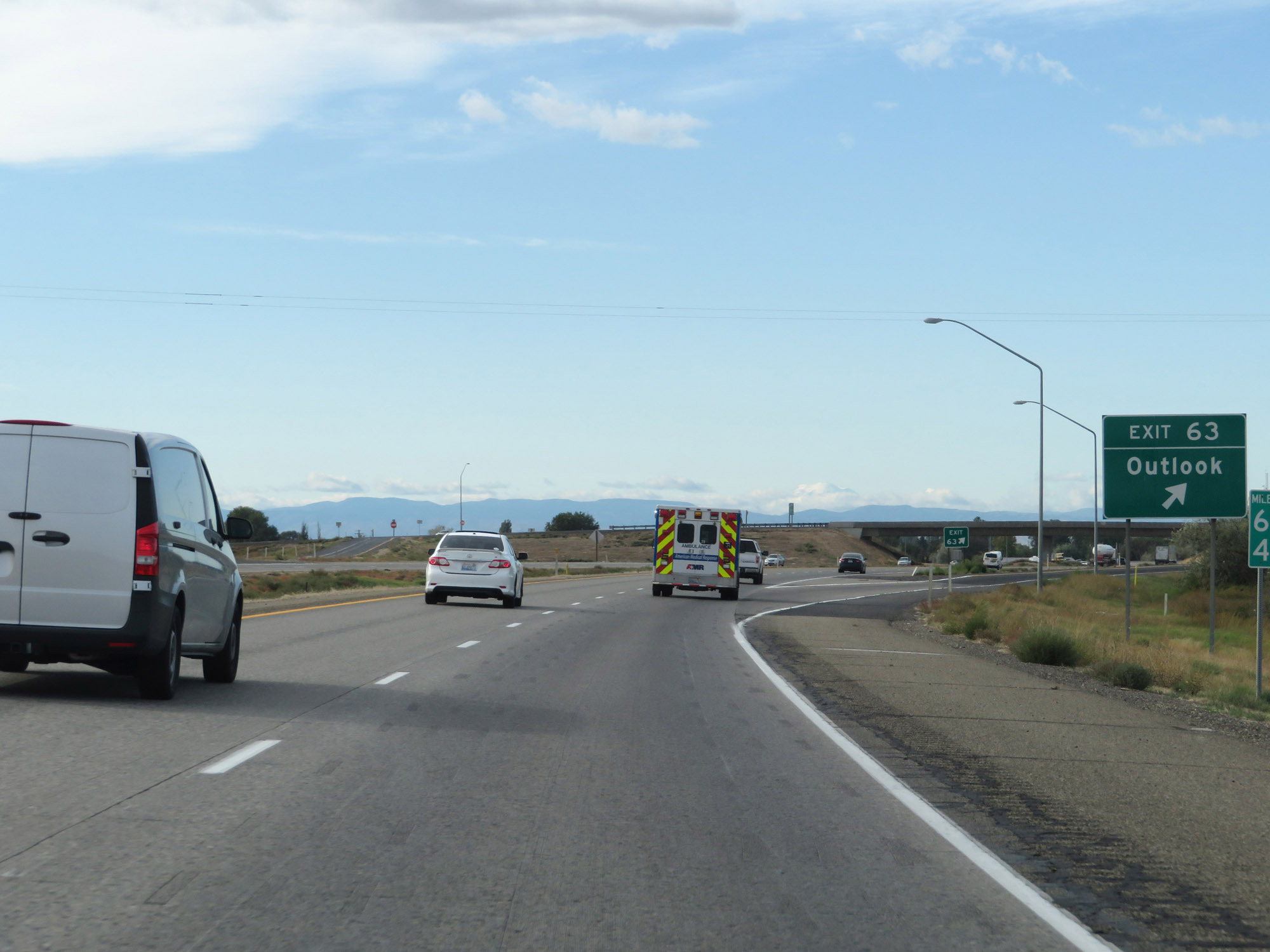 |
Interstate 82 West at Exit 63: Outlook (Photo taken 9/26/19). |
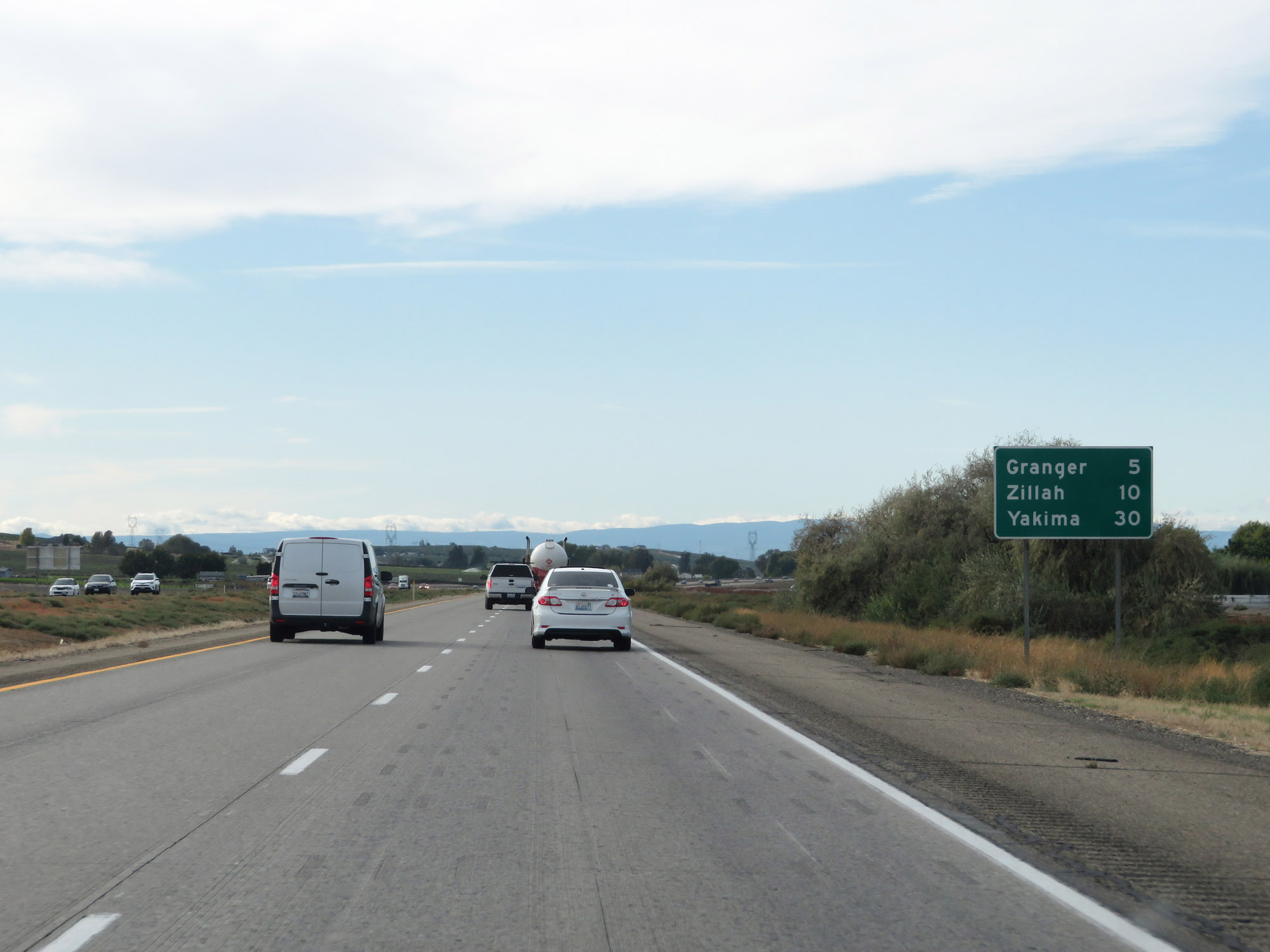 |
Mileage sign on Interstate 82 West. It's 5 miles to Granger, 10 miles to Zillah, and 30 miles to Yakima. (Photo taken 9/26/19). |
 |
Interstate 82 West at mile marker 61. (Photo taken 9/26/19). |
 |
View on Interstate 82 West at mile marker 60. (Photo taken 9/26/19). |
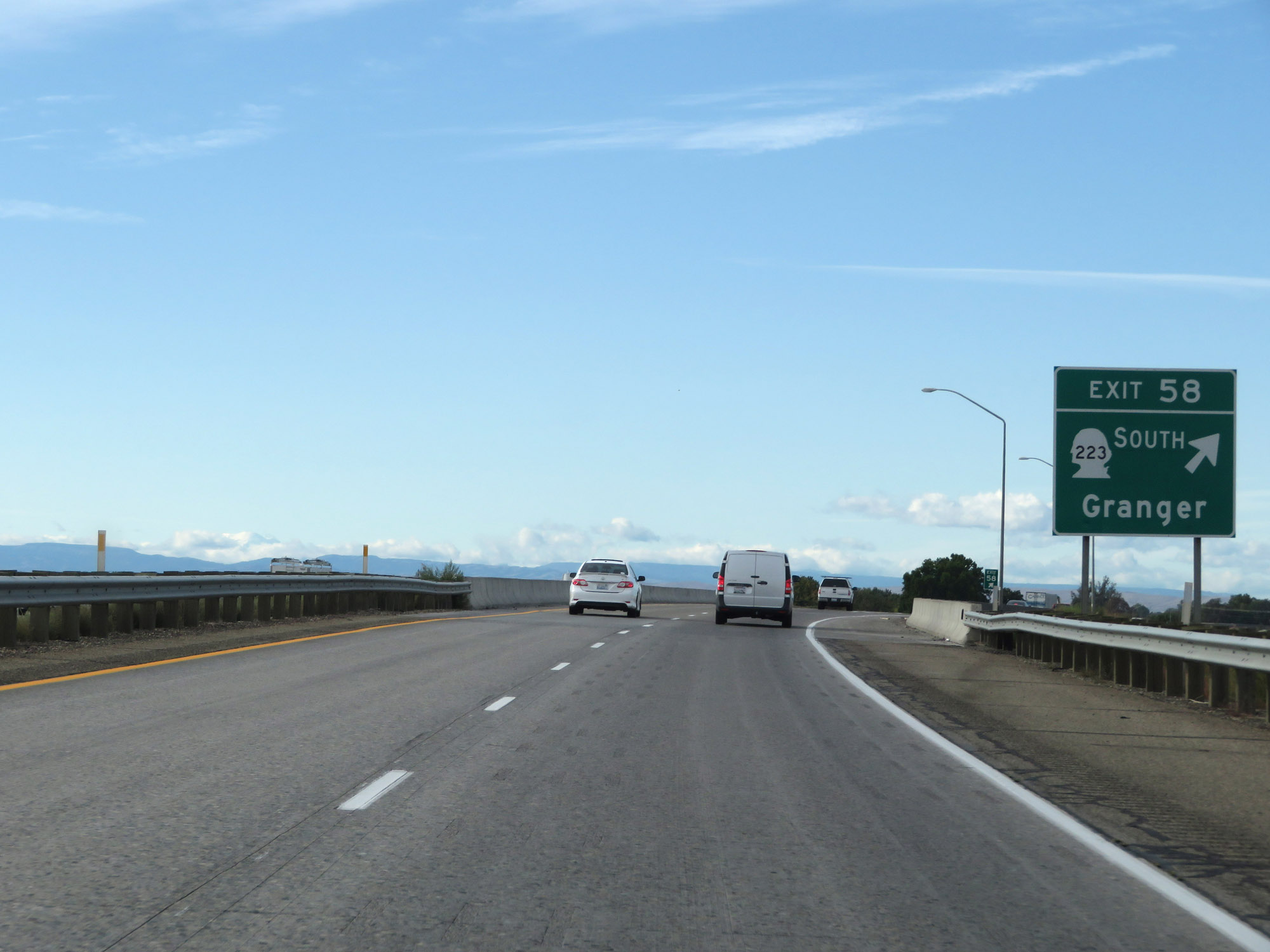 |
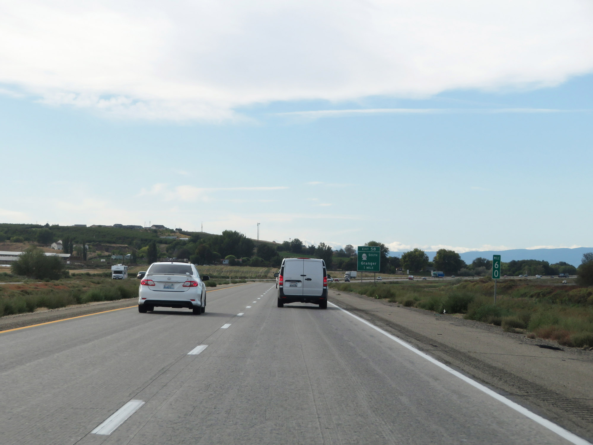
Interstate 82 West at Exit 58: WA 223 South - Granger (Photo taken 9/26/19). |
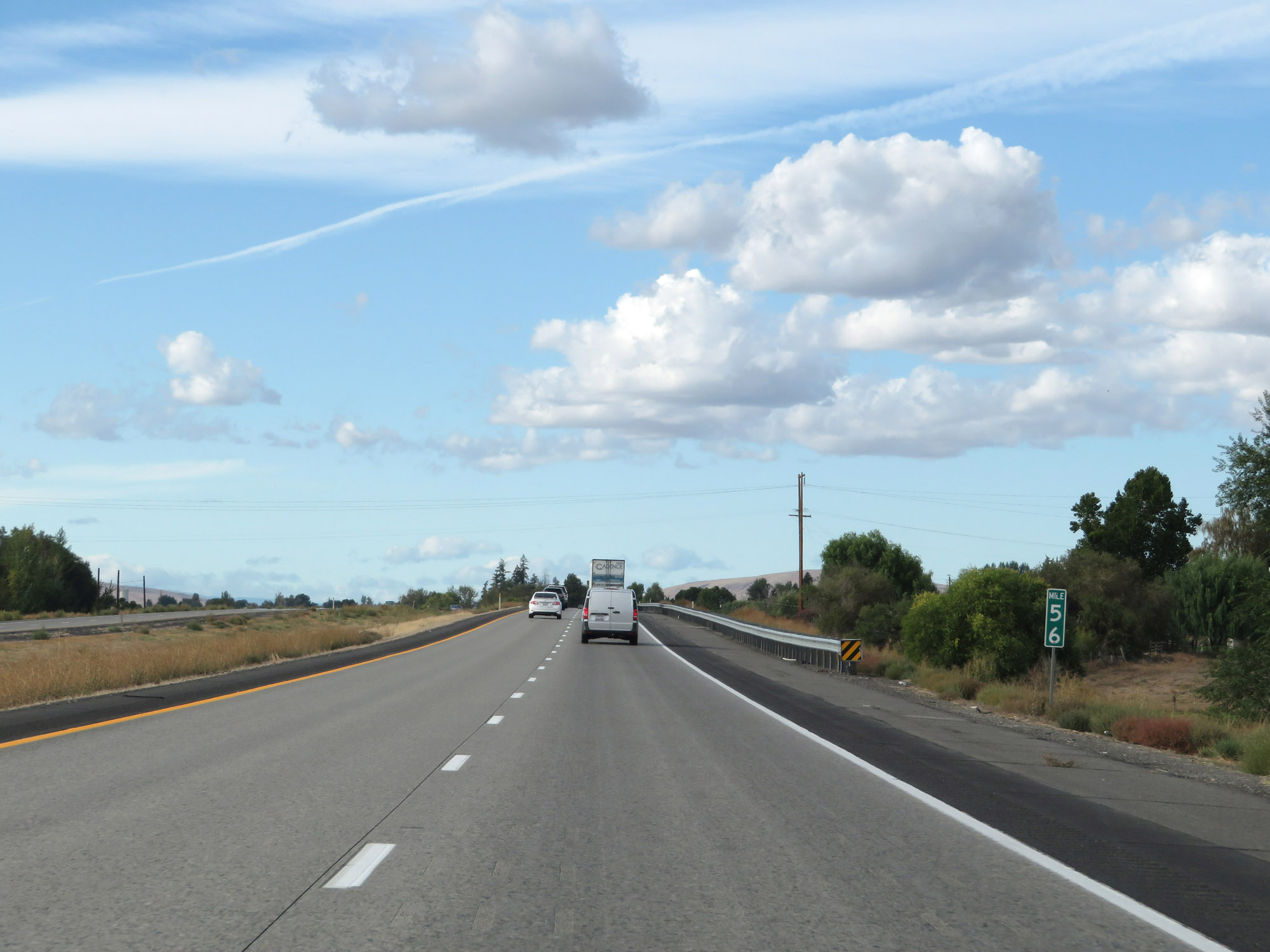 |
Interstate 82 West at mile marker 56. (Photo taken 9/26/19). |
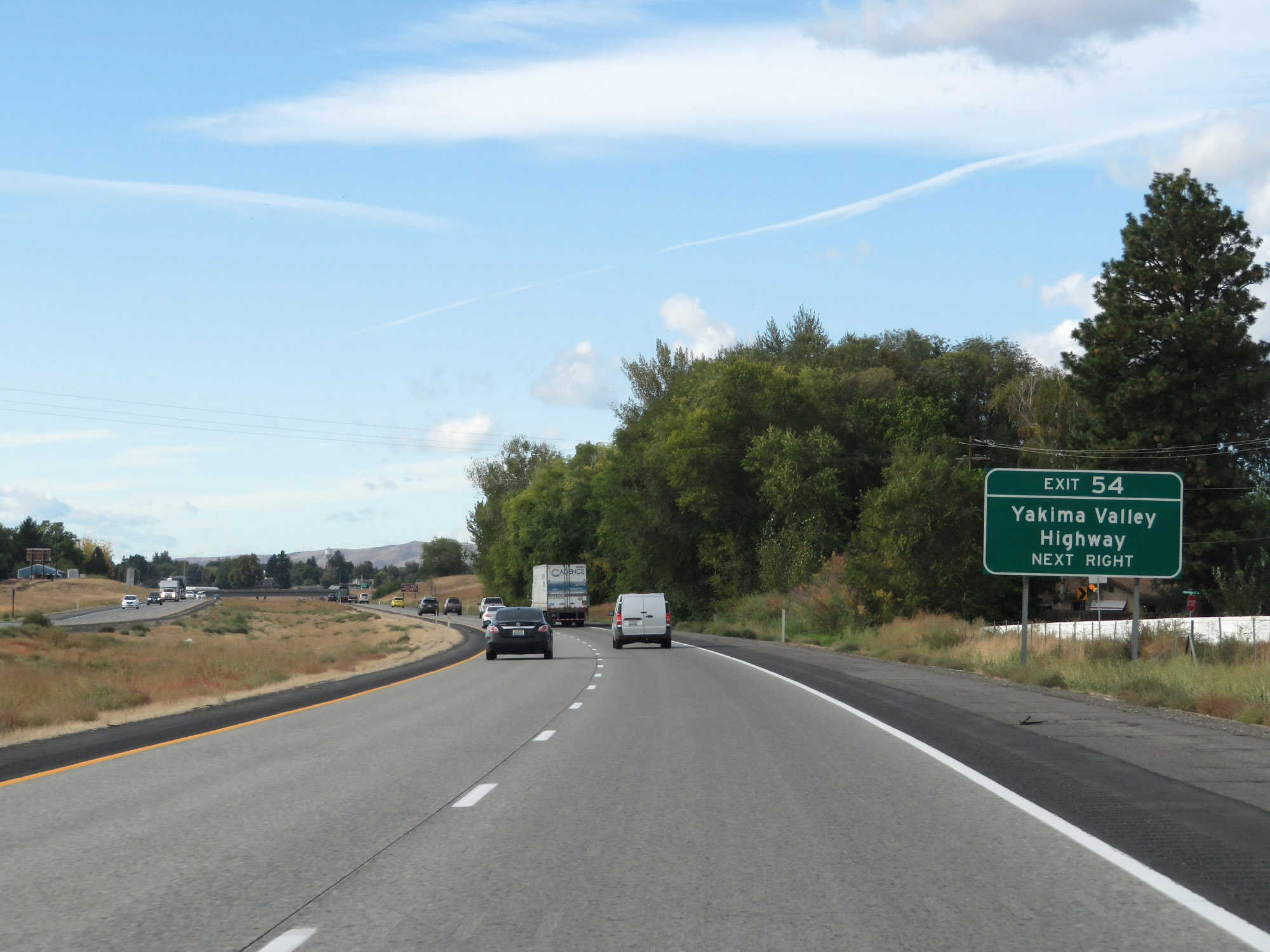 |
Take Exit 54 to Yakima Valley Highway. (Photo taken 9/26/19). |
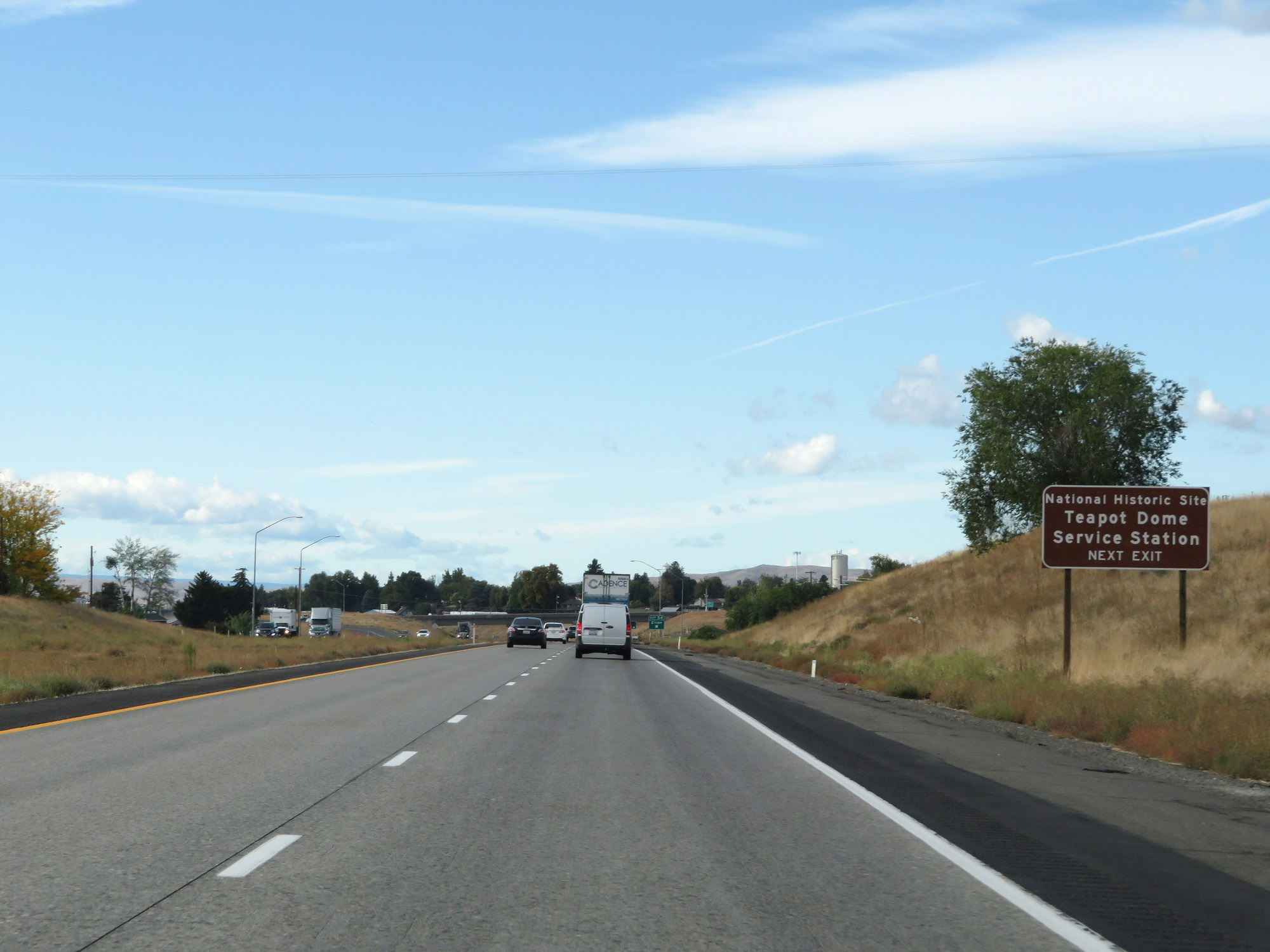 |
Also take Exit 54 to Teapot Dome Service Station National Historic Site. (Photo taken 9/26/19). |
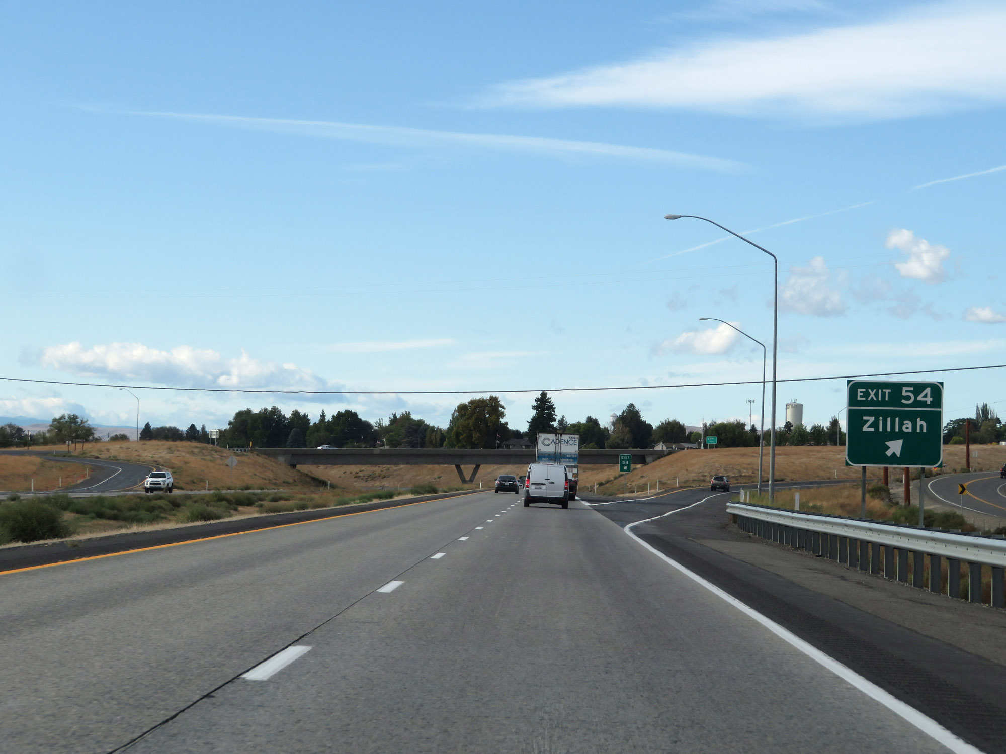 |
Interstate 82 West at Exit 54: Zillah (Photo taken 9/26/19). |
 |
Interstate 82 West at Exit 52: Toppenish (Photo taken 9/26/19). |
 |
Take Exit 50 to Yakama Nation Cultural Center and the Murals Museum. (Photo taken 9/26/19). |
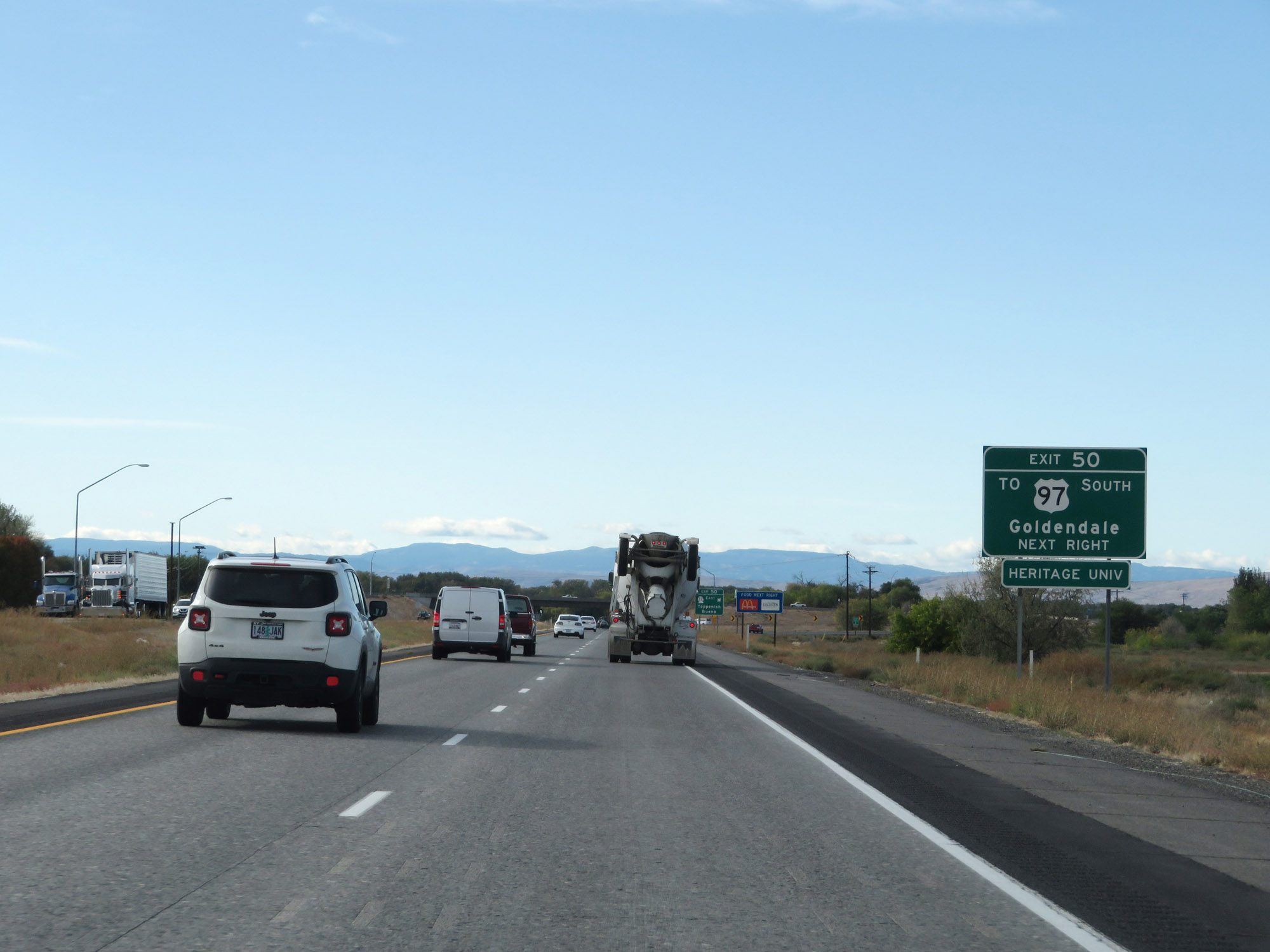 |
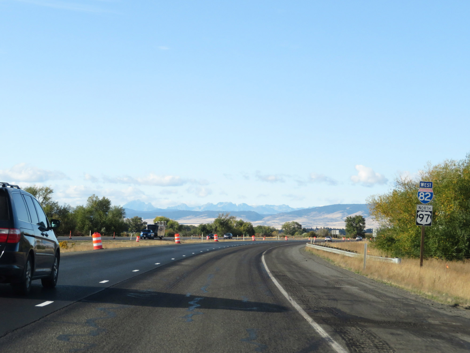
Also take Exit 50 to US 97 South toward Goldendale. (Photo taken 9/26/19). |
 |
Interstate 82 West at Exit 50: WA 22 East - Toppenish / Buena (Photo taken 9/26/19). |
 |
Mileage sign on Interstate 82 West. It's 12 miles to Union Gap and 17 miles to Yakima. (Photo taken 9/26/19). |
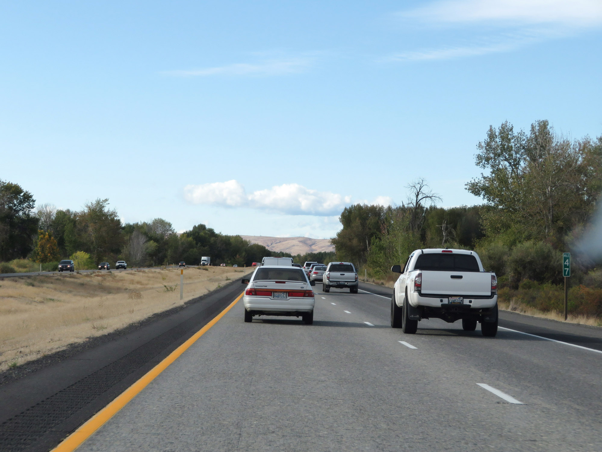 |
Interstate 82 West at mile marker 47. (Photo taken 9/26/19). |
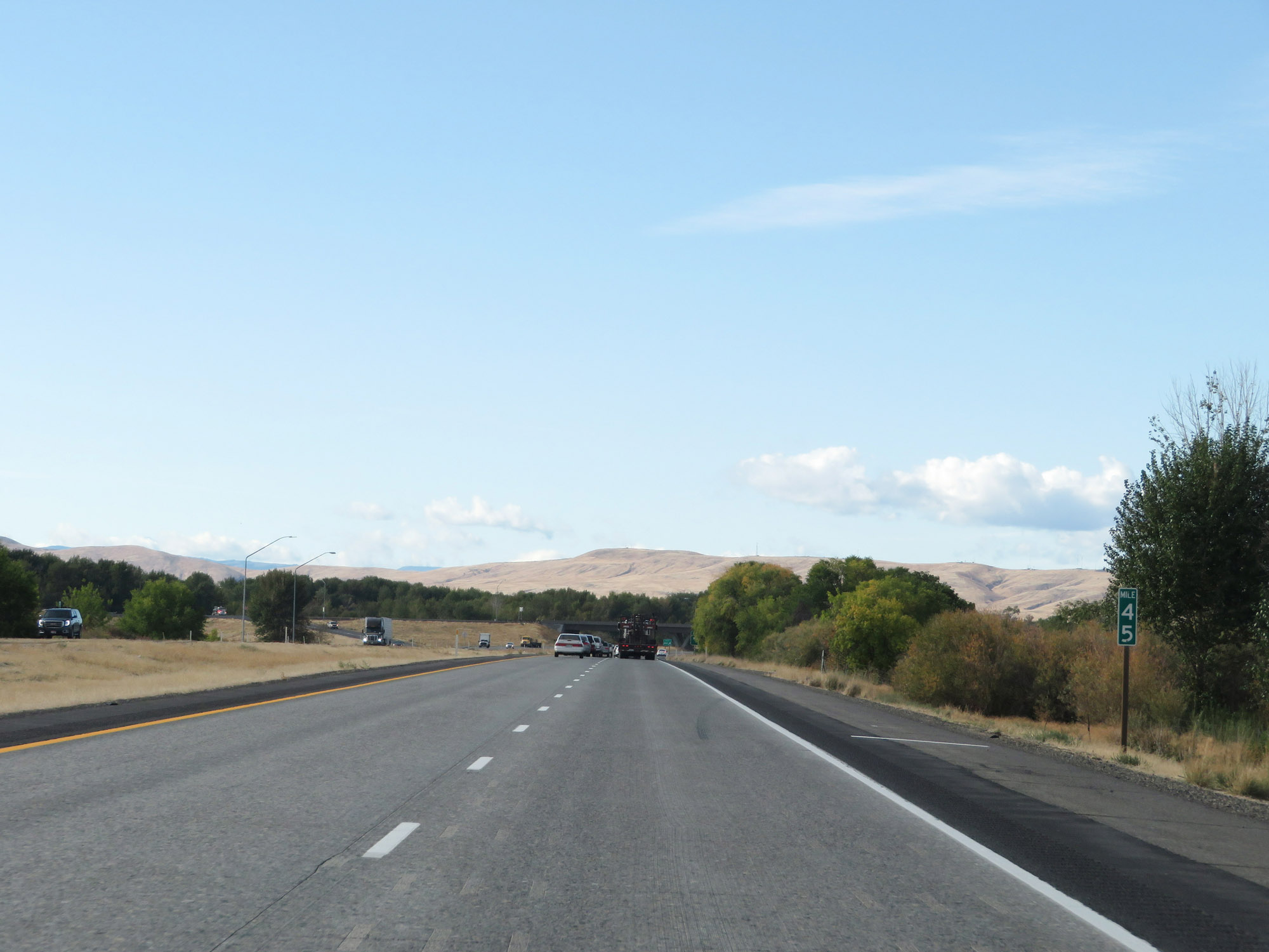 |
View on Interstate 82 West at mile marker 45. (Photo taken 9/26/19). |
 |
Interstate 82 West at Exit 44: Wapato (Photo taken 9/26/19). |
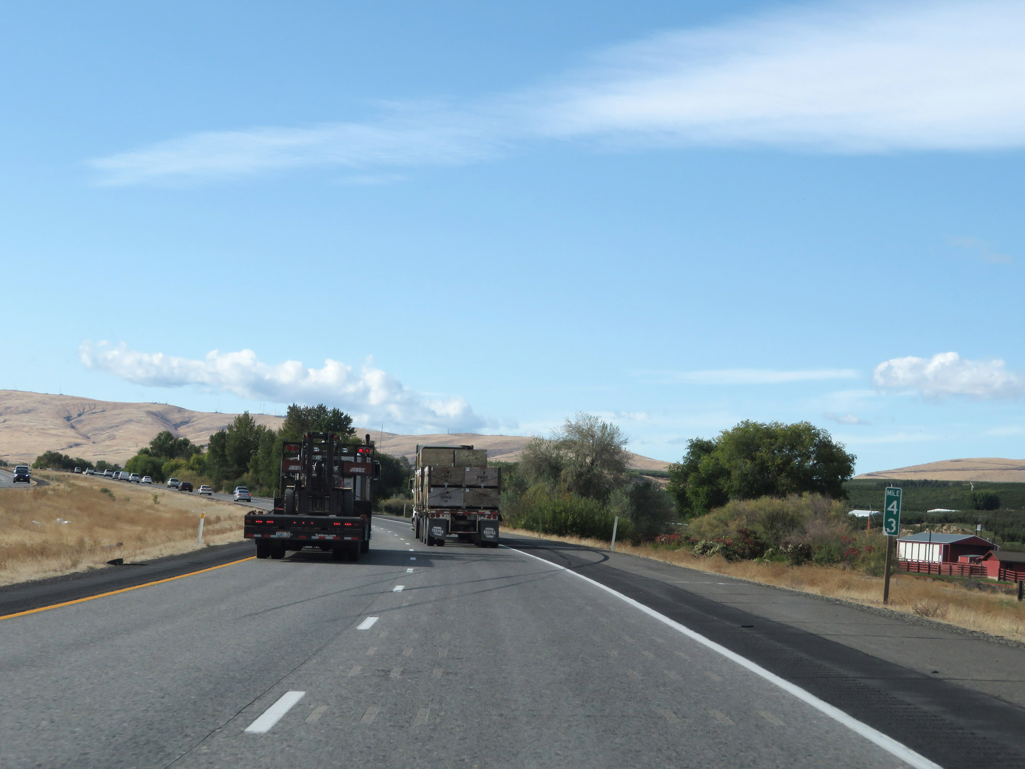 |
Interstate 82 West at mile marker 43. (Photo taken 9/26/19). |
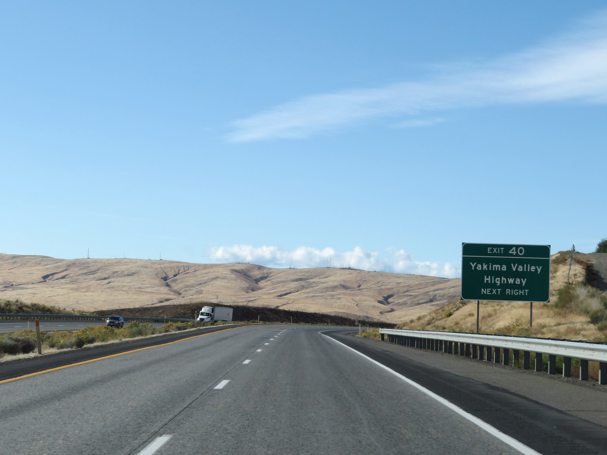 |
Take Exit 40 to Yakima Valley Highway. (Photo taken 9/26/19). |
 |
View on Interstate 82 West at mile marker 41. (Photo taken 9/26/19). |
 |
Interstate 82 West at Exit 40: Thorp Rd / Parker Rd (Photo taken 9/26/19). |
 |
Interstate 82 West at mile marker 39. (Photo taken 9/26/19). |
 |
Approaching Union Gap and the Yakima area, the speed limit decreases to 60 mph for all traffic. (Photo taken 9/26/19). |
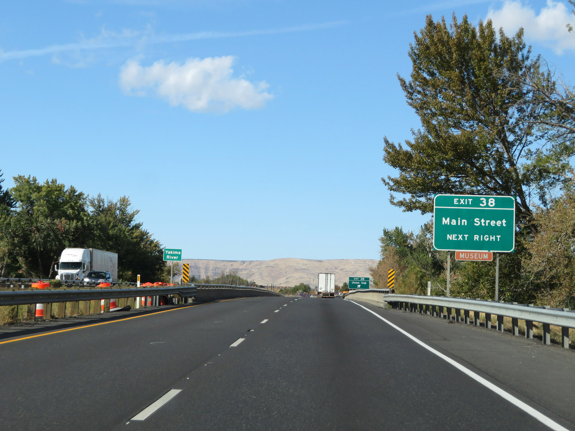 |
Take Exit 38 to Main Street. (Photo taken 9/26/19). |
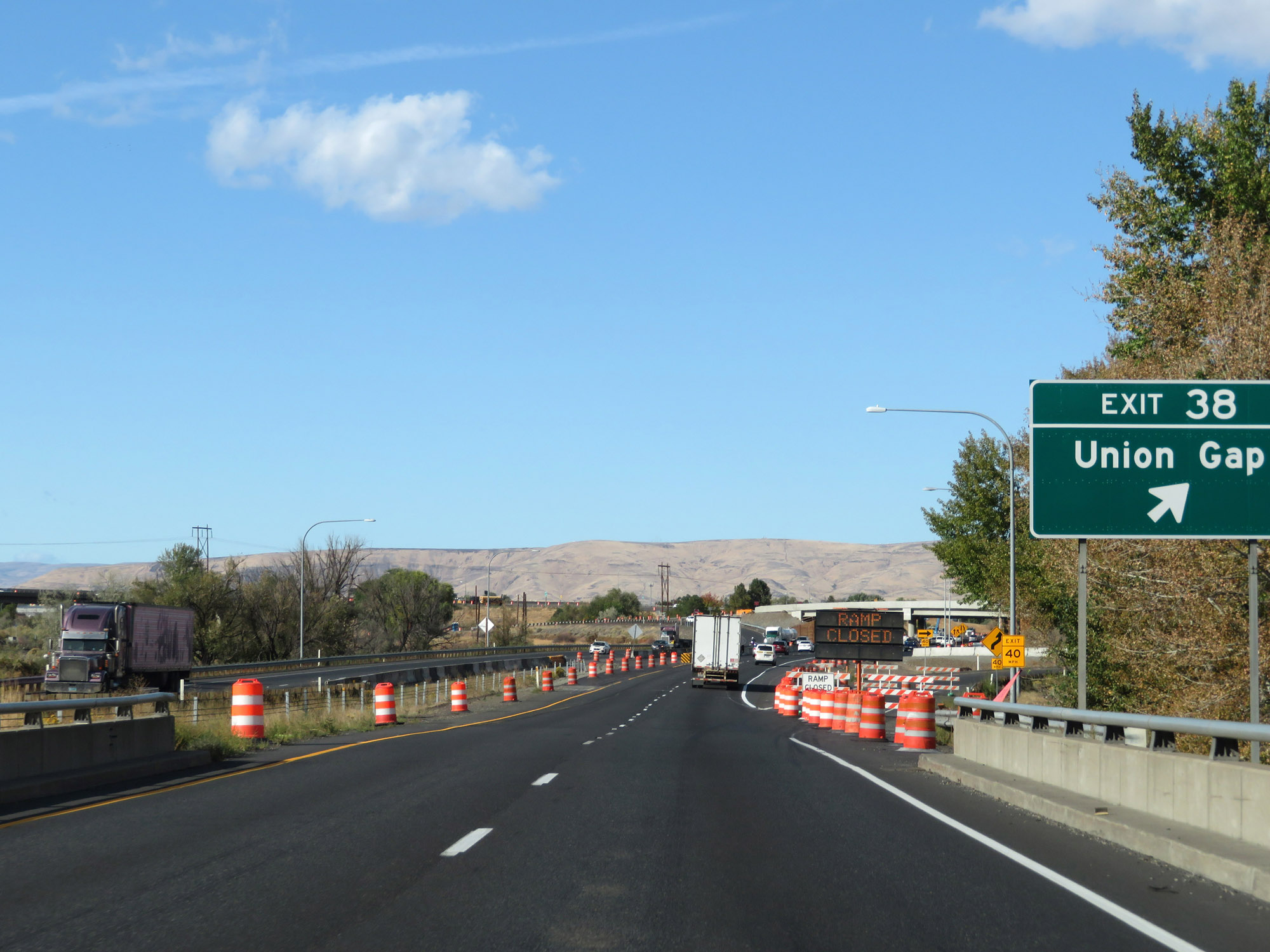 |
Interstate 82 West at Exit 38: Union Gap (Photo taken 9/26/19). |
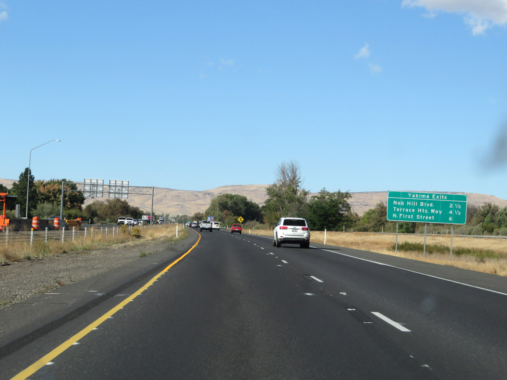 |
Sign listing the distances to the three upcoming Yakima exits on Interstate 82 West. (Photo taken 9/26/19). |
 |
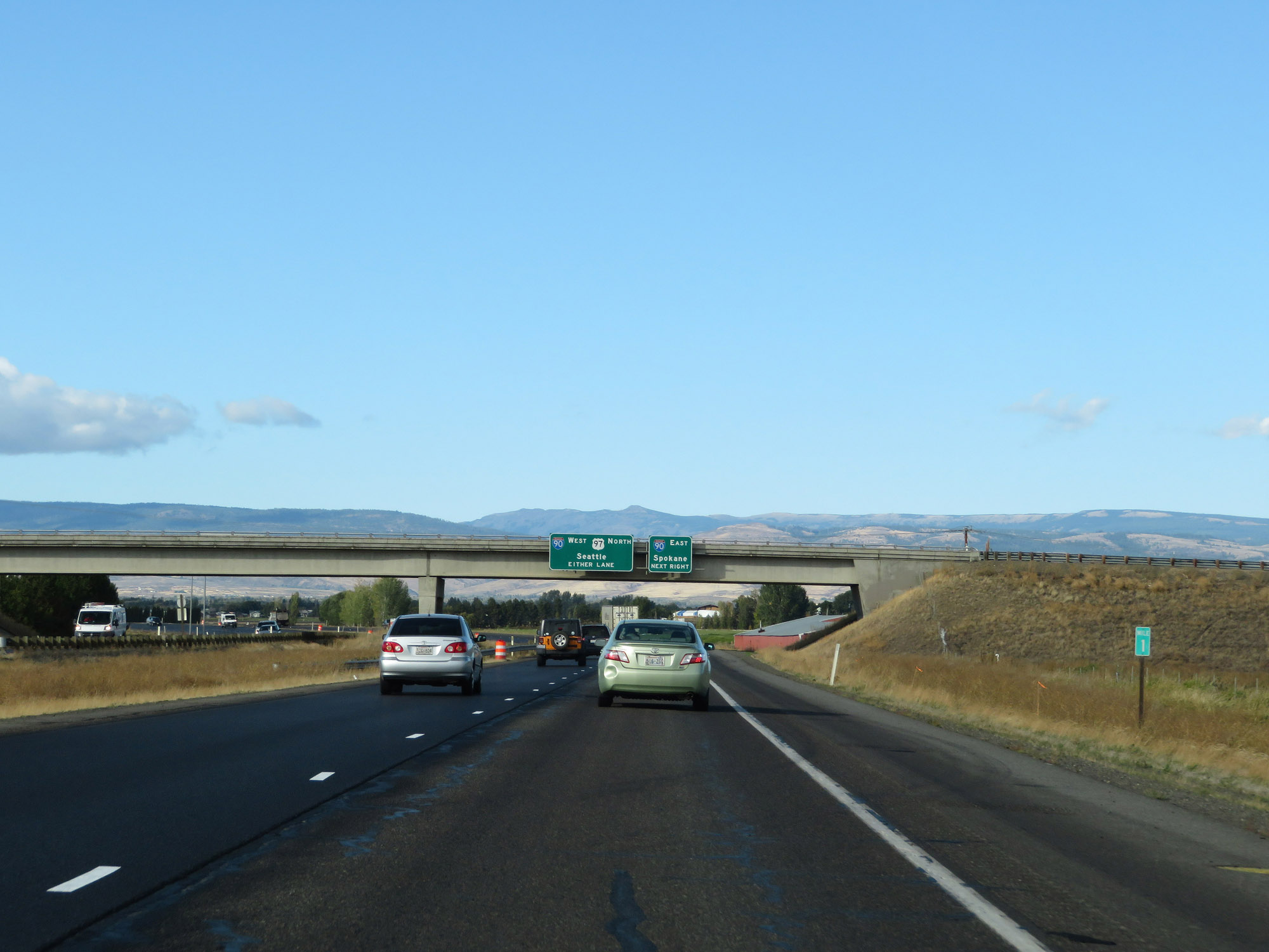
Interstate 82 West / US 12 West / US 97 North reassurance shields. (Photo taken 9/26/19). |
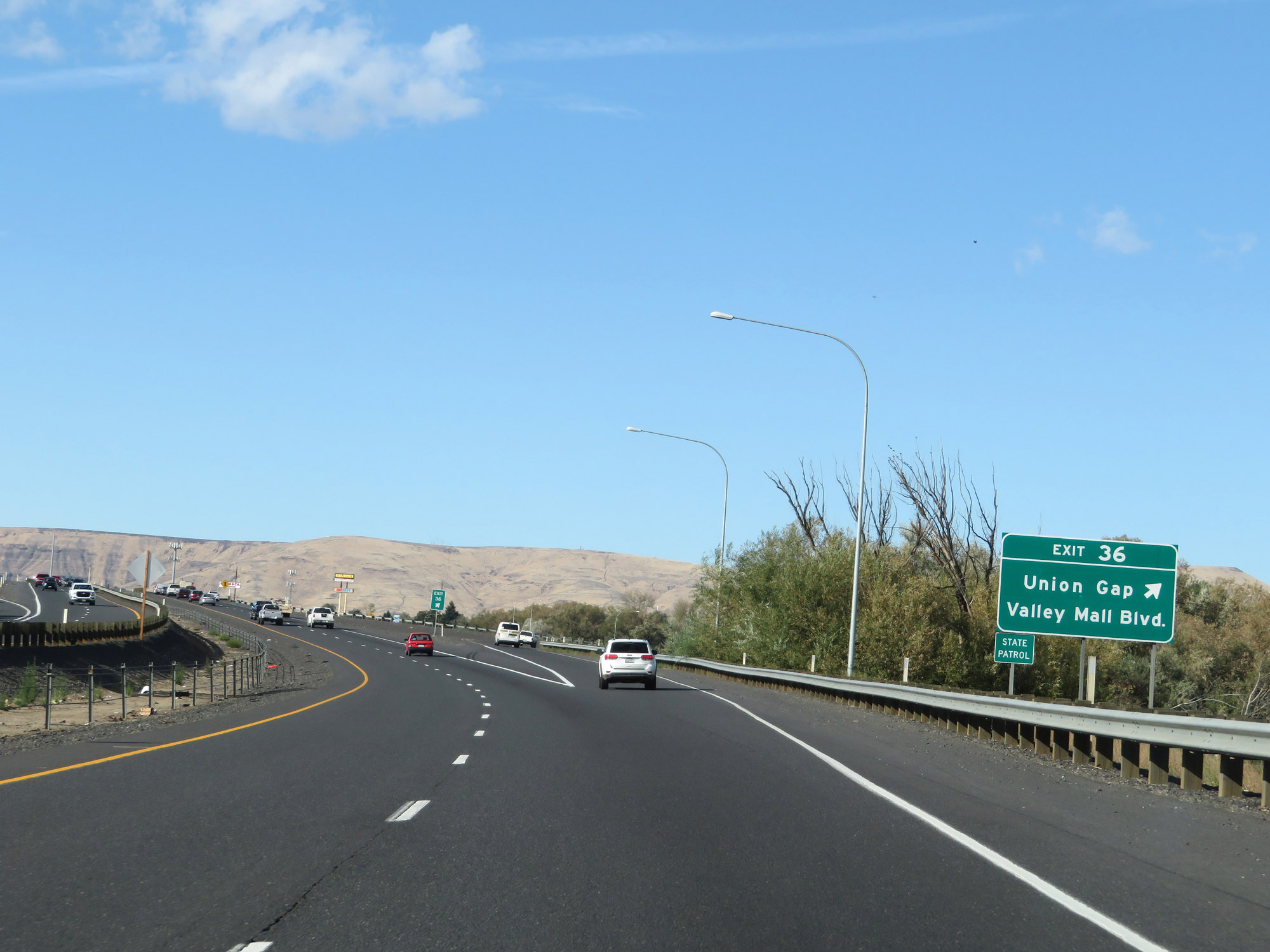 |
Interstate 82 West at Exit 36: Union Gap / Valley Mall Blvd (Photo taken 9/26/19). |
 |
Take any of the next 3 exits to Yakima. (Photo taken 9/26/19). |
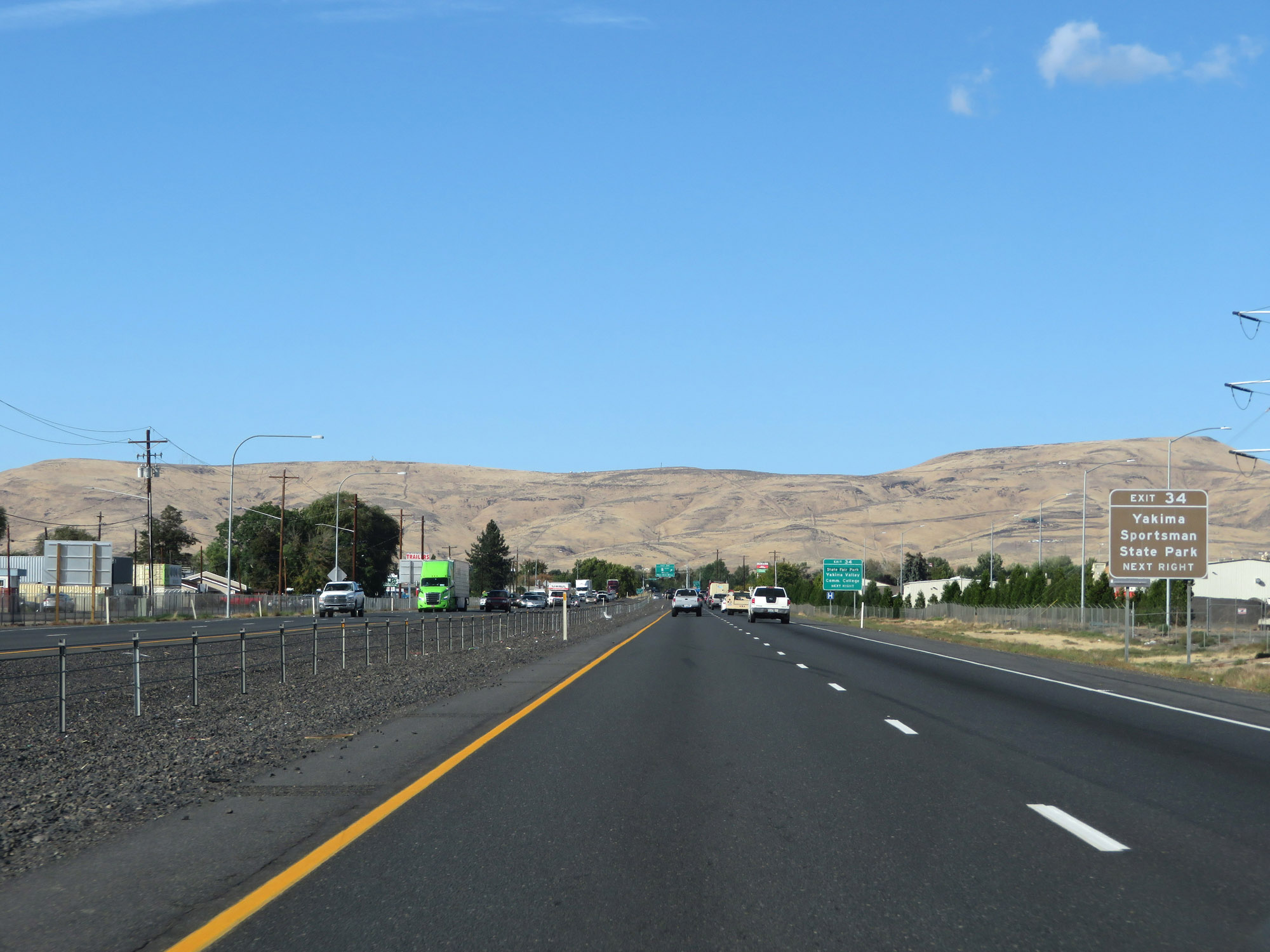 |
Take Exit 34 to Yakima Sportsman State Park. (Photo taken 9/26/19). |
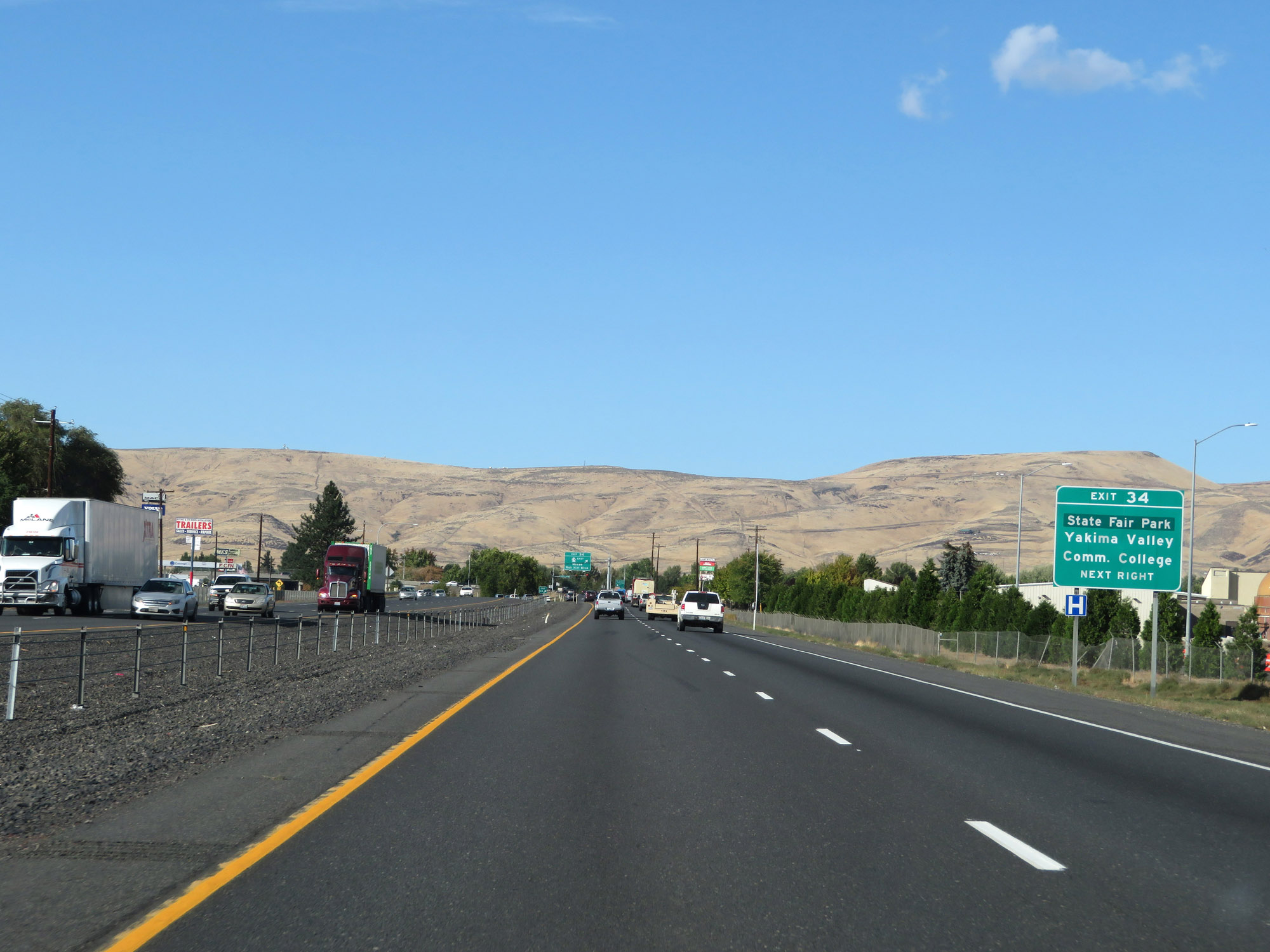 |
Also take Exit 34 to State Fair Park and Yakima Valley Community College. (Photo taken 9/26/19). |
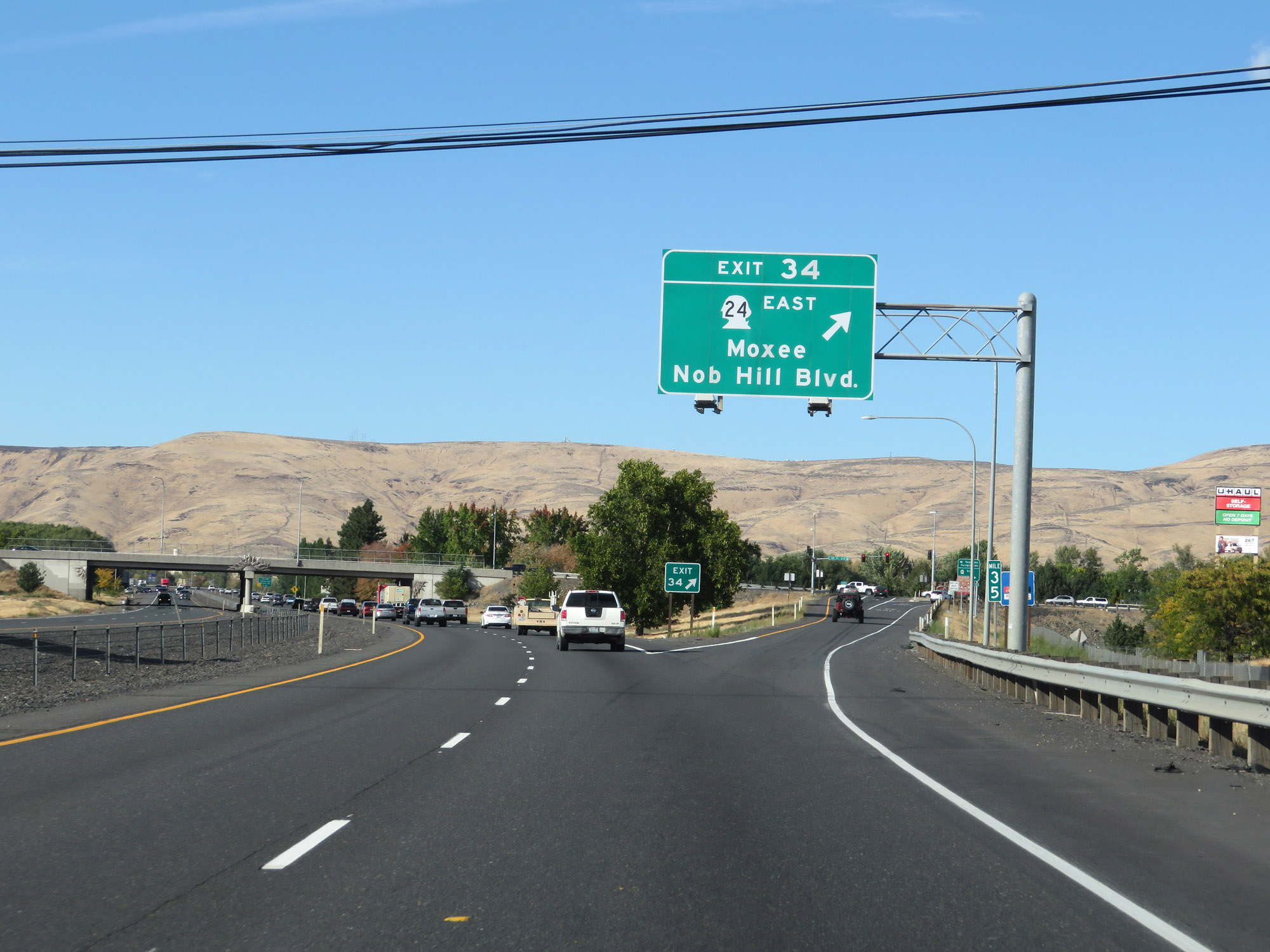 |
Interstate 82 West at Exit 34: WA 24 East - Moxee / Nob Hill Blvd (Photo taken 9/26/19). |
 |
View on Interstate 82 West at mile marker 34. (Photo taken 9/26/19). |
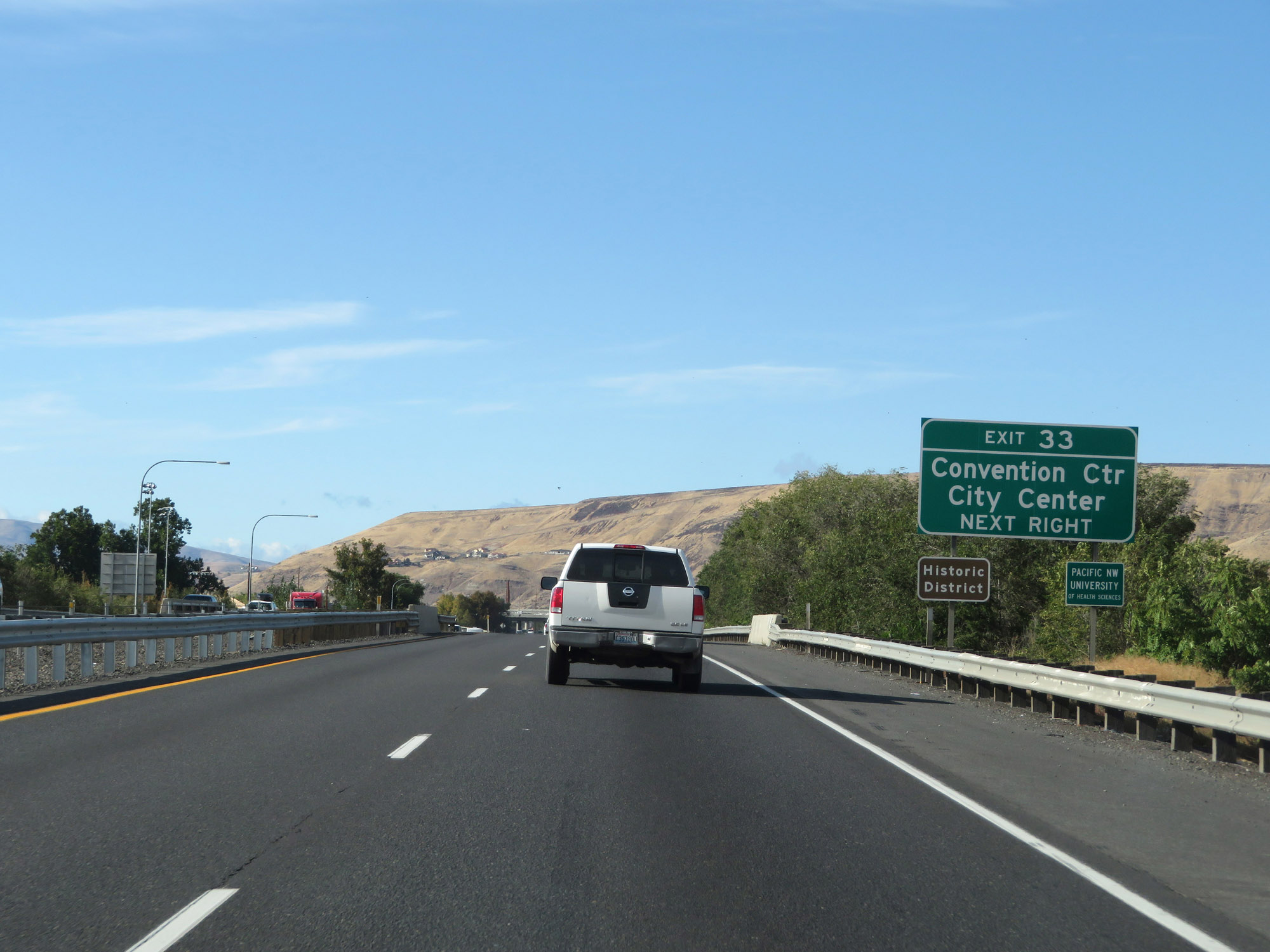 |
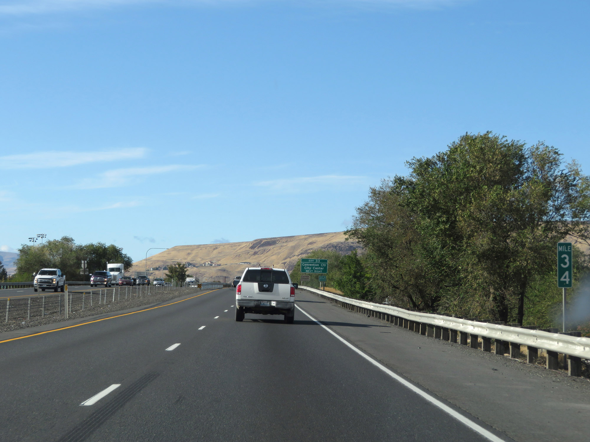
Take Exit 33 to the Convention Center and City Center. (Photo taken 9/26/19). |
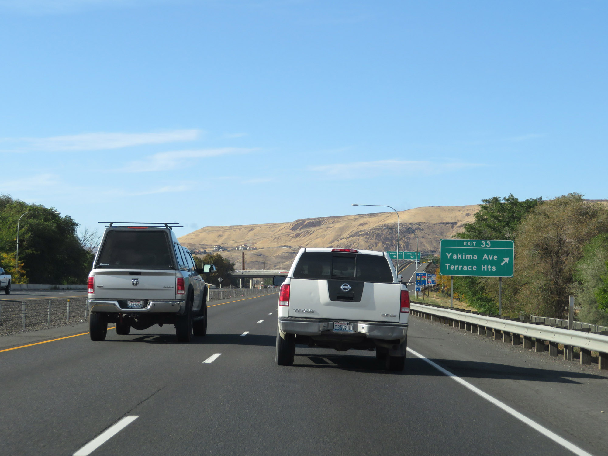 |
Interstate 82 West at Exit 33: Yakima Ave / Terrace Heights (Photo taken 9/26/19). |
 |
Another assembly of Interstate 82 West / US 12 West / US 97 North reassurance shields. (Photo taken 9/26/19). |
 |
The speed limit remains 60 mph. (Photo taken 9/26/19). |
 |
Mileage sign on Interstate 82 West. It's 35 miles to Ellensburg and 105 miles to Wenatchee. (Photo taken 9/26/19). |
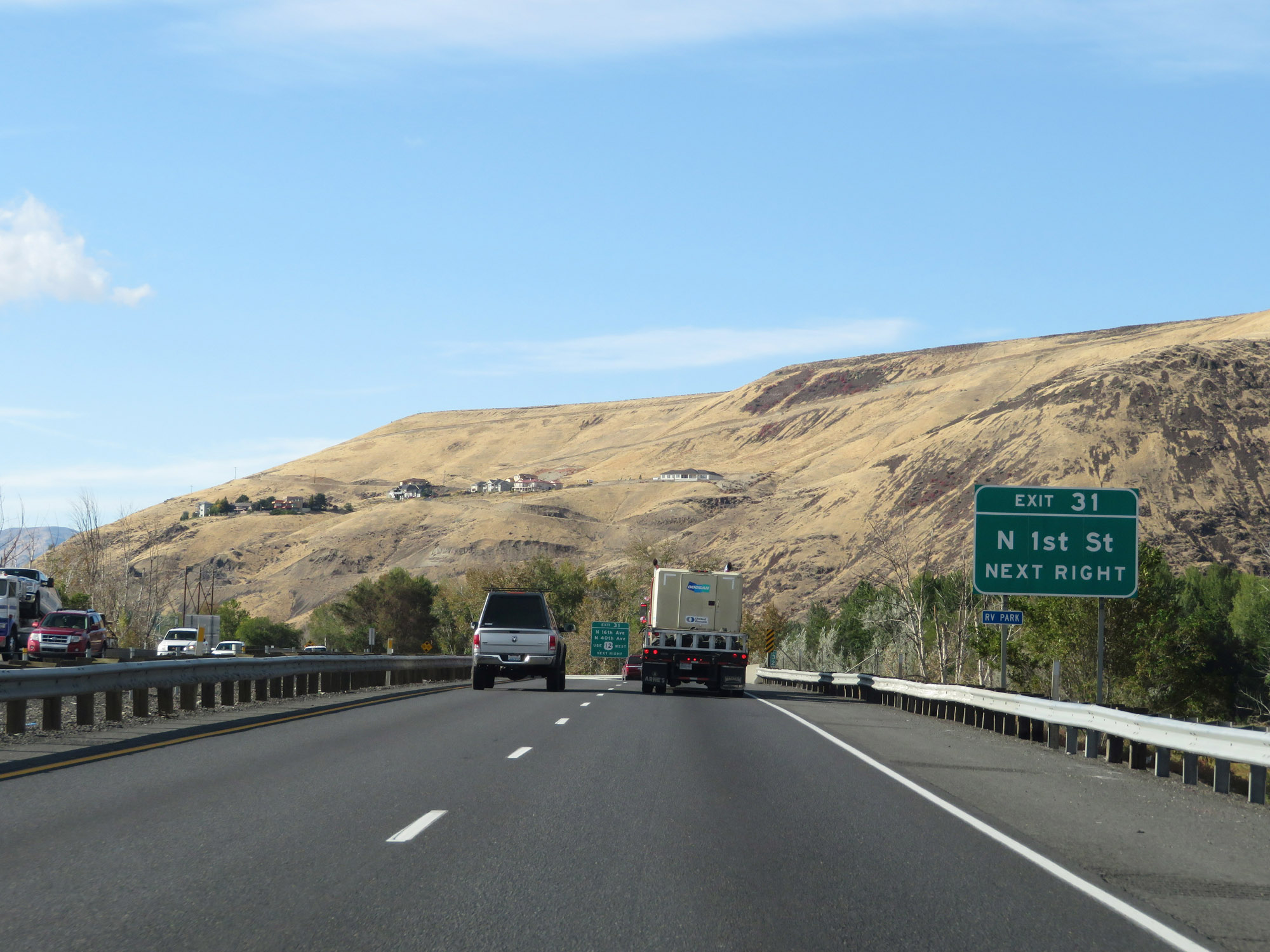 |
Take Exit 31 to N 1st St. (Photo taken 9/26/19). |
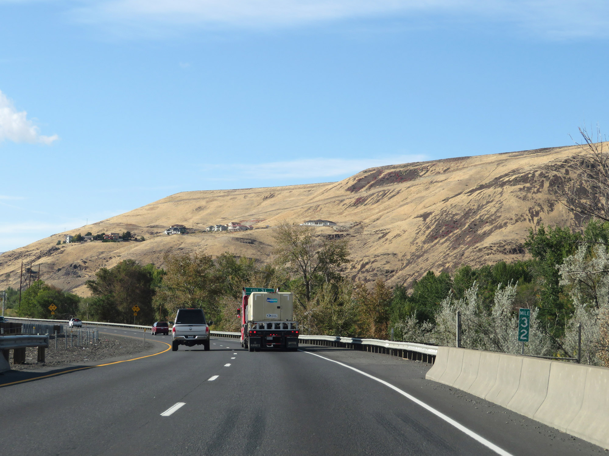 |
View on Interstate 82 West at mile marker 32. (Photo taken 9/26/19). |
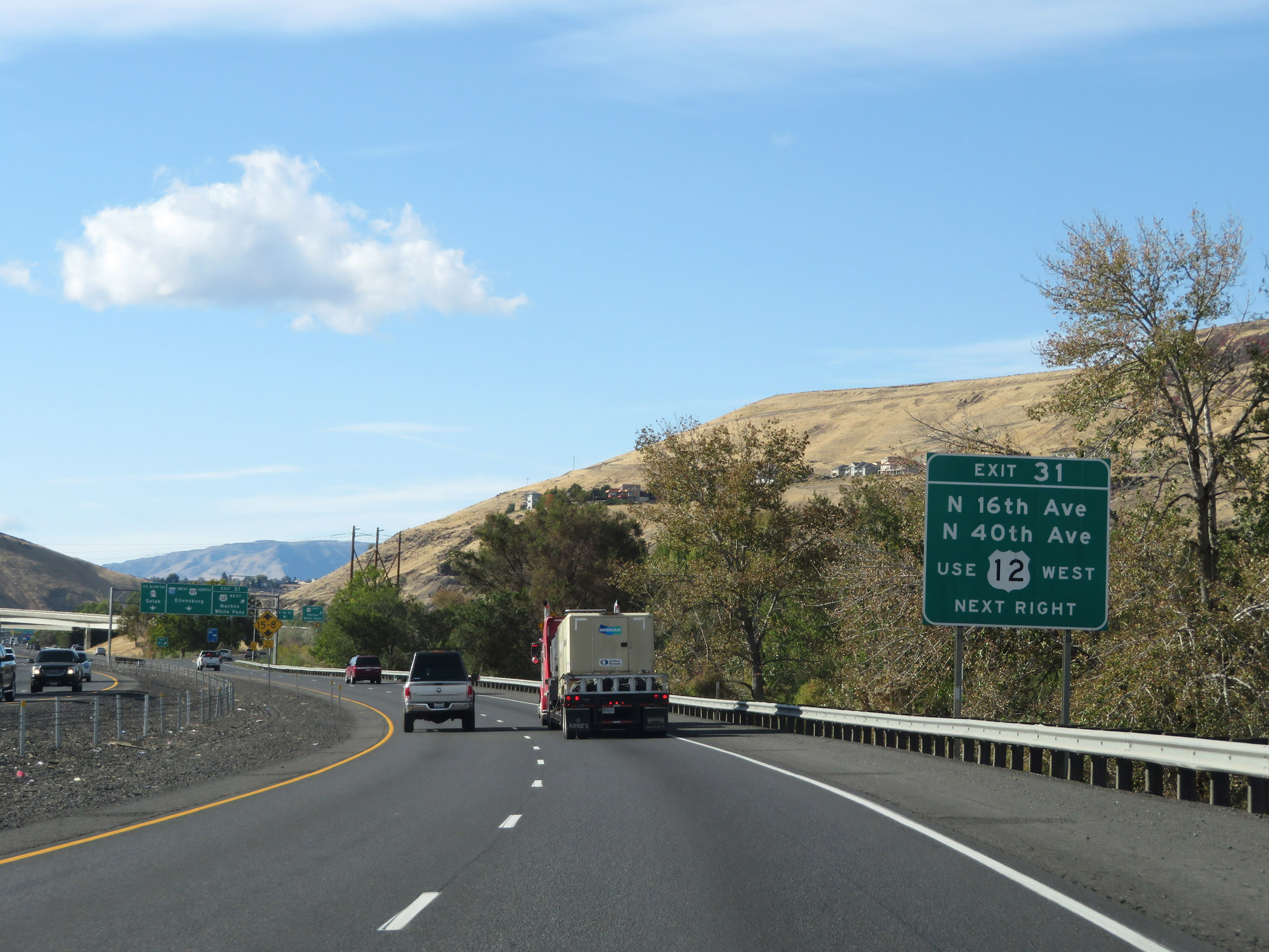 |
Take Exit 31 to N 16th Ave and N 40th Ave via US 12 West. (Photo taken 9/26/19). |
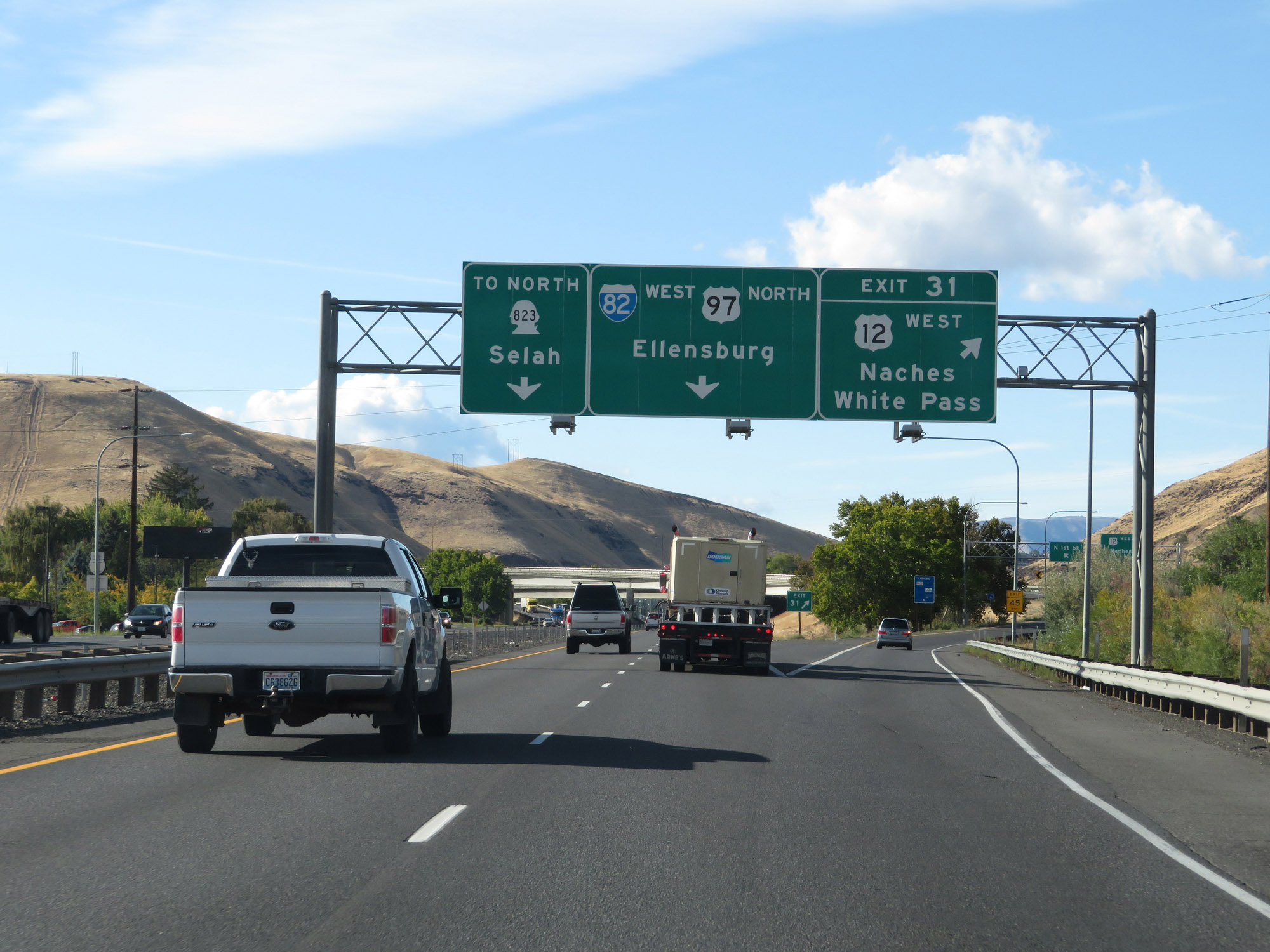 |
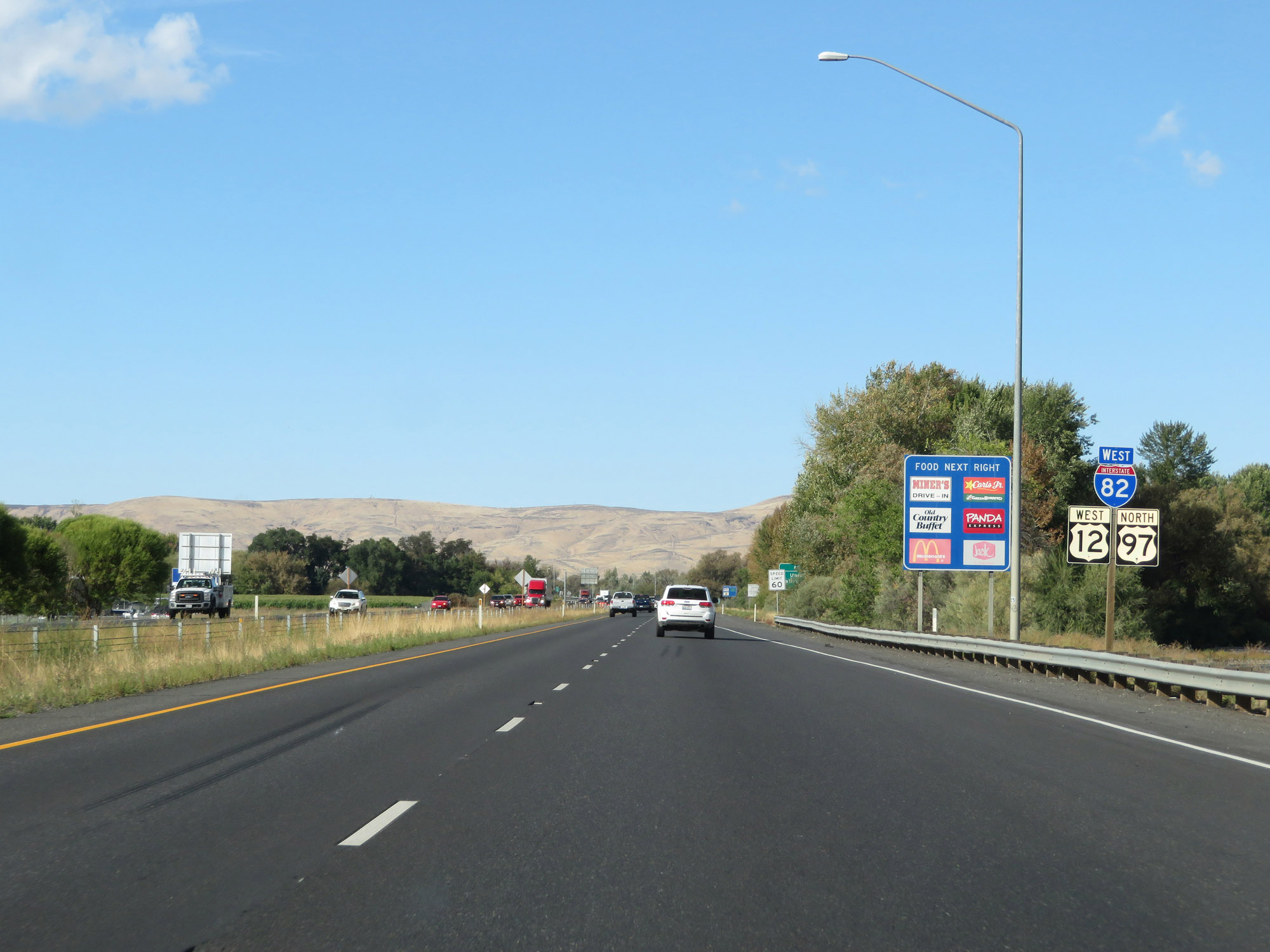
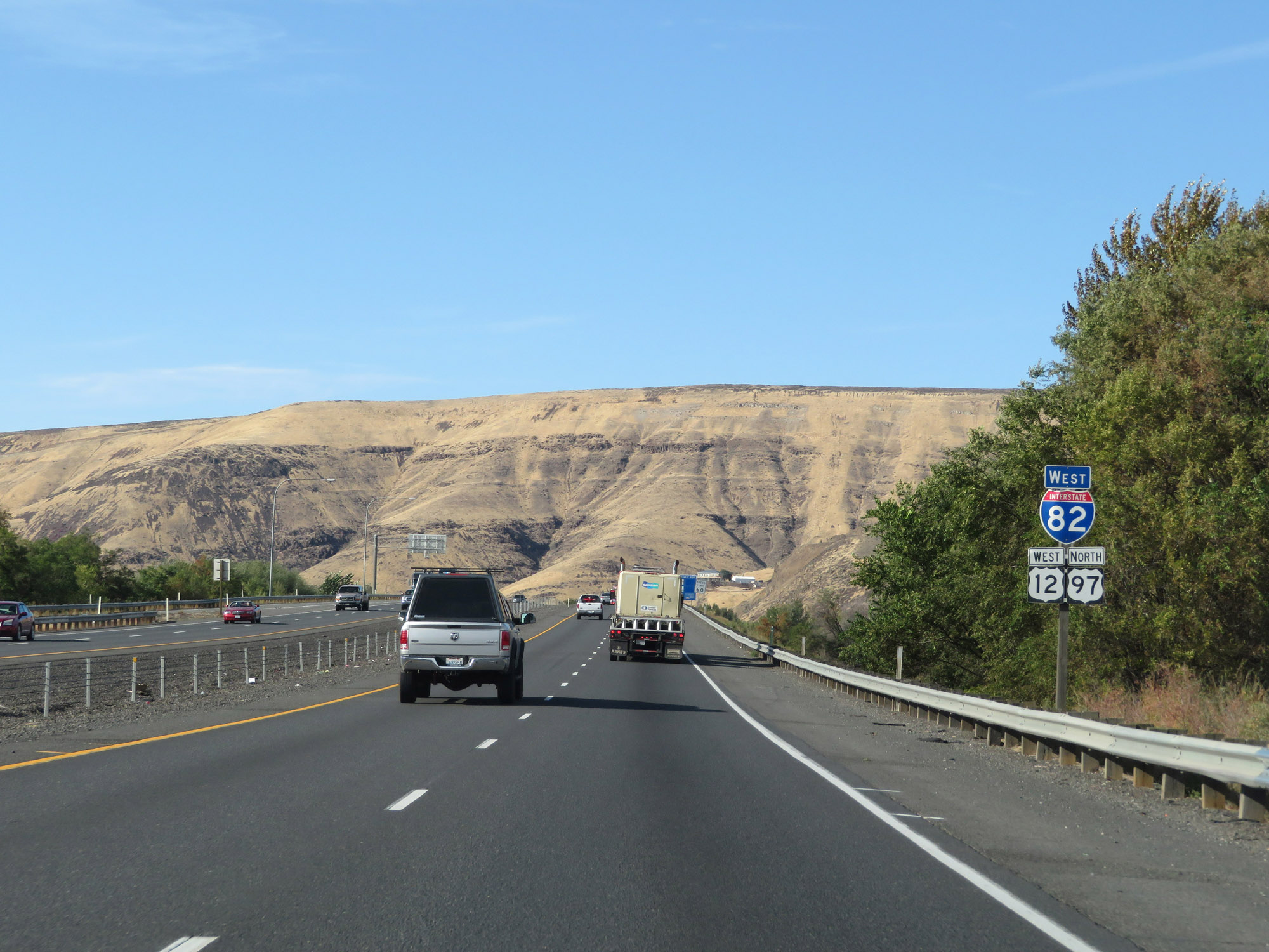
Interstate 82 West at Exit 31: US 12 West - Naches / White Pass (Photo taken 9/26/19). |
Section 3: Yakima (Exit 31) to Interstate 90
 |
Interstate 82 West as it crosses the Naches River, approaching Exit 30B. (Photo taken 9/26/19). |
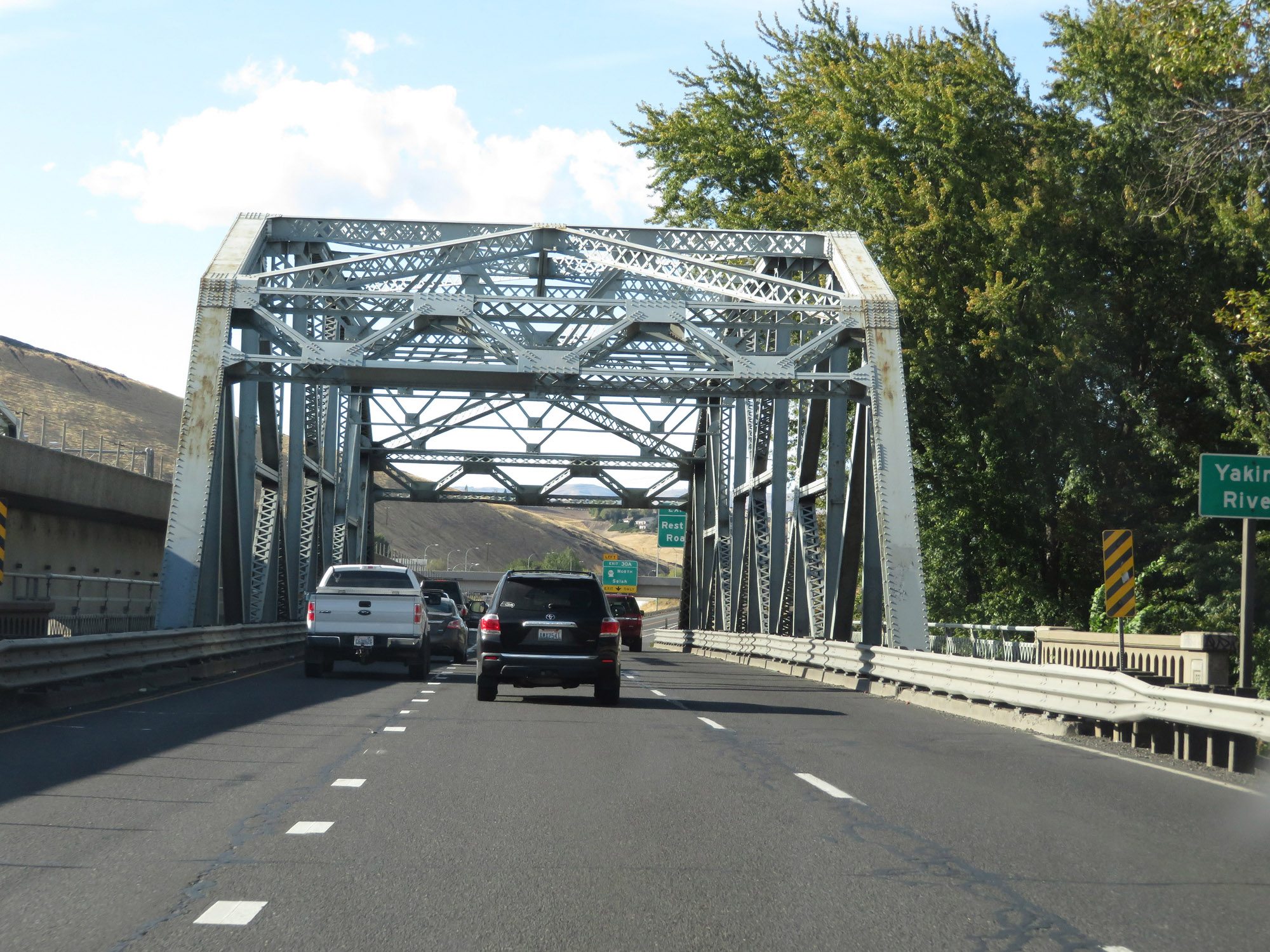 |
Immediately after crossing the Naches River, Interstate 82 West crosses the Yakima River just before Exit 30B. (Photo taken 9/26/19). |
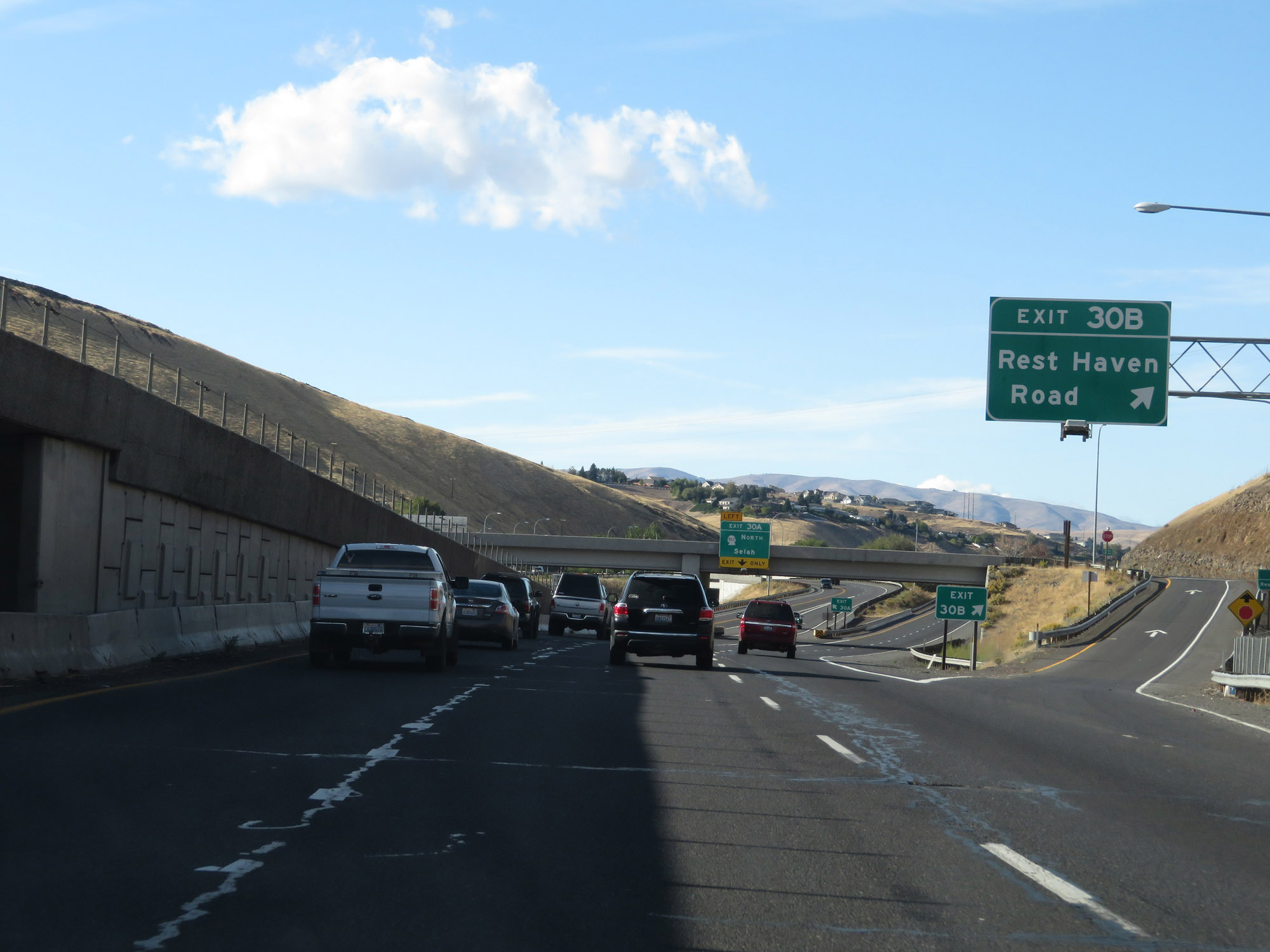 |
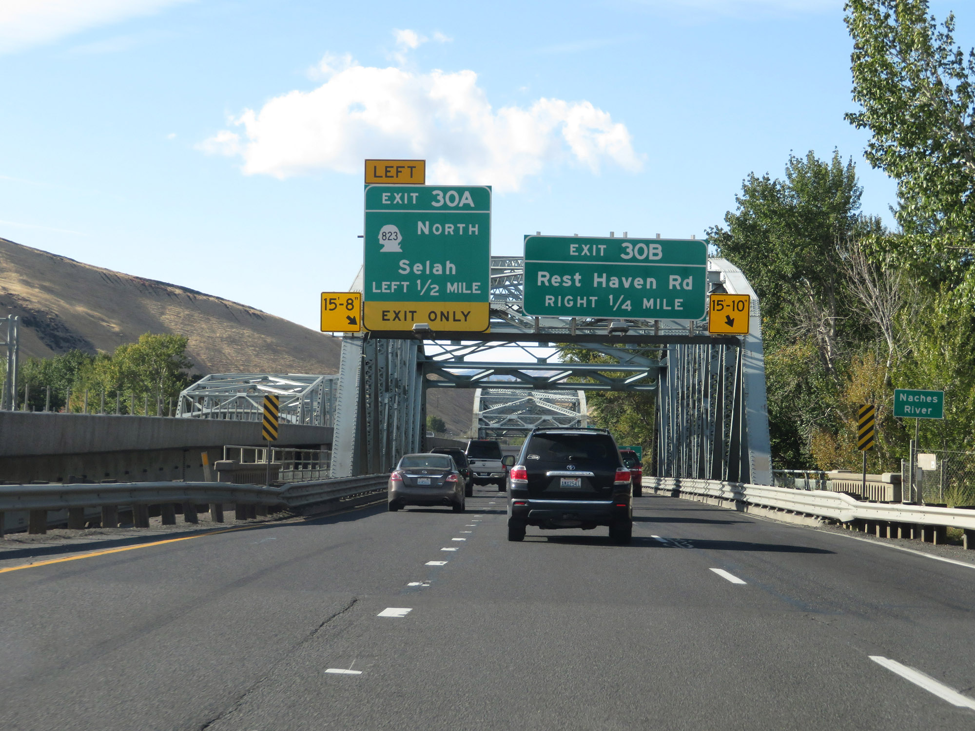
Interstate 82 West at Exit 30B: Rest Haven Road (Photo taken 9/26/19). |
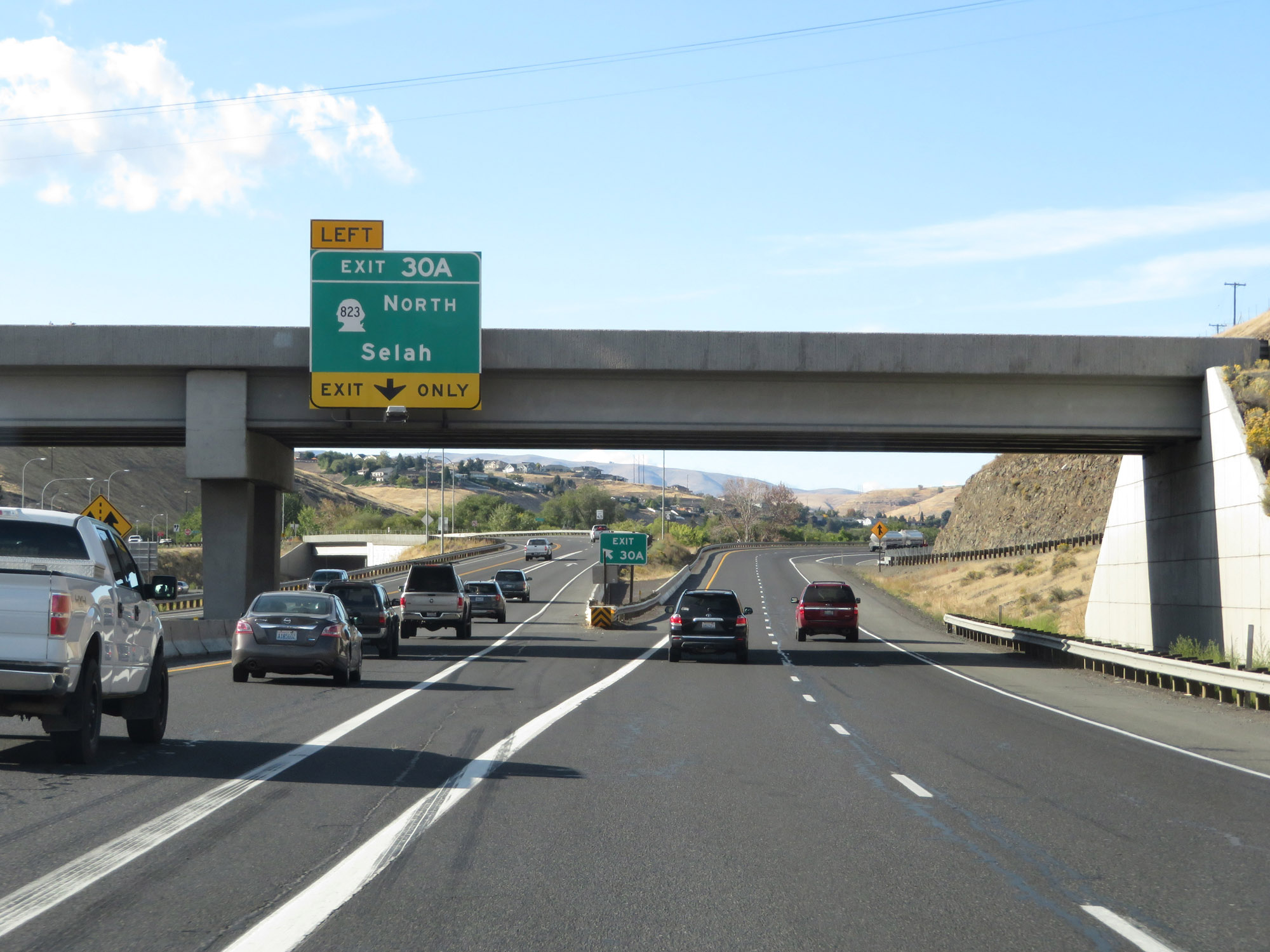 |
Interstate 82 West at Exit 30A: WA 823 North - Selah (Photo taken 9/26/19). |
 |
At mile marker 30, the speed limits return to the standard 70 mph for cars and 60 mph for trucks. (Photo taken 9/26/19). |
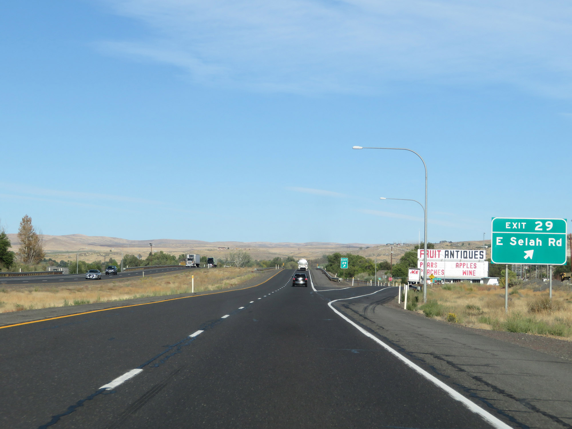 |
Interstate 82 West at Exit 29: E Selah Rd (Photo taken 9/26/19). |
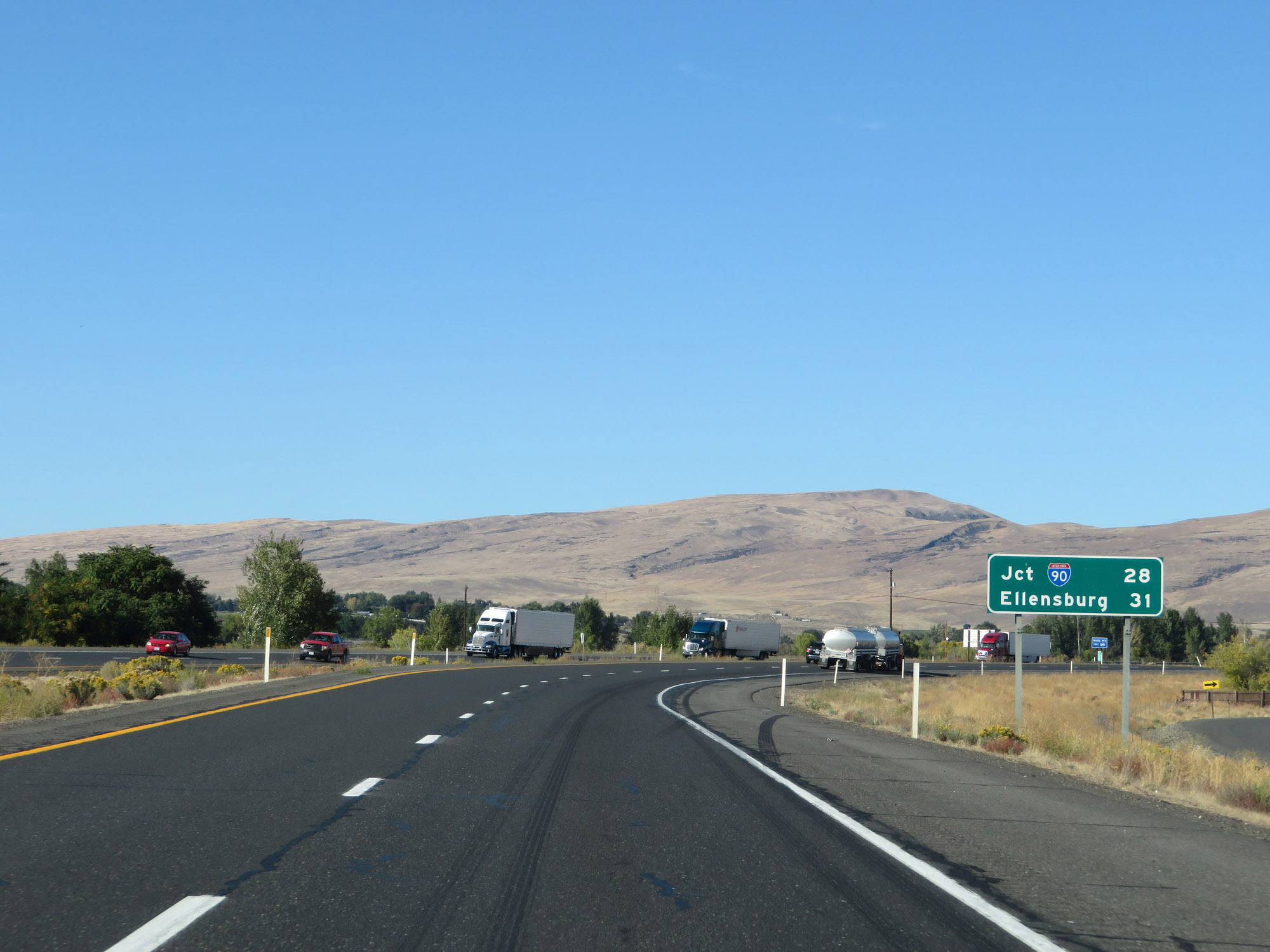 |
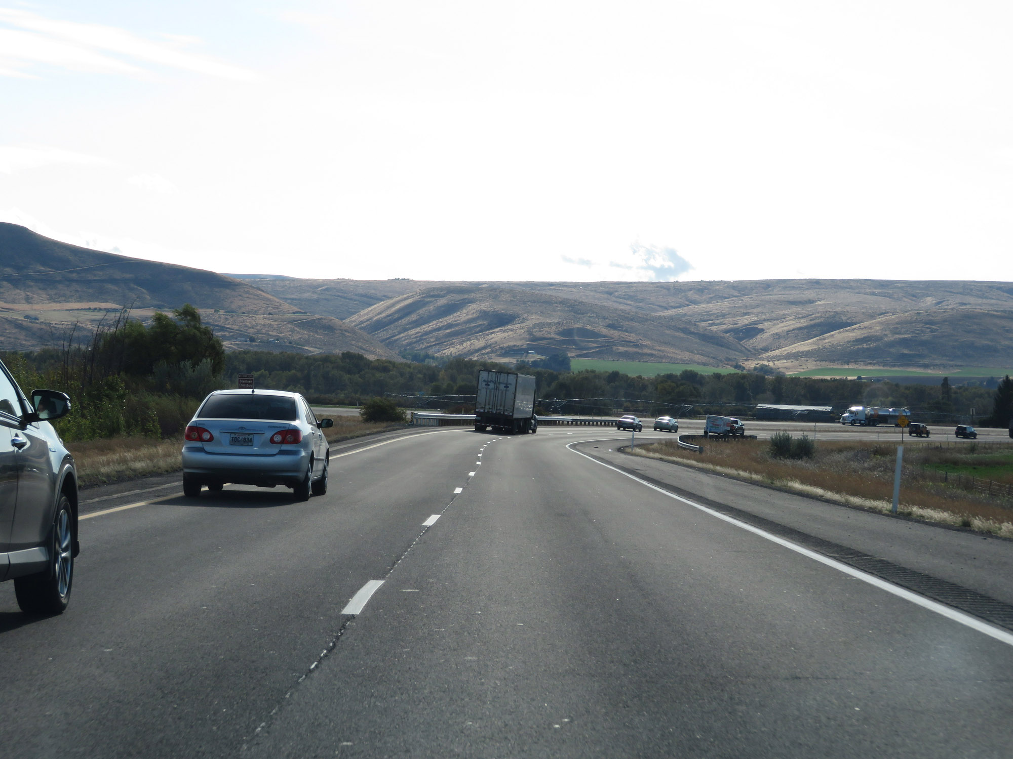
Mileage sign on Interstate 82 West. It's 28 miles to the junction of Interstate 90 and 31 miles to Ellensburg. (Photo taken 9/26/19). |
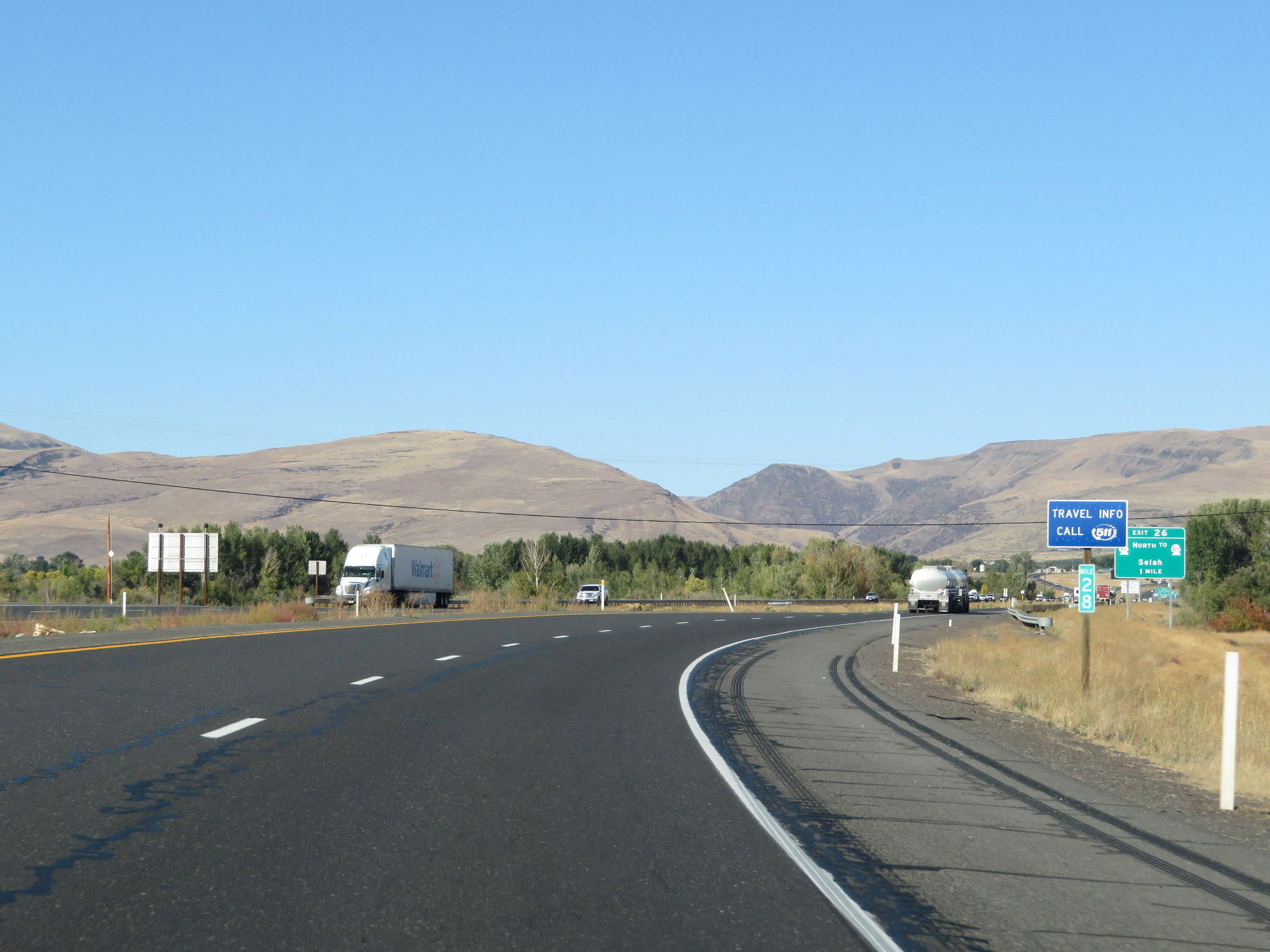 |
View on Interstate 82 West at mile marker 28. (Photo taken 9/26/19). |
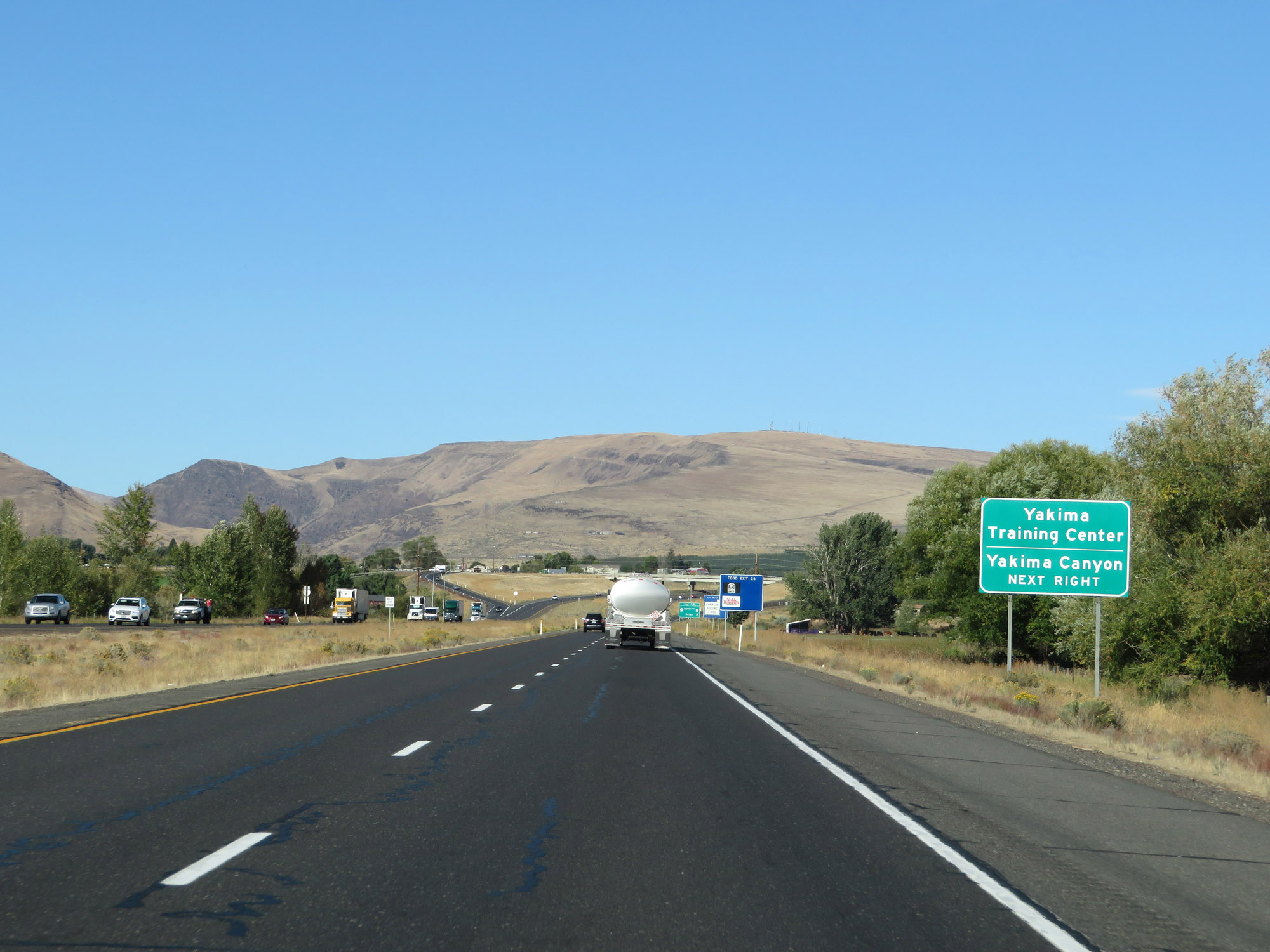 |
Take Exit 26 to Yakima Training Center and Yakima Canyon. (Photo taken 9/26/19). |
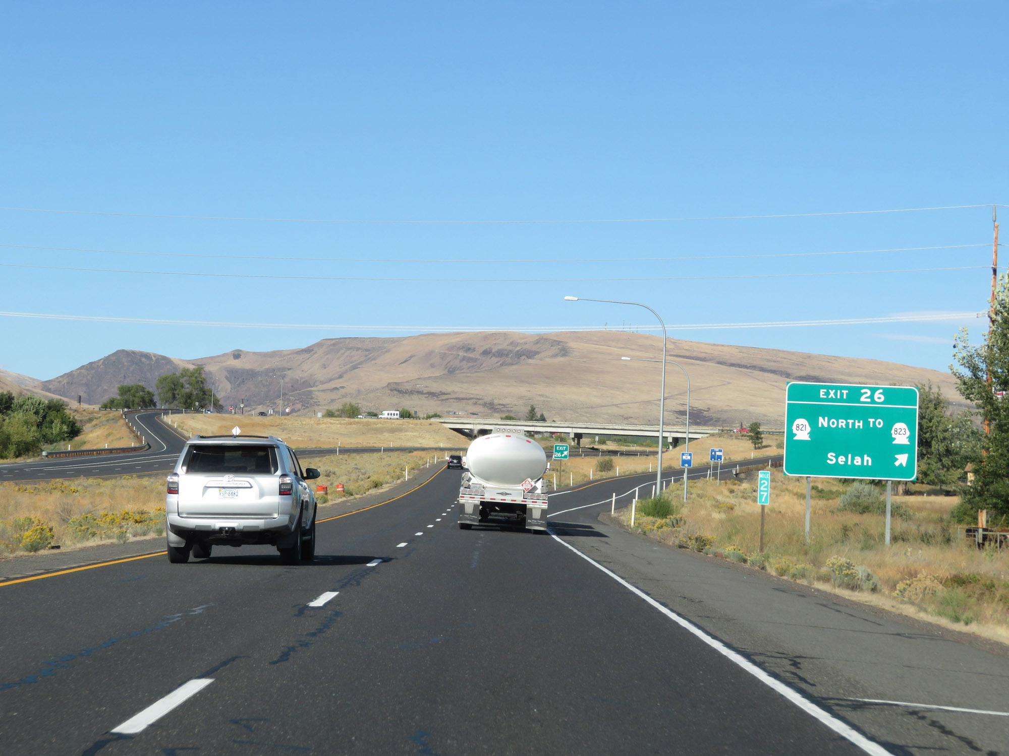 |
Interstate 82 West at Exit 26: WA 821 North / To WA 823 - Selah (Photo taken 9/26/19). |
 |
The speed limits remain 70 mph for automobiles and 60 mph for trucks. (Photo taken 9/26/19). |
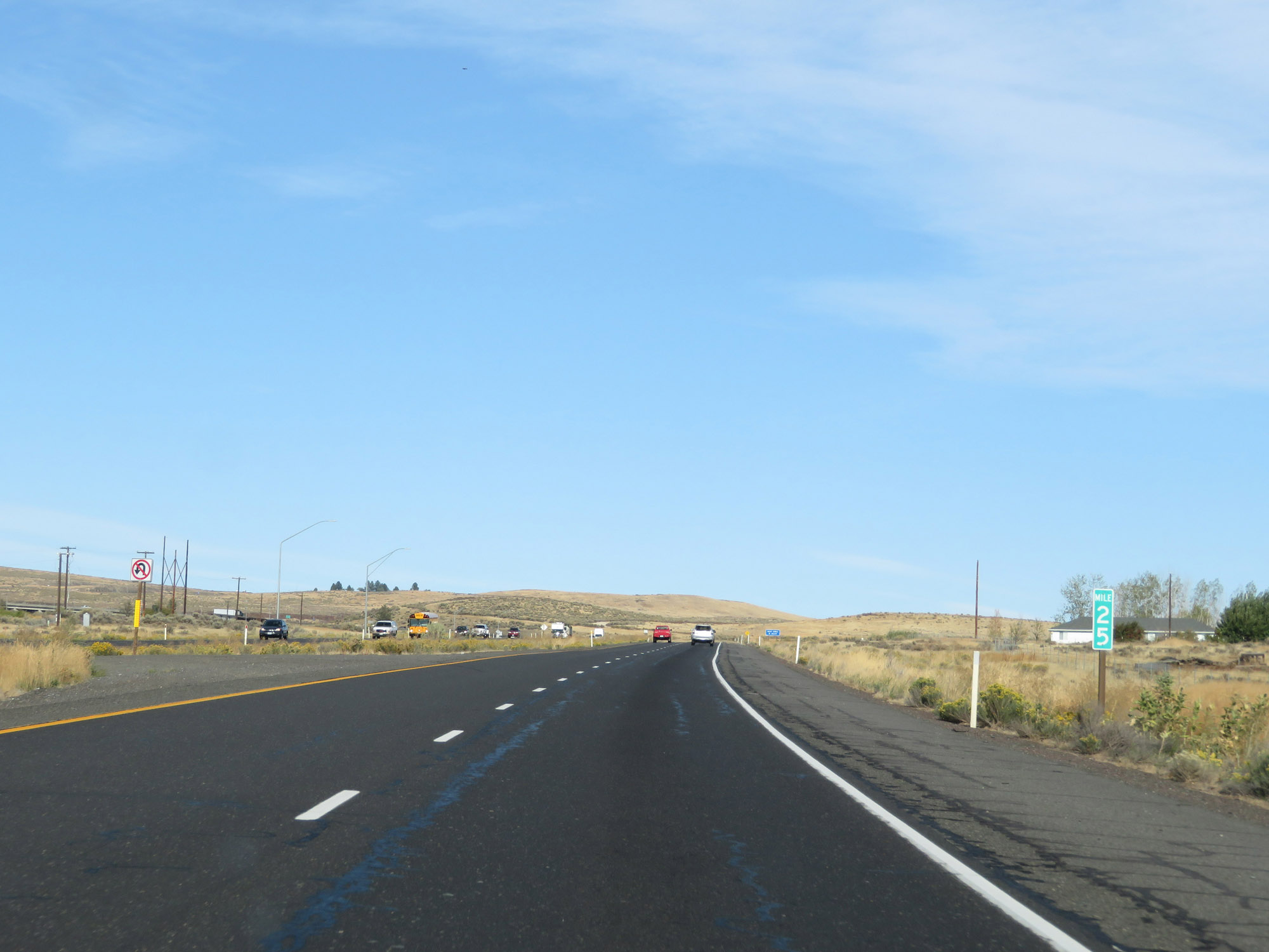 |
Interstate 82 West at mile marker 25. (Photo taken 9/26/19). |
 |
Interstate 82 West will traverse three consecutive mountain passes from this point to its western terminus at Interstate 90. The first pass will be South Umtanum Ridge, followed by North Umtanum Ridge and Manastash Ridge. (Photo taken 9/26/19). |
 |
Interstate 82 West as it starts to climb South Umatanum Ridge. (Photo taken 9/26/19). |
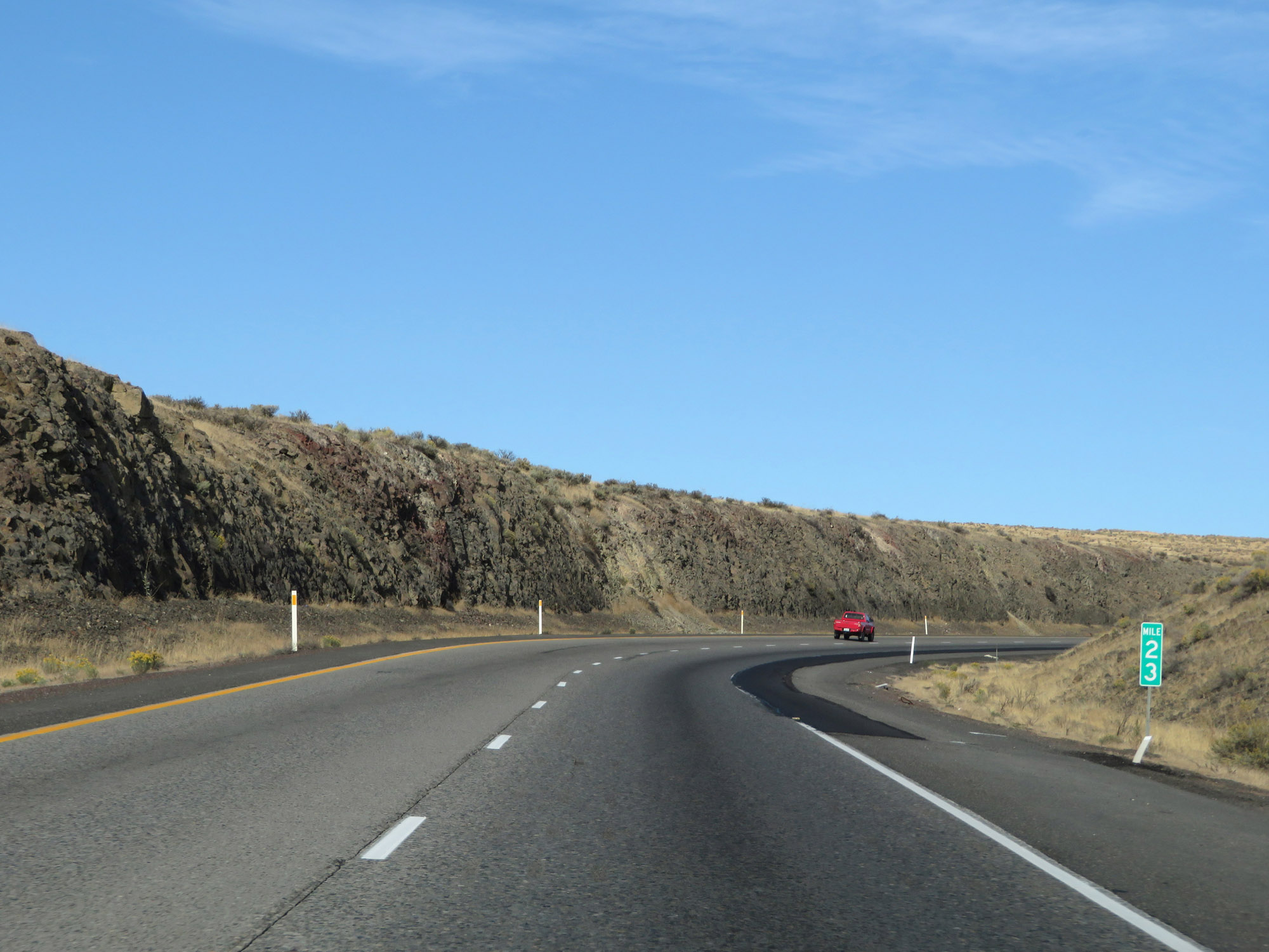 |
View on Interstate 82 West at mile marker 23, climbing South Umtanum Ridge. (Photo taken 9/26/19). |
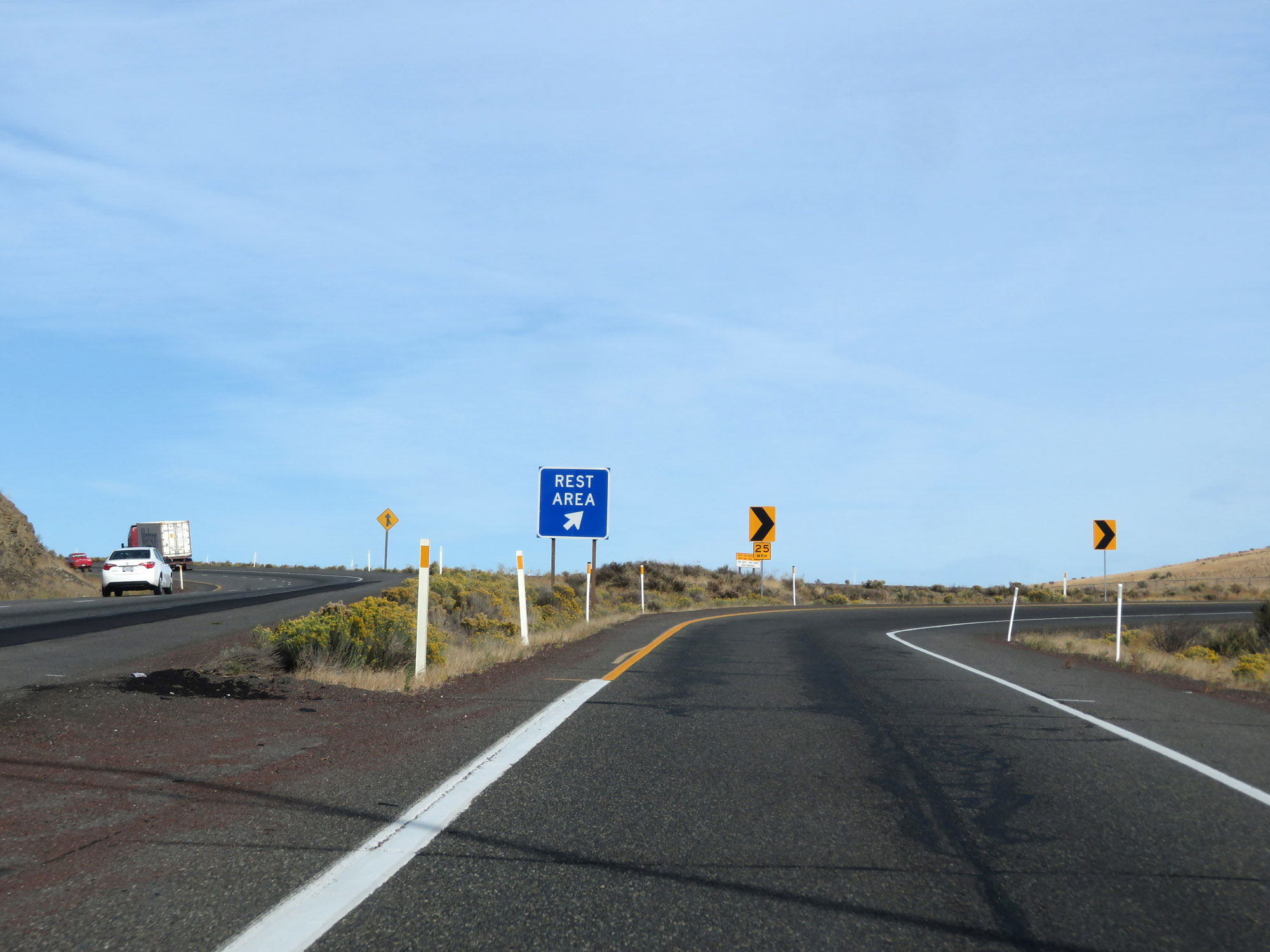 |
Rest Area on Interstate 82 West in Yakima County, nearing the top of South Umtanum Ridge. (Photo taken 9/26/19). |
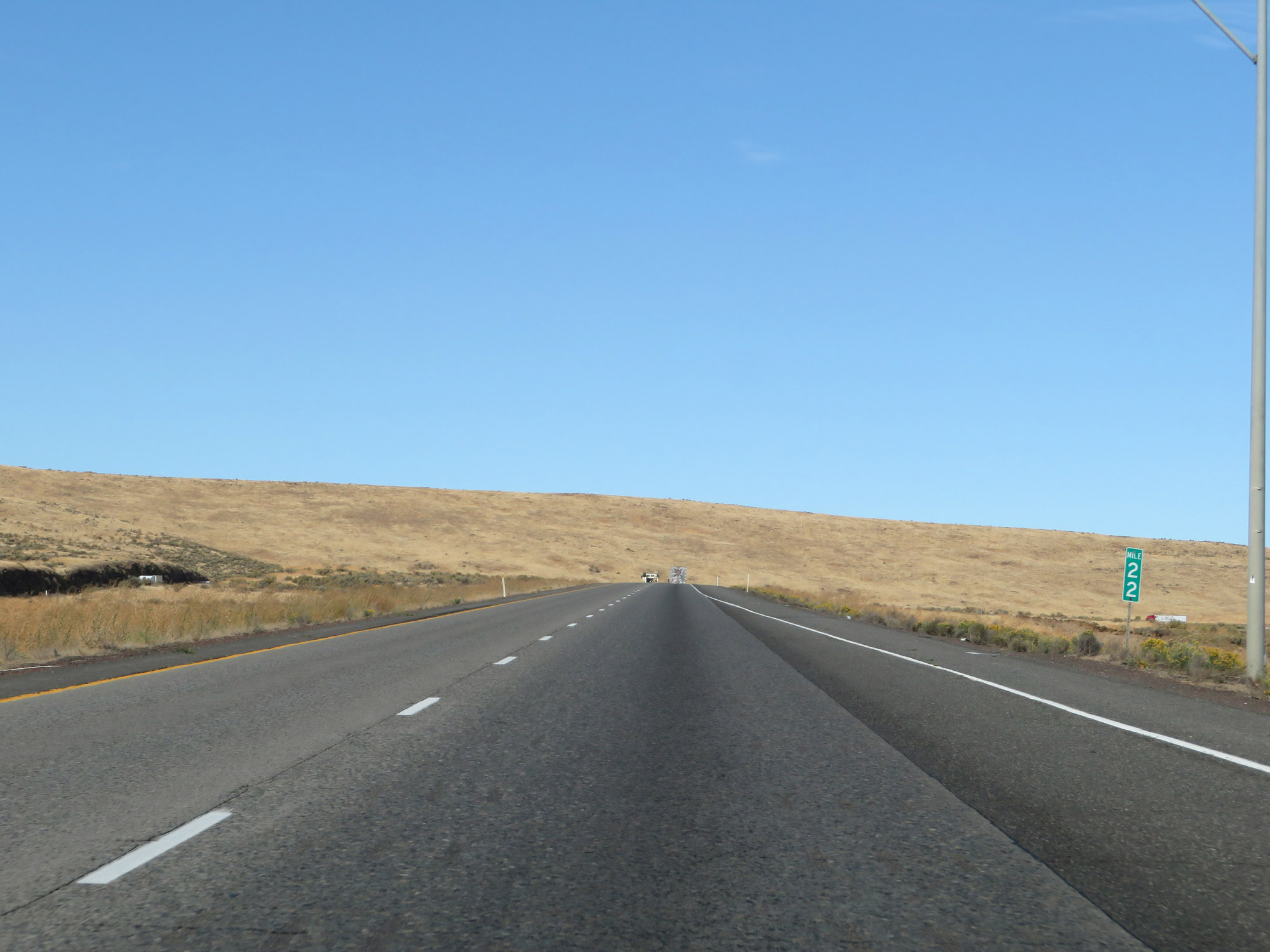 |
Interstate 82 West at mile marker 22. Almost to the top. (Photo taken 9/26/19). |
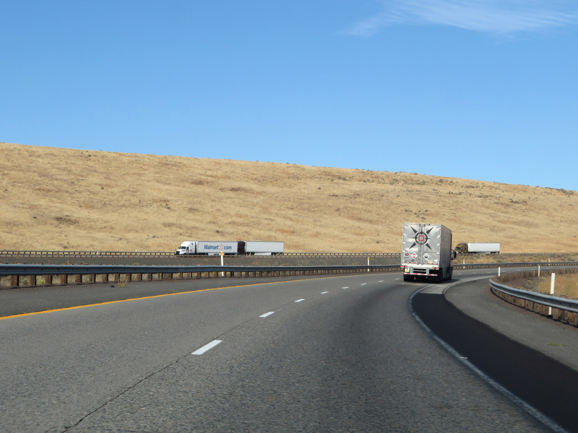 |
Another view on Interstate 82 West as it continues to climb South Umtanum Ridge. (Photo taken 9/26/19). |
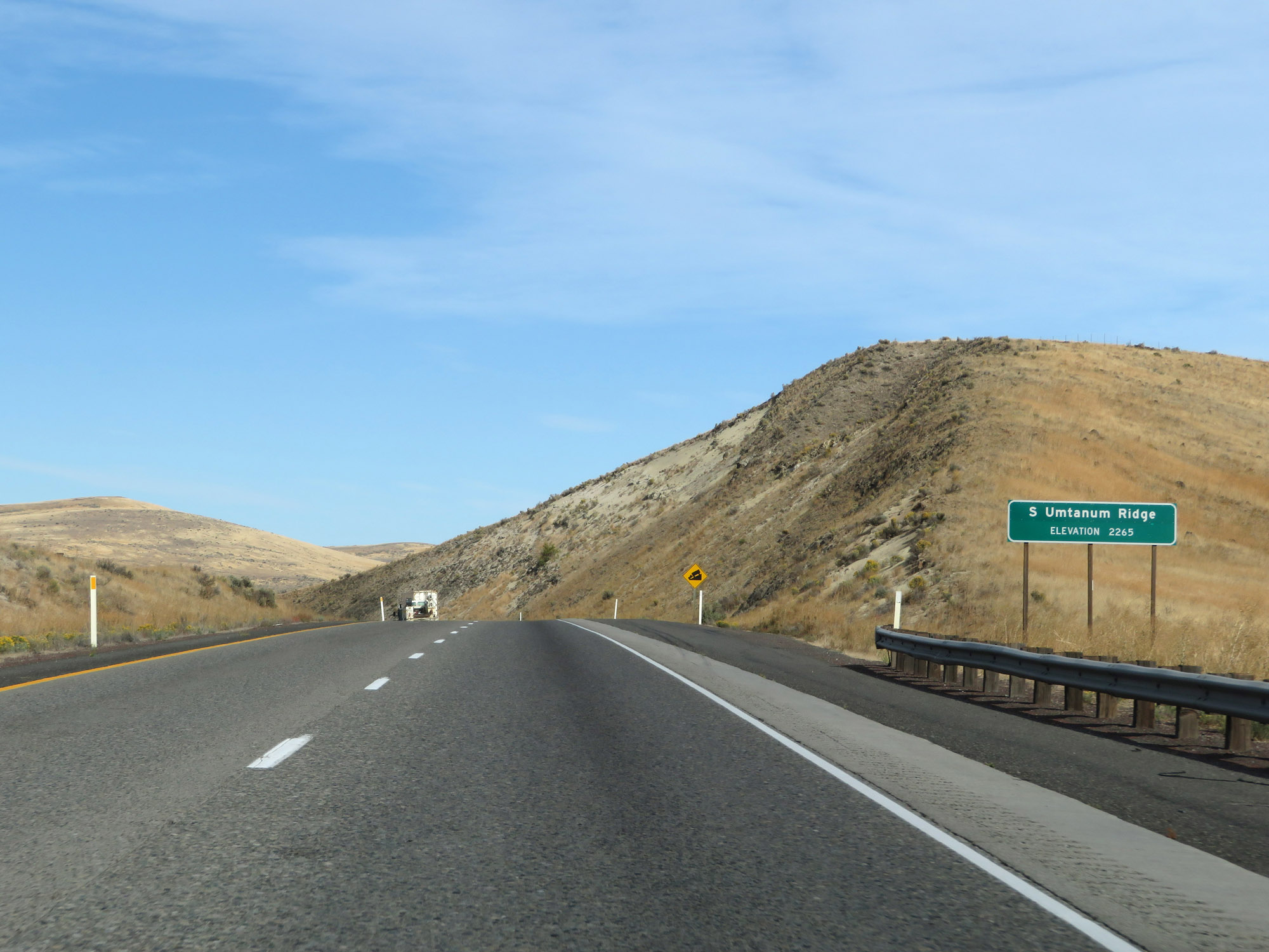 |
Interstate 82 West at the summit of South Umtanum Ridge, which is at an elevation of 2,265 feet. (Photo taken 9/26/19). |
 |
The descent down South Umtanum Ridge begins almost immediately upon reaching its summit. (Photo taken 9/26/19). |
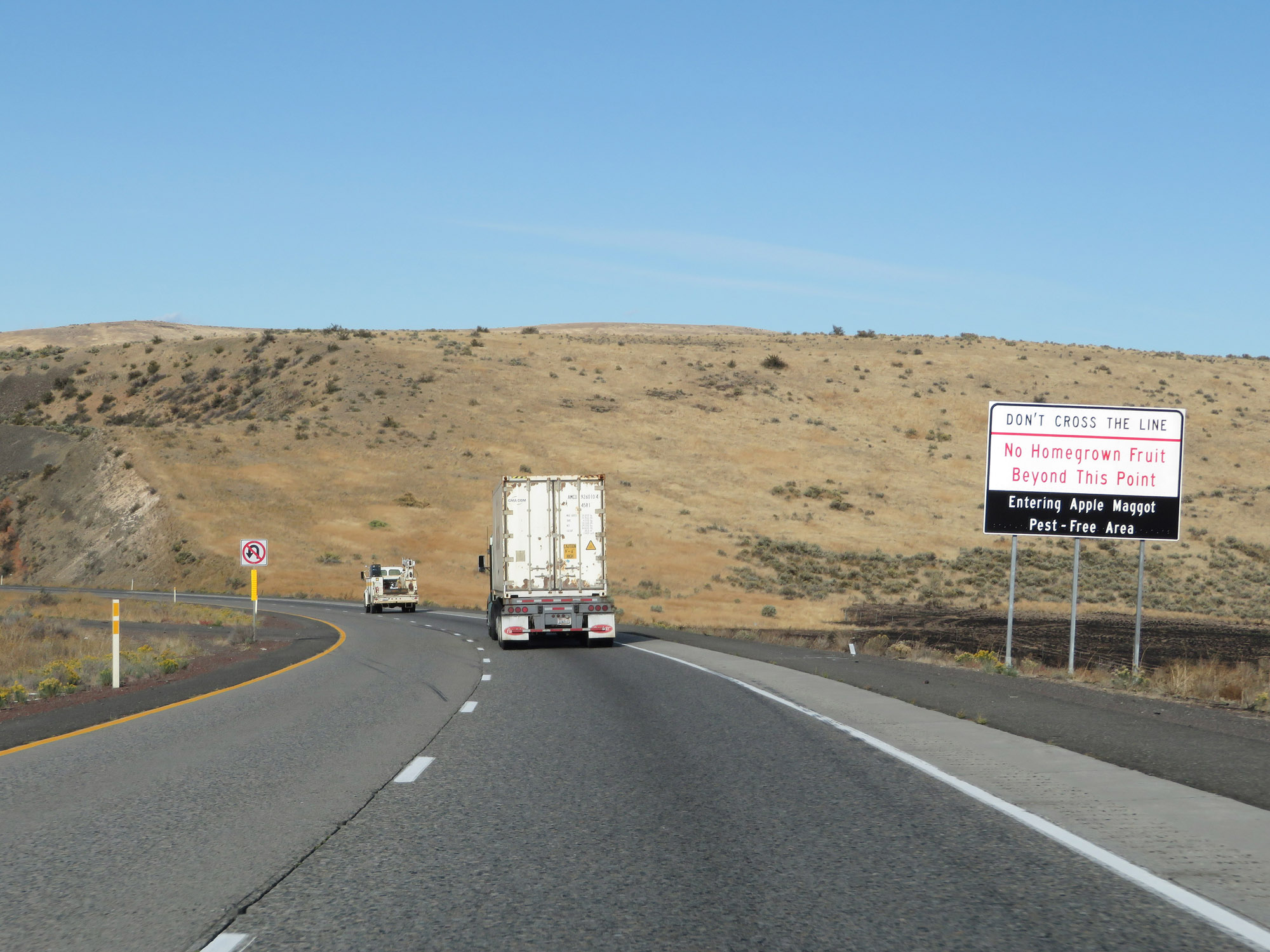 |
This sign warns that homegrown fruit is prohibited beyond this point, due to Interstate 82 West entering an apple maggot pest-free area. (Photo taken 9/26/19). |
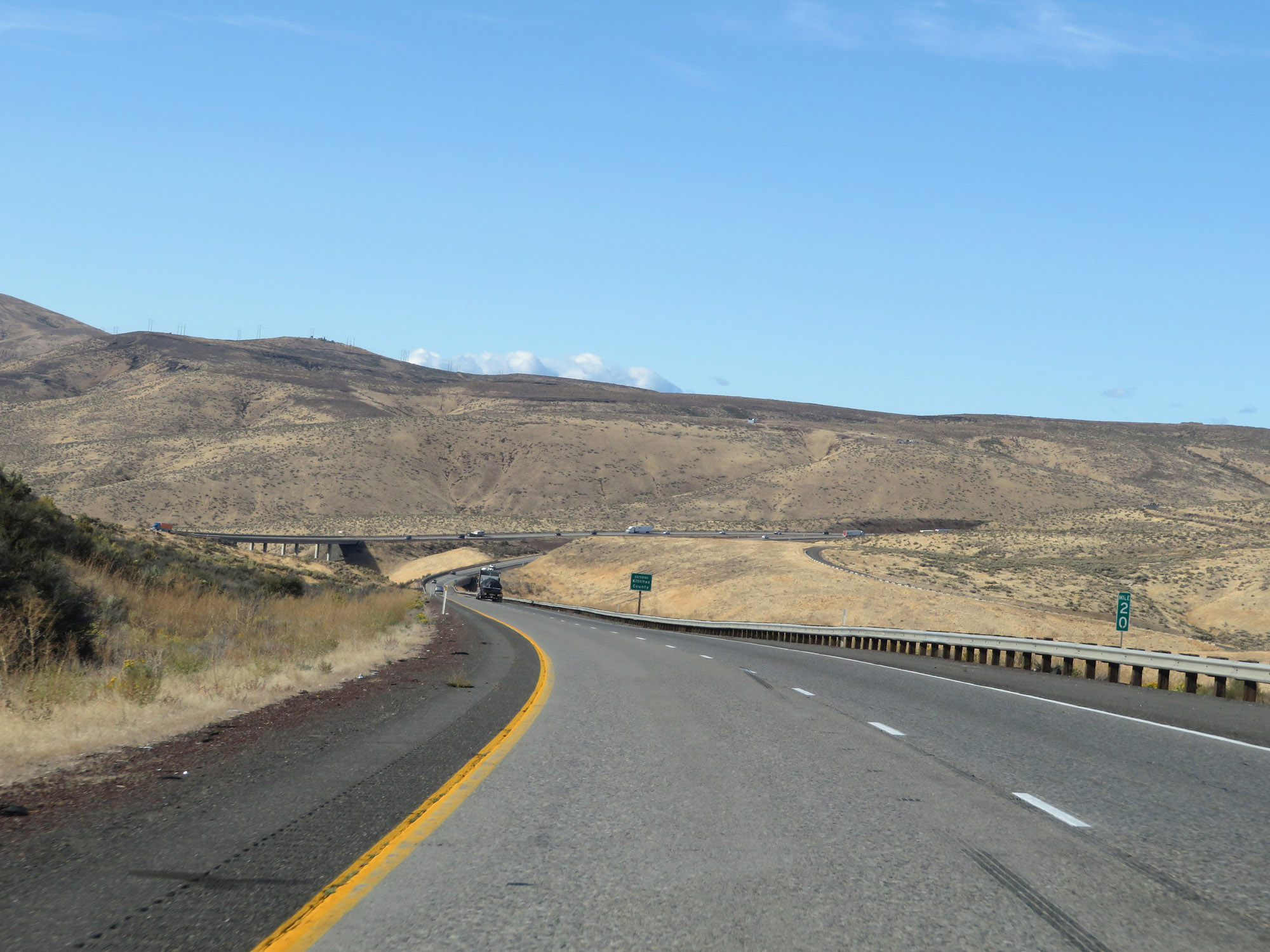 |
View on Interstate 82 West at mile marker 20, as it continues to descend South Umtanum Ridge. (Photo taken 9/26/19). |
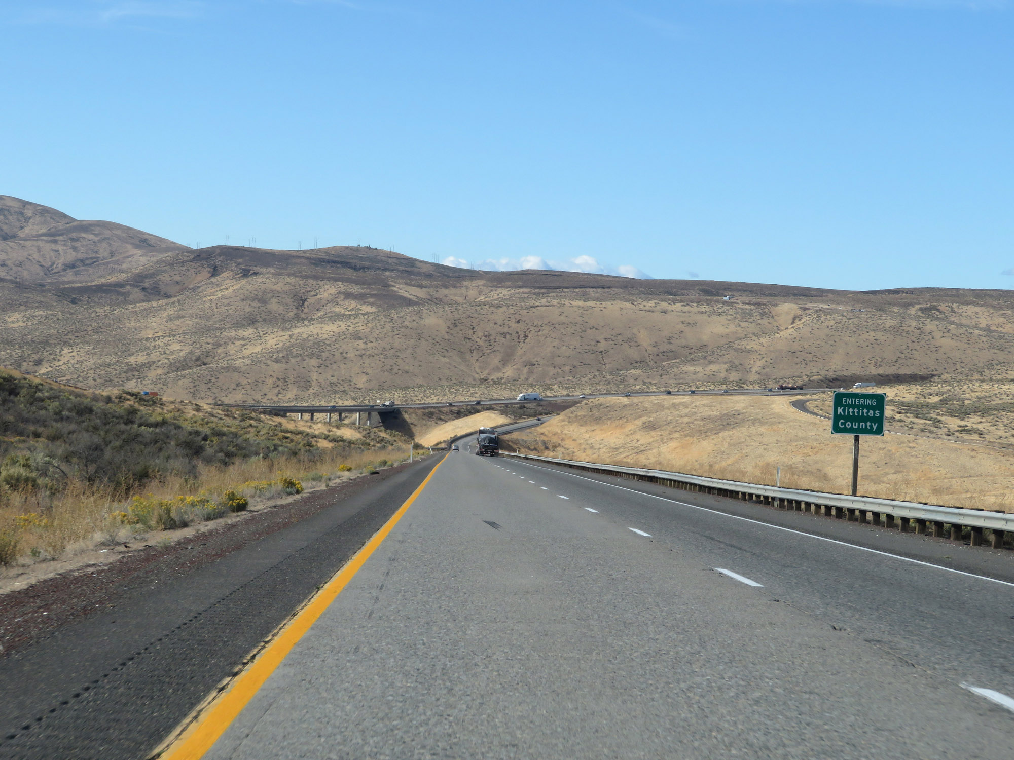 |
Interstate 82 West as it enters Kittitas County and the bottom of South Umtanum Ridge comes into sight. (Photo taken 9/26/19). |
 |
View on Interstate 82 West as it nears the bottom of South Umtanum Ridge. (Photo taken 9/26/19). |
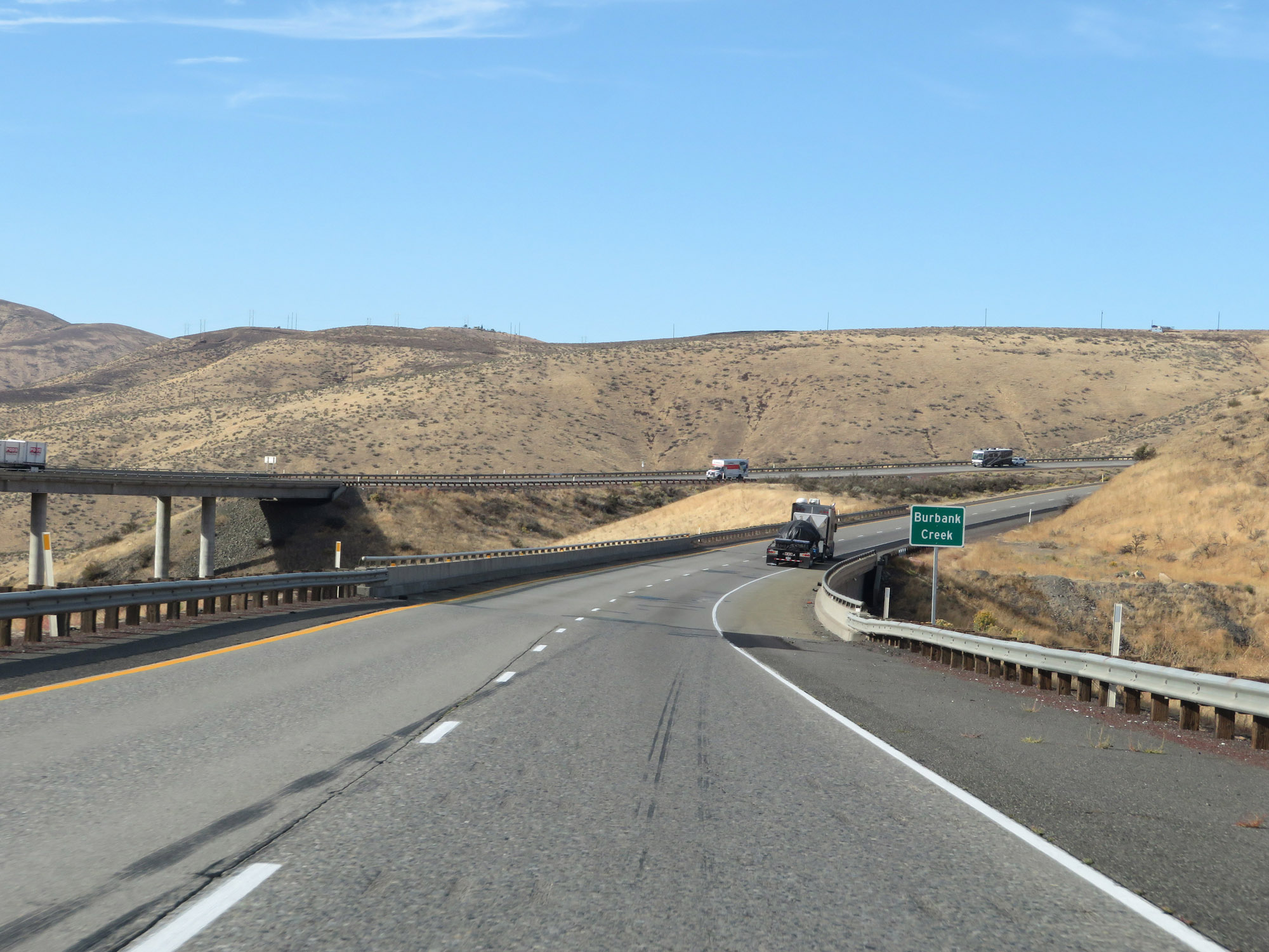 |
At the bottom of South Umtanum Ridge, Interstate 82 West crosses Burbank Creek. (Photo taken 9/26/19). |
 |
Just as soon as we reach the bottom of South Umtanum Ridge, Interstate 82 West begins climbing North Umtanum Ridge. (Photo taken 9/26/19). |
 |
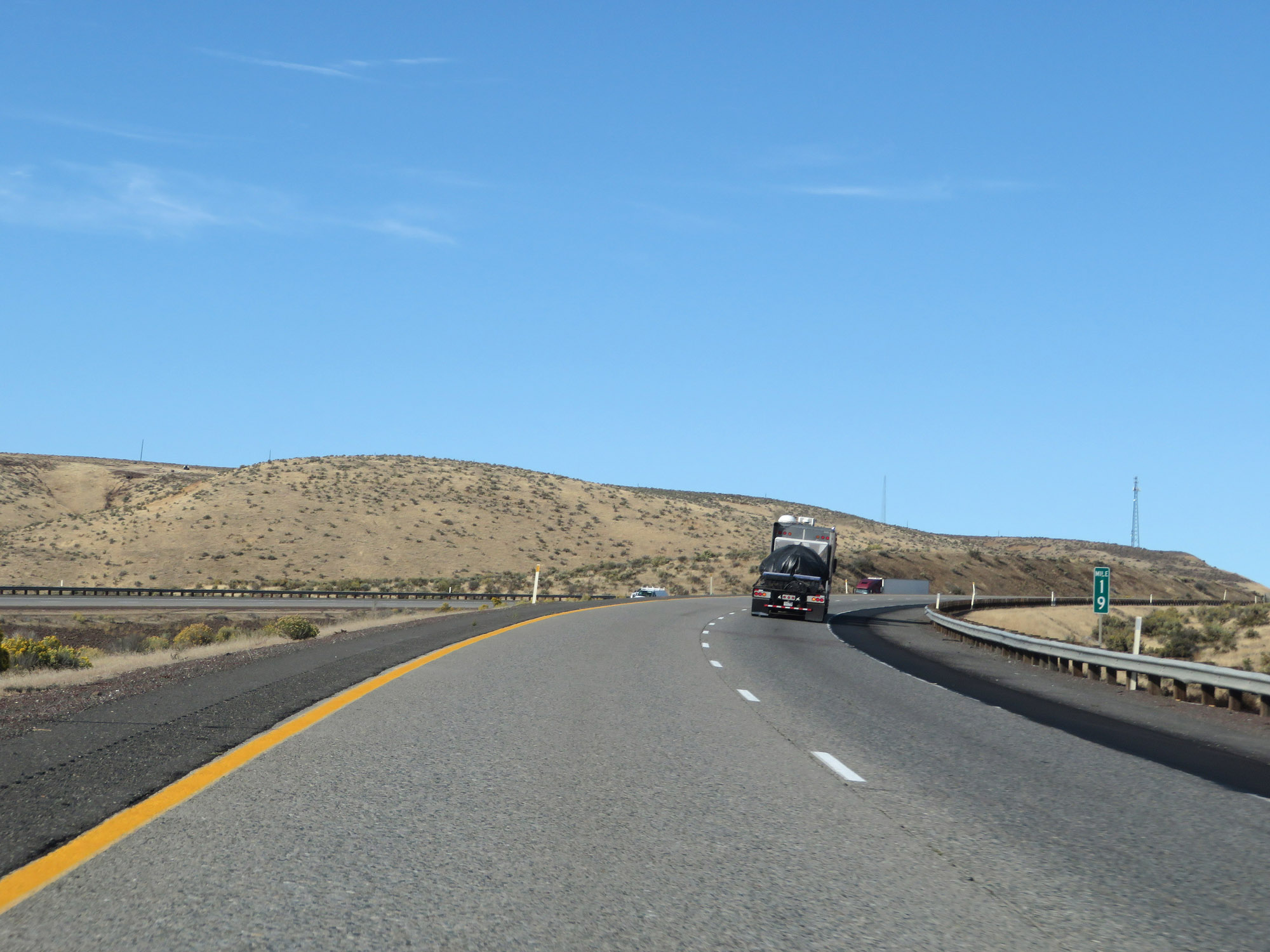
View on Interstate 82 West at mile marker 18, as it continues to climb North Umtanum Ridge. (Photo taken 9/26/19). |
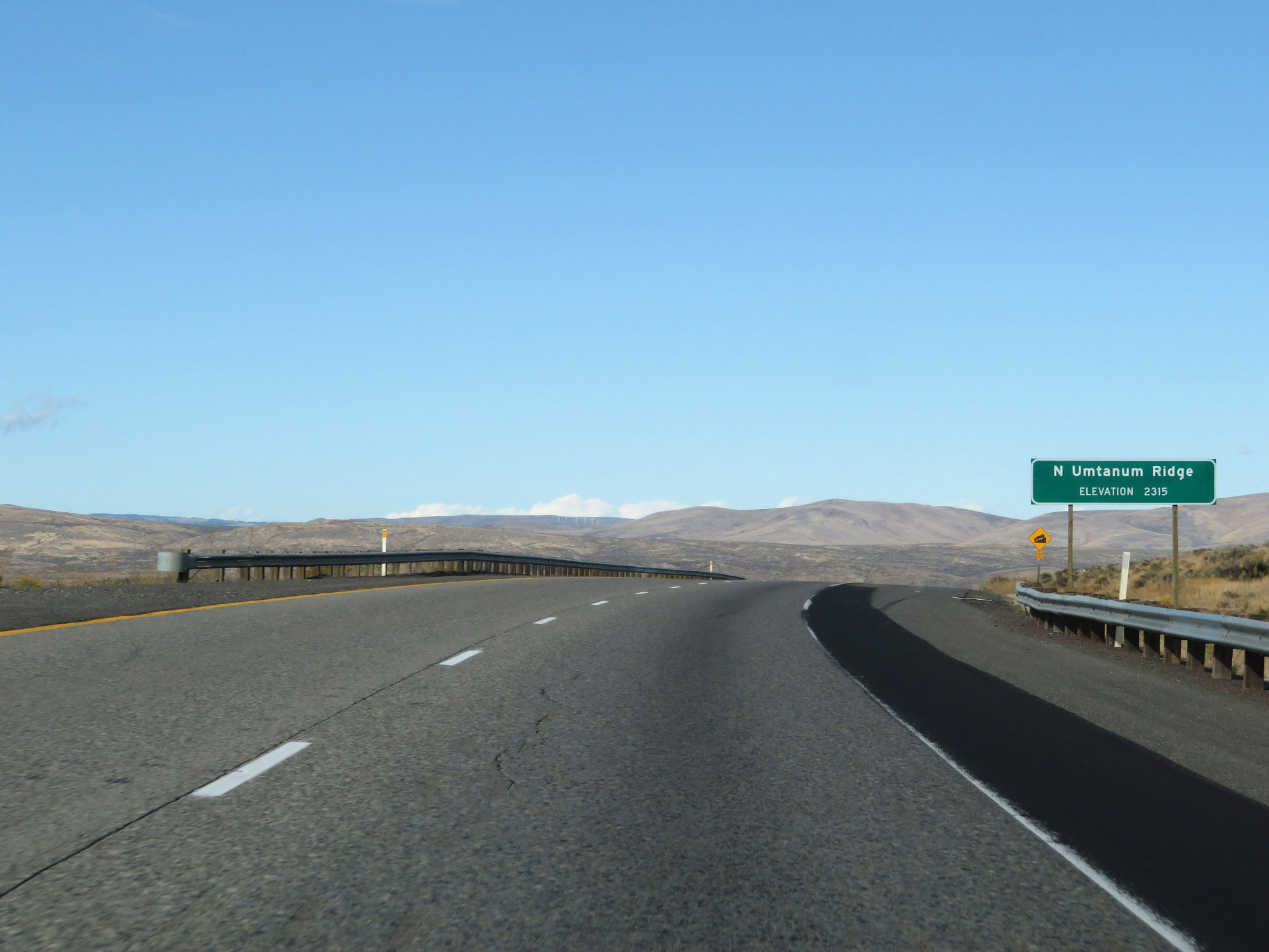 |
Interstate 82 West as it reaches the summit of North Umtanum Ridge at an elevation of 2,315 feet. (Photo taken 9/26/19). |
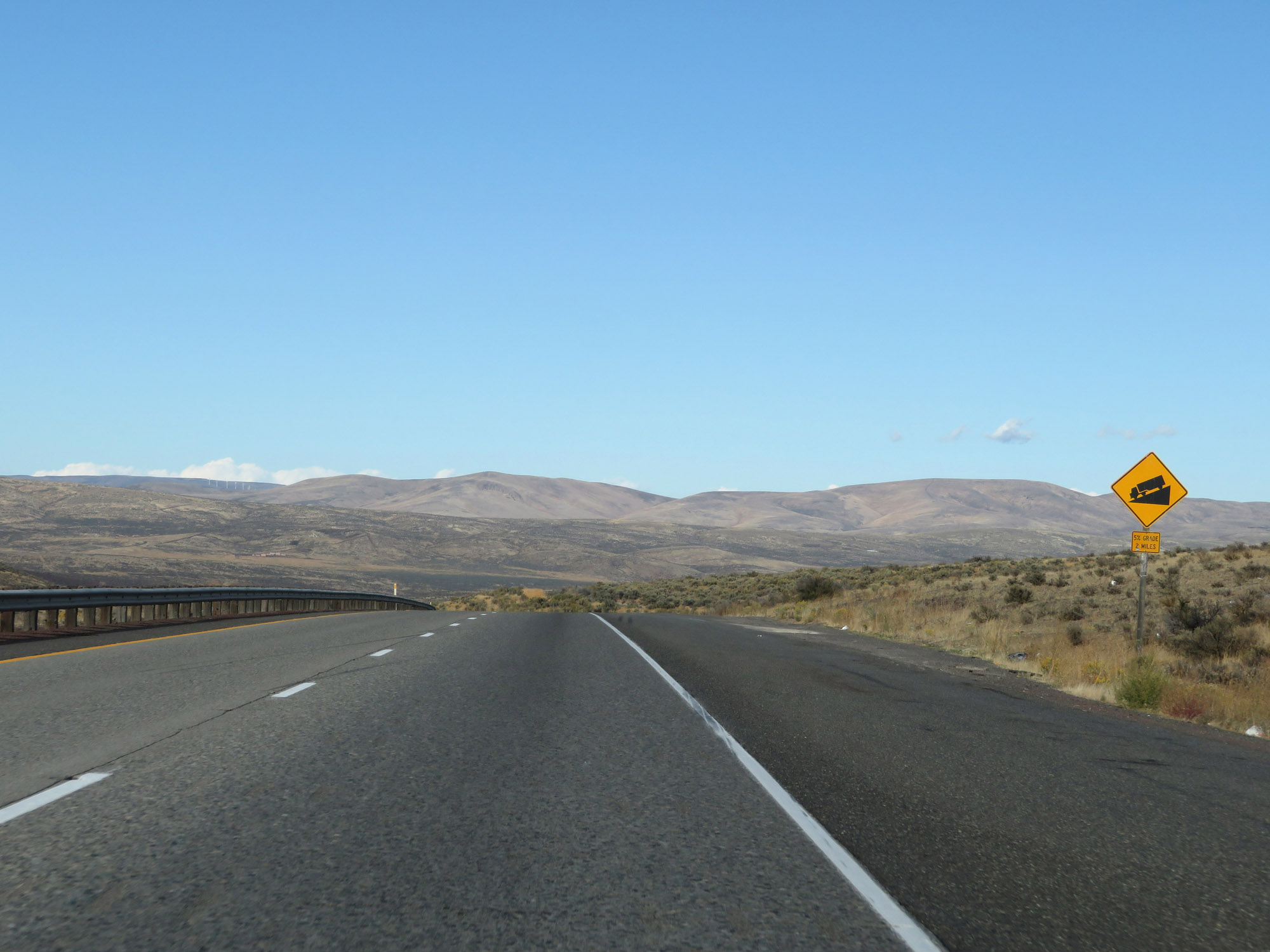 |
Interstate 82 West promptly begins its descent down North Umtanum Ridge. The downgrade is 5% steepness and will last for the next 2 miles. (Photo taken 9/26/19). |
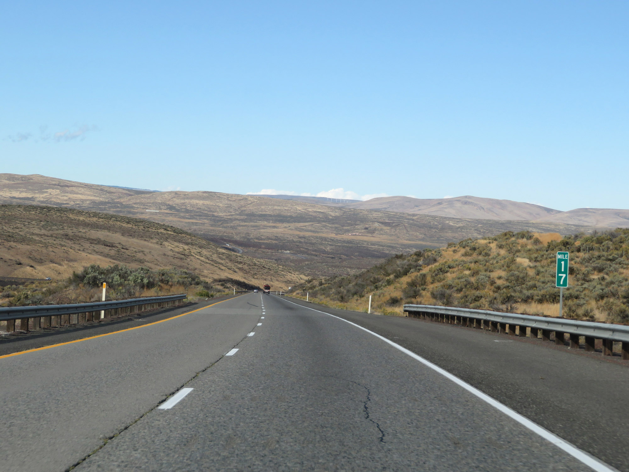 |
View on Interstate 82 West at mile marker 17, going down North Umtanum Ridge. (Photo taken 9/26/19). |
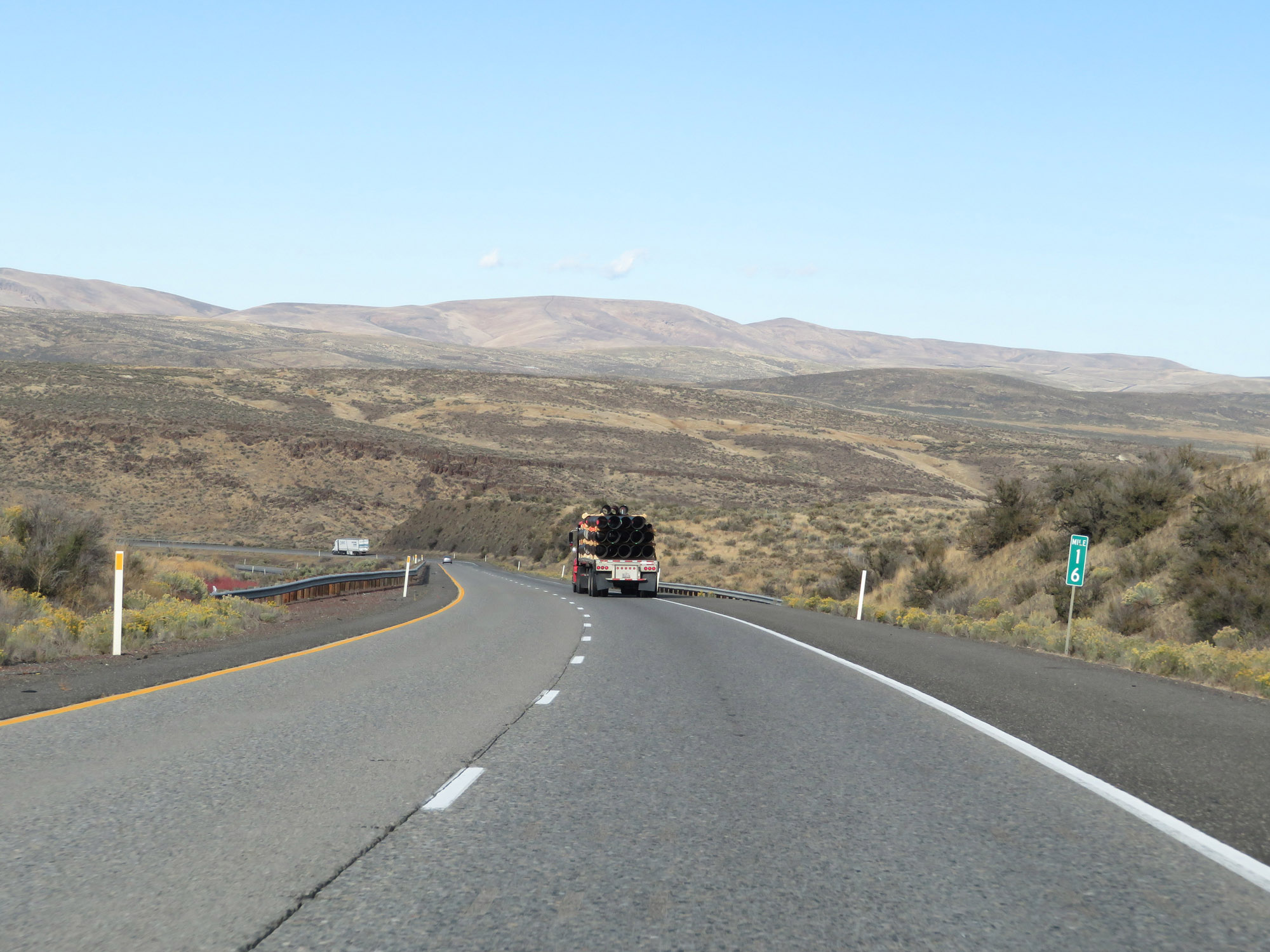 |
Interstate 82 West at mile marker 16, as it continues its descent. (Photo taken 9/26/19). |
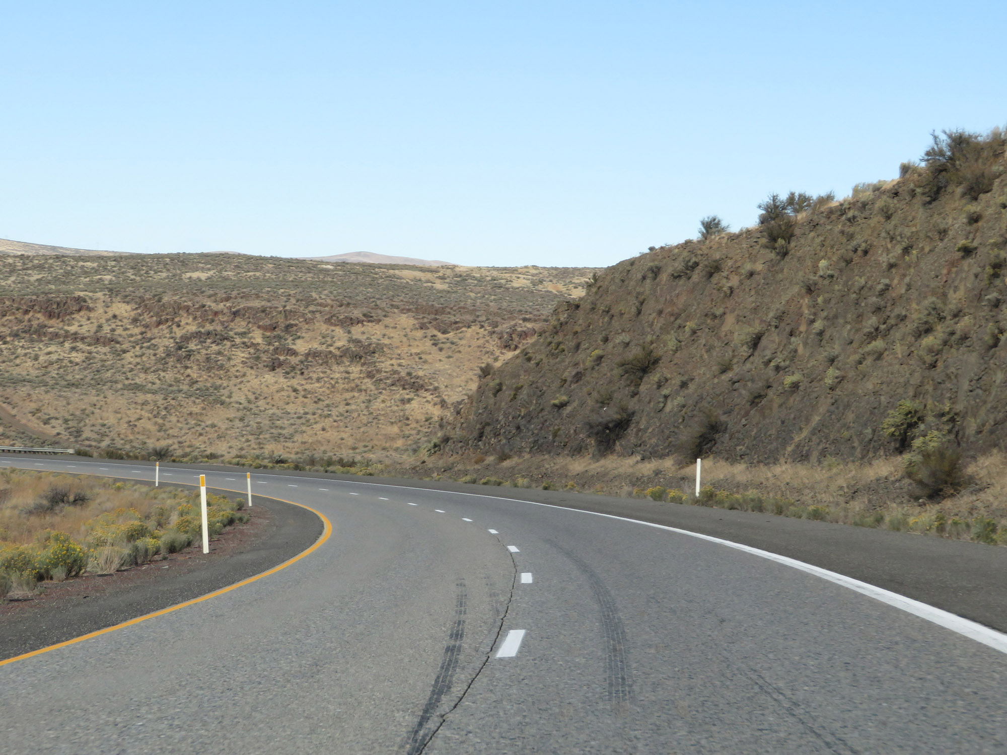 |
View on Interstate 82 West descending North Umtanum Ridge. (Photo taken 9/26/19). |
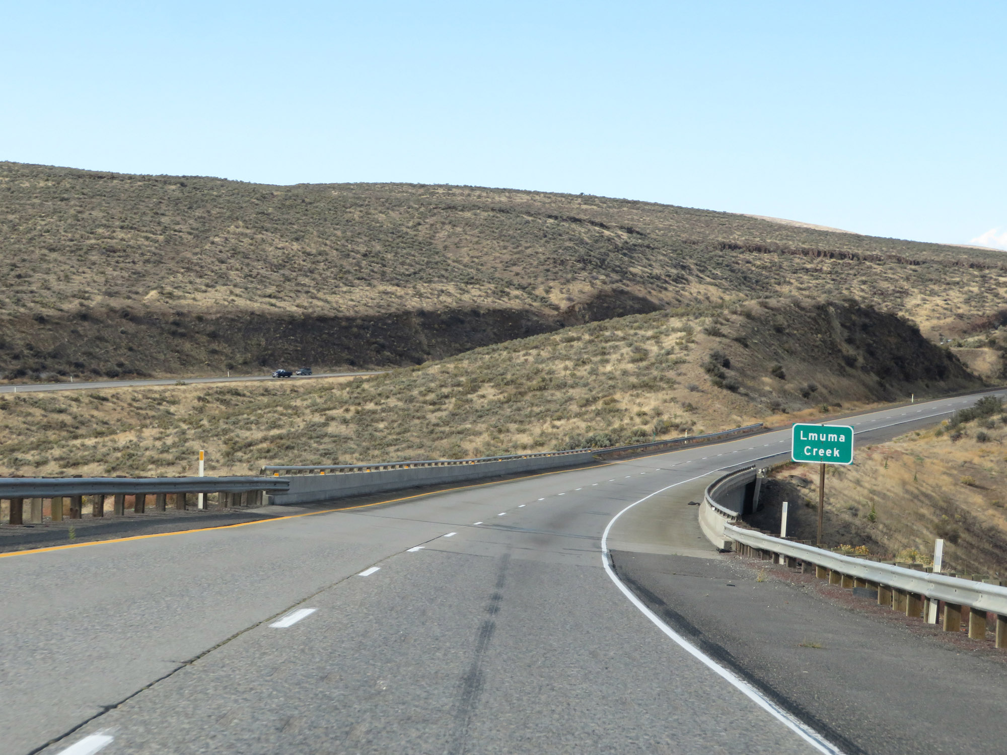 |
At the bottom of North Umtanum Ridge, Interstate 82 West crosses Lmuma Creek. That's two mountain passes down, one to go. (Photo taken 9/26/19). |
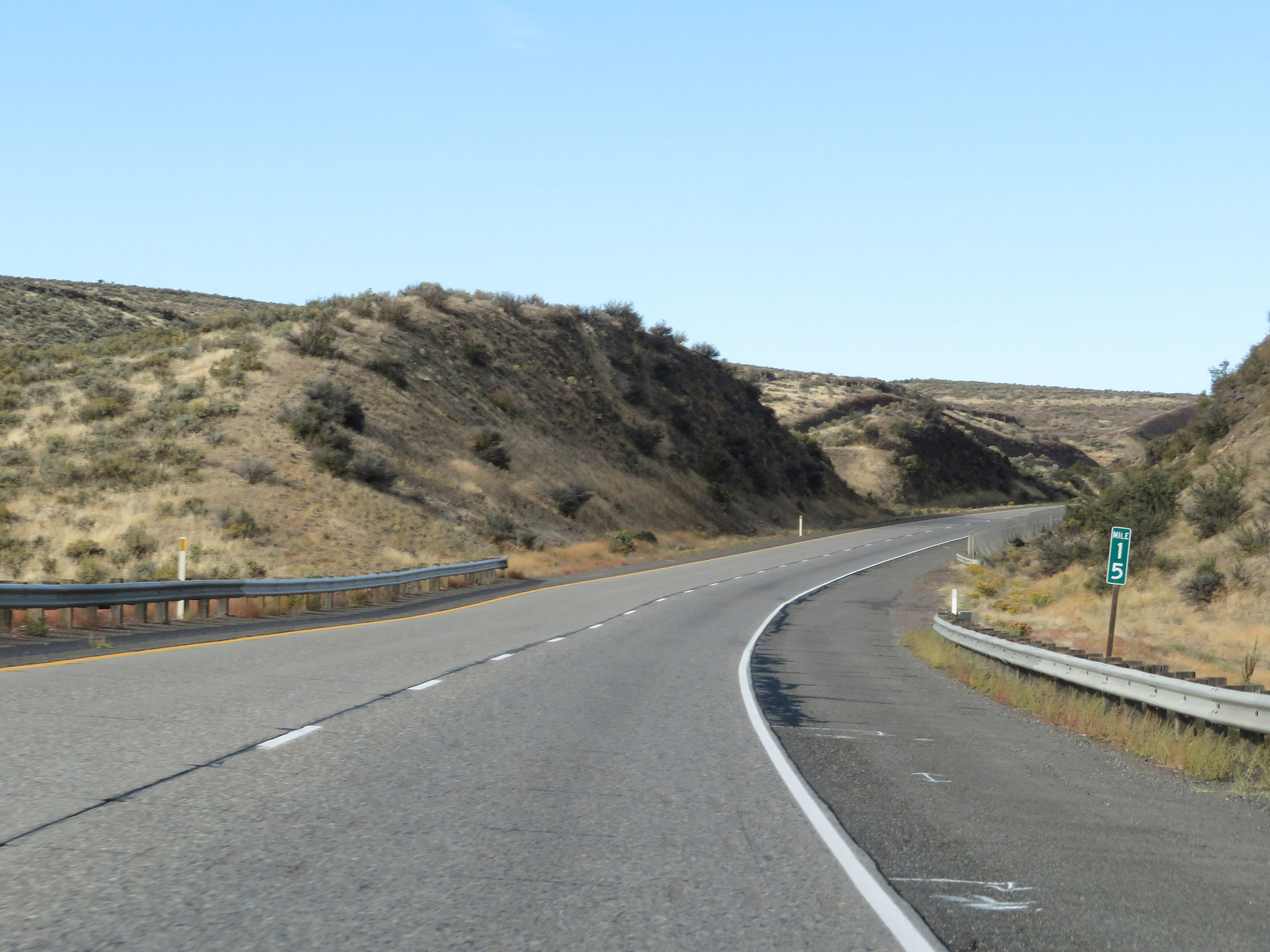 |
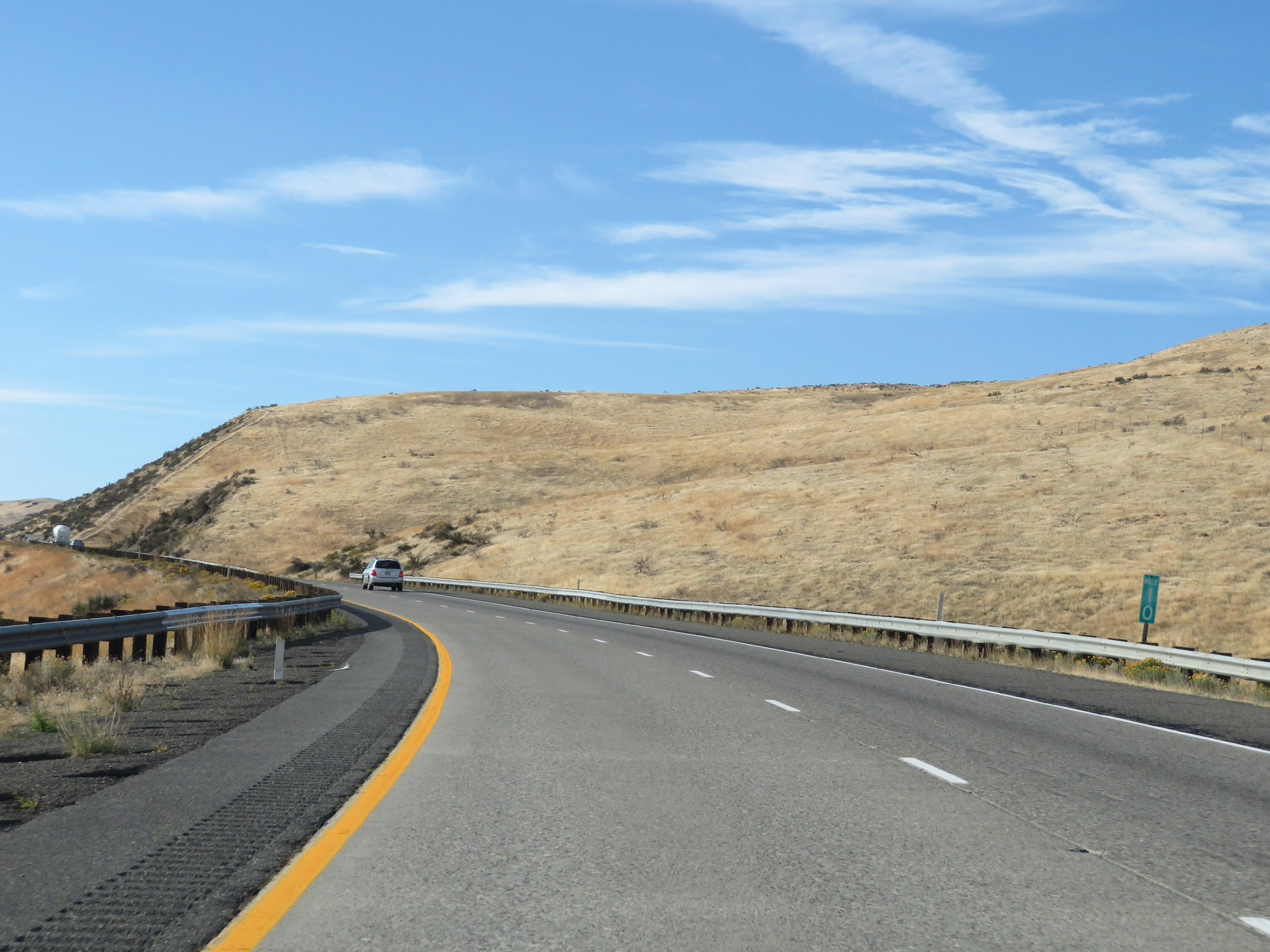
Interstate 82 West at mile marker 15. (Photo taken 9/26/19). |
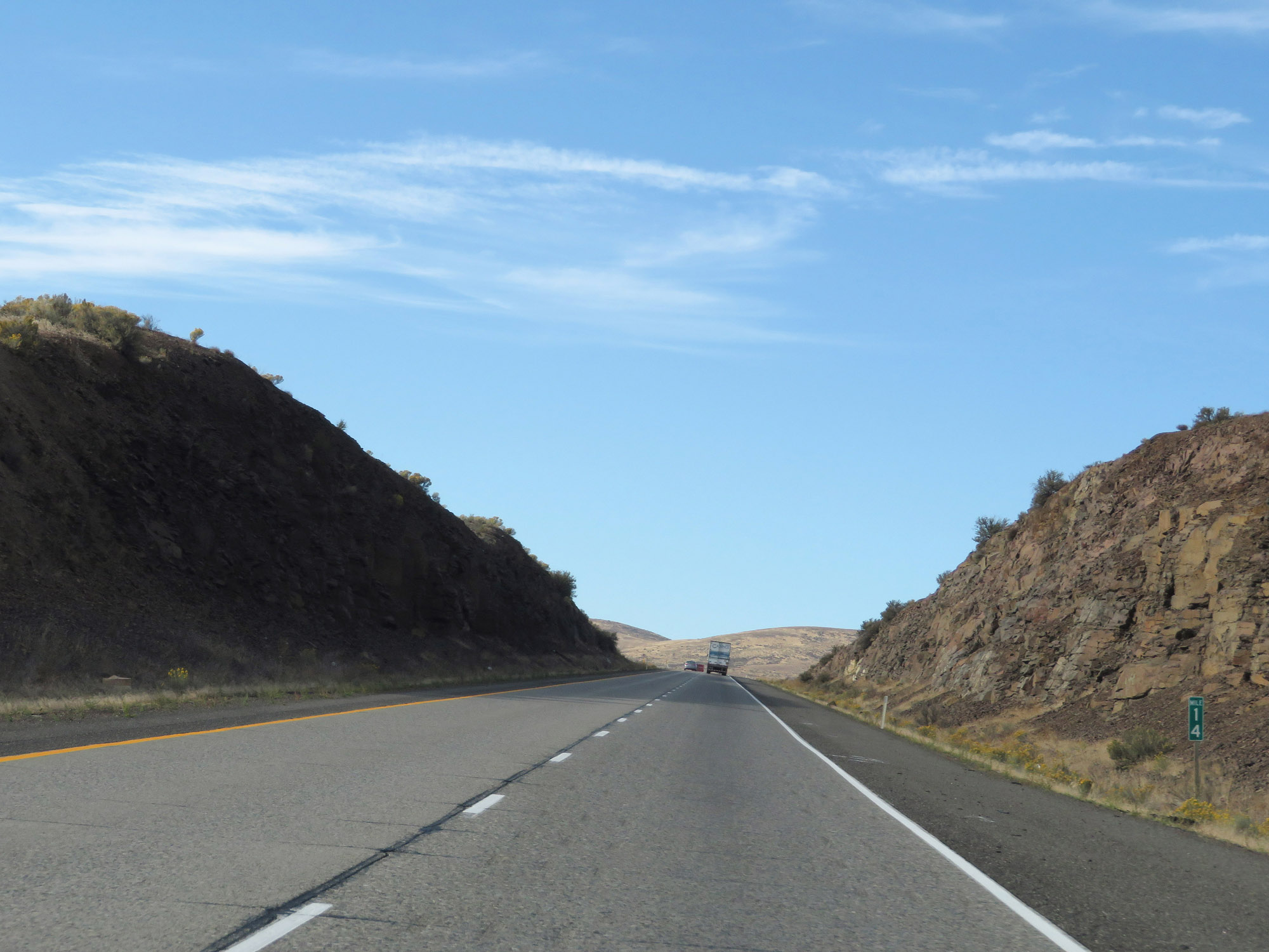 |
View on Interstate 82 West at mile marker 14. (Photo taken 9/26/19). |
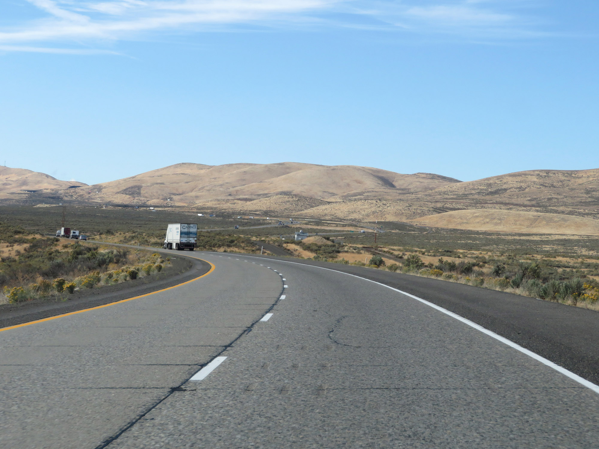 |
View on Interstate 82 West in Kittitas County. (Photo taken 9/26/19). |
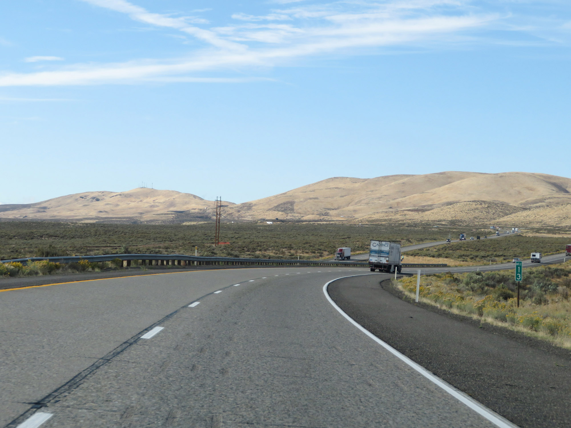 |
Interstate 82 West at mile marker 13. (Photo taken 9/26/19). |
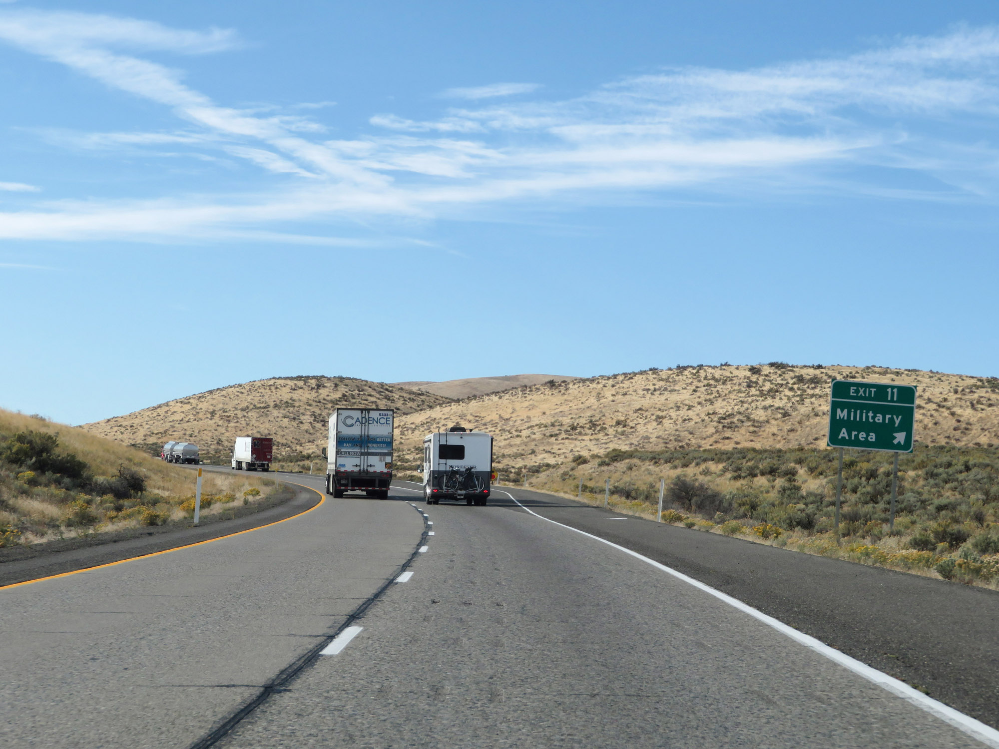 |
Interstate 82 West at Exit 11: Military Area (Photo taken 9/26/19). |
 |
View on Interstate 82 West at mile marker 10, as it climbs the final of the three mountain passes mentioned earlier - Manastash Ridge. (Photo taken 9/26/19). |
 |
Interstate 82 West at mile marker 9, as it continues to climb Manastash Ridge. (Photo taken 9/26/19). |
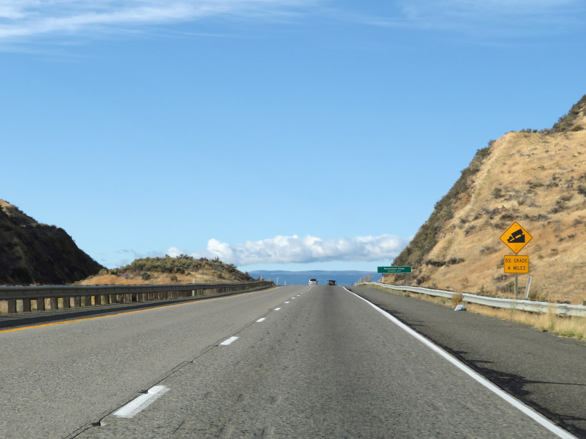 |
Approaching the summit of Manastash Ridge, this sign gives advance warning of the length and steepness of the downgrade ahead. It will be a 5% grade which will last for 4 miles. (Photo taken 9/26/19). |
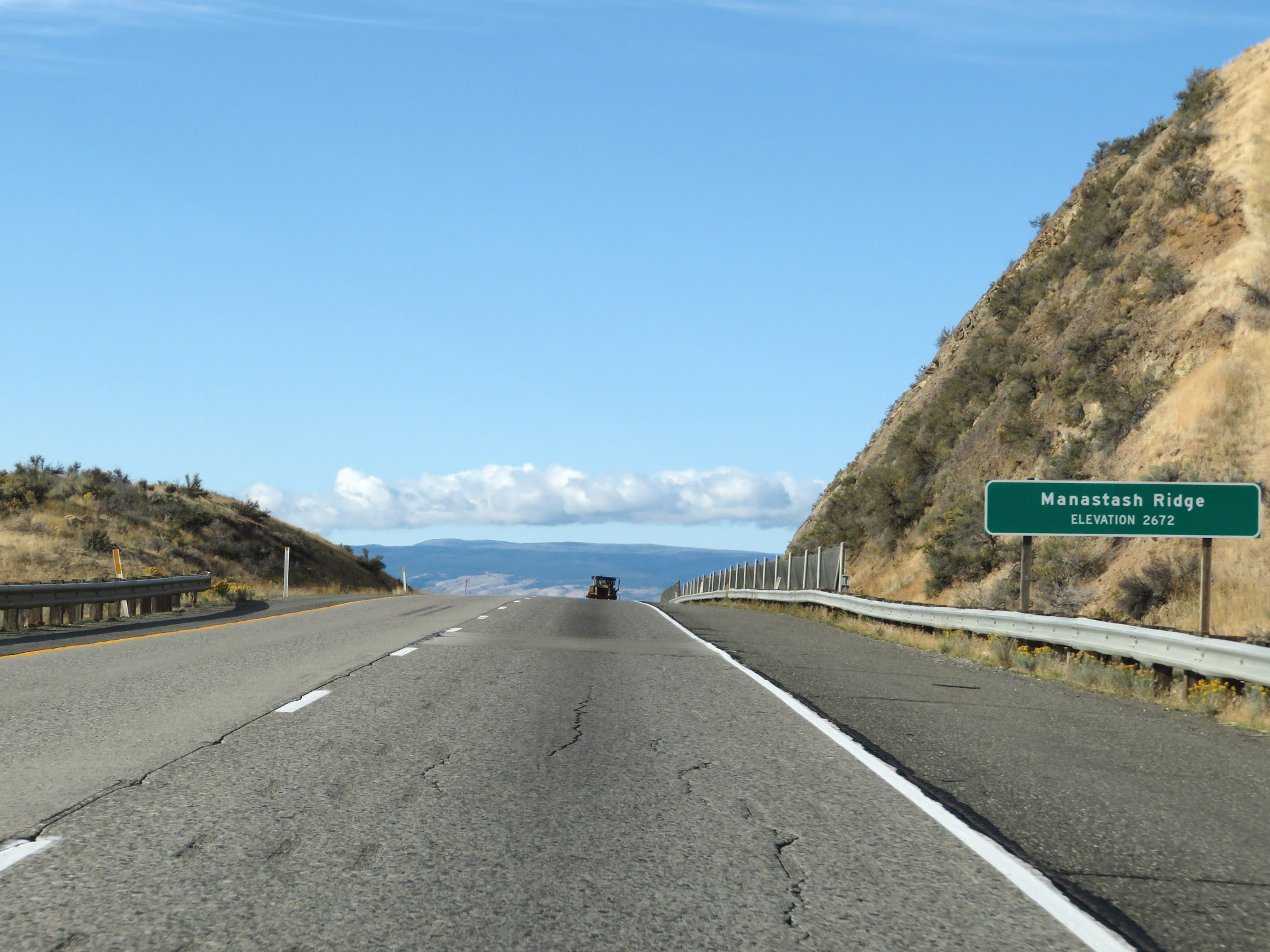 |
Interstate 82 West at the summit of Manastash Ridge, which is at an elevation of 2,672 feet. (Photo taken 9/26/19). |
 |
View Point on Interstate 82 West in Kittitas County, as it starts down the long and steep grade of Manastash Ridge. (Photo taken 9/26/19). |
 |
View on Interstate 82 West as it descends Manastash Ridge. (Photo taken 9/26/19). |
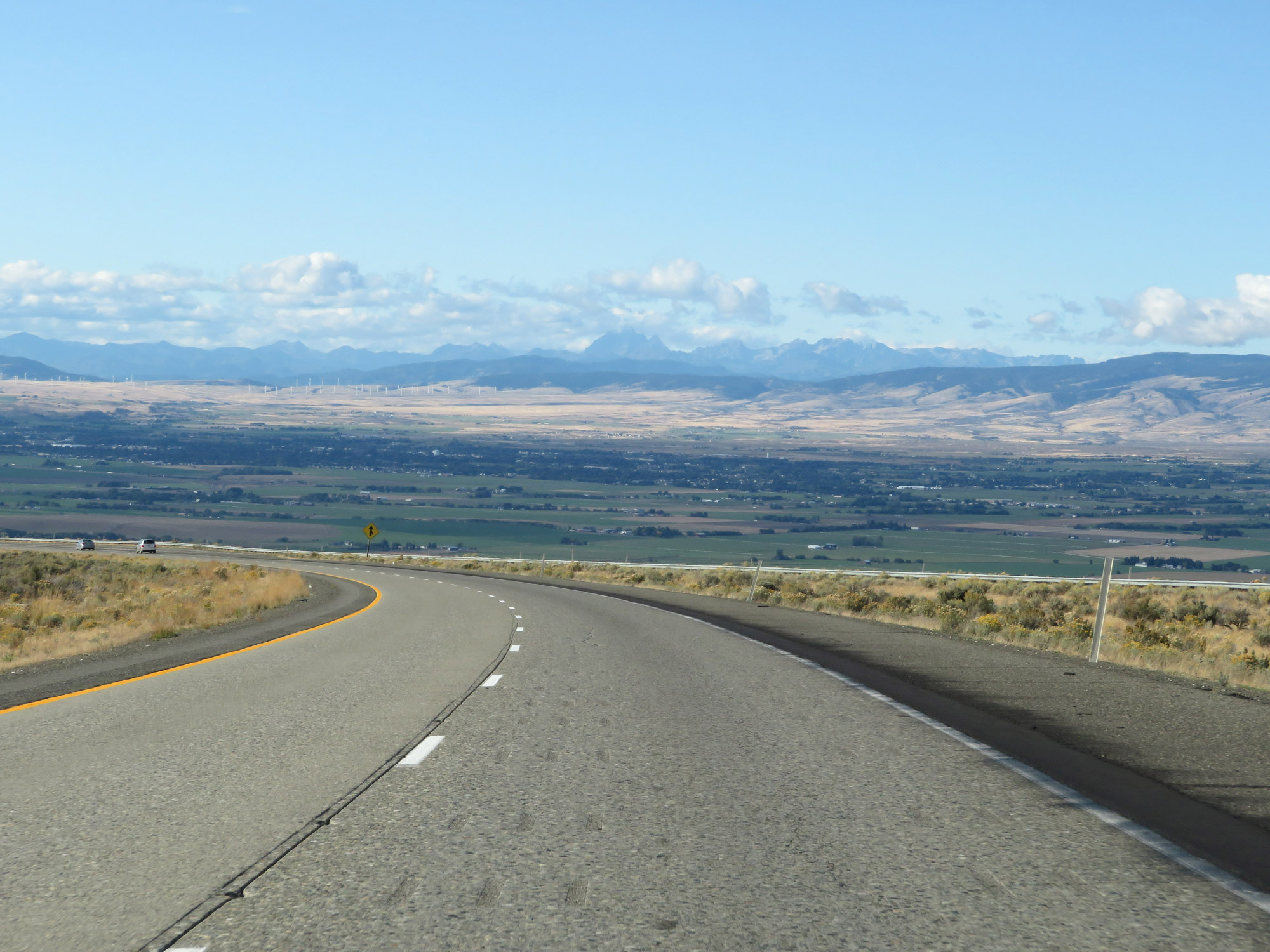 |
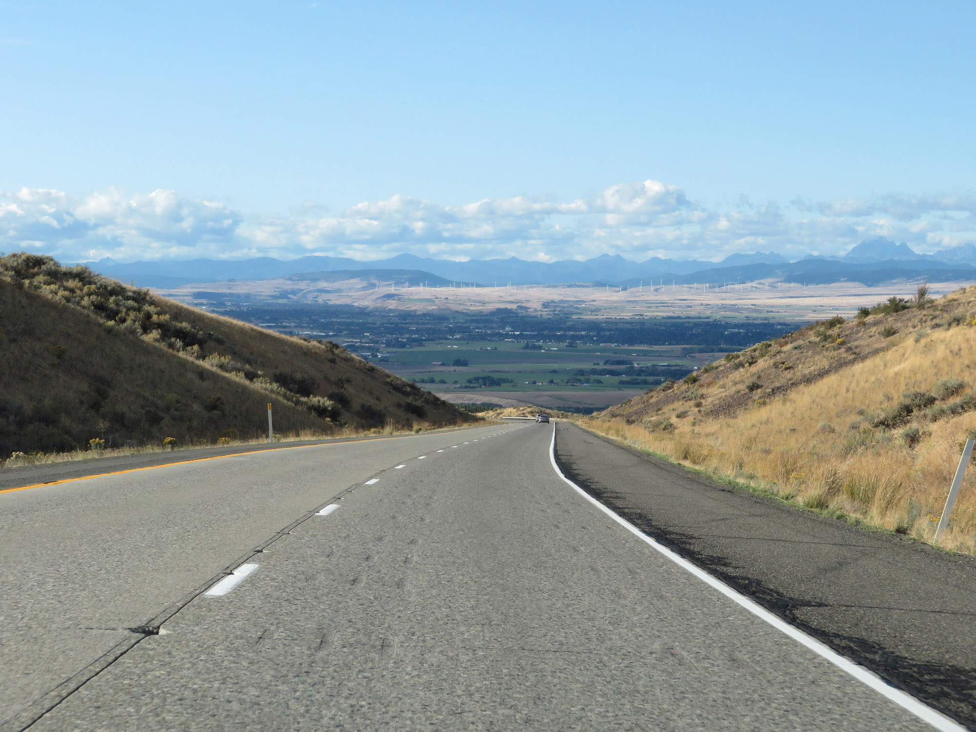
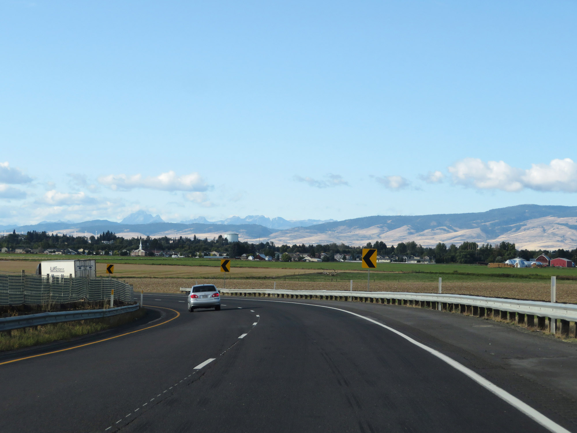
Another view on Interstate 82 West as it continues down the grade and the Ellensburg area comes into view. (Photo taken 9/26/19). |
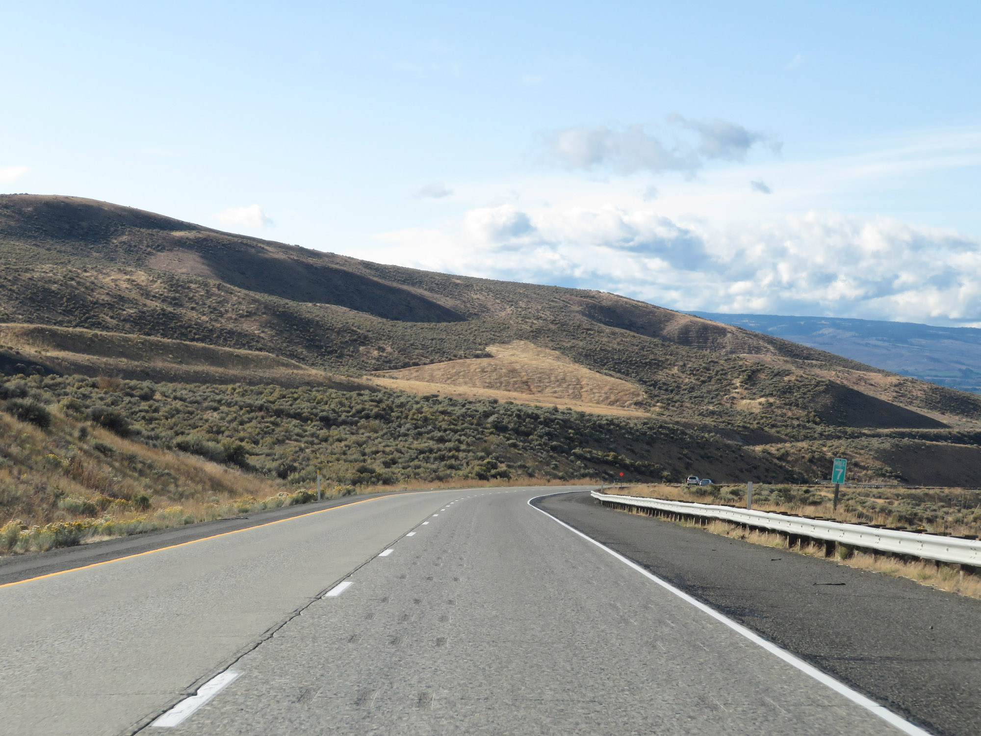 |
Interstate 82 West at mile marker 7. (Photo taken 9/26/19). |
 |
View on Interstate 82 West as it continues down the 5% grade. (Photo taken 9/26/19). |
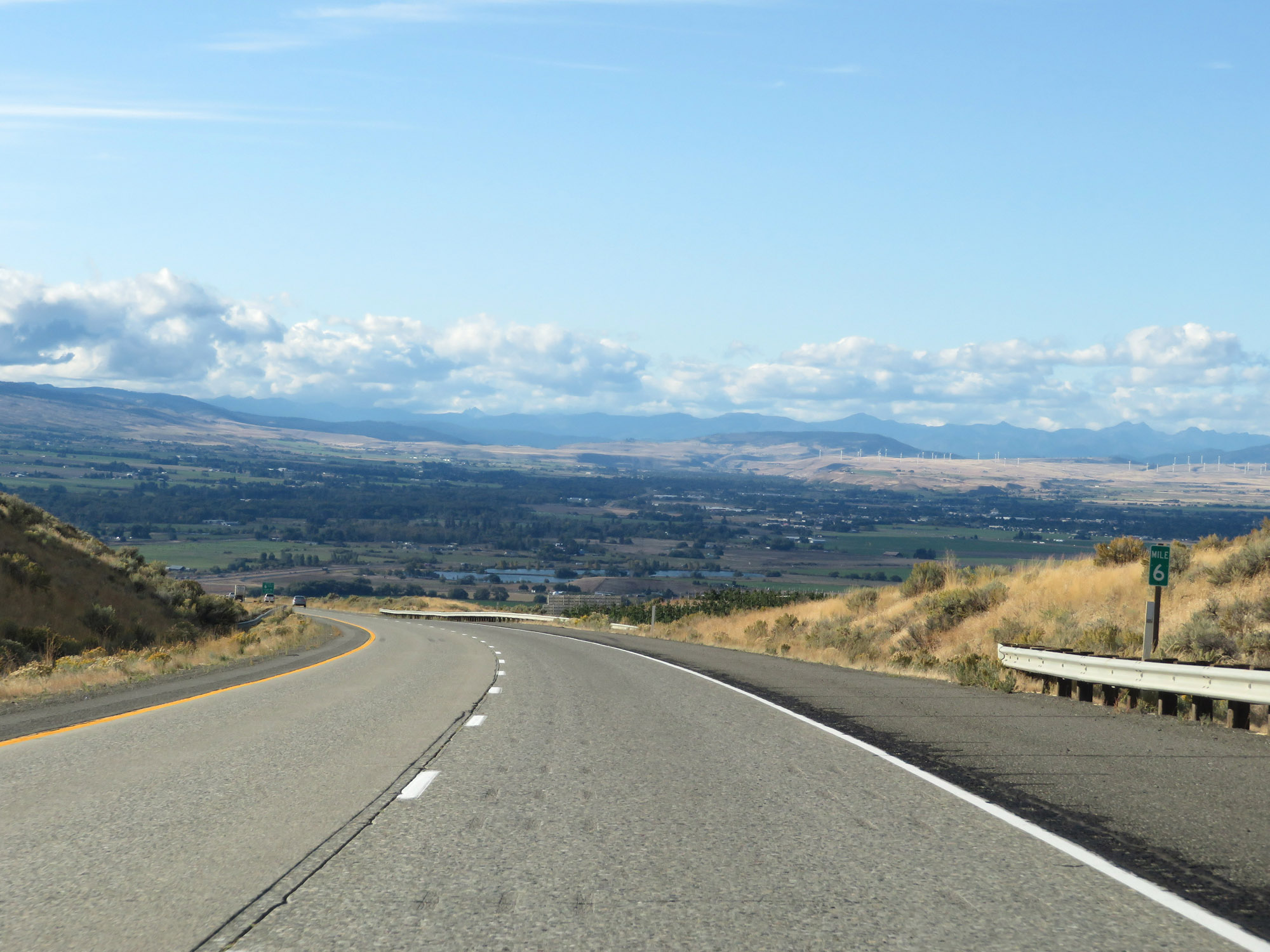 |
Interstate 82 West at mile marker 6. (Photo taken 9/26/19). |
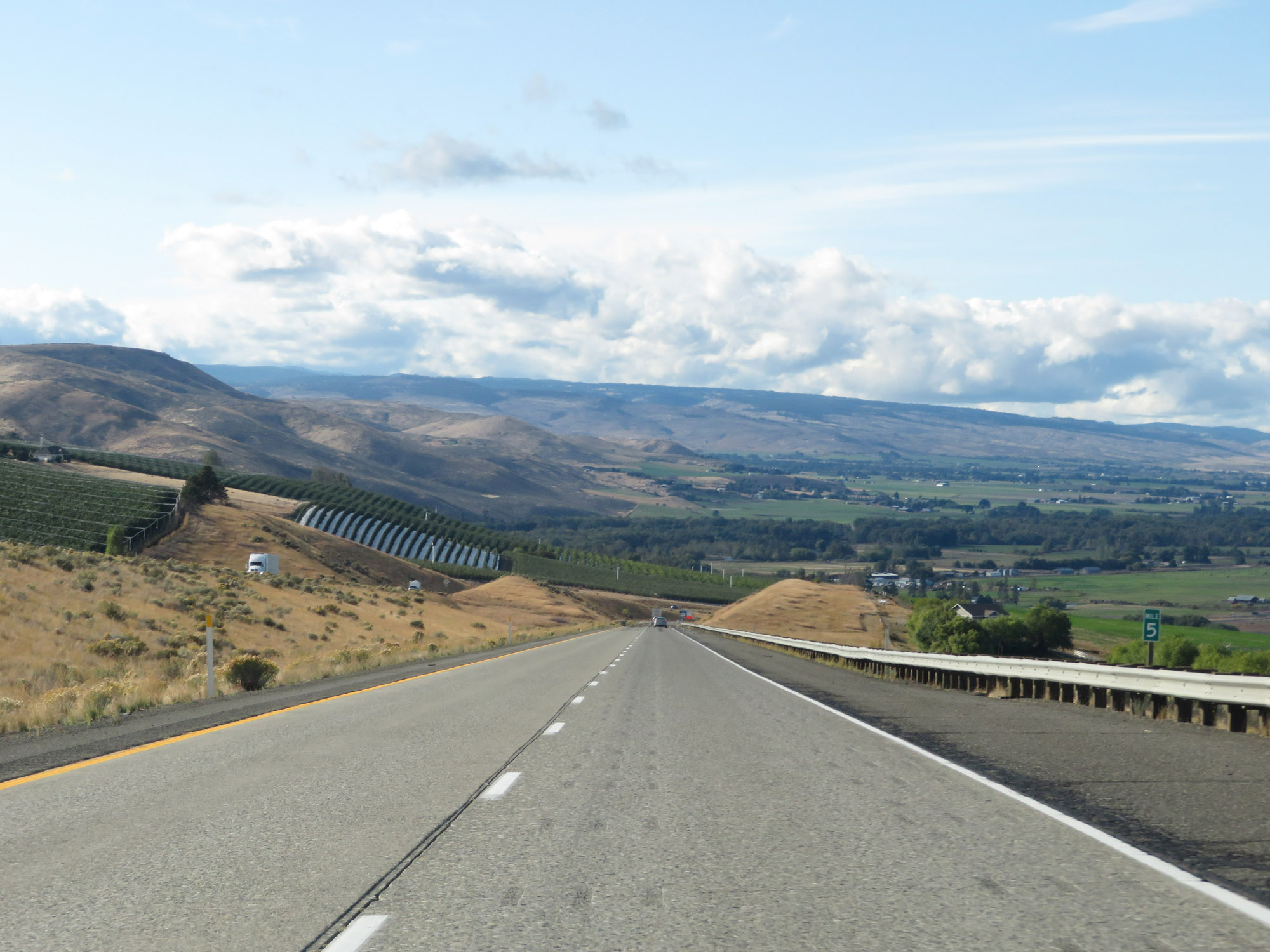 |
View on Interstate 82 West at mile marker 5. (Photo taken 9/26/19). |
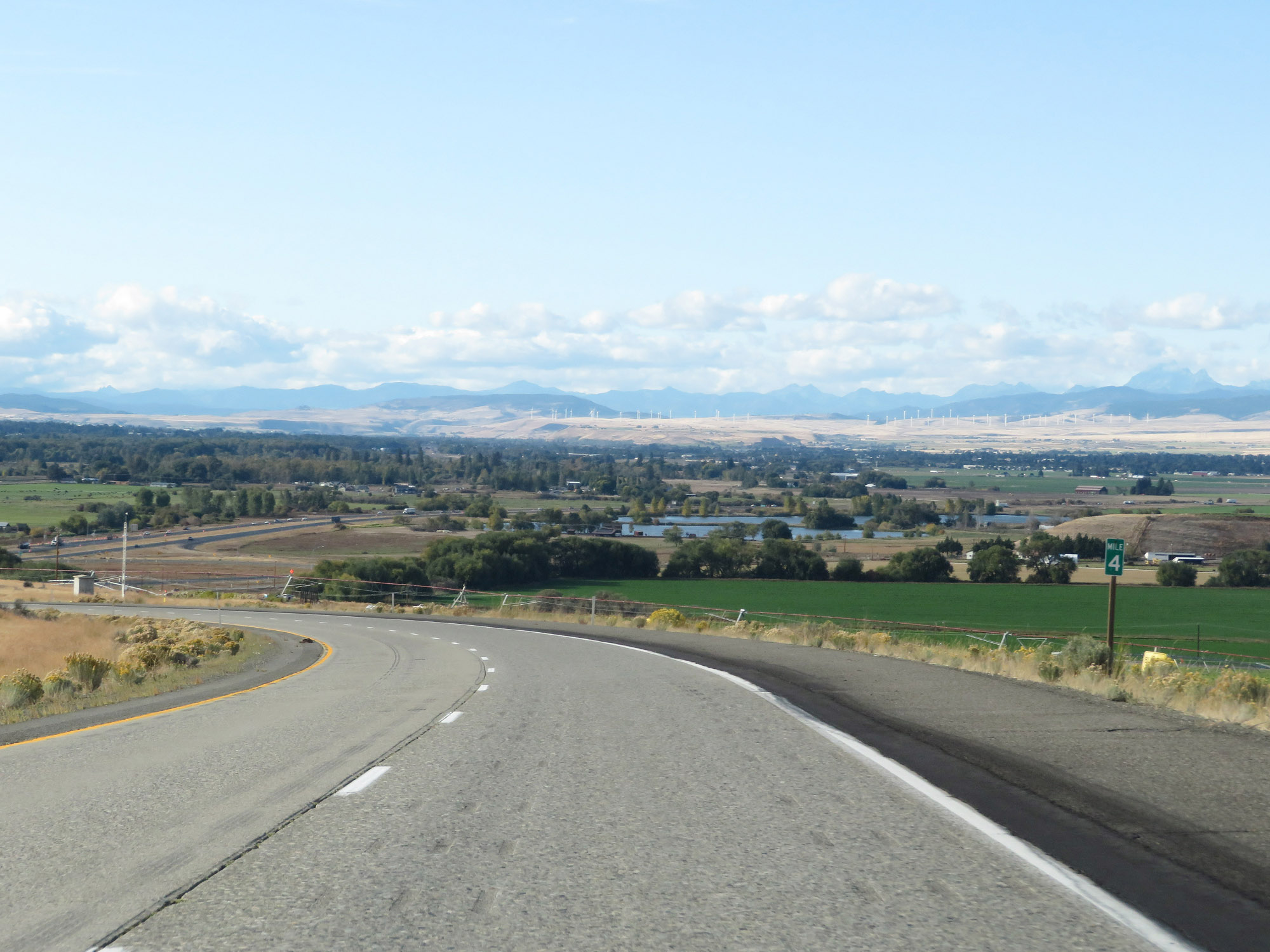 |
Interstate 82 West at mile marker 4, still traversing the downgrade. (Photo taken 9/26/19). |
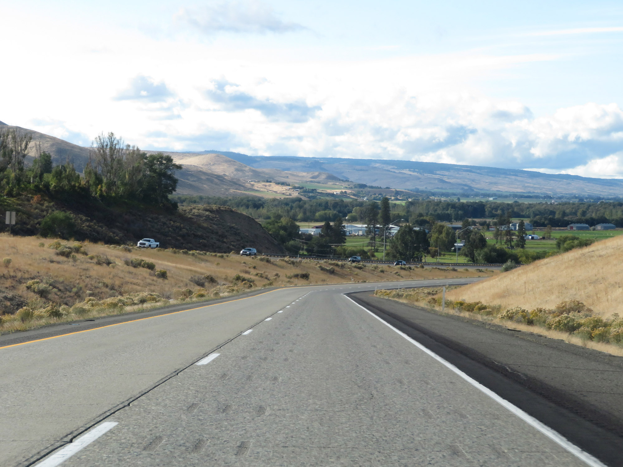 |
View on Interstate 82 West as it nears the bottom of Manastash Ridge. (Photo taken 9/26/19). |
 |
Interstate 82 West at Exit 3: WA 821 South - Thrall Rd (Photo taken 9/26/19). |
 |
One final Interstate 82 West reassurance shield. (Photo taken 9/26/19). |
 |
The speed limits remain 70 mph for cars and 60 mph for trucks. (Photo taken 9/26/19). |
 |
Interstate 82 West at mile marker 2. (Photo taken 9/26/19). |
 |
Interstate 82 West approaching the junction of Interstate 90, which will mark I-82's western terminus - 1 mile. (Photo taken 9/26/19). |
 |
Interstate 82 West at mile marker 1. (Photo taken 9/26/19). |
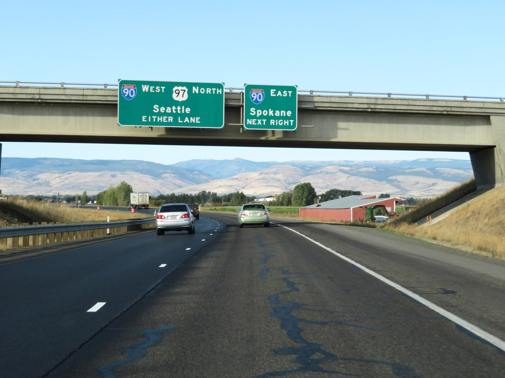 |
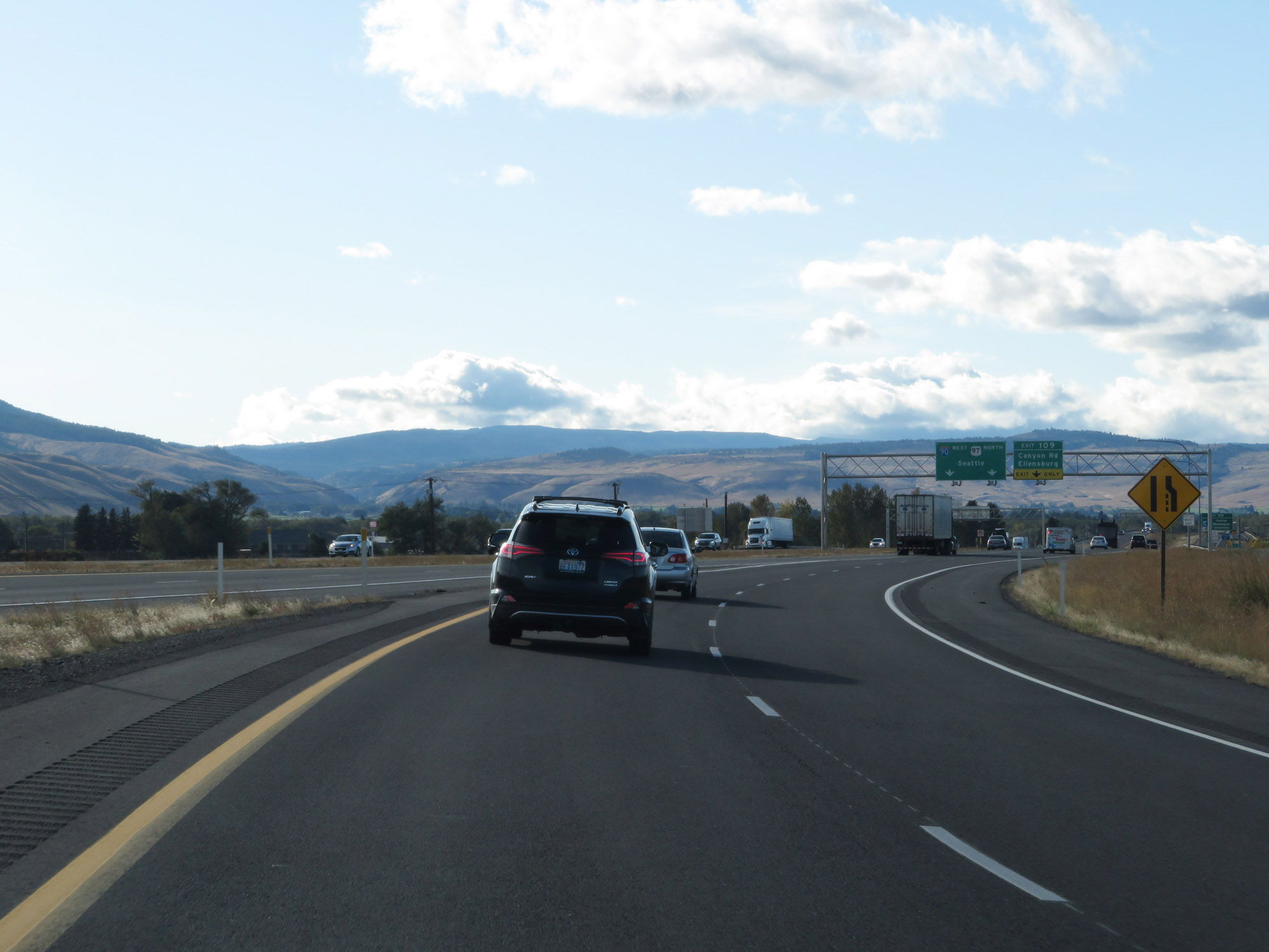
Interstate 90 East traffic must exit to the right ahead. The westbound lanes of Interstate 82 will become the ramp to Interstate 90 West. (Photo taken 9/26/19). |
 |
View on Interstate 82 West as it approaches its western terminus at the junction of Interstate 90. (Photo taken 9/26/19). |
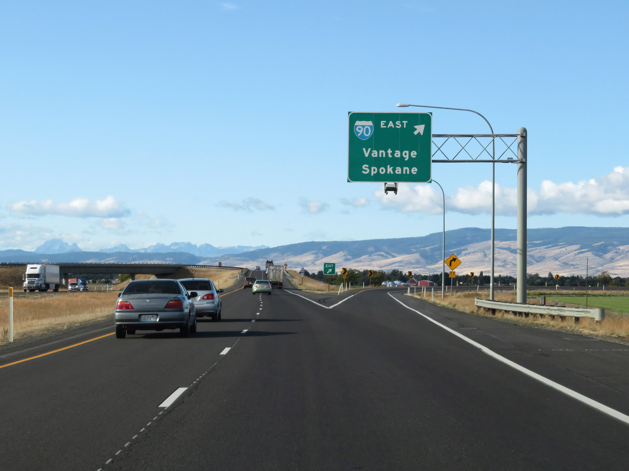 |
Interstate 82 West at the ramp to Interstate 90 East. (Photo taken 9/26/19). |
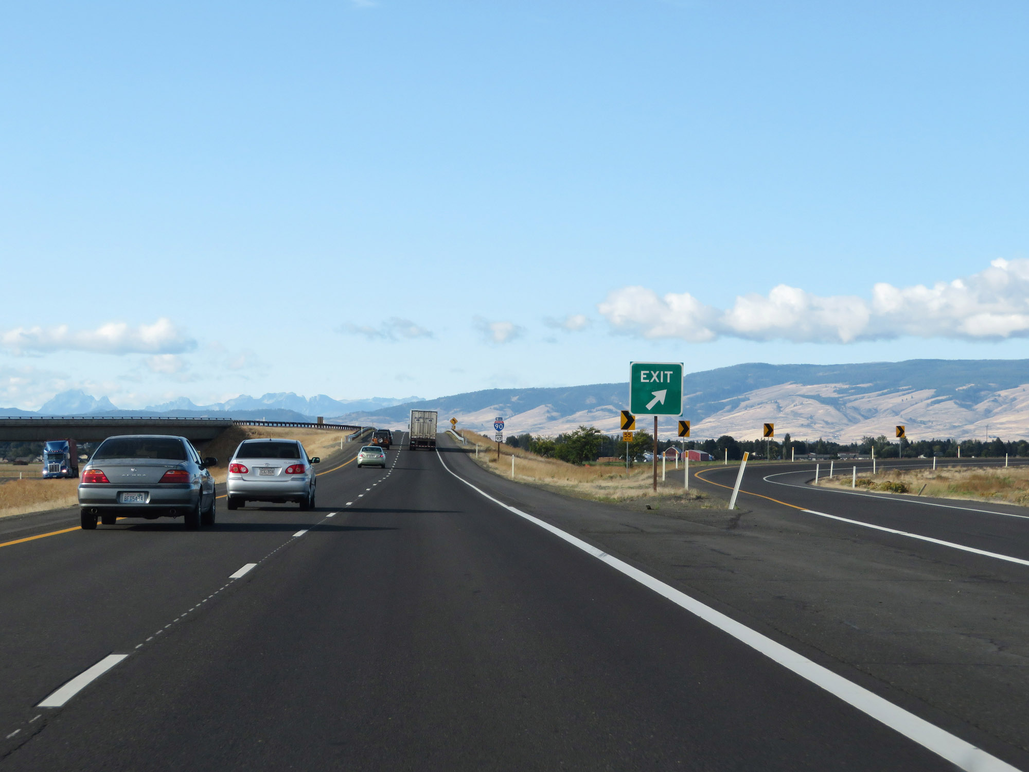 |
A closer view of the ramp to Interstate 90 East. (Photo taken 9/26/19). |
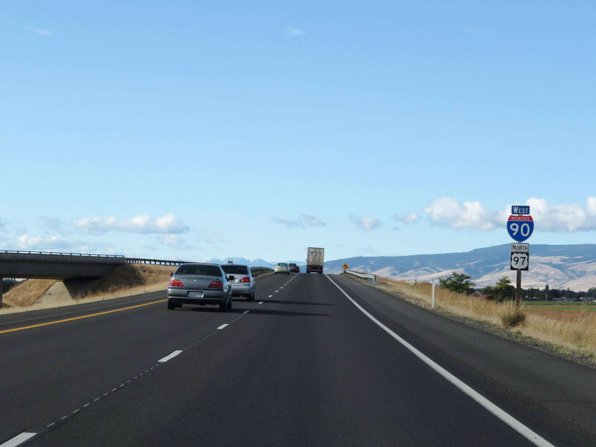 |
As this sign implies, the westbound lanes of Interstate 82 become the ramp to Interstate 90 West at this point. (Photo taken 9/26/19). |
 |
The ramp passes over Interstate 90 and will curve to the west ahead. (Photo taken 9/26/19). |
 |
View on the ramp to Interstate 90 West from Interstate 82 West as it begins to curve to the west. (Photo taken 9/26/19). |
 |
The ramp maintains two lanes as Interstate 90 traffic comes into view. (Photo taken 9/26/19). |
 |
As the ramp from Interstate 82 West prepares to merge into the westbound lanes of Interstate 90, the right lane comes to an end. (Photo taken 9/26/19). |
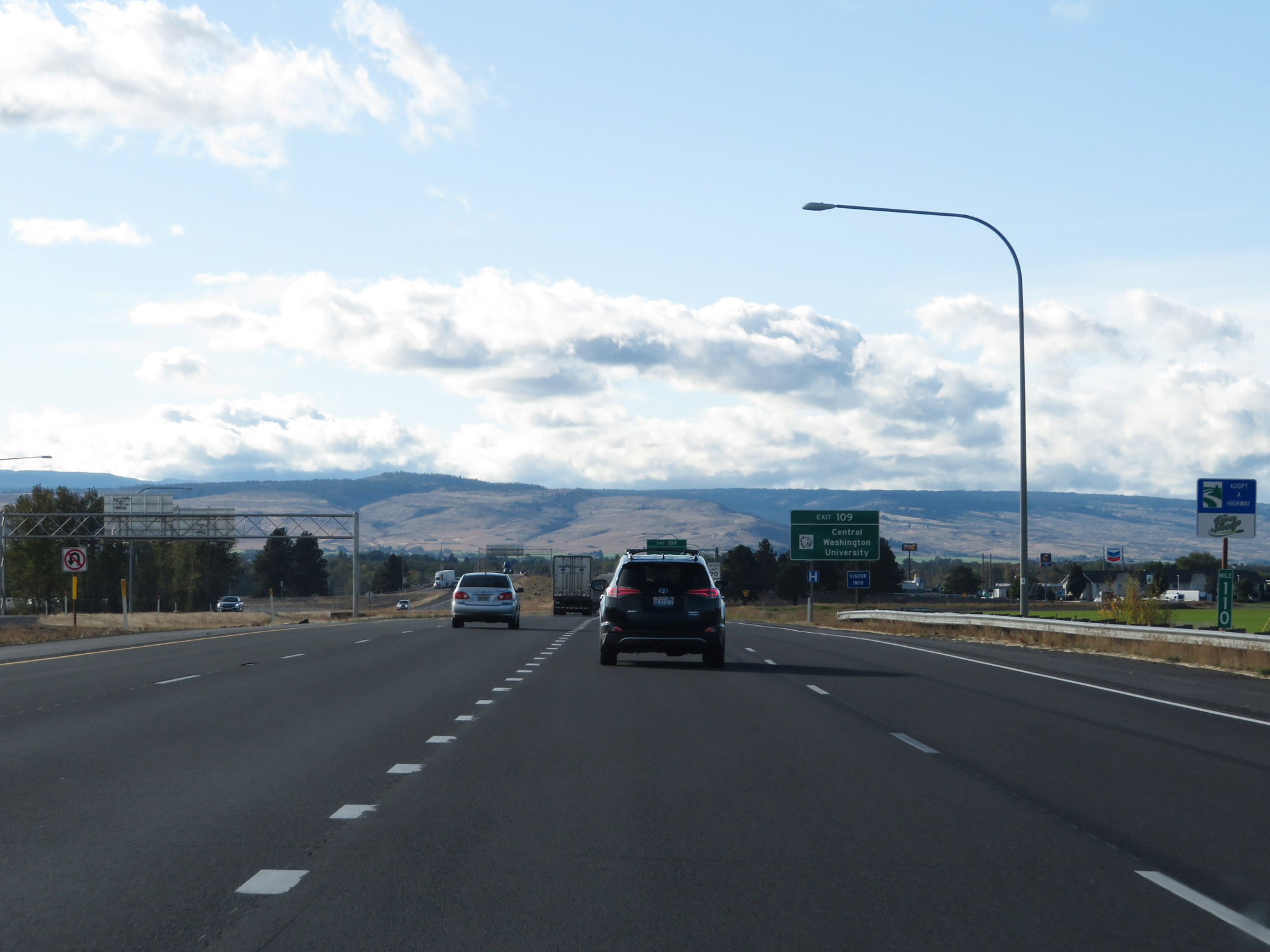 |
The ramp from Interstate 82 West merges into Interstate 90 West at mile marker 110. (Photo taken 9/26/19). |