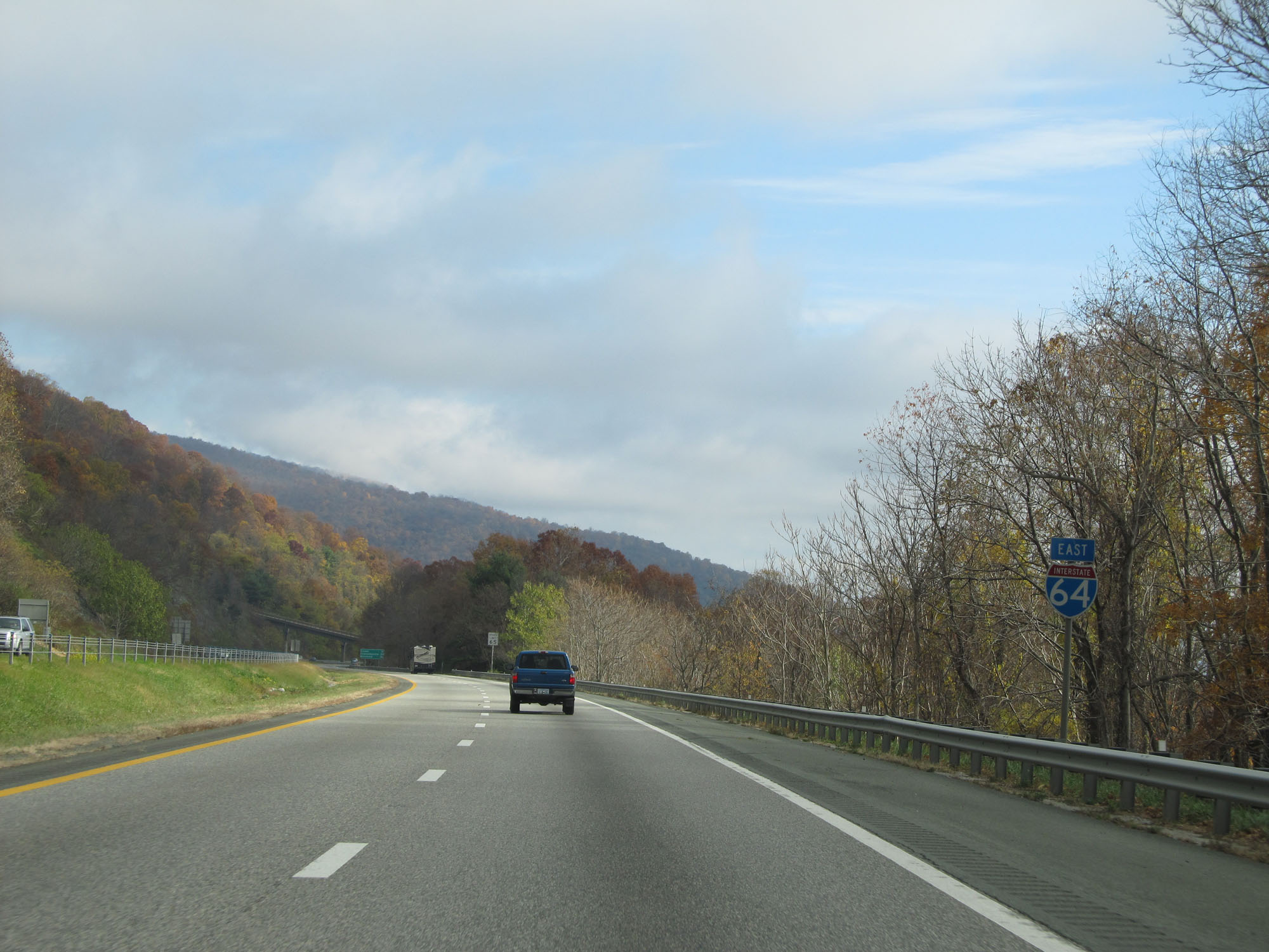
Road Information |
||
 |
||
| Total Mileage in State: | 299 miles | |
| Eastern End: | At I-264/I-664, in Chesapeake | |
| Western End: | At West Virginia state line | |
| Mileage covered in Photos: | 299 miles | |
| Counties covered in Photos: | Alleghany, City of Covington, Alleghany, Rockbridge, Augusta, City of Waynesboro, Augusta, Nelson, Albemarle, City of Charlottesville, Albemarle, Fluvanna, Louisa, Goochland, Louisa, Goochland, Henrico, City of Richmond, Henrico, New Kent, James City, York, James City, City of Newport News, City of Hampton, City of Norfolk, City of Virginia Beach, City of Chesapeake | |
| Major Junctions in Photos: | I-81 South, in Lexington I-81 North, in Staunton US 29, in Charlottesville I-295, near Short Pump I-195, in Richmond I-95 North, in Richmond I-95 South, in Richmond I-295, near Sandston US 17, in Newport News I-664, in Hampton I-564, in Norfolk I-264, in Virginia Beach I-464, in Chesapeake I-664/I-264, in Chesapeake |
|
| Control Cities in Photos: | Covington, Lexington, Staunton, Waynesboro, Charlottesville, Richmond, Williamsburg, Newport News, Hampton, Norfolk, Virginia Beach, Chesapeake | |
Eastbound
- Section 1: West Virginia Border to Lexington (Exit 55)
- Section 2: Lexington (Exit 55) to Staunton (Exit 221)
- Section 3: Staunton (Exit 221) to Charlottesville (Exit 124)
- Section 4: Charlottesville (Exit 124) to Richmond (Exit 186)
- Section 5: Richmond (Exit 186) to Williamsburg (Exit 234)
- Section 6: Williamsburg (Exit 234) to Hampton (Exit 264)
- Section 7: Hampton (Exit 264) to Norfolk (Exit 282)
- Section 8: Norfolk (Exit 282) to Interstate 264/Interstate 664
Section 1: West Virginia Border to Lexington (Exit 55)
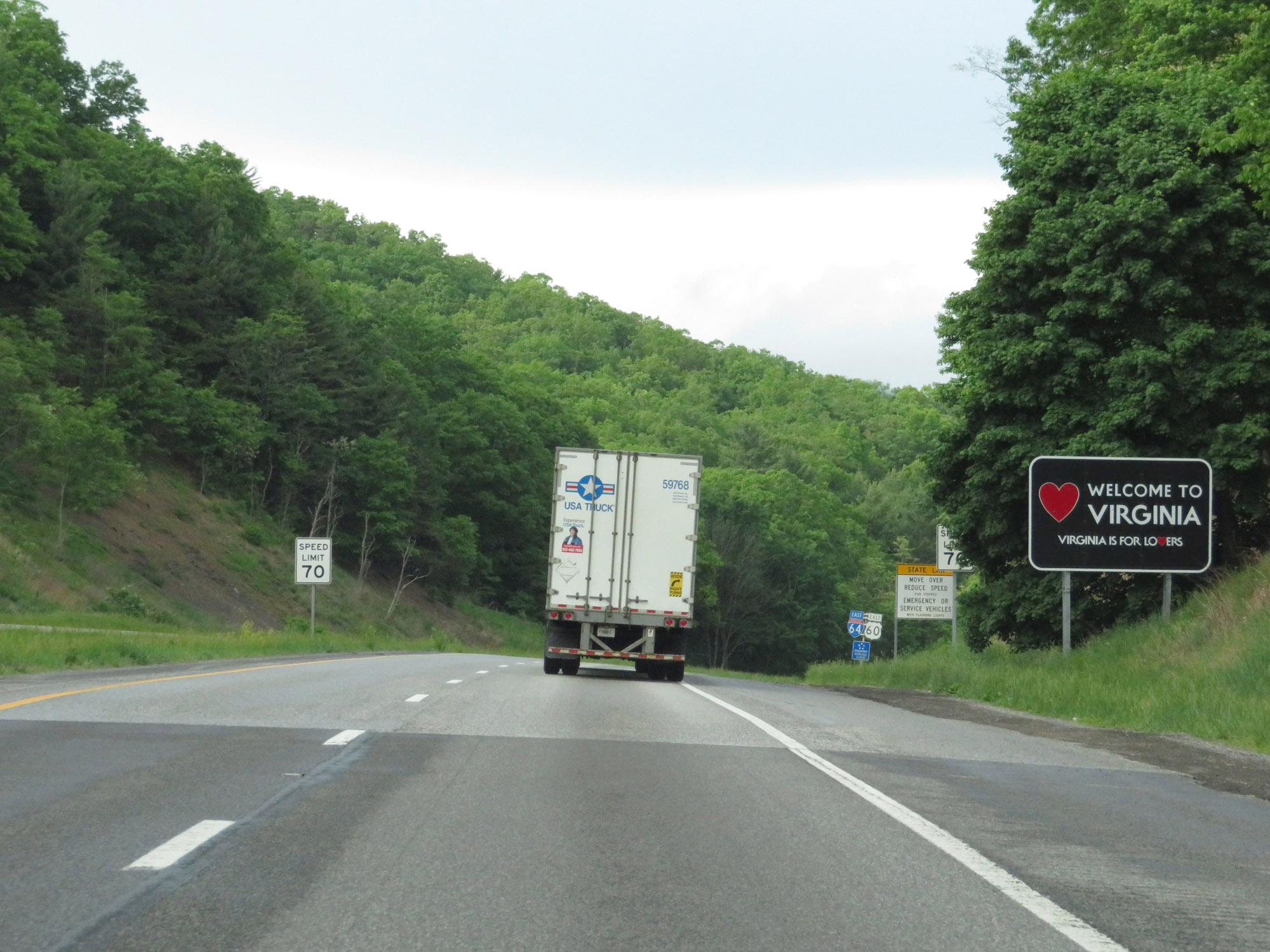 |
Virginia welcome sign as Interstate 64 East enters from West Virginia. (Photo taken 5/26/18). |
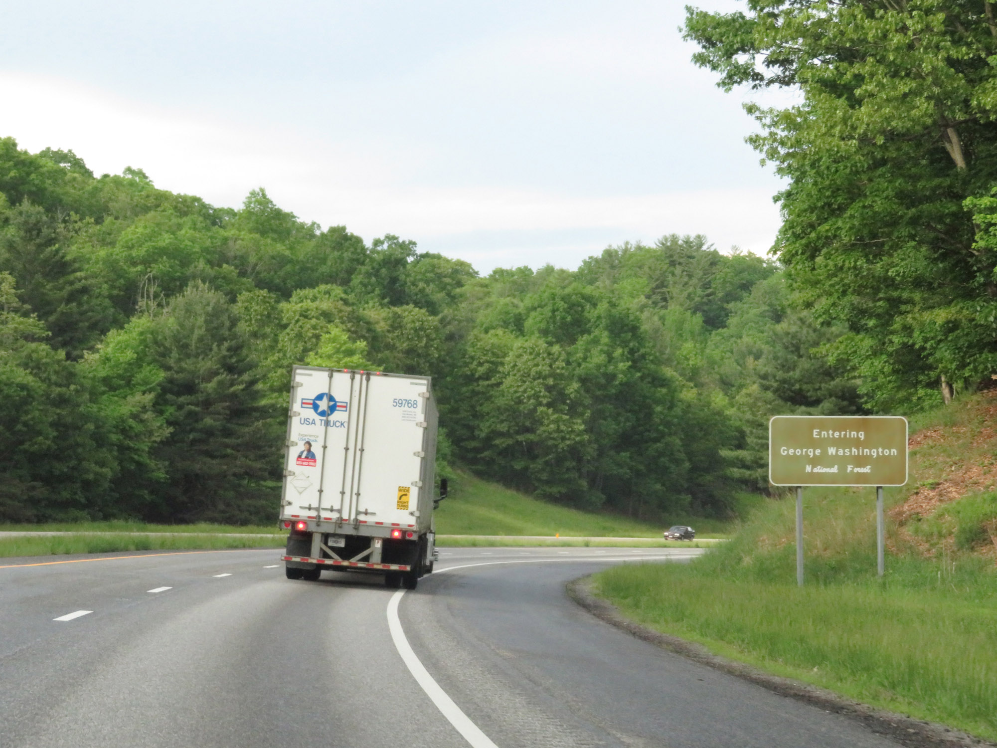 |
Upon entering Virginia, Interstate 64 East also enters George Washington National Forest. (Photo taken 5/26/18). |
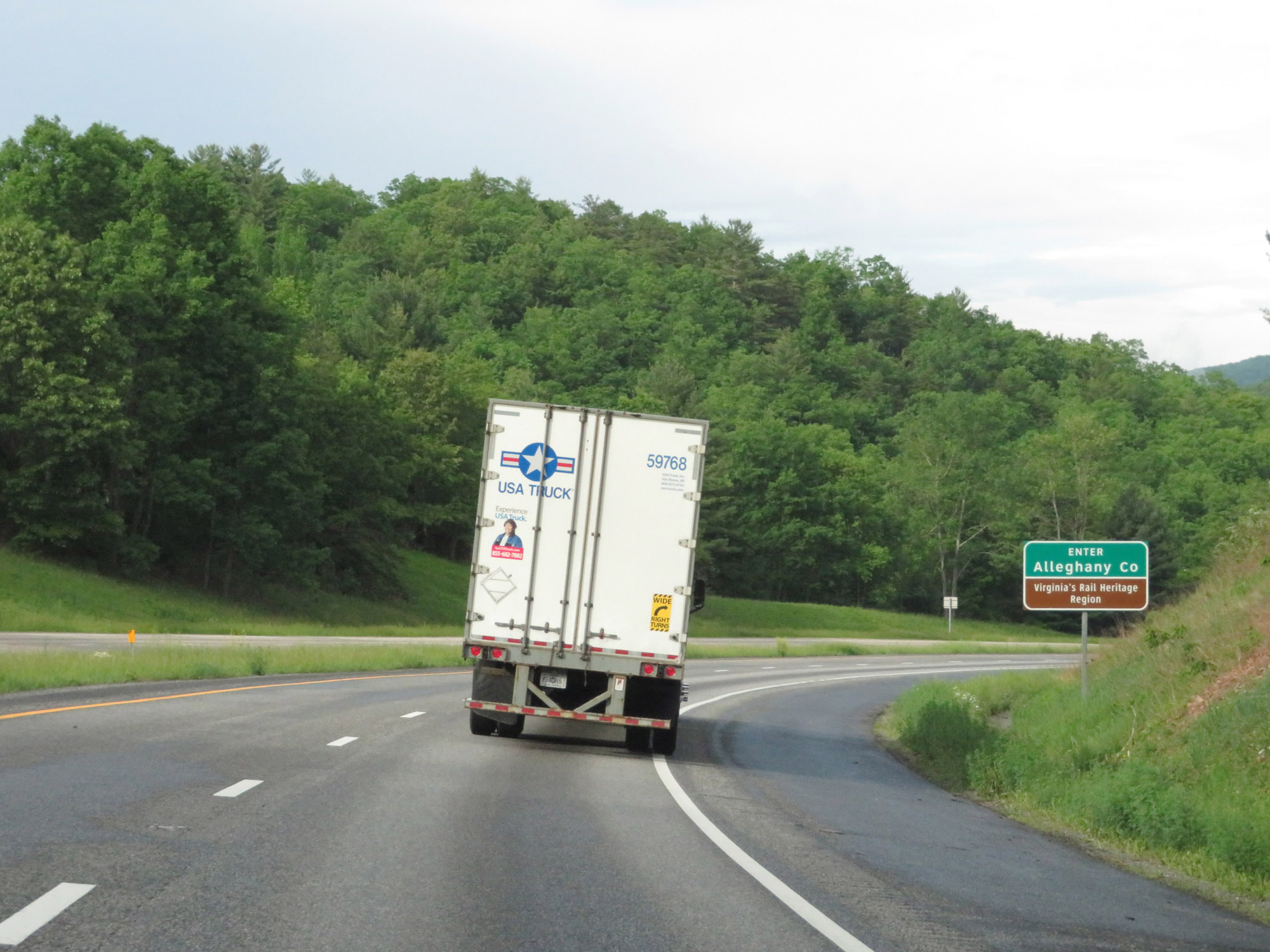 |
Interstate 64 East in Virginia begins in Alleghany County. (Photo taken 5/26/18). |
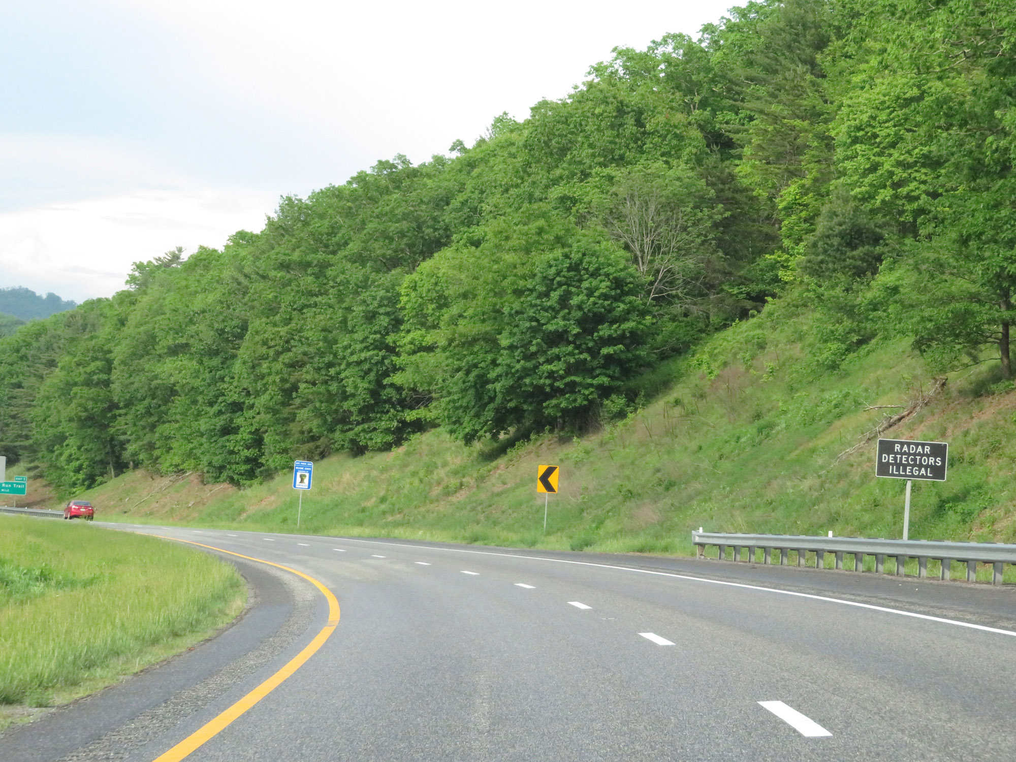 |
As this sign reads, radar detectors are illegal in the state of Virginia. (Photo taken 5/26/18). |
 |
Take Exit 1 to Allegheny Trail. (Photo taken 5/26/18). |
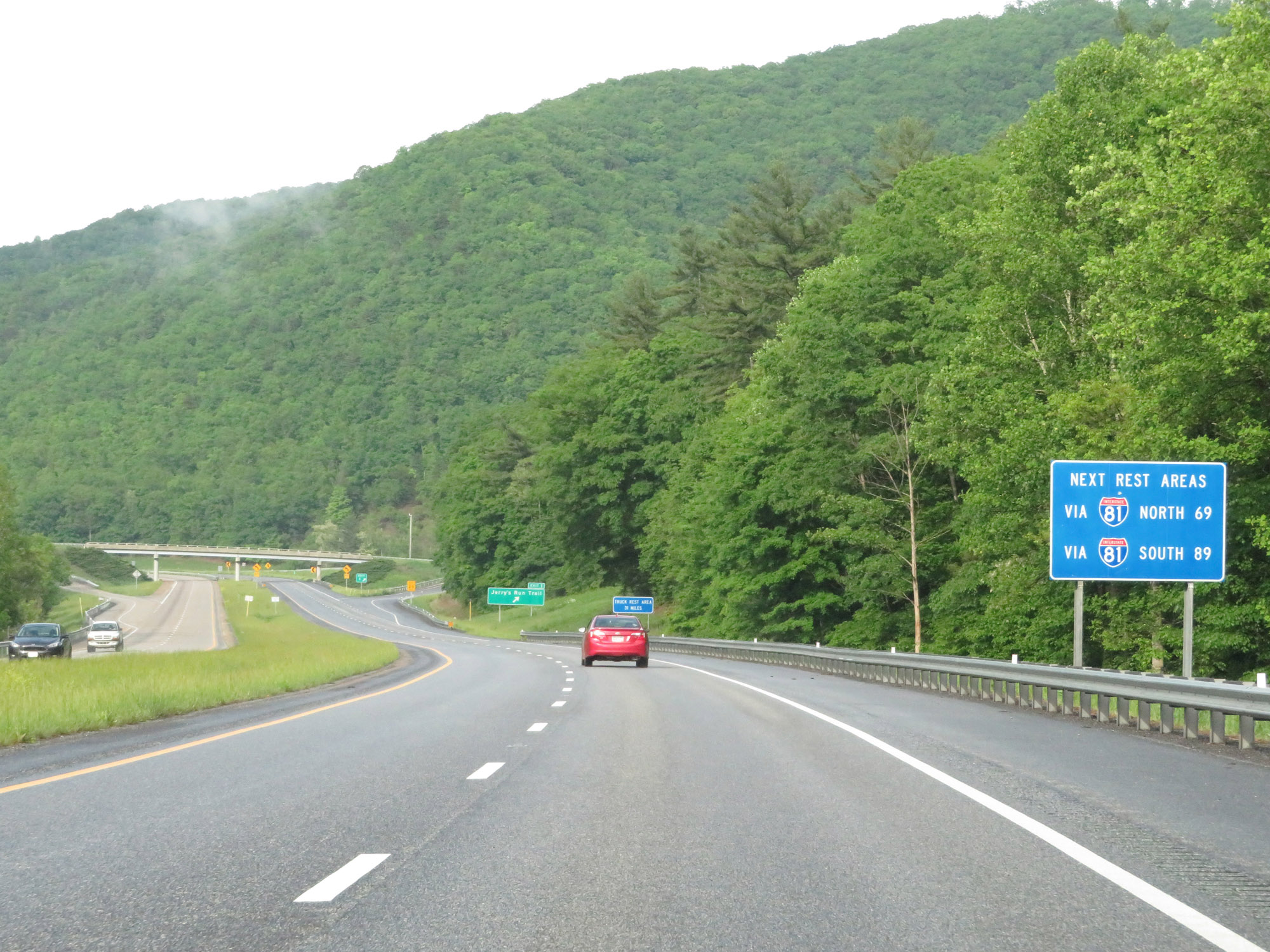 |
After the upcoming Virginia Welcome Center the next Rest Areas are on Interstate 81, which Interstate 64 East will intersect with in Lexington 54 miles ahead. This sign states the distances to the next Rest Areas on Interstate 81 North and South from this point. (Photo taken 5/26/18). |
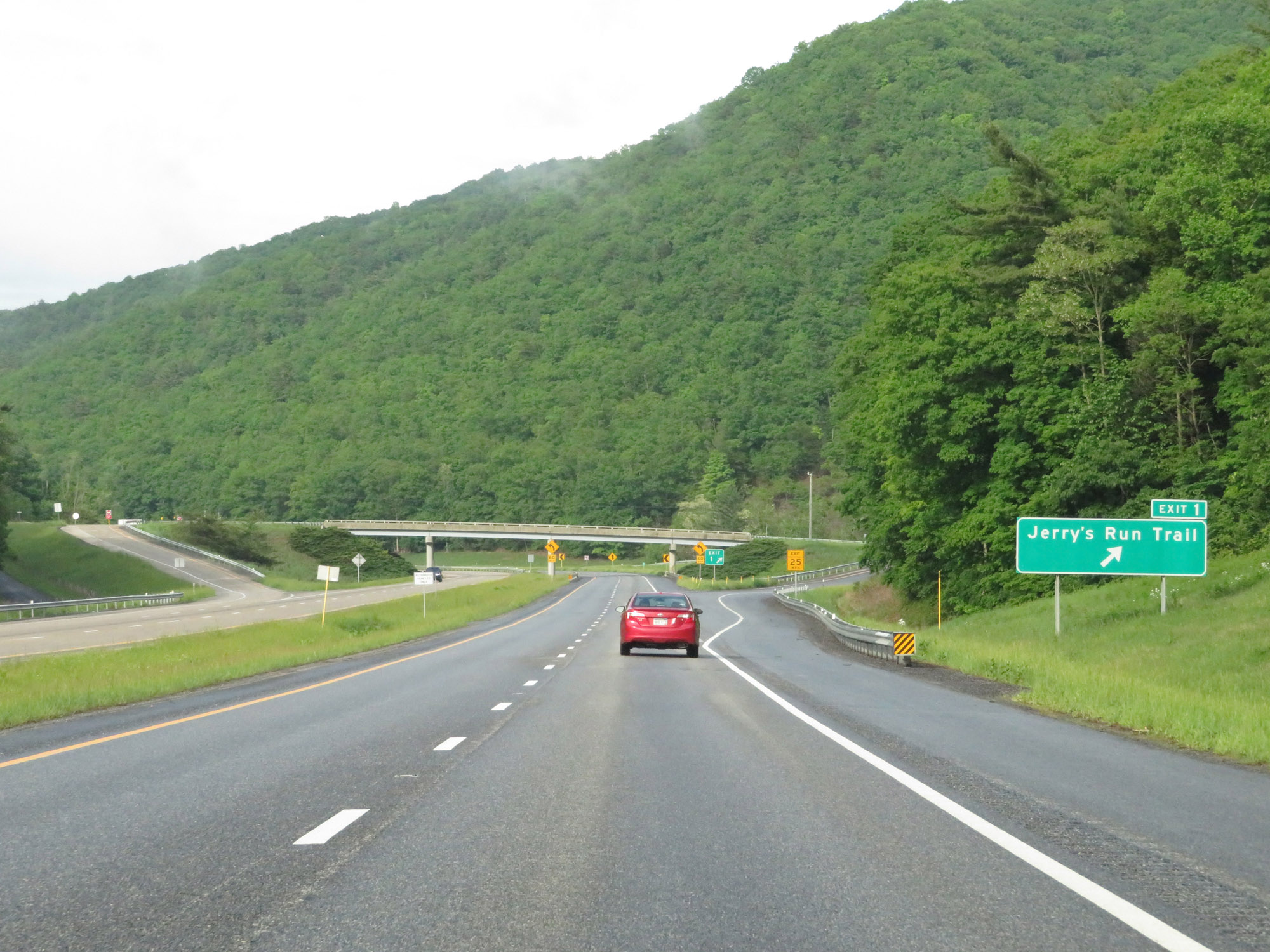 |
Interstate 64 East at Exit 1: Jerry's Run Trail (Photo taken 5/26/18). |
 |
Rest Area / Virginia Welcome Center on Interstate 64 East in Alleghany County. (Photo taken 5/26/18). |
 |
Interstate 64 East reassurance shield at mile marker 3. (Photo taken 5/26/18). |
 |
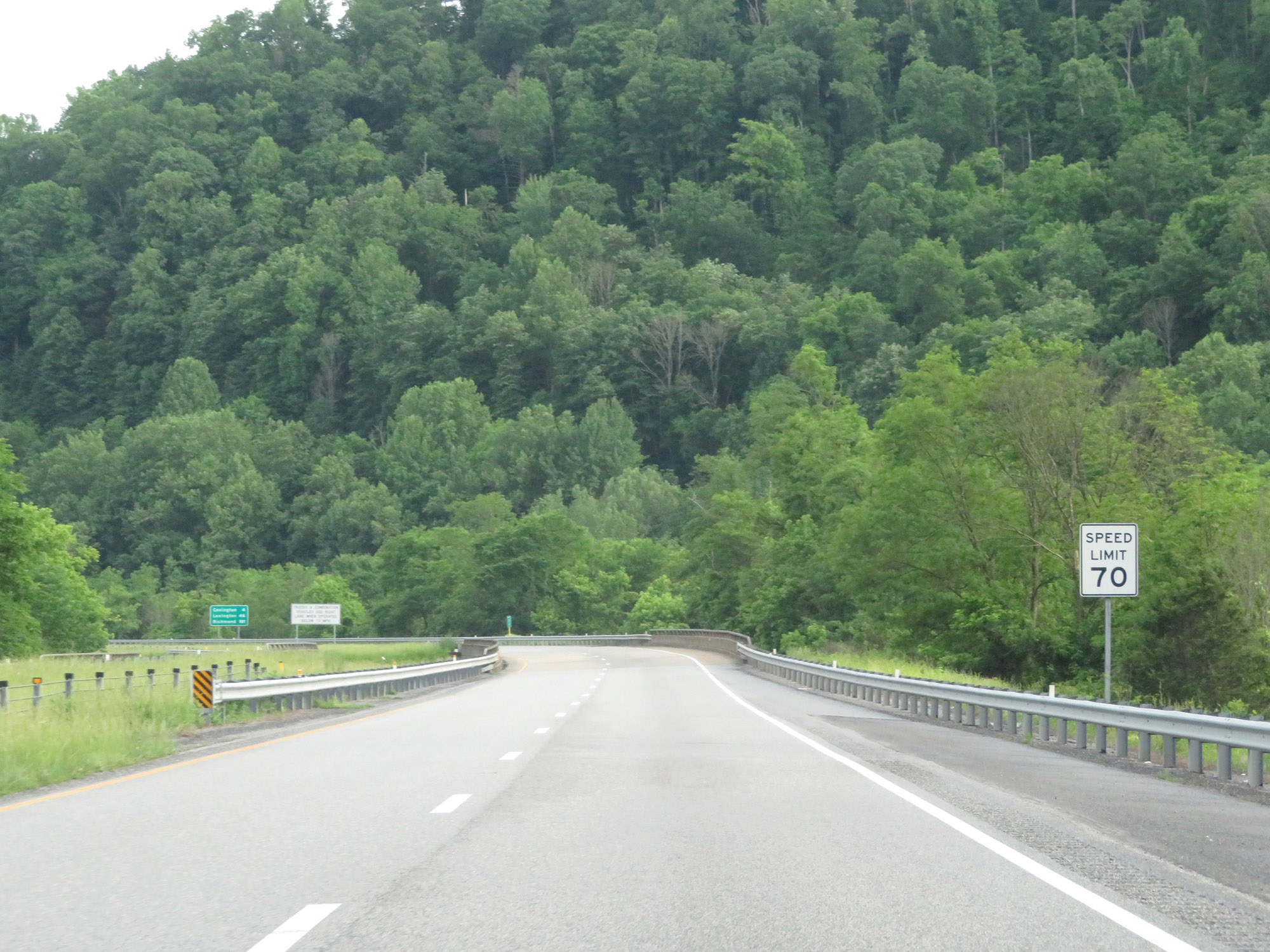
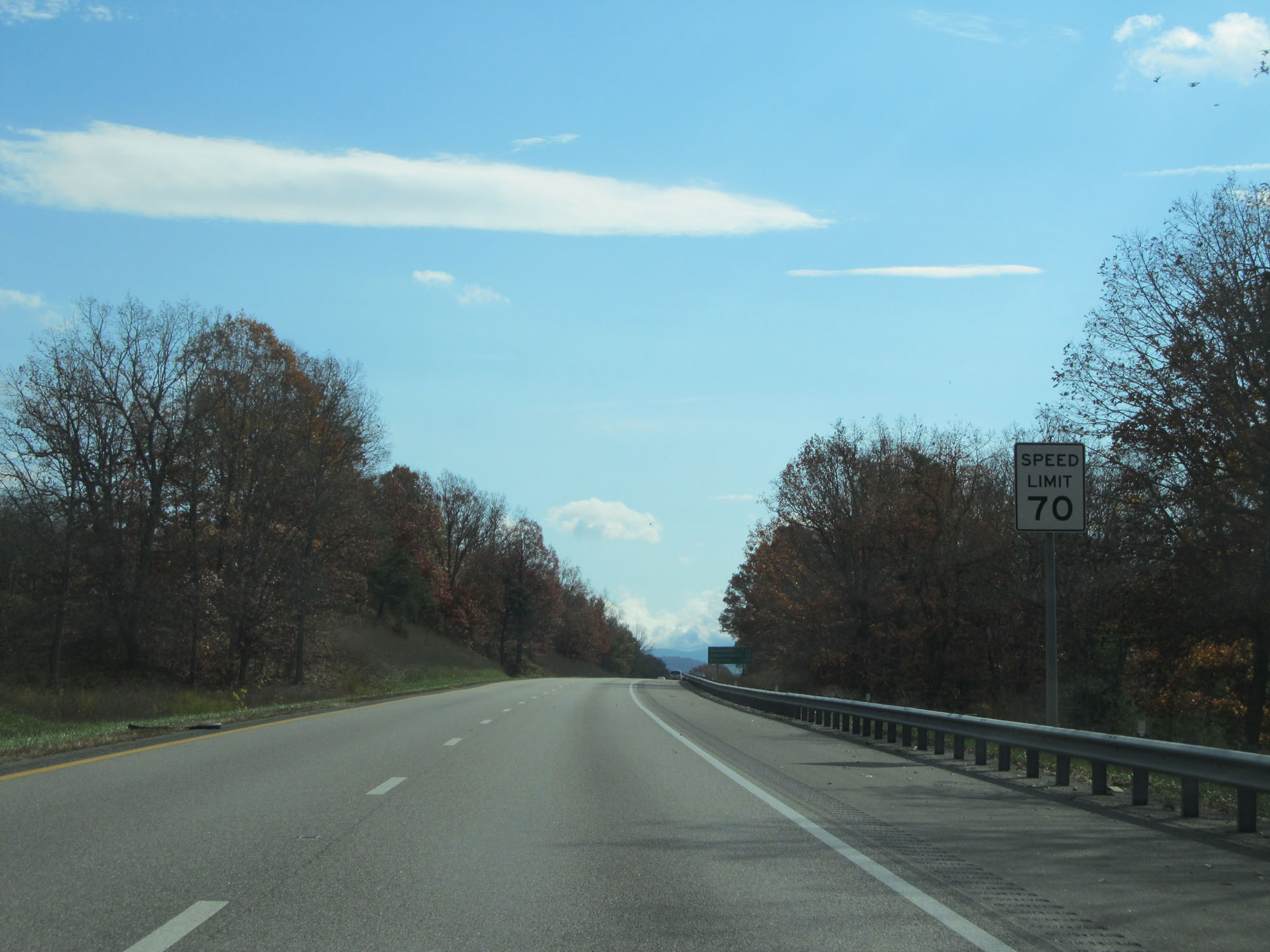
The speed limit on Interstate 64 East starts out at 70 mph. This is the standard speed limit on most rural Interstate highways in Virginia. (Photo taken 5/26/18). |
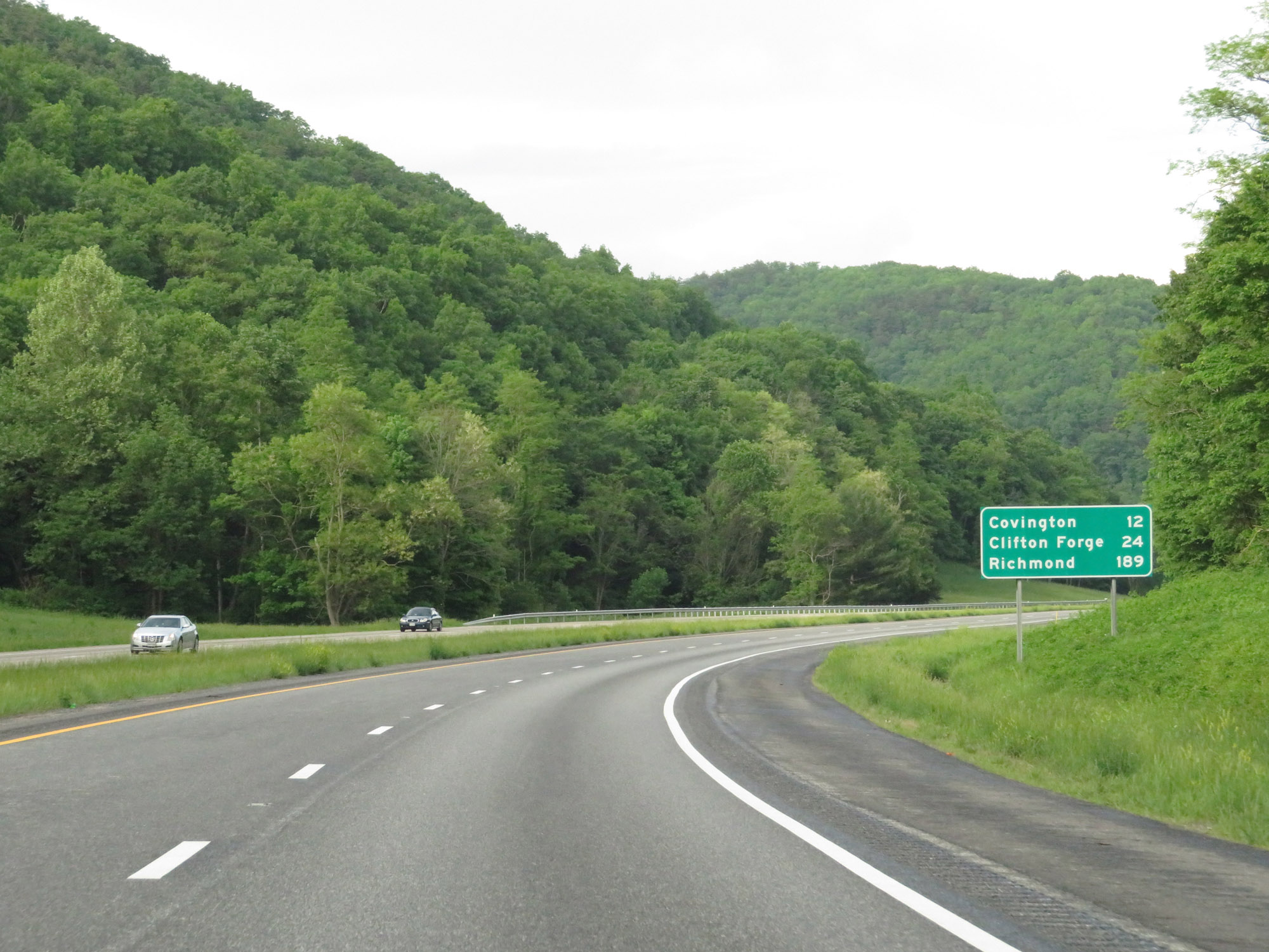 |
Mileage sign on Interstate 64 East. It's 12 miles to Covington, 24 miles to Clifton Forge, and 189 miles to Richmond. (Photo taken 5/26/18). |
 |
Interstate 64 East at mile marker 4. (Photo taken 5/26/18). |
 |
These signs warn of winding curves ahead. (Photo taken 5/26/18). |
 |
Interstate 64 East at mile marker 5. (Photo taken 5/26/18). |
 |
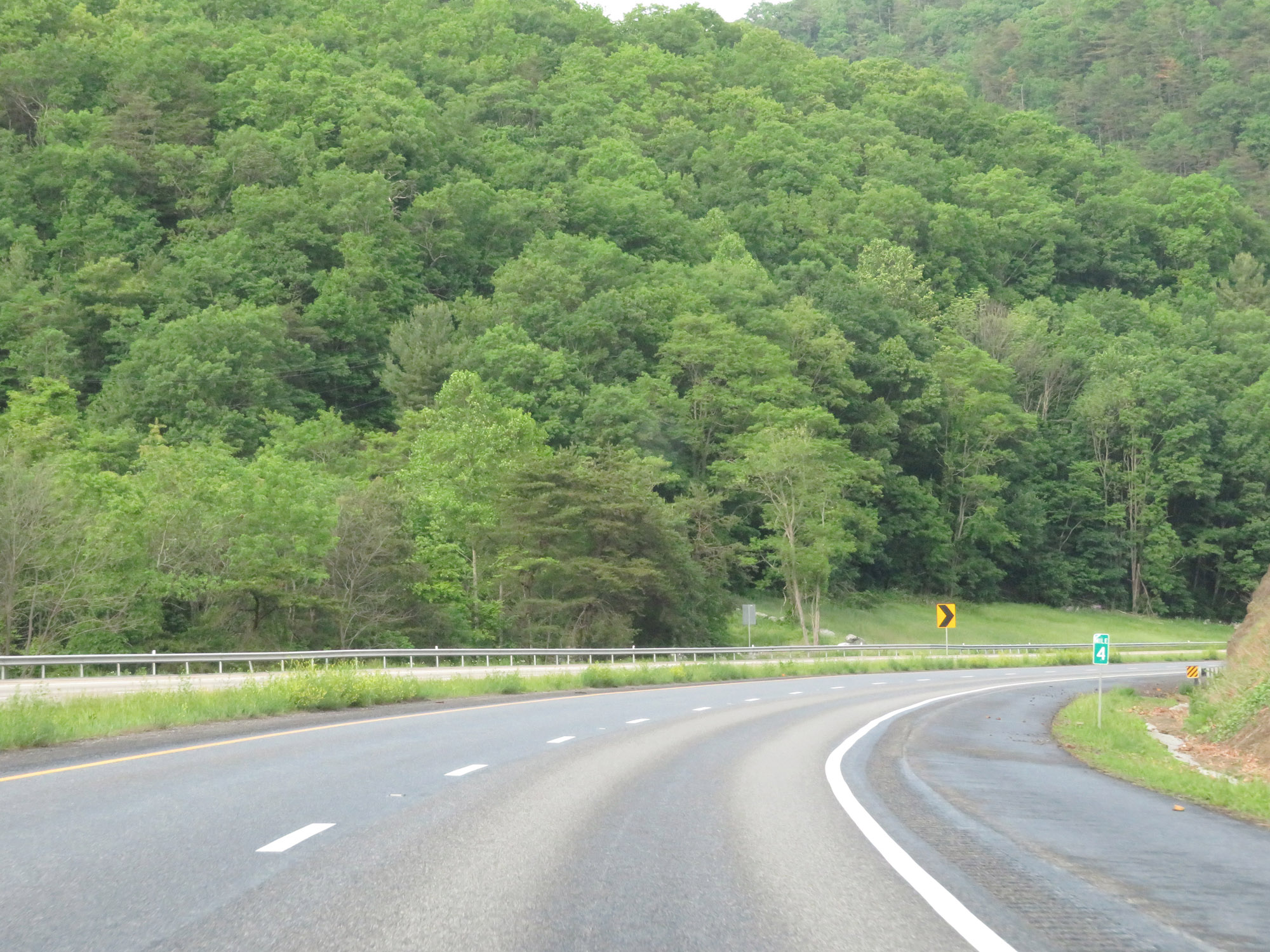
View on Interstate 64 East at mile marker 6. (Photo taken 5/26/18). |
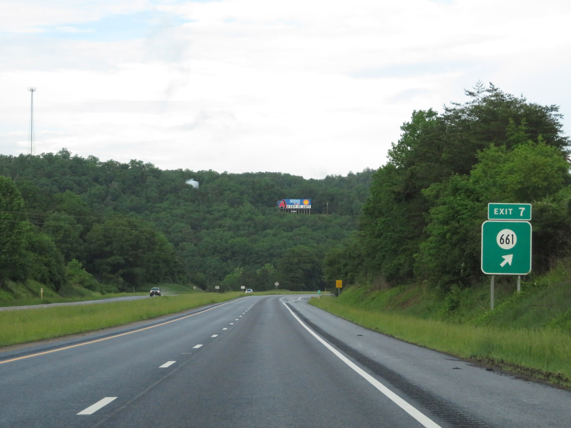 |
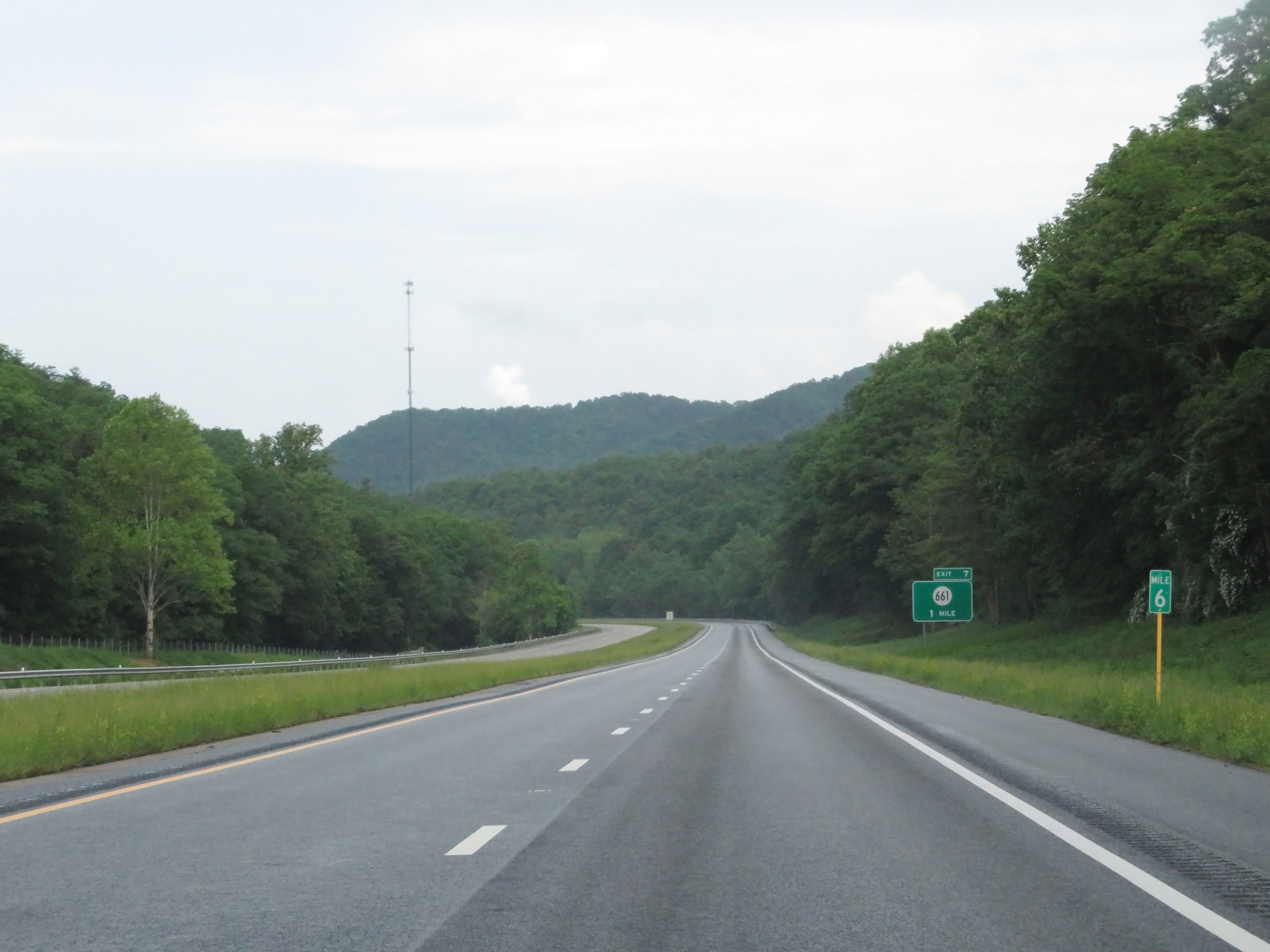
Interstate 64 East at Exit 7: SR 661 (Photo taken 5/26/18). |
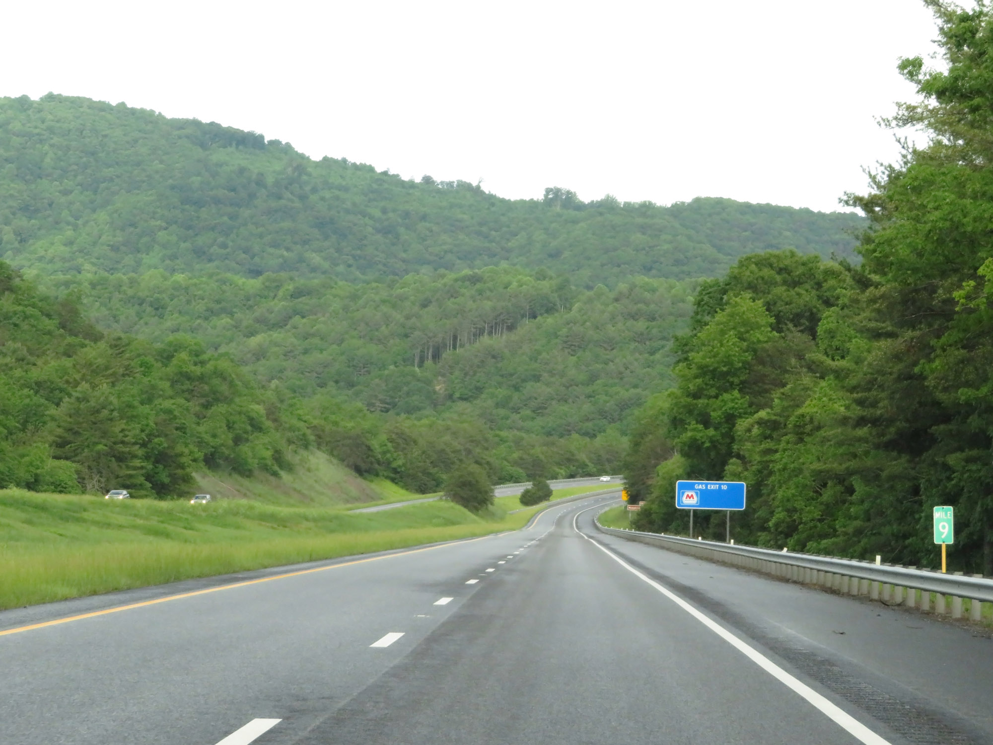 |
Interstate 64 East at mile marker 9. (Photo taken 5/26/18). |
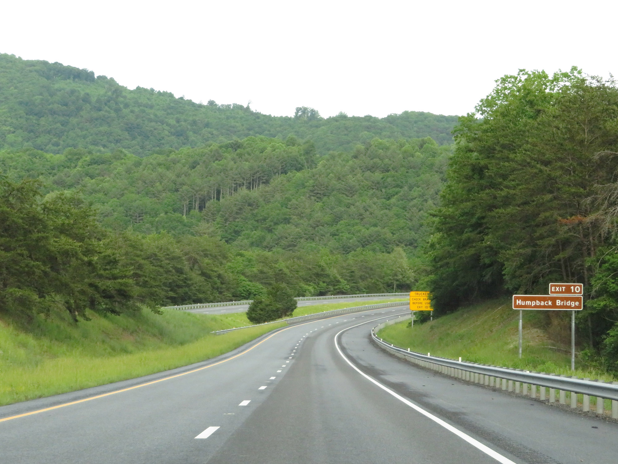 |
Take Exit 10 to Humpback Bridge. (Photo taken 5/26/18). |
 |
Trucks using Exit 10 are warned to check their brakes at this point. (Photo taken 5/26/18). |
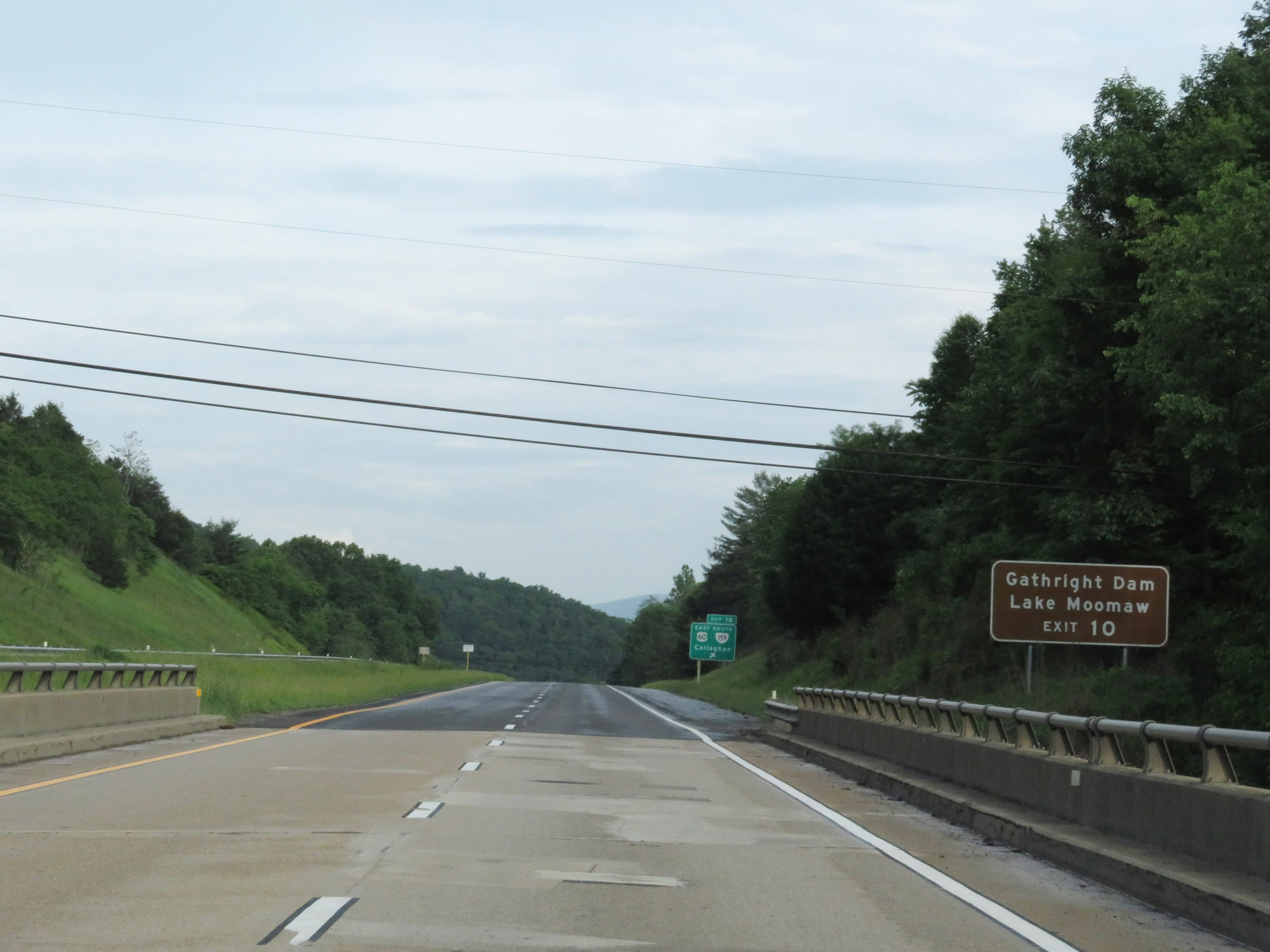 |
Also take Exit 10 to Gathright Dam and Lake Moomaw. (Photo taken 5/26/18). |
 |
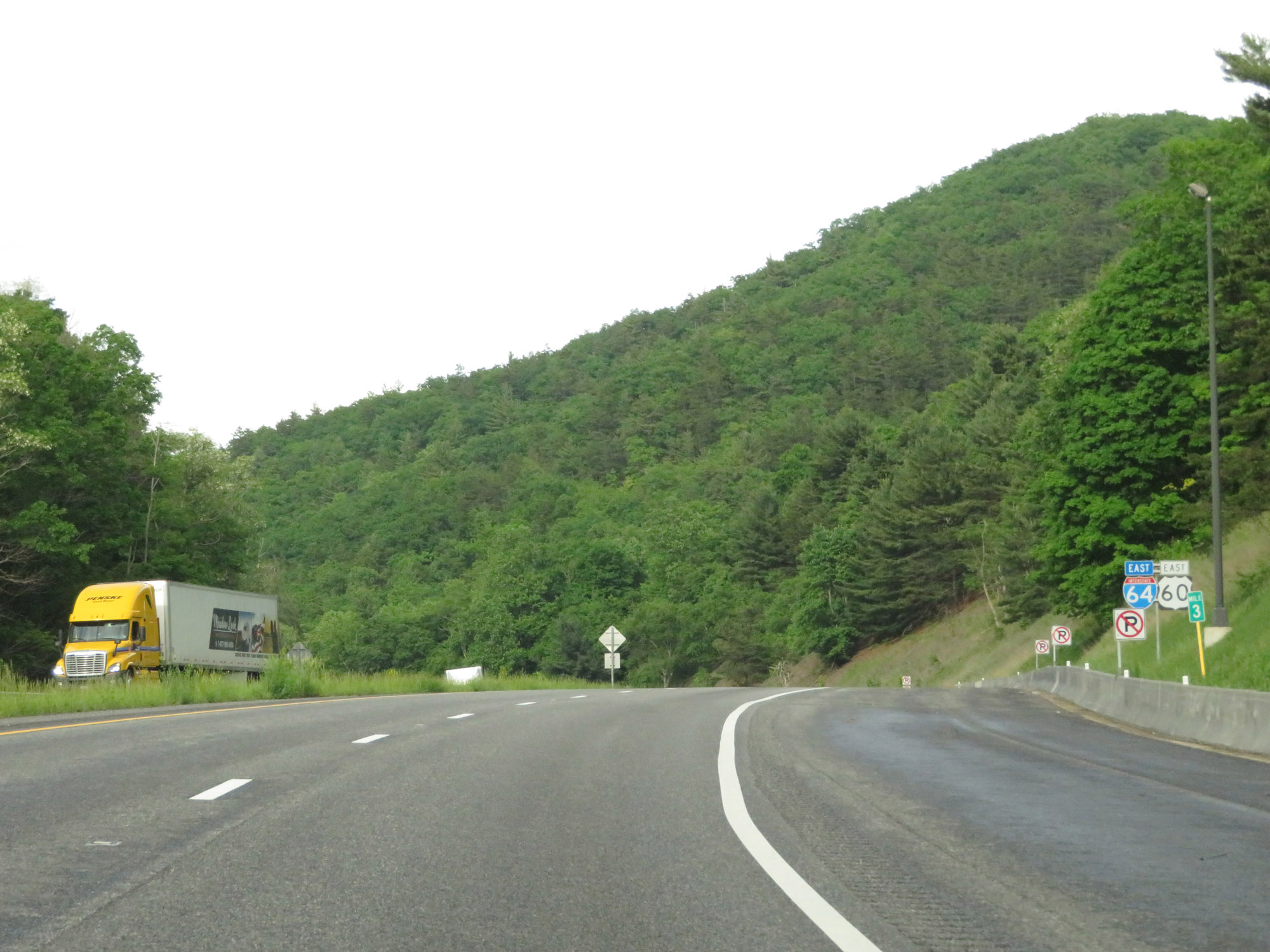
Interstate 64 East at Exit 10: US 60 East / VA 159 South - Callaghan (Photo taken 5/26/18). |
 |
The speed limit remains 70 mph. (Photo taken 5/26/18). |
 |
Mileage sign on Interstate 64 East. It's 4 miles to Covington, 46 miles to Lexington, and 181 miles to Richmond. (Photo taken 5/26/18). |
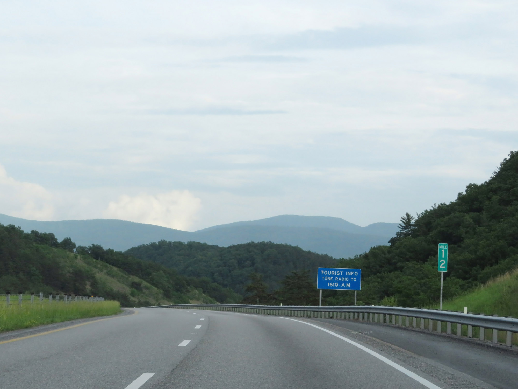 |
Interstate 64 East at mile marker 12. (Photo taken 5/26/18). |
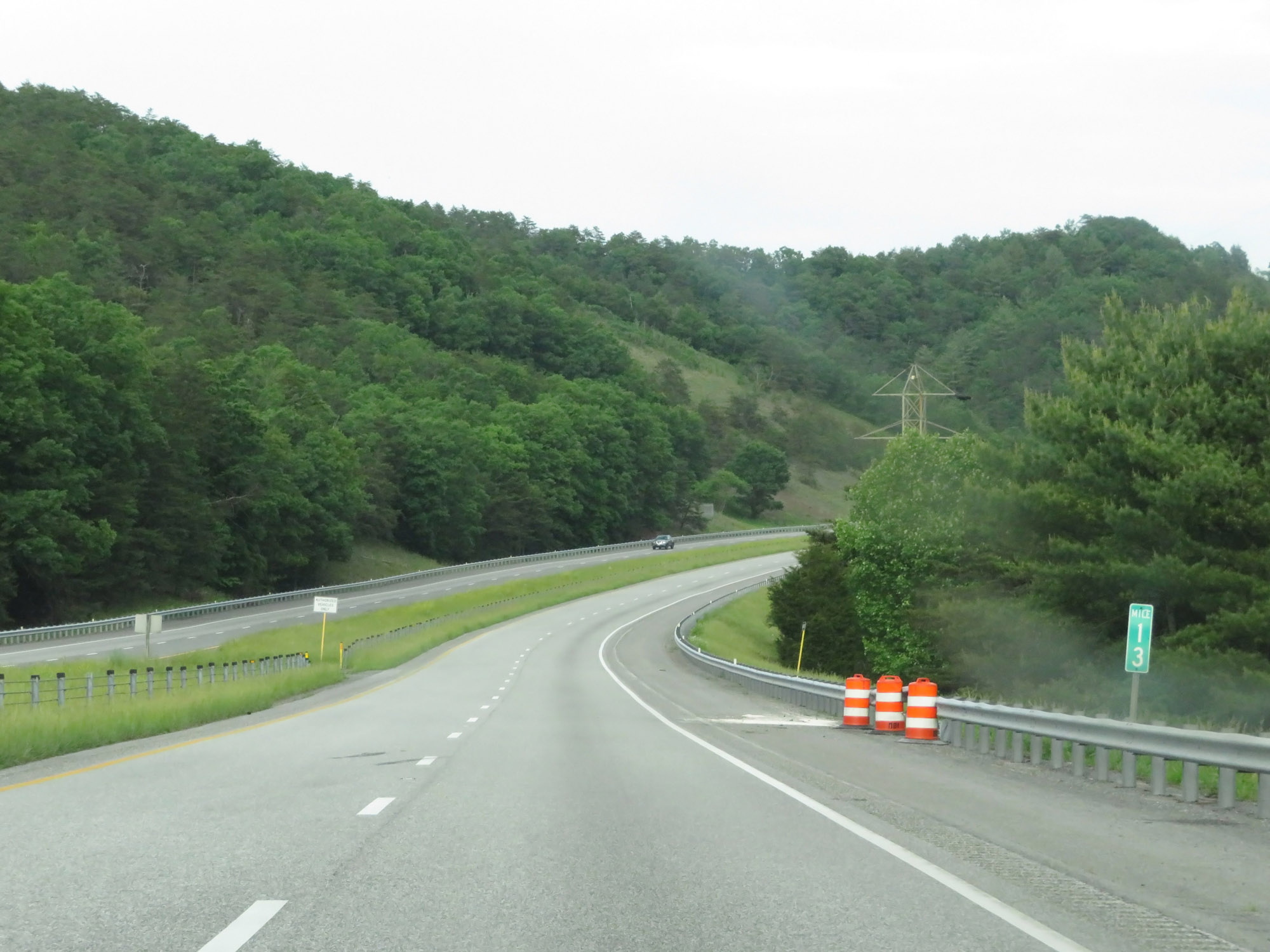 |
View on Interstate 64 East at mile marker 13. (Photo taken 5/26/18). |
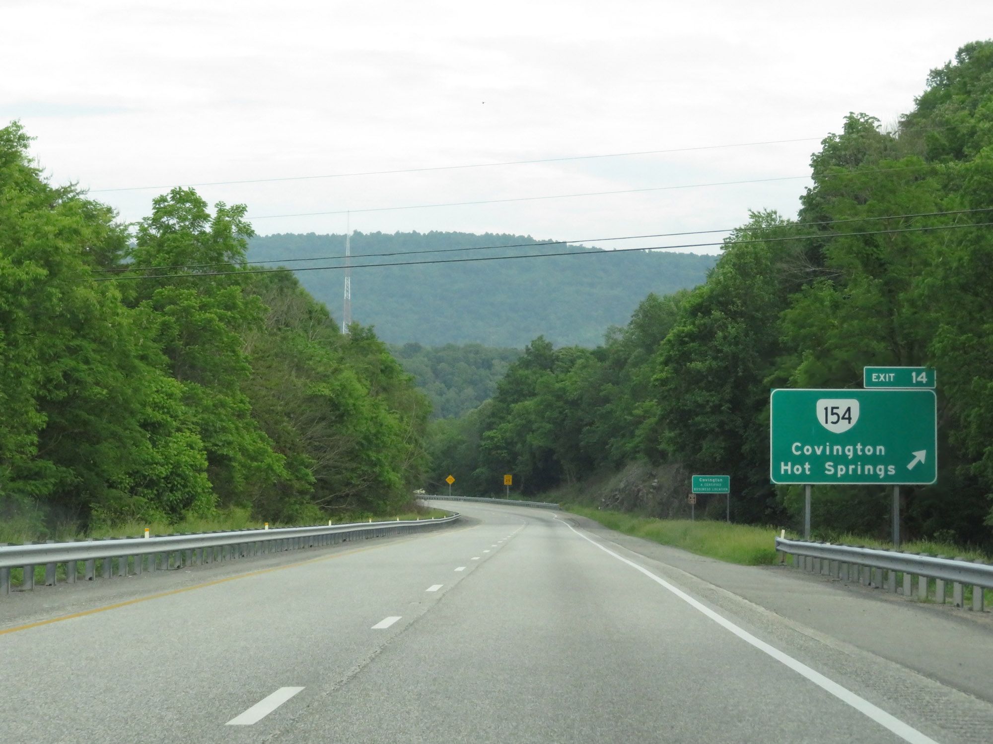 |
Interstate 64 East at Exit 14: VA 154 - Covington / Hot Springs (Photo taken 5/26/18). |
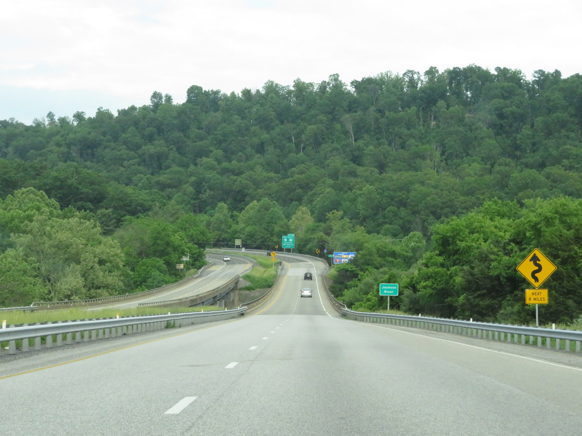 |
Nearing Covington, this sign warns of winding curves for the next 8 miles. (Photo taken 5/26/18). |
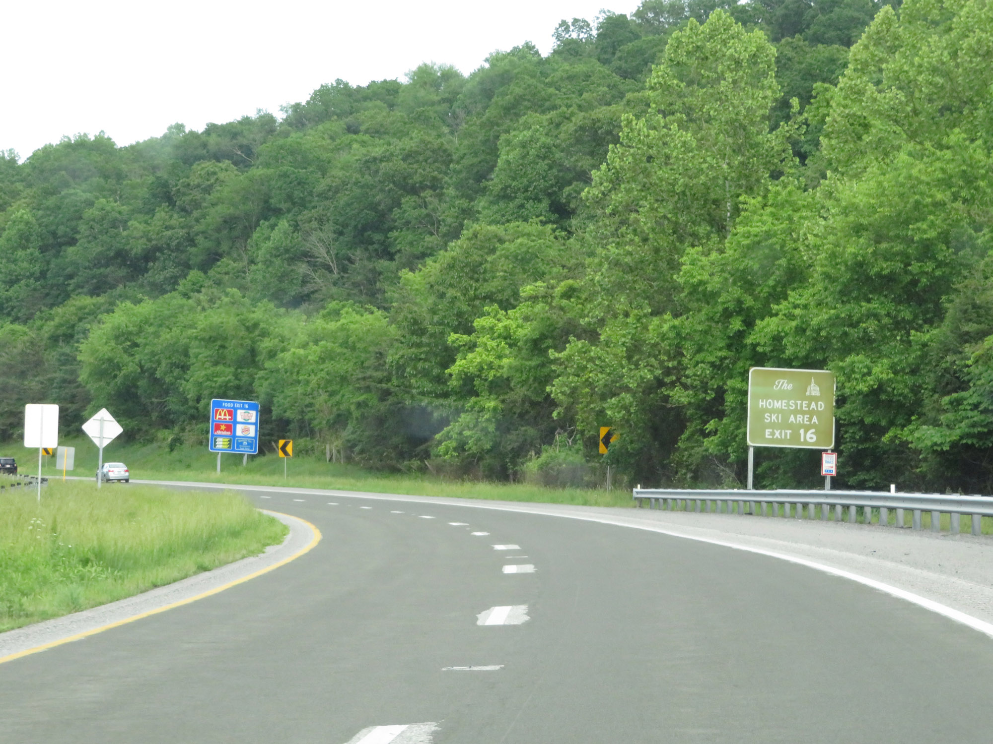 |
Take Exit 16 to The Homestead Ski Area. (Photo taken 5/26/18). |
 |
Interstate 64 East as it departs the Covington city limits to re-enter Alleghany County. (Photo taken 5/26/18). |
 |
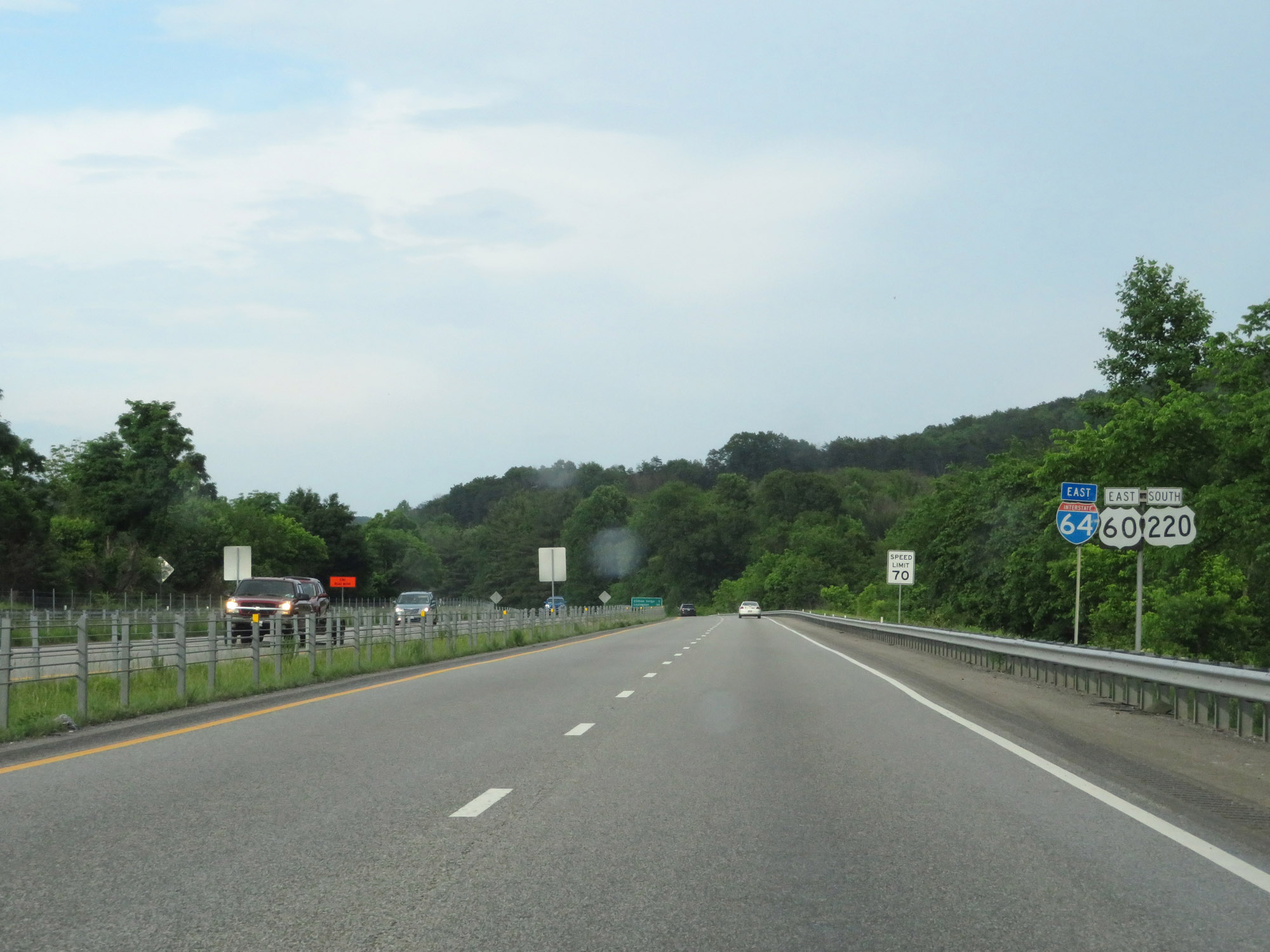
Interstate 64 East at Exit 16: US 60 West / US 220 North - Covington / Hot Springs (Photo taken 5/26/18). |
 |
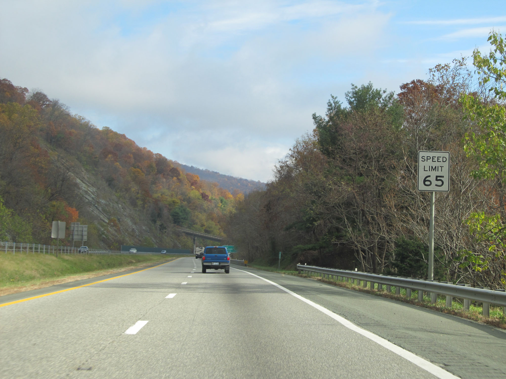
At mile marker 17, the speed limit decreases to 65 mph as Interstate 64 prepares to traverse more winding curves. (Photo taken 5/26/18). |
 |
View on Interstate 64 East. (Photo taken 5/26/18). |
 |
Interstate 64 East at mile marker 18. (Photo taken 5/26/18). |
 |
View on Interstate 64 East at mile marker 19. (Photo taken 5/26/18). |
 |
More 60 mph curves on Interstate 64 East. (Photo taken 5/26/18). |
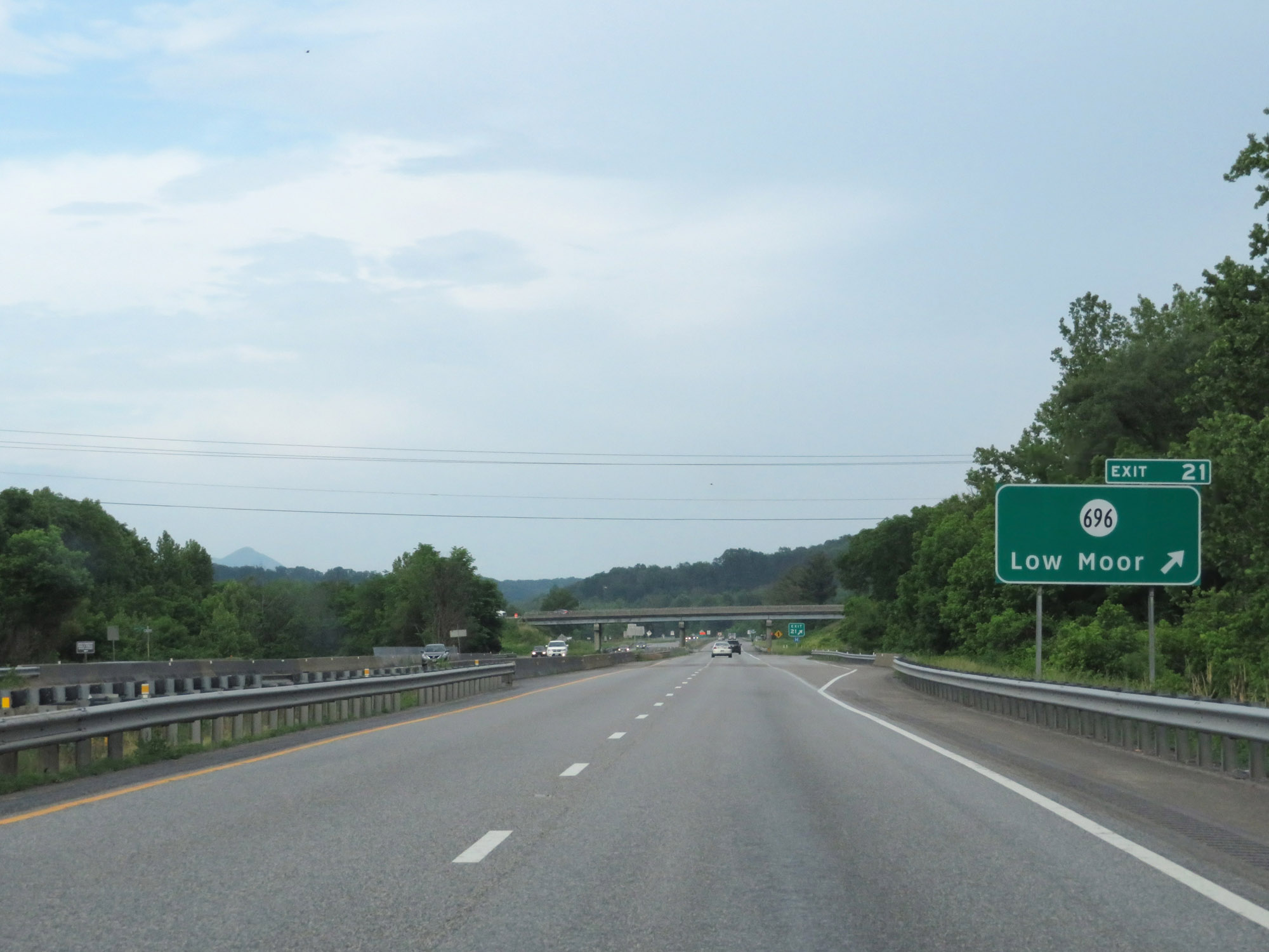 |
Interstate 64 East at Exit 21: SR 696 - Low Moor (Photo taken 5/26/18). |
 |
Interstate 64 East reassurance shield east of Exit 21. (Photo taken 5/26/18). |
 |
East of Exit 21, the speed limit of 70 mph resumes. (Photo taken 5/26/18). |
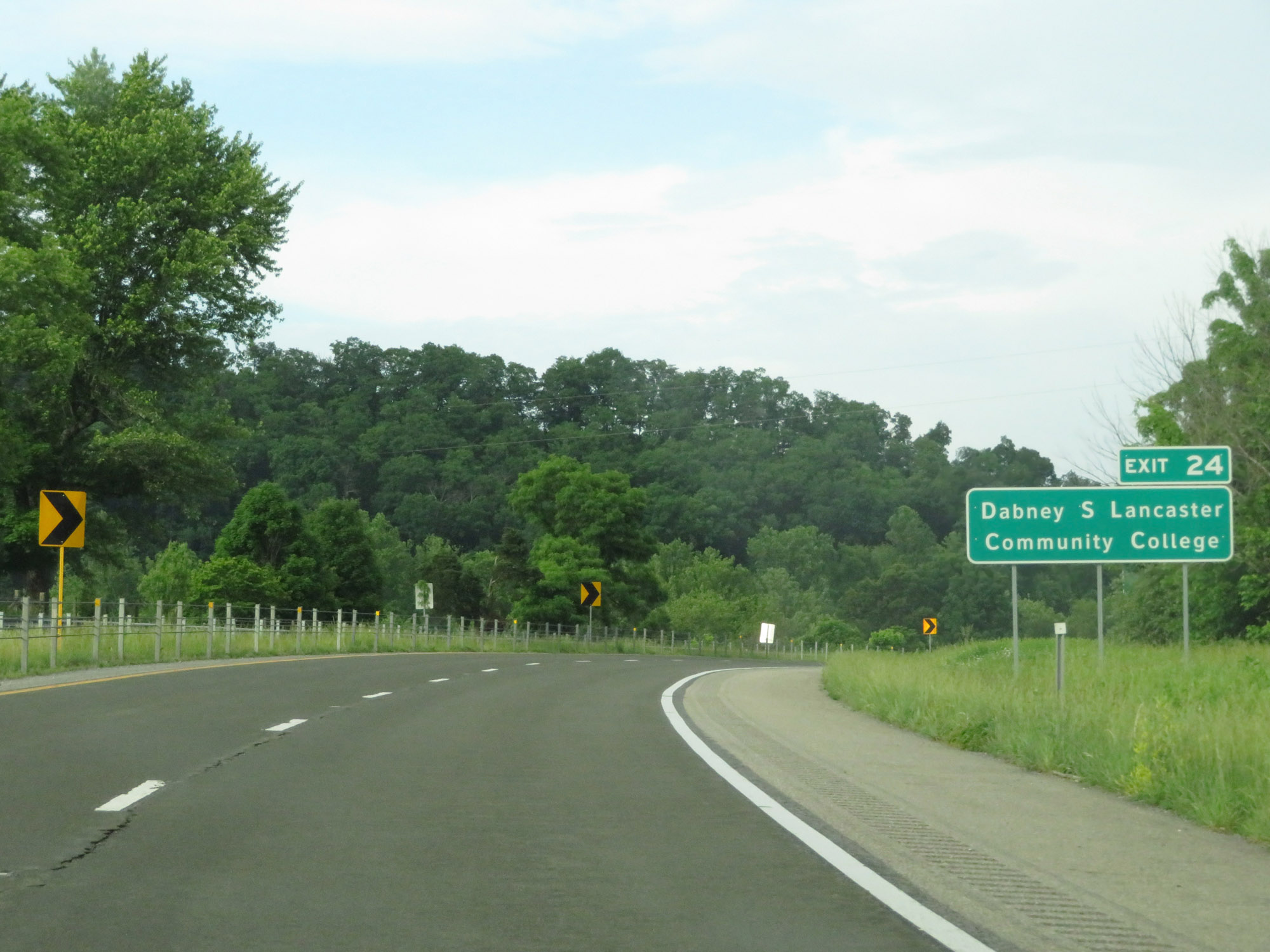 |
Take Exit 24 to Dabney S. Lancaster Community College. (Photo taken 5/26/18). |
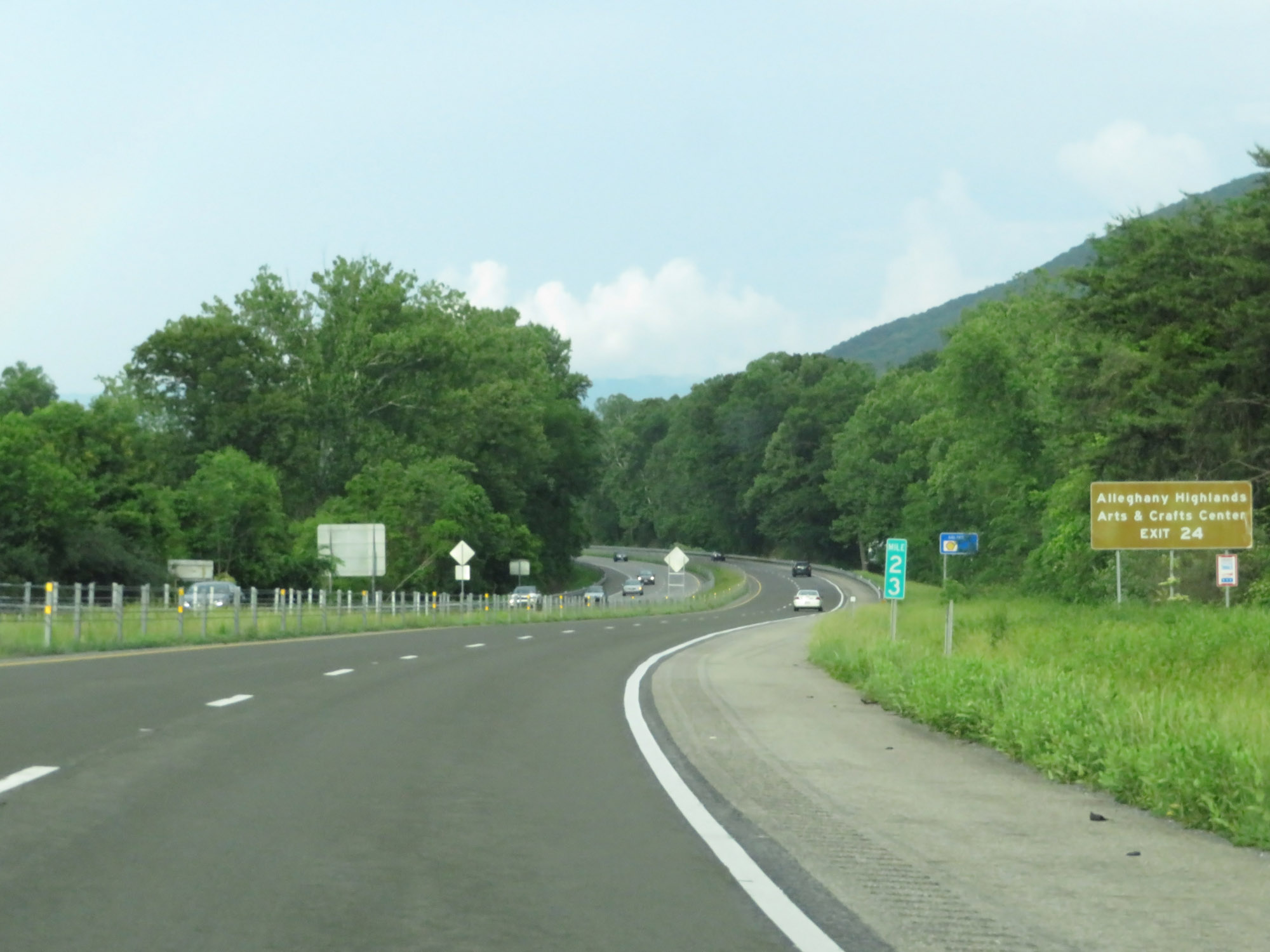 |
Also take Exit 24 to Alleghany Highlands Arts & Crafts Center. (Photo taken 5/26/18). |
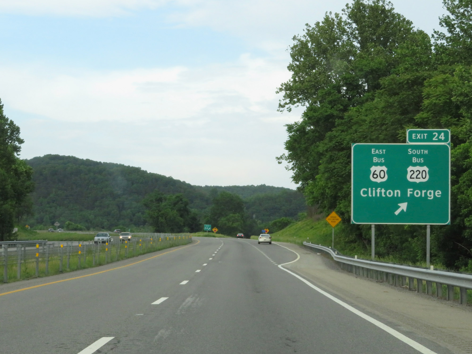 |
Interstate 64 East at Exit 24: US 60 Business East / US 220 Business South - Clifton Forge (Photo taken 5/26/18). |
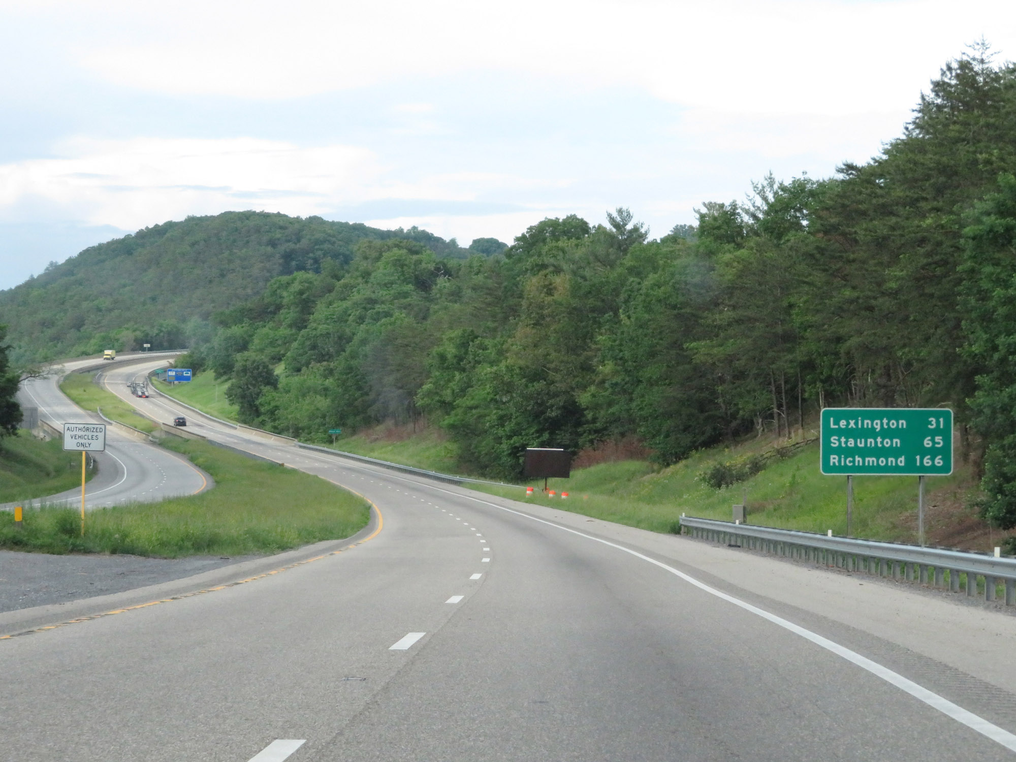 |
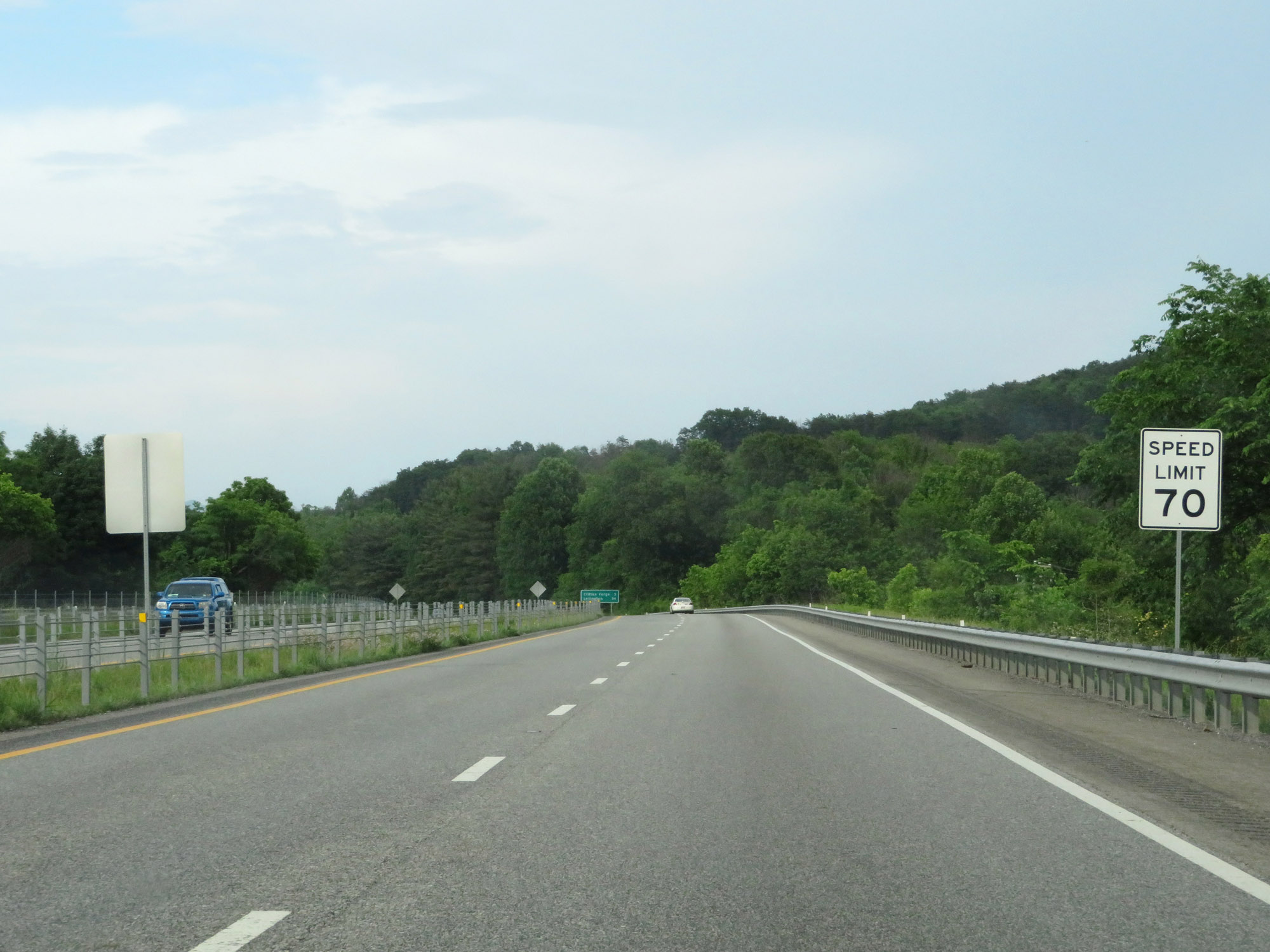
Another mileage sign on Interstate 64 East. It's 31 miles to Lexington, 65 miles to Staunton, and 166 miles to Richmond. (Photo taken 5/26/18). |
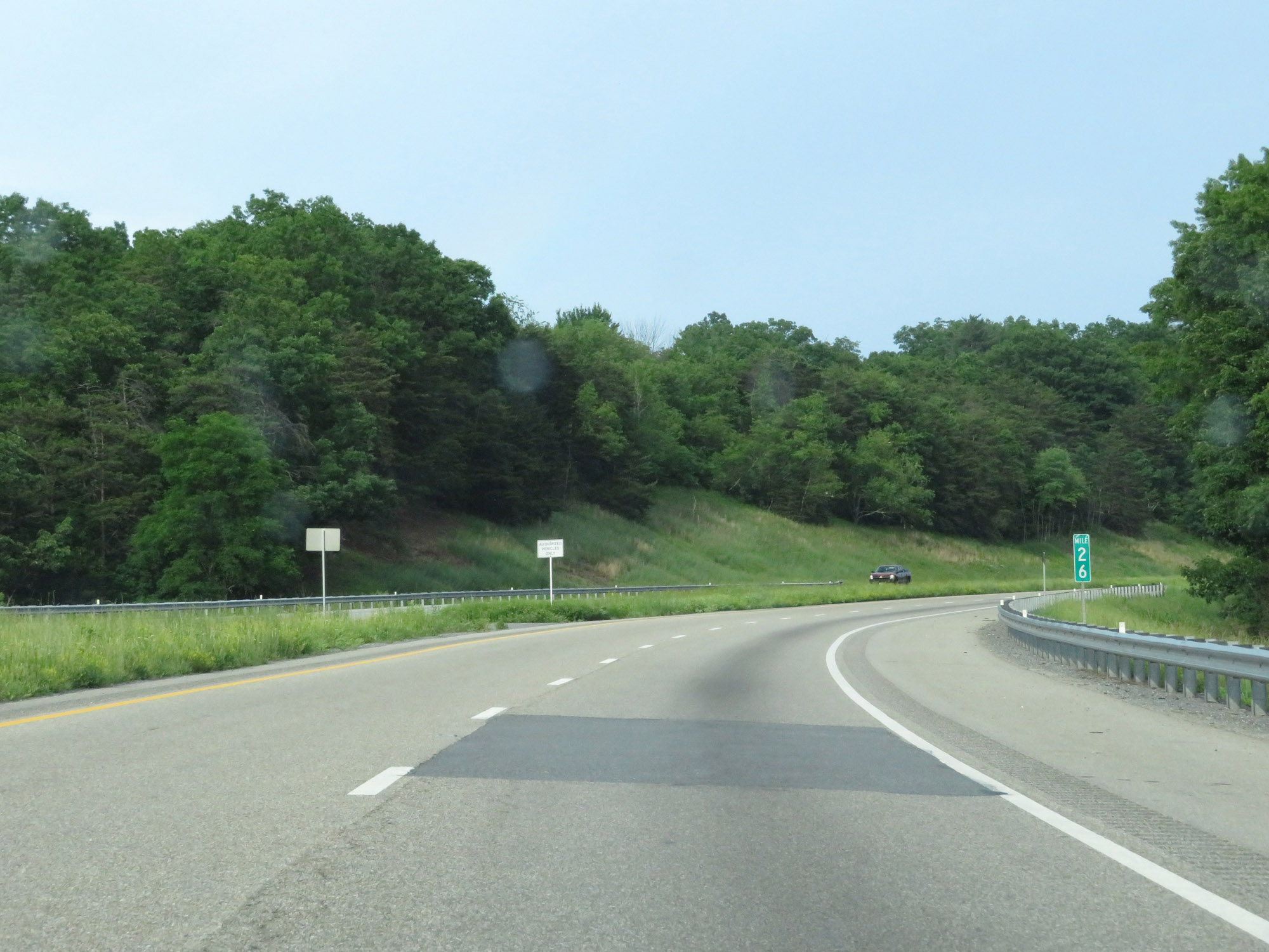 |
Interstate 64 East at mile marker 26. (Photo taken 5/26/18). |
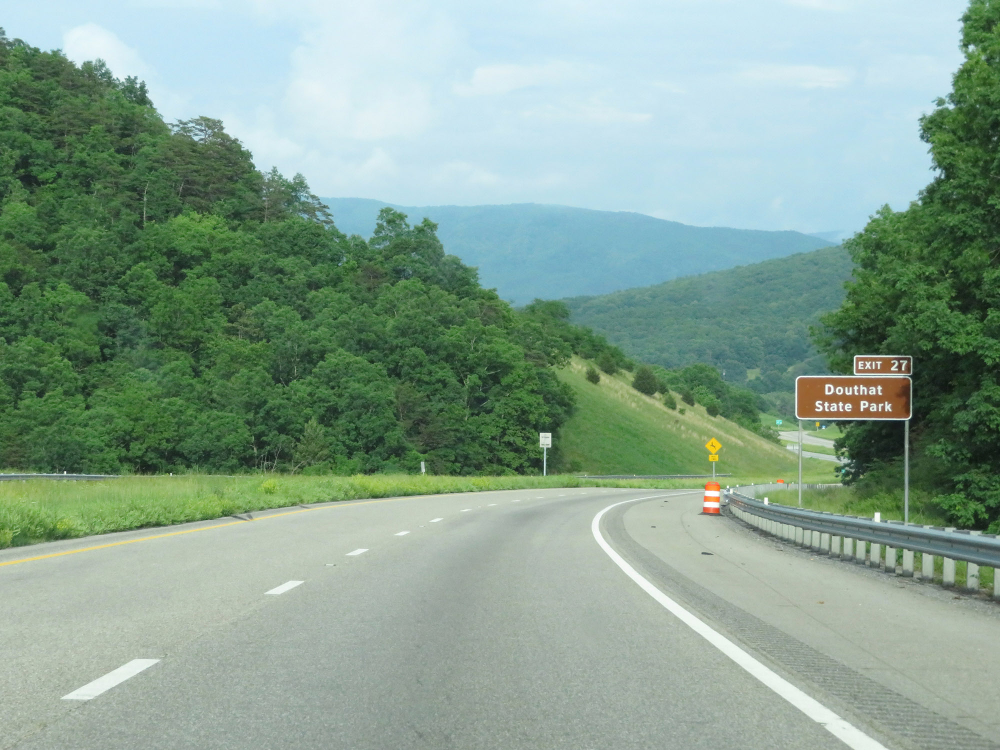 |
Take Exit 27 to Douthat State Park. (Photo taken 5/26/18). |
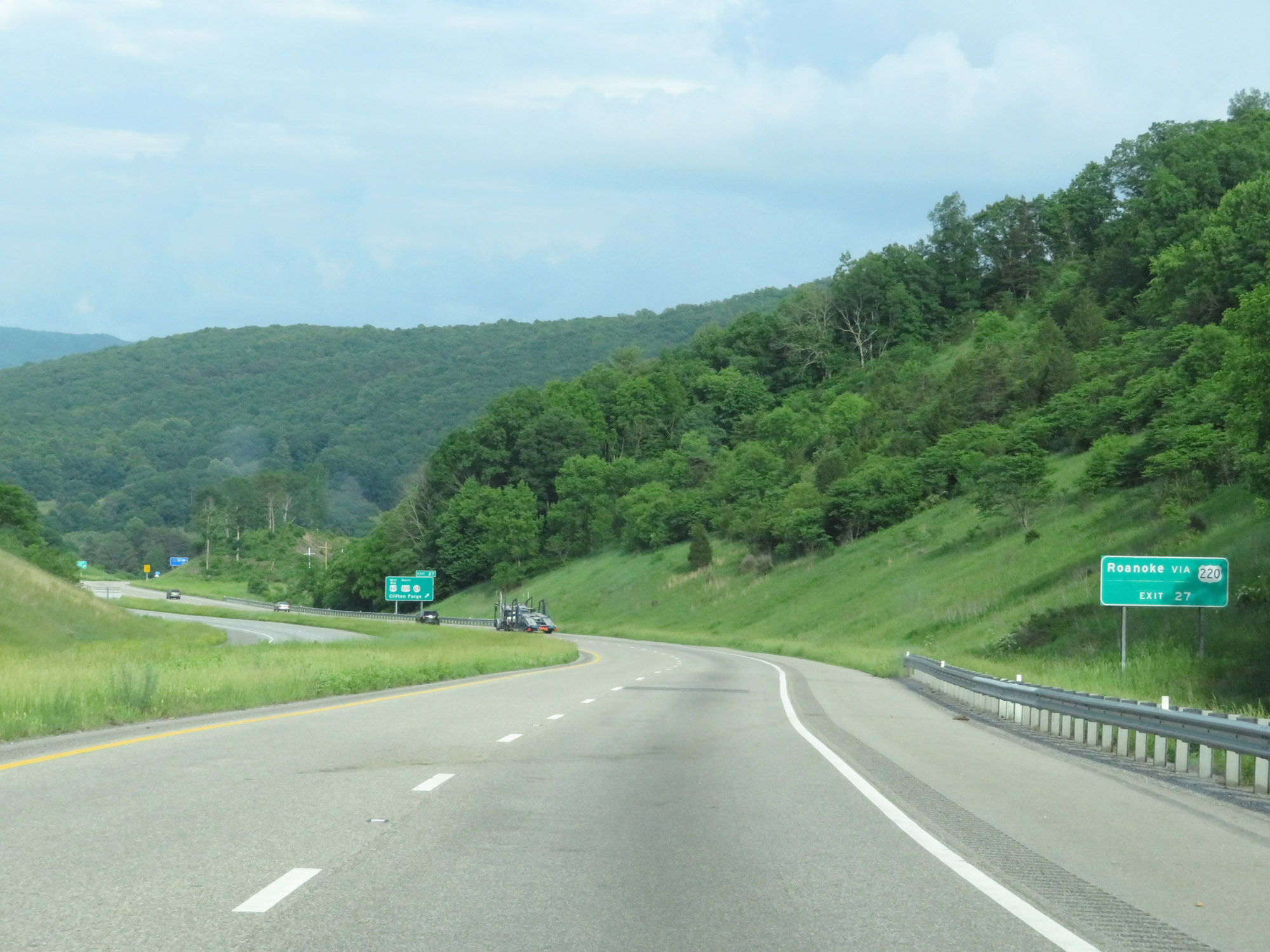 |
Also take Exit 27 to Roanoke via US 220 South. (Photo taken 5/26/18). |
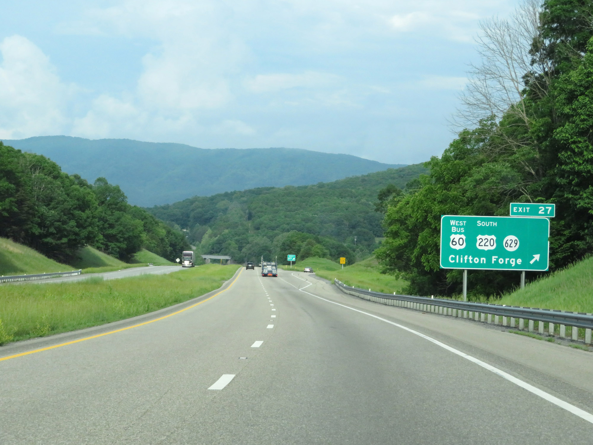 |
Interstate 64 East at Exit 27: US 60 Business West / US 220 South / SR 629 - Clifton Forge (Photo taken 5/26/18). |
 |
Another Interstate 64 East reassurance shield. (Photo taken 5/26/18). |
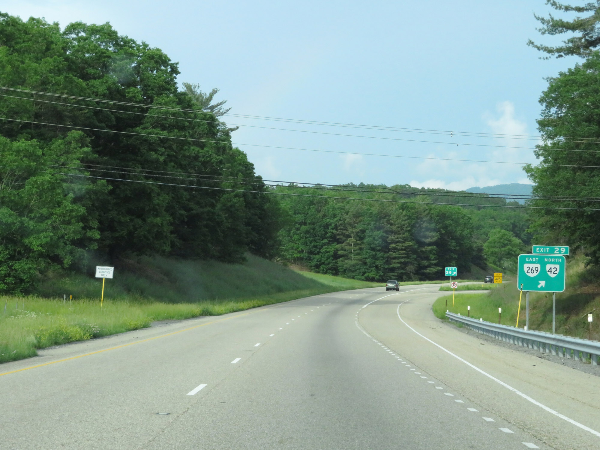 |
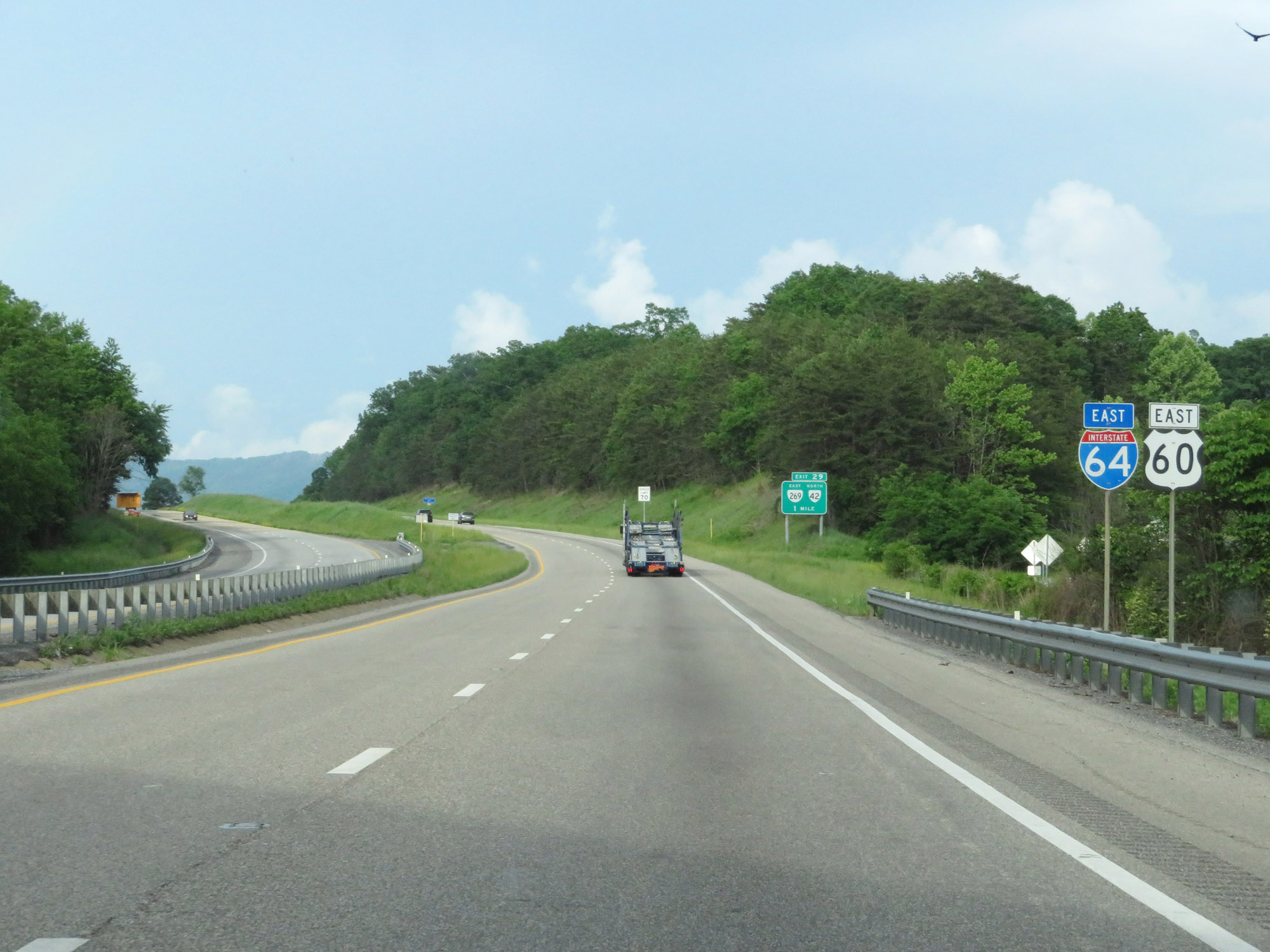
Interstate 64 East at Exit 29: VA 269 East / VA 42 North (Photo taken 5/26/18). |
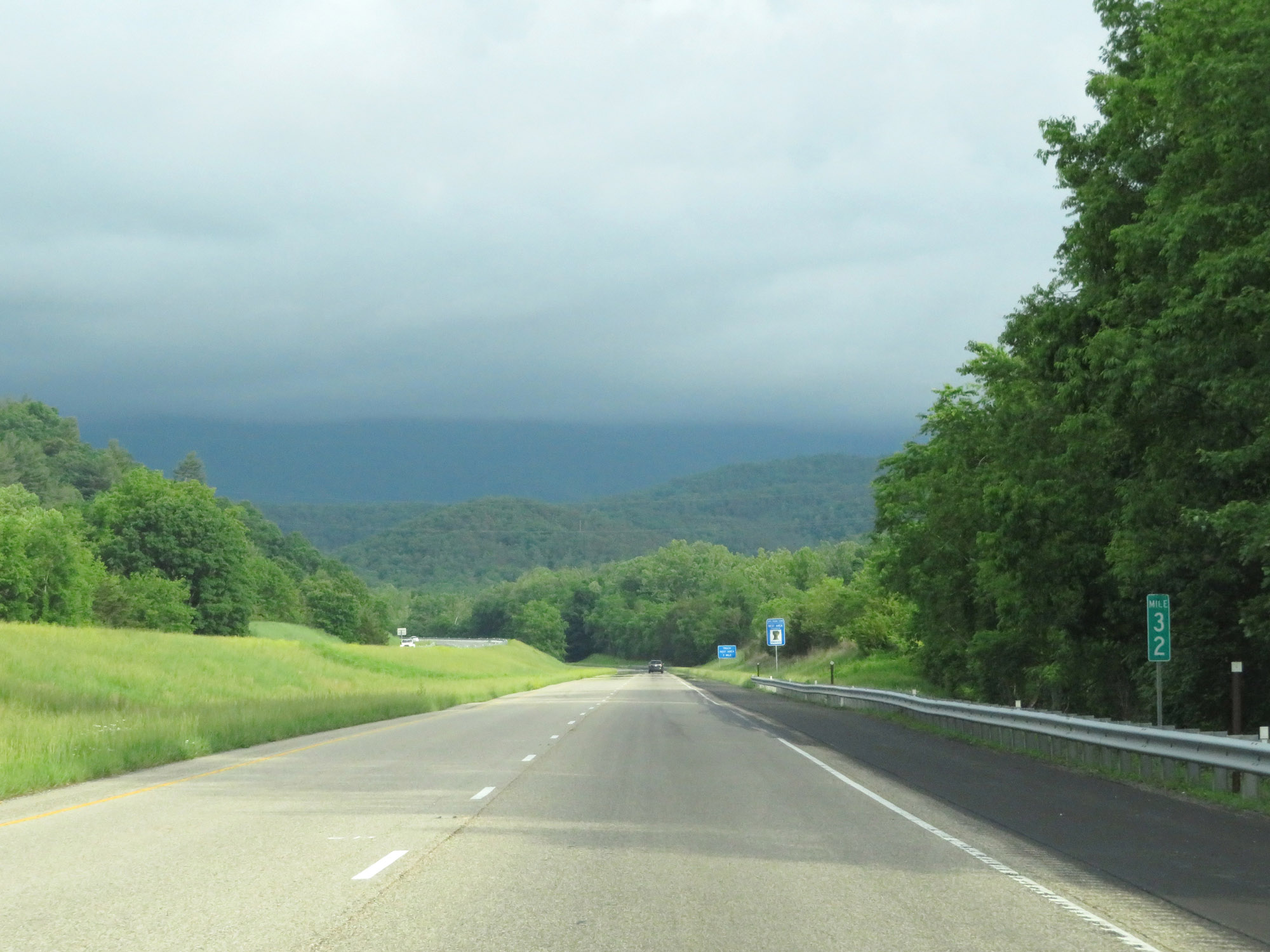 |
View on Interstate 64 East at mile marker 32. (Photo taken 5/26/18). |
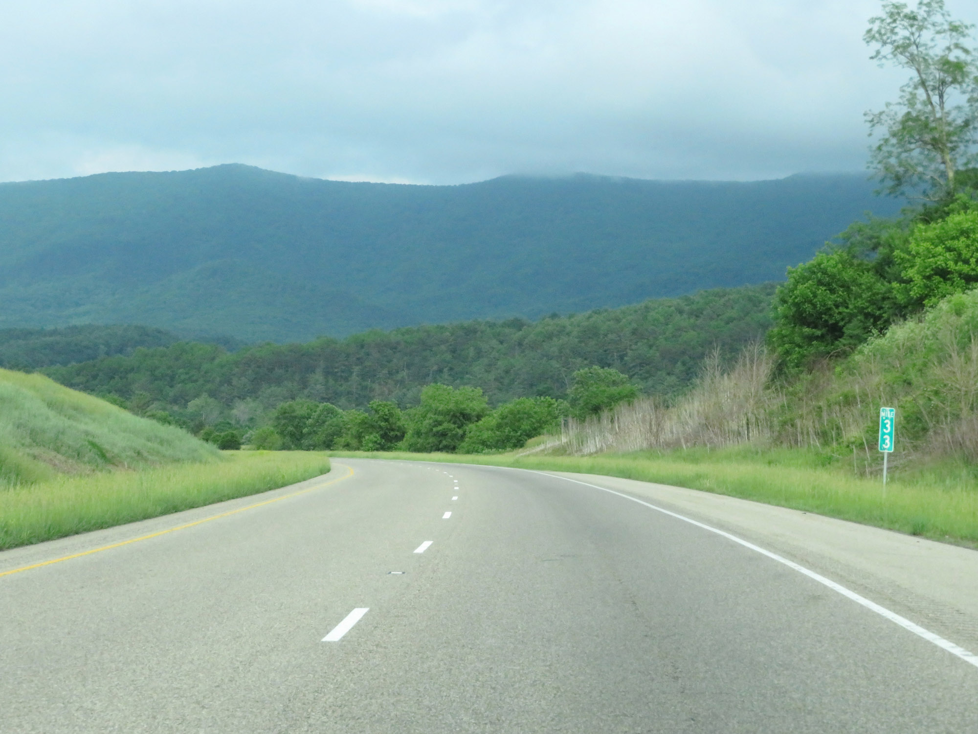 |
Interstate 64 East at mile marker 33. (Photo taken 5/26/18). |
 |
Truck Rest Area on Interstate 64 East in Alleghany County. (Photo taken 5/26/18). |
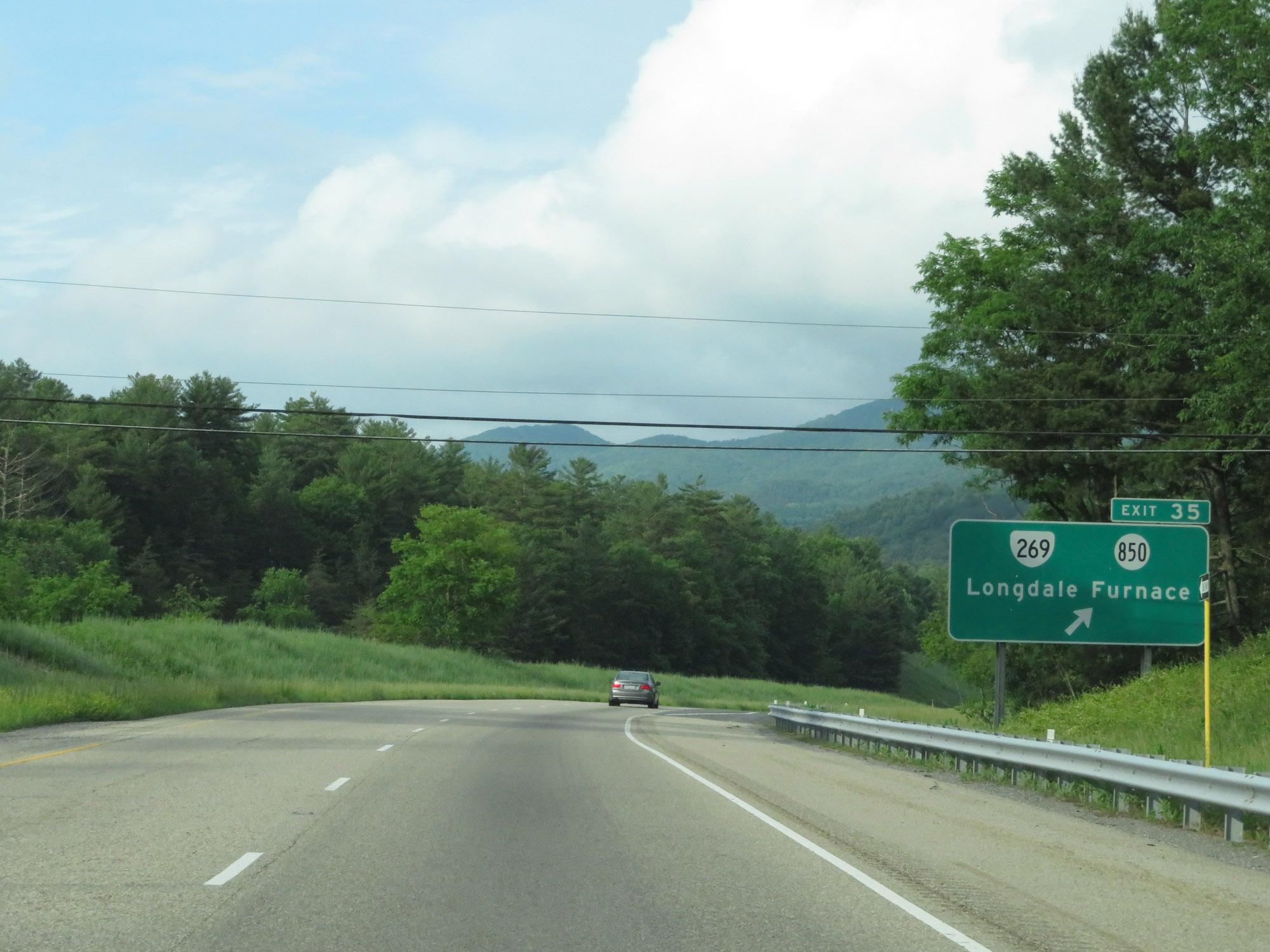 |
Interstate 64 East at Exit 35: VA 269 / SR 850 - Longdale Furnace (Photo taken 5/26/18). |
 |
Interstate 64 East at mile marker 38. (Photo taken 5/26/18). |
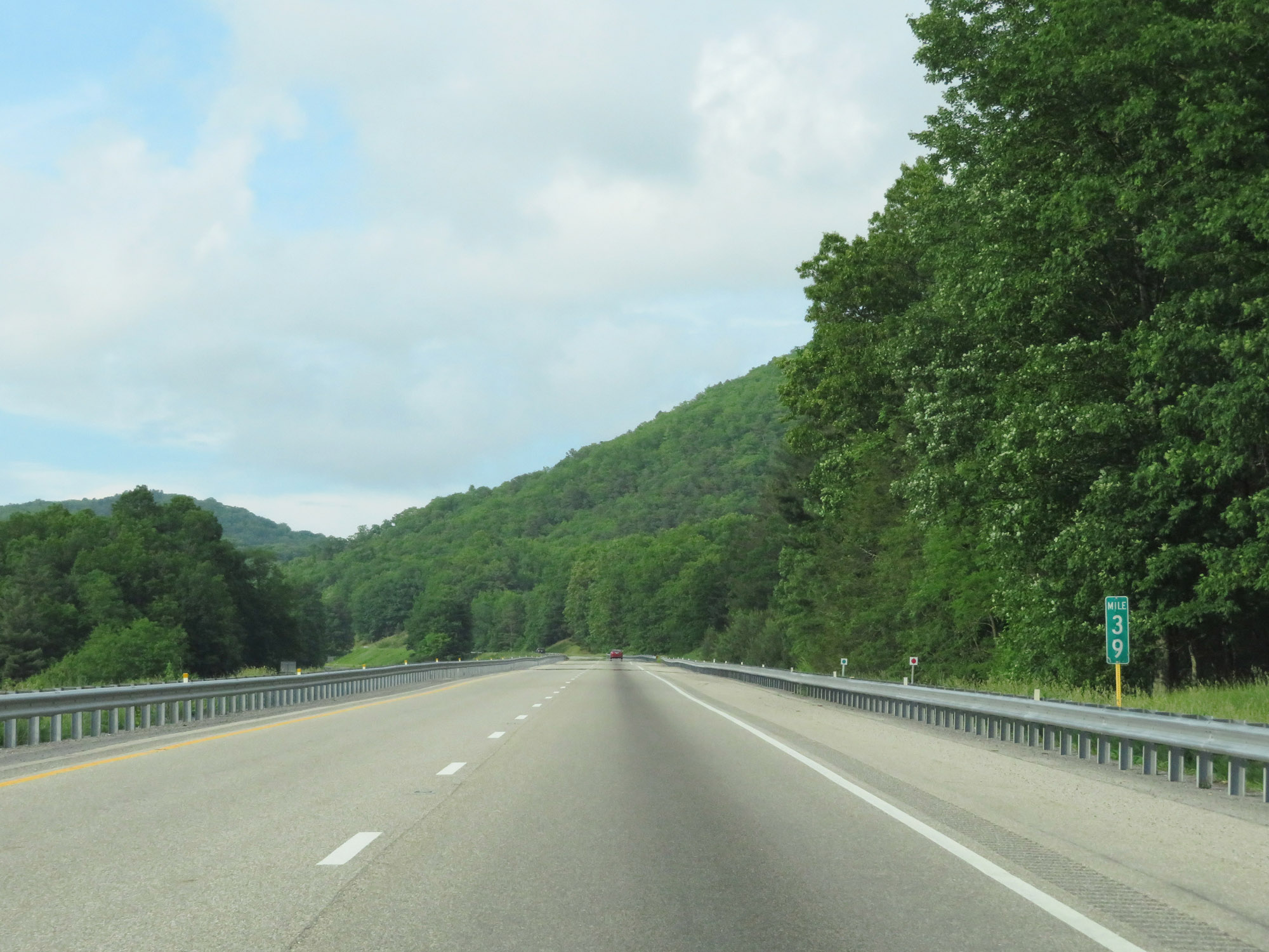 |
View on Interstate 64 East at mile marker 39. (Photo taken 5/26/18). |
 |
Interstate 64 East enters Rockbridge County at mile marker 41. (Photo taken 5/26/18). |
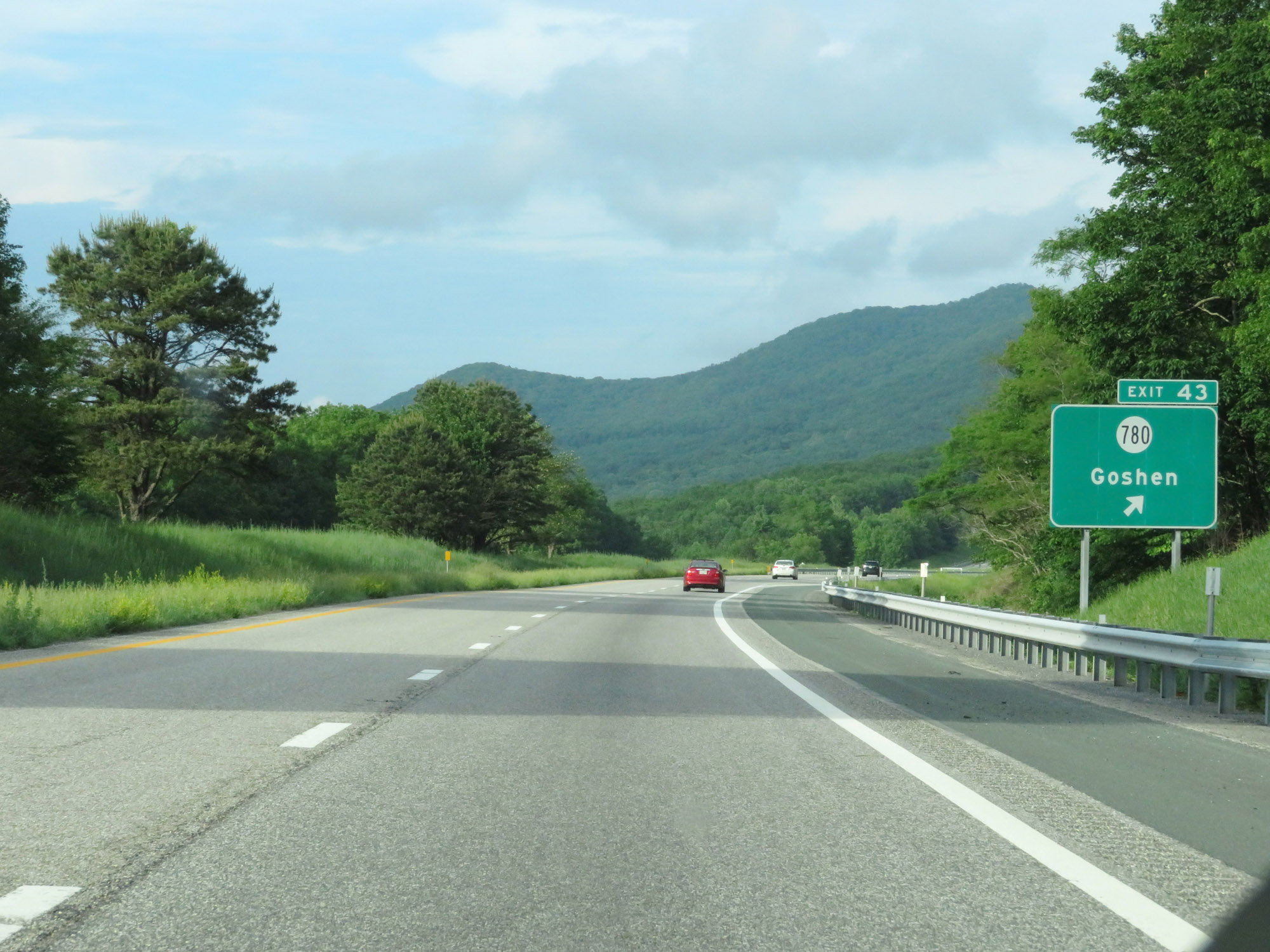 |
Interstate 64 East at Exit 43: SR 780 - Goshen (Photo taken 5/26/18). |
 |
Interstate 64 East reassurance shield. (Photo taken 5/26/18). |
 |
Mileage sign at mile marker 44. It's 13 miles to Lexington, 48 miles to Staunton, and 148 miles to Richmond. (Photo taken 5/26/18). |
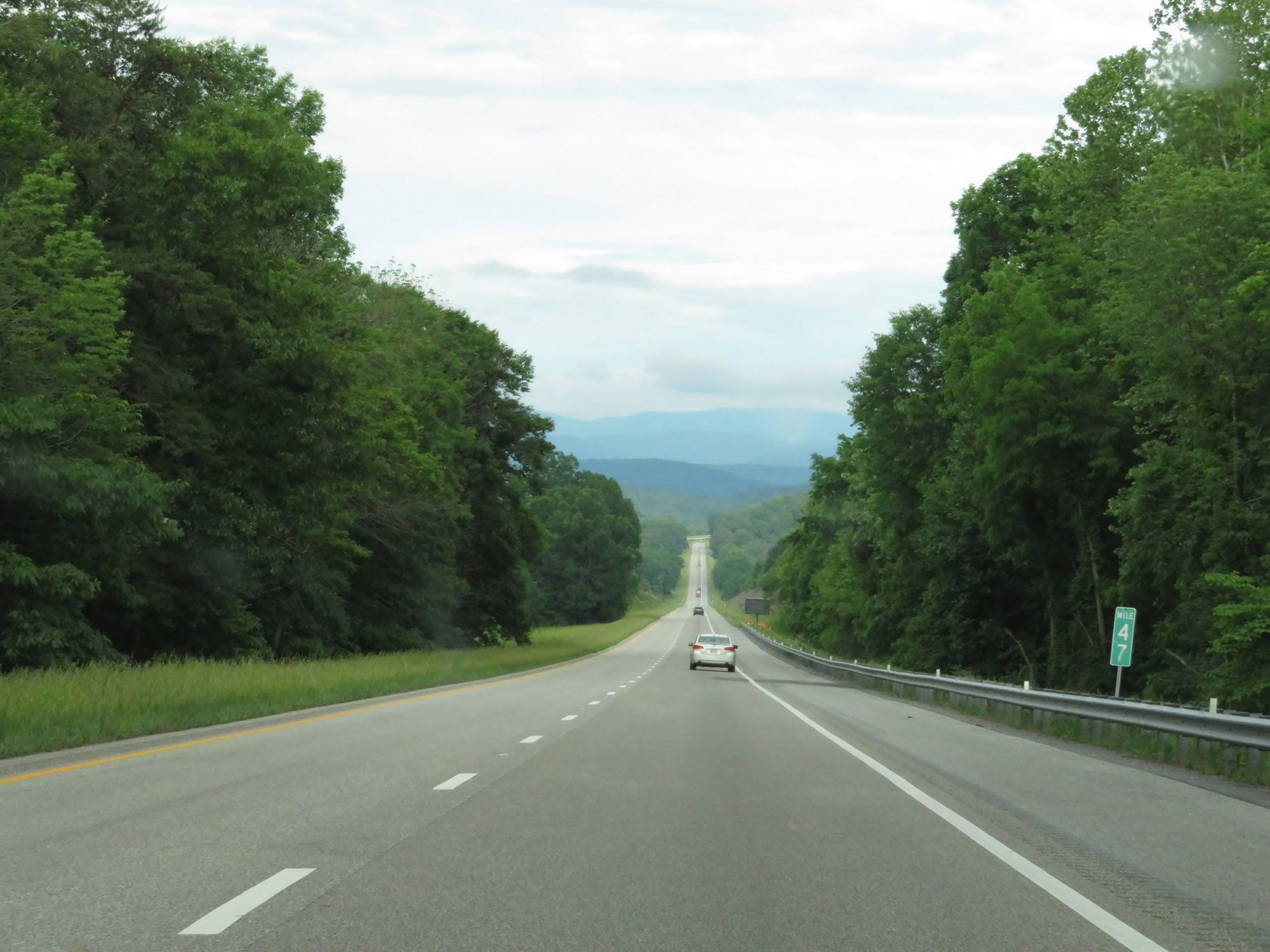 |
Interstate 64 East at mile marker 47. (Photo taken 5/26/18). |
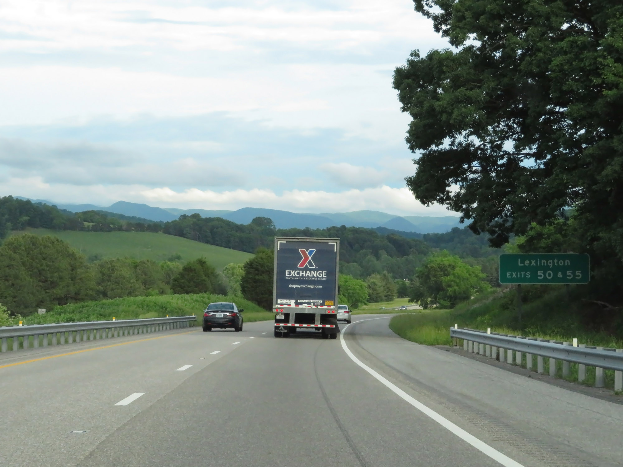 |
Take Exit 50 or Exit 55 to Lexington. (Photo taken 5/26/18). |
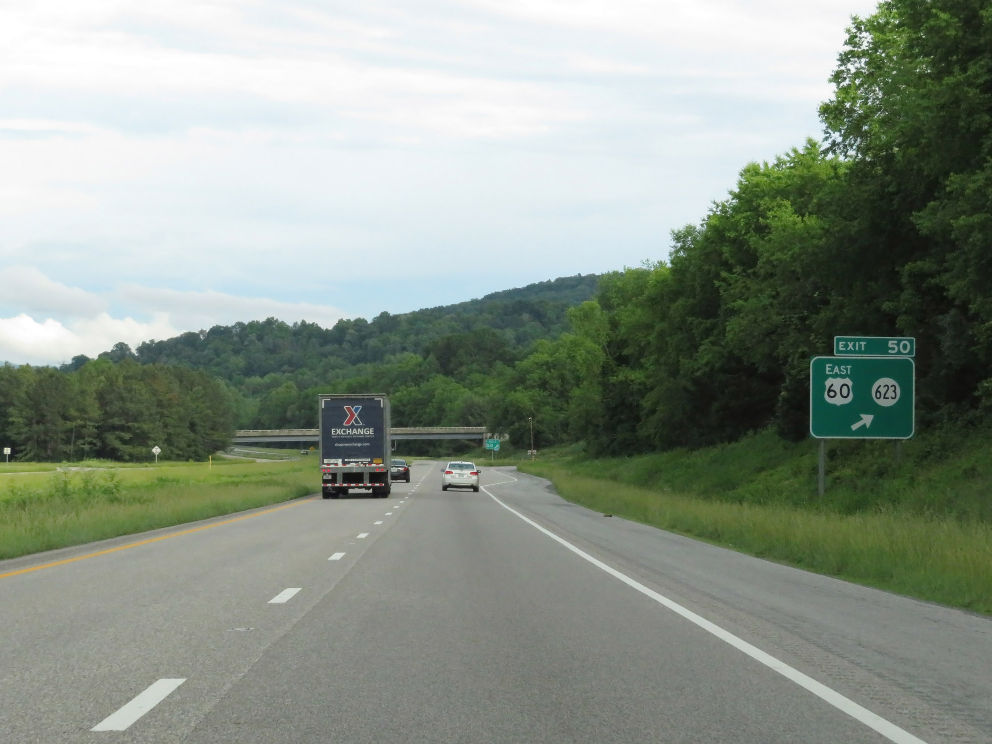 |
Interstate 64 East at Exit 50: US 60 East / SR 623 (Photo taken 5/26/18). |
 |
The speed limit remains 70 mph. (Photo taken 5/26/18). |
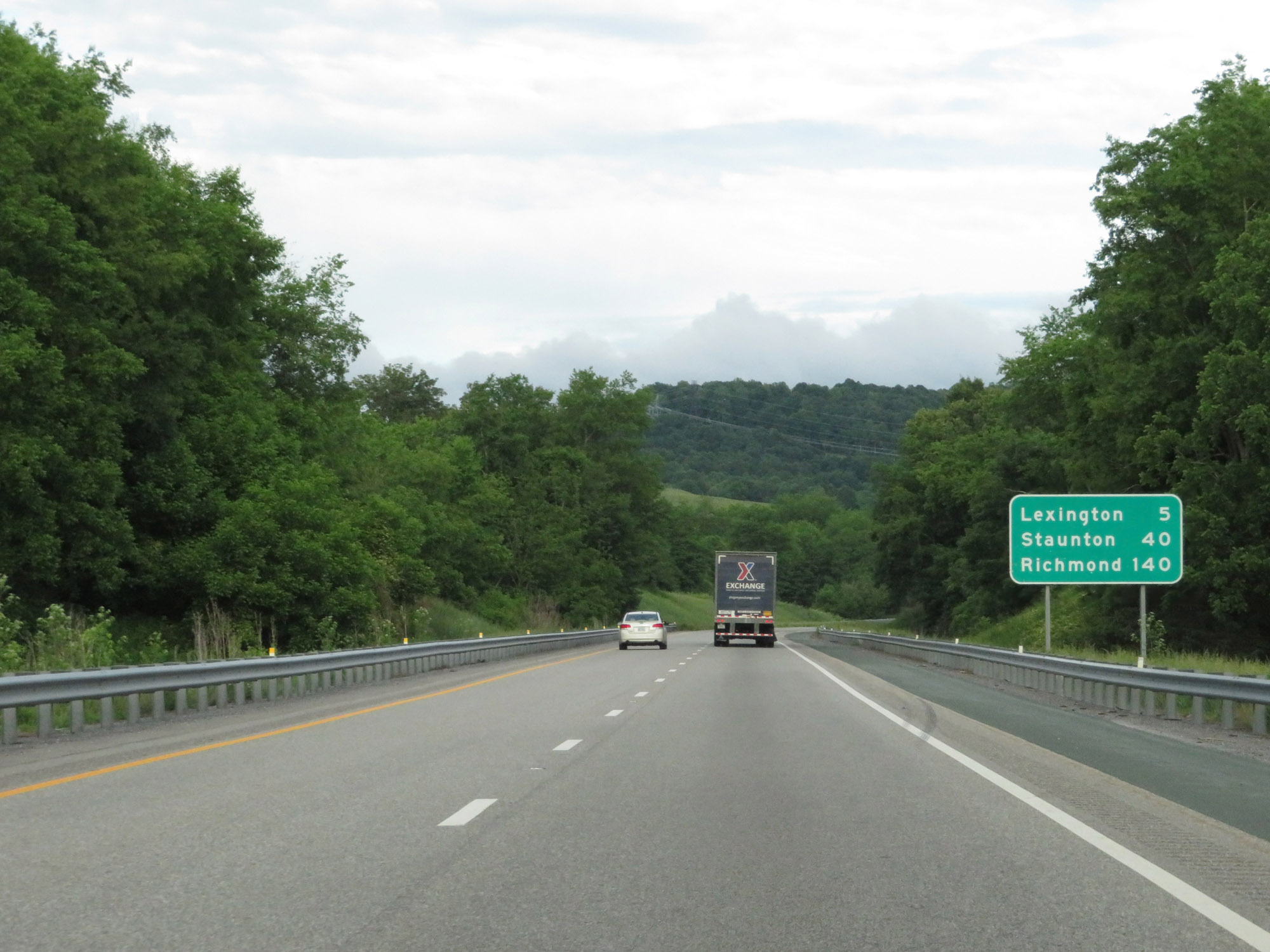 |
Another mileage sign on Interstate 64 East. It's 5 miles to Lexington, 40 miles to Staunton, and 140 miles to Richmond. (Photo taken 5/26/18). |
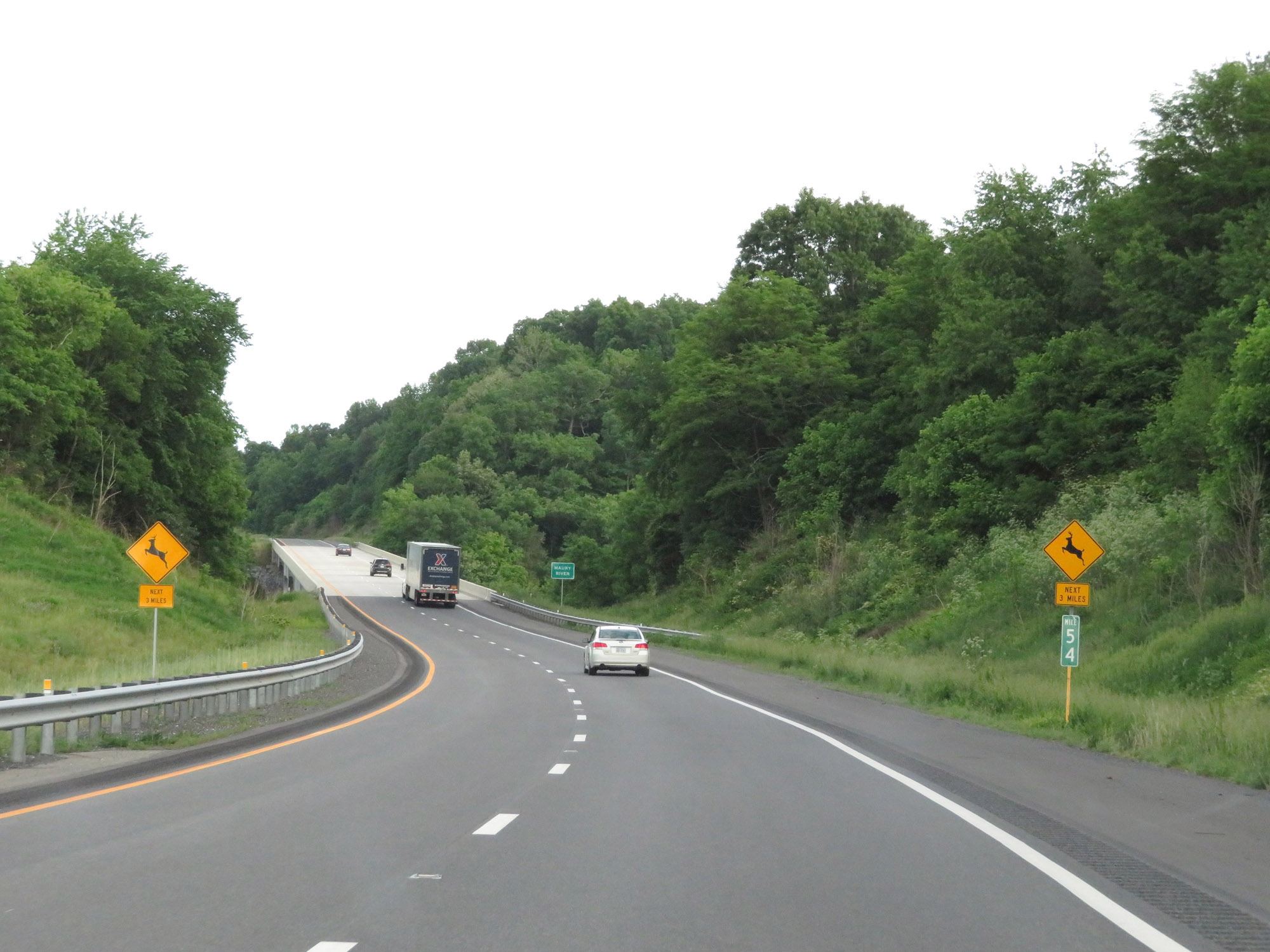 |
Interstate 64 East at mile marker 54. (Photo taken 5/26/18). |
 |
Take Exit 55 to Stonewall Jackson House and the George C. Marshall Museum. (Photo taken 5/26/18). |
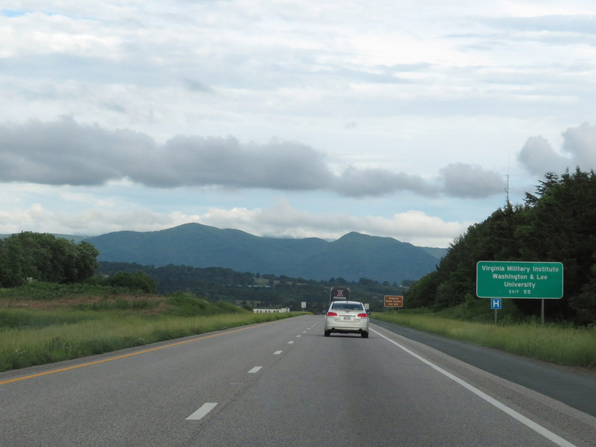 |
Also take Exit 55 to the Virginia Military Institute and Washington & Lee University. (Photo taken 5/26/18). |
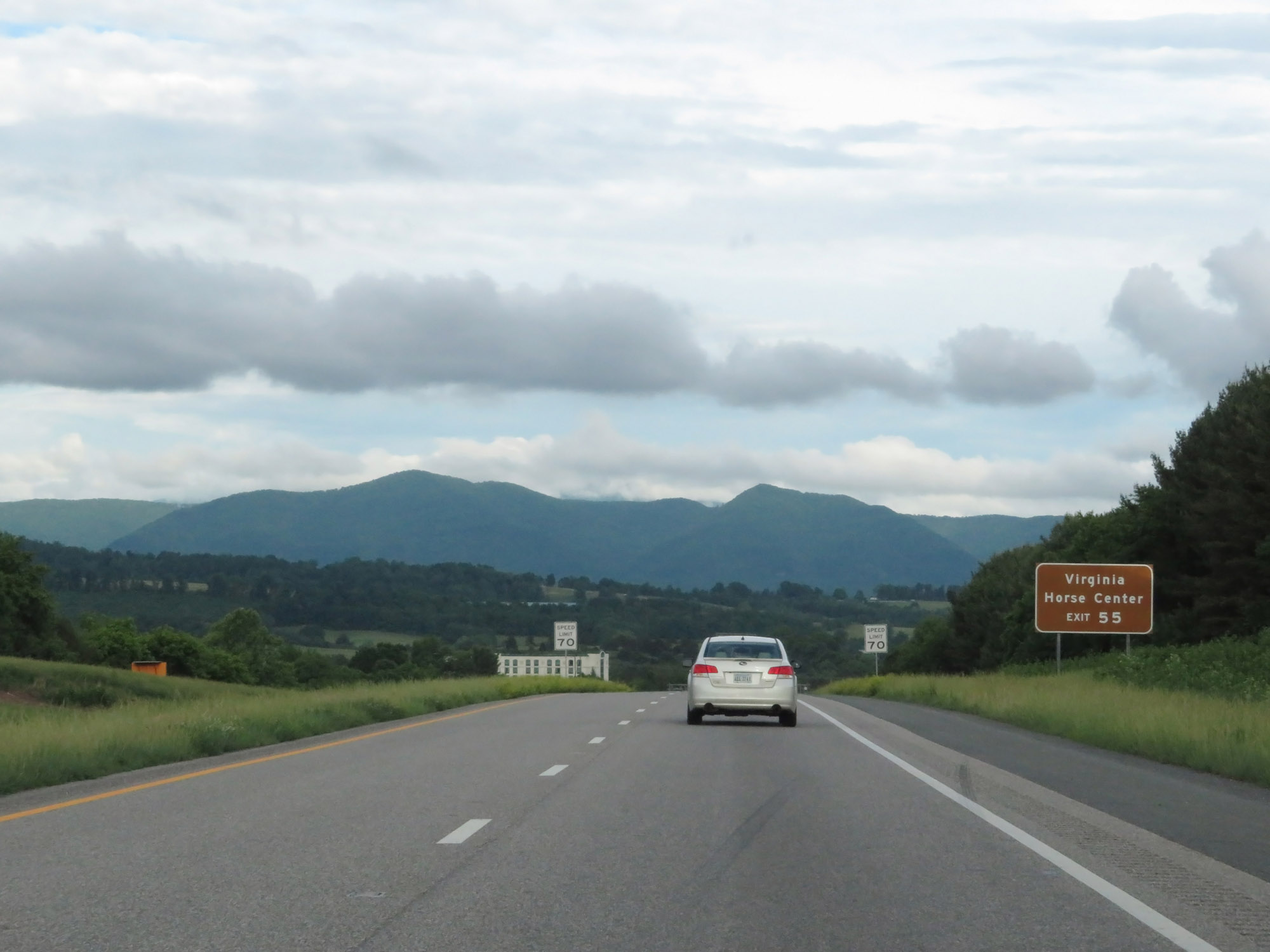 |
Take Exit 55 to the Virginia Horse Center as well. (Photo taken 5/26/18). |
 |
Interstate 64 East at Exit 55: US 11 / To VA 39 - Lexington (Photo taken 5/26/18). |
Section 2: Lexington (Exit 55) to Staunton (Exit 221)
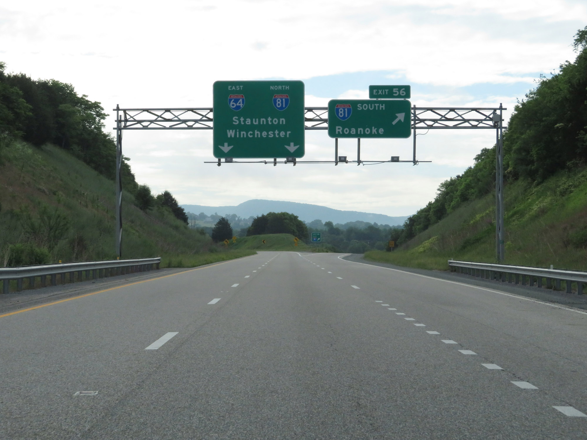 |
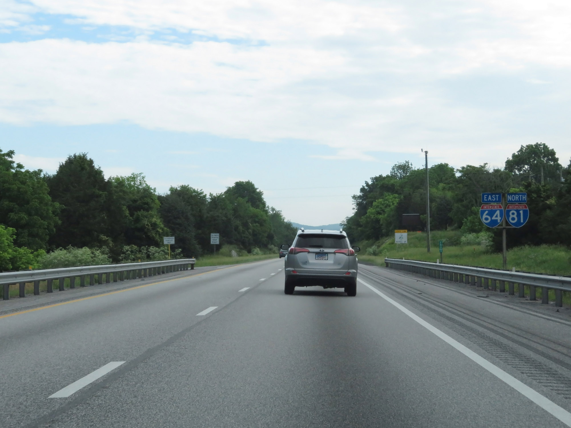
Interstate 64 East at Exit 56: Interstate 81 South - Roanoke. I-64 East will run concurrently with Interstate 81 North for about the next 30 miles. (Photo taken 5/27/18). |
 |
View of the ramp to Interstate 81 South via Exit 56. (Photo taken 5/27/18). |
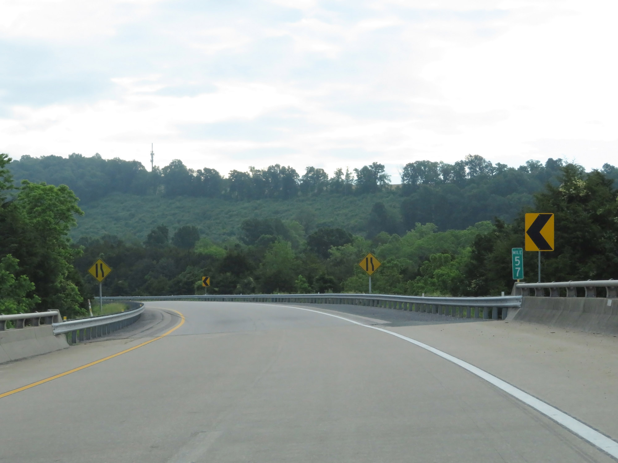 |
Interstate 64 East at mile marker 57, as it passes over Interstate 81 in preparation for merging into its northbound lanes. (Photo taken 5/27/18). |
 |
Interstate 64 East as it merges into the northbound lanes of Interstate 81. Again, the two routes will run concurrently for about the next 30 miles. (Photo taken 5/27/18). |
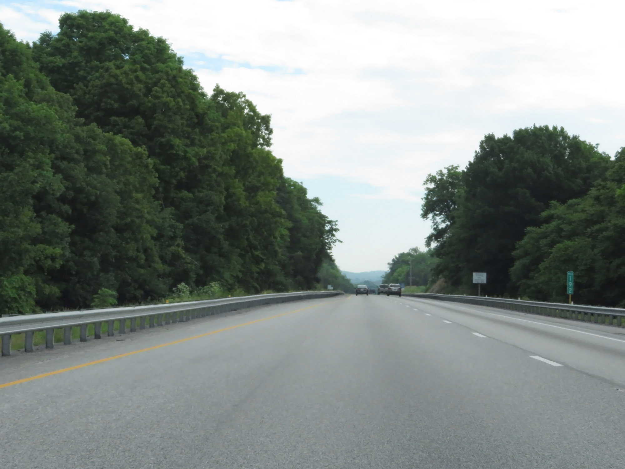 |
Interstate 64 East / Interstate 81 North at mile marker 192. During this concurrency, the mileage and exit numbers are based off the mileage of Interstate 81. (Photo taken 5/27/18). |
 |
Interstate 64 East / Interstate 81 North reassurance shields. (Photo taken 5/27/18). |
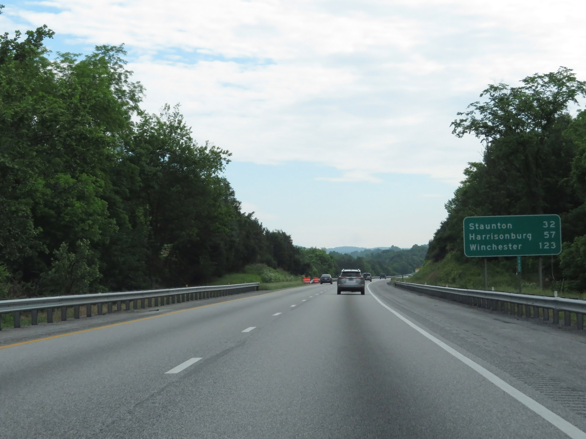 |
Mileage sign on Interstate 64 East / Interstate 81 North at mile marker 192.5. It's 32 miles to Staunton, 57 miles to Harrisonburg, and 123 miles to Winchester. (Photo taken 5/27/18). |
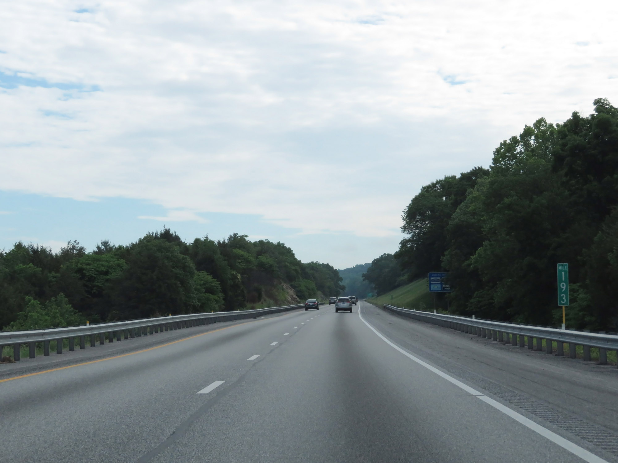 |
Interstate 64 East / Interstate 81 North at mile marker 193. (Photo taken 5/27/18). |
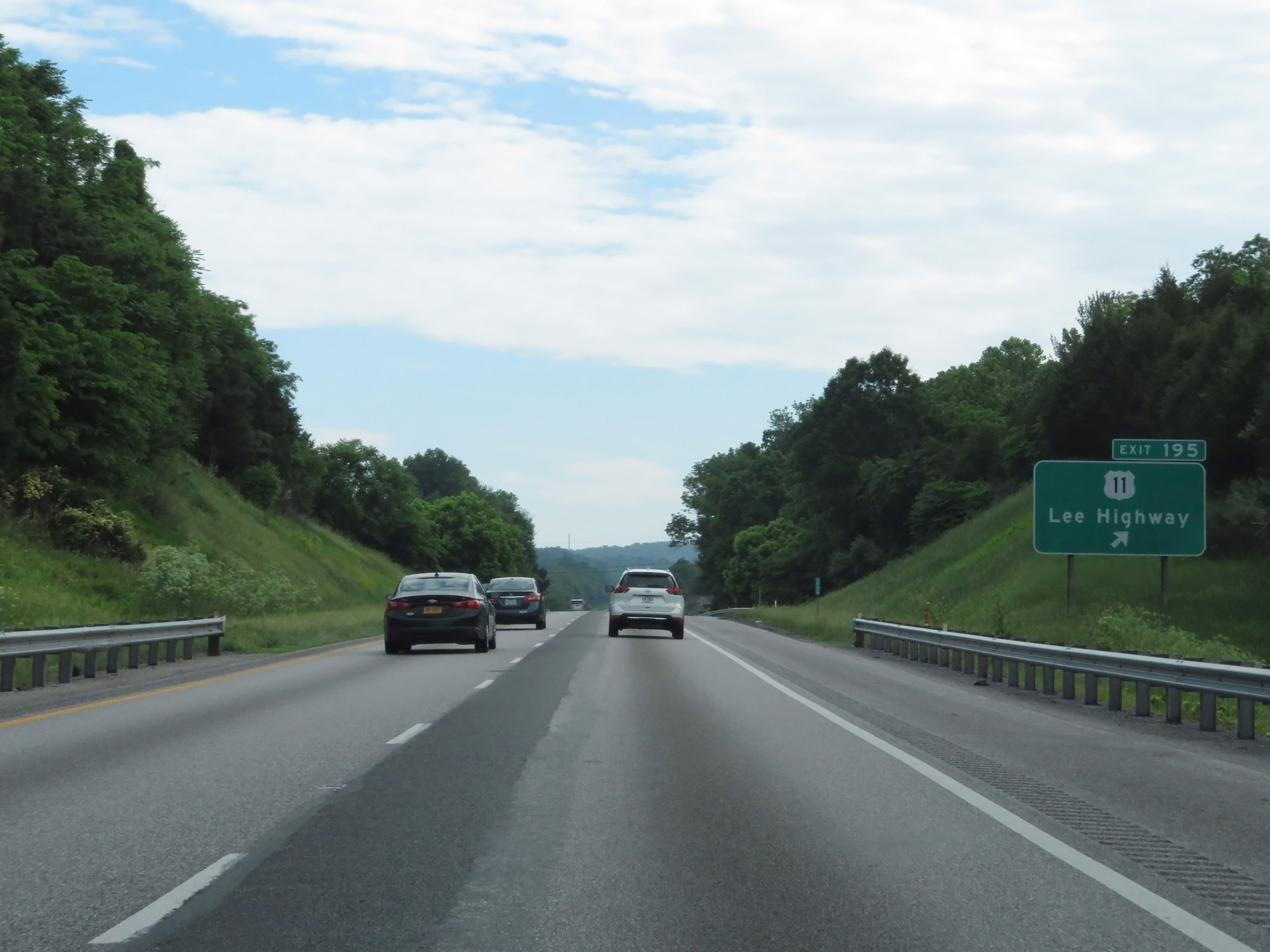 |
Interstate 64 East / Interstate 81 North at Exit 195: US 11 - Lee Highway (Photo taken 5/27/18). |
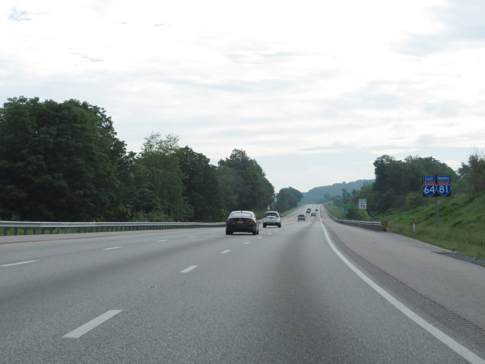 |
Another set of Interstate 64 East / Interstate 81 North reassurance shields. (Photo taken 5/27/18). |
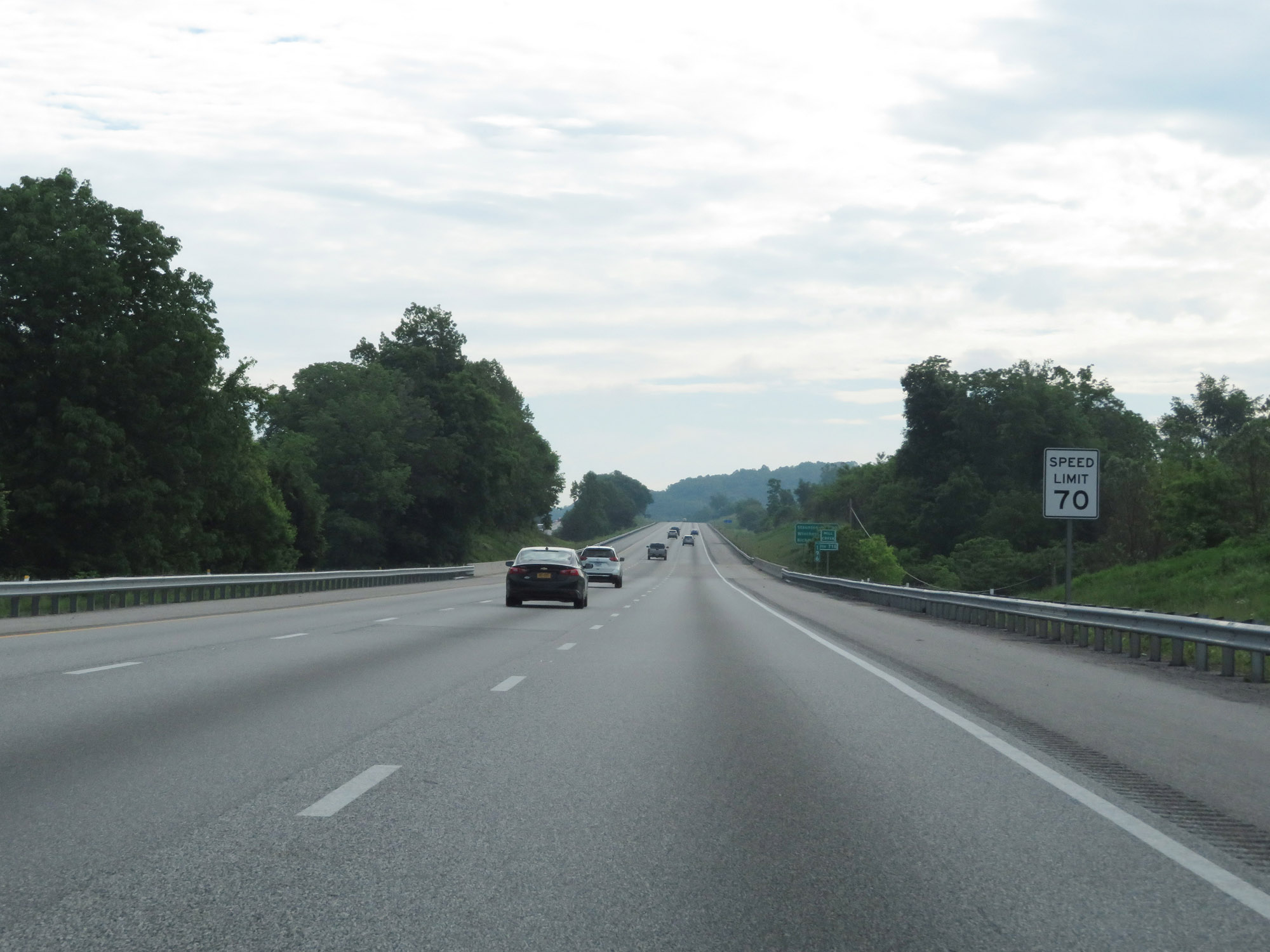 |
The speed limit remains 70 mph. (Photo taken 5/27/18). |
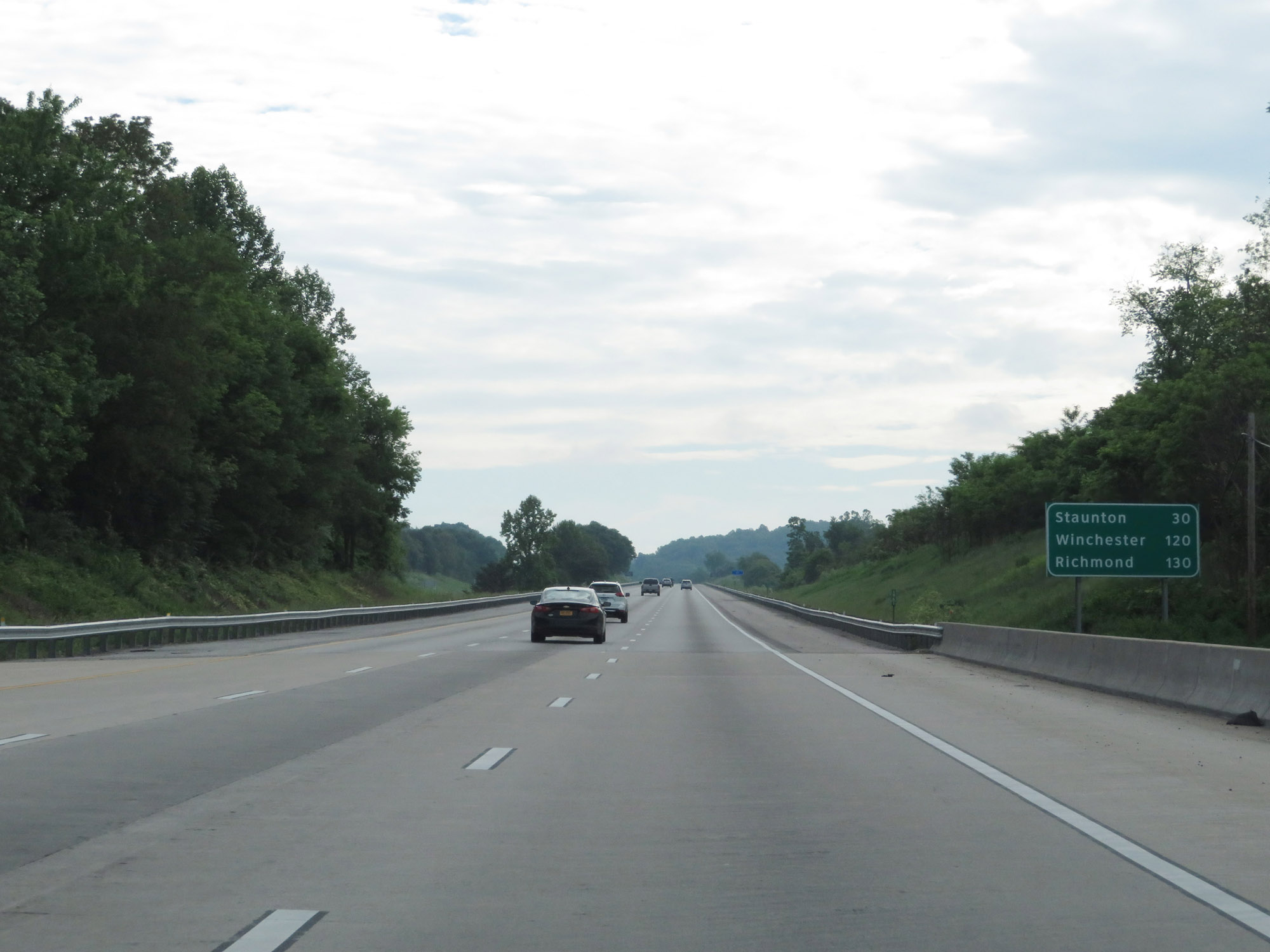 |
Mileage sign on Interstate 64 East / Interstate 81 North. It's 30 miles to Staunton, 120 miles to Winchester, and 130 miles to Richmond. (Photo taken 5/27/18). |
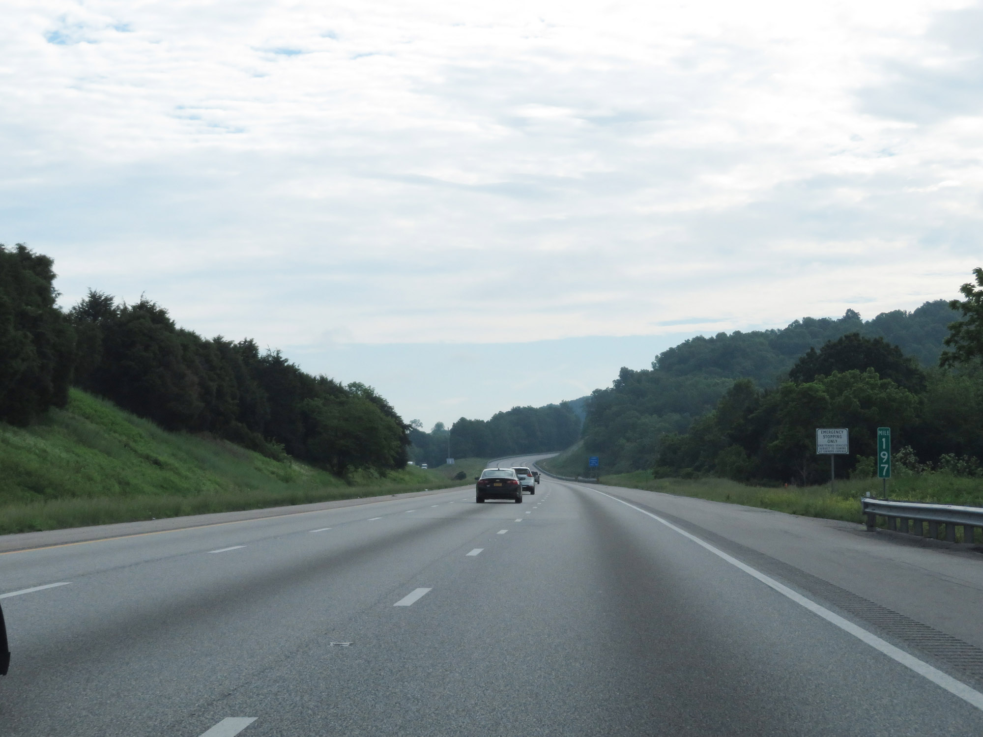 |
Interstate 64 East / Interstate 81 North at mile marker 197. (Photo taken 5/27/18). |
 |
View on Interstate 64 East / Interstate 81 North at mile marker 199. (Photo taken 5/27/18). |
 |
Interstate 64 East / Interstate 81 North at Exit 200: SR 710 - Fairfield (Photo taken 5/27/18). |
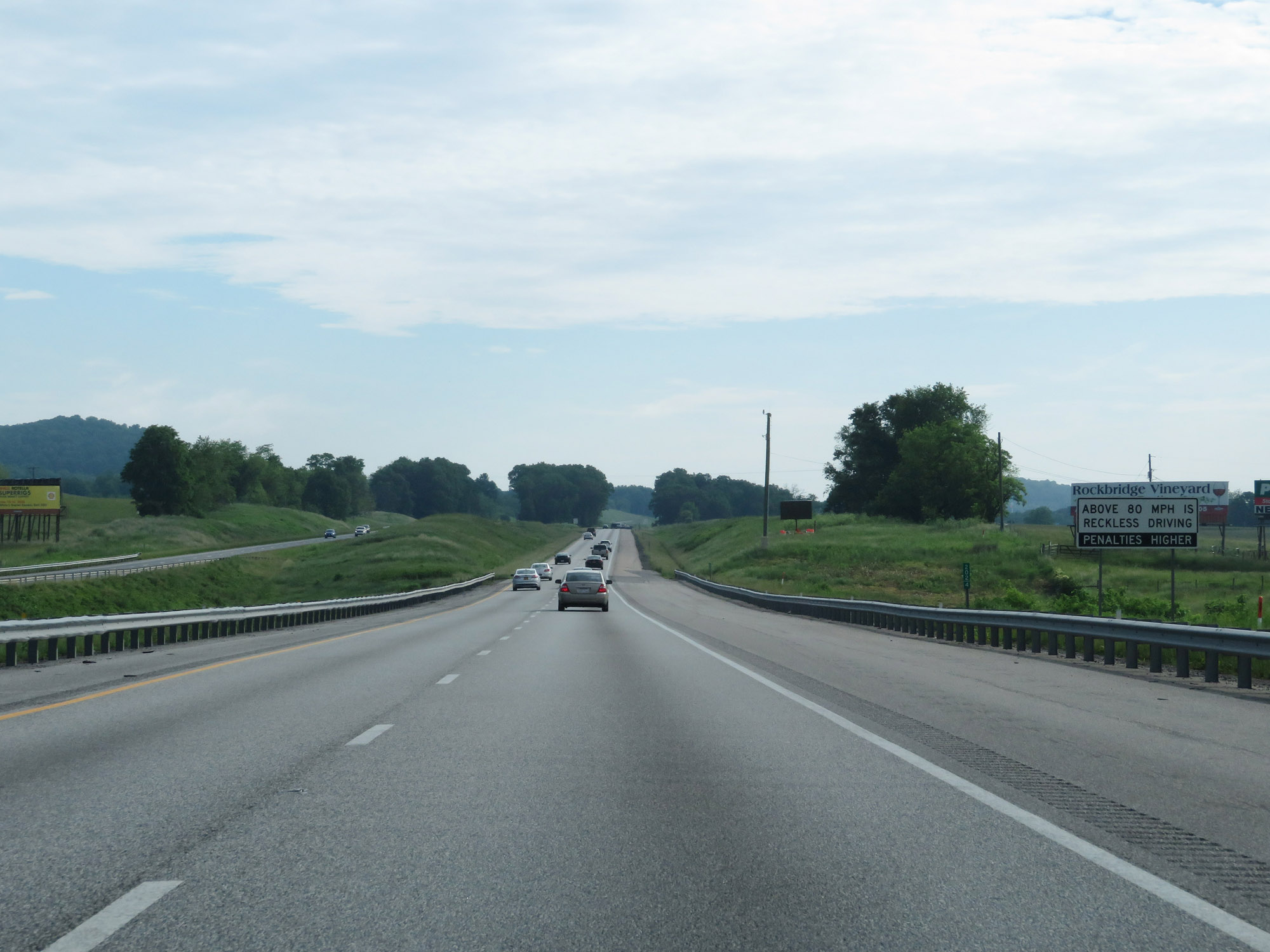 |
This sign states that as far as Virginia law is concerned, above 80 mph is reckless driving and will lead to higher penalties. (Photo taken 5/27/18). |
 |
Interstate 64 East / Interstate 81 North at mile marker 203. (Photo taken 5/27/18). |
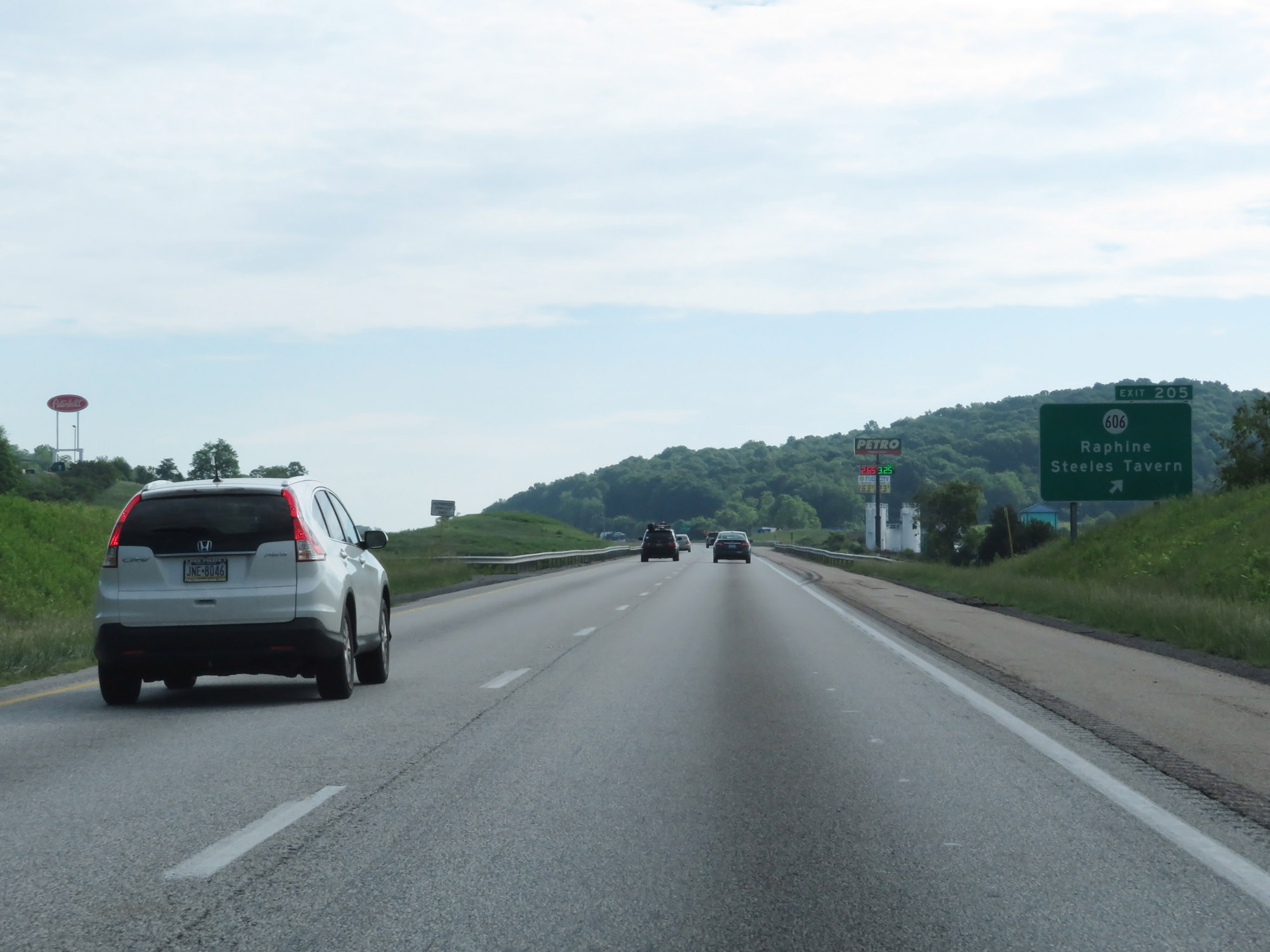 |
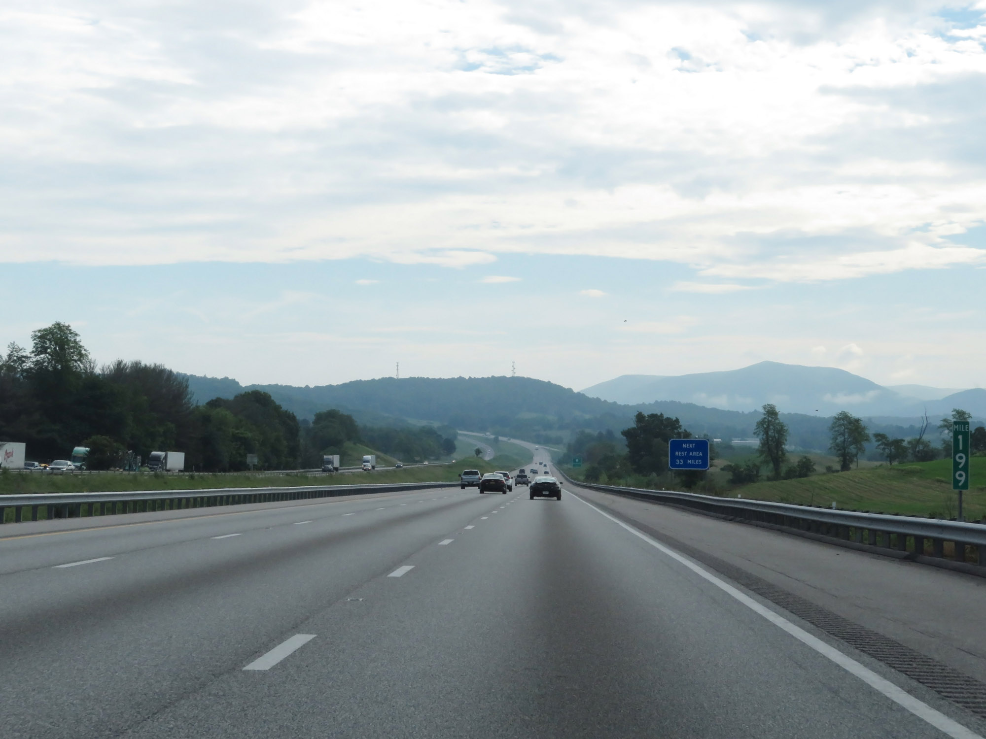
Interstate 64 East / Interstate 81 North at Exit 205: SR 606 - Raphine / Steeles Tavern (Photo taken 5/27/18). |
 |
Entering Augusta County on Interstate 64 East / Interstate 81 North. (Photo taken 5/27/18). |
 |
Interstate 64 East / Interstate 81 North reassurance shields. (Photo taken 5/27/18). |
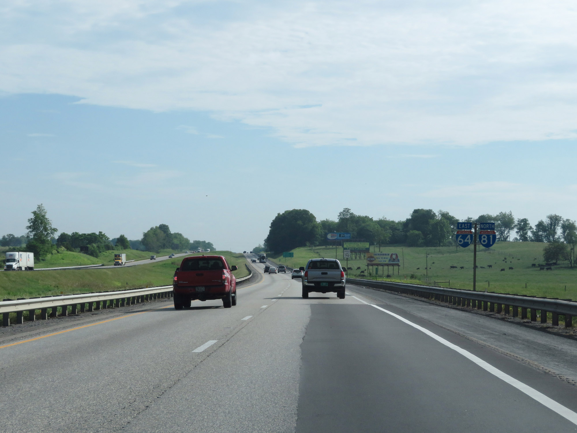
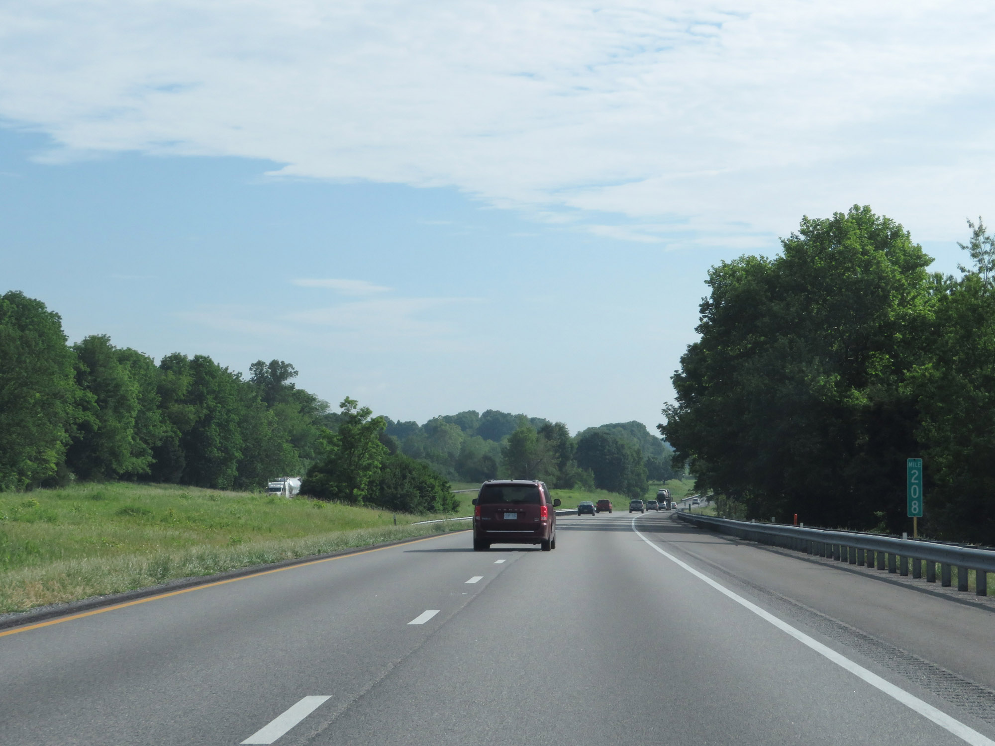 |
Interstate 64 East / Interstate 81 North at mile marker 208. (Photo taken 5/27/18). |
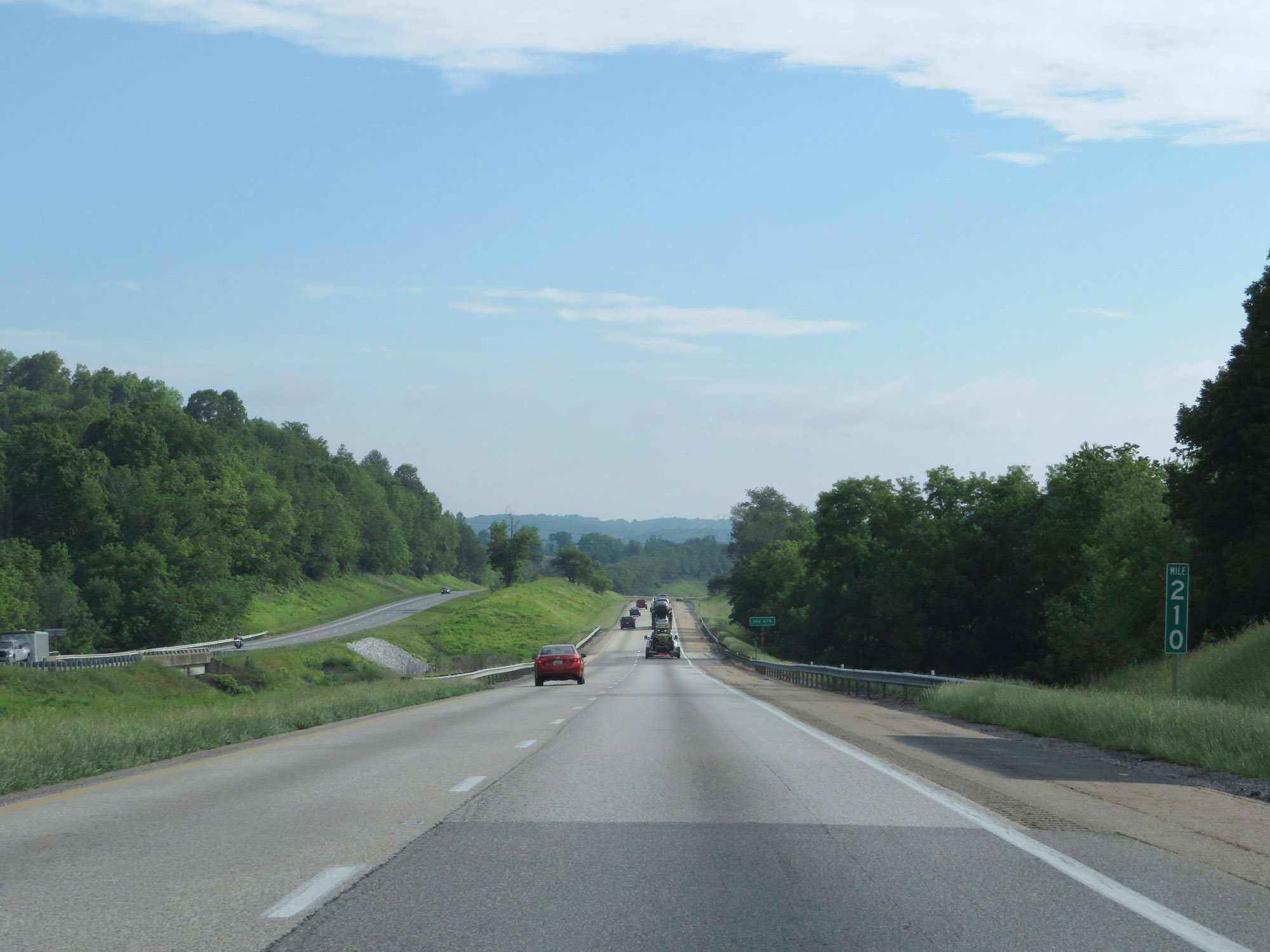 |
View on Interstate 64 East / Interstate 81 North at mile marker 210. (Photo taken 5/27/18). |
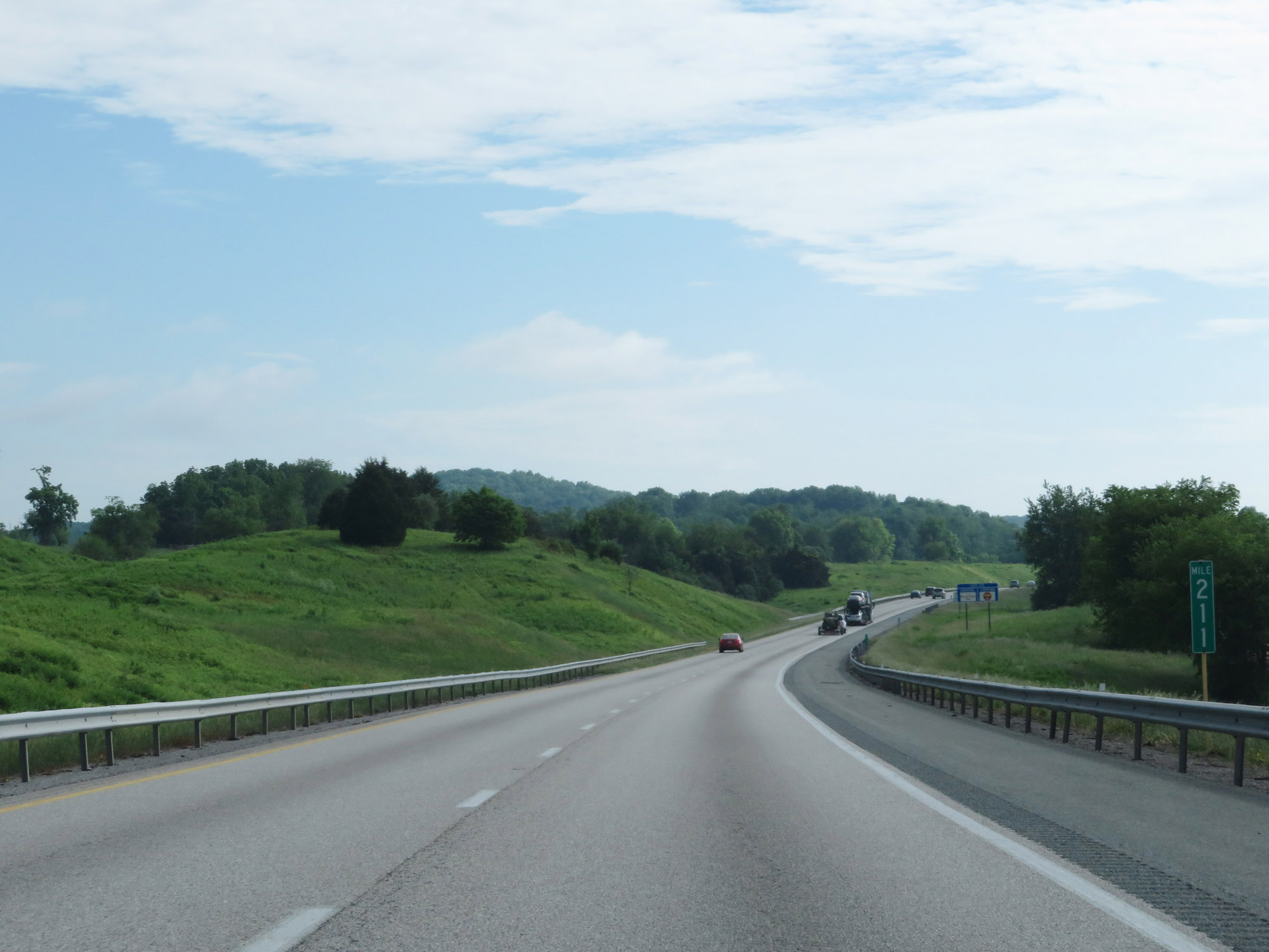 |
Interstate 64 East / Interstate 81 North at mile marker 211. (Photo taken 5/27/18). |
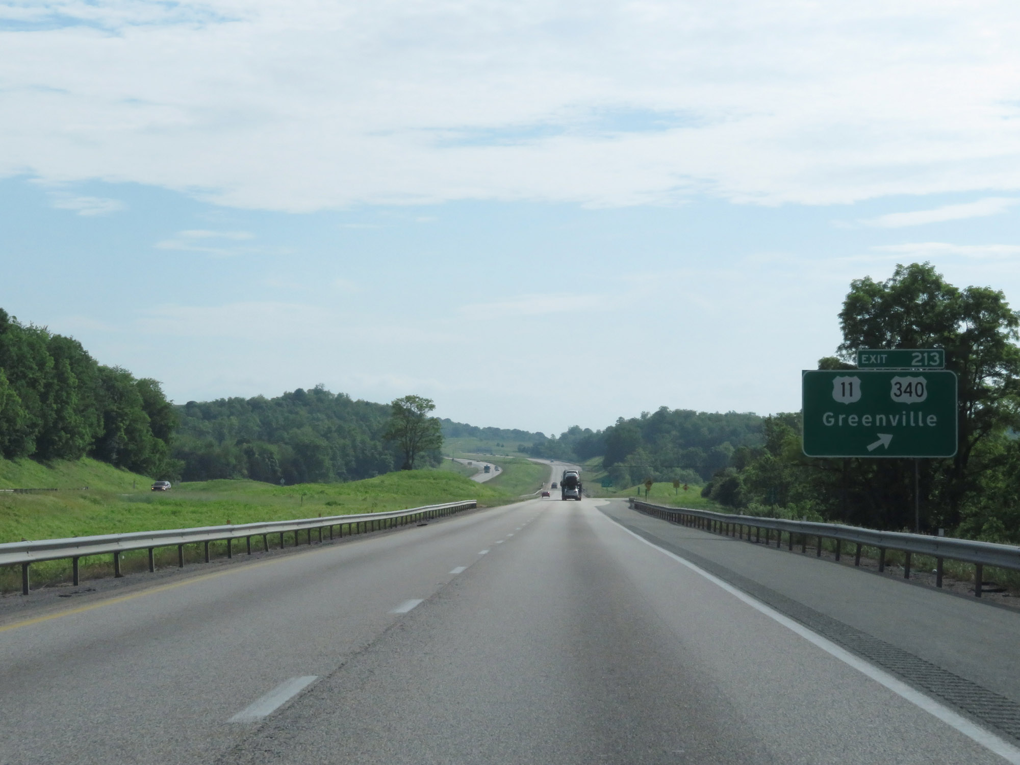 |
Interstate 64 East / Interstate 81 North at Exit 213: US 11 / US 340 - Greenville (Photo taken 5/27/18). |
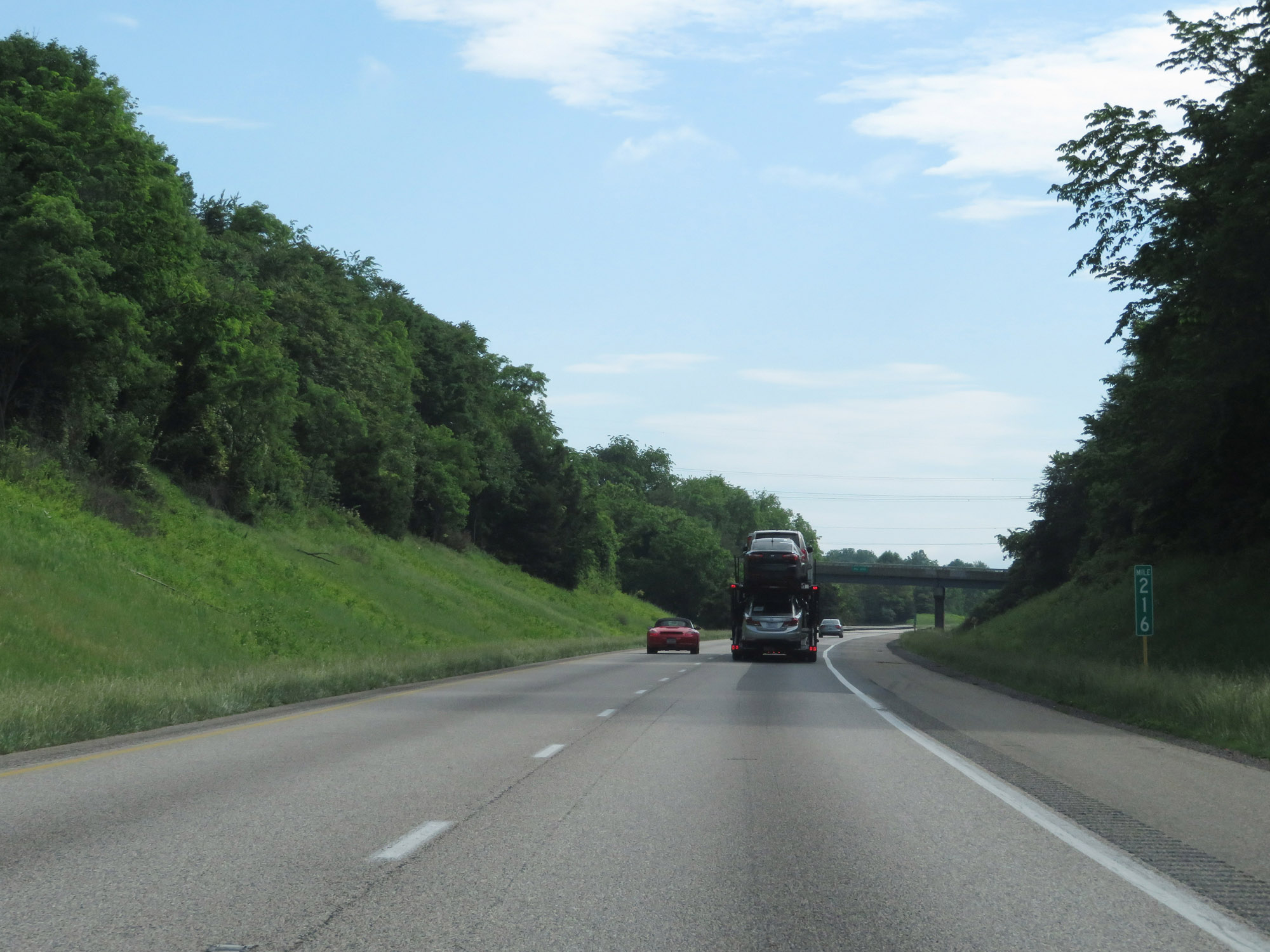 |
Interstate 64 East / Interstate 81 North at mile marker 216. (Photo taken 5/27/18). |
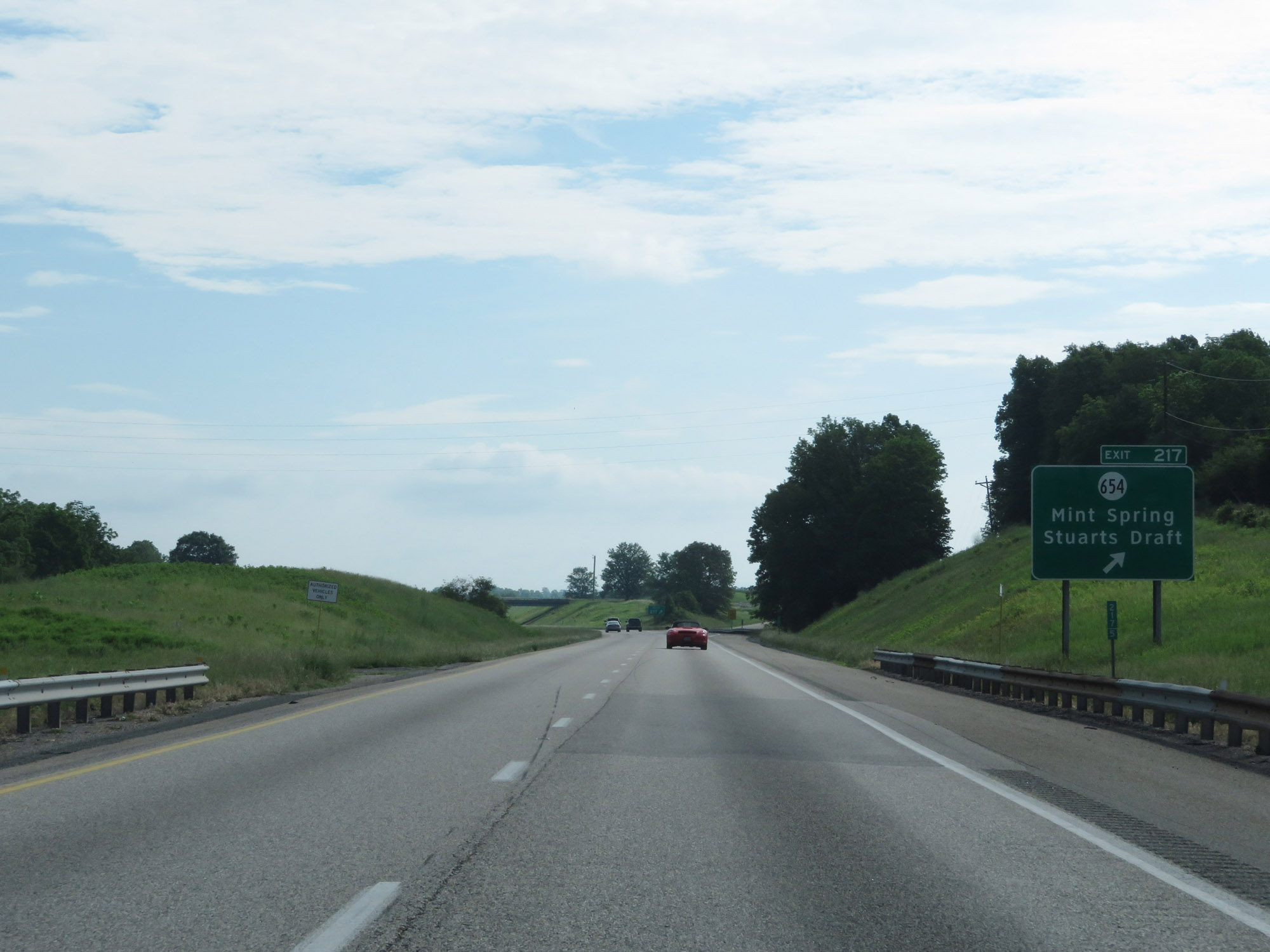 |
Interstate 64 East / Interstate 81 North at Exit 217: SR 654 - Mint Spring / Stuarts Draft (Photo taken 5/27/18). |
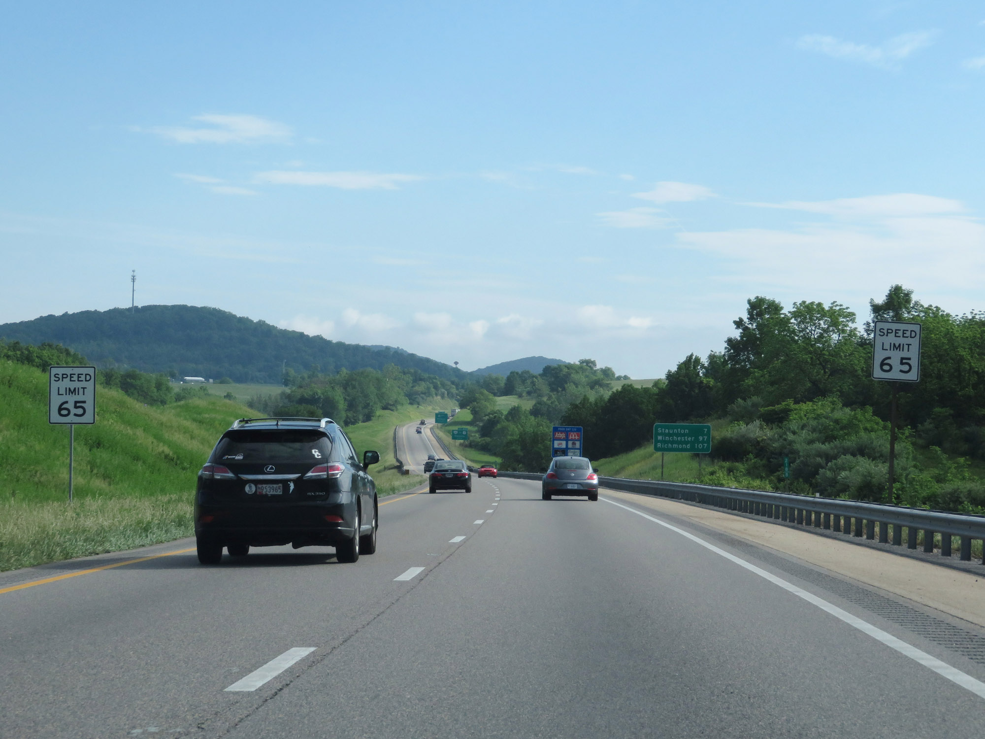 |
At mile marker 218.8, the speed limit decreases to 65 mph as Interstate 64 East / Interstate 81 North approach Staunton. (Photo taken 5/27/18). |
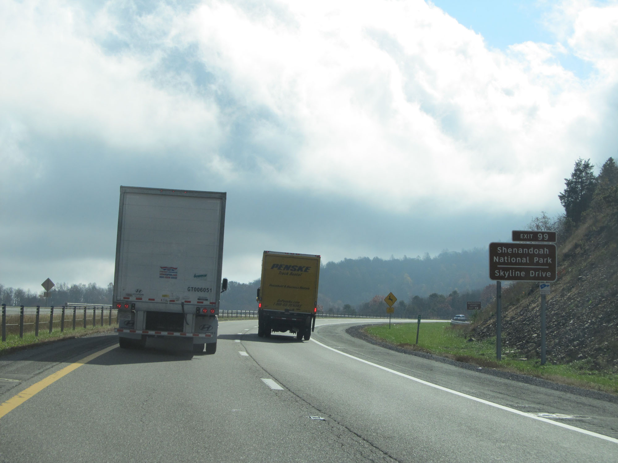
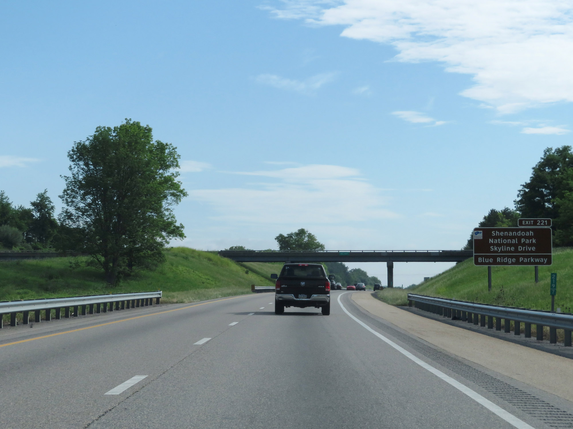 |
Take Exit 221 to Shenandoah National Park, Skyline Drive, and Blue Ridge Parkway. (Photo taken 5/27/18). |
 |
Interstate 64 East / Interstate 81 North at Exit 220: VA 262 / To US 11 - Staunton (Photo taken 5/27/18). |
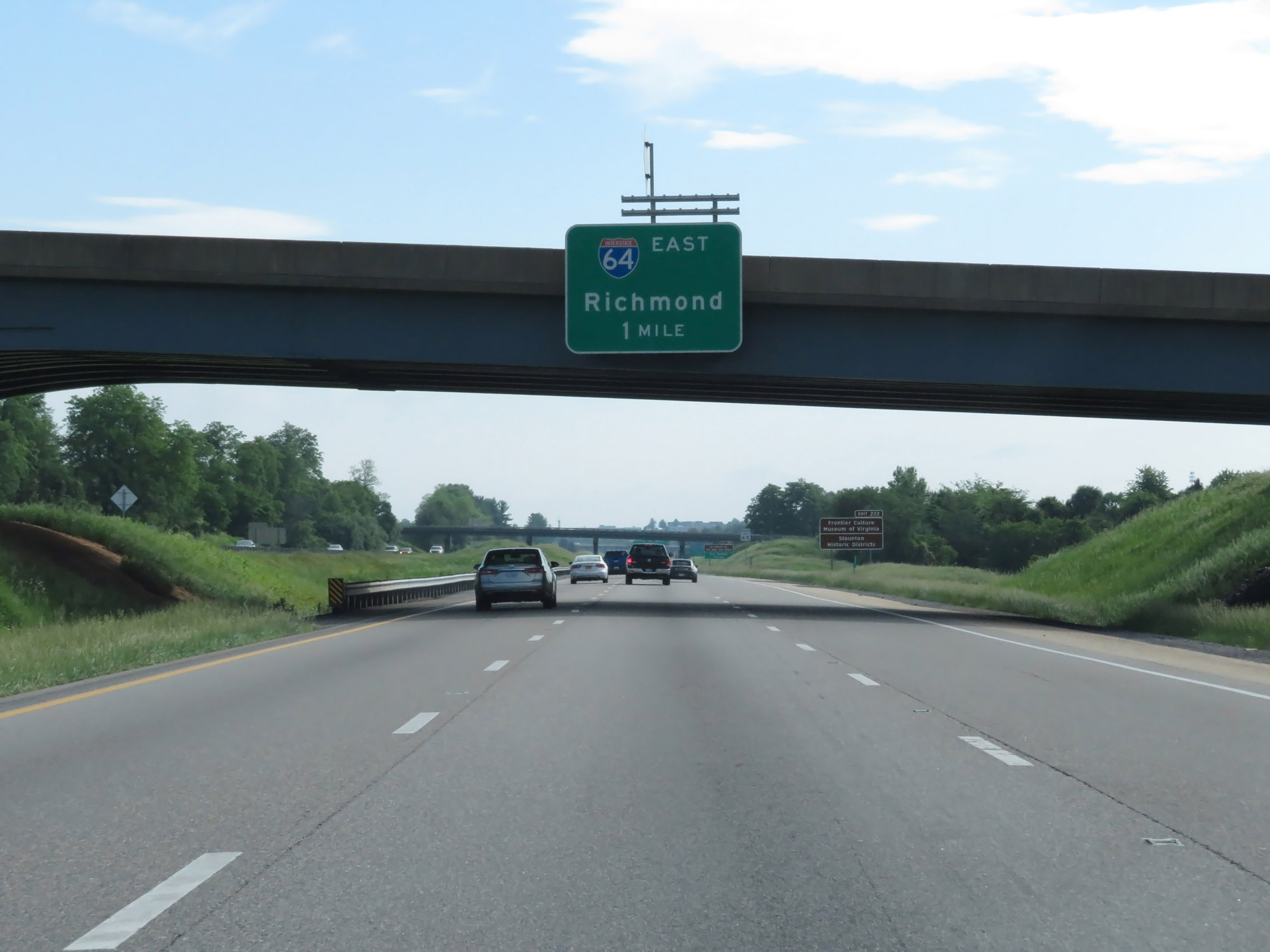 |
Interstate 64 East / Interstate 81 North approaching Exit 221 - 1 mile. (Photo taken 5/27/18). |
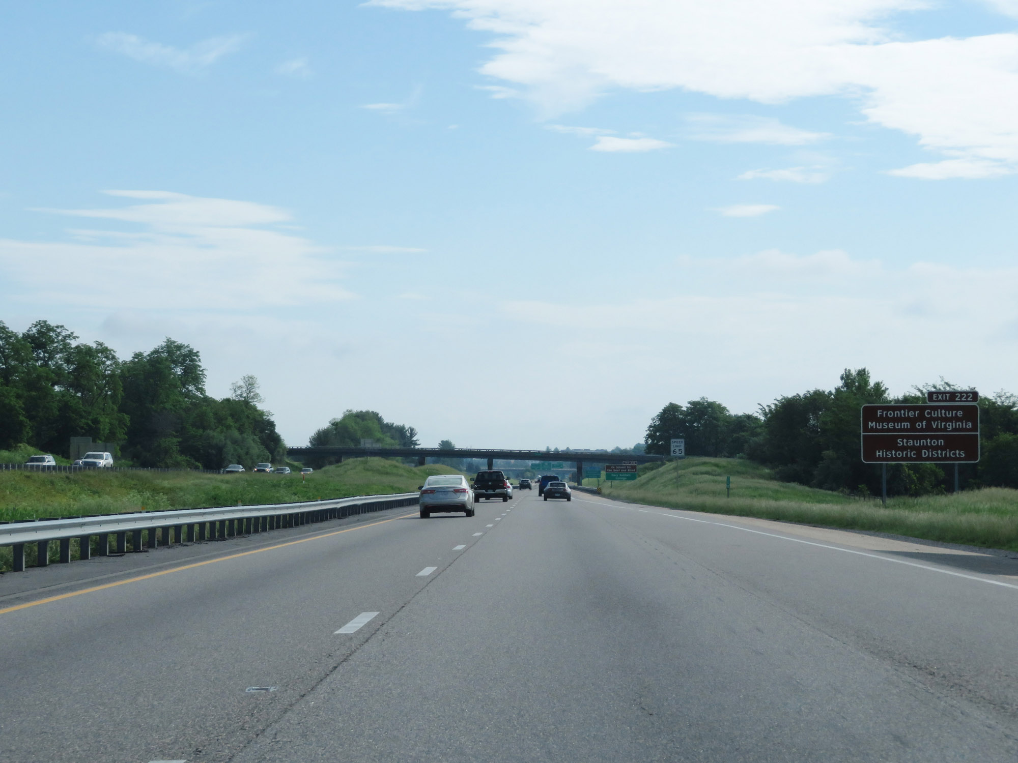 |
Take Exit 222 to the Frontier Culture Museum of Virginia and Staunton Historic Districts. (Photo taken 5/27/18). |
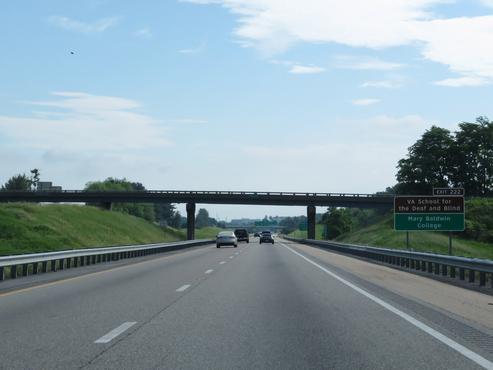 |
Also take Exit 222 to Virginia School for the Deaf and Blind as well as Mary Baldwin College. (Photo taken 5/27/18). |
 |
Follow Interstate 64 East via Exit 221 to Waynesboro and Charlottesville. (Photo taken 5/27/18). |
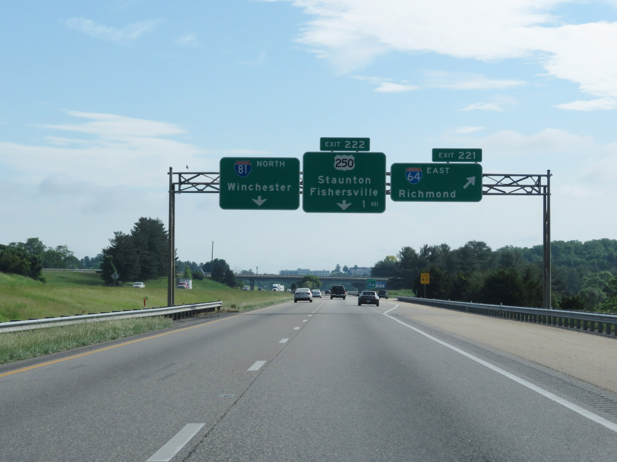 |
Interstate 64 East / Interstate 81 North at Exit 221: Interstate 64 East - Richmond (Photo taken 5/27/18). |
Section 3: Staunton (Exit 221) to Charlottesville (Exit 124)
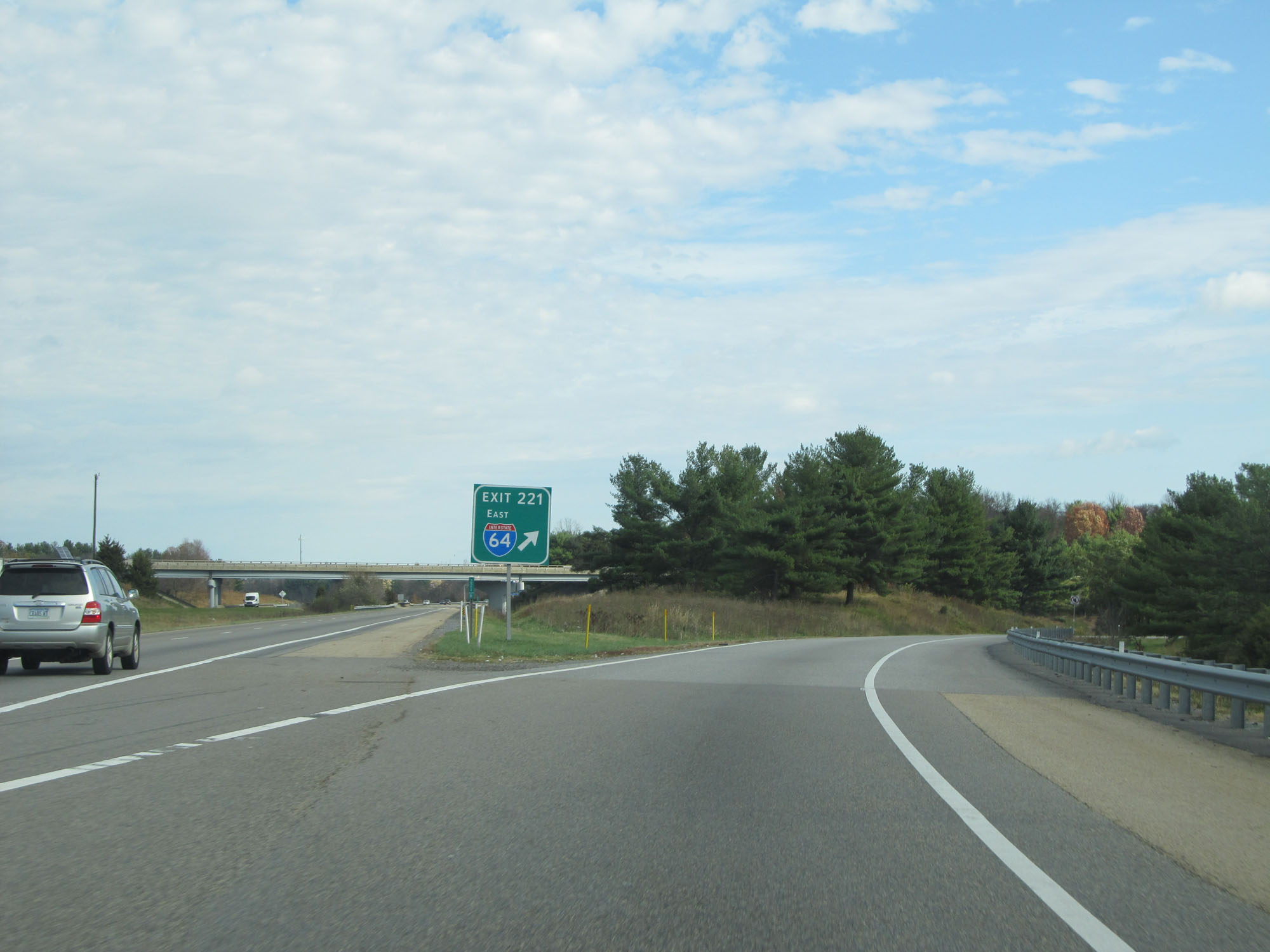 |
View of the ramp for Exit 221 as Interstate 64 East departs Interstate 81 North. (Photo taken 11/6/15). |
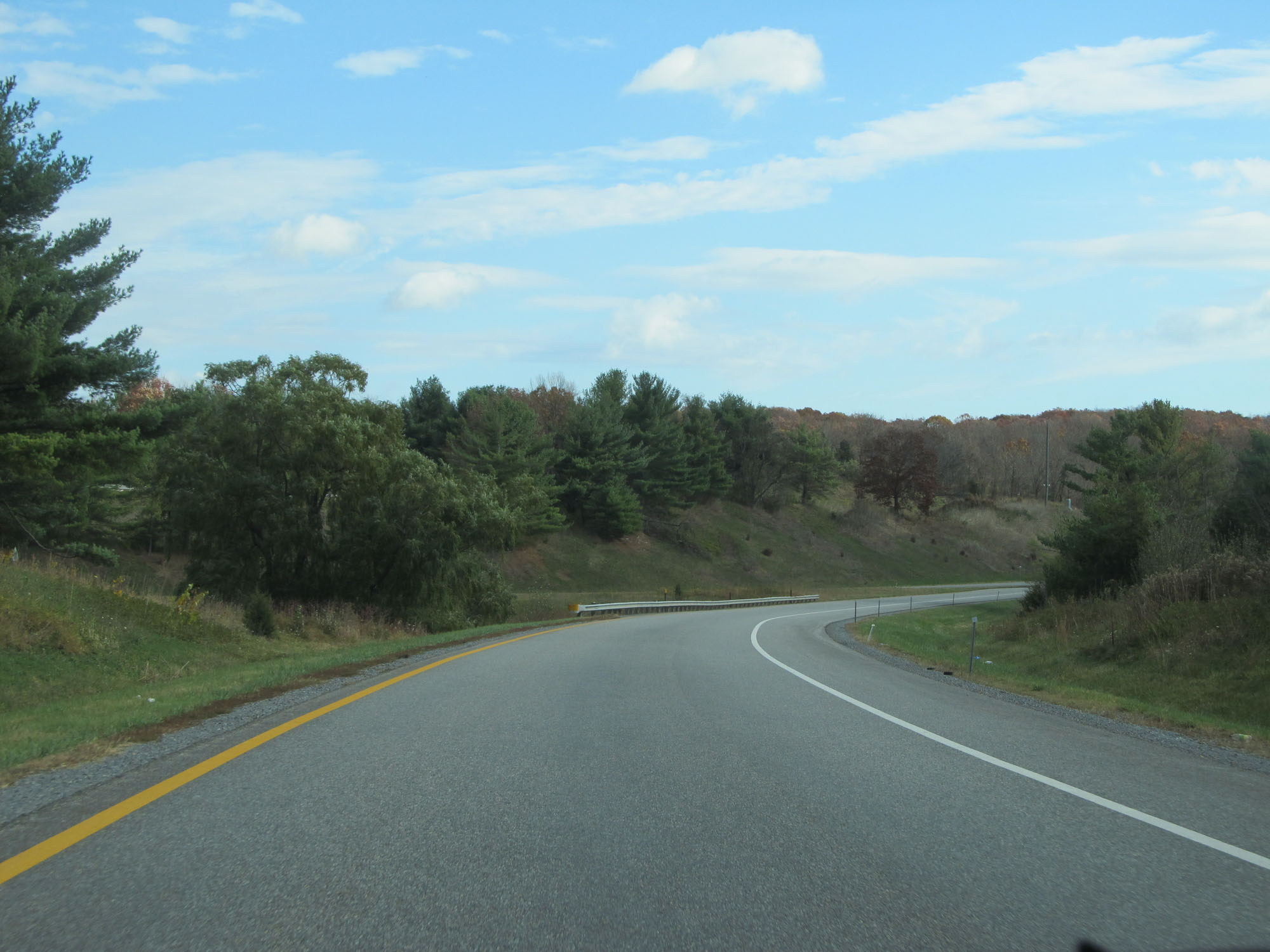 |
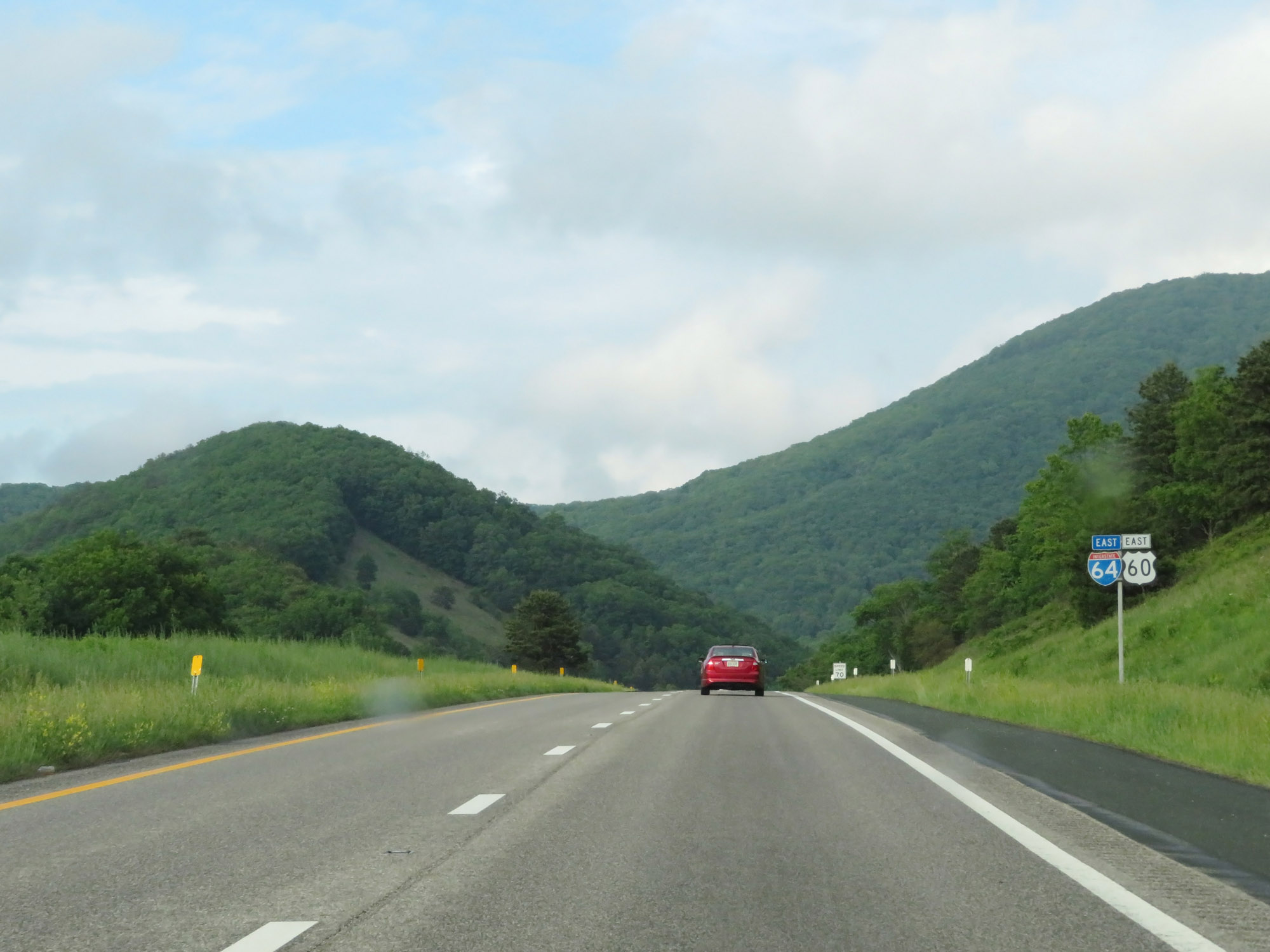
View on Interstate 64 East. (Photo taken 11/6/15). |
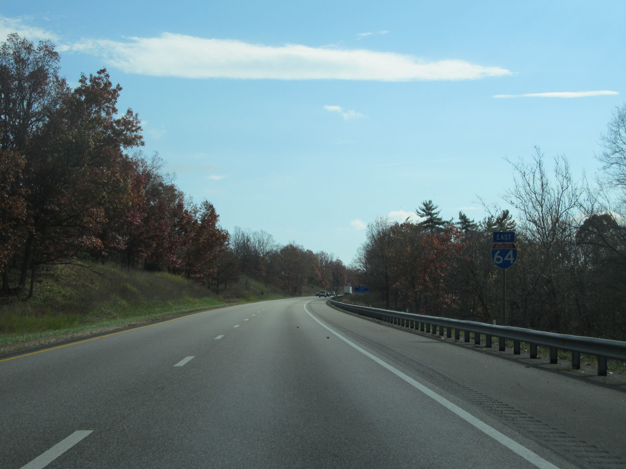 |
Interstate 64 East reassurance shield. (Photo taken 11/6/15). |
 |
Speed limit sign on Interstate 64 East. The speed limit on most rural Interstate highways in Virginia is 70 mph. (Photo taken 11/6/15). |
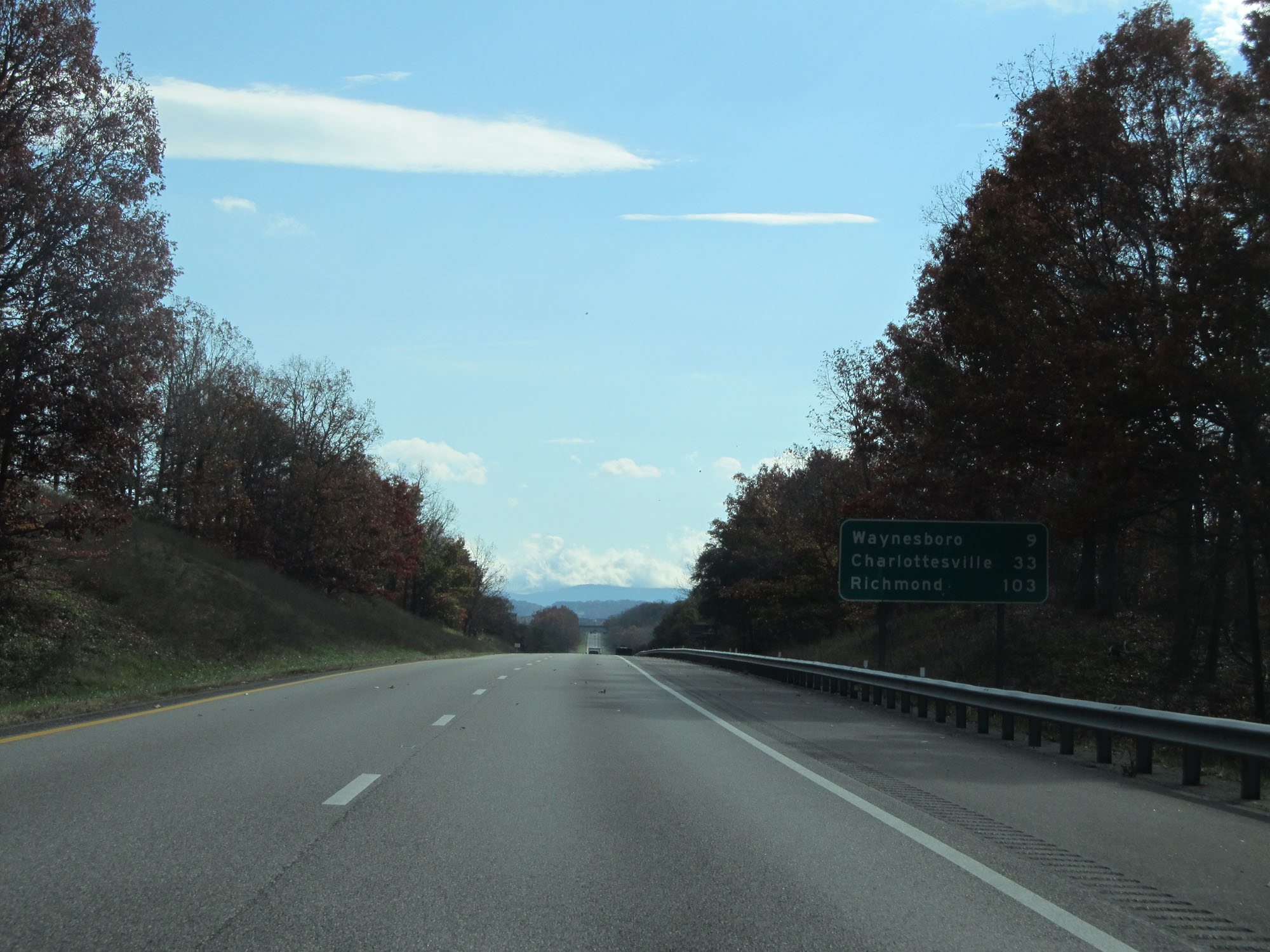 |
Mileage sign on Interstate 64 East. It's 9 miles to Waynesboro, 33 miles to Charlottesville, and 103 miles to Richmond. (Photo taken 11/6/15). |
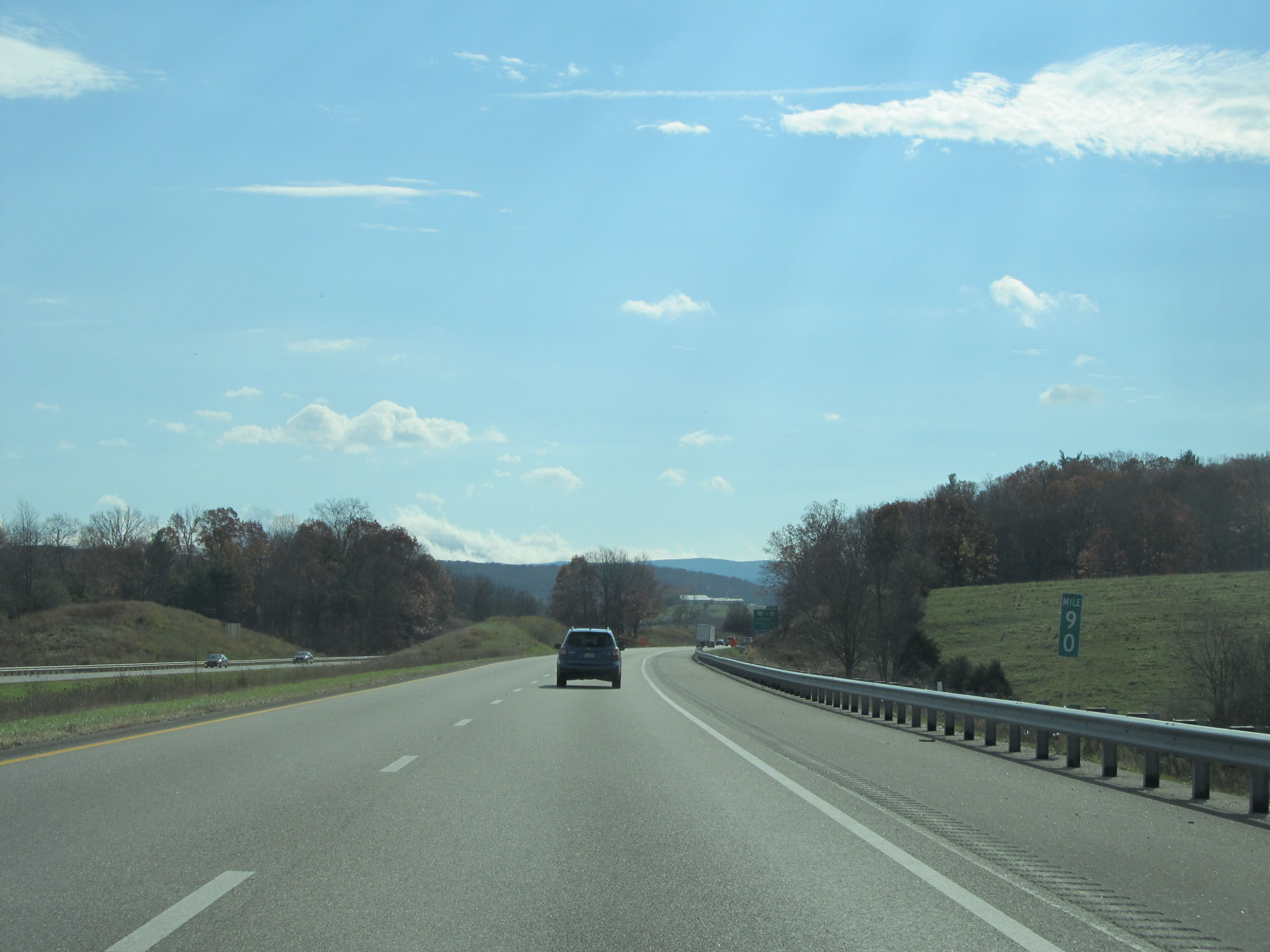 |
Interstate 64 East at mile marker 90. (Photo taken 11/6/15). |
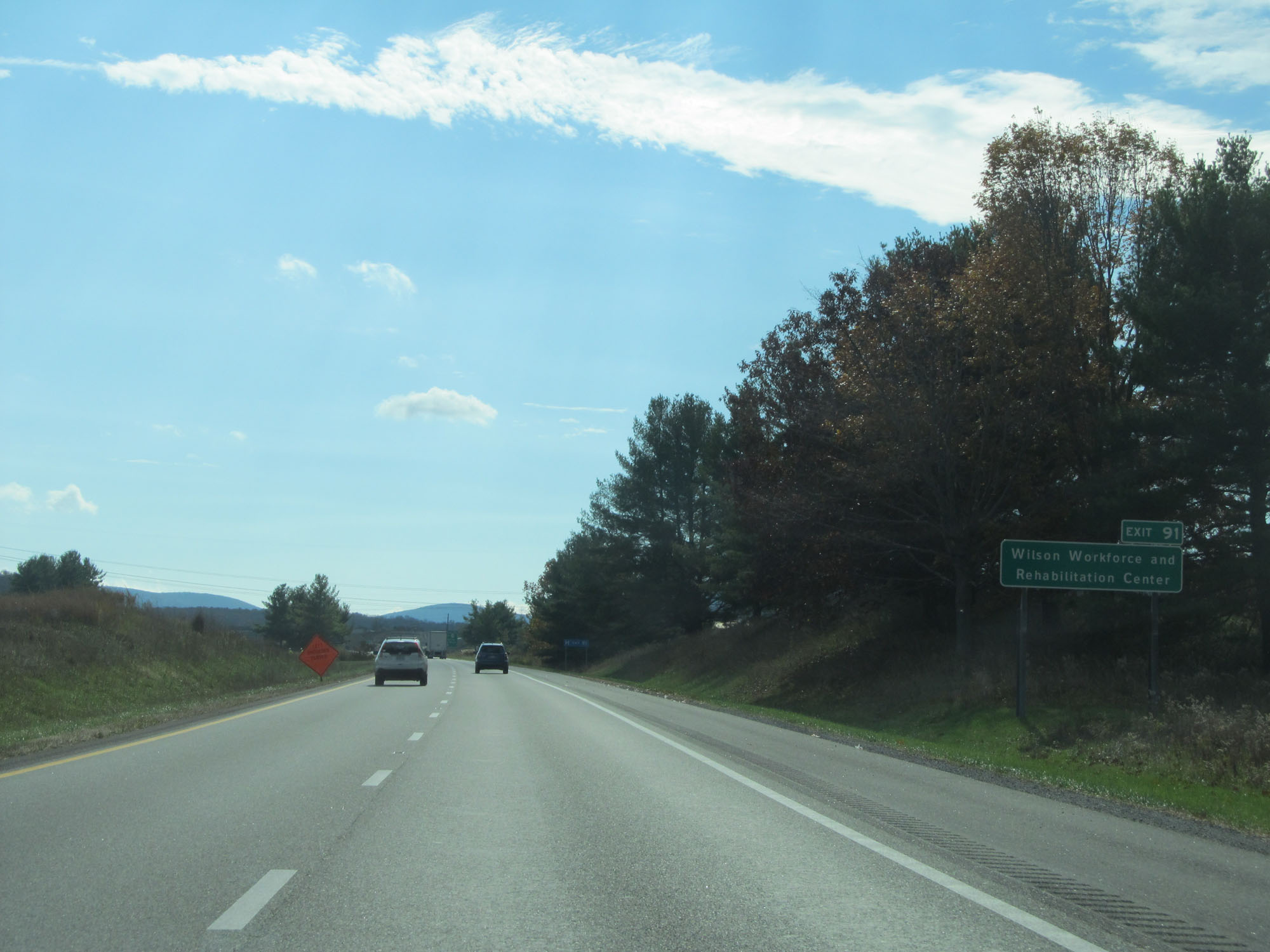 |
Take Exit 91 to Wilson Workforce and Rehabilitation Center. (Photo taken 11/6/15). |
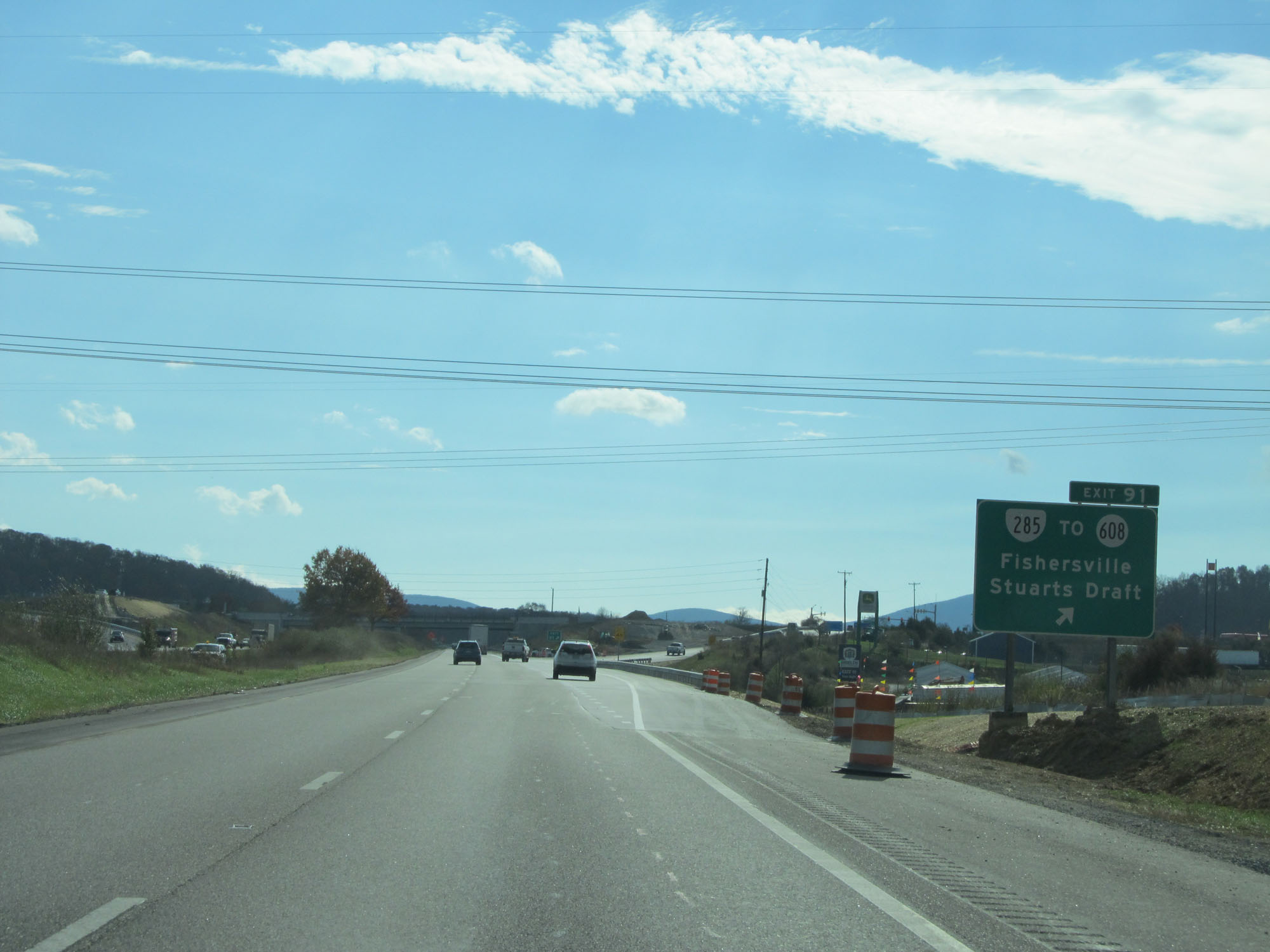 |
Interstate 64 East at Exit 91: VA 285 / To SR 608 - Fishersville / Stuarts Draft (Photo taken 11/6/15). |
 |
Take Exits 94 and 96 to Waynesboro. (Photo taken 11/6/15). |
 |
Interstate 64 East at Exit 94: US 340 - Waynesboro / Stuarts Draft (Photo taken 11/6/15). |
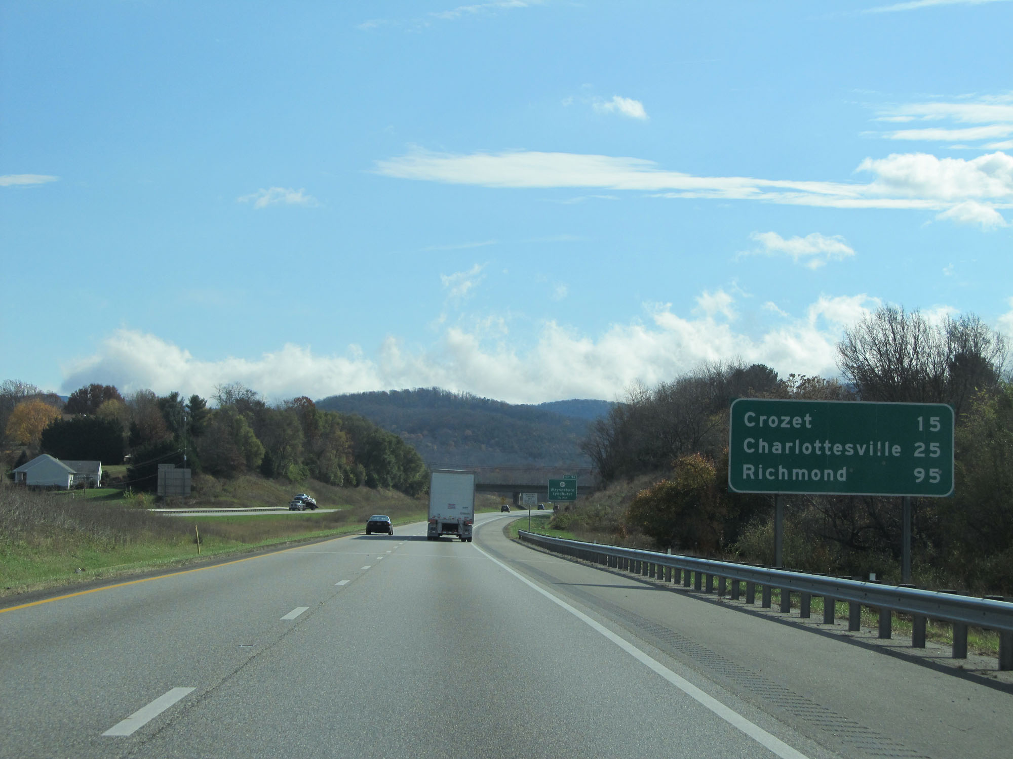 |
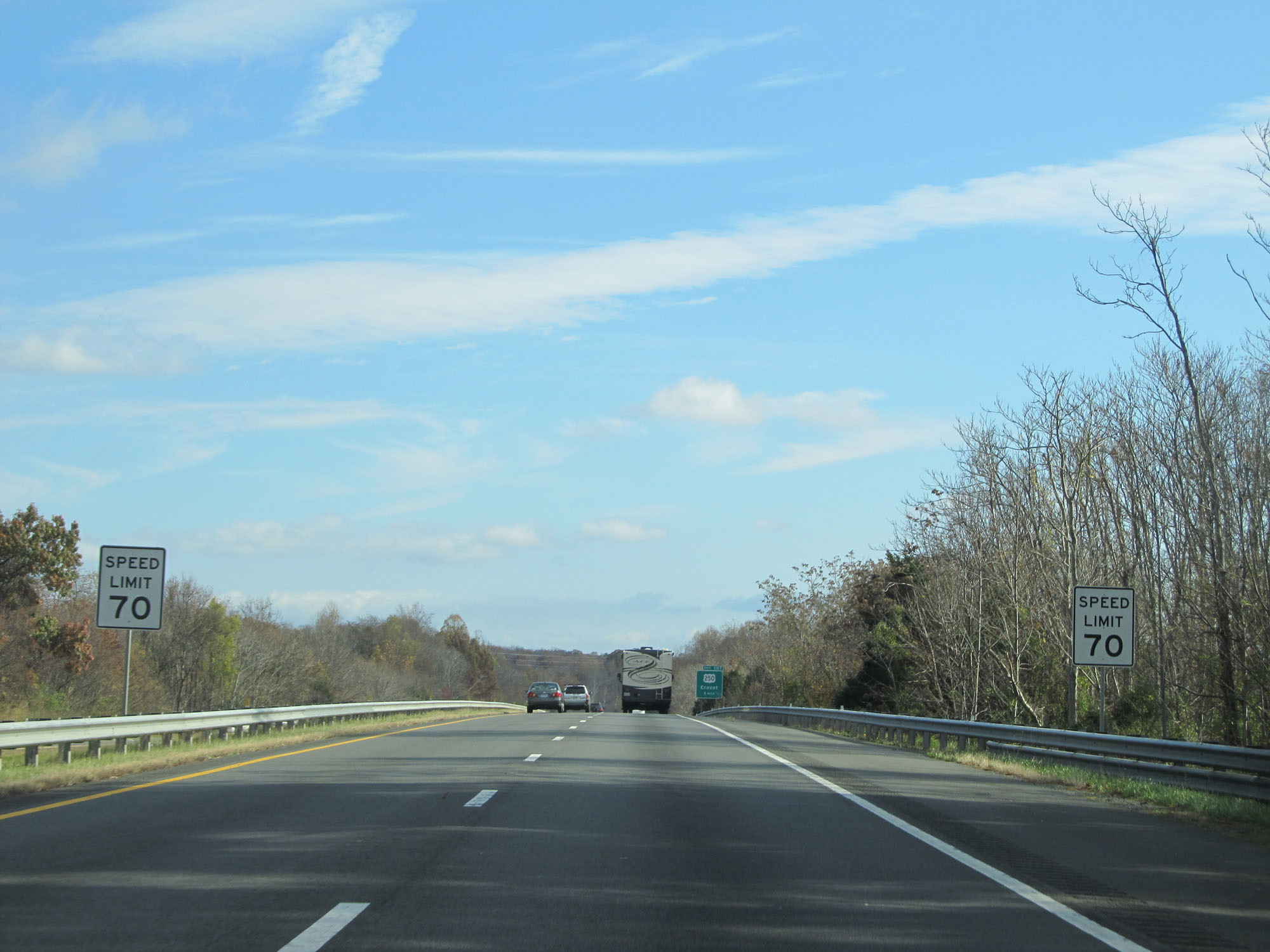
Mileage sign on Interstate 64 East. It's 15 miles to Crozet, 25 miles to Charlottesville, and 95 miles to Richmond. (Photo taken 11/6/15). |
 |
Interstate 64 East at Exit 96: SR 624 - Waynesboro / Lyndhurst (Photo taken 11/6/15). |
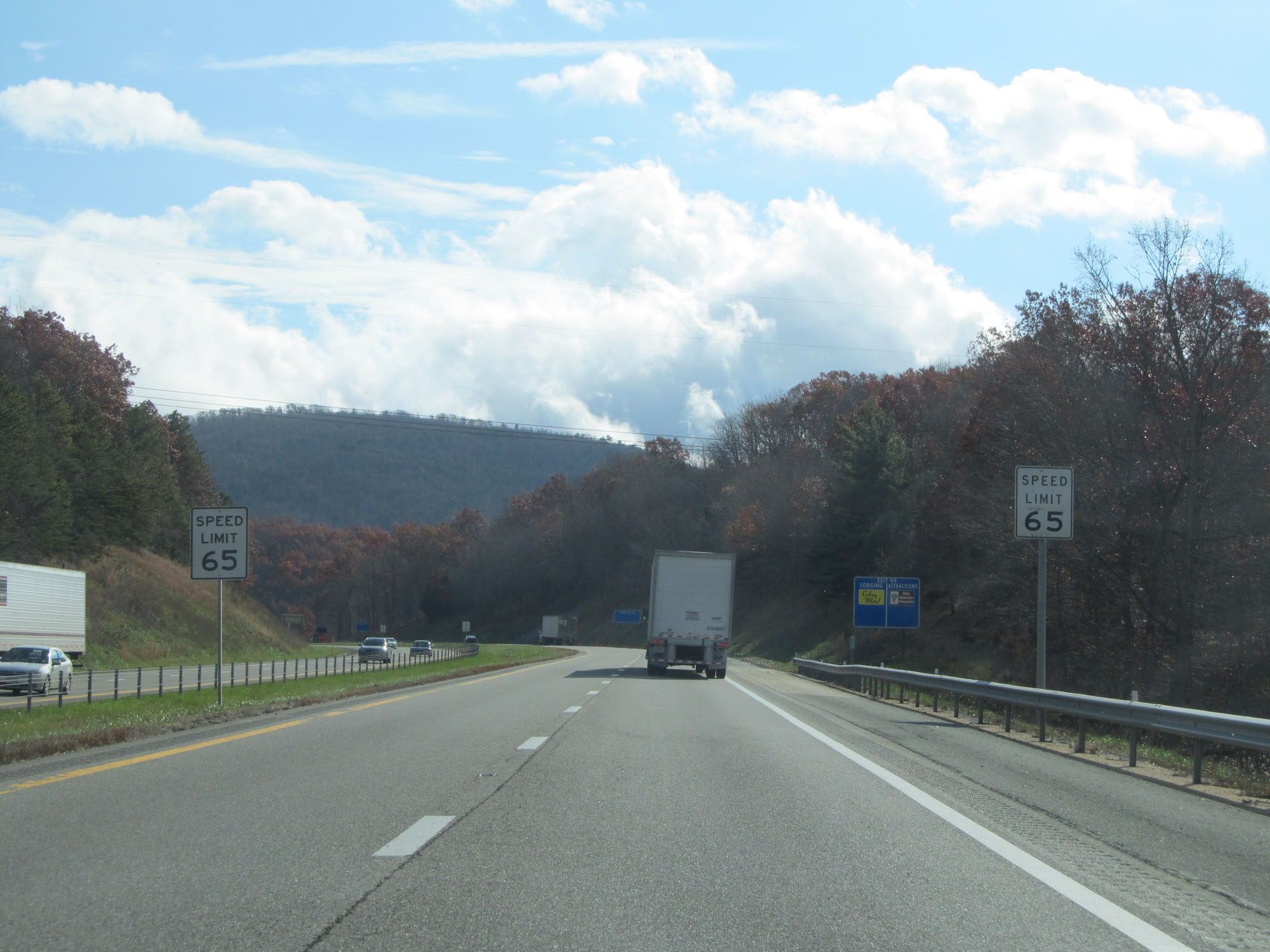 |
East of Exit 96, the speed limit decreases to 65 mph. (Photo taken 11/6/15). |
 |
Interstate 64 East at mile marker 98. (Photo taken 11/6/15). |
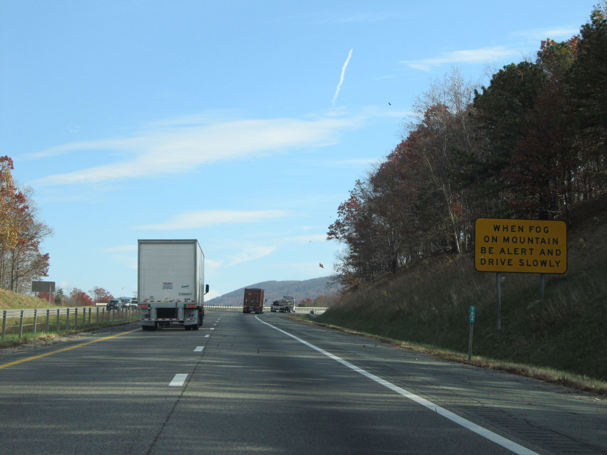 |
This sign warns motorists to reduce their speed when fog is present on the mountain. (Photo taken 11/6/15). |
 |
Take Exit 99 to Shenandoah National Park and Skyline Drive. (Photo taken 11/6/15). |
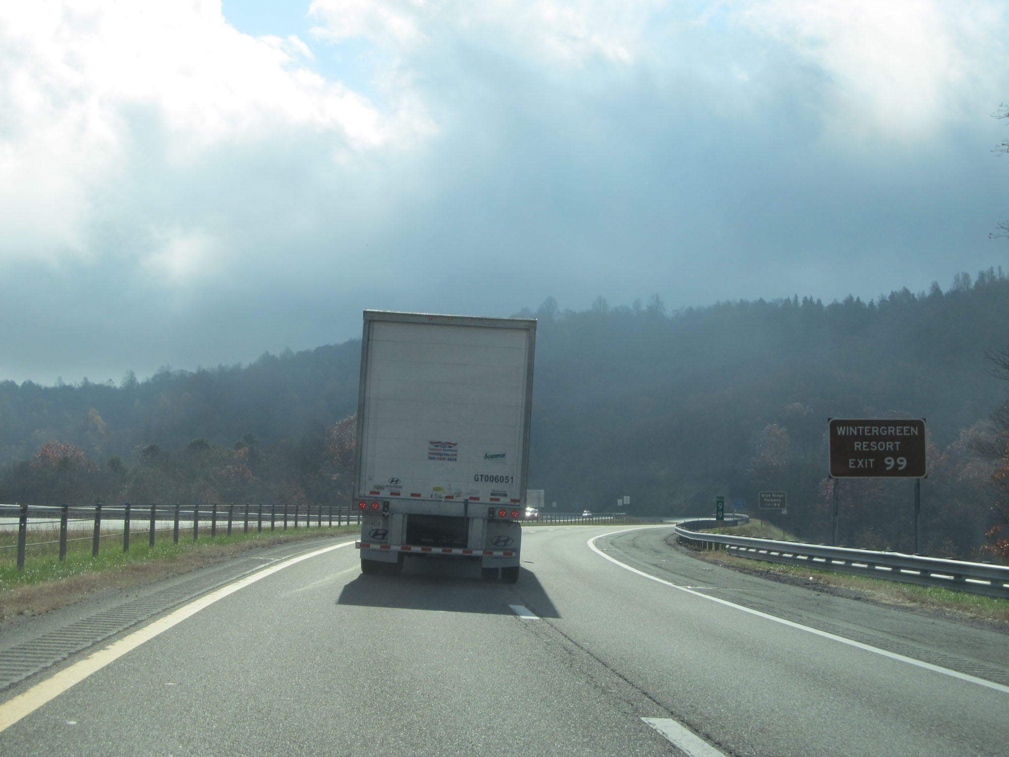 |
Take Exit 99 to Wintergreen Resort as well. (Photo taken 11/6/15). |
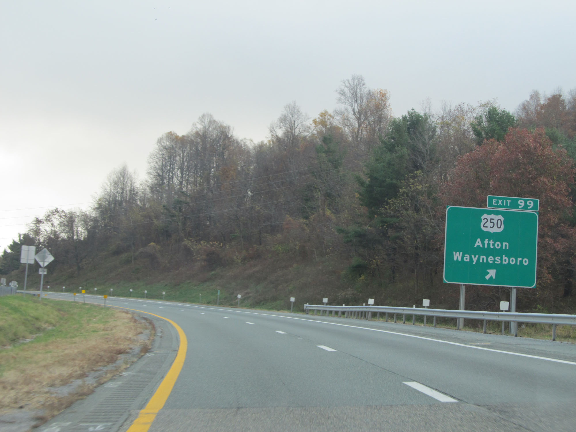 |
Interstate 64 East at Exit 99: US 250 - Afton / Waynesboro (Photo taken 11/6/15). |
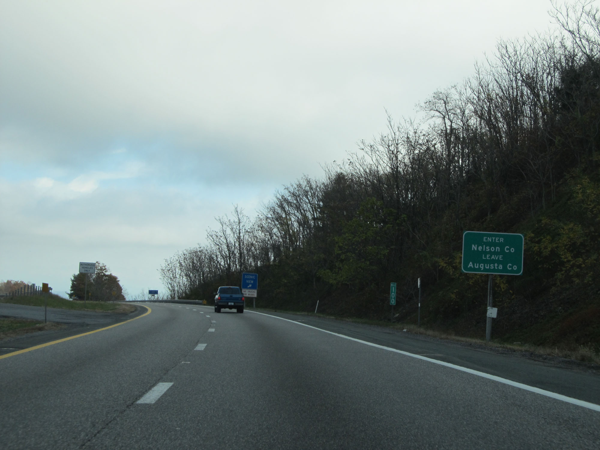 |
Interstate 64 East entering Nelson County. (Photo taken 11/6/15). |
 |
Scenic View area on Interstate 64 East upon entering Nelson County. (Photo taken 11/6/15). |
 |
Interstate 64 East reassurance shield. (Photo taken 11/6/15). |
 |
The speed limit remains 65 mph as you head down the mountain. (Photo taken 11/6/15). |
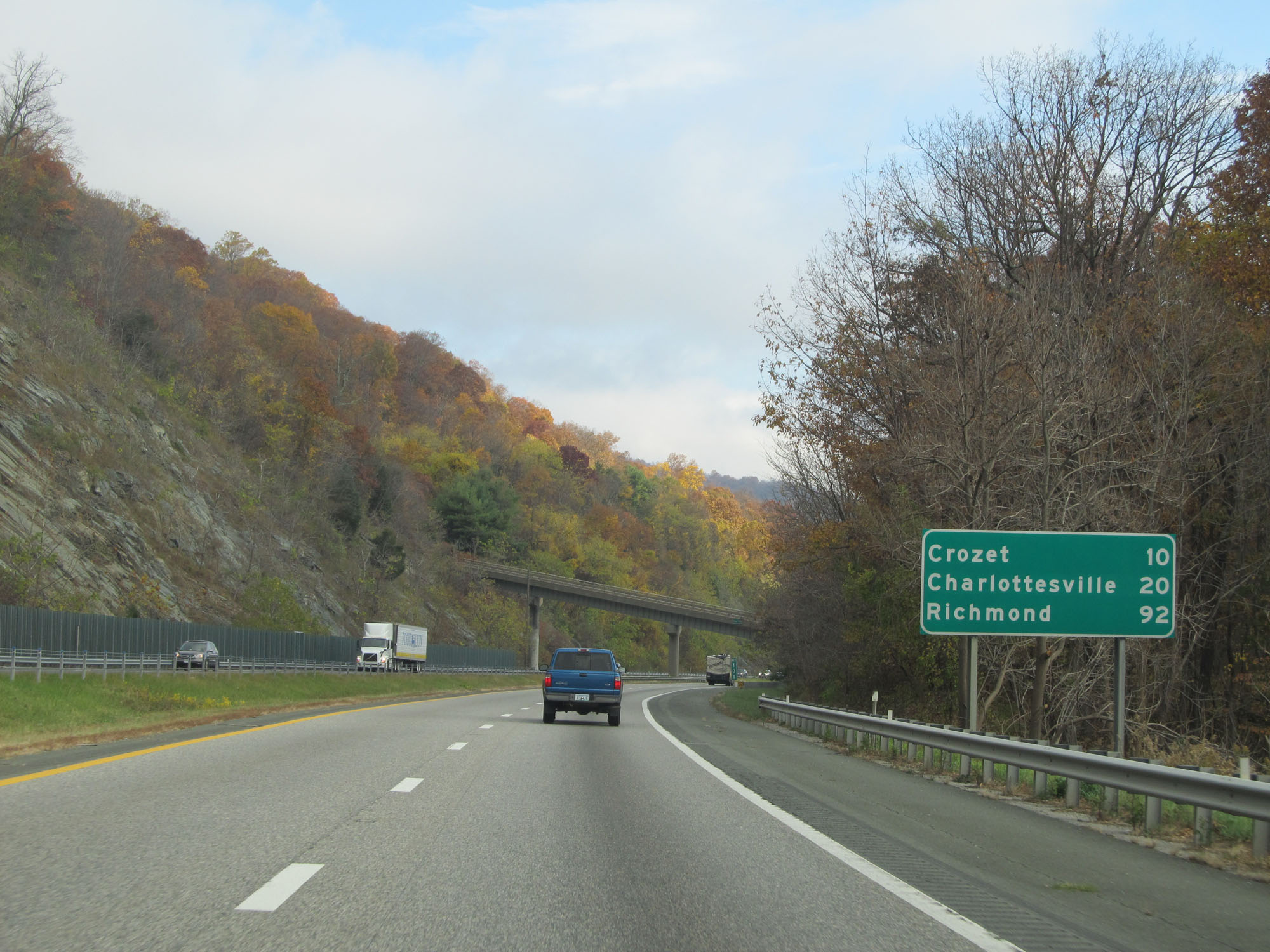 |
Another mileage sign on Interstate 64 East. It's 10 miles to Crozet, 20 miles to Charlottesville, and 92 miles to Richmond. (Photo taken 11/6/15). |
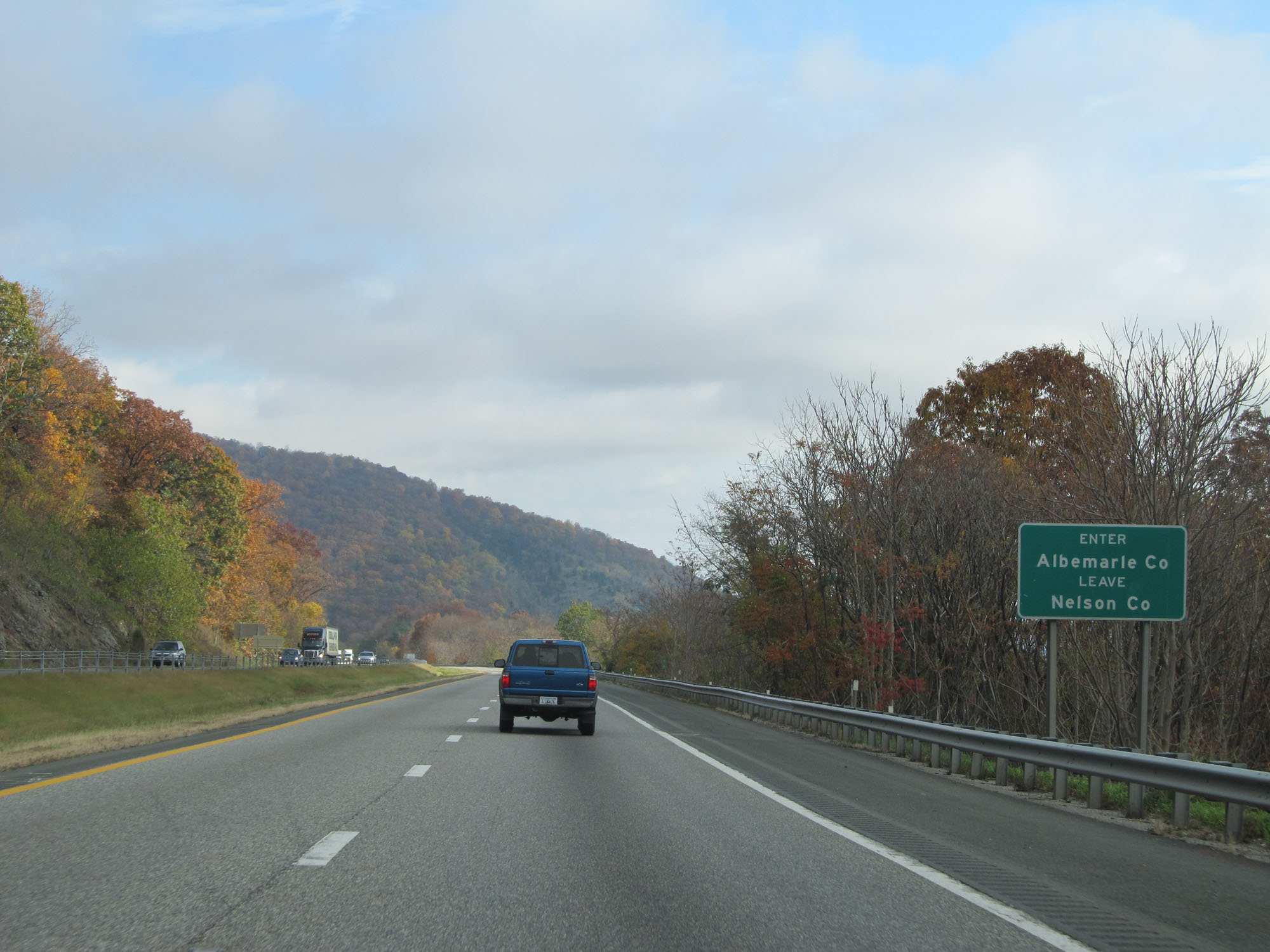 |
Interstate 64 East entering Albemarle County. (Photo taken 11/6/15). |
 |
Interstate 64 East at mile marker 102. (Photo taken 11/6/15). |
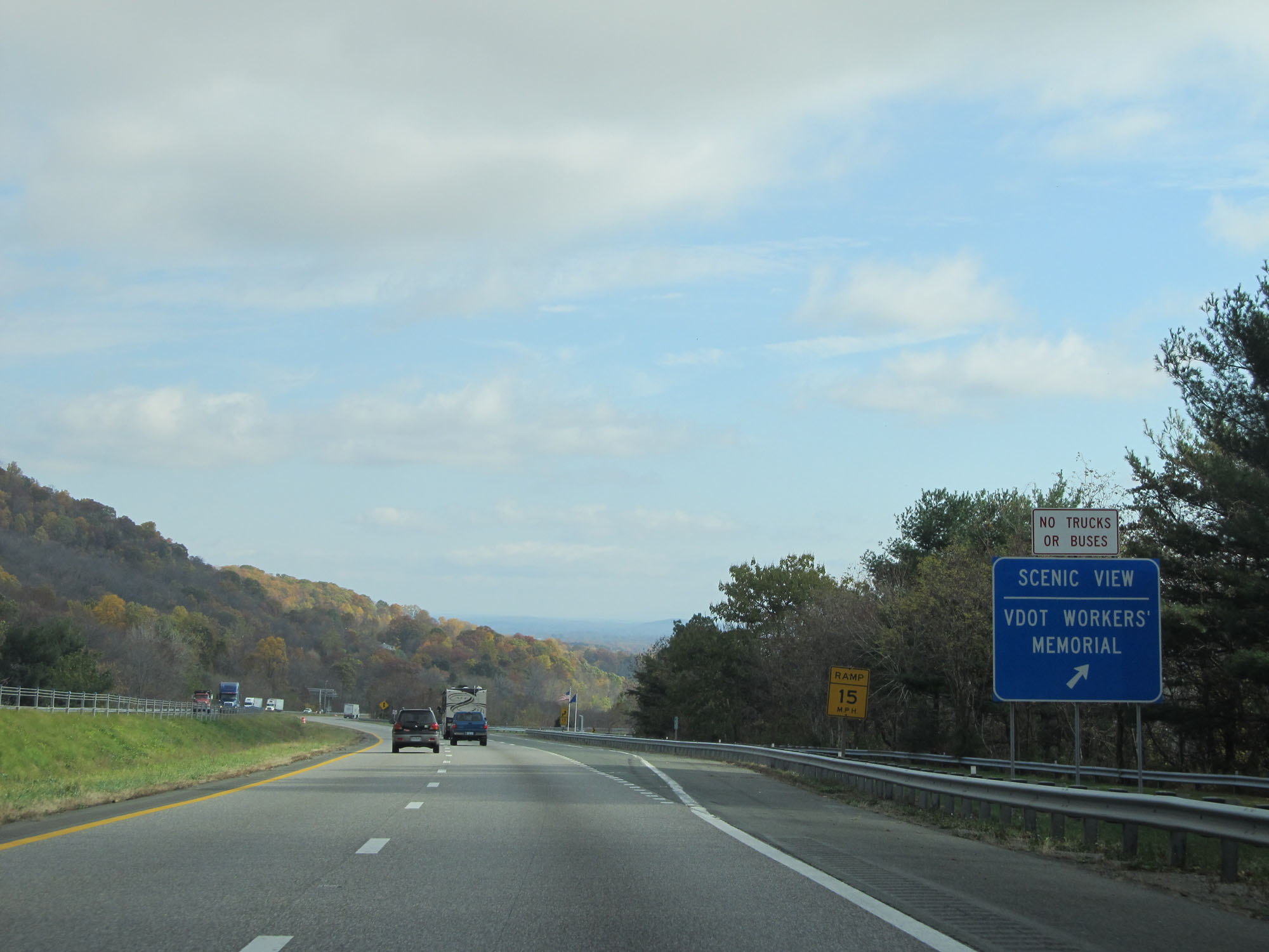 |
Interstate 64 East at another Scenic View Area, this one in Albemarle County. (Photo taken 11/6/15). |
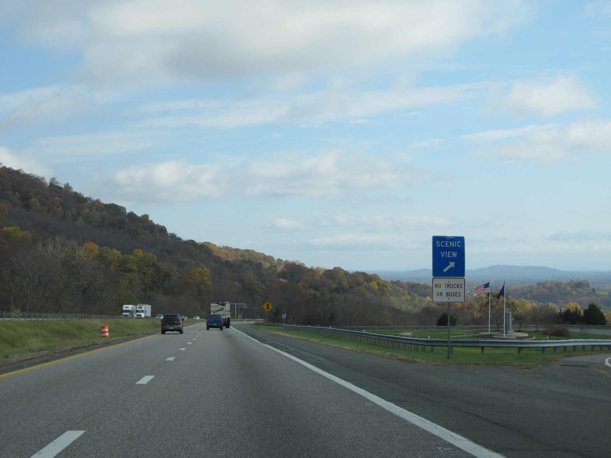 |
A closer view of the Scenic View Area on Interstate 64 East. (Photo taken 11/6/15). |
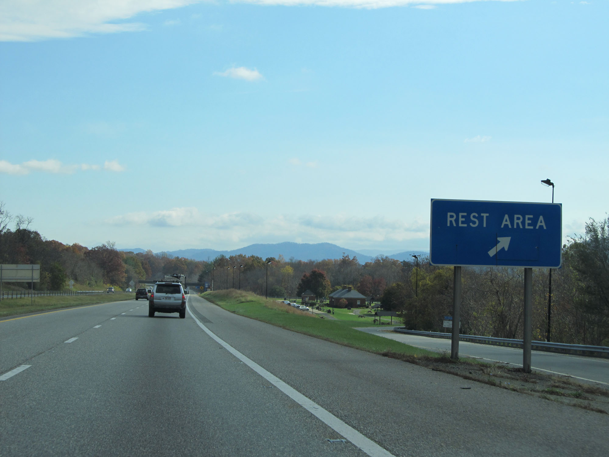 |
Rest Area on Interstate 64 East in Albemarle County. (Photo taken 11/6/15). |
 |
The speed limit of 70 mph resumes approaching Exit 107. (Photo taken 11/6/15). |
 |
There are two low clearance overpasses on US 250 at Exit 107 as this sign shows. (Photo taken 11/6/15). |
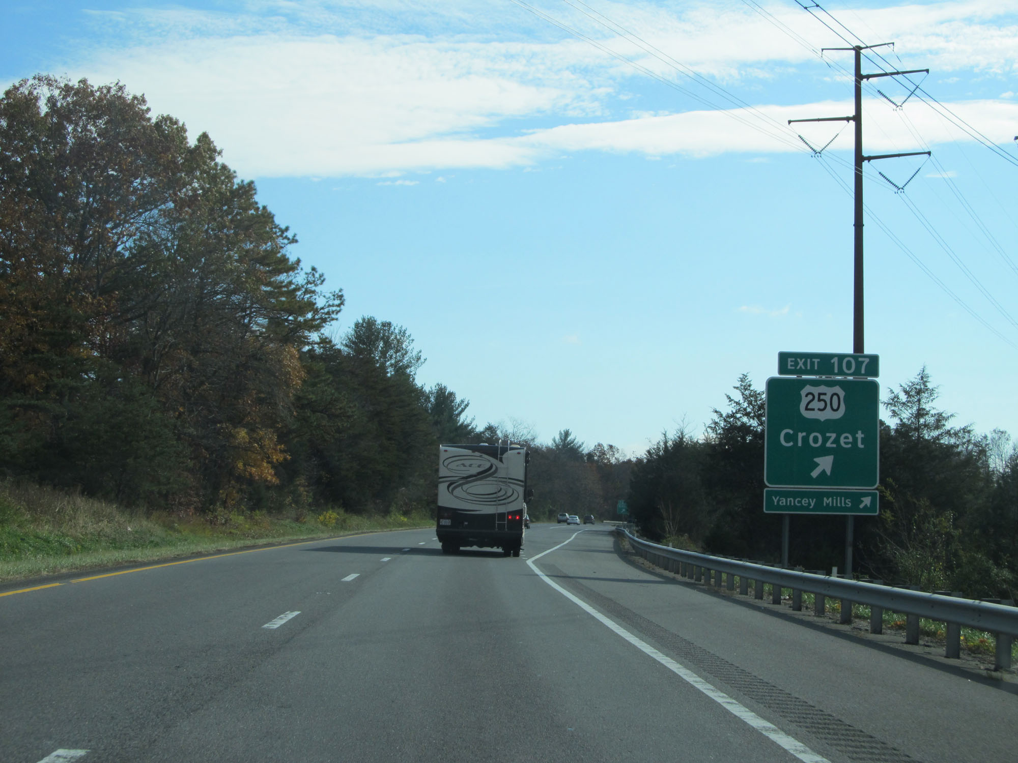 |
Interstate 64 East at Exit 107: US 250 - Crozet (Photo taken 11/6/15). |
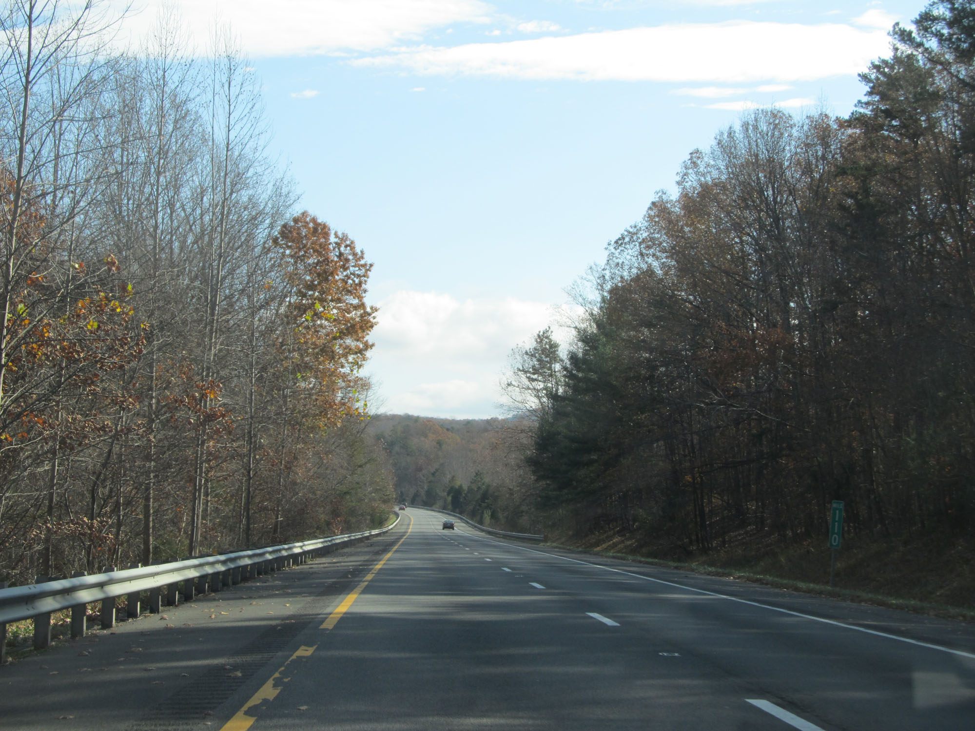 |
Interstate 64 East at mile marker 110. (Photo taken 11/6/15). |
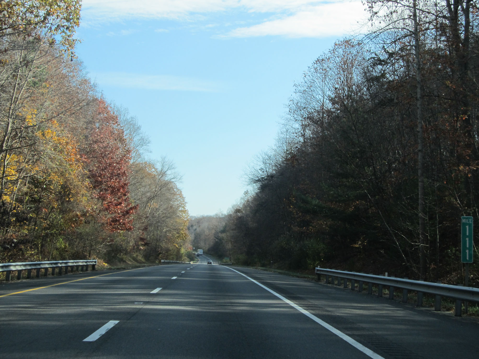 |
Interstate 64 East at mile marker 111. (Photo taken 11/6/15). |
 |
Interstate 64 East approaching Exit 114 - 1 mile. (Photo taken 11/6/15). |
 |
This sign warns that SR 637 is not a recommended truck route. (Photo taken 11/6/15). |
 |
Interstate 64 East at Exit 114: SR 637 - Ivy (Photo taken 11/6/15). |
 |
Interstate 64 East at mile marker 116. (Photo taken 11/6/15). |
 |
Take the exits listed on this sign to Charlottesville. (Photo taken 11/6/15). |
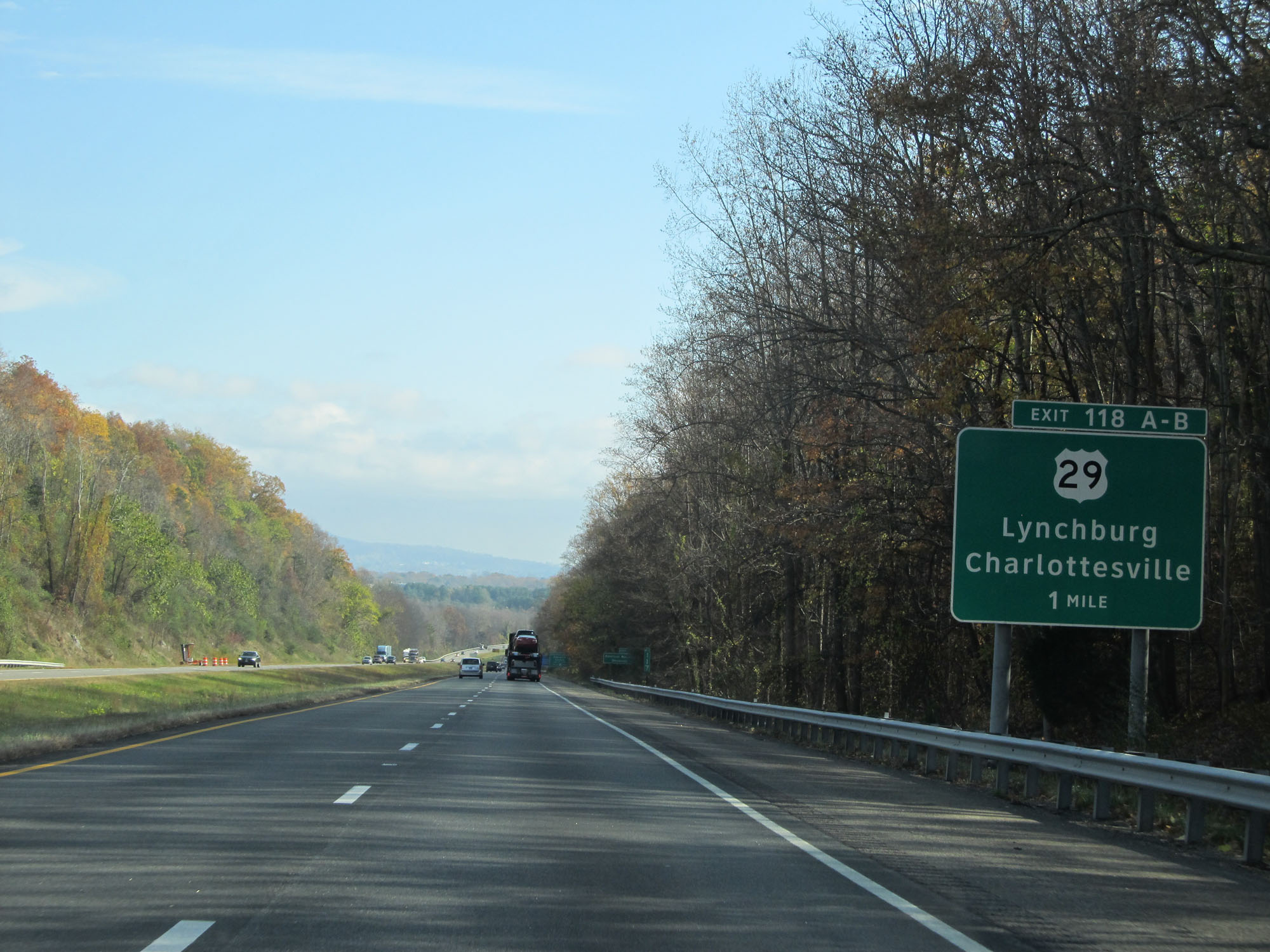 |
Interstate 64 East approaching Exits 118A-B - 1 mile. (Photo taken 11/6/15). |
 |
Take Exit 118B to American National University. (Photo taken 11/6/15). |
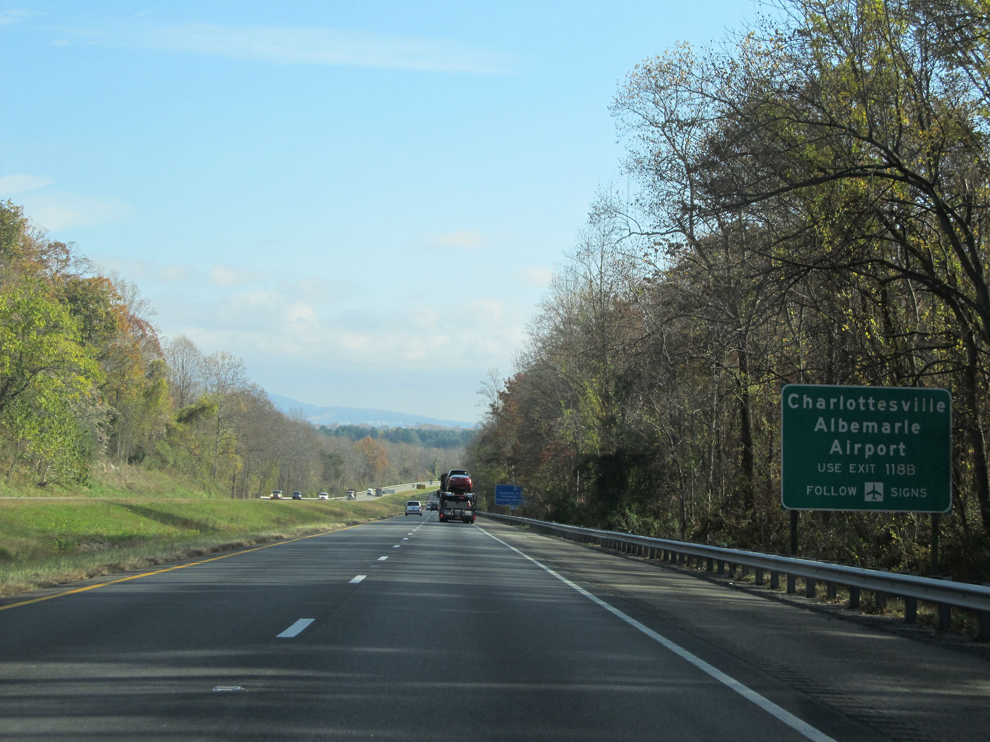 |
Take Exit 118B to Charlottesville Albemarle Airport. (Photo taken 11/6/15). |
 |
Also take Exit 118B to the University of Virginia Information Center and University Medical Center. (Photo taken 11/6/15). |
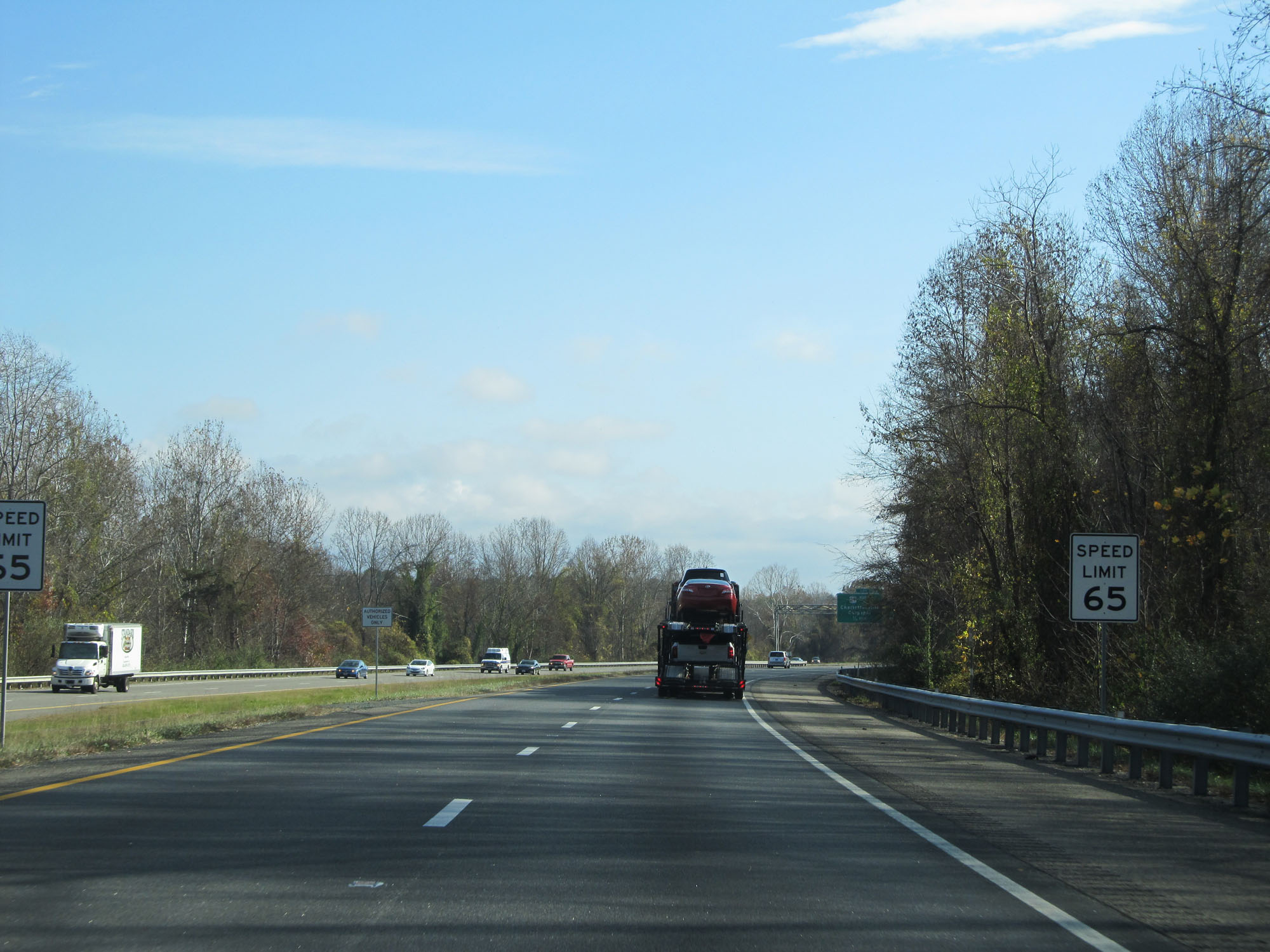 |
The speed limit decreases to 65 mph as you pass through the Charlottesville area on Interstate 64. (Photo taken 11/6/15). |
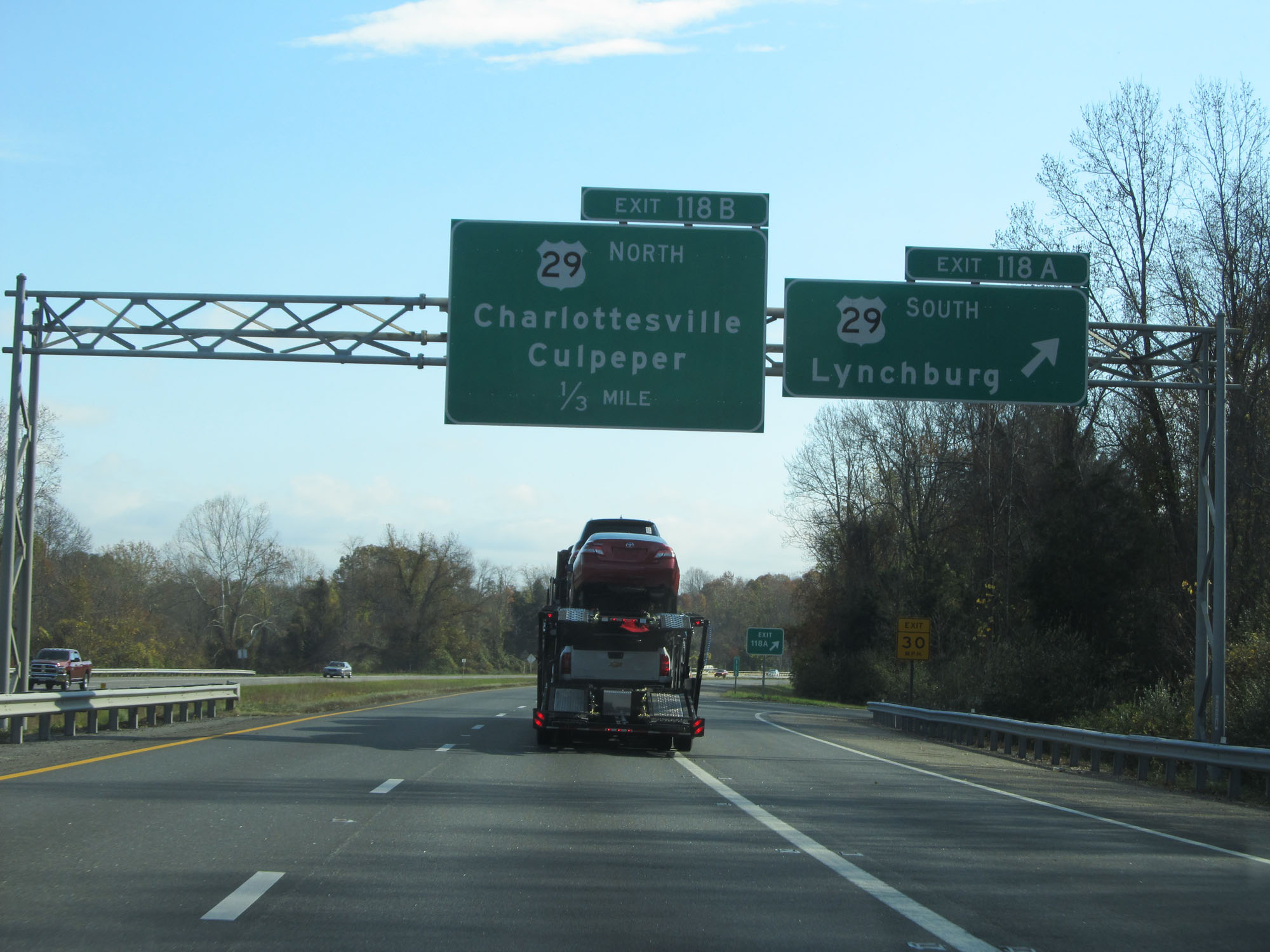 |
Interstate 64 East at Exit 118A: US 29 South - Lynchburg (Photo taken 11/6/15). |
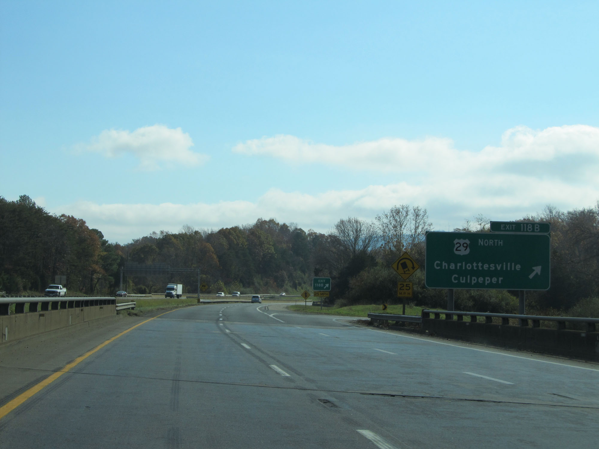 |
Interstate 64 East at Exit 118B: US 29 North - Charlottesville / Culpeper (Photo taken 11/6/15). |
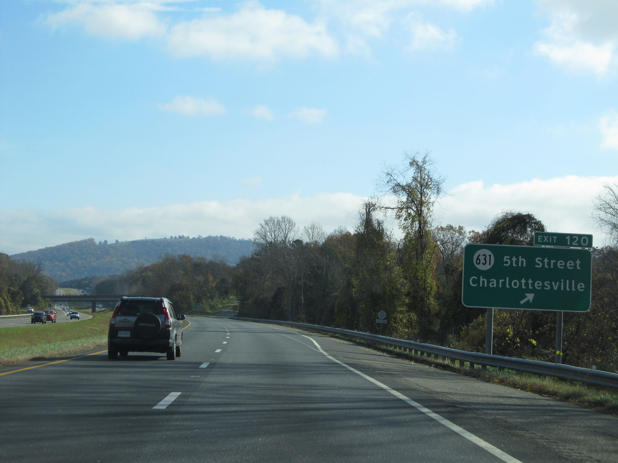 |
Interstate 64 East at Exit 120: SR 631 - 5th Street / Charlottesville (Photo taken 11/6/15). |
 |
Take Exit 121A to Piedmont VA Community College. (Photo taken 11/8/15). |
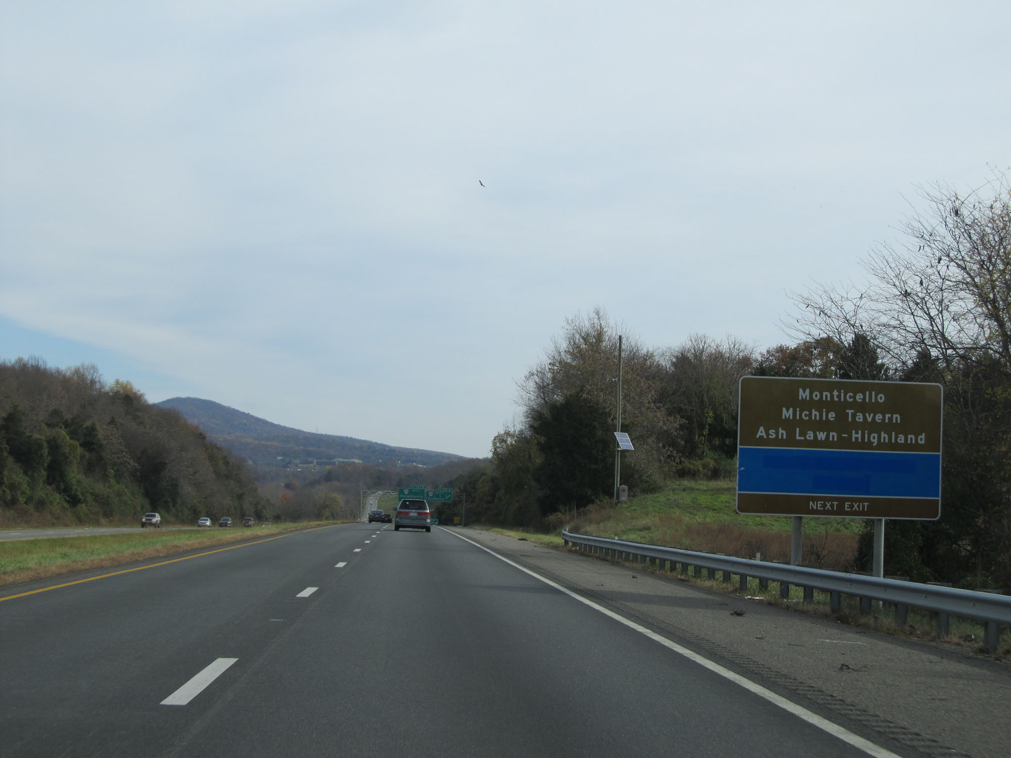 |
Also take Exit 121A to Monticello, Michie Tavern, and Ash Lawn-Highland. (Photo taken 11/8/15). |
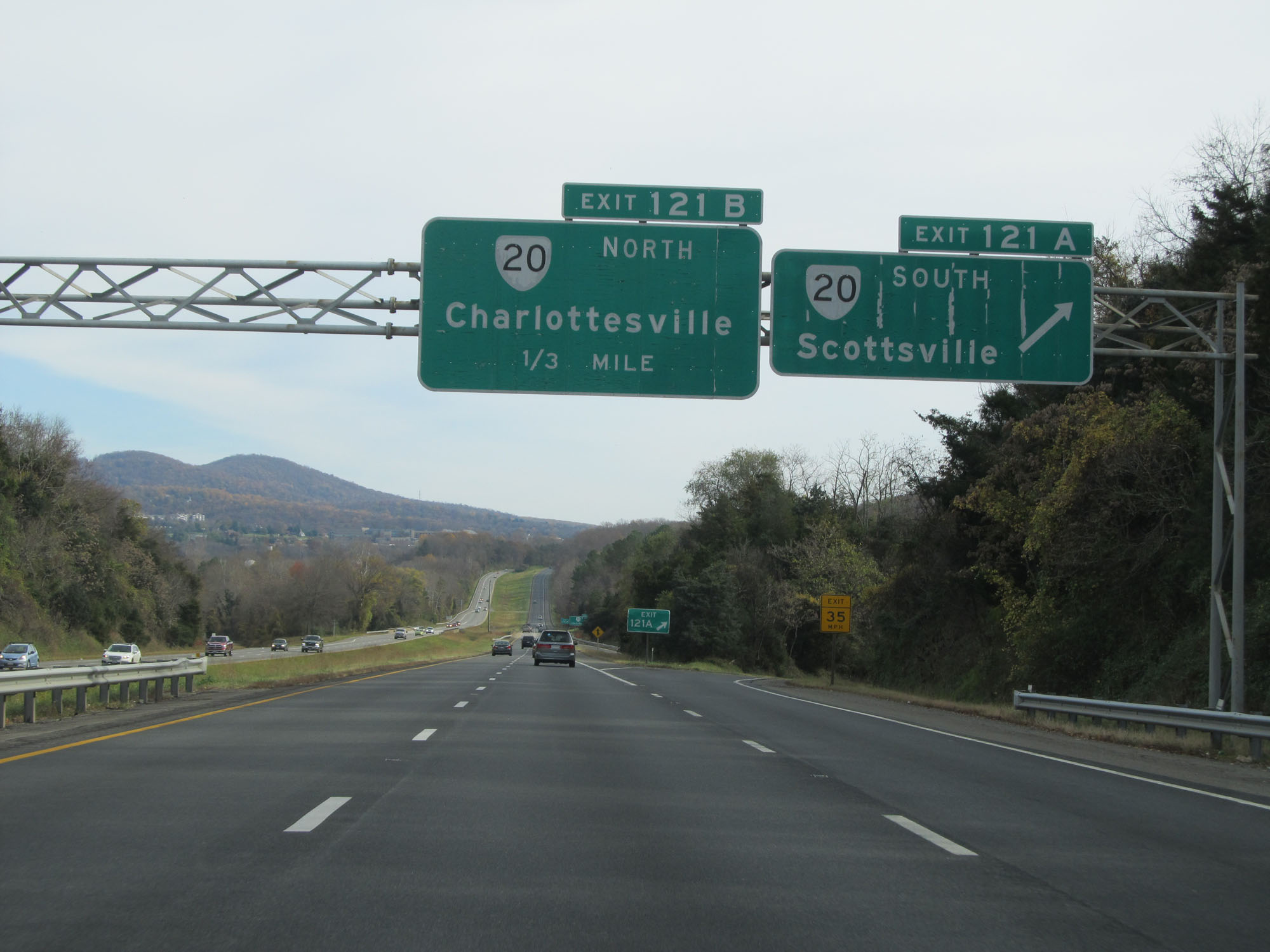 |
Interstate 64 East at Exit 121A: VA 20 South - Scottsville (Photo taken 11/8/15). |
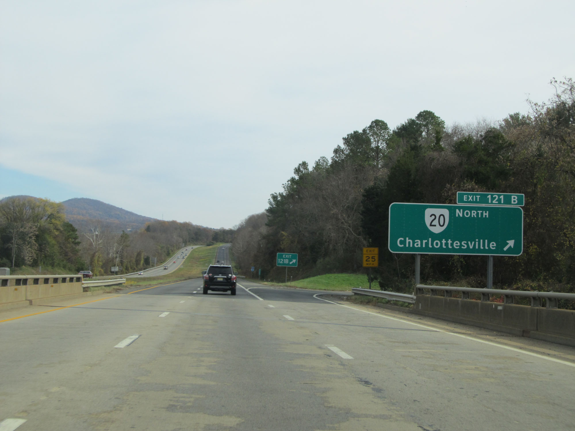 |
Interstate 64 East at Exit 121B: VA 20 North - Charlottesville (Photo taken 11/8/15). |
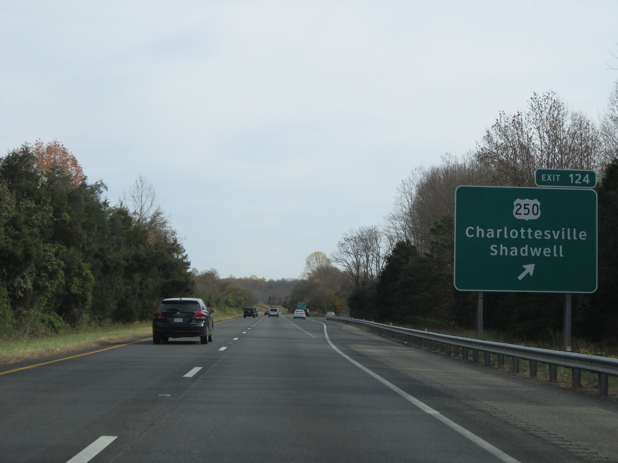 |
Interstate 64 East at Exit 124: US 250 - Charlottesville / Shadwell (Photo taken 11/8/15). |
Section 4: Charlottesville (Exit 124) to Richmond (Exixt 186)
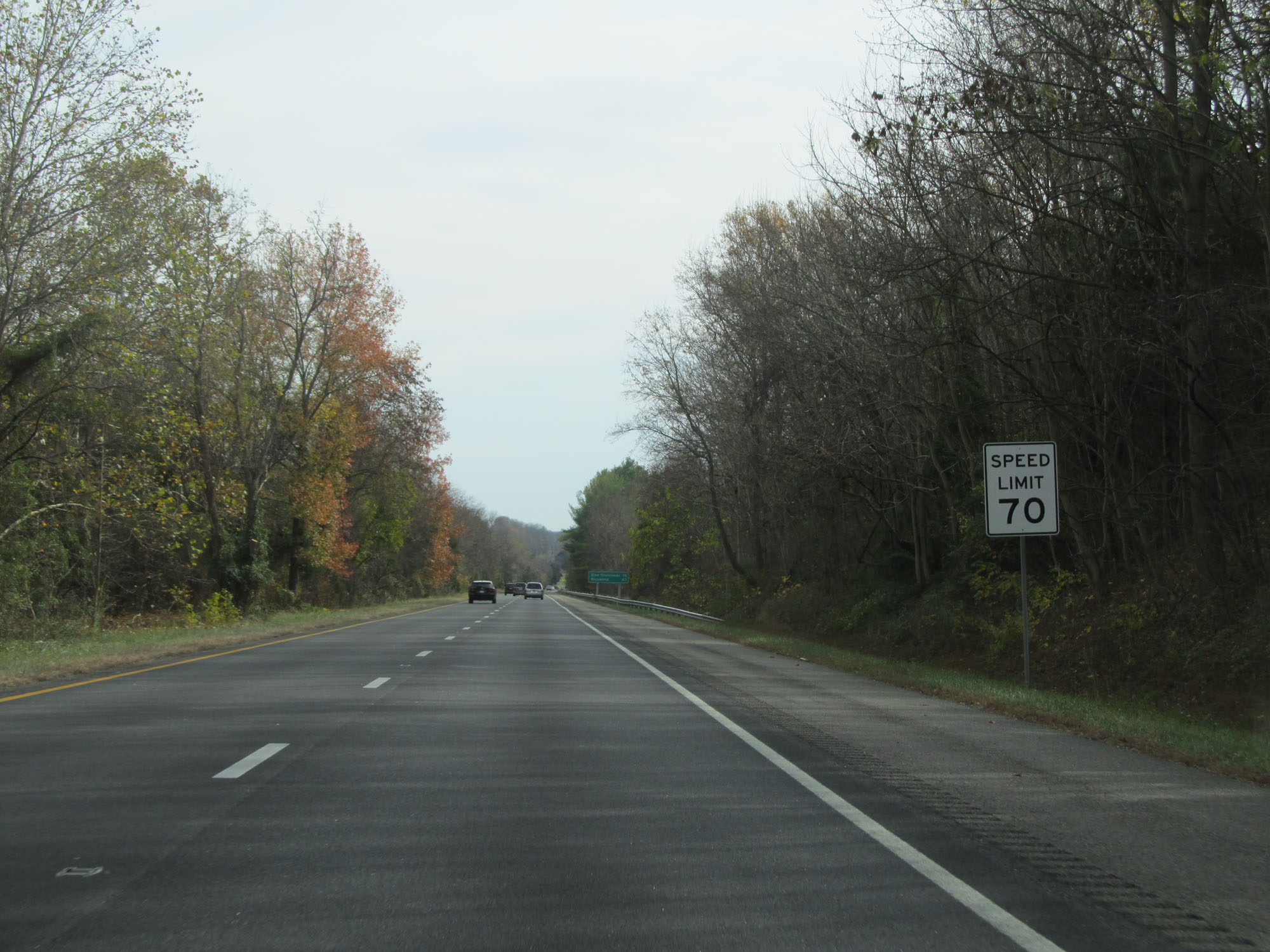 |
East of Exit 124, the standard rural speed limit of 70 mph resumes. (Photo taken 11/8/15). |
 |
Mileage sign on Interstate 64 East. It's 12 miles to Zion Crossroads and 67 miles to Richmond. (Photo taken 11/8/15). |
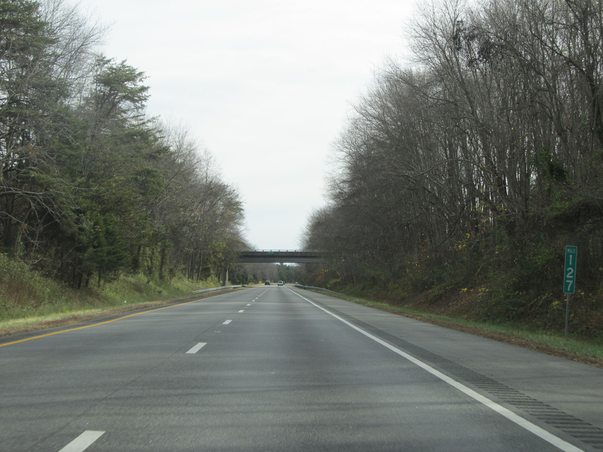 |
Interstate 64 East at mile marker 127. (Photo taken 11/8/15). |
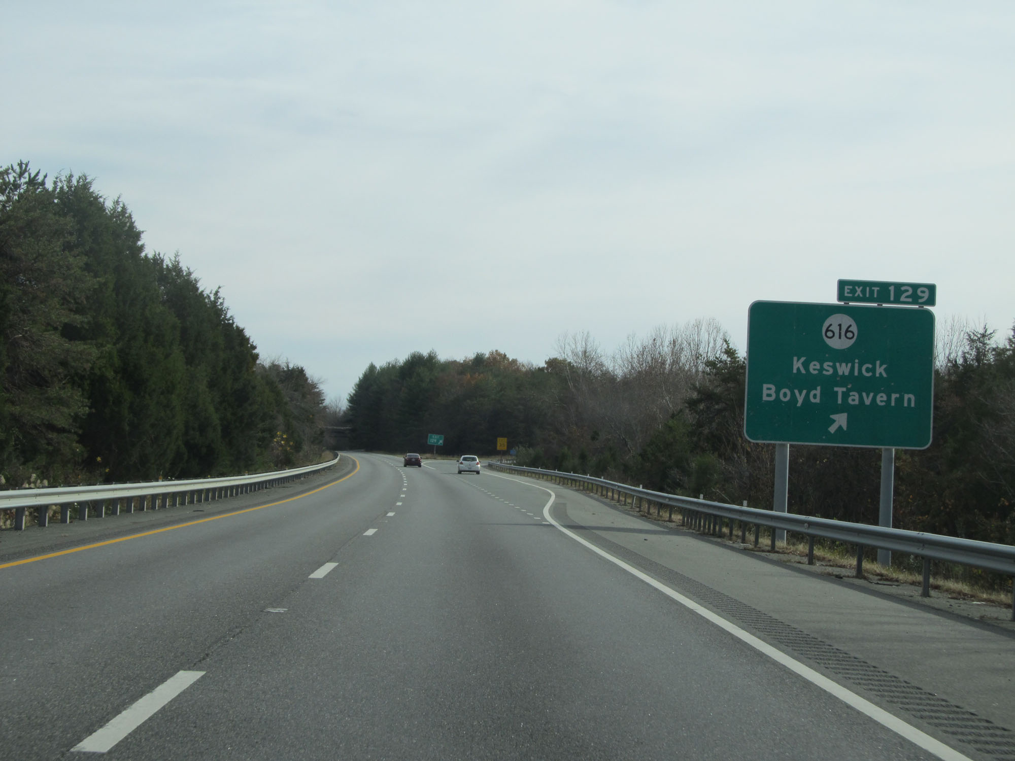 |
Interstate 64 East at Exit 129: SR 616 - Keswick / Boyd Tavern (Photo taken 11/8/15). |
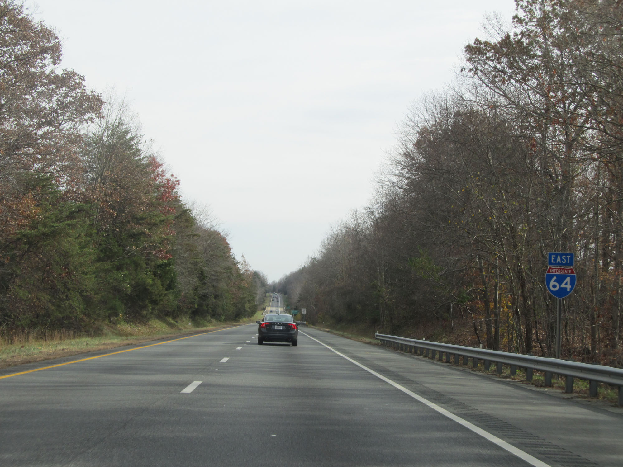 |
Interstate 64 East reassurance shield. (Photo taken 11/8/15). |
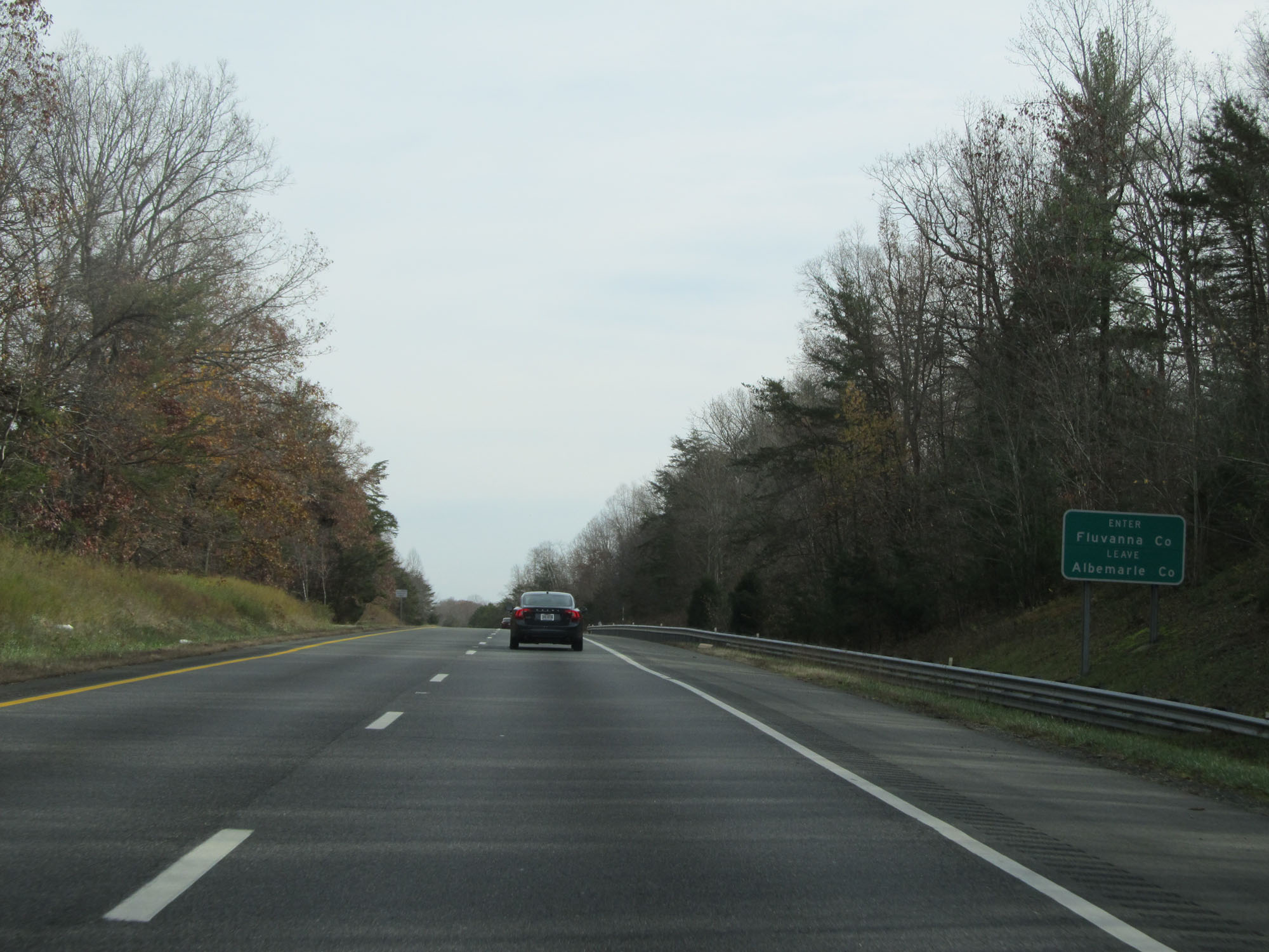 |
Interstate 64 East entering Fluvanna County. (Photo taken 11/8/15). |
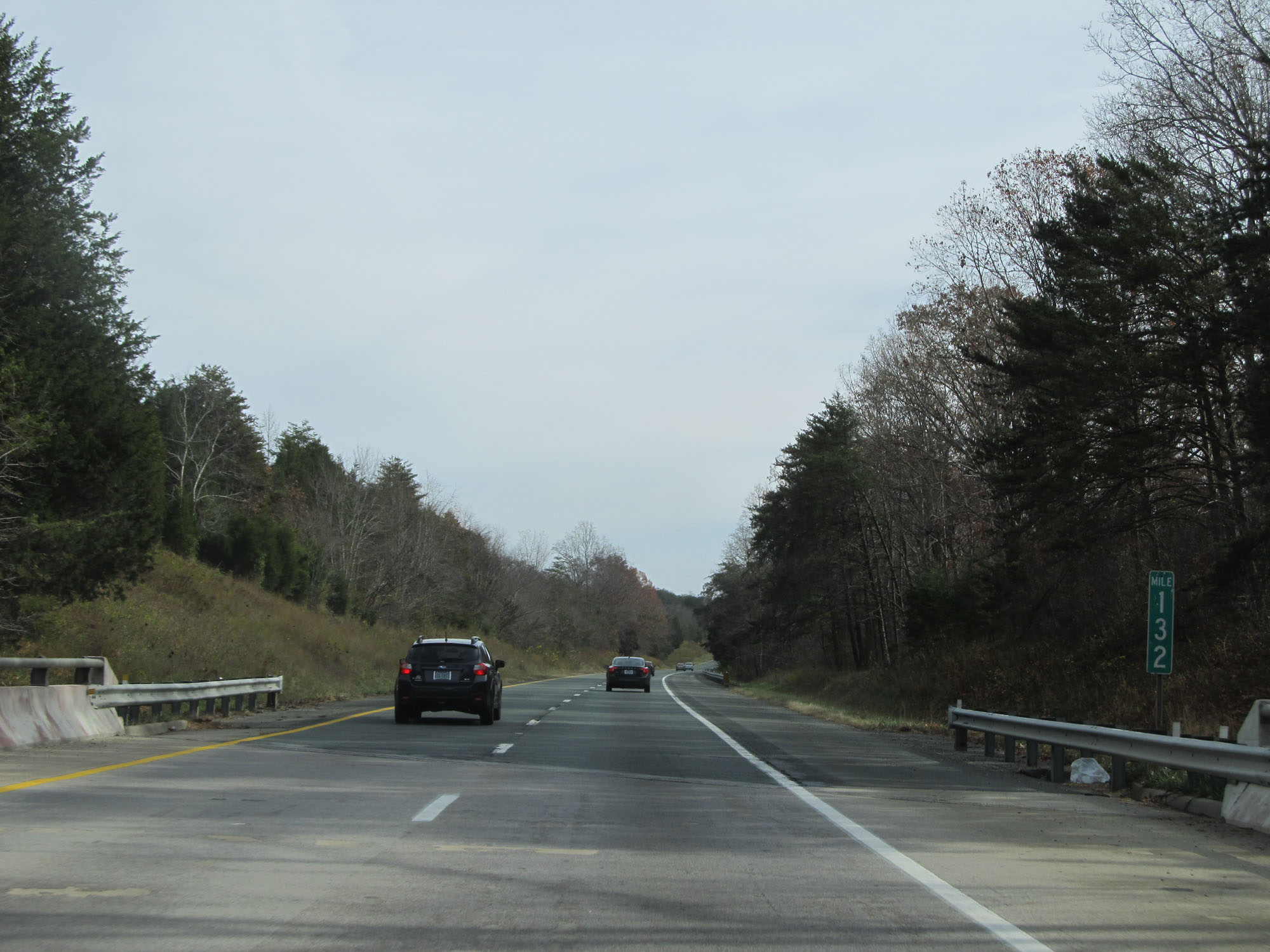 |
Interstate 64 East at mile marker 132. (Photo taken 11/8/15). |
 |
Interstate 64 East entering Louisa County. (Photo taken 11/8/15). |
 |
Interstate 64 East at mile marker 134. (Photo taken 11/8/15). |
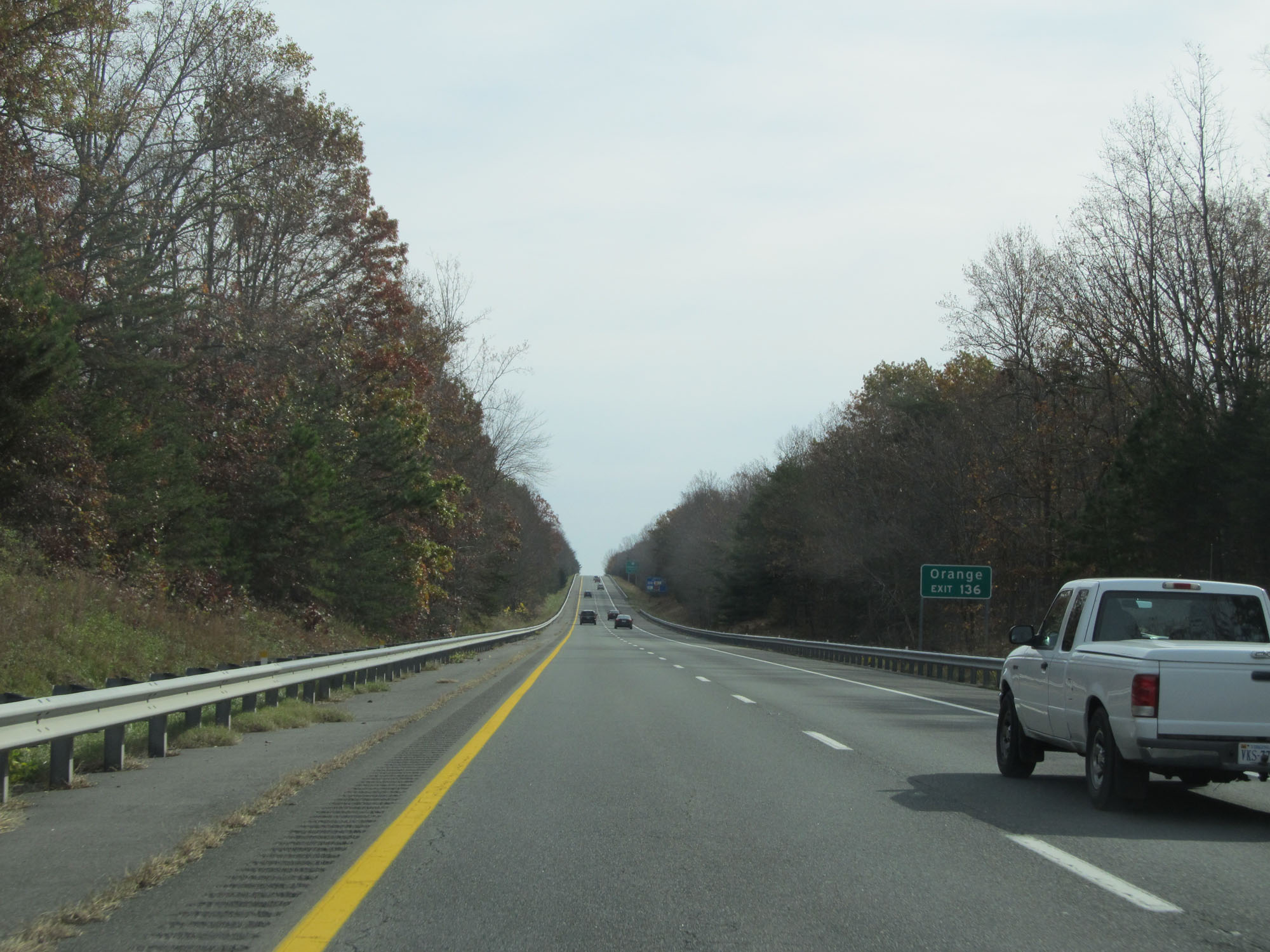 |
Take Exit 136 to Orange. (Photo taken 11/8/15). |
 |
Take Exit 136 to Zion Crossroads and Fork Union. (Photo taken 11/8/15). |
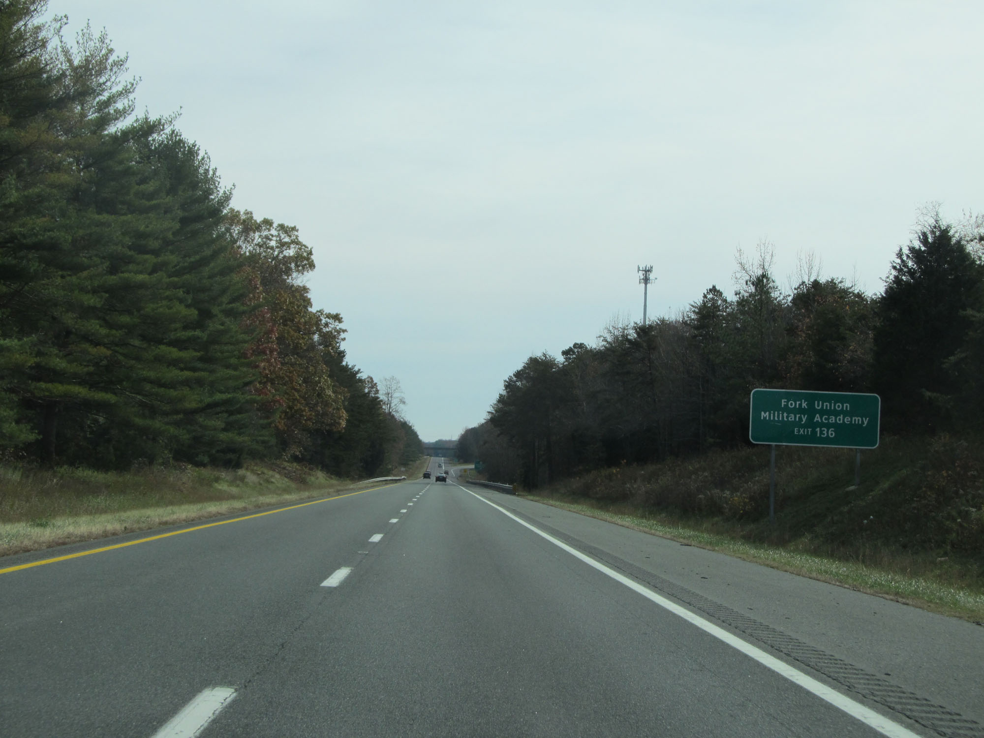 |
Take Exit 136 to Fork Union Military Academy as well. (Photo taken 11/8/15). |
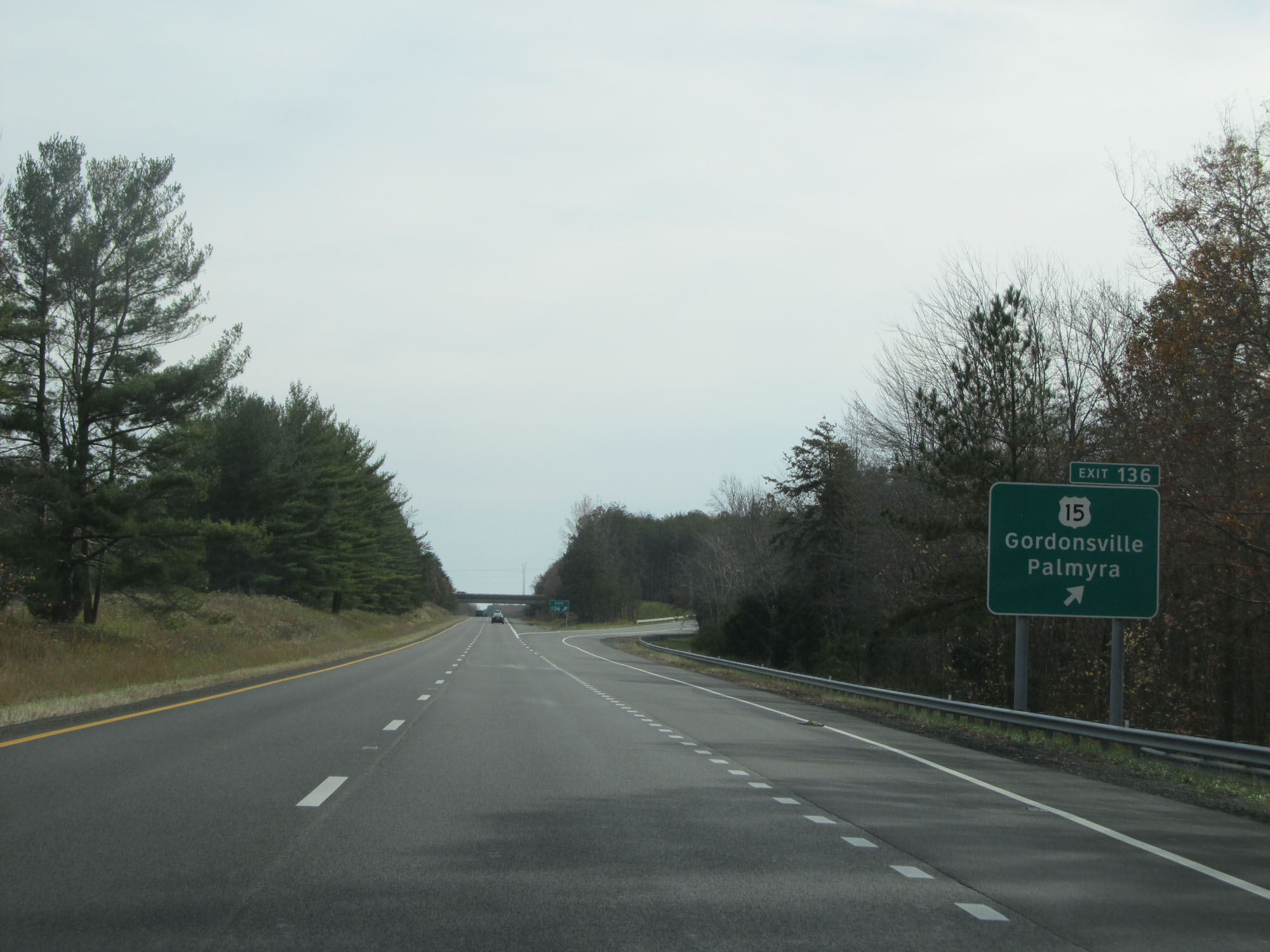 |
Interstate 64 East at Exit 136: US 15 - Gordonsville / Palmyra (Photo taken 11/8/15). |
 |
Interstate 64 East at mile marker 139. (Photo taken 11/8/15). |
 |
Take Exit 143 to Lake Anna. (Photo taken 11/8/15). |
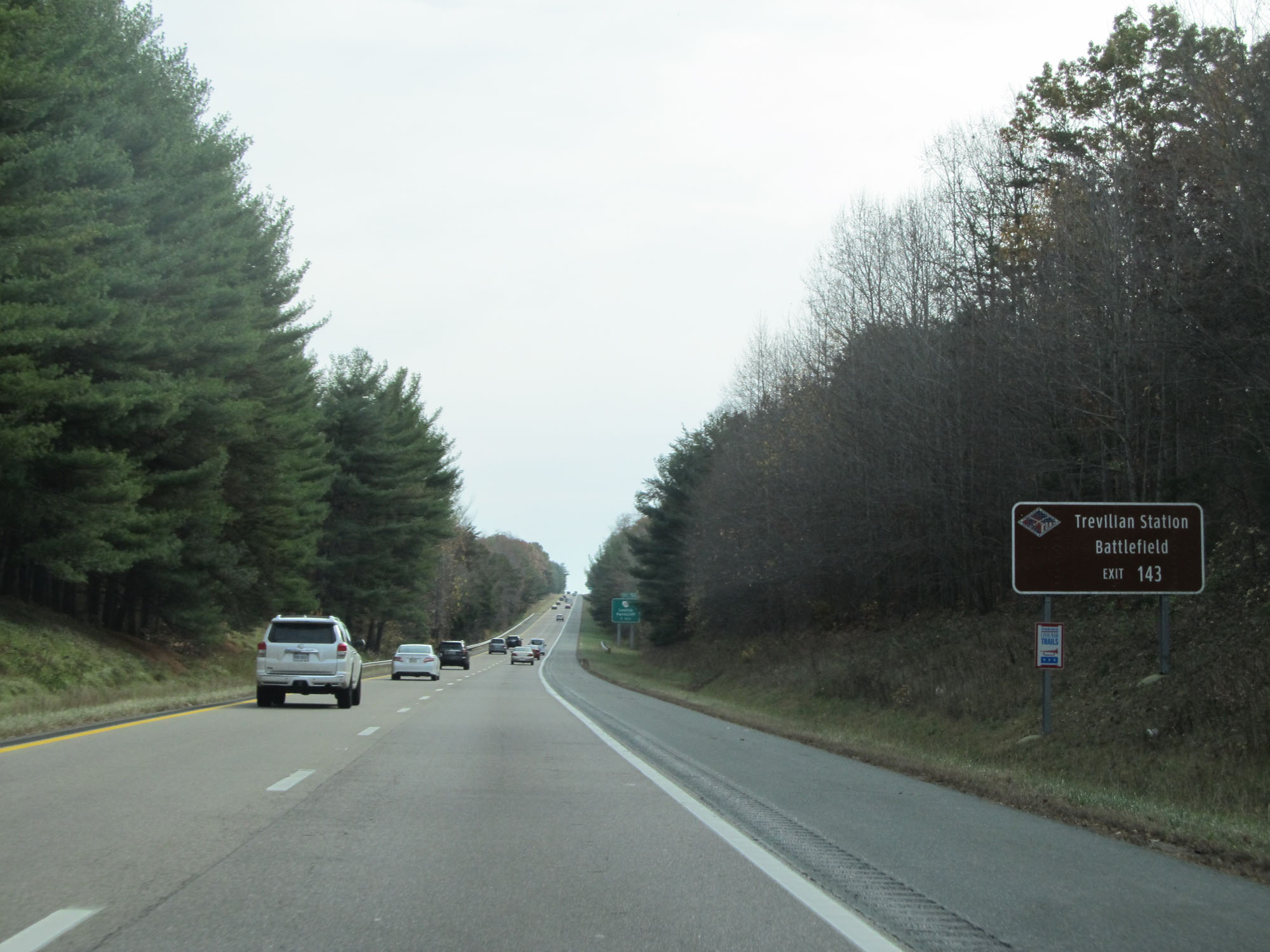 |
Also take Exit 143 to Trevilian Station Battlefield. (Photo taken 11/8/15). |
 |
Take Exit 143 to Louisa County Airport and Freeman Field as well. (Photo taken 11/8/15). |
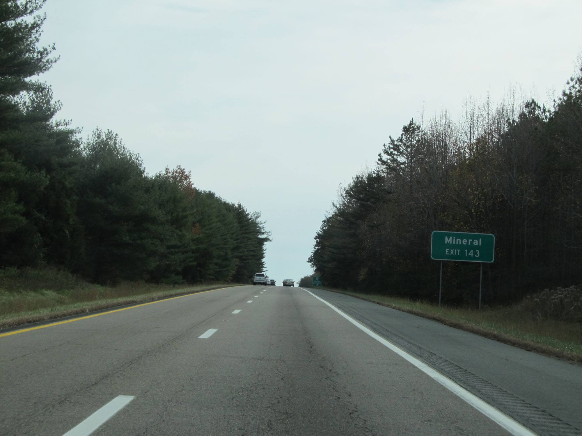 |
Take Exit 143 to Mineral. (Photo taken 11/8/15). |
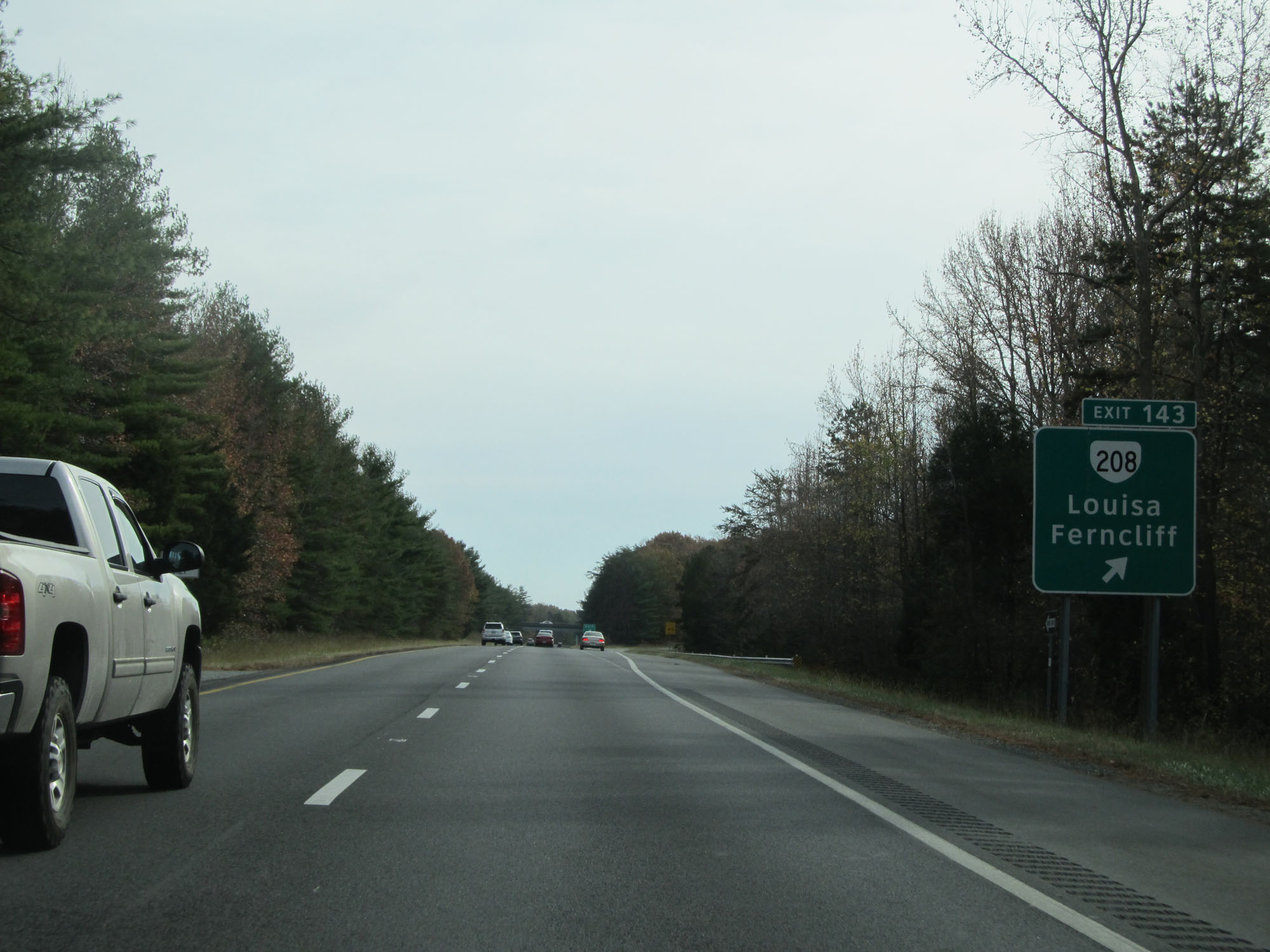 |
Interstate 64 East at Exit 143: VA 208 - Louisa / Ferncliff (Photo taken 11/8/15). |
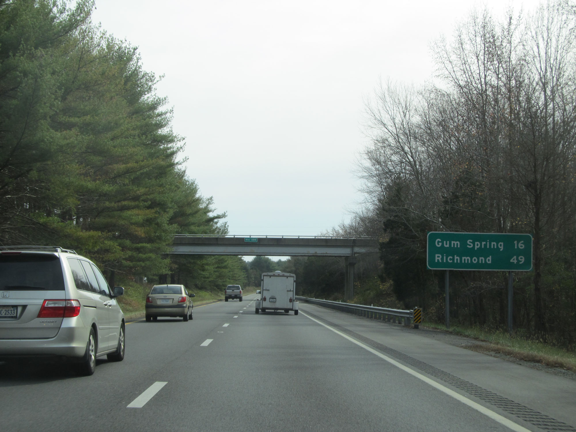 |
Mileage sign on Interstate 64 East. It's 16 miles to Gum Spring and 49 miles to Richmond. (Photo taken 11/8/15). |
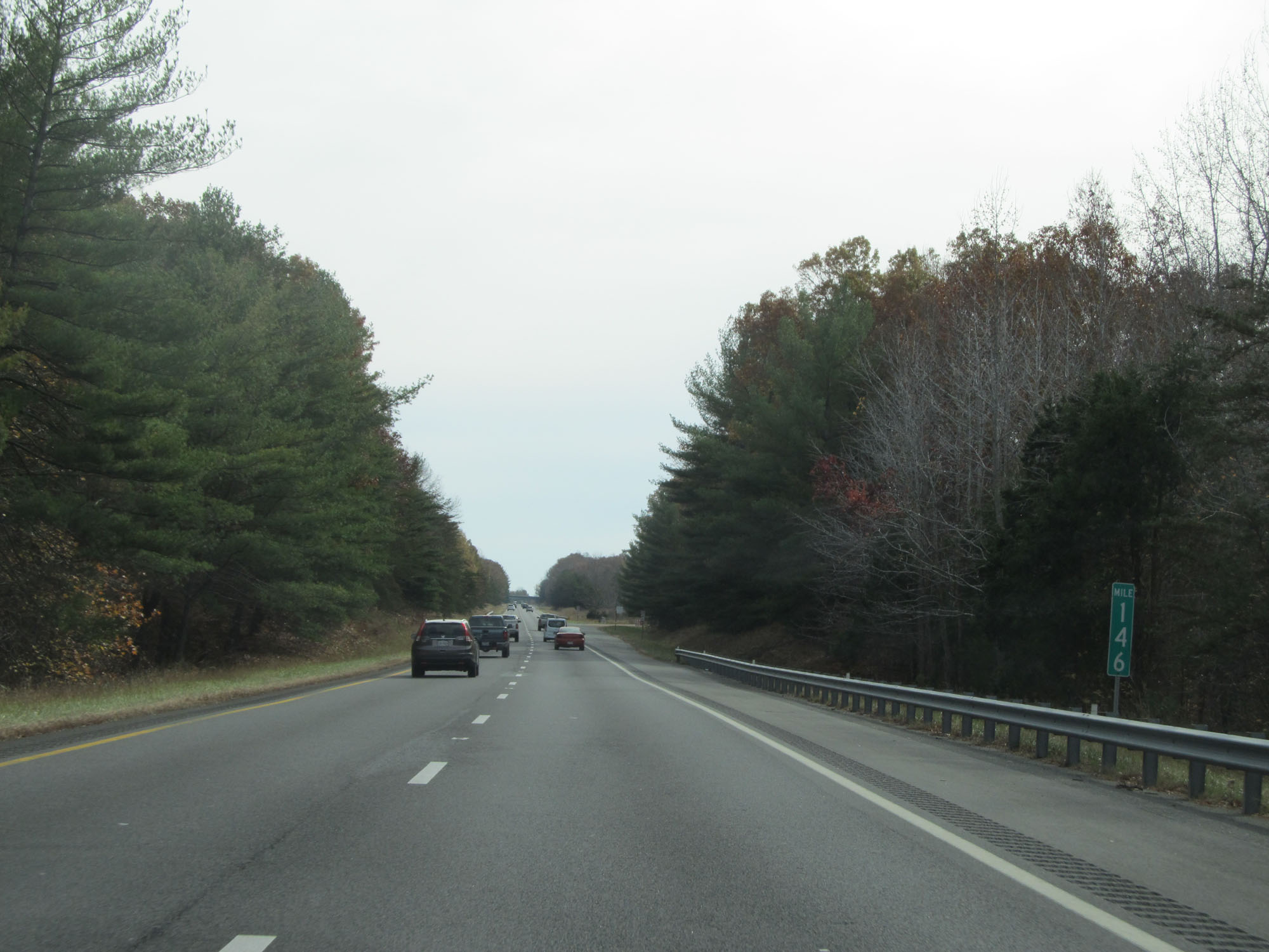 |
Interstate 64 East at mile marker 146. (Photo taken 11/8/15). |
 |
Interstate 64 East entering Goochland County. (Photo taken 11/8/15). |
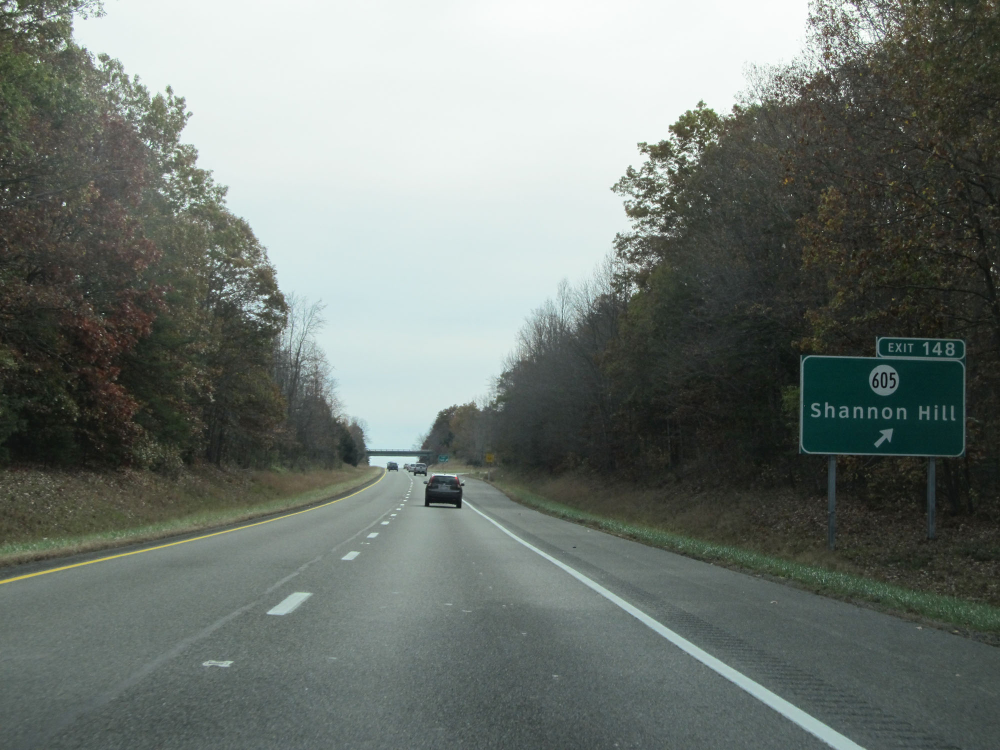 |
Interstate 64 East at Exit 148: SR 605 - Shannon Hill (Photo taken 11/8/15). |
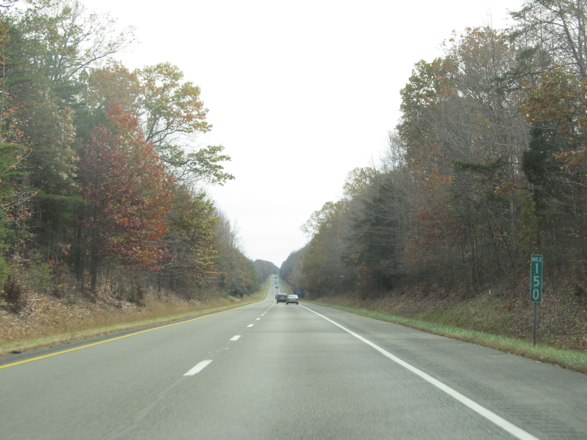 |
Interstate 64 East at mile marker 150. (Photo taken 11/8/15). |
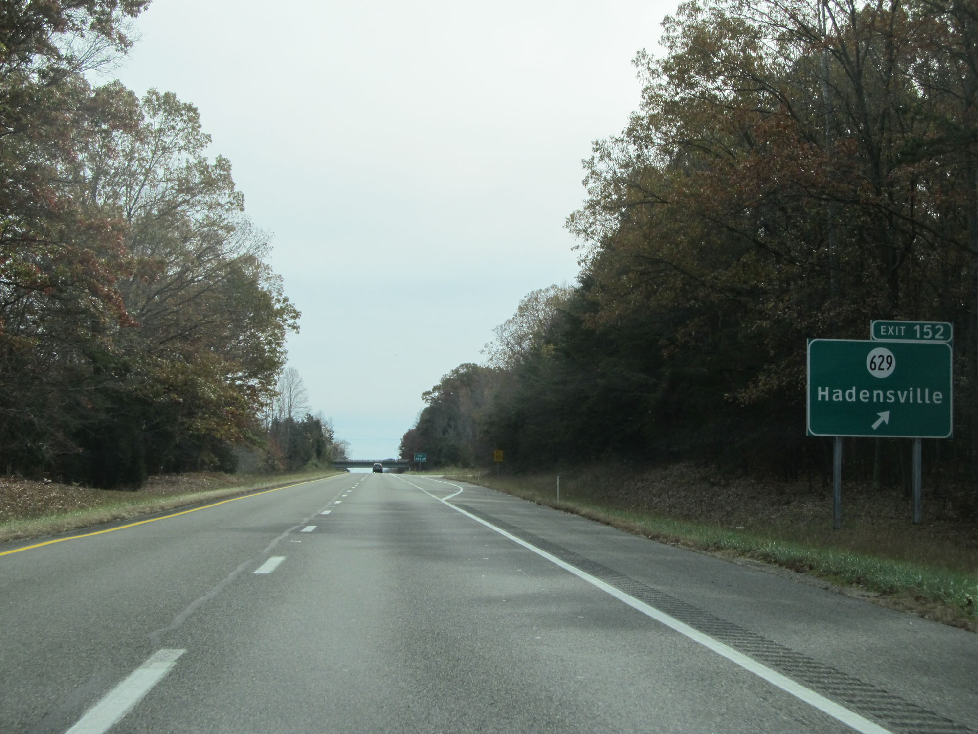 |
Interstate 64 East at Exit 152: SR 629 - Hadensville (Photo taken 11/8/15). |
 |
Interstate 64 East reassurance shield. (Photo taken 11/8/15). |
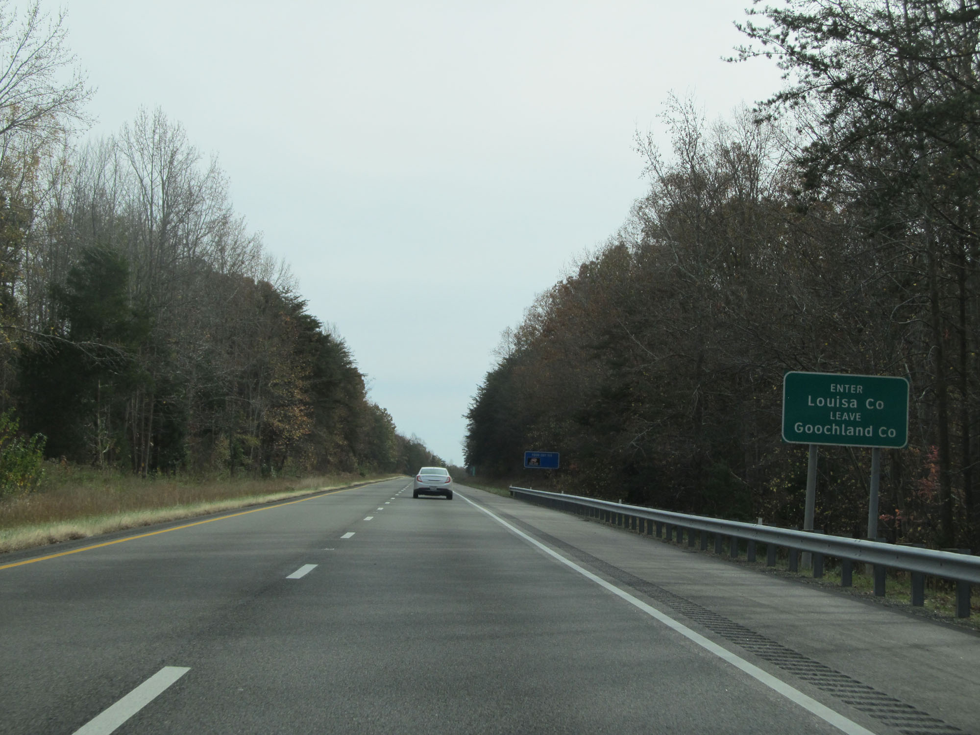 |
Interstate 64 East as it enters Louisa County for a second time. (Photo taken 11/8/15). |
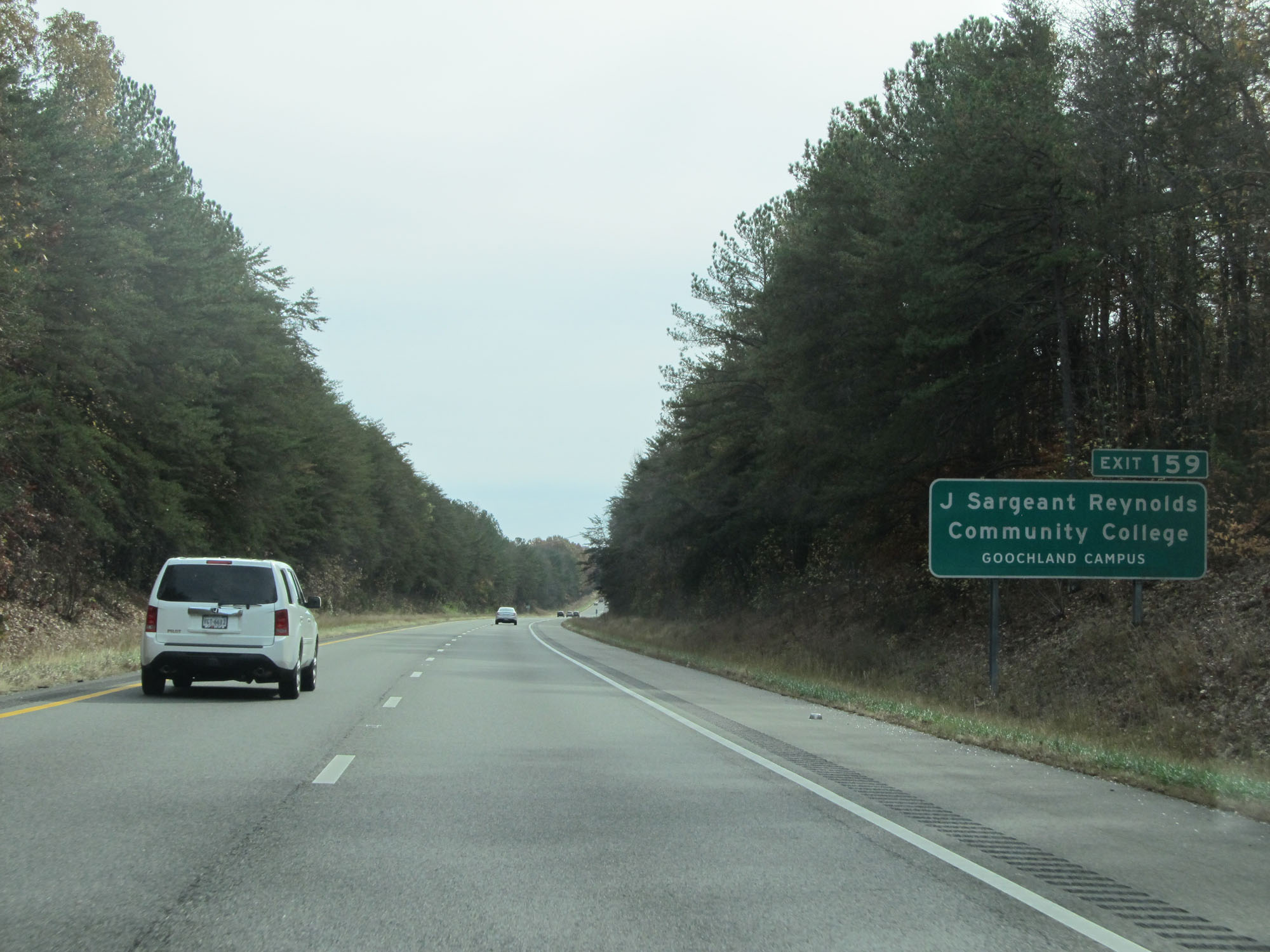 |
Take Exit 159 to J Sargeant Reynolds Community College Goochland Campus. (Photo taken 11/8/15). |
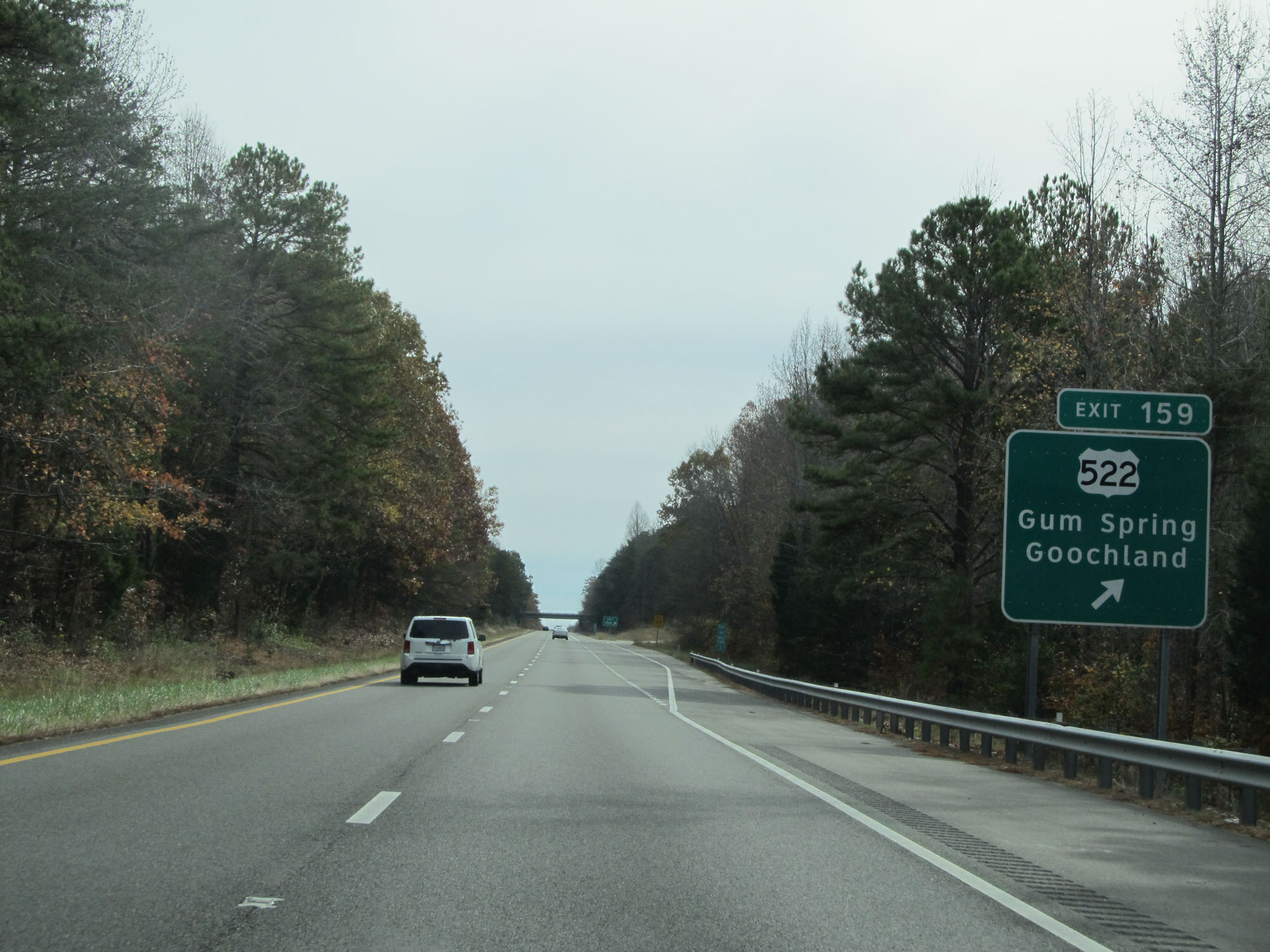 |
Interstate 64 East at Exit 159: US 522 - Gum Spring / Goochland (Photo taken 11/8/15). |
 |
Interstate 64 East at mile marker 162. (Photo taken 11/8/15). |
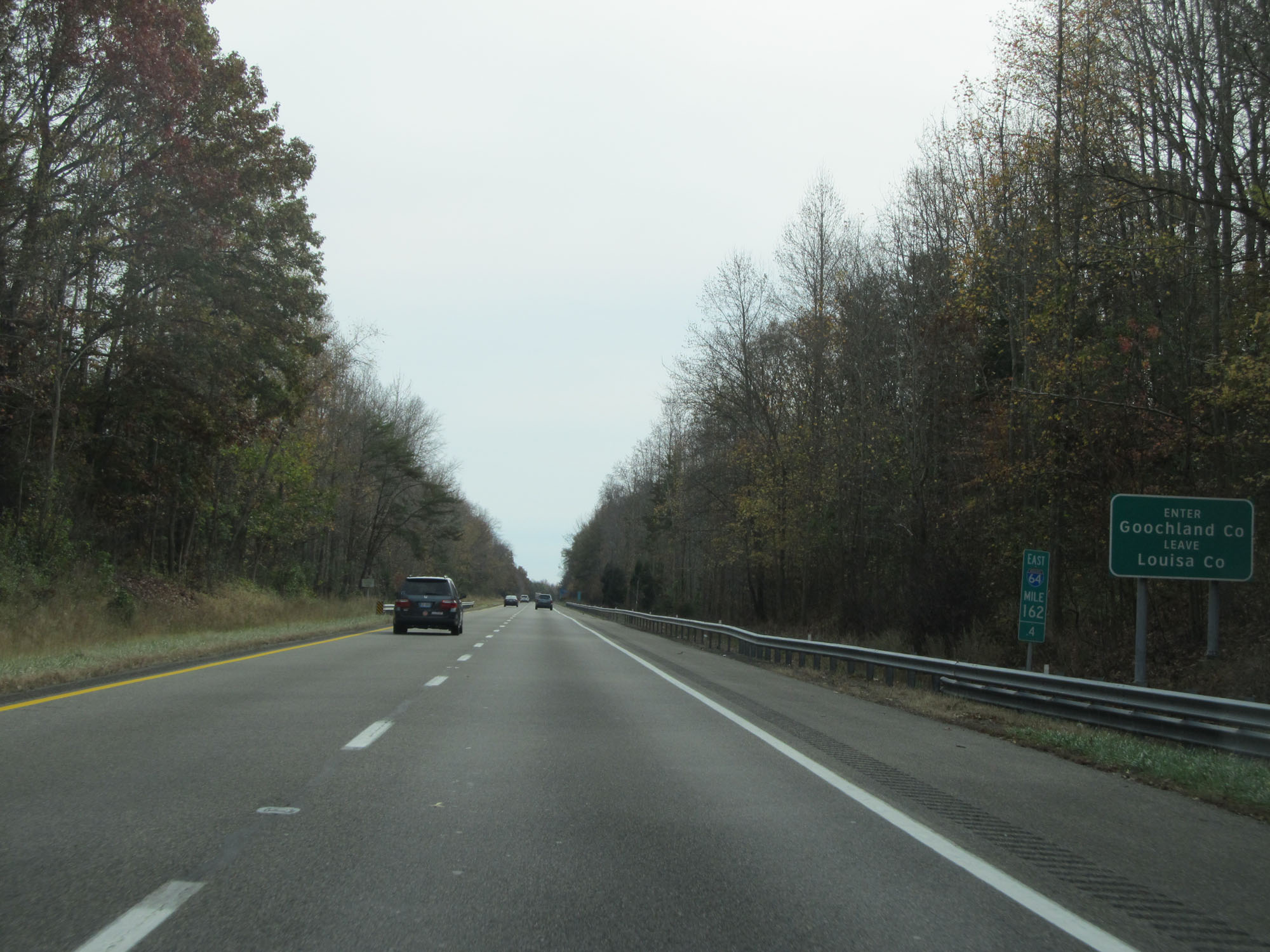 |
Interstate 64 East as it enters Goochland County a second time. (Photo taken 11/8/15). |
 |
Interstate 64 East at mile marker 165. (Photo taken 11/8/15). |
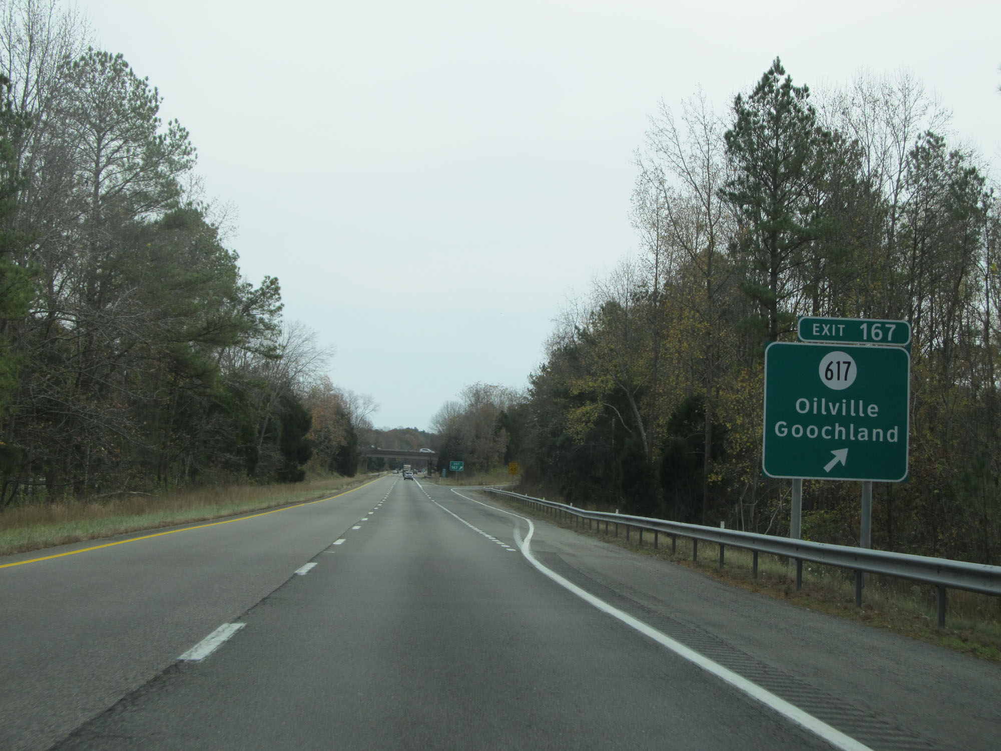 |
Interstate 64 East at Exit 167: SR 617 - Oilville / Goochland (Photo taken 11/8/15). |
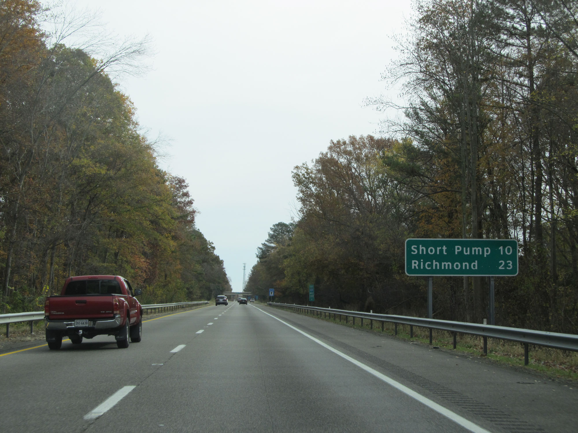 |
Mileage sign on Interstate 64 East. It's 10 miles to Short Pump and 23 miles to Richmond. (Photo taken 11/8/15). |
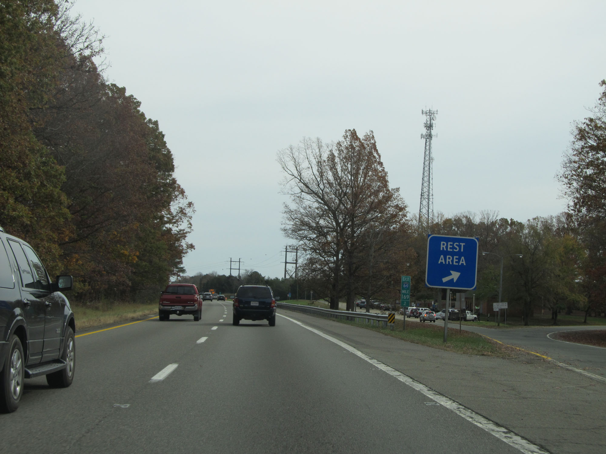 |
Rest Area on Interstate 64 East located at mile marker 169.2 in Goochland County. (Photo taken 11/8/15). |
 |
Interstate 64 East at Exit 173: SR 623 - Rockville / Manakin (Photo taken 11/8/15). |
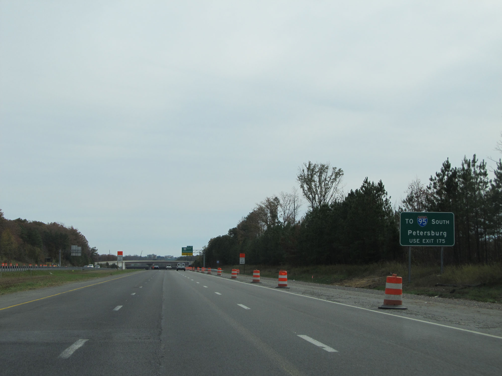 |
Take Exit 175 to Interstate 95 South toward Petersburg. (Photo taken 11/8/15). |
 |
Interstate 64 East approaching Exit 175 - 3/4 mile. (Photo taken 11/8/15). |
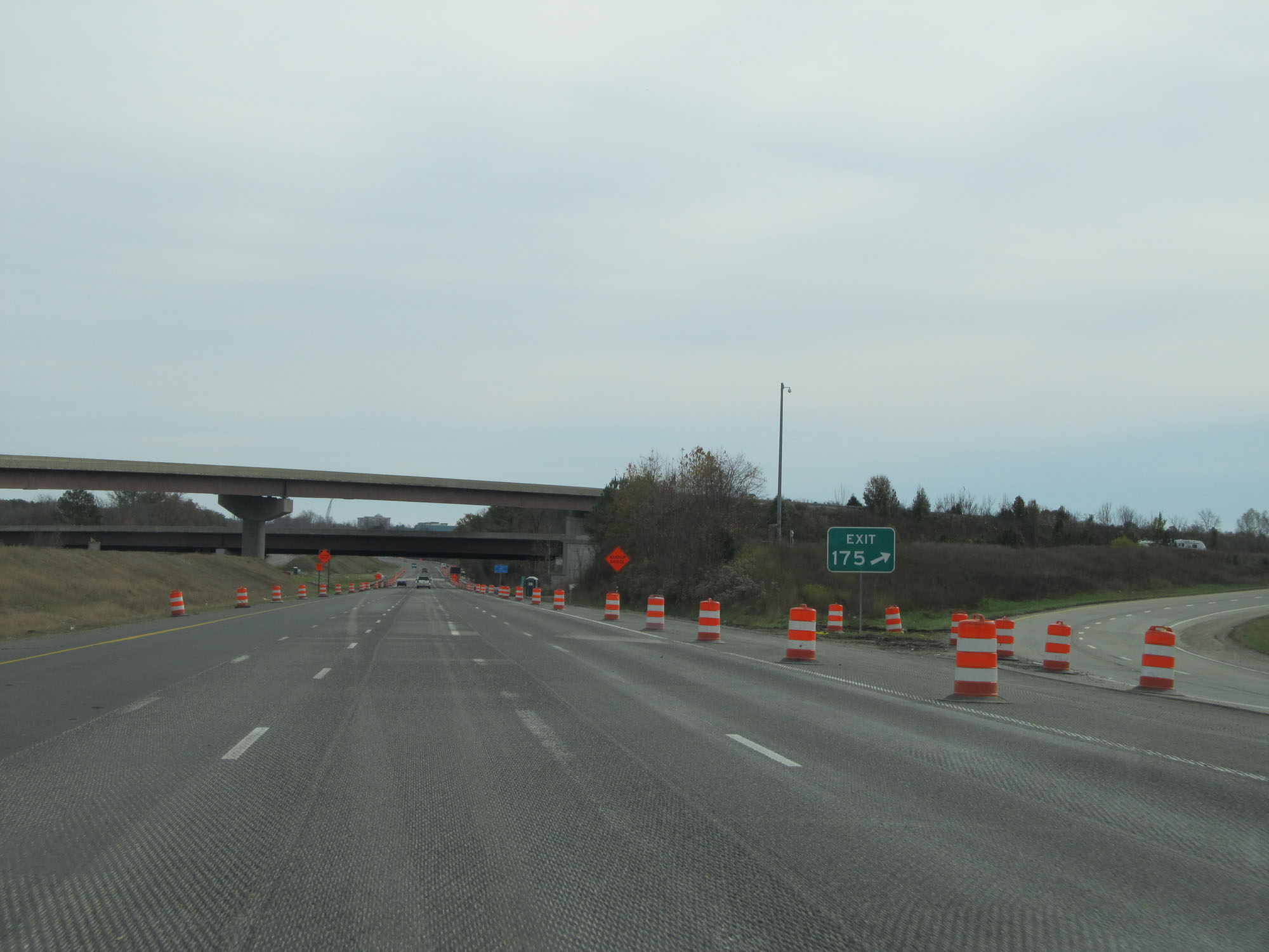 |
Interstate 64 East at Exit 175: VA 288 South - Chesterfield (Photo taken 11/8/15). |
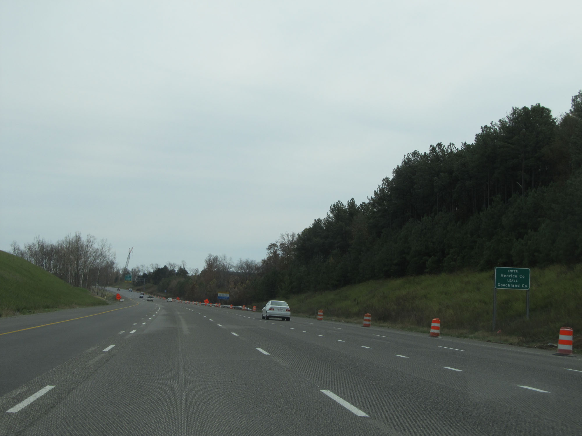 |
Interstate 64 East entering Henrico County. (Photo taken 11/8/15). |
 |
Interstate 64 East approaching Exit 177 - 1 1/2 miles. (Photo taken 11/8/15). |
 |
Take Exit 177 to Richmond International Airport. (Photo taken 11/8/15). |
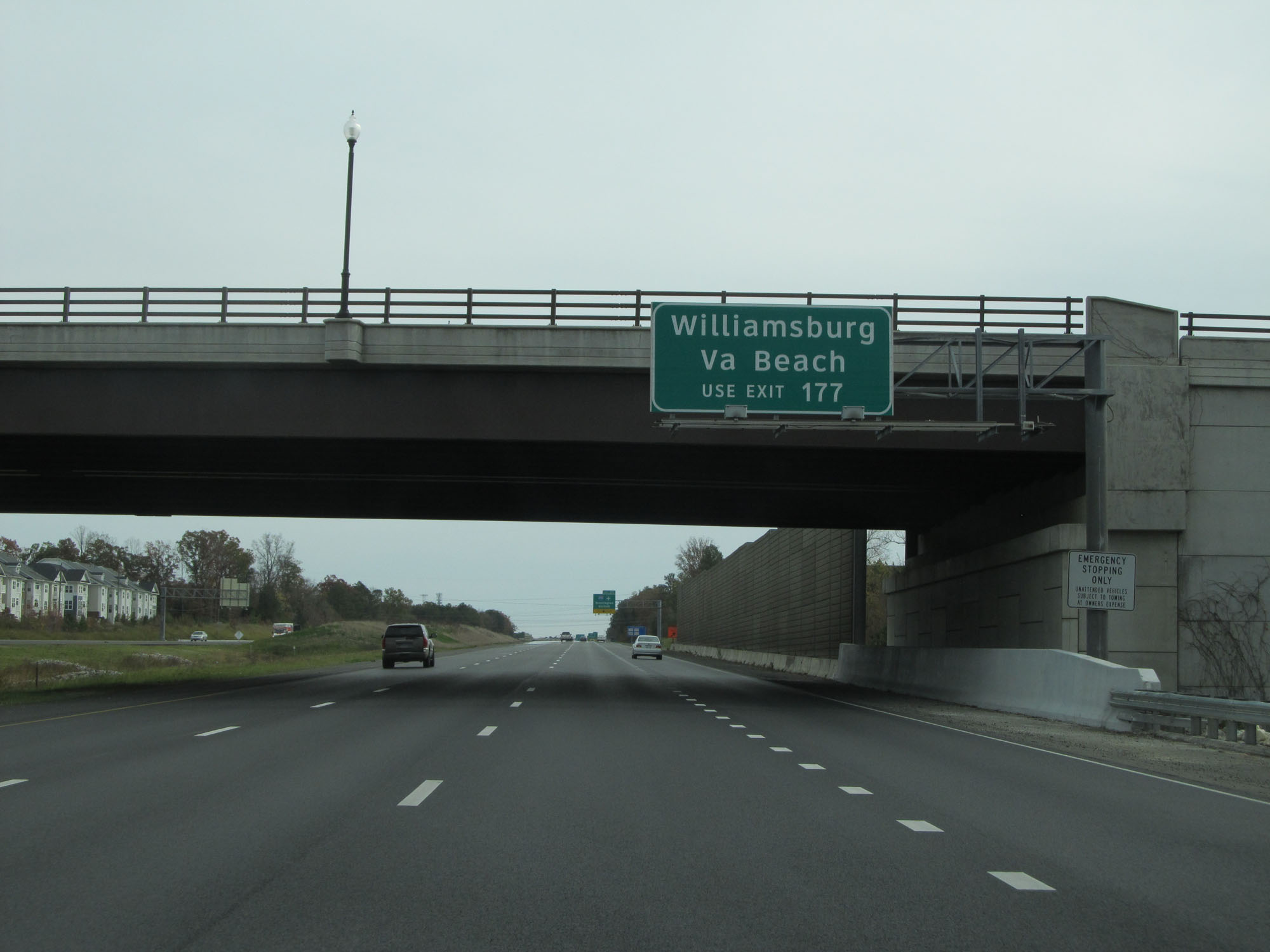 |
Also take Exit 177 to Williamsburg and Virginia Beach. (Photo taken 11/8/15). |
 |
Interstate 64 East approaching Exit 177 - 1/2 mile. (Photo taken 11/8/15). |
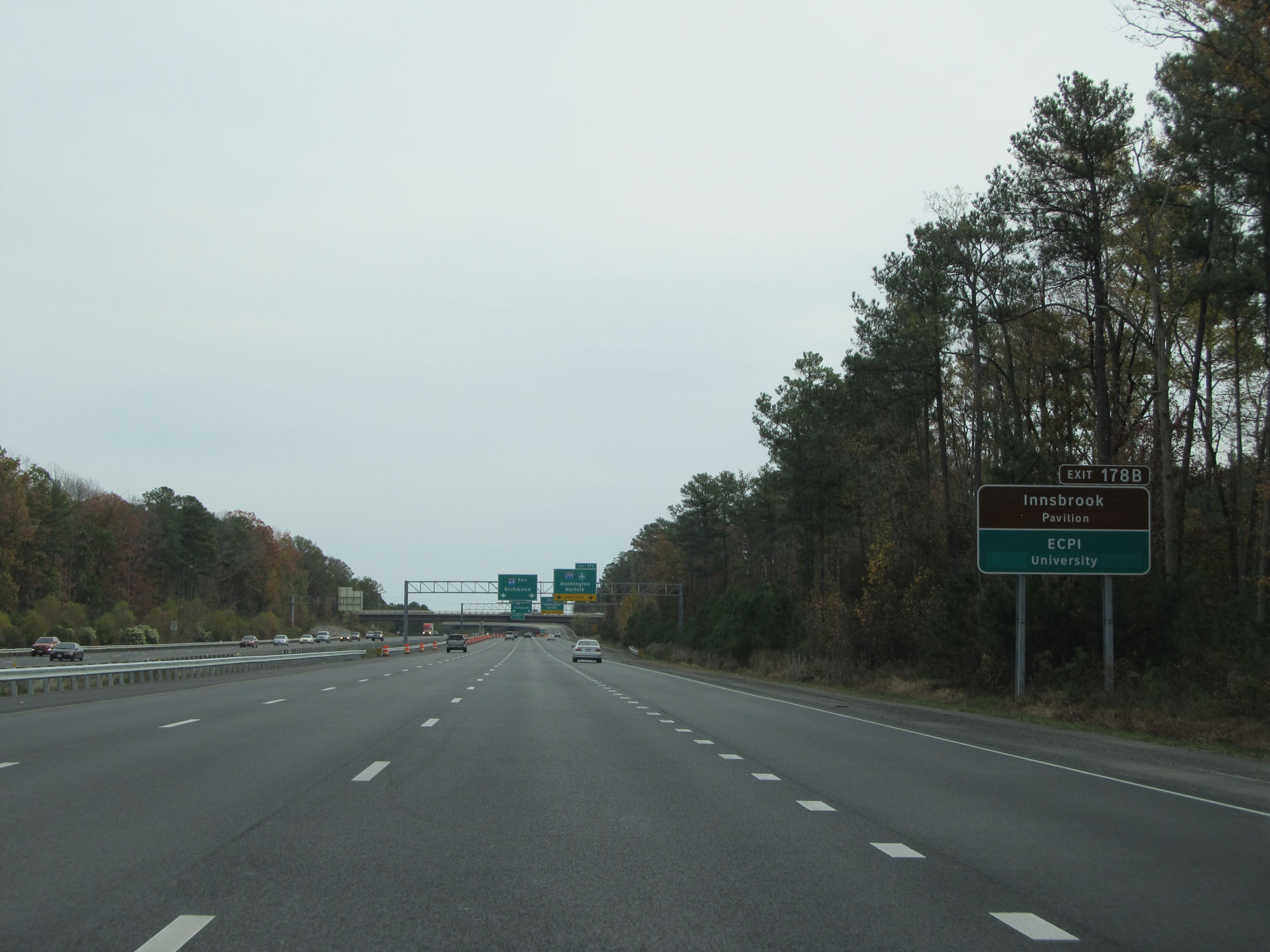 |
Take Exit 178B to Innsbrook Pavilion and ECPI University. (Photo taken 11/8/15). |
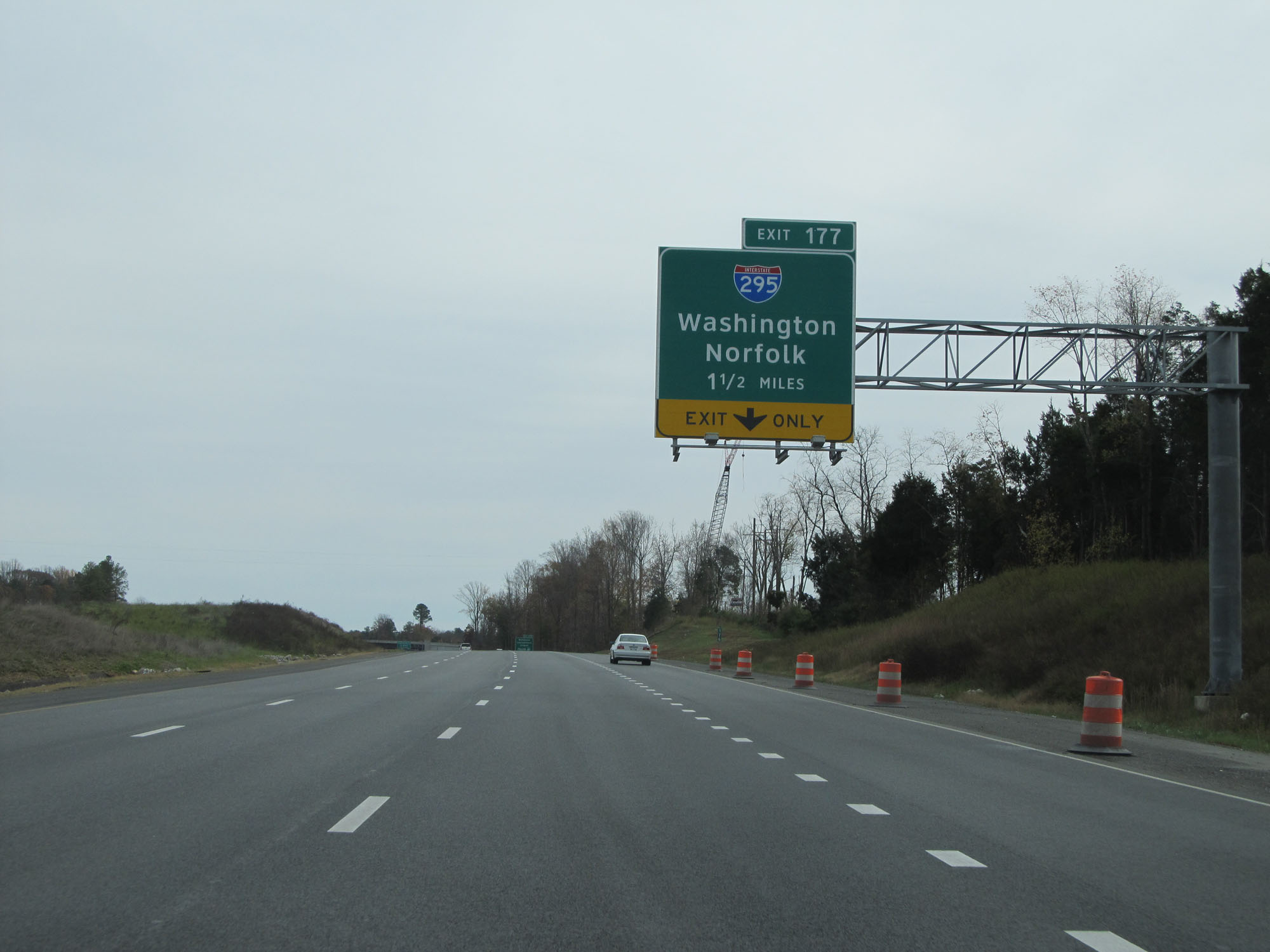
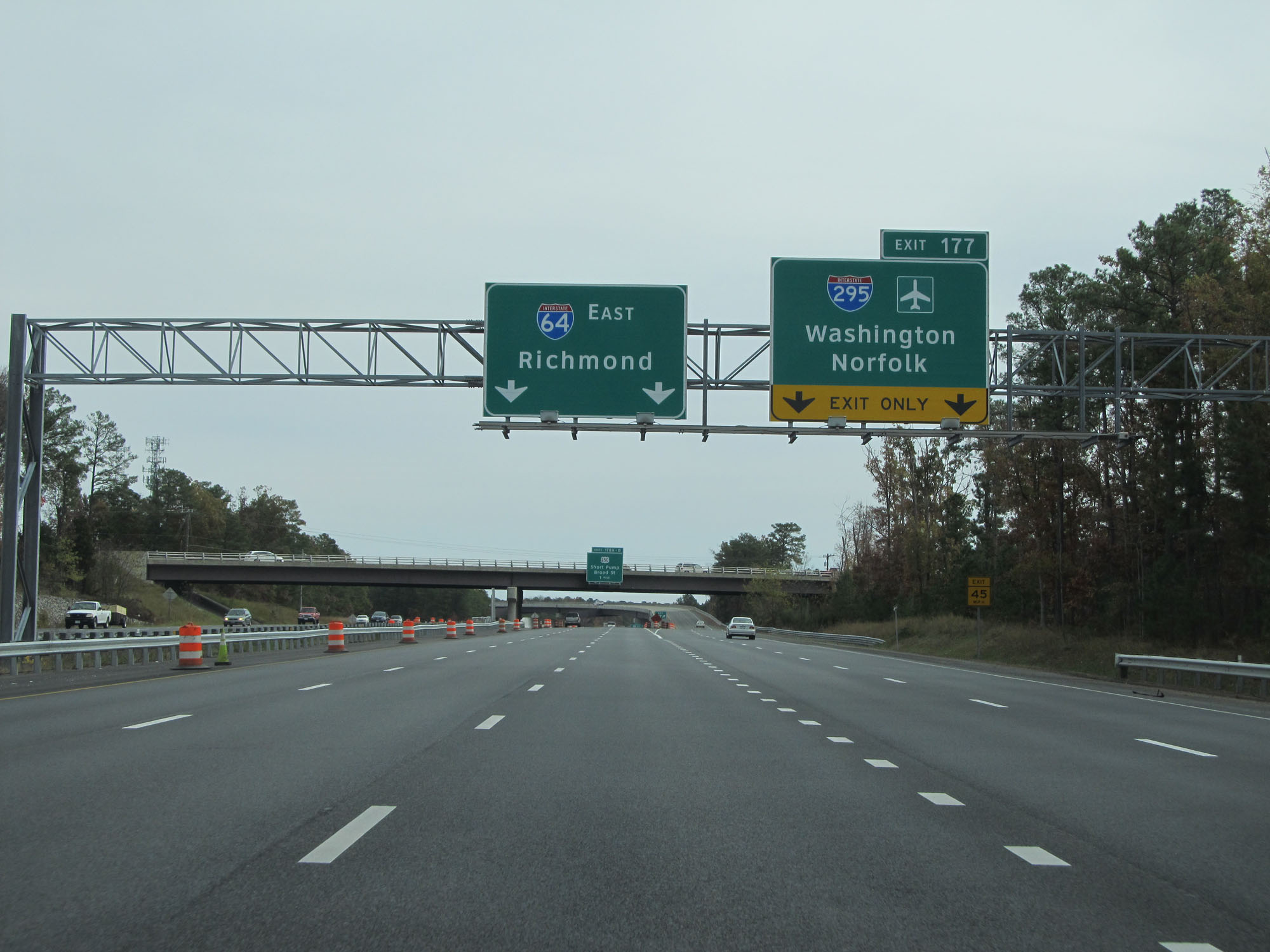 |
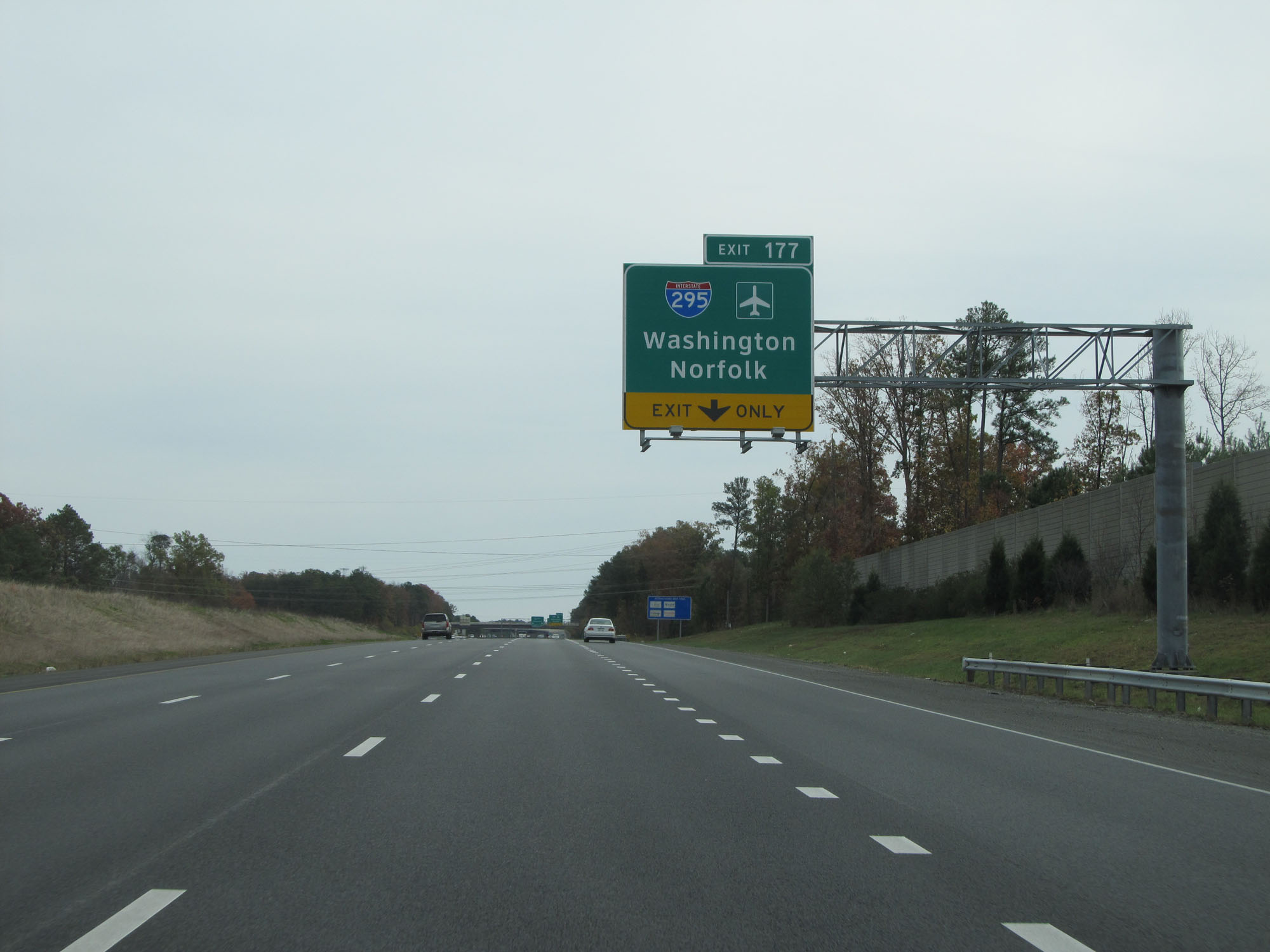
Interstate 64 East at Exit 177: Interstate 295 - Washington / Norfolk (Photo taken 11/8/15). |
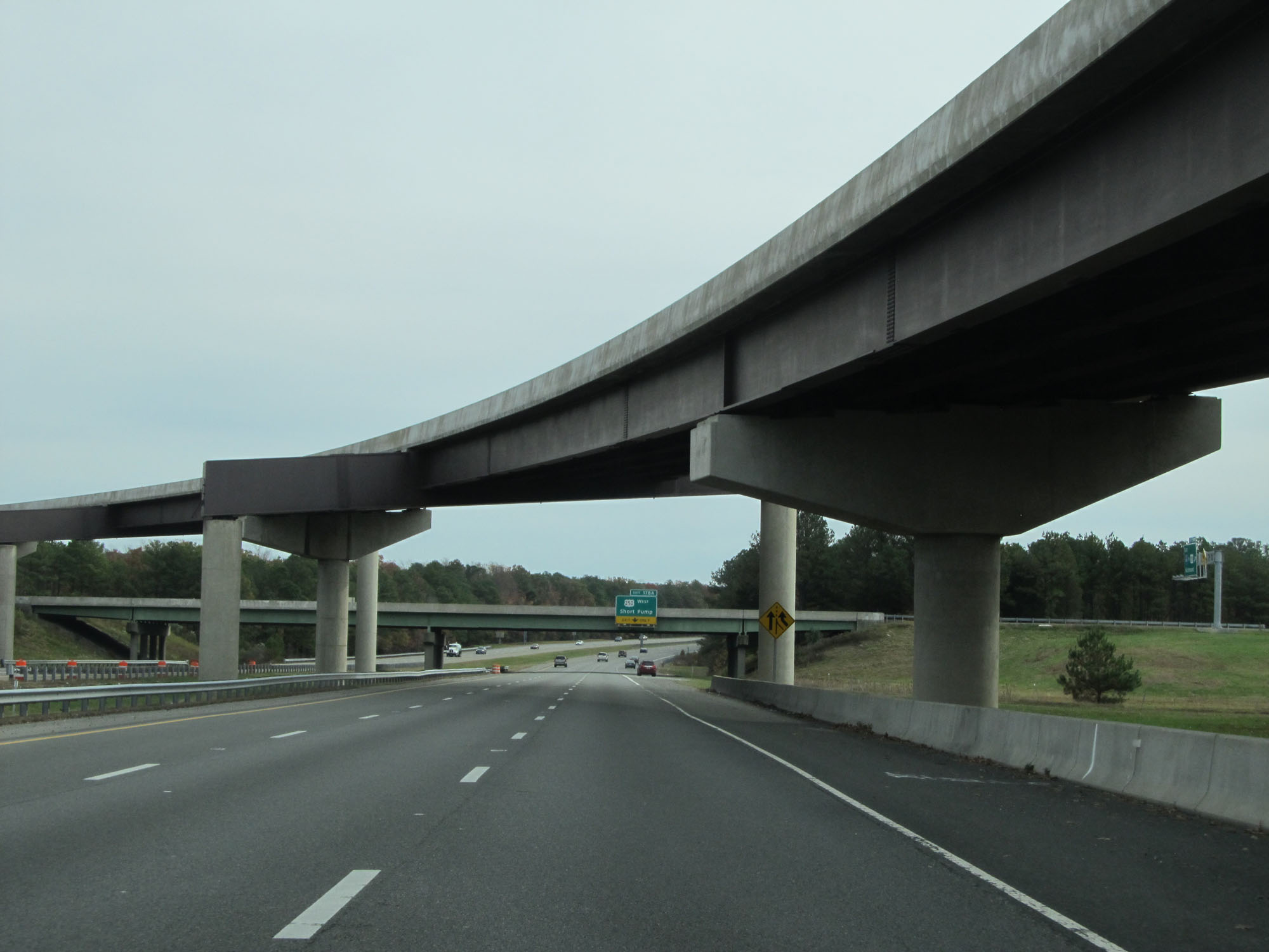 |
Interstate 64 East passing under the ramp to Interstate 295 via Exit 177. (Photo taken 11/8/15). |
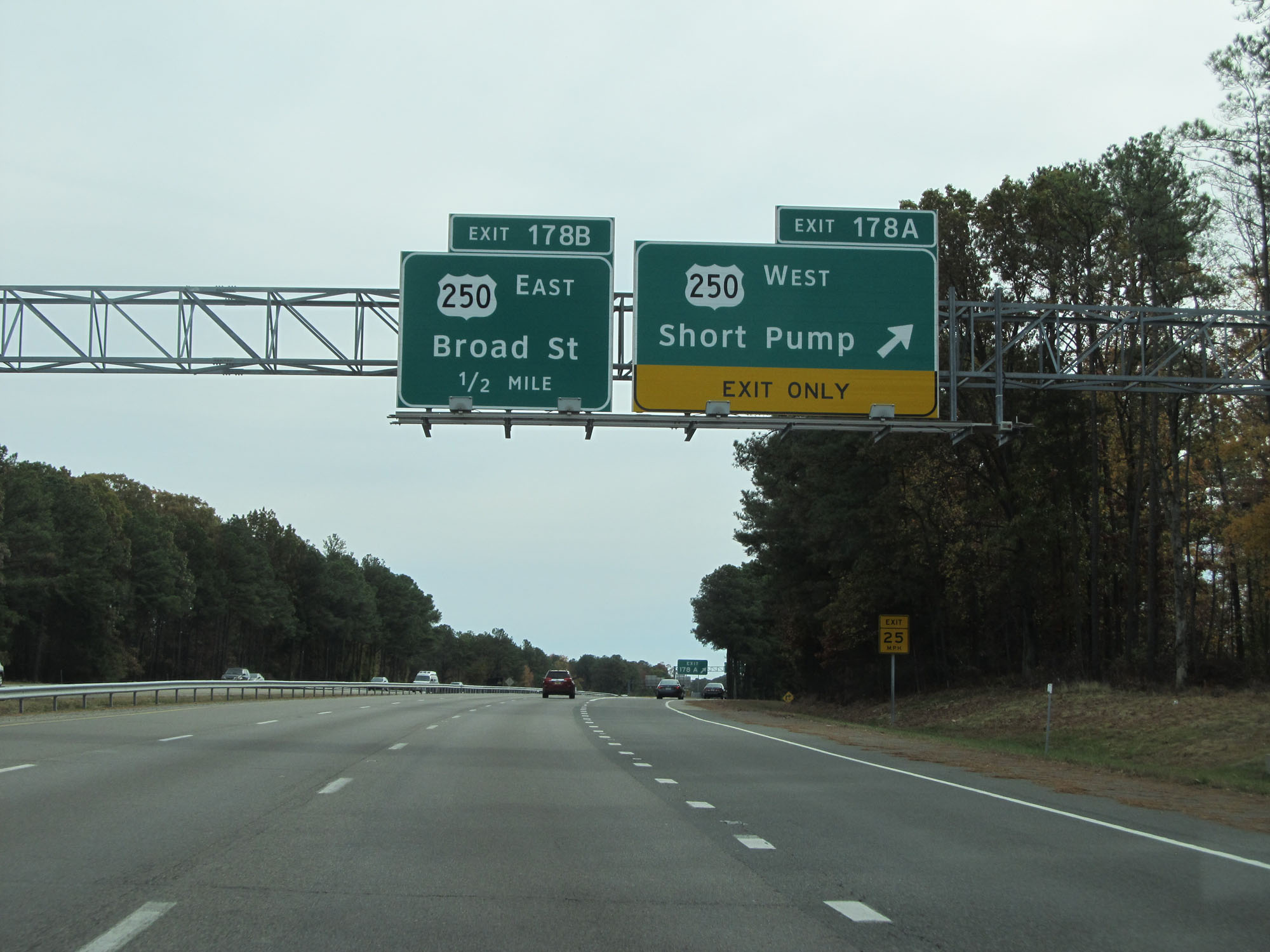 |
Interstate 64 East at Exit 178A: US 250 West - Short Pump (Photo taken 11/8/15). |
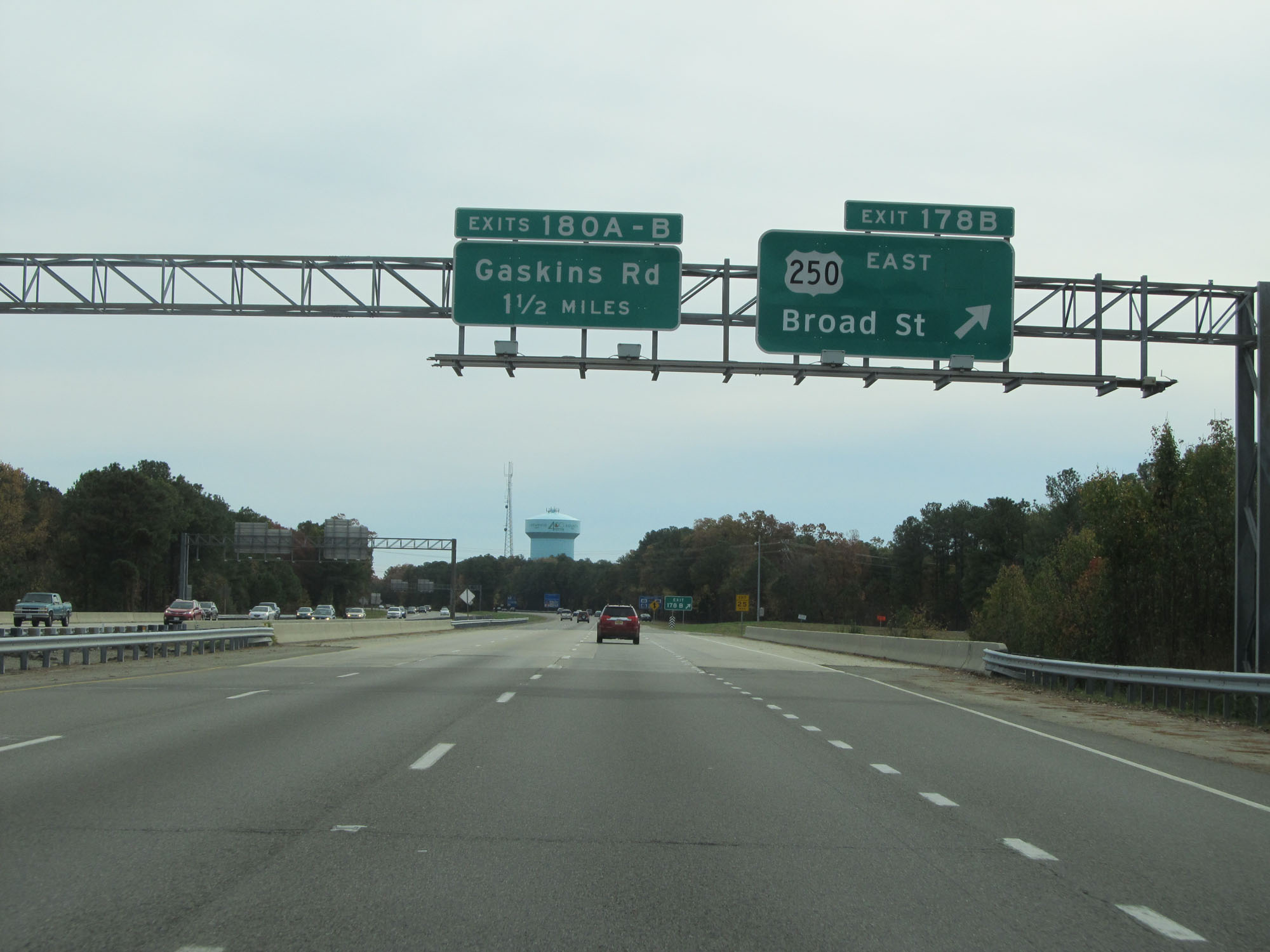 |
Interstate 64 East at Exit 178B: US 250 East - Broad St (Photo taken 11/8/15). |
 |
Interstate 64 East at Exit 180A: Gaskins Rd South (Photo taken 11/8/15). |
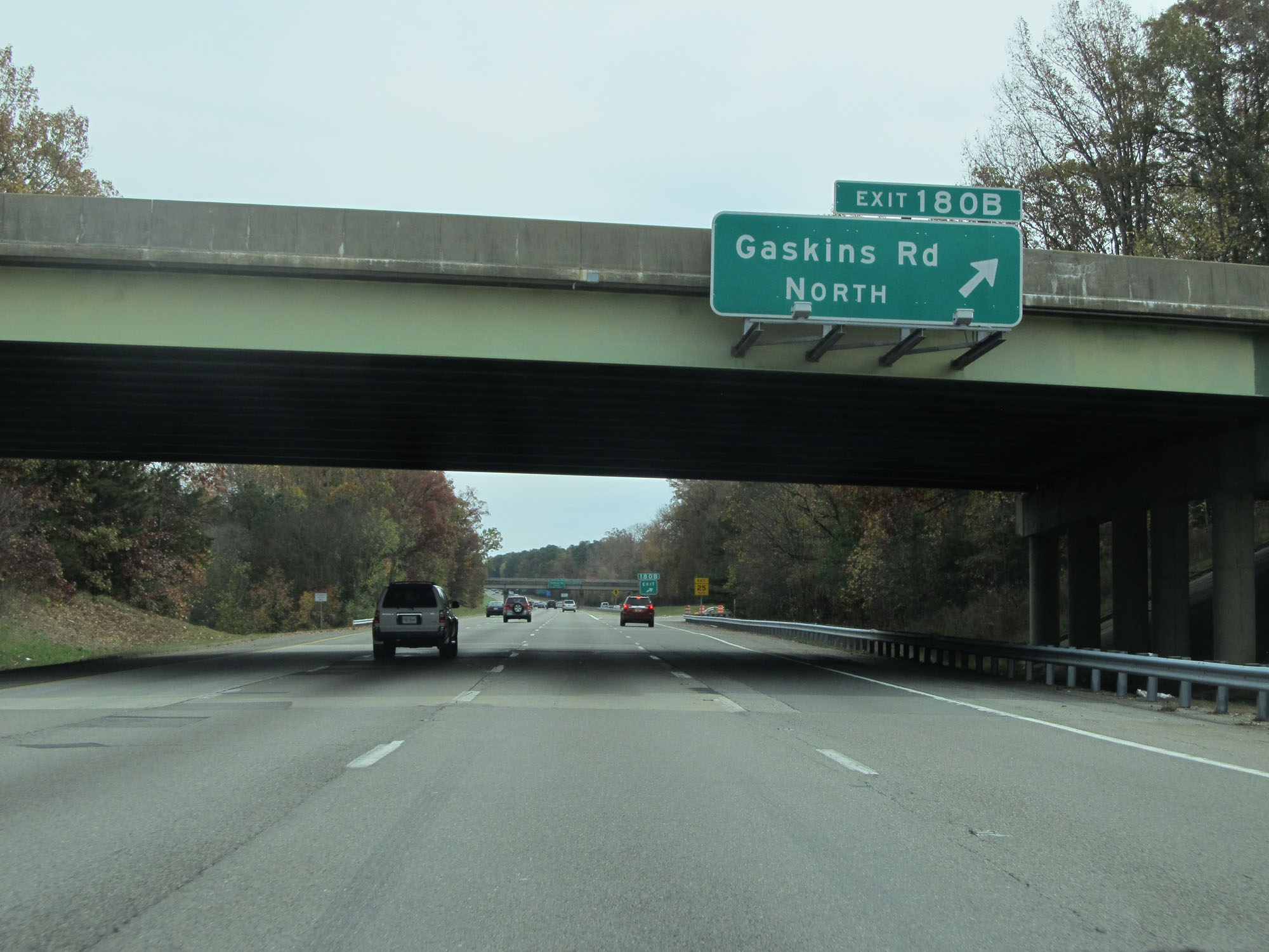 |
Interstate 64 East at Exit 180B: Gaskins Rd North (Photo taken 11/8/15). |
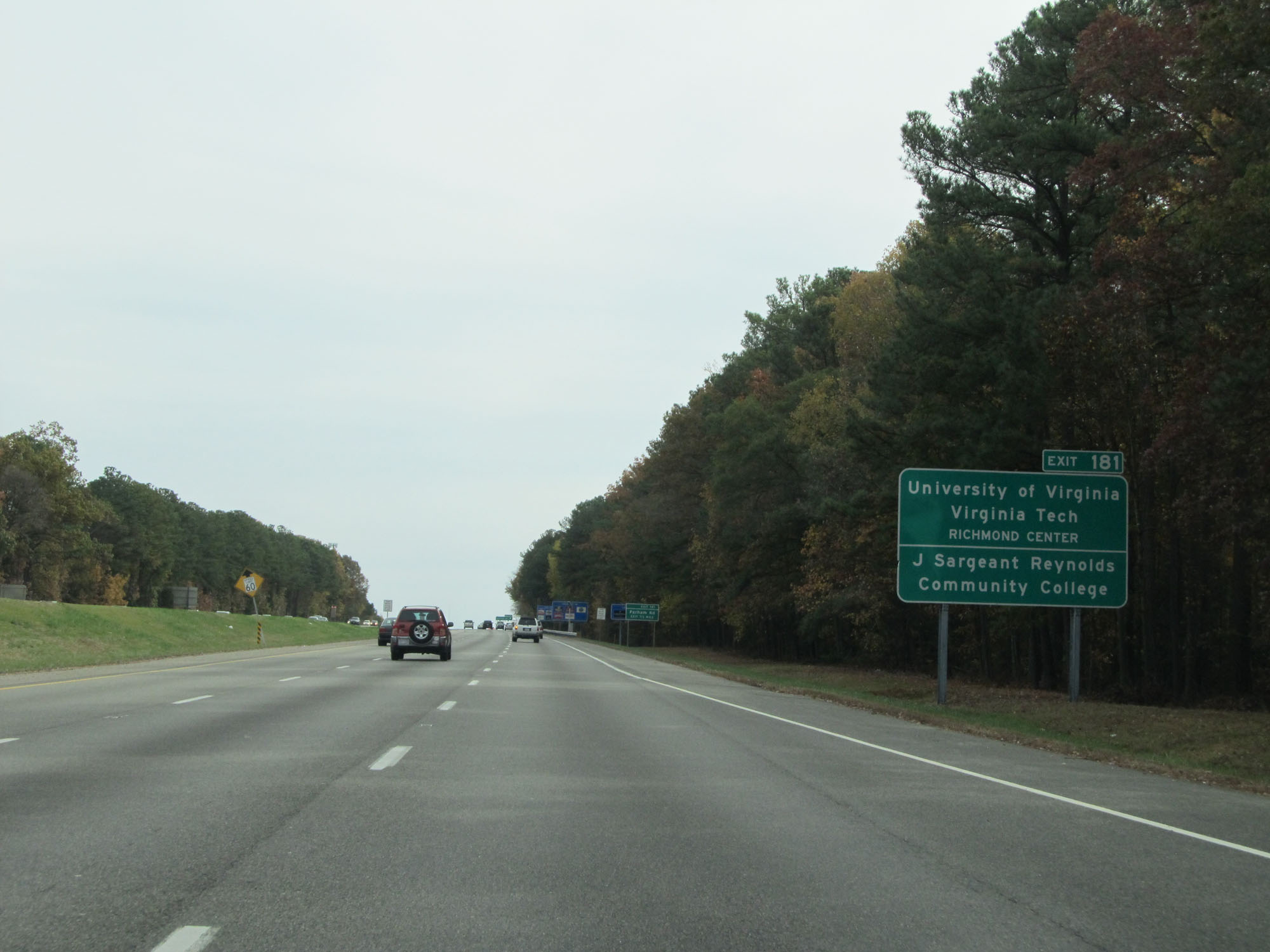 |
Take Exit 181 to the University of Virginia / Virginia Tech Richmond Center and J Sargeant Reynolds Community College. (Photo taken 11/8/15). |
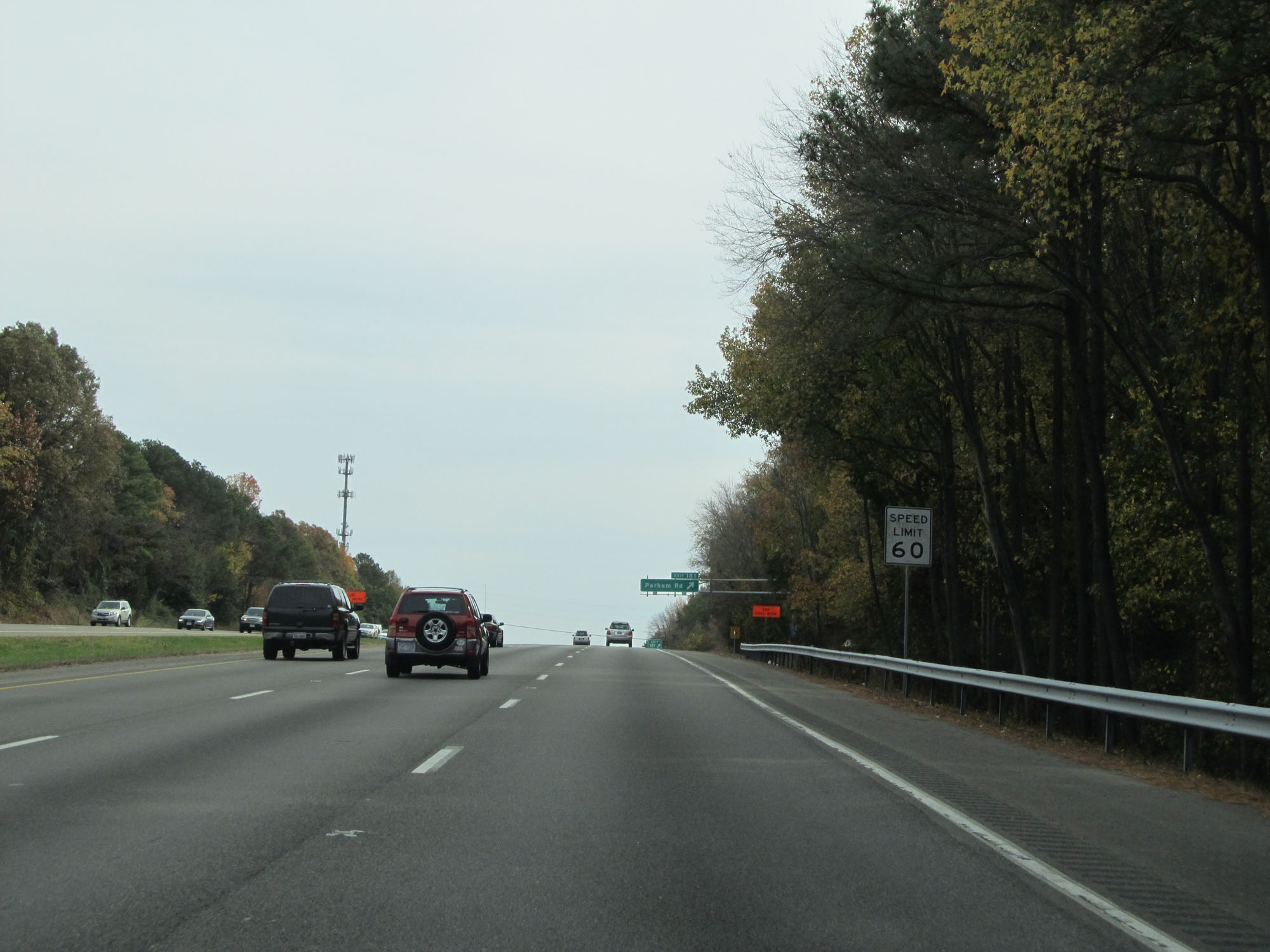 |
Approaching Exit 181, the speed limit decreases to 60 mph. (Photo taken 11/8/15). |
 |
Interstate 64 East at Exit 181: Parham Rd (Photo taken 11/8/15). |
 |
Interstate 64 East at mile marker 182. (Photo taken 11/8/15). |
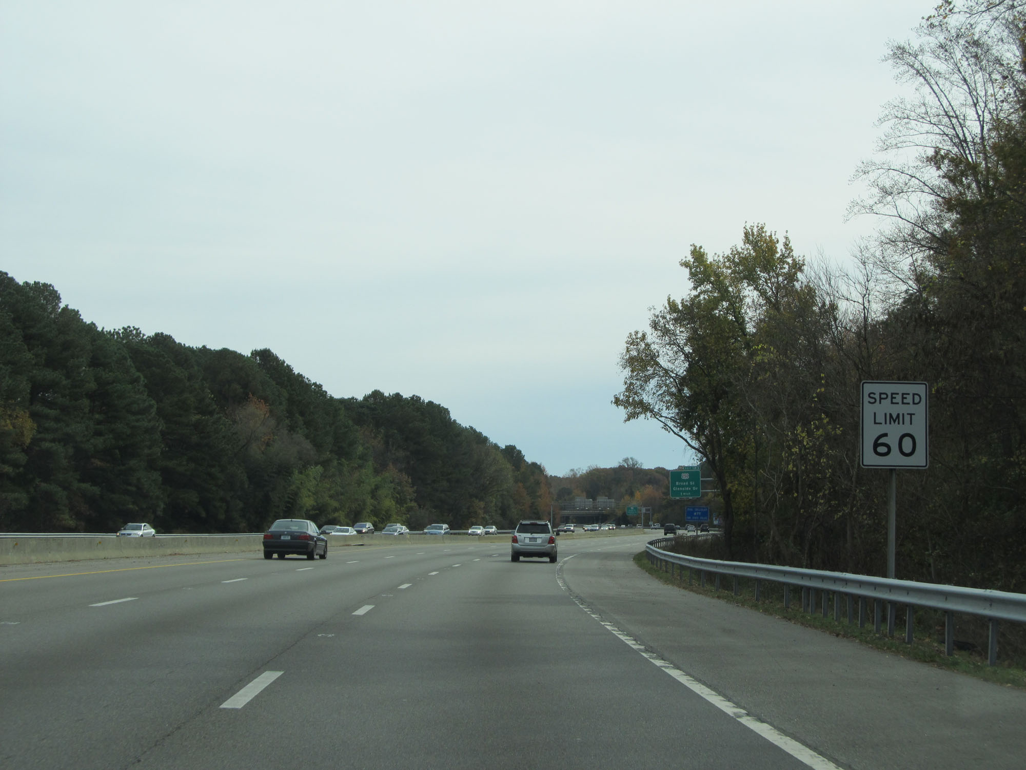 |
The speed limit remains 60 mph. (Photo taken 11/8/15). |
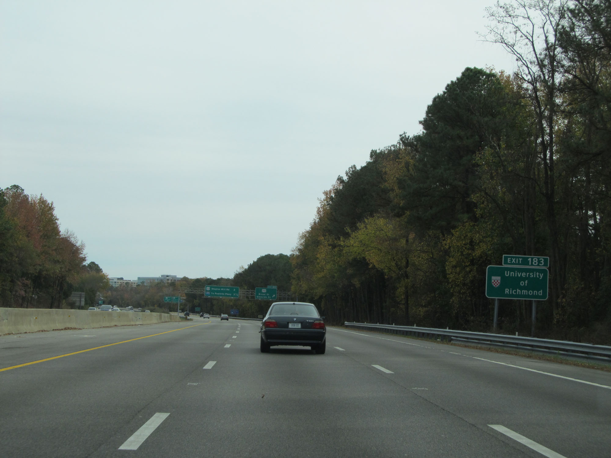 |
Take Exit 183 to the University of Richmond. (Photo taken 11/8/15). |
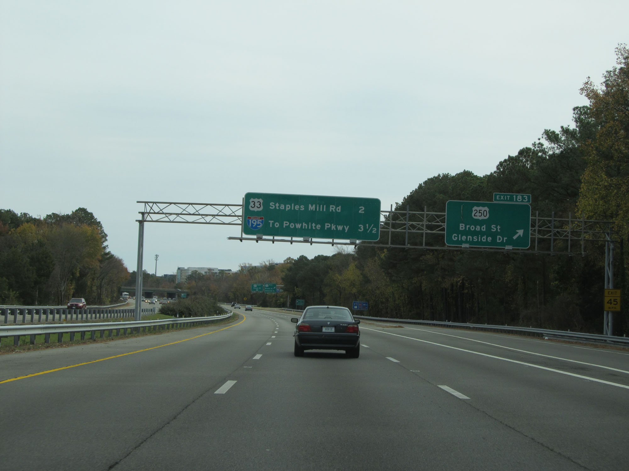 |
Interstate 64 East at Exit 183: US 250 - Broad St / Glenside Dr (Photo taken 11/8/15). |
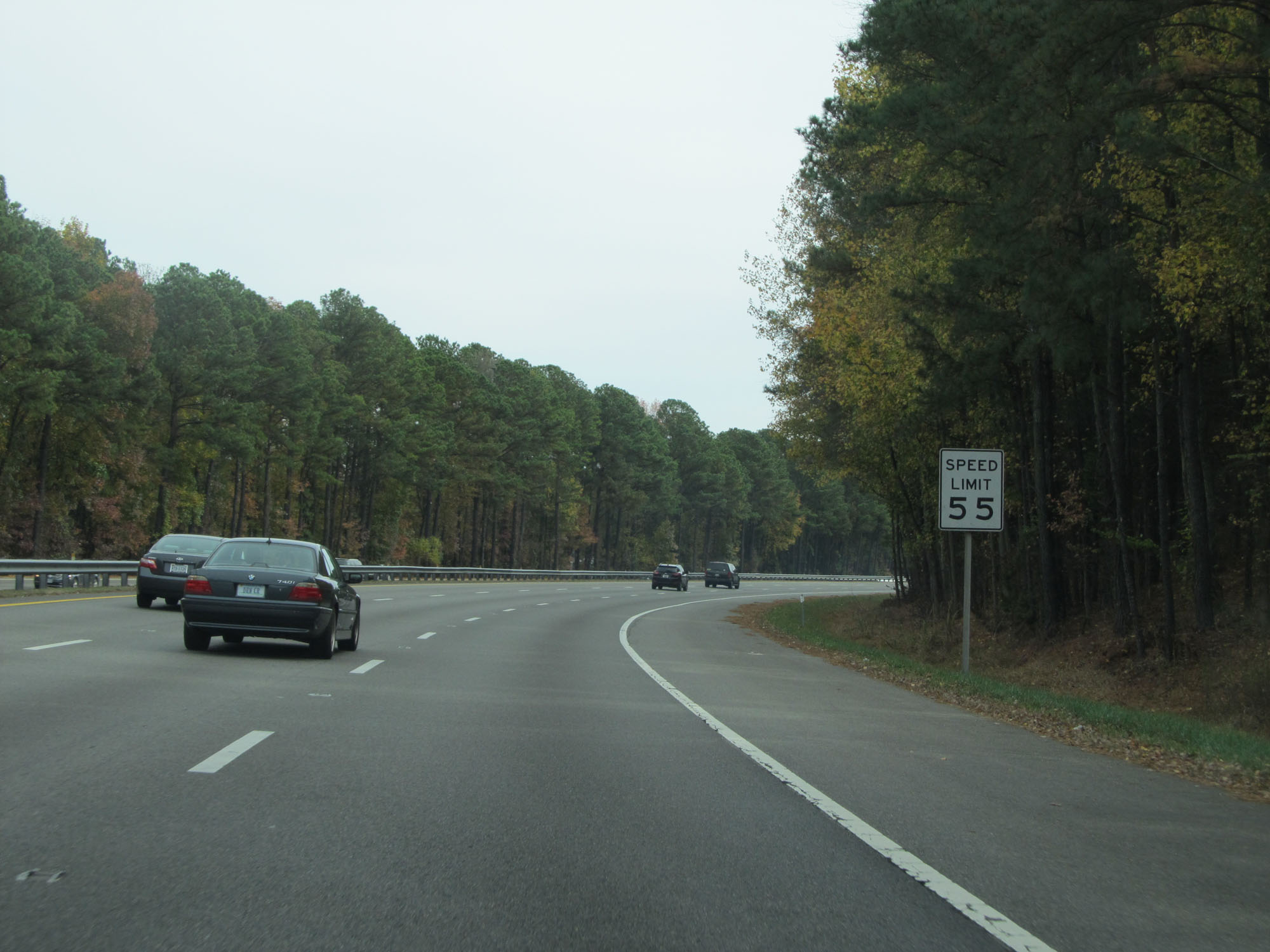 |
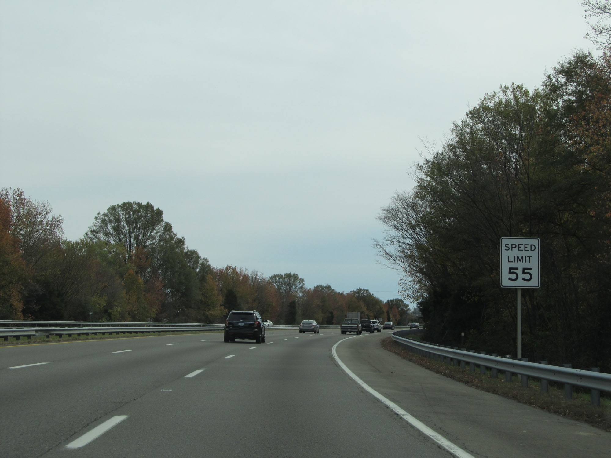
East of Exit 183, the speed limit decreases to 55 mph. (Photo taken 11/8/15). |
 |
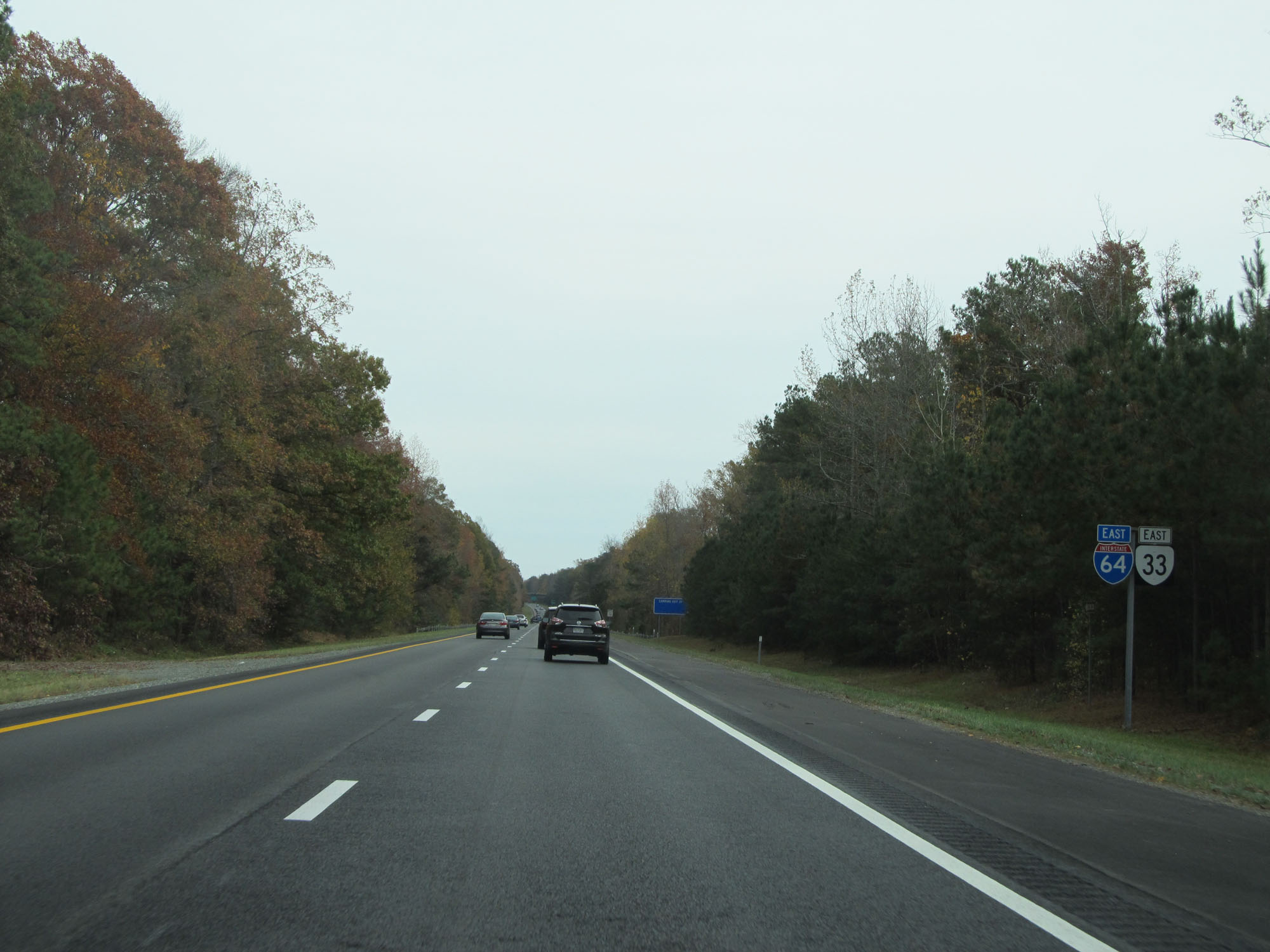
Interstate 64 East at Exit 185A: US 33 West - Dickens Rd / Staples Mill Rd (Photo taken 11/8/15). |
 |
Interstate 64 East at Exit 185B: US 33 East - Staples Mill Rd (Photo taken 11/8/15). |
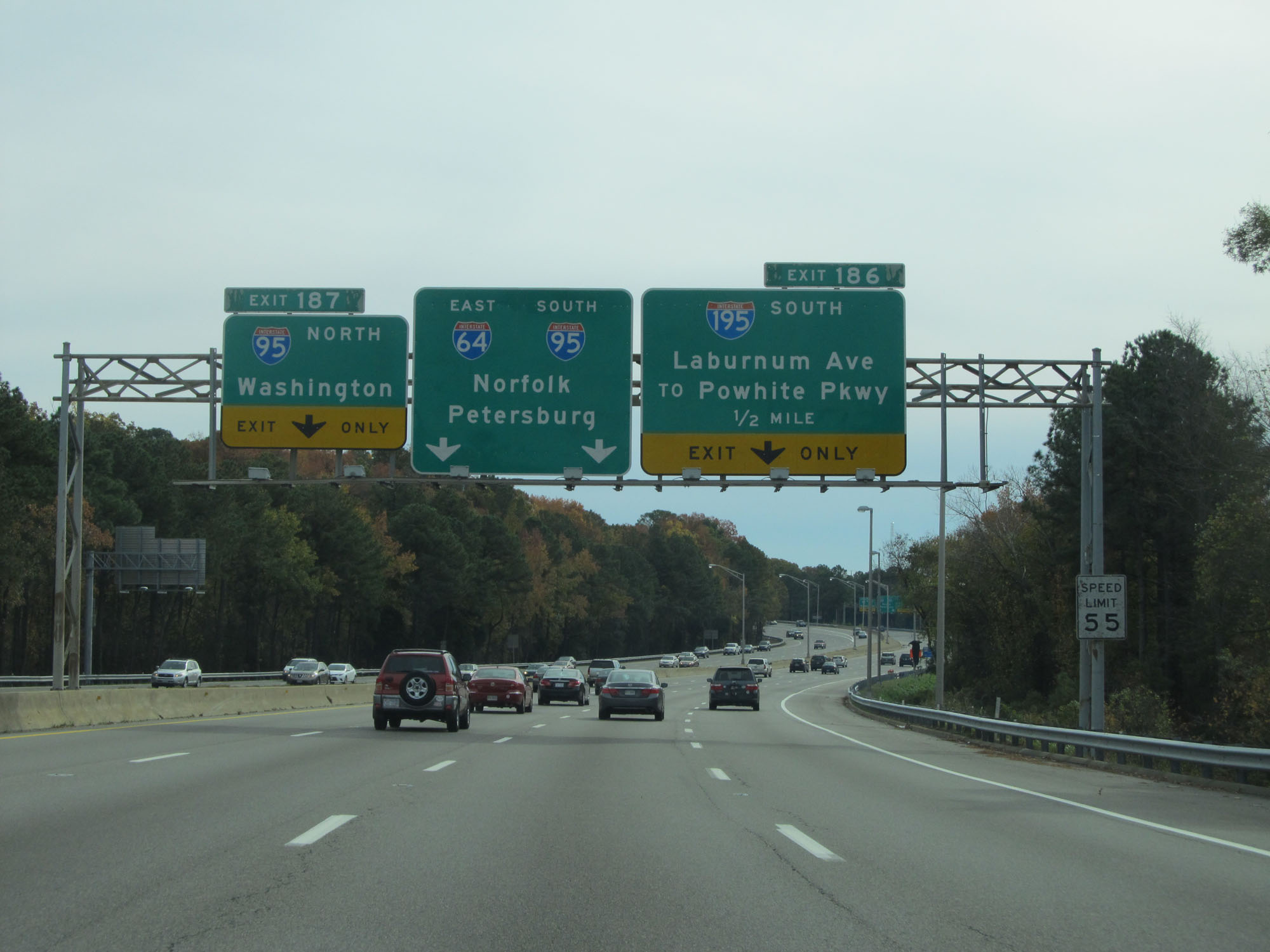 |
Interstate 64 East approaching Exit 186 - 1/2 mile. (Photo taken 11/8/15). |
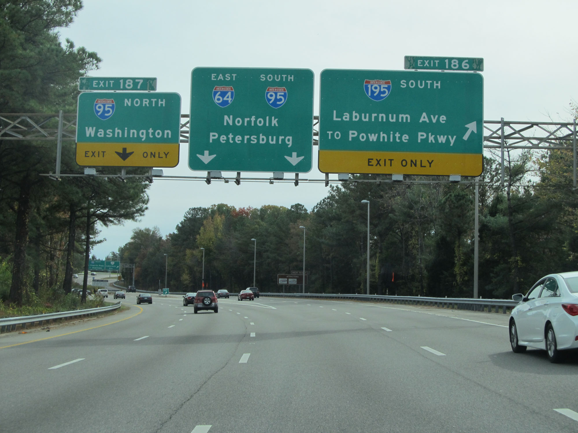 |
Interstate 64 East at Exit 186: Interstate 195 South - Laburnum Ave / To Powhite Pkwy (Photo taken 11/8/15). |
Section 5: Richmond (Exit 186) to Williamsburg (Exit 234)
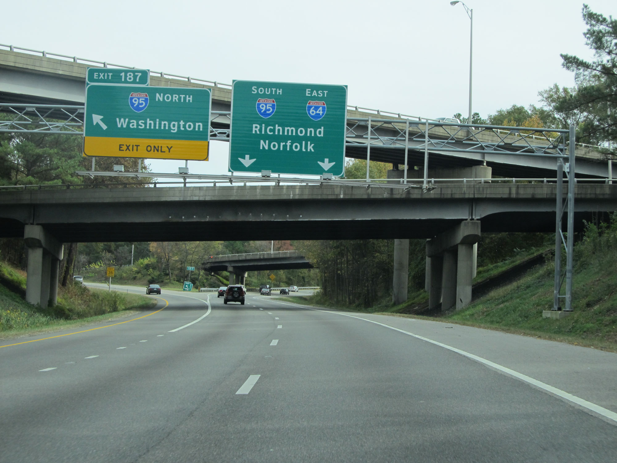 |
Interstate 64 East at Exit 187: Interstate 95 North - Washington (Photo taken 11/8/15). |
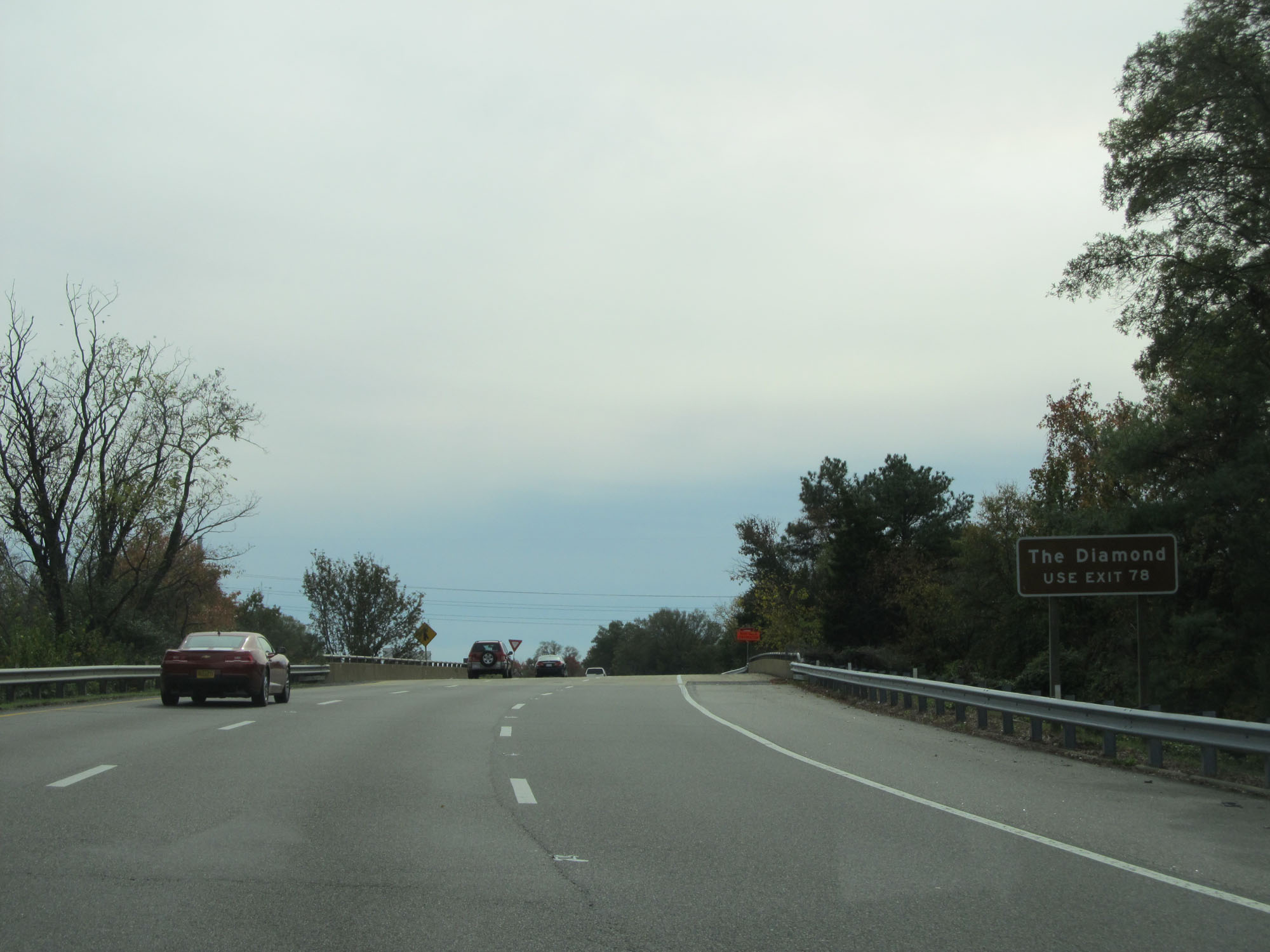 |
Interstate 64 East and Interstate 95 South run concurrently for roughly 3 miles in Richmond. During this concurrency, the mileage and exit numbers are based off those of I-95. Take Exit 78 to The Diamond. (Photo taken 11/8/15). |
 |
Interstate 64 East / Interstate 95 South at mile marker 79. (Photo taken 11/8/15). |
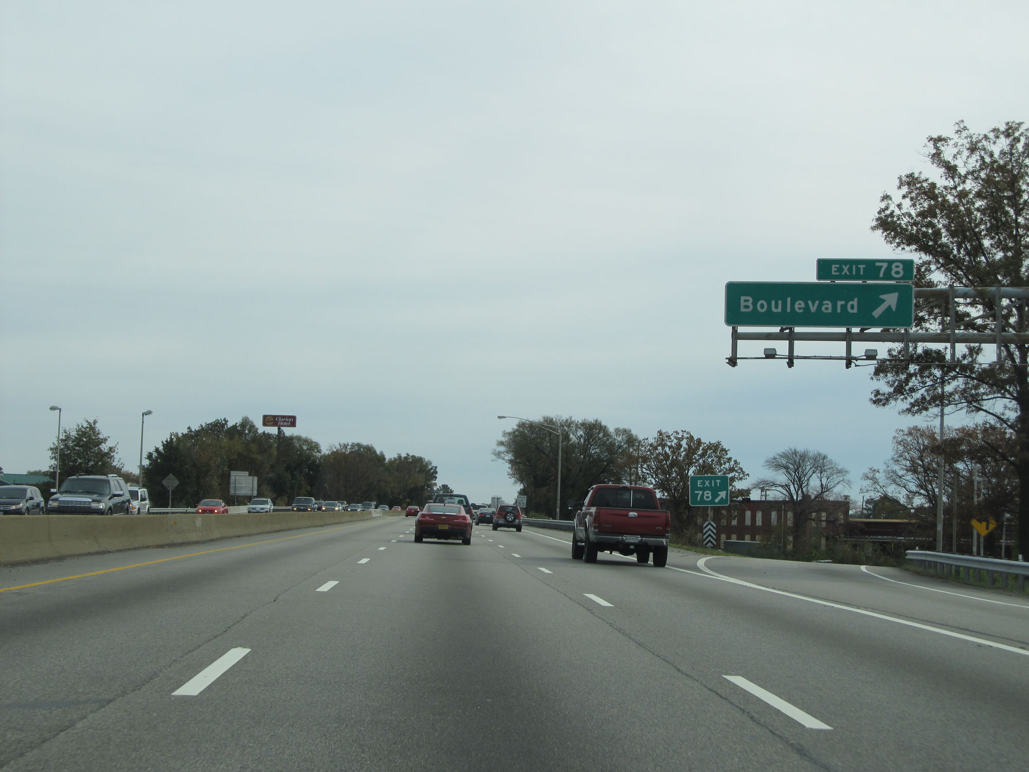 |
Interstate 64 East / Interstate 95 South at Exit 78: Boulevard (Photo taken 11/8/15). |
 |
Take Exit 75 to J Sargeant Reynolds Community College Downtown Campus. (Photo taken 11/8/15). |
 |
The speed limit during the Interstate 64 / Interstate 95 concurrency is 55 mph. Interstate 64 East departs 2 miles ahead at Exit 75. (Photo taken 11/8/15). |
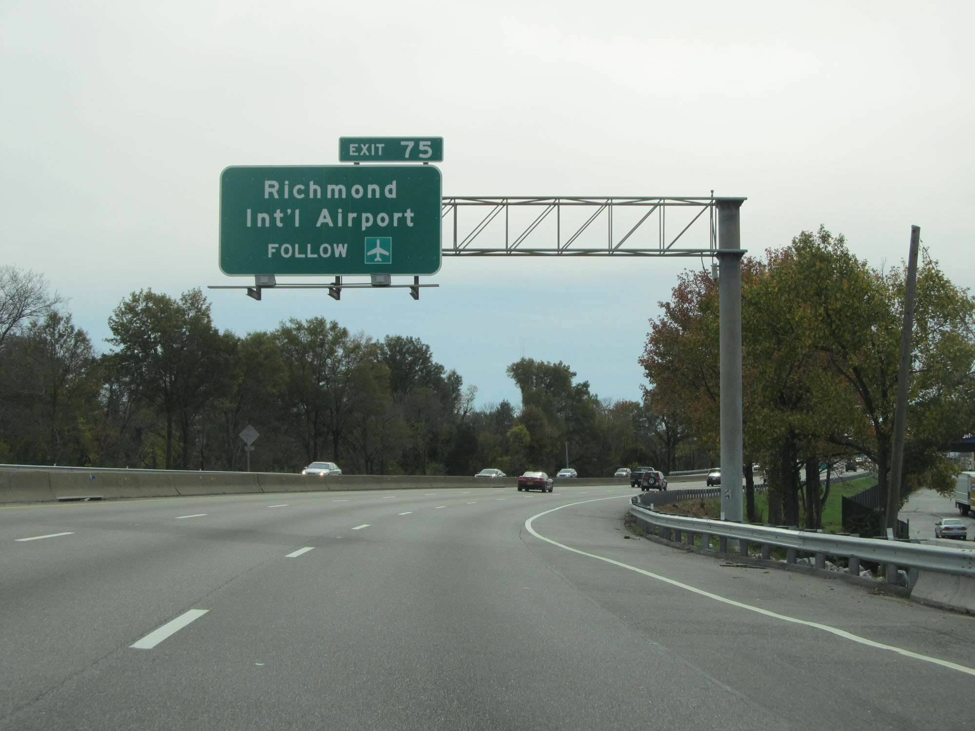 |
Take Exit 75 (Interstate 64 East) to Richmond International Airport. (Photo taken 11/8/15). |
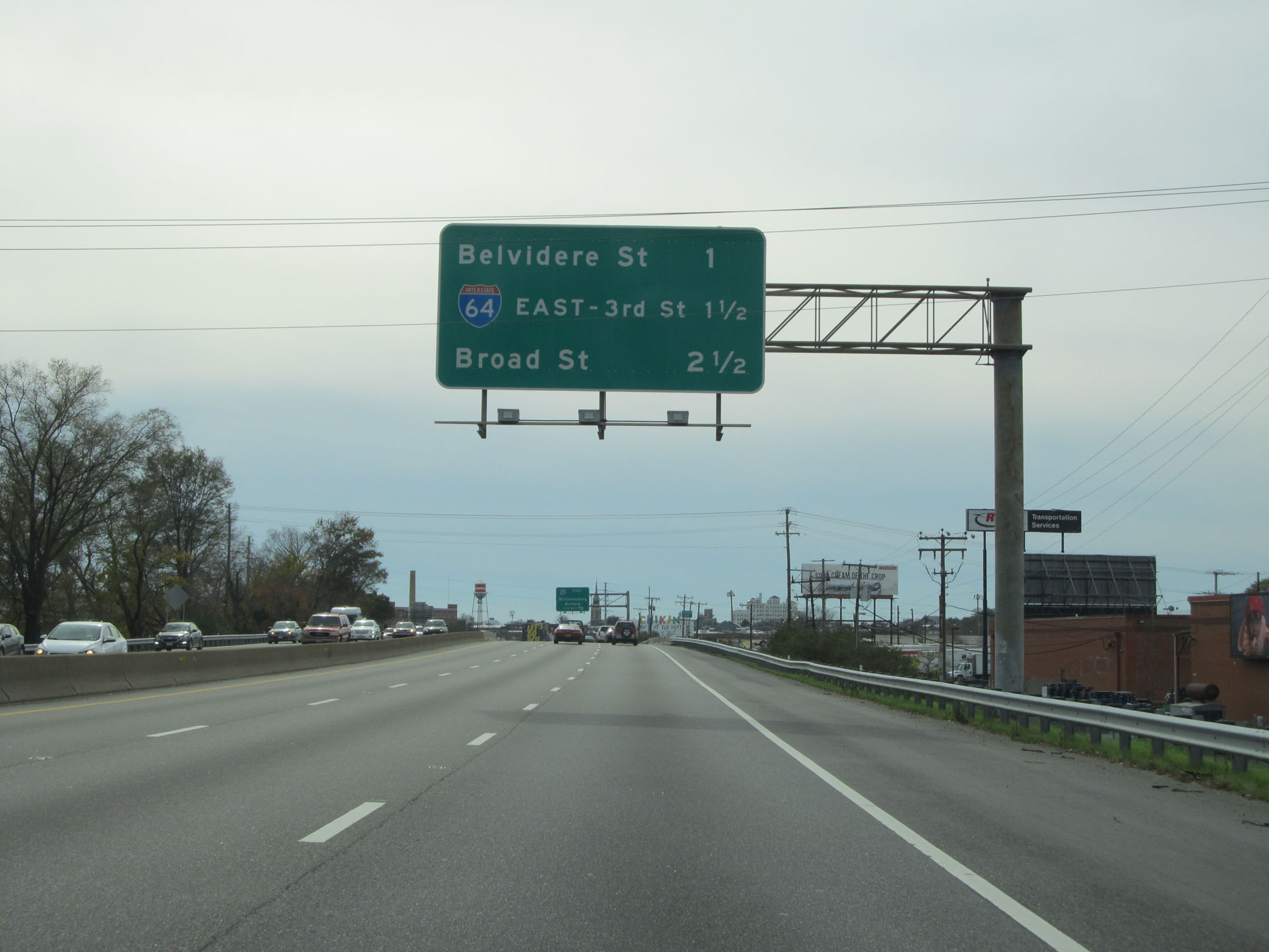 |
Overhead mileage sign listing the distances to the three upcoming exits. (Photo taken 11/8/15). |
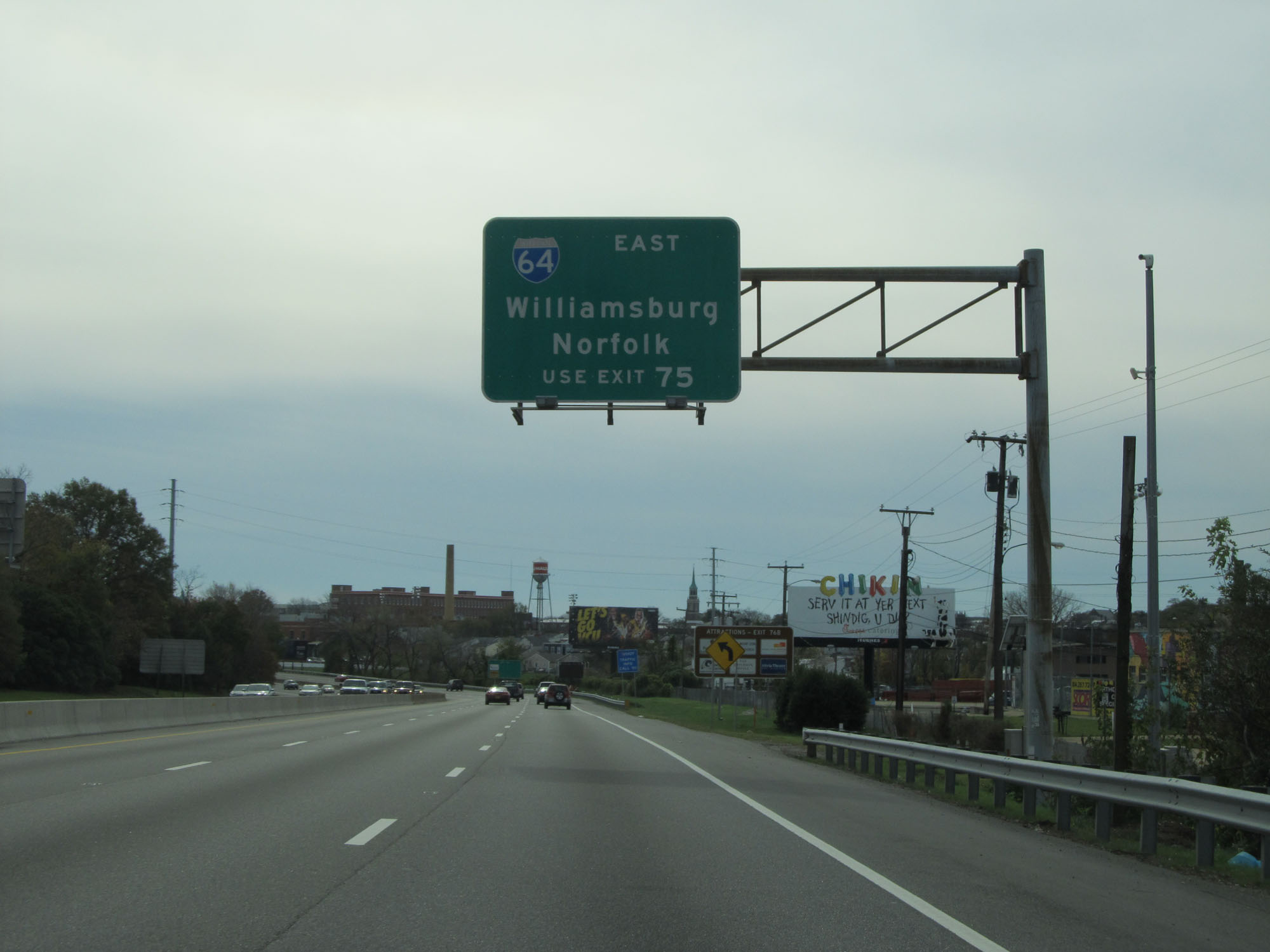 |
Follow Interstate 64 East via Exit 75 to Williamsburg and Norfolk. (Photo taken 11/8/15). |
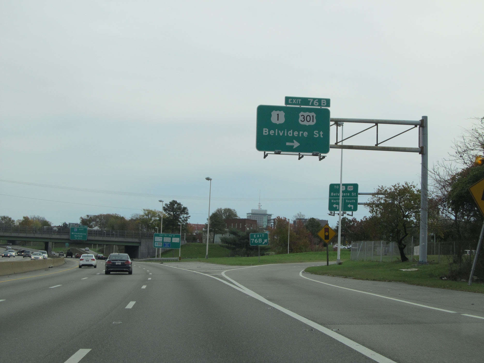 |
Interstate 64 East / Interstate 95 South at Exit 76B: US 1 / US 301 - Belvidere St (Photo taken 11/8/15). |
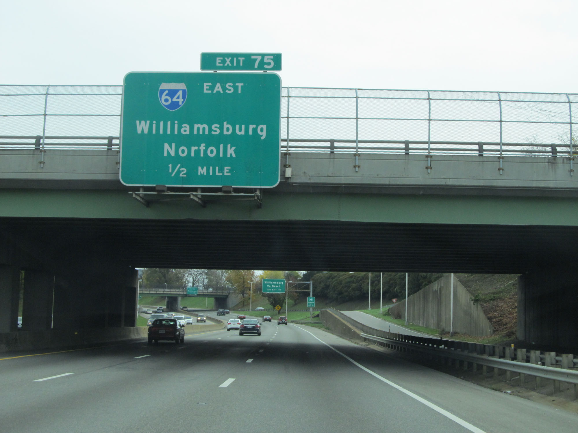 |
Interstate 64 East / Interstate 95 South approaching Exit 75 - 1/2 mile. (Photo taken 11/8/15). |
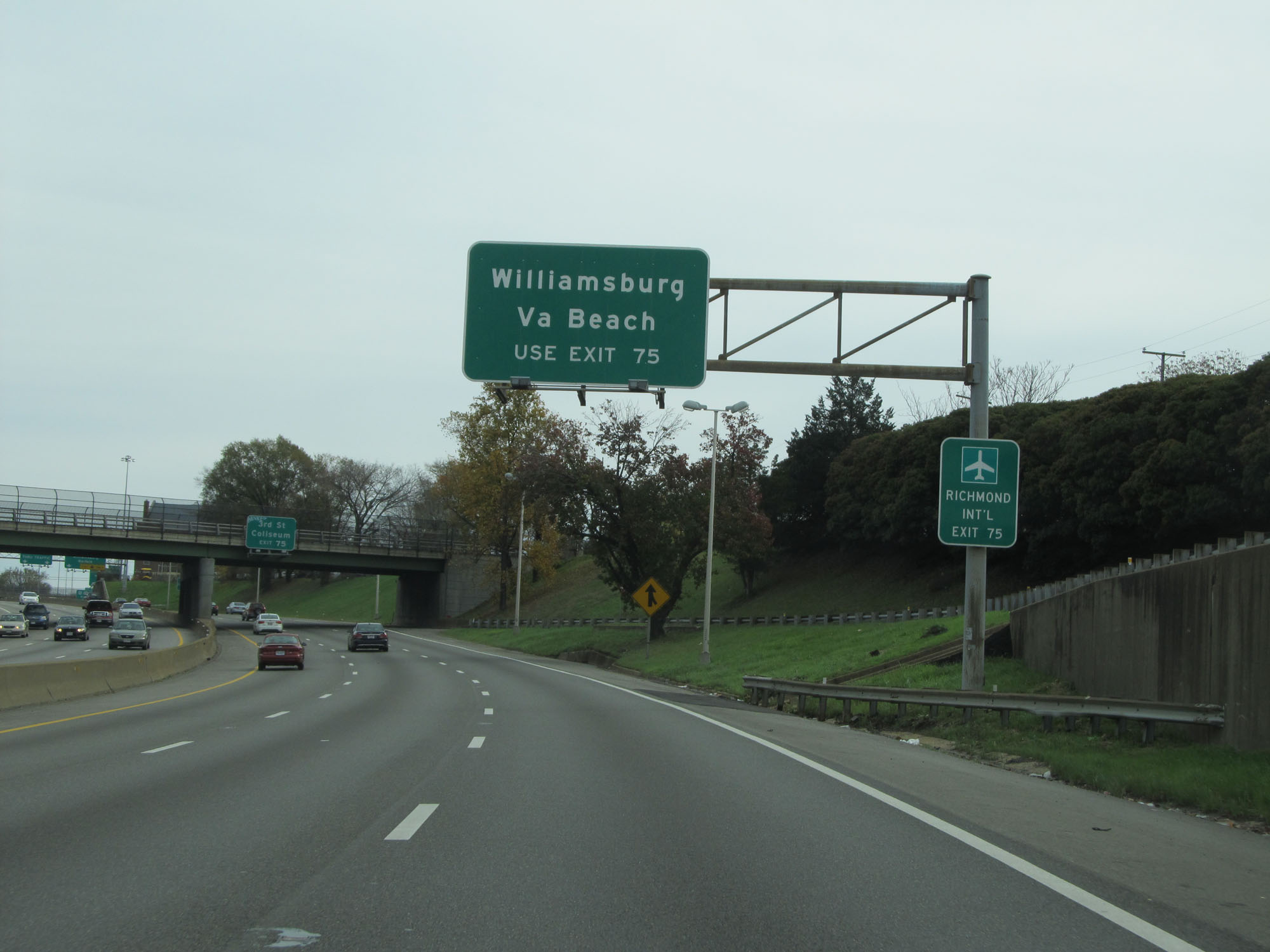 |
Take Exit 75 (Interstate 64 East) to Williamsburg and Virginia Beach. (Photo taken 11/8/15). |
 |
Also take Exit 75 (Interstate 64 East) to 3rd St and the Coliseum. (Photo taken 11/8/15). |
 |
Interstate 64 East / Interstate 95 South approaching Exit 75. (Photo taken 11/8/15). |
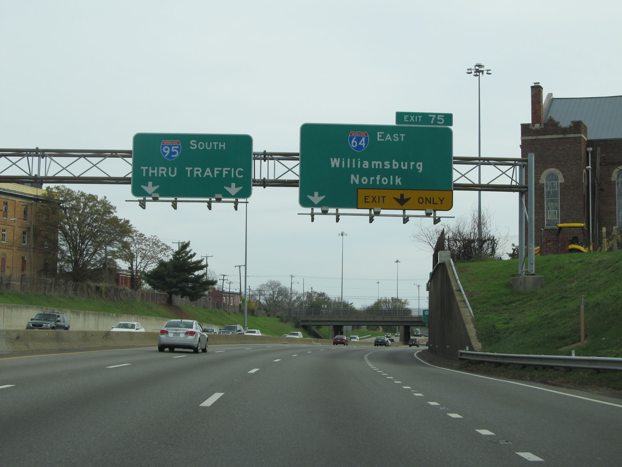
 |
Interstate 64 East / Interstate 95 South at Exit 75: Interstate 64 East - Williamsburg / Norfolk (Photo taken 11/8/15). |
 |
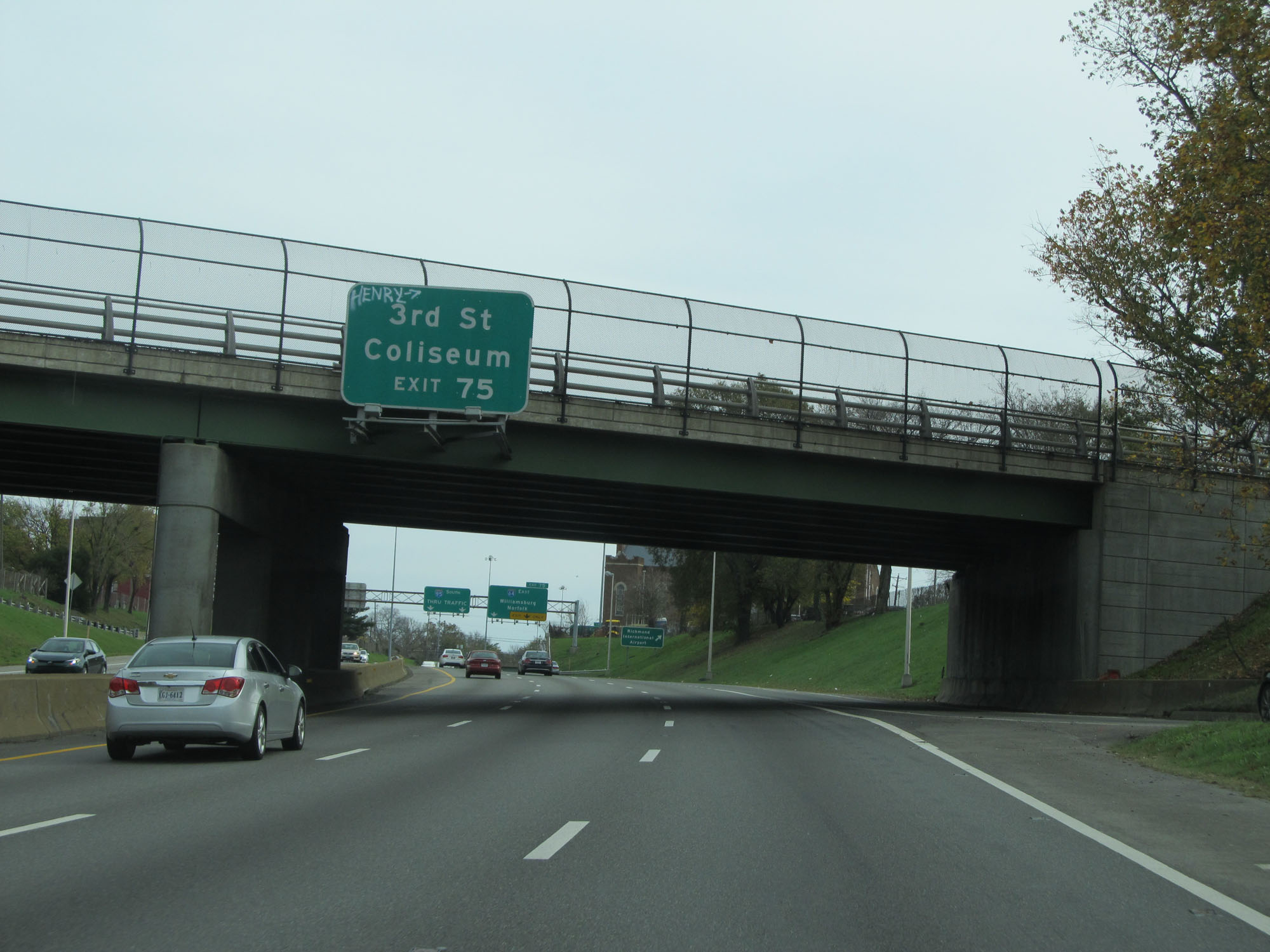
Immediately after departing from Interstate 95 South, Interstate 64 East provides access to 3rd Street / Coliseum / Convention Center via this exit. (Photo taken 11/8/15). |
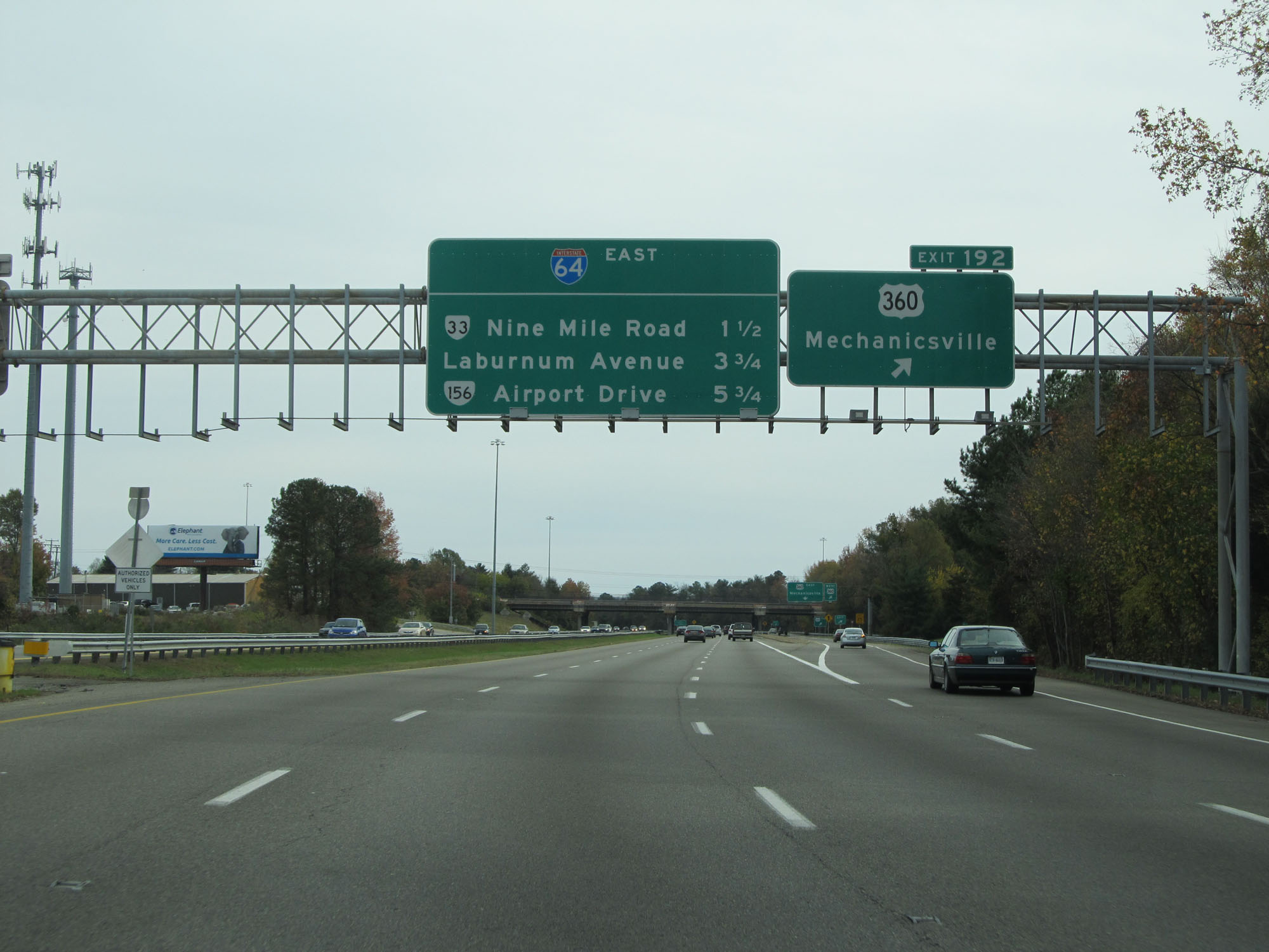 |
Interstate 64 East at Exit 192: US 360 - Mechanicsville (Photo taken 11/8/15). |
 |
Interstate 64 East as it leaves the City of Richmond to enter Henrico County once again. (Photo taken 11/8/15). |
 |
Interstate 64 East reassurance shield. (Photo taken 11/8/15). |
 |
The speed limit remains 55 mph for a bit longer. (Photo taken 11/8/15). |
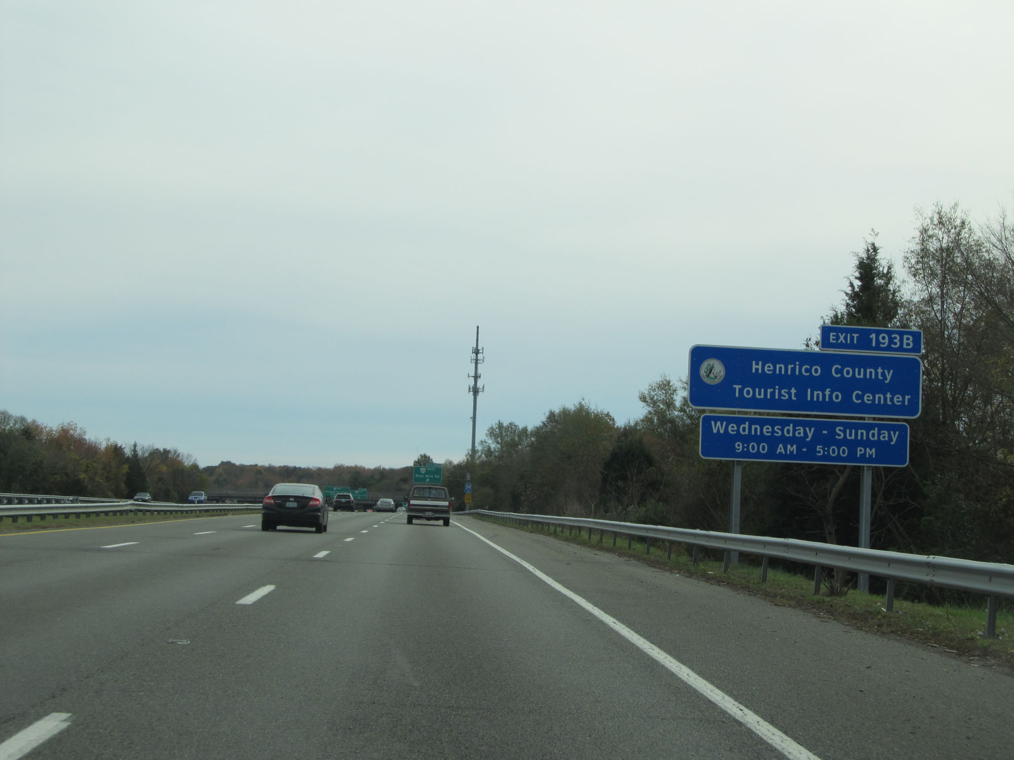 |
Take Exit 193B to Henrico County Tourist Info Center. (Photo taken 11/8/15). |
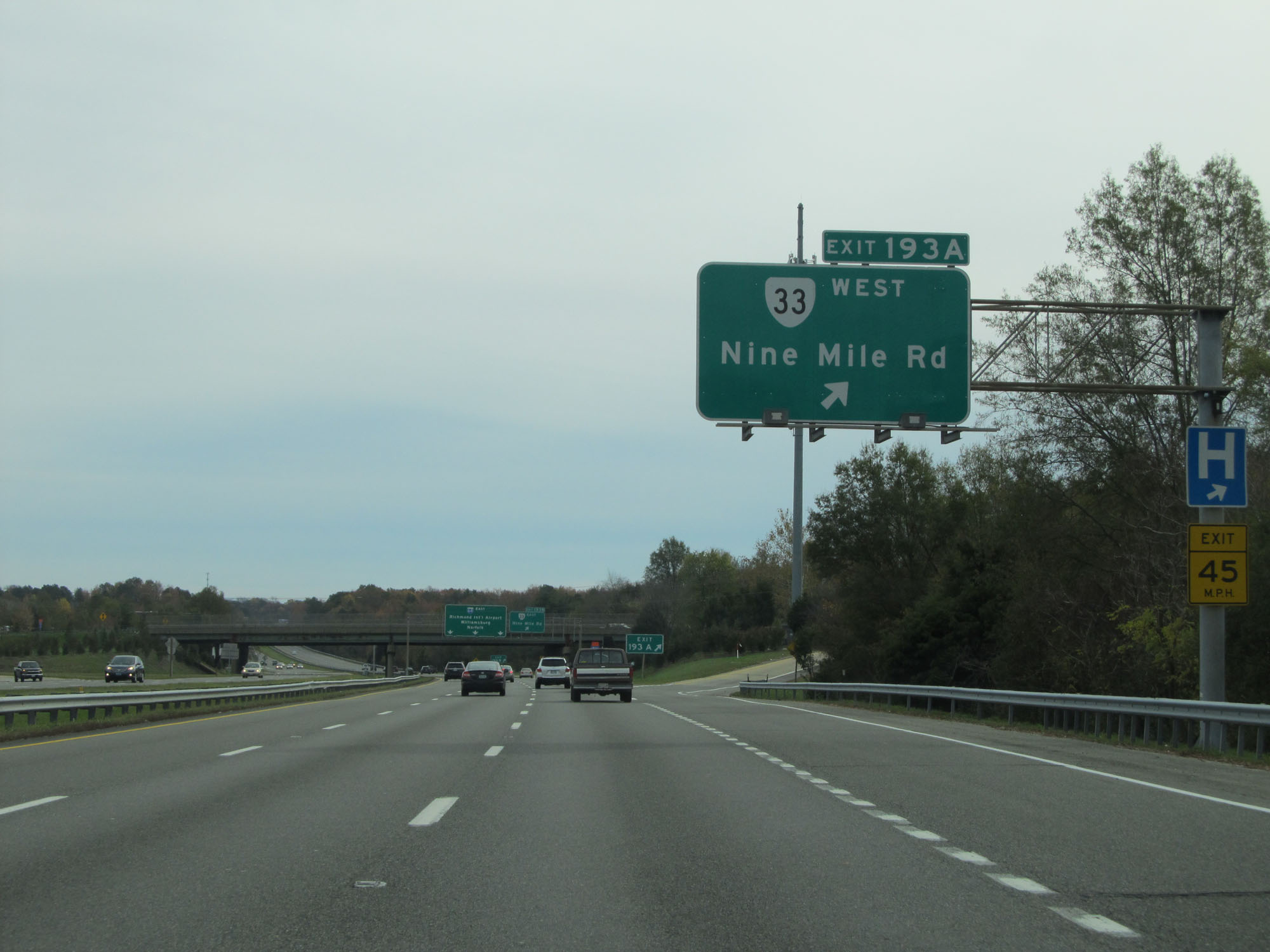 |
Interstate 64 East at Exit 193A: VA 33 West - Nine Mile Rd (Photo taken 11/8/15). |
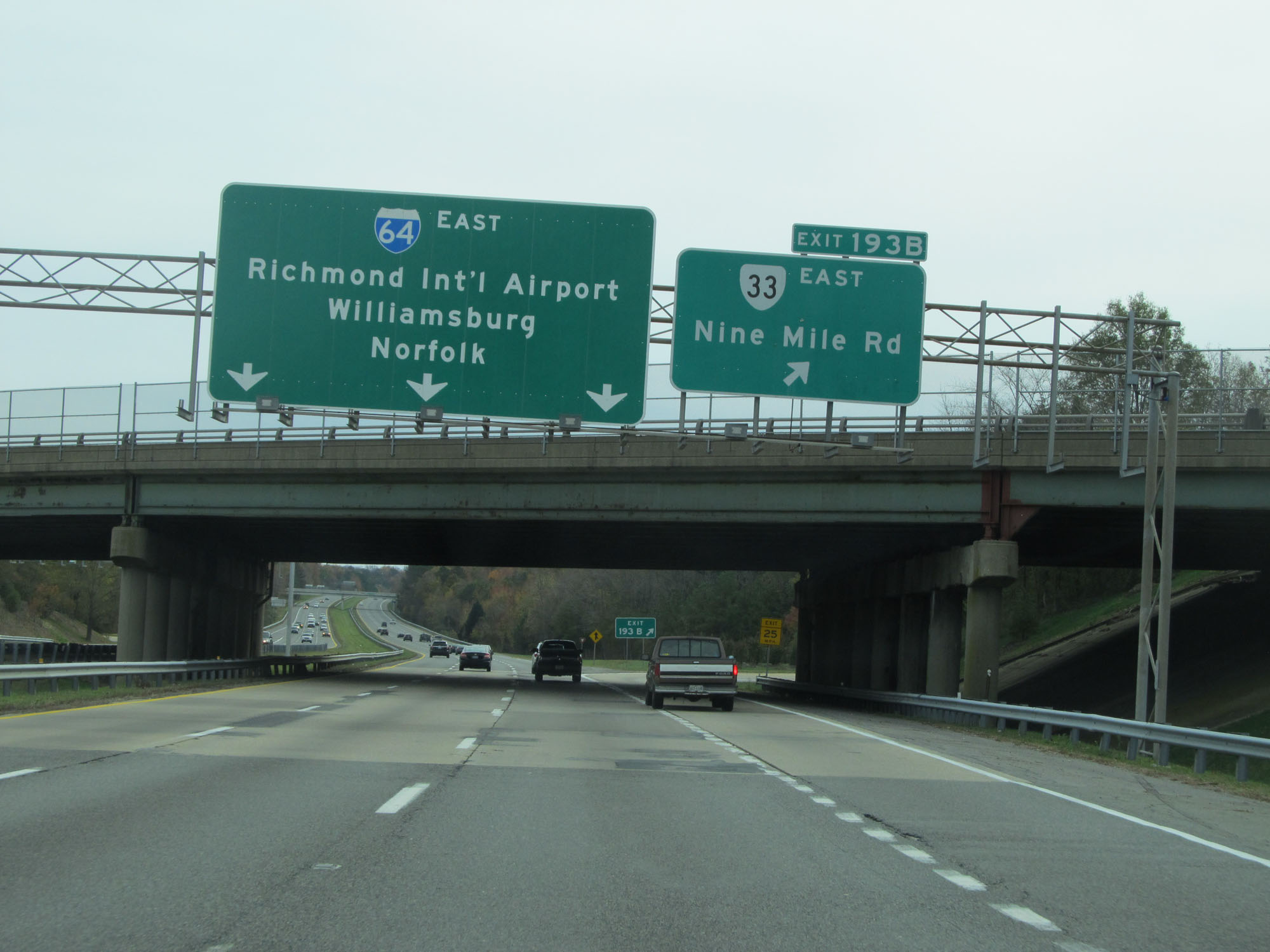 |
Interstate 64 East at Exit 193B: VA 33 East - Nine Mile Rd (Photo taken 11/8/15). |
 |
East of Exit 193B, the speed limit increases to 65 mph. (Photo taken 11/8/15). |
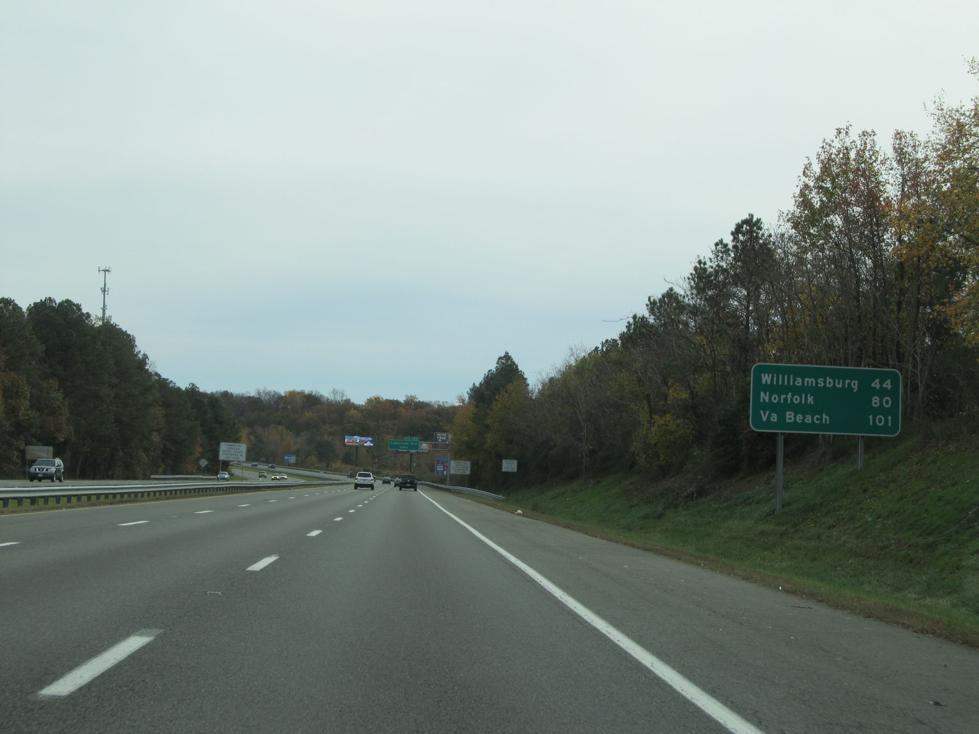 |
Mileage sign on Interstate 64 East. It's 44 miles to Williamsburg, 80 miles to Norfolk, and 101 miles to Virginia Beach. (Photo taken 11/8/15). |
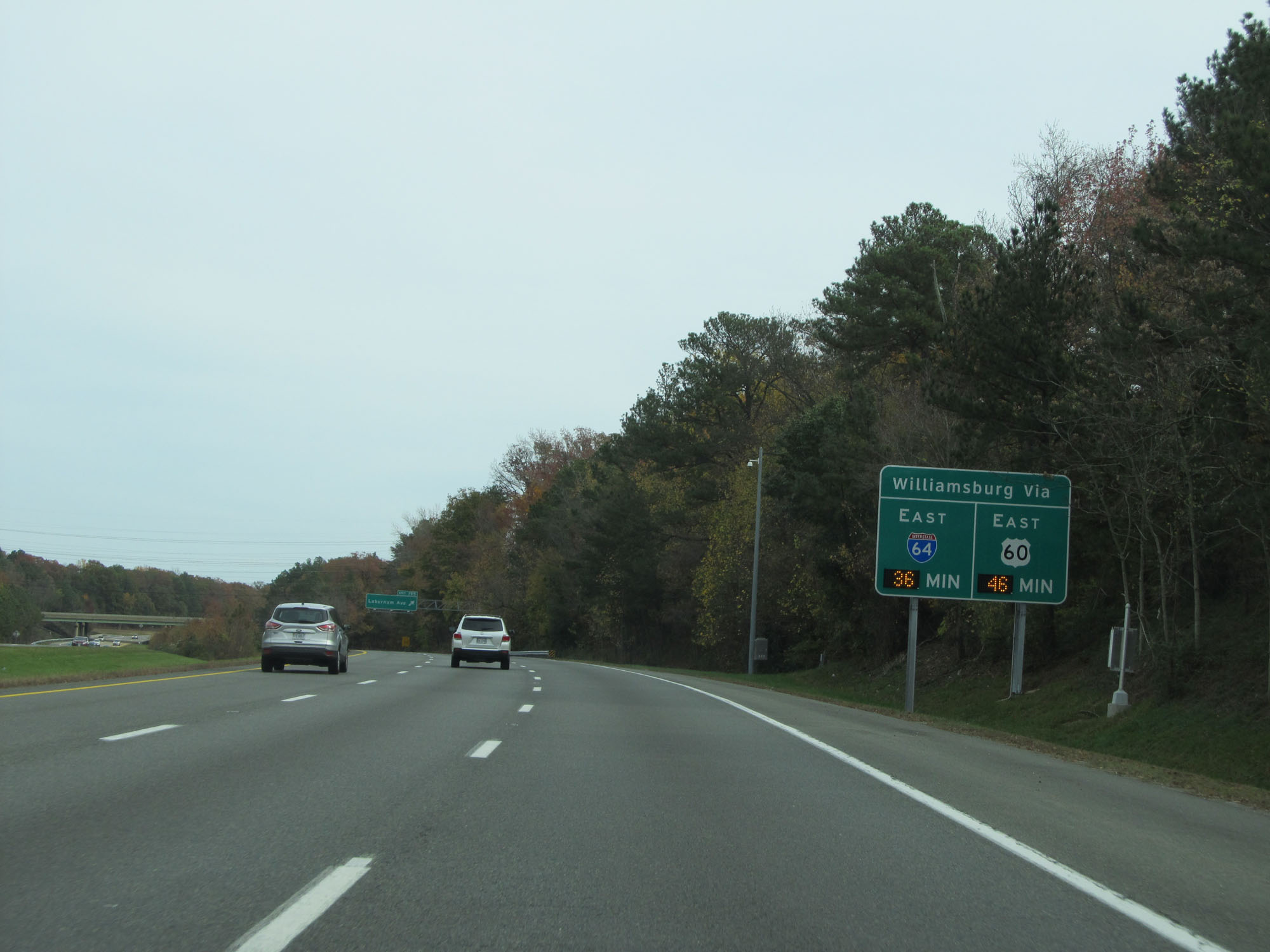 |
This digital sign dynamically displays the estimated travel time to Williamsburg via Interstate 64 East and US 60 East. (Photo taken 11/8/15). |
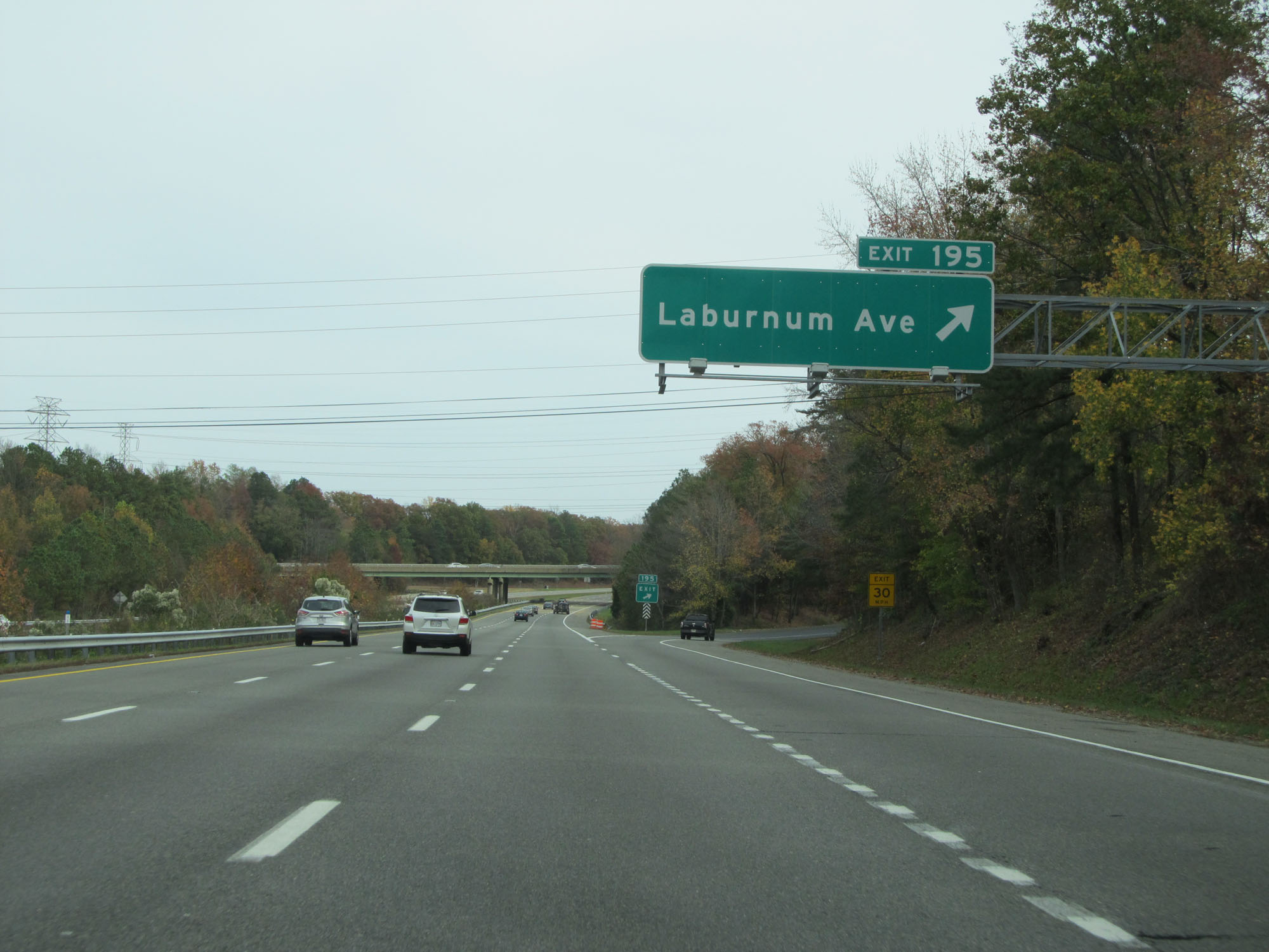 |
Interstate 64 East at Exit 195: Laburnum Ave (Photo taken 11/8/15). |
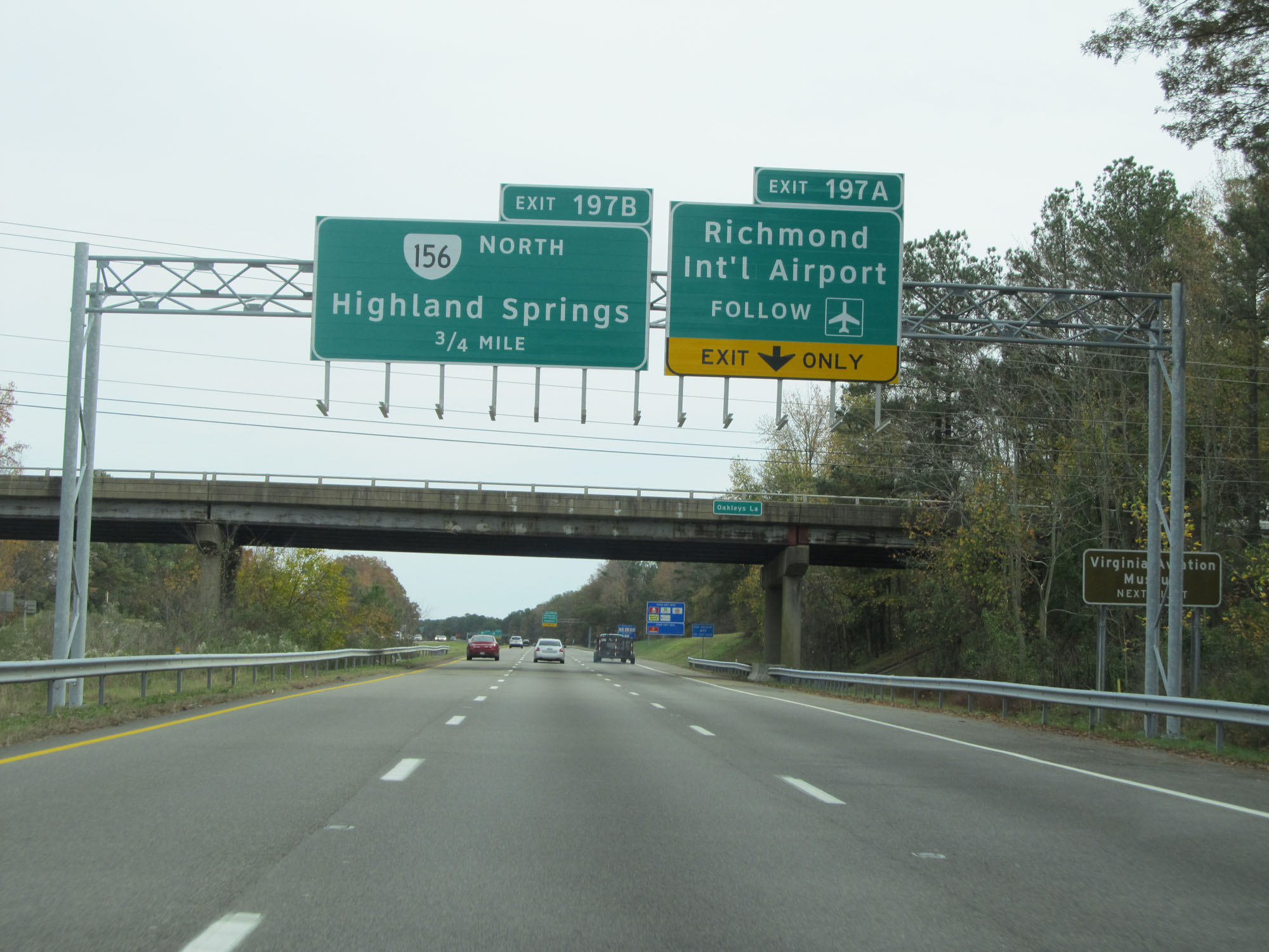 |
Take Exit 197A to Richmond International Airport and the Virginia Aviation Museum. (Photo taken 11/8/15). |
 |
Interstate 64 East at Exit 197A: VA 156 South - Sandston (Photo taken 11/8/15). |
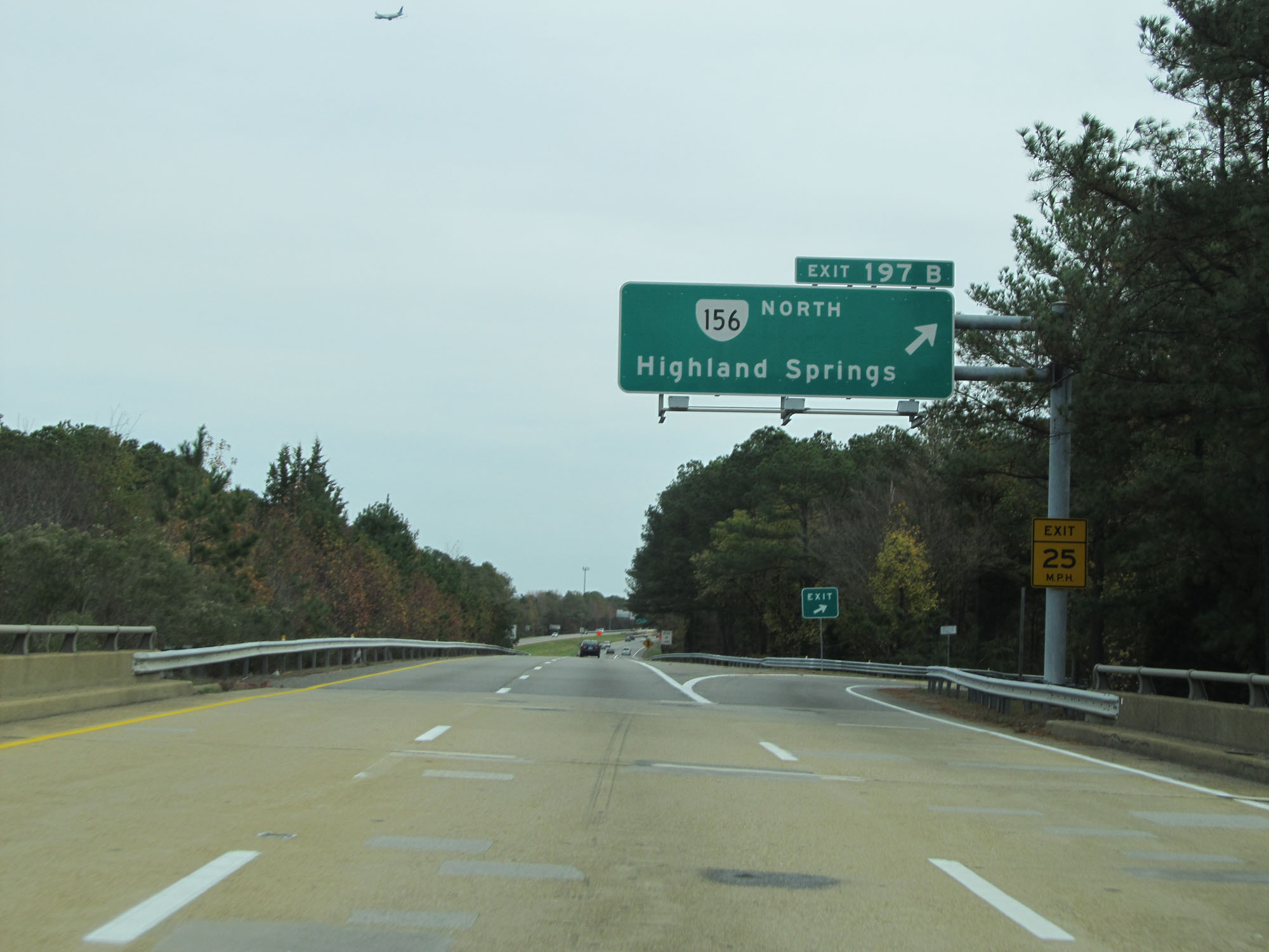 |
Interstate 64 East at Exit 197B: VA 156 North - Highland Springs (Photo taken 11/8/15). |
 |
Take Exit 200 to Hopewell. (Photo taken 11/8/15). |
 |
Interstate 64 East approaching Exit 200 - 1/2 mile. (Photo taken 11/8/15). |
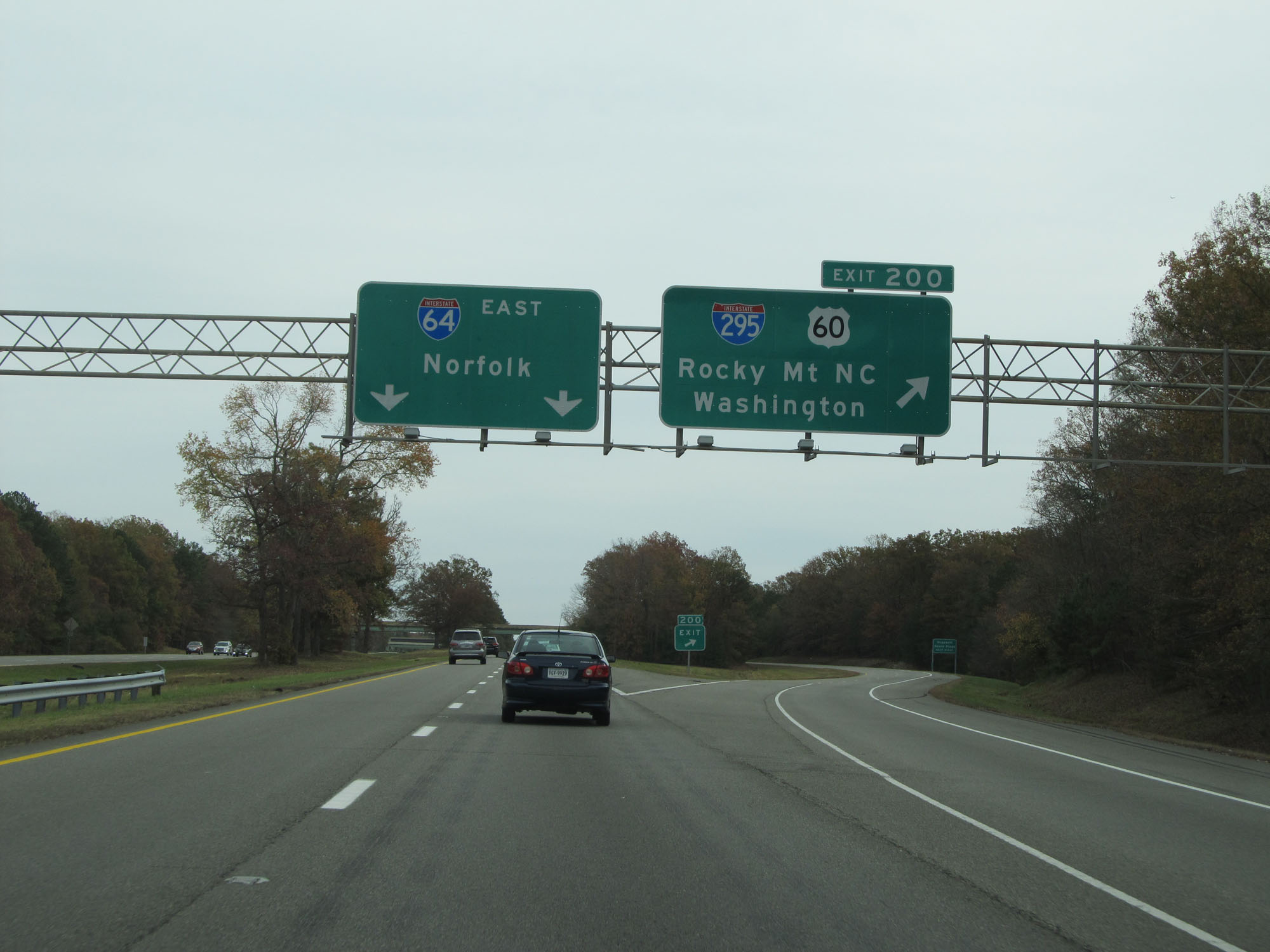 |
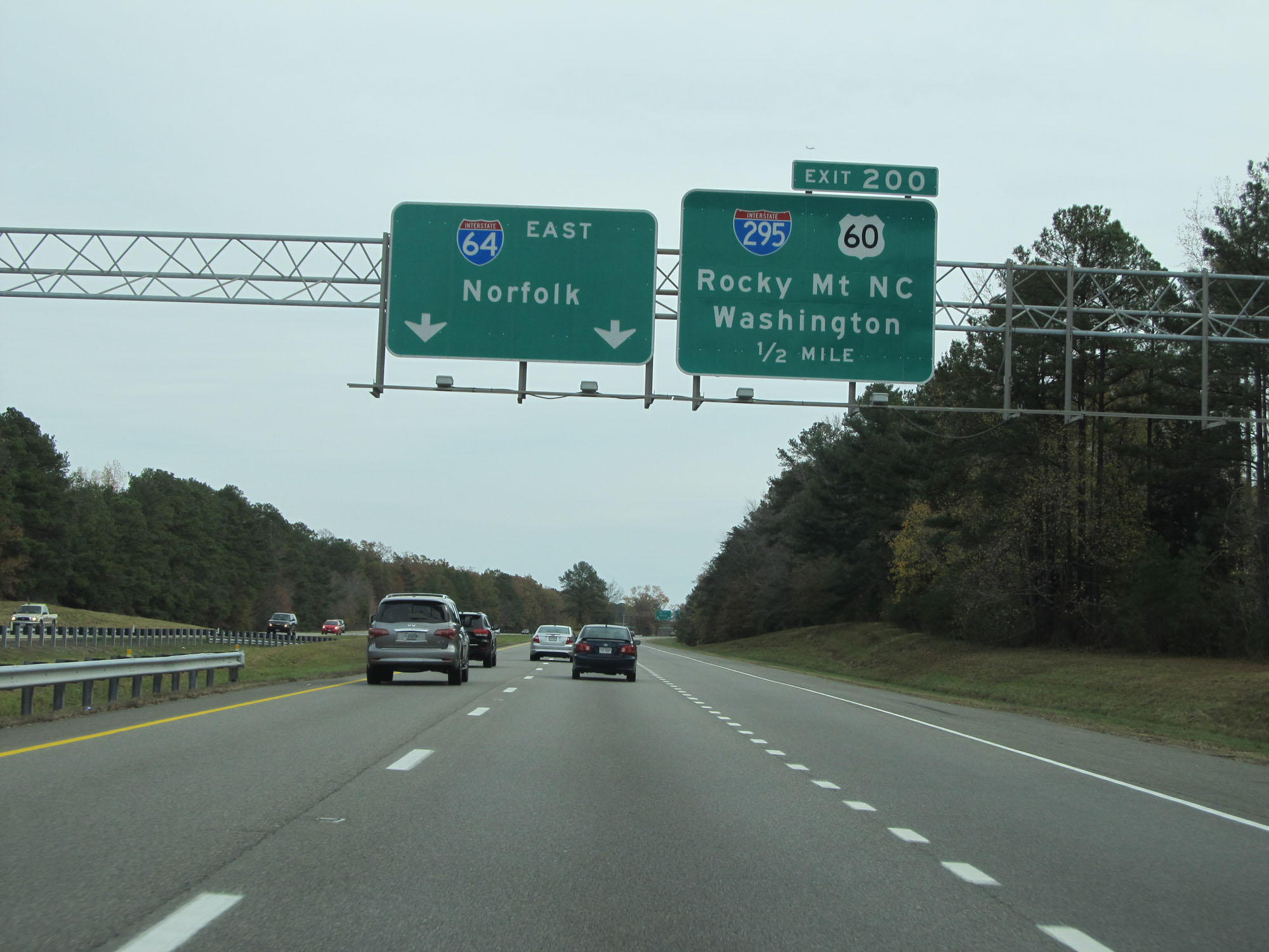
Interstate 64 East at Exit 200: Interstate 295 / US 60 - Rocky Mt, NC / Washington (Photo taken 11/8/15). |
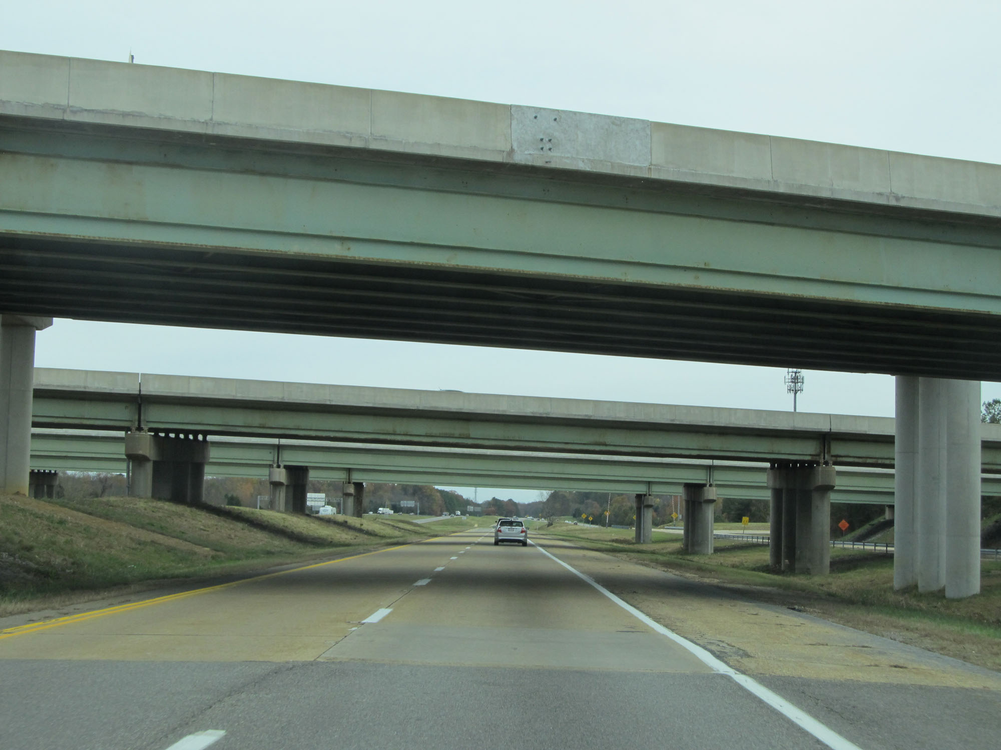 |
View on Interstate 64 East as it prepares to pass underneath Interstate 295. (Photo taken 11/8/15). |
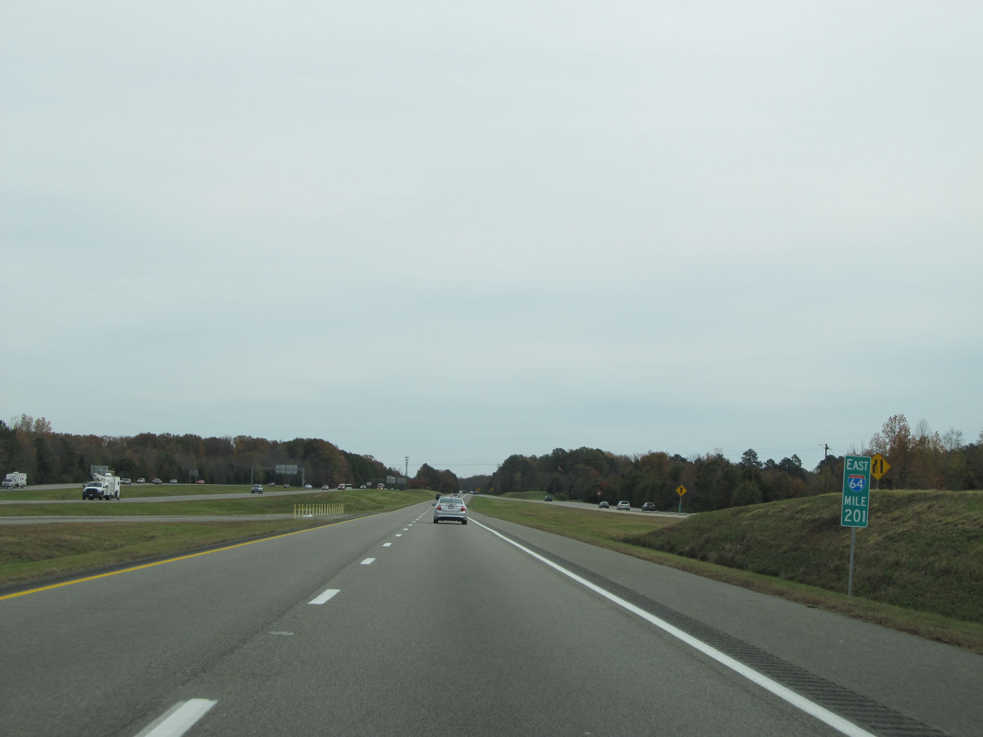 |
Interstate 64 East at mile marker 201. (Photo taken 11/8/15). |
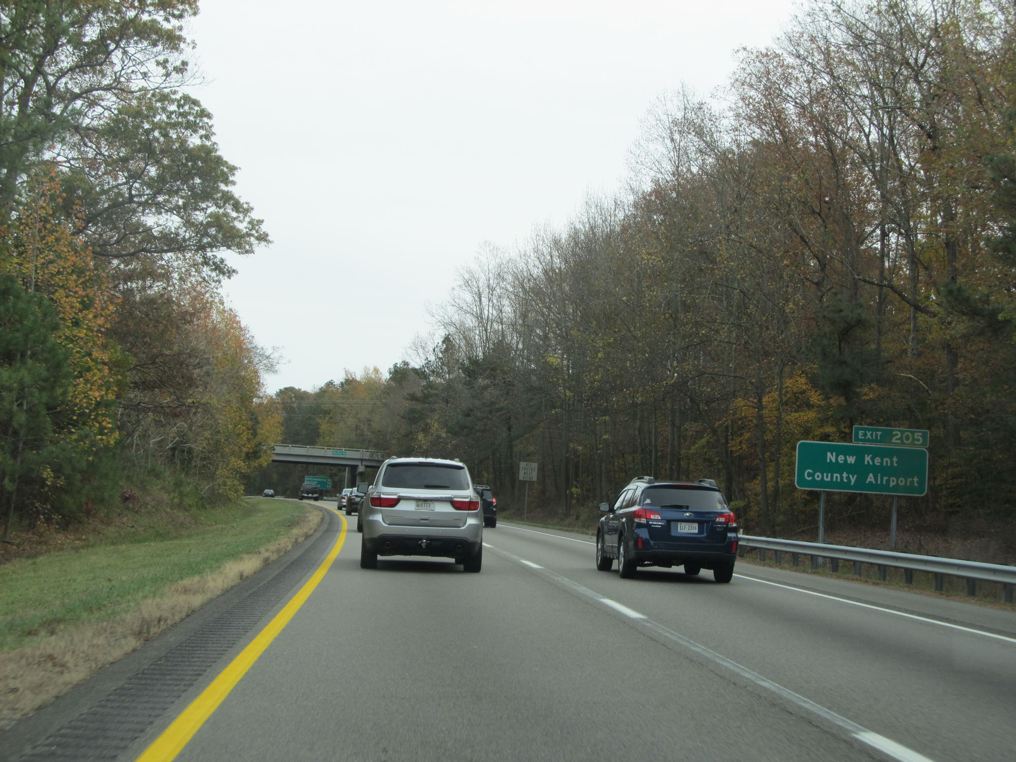 |
Take Exit 205 to New Kent County Airport. (Photo taken 11/8/15). |
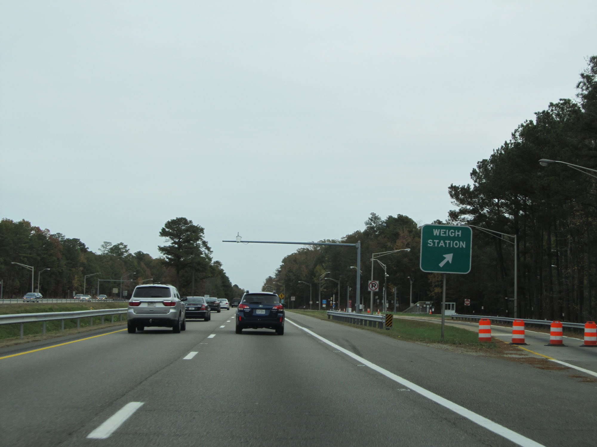 |
Weigh Station on Interstate 64 East on the border of Henrico and New Kent Counties. (Photo taken 11/8/15). |
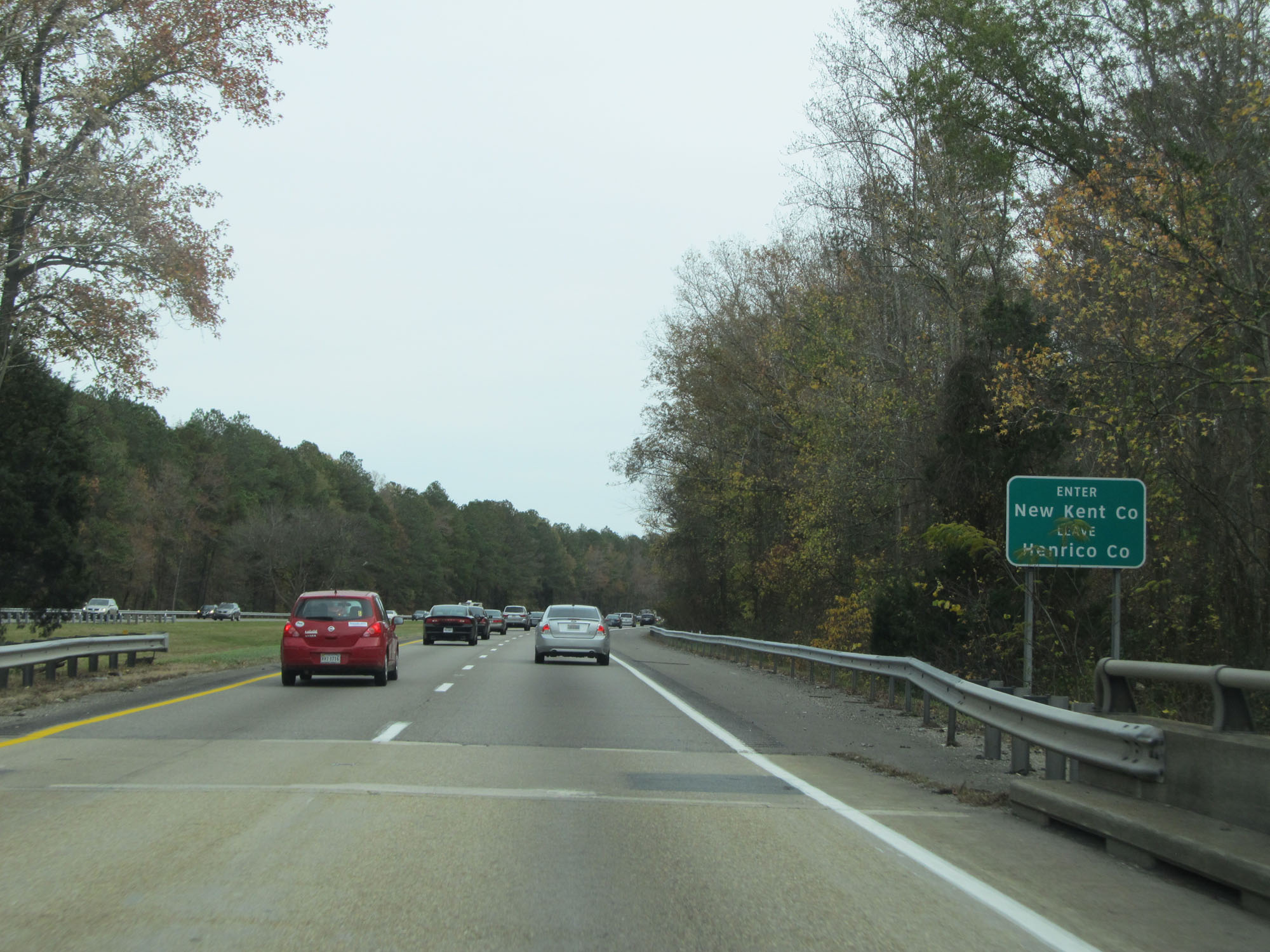 |
Interstate 64 East as it enters New Kent County. (Photo taken 11/8/15). |
 |
Upon entering New Kent County, the speed limit increases to 70 mph for all traffic. This is the standard speed limit on most rural Interstate highways in Virginia. (Photo taken 11/8/15). |
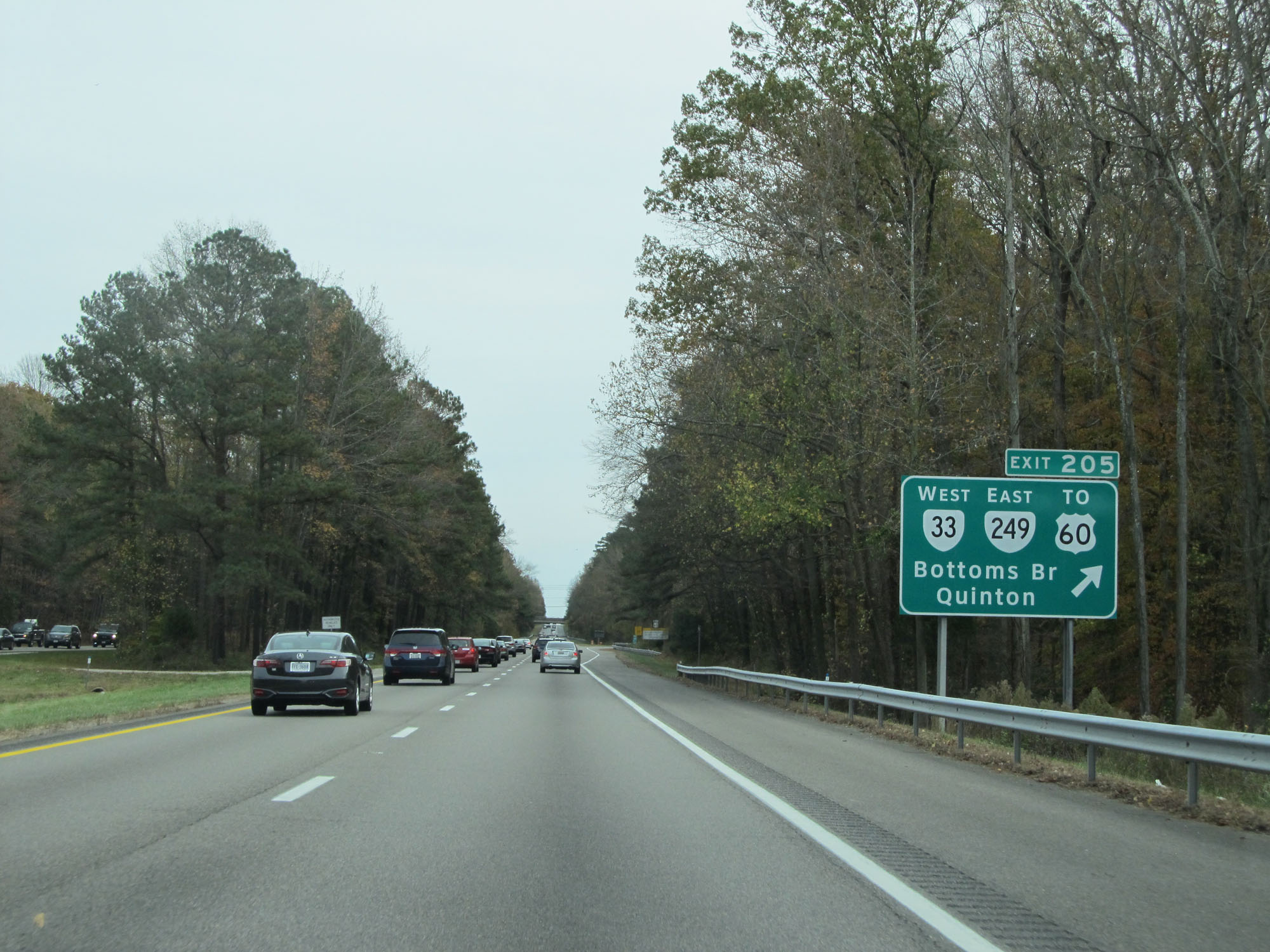 |
Interstate 64 East at Exit 205: VA 33 West / VA 249 East / To US 60 - Bottoms Bridge / Quinton (Photo taken 11/8/15). |
 |
Mileage sign on Interstate 64 East. It's 32 miles to Williamsburg, 41 miles to Newport News, and 66 miles to Norfolk. (Photo taken 11/8/15). |
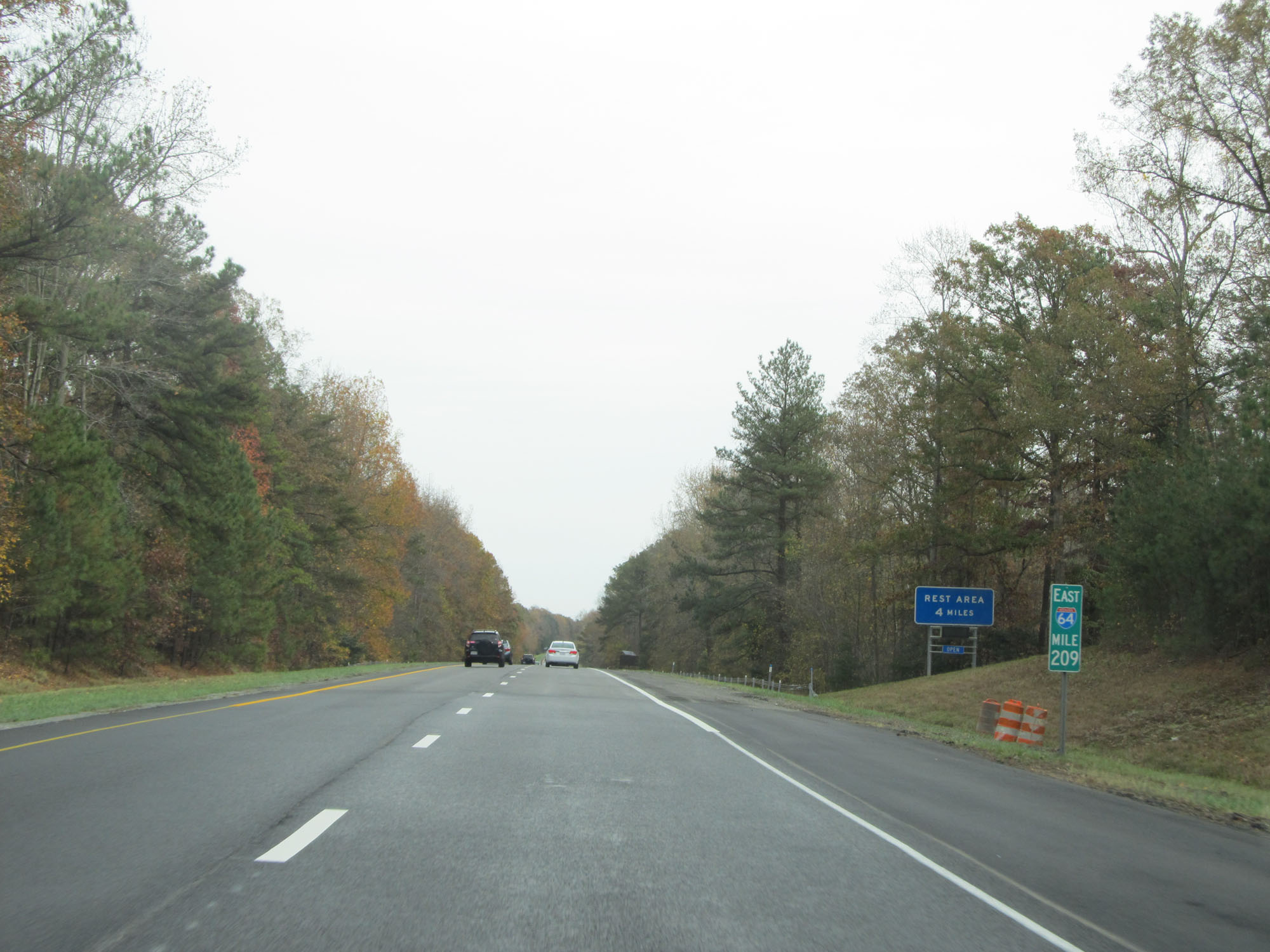 |
Interstate 64 East at mile marker 209. (Photo taken 11/8/15). |
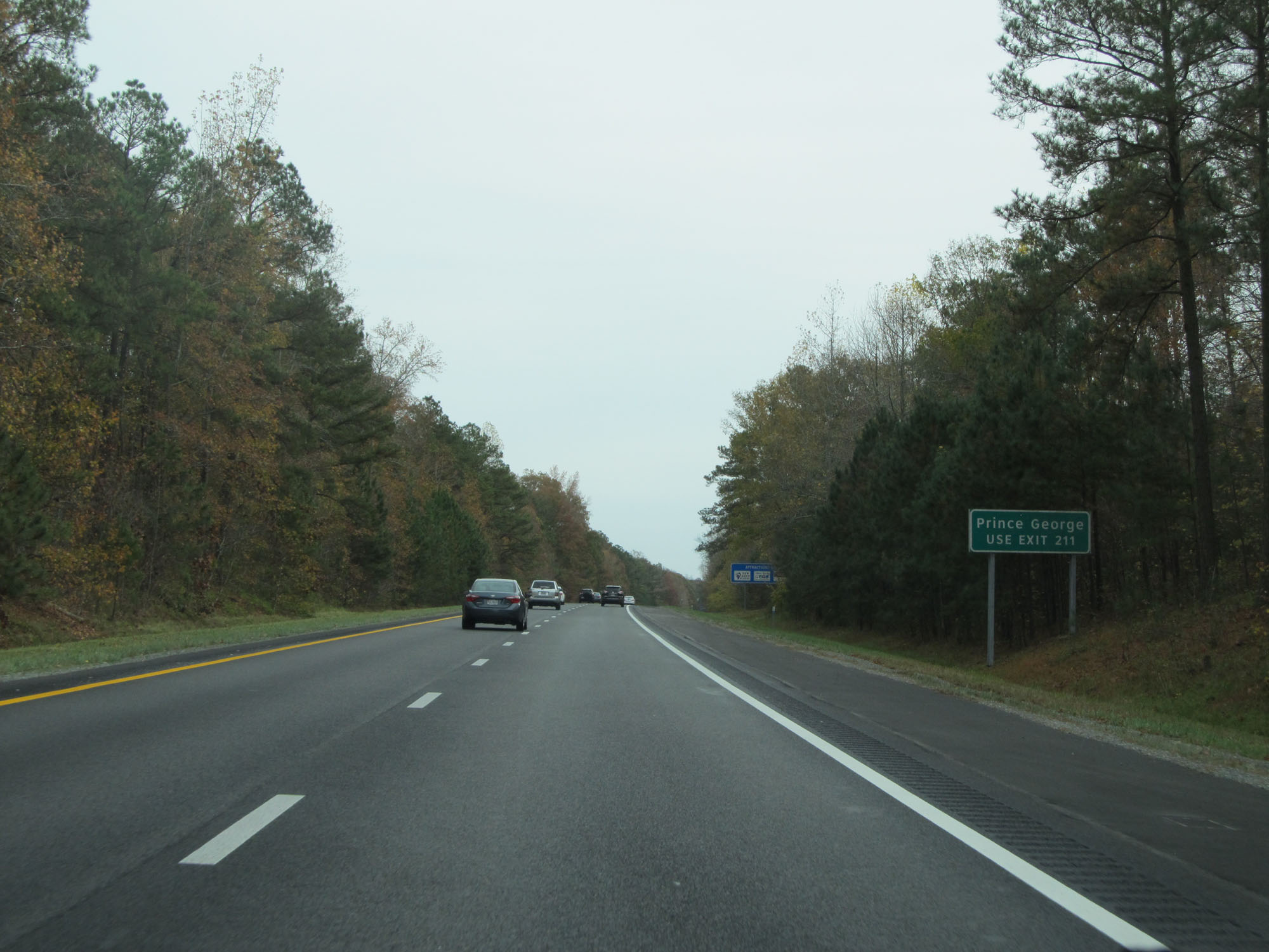 |
Take Exit 211 to Prince George. (Photo taken 11/8/15). |
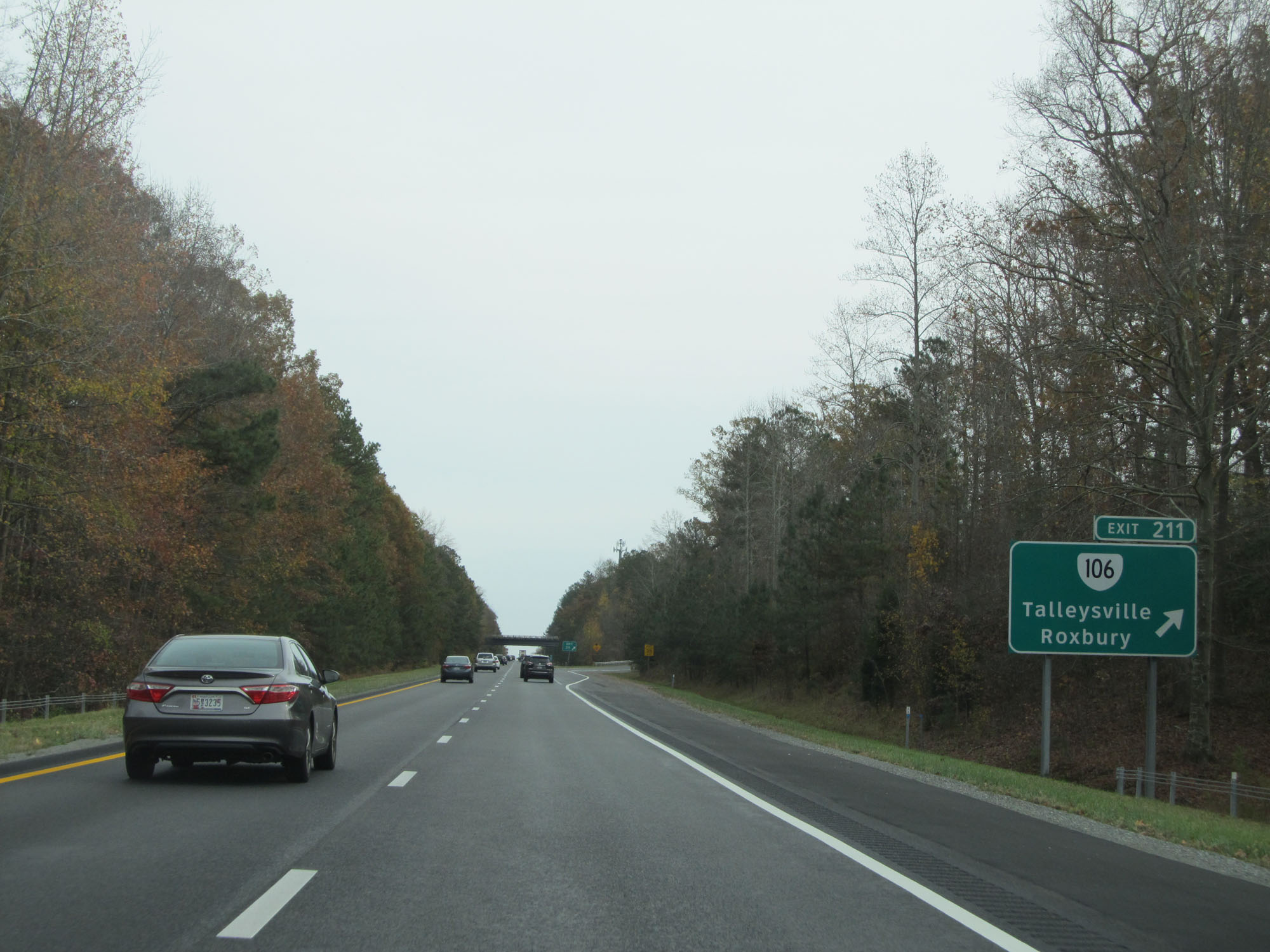 |
Interstate 64 East at Exit 211: VA 106 - Talleysville / Roxbury (Photo taken 11/8/15). |
 |
Interstate 64 East reassurance shield. (Photo taken 11/8/15). |
 |
Take Exit 214 to Charles City Courthouse via VA 155 South. (Photo taken 11/8/15). |
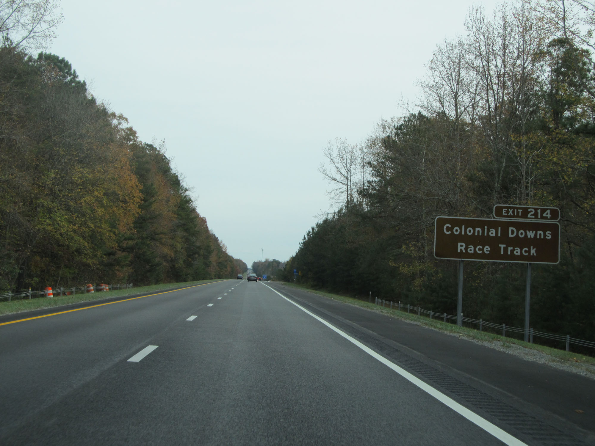 |
Also take Exit 214 to Colonial Downs Race Track. (Photo taken 11/8/15). |
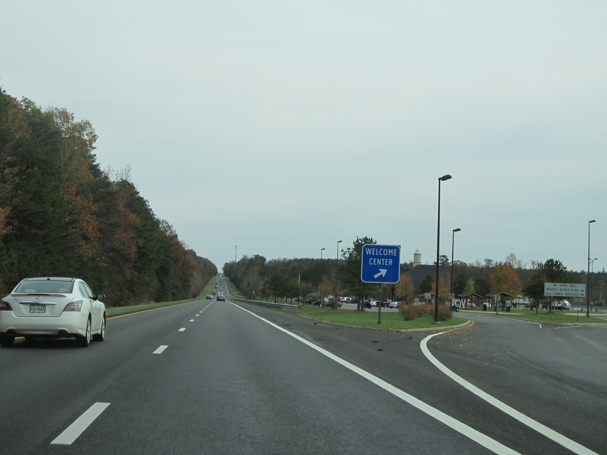 |
Interstate 64 East at the Virginia Welcome Center / Rest Area located in New Kent County. (Photo taken 11/8/15). |
 |
Interstate 64 East at Exit 214: VA 155 - New Kent Courthouse / Providence Forge (Photo taken 11/8/15). |
 |
Interstate 64 East at mile marker 216. (Photo taken 11/8/15). |
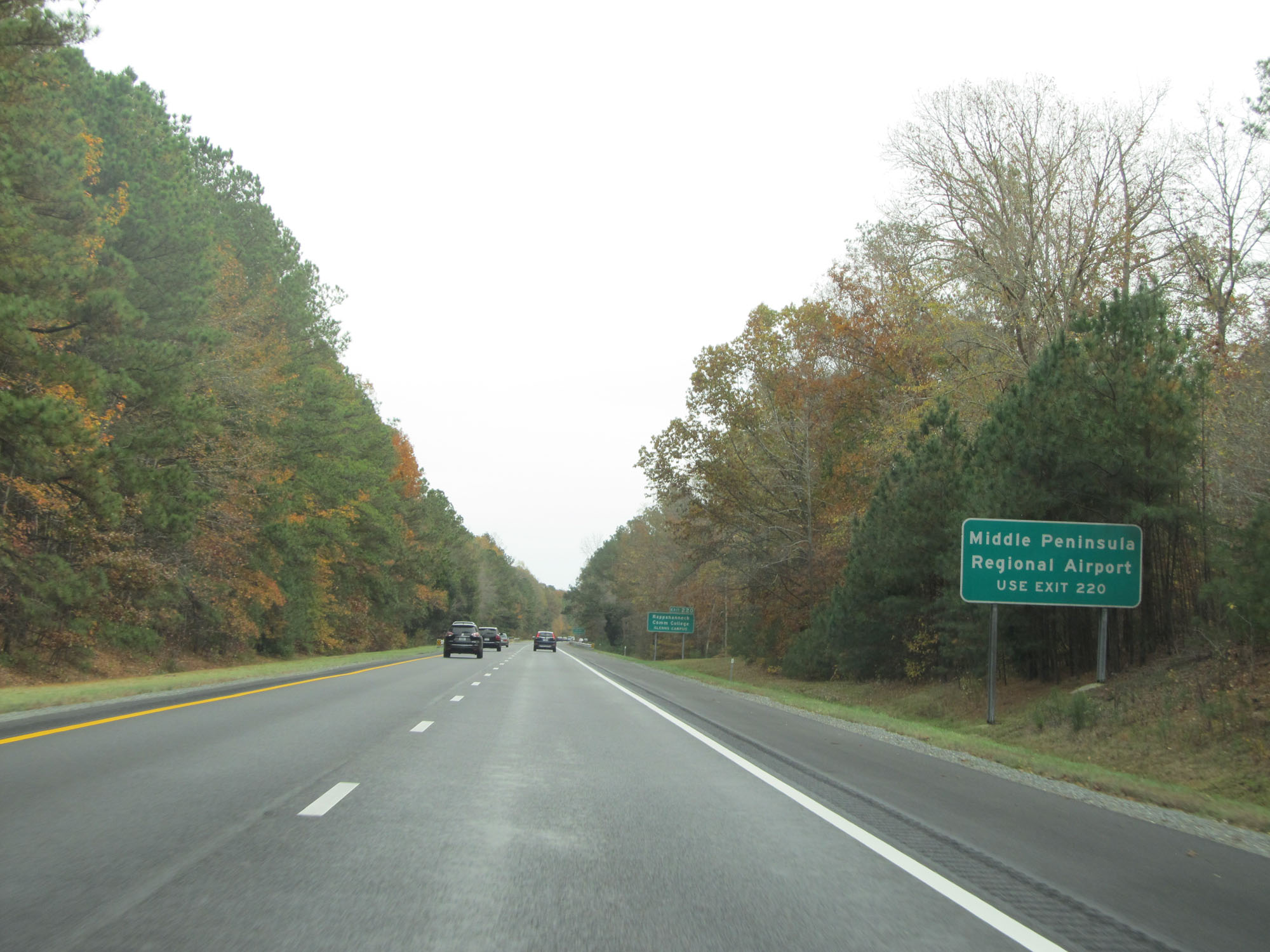 |
Take Exit 220 to Middle Peninsula Regional Airport. (Photo taken 11/8/15). |
 |
Also take Exit 220 to Rappahannock Community College Glenns Campus. (Photo taken 11/8/15). |
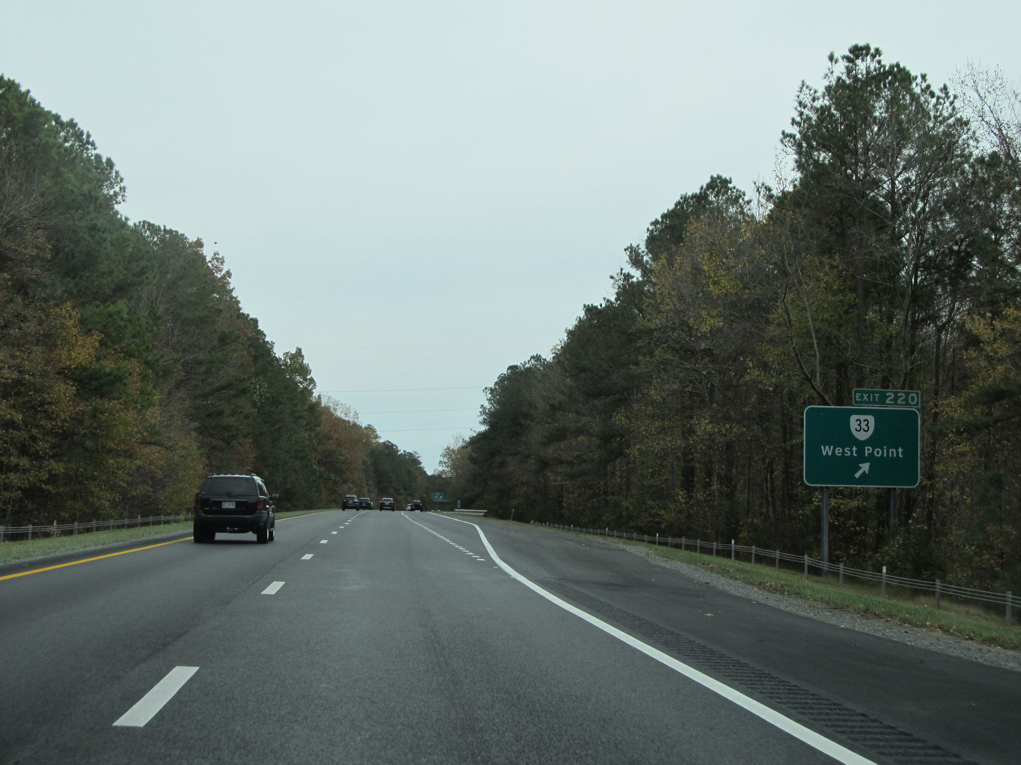 |
Interstate 64 East at Exit 220: VA 33 - West Point (Photo taken 11/8/15). |
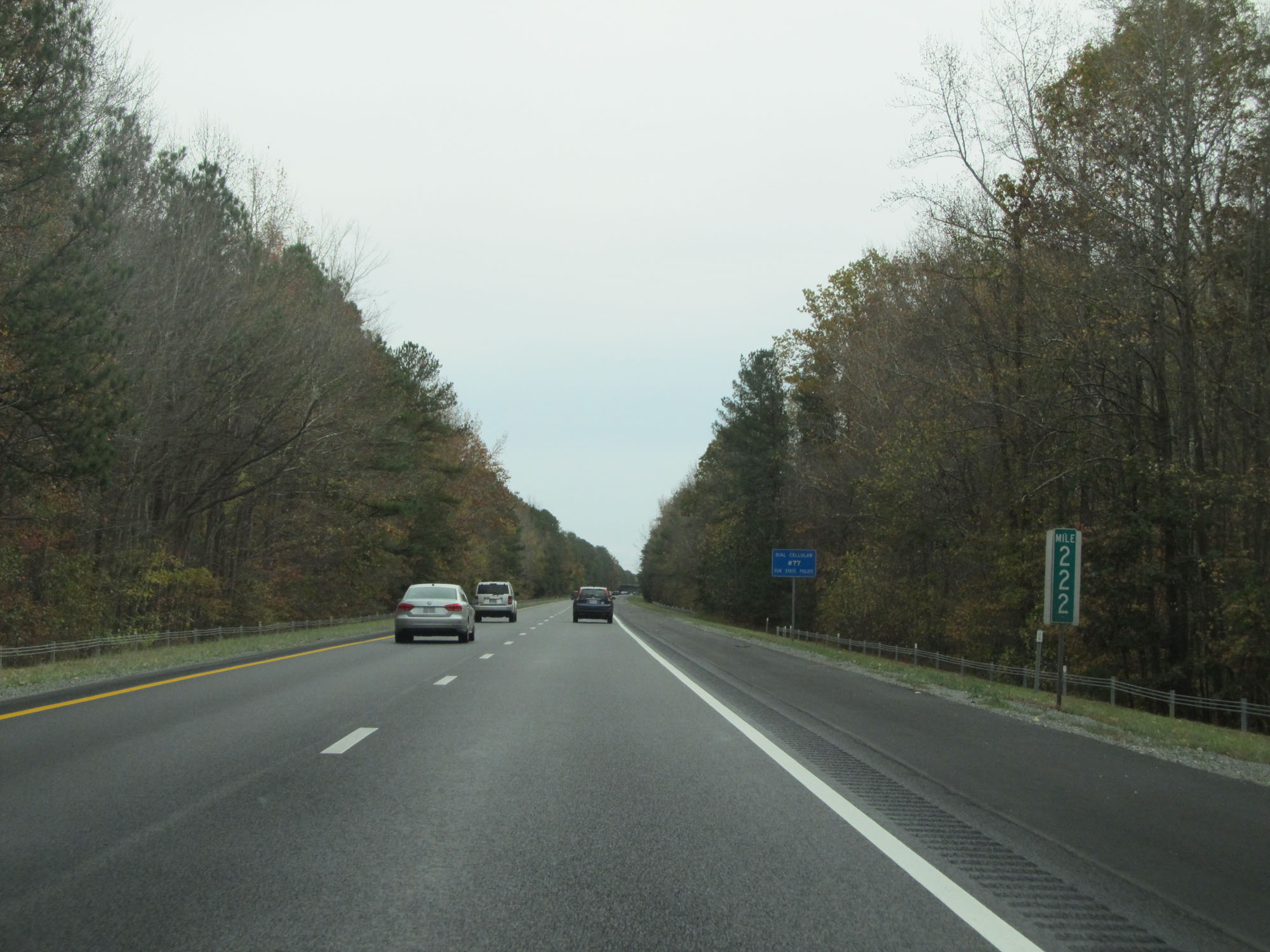 |
Interstate 64 East at mile marker 222. (Photo taken 11/8/15). |
 |
Interstate 64 East entering James City County. (Photo taken 11/8/15). |
 |
Interstate 64 East at mile marker 225. (Photo taken 11/8/15). |
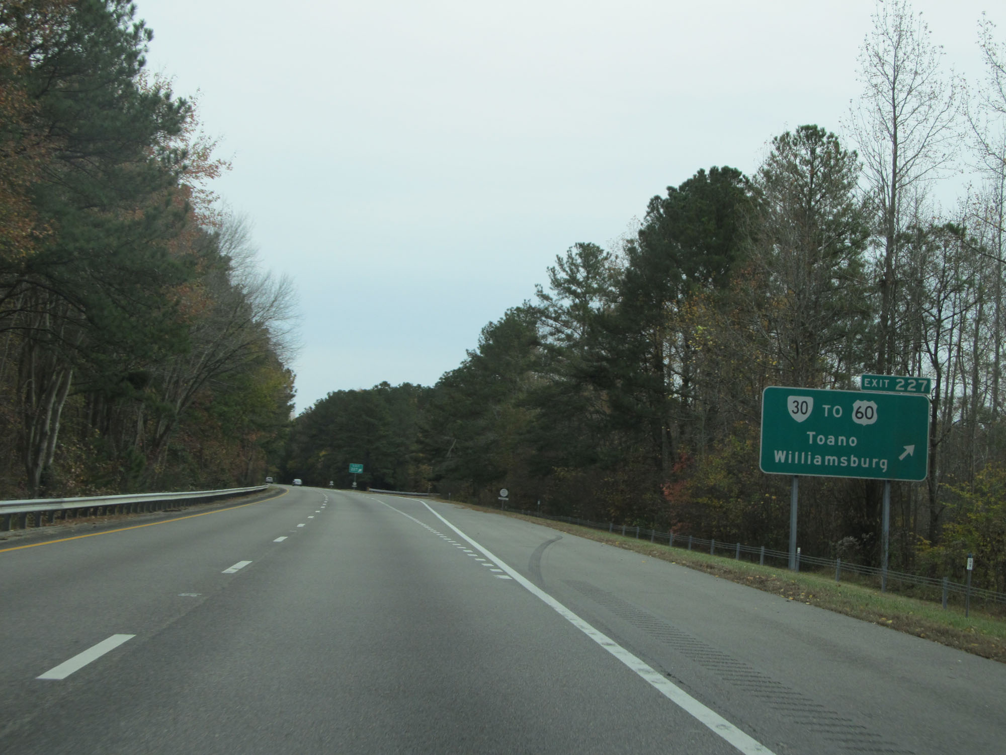 |
Interstate 64 East at Exit 227: VA 30 / To US 60 - Toano / Williamsburg (Photo taken 11/8/15). |
 |
Interstate 64 East at an odd looking mile marker 229. (Photo taken 11/8/15). |
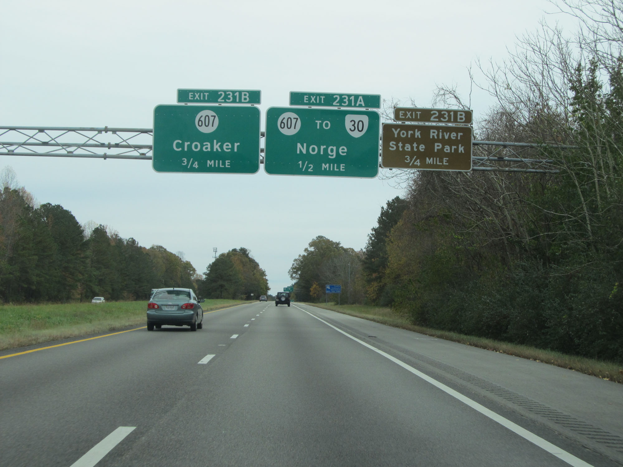 |
Take Exit 231B to York River State Park. (Photo taken 11/8/15). |
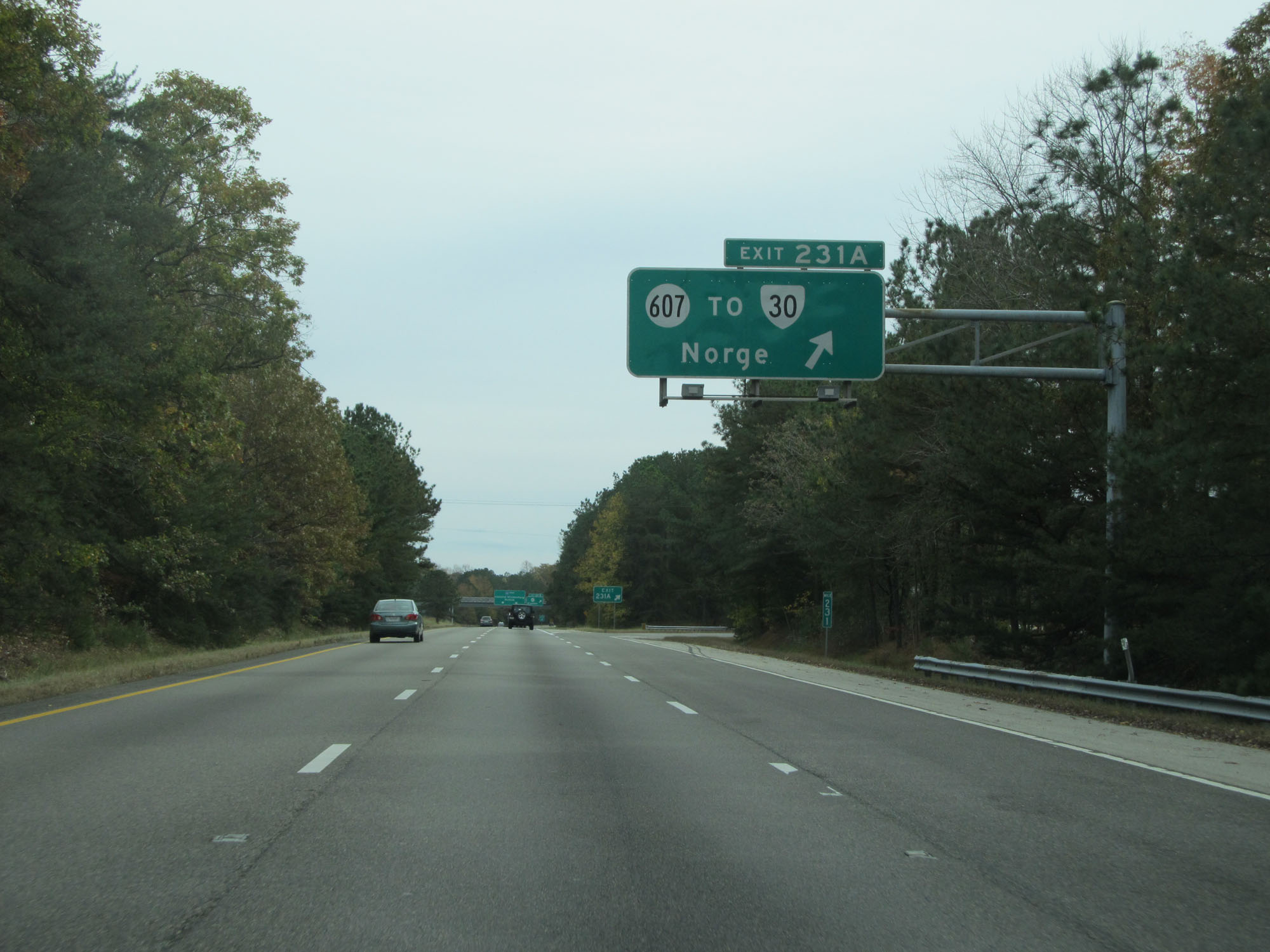 |
Interstate 64 East at Exit 231A: SR 607 / To VA 30 - Norge (Photo taken 11/8/15). |
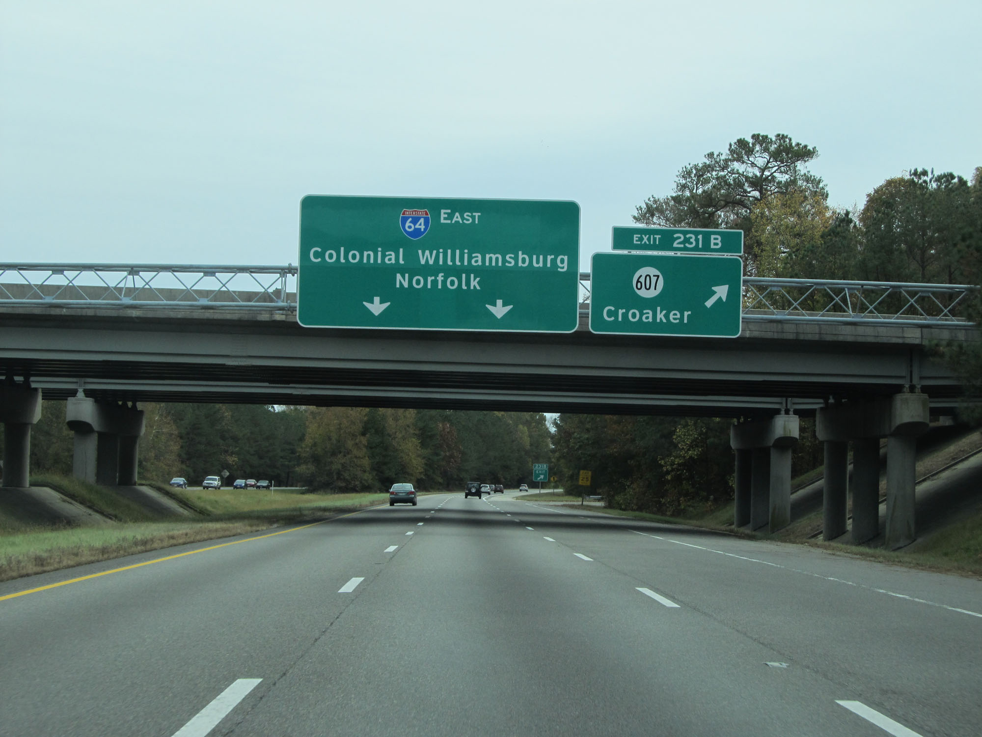 |
Interstate 64 East at Exit 231B: VA 607 - Croaker (Photo taken 11/8/15). |
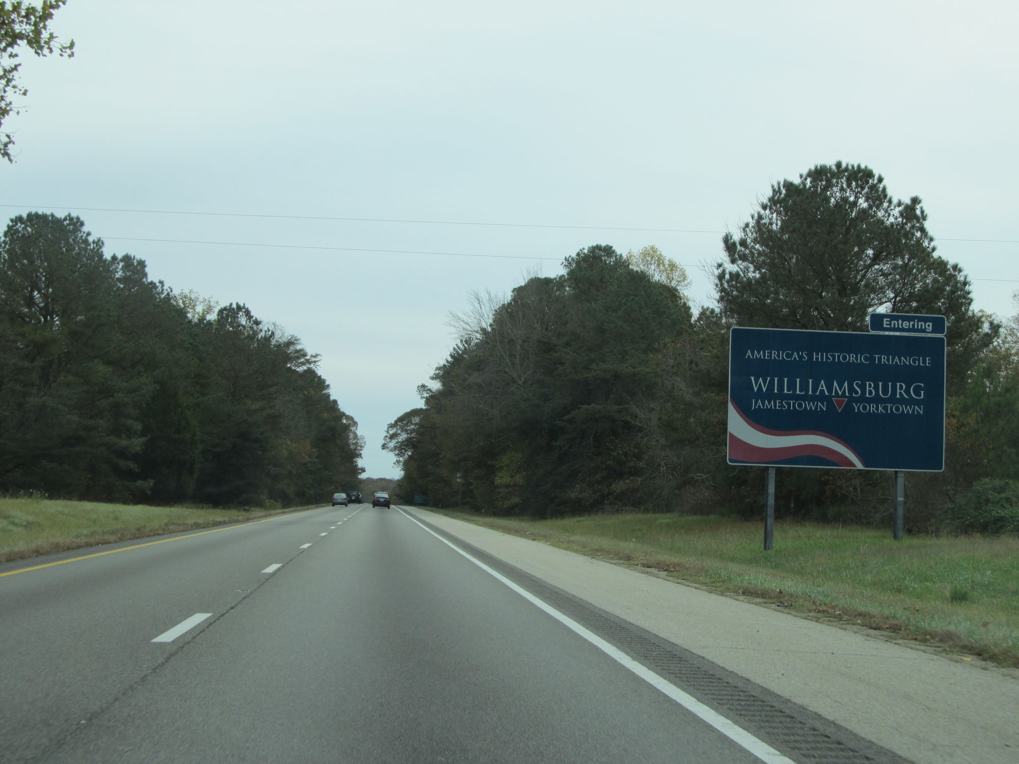 |
This sign states that Interstate 64 East is now entering Williamsburg. (Photo taken 11/8/15). |
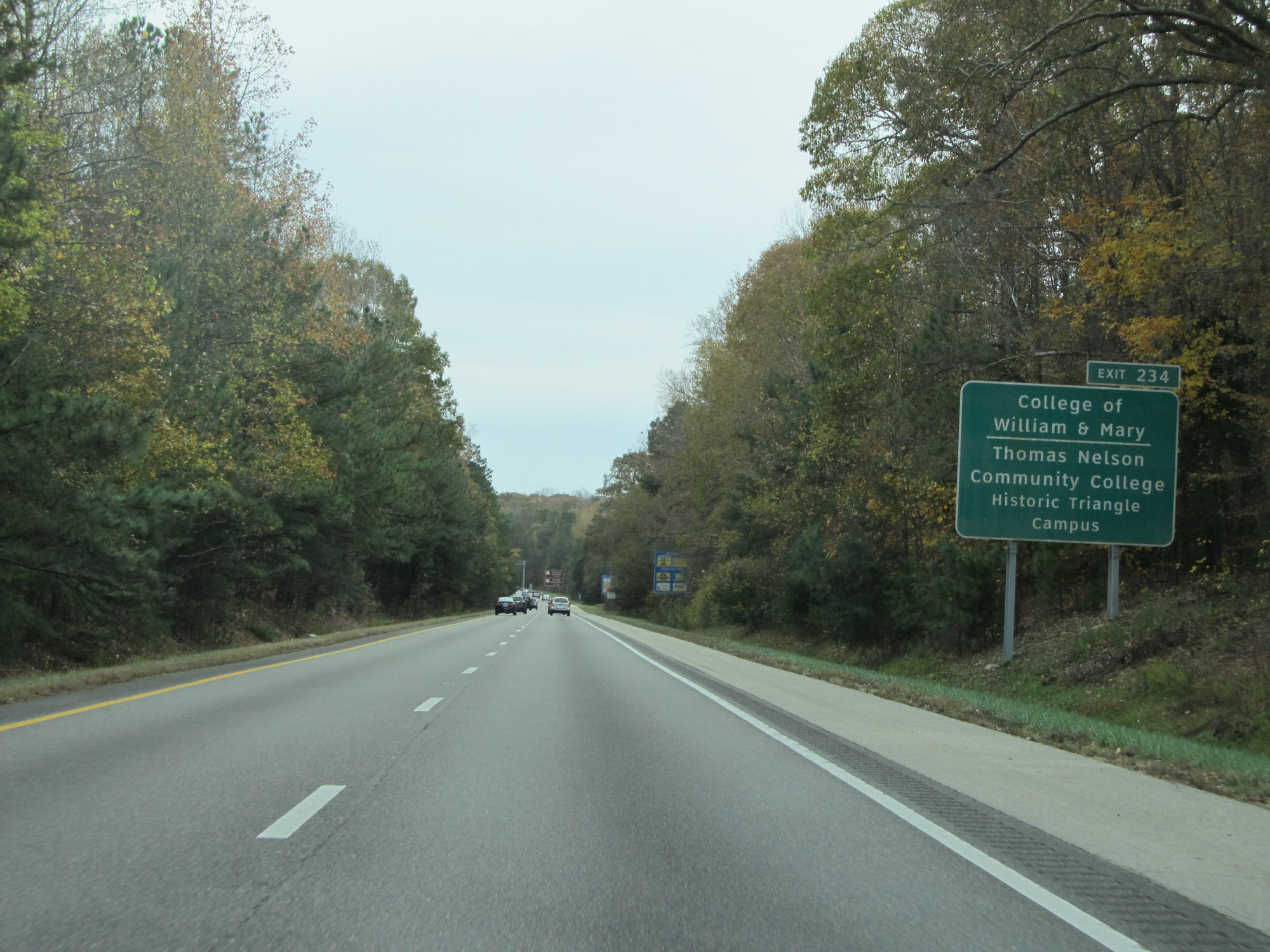 |
Take Exit 234 to College of William & Mary and Thomas Nelson Community College Historic Triangle Campus. (Photo taken 11/8/15). |
 |
Take Exit 234 to Jamestown Settlement. (Photo taken 11/8/15). |
 |
Interstate 64 East entering York County. (Photo taken 11/8/15). |
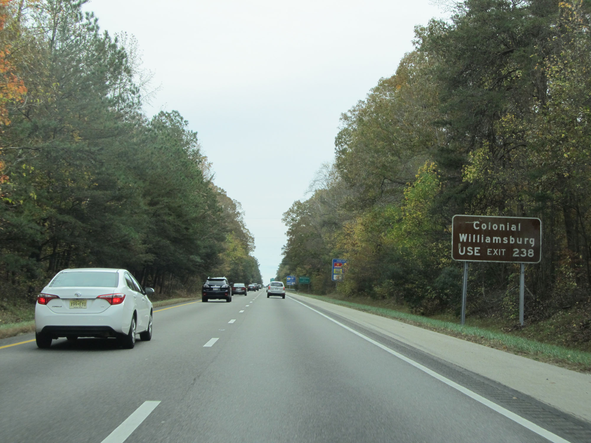 |
Take Exit 238 to Colonial Williamsburg. (Photo taken 11/8/15). |
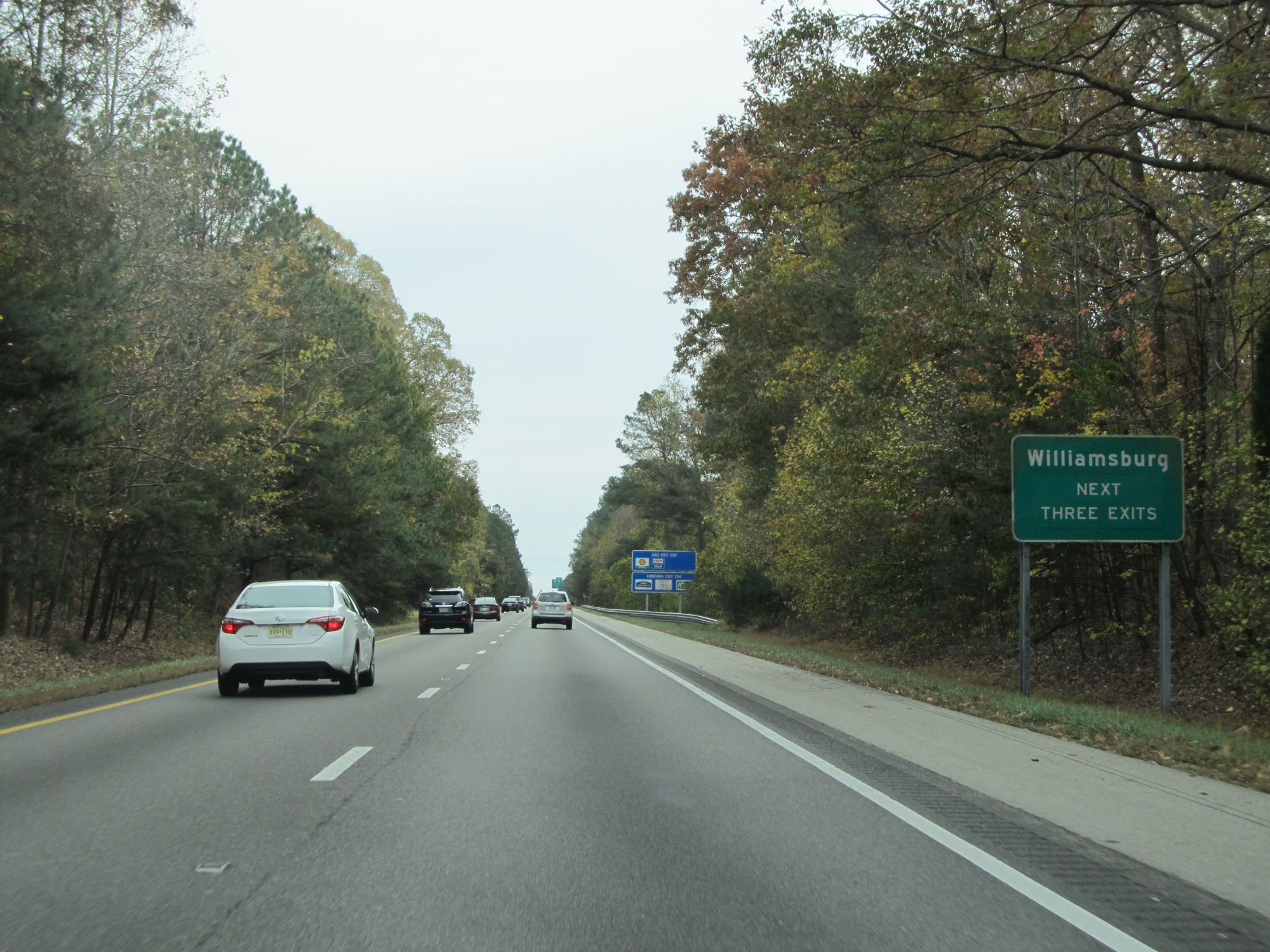 |
Take any of the next 3 exits to Williamsburg. (Photo taken 11/8/15). |
 |
Also take Exit 234 to Go Karts Plus. (Photo taken 11/8/15). |
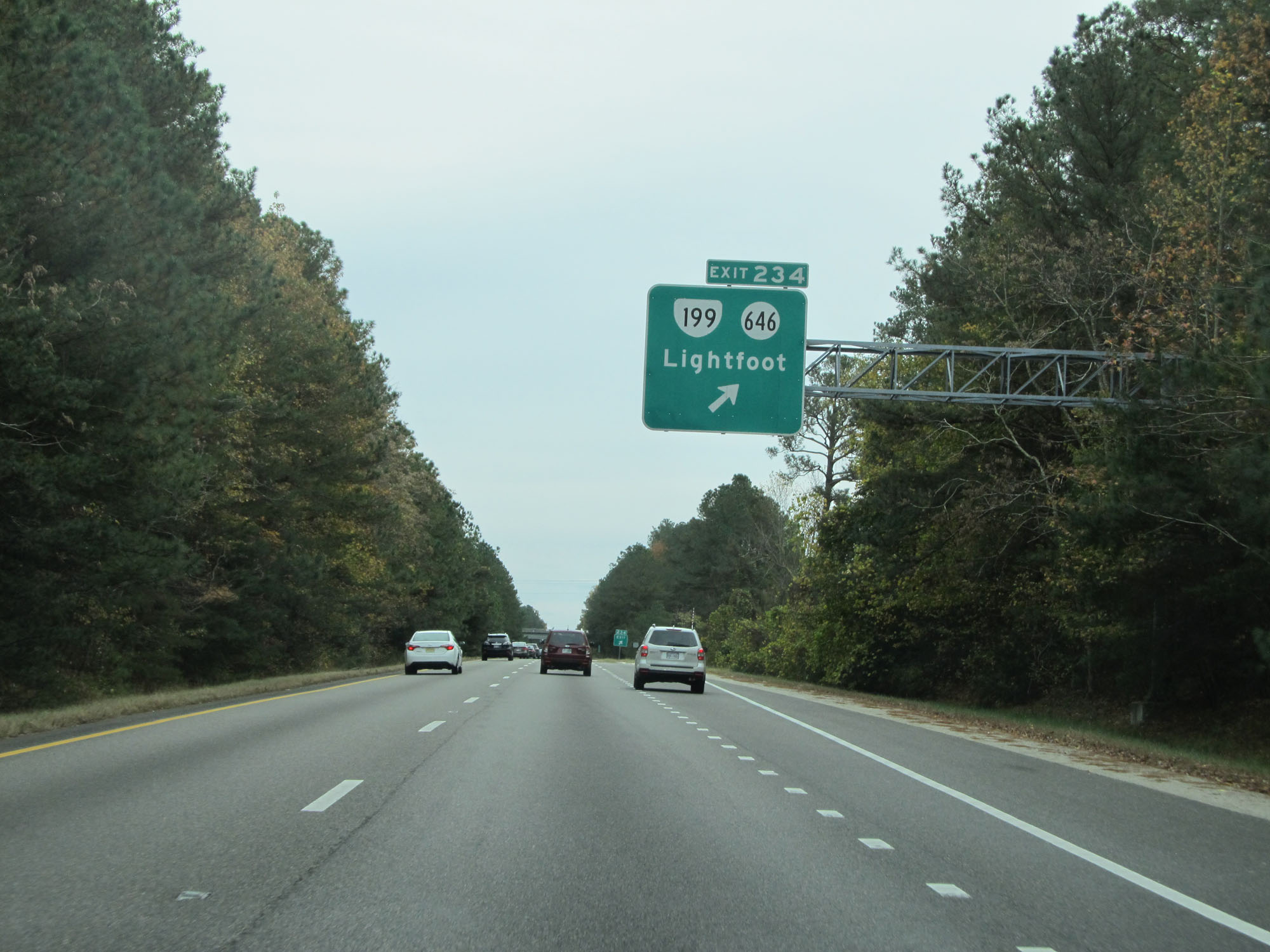 |
Interstate 64 East at Exit 234: VA 199 / SR 646 - Lightfoot (Photo taken 11/8/15). |
Section 6: Williamsburg (Exit 234) to Hampton (Exit 264)
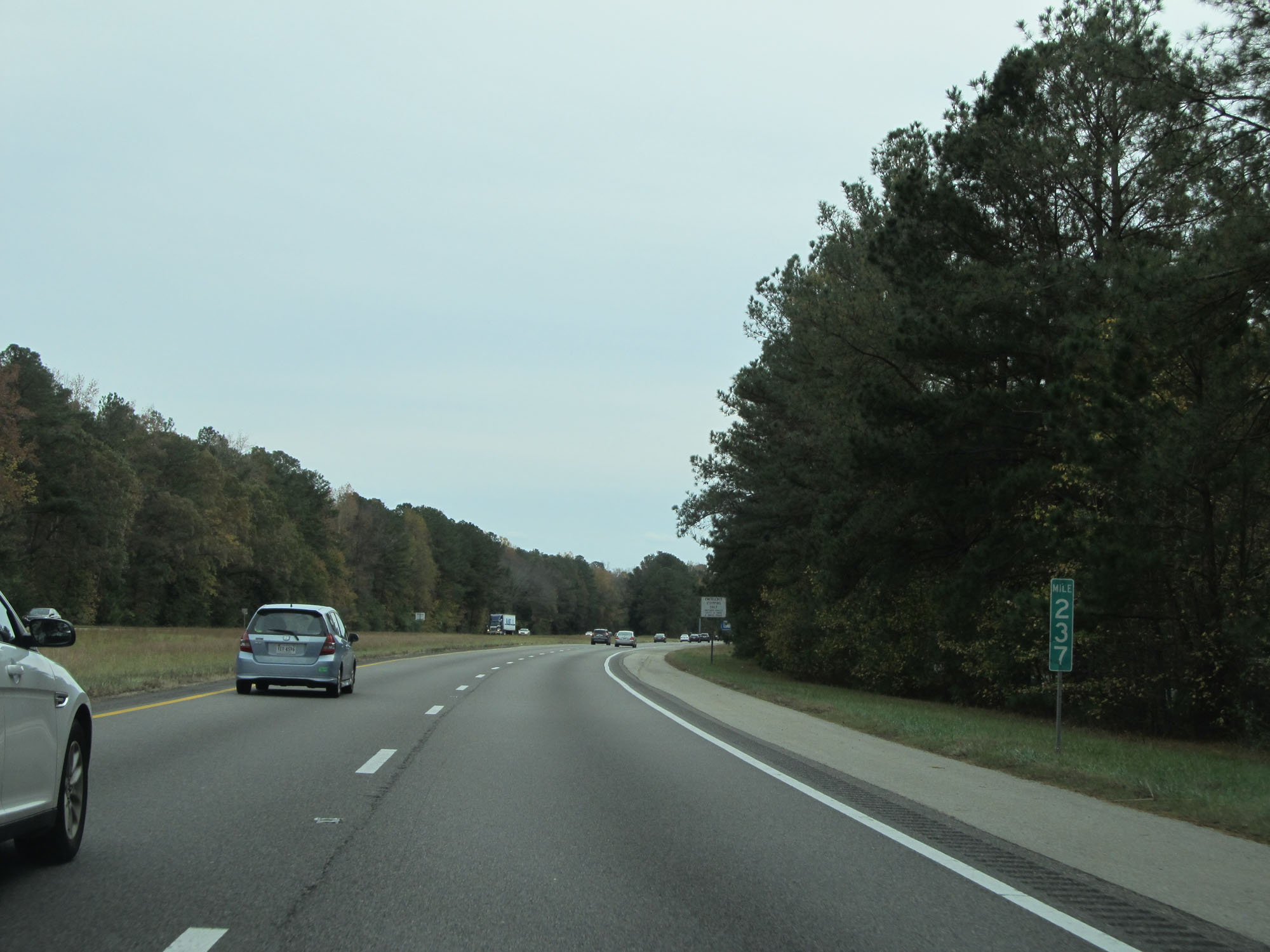 |
Interstate 64 East at mile marker 237. (Photo taken 11/8/15). |
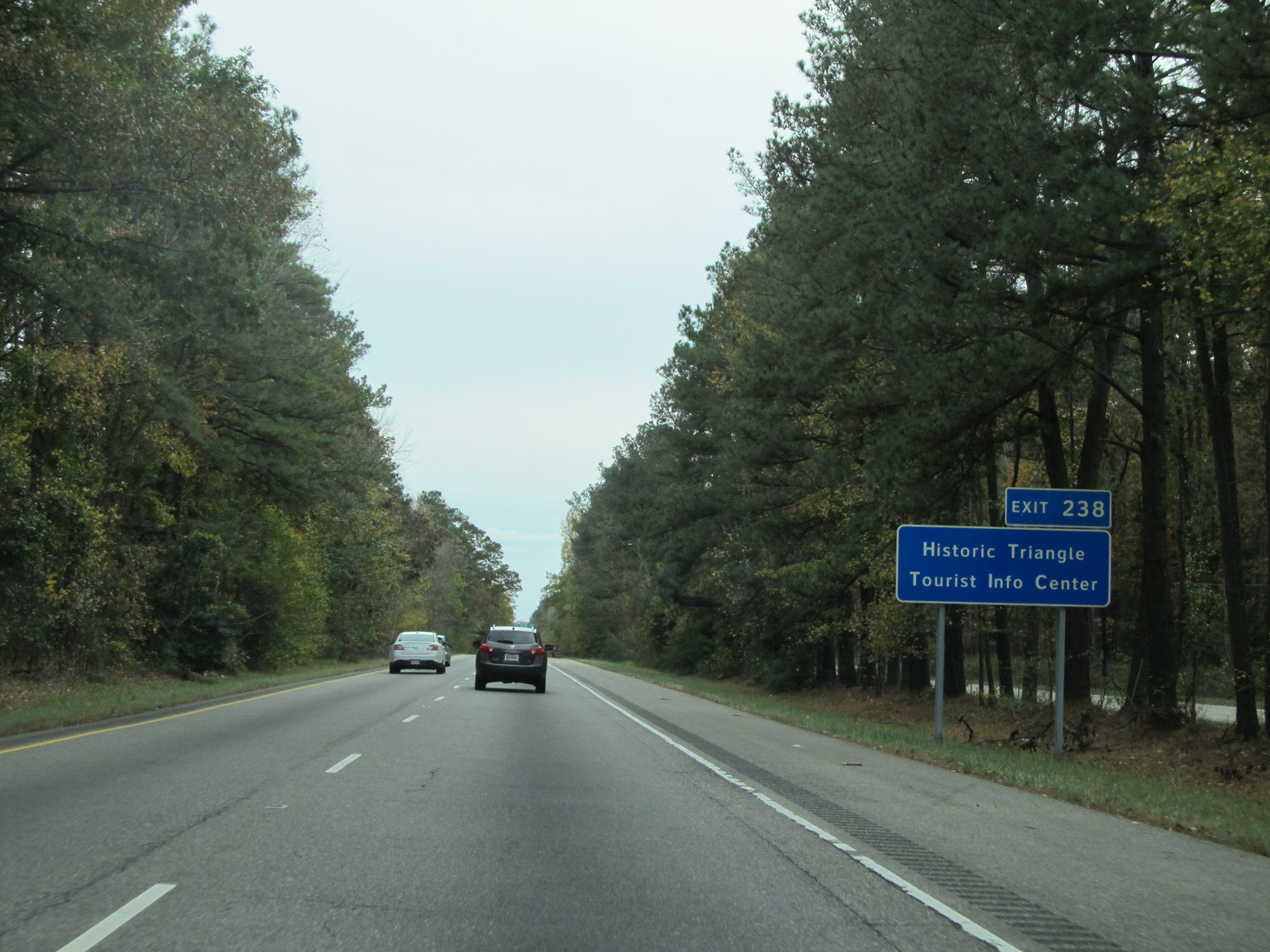 |
Take Exit 238 to the Historic Triangle Tourist Info Center. (Photo taken 11/8/15). |
 |
Also take Exit 238 to Colonial Parkway and Jamestown / Yorktown via the Colonia Parkway. (Photo taken 11/8/15). |
 |
Interstate 64 East at Exit 238: VA 143 / To US 60 - Camp Peary / Colonial Williamsburg (Photo taken 11/8/15). |
 |
Interstate 64 East at mile marker 239. (Photo taken 11/8/15). |
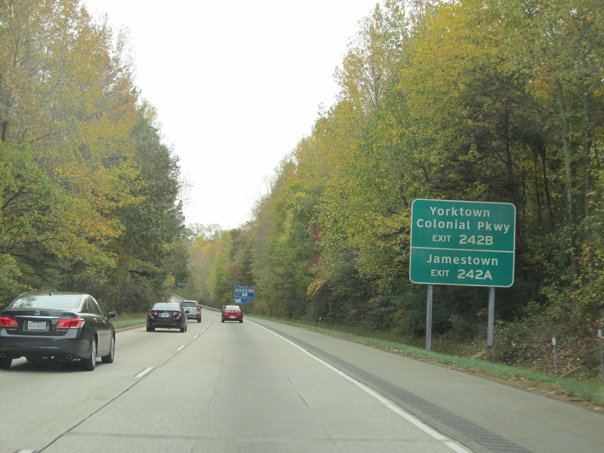 |
Take Exit 242B to Yorktown and Colonial Parkway. Take Exit 242A to Jamestown. (Photo taken 11/8/15). |
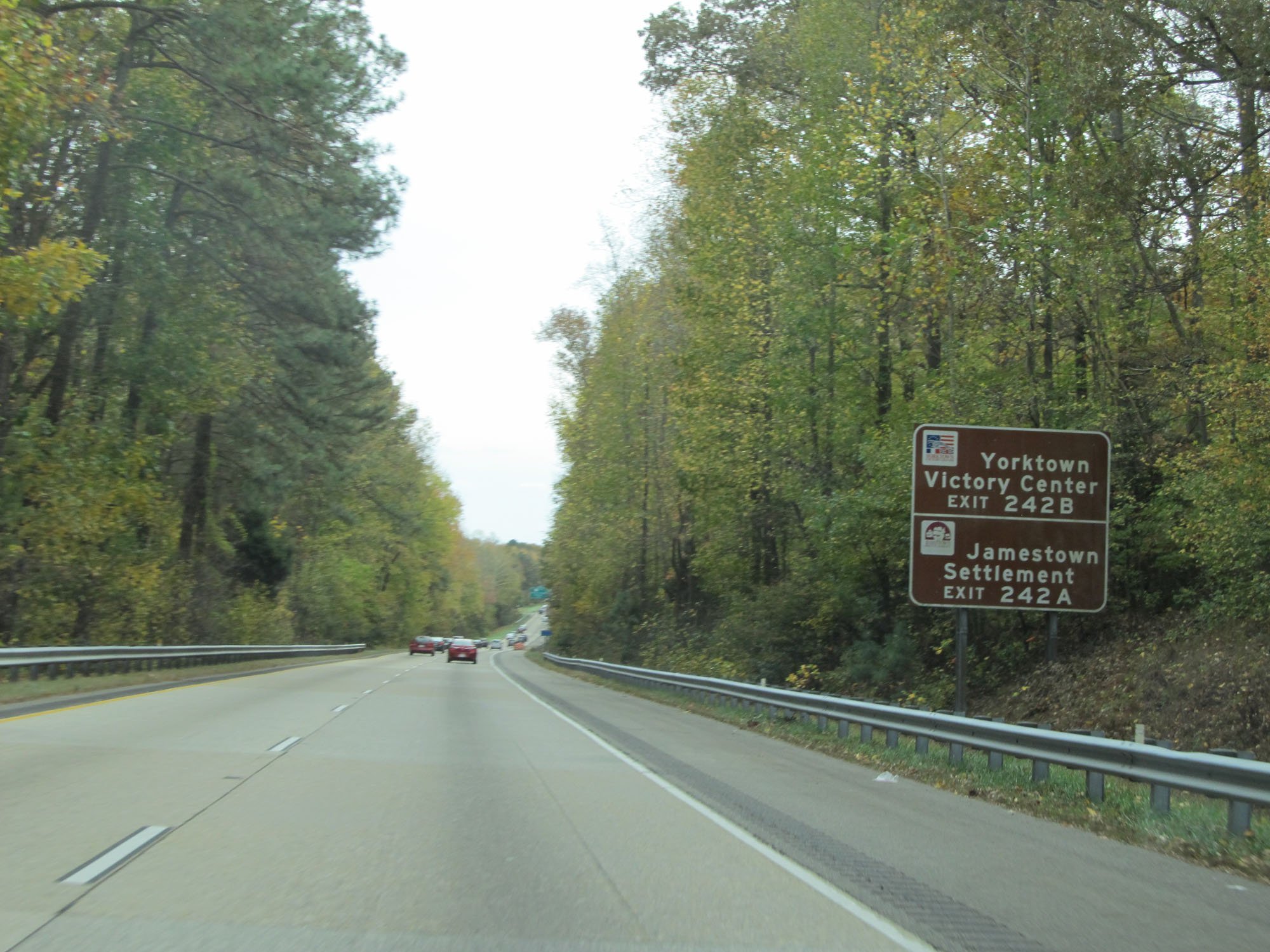 |
Take Exit 242B to Yorktown VictoryCenter. Take Exit 242A to Jamestown Settlement. (Photo taken 11/8/15). |
 |
Take Exit 242B to Cheatham Annex as well. (Photo taken 11/8/15). |
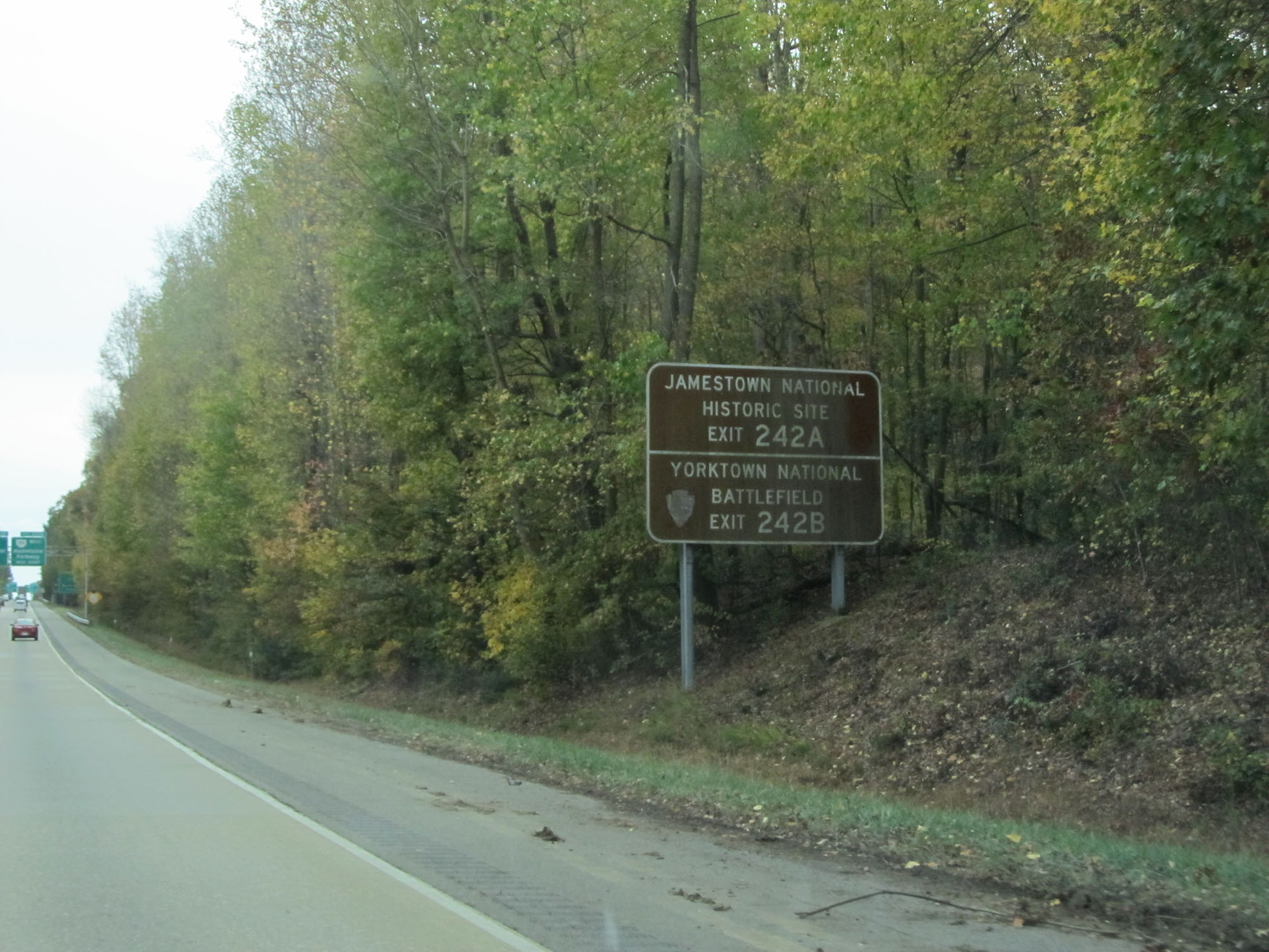 |
Take Exit 242A to Jamestown National Historic Site. Take Exit 242B to Yorktown National Battlefield. (Photo taken 11/8/15). |
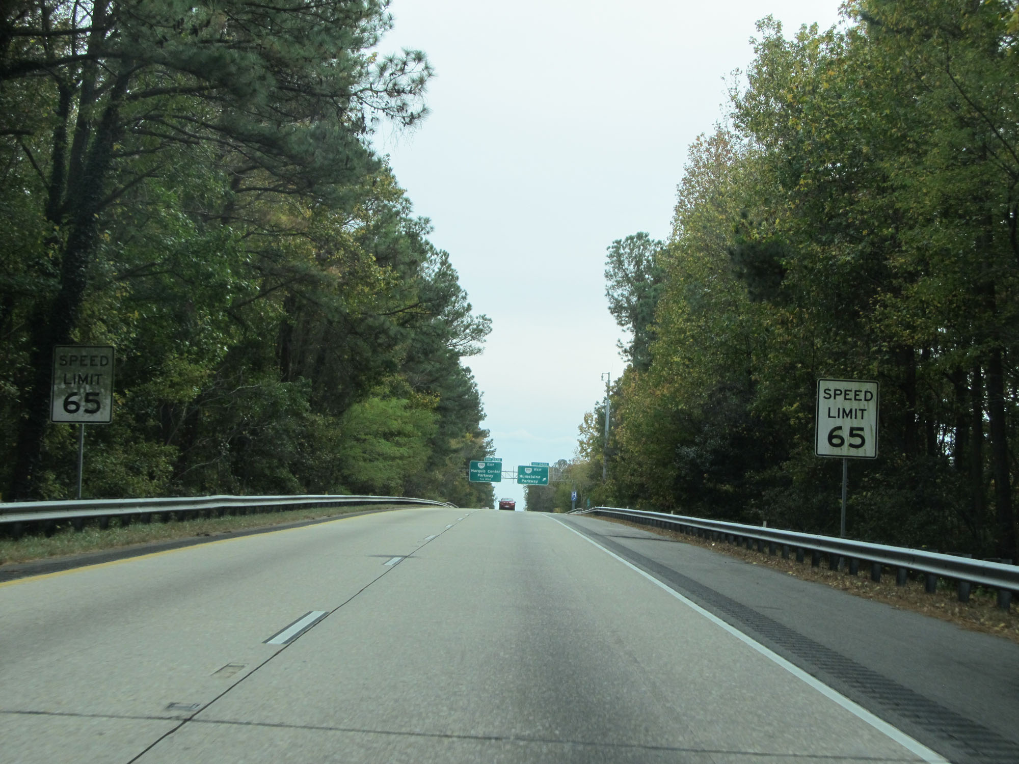 |
The speed limit decreases to 65 mph as Interstate 64 East passes through the Williamsburg area. (Photo taken 11/8/15). |
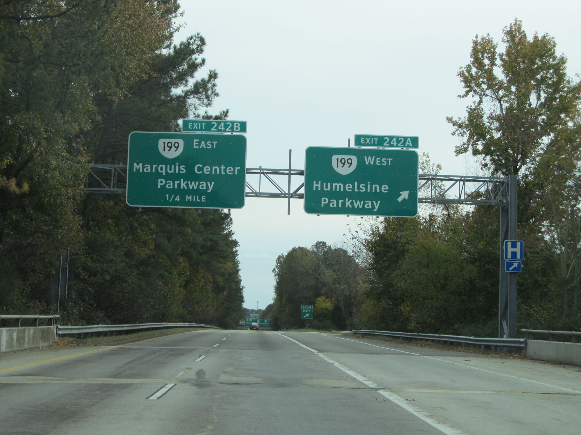 |
Interstate 64 East at Exit 242A: VA 199 West - Humelsine Parkway (Photo taken 11/8/15). |
 |
Interstate 64 East at Exit 242B: VA 199 East - Marquis Center Parkway (Photo taken 11/8/15). |
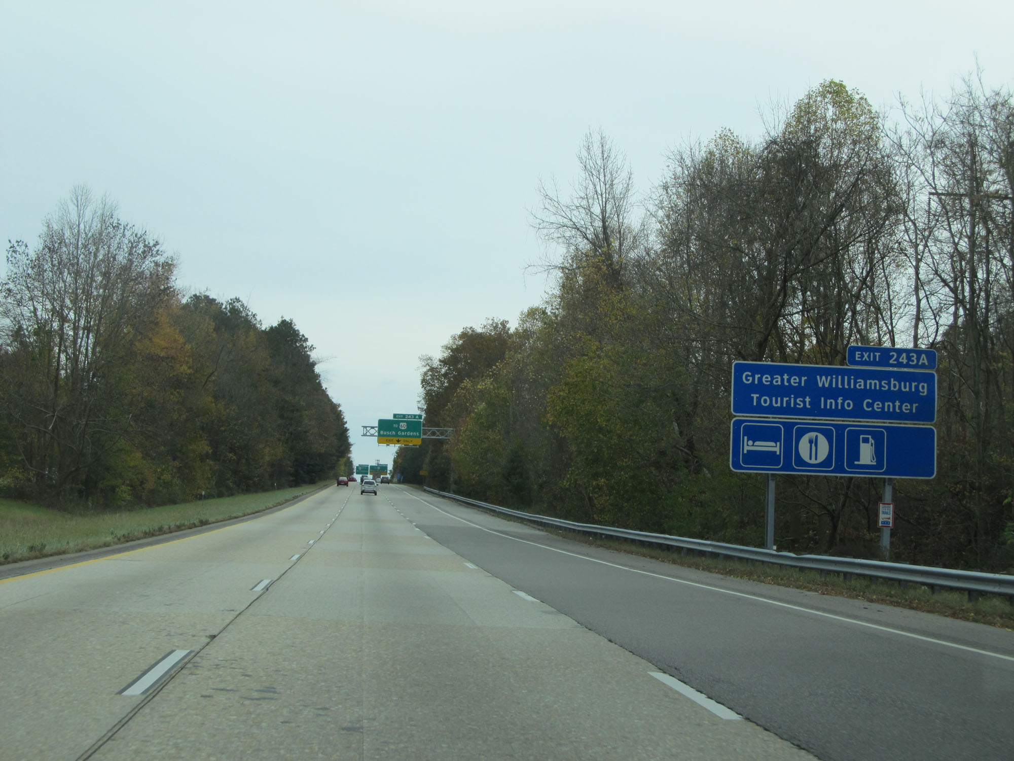 |
Take Exit 243A to Greater Williamsburg Tourist Info Center. (Photo taken 11/8/15). |
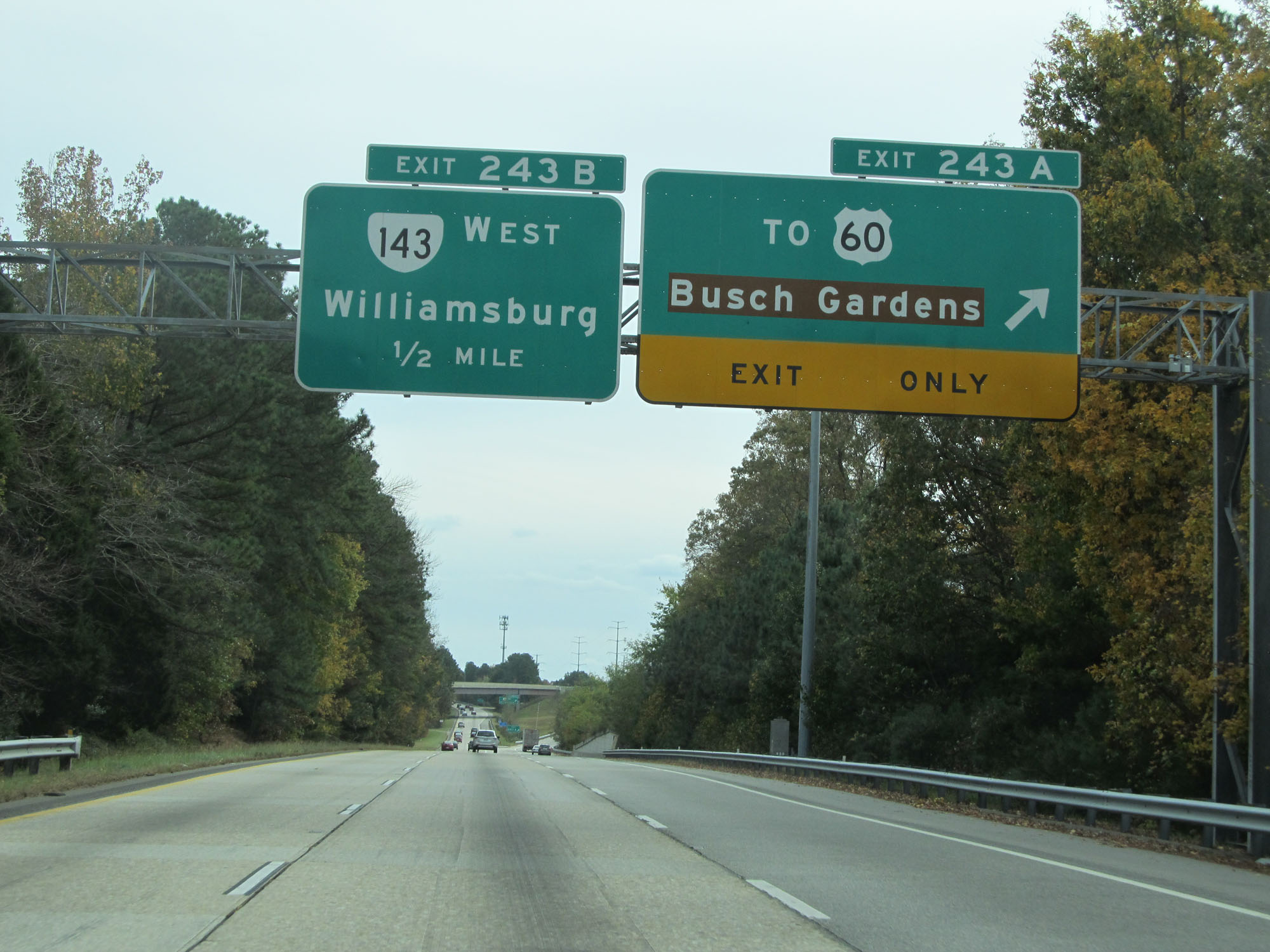 |
Interstate 64 East at Exit 243A: To US 60 - Busch Gardens (Photo taken 11/8/15). |
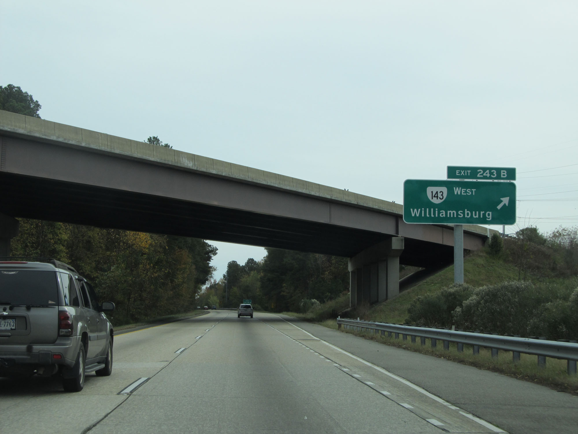 |
Interstate 64 East at Exit 243B: VA 143 West - Williamsburg (Photo taken 11/8/15). |
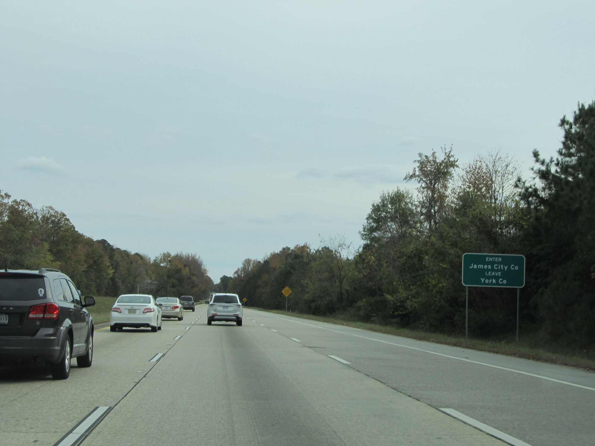 |
Interstate 64 East as it enters James City County for a second time. (Photo taken 11/8/15). |
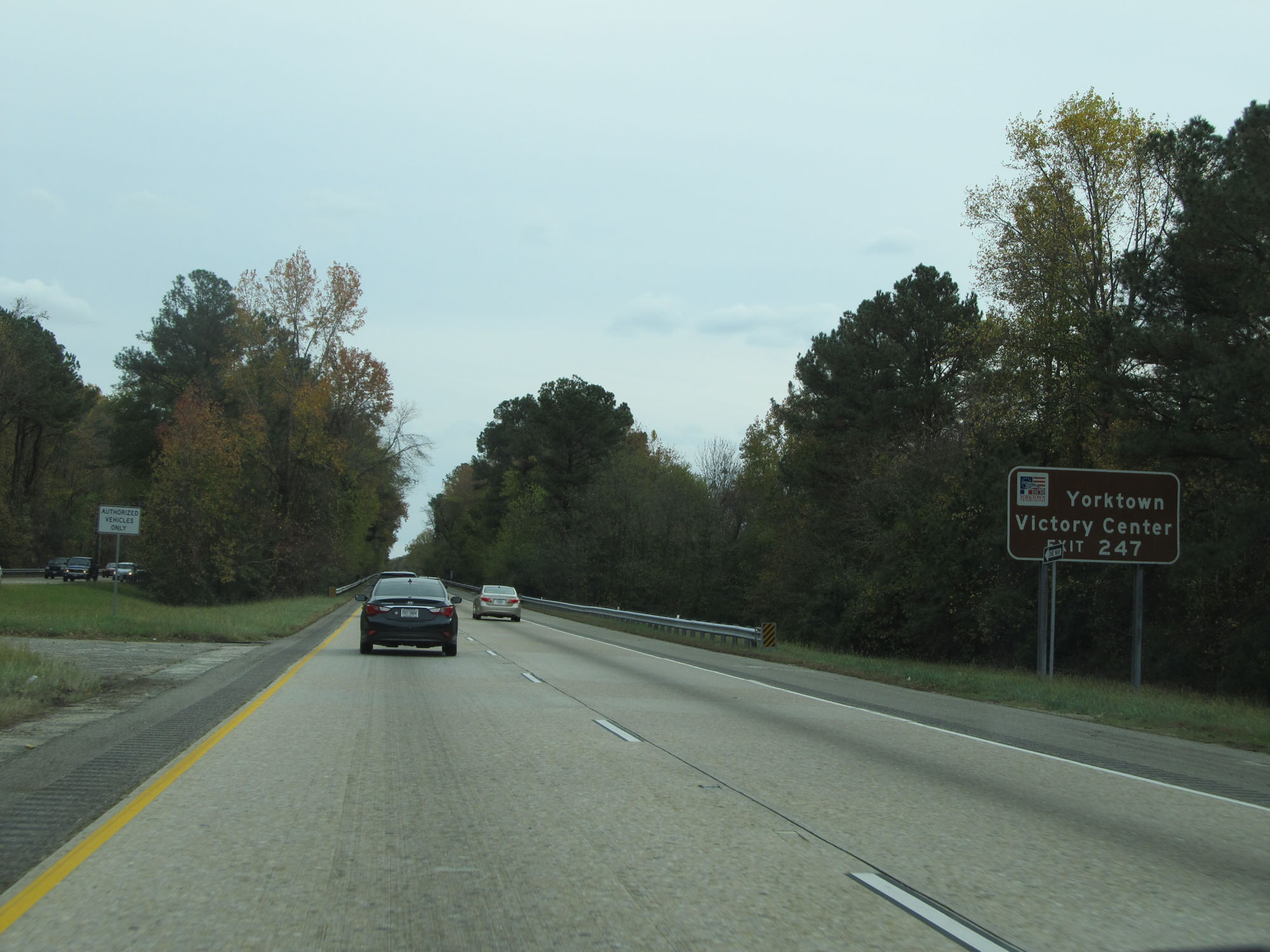 |
Take Exit 247 to Yorktown Victory Center. (Photo taken 11/8/15). |
 |
Also take Exit 247 to Lee Hall Mansion. (Photo taken 11/8/15). |
 |
Take Exit 247 to Yorktown Naval Weapons Station as well. (Photo taken 11/8/15). |
 |
Take any of the next 5 exits to Newport News. (Photo taken 11/8/15). |
 |
Interstate 64 East at Exit 247: VA 143 / To VA 238 - Yorktown / Lee Hall (Photo taken 11/8/15). |
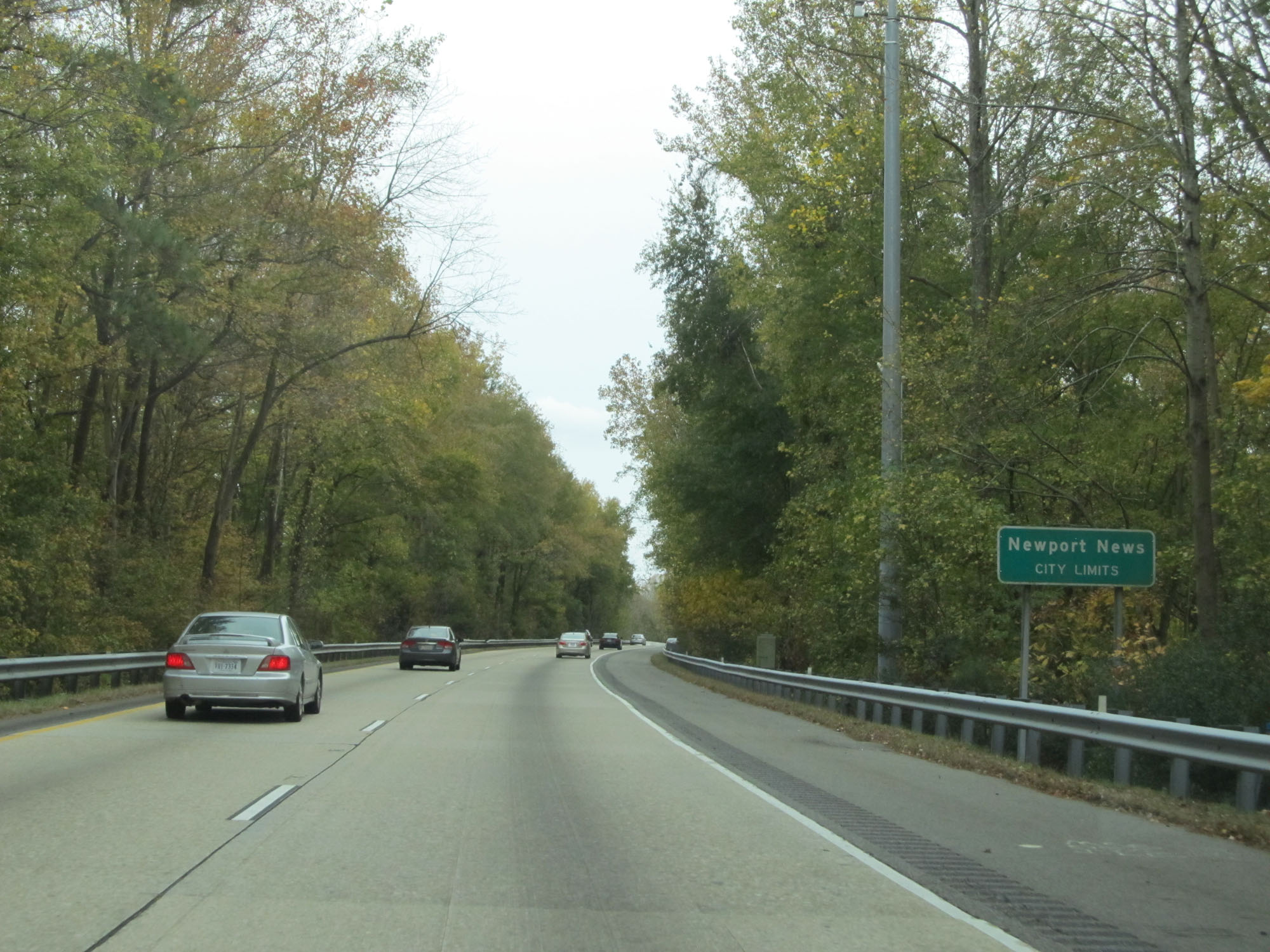 |
Interstate 64 East as it enters the Newport News city limits. (Photo taken 11/8/15). |
 |
Interstate 64 East reassurance shield. (Photo taken 11/8/15). |
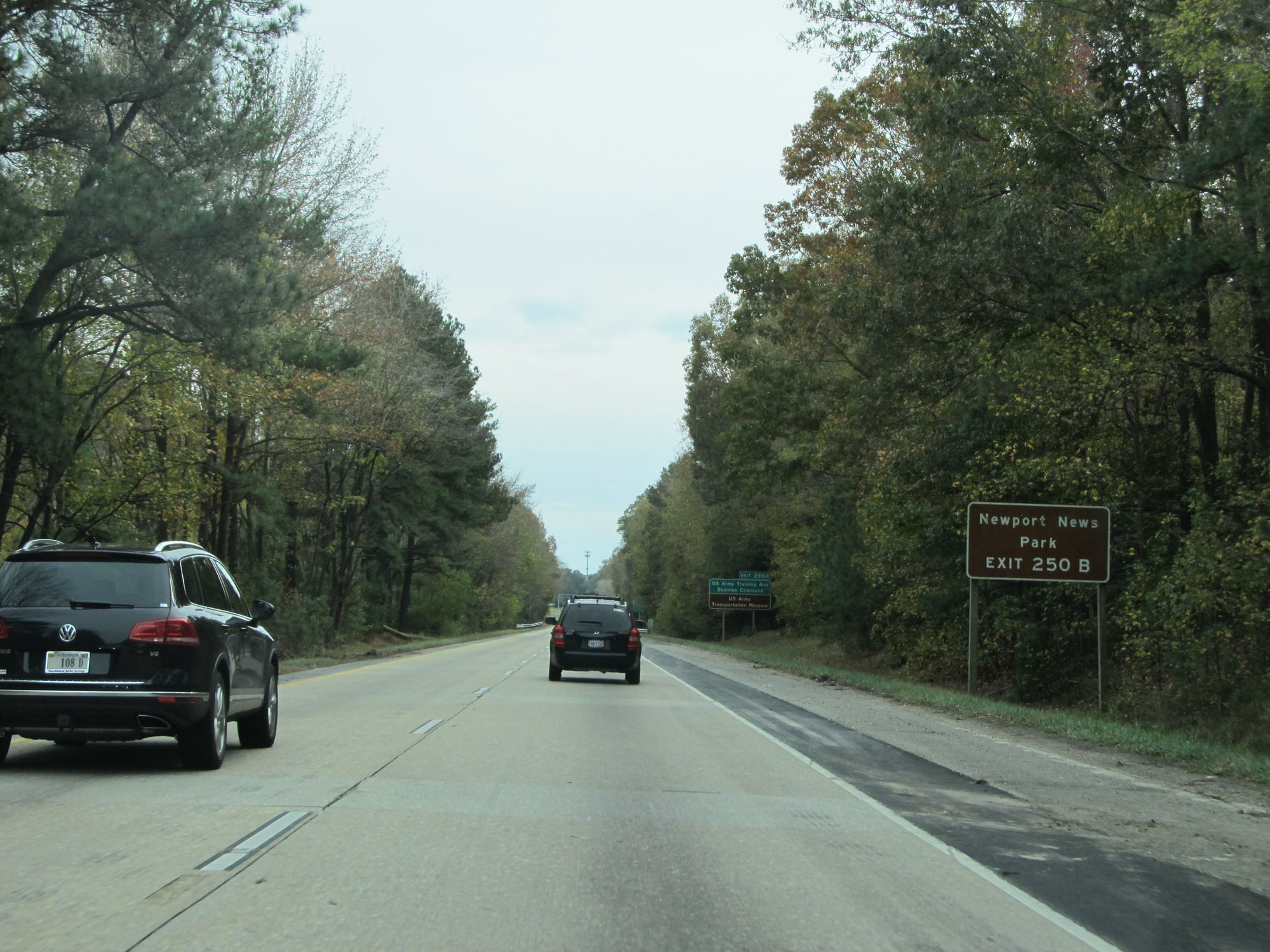 |
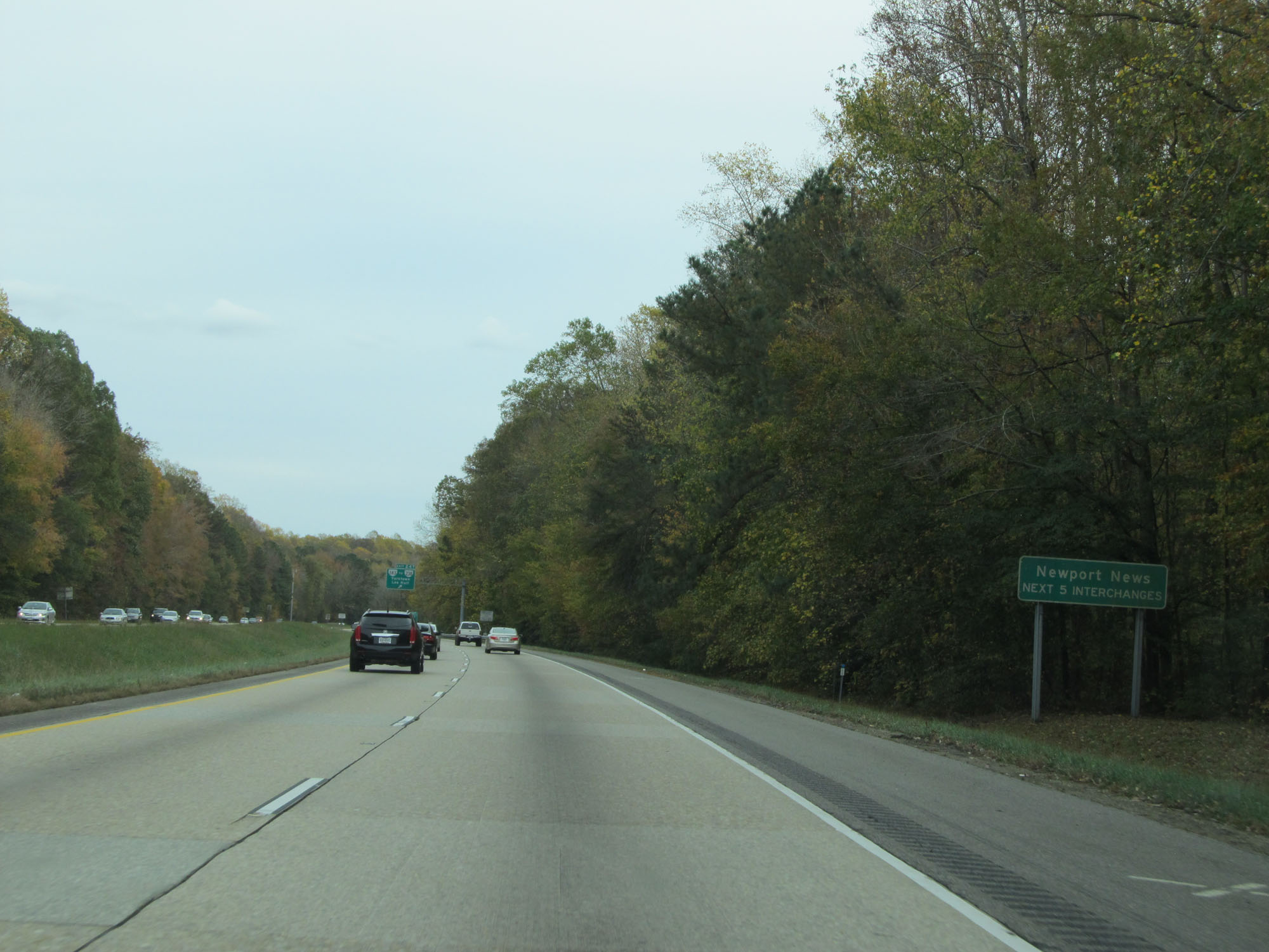
Take Exit 250B to Newport News Park. (Photo taken 11/8/15). |
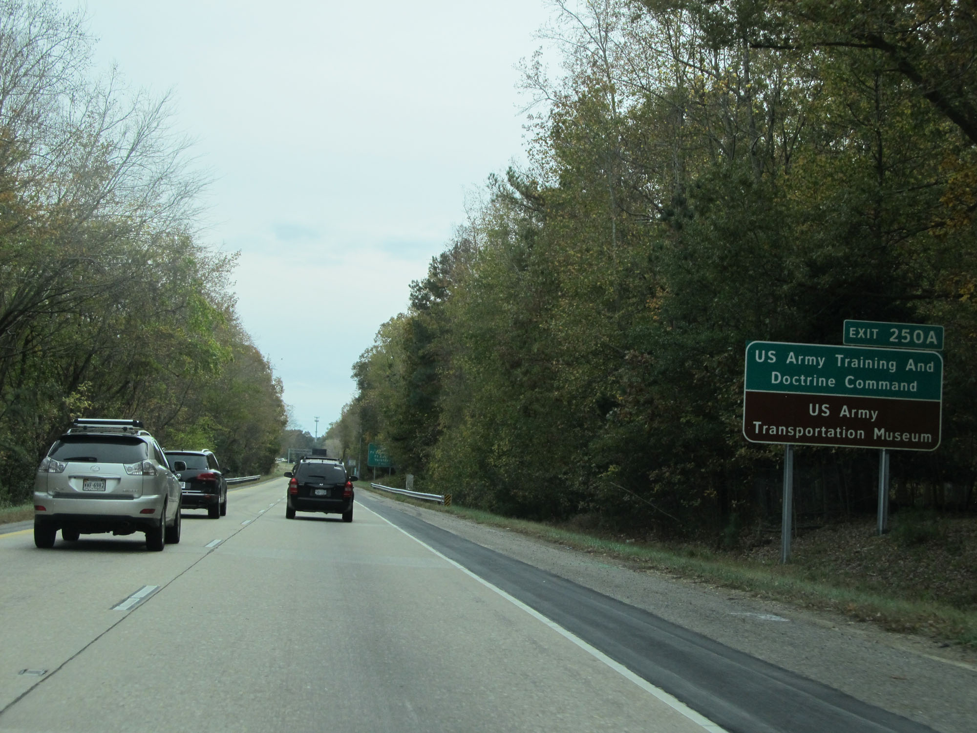 |
Take Exit 250A to the US Army Training and Doctrine Command as well as the US Army Transportation Museum. (Photo taken 11/8/15). |
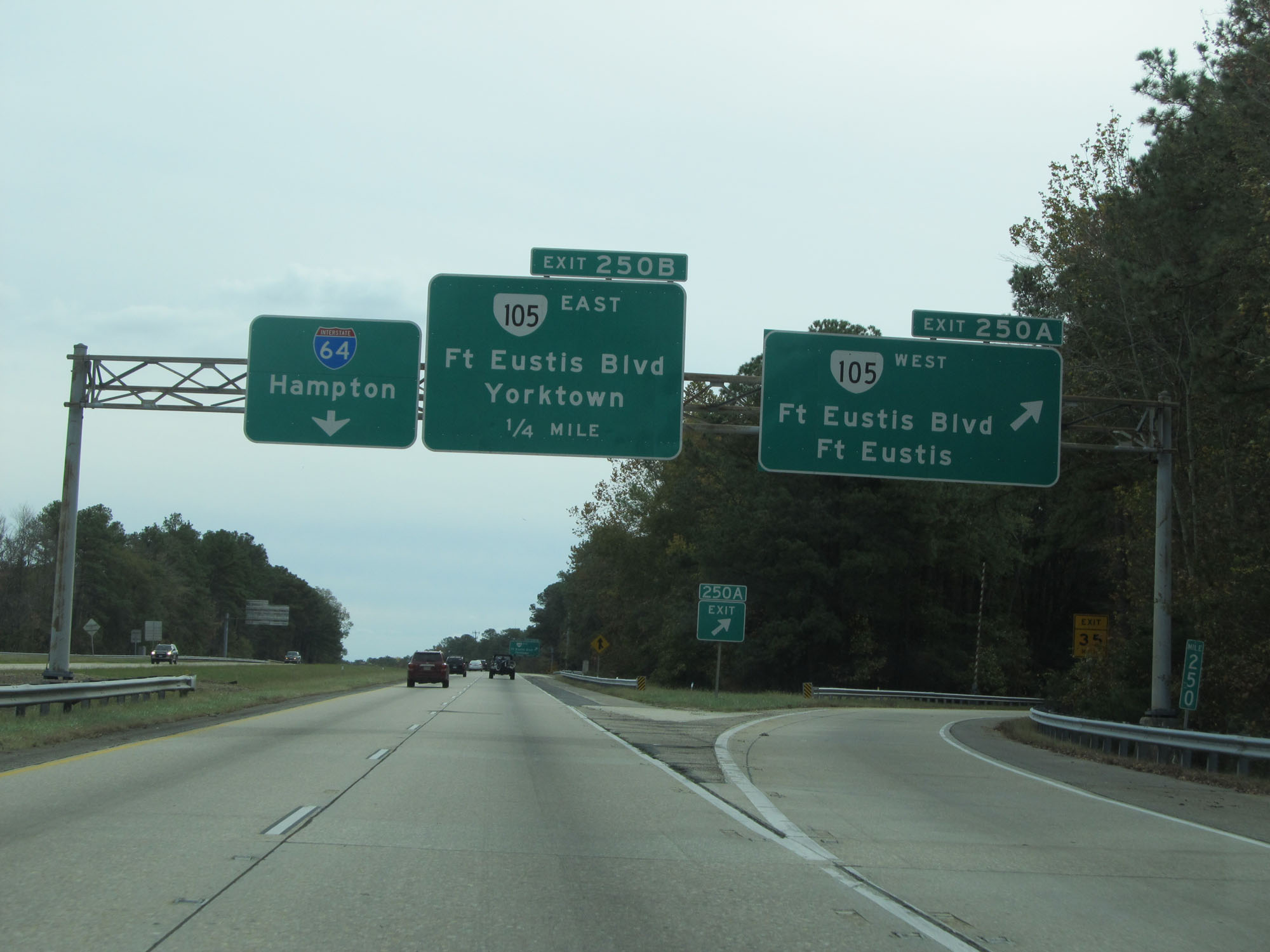 |
Interstate 64 East at Exit 250A: VA 105 West - Ft Eustis Blvd / Ft Eustis (Photo taken 11/8/15). |
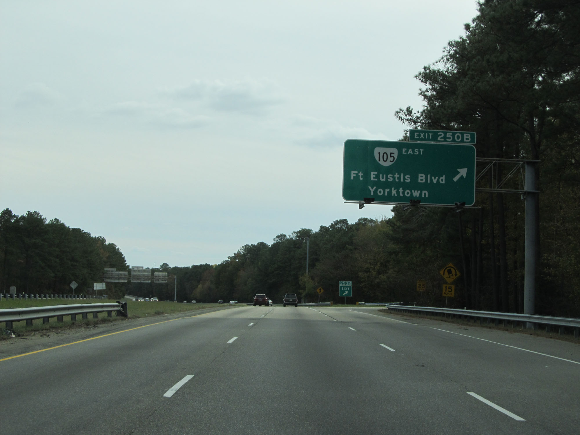 |
Interstate 64 East at Exit 250B: VA 105 East - Ft Eustis Blvd / Yorktown (Photo taken 11/8/15). |
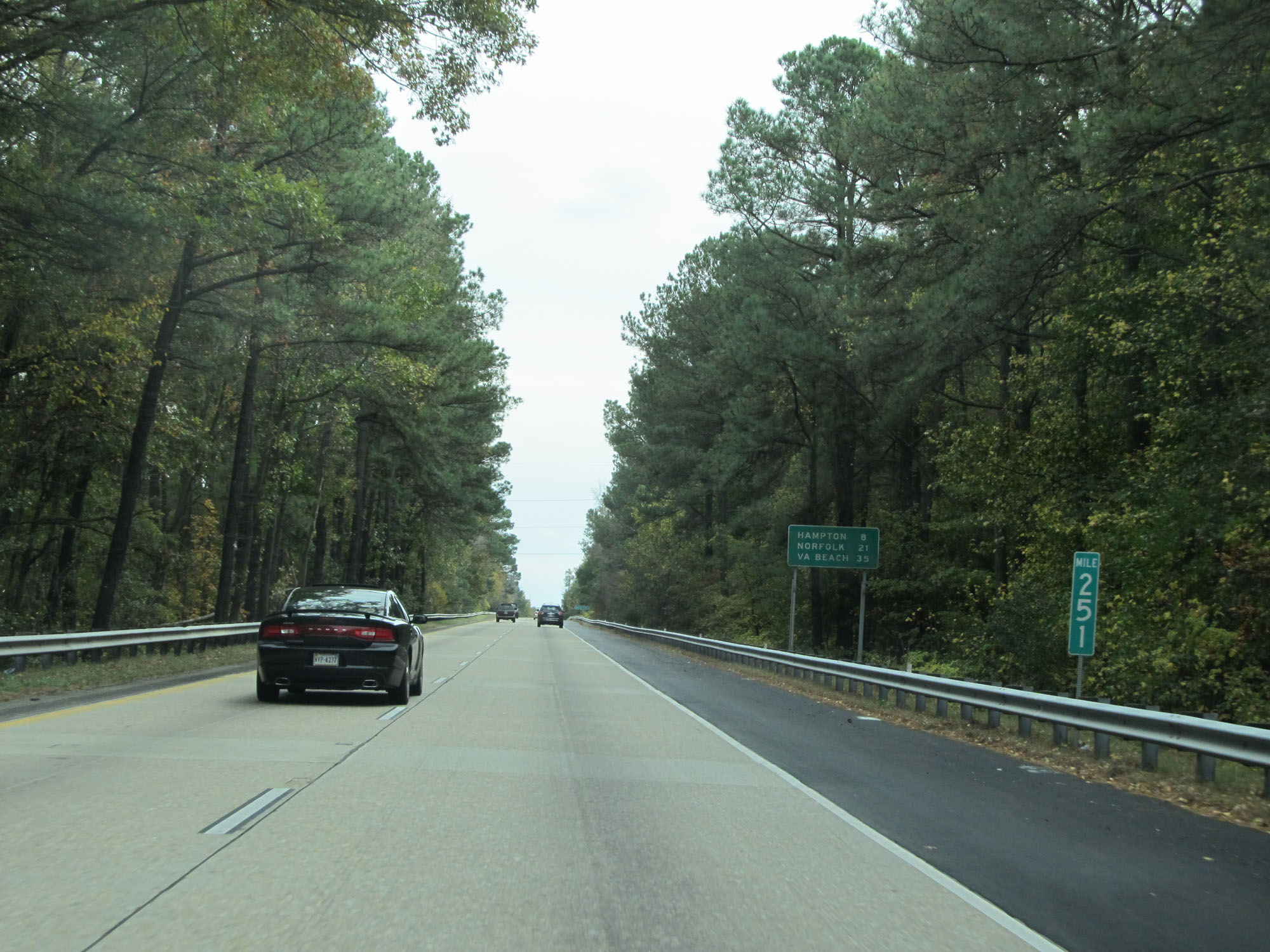 |
Interstate 64 East at mile marker 251. (Photo taken 11/8/15). |
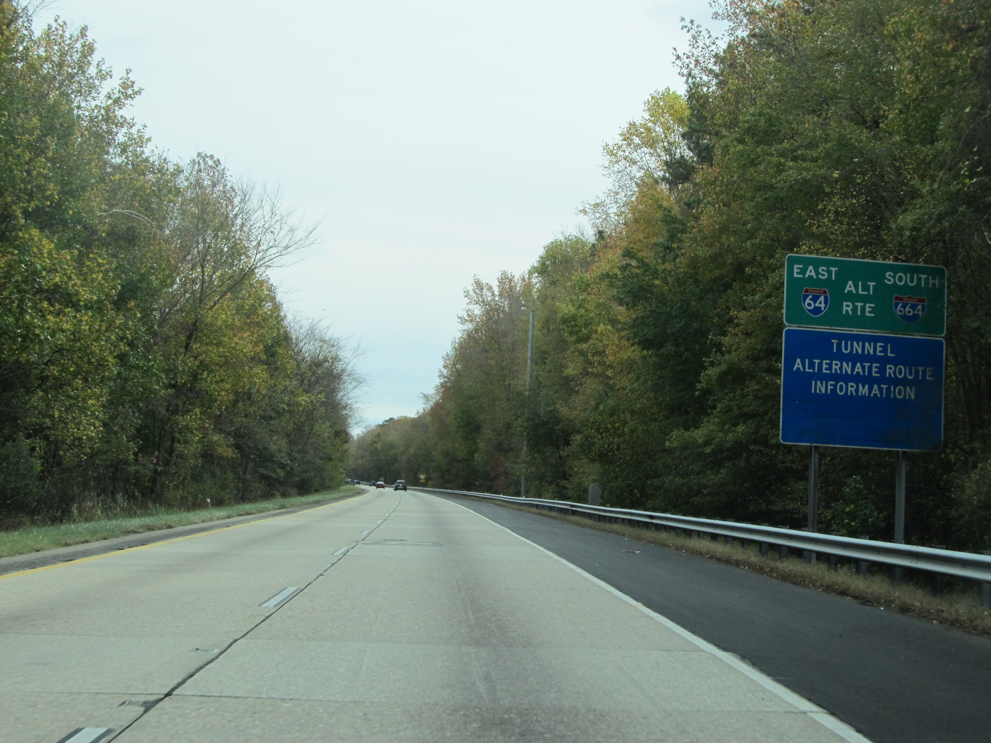 |
To avoid the Hampton Roads Bridge-Tunnel on Interstate 64 East, the alternate route is Interstate 664 South. (Photo taken 11/8/15). |
 |
This digital sign dynamically displays the estimated travel times to the Virginia Beach Oceanfront via Interstate 64 East and Interstate 664 South. (Photo taken 11/8/15). |
 |
And this one displays the travel time to VA 168 Toll to the Outer Banks via both Interstate 64 East and Interstate 664 South. (Photo taken 11/8/15). |
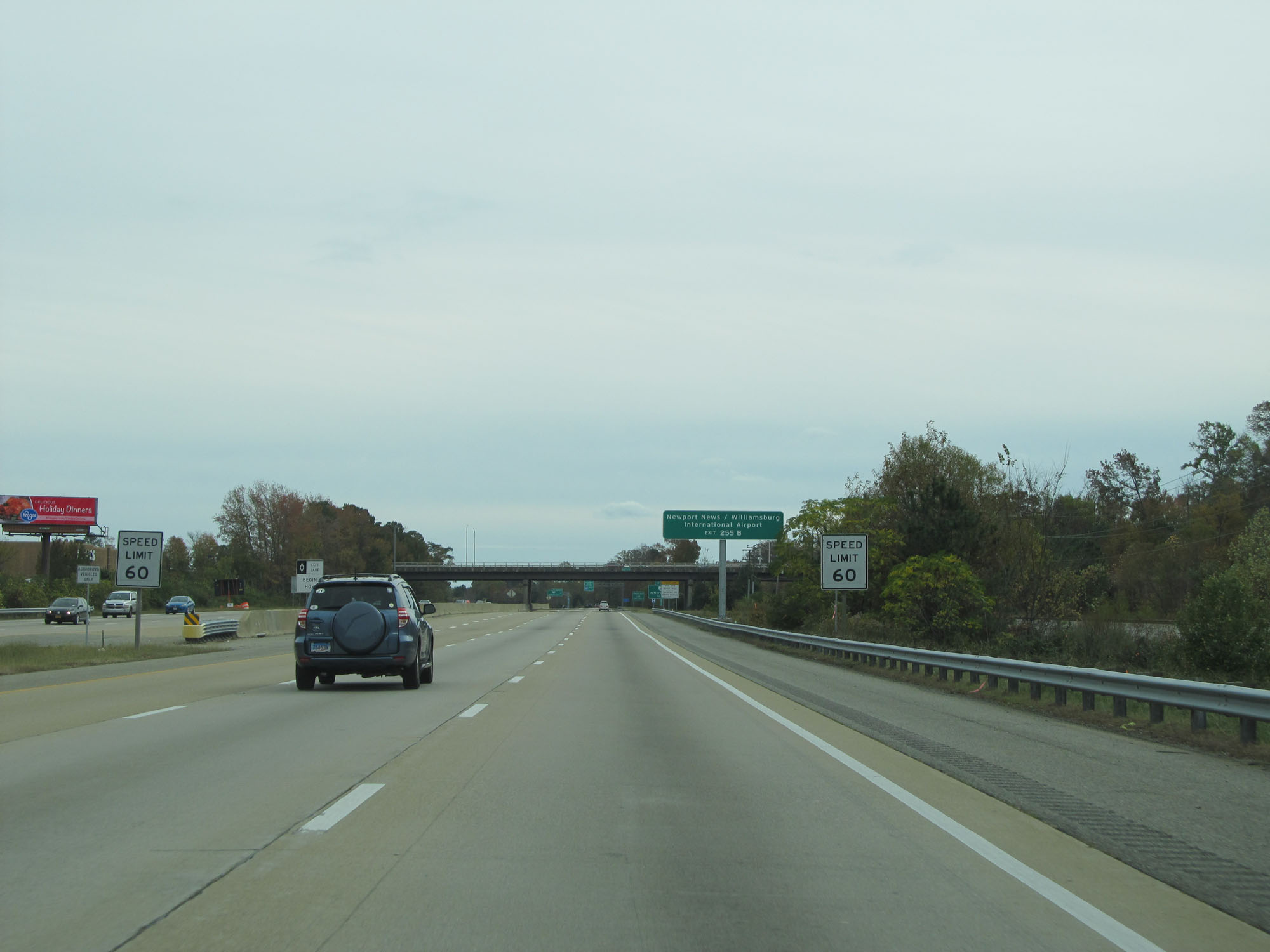 |
Approaching Exits 255A-B, the speed limit decreases to 60 mph. (Photo taken 11/8/15). |
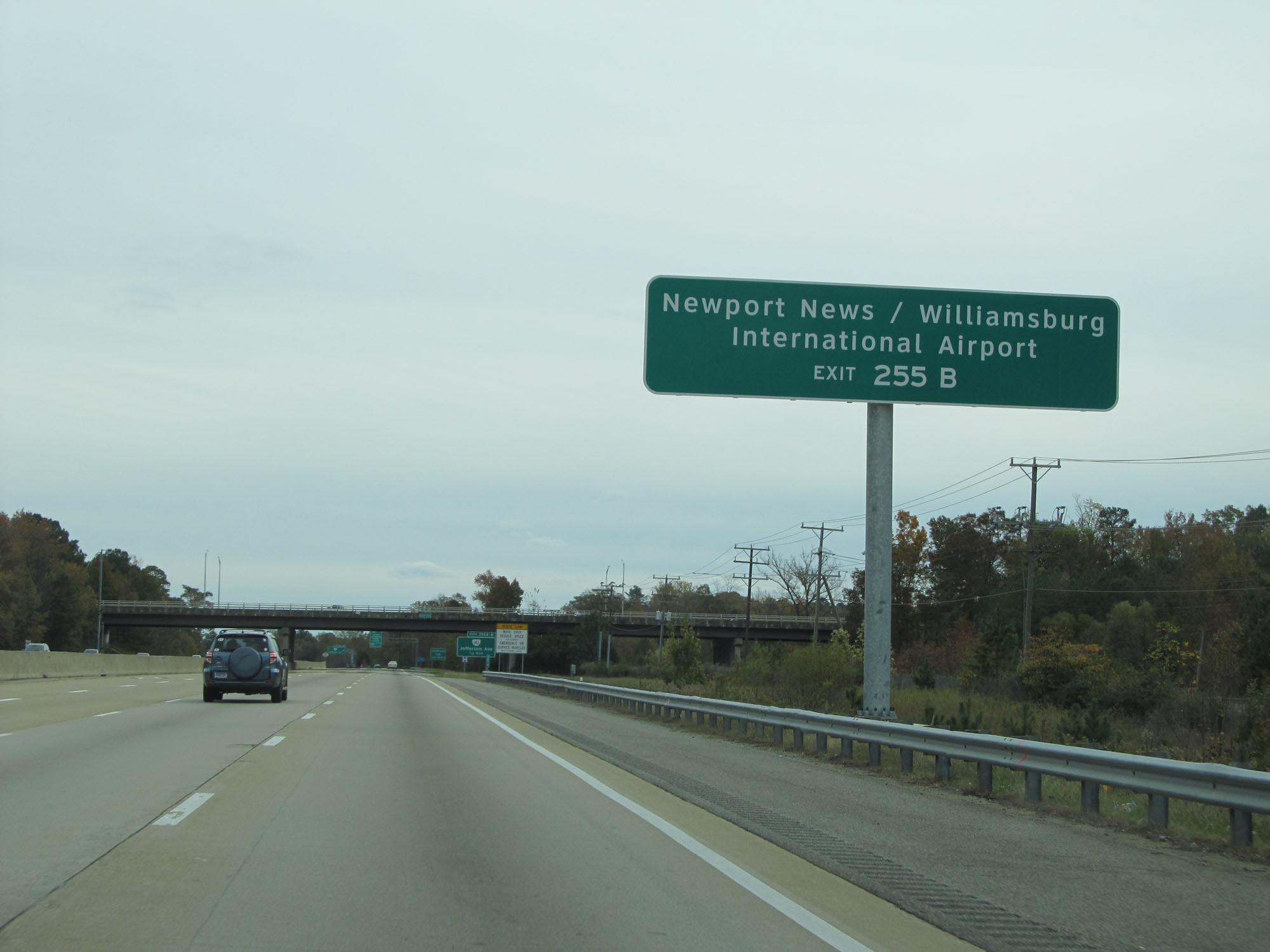 |
Take Exit 255B to Newport News/Williamsburg International Airport. (Photo taken 11/8/15). |
 |
Take Exit 255A to Jefferson Lab. (Photo taken 11/8/15). |
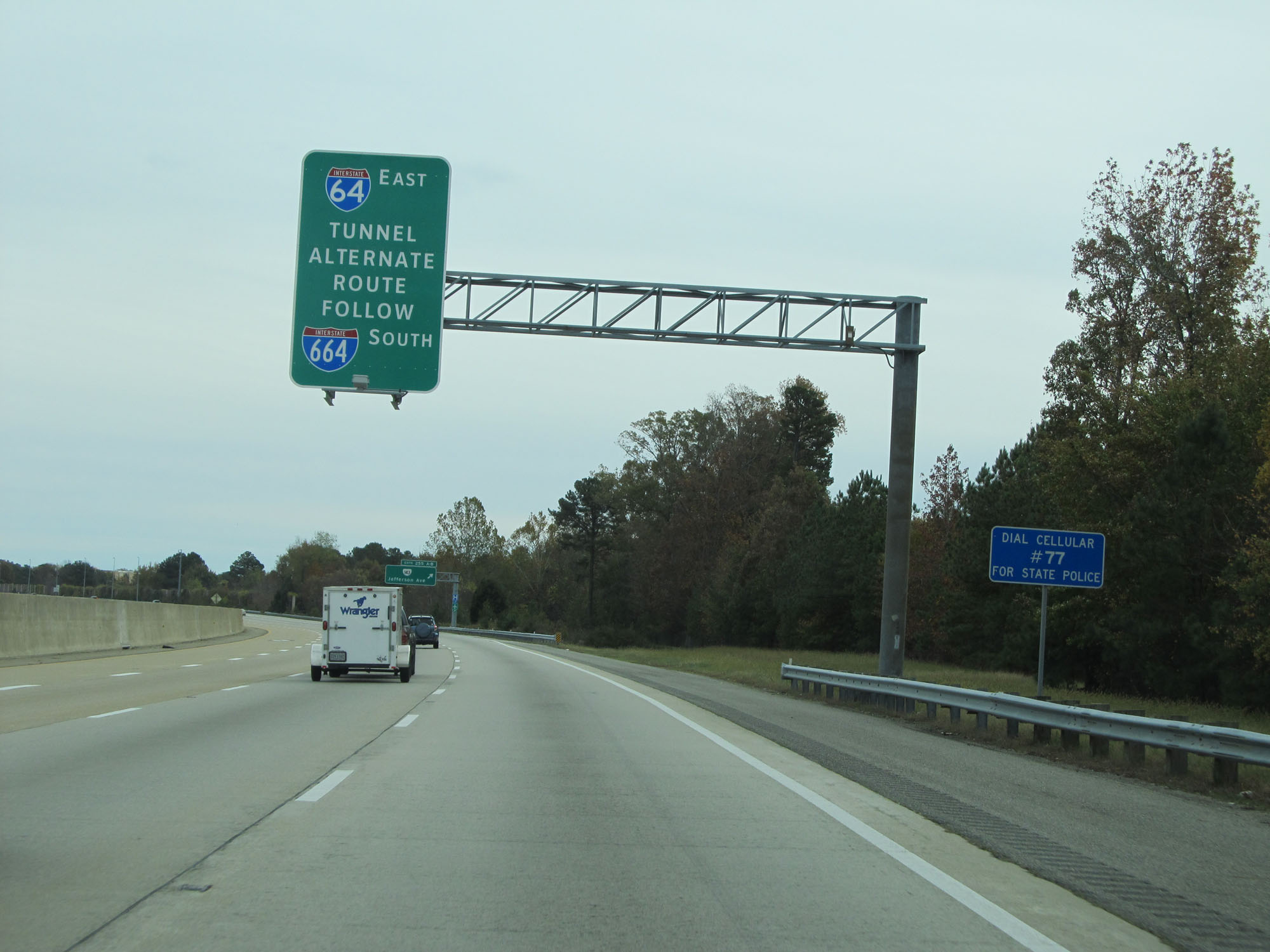 |
Again, use Interstate 664 as an alternate route to Interstate 64 East and the Hampton Roads Bridge-Tunnel. (Photo taken 11/8/15). |
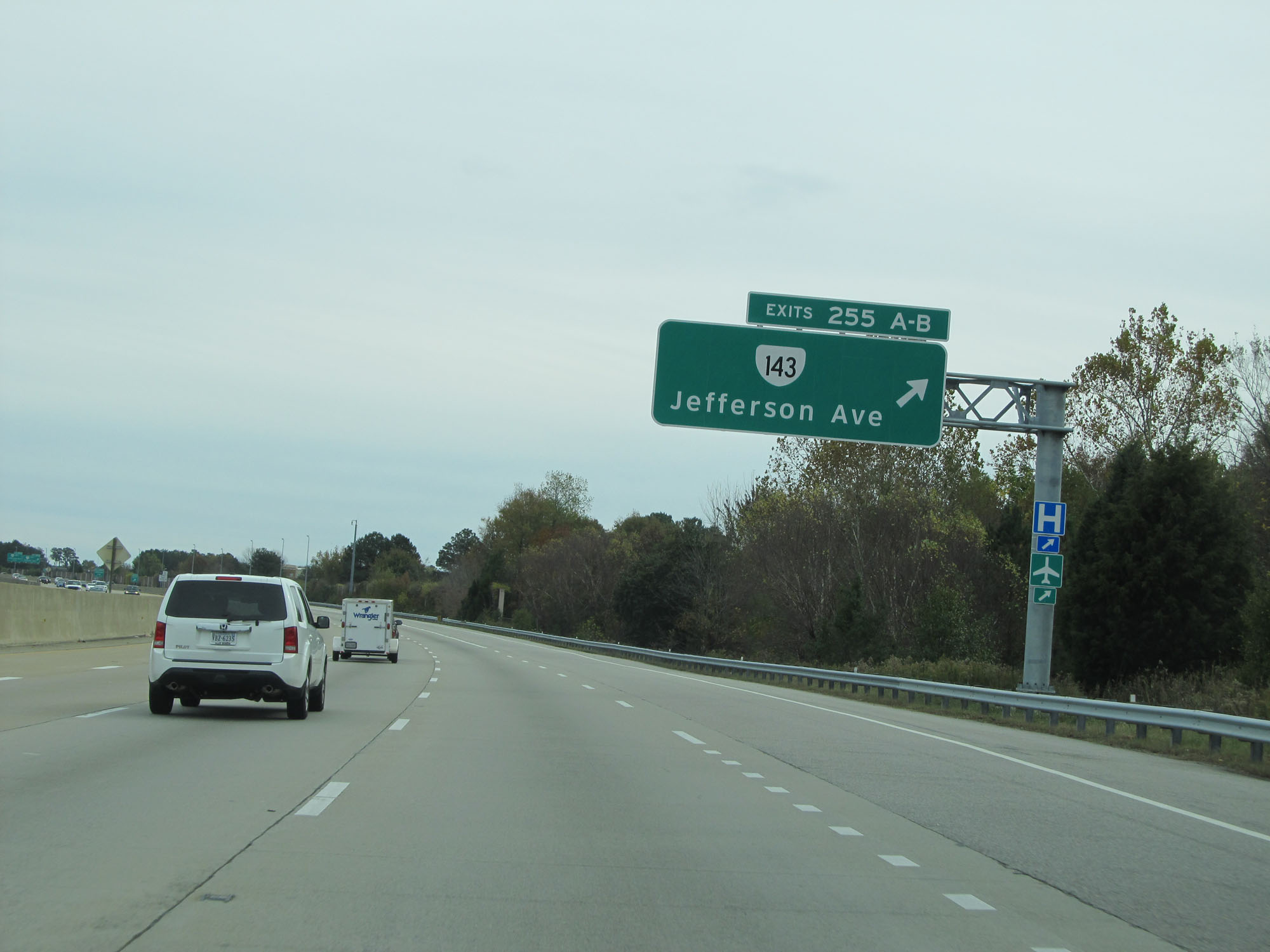 |
Interstate 64 East at Exits 255A-B: VA 143 - Jefferson Ave (Photo taken 11/8/15). |
 |
Take Exit 256A to City Center and Oyster Point Business District. (Photo taken 11/8/15). |
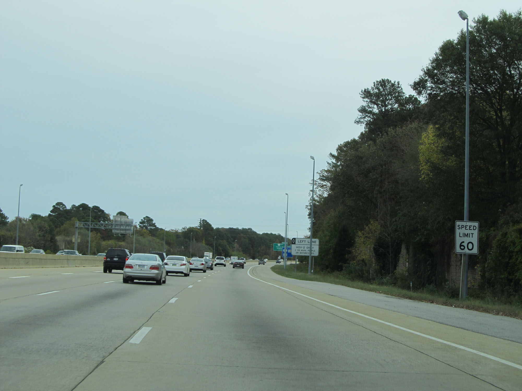 |
The speed limit remains 60 mph throughout the Newport News area. (Photo taken 11/8/15). |
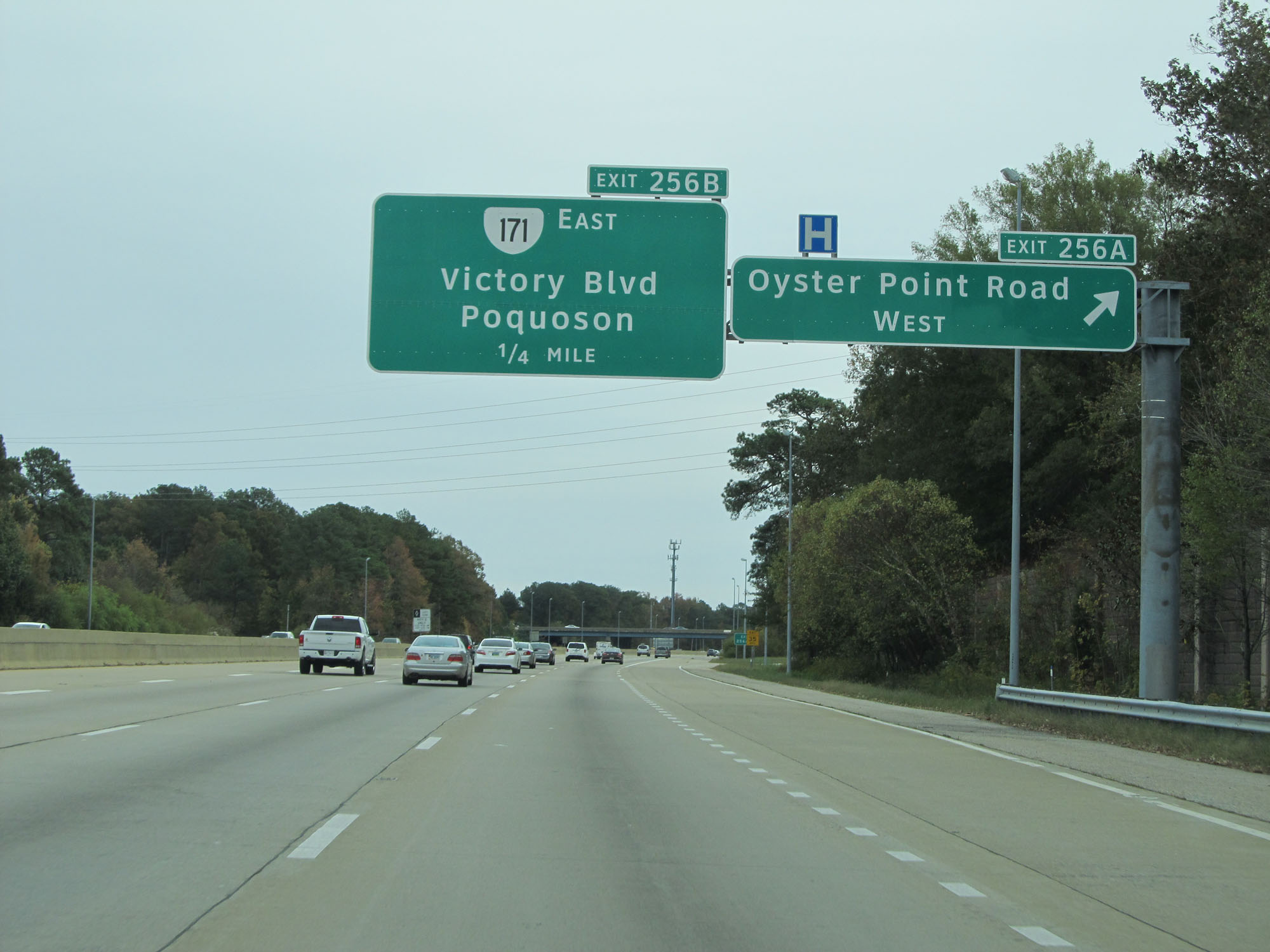 |
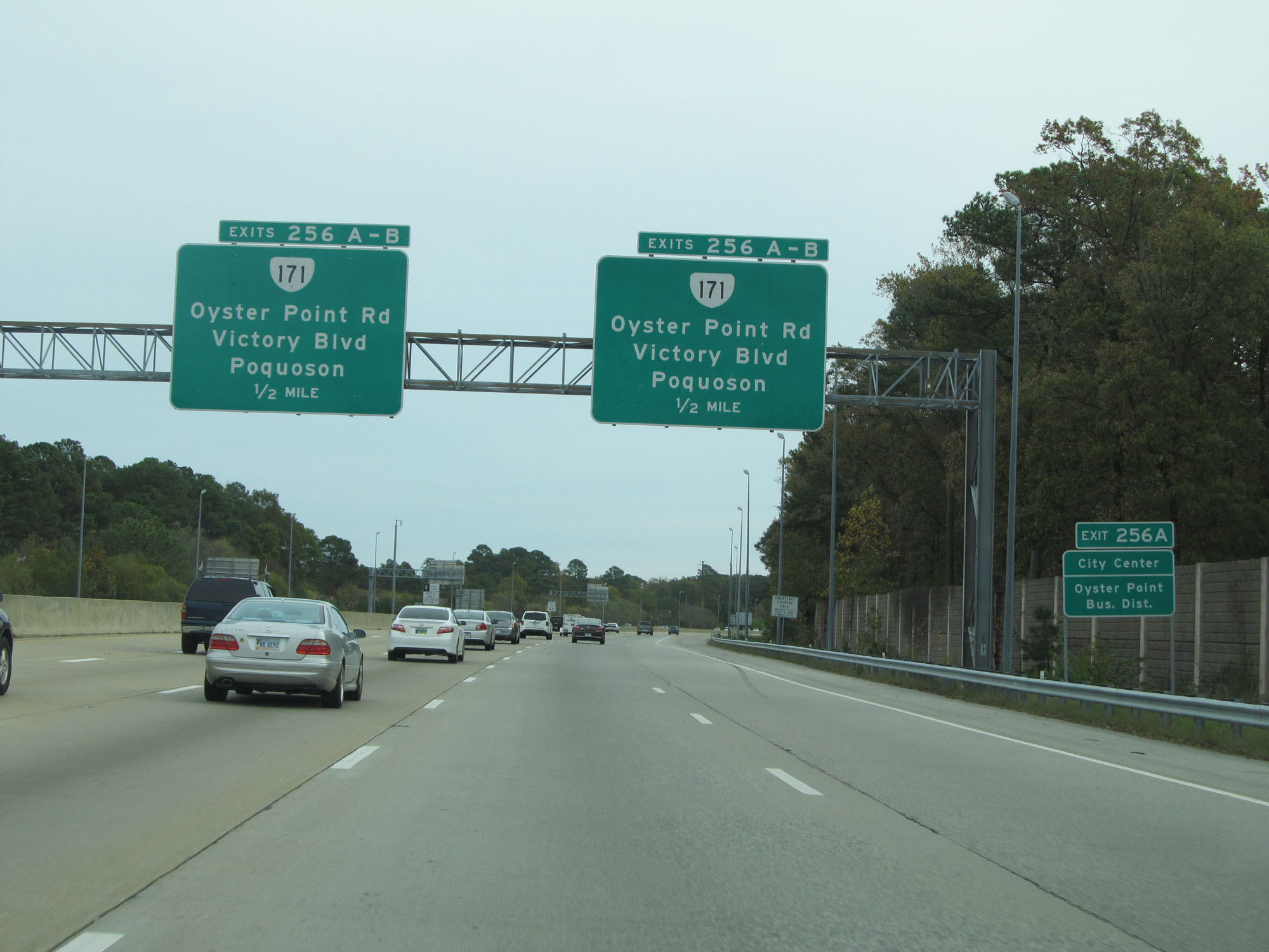
Interstate 64 East at Exit 256A: Oyster Point Road West (Photo taken 11/8/15). |
 |
Interstate 64 East at Exit 256B: VA 171 East - Victory Blvd (Photo taken 11/8/15). |
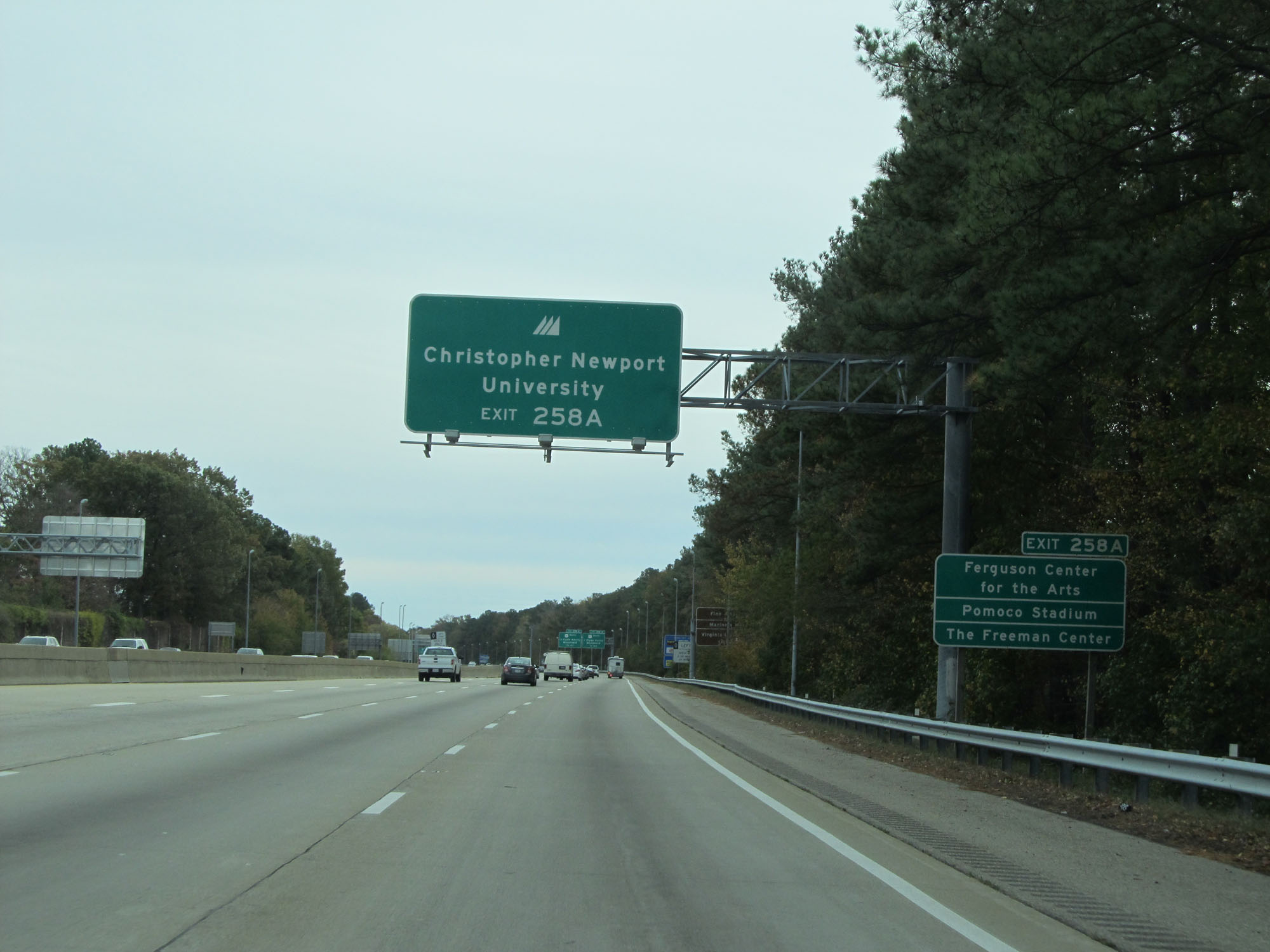 |
Take Exit 258A to Christopher Newport University, Ferguson Center for the Arts, Pomoco Stadium, and The Freeman Center. (Photo taken 11/8/15). |
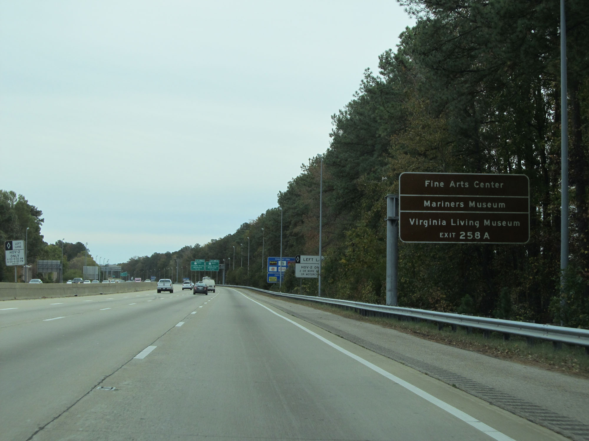 |
Also take Exit 258A to the Fine Arts Center, Mariners Museum, and Virginia Living Museum. (Photo taken 11/8/15). |
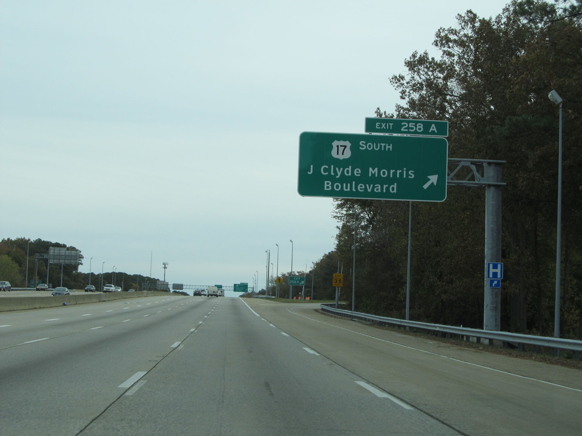 |
Interstate 64 East at Exit 258A: US 17 South - J Clyde Morris Boulevard (Photo taken 11/8/15). |
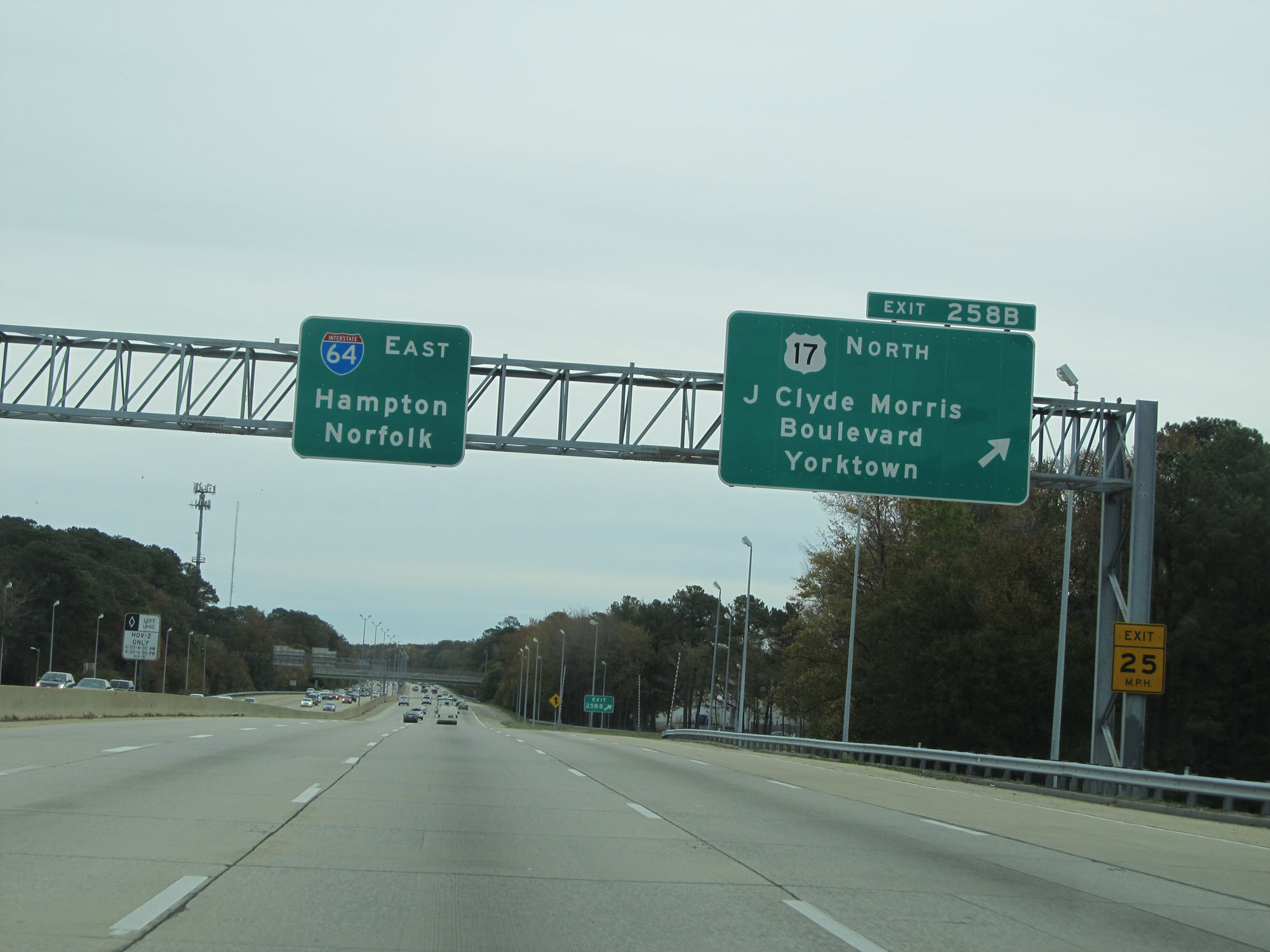 |
Interstate 64 East at Exit 258B: US 17 North - J Clyde Morris Boulevard / Yorktown (Photo taken 11/8/15). |
 |
Interstate 64 East as it enters the Hampton city limits. (Photo taken 11/8/15). |
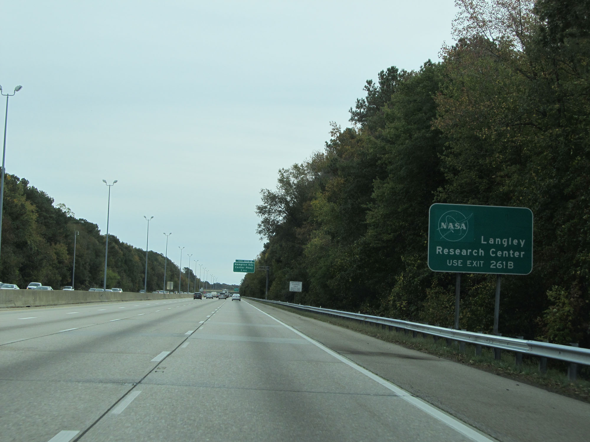 |
Take Exit 261B to Langley Research Center. (Photo taken 11/8/15). |
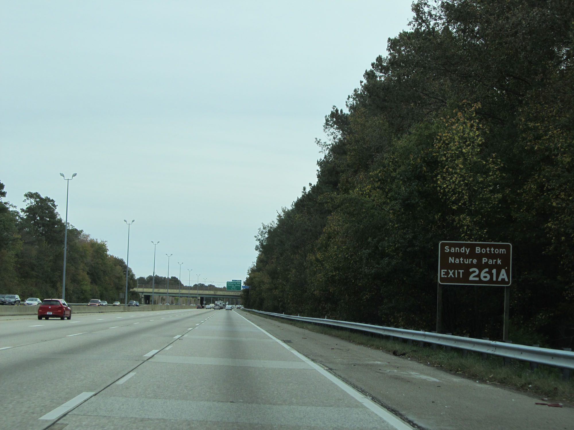 |
Take Exit 261A to Sandy Bottom Nature Park. (Photo taken 11/8/15). |
 |
Take Exit 261A to Thomas Nelson Community College as well. (Photo taken 11/8/15). |
 |
Take Exit 261B to Old Dominion University Peninsula Center. (Photo taken 11/8/15). |
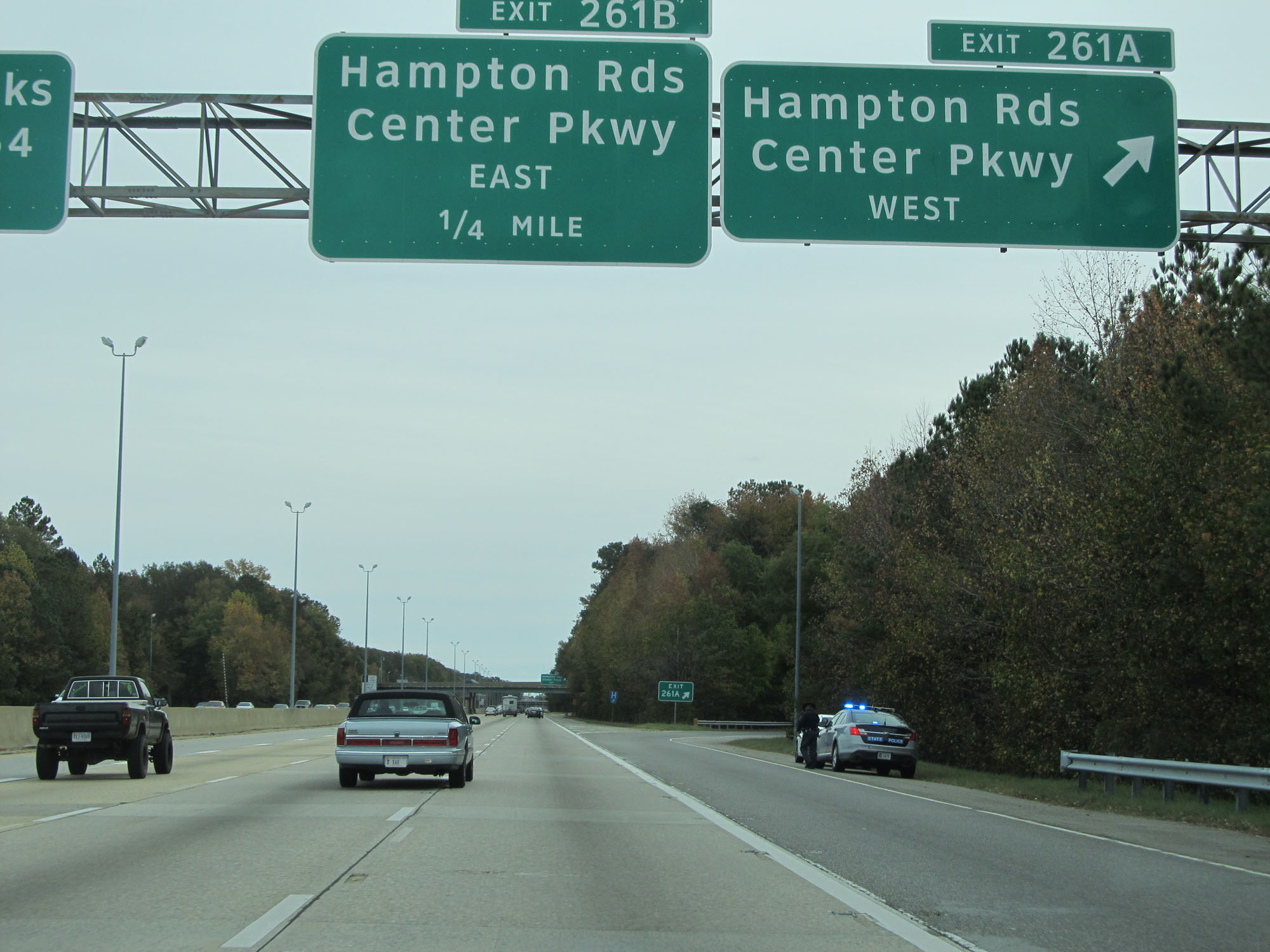 |
Interstate 64 East at Exit 261A: Hampton Roads Center Pkwy West (Photo taken 11/8/15). |
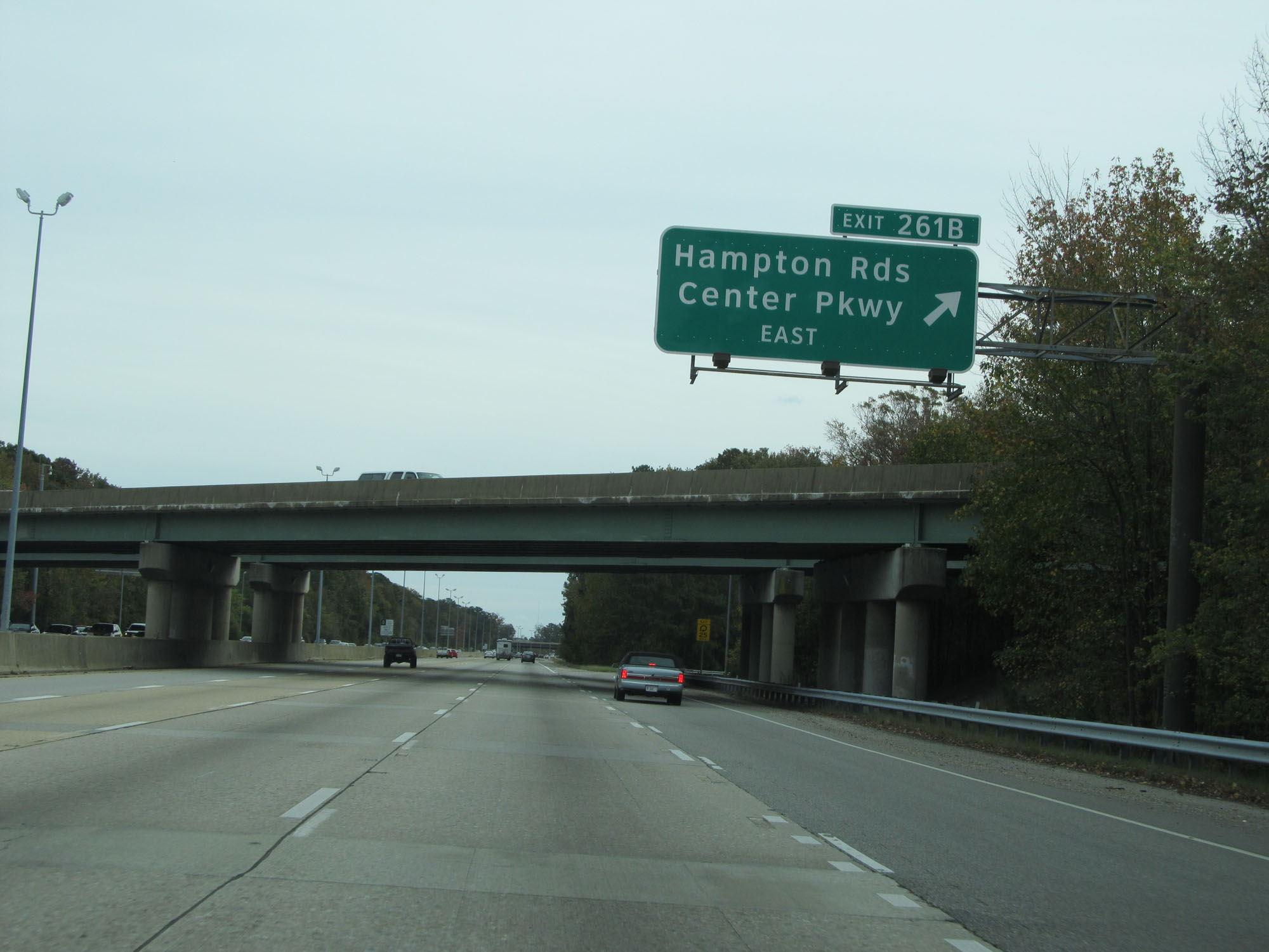 |
Interstate 64 East at Exit 261B: Hampton Roads Center Pkwy East (Photo taken 11/8/15). |
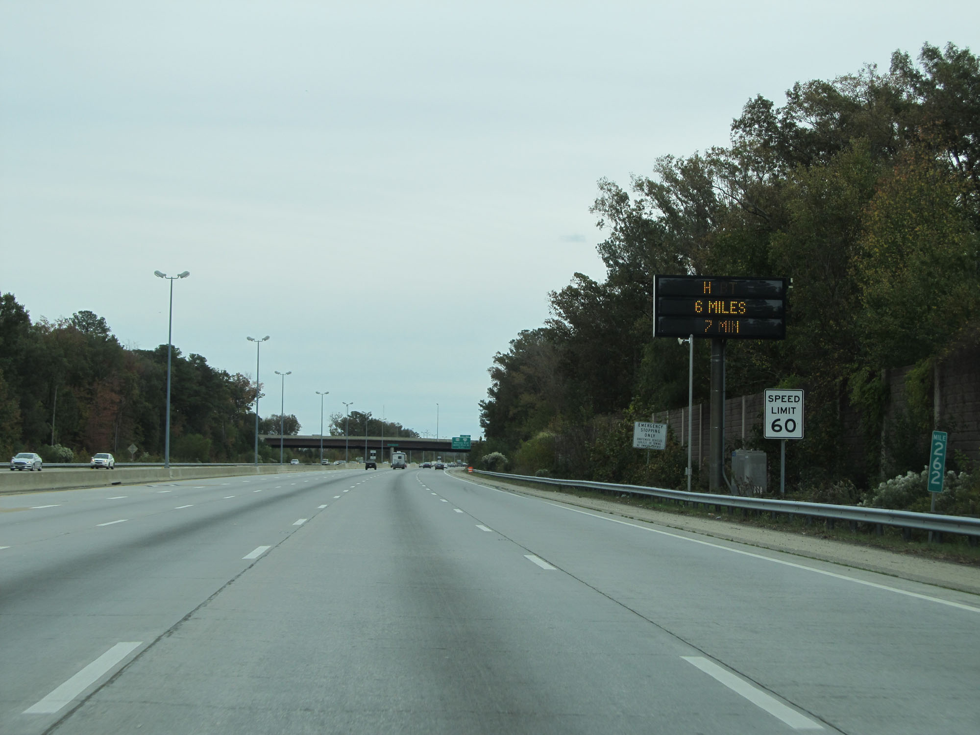 |
Interstate 64 East at mile marker 262. The speed limit remains 60 mph. (Photo taken 11/8/15). |
 |
Follow US 258 South to Huntington Park. Follow US 258 North to the Virginia War Museum. (Photo taken 11/8/15). |
 |
Interstate 64 East at Exit 263: US 258 / VA 134 South - Mercury Blvd / James River Bridge / Coliseum (Photo taken 11/8/15). |
 |
Interstate 64 East approaching Exit 264 - 1 mile. (Photo taken 11/8/15). |
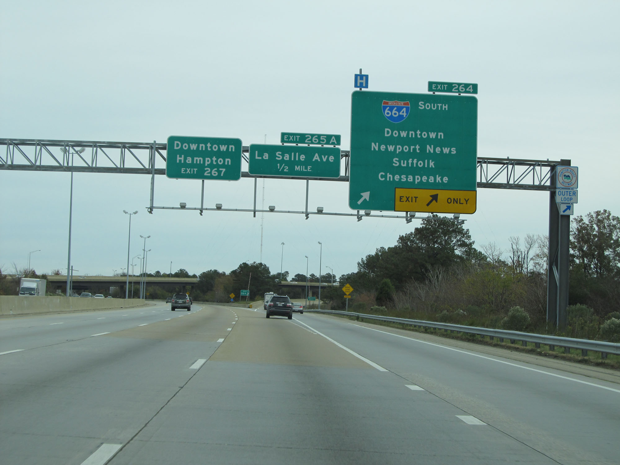 |
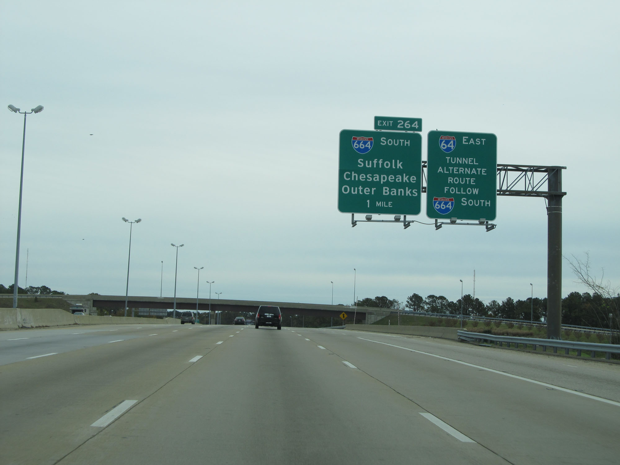
Interstate 64 East at Exit 264: Interstate 664 South - Downtown Newport News / Suffolk / Chesapeake (Photo taken 11/8/15). |
Section 7: Hampton (Exit 264) to Norfolk (Exit 282)
 |
East of Exit 264, the speed limit decreases to 55 mph for all traffic. (Photo taken 11/8/15). |
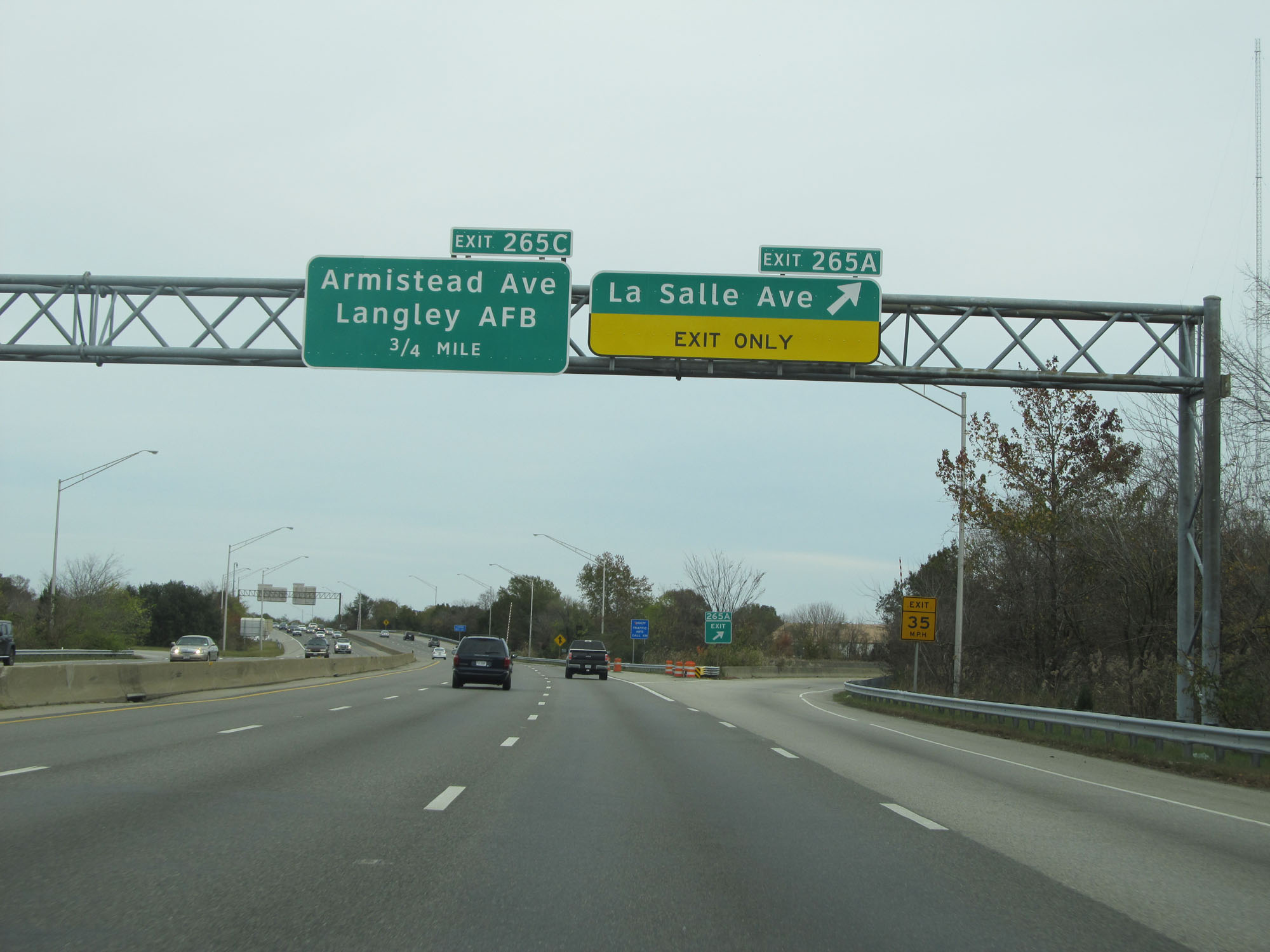 |
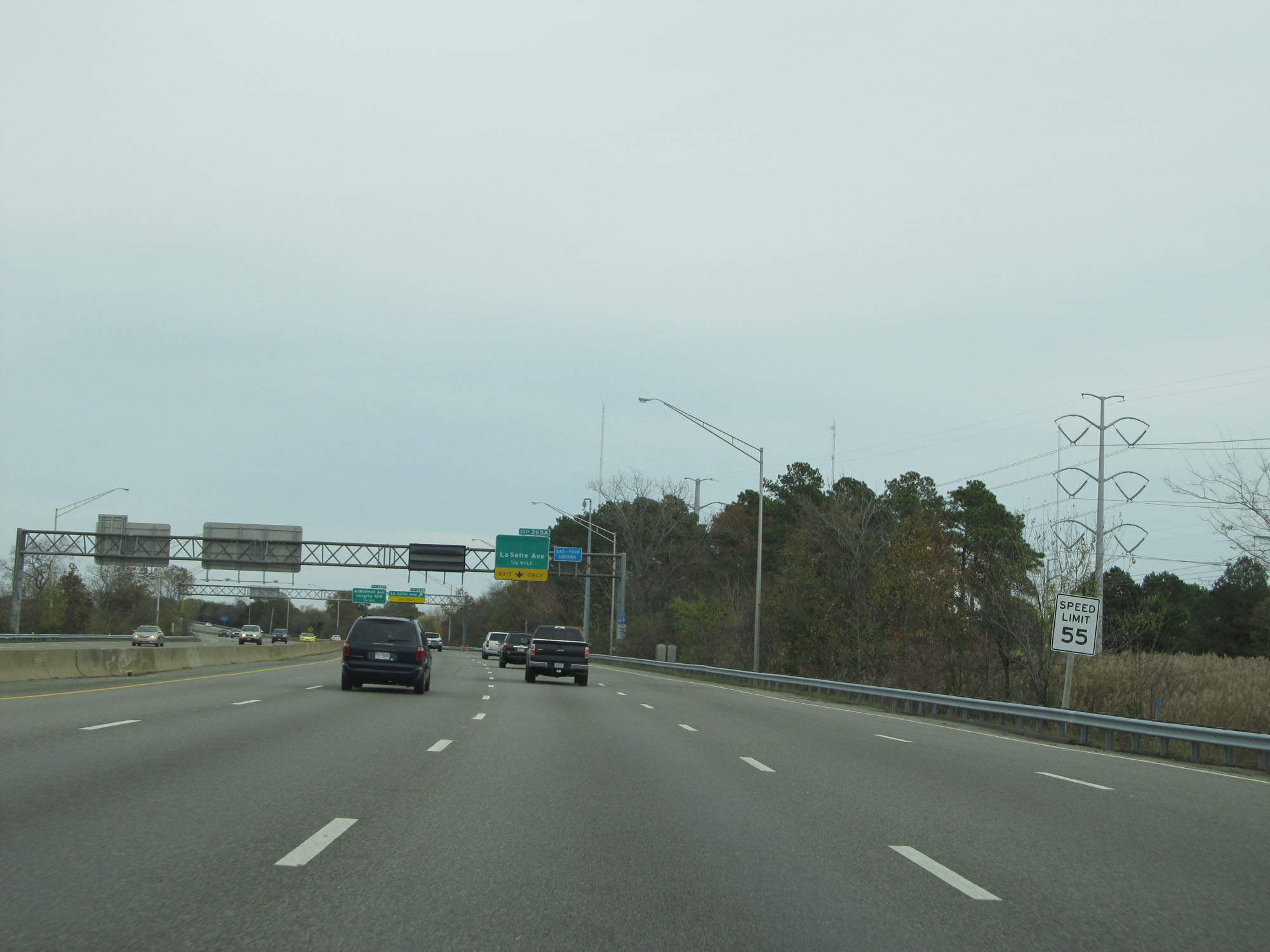
Interstate 64 East at Exit 265A: La Salle Ave (Photo taken 11/8/15). |
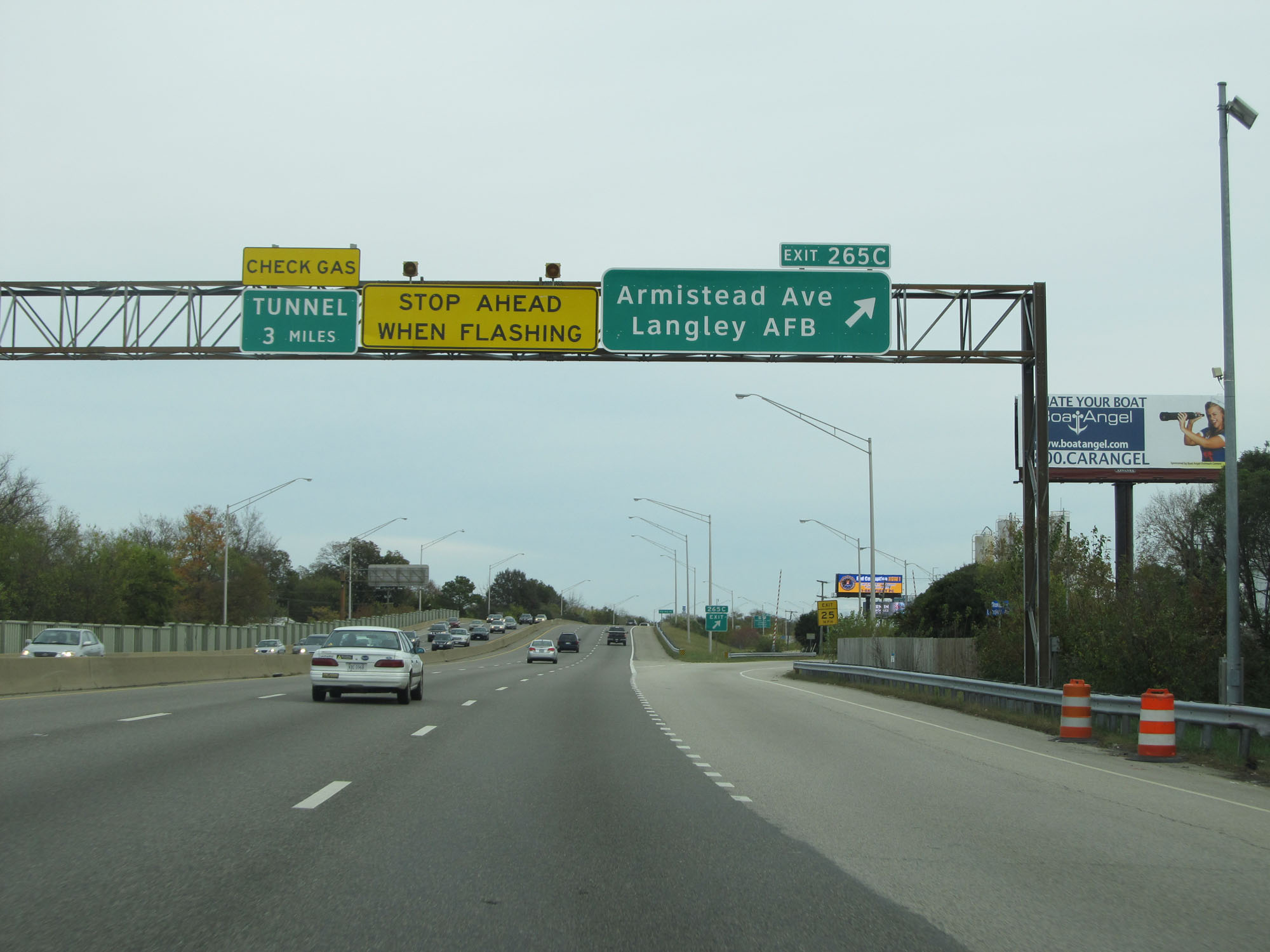 |
Interstate 64 East at Exit 265C: Armistead Ave / Langley AFB (Photo taken 11/8/15). |
 |
Interstate 64 East at mile marker 266. (Photo taken 11/8/15). |
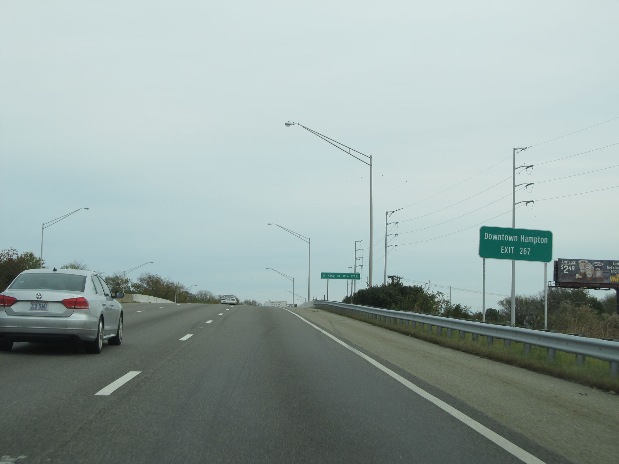 |
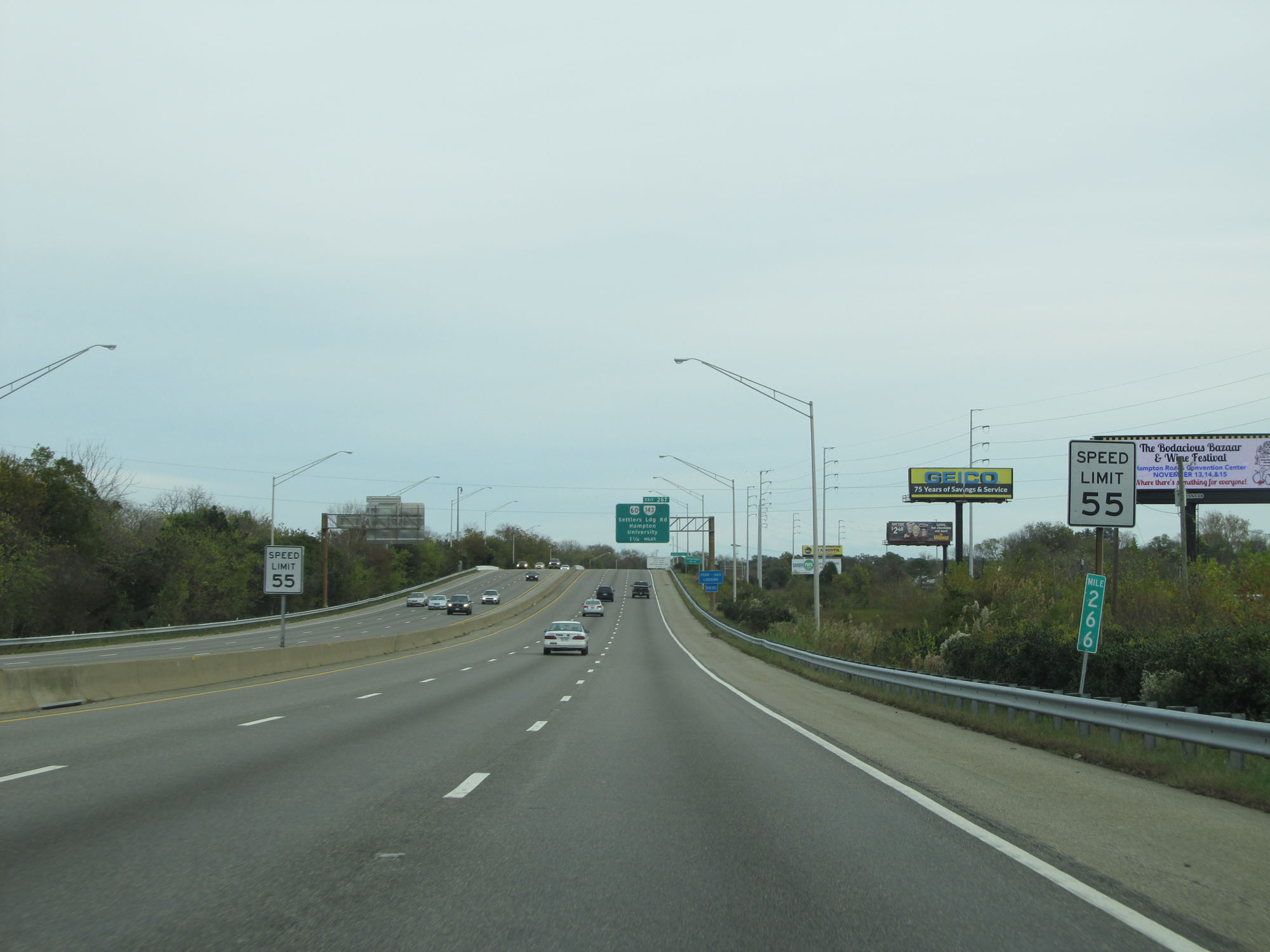
Take Exit 267 to Downtown Hampton. (Photo taken 11/8/15). |
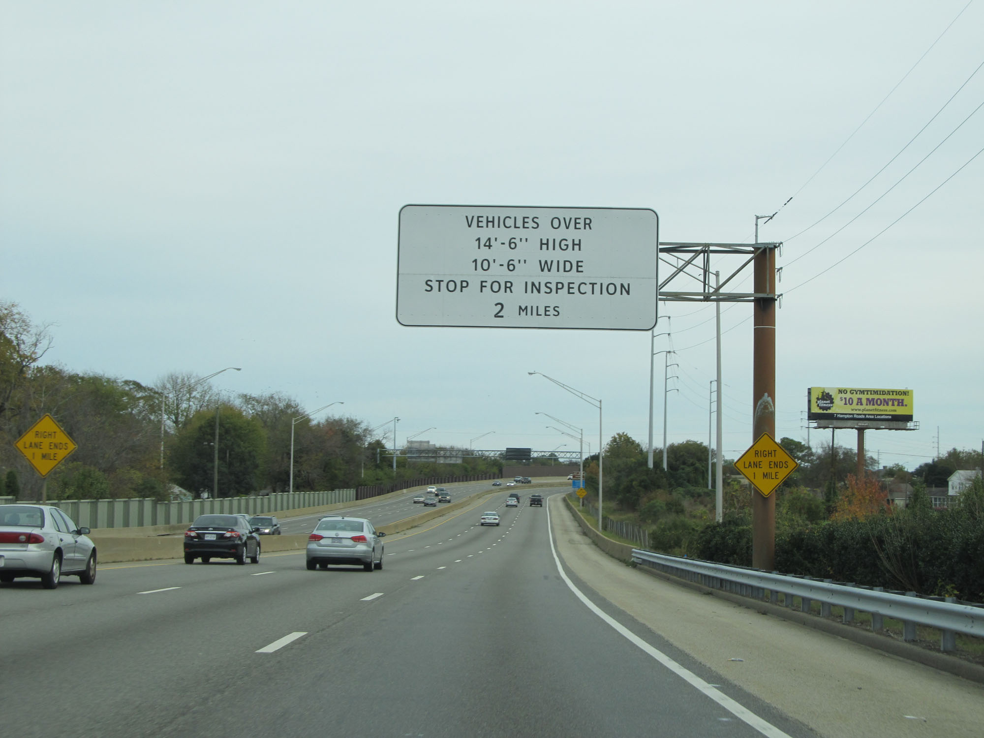 |
All vehicles over 14'6" tall and 10'6" wide must stop for inspection 2 miles ahead prior to entering the Hampton Roads Bridge-Tunnel. (Photo taken 11/8/15). |
 |
Interstate 64 East at Exit 267: US 60 / VA 143 - Settlers Landing Rd / Hampton University (Photo taken 11/8/15). |
 |
Take Exit 268 to the VA Center, Phoebus, and Buckroe Beach. (Photo taken 11/8/15). |
 |
Also take Exit 268 to Fort Monroe National Monument and Casemate Museum. (Photo taken 11/8/15). |
 |
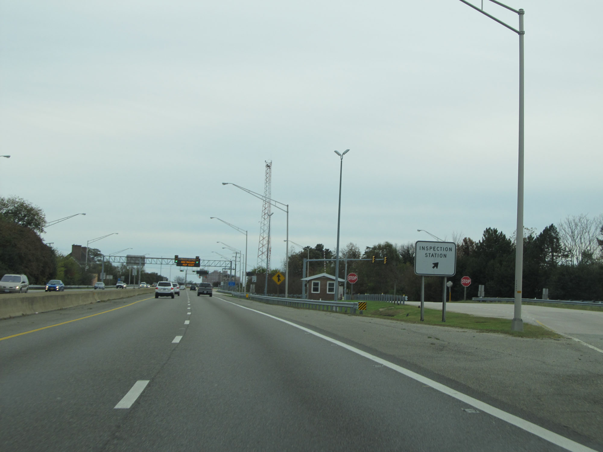
When the lights on this sign are flashing, the Inspection Station ahead is open and all trucks must enter. (Photo taken 11/8/15). |
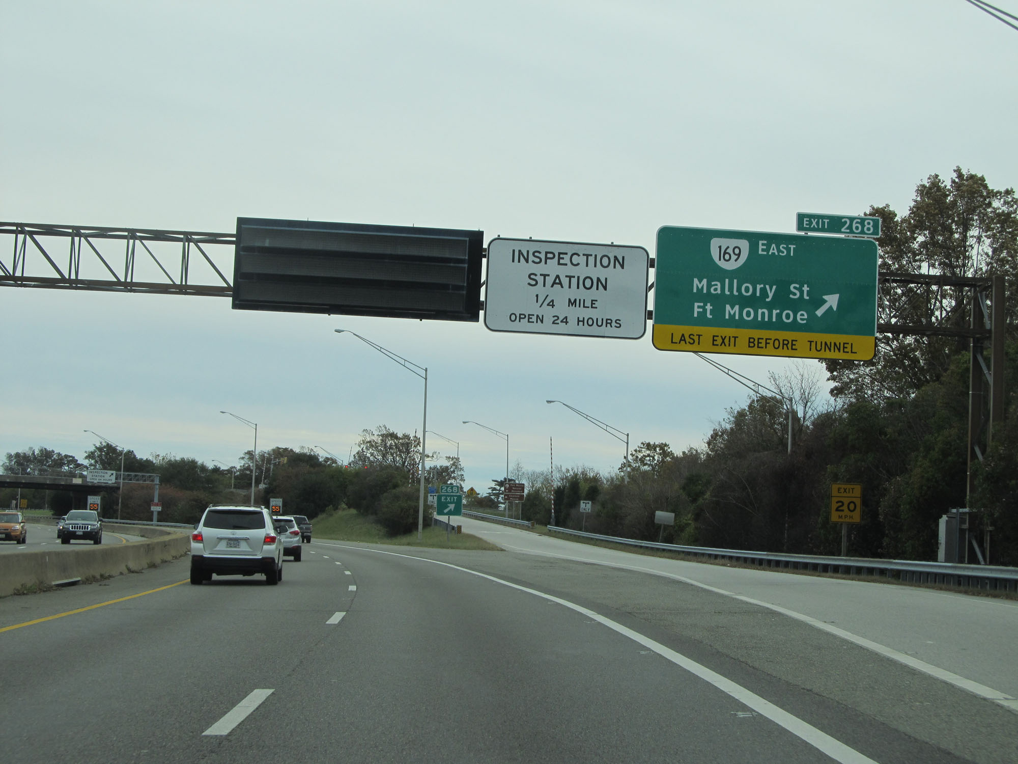 |
Interstate 64 East at Exit 268: VA 169 East - Mallory St / Ft Monroe (Photo taken 11/8/15). |
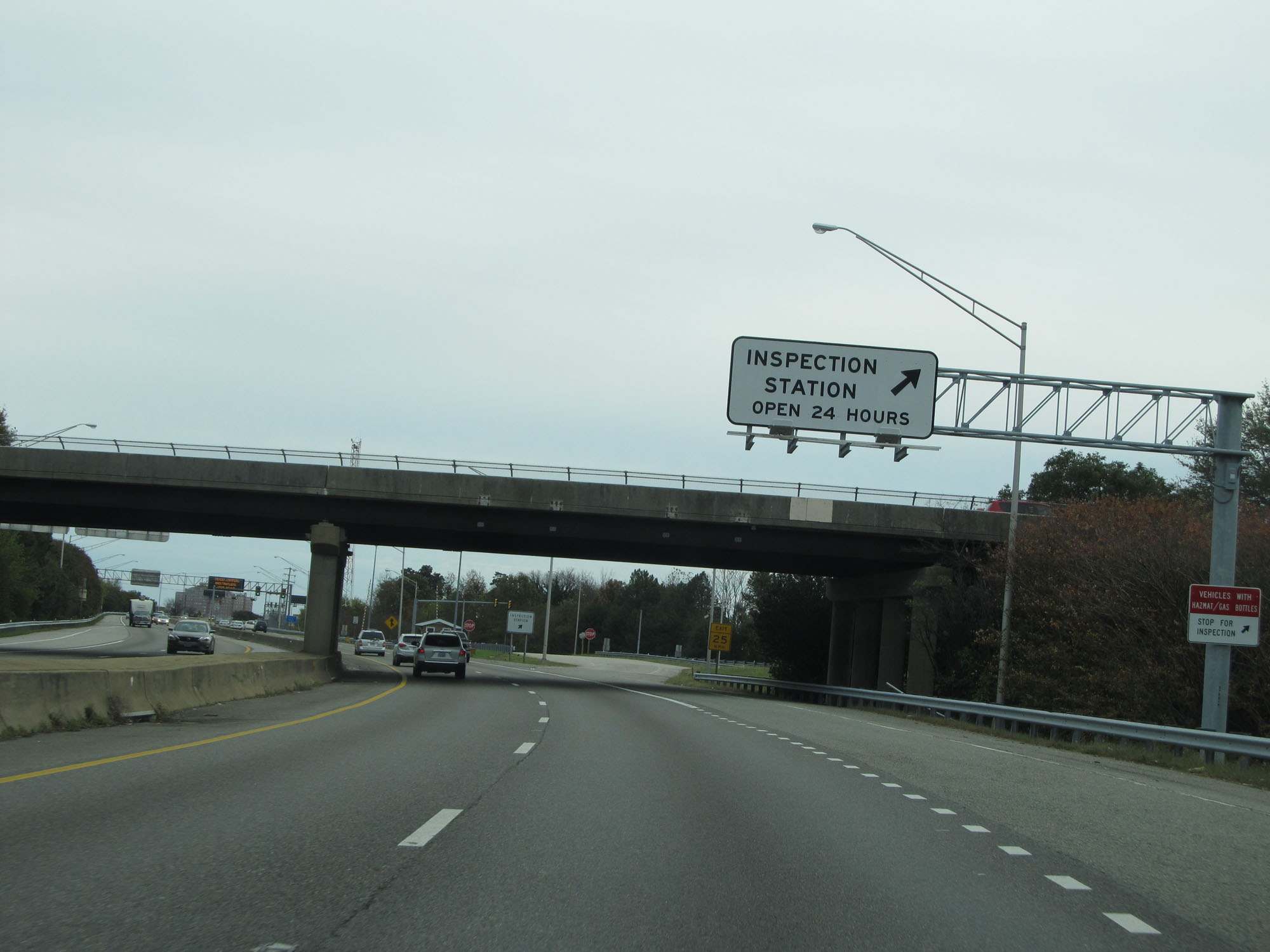 |
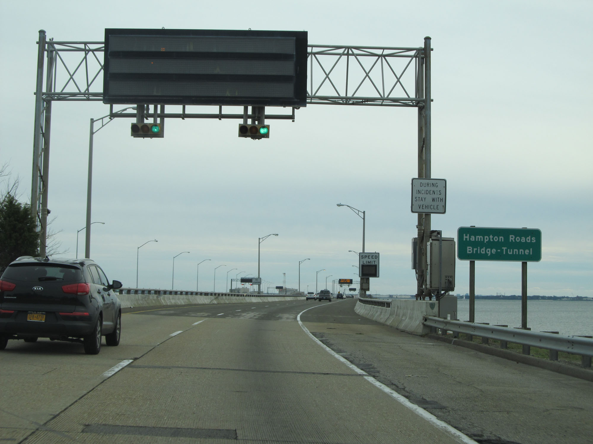
Interstate 64 East at the Inspection Station just before the Hampton Roads Bridge-Tunnel. (Photo taken 11/8/15). |
 |
A closer view of the Inspection Station. (Photo taken 11/8/15). |
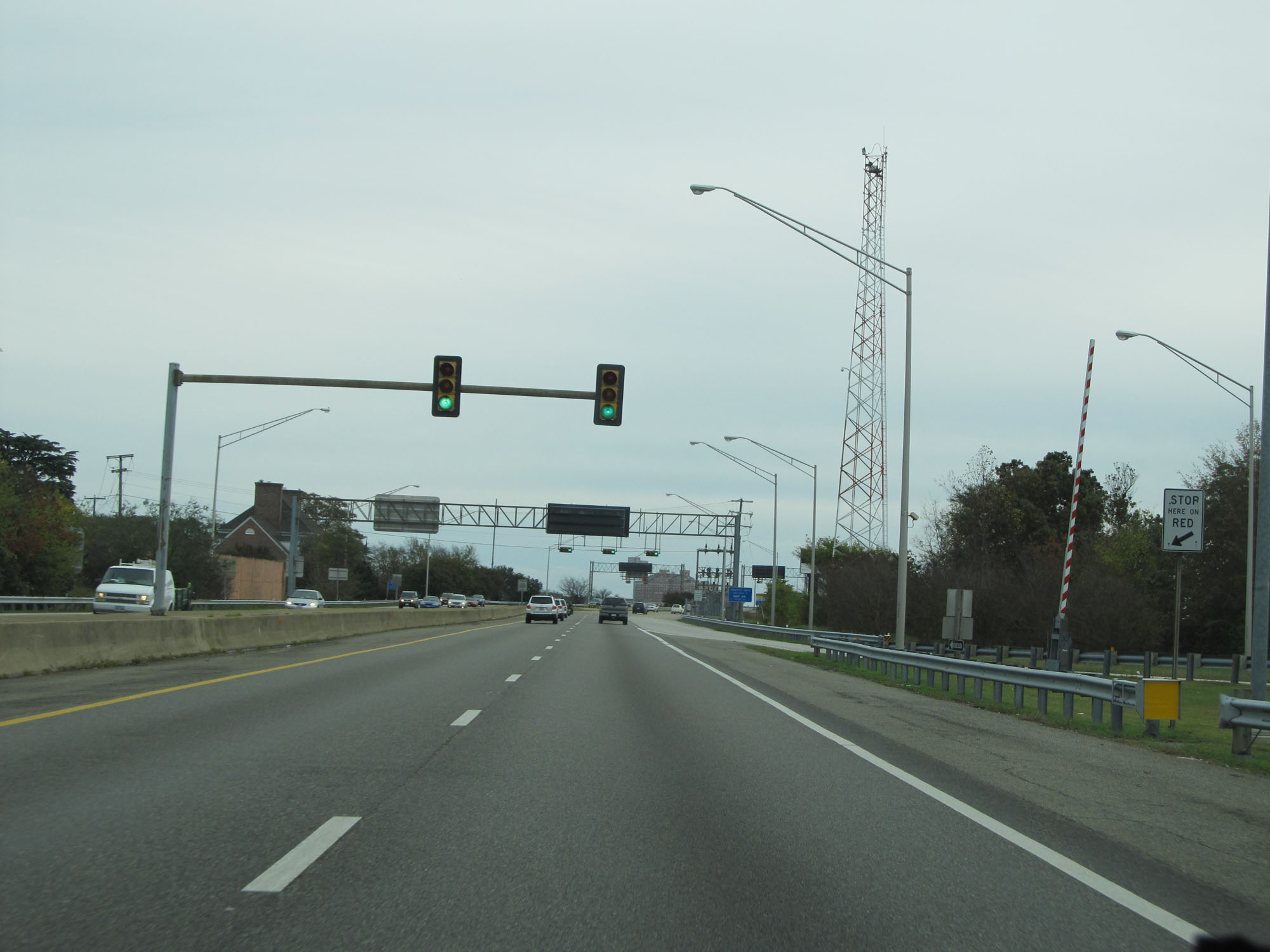 |
Traffic signals are in place approaching the Hampton Roads Bridge-Tunnel. (Photo taken 11/8/15). |
 |
Interstate 64 East as it starts across the Hampton Roads Bridge-Tunnel. (Photo taken 11/8/15). |
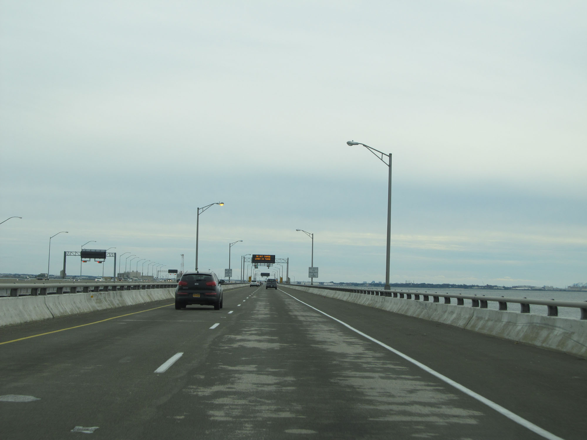 |
View on Interstate 64 East on the Hampton Roads Bridge-Tunnel. (Photo taken 11/8/15). |
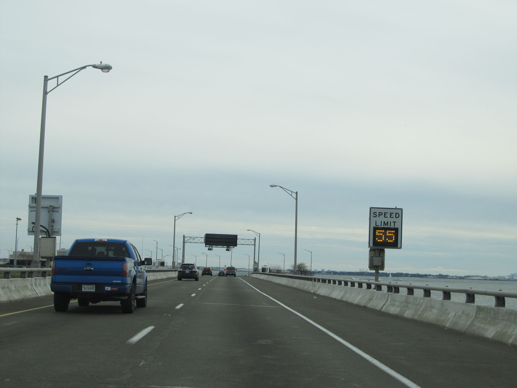 |
Variable speed limits are used on the Hampton Roads Bridge-Tunnel. (Photo taken 11/8/15). |
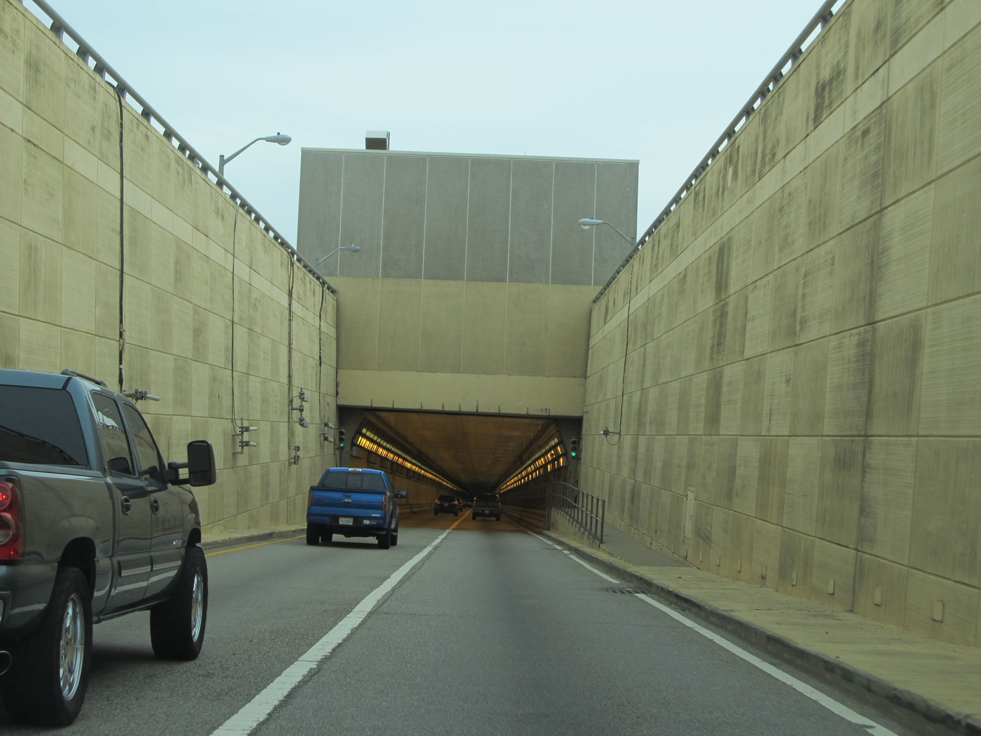 |
View on Interstate 64 East as it enters the tunnel portion of the Hampton Roads Bridge-Tunnel. (Photo taken 11/8/15). |
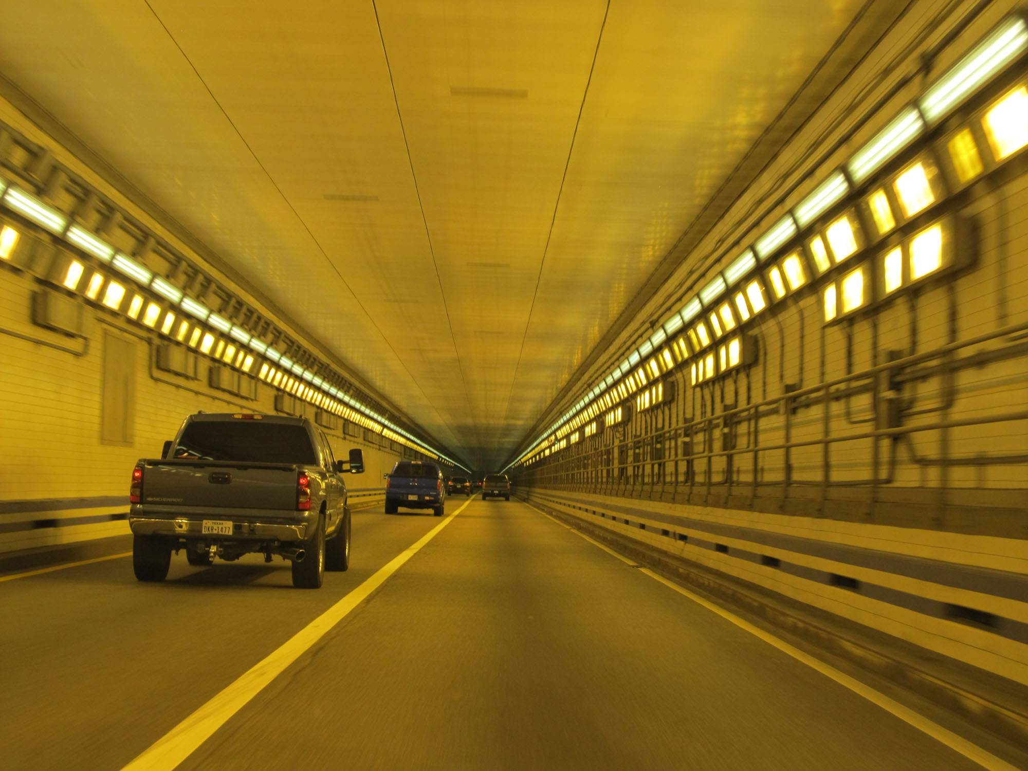 |
View inside the tunnel. (Photo taken 11/8/15). |
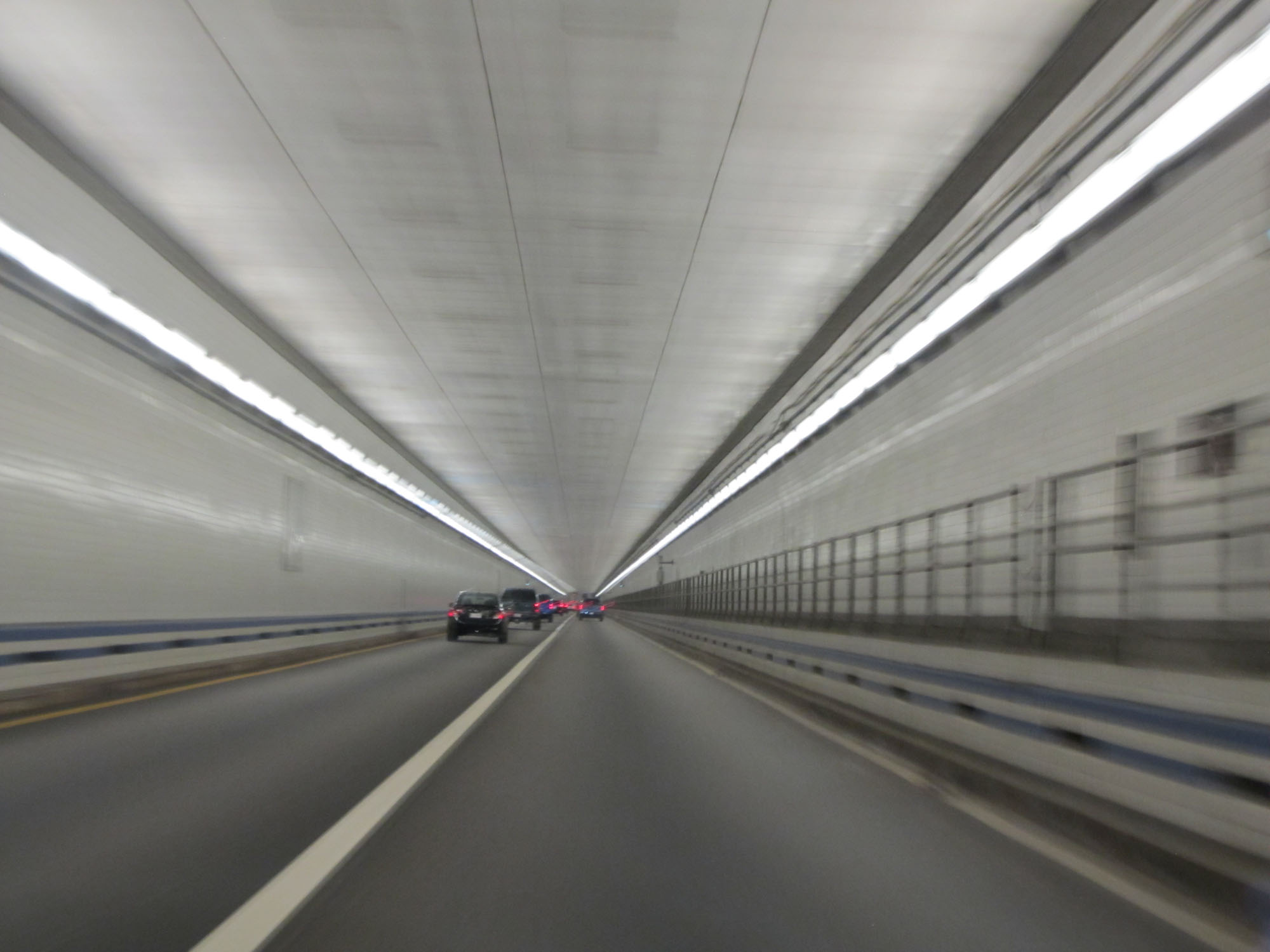 |
Another view inside the Hampton Roads Bridge-Tunnel. (Photo taken 11/8/15). |
 |
Interstate 64 East as it emerges from the tunnel. (Photo taken 11/8/15). |
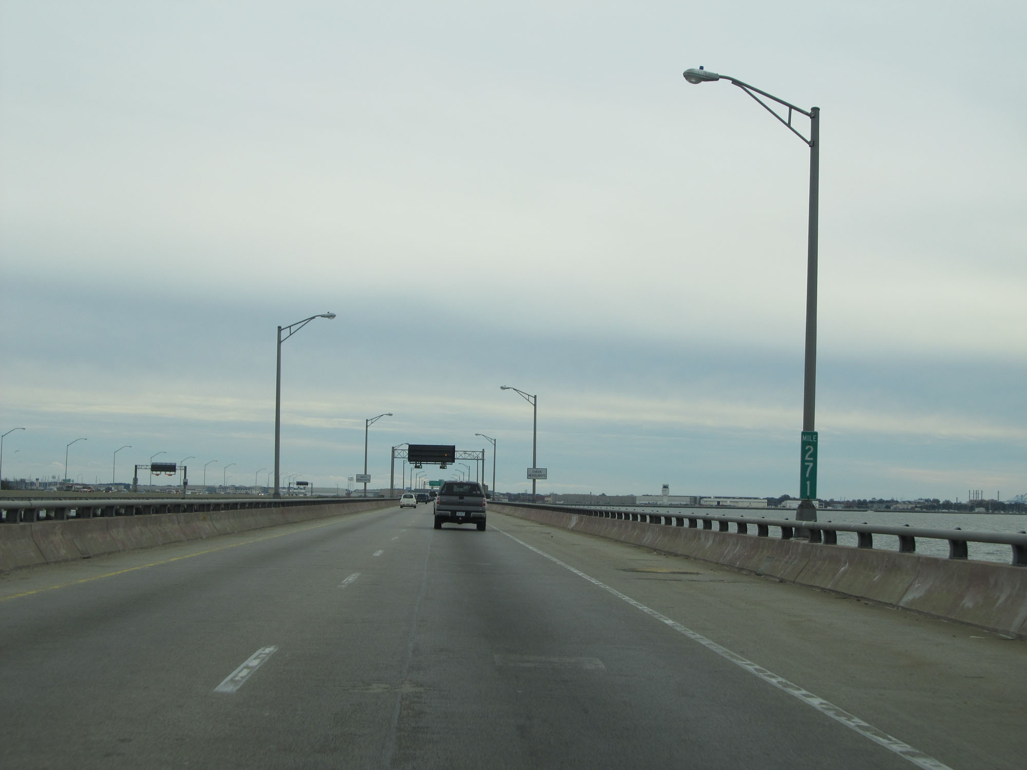 |
Interstate 64 East at mile marker 271. (Photo taken 11/8/15). |
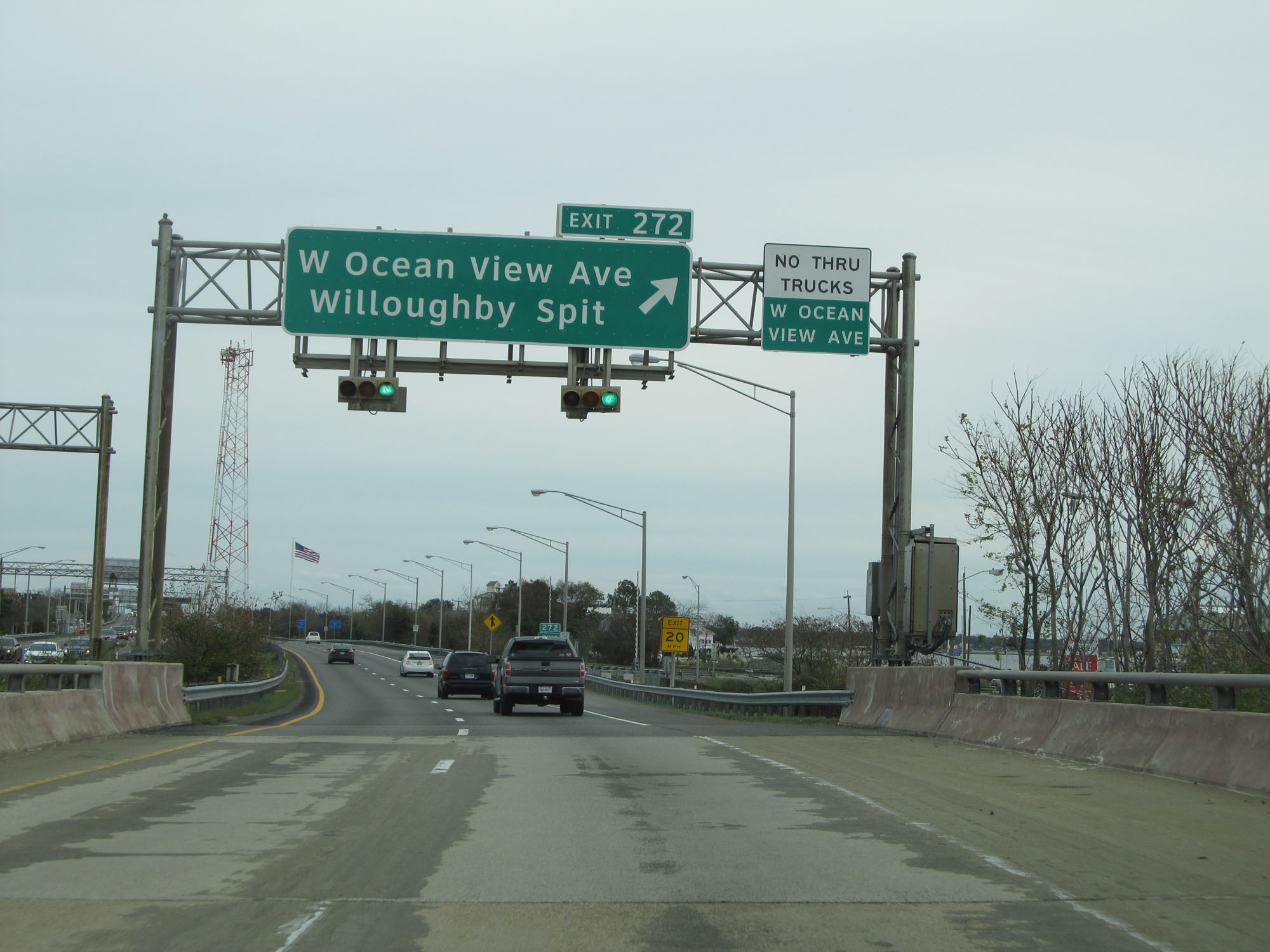 |
Interstate 64 East at Exit 272: W Ocean View Ave / Willoughby Spit (Photo taken 11/8/15). |
 |
Interstate 64 East reassurance shield. (Photo taken 11/8/15). |
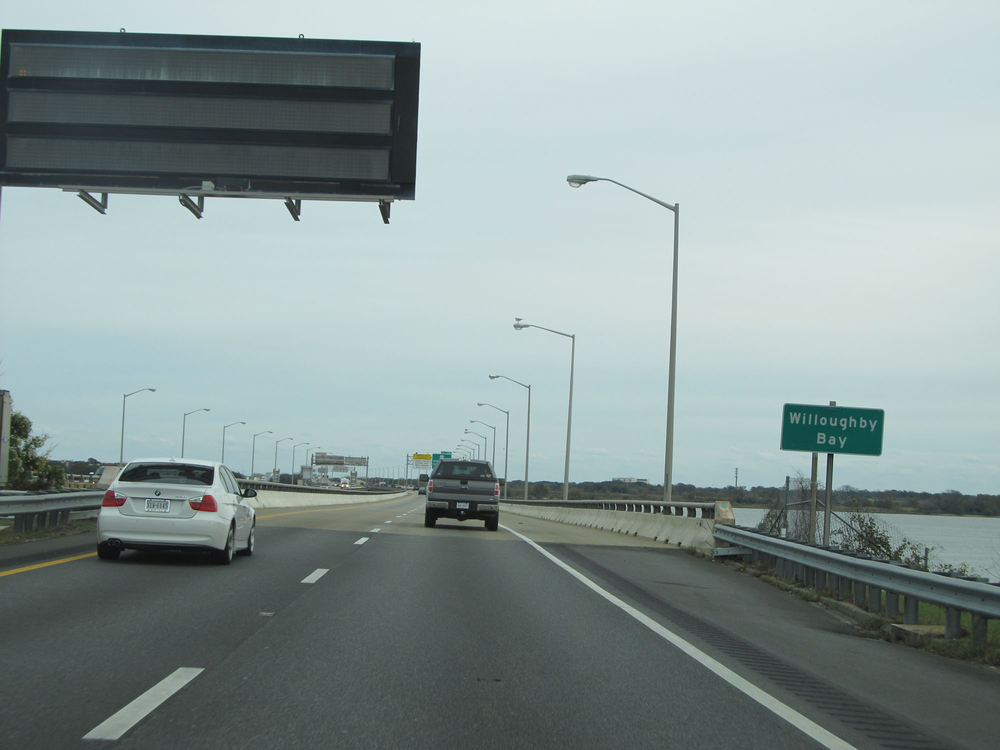 |
Interstate 64 East crossing Willoughby Bay. (Photo taken 11/8/15). |
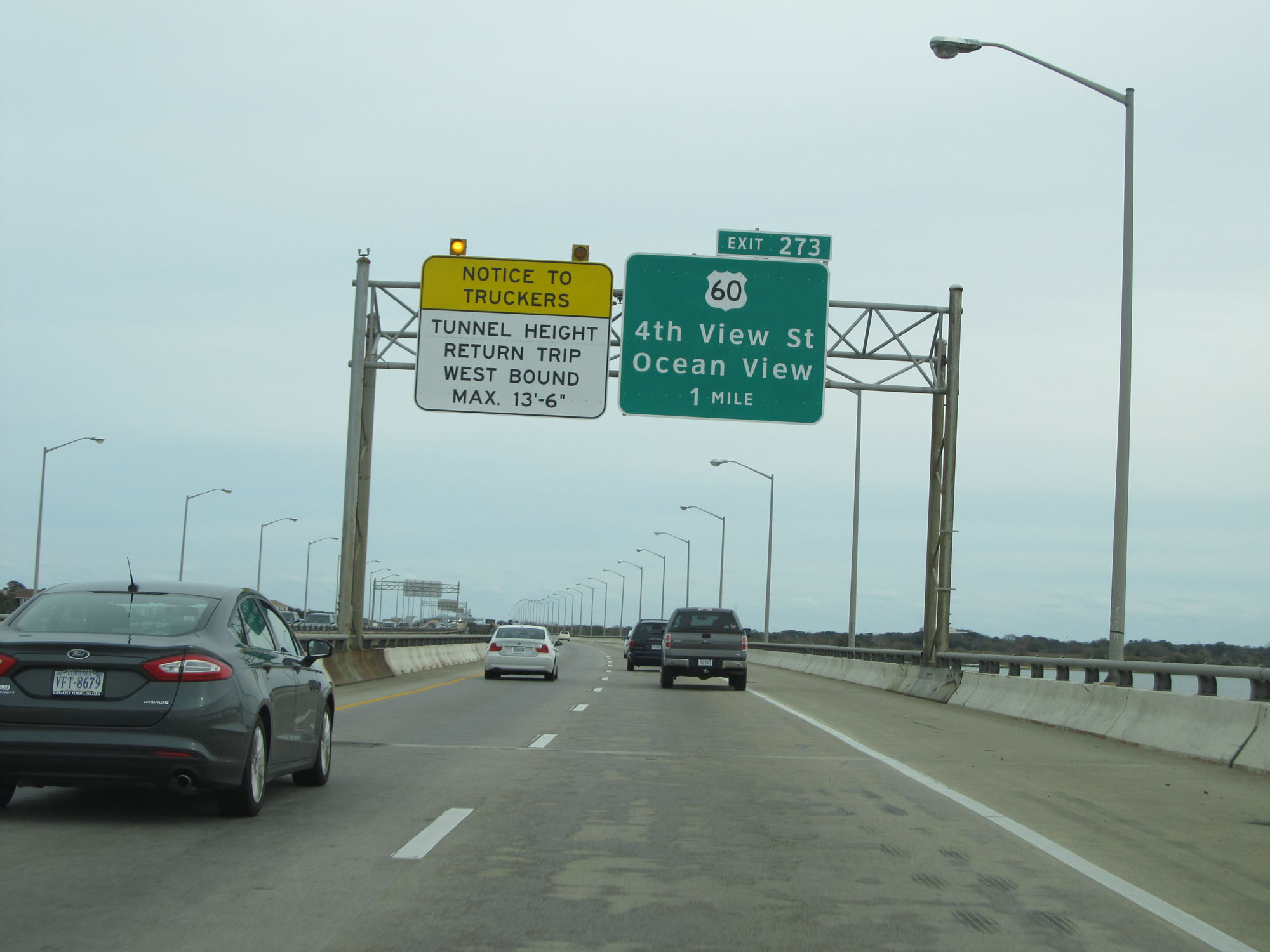 |
This overhead sign warns trucks that the maximum vertical clearance for the return trip through the Hampton Roads Bridge-Tunnel is 13'6". (Photo taken 11/8/15). |
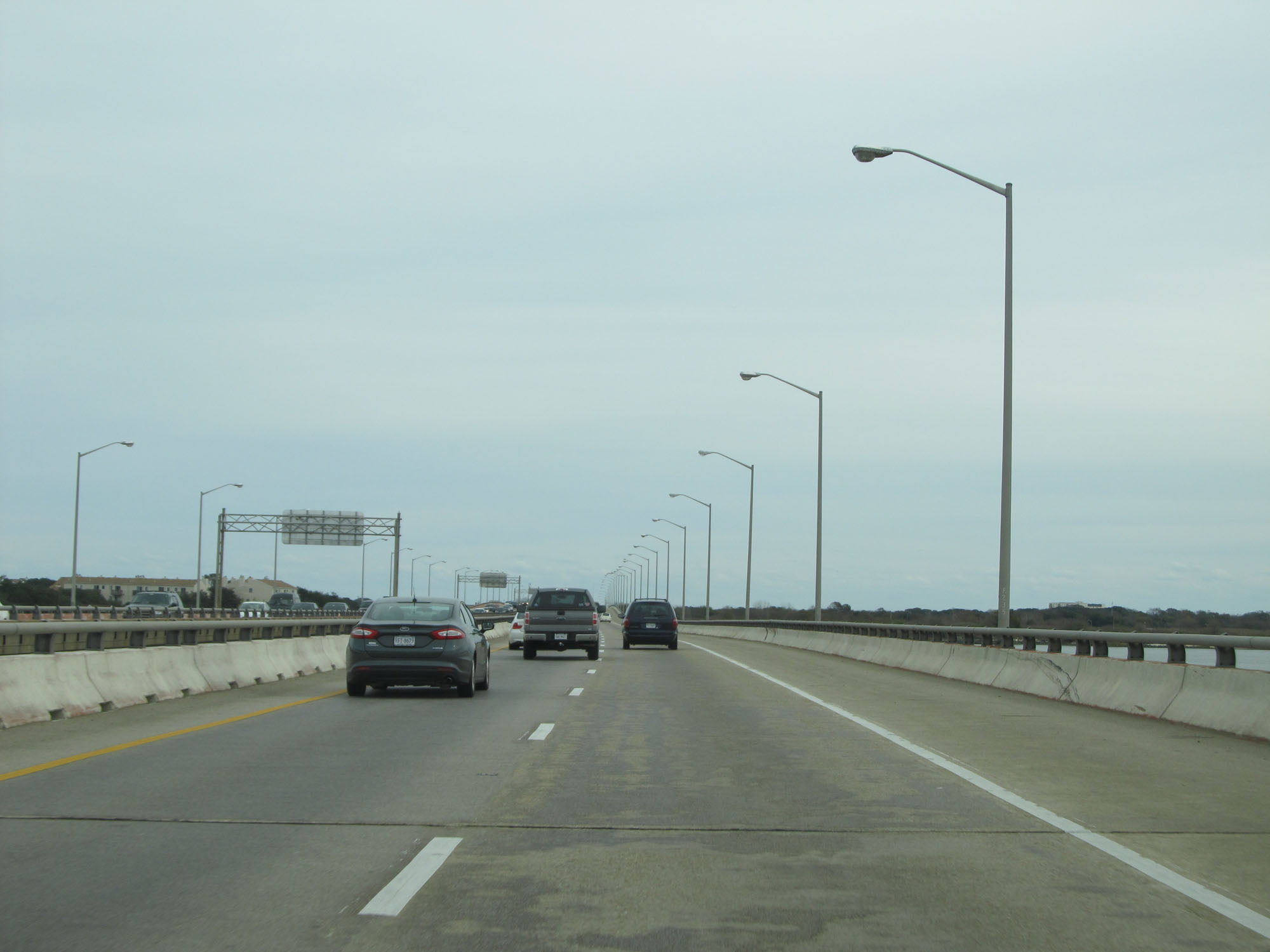 |
View on Interstate 64 East on the Hampton Roads Bridge-Tunnel. (Photo taken 11/8/15). |
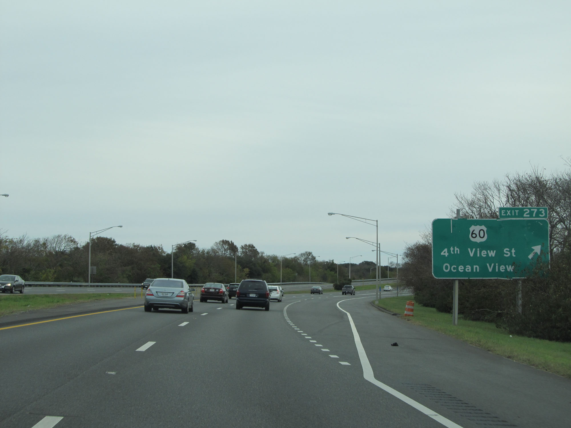 |
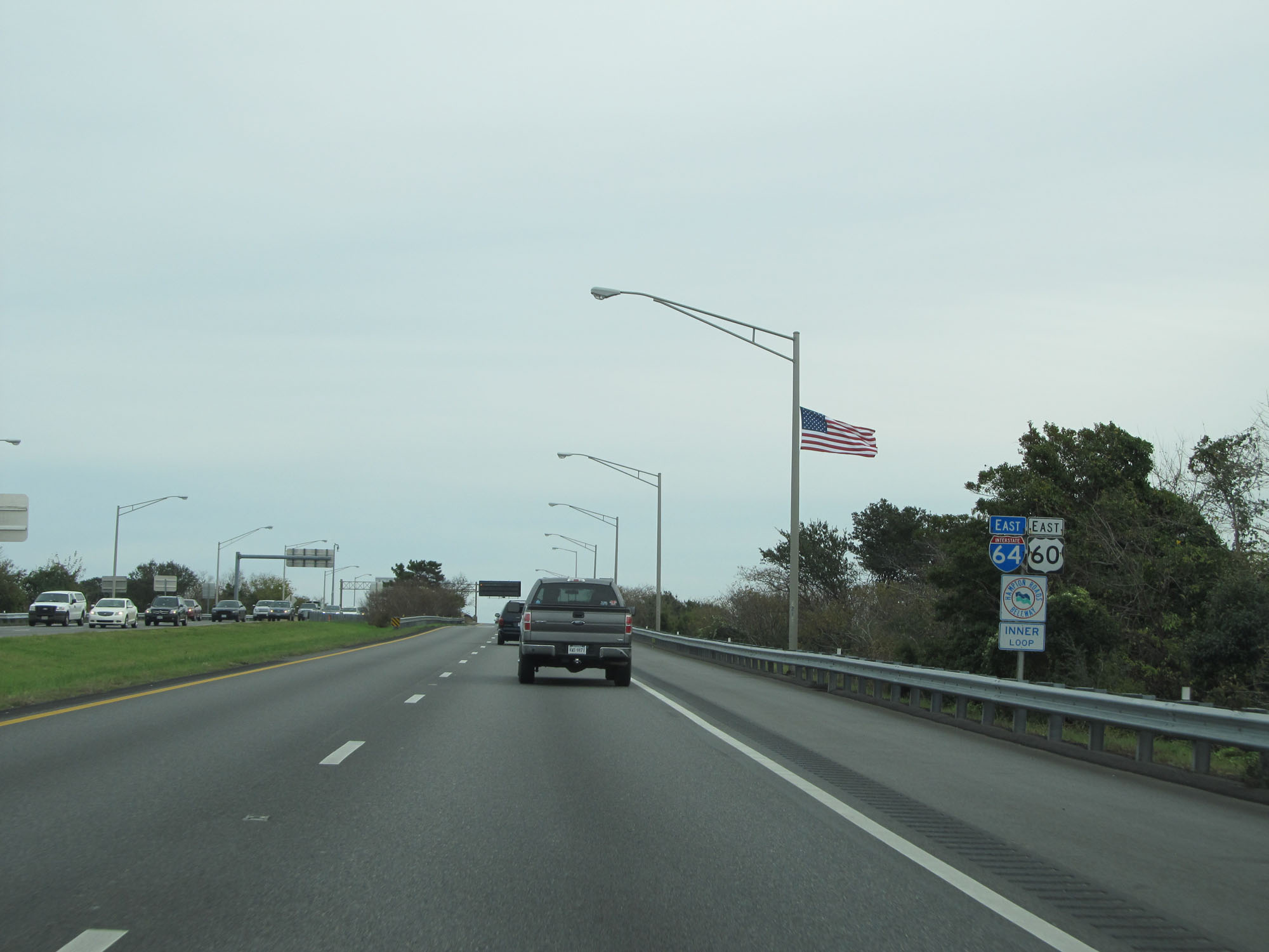
Interstate 64 East at Exit 273: US 60 - 4th View St / Ocean View (Photo taken 11/8/15). |
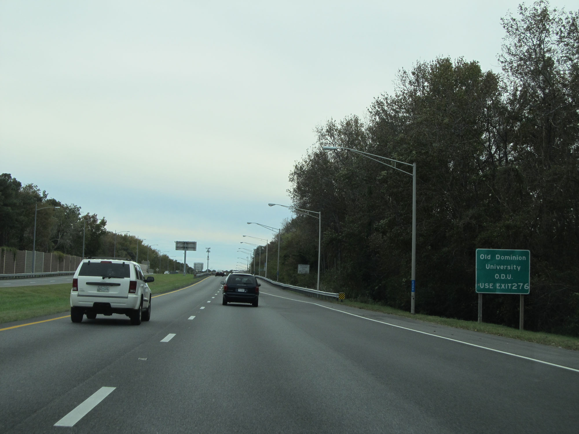 |
Take Exit 276 to Old Dominion University. (Photo taken 11/8/15). |
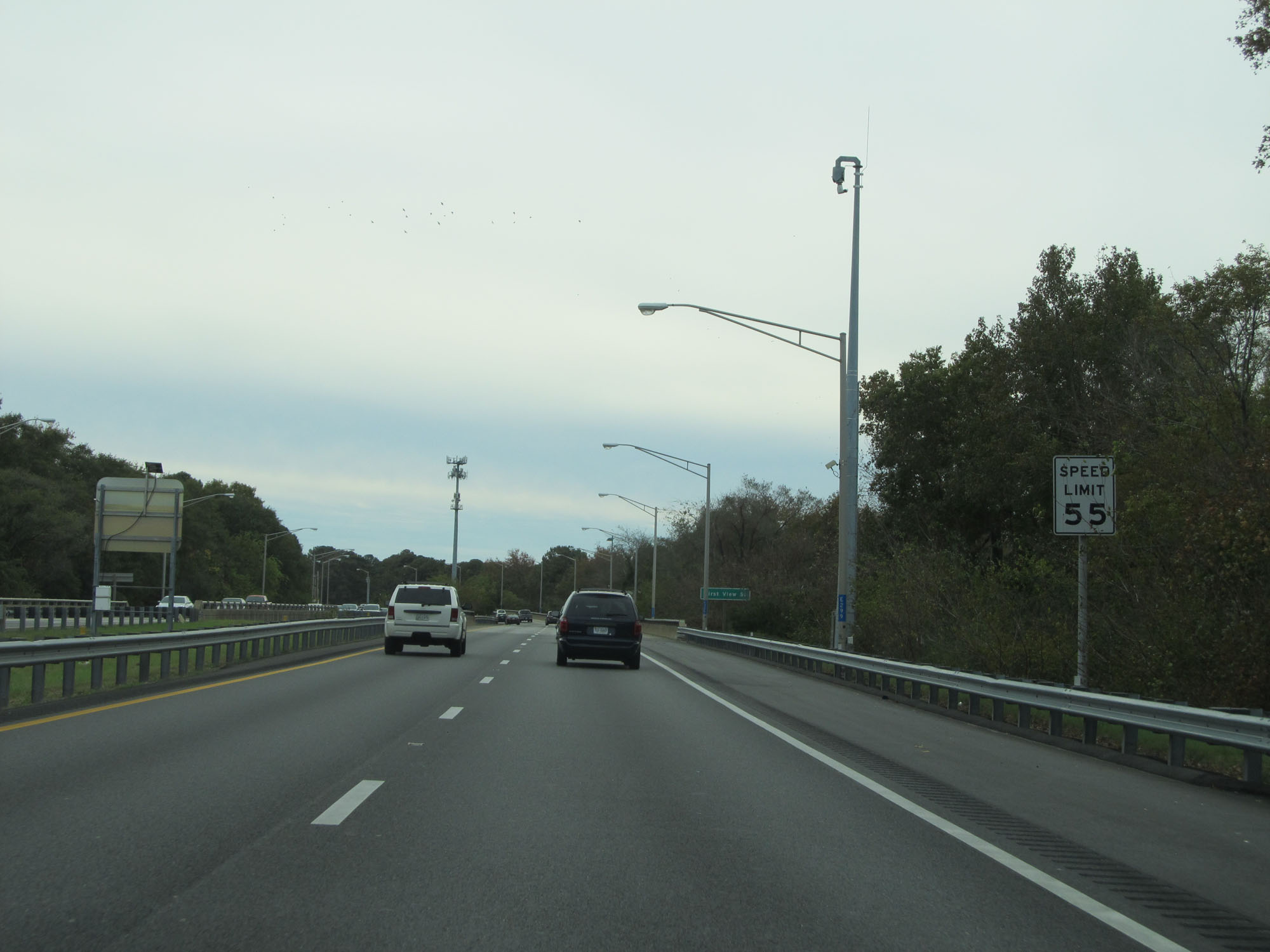 |
The speed limit remains 55 mph. (Photo taken 11/8/15). |
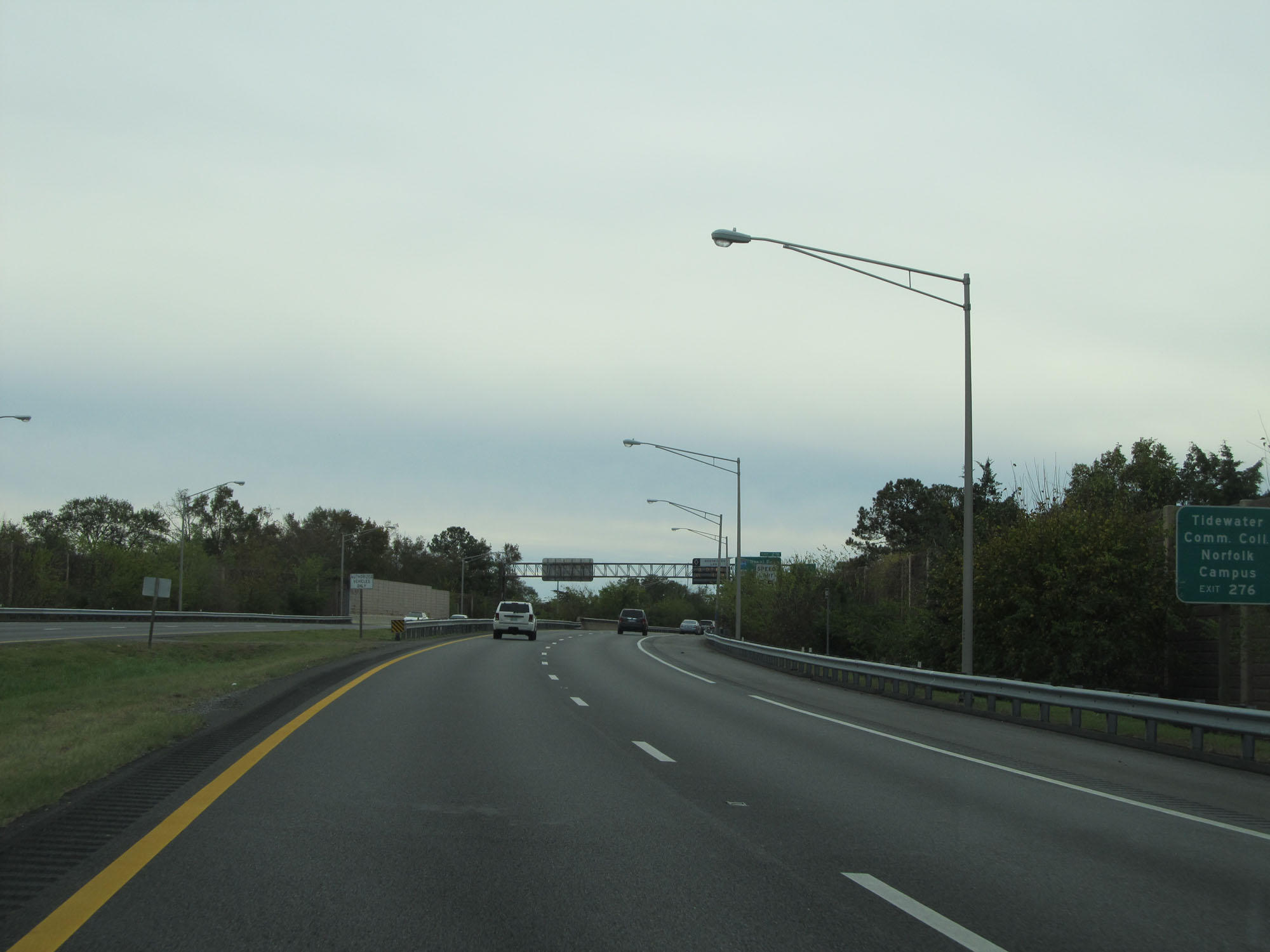 |
Take Exit 276 to Tidewater Community College Norfolk Campus as well. (Photo taken 11/8/15). |
 |
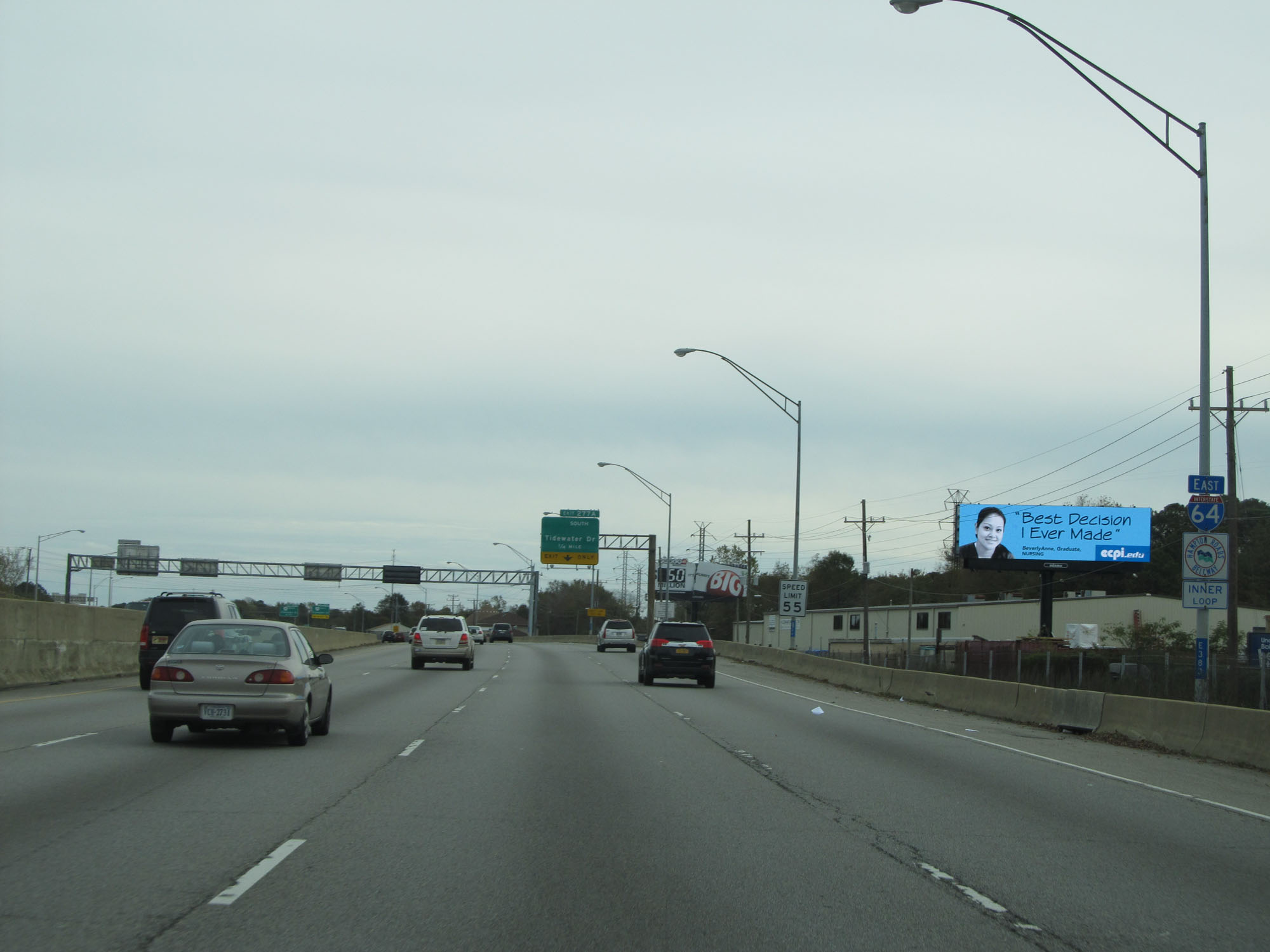
Interstate 64 East approaching Exit 276 - 1 mile. (Photo taken 11/8/15). |
 |
Take Exit 276 to VA 165 (Little Creek Rd) and to VA 406 (Terminal Blvd). (Photo taken 11/8/15). |
 |
Also take Exit 276 to Virginia Zoological Park, Old Dominion University, and Eastern Virginia Medical School. (Photo taken 11/8/15). |
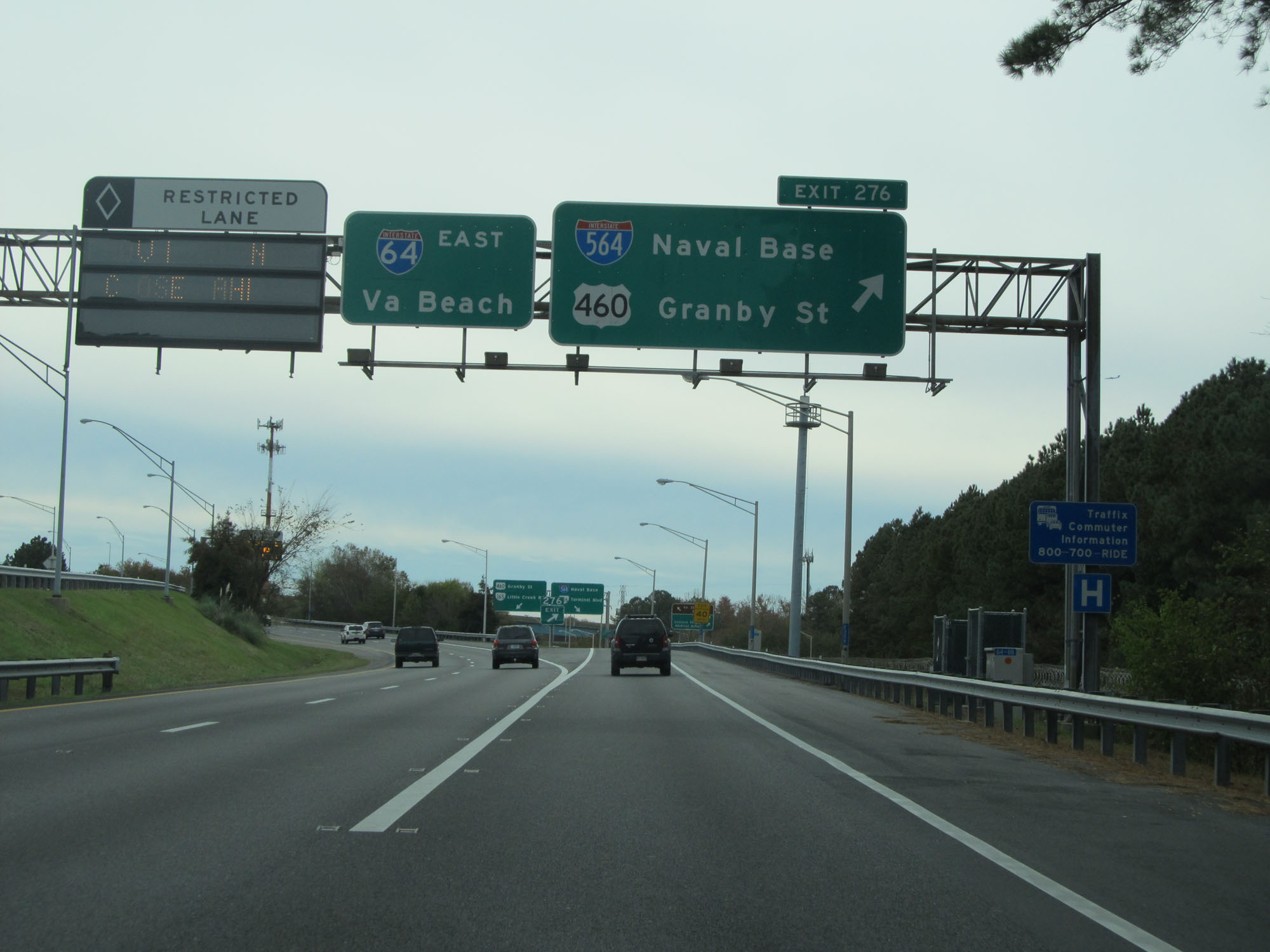 |
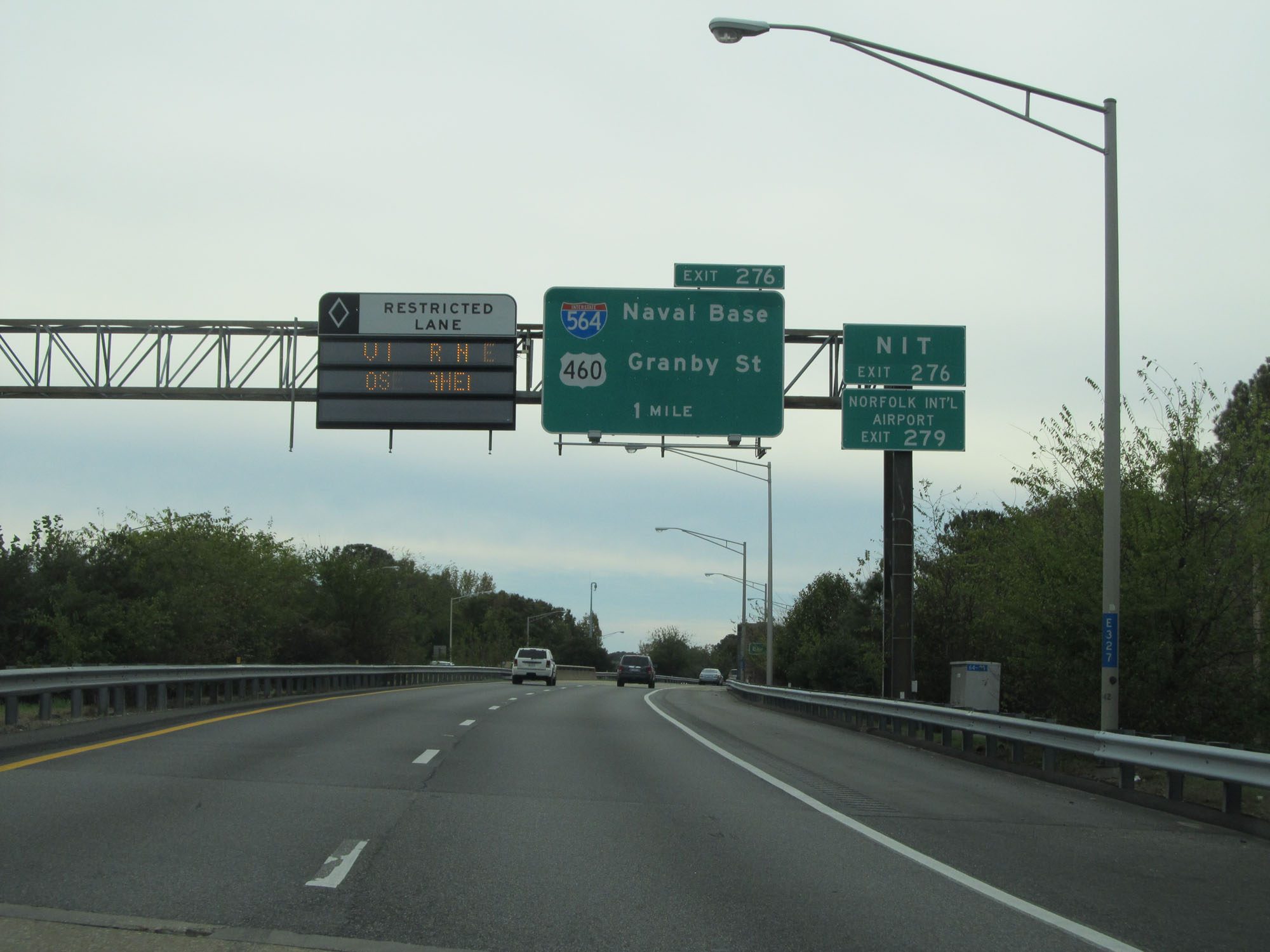
Interstate 64 East at Exit 276: Interstate 564 / US 460 - Naval Base / Granby St (Photo taken 11/8/15). |
 |
Interstate 64 East reassurance shield. (Photo taken 11/8/15). |
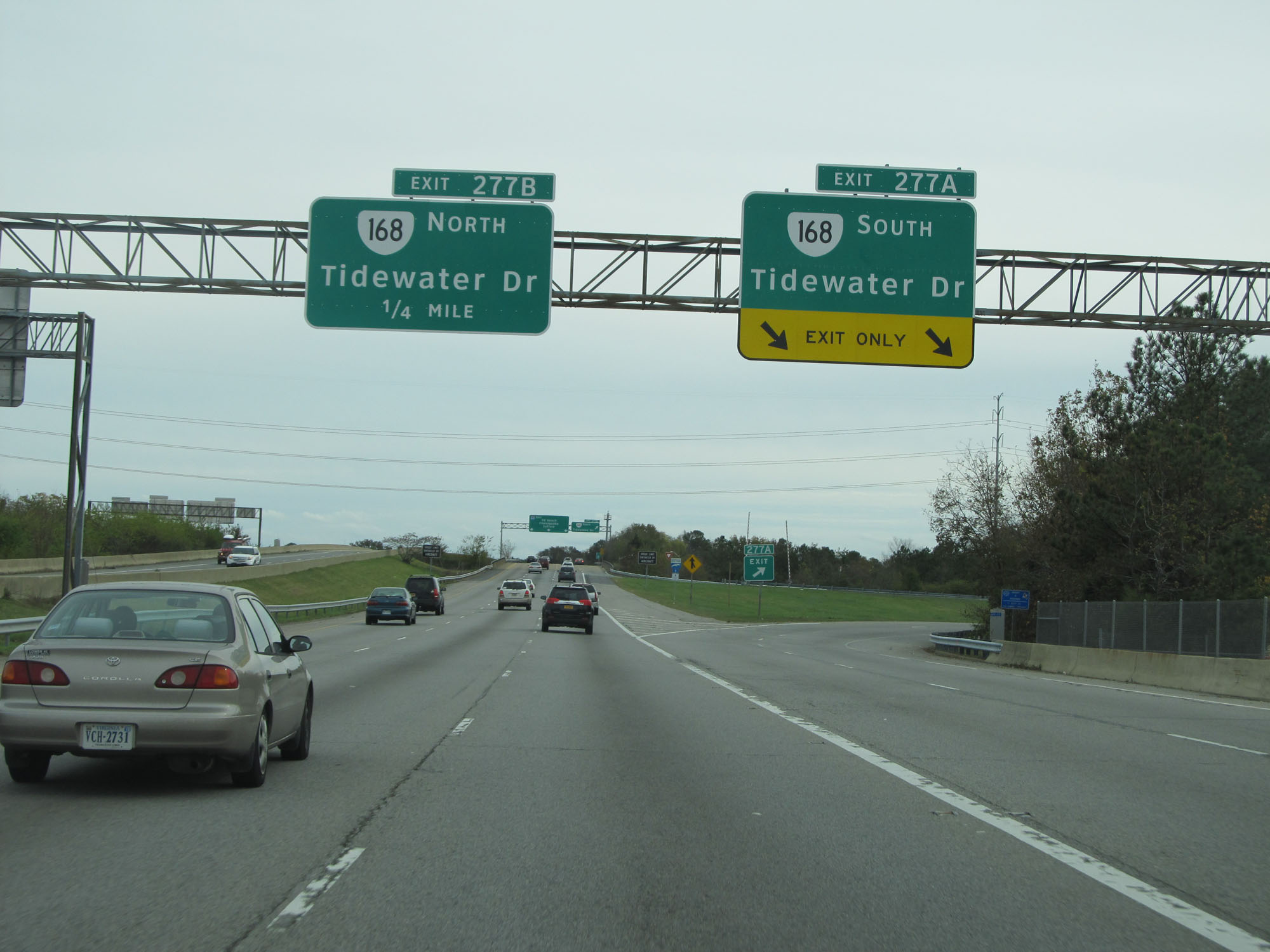 |
Interstate 64 East at Exit 277A: VA 168 South - Tidewater Dr (Photo taken 11/8/15). |
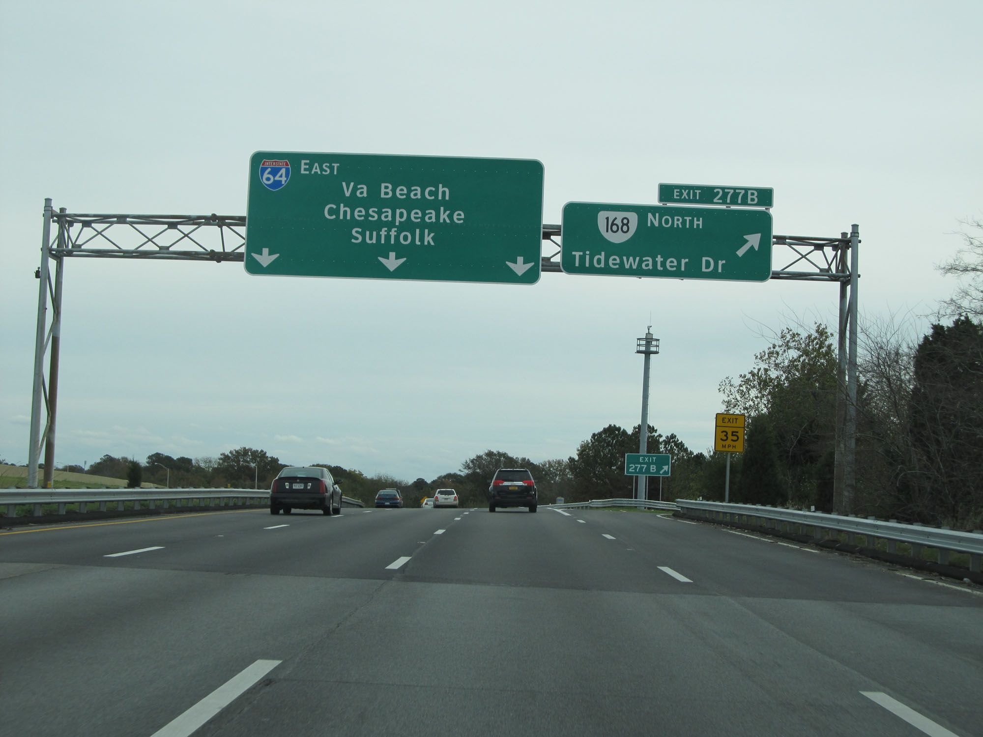 |
Interstate 64 East at Exit 277B: VA 168 North - Tidewater Dr (Photo taken 11/8/15). |
 |
Interstate 64 East at Exit 278: VA 194 South - Chesapeake Blvd (Photo taken 11/8/15). |
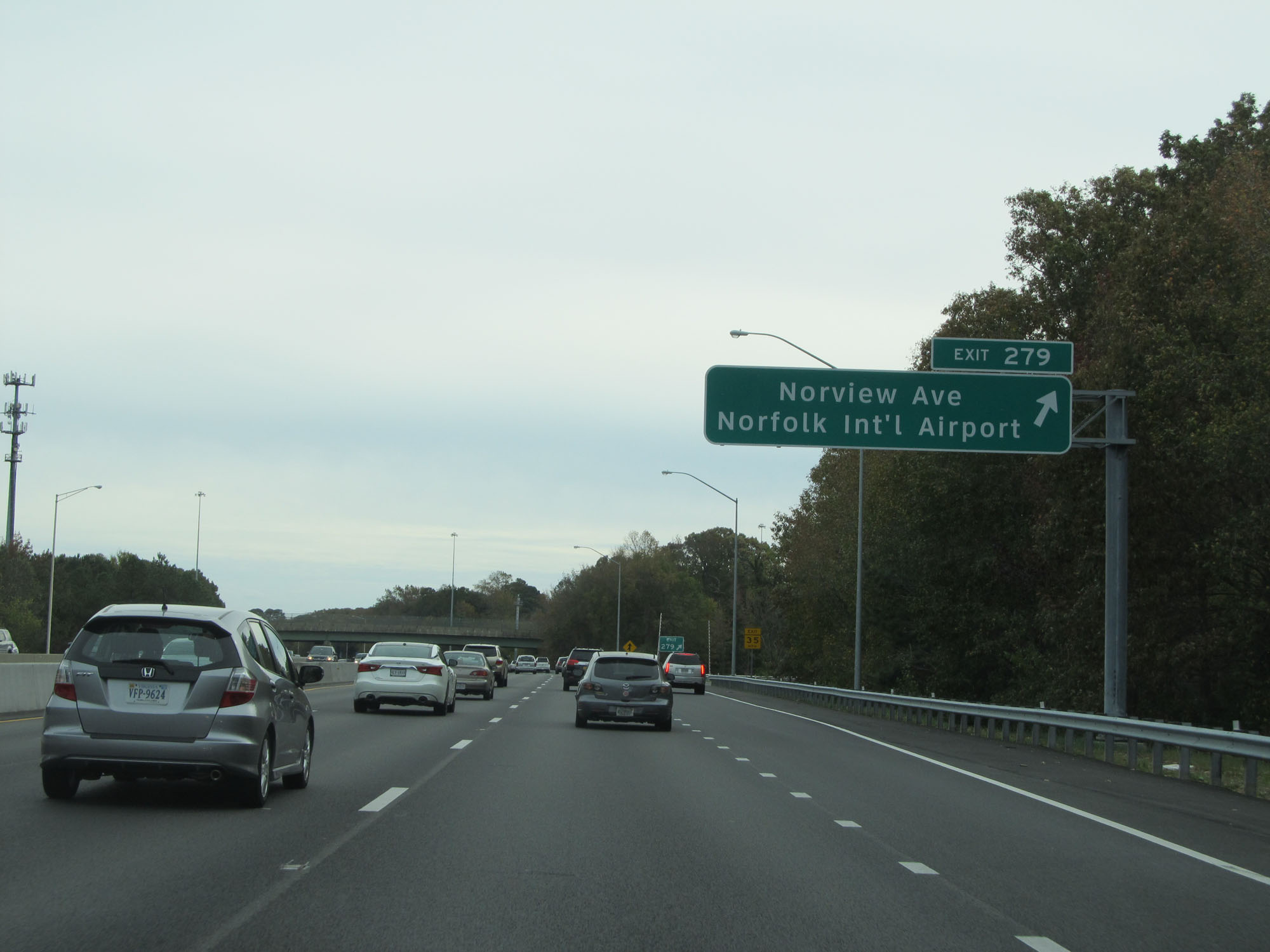 |
Interstate 64 East at Exit 279: Norview Ave / Norfolk International Airport (Photo taken 11/8/15). |
 |
Interstate 64 East approaching Exit 281B - 1/4 mile. (Photo taken 11/8/15). |
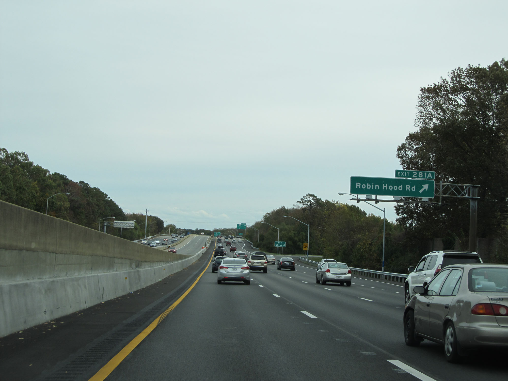 |
Interstate 64 East at Exit 281A: Robin Hood Rd (Photo taken 11/8/15). |
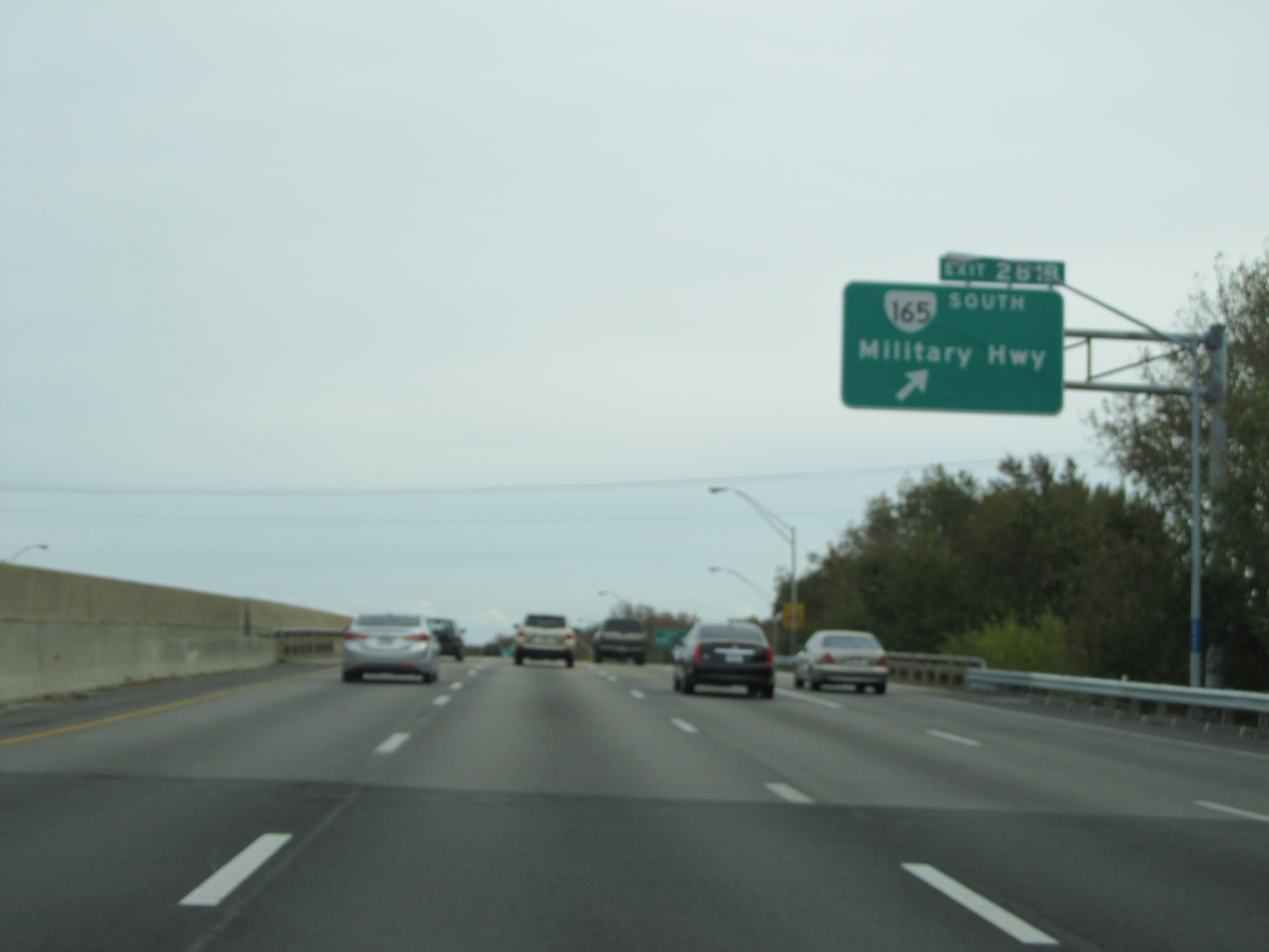 |
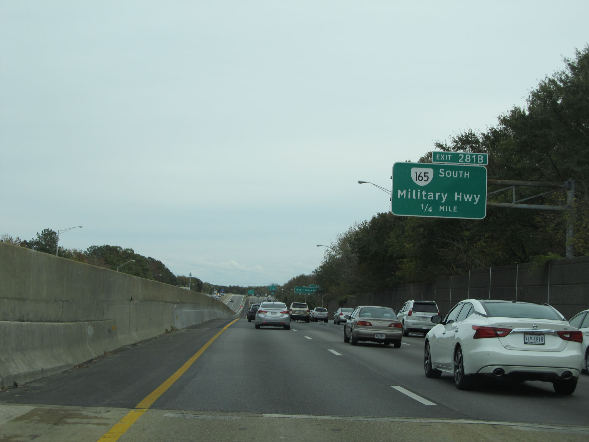
Interstate 64 East at Exit 281B: VA 165 South - Military Hwy (Photo taken 11/8/15). |
 |
Take Exit 282 to Virginia Wesleyan College. (Photo taken 11/8/15). |
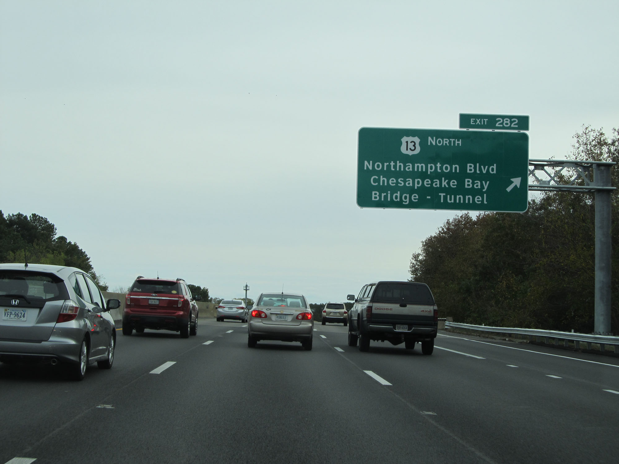 |
Interstate 64 East at Exit 282: US 13 North - Northampton Blvd / Chesapeake Bay Bridge-Tunnel (Photo taken 11/8/15). |
Section 8: Norfolk (Exit 282) to Interstate 264/Interstate 664
 |
Interstate 64 East approaching Exit 284A - 1 mile. (Photo taken 11/8/15). |
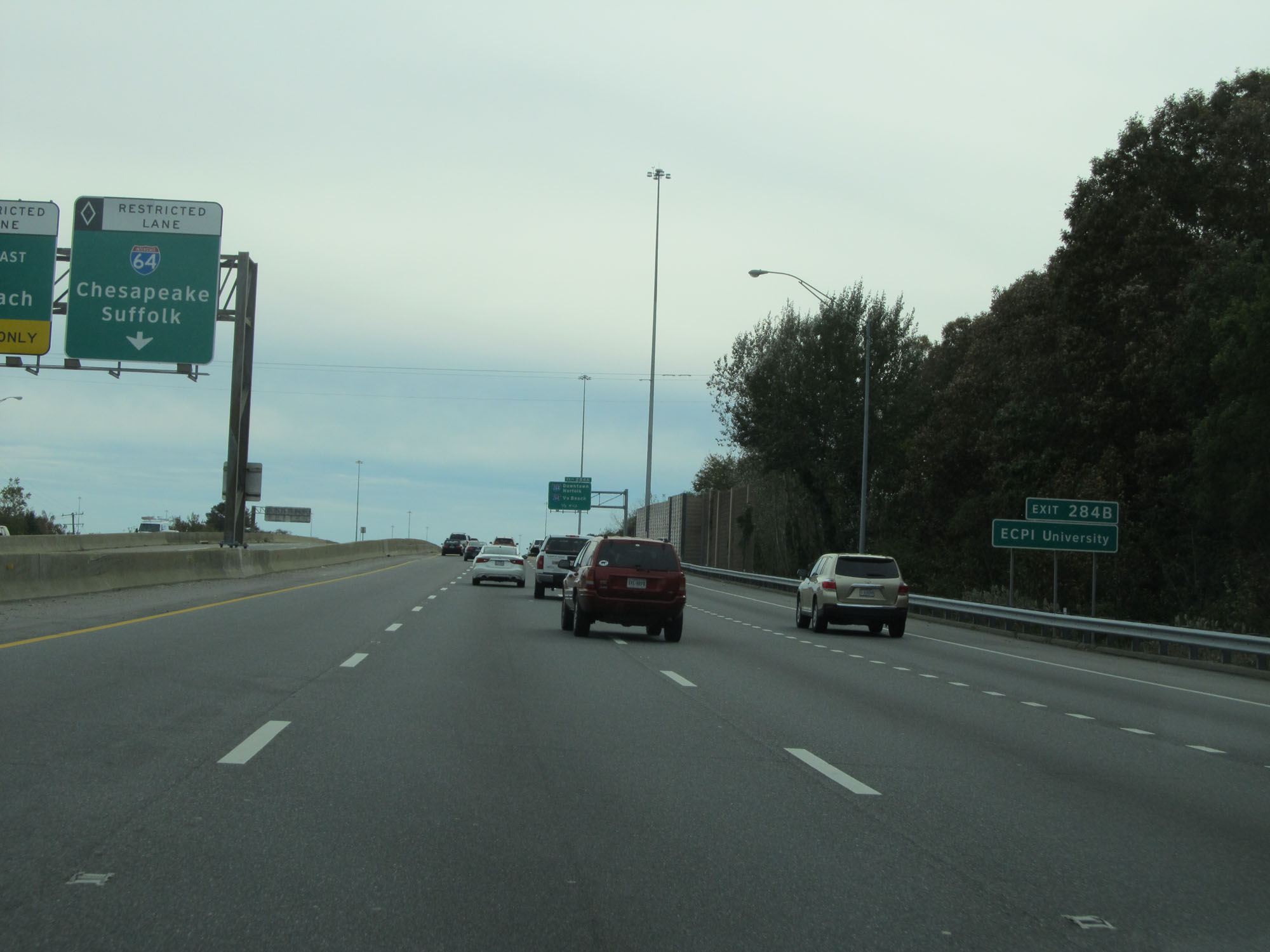 |
Take Exit 284B to ECPI University. (Photo taken 11/8/15). |
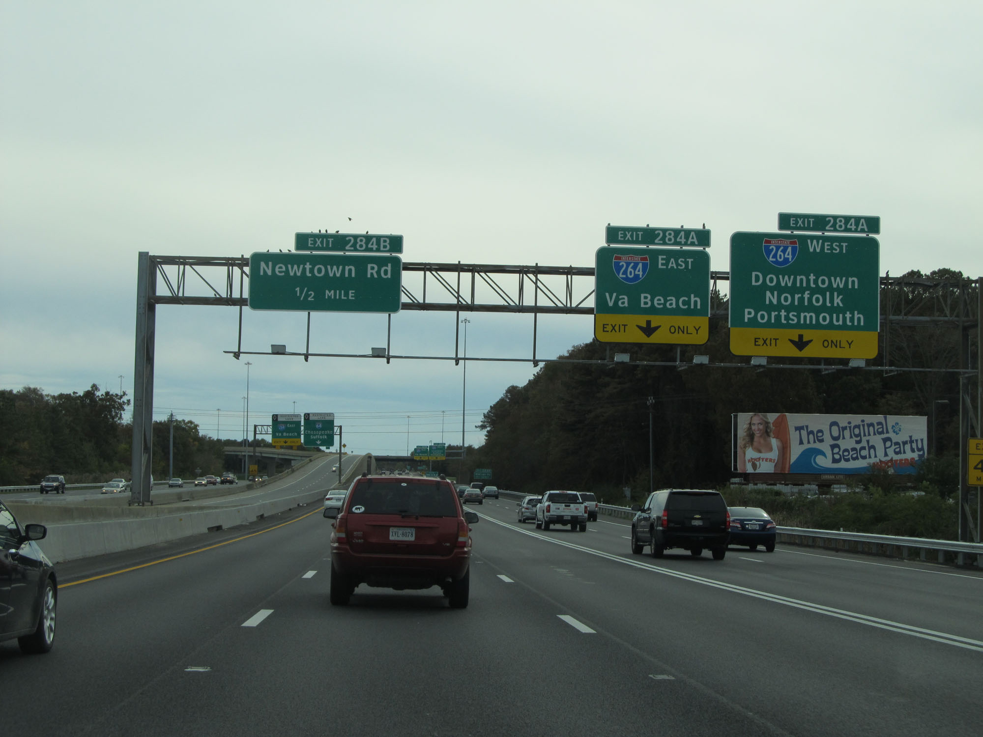 |
Interstate 64 East approaching Exit 284A. (Photo taken 11/8/15). |
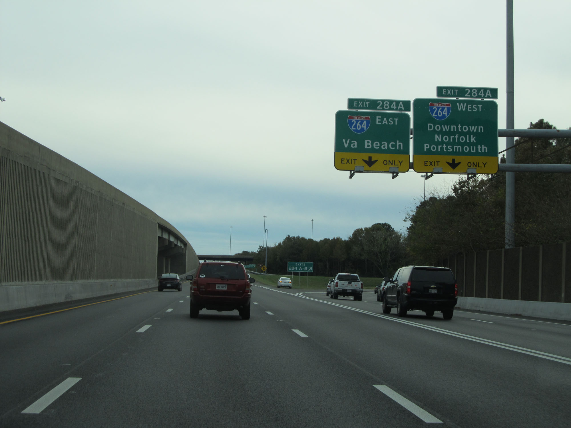 |
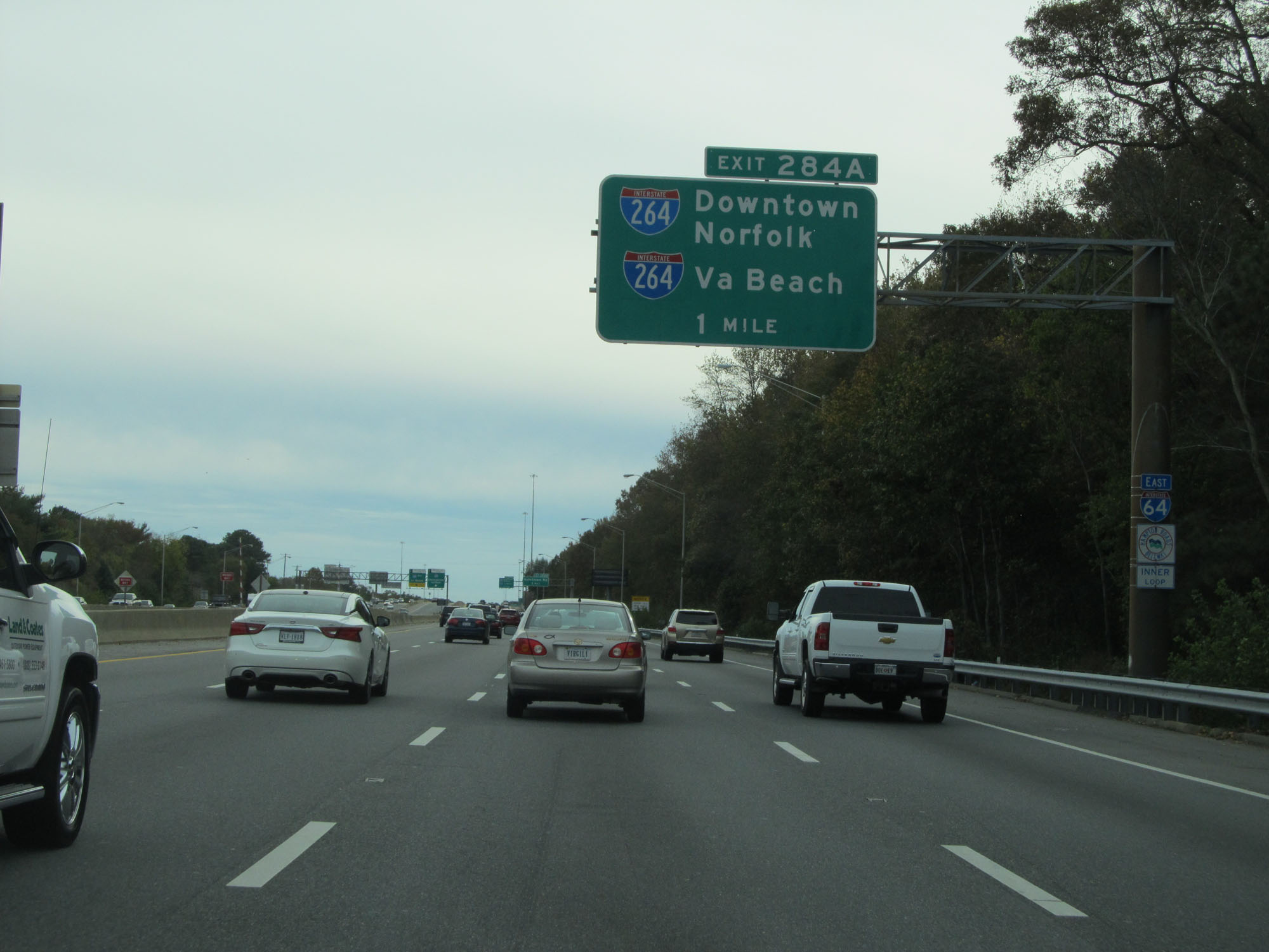
Interstate 64 East at Exit 284A: Interstate 264 - Virginia Beach / Downtown Norfolk / Portsmouth (Photo taken 11/8/15). |
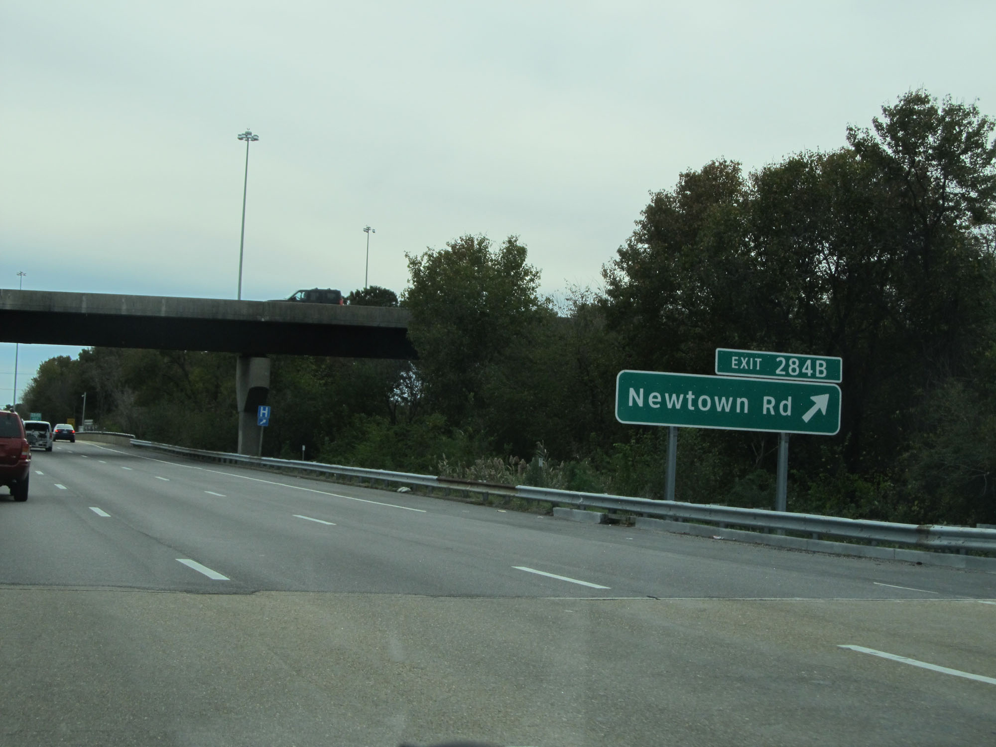 |
Interstate 64 East at Exit 284B: Newtown Rd (Photo taken 11/8/15). |
 |
The speed limit remains 55 mph. (Photo taken 11/8/15). |
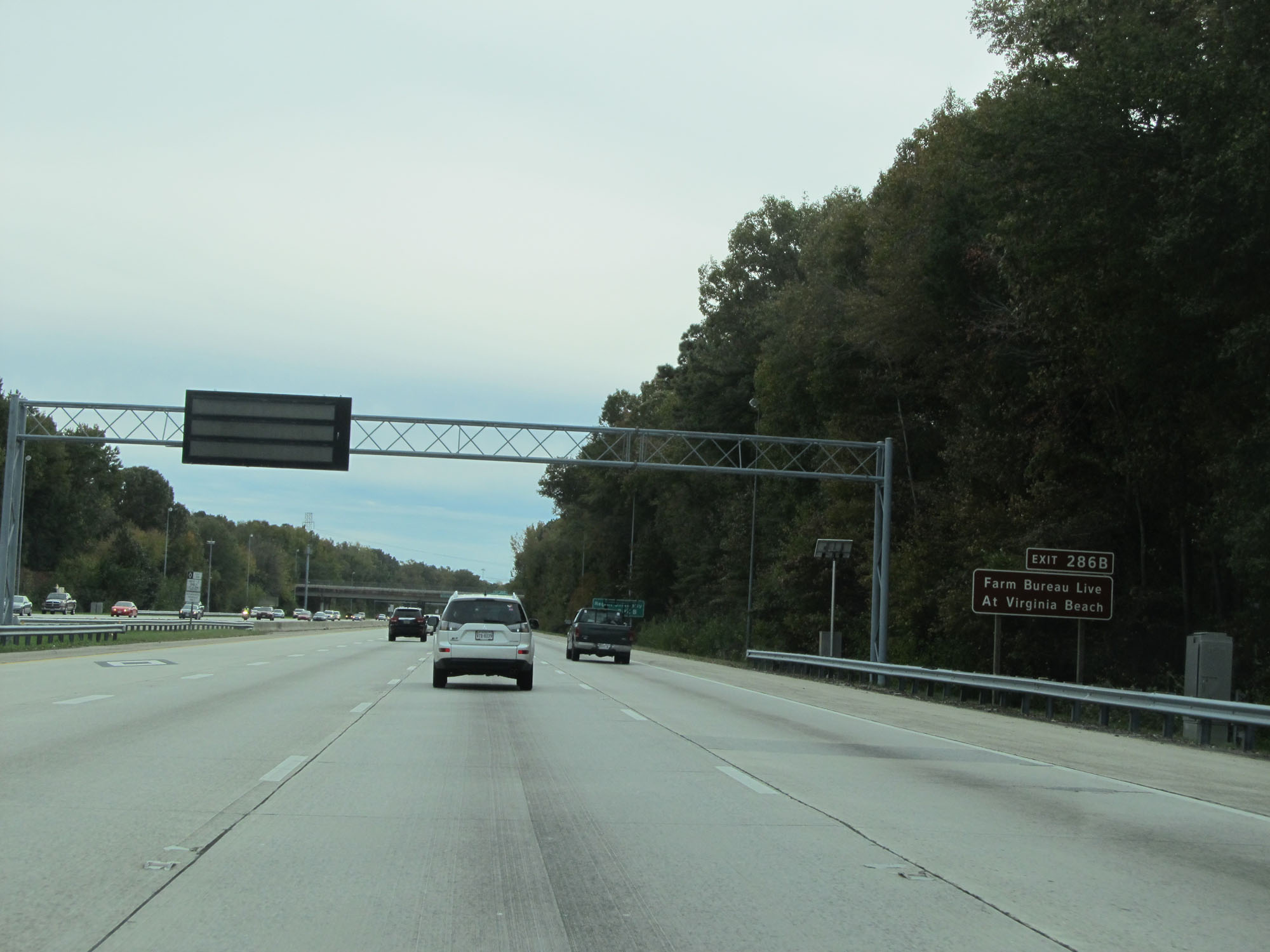 |
Take Exit 286B to Farm Bureau Live at Virginia Beach. (Photo taken 11/8/15). |
 |
Also take Exit 286B to Regent University. (Photo taken 11/8/15). |
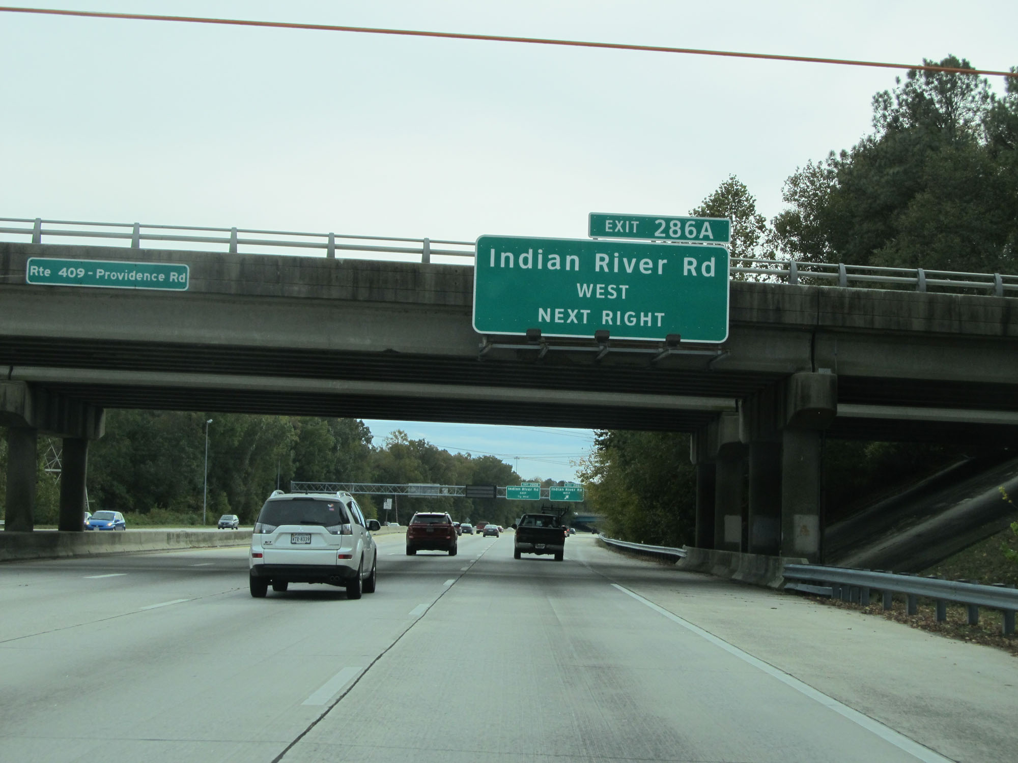 |
Interstate 64 East at Exit 286A: Indian River Rd West (Photo taken 11/8/15). |
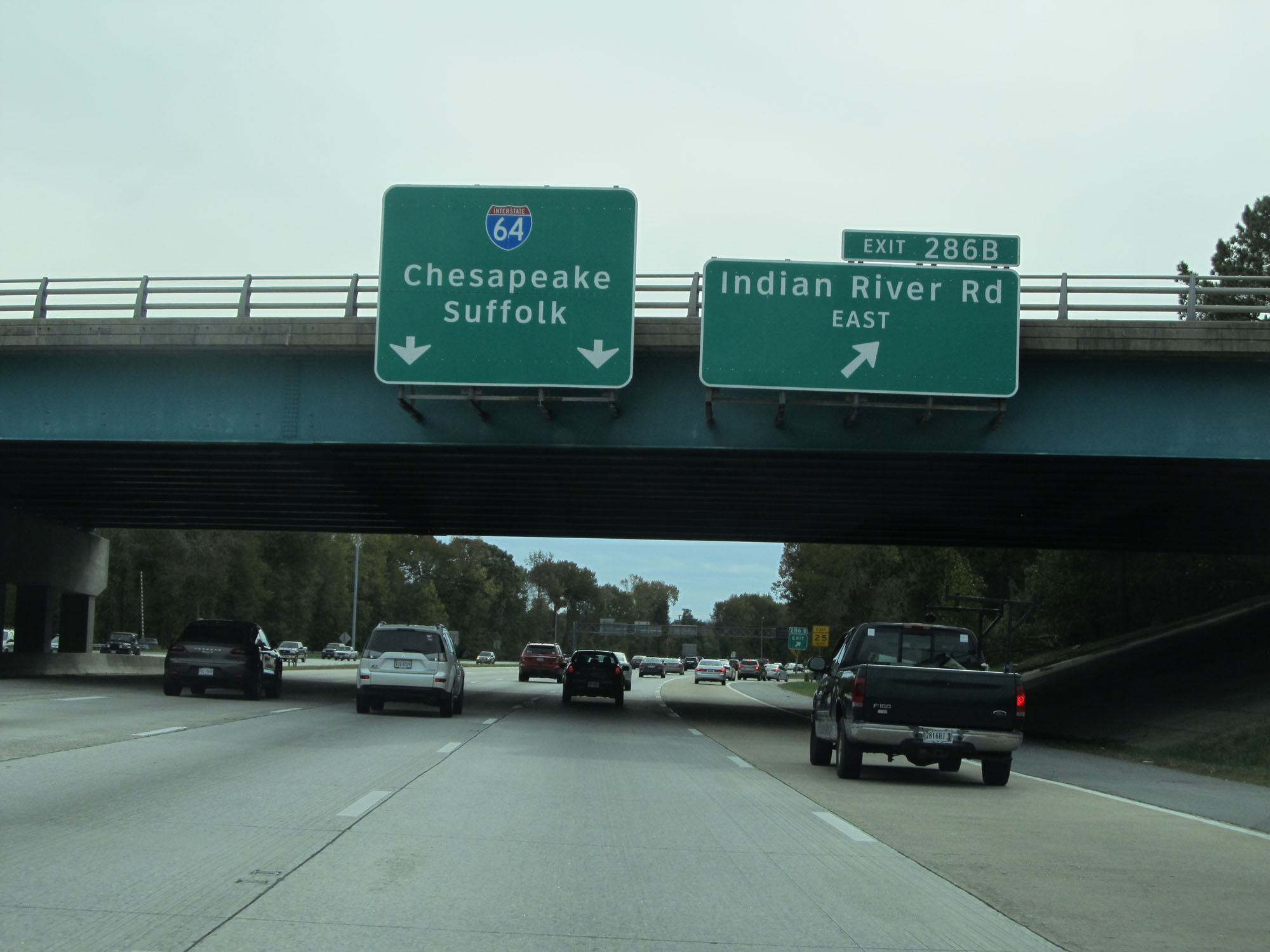 |
Interstate 64 East at Exit 286B: Indian River Rd East (Photo taken 11/8/15). |
 |
Overhead mileage sign listing the distances to the three upcoming exits. (Photo taken 11/8/15). |
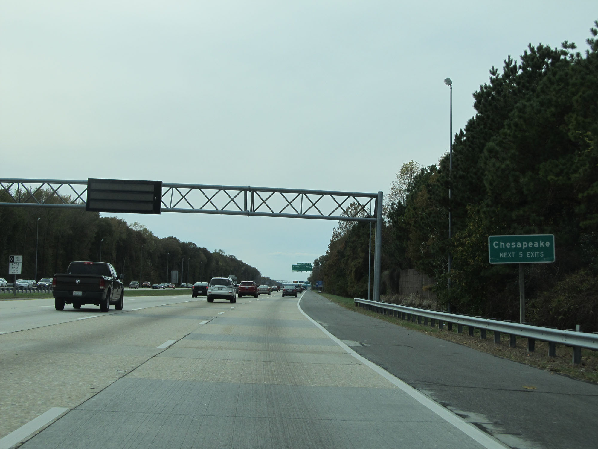 |
Take any of the next 5 exits to Chesapeake. (Photo taken 11/8/15). |
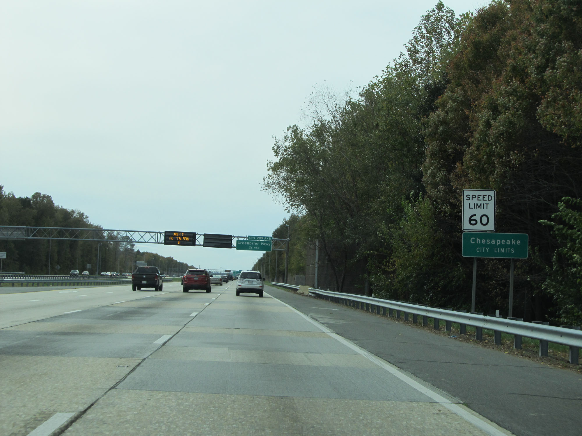 |
Entering the Chesapeake city limits, the speed limit increases to 60 mph. (Photo taken 11/8/15). |
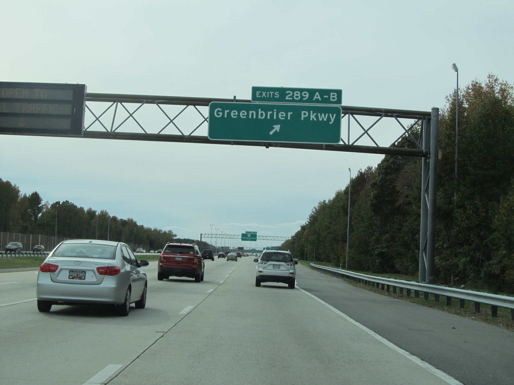 |
Interstate 64 East at Exits 289A-B: Greenbrier Pkwy (Photo taken 11/8/15). |
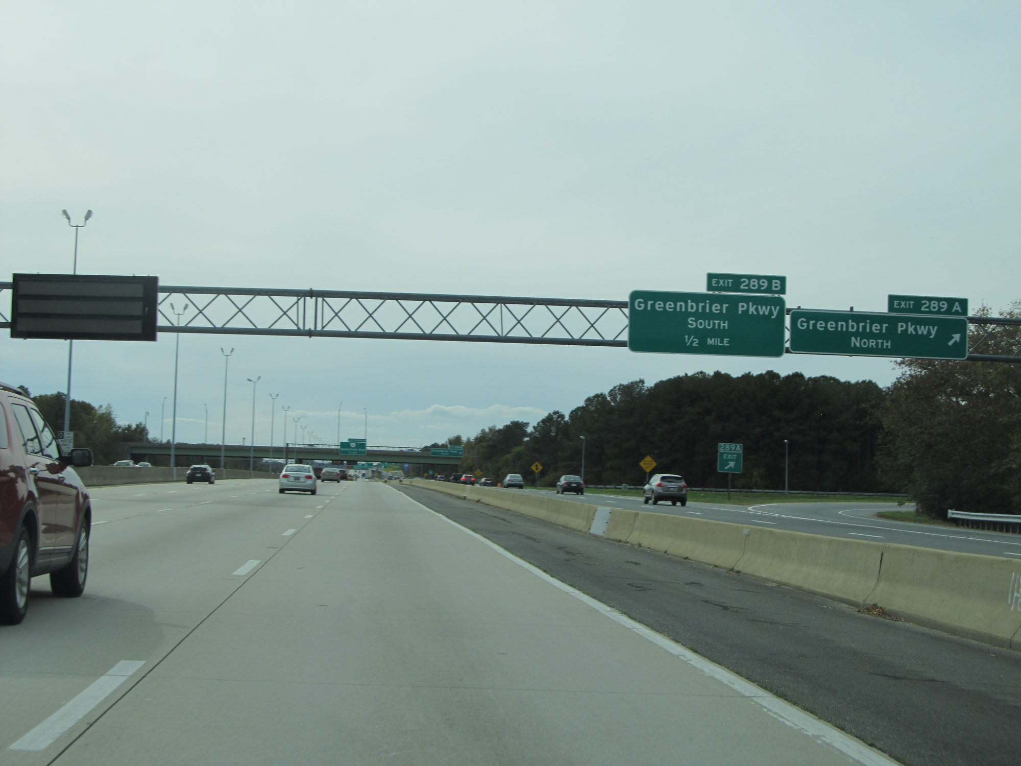 |
Interstate 64 East at Exit 289A: Greenbrier Pkwy North (Photo taken 11/8/15). |
 |
Interstate 64 East at Exit 289B: Greenbrier Pkwy South (Photo taken 11/8/15). |
 |
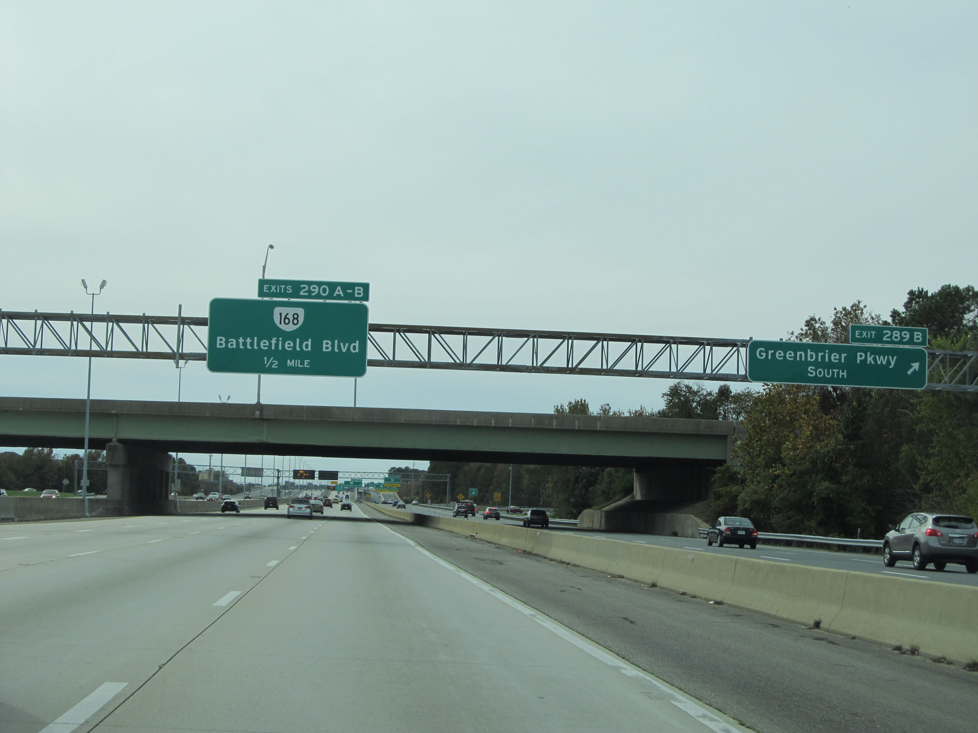
Interstate 64 East at Exits 290A-B: VA 168 - Battlefield Blvd (Photo taken 11/8/15). |
 |
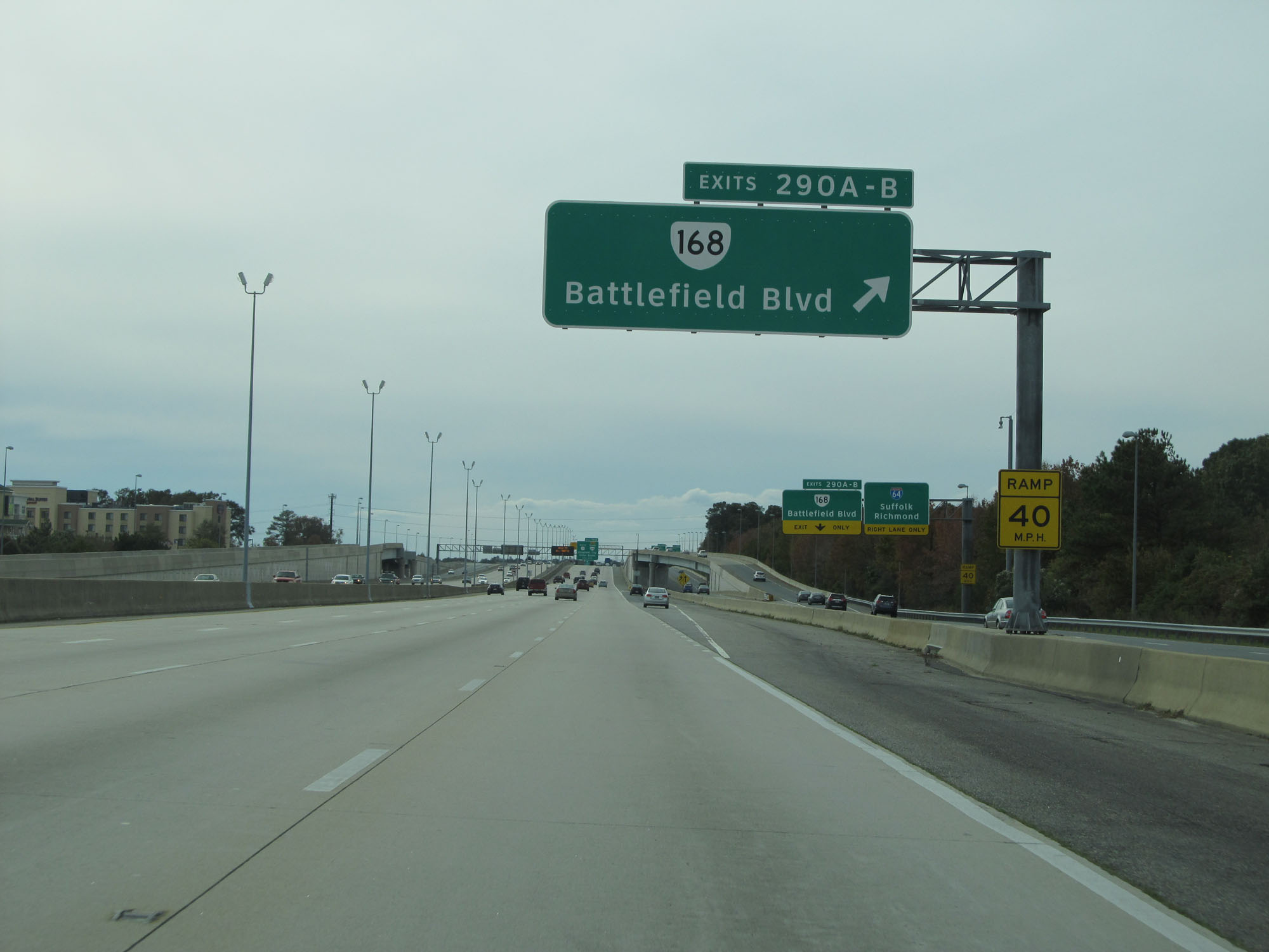
Interstate 64 East at Exit 290A: VA 168 North - Battlefield Blvd (Photo taken 11/8/15). |
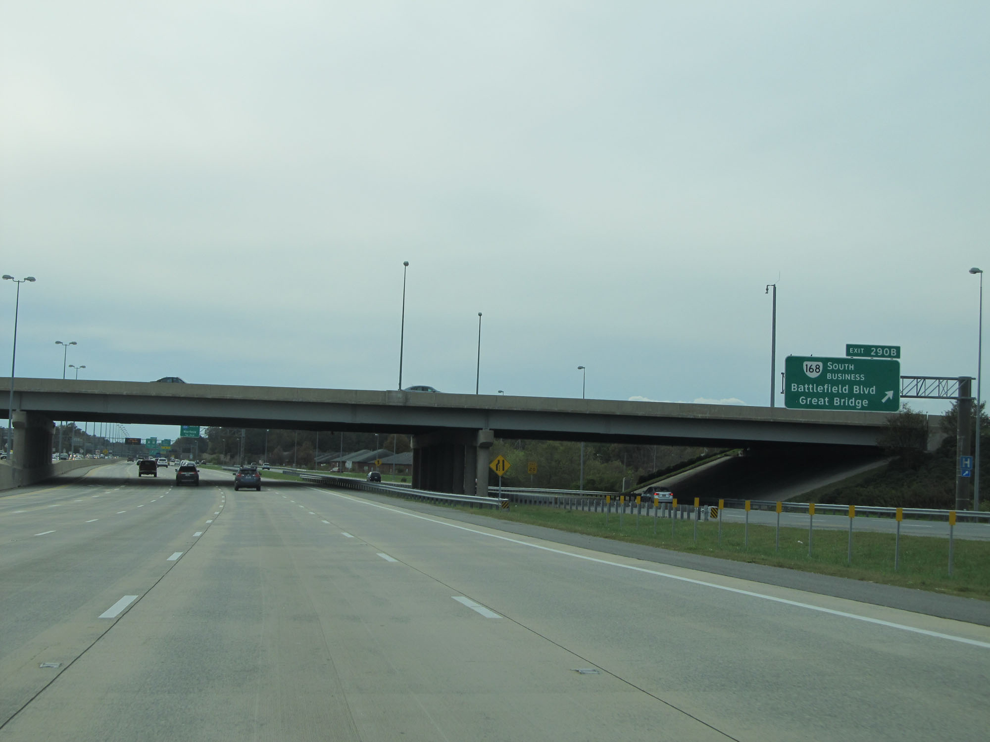 |
Interstate 64 East at Exit 290B: VA 168 Business South - Battlefield Blvd / Great Bridge (Photo taken 11/8/15). |
 |
Interstate 64 East approaching Exit 291A - 3/4 mile. (Photo taken 11/8/15). |
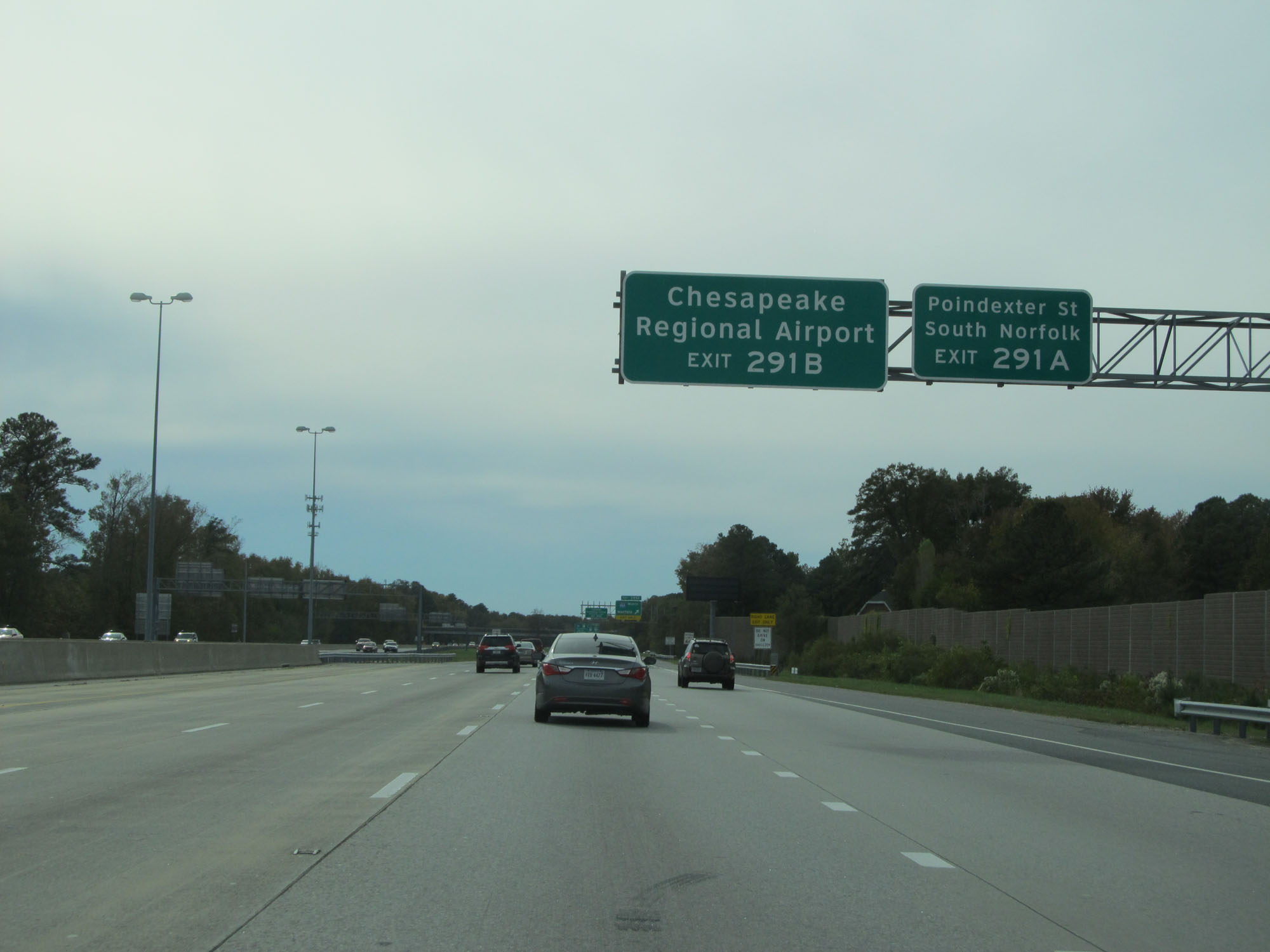 |
Take Exit 291A to Poindexter St and South Norfolk. Take Exit 291B to Chesapeake Regional Airport. (Photo taken 11/8/15). |
 |
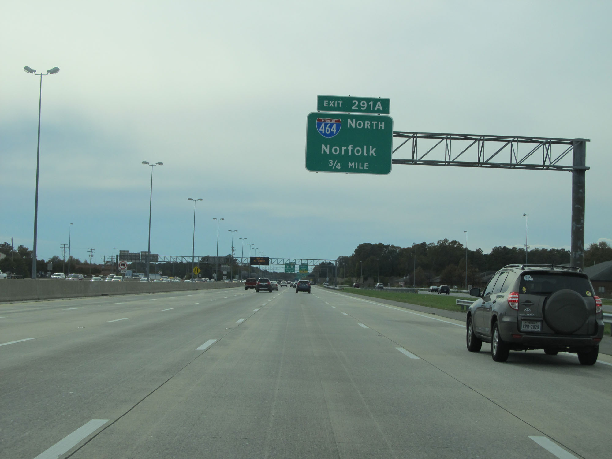
Interstate 64 East at Exit 291A: Interstate 464 North - Norfolk (Photo taken 11/8/15). |
 |
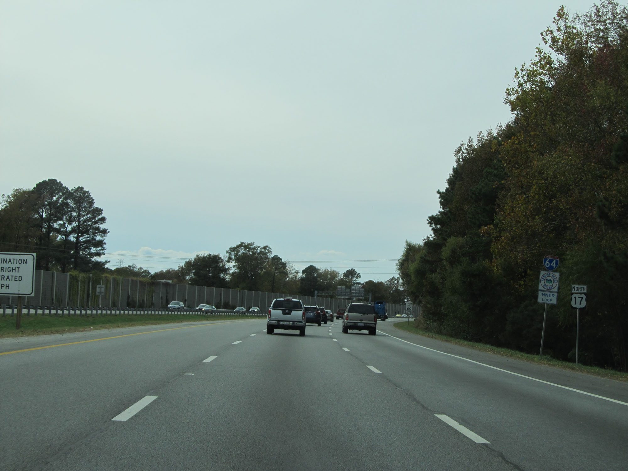
Interstate 64 East at Exit 291B: US 17 South / VA 168 Toll South - Elizabeth City / Outer Banks (Photo taken 11/8/15). |
 |
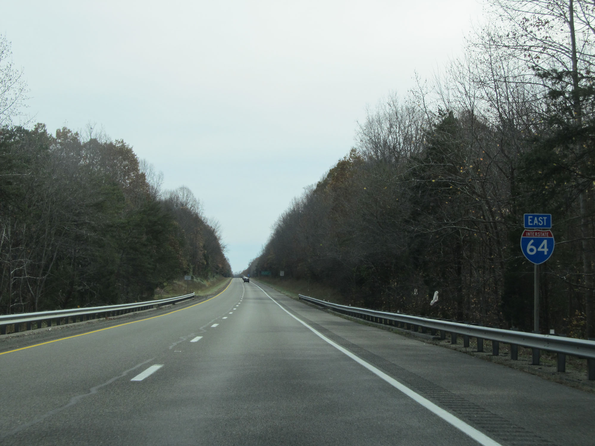
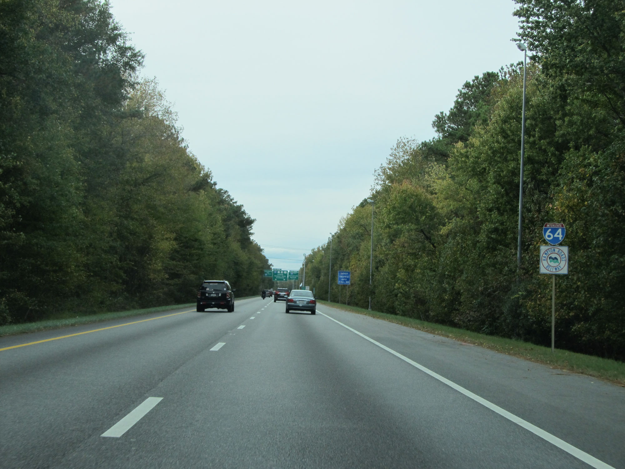
Interstate 64 reassurance shield. They omit the directional tabs on this stretch of I-64 since although we're in the eastbound lanes, it is heading directly westbound. (Photo taken 11/8/15). |
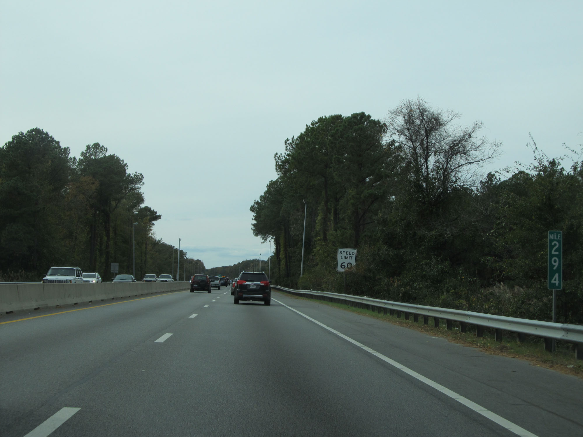 |
Interstate 64 East at mile marker 294. (Photo taken 11/8/15). |
 |
This digital sign dynamically lists the estimated travel times to Interstate 295 in the Richmond area via I-664/I-64 and US 460/I-295. (Photo taken 11/8/15). |
 |
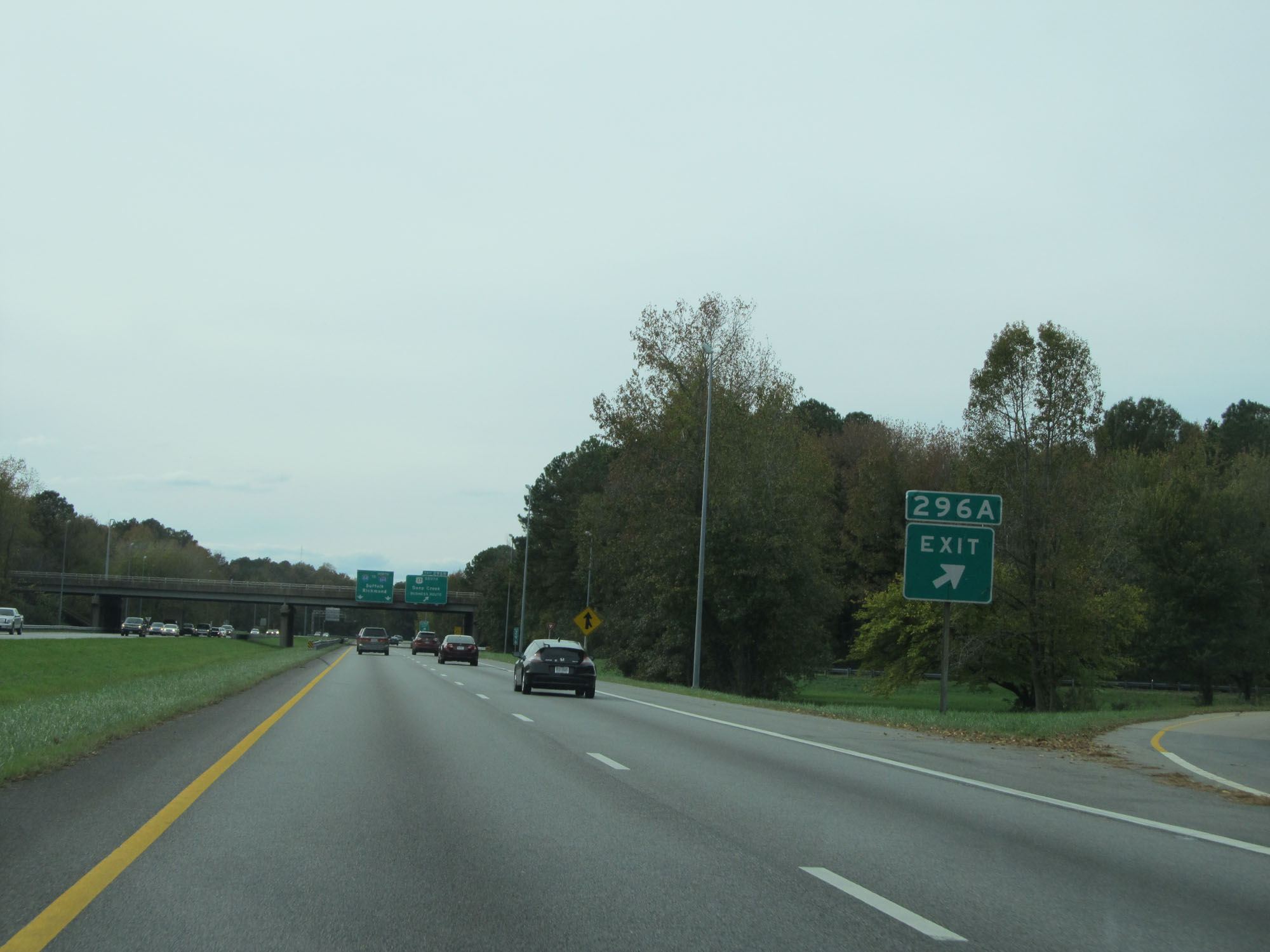
Interstate 64 East approaching Exit 296A - 1/4 mile. (Photo taken 11/8/15). |
 |
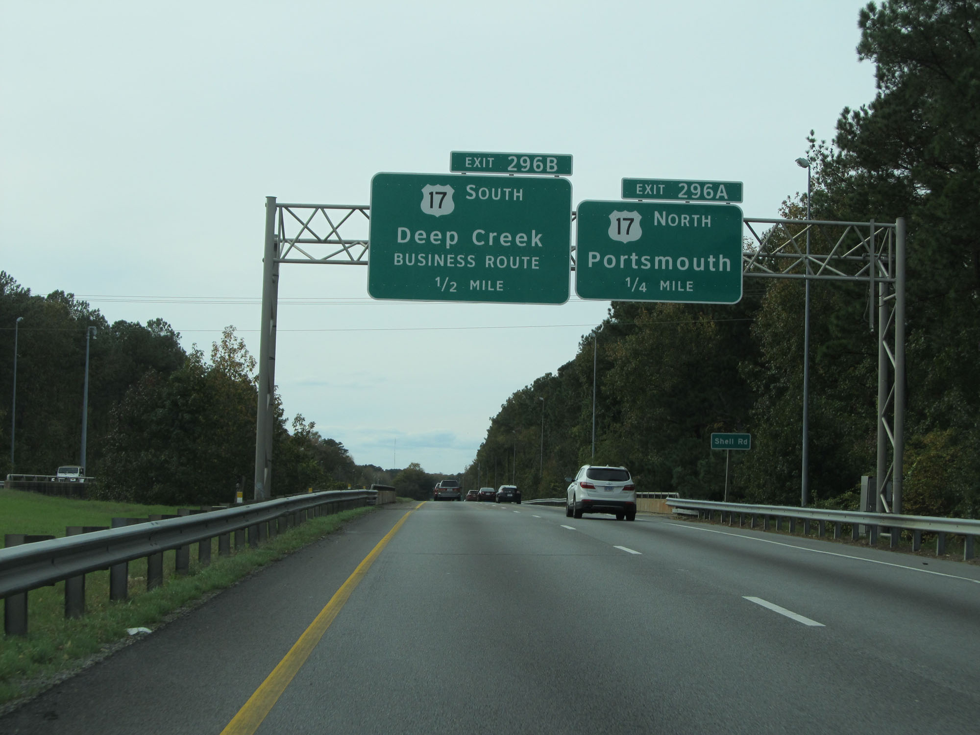
Interstate 64 East at Exit 296A: US 17 North - Portsmouth (Photo taken 11/8/15). |
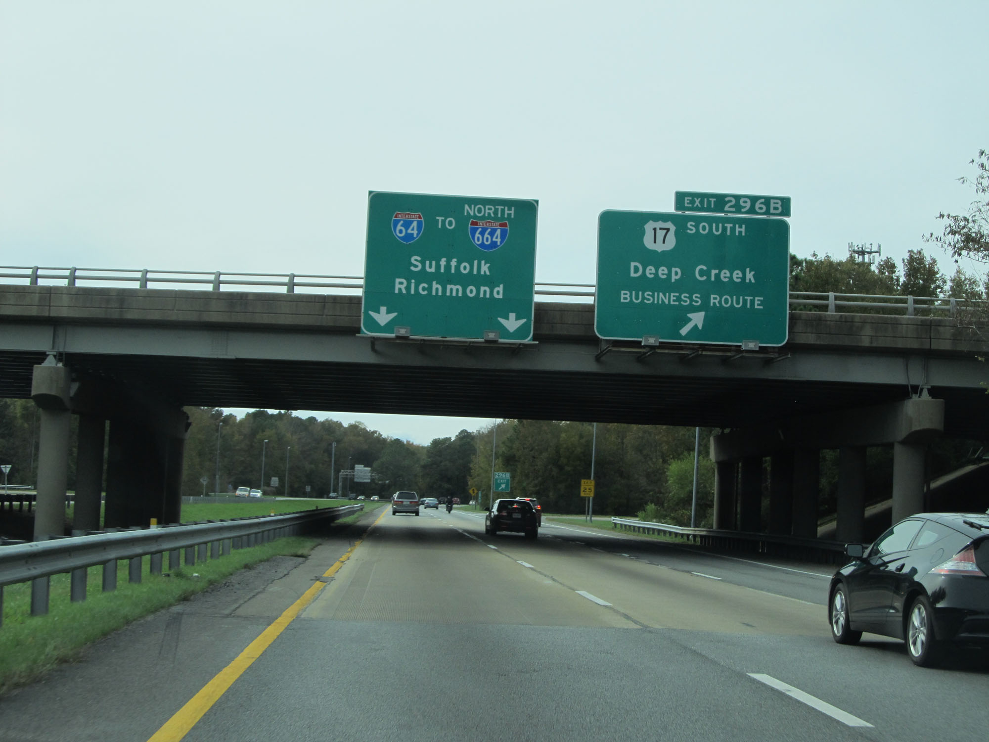 |
Interstate 64 East at Exit 296B: US 17 South - Deep Creek (Photo taken 11/8/15). |
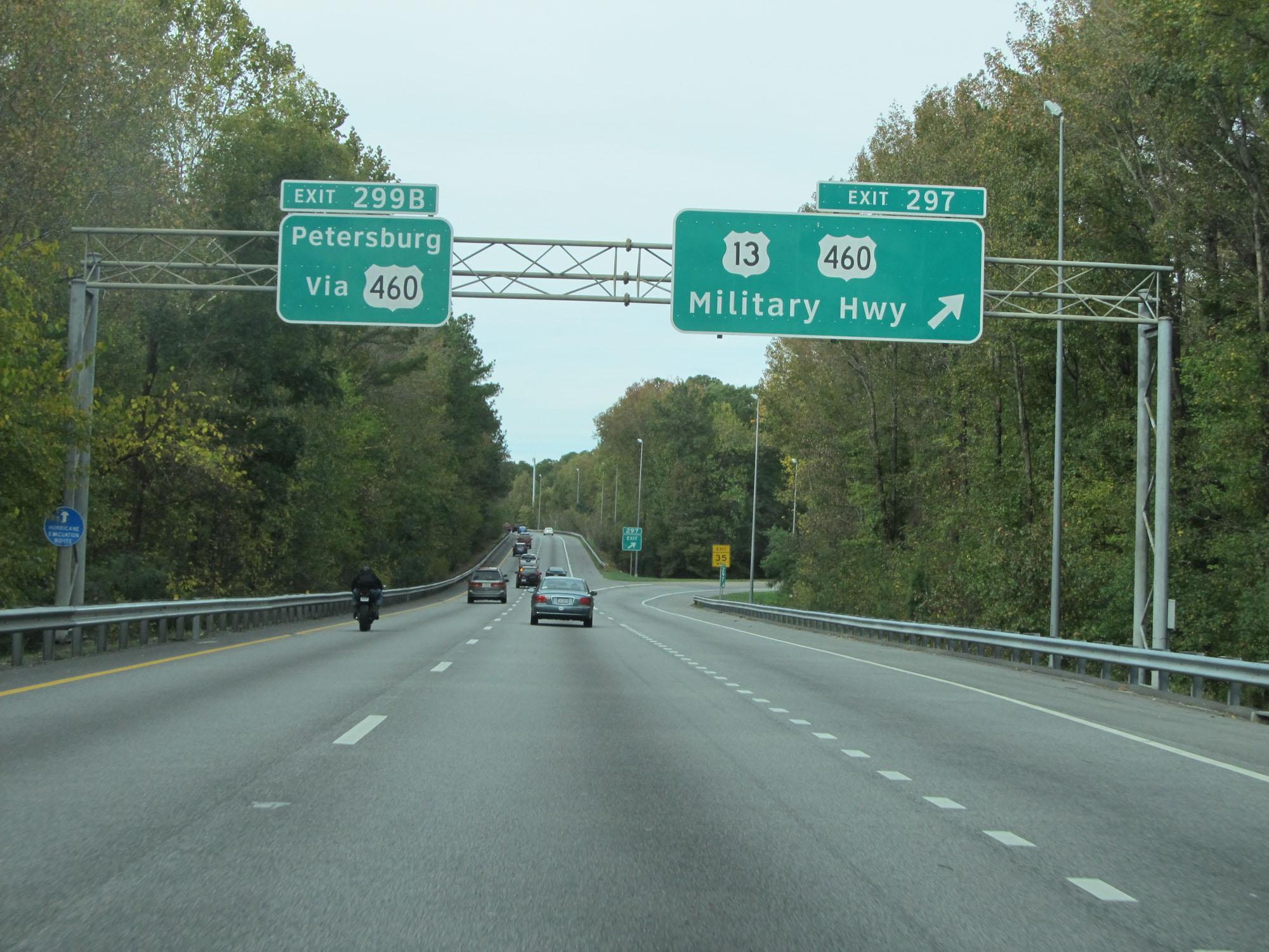 |
Interstate 64 East at Exit 297: US 13 / US 460 - Military Hwy (Photo taken 11/8/15). |
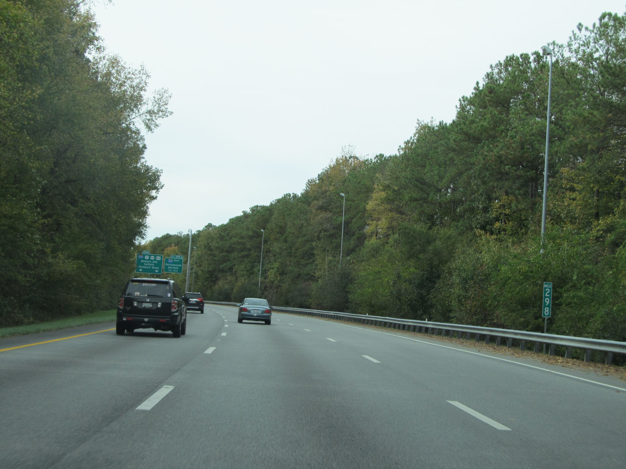 |
Interstate 64 East at mile marker 298. (Photo taken 11/8/15). |
 |
One final Interstate 64 reassurance shield. (Photo taken 11/8/15). |
 |
Interstate 64 East approaching Exits 299A-B - 1 mile. (Photo taken 11/8/15). |
 |
Interstate 64 East at mile marker 298.6, approaching its eastern terminus in Chesapeake. (Photo taken 11/8/15). |
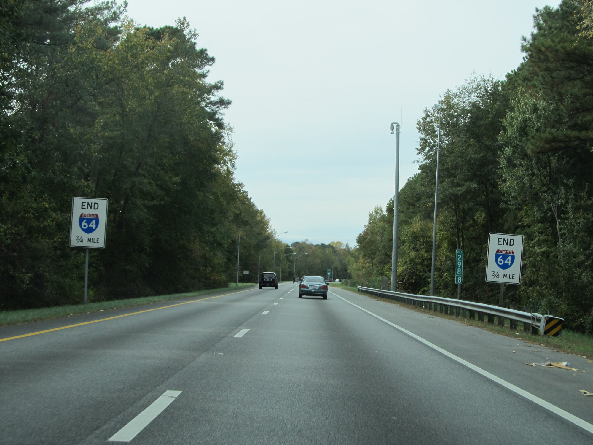 |
These signs warn that Interstate 64 ends 3/4 mile ahead at Exits 299A-B. (Photo taken 11/8/15). |
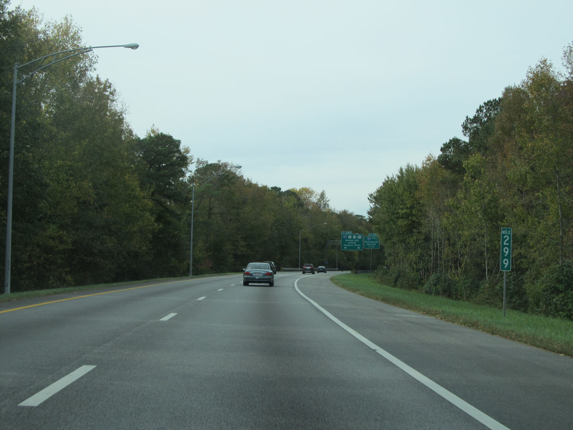 |
Interstate 64 East at mile marker 299. (Photo taken 11/8/15). |
 |
Interstate 64 East approaching Exit 299A - 1/2 mile. (Photo taken 11/8/15). |
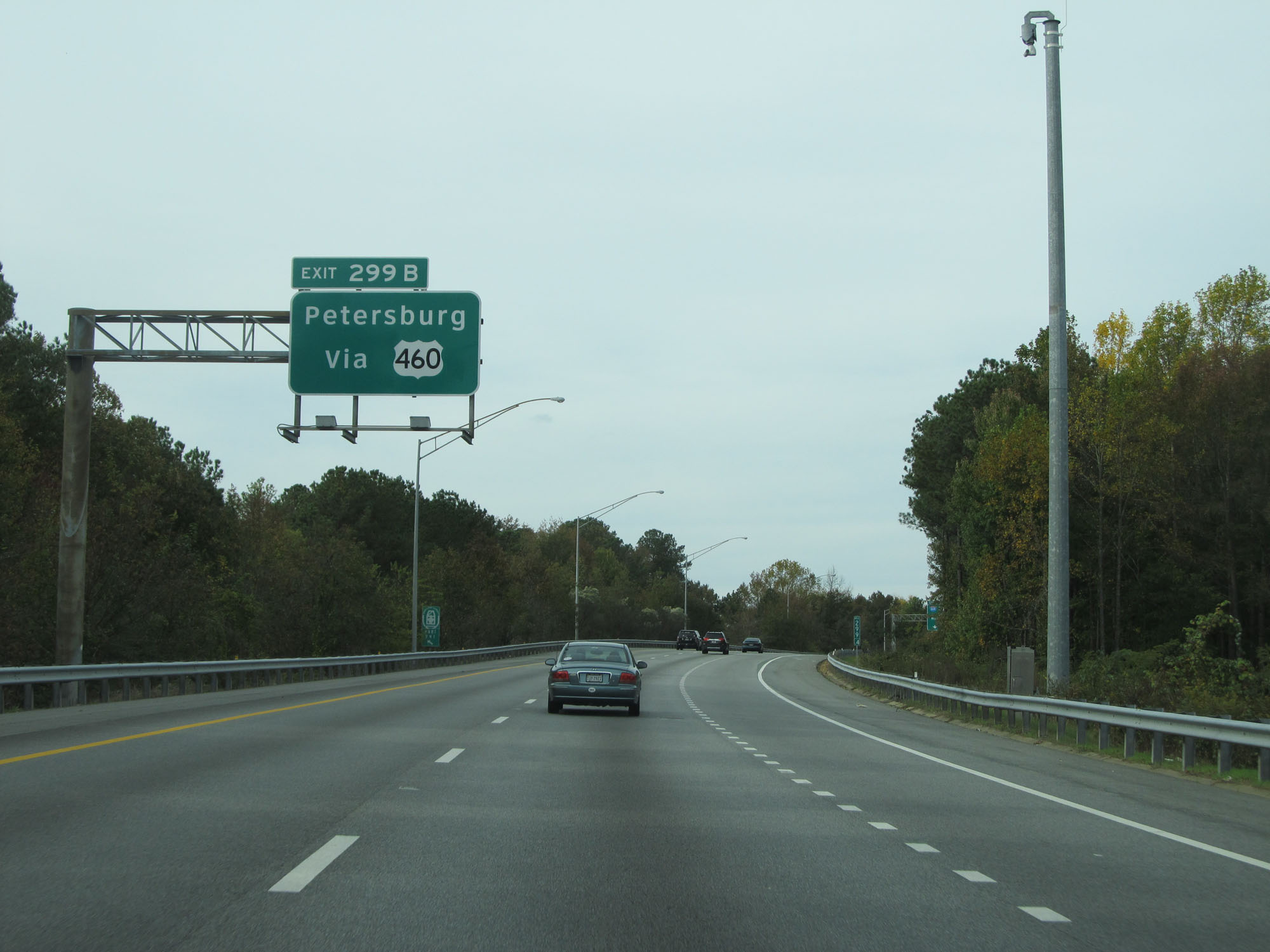 |
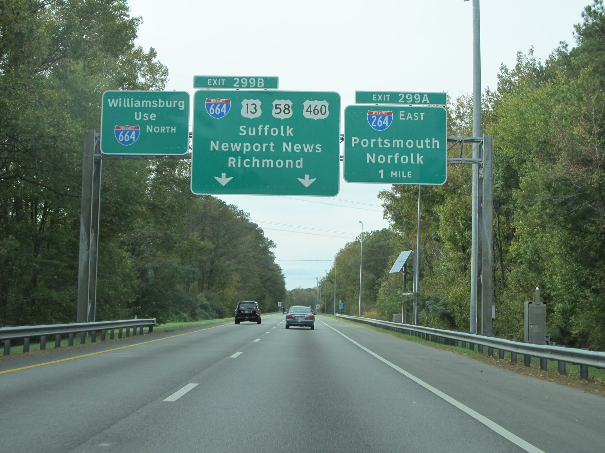
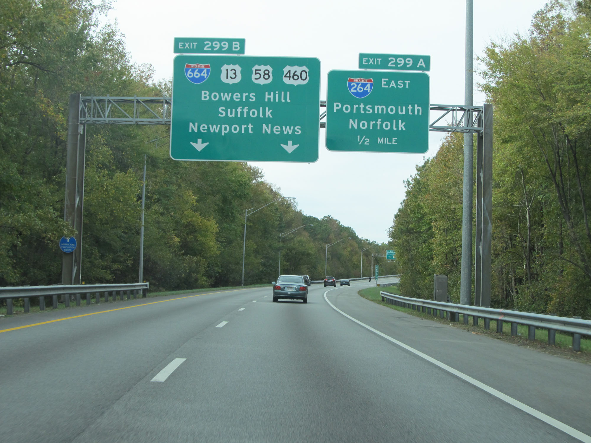
Take Exit 299B to Petersburg via US 460 West. (Photo taken 11/8/15). |
 |
Interstate 64 East at Exit 299A: Interstate 264 East - Portsmouth / Norfolk (Photo taken 11/8/15). |
 |
Interstate 64 END shield as its eastbound lanes merge seamlessly into Interstate 664 Northbound. (Photo taken 11/8/15). |