Road Information |
||
 |
||
| Total Mileage in State: | 53 miles | |
| Northern End: | At I-64, near Short Pump | |
| Southern End: | At I-95, near Petersburg | |
| Mileage covered in Photos: | 53 miles | |
| Counties covered in Photos: | Prince George, Hopewell (city), Chesterfield, Henrico, Hanover, Henrico | |
| Major Junctions in Photos: | I-64, in Sandston I-95, near Glen Allen I-64, near Short Pump |
|
| Control Cities in Photos: | Petersburg, Chester, Richmond, Mechanicsville, Sandston, Glen Allen, Short Pump | |
Northbound
- Section 1: Interstate 95 to Sandston (Exit 28)
- Section 2: Sandston (Exit 28) to Interstate 64
Section 1: Interstate 95 to Sandston (Exit 28)
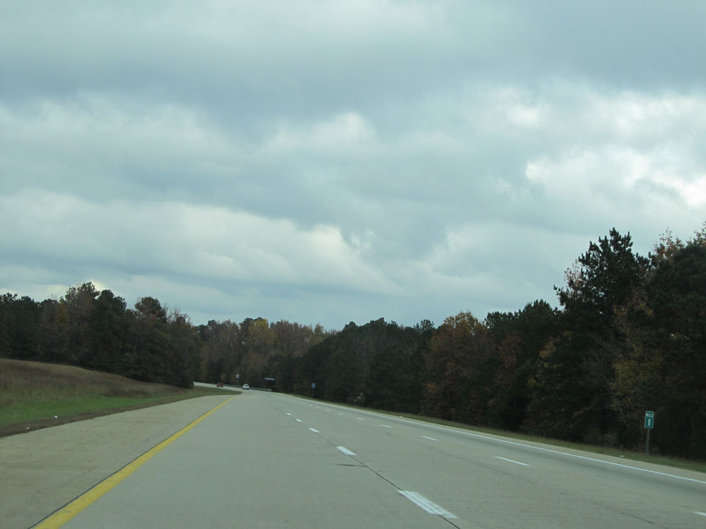 |
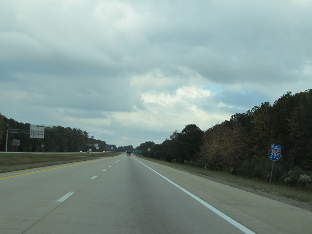
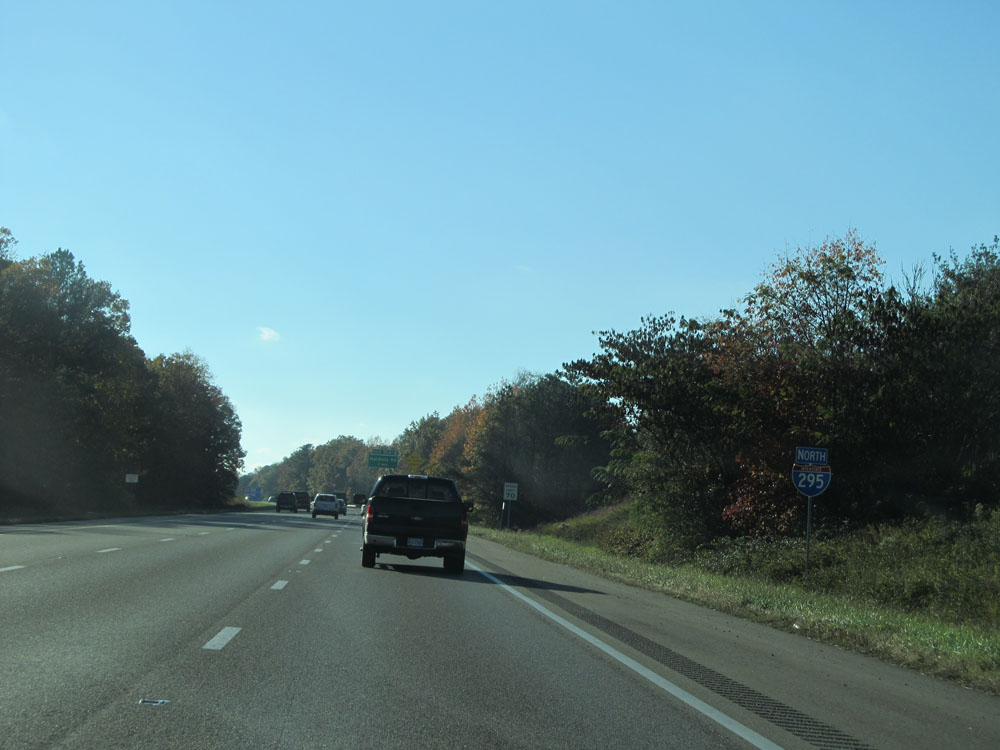
Interstate 295 North at mile marker 1. (Photo taken 11/5/15). |
 |
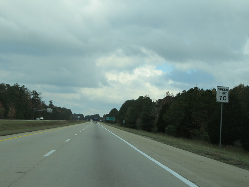
Speed limit sign just north of mile marker 1. The speed limit, as seen here, is 70 mph on most rural stretches of Interstate in Virginia. (Photo taken 11/5/15). |
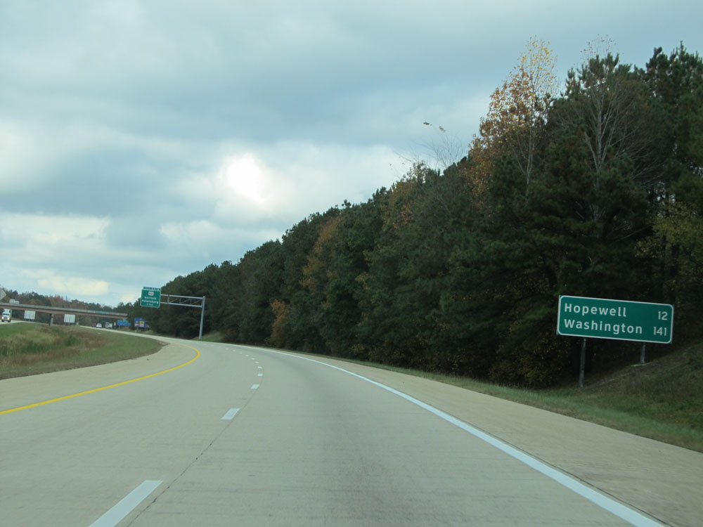 |
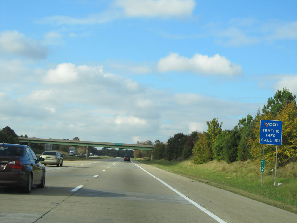
Mileage sign near mile marker 1.5. It's 12 miles to Hopewell and 141 miles to Washington DC. (Photo taken 11/5/15). |
 |
Take Exit 3B to Prince George and Petersburg Tourist Info Center. (Photo taken 11/5/15). |
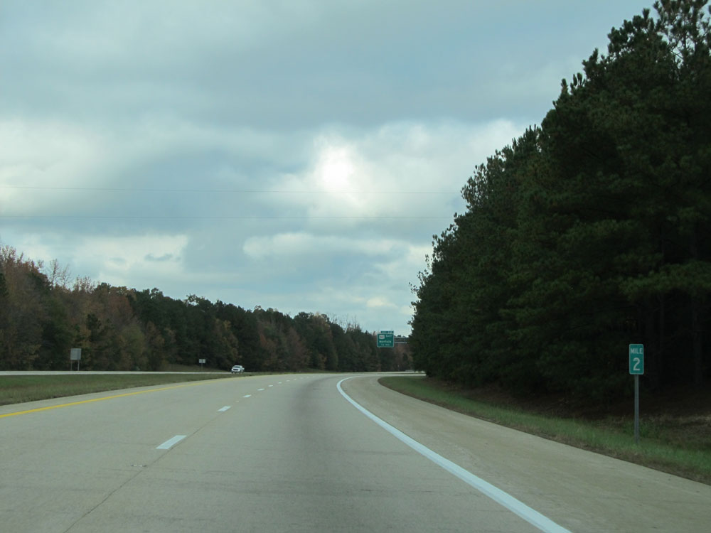 |
Interstate 295 North at mile marker 2. (Photo taken 11/5/15). |
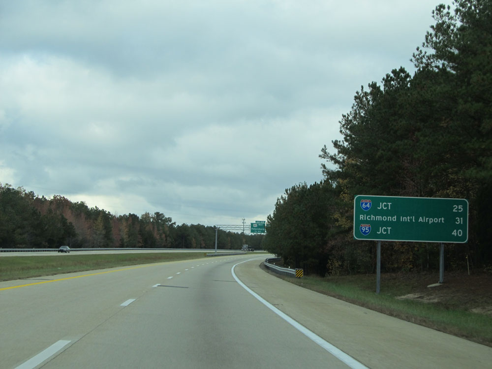 |
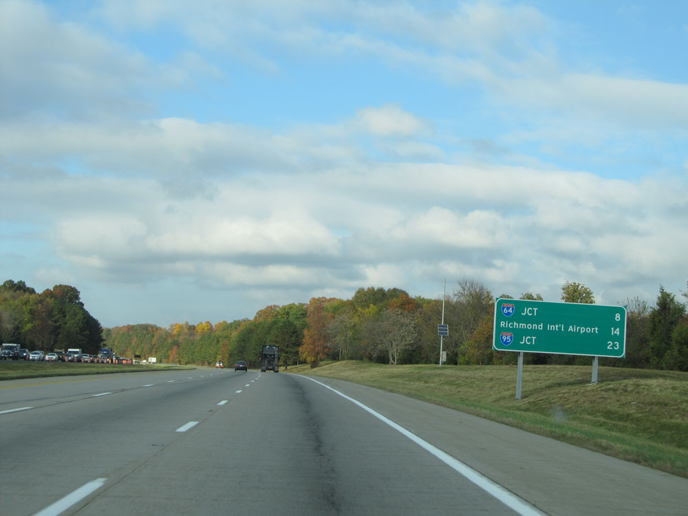
Another distance/mileage sign north of mile marker 2. It's 25 miles to the junction of Interstate 64, 31 miles to Richmond International Airport, and 40 miles to the junction of Interstate 95. (Photo taken 11/5/15). |
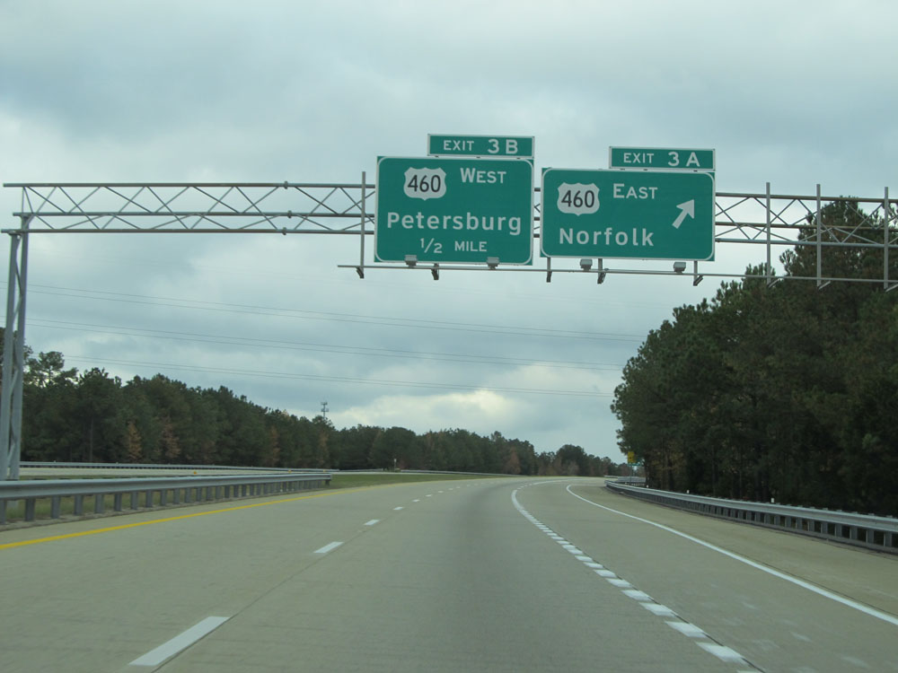 |
Interstate 295 North at Exit 3A: US 460 East - Norfolk (Photo taken 11/5/15). |
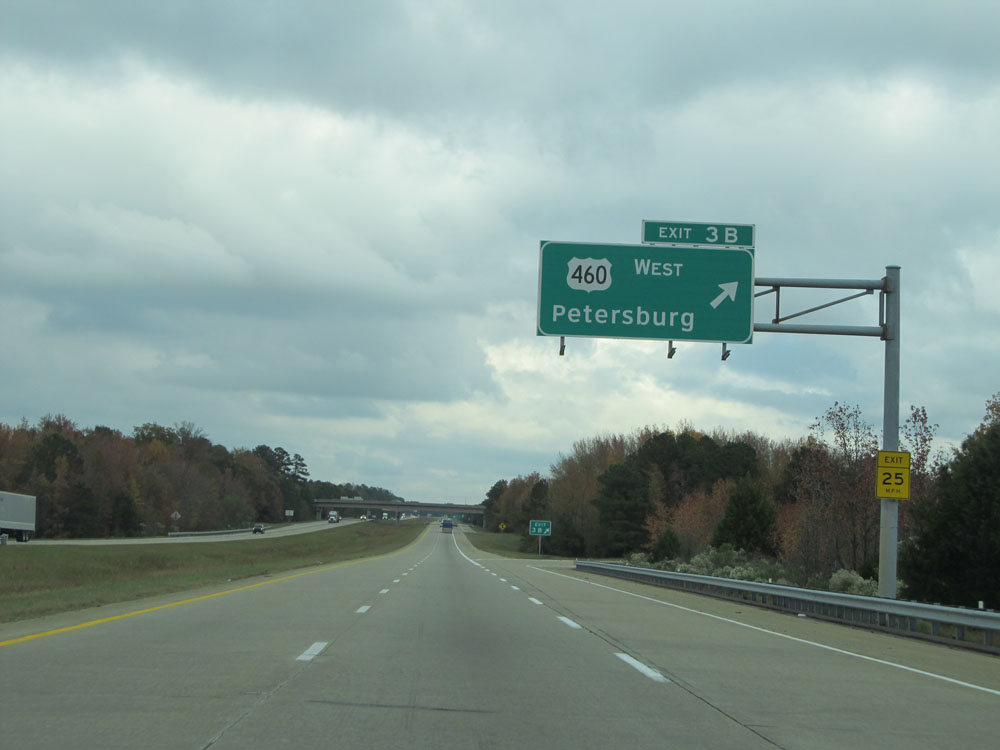 |
Interstate 295 North at Exit 3B: US 460 West - Petersburg (Photo taken 11/5/15). |
 |
Interstate 295 North assurance shield north of Exit 3B. (Photo taken 11/5/15). |
 |
Speed limit assurance sign near mile marker 4. Speed Limit - 70 mph. (Photo taken 11/5/15). |
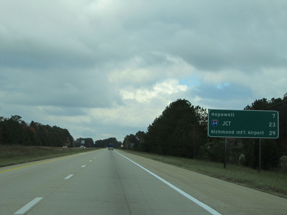 |
Mileage sign just north of mile marker 4. It's 7 miles to Hopewell, 23 miiles to the junction of Interstate 64, and 29 miles to Richmond International Airport. (Photo taken 11/5/15). |
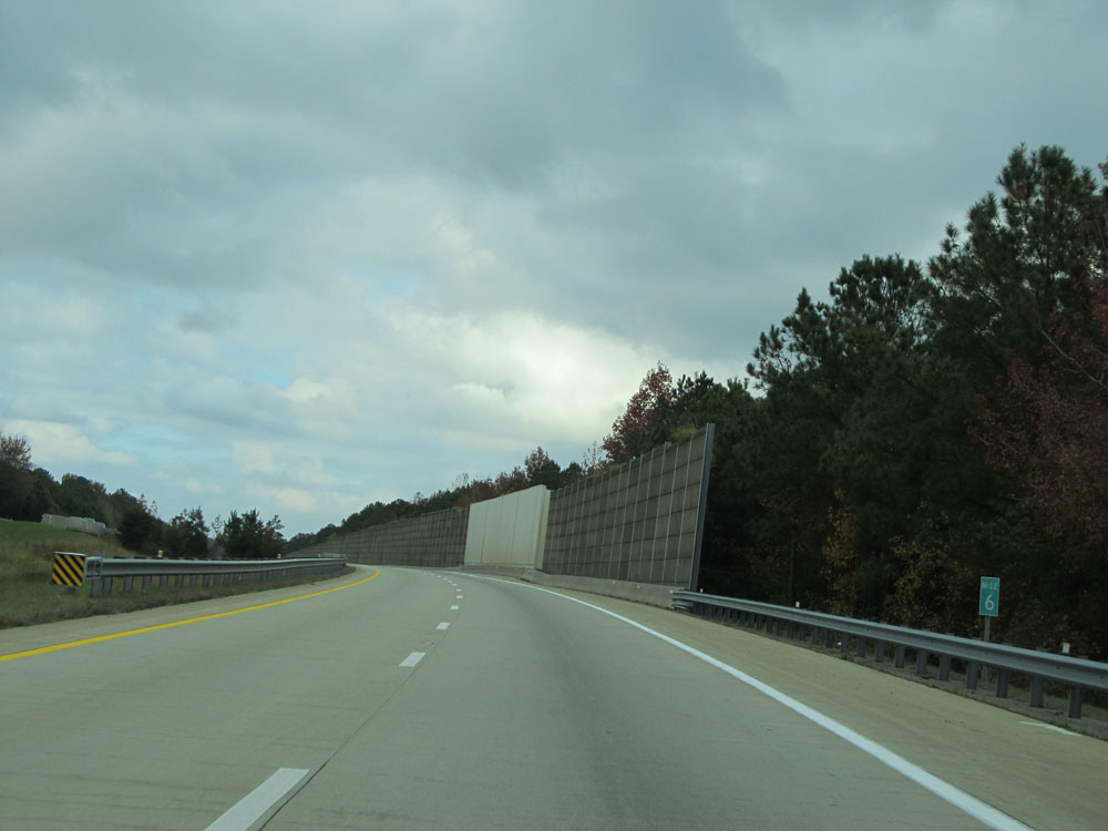 |
Interstate 295 North at mile marker 6. (Photo taken 11/5/15). |
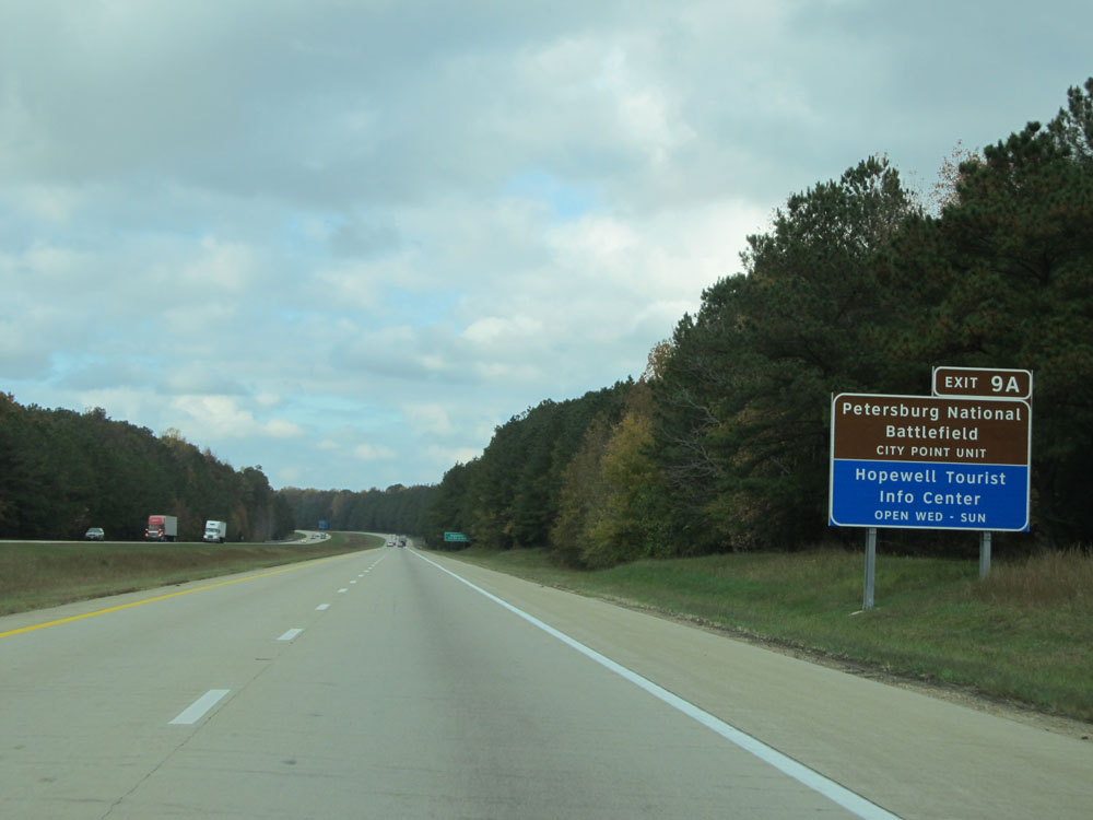 |
Take Exit 9A to Petersburg National Battlefield City Point Unit and Hopewell Tourist Info Center. (Photo taken 11/5/15). |
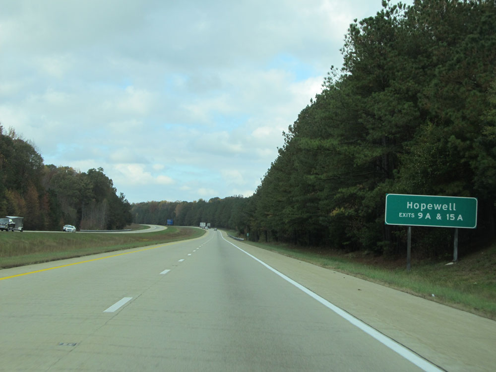 |
Take either Exit 9A or 15A to Hopewell. (Photo taken 11/5/15). |
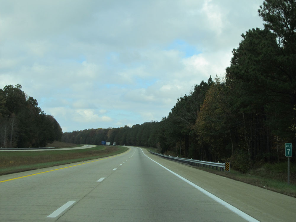 |
Interstate 295 North at mile marker 7. (Photo taken 11/5/15). |
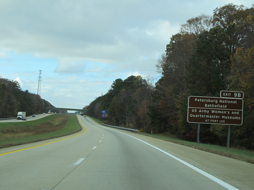 |
Take Exit 9B to Petersburg National Battlefield and US Army Women's and Quartermaster Museums at Fort Lee. (Photo taken 11/5/15). |
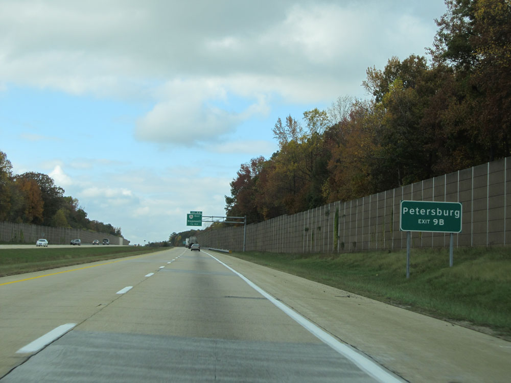 |
Take Exit 9B to Petersburg. (Photo taken 11/5/15). |
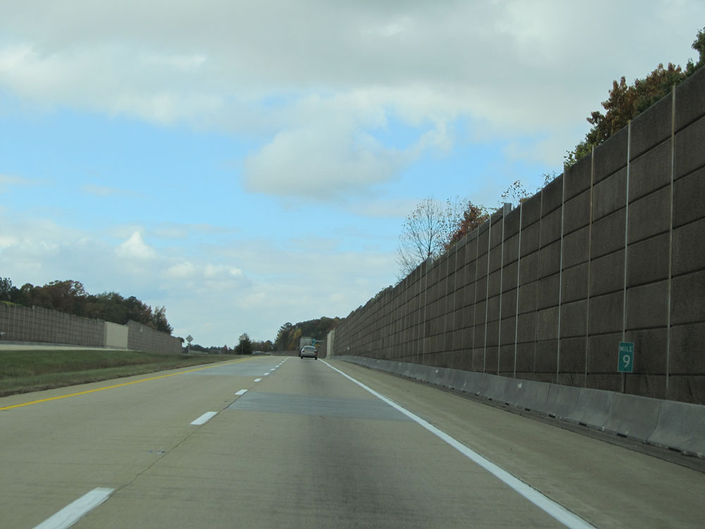 |
Interstate 295 North: Road view from mile marker 9. (Photo taken 11/5/15). |
 |
Interstate 295 North at Exit 9A: VA 36 East - Hopewell (Photo taken 11/5/15). |
 |
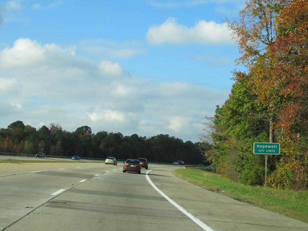
Interstate 295 North entering the Hopewell city limits. (Photo taken 11/5/15). |
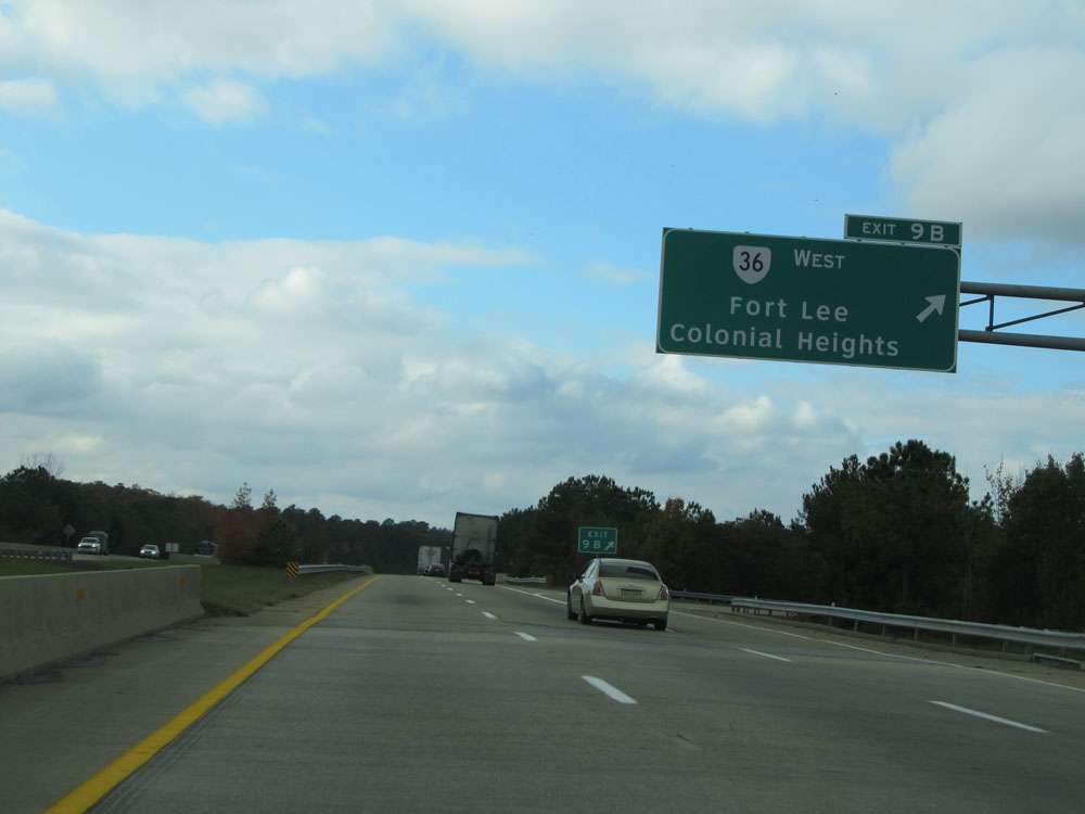 |
Interstate 295 North at Exit 9B: VA 36 West - Fort Lee / Colonial Heights (Photo taken 11/5/15). |
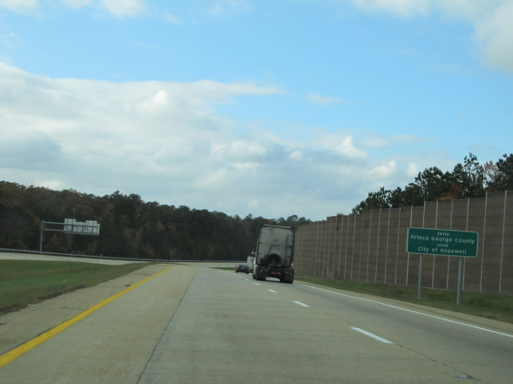 |
Interstate 295 North as it leaves the Hopewell city limits and re-enters Prince George County. (Photo taken 11/5/15). |
 |
Interstate 295 North assurance shield north of Exit 9B. (Photo taken 11/5/15). |
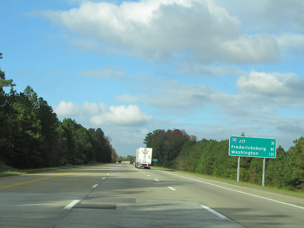 |
Mileage sign on Interstate 295 North. It's 31 miles to the junction of Interstate 95, 81 miles to Fredericksburg, and 131 miles to Washington DC. (Photo taken 11/5/15). |
 |
Interstate 295 North as it briefly touches back into the Hopewell city limits. (Photo taken 11/5/15). |
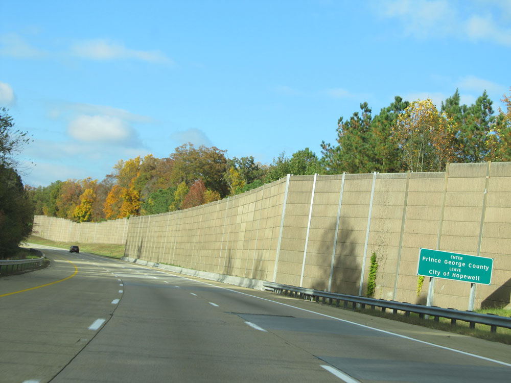 |
Interstate 295 North re-enters Prince George very shortly afterwards. (Photo taken 11/5/15). |
 |
Interstate 295 North at mile marker 12. (Photo taken 11/5/15). |
 |
Interstate 295 North once again crosses into the Hopewell city limits north of mile marker 12. It stays within the city limits until it enters Chesterfield County ahead. (Photo taken 11/5/15). |
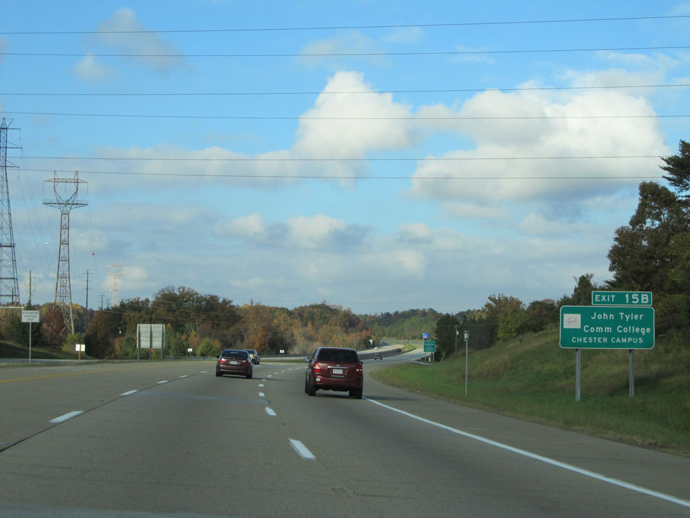 |
Take Exit 15B to John Tyler Community College - Chester Campus. (Photo taken 11/5/15). |
 |
At mile marker 13, Interstate 295 North crosses the Frederick T. Gray Bridge over the Appomattox River. (Photo taken 11/5/15). |
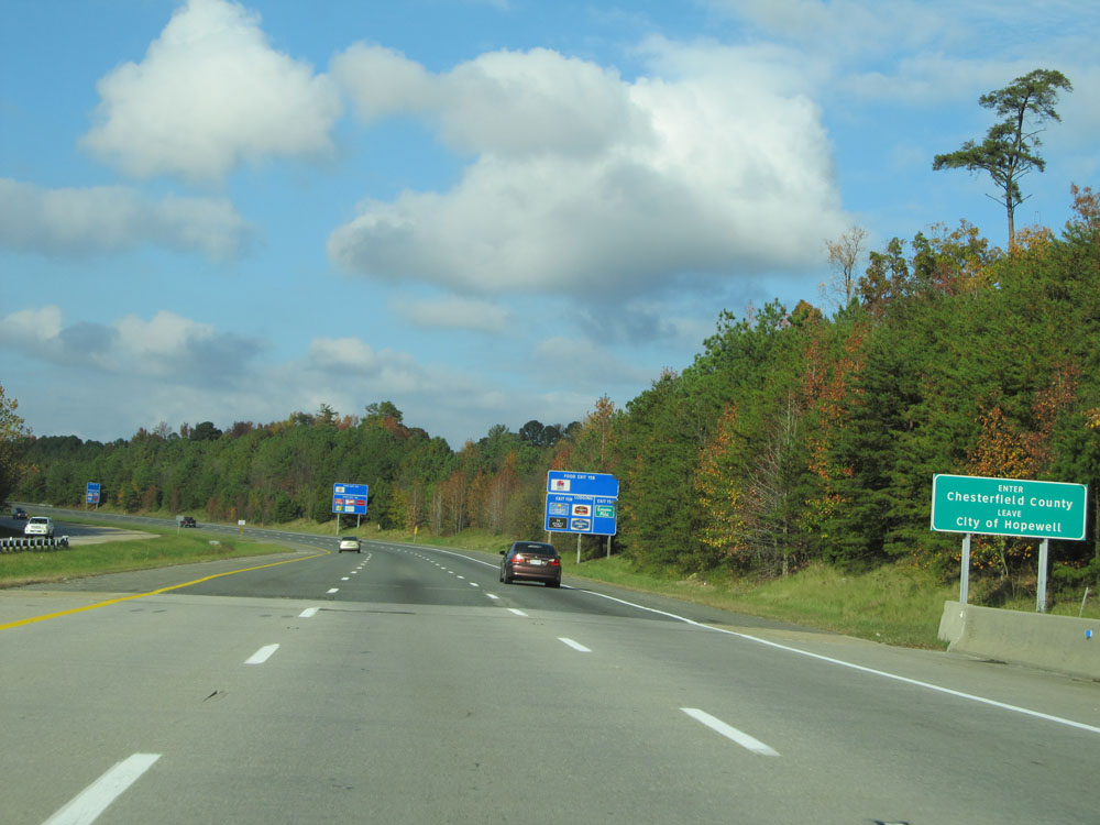 |
Interstate 295 North as it enters Chesterfield County. (Photo taken 11/5/15). |
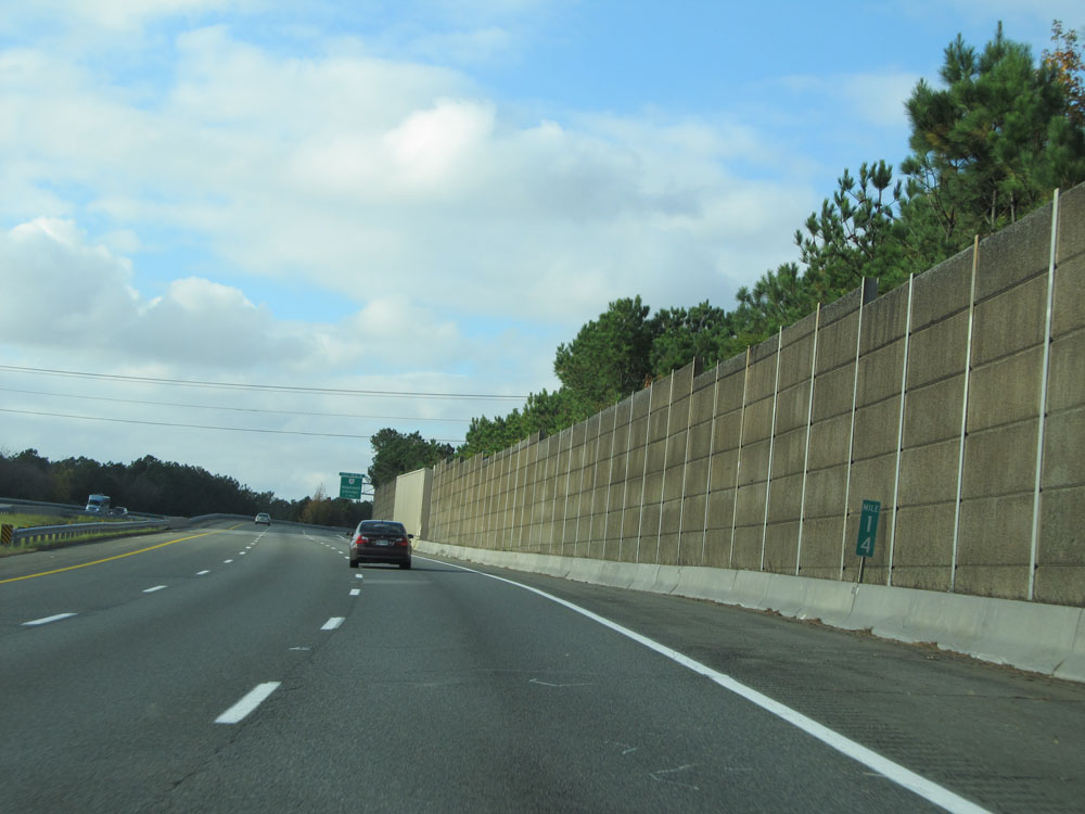 |
Interstate 295 North at mile marker 14. (Photo taken 11/5/15). |
 |
Take Exit 15B to Citie of Henricus at Dutch Gap. (Photo taken 11/5/15). |
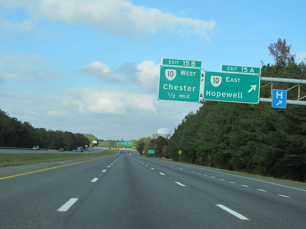 |
Interstate 295 North at Exit 15A: VA 10 East - Hopewell (Photo taken 11/5/15). |
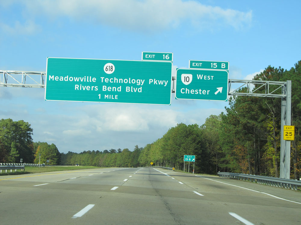 |
Interstate 295 North at Exit 15B: VA 10 West - Chester (Photo taken 11/5/15). |
 |
Interstate 295 North at Exit 16: SR 618 - Meadowville Technology Pkwy / Rivers Bend Blvd (Photo taken 11/5/15). |
 |
Interstate 295 North assurance shield just north of Exit 16. (Photo taken 11/5/15). |
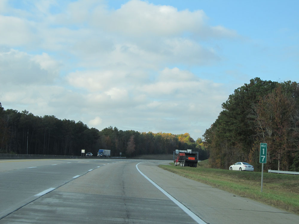 |
Interstate 295 North: Road view from mile marker 17. (Photo taken 11/5/15). |
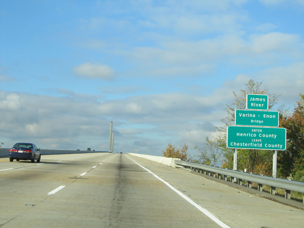 |
Interstate 295 North as it prepares to cross the Varina-Enon Bridge over the James River into Henrico County. (Photo taken 11/5/15). |
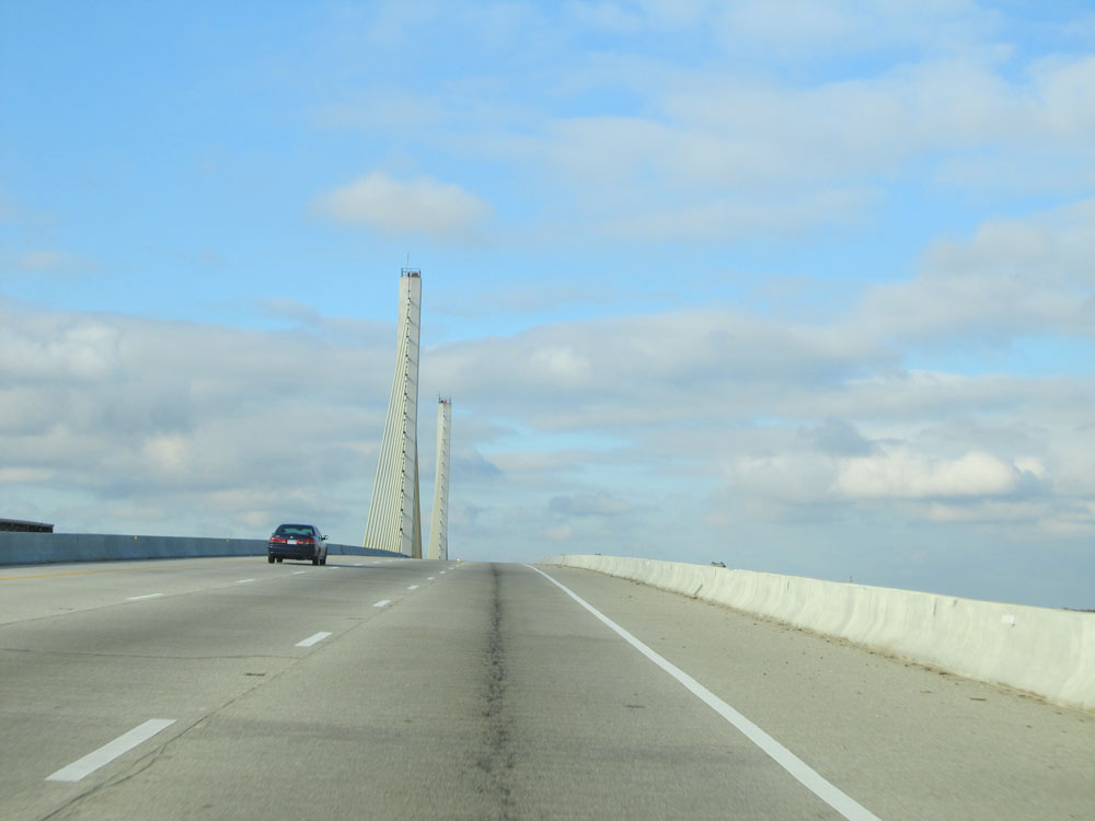 |
Interstate 295 North crossing the Varina-Enon Bridge. (Photo taken 11/5/15). |
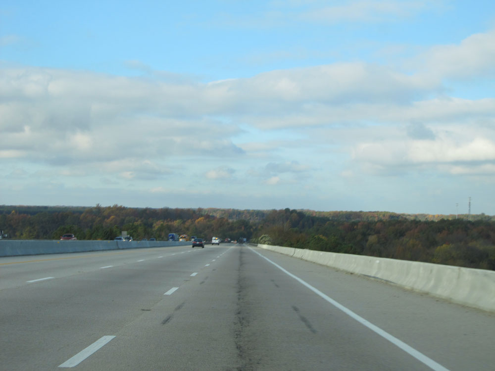 |
View from the peak of the bridge, as we head back down to solid ground. (Photo taken 11/5/15). |
 |
Mileage sign near mile marker 19. It's 8 miles to the junction of Interstate 64, 14 miles to Richmond International Airport, and 23 miles to the junction of Interstate 95. (Photo taken 11/5/15). |
 |
Interstate 295 North at mile marker 20. (Photo taken 11/5/15). |
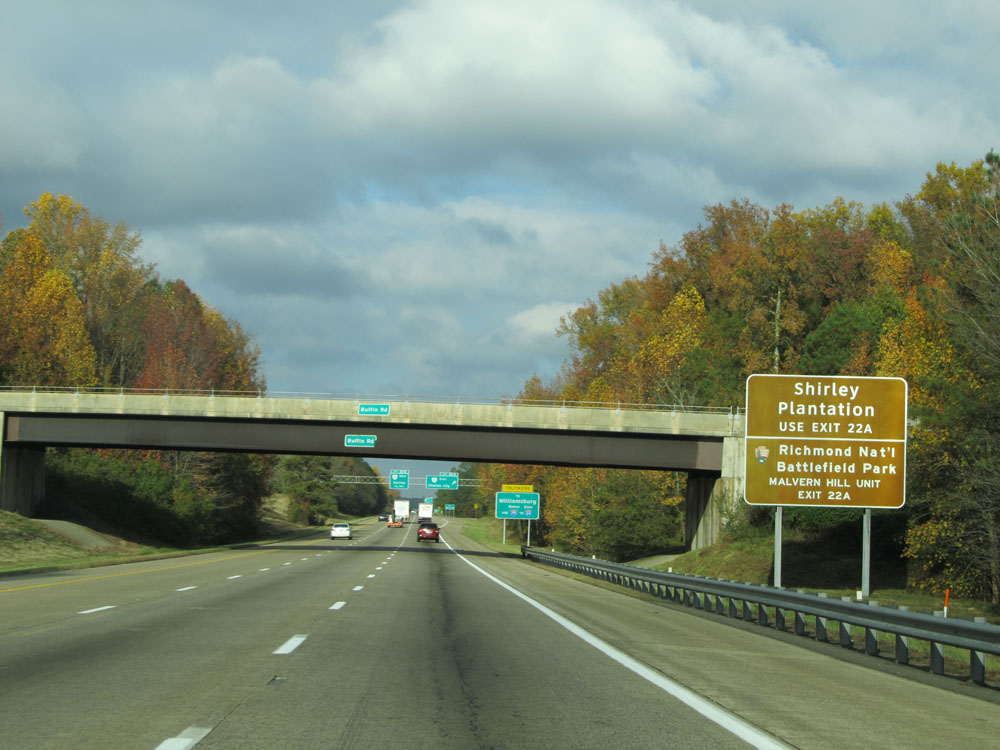 |
Take Exit 22A to Shirley Plantation and Richmond National Battlefield Park - Malvern Hill Unit. (Photo taken 11/5/15). |
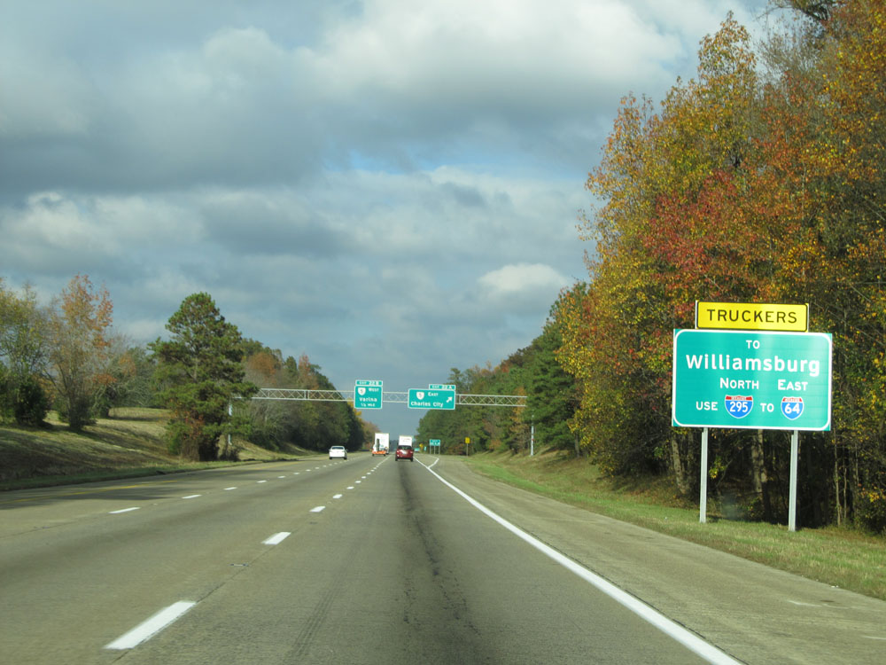 |
All truck traffic headed to Williamsburg should use Interstate 295 North to Interstate 64 East. Do not use Exit 22A (VA 5 East). (Photo taken 11/5/15). |
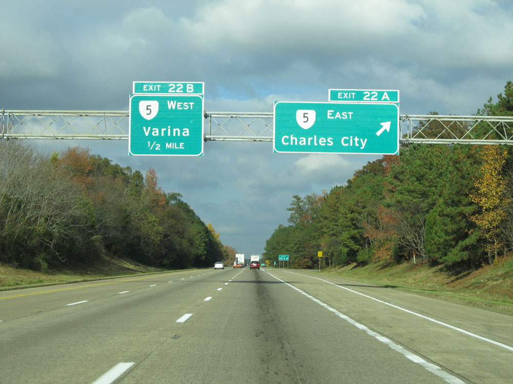 |
Interstate 295 North at Exit 22A: VA 5 East - Charles City (Photo taken 11/5/15). |
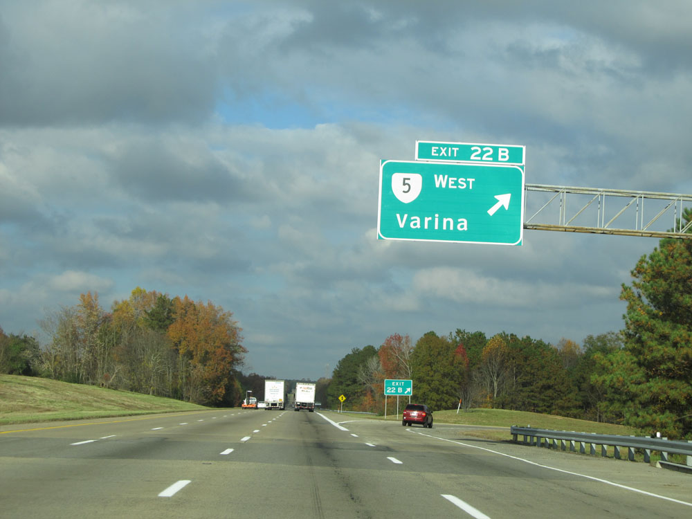 |
Interstate 295 North at Exit 22B: VA 5 West - Varina (Photo taken 11/5/15). |
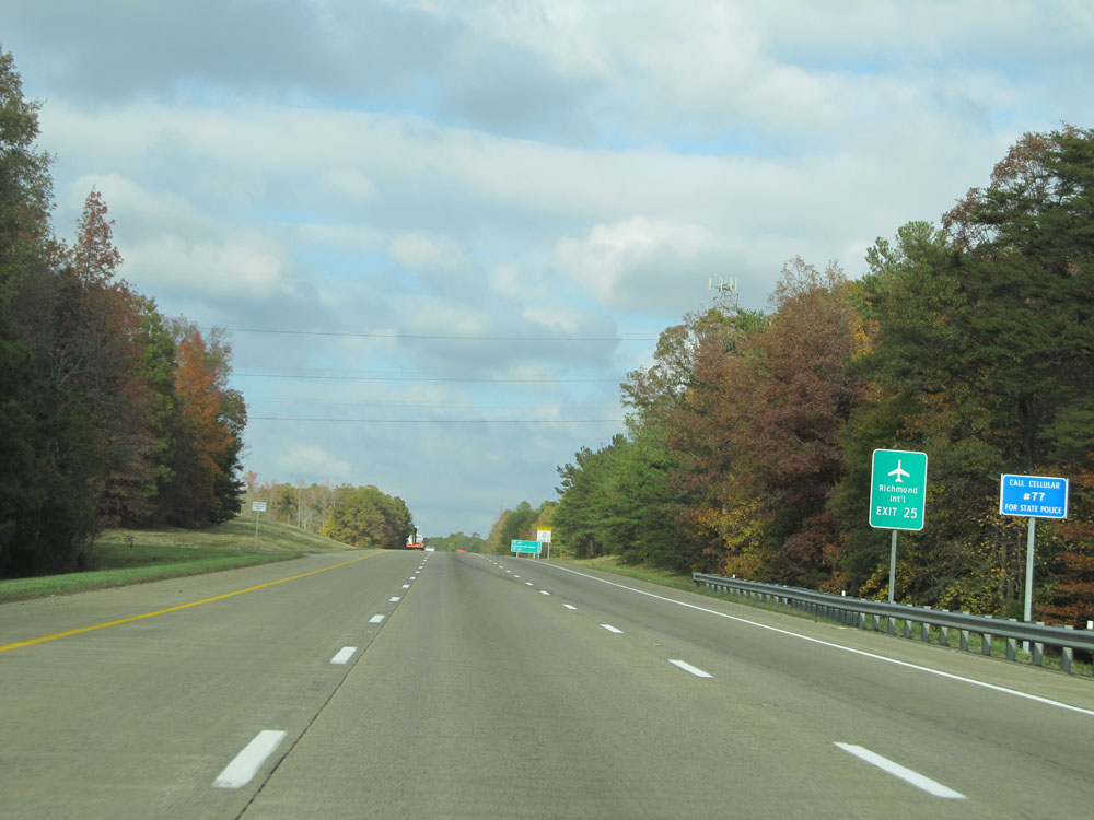 |
Take Exit 25 to Richmond International Airport. (Photo taken 11/5/15). |
 |
Interstate 295 North at mile marker 24. (Photo taken 11/5/15). |
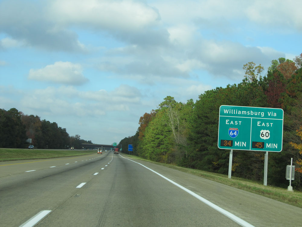 |
This sign electronically shows the estimated travel time to Williamsburg via Interstate 64 and US 60. (Photo taken 11/5/15). |
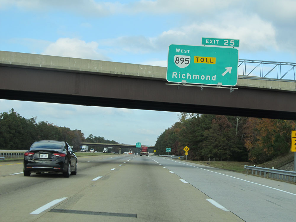 |
Interstate 295 North at Exit 25: VA 895 West Toll - Richmond (Photo taken 11/5/15). |
 |
Although you can access Richmond International Airport via Exit 25, the easiest route to it is via Exit 28 (Interstate 64) ahead. (Photo taken 11/5/15). |
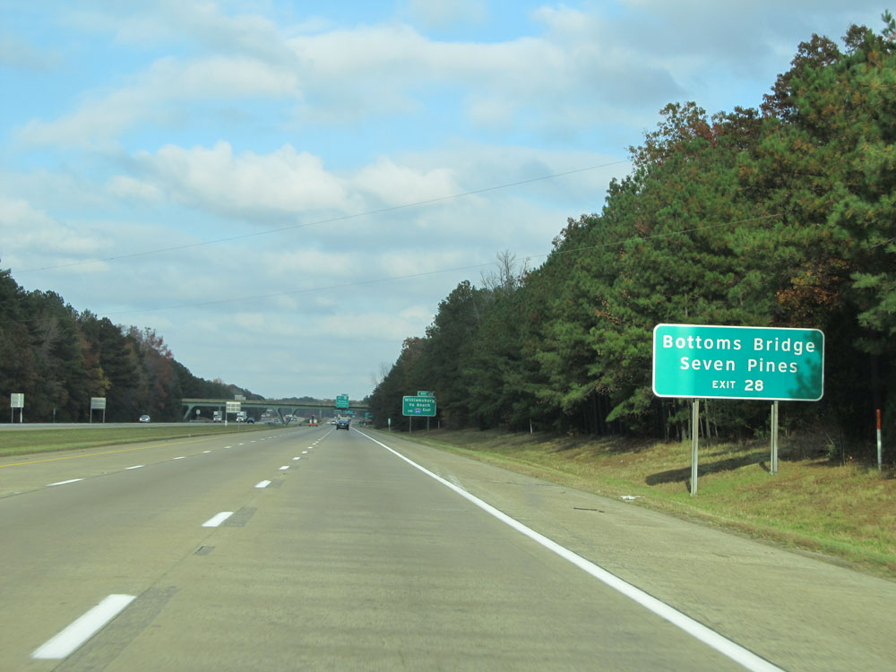 |
Take Exit 28 to Bottoms Bridge and Seven Pines. (Photo taken 11/5/15). |
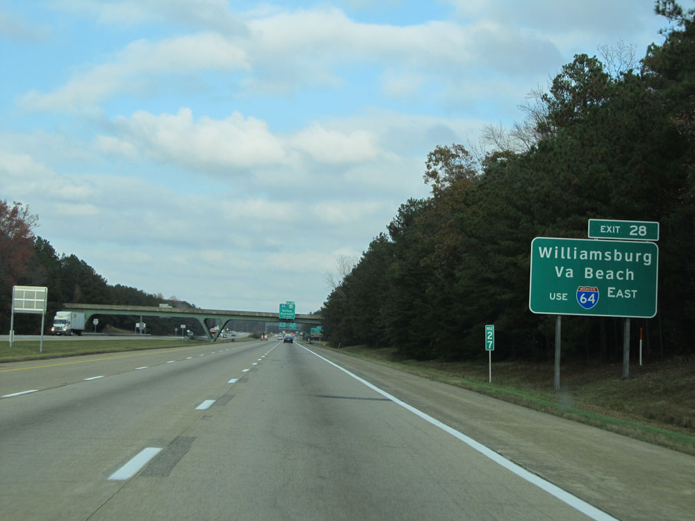 |
Take Exit 28 (Interstate 64 East) to Williamsburg and Virginia Beach. (Photo taken 11/5/15). |
 |
Interstate 295 North approaching Exit 28 - 1/2 mile. (Photo taken 11/5/15). |
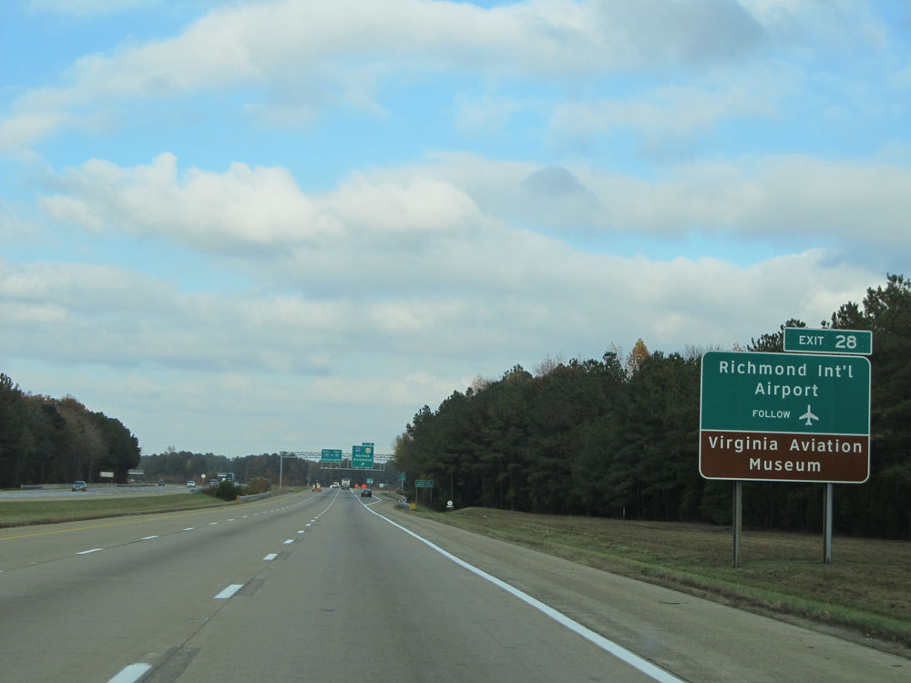 |
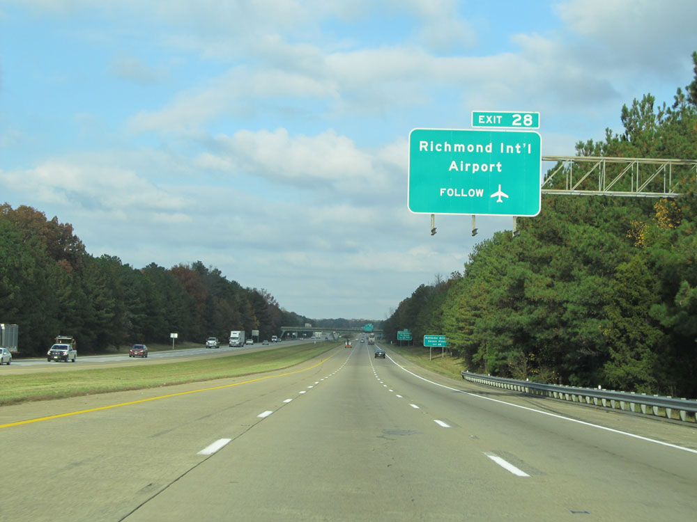
Take Exit 28 to Richmond International Airport and Virginia Aviation Museum. (Photo taken 11/5/15). |
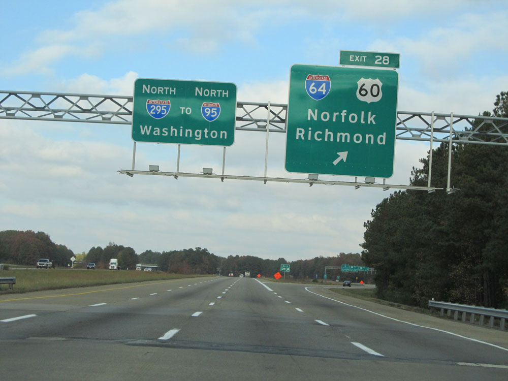 |
Interstate 295 North at Exit 28: Interstate 64 / US 60 - Norfolk / Richmond (Photo taken 11/5/15). |
Section 2: Sandston (Exit 28) to Interstate 64
 |
Interstate 295 North at mile marker 29. (Photo taken 11/5/15). |
 |
Speed limit assurance sign north of mile marker 29. The speed limit remains 70 mph. (Photo taken 11/5/15). |
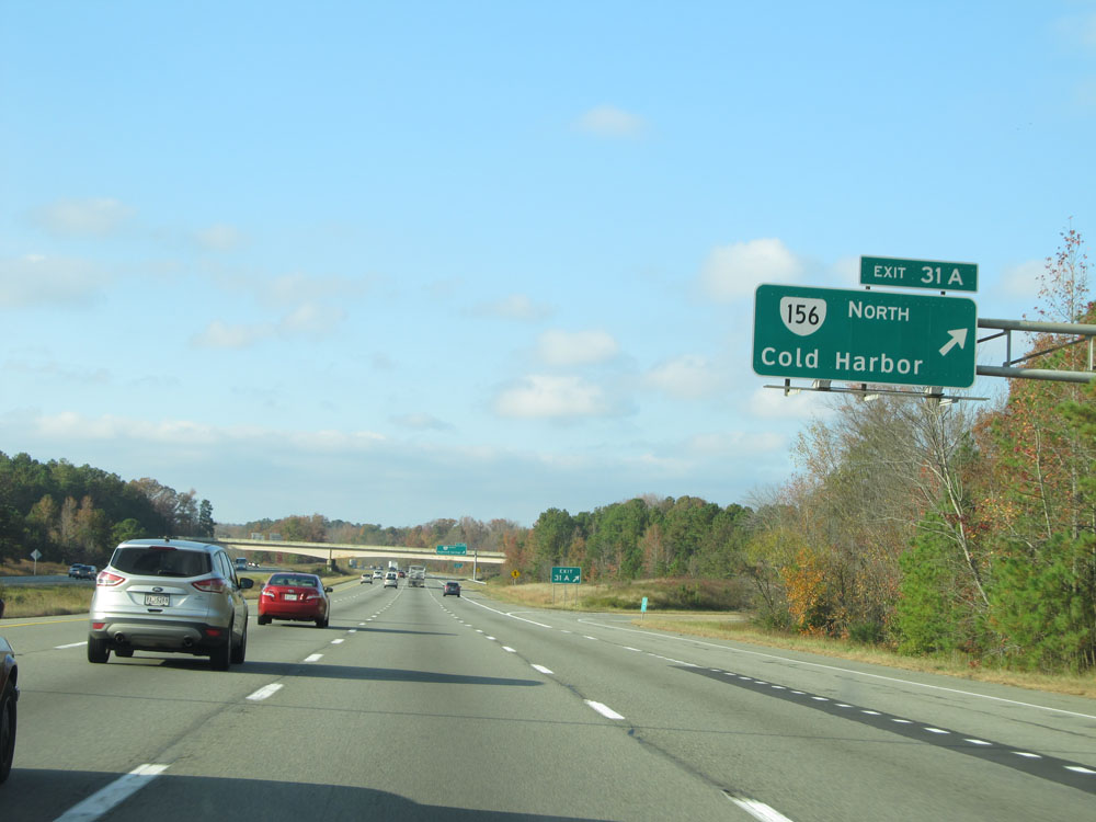 |
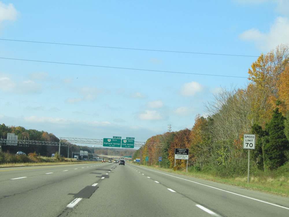
Interstate 295 North at Exit 31A: VA 156 North - Cold Harbor (Photo taken 11/5/15). |
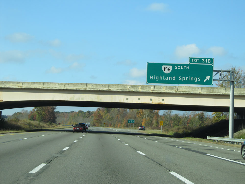 |
Interstate 295 North at Exit 31B: VA 156 South - Highland Springs (Photo taken 11/5/15). |
 |
Interstate 295 North at mile marker 32. (Photo taken 11/5/15). |
 |
Interstate 295 North as it enters Hanover County via crossing the Chickahominy River. (Photo taken 11/5/15). |
 |
Take Exit 34A to Richmond National Battlefield Park - Cold Harbor Unit. (Photo taken 11/5/15). |
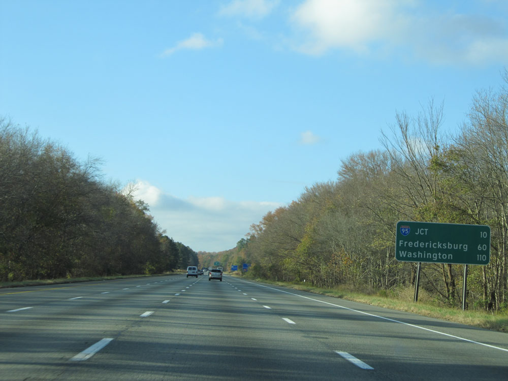 |
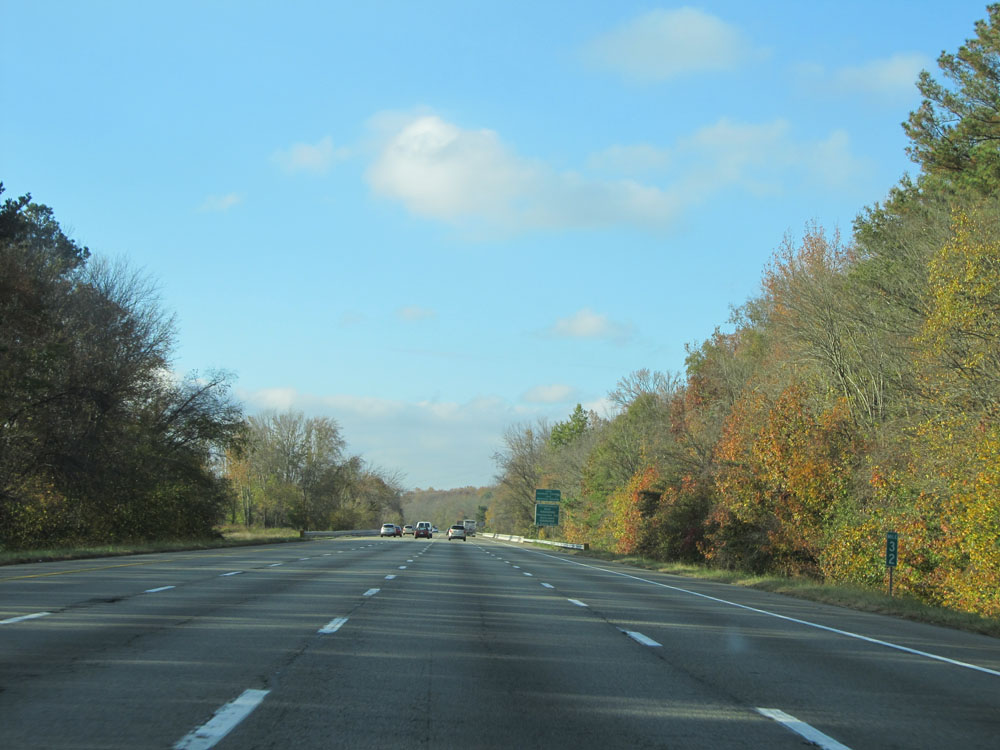
Mileage sign near mile marker 33. It's 10 miles to the junction of Interstate 95, 60 miles to Fredericksburg, and 110 miles to Washington DC. (Photo taken 11/5/15). |
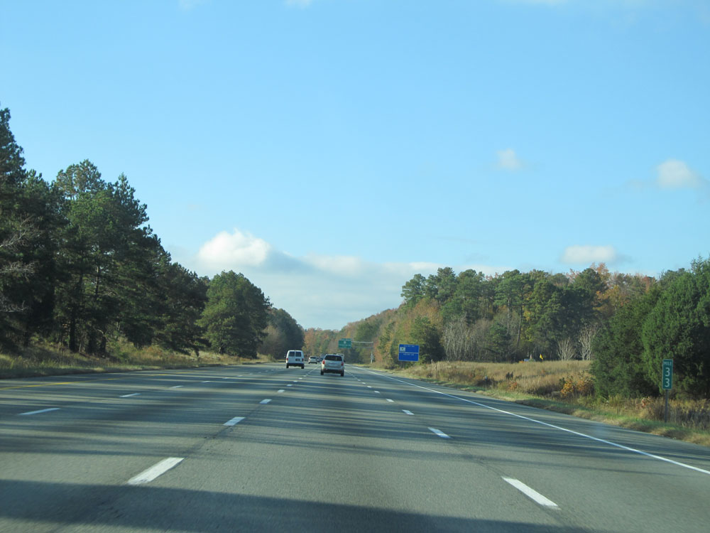 |
Interstate 295 North at mile marker 33. (Photo taken 11/5/15). |
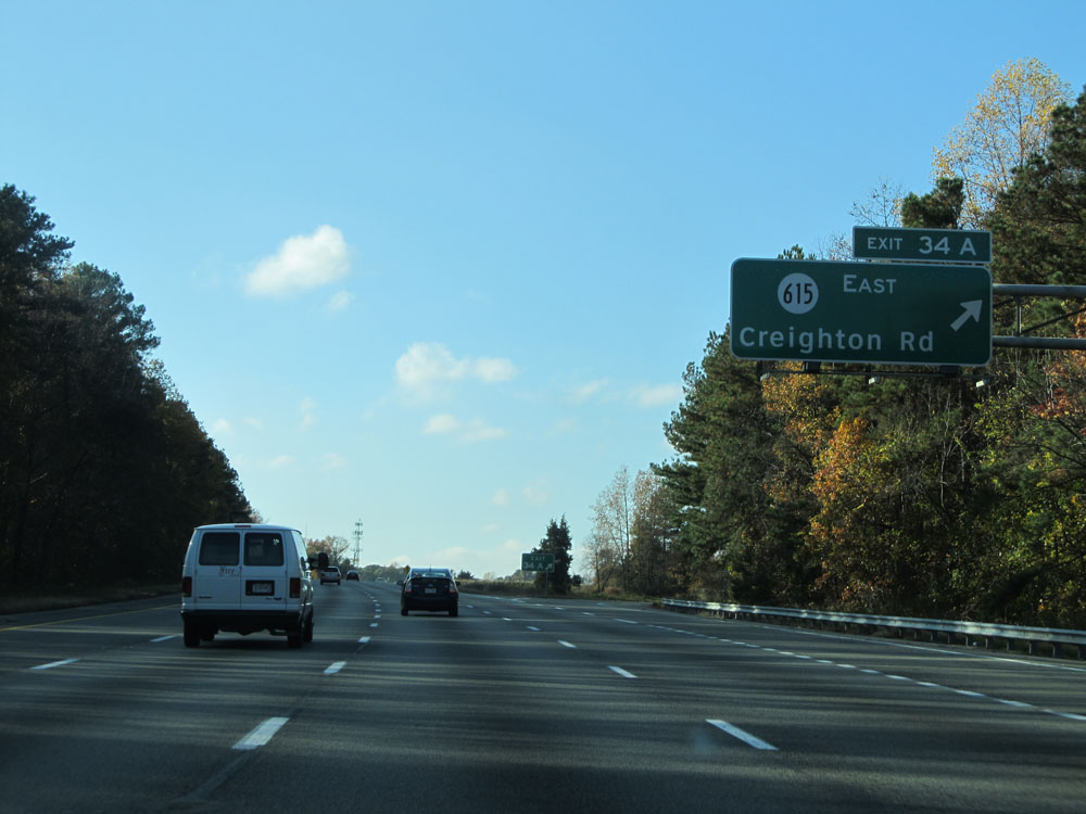 |
Interstate 295 North at Exit 34A: SR 615 East - Creighton Rd (Photo taken 11/5/15). |
 |
Interstate 295 North at Exit 34B: SR 615 West - Creighton Rd (Photo taken 11/5/15). |
 |
Interstate 295 North assurance shield north of Exit 34B. (Photo taken 11/5/15). |
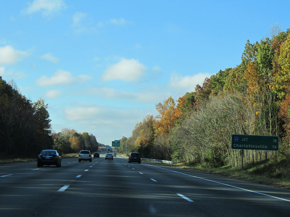 |
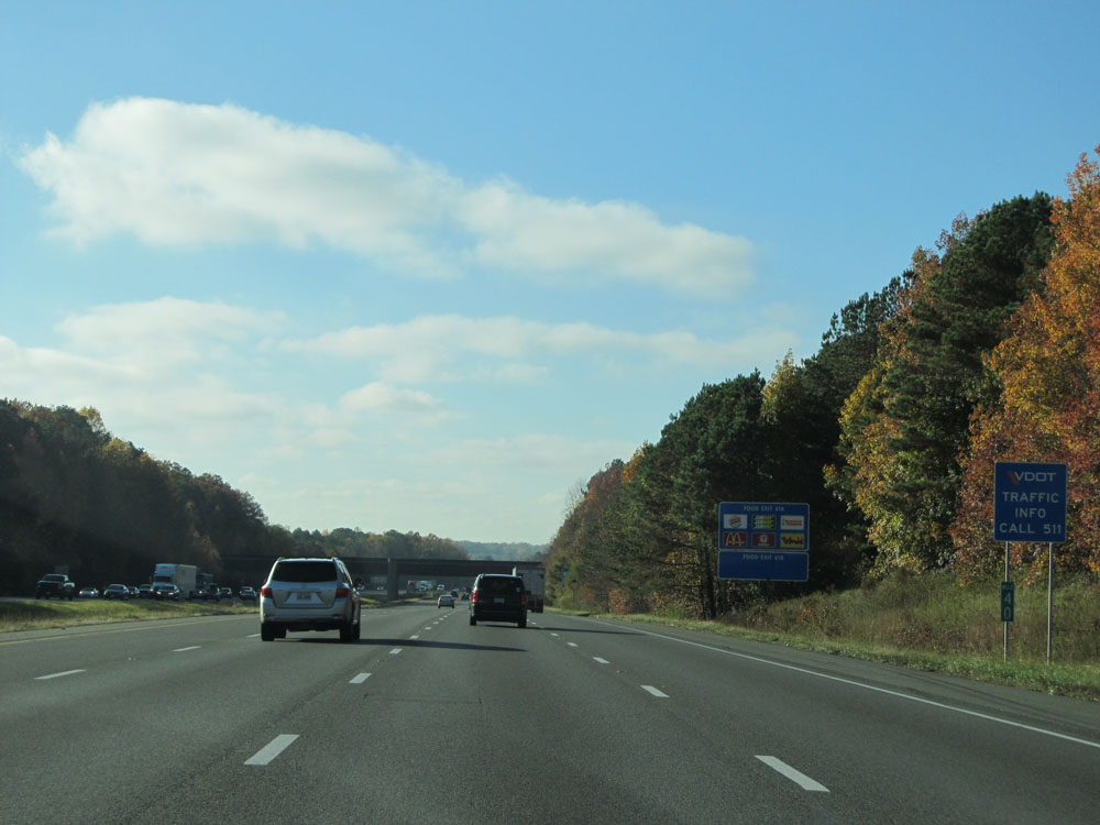
Mileage sign on Interstate 295 North. It's 18 miles to the junction of Interstate 64 (northern terminus of I-295) and 74 miles to Charlottesville. (Photo taken 11/5/15). |
 |
Take Exit 37B to Richmond National Battlefield Park - Beaver Dam Creek Battlefield. (Photo taken 11/5/15). |
 |
Interstate 295 North at mile marker 36. (Photo taken 11/5/15). |
 |
Interstate 295 North at Exit 37A: US 360 East - Tappahannock (Photo taken 11/5/15). |
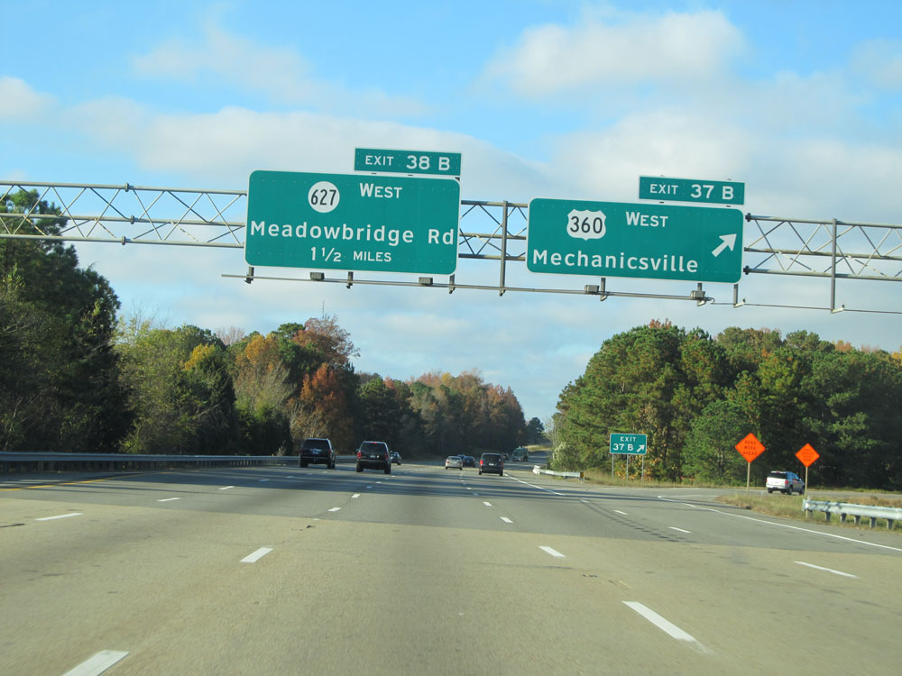 |
Interstate 295 North at Exit 37B: US 360 West - Mechanicsville (Photo taken 11/5/15). |
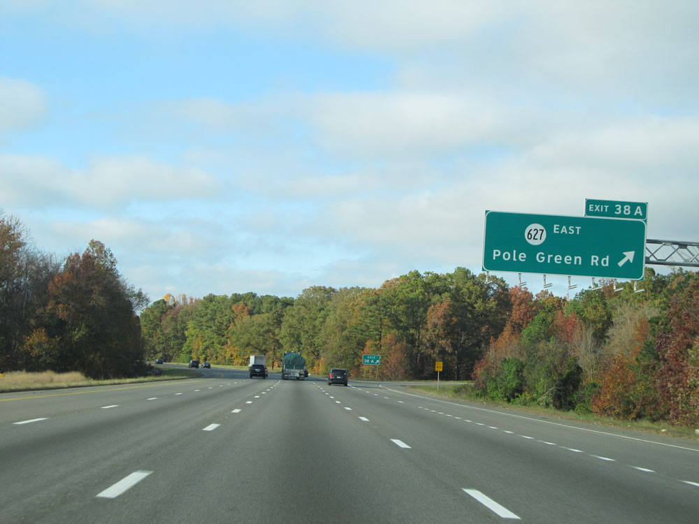 |
Interstate 295 North at Exit 38A: SR 627 East - Pole Green Rd (Photo taken 11/5/15). |
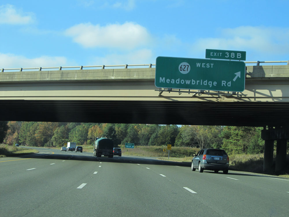 |
Interstate 295 North at Exit 38B: SR 627 West - Meadowbridge Rd (Photo taken 11/5/15). |
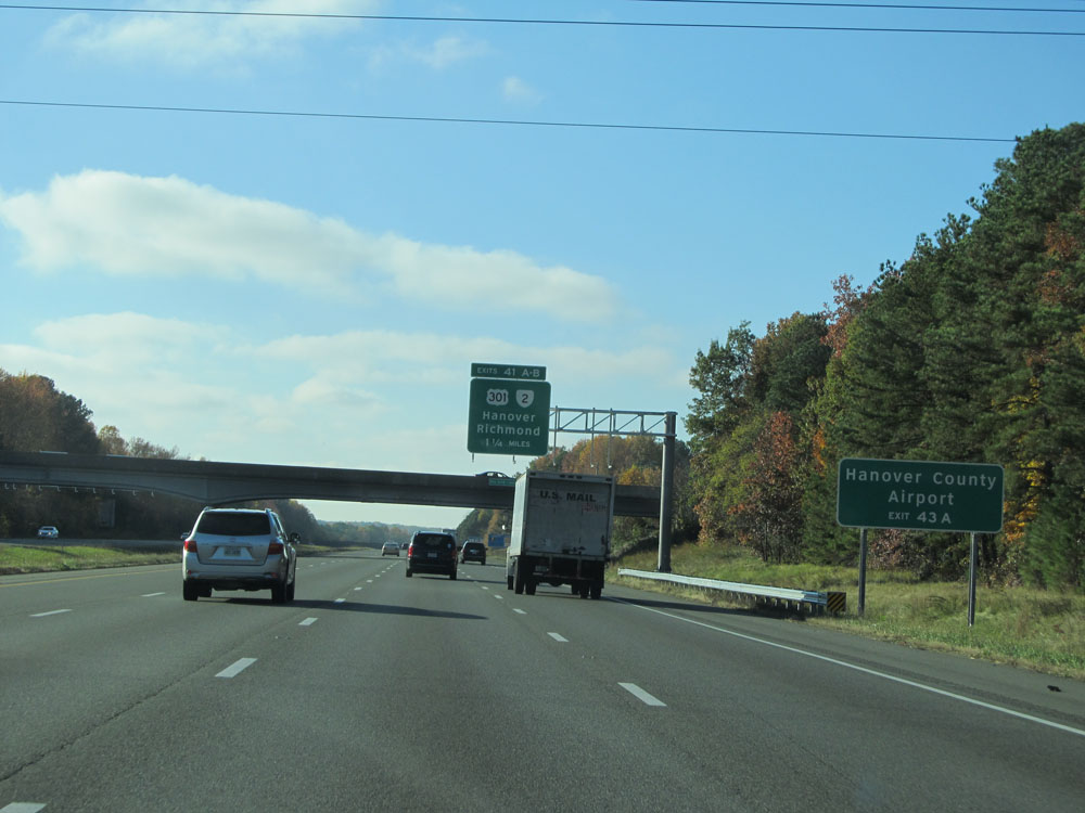 |
Take Exit 43A (Interstate 95 North) to Hanover County Airport. (Photo taken 11/5/15). |
 |
Interstate 295 North at mile marker 40. (Photo taken 11/5/15). |
 |
Approaching Exit 41A, the speed limit decreases to 65 mph. (Photo taken 11/5/15). |
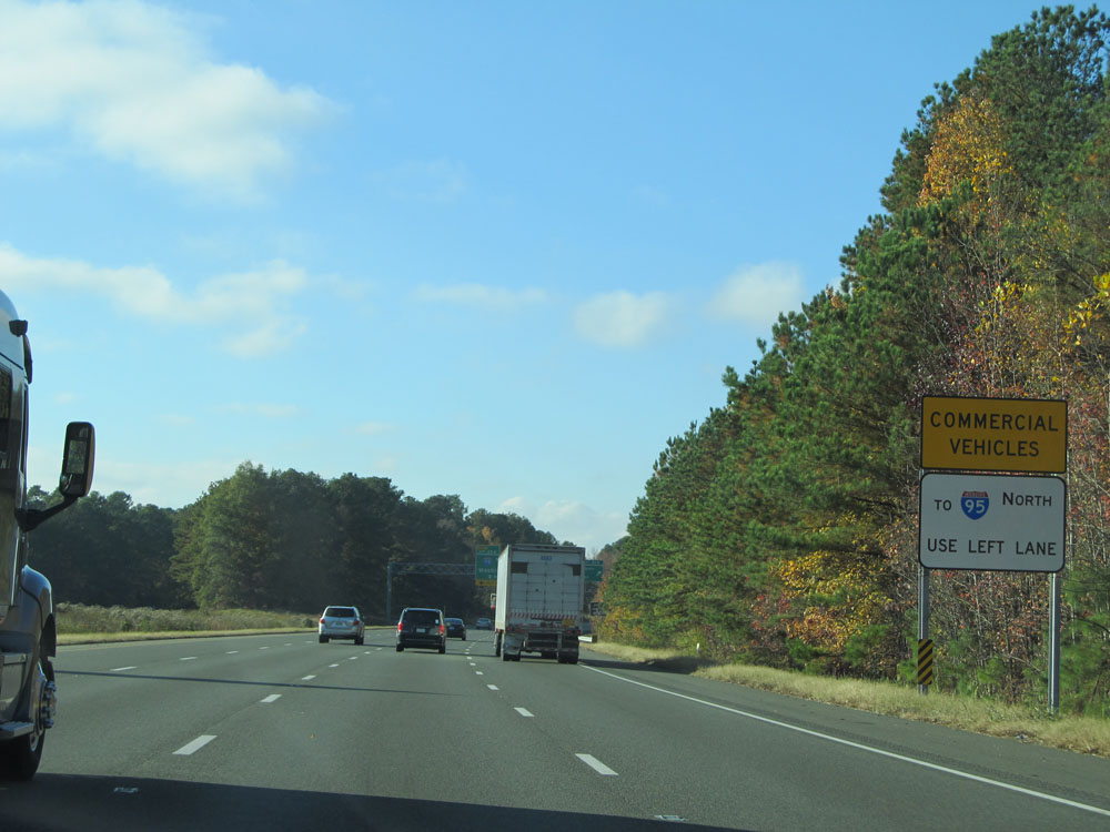 |
All commercial vehicles to Interstate 95 North (Exit 43A, on the left ahead) are urged to use the left lane at this point. (Photo taken 11/5/15). |
 |
Interstate 295 North at Exit 41A: US 301 North / VA 2 North - Hanover (Photo taken 11/5/15). |
 |
Interstate 295 North at Exit 41B: US 301 South / VA 2 South - Richmond (Photo taken 11/5/15). |
 |
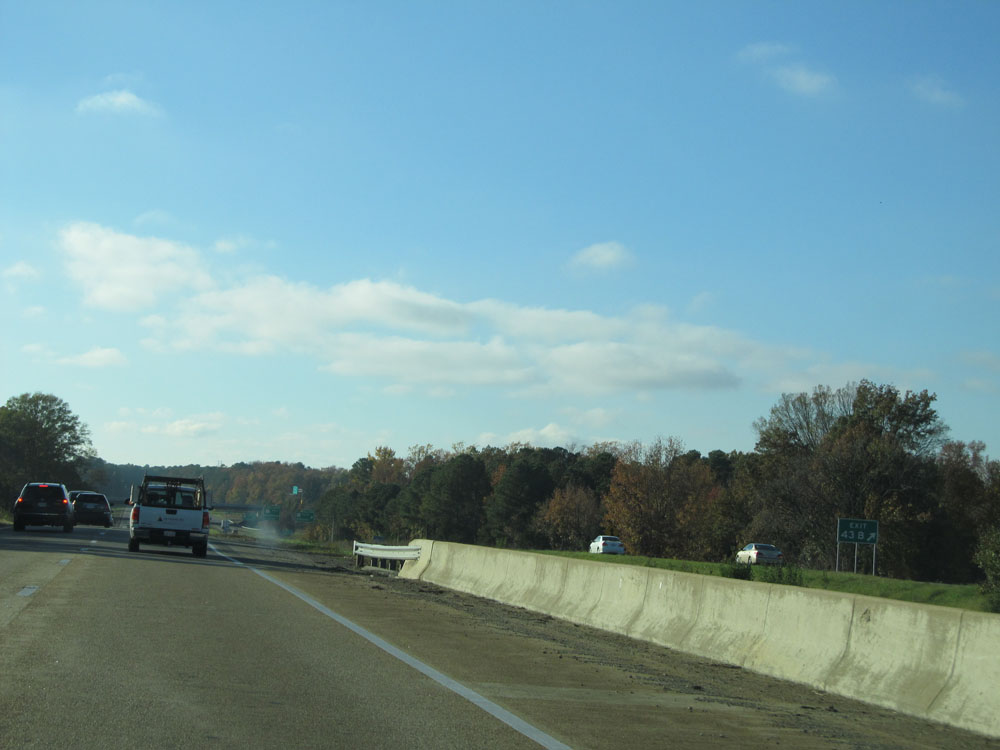
Interstate 295 North approaching Exit 43A - 1/2 mile on the left. I-295 North thru traffic should use the two rightmost lanes. (Photo taken 11/5/15). |
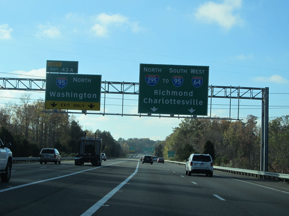 |
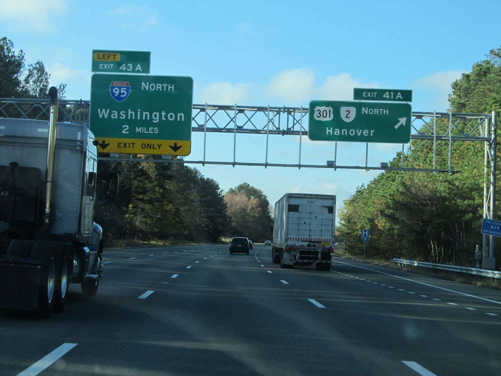
Interstate 295 North at Exit 43A: Interstate 95 North - Washington (Photo taken 11/5/15). |
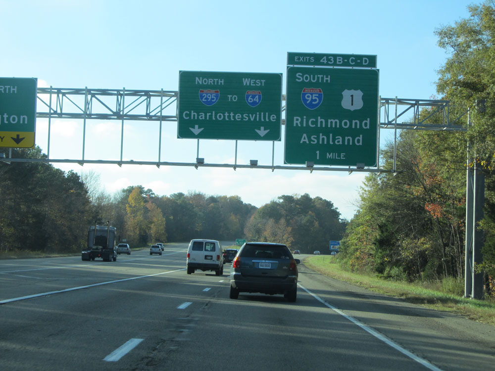 |
Interstate 295 North approaching Exits 43B-C-D - 1 mile. (Photo taken 11/5/15). |
 |
A closer view of the exit ramp for Exit 43A: Interstate 95 North - Washington (Photo taken 11/5/15). |
 |
Interstate 295 North: Road view from mile marker 43. (Photo taken 11/5/15). |
 |
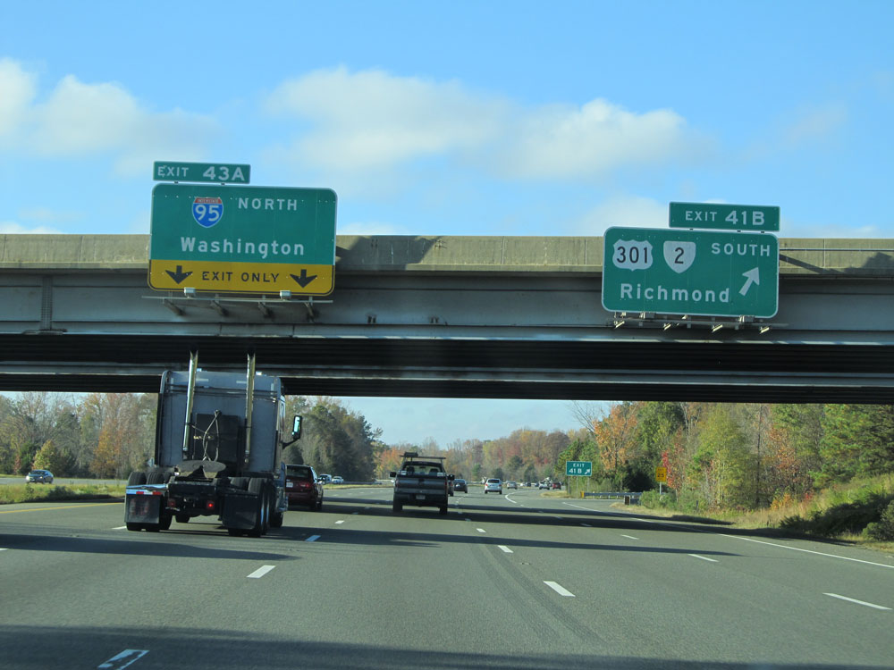
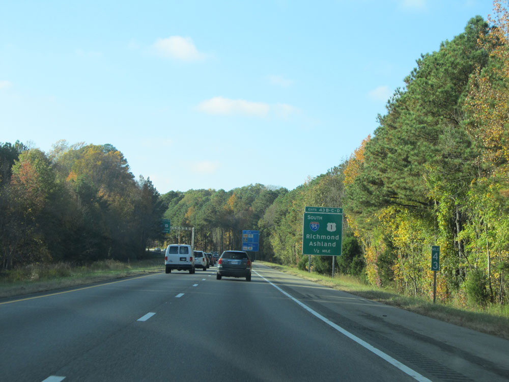
Interstate 295 North at Exits 43B-C-D: Interstate 95 South / US 1 - Richmond (Photo taken 11/5/15). |
 |
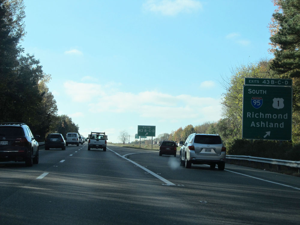
A closer view of the exit ramp for Exit 43B: Interstate 95 South - Richmond (Photo taken 11/5/15). |
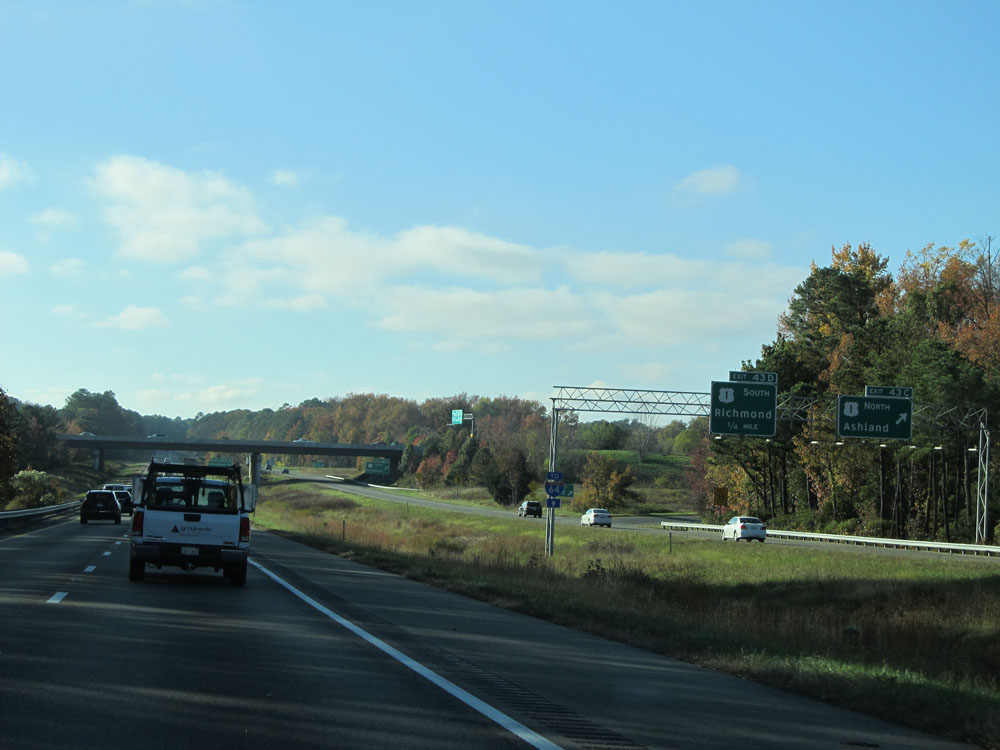 |
A closer view of the exit ramp for Exit 43C: US 1 North - Ashland (Photo taken 11/5/15). |
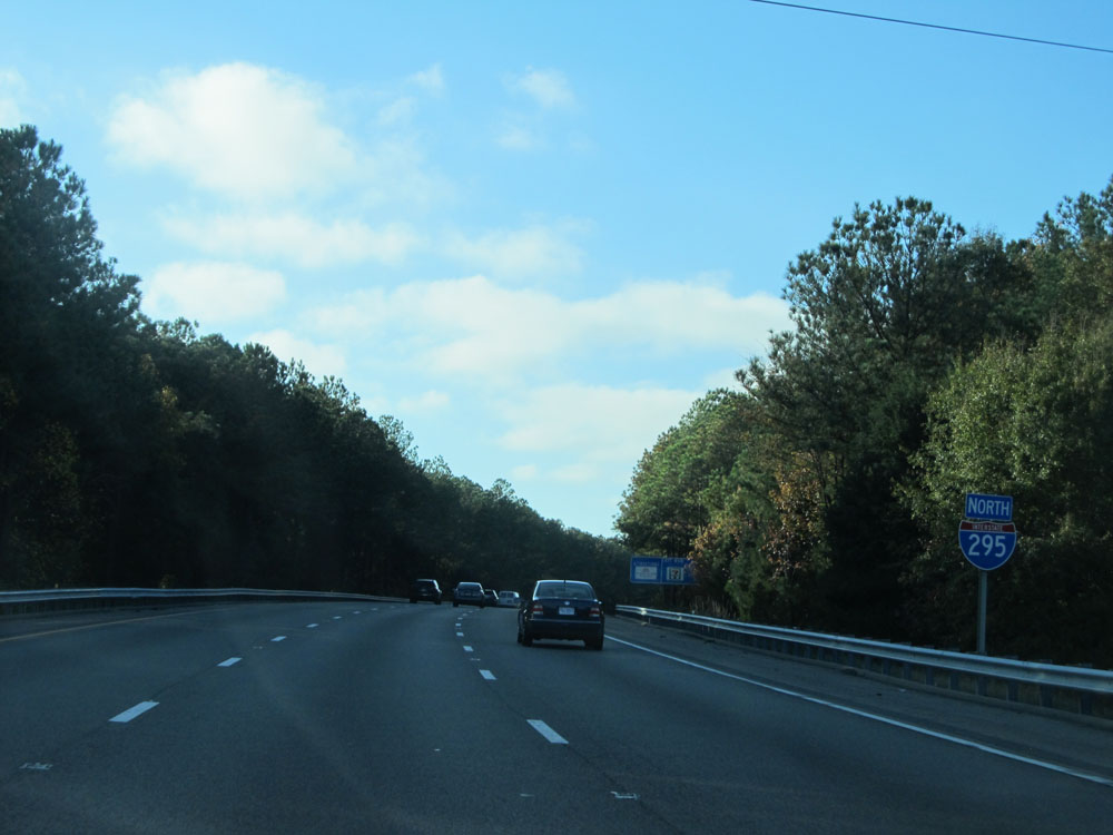 |
Interstate 295 North assurance shield. Even though we're technically heading west for the rest of I-295's duration, it is still signed as North. (Photo taken 11/5/15). |
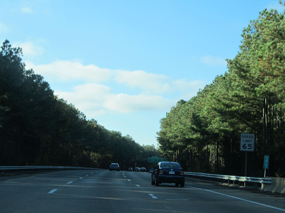 |
Speed limit sign at mile marker 45. The speed limit remains 65 mph. (Photo taken 11/5/15). |
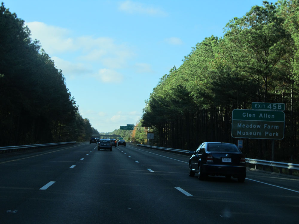 |
Take Exit 45B to Glen Allen and Meadow Farm Museum Park. (Photo taken 11/5/15). |
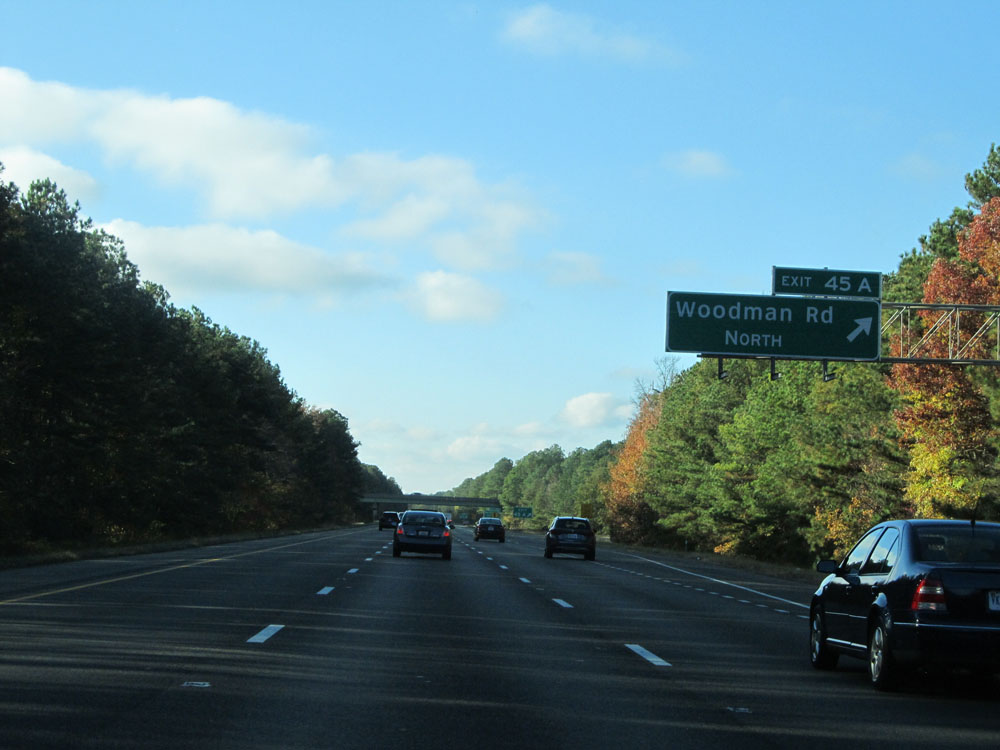 |
Interstate 295 North at Exit 45A: Woodman Rd North (Photo taken 11/5/15). |
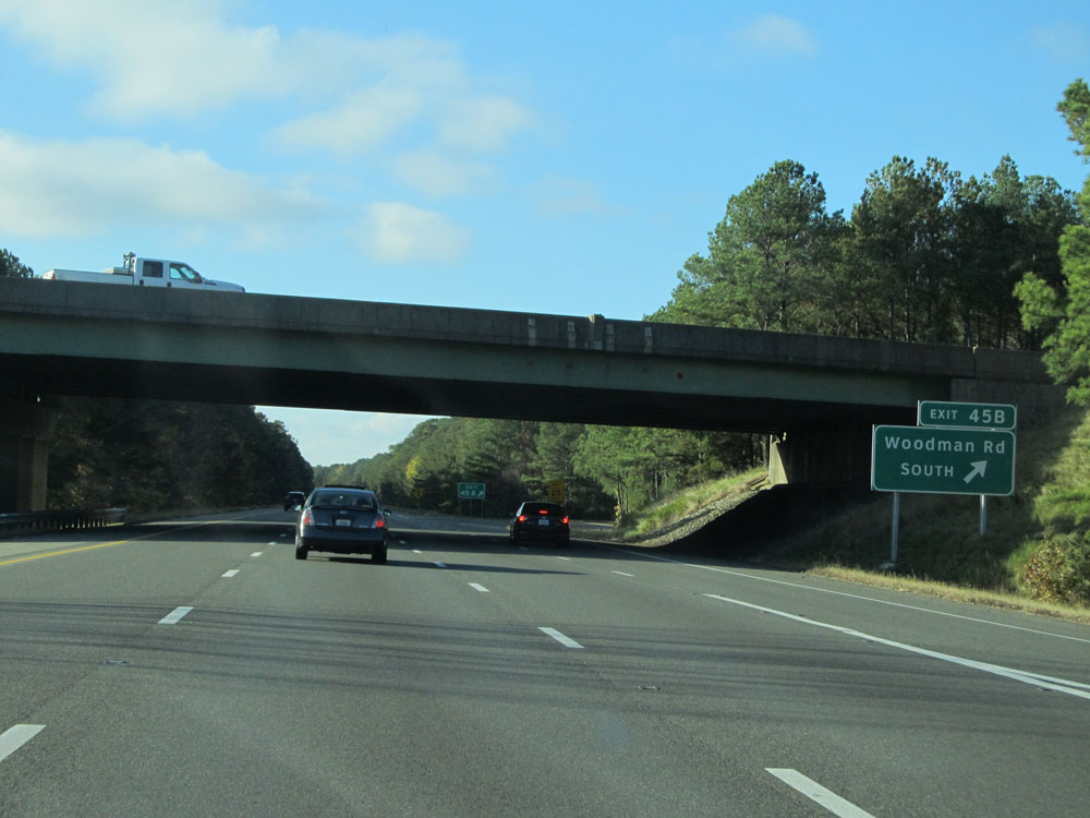 |
Interstate 295 North at Exit 45B: Woodman Rd South (Photo taken 11/5/15). |
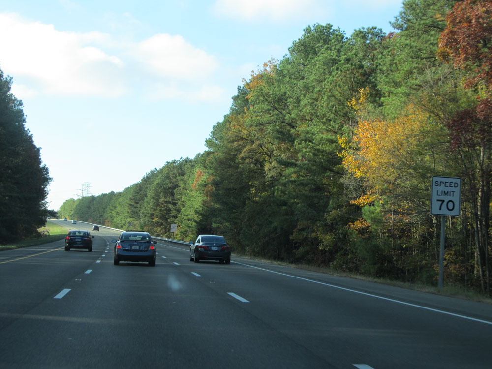 |
Just west (north) of Exit 45B, the standard rural Interstate speed limit of 70 mph resumes. (Photo taken 11/5/15). |
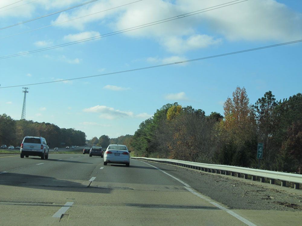 |
Interstate 295 North at mile marker 47. (Photo taken 11/5/15). |
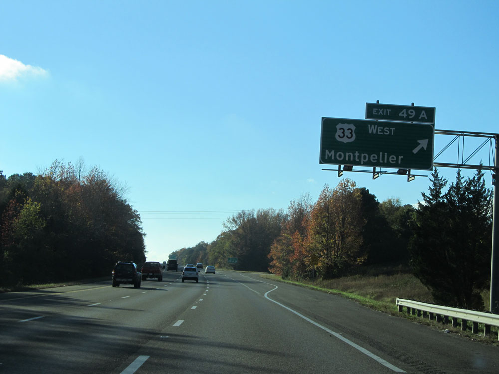 |
Interstate 295 North at Exit 49A: US 33 West - Montpelier (Photo taken 11/5/15). |
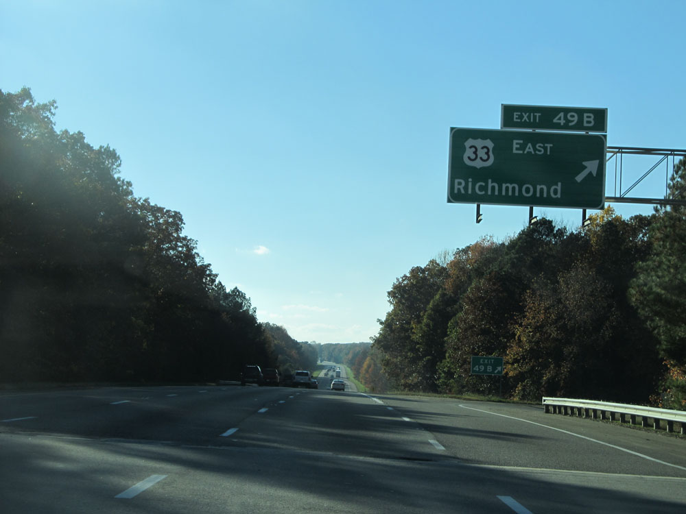 |
Interstate 295 North at Exit 49B: US 33 East - Richmond (Photo taken 11/5/15). |
 |
Interstate 295 North assurance shield northwest of Exit 49B. (Photo taken 11/5/15). |
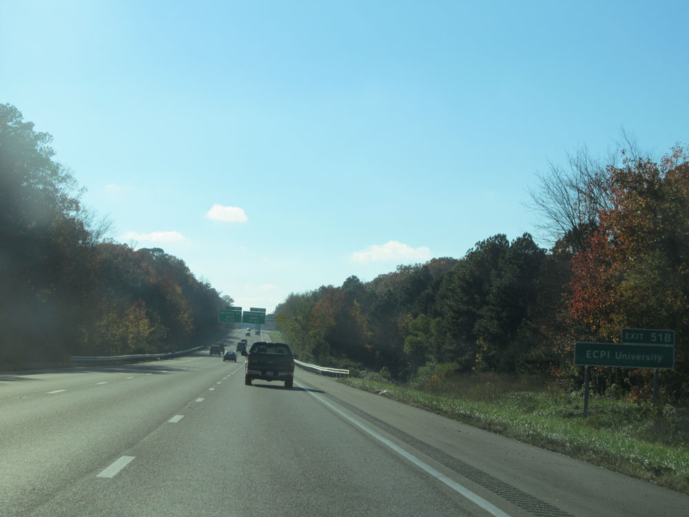 |
Take Exit 51B to ECPI University. (Photo taken 11/5/15). |
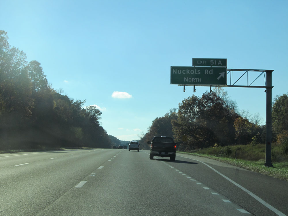 |
Interstate 295 North at Exit 51A: Nuckols Rd North (Photo taken 11/5/15). |
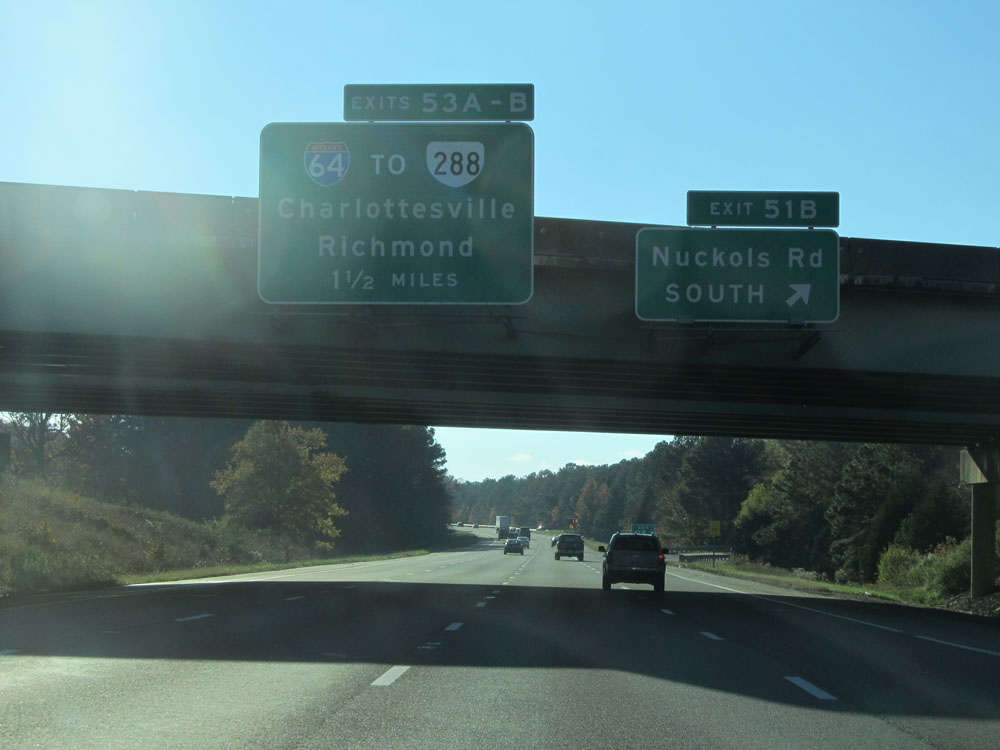 |
Interstate 295 North at Exit 51B: Nuckols Rd South (Photo taken 11/5/15). |
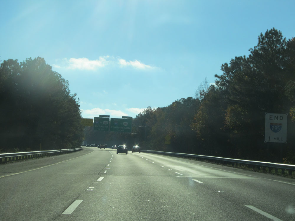 |
Interstate 295 North approaching its northern end - 1 mile, according to this sign. (Photo taken 11/5/15). |
 |
Interstate 295 North approaching Exit 53A - 1/4 mile. (Photo taken 11/5/15). |
 |
Interstate 295 North at Exit 53A: Interstate 64 West - Charlottesville (Photo taken 11/5/15). |
 |
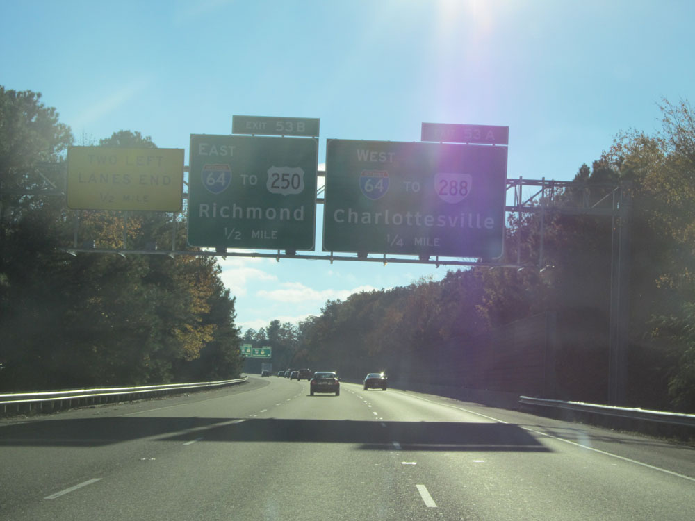
Beyond Exit 53A, Interstate 295 North is reduced to one lane for Exit 53B. (Photo taken 11/9/15). |
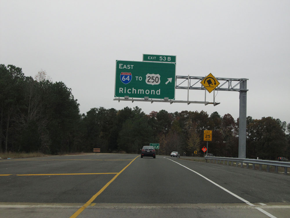 |
Interstate 295 North at Exit 53B: Interstate 64 East / To US 250 - Richmond (Photo taken 11/9/15). |
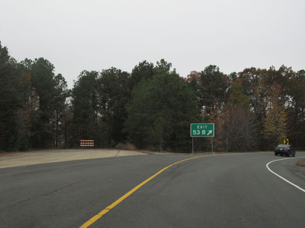 |
A closer view of the exit ramp for Exit 53B. (Photo taken 11/9/15). |
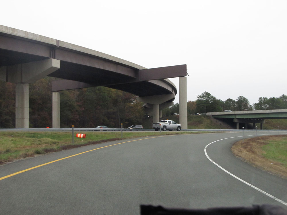 |
View on the ramp for Exit 53B, as it prepares to merge into Interstate 64 East. (Photo taken 11/9/15). |
 |
Interstate 295 North as Exit 53B merges into Interstate 64 East. This is I-295's northern terminus. (Photo taken 11/9/15). |