Road Information |
||
 |
||
| Total Mileage in State: | 130 miles | |
| Northern End: | At Canadian border | |
| Southern End: | At New Hampshire state line | |
| Mileage covered in Photos: | 130 miles | |
| Counties covered in Photos: | Windsor, Orange, Washington, Chittenden, Franklin | |
| Major Junctions in Photos: | I-91, in White River Junction I-189, in South Burlington |
|
| Control Cities in Photos: | White River Junction, Montpelier, South Burlington, Colchester, St. Albans | |
Northbound
- Section 1: New Hampshire Border to Waterbury (Exit 10)
- Section 2: Waterbury (Exit 10) to Canadian Border
Section 1: New Hampshire Border to Waterbury (Exit 10)
 |
Interstate 89 North as it prepares to cross the Connecticut River on the Vietnam Veterans Memorial Bridge from New Hampshire into Vermont. (Photo taken 8/9/17). |
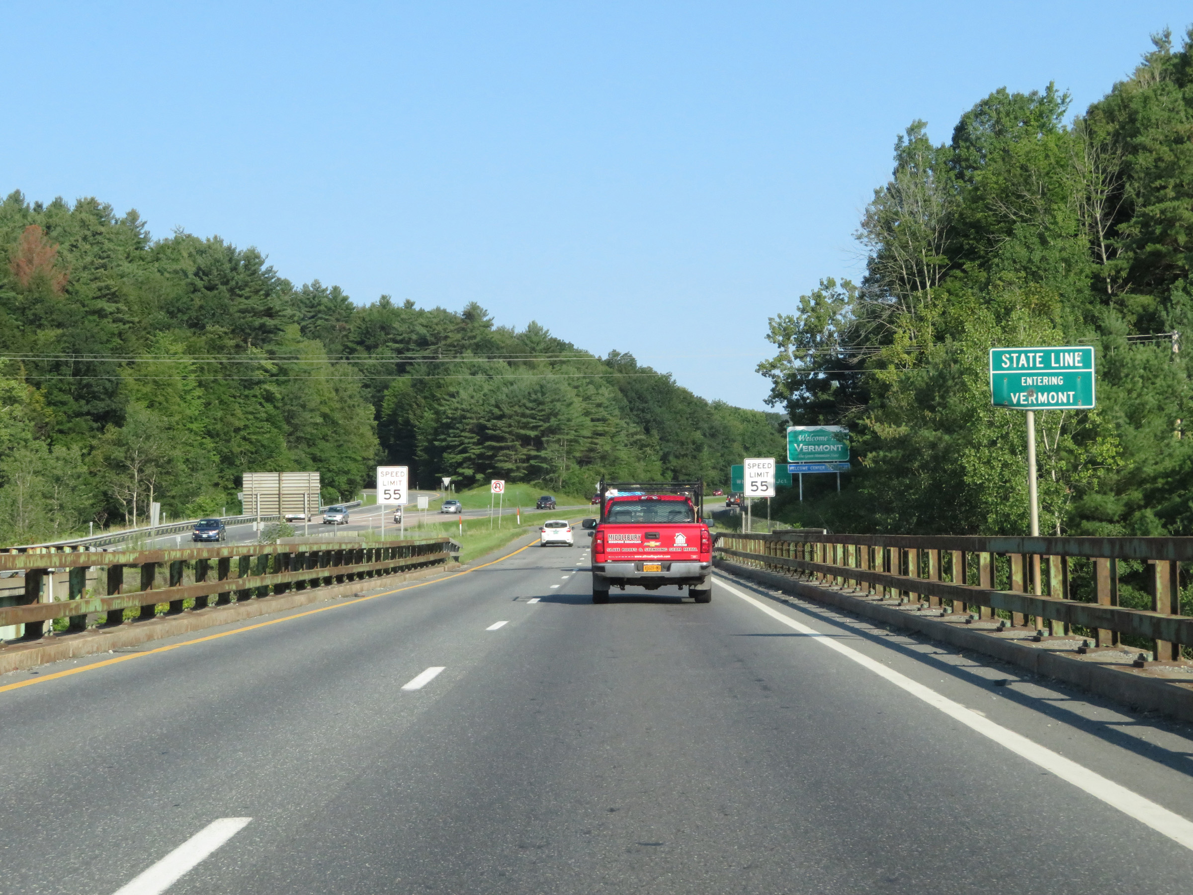 |
Interstate 89 North as it officially crosses the state line and enters Vermont. (Photo taken 8/9/17). |
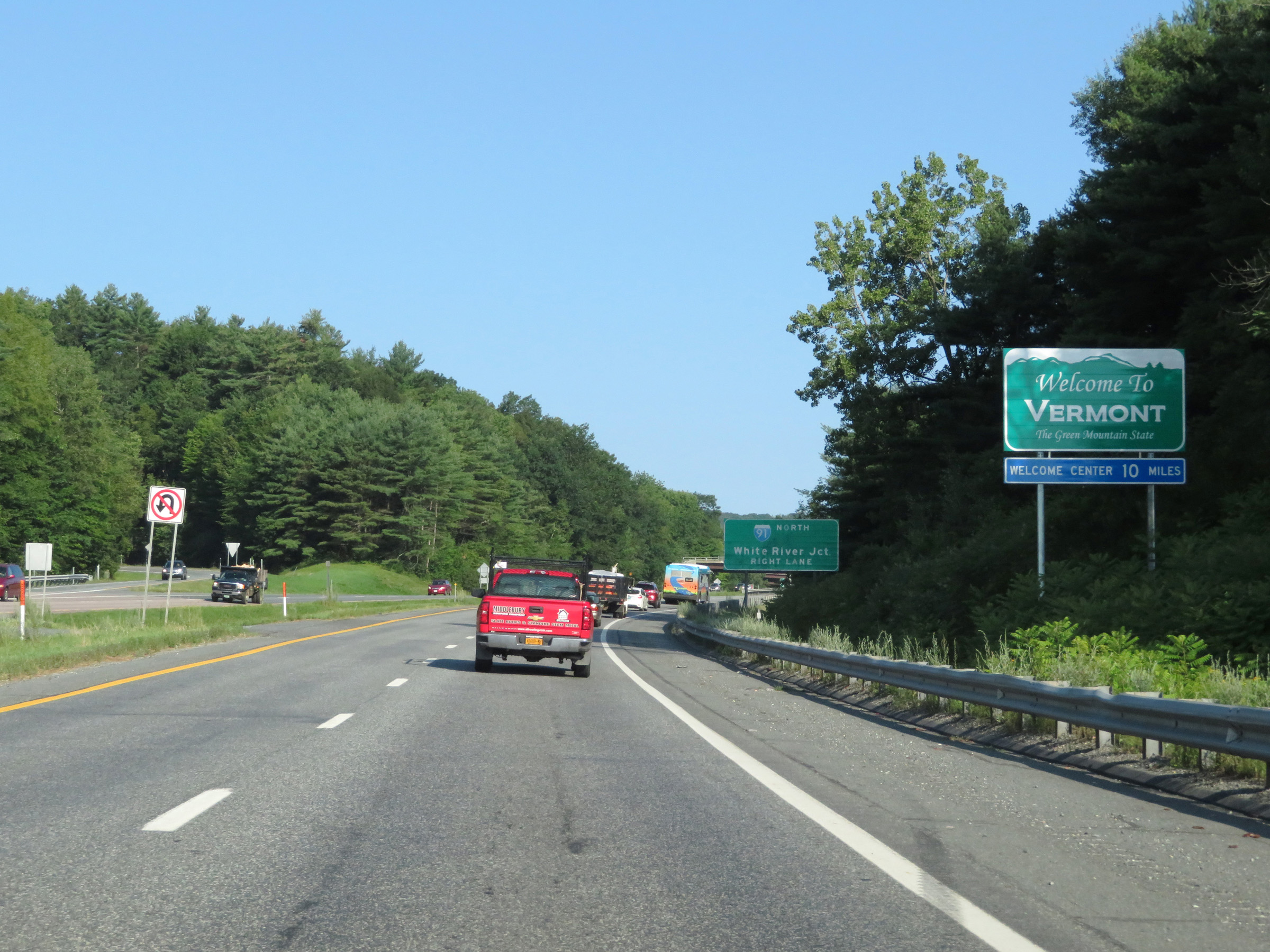 |
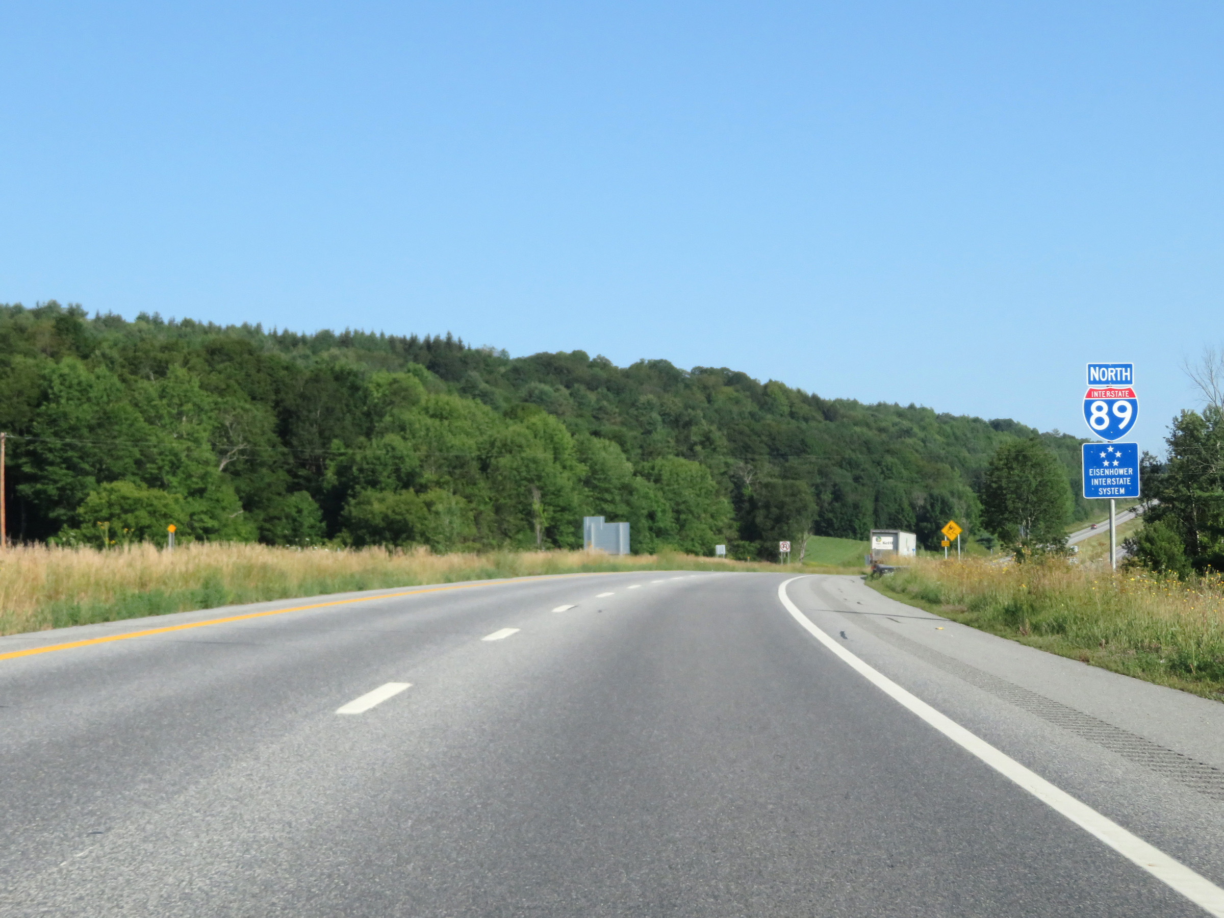
Vermont welcome sign on Interstate 89 North. (Photo taken 8/9/17). |
 |
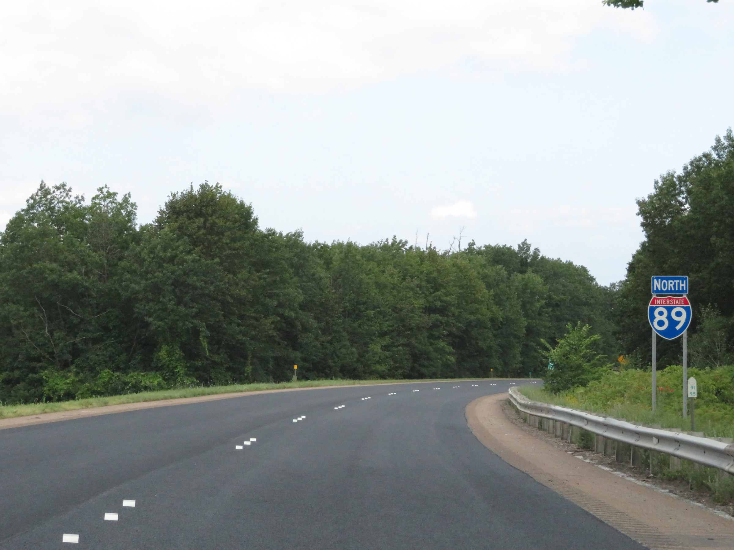
Interstate 89 North at Exit: Interstate 91 North - White River Junction (Photo taken 8/9/17). |
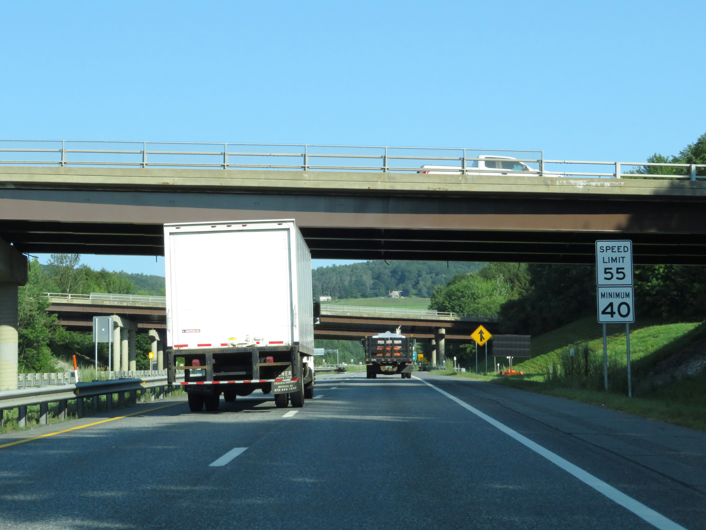 |
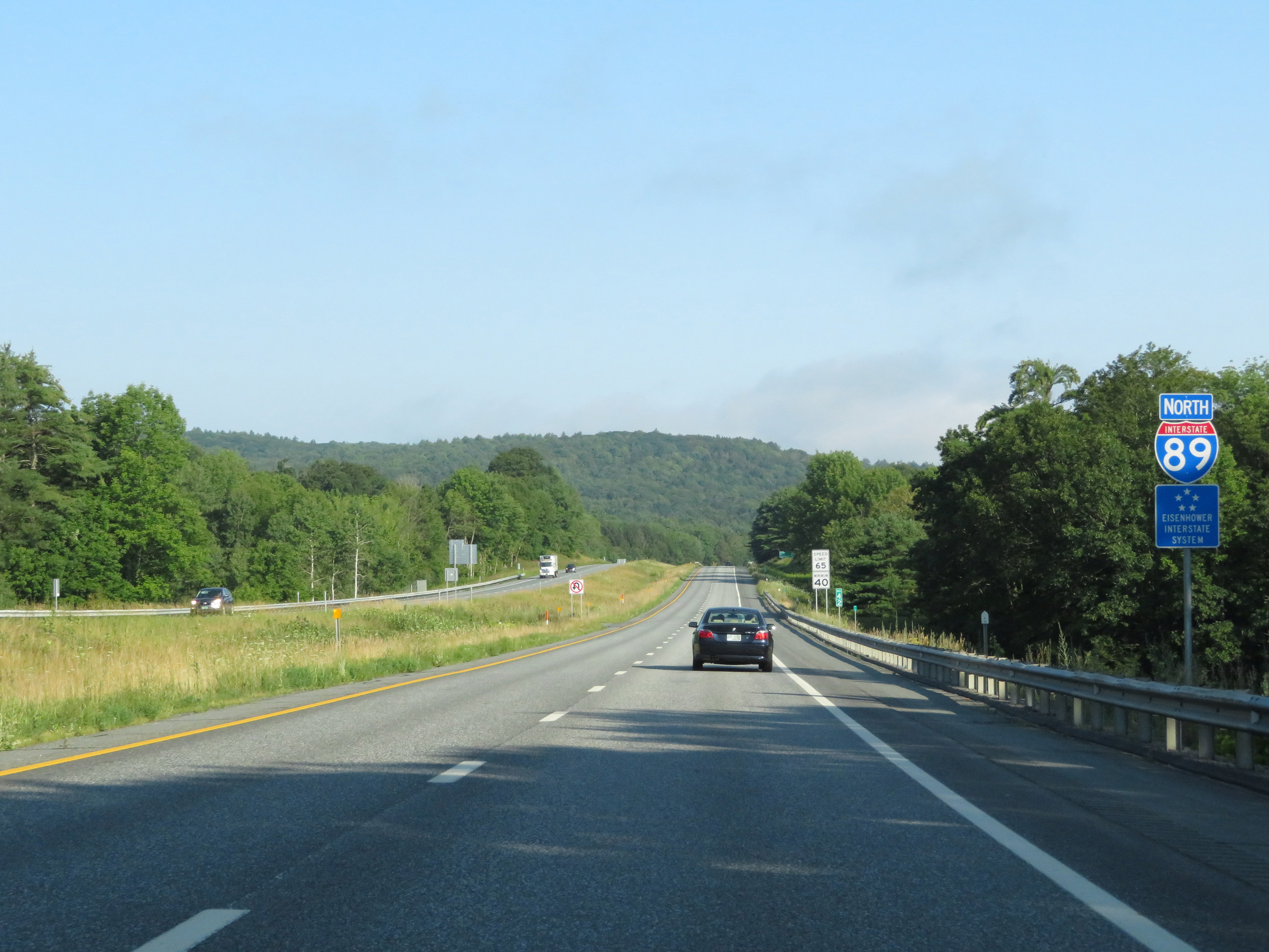
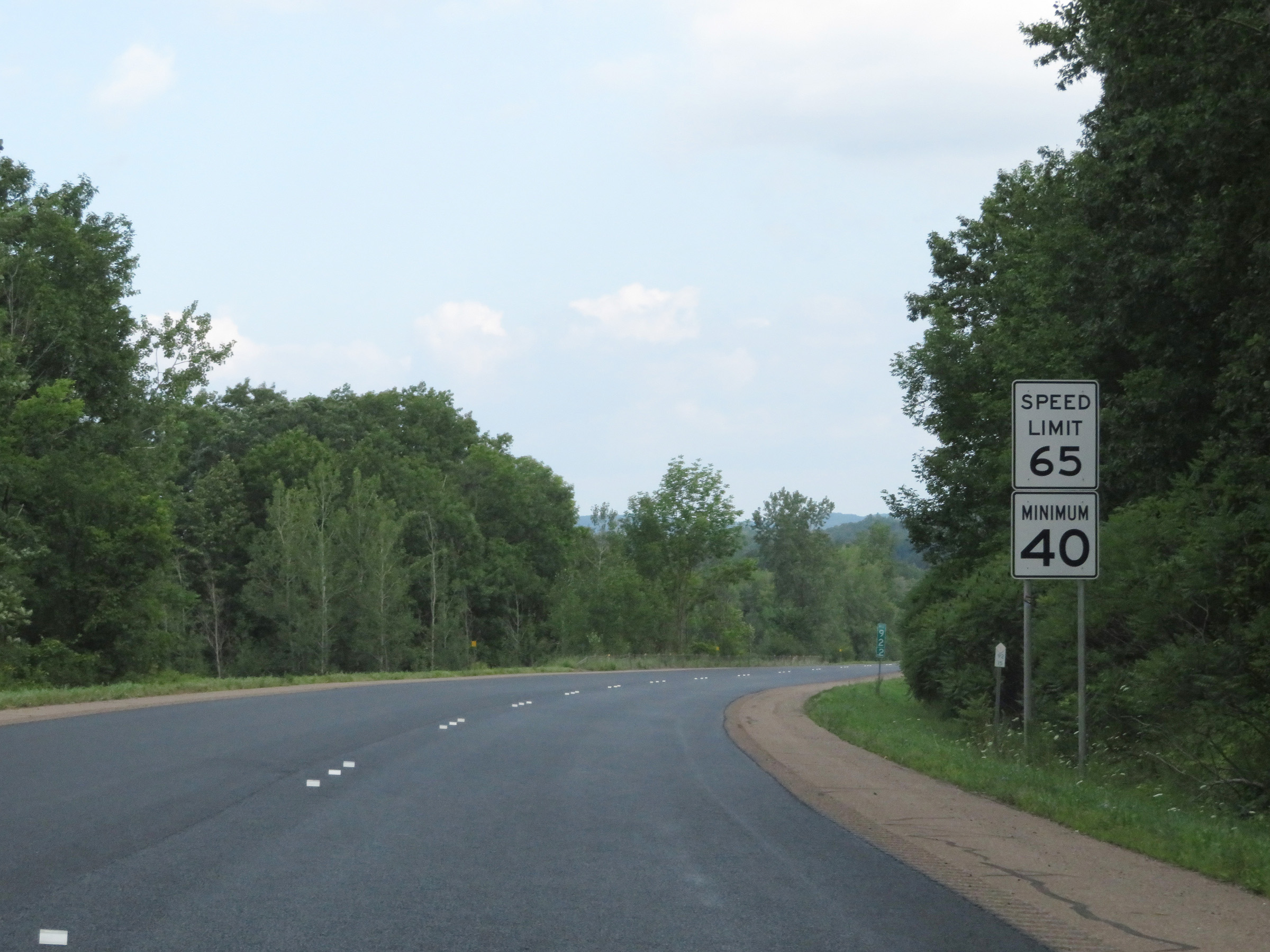
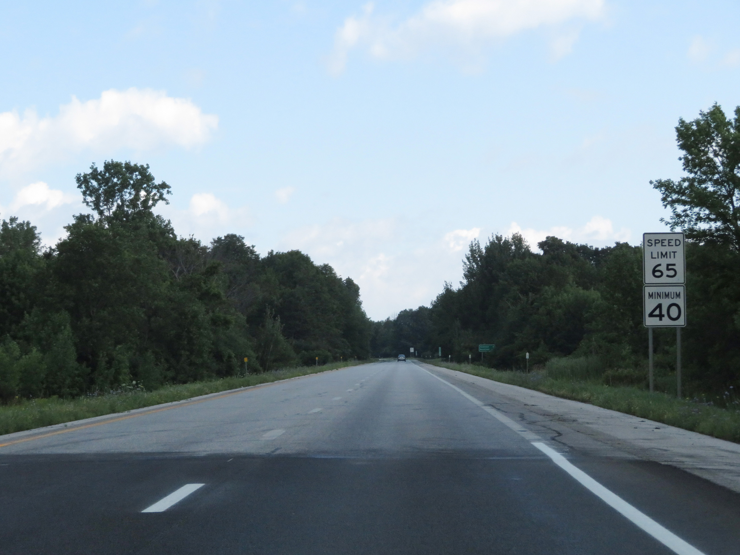
The speed limits on Interstate 89 North in Vermont start out at 55 mph maximum and 40 mph minimum. (Photo taken 8/9/17). |
 |
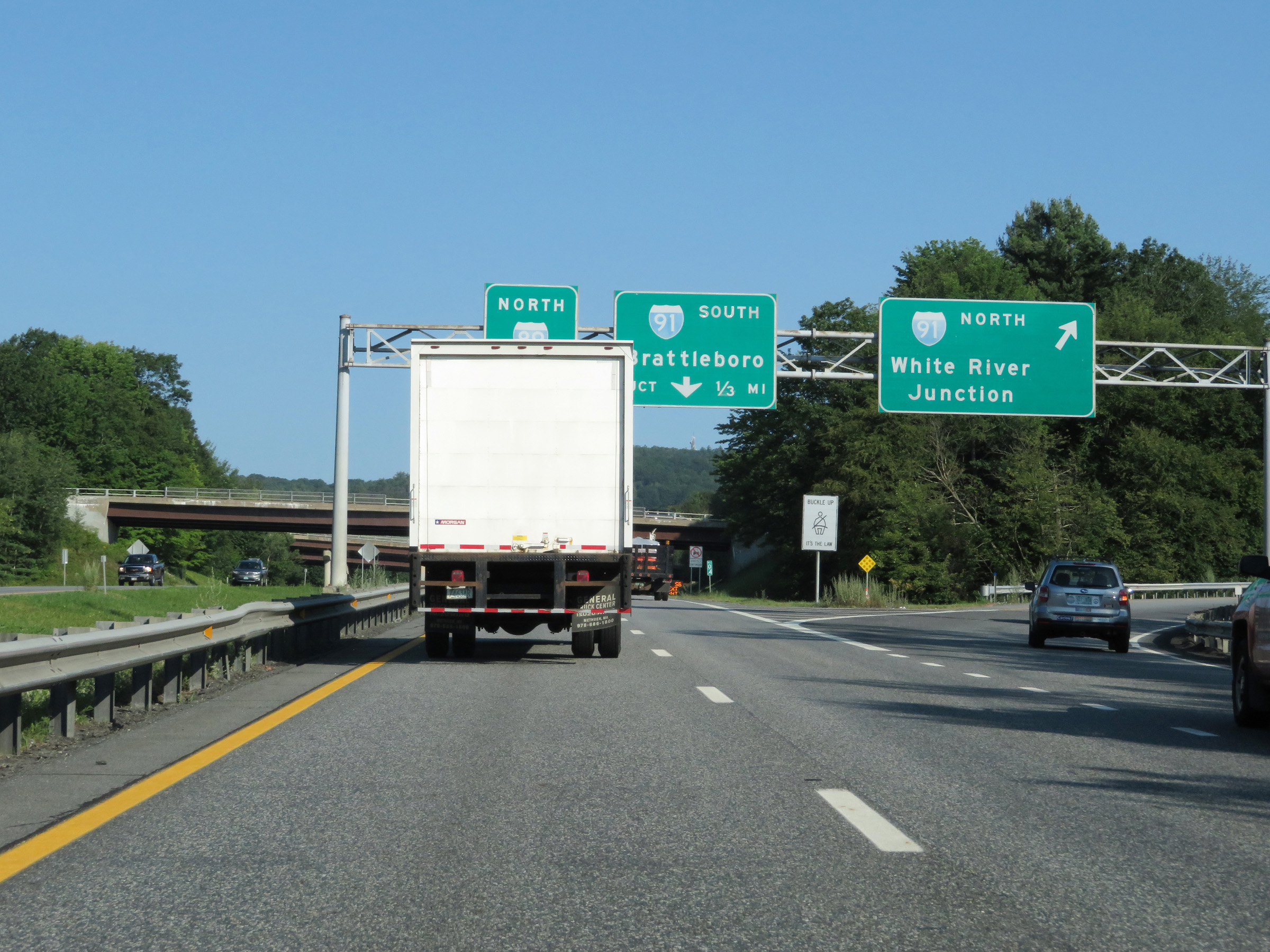
Interstate 89 North at Exit: Interstate 91 South - Brattleboro (Photo taken 8/9/17). |
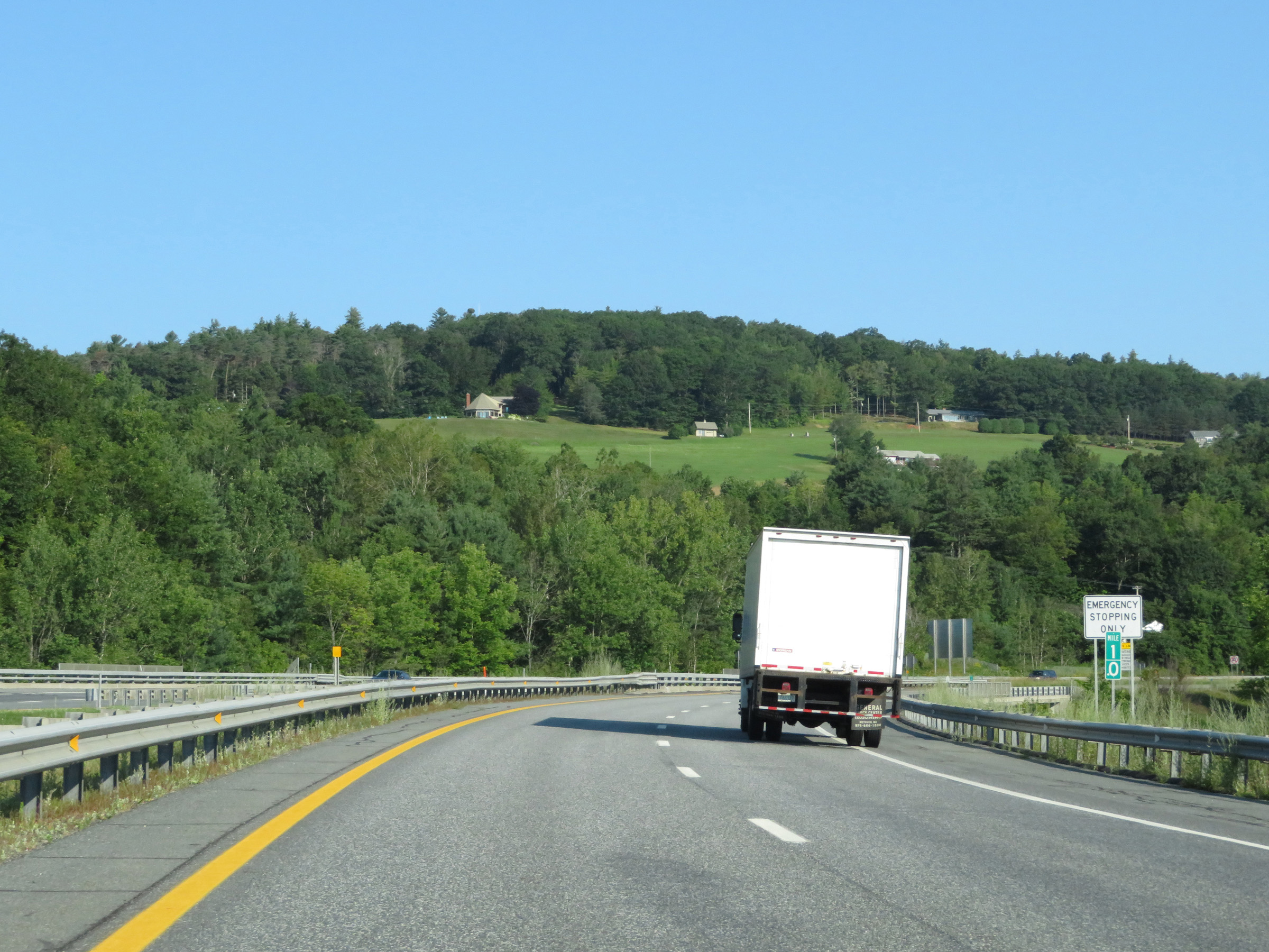 |
View on Interstate 89 North at mile marker 1. (Photo taken 8/9/17). |
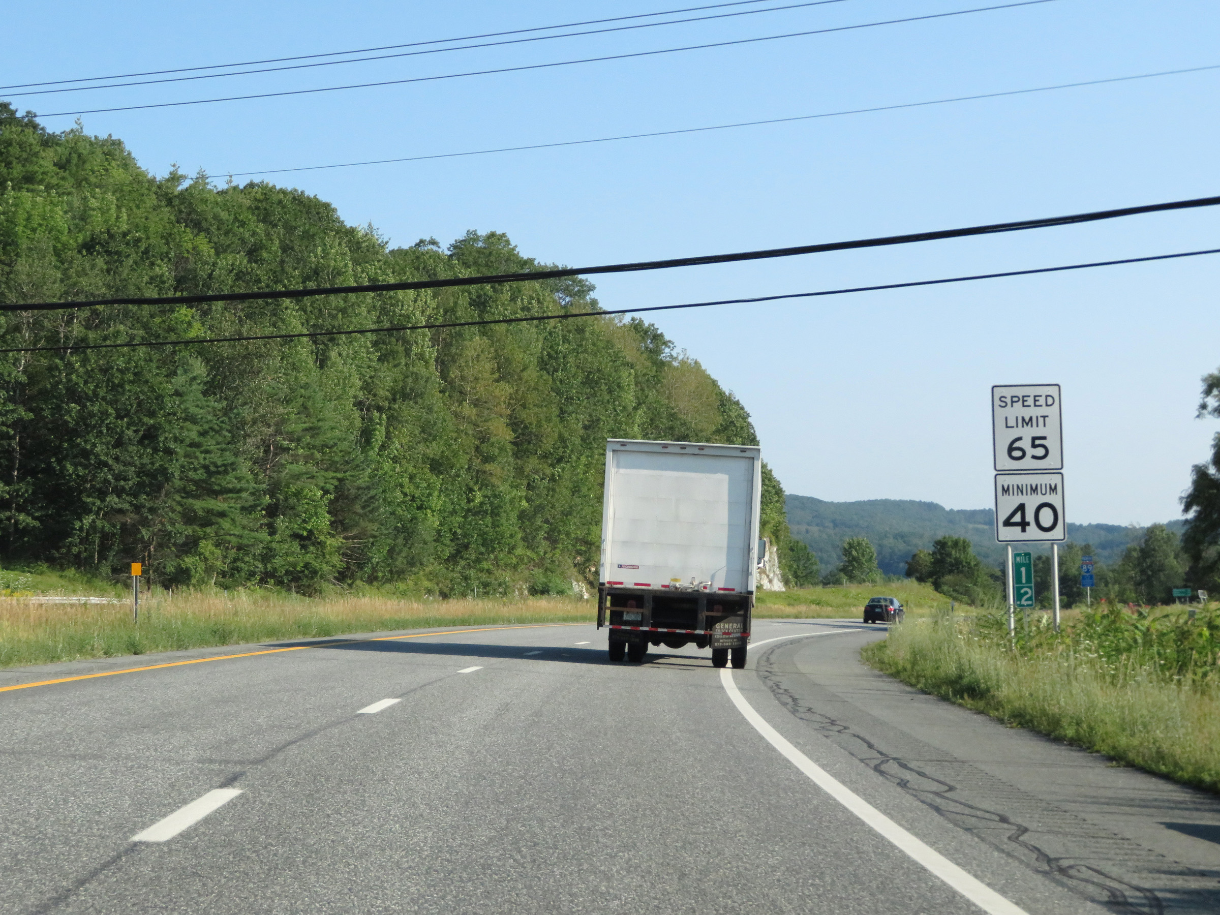 |
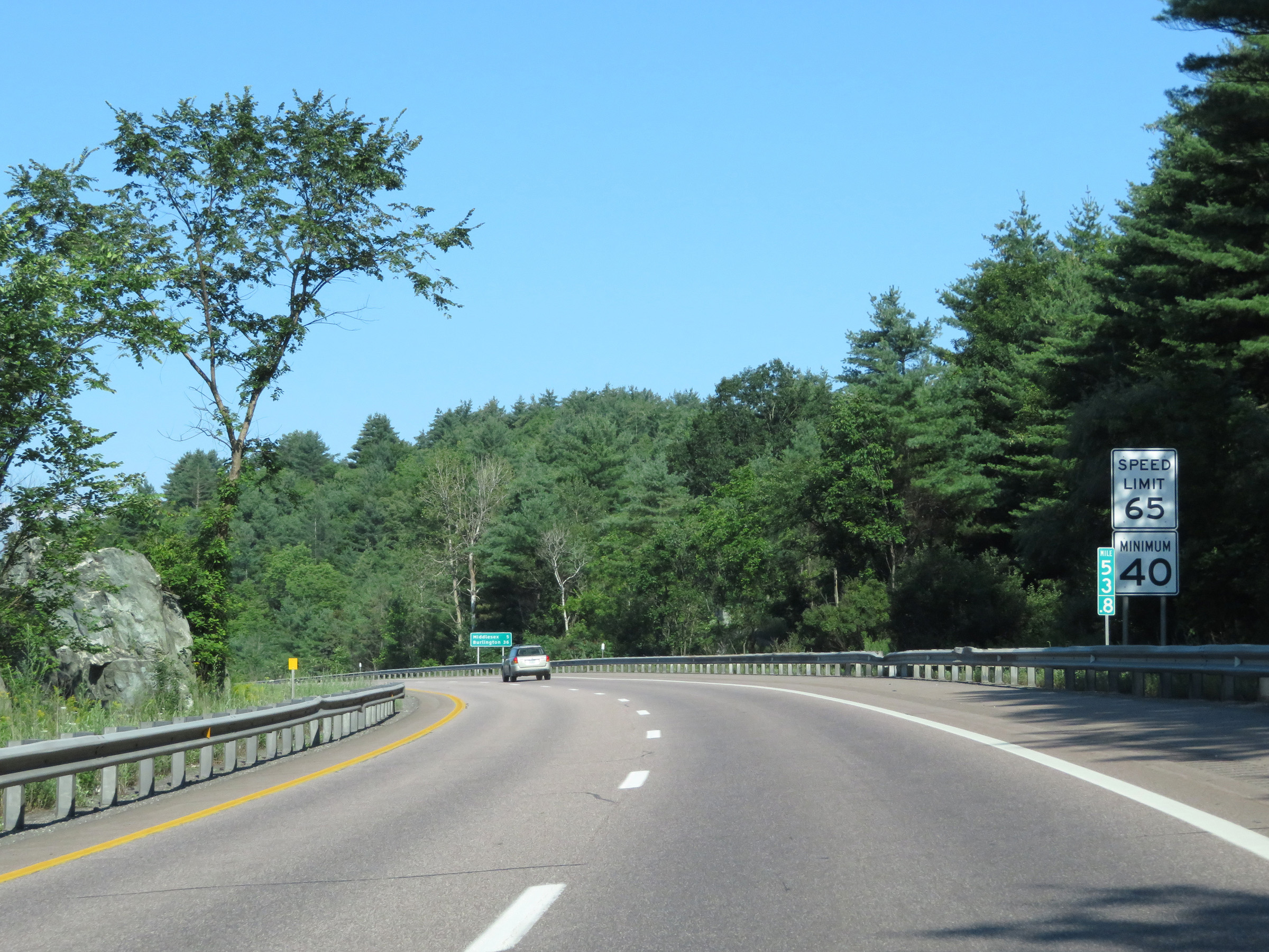
At mile marker 1.2, the maximum speed limit increases to 65 mph. The minimum speed limit remains 40 mph. (Photo taken 8/9/17). |
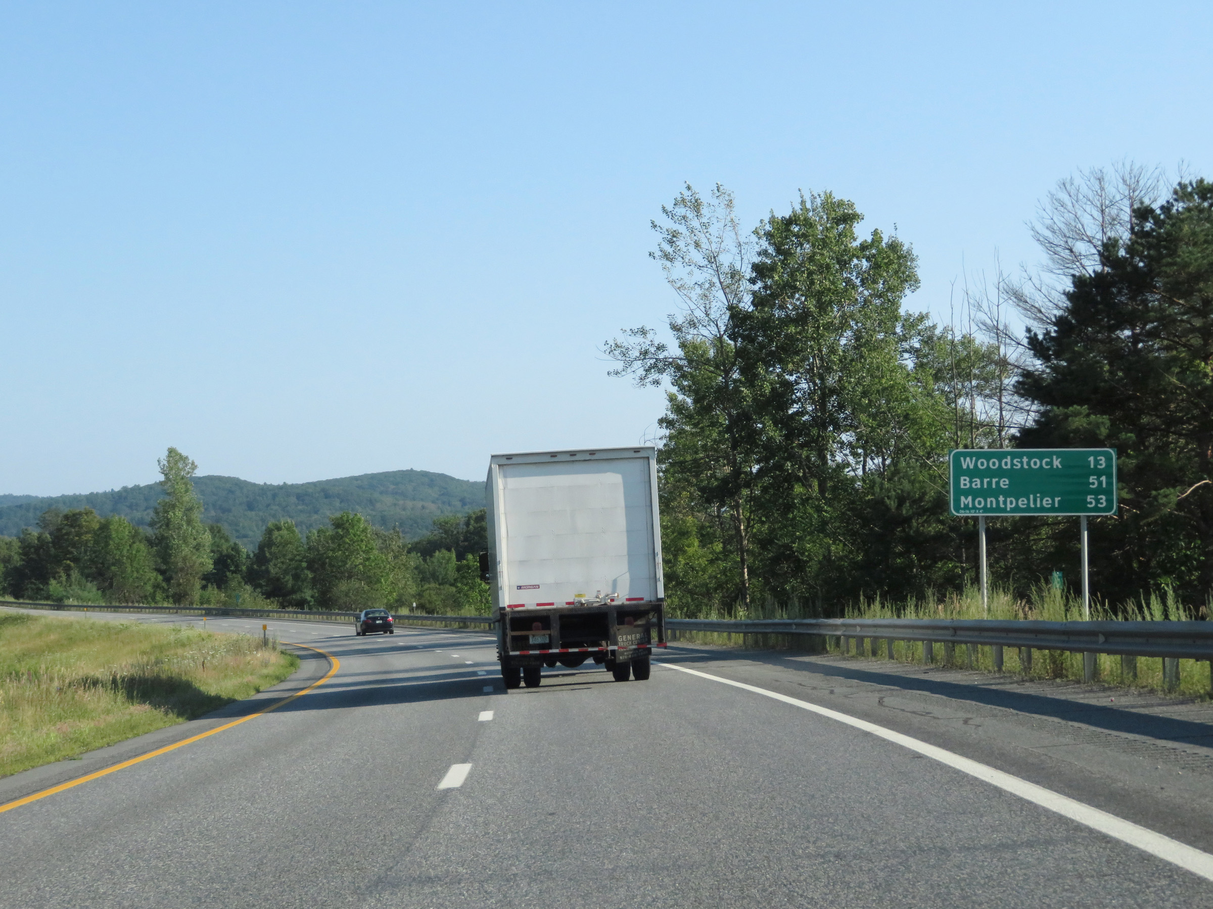 |
Mileage sign on Interstate 89 North. It's 13 miles to Woodstock, 51 miles to Barre, and 53 miles to Montpelier. (Photo taken 8/9/17). |
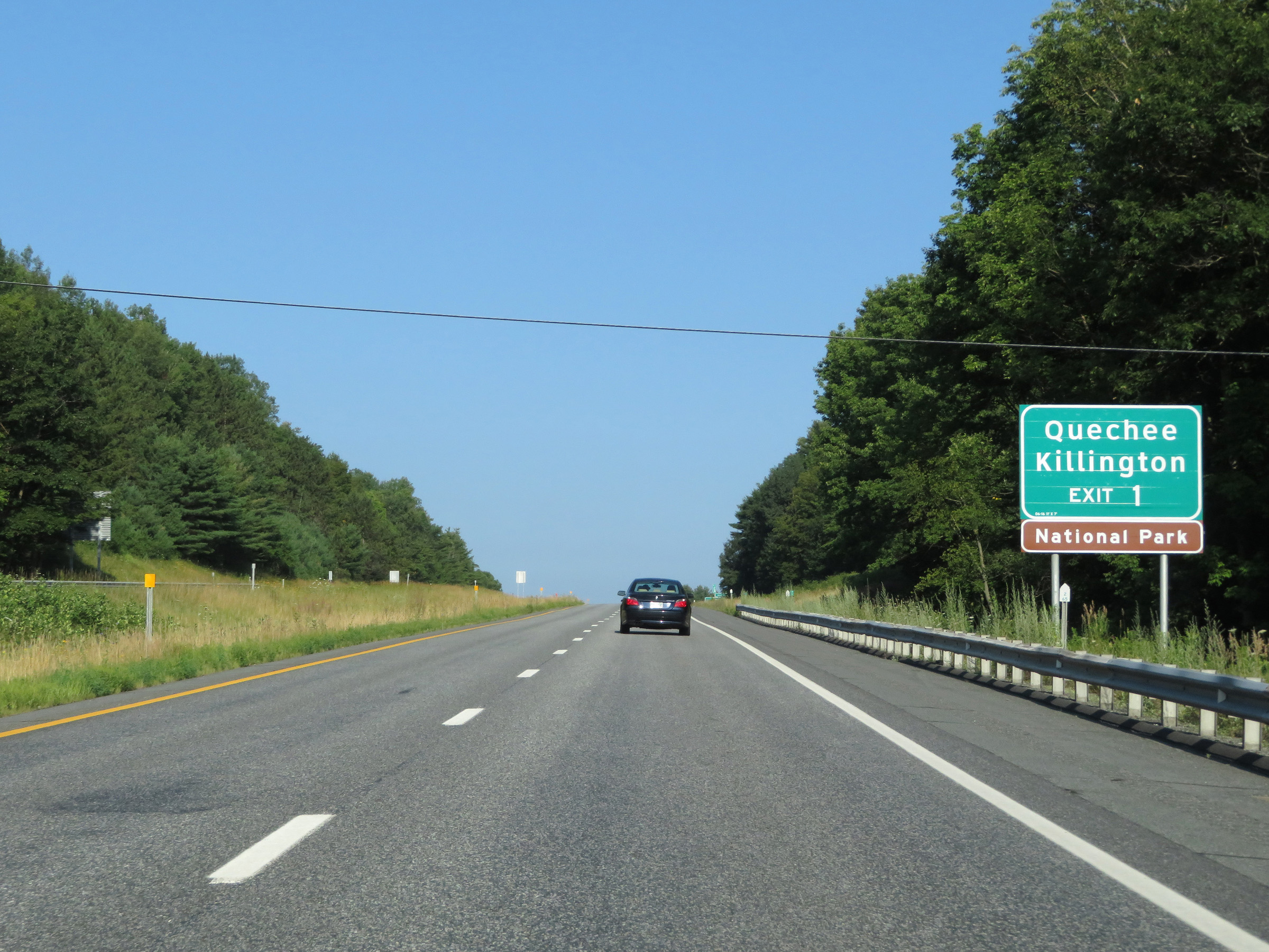 |
Take Exit 1 to Quechee and Killington. (Photo taken 8/9/17). |
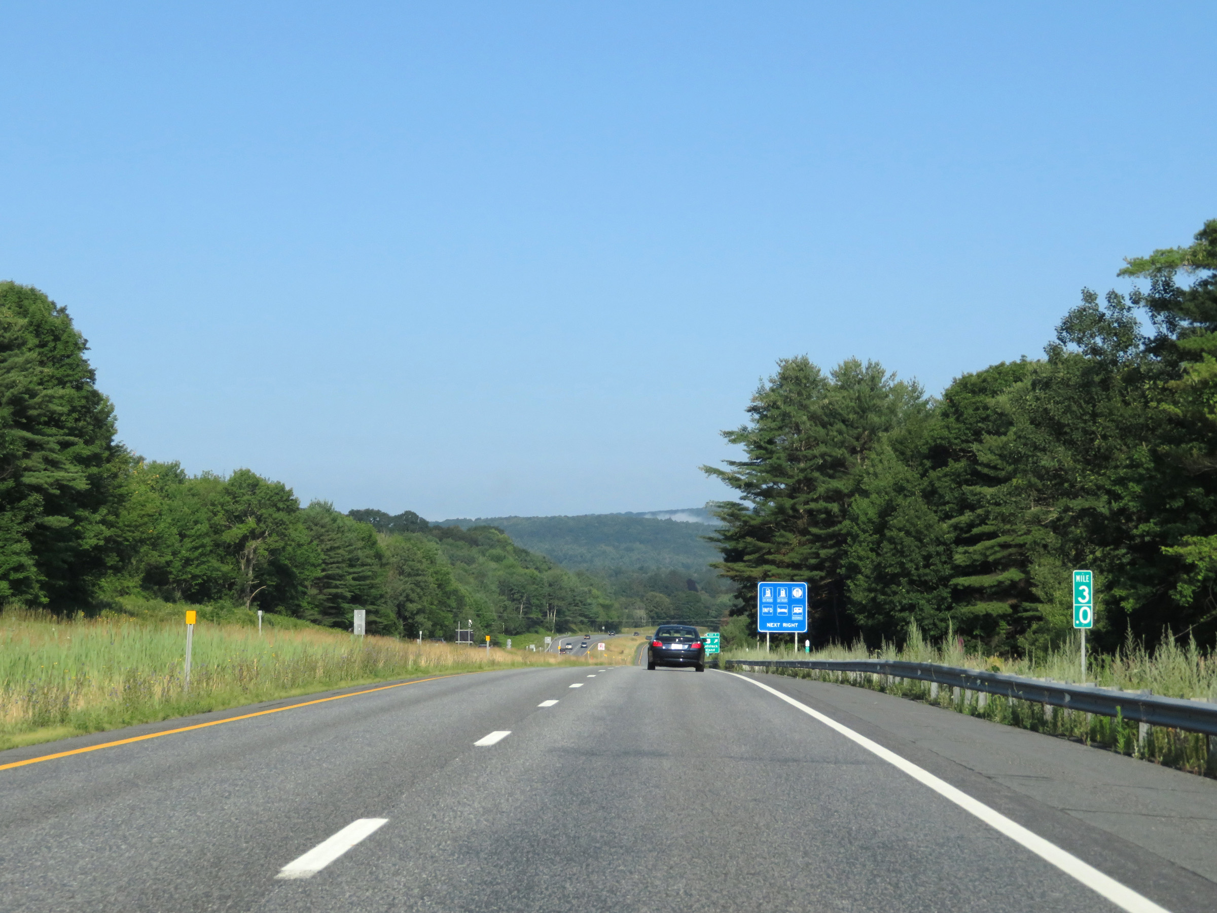 |
View on Interstate 89 North at mile marker 3. (Photo taken 8/9/17). |
 |
Interstate 89 North at Exit 1: US 4 - Woodstock / Rutland (Photo taken 8/9/17). |
 |
Interstate 89 North reassurance shield at mile marker 4.2. (Photo taken 8/9/17). |
 |
Mile marker 6 on Interstate 89 North in Windsor County. (Photo taken 8/9/17). |
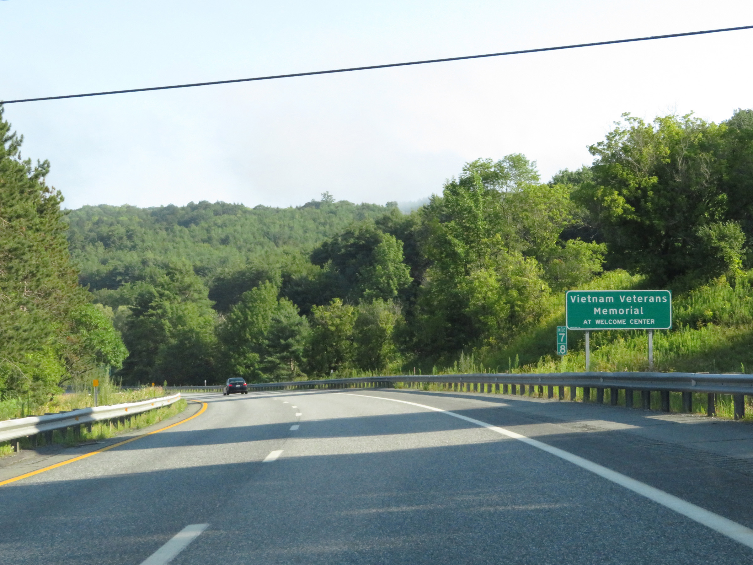 |
A Vietnam Veterans Memorial exists at the Welcome Center ahead. (Photo taken 8/9/17). |
 |
Interstate 89 North at mile marker 8. (Photo taken 8/9/17). |
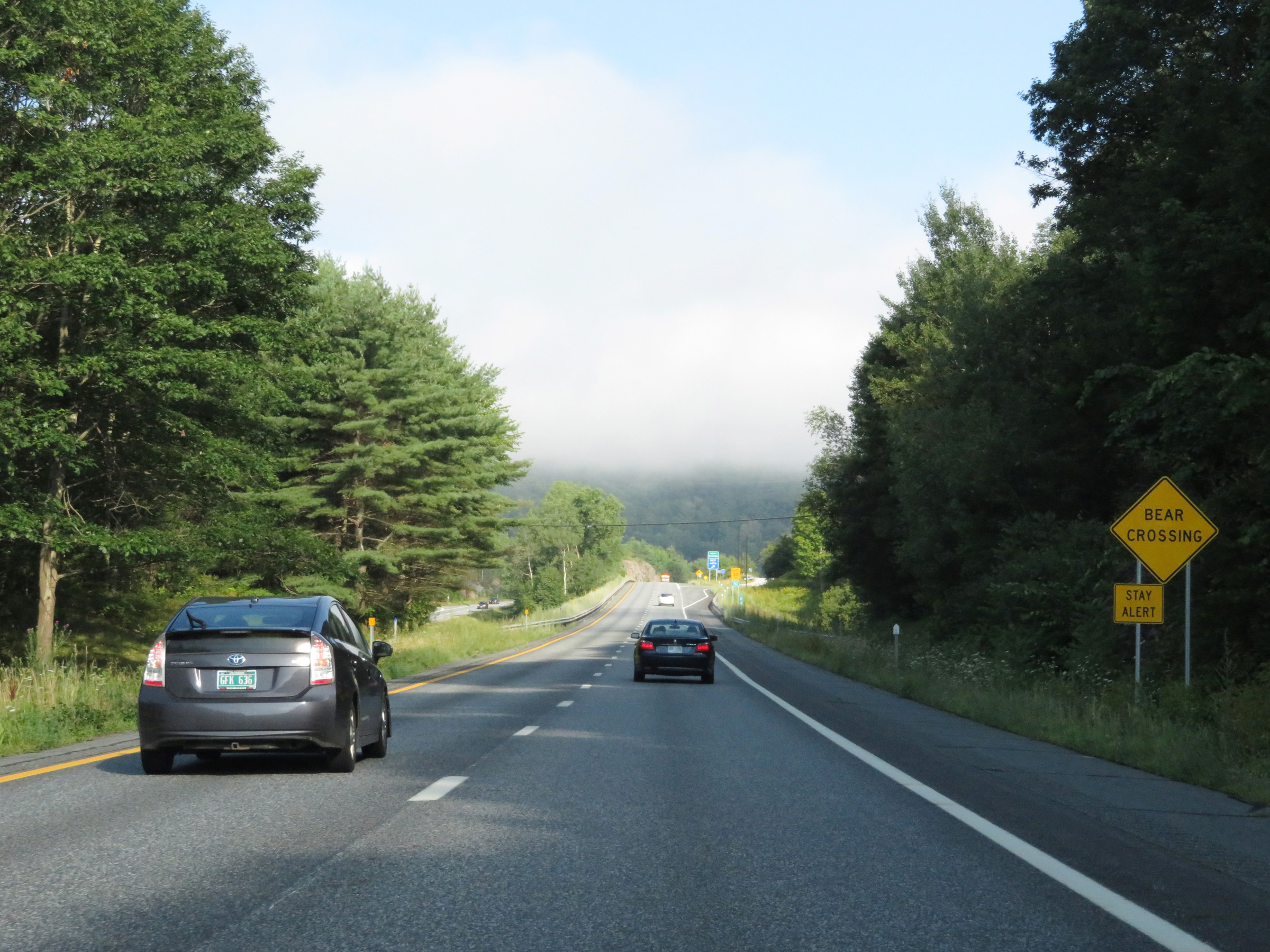 |
This sign warns motorists to stay alert for bears entering the roadway. (Photo taken 8/9/17). |
 |
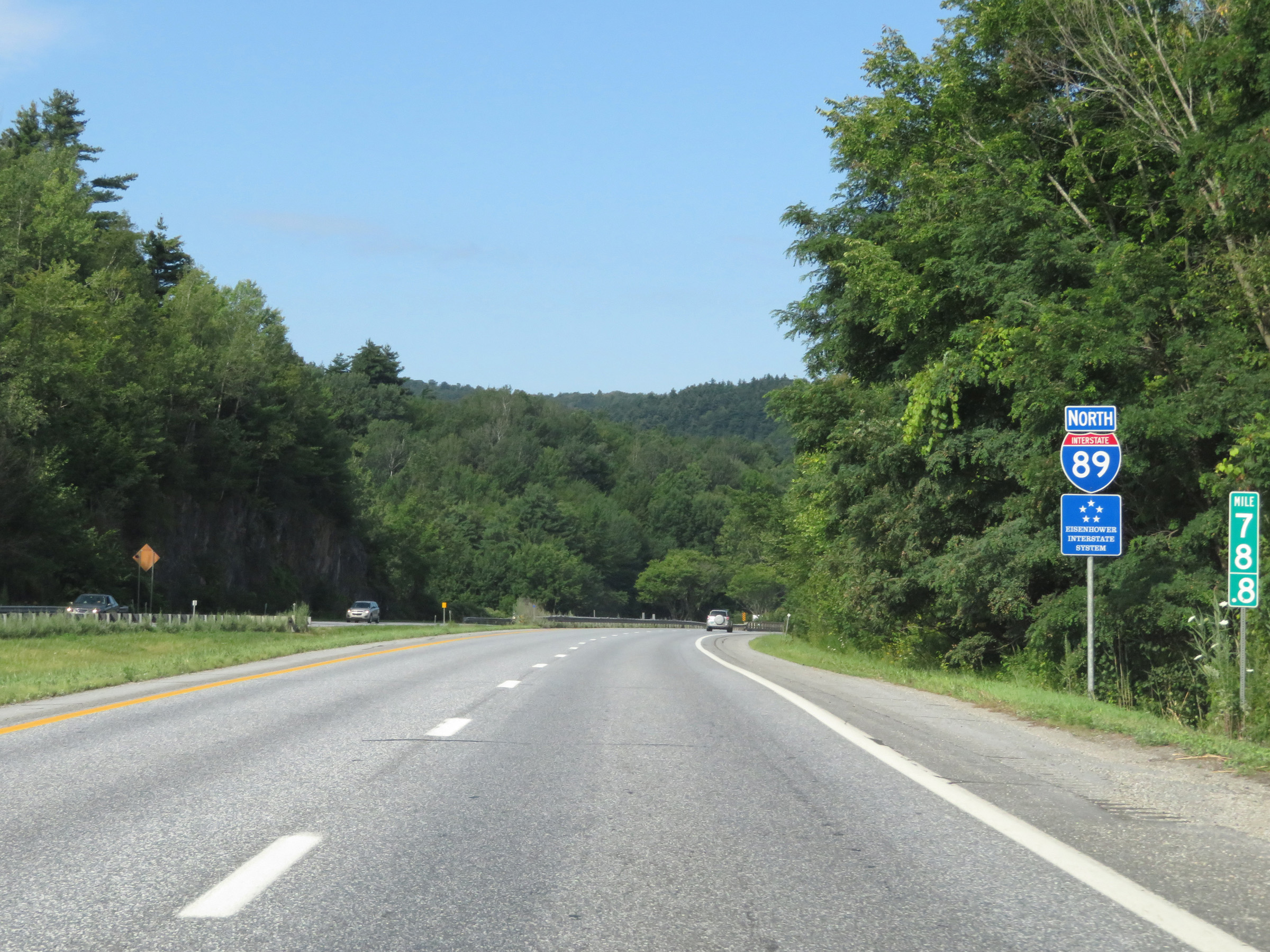
Welcome Center / Rest Area / Weigh Station on Interstate 89 North in Windsor County at mile marker 8.8. (Photo taken 8/9/17). |
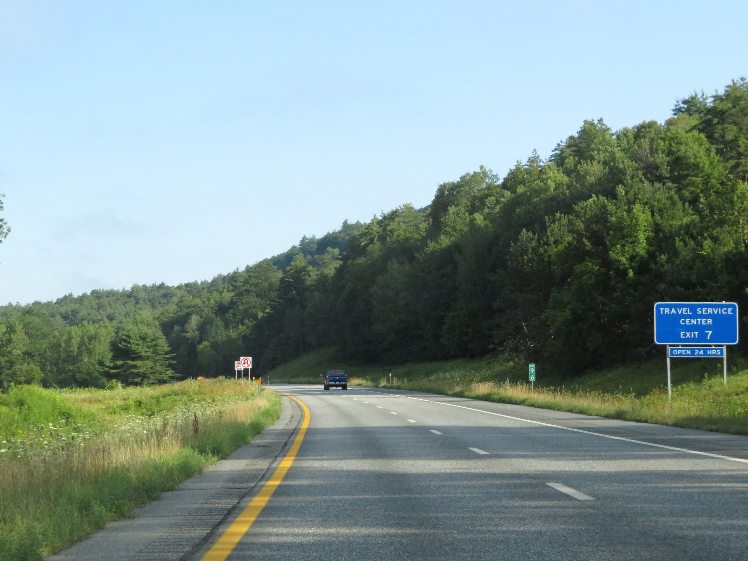 |
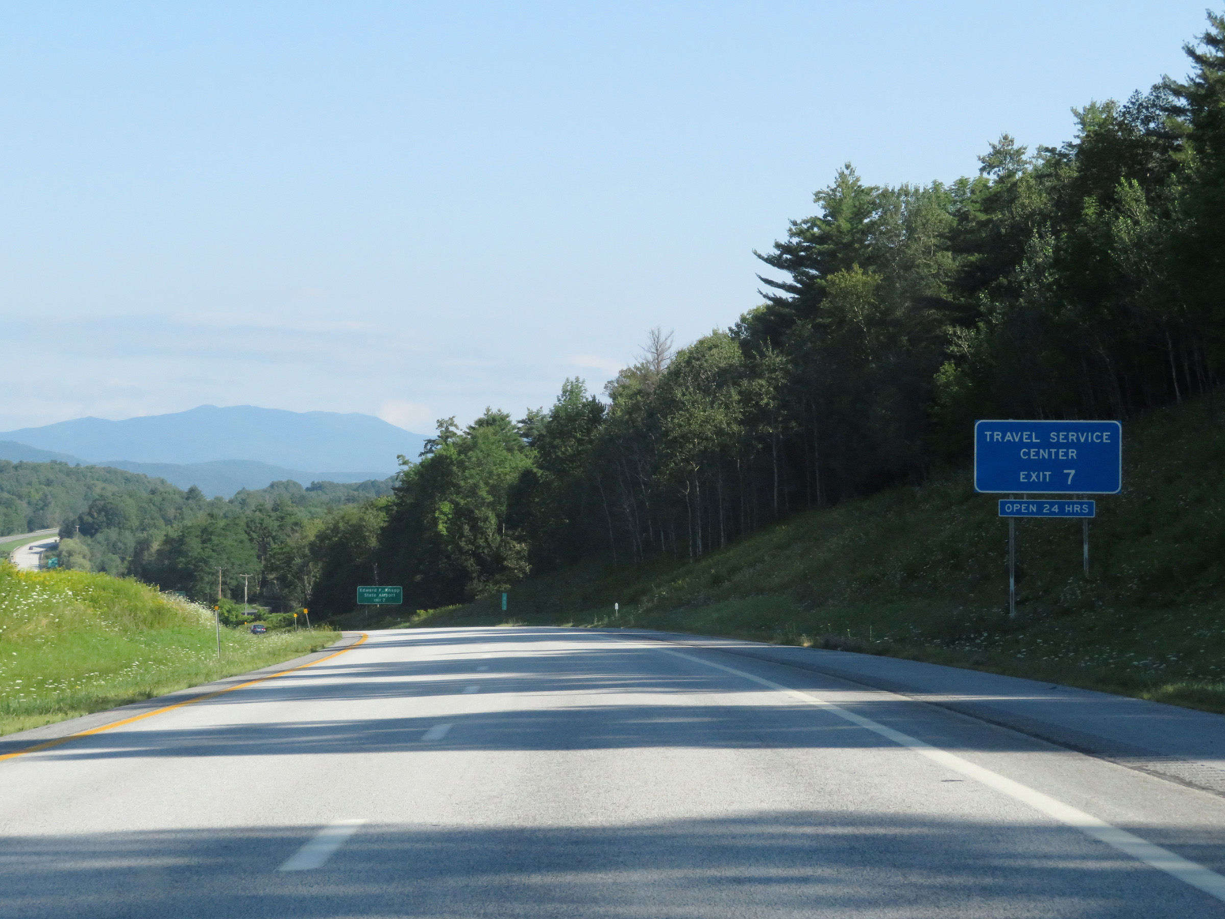
A Travel Service Center exists off Exit 7. (Photo taken 8/9/17). |
 |
View on Interstate 89 North at mile marker 10. (Photo taken 8/9/17). |
 |
Take Exit 2 to Strafford and Vermont Law School. (Photo taken 8/9/17). |
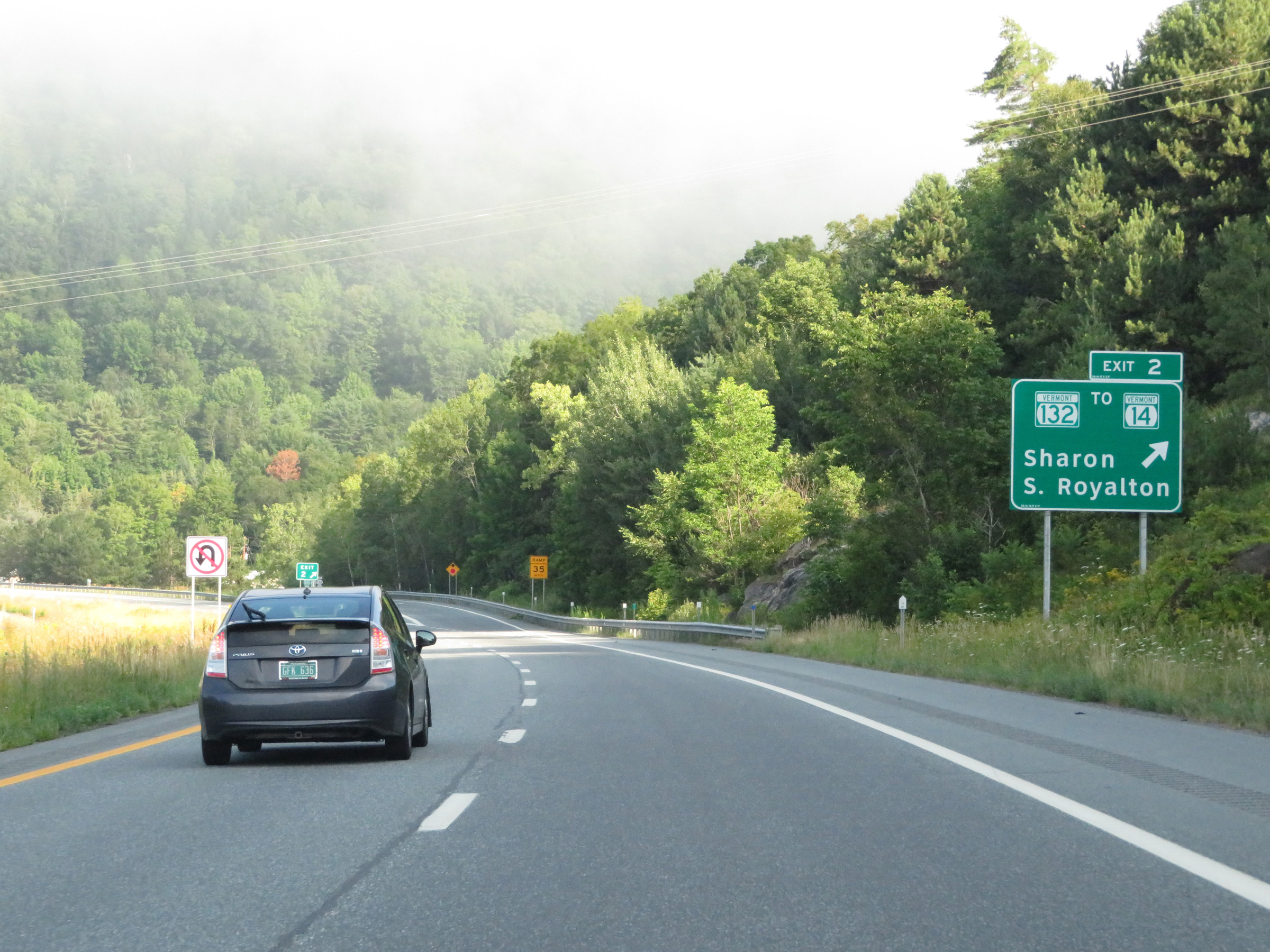 |
Interstate 89 North at Exit 2: VT 132 / To VT 14 - Sharon / South Royalton (Photo taken 8/9/17). |
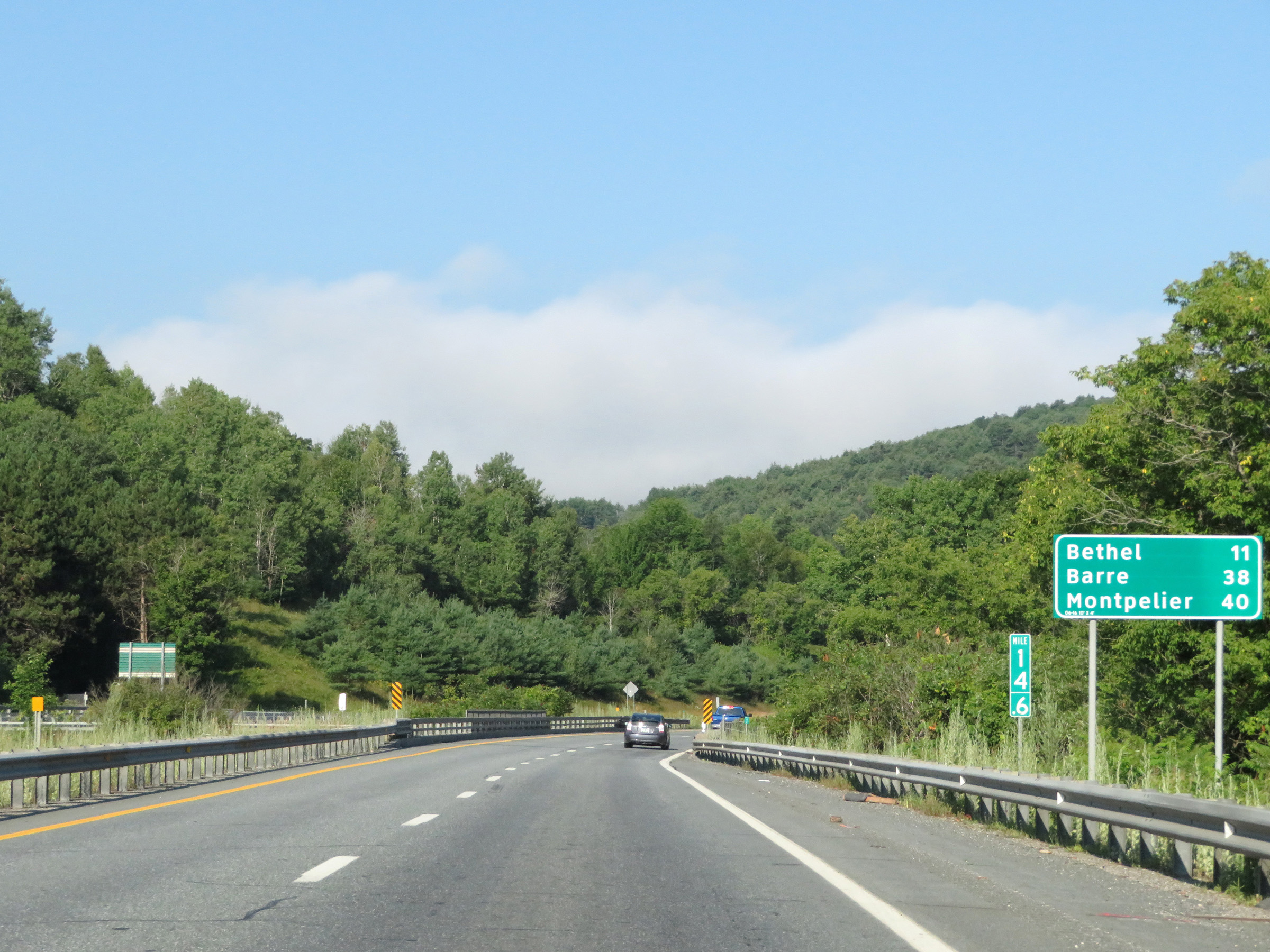 |
Another mileage sign at mile marker 14.6. It's 11 miles to Bethel, 38 miles to Barre, and 40 miles to Montpelier. (Photo taken 8/9/17). |
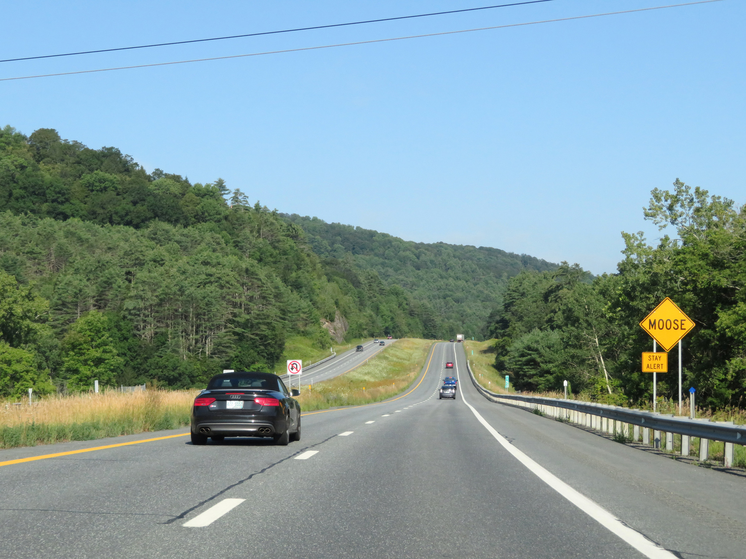 |
This warning sign urges motorists to stay alert for moose entering the roadway. (Photo taken 8/9/17). |
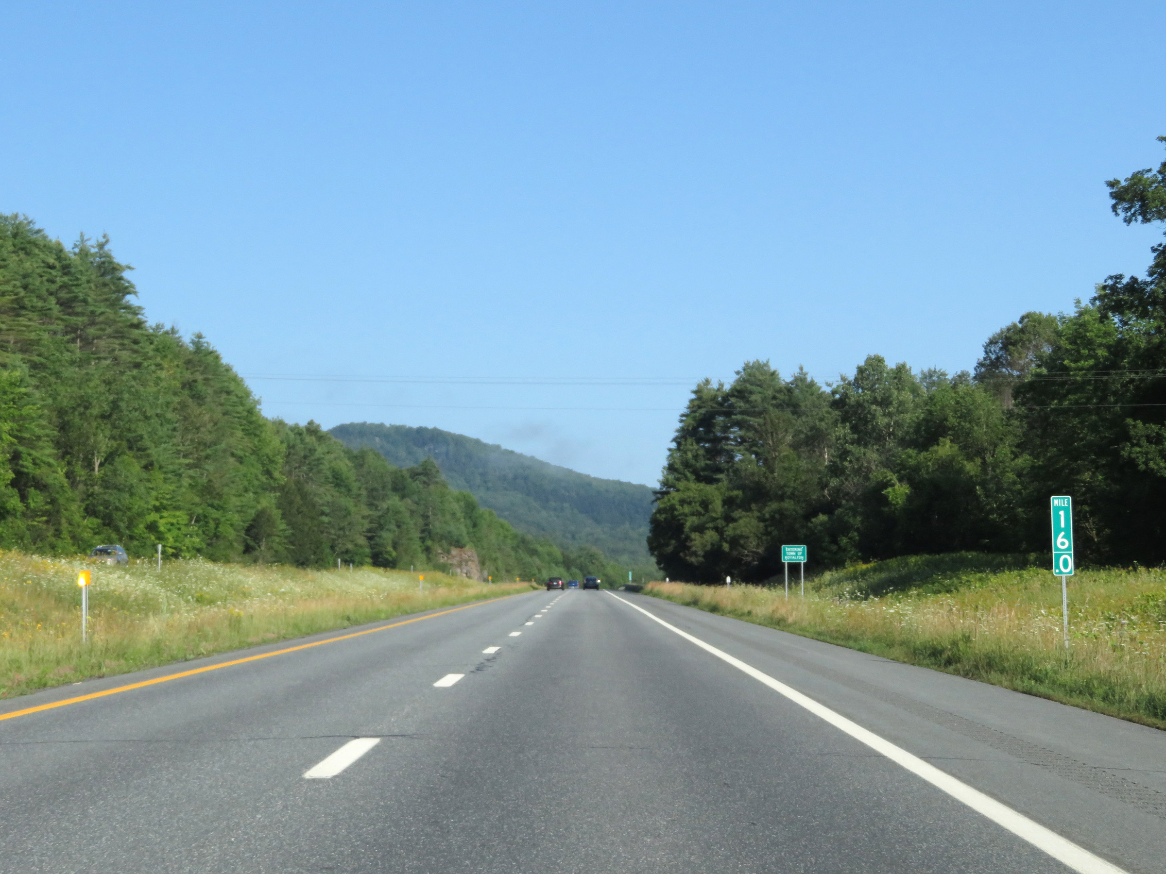 |
View on Interstate 89 North at mile marker 16. (Photo taken 8/9/17). |
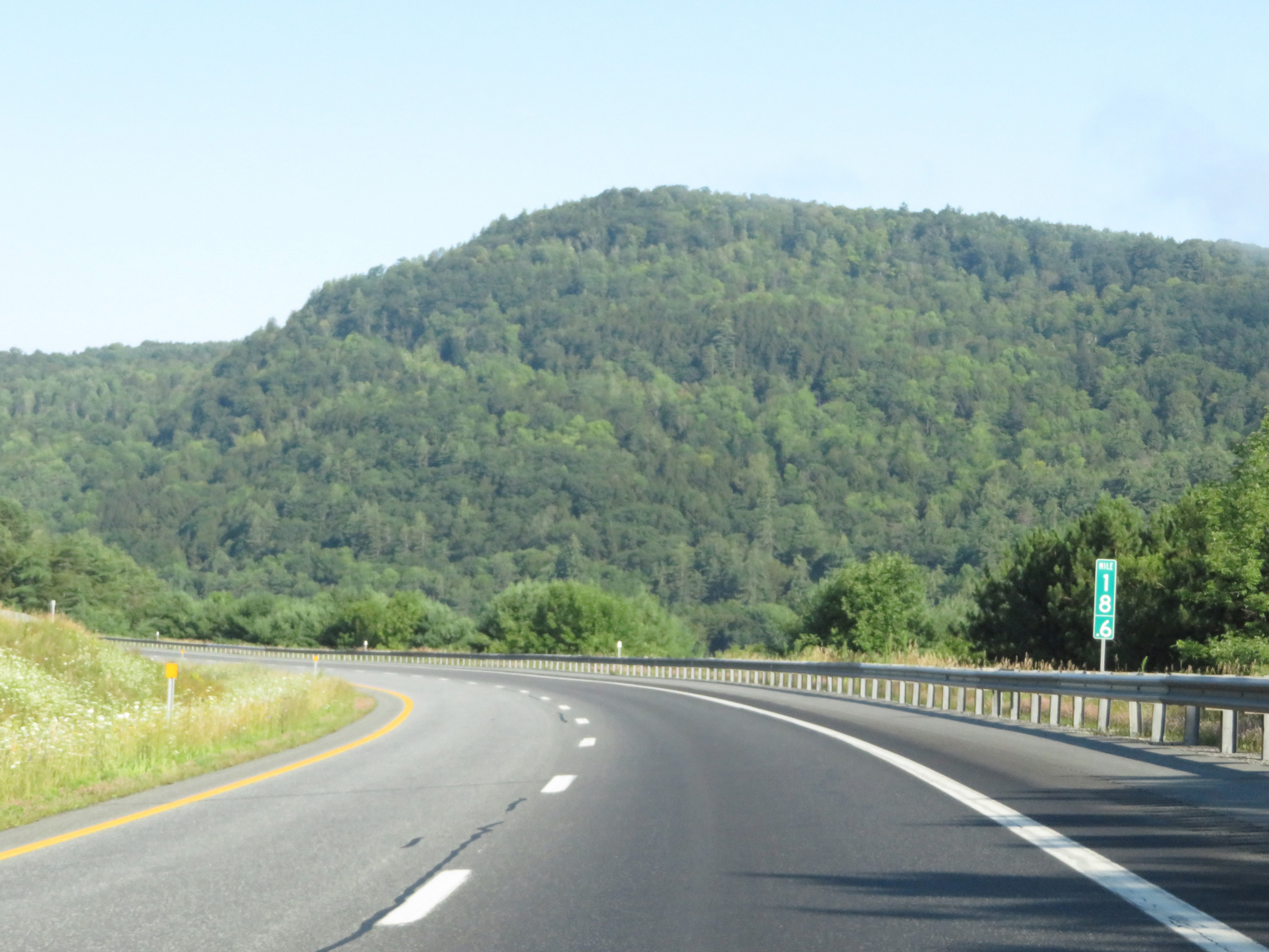 |
Interstate 89 North at mile marker 18.6. (Photo taken 8/9/17). |
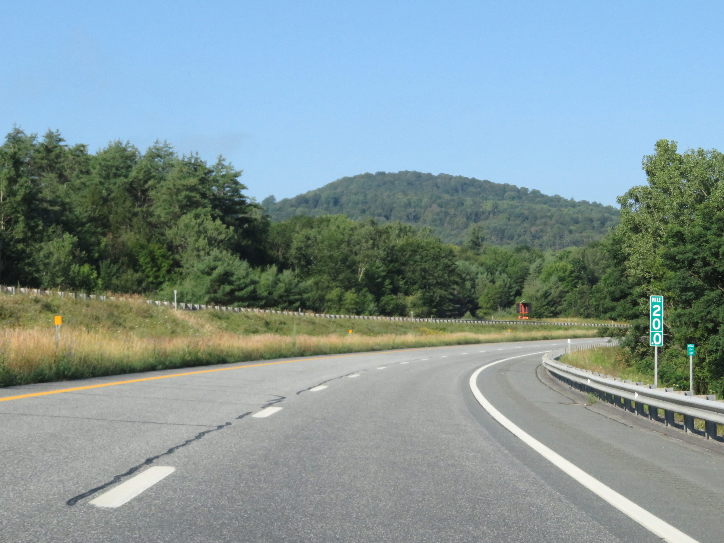 |
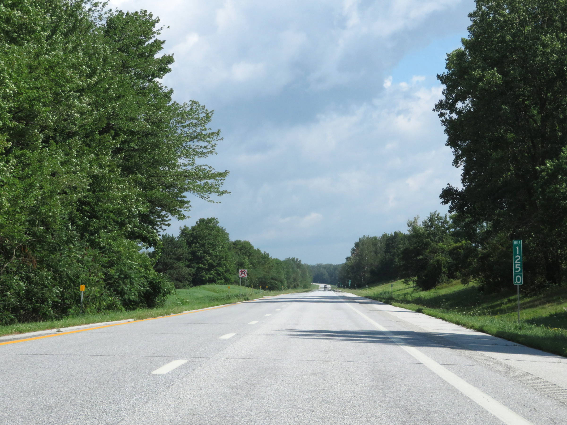
Mile marker 20 on Interstate 89 North in Windsor County. (Photo taken 8/9/17). |
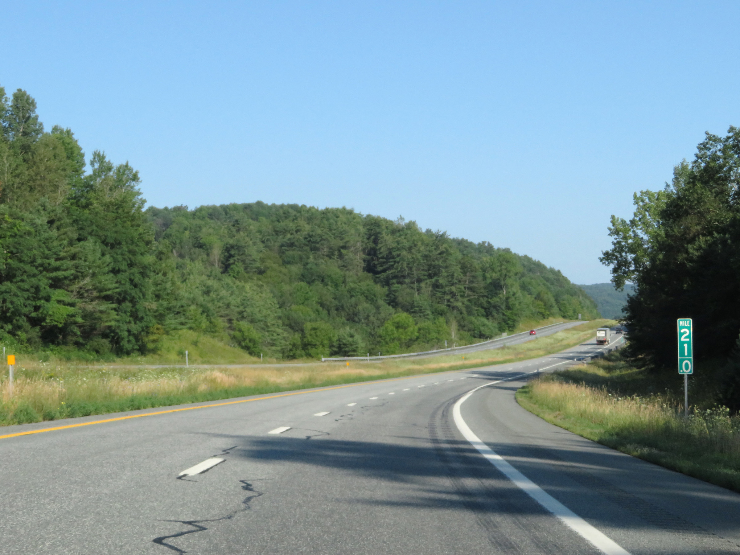 |
View on Interstate 89 North at mile marker 21. (Photo taken 8/9/17). |
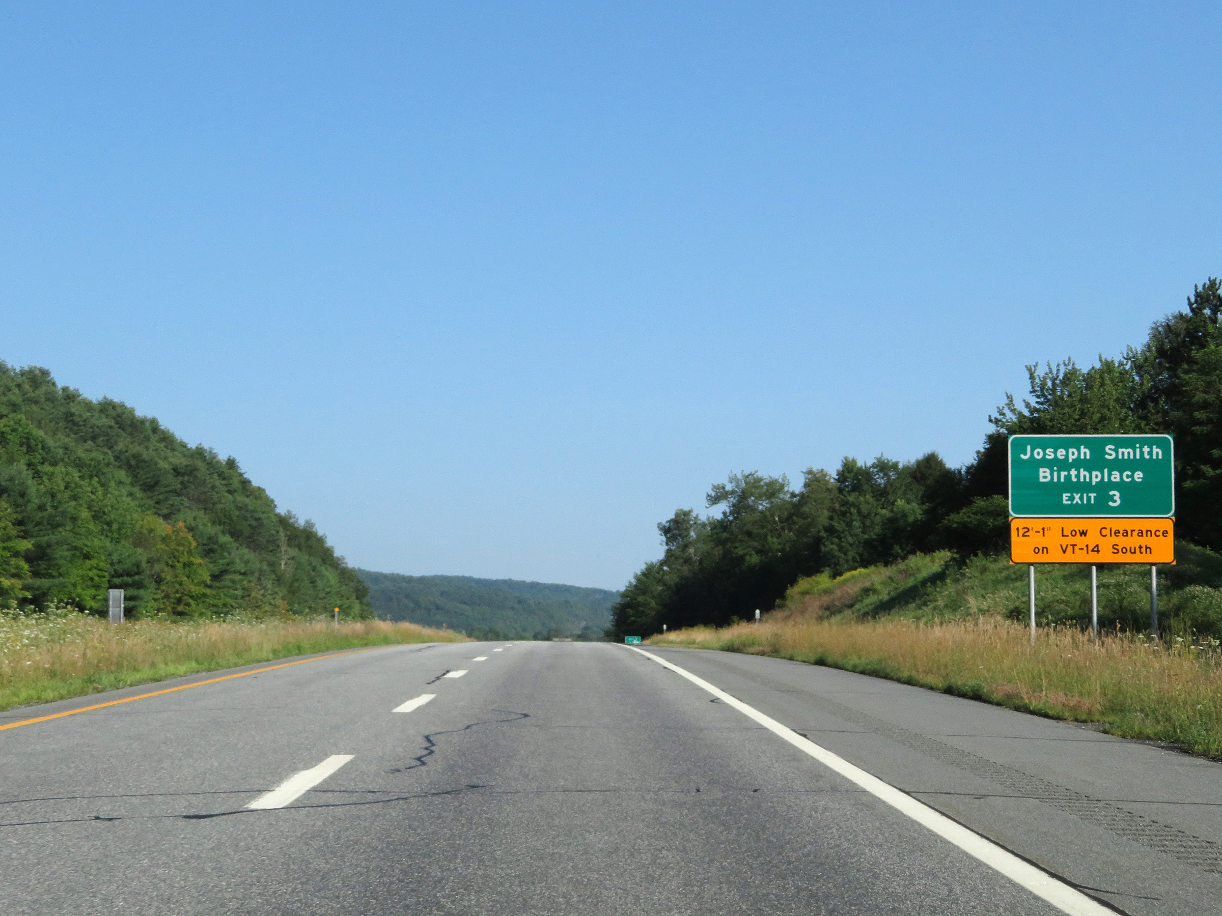 |
Take Exit 3 to the Joseph Smith Birthplace. Also, there is a low clearance overpass on VT 14 South which has a maximum vertical clearance of 12'-1". (Photo taken 8/9/17). |
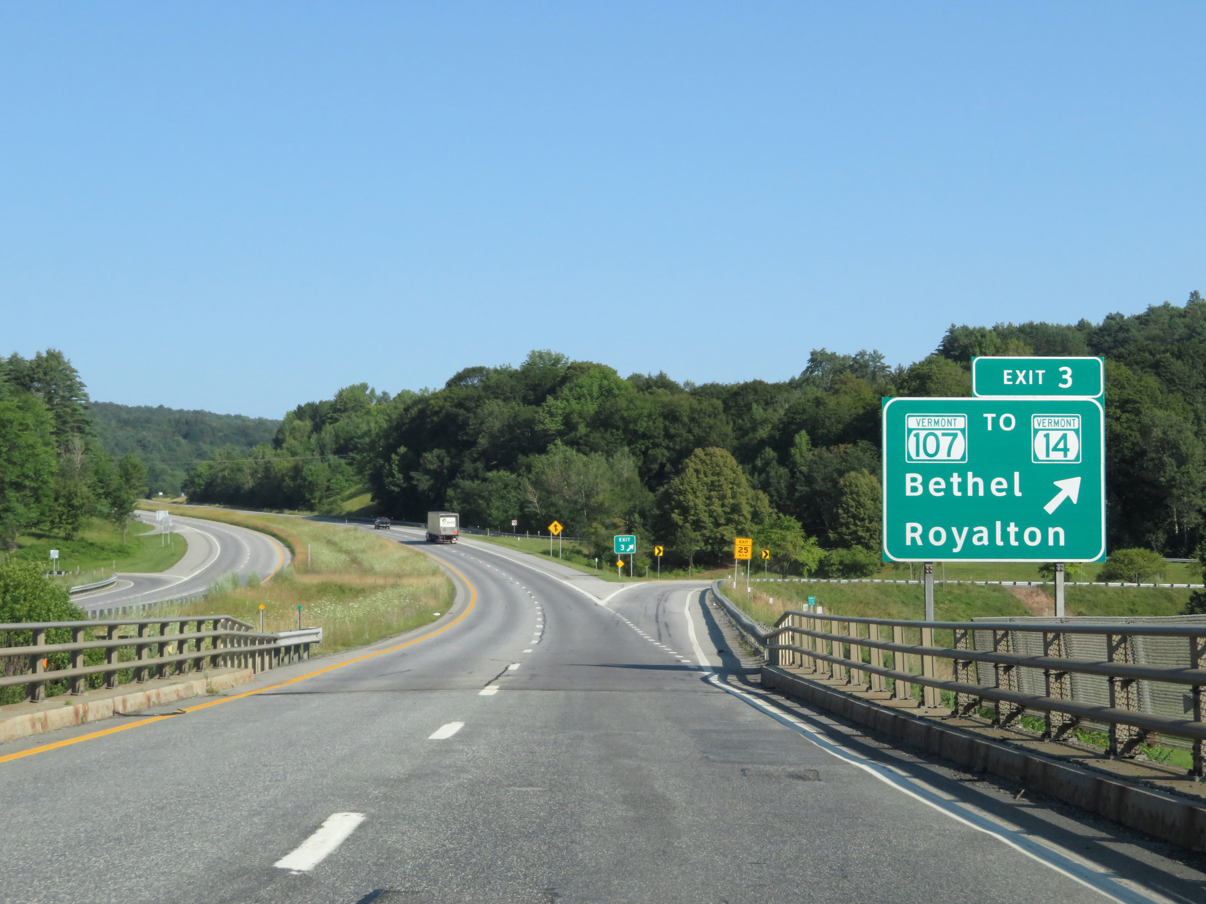 |
Interstate 89 North at Exit 3: VT 107 / To VT 14 - Bethel / Royalton (Photo taken 8/9/17). |
 |
Another Interstate 89 North reassurance shield. (Photo taken 8/9/17). |
 |
Speed limit signs at mile marker 23. The speed limits remain 65 mph maximum and 40 mph minimum. (Photo taken 8/9/17). |
 |
View on Interstate 89 North at mile marker 26. (Photo taken 8/9/17). |
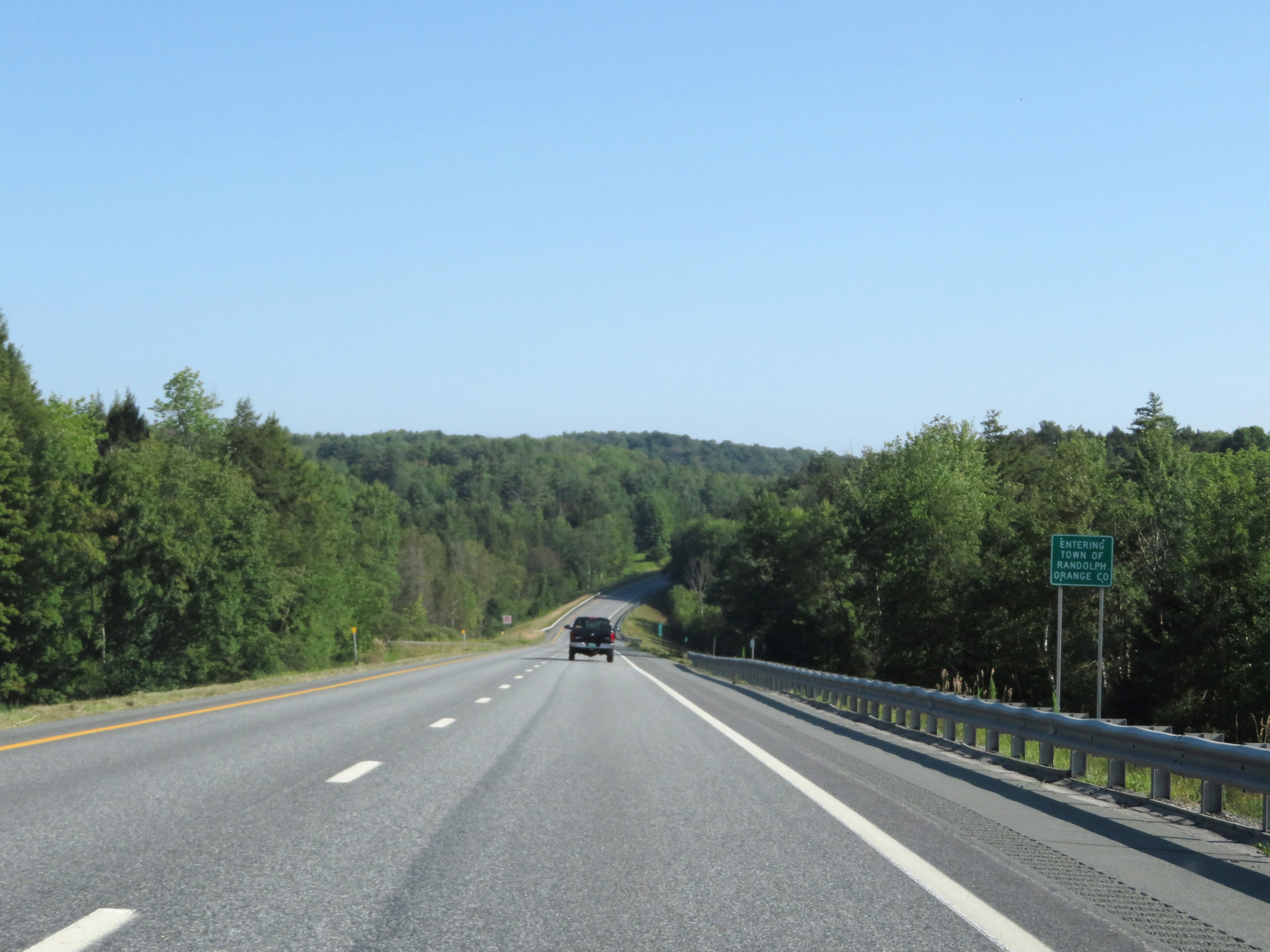 |
Interstate 89 North as it enters Orange County. (Photo taken 8/9/17). |
 |
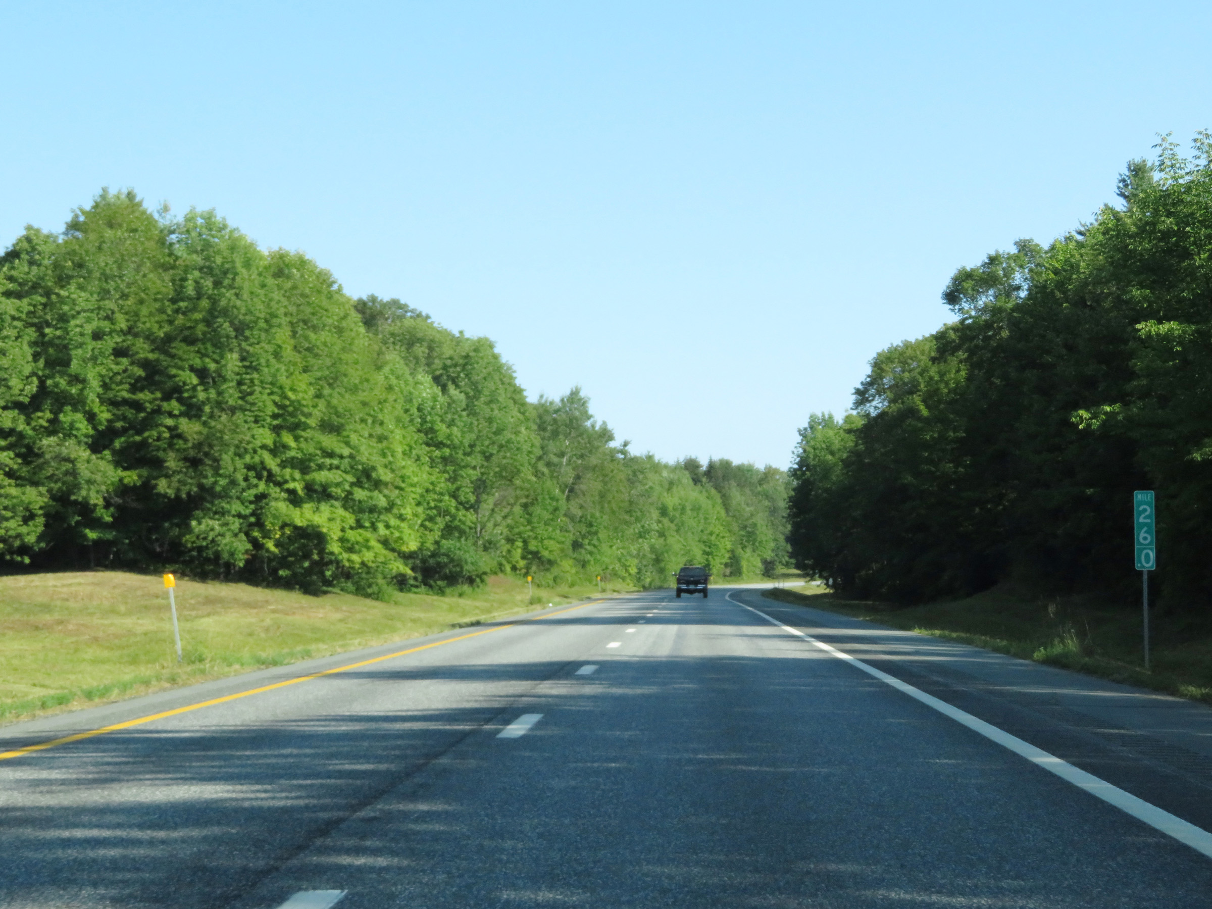
Interstate 89 North at mile marker 29. (Photo taken 8/9/17). |
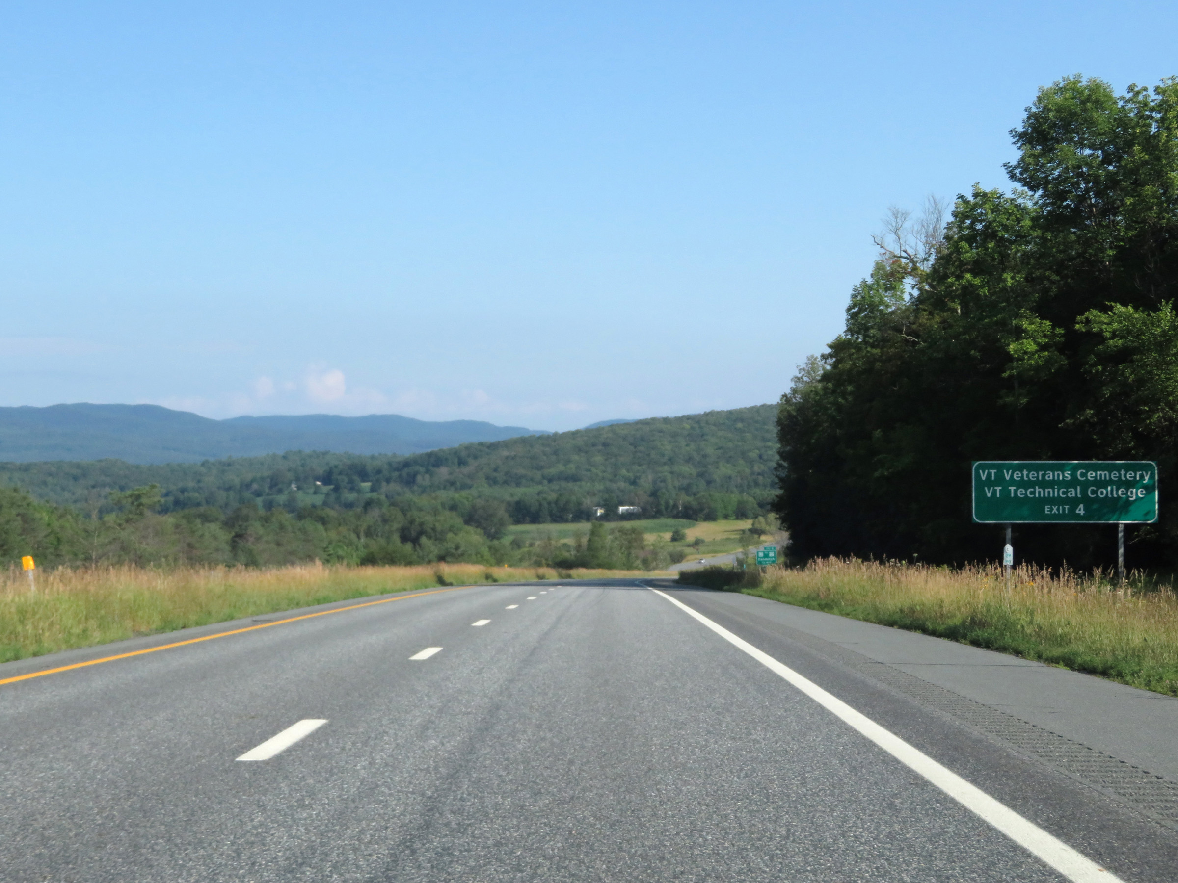 |
Take Exit 4 to Vermont Veterans Cemetery and Vermont Technical College. (Photo taken 8/9/17). |
 |
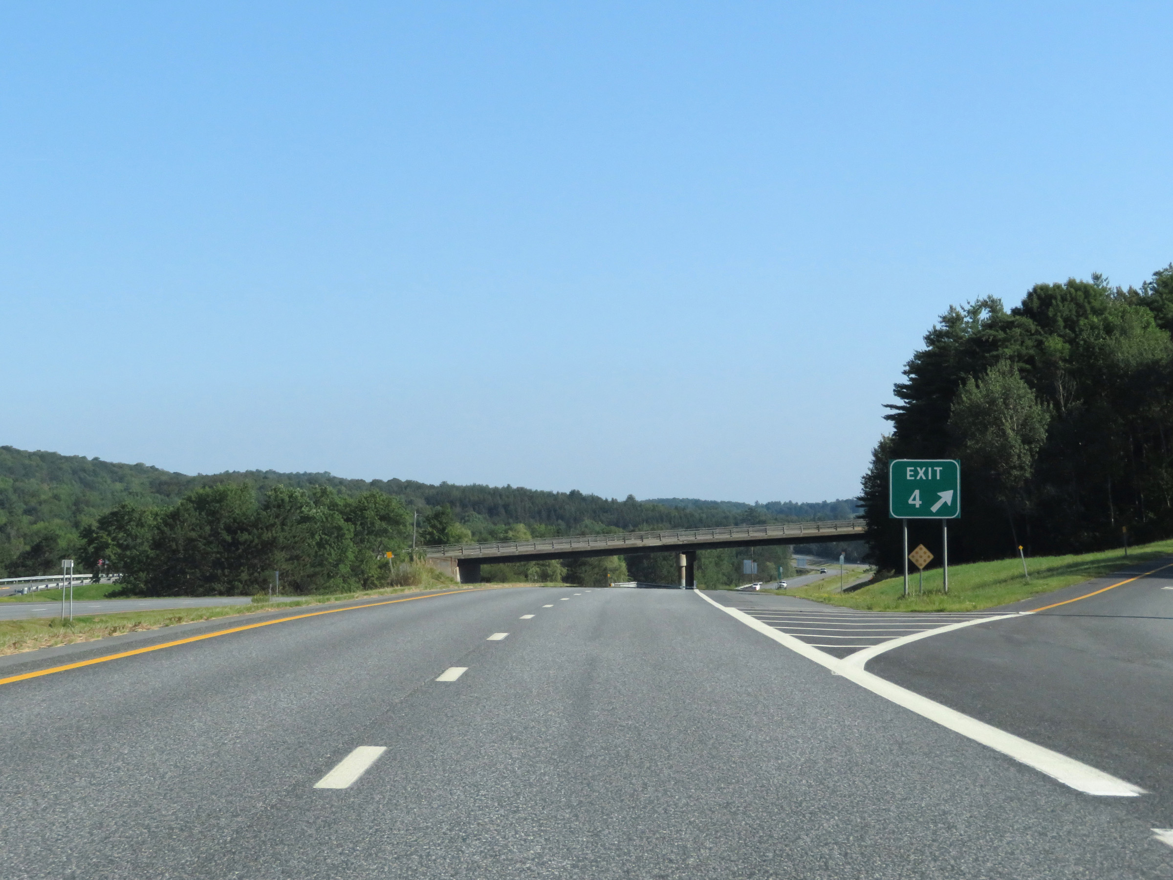
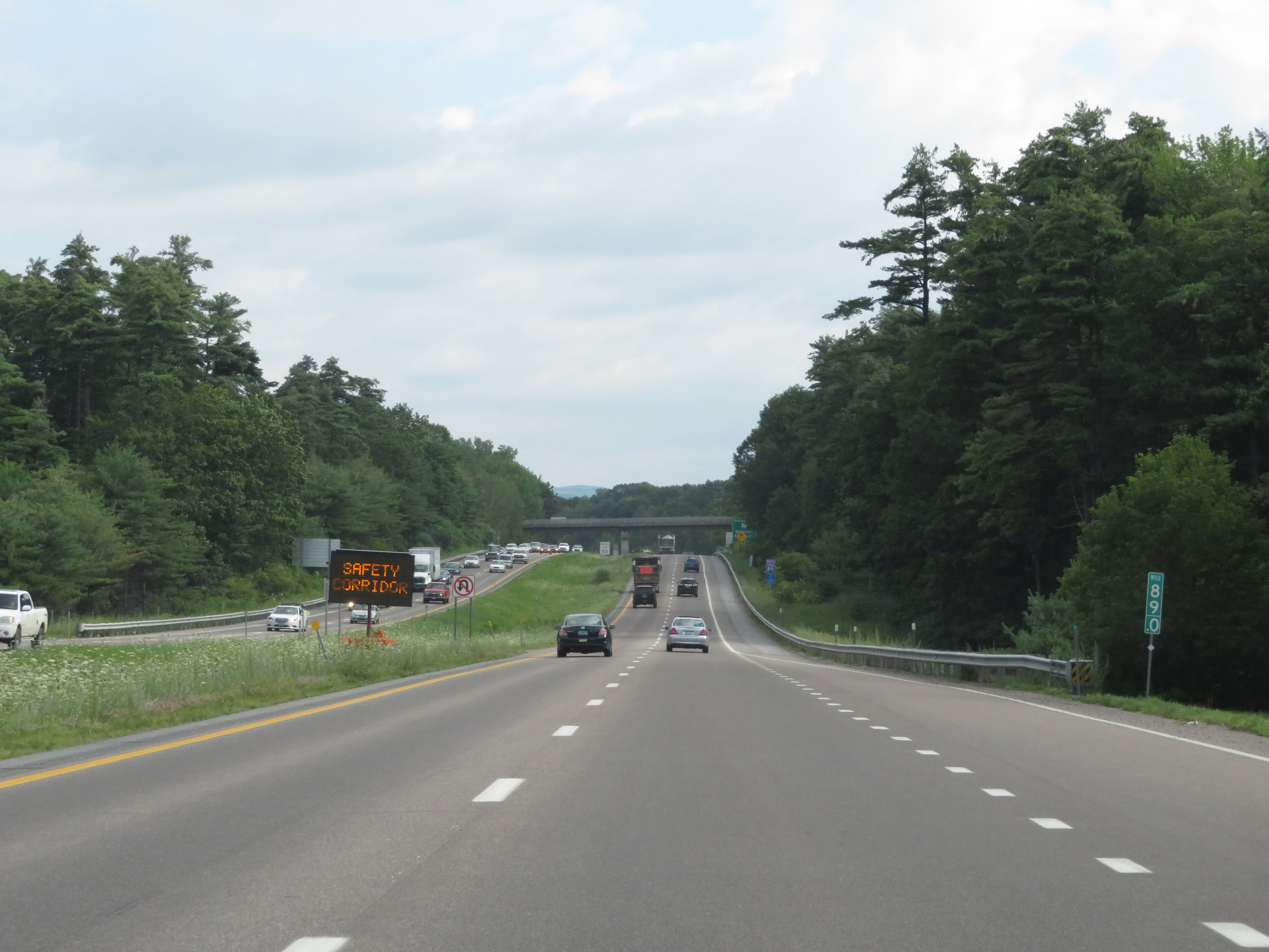
Interstate 89 North approaching Exit 4 - 1/2 mile. (Photo taken 8/9/17). |
 |
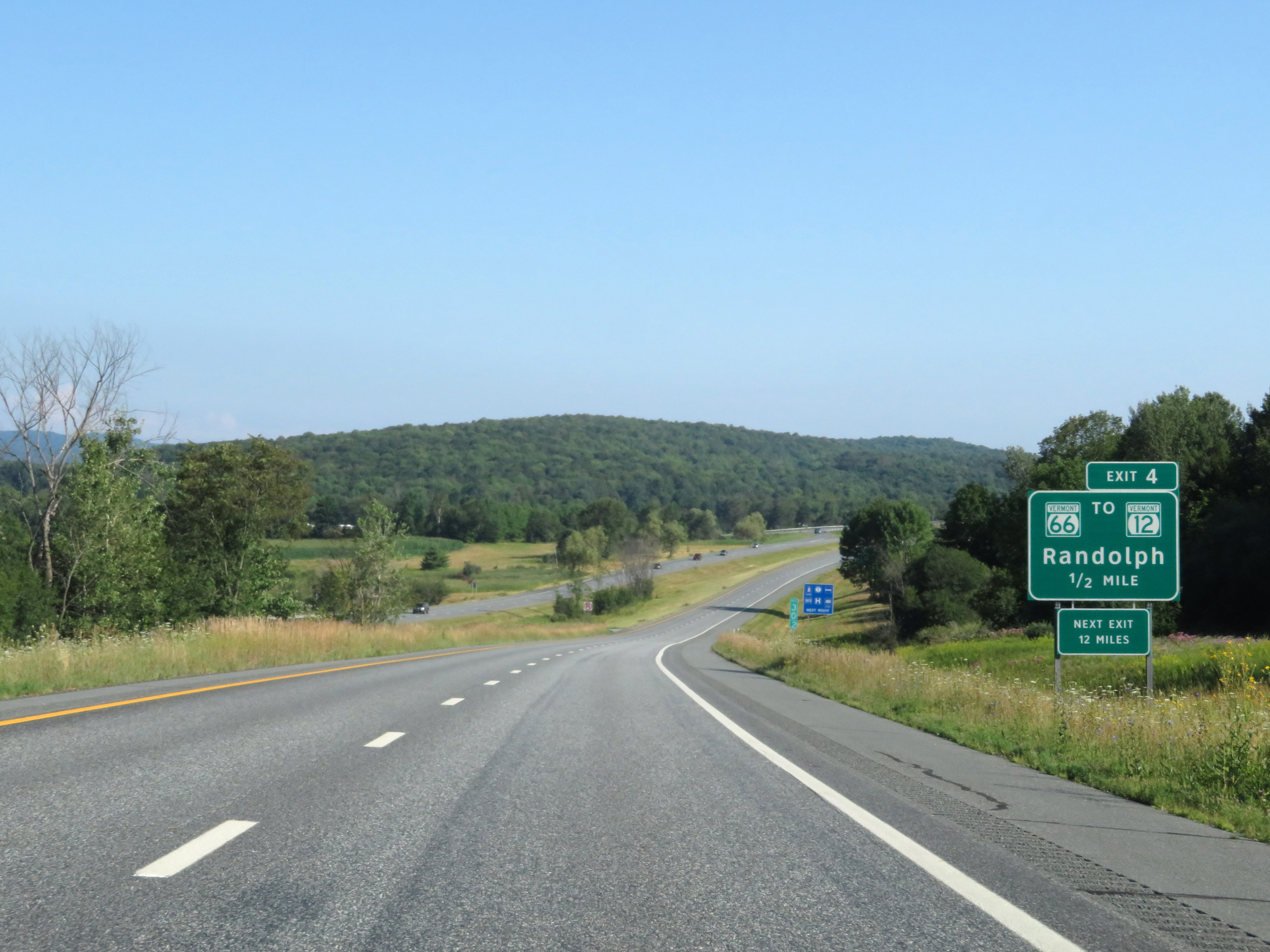
Interstate 89 North at Exit 4: VT 66 / To VT 12 - Randolph (Photo taken 8/9/17). |
 |
Mile marker 33 on Interstate 89 North in Orange County. (Photo taken 8/9/17). |
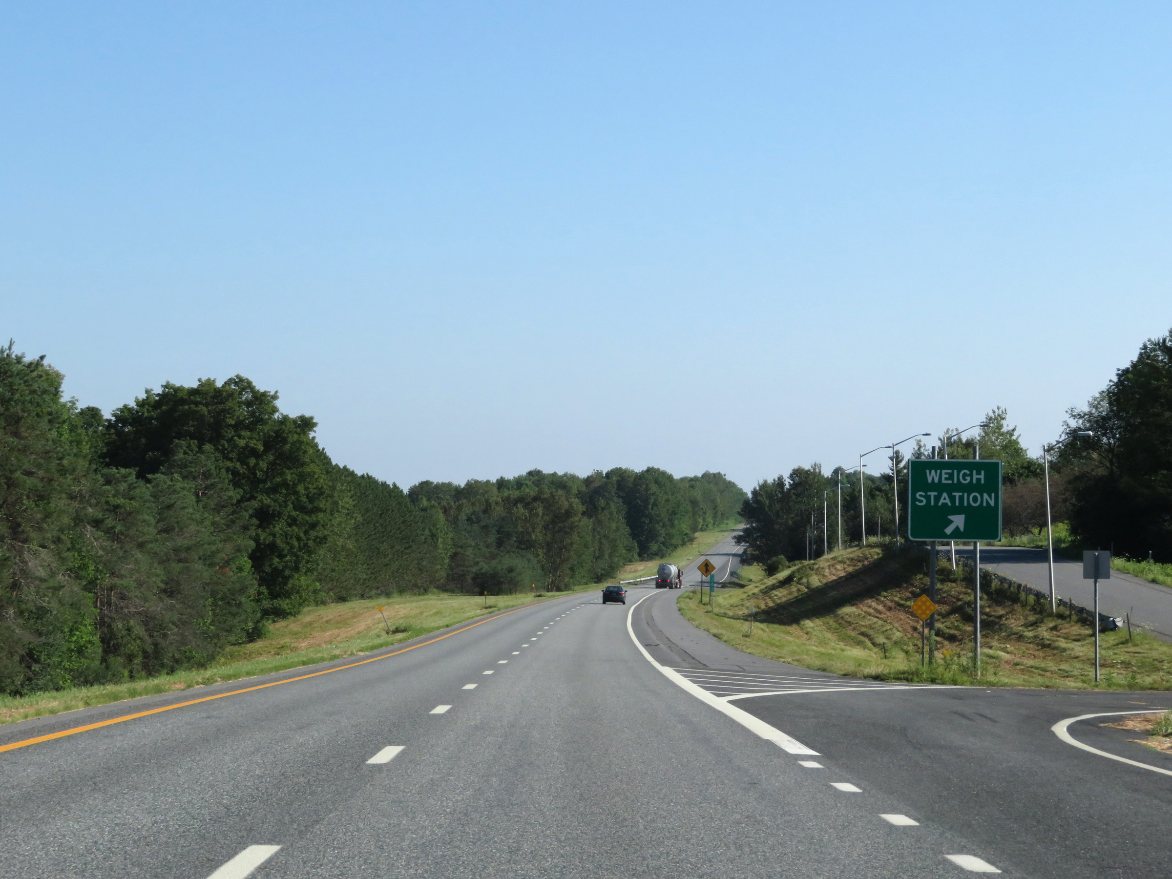 |
Weigh Station on Interstate 89 North in Orange County. (Photo taken 8/9/17). |
 |
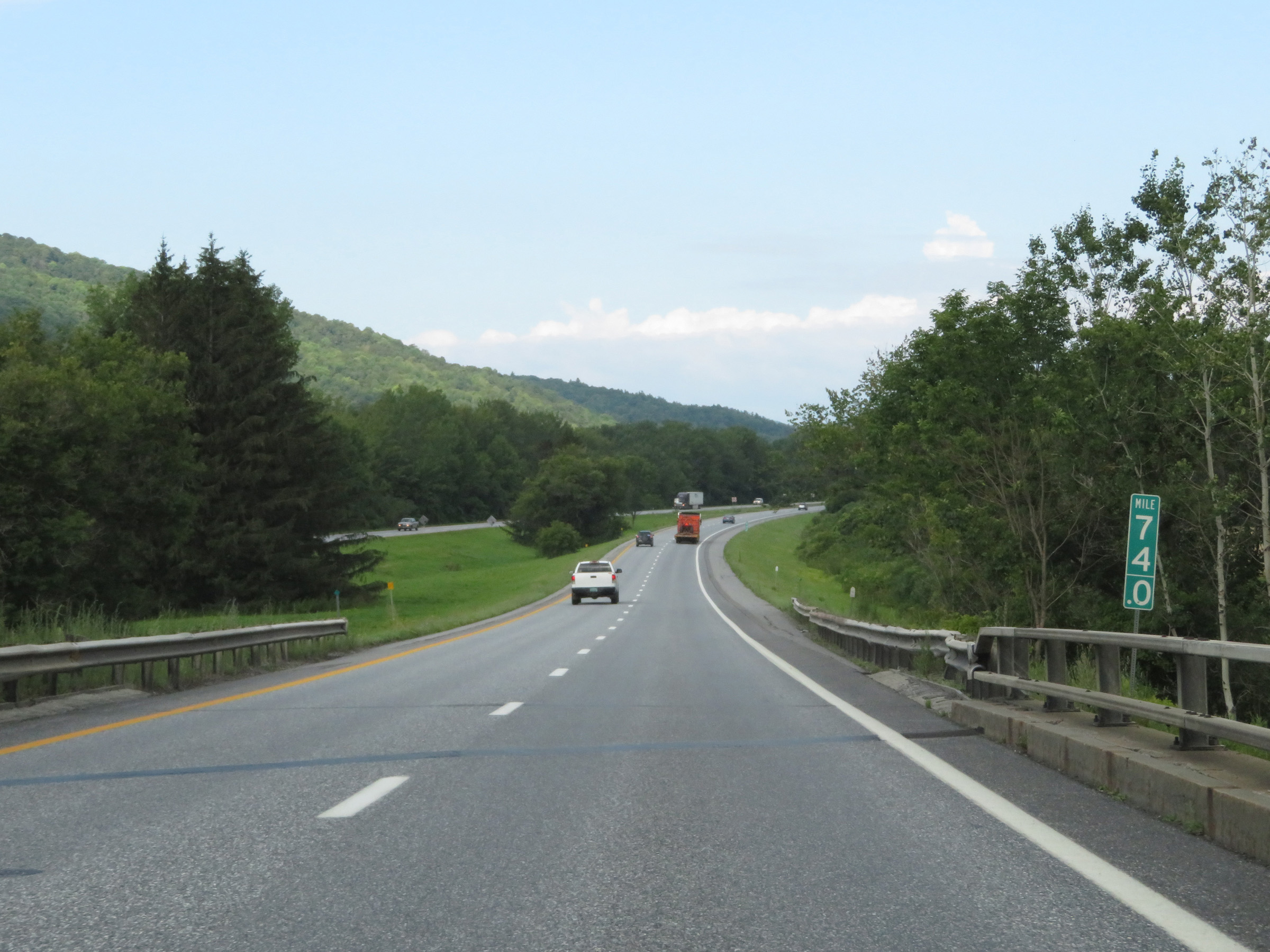
View on Interstate 89 North at mile marker 37. (Photo taken 8/9/17). |
 |
Interstate 89 North at mile marker 40. (Photo taken 8/9/17). |
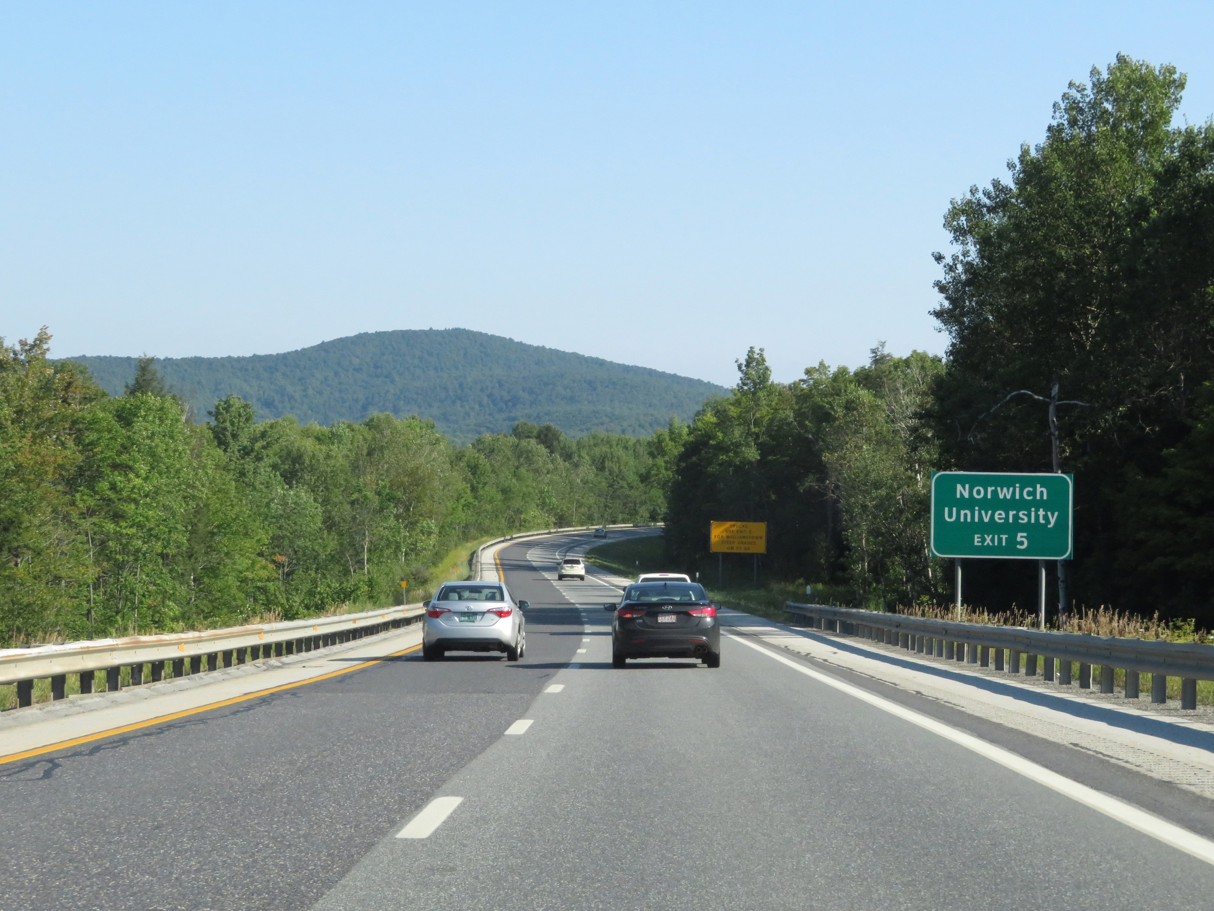 |
Take Exit 5 to Norwich University. (Photo taken 8/9/17). |
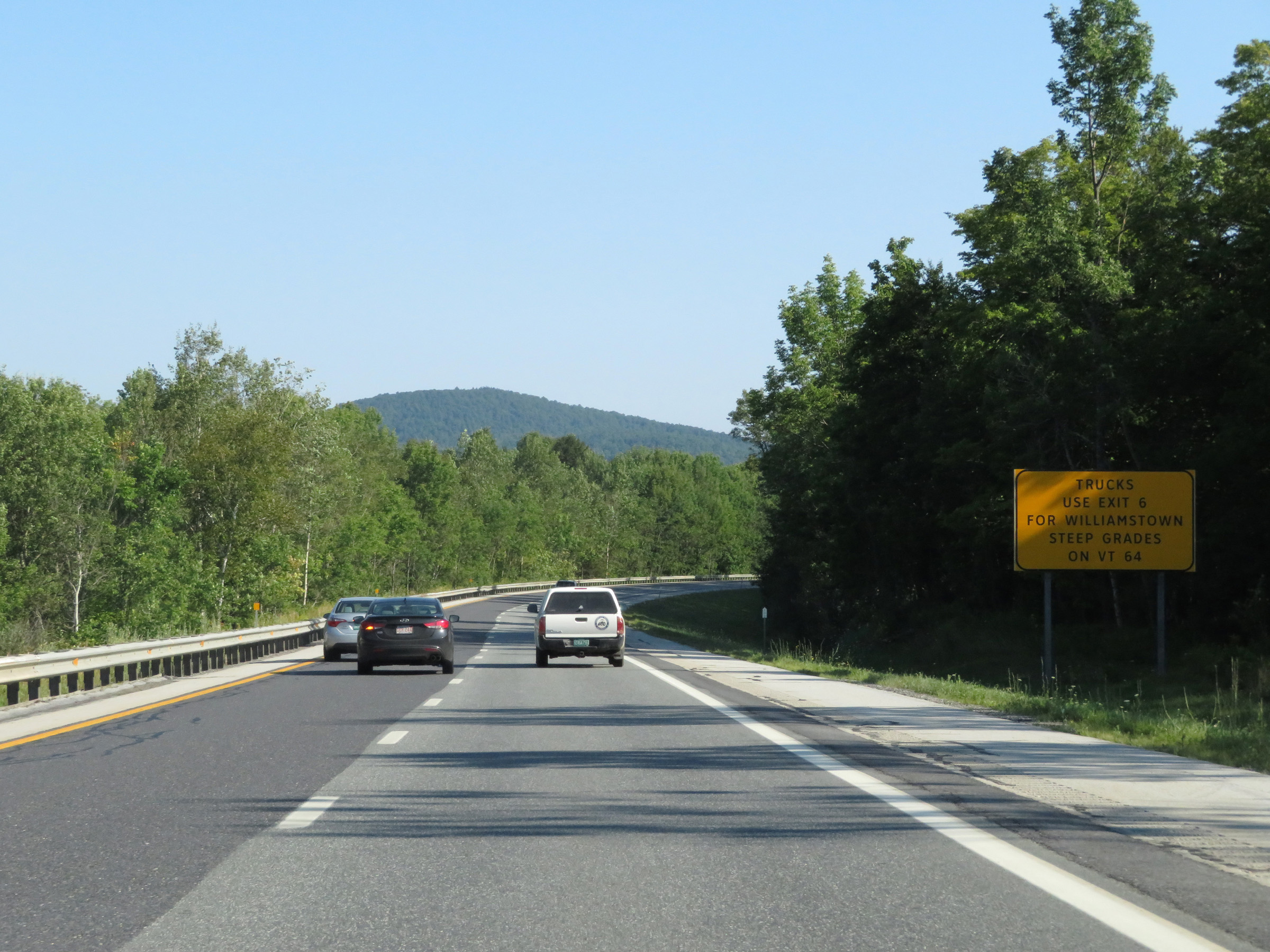 |
Trucks to Williamstown should use Exit 6 due to the steep grades on VT 64. (Photo taken 8/9/17). |
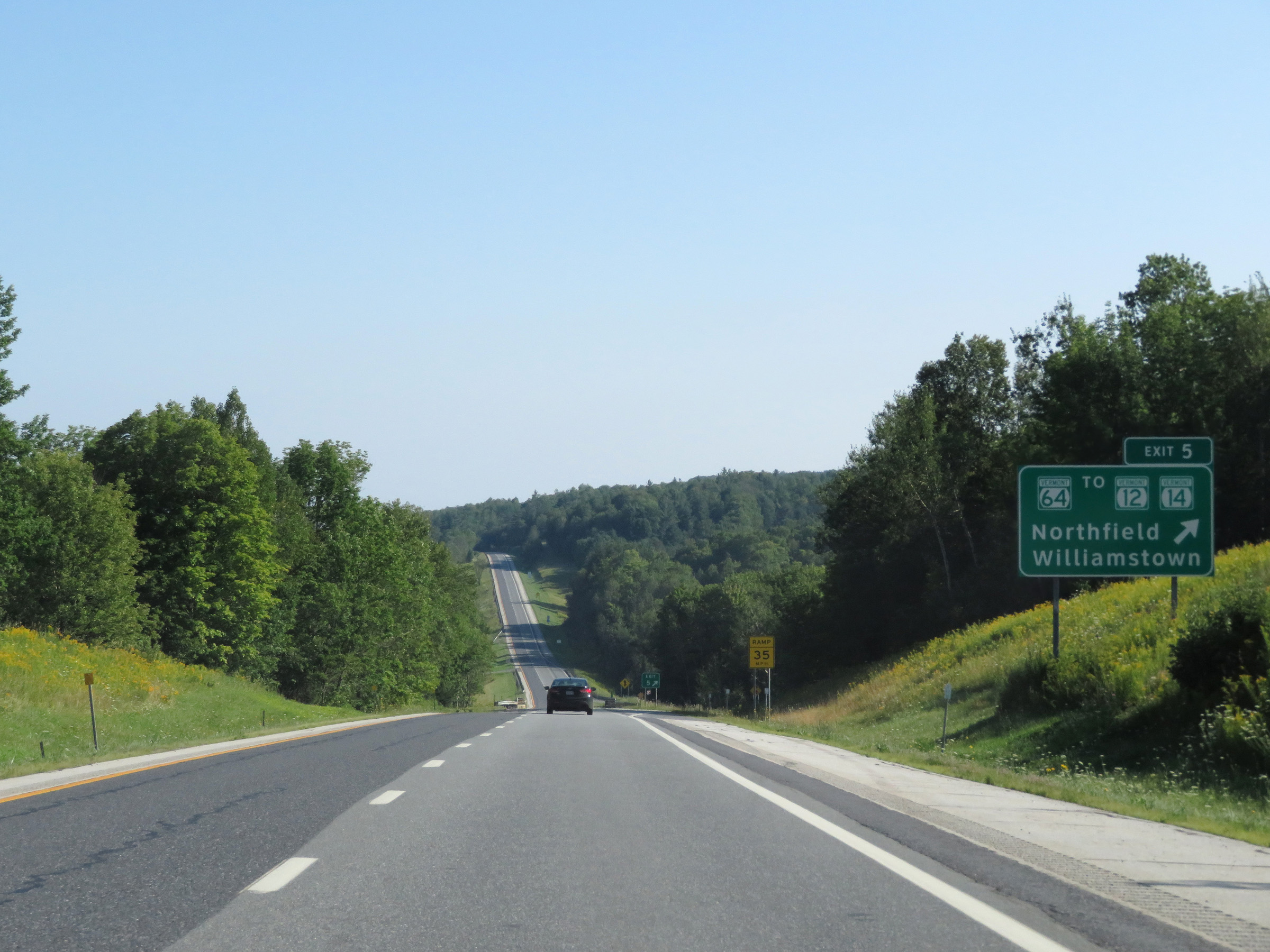 |
Interstate 89 North at Exit 5: VT 64 / To VT 12 / To VT 14 - Northfield / Williamstown (Photo taken 8/9/17). |
 |
View on Interstate 89 North at mile marker 44. (Photo taken 8/9/17). |
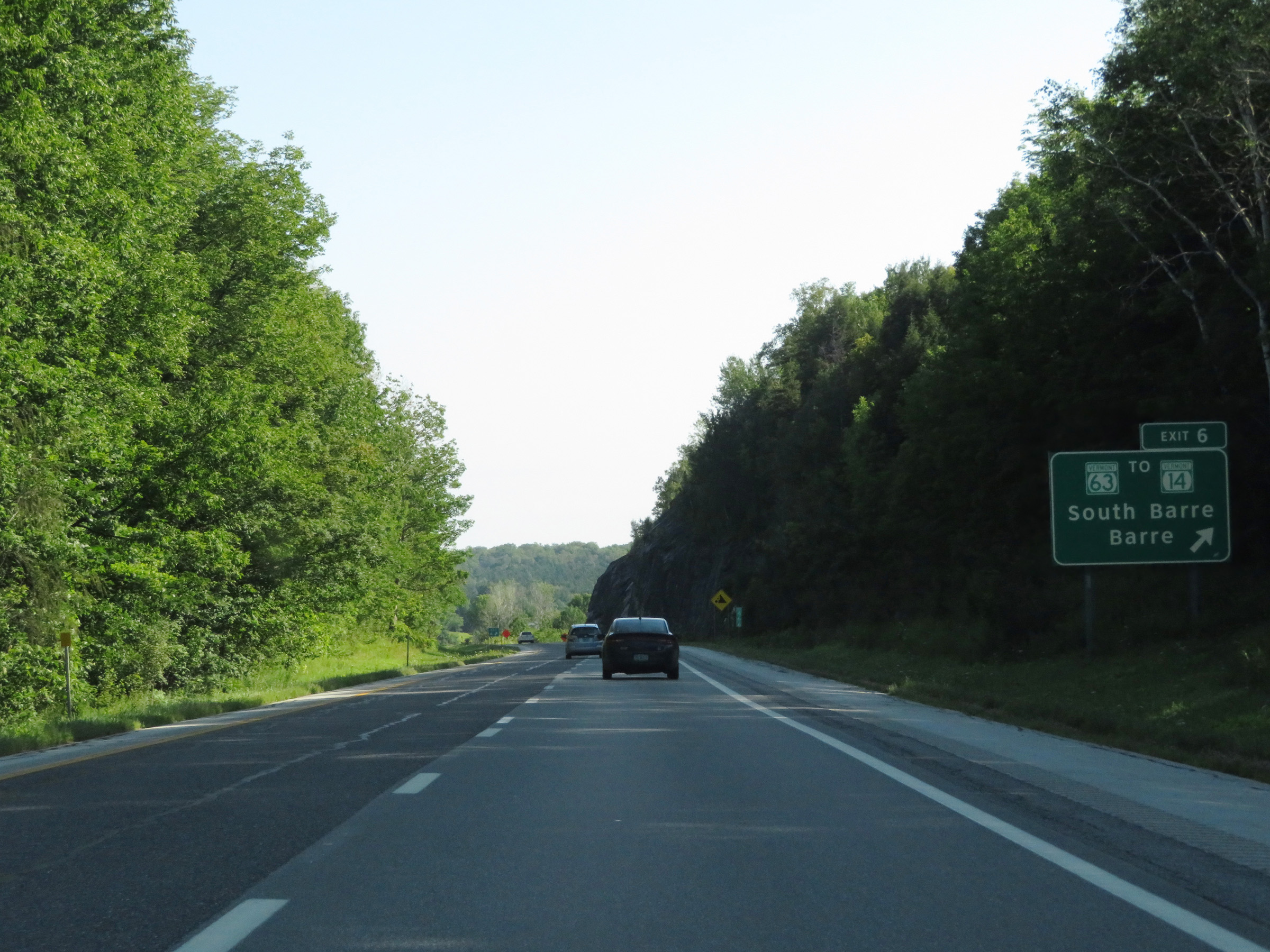 |
Interstate 89 North at Exit 6: VT 63 / To VT 14 - South Barre / Barre (Photo taken 8/9/17). |
 |
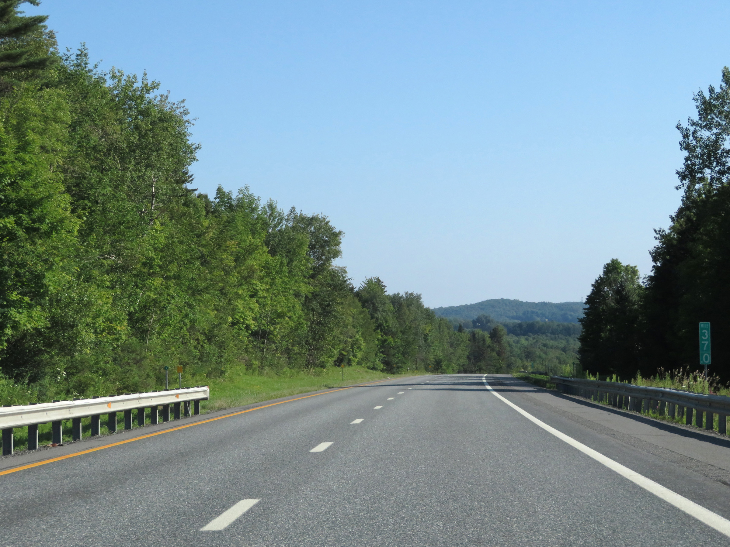
Mile marker 48 on Interstate 89 North in Washington County. (Photo taken 8/9/17). |
 |
A Travel Service Center exists off Exit 7. (Photo taken 8/9/17). |
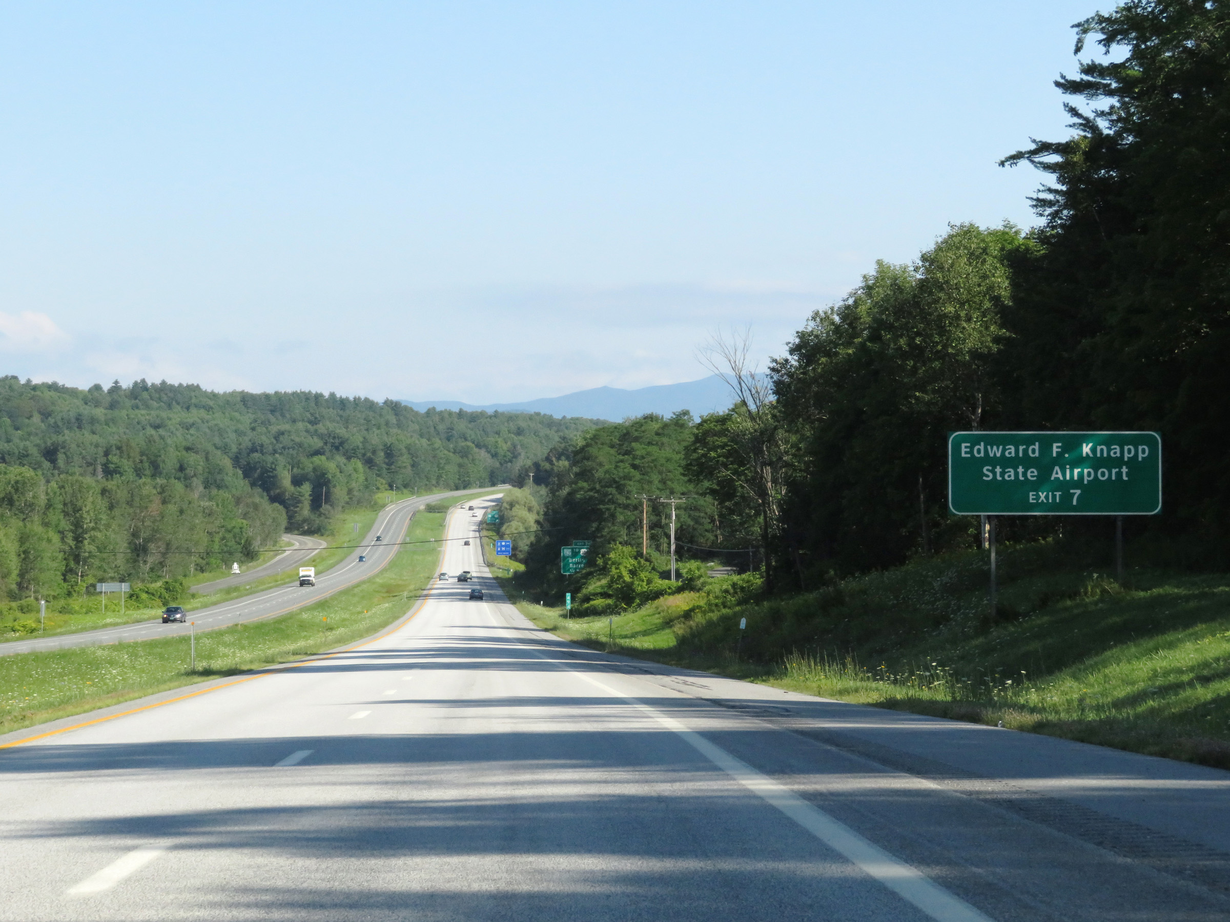 |
Take Exit 7 to Edward F. Knapp State Airport. (Photo taken 8/9/17). |
 |
Interstate 89 North at Exit 7: VT 62 / To US 302 - Berlin / Barre (Photo taken 8/9/17). |
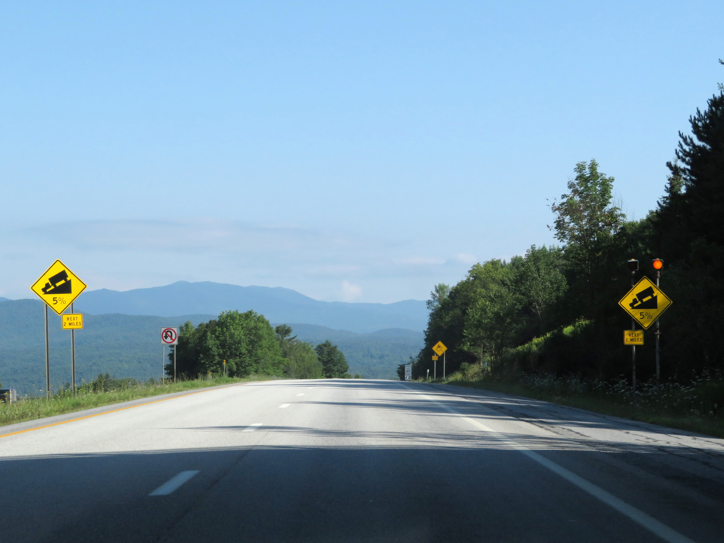 |
As these signs warn, Interstate 89 North will traverse a 5% downgrade which will last for the next 2 miles. (Photo taken 8/9/17). |
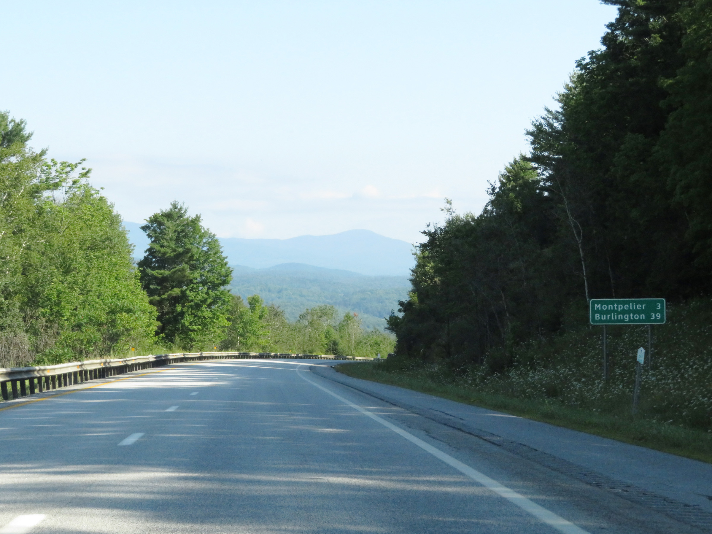 |
Mileage sign on Interstate 89 North. It's 3 miles to Montpelier and 39 miles to Burlington. (Photo taken 8/9/17). |
 |
As Interstate 89 North continues down the 5% grade, this sign welcomes you to Montpelier, the capital of Vermont, in both English and French. (Photo taken 8/9/17). |
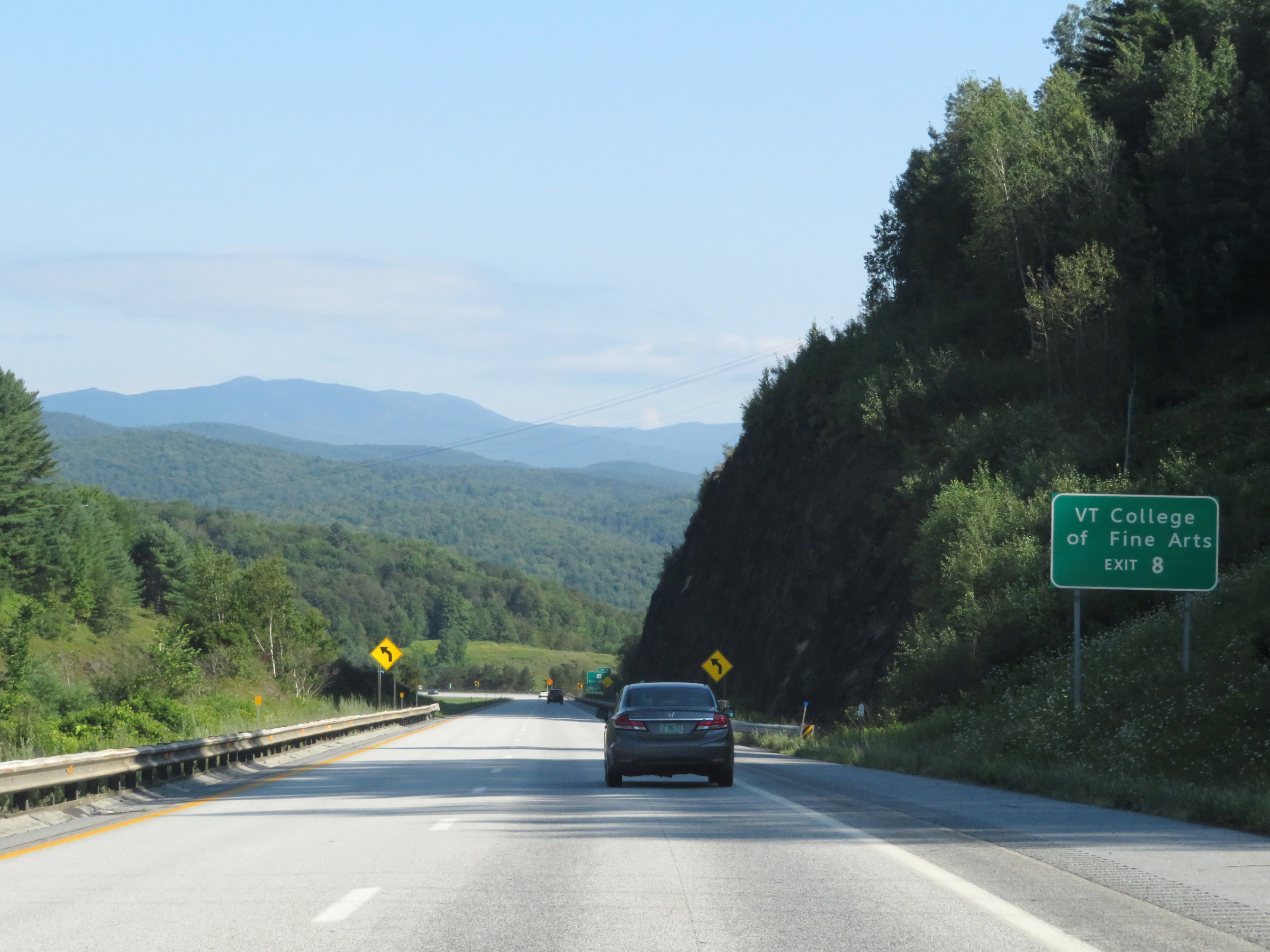 |
Take Exit 8 to Vermont College of Fine Arts. (Photo taken 8/9/17). |
 |
View on Interstate 89 North at mile marker 52, as it continues down the grade and into the Montpelier area. (Photo taken 8/9/17). |
 |
Interstate 89 North approaching Exit 8 - 1/2 mile. (Photo taken 8/9/17). |
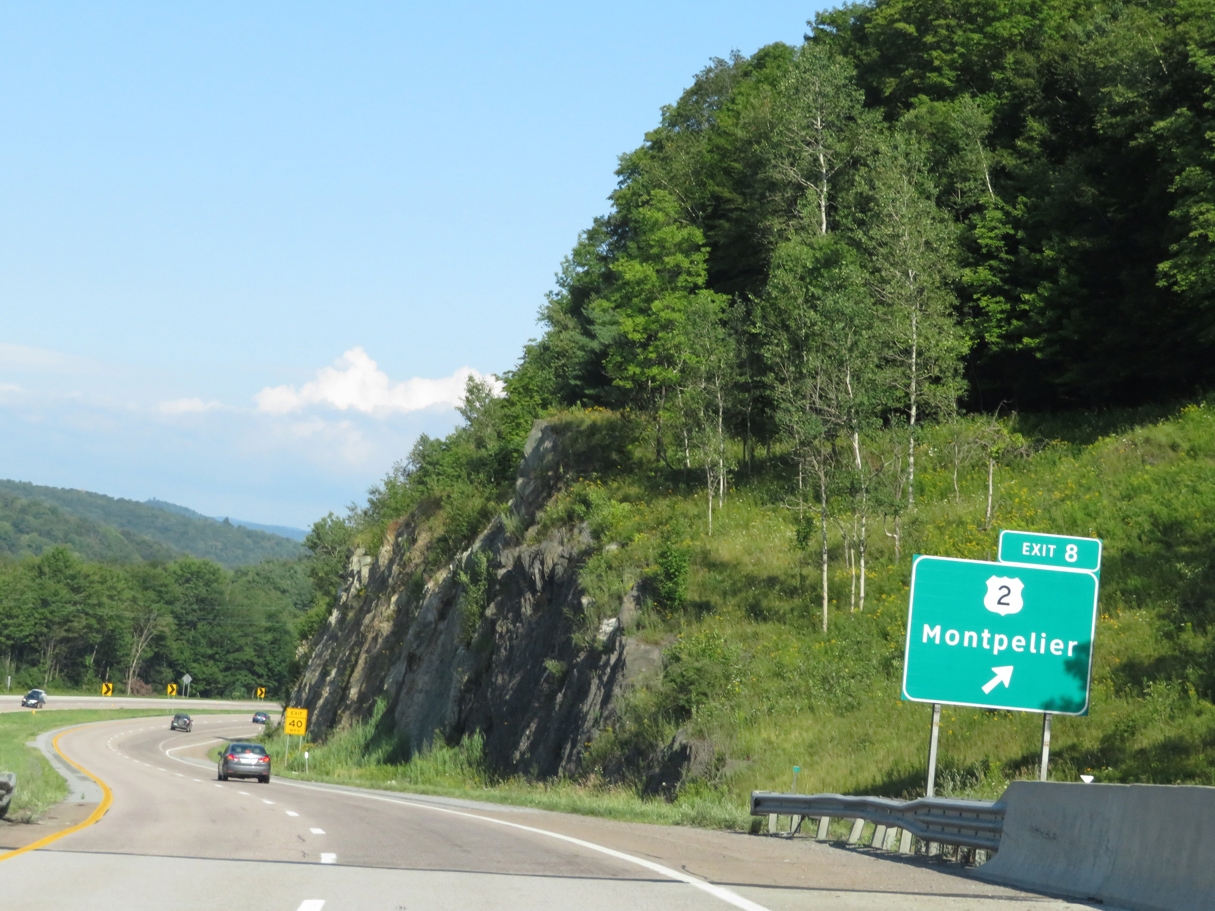 |
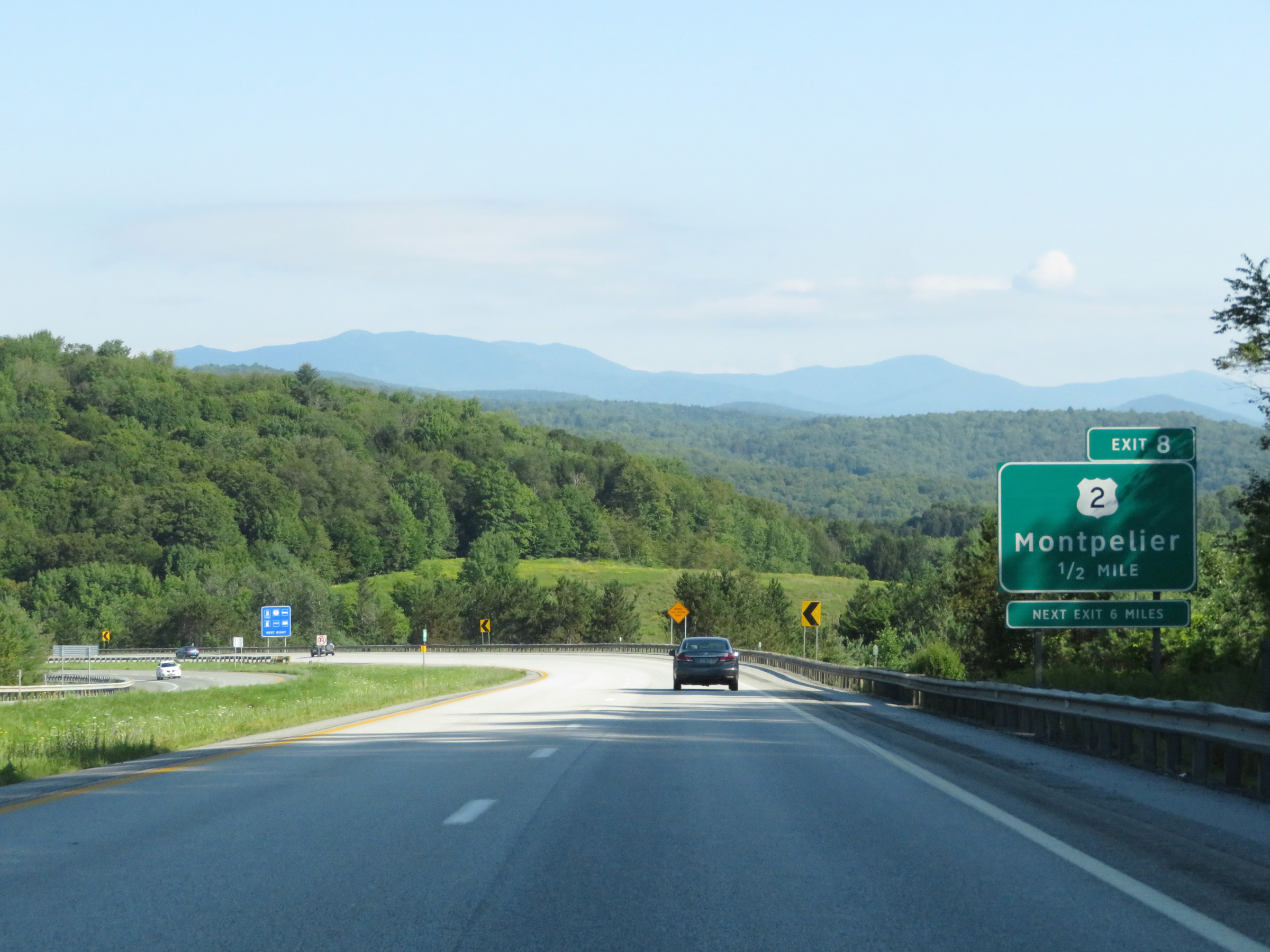
Interstate 89 North at Exit 8: US 2 - Montpelier (Photo taken 8/9/17). |
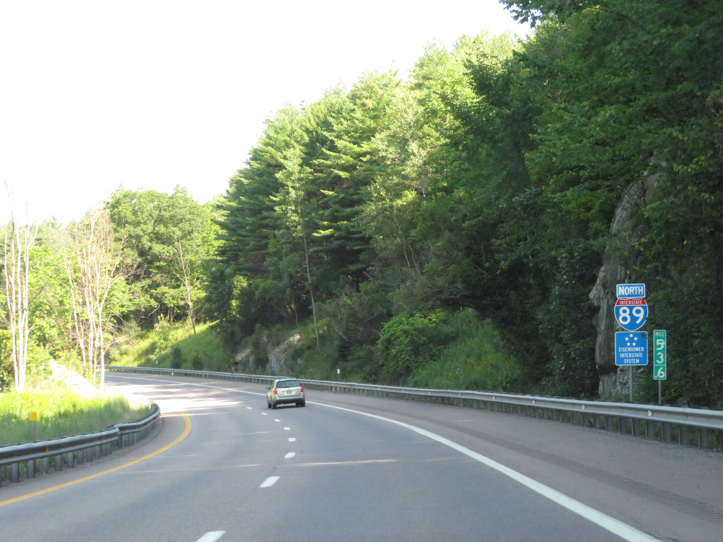 |
Another Interstate 89 North reassurance shield at mile marker 53.6. (Photo taken 8/9/17). |
 |
Speed limit signs at mile marker 53.8. The speed limits remain 65 mph maximum and 40 mph minimum. (Photo taken 8/9/17). |
 |
View on Interstate 89 North at mile marker 55. (Photo taken 8/9/17). |
 |
Interstate 89 North at mile marker 57. (Photo taken 8/9/17). |
 |
Take Exit 9 to Waitsfield and Warren. (Photo taken 8/9/17). |
 |
Interstate 89 North at Exit 9: US 2 / To VT 100B - Middlesex / Moretown (Photo taken 8/9/17). |
 |
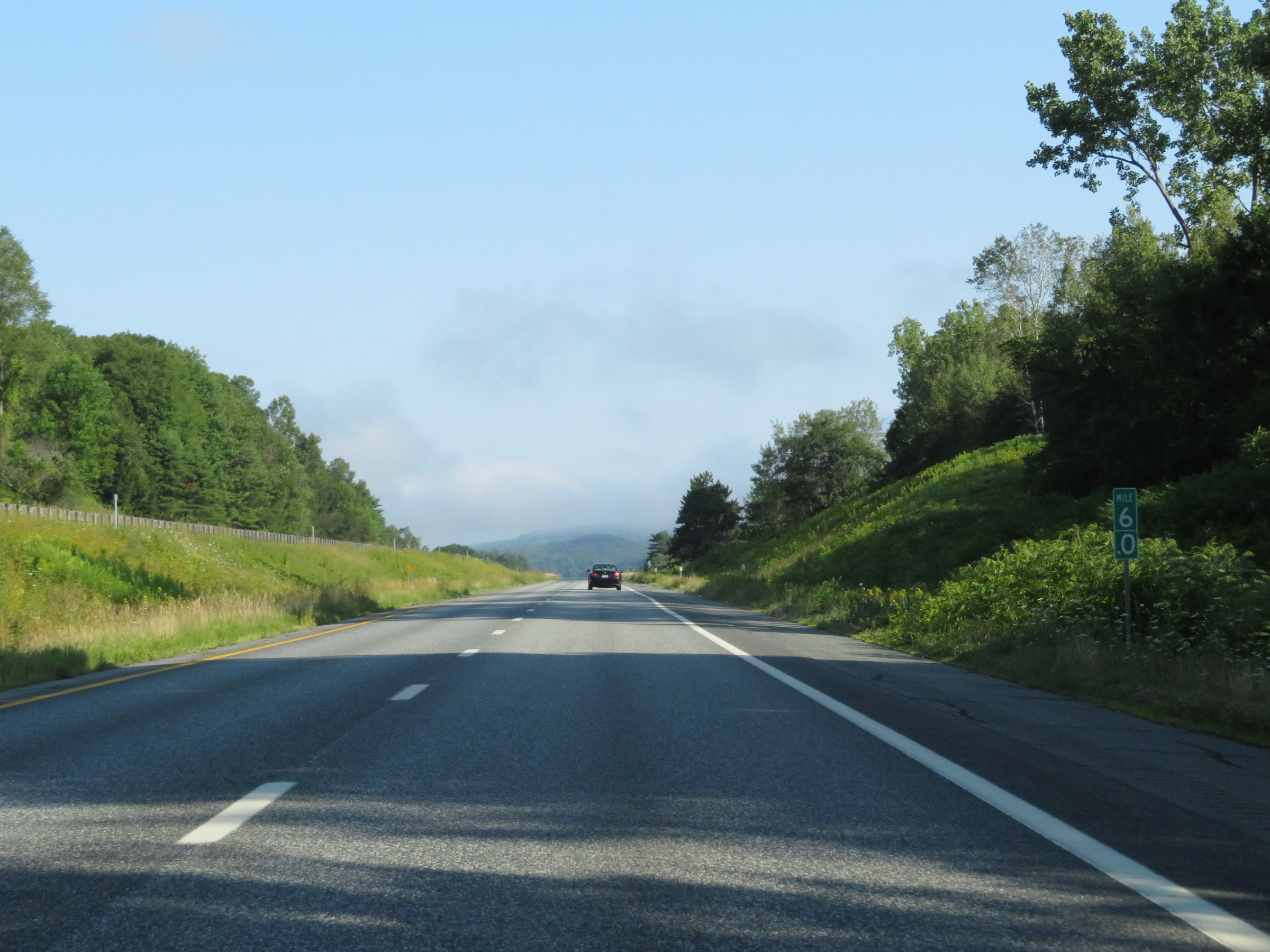
View on Interstate 89 North at mile marker 60. (Photo taken 8/9/17). |
 |
Interstate 89 North at mile marker 62. (Photo taken 8/9/17). |
 |
Take Exit 10 to Bolton. (Photo taken 8/9/17). |
 |
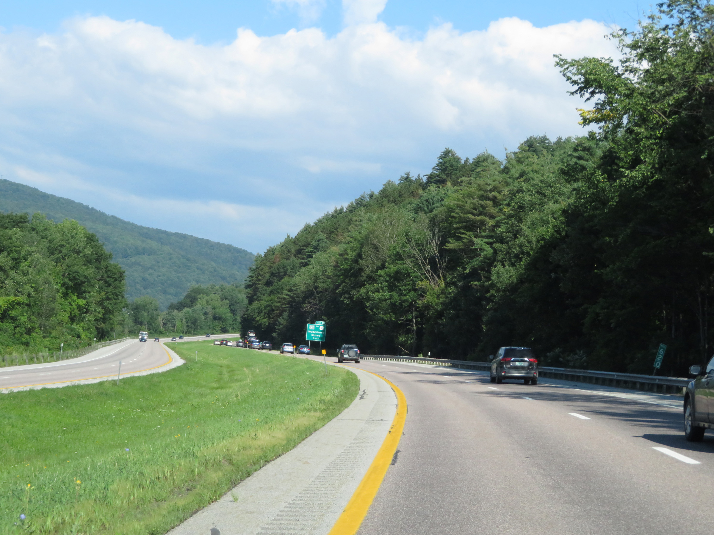
Interstate 89 North at Exit 10: VT 100 / To US 2 - Waterbury / Stowe (Photo taken 8/9/17). |
Section 2: Waterbury (Exit 10) to Canadian Border
 |
The Parking Area ahead is also used as a Weigh Station when this sign shows that it is open. (Photo taken 8/9/17). |
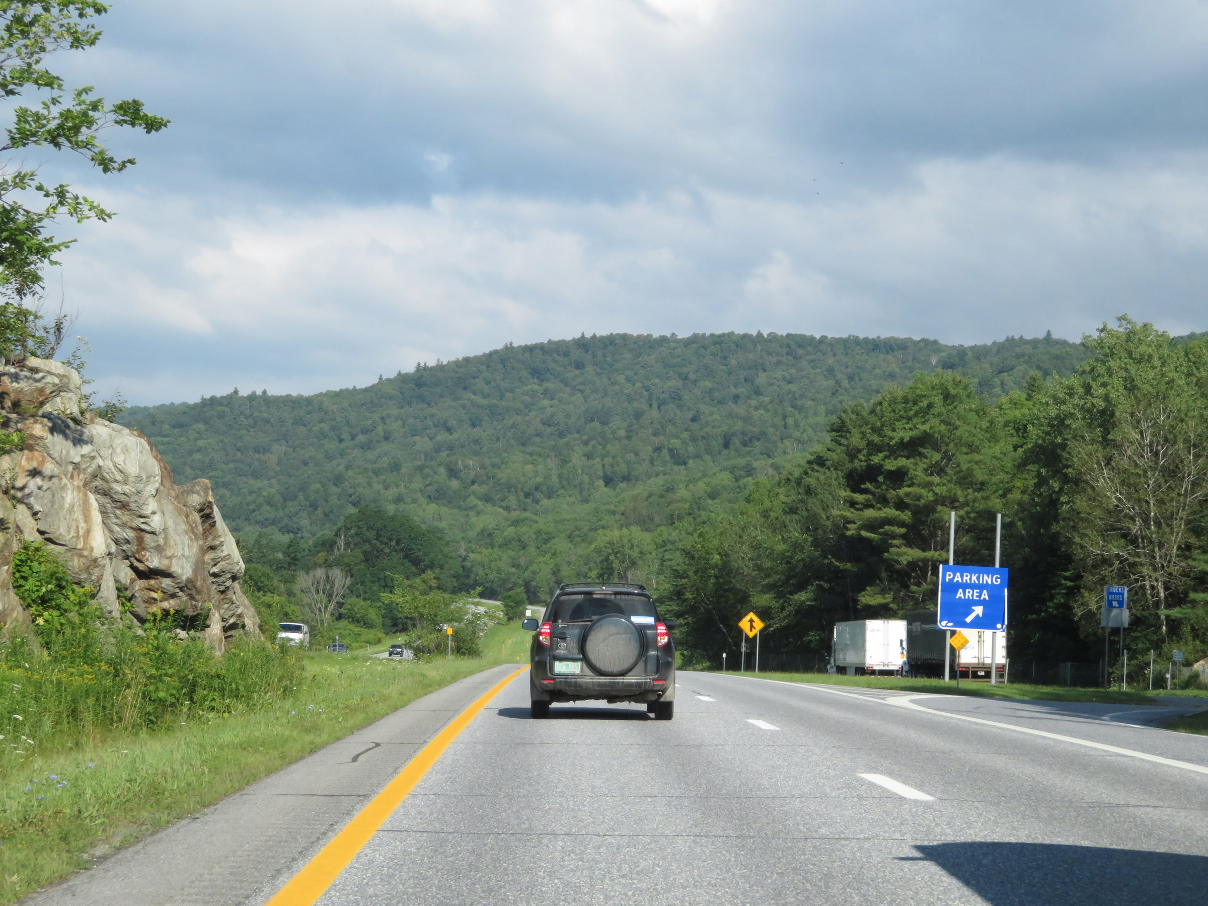 |
Parking Area on Interstate 89 North in Washington County. (Photo taken 8/9/17). |
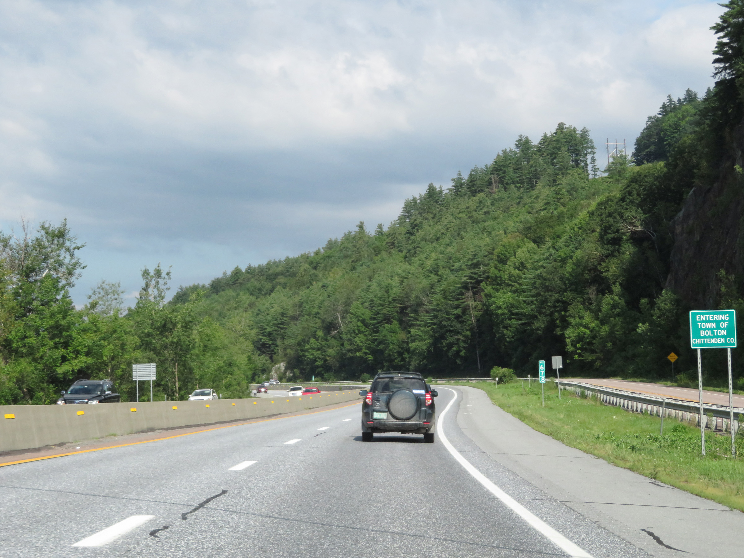 |
Interstate 89 North as it enters Chittenden County at mile marker 67.8. (Photo taken 8/9/17). |
 |
Interstate 89 North at mile marker 68. (Photo taken 8/9/17). |
 |
View on Interstate 89 North at mile marker 70. (Photo taken 8/9/17). |
 |
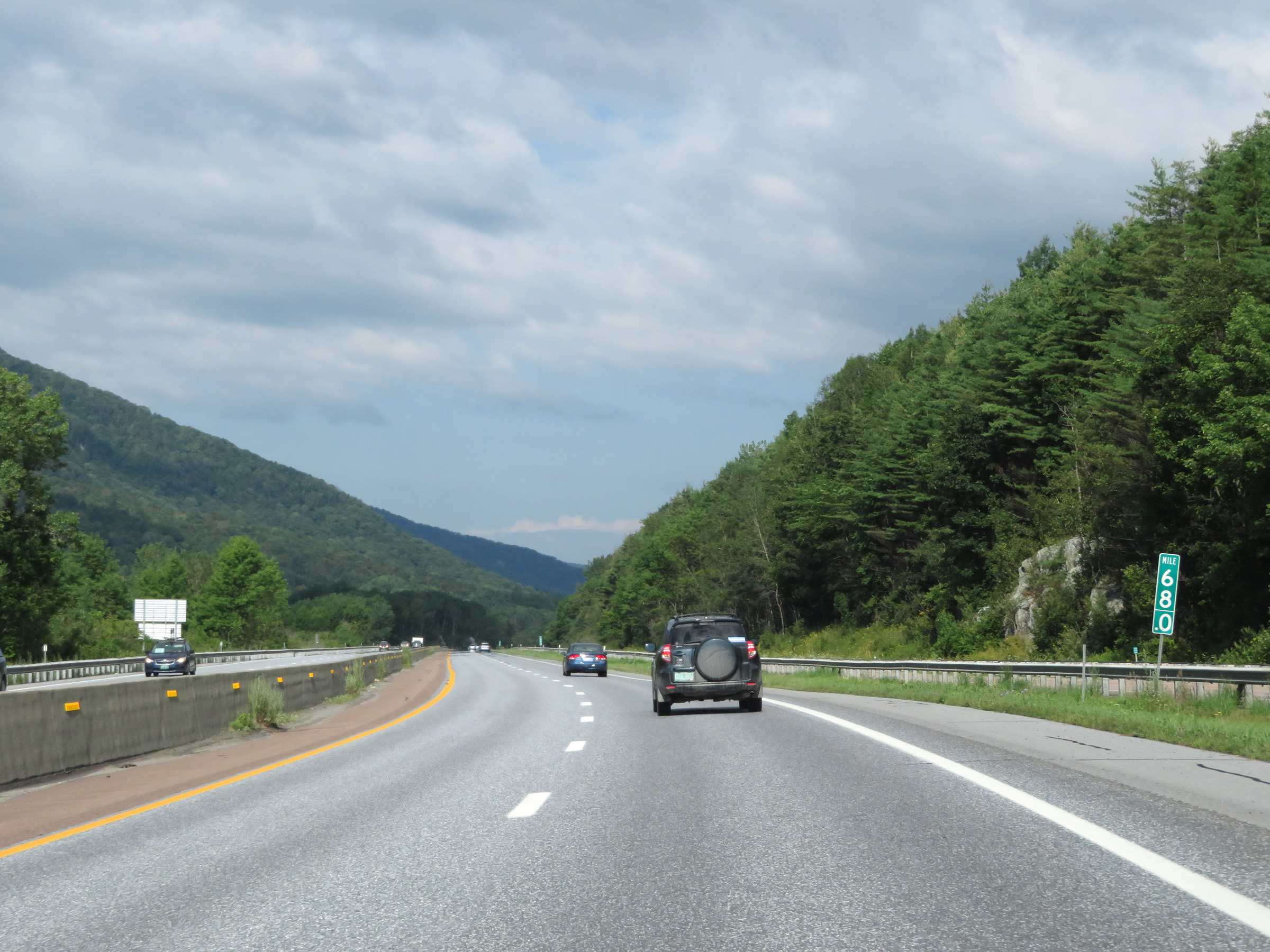
Mile marker 72 on Interstate 89 North in Chittenden County. (Photo taken 8/9/17). |
 |
View on Interstate 89 North at mile marker 74. (Photo taken 8/9/17). |
 |
Interstate 89 North at mile marker 77. (Photo taken 8/9/17). |
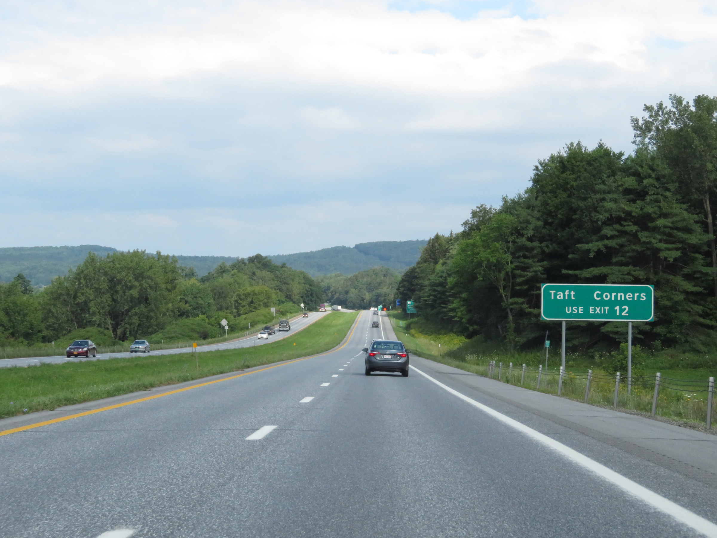 |
Take Exit 12 to Taft Corners. (Photo taken 8/9/17). |
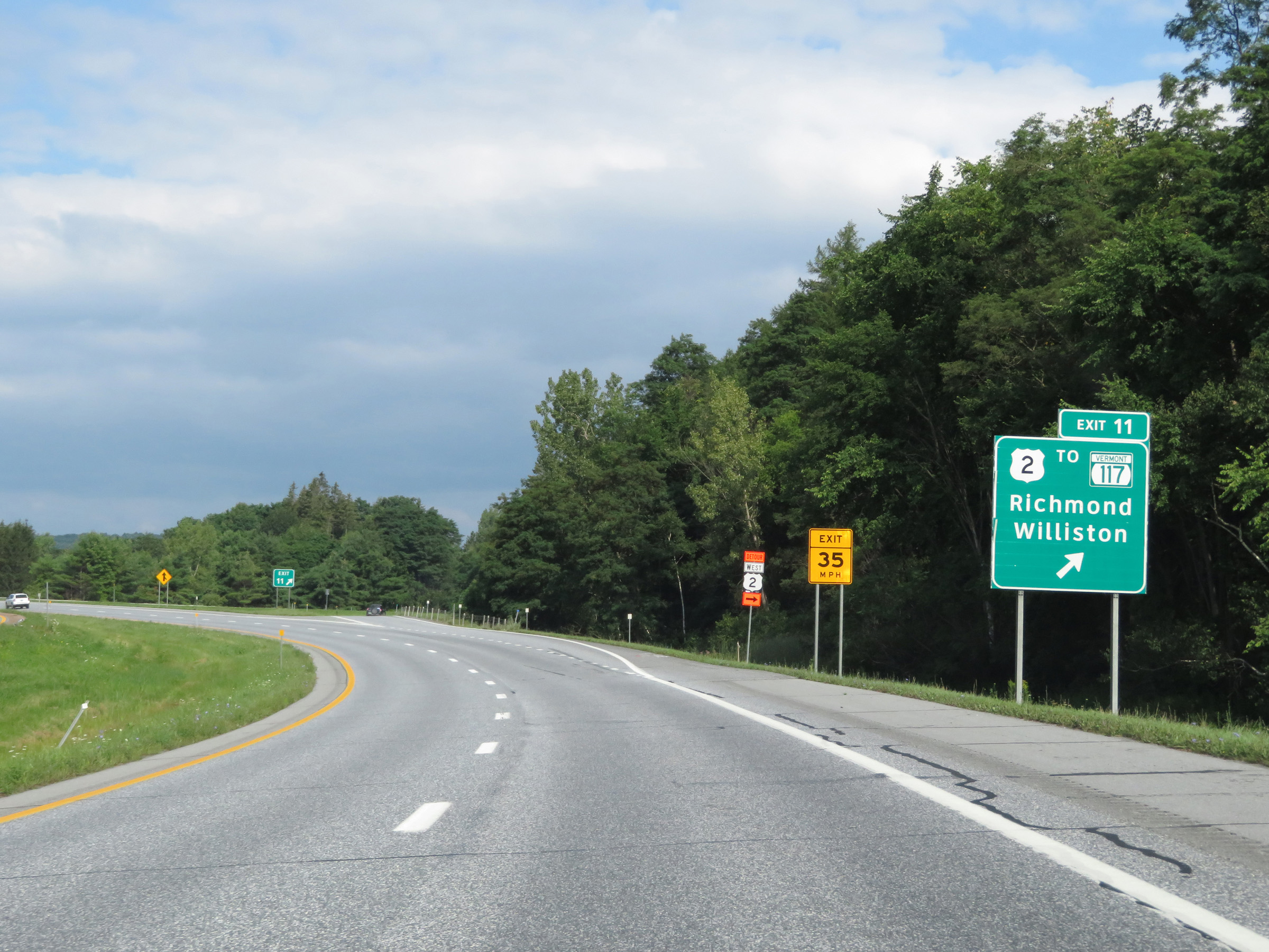 |
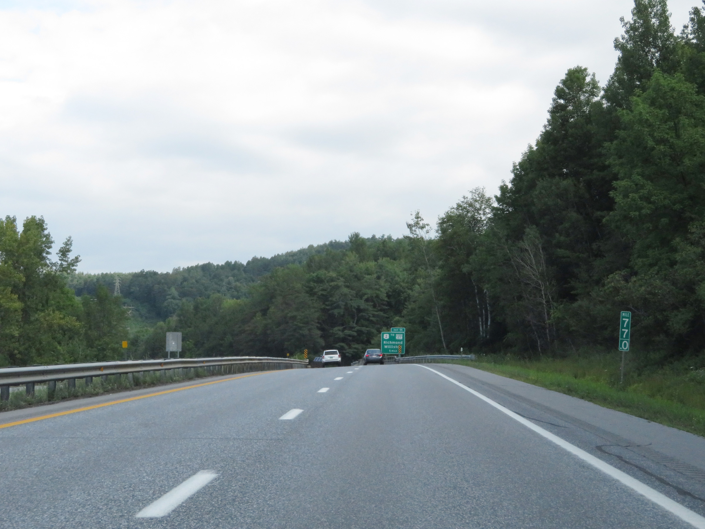
Interstate 89 North at Exit 11: US 2 / To VT 117 - Richmond / Williston (Photo taken 8/9/17). |
 |
Interstate 89 North reassurance shield at mile marker 78.8. (Photo taken 8/9/17). |
 |
View on Interstate3 89 North at mile marker 80. (Photo taken 8/9/17). |
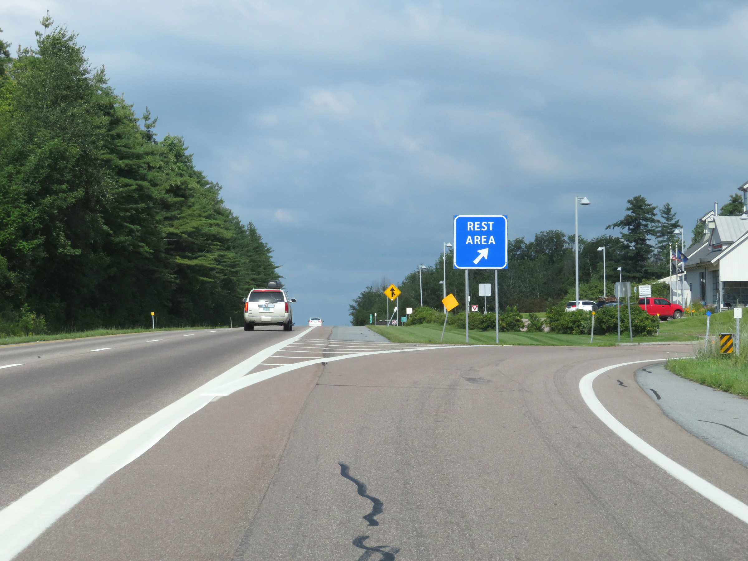 |
Rest Area on Interstate 89 North in Chittenden County. (Photo taken 8/9/17). |
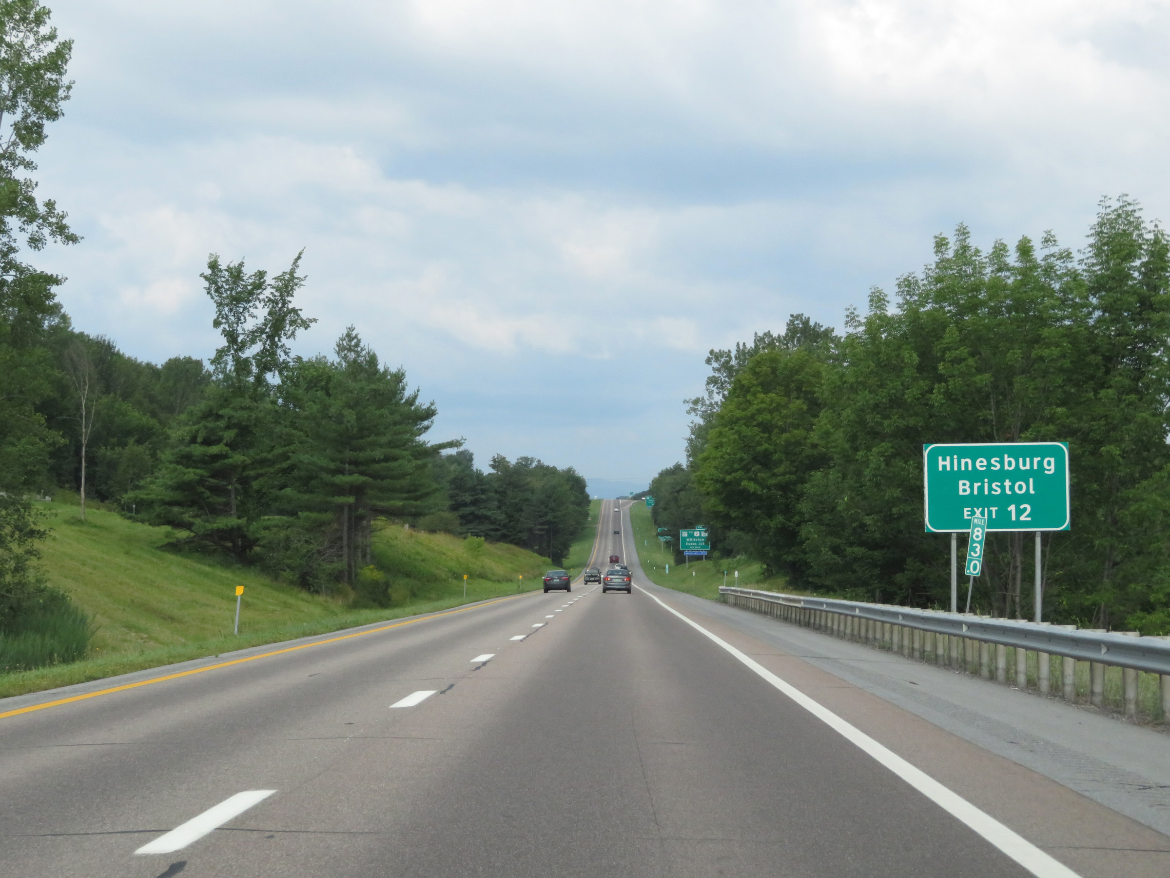 |
Take Exit 12 to Hinesburg and Bristol. (Photo taken 8/9/17). |
 |
Also take Exit 12 to Burlington International Airport and Vermont Technical College. (Photo taken 8/9/17). |
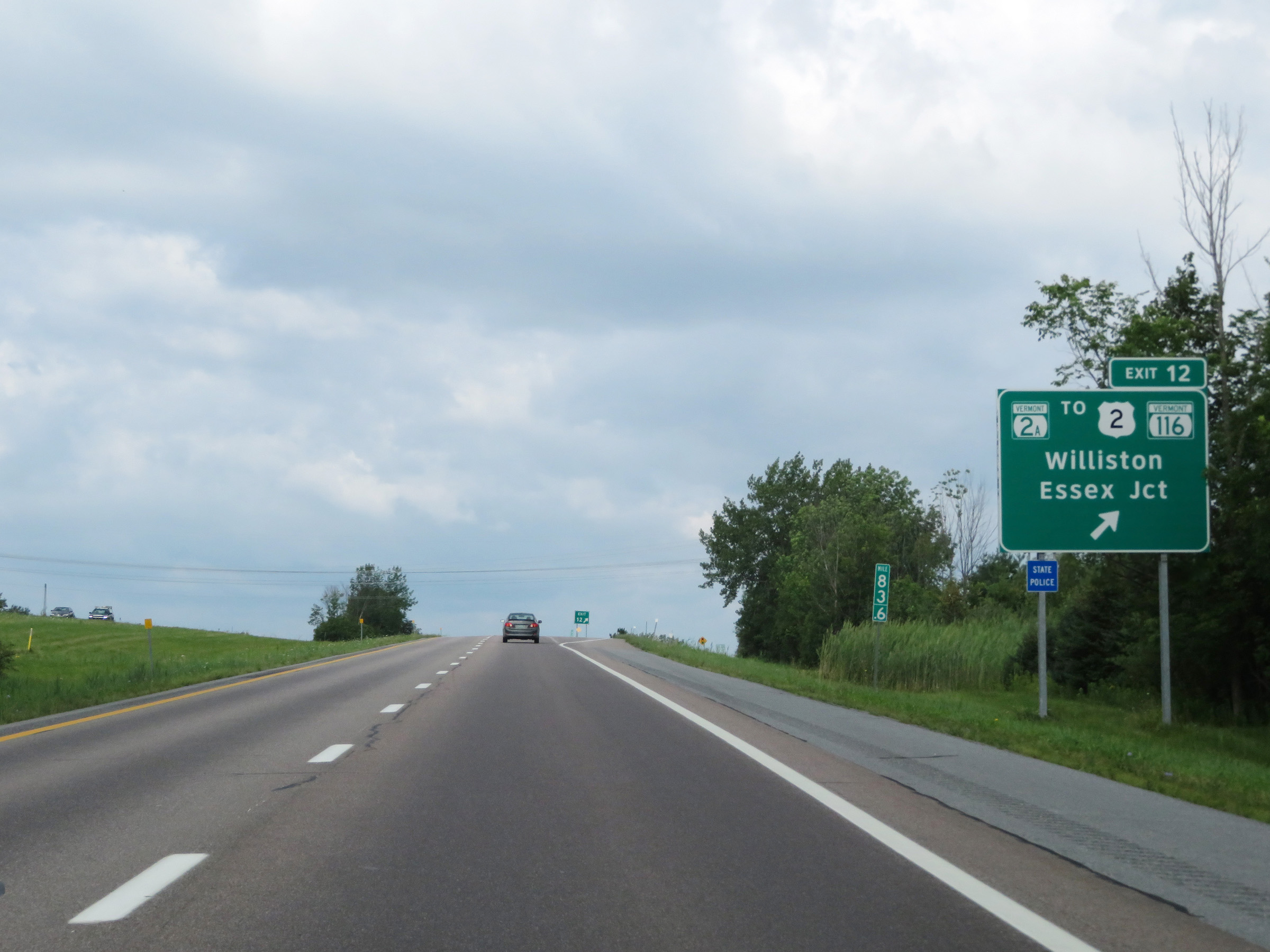 |
Interstate 89 North at Exit 12: VT 2A / To US 2 / To VT 116 - Williston / Essex Junction (Photo taken 8/9/17). |
 |
Another mileage sign on Interstate 89 North. It's 5 miles to Burlington and 6 miles to Winooski. (Photo taken 8/9/17). |
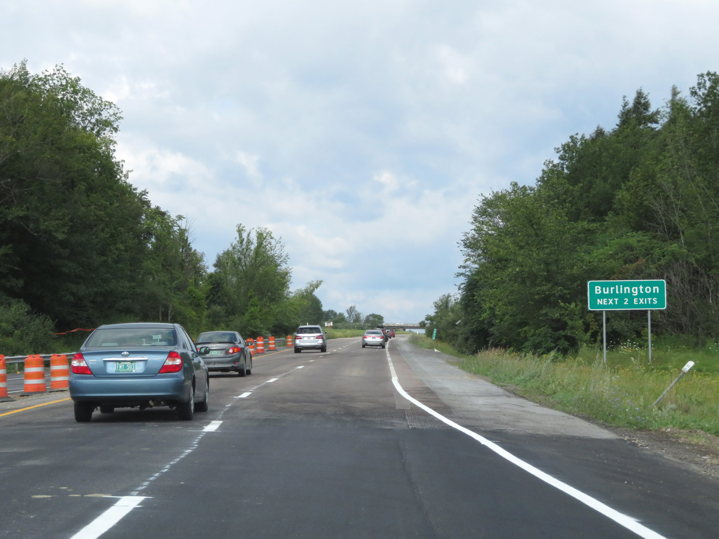 |
Take either of the next 2 exits to Burlington. (Photo taken 8/9/17). |
 |
Interstate 89 North approaching Exit 13 - 1 mile. (Photo taken 8/9/17). |
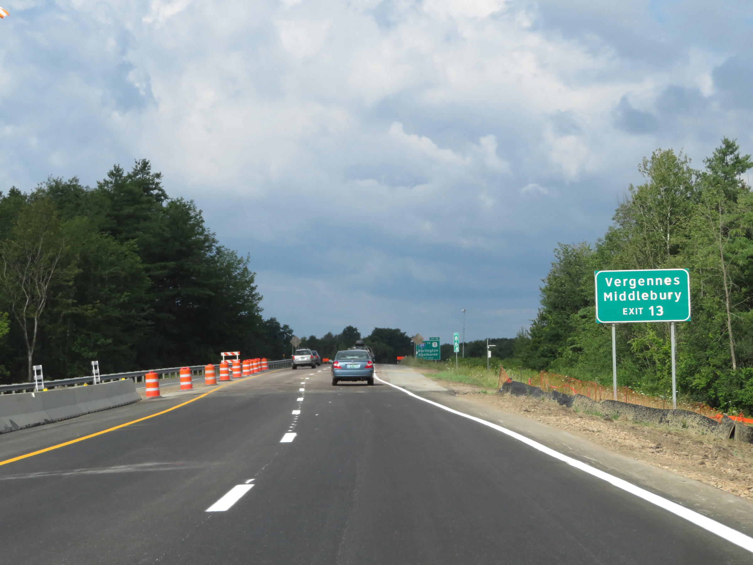 |
Take Exit 13 to Vergennes and Middlebury. (Photo taken 8/9/17). |
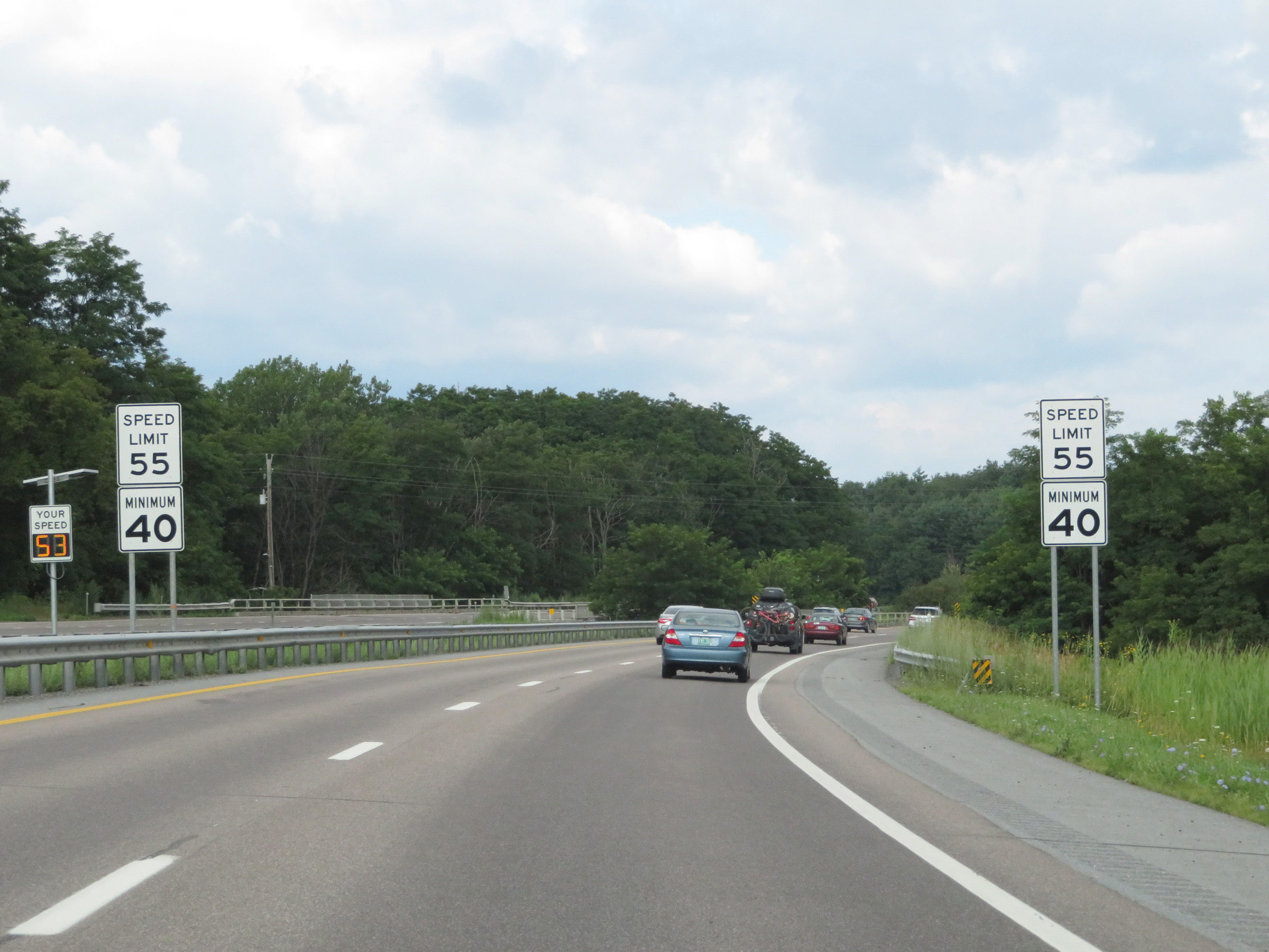 |
Approaching South Burlington, the maximum speed limit decreases to 55 mph. The minimum remains 40 mph. (Photo taken 8/9/17). |
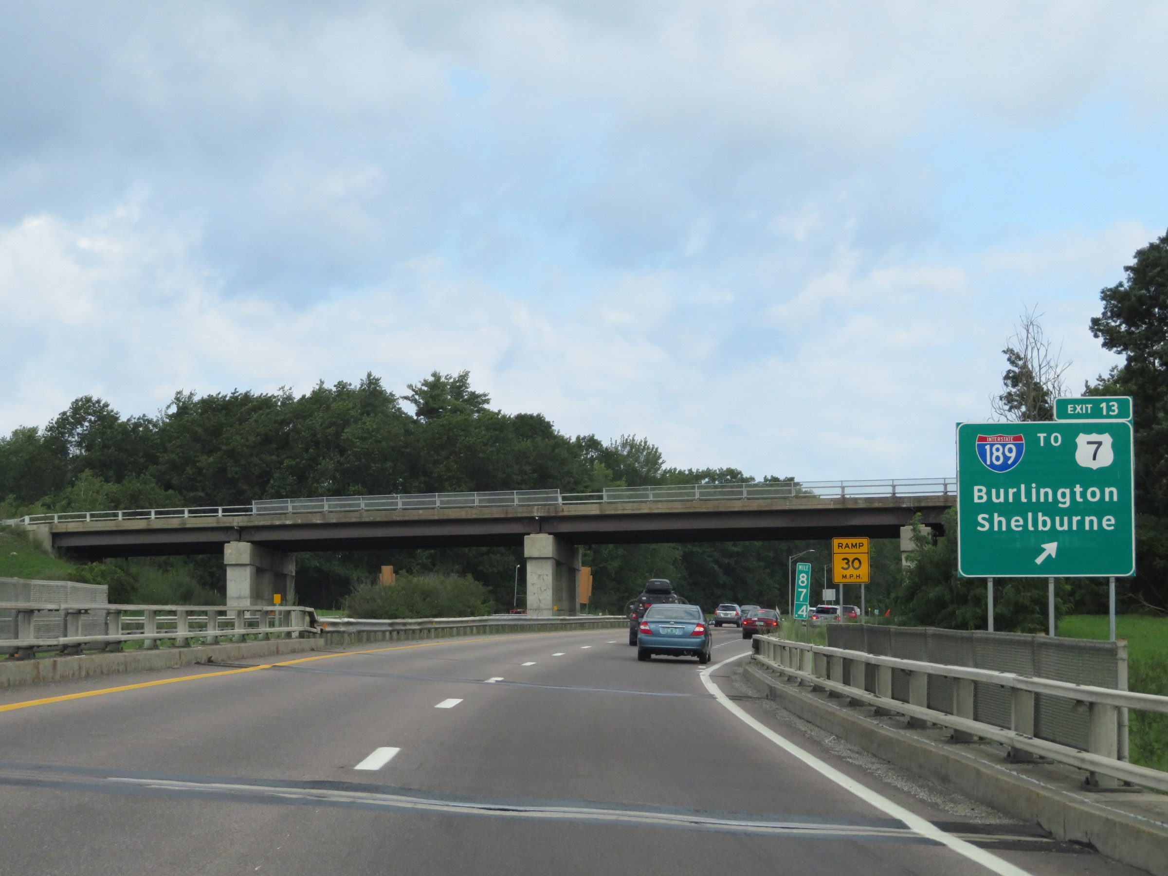 |
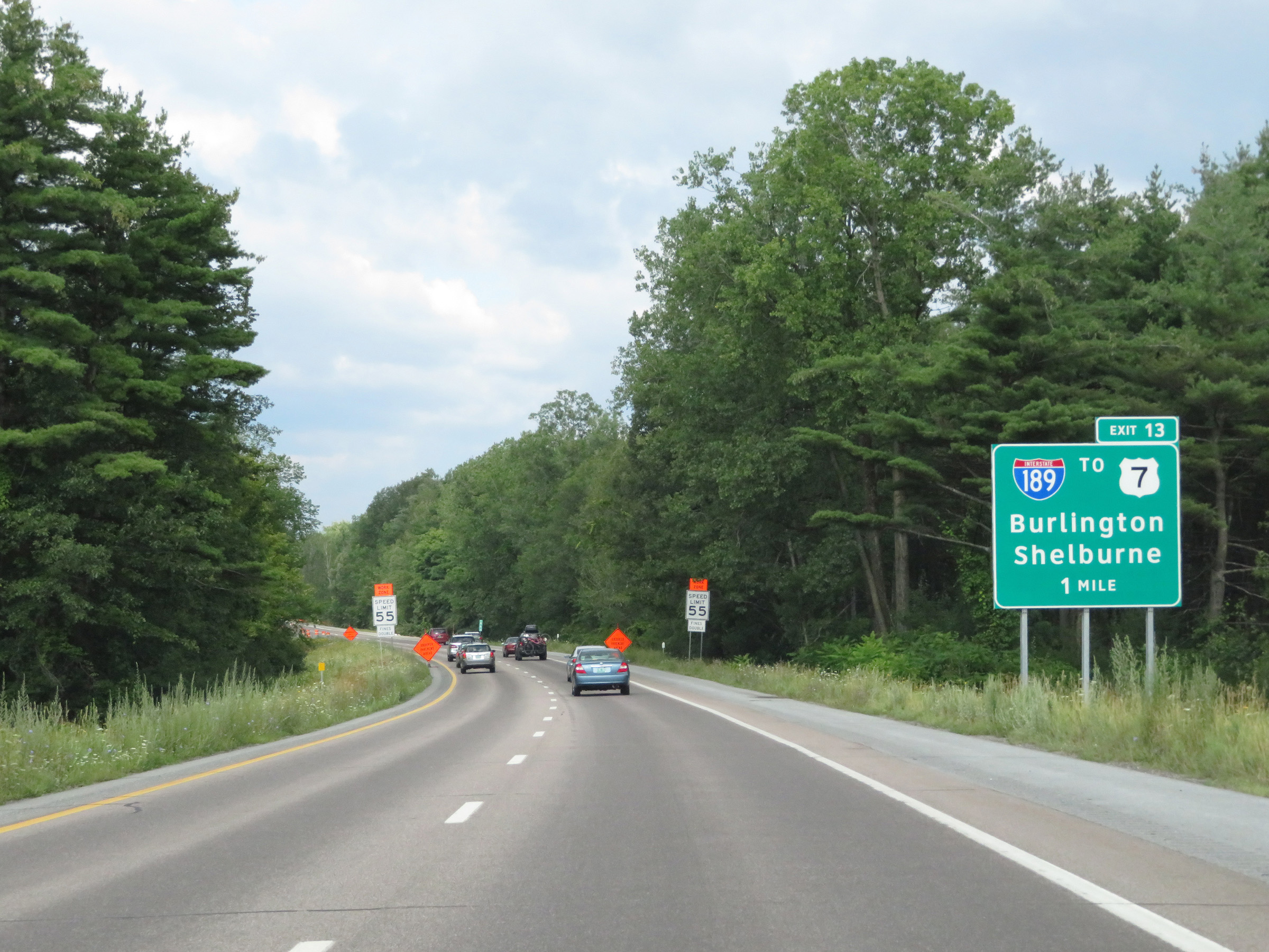
Interstate 89 North at Exit 13: Interstate 189 West / To US 7 - Burlington / Shelburne (Photo taken 8/9/17). |
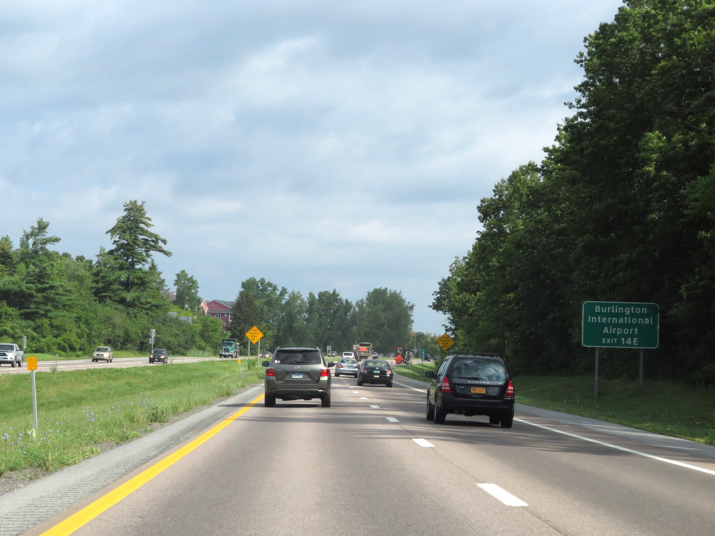 |
Take Exit 14E to Burlington International Airport. (Photo taken 8/9/17). |
|
Take Exit 14W to the University of Vermont and Champlain College. (Photo taken 8/9/17). |
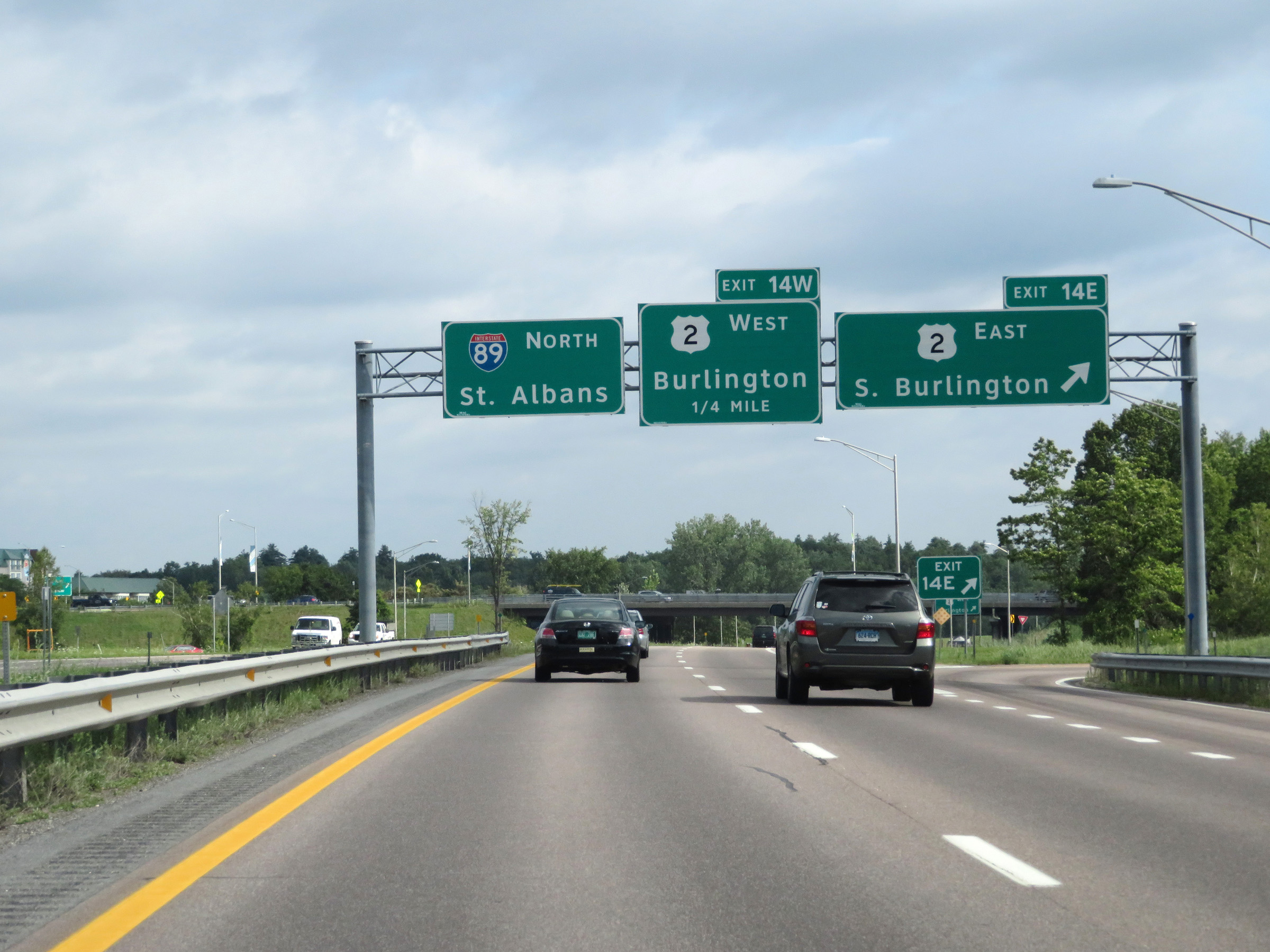 |
Interstate 89 North at Exit 14E: US 2 East - South Burlington (Photo taken 8/9/17). |
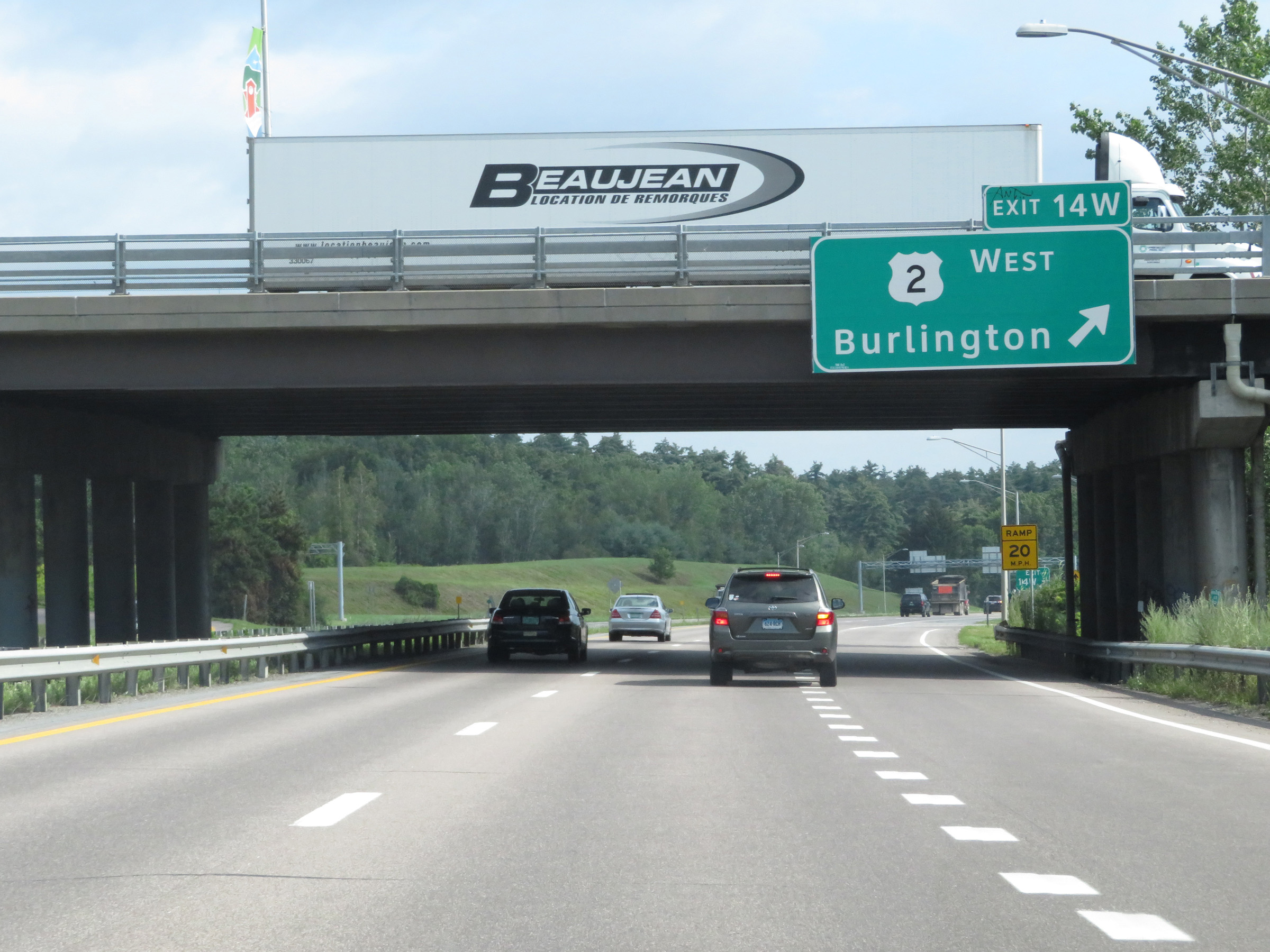 |
Interstate 89 North at Exit 14W: US 2 West - Burlington (Photo taken 8/9/17). |
 |
View on Interstate 89 North at mile marker 89. (Photo taken 8/9/17). |
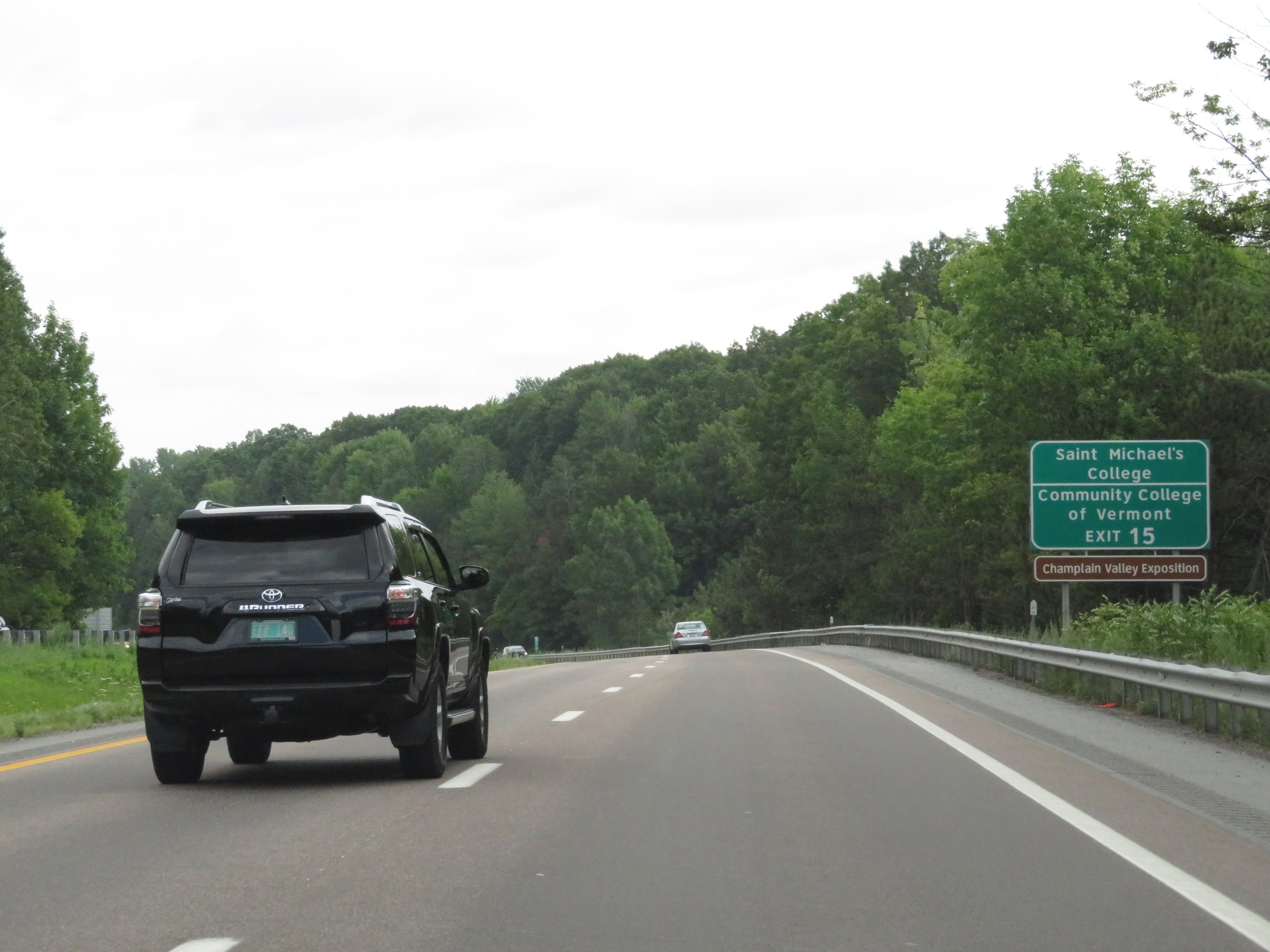 |
Take Exit 15 to Saint Michael's College and Community College of Vermont. (Photo taken 8/9/17). |
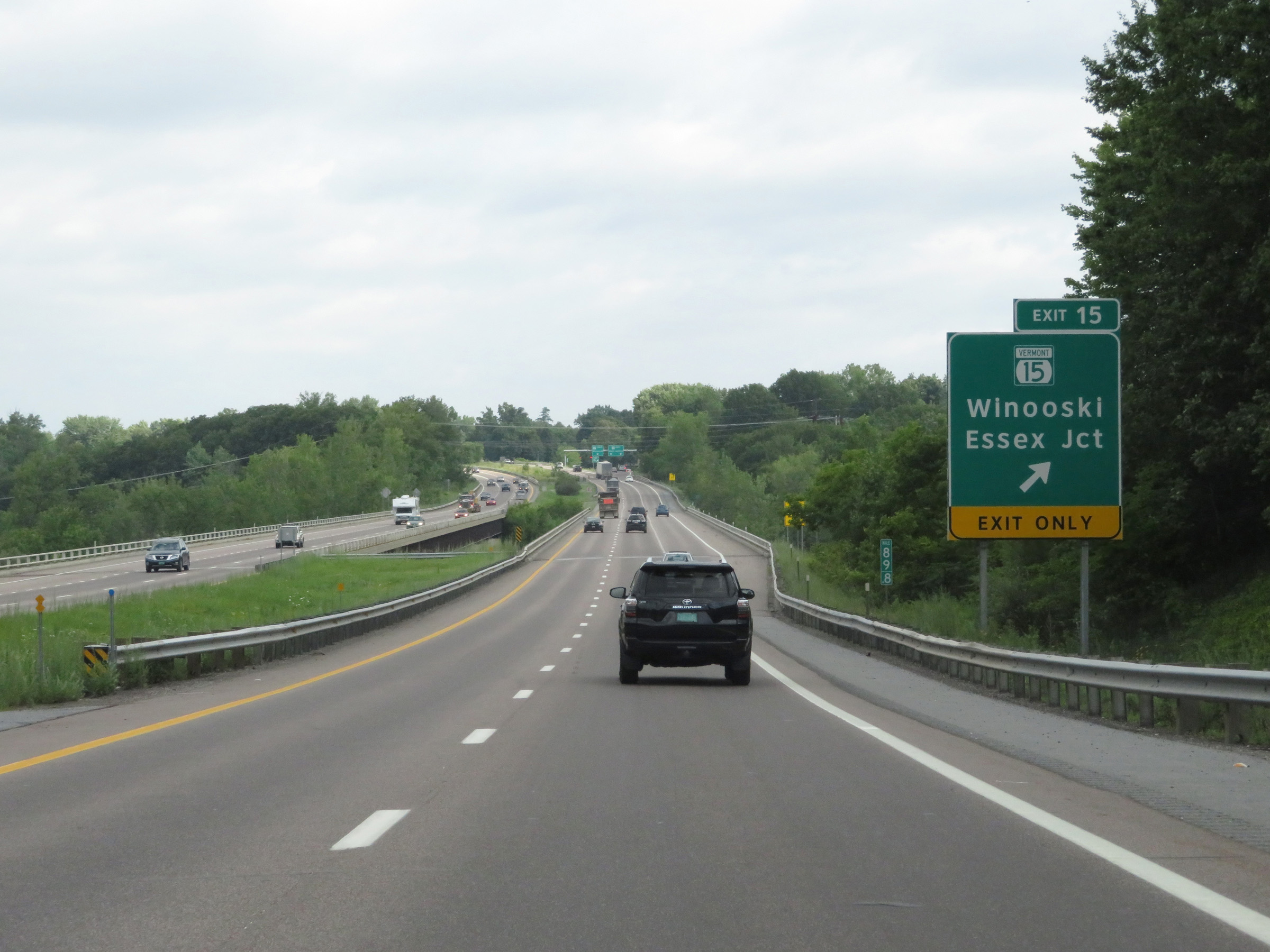 |
Interstate 89 North at Exit 15: VT 15 - Winooski / Essex Junction (Photo taken 8/9/17). |
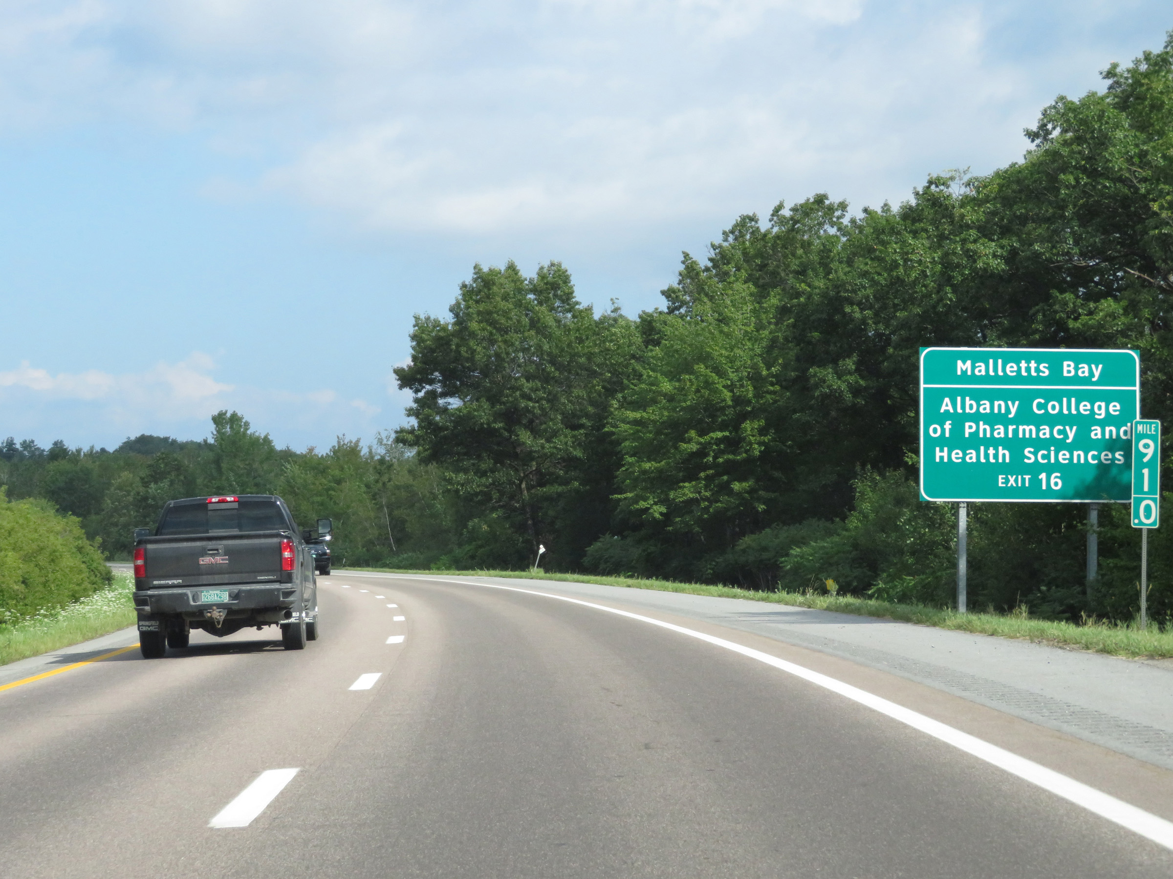 |
Take Exit 16 to Malletts Bay and Albany College of Pharmacy and Health Sciences. (Photo taken 8/9/17). |
 |
Interstate 89 North at Exit 16: US 2 / US 7 - Winooski / Colchester (Photo taken 8/9/17). |
 |
Interstate 89 North reassurance shield. (Photo taken 8/9/17). |
 |
At mile marker 92.2, the maximum speed limit increases to 65 mph once again. The minimum speed limit remains 40 mph. (Photo taken 8/9/17). |
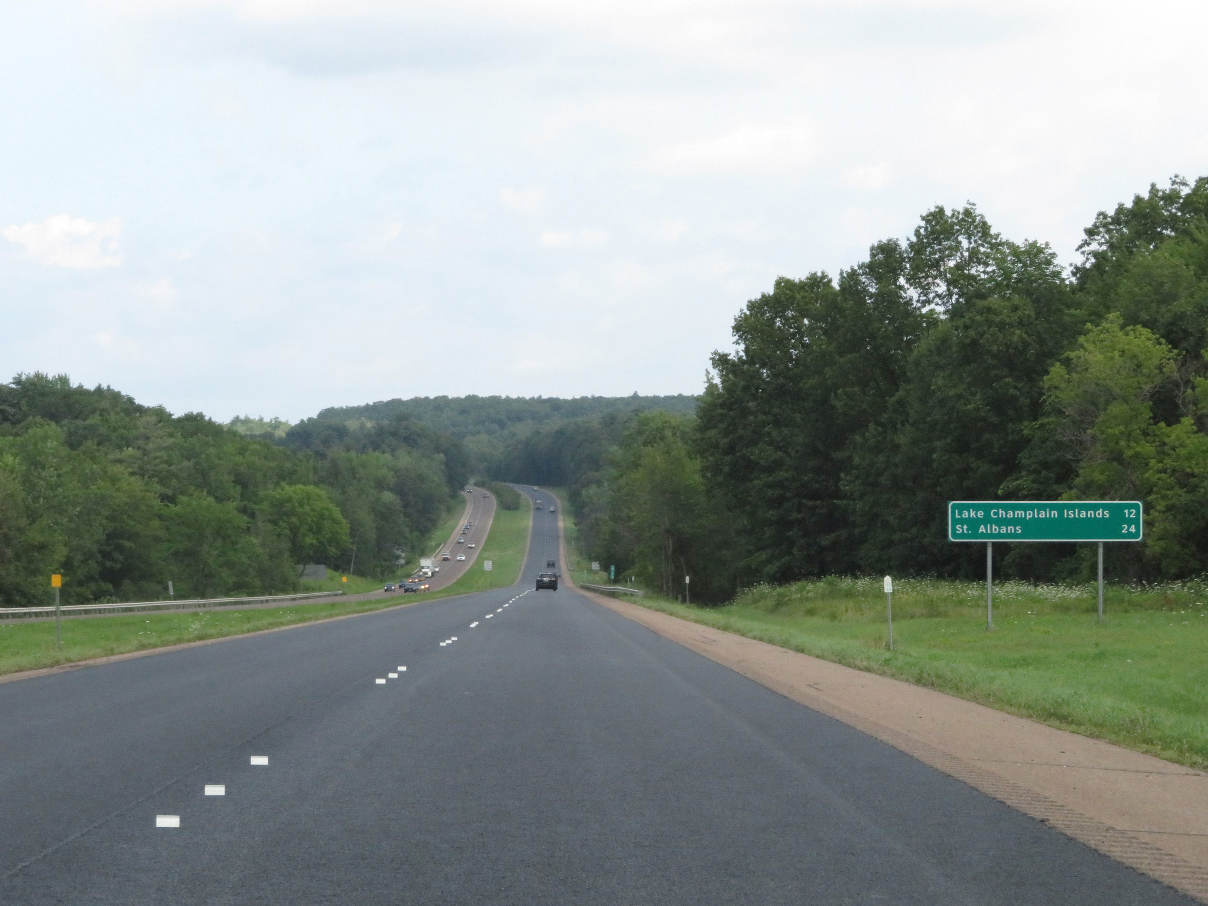 |
Mileage sign on Interstate 89 North. It's 12 miles to the Lake Champlain Islands and 24 miles to St. Albans. (Photo taken 8/9/17). |
 |
View on Interstate 89 North at mile marker 93. (Photo taken 8/9/17). |
 |
Interstate 89 North at mile marker 95. (Photo taken 8/9/17). |
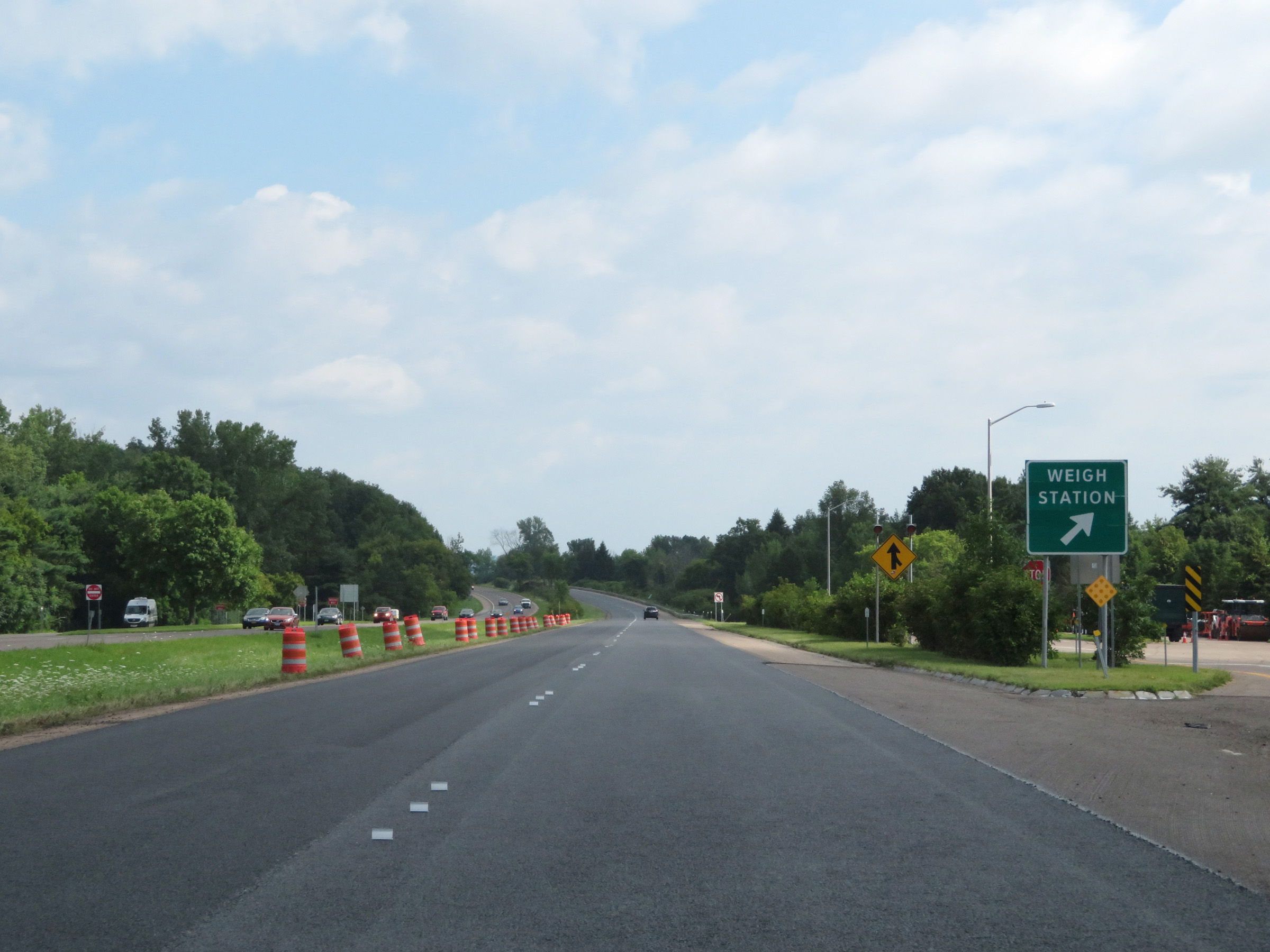 |
Weigh Station on Interstate 89 North in Chittenden County. (Photo taken 8/9/17). |
 |
Interstate 89 North approaching Exit 17 - 1 mile. (Photo taken 8/9/17). |
 |
View on Interstate 89 North at mile marker 97. (Photo taken 8/9/17). |
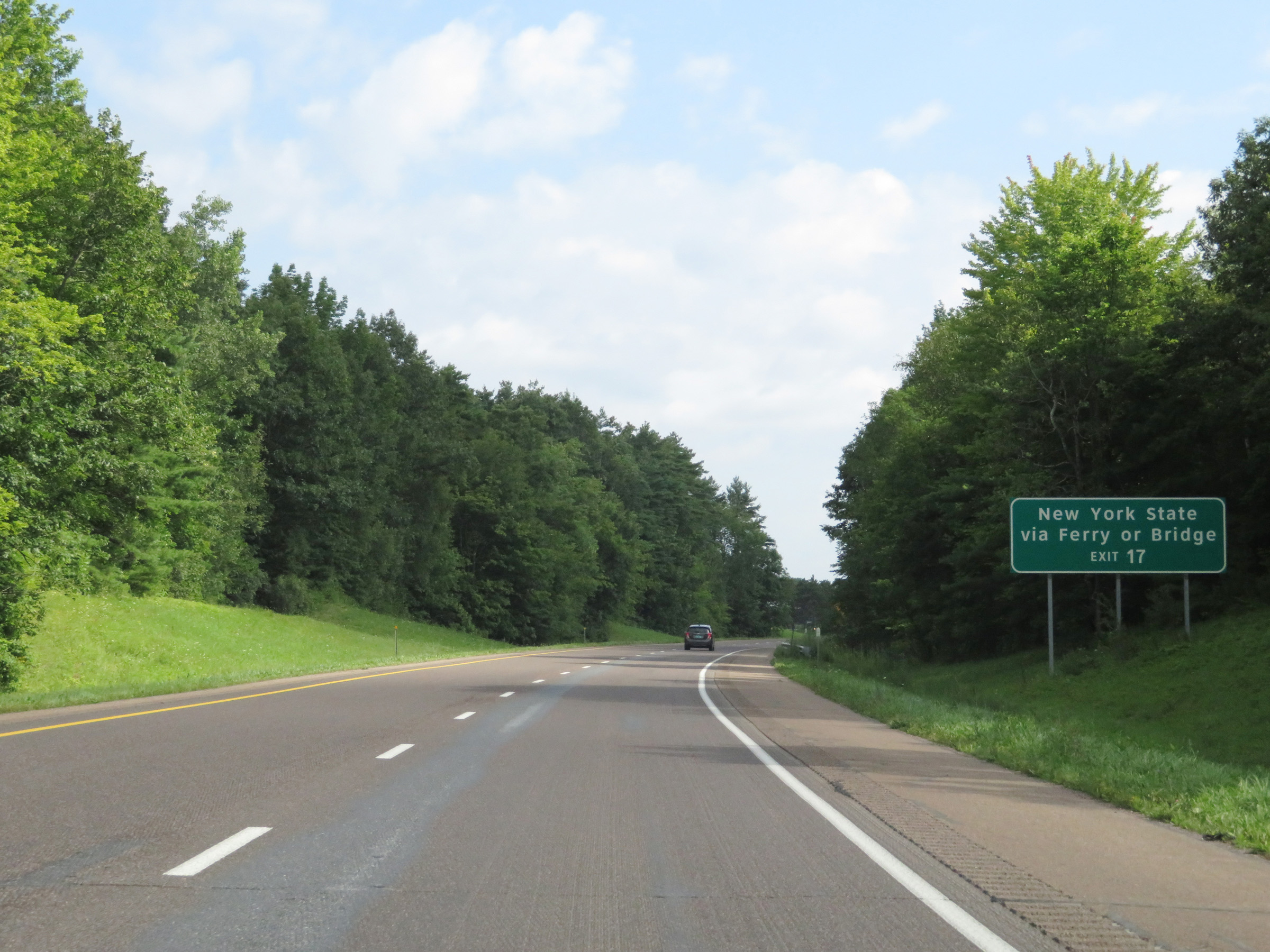 |
Take Exit 17 to get to New York State via the Ferry or Bridge. (Photo taken 8/9/17). |
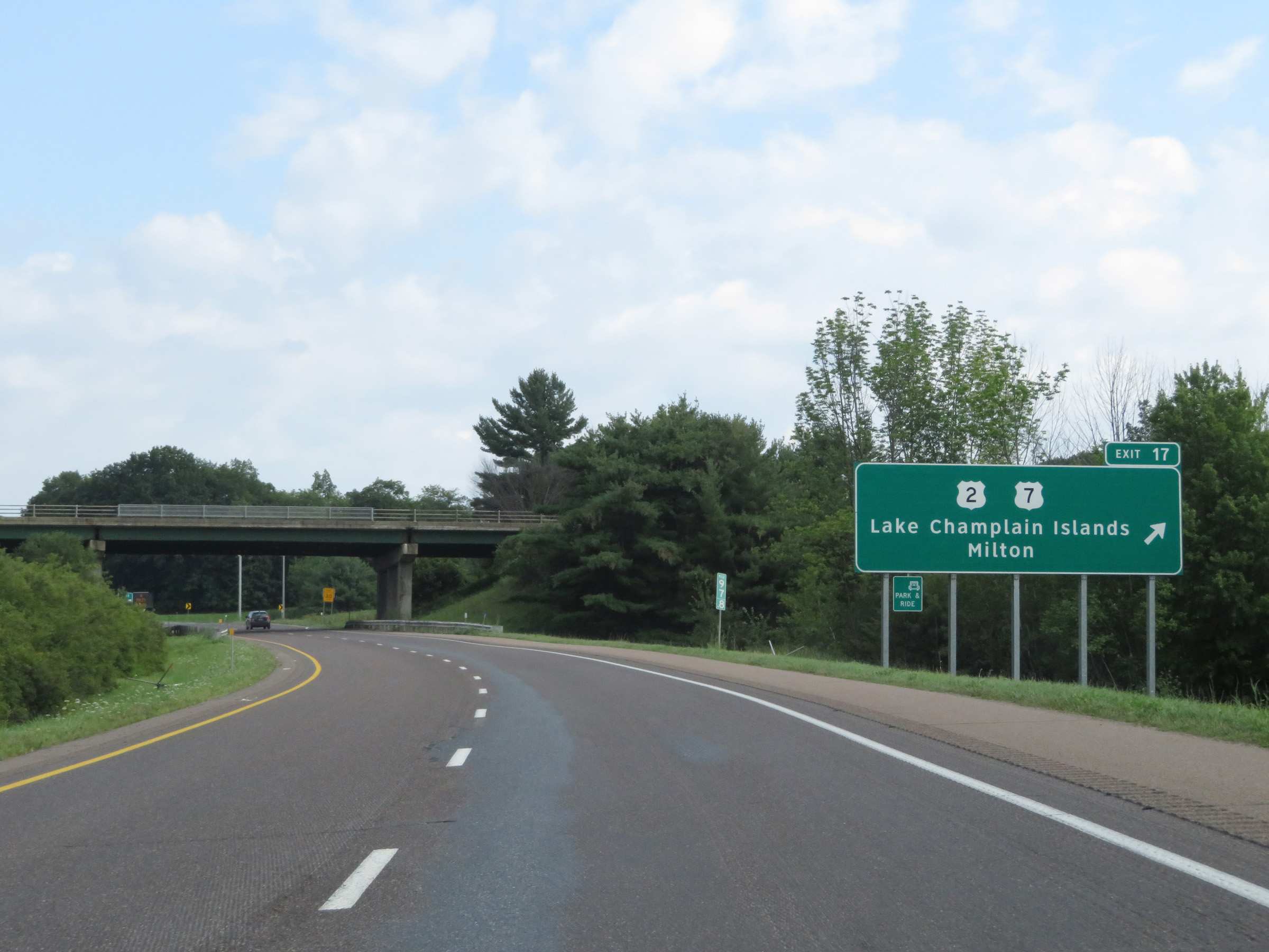 |
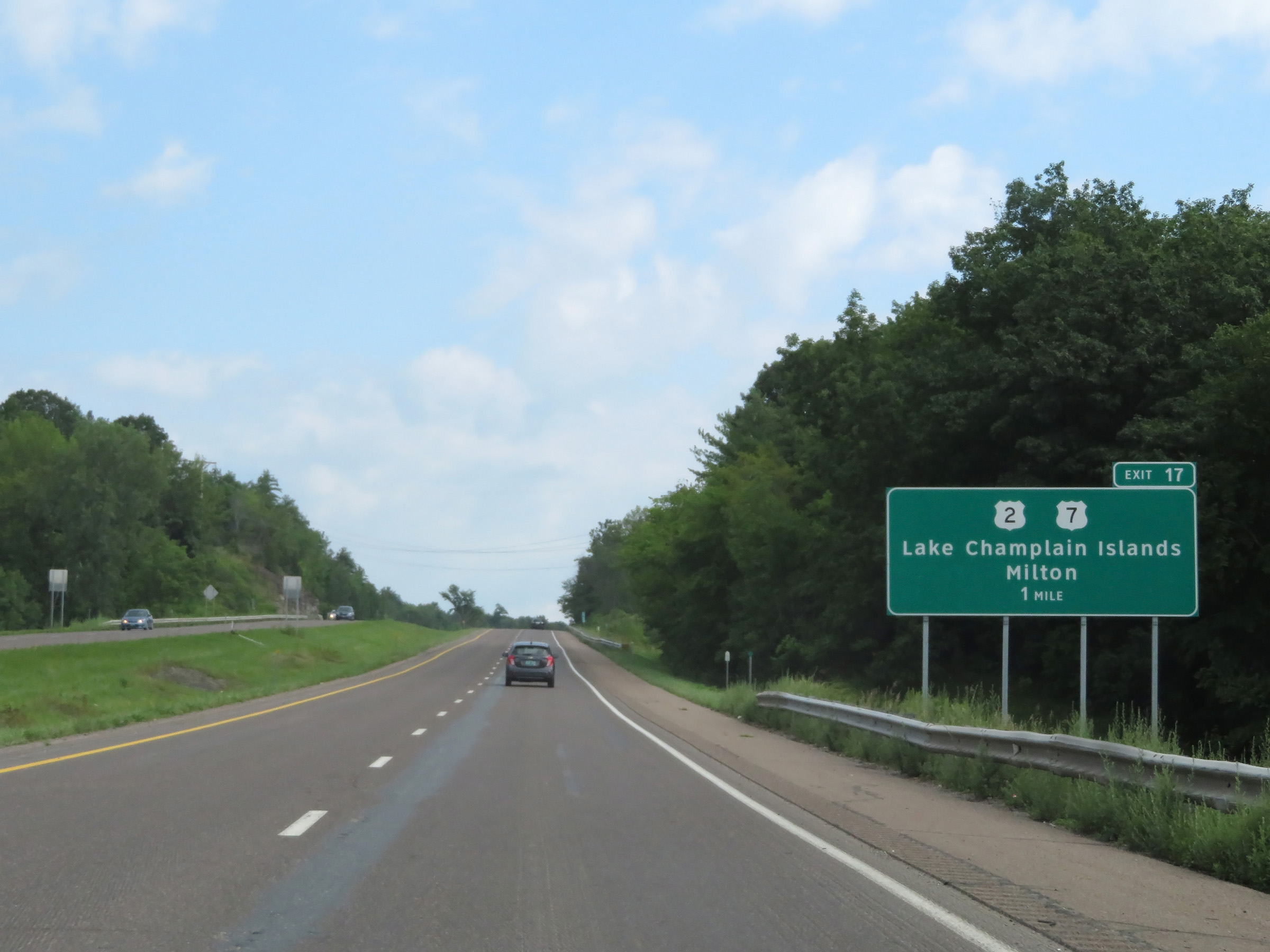
Interstate 89 North at Exit 17: US 2 / US 7 - Lake Champlain Islands / Milton (Photo taken 8/9/17). |
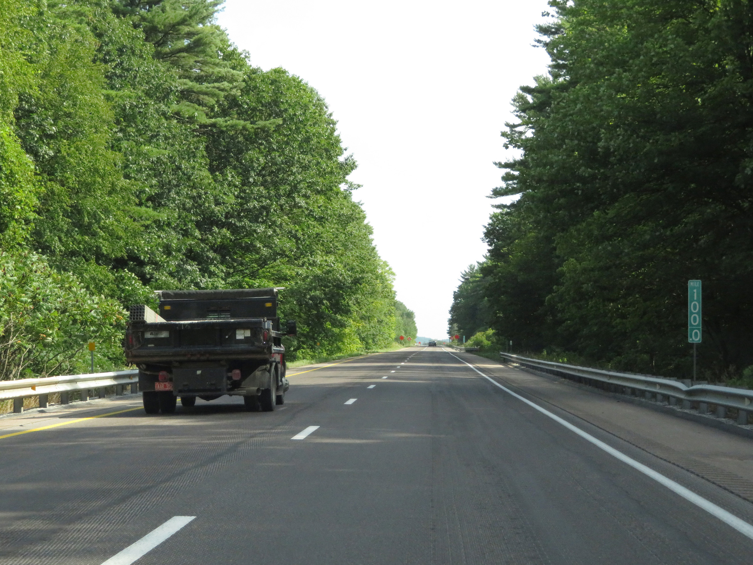 |
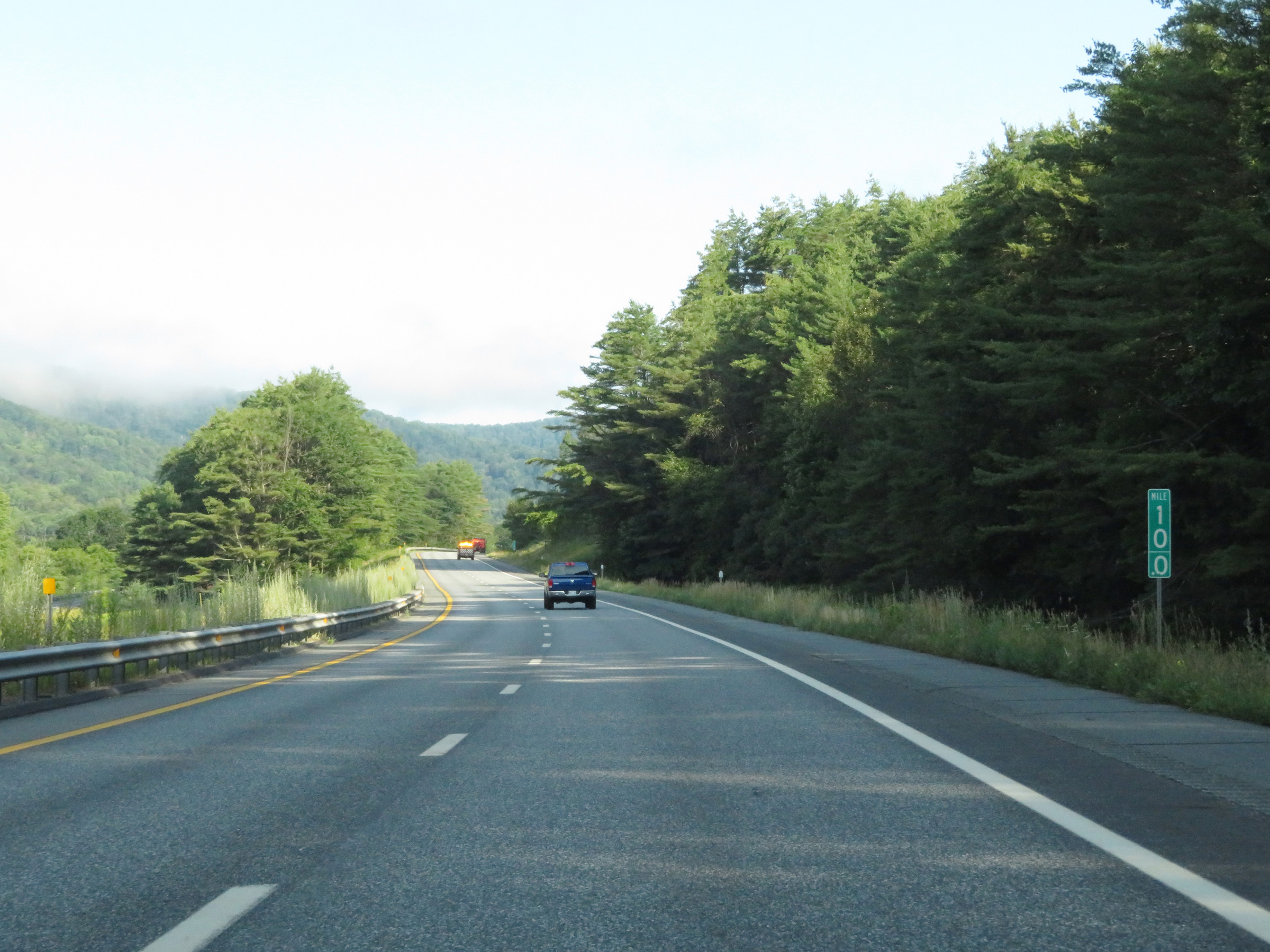
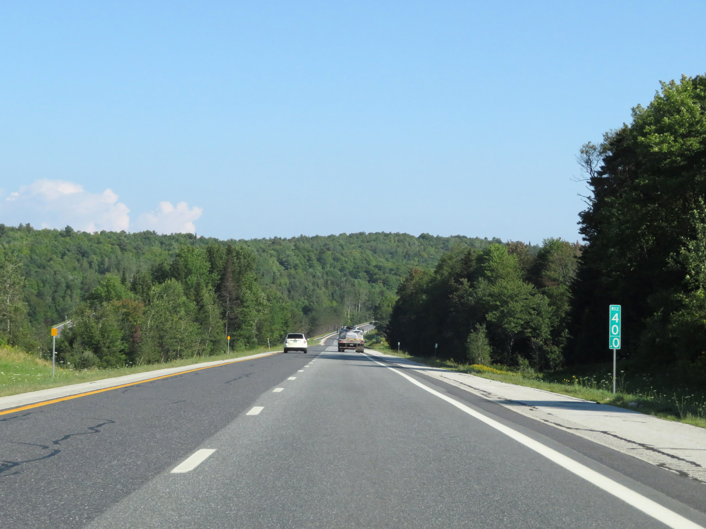
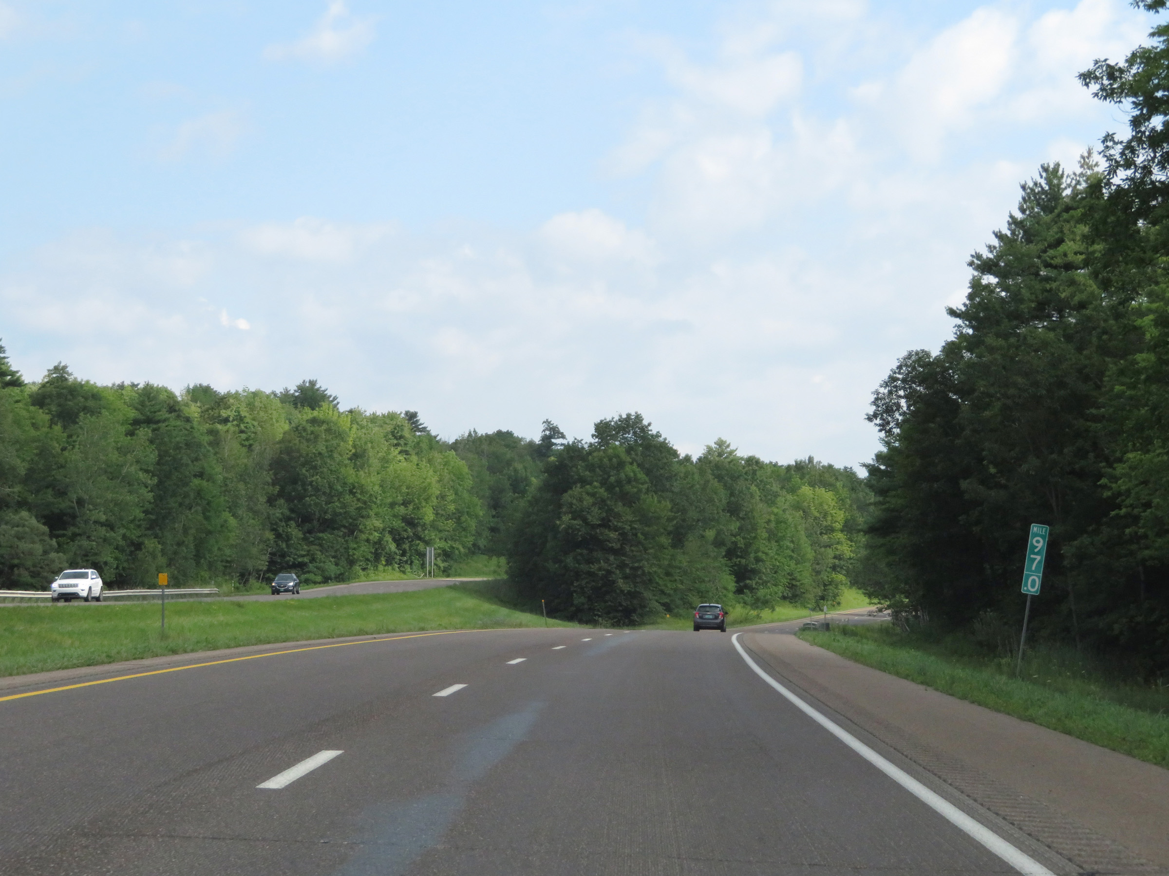
Interstate 89 North at mile marker 100. (Photo taken 8/9/17). |
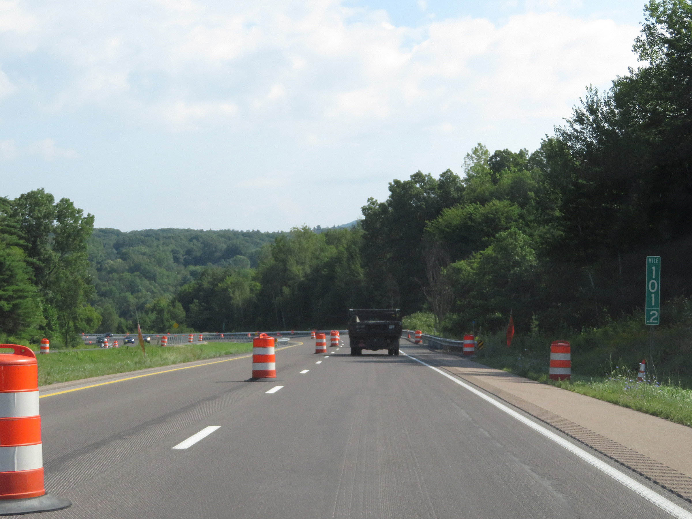 |
Mile marker 101.2 on Interstate 89 North in Chittenden County. (Photo taken 8/9/17). |
 |
View on Interstate 89 North at mile marker 104. (Photo taken 8/9/17). |
 |
Interstate 89 North as it enters Franklin County. (Photo taken 8/9/17). |
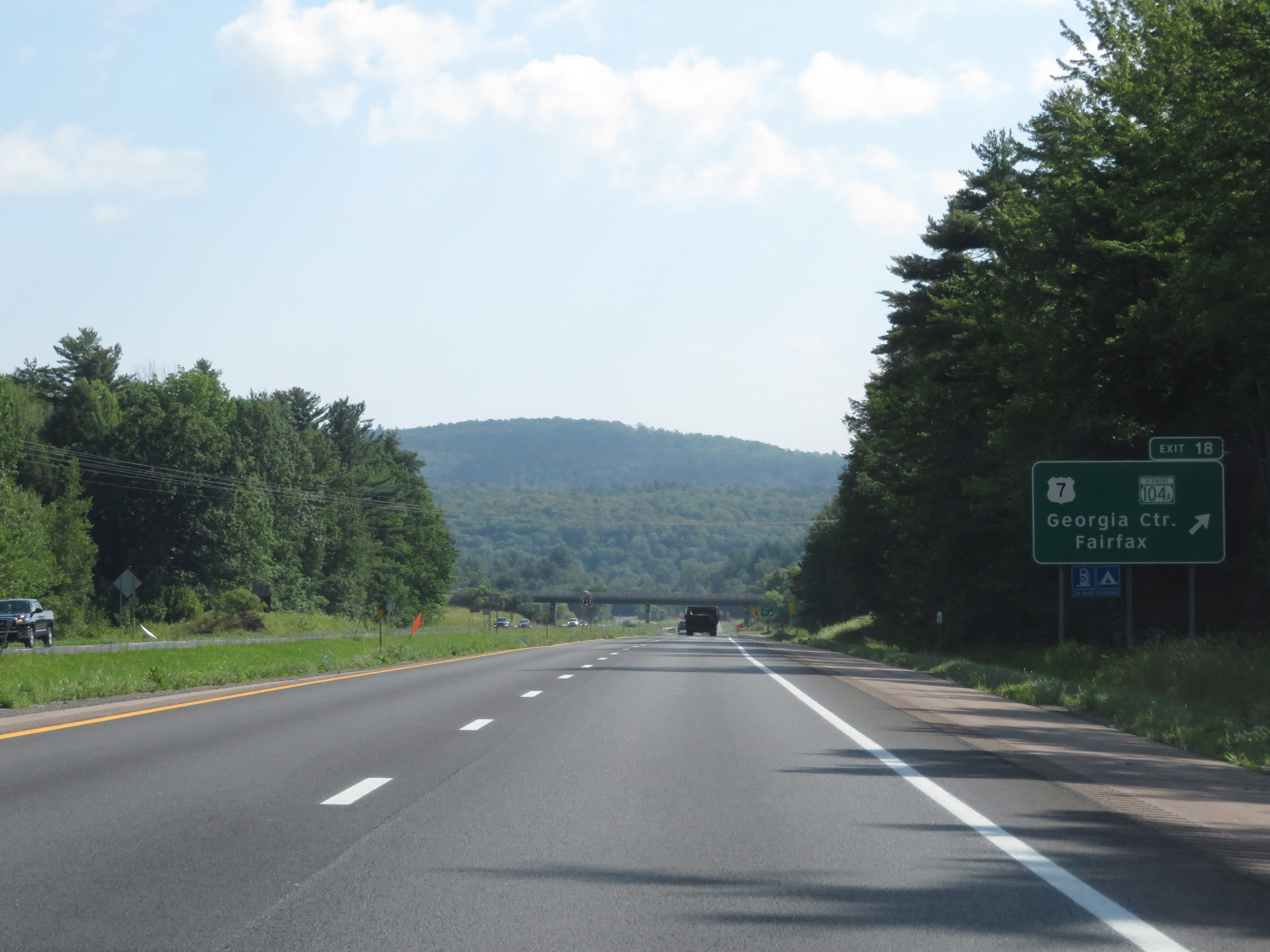 |
Interstate 89 North at Exit 18: US 7 / VT 104A: Georgia Center / Fairfax (Photo taken 8/9/17). |
 |
Speed limit signs on Interstate 89 North at mile marker 107. The speed limits remain 65 mph maximum and 40 mph minimum. (Photo taken 8/9/17). |
 |
Rest Area on Interstate 89 North in Franklin County. (Photo taken 8/9/17). |
 |
View on Interstate 89 North at mile marker 111. (Photo taken 8/9/17). |
 |
Interstate 89 North at mile marker 112. (Photo taken 8/9/17). |
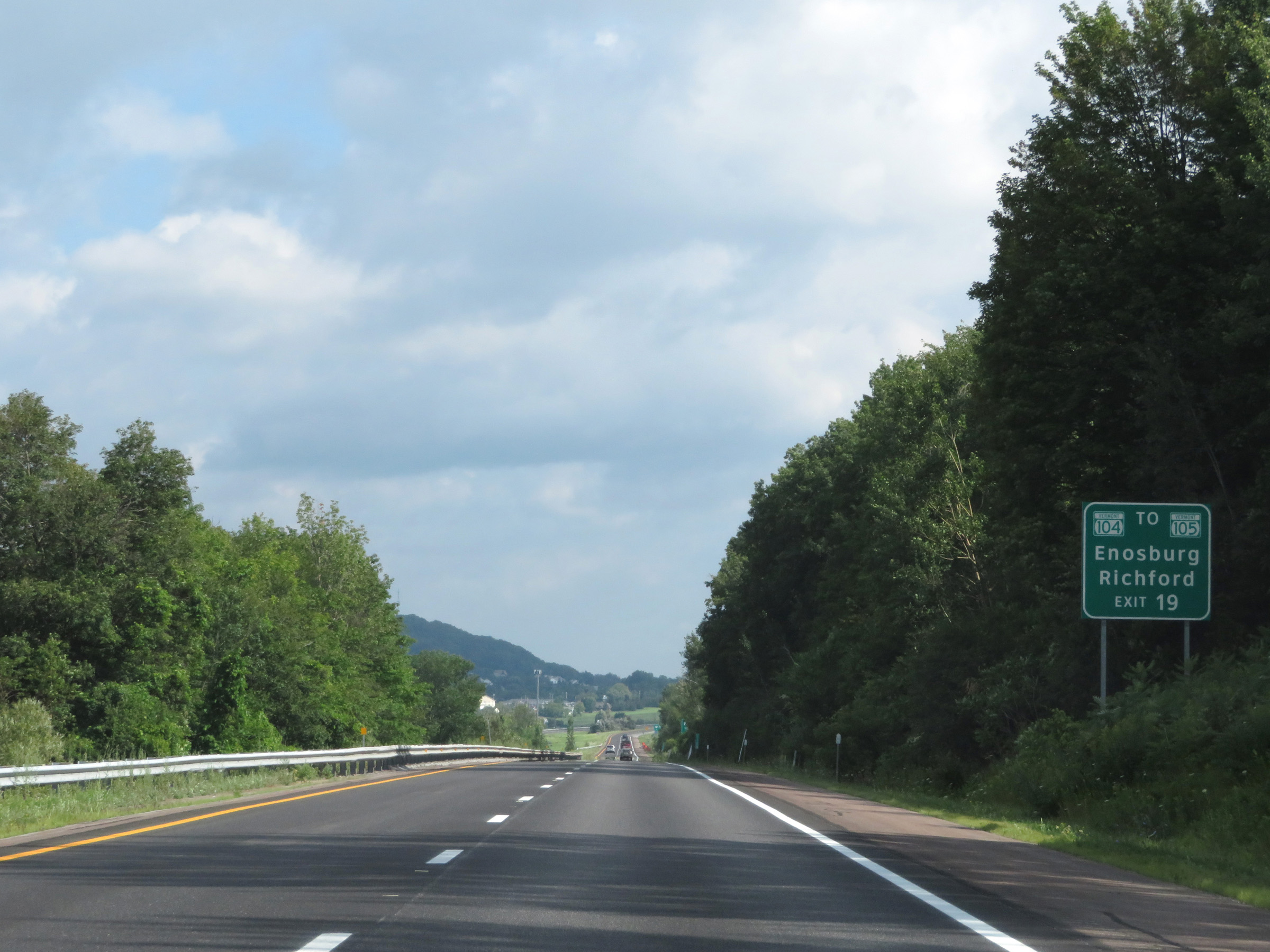 |
Take Exit 19 to VT 105 via VT 104 towards Enosburg and Richford. (Photo taken 8/9/17). |
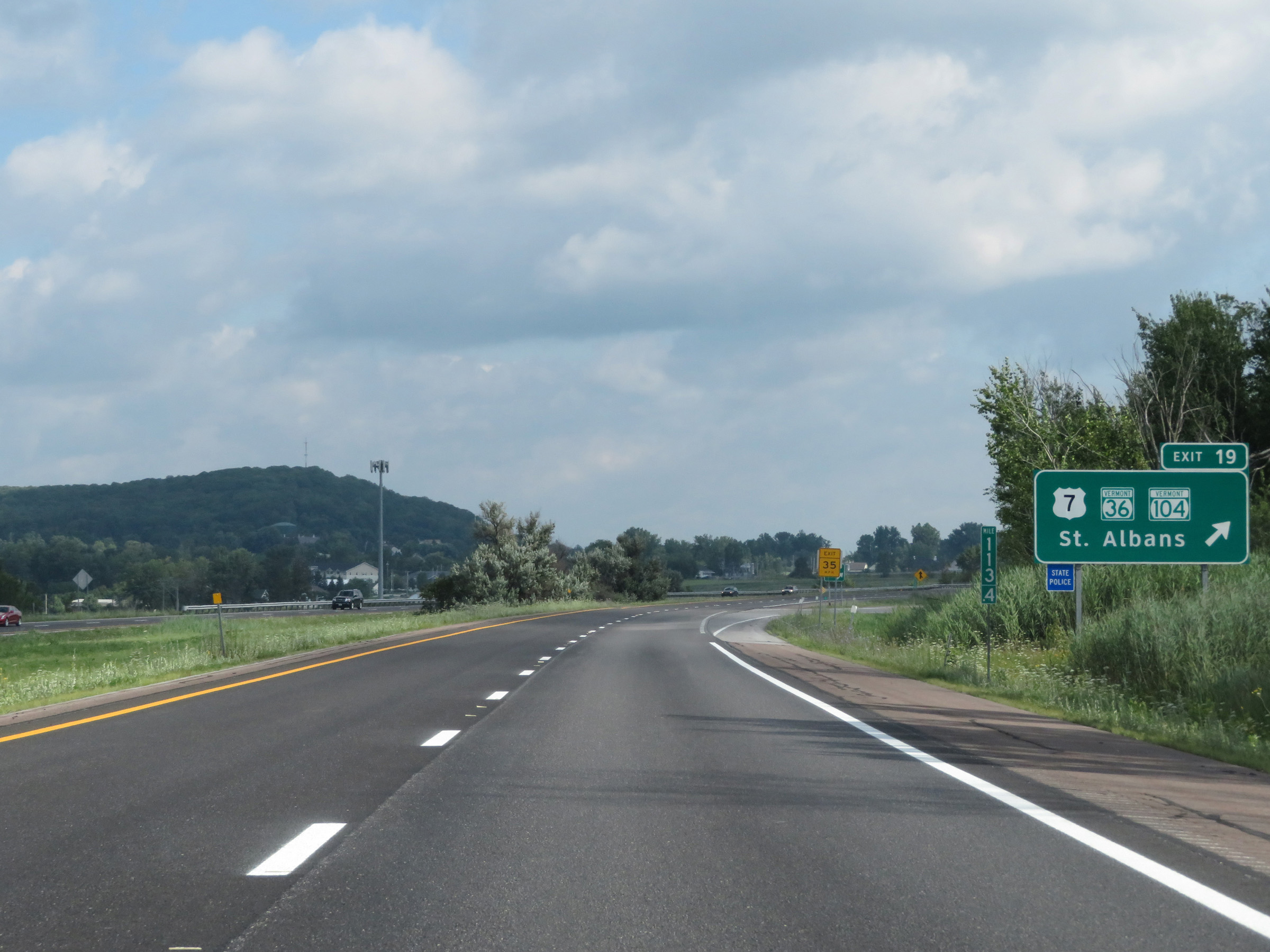 |
Interstate 89 North at Exit 19: US 7 / VT 36 / VT 104 - St. Albans (Photo taken 8/9/17). |
 |
Interstate 89 North reassurance shield at mile marker 114. (Photo taken 8/9/17). |
 |
Mileage sign at mile marker 114.4. It's 10 miles to Swanton and 73 miles to Montreal. (Photo taken 8/9/17). |
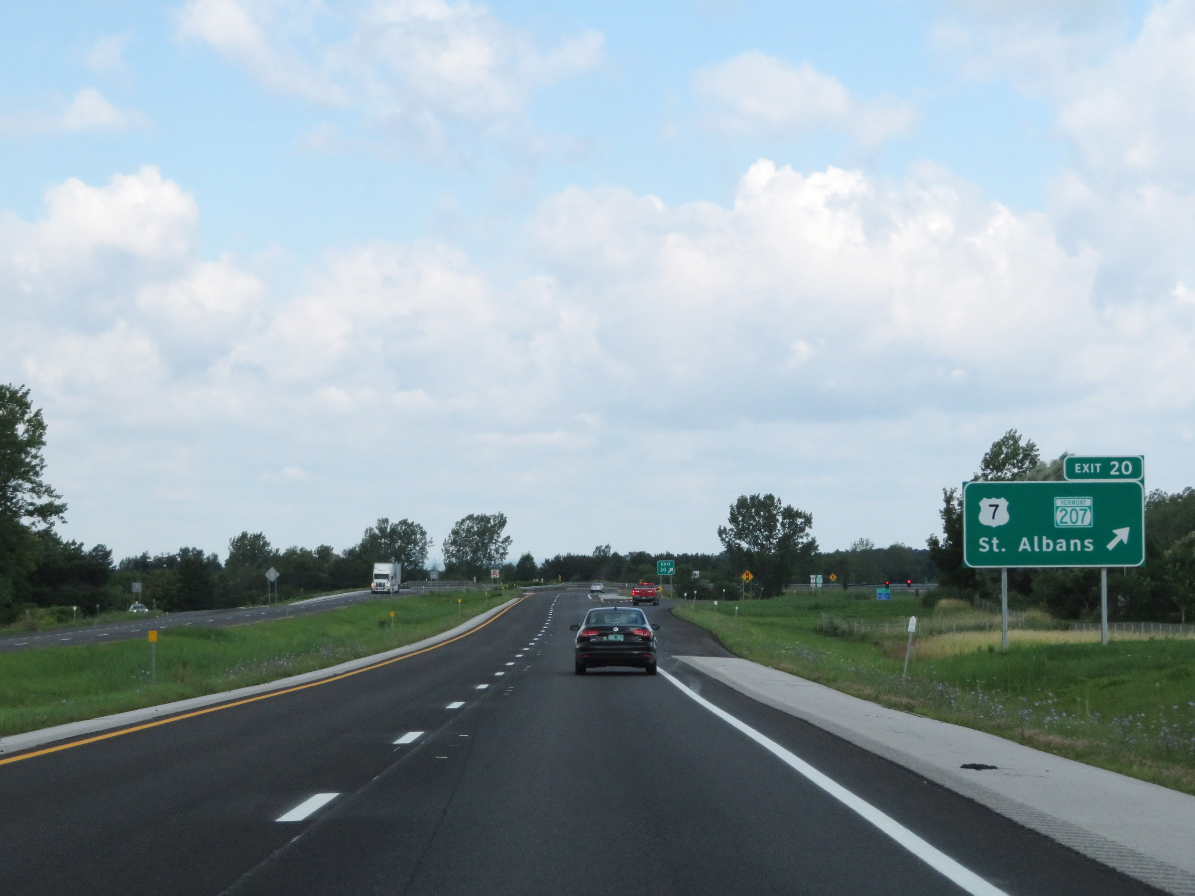 |
Interstate 89 North at Exit 20: US 7 / VT 207 - St. Albans (Photo taken 8/9/17). |
 |
View on Interstate 89 North at mile marker 118. (Photo taken 8/9/17). |
 |
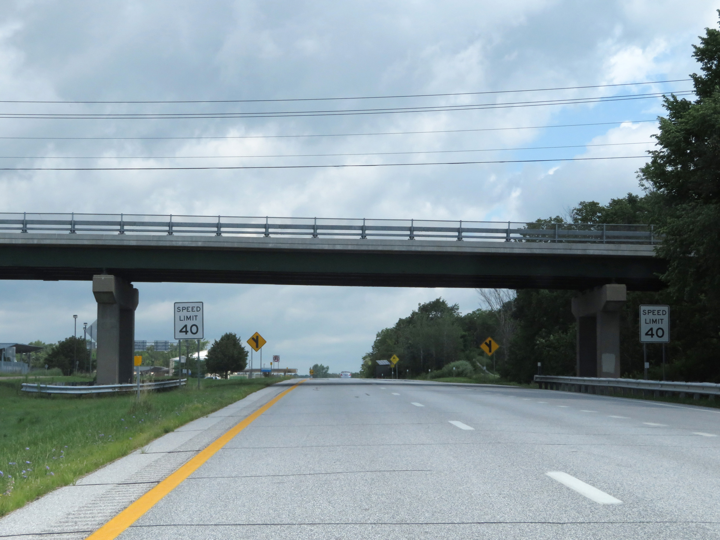
The speed limits remain 65 mph maximum and 40 mph minimum. (Photo taken 8/9/17). |
 |
View on Interstate 89 North at mile marker 119. (Photo taken 8/9/17). |
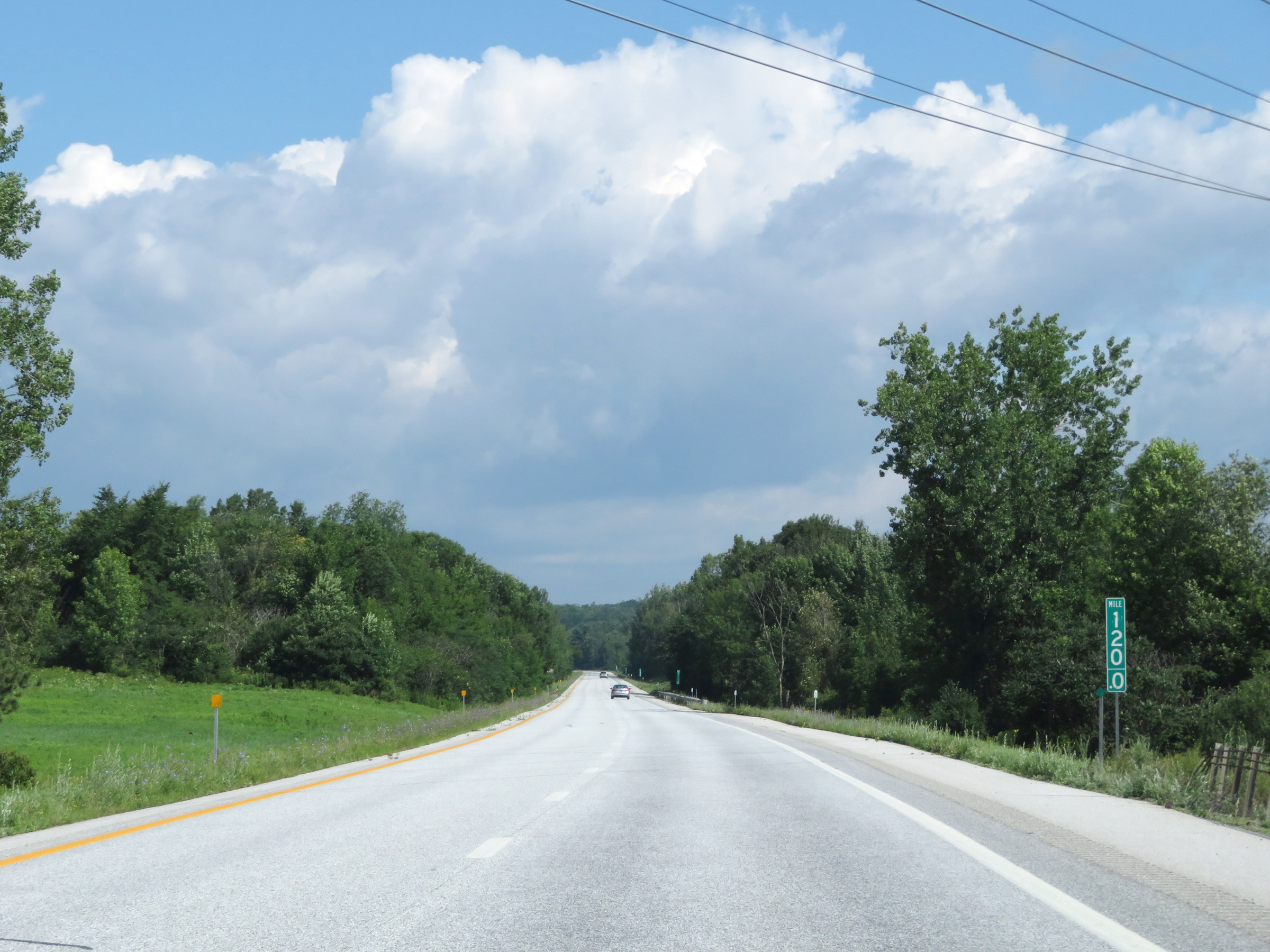 |
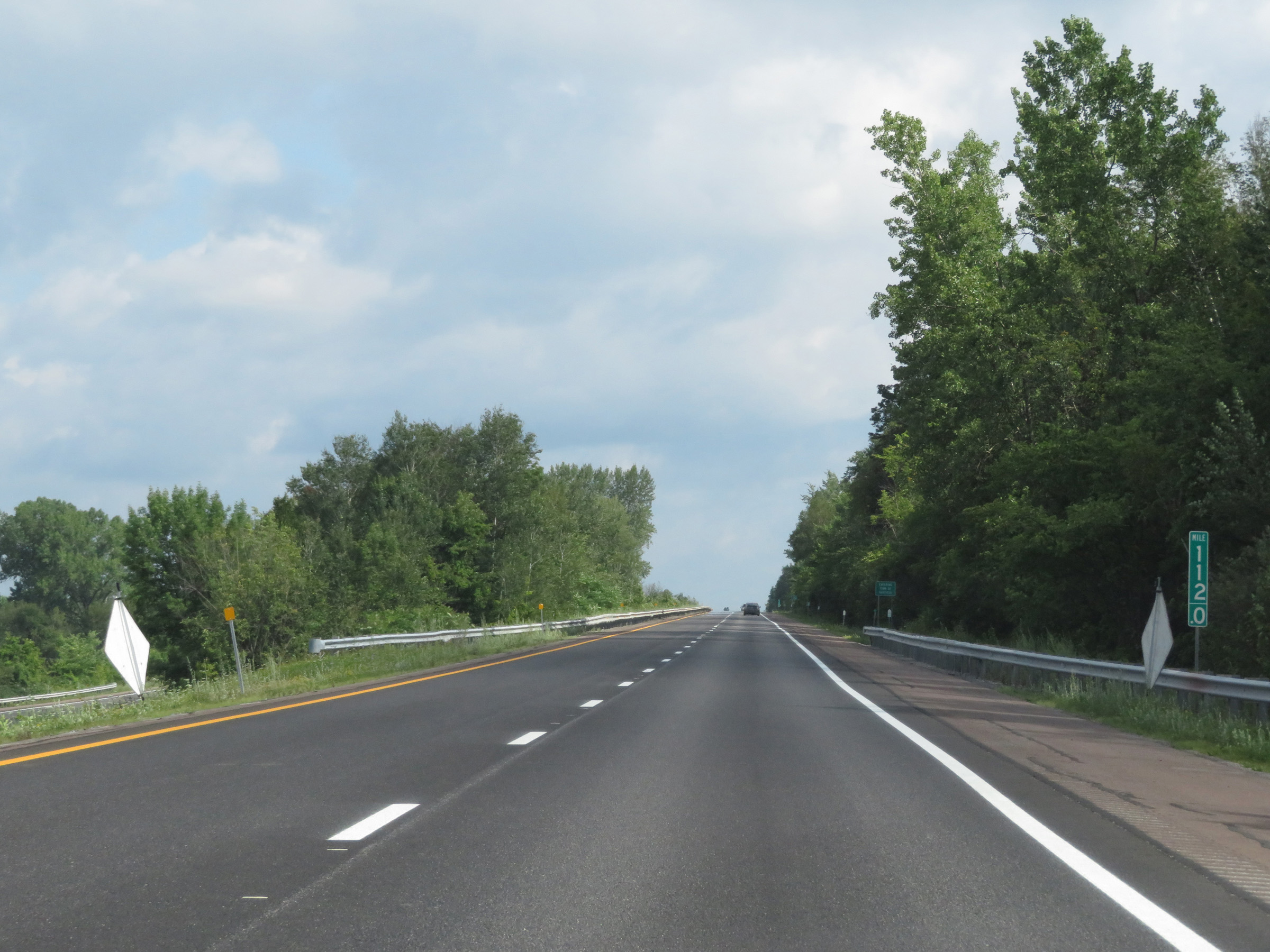
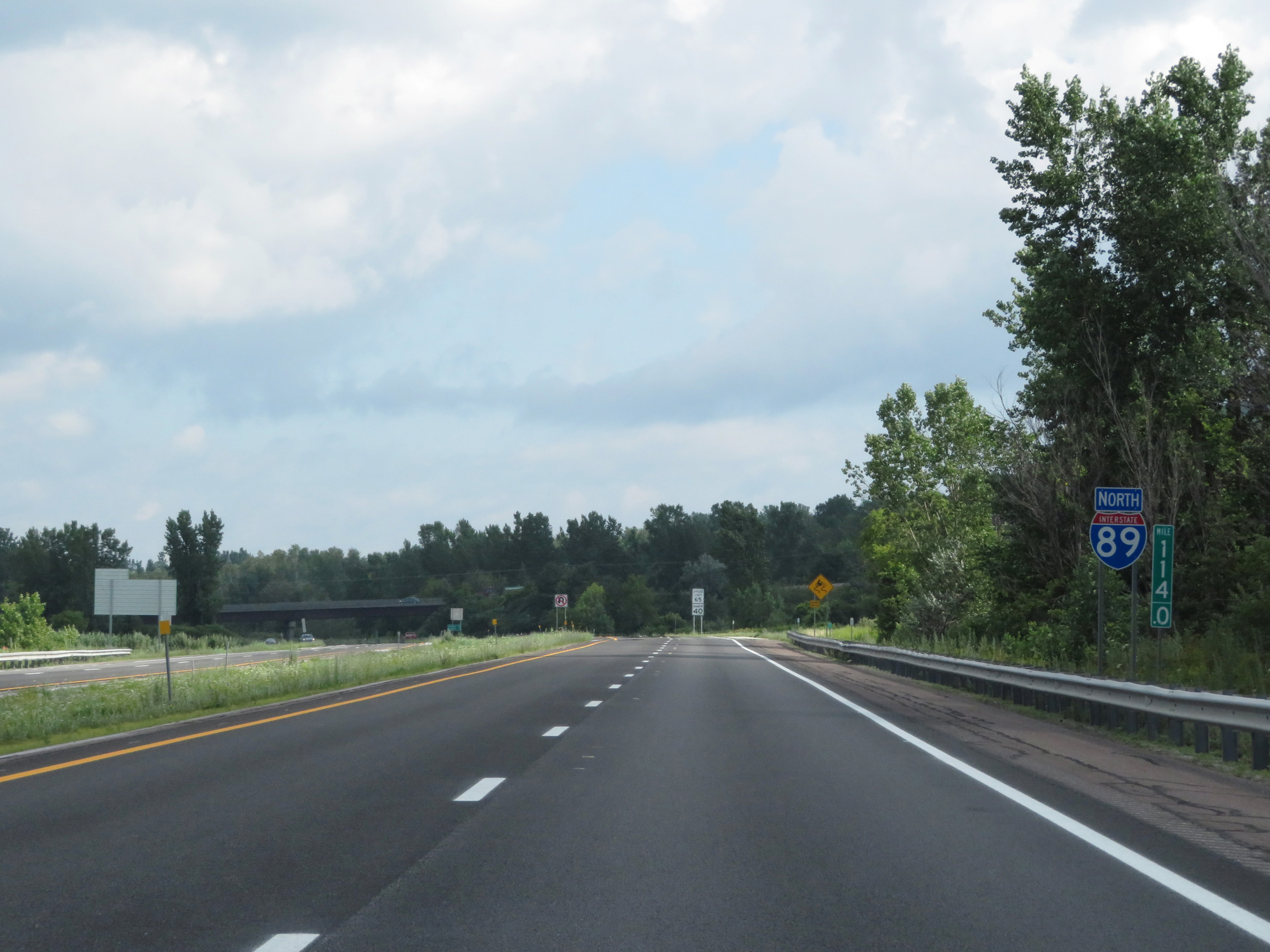
Interstate 89 North at mile marker 120. (Photo taken 8/9/17). |
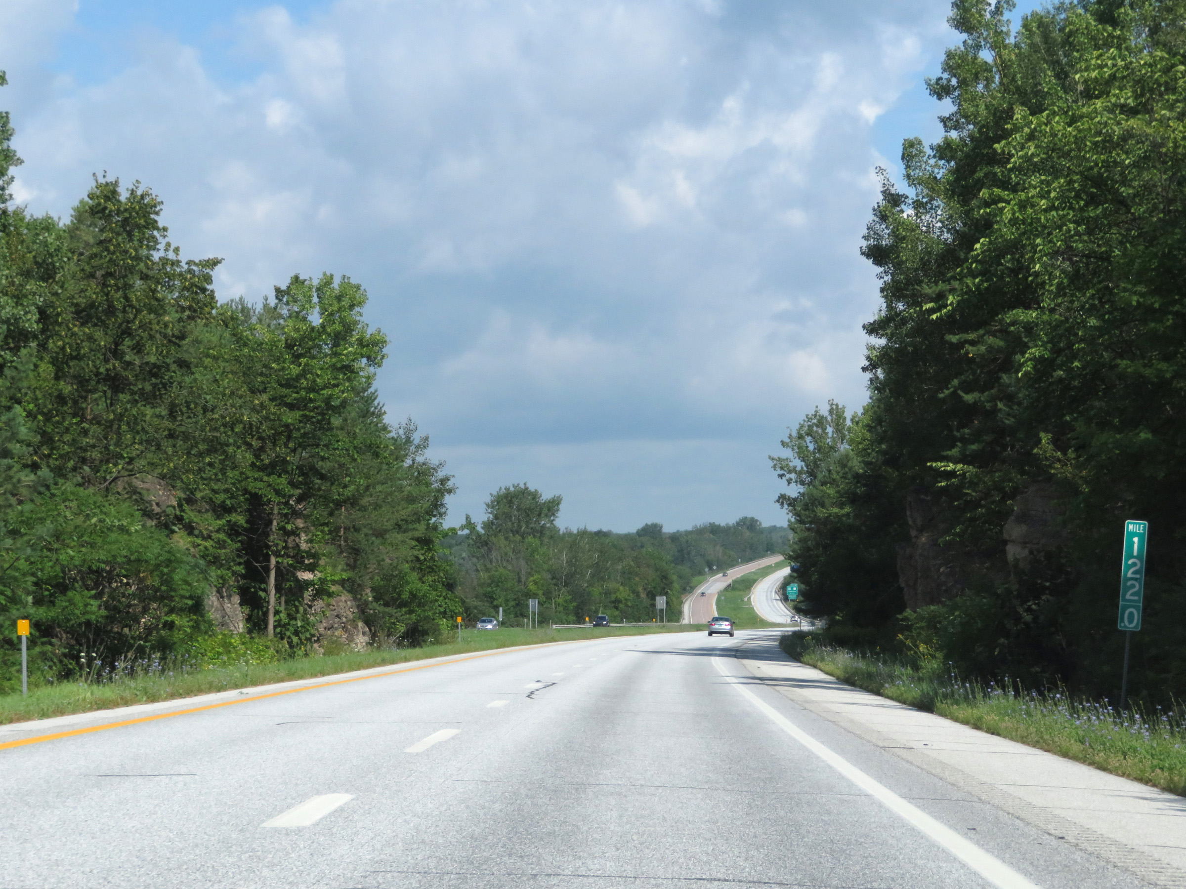 |
Mile marker 122 on Interstate 89 North in Franklin County. (Photo taken 8/9/17). |
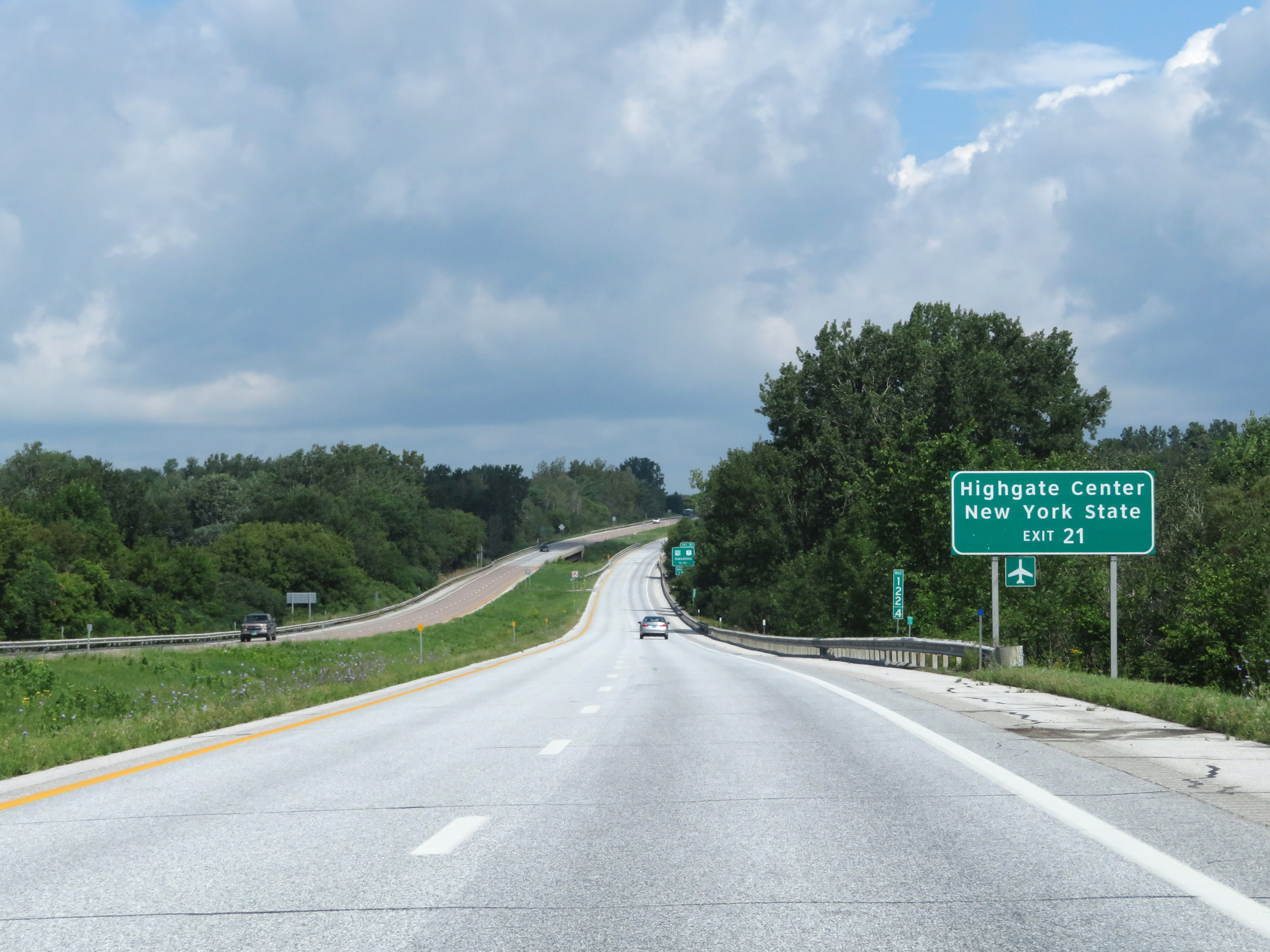 |
Take Exit 21 to Highgate Center and New York State. (Photo taken 8/9/17). |
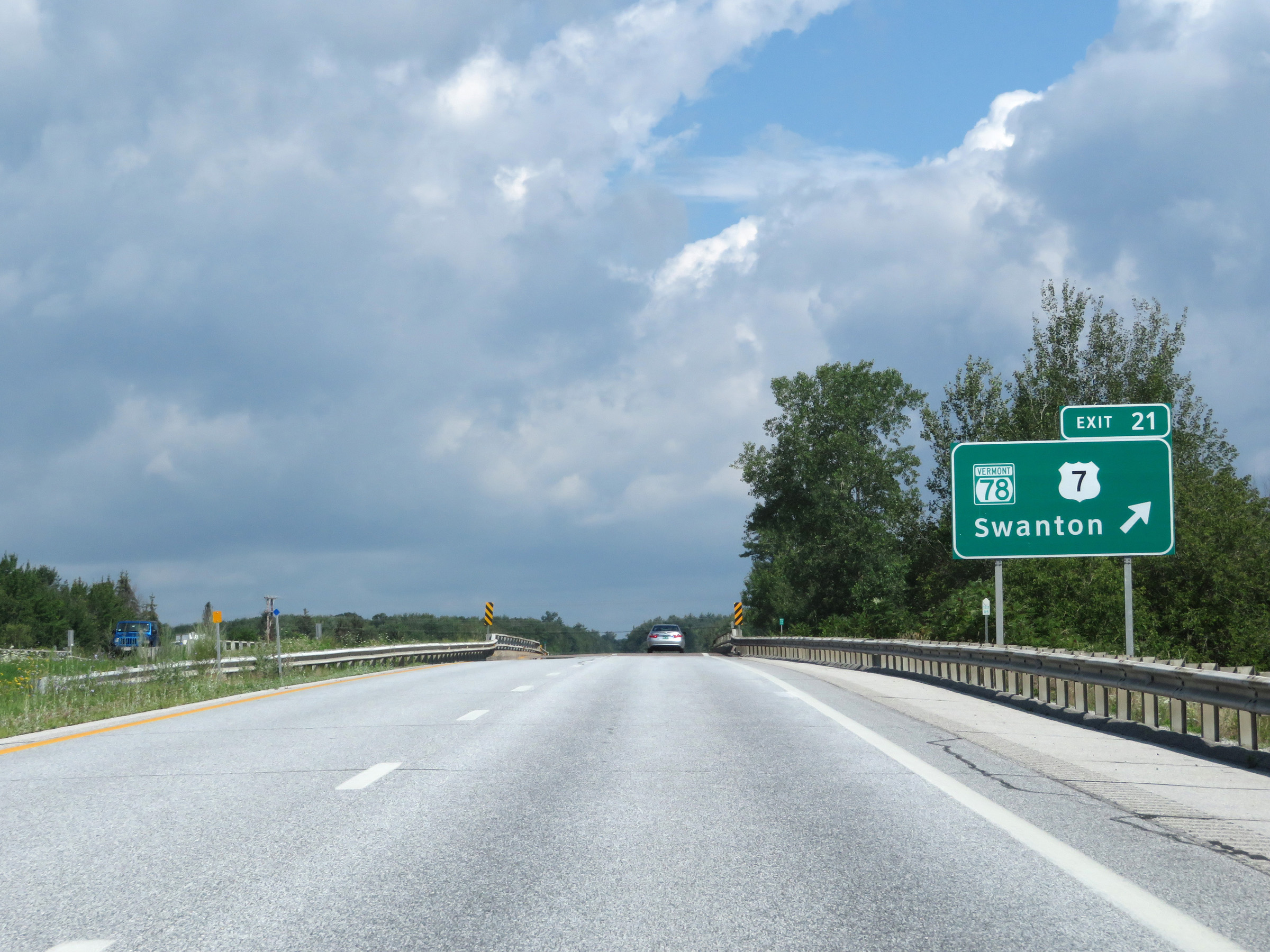 |
Interstate 89 North at Exit 21: VT 78 / US 7 - Swanton (Photo taken 8/9/17). |
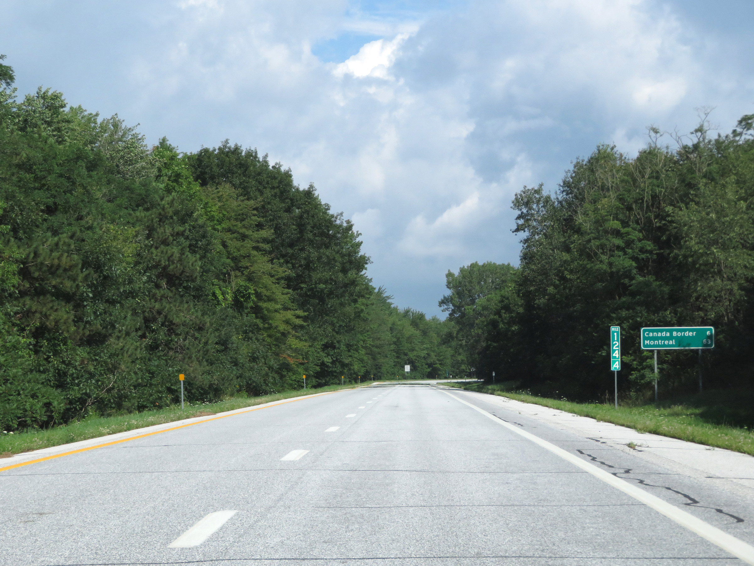 |
Mileage sign at mile marker 124.4. It's 6 miles to the Canadian Border and 63 miles to Montreal. (Photo taken 8/9/17). |
 |
View on Interstate 89 North at mile marker 125. (Photo taken 8/9/17). |
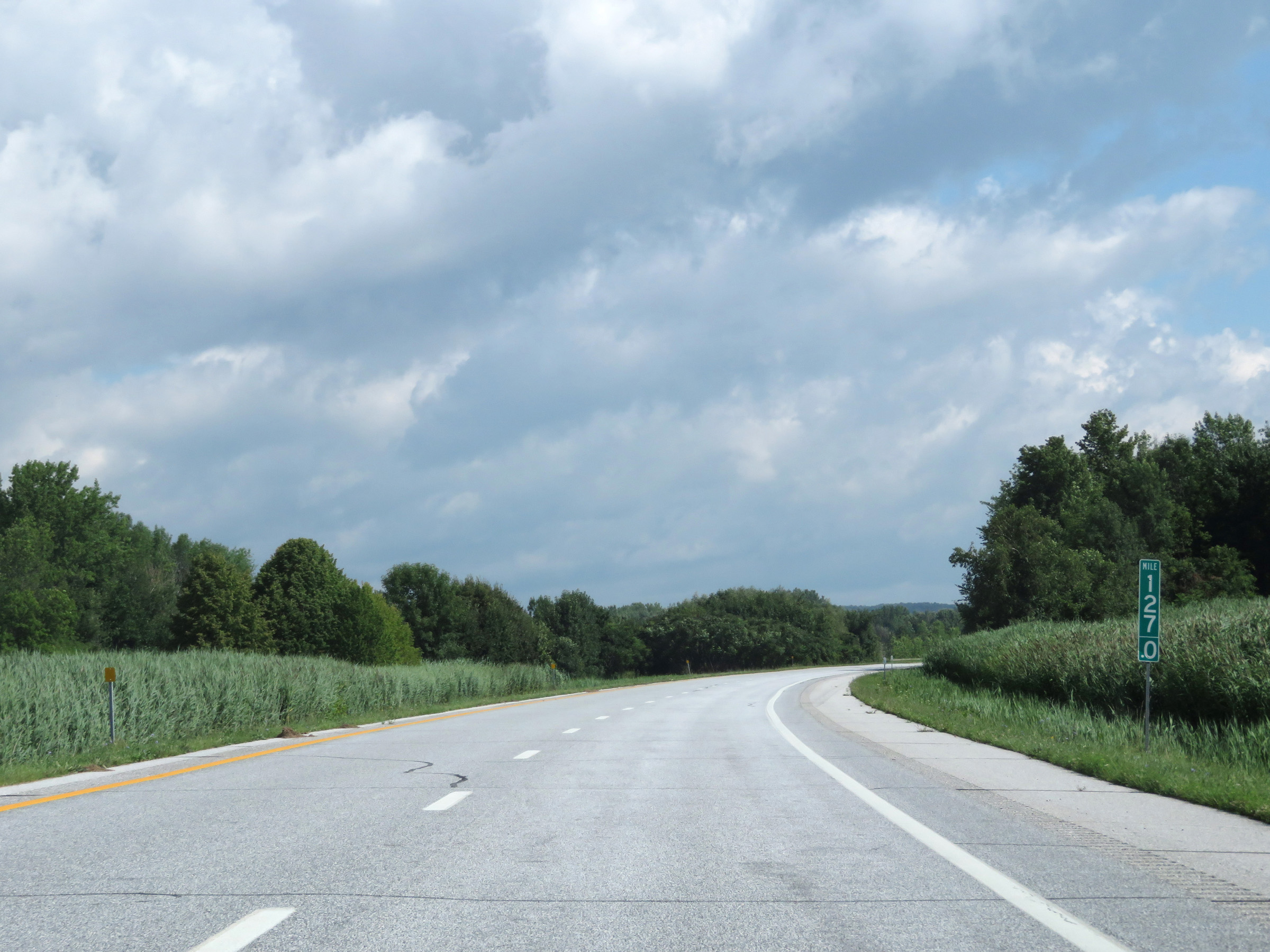 |
Interstate 89 North at mile marker 127. (Photo taken 8/9/17). |
 |
The Canadian Border is now just 2 miles ahead. I like how this mileage sign lists a country as its destination, yet the mileage to it is so short. (Photo taken 8/9/17). |
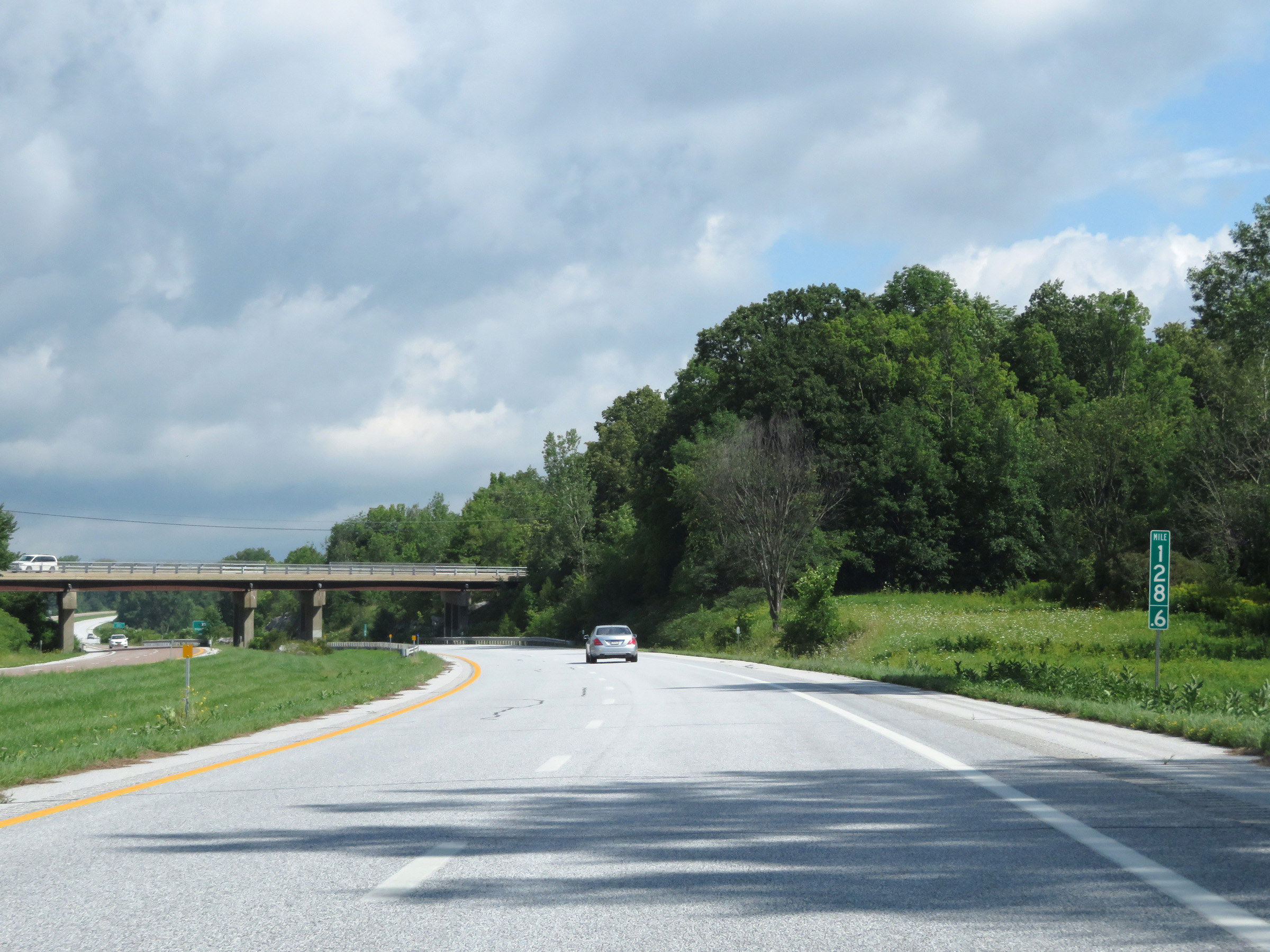 |
View on Interstate 89 North at mile marker 128.6. (Photo taken 8/9/17). |
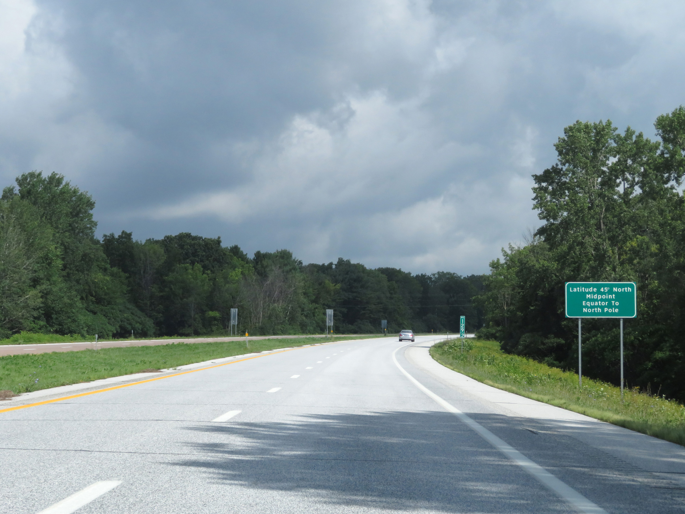 |
As this sign reads, it is at this point that Interstate 89 North crosses the Latitude line of 45 degrees North, which marks the midpoint between the equator and and North Pole. (Photo taken 8/9/17). |
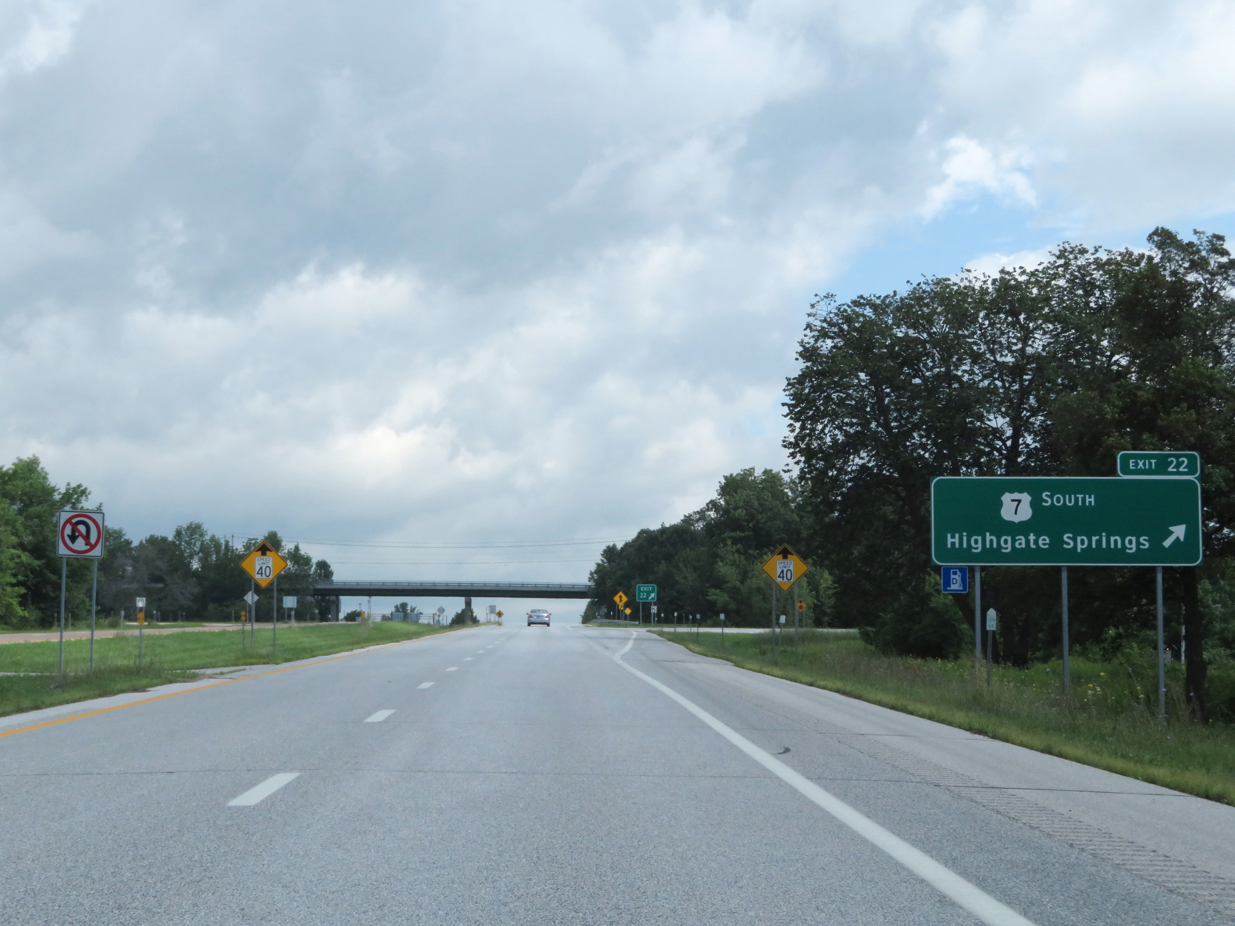 |
Interstate 89 North at Exit 22: US 7 South - Highgate Springs (Photo taken 8/9/17). |
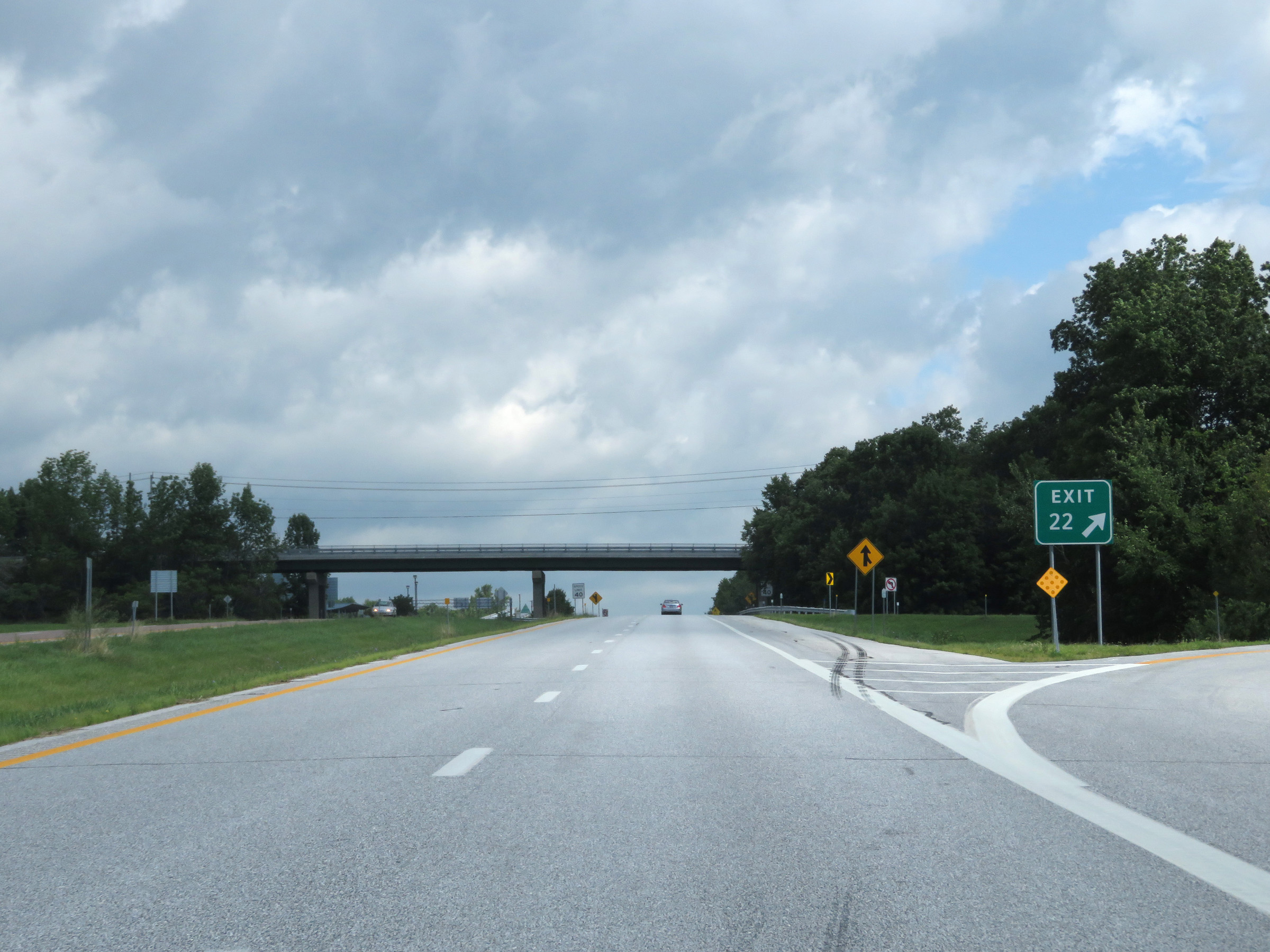 |
Gore point signage for Exit 22, which is the last exit on Interstate 89 North before the Canadian border. (Photo taken 8/9/17). |
 |
North of Exit 22, the maximum speed limit decreases to 40 mph as Interstate 89 approaches its northern terminus at the Canadian border. (Photo taken 8/9/17). |
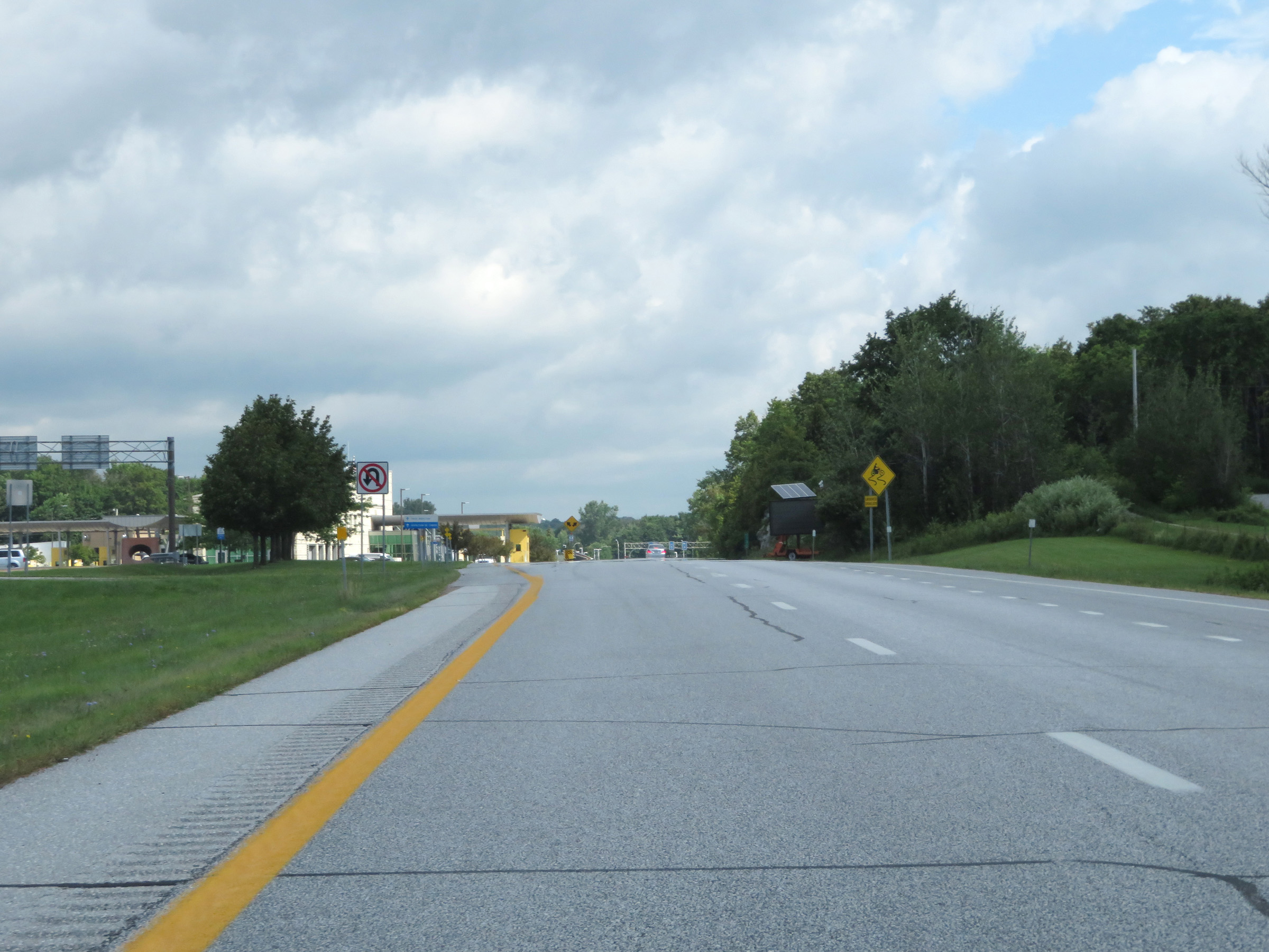 |
View on Interstate 89 North as it approaches the Canadian border and the Canada Customs Station. (Photo taken 8/9/17). |
 |
Interstate 89 North at mile marker 130, as it reaches its northern terminus at the Canadian Customs Station which can be seen in the distance. (Photo taken 8/9/17). |