Road Information |
||
 |
||
| Total Mileage in State: | 1.5 miles | |
| Eastern End: | At I-89, in South Burlington | |
| Western End: | At US 7, in Burlington | |
| Mileage covered in Photos: | 1.5 miles | |
| Counties covered in Photos: | Chittenden | |
| Major Junctions in Photos: | I-89, in South Burlington | |
| Control Cities in Photos: | Burlington, South Burlington | |
Eastbound
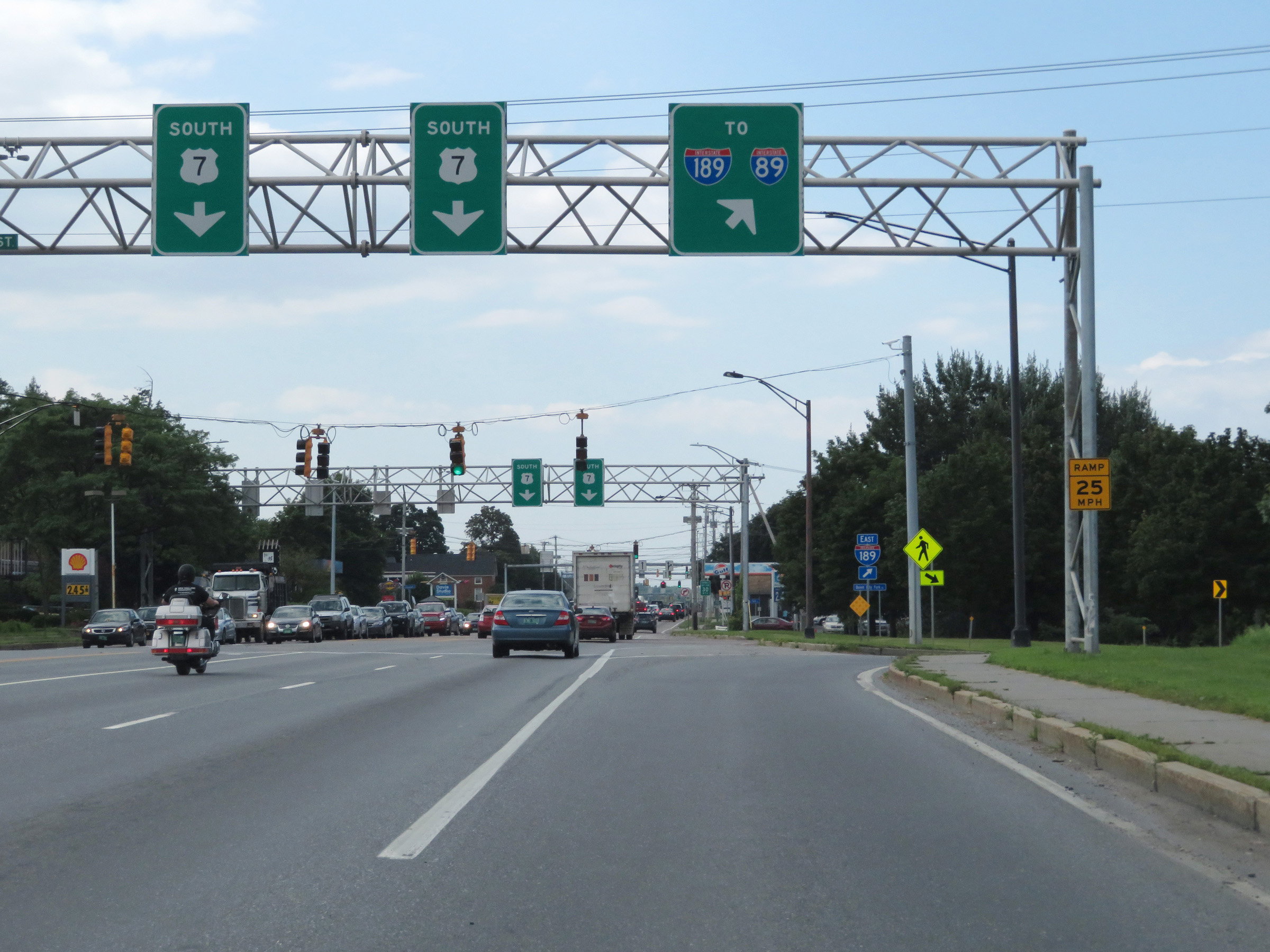 |
Merging onto Interstate 189 East from US 7 in Burlington. (Photo taken 8/9/17). |
 |
Interstate 189 East shield on the ramp from US 7. (Photo taken 8/9/17). |
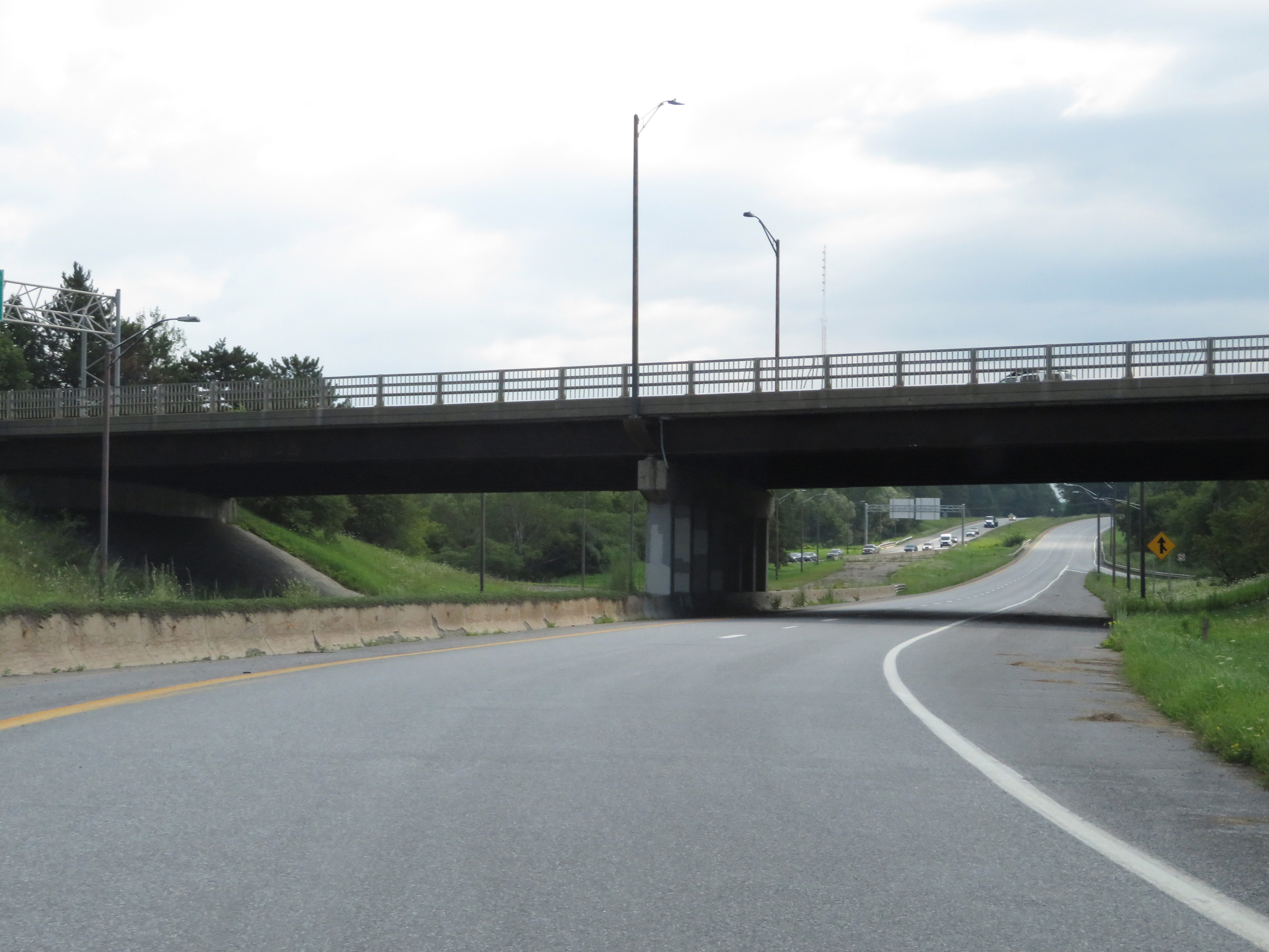 |
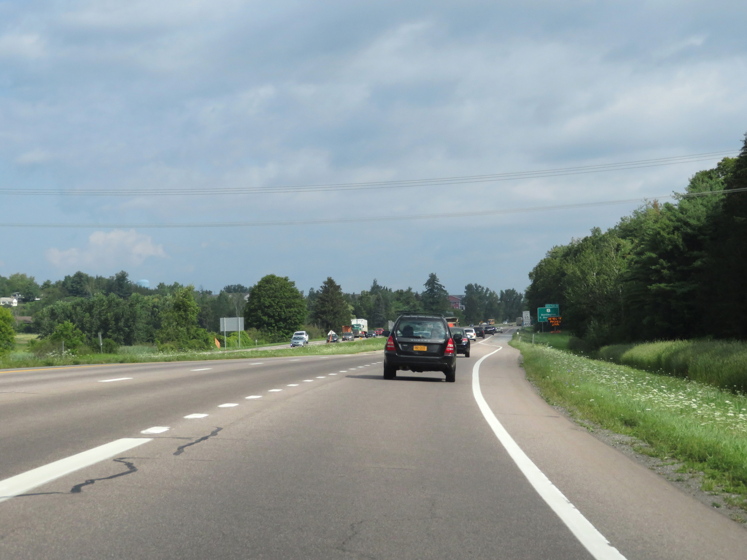
View on Interstate 189 East as it begins. (Photo taken 8/9/17). |
 |
Interstate 189 East as traffic from US 7 North merges into it on the right. (Photo taken 8/9/17). |
 |
Interstate 189 East reassurance shield. (Photo taken 8/9/17). |
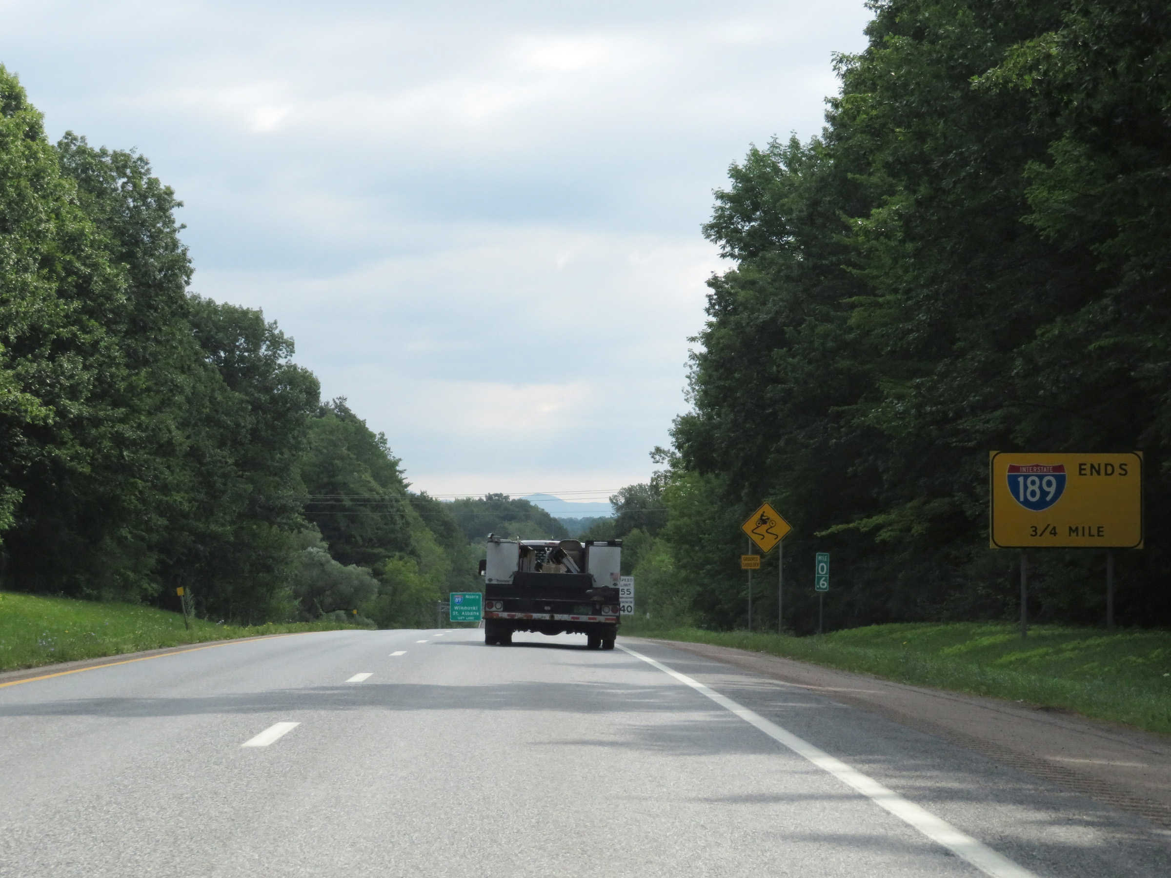 |
At mile marker 0.6, this sign warns that Interstate 189 East ends 3/4 mile ahead, which is at the junction of Interstate 89. (Photo taken 8/9/17). |
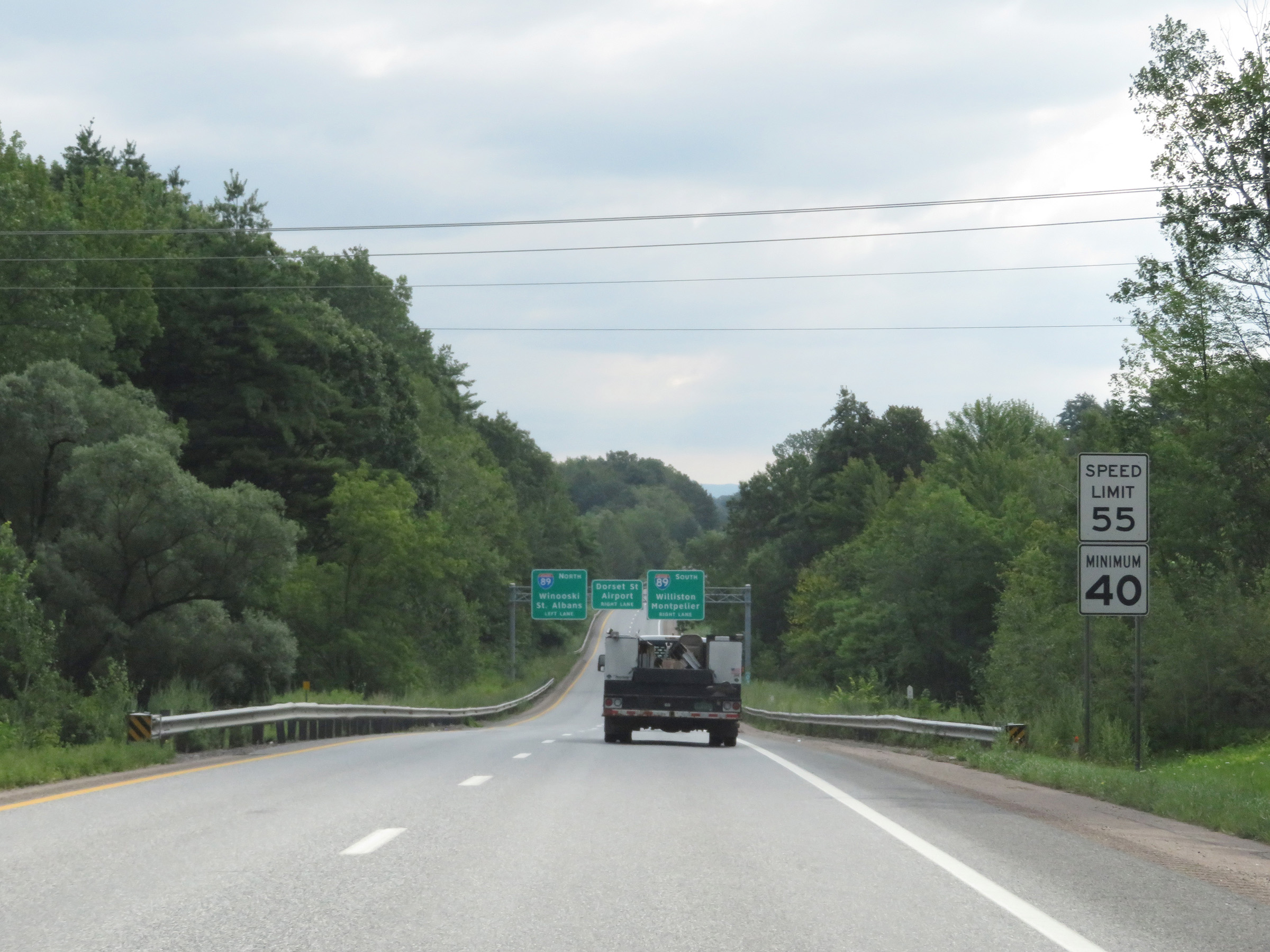 |
The speed limits on Interstate 189 East are 55 mph maximum and 40 mph minimum. (Photo taken 8/9/17). |
 |
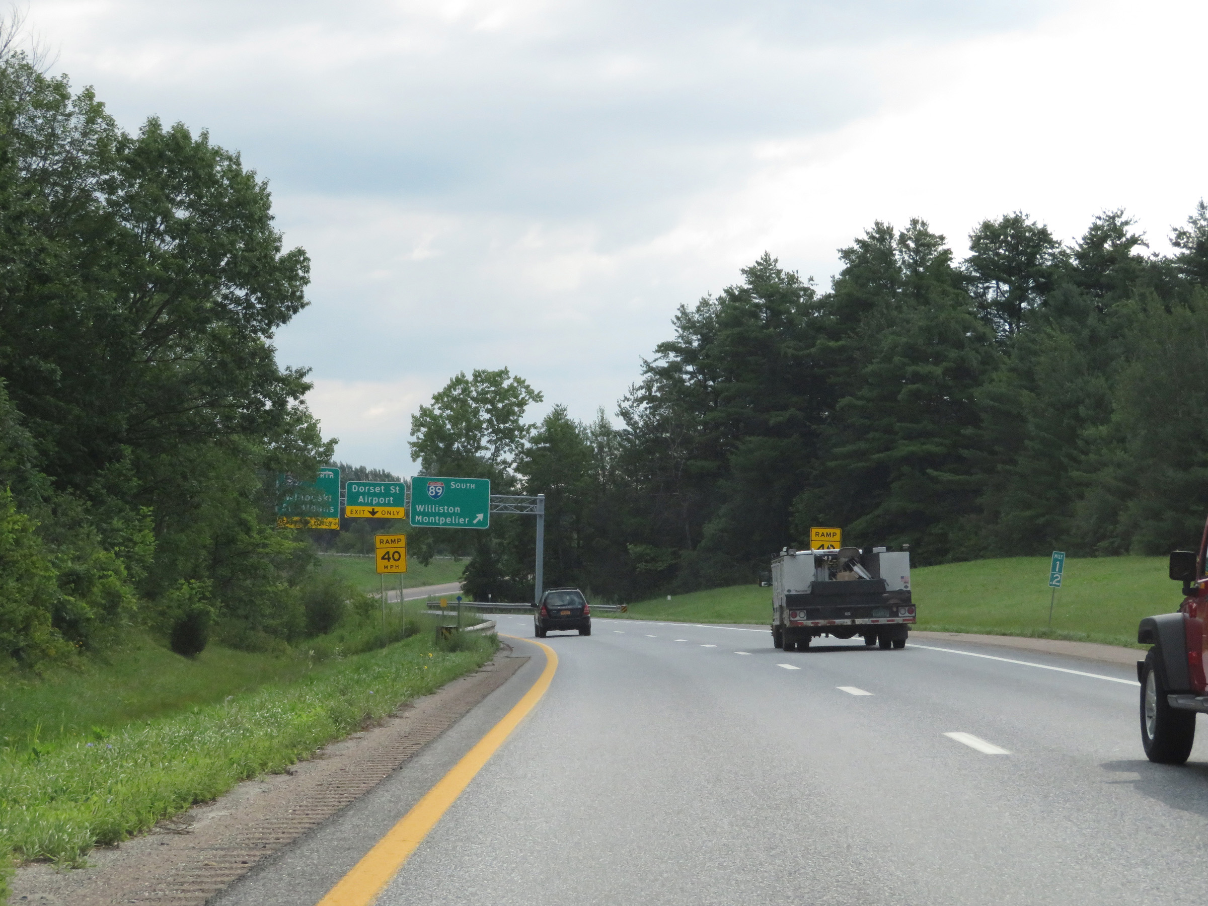
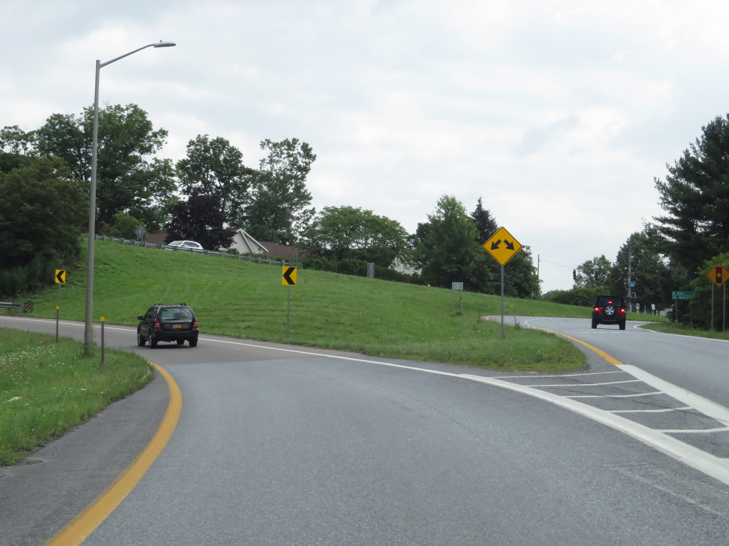
This overhead signage directs traffic to Interstate 89 North to use the left lane, while traffic to Interstate 89 South, Dorset St, or the Airport should use the right lane. (Photo taken 8/9/17). |
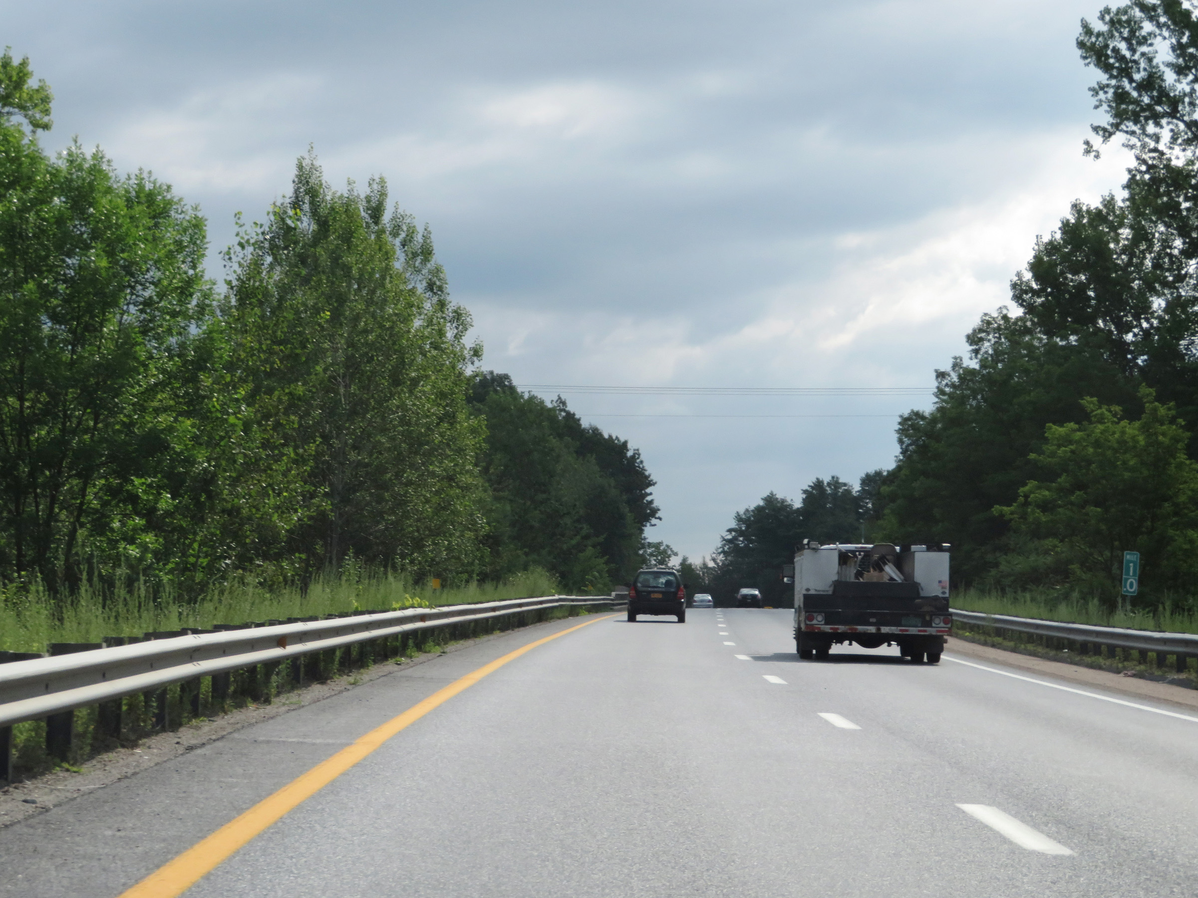 |
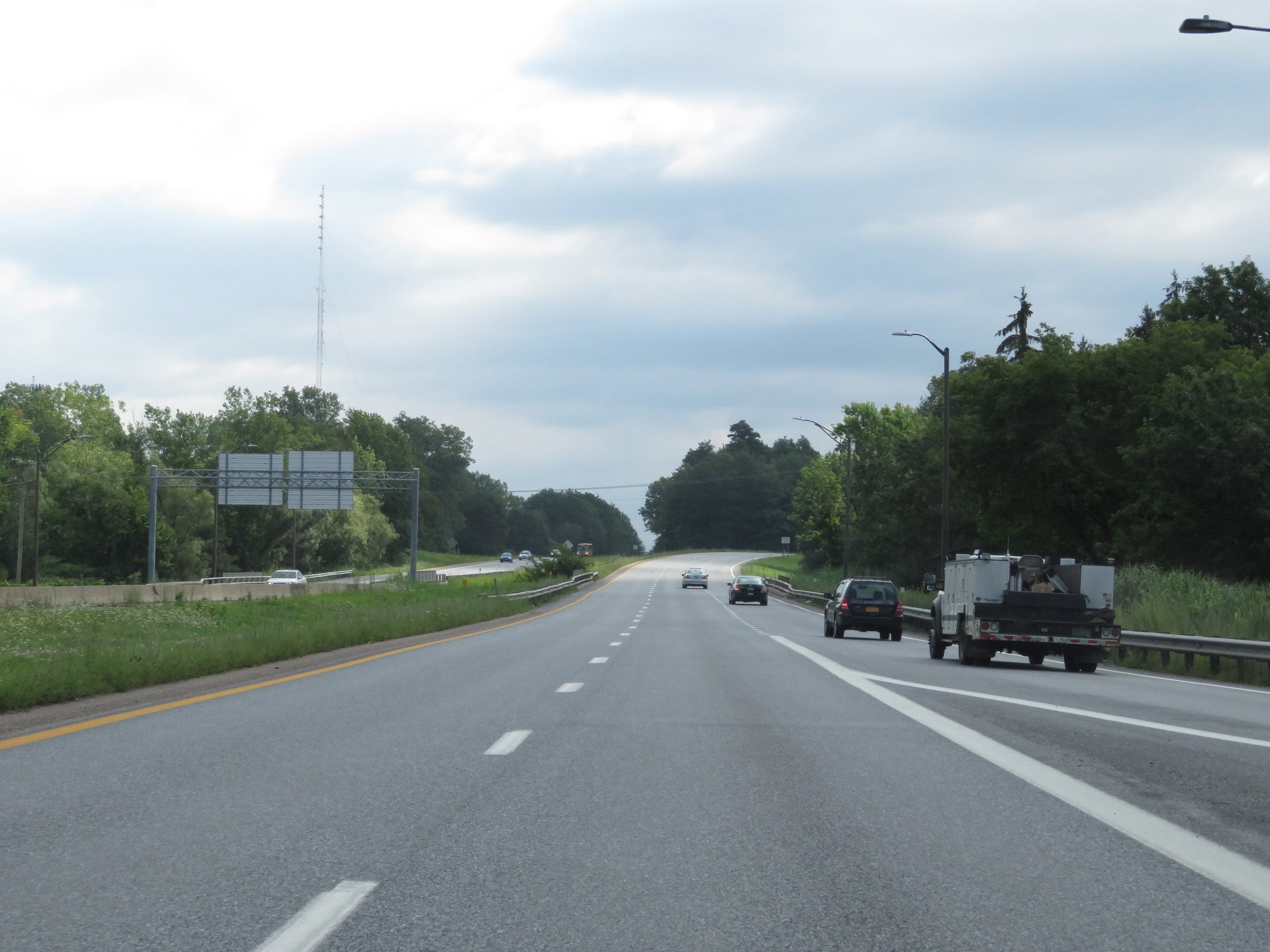
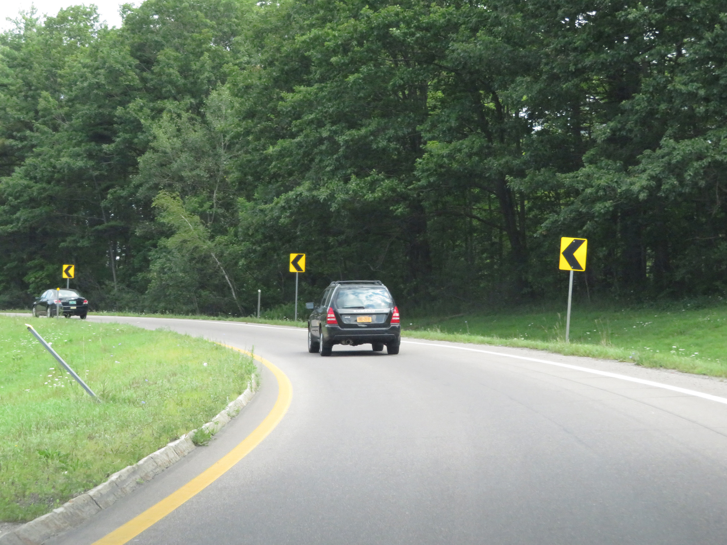
View on Interstate 189 East at mile marker 1. (Photo taken 8/9/17). |
 |
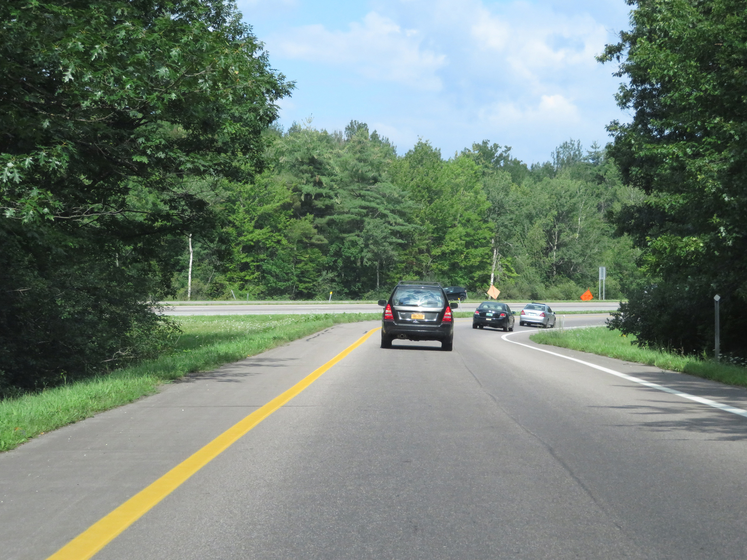
Interstate 189 East at mile marker 1.2, approaching the junction of Interstate 89. (Photo taken 8/9/17). |
 |
Interstate 189 East at Exit: Interstate 89 South - Williston / Montpelier (Photo taken 8/9/17). |
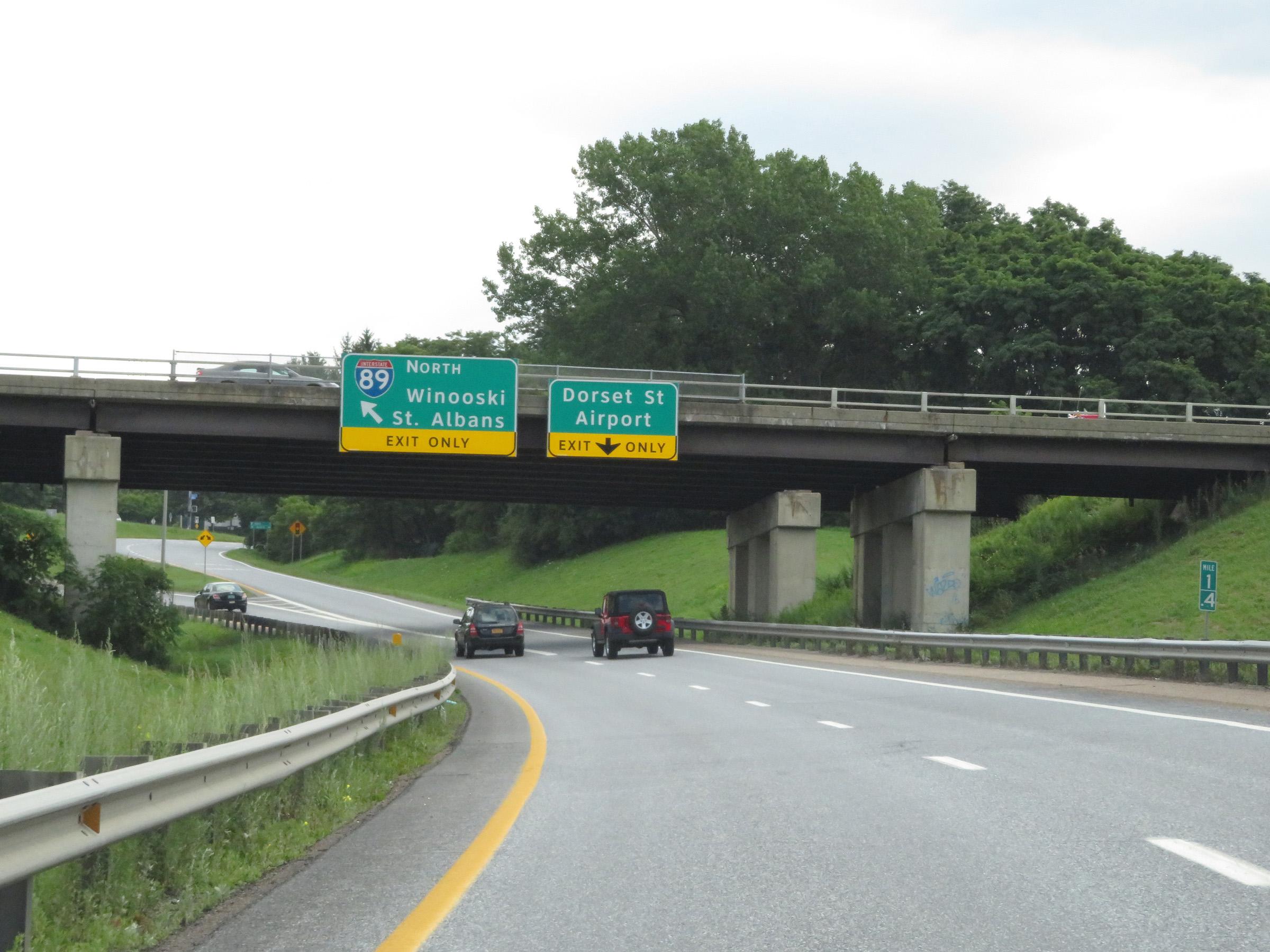 |
Interstate 189 East at Exit: Interstate 89 North - Winooski / St. Albans; Exit: Dorset St / Airport (Photo taken 8/9/17). |
 |
View at the eastern terminus of Interstate 189. The left lane becomes the ramp to Interstate 89 North, while the right lane becomes a ramp to Kennedy Dr and Dorset St. (Photo taken 8/9/17). |
 |
View on the ramp to Interstate 89 North from Interstate 189 East. (Photo taken 8/9/17). |
 |
The ramp to Interstate 89 North as I-89 traffic comes into view. (Photo taken 8/9/17). |
 |
The ramp from Interstate 189 East merges into Interstate 89 North here. (Photo taken 8/9/17). |