Road Information |
||
 |
||
| Total Mileage in State: | 161 miles | |
| Northern End: | At Kentucky state line | |
| Southern End: | At Georgia state line | |
| Mileage covered in Photos: | 161 miles | |
| Counties covered in Photos: | Campbell, Anderson, Knox, Loudon, Monroe, McMinn, Bradley, Hamilton | |
| Major Junctions in Photos: | I-275, in Knoxville I-640, in Knoxville I-40, in Knoxville I-140, in Knoxville I-24, in Chattanooga |
|
| Control Cities in Photos: | Jellico, Rocky Top, Knoxville, Lenior City, Cleveland, Ooltewah, Chattangooa | |
Southbound
- Section 1: Kentucky Border to Rocky Top (Exit 128)
- Section 2: Rocky Top (Exit 128) to Knoxville (Exit 374)
- Section 3: Knoxville (Exit 374) to Athens (Exit 49)
- Section 4: Athens (Exit 49) to Georgia Border
Section 1: Kentucky Border to Rocky Top (Exit 128)
 |
Tennessee welcome sign on Interstate 75 South as it enters the Volunteer State from Kentucky. (Photo taken 12/17/20). |
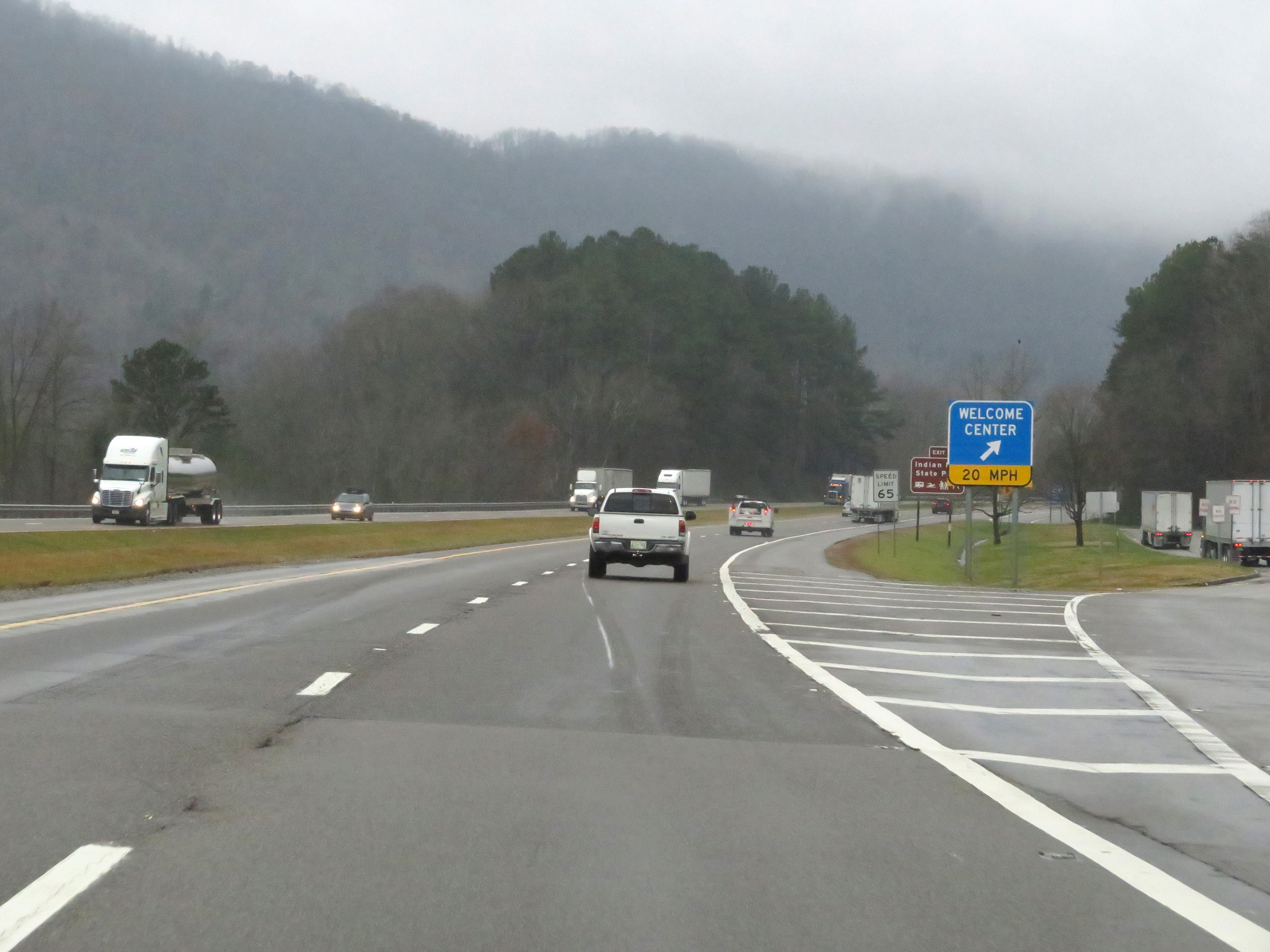 |
Tennessee Welcome Center / Rest Area on Interstate 75 South in Campbell County, immediatly upon crossing the state line. (Photo taken 12/17/20). |
 |
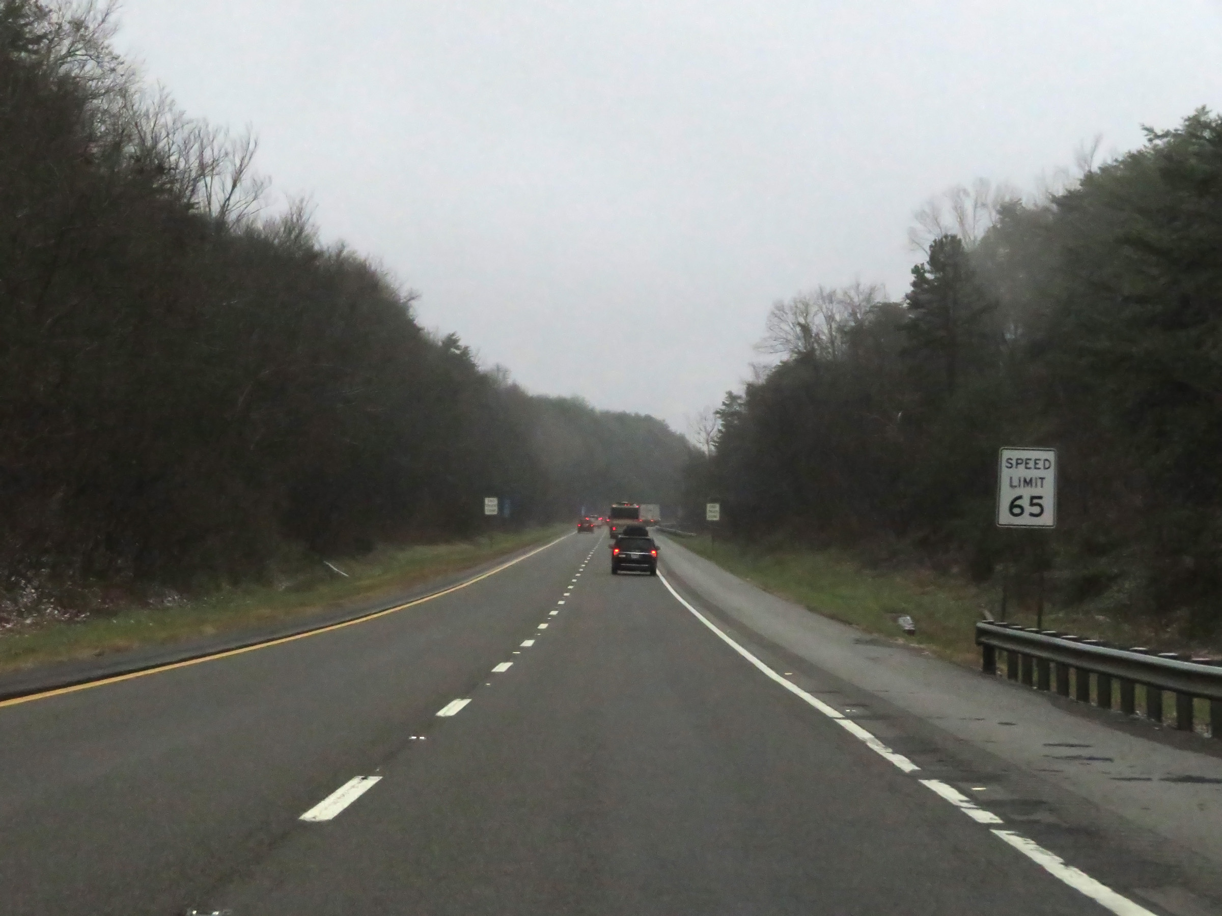
The speed limit on Interstate 75 South starts out at 65 mph for all traffic. (Photo taken 12/17/20). |
 |
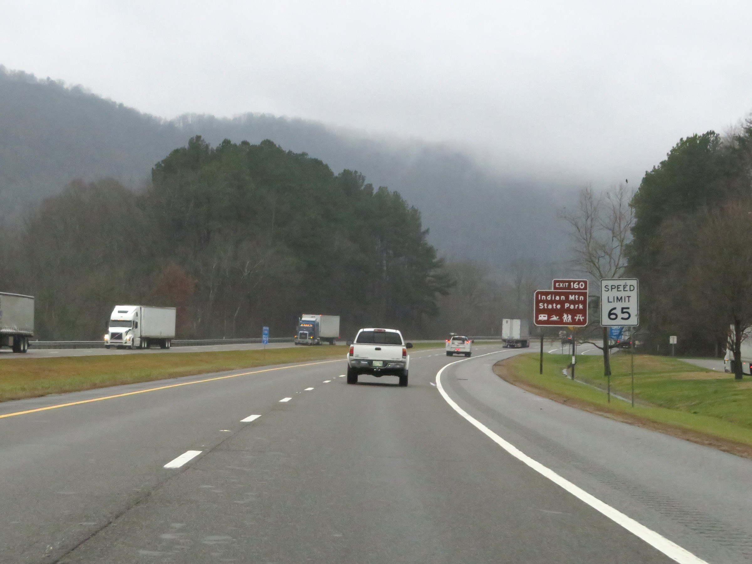
Take Exit 160 to Indian Mountain State Park. (Photo taken 12/17/20). |
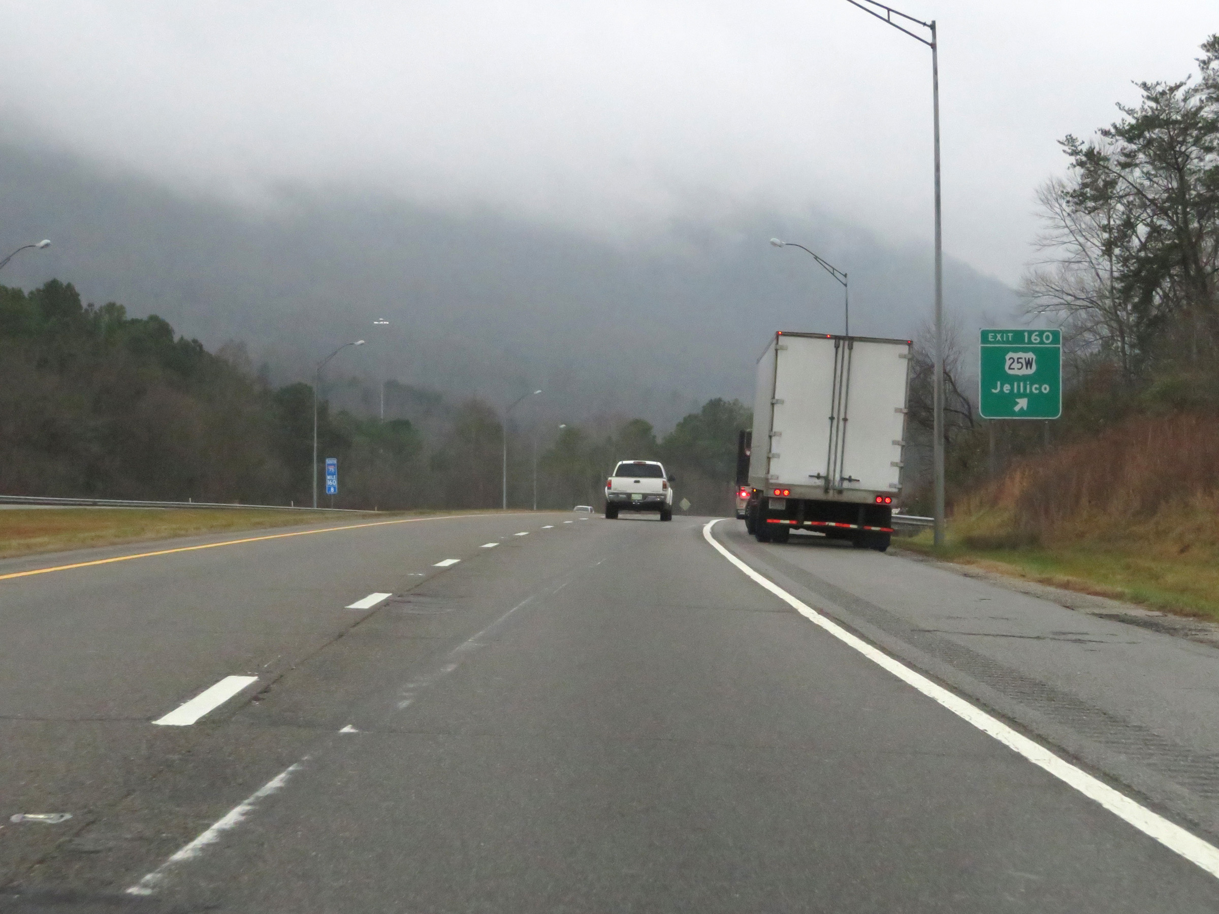 |
Interstate 75 South at Exit 160: US 25W - Jellico (Photo taken 12/17/20). |
 |
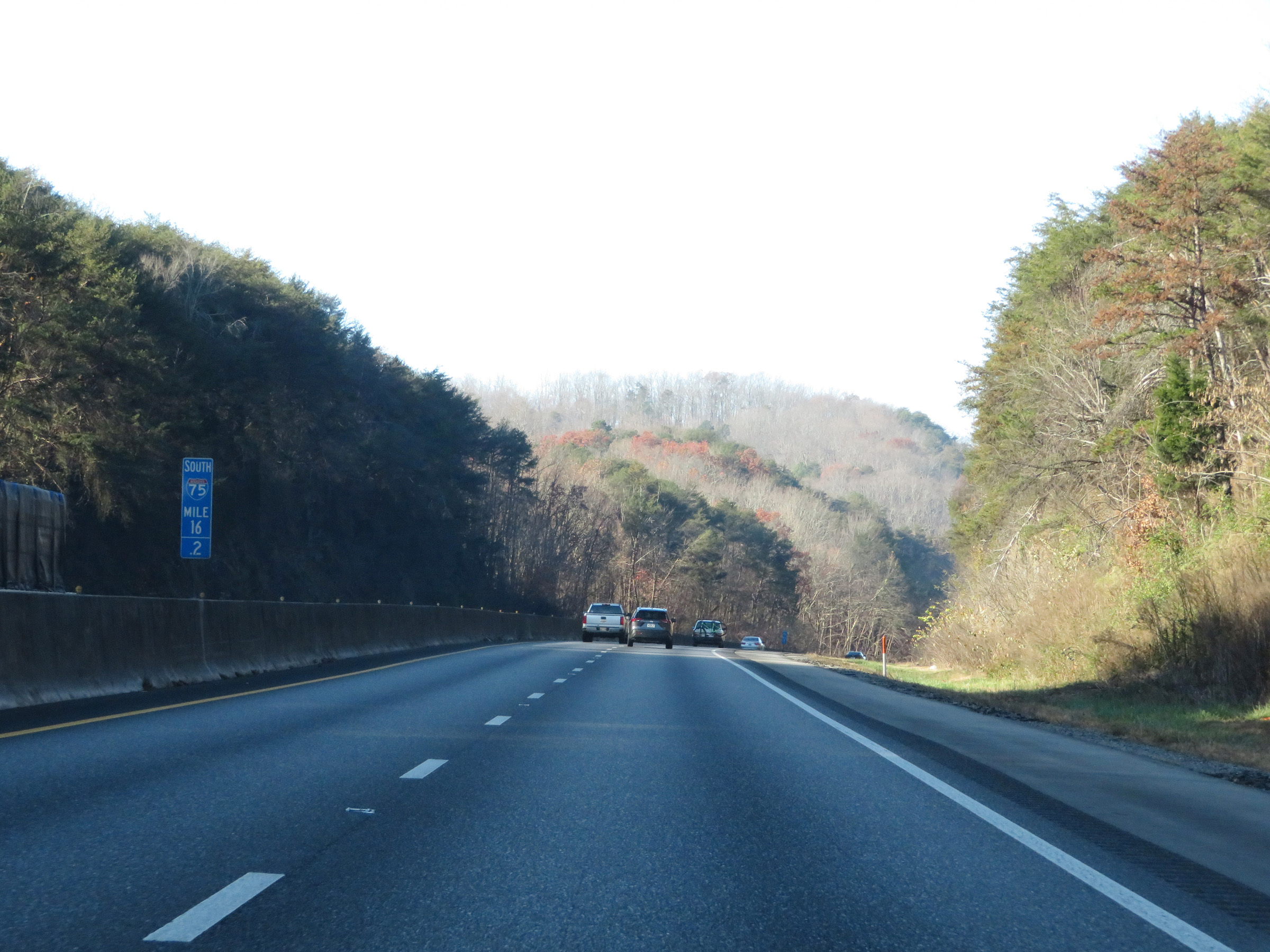
At mile marker 160, Interstate 75 South begins to climb Jellico Mountain, which is part of the greater Cumberland Mountains, which are part of the greater Appalachians. (Photo taken 12/17/20). |
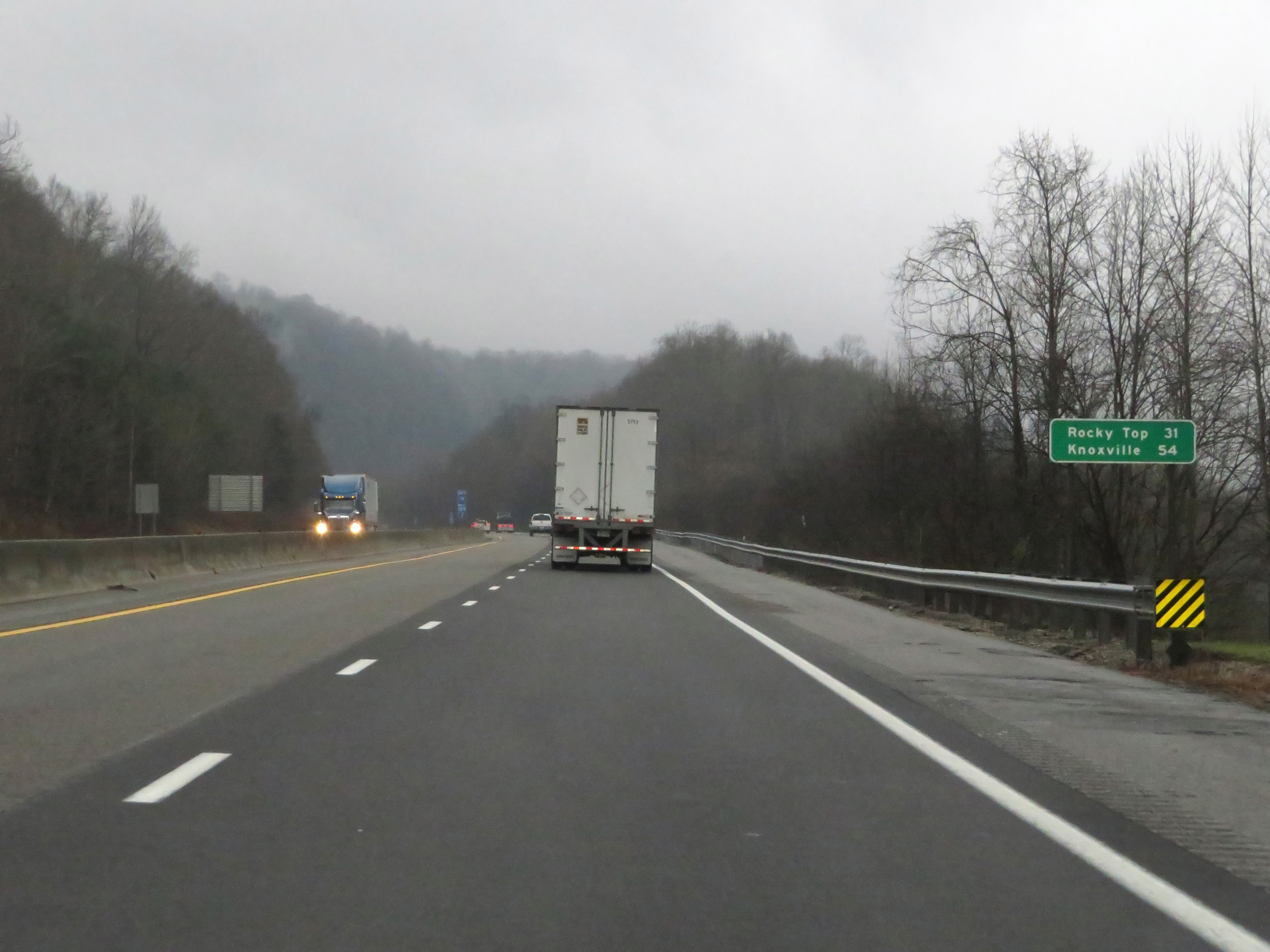 |
Mileage sign on Interstate 75 South. It's 31 miles to Rocky Top and 54 miles to Knoxville. (Photo taken 12/17/20). |
 |
View on Interstate 75 South at mile marker 158.6, as it continues up Jellico Mountain. (Photo taken 12/17/20). |
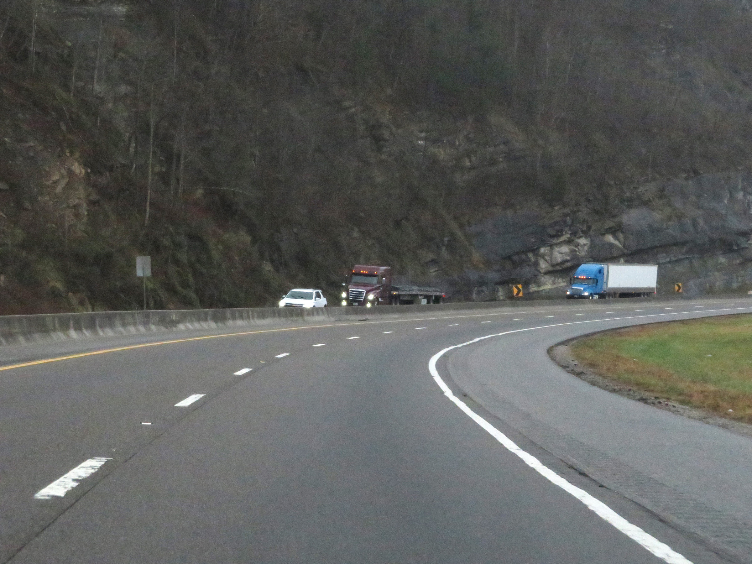 |
View on Interstate 75 South climbing Jellico Mountain in the Cumberland Mountains. (Photo taken 12/17/20). |
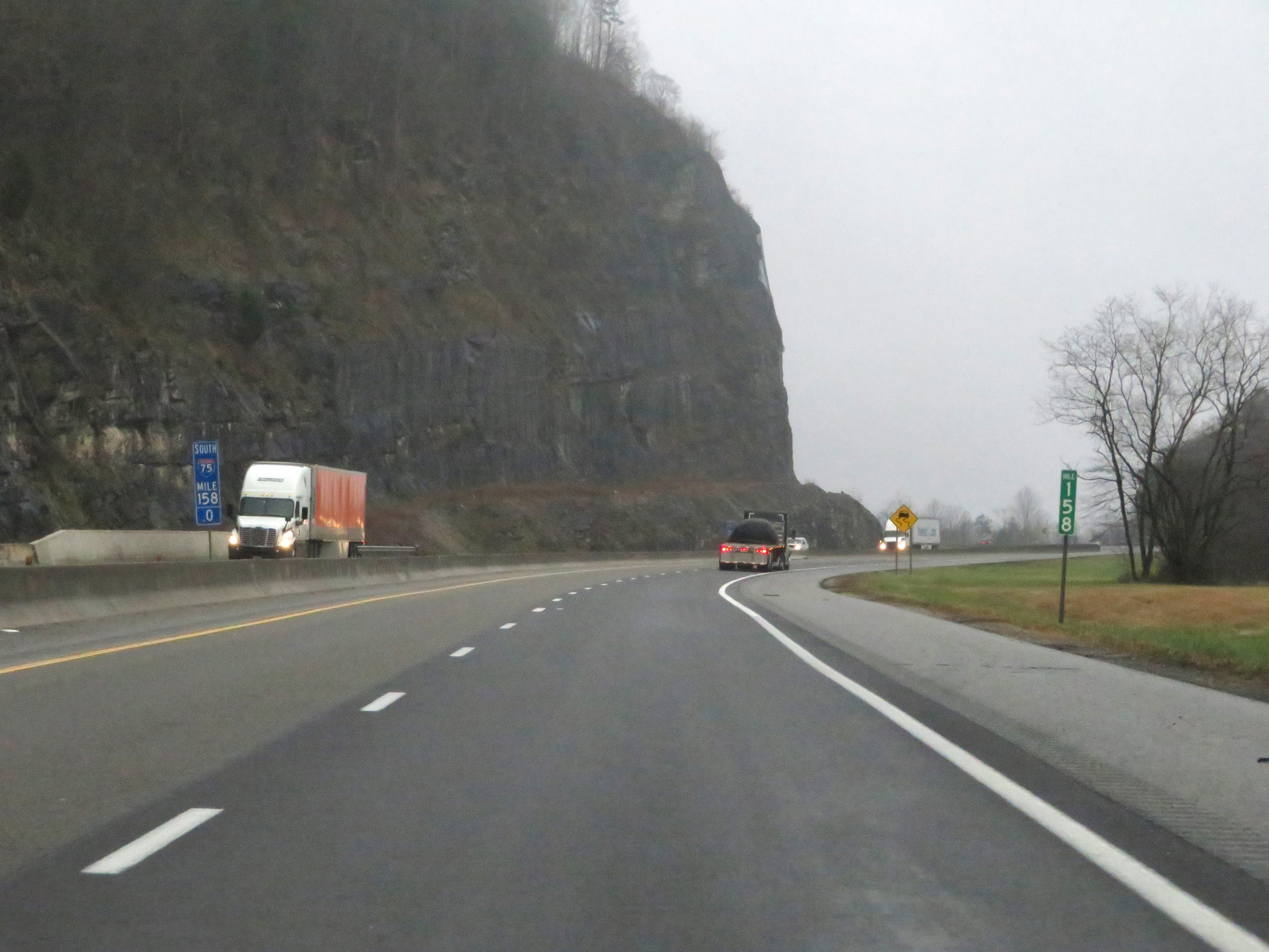 |
Interstate 75 South at mile marker 158. (Photo taken 12/17/20). |
 |
Interstate 75 South approaching Exit 156 - 1/2 mile. (Photo taken 12/17/20). |
 |
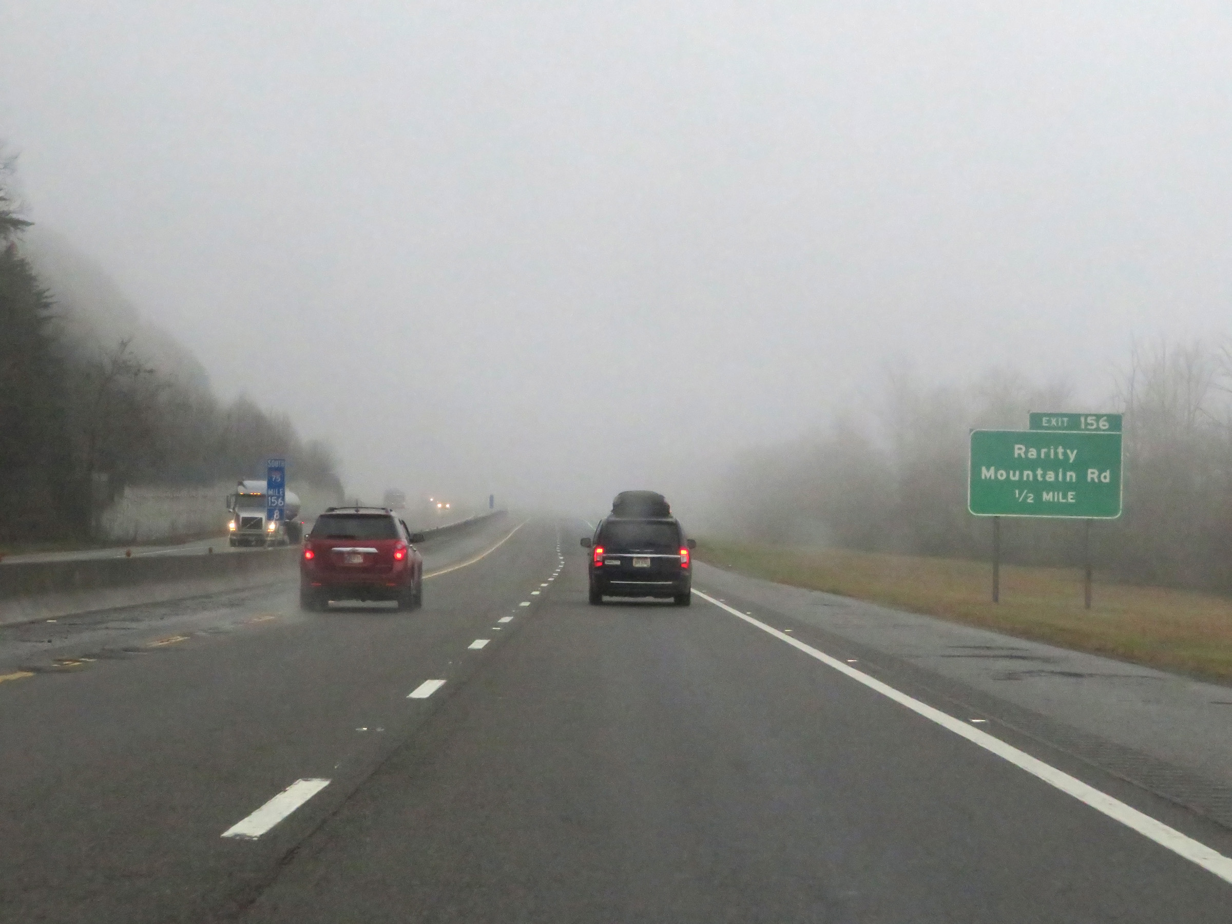
Interstate 75 South at Exit 156: Rarity Mountain Rd (Photo taken 12/17/20). |
 |
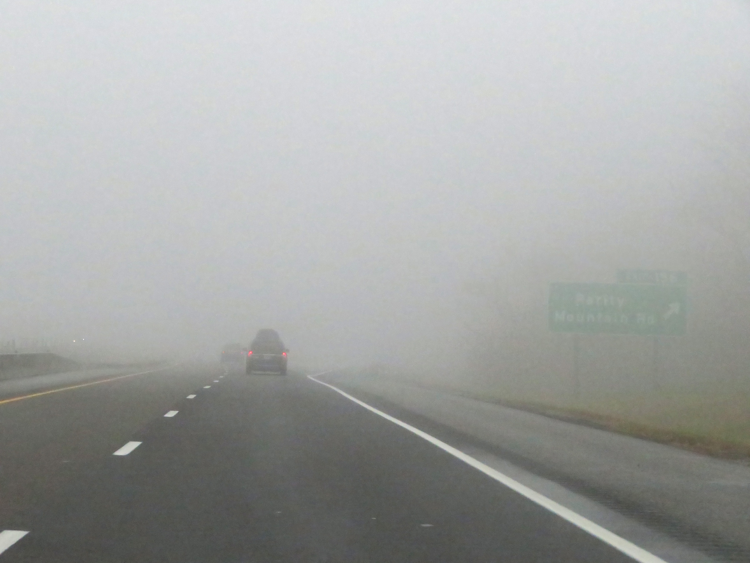
An attempted closer view of the ramp to Exit 156, nearing the top of Jellico Mountain. (Photo taken 12/17/20). |
 |
Interstate 75 South reassurance shield at the top of Jellico Mountain, as things level out for a bit. (Photo taken 12/17/20). |
 |
The speed limit remains 65 mph for all traffic. (Photo taken 12/17/20). |
 |
Mile marker 154 on Interstate 75 South in Campbell County. (Photo taken 12/17/20). |
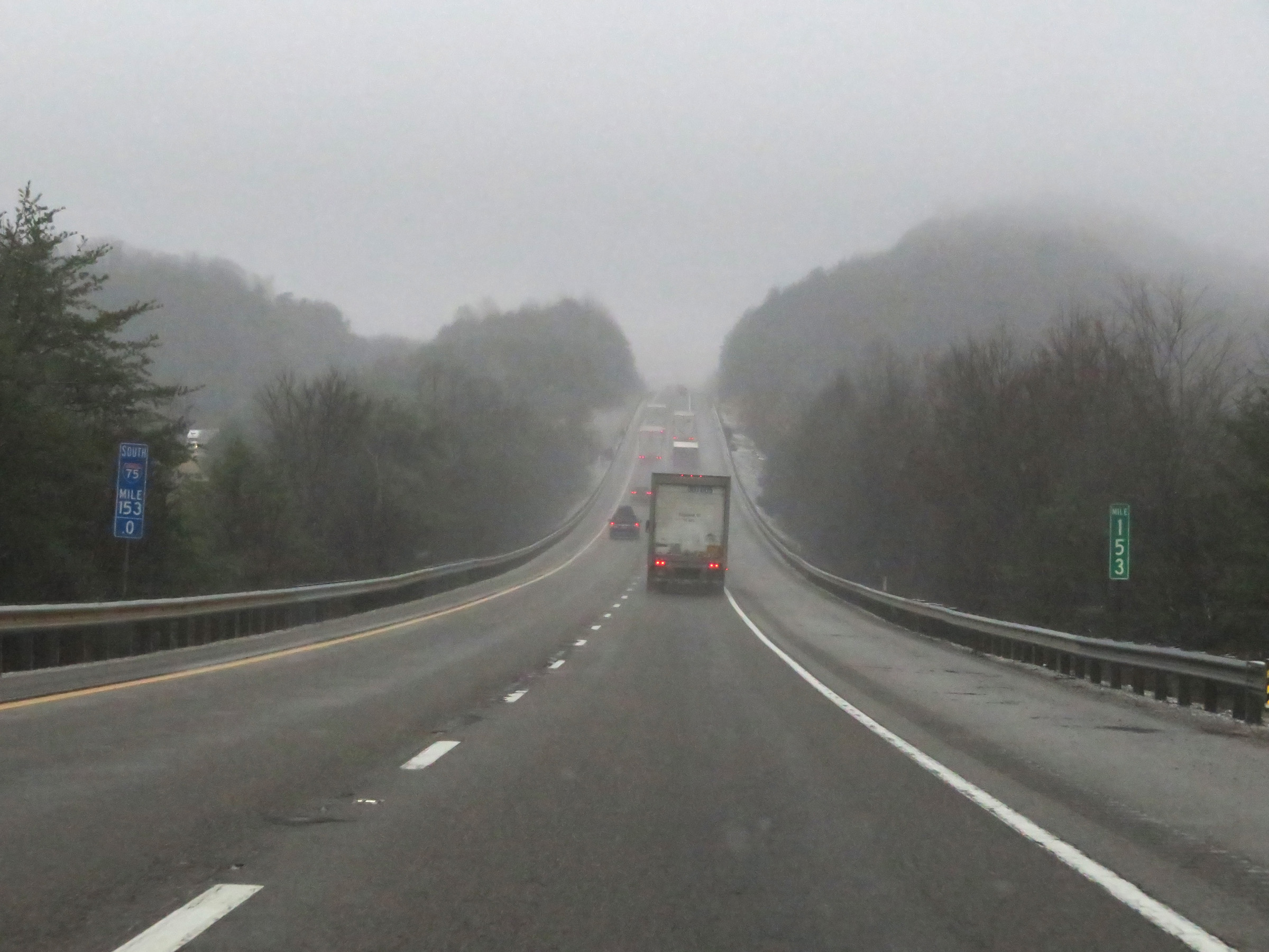 |
View on Interstate 75 South at mile marker 153. (Photo taken 12/17/20). |
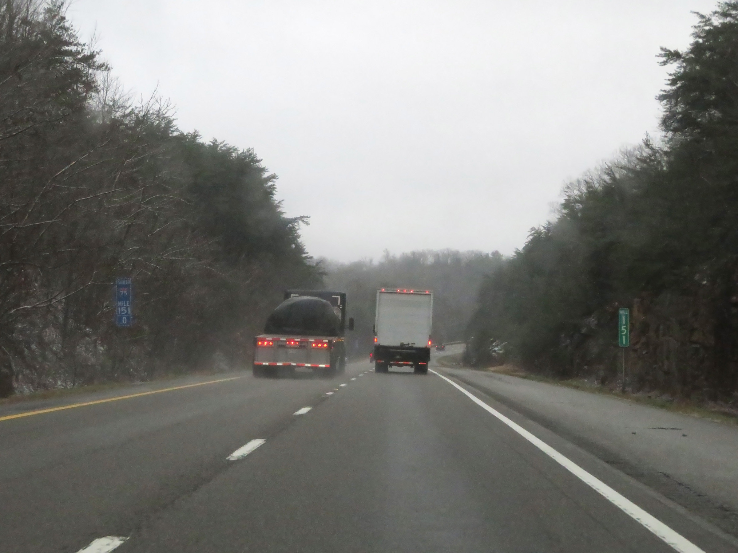 |
Interstate 75 South at mile marker 151. (Photo taken 12/17/20). |
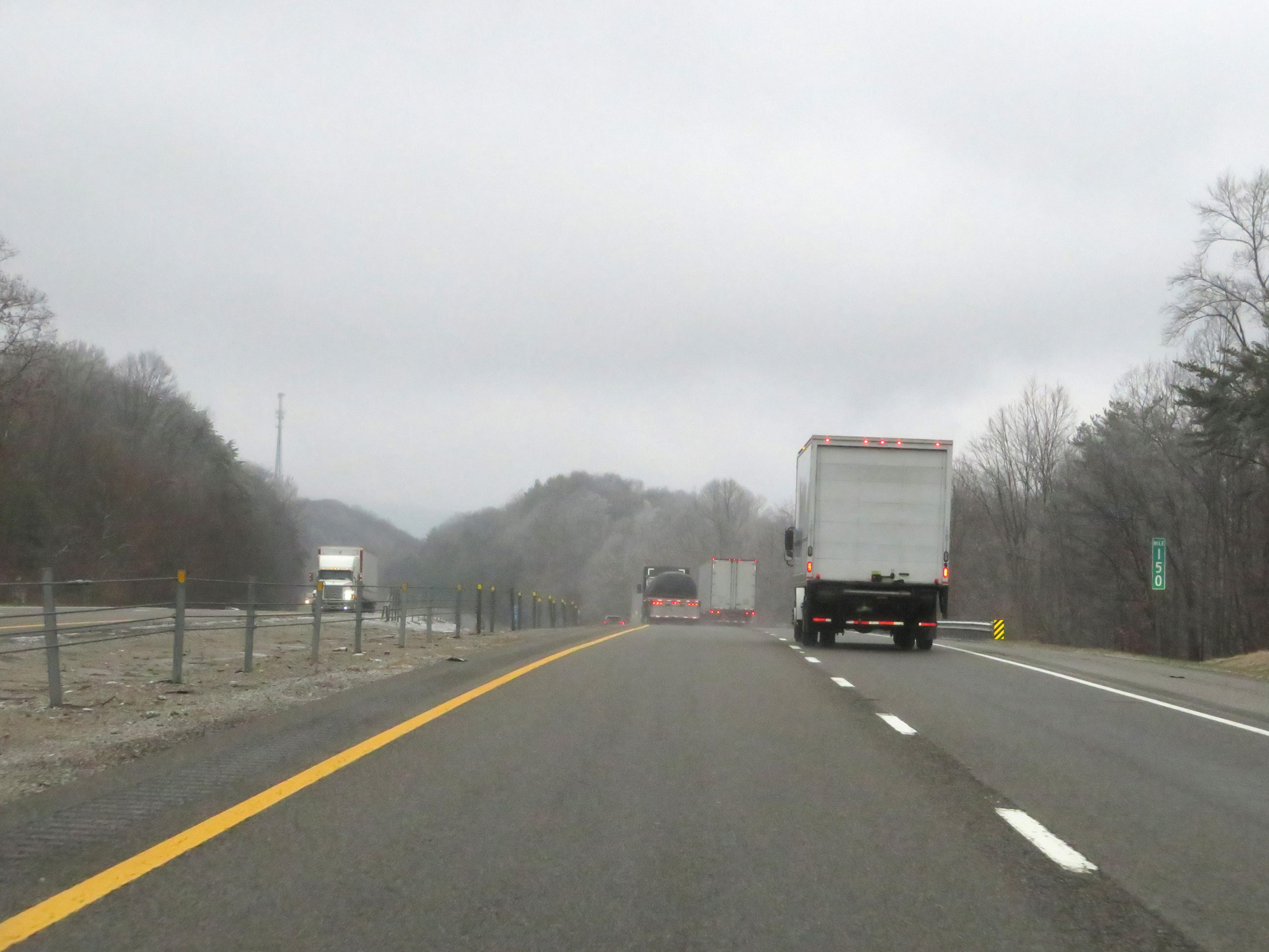 |
View on Interstate 75 South at mile marker 150. (Photo taken 12/17/20). |
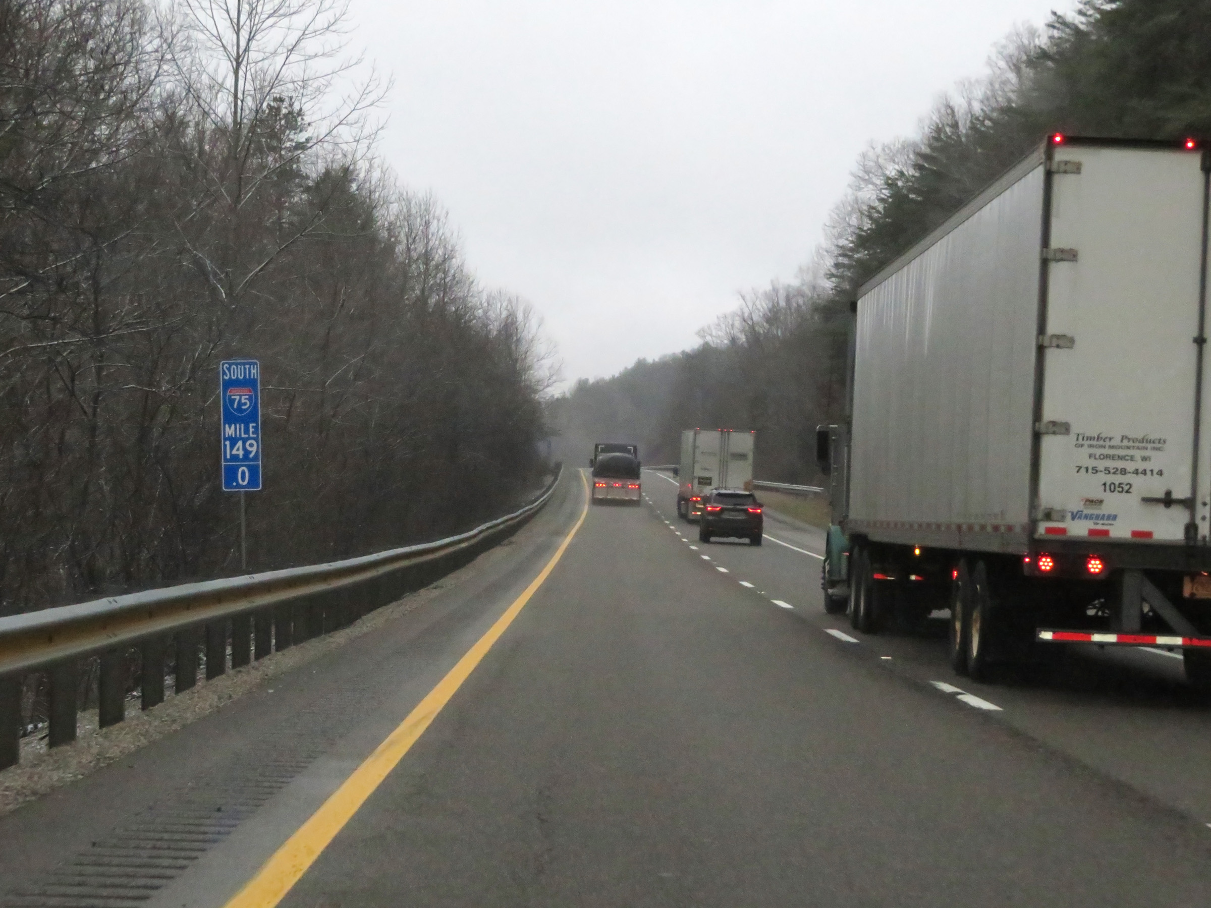 |
Interstate 75 South at mile marker 149. (Photo taken 12/17/20). |
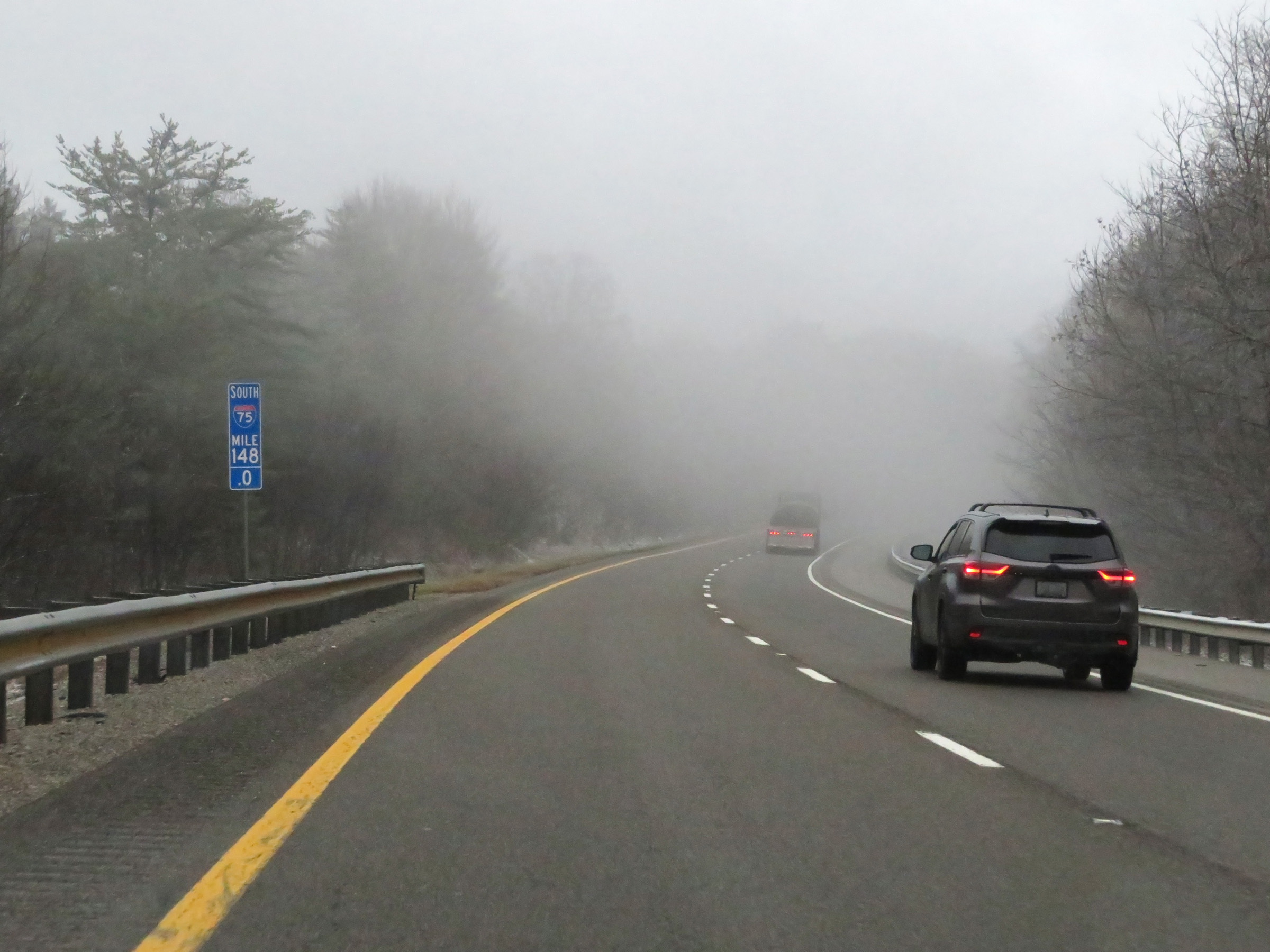 |
Mile marker 148 on Interstate 75 South in Campbell County. (Photo taken 12/17/20). |
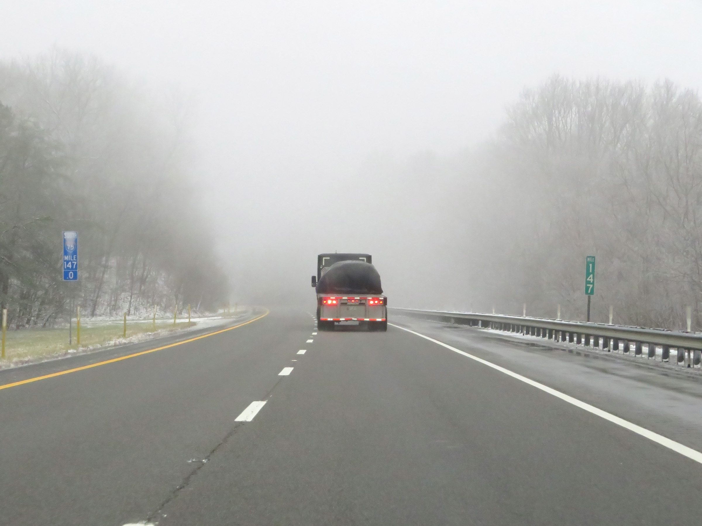 |
Interstate 75 South at mile marker 147. (Photo taken 12/17/20). |
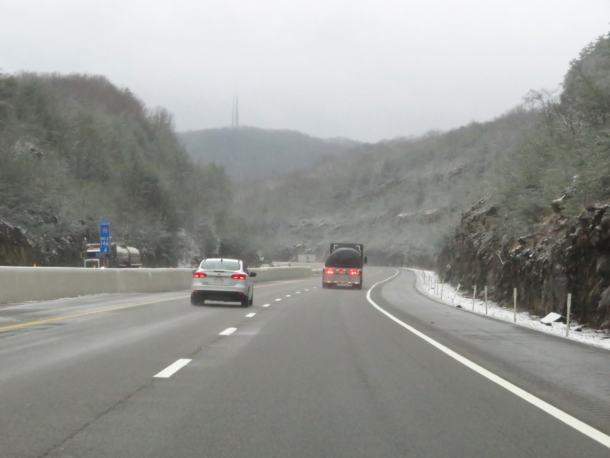 |
View on Interstate 75 South at mile marker 146.4 as it begins to partially descend Jellico Mountain. (Photo taken 12/17/20). |
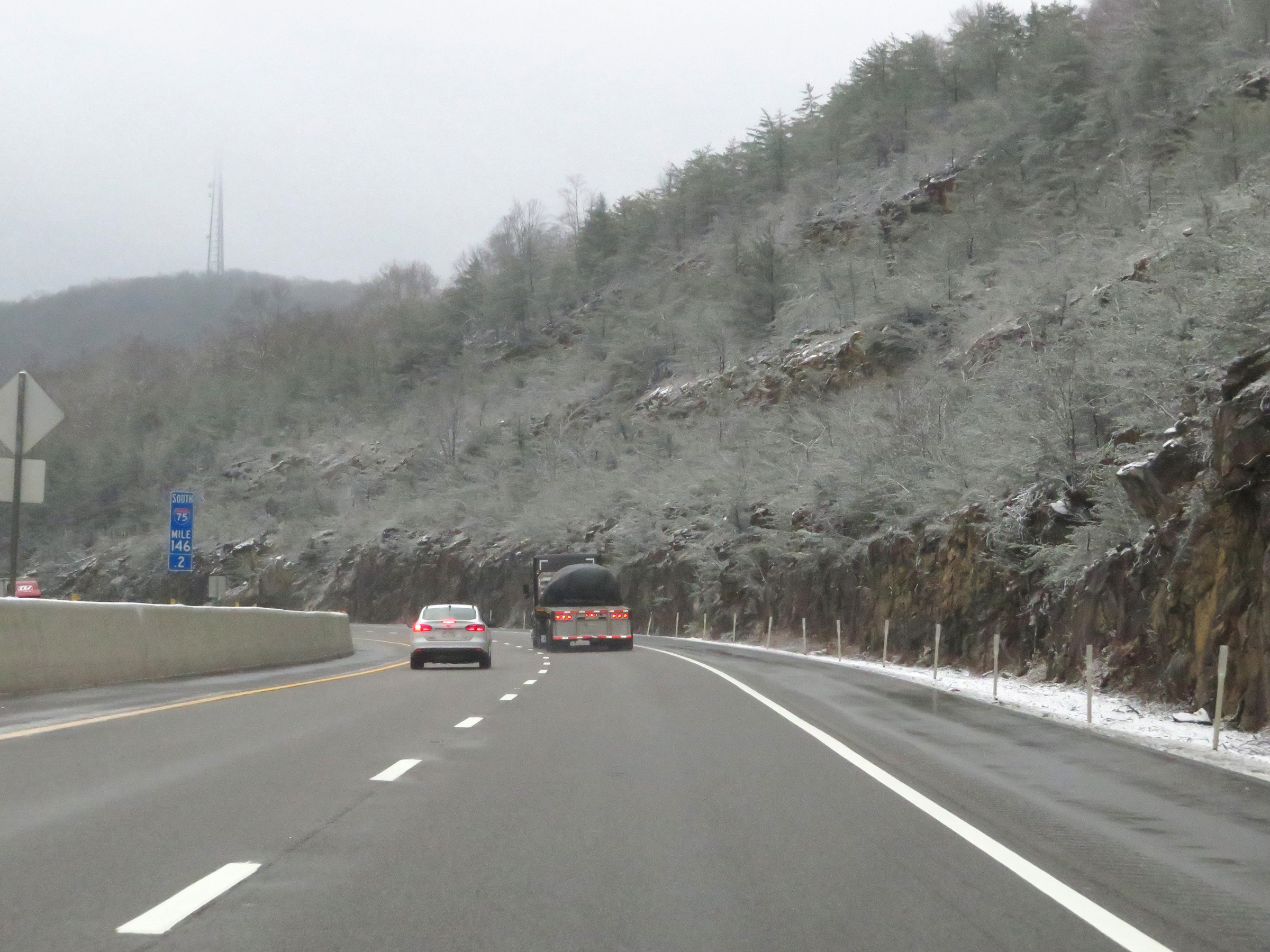 |
Interstate 75 South at mile marker 146.2. (Photo taken 12/17/20). |
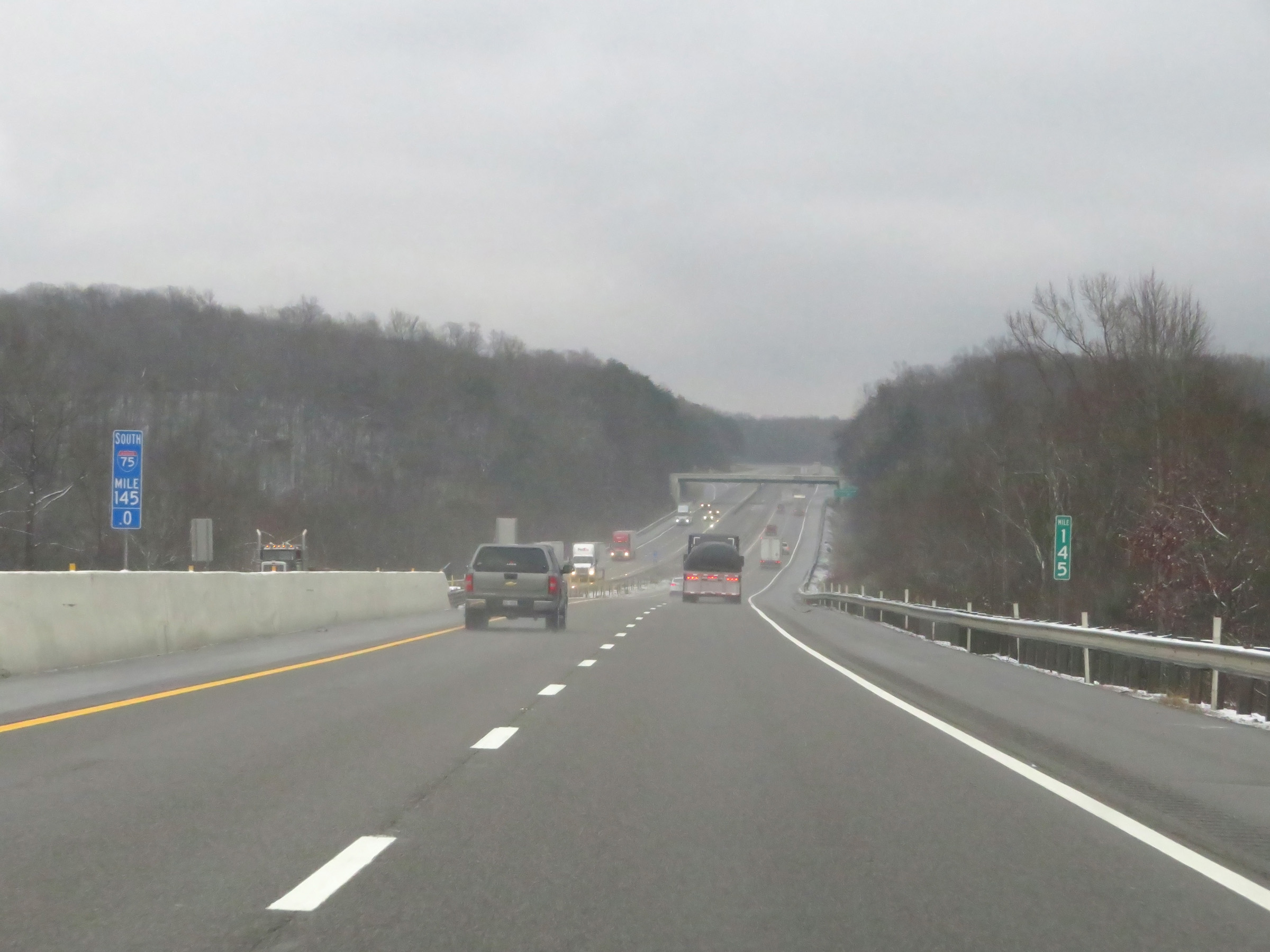 |
View on Interstate 75 South at mile marker 145. (Photo taken 12/17/20). |
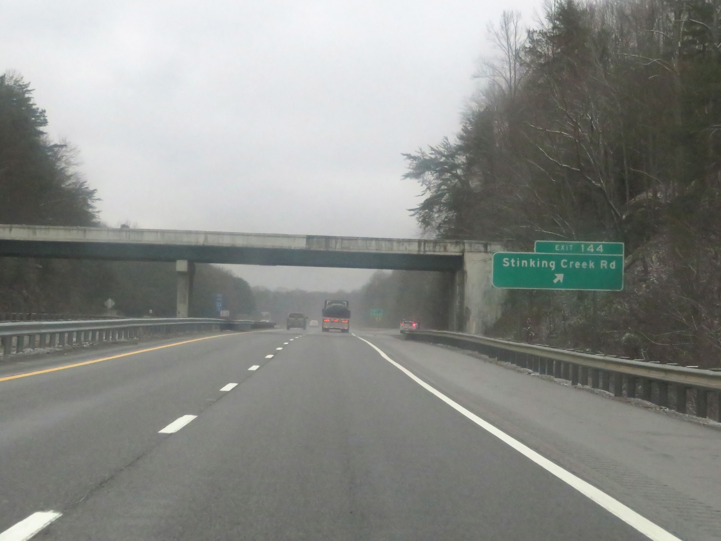 |
Interstate 75 South at Exit 144: Stinking Creek Rd (Photo taken 12/17/20). |
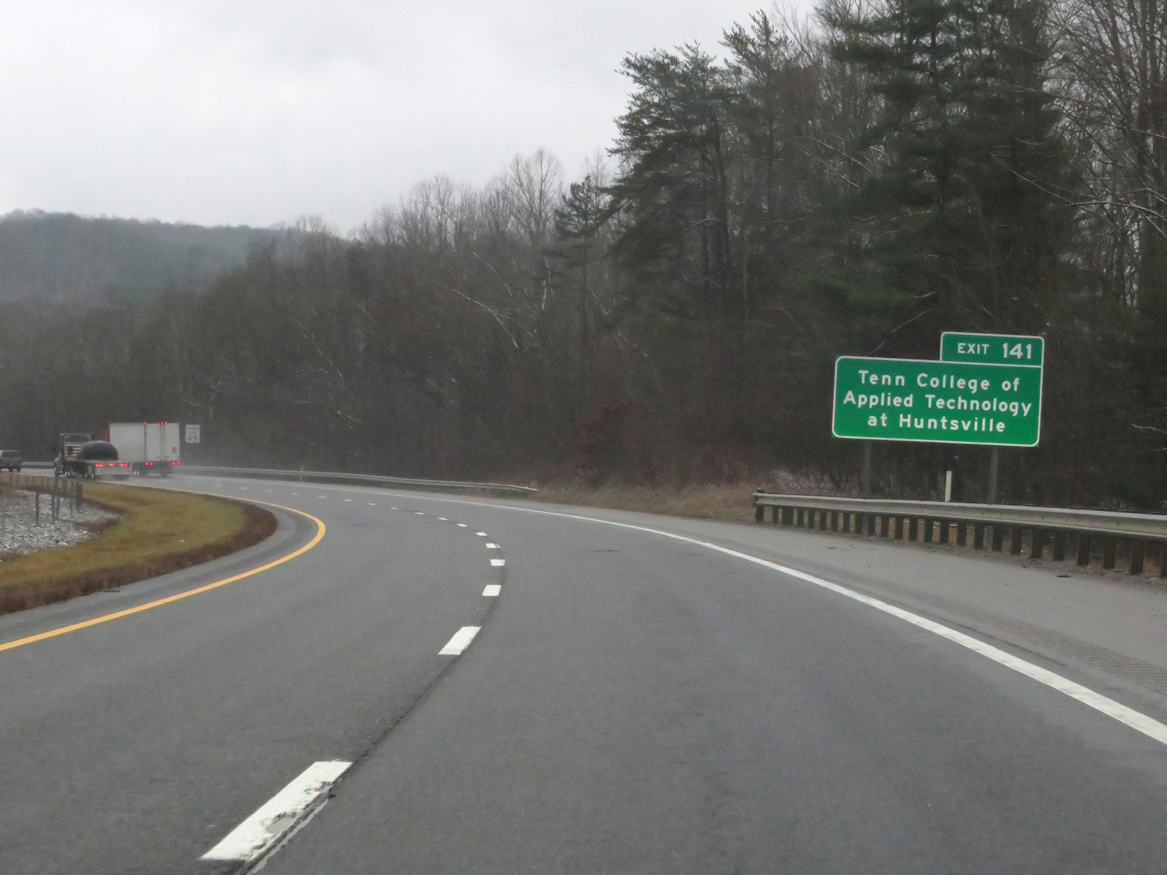 |
Take Exit 141 to Tennessee College of Applied Technology at Huntsville. (Photo taken 12/17/20). |
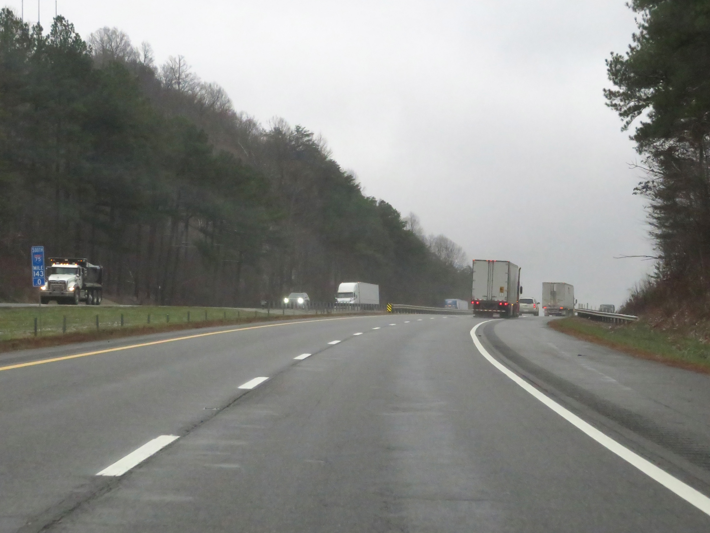 |
View on Interstate 75 South at mile marker 143. (Photo taken 12/17/20). |
 |
Take either of the next 2 exits to Caryville. (Photo taken 12/17/20). |
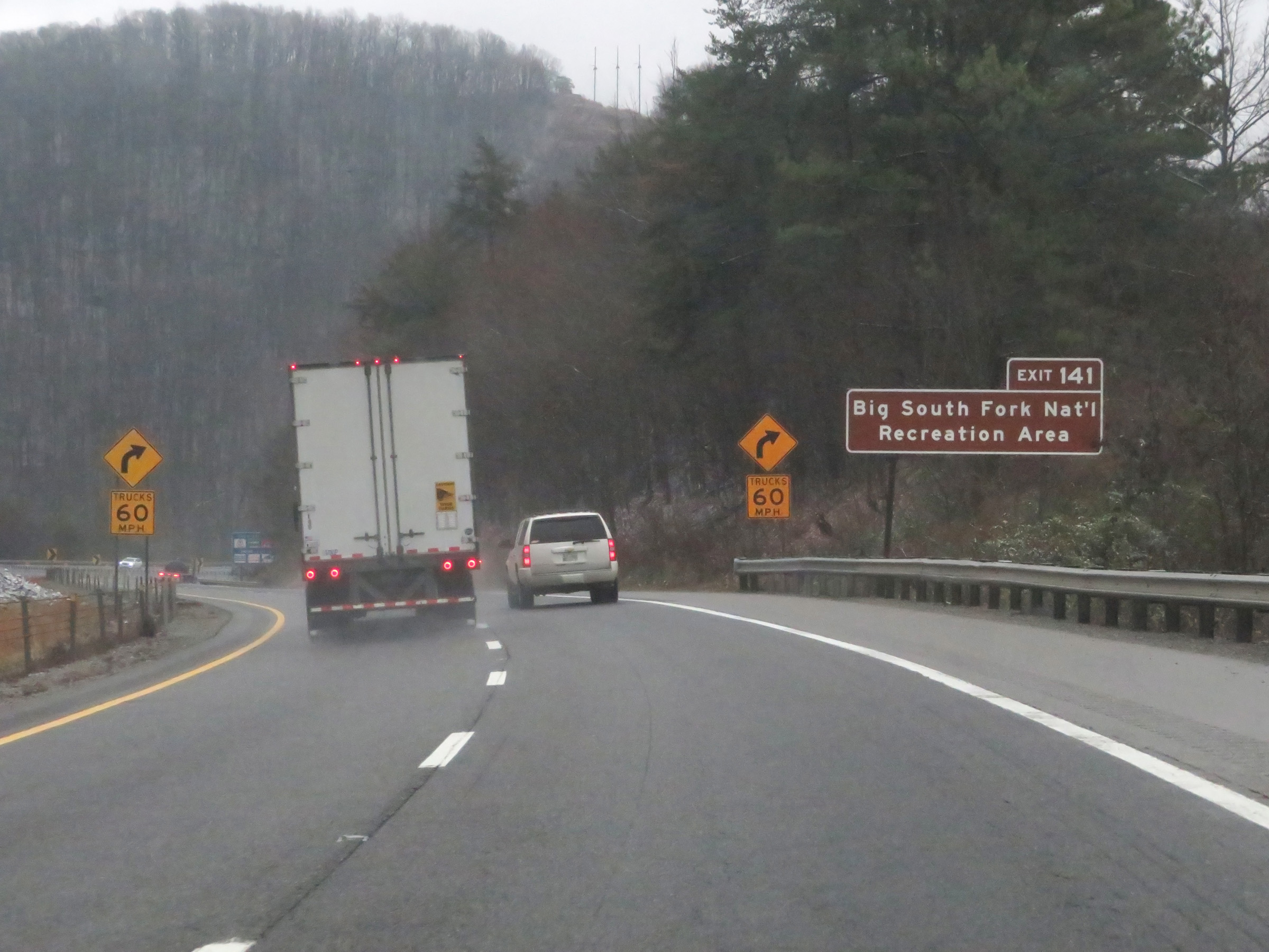 |
Also take Exit 141 to Big South Fork National Recreation Area. (Photo taken 12/17/20). |
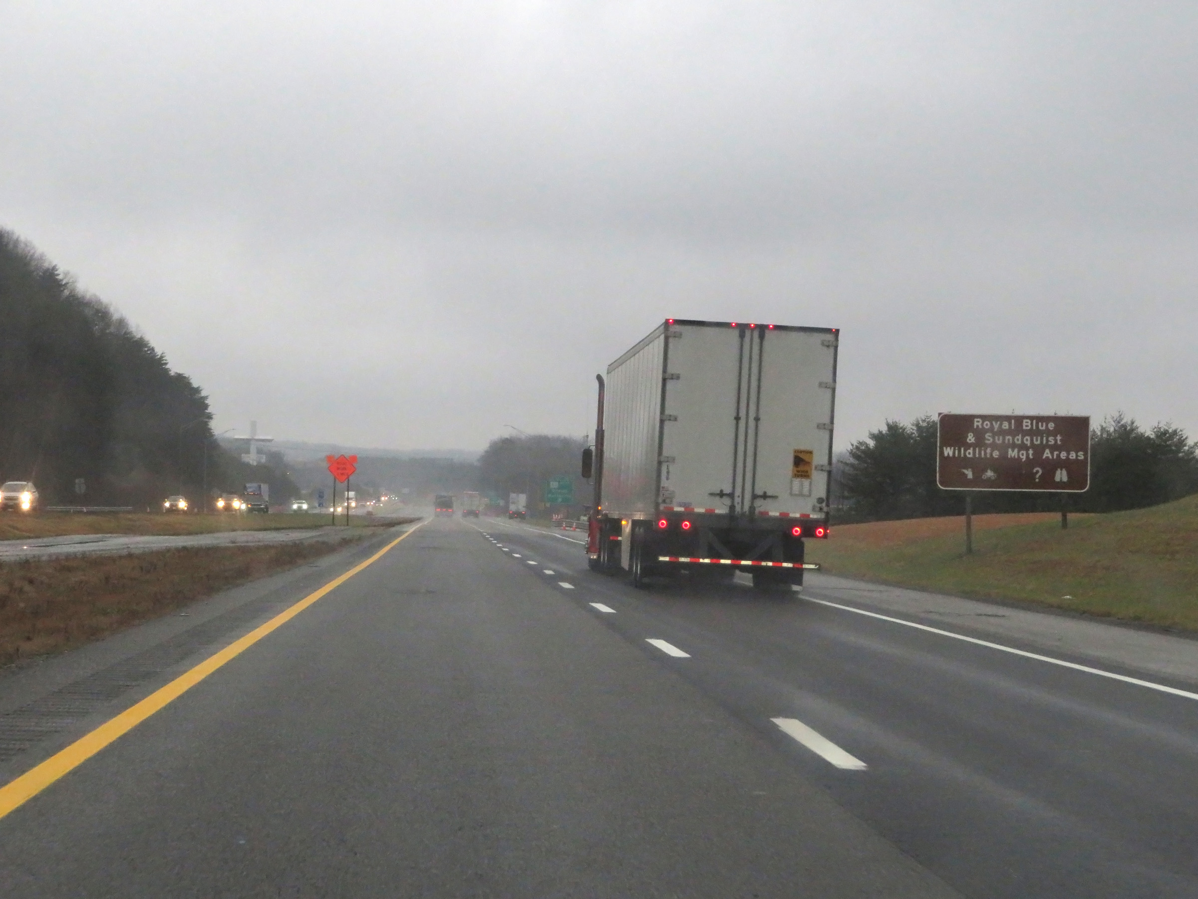 |
Take Exit 141 to Royal Blue & Sundquist Wildlife Management Areas. (Photo taken 12/17/20). |
 |
Interstate 75 South at Exit 141: TN 63 West - Oneida / Huntsville (Photo taken 12/17/20). |
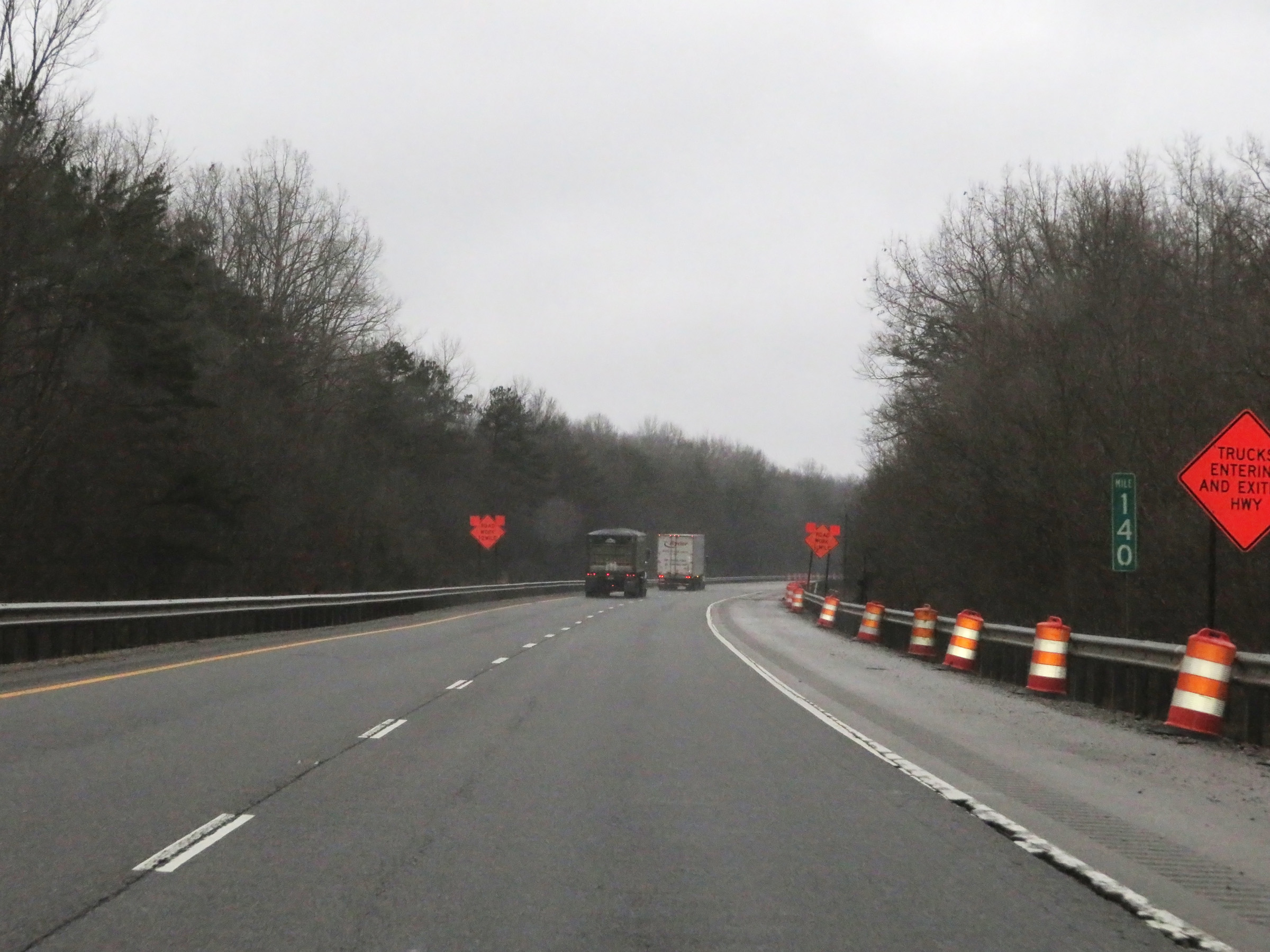 |
View on Interstate 75 South at mile marker 140. (Photo taken 12/17/20). |
 |
These signs warn of a 4-mile long 4% downgrade ahead, as Interstate 75 South continues to descend the Cumberland Mountains. (Photo taken 12/17/20). |
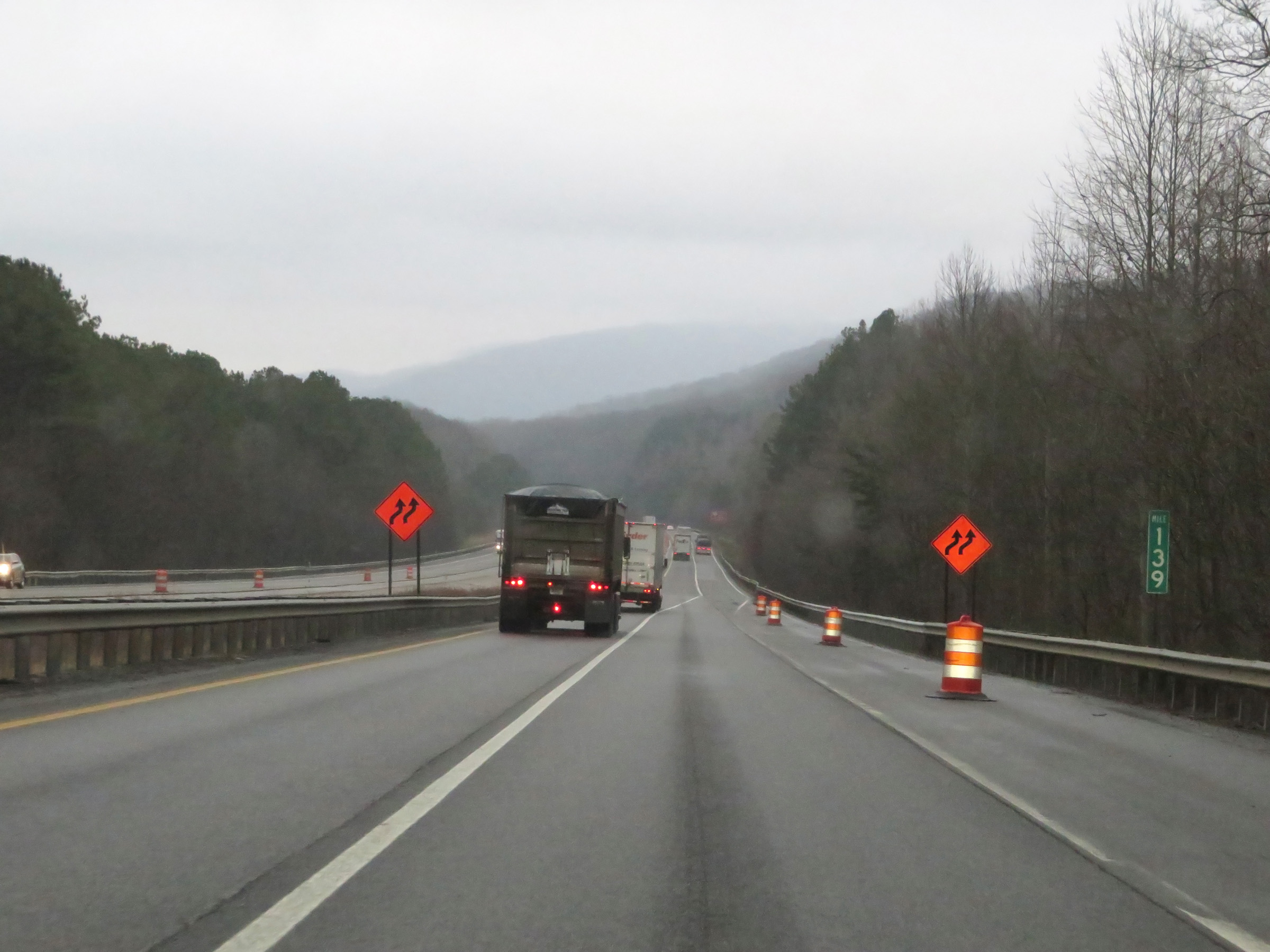 |
Interstate 75 South at mile marker 139. (Photo taken 12/17/20). |
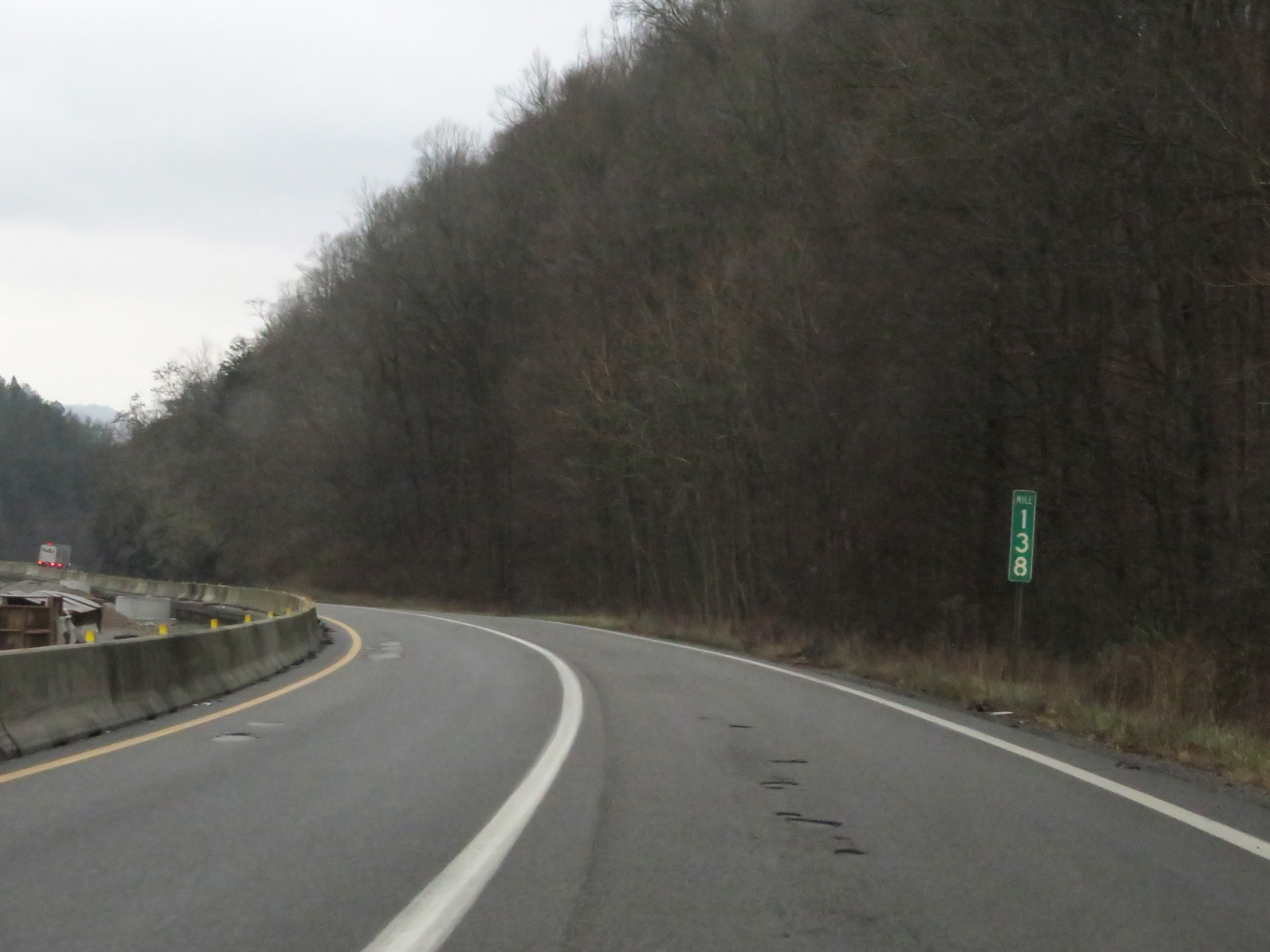 |
Mile marker 138 on Interstate 75 South in Campbell County as it continues down the grade. (Photo taken 12/17/20). |
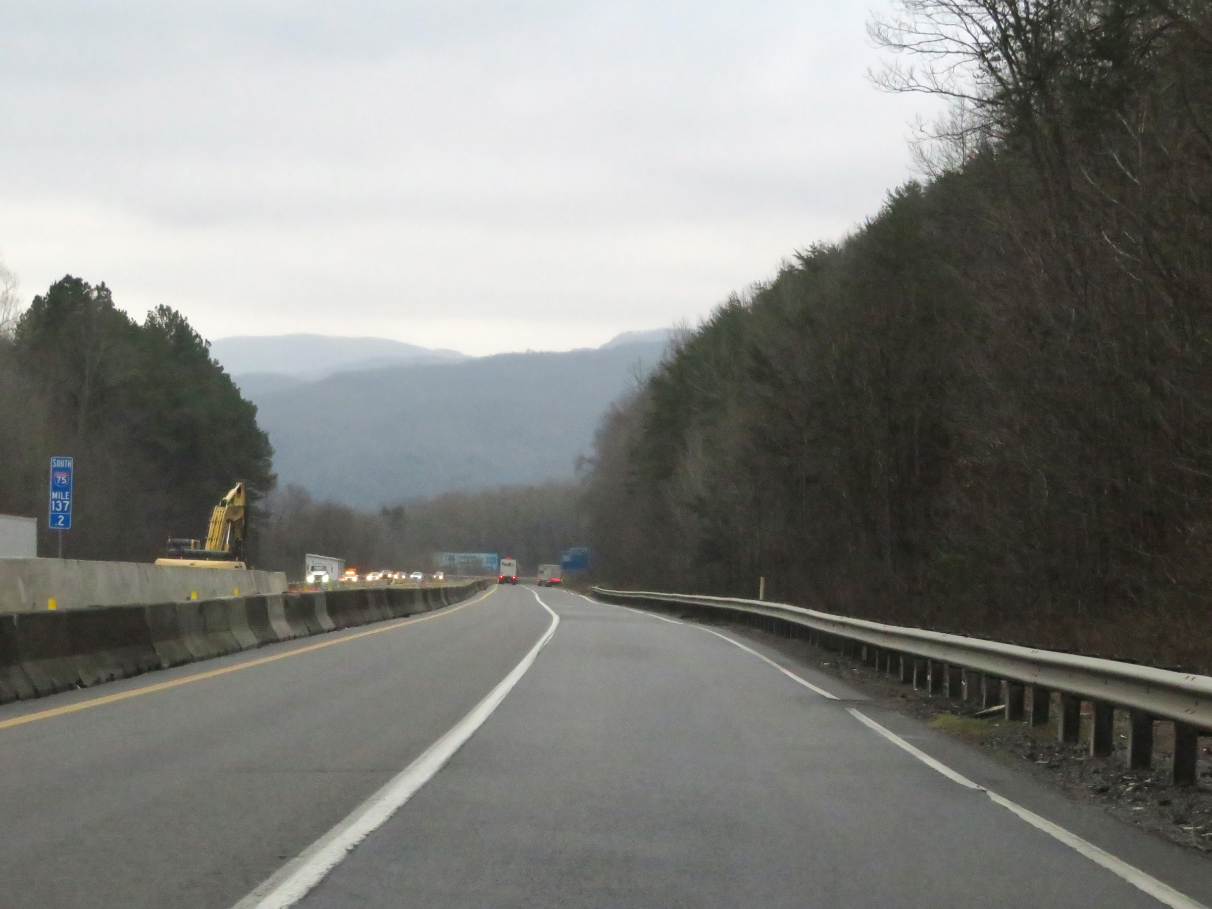 |
View on Interstate 75 South at mile marker 137. (Photo taken 12/17/20). |
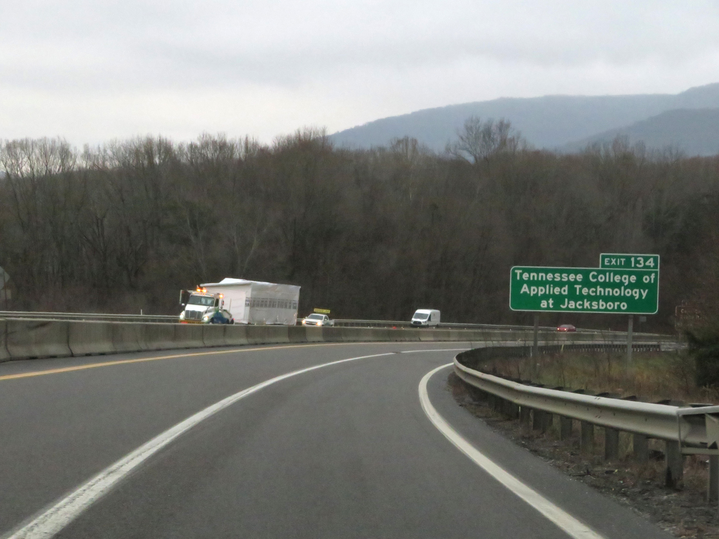 |
Take Exit 134 to Tennessee College of Applied Technology at Jacksboro. (Photo taken 12/17/20). |
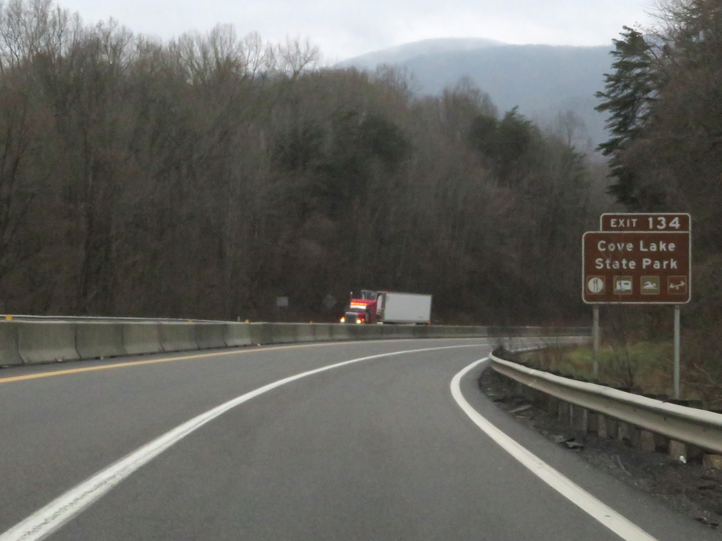 |
Also take Exit 134 to Cove Lake State Park. (Photo taken 12/17/20). |
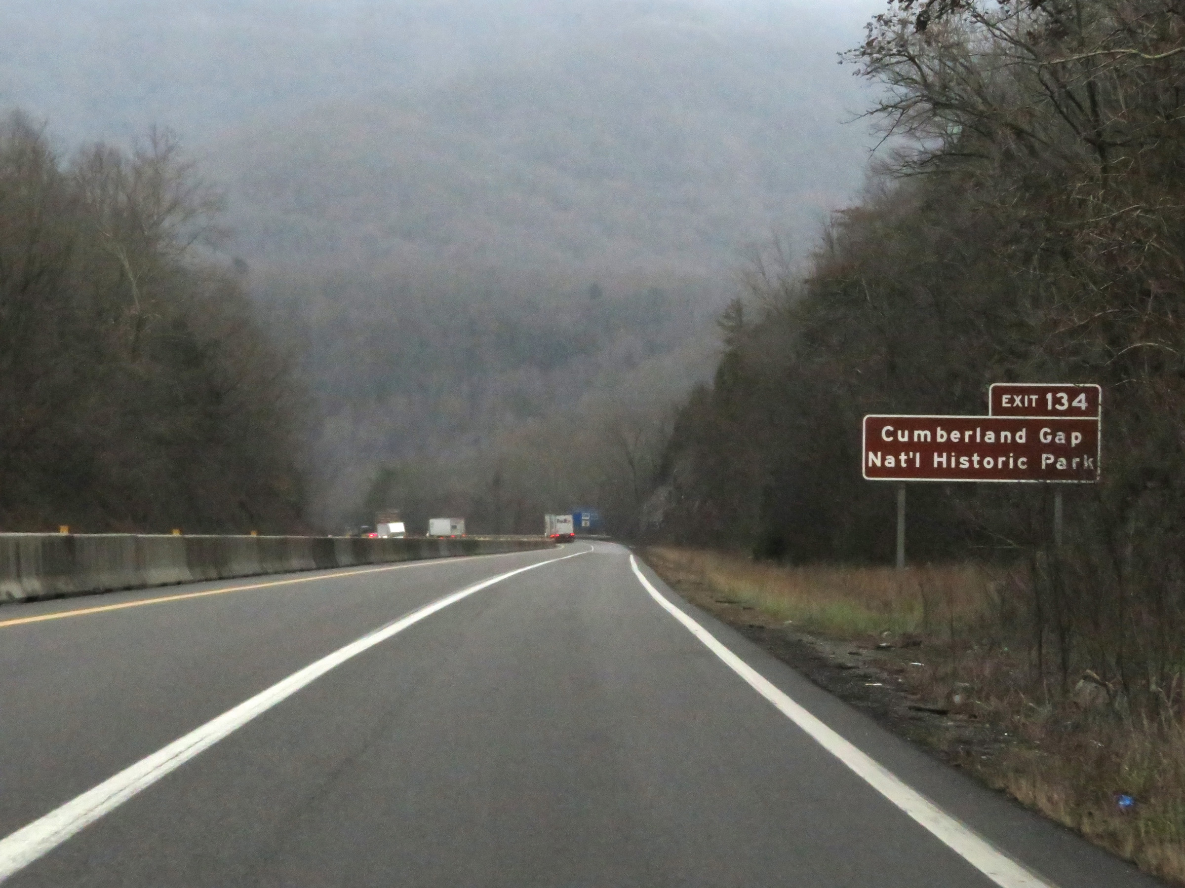 |
Take Exit 134 to Cumberland Gap National Historic Park as well. (Photo taken 12/17/20). |
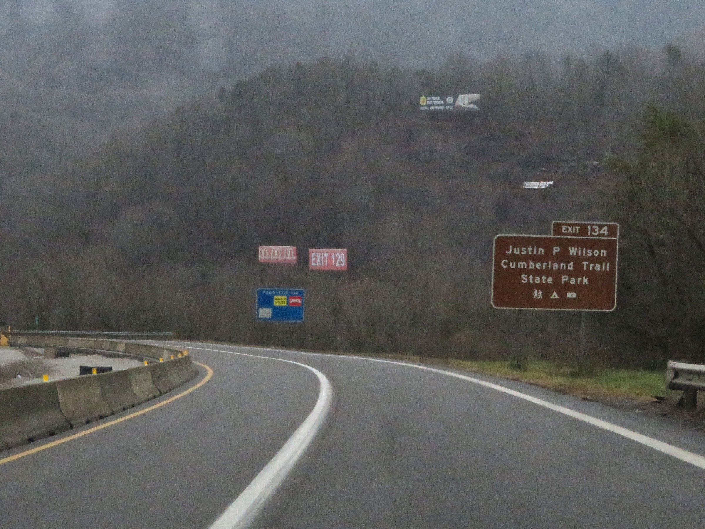 |
Access Justin P. Wilson Cumberland Trail State Park via Exit 134. (Photo taken 12/17/20). |
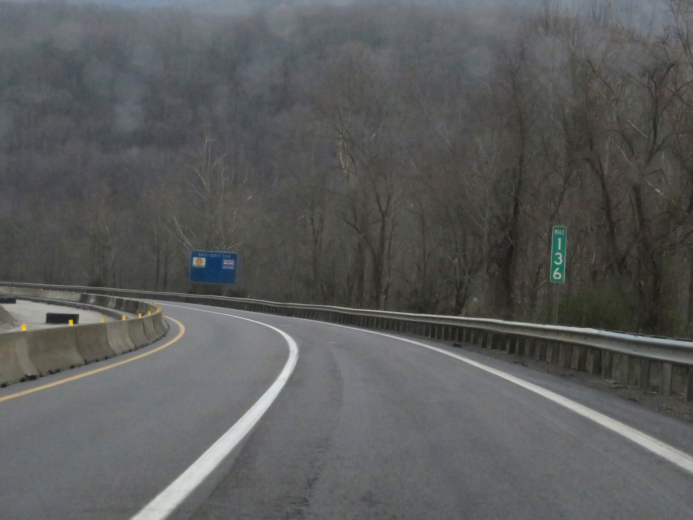 |
View on Interstate 75 South at mile marker 136, continuing down the 4-mile 4% grade. (Photo taken 12/17/20). |
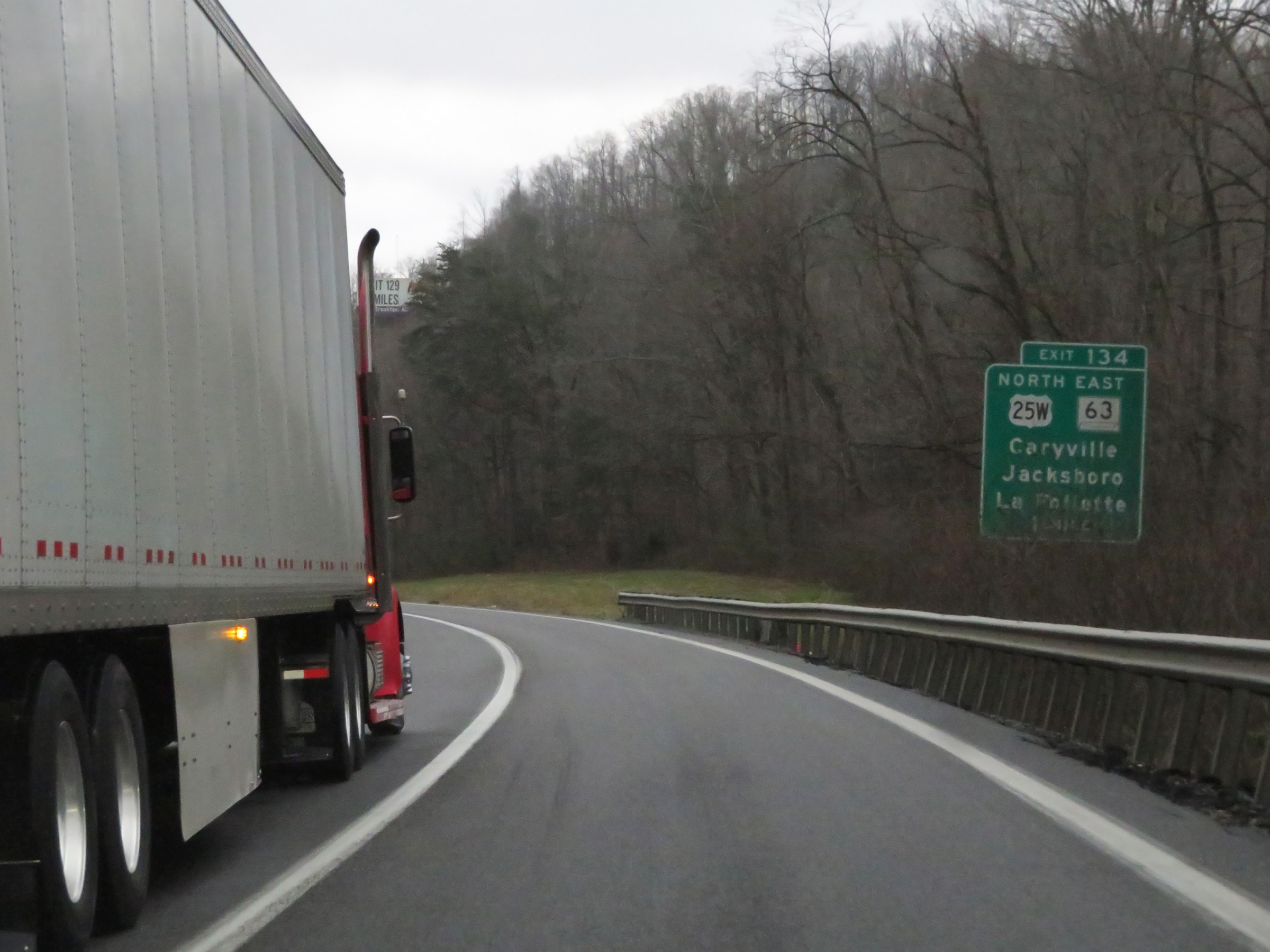 |
Interstate 75 South approaching Exit 134 - 1 mile. (Photo taken 12/17/20). |
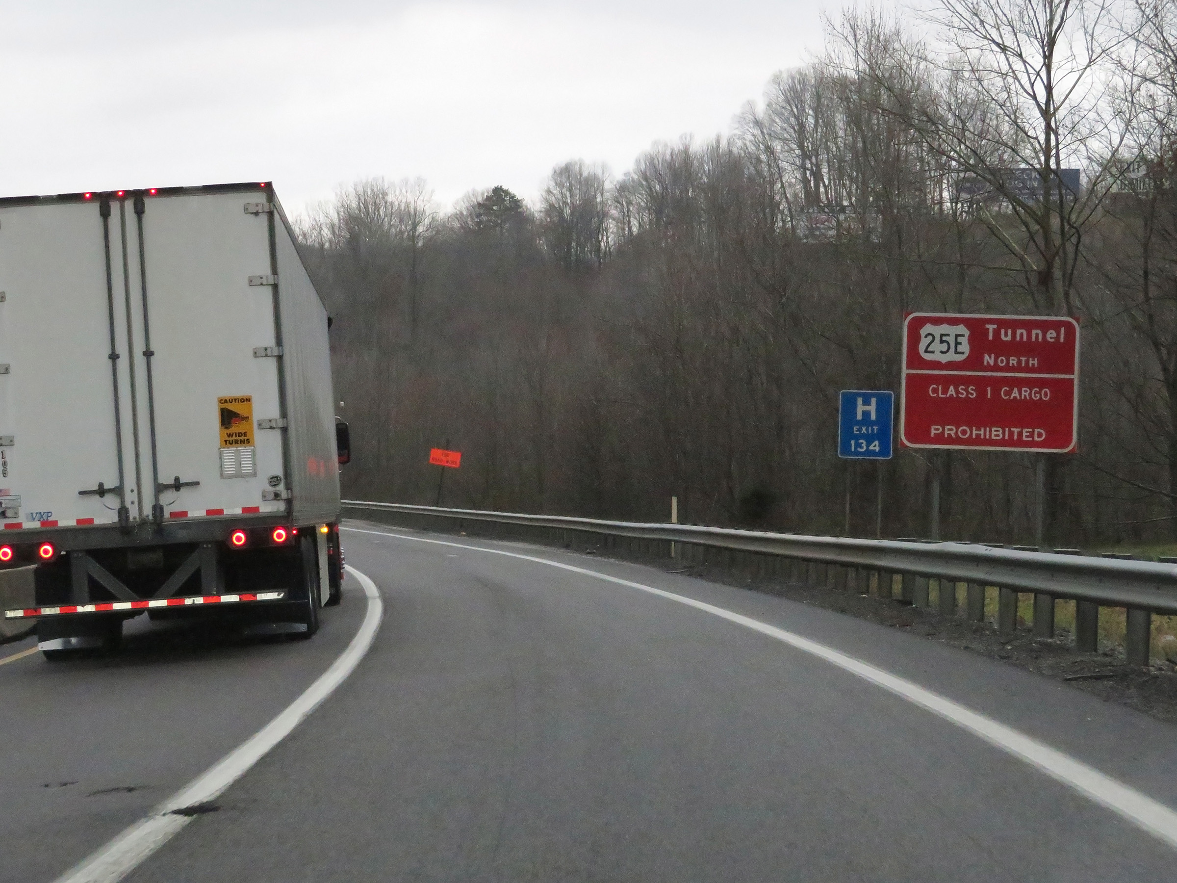 |
This sign warns that Class 1 hazardous materials (explosives) are prohibited in the tunnel on 25E North, which lies on the border of Tennessee and Kentucky. (Photo taken 12/17/20). |
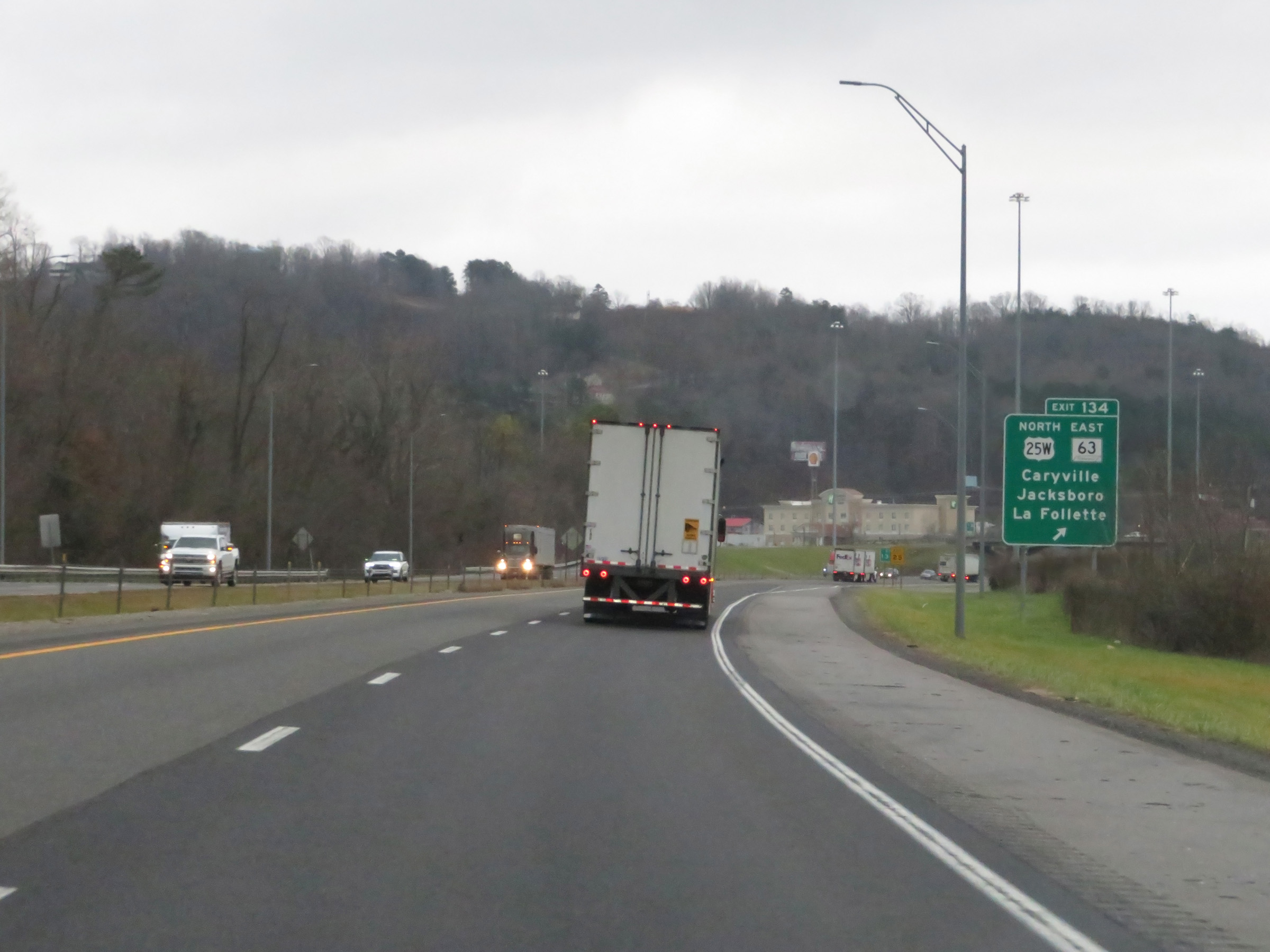 |
Interstate 75 South at Exit 134: US 25W North / TN 63 East - Caryville / Jacksboro / La Follette (Photo taken 12/17/20). |
 |
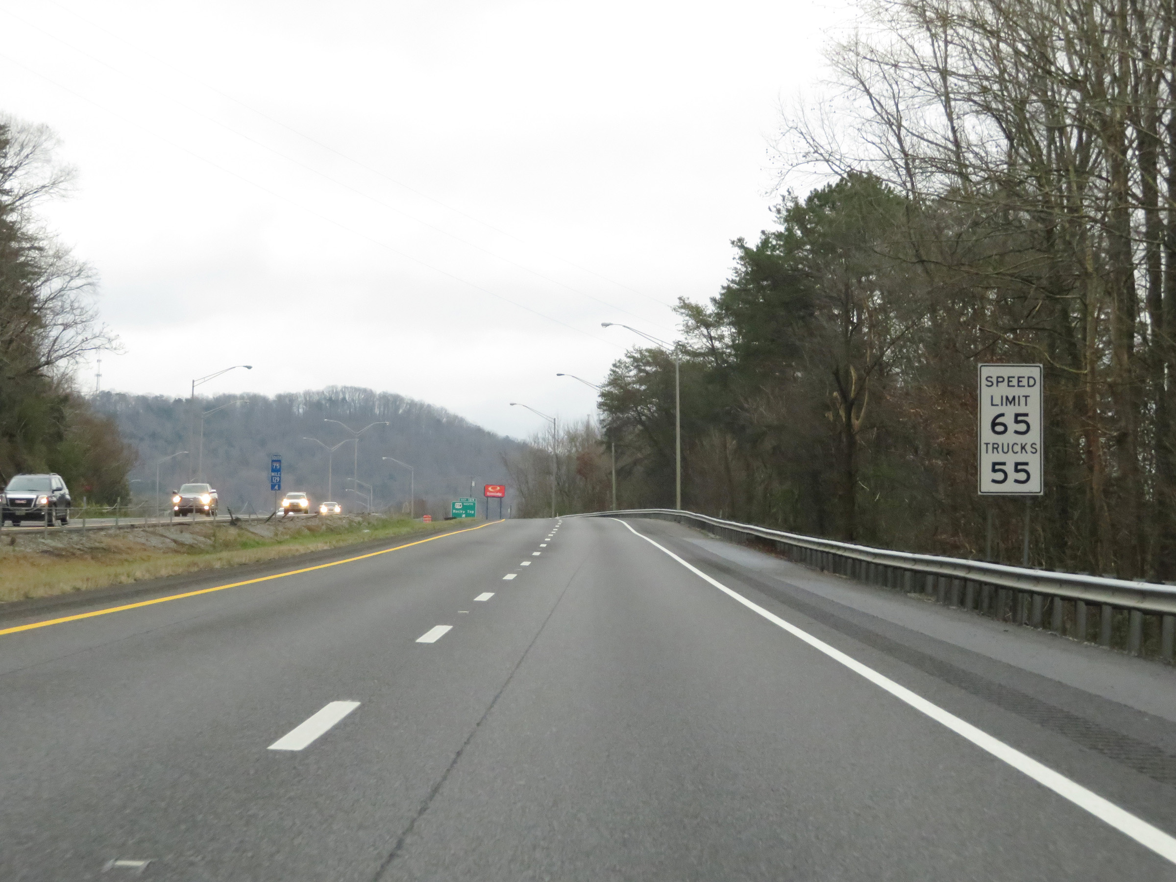
The speed limit remains 65 mph for all traffic. (Photo taken 12/17/20). |
 |
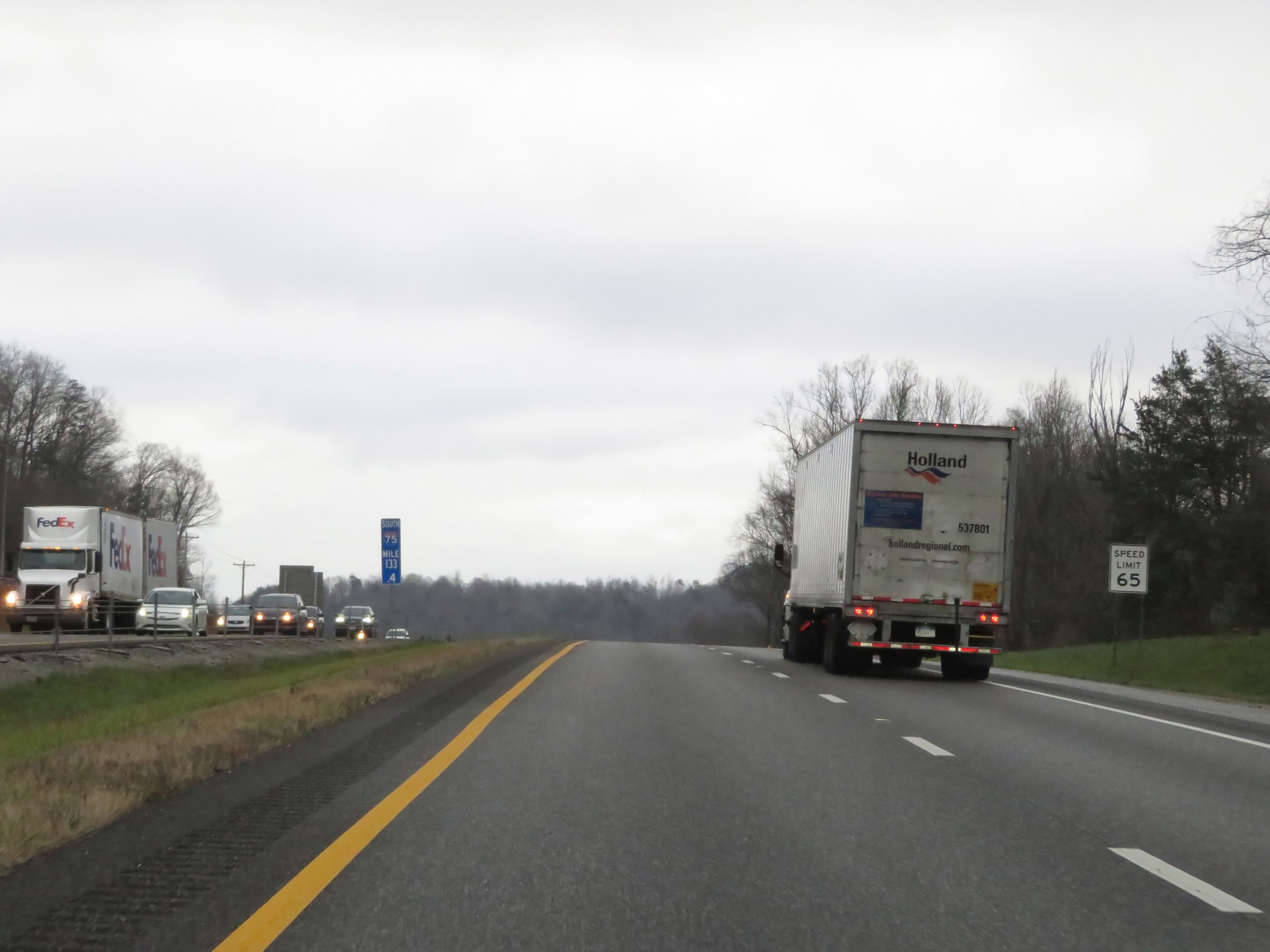
View on Interstate 75 South at mile marker 133. (Photo taken 12/17/20). |
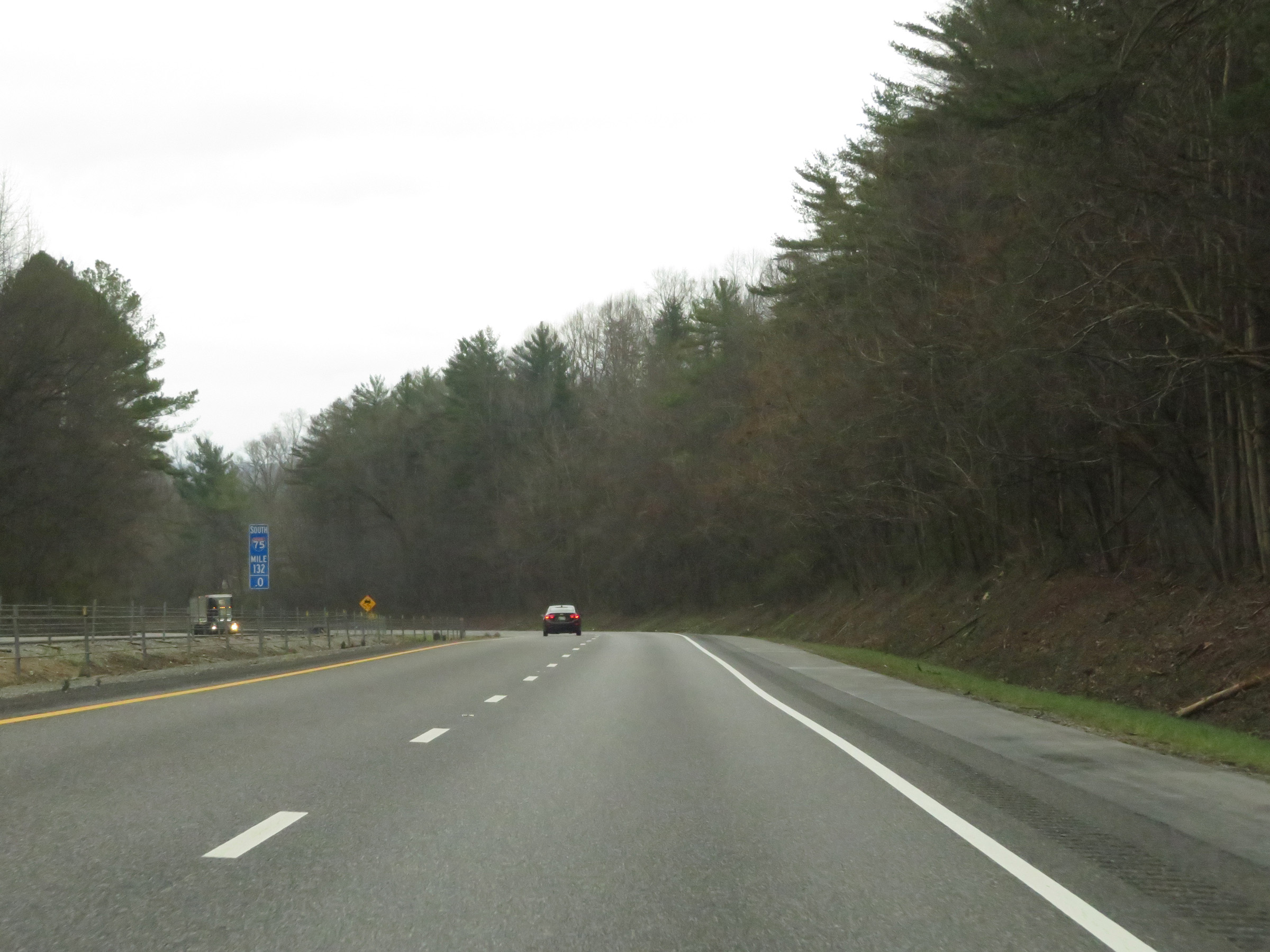 |
Interstate 75 South at mile marker 132. (Photo taken 12/17/20). |
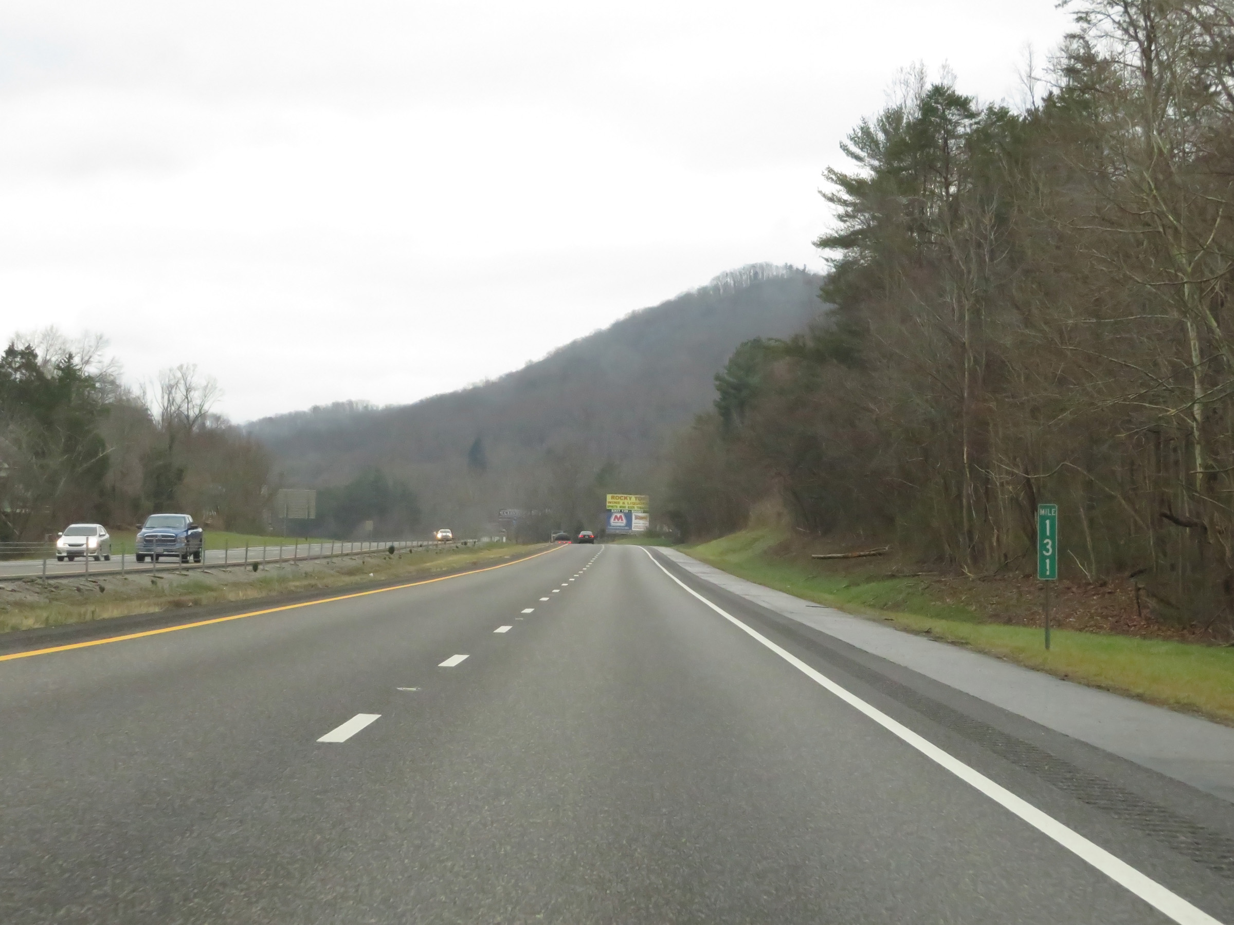 |
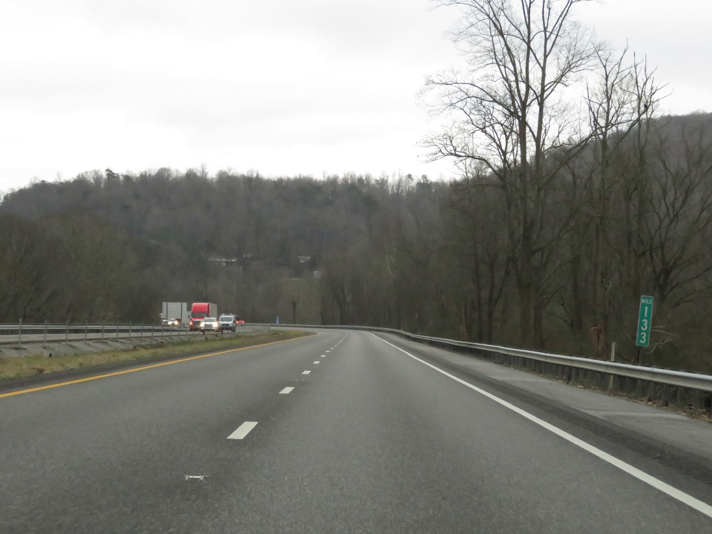
Mile marker 131 on Interstate 75 South in Campbell County, after descending from the Cumberland Mountains. (Photo taken 12/17/20). |
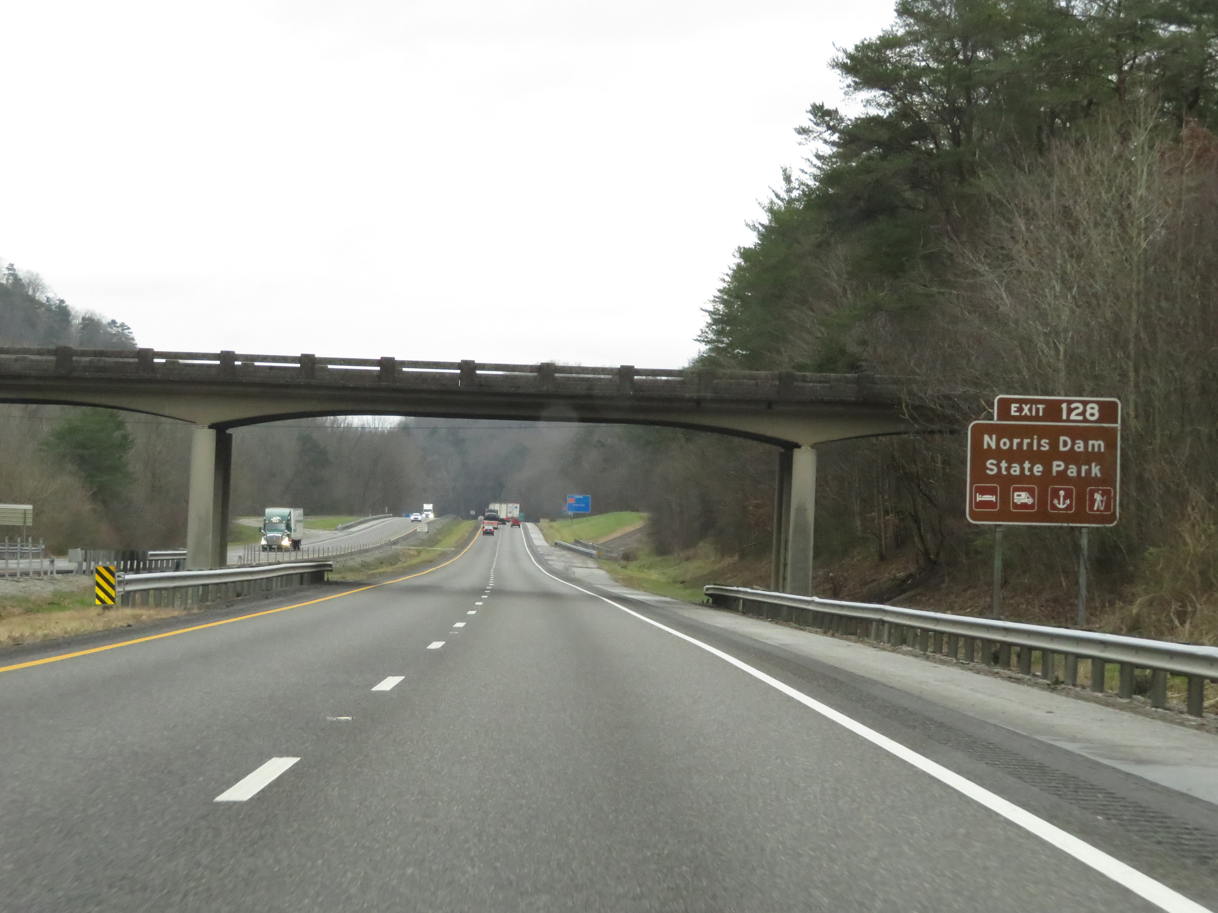 |
Take Exit 128 to Norris Dam State Park. (Photo taken 12/17/20). |
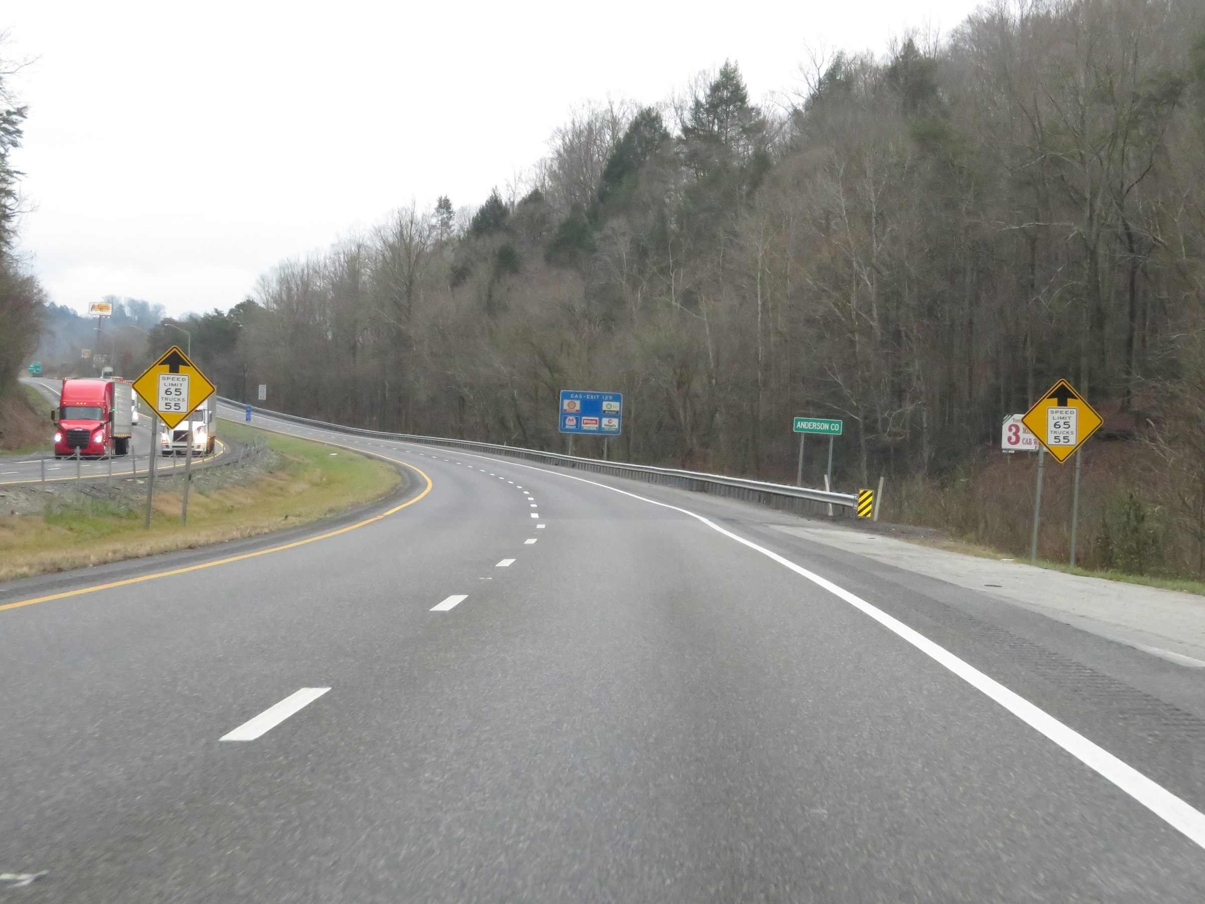 |
Interstate 75 South as it enters Anderson County. (Photo taken 12/17/20). |
 |
Upon entering Anderson County, the truck speed limit decreases to 55 mph. The speed limit remains 65 mph for automobiles. (Photo taken 12/17/20). |
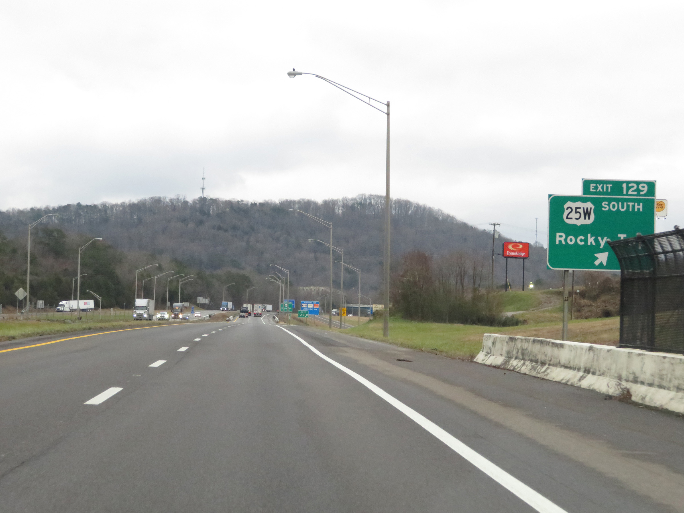 |
Interstate 75 South at Exit 129: US 25W South - Rocky Top (Photo taken 12/17/20). |
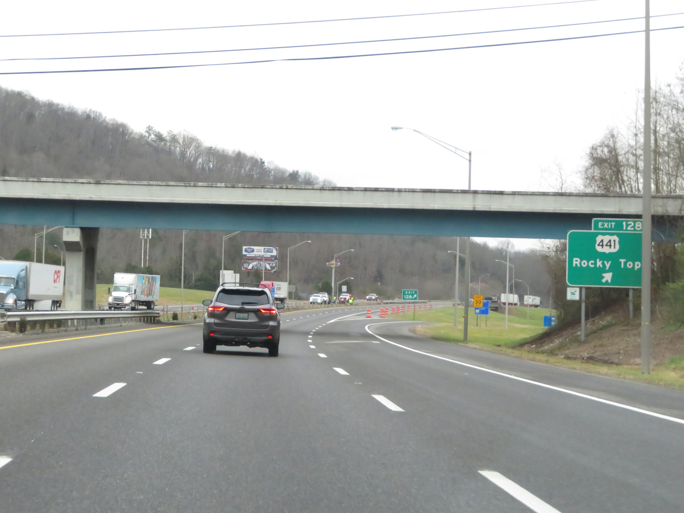 |
Interstate 75 South at Exit 128: US 441 - Rocky Top (Photo taken 12/17/20). |
Section 2: Rocky Top (Exit 128) to Knoxville (Exit 374)
 |
Another Interstate 75 South reassurance shield. (Photo taken 12/17/20). |
 |
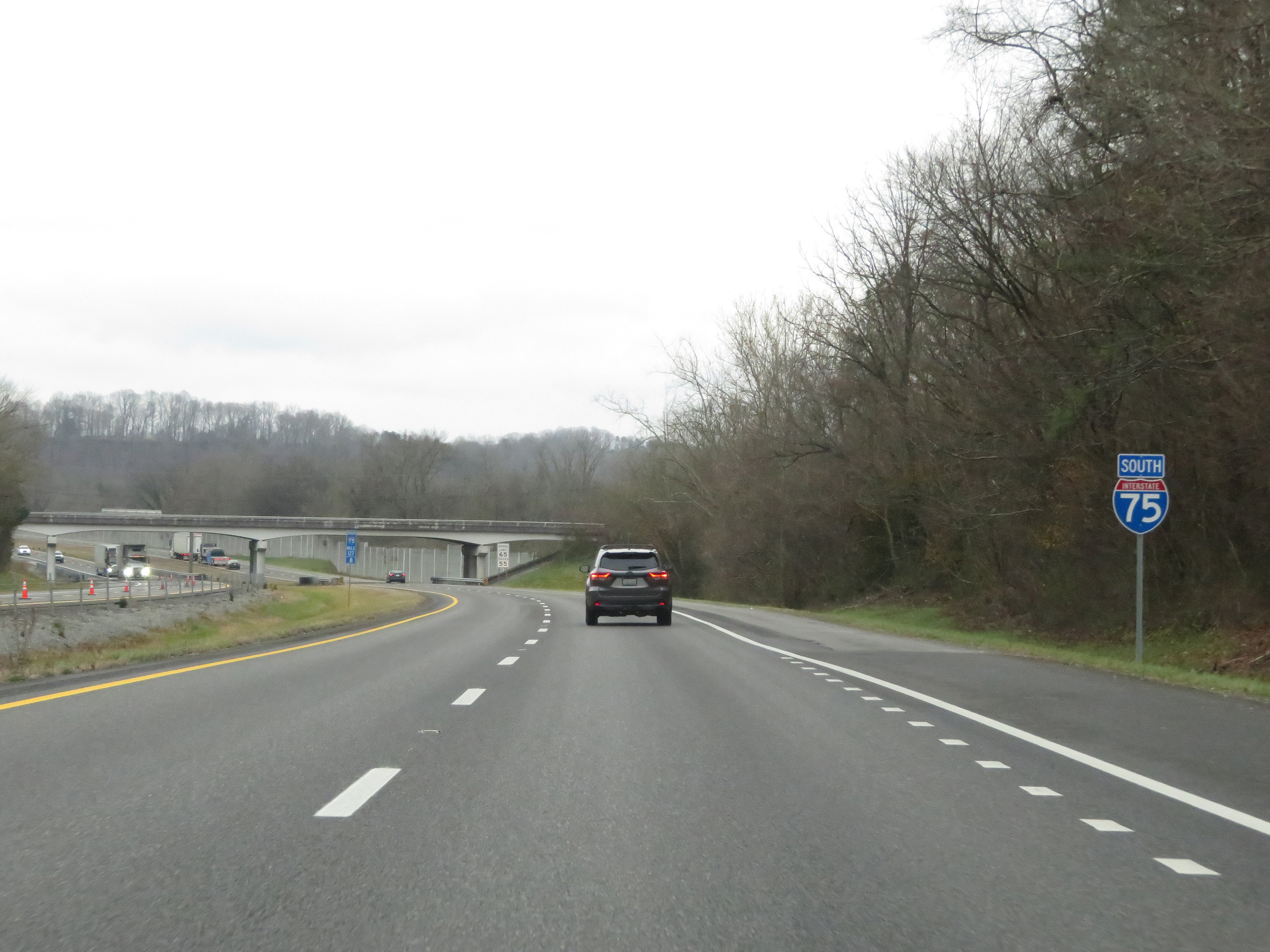
View on Interstate 75 South at mile marker 127. (Photo taken 12/17/20). |
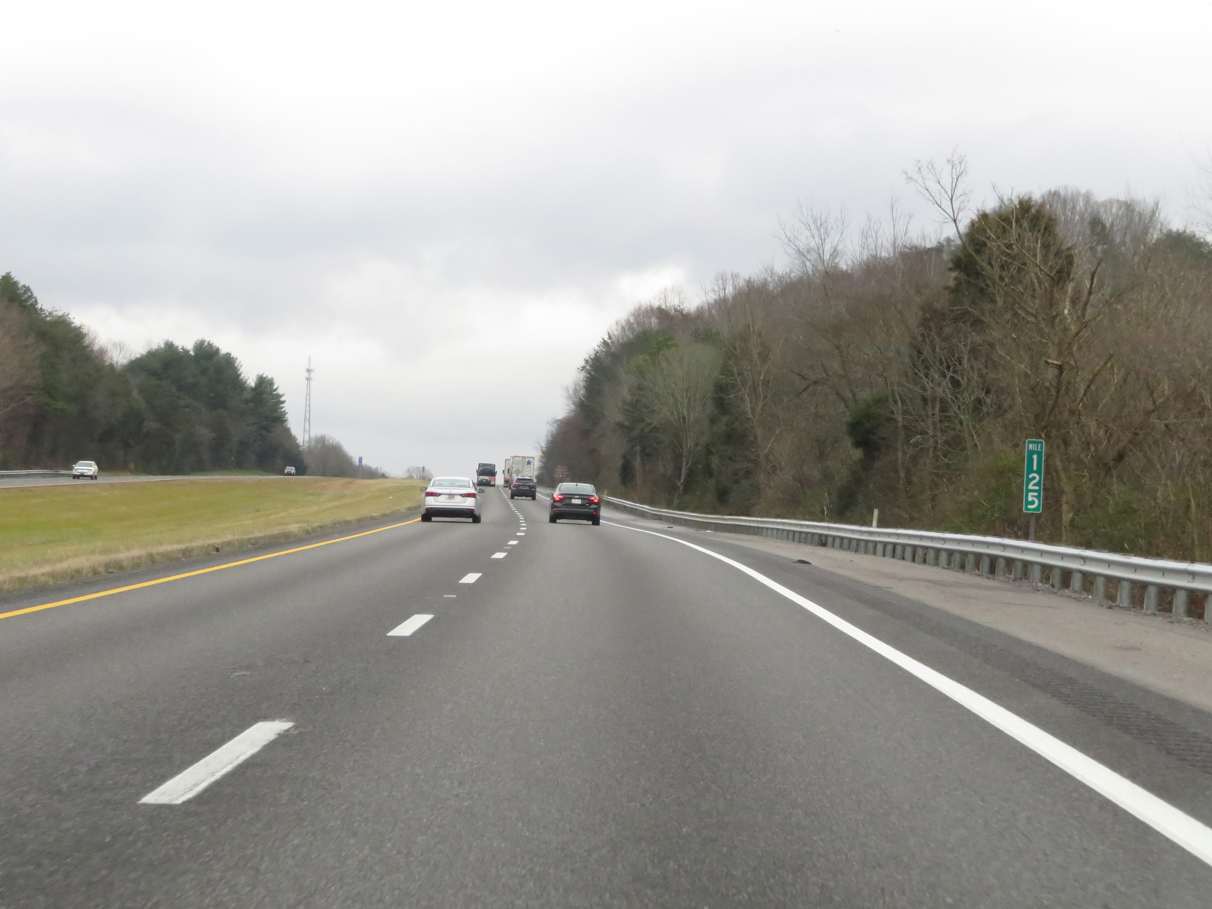 |
Interstate 75 South at mile marker 125. (Photo taken 12/17/20). |
 |
Take Exit 122 to Big Ridge State Park. (Photo taken 12/17/20). |
 |
Also take Exit 122 to the Green McAdoo Museum and the Museum of Appalachia. (Photo taken 12/17/20). |
 |
View on Interstate 75 South at mile marker 124. (Photo taken 12/17/20). |
 |
Take Exit 122 to Oak Ridge as well. (Photo taken 12/17/20). |
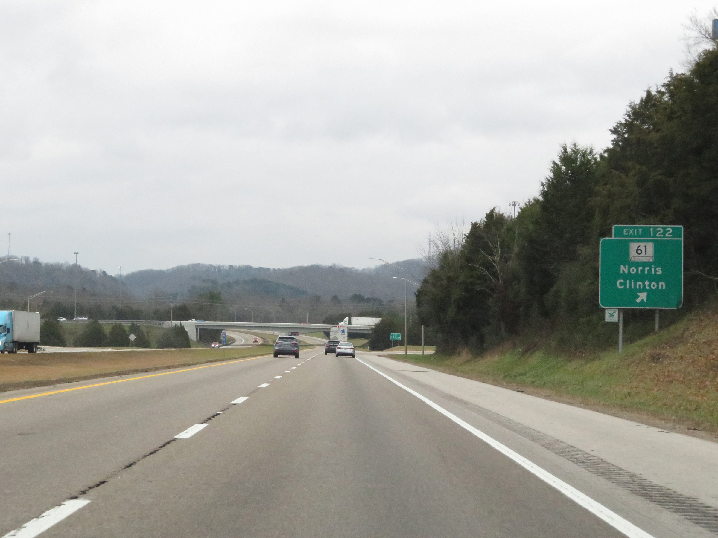 |
Interstate 75 South at Exit 122: TN 61 - Norris / Clinton (Photo taken 12/17/20). |
 |
Mile marker 120 on Interstate 75 South in Anderson County. (Photo taken 12/17/20). |
 |
View on Interstate 75 South at mile marker 119. (Photo taken 12/17/20). |
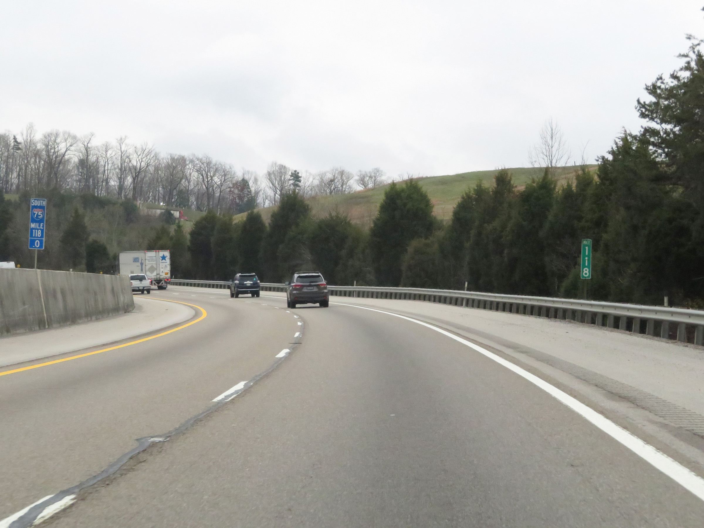 |
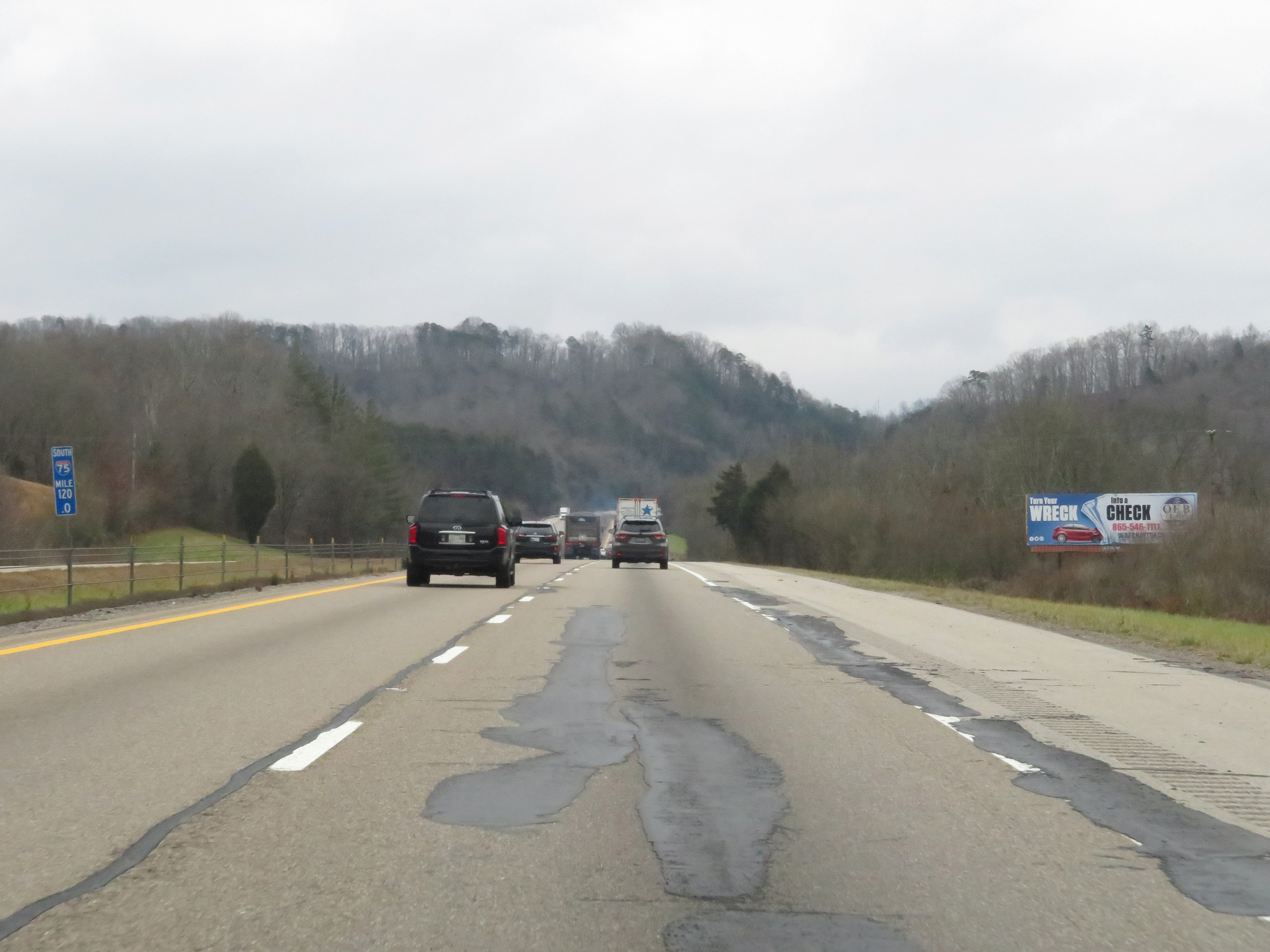
Interstate 75 South at mile marker 118. (Photo taken 12/17/20). |
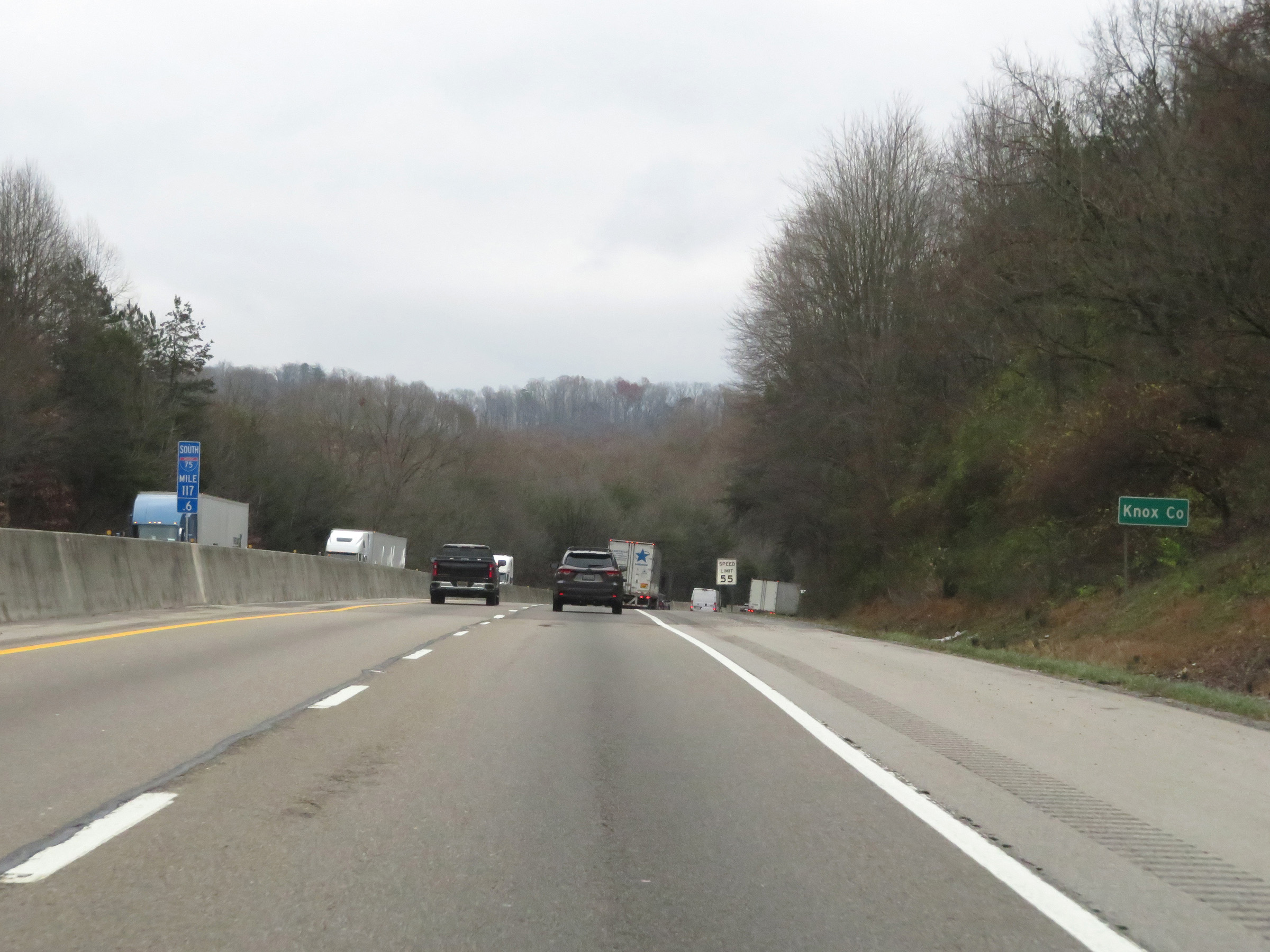 |
At mile marker 117.6, Interstate 75 South enters Knox County. (Photo taken 12/17/20). |
 |
Upon entering Knox County, the speed limit on Interstate 75 South is reduced to 55 mph for all traffic. (Photo taken 12/17/20). |
 |
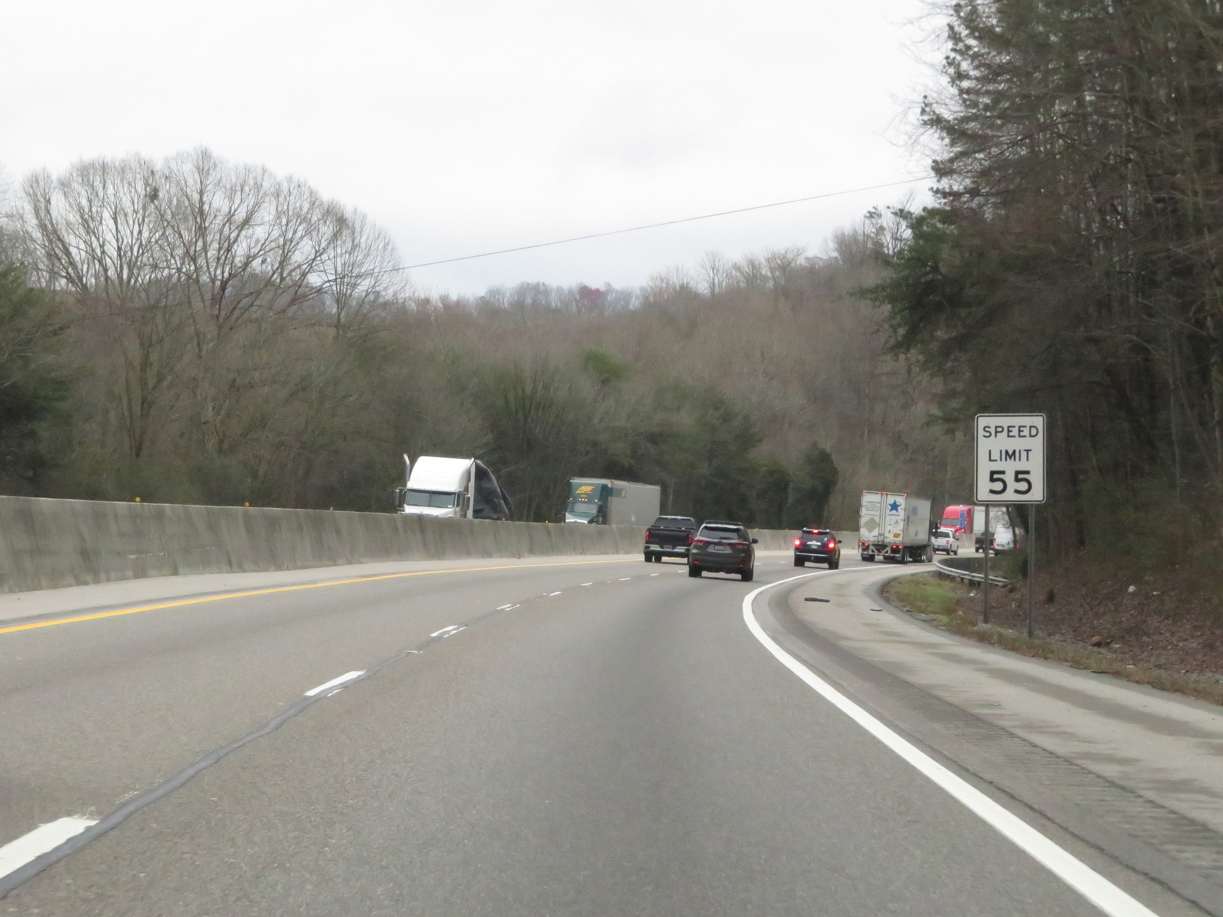
Interstate 75 South at Exit 117: SR 170 - Raccoon Valley Rd (Photo taken 12/17/20). |
 |
Interstate 75 South reassurance shield at mile marker 116.4. (Photo taken 12/17/20). |
 |
Downtown Knoxville is now just 11 miles ahead. (Photo taken 12/17/20). |
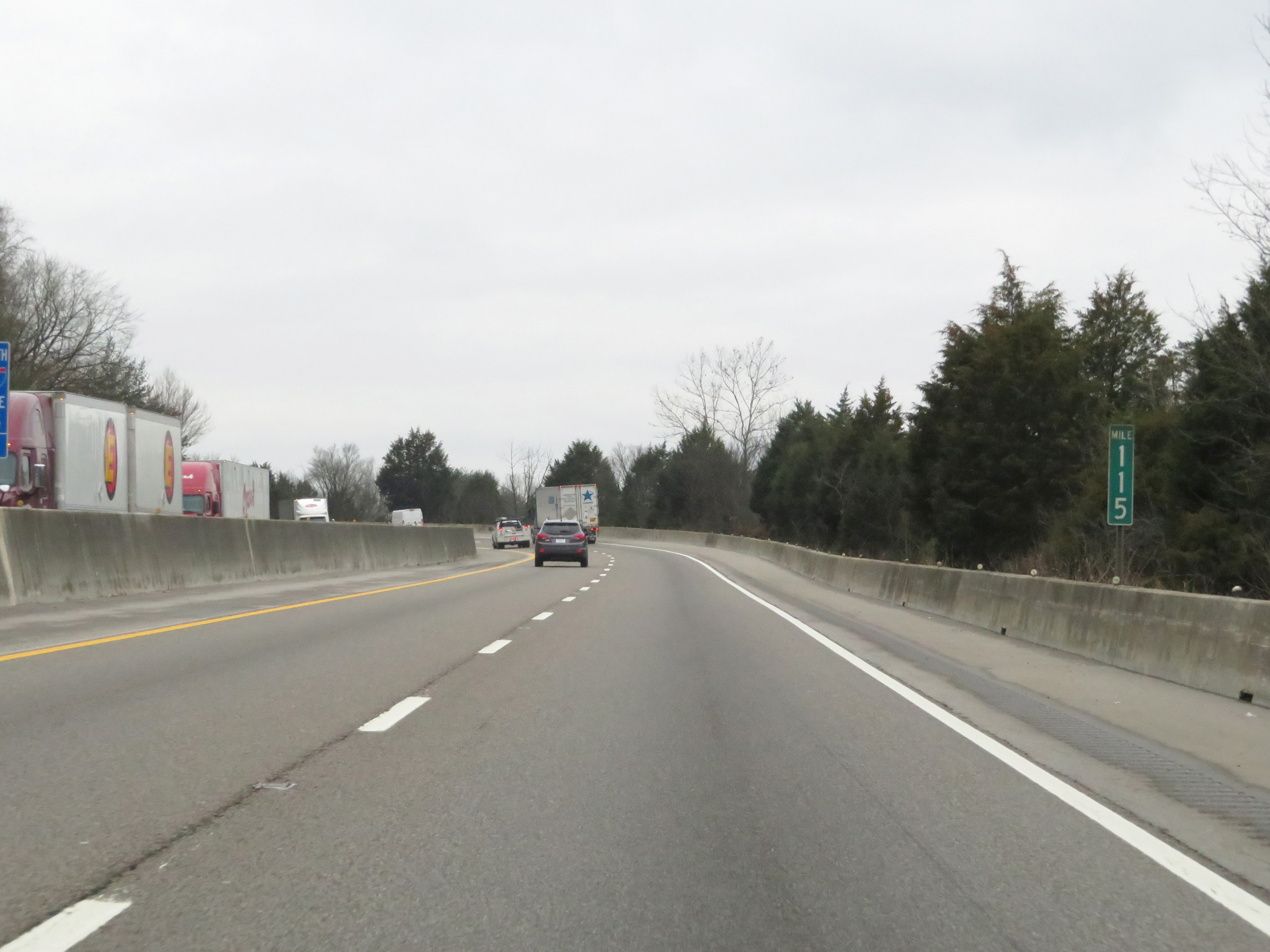 |
View on Interstate 75 South at mile marker 115. (Photo taken 12/17/20). |
 |
Interstate 75 South at mile marker 114. (Photo taken 12/17/20). |
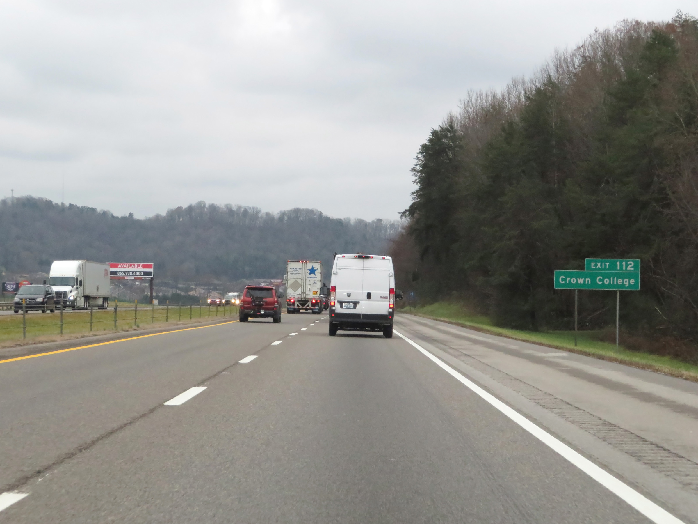 |
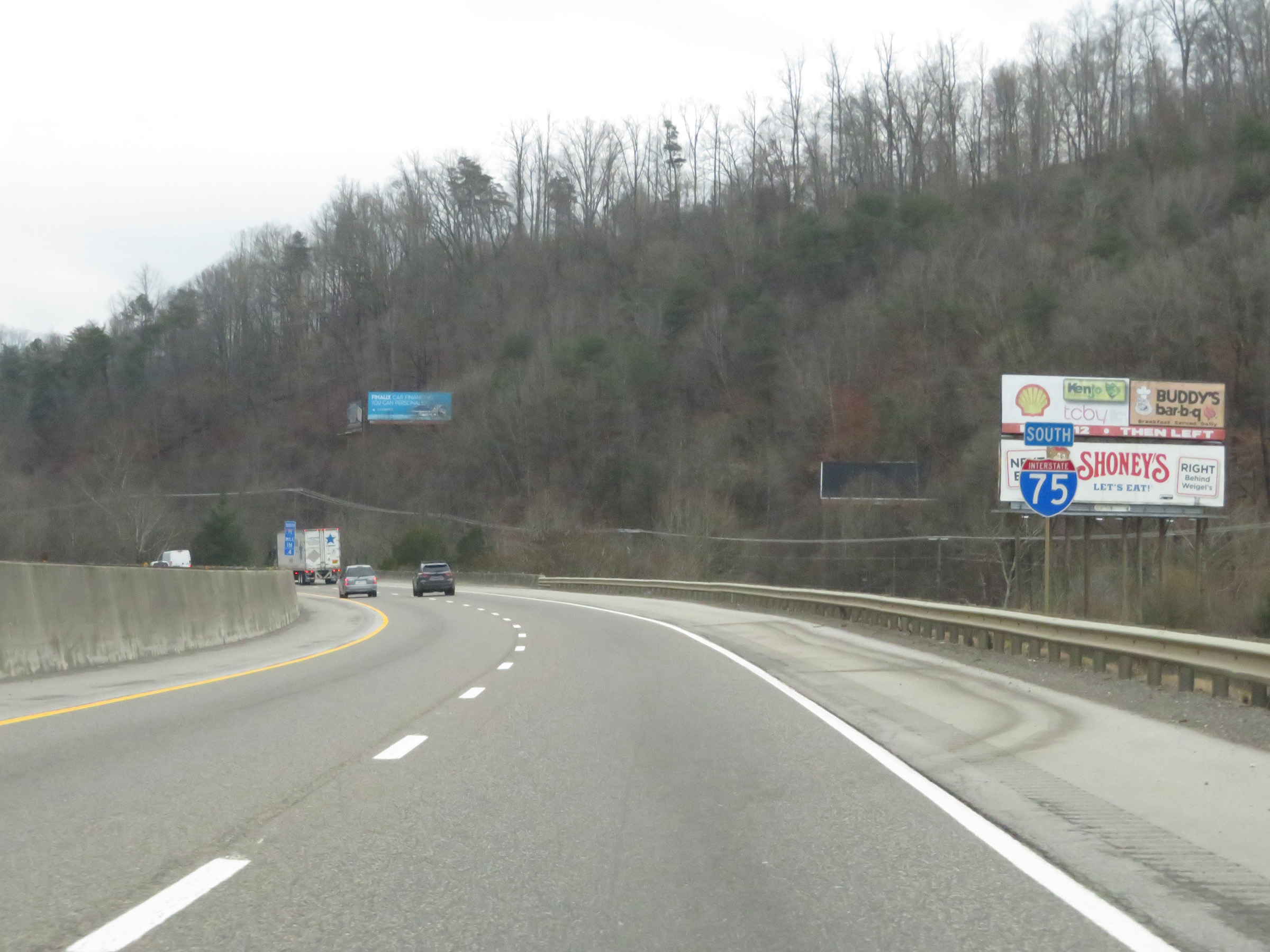
Take Exit 112 to Crown College. (Photo taken 12/17/20). |
 |
Interstate 75 South at Exit 112: SR 131 (Emory Rd) - Powell (Photo taken 12/17/20). |
 |
Interstate 75 South at mile marker 111. (Photo taken 12/17/20). |
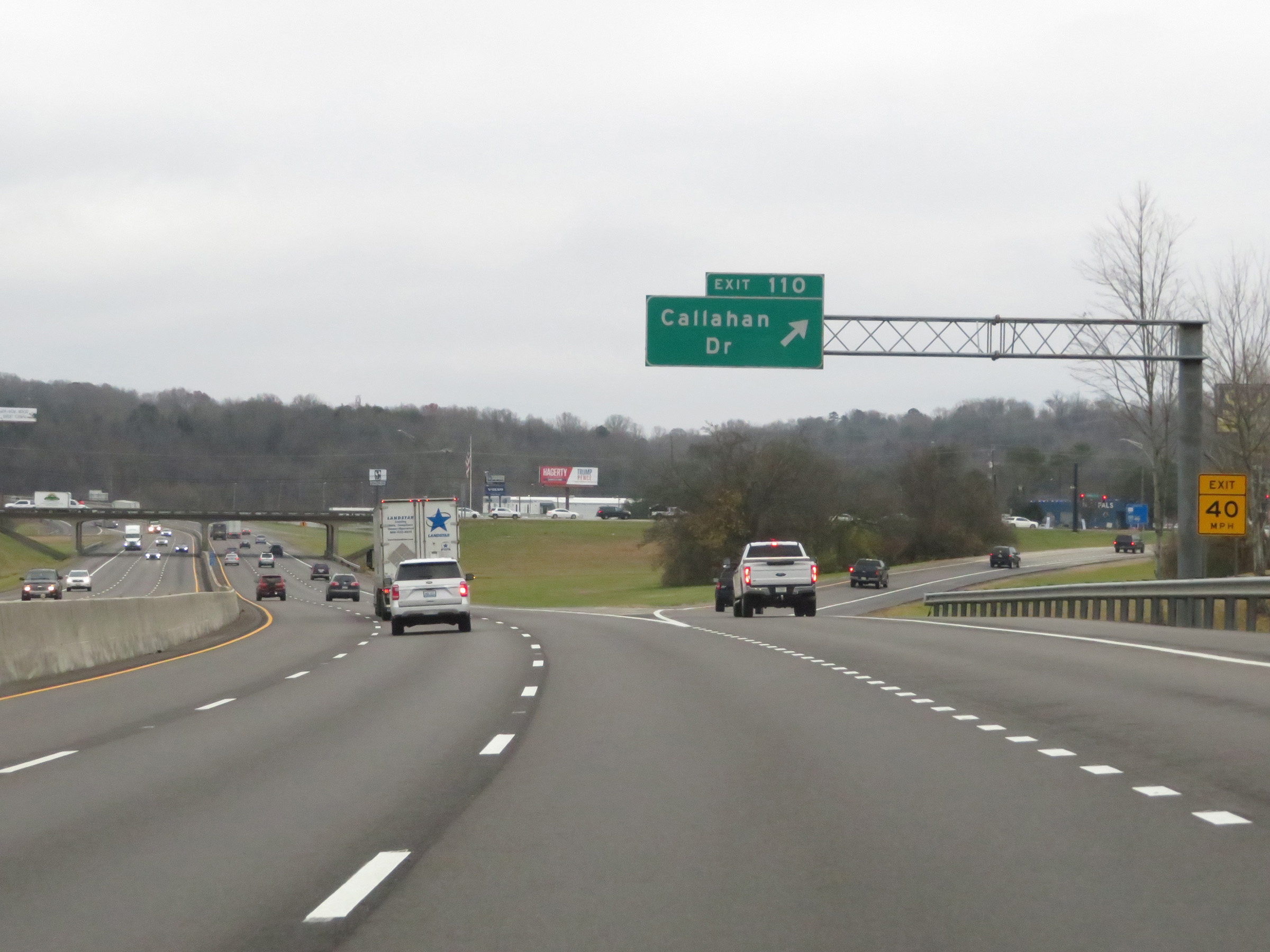 |
Interstate 75 South at Exit 110: Callahan Dr (Photo taken 12/17/20). |
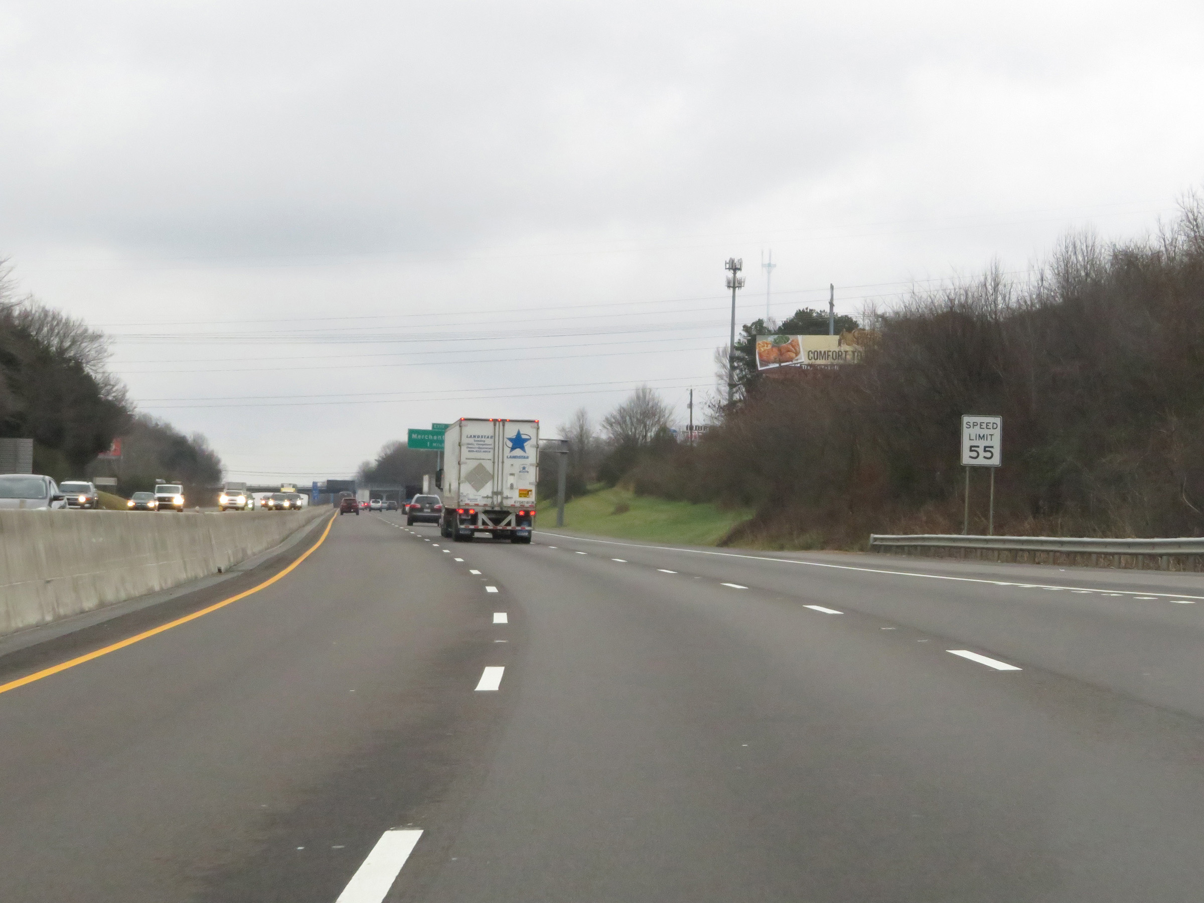 |
The speed limit remains 55 mph for all traffic on Interstate 75 South as it approaches Knoxville. (Photo taken 12/17/20). |
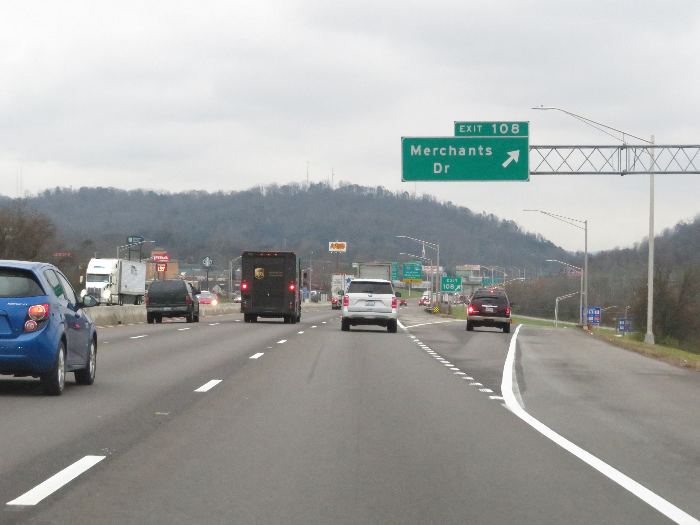 |
Interstate 75 South at Exit 108: Merchants Dr (Photo taken 12/17/20). |
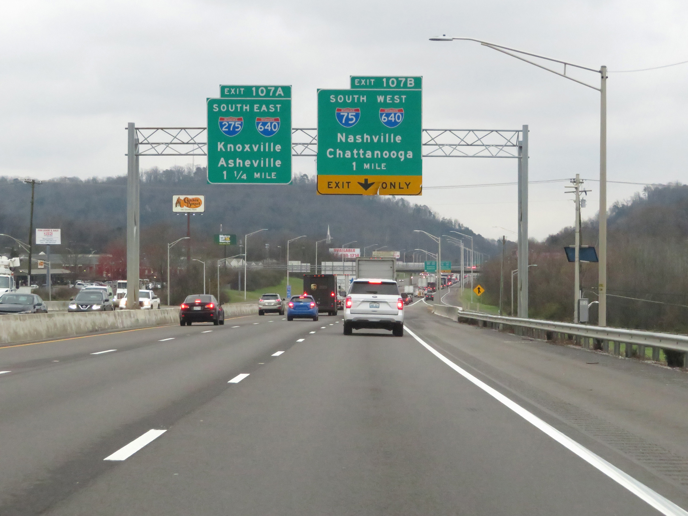 |
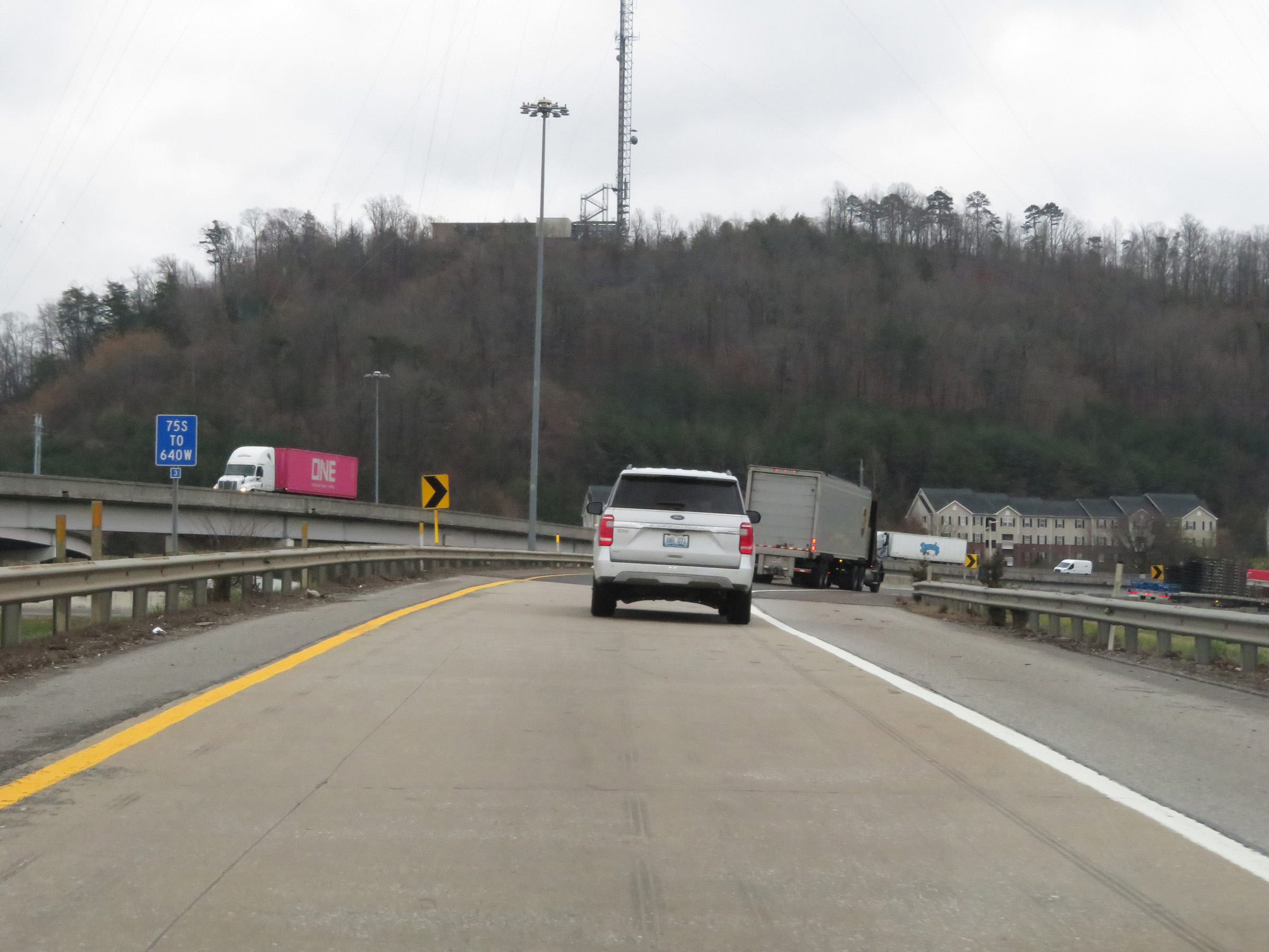
Interstate 75 South approaching Exits 107B-A - 1 mile. I-75 South thru traffic will need to follow Exit 107B. I-75 South will run concurrently with Interstate 640 West on the west side of downtown Knoxville. (Photo taken 12/17/20). |
 |
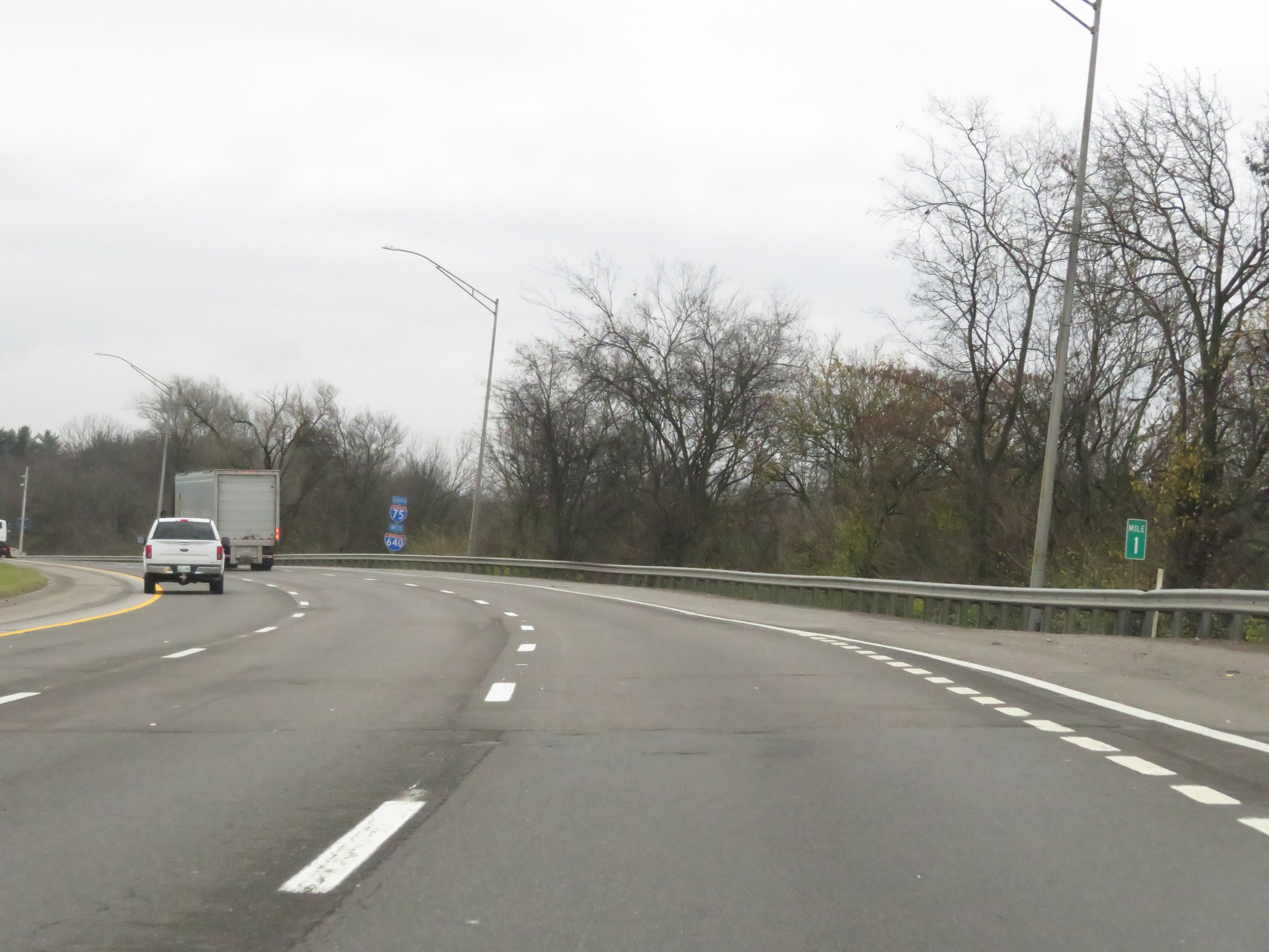
Interstate 75 South at Exit 107B: Interstate 75 South / Interstate 640 West - Nashville / Chattanooga (Photo taken 12/17/20). |
 |
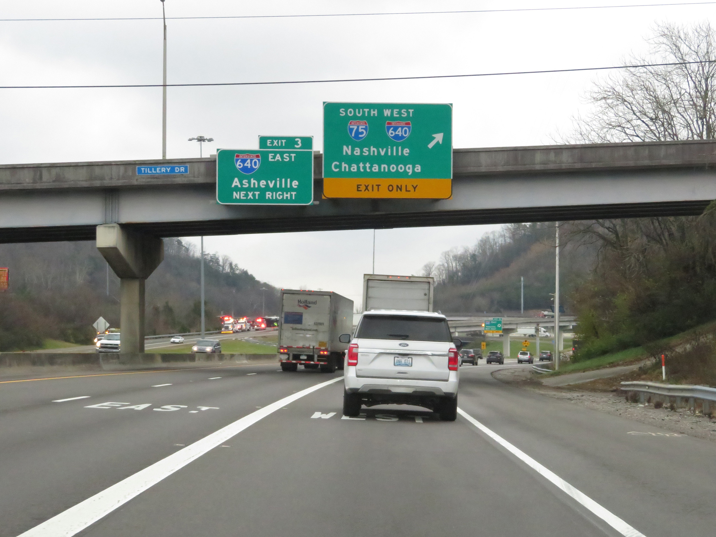
Interstate 75 South is briefly reduced to a single lane here as the ramp to Interstate 640 West, with which it will run concurrently for the next 3.5 miles. (Photo taken 12/17/20). |
 |
View on the ramp as Interstate 640 West traffic comes into view and the I-75 South / I-640 West concurrency begins. (Photo taken 12/17/20). |
 |
Interstate 75 South / Interstate 640 West at mile marker 3.4 as the concurrency begins. During this concurrency, the mile markers and exit numbers are based on the total mileage of I-640. (Photo taken 12/17/20). |
 |
The speed limit during the Interstate 75 South / Interstate 640 West concurrency is 65 mph for all traffic. (Photo taken 12/17/20). |
 |
A set of Interstate 75 South / Interstate 640 West reassurance shields. (Photo taken 12/17/20). |
 |
View on Interstate 75 South / Interstate 640 West at mile marker 2. (Photo taken 12/17/20). |
 |
Interstate 75 South / Interstate 640 West at Exit 1: TN 62 - Western Ave (Photo taken 12/17/20). |
 |
Interstate 75 South / Interstate 640 West approaching the junction of Interstate 40 - 1 mile. I-75 South thru traffic will need to be in the center or right lanes to go onto I-40 West for another concurrency. (Photo taken 12/17/20). |
 |
View on Interstate 75 South / Interstate 640 West at mile marker 1. (Photo taken 12/17/20). |
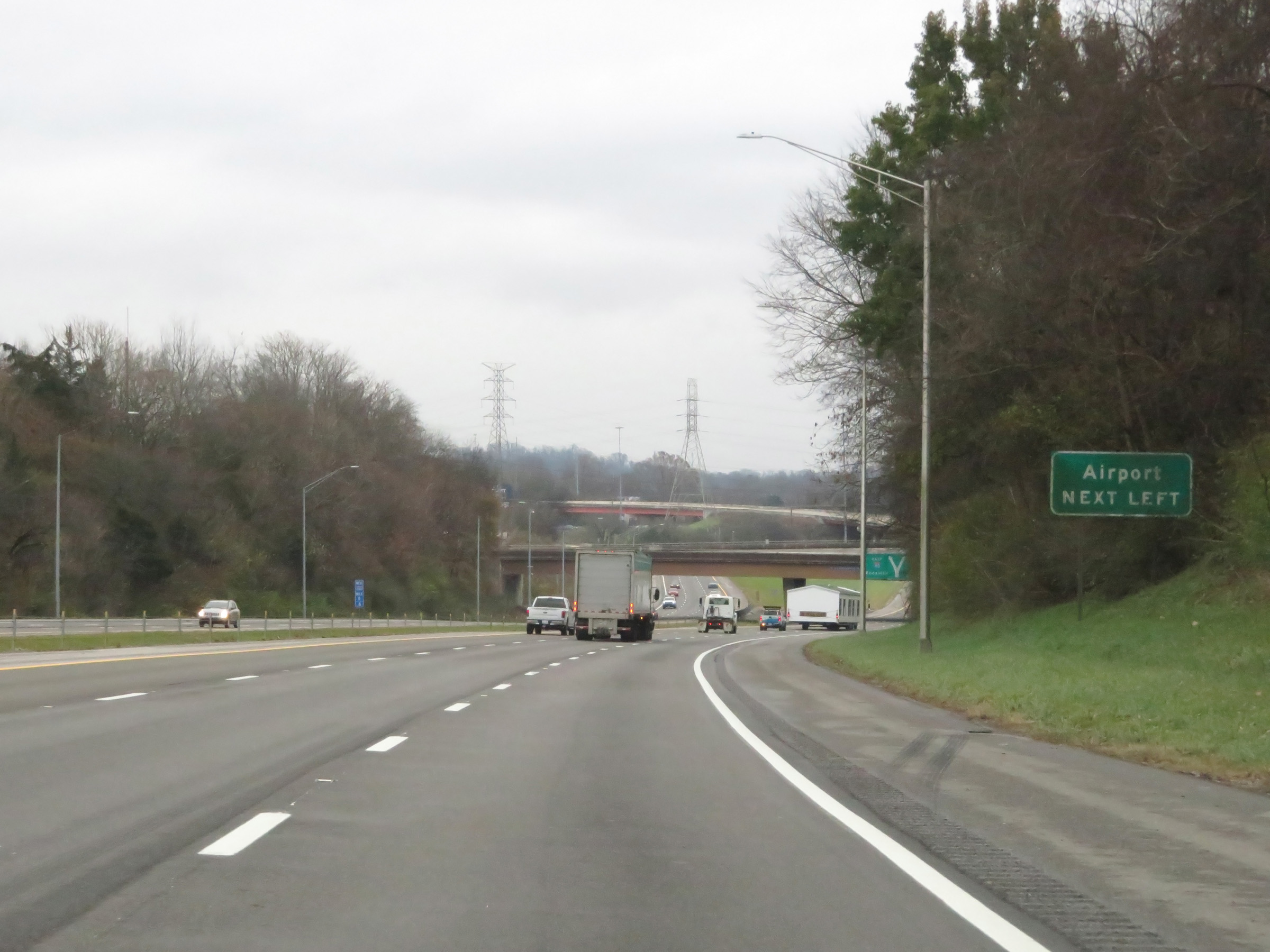 |
Traffic to the Airport should keep left onto Interstate 40 East ahead. (Photo taken 12/17/20). |
 |
Interstate 75 South / Interstate 640 West approaching the junction of Interstate 40, to the west of downtown Knoxville. (Photo taken 12/17/20). |
 |
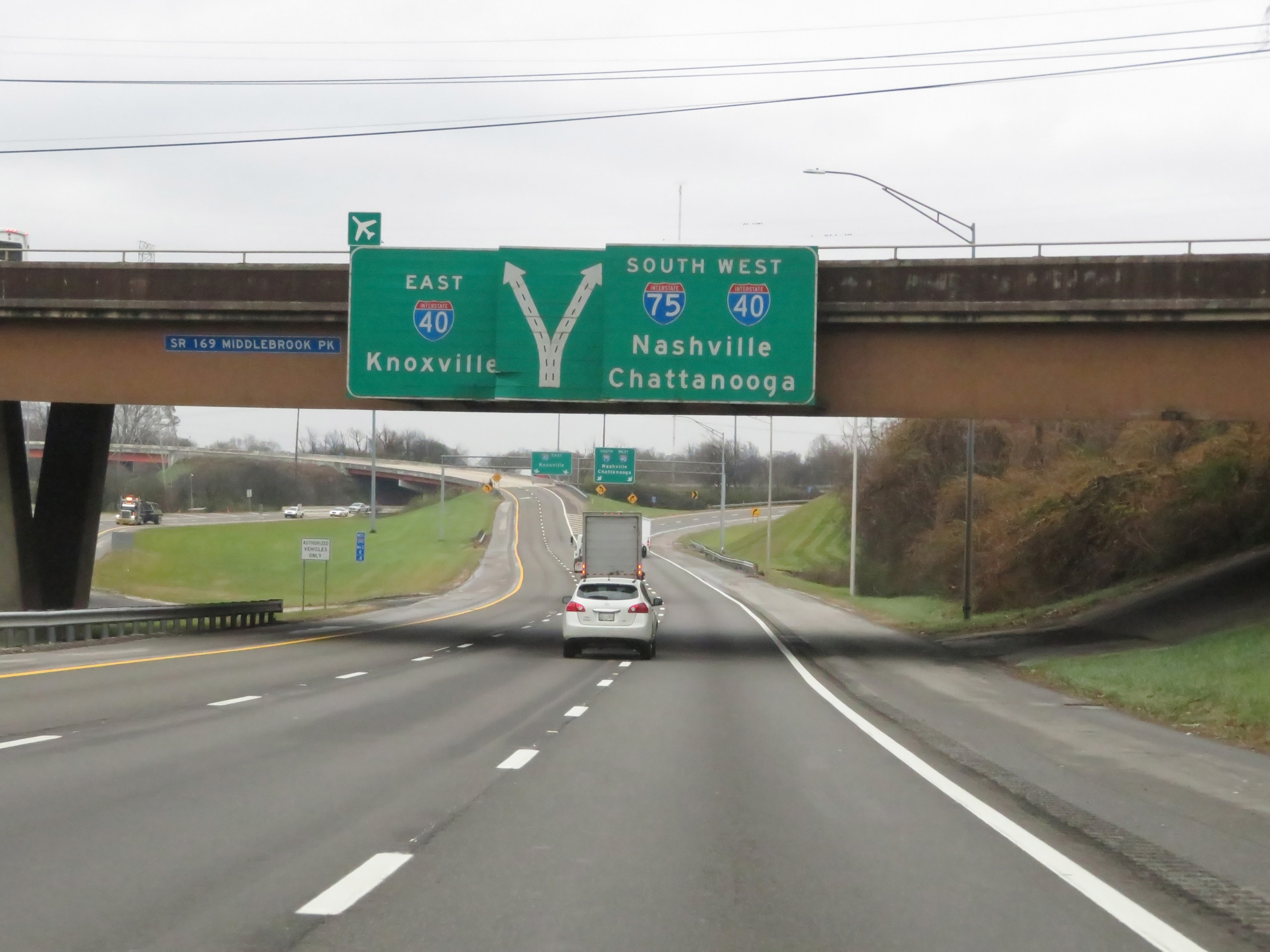
Interstate 75 South / Interstate 640 West at the junction of Interstate 40. Again, I-75 South thru traffic will need to stay right here. Ahead, it will merge into the westbound lanes of I-40 for another concurrency. (Photo taken 12/17/20). |
 |
Interstate 75 South maintains two lanes on the ramp to Interstate 40 West. (Photo taken 12/17/20). |
 |
View on Interstate 75 South as Interstate 40 West traffic comes into plain view on the left. (Photo taken 12/17/20). |
 |
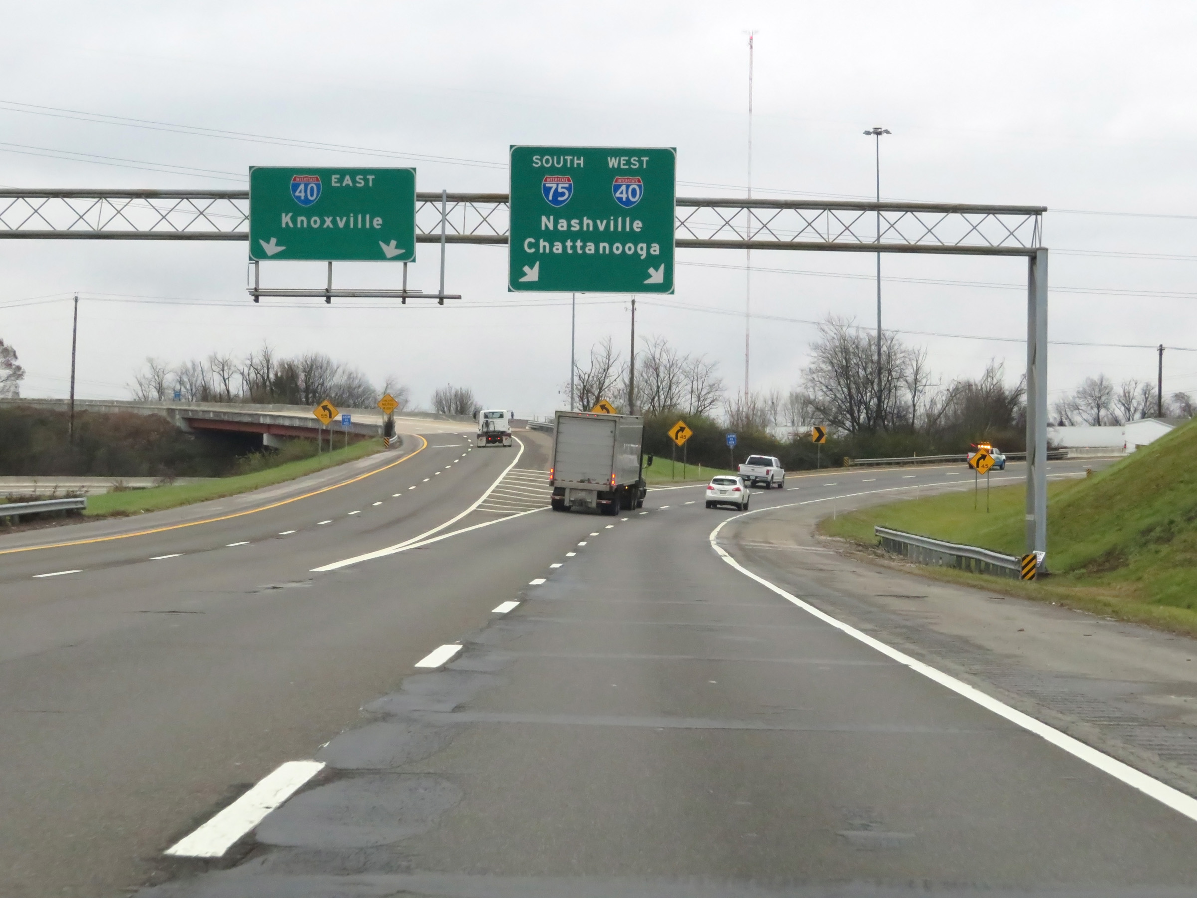
Interstate 75 South / Interstate 40 West reassurance shields as their concurrency begins. The two alignments will run together for the next 17 miles. (Photo taken 12/17/20). |
 |
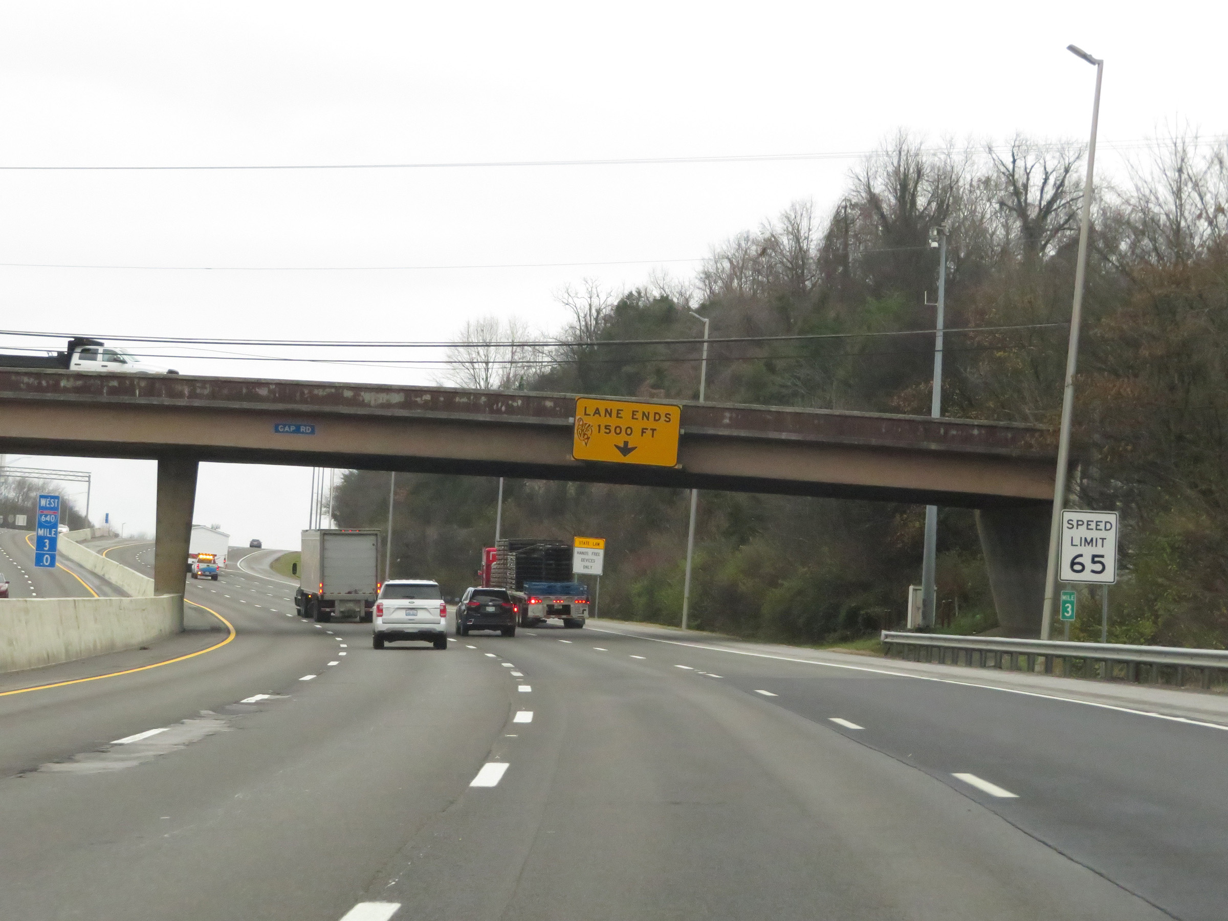
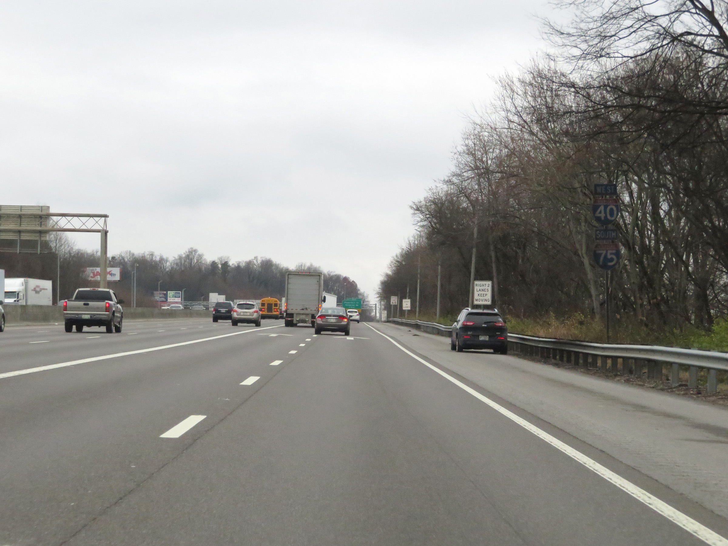
The speed limit on Interstate 75 South / Interstate 40 West remains 65 mph for all traffic. Thru traffic will need to merge left, as the rightmost lane becomes an exit only lane for Exit 383 ahead. (Photo taken 12/17/20). |
 |
Mileage sign on Interstate 75 South / Interstate 40 West. It's 107 miles to Chattanooga and 177 miles to Nashville. (Photo taken 12/17/20). |
 |
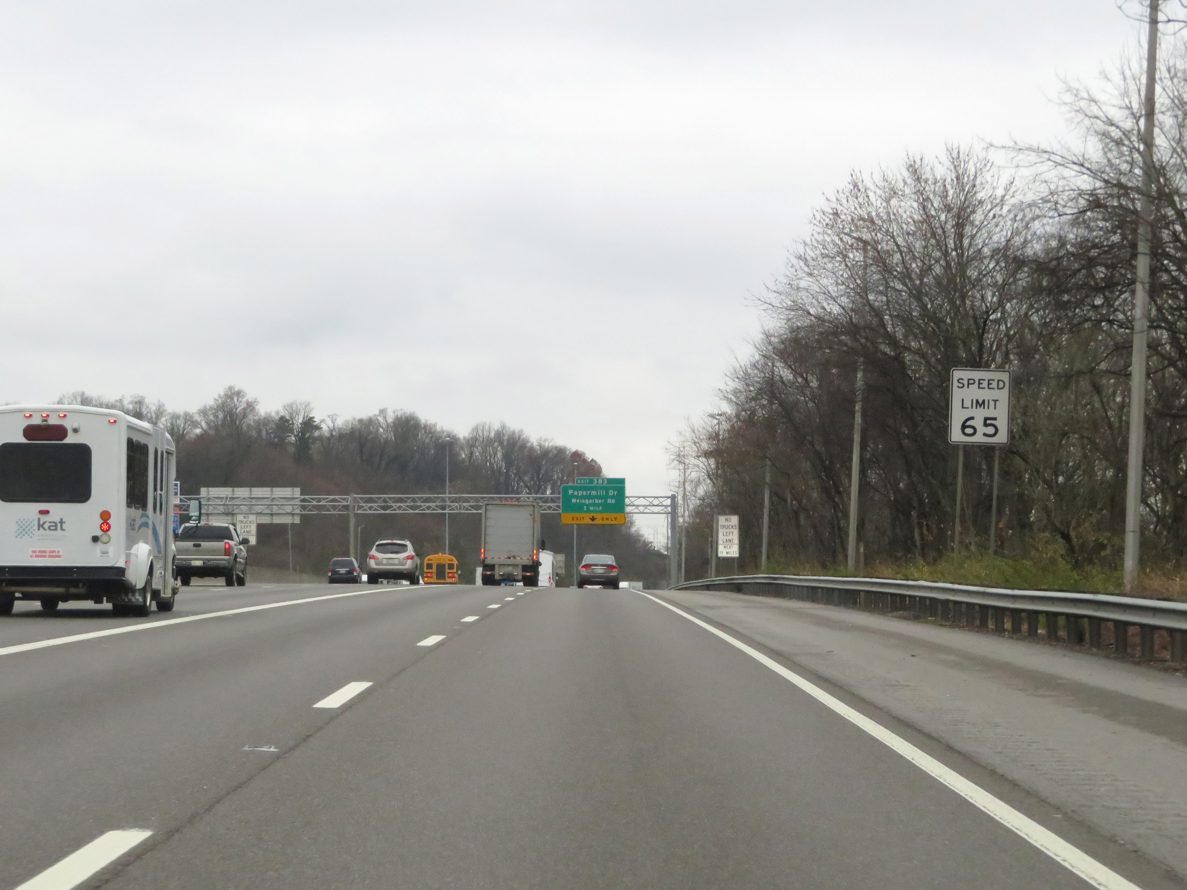
Take Exit 383 to South College and Tennessee College of Applied Technology at Knoxville. During the Interstate 75 / Interstate 40 concurrency, the mile markers and exit numbers are based on the total mileage of I-40 in Tennessee. (Photo taken 12/5/20). |
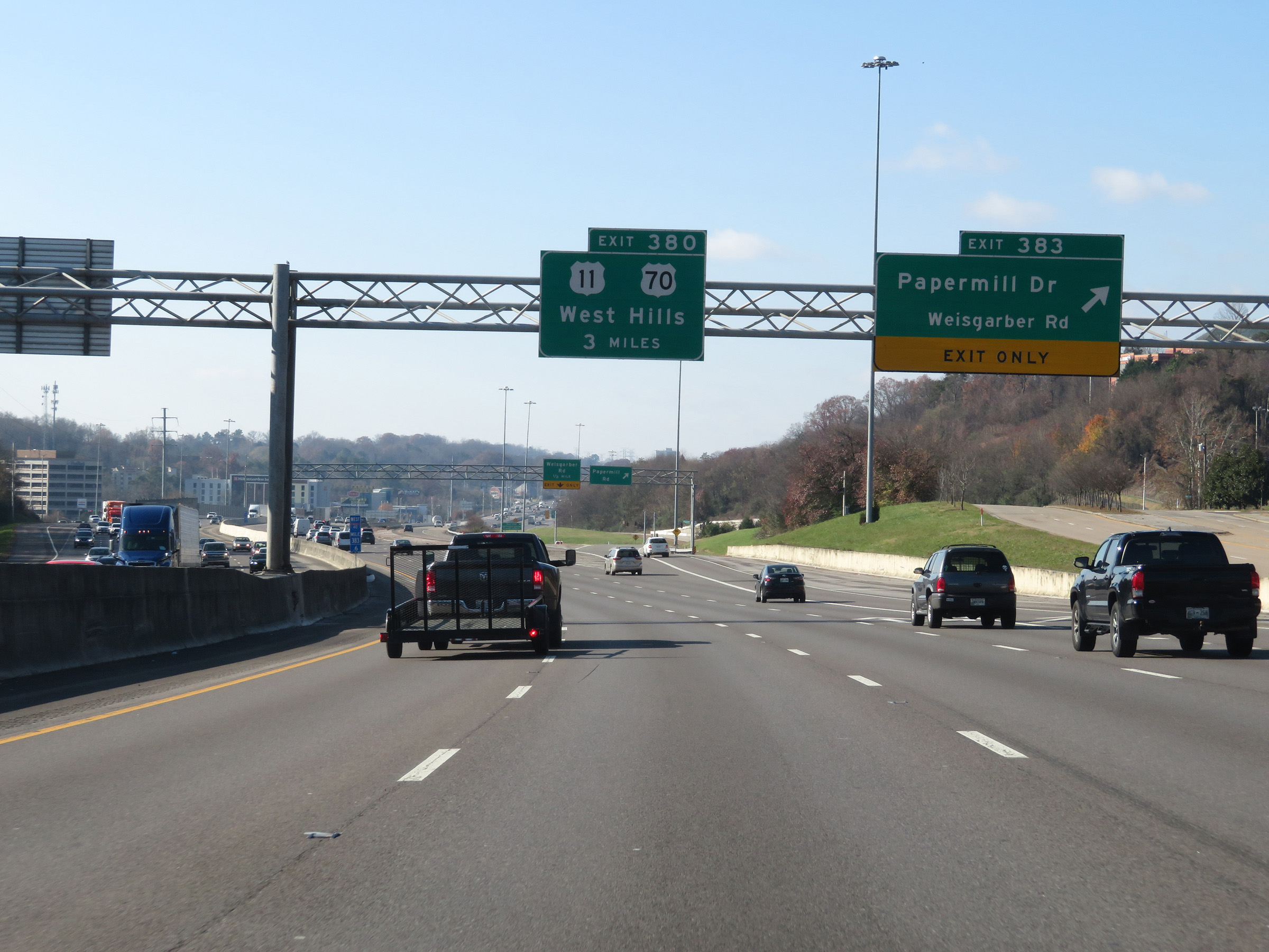 |
Interstate 75 South / Interstate 40 West at Exit 383: Papermill Dr / Weisgarber Rd (Photo taken 12/5/20). |
 |
View on Interstate 75 South / Interstate 40 West at mile marker 382. (Photo taken 12/5/20). |
 |
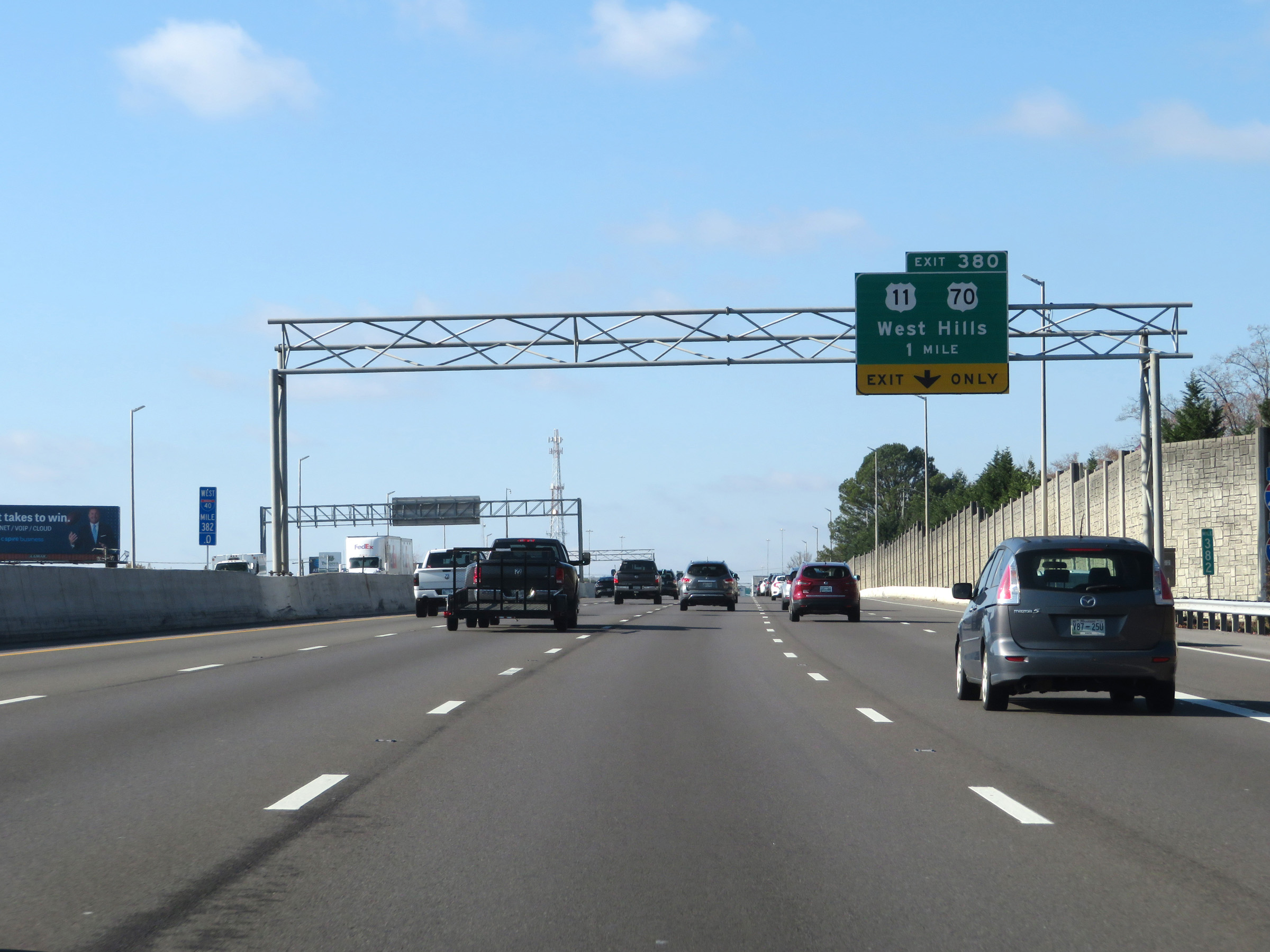
Interstate 75 South / Interstate 40 West at Exit 380: US 11 / US 70 - West Hills (Photo taken 12/5/20). |
 |
Another set of Interstate 75 South / Interstate 40 West reassurance shields. (Photo taken 12/5/20). |
 |
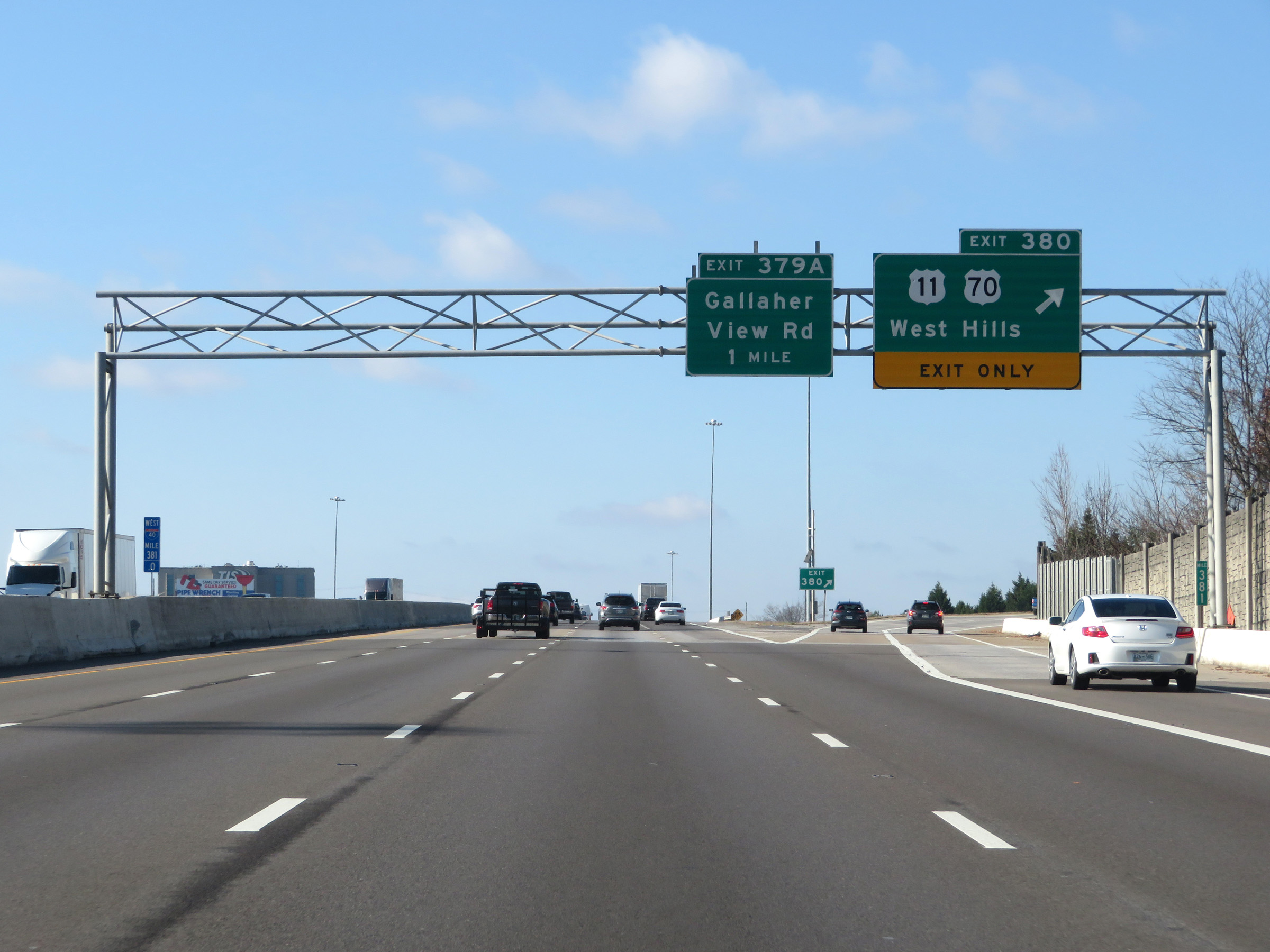
Interstate 75 South / Interstate 40 West at Exit 379A: Gallaher View Rd (Photo taken 12/5/20). |
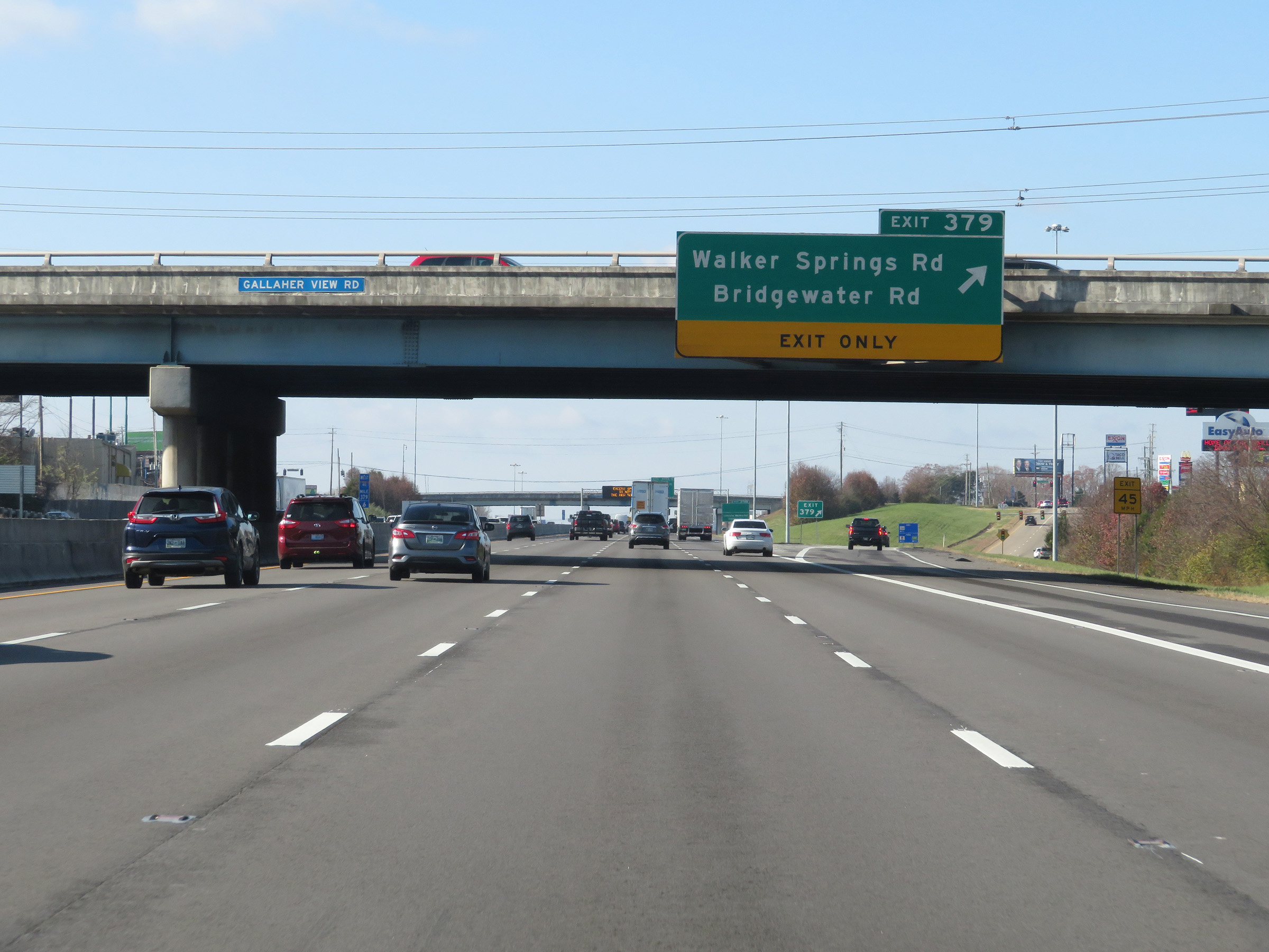 |
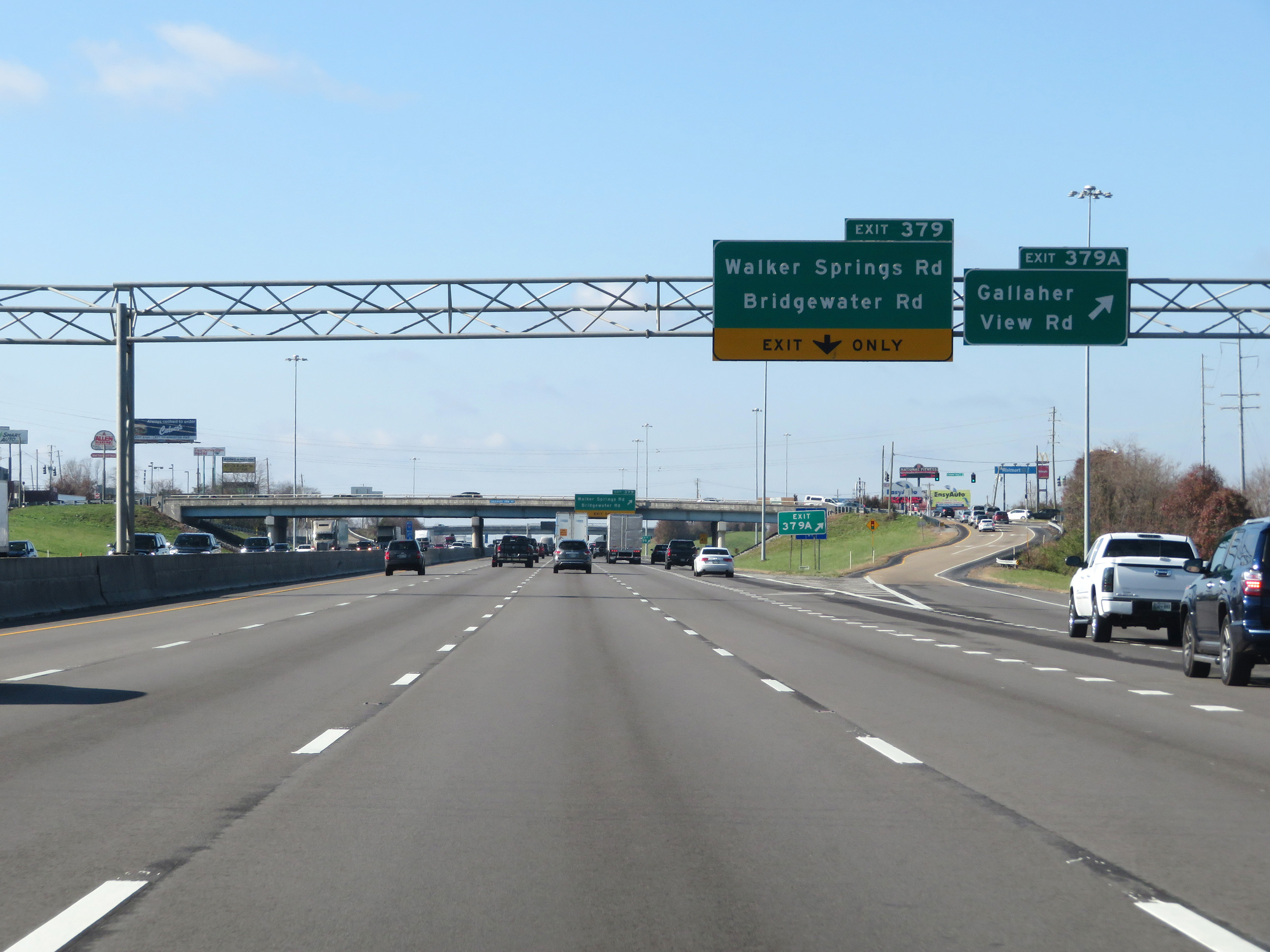
Interstate 75 South / Interstate 40 West at Exit 379: Walker Springs Rd / Bridgewater Rd (Photo taken 12/5/20). |
 |
Take Exit 378B to Lincoln Memorial University. (Photo taken 12/5/20). |
 |
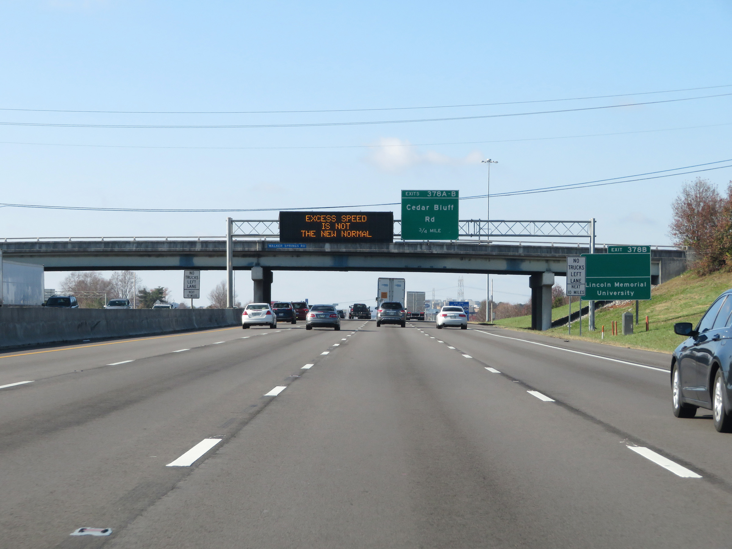
Interstate 75 South / Interstate 40 West at Exits 378A-B: Cedar Bluff Rd (Photo taken 12/5/20). |
 |
Interstate 75 South / Interstate 40 West at Exit 378B: Cedar Bluff Rd North / Executive Park Dr; Exit 378A: Cedar Bluff Rd South (Photo taken 12/5/20). |
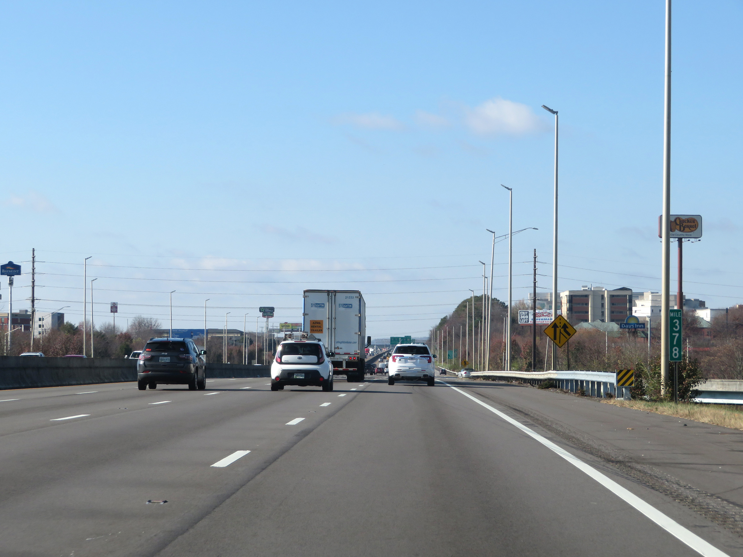 |
Mile marker 378 on Interstate 75 South / Interstate 40 West in Knox County. (Photo taken 12/5/20). |
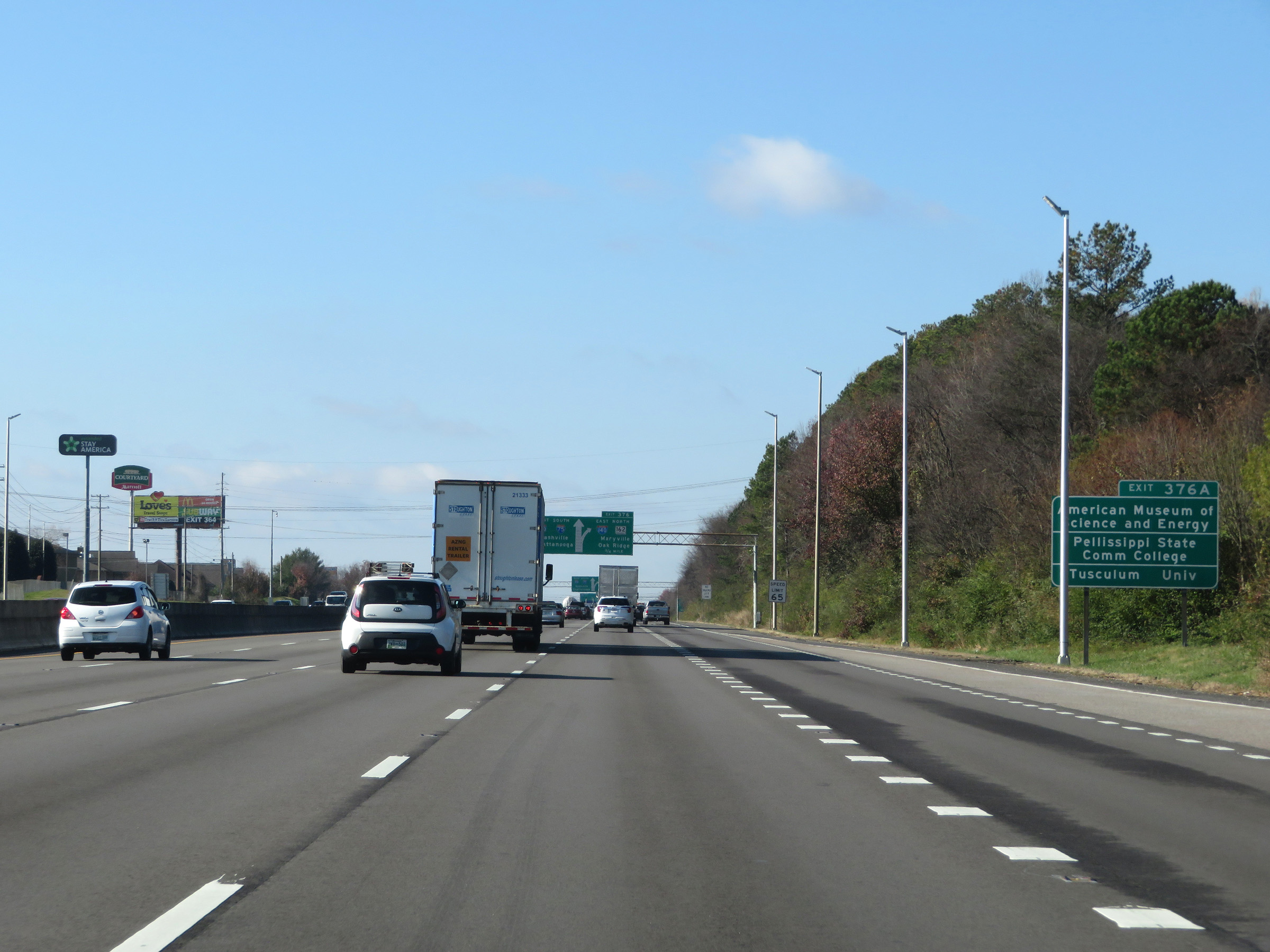 |
Take Exit 376A to the American Museum of Science and Energy, Pellissippi State Community College, and Tusculum University. (Photo taken 12/5/20). |
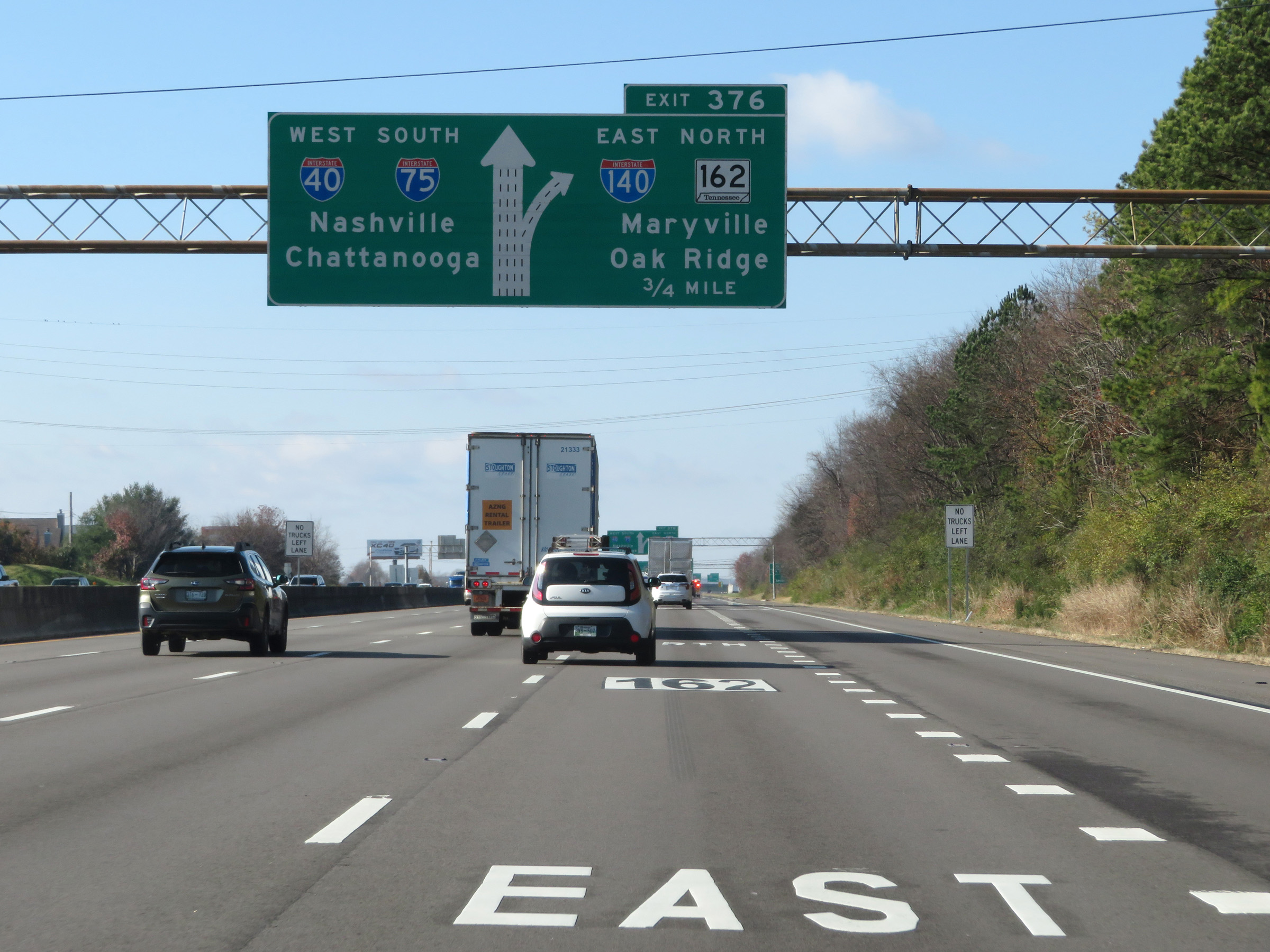 |
Interstate 75 South / Interstate 40 West approaching Exits 376A-B - 3/4 mile. (Photo taken 12/5/20). |
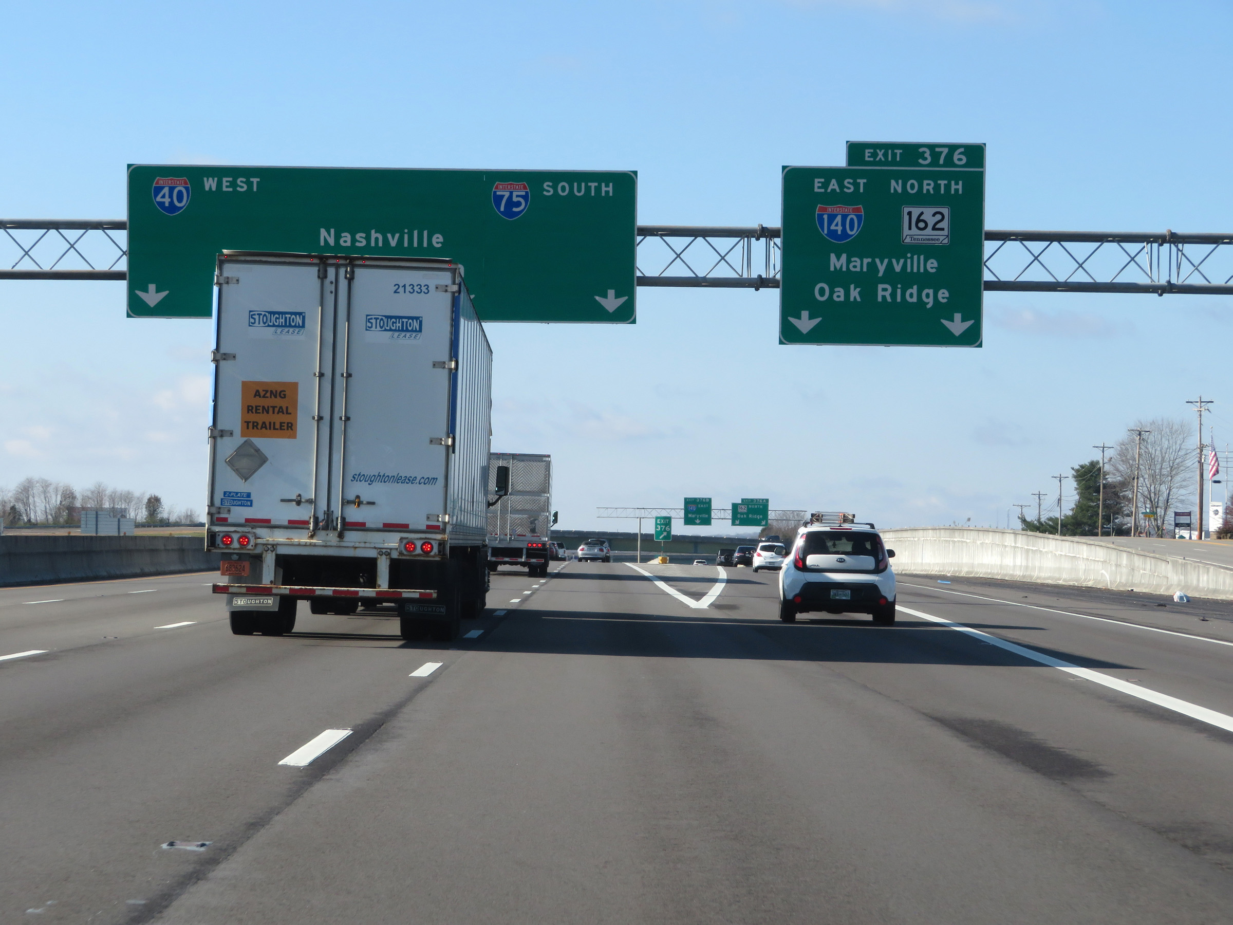 |
Interstate 75 South / Interstate 40 West at Exits 376A-B: Interstate 140 East / TN 162 North - Maryville / Oak Ridge (Photo taken 12/5/20). |
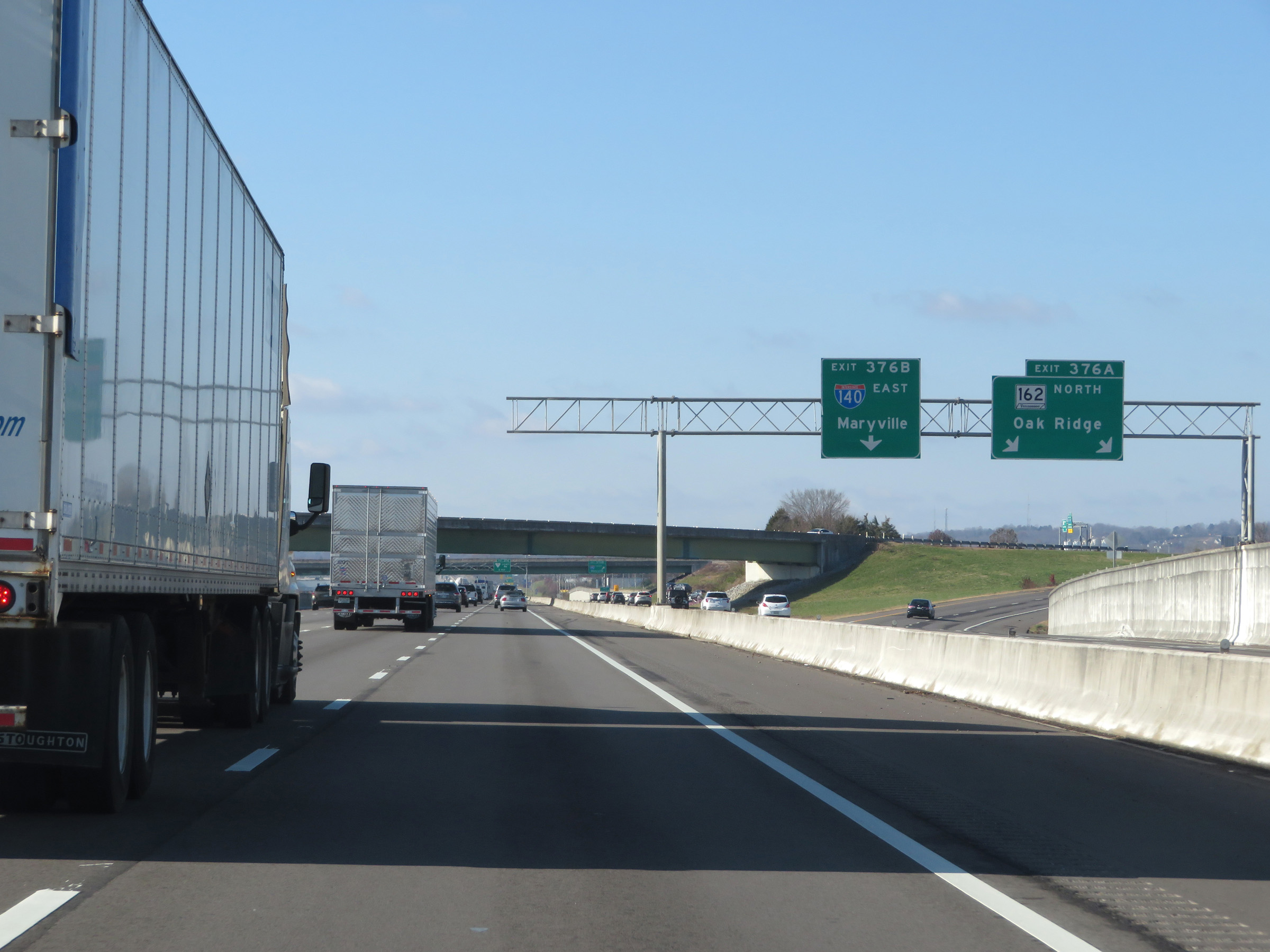 |
View of the ramp to TN 162 North via Exit 376A. (Photo taken 12/5/20). |
 |
Here we see the ramp to Interstate 140 East via Exit 376B. (Photo taken 12/5/20). |
 |
Another set of Interstate 75 South / Interstate 40 West reassurance shields. (Photo taken 12/5/20). |
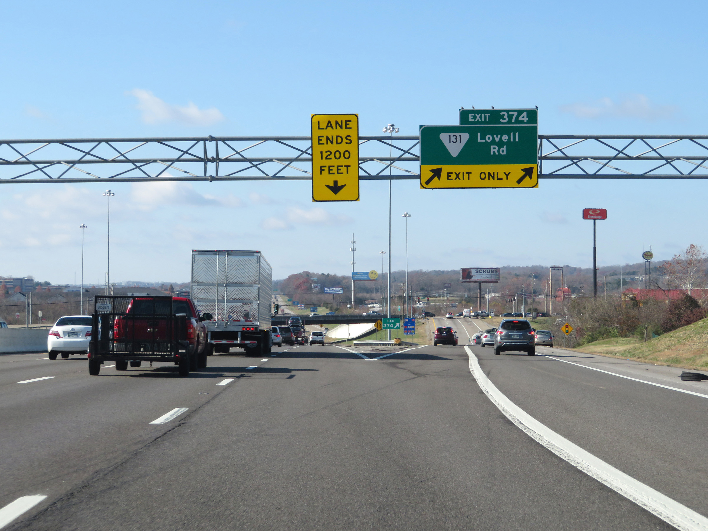 |
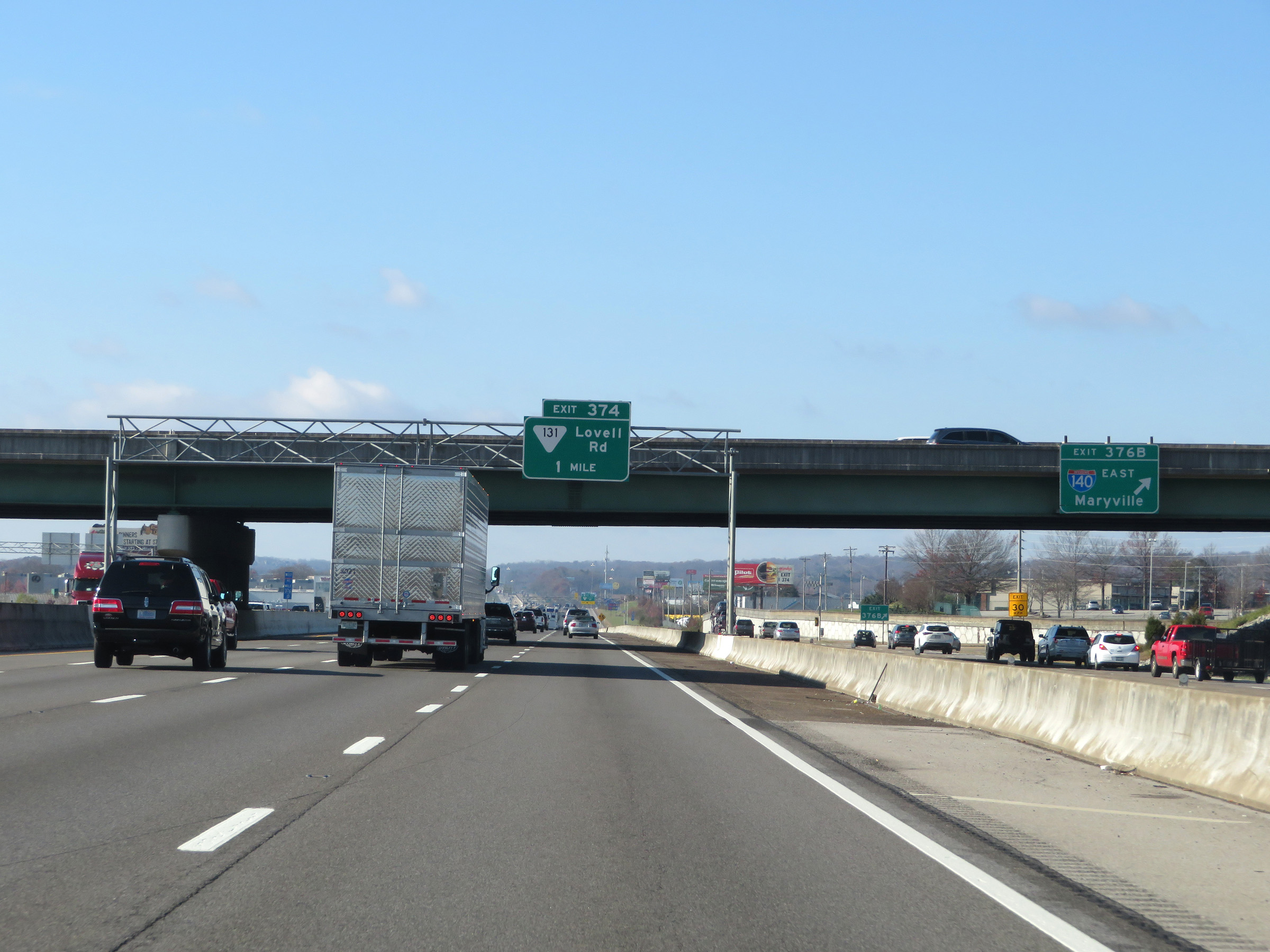
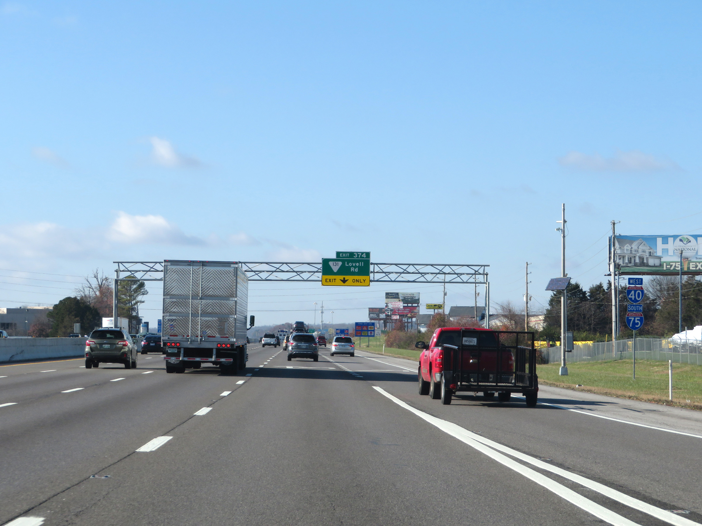
Interstate 75 South / Interstate 40 West at Exit 374: SR 131 - Lovell Rd (Photo taken 12/5/20). |
Section 3: Knoxville (Exit 374) to Athens (Exit 49)
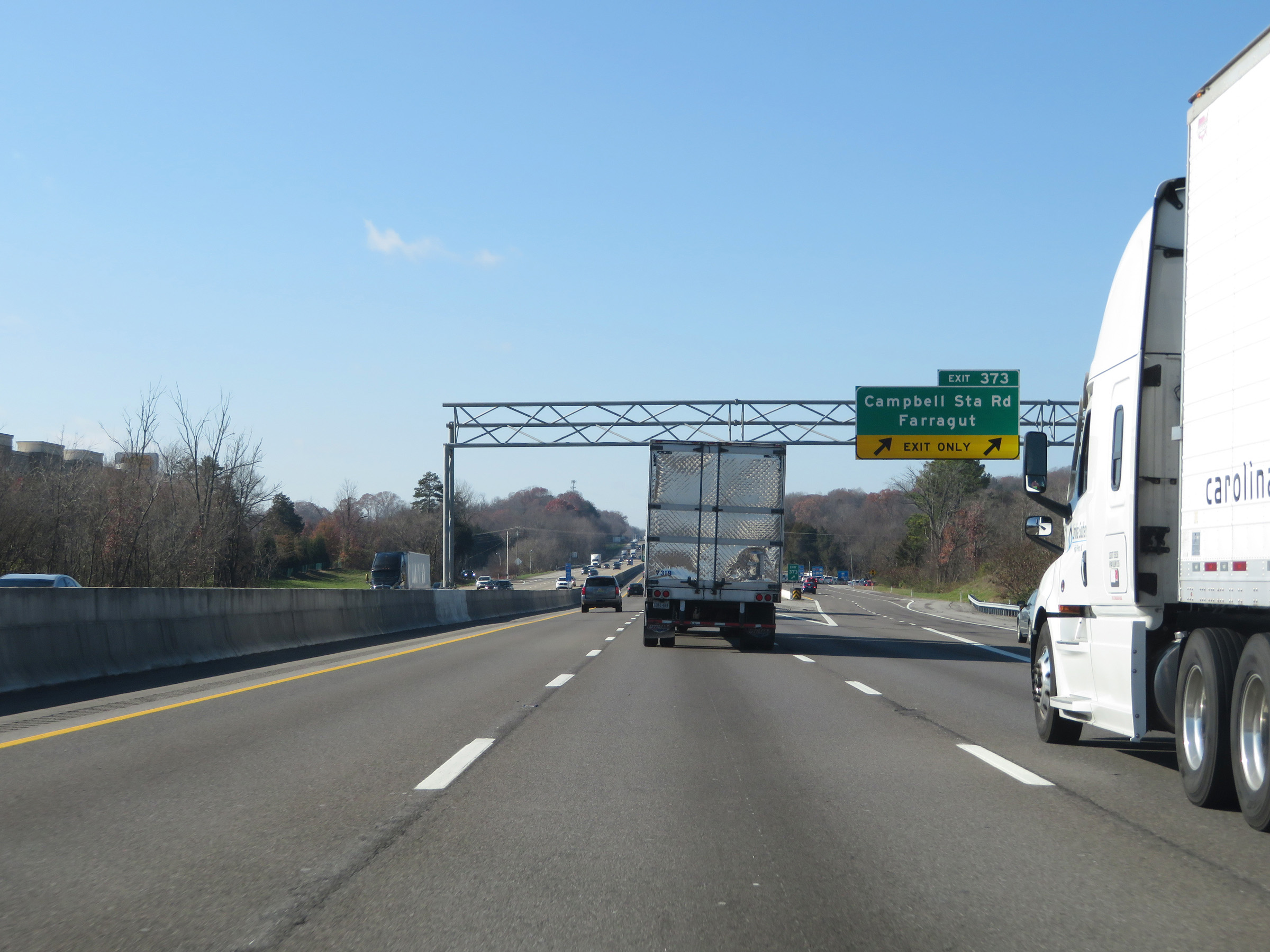 |
Interstate 75 South / Interstate 40 West at Exit 373: Campbell Station Rd / Farragut (Photo taken 12/5/20). |
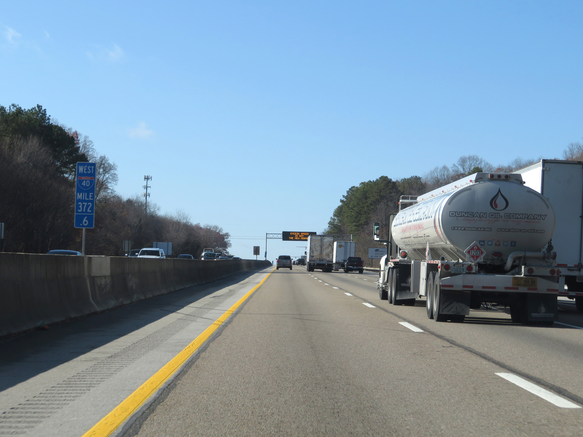 |
View on Interstate 75 South / Interstate 40 West at mile marker 372.6. (Photo taken 12/5/20). |
 |
Weigh Station on Interstate 75 South / Interstate 40 West in Knox County. (Photo taken 12/5/20). |
 |
The speed limit remains 65 mph for all traffic on Interstate 75 South / Interstate 40 West. (Photo taken 12/5/20). |
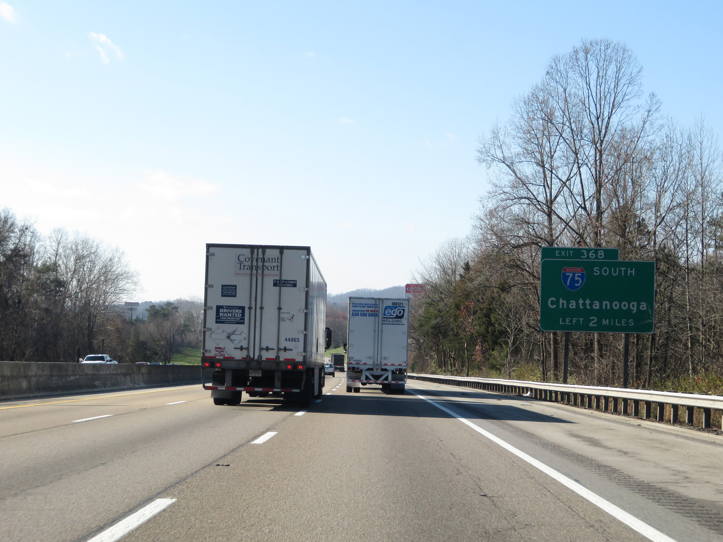 |
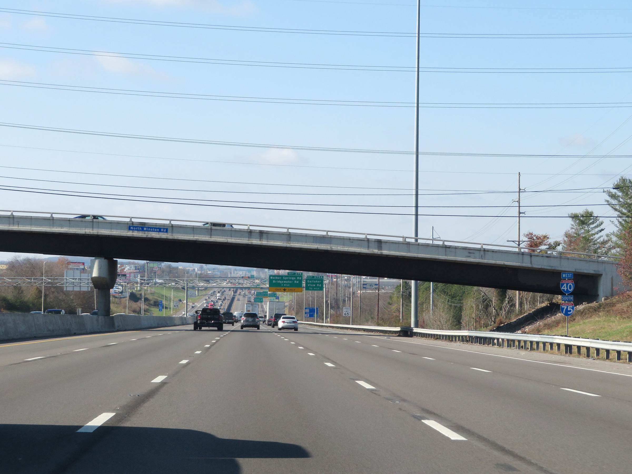
Advance signage for Exit 368, at which point Interstate 75 South will depart Interstate 40 West 2 miles ahead. (Photo taken 12/5/20). |
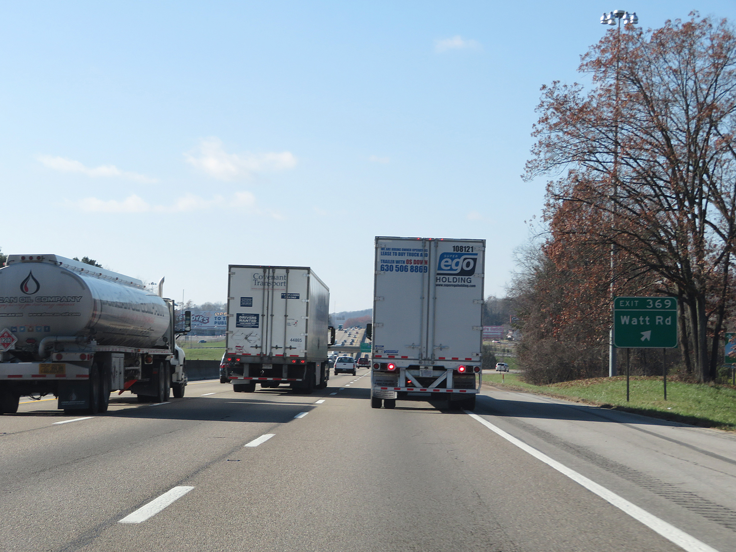 |
Interstate 75 South / Interstate 40 West at Exit 369: Watt Rd (Photo taken 12/5/20). |
 |
Interstate 75 South / Interstate 40 West approaching Exit 368 - 1 mile. Interstate 75 South thru traffic will need to be in the center or left lanes. (Photo taken 12/5/20). |
 |
At mile marker 369, Interstate 75 South / Interstate 40 West enter Loudon County. (Photo taken 12/5/20). |
 |
As Exit 368 draws near, the truck lane restrictions come to an end. Again, Interstate 75 South thru traffic will need to use the center or left lanes ahead and follow Exit 368. (Photo taken 12/5/20). |
 |
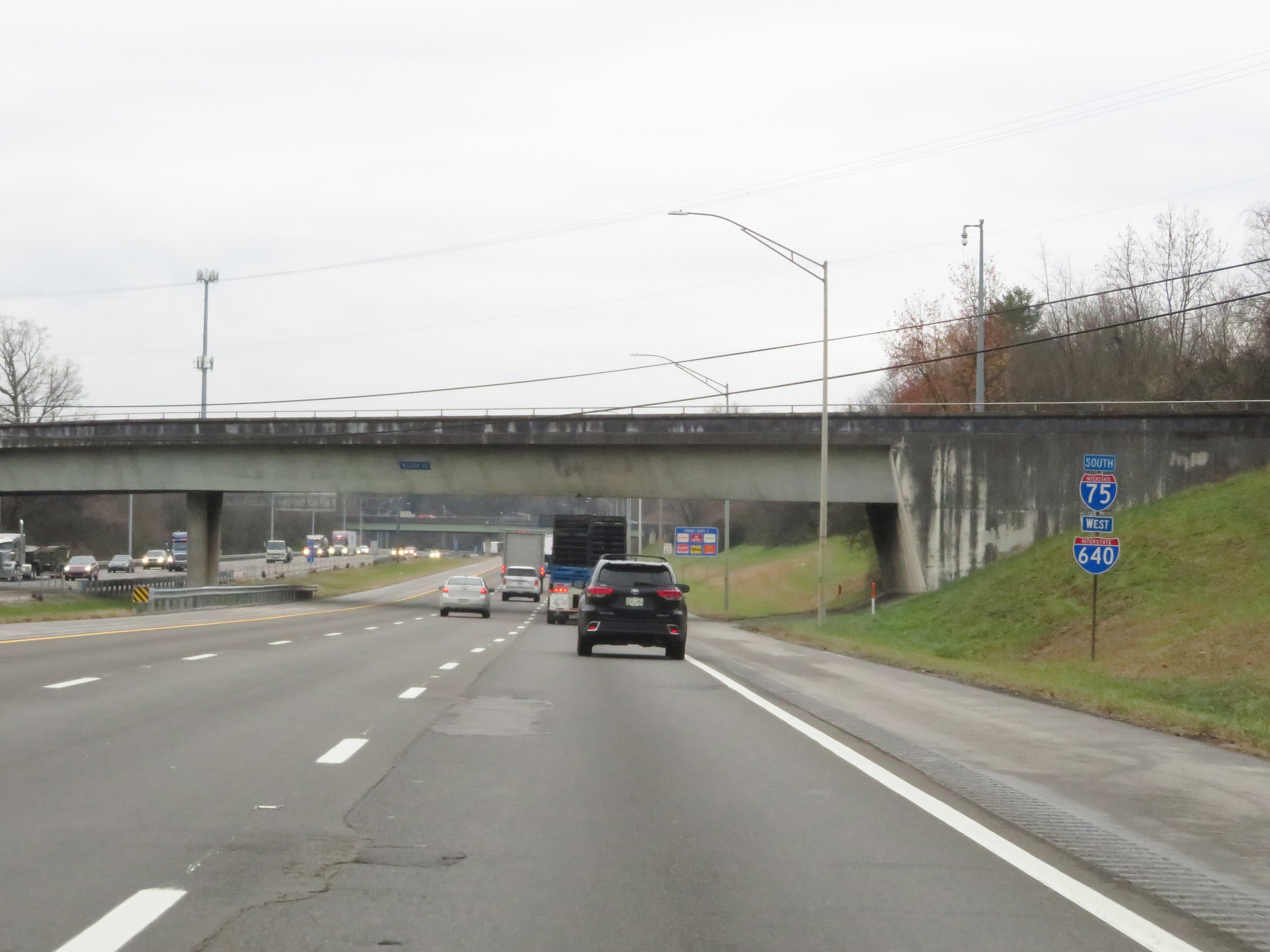
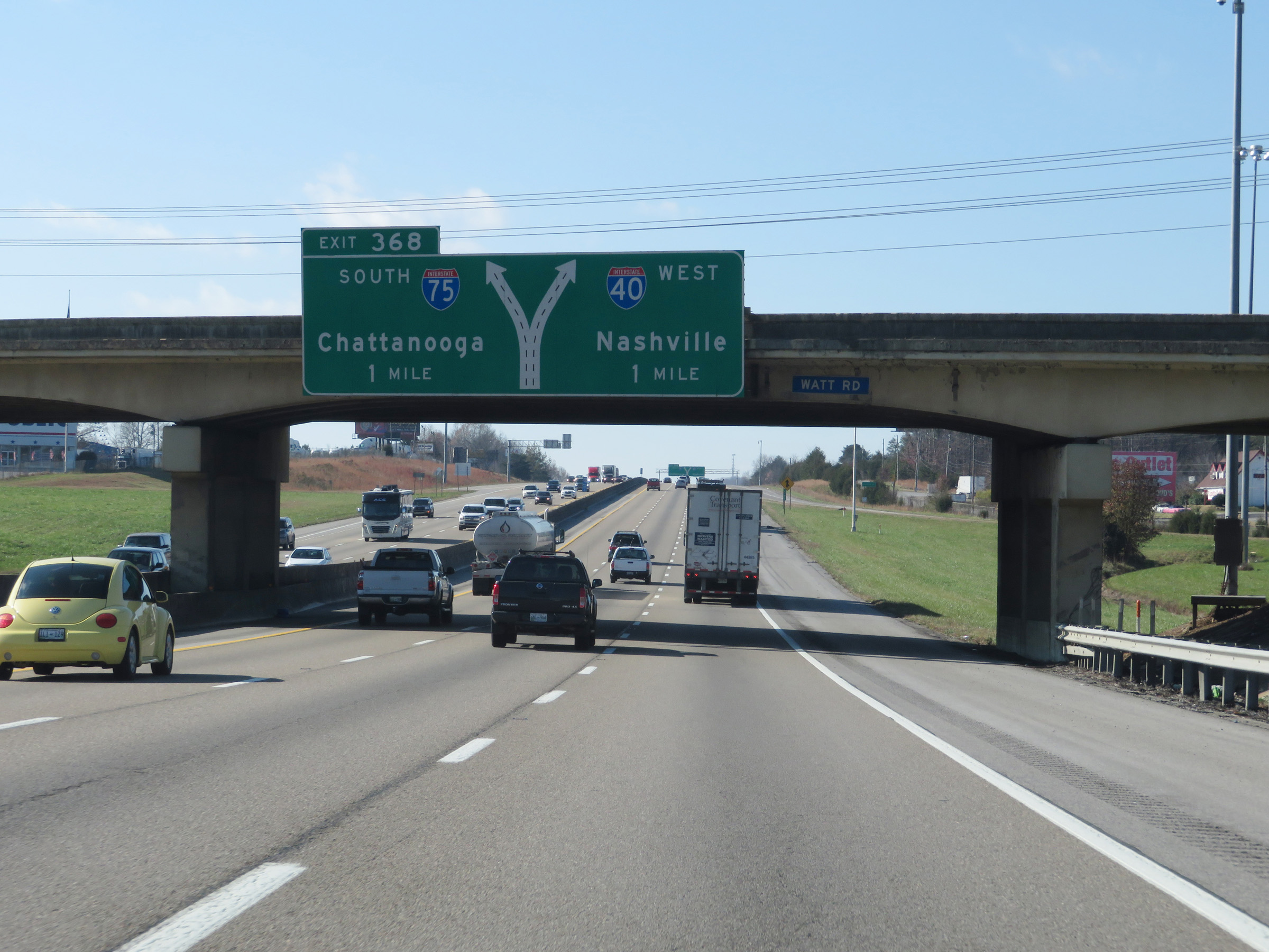
Interstate 75 South / Interstate 40 West at Exit 368: Interstate 75 South - Chattanooga (Photo taken 12/5/20). |
 |
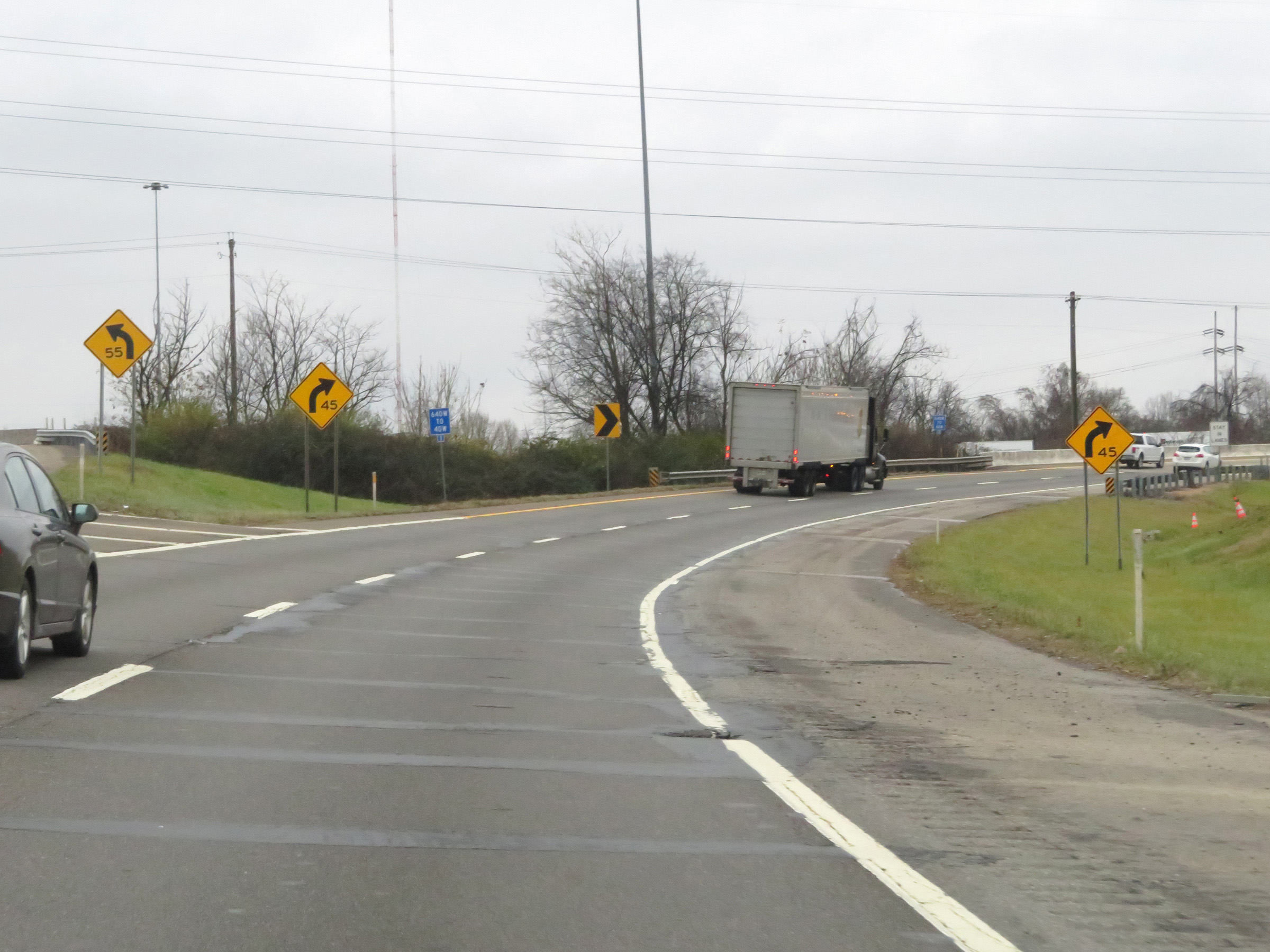
View on Interstate 75 South as it departs Interstate 40 West via Exit 368 on the left. (Photo taken 12/6/20). |
 |
Interstate 75 South as it prepares to pass over the eastbound lanes of Interstate 40. (Photo taken 12/6/20). |
 |
Here, traffic from Interstate 40 East merges into Interstate 75 South on the right. (Photo taken 12/6/20). |
 |
View on Interstate 75 South at mile marker 84. (Photo taken 12/6/20). |
 |
Now that Interstate 75 South has departed from Interstate 40 West, the speed limit increases to 70 mph for all traffic. (Photo taken 12/6/20). |
 |
Take Exit 81 to Fort Loudon Dam and Great Smoky Mountains National Park. (Photo taken 12/6/20). |
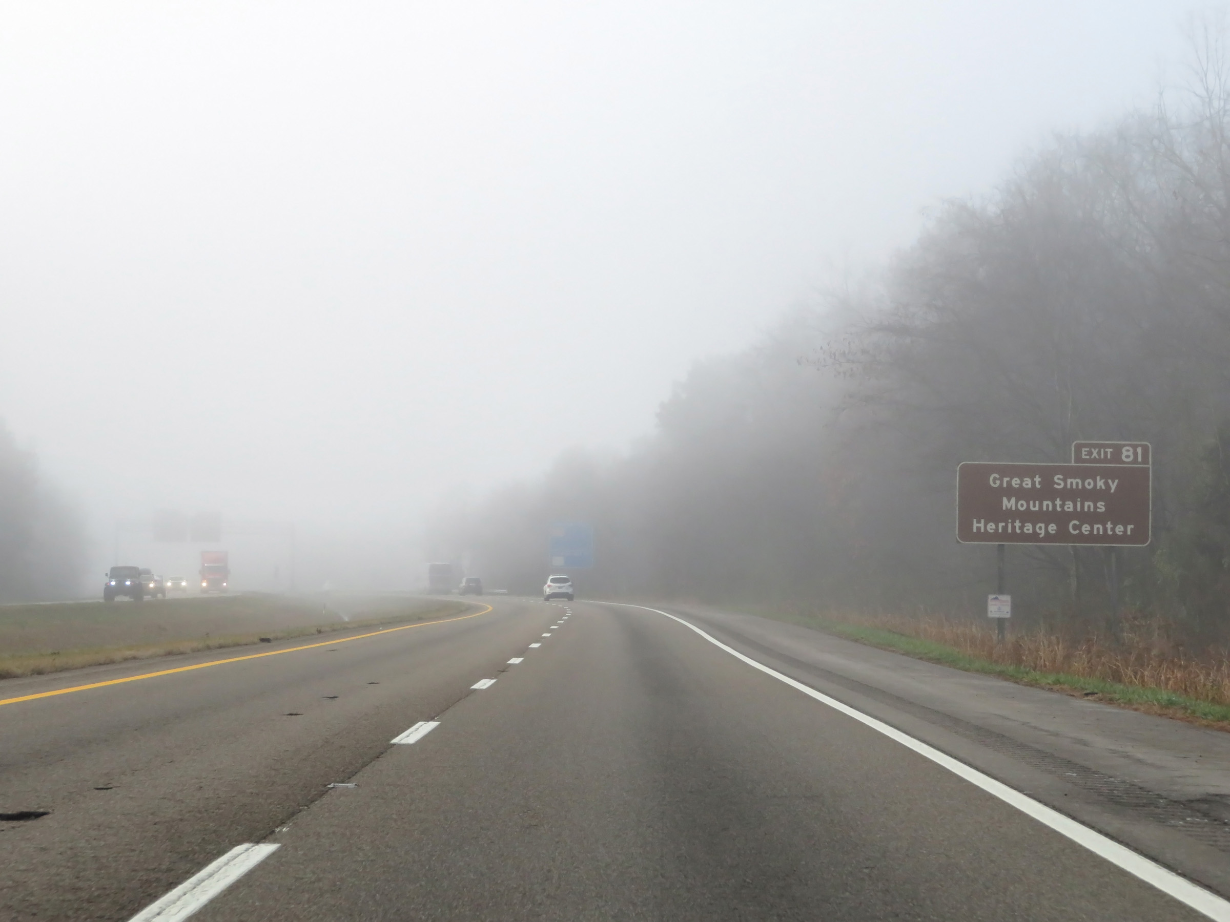 |
Also take Exit 81 to Great Smoky Mountains Heritage Center. (Photo taken 12/6/20). |
 |
Interstate 75 South reassurance shield. (Photo taken 12/6/20). |
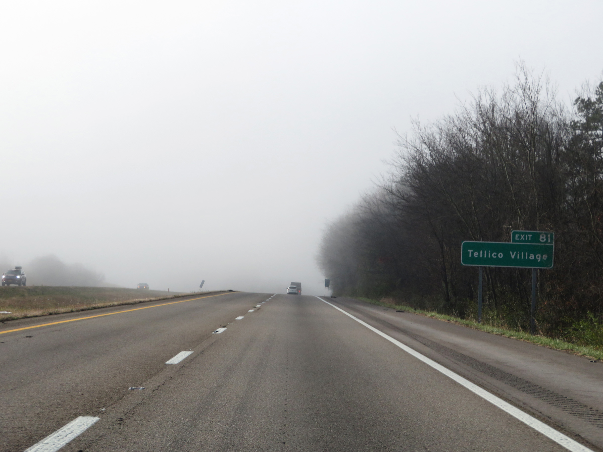 |
Take Exit 81 to Tellico Village as well. (Photo taken 12/6/20). |
 |
Mile marker 82 on Interstate 75 South in Loudon County. (Photo taken 12/6/20). |
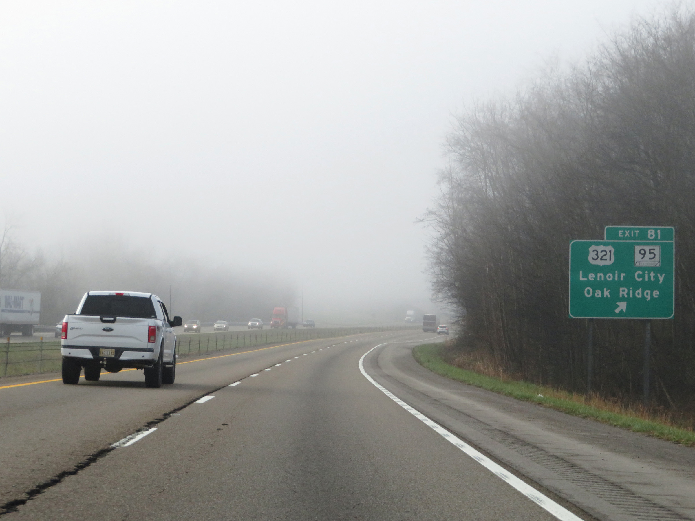 |
Interstate 75 South at Exit 81: US 321 / TN 95 - Lenoir City / Oak Ridge (Photo taken 12/6/20). |
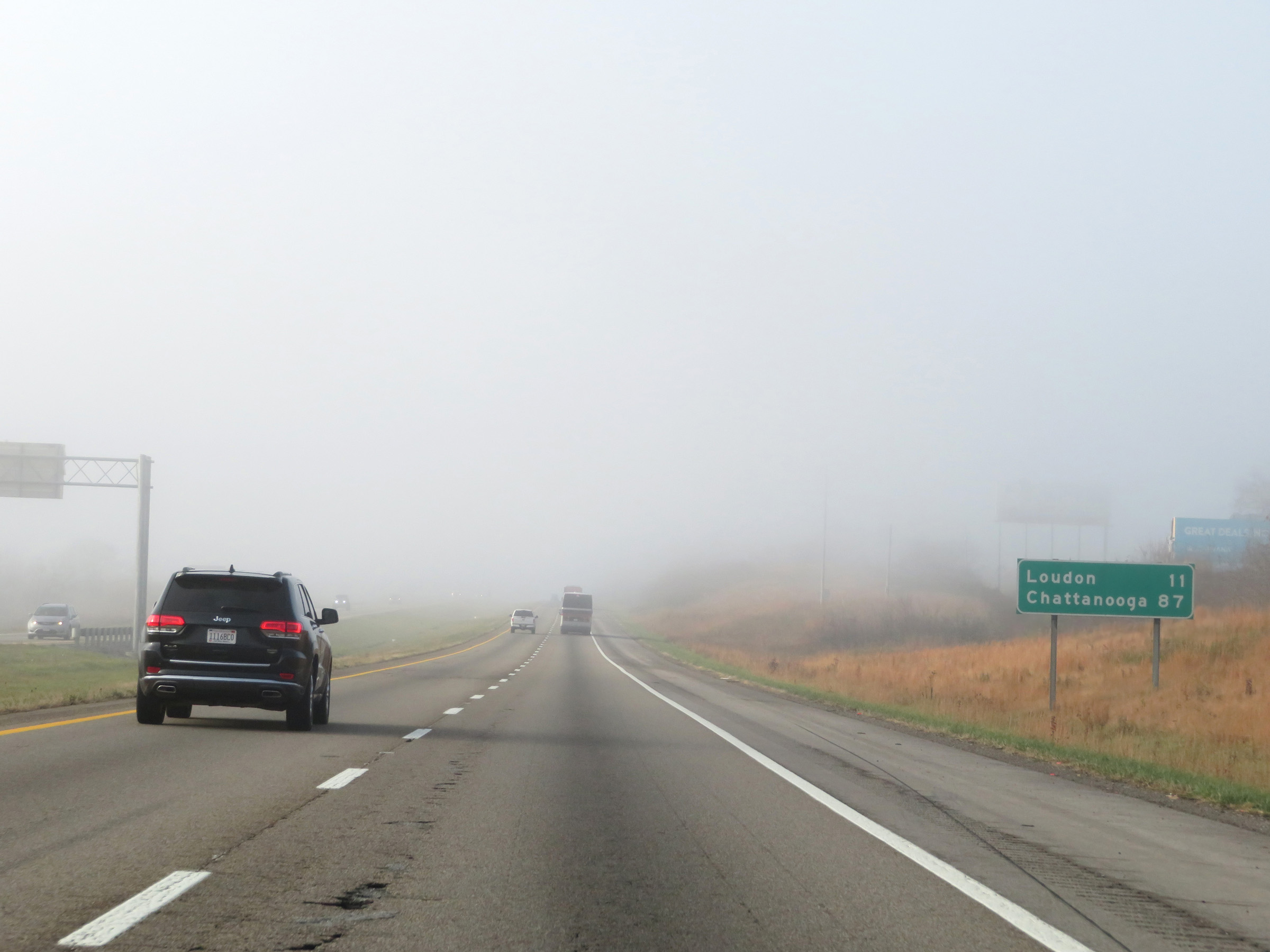 |
Mileage sign on Interstate 75 South. It's 11 miles to Loudon and 87 miles to Chattanooga. (Photo taken 12/6/20). |
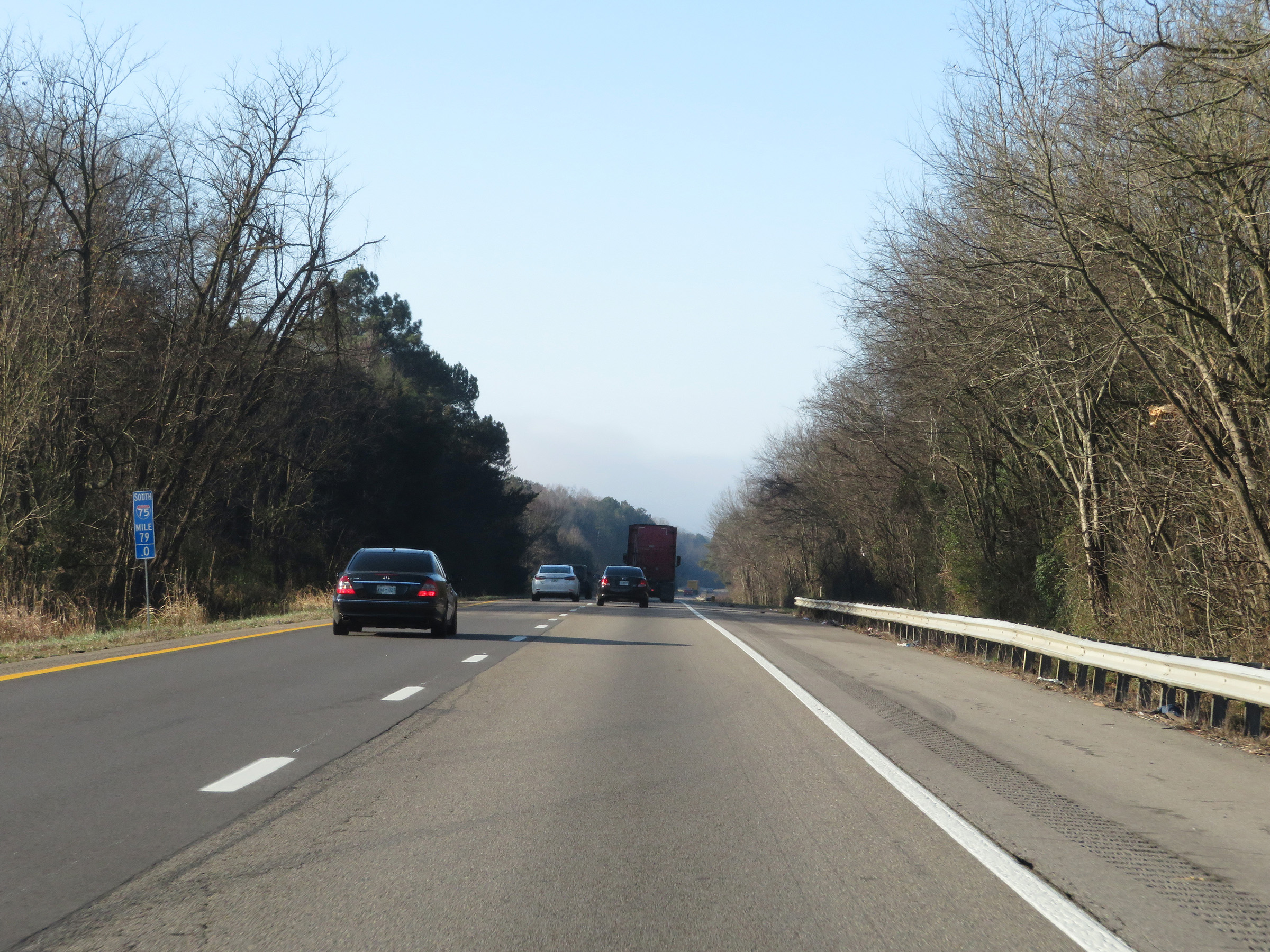 |
View on Interstate 75 South at mile marker 79. (Photo taken 12/6/20). |
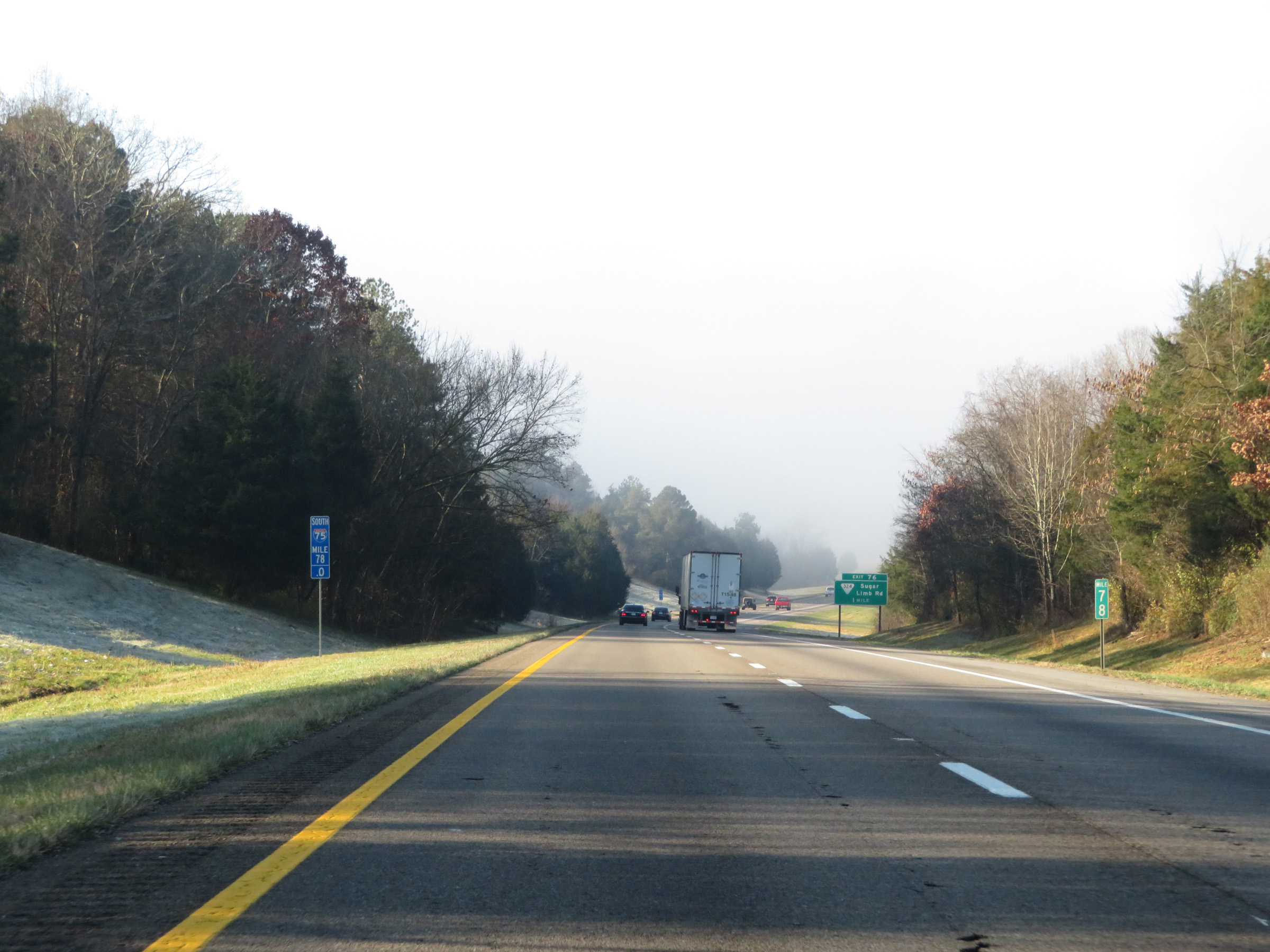 |
Interstate 75 South at mile marker 78. (Photo taken 12/6/20). |
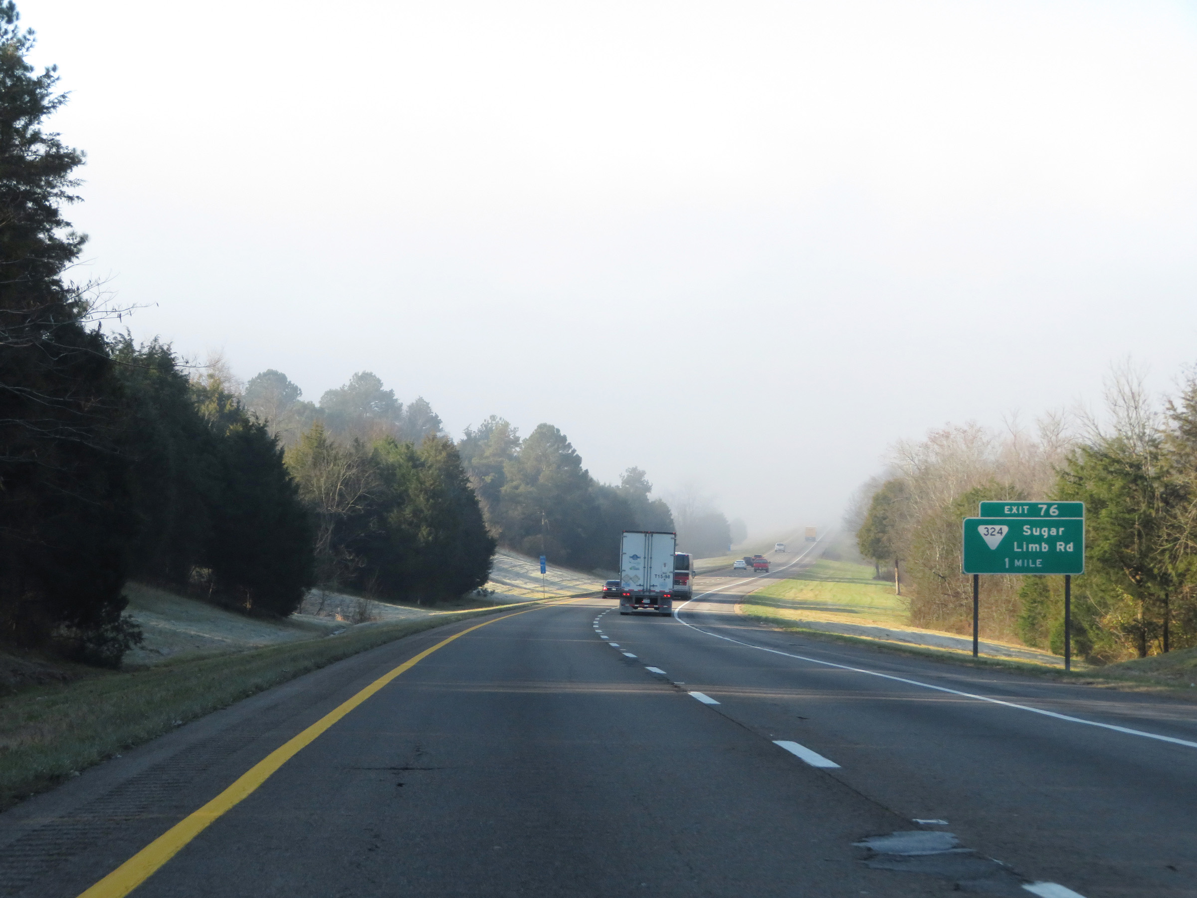 |
Interstate 75 South approaching Exit 76 - 1 mile. (Photo taken 12/6/20). |
 |
Interstate 75 South at Exit 76: SR 324 - Sugar Limb Rd (Photo taken 12/6/20). |
 |
Mile marker 75 on Interstate 75 South in Loudon County. (Photo taken 12/6/20). |
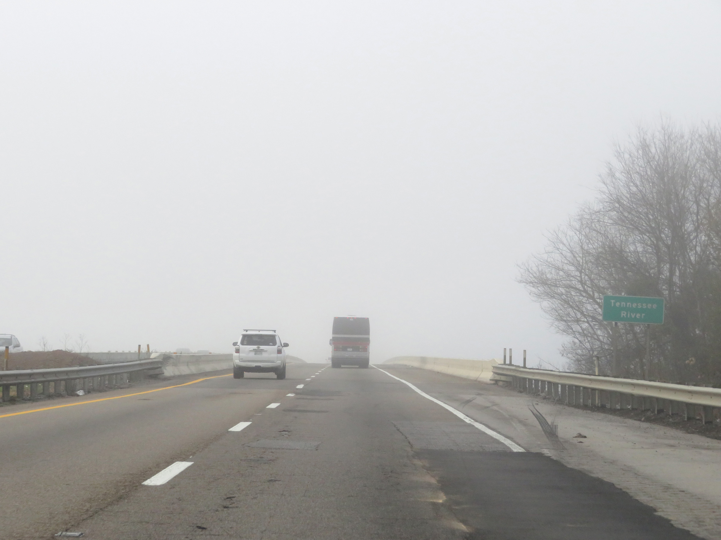 |
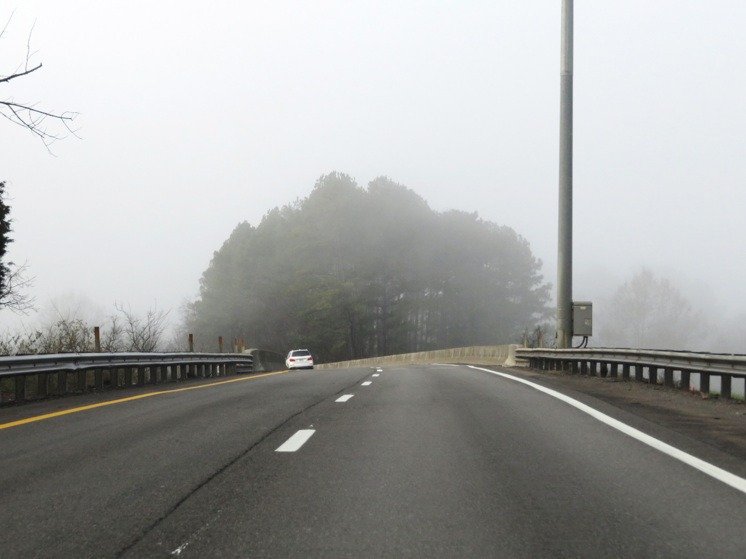
Interstate 75 South as it prepares to cross the Tennessee River. (Photo taken 12/6/20). |
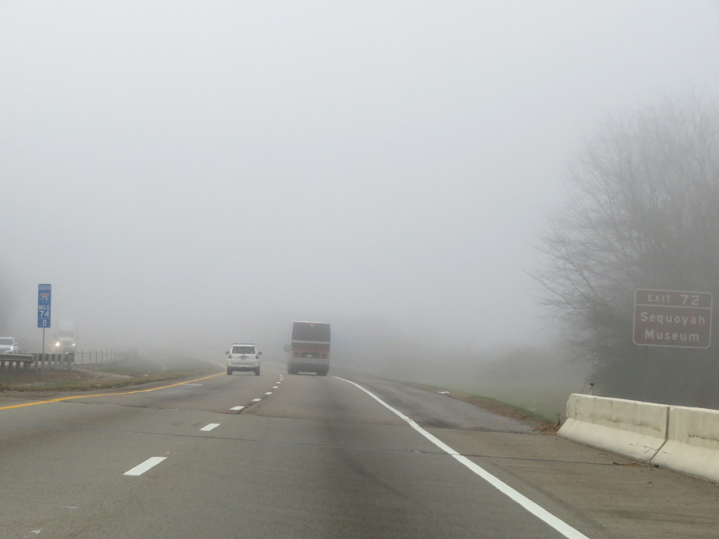 |
Take Exit 72 to the Sequoyah Museum. (Photo taken 12/6/20). |
 |
Also take Exit 72 to Fort Loudon State Park. (Photo taken 12/6/20). |
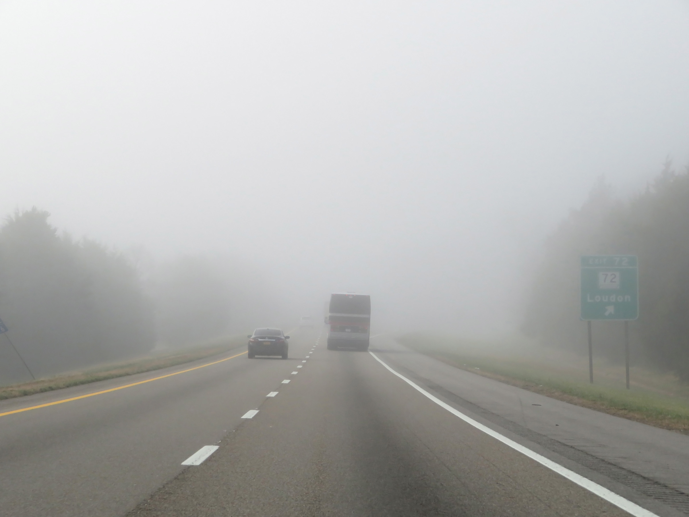 |
Interstate 75 South at Exit 72: TN 72 - Loudon (Photo taken 12/6/20). |
 |
View on Interstate 75 South at mile marker 70. (Photo taken 12/6/20). |
 |
Interstate 75 South at Exit 68: SR 323 - Philadelphia (Photo taken 12/6/20). |
 |
Another Interstate 75 South reassurance shield. (Photo taken 12/6/20). |
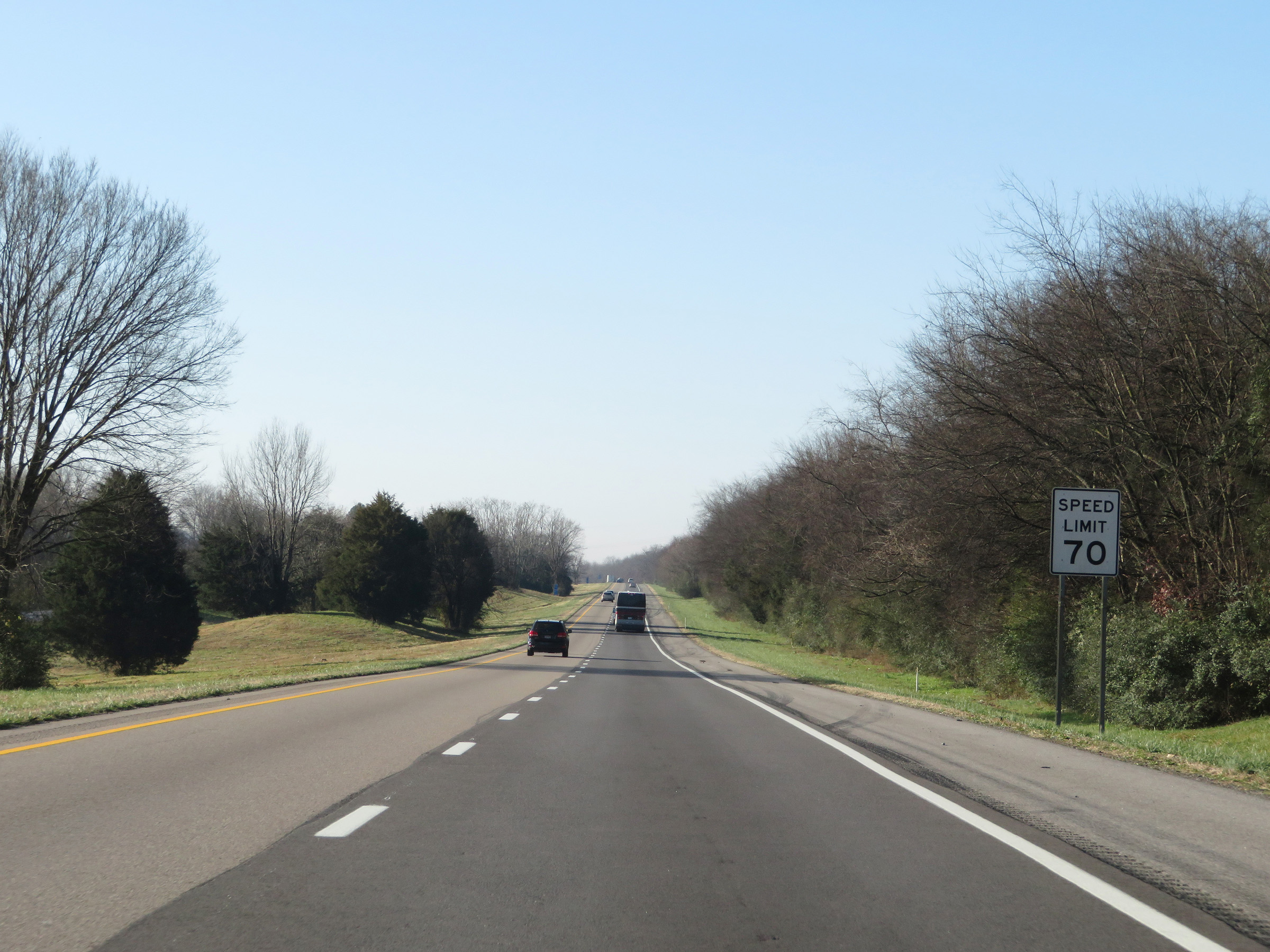 |
The speed limit remains 70 mph for all traffic on Interstate 75 South. (Photo taken 12/6/20). |
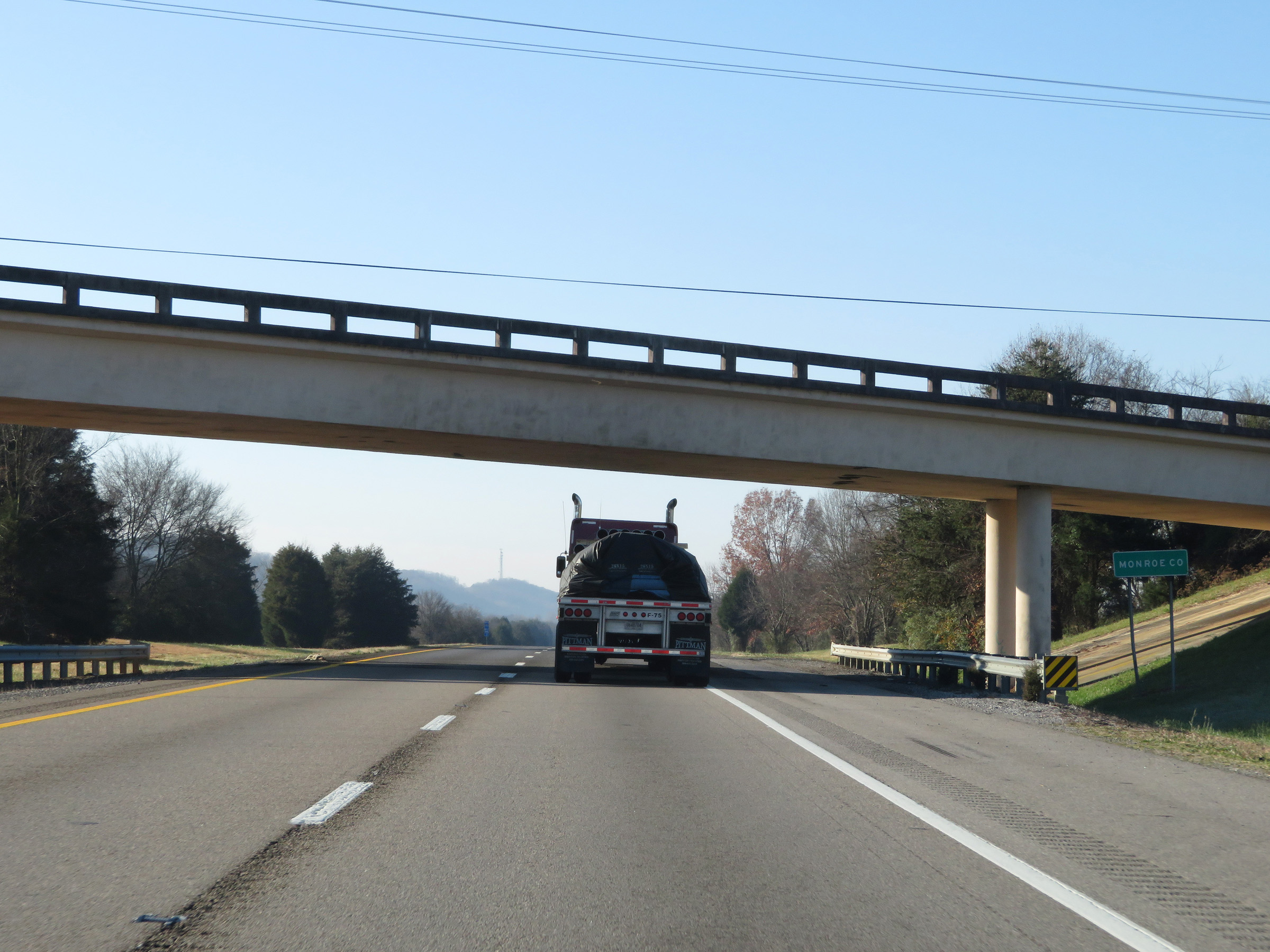 |
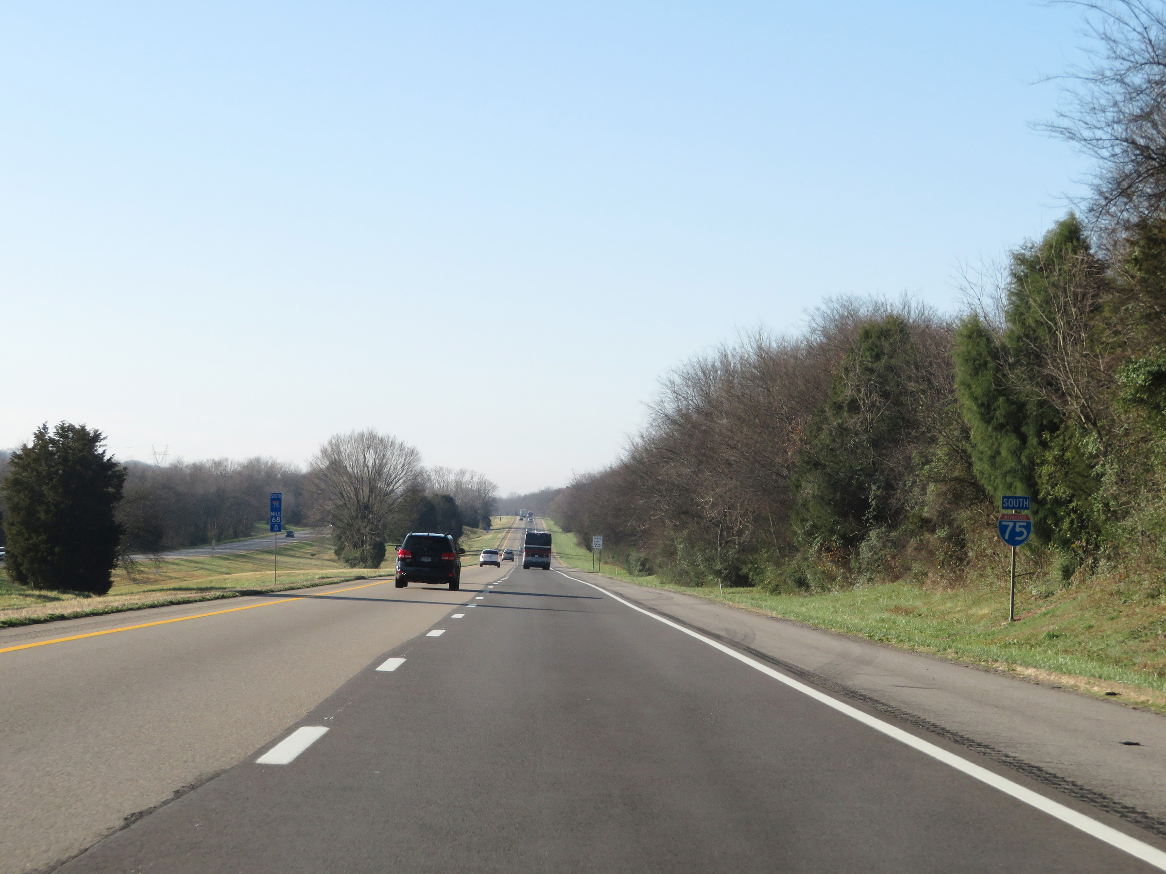
Interstate 75 South as it enters Monroe County. (Photo taken 12/6/20). |
 |
View on Interstate 75 South at mile marker 65. (Photo taken 12/6/20). |
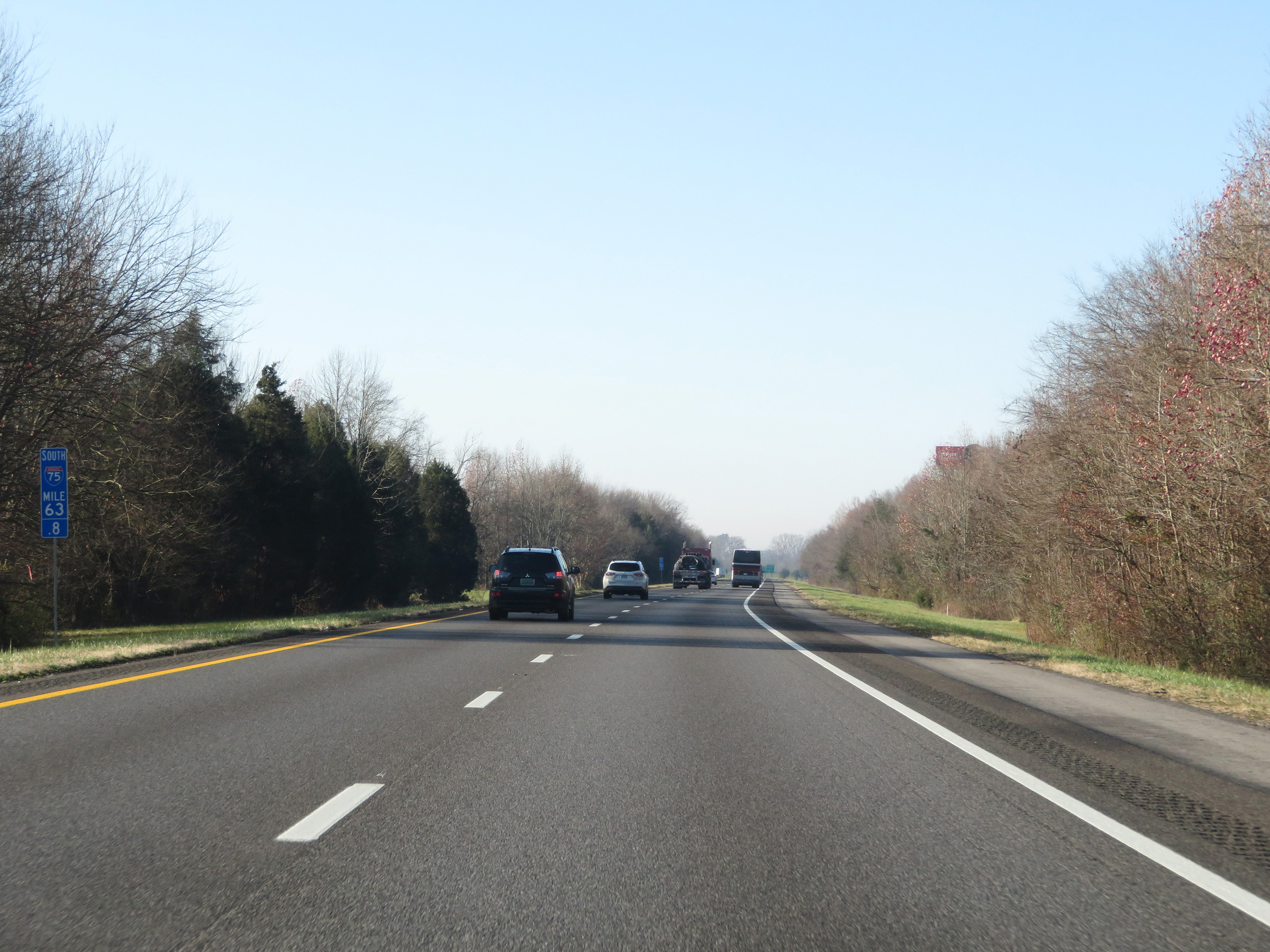 |
Interstate 75 South at mile marker 63.8. (Photo taken 12/6/20). |
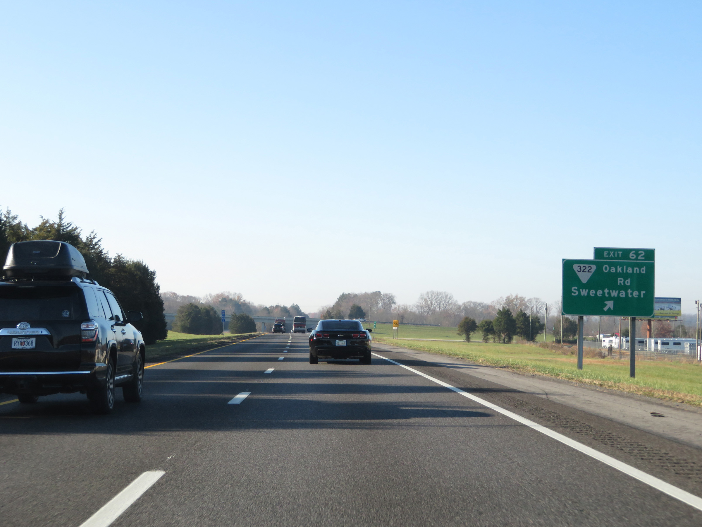 |
Interstate 75 South at Exit 62: SR 322 (Oakland Rd) - Sweetwater (Photo taken 12/6/20). |
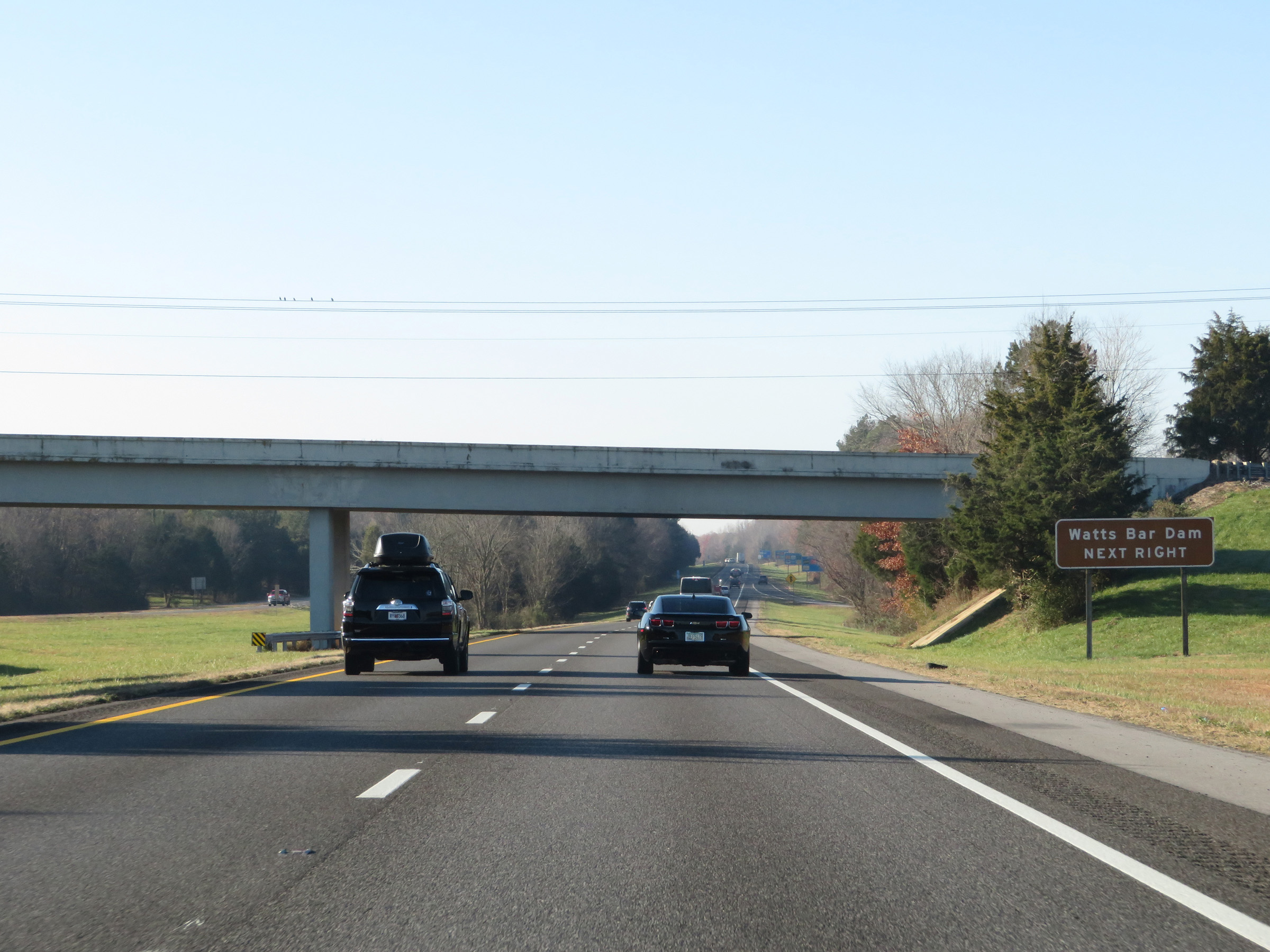 |
Take Exit 60 to Watts Bar Dam. (Photo taken 12/6/20). |
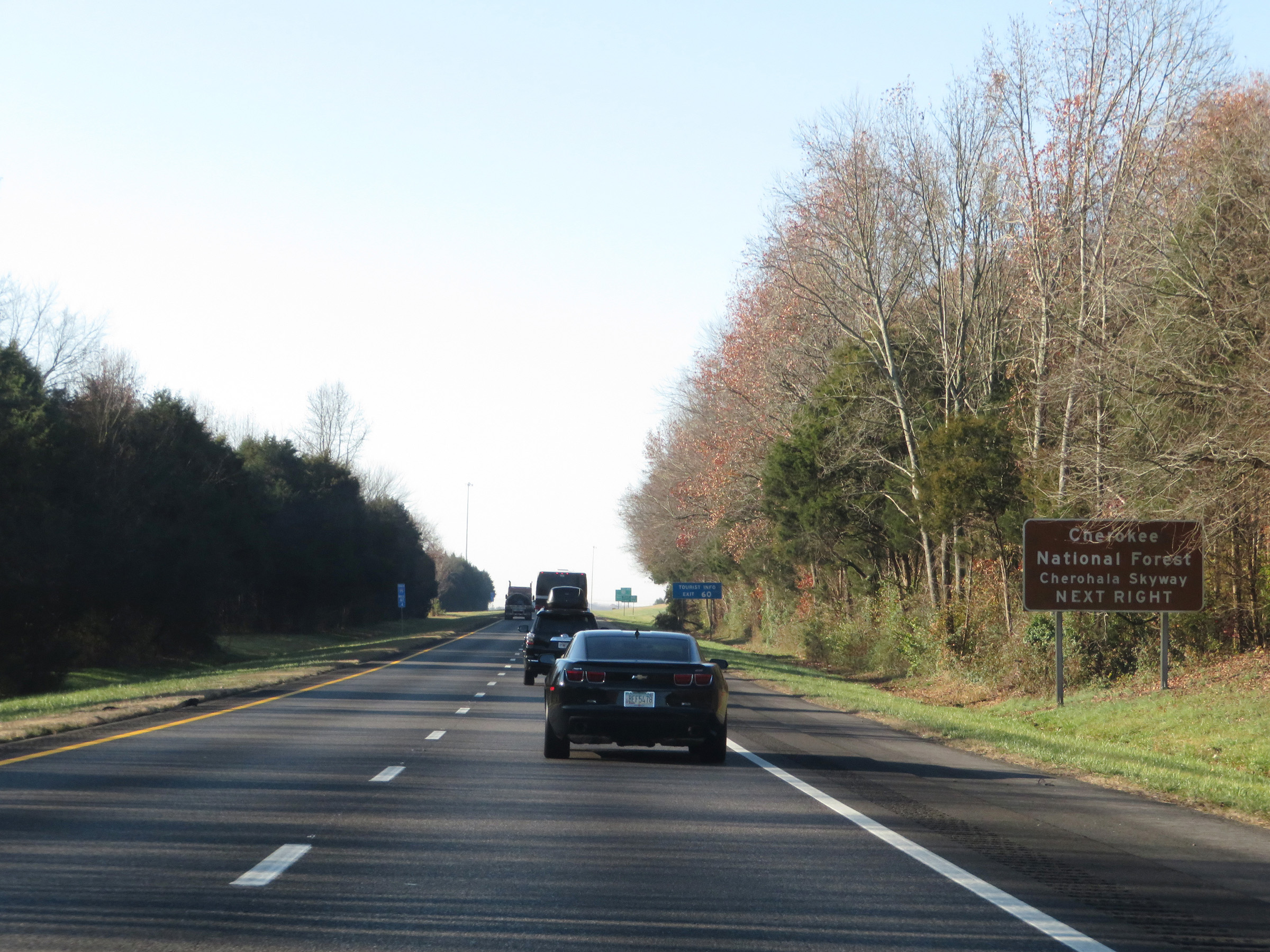 |
Also take Exit 60 to Cherokee National Forest and Cherohala Skyway. (Photo taken 12/6/20). |
 |
Take Exit 60 to Lost Sea as well. (Photo taken 12/6/20). |
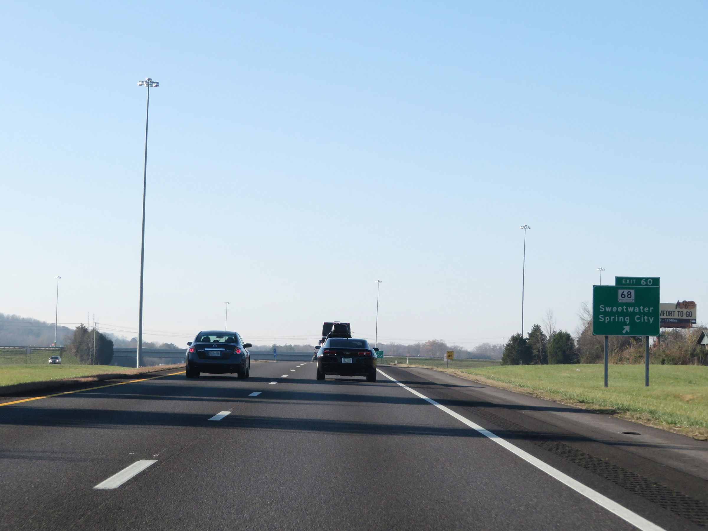 |
Interstate 75 South at Exit 60: TN 68 - Sweetwater / Spring City (Photo taken 12/6/20). |
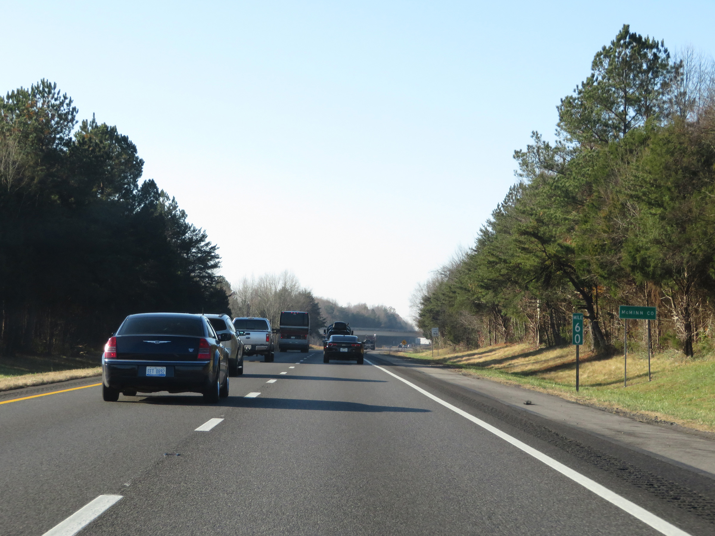 |
At mile marker 60, Interstate 75 South enters McMinn County. (Photo taken 12/6/20). |
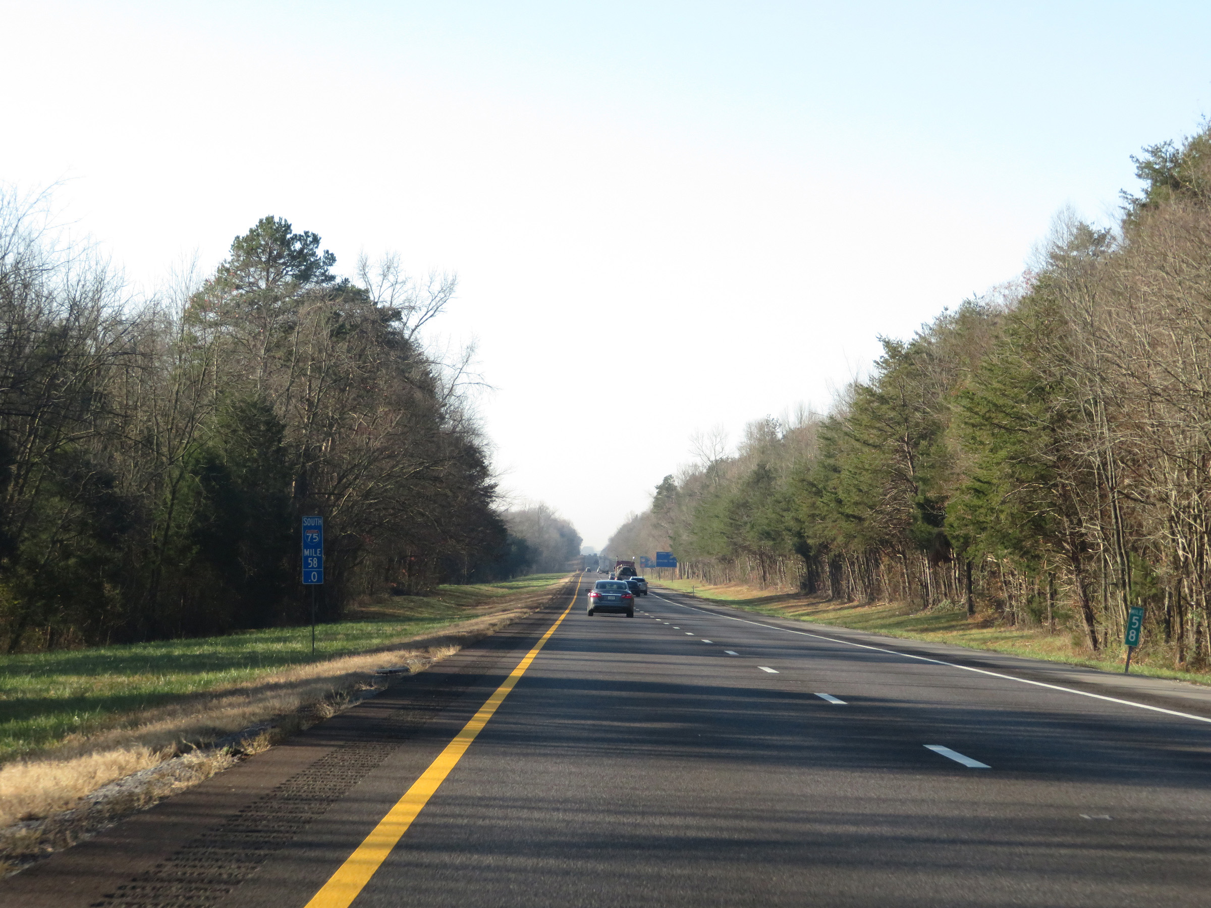 |
View on Interstate 75 South at mile marker 58. (Photo taken 12/6/20). |
 |
Mile marker 57 on Interstate 75 South in McMinn County. (Photo taken 12/6/20). |
 |
Interstate 75 South at Exit 56: SR 309 - Niota (Photo taken 12/6/20). |
 |
Mileage sign at mile marker 55. It's 10 miles to Athens and 61 miles to Chattanooga. (Photo taken 12/6/20). |
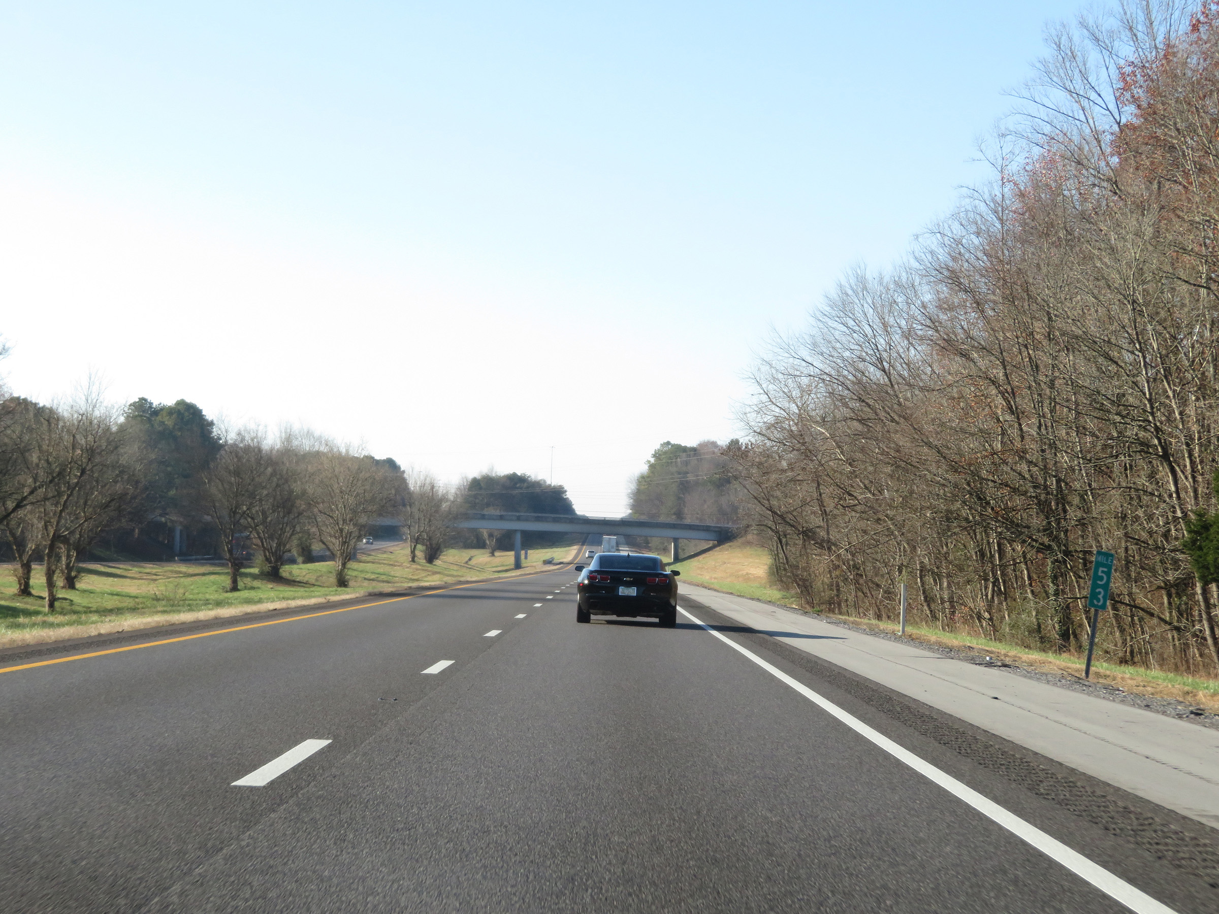 |
Interstate 75 South at mile marker 53. (Photo taken 12/6/20). |
 |
Interstate 75 South at Exit 52: SR 305 (Mt. Verd Rd) - Athens (Photo taken 12/6/20). |
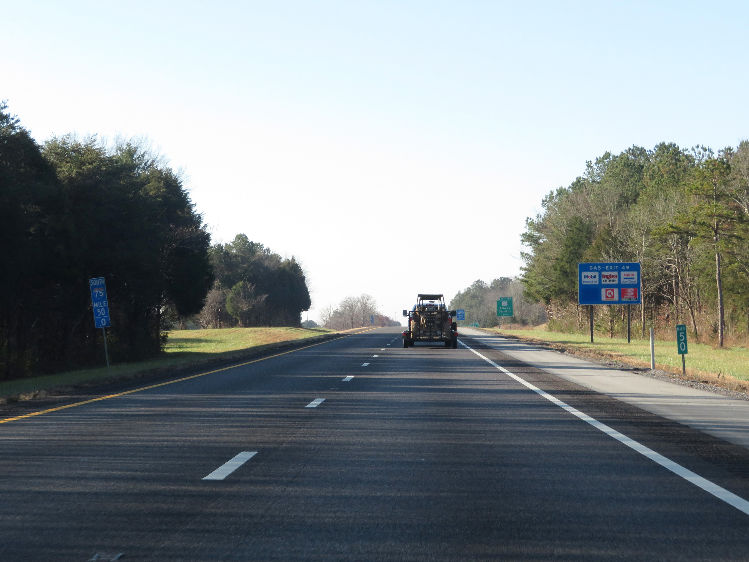 |
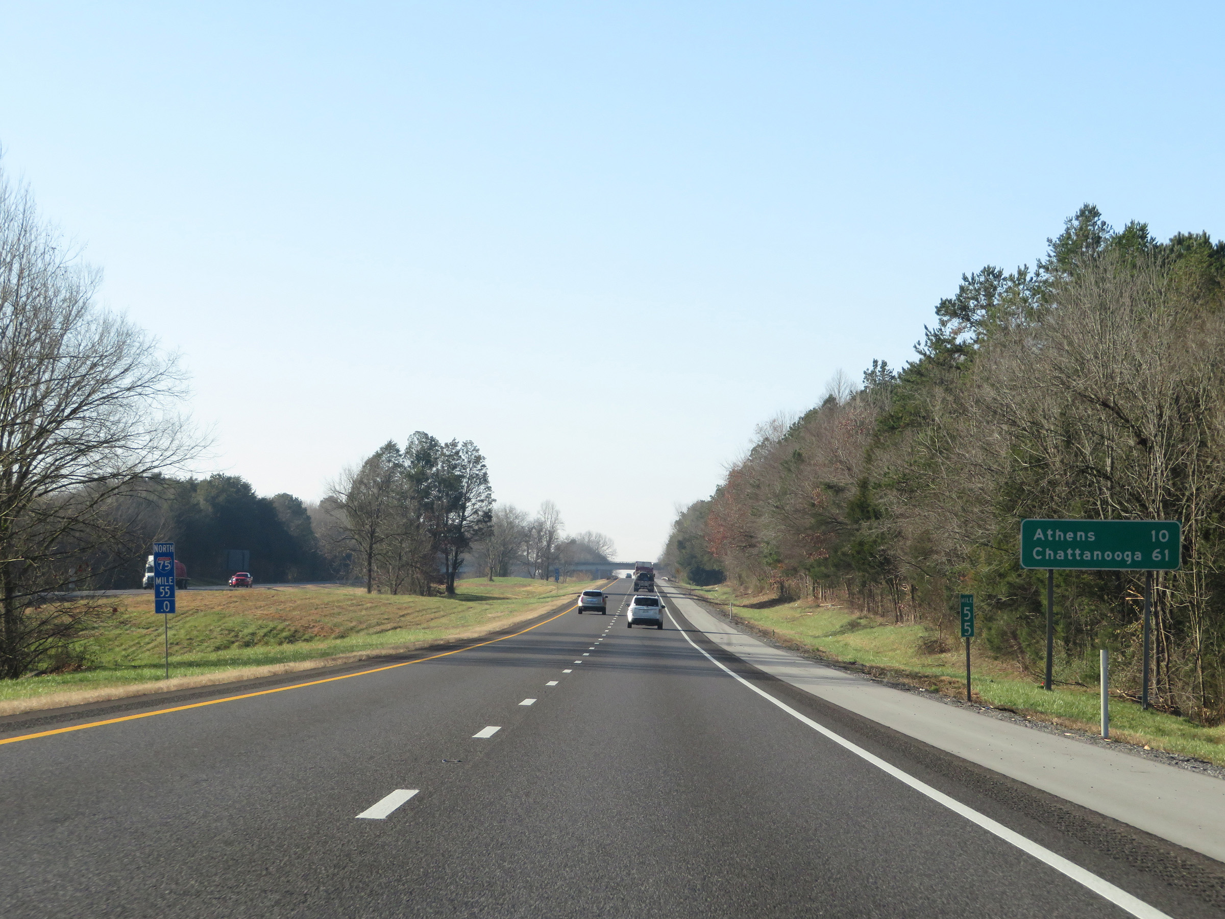
View on Interstate 75 South at mile marker 50. (Photo taken 12/6/20). |
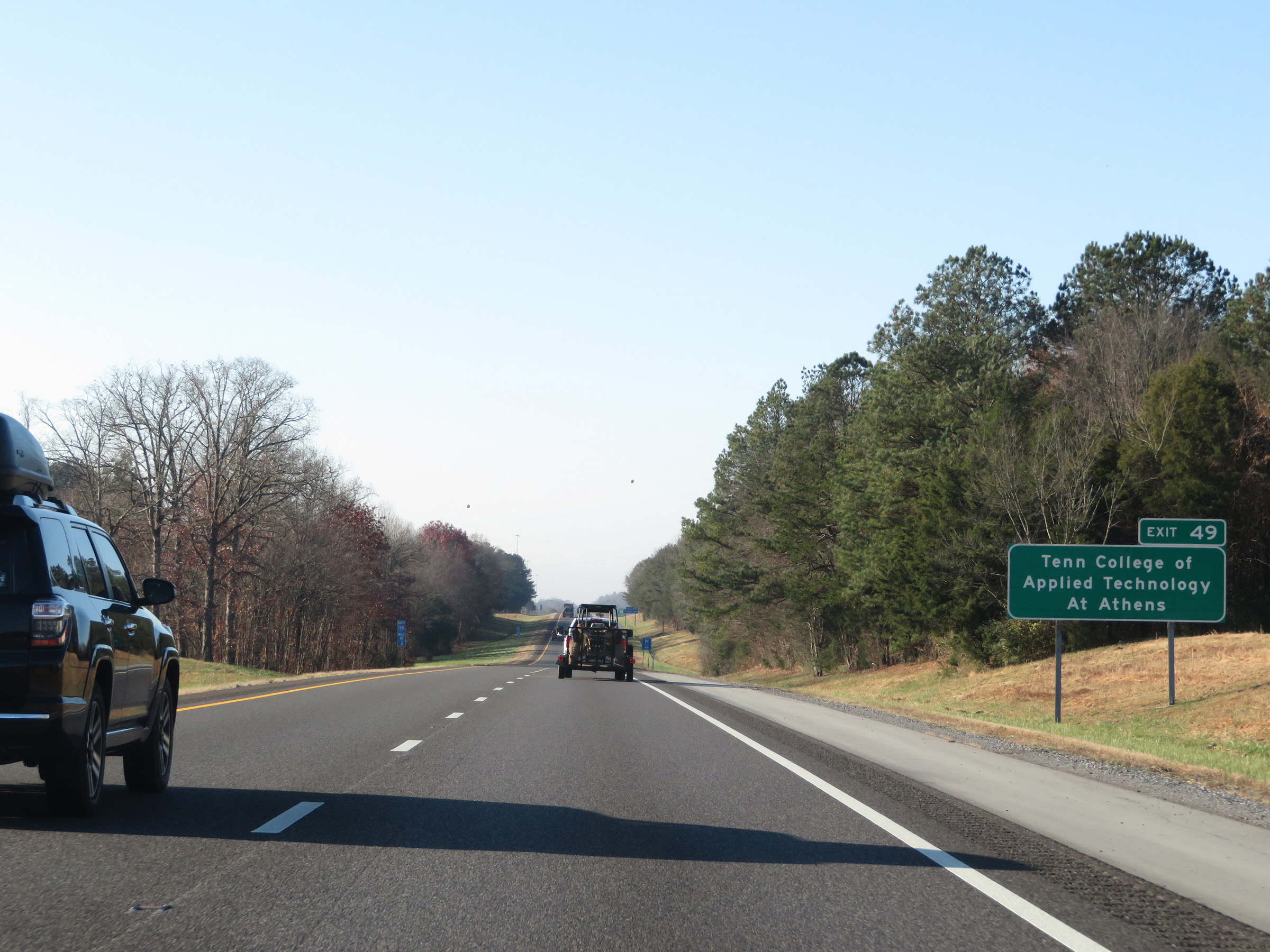 |
Take Exit 49 to Tennessee College of Applied Technology at Athens. (Photo taken 12/6/20). |
 |
Interstate 75 South at Exit 49: TN 30 - Athens / Decatur (Photo taken 12/6/20). |
Section 4: Athens (Exit 49) to Georgia Border
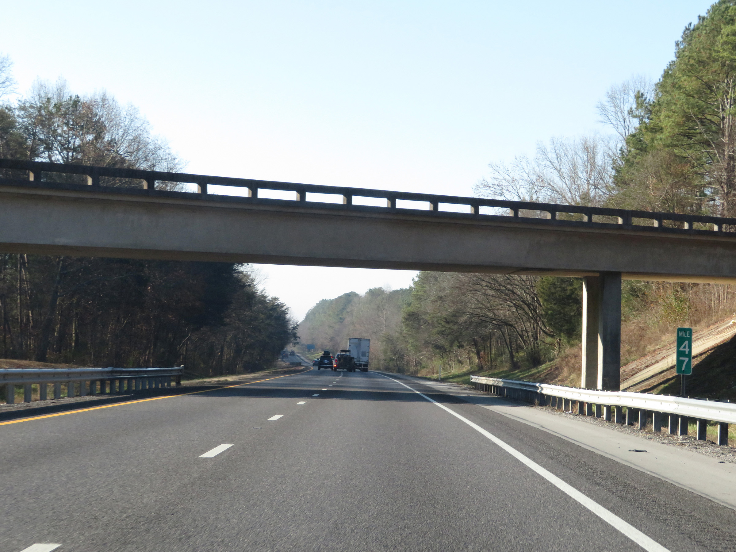 |
Interstate 75 South at mile marker 47. (Photo taken 12/6/20). |
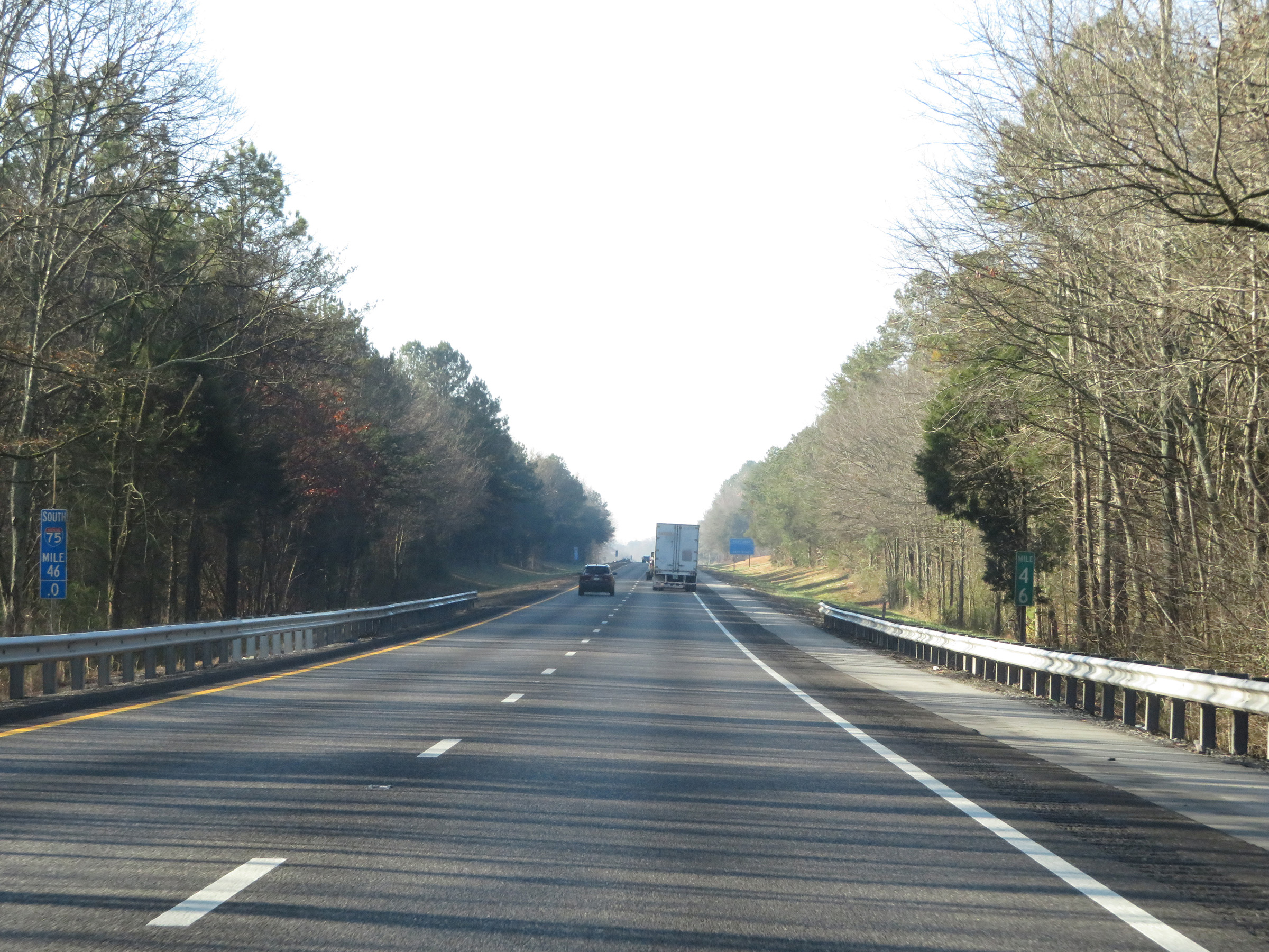 |
View on Interstate 75 South at mile marker 46. (Photo taken 12/6/20). |
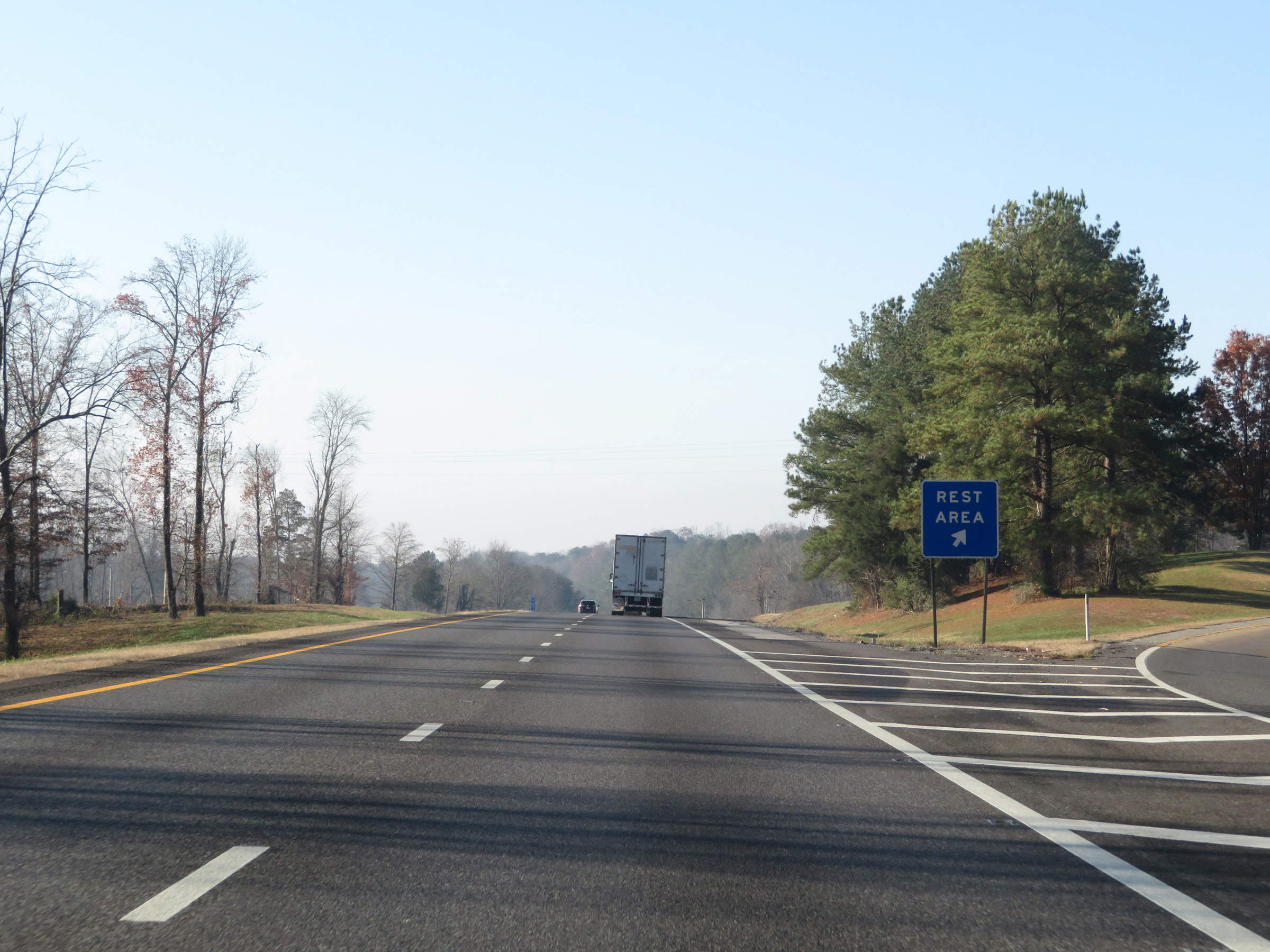 |
Rest Area on Interstate 75 South in McMinn County. (Photo taken 12/6/20). |
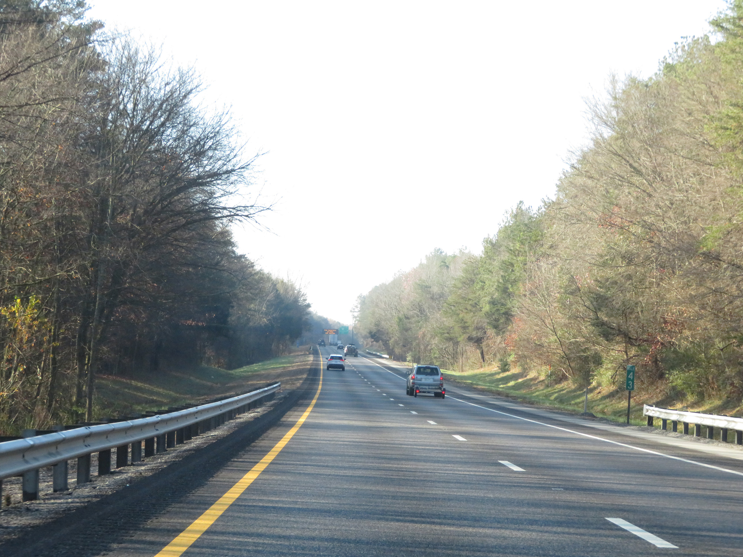 |
Interstate 75 South at mile marker 43. (Photo taken 12/6/20). |
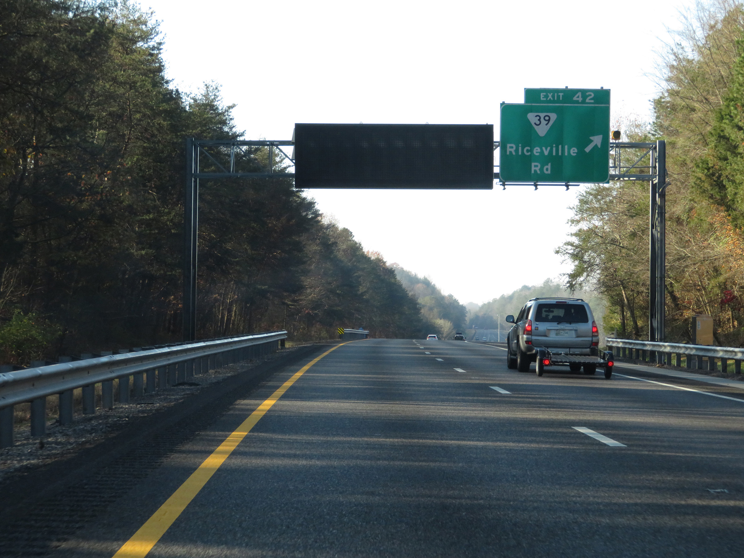 |
Interstate 75 South at Exit 42: SR 39 - Riceville Rd (Photo taken 12/6/20). |
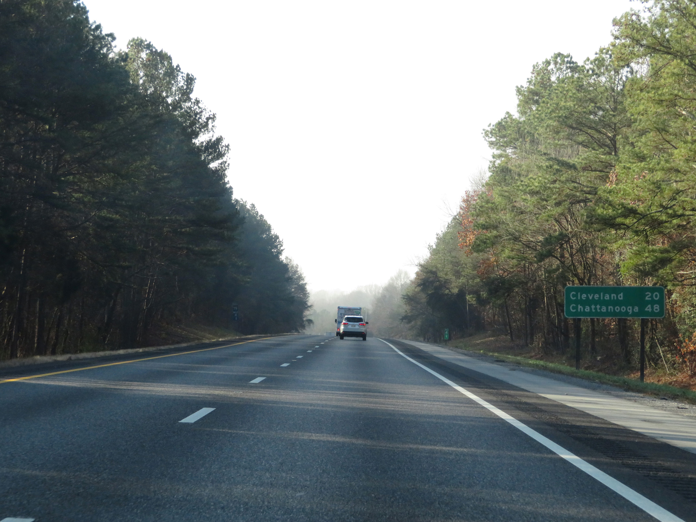 |
Another mileage sign on Interstate 75 South. It's 20 miles to Cleveland and 48 miles to Chattanooga. (Photo taken 12/6/20). |
 |
Interstate 75 South at mile marker 40. (Photo taken 12/6/20). |
 |
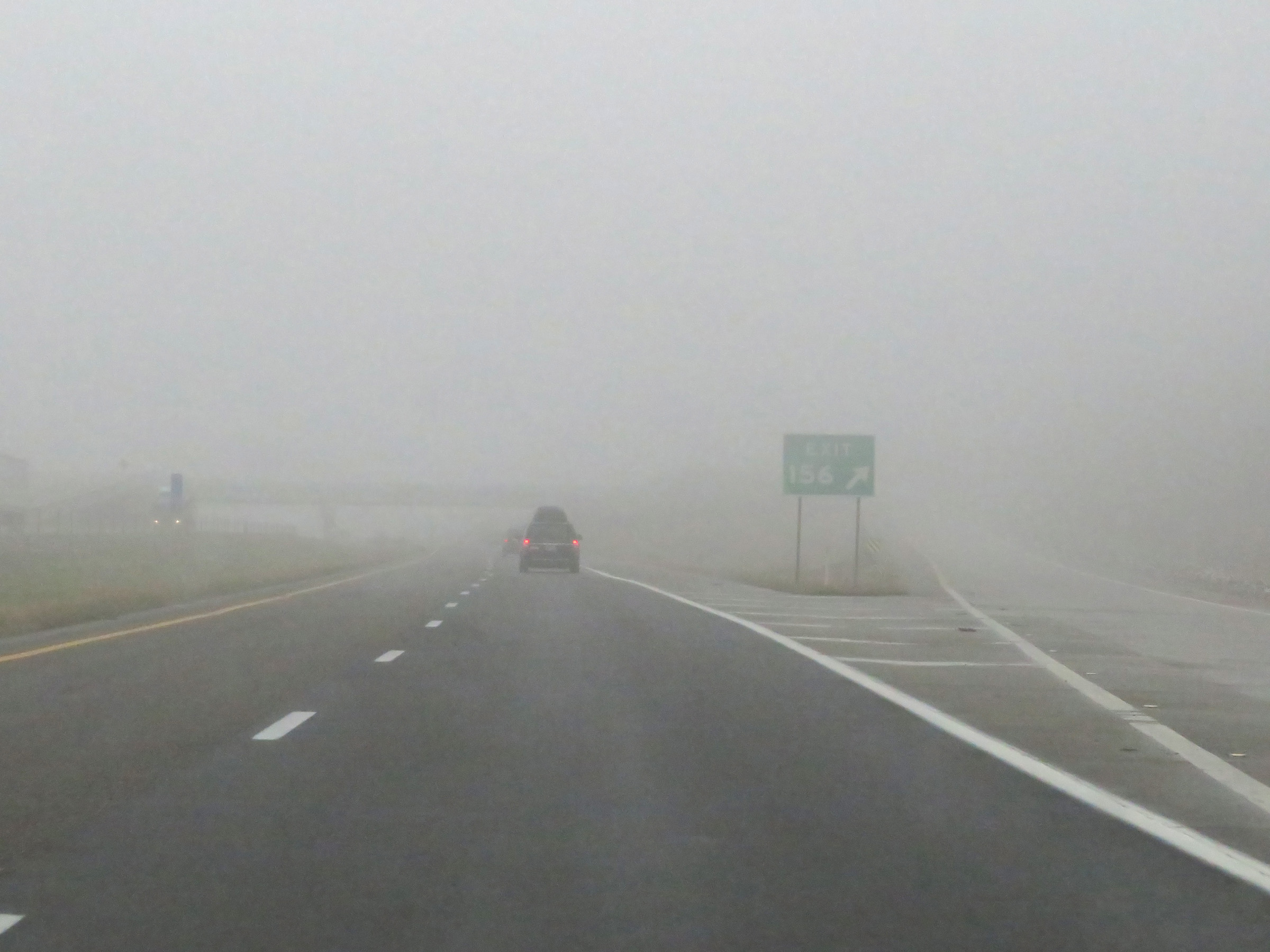
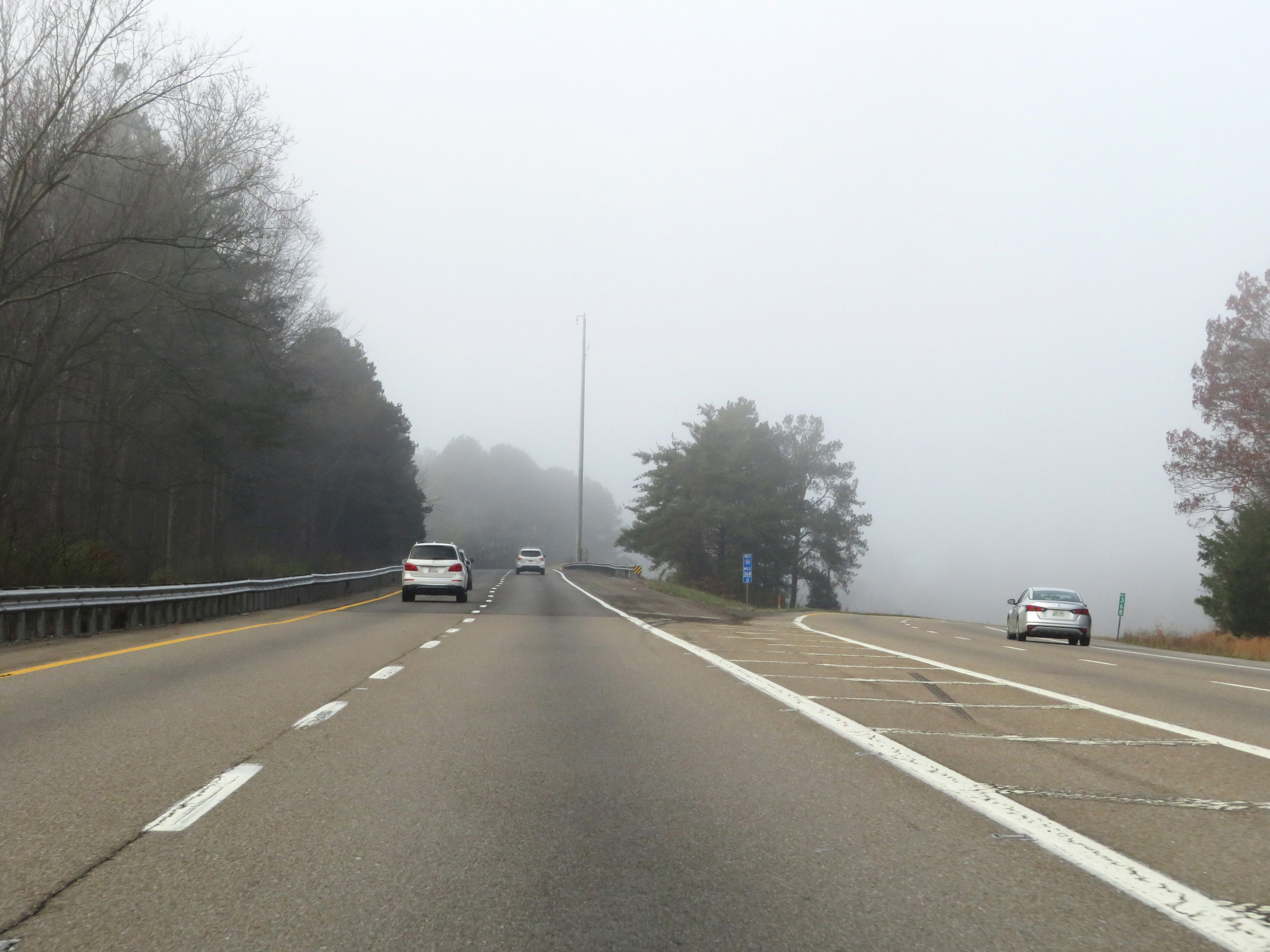
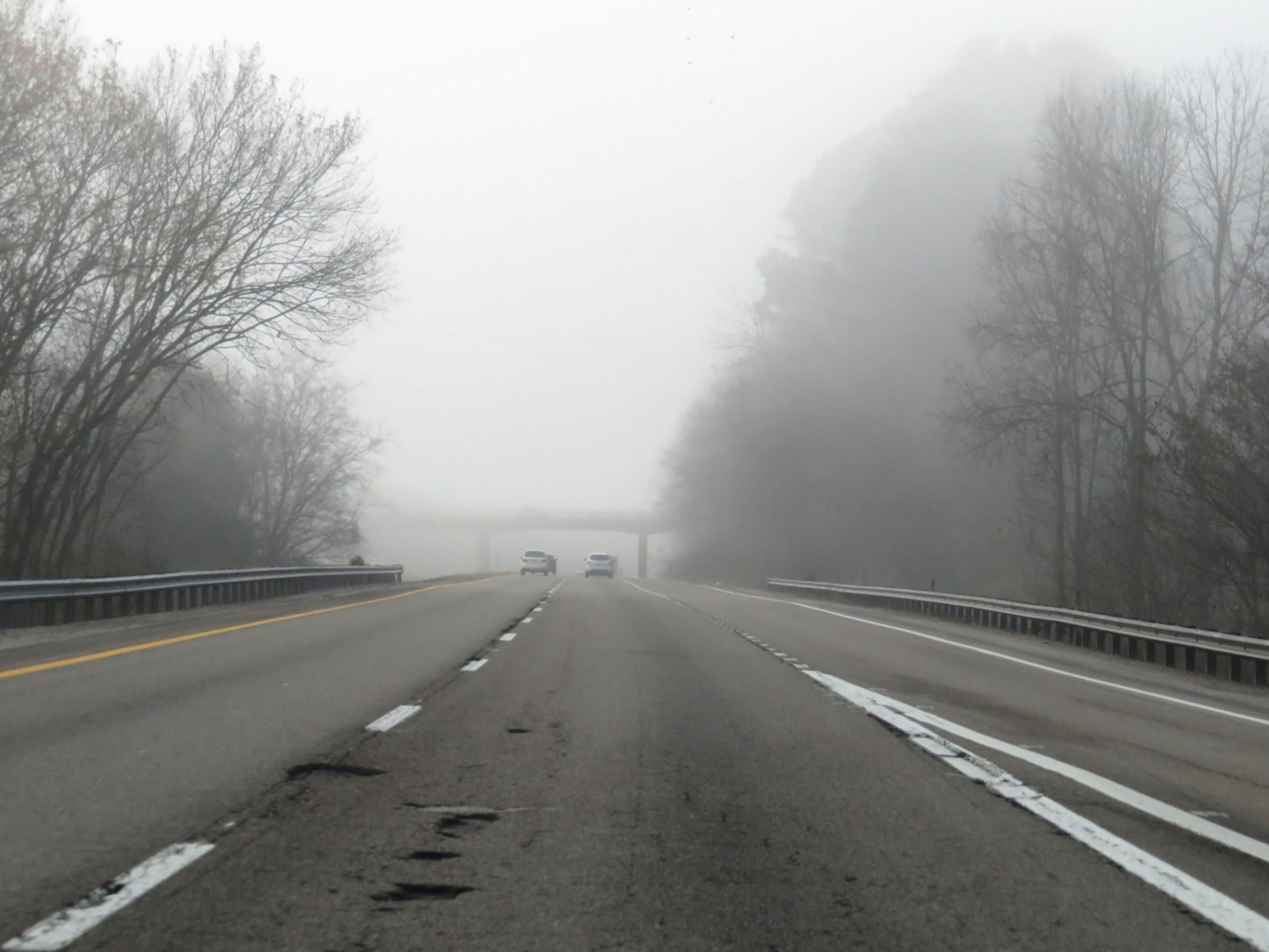
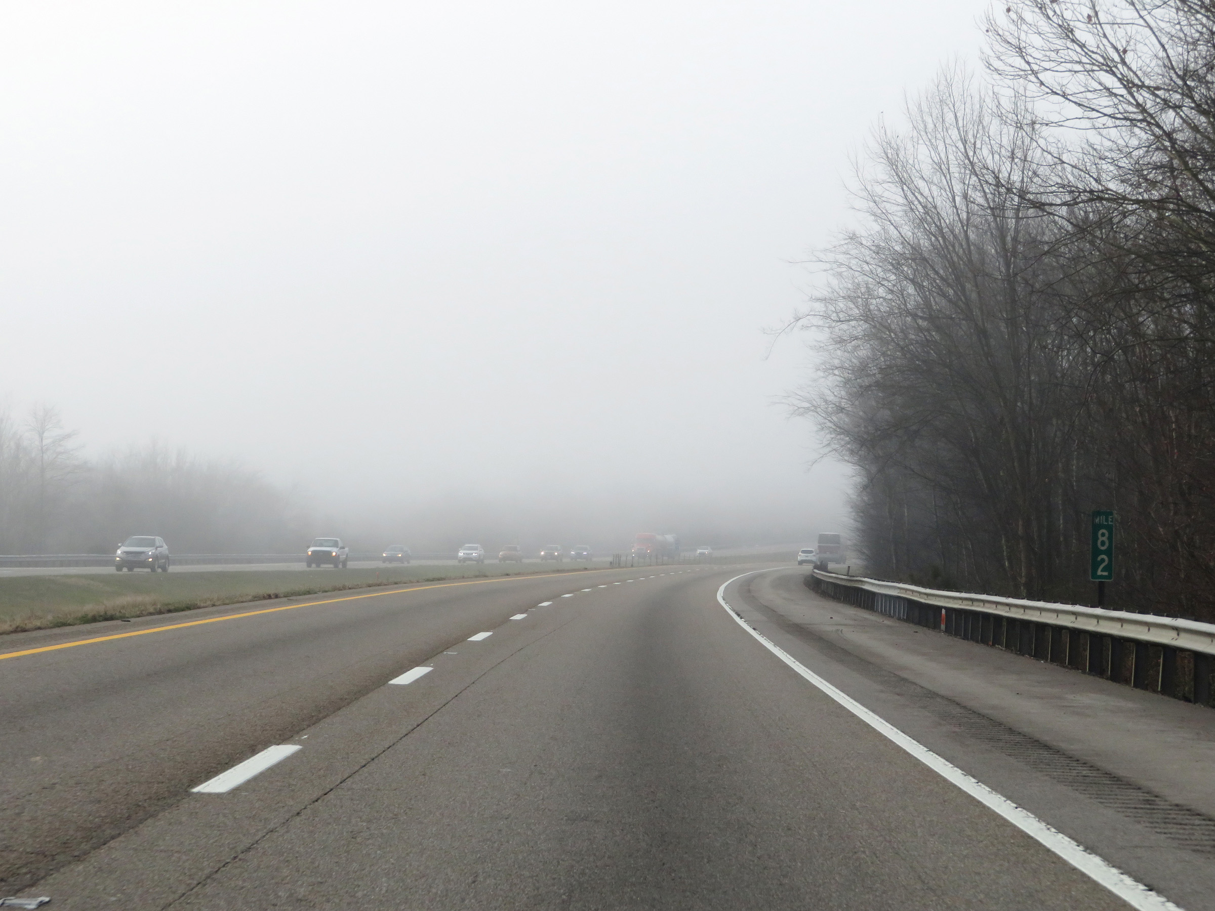
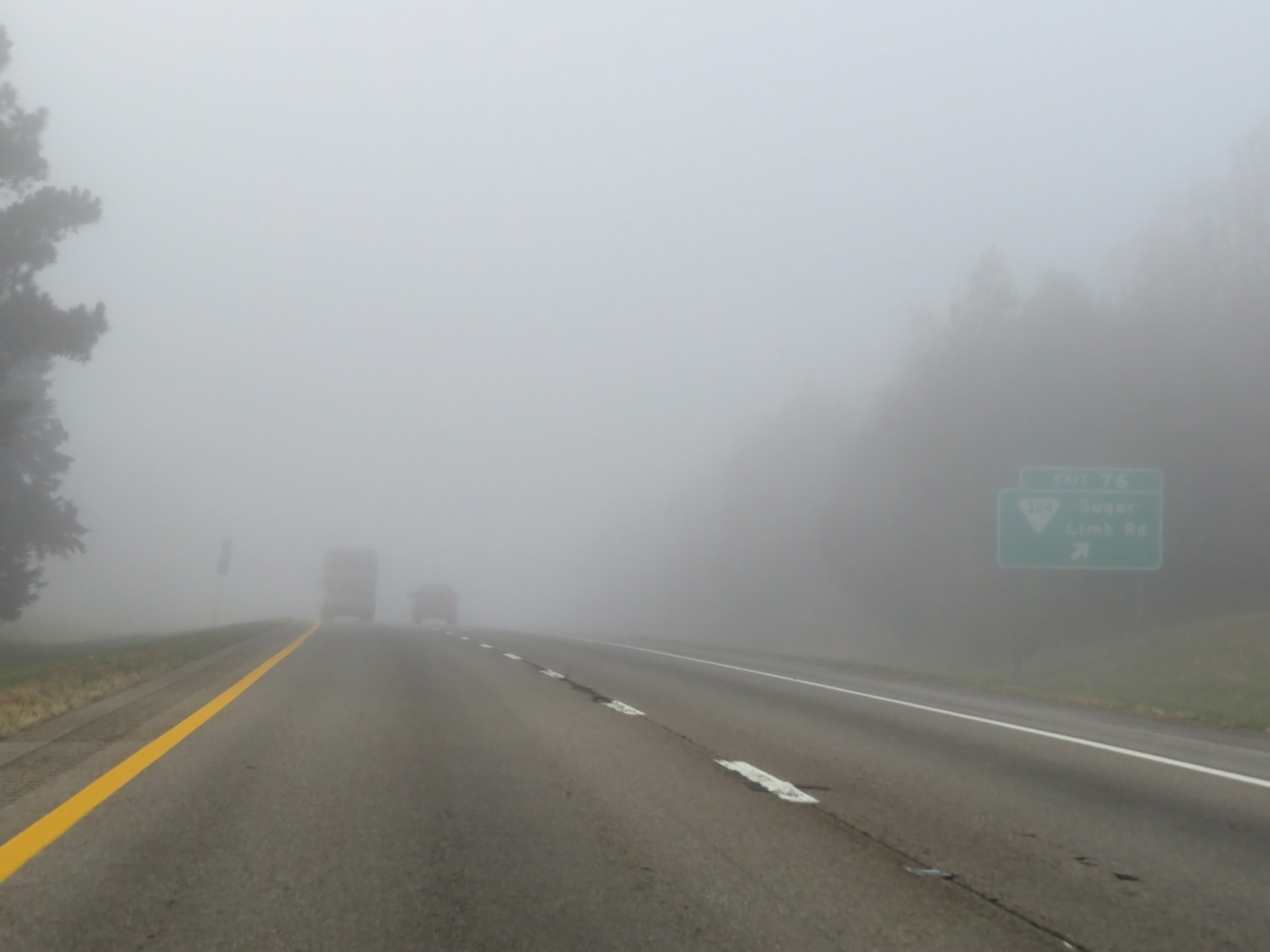
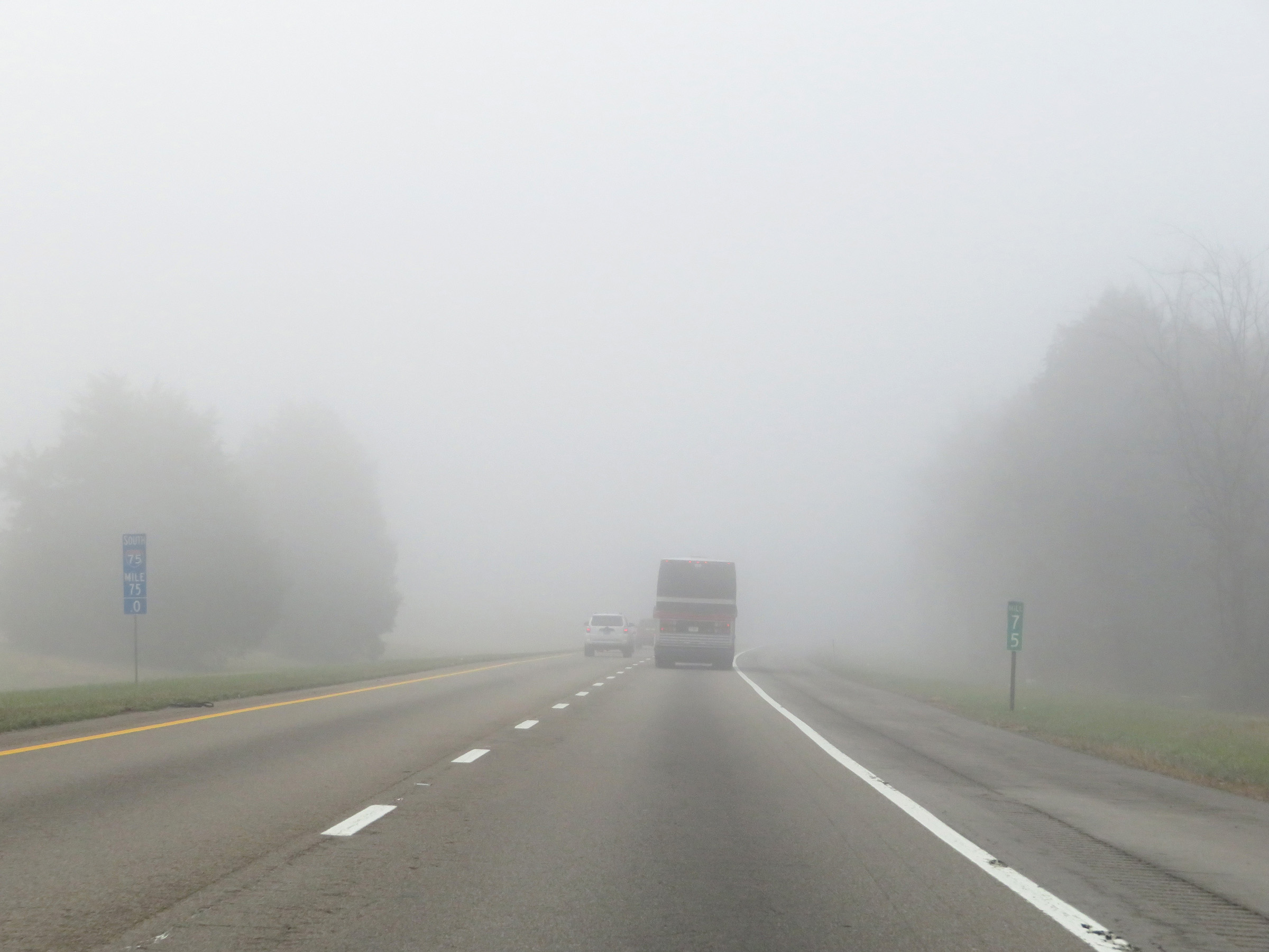
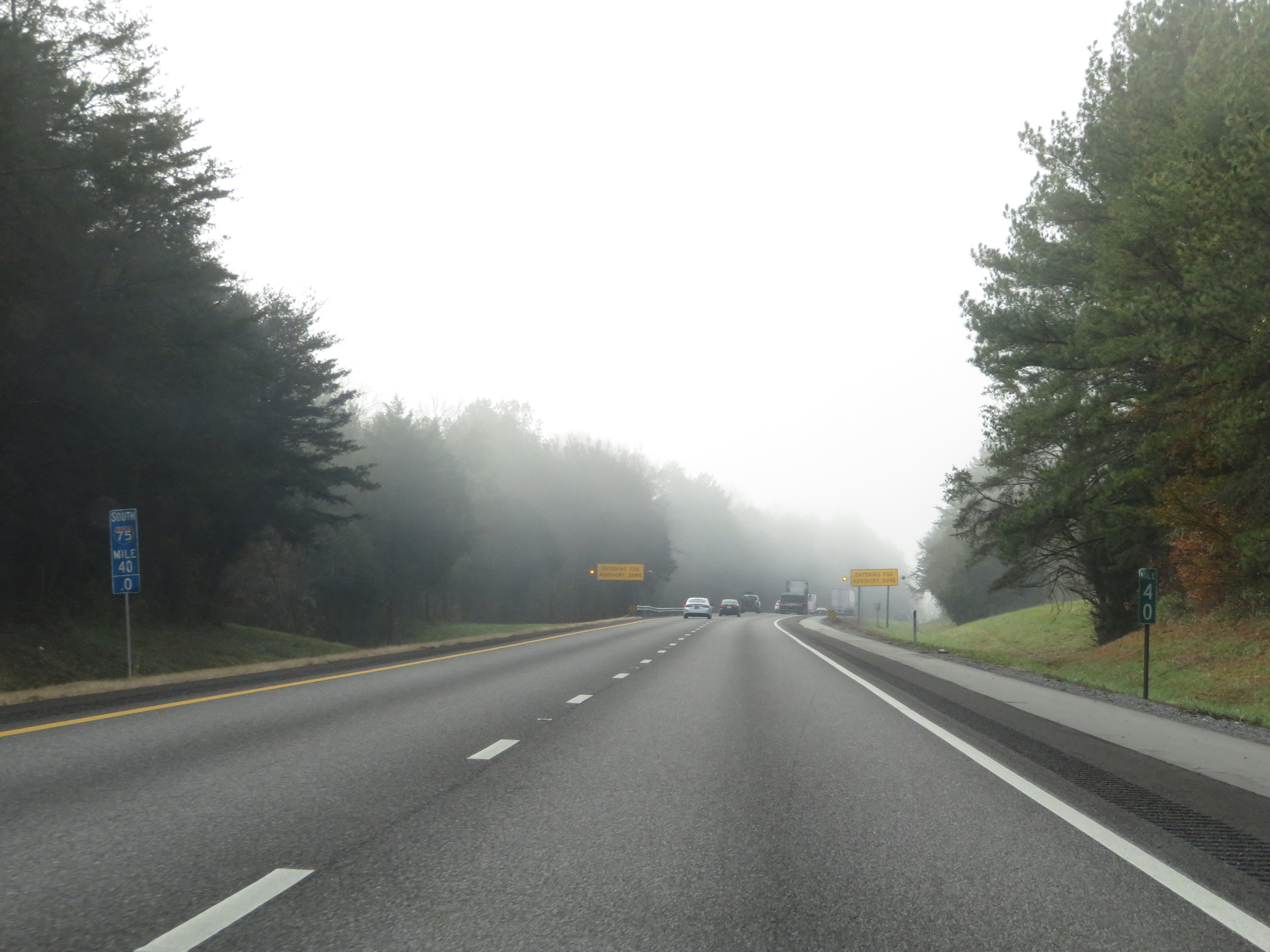
Just south of mile marker 40, Interstate 75 South enters a fog advisory area. This stretch of I-75 is very prone to thick fog in the morning hours. (Photo taken 12/6/20). |
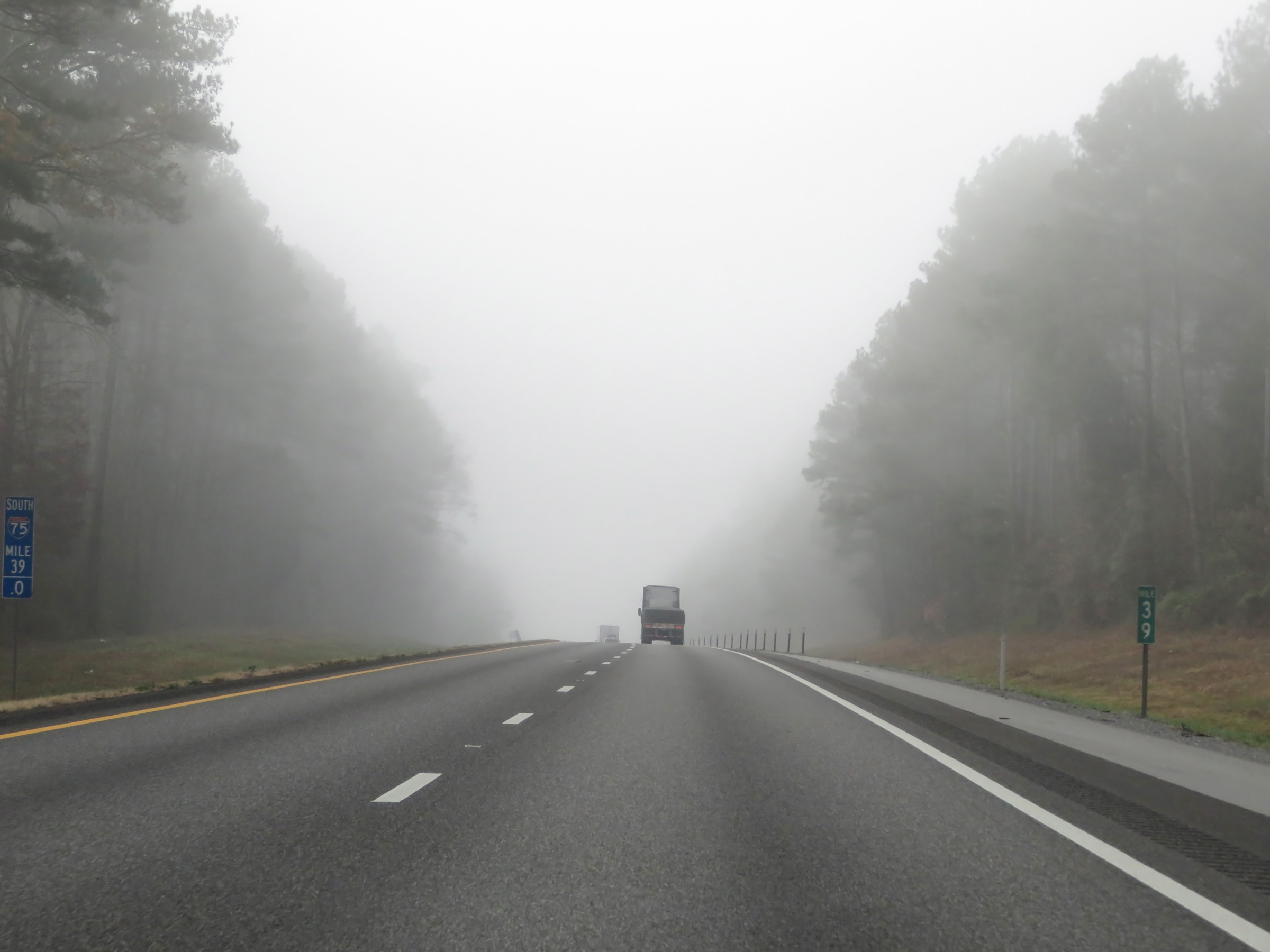 |
Mile marker 39 on Interstate 75 South in McMinn County. (Photo taken 12/6/20). |
 |
Interstate 75 South at Exit 36: SR 163 - Calhoun (Photo taken 12/6/20). |
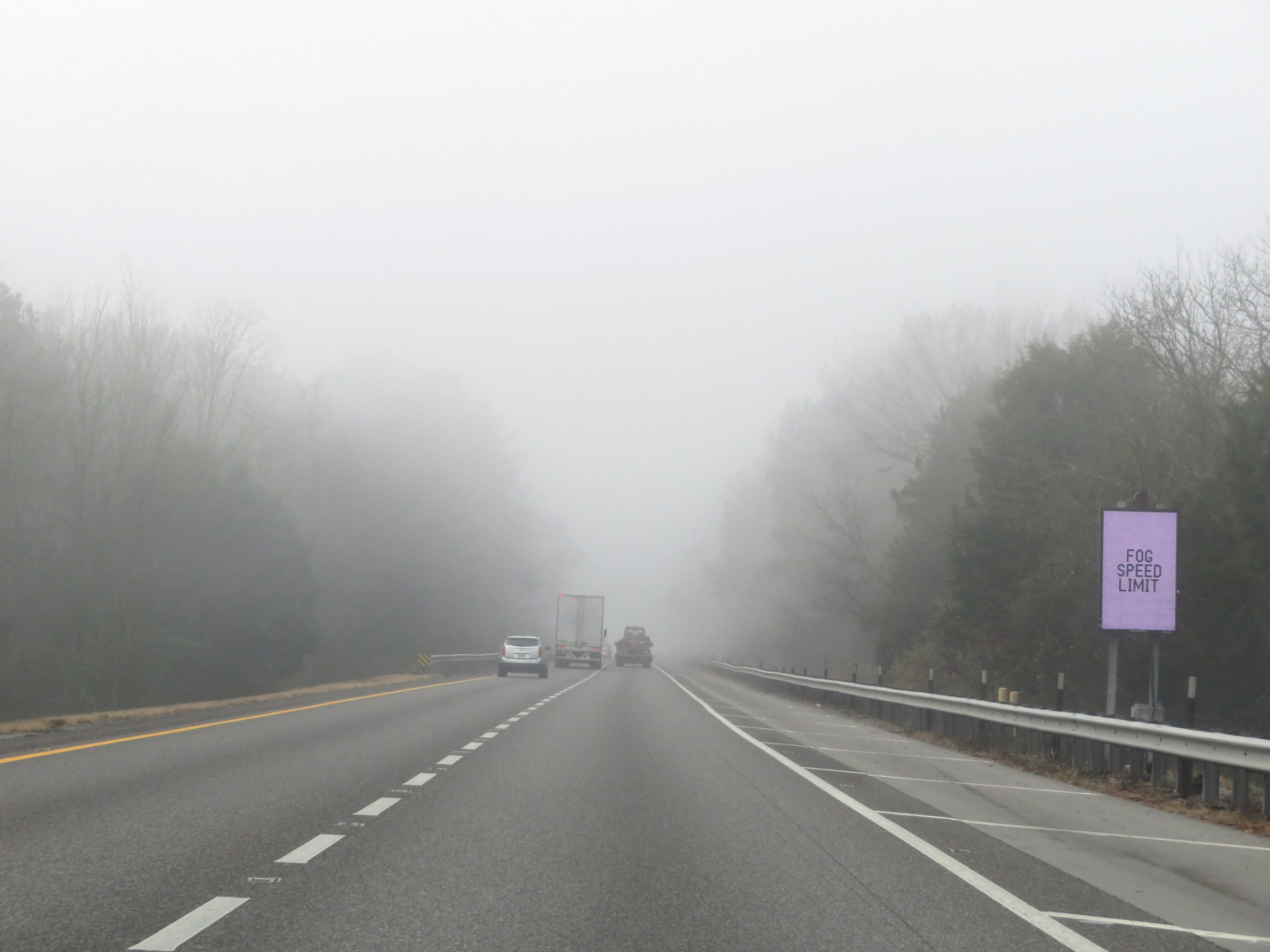 |
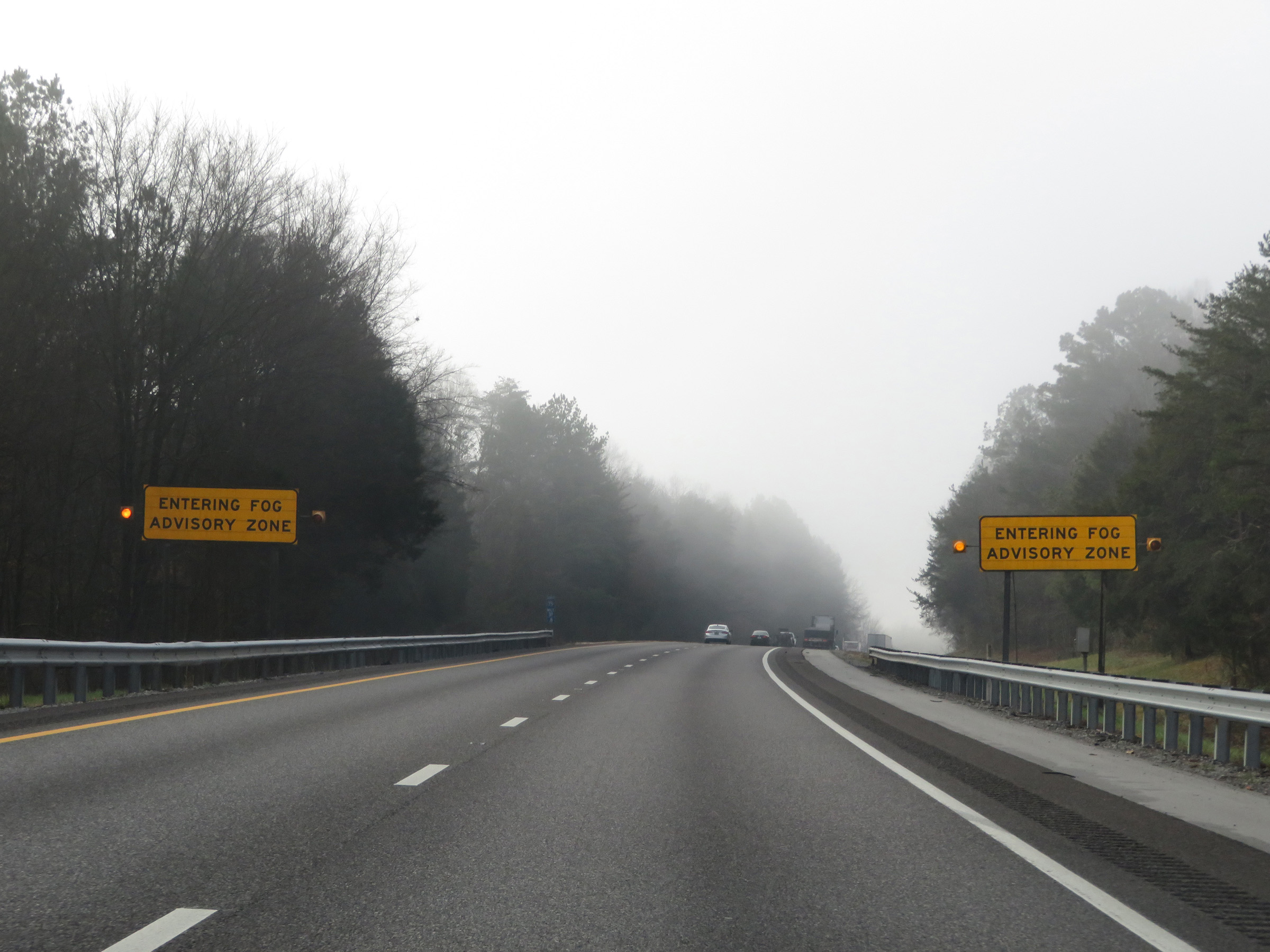
In this fog advisory area on Interstate 75, variable speed limits are in effect. (Photo taken 12/6/20). |
 |
At mile marker 35, Interstate 75 South prepares to cross the Hiwassee River and enters Bradley County. (Photo taken 12/6/20). |
 |
Interstate 75 South approaching Exit 33 - 1 mile. (Photo taken 12/6/20). |
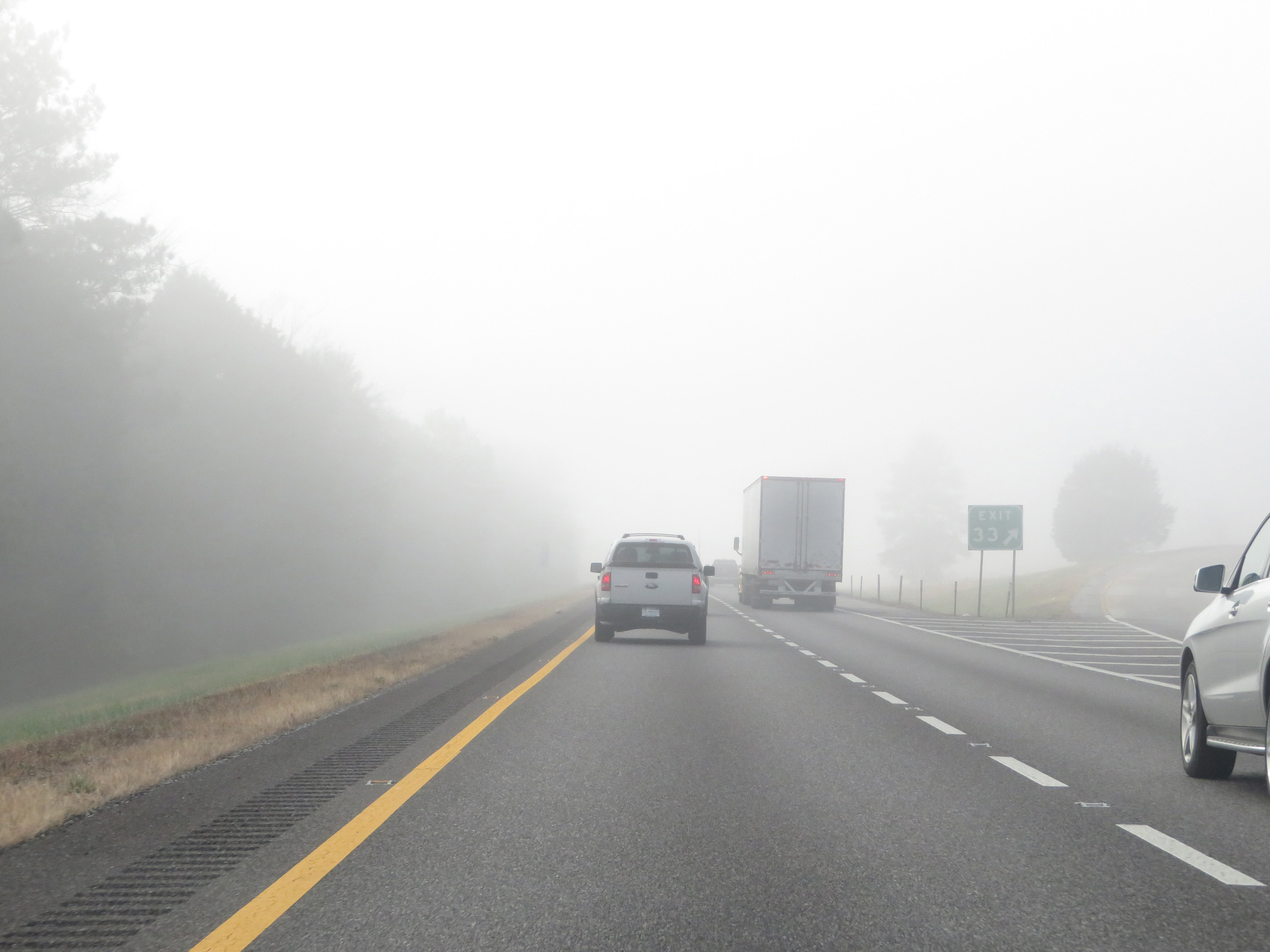 |
Interstate 75 South at Exit 33: SR 308 - Charleston (Photo taken 12/6/20). |
 |
Near mile marker 31, Interstate 75 South leaves the fog advisory area. (Photo taken 12/6/20). |
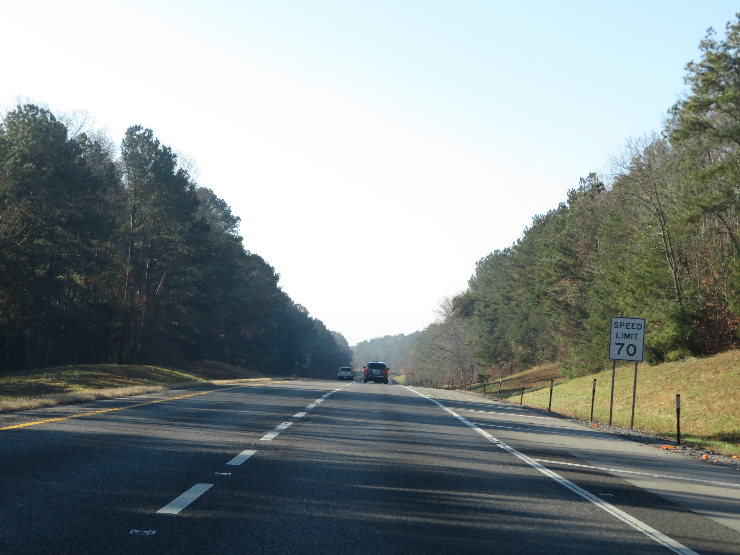 |
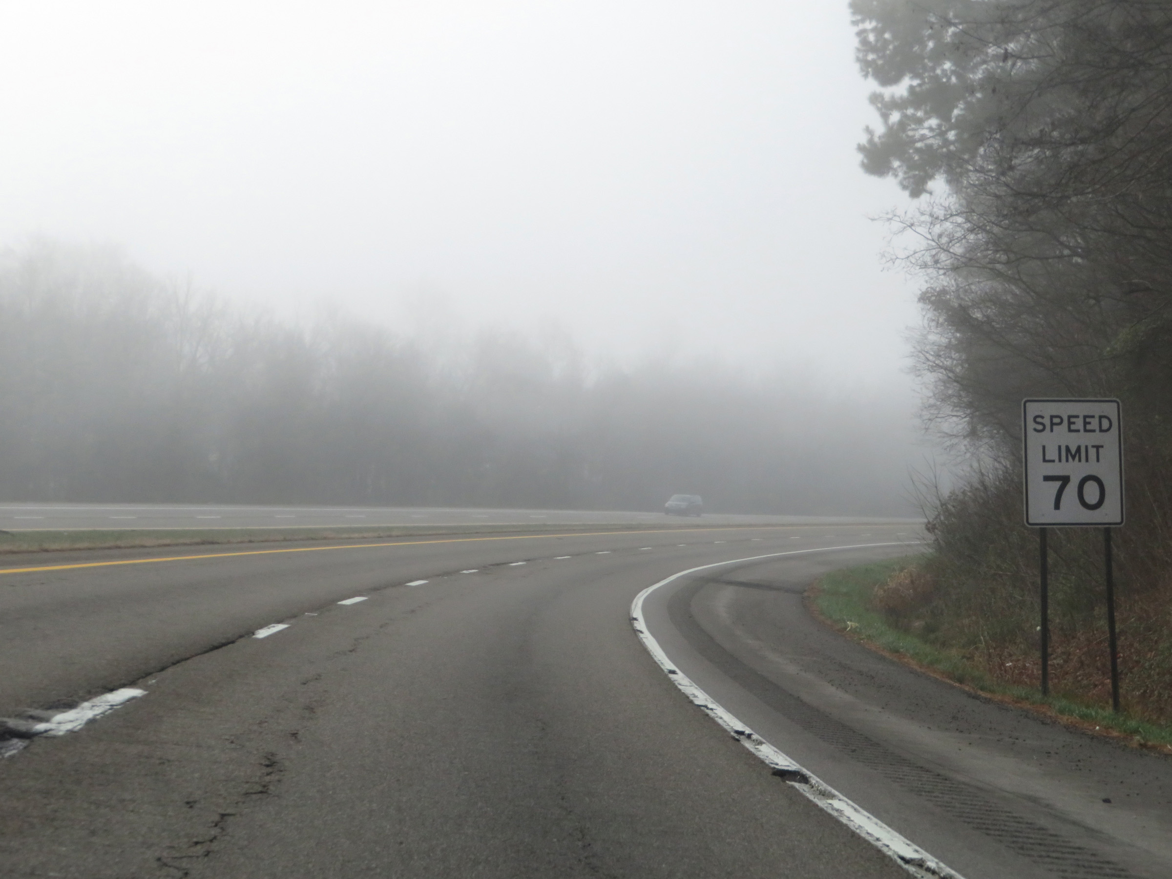
Now that Interstate 75 South has left the fog advisory area, the variable speed limits come to an end and the rural standard speed limit of 70 mph resumes for all traffic. (Photo taken 12/6/20). |
 |
View on Interstate 75 South at mile marker 29. (Photo taken 12/6/20). |
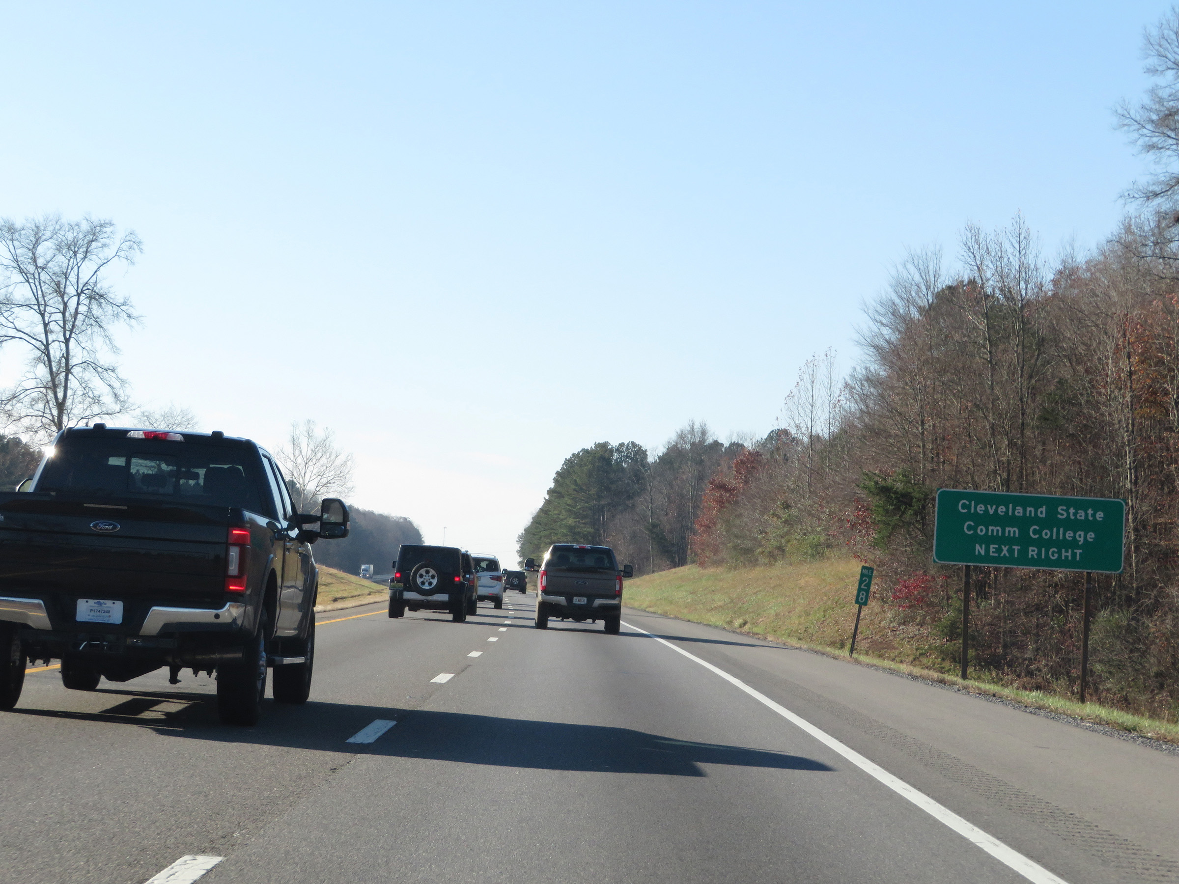 |
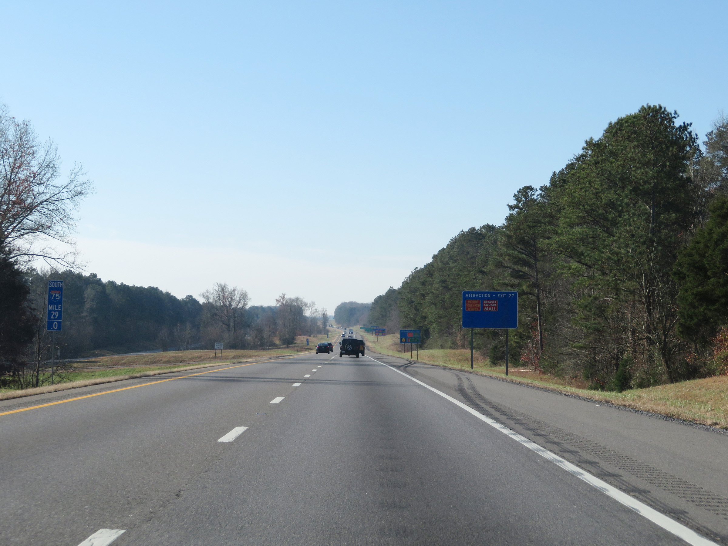
Take Exit 27 to Cleveland State Community College. (Photo taken 12/6/20). |
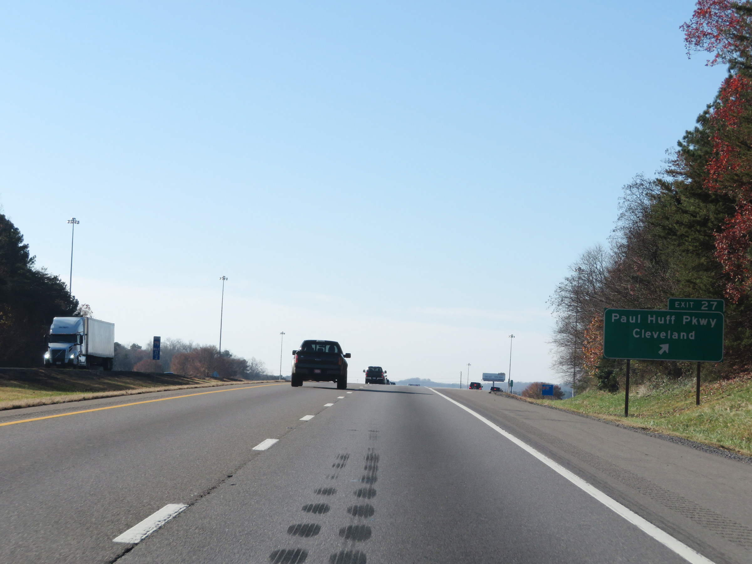 |
Interstate 75 South at Exit 27: Paul Huff Pkwy / Cleveland (Photo taken 12/6/20). |
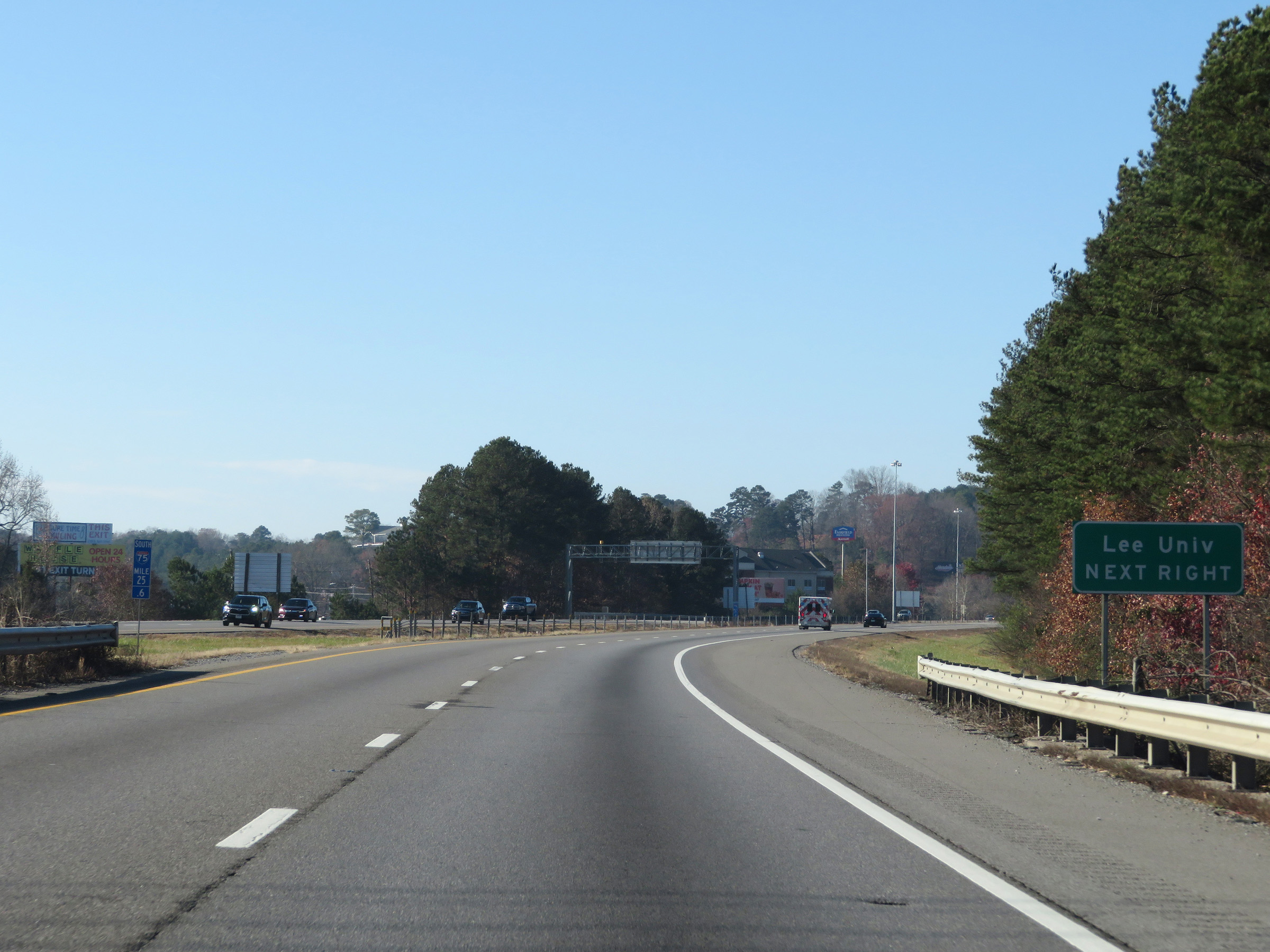 |
Take Exit 25 to Lee University. (Photo taken 12/6/20). |
 |
Also take Exit 25 to Red Clay State Historic Area. (Photo taken 12/6/20). |
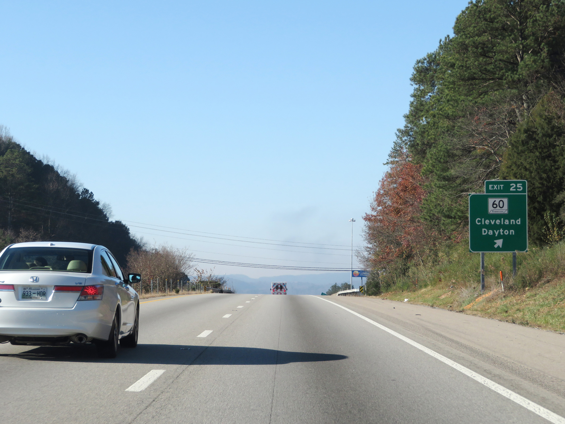 |
Interstate 75 South at Exit 25: TN 60 - Cleveland / Dayton (Photo taken 12/6/20). |
 |
Interstate 75 South reassurance shield. (Photo taken 12/6/20). |
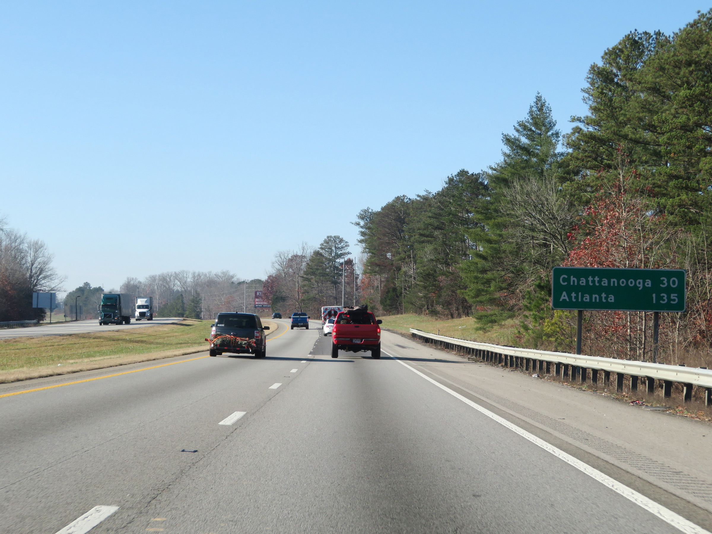 |
Mileage sign on Interstate 75 South. It's 30 miles to Chattanooga and 135 miles to Atlanta. (Photo taken 12/6/20). |
 |
Take Exit 20 to Cherokee National Forest. (Photo taken 12/6/20). |
 |
Mile marker 23 on Interstate 75 South in Bradley County. (Photo taken 12/6/20). |
 |
View on Interstate 75 South at mile marker 21. (Photo taken 12/6/20). |
 |
Interstate 75 South at Exit 20: US 64 Bypass East - Cleveland (Photo taken 12/6/20). |
 |
As this mileage sign reads, Chattanooga is now just 30 miles ahead. It also lists the distance in kilometers at 40 km. (Photo taken 12/6/20). |
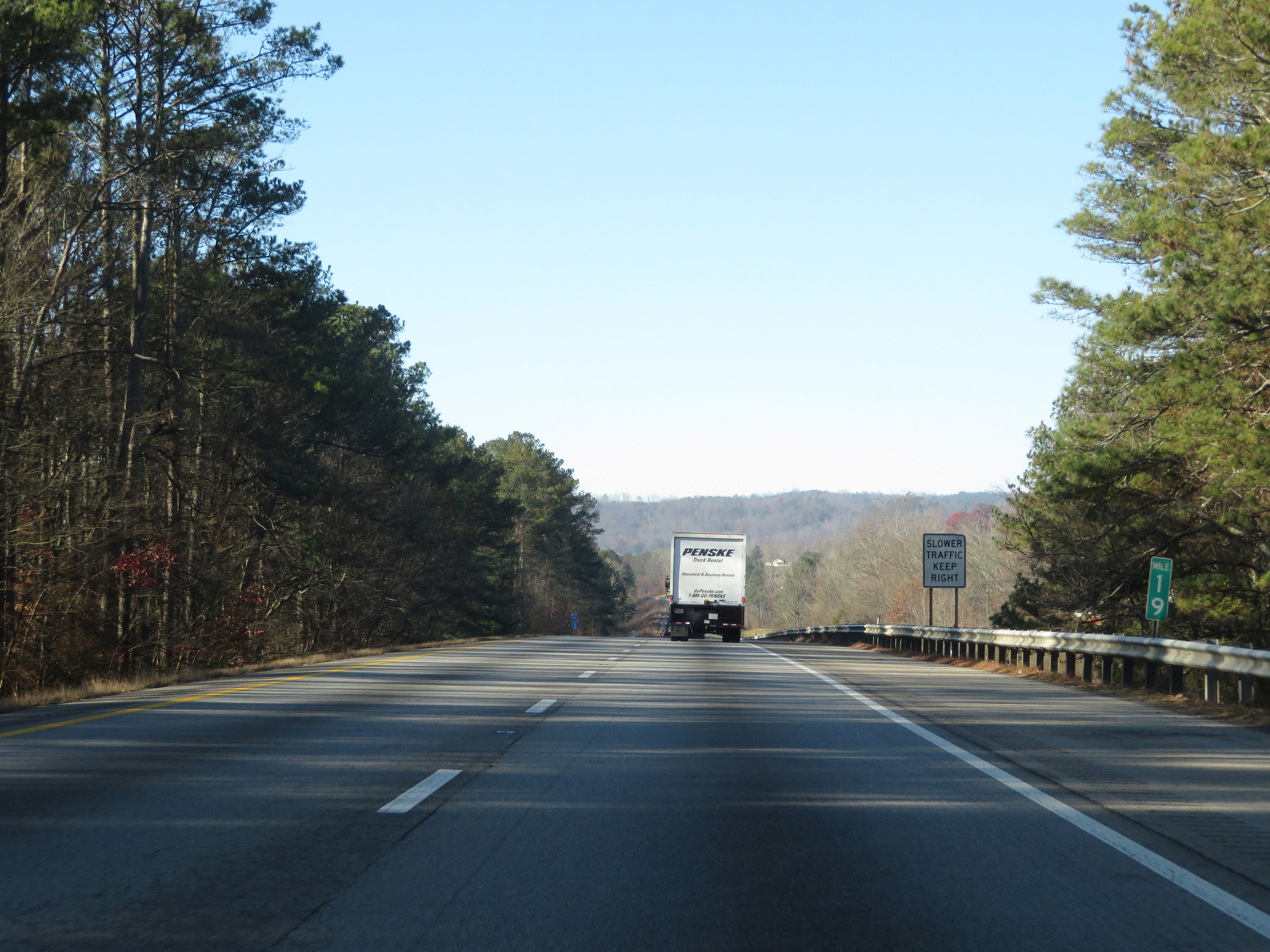 |
Interstate 75 South at mile marker 19. (Photo taken 12/6/20). |
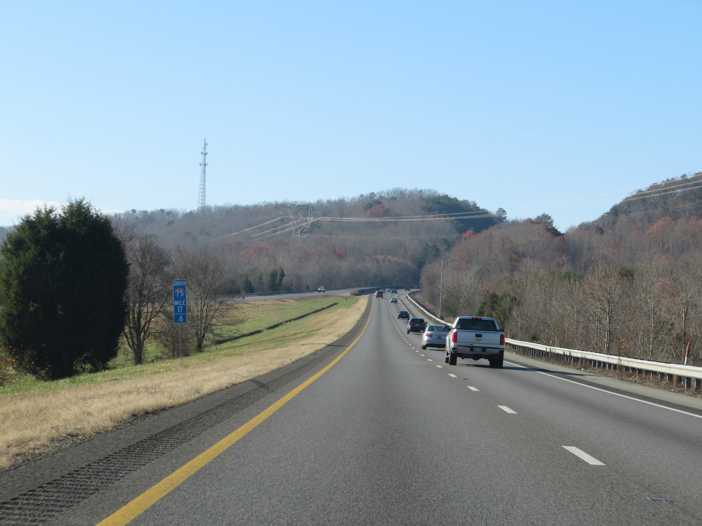 |
View on interstate 75 South at mile marker 17.6. Ahead, I-75 South will climb White Oak Mountain. (Photo taken 12/6/20). |
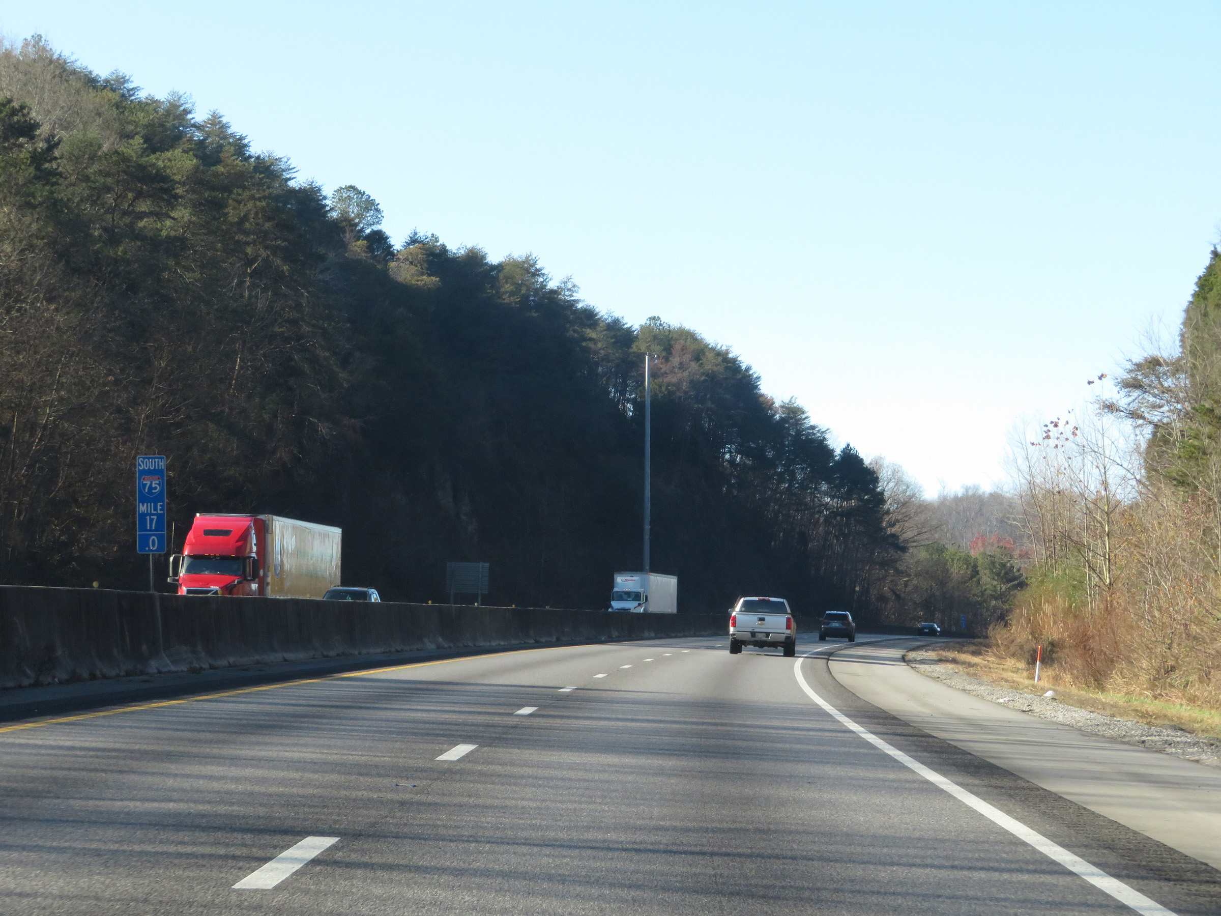 |
Interstate 75 South at mile marker 17 as it climbs White Oak Mountain. (Photo taken 12/6/20). |
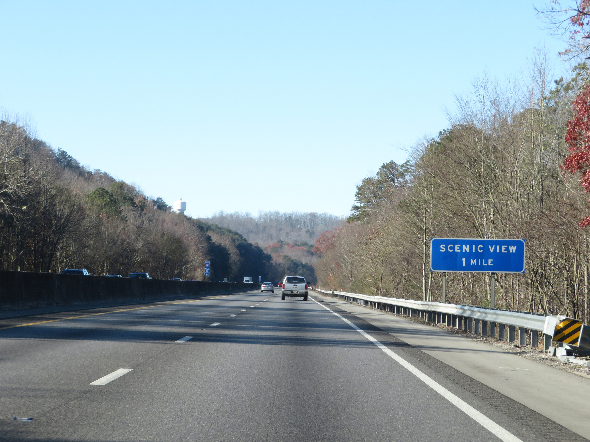 |
A Scenic View Area exists 1 mile ahead at the summit of White Oak Mountain. (Photo taken 12/6/20). |
 |
View on Interstate 75 South at mile marker 16.2, as it nears the top of White Oak Mountain. (Photo taken 12/6/20). |
 |
Approaching the peak of White Oak Mountain, this sign provides a warning for trucks that unmuffled engine brakes are prohibited while going down the other side of the mountain ahead. (Photo taken 12/6/20). |
 |
At the top of White Oak Mountain, the speed limits decrease to 65 mph for automobiles and 55 mph for trucks. (Photo taken 12/6/20). |
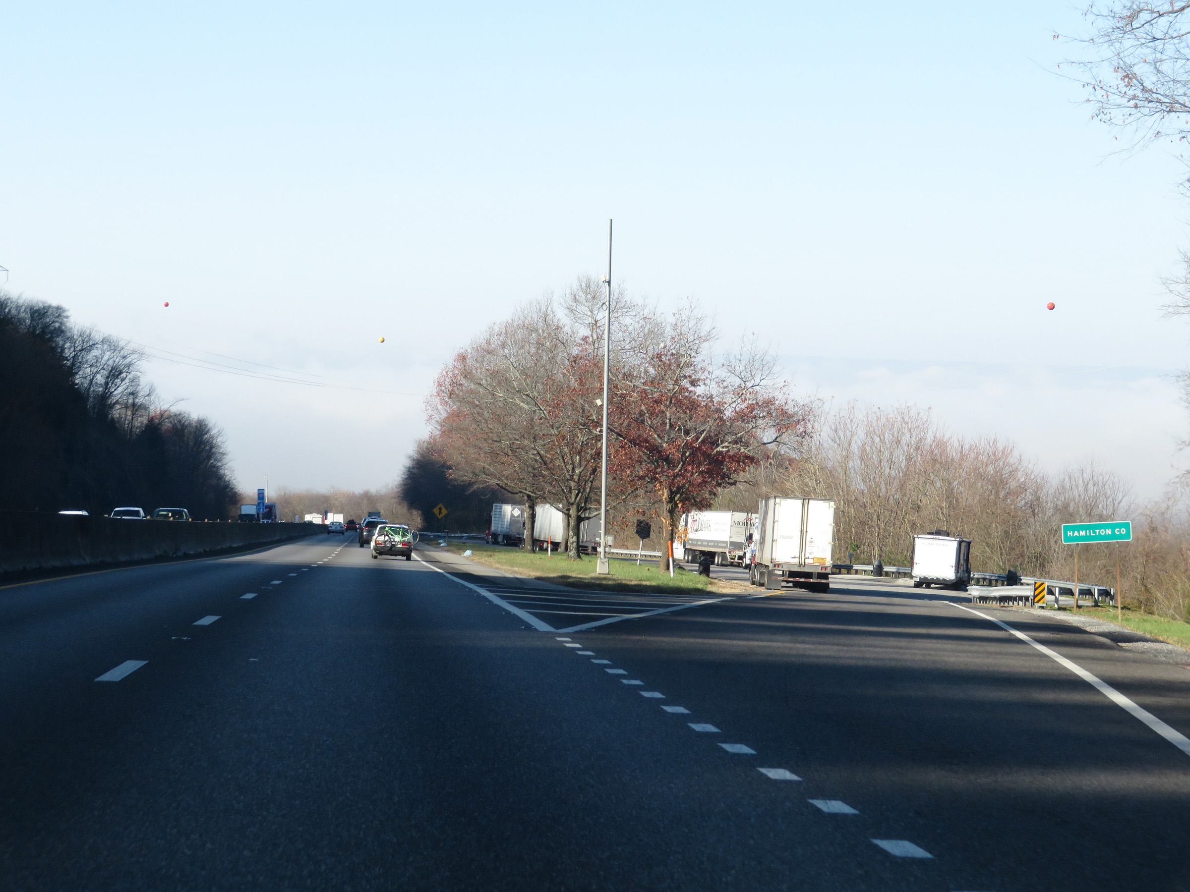 |
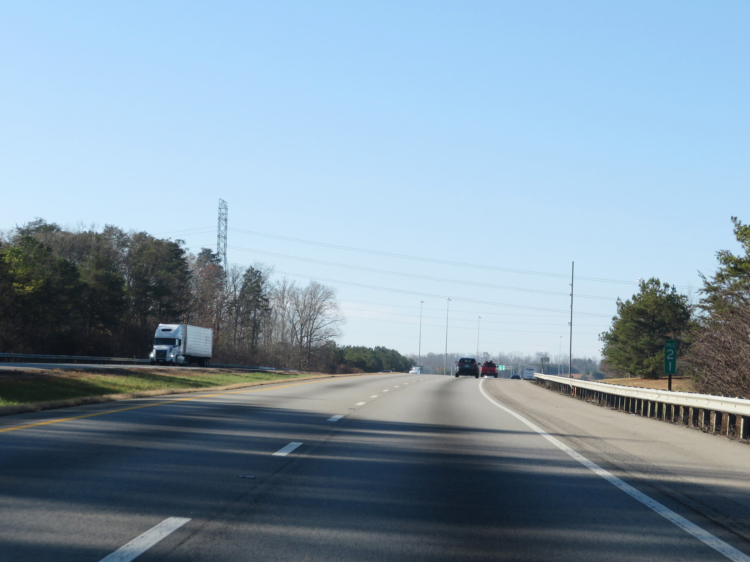
Scenic View Area on Interstate 75 South as it enters Hamilton County. (Photo taken 12/6/20). |
 |
View on Interstate 75 South at mile marker 15, as it begins to descend White Oak Mountain. (Photo taken 12/6/20). |
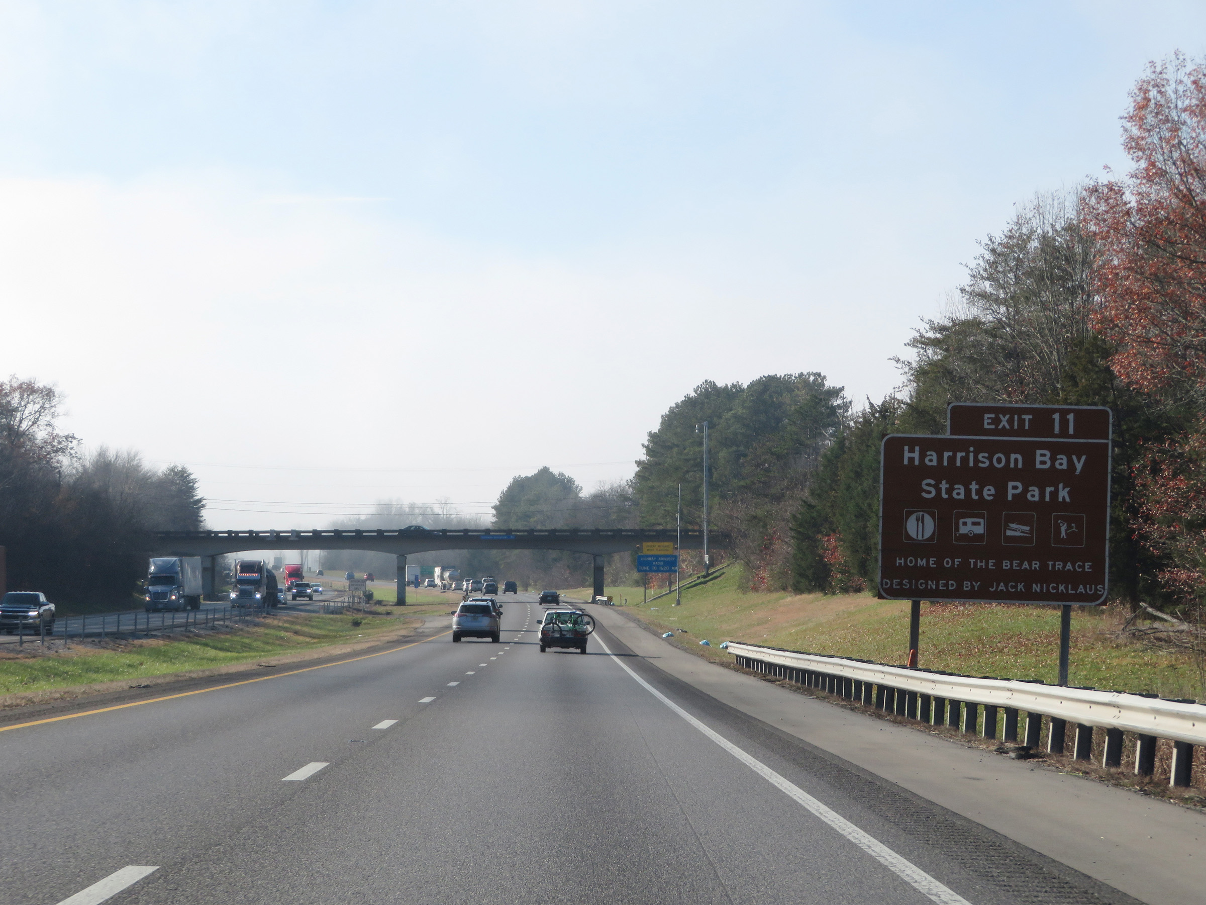 |
Take Exit 11 to Harrison Bay State Park. (Photo taken 12/6/20). |
 |
Interstate 75 South at mile marker 14. (Photo taken 12/6/20). |
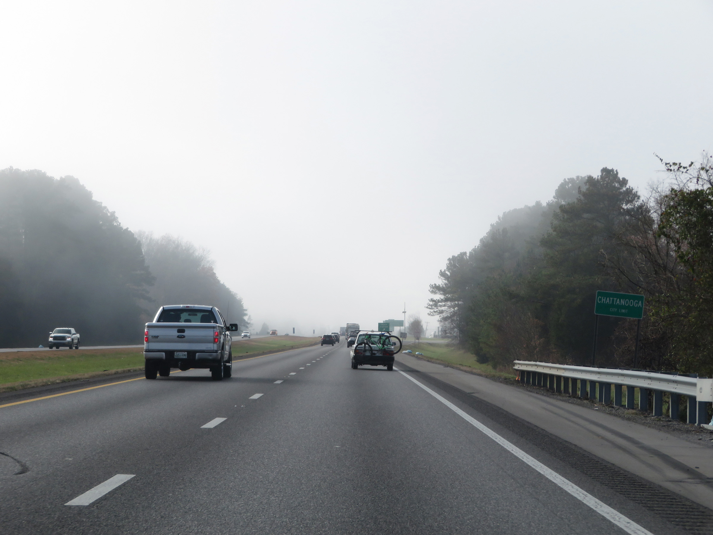 |
Interstate 75 South as it enters the Chattanooga city limits. (Photo taken 12/6/20). |
 |
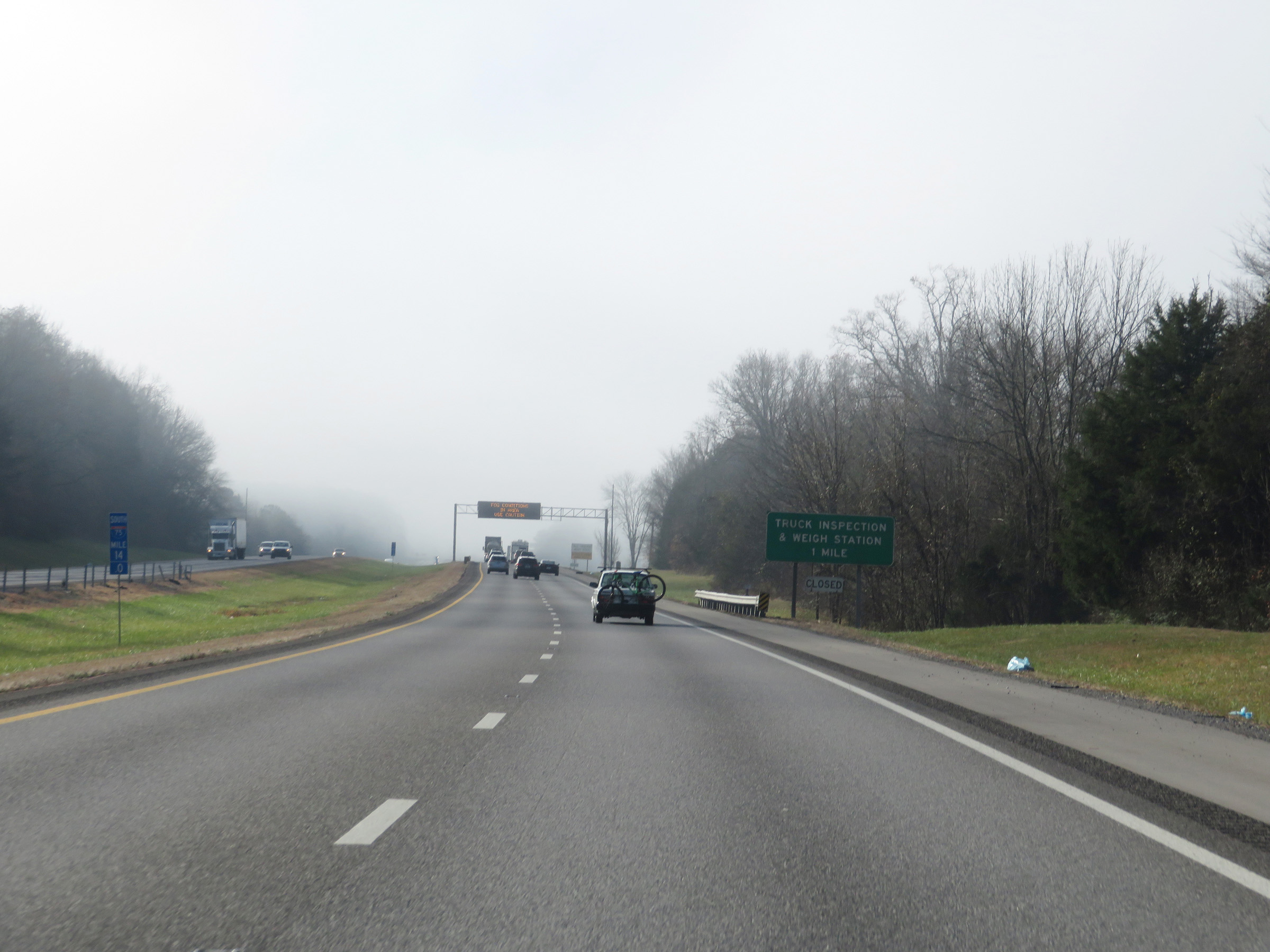
Truck Weigh & Inspection Station on Interstate 75 South in Hamilton County. (Photo taken 12/6/20). |
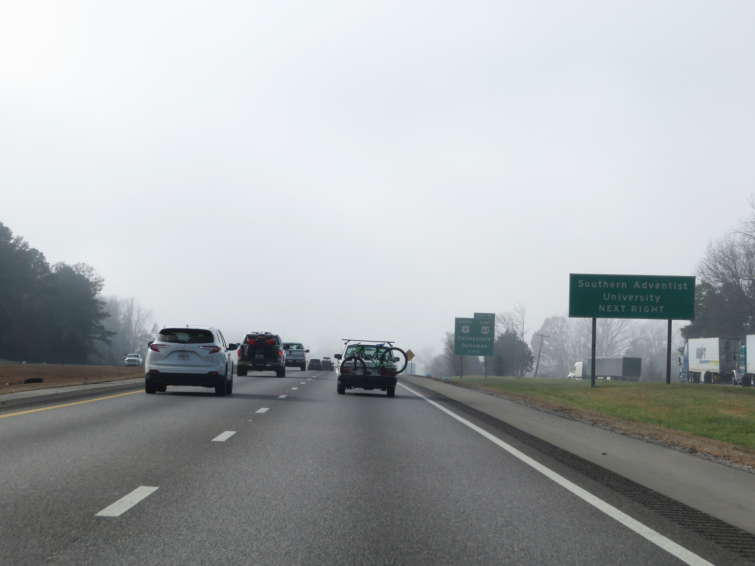 |
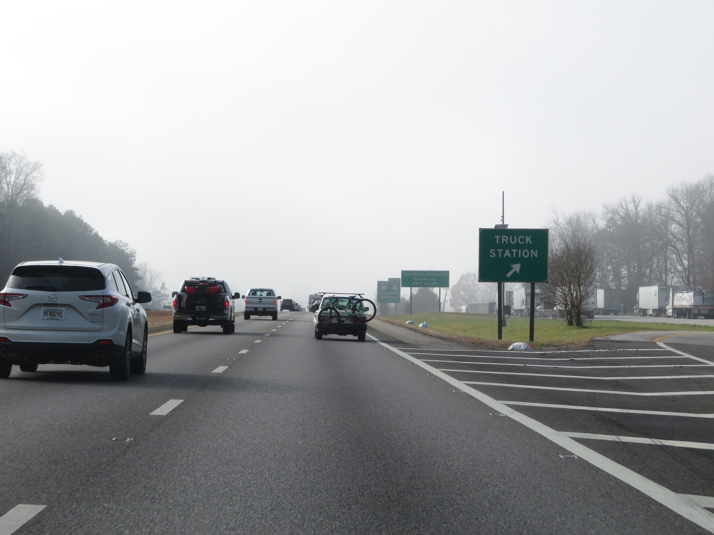
Take Exit 11 to Southern Adventist University. (Photo taken 12/6/20). |
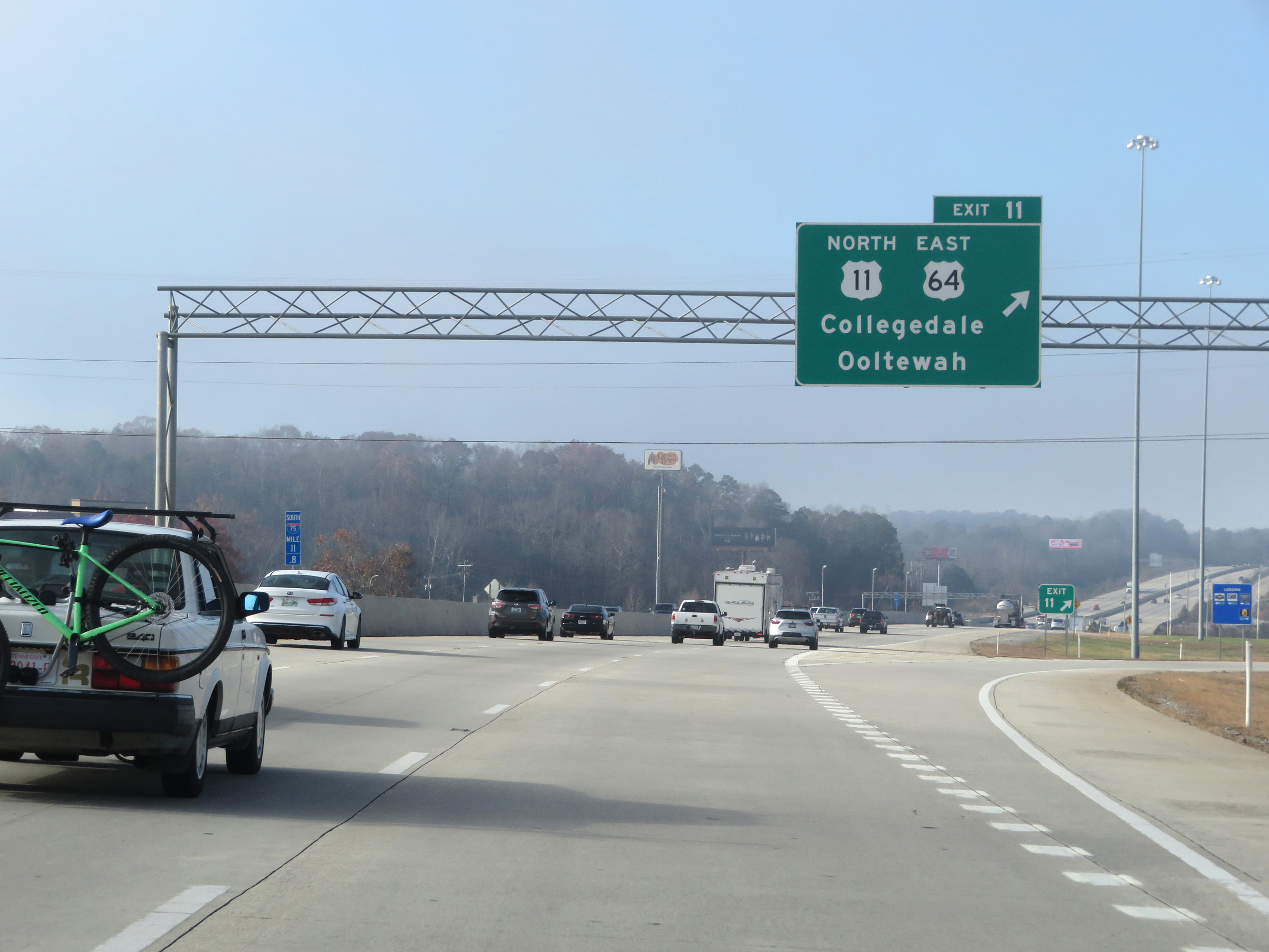 |
Interstate 75 South at Exit 11: US 11 North / US 64 East - Collegedale / Ooltewah (Photo taken 12/6/20). |
 |
View on Interstate 75 South at mile marker 10. I-75 South now has 4 thru lanes, which it will carry to the junction of Interstate 24. (Photo taken 12/6/20). |
 |
Interstate 75 South at Exit 9: SR 317 East - Apison Pike / Volkswagen Dr (Photo taken 12/6/20). |
 |
Take Exit 7 to Collegedale and Summit. (Photo taken 12/6/20). |
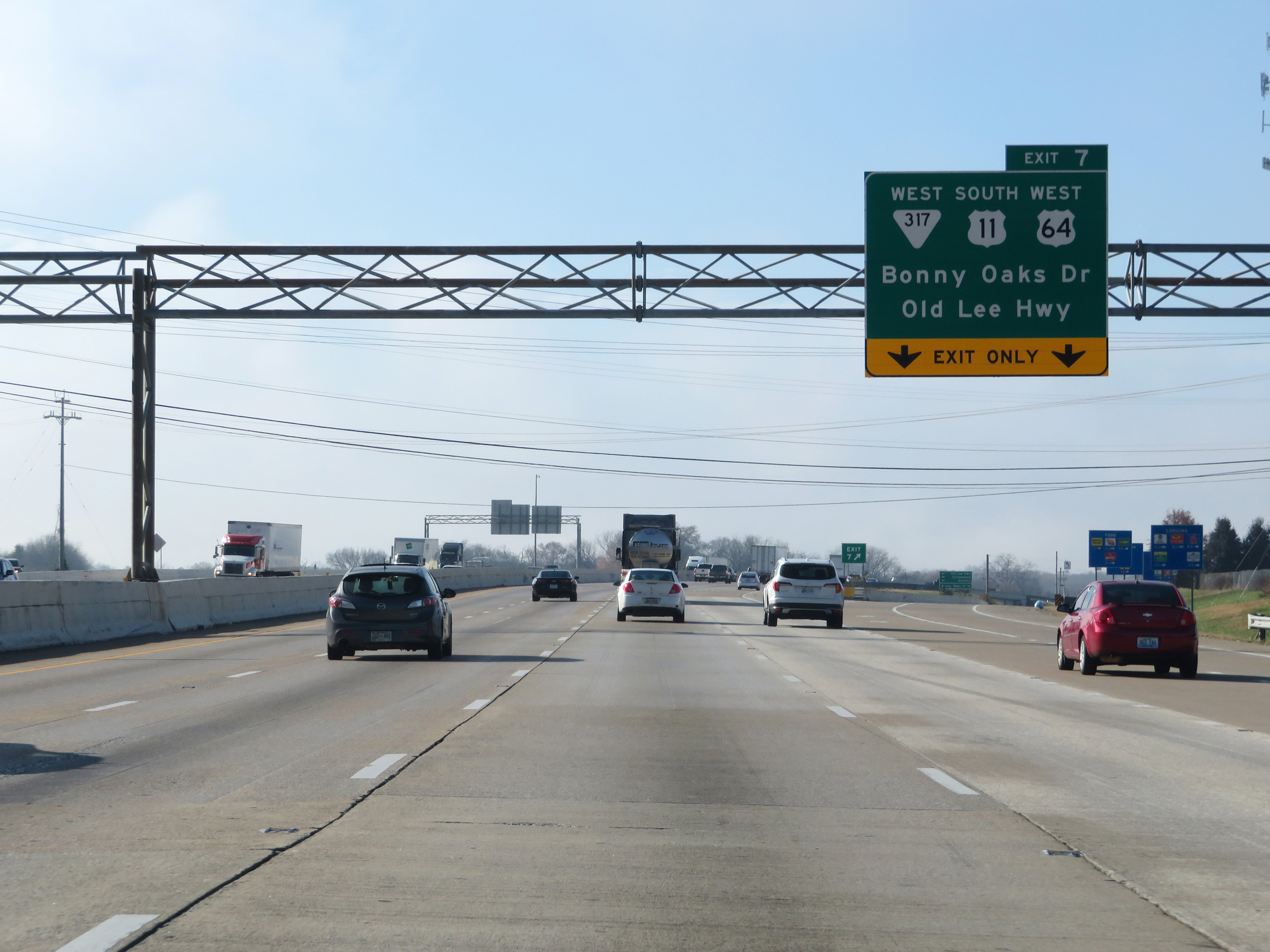 |
Interstate 75 South at Exit 7: SR 317 West / US 11 South / US 64 West - Bonny Oaks Dr / Old Lee Hwy (Photo taken 12/6/20). |
 |
The speed limits remain 65 mph for automobiles and 55 mph for trucks. (Photo taken 12/6/20). |
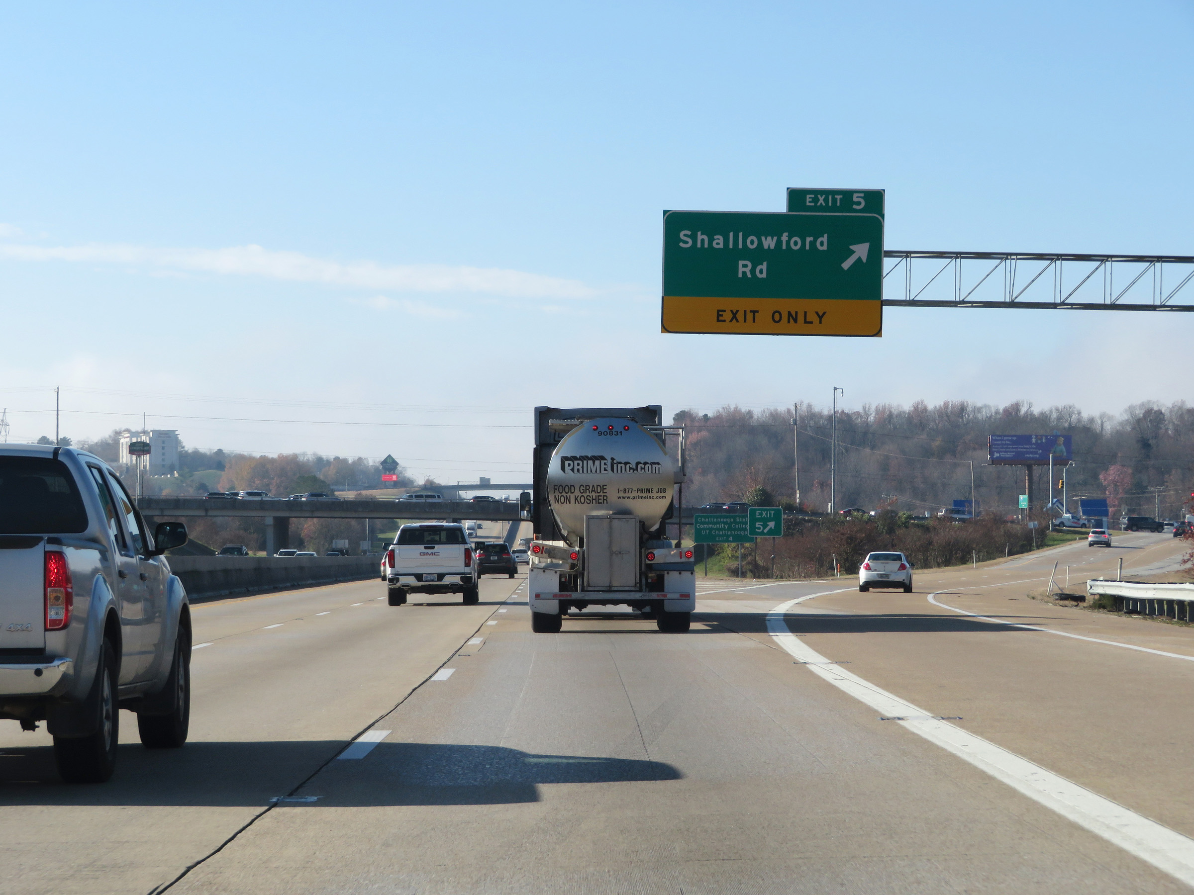 |
Interstate 75 South at Exit 5: Shallowford Rd (Photo taken 12/6/20). |
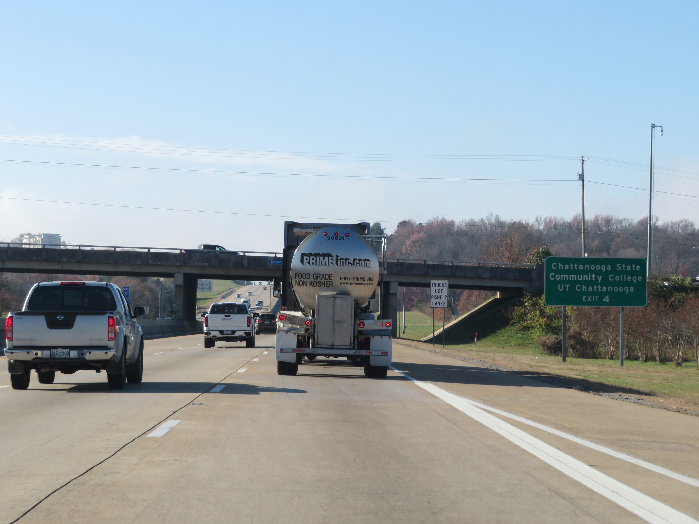 |
Take Exit 4 to Chattanooga State Community College and UT Chattanooga. (Photo taken 12/6/20). |
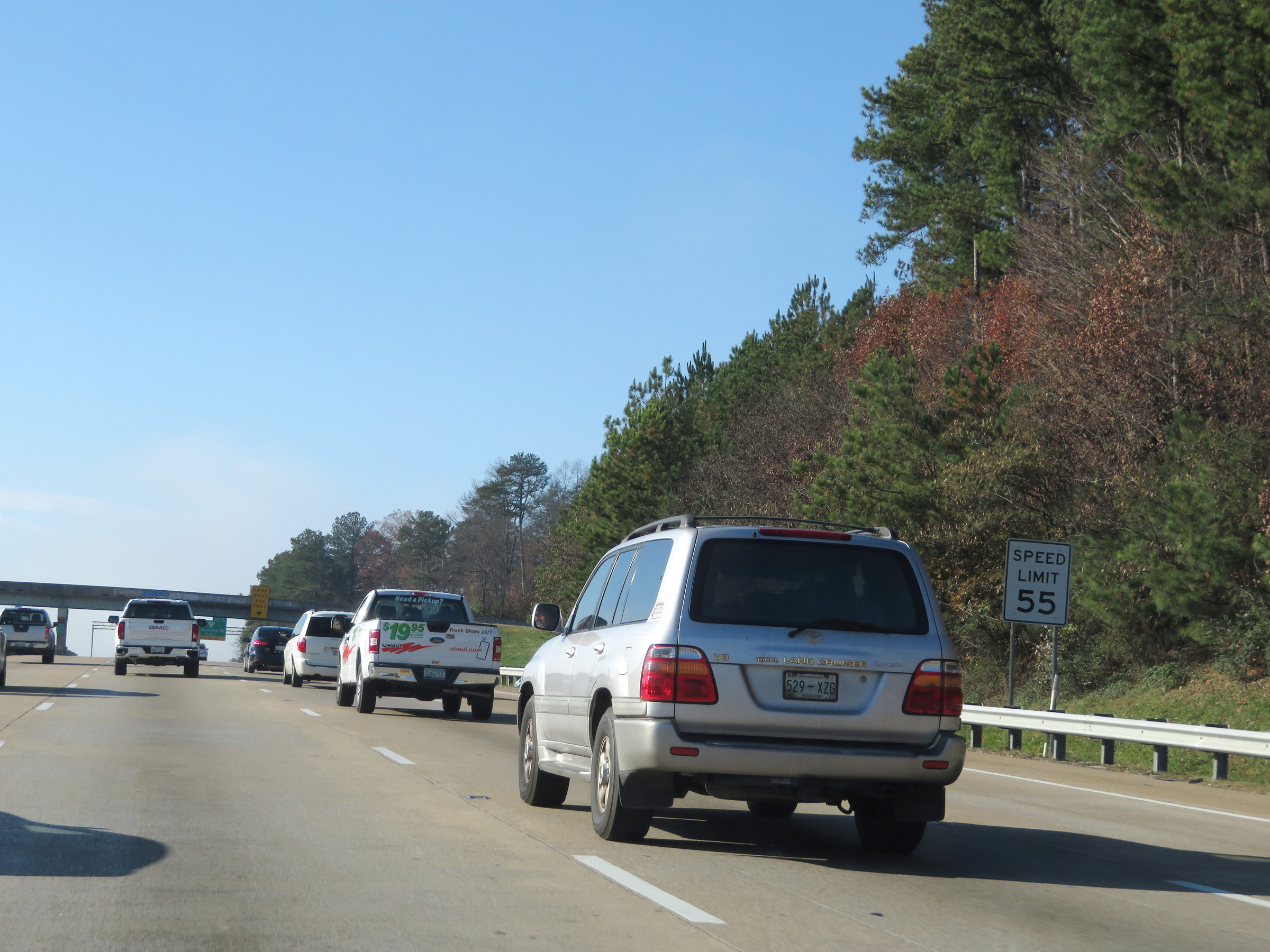 |
Approaching Exit 4, the speed limit decreases to 55 mph for automobiles as well. It is now 55 mph for all traffic. (Photo taken 12/6/20). |
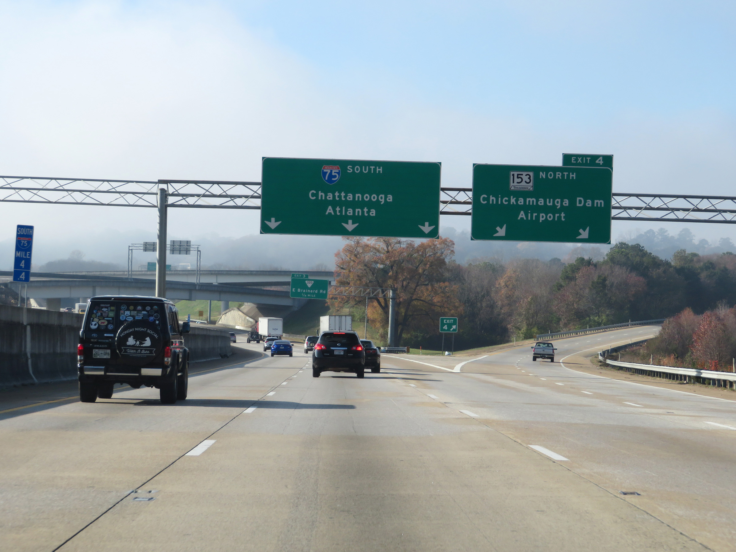 |
Interstate 75 South at Exit 4: TN 153 North - Chickamauga Dam / Airport (Photo taken 12/6/20). |
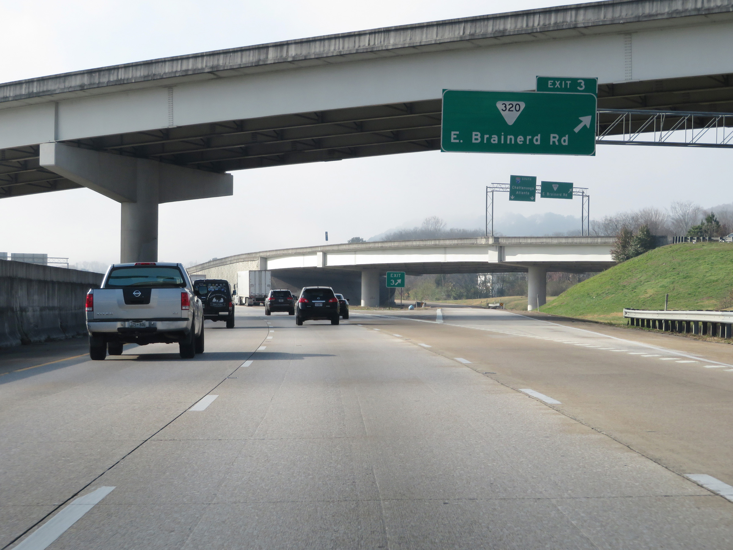 |
Interstate 75 South at Exit 3: SR 320 - East Brainerd Rd (Photo taken 12/6/20). |
 |
View on Interstate 75 South at mile marker 3.2. (Photo taken 12/6/20). |
 |
As Interstate 75 South approaches the junction of Interstate 24, these signs warn that all truck lane restrictions come to an end. (Photo taken 12/6/20). |
 |
Interstate 75 South approaching Exit 2 - 1 1/2 miles. (Photo taken 12/6/20). |
 |
View on Interstate 75 South at mile marker 2.6. (Photo taken 12/6/20). |
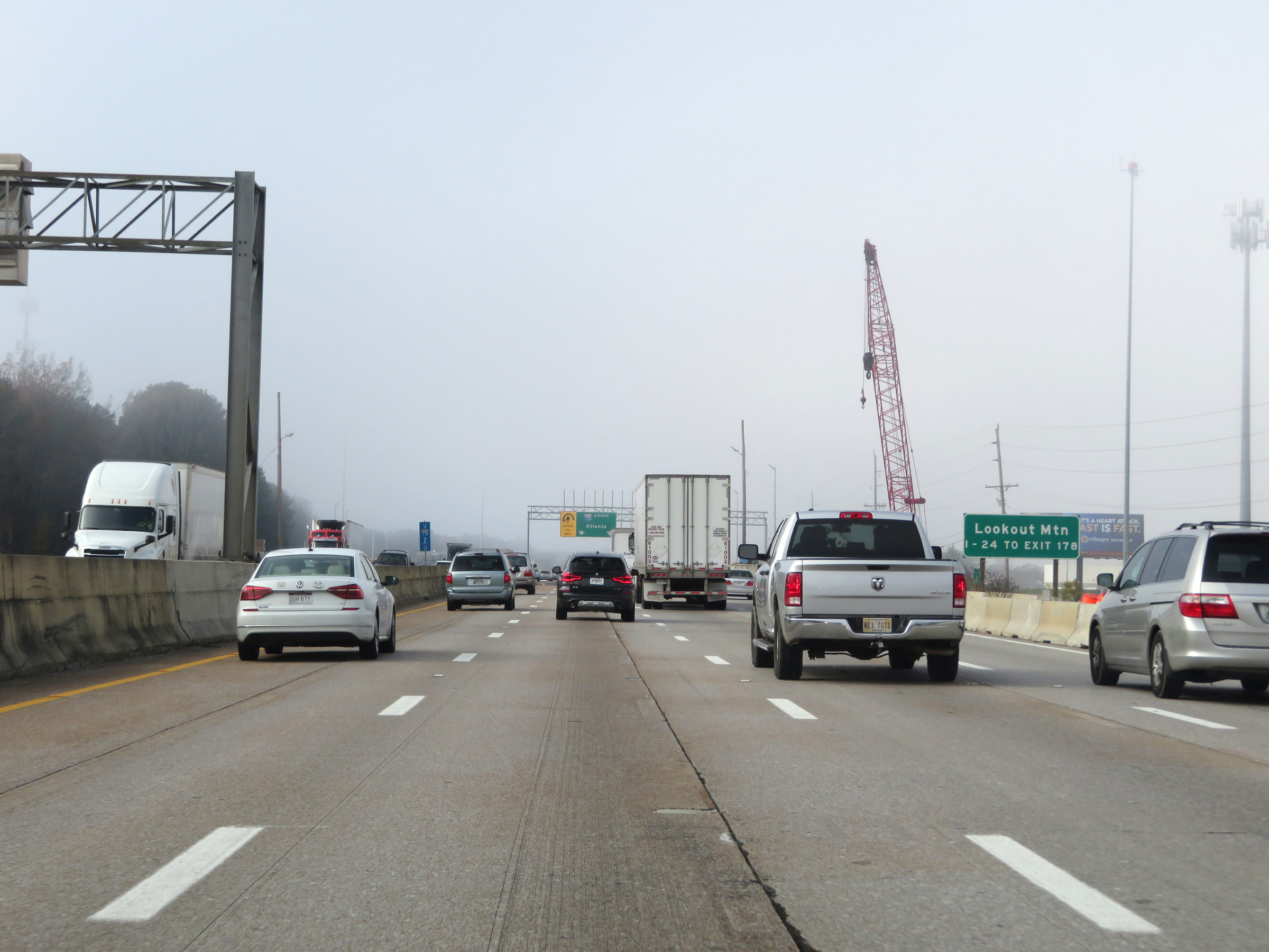 |
Traffic to Lookout Mountain should take Exit 2 and follow Interstate 24 West to Exit 178. (Photo taken 12/6/20). |
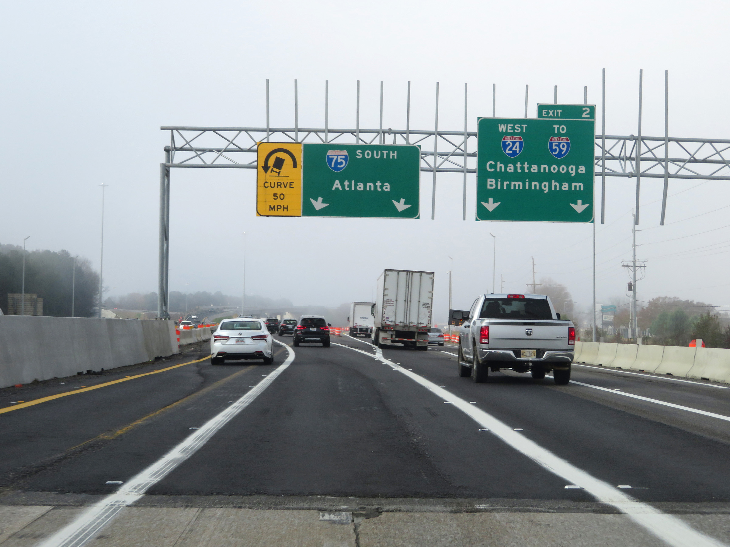 |
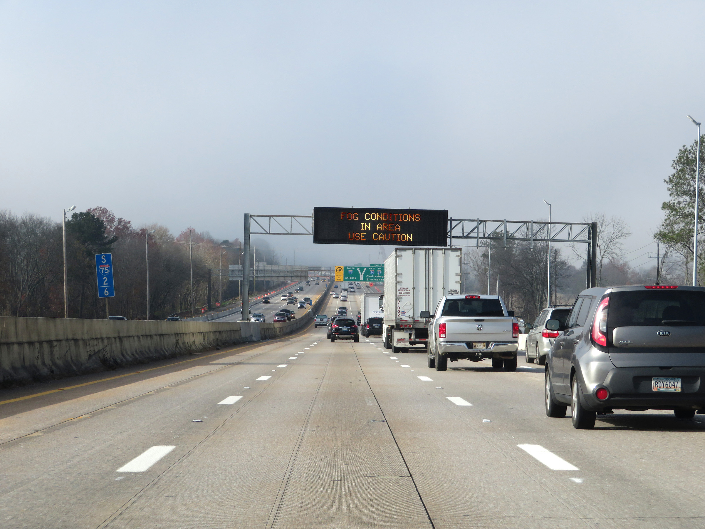
Interstate 75 South at Exit 2: Interstate 24 West / To Interstate 59 - Chattanooga / Birmingham (Photo taken 12/6/20). |
 |
A closer view of the ramp to Interstate 24 West via Exit 2 on Interstate 75 South. (Photo taken 12/6/20). |
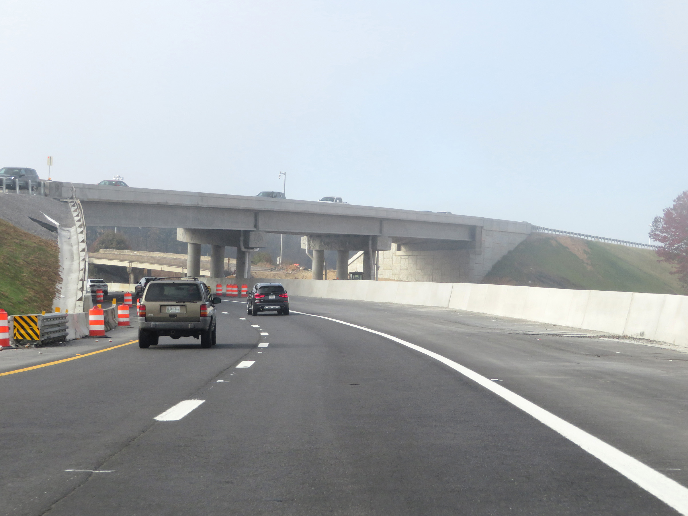 |
Interstate 75 South as it prepares to pass under the ramp from Interstate 24 East to Interstate 75 South and curve to the southeast. (Photo taken 12/6/20). |
 |
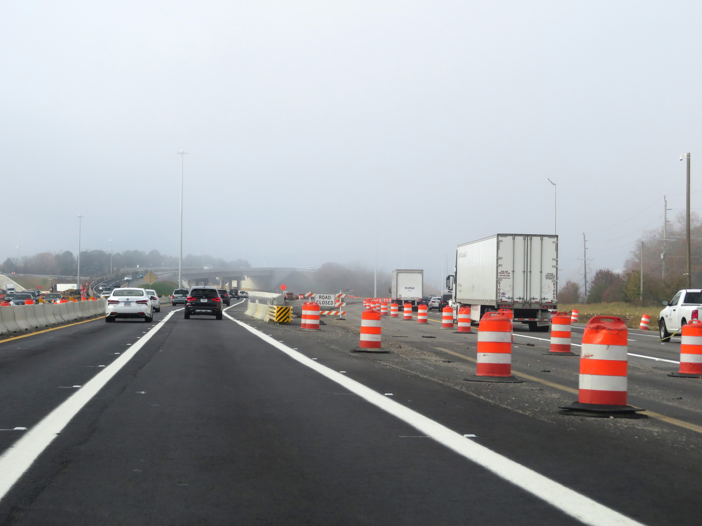
View on Interstate 75 South as traffic from Interstate 24 East merges into it ahead on the right. (Photo taken 12/6/20). |
 |
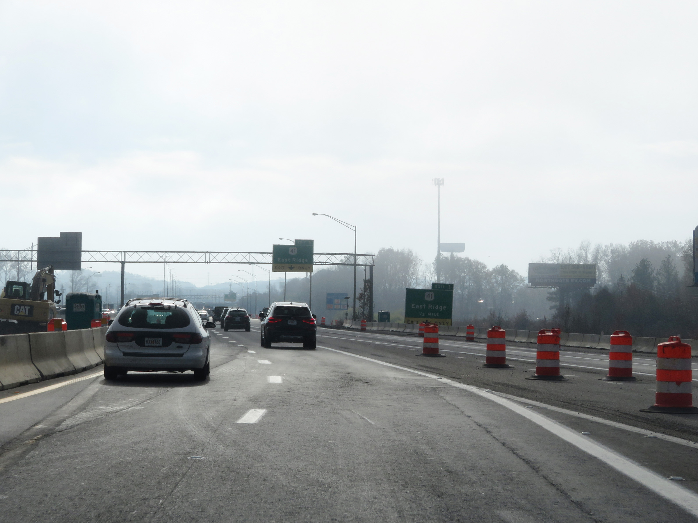
Advance signage for Exit 1, which will be the final exit on Interstate 75 South in Tennessee. (Photo taken 12/6/20). |
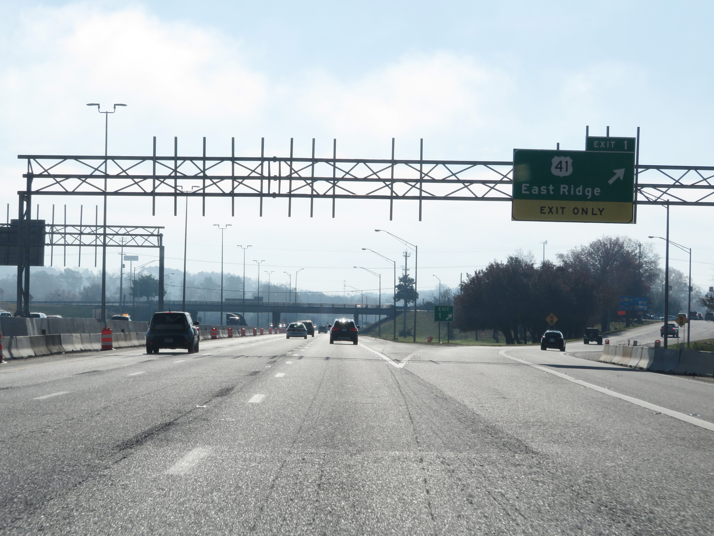 |
Interstate 75 South at Exit 1: US 41 - East Ridge (Photo taken 12/6/20). |
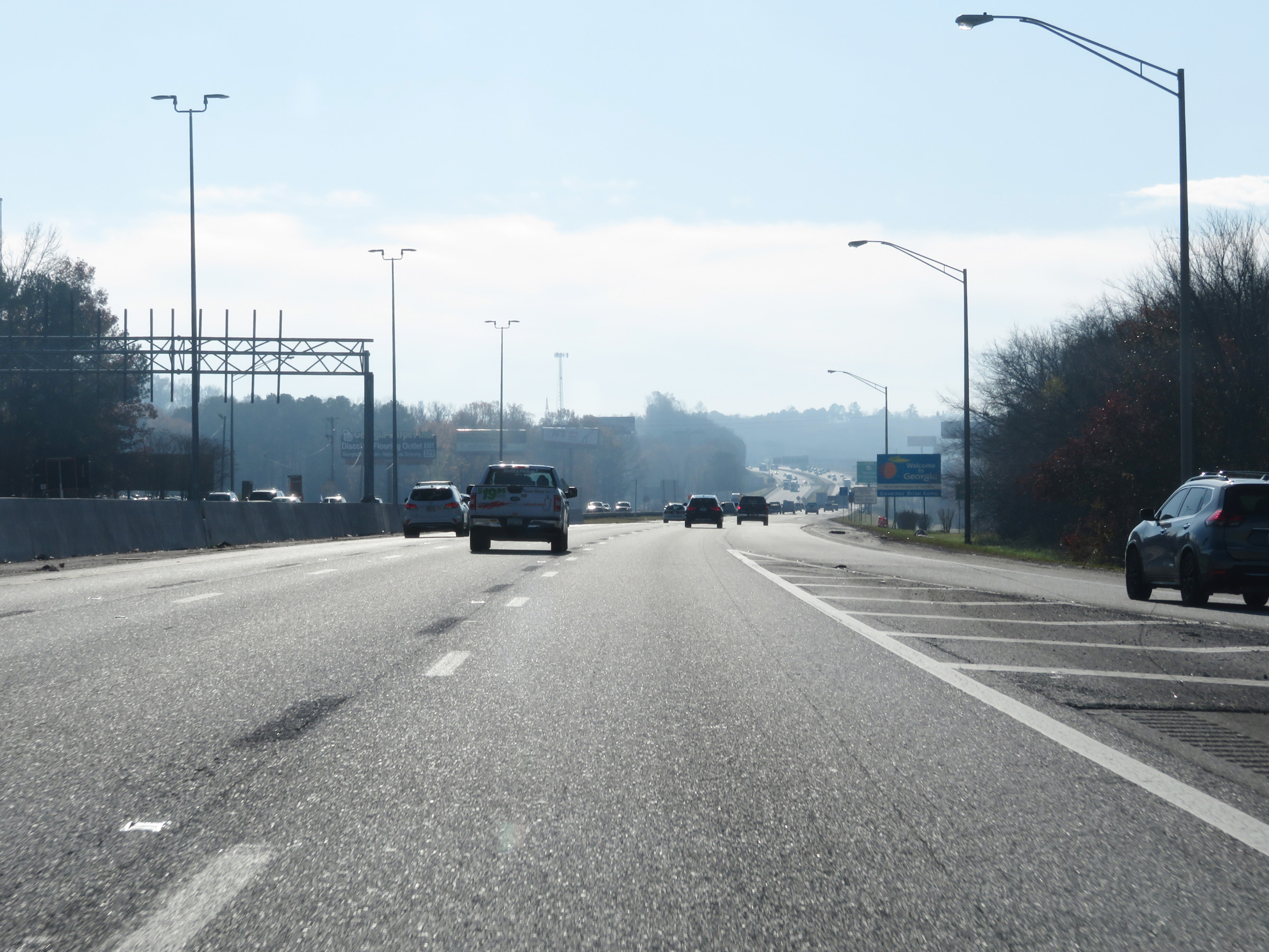 |
Interstate 75 South as it prepares to leave Tennessee and the Georgia welcome sign and state line come into clear sight. (Photo taken 12/6/20). |