Road Information |
||
 |
||
| Total Mileage in State: | 455 miles | |
| Eastern End: | At North Carolina state line | |
| Western End: | At Arkansas state line | |
| Mileage covered in Photos: | 208 miles | |
| Counties covered in Photos: | Shelby, Fayette, Haywood, Madison, Henderson, Carroll, Decatur, Benton, Humphreys, Hickman, Dickson, Williamson, Cheatham, Davidson | |
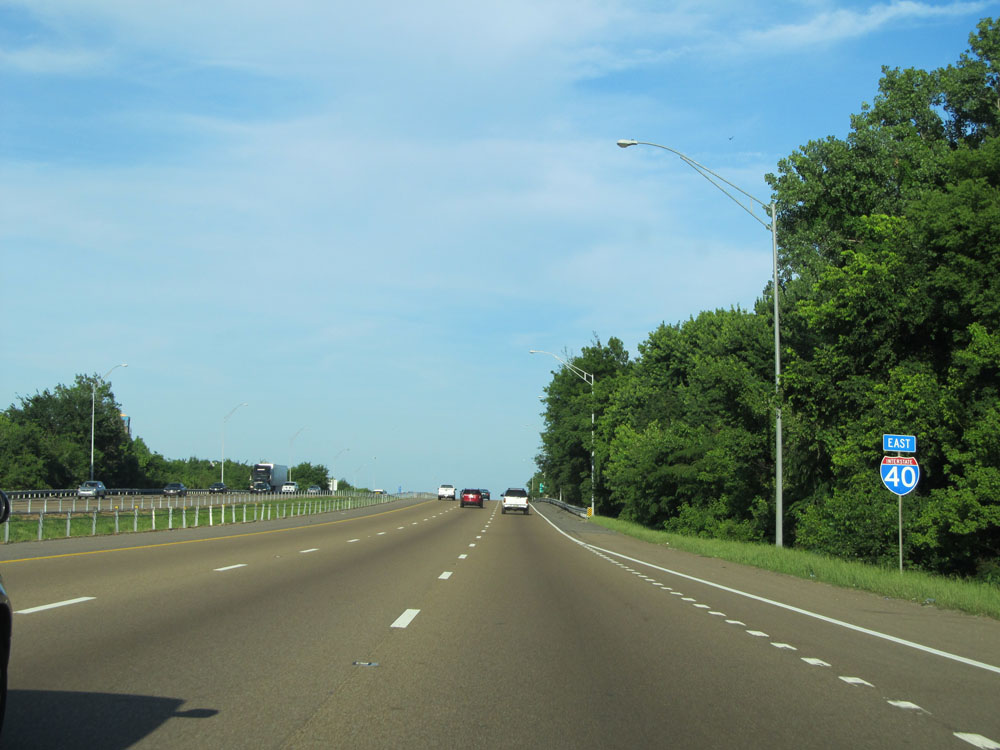
| Major Junctions in Photos: | I-240, in Memphis I-440, in Nashville I-65, in Nashville |
|
| Control Cities in Photos: | Memphis, Jackson, Nashville | |
Eastbound
- Section 1: Arkansas Border to Brownsville (Exit 56)
- Section 2: Brownsville (Exit 56) to Holladay (Exit 126)
- Section 3: Holladay (Exit 126) to Nashville (Exit 208B)
Section 1: Arkansas Border to Brownsville (Exit 56)
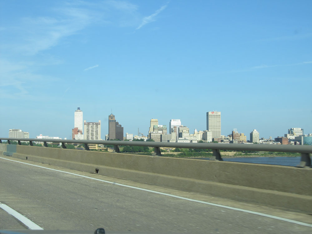 |
A view of the Memphis skyline from Interstate 40 East as it begins to cross the Mississippi River from Arkansas into Tennessee. (Photo taken 5/23/15). |
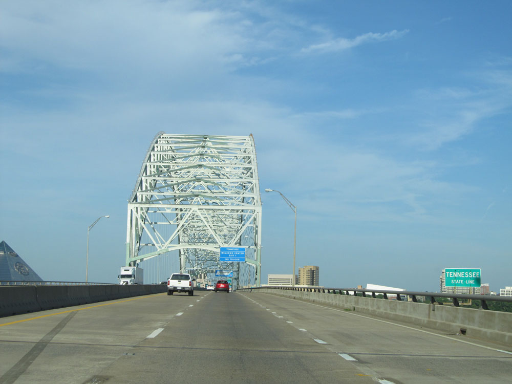 |
This sign officially marks the Tennessee state line as Interstate 40 East crosses the Mississippi River. (Photo taken 5/23/15). |
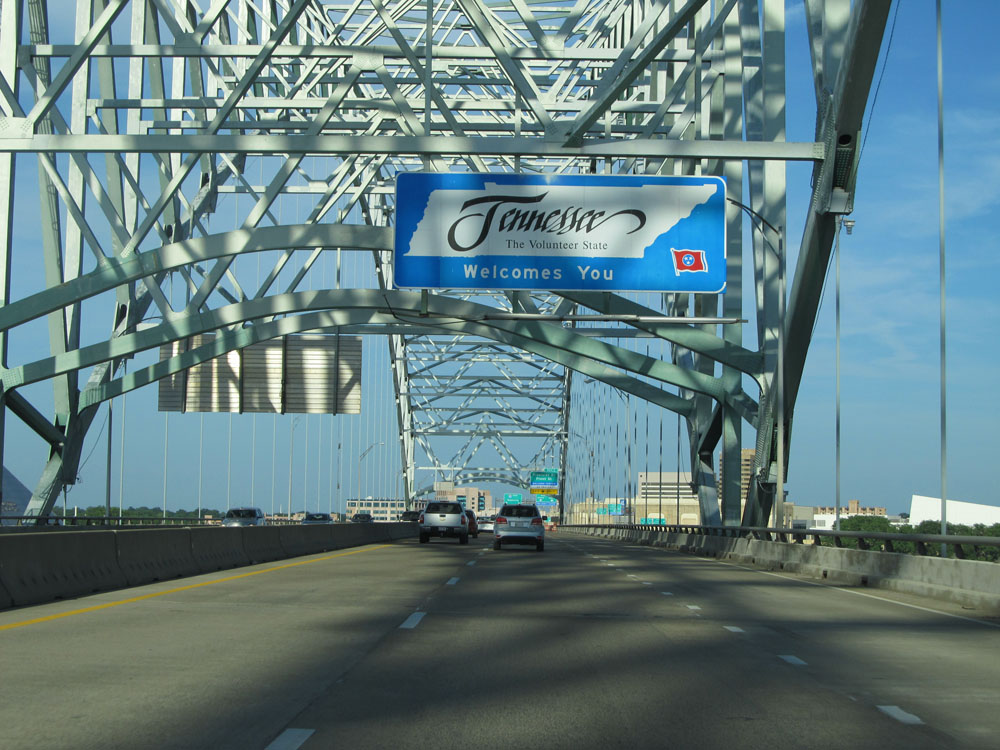 |
Tennessee welcome sign as Interstate 40 East enters the Volunteer State from Arkansas by crossing the Mississippi River. (Photo taken 5/23/15). |
 |
Interstate 40 East at Exit 1: Riverside Dr / Front St (Photo taken 5/23/15). |
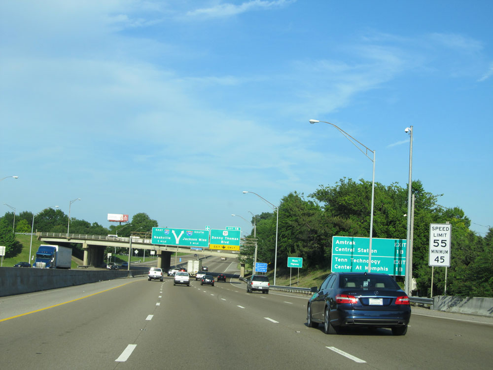 |
Speed limit signs near mile marker 1. The speed limit on Interstate 40 East in the Memphis area starts out at 55 mph with a minimum speed limit of 45 mph. (Photo taken 5/23/15). |
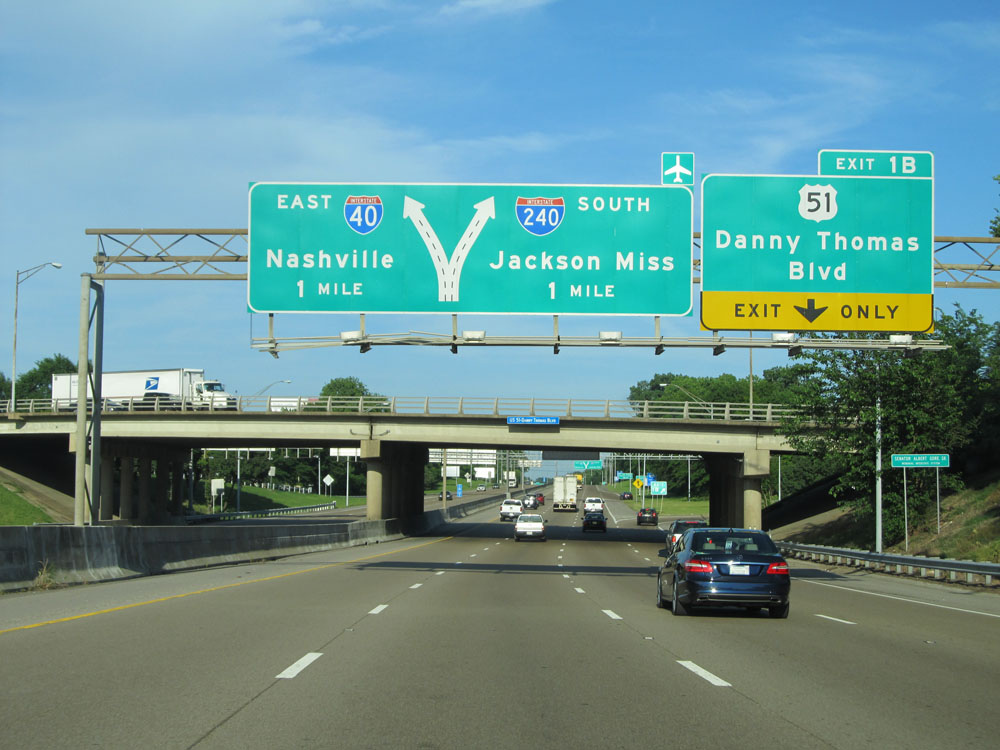 |
Interstate 40 East at Exit 1B: US 51 - Danny Thomas Blvd (Photo taken 5/23/15). |
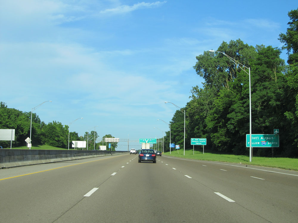 |
Follow Interstate 240 South via Exit 1E to the Memphis International Airport. (Photo taken 5/23/15). |
 |
Also take Exit 1E to Madison Ave. (Photo taken 5/23/15). |
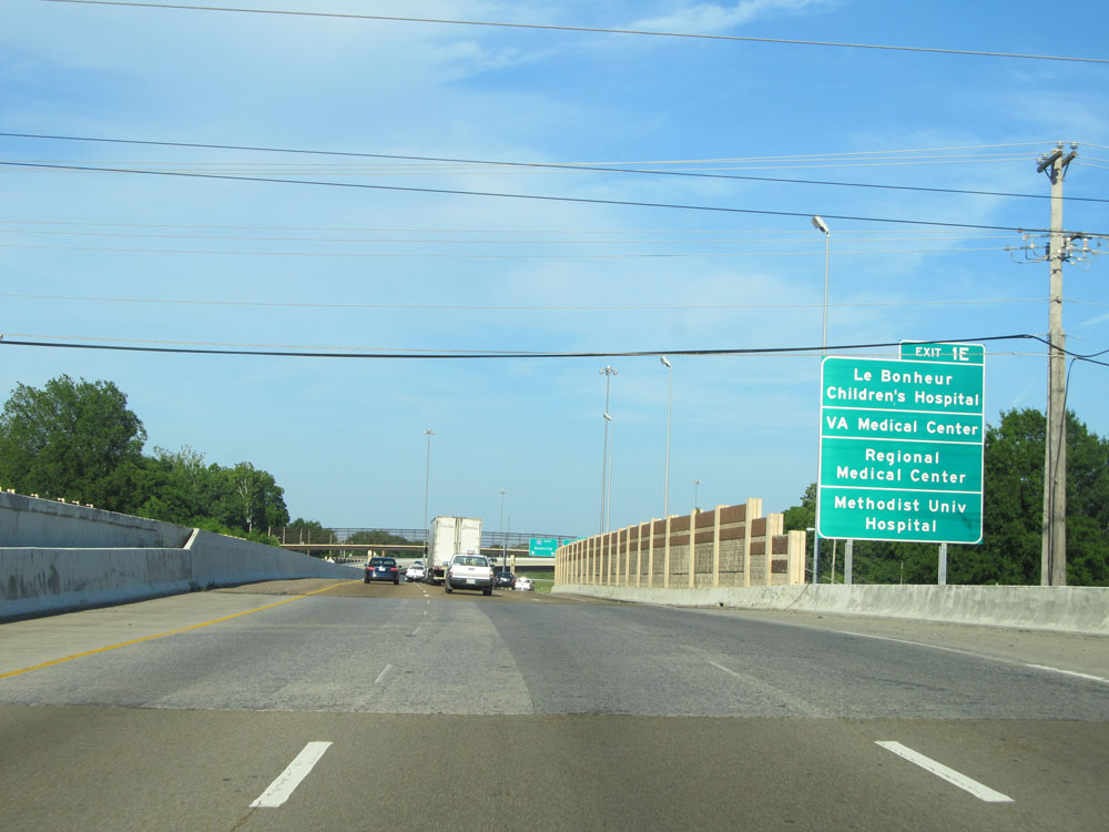 |
Take Exit 1E to Le Bonheur Children's Hospital, the VA Medical Center, Regional Medical Center, and Methodist University Hospital. (Photo taken 5/23/15). |
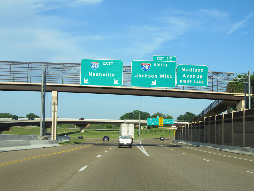 |
Interstate 40 East at Exit 1E: Interstate 240 South - Jackson, MS (Photo taken 5/23/15). |
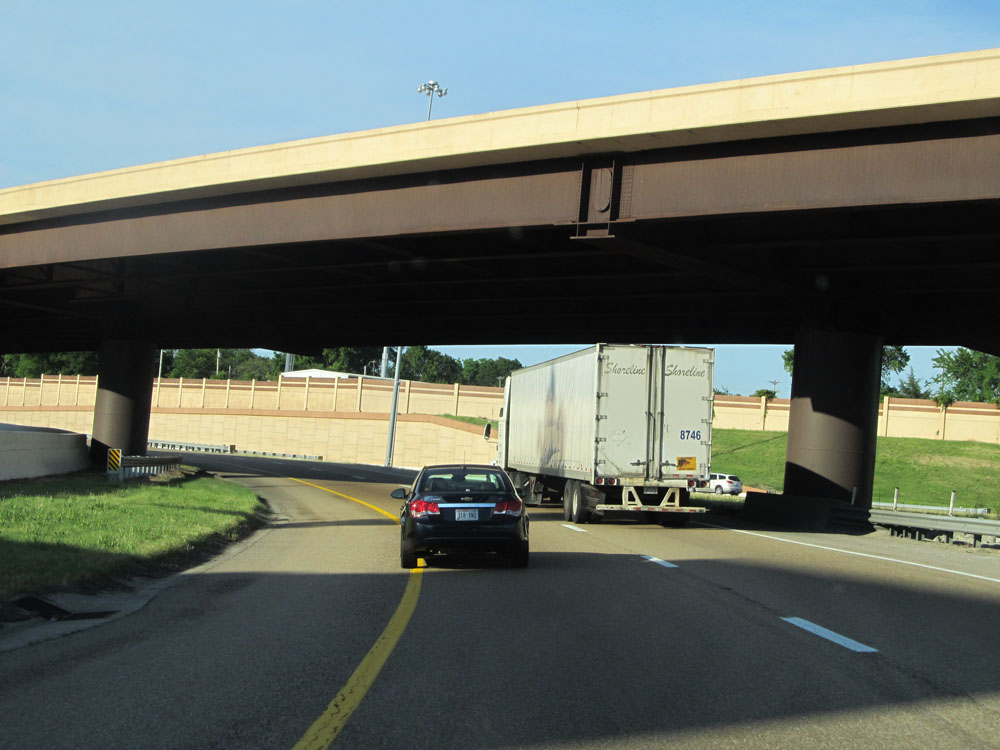 |
Just past Exit 1E, Interstate 40 East curves to the north for a brief distance. (Photo taken 5/23/15). |
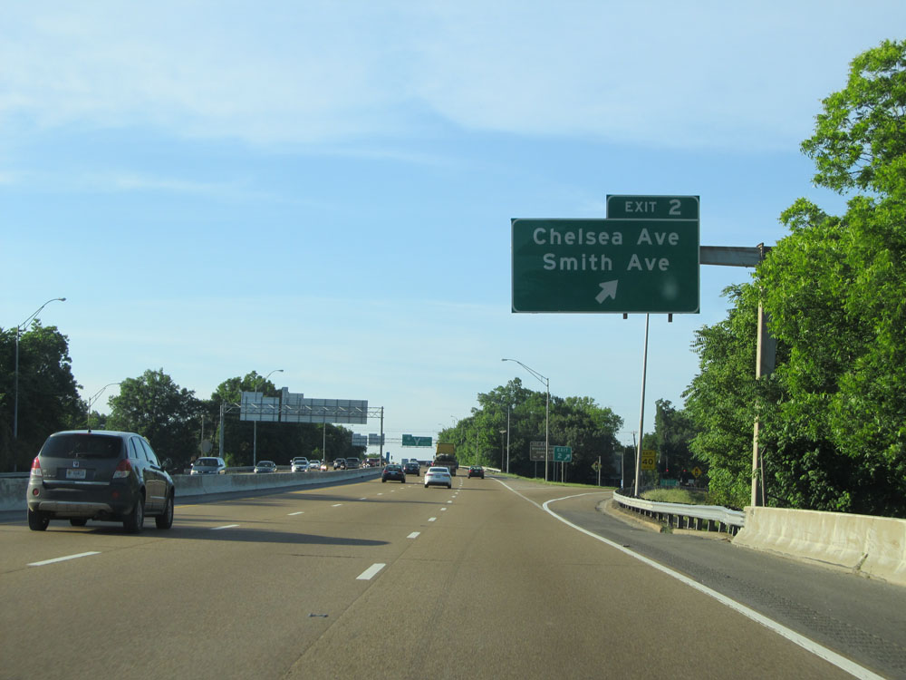 |
Interstate 40 East at Exit 2: Chelsea Ave / Smith Ave (Photo taken 5/23/15). |
 |
Take Exit 2A to Meeman-Shelby State Park. (Photo taken 5/23/15). |
 |
Interstate 40 East approaching Exit 2A - 3/4 mile. After this exit, I-40 East curves back to the east once again. (Photo taken 5/23/15). |
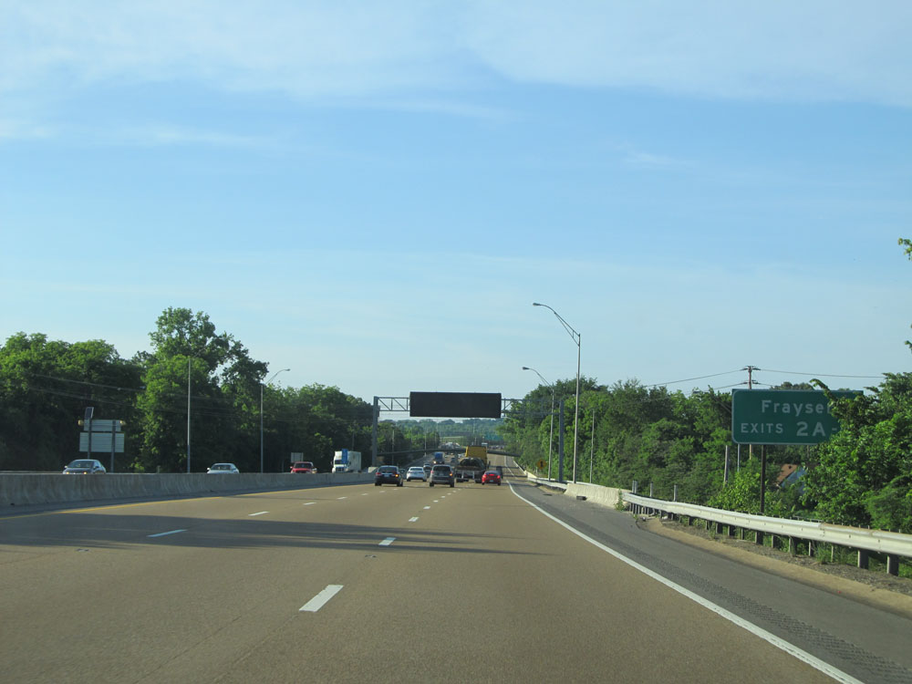 |
Take Exits 2A and 3 to Frayser. (Photo taken 5/23/15). |
 |
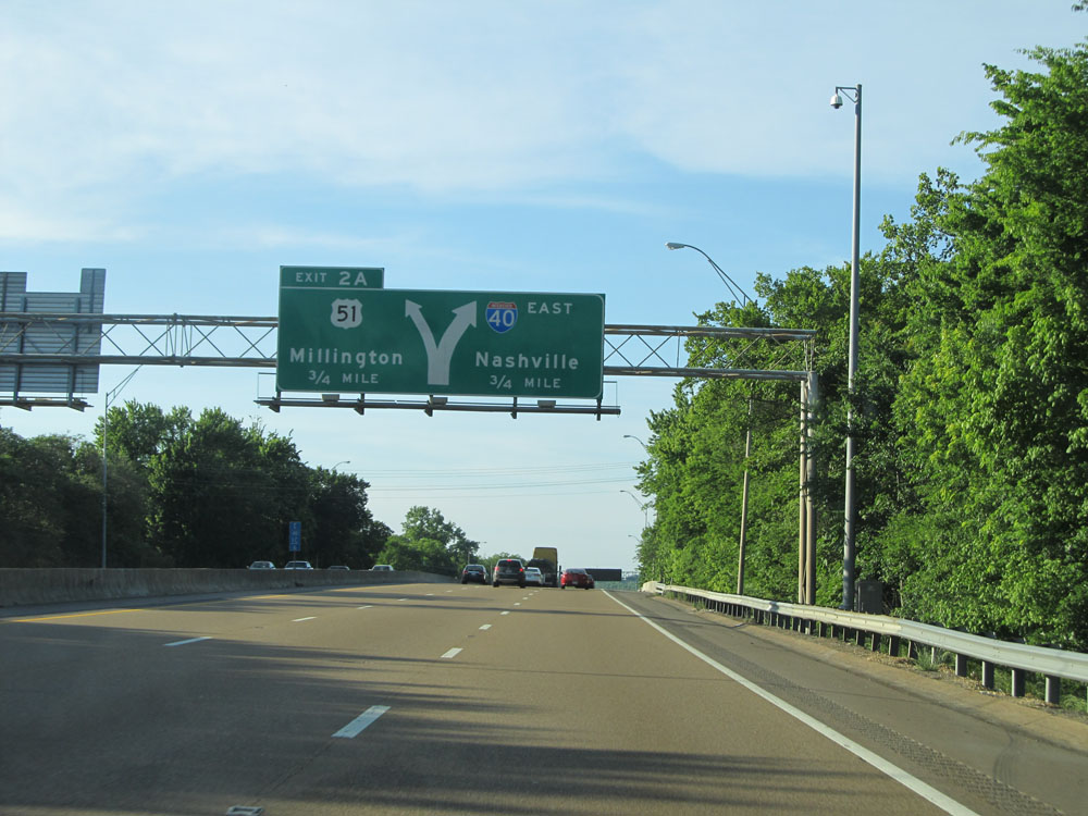
Interstate 40 East at Exit 2A: US 51 - Millington (Photo taken 5/23/15). |
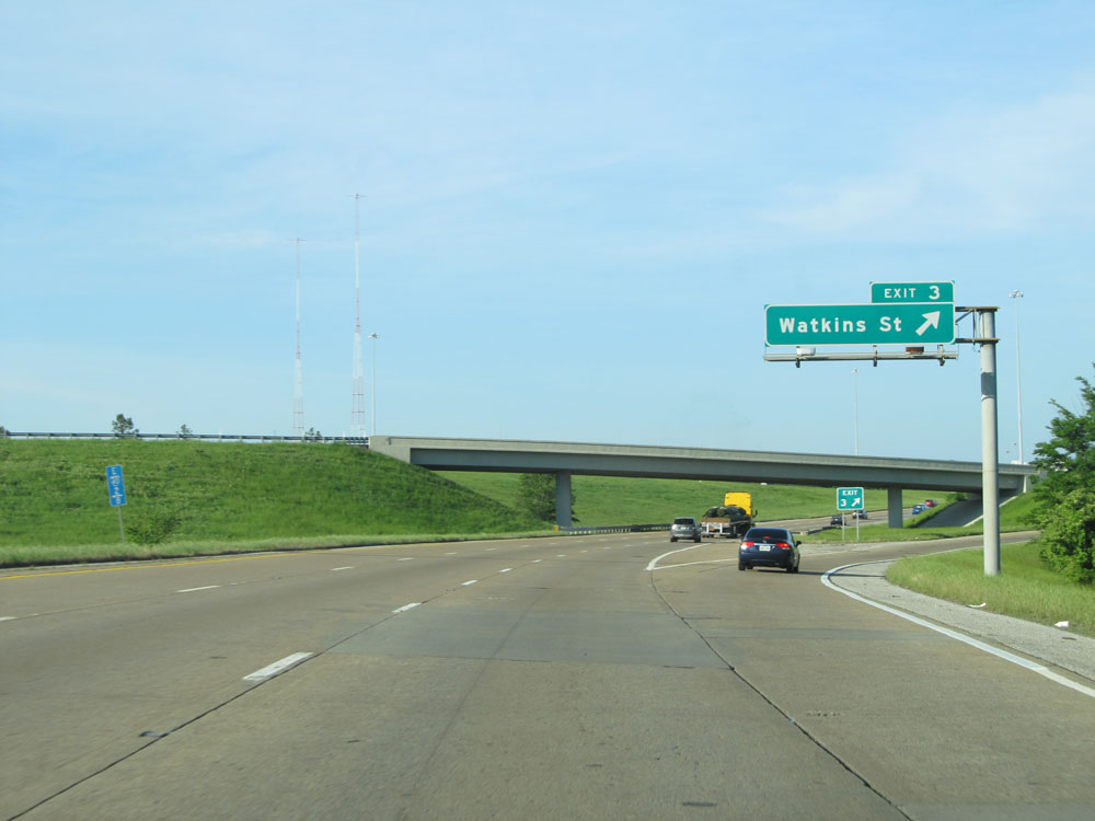 |
Interstate 40 East at Exit 3: Watkins St (Photo taken 5/23/15). |
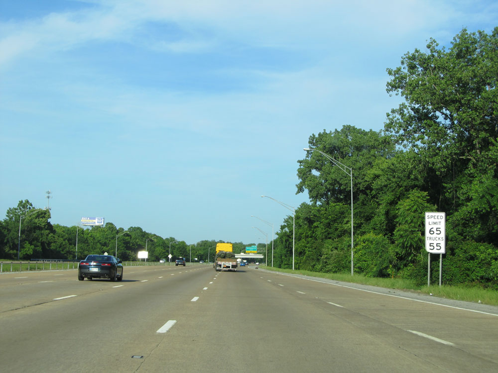 |
East of Exit 3, the speed limit increases to 65 mph for automobiles and remains 55 mph for trucks. The 55 mph truck speed limit remains in effect until we leave Shelby County. (Photo taken 5/23/15). |
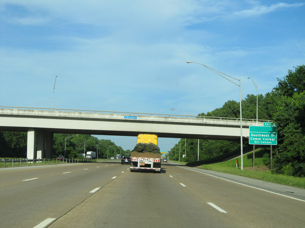 |
Take Exit 5 to Southwest Community College Gill Campus. (Photo taken 5/23/15). |
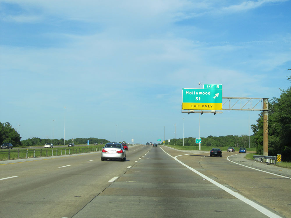 |
Interstate 40 East at Exit 5: Hollywood St (Photo taken 5/23/15). |
 |
Interstate 40 East assurance shield just past Exit 5. (Photo taken 5/23/15). |
 |
Interstate 40 East at Exit 6: Warford St (Photo taken 5/23/15). |
 |
Take Exit 8 to Raleigh and Methodist North Hospital. (Photo taken 5/23/15). |
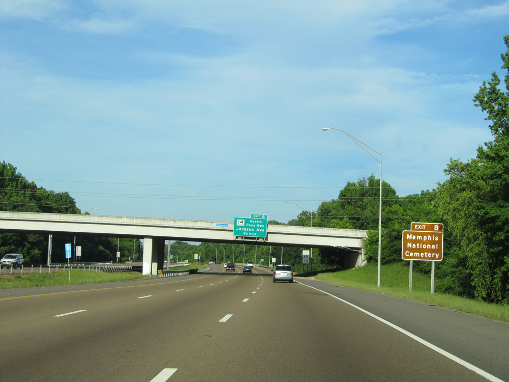 |
Also take Exit 8 to Memphis National Cemetery. (Photo taken 5/23/15). |
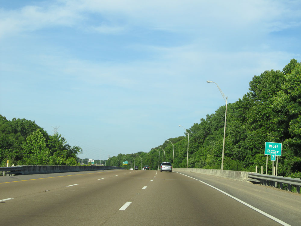 |
Interstate 40 East: Road view from mile marker 7. (Photo taken 5/23/15). |
 |
Interstate 40 East at Exit 8: TN 14 (Austin Peay Hwy) - Jackson Ave (Photo taken 5/23/15). |
 |
Take Exit 10 to Naval Support Activity Mid-South. (Photo taken 5/23/15). |
 |
Interstate 40 East at Exit 10: SR 204 - Covington Pike (Photo taken 5/23/15). |
 |
Interstate 40 East at Exit 12A: US 64 / US 70 / US 79 - Summer Ave / White Station Rd (Photo taken 5/23/15). |
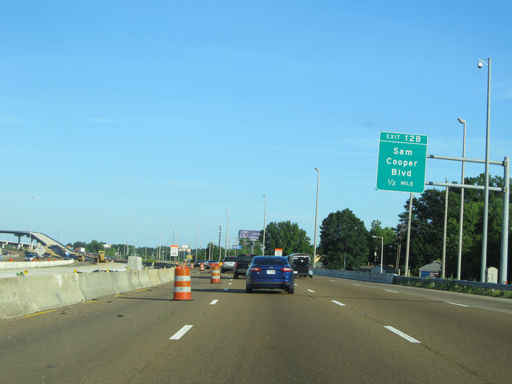 |
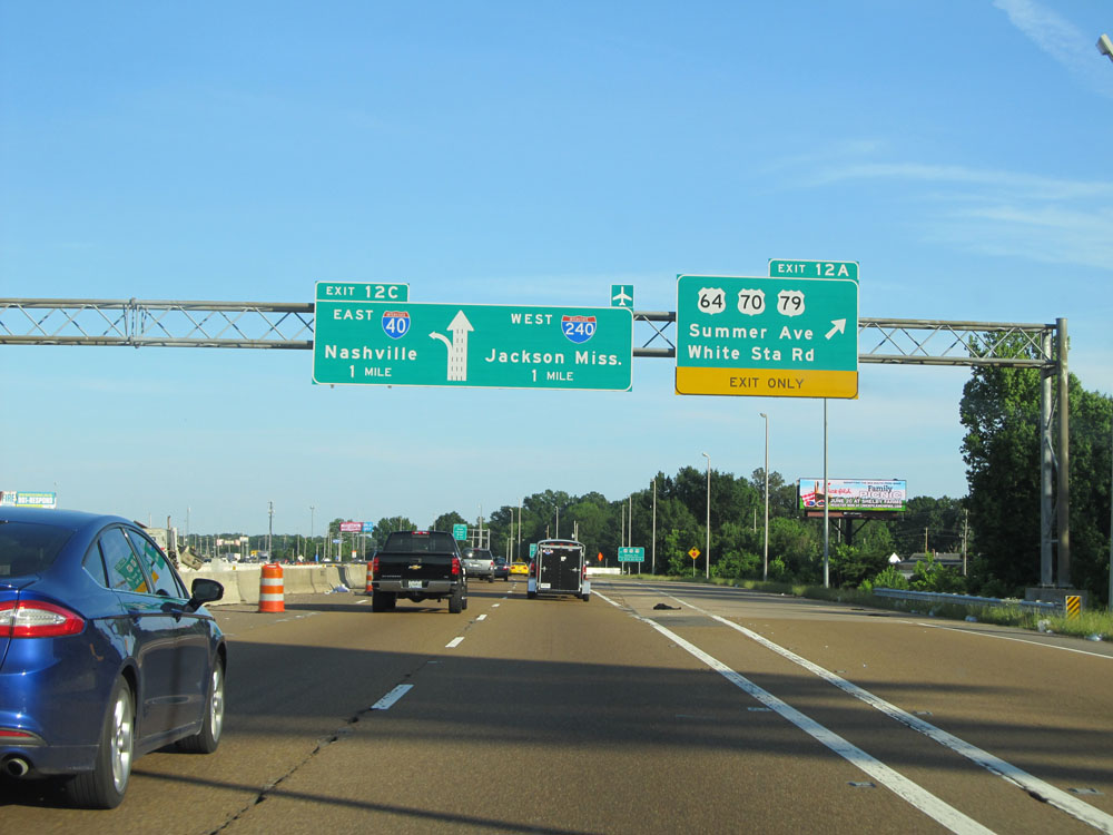
Interstate 40 East approaching Exit 12B - 1/2 mile. (Photo taken 5/23/15). |
 |
Interstate 40 East at Exit 12B: Sam Cooper Blvd (Photo taken 5/23/15). |
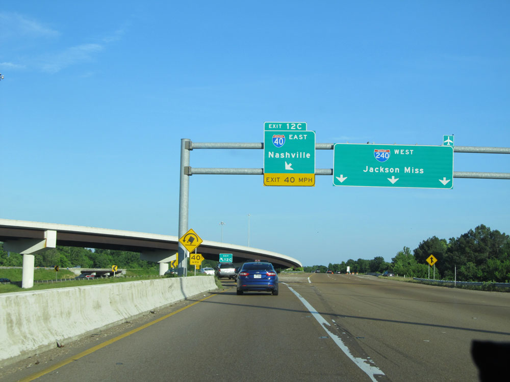 |
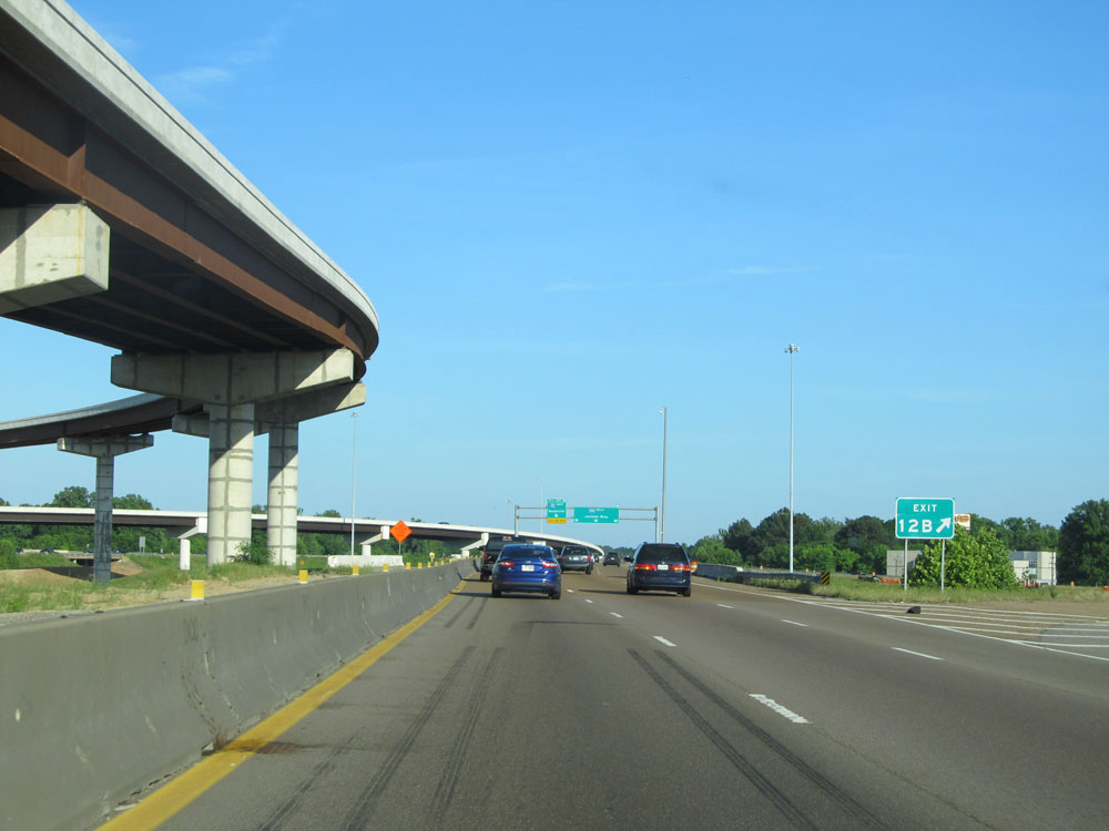
Interstate 40 East at Exit 12C: Interstate 40 East - Nashville. Staying straight here will take you onto Interstate 240 West, at its eastern terminus. (Photo taken 5/23/15). |
 |
Take Exit 12 to Highway Patrol Headquarters and Southwest TN Community College Macon Cove Campus. (Photo taken 5/23/15). |
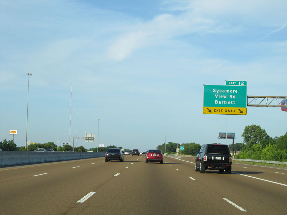 |
Interstate 40 East at Exit 12: Sycamore View Rd / Bartlett (Photo taken 5/23/15). |
 |
Interstate 40 East at mile marker 13. (Photo taken 5/23/15). |
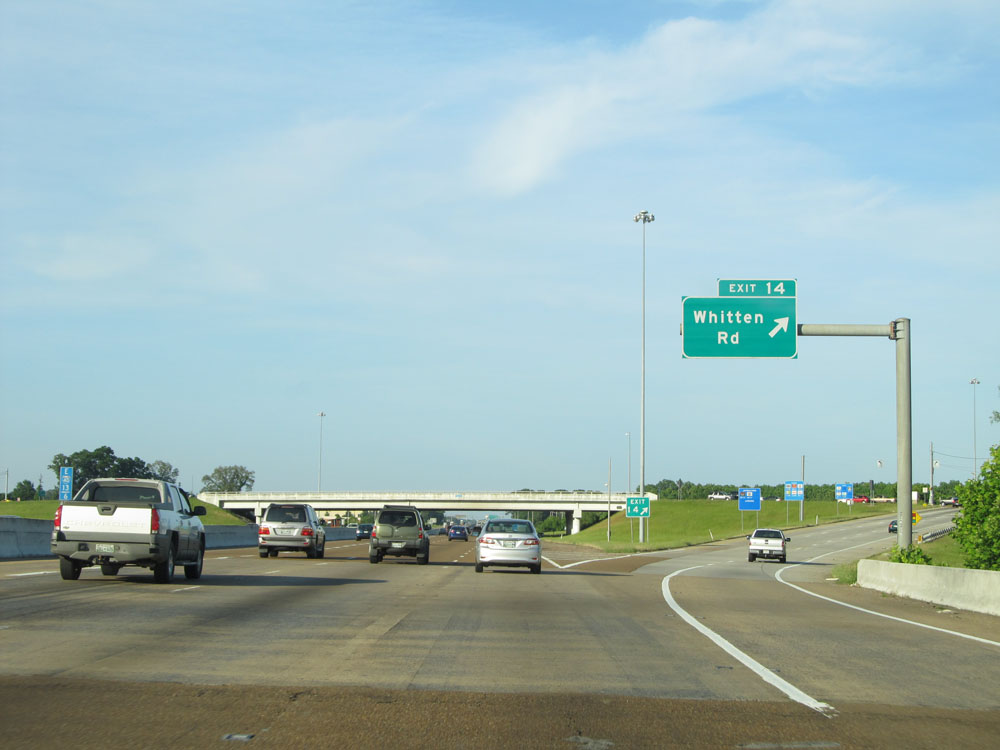 |
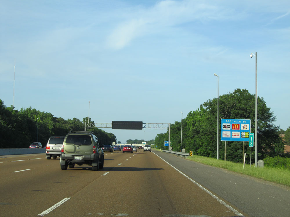
Interstate 40 East at Exit 14: Whitten Rd (Photo taken 5/23/15). |
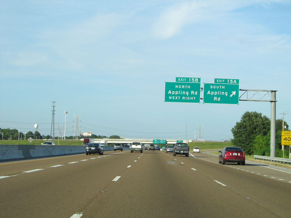 |
Interstate 40 East at Exit 15A: Appling Rd South (Photo taken 5/23/15). |
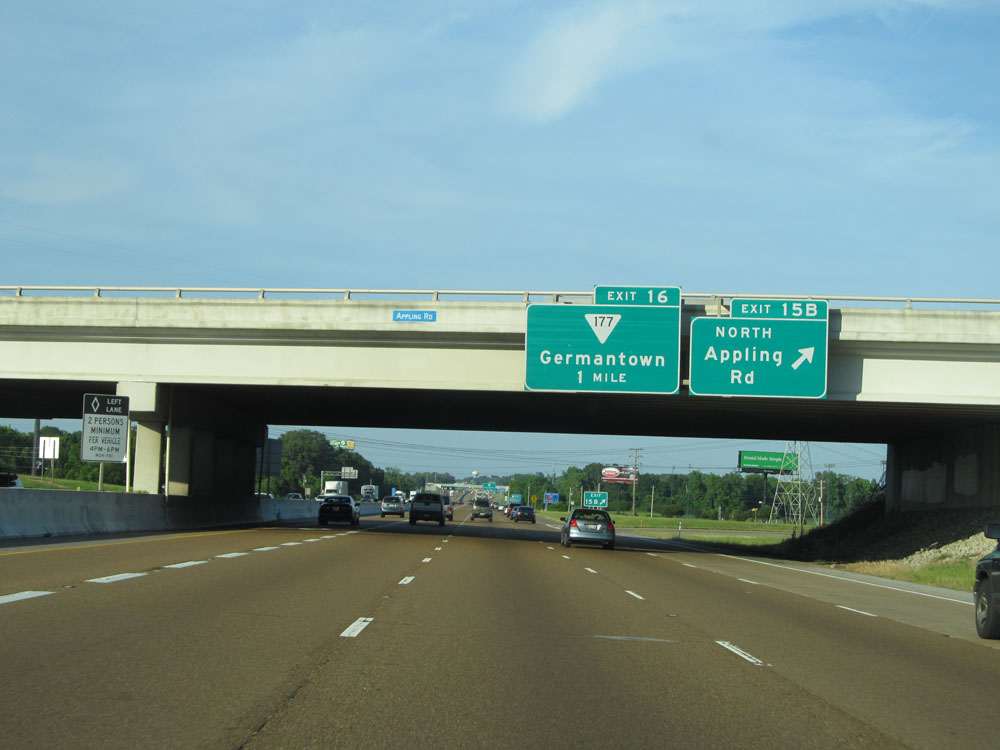 |
Interstate 40 East at Exit 15B: Appling Rd North (Photo taken 5/23/15). |
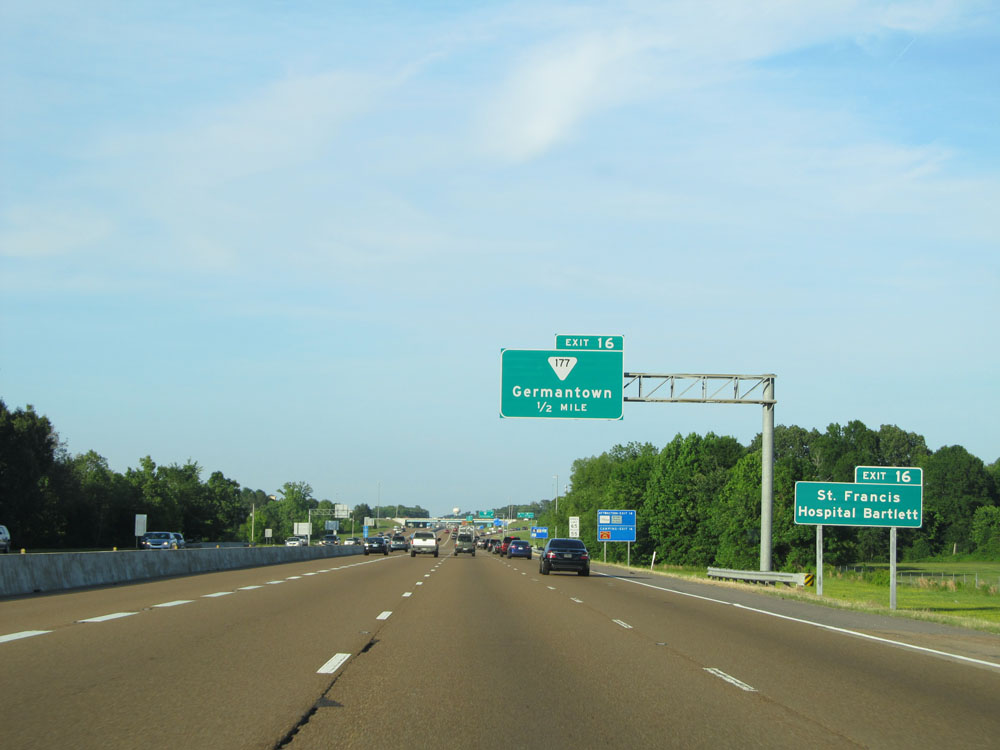 |
Take Exit 16 to St. Francis Hospital and Bartlett. (Photo taken 5/23/15). |
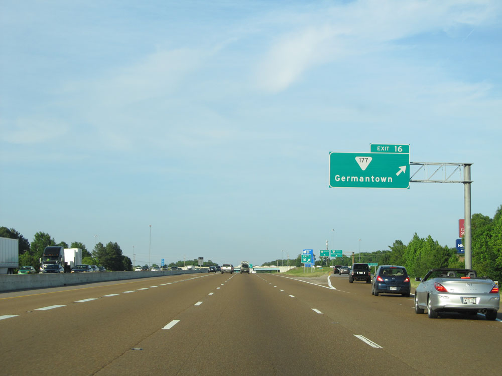 |
Interstate 40 East at Exit 16: SR 177 - Germantown (Photo taken 5/23/15). |
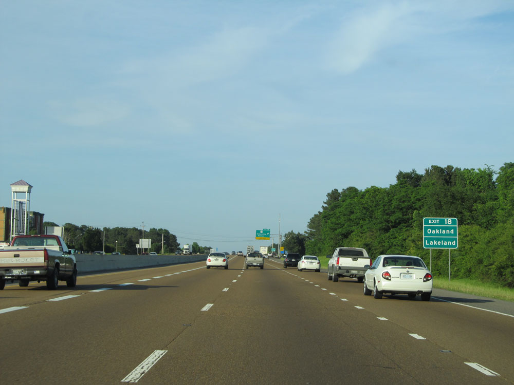 |
Take Exit 18 to Oakland and Lakeland. (Photo taken 5/23/15). |
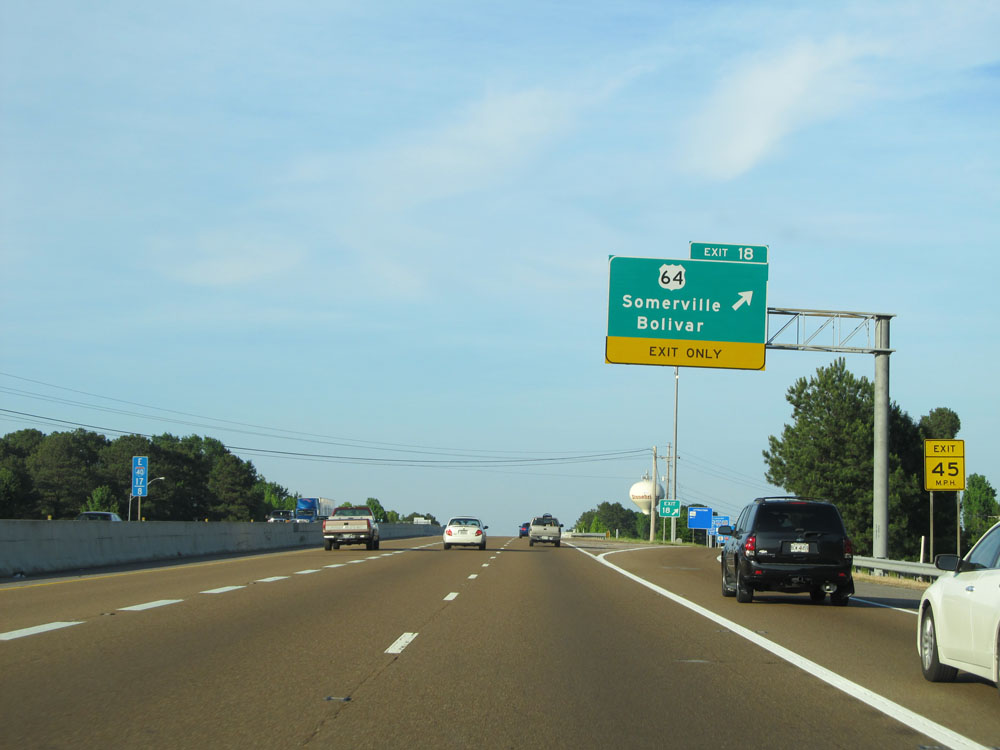 |
Interstate 40 East at Exit 18: US 64 - Somerville / Bolivar (Photo taken 5/23/15). |
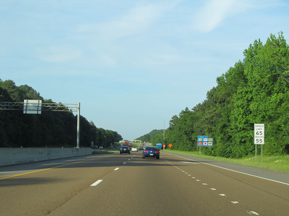 |
Speed limit sign just east of Exit 18. The speed limit remains 65 mph for autos and 55 mph for trucks, since we have yet to leave Shelby County. (Photo taken 5/23/15). |
 |
Interstate 40 East at mile marker 19. (Photo taken 5/23/15). |
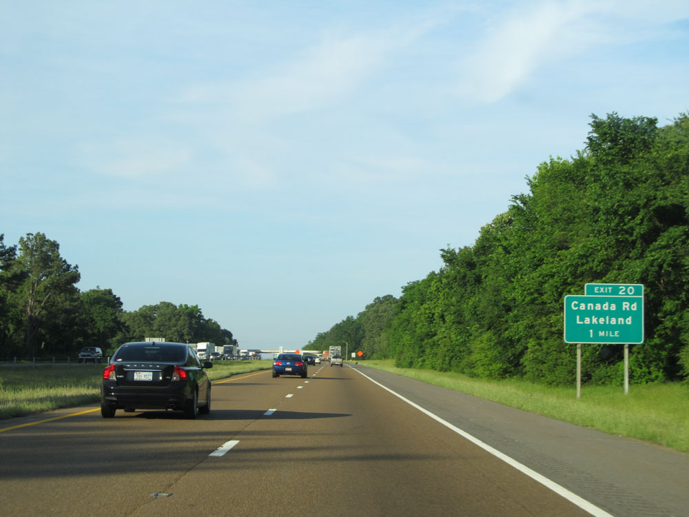 |
Interstate 40 East approaching Exit 20 - 1 mile. (Photo taken 5/23/15). |
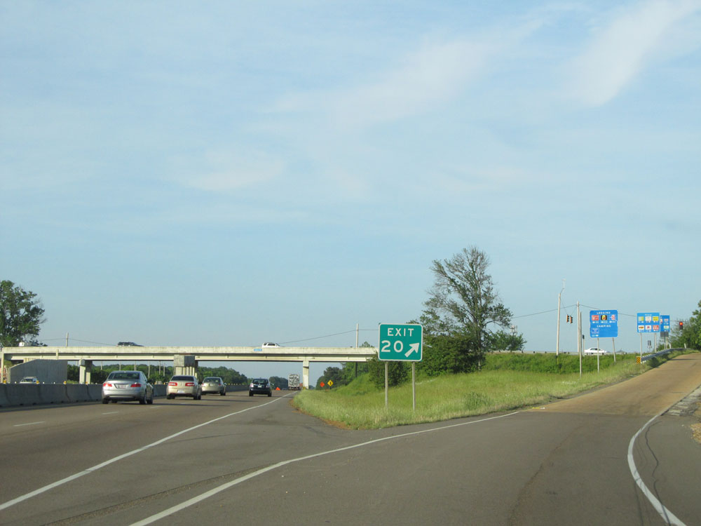 |
Interstate 40 East at Exit 20: Canada Rd / Lakeland (Photo taken 5/23/15). |
 |
Interstate 40 East assurance shield just east of Exit 20. (Photo taken 5/24/15). |
 |
Take Exit 25 to Memphis Tourist Info Center. (Photo taken 5/24/15). |
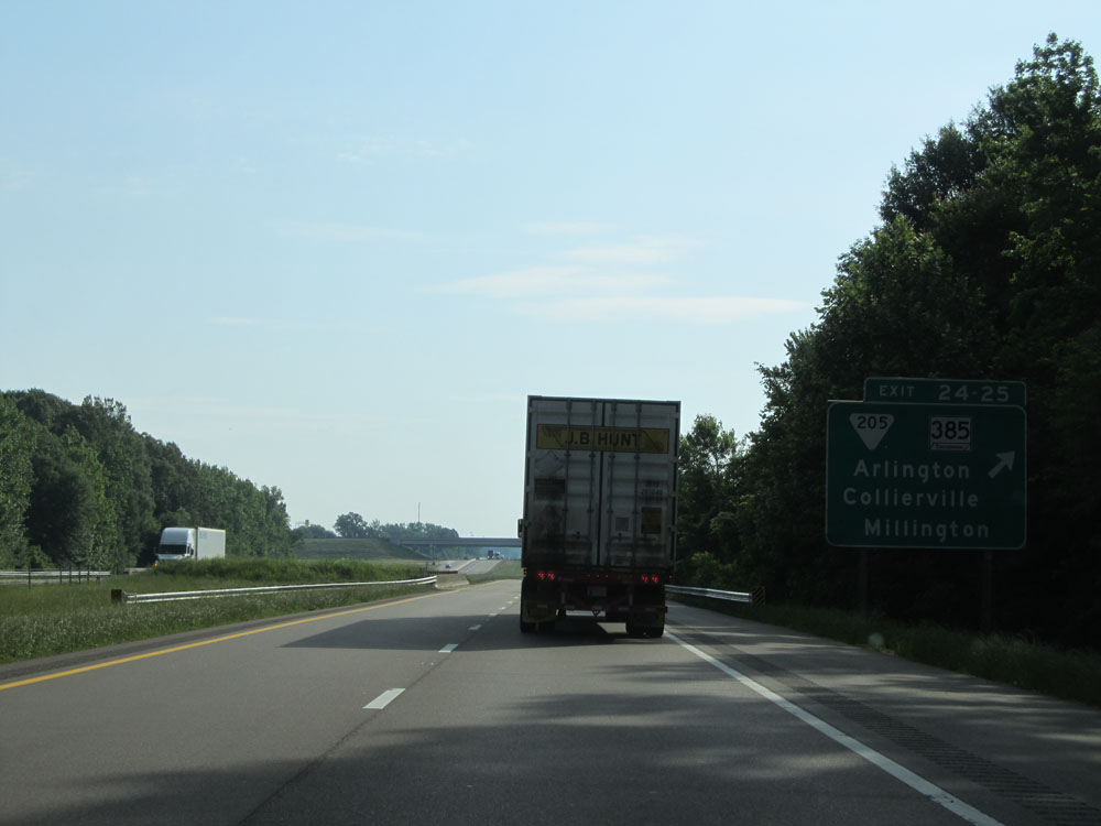 |
Interstate 40 East at Exit 24: TN 385 - Collierville / Millington; Exit 25: SR 205 - Arlington (Photo taken 5/24/15). |
 |
Interstate 40 East at mile marker 26. (Photo taken 5/24/15). |
 |
Mileage sign just past mile marker 26. It's 60 miles to Jackson and 183 miles to Nashville. (Photo taken 5/24/15). |
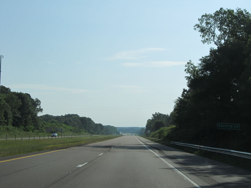 |
Interstate 40 East entering Fayette County. (Photo taken 5/24/15). |
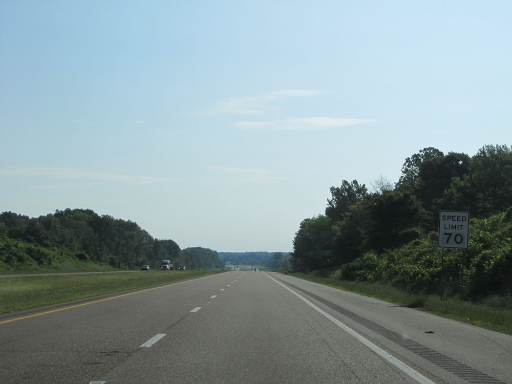 |
Now that Interstate 40 East has left Shelby County, the speed limit increases to 70 mph for all traffic. This is the standard on most rural Interstates in western and central Tennessee. (Photo taken 5/24/15). |
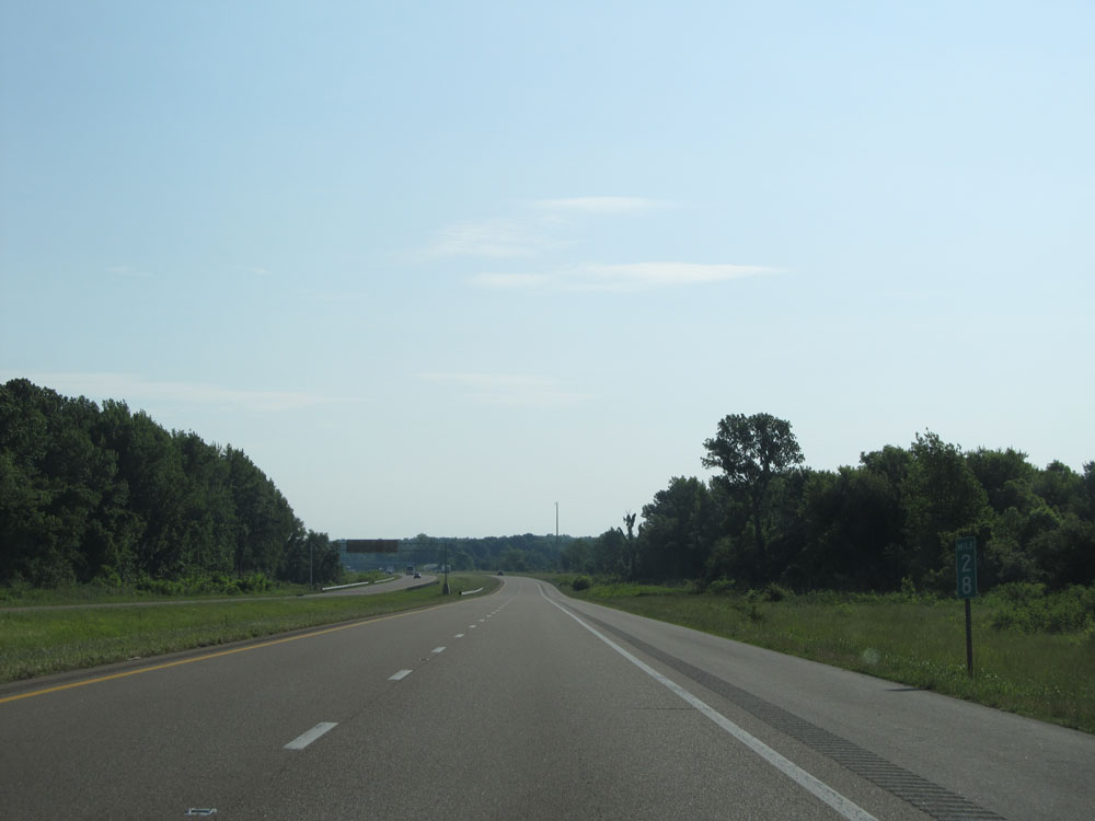 |
Interstate 40 East: Road view from mile marker 28. (Photo taken 5/24/15). |
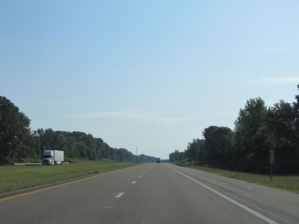 |
Interstate 40 East at mile marker 32. (Photo taken 5/24/15). |
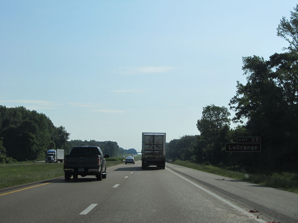 |
Take Exit 35 to LaGrange. (Photo taken 5/24/15). |
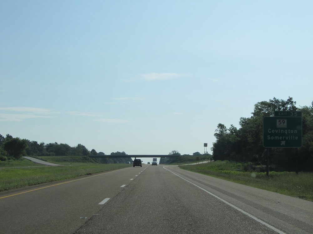 |
Interstate 40 East at Exit 35: TN 59 - Covington / Somerville (Photo taken 5/24/15). |
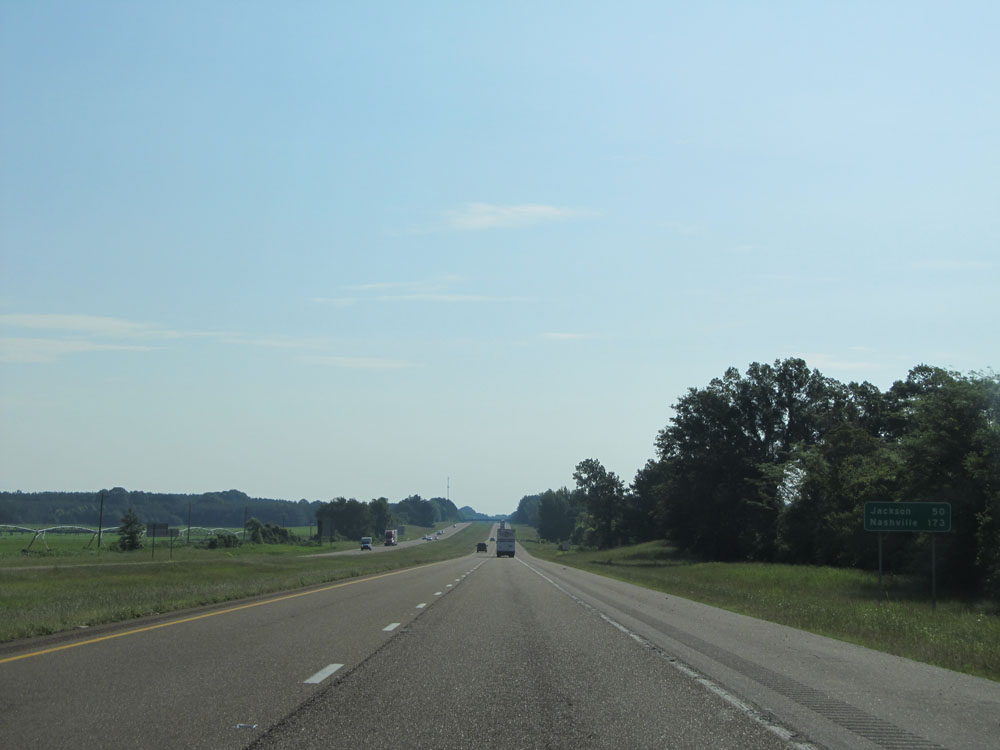 |
Mileage sign near mile marker 36. It's 50 miles to Jackson and 173 miles to Nashville. (Photo taken 5/24/15). |
 |
Interstate 40 East at Exit 42: SR 222 - Stanton / Somerville (Photo taken 5/24/15). |
 |
Interstate 40 East entering Haywood County. (Photo taken 5/24/15). |
 |
Interstate 40 East at mile marker 44. (Photo taken 5/24/15). |
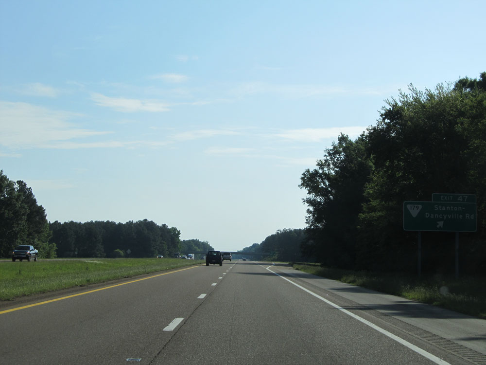 |
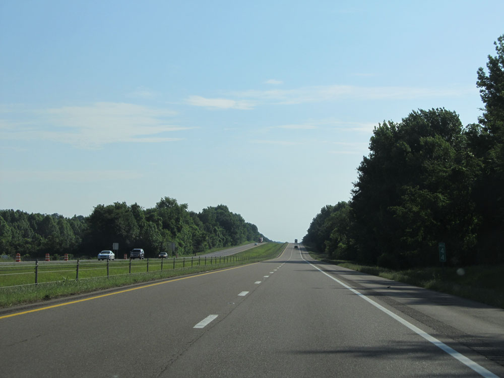
Interstate 40 East at Exit 47: SR 179 - Stanton-Dancyville Rd (Photo taken 5/24/15). |
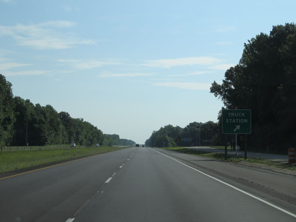 |
Truck Weigh / Inspection Station on Interstate 40 East. (Photo taken 5/24/15). |
 |
Interstate 40 East approaching Exit 52 - 1 mile. (Photo taken 5/24/15). |
 |
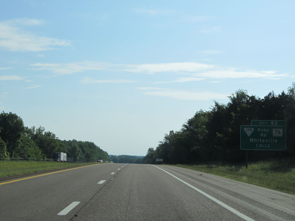
Interstate 40 East at Exit 52: SR 179 / TN 76 (Koko Rd) - Whiteville (Photo taken 5/24/15). |
 |
Interstate 40 East assurance shield near mile marker 52. (Photo taken 5/24/15). |
 |
Speed limit assurance sign near mile marker 52. Speed Limit - 70 mph. (Photo taken 5/24/15). |
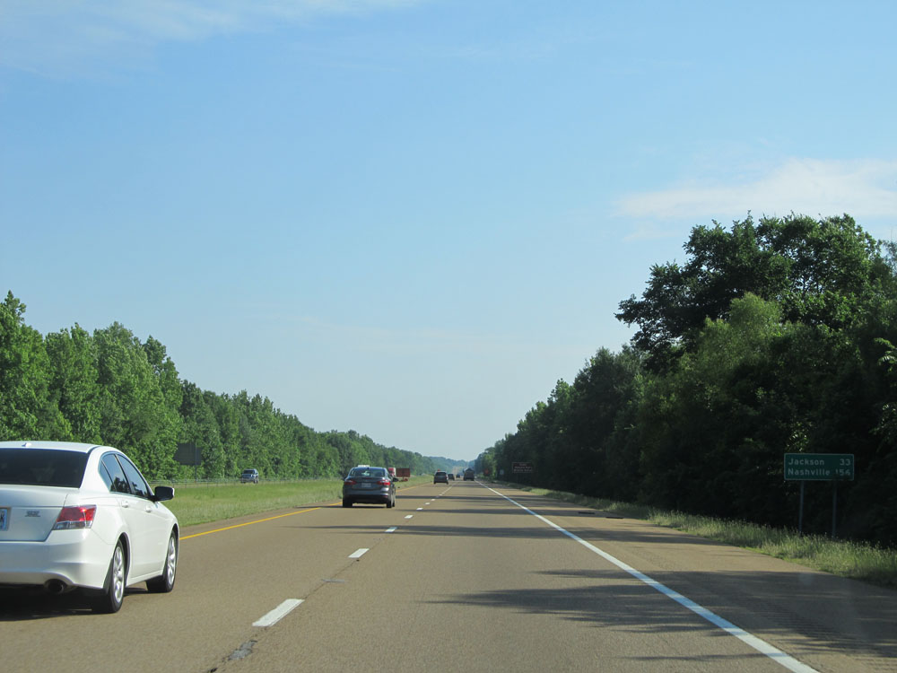 |
Mileage sign near mile marker 53. It's 33 miles to Jackson and 156 miles to Nashville. (Photo taken 5/24/15). |
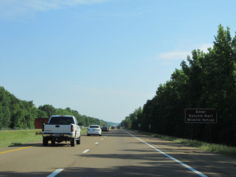 |
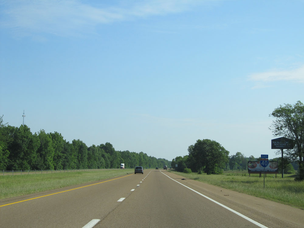
Interstate 40 East entering Hatchie National Wildlife Refuge at mile marker 53. (Photo taken 5/24/15). |
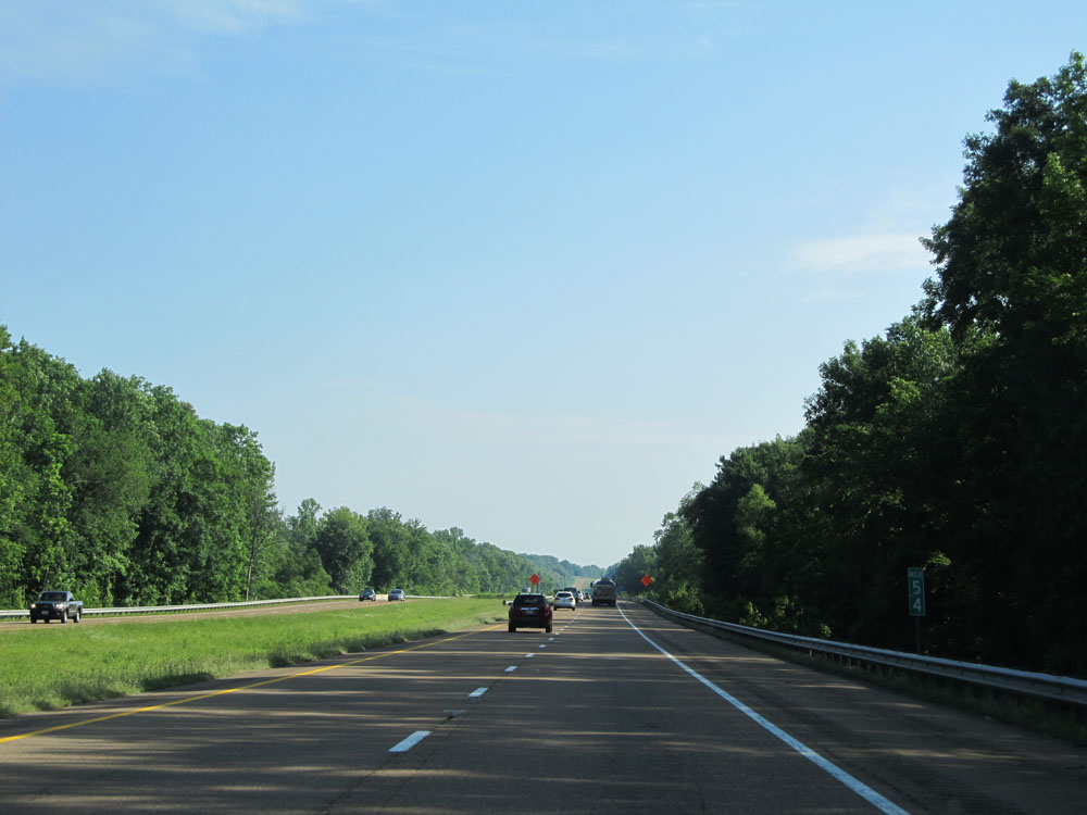 |
Interstate 40 East: Road view from mile marker 54. (Photo taken 5/24/15). |
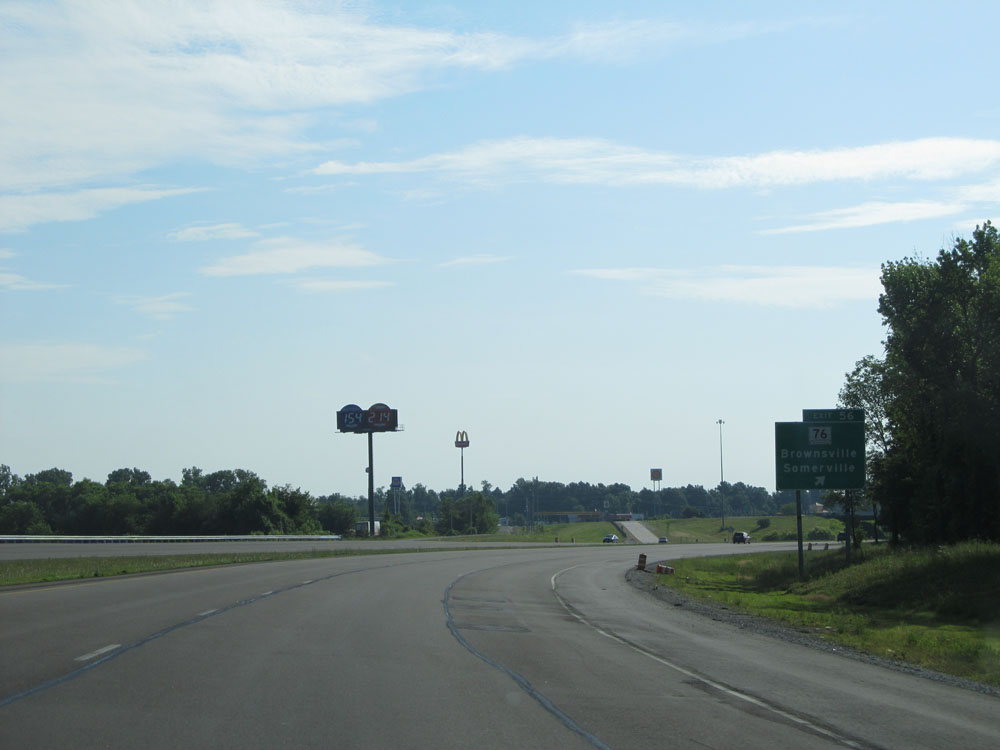 |
Interstate 40 East at Exit 56: TN 76 - Brownsville / Somerville (Photo taken 5/24/15). |
Section 2: Brownsville (Exit 56) to Holladay (Exit 126)
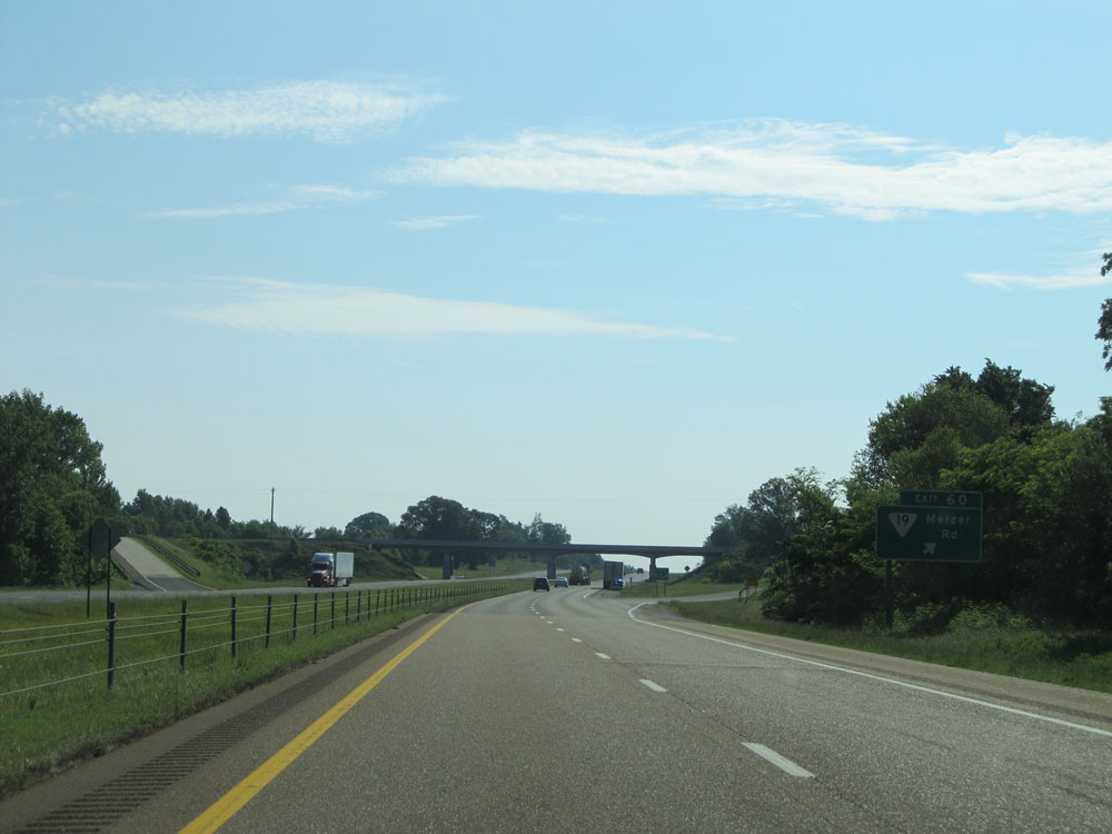 |
Interstate 40 East at Exit 60: SR 19 - Mercer Rd (Photo taken 5/24/15). |
 |
Interstate 40 East at mile marker 62. (Photo taken 5/24/15). |
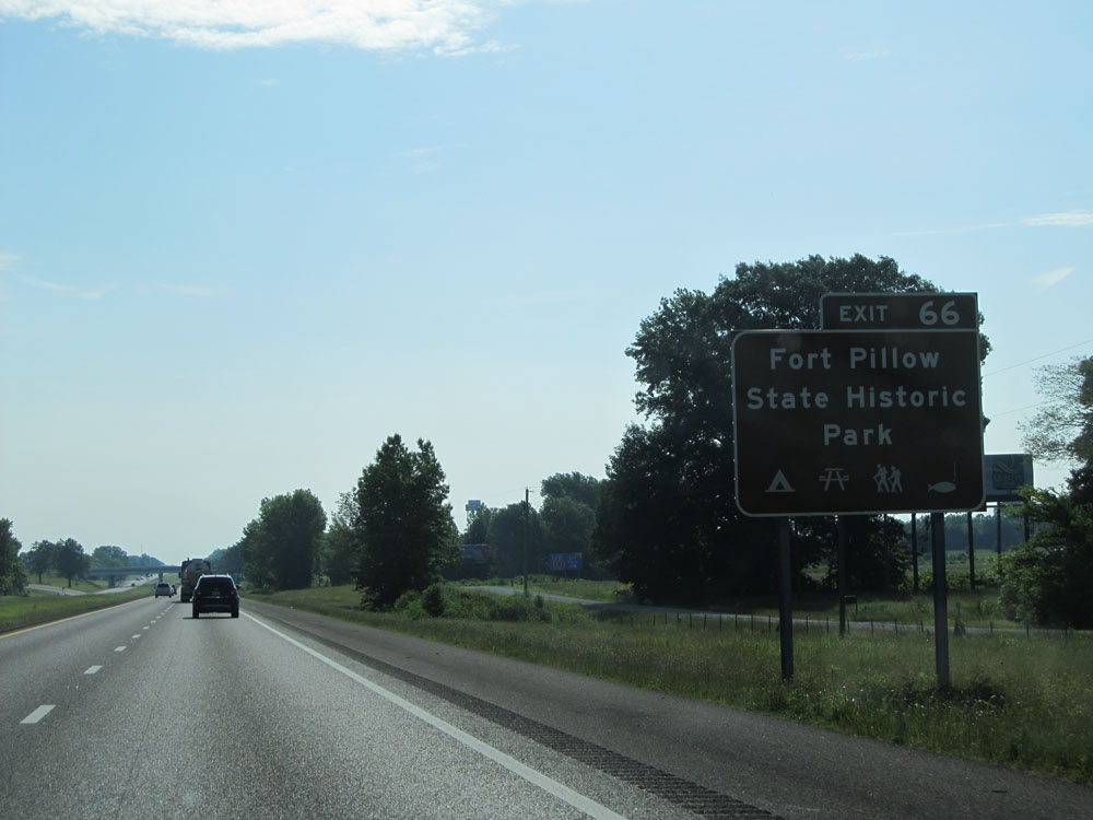 |
Take Exit 66 to Fort Pillow State Historic Park. (Photo taken 5/24/15). |
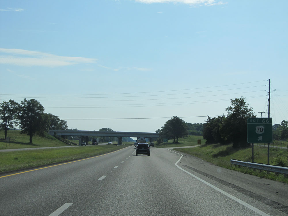 |
Interstate 40 East at Exit 66: US 70 (Photo taken 5/24/15). |
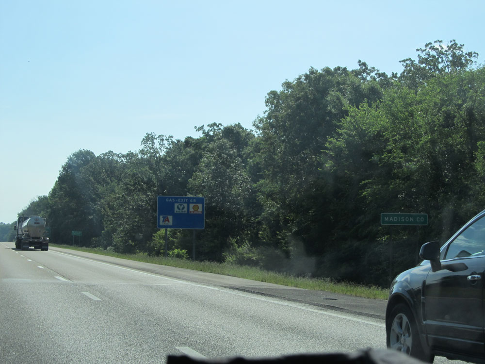 |
Interstate 40 East entering Madison County. (Photo taken 5/24/15). |
 |
Interstate 40 East at Exit 68: SR 138 - Providence Rd (Photo taken 5/24/15). |
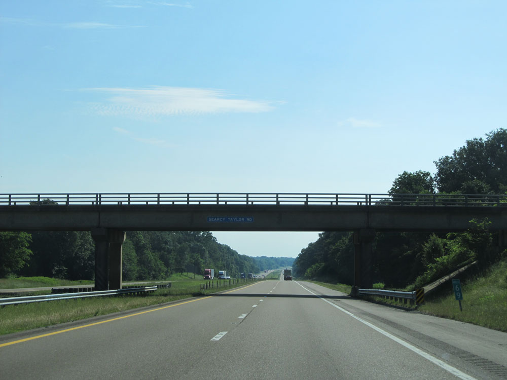 |
Interstate 40 East at mile marker 69. (Photo taken 5/24/15). |
 |
Interstate 40 East at mile marker 70. (Photo taken 5/24/15). |
 |
Interstate 40 East at the Rest Area located at mile marker 73. (Photo taken 5/24/15). |
 |
Interstate 40 East approaching Exit 74 - 1 mile. (Photo taken 5/24/15). |
 |
Interstate 40 East at Exit 74: Lower Brownsville Rd (Photo taken 5/24/15). |
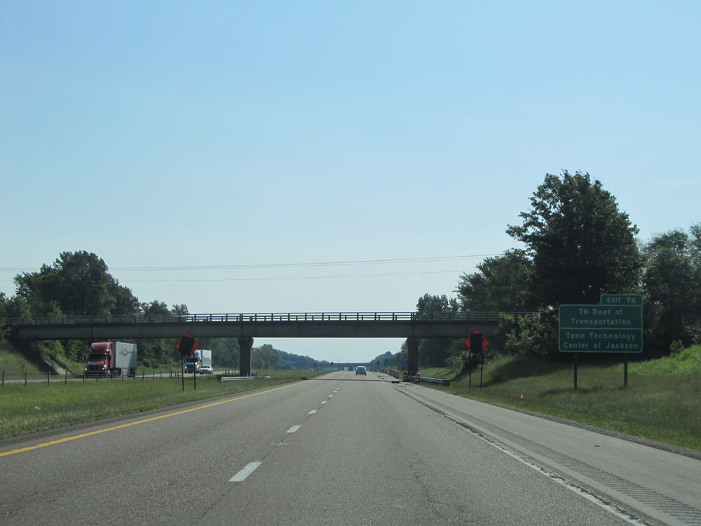 |
Take Exit 76 to TN Dept of Transportation and Tennessee Technology Center at Jackson. (Photo taken 5/24/15). |
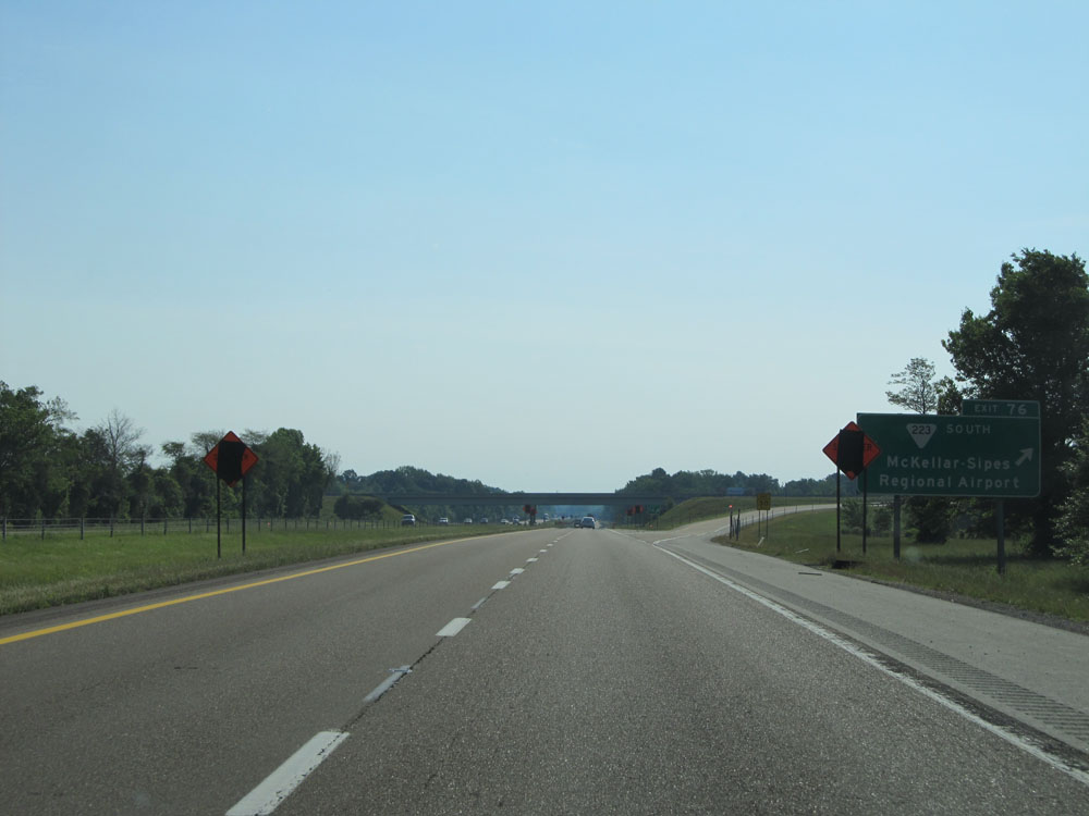 |
Interstate 40 East at Exit 76: SR 223 South - McKellar-Sipes Regional Airport (Photo taken 5/24/15). |
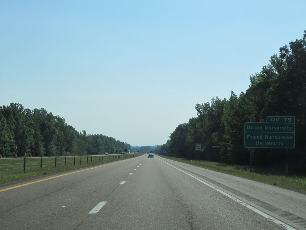 |
Take Exit 79 to Union University and Freed-Hardeman University. (Photo taken 5/24/15). |
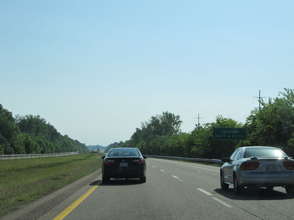 |
Take any of the next 6 exits to Jackson. (Photo taken 5/24/15). |
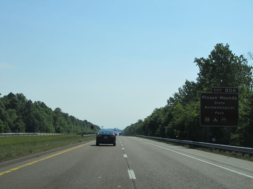 |
Take Exit 80A to Pinson Mounds State Archaelogical Park. (Photo taken 5/24/15). |
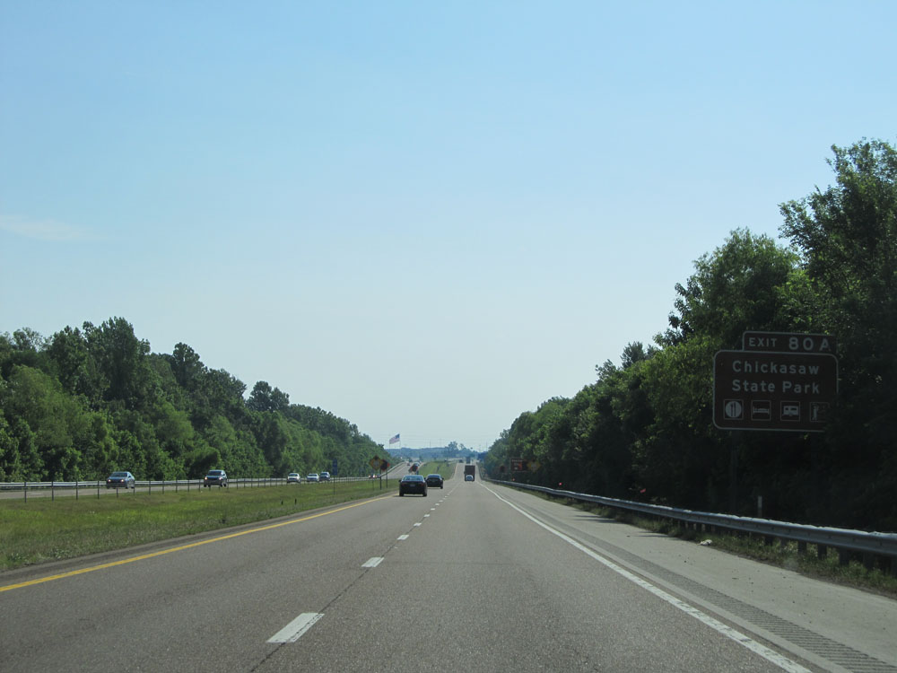 |
Also take Exit 80A to Chickasaw State Park. (Photo taken 5/24/15). |
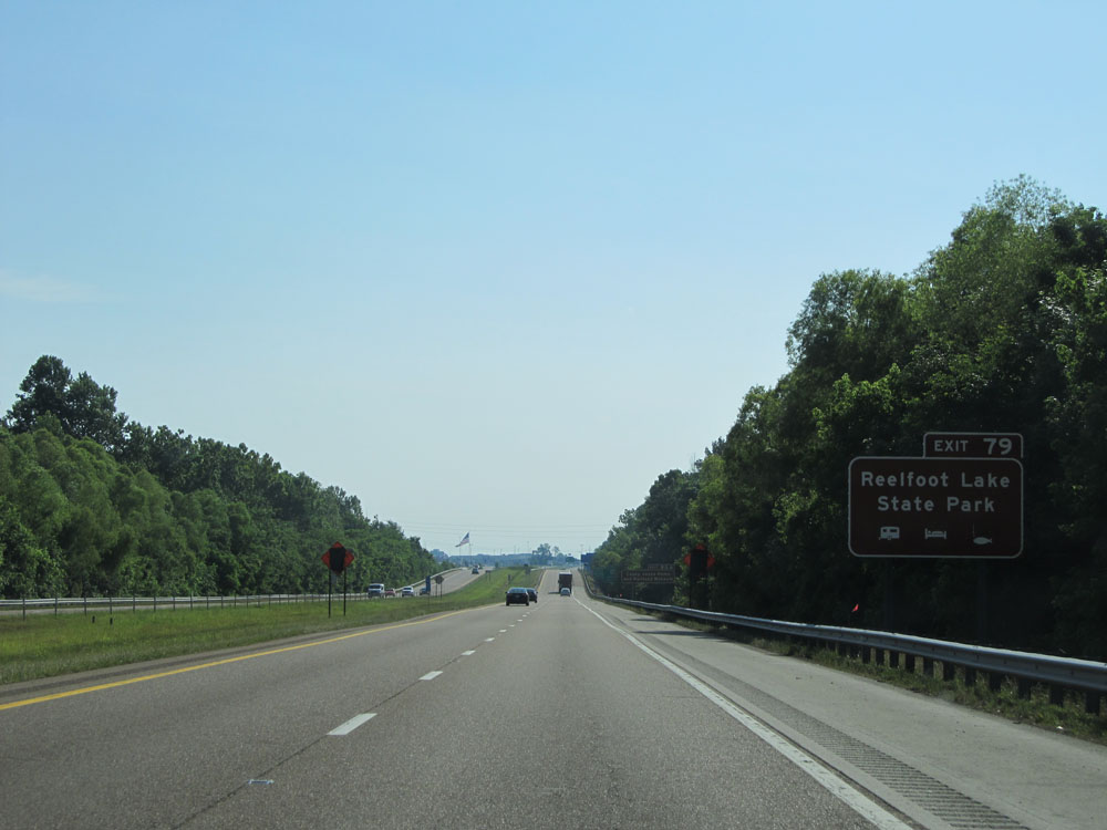 |
Use Exit 79 for Reelfoot Lake State Park. (Photo taken 5/24/15). |
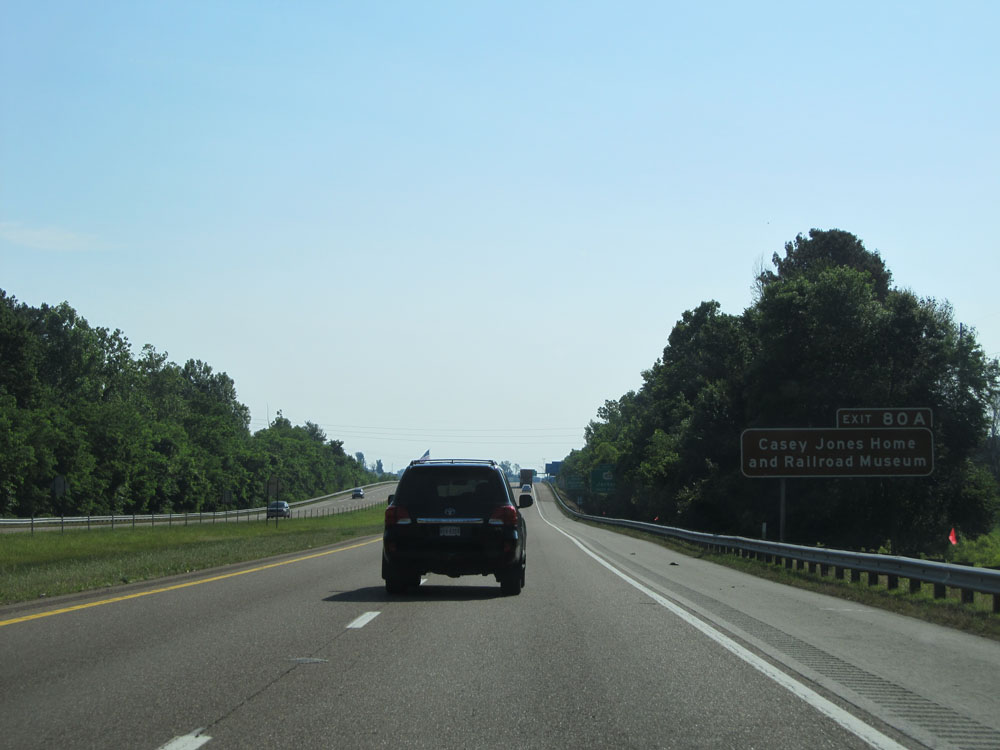 |
Use Exit 80A to Casey Jones Home and Railroad Museum. (Photo taken 5/24/15). |
 |
Approaching Exit 79, the speed limit decreases to 65 mph for all vehicles as you pass through the Jackson area. (Photo taken 5/24/15). |
 |
Interstate 40 East at Exit 79: US 412 - Jackson (Photo taken 5/24/15). |
 |
Take Exit 80A to The Medical Center and Exit 80B to University of Tennessee at Martin. (Photo taken 5/24/15). |
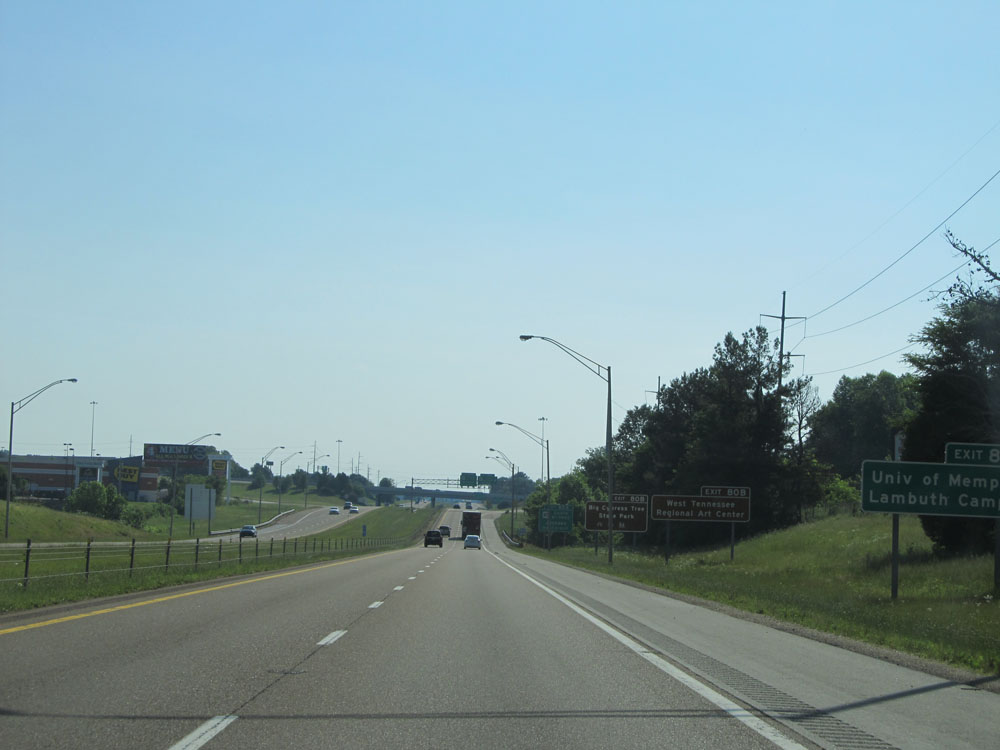 |
Take Exit 80B to West Tennessee Regional Art Center and Big Cypress Tree State Park. (Photo taken 5/24/15). |
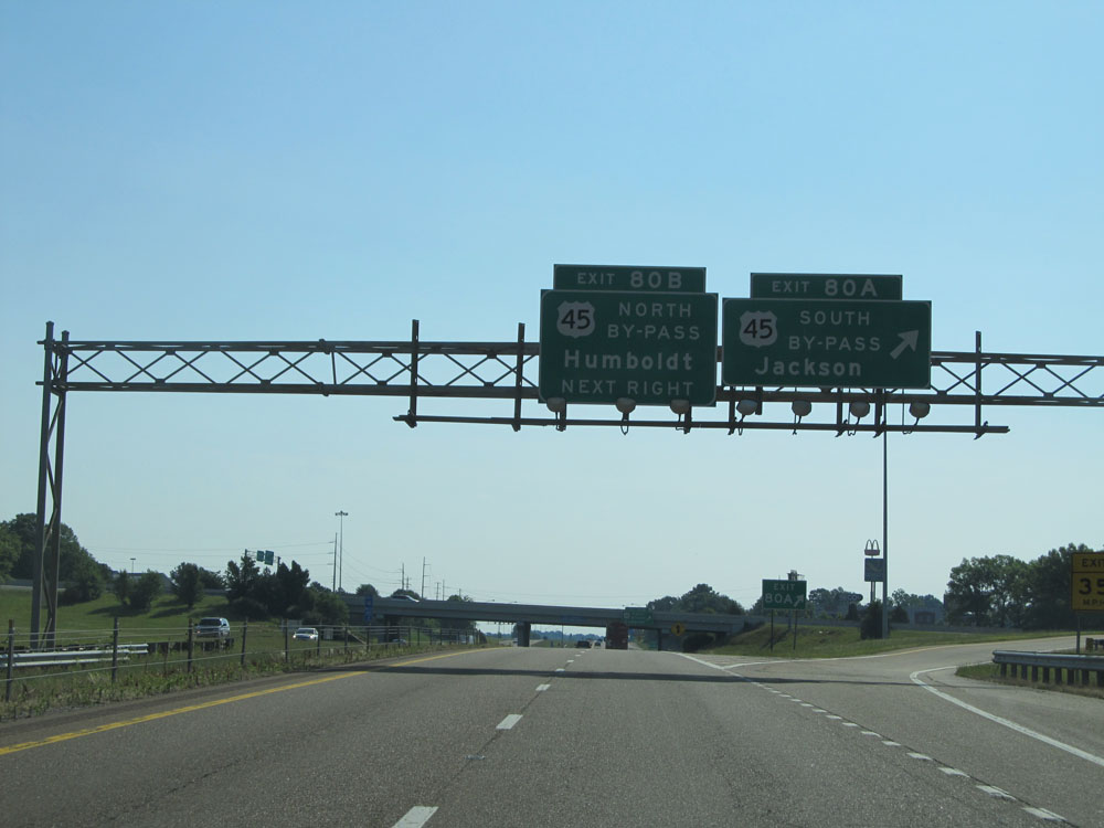 |
Interstate 40 East at Exit 80A: US 45 Bypass South - Jackson (Photo taken 5/24/15). |
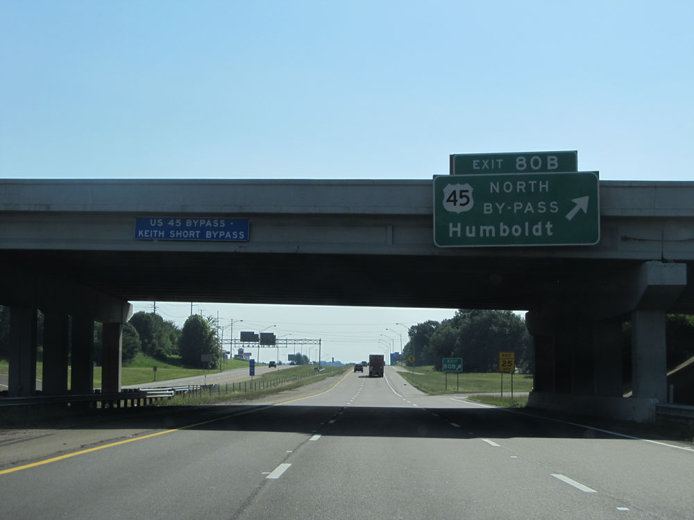 |
Interstate 40 East at Exit 80B: US 45 Bypass North - Humboldt (Photo taken 5/24/15). |
 |
Take Exit 82A to Big Hill Pond State Park. (Photo taken 5/24/15). |
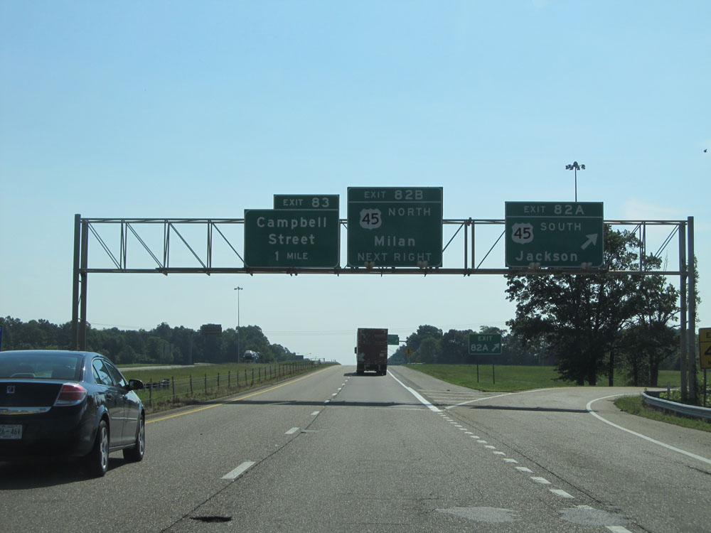 |
Interstate 40 East at Exit 82A: US 45 South - Jackson (Photo taken 5/24/15). |
 |
Interstate 40 East at Exit 82B: US 45 North - Milan (Photo taken 5/24/15). |
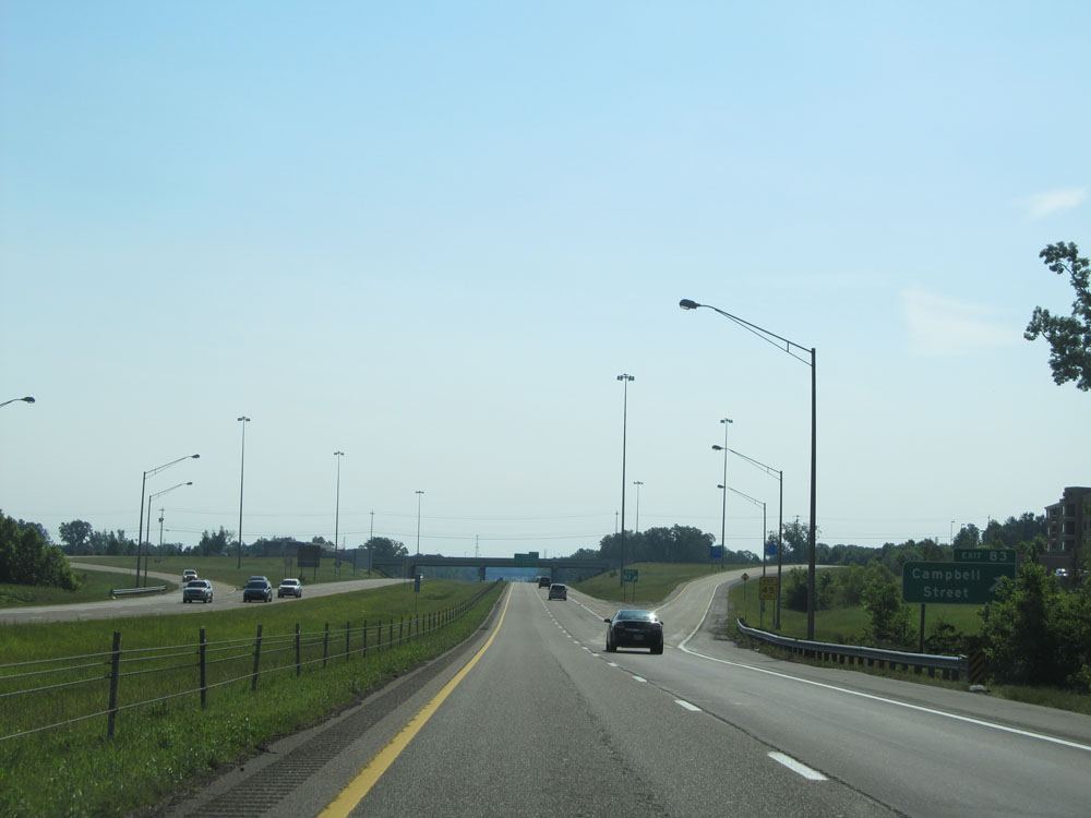 |
Interstate 40 East at Exit 83: Campbell Street (Photo taken 5/24/15). |
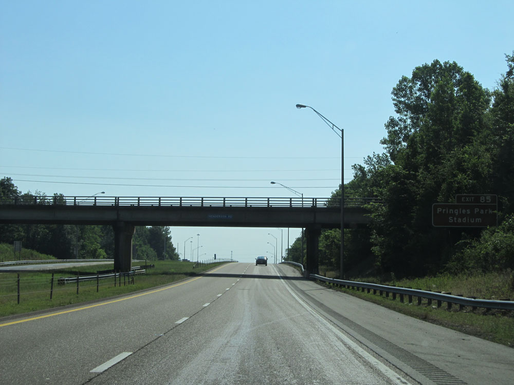 |
Take Exit 85 to Pringles Park Stadium. (Photo taken 5/24/15). |
 |
Interstate 40 East at Exit 85: Christmasville Rd / Dr FE Wright Drive / Jackson (Photo taken 5/24/15). |
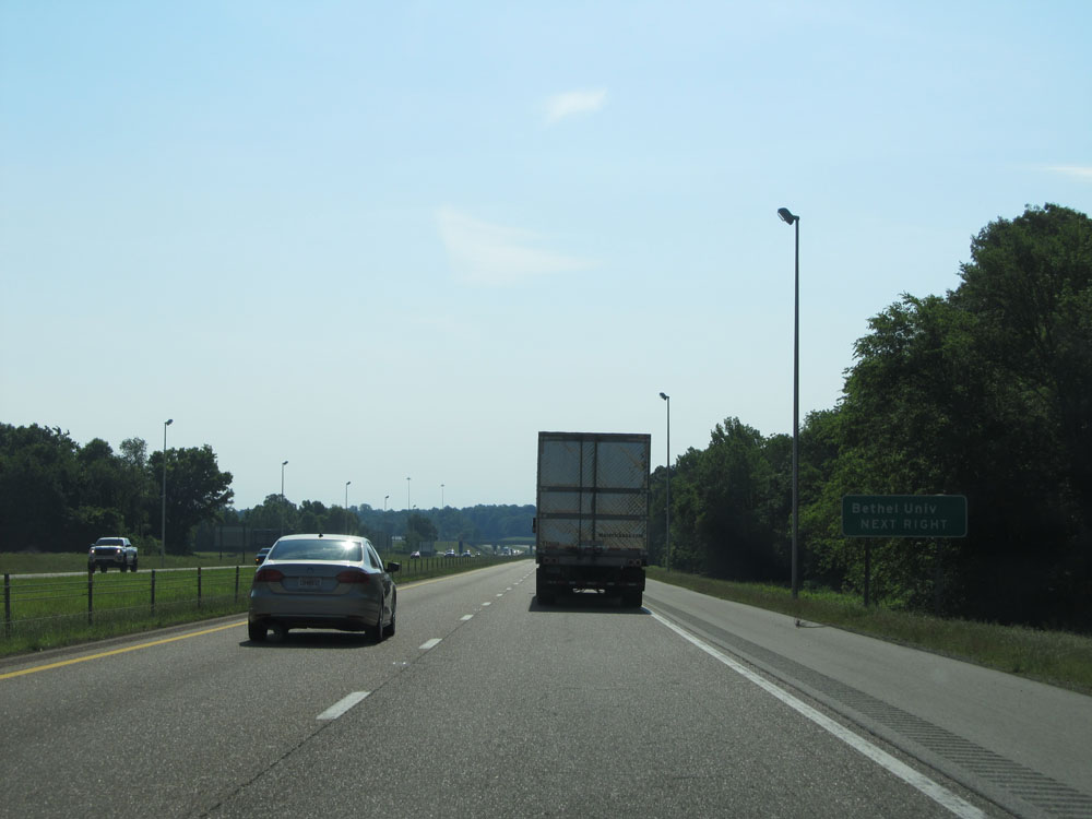 |
Take Exit 87 to Bethel University. (Photo taken 5/24/15). |
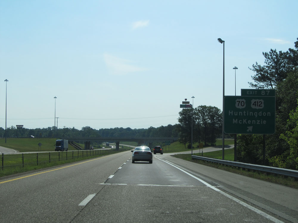 |
Interstate 40 East at Exit 87: US 70 / US 412 - Huntingdon / McKenzie (Photo taken 5/24/15). |
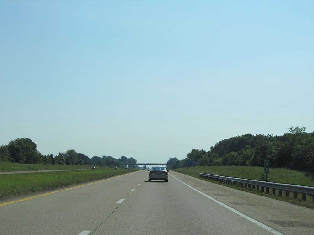 |
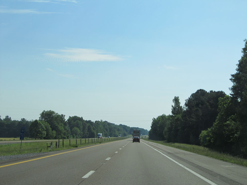
Interstate 40 East: Road view from mile marker 92. (Photo taken 5/24/15). |
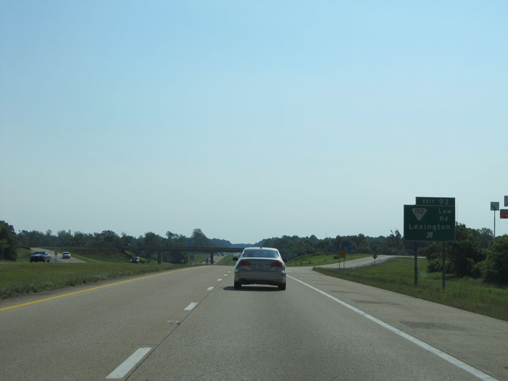 |
Interstate 40 East at Exit 93: SR 152 (Law Rd) - Lexington (Photo taken 5/24/15). |
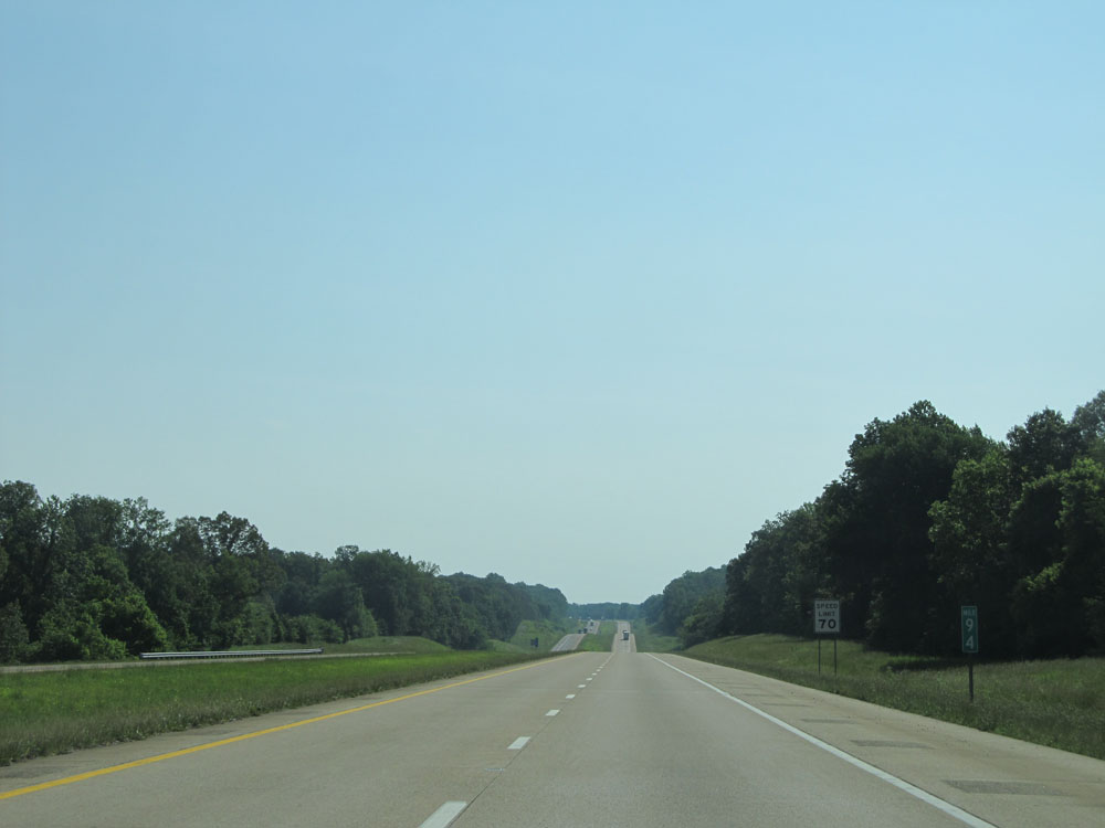 |
At mile marker 94, the standard speed limit of 70 mph resumes now that we've left the Jackson area. (Photo taken 5/24/15). |
 |
Interstate 40 East entering Henderson County at mile marker 95. (Photo taken 5/24/15). |
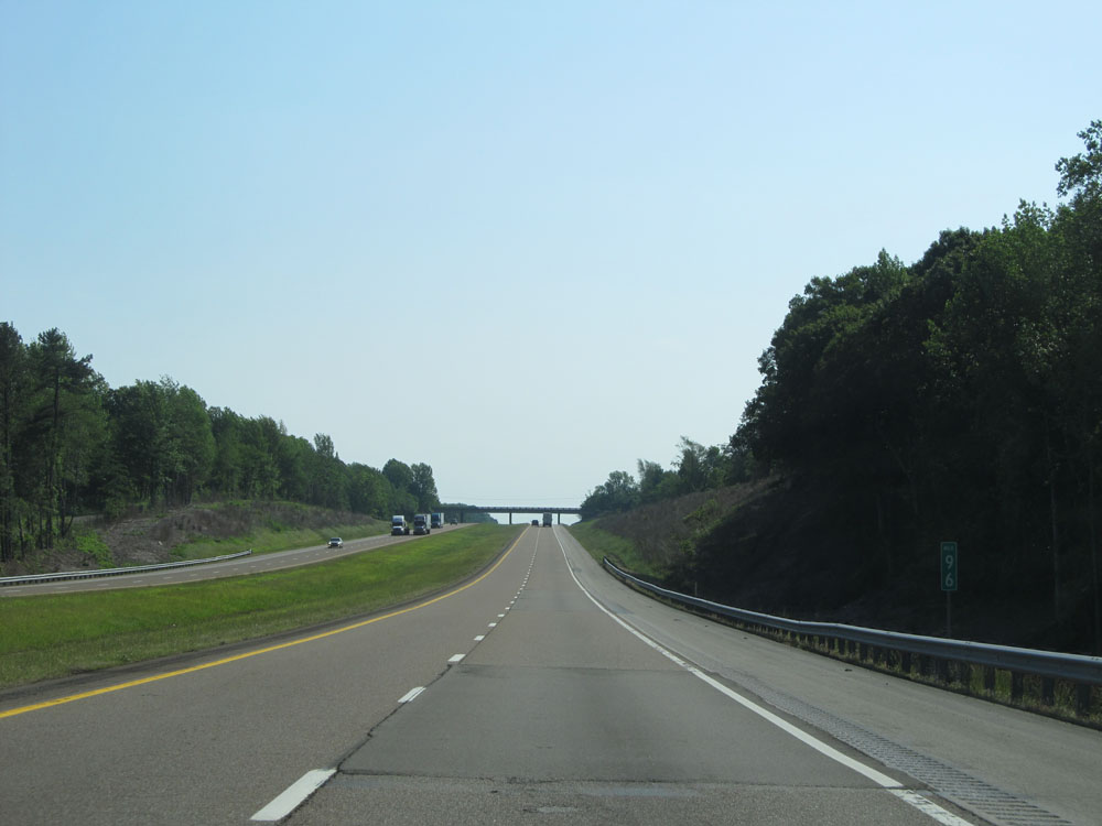 |
Interstate 40 East at mile marker 96. (Photo taken 5/24/15). |
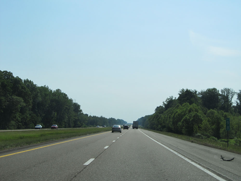 |
Interstate 40 East at mile marker 98. (Photo taken 5/24/15). |
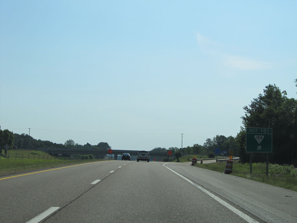 |
Interstate 40 East at Exit 101: SR 104 (Photo taken 5/24/15). |
 |
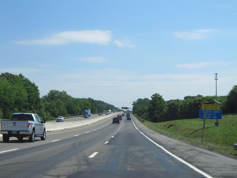
This mileage sign indicates that we're now 107 miles from Nashville on Interstate 40 East. (Photo taken 5/24/15). |
 |
Interstate 40 East at the Parking Area located near mile marker 103. (Photo taken 5/24/15). |
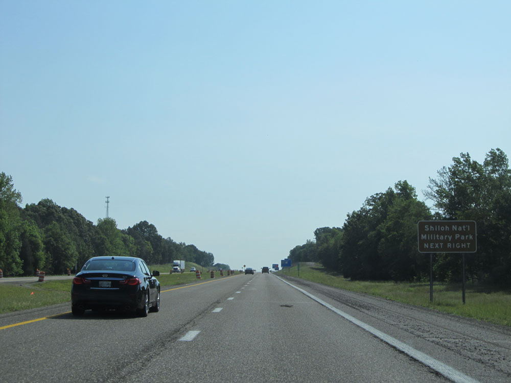 |
Take Exit 108 to Shiloh National Military Park. (Photo taken 5/24/15). |
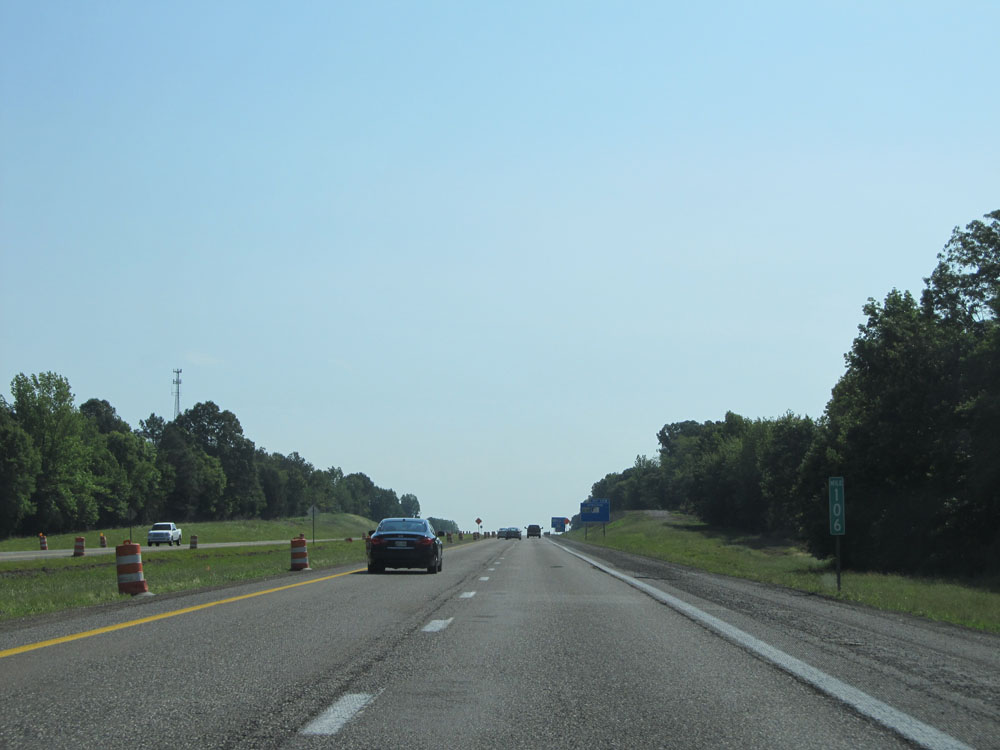 |
Interstate 40 East: Road view from mile marker 106. (Photo taken 5/24/15). |
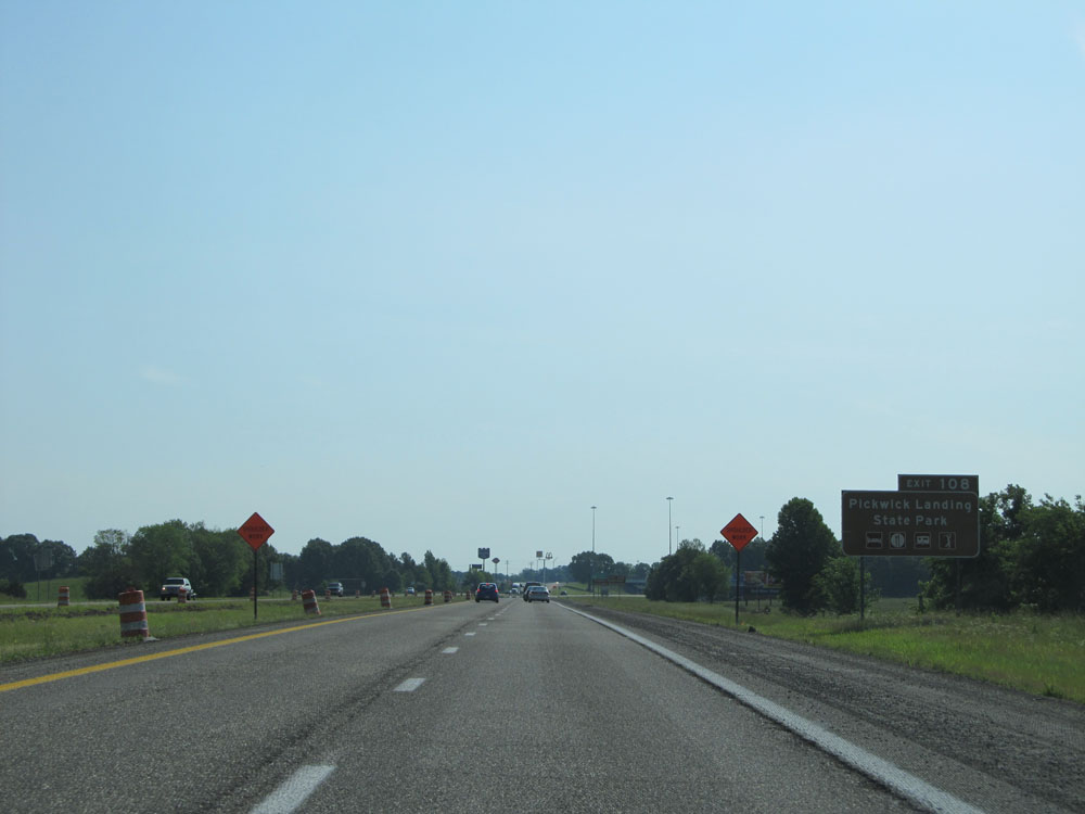 |
Take Exit 108 to Pickwick Landing State Park. (Photo taken 5/24/15). |
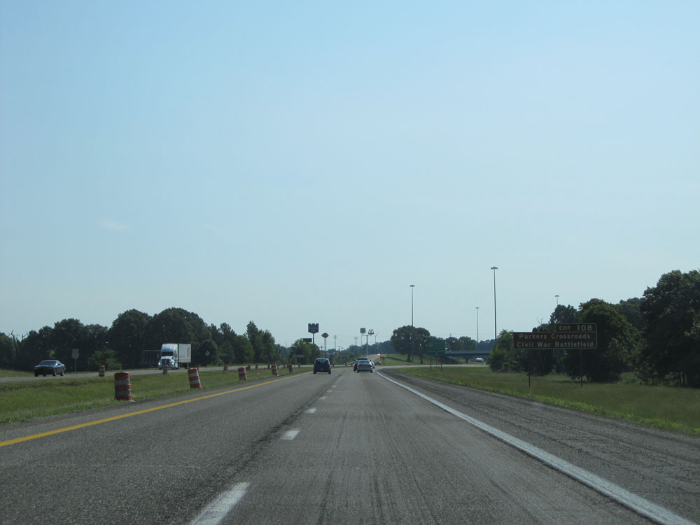 |
Also take Exit 108 to Parkers Crossroads Civil War Battlefield. (Photo taken 5/24/15). |
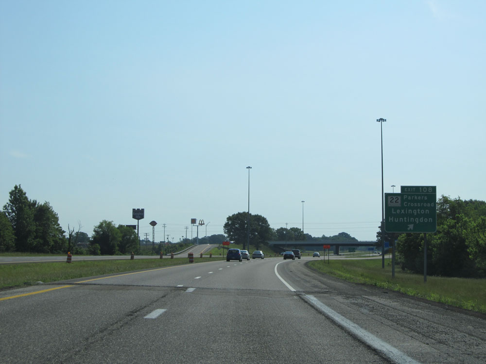 |
Interstate 40 East at Exit 108: TN 22 - Parkers Crossroads / Lexington / Huntingdon (Photo taken 5/24/15). |
 |
Interstate 40 East assurance shield near mile marker 109. (Photo taken 5/24/15). |
 |
Approaching mile marker 109, this sign indicates that we're now 100 miles from Nashville. (Photo taken 5/24/15). |
 |
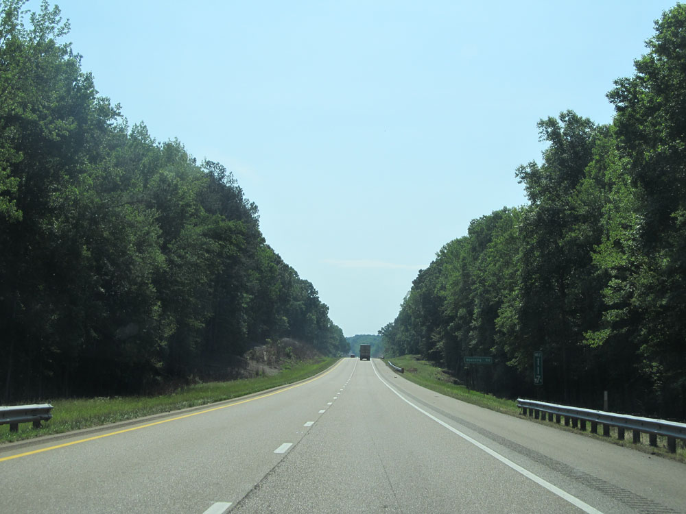
Interstate 40 East at mile marker 114. (Photo taken 5/24/15). |
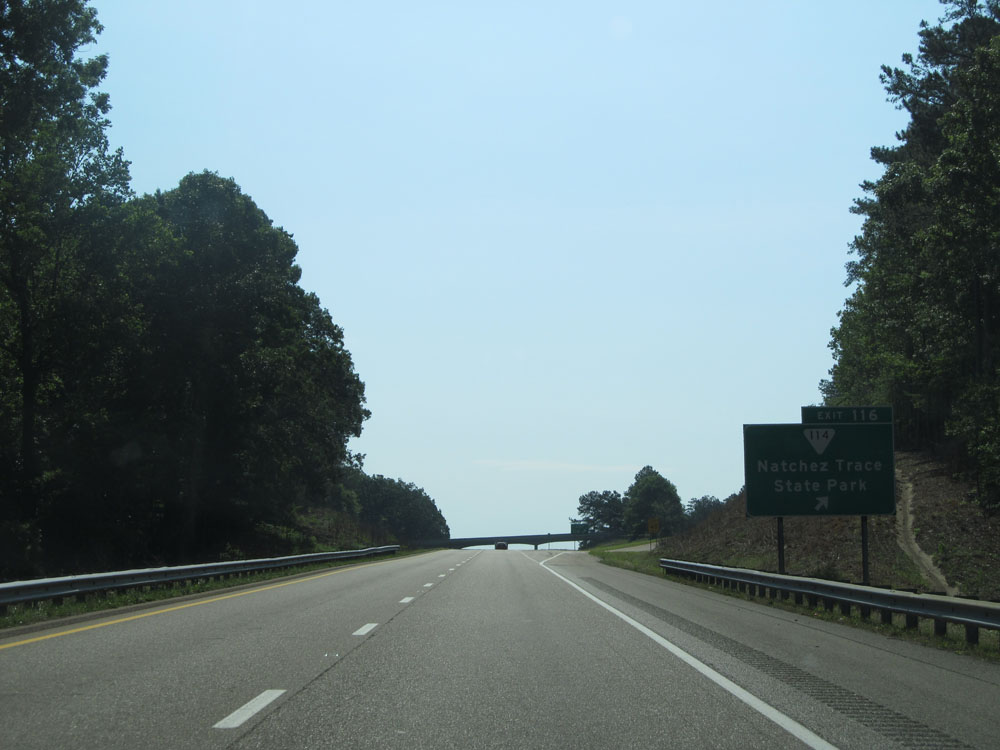 |
Interstate 40 East at Exit 116: SR 114 - Natchez Trace State Park (Photo taken 5/24/15). |
 |
Interstate 40 East at mile marker 117. (Photo taken 5/24/15). |
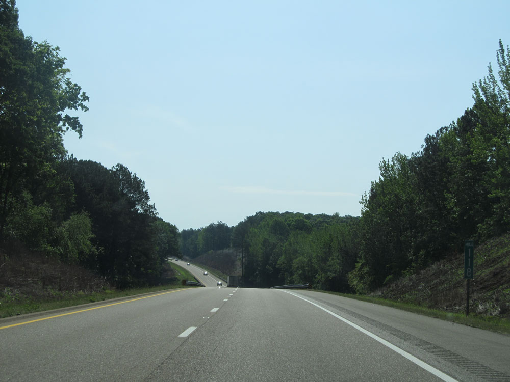 |
Interstate 40 East: Road view from mile marker 118. (Photo taken 5/24/15). |
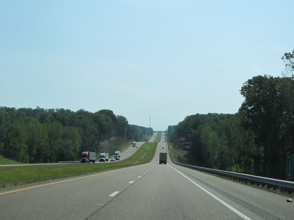 |
Interstate 40 East at mile marker 119. (Photo taken 5/24/15). |
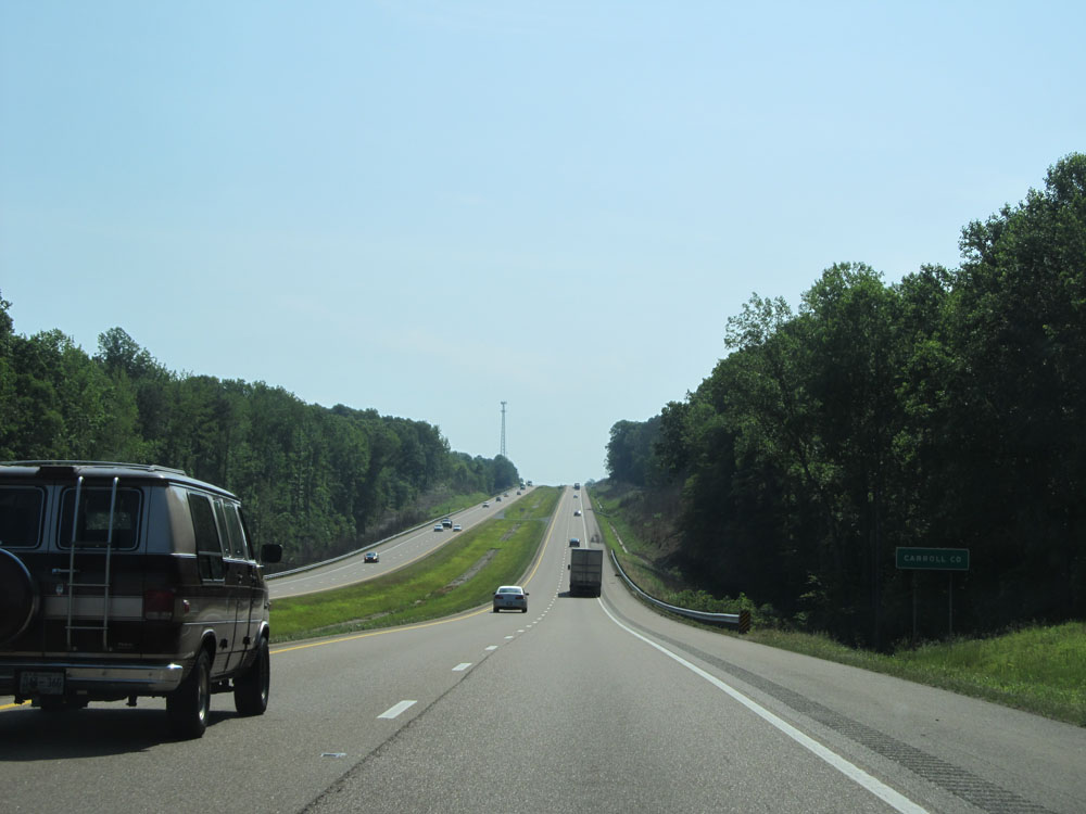 |
Interstate 40 East as it enters Carroll County. (Photo taken 5/24/15). |
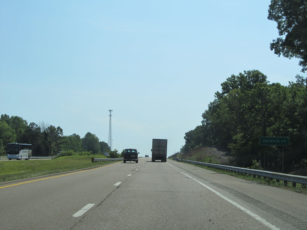 |
Very shortly afterwards, Interstate 40 East enters Decatur County. (Photo taken 5/24/15). |
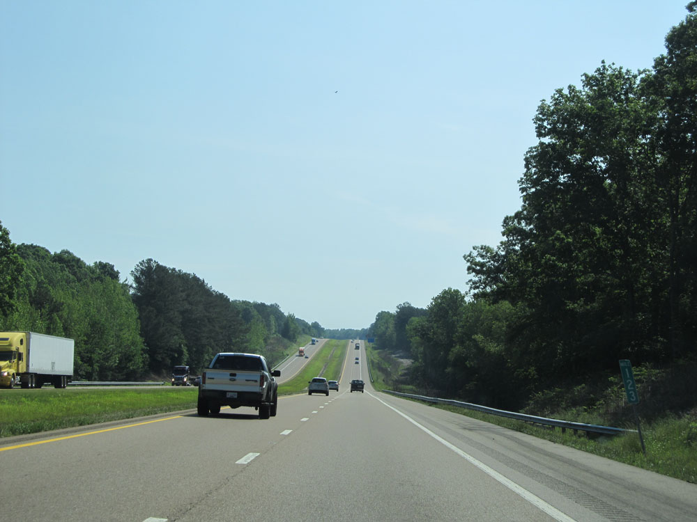 |
Interstate 40 East at mile marker 123. (Photo taken 5/24/15). |
 |
Take Exit 126 to Paris Landing State Park. (Photo taken 5/24/15). |
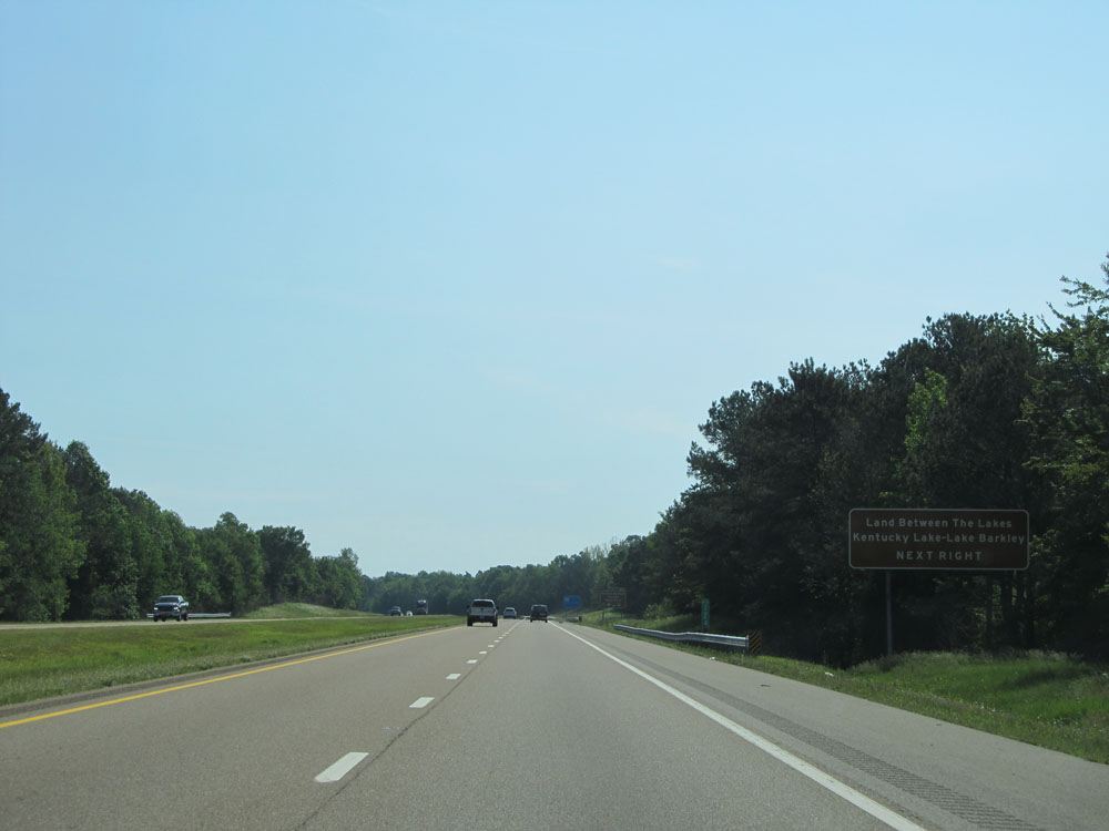 |
Take Exit 126 to Land Between the Lakes, Kentucky Lake, and Lake Barkley. (Photo taken 5/24/15). |
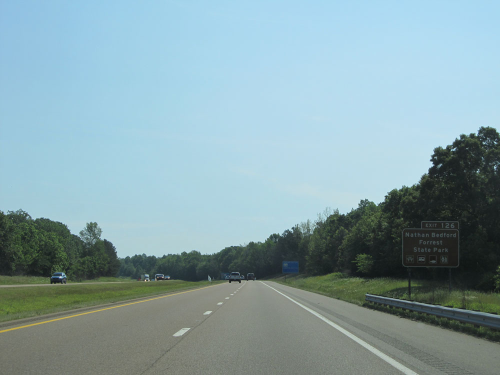 |
Use Exit 126 to Nathan Bedford Forrest State Park. (Photo taken 5/24/15). |
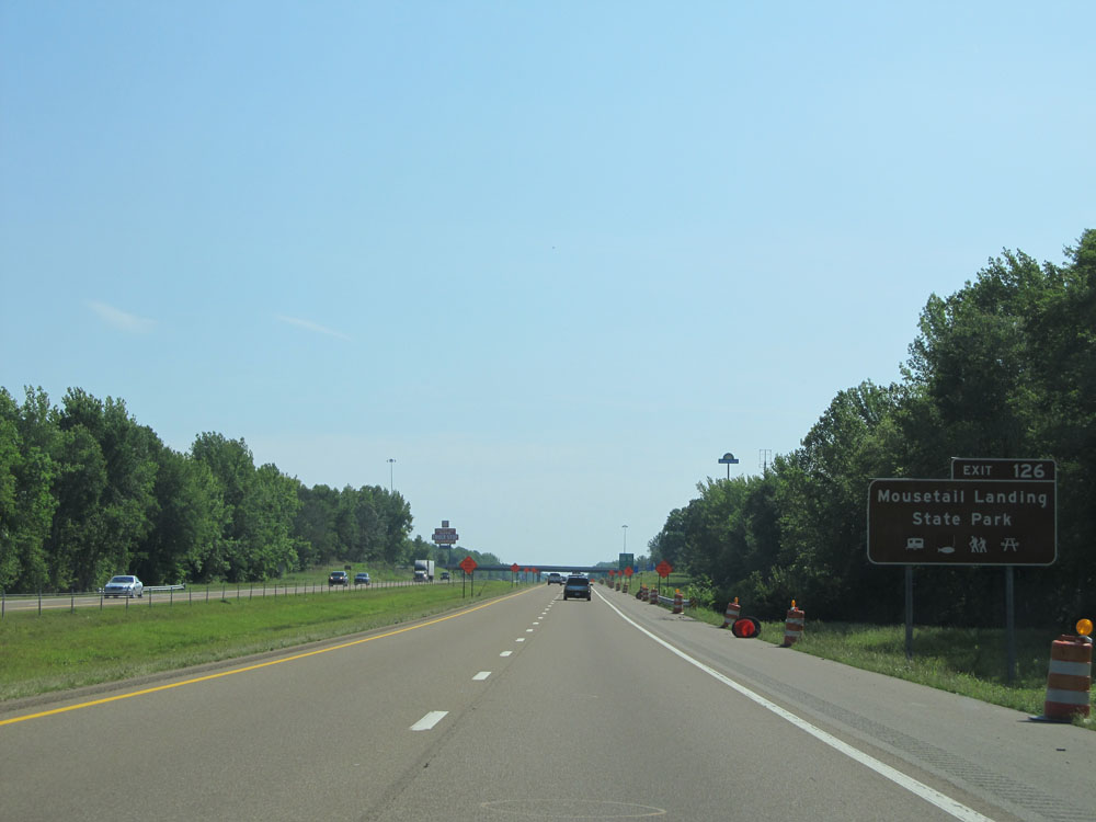 |
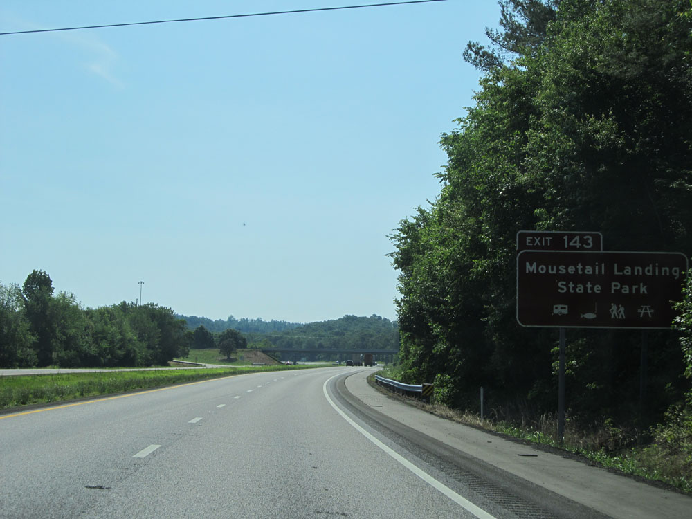
Also take Exit 126 to Mousetail Landing State Park. (Photo taken 5/24/15). |
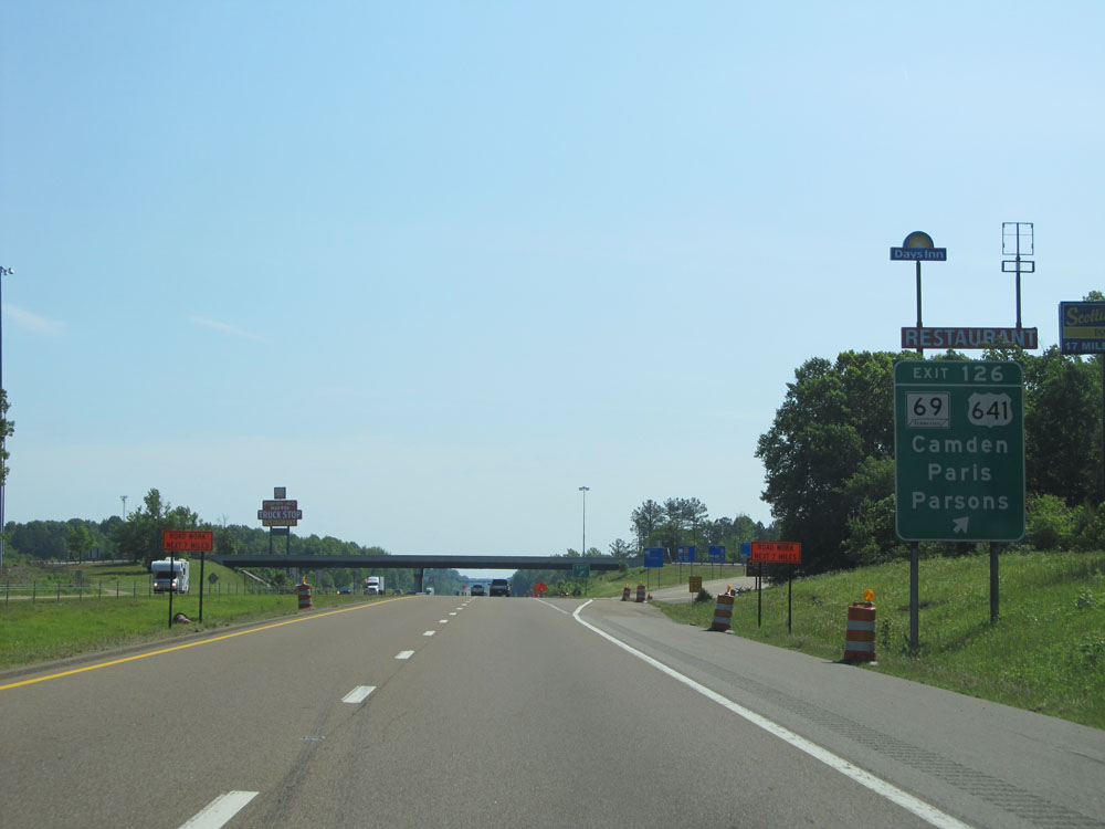 |
Interstate 40 East at Exit 126: TN 69 / US 641 - Camden / Paris / Parsons (Photo taken 5/24/15). |
Section 3: Holladay (Exit 126) to Nashville (Exit 208B)
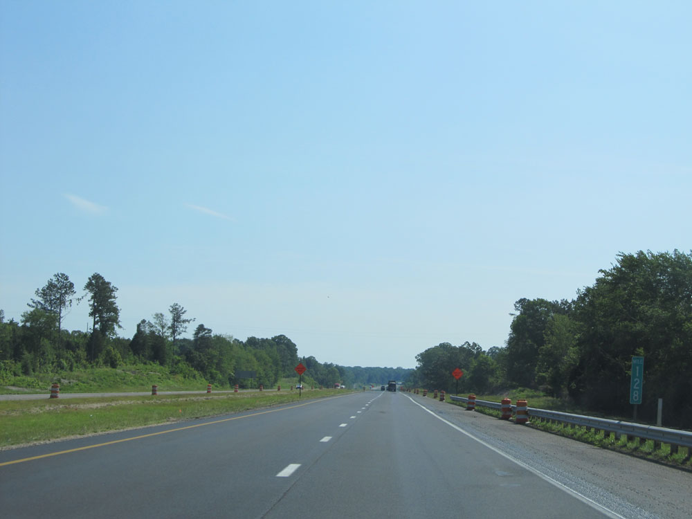 |
Interstate 40 East at mile marker 128. (Photo taken 5/24/15). |
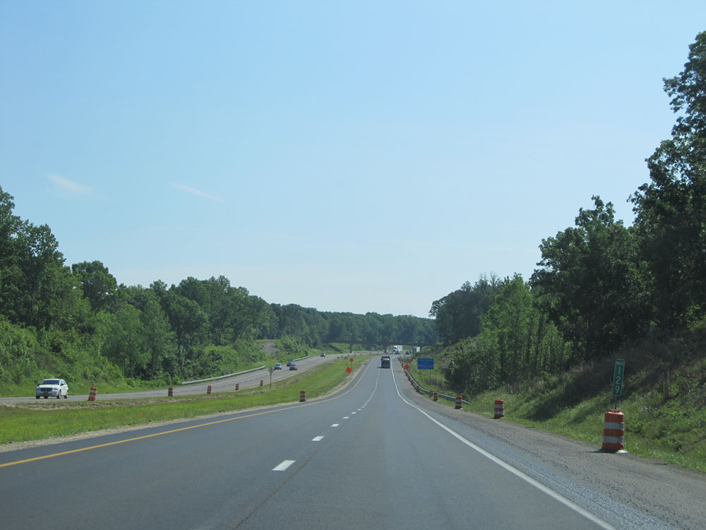 |
Interstate 40 East at mile marker 129. (Photo taken 5/24/15). |
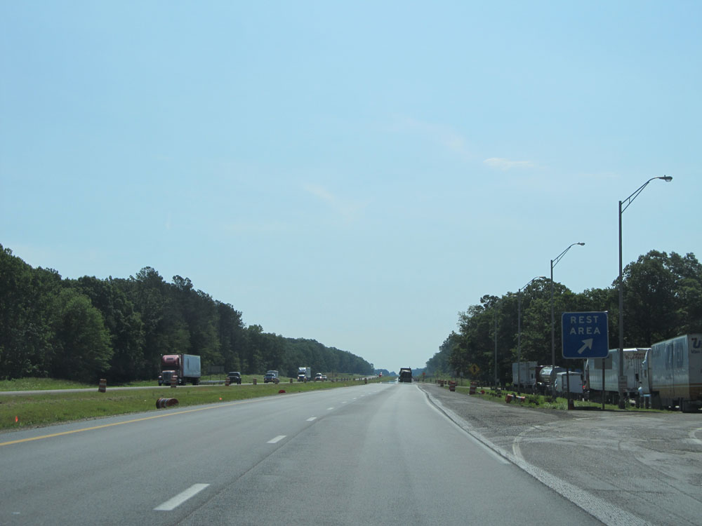 |
Interstate 40 East at the Rest Area located near mile marker 130. (Photo taken 5/24/15). |
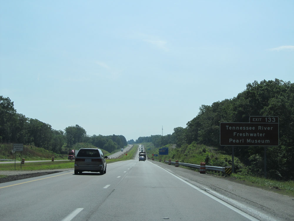 |
Take Exit 133 to Tennessee River Freshwater Pearl Museum. (Photo taken 5/24/15). |
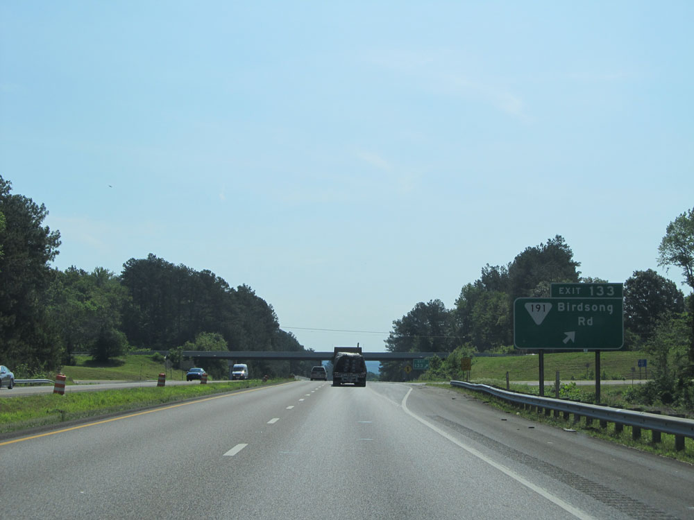 |
Interstate 40 East at Exit 133: SR 191 - Birdsong Rd (Photo taken 5/24/15). |
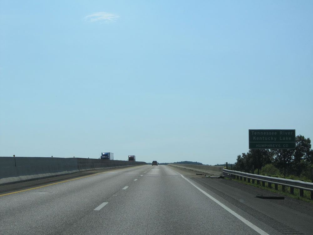 |
Interstate 40 East as it prepares to cross the Tennessee River into Humphreys County. (Photo taken 5/24/15). |
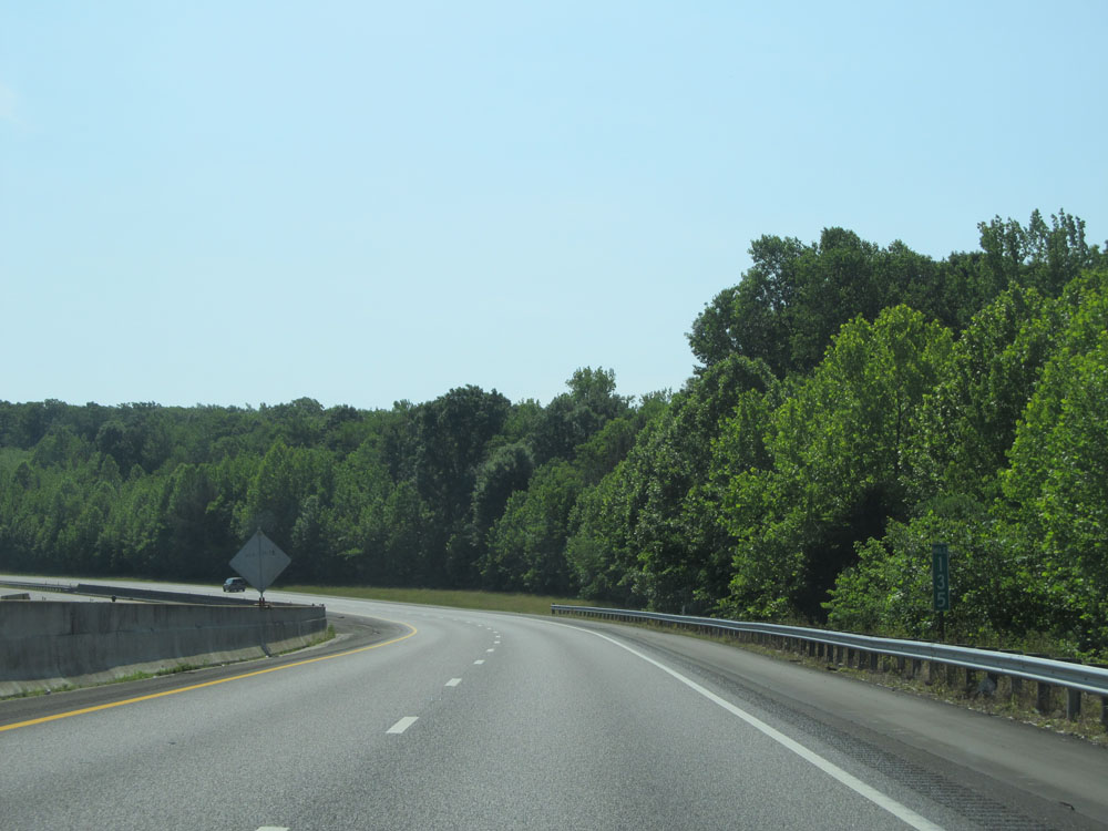 |
Interstate 40 East: Road view from mile marker 135. (Photo taken 5/24/15). |
 |
Interstate 40 East approaching Exit 137 - 1 mile. (Photo taken 5/24/15). |
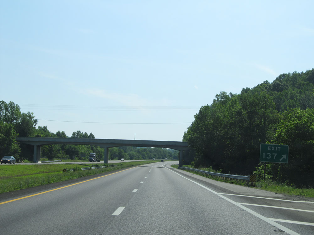 |
Interstate 40 East at Exit 137: Cuba Landing (Photo taken 5/24/15). |
 |
Interstate 40 East at mile marker 138. (Photo taken 5/24/15). |
 |
Interstate 40 East at mile marker 140. (Photo taken 5/24/15). |
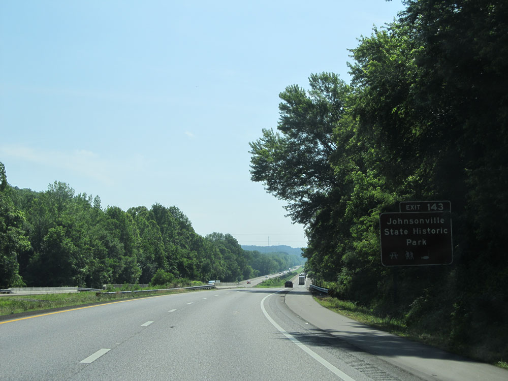 |
Take Exit 143 to Johnsonville State Historic Park. (Photo taken 5/24/15). |
 |
Interstate 40 East approaching Exit 143 - 1 mile. (Photo taken 5/24/15). |
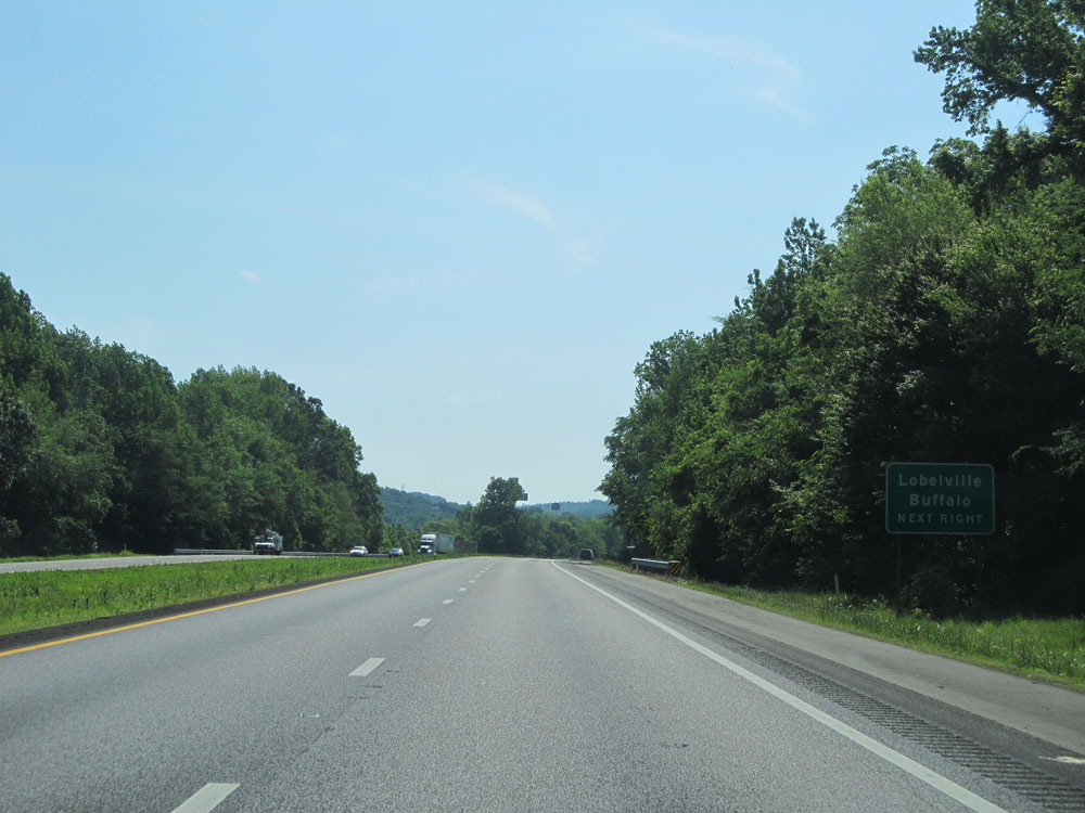 |
Take Exit 143 to Lobelville and Buffalo. (Photo taken 5/24/15). |
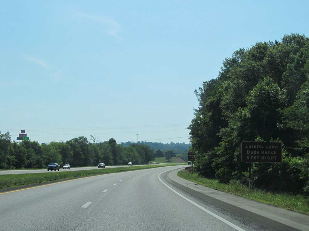 |
Also take Exit 143 to Loretta Lynn Dude Ranch. (Photo taken 5/24/15). |
 |
You can also use Exit 143 to Mousetail Landing State Park. (Photo taken 5/24/15). |
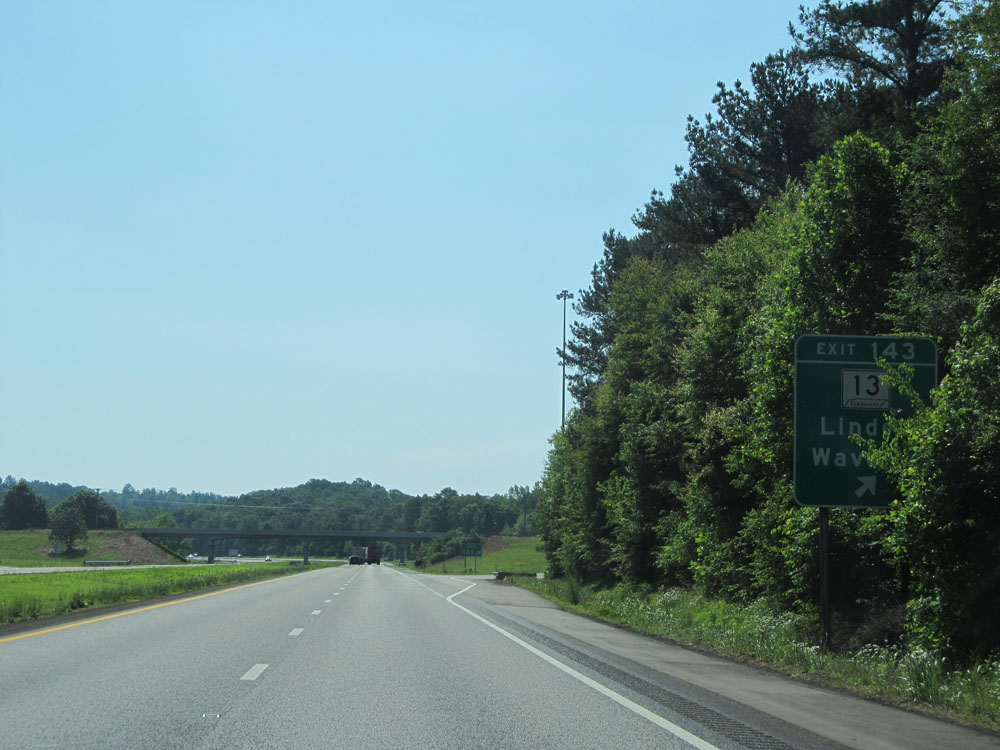 |
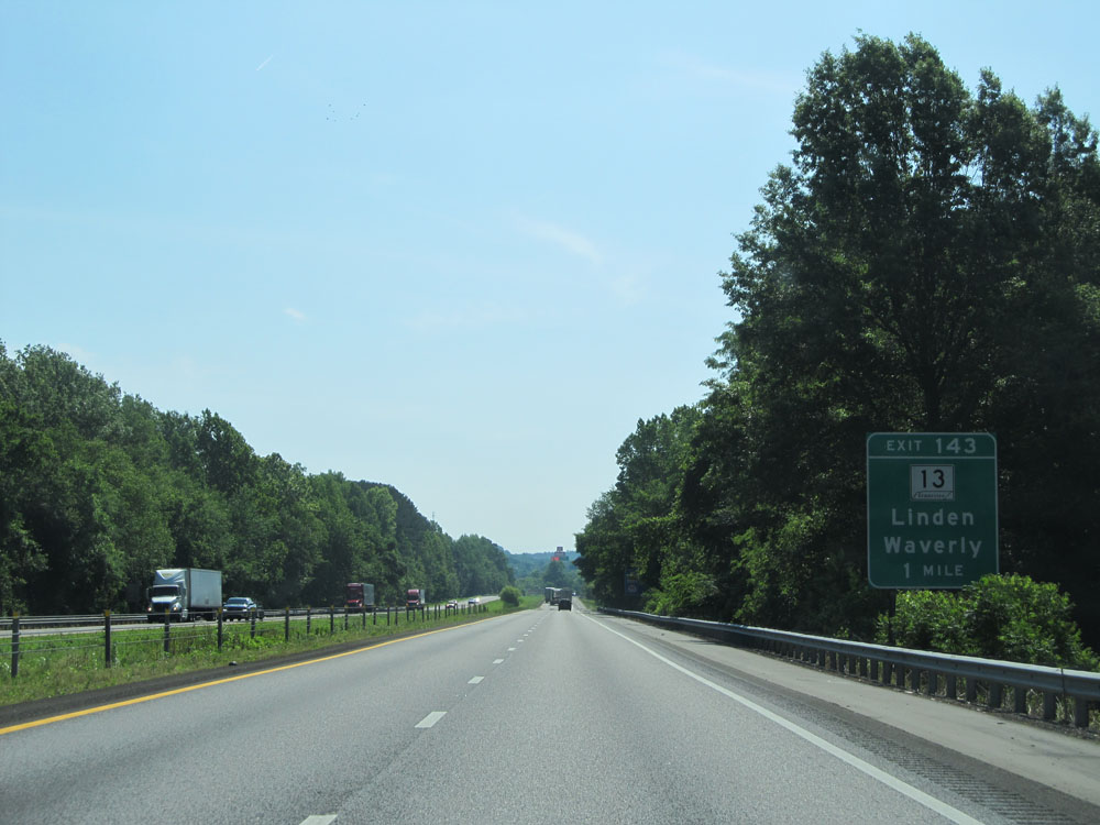
Interstate 40 East at Exit 143: TN 13 - Linden / Waverly. I hope they've trimmed all these tree branches blocking the exit signs along this stretch since I went through there. (Photo taken 5/24/15). |
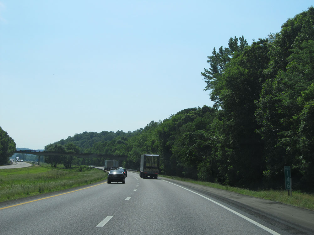 |
Interstate 40 East: Road view from mile marker 146. (Photo taken 5/24/15). |
 |
Interstate 40 East approaching Exit 148 - 1 mile. (Photo taken 5/24/15). |
 |
Take Exit 148 to Turney Center. (Photo taken 5/24/15). |
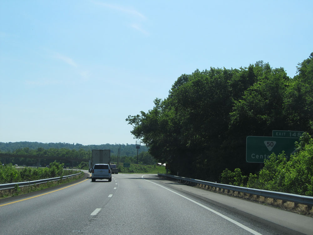 |
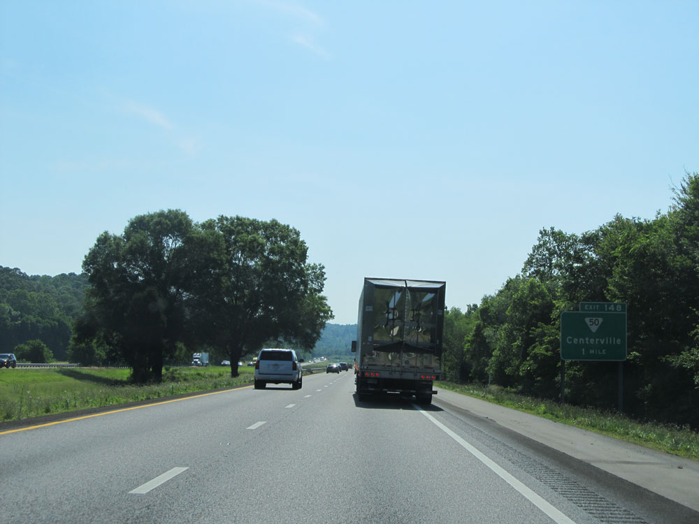
Interstate 40 East at Exit 148: SR 50 - Centerville. Yet another exit sign blocked by overhanging tree limbs. (Photo taken 5/24/15). |
 |
Interstate 40 East at Exit 152: SR 230 - Bucksnort (Photo taken 5/24/15). |
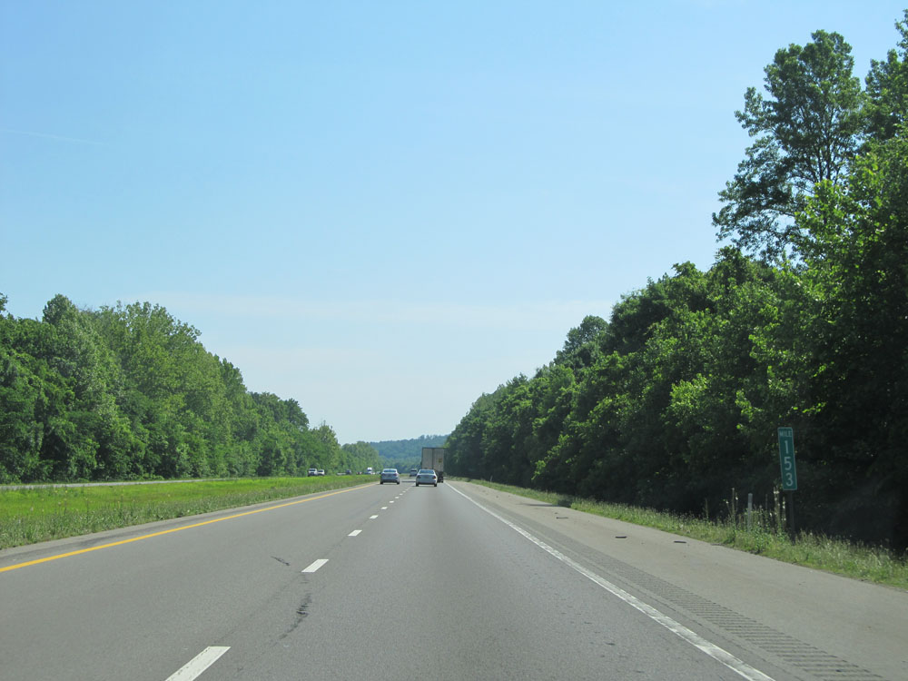 |
Interstate 40 East at mile marker 153. (Photo taken 5/24/15). |
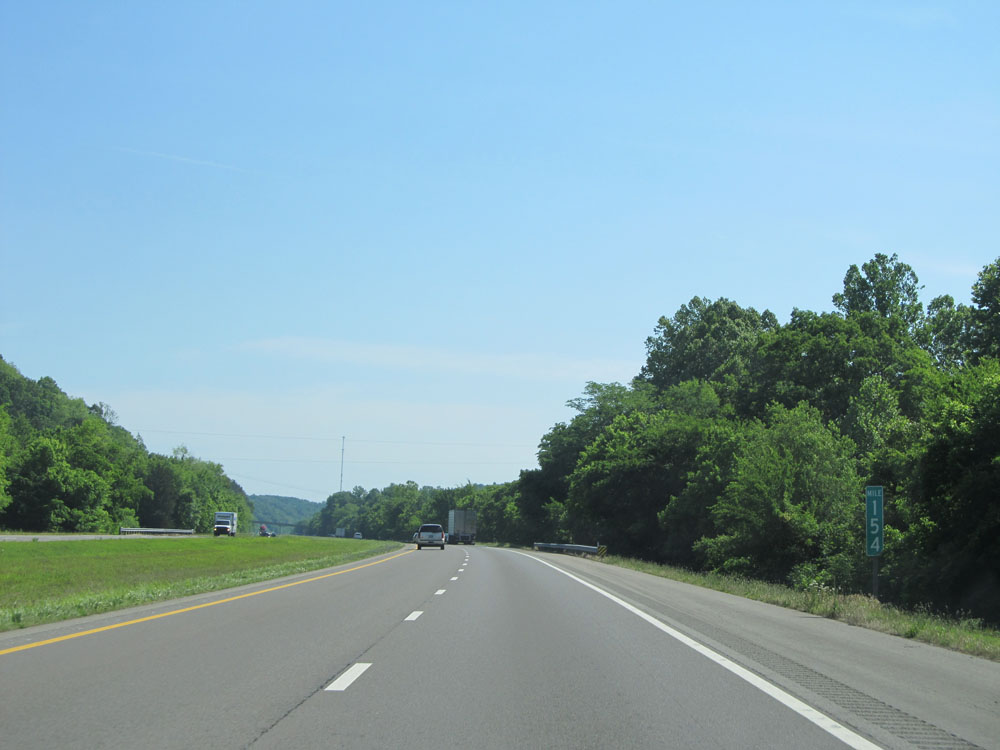 |
Interstate 40 East at mile marker 154. (Photo taken 5/24/15). |
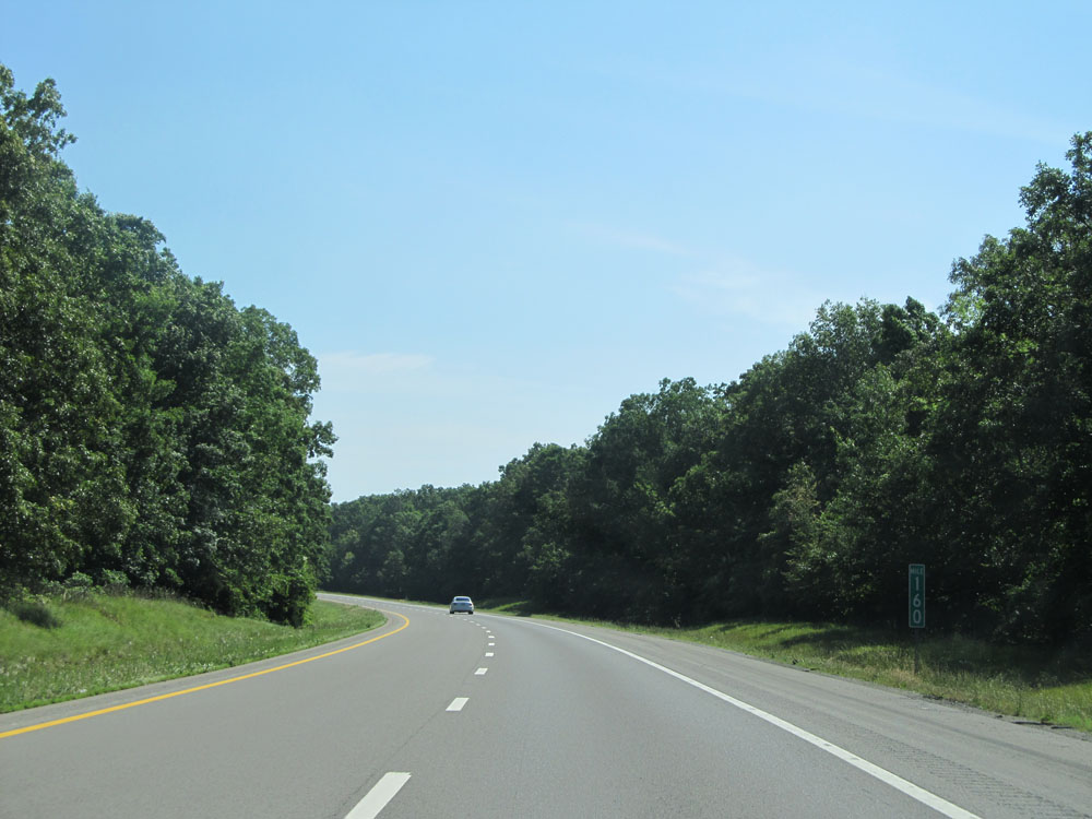 |
Interstate 40 East: Road view from mile marker 160. (Photo taken 5/24/15). |
 |
Interstate 40 East at mile marker 162. (Photo taken 5/24/15). |
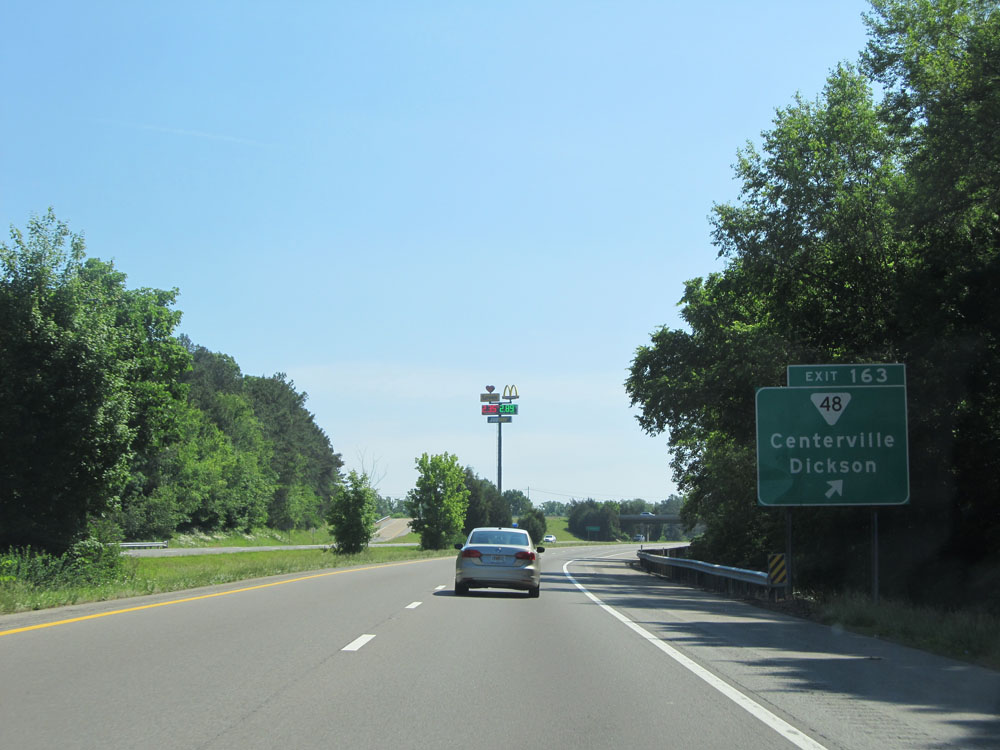 |
Interstate 40 East at Exit 163: SR 48 - Centerville / Dickson (Photo taken 5/24/15). |
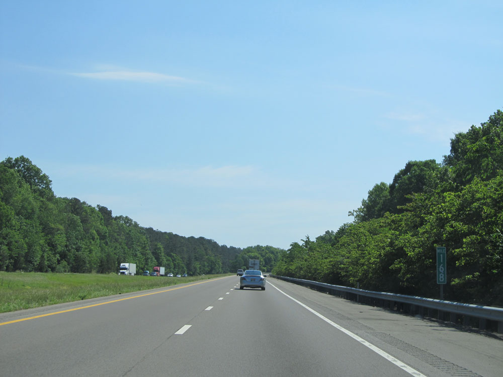 |
Interstate 40 East at mile marker 168. (Photo taken 5/24/15). |
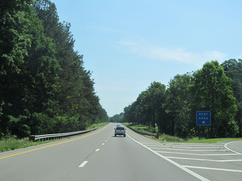 |
Interstate 40 East at the Rest Area located at mile marker 170. (Photo taken 5/24/15). |
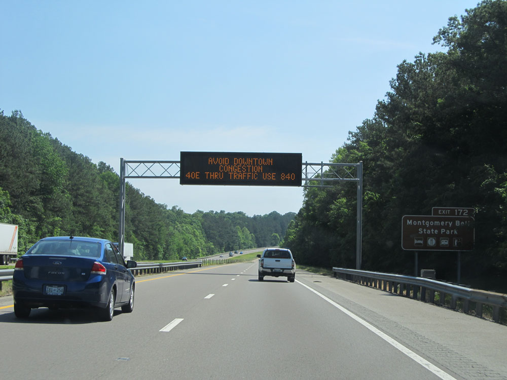 |
Take Exit 172 to Montgomery Bell State Park. (Photo taken 5/24/15). |
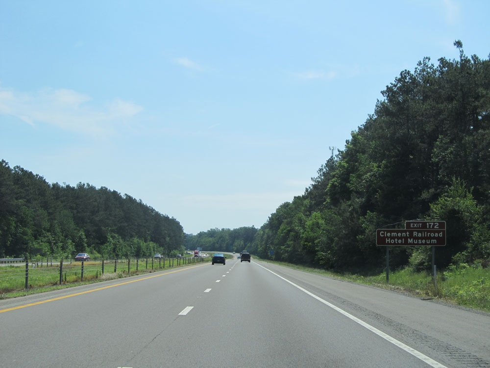 |
Also take Exit 172 to Clement Railroad Hotel Museum. (Photo taken 5/24/15). |
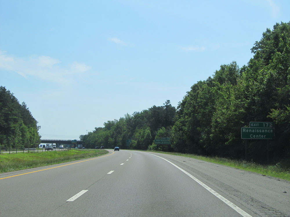 |
Use Exit 172 to the Renaissance Center. (Photo taken 5/24/15). |
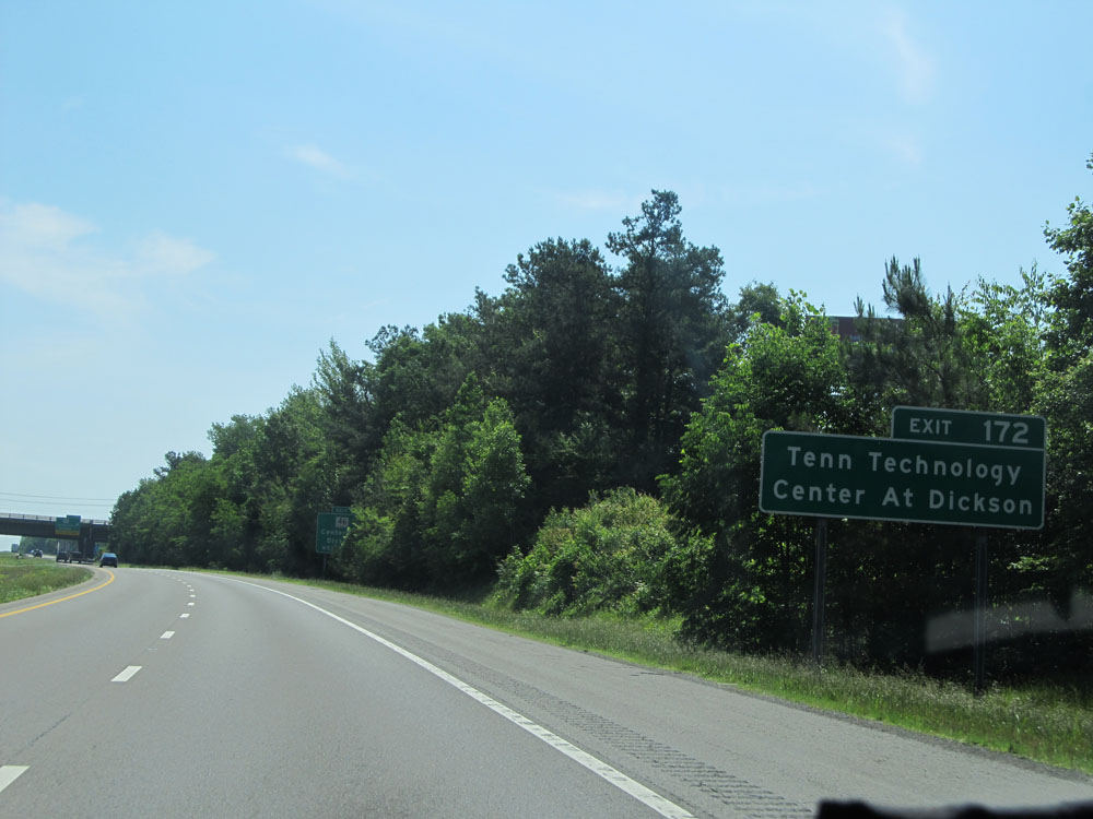 |
Take Exit 172 to Tennessee Technology Center at Dickson as well. (Photo taken 5/24/15). |
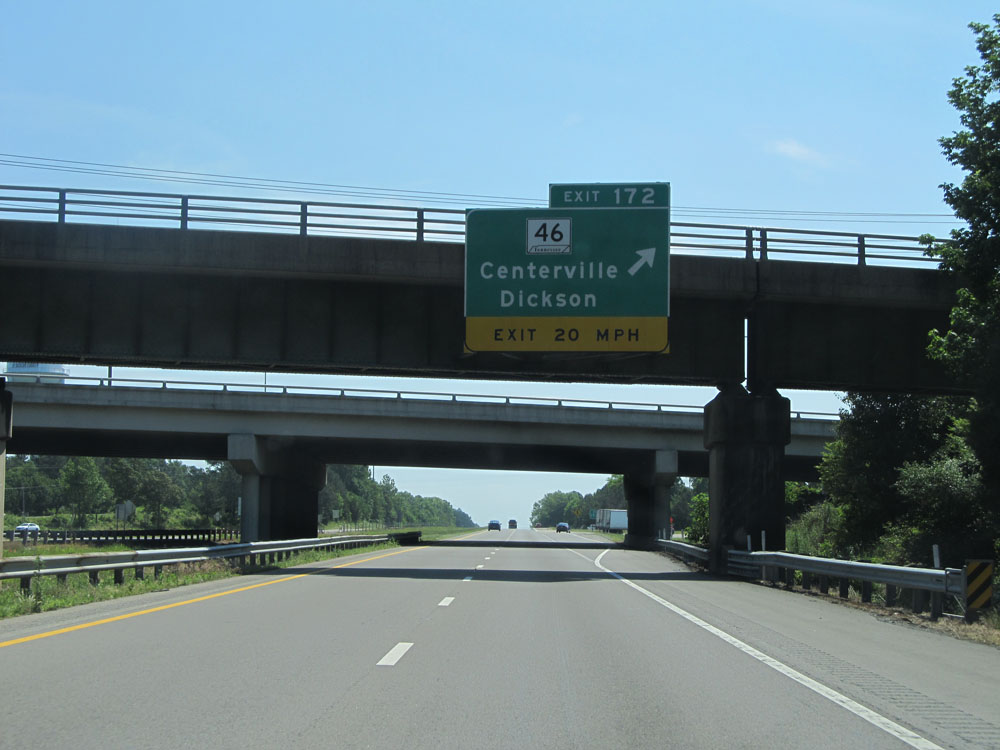 |
Interstate 40 East at Exit 172: TN 46 - Centerville / Dickson (Photo taken 5/24/15). |
 |
Interstate 40 East at mile marker 174. (Photo taken 5/24/15). |
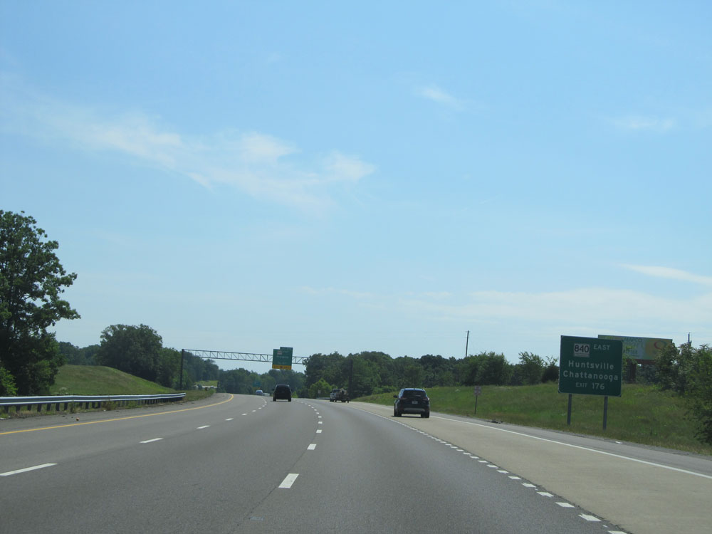 |
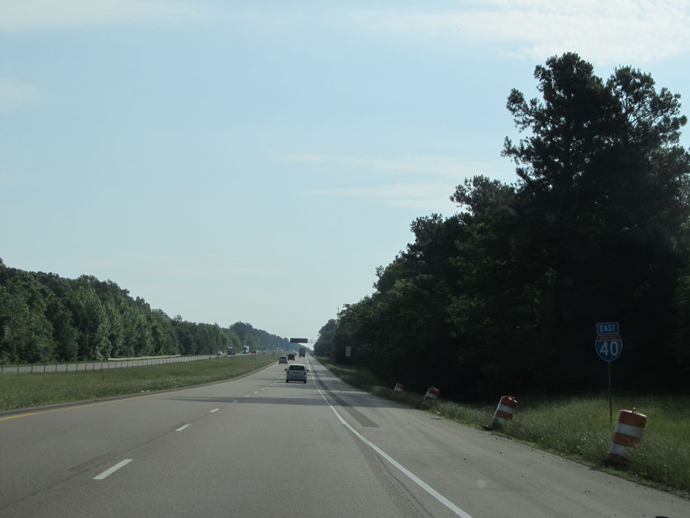
Take Exit 176 to Huntsville and Chattanooga via TN 840 East to Interstate 65 South (Huntsville) and Interstate 24 East (Chattanooga). (Photo taken 5/24/15). |
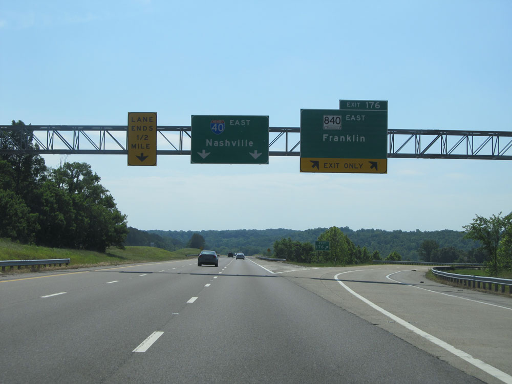 |
Interstate 40 East at Exit 176: TN 840 East - Franklin (Photo taken 5/24/15). |
 |
Interstate 40 East assurance shield near mile marker 177. (Photo taken 5/24/15). |
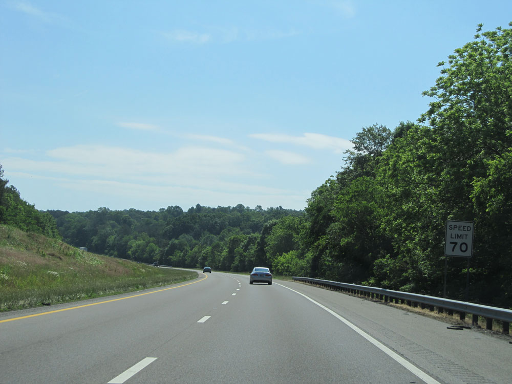 |
Speed limit assurance sign near mile marker 177. Speed Limit - 70 mph. (Photo taken 5/24/15). |
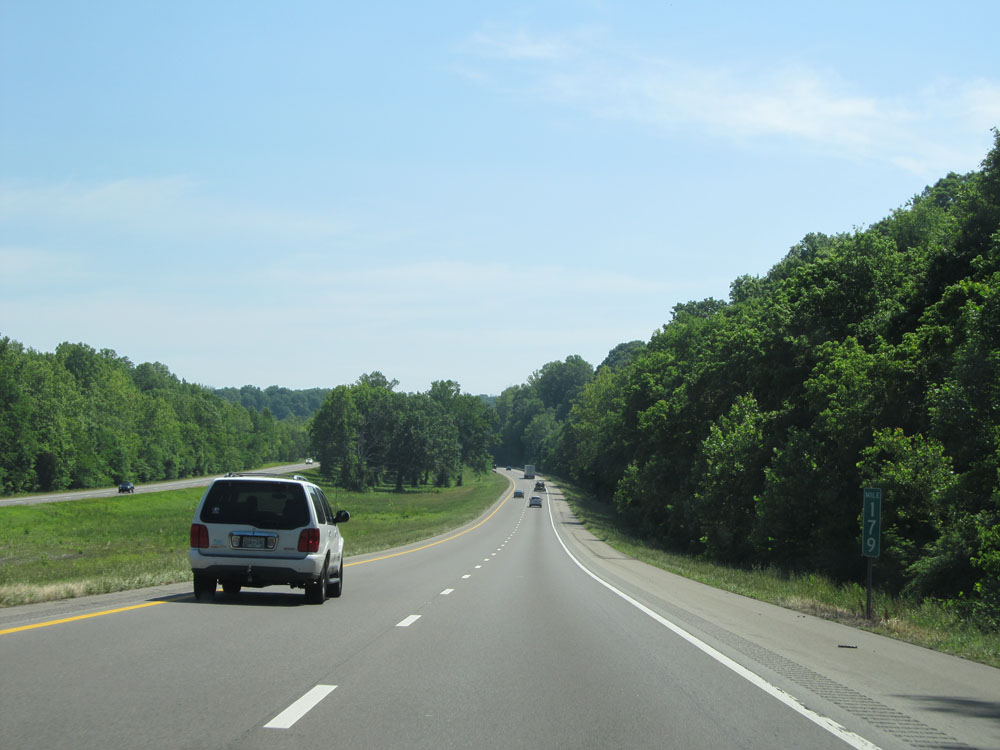 |
Interstate 40 East at mile marker 179. (Photo taken 5/24/15). |
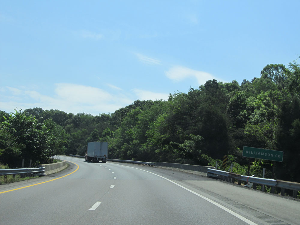 |
Interstate 40 East entering Williamson County. (Photo taken 5/24/15). |
 |
Interstate 40 East at Exit 182: TN 96 - Fairview / Franklin (Photo taken 5/24/15). |
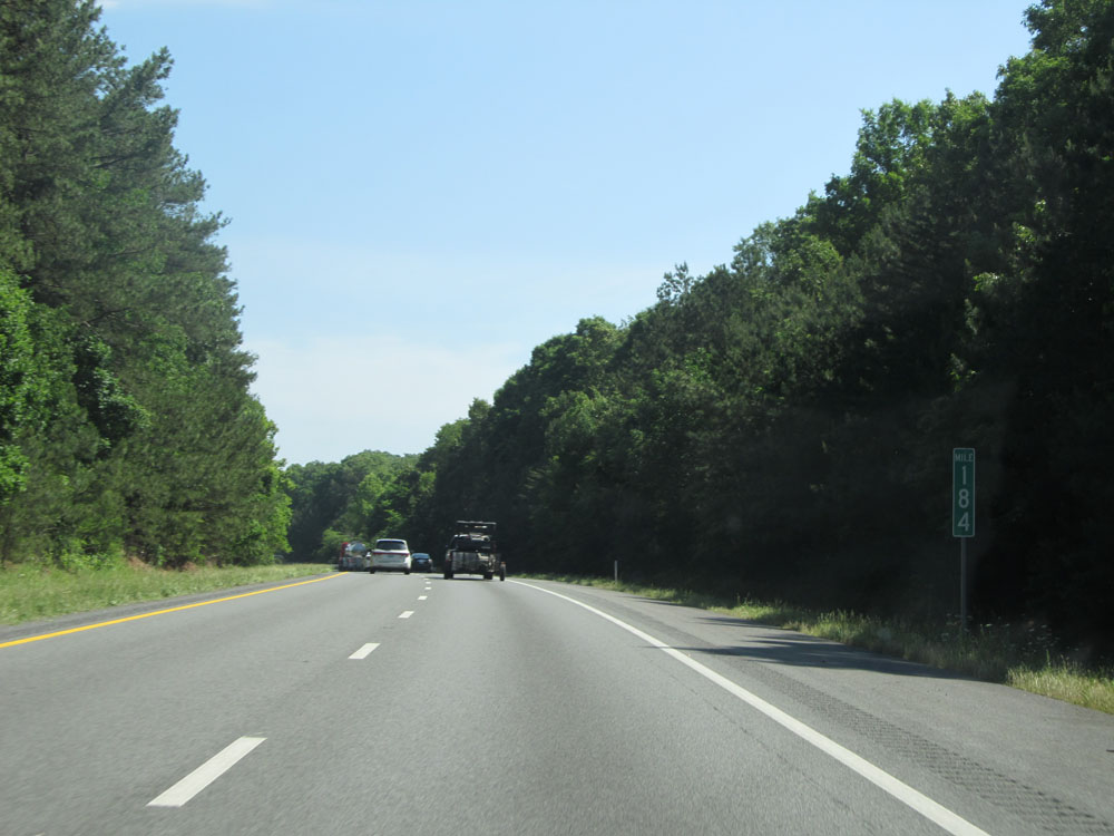 |
Interstate 40 East: Road view from mile marker 184. (Photo taken 5/24/15). |
 |
Interstate 40 East entering Cheatham County. (Photo taken 5/24/15). |
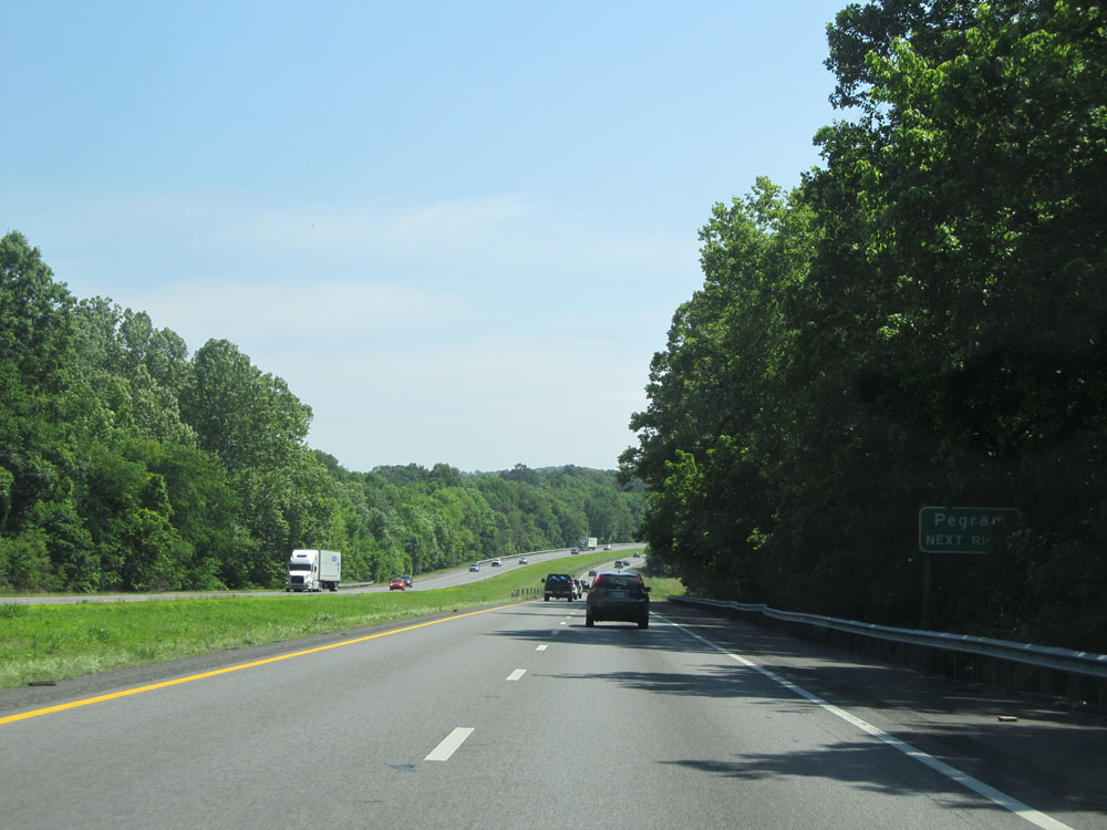 |
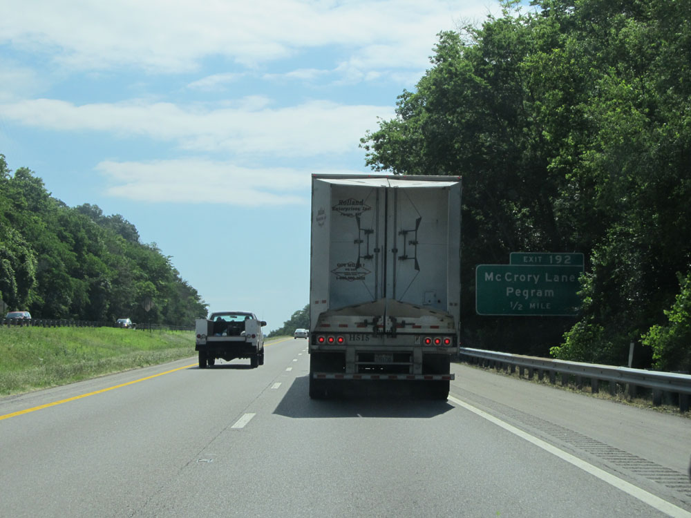
Take Exit 188 to Pegram. (Photo taken 5/24/15). |
 |
Interstate 40 East at Exit 188: SR 249 - Kingston Springs / Ashland City (Photo taken 5/24/15). |
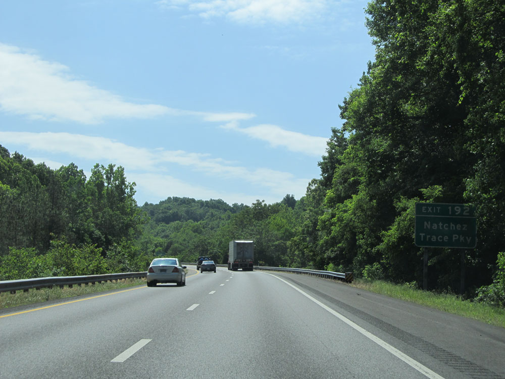 |
Take Exit 192 to Natchez Trace Parkway. (Photo taken 5/24/15). |
 |
Interstate 40 East approaching Exit 192 - 1/2 mile. (Photo taken 5/24/15). |
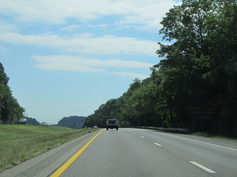 |
Take Exit 192 to Middle Tennessee State Veterans Cemetery. (Photo taken 5/24/15). |
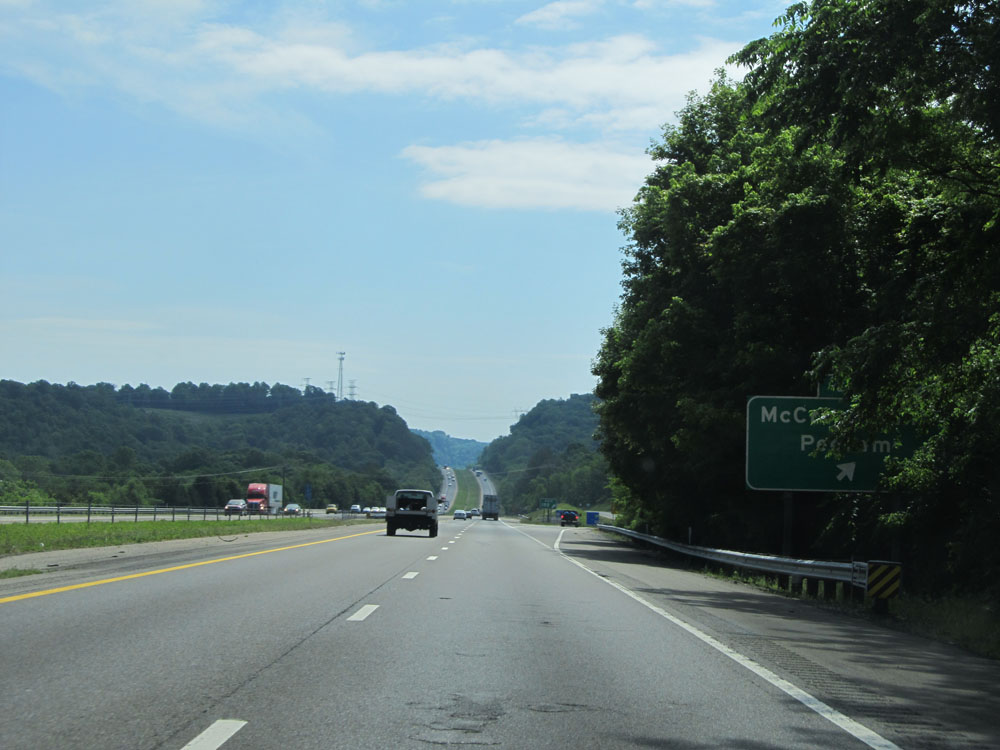 |
Interstate 40 East at Exit 192: McCrory Lane / Pegram (Photo taken 5/24/15). |
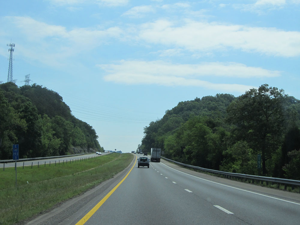 |
Interstate 40 East at mile marker 193. (Photo taken 5/24/15). |
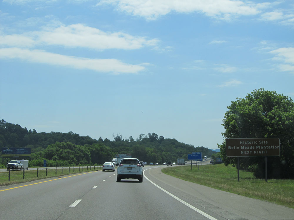 |
Take Exit 196 to Belle Meade Plantation Historic Site. (Photo taken 5/24/15). |
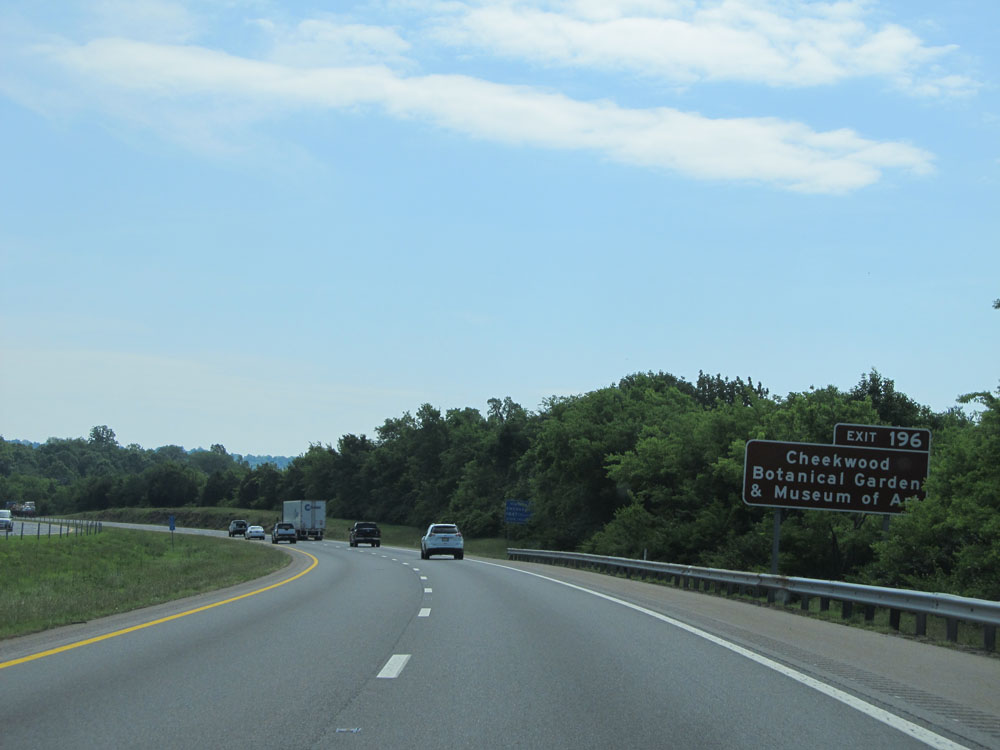 |
Also take Exit 196 to Cheekwood Botanical Garden & Museum of Art. (Photo taken 5/24/15). |
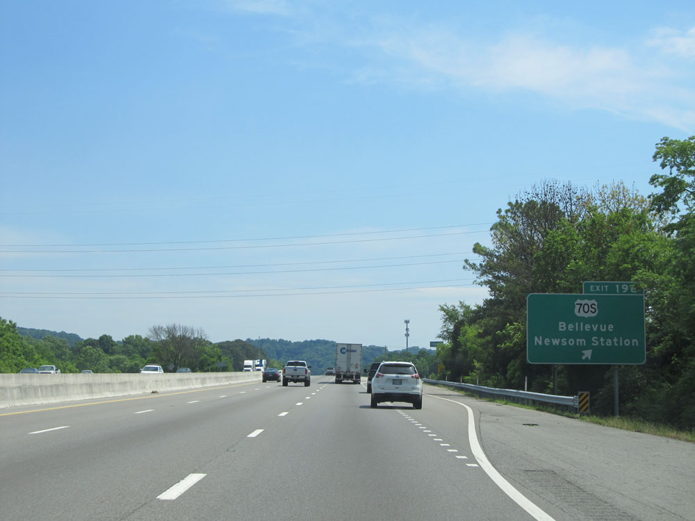 |
Interstate 40 East at Exit 196: US 70S - Bellevue / Newsom Station (Photo taken 5/24/15). |
 |
Interstate 40 East: Road view from mile marker 198. (Photo taken 5/24/15). |
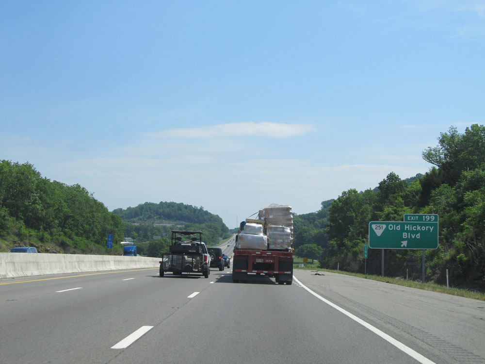 |
Interstate 40 East at Exit 199: SR 251 - Old Hickory Blvd (Photo taken 5/24/15). |
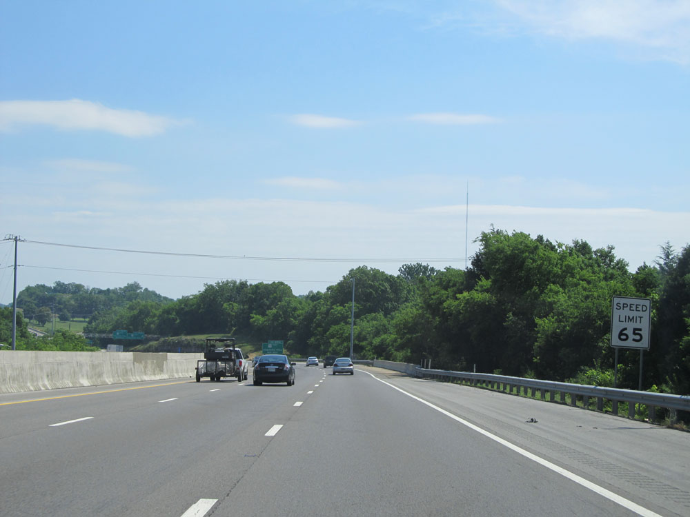 |
Just past Exit 199, the speed limit decreases to 65 mph for all vehicles as we begin to approach the Nashville area. (Photo taken 5/24/15). |
 |
Interstate 40 East at Exit 201A: US 70 East - Charlotte Pike (Photo taken 5/24/15). |
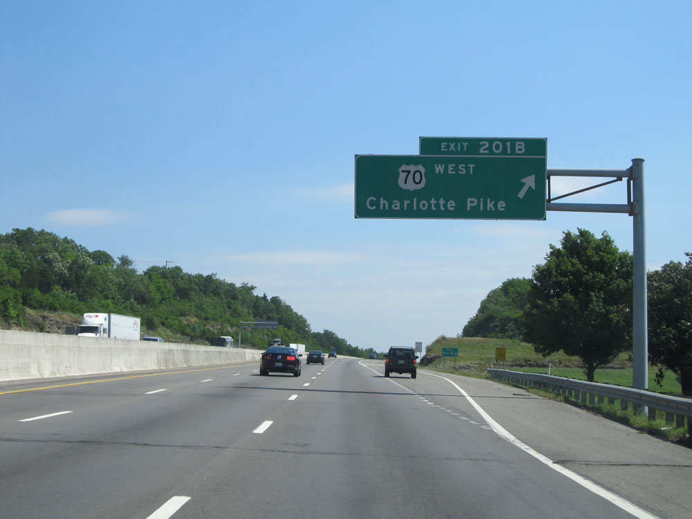 |
Interstate 40 East at Exit 201B: US 70 West - Charlotte Pike (Photo taken 5/24/15). |
 |
Interstate 40 East at mile marker 202. (Photo taken 5/24/15). |
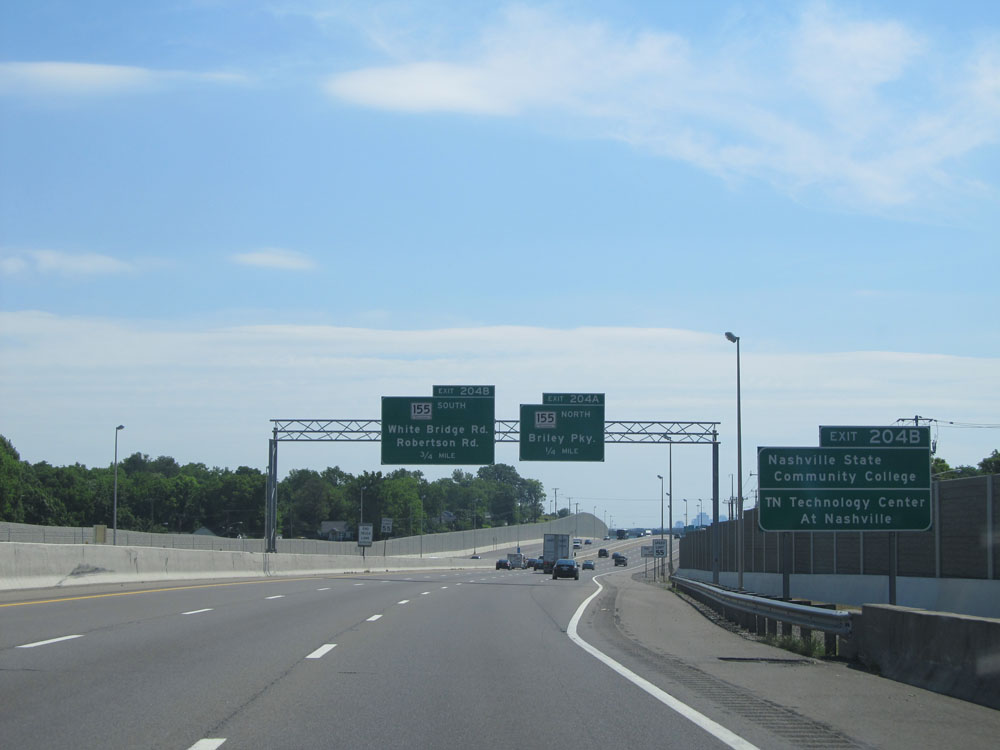 |
Take Exit 204B to Nashville State Community College and Tennessee Technology Center at Nashville. (Photo taken 5/24/15). |
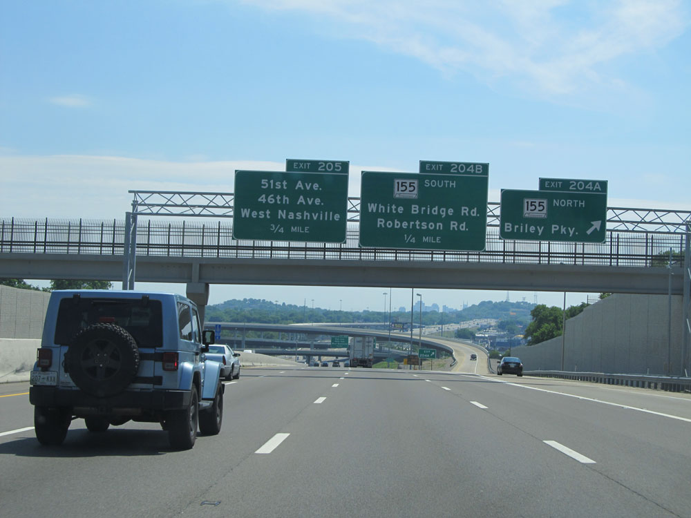 |
Interstate 40 East at Exit 204A: TN 155 North - Briley Parkway (Photo taken 5/24/15). |
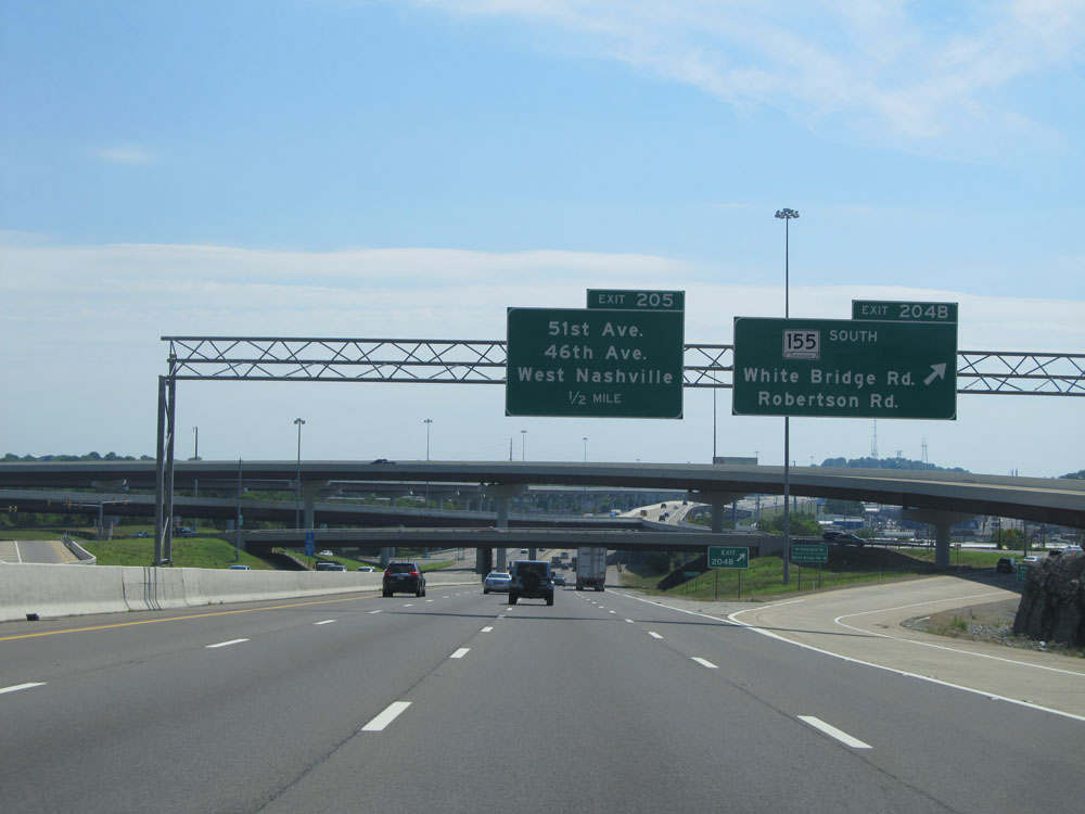 |
Interstate 40 East at Exit 204B: TN 155 South - White Bridge Rd / Robertson Rd (Photo taken 5/24/15). |
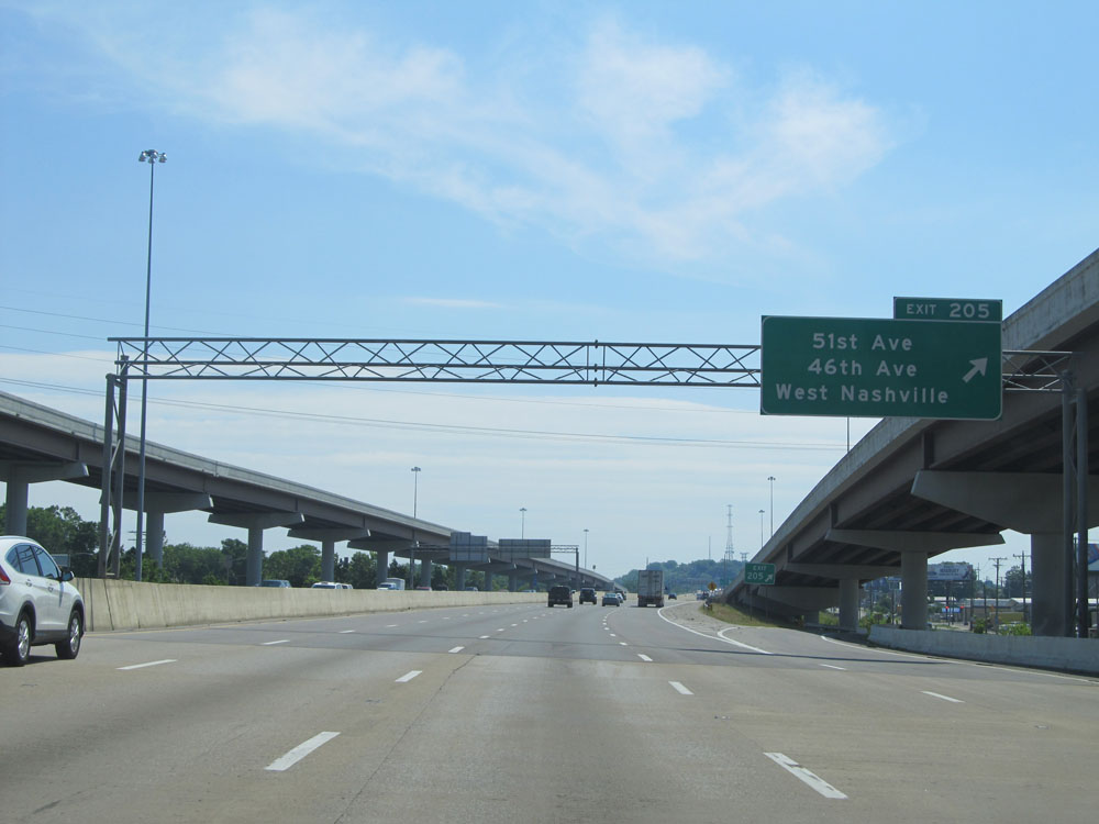 |
Interstate 40 East at Exit 205: 51st Ave / 46th Ave / West Nashville (Photo taken 5/24/15). |
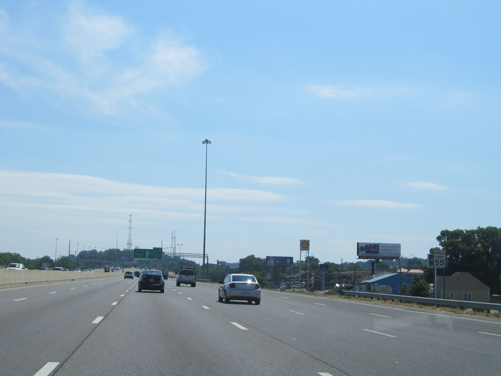 |
Just past Exit 205, the speed limit decreases to 55 mph and remains that way through the downtown area. (Photo taken 5/24/15). |
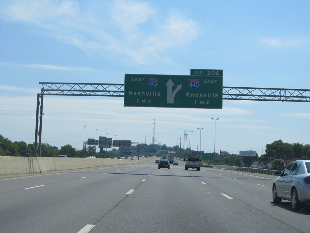 |
Interstate 40 East approaching Exit 206 - 1 mile. (Photo taken 5/24/15). |
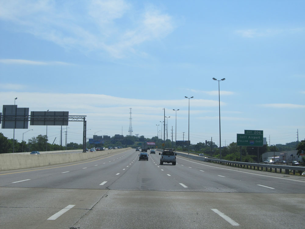 |
Take Exit 206 and follow Interstate 440 East to Nashville International Airport. (Photo taken 5/24/15). |
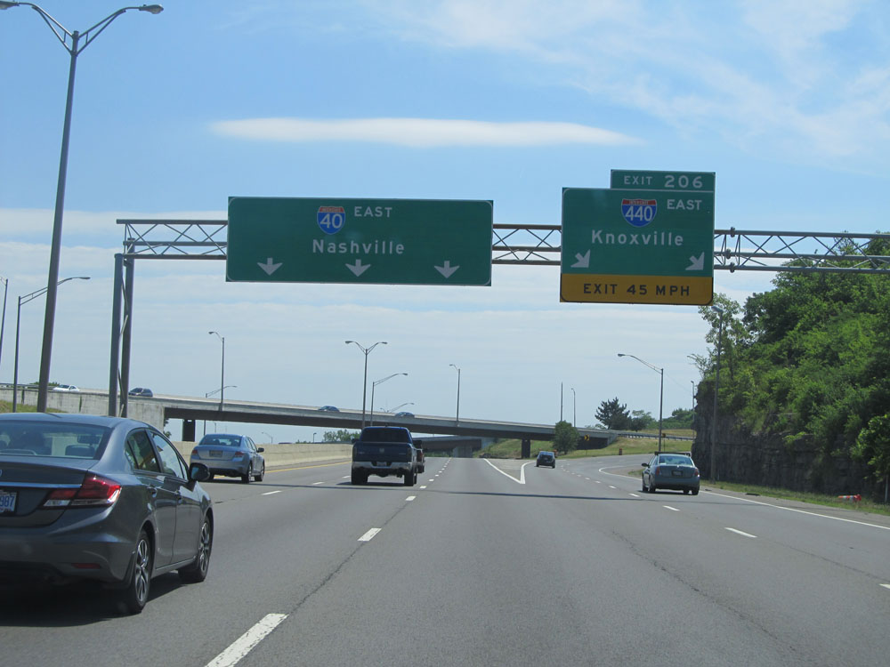 |
Interstate 40 East at Exit 206: Interstate 440 East - Knoxville (Photo taken 5/24/15). |
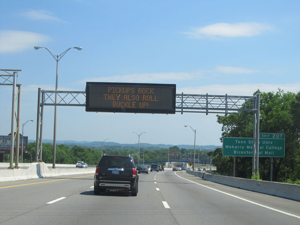 |
Take Exit 207 to Tennessee State University, Meharry Medical College, and the Bicentennial Mall. (Photo taken 5/24/15). |
 |
Interstate 40 East at Exit 207: Jefferson St (Photo taken 5/24/15). |
 |
Interstate 40 East approaching Exits 208A-B - 1/2 mile. (Photo taken 5/24/15). |
 |
Interstate 40 East at Exit 208A: Interstate 40 East / Interstate 65 South - Knoxville / Huntsville; Exit 208B: Interstate 65 North - Louisville (Photo taken 5/24/15). |