Road Information |
||
 |
||
| Total Mileage in State: | 252 miles | |
| Northern End: | At North Dakota border | |
| Southern End: | At Iowa state line | |
| Mileage covered in Photos: | 252 miles | |
| Counties covered in Photos: | Union, Lincoln, Minnehaha, Moody, Brookings, Deuel, Hamlin, Codington, Grant, Roberts | |
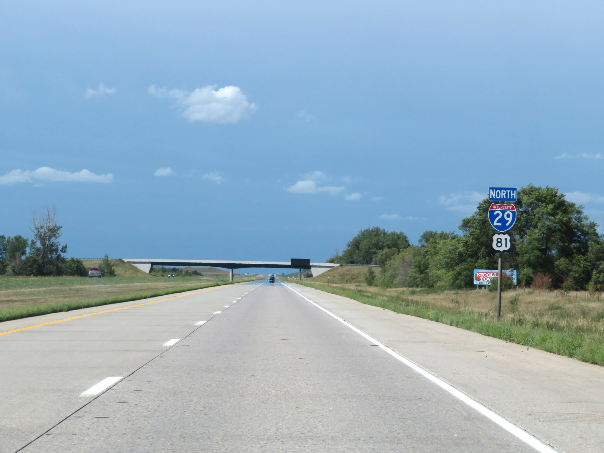
| Major Junctions in Photos: | I-229, in Sioux Falls I-90, in Sioux Falls US 14, in Brookings US 212, in Watertown |
|
| Control Cities in Photos: | Beresford, Sioux Falls, Brookings, Watertown | |
Northbound
- Section 1: Iowa Border to Sioux Falls (Exit 75)
- Section 2: Sioux Falls (Exit 75) to Brookings (Exit 133)
- Section 3: Brookings (Exit 133) to Watertown (Exit 180)
- Section 4: Watertown (Exit 180) to North Dakota Border
Section 1: Iowa Border to Sioux Falls (Exit 75)
 |
South Dakota welcome sign as Interstate 29 North enters the Mount Rushmore State from Iowa. (Photo taken 8/9/20). |
 |
Interstate 29 North reassurance shield. (Photo taken 8/9/20). |
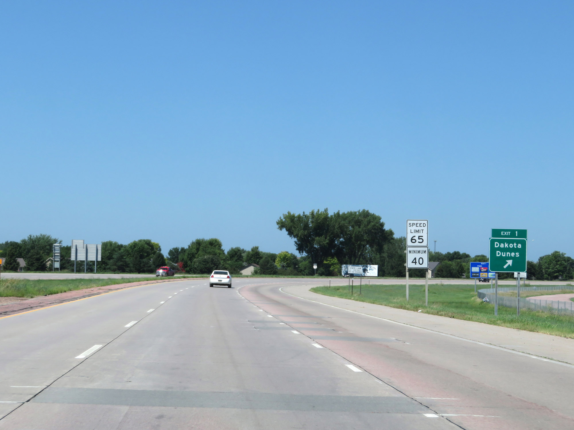 |
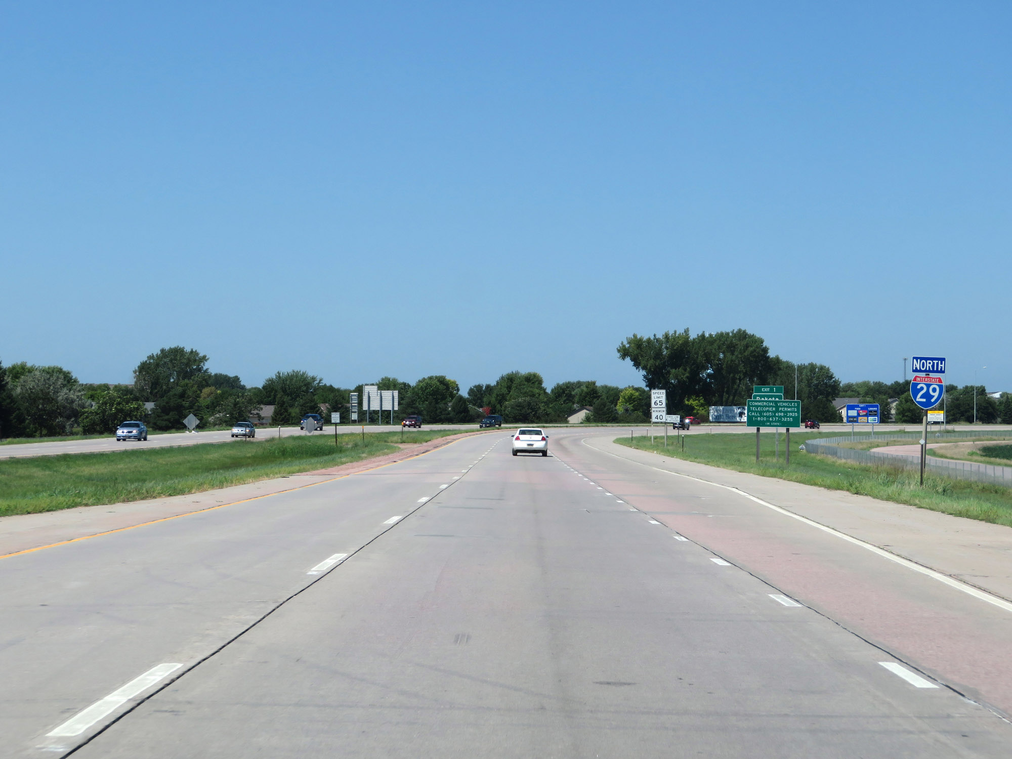
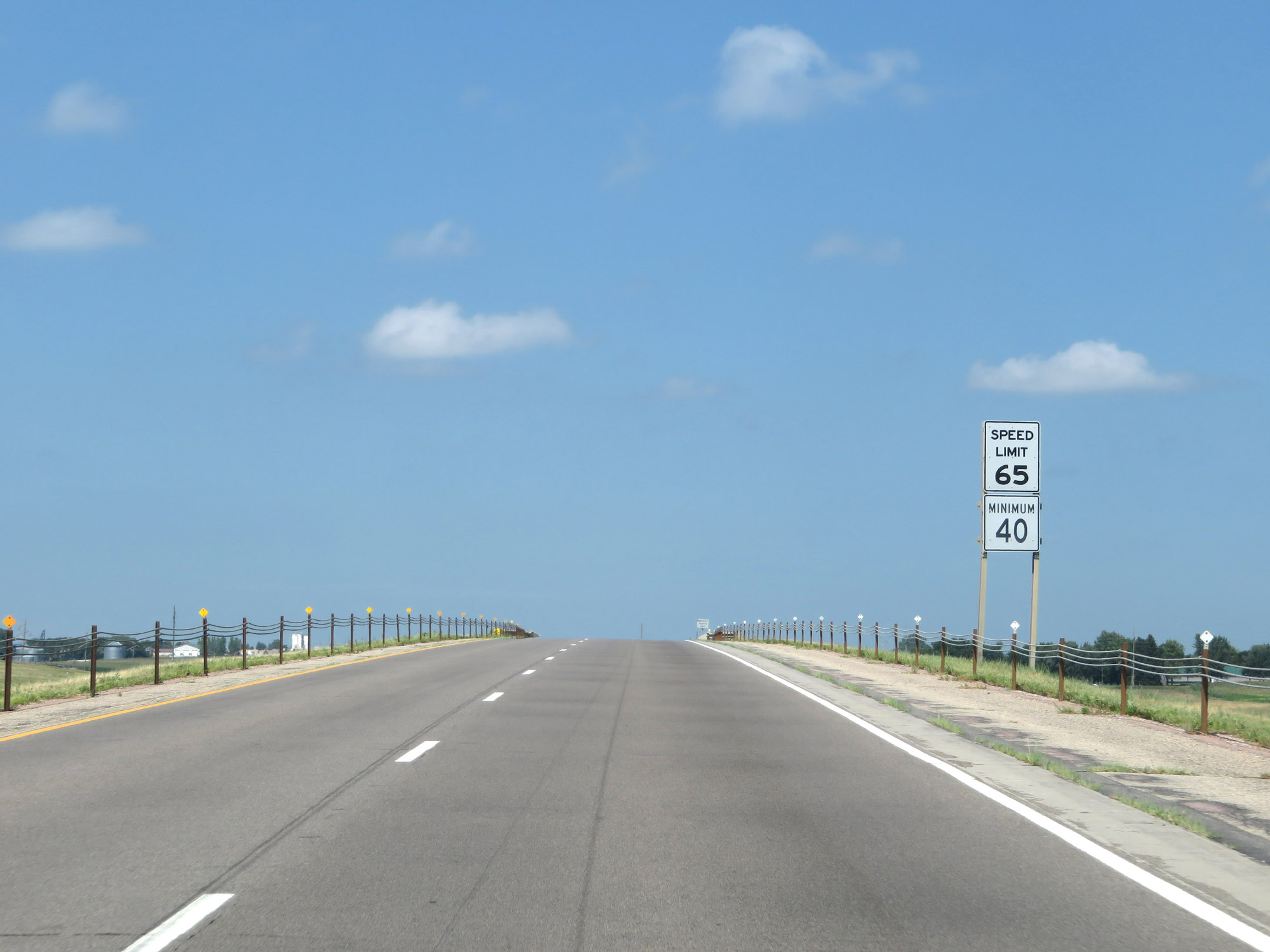
Interstate 29 North at Exit 1: Dakota Dunes. The speed limits on Interstate 29 North start out at 65 mph maximum and 40 mph minimum in North Sioux City. (Photo taken 8/9/20). |
 |
Take either of the next 2 exits to North Sioux City. (Photo taken 8/9/20). |
 |
The speed limits remain 65 mph maximum and 40 mph minimum. (Photo taken 8/9/20). |
 |
When the lights on this sign are flashing, Interstate 29 North is closed ahead and all traffic must take Exit 2. These signs are common on Interstates in areas which see very harsh winter weather. (Photo taken 8/9/20). |
 |
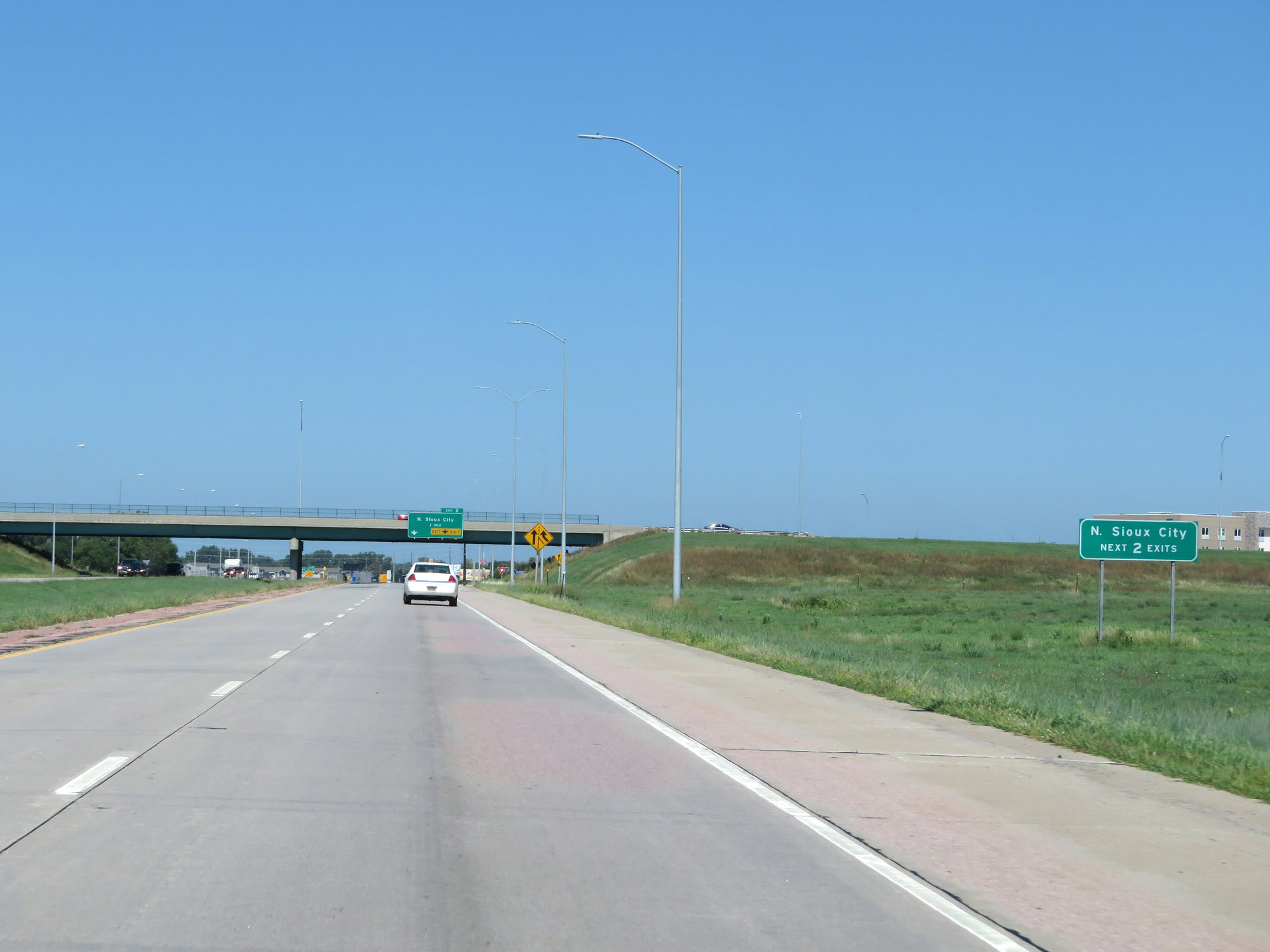
Interstate 29 North at Exit 2: North Sioux City (Photo taken 8/9/20). |
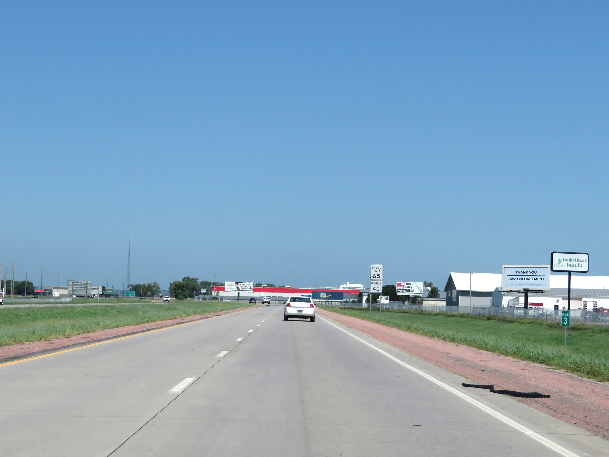 |
Interstate 29 North at mile marker 3. (Photo taken 8/9/20). |
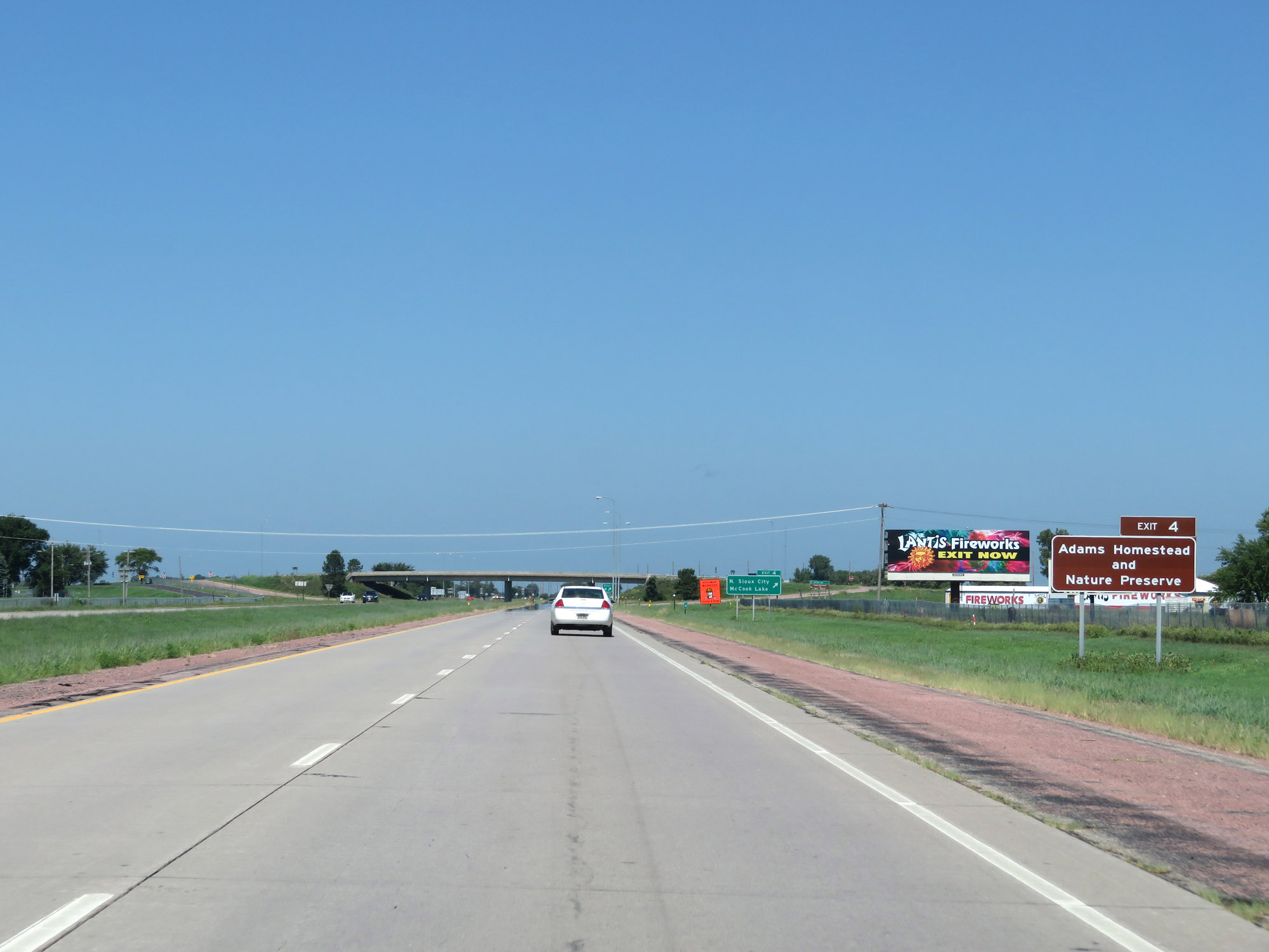 |
Take Exit 4 to Adams Homestead and Nature Preserve. (Photo taken 8/9/20). |
 |
Interstate 29 North at Exit 4: North Sioux City / McCook Lake (Photo taken 8/9/20). |
 |
Another Interstate 29 North reassurance shield leaving North Sioux City. (Photo taken 8/9/20). |
 |
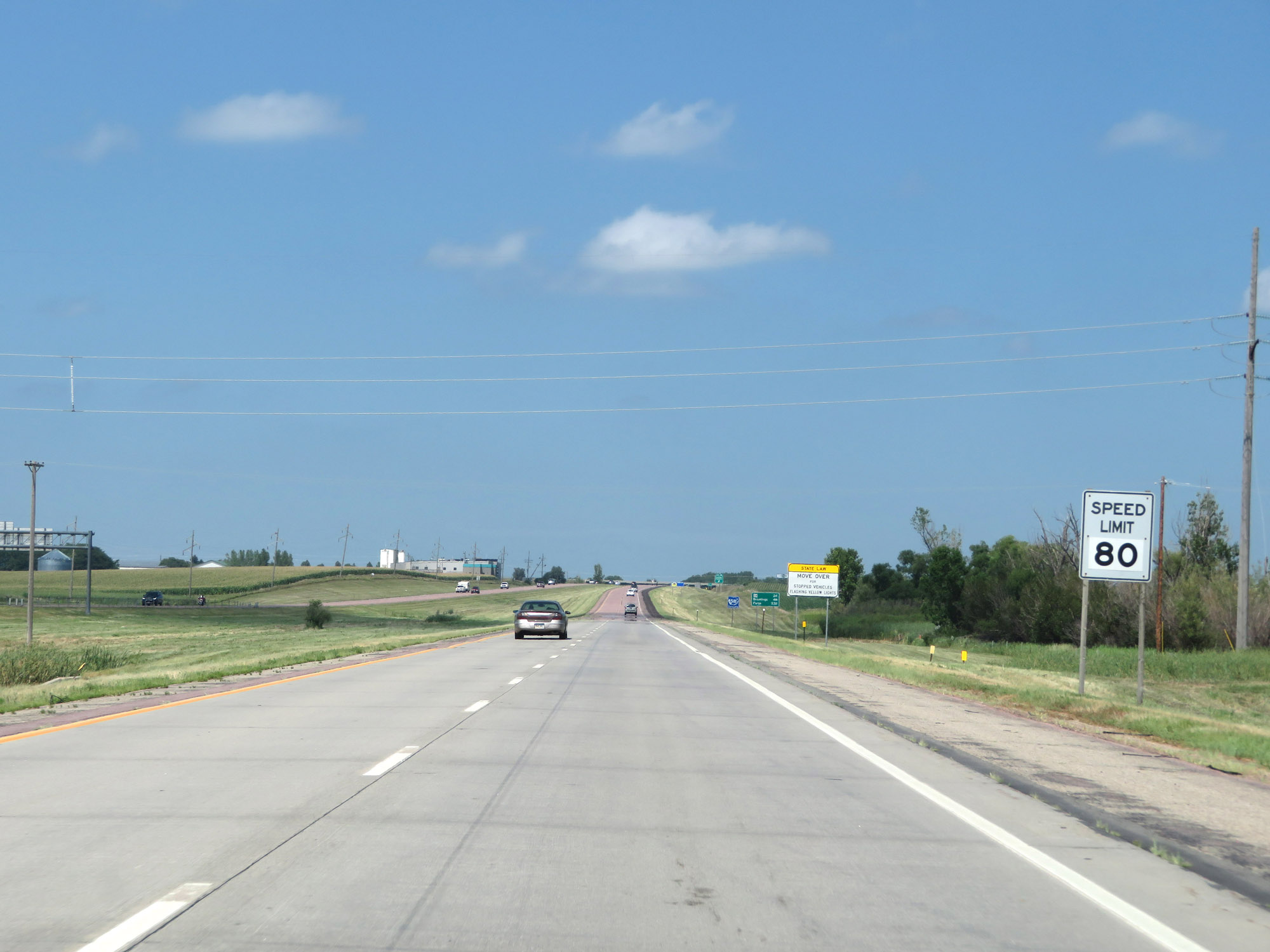
The maximum speed limit increases to 80 mph on Interstate 29 North as it leaves North Sioux City. The minimum speed limit remains 40 mph. These are the standard speed limits on most rural Interstate highways in South Dakota. (Photo taken 8/9/20). |
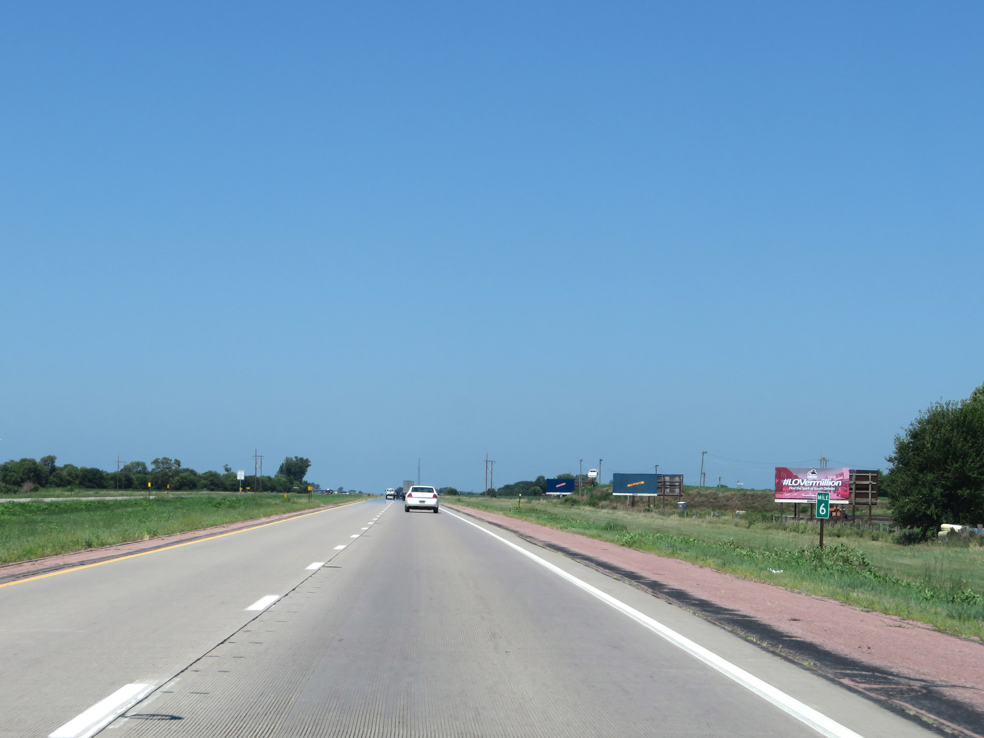 |
View on Interstate 29 North at mile marker 6. (Photo taken 8/9/20). |
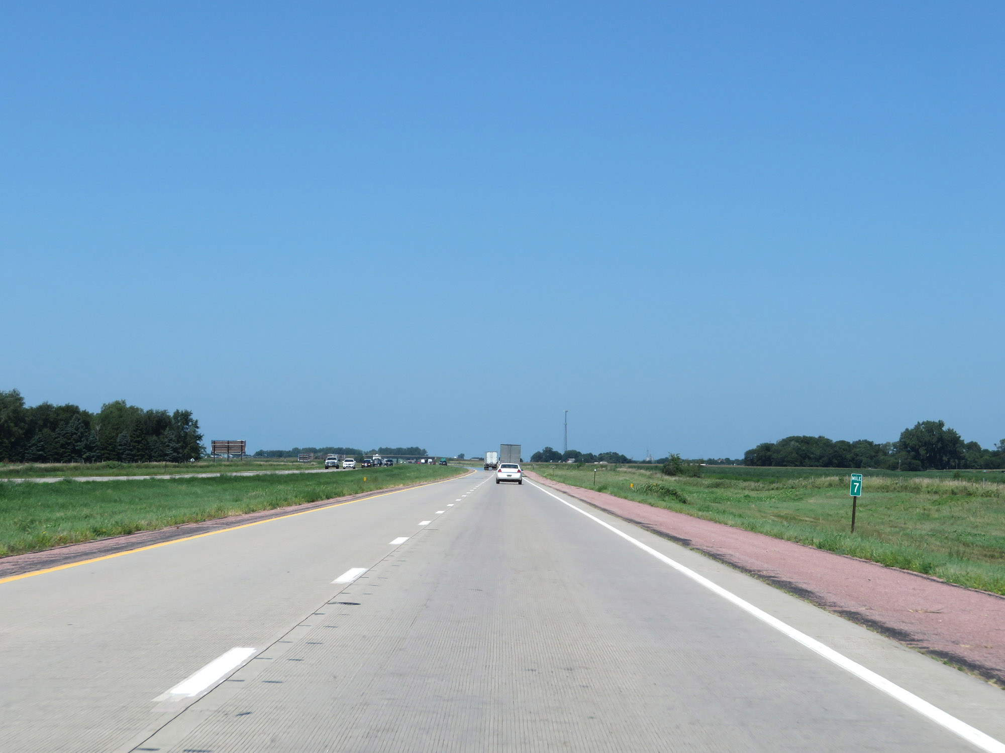 |
Interstate 29 North at mile marker 7. (Photo taken 8/9/20). |
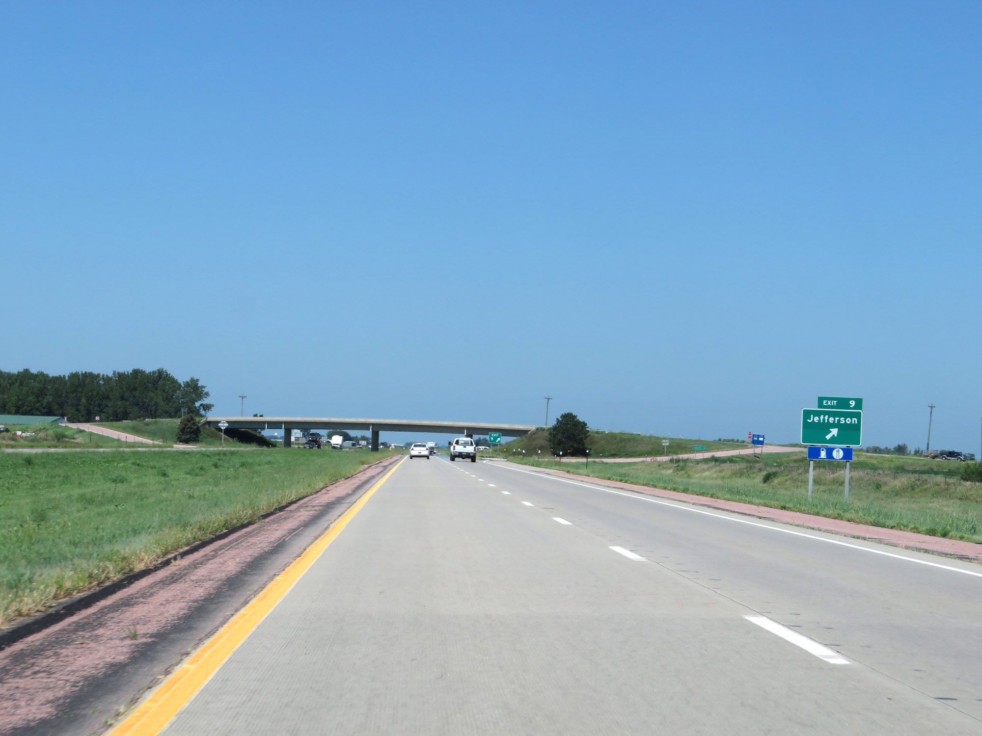 |
Interstate 29 North at Exit 9: Jefferson (Photo taken 8/9/20). |
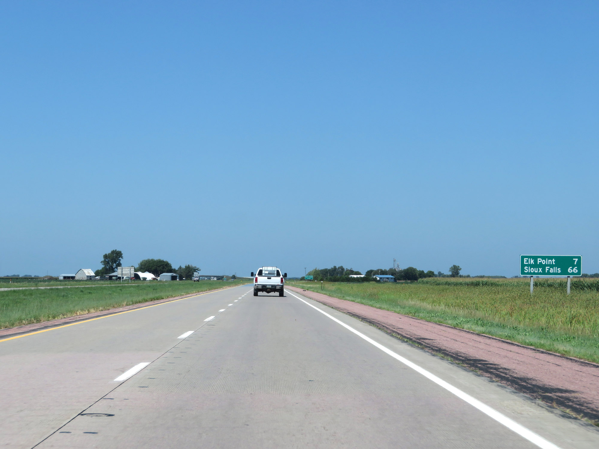 |
Mileage sign on Interstate 29 North. It's 7 miles to Elk Point and 66 miles to Sioux Falls. (Photo taken 8/9/20). |
 |
This sign warns that all vehicles over 10,000 pounds GVW (Gross Vehicle Weight) must enter the Weigh Station ahead. RVs and Buses are excluded from this requirement. (Photo taken 8/9/20). |
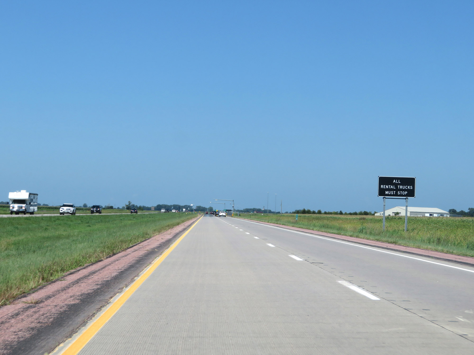 |
In South Dakota, all Rental Trucks must stop at the Weigh Stations. (Photo taken 8/9/20). |
 |
Weigh Station on Interstate 29 North in Union County. (Photo taken 8/9/20). |
 |
View on Interstate 29 North at mile marker 14. (Photo taken 8/9/20). |
 |
Interstate 29 North at Exit 15: Interstate 29 Business Loop - Elk Point (Photo taken 8/9/20). |
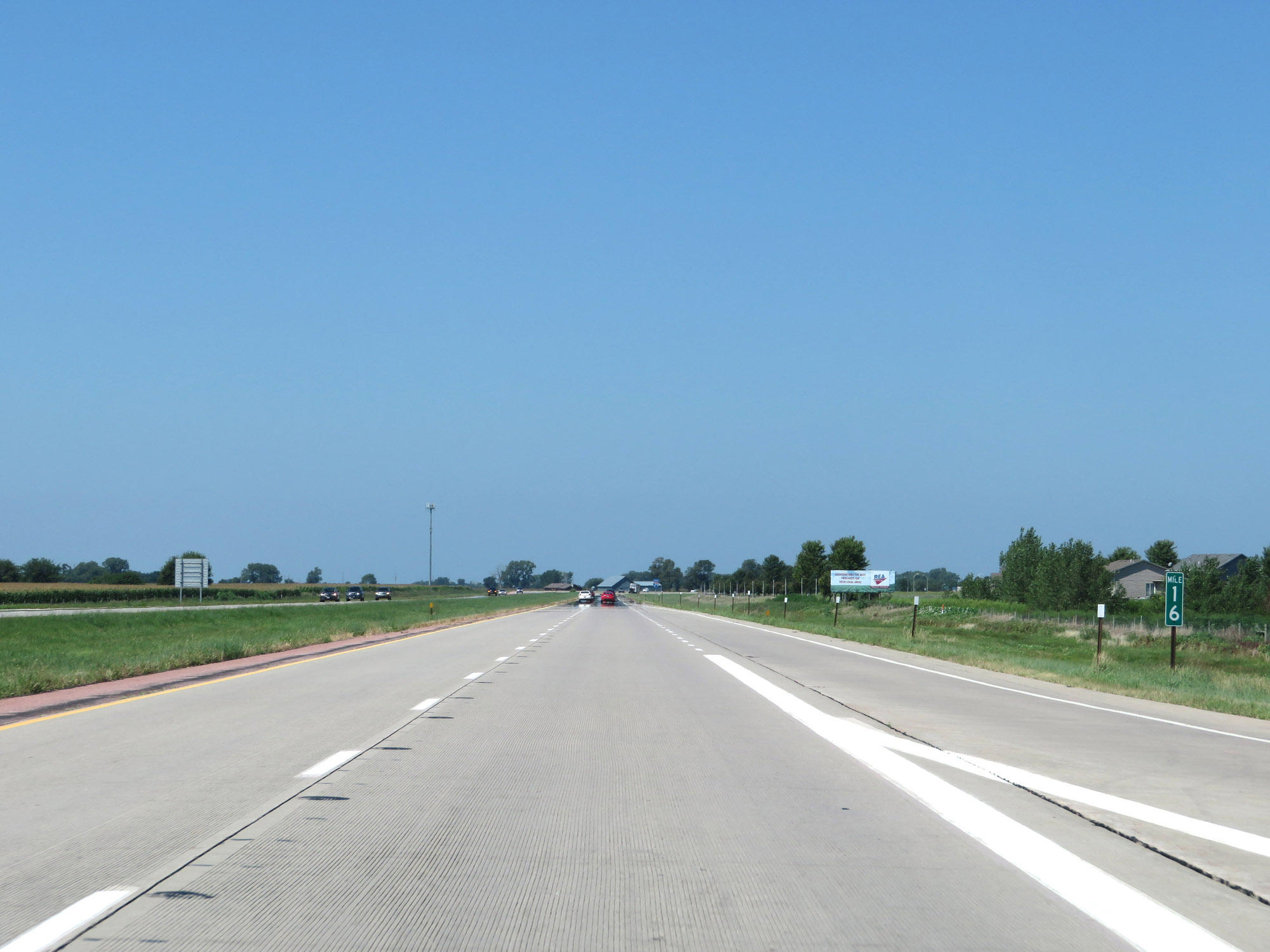 |
Interstate 29 North at mile marker 16. (Photo taken 8/9/20). |
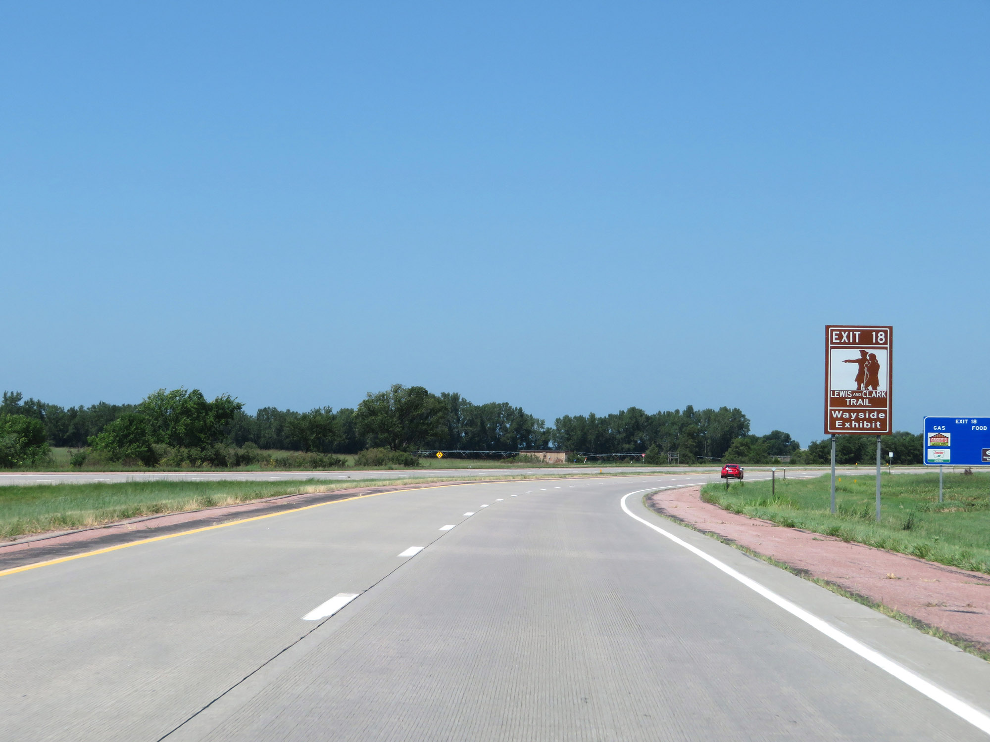 |
Take Exit 18 to the Lewis and Clark Wayside Exhibit. (Photo taken 8/9/20). |
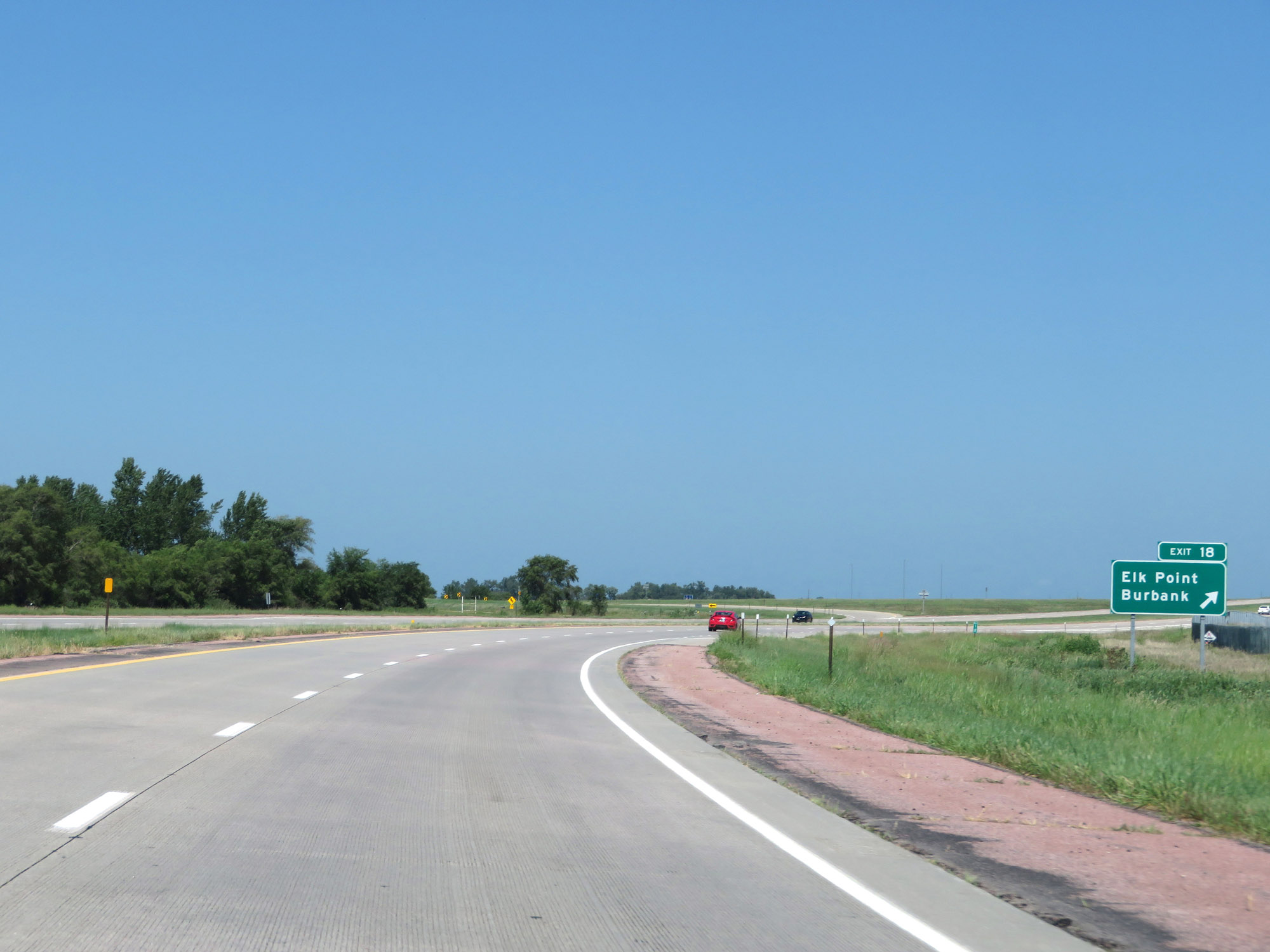 |
Interstate 29 North at Exit 18: Elk Point / Burbank (Photo taken 8/9/20). |
 |
Mileage sign on Interstate 29 North at mile marker 19. It's 8 miles to the junction of SD 50 and 57 miles to Sioux Falls. (Photo taken 8/9/20). |
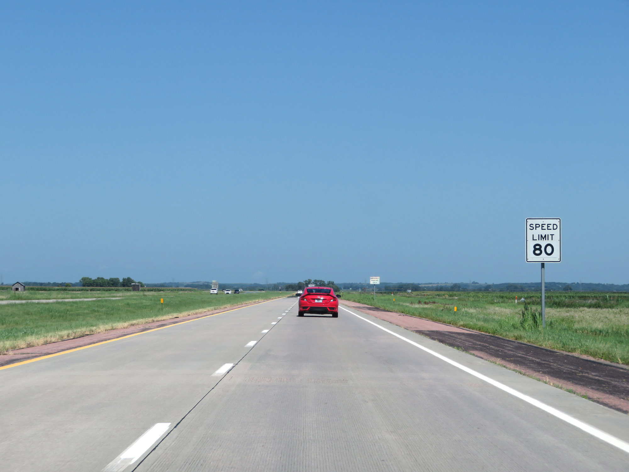 |
The maximum speed limit remains 80 mph for all traffic. (Photo taken 8/9/20). |
 |
View on Interstate 29 North at mile marker 21. (Photo taken 8/9/20). |
 |
Interstate 29 North at mile marker 23. (Photo taken 8/9/20). |
 |
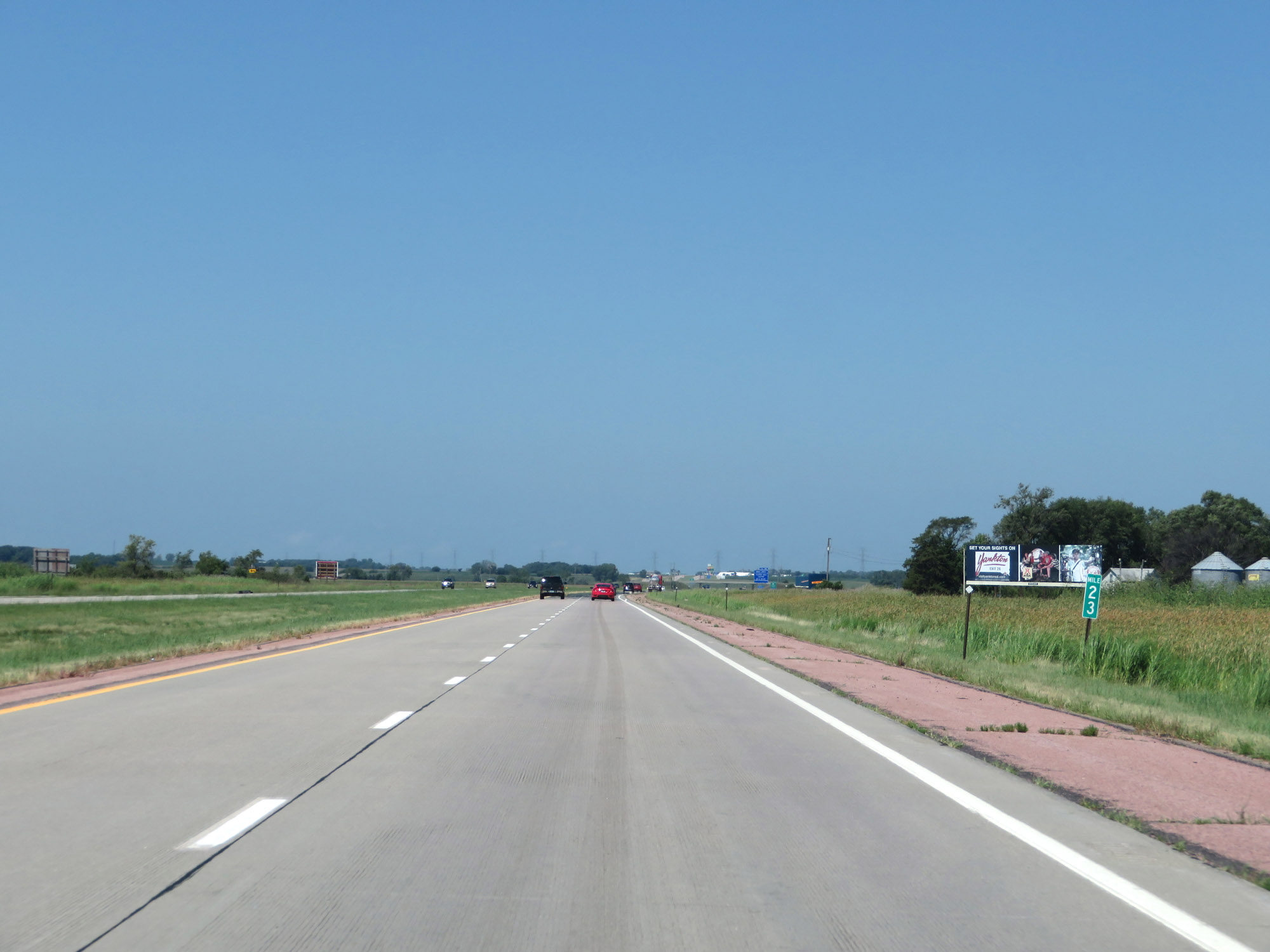
Mile marker 25 on Interstate 29 North. (Photo taken 8/9/20). |
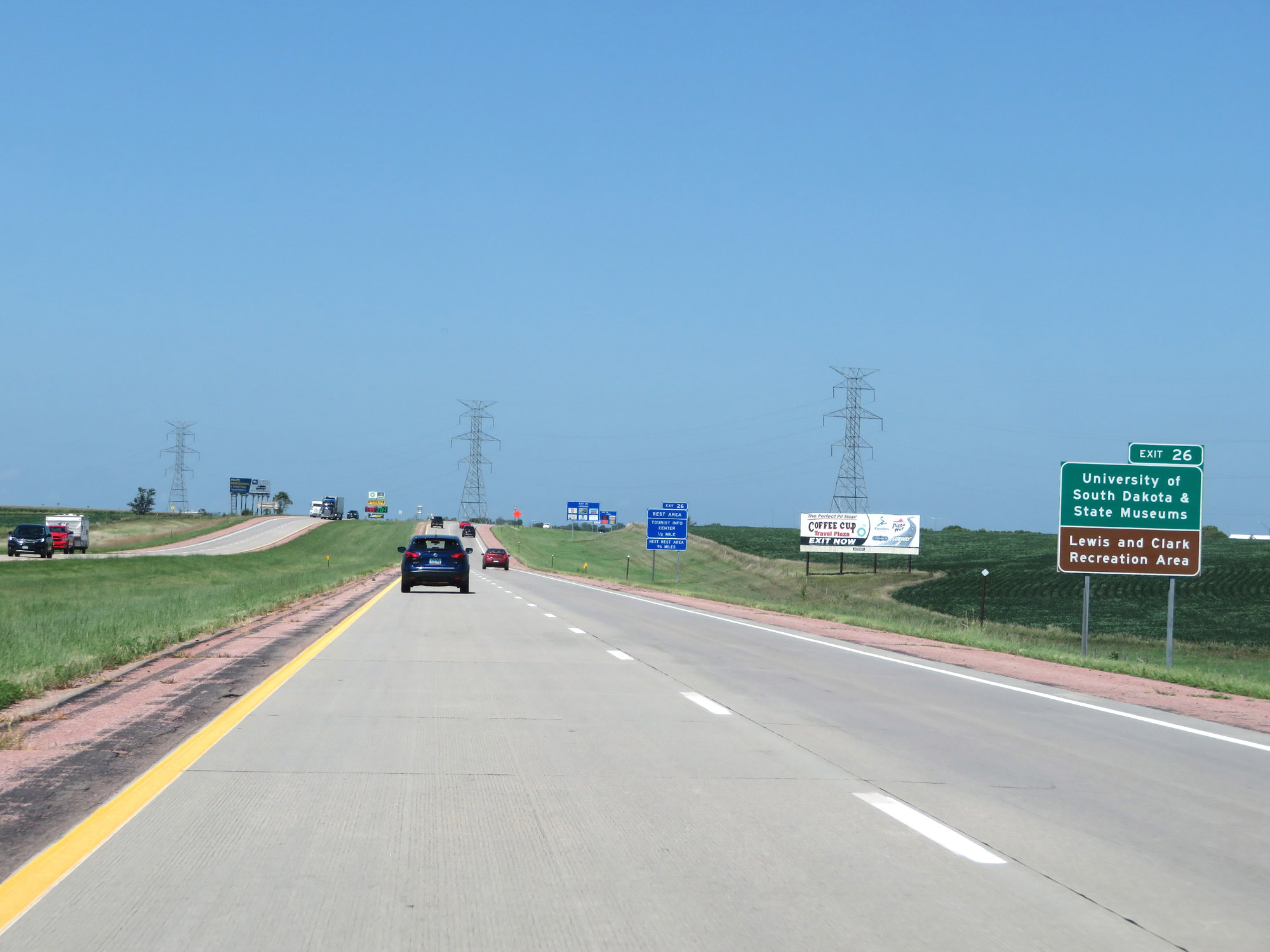 |
Take Exit 26 to the University of South Dakota & State Museums, as well as Lewis and Clark Recreation Area. (Photo taken 8/9/20). |
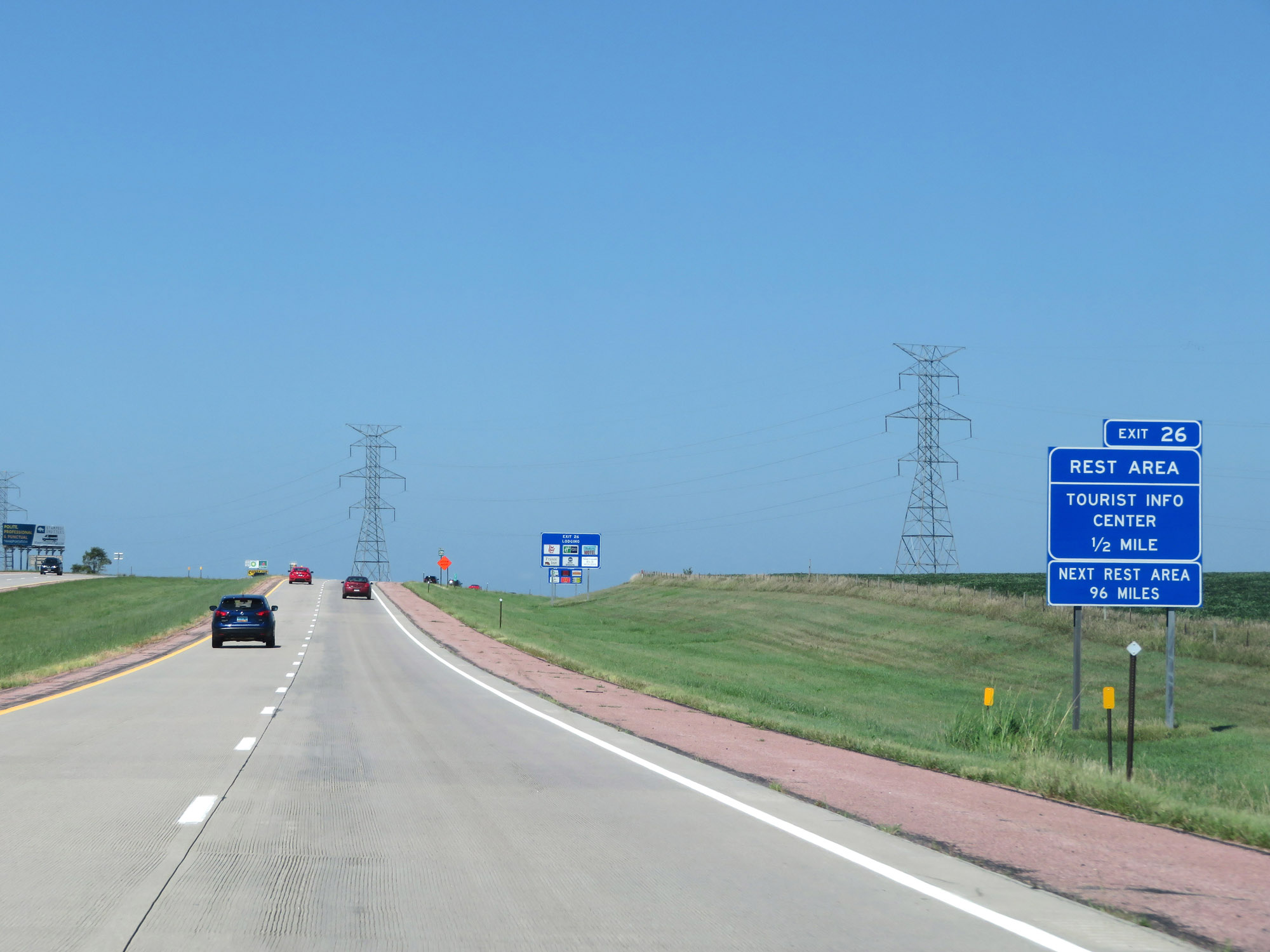 |
A Rest Area and Tourist Info Center also exist off Exit 26. The next Rest Area on Interstate 29 North is 96 miles ahead after this one. (Photo taken 8/9/20). |
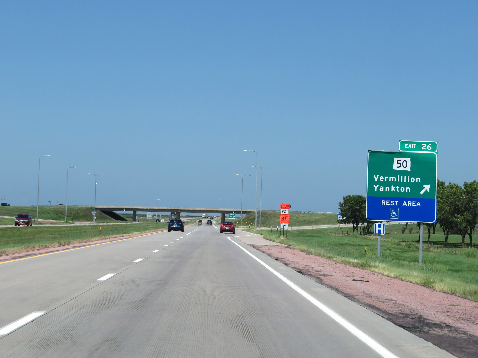 |
Interstate 29 North at Exit 26: SD 50 - Vermillion / Yankton / Rest Area (Photo taken 8/9/20). |
 |
View on Interstate 29 North at mile marker 28. (Photo taken 8/9/20). |
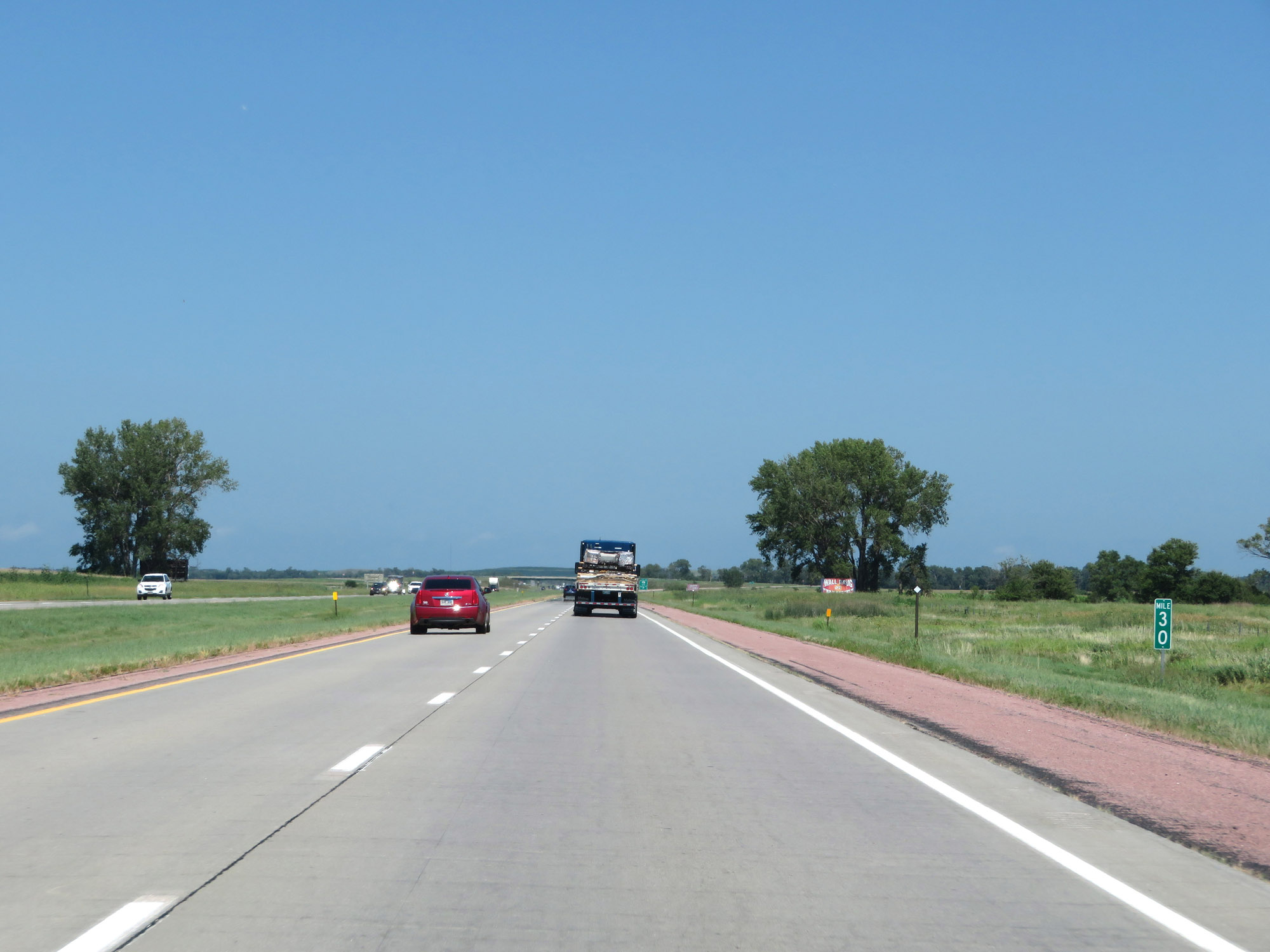 |
Interstate 29 North at mile marker 30. (Photo taken 8/9/20). |
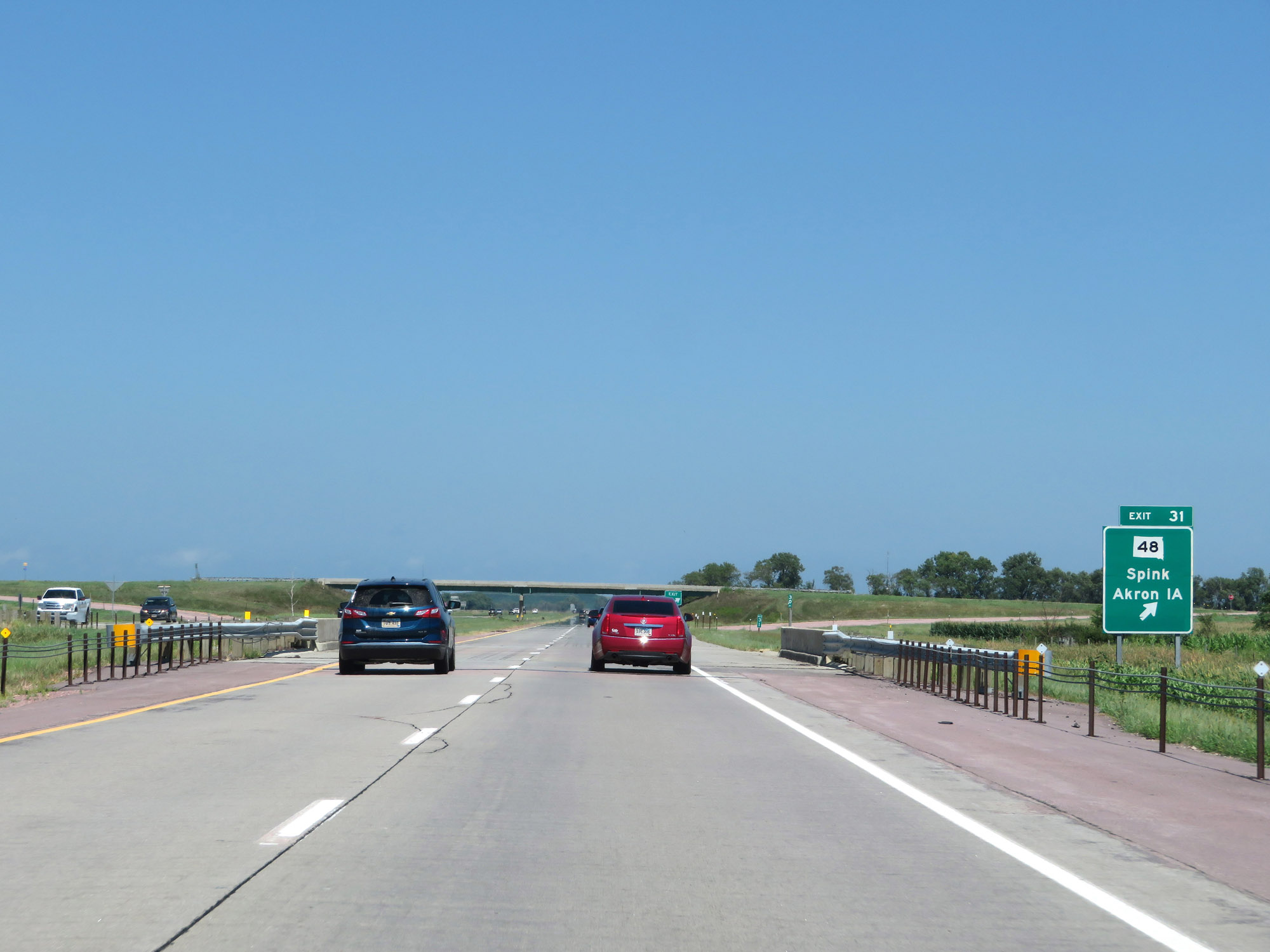 |
Interstate 29 North at Exit 31: SD 48 - Spink / Akron, IA (Photo taken 8/9/20). |
 |
Mileage sign at mile marker 32. It's 16 miles to Beresford and 44 miles to Sioux Falls. (Photo taken 8/9/20). |
 |
View on Interstate 29 North at mile marker 34. (Photo taken 8/9/20). |
 |
Interstate 29 North at mile marker 35. (Photo taken 8/9/20). |
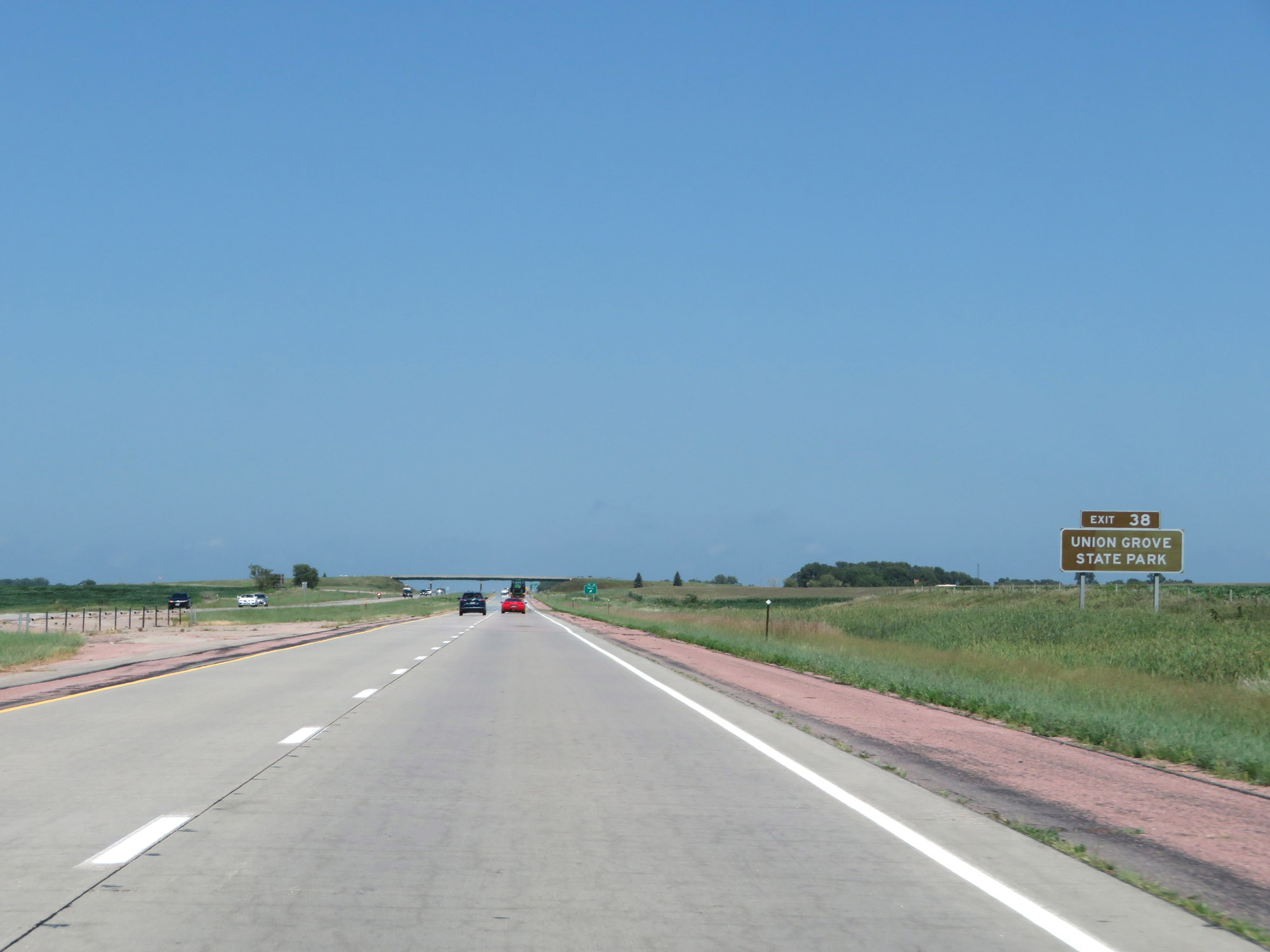 |
Take Exit 38 to Union Grove State Park. (Photo taken 8/9/20). |
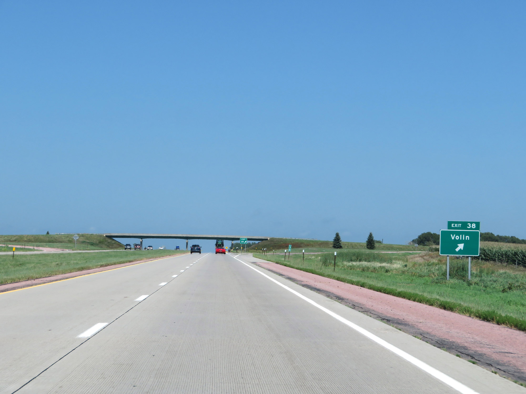 |
Interstate 29 North at Exit 38: Volin (Photo taken 8/9/20). |
 |
View on Interstate 29 North at mile marker 40. (Photo taken 8/9/20). |
 |
Interstate 29 North at Exit 42: Alcester / Wakonda (Photo taken 8/9/20). |
 |
Interstate 29 North reassurance shield. (Photo taken 8/9/20). |
 |
View on Interstate 29 North at mile marker 44. (Photo taken 8/9/20). |
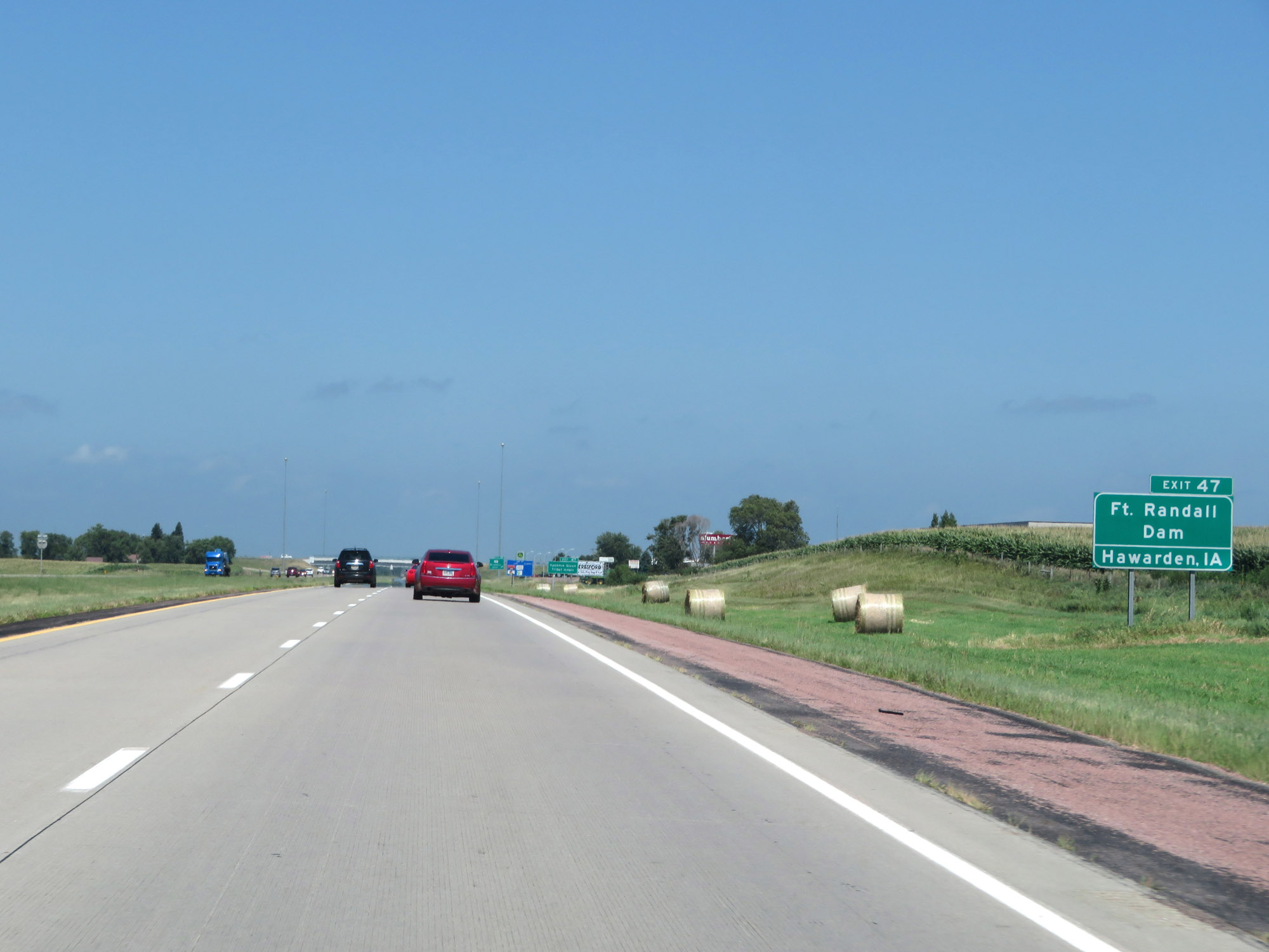 |
Take Exit 47 to Fort Randall Dam and Hawarden, IA. (Photo taken 8/9/20). |
 |
Also take Exit 47 to the Yankton Sioux Tribal Headquarters. (Photo taken 8/9/20). |
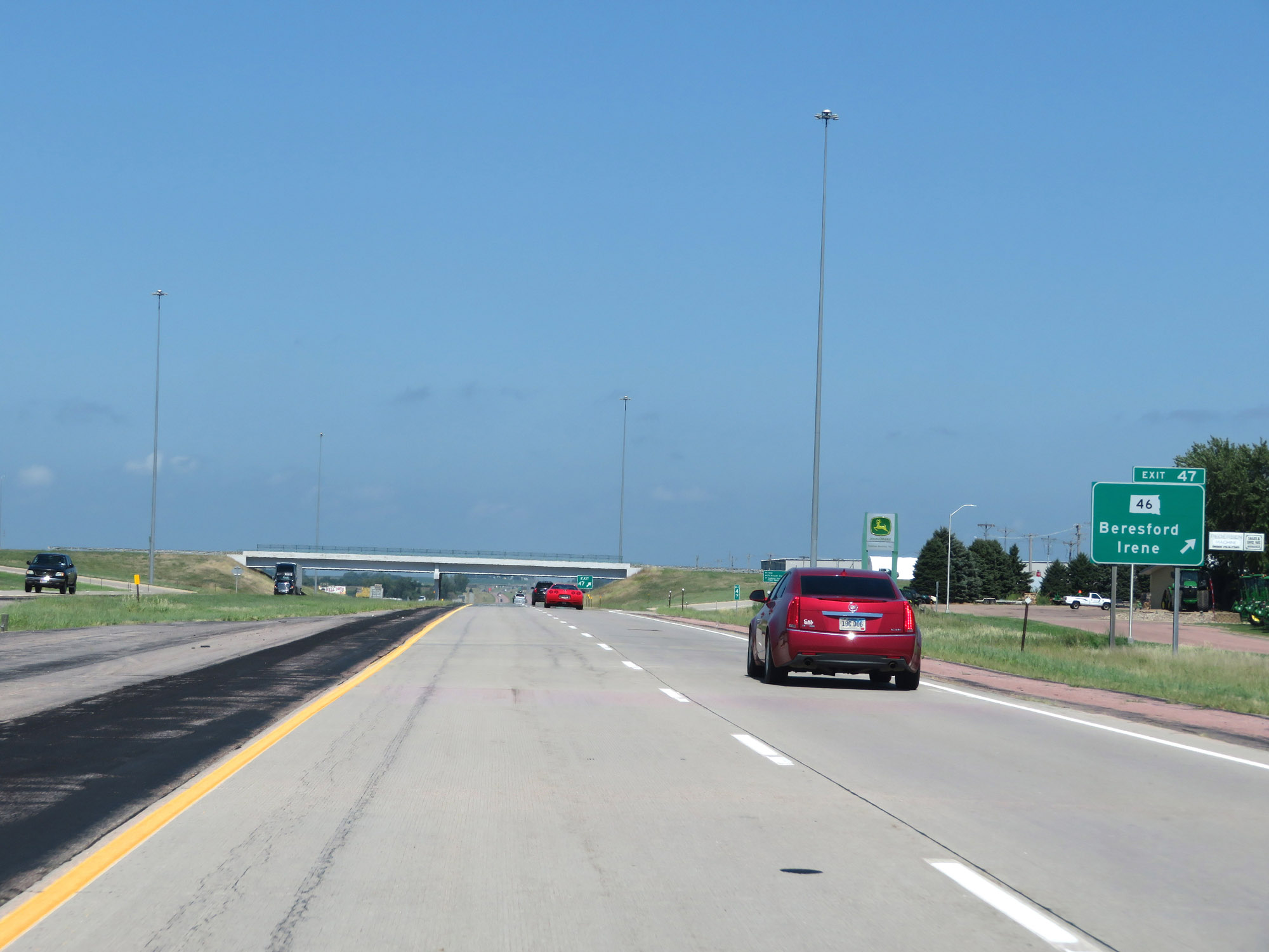 |
Interstate 29 North at Exit 47: SD 46 - Beresford / Irene (Photo taken 8/9/20). |
 |
Just north of Exit 47, Interstate 29 North enters Lincoln County. (Photo taken 8/9/20). |
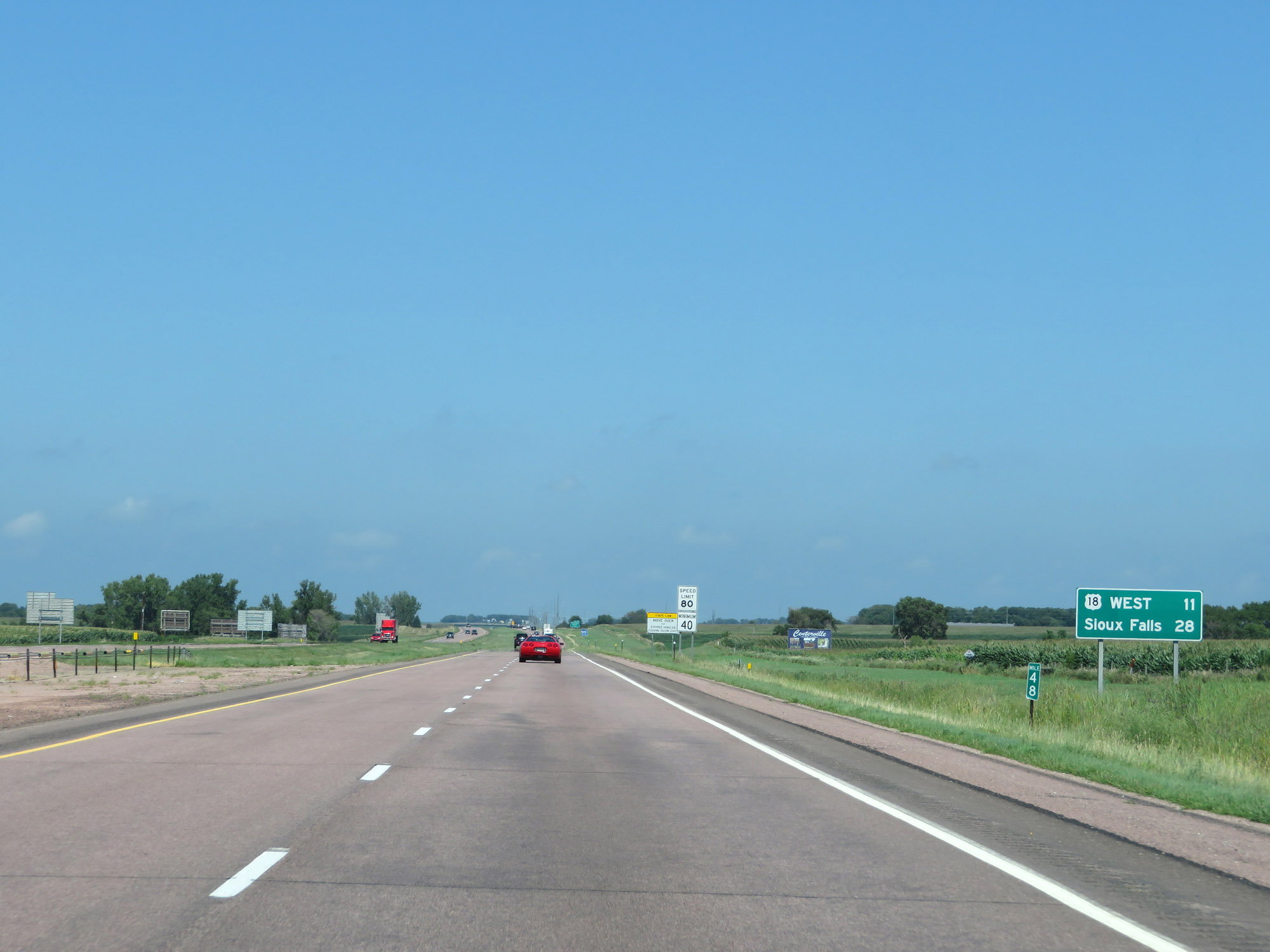 |
Mileage sign at mile marker 48. It's 11 miles to the junction of US 18 West and 28 miles to Sioux Falls. (Photo taken 8/9/20). |
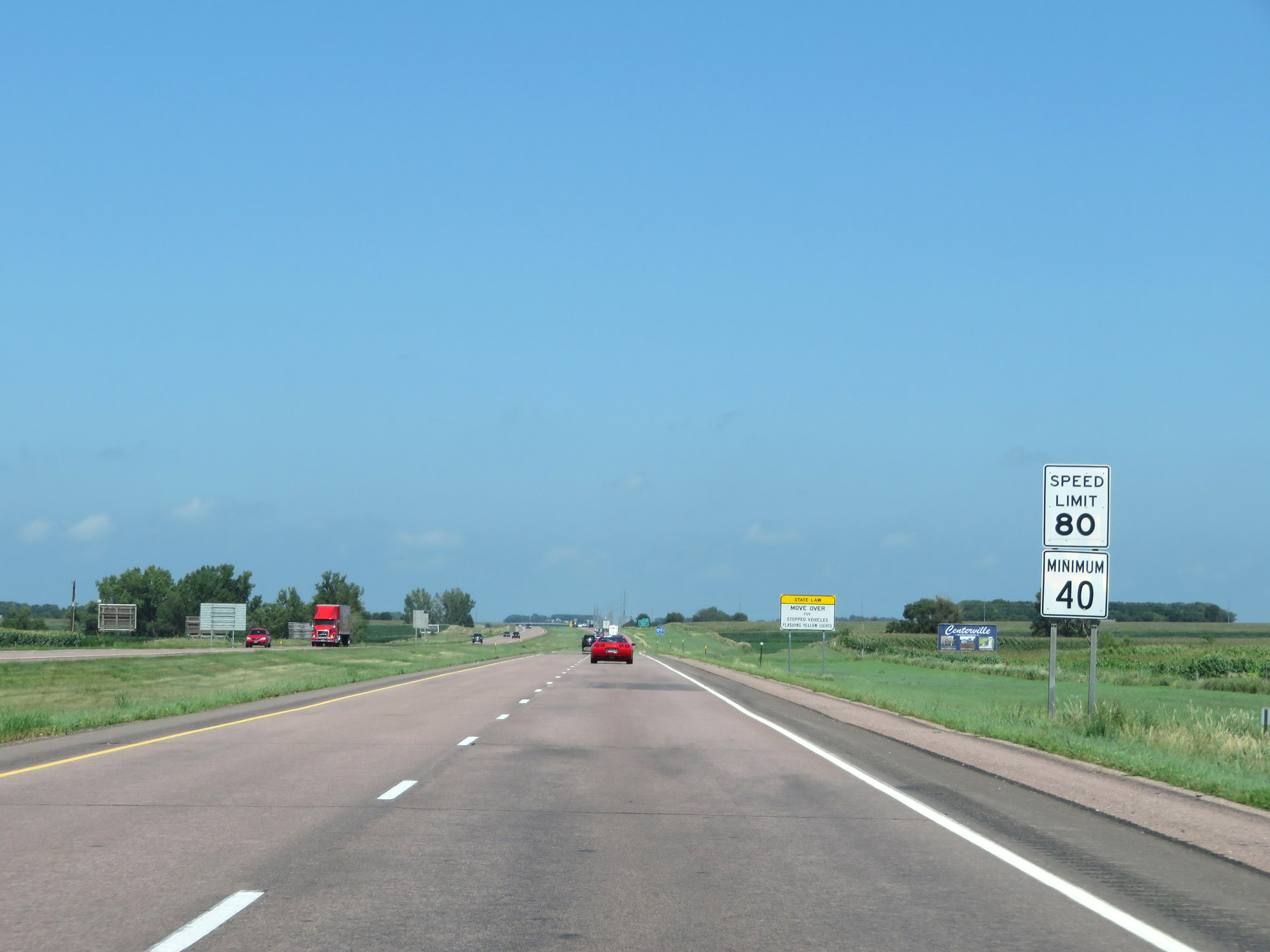 |
The speed limits remain the standard rural 80 mph maximum and 40 mph minimum. (Photo taken 8/9/20). |
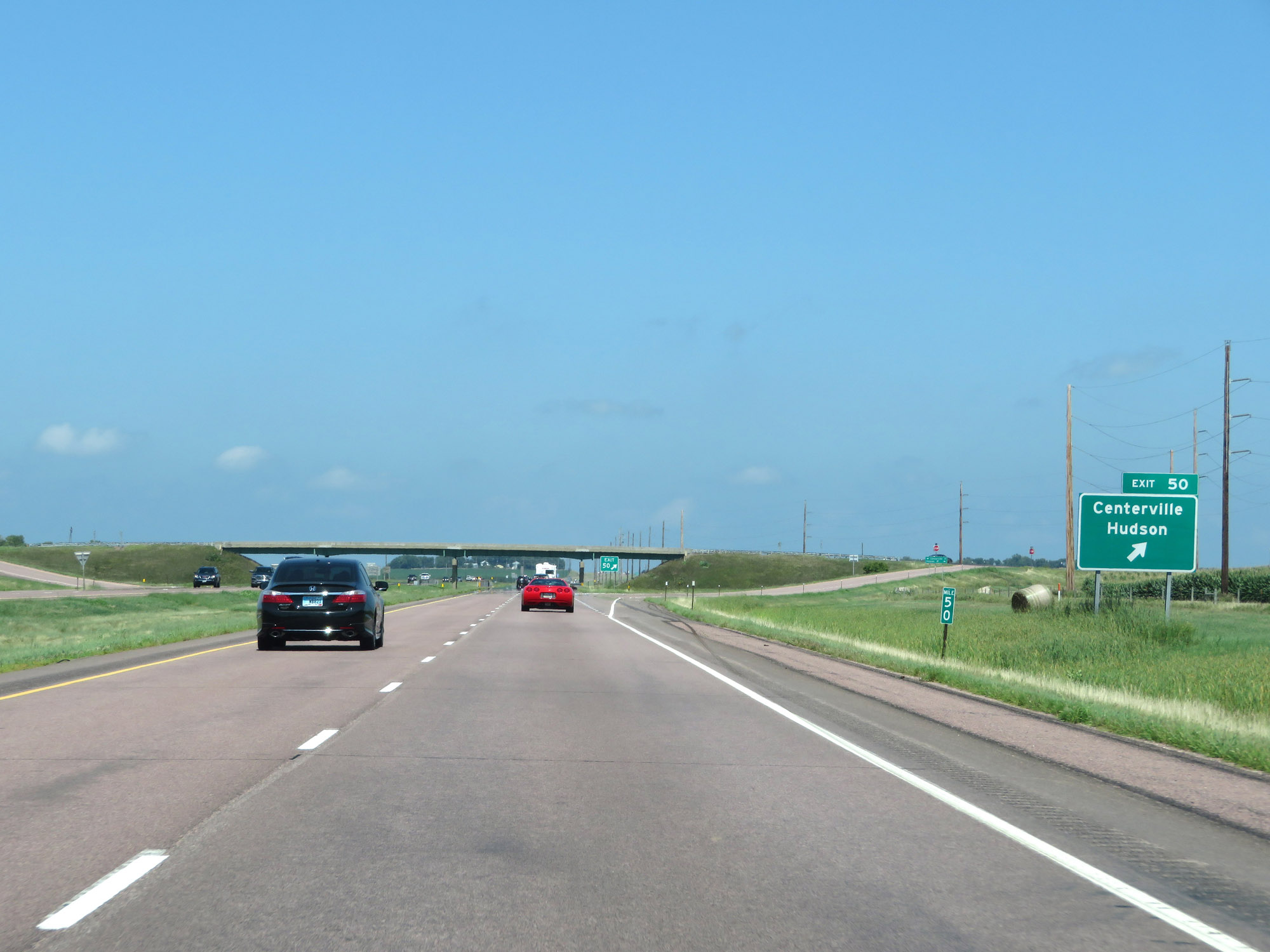 |
Interstate 29 North at Exit 50: Centerville / Hudson (Photo taken 8/9/20). |
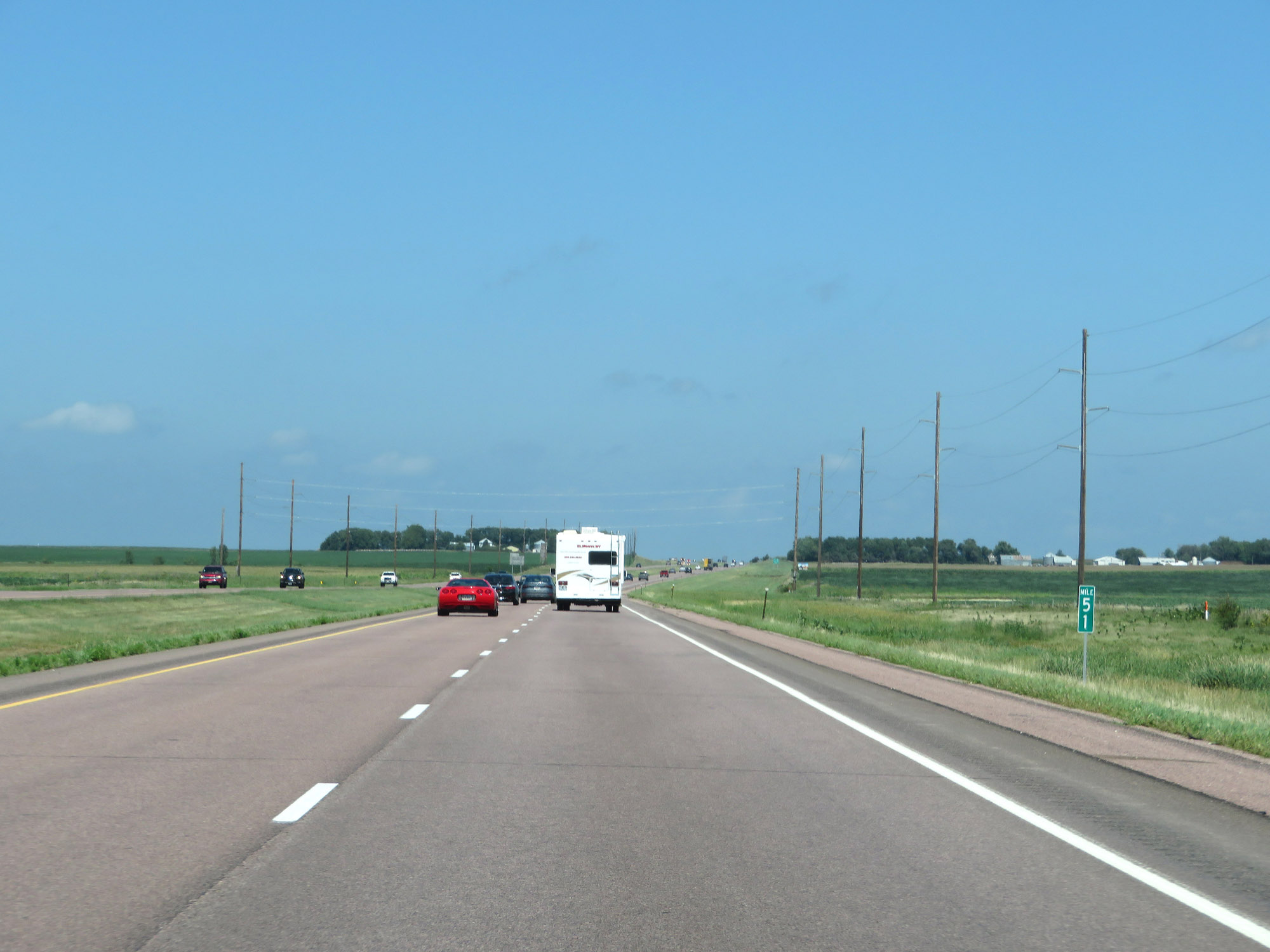 |
Mile marker 51 on Interstate 29 North. (Photo taken 8/9/20). |
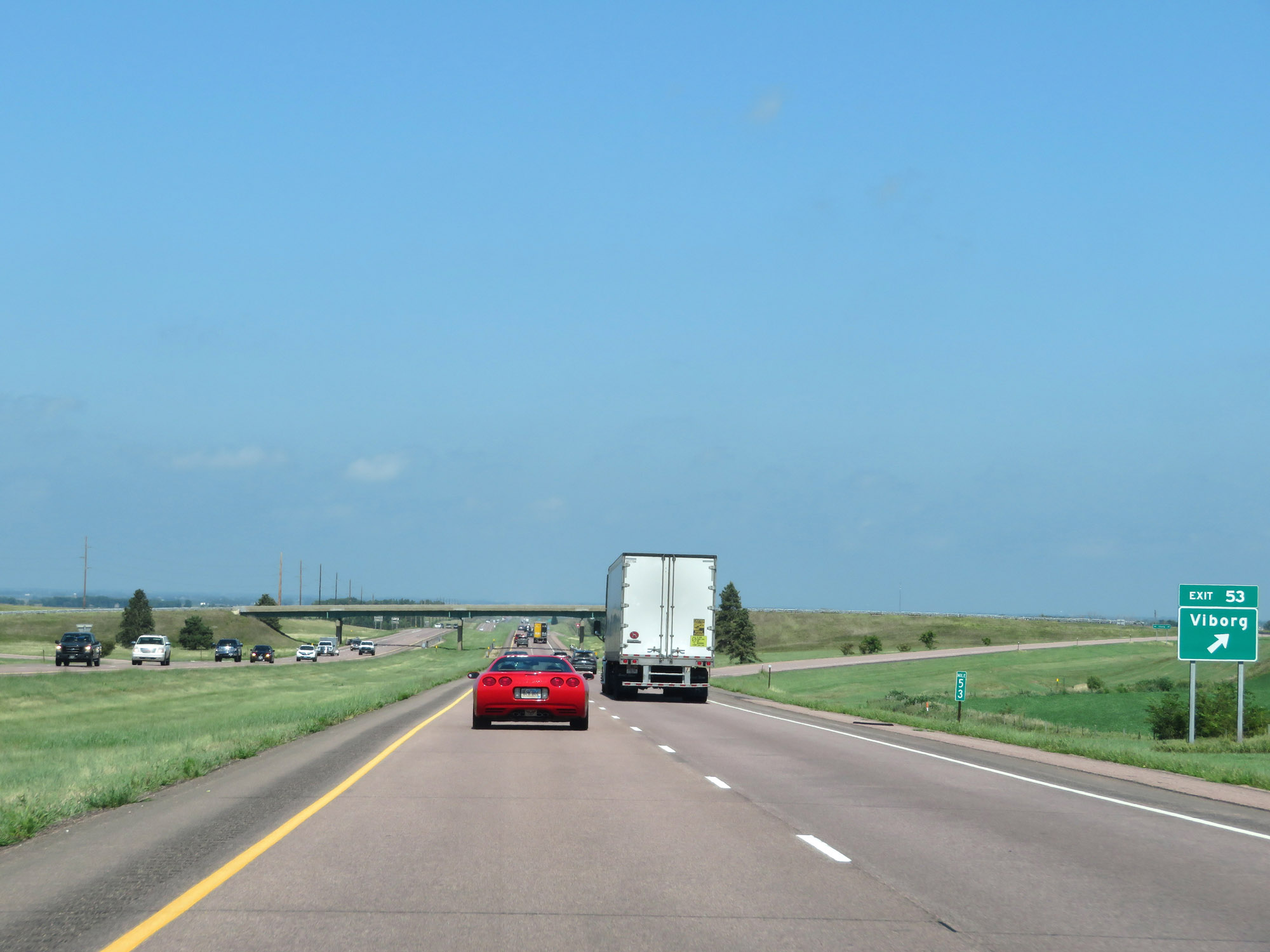 |
Interstate 29 North at Exit 53: Viborg (Photo taken 8/9/20). |
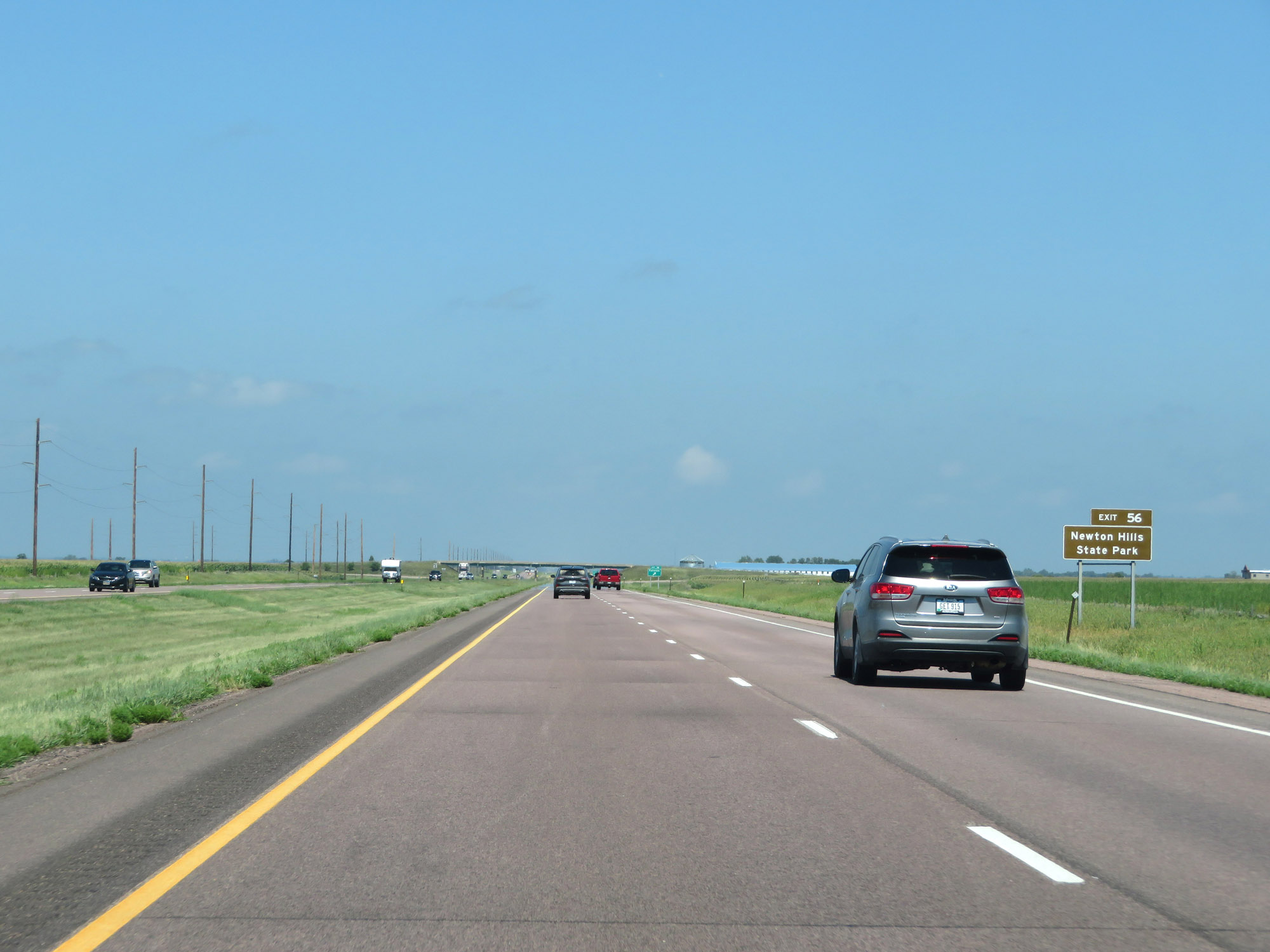 |
Take Exit 56 to Newton Hills State Park. (Photo taken 8/9/20). |
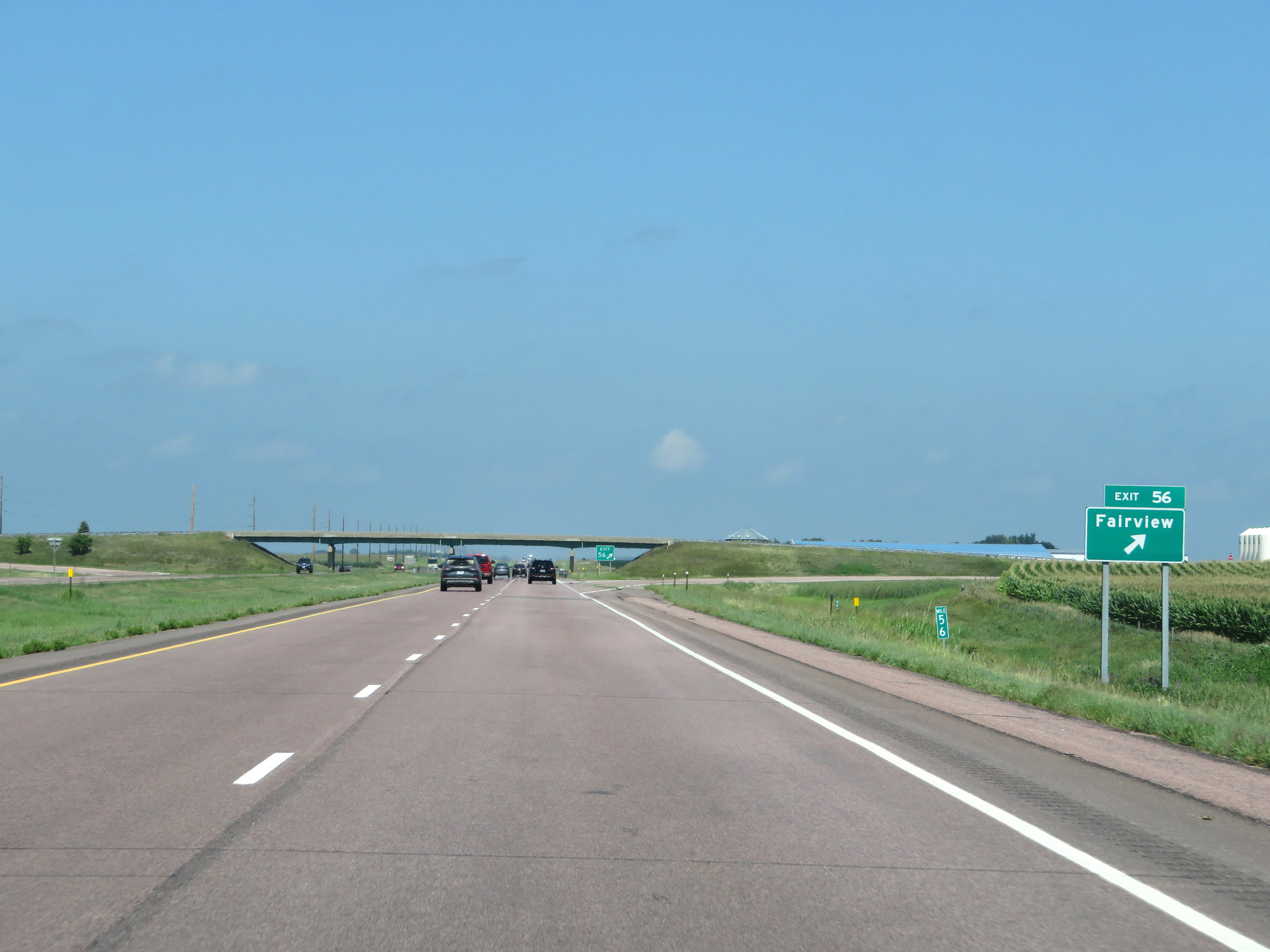 |
Interstate 29 North at Exit 56: Fairview (Photo taken 8/9/20). |
 |
View on Interstate 29 North at mile marker 58. (Photo taken 8/9/20). |
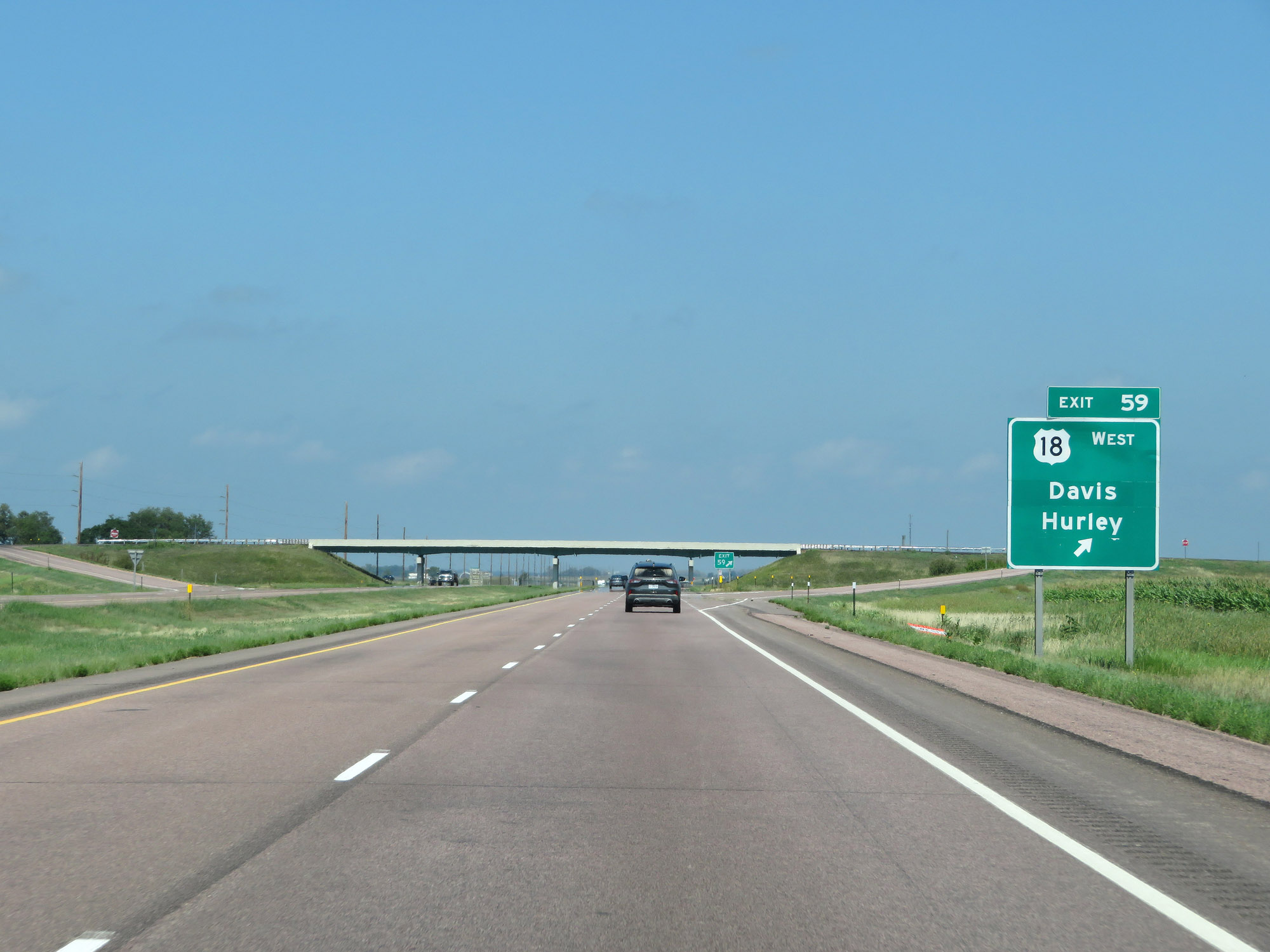 |
Interstate 29 North at Exit 59: US 18 West - Davis / Hurley (Photo taken 8/9/20). |
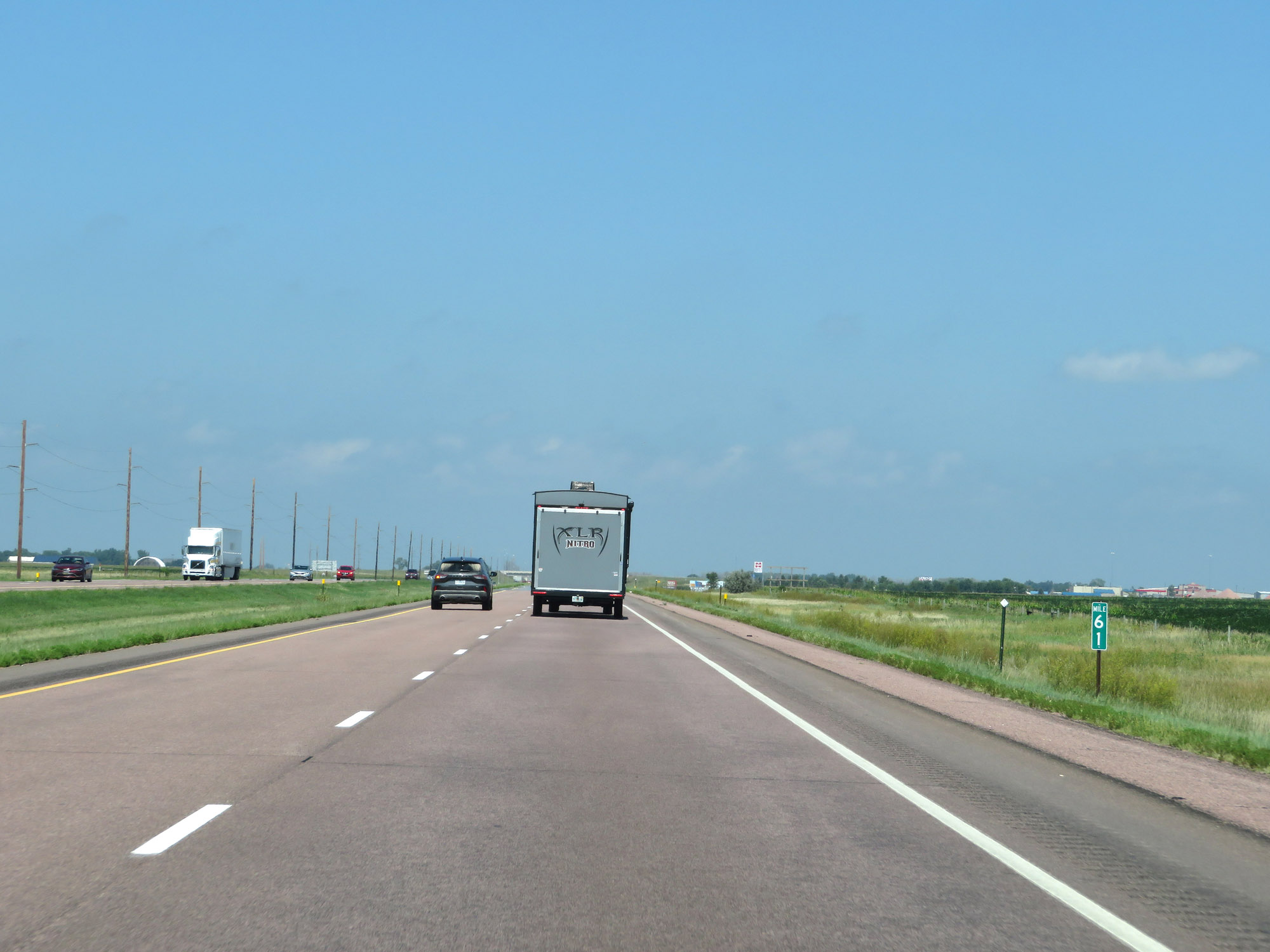 |
Interstate 29 North at mile marker 61. (Photo taken 8/9/20). |
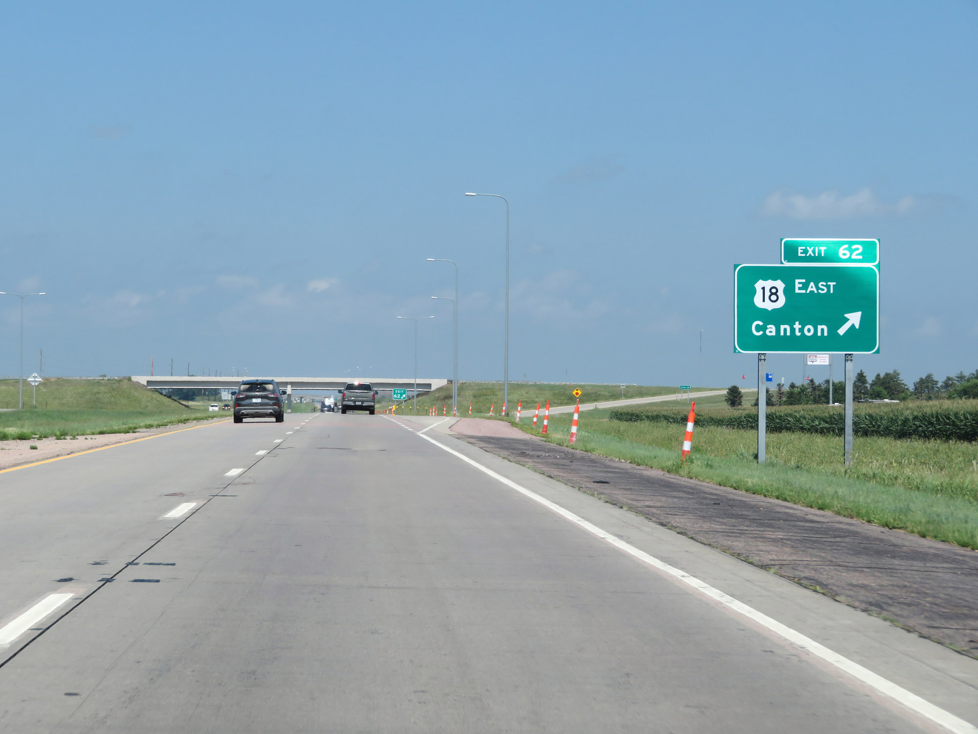 |
Interstate 29 North at Exit 62: US 18 East - Canton (Photo taken 8/9/20). |
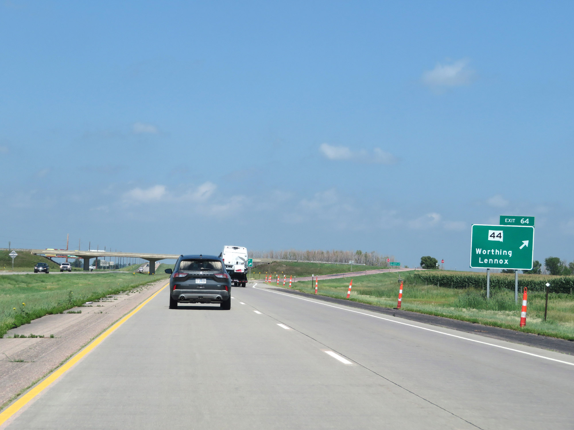 |
Interstate 29 North at Exit 64: SD 44 - Worthing / Lennox (Photo taken 8/9/20). |
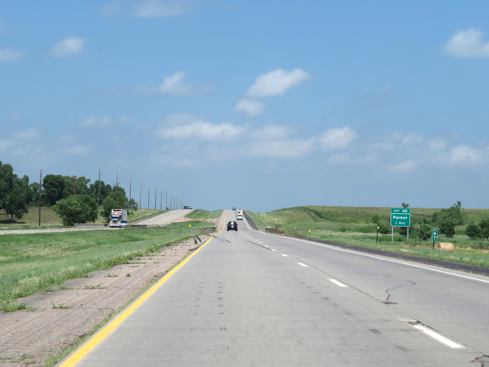 |
View on Interstate 29 North at mile marker 67. (Photo taken 8/9/20). |
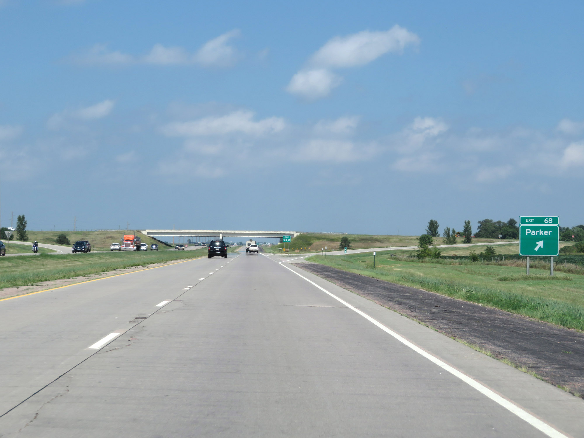 |
Interstate 29 North at Exit 68: Parker (Photo taken 8/9/20). |
 |
Interstate 29 North at mile marker 70. (Photo taken 8/9/20). |
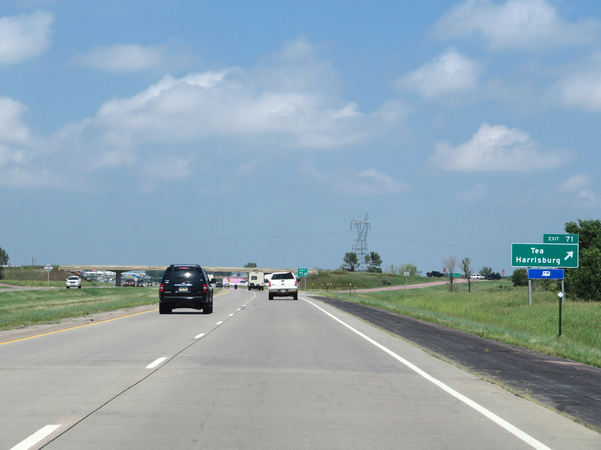 |
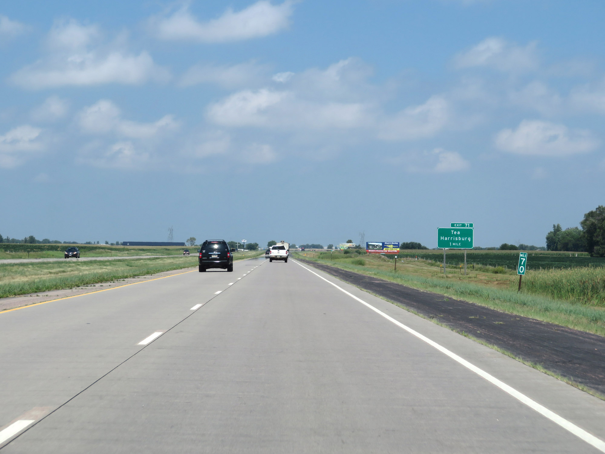
Interstate 29 North at Exit 71: Tea / Harrisburg (Photo taken 8/9/20). |
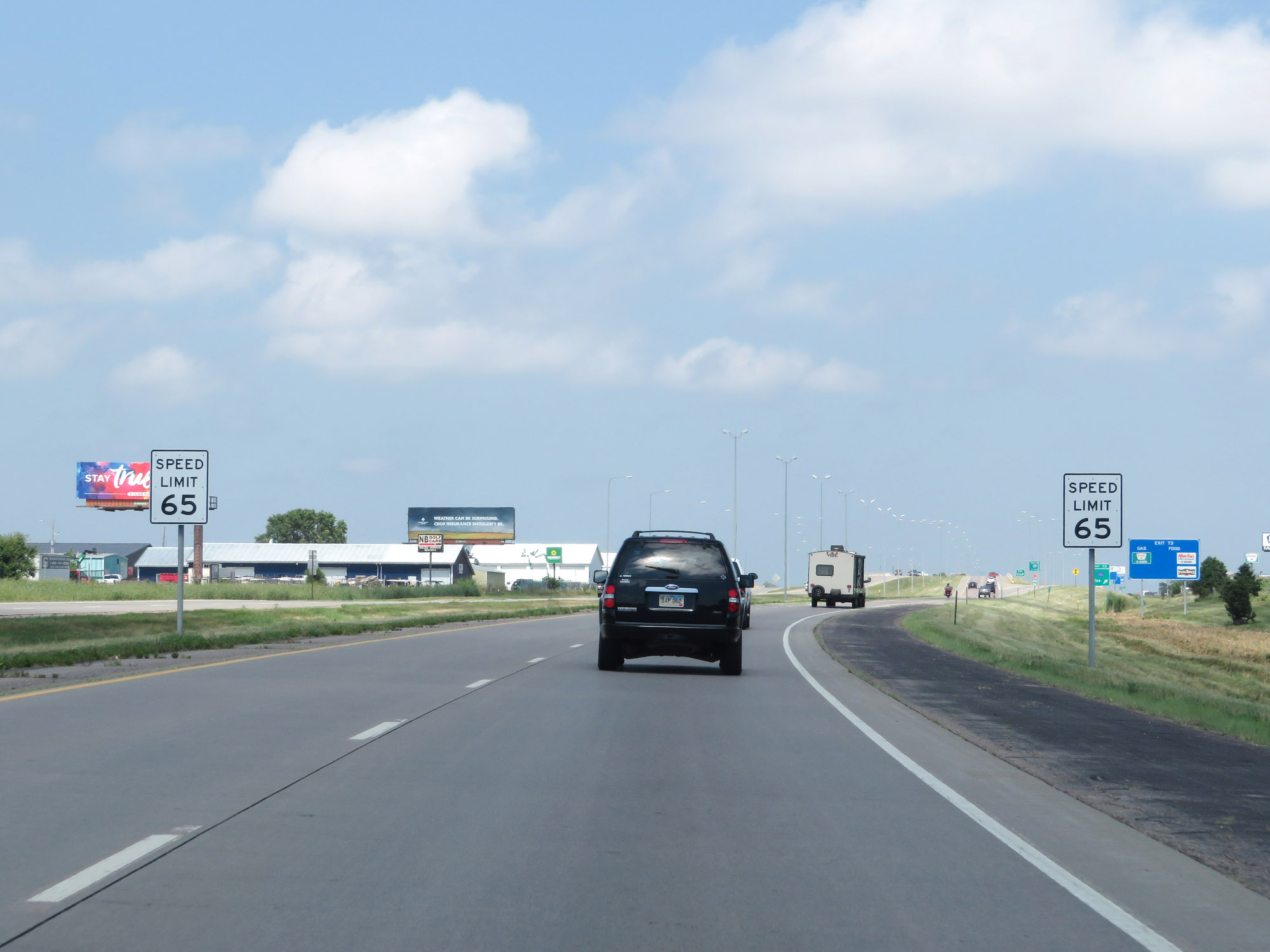 |
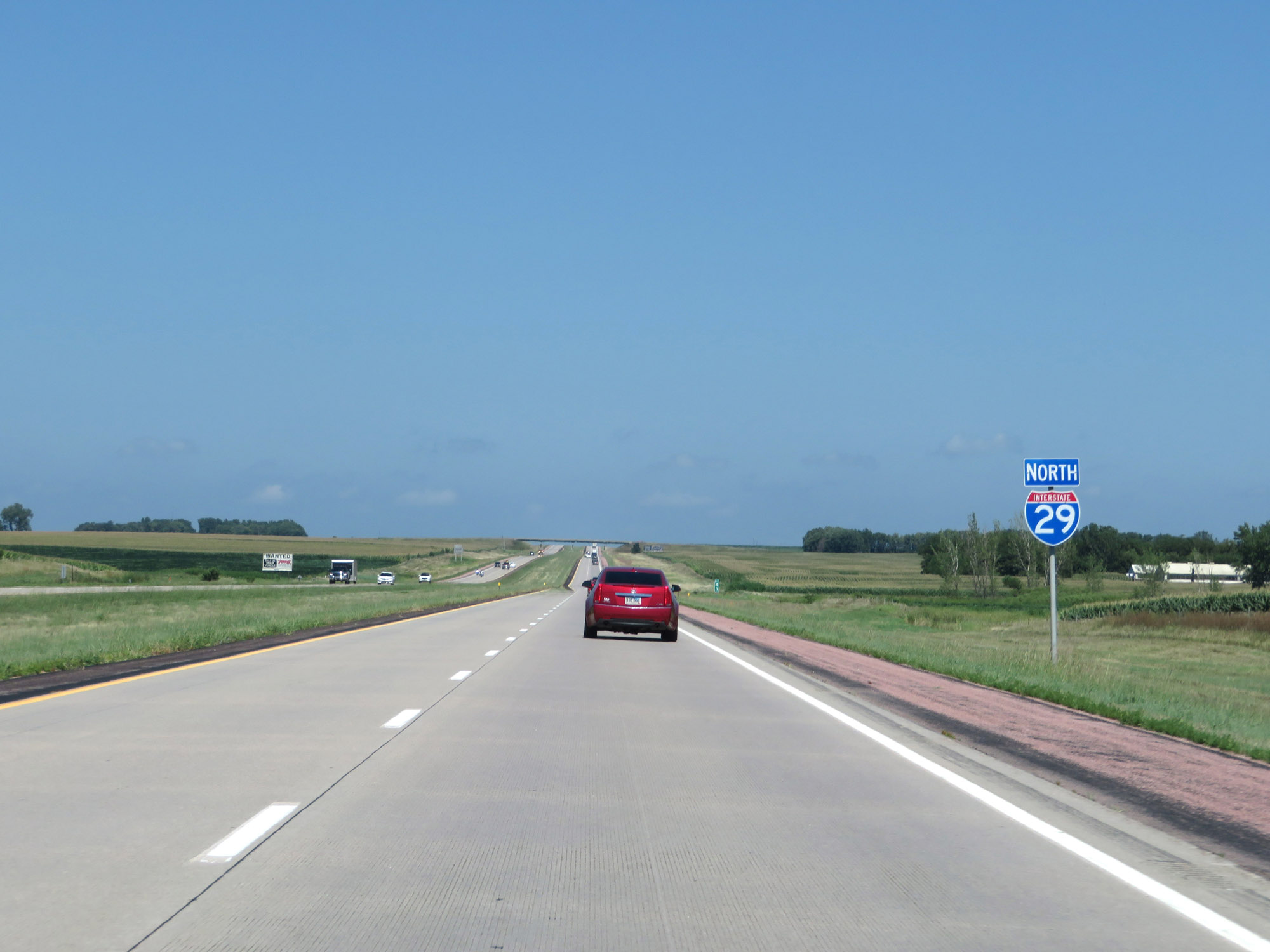
As Interstate 29 North approaches the Sioux Falls area, which is the biggest metropolitan area in the state of South Dakota, the maximum speed limit decreases to 65 mph. (Photo taken 8/9/20). |
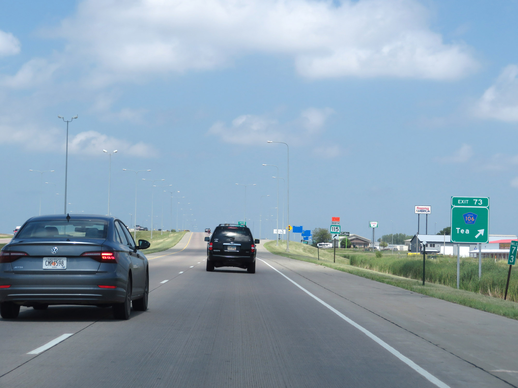 |
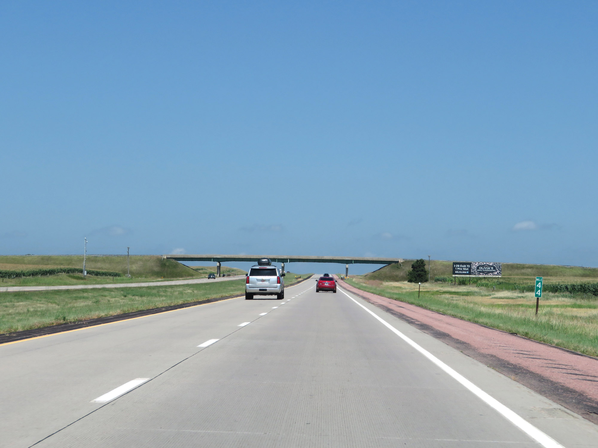
Interstate 29 North at Exit 73: CR 106 - Tea (Photo taken 8/9/20). |
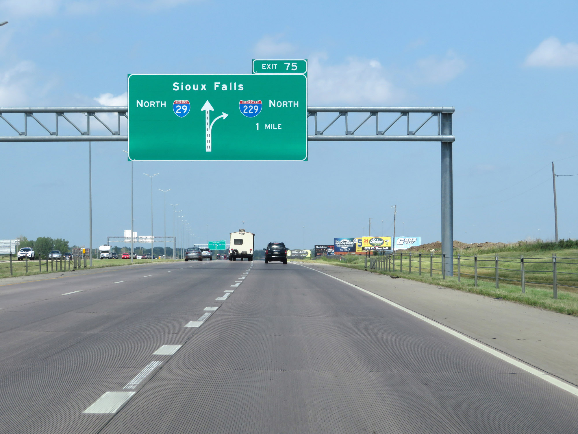 |
Interstate 29 North approaching Exit 75 - 1 mile. (Photo taken 8/9/20). |
 |
The right lane becomes and Exit Only lane ahead for Exit 75 (Interstate 229 North). (Photo taken 8/9/20). |
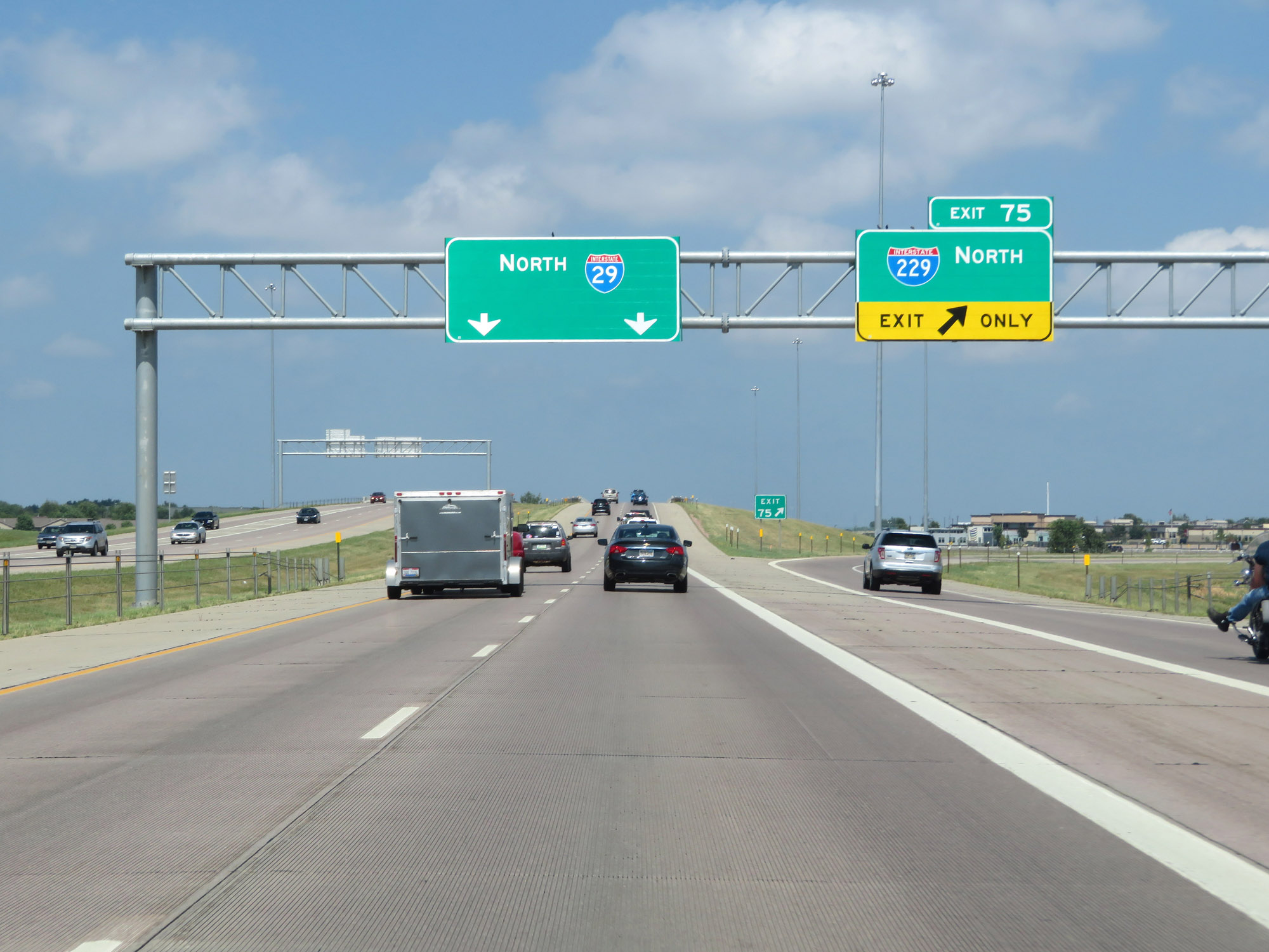 |
Interstate 29 North at Exit 75: Interstate 229 North (Photo taken 8/9/20). |
Section 2: Sioux Falls (Exit 75) to Brookings (Exit 133)
 |
Interstate 29 North in Sioux Falls as traffic from Interstate 229 South merges into it on the right. (Photo taken 8/9/20). |
 |
Interstate 29 North reassurance shield in Sioux Falls. (Photo taken 8/9/20). |
 |
Interstate 29 North as it enters Minnehaha County. (Photo taken 8/9/20). |
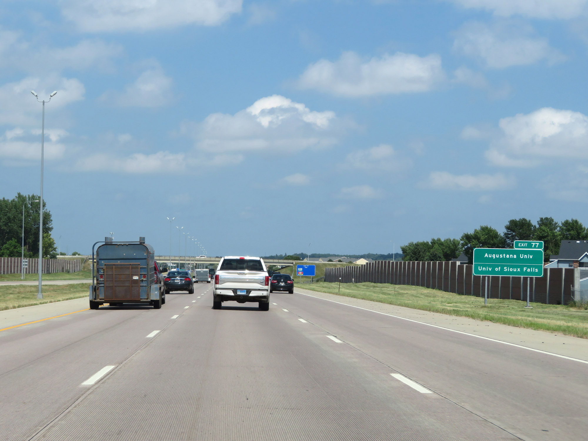 |
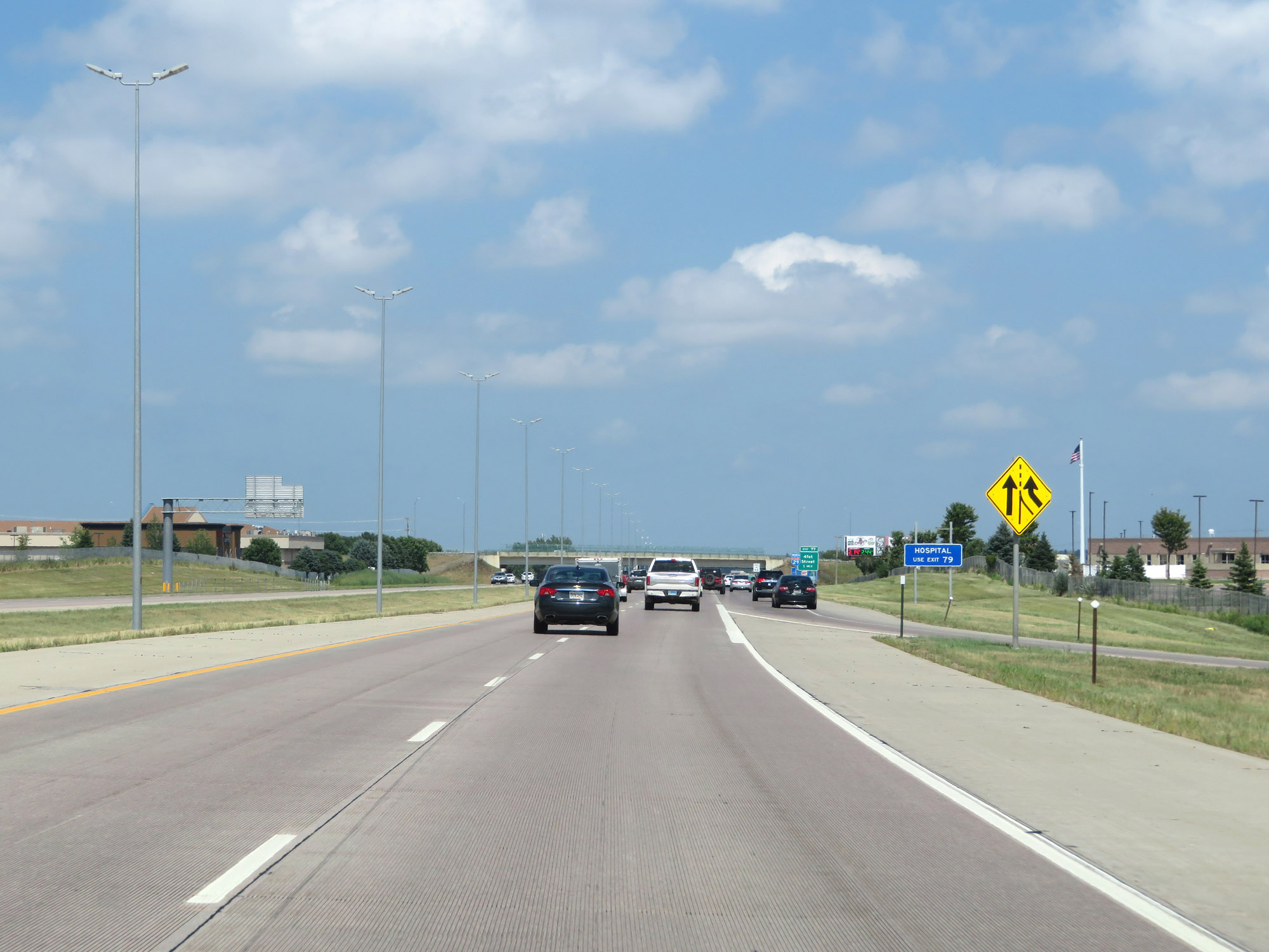
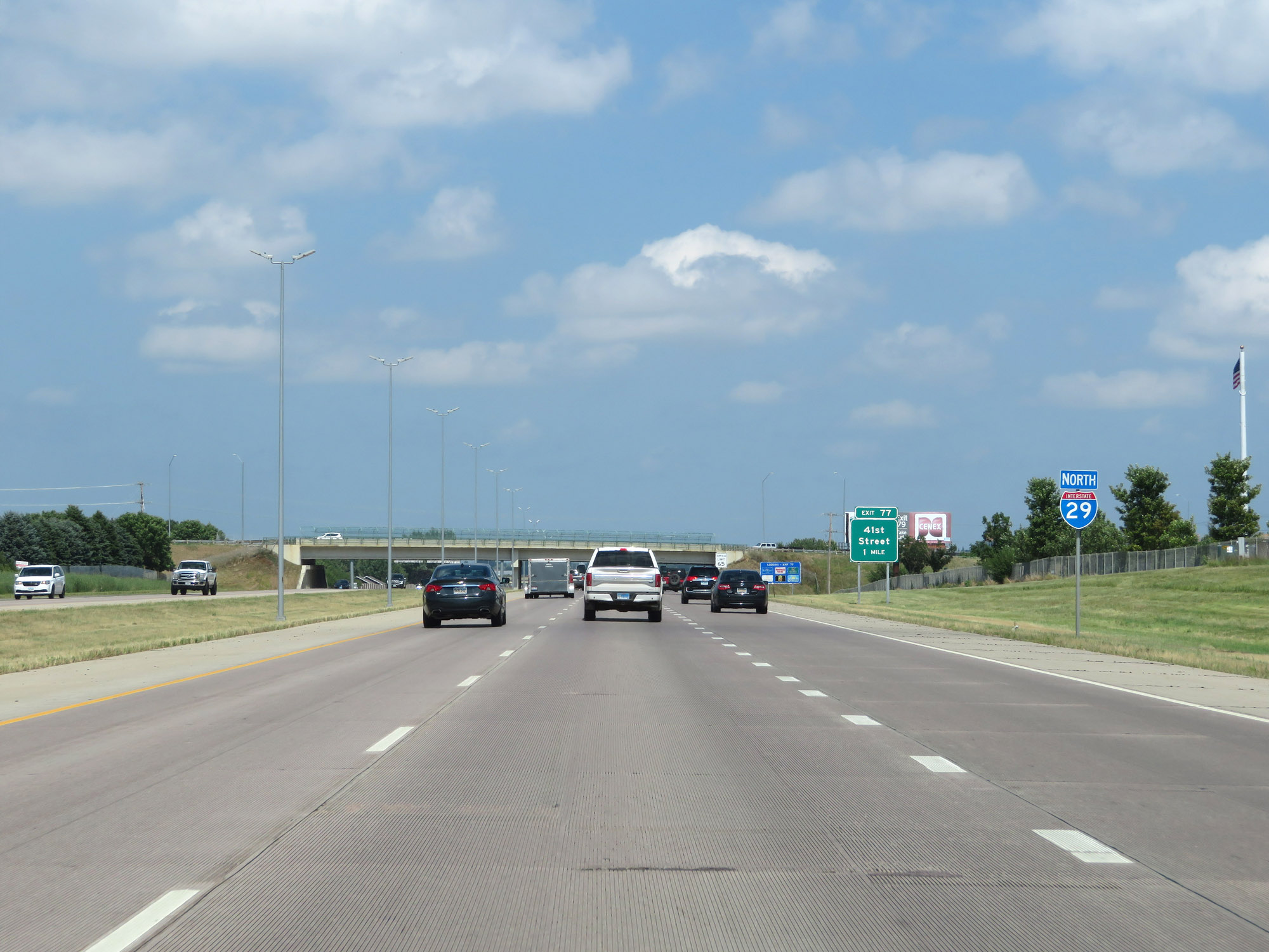
Take Exit 77 to Augustana University and the University of Sioux Falls. (Photo taken 8/9/20). |
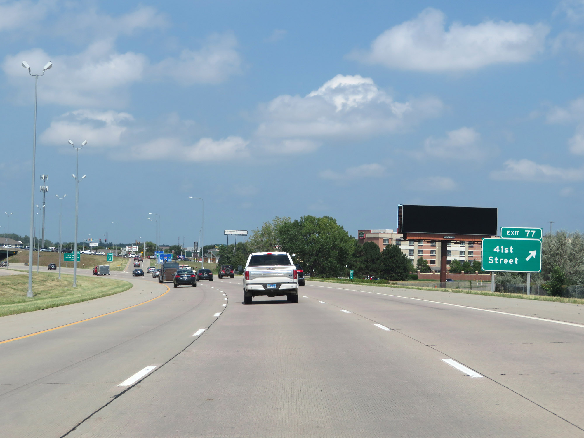 |
Interstate 29 North at Exit 77: 41st Street (Photo taken 8/9/20). |
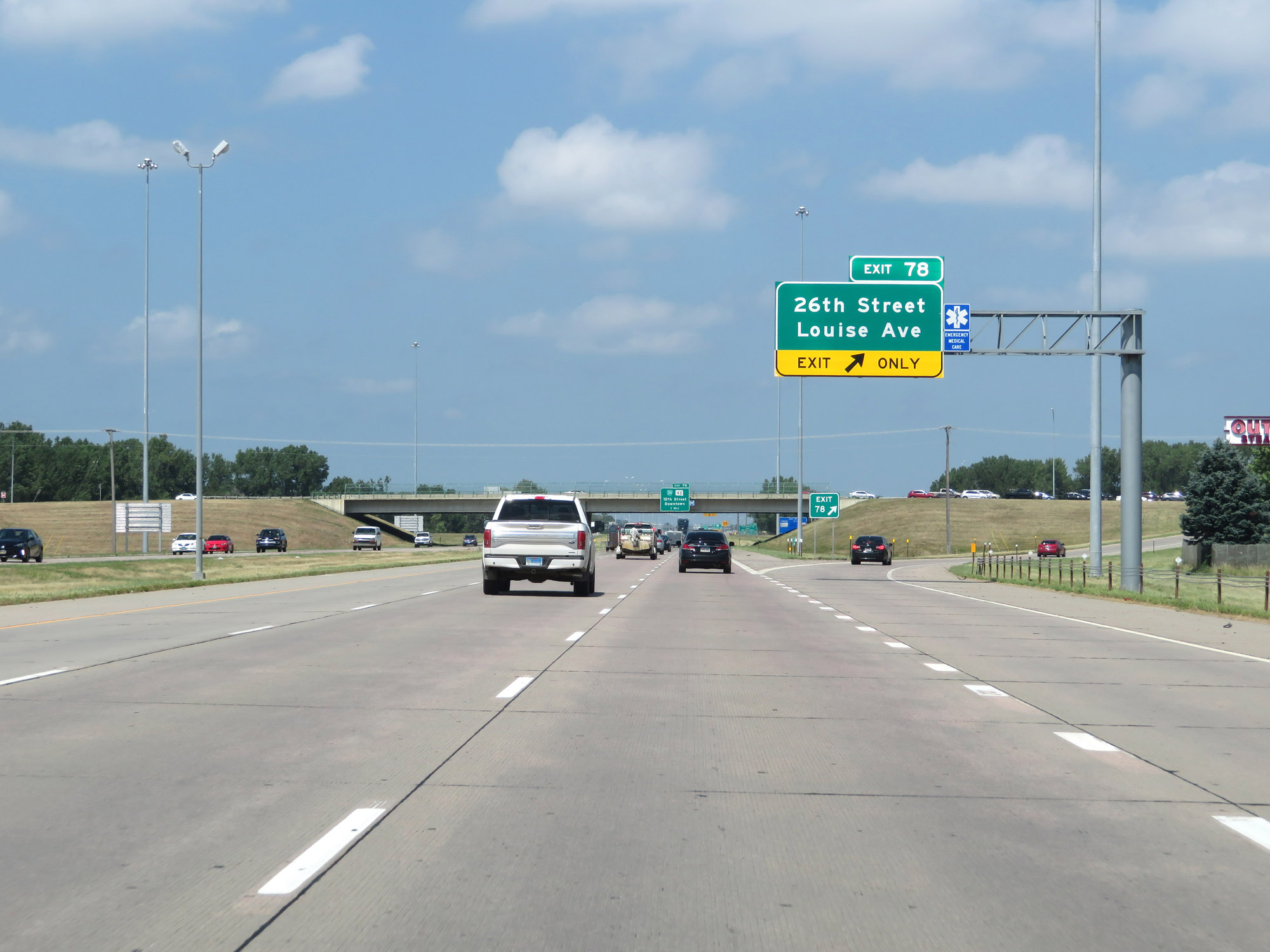 |
Interstate 29 North at Exit 78: 26th Street / Louise Ave (Photo taken 8/9/20). |
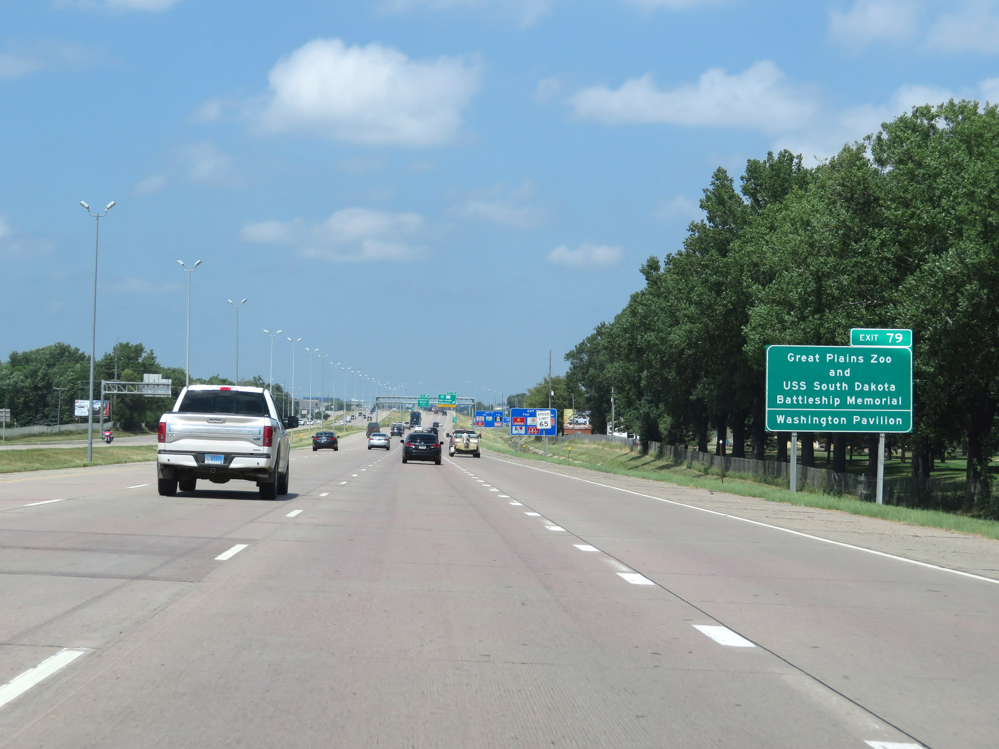 |
Take Exit 79 to the Great Plains Zoo, USS South Dakota Battleship Memorial, and Washington Pavilion. (Photo taken 8/9/20). |
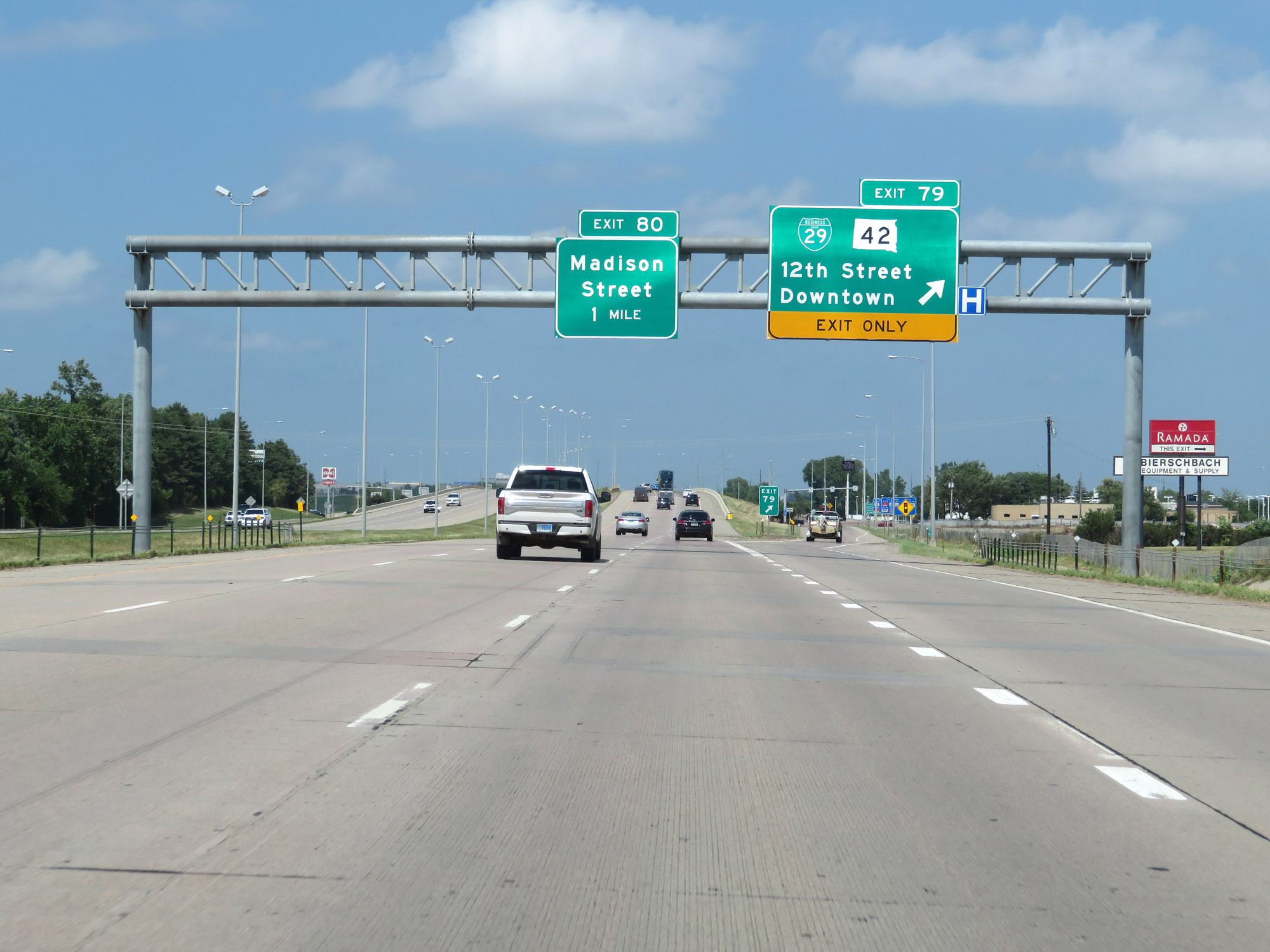 |
Interstate 29 North at Exit 79: Interstate 29 Business Spur / SD 42 - 12th Street / Downtown (Photo taken 8/9/20). |
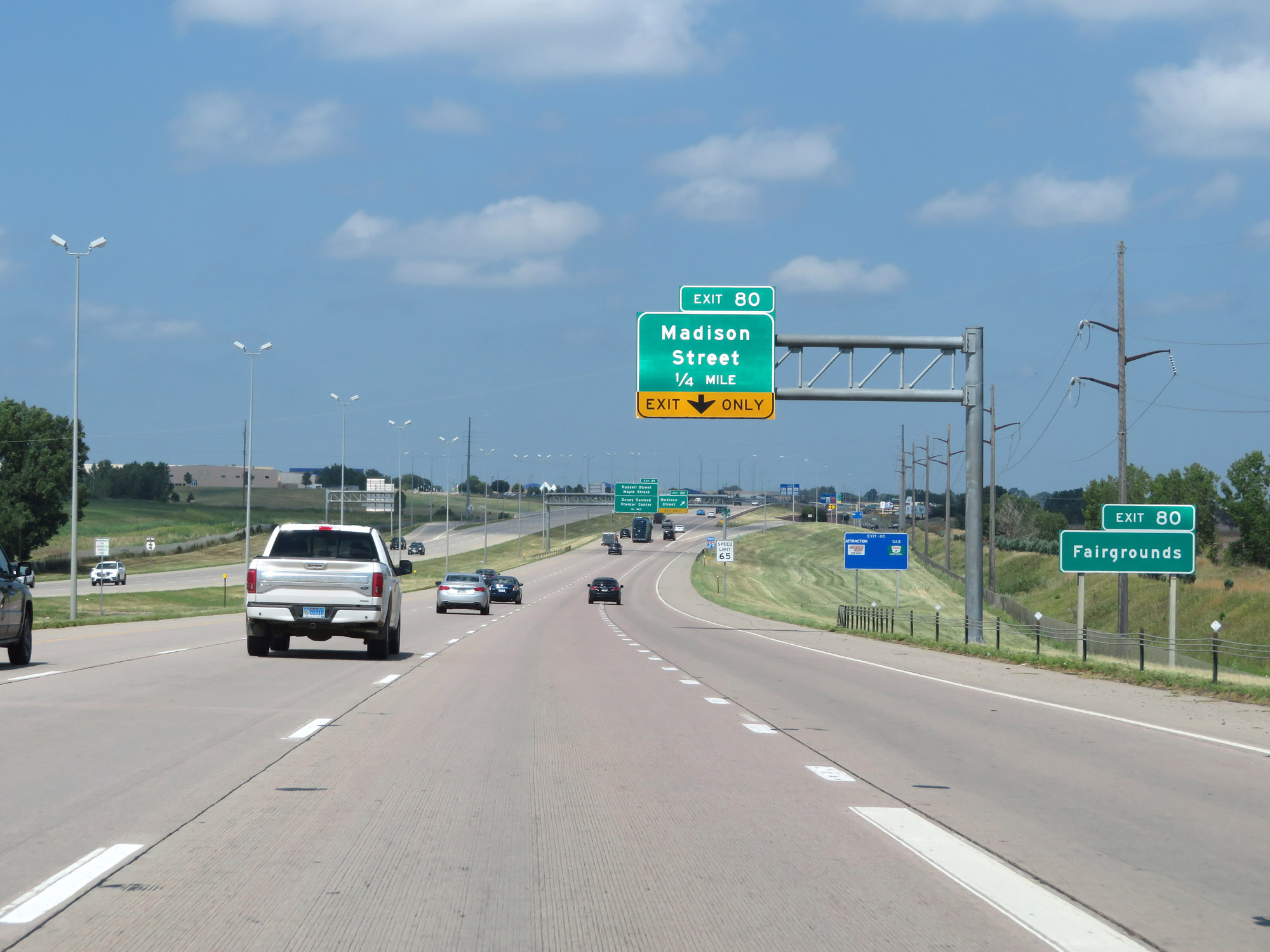 |
Take Exit 80 to the Fairgrounds. (Photo taken 8/9/20). |
 |
Interstate 29 North at Exit 80: Madison Street (Photo taken 8/9/20). |
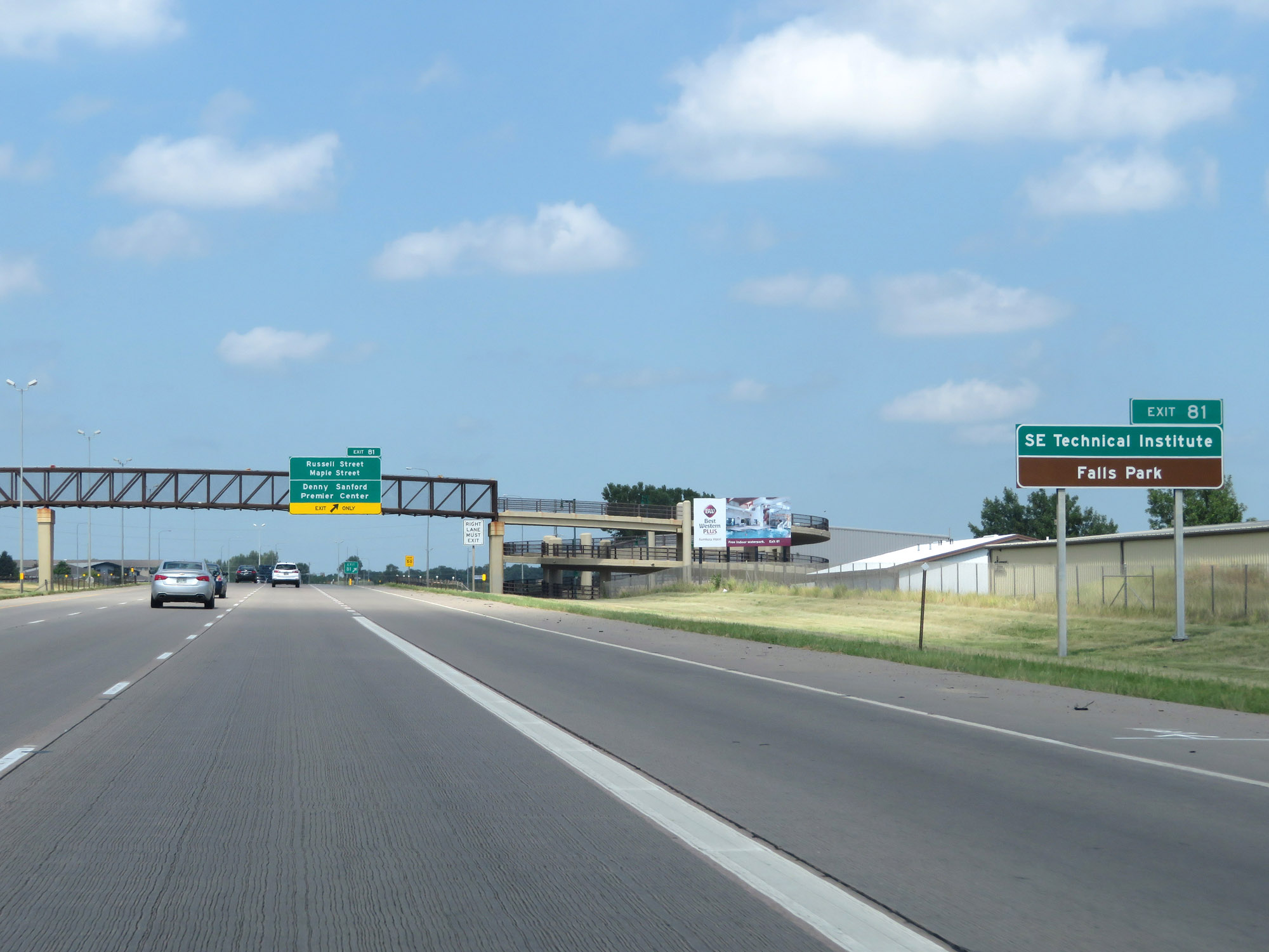 |
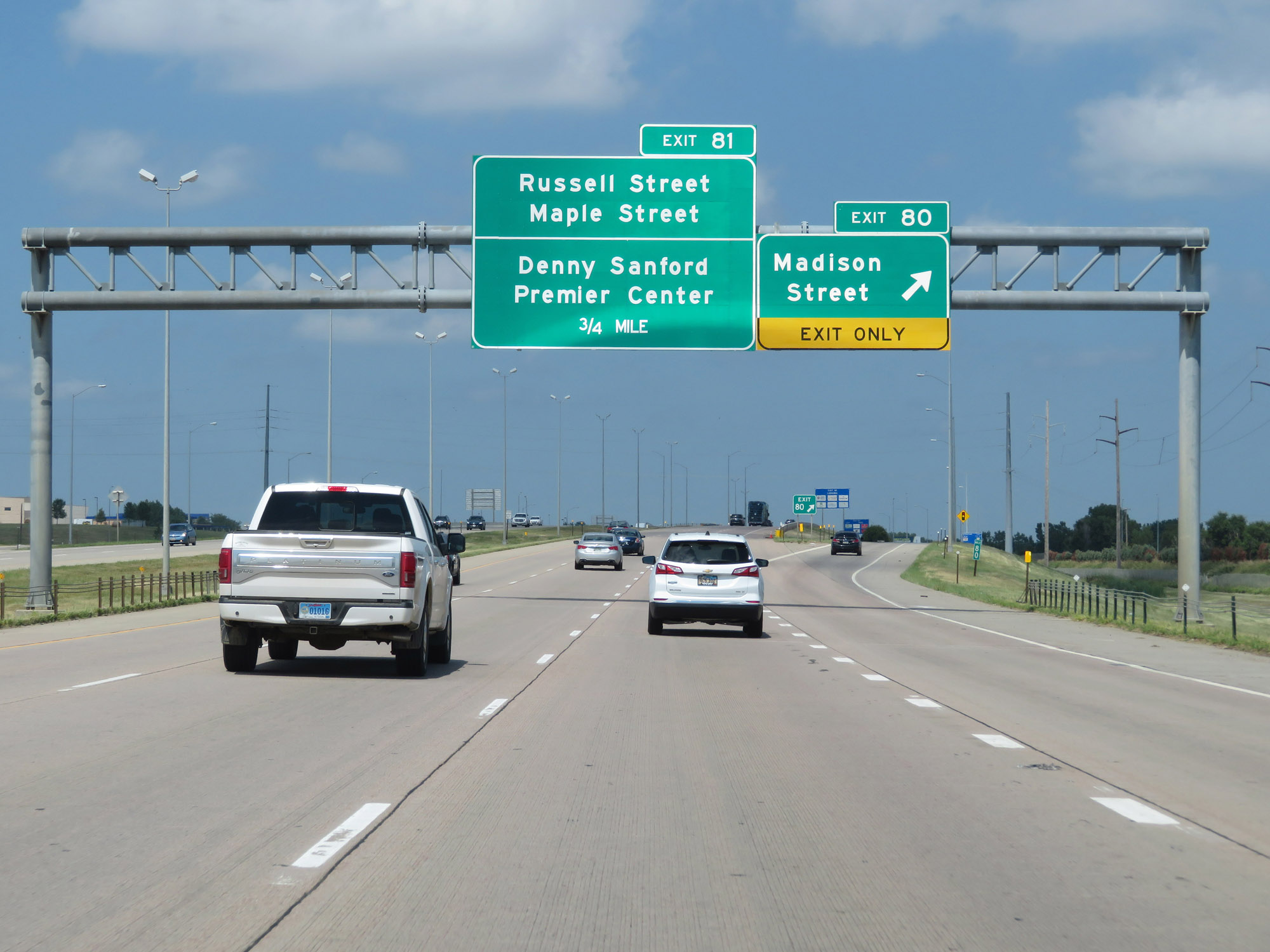
Take Exit 81 to Southeast Technical Institute and Falls Park. (Photo taken 8/9/20). |
 |
Interstate 29 North at Exit 81: Russell Street / Maple Street / Denny Sanford Premier Center (Photo taken 8/9/20). |
 |
View on Interstate 29 North at mile marker 81 in Sioux Falls. (Photo taken 8/9/20). |
 |
Interstate 29 North at Exit 82: Benson Road (Photo taken 8/9/20). |
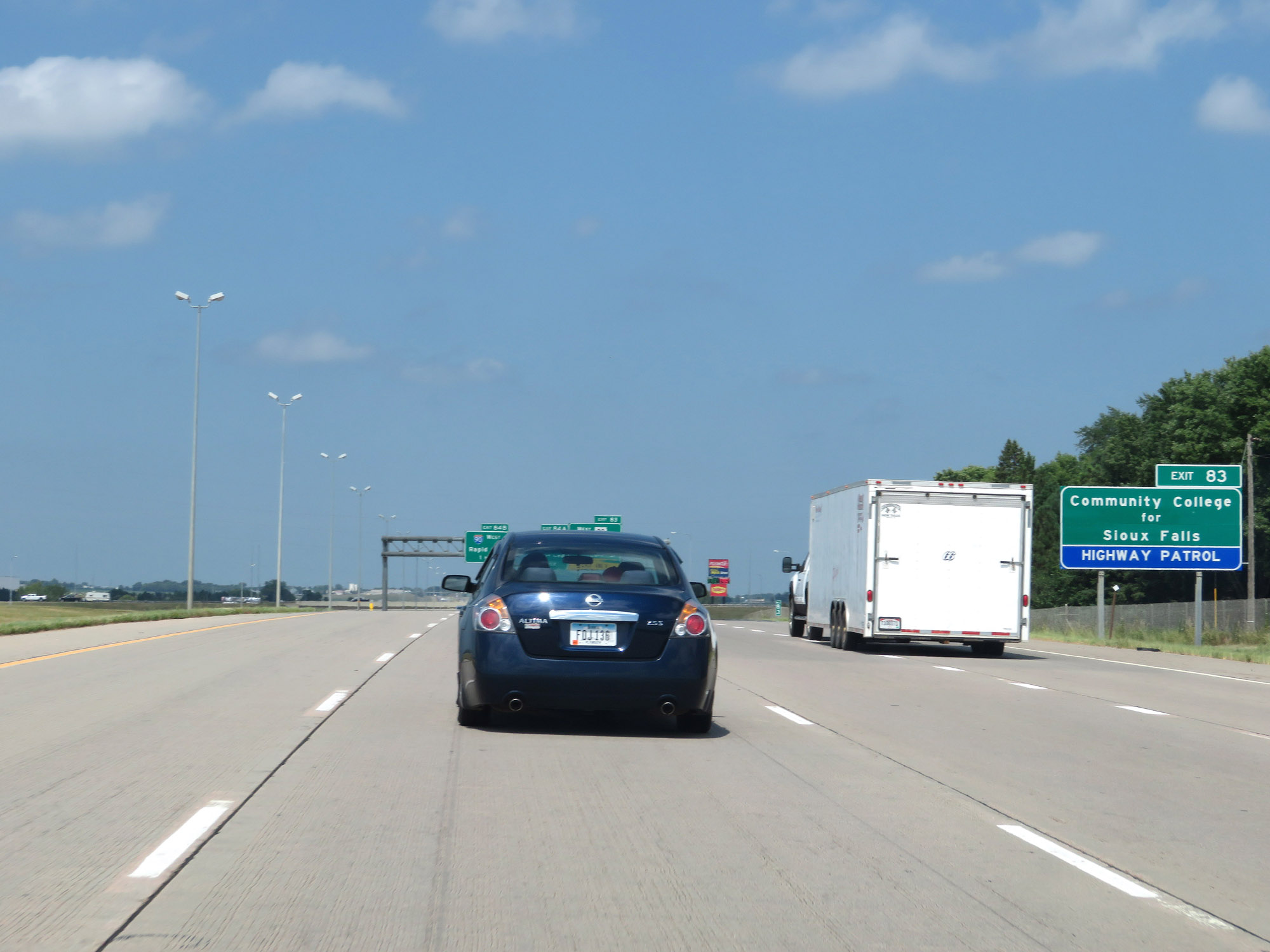 |
Take Exit 83 to Sioux Falls Community College. (Photo taken 8/9/20). |
 |
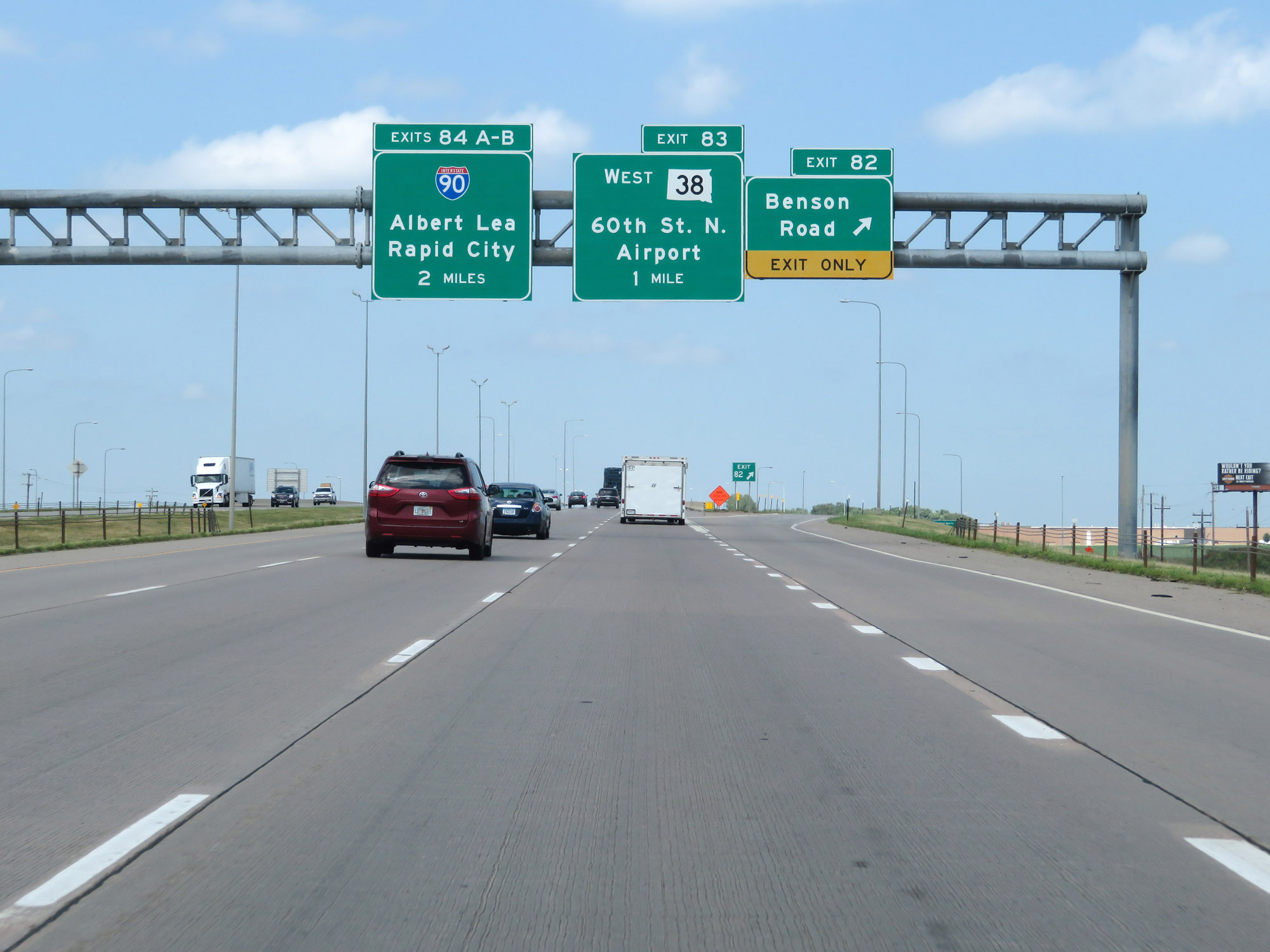
Interstate 29 North at Exit 83: SD 38 West - 60th St North / Airport (Photo taken 8/9/20). |
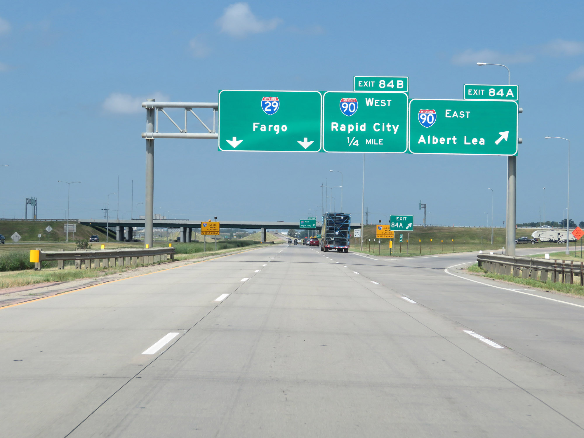 |
Interstate 29 North at Exit 84A: Interstate 90 East - Albert Lea (Photo taken 8/9/20). |
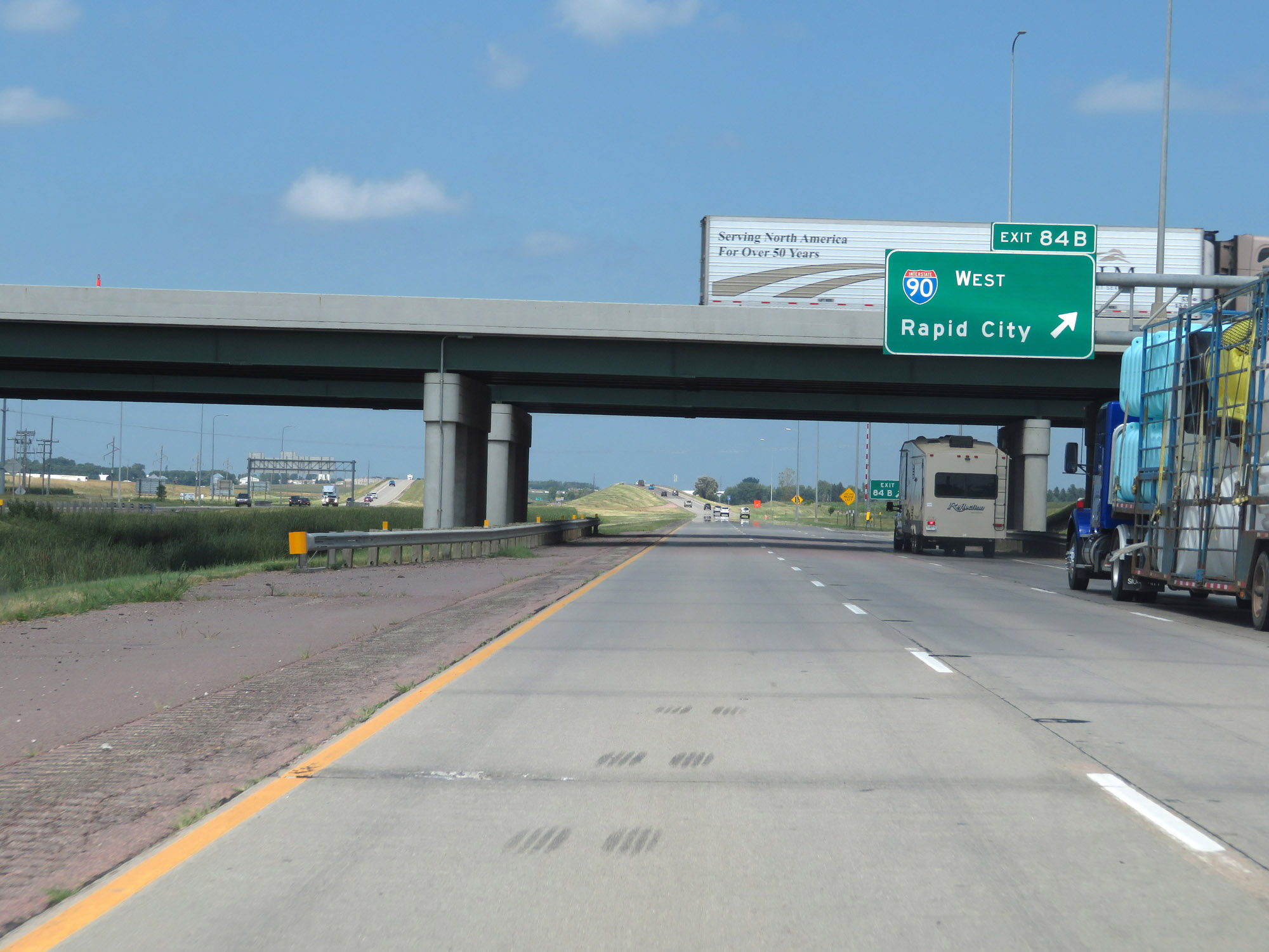 |
Interstate 29 North at Exit 84B: Interstate 90 West - Rapid City (Photo taken 8/9/20). |
 |
Interstate 29 North reassurance shield to the north of Interstate 90. (Photo taken 8/9/20). |
 |
The speed limits remain 65 mph maximum and 40 mph minimum for just a little bit longer. (Photo taken 8/9/20). |
 |
Approaching Exit 86, the maximum speed limit increases to 80 mph once again. (Photo taken 8/9/20). |
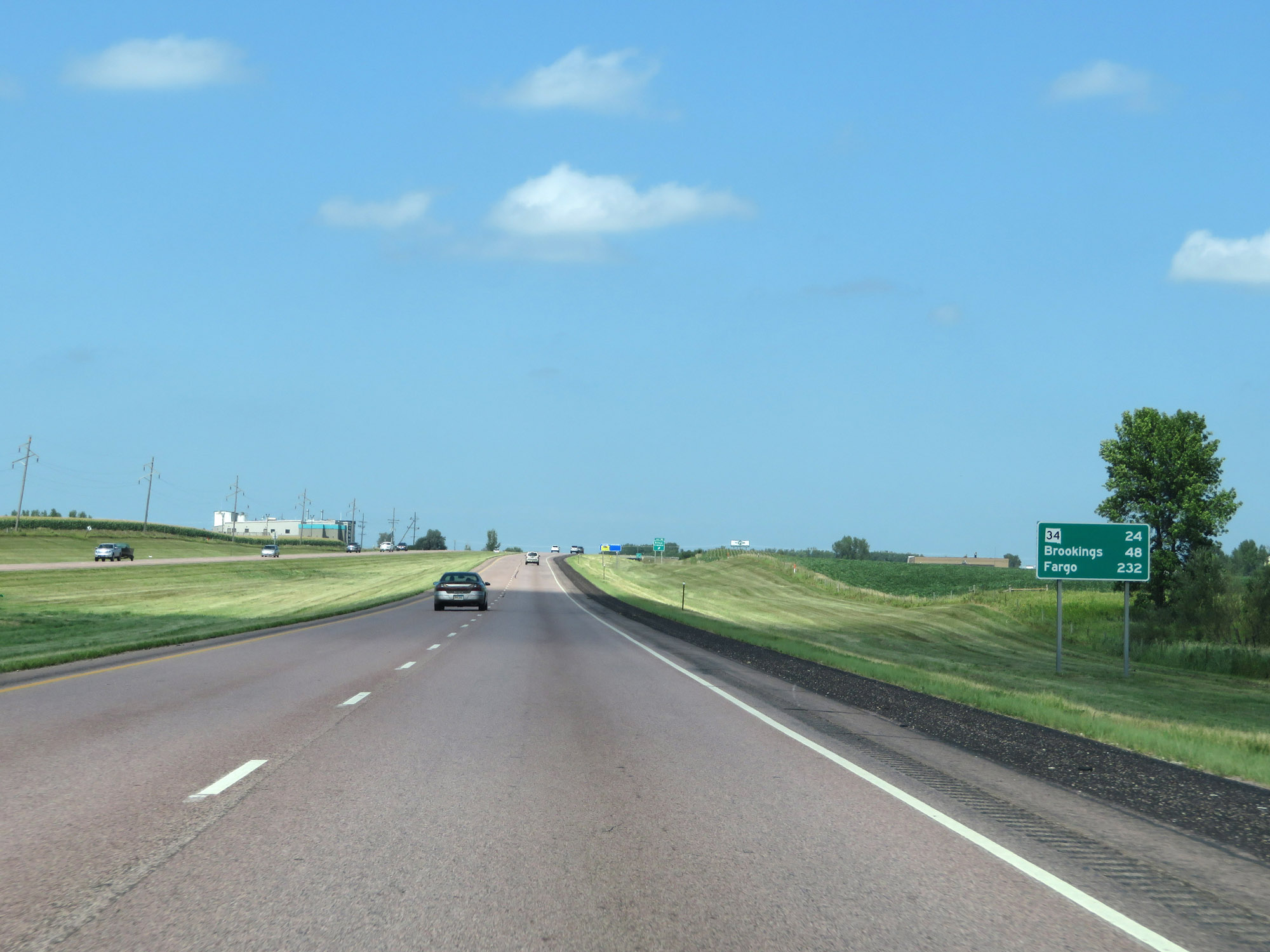 |
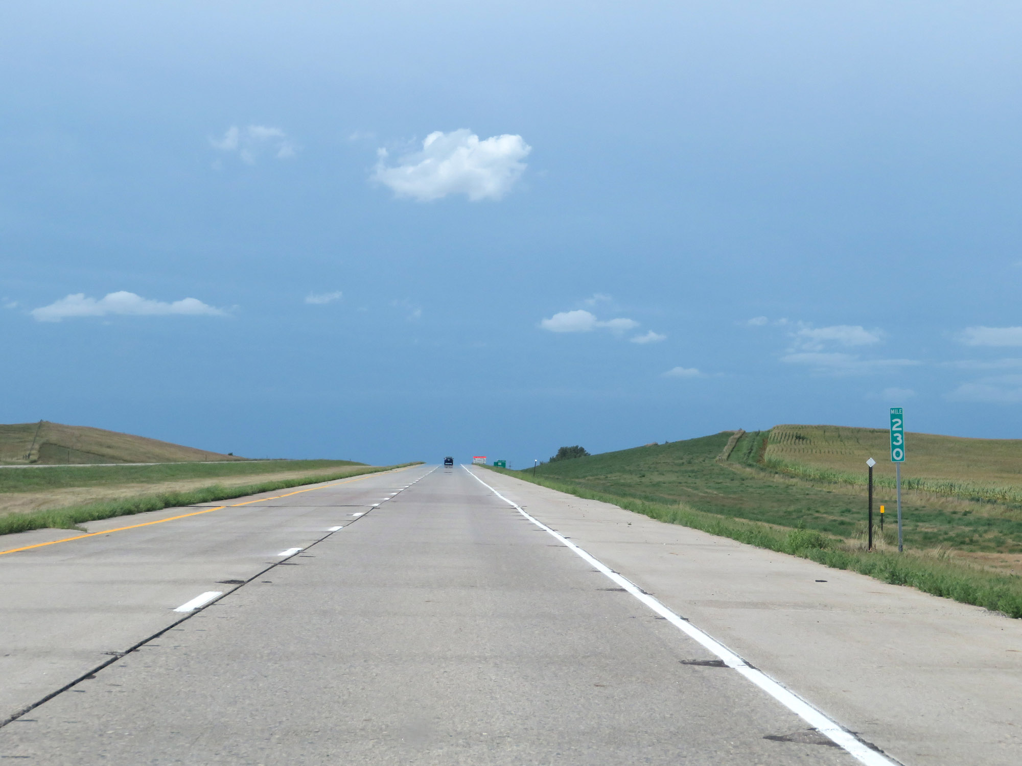
Mileage sign on Interstate 29 North. It's 24 miles to the junction of SD 24, 48 miles to Brookings, and 232 miles to Fargo. (Photo taken 8/9/20). |
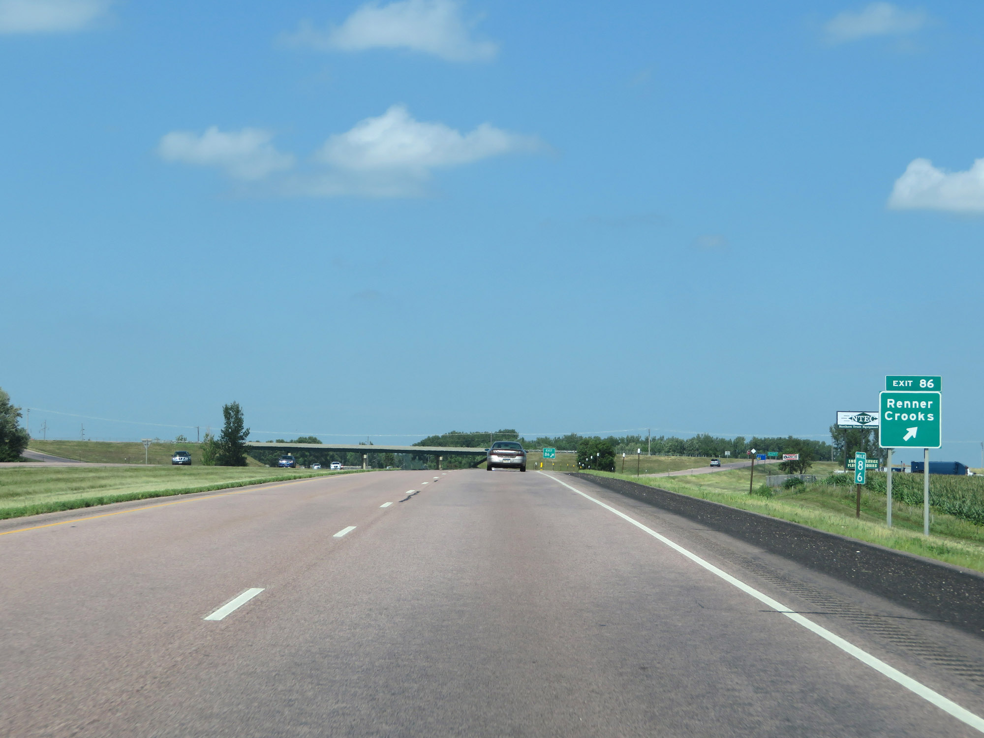 |
Interstate 29 North at Exit 86: Renner / Crooks (Photo taken 8/9/20). |
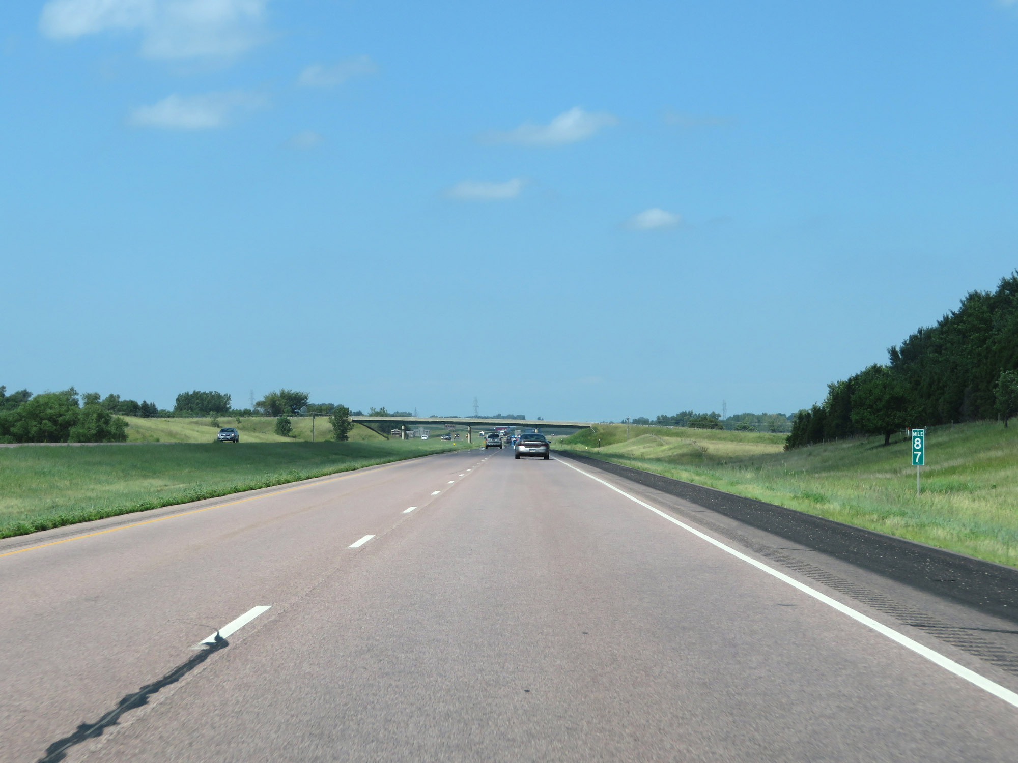 |
View on Interstate 29 North at mile marker 87. (Photo taken 8/9/20). |
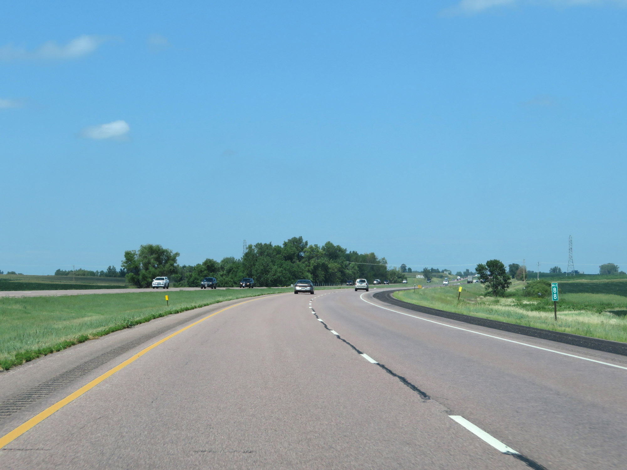 |
Mile marker 88 on Interstate 29 North in Minnehaha County. (Photo taken 8/9/20). |
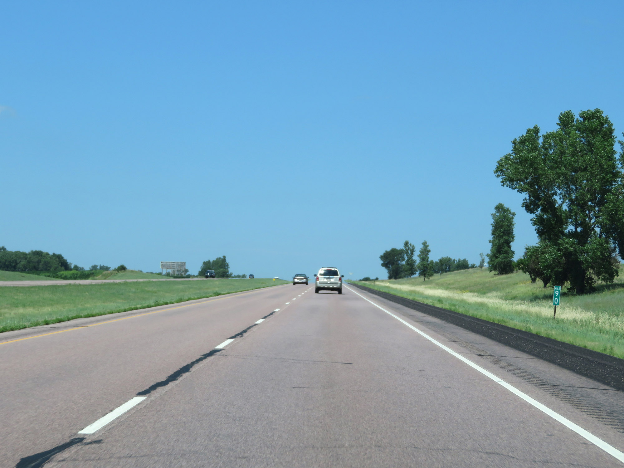 |
Interstate 29 North at mile marker 90. (Photo taken 8/9/20). |
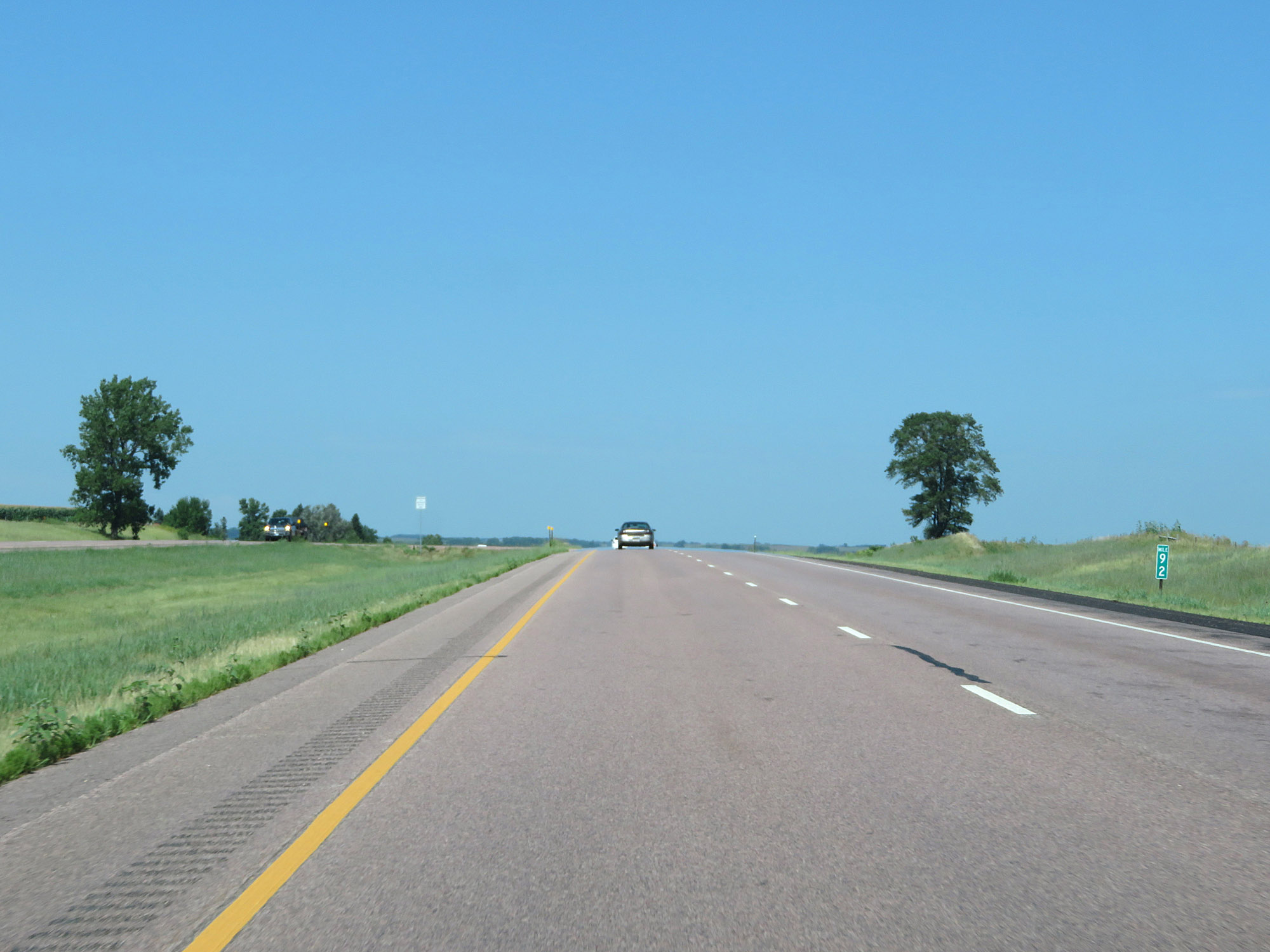 |
View on Interstate 29 North at mile marker 92. (Photo taken 8/9/20). |
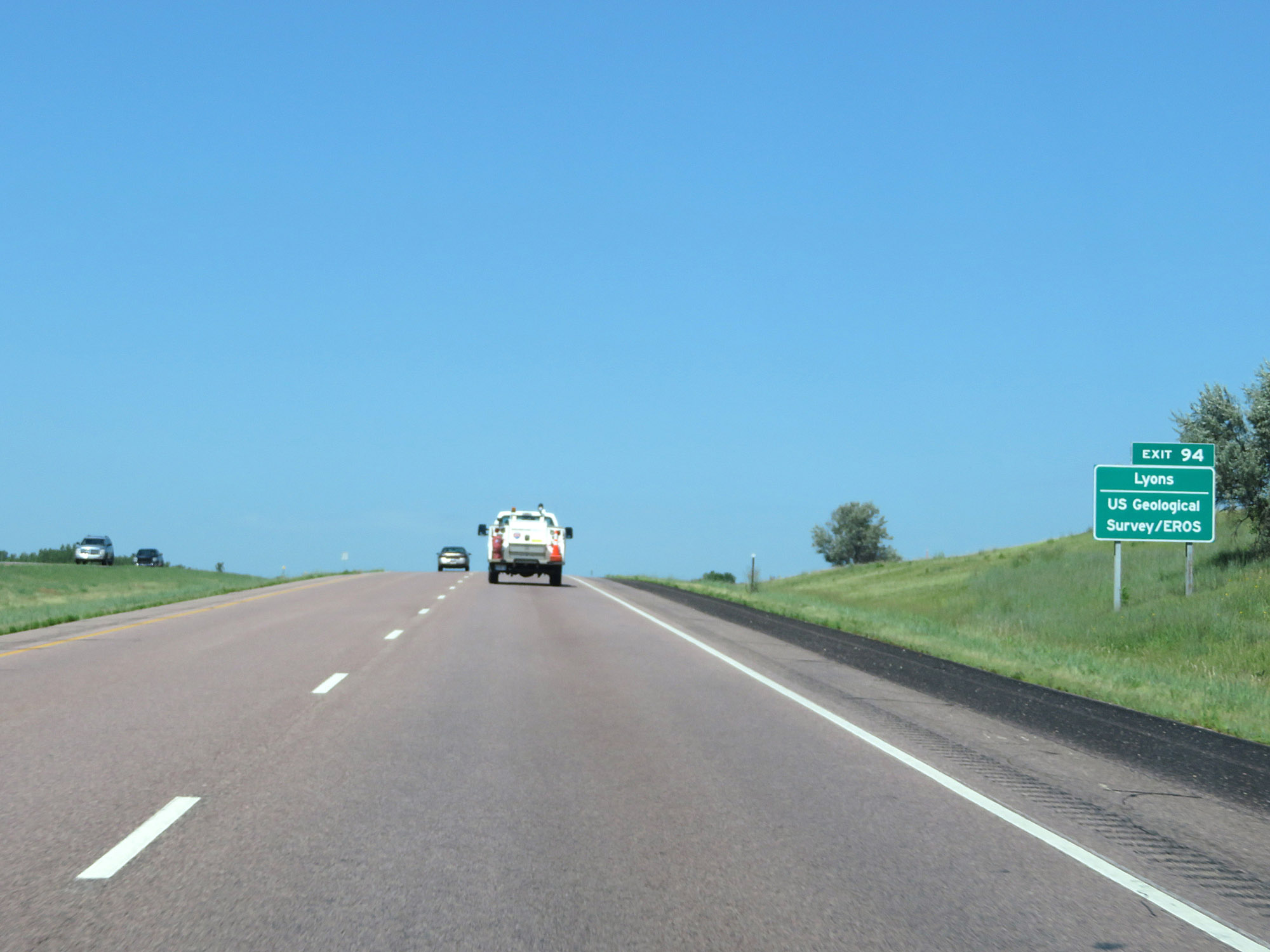 |
Take Exit 94 to Lyons and US Geological Survey / EROS. (Photo taken 8/9/20). |
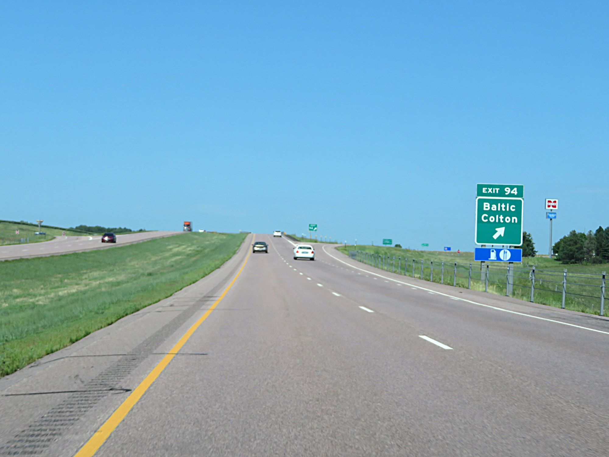 |
Interstate 29 North at Exit 94: Baltic / Colton (Photo taken 8/9/20). |
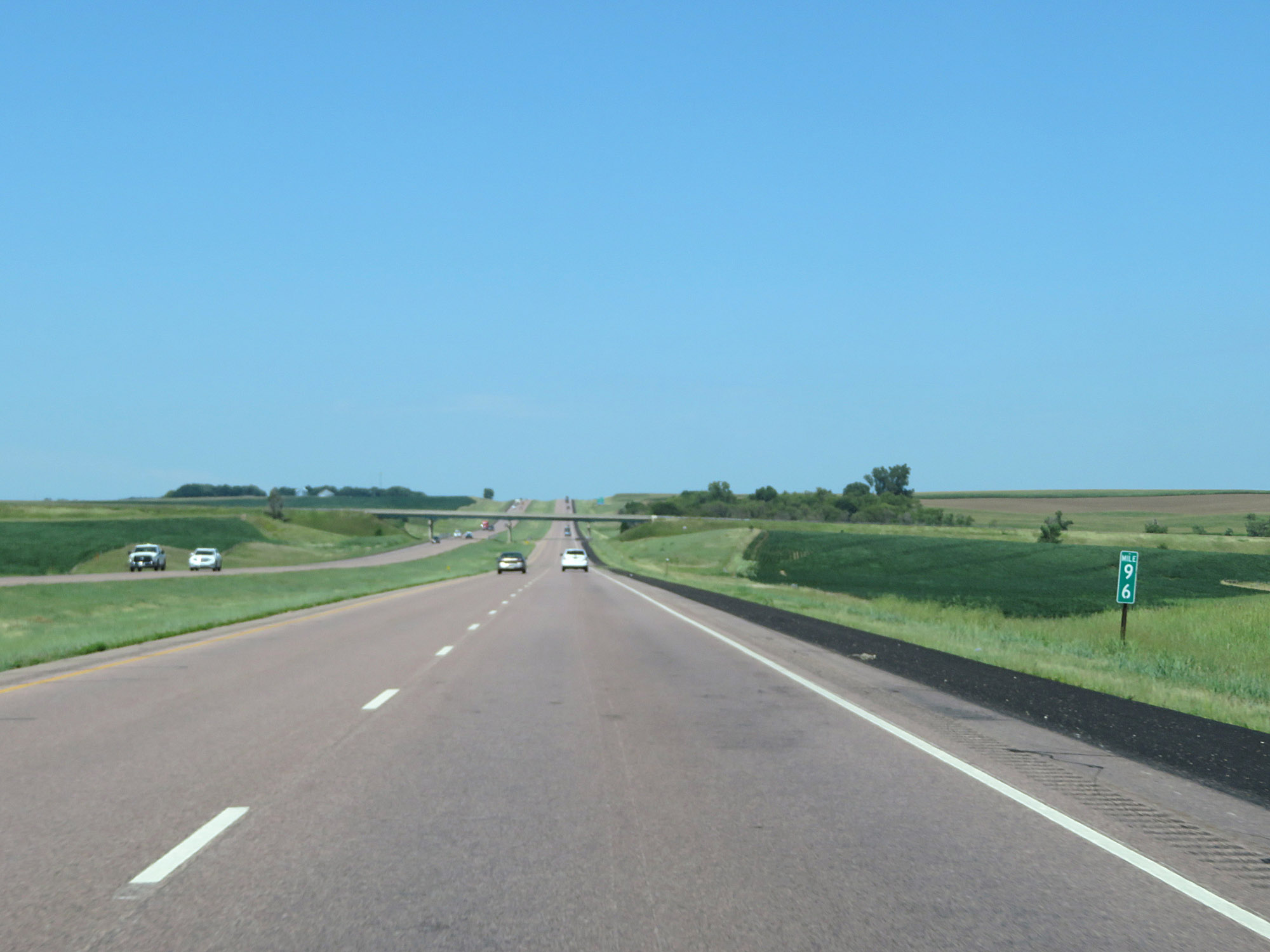 |
Mile marker 96 on Interstate 29 North in Minnehaha County. (Photo taken 8/9/20). |
 |
Interstate 29 North at Exit 98: Dell Rapids / Chester (Photo taken 8/9/20). |
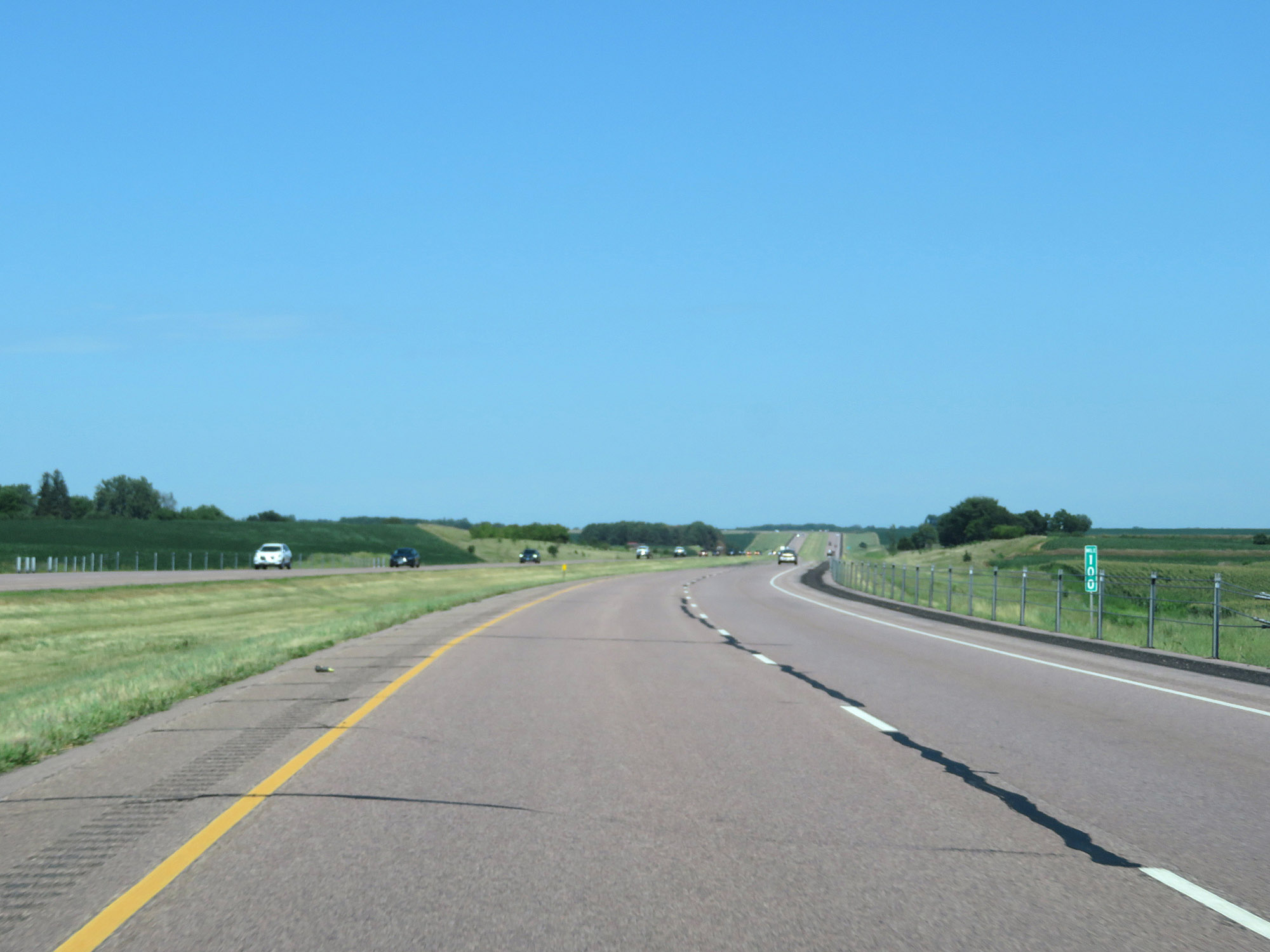 |
View on Interstate 29 North at mile marker 100. (Photo taken 8/9/20). |
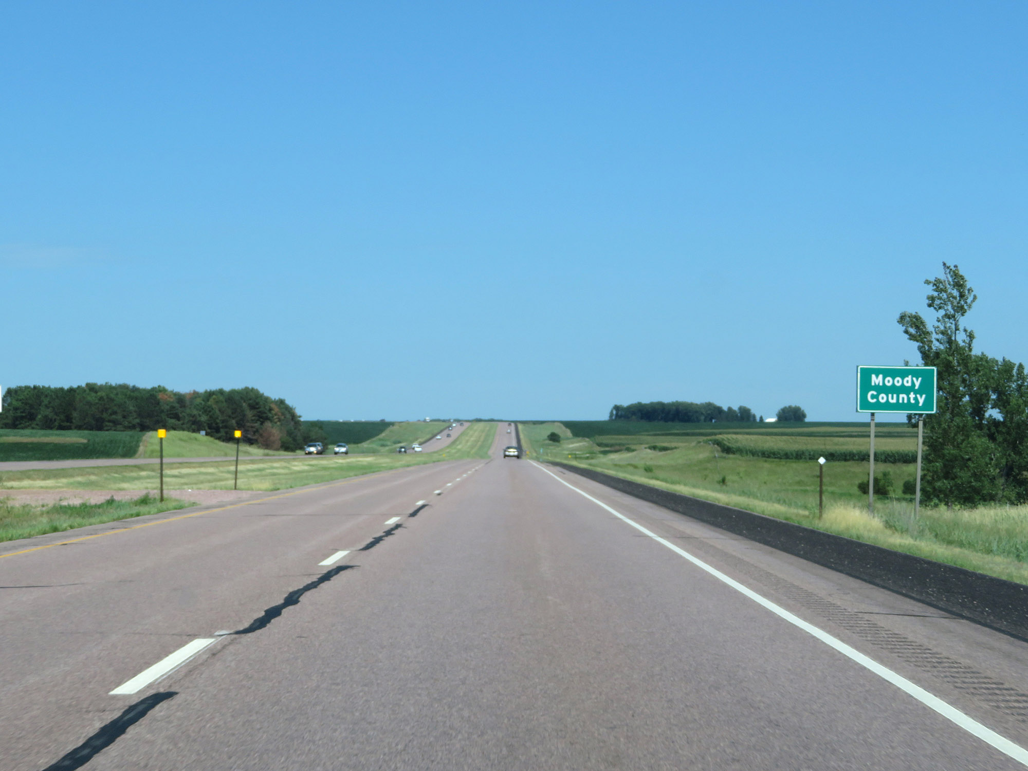 |
Entering Moody County on Interstate 29 North. (Photo taken 8/9/20). |
 |
Interstate 29 North at mile marker 102. (Photo taken 8/9/20). |
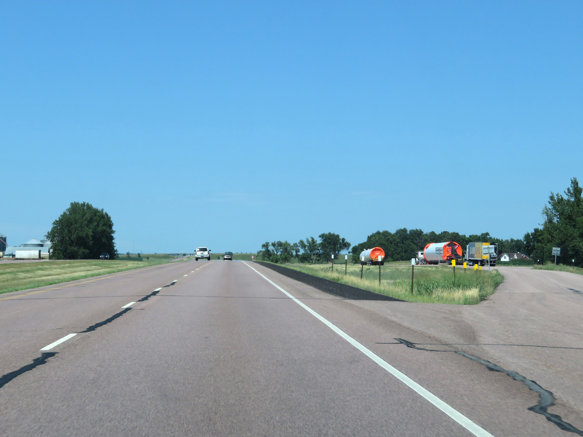 |
Turnout / Parking Area on Interstate 29 North in Moody County. (Photo taken 8/9/20). |
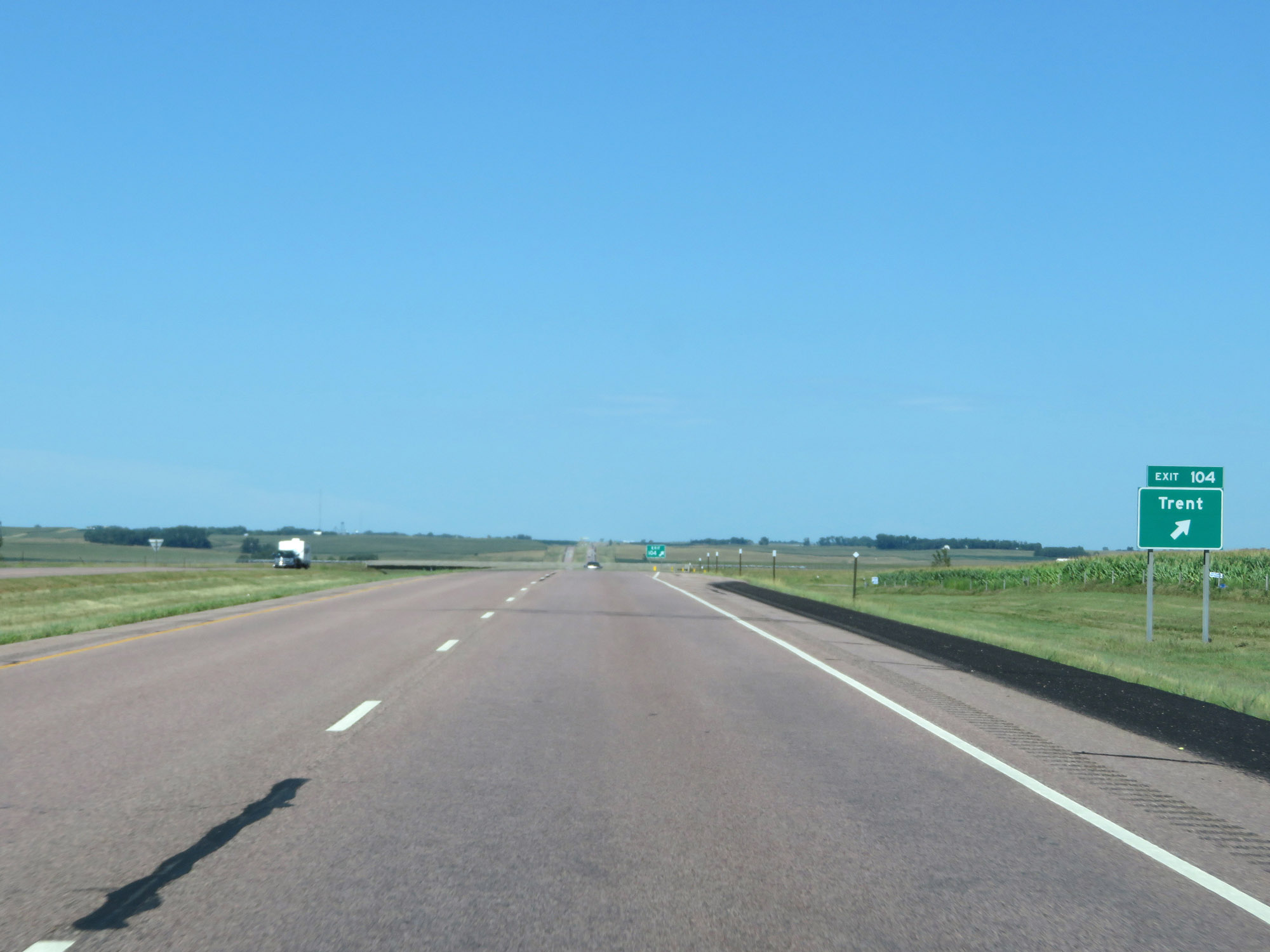 |
Interstate 29 North at Exit 104: Trent (Photo taken 8/9/20). |
 |
View on Interstate 29 North at mile marker 105. (Photo taken 8/9/20). |
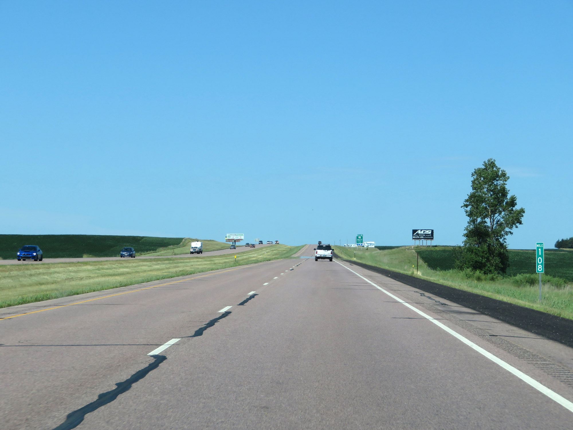 |
Mile marker 108 on Interstate 29 North in Moody County. (Photo taken 8/9/20). |
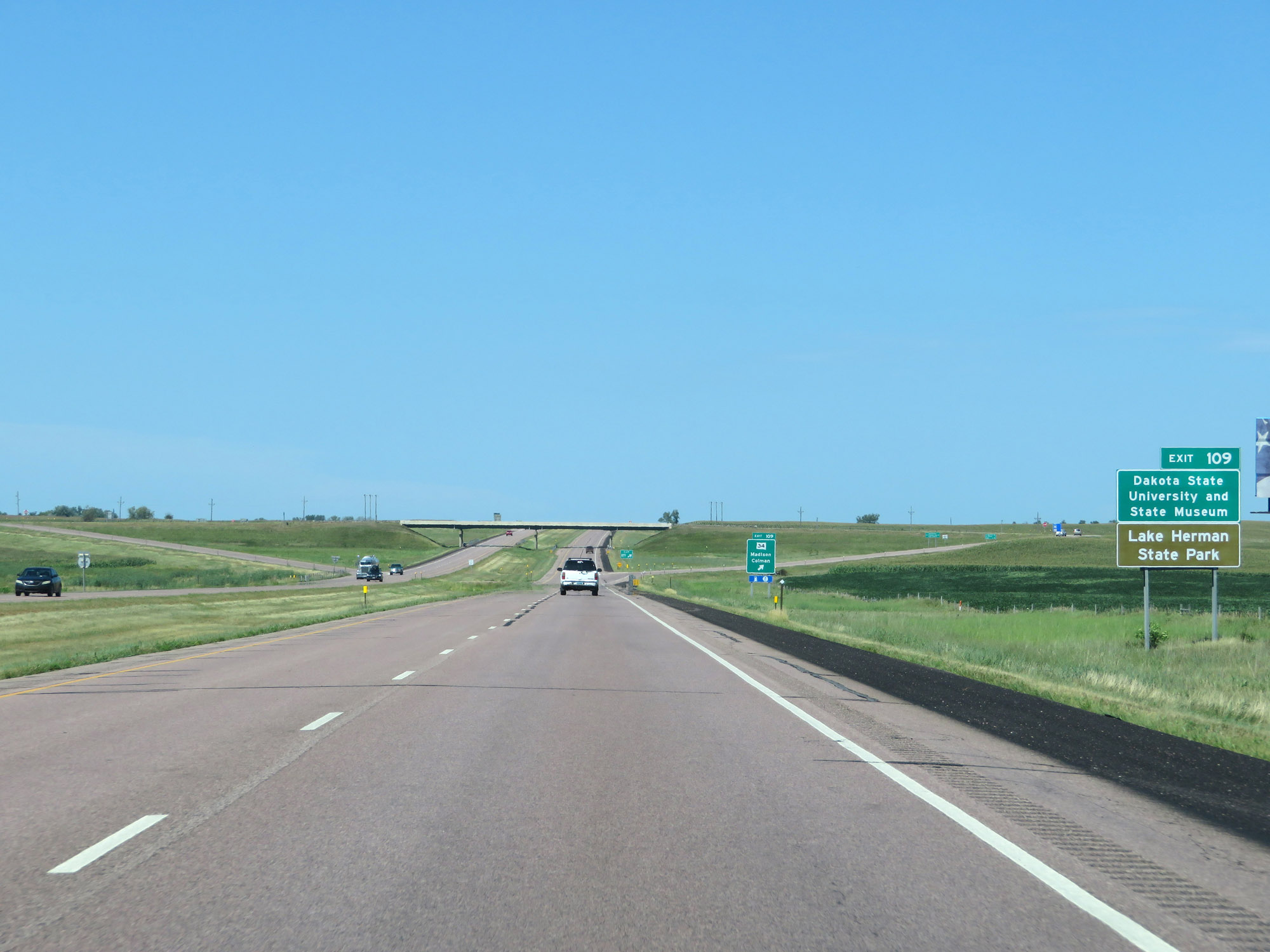 |
Take Exit 109 to Dakota State University and State Museum as well as Lake Herman State Park. (Photo taken 8/9/20). |
 |
Interstate 29 North at Exit 109: SD 34 - Madison / Colman (Photo taken 8/9/20). |
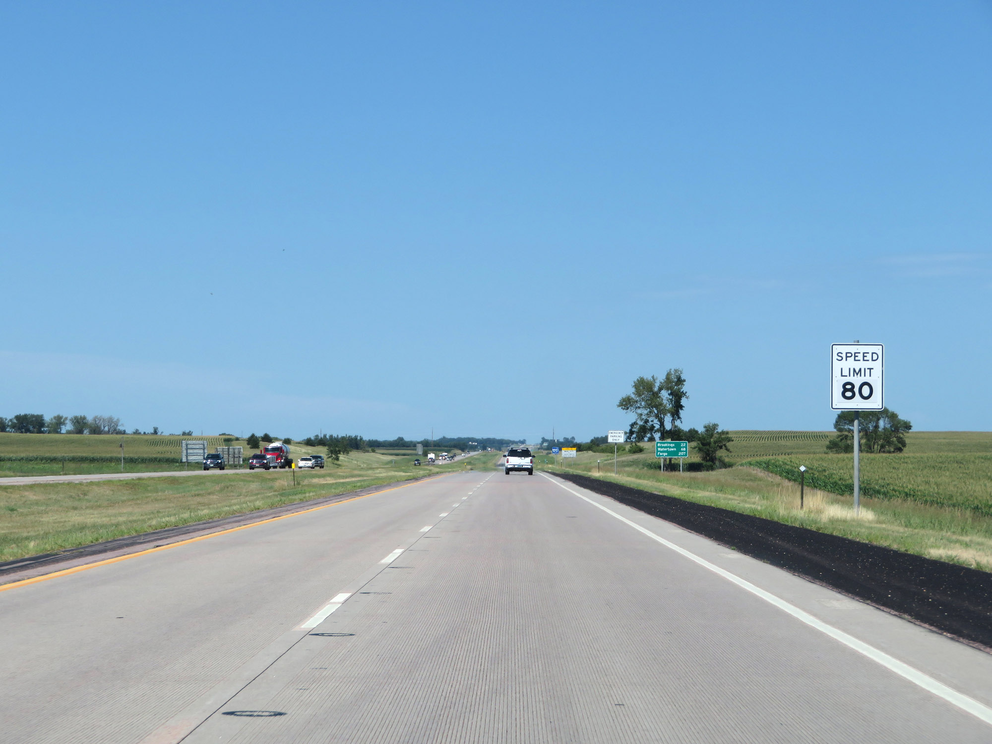 |
The maximum speed limit remains 80 mph on Interstate 29 North. (Photo taken 8/9/20). |
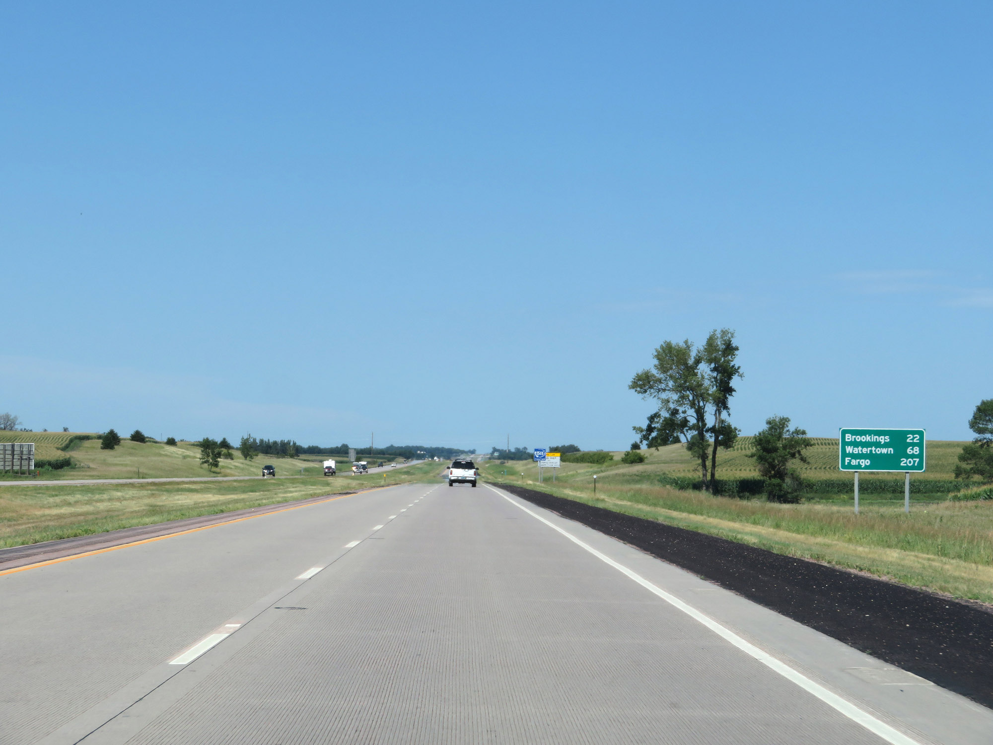 |
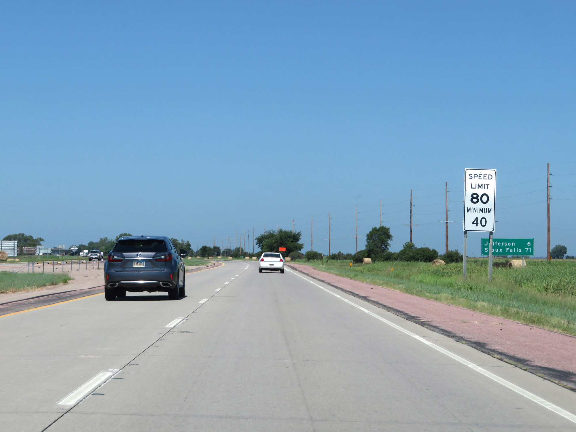
Mileage sign on Interstate 29 North. It's 22 miles to Brookings, 68 miles to Watertown, and 207 miles to Fargo. (Photo taken 8/9/20). |
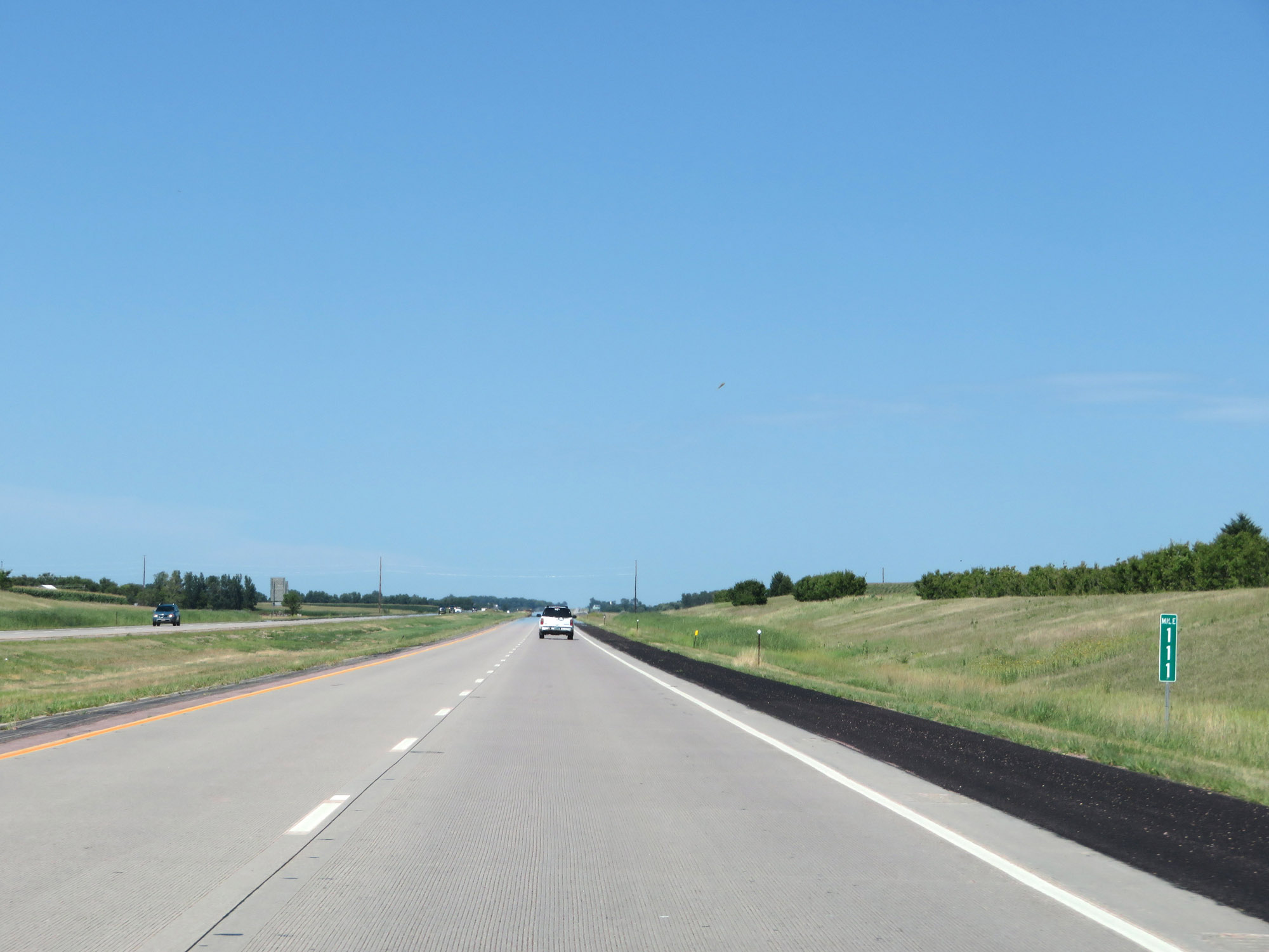 |
View on Interstate 29 North at mile marker 111. (Photo taken 8/9/20). |
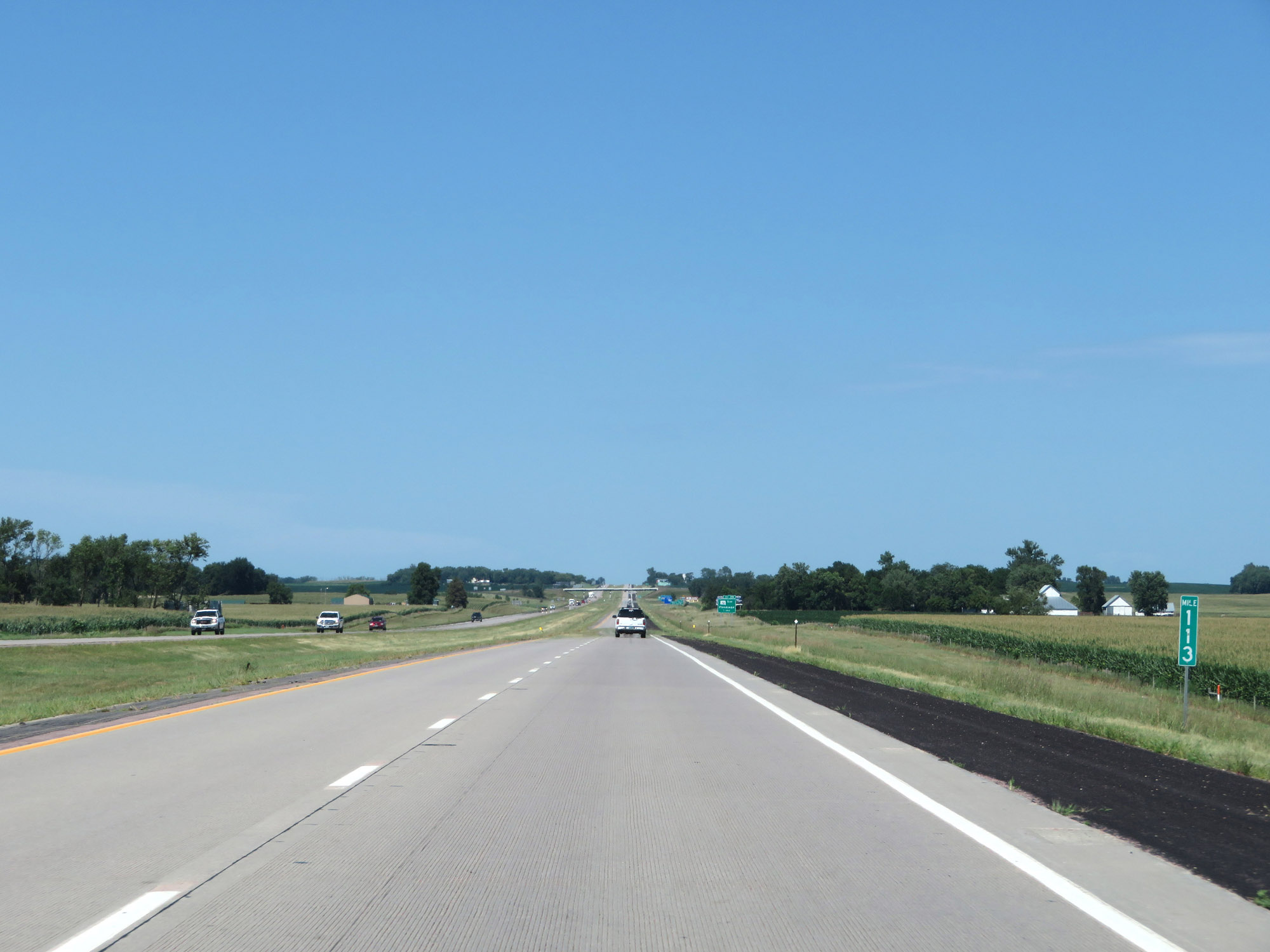 |
Interstate 29 North at mile marker 113. (Photo taken 8/9/20). |
 |
Take Exit 114 to the Flandreau Santee Sioux Tribal Headquarters. (Photo taken 8/9/20). |
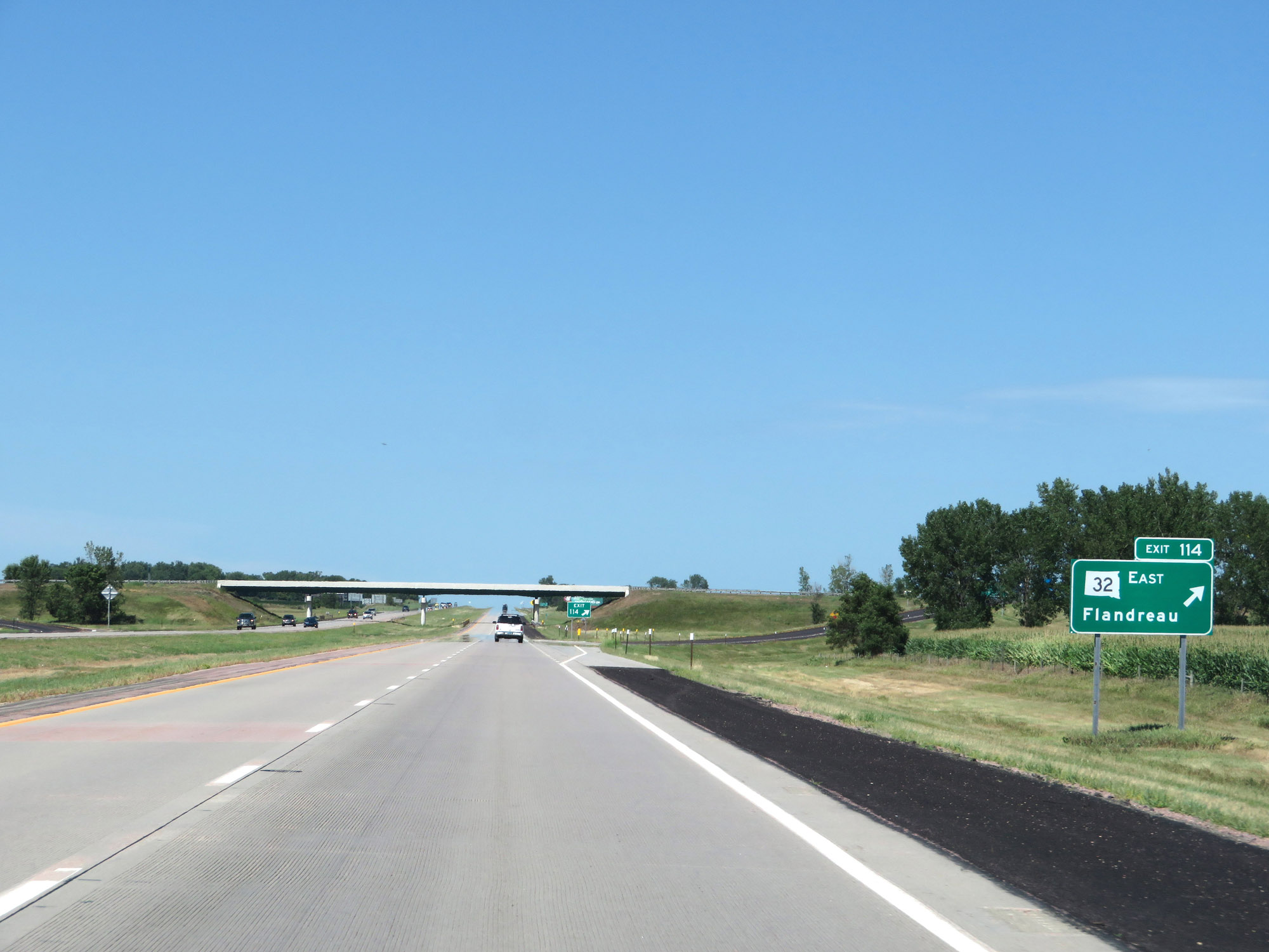 |
Interstate 29 North at Exit 114: SD 32 East - Flandreau (Photo taken 8/9/20). |
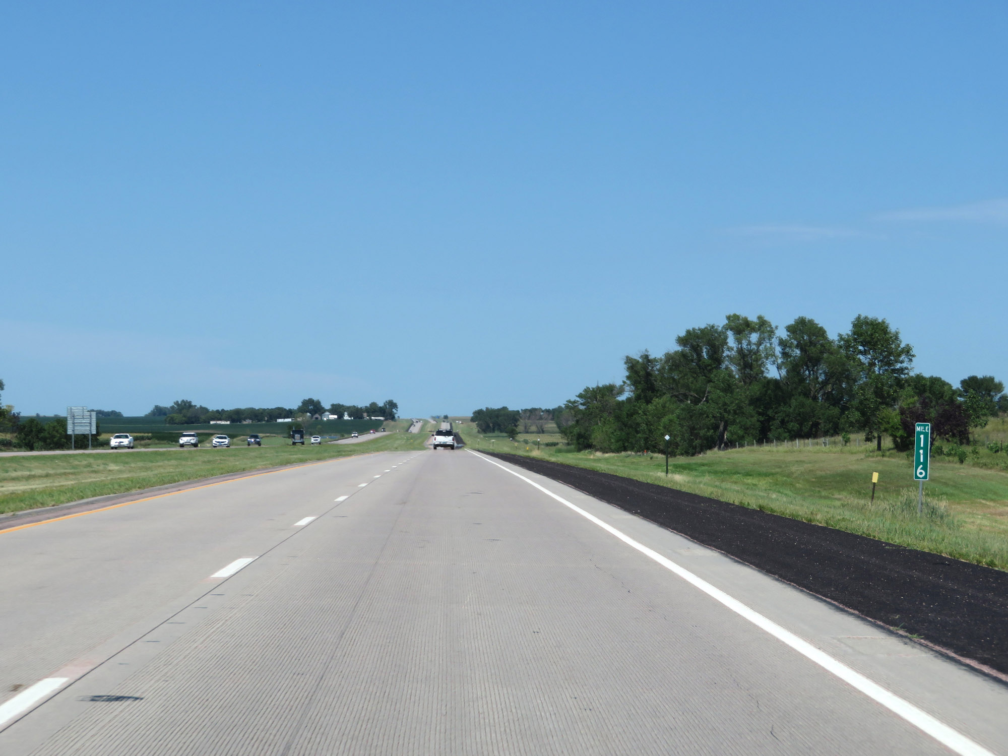 |
View on Interstate 29 North at mile marker 116. (Photo taken 8/9/20). |
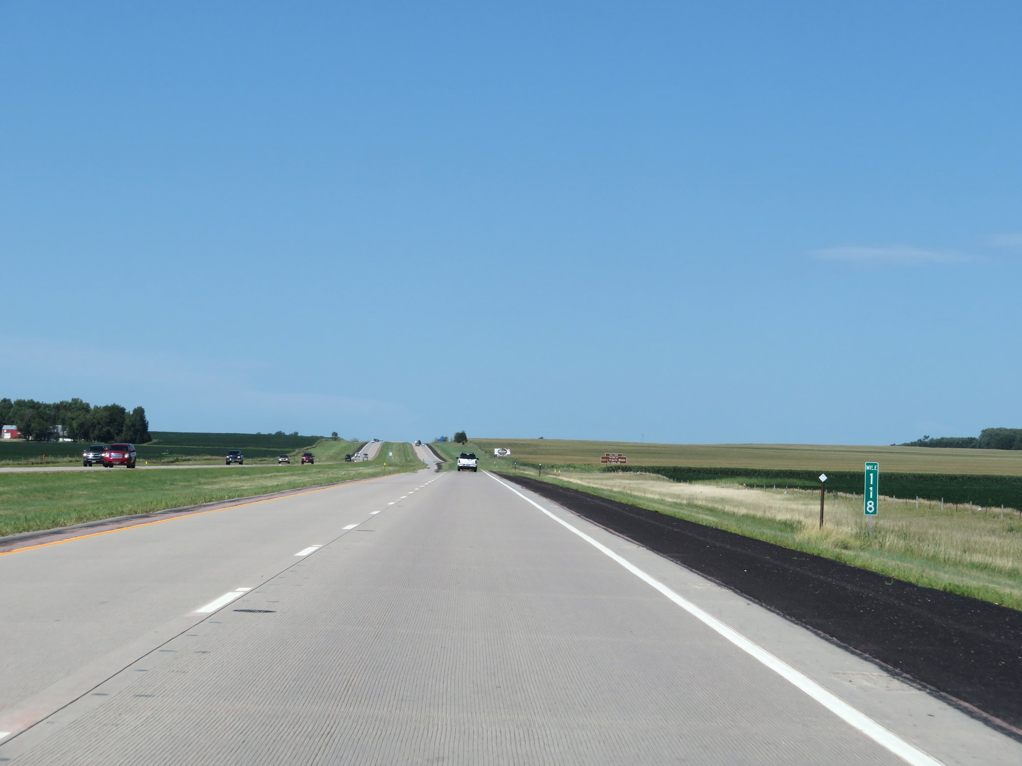 |
Interstate 29 North at mile marker 118. (Photo taken 8/9/20). |
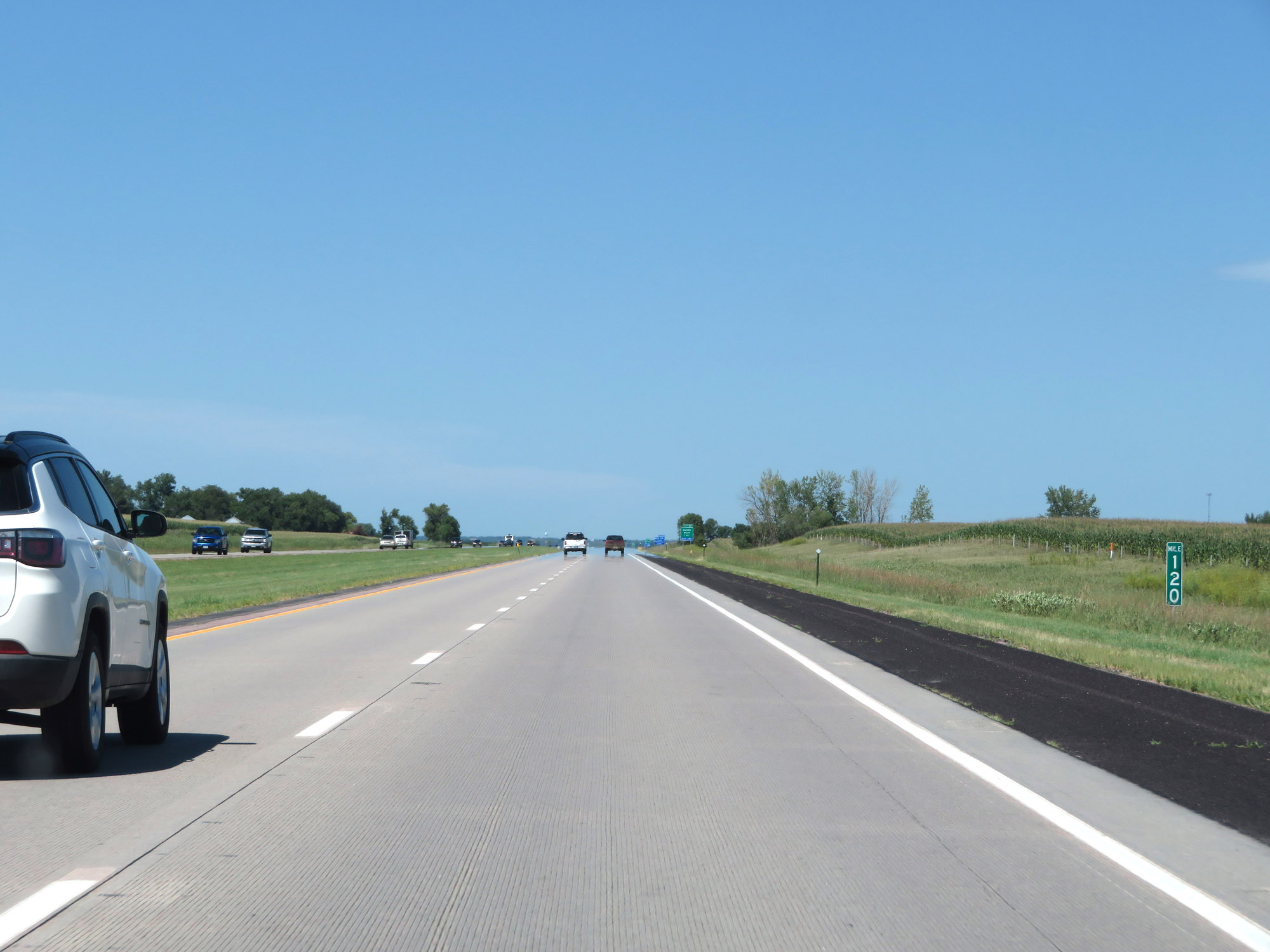 |
Mile marker 120 on Interstate 29 North in Moody County. (Photo taken 8/9/20). |
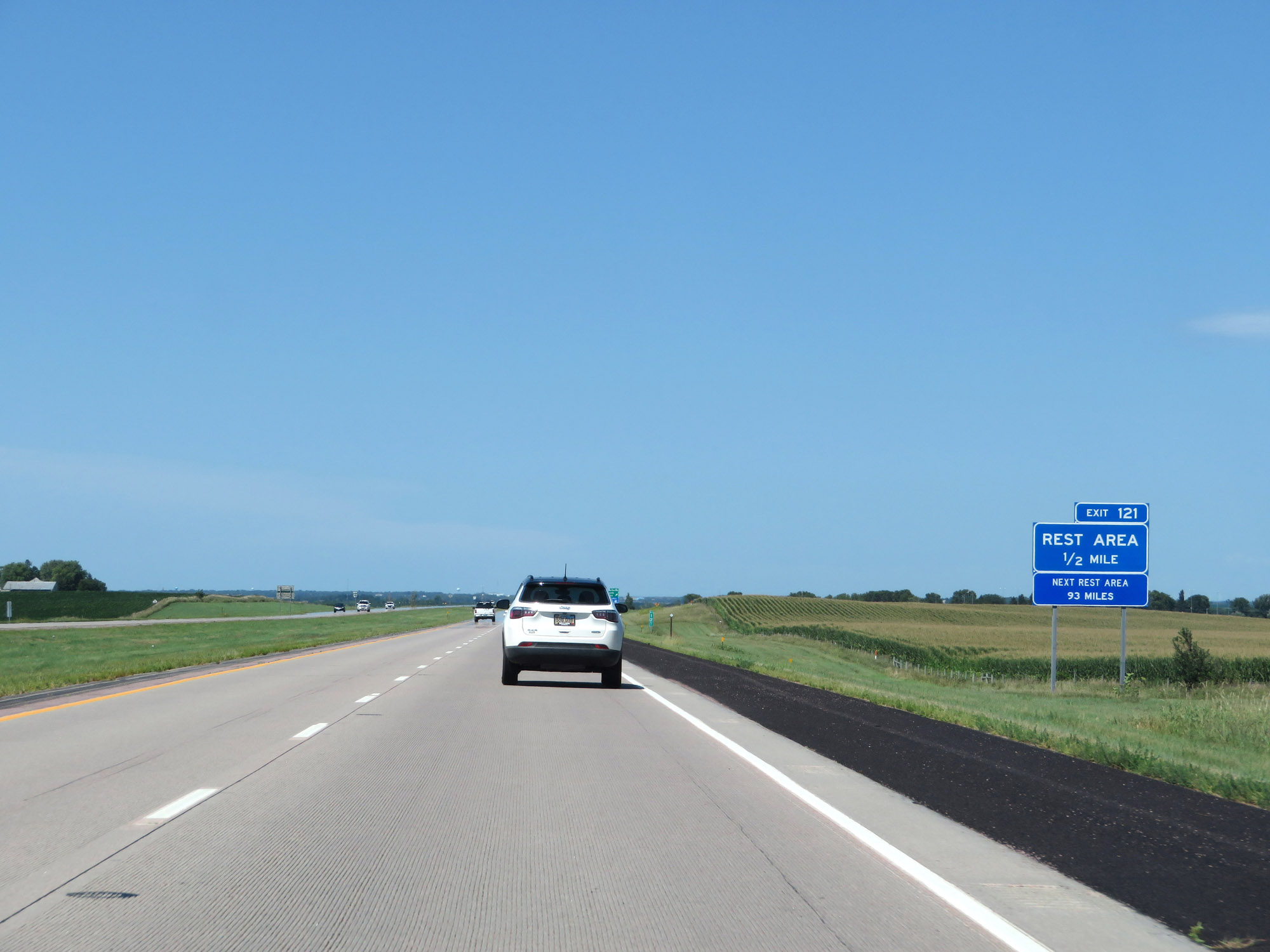 |
Another Rest Area exists off Exit 121, 1/2 mile ahead. Beyond this, the next Rest Area is 93 miles ahead. (Photo taken 8/9/20). |
 |
Interstate 29 North at Exit 121: Nunda / Ward / Rest Area (Photo taken 8/9/20). |
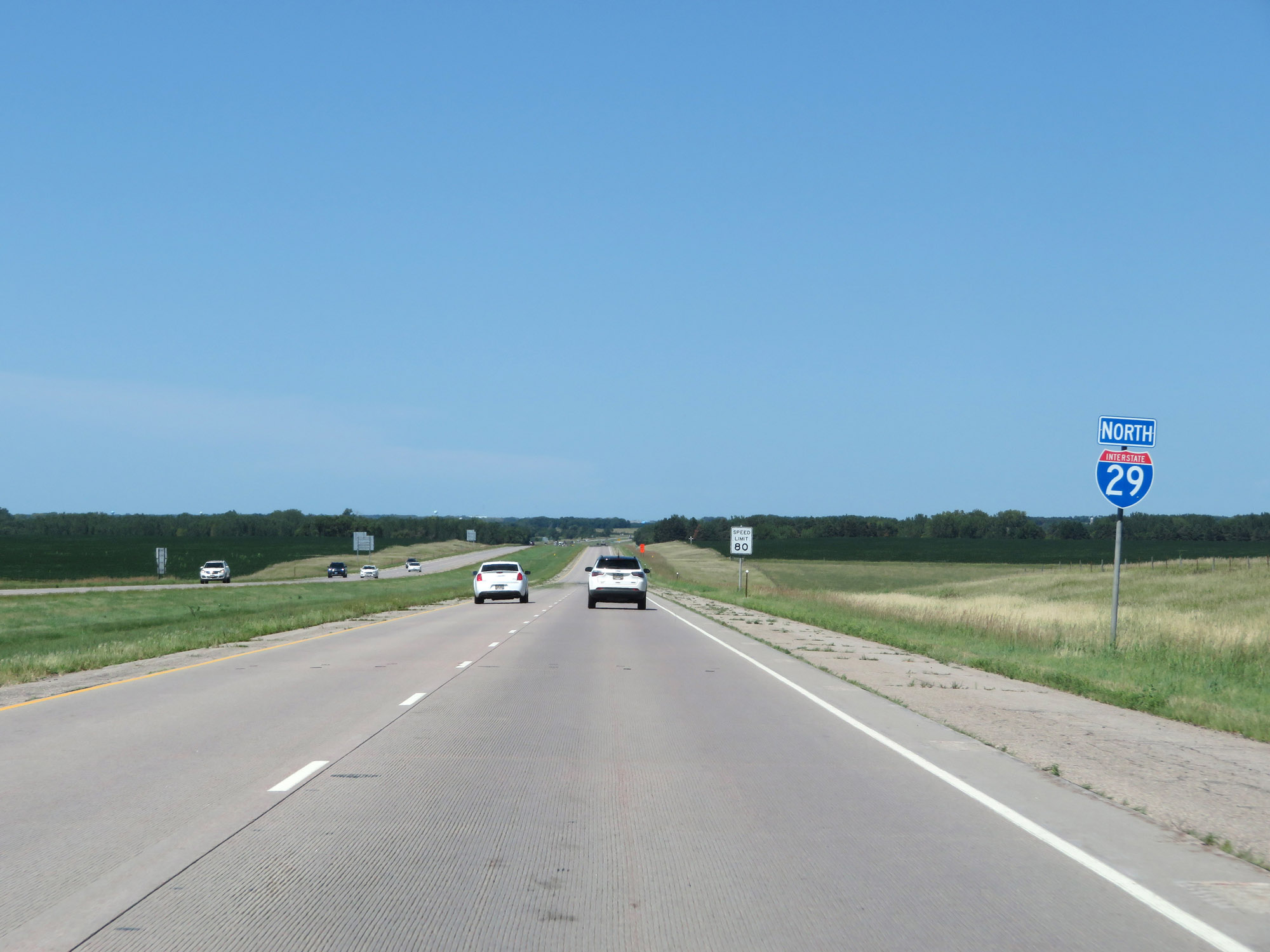 |
Interstate 29 North reassurance shield. (Photo taken 8/9/20). |
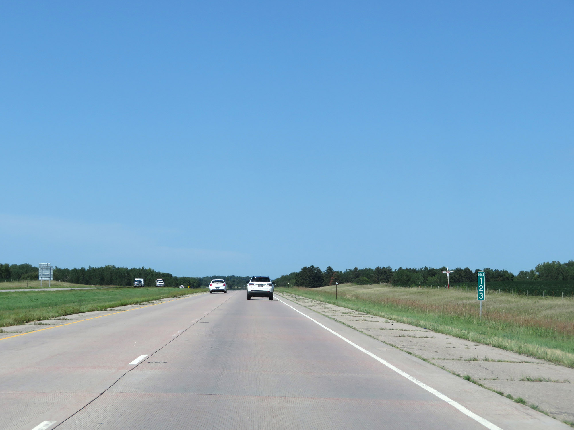 |
View on Interstate 29 North at mile marker 123. (Photo taken 8/9/20). |
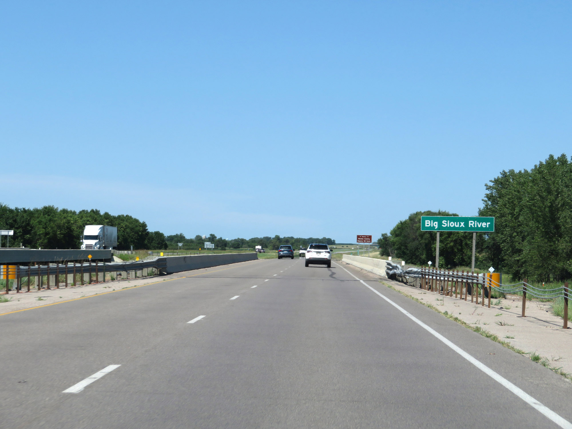 |
Interstate 29 North as it crosses the Big Sioux River, which marks the county line. (Photo taken 8/9/20). |
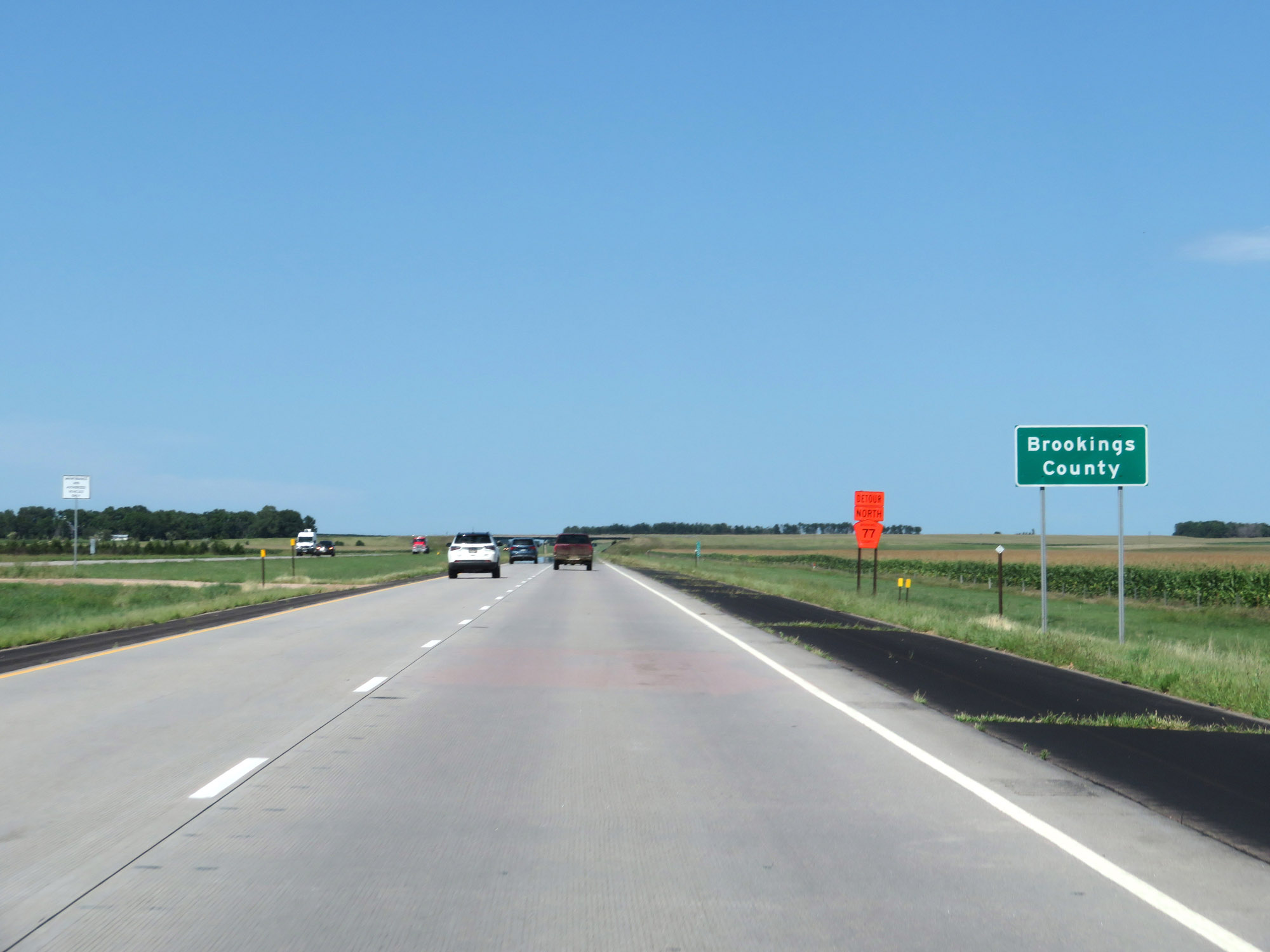 |
Interstate 29 North as it enters Brookings County. (Photo taken 8/9/20). |
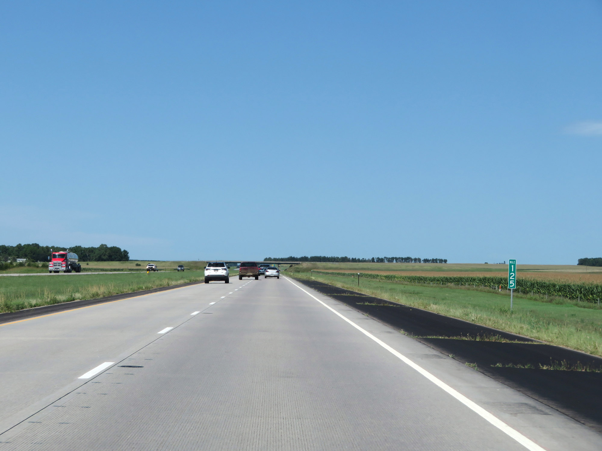 |
View on Interstate 29 North at mile marker 125. (Photo taken 8/9/20). |
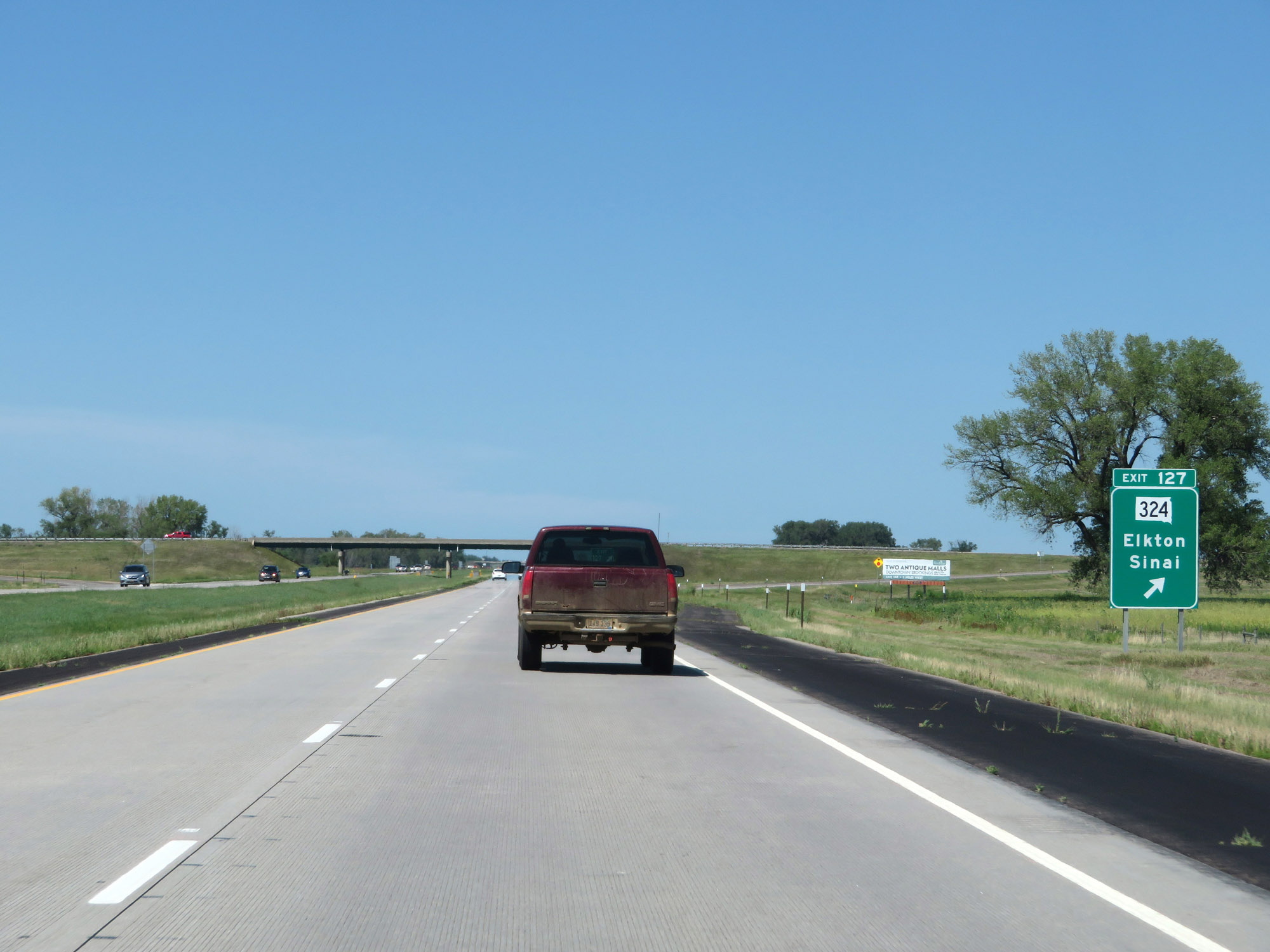 |
Interstate 29 North at Exit 127: SD 324 - Elkton / Sinai (Photo taken 8/9/20). |
 |
Mile marker 129 on Interstate 29 North in Brookings County. (Photo taken 8/9/20). |
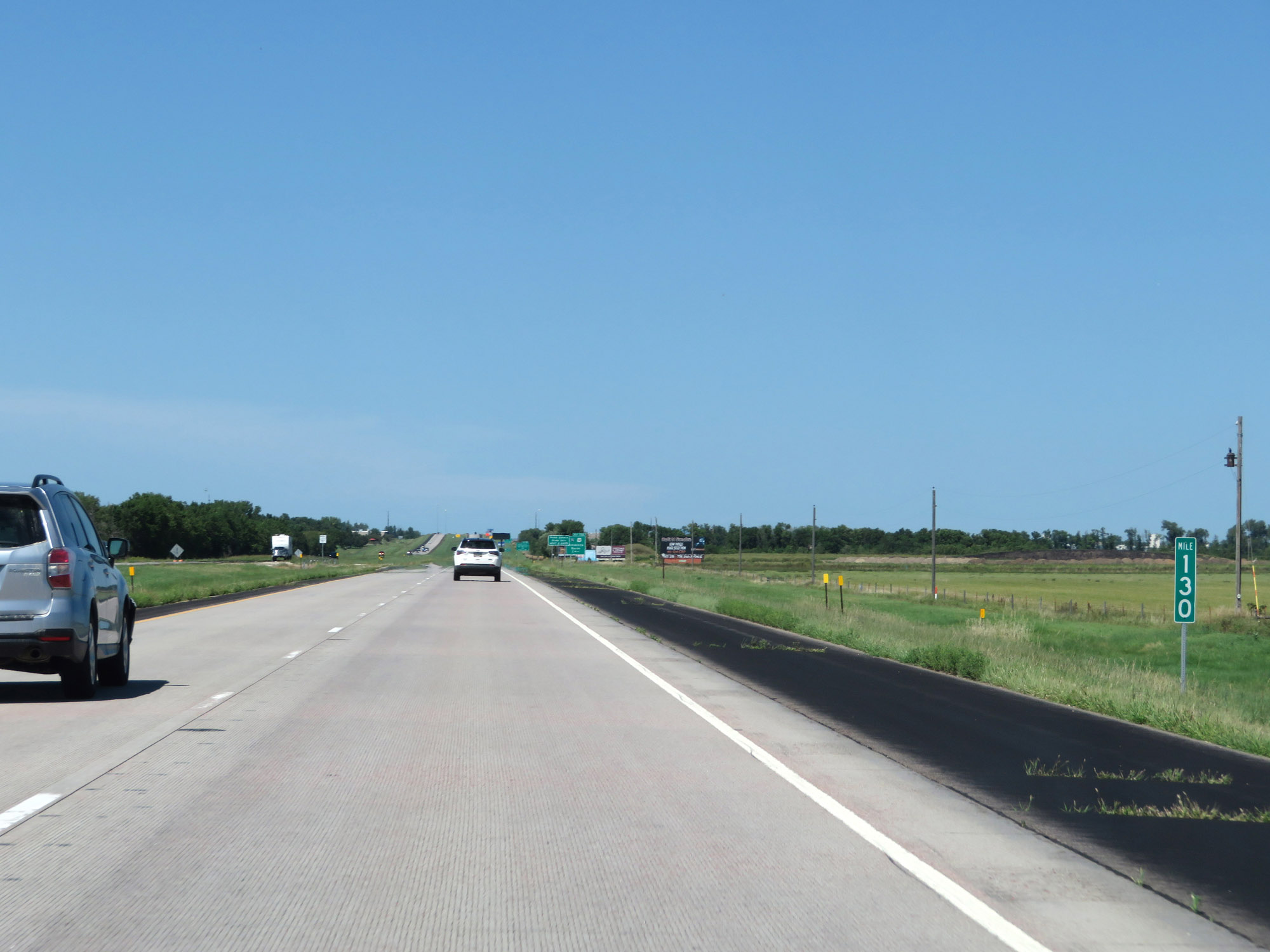 |
View on Interstate 29 North at mile marker 130. (Photo taken 8/9/20). |
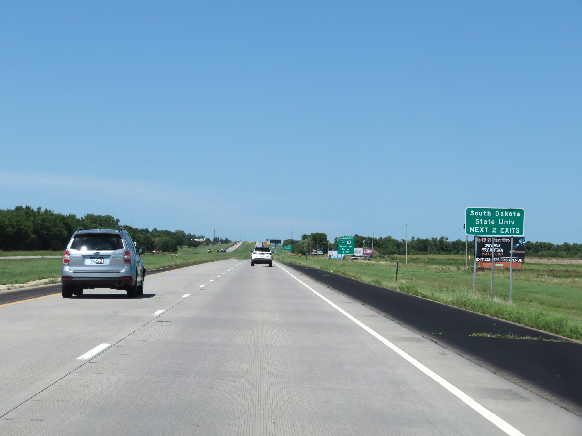 |
Take either of the next 2 exits to South Dakota State University. (Photo taken 8/9/20). |
 |
Take Exit 132 to South Dakota State University State Museums and Research Park. (Photo taken 8/9/20). |
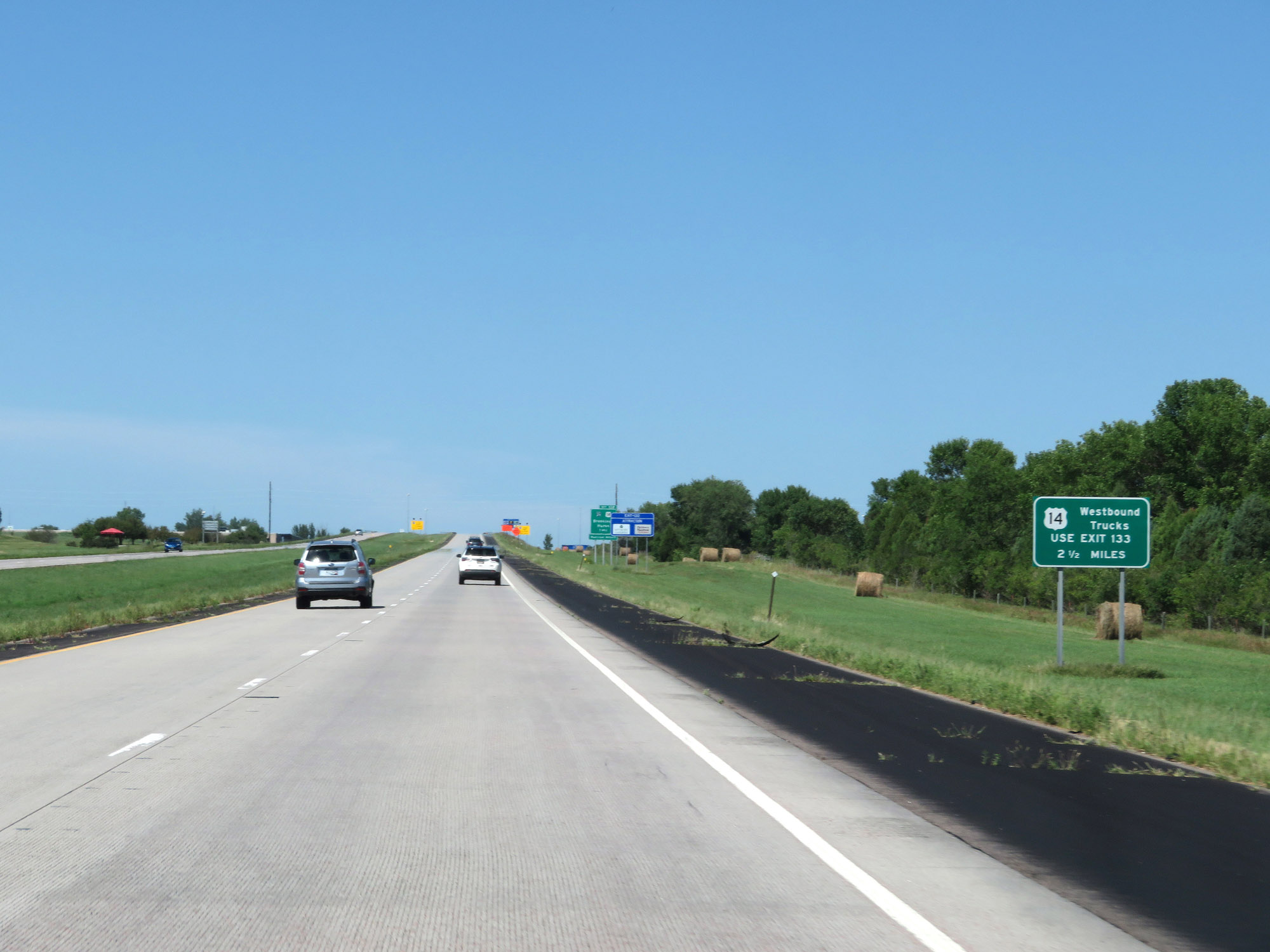 |
Trucks to US 14 West should use Exit 133, 2 1/2 miles ahead. (Photo taken 8/9/20). |
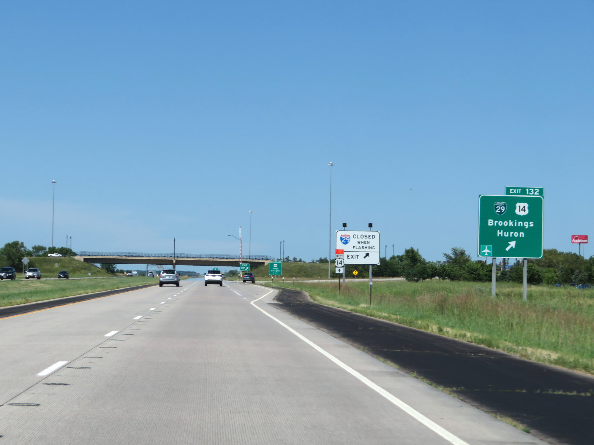 |
Interstate 29 North at Exit 132: Interstate 29 Business Spur / US 14 - Brookings / Huron (Photo taken 8/9/20). |
 |
Take Exit 133 to 18th Street. (Photo taken 8/9/20). |
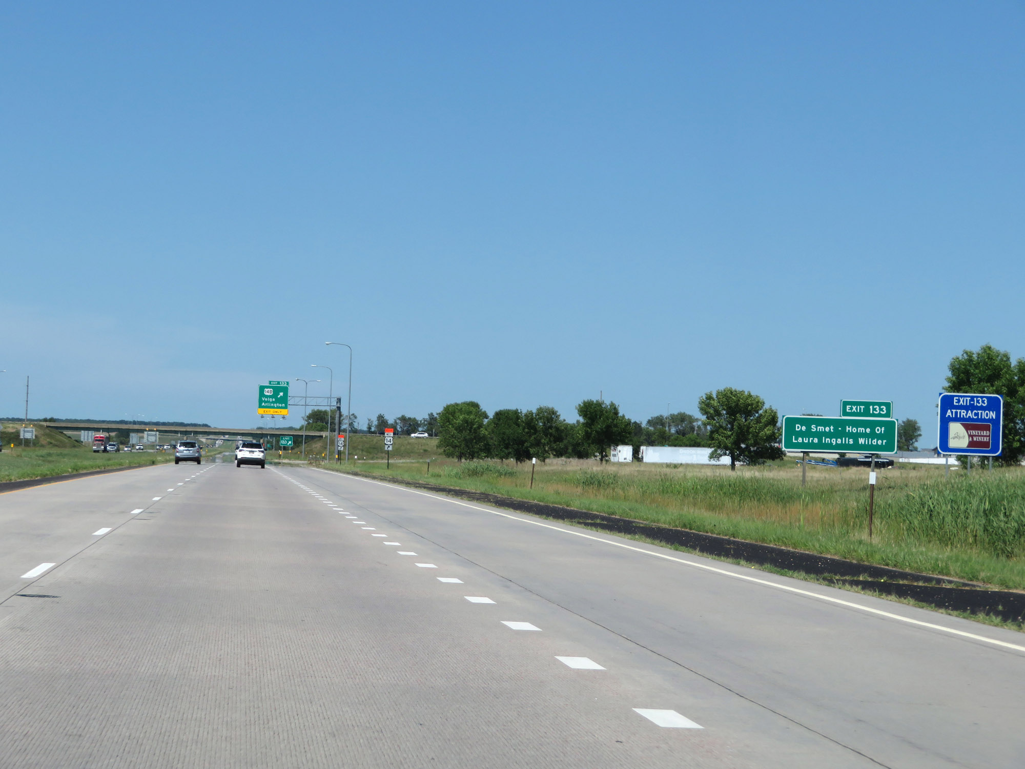 |
Also take Exit 133 to De Smet, the home of Laura Ingalls Wilder. (Photo taken 8/9/20). |
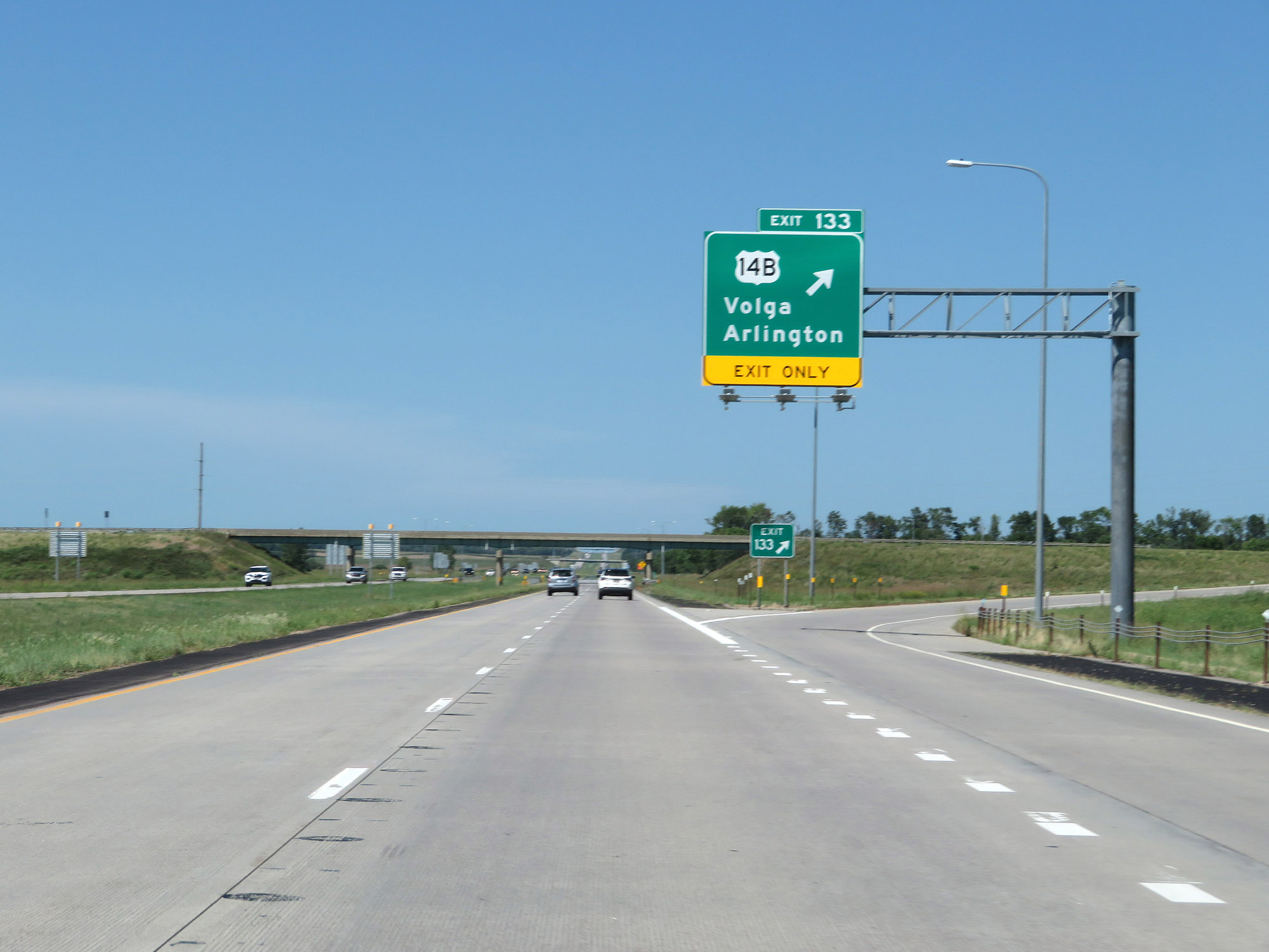 |
Interstate 29 North at Exit 133: US 14B - Volga / Arlington (Photo taken 8/9/20). |
Section 3: Brookings (Exit 133) to Watertown (Exit 180)
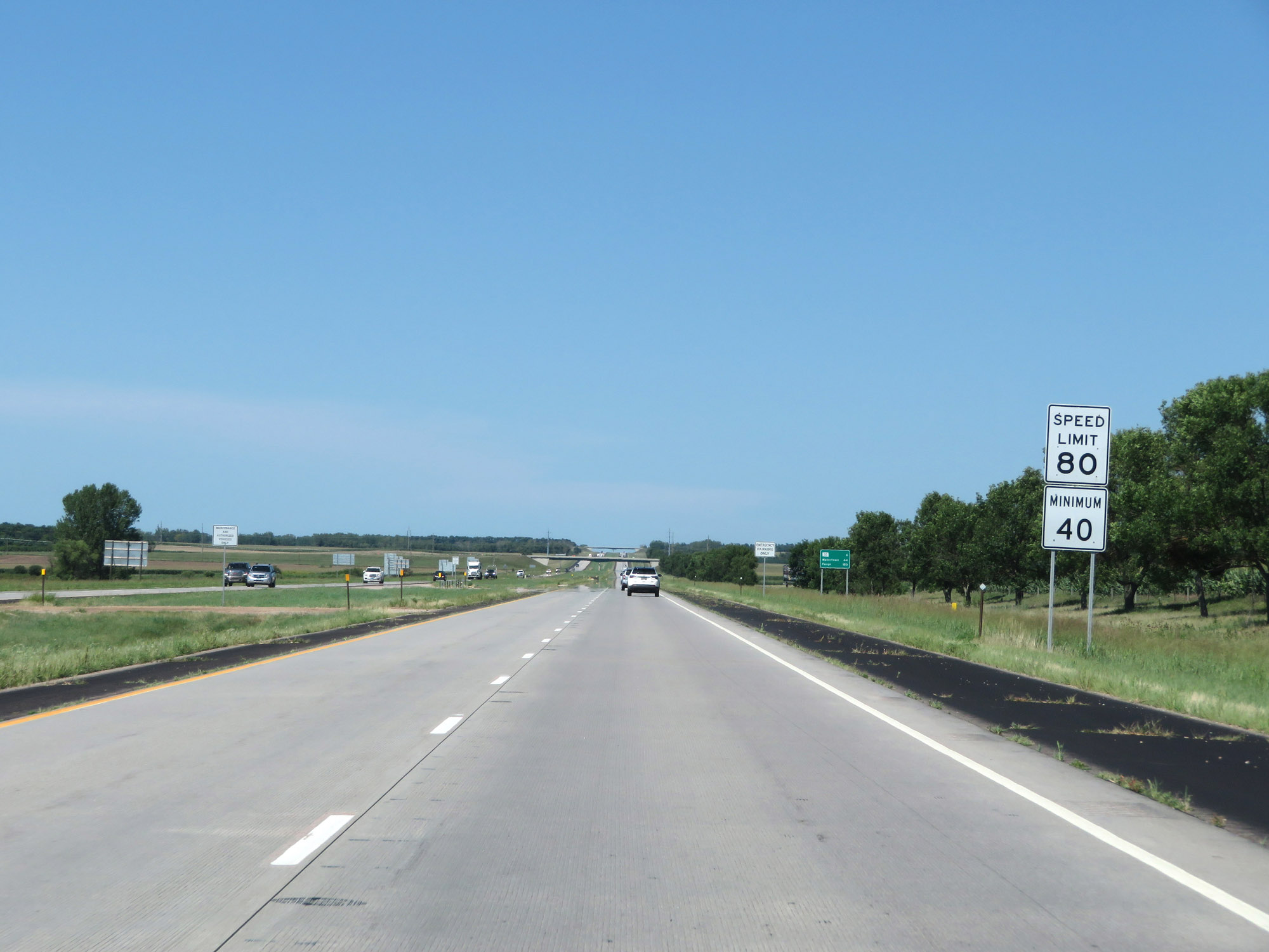 |
The speed limits remain 80 mph maximum and 40 mph minimum. These are the standard speed limits on most rural stretches of Interstate in South Dakota. (Photo taken 8/9/20). |
 |
Mileage sign on Interstate 29 North. It's 6 miles to the junction of SD 30, 44 miles to Watertown, and 183 miles to Fargo. (Photo taken 8/9/20). |
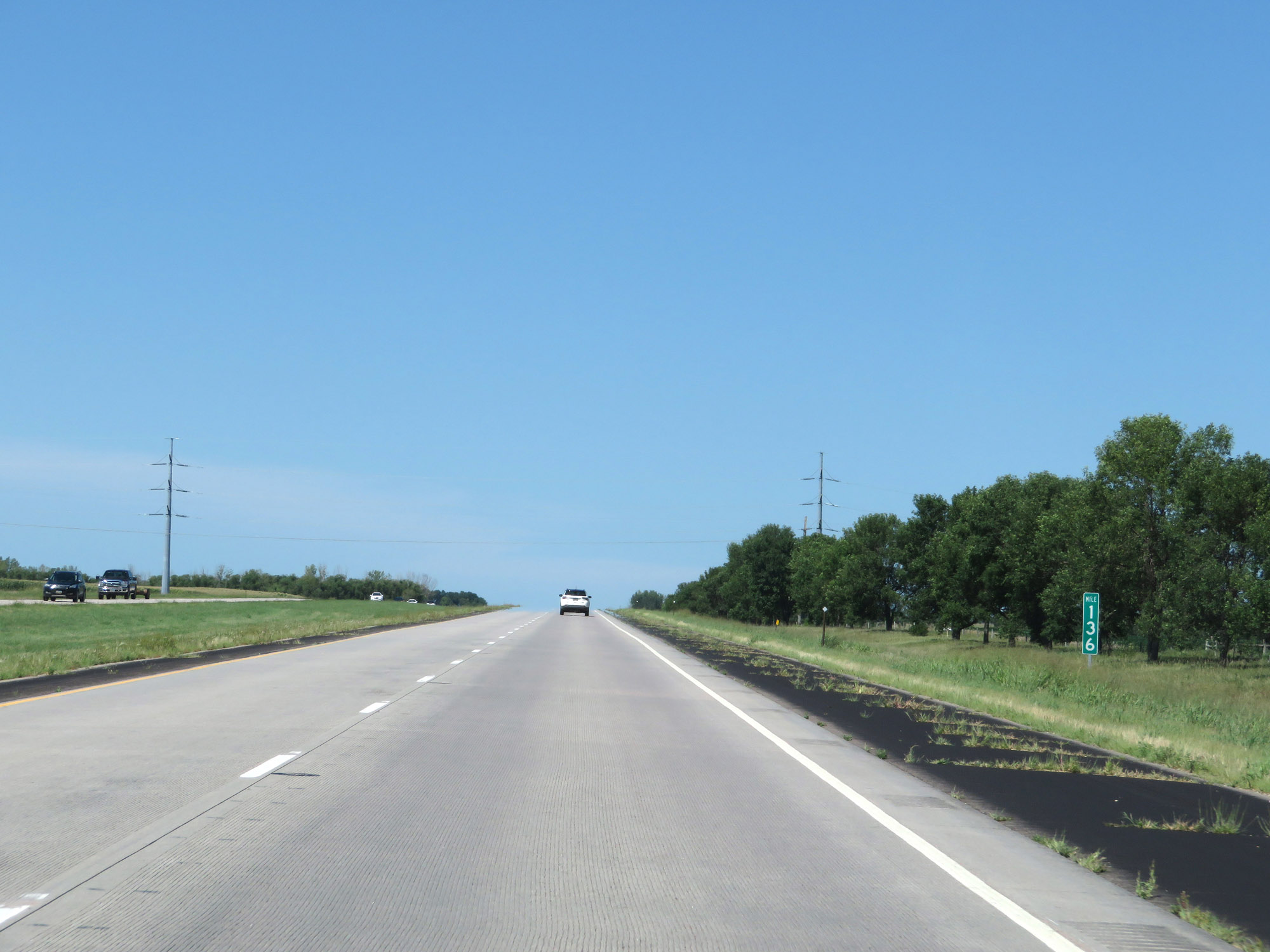 |
View on Interstate 29 North at mile marker 136. (Photo taken 8/9/20). |
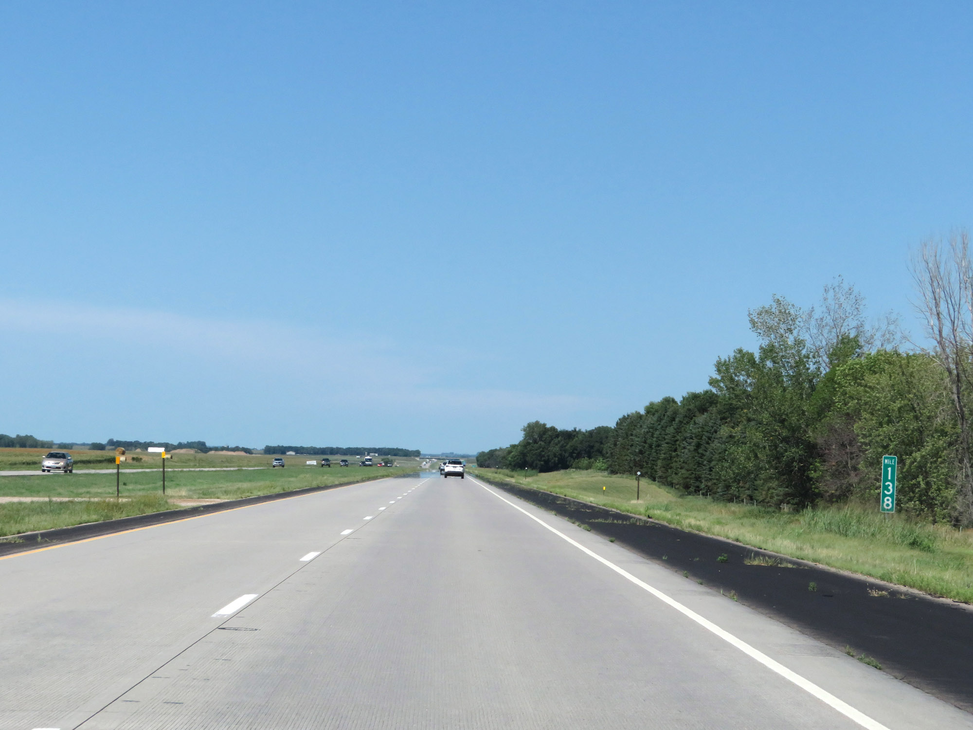 |
Interstate 29 North at mile marker 138. (Photo taken 8/9/20). |
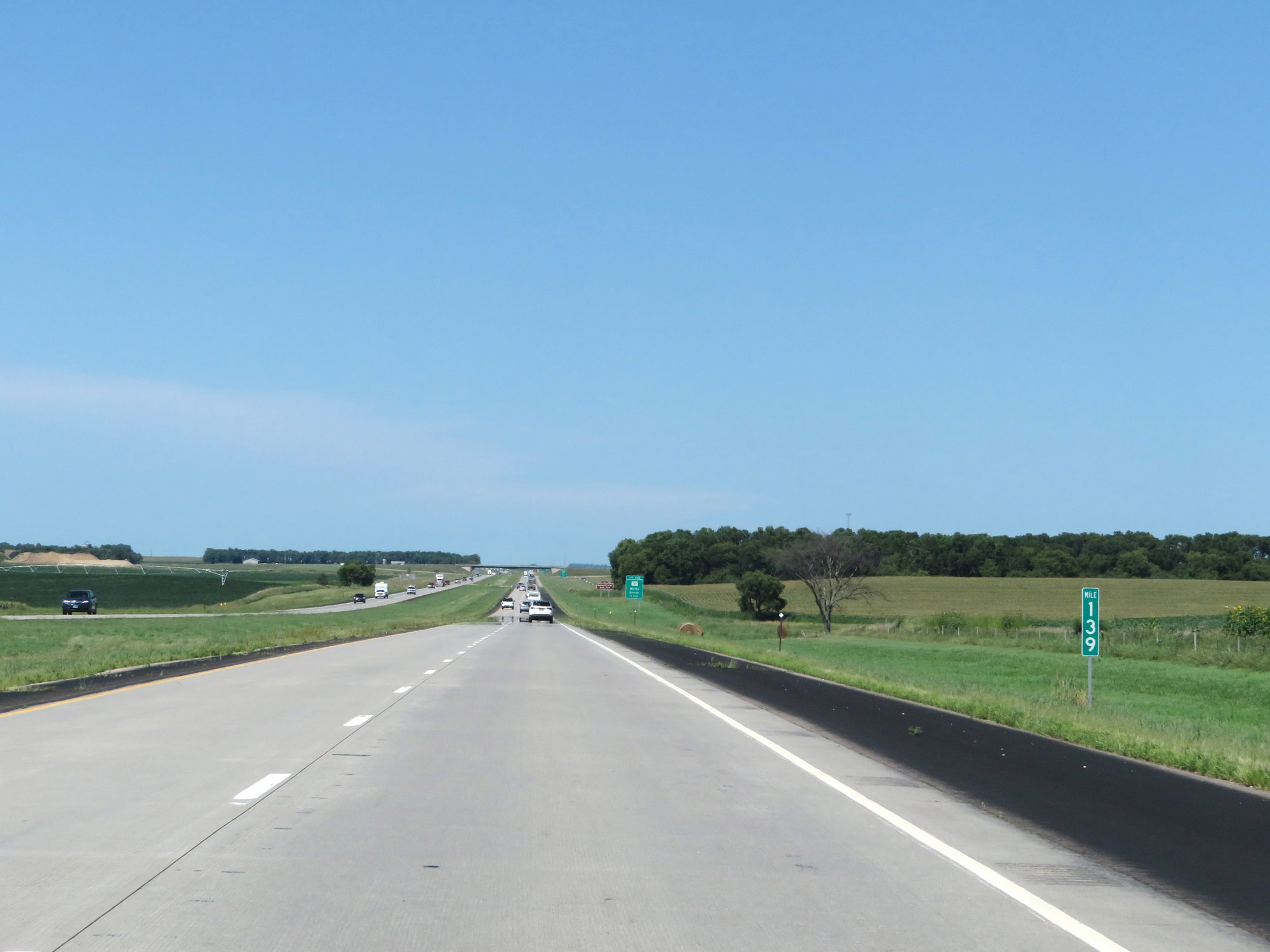 |
Mile marker 139 on Interstate 29 North in Brookings County. (Photo taken 8/9/20). |
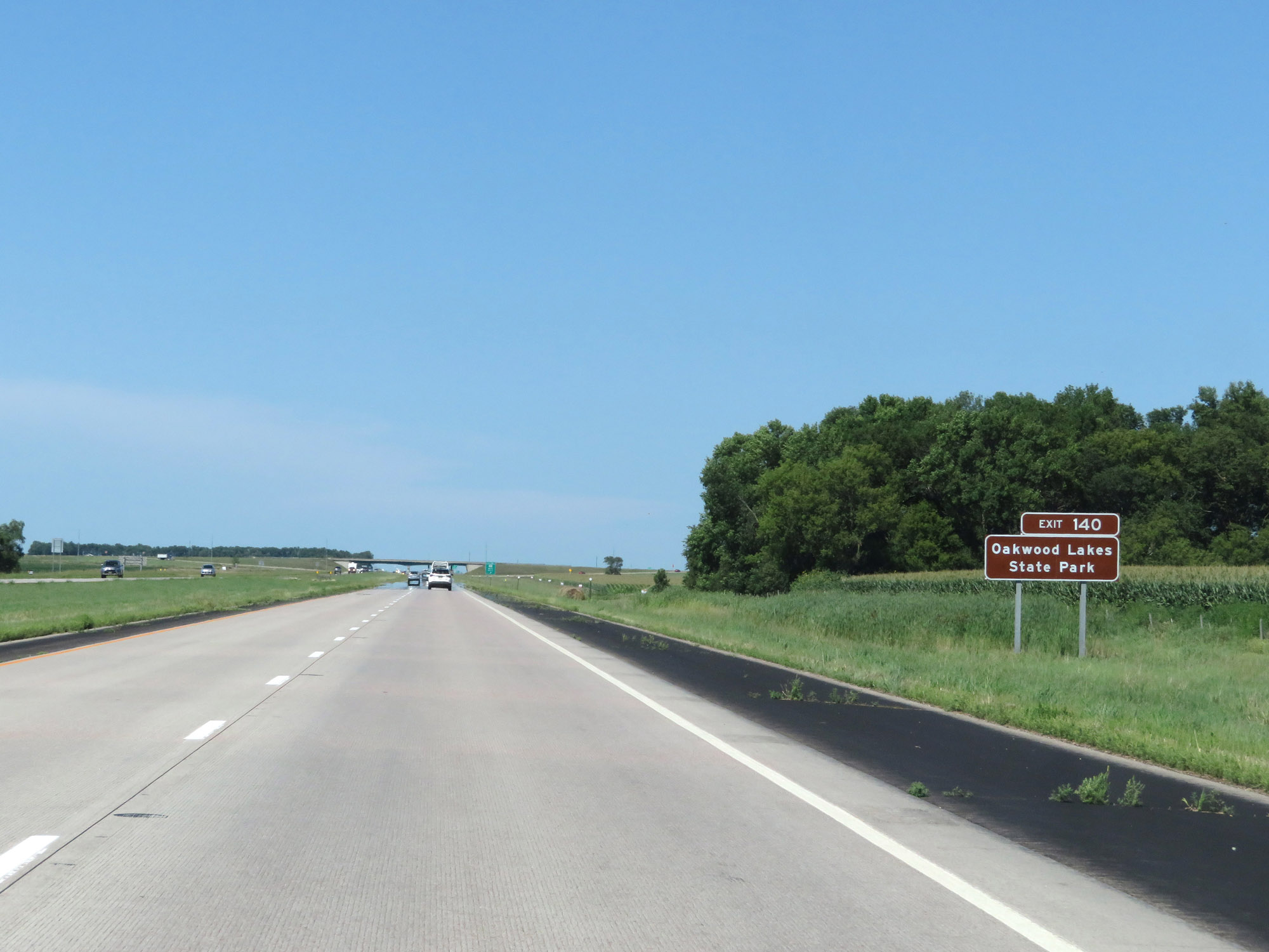 |
Take Exit 140 to Oakwood Lakes State Park. (Photo taken 8/9/20). |
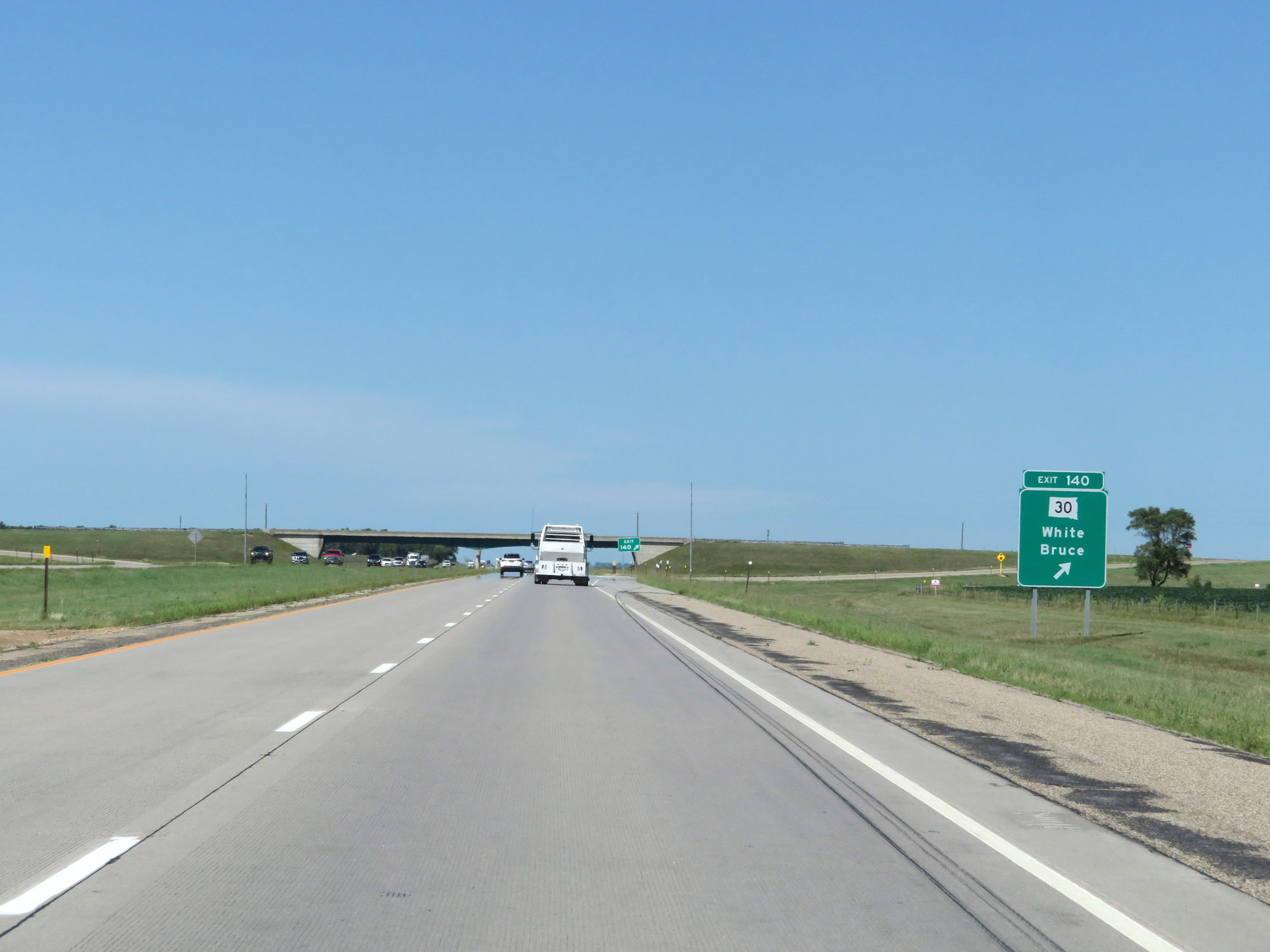 |
Interstate 29 North at Exit 140: SD 30 - White / Bruce (Photo taken 8/9/20). |
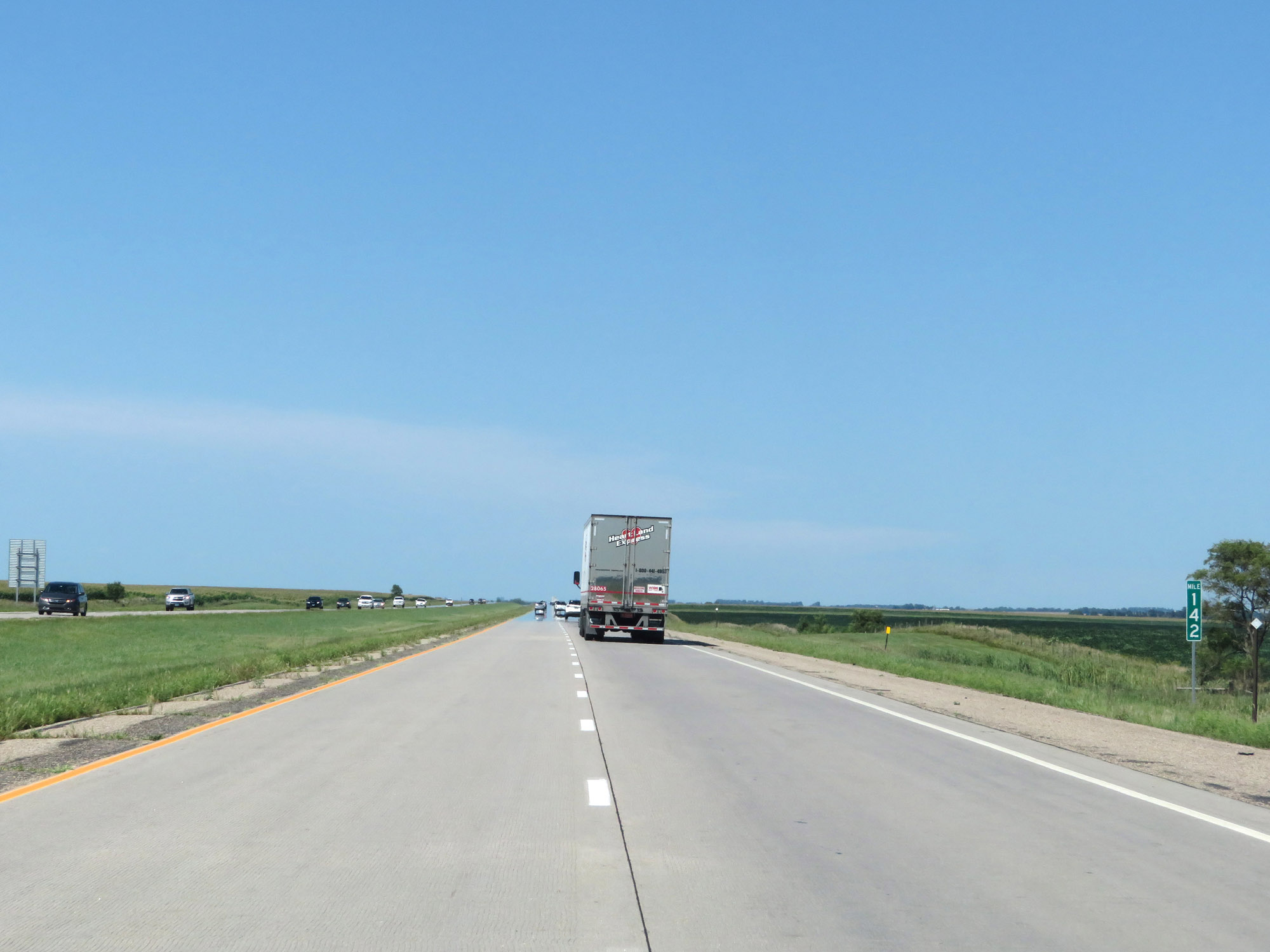 |
View on Interstate 29 North at mile marker 142. (Photo taken 8/9/20). |
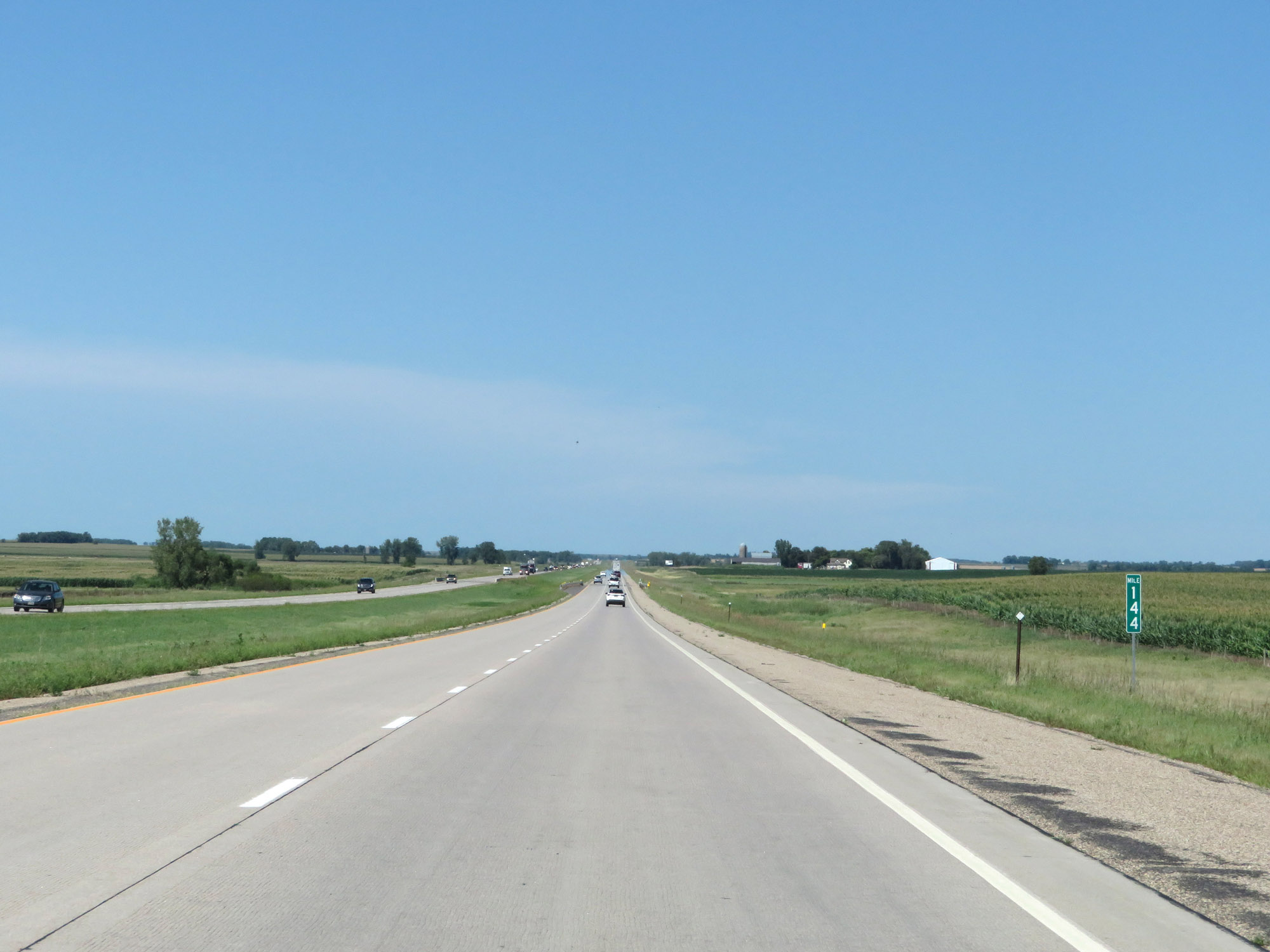 |
Interstate 29 North at mile marker 144. (Photo taken 8/9/20). |
 |
Mile marker 145 on Interstate 29 North in Brookings County. (Photo taken 8/9/20). |
 |
View on Interstate 29 North at mile marker 148. (Photo taken 8/9/20). |
 |
Interstate 29 North as it enters Deuel County. (Photo taken 8/9/20). |
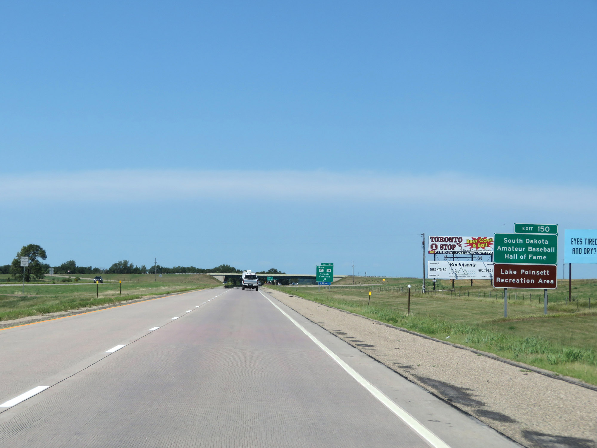 |
Take Exit 150 to the South Dakota Amateur Baseball Hall of Fame and Lake Poinsett Recreation Area. (Photo taken 8/9/20). |
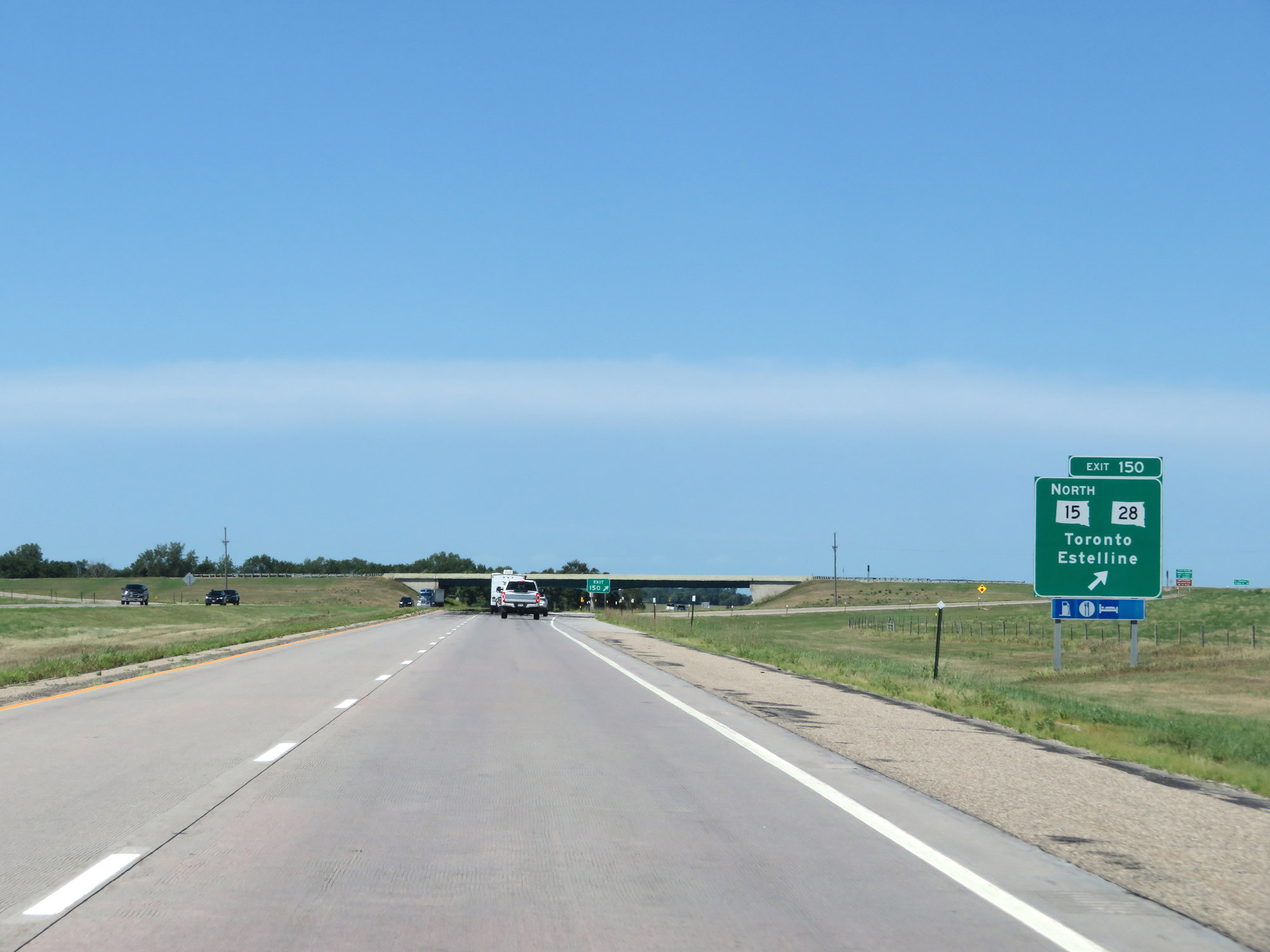 |
Interstate 29 North at Exit 150: SD 15 North / SD 28 - Toronto / Estelline (Photo taken 8/9/20). |
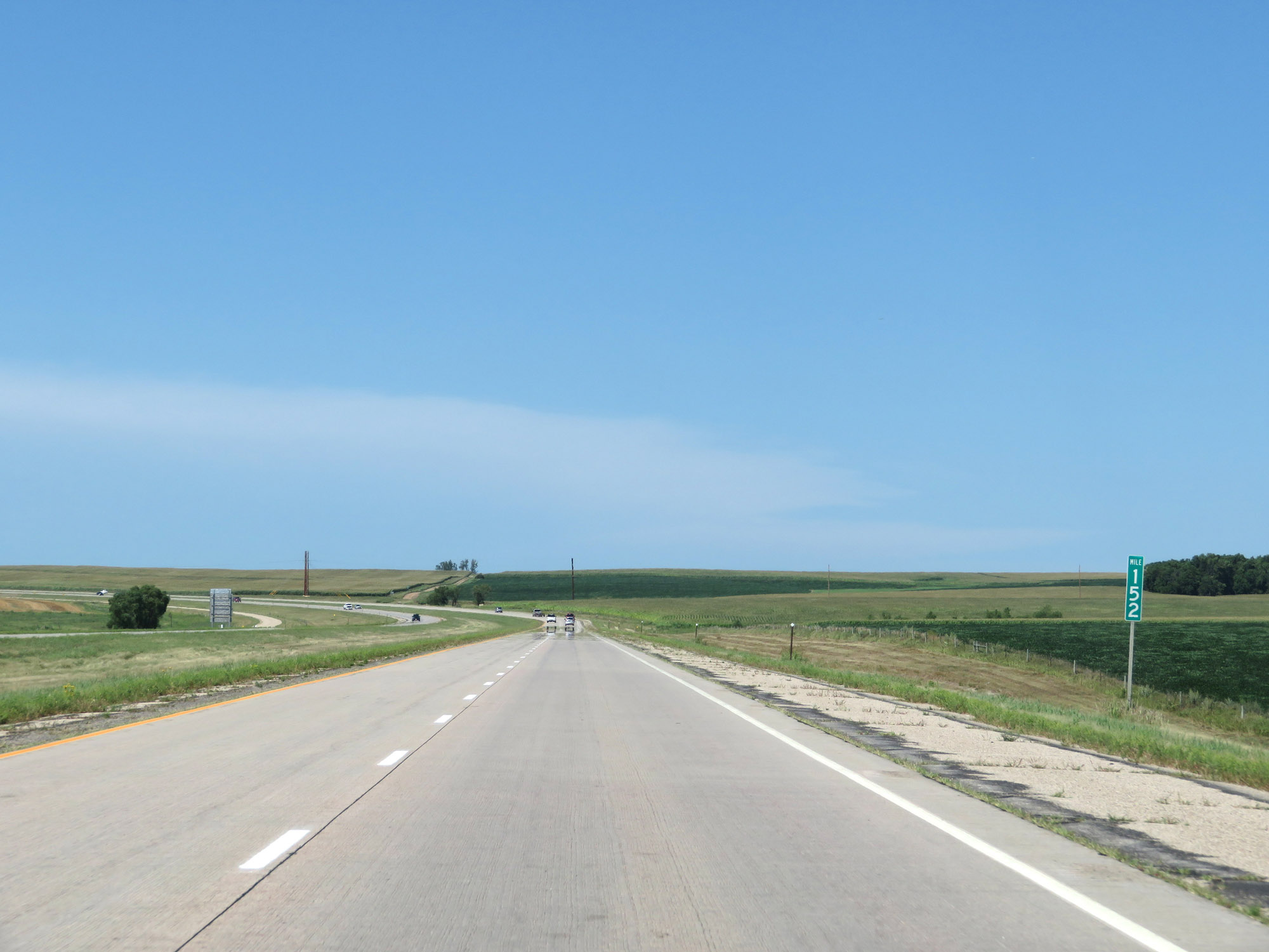 |
View on Interstate 29 North at mile marker 152. (Photo taken 8/9/20). |
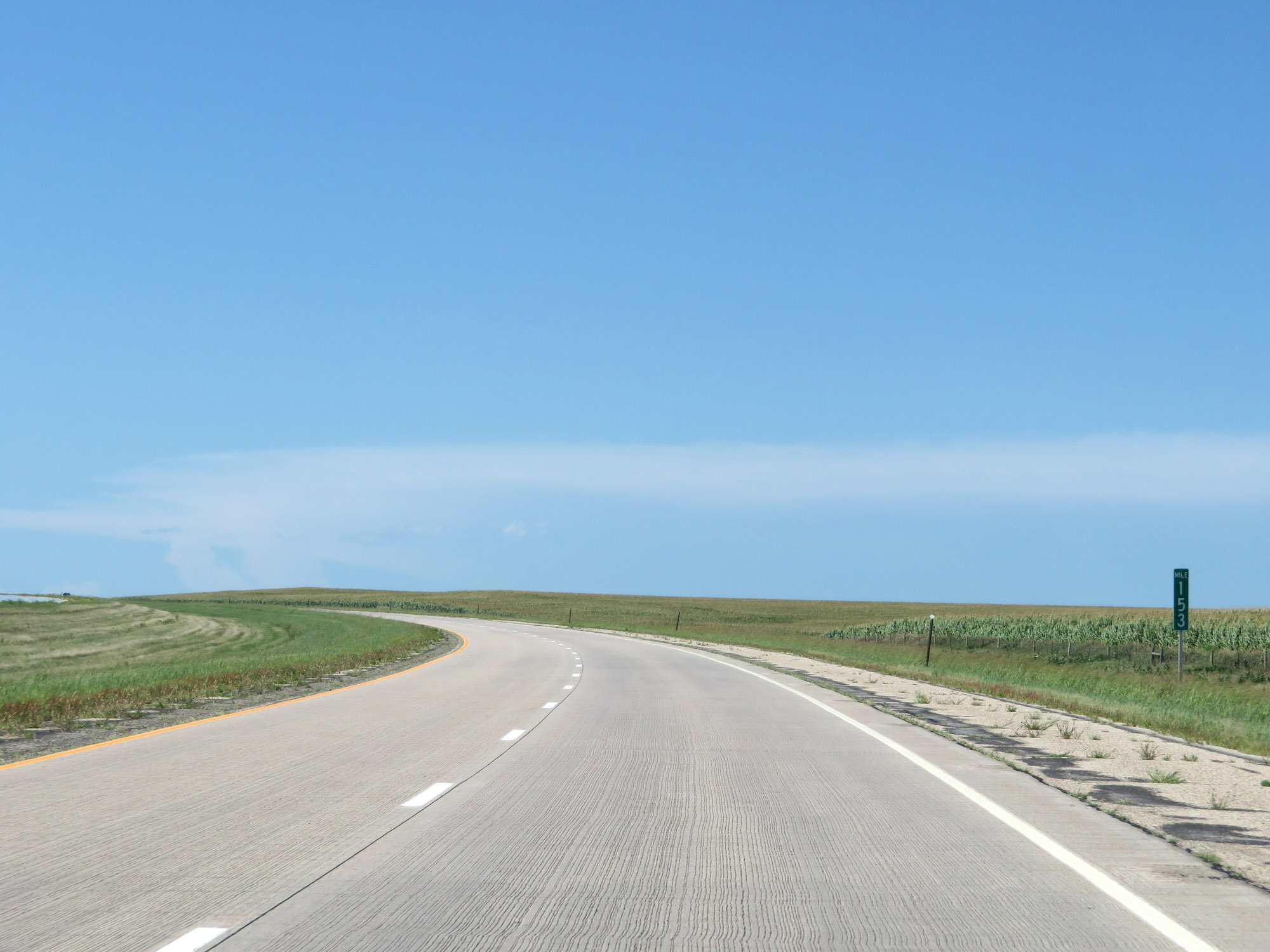 |
Interstate 29 North at mile marker 153. (Photo taken 8/9/20). |
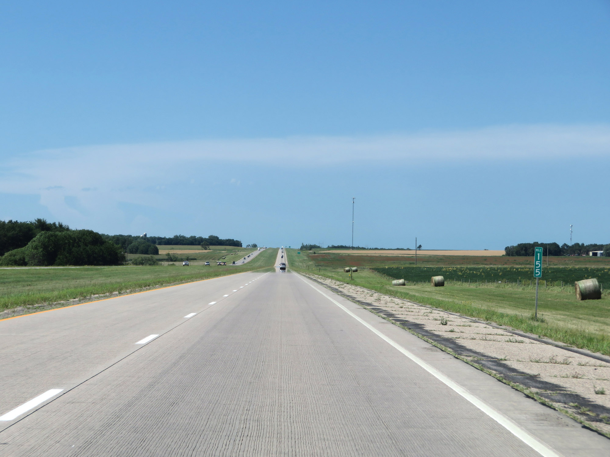 |
Mile marker 155 on Interstate 29 North in Deuel County. (Photo taken 8/9/20). |
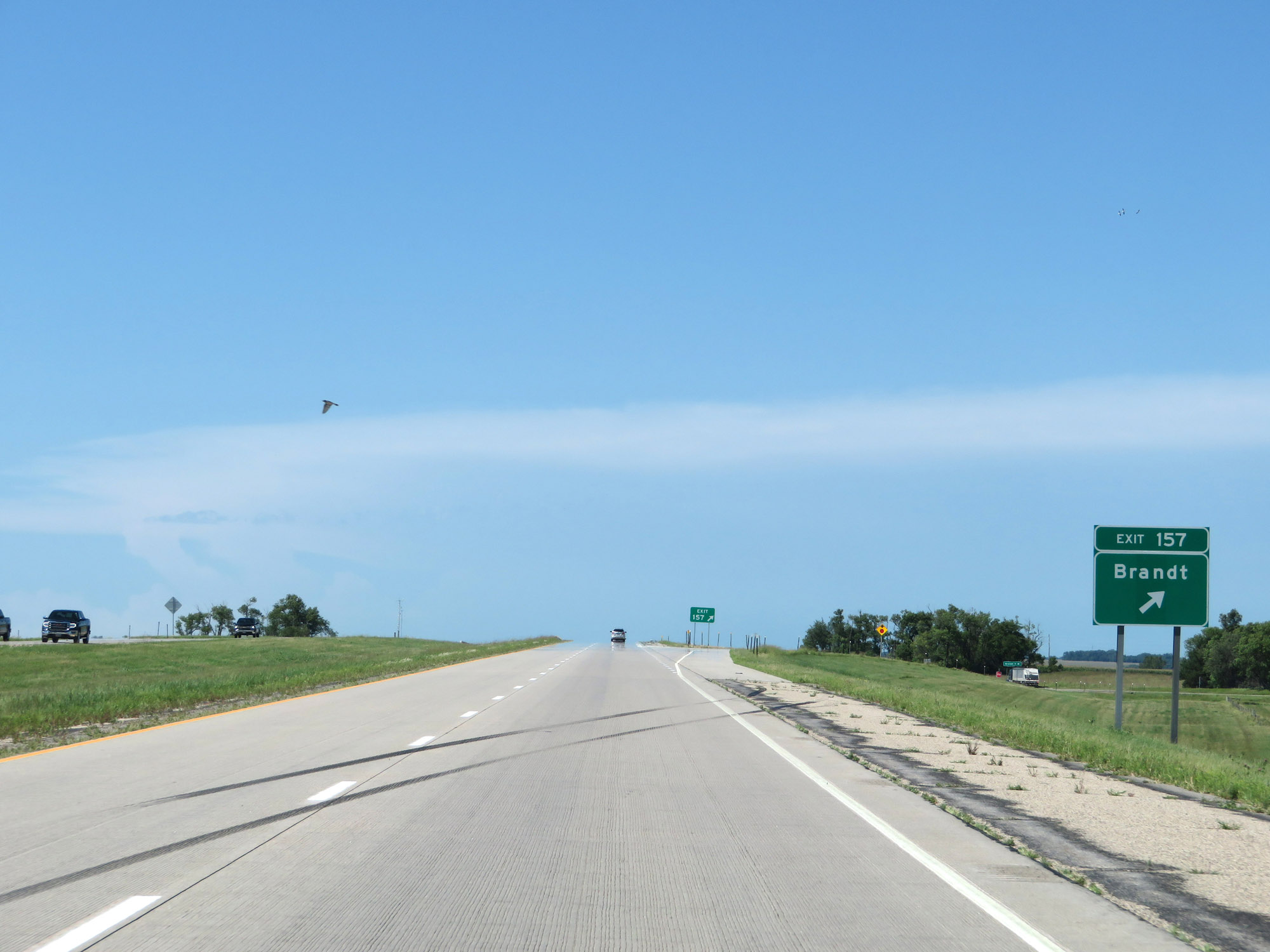 |
Interstate 29 North at Exit 157: Brandt (Photo taken 8/9/20). |
 |
Interstate 29 North reassurance shield. (Photo taken 8/9/20). |
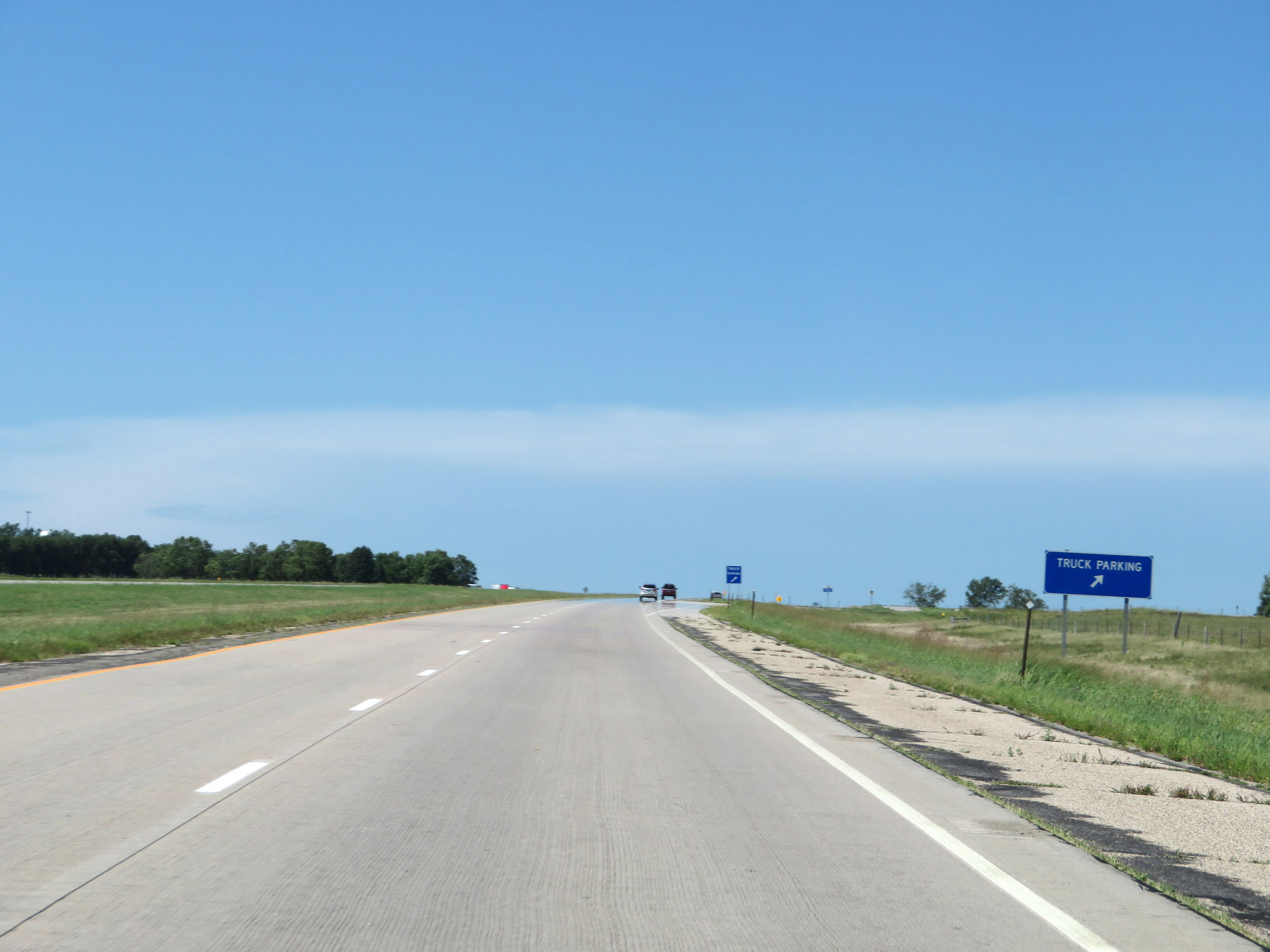 |
Truck Parking Area on Interstate 29 North in Deuel County. (Photo taken 8/9/20). |
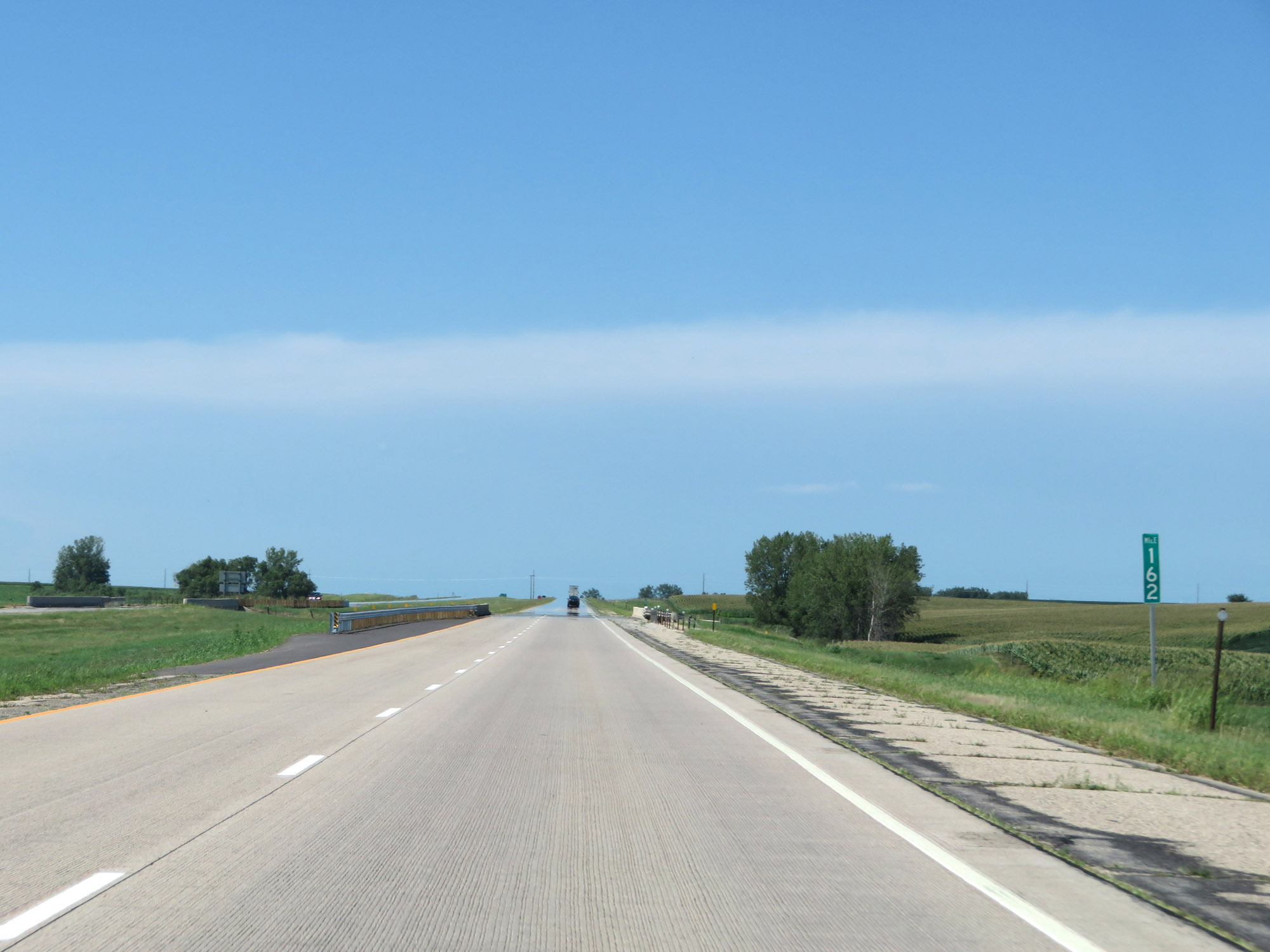 |
View on Interstate 29 North at mile marker 162. (Photo taken 8/9/20). |
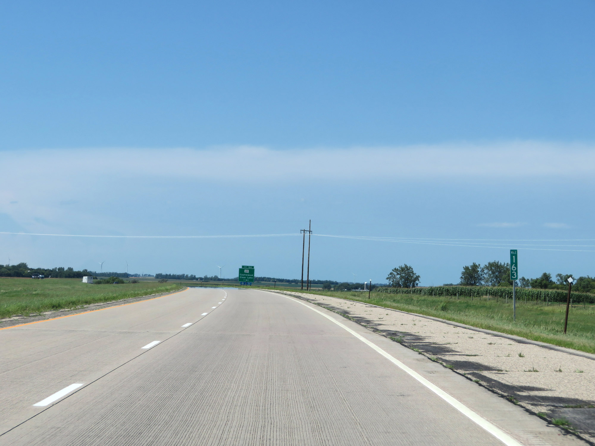 |
Interstate 29 North at mile marker 163. (Photo taken 8/9/20). |
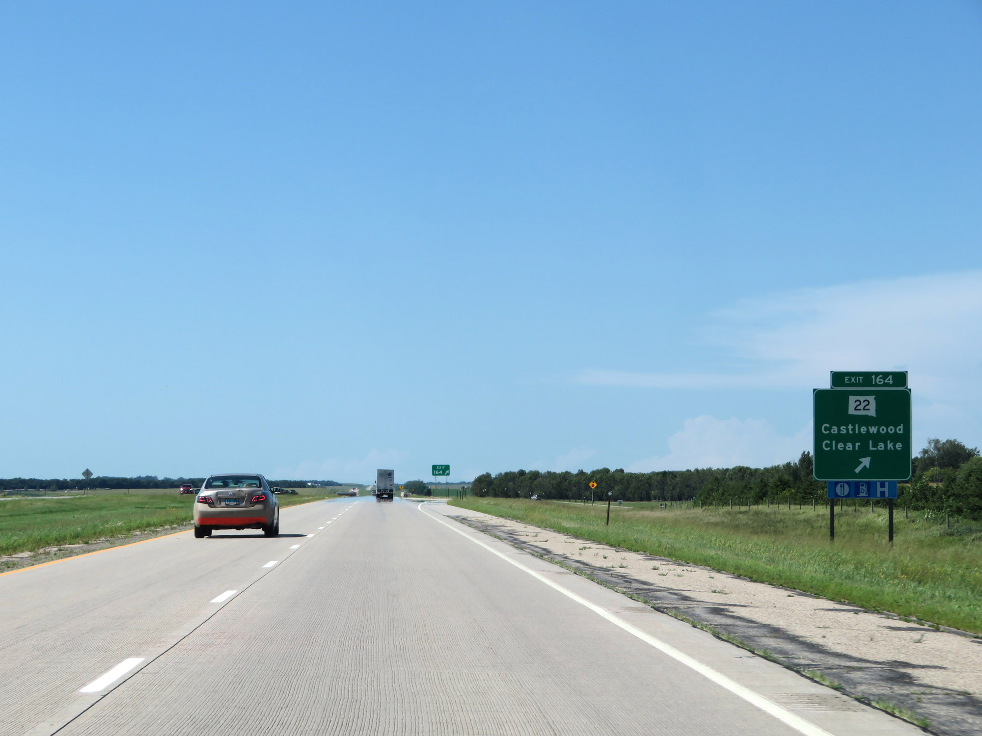 |
Interstate 29 North at Exit 164: SD 22 - Castlewood / Clear Lake (Photo taken 8/9/20). |
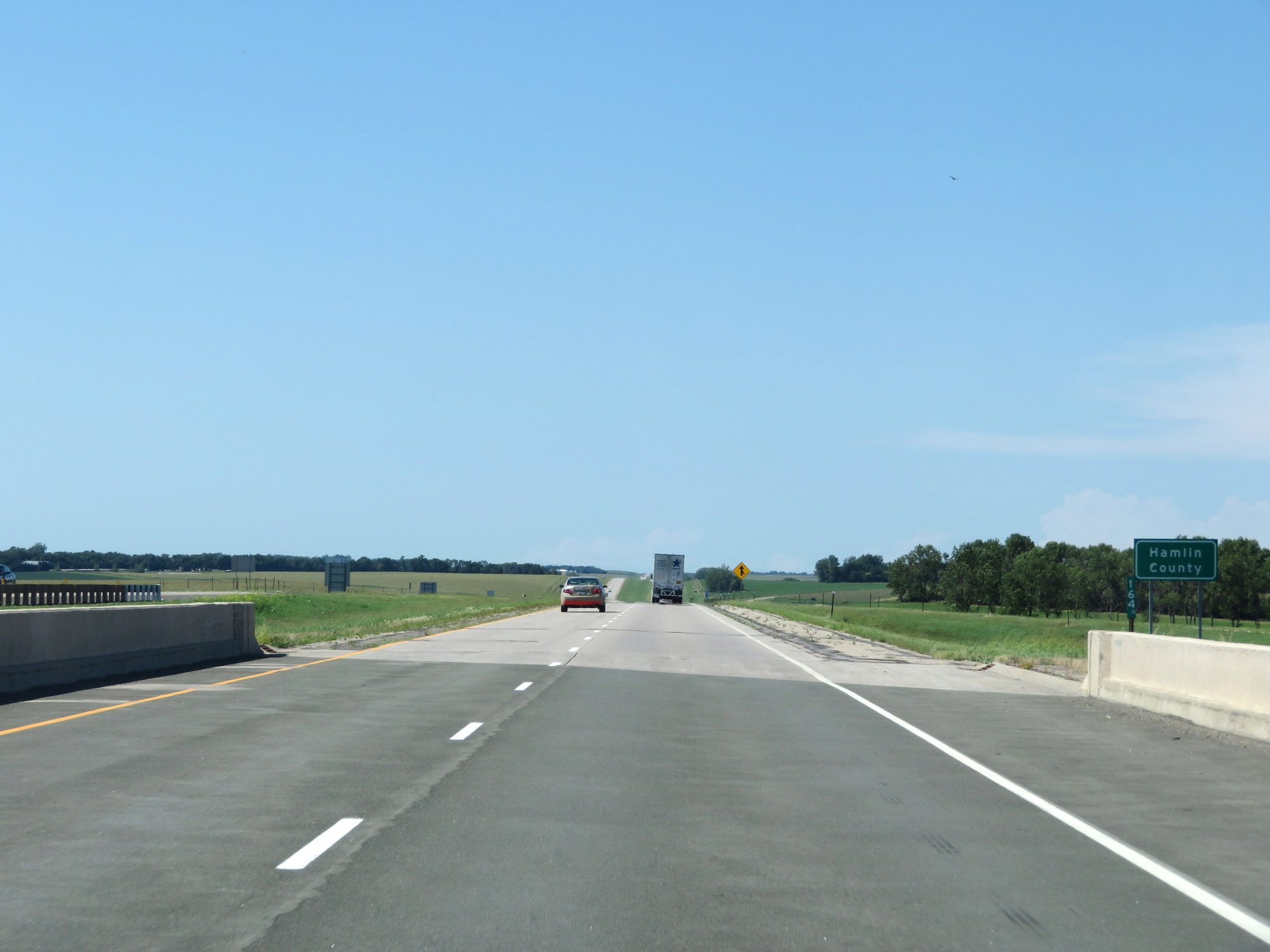 |
North of Exit 164, Interstate 29 North briefly dips into Hamlin County. (Photo taken 8/9/20). |
 |
Mileage sign on Interstate 29 North. It's 14 miles to Watertown and 153 miles to Fargo. (Photo taken 8/9/20). |
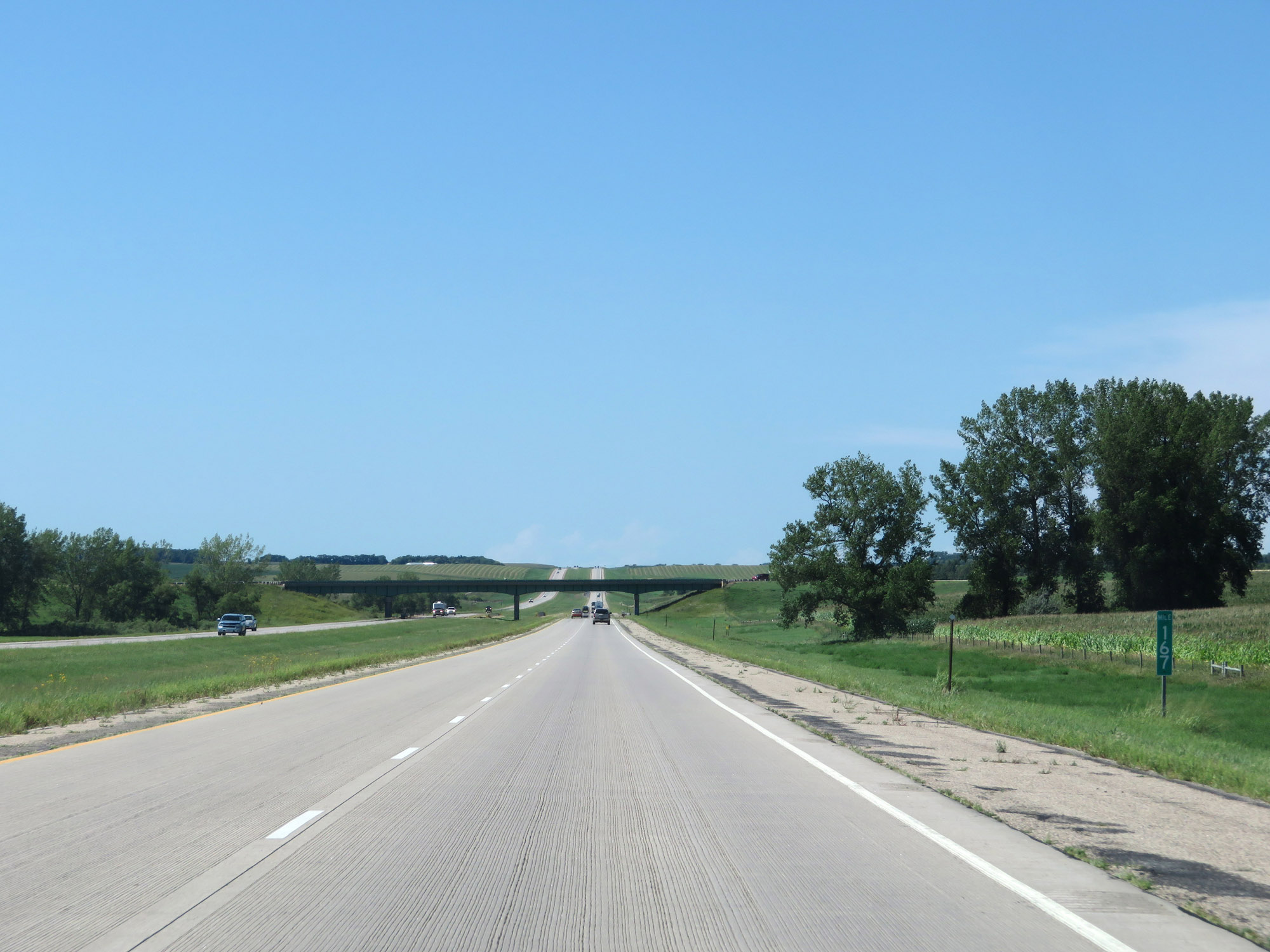 |
View on Interstate 29 North at mile marker 167. (Photo taken 8/9/20). |
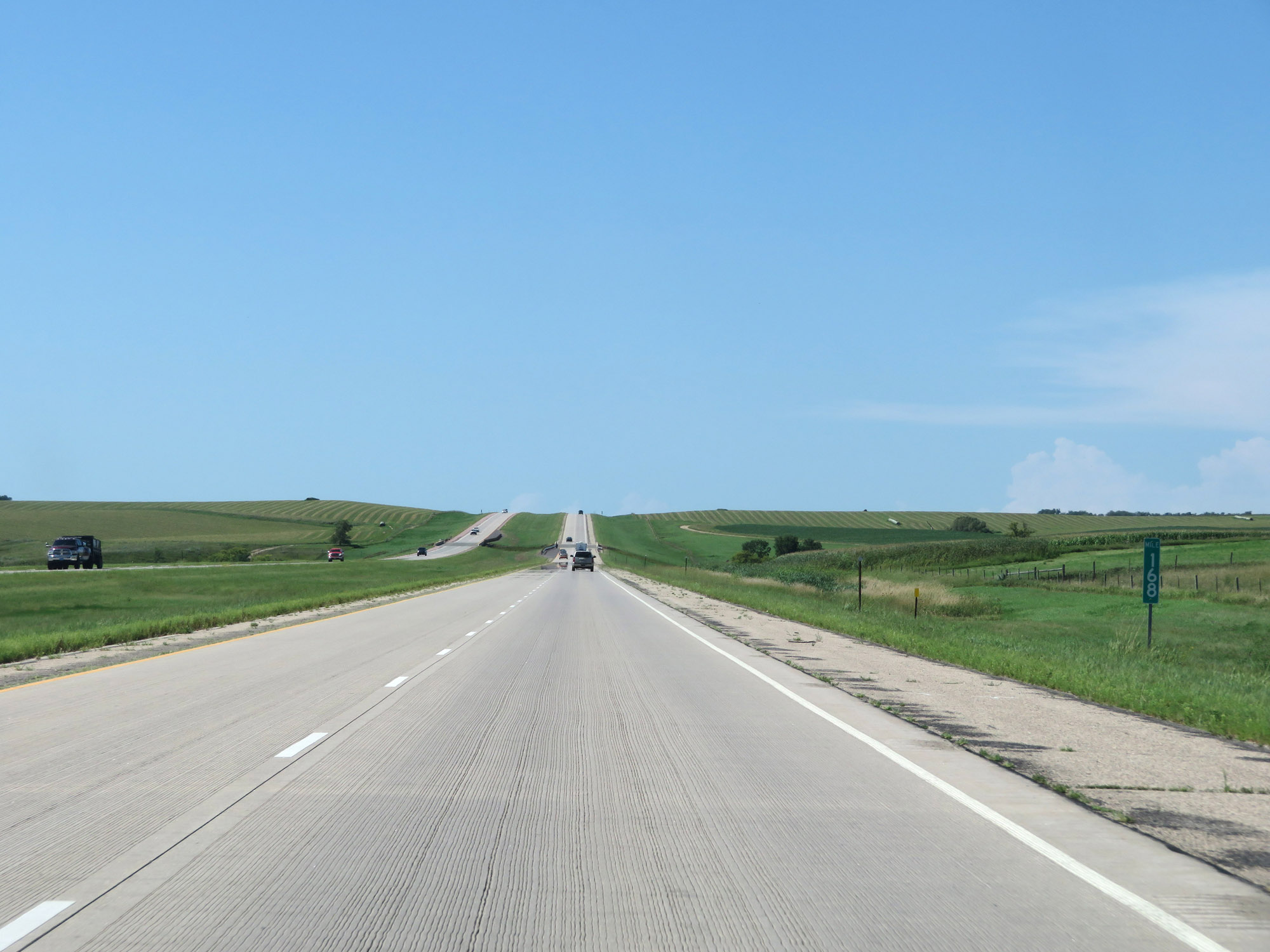 |
Mile marker 168 on Interstate 29 North in Hamlin County. (Photo taken 8/9/20). |
 |
Interstate 29 North at mile marker 170. (Photo taken 8/9/20). |
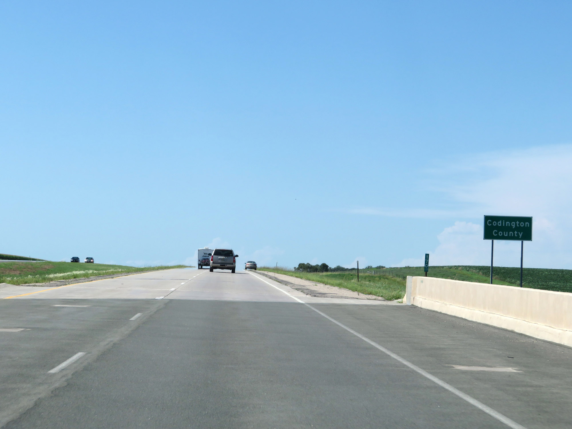 |
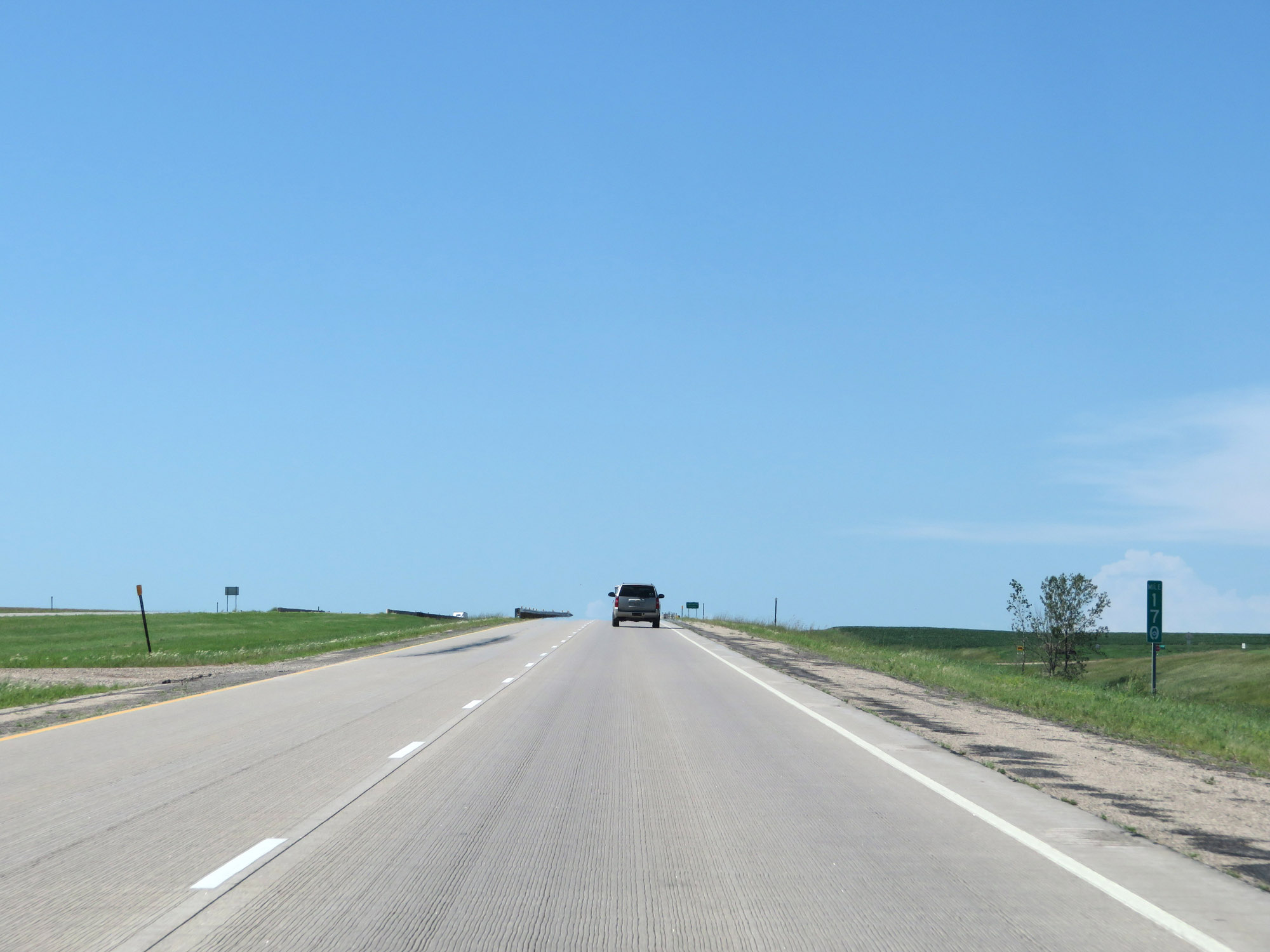
Just north of mile marker 170, Interstate 29 North enters Codington County. (Photo taken 8/9/20). |
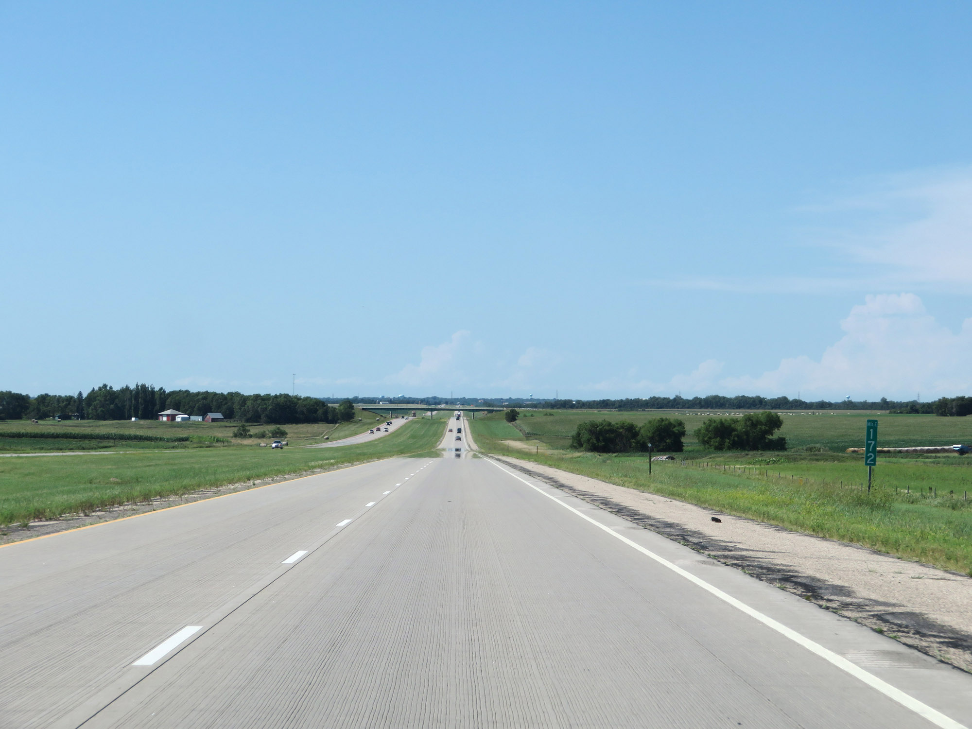 |
View on Interstate 29 North at mile marker 172. (Photo taken 8/9/20). |
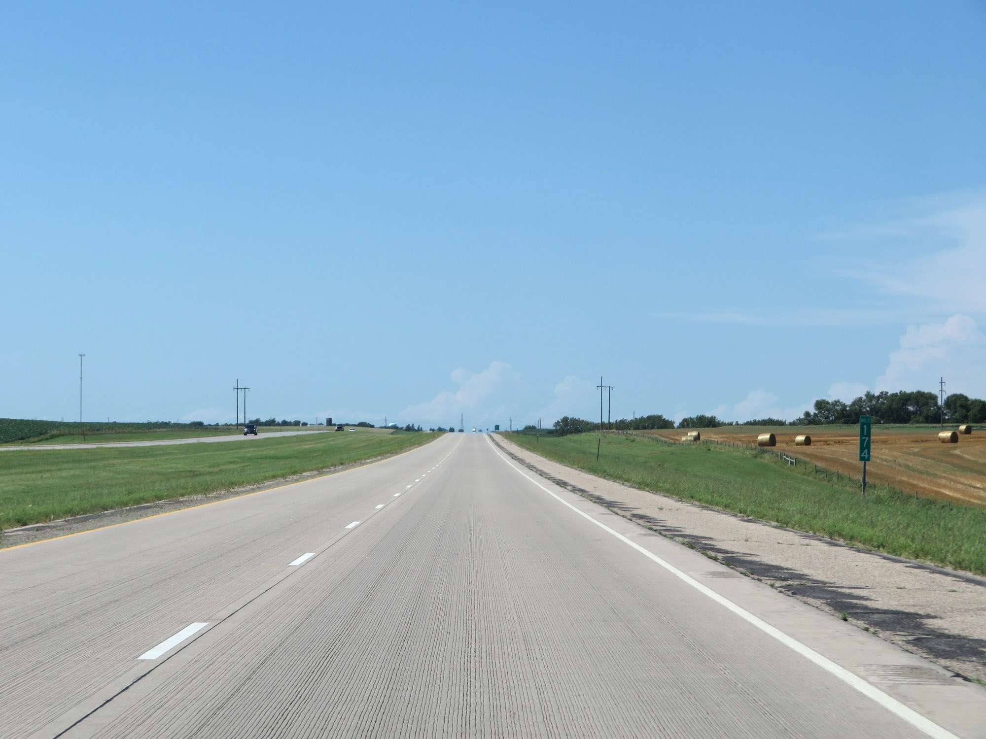 |
Interstate 29 North at mile marker 174. (Photo taken 8/9/20). |
 |
Mile marker 175 on Interstate 29 North in Codington County. (Photo taken 8/9/20). |
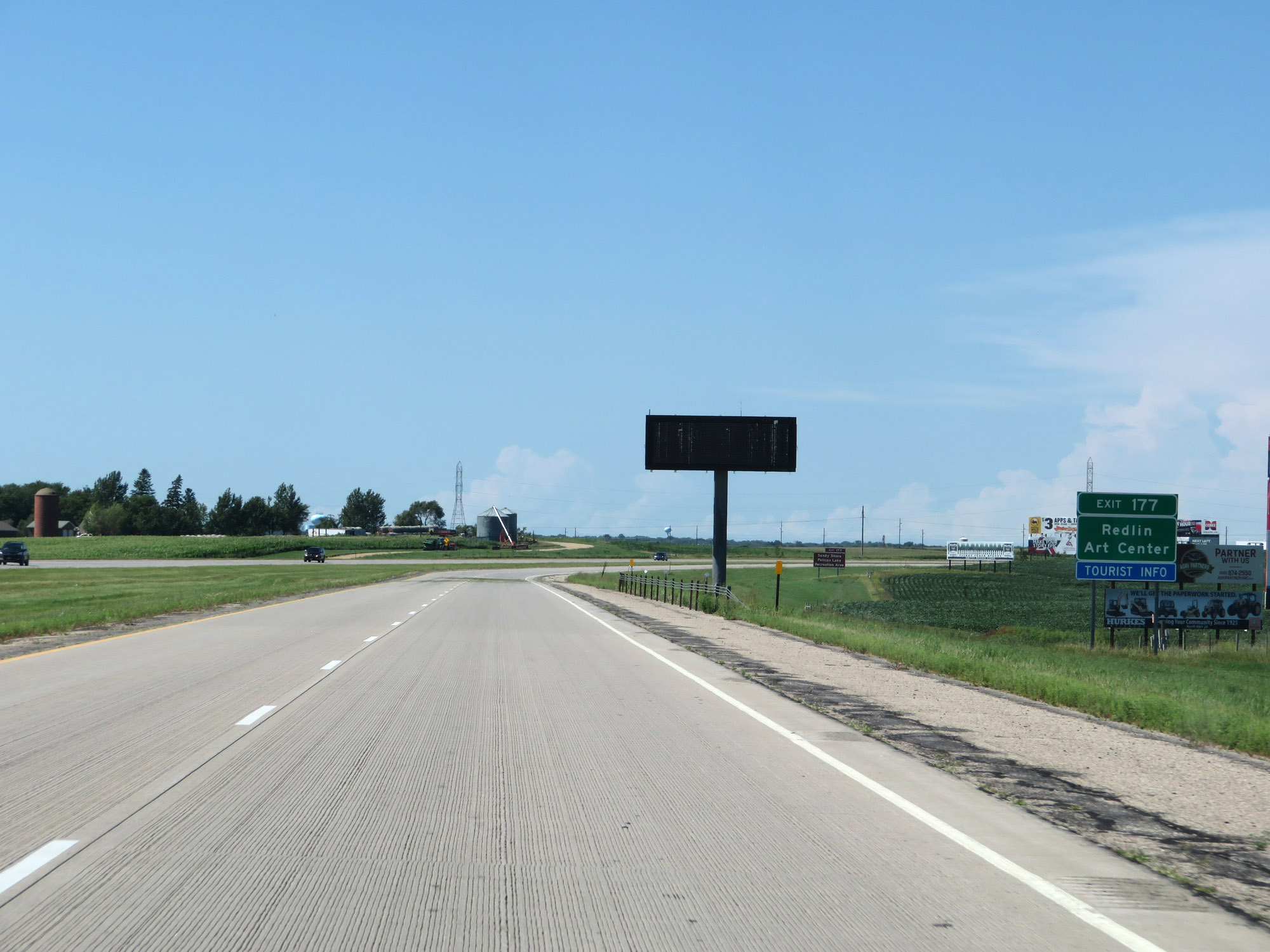 |
Take Exit 177 to Redlin Art Center. (Photo taken 8/9/20). |
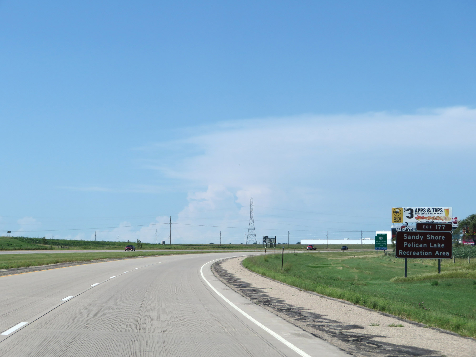 |
Also take Exit 177 to Sandy Shore and Pelican Lake Recreation Areas. (Photo taken 8/9/20). |
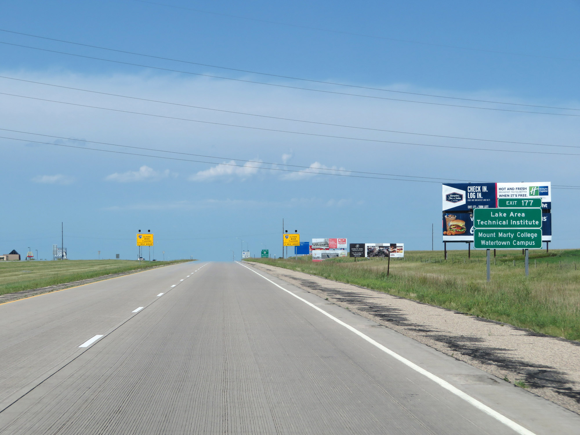 |
Take Exit 177 to Lake Area Technical Institute and Mount Marty College Watertown Campus as well. (Photo taken 8/9/20). |
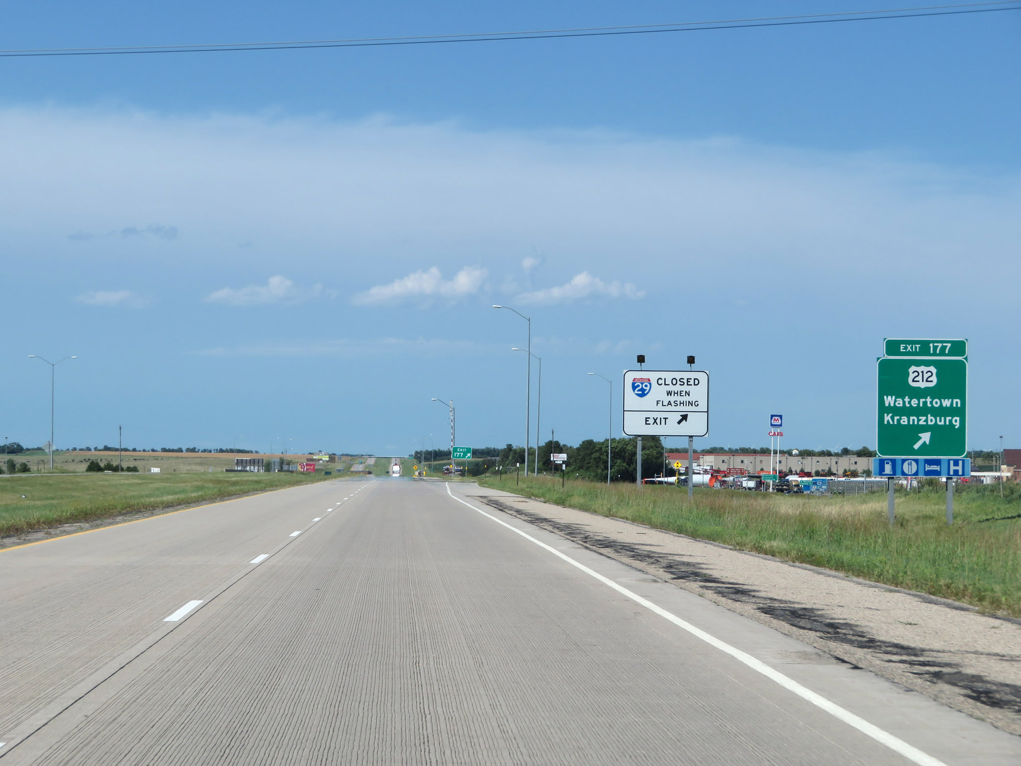 |
Interstate 29 North at Exit 177: US 212 - Watertown / Kranzburg (Photo taken 8/9/20). |
 |
View on Interstate 29 North at mile marker 179. (Photo taken 8/9/20). |
 |
Take Exit 180 to Bramble Park Zoo and the Municipal Airport. (Photo taken 8/9/20). |
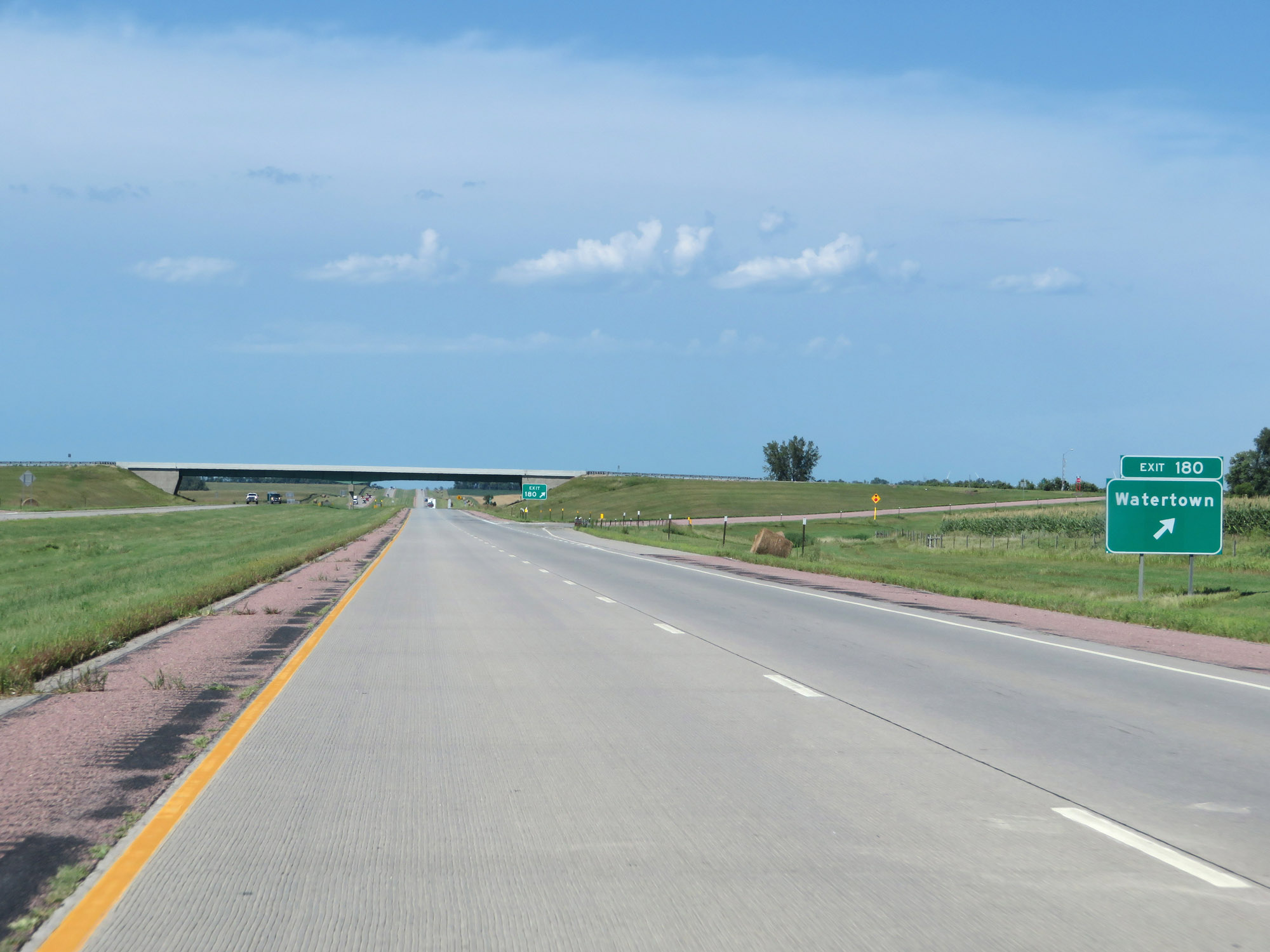 |
Interstate 29 North at Exit 180: Watertown (Photo taken 8/9/20). |
Section 4: Watertown (Exit 180) to North Dakota Border
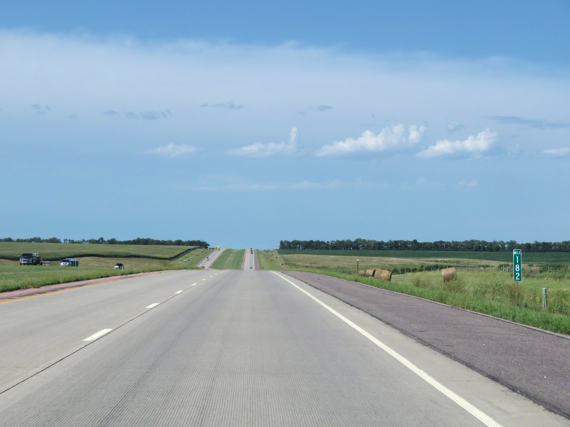 |
View on Interstate 29 North at mile marker 182. (Photo taken 8/9/20). |
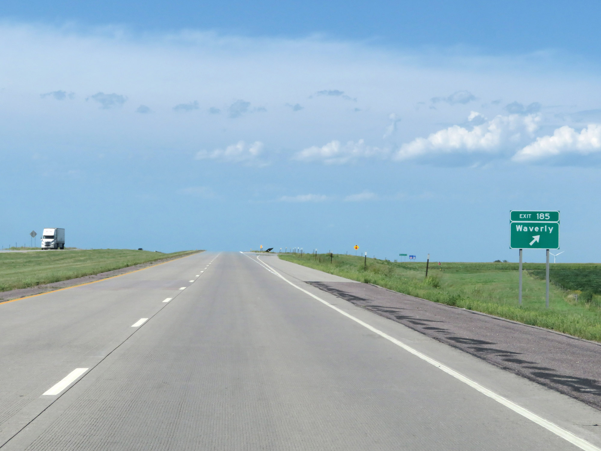 |
Interstate 29 North at Exit 185: Waverly (Photo taken 8/9/20). |
 |
Interstate 29 North reassurance shield. (Photo taken 8/9/20). |
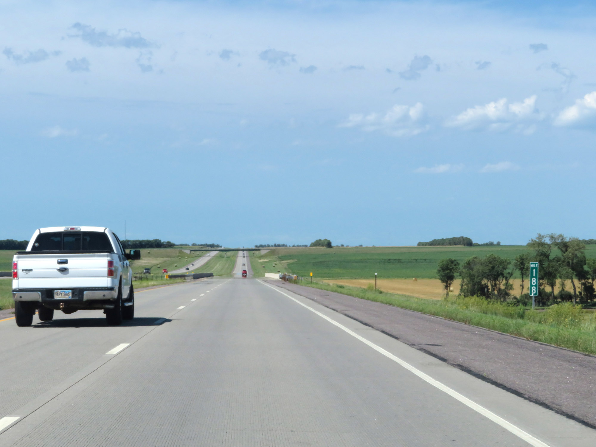 |
View on Interstate 29 North at mile marker 188. (Photo taken 8/9/20). |
 |
Interstate 29 North at mile marker 191. (Photo taken 8/9/20). |
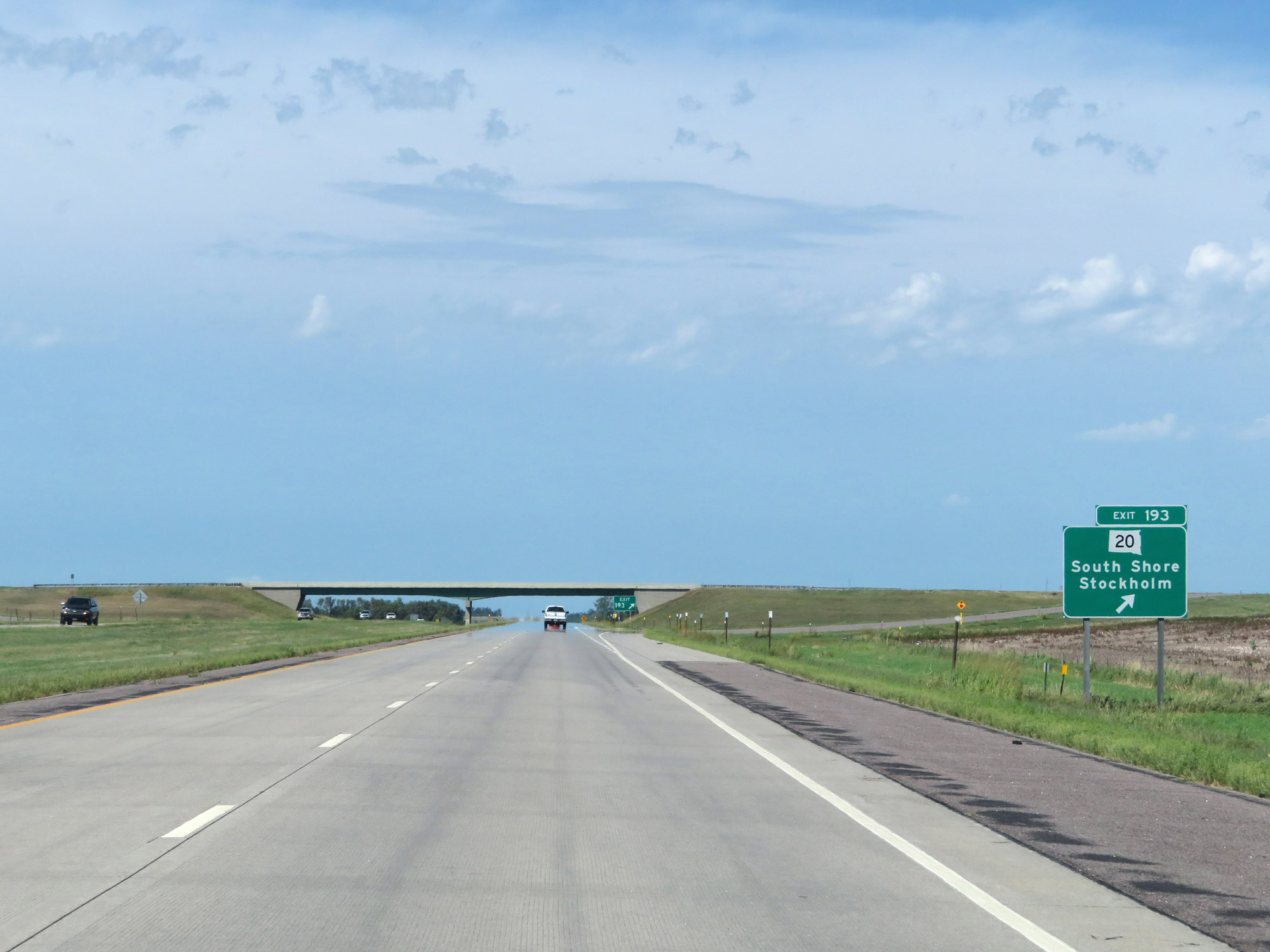 |
Interstate 29 North at Exit 193: SD 20 - South Shore / Stockholm (Photo taken 8/9/20). |
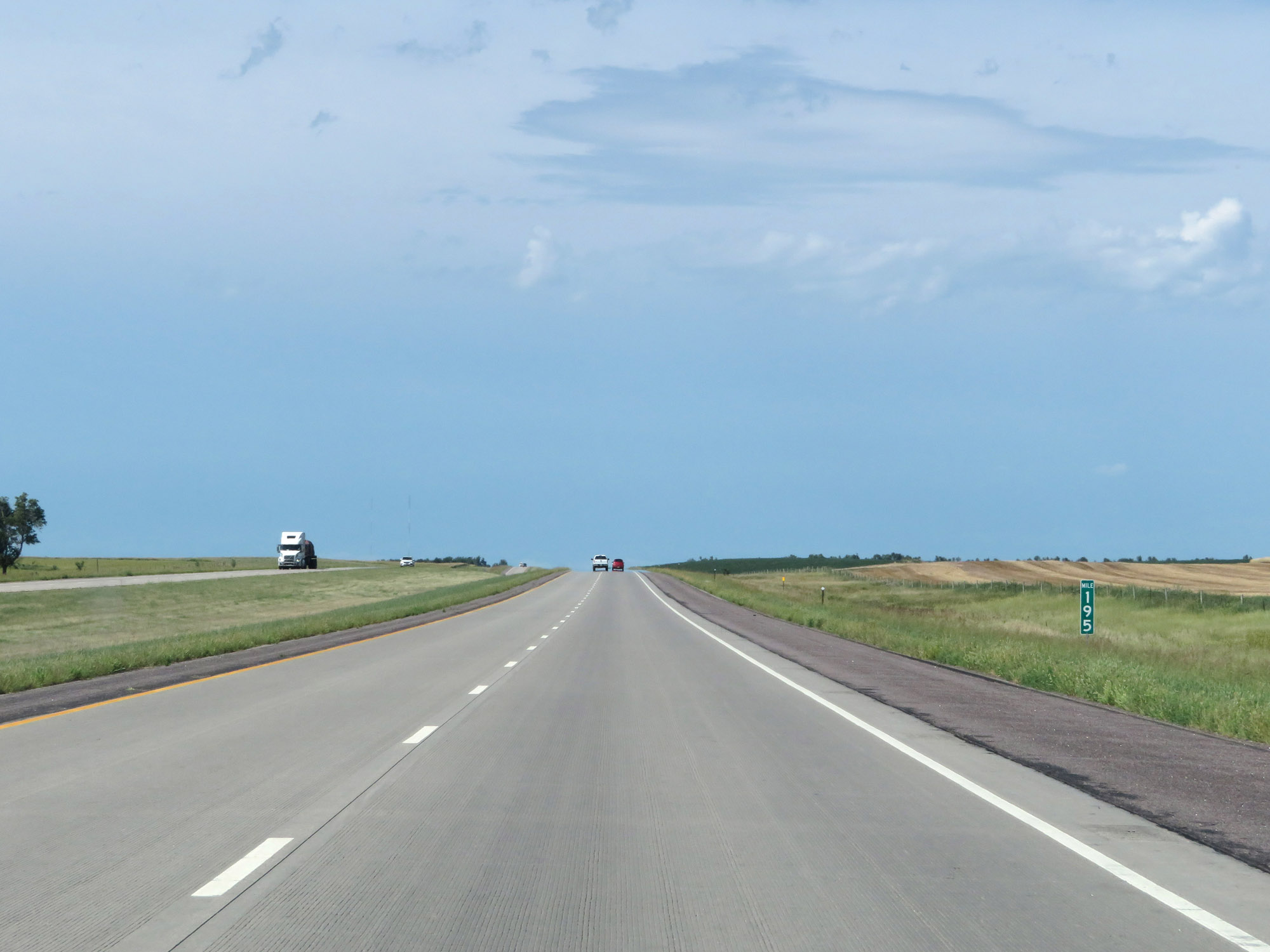 |
View on Interstate 29 North at mile marker 195. (Photo taken 8/9/20). |
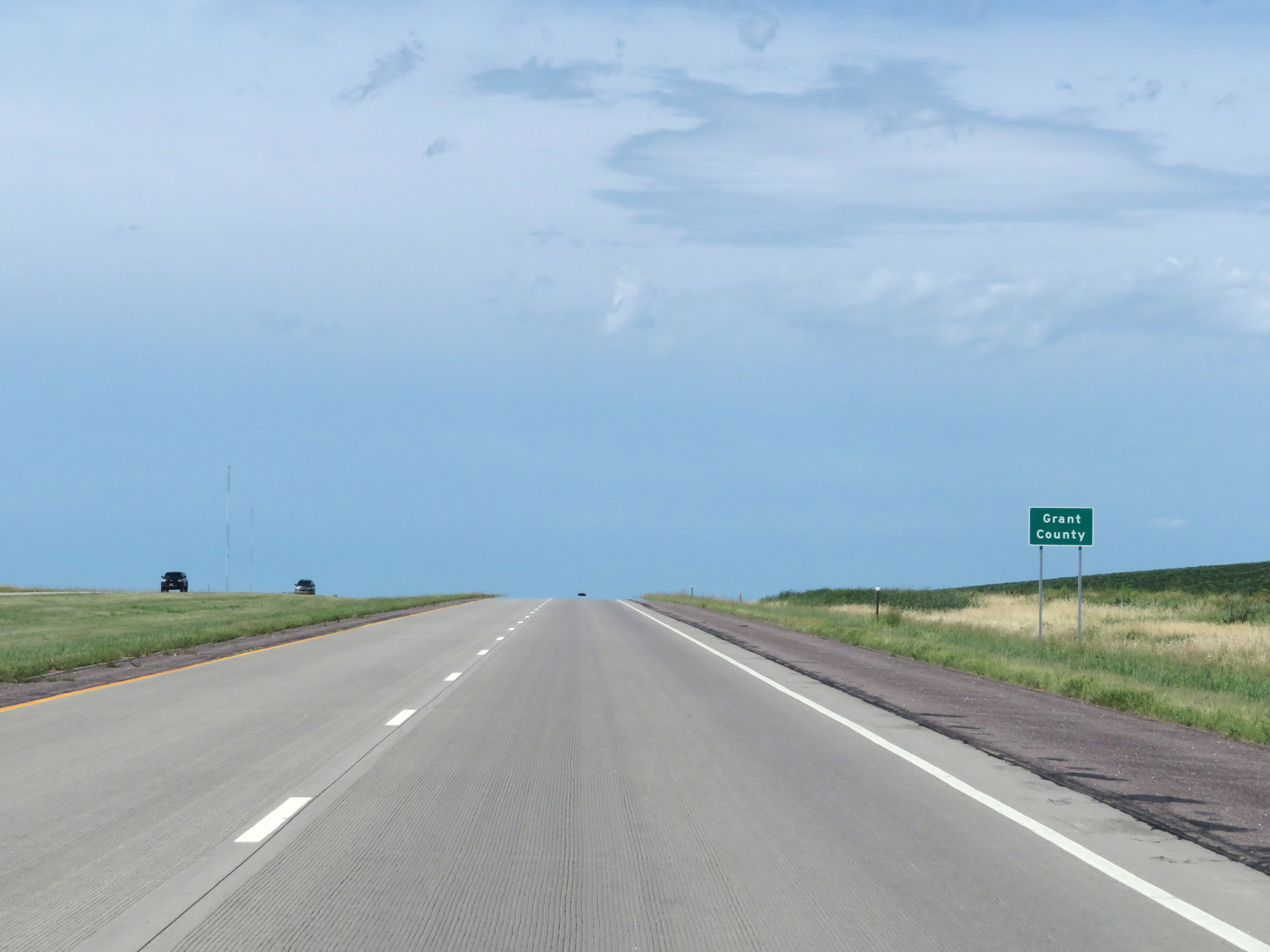 |
Entering Grant County on Interstate 29 North. (Photo taken 8/9/20). |
 |
Mile marker 197 on Interstate 29 North in Grant County. (Photo taken 8/9/20). |
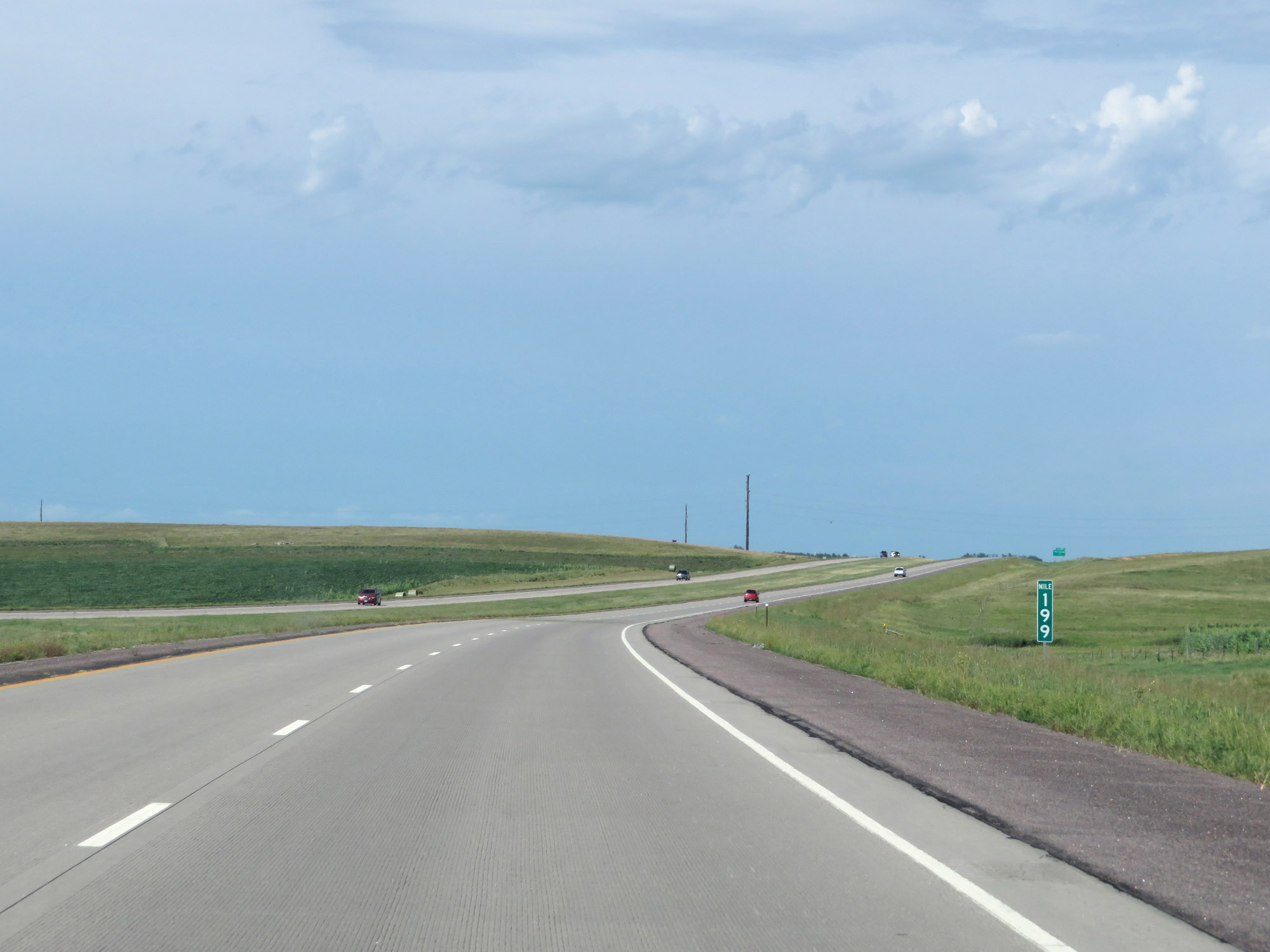 |
Interstate 29 North at mile marker 199. (Photo taken 8/9/20). |
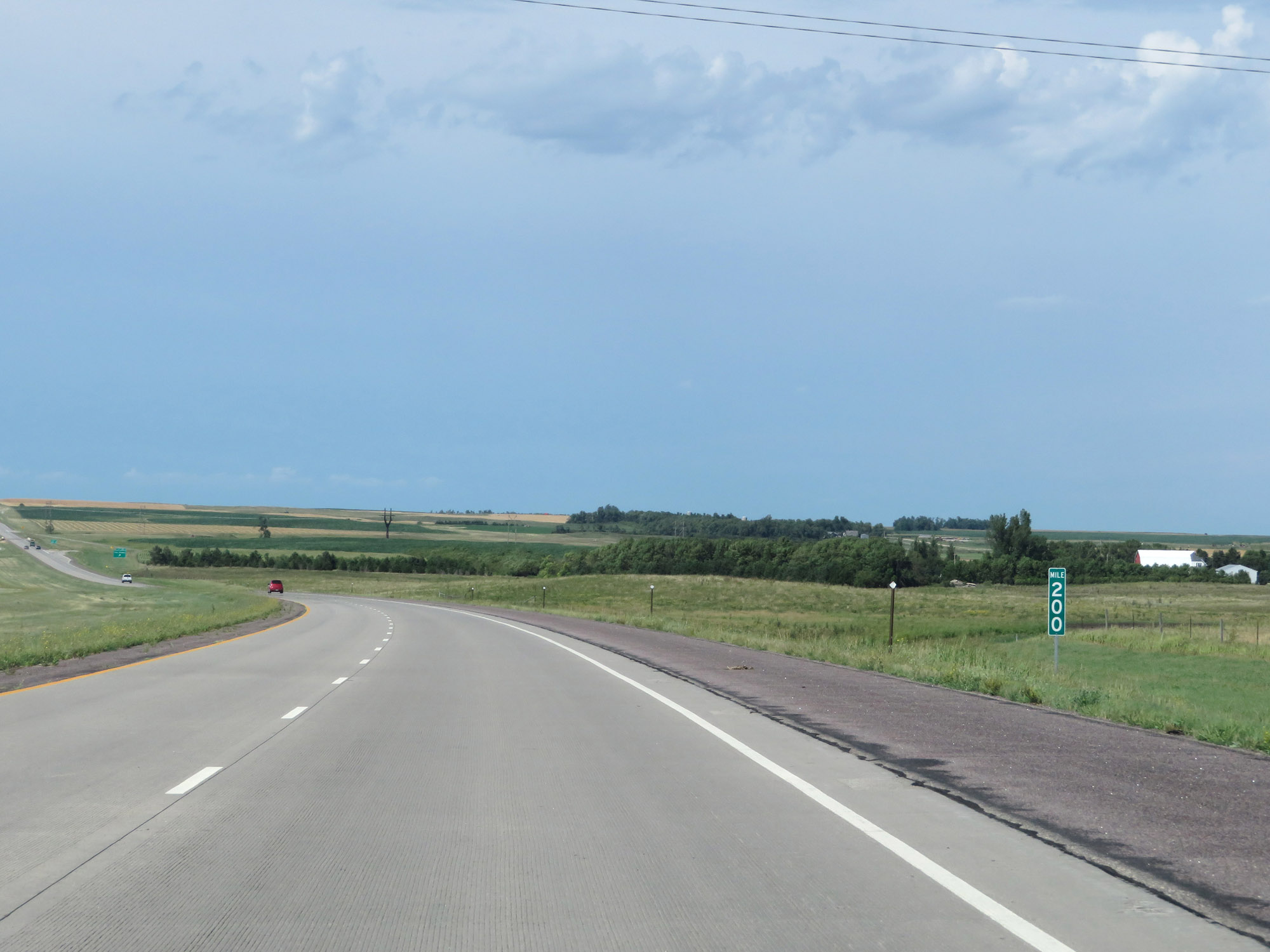 |
View on Interstate 29 North at mile marker 200. (Photo taken 8/9/20). |
 |
Interstate 29 North at Exit 201: Twin Brooks (Photo taken 8/9/20). |
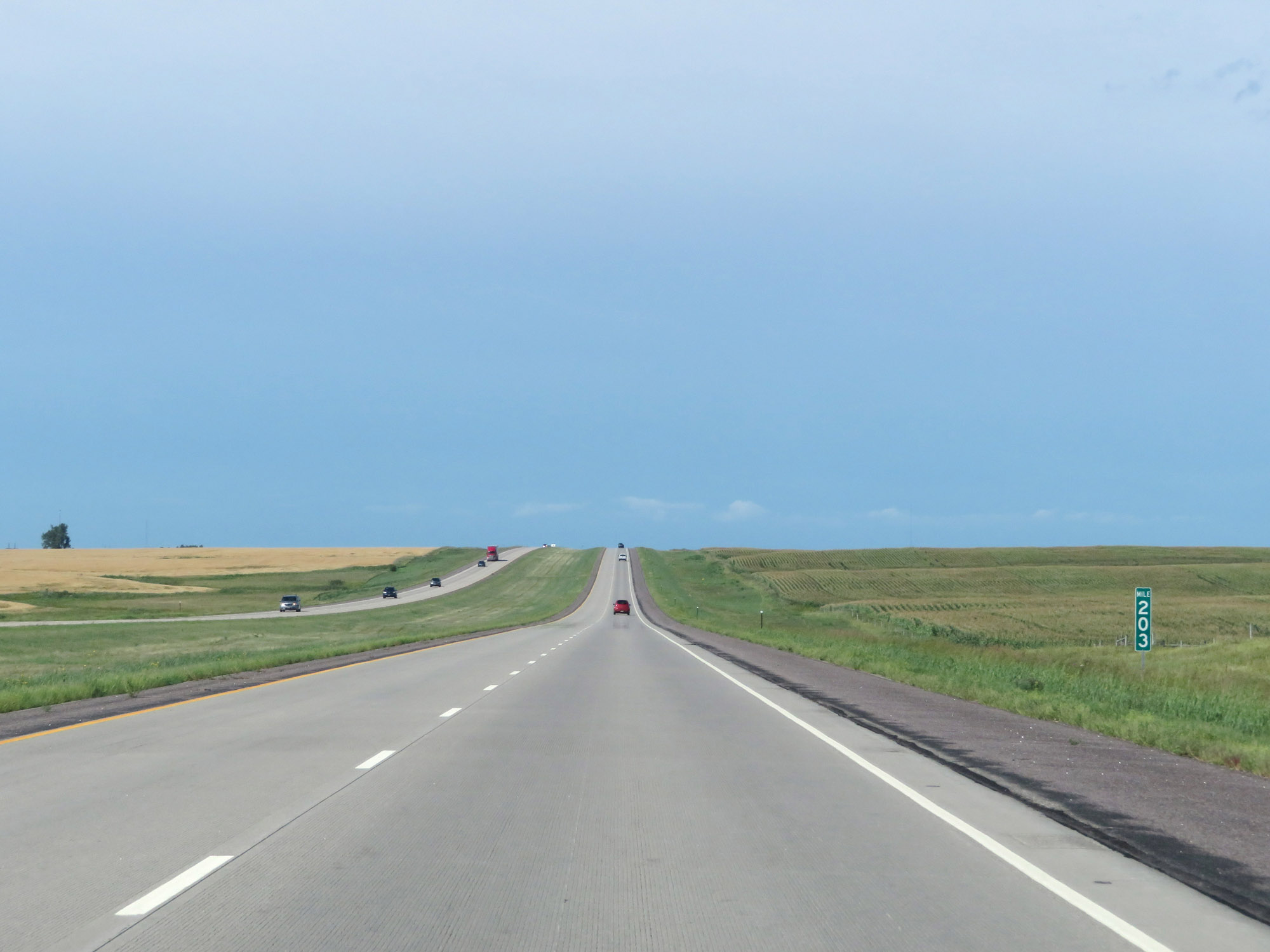 |
Mile marker 203 on Interstate 29 North in Grant County. (Photo taken 8/9/20). |
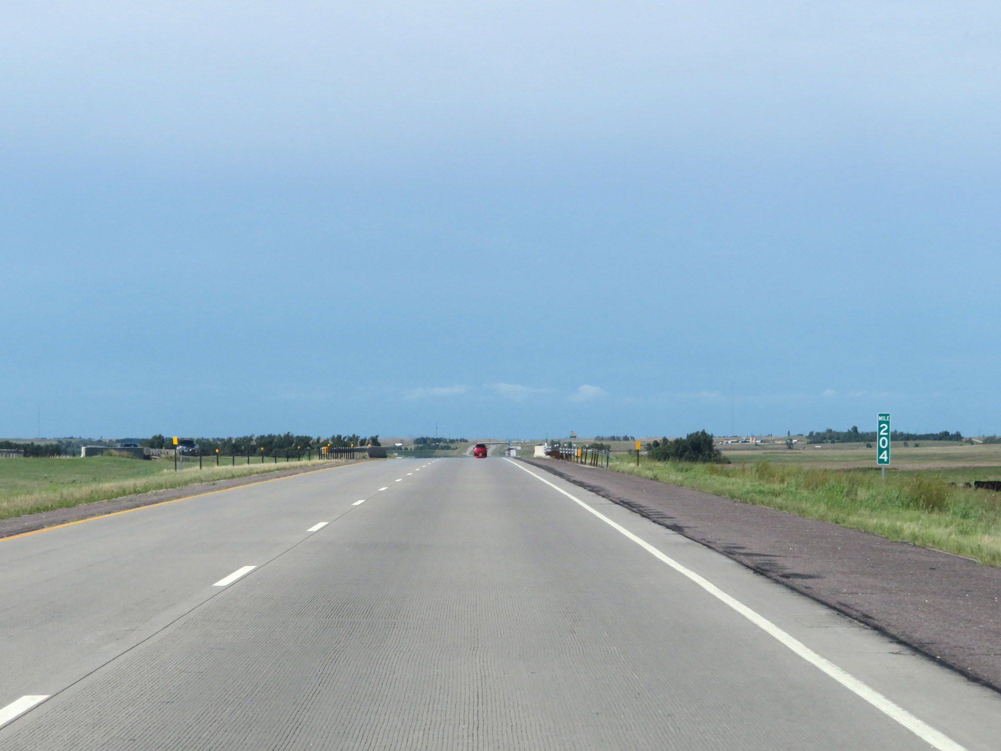 |
View on Interstate 29 North at mile marker 204. (Photo taken 8/9/20). |
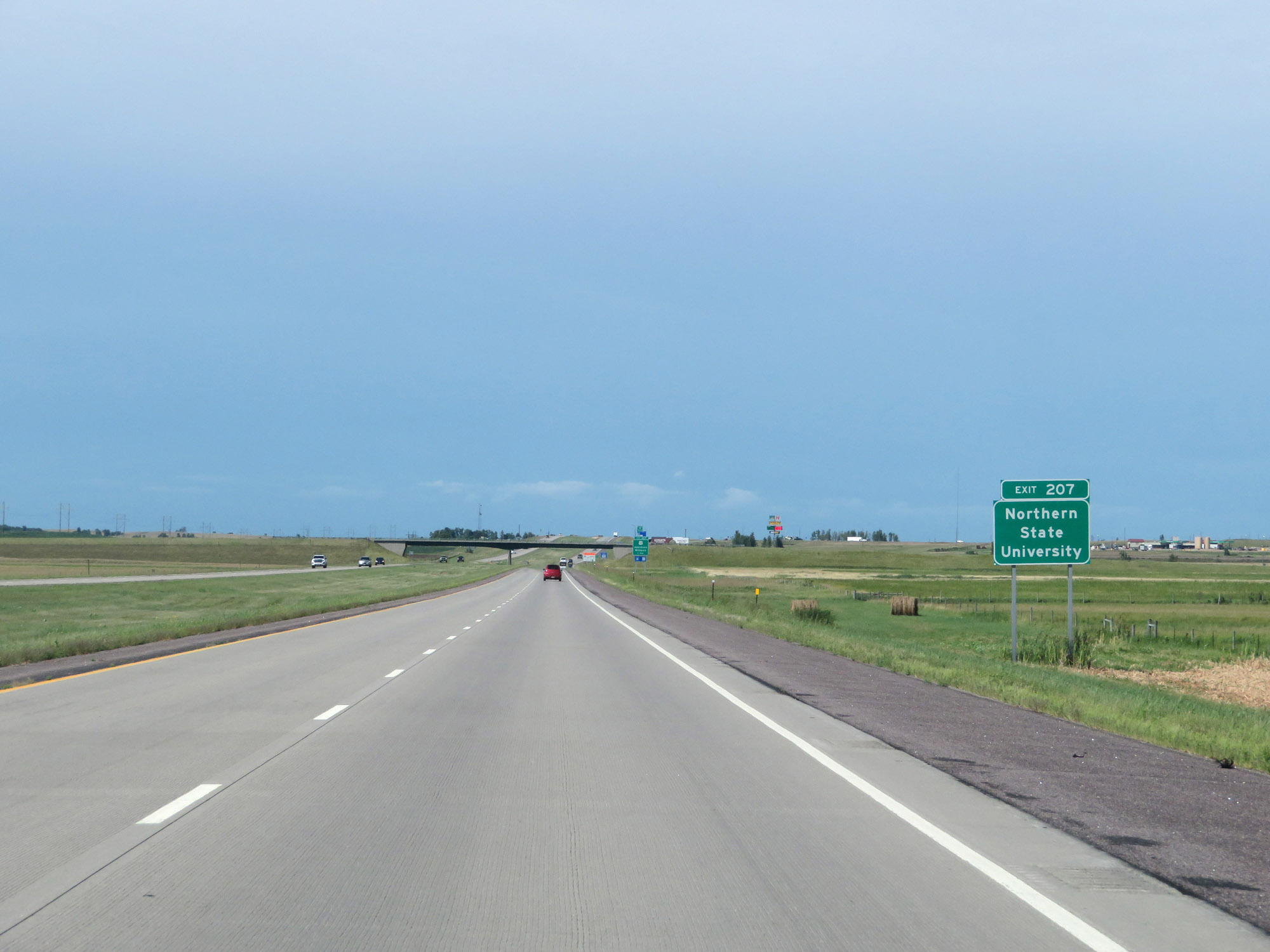 |
Take Exit 207 to Northern State University. (Photo taken 8/9/20). |
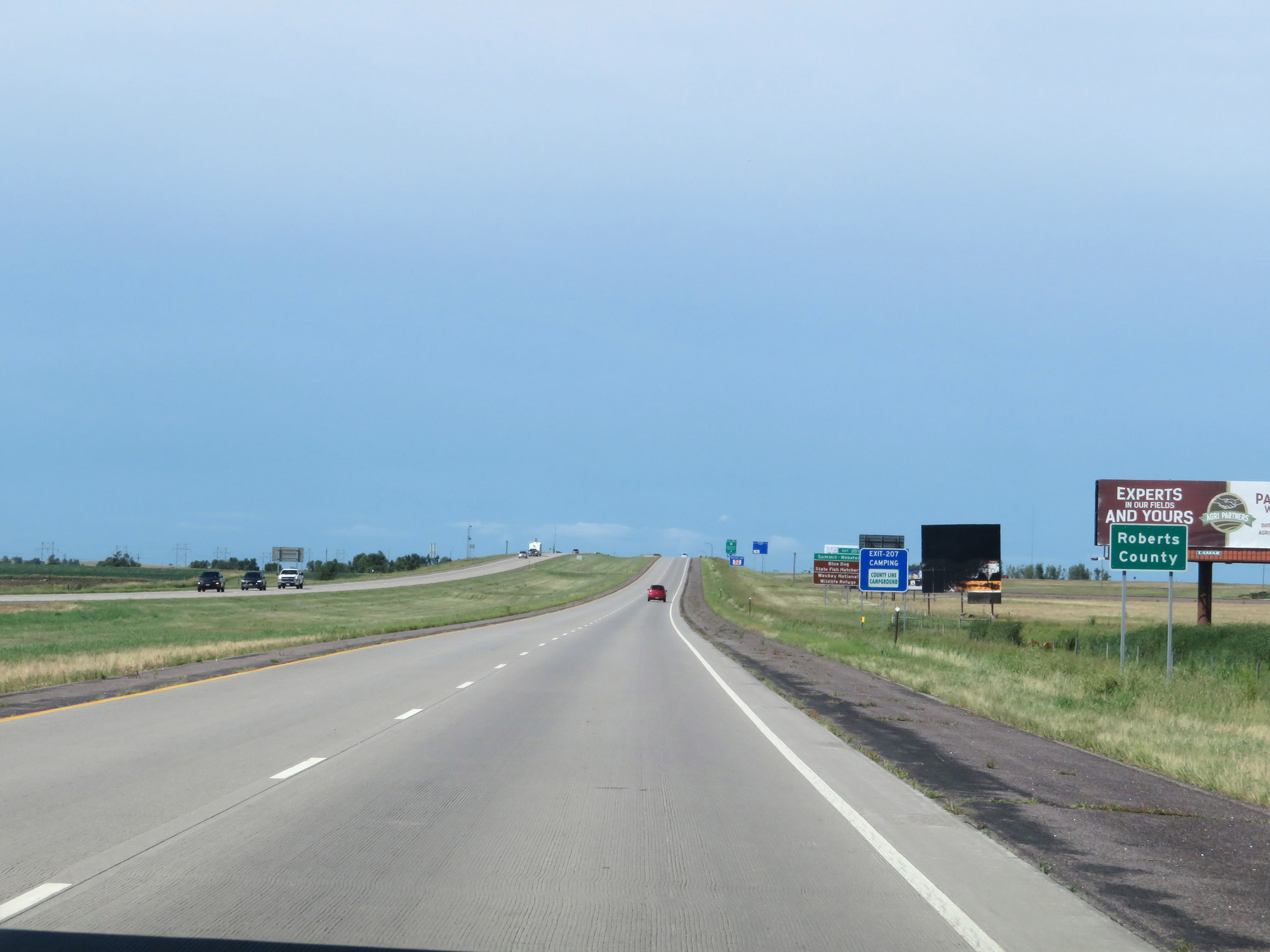 |
Approaching Exit 207, Interstate 29 North enters Roberts County. (Photo taken 8/9/20). |
 |
Take Exit 207 to Summit-Webster, Blue Dog State Fish Hatchery, and Waubay National Wildlife Refuge. (Photo taken 8/9/20). |
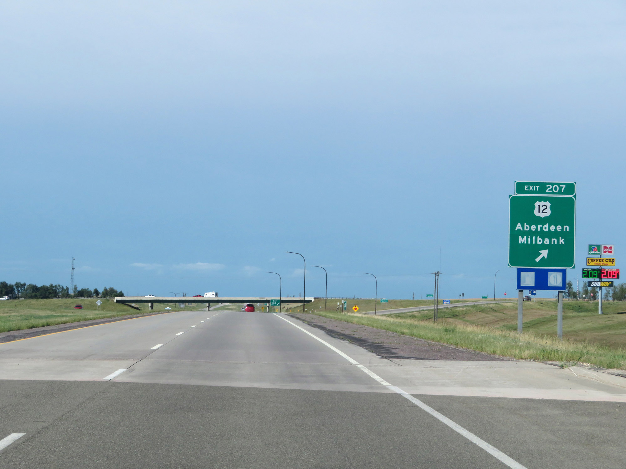 |
Interstate 29 North at Exit 207: US 12 - Aberdeen / Milbank (Photo taken 8/9/20). |
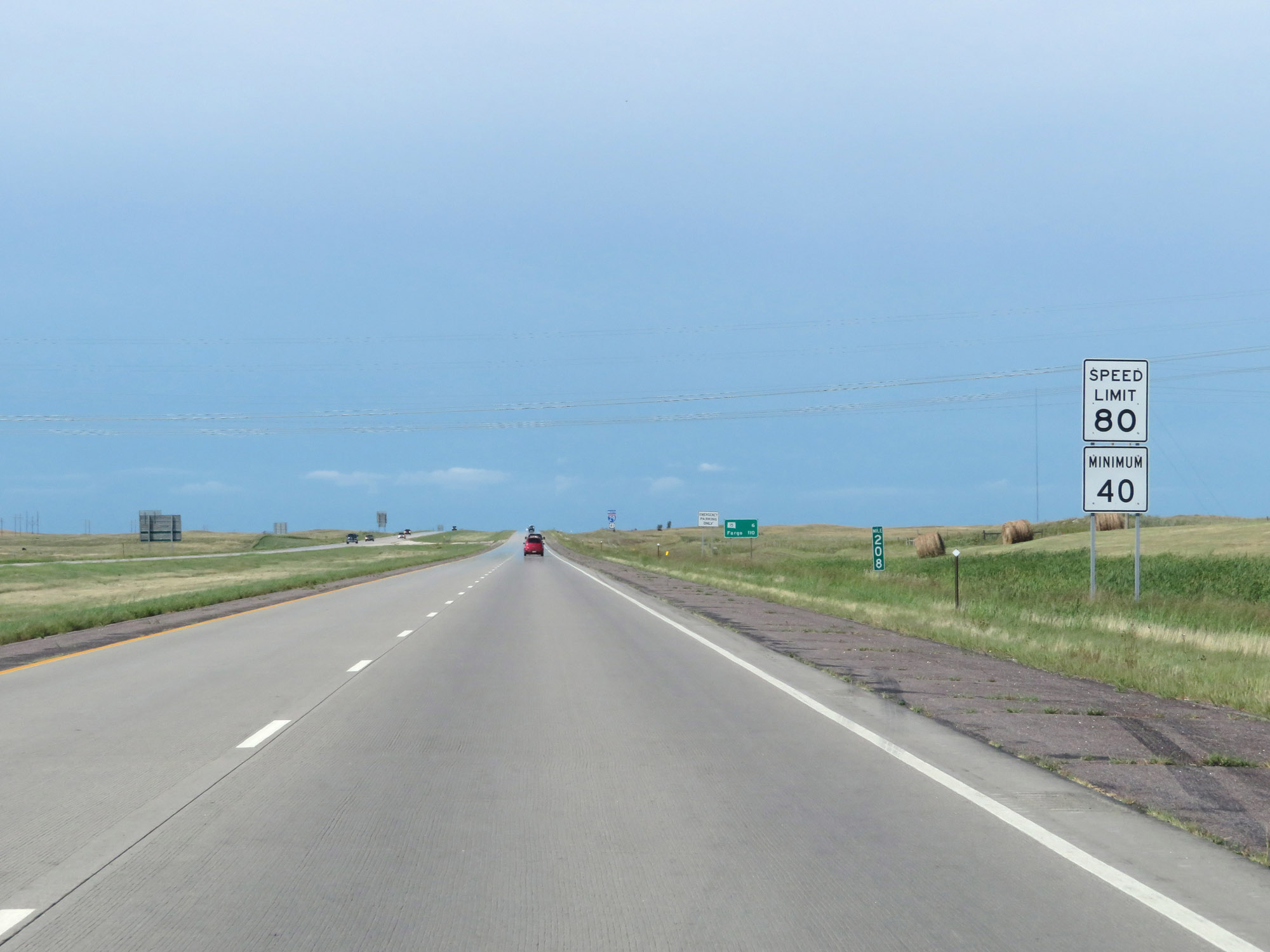 |
Speed limit signs at mile marker 208. The speed limits remain 80 mph maximum and 40 mph minimum, which are the standard speed limits on rural Interstates in South Dakota. (Photo taken 8/9/20). |
 |
View on Interstate 29 North at mile marker 210. (Photo taken 8/9/20). |
 |
Interstate 29 North at mile marker 211. (Photo taken 8/9/20). |
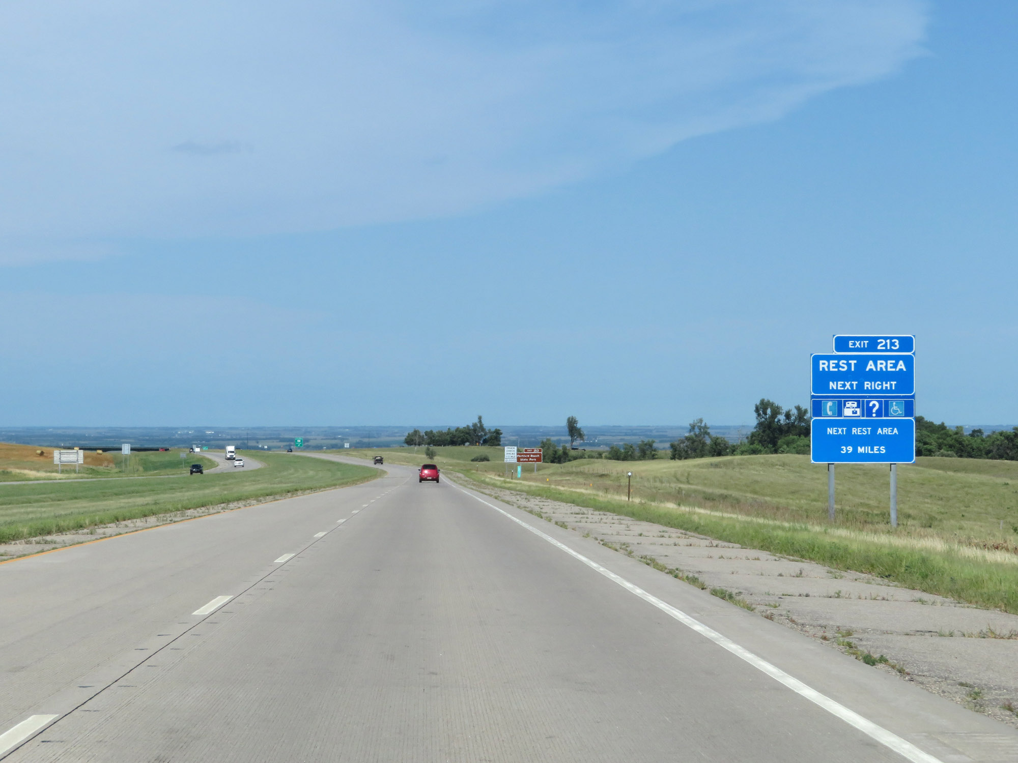 |
A Rest Area exists off Exit 213, just ahead. This is the last Rest Area in South Dakota on Interstate 29 North. (Photo taken 8/9/20). |
 |
Take Exit 213 to Hartford Beach State Park. (Photo taken 8/9/20). |
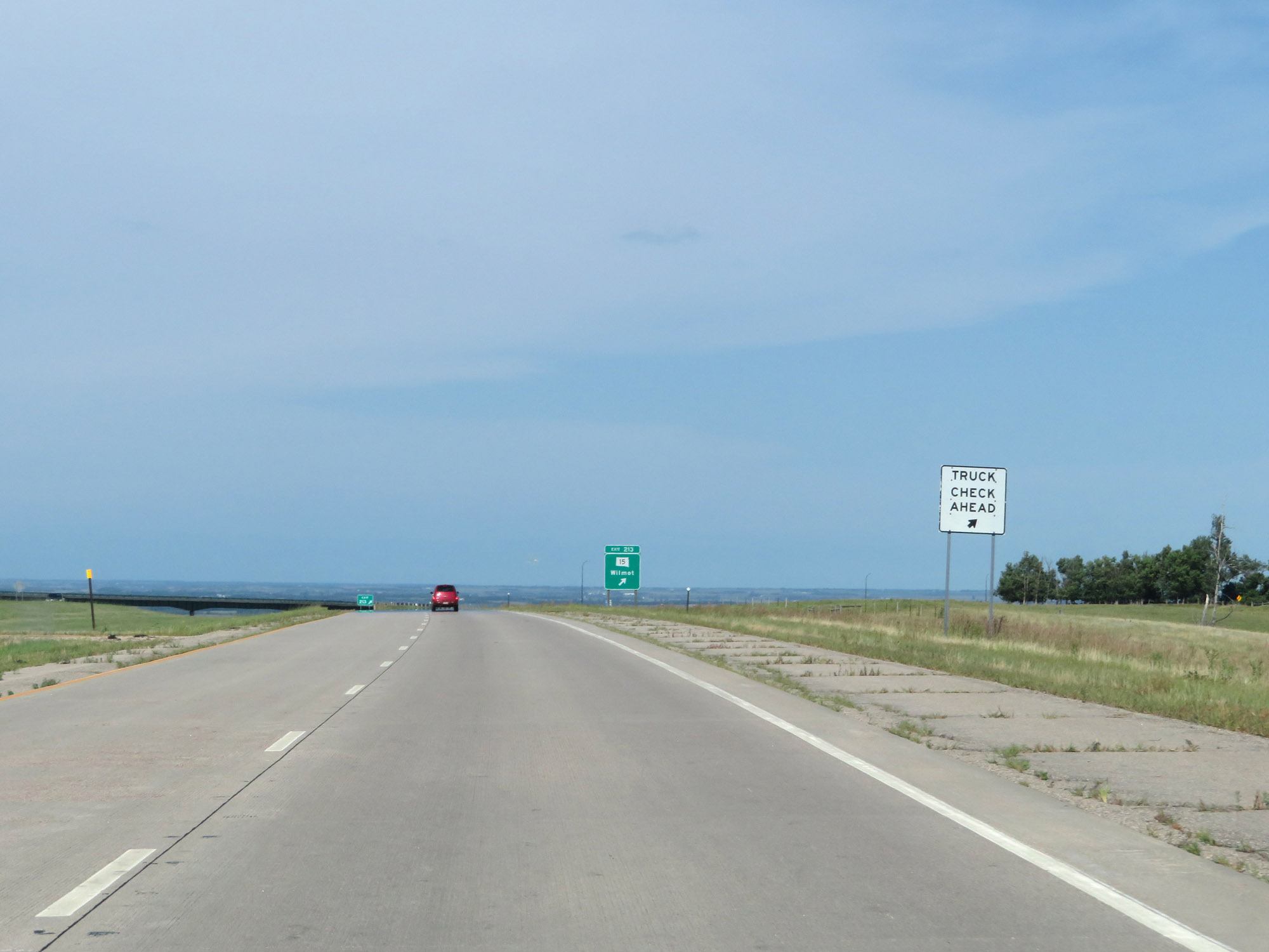 |
A Truck Check Area also exists at the Rest Area off of Exit 213. (Photo taken 8/9/20). |
 |
Interstate 29 North at Exit 213: SD 15 - Wilmot (Photo taken 8/9/20). |
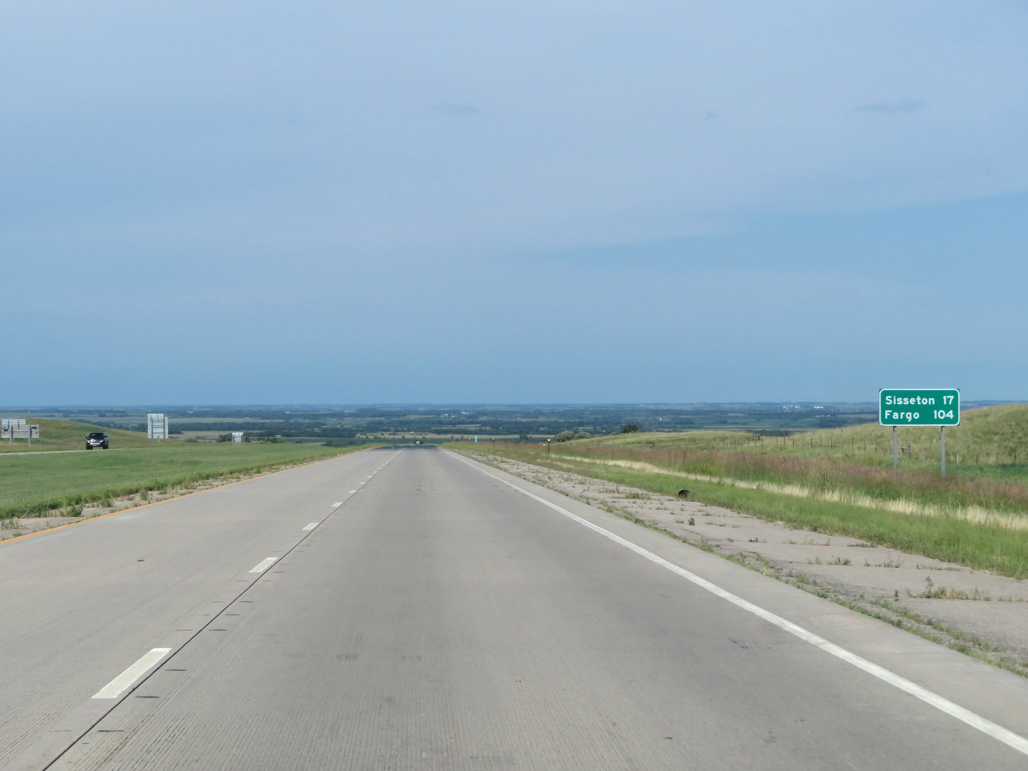 |
Mileage sign on Interstate 29 North. It's 17 miles to Sisseton and 104 miles to Fargo. (Photo taken 8/9/20). |
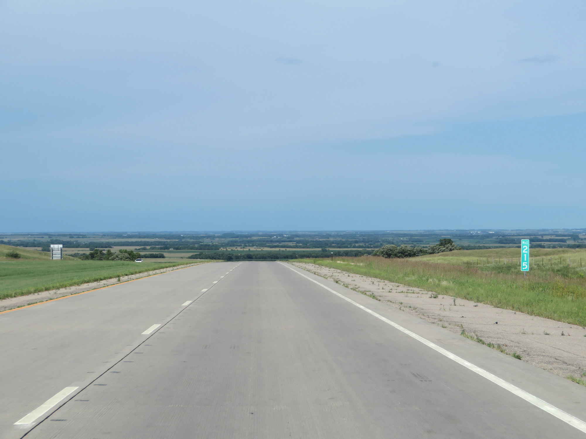 |
View on Interstate 29 North at mile marker 215. (Photo taken 8/9/20). |
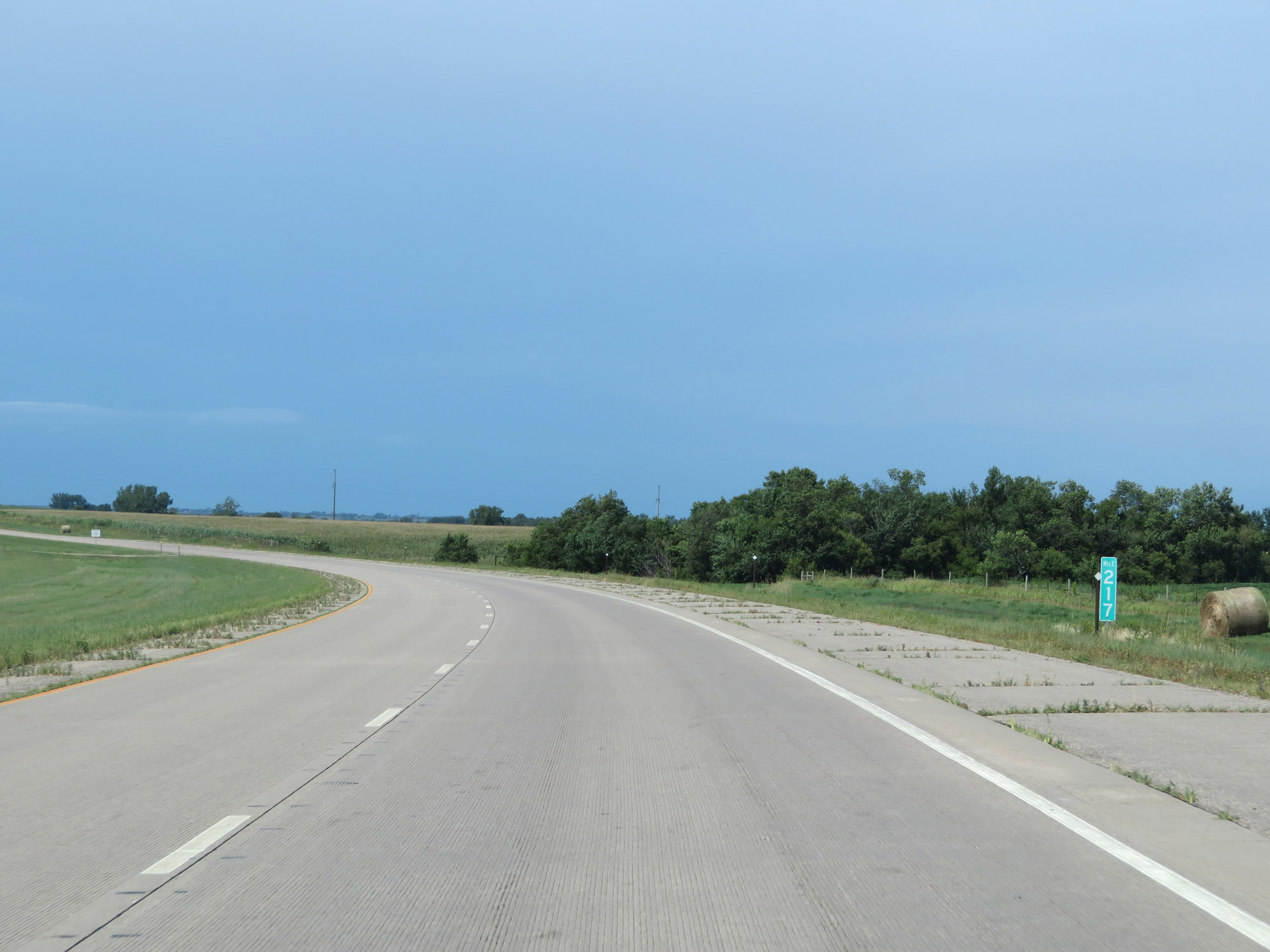 |
Mile marker 217 on Interstate 29 North in Roberts County. (Photo taken 8/9/20). |
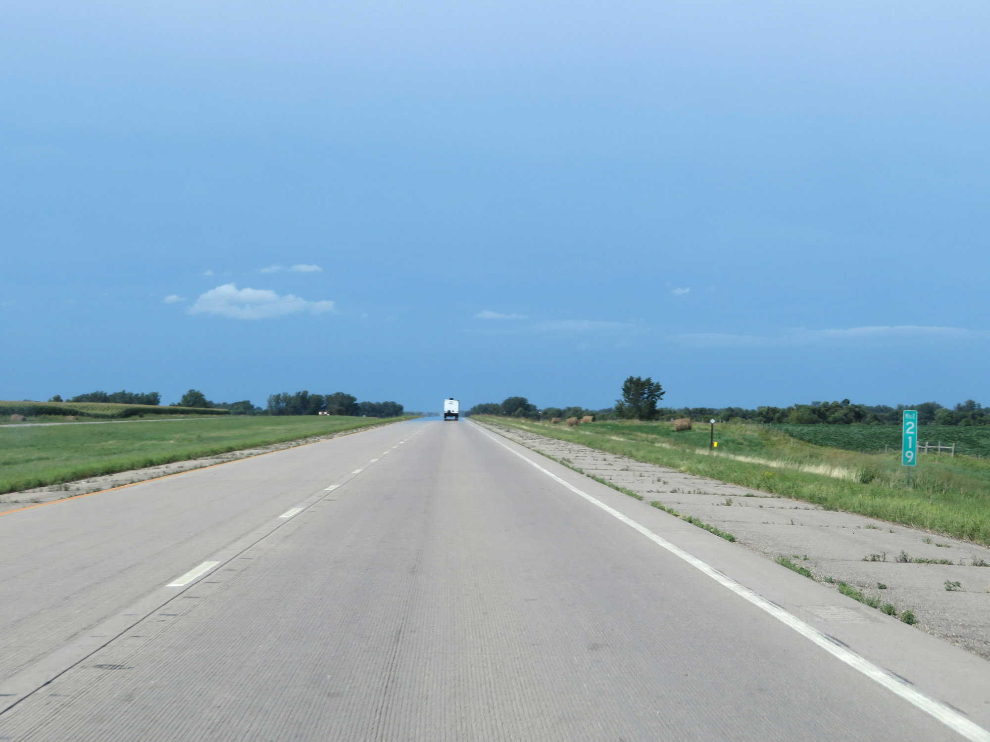 |
Interstate 29 North at mile marker 219. (Photo taken 8/9/20). |
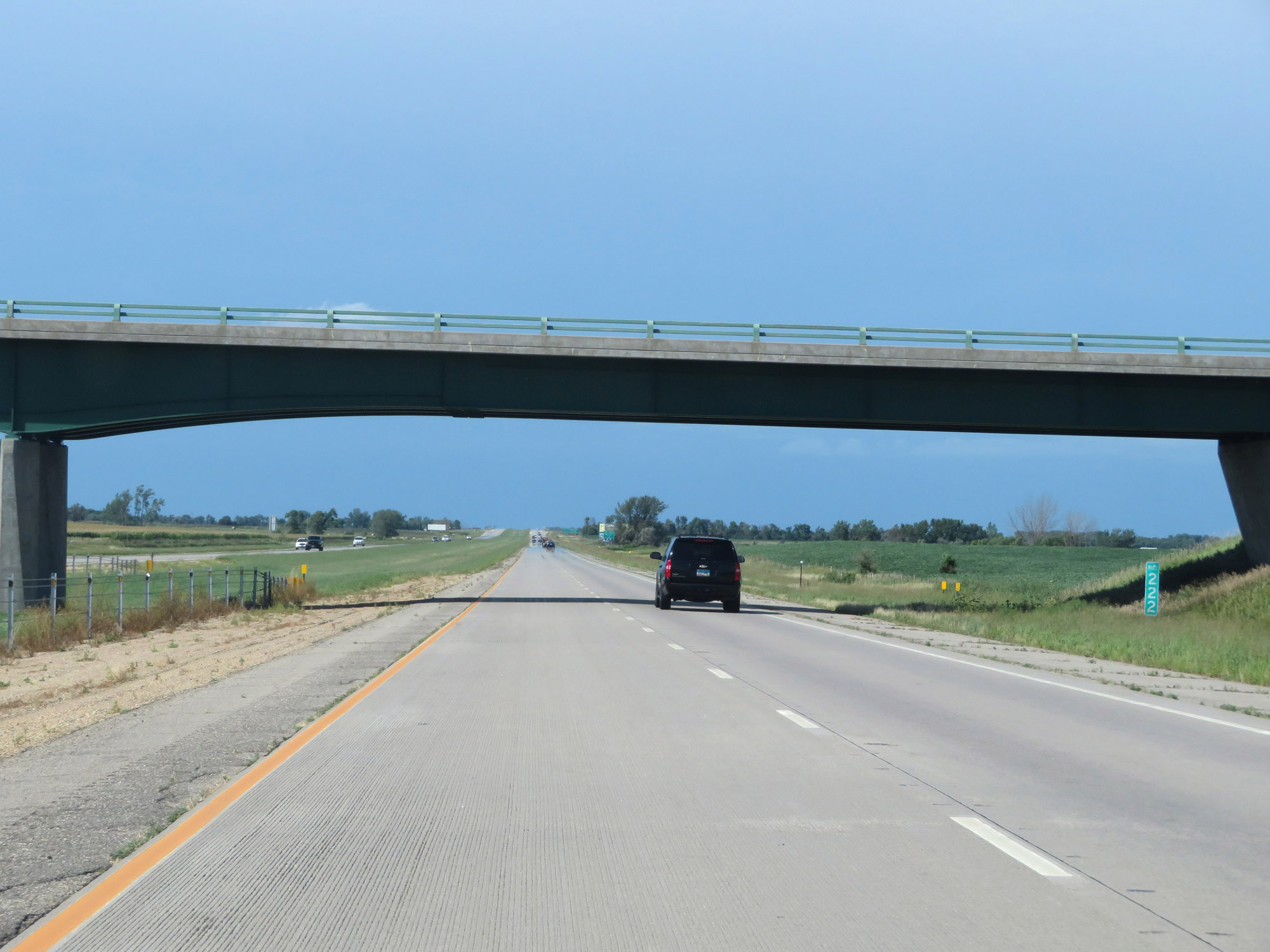 |
View on Interstate 29 North at mile marker 222. (Photo taken 8/9/20). |
 |
Interstate 29 North at mile marker 223. (Photo taken 8/9/20). |
 |
Take Exit 224 to the Sisseton-Wahpeton Oyate Tribal Headquarters and Community College as well as Pickerel Lake Recreation Area. (Photo taken 8/9/20). |
 |
Interstate 29 North at Exit 224: Peever (Photo taken 8/9/20). |
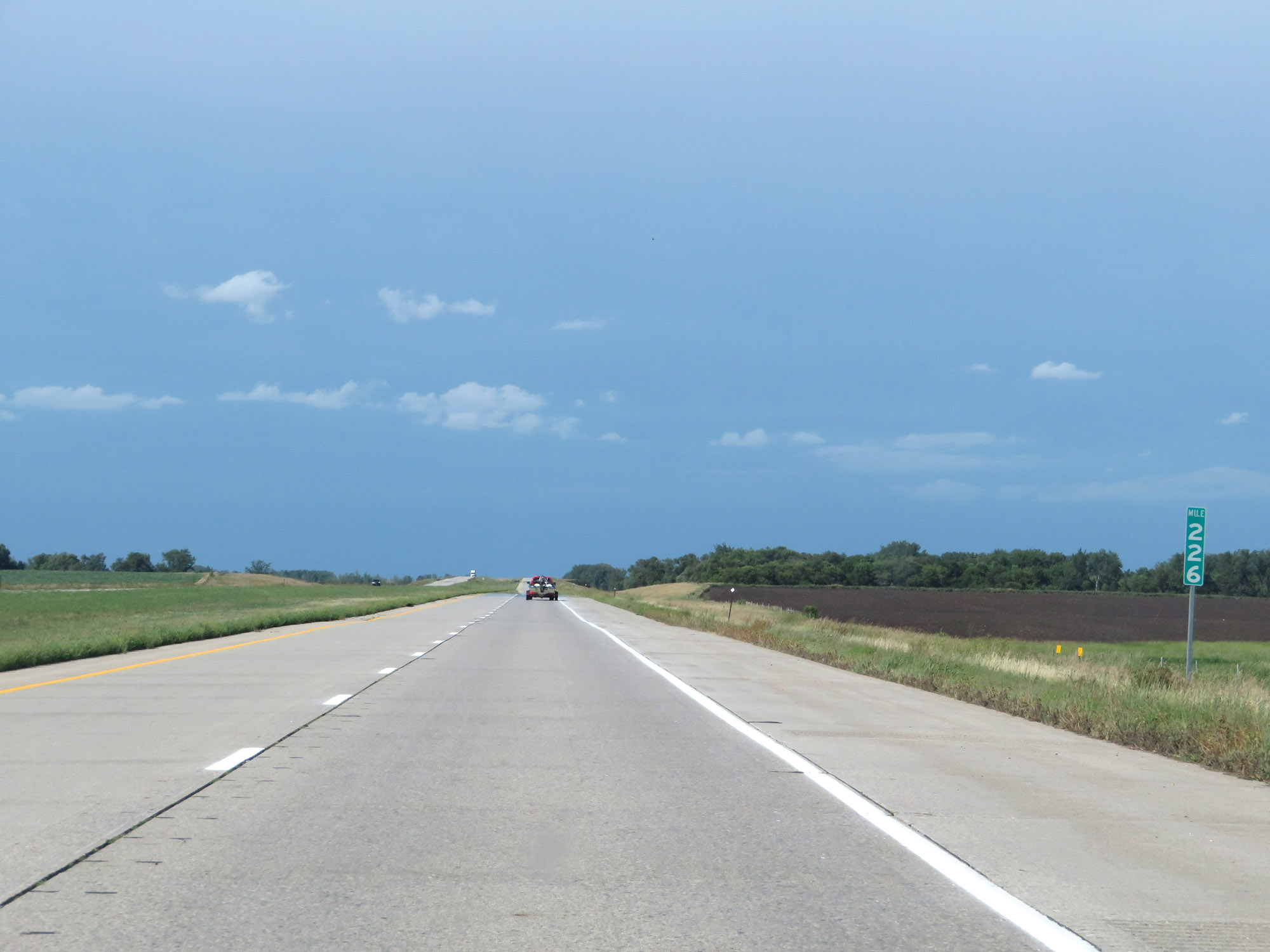 |
View on Interstate 29 North at mile marker 226. (Photo taken 8/9/20). |
 |
Mile marker 228 on Interstate 29 North in Roberts County. (Photo taken 8/9/20). |
 |
Interstate 29 North reassurance shield. (Photo taken 8/9/20). |
 |
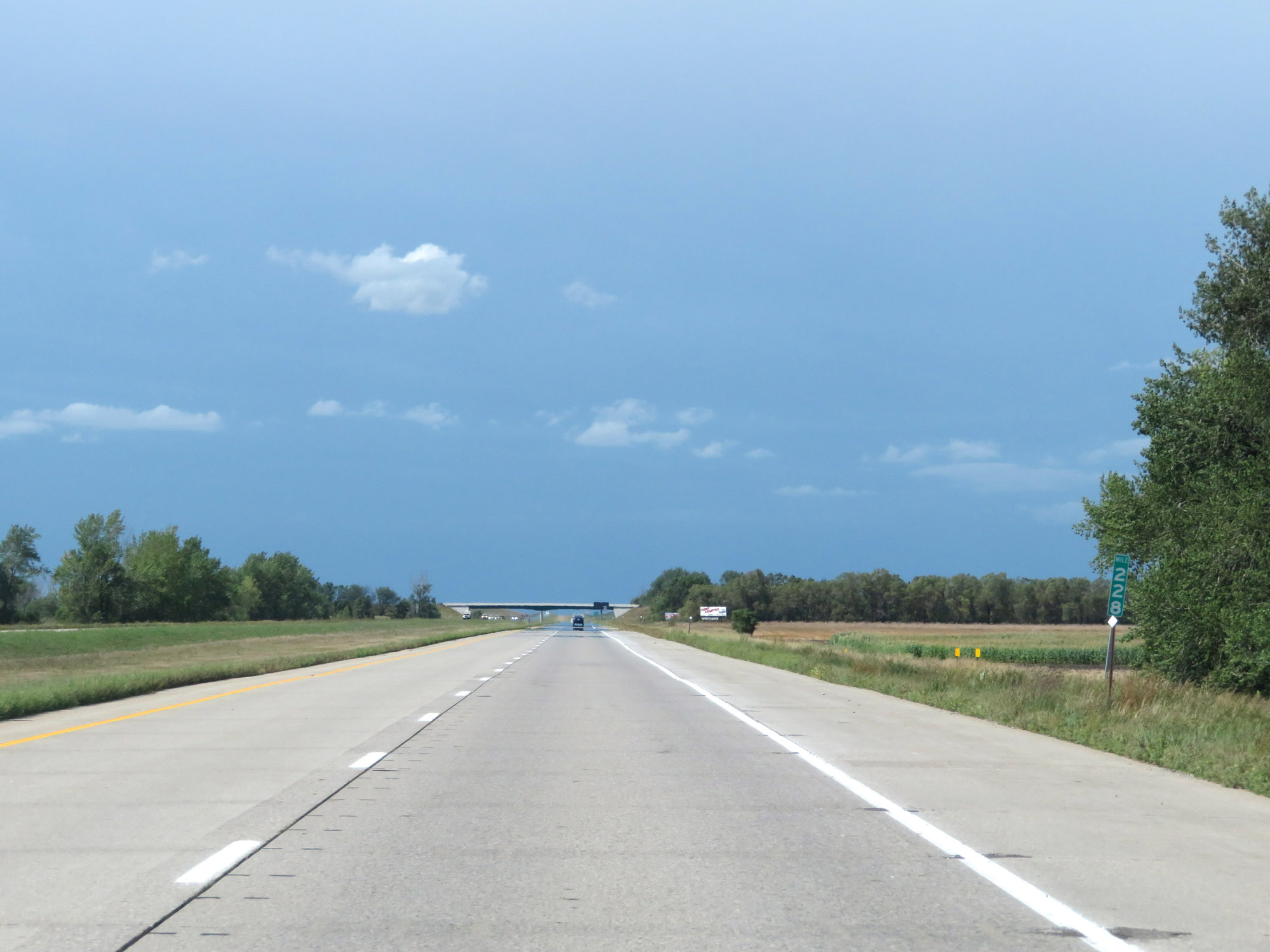
View on Interstate 29 North at mile marker 230. (Photo taken 8/9/20). |
 |
Take Exit 232 to Roy Lake State Park and Fort Sisseton State Park. (Photo taken 8/9/20). |
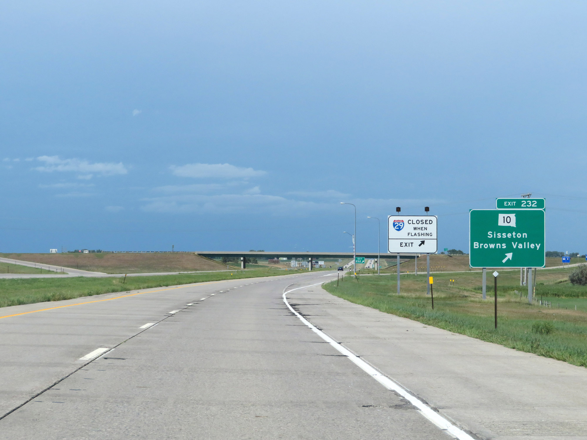 |
Interstate 29 North at Exit 232: SD 10 - Sisseton / Browns Valley (Photo taken 8/9/20). |
 |
View on Interstate 29 North at mile marker 233. (Photo taken 8/9/20). |
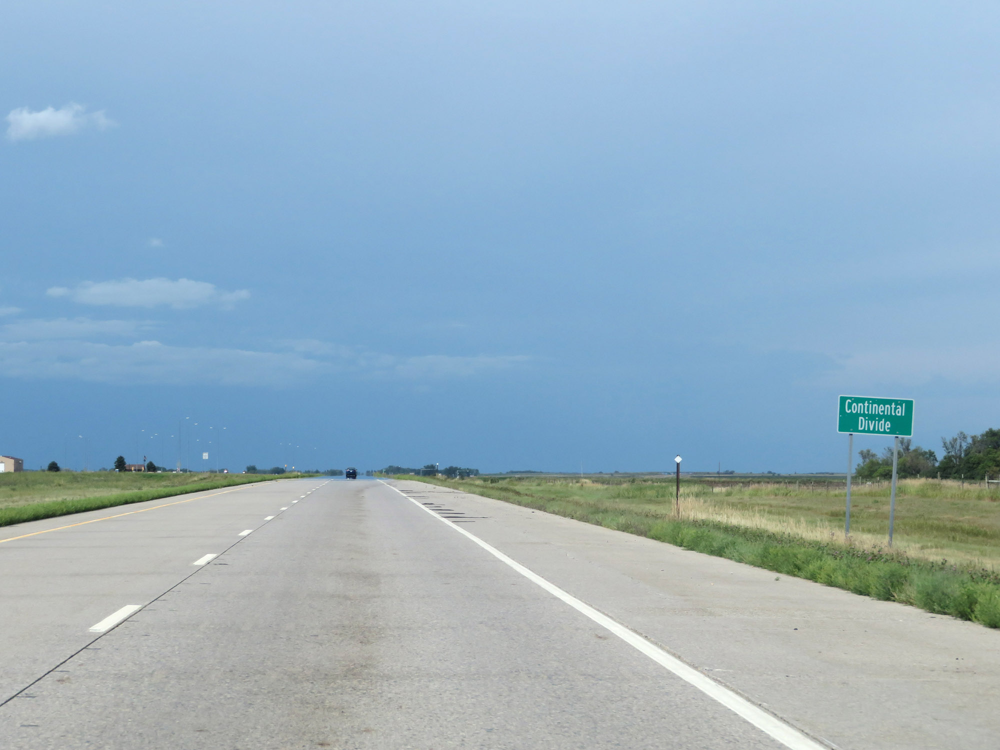 |
Interstate 29 North as it crosses the Continental Divide in Roberts County. (Photo taken 8/9/20). |
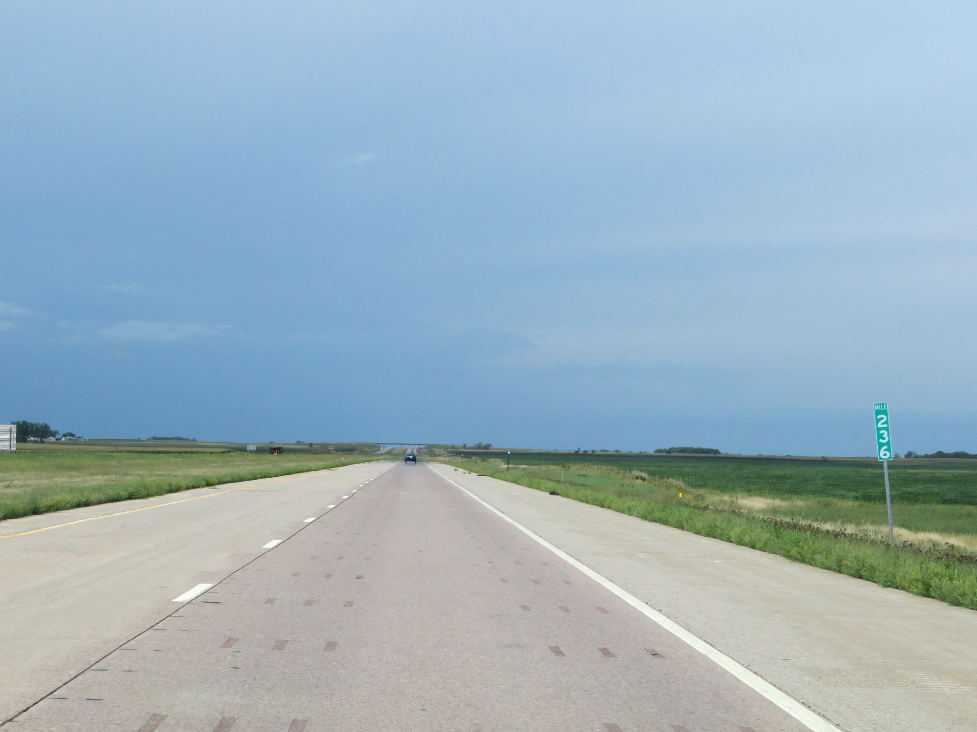 |
Interstate 29 North at mile marker 236. (Photo taken 8/9/20). |
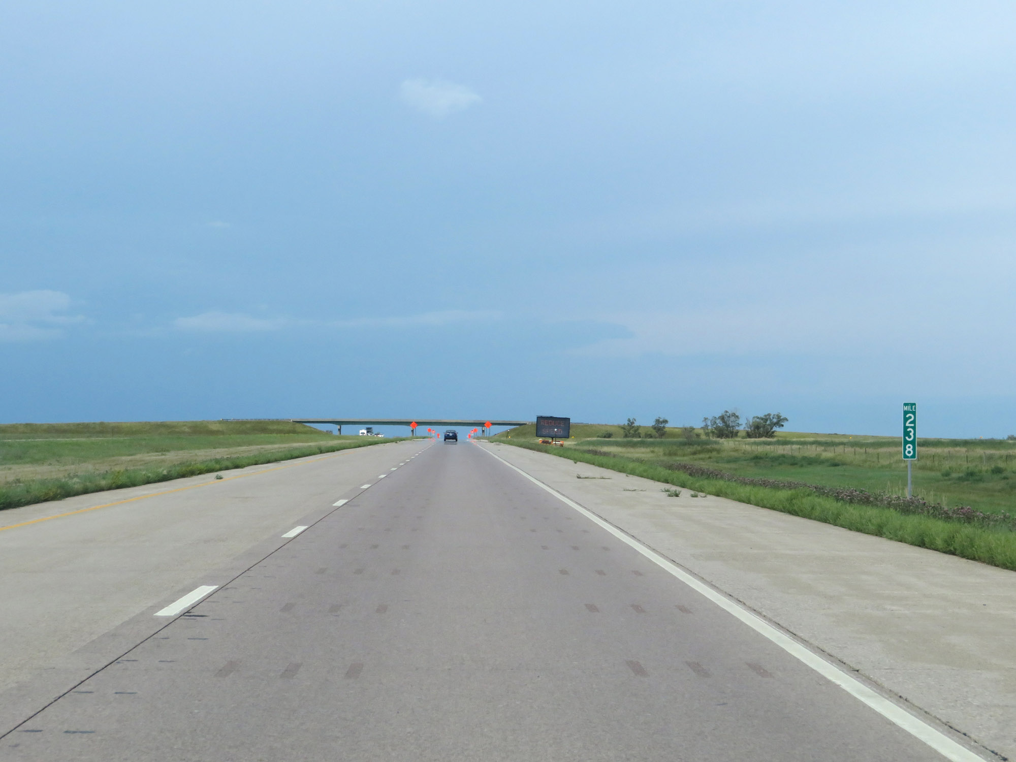 |
Mile marker 238 on Interstate 29 North in Roberts County. (Photo taken 8/9/20). |
 |
View on Interstate 29 North at mile marker 239. (Photo taken 8/9/20). |
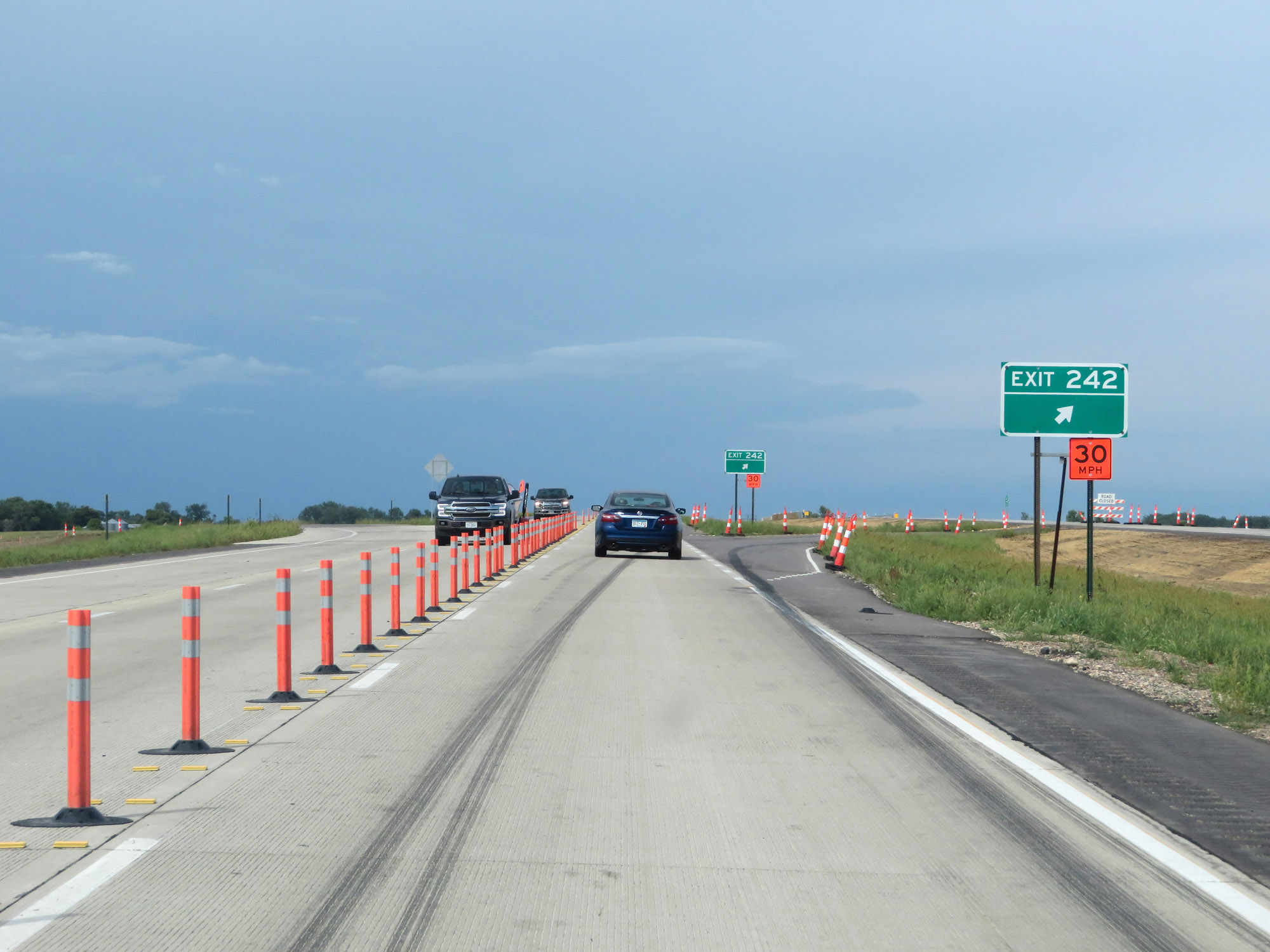 |
Interstate 29 North at Exit 242: (No Name) (Photo taken 8/9/20). |
 |
Interstate 29 North at mile marker 244. (Photo taken 8/9/20). |
 |
Take Exit 246 to Sica Hollow State Park. (Photo taken 8/9/20). |
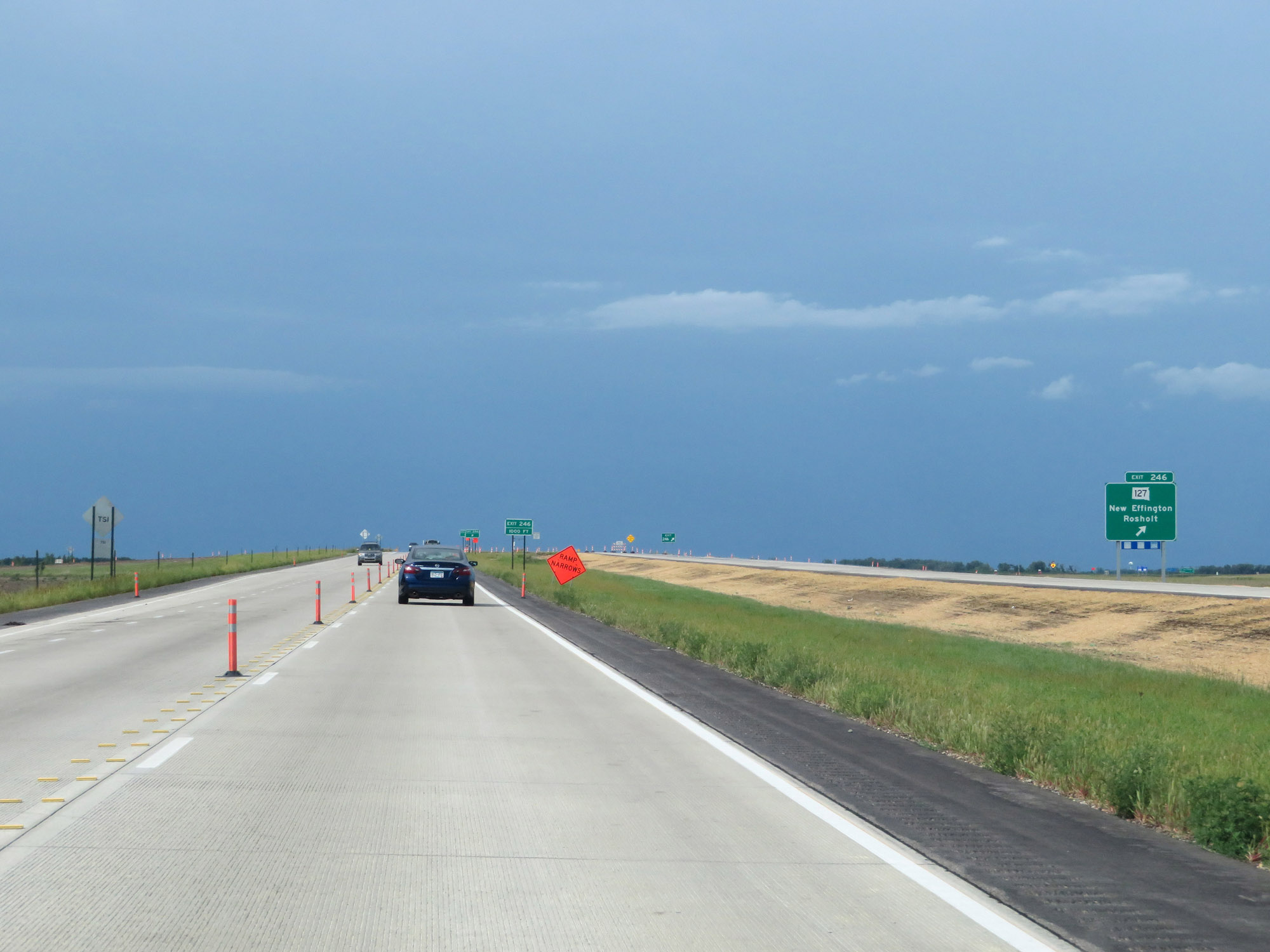 |
Interstate 29 North at Exit 246: SD 127 - New Effington / Rosholt (Photo taken 8/9/20). |
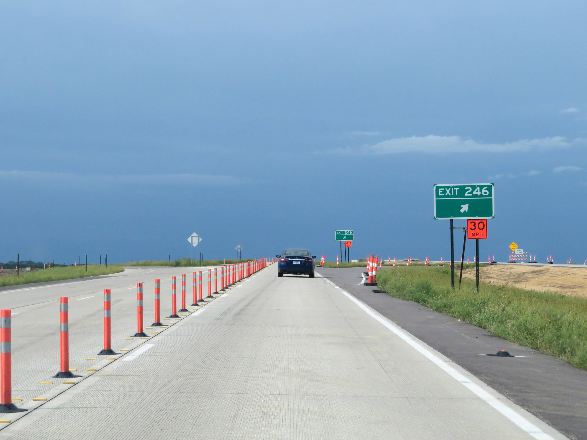 |
Construction ramp to Exit 246. (Photo taken 8/9/20). |
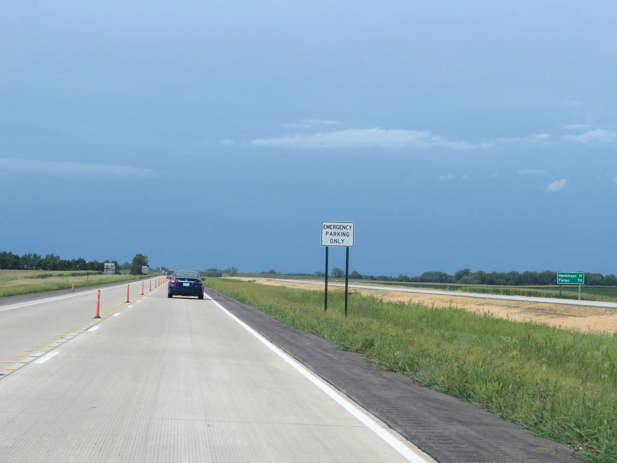 |
Mileage sign on Interstate 29 North. It's 17 miles to Hankinson and 70 miles to Fargo. (Photo taken 8/9/20). |
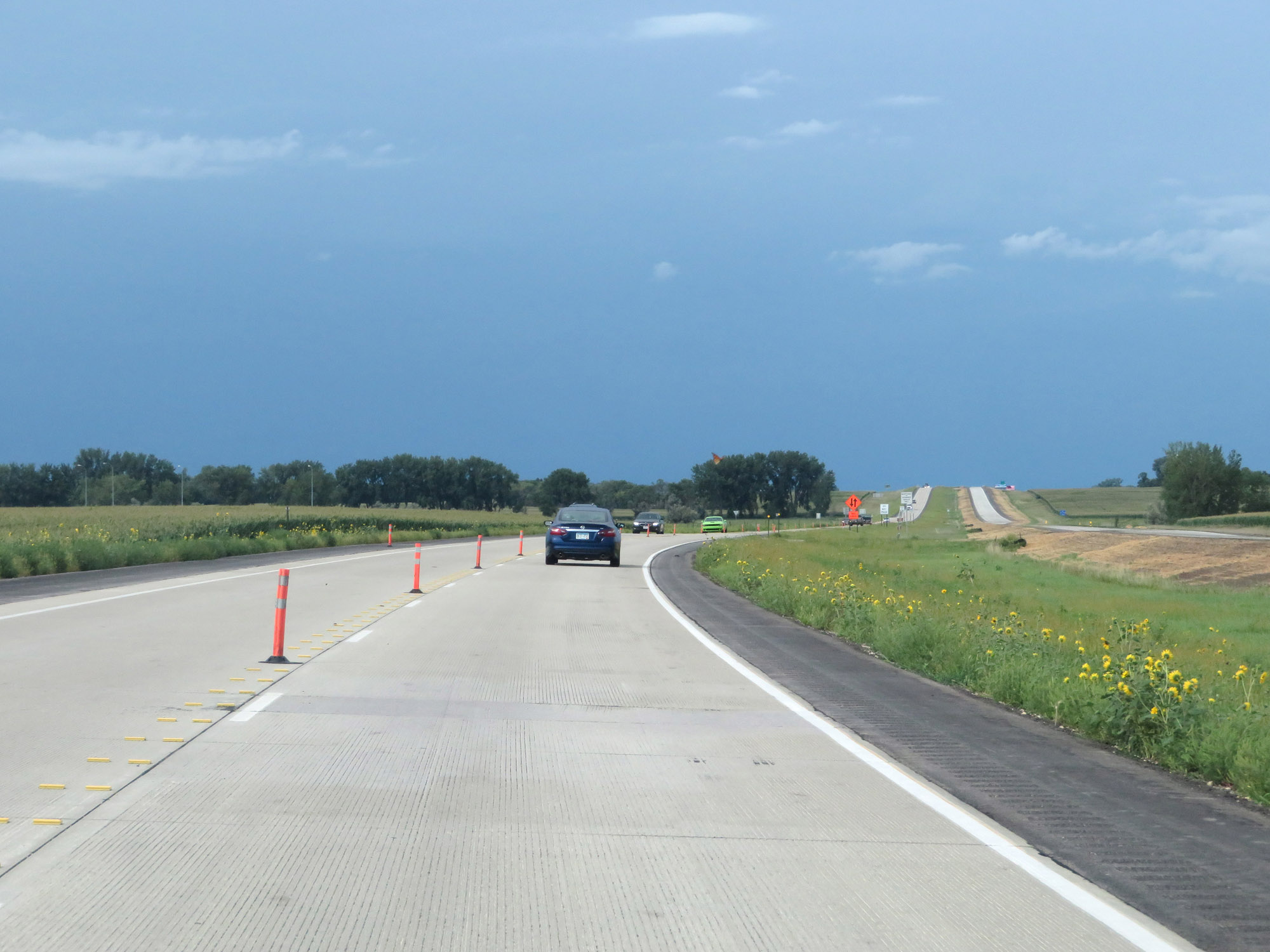 |
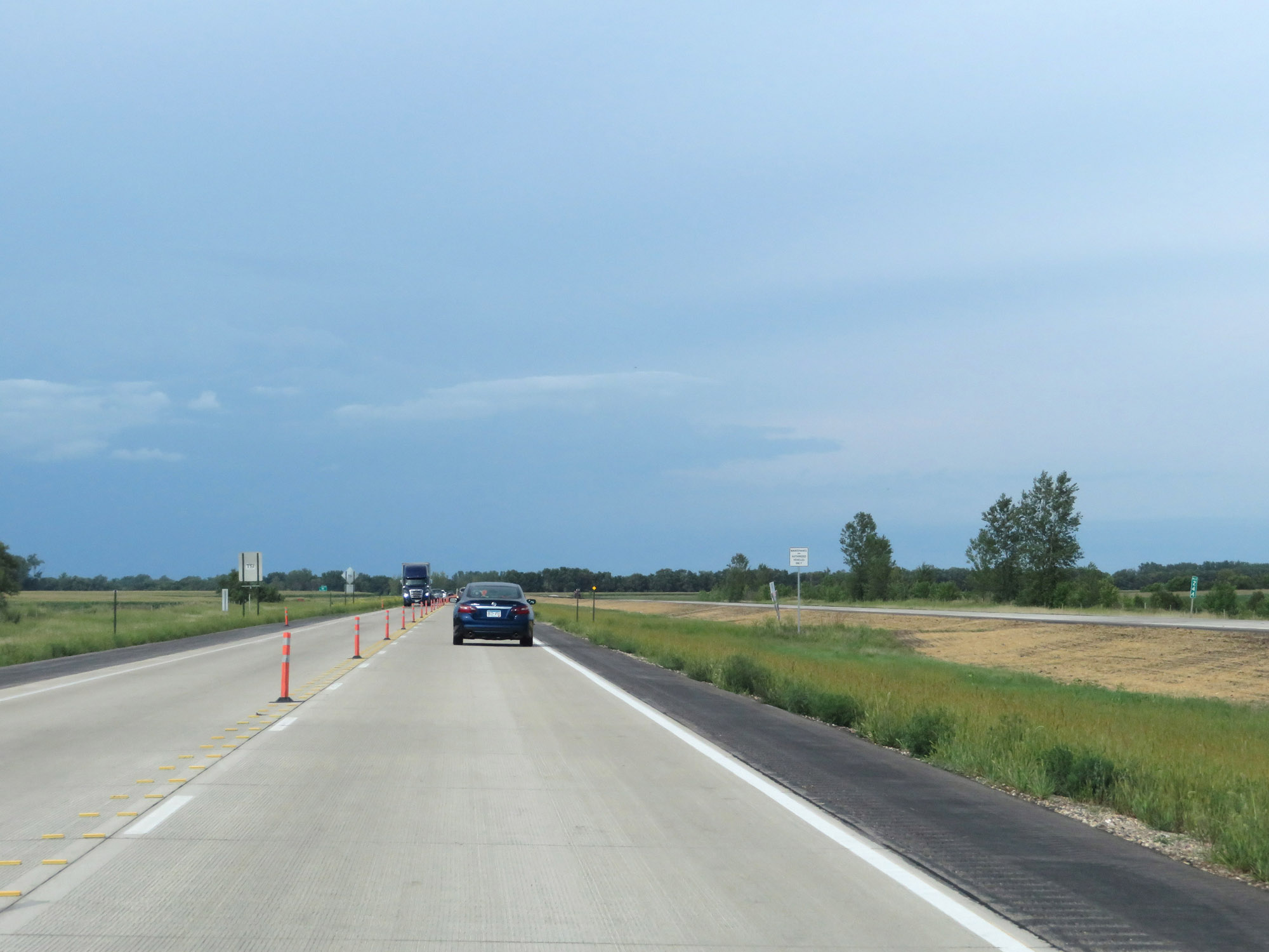
View on Interstate 29 North. (Photo taken 8/9/20). |
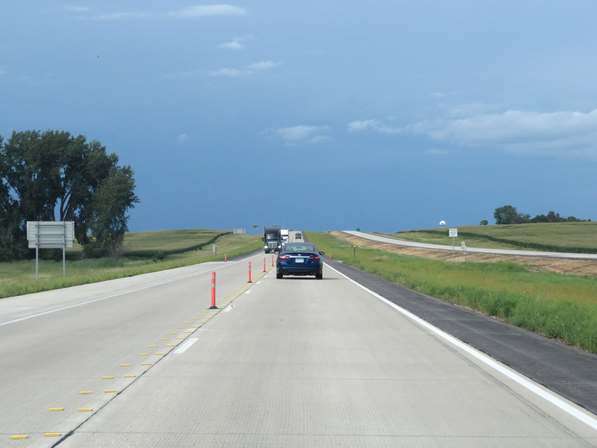 |
Another view on Interstate 29 North. (Photo taken 8/9/20). |
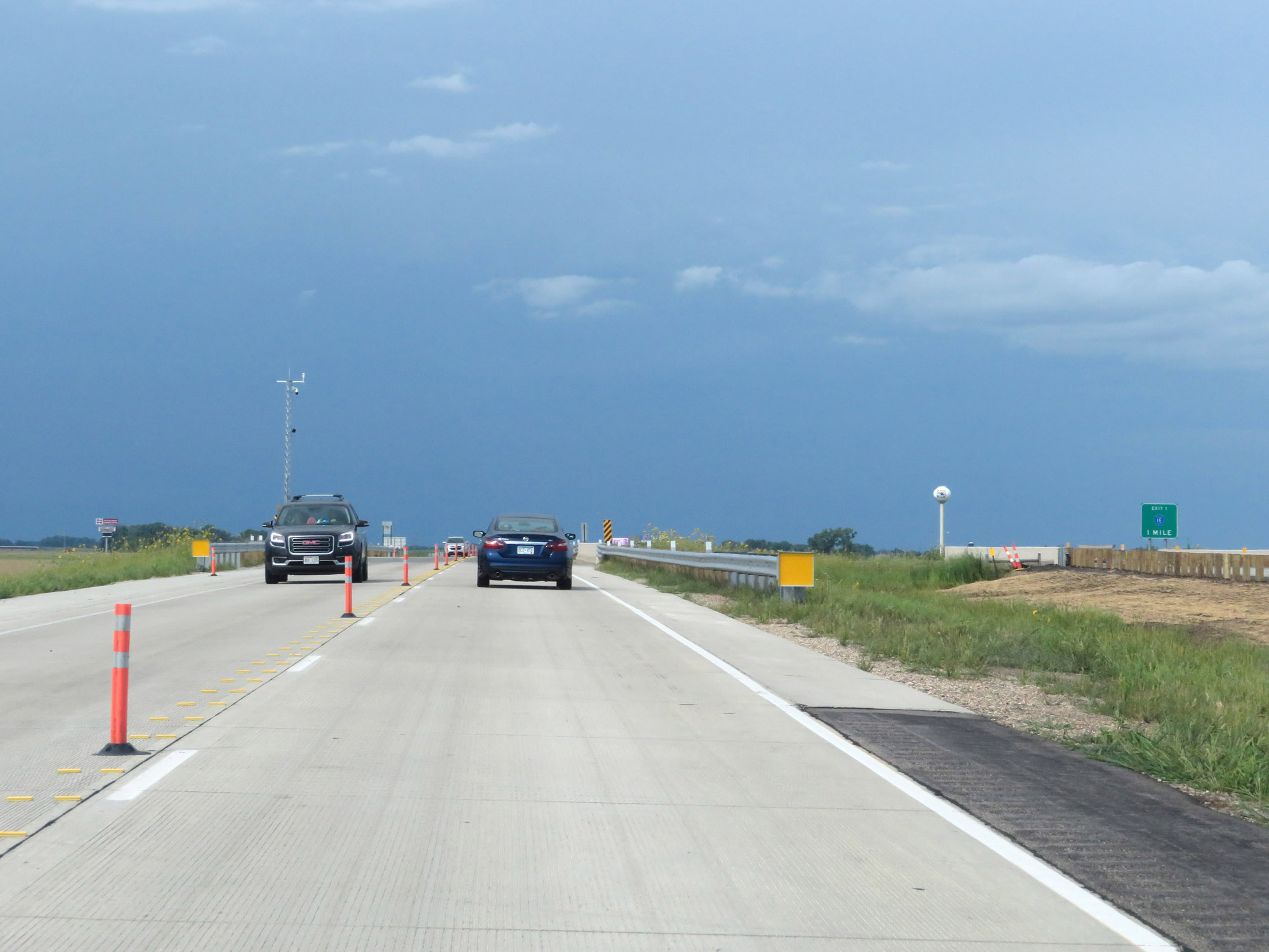 |
Nearing the North Dakota border, we see this advance signage for the first exit in North Dakota, Exit 1. (Photo taken 8/9/20). |
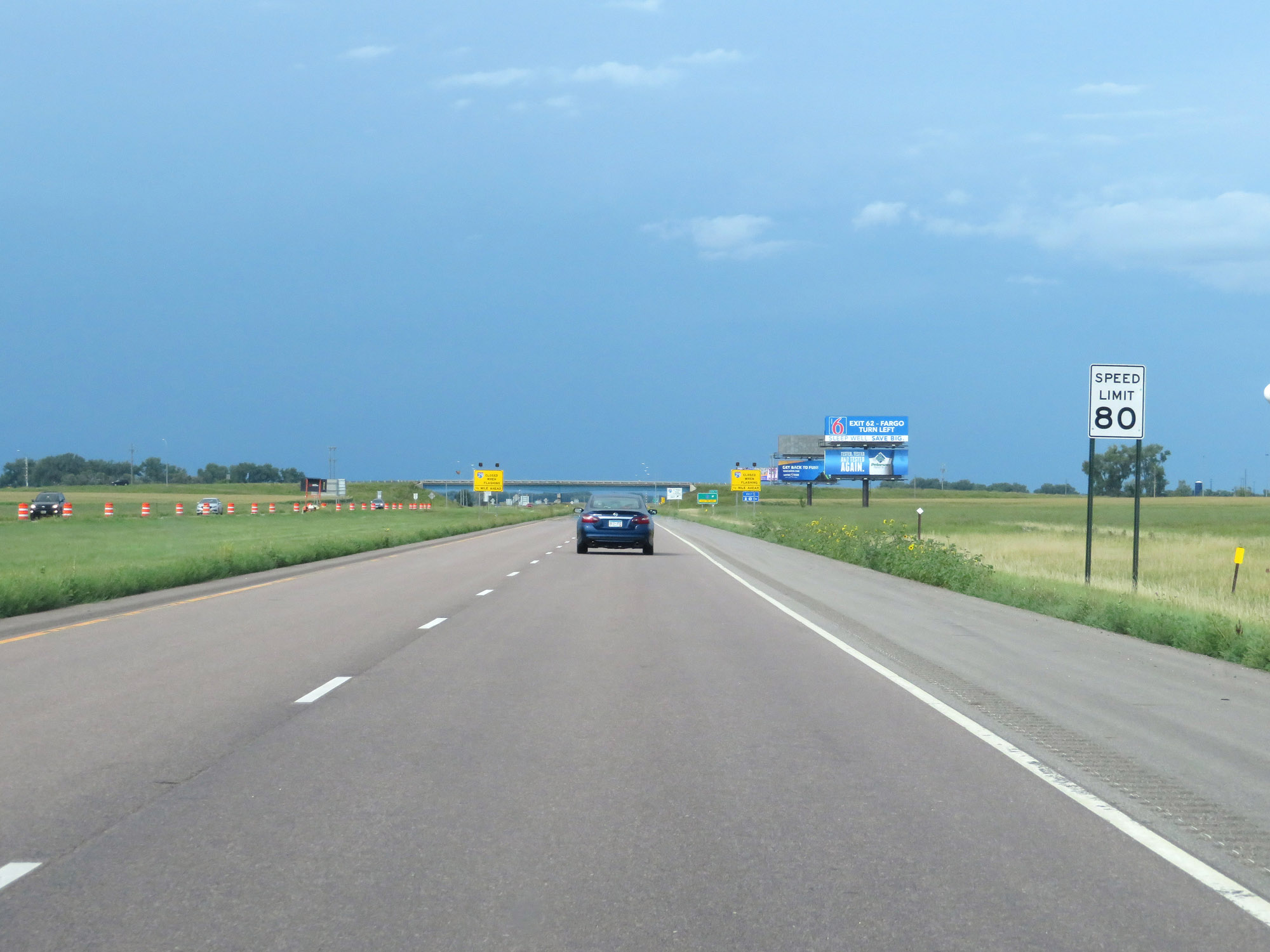 |
Exiting the construction zone, the maximum speed limit of 80 mph resumes on Interstate 29 North to the North Dakota border. (Photo taken 8/9/20). |
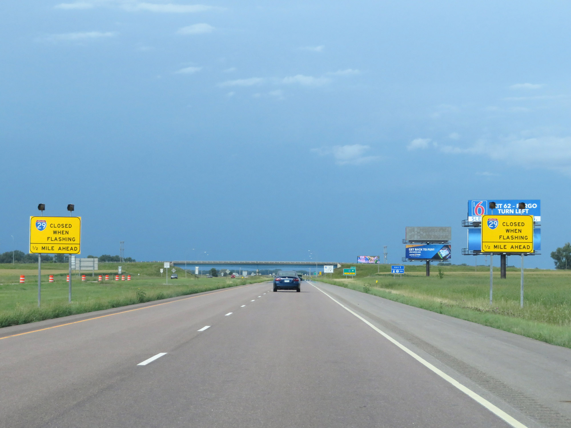 |
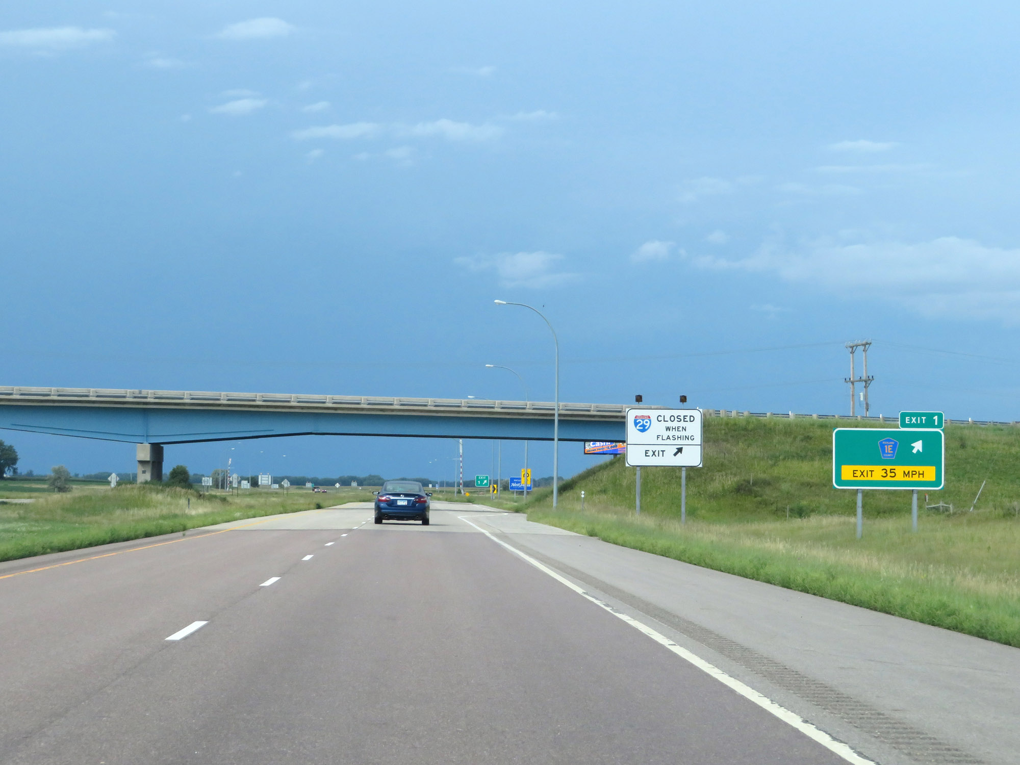
When the lights on these signs are flashing, Interstate 29 North is closed ahead and all traffic will be required to take Exit 1 in North Dakota. (Photo taken 8/9/20). |
 |
Interstate 29 North at the ramp for Exit 1 in North Dakota. The ramp begins in South Dakota and crosses the border into North Dakota. Exit 1 is right on the North Dakota / South Dakota border. (Photo taken 8/9/20). |
 |
Interstate 29 North at the North Dakota border, which can be seen by the change in the pavement and the North Dakota welcome sign behind the gore point signage for Exit 1. (Photo taken 8/9/20). |