Road Information |
||
 |
||
| Total Mileage in State: | 11.5 miles | |
| Northern End: | At I-90/CR 125, in Sioux Falls | |
| Southern End: | At I-29, in Tea | |
| Mileage covered in Photos: | 11.5 miles | |
| Counties covered in Photos: | Minnehaha, Lincoln | |
| Major Junctions in Photos: | I-29, in Tea | |
| Control Cities in Photos: | Sioux Falls, Tea | |
Southbound
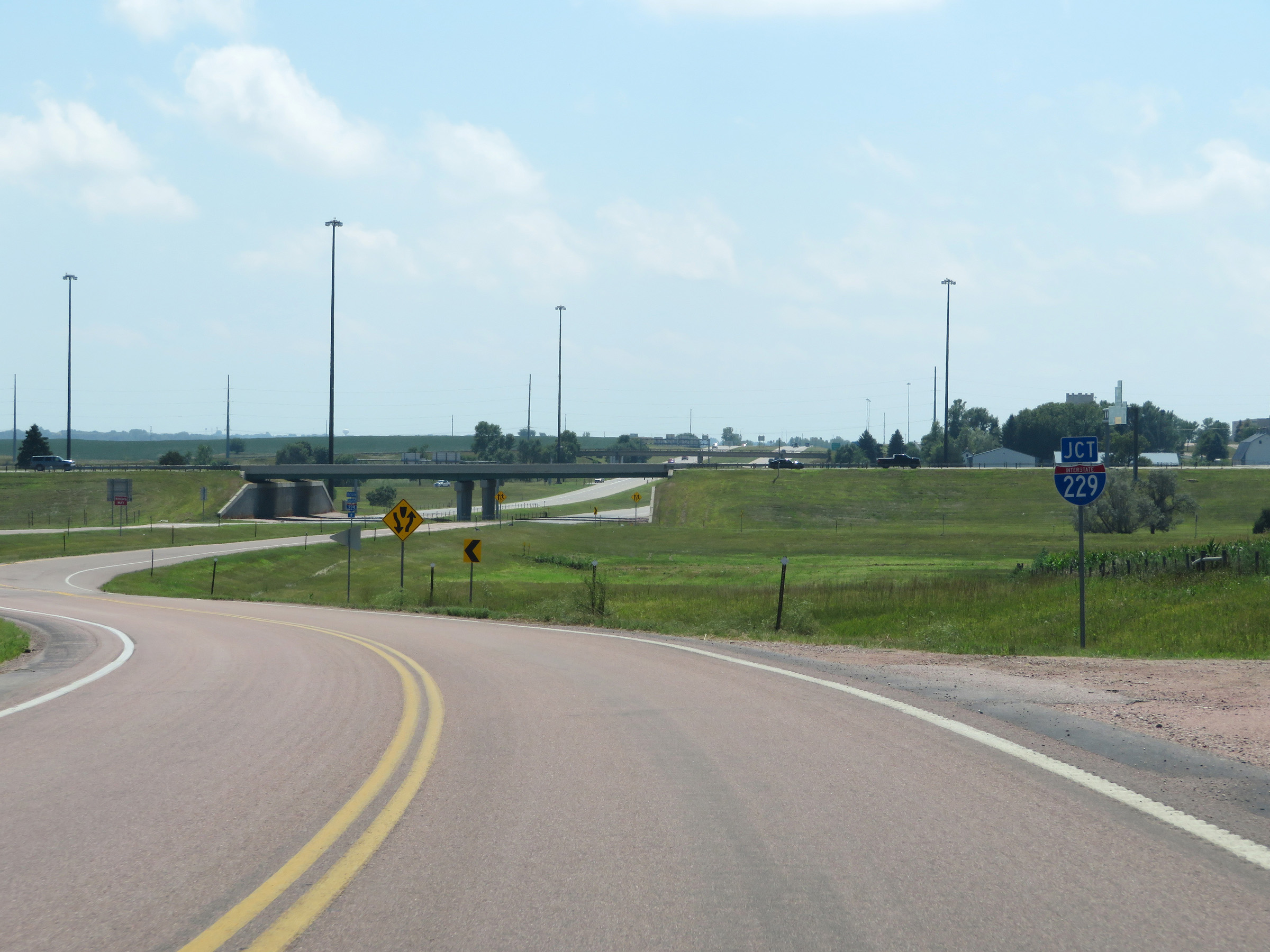 |
On CR 125 South, this sign signals the approaching beginning of Interstate 229 South ahead. (Photo taken 8/9/20). |
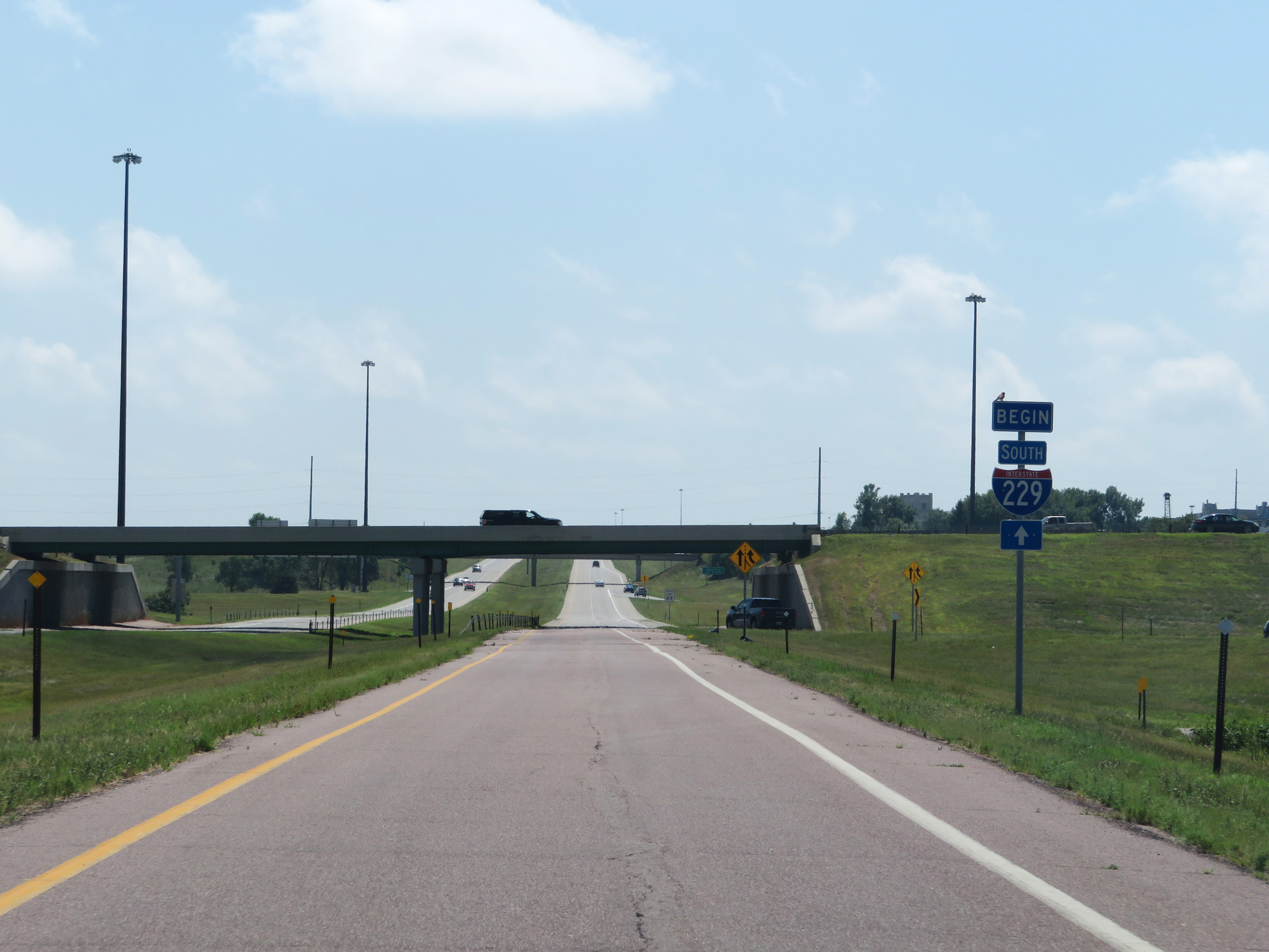 |
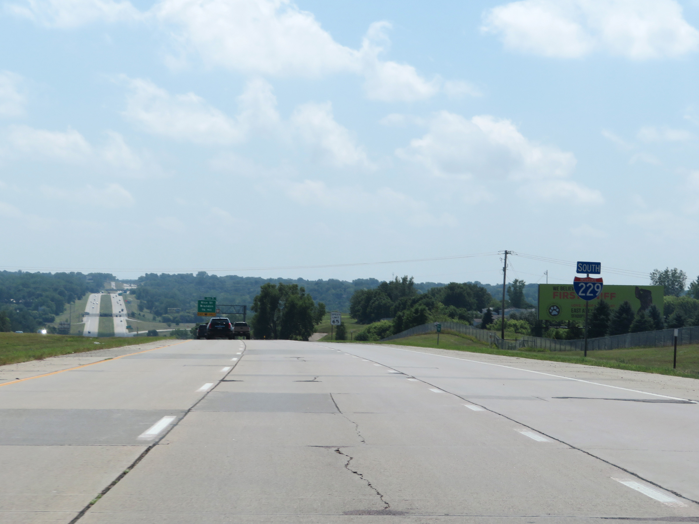
As traffic from Interstate 90 West merges in on the right ahead, this sign marks the beginning of Interstate 229 South. There is so southbound access from Interstate 229 to Interstate 90. (Photo taken 8/9/20). |
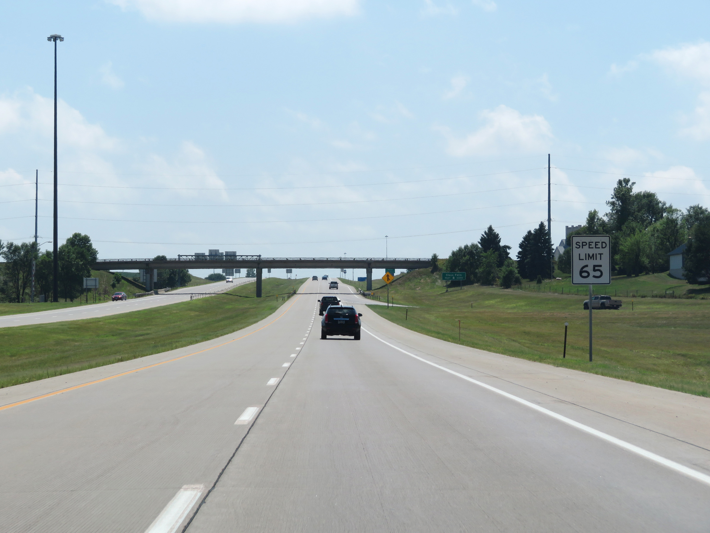 |
The speed limit on Interstate 229 South starts out at 65 mph. (Photo taken 8/9/20). |
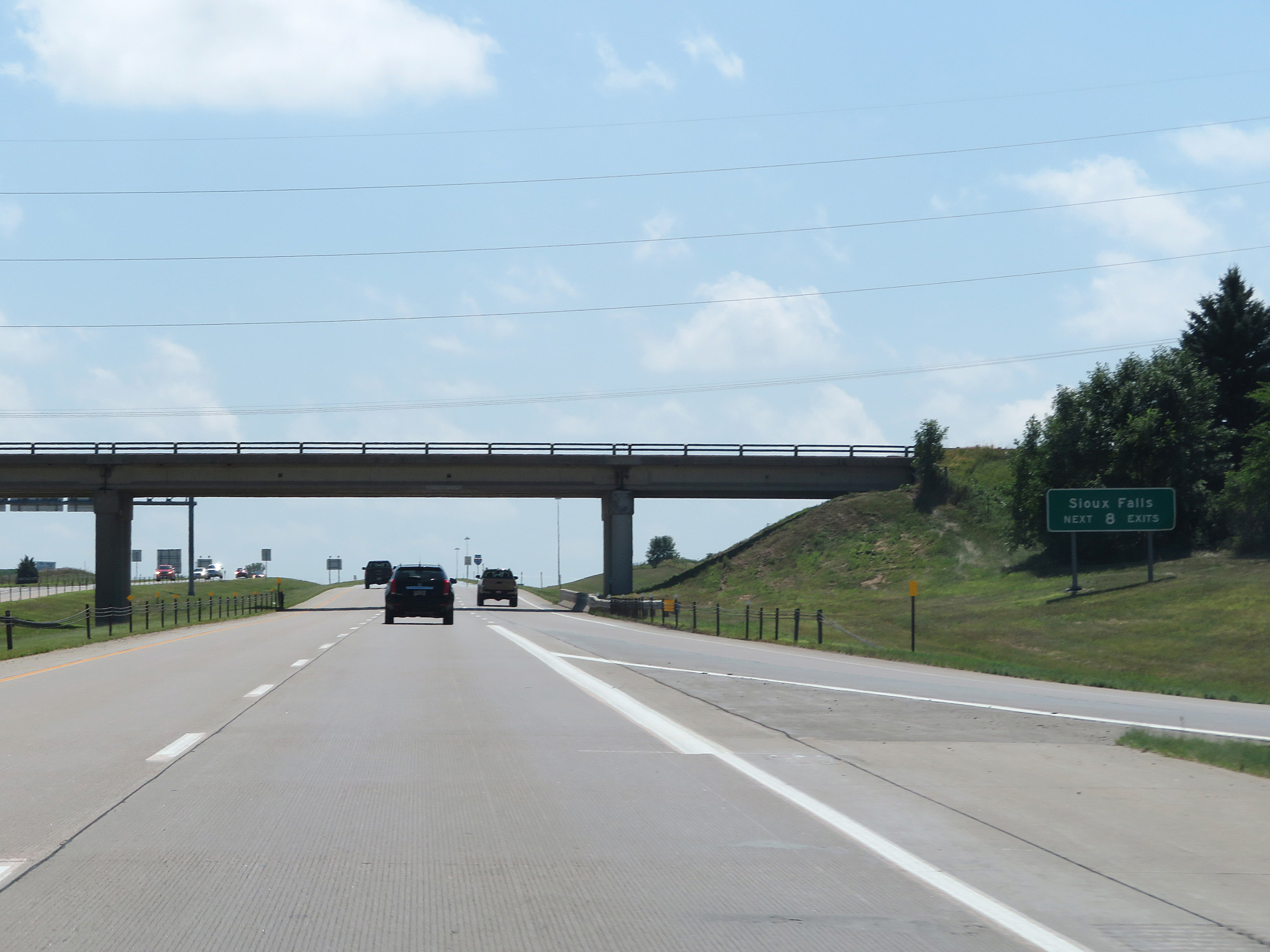 |
Take any of the next 8 exits to Sioux Falls. (Photo taken 8/9/20). |
 |
Interstate 229 South at Exit 9: Benson Road (Photo taken 8/9/20). |
 |
Interstate 229 South reassurance shield. (Photo taken 8/9/20). |
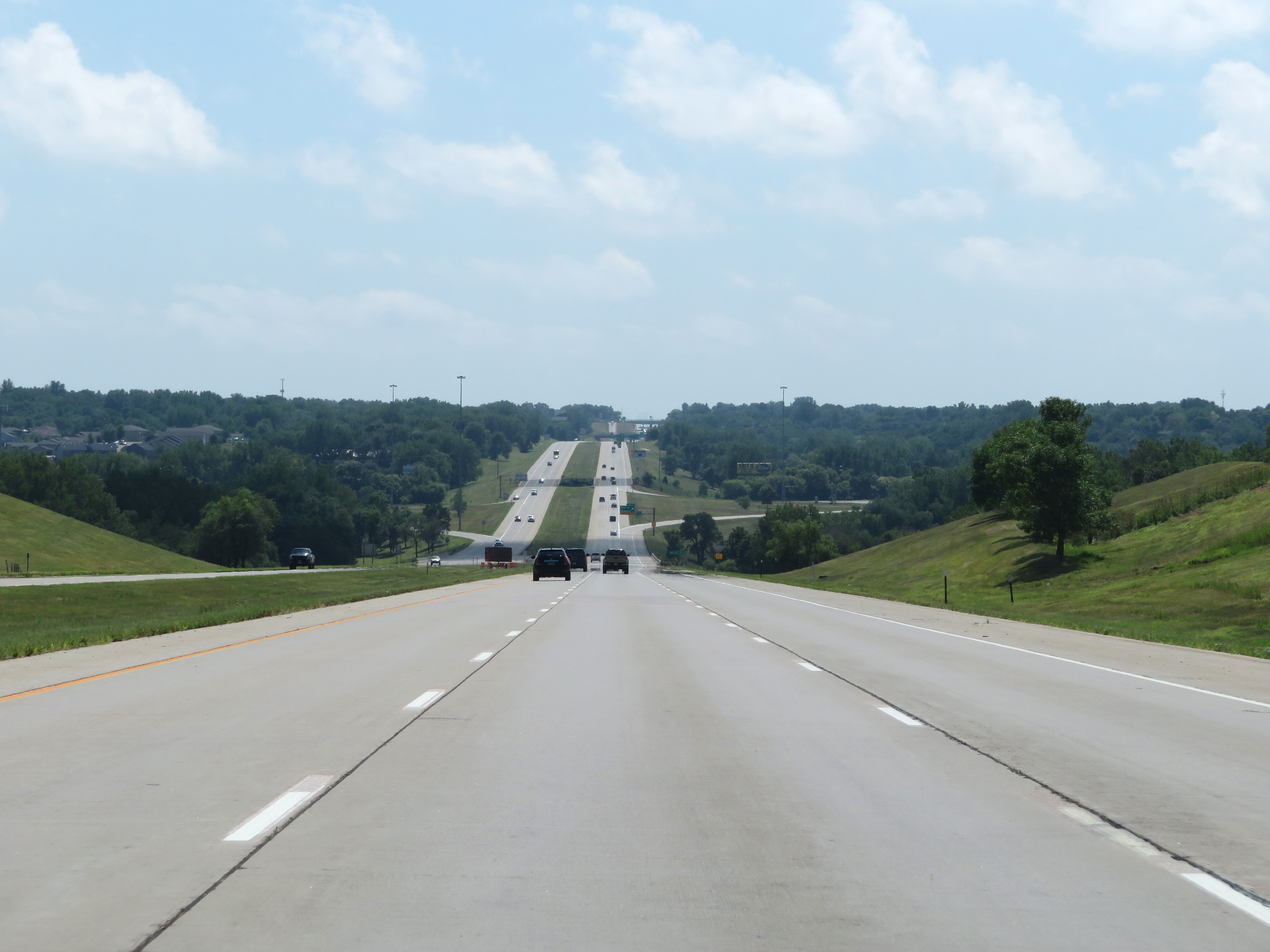 |
View on Interstate 229 South approaching Exit 7. (Photo taken 8/9/20). |
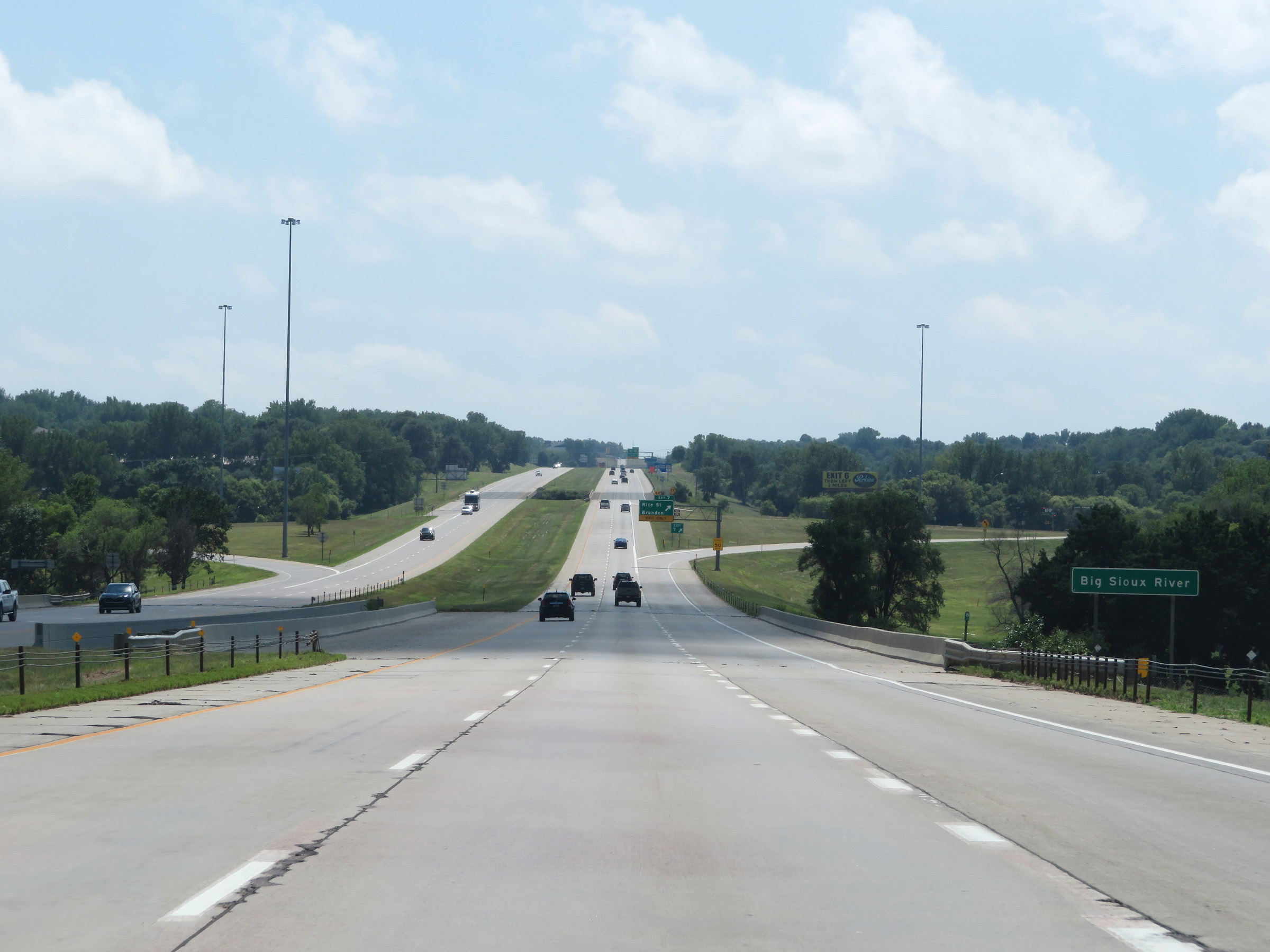 |
Interstate 229 South as it crosses the Big Sioux River for the first of three times during its 11.5-mile length. (Photo taken 8/9/20). |
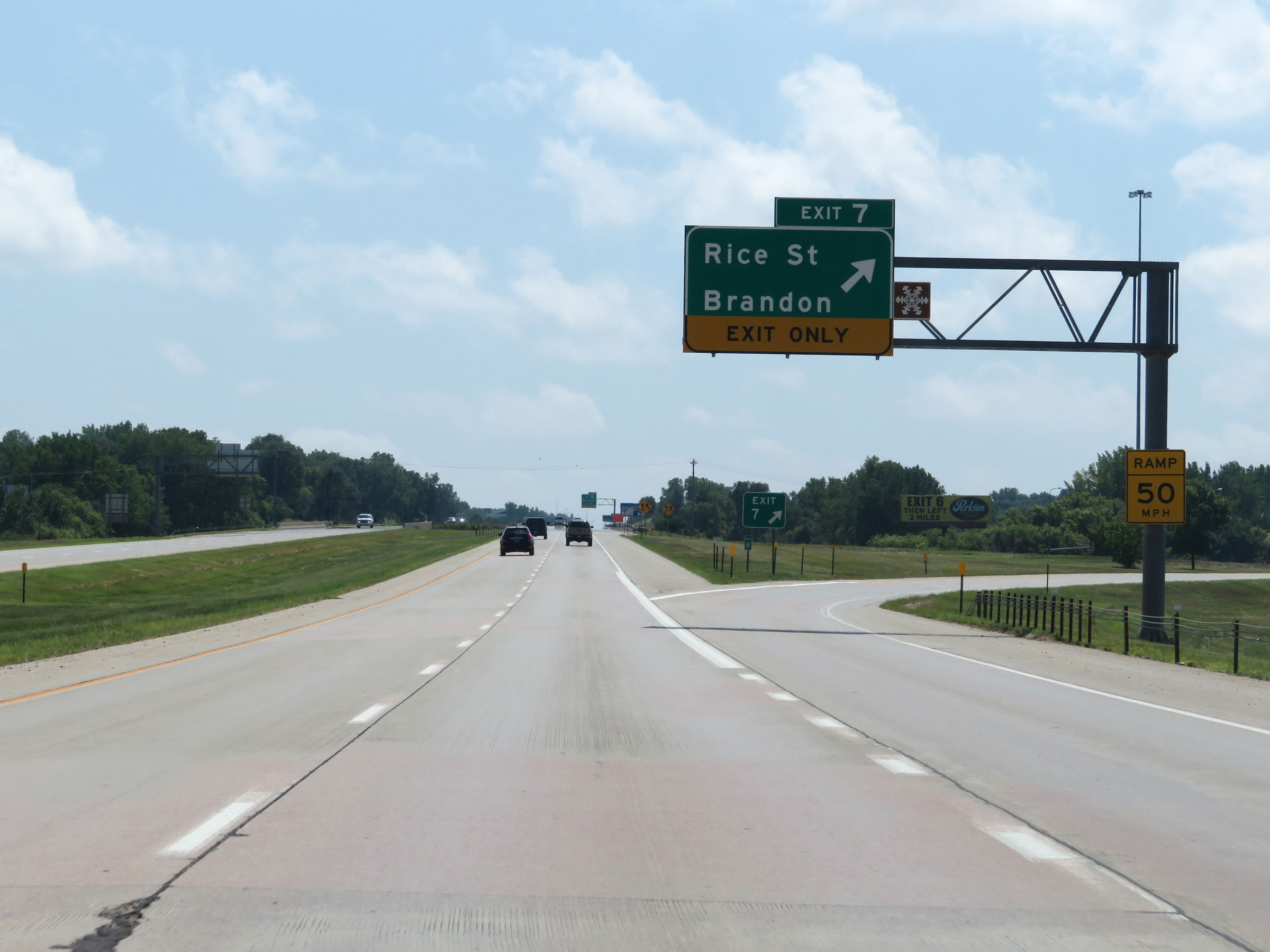 |
Interstate 229 South at Exit 7: Rice St / Brandon (Photo taken 8/9/20). |
 |
The speed limit remains 65 mph. (Photo taken 8/9/20). |
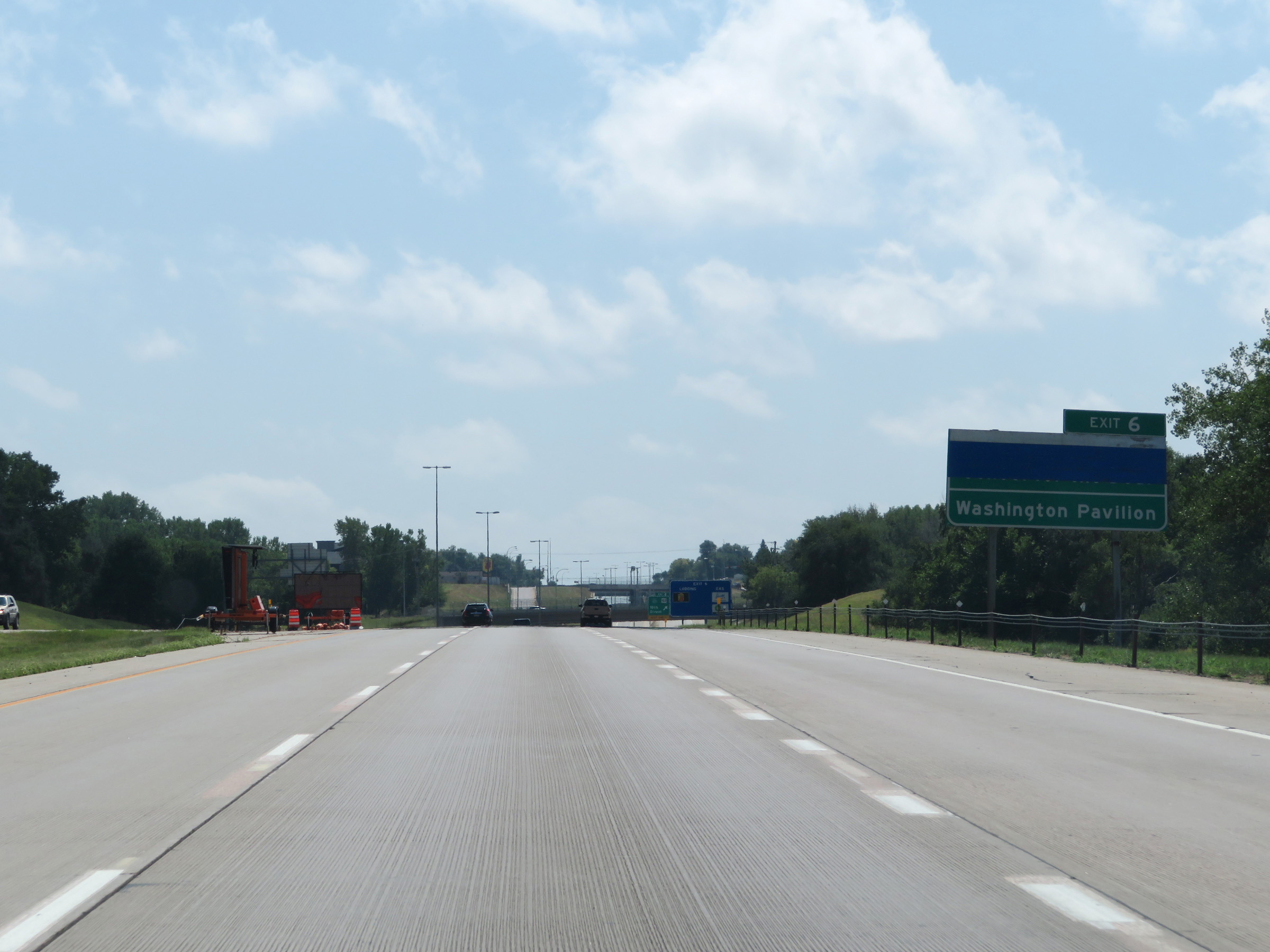 |
Take Exit 6 to Washington Pavilion. (Photo taken 8/9/20). |
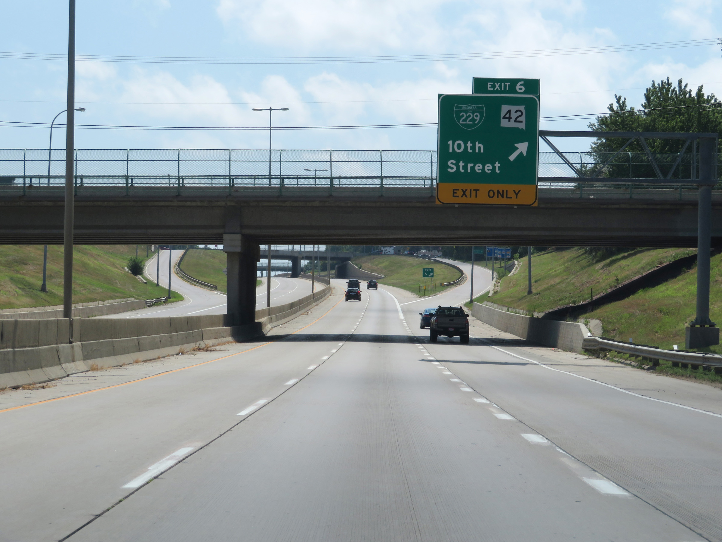 |
Interstate 229 South at Exit 6: Interstate 229 Business Loop / SD 42 - 10th Street (Photo taken 8/9/20). |
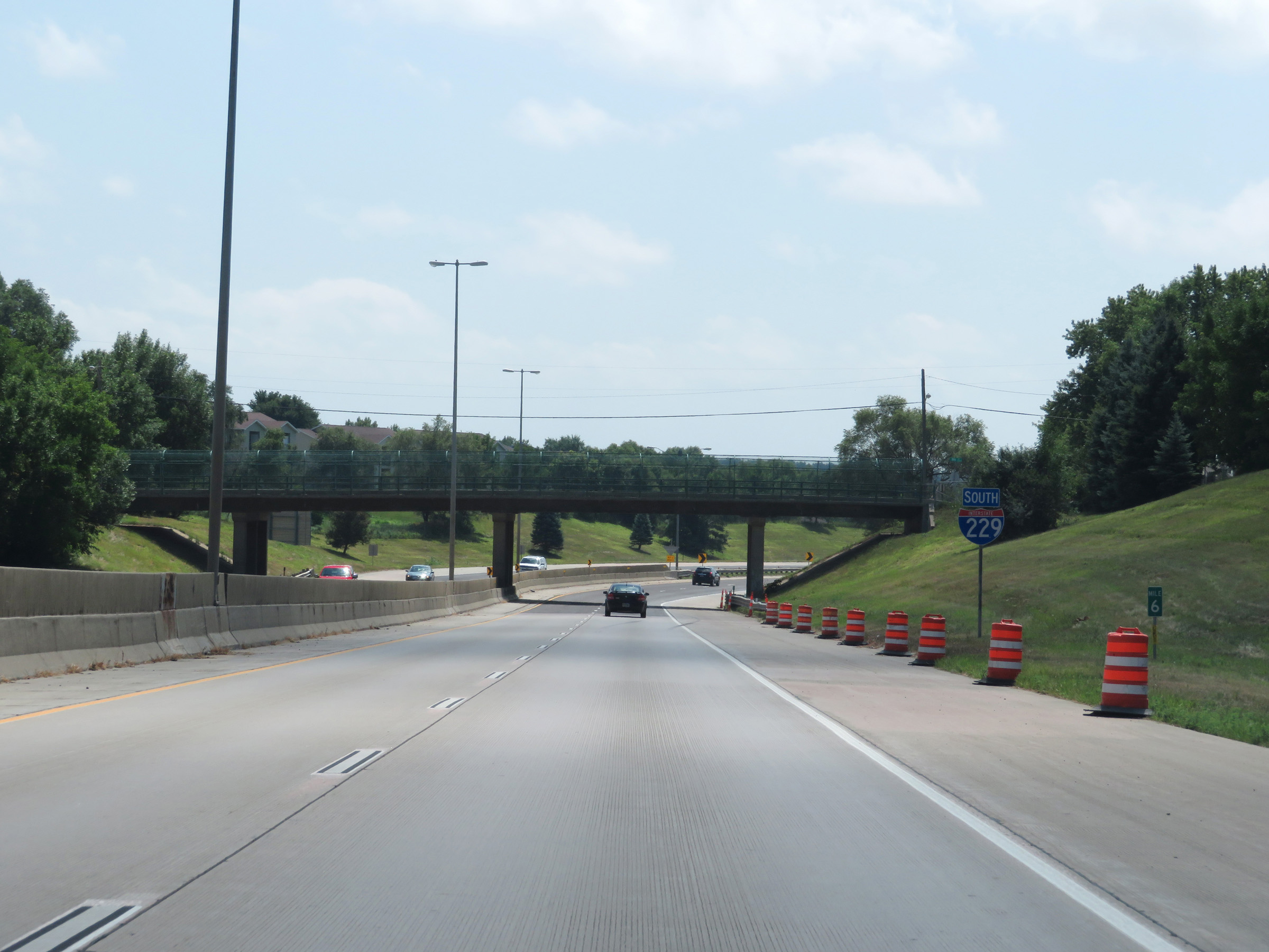 |
Interstate 229 South at mile marker 6. (Photo taken 8/9/20). |
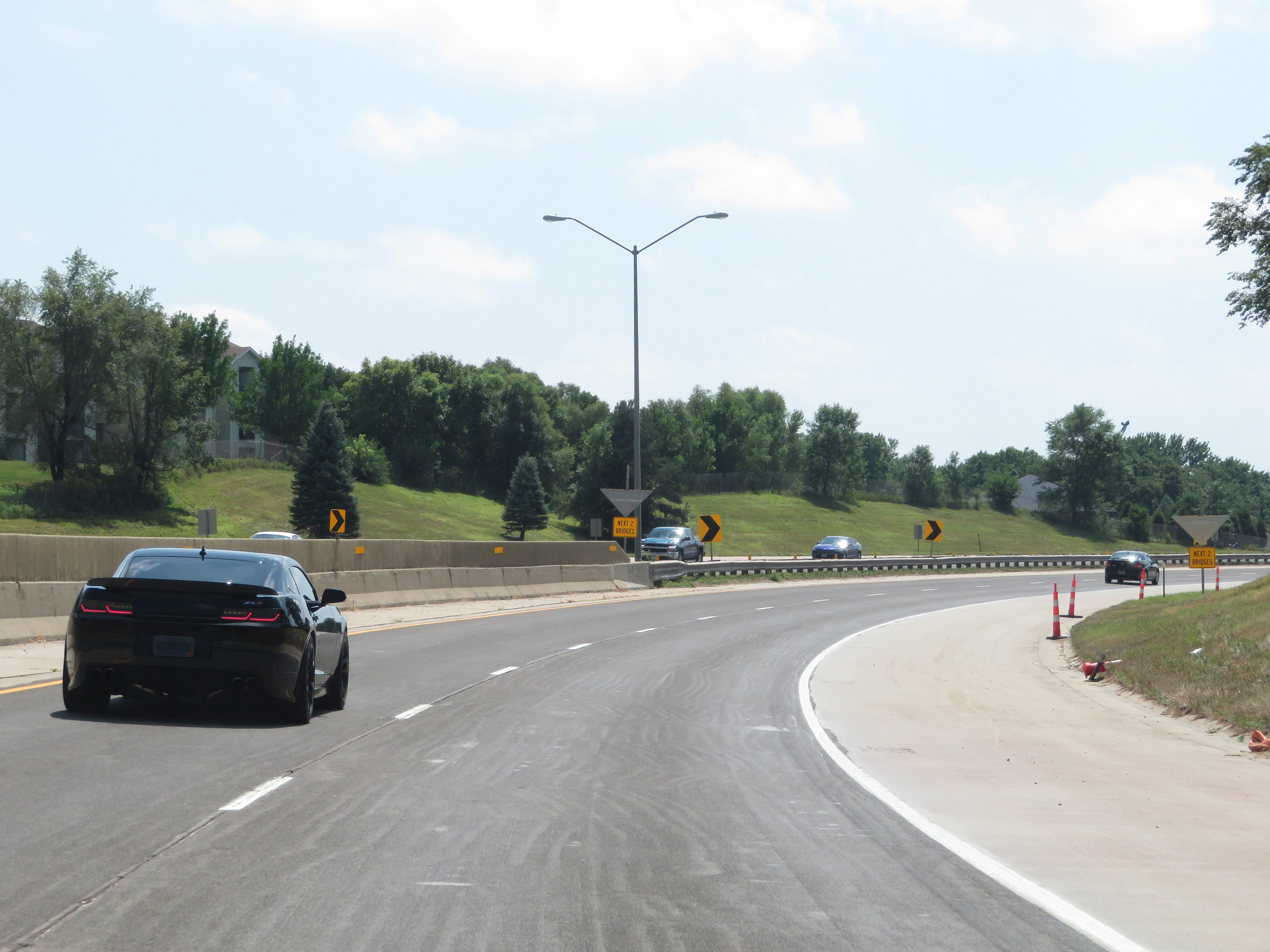 |
View on Interstate 229 South as it begins to curve to the west in the southeastern corner of the Sioux Falls area. (Photo taken 8/9/20). |
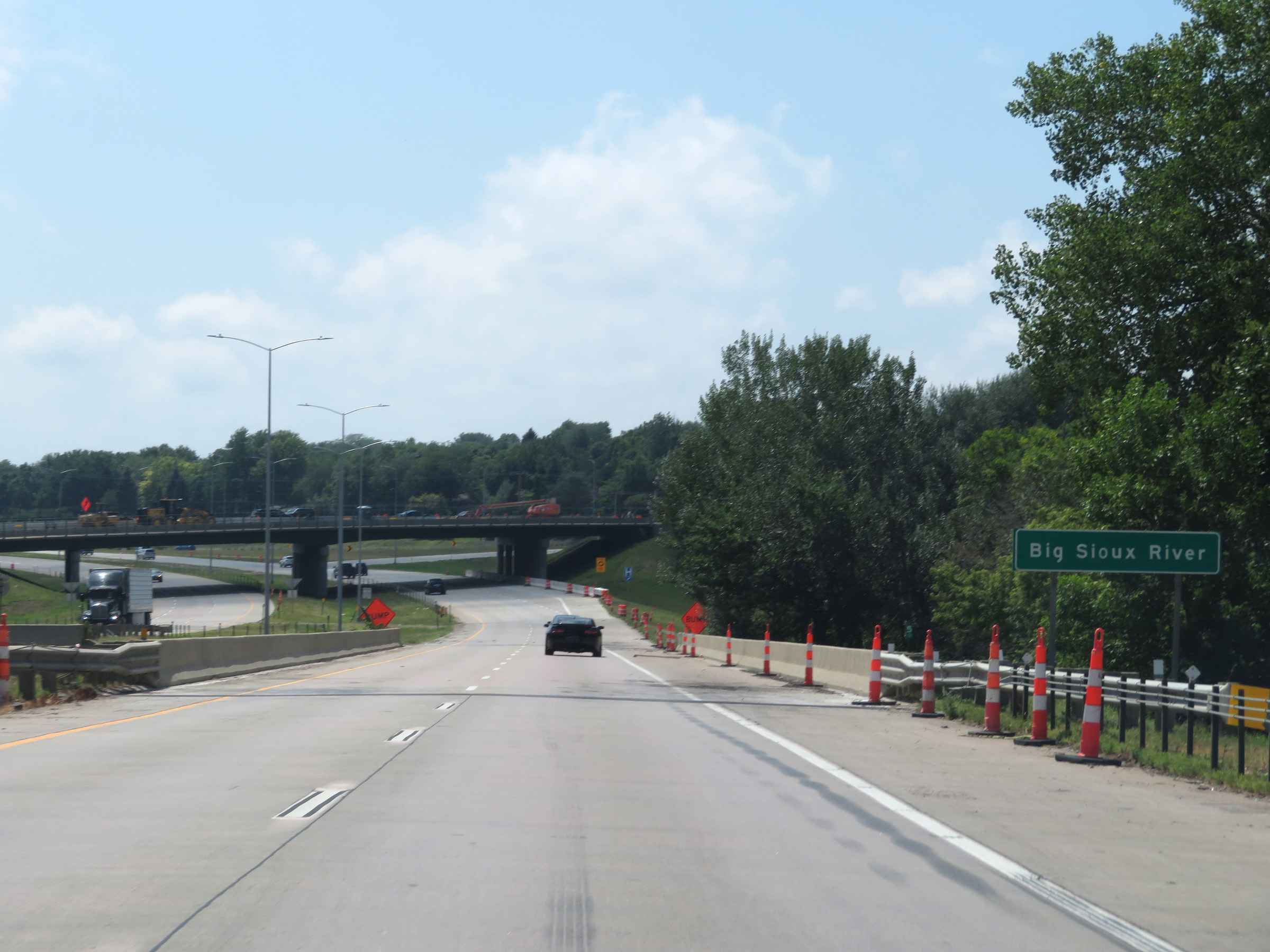 |
Interstate 229 South as it crosses the Big Sioux River for a second time. (Photo taken 8/9/20). |
 |
Interstate 229 South at Exit 5: 26th Street (Photo taken 8/9/20). |
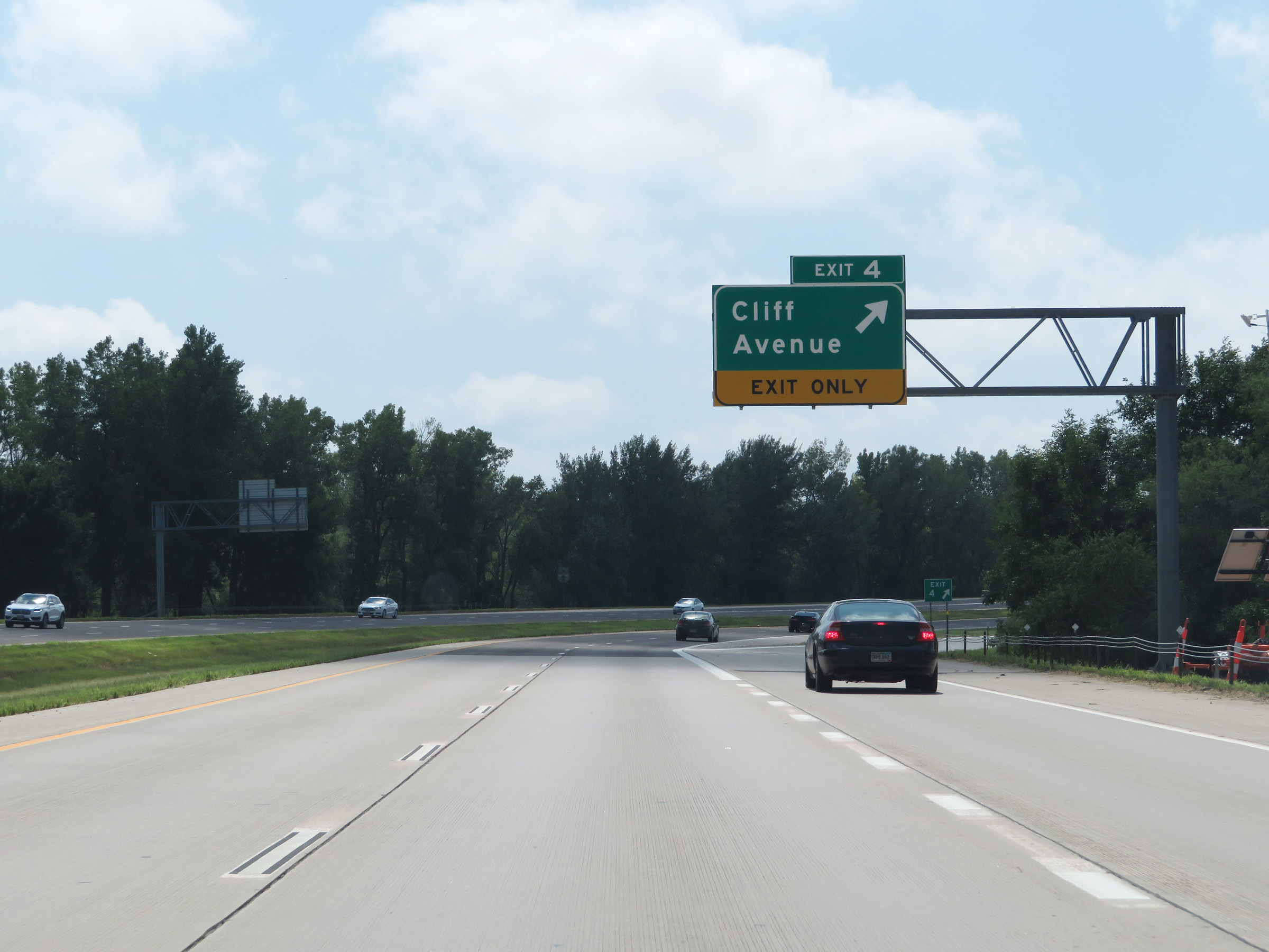 |
Interstate 229 South at Exit 4: Cliff Avenue (Photo taken 8/9/20). |
 |
View on Interstate 229 South as it finishes curving to the west. (Photo taken 8/9/20). |
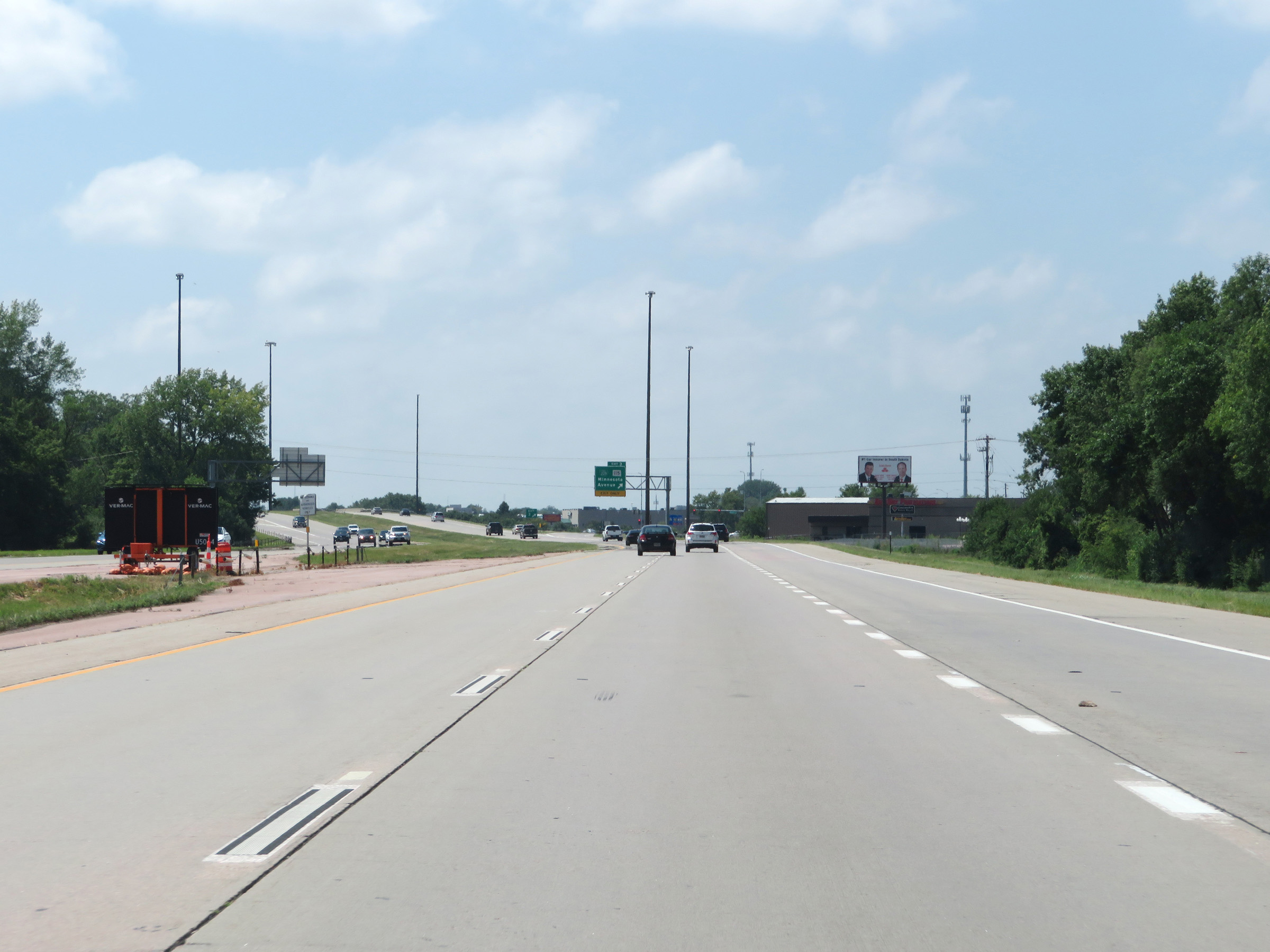 |
View on Interstate 229 South approaching Exit 3, now facing west. (Photo taken 8/9/20). |
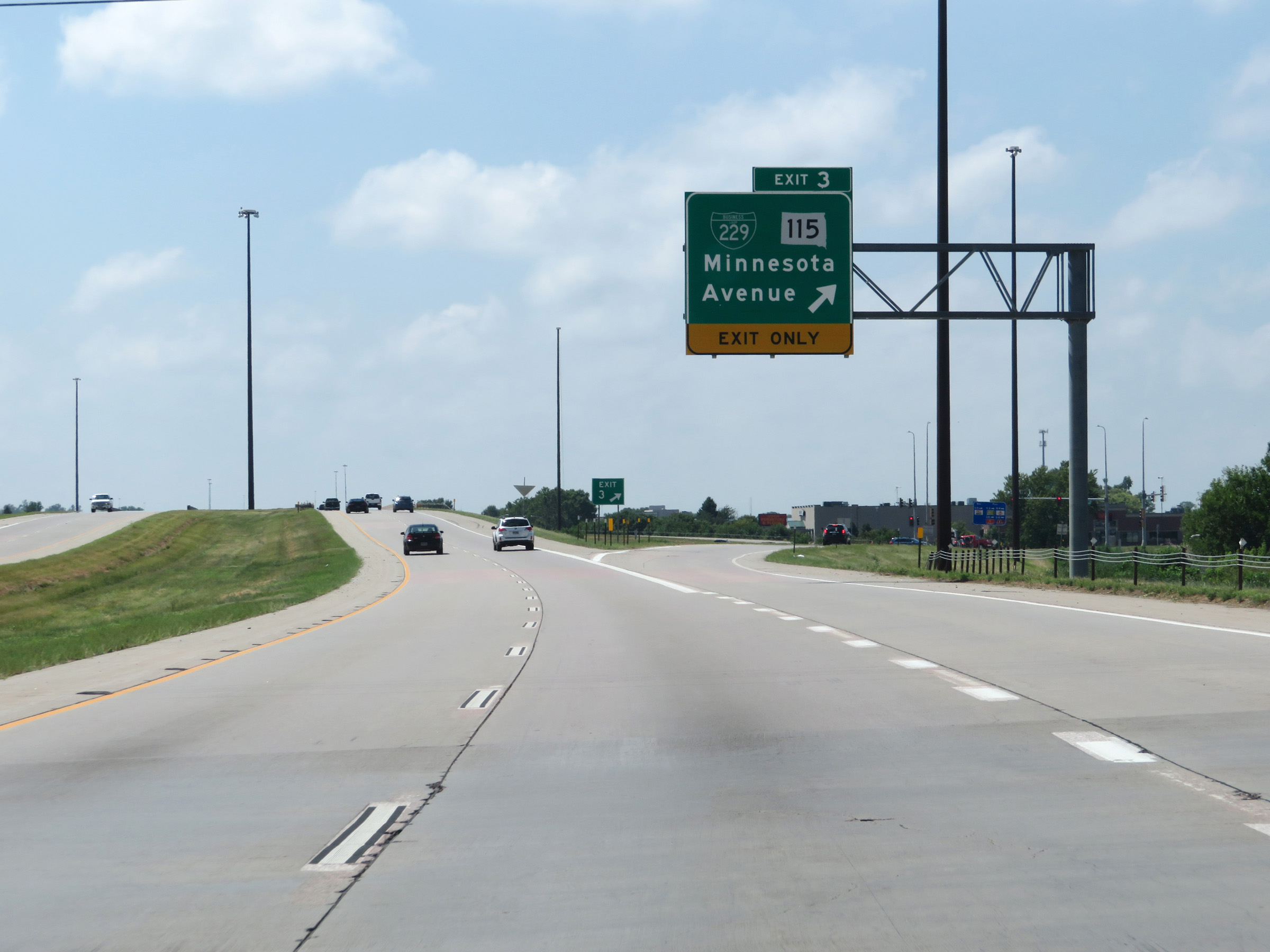 |
Interstate 229 South at Exit 3: Interstate 229 Business Loop / SD 115 - Minnesota Avenue (Photo taken 8/9/20). |
 |
Another Interstate 229 South reassurance shield. (Photo taken 8/9/20). |
 |
Take Exit 2 to the VA Medical Center and Regional Office as well as Sioux Falls Seminary. (Photo taken 8/9/20). |
 |
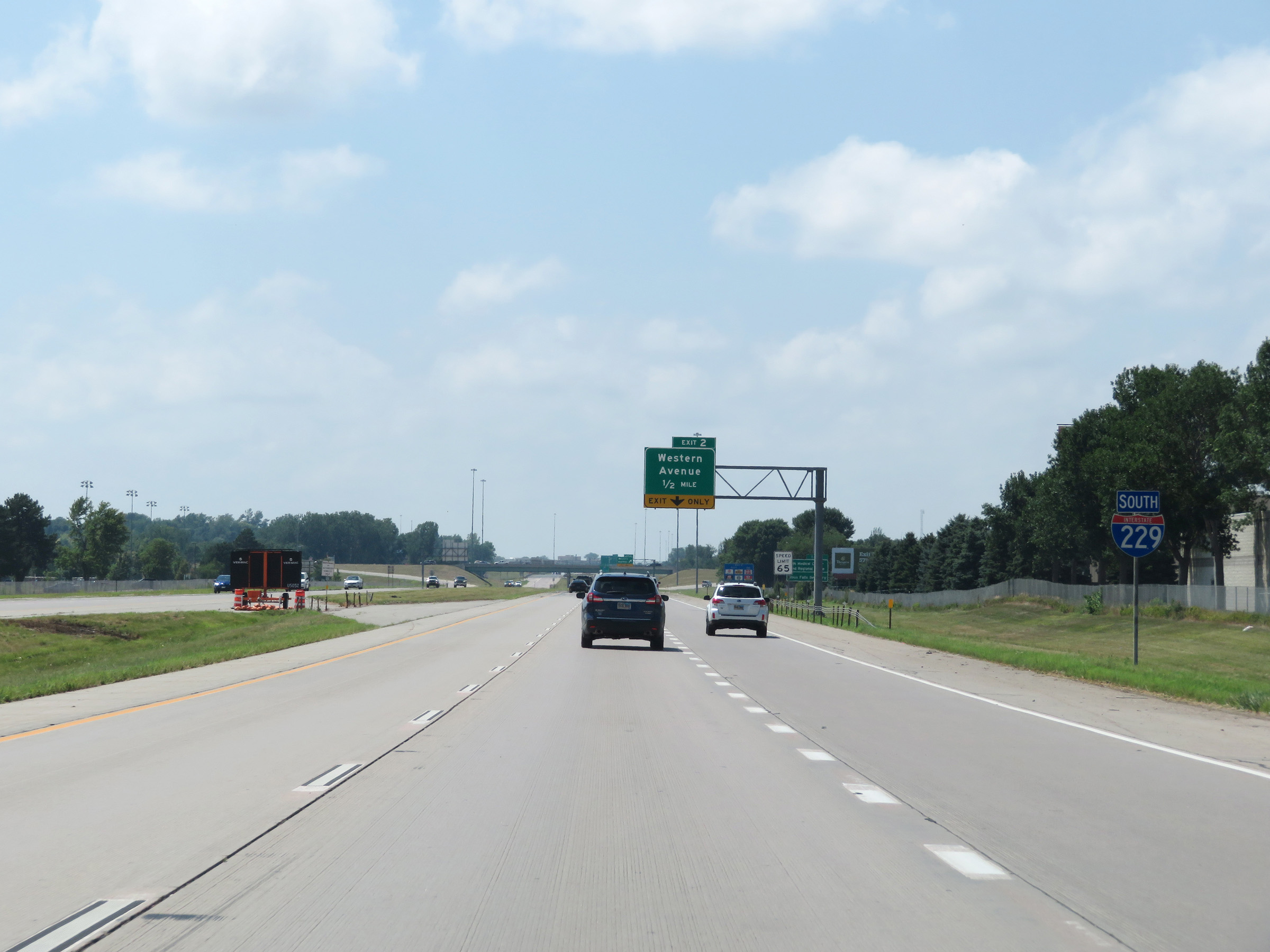
Interstate 229 South at Exit 2: Western Avenue (Photo taken 8/9/20). |
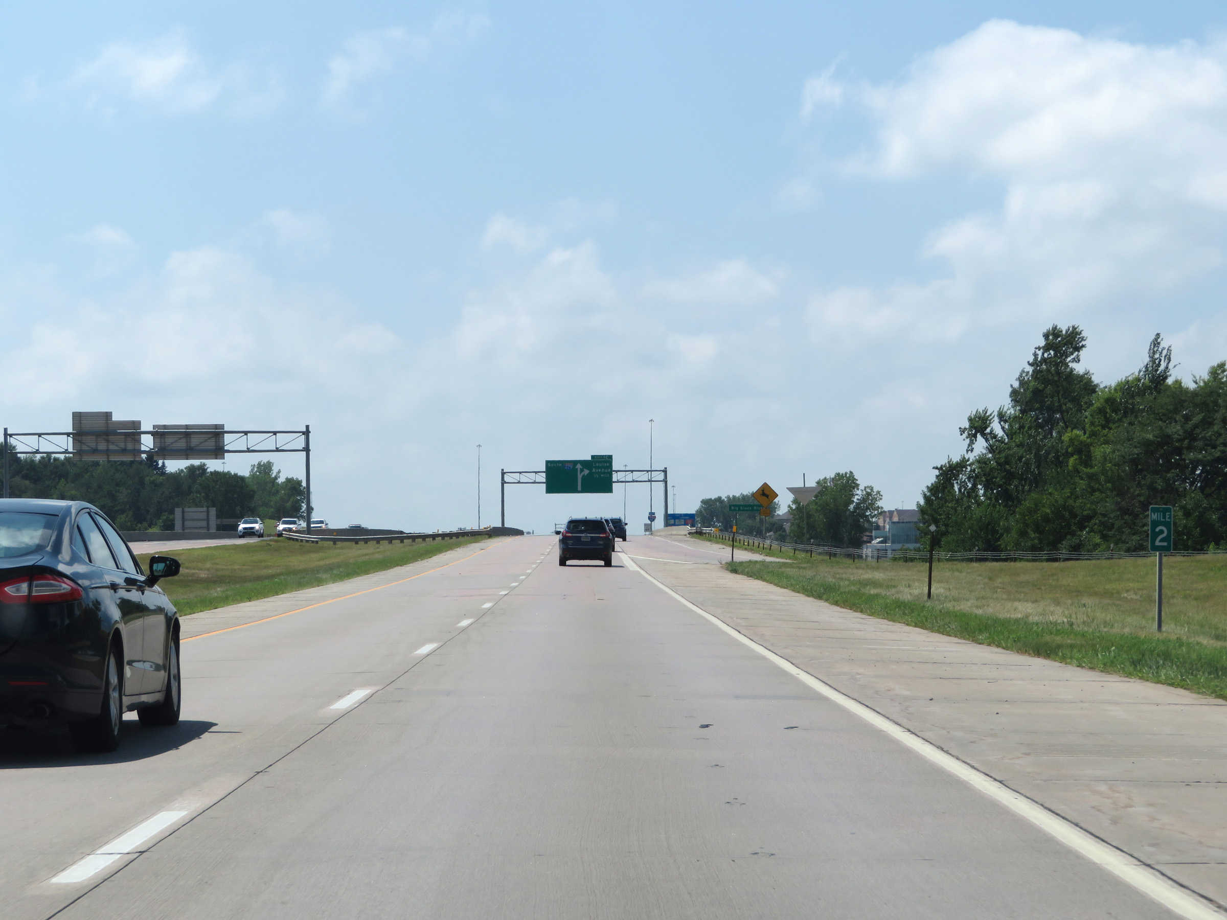 |
View on Interstate 229 South at mile marker 2. (Photo taken 8/9/20). |
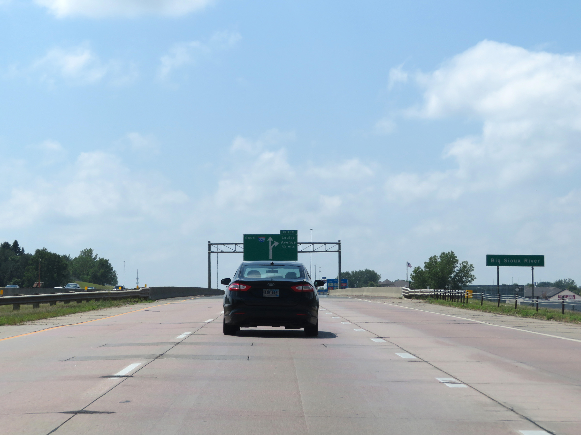 |
Interstate 229 South as it crosses the Big Sioux River for the third and final time. (Photo taken 8/9/20). |
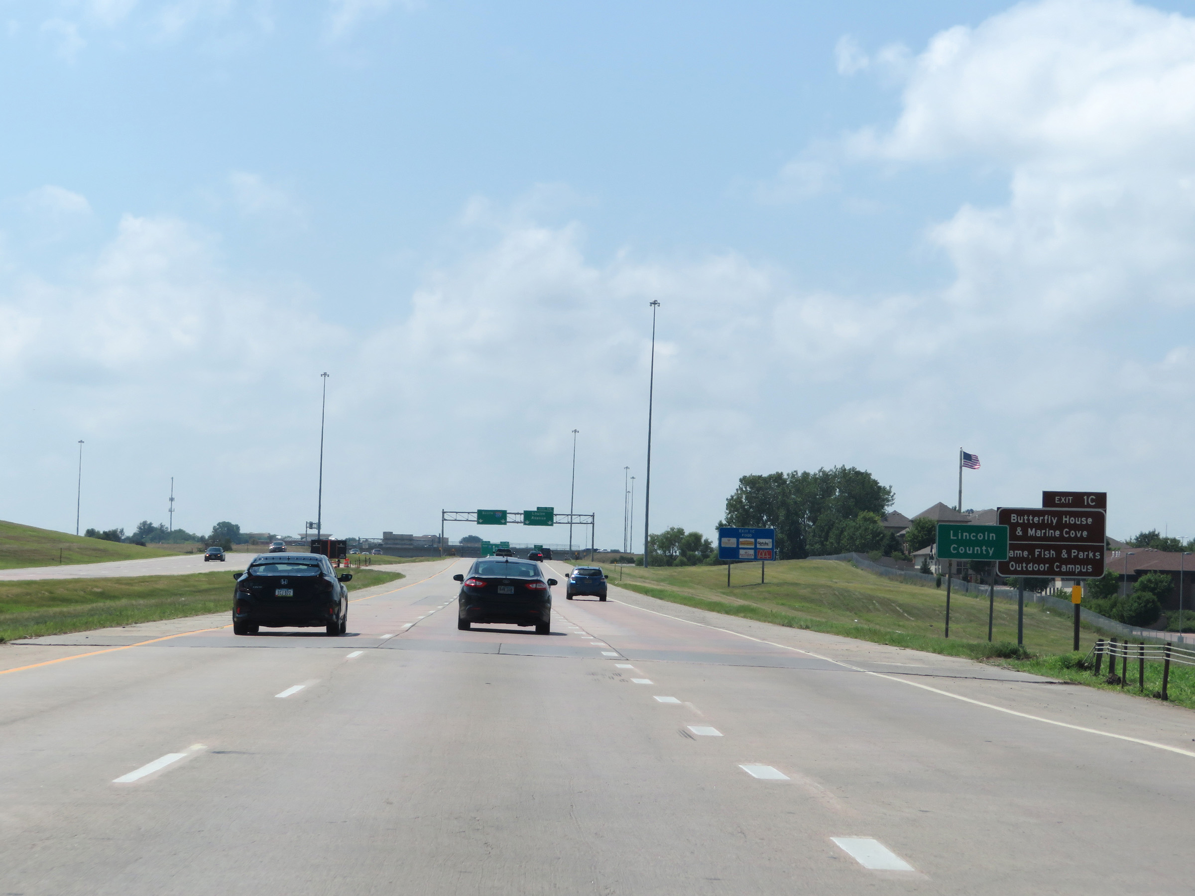 |
Interstate 229 South as it enters Lincoln County. Take Exit 1C to the Butterfly House & Marine Cove as well as the Game, Fish, & Parks Outdoor Campus. (Photo taken 8/9/20). |
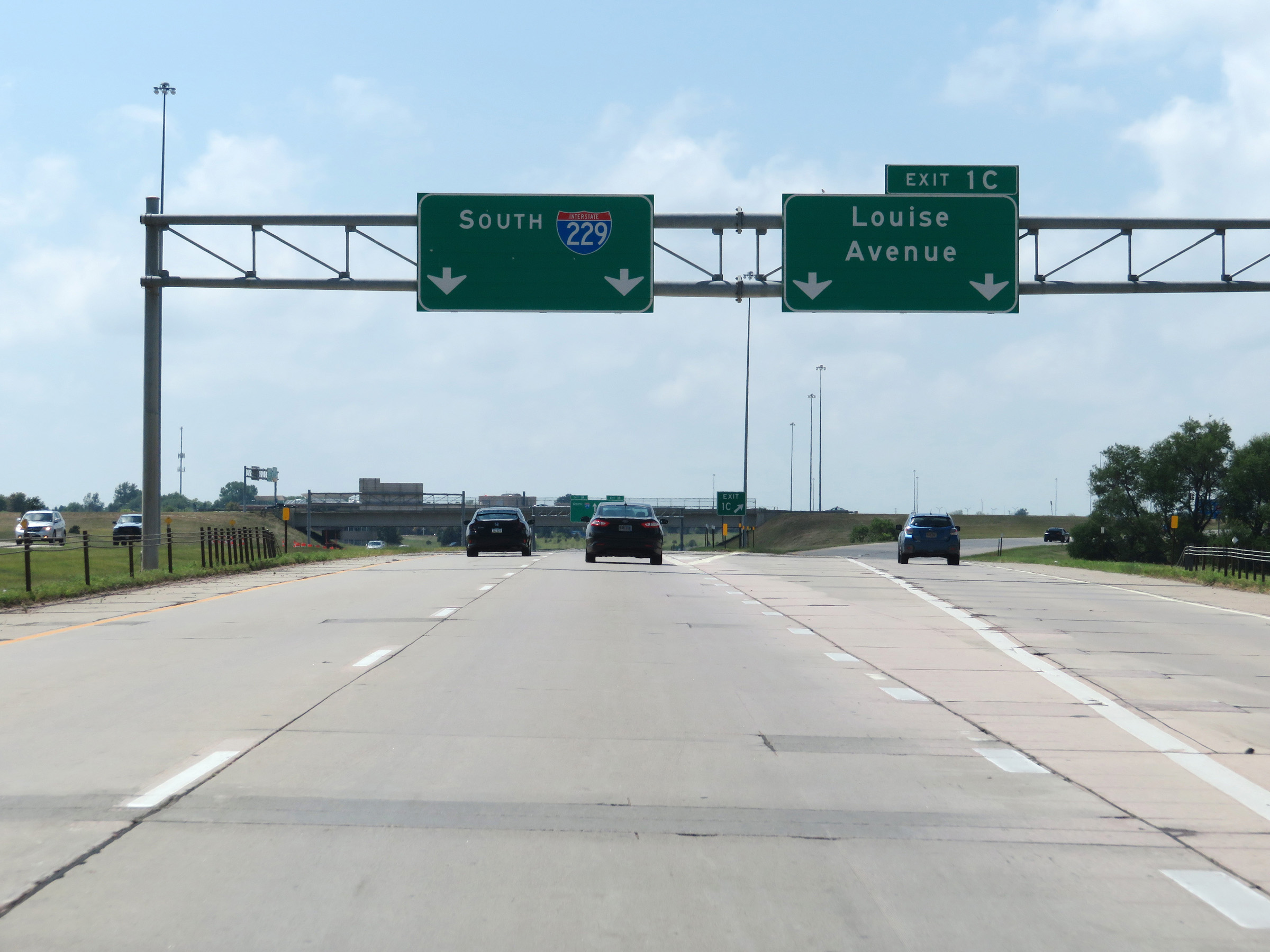 |
Interstate 229 South at Exit 1C: Louise Avenue (Photo taken 8/9/20). |
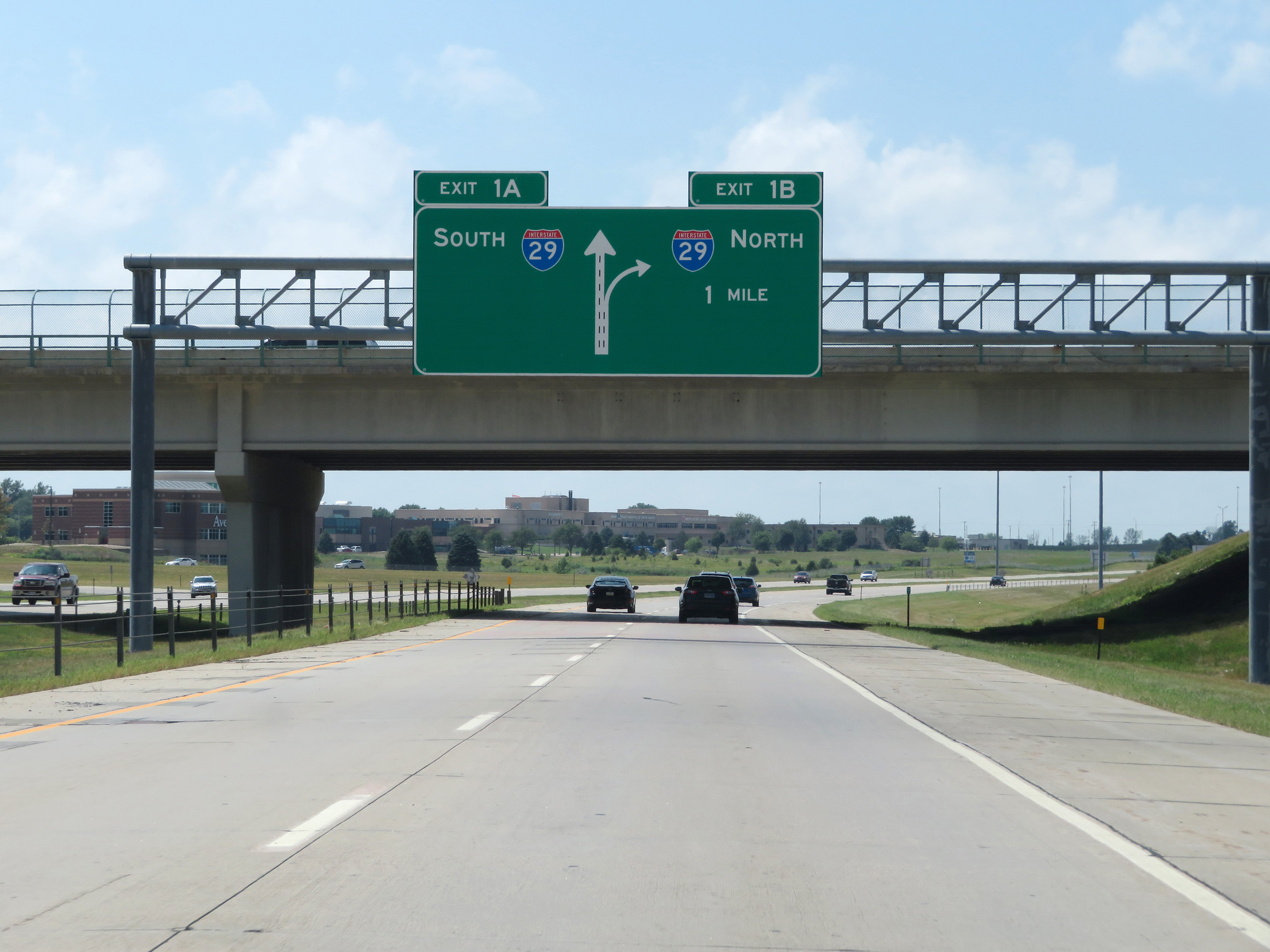 |
Interstate 229 South approaching Exits 1B-A - 1 mile. (Photo taken 8/9/20). |
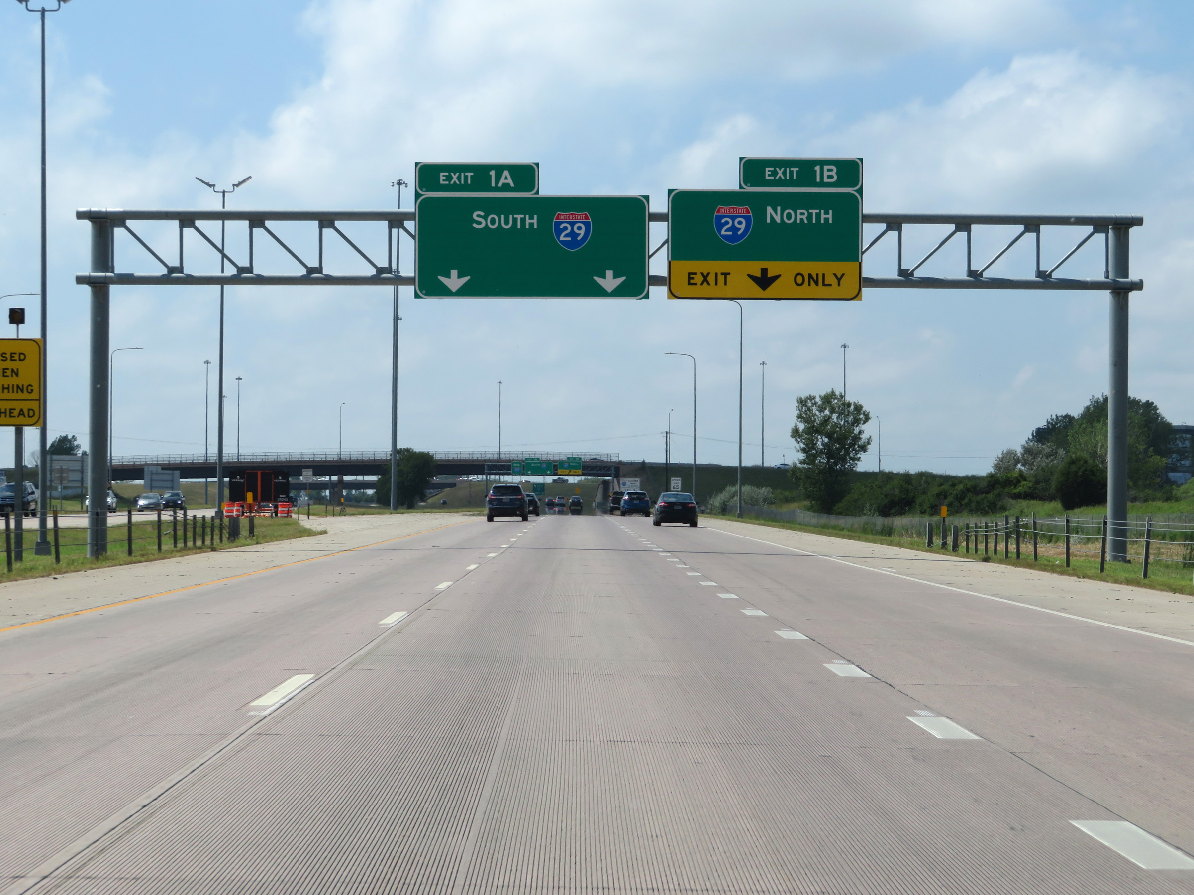 |
Approaching Exits 1B-A, the rightmost lane becomes an Exit Only lane for Exit 1B (Interstate 29 North). (Photo taken 8/9/20). |
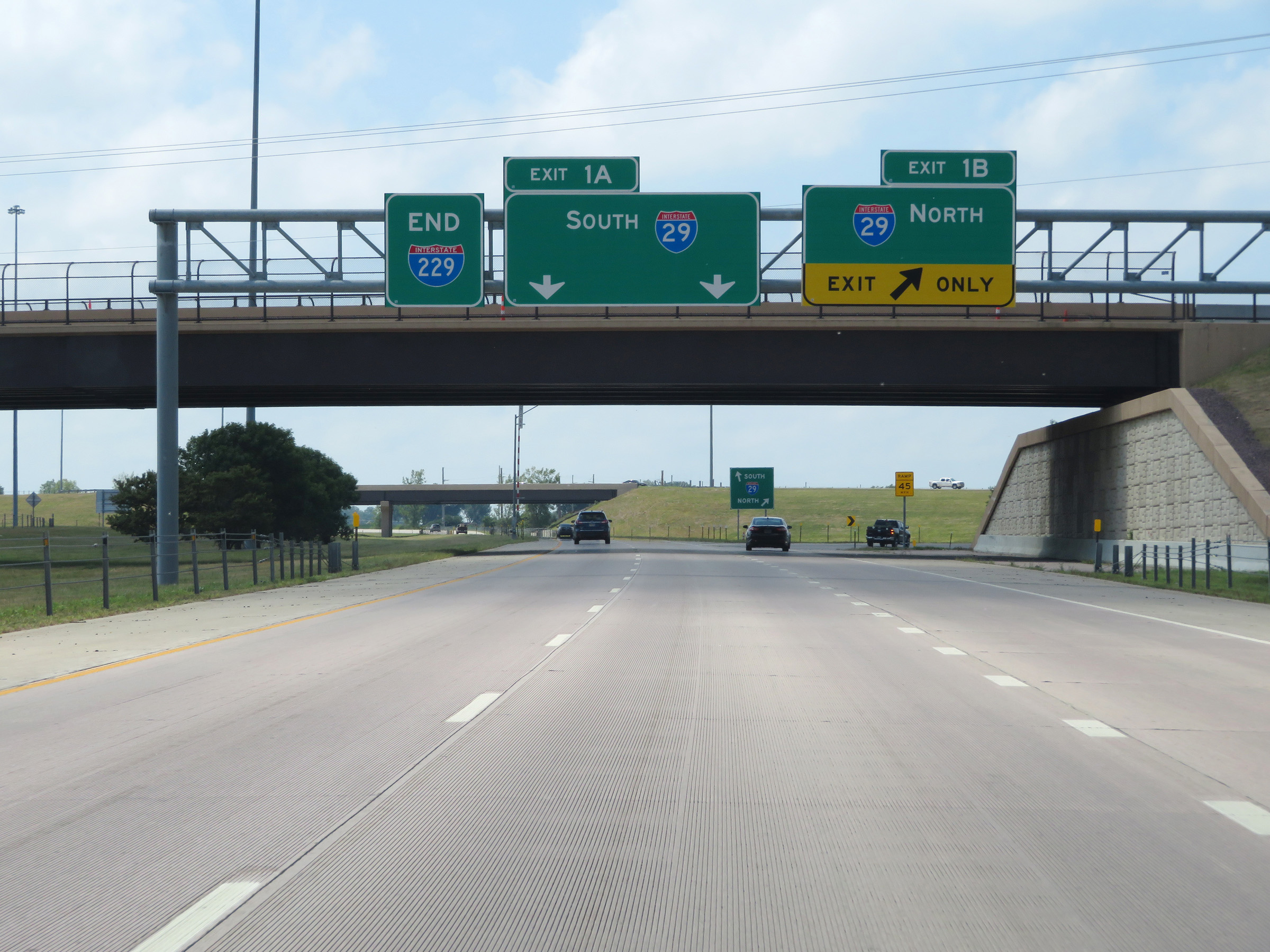 |
Interstate 229 South at Exit 1B: Interstate 29 North; Exit 1A: Interstate 29 South. Also, the Interstate 229 END marker is posted alongside this signage. (Photo taken 8/9/20). |
 |
View of ramp split for Exit 1B (right) and Exit 1A (straight ahead). (Photo taken 8/9/20). |
 |
View on the ramp to Interstate 29 South via Exit 1A as its two lanes prepares to pass under I-29. (Photo taken 8/9/20). |
 |
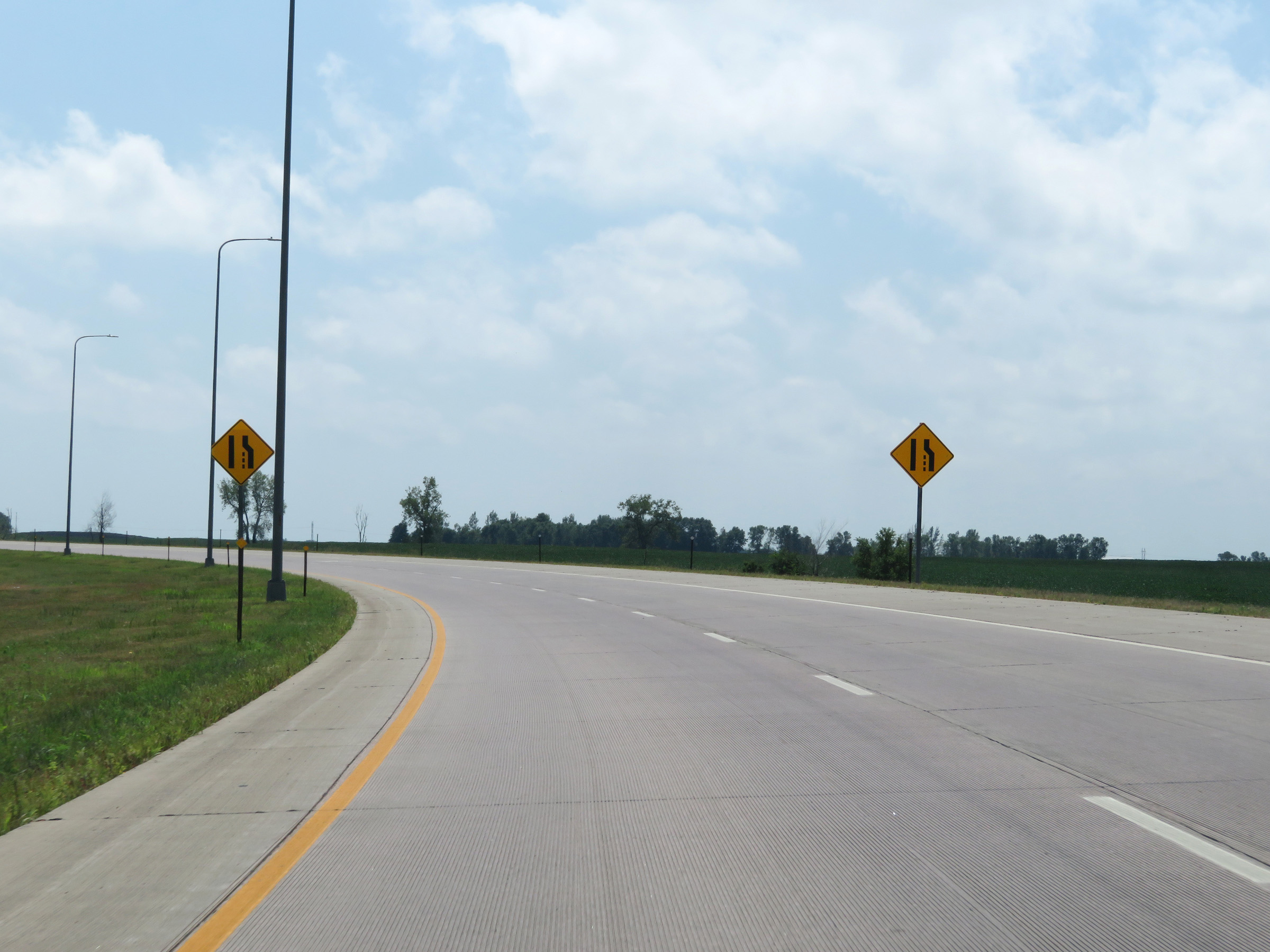
As the two lanes of the ramp to Interstate 29 South via Exit 1A curve to the south, these signs warn that the right lane will come to an end ahead. (Photo taken 8/9/20). |
 |
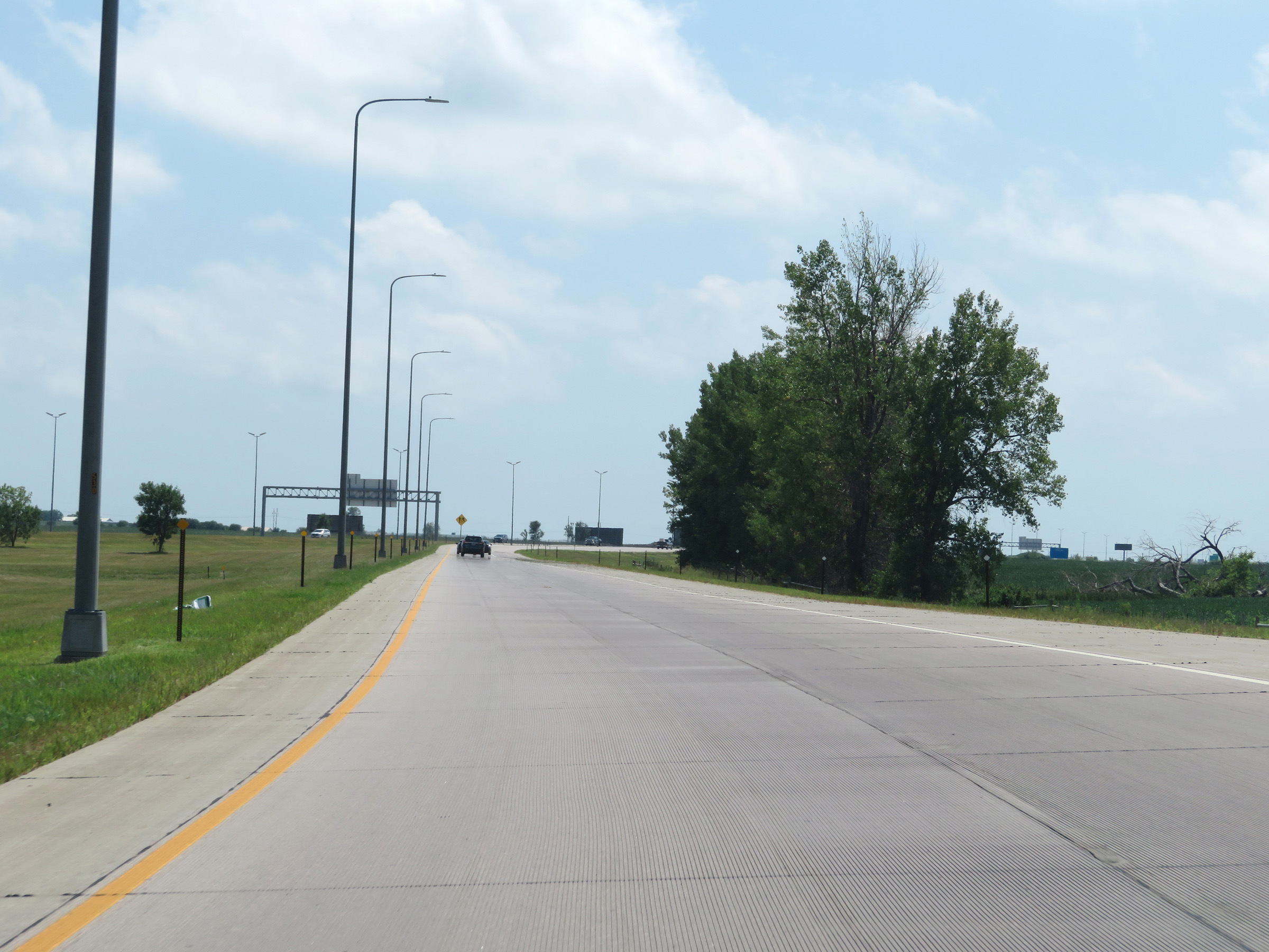
View on the ramp as the right lane comes to an end. (Photo taken 8/9/20). |
 |
Another view on the ramp to Interstate 29 South as Interstate 29 traffic comes into view straight ahead. (Photo taken 8/9/20). |
 |
The ramp merges into Interstate 29 South here, about 1 mile north of Exit 73 in Tea. (Photo taken 8/9/20). |