Road Information |
||
 |
||
| Total Mileage in State: | 19.5 miles | |
| Eastern End: | At US 17/I-526 Business, in Mount Pleasant | |
| Western End: | At US 17/SC 7, in Charleston | |
| Mileage covered in Photos: | 19.5 miles | |
| Counties covered in Photos: | Charleston, Berkeley, Charleston | |
| Major Junctions in Photos: | I-26, in North Charleston US 17/I-526 Business, in Charleston |
|
| Control Cities in Photos: | Charleston, North Charleston, Mount Pleasant | |
Eastbound
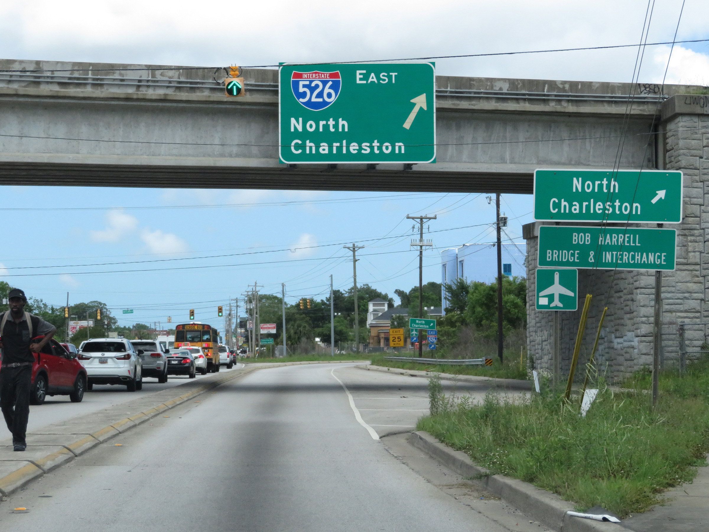 |
Merging onto Interstate 526 East as it begins from US 17 North in Charleston. (Photo taken 5/25/18). |
 |
A view on the ramp to Interstate 526 East from US 17 North. (Photo taken 5/25/18). |
 |
Traffic from US 17 South merges into Interstate 526 East ahead on the right. (Photo taken 5/25/18). |
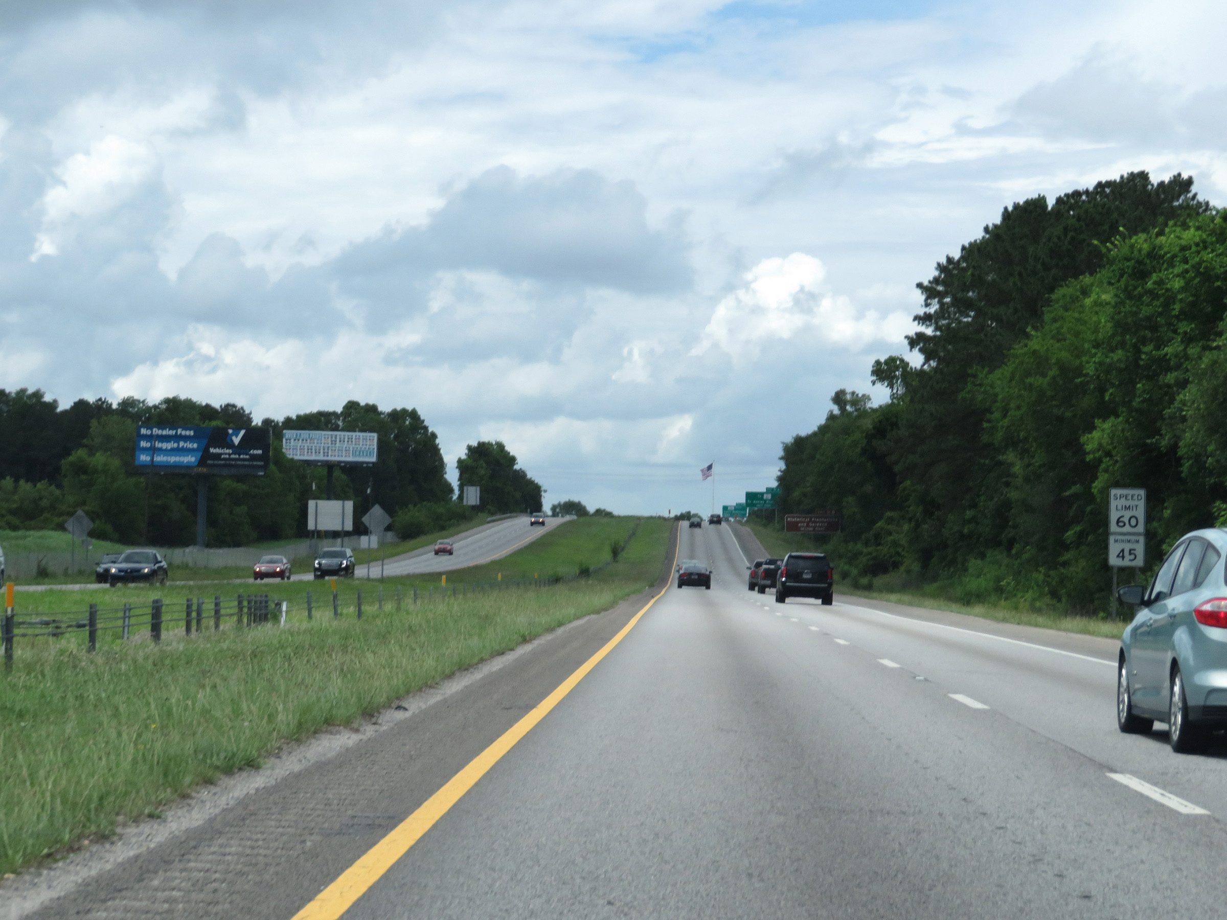 |
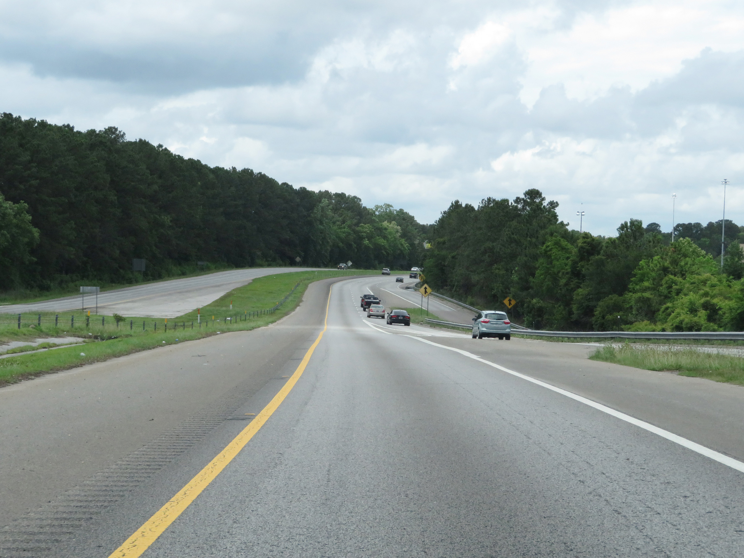
The speed limits on Interstate 526 East start out at 60 mph maximum and 45 mph minimum. (Photo taken 5/25/18). |
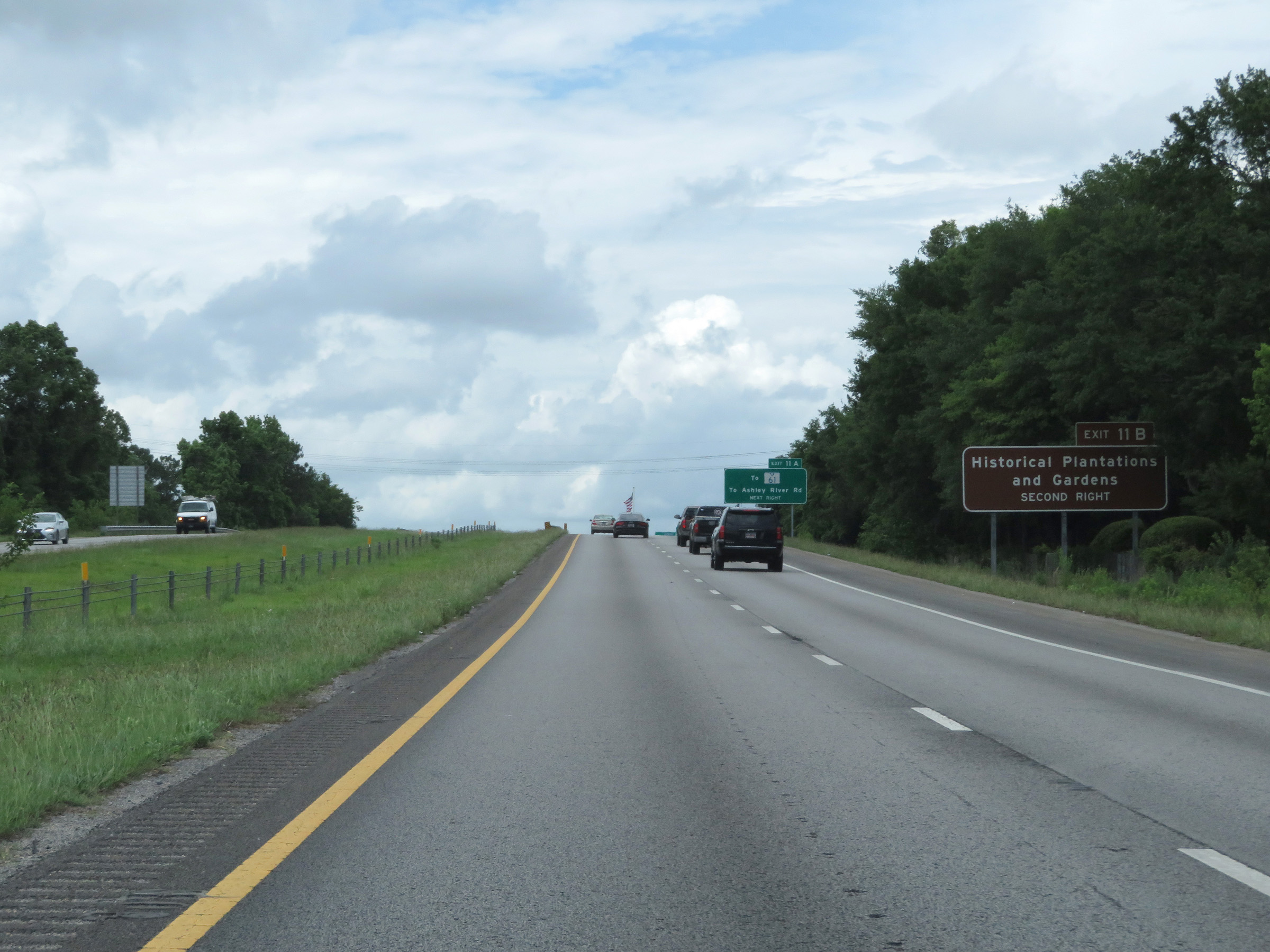 |
Take Exit 11B to the Historical Plantations and Gardens. (Photo taken 5/25/18). |
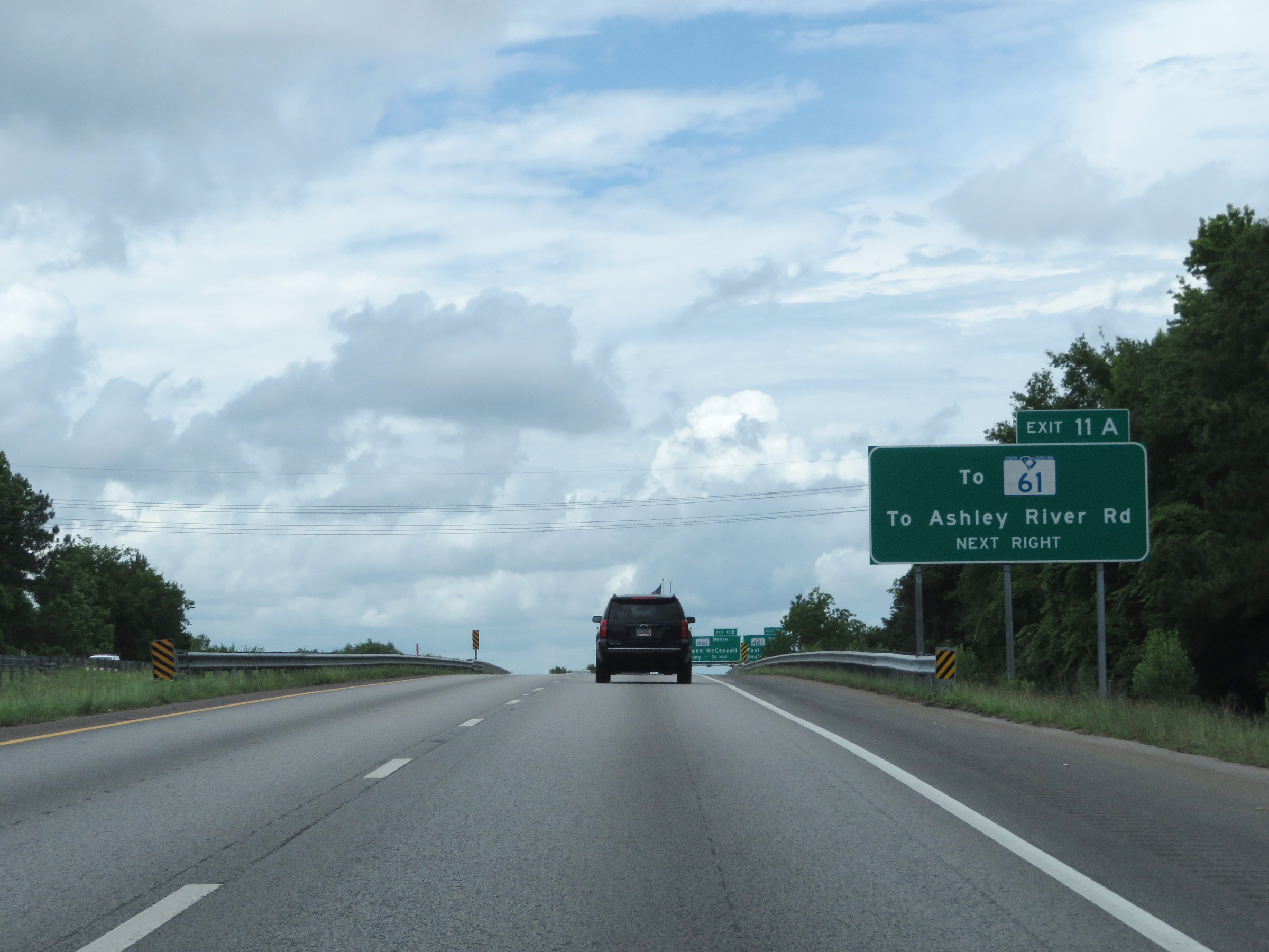 |
Take Exit 11A to SC 61 and Ashley River Rd. The mileage on Interstate 526 East starts out at 10, with the reason being that I-526 was once planned to be extended 10 more miles. However, that extension has since been abandoned. (Photo taken 5/25/18). |
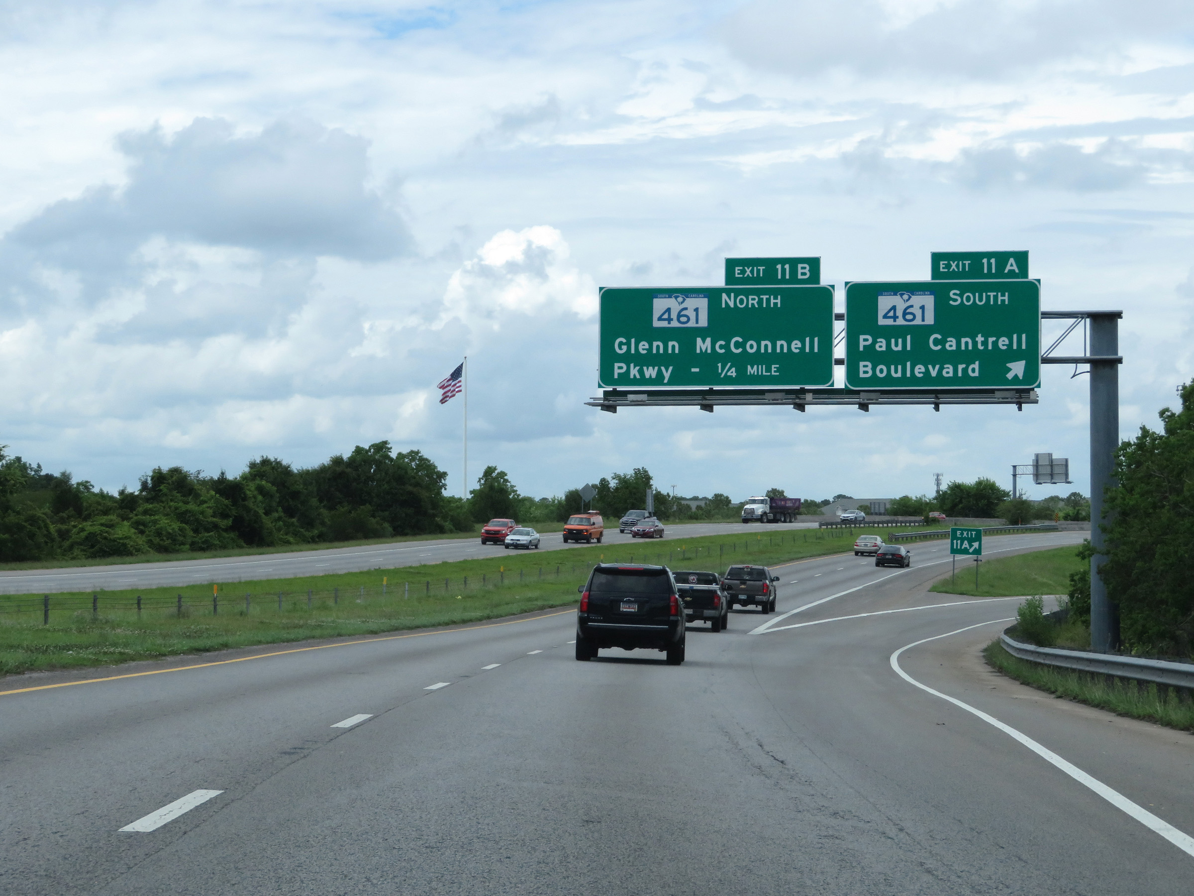 |
Interstate 526 East at Exit 11A: SC 461 South - Paul Cantrell Boulevard (Photo taken 5/25/18). |
 |
Interstate 526 East at Exit 11B: SC 461 North - Glenn McConnell Parkway (Photo taken 5/25/18). |
 |
State-named Interstate 526 East reassurance shield. (Photo taken 5/25/18). |
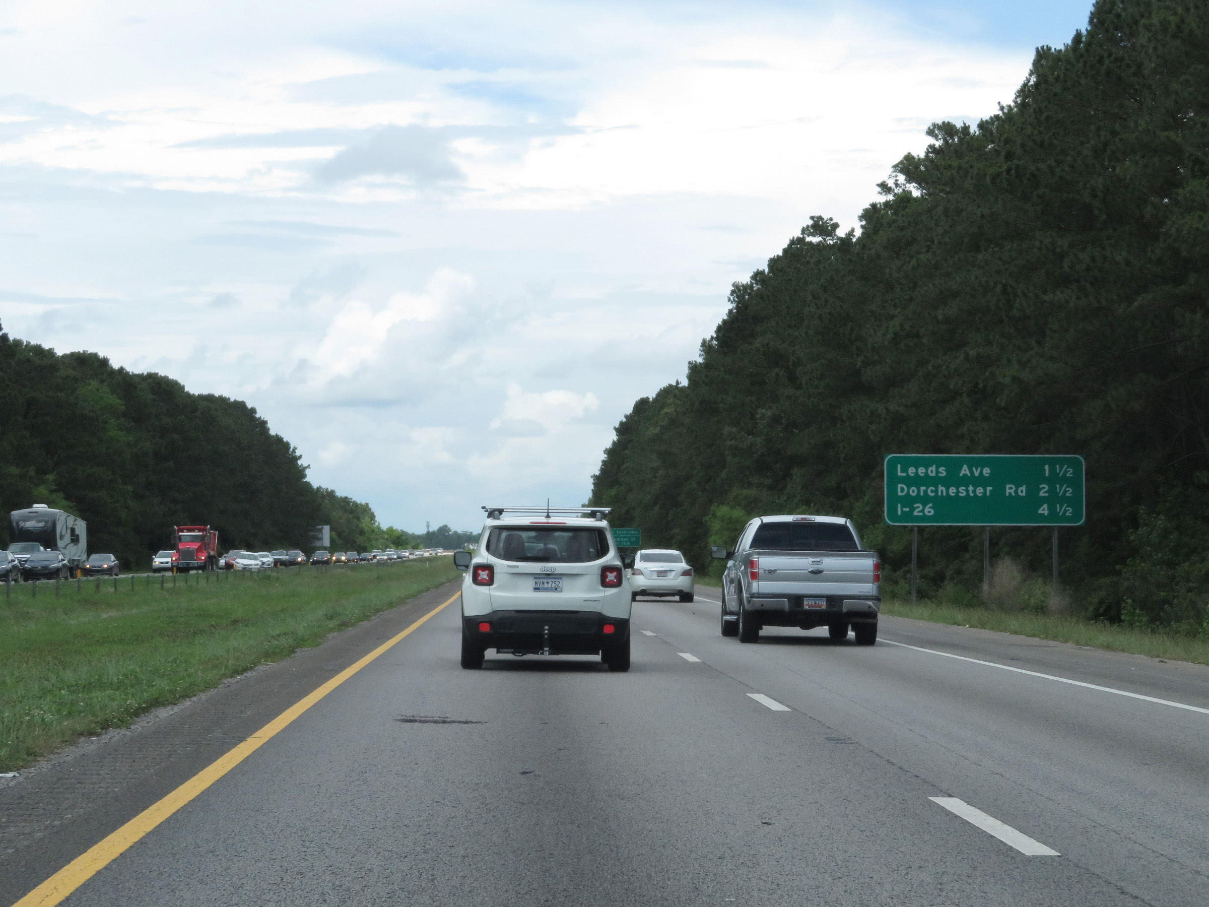 |
Mileage sign on Interstate 526 East. It's 1 1/2 miles to the junction of Leeds Ave, 2 1/2 miles to the junction of Dorchester Rd, and 4 1/2 miles to the junction of Interstate 26. (Photo taken 5/25/18). |
 |
Take Exit 17A to the Port Terminals and Columbus St. (Photo taken 5/25/18). |
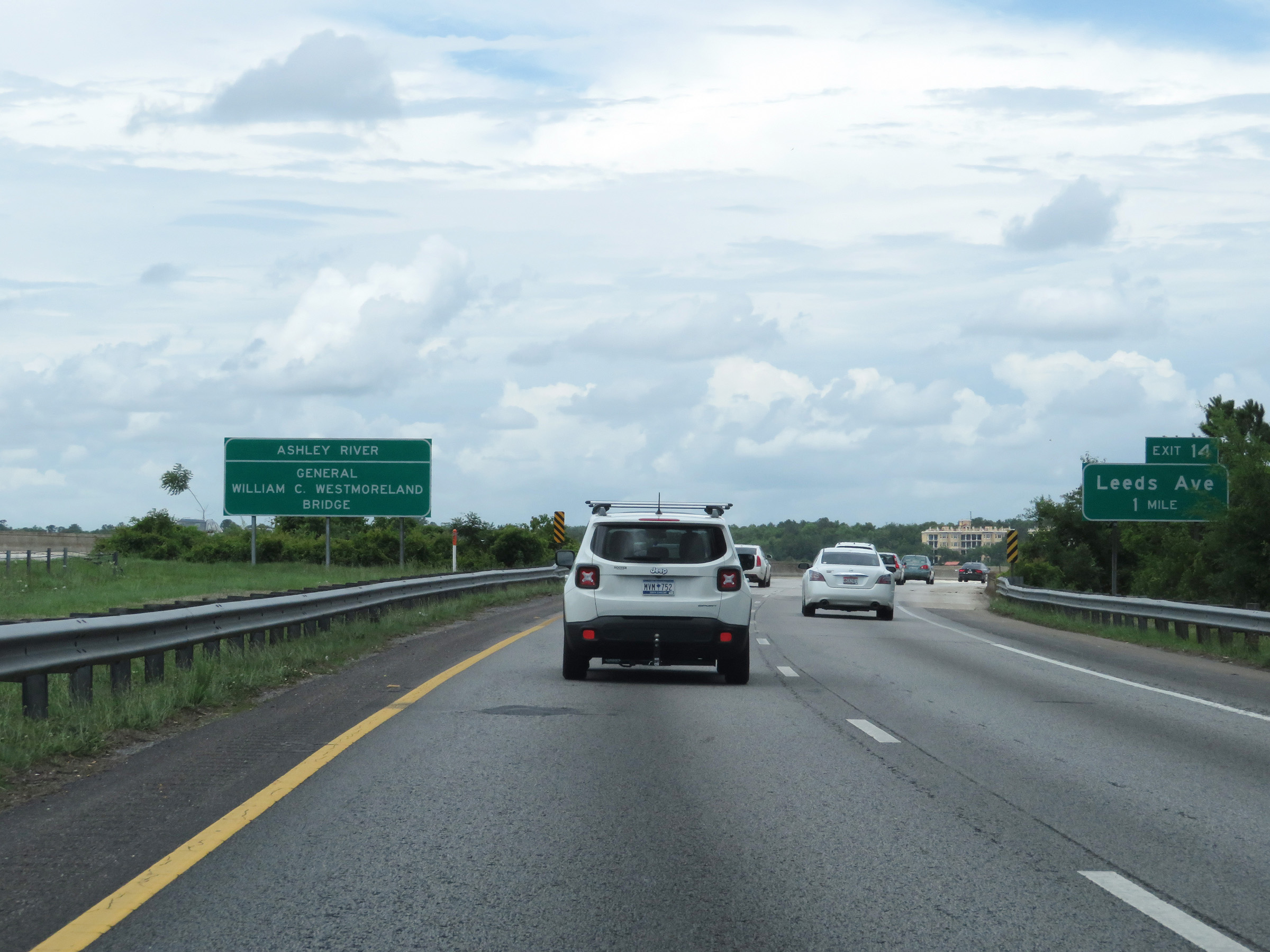 |
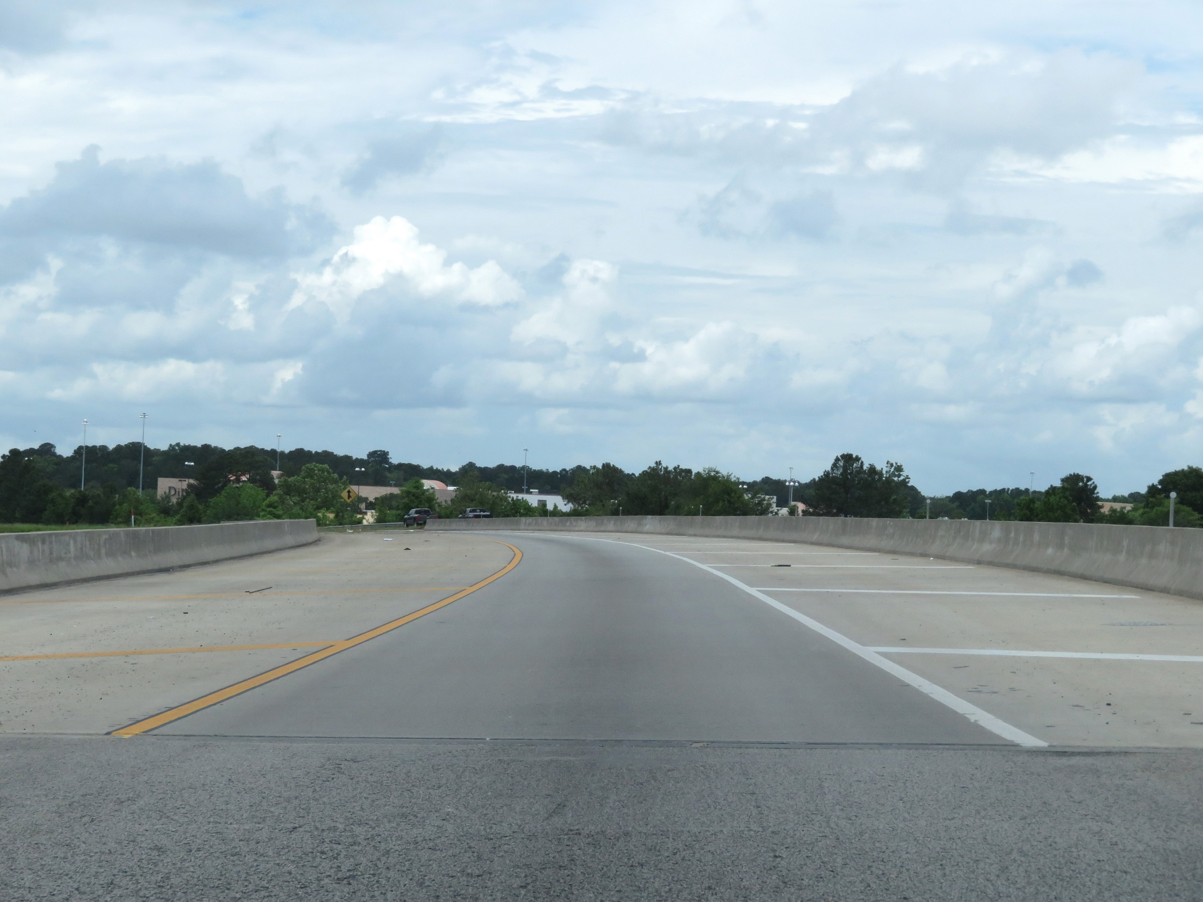
Interstate 526 East as it starts across the General William C. Westmoreland Bridge over the Ashley River. (Photo taken 5/25/18). |
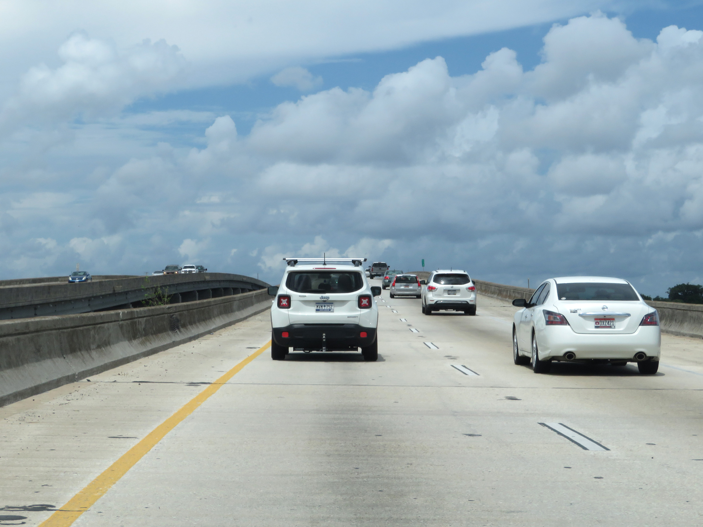 |
View on Interstate 526 East as it crosses the Ashley River on the General William C. Westmoreland Bridge. (Photo taken 5/25/18). |
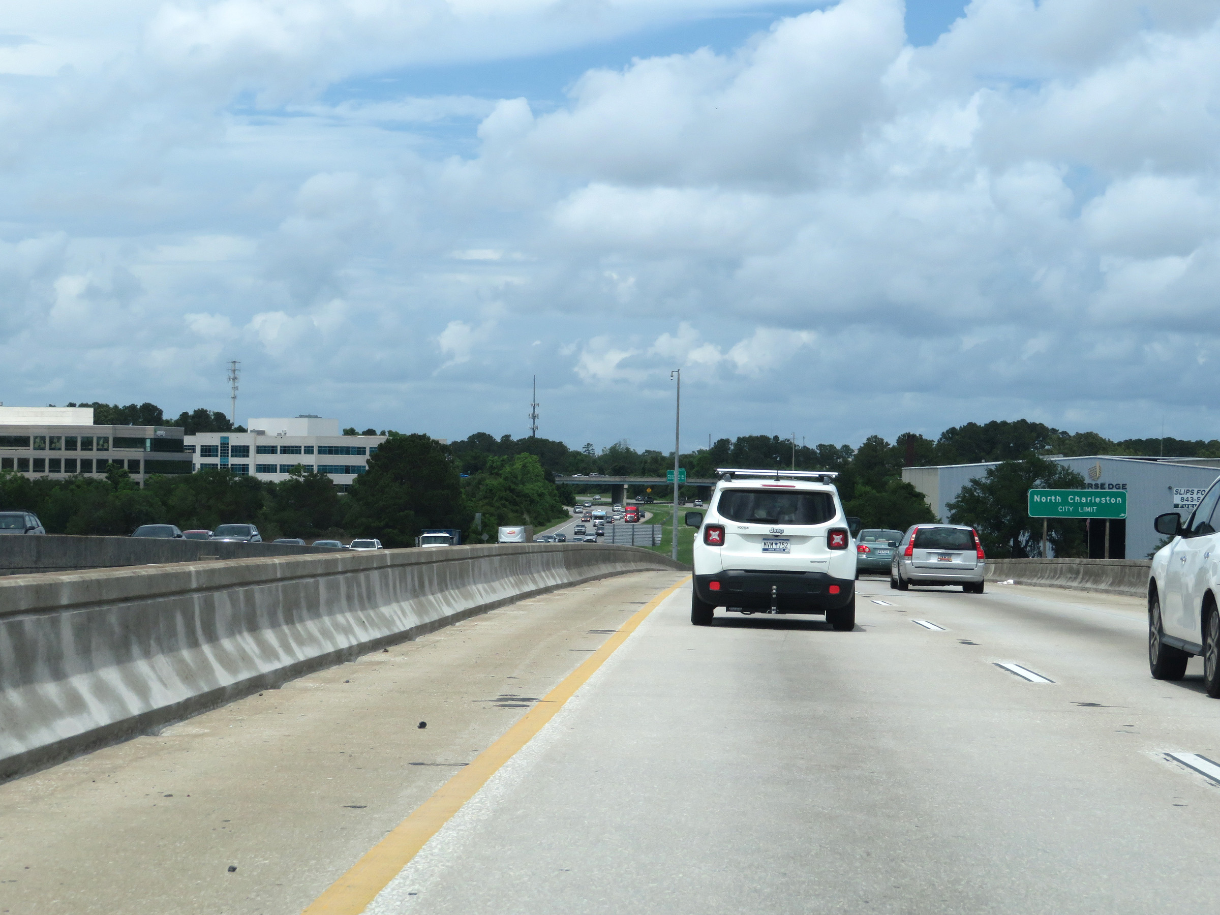 |
Upon crossing the Ashely River, Interstate 526 East enters the North Charleston city limits. (Photo taken 5/25/18). |
 |
Interstate 526 East at Exit 14: Leeds Ave (Photo taken 5/25/18). |
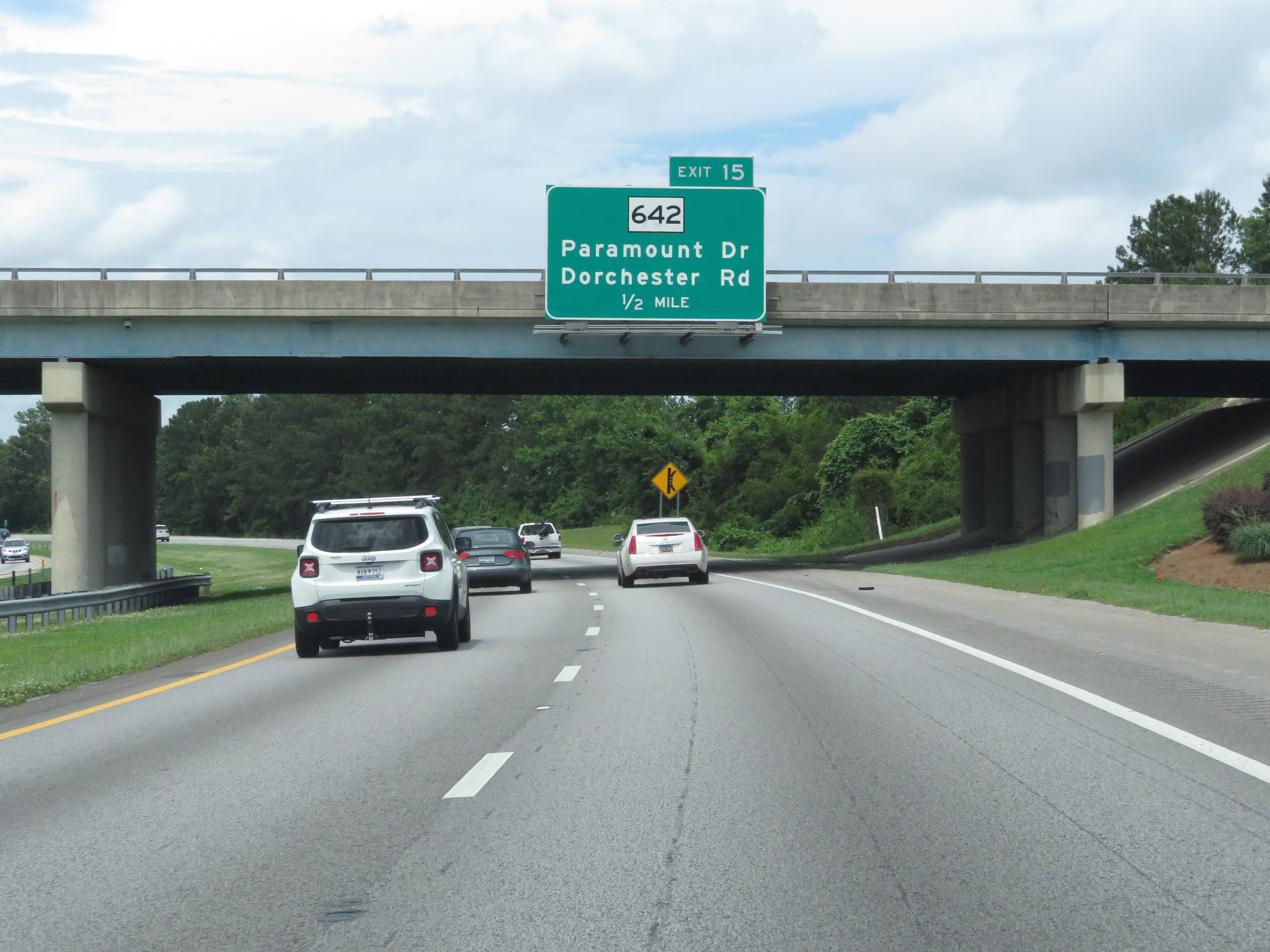 |
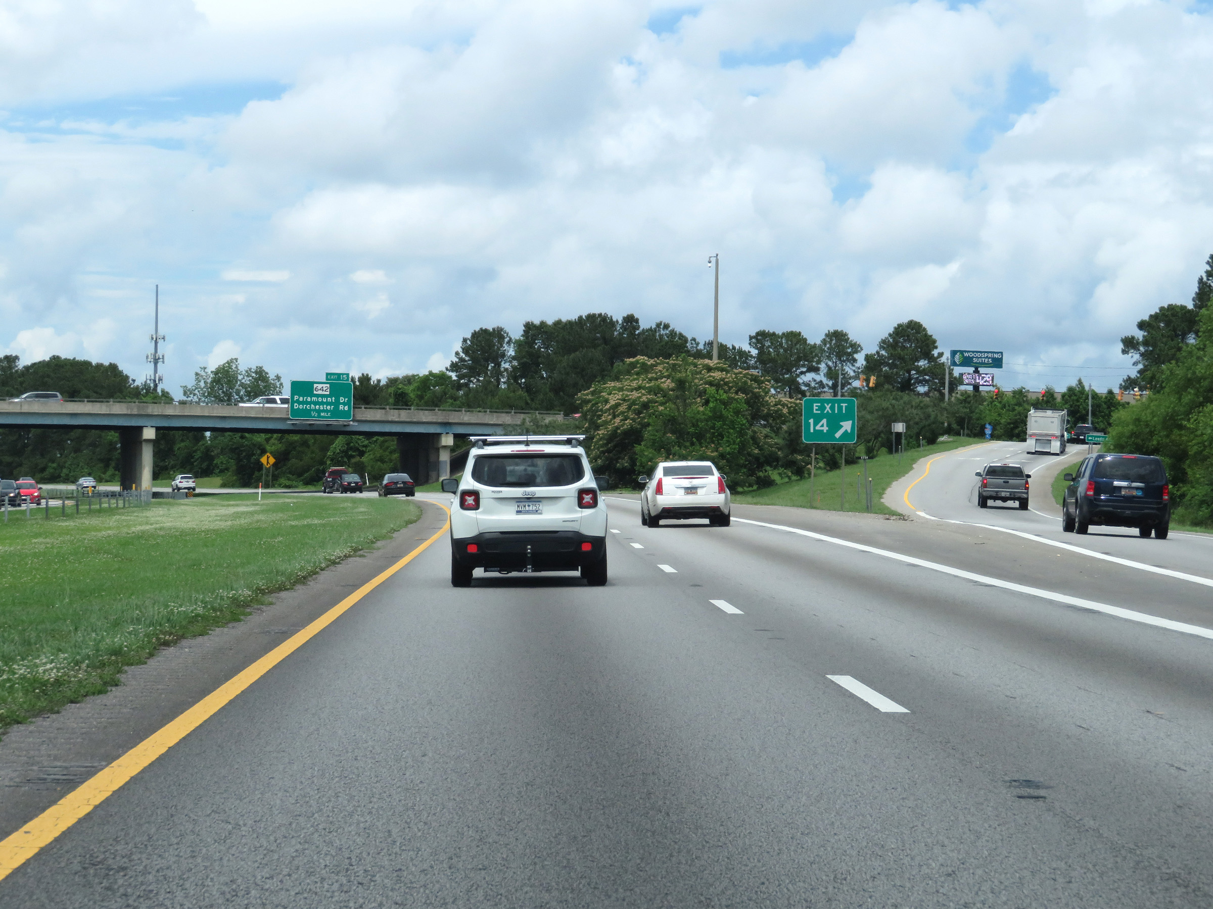
Interstate 526 East approaching Exit 15 - 1/2 mile. (Photo taken 5/25/18). |
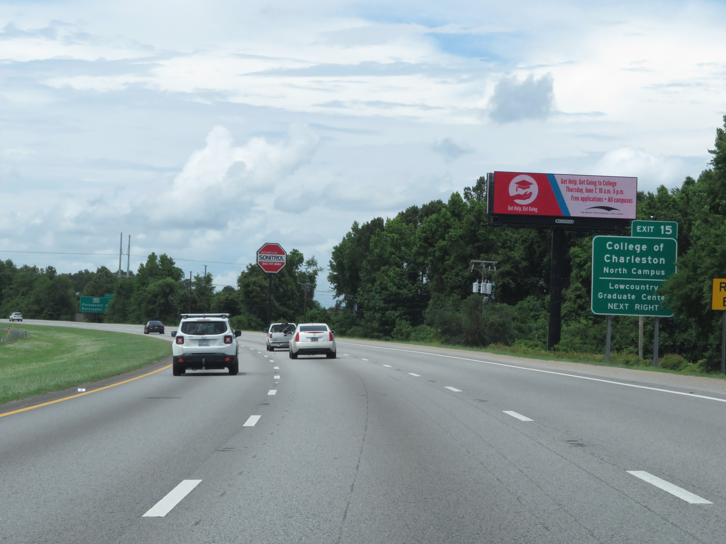 |
Take Exit 15 to the College of Charleston North Campus and Lowcountry Graduate Center. (Photo taken 5/25/18). |
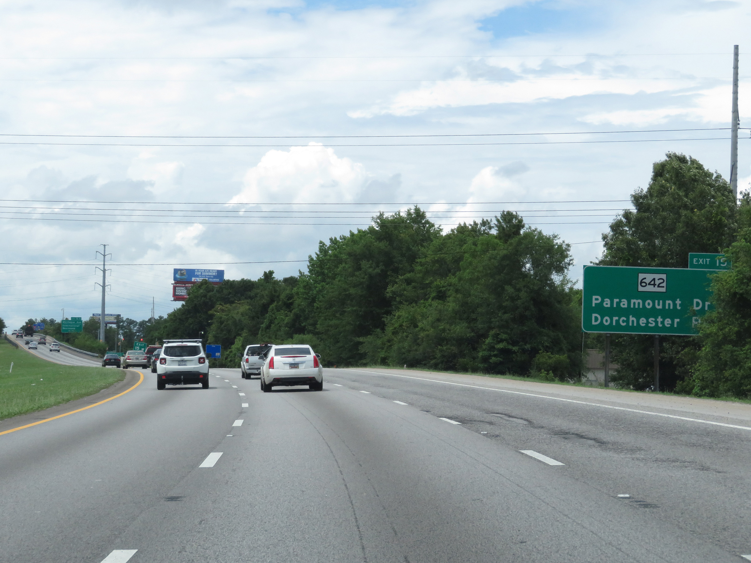 |
Interstate 526 East at Exit 15: SC 642 - Paramount Dr / Dorchester Rd (Photo taken 5/25/18). |
 |
Take Exit 16A to North Charleston Coliseum and a Visitor Info Center. (Photo taken 5/25/18). |
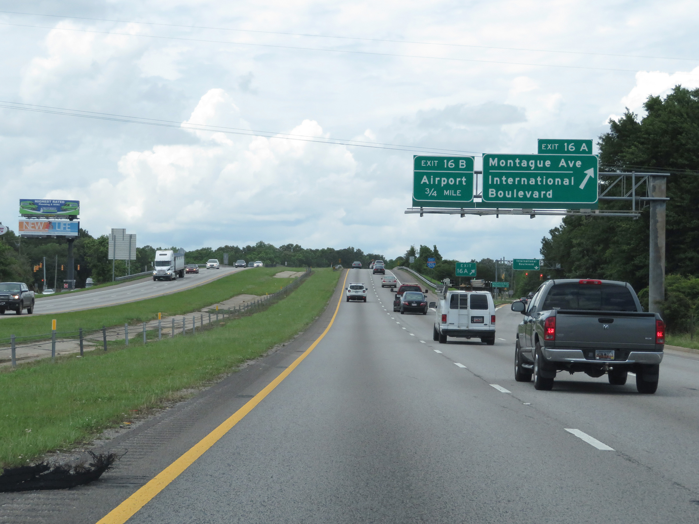 |
Interstate 526 East at Exit 16A: Montague Ave / International Boulevard (Photo taken 5/25/18). |
 |
Another state-named Interstate 526 East reassurance shield. (Photo taken 5/25/18). |
 |
Interstate 526 East at Exit 16B: Airport (Photo taken 5/25/18). |
 |
Approaching Exit 17, the speed limits decrease to 55 mph maximum and 40 mph minimum. (Photo taken 5/25/18). |
 |
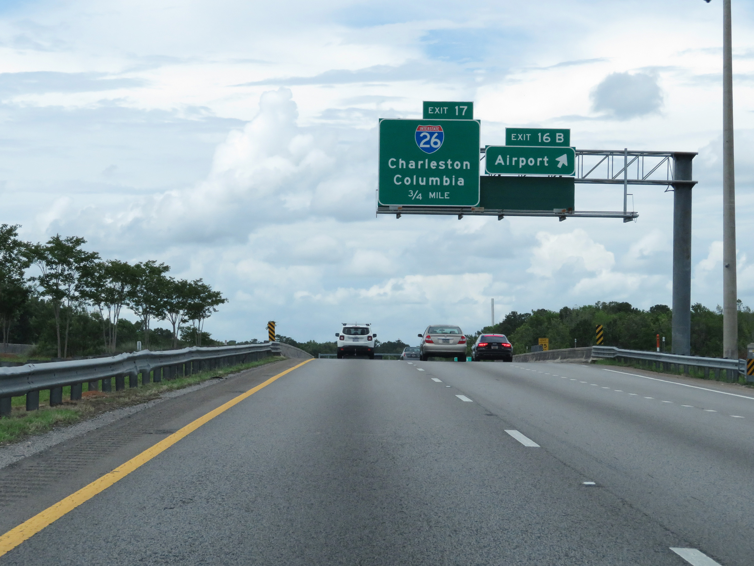
Interstate 526 East at Exit 17: Interstate 26 - Charleston / Columbia (Photo taken 5/25/18). |
 |
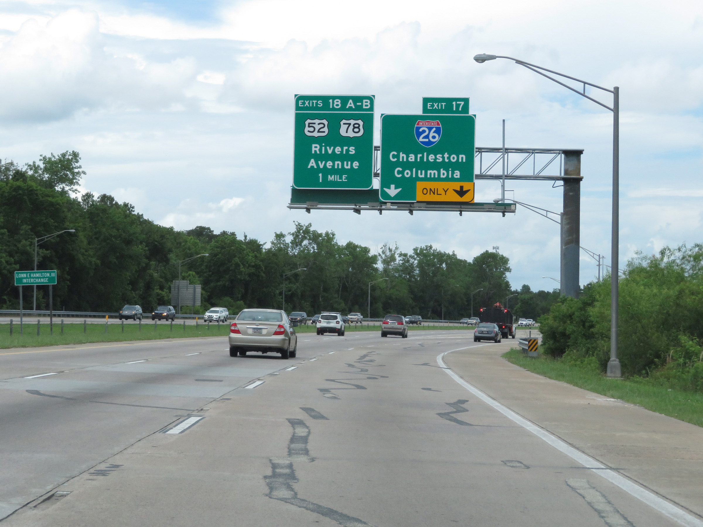
Interstate 526 East at Exit 18A: US 52 East / US 78 East - Rivers Ave (Photo taken 5/25/18). |
 |
Interstate 526 East at Exit 18B: US 52 West / US 78 West - Rivers Ave (Photo taken 5/25/18). |
 |
State-named Interstate 526 East reasssurance shield at mile marker 18. (Photo taken 5/25/18). |
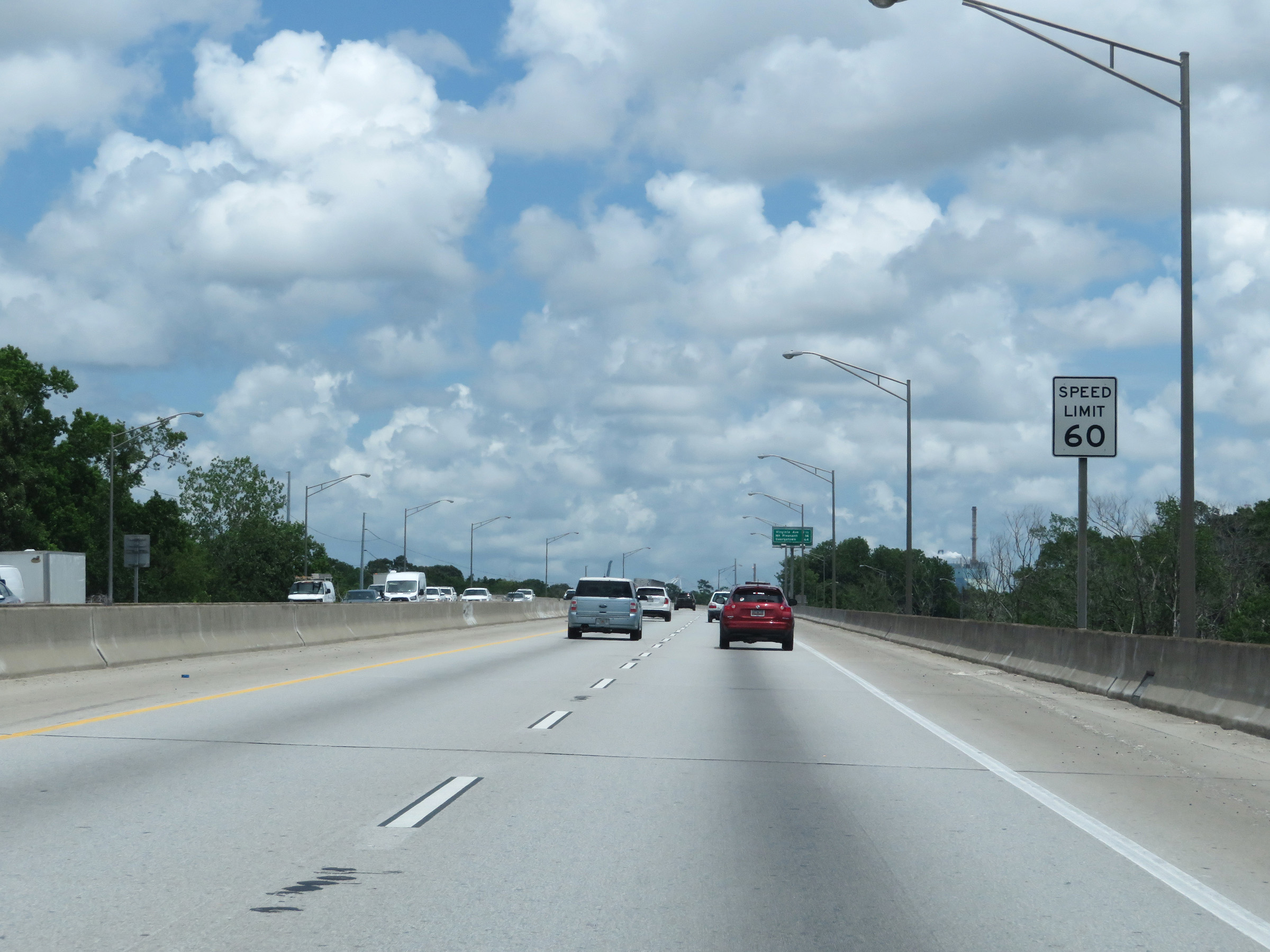 |
Beyond mile marker 18, the maximum speed limit increases to 60 mph once again. (Photo taken 5/25/18). |
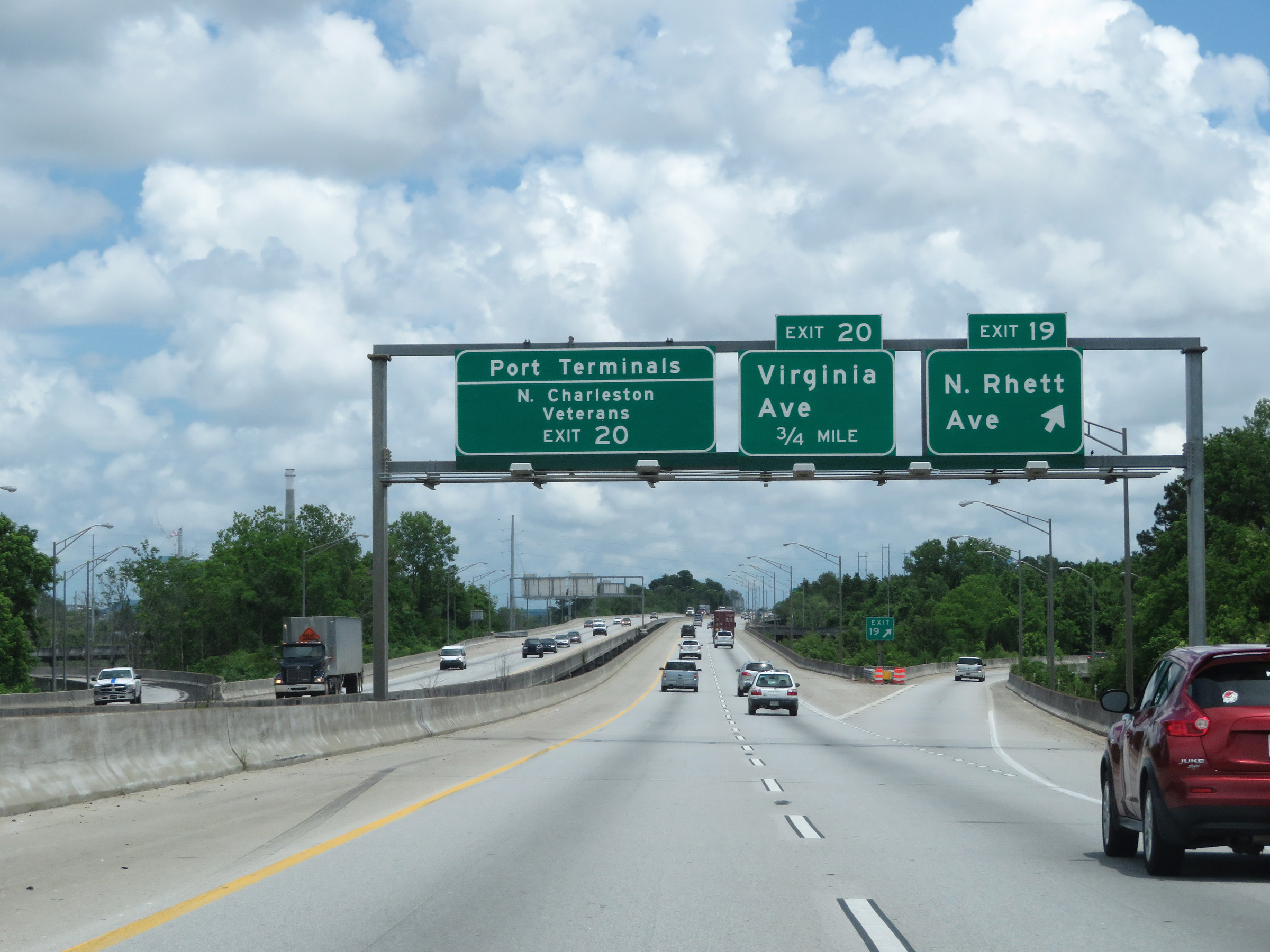 |
Interstate 526 East at Exit 19: North Rhett Ave (Photo taken 5/25/18). |
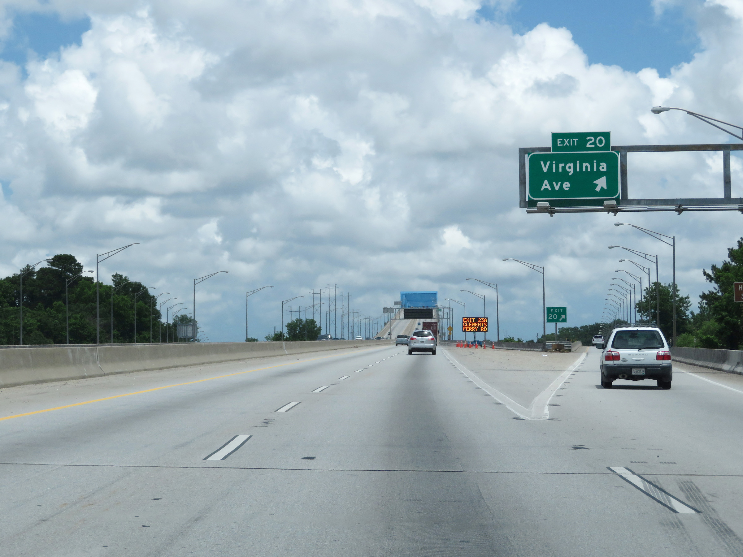 |
Interstate 526 East at Exit 20: Virginia Ave (Photo taken 5/25/18). |
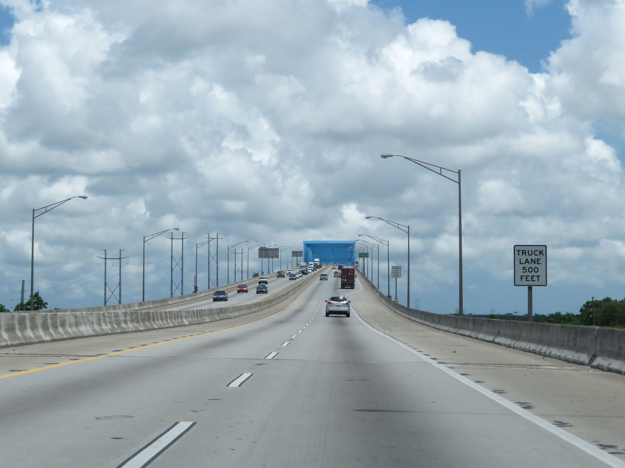 |
As Interstate 526 East starts across the Don N. Holt Bridge over the Cooper River, a truck climbing lane will appear 500 feet ahead as this sign reads. (Photo taken 5/25/18). |
 |
View on Interstate 526 East as it climbs the Don H. Holt Bridge, nearing its peak. (Photo taken 5/25/18). |
 |
Continuing the steep descent to the peak of the Don N. Holt Bridge over the Cooper River on Interstate 526 East. (Photo taken 5/25/18). |
 |
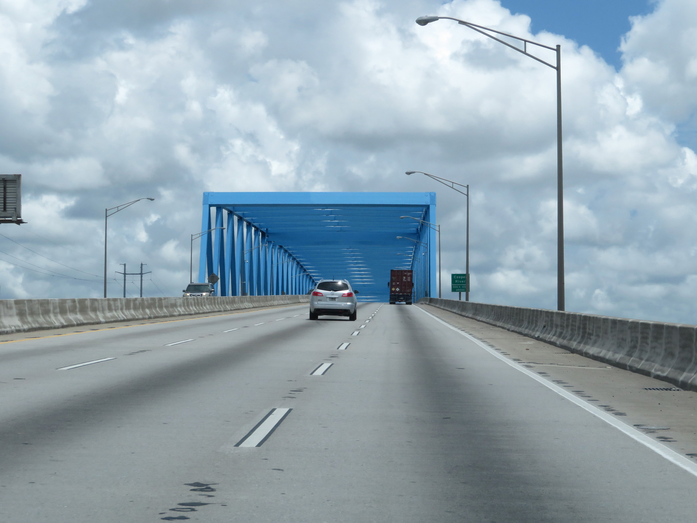
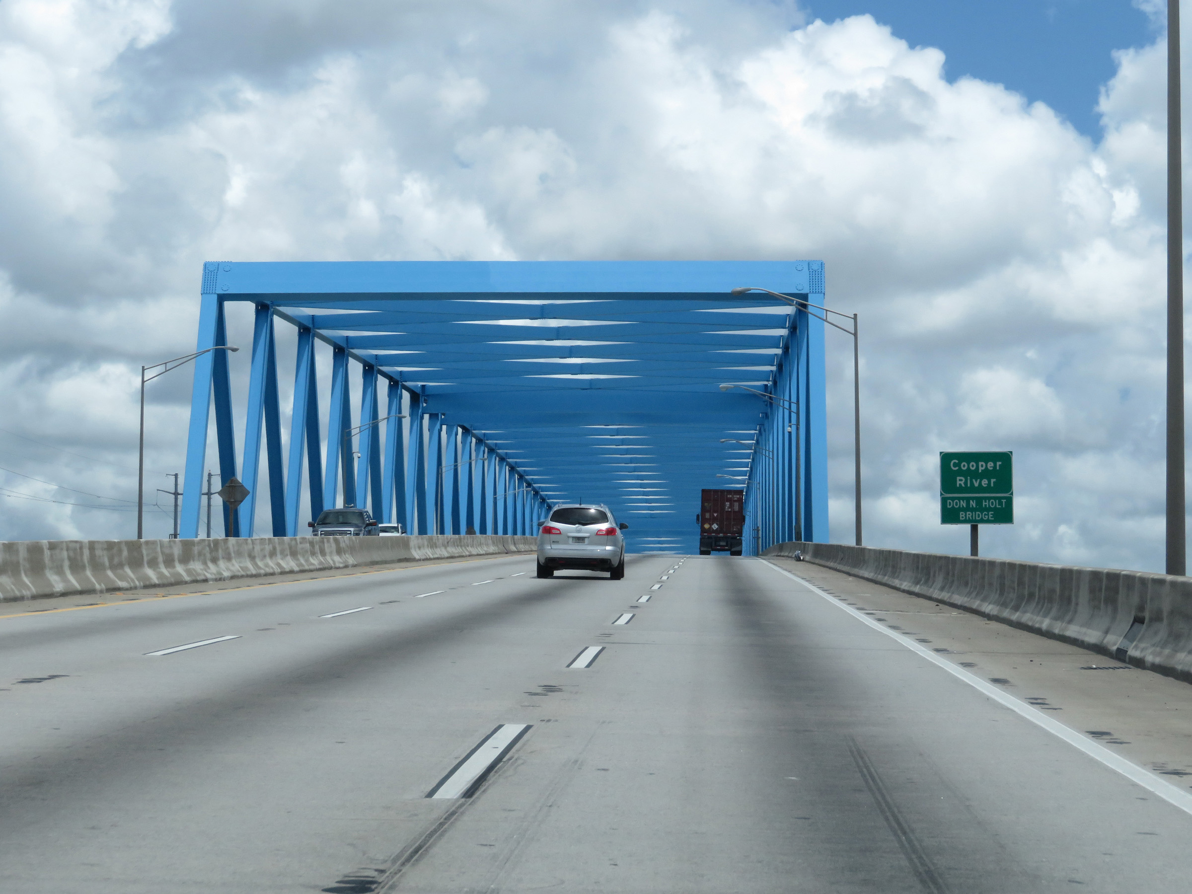
Interstate 526 East as it reaches the peak of the Don N. Holt Bridge over the Cooper River. (Photo taken 5/25/18). |
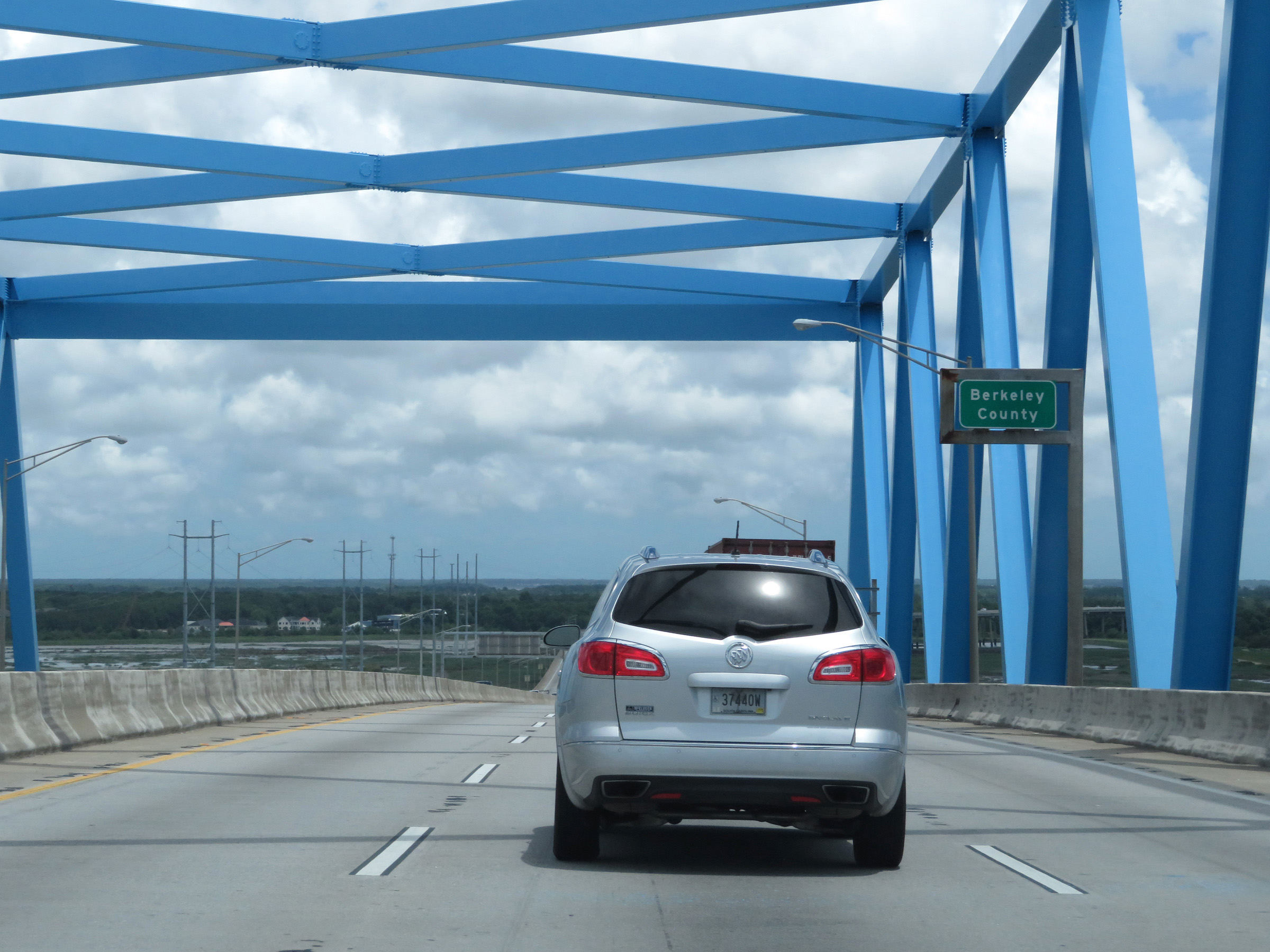 |
Upon crossing the Cooper River on the Don N. Holt Bridge, Interstate 526 East enters Berkeley County. (Photo taken 5/25/18). |
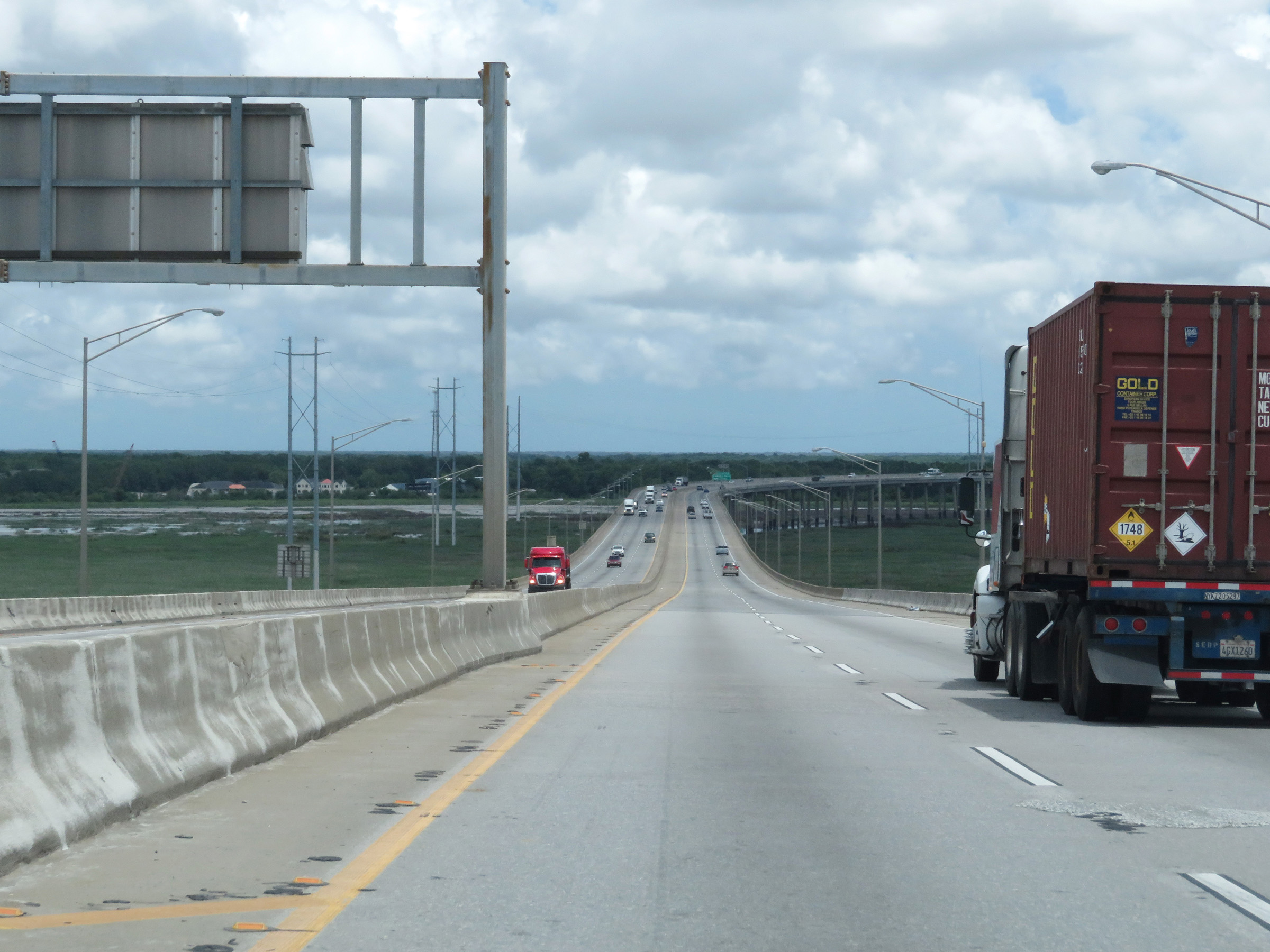 |
View on Interstate 526 East as it descends the Don N. Holt Bridge. (Photo taken 5/25/18). |
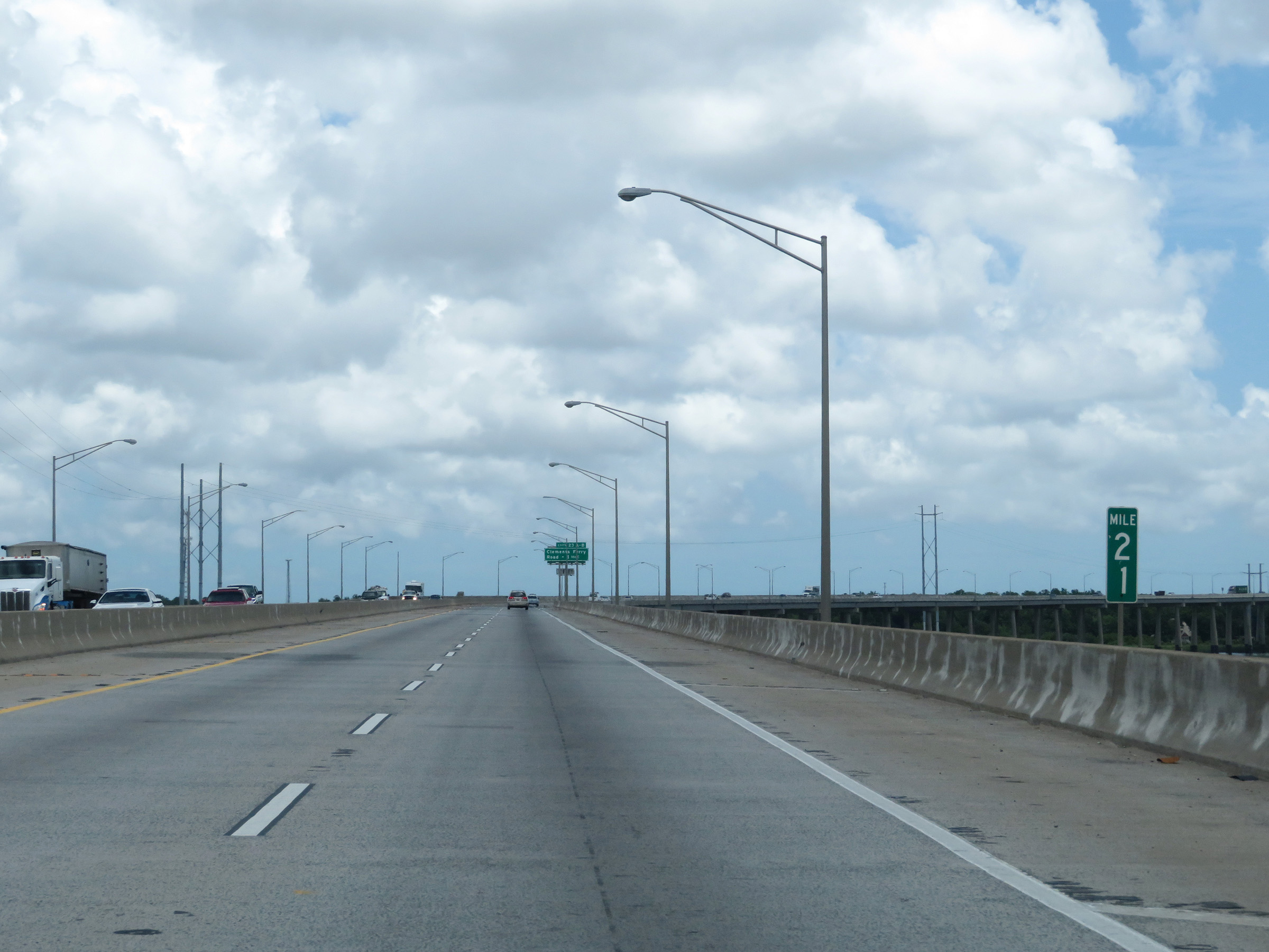 |
View on Interstate 526 East at mile marker 21. (Photo taken 5/25/18). |
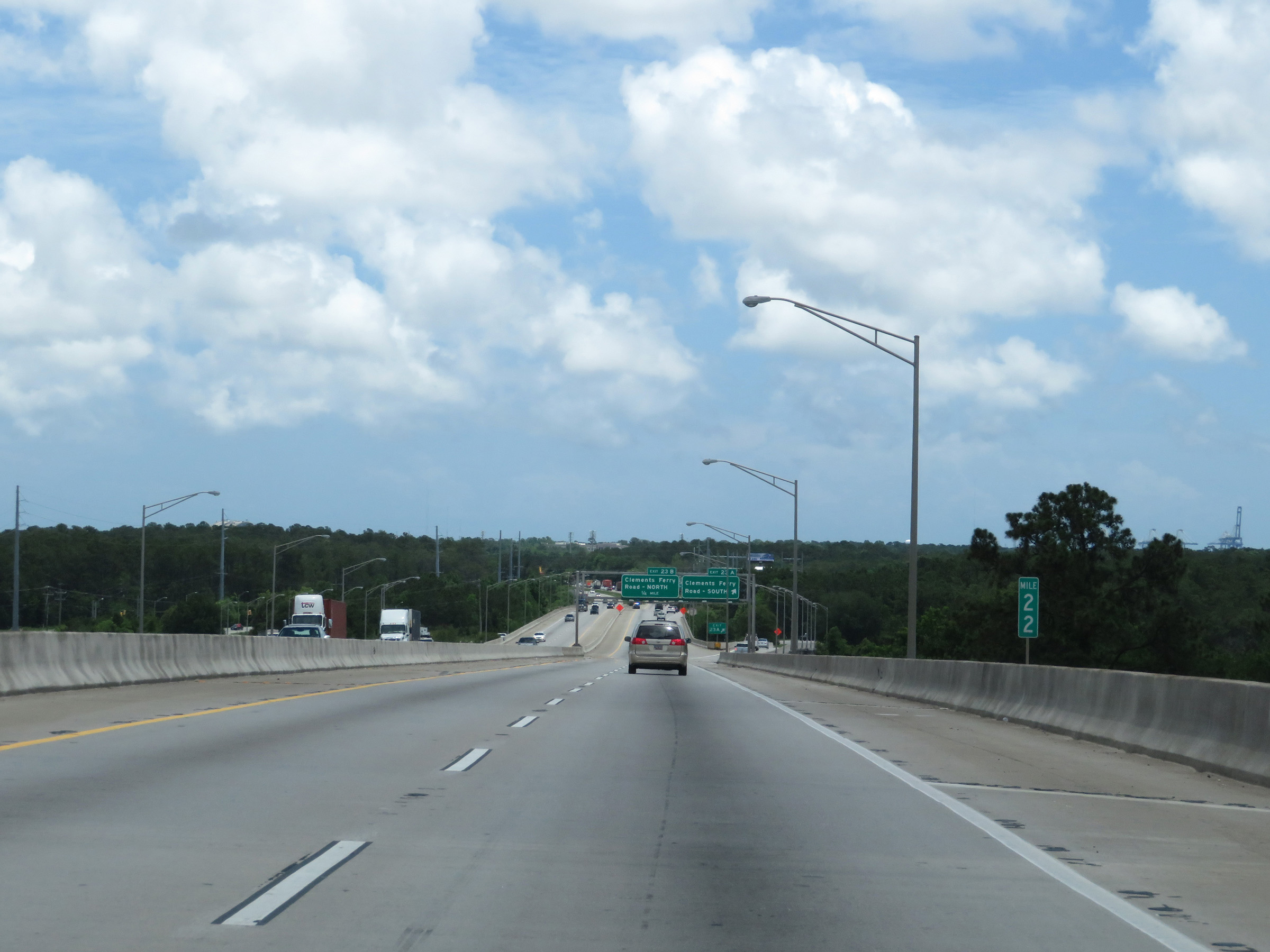 |
Mile marker 22 on Interstate 526 East in Berkeley County. (Photo taken 5/25/18). |
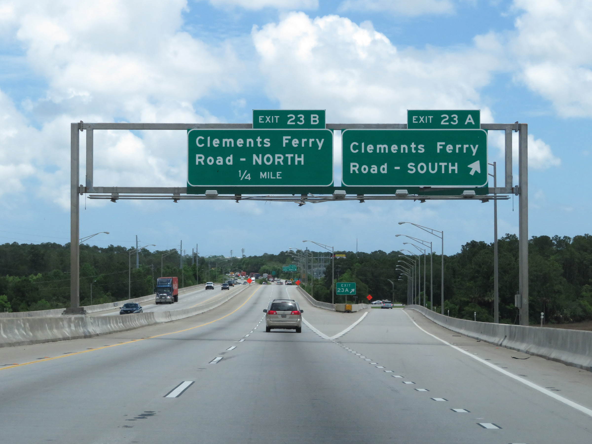 |
Interstate 526 East at Exit 23A: Clements Ferry Road South (Photo taken 5/25/18). |
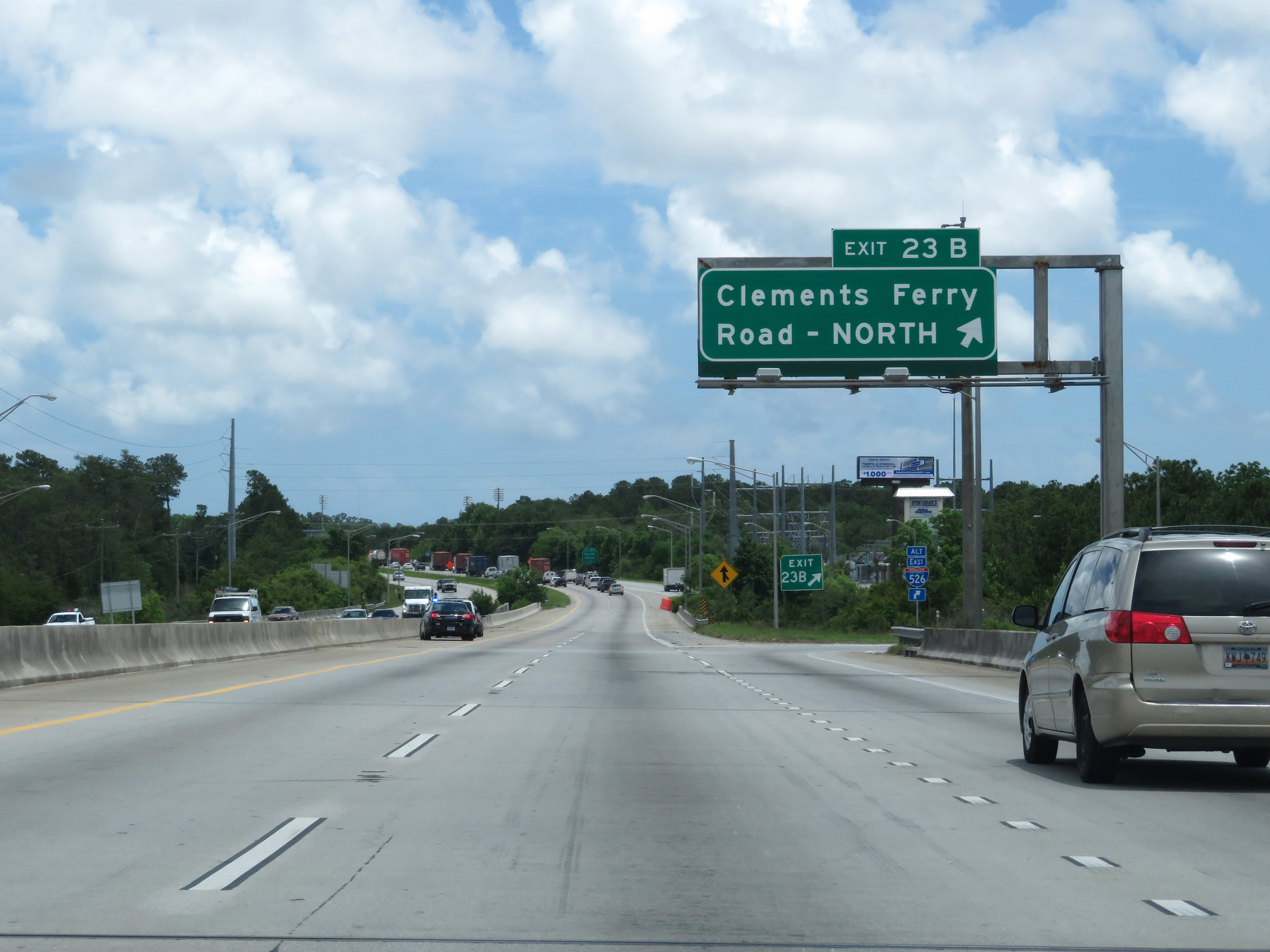 |
Interstate 526 East at Exit 23B: Clements Ferry Road North (Photo taken 5/25/18). |
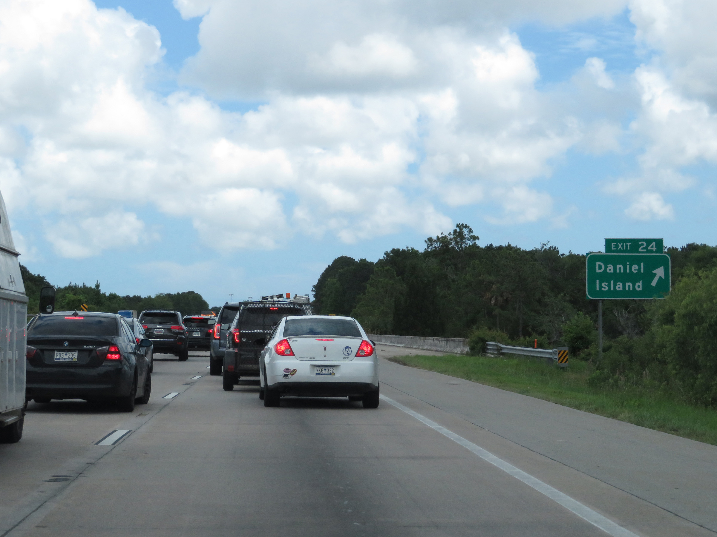 |
Interstate 526 East at Exit 24: Daniel Island (Photo taken 5/25/18). |
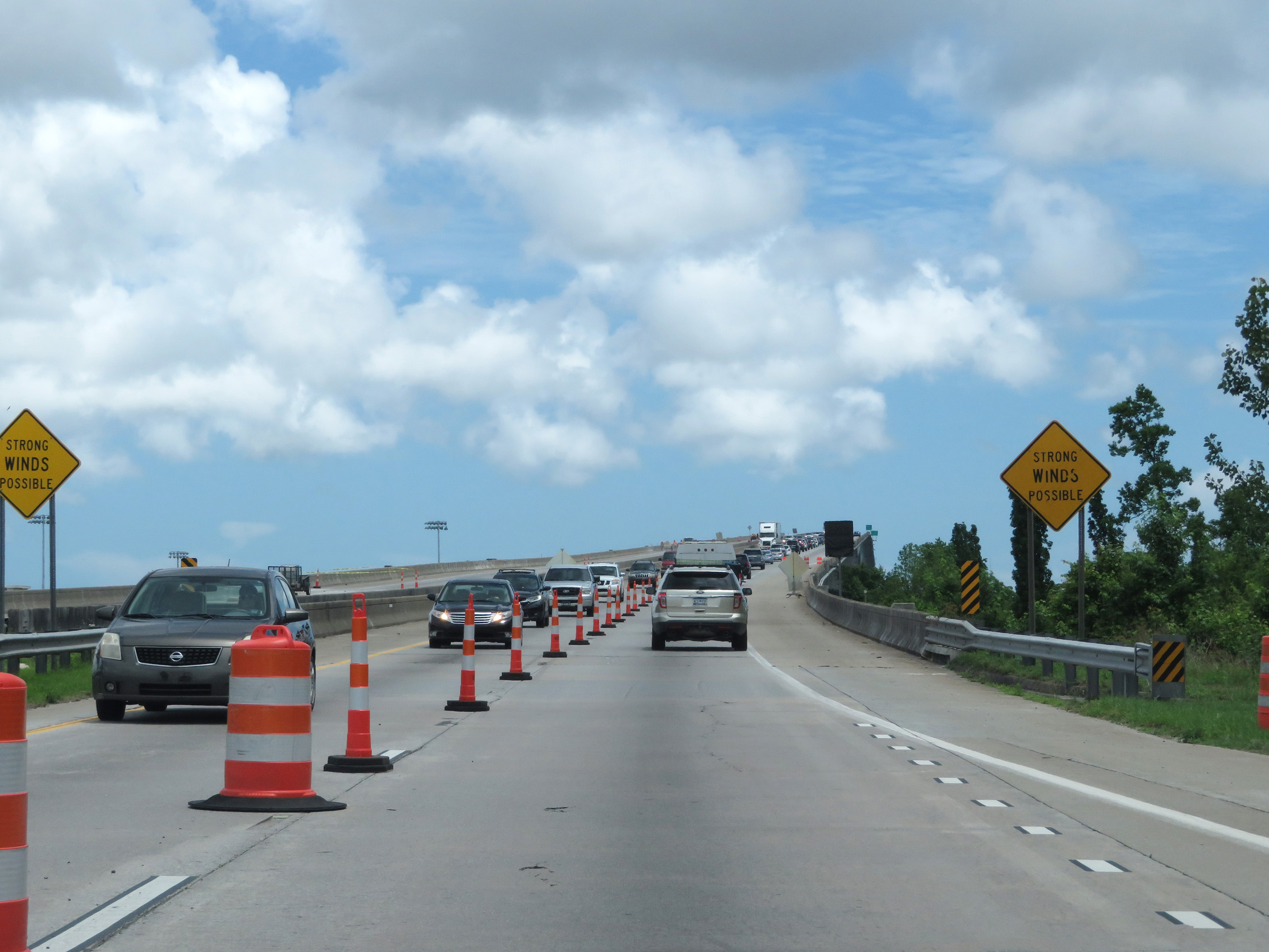 |
As Interstate 526 East prepares to cross the James B. Edwards Bridge over the Wando River, this sign warns of possible strong winds. (Photo taken 5/25/18). |
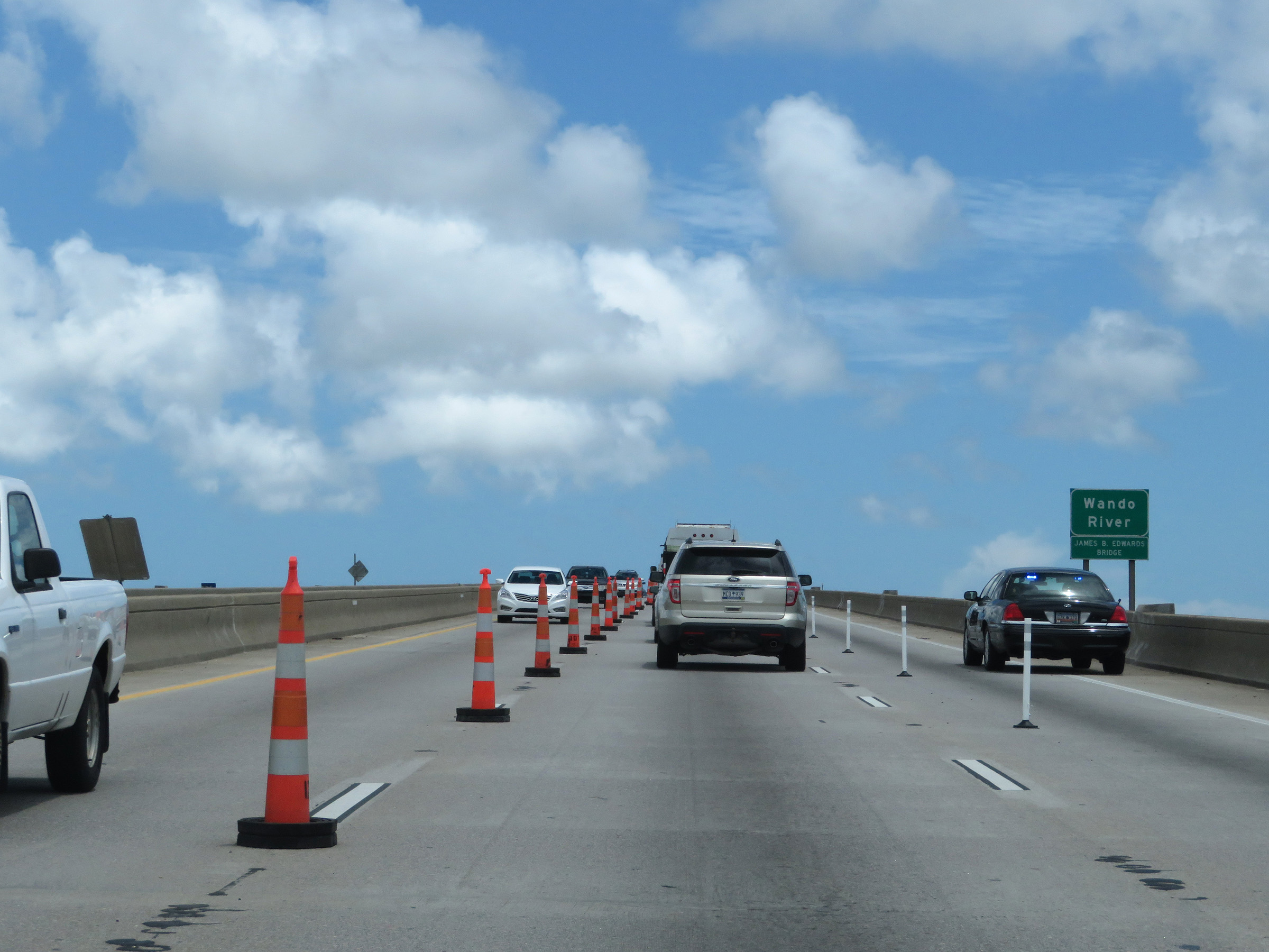 |
Interstate 526 East as it crosses the Wando River on the James B. Edwards Bridge. (Photo taken 5/25/18). |
 |
Halfway across the James B. Edwards Bridge, Interstate 526 East reenters Charleston County and enters the Mt. Pleasant city limits. (Photo taken 5/25/18). |
 |
Interstate 526 East descending the James B. Edwards Bridge over the Wando River. (Photo taken 5/25/18). |
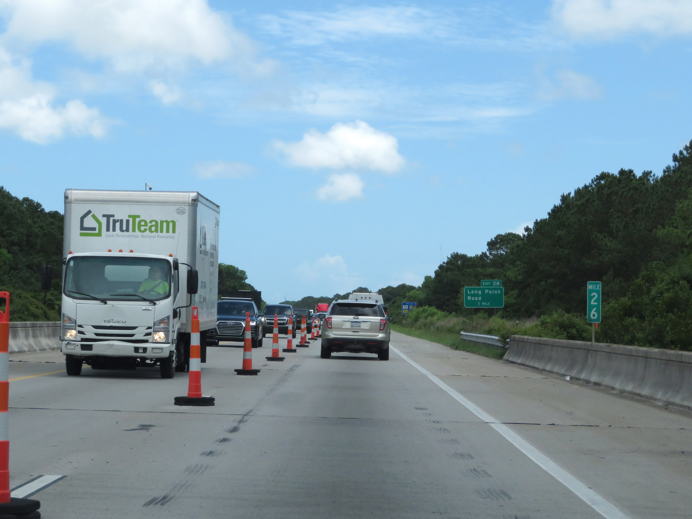 |
Mile marker 26 on Interstate 526 East in Charleston County. (Photo taken 5/25/18). |
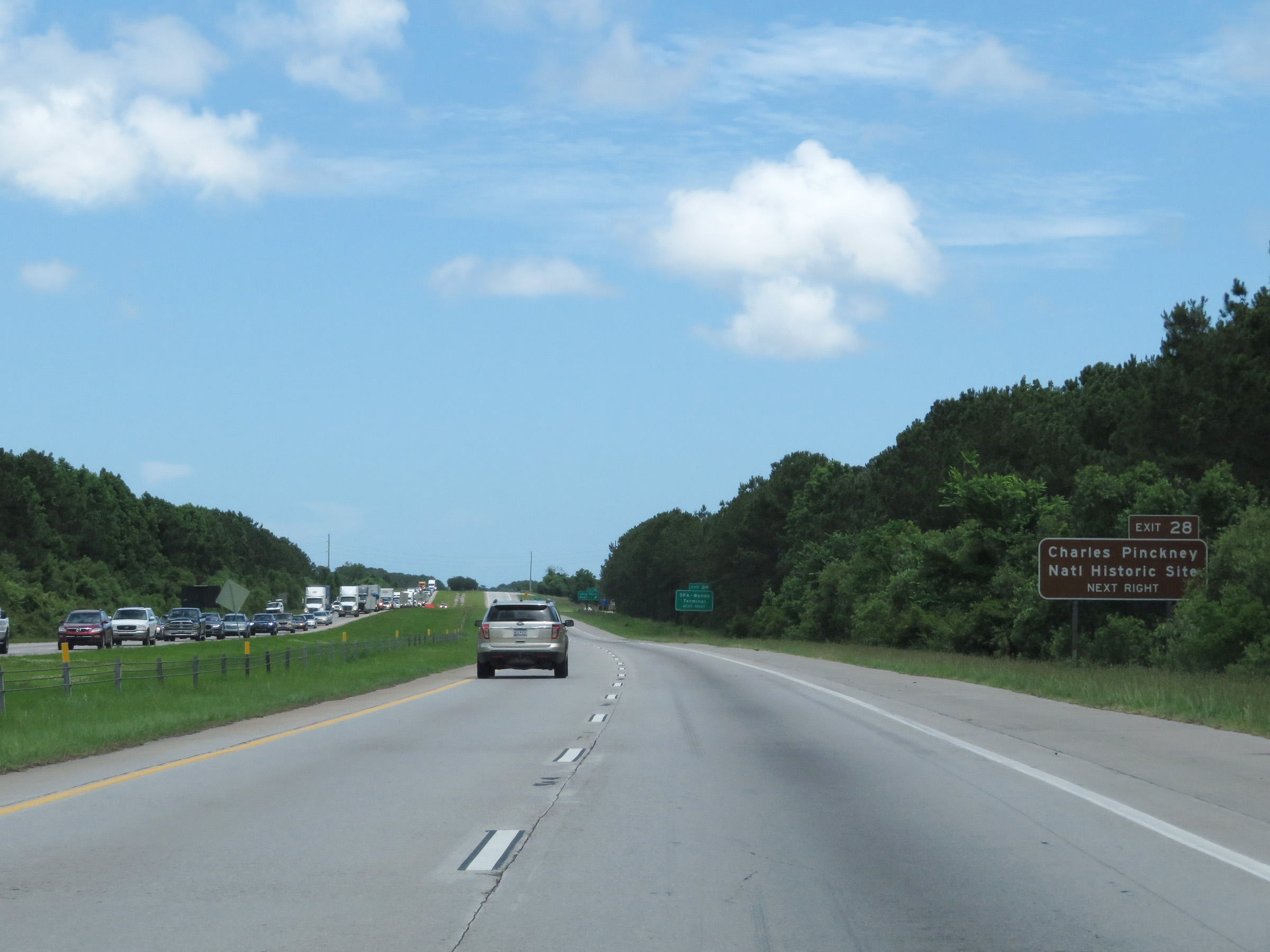 |
Take Exit 28 to Charles Pinckney National Historic Site. (Photo taken 5/25/18). |
 |
Also take Exit 28 to the SPA-Wando Terminal. (Photo taken 5/25/18). |
 |
Interstate 526 East at Exit 28: Long Point Road (Photo taken 5/25/18). |
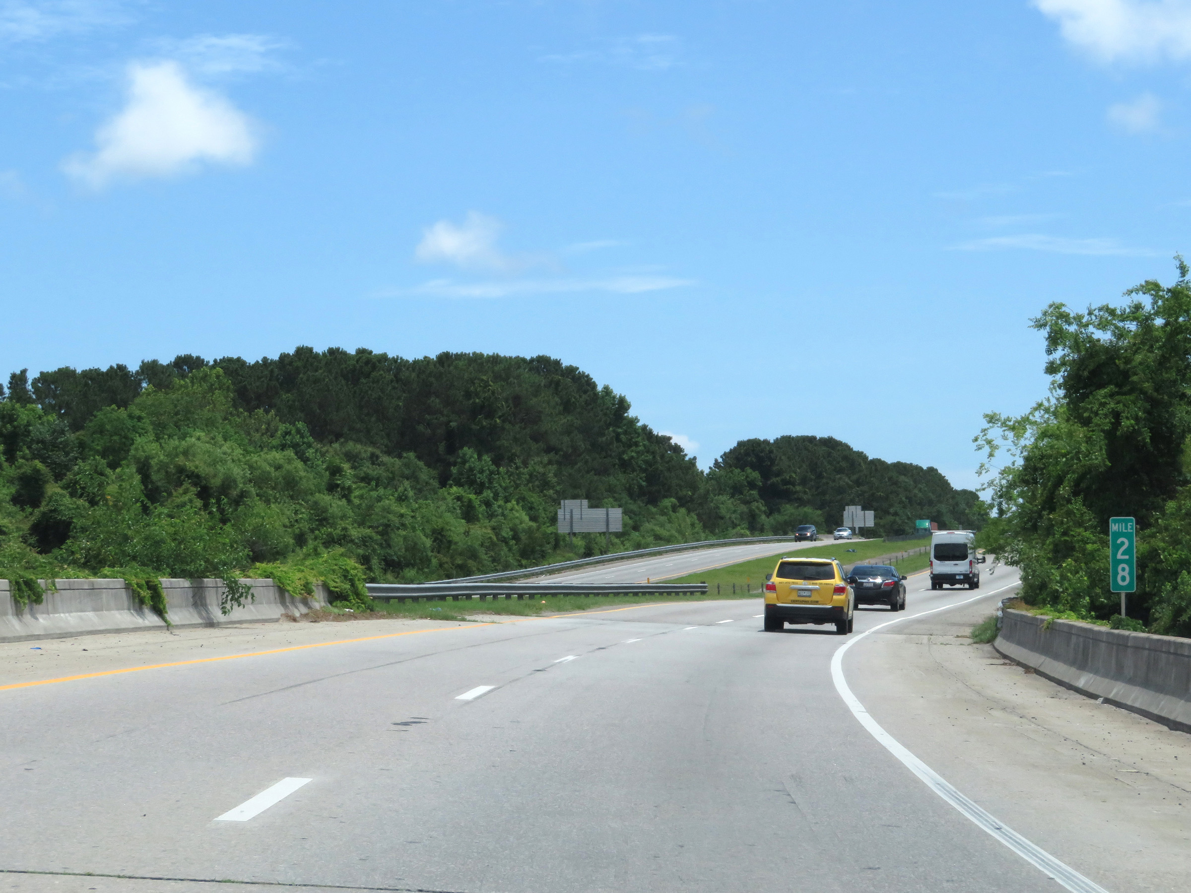 |
View on Interstate 526 East at mile marker 28. (Photo taken 5/25/18). |
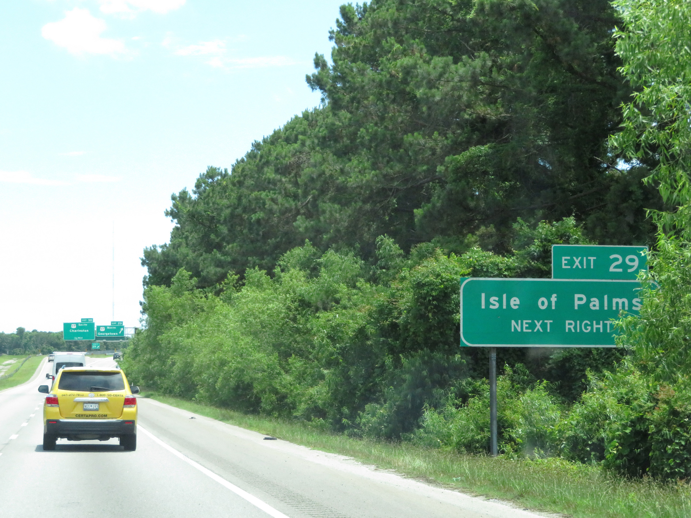 |
Take Exit 29 to Isle of Palms. (Photo taken 5/25/18). |
 |
Approaching Exit 29, the speed limits once again decrease to 55 mph maximum and 40 mph minimum. (Photo taken 5/25/18). |
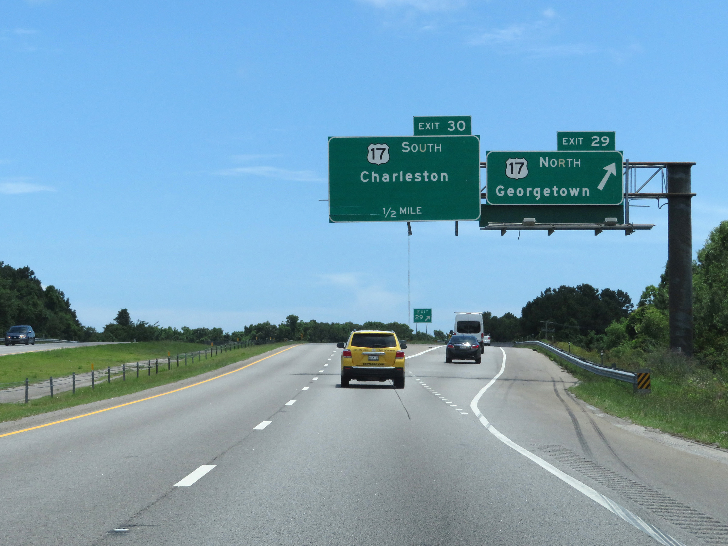 |
Interstate 526 East at Exit 29: US 17 North - Georgetown (Photo taken 5/25/18). |
 |
Interstate 526 East at Exit 30: US 17 South - Charleston (Photo taken 5/25/18). |
 |
Beyond Exit 30, the maximum speed limit decreases to 45 mph as Interstate 526 reaches its eastern terminus and becomes I-526 Business Spur, also known as Chuck Dawley Blvd. (Photo taken 5/25/18). |
 |
Interstate 526 Business Spur begins here, at the eastern terminus of I-526 in Charleston. (Photo taken 5/25/18). |