Road Information |
||
 |
||
| Total Mileage in State: | 221 miles | |
| Eastern End: | At US 17, in Charleston | |
| Western End: | At North Carolina state line | |
| Mileage covered in Photos: | 221 miles | |
| Counties covered in Photos: | Charleston, Berkeley, Dorchester, Orangeburg, Calhoun, Lexington, Calhoun, Lexington, Richland, Lexington, Richland, Lexington, Newberry, Laurens, Spartanburg | |
| Major Junctions in Photos: | I-526, in North Charleston I-95, near Bowman I-77, in Cayce I-126, in Columbia I-20, in Columbia I-385, in Clinton I-85, in Spartanburg |
|
| Control Cities in Photos: | Charleston, North Charleston, Columbia, Newberry, Spartanburg | |
Westbound
- Section 1: Charleston to Orangeburg (Exit 154A)
- Section 2: Orangeburg (Exit 154A) to Columbia (Exit 103)
- Section 3: Columbia (Exit 103) to North Carolina Border
Section 1: Charleston to Orangeburg (Exit 154A)
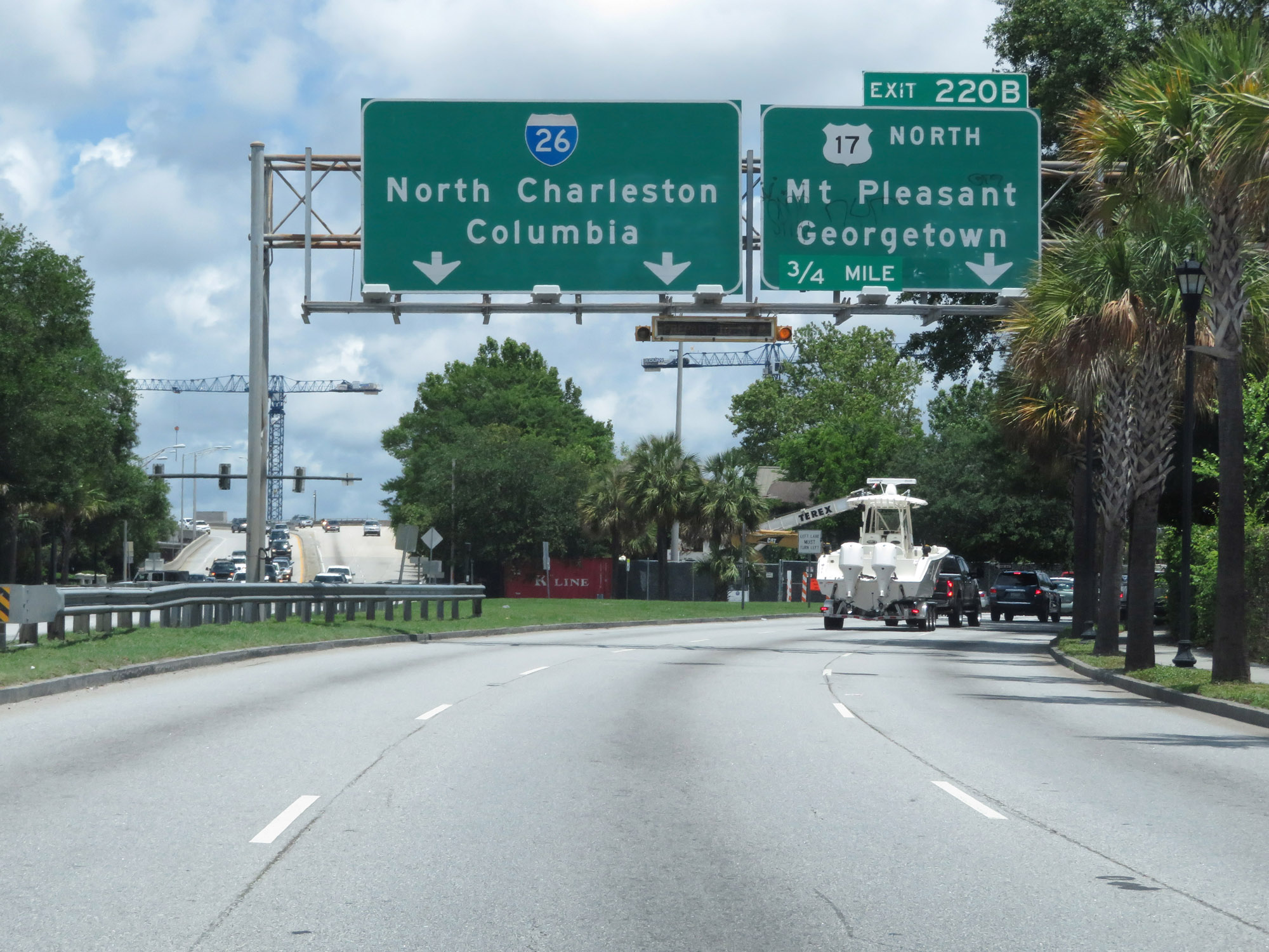 |
Approaching the beginning of Interstate 26 West in Charleston on US 17 North, there is advance signage for its first exit (Exit 220B). (Photo taken 5/25/18). |
 |
Immediately beyond this at-grade intersection with Coming St, Interstate 26 West begins. (Photo taken 5/25/18). |
 |
Begin Interstate 26 West in Charleston. (Photo taken 5/25/18). |
 |
Interstate 26 West at Exit 220B: US 17 North - Mt Pleasant / Georgetown (Photo taken 5/25/18). |
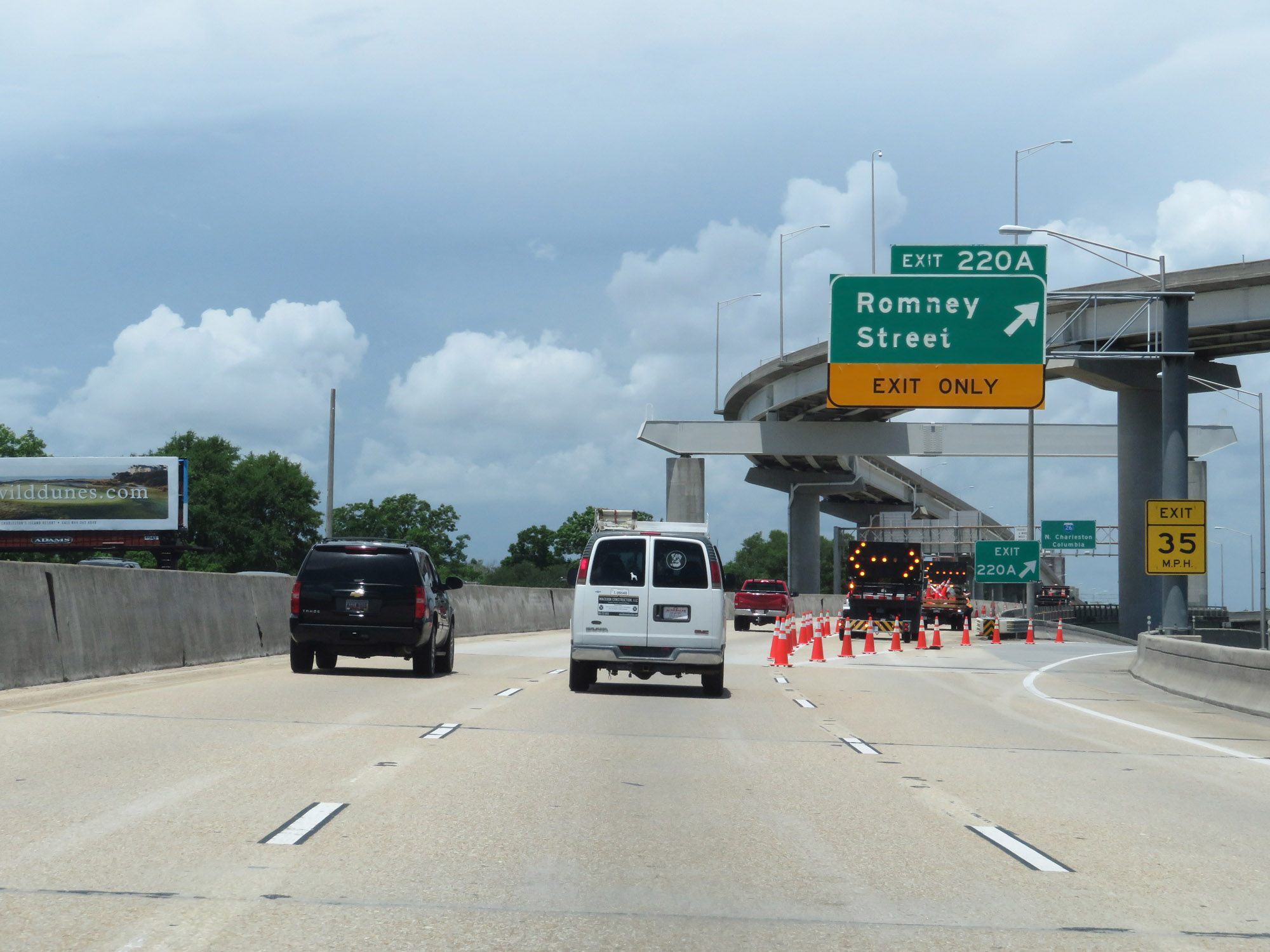 |
Interstate 26 West at Exit 220A: Romney Street (Photo taken 5/25/18). |
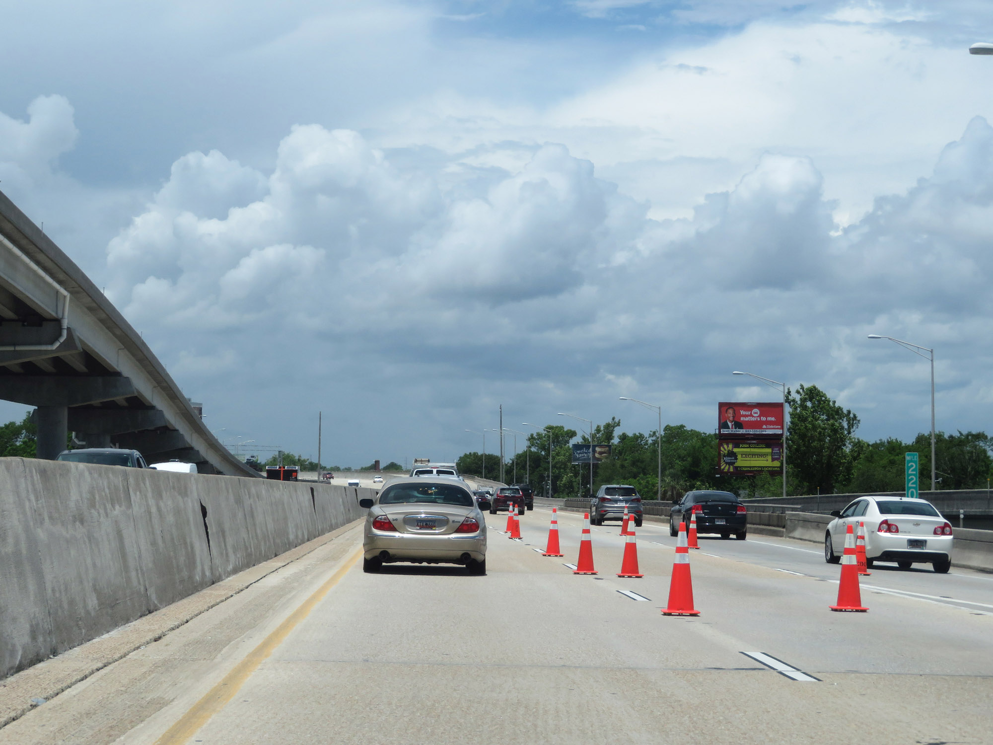 |
Interstate 26 West at mile marker 220 in Charleston. (Photo taken 5/25/18). |
 |
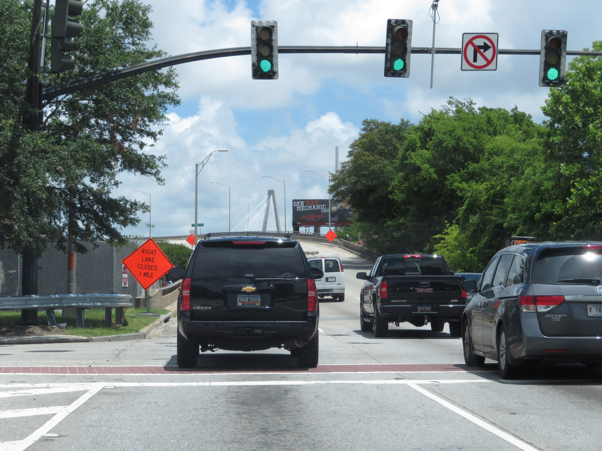
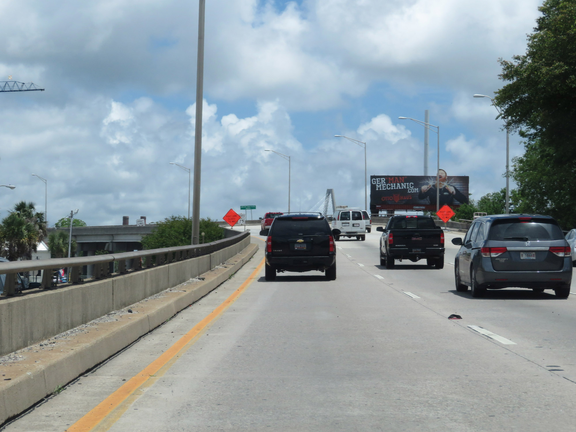
Another view on Interstate 26 West in downtown Charleston. (Photo taken 5/25/18). |
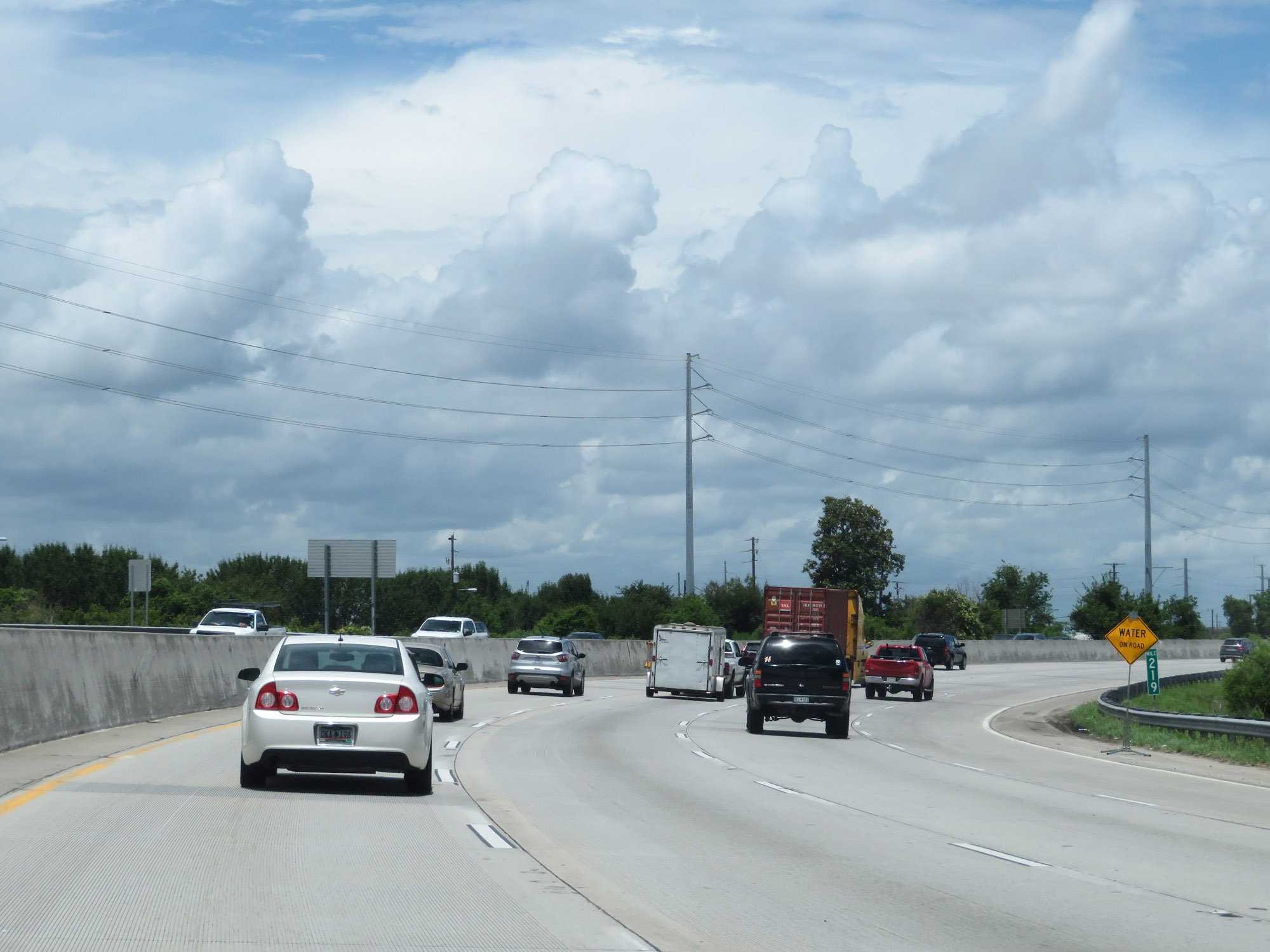 |
Interstate 26 West at mile marker 219. (Photo taken 5/25/18). |
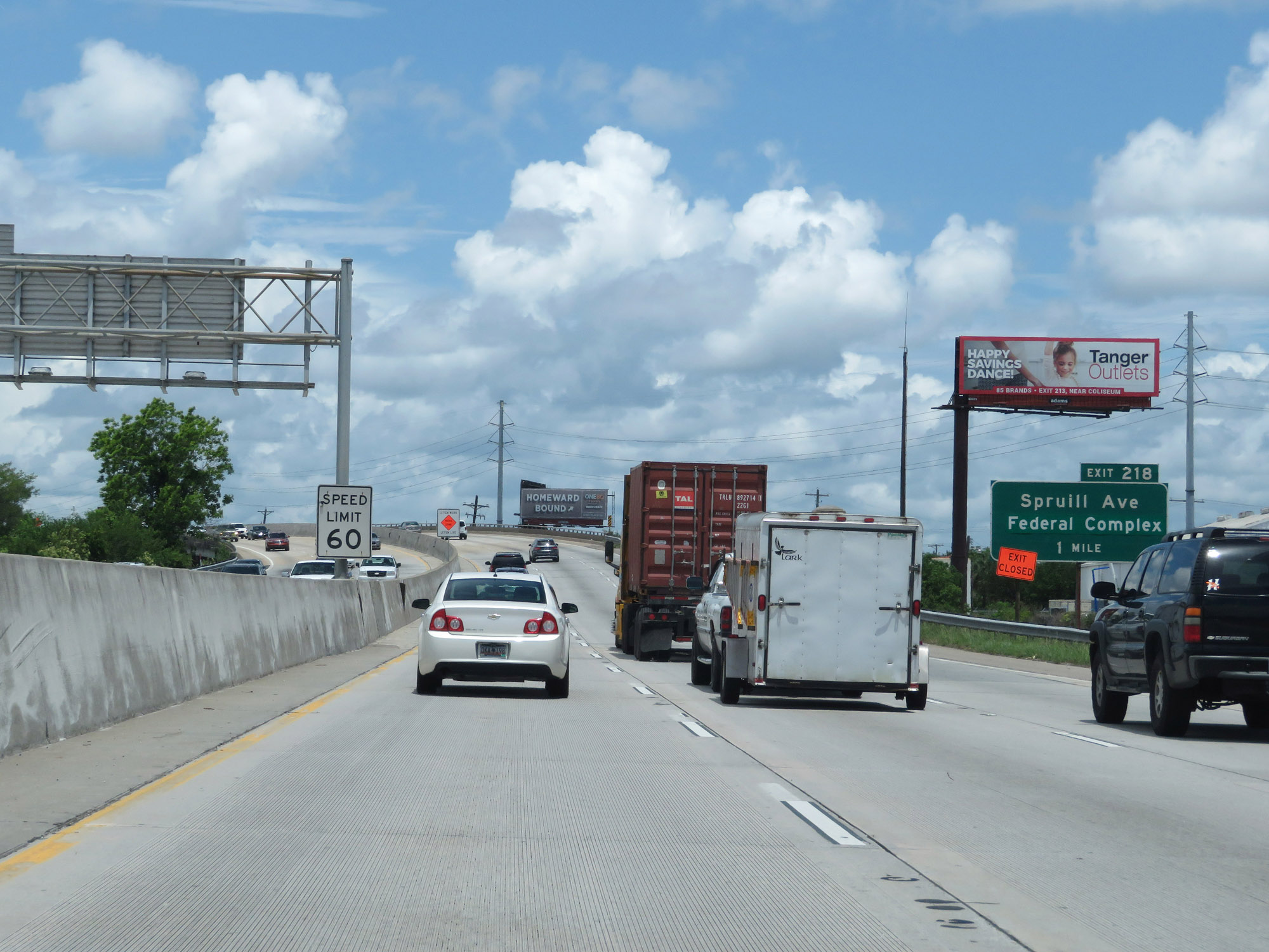 |
The speed limit on Interstate 26 West starts out at 60 mph. (Photo taken 5/25/18). |
 |
Take any of the next 10 exits to North Charleston. (Photo taken 5/25/18). |
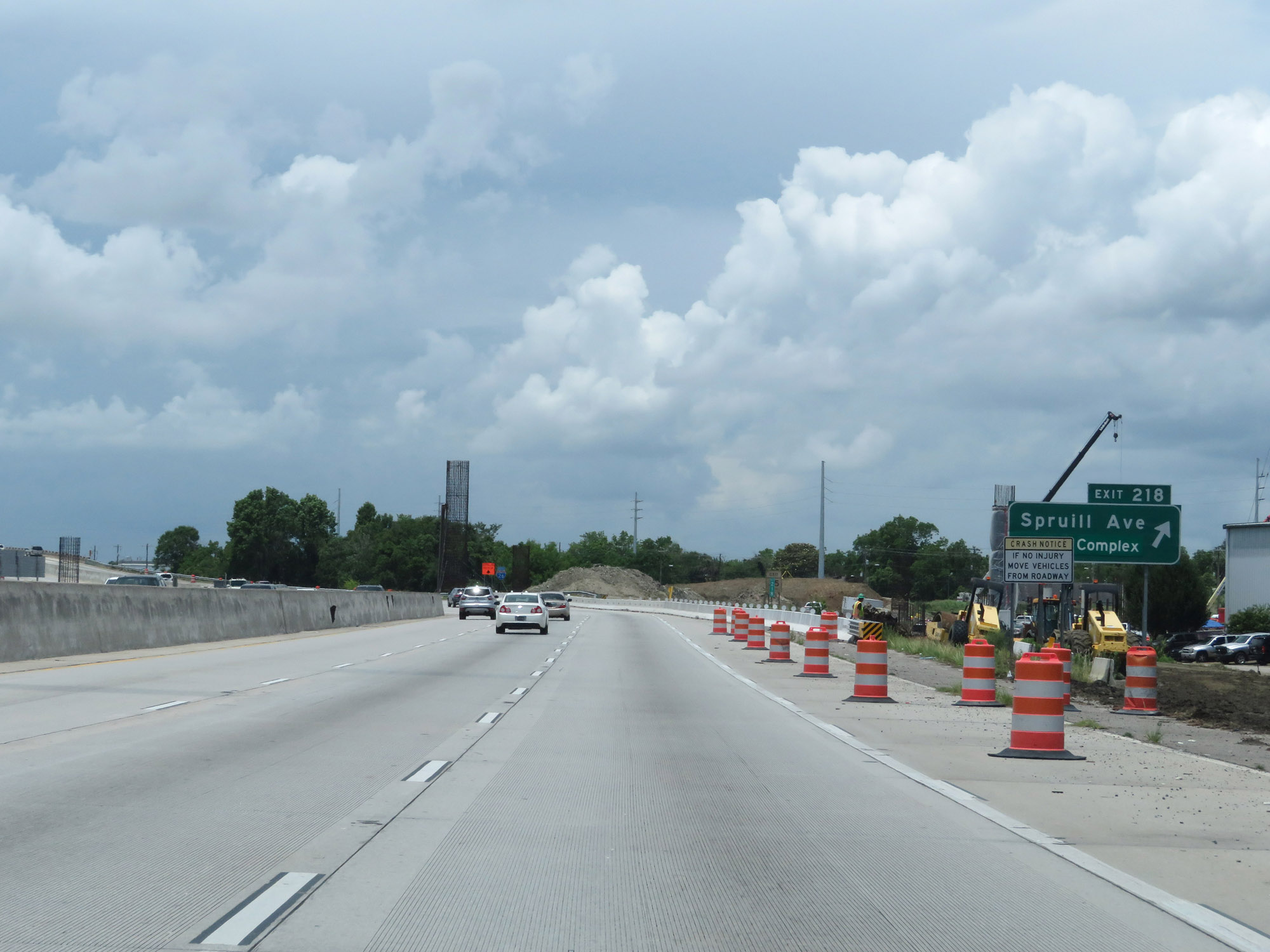 |
Interstate 26 West at Exit 218: Spruill Ave / Federal Complex (Photo taken 5/25/18). |
 |
State-named Interstate 26 West reassurance shield. (Photo taken 5/25/18). |
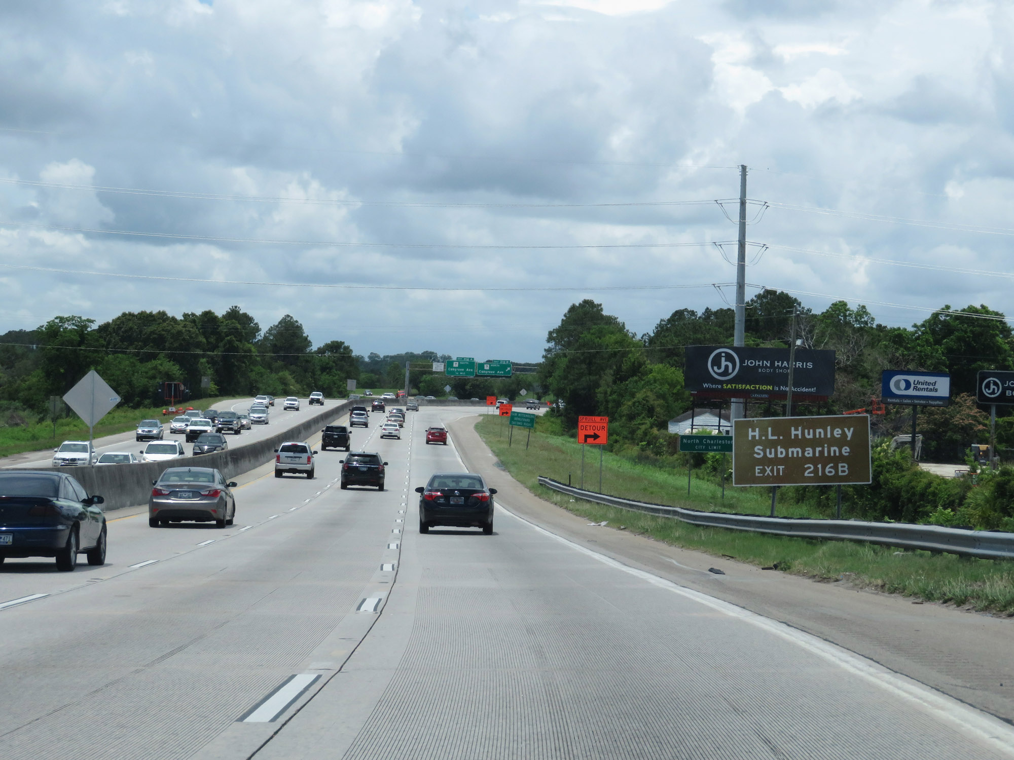 |
Take Exit 216B to H.L. Hunley Submarine. (Photo taken 5/25/18). |
 |
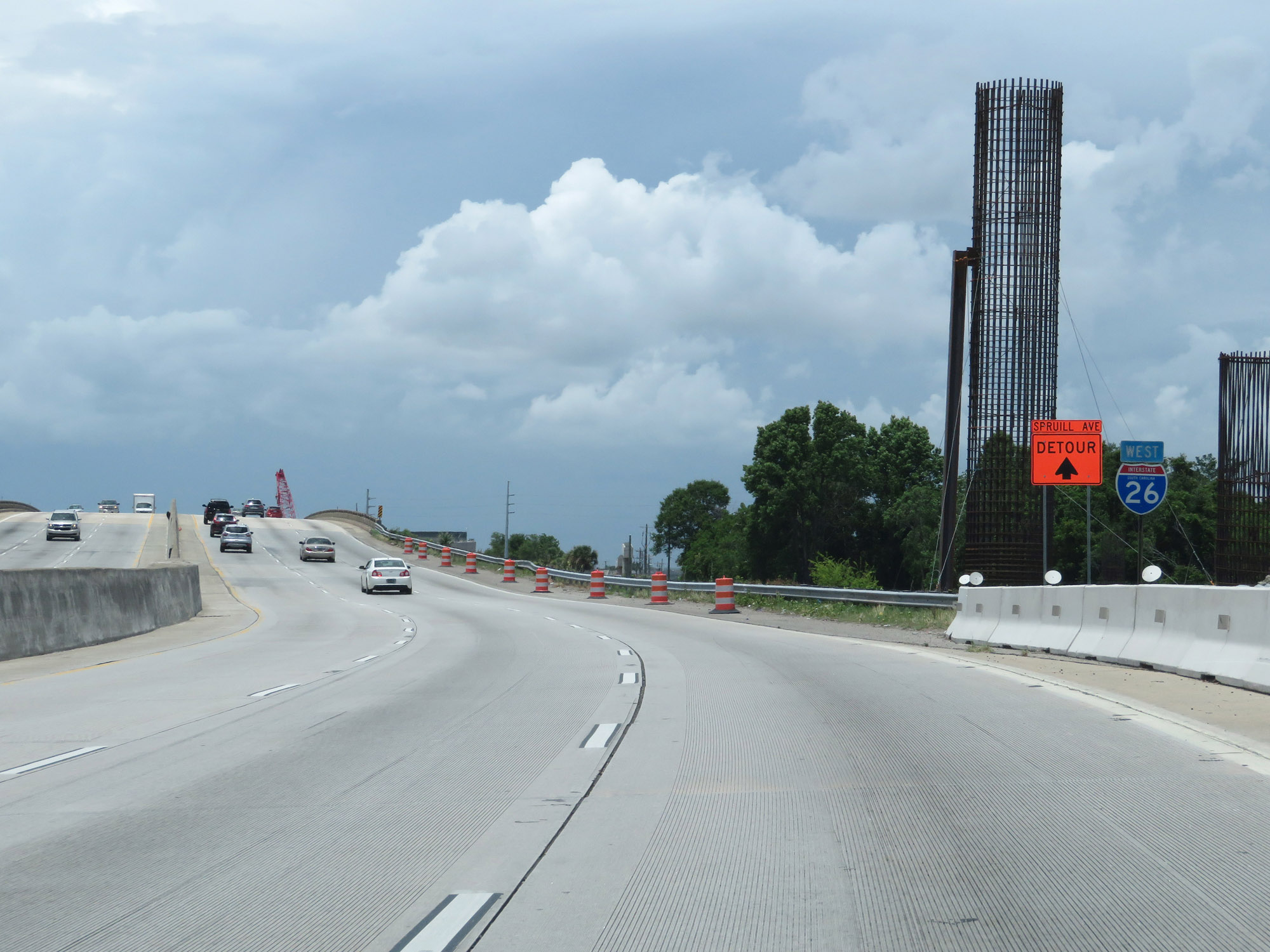
Interstate 26 West at Exit 216B: SC 7 North - Cosgrove Ave (Photo taken 5/25/18). |
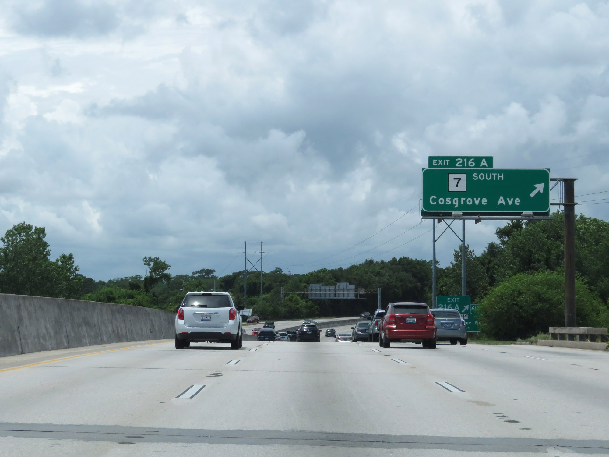 |
Interstate 26 West at Exit 216A: SC 7 South - Cosgrove Ave (Photo taken 5/25/18). |
 |
Interstate 26 West at Exit 215: SC 642 - Dorchester Road (Photo taken 5/25/18). |
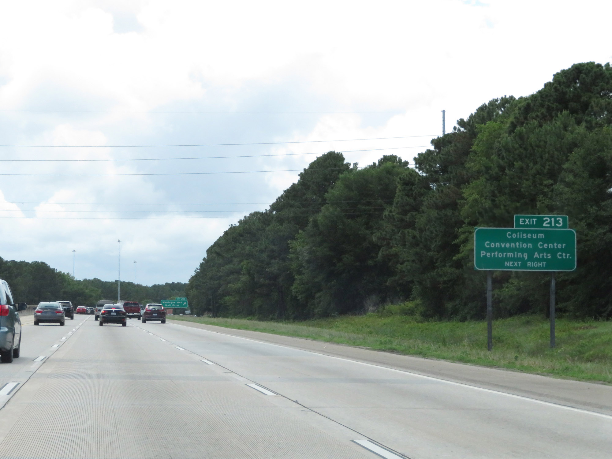 |
Take Exit 213 to the Coliseum, Convention Center, and Performing Arts Center. (Photo taken 5/25/18). |
 |
Interstate 26 West at Exit 213: Montague Ave / Mall Drive (Photo taken 5/25/18). |
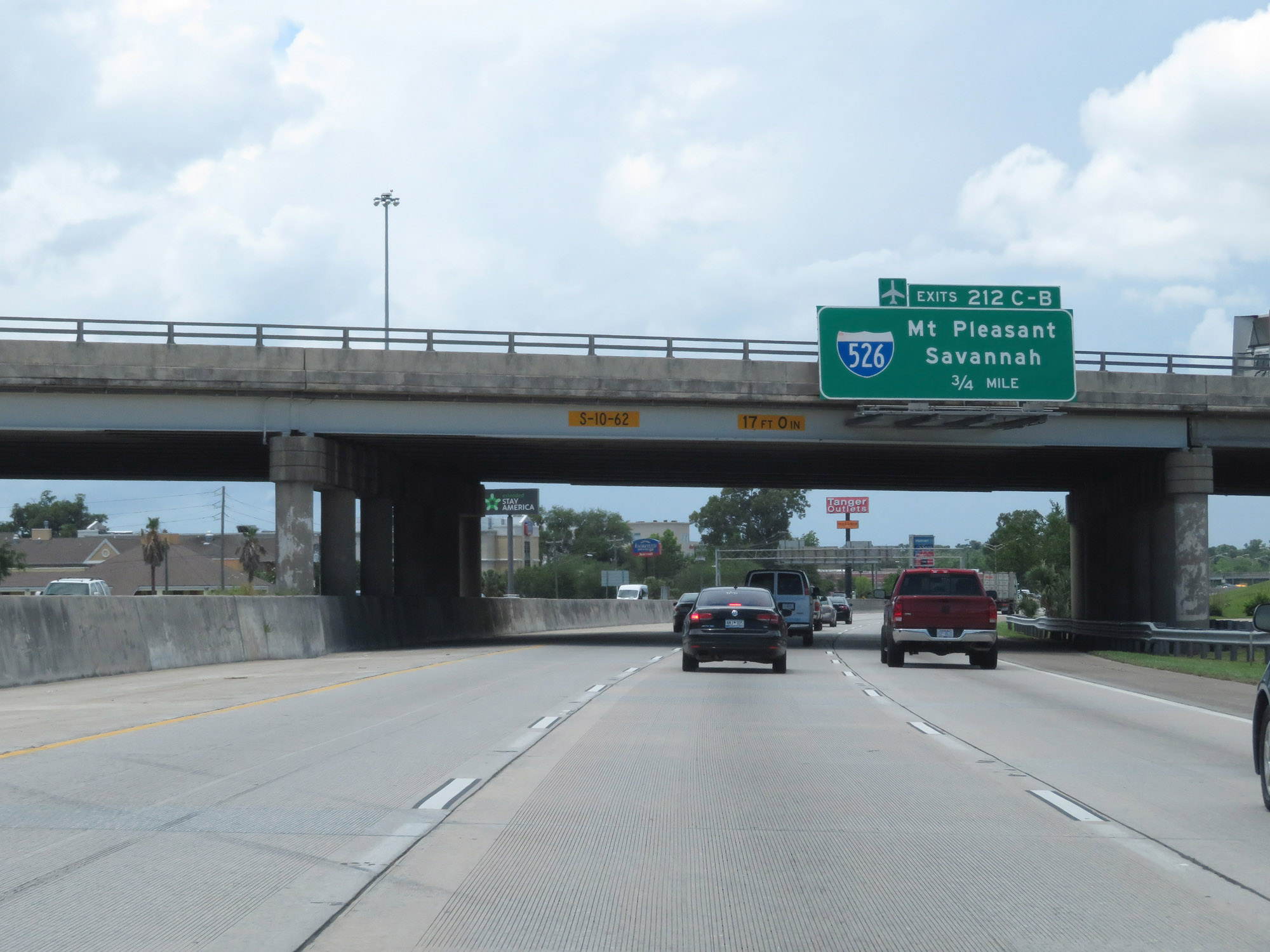 |
Interstate 26 West approaching Exits 212C-B - 3/4 mile. (Photo taken 5/25/18). |
 |
Take Exit 212B (Interstate 526 West) to the Airport. (Photo taken 5/25/18). |
 |
Interstate 26 West at Exit 212C: Interstate 526 East - Mt Pleasant (Photo taken 5/25/18). |
 |
Interstate 26 West at Exit 212B: Interstate 526 West - Savannah (Photo taken 5/25/18). |
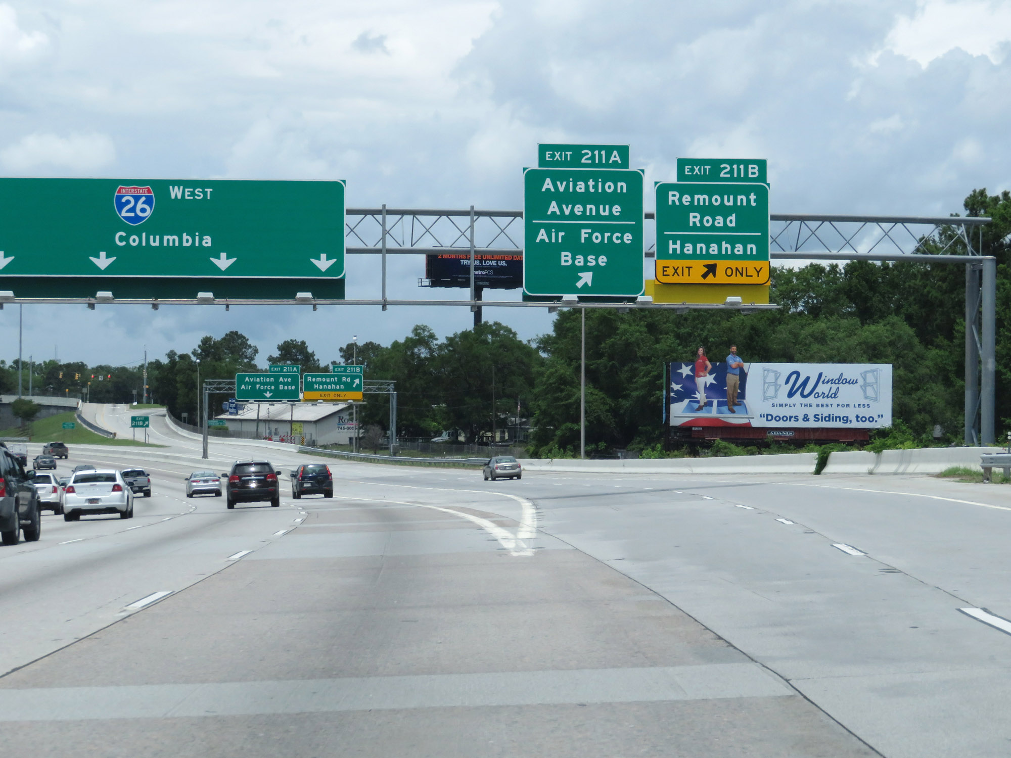 |
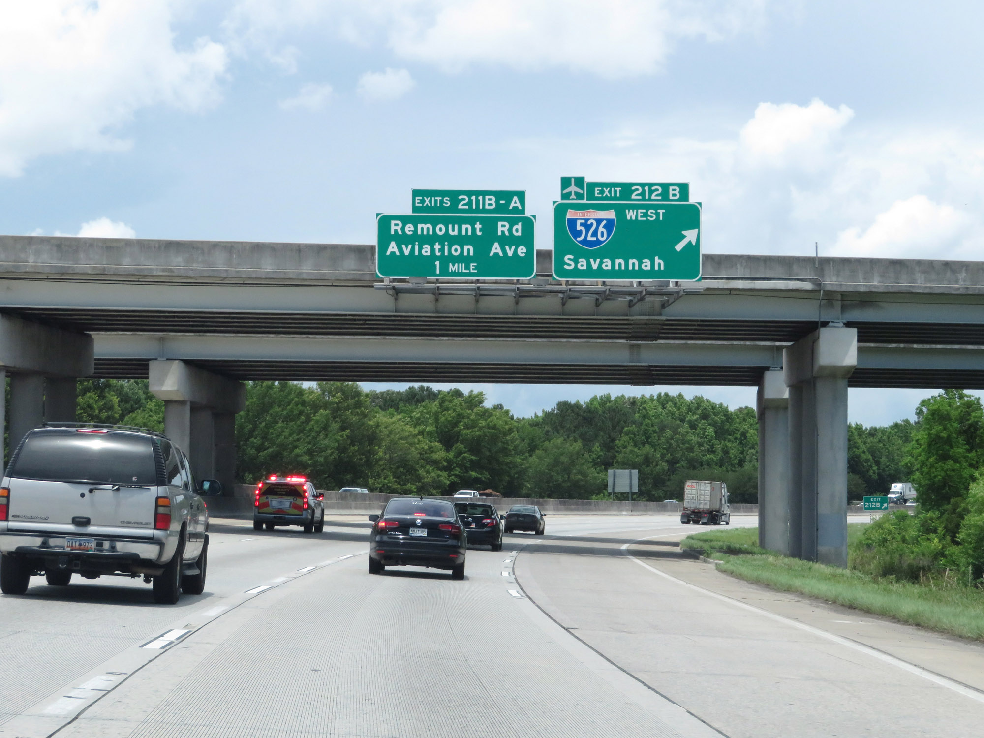
Interstate 26 West at Exit 211B: Remount Road / Hanahan; Exit 211A: Aviation Avenue / Air Force Base (Photo taken 5/25/18). |
 |
The speed limits remain 60 mph maximum and 40 mph minimum. (Photo taken 5/25/18). |
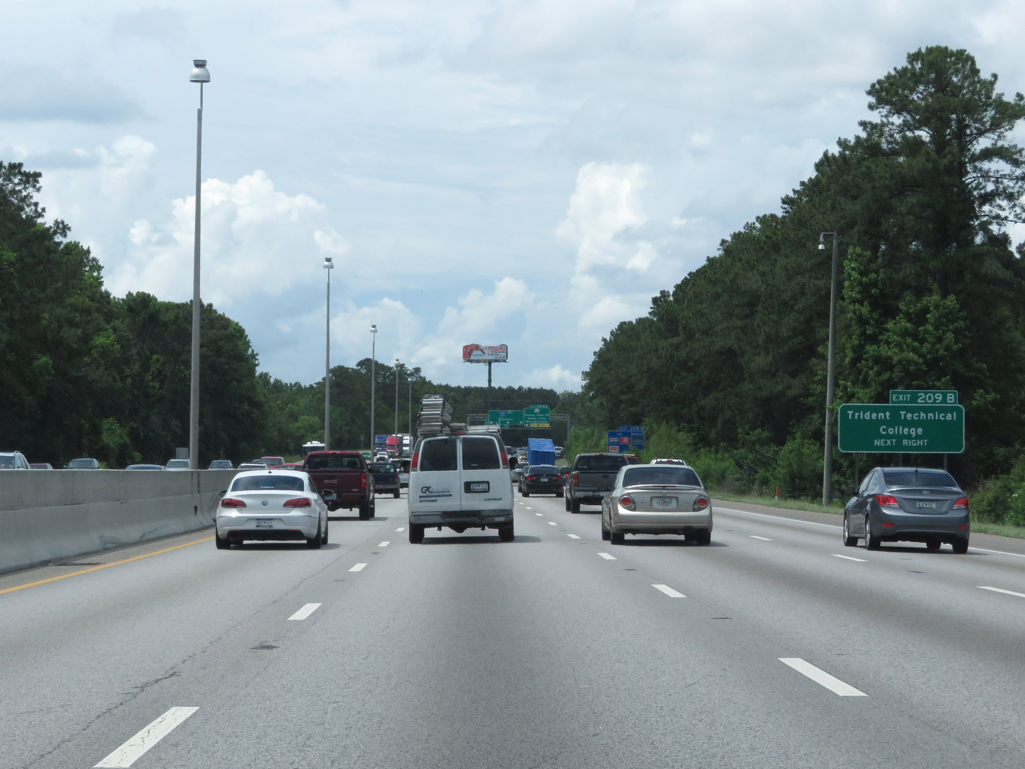 |
Take Exit 209B to Trident Technical College. (Photo taken 5/25/18). |
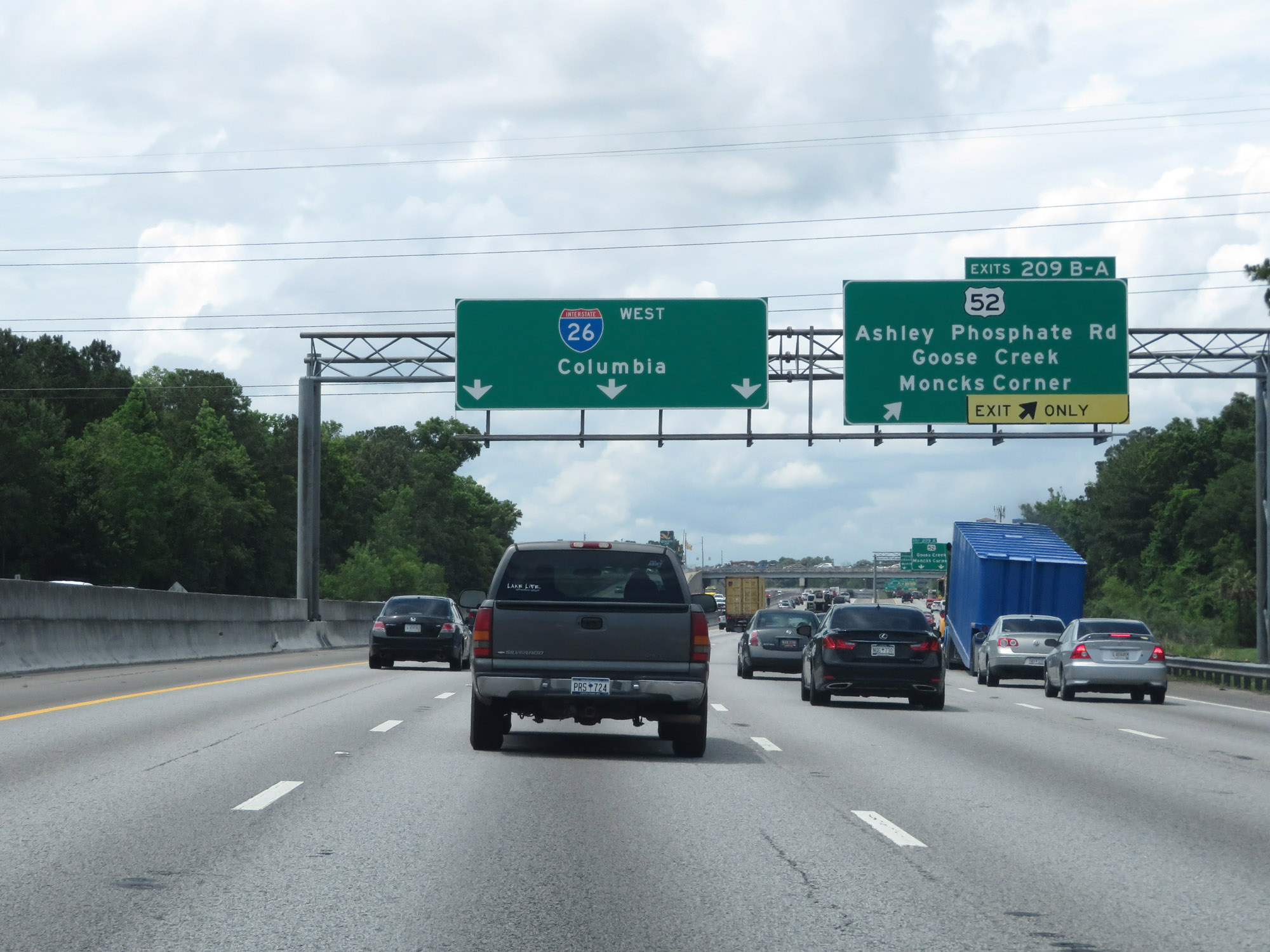 |
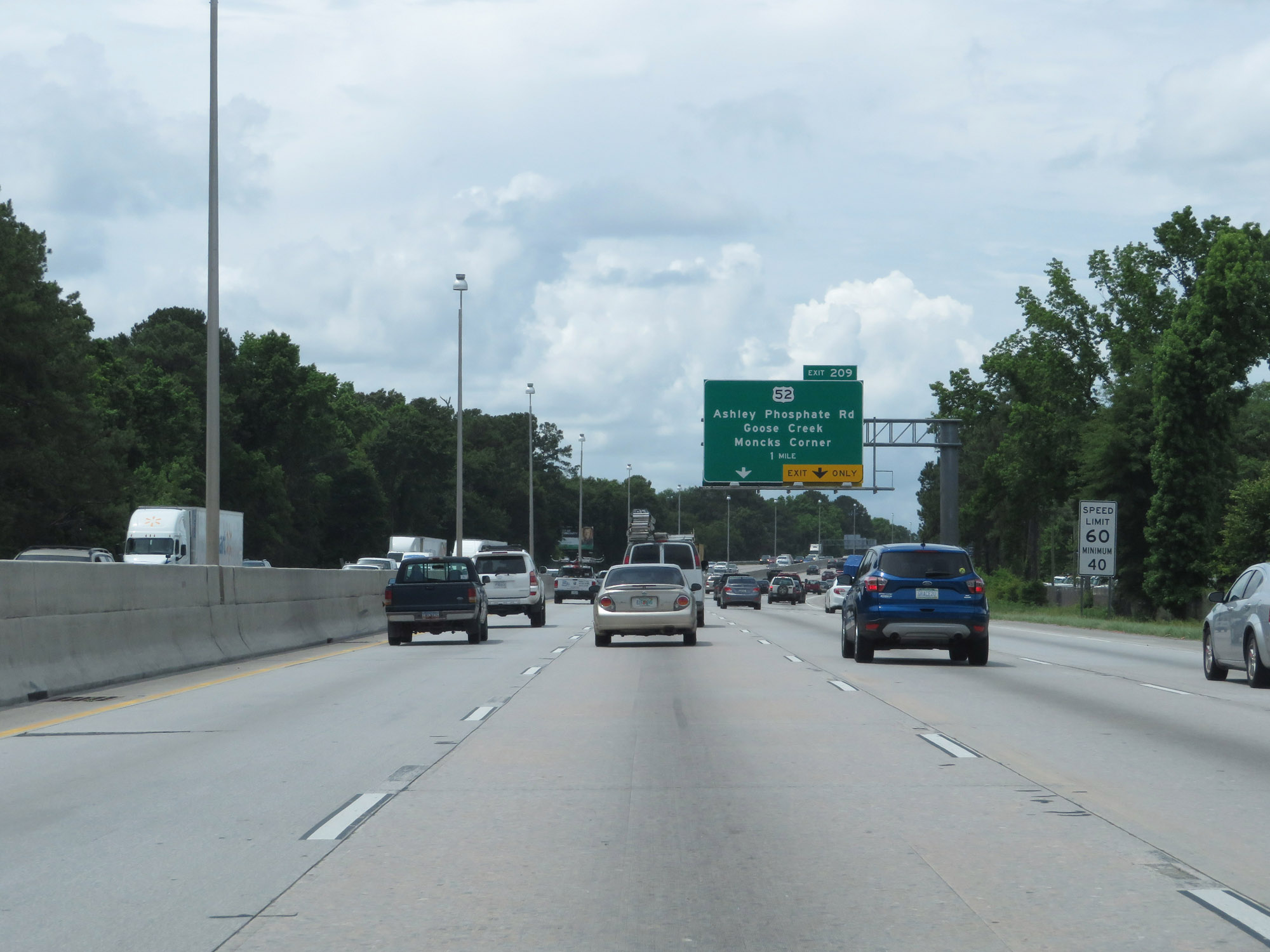
Interstate 26 West at Exits 209B-A: US 52 - Ashley Phosphate Rd / Goose Creek / Moncks Corner (Photo taken 5/25/18). |
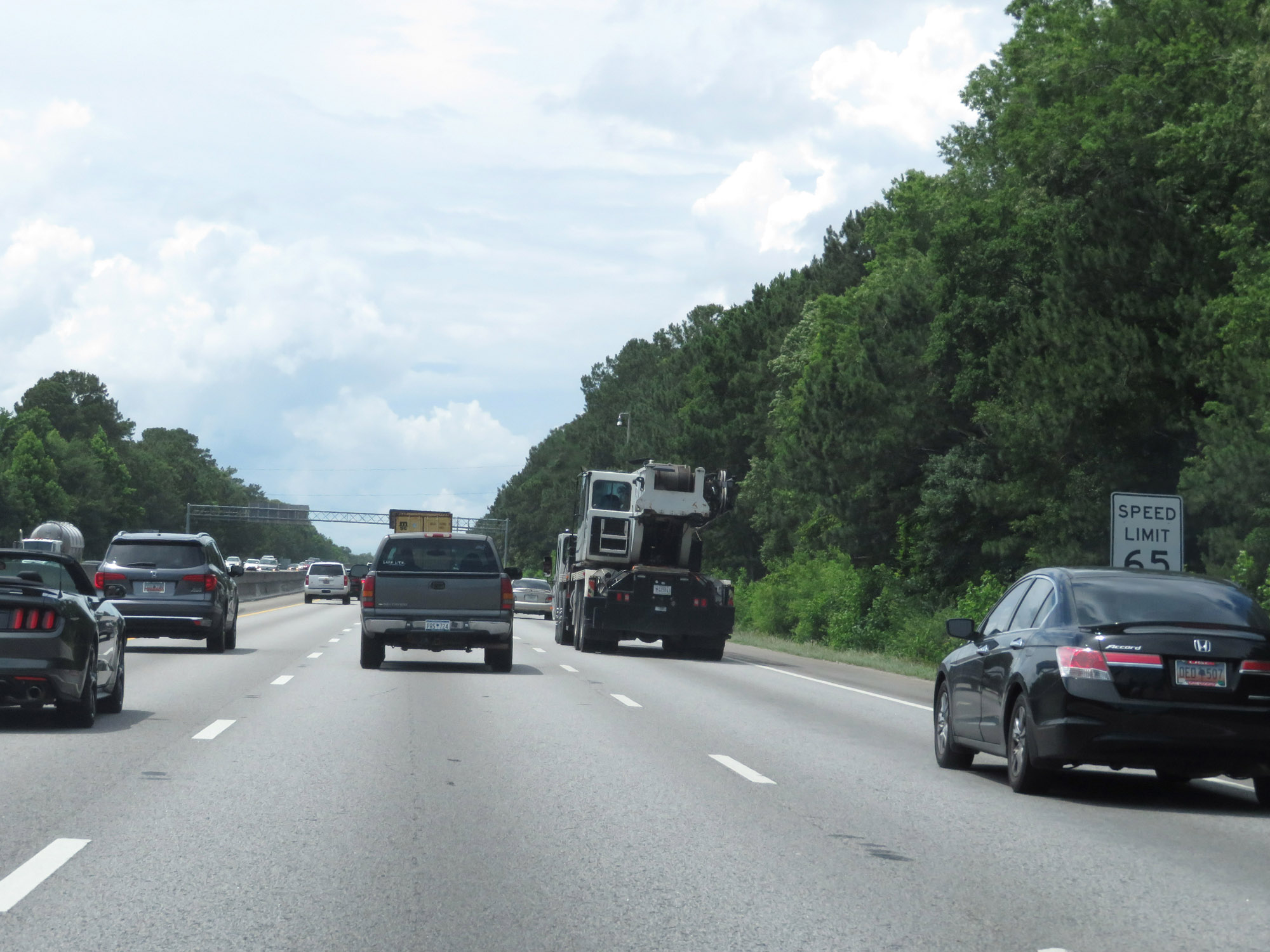 |
Beyond Exits 209B-A, the maximum speed limit increases to 65 mph. (Photo taken 5/25/18). |
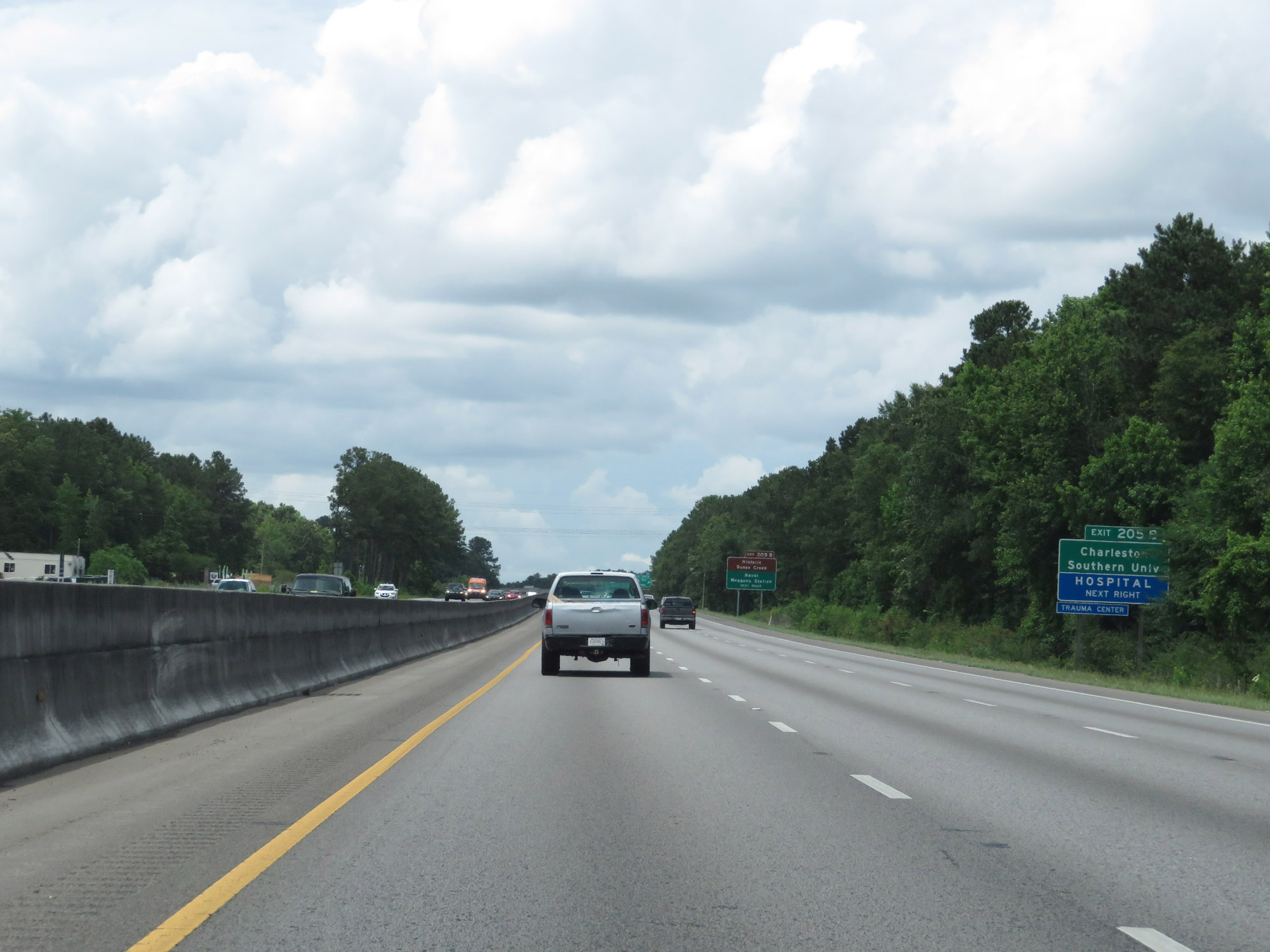 |
Take Exit 205B to Charleston Southern University. (Photo taken 5/25/18). |
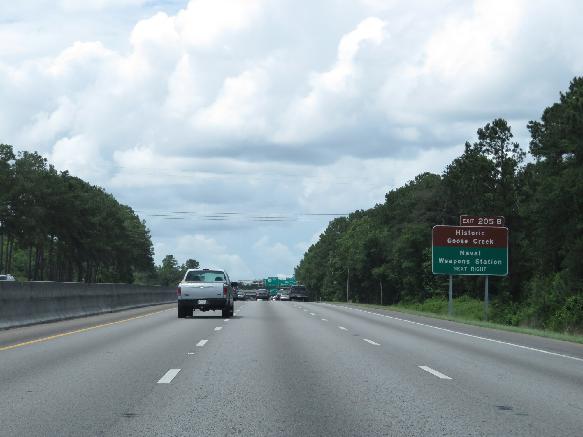 |
Also take Exit 205B to Historic Goose Creek and the Naval Weapons Station. (Photo taken 5/25/18). |
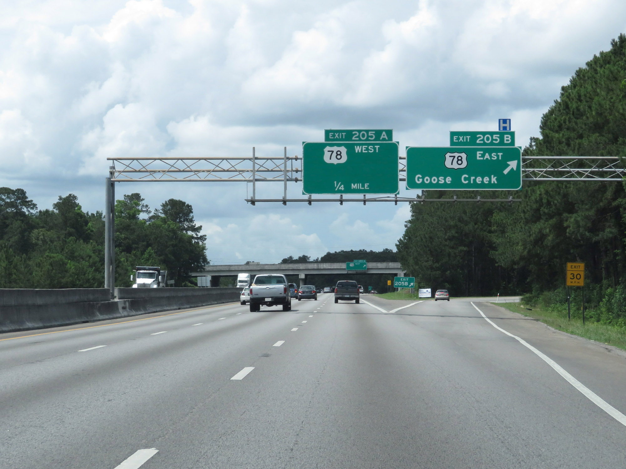 |
Interstate 26 West at Exit 205B: US 78 East - Goose Creek (Photo taken 5/25/18). |
 |
Interstate 26 West at Exit 205A: US 78 West (Photo taken 5/25/18). |
 |
The speed limits remain 65 mph maximum and 45 mph minimum. (Photo taken 5/25/18). |
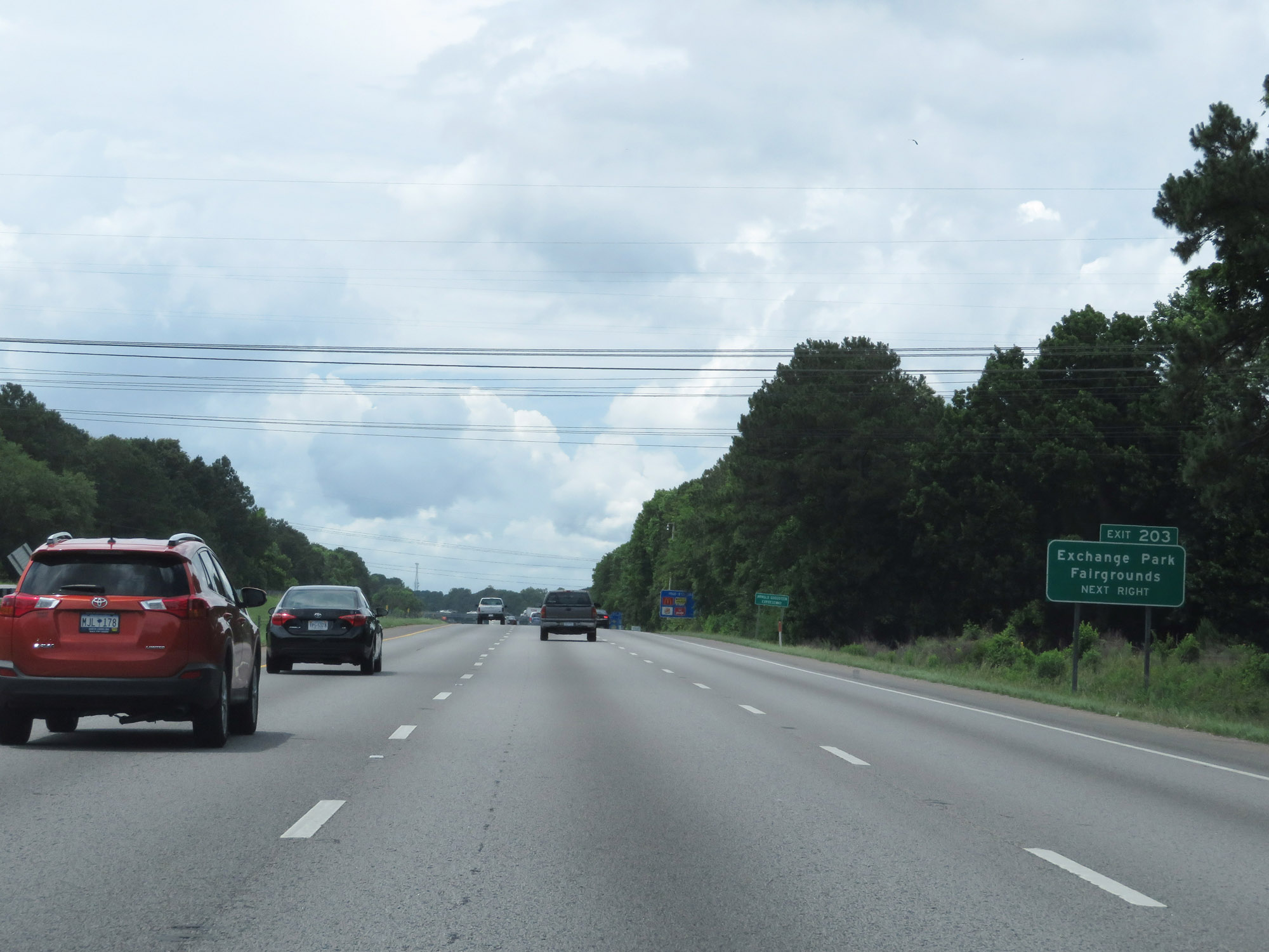 |
Take Exit 203 to Exchange Park Fairgrounds. (Photo taken 5/25/18). |
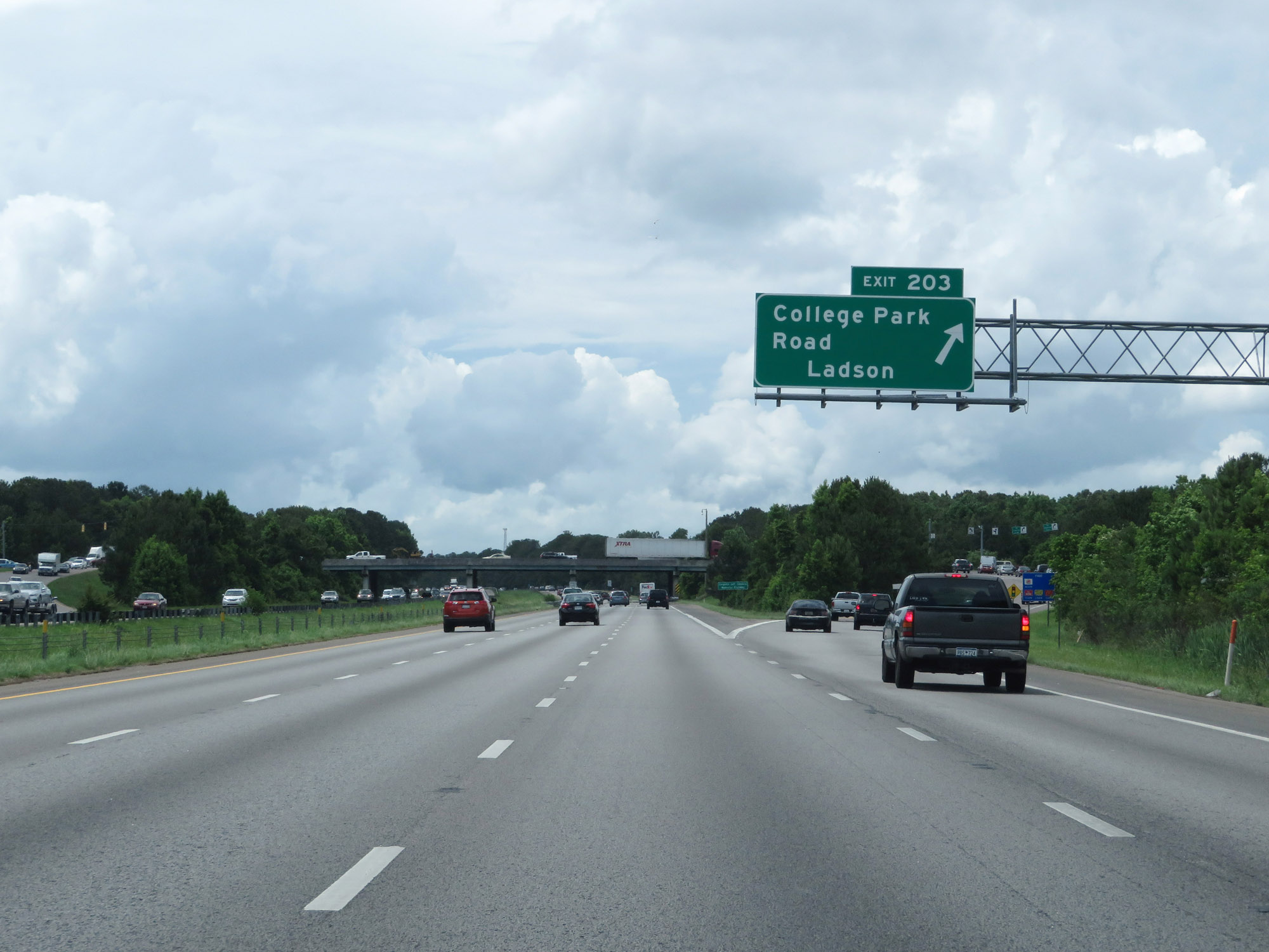 |
Interstate 26 West at Exit 203: College Park Road / Ladson (Photo taken 5/25/18). |
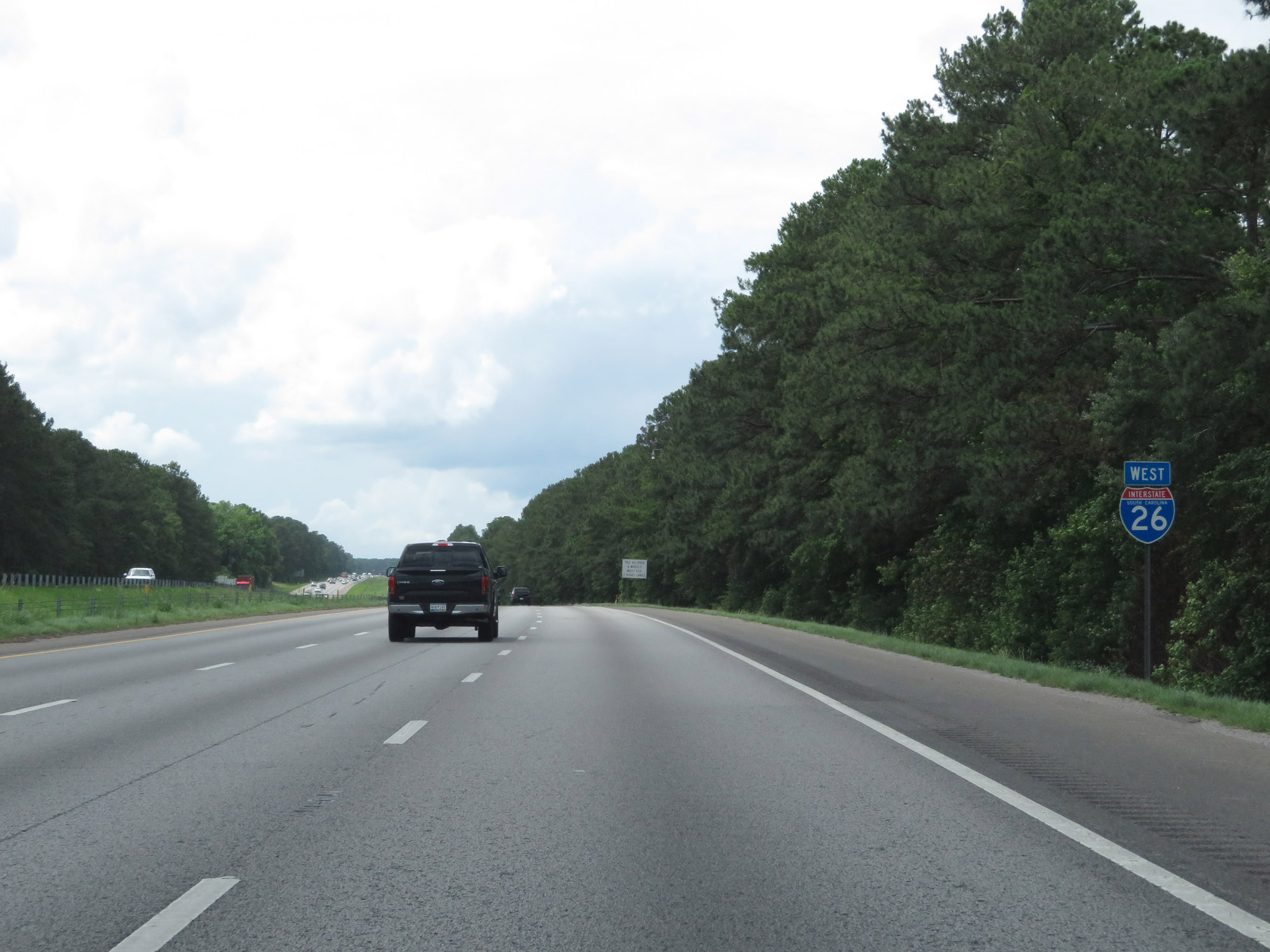 |
State-named Interstate 26 West reassurance shield. (Photo taken 5/25/18). |
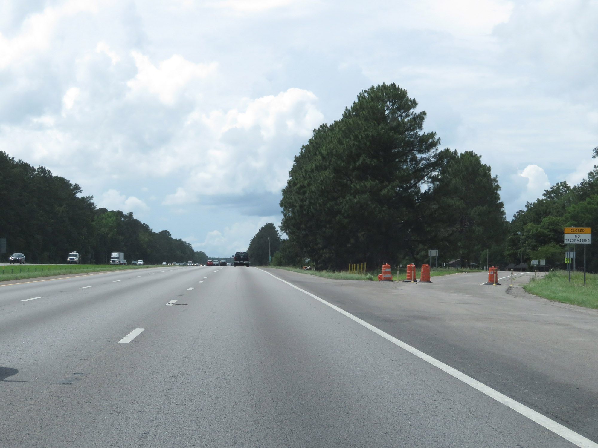 |
Closed Rest Area on Interstate 26 West in Berkeley County. (Photo taken 5/25/18). |
 |
Interstate 26 West at mile marker 200. (Photo taken 5/25/18). |
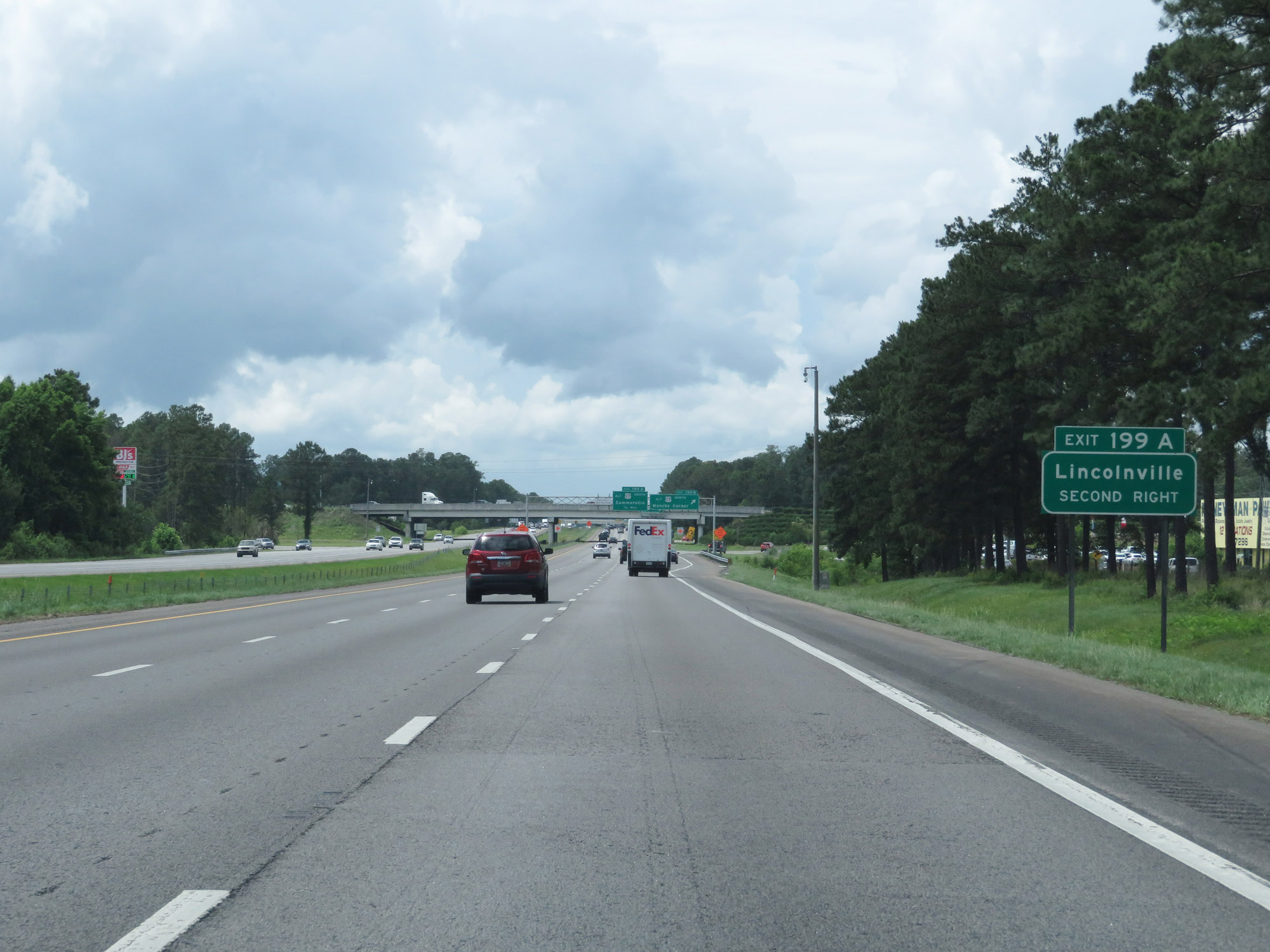 |
Take Exit 199A to Lincolnville. (Photo taken 5/25/18). |
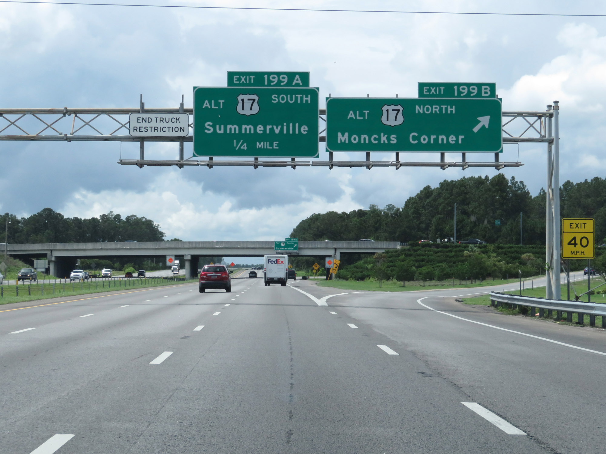 |
Interstate 26 West at Exit 199B: US 17 Alternate North - Moncks Corner (Photo taken 5/25/18). |
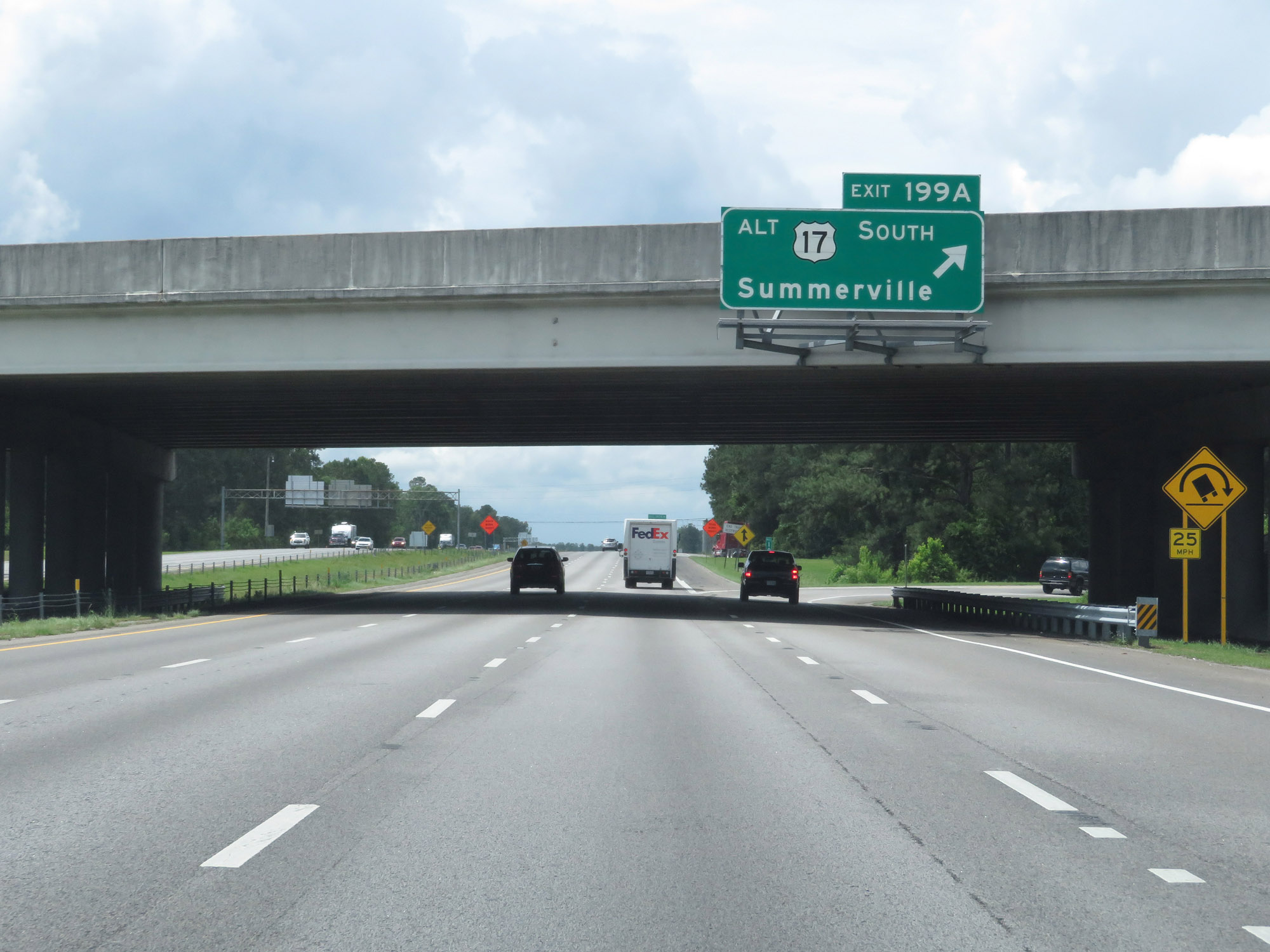 |
Interstate 26 West at Exit 199A: US 17 Alternate South - Summerville (Photo taken 5/25/18). |
 |
West of Exit 199A, the maximum speed limit increases to 70 mph. The minimum speed limit remains 45 mph. These are the standard speed limits on most rural Interstate highways in South Carolina. (Photo taken 5/25/18). |
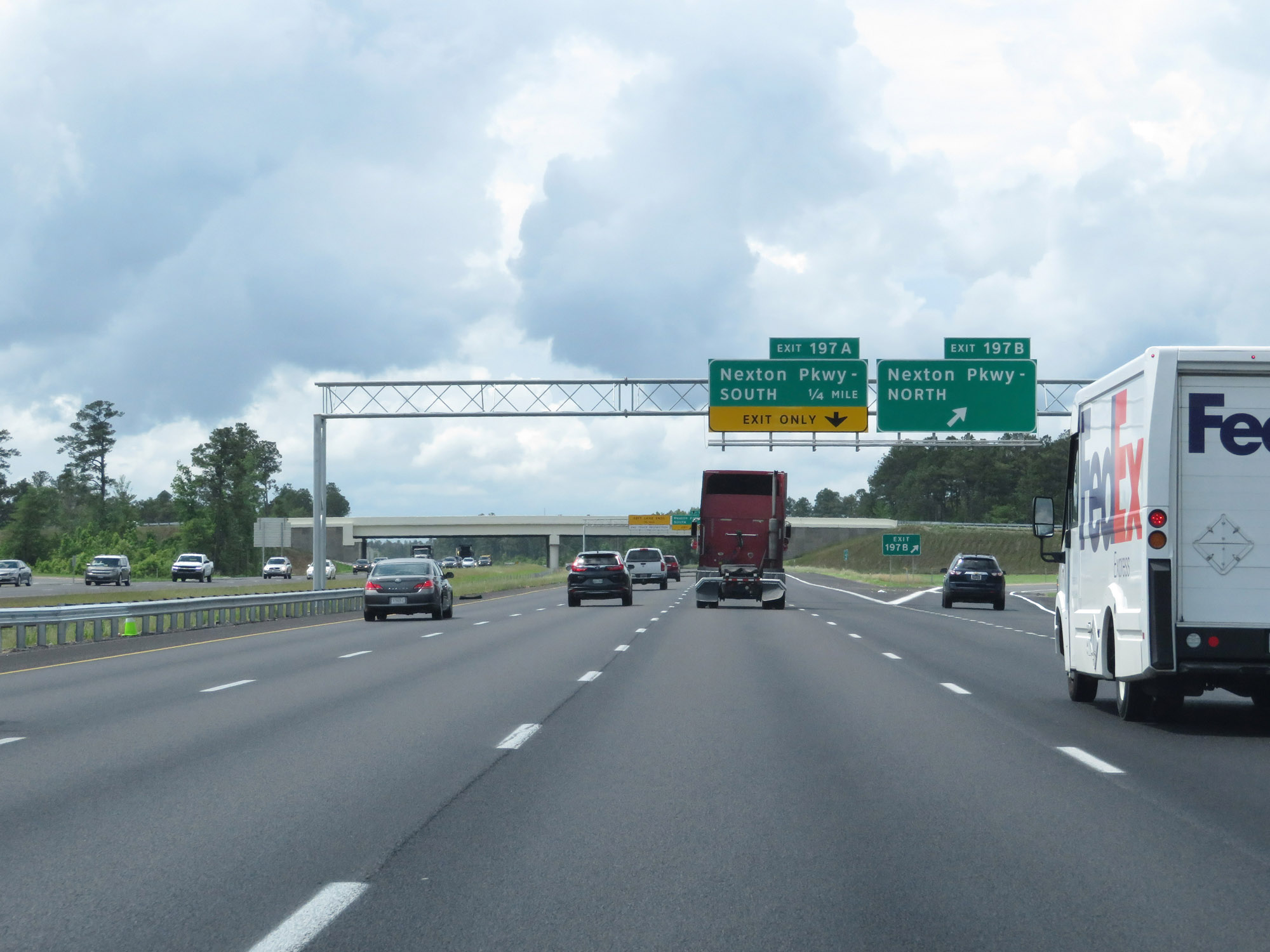 |
Interstate 26 West at Exit 197B: Nexton Pkwy North (Photo taken 5/25/18). |
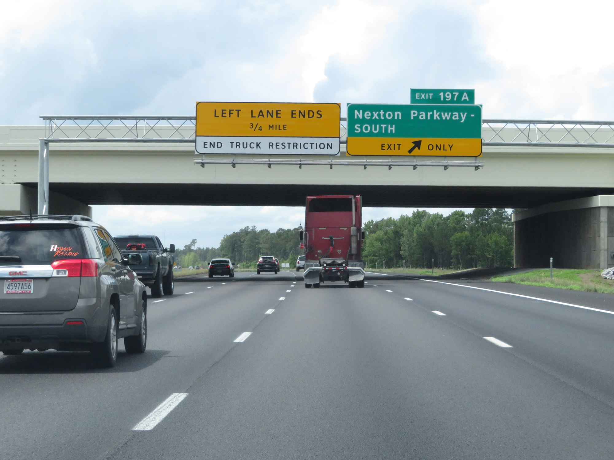 |
Interstate 26 West at Exit 197A: Nexton Pkwy South (Photo taken 5/25/18). |
 |
At mile marker 197, the leftmost lane comes to an end. (Photo taken 5/25/18). |
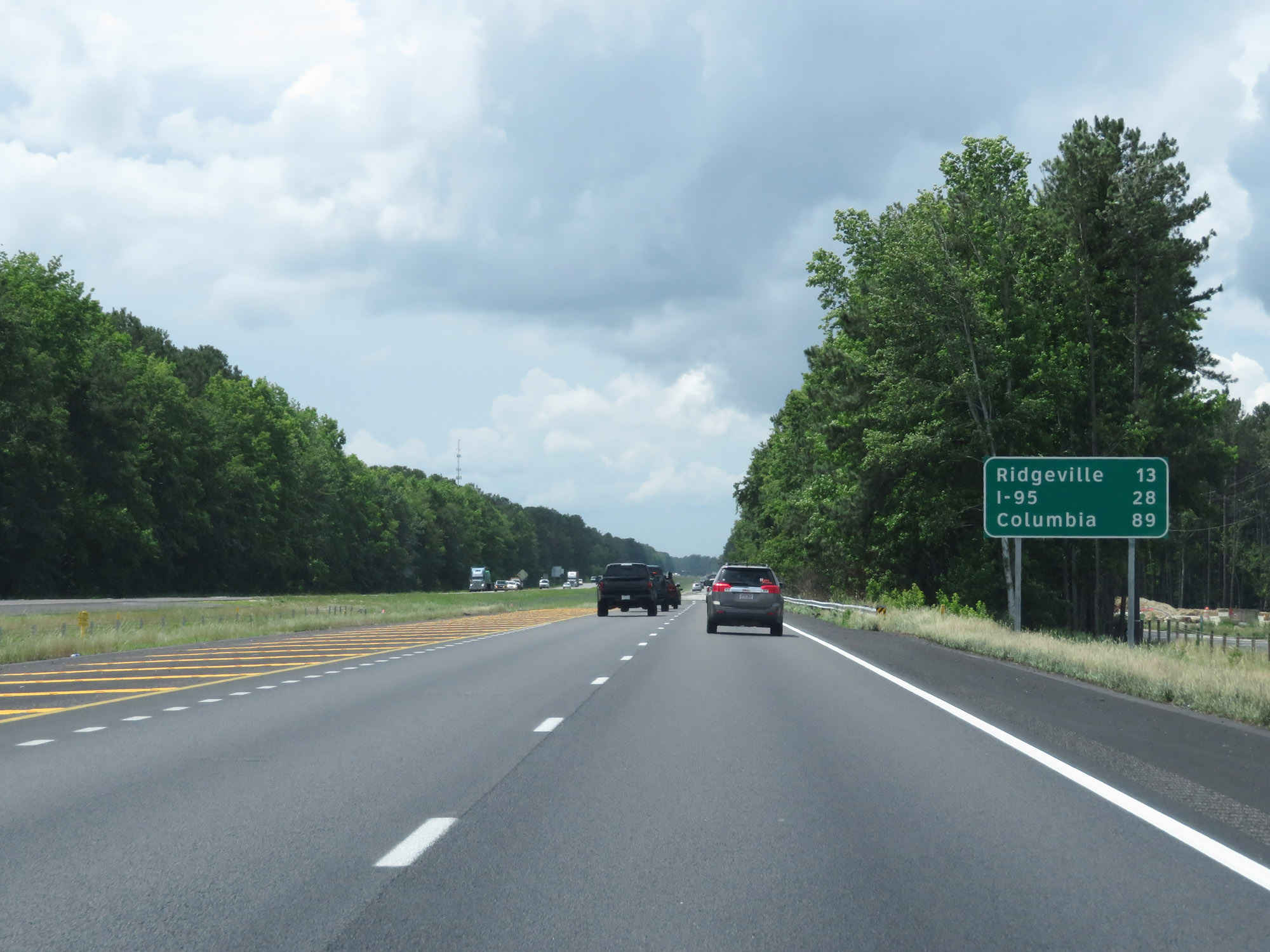 |
Mileage sign on Interstate 26 West. It's 13 miles to Ridgeville, 28 miles to the junction of Interstate 95, and 89 miles to Columbia. (Photo taken 5/25/18). |
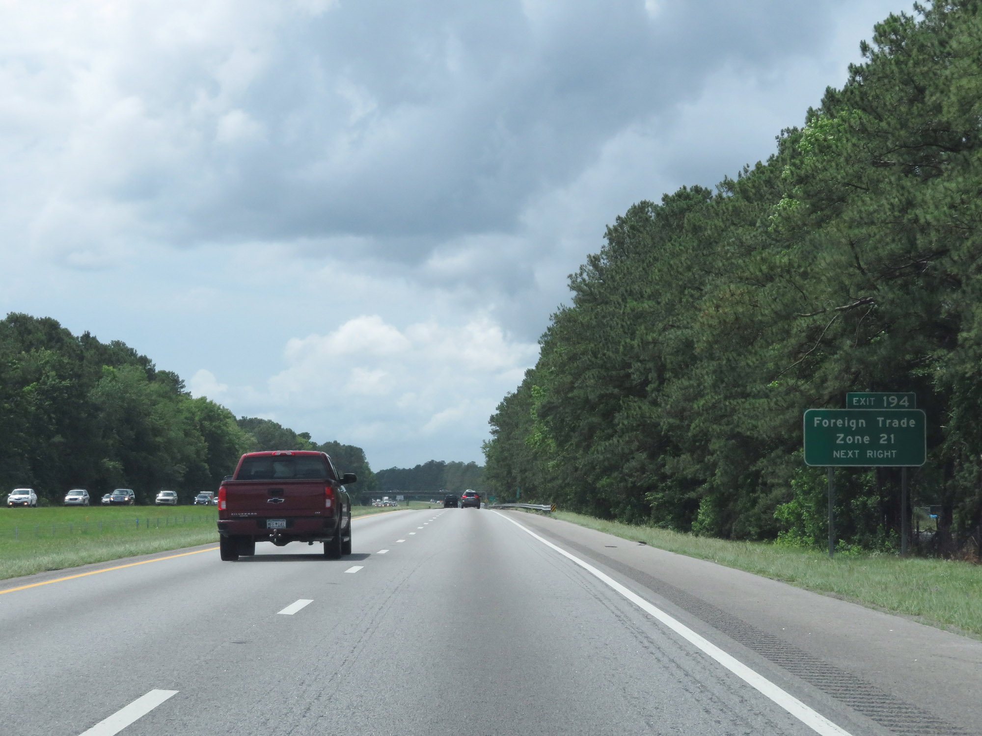 |
Take Exit 194 to Foreign Trade Zone 21. (Photo taken 5/25/18). |
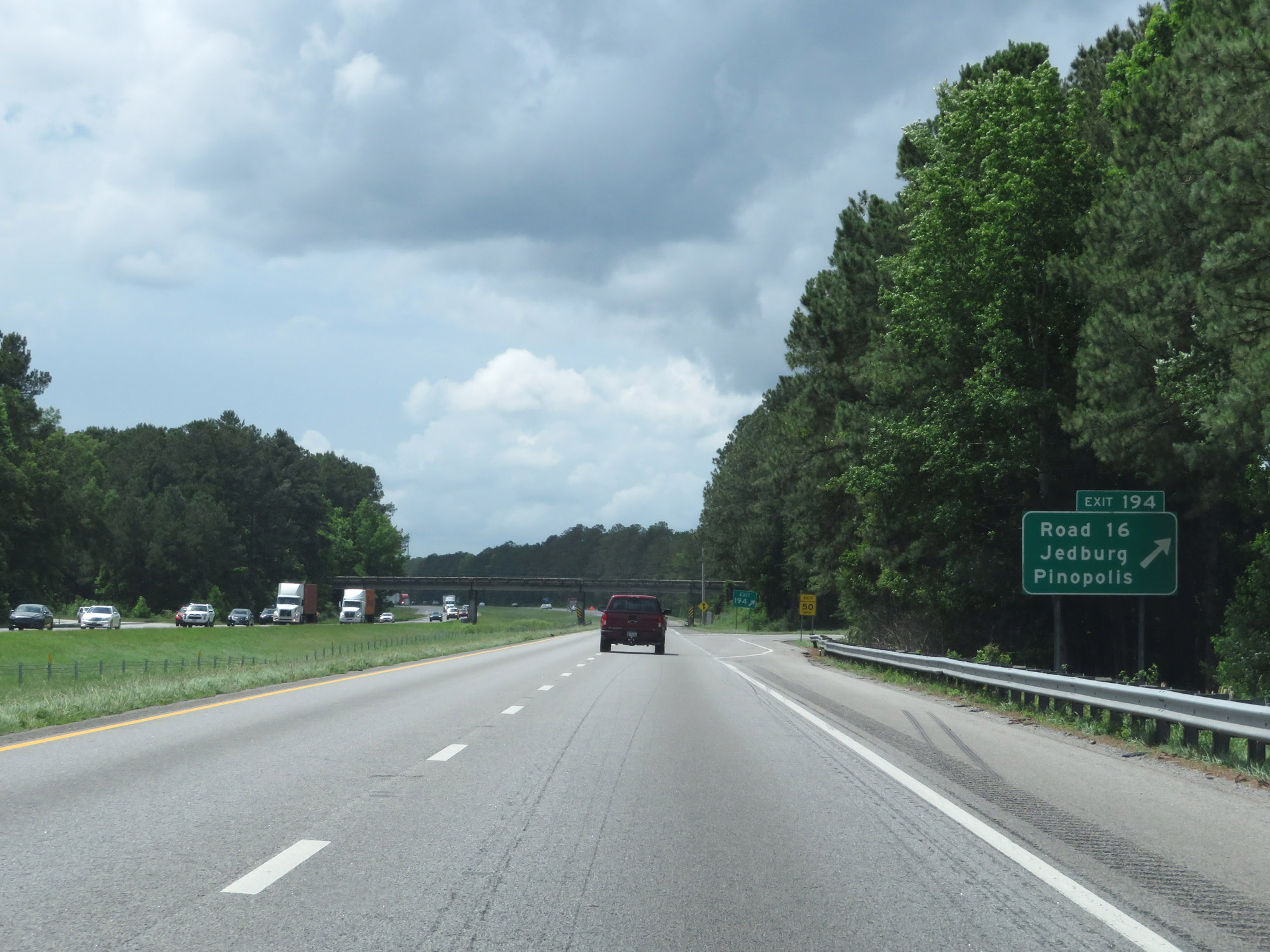 |
Interstate 26 West at Exit 194: Road 16 / Jedburg / Pinopolis (Photo taken 5/25/18). |
 |
View on Interstate 26 West at mile marker 192. (Photo taken 5/25/18). |
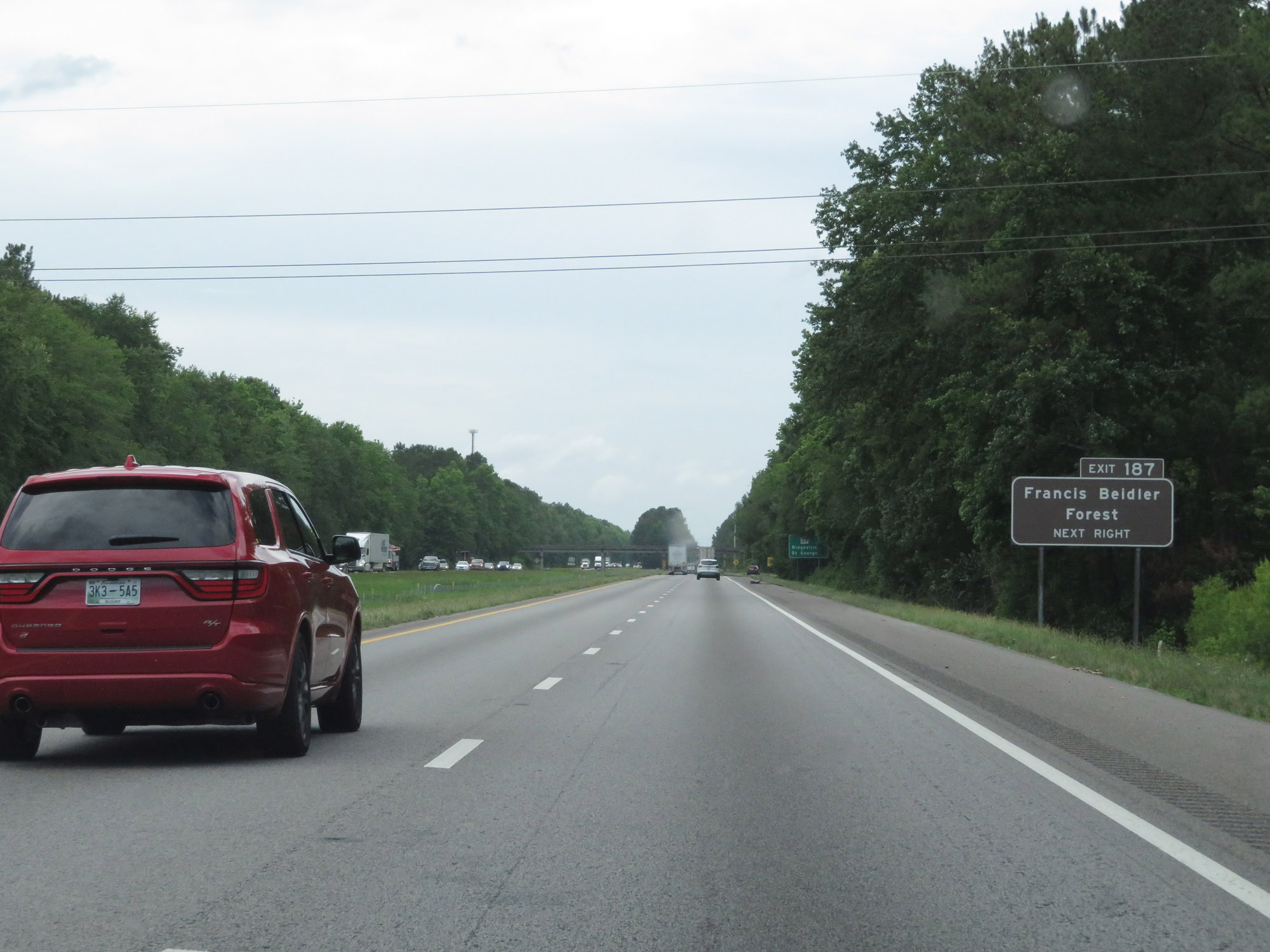 |
Take Exit 187 to Francis Beidler Forest. (Photo taken 5/25/18). |
 |
Interstate 26 West at Exit 187: SC 27 - Ridgeville / St George (Photo taken 5/25/18). |
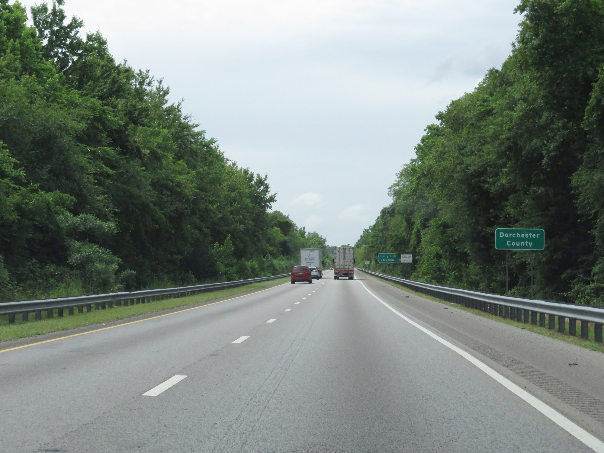 |
Interstate 26 West as it enters Dorchester County. (Photo taken 5/25/18). |
 |
View on Interstate 26 West at mile marker 184. (Photo taken 5/25/18). |
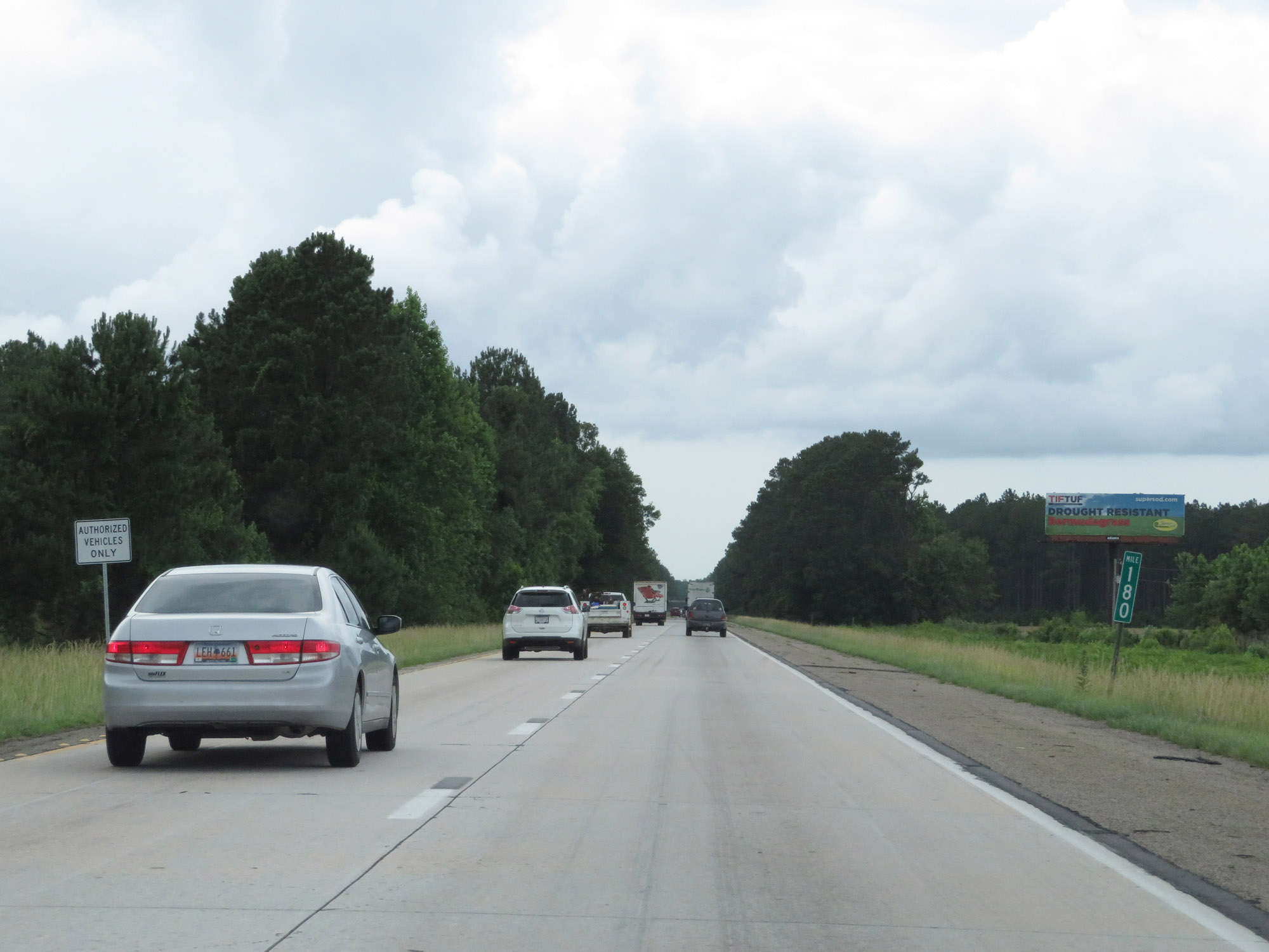 |
Interstate 26 West at mile marker 180. (Photo taken 5/25/18). |
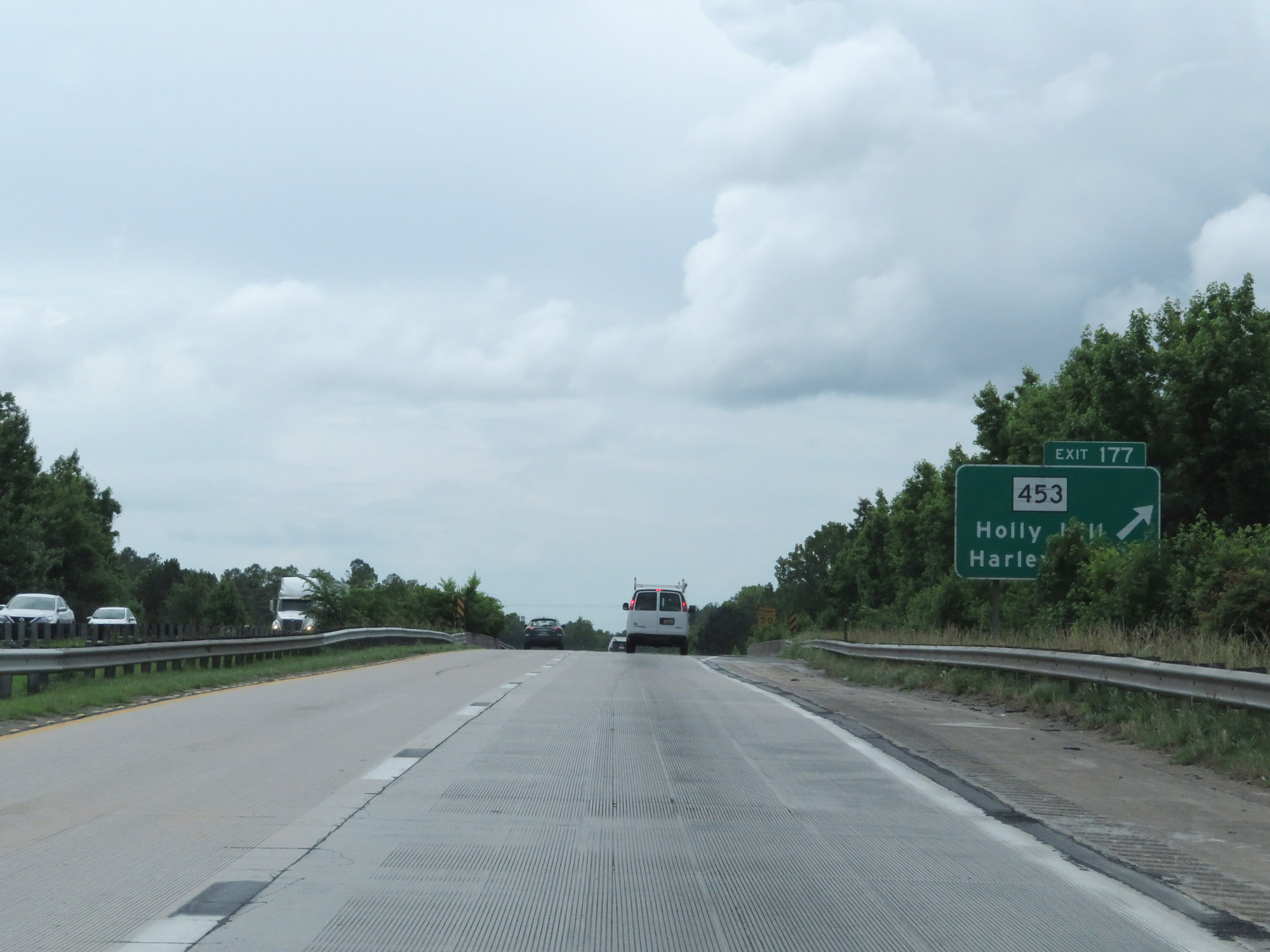 |
Interstate 26 West at Exit 177: SC 453 - Holly Hill / Harleyville (Photo taken 5/25/18). |
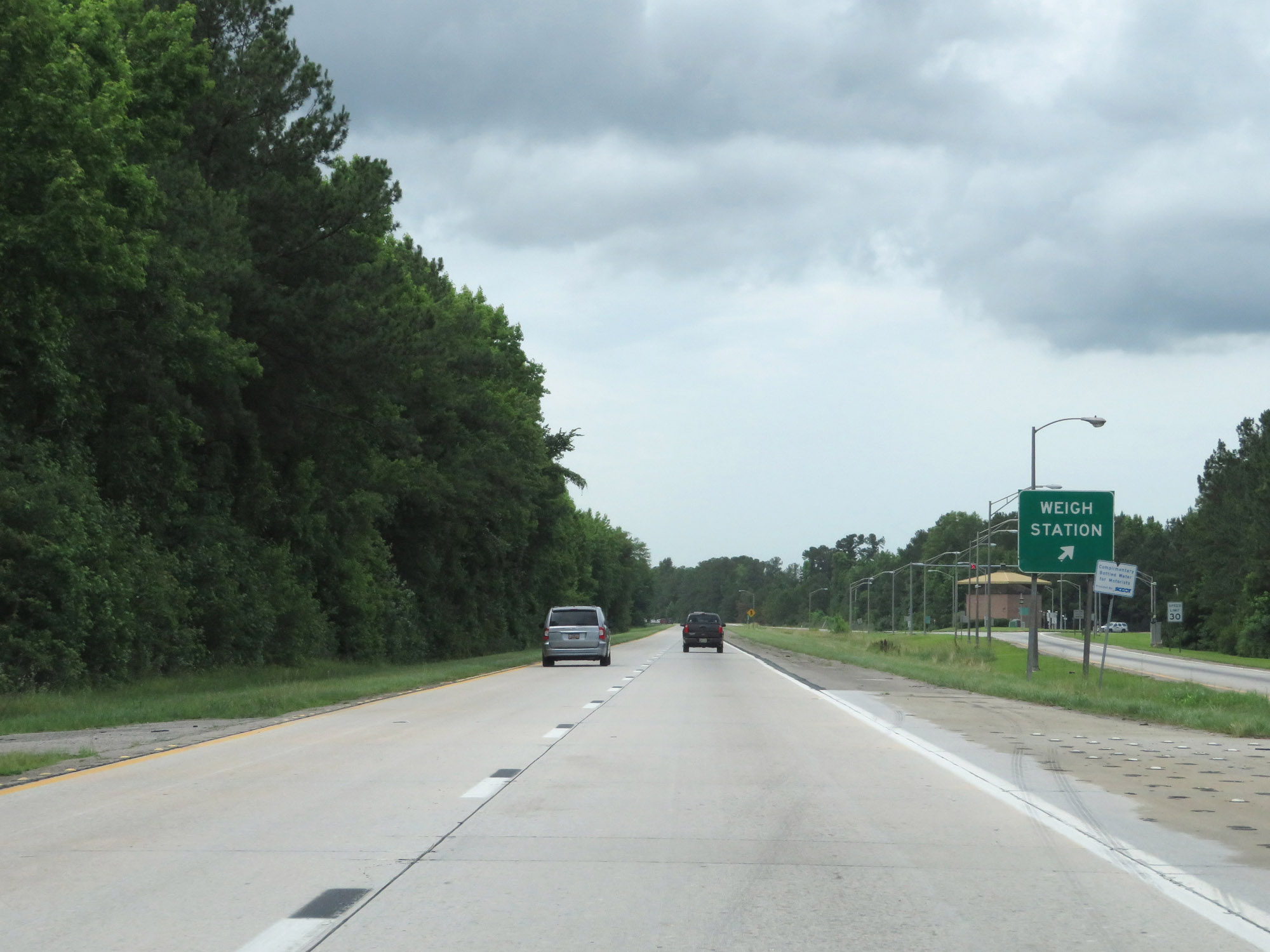 |
Weigh Station on Interstate 26 West in Dorchester County. (Photo taken 5/25/18). |
 |
Interstate 26 West at Exit 172B: US 15 North - Santee (Photo taken 5/25/18). |
 |
Interstate 26 West at Exit 172A: US 15 South - St George (Photo taken 5/25/18). |
 |
Interstate 26 West approaching Exits 169B-A - 1 mile. (Photo taken 5/25/18). |
 |
Approaching the junction of Interstate 95, Interstate 26 West enters Orangeburg County. (Photo taken 5/25/18). |
 |
Interstate 26 West at Exit 169B: Interstate 95 North - Florence (Photo taken 5/25/18). |
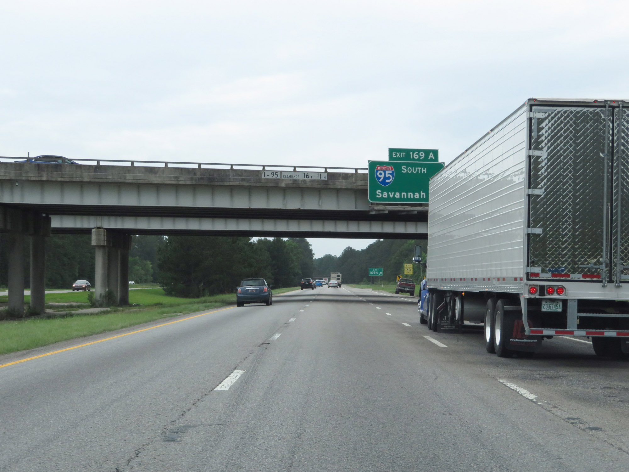 |
Interstate 26 West at Exit 169A: Interstate 95 South - Savannah (Photo taken 5/25/18). |
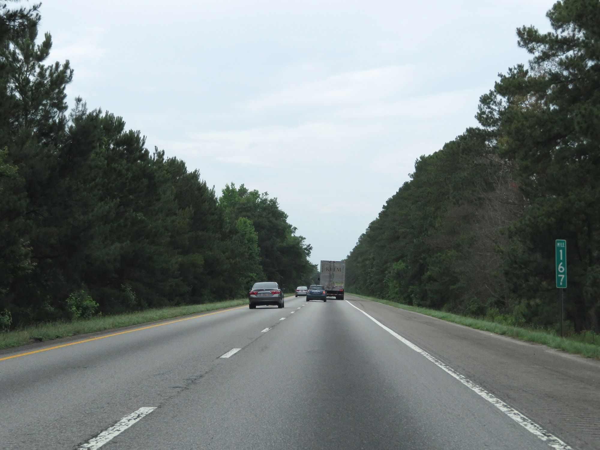 |
View on Interstate 26 West at mile marker 167. (Photo taken 5/25/18). |
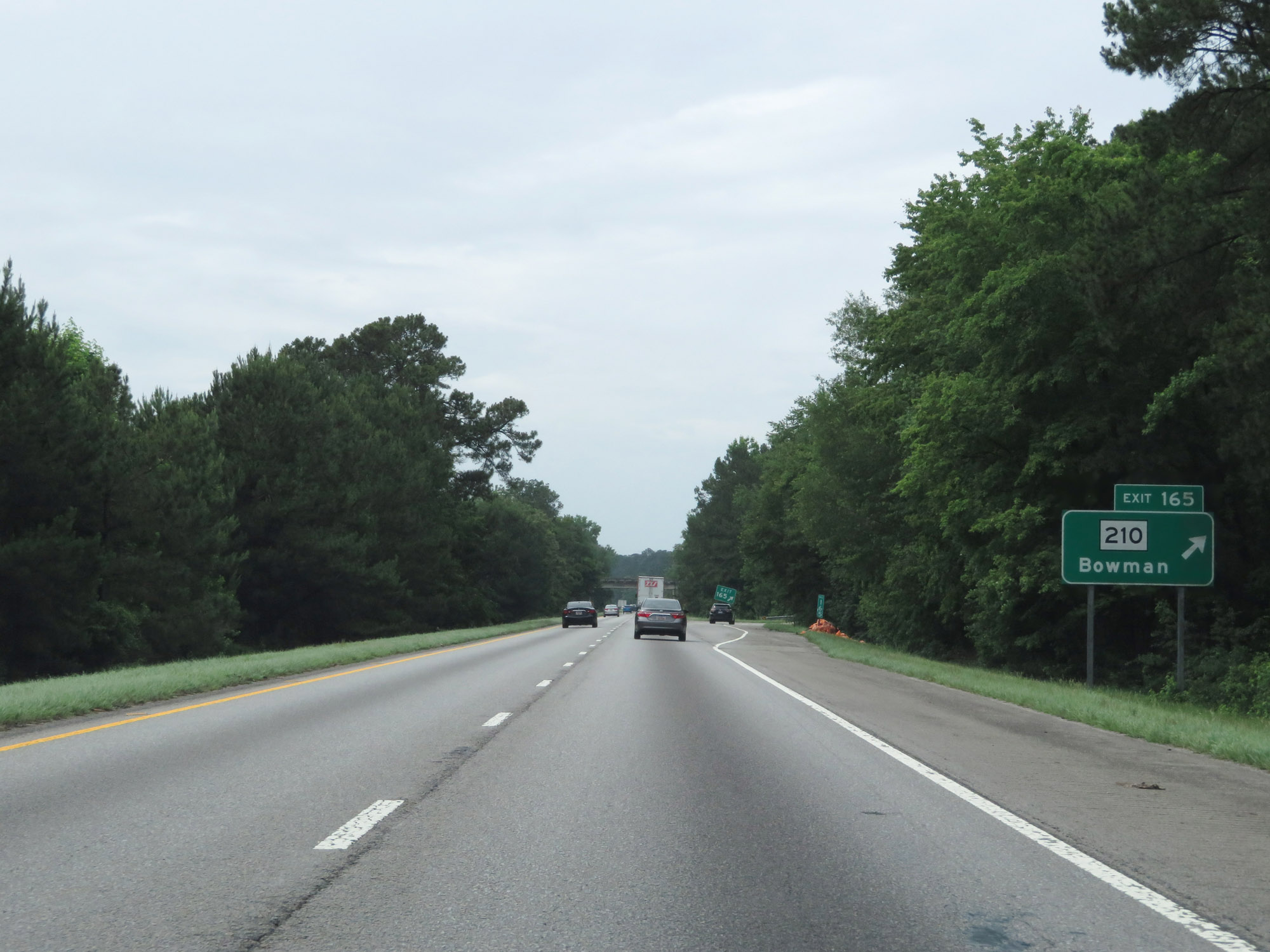 |
Interstate 26 West at Exit 165: SC 210 - Bowman (Photo taken 5/25/18). |
 |
Another state-named Interstate 26 West reassurance shield. (Photo taken 5/25/18). |
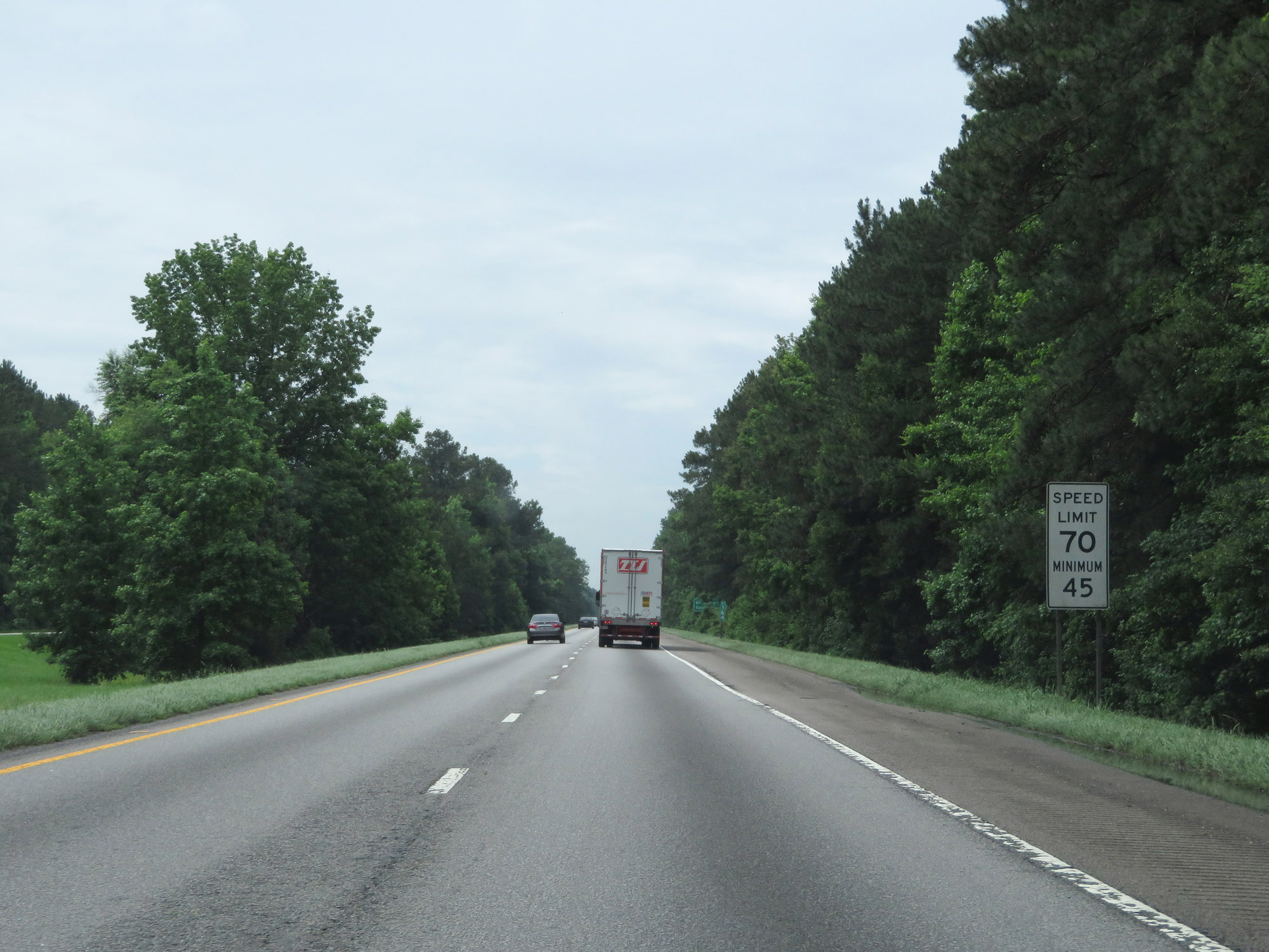 |
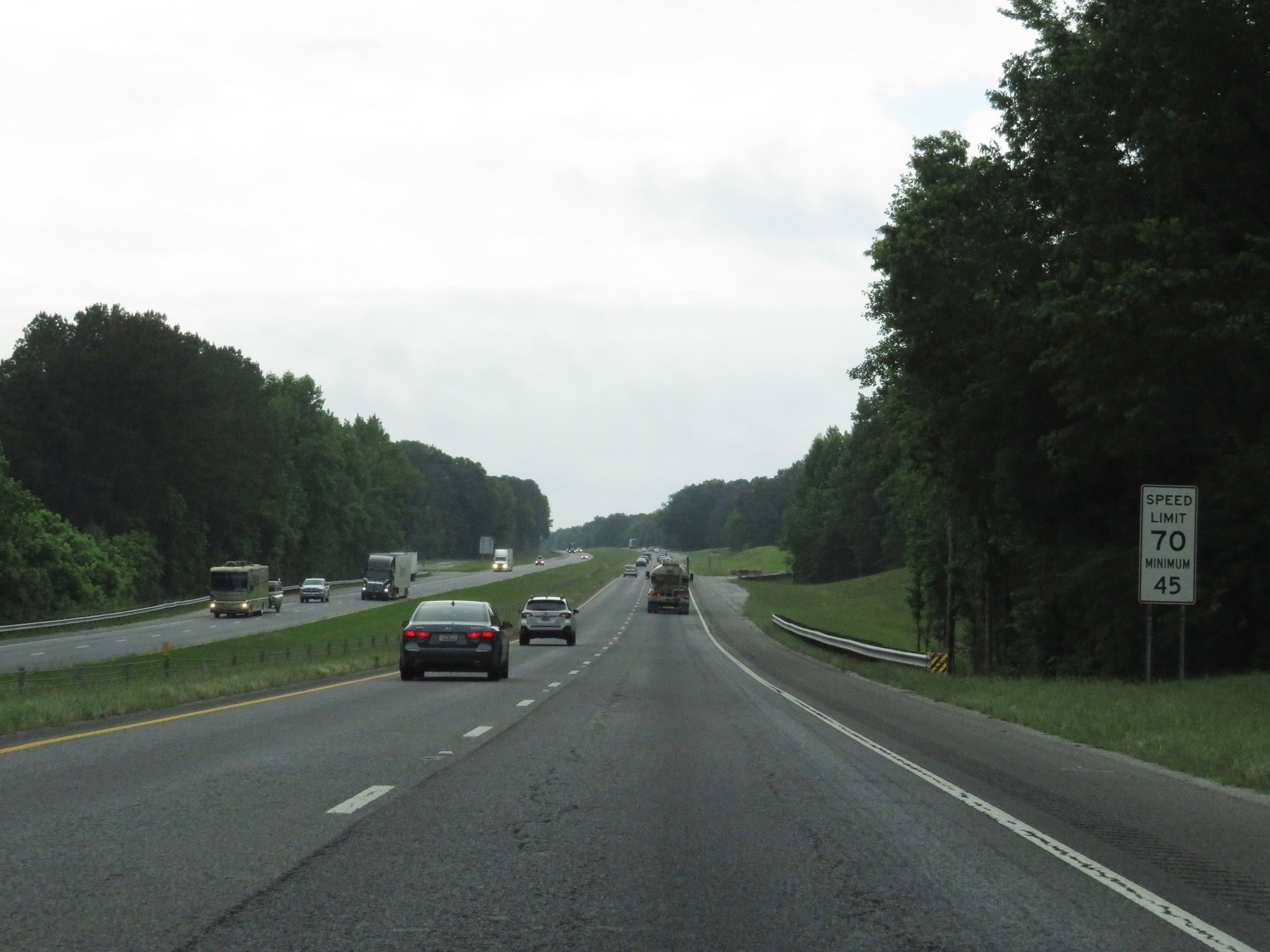
The speed limits remain 70 mph maximum and 45 mph minimum. (Photo taken 5/25/18). |
 |
Interstate 26 West at mile marker 161. (Photo taken 5/25/18). |
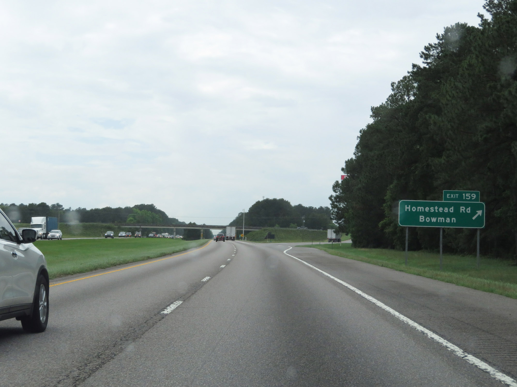 |
Interstate 26 West at Exit 159: Homestead Rd / Bowman (Photo taken 5/25/18). |
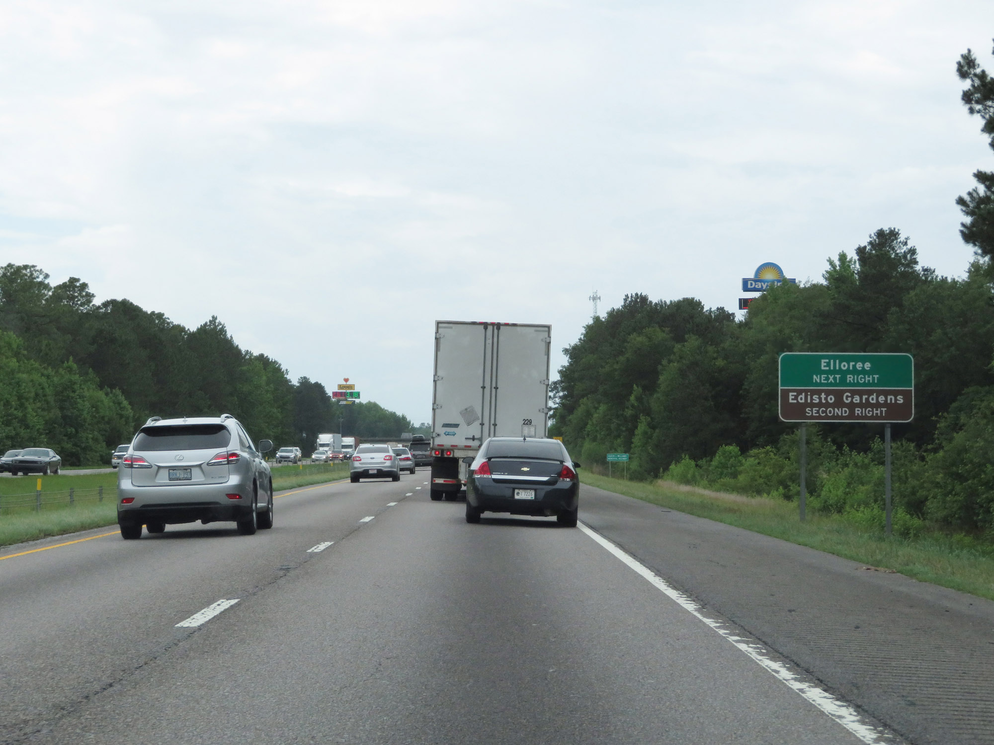 |
Take Exit 154B to Elloree. Take Exit 154A to Edisto Gardens. (Photo taken 5/25/18). |
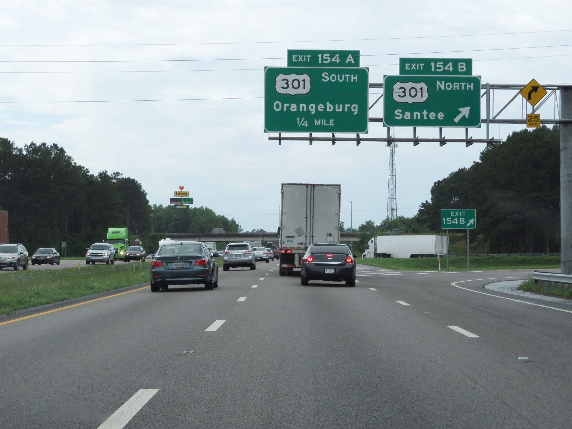 |
Interstate 26 West at Exit 154B: US 301 North - Santee (Photo taken 5/25/18). |
 |
Interstate 26 West at Exit 154A: US 301 South - Orangeburg (Photo taken 5/25/18). |
Section 2: Orangeburg (Exit 154A) to Columbia (Exit 103)
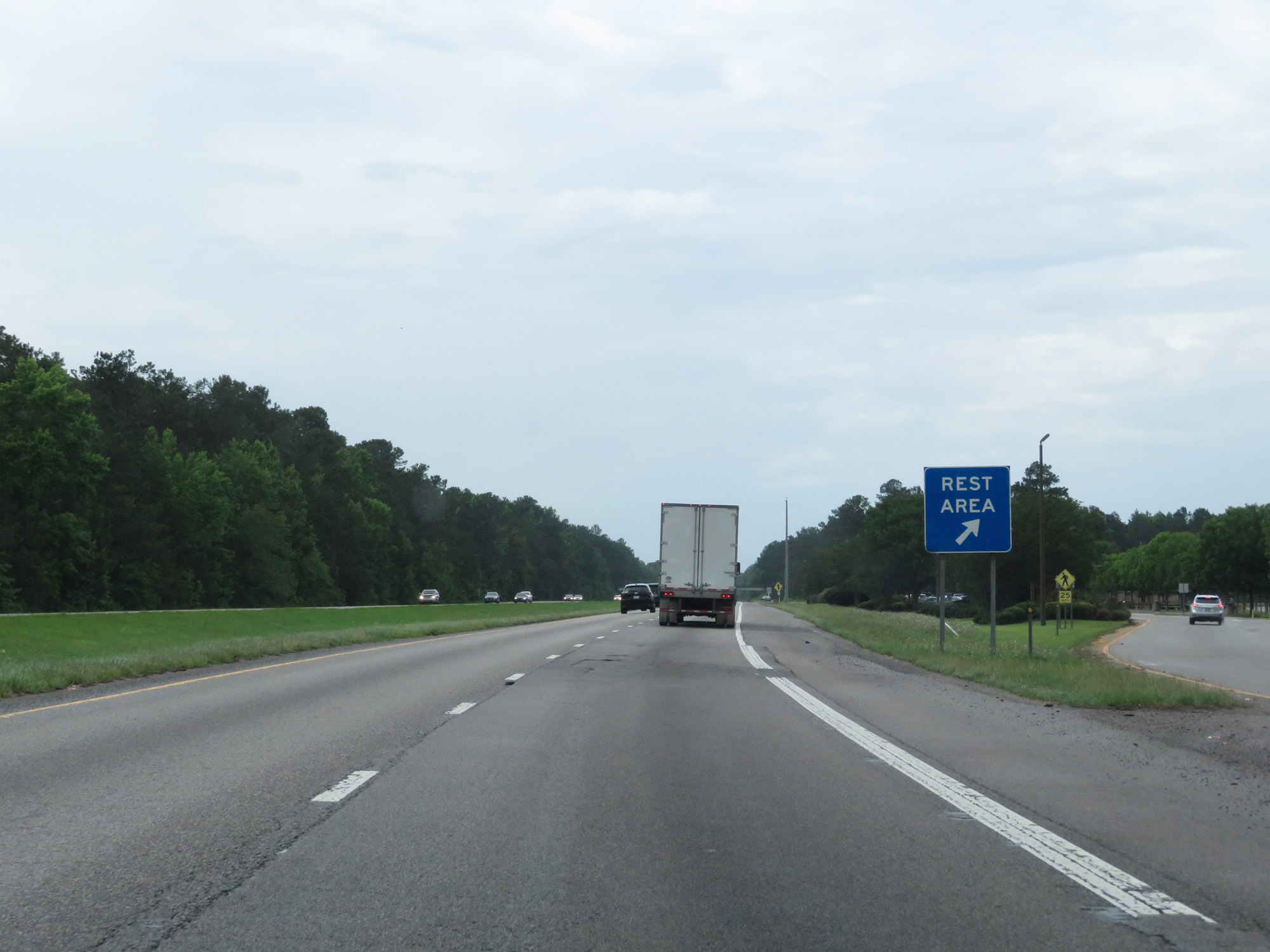 |
Rest Area on Interstate 26 West in Orangeburg County. (Photo taken 5/25/18). |
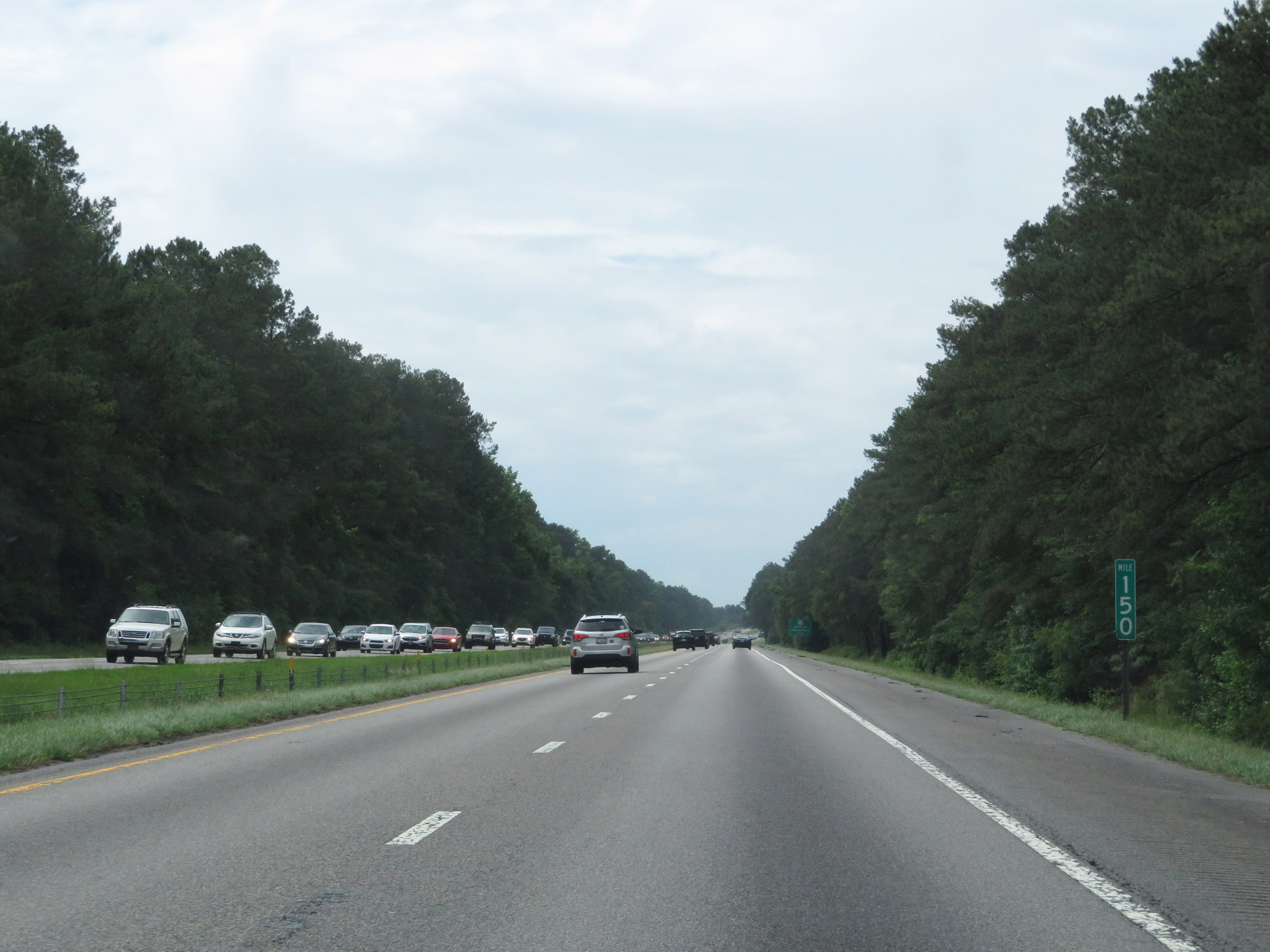 |
Interstate 26 West at mile marker 150. (Photo taken 5/25/18). |
 |
Take Exit 149 to South Carolina State University and Claflin University. (Photo taken 5/25/18). |
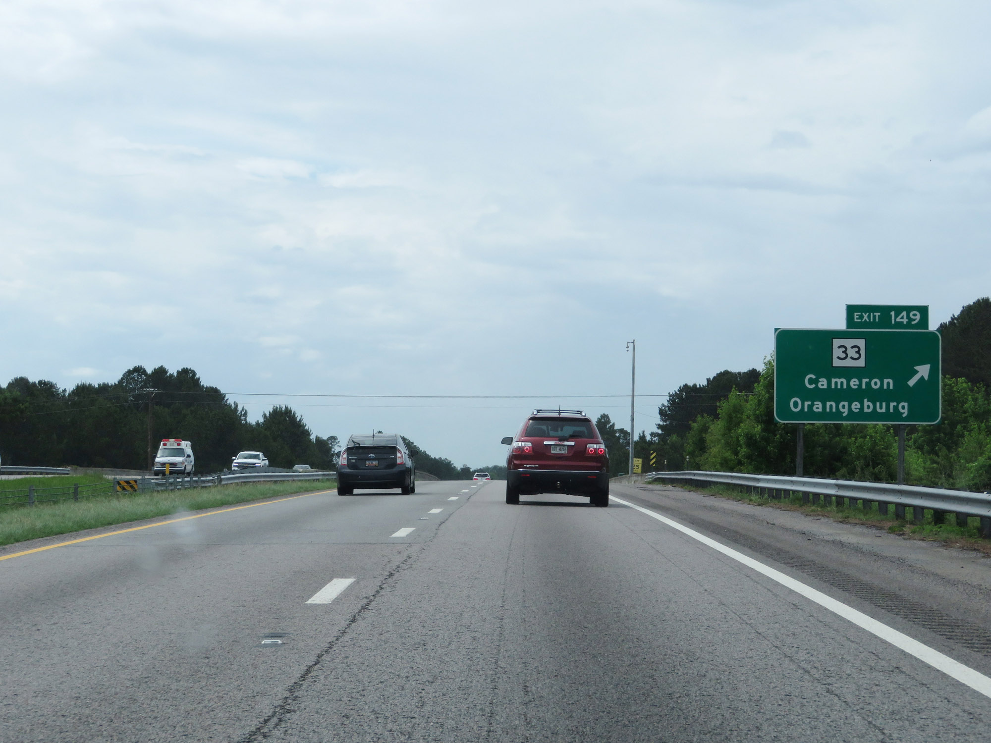 |
Interstate 26 West at Exit 149: SC 33 - Cameron / Orangeburg (Photo taken 5/25/18). |
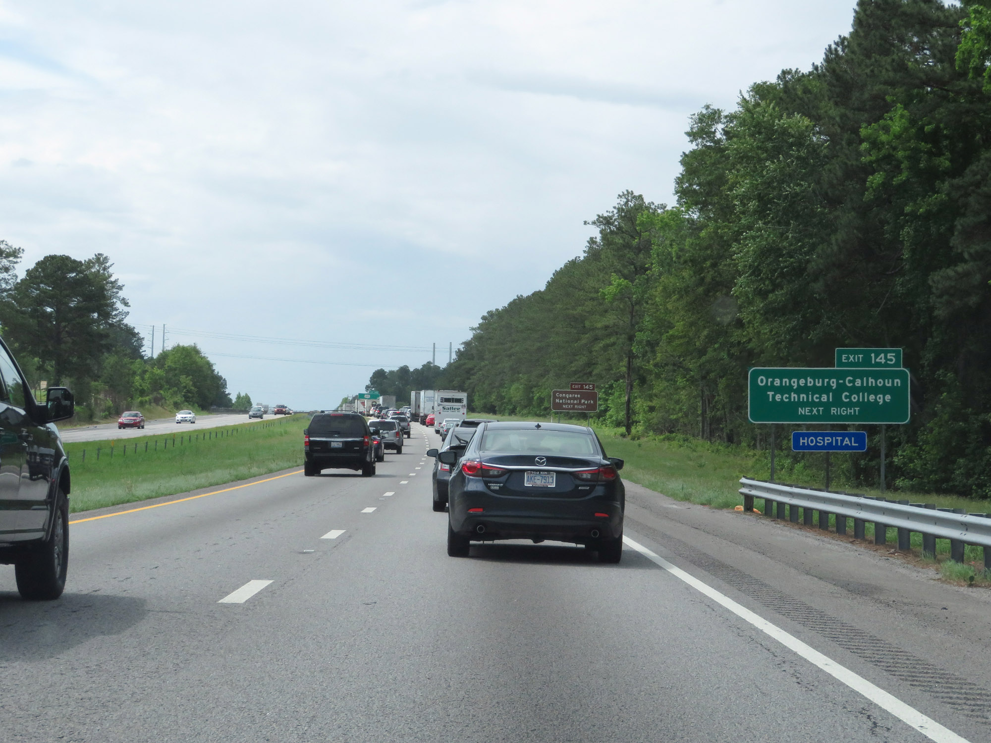 |
Take Exit 145 to Orangeburg-Calhoun Technical College. (Photo taken 5/25/18). |
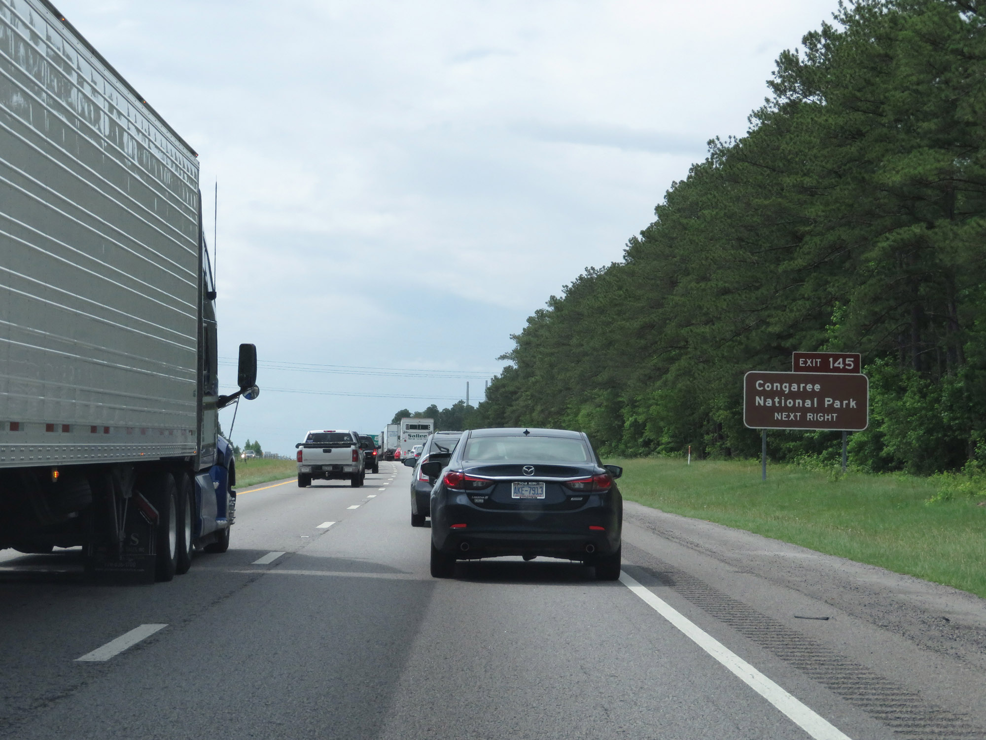 |
Also take Exit 145 to Congaree National Park. (Photo taken 5/25/18). |
 |
Interstate 26 West at Exit 145: US 601 - St Matthews / Orangeburg (Photo taken 5/25/18). |
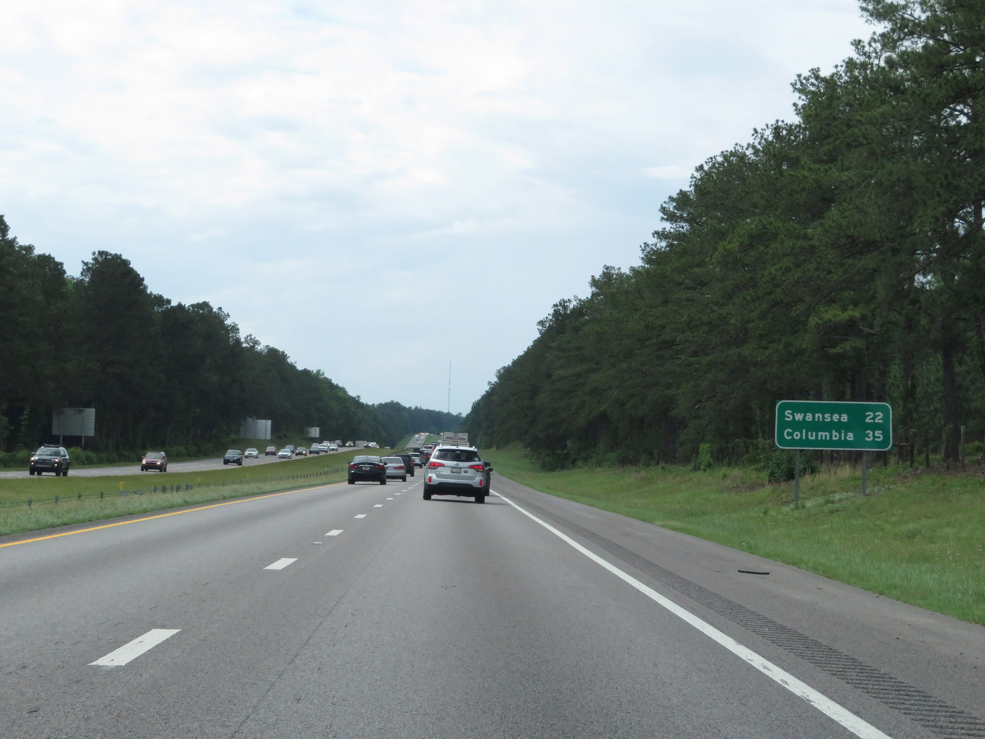 |
Mileage sign on Interstate 26 West. It's 22 miles to Swansea and 35 miles to Columbia. (Photo taken 5/25/18). |
 |
Entering Calhoun County on Interstate 26 West. (Photo taken 5/25/18). |
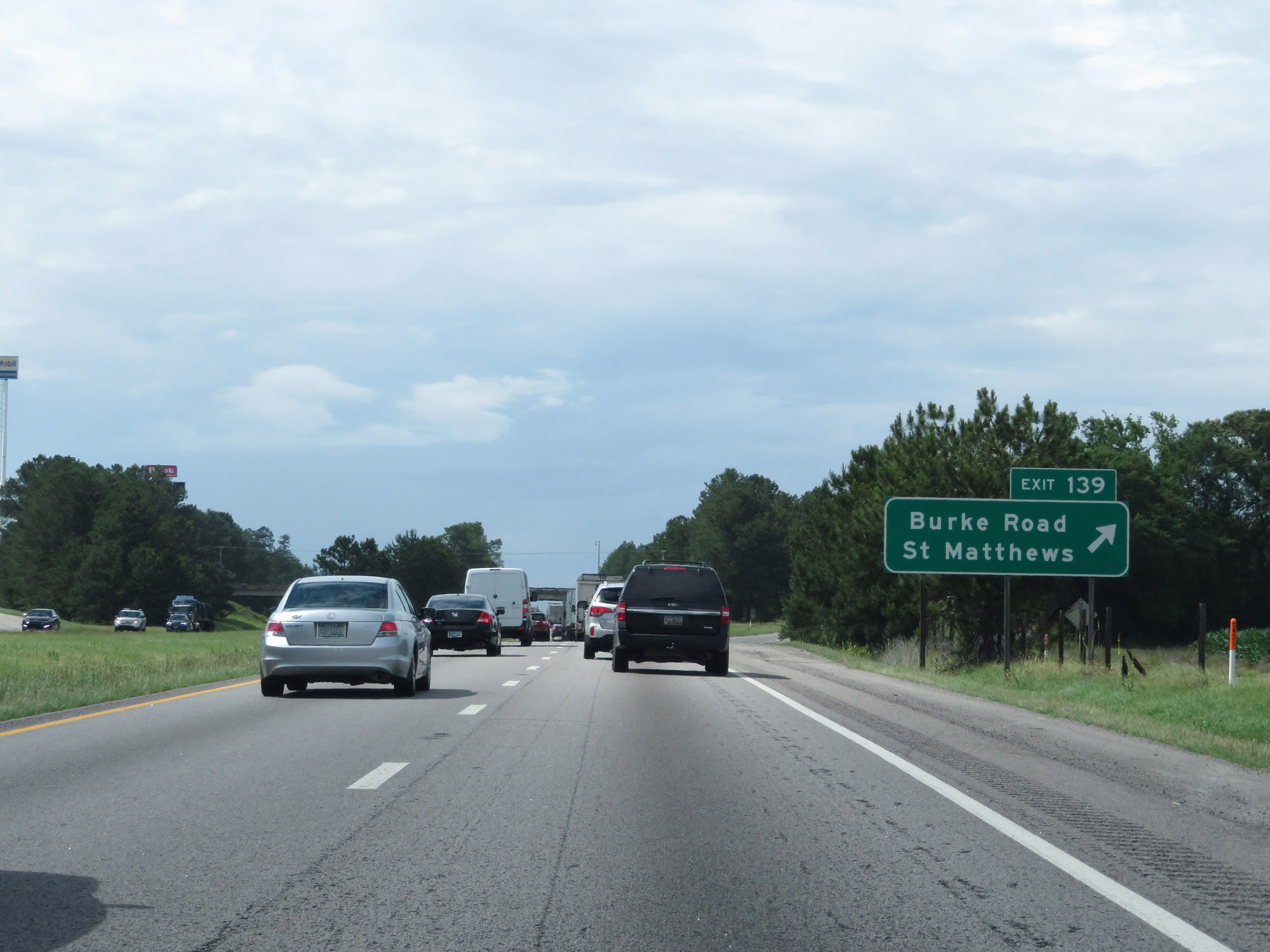 |
Interstate 26 West at Exit 139: Burke Road / St Matthews (Photo taken 5/25/18). |
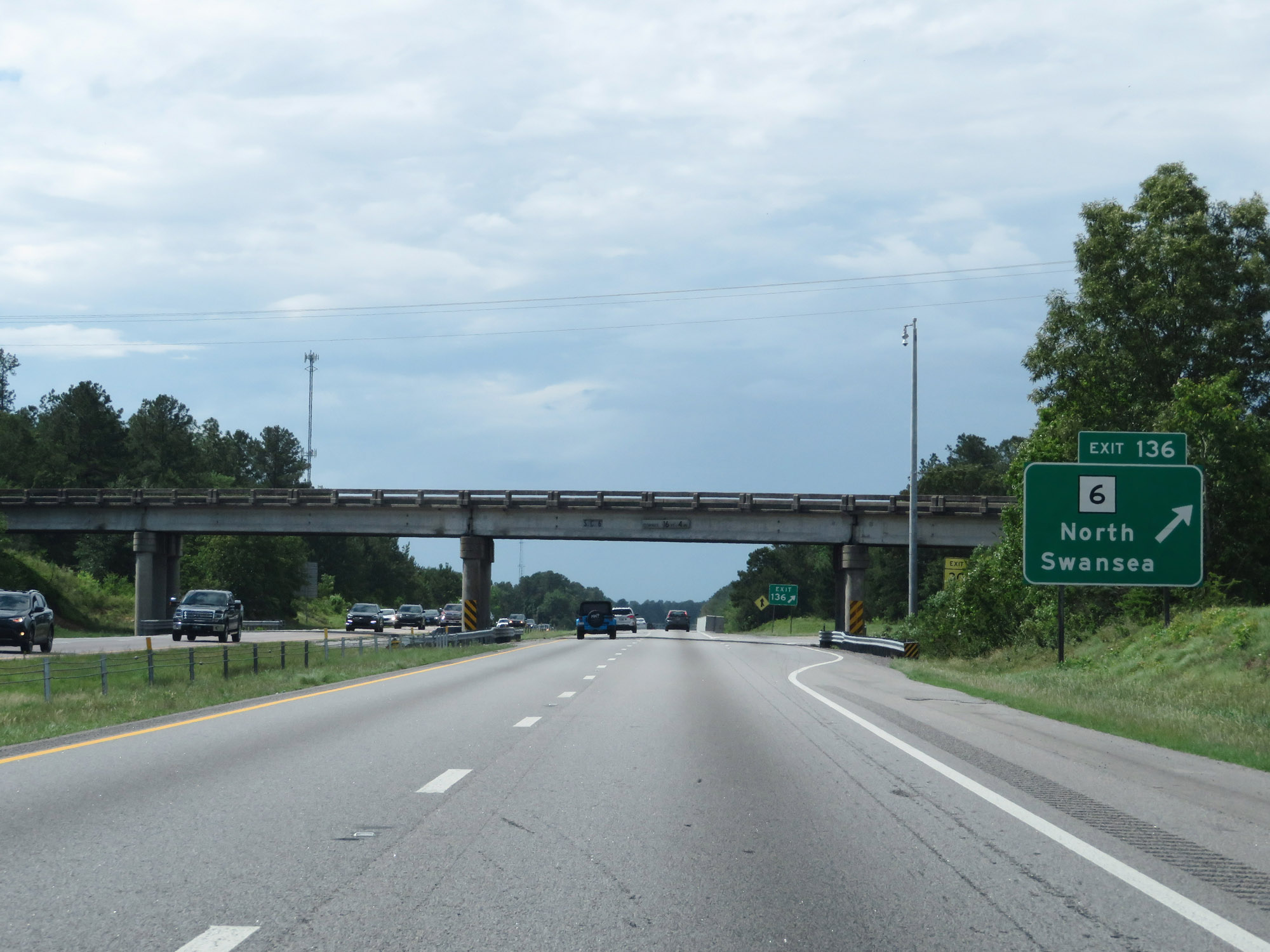 |
Interstate 26 West at Exit 136: SC 6 - North Swansea (Photo taken 5/25/18). |
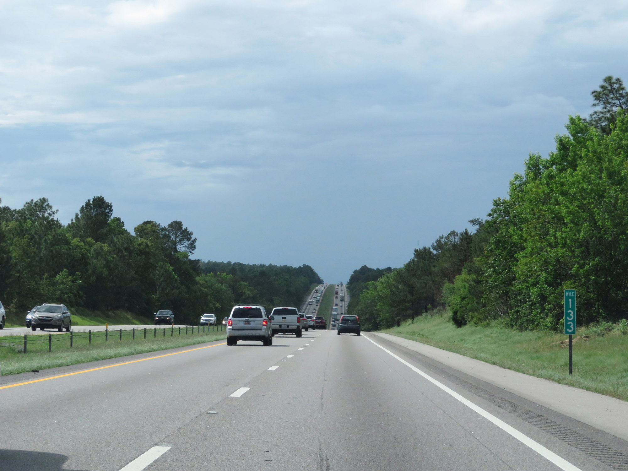 |
View on Interstate 26 West at mile marker 133. (Photo taken 5/25/18). |
 |
Interstate 26 West at mile marker 131. (Photo taken 5/25/18). |
 |
Entering Lexington County for the first time on Interstate 26 West. (Photo taken 5/25/18). |
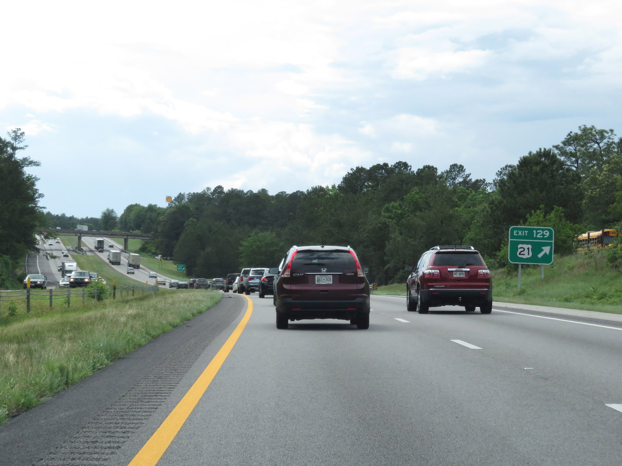 |
Interstate 26 West at Exit 129: US 21 (Photo taken 5/25/18). |
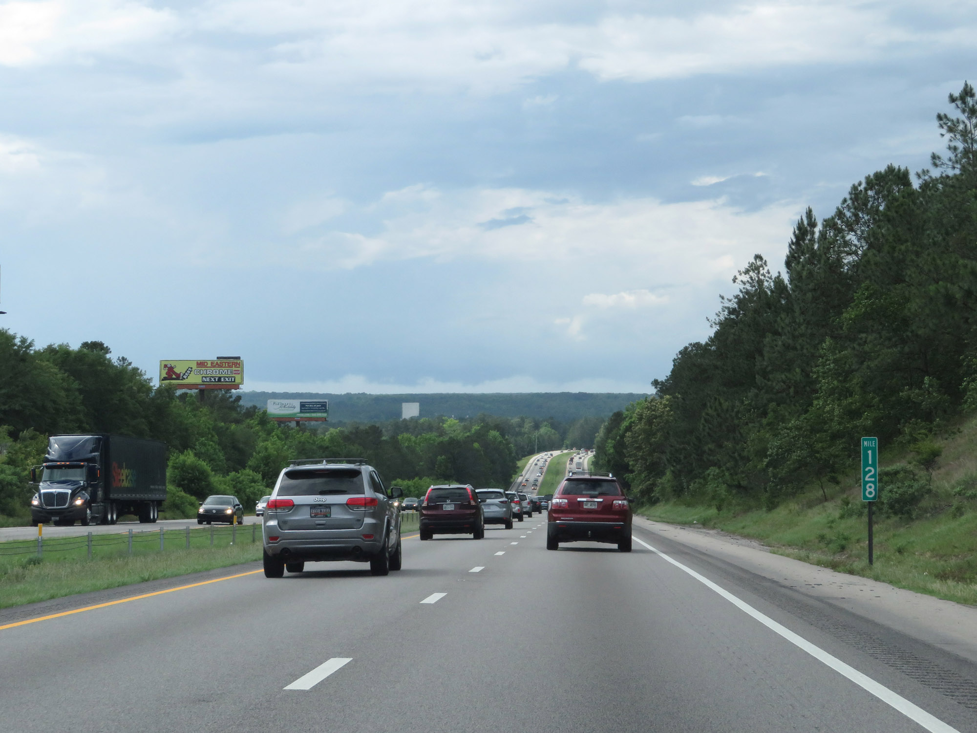 |
View on Interstate 26 West at mile marker 128. (Photo taken 5/25/18). |
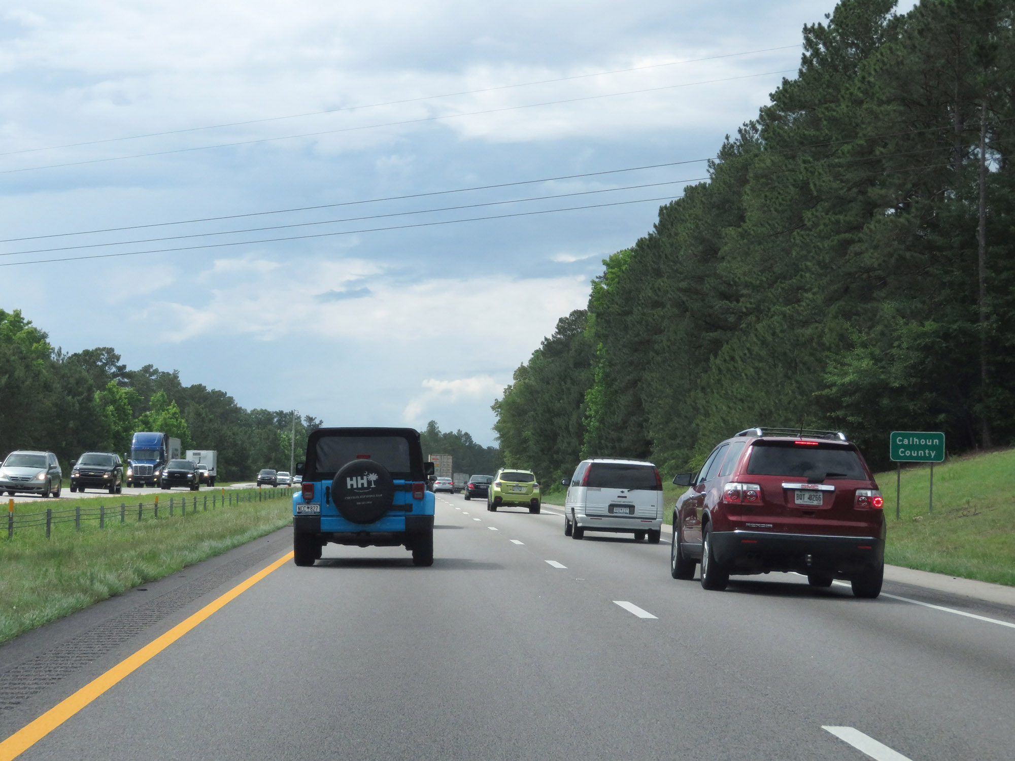 |
Re-entering Calhoun County on Interstate 26 West. (Photo taken 5/25/18). |
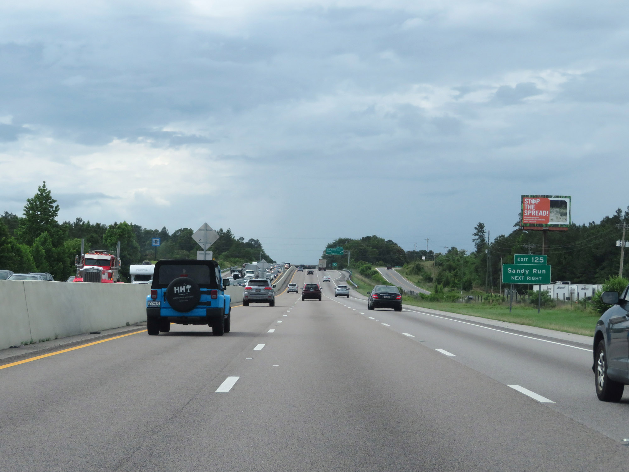 |
Take Exit 125 to Sandy Run. (Photo taken 5/25/18). |
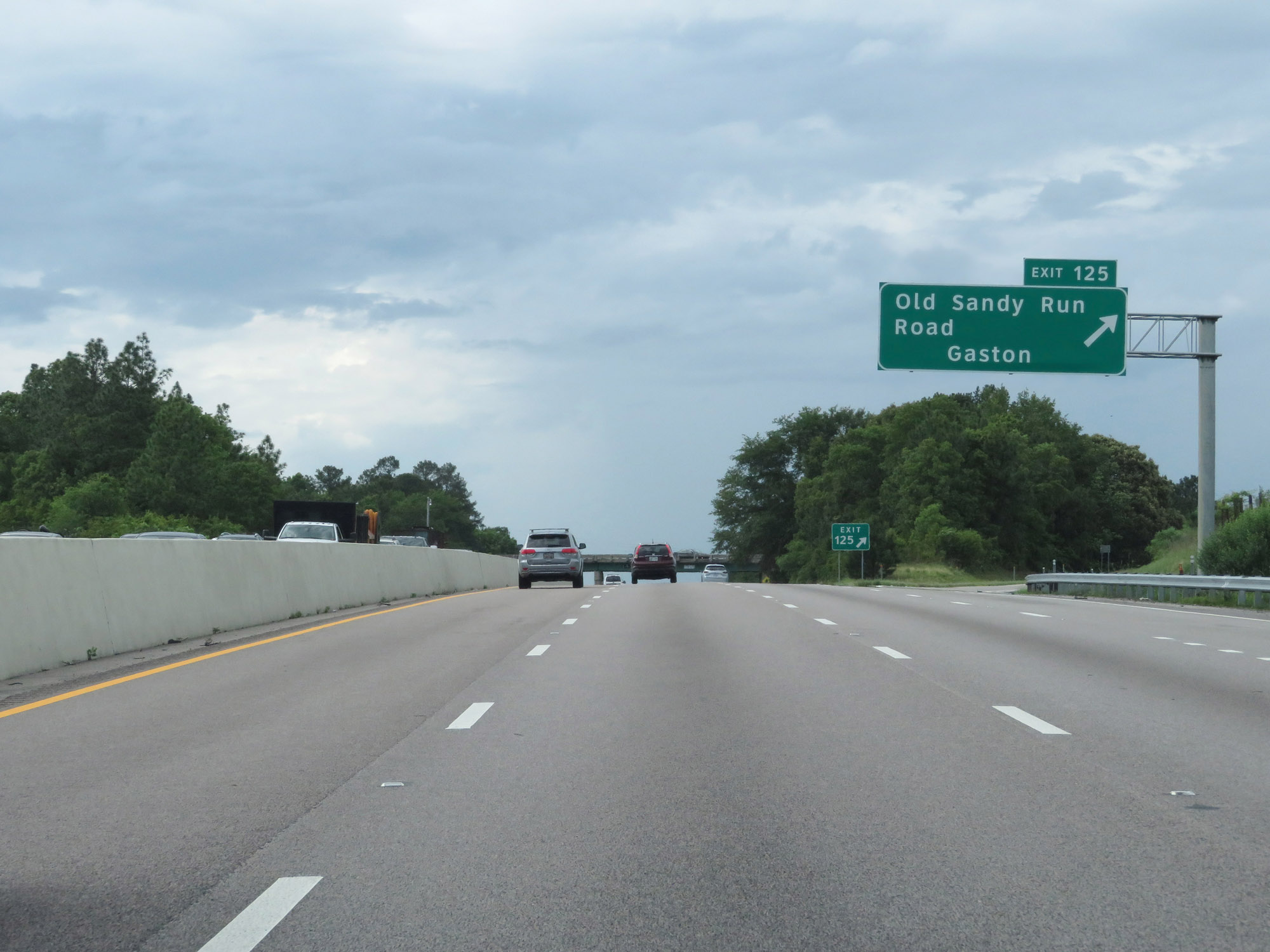 |
Interstate 26 West at Exit 125: Old Sandy Run Road / Gaston (Photo taken 5/25/18). |
 |
The speed limits remain 70 mph maximum and 45 mph minimum. (Photo taken 5/25/18). |
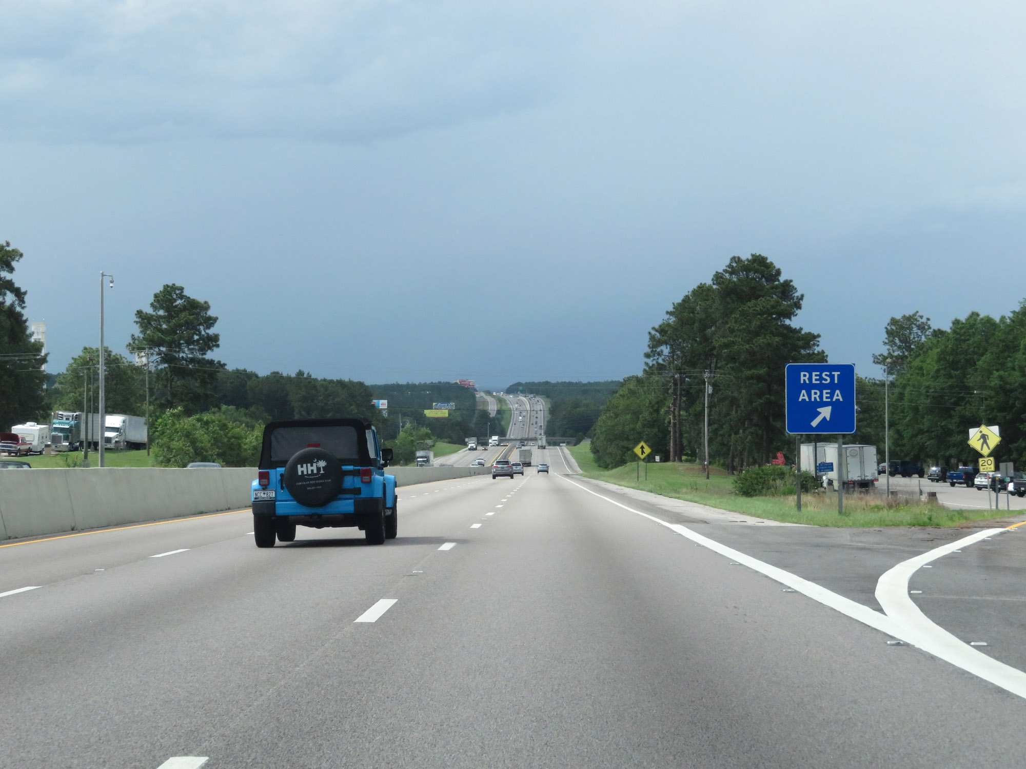 |
Rest Area on Interstate 26 West in Calhoun County. (Photo taken 5/25/18). |
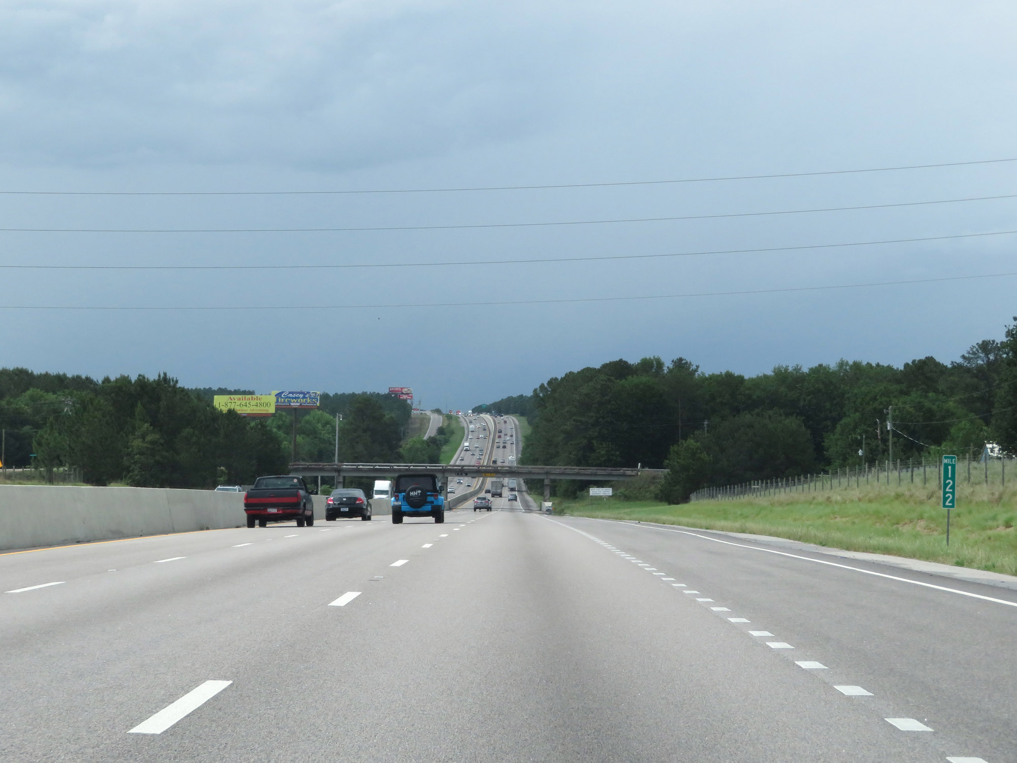 |
View on Interstate 26 West at mile marker 122. (Photo taken 5/25/18). |
 |
Interstate 26 West as it enters Lexington County for the second time. (Photo taken 5/25/18). |
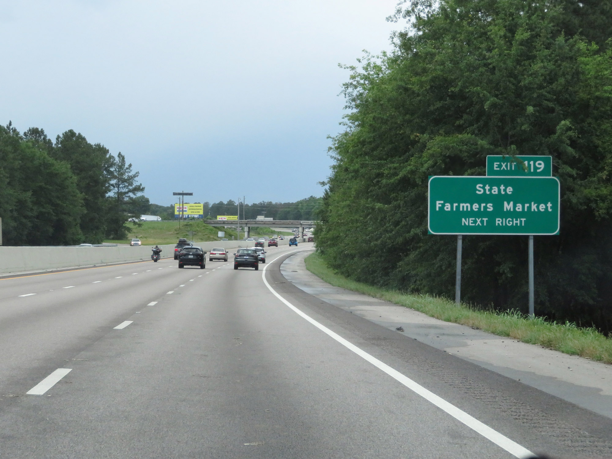 |
Take Exit 119 to the State Farmers Market. (Photo taken 5/25/18). |
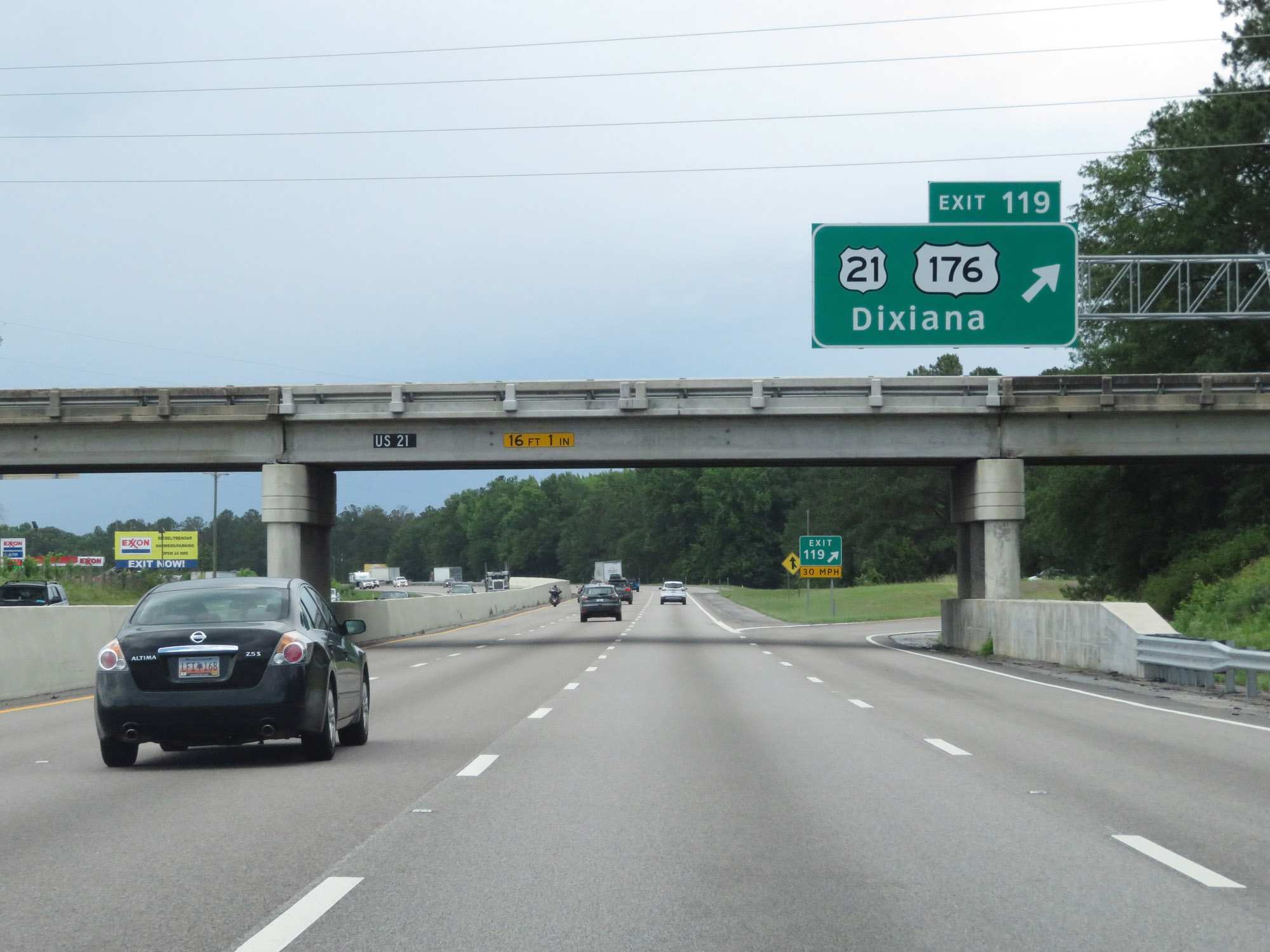 |
Interstate 26 West at Exit 119: US 21 / US 176 - Dixiana (Photo taken 5/25/18). |
 |
State-named Interstate 26 West reassurance shield at mile marker 119. (Photo taken 5/25/18). |
 |
Take any of the next 6 exits to Columbia. (Photo taken 5/25/18). |
 |
Interstate 26 West at mile marker 118. (Photo taken 5/25/18). |
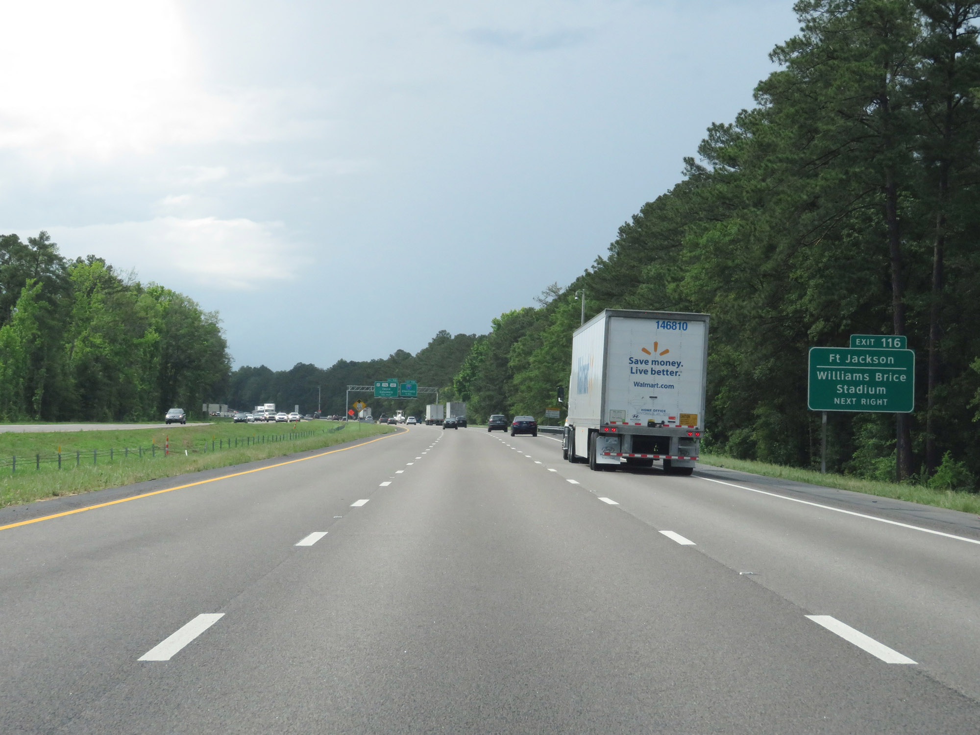 |
Take Exit 116 to Fort Jackson and Williams Brice Stadium. (Photo taken 5/25/18). |
 |
Interstate 26 West approaching Exit 116 - 1 mile. (Photo taken 5/25/18). |
 |
Nearing the Columbia area, the maximum speed limit decreases to 60 mph. The minimum speed limit remains 45 mph. (Photo taken 5/25/18). |
 |
Interstate 26 West at Exit 116: Interstate 77 - Charlotte (Photo taken 5/25/18). |
 |
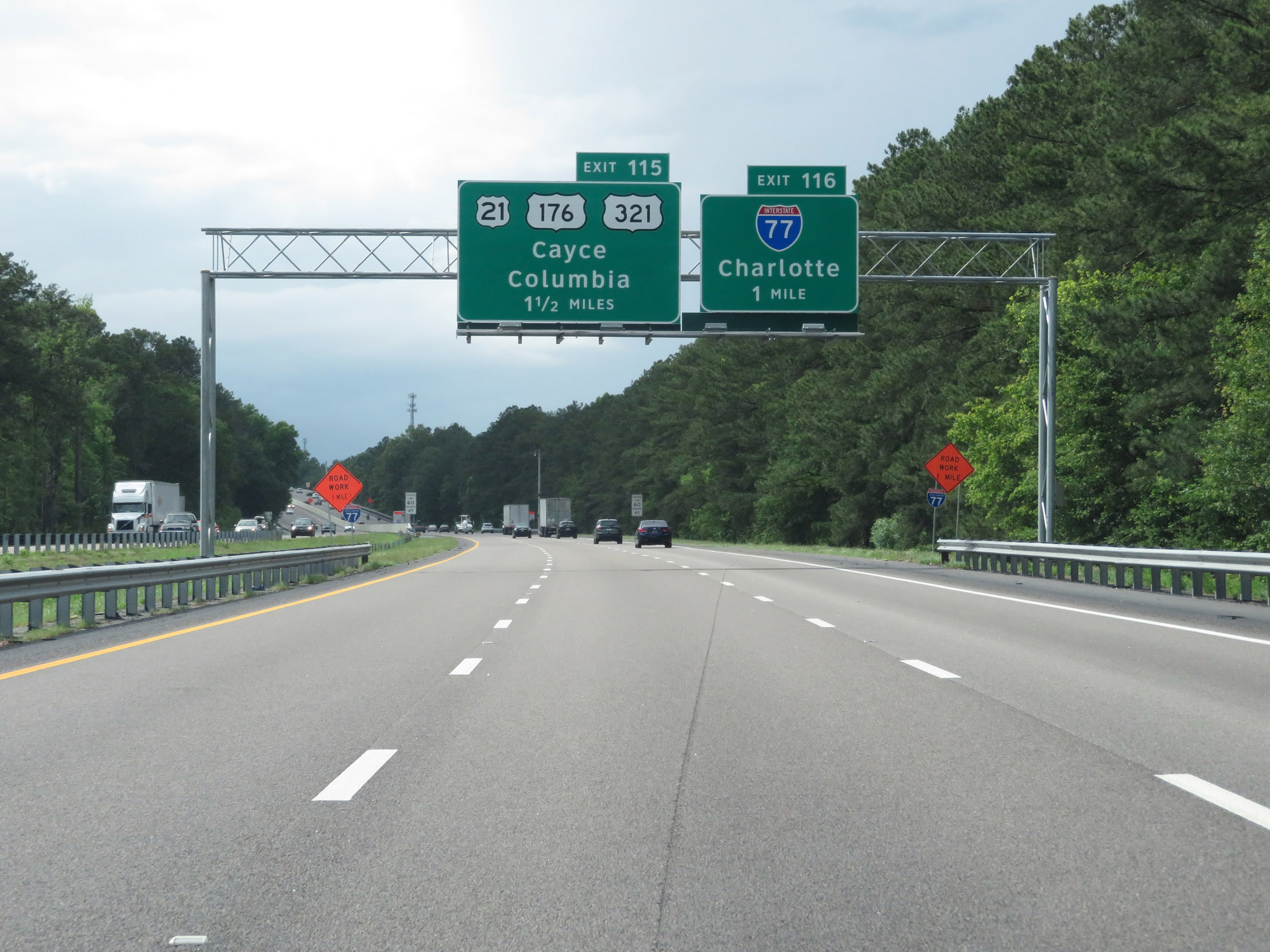
Interstate 26 West at Exit 115: US 21 / US 176 / US 321 - Cayce / Columbia (Photo taken 5/25/18). |
 |
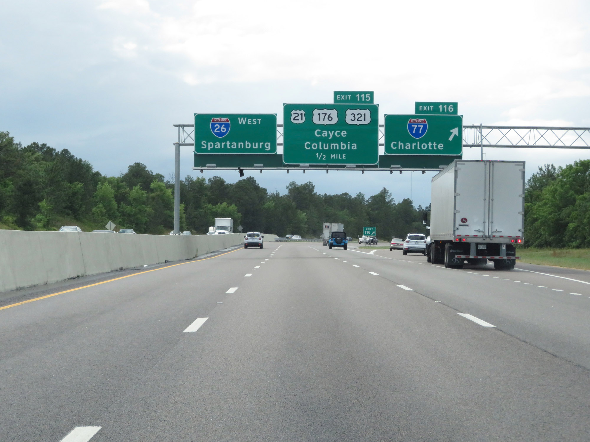
View on Interstate 26 West as it passes under several ramps connecting Interstate 77 and I-26, as well as US 176 and US 321. (Photo taken 5/25/18). |
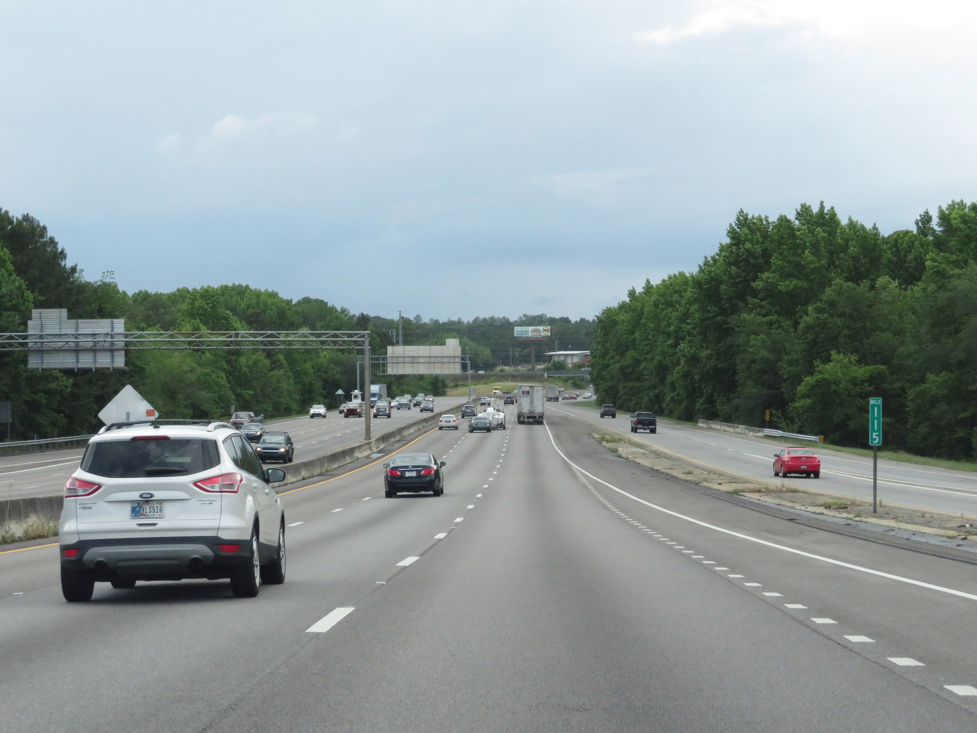 |
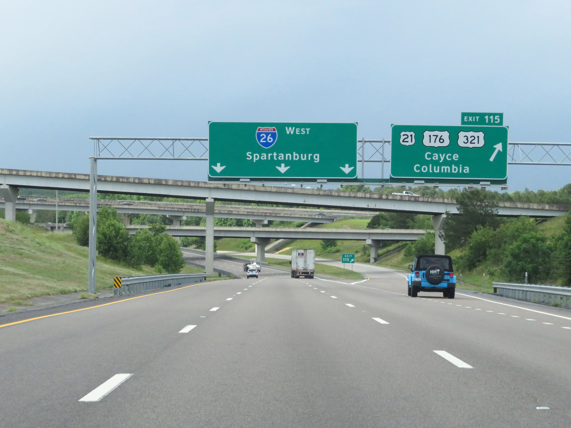
Interstate 26 West at mile marker 115. (Photo taken 5/25/18). |
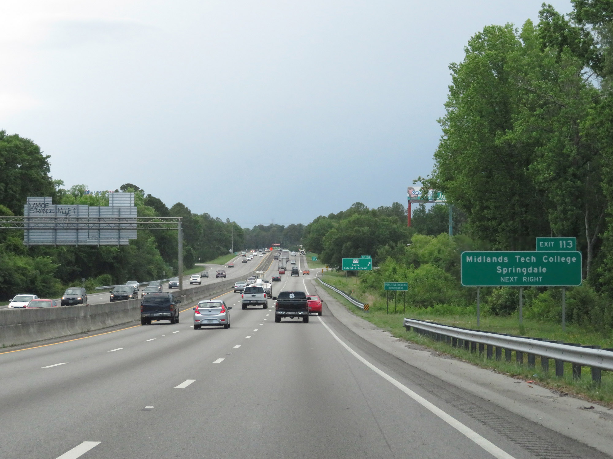 |
Take Exit 113 to Midlands Tech College and Springdale. (Photo taken 5/25/18). |
 |
Interstate 26 West at Exit 113: SC 302 - Cayce / Columbia Airport (Photo taken 5/25/18). |
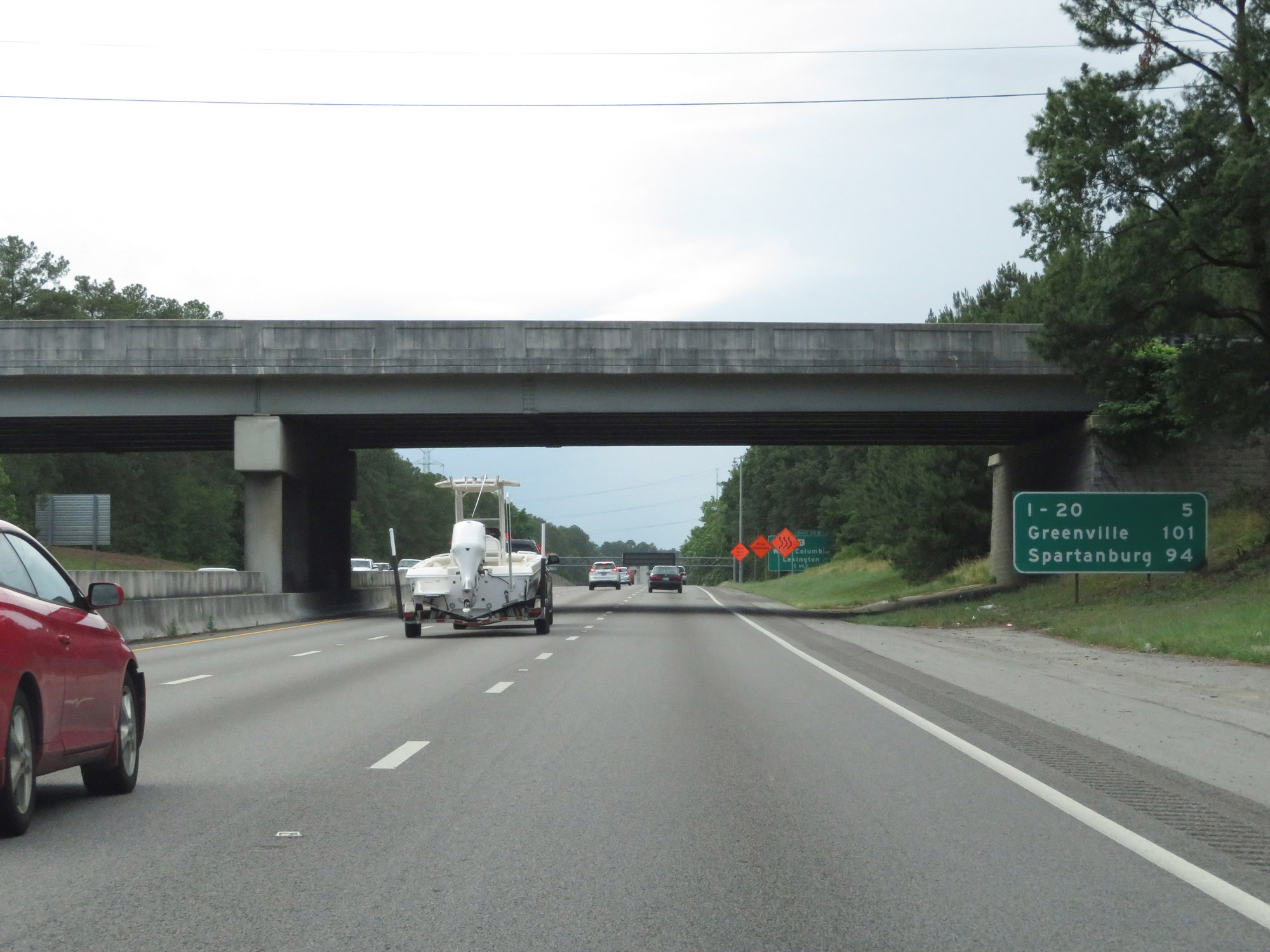 |
Mileage sign on Interstate 26 West. It's 5 miles to the junction of Interstate 20, 101 miles to Greenville (via I-26 and I-385), and 94 miles to Spartanburg. (Photo taken 5/25/18). |
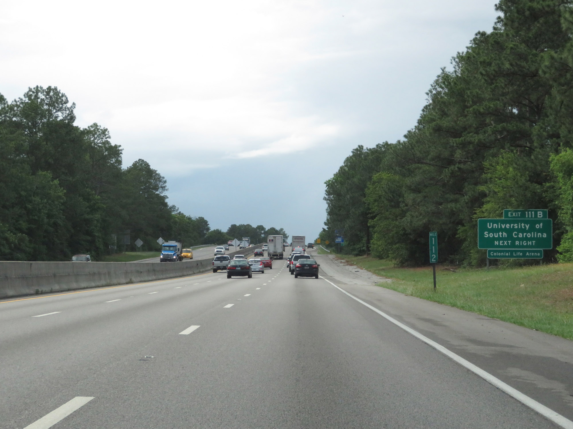 |
Take Exit 111B to the University of South Carolina. (Photo taken 5/25/18). |
 |
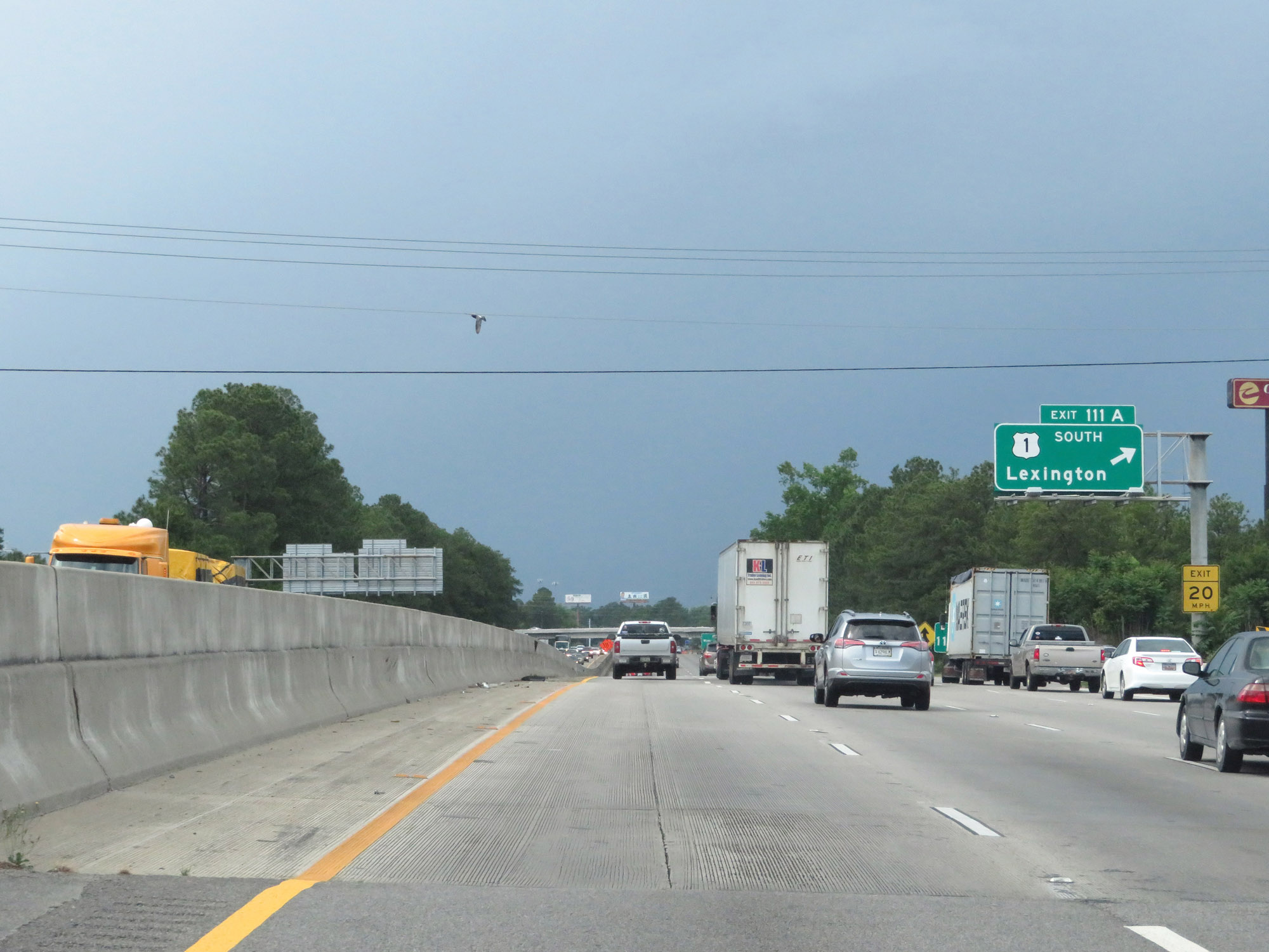
Interstate 26 West at Exit 111B: US 1 North - West Columbia (Photo taken 5/25/18). |
 |
Interstate 26 West at Exit 111A: US 1 South - Lexington (Photo taken 5/25/18). |
 |
Interstate 26 West approaching Exit 110 - 1 mile. (Photo taken 5/25/18). |
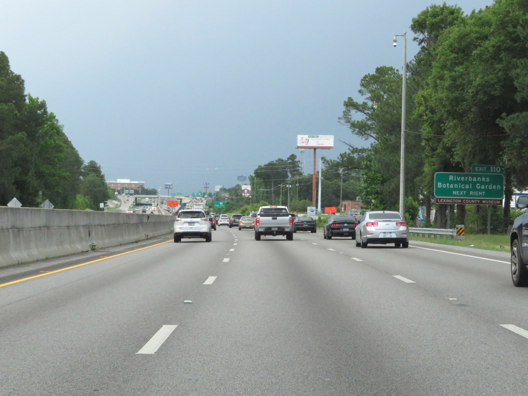 |
Take Exit 110 to Riverbanks Botanical Garden. (Photo taken 5/25/18). |
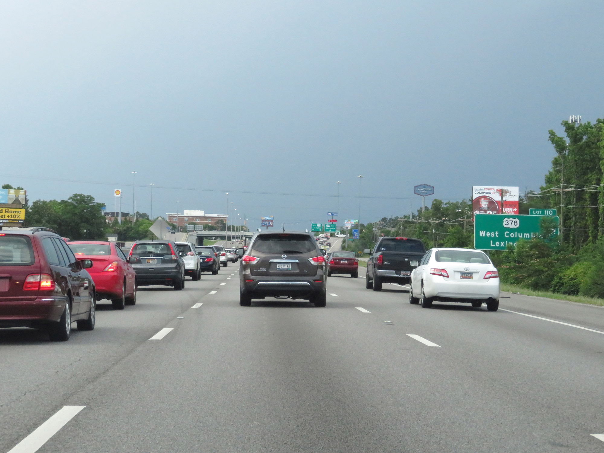 |
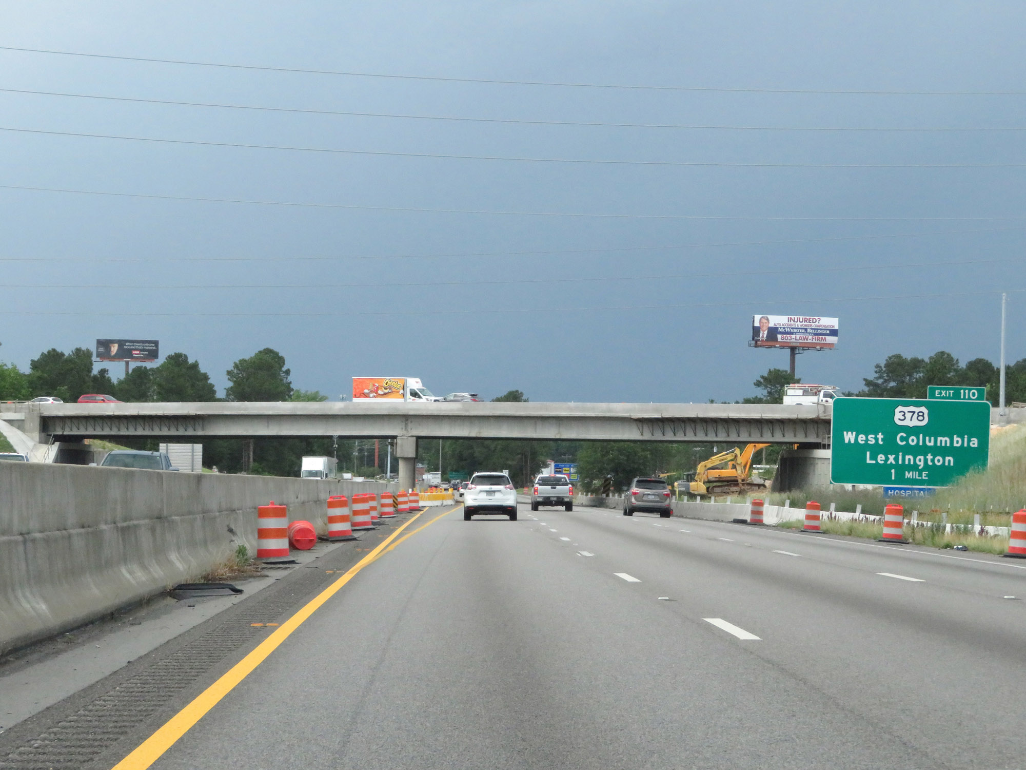
Interstate 26 West at Exit 110: US 378 - West Columbia / Lexington (Photo taken 5/25/18). |
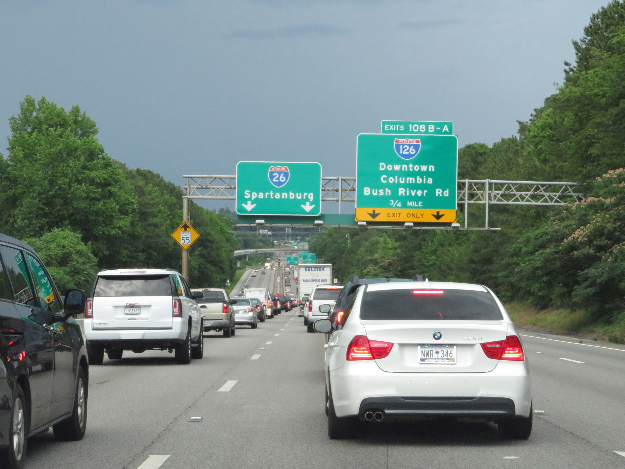 |
Interstate 26 West approaching Exits 108B-A - 3/4 mile. (Photo taken 5/25/18). |
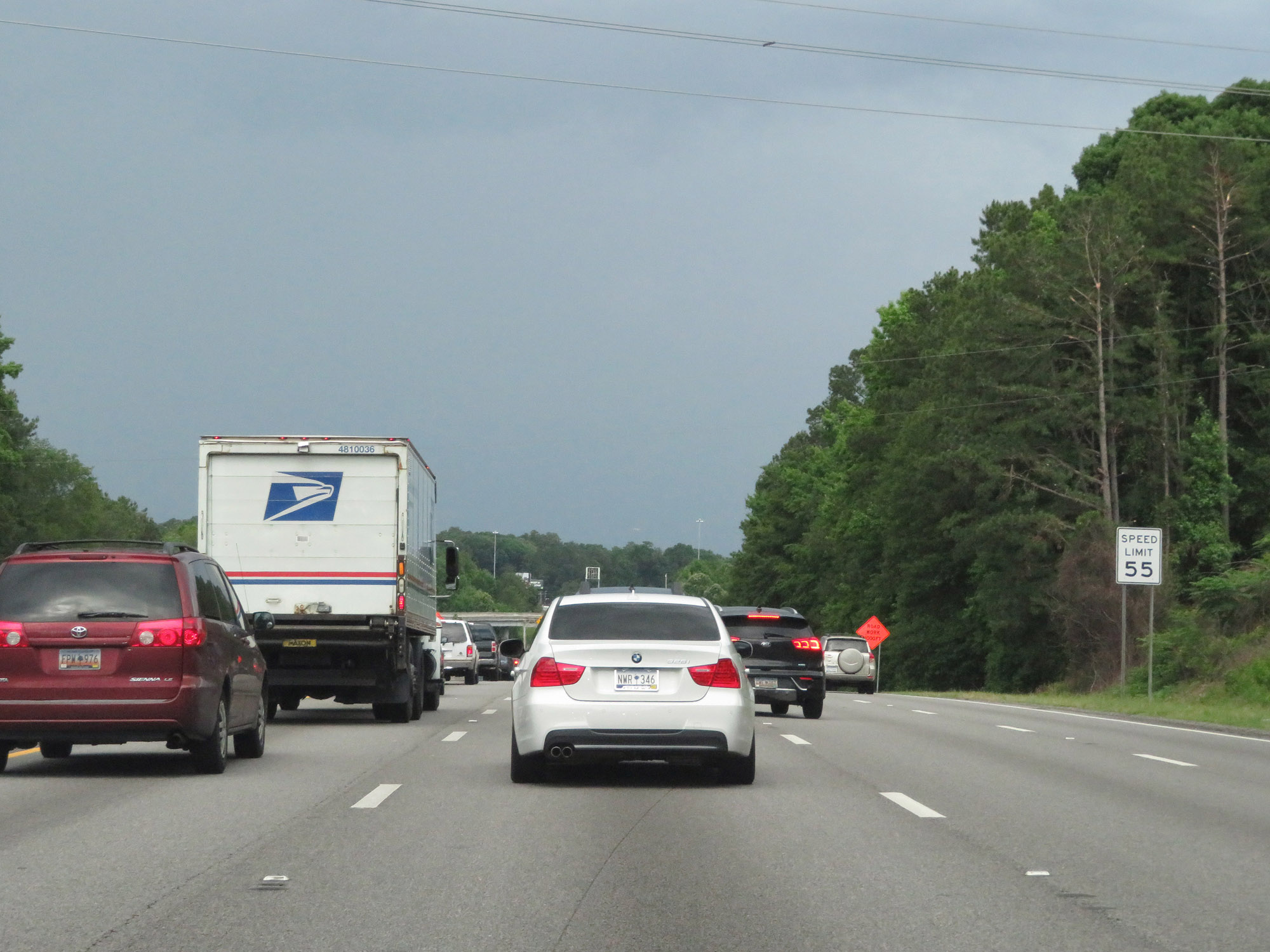 |
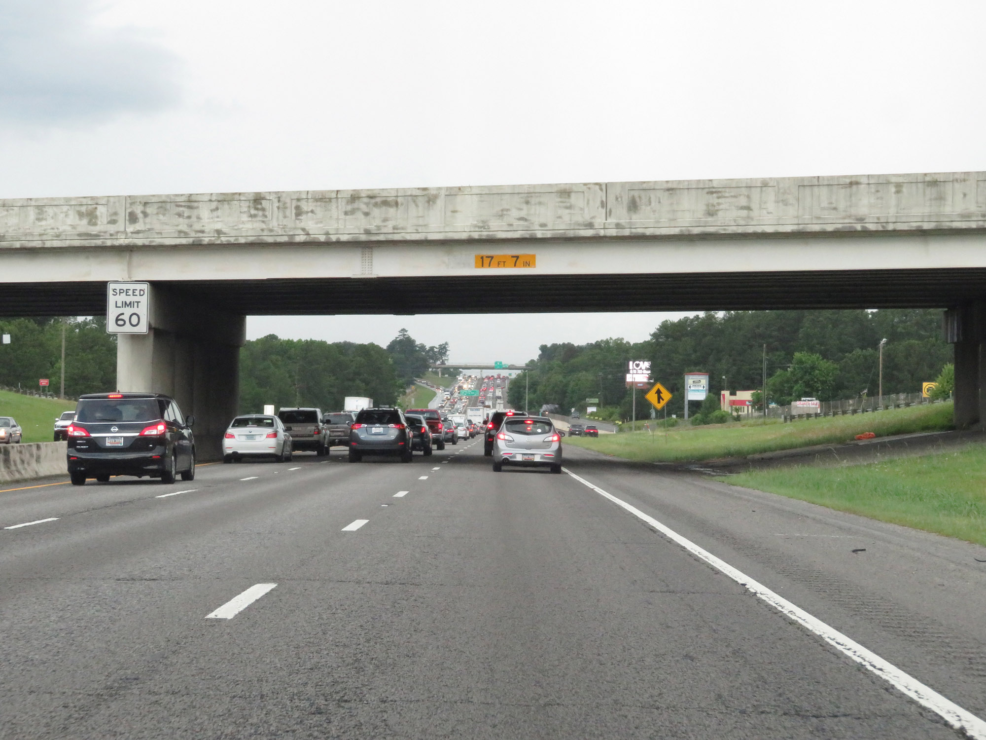
As Interstate 26 West nears downtown Columbia, the maximum speed limit decreases to 55 mph. (Photo taken 5/25/18). |
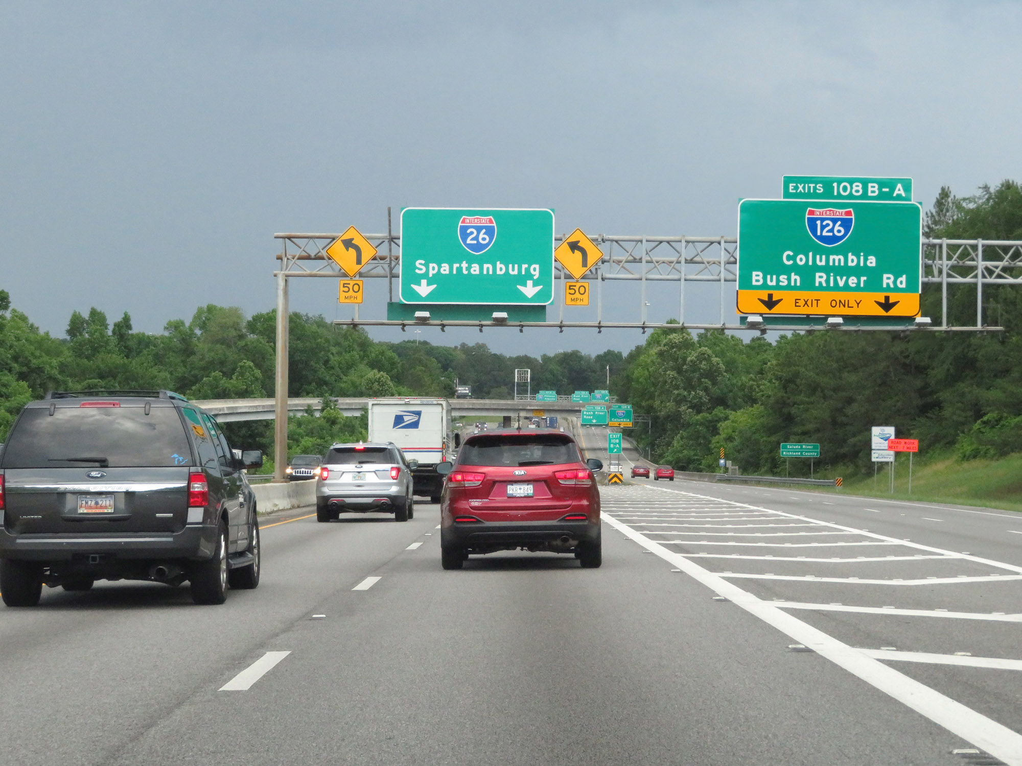 |
Interstate 26 West at Exits 108B-A: Interstate 126 - Columbia / Bush River Rd (Photo taken 5/25/18). |
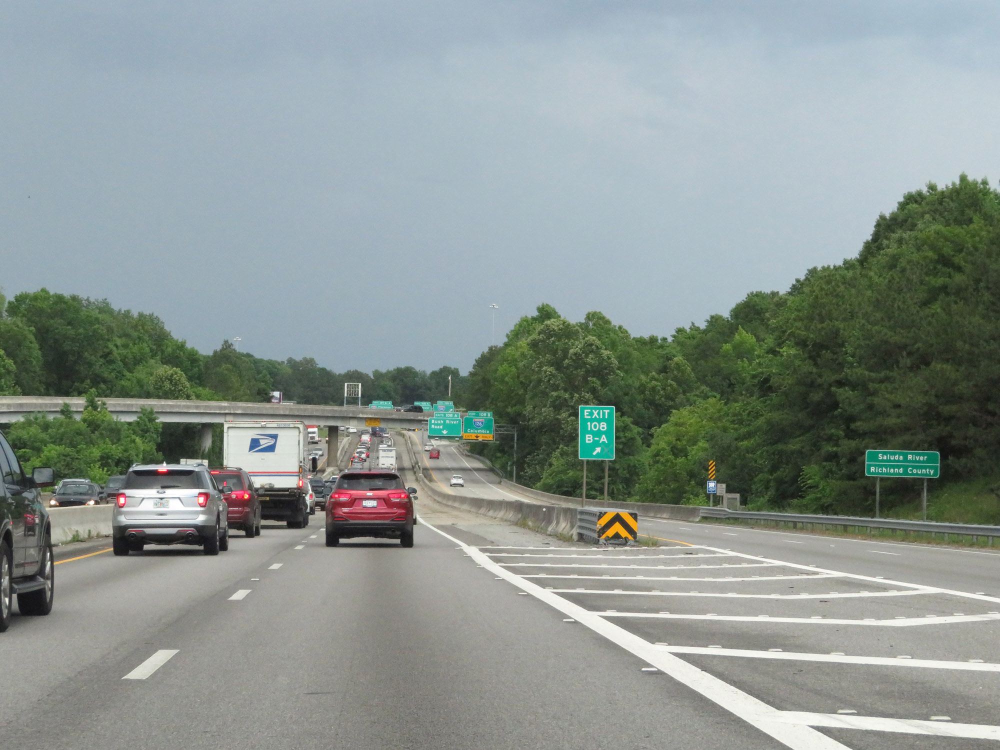 |
At the ramp to Exits 108B-A, Interstate 26 West enters Richland County. (Photo taken 5/25/18). |
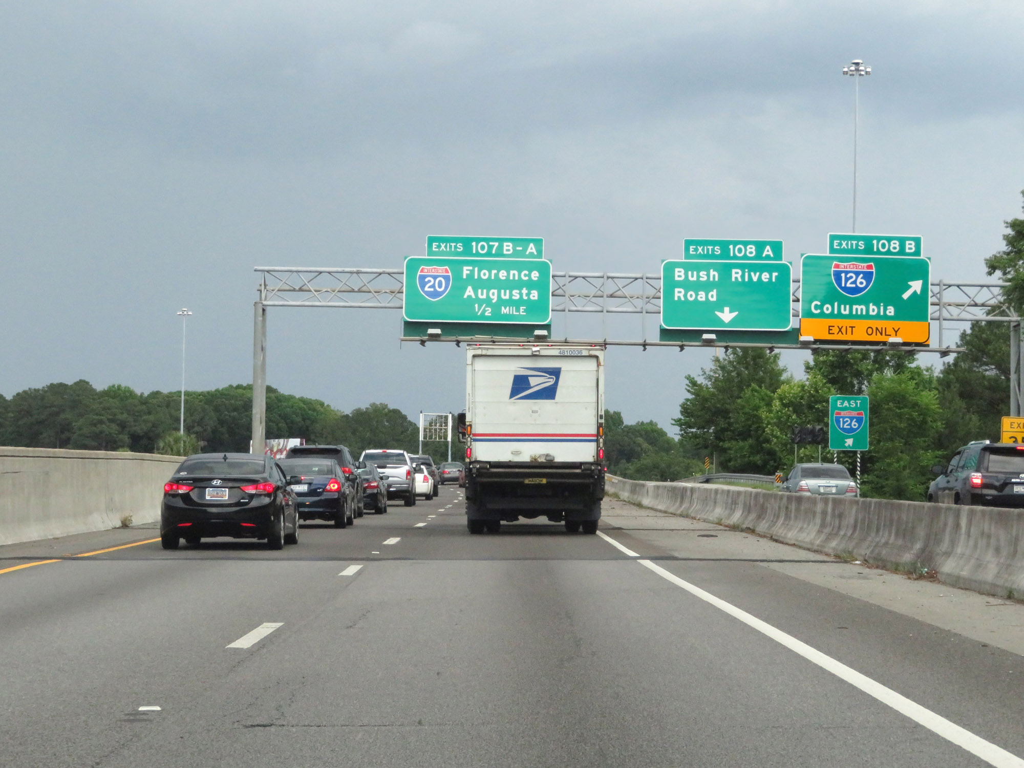 |
Interstate 26 West at Exit 108B: Interstate 126 - Columbia; Exit 108A: Bush River Road (Photo taken 5/25/18). |
 |
Interstate 26 West approaching the junction of Interstate 20 in Columbia. (Photo taken 5/25/18). |
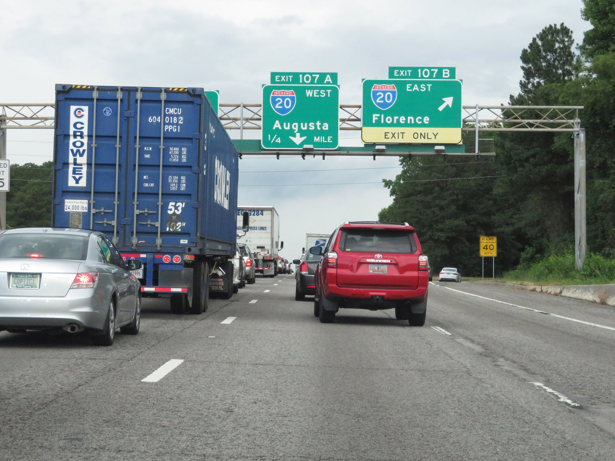 |
Interstate 26 West at Exit 107B: Interstate 20 East - Florence (Photo taken 5/25/18). |
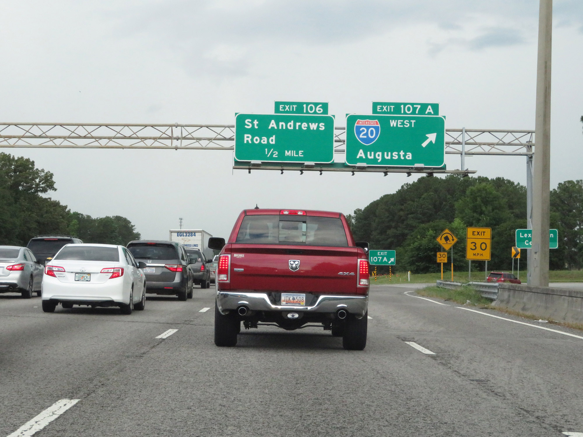 |
Interstate 26 West at Exit 107A: Interstate 20 West - Augusta. Also at this point, I-26 West re-enters Lexington County. (Photo taken 5/25/18). |
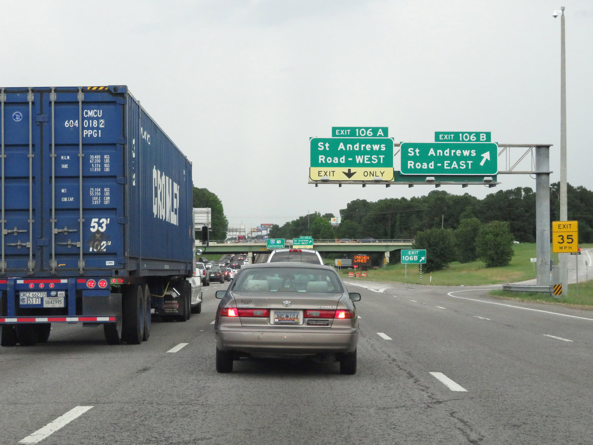 |
Interstate 26 West at Exit 106B: St Andrews Road East (Photo taken 5/25/18). |
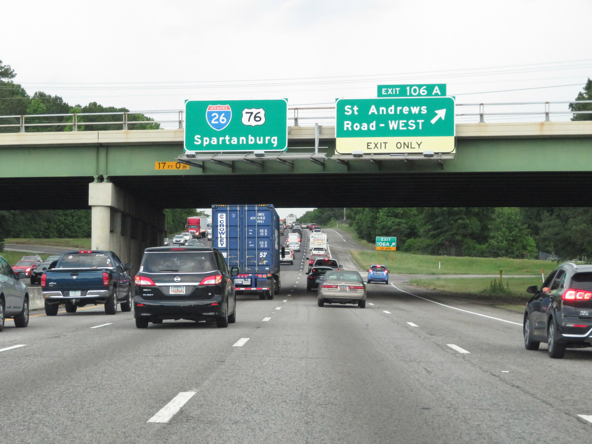 |
Interstate 26 West at Exit 106A: St Andrews Road West (Photo taken 5/25/18). |
 |
Interstate 26 West at Exit 104: Piney Grove Road (Photo taken 5/25/18). |
 |
Beyond Exit 104, the speed limit increases to 60 mph again. (Photo taken 5/25/18). |
 |
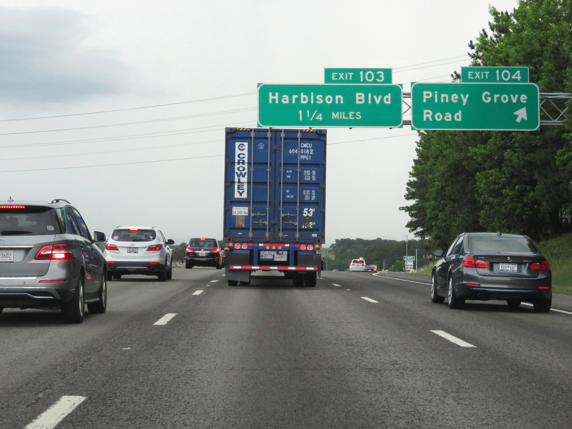
Just before Exit 103, Interstate 26 West re-enters Richland County. (Photo taken 5/25/18). |
 |
Interstate 26 West at Exit 103: Harbison Blvd (Photo taken 5/25/18). |
Section 3: Columbia (Exit 103) to North Carolina Border
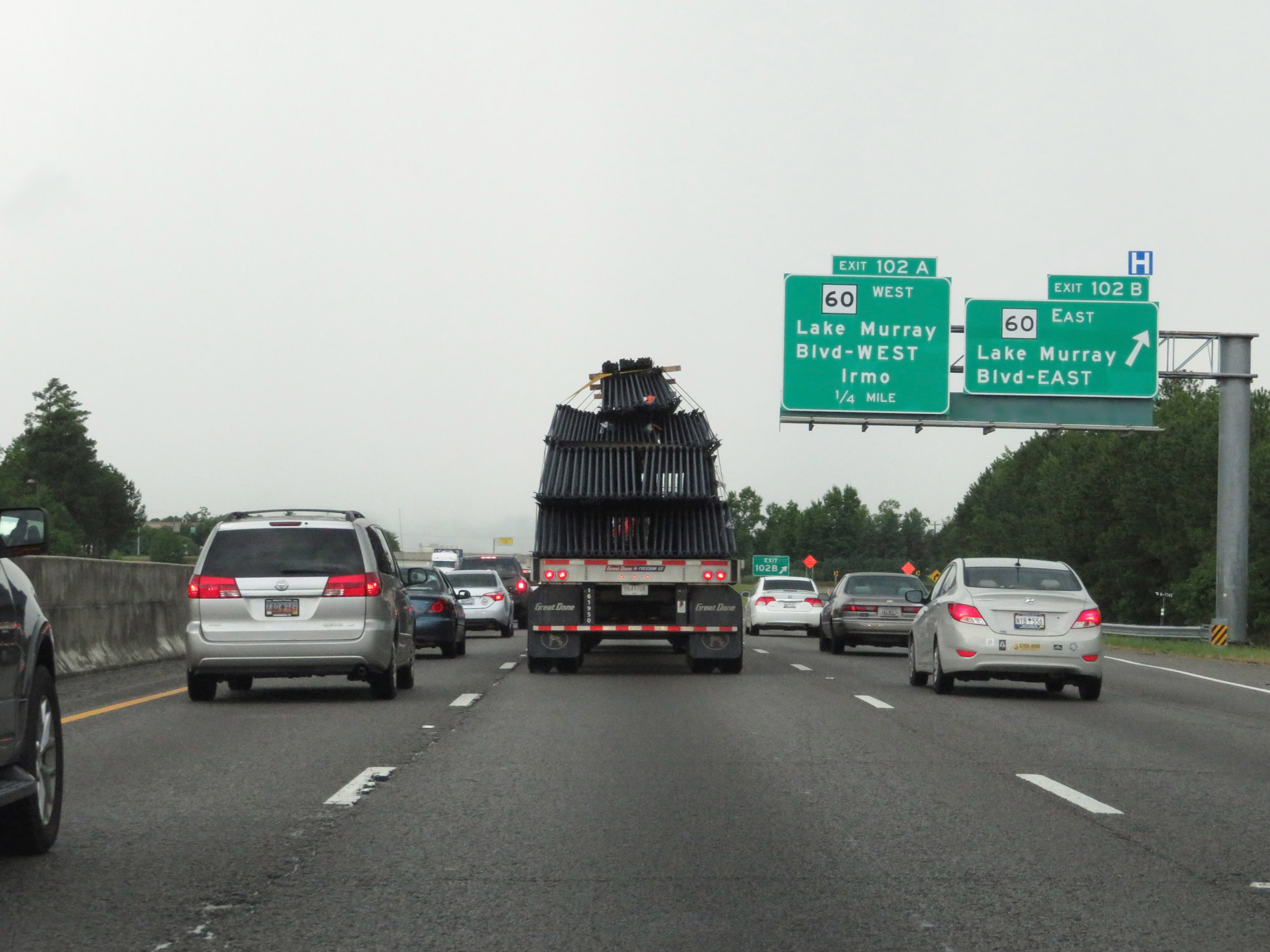 |
Interstate 26 West at Exit 102B: SC 60 East - Lake Murray Blvd East (Photo taken 5/25/18). |
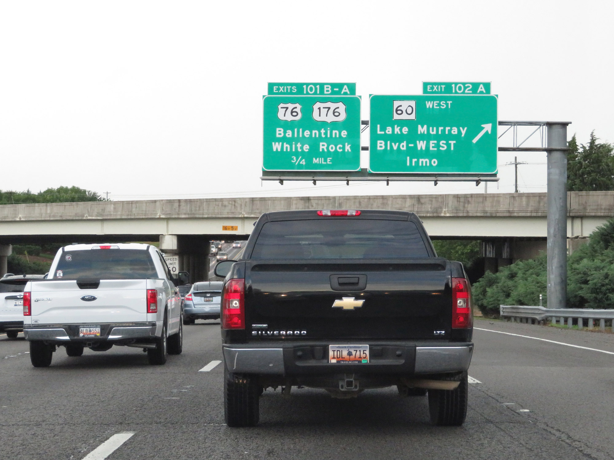 |
Interstate 26 West at Exit 102A: SC 60 West - Lake Murray Blvd West / Irmo (Photo taken 5/25/18). |
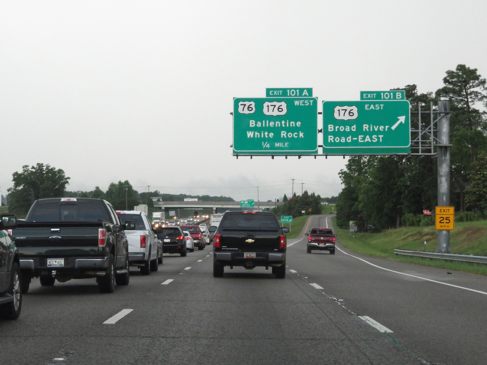 |
Interstate 26 West at Exit 101B: US 176 East - Broad River Road East (Photo taken 5/25/18). |
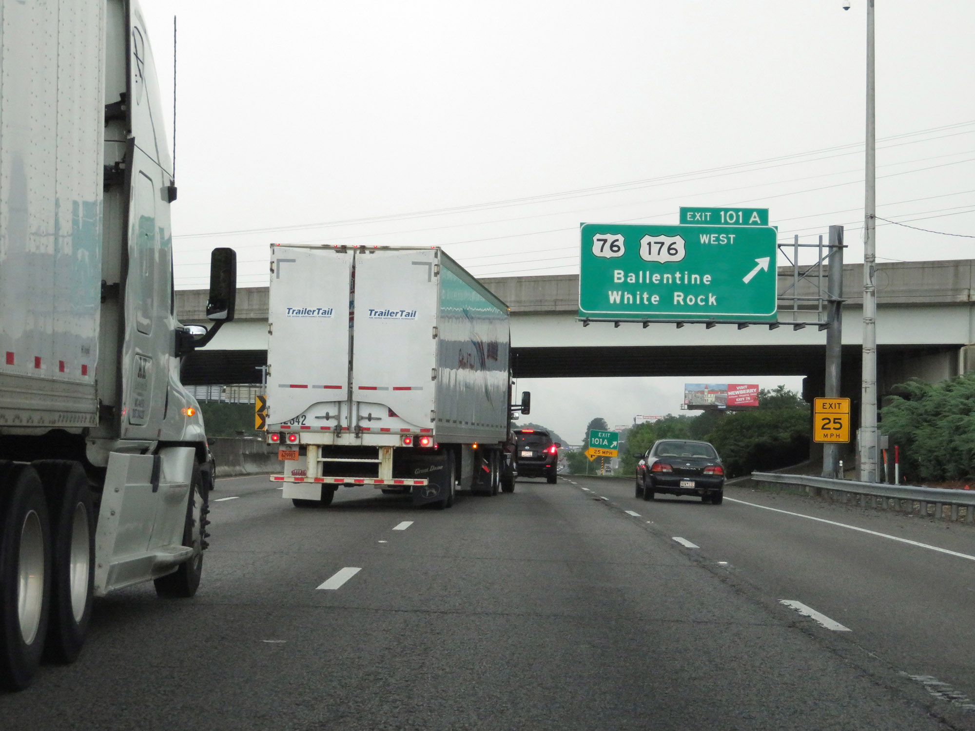 |
Interstate 26 West at Exit 101A: US 176 West / US 76 West - Ballentine / White Rock (Photo taken 5/25/18). |
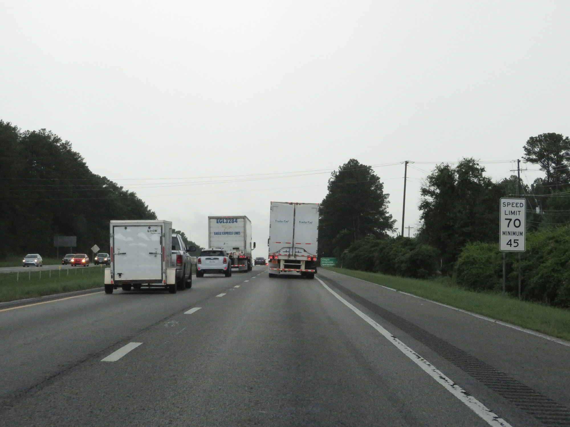 |
Beyond Exit 101A, the speed limit increases to 70 mph once again. The minimum speed limit of 45 mph still applies, as always. (Photo taken 5/25/18). |
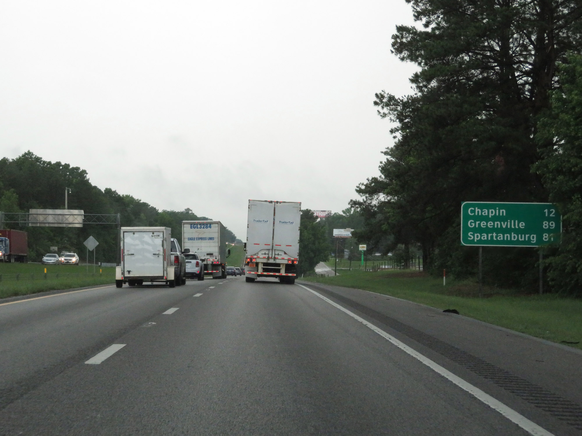 |
Mileage sign on Interstate 26 West. It's 12 miles to Chapin, 89 miles to Greenville, and 81 miles to Spartanburg. (Photo taken 5/25/18). |
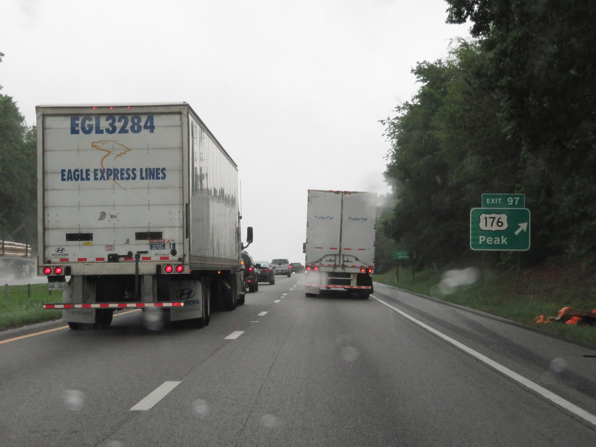 |
Interstate 26 West at Exit 97: US 176 - Peak (Photo taken 5/25/18). |
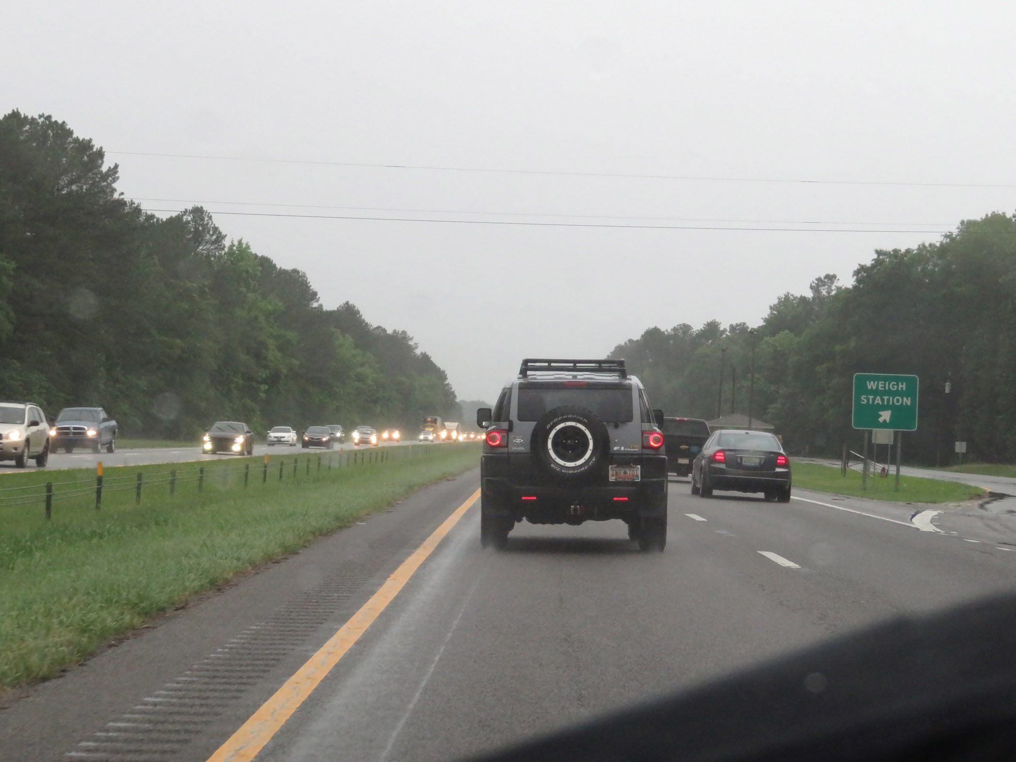 |
Weigh Station on Interstate 26 West in Richland County. (Photo taken 5/25/18). |
 |
Entering Lexington County for the fourth time on Interstate 26 West. (Photo taken 5/25/18). |
 |
Interstate 26 West at mile marker 92. (Photo taken 5/25/18). |
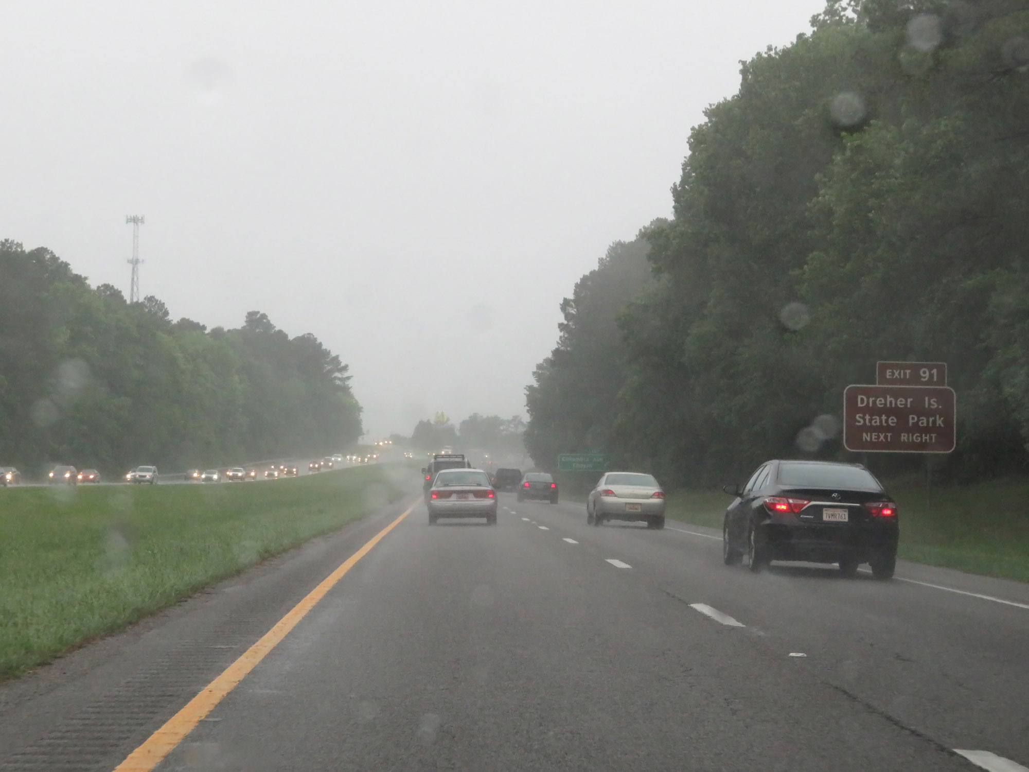 |
Take Exit 91 to Dreher Island State Park. (Photo taken 5/25/18). |
 |
Interstate 26 West at Exit 91: Columbia Ave / Chapin (Photo taken 5/25/18). |
 |
Interstate 26 West at Exit 85: SC 202 - Pomaria / Little Mountain (Photo taken 5/25/18). |
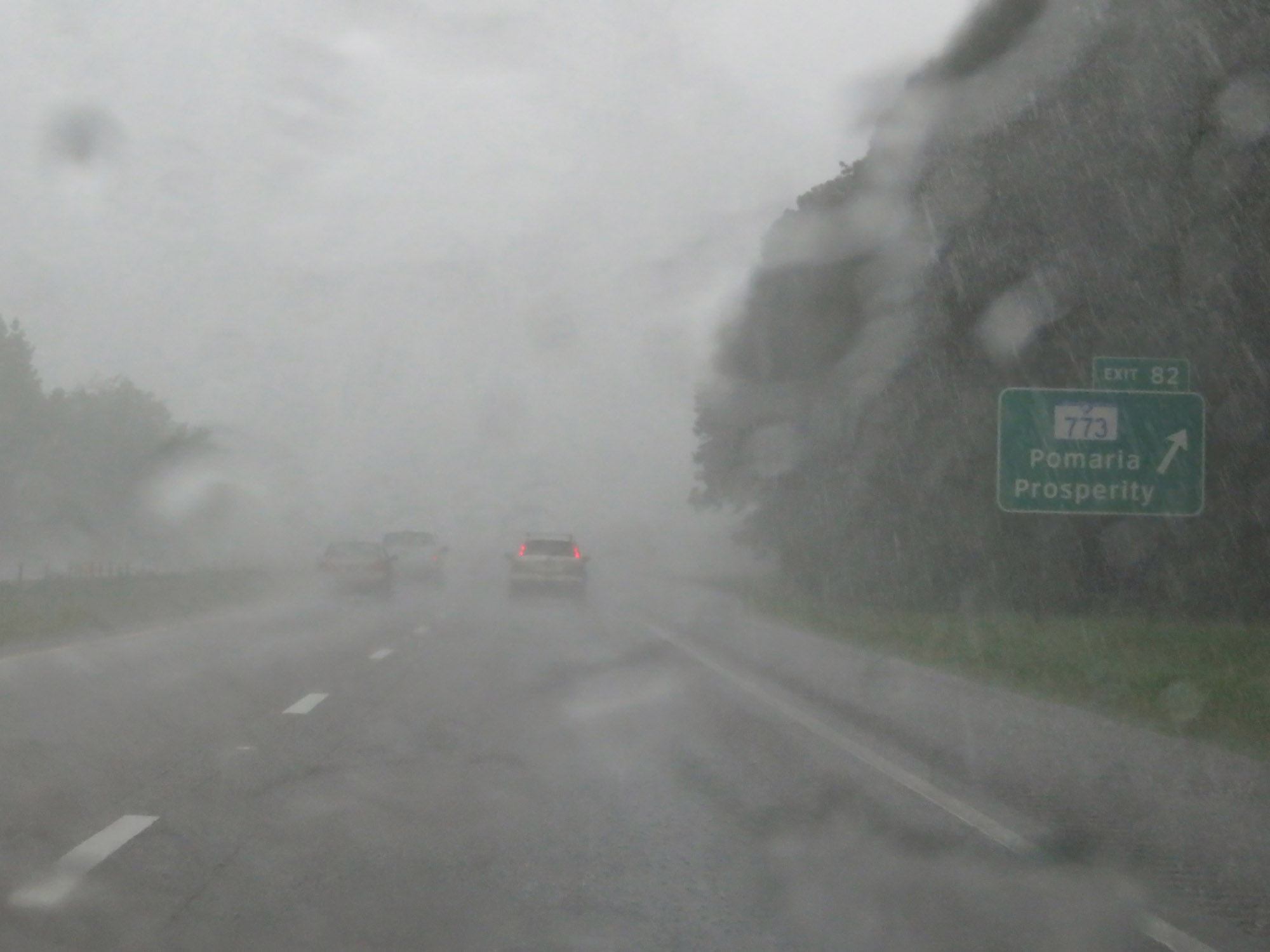 |
Interstate 26 West at Exit 82: SC 773 - Pomaria / Prosperity (Photo taken 5/25/18). |
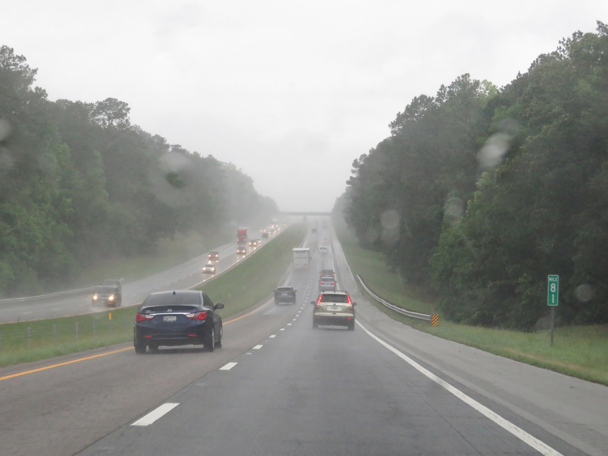 |
View on Interstate 26 West at mile marker 81. (Photo taken 5/25/18). |
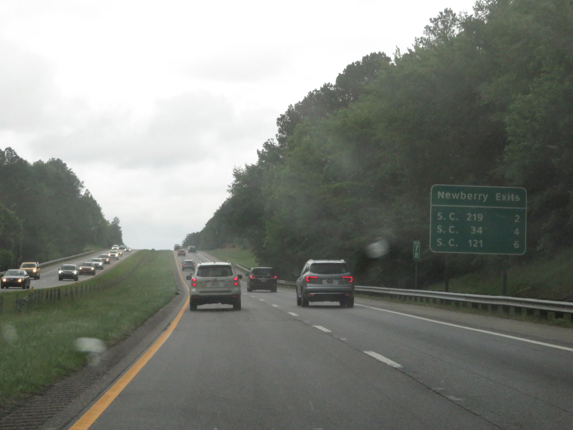 |
This sign at mile marker 78 lists the distances to the three upcoming exits to Newberry. (Photo taken 5/25/18). |
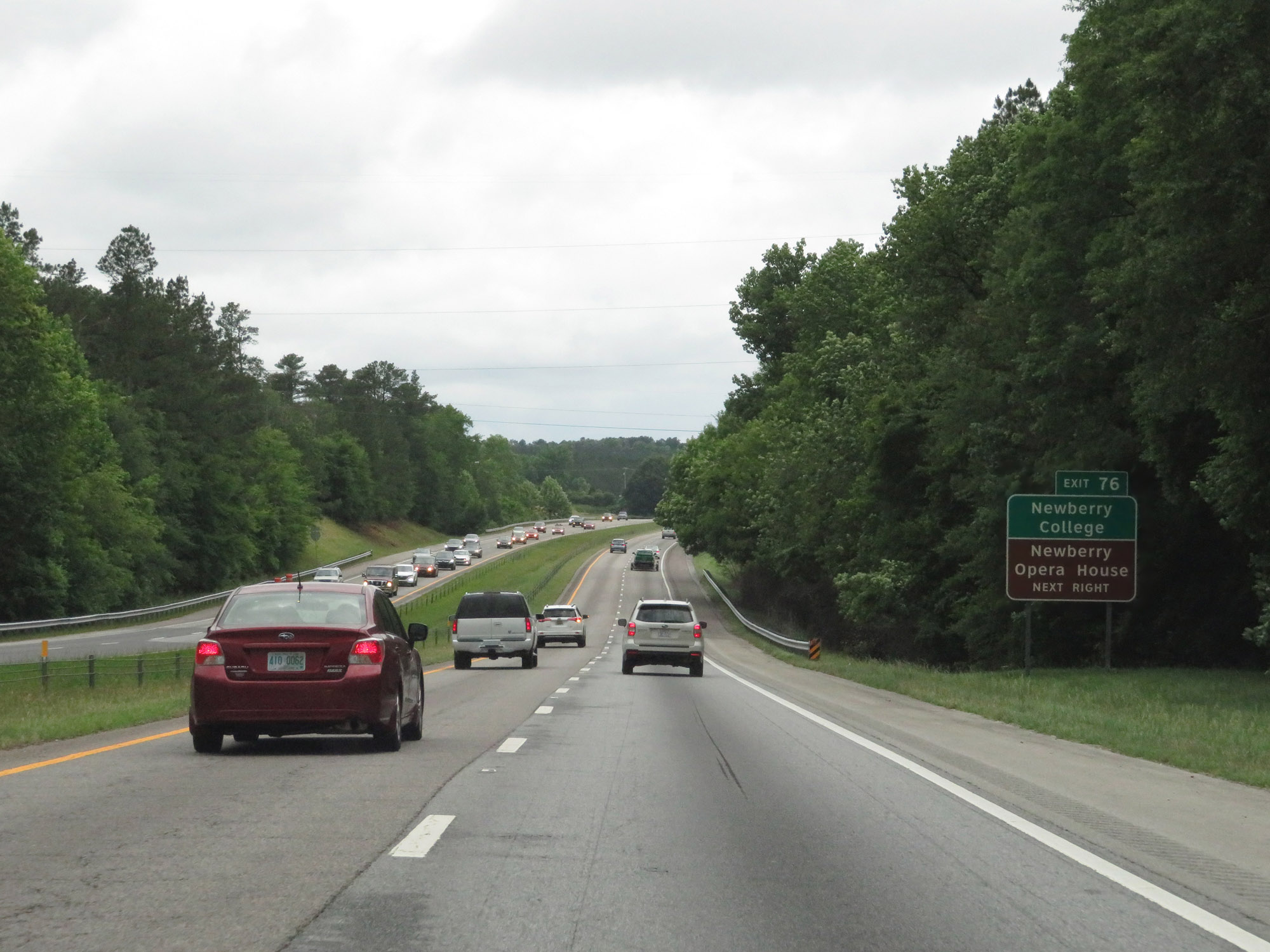 |
Take Exit 76 to Newberry College and Newberry Opera House. (Photo taken 5/25/18). |
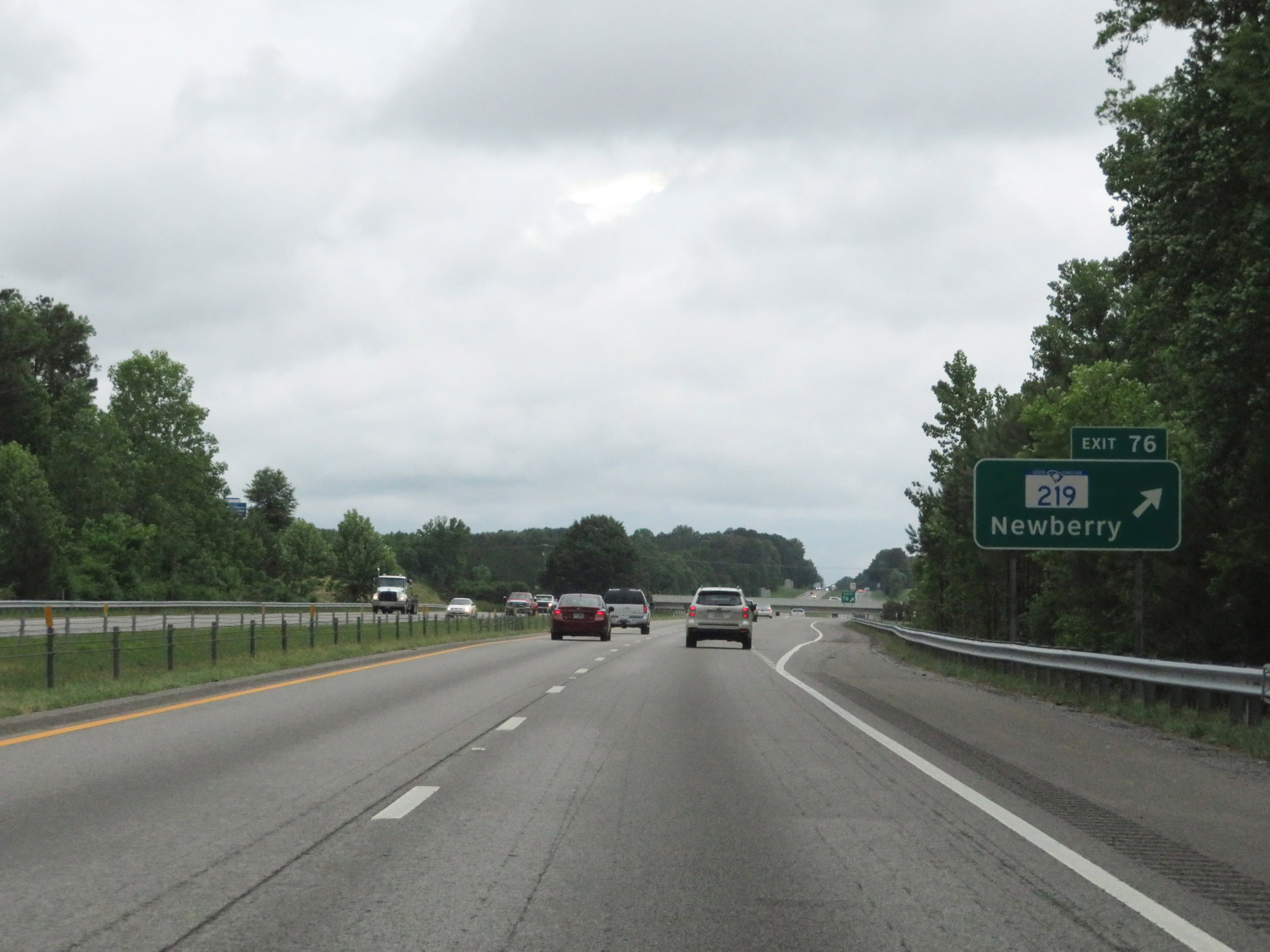 |
Interstate 26 West at Exit 76: SC 219 - Newberry (Photo taken 5/25/18). |
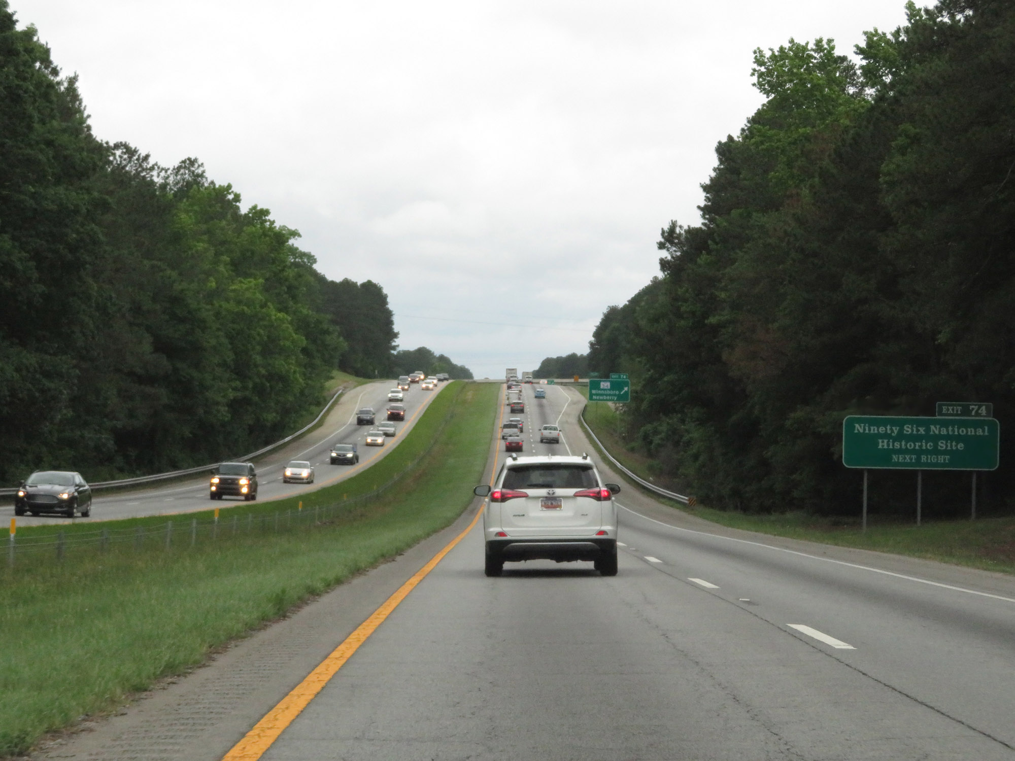 |
Take Exit 74 to Ninety Six National Historic Site. (Photo taken 5/25/18). |
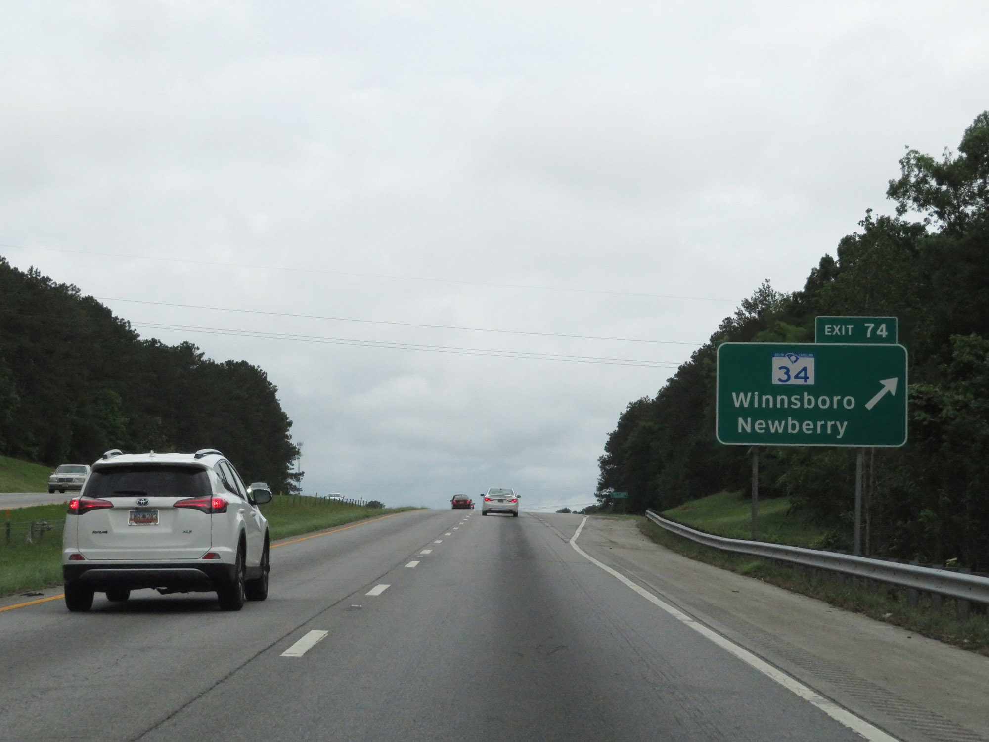 |
Interstate 26 West at Exit 74: SC 34 - Winnsboro / Newberry (Photo taken 5/25/18). |
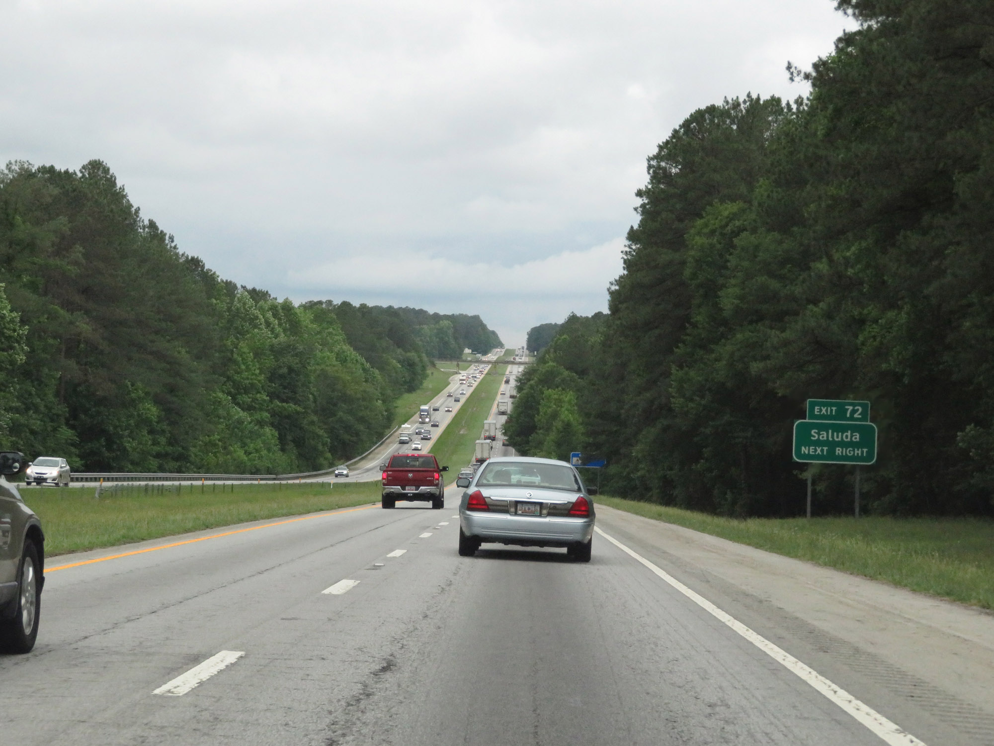 |
Take Exit 72 to Saluda. (Photo taken 5/25/18). |
 |
Interstate 26 West at Exit 72: SC 121 - Whitmire / Union (Photo taken 5/25/18). |
 |
State-named Interstate 26 West reassurance shield. (Photo taken 5/25/18). |
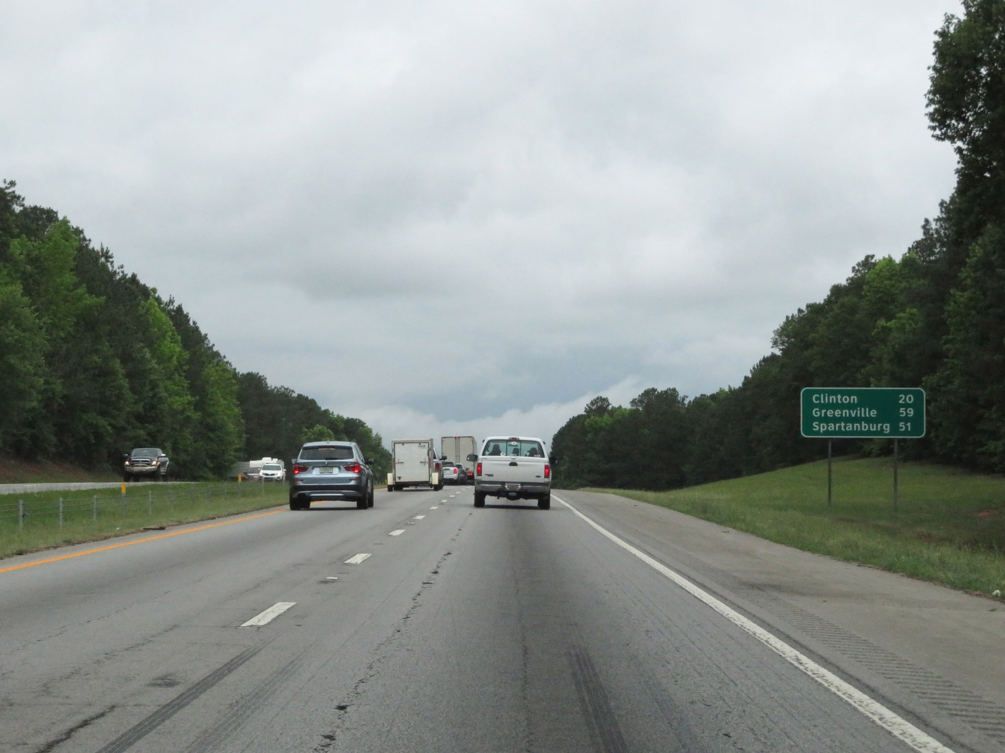 |
Mileage sign on Interstate 26 West. It's 20 miles to Clinton, 59 miles to Greenville, and 51 miles to Spartanburg. (Photo taken 5/25/18). |
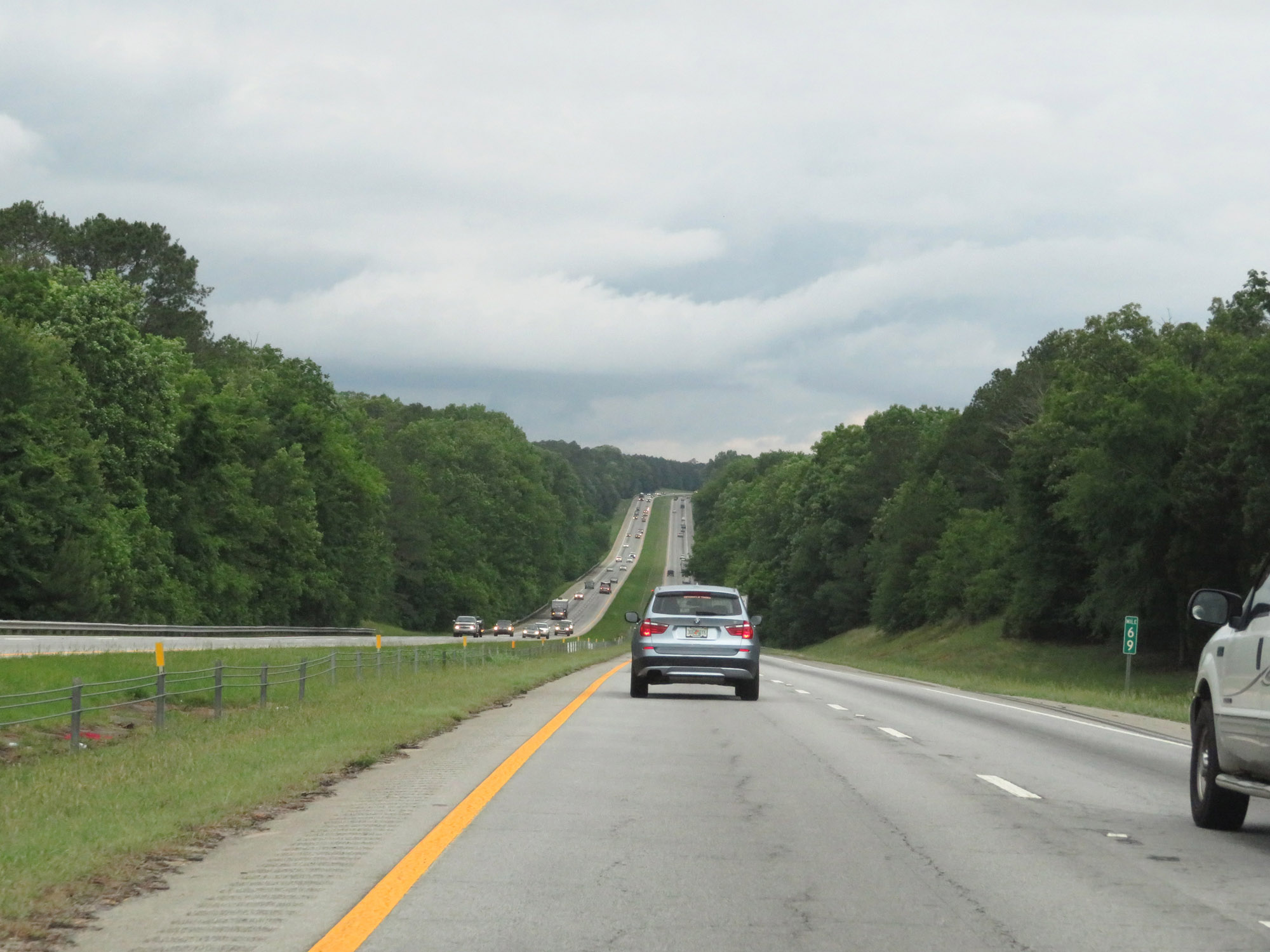 |
View on Interstate 26 West at mile marker 69. (Photo taken 5/25/18). |
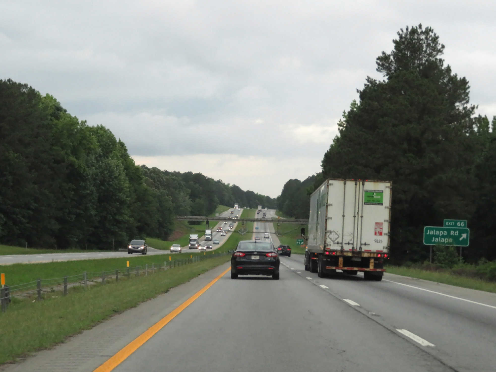 |
Interstate 26 West at Exit 66: Jalapa Rd / Jalapa (Photo taken 5/25/18). |
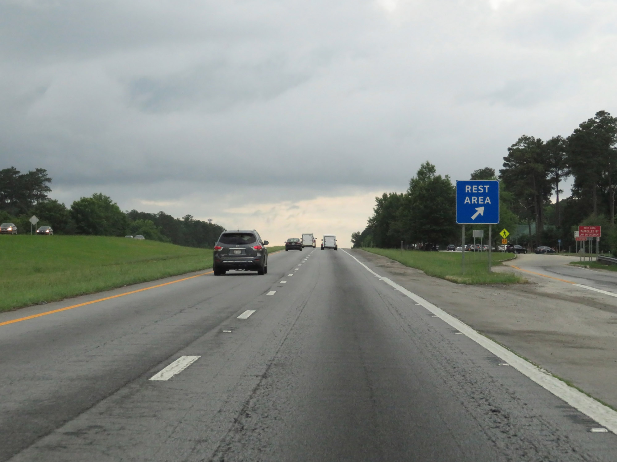 |
Rest Area on Interstate 26 West in Newberry County. (Photo taken 5/25/18). |
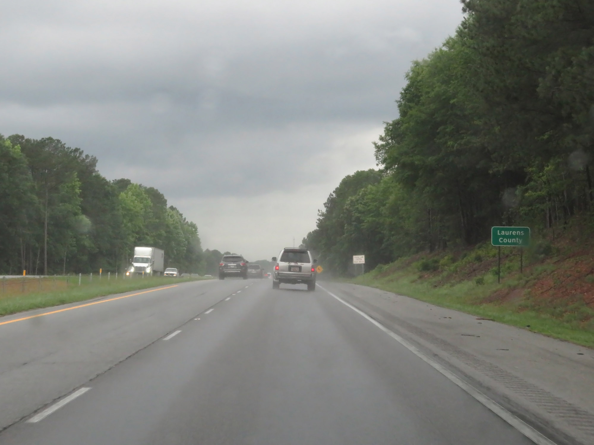 |
Interstate 26 West as it enters Laurens County. (Photo taken 5/25/18). |
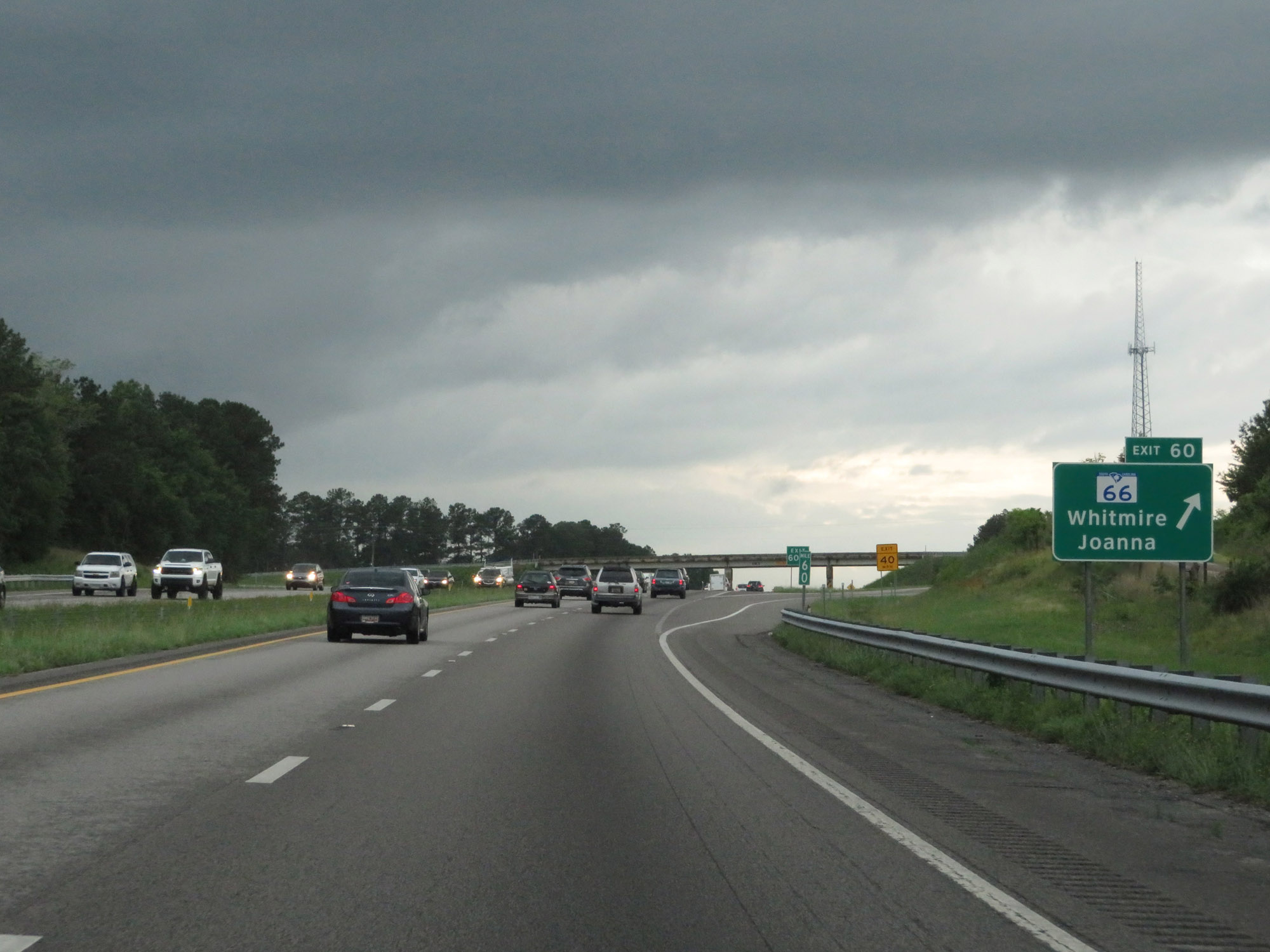 |
Interstate 26 West at Exit 60: SC 66 - Whitmire / Joanna (Photo taken 5/25/18). |
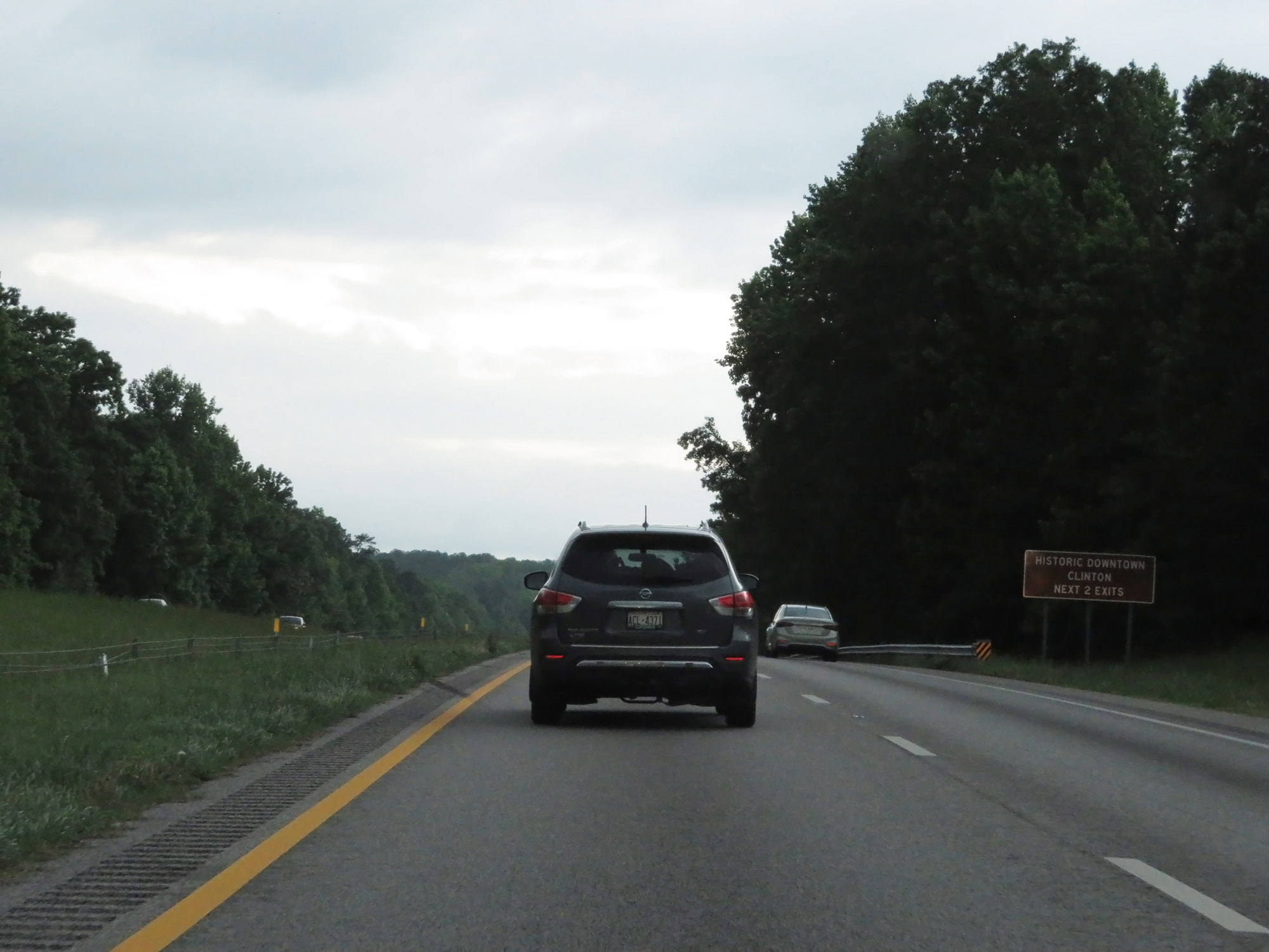 |
Take either of the next 2 exits to Historic Downtown Clinton. (Photo taken 5/25/18). |
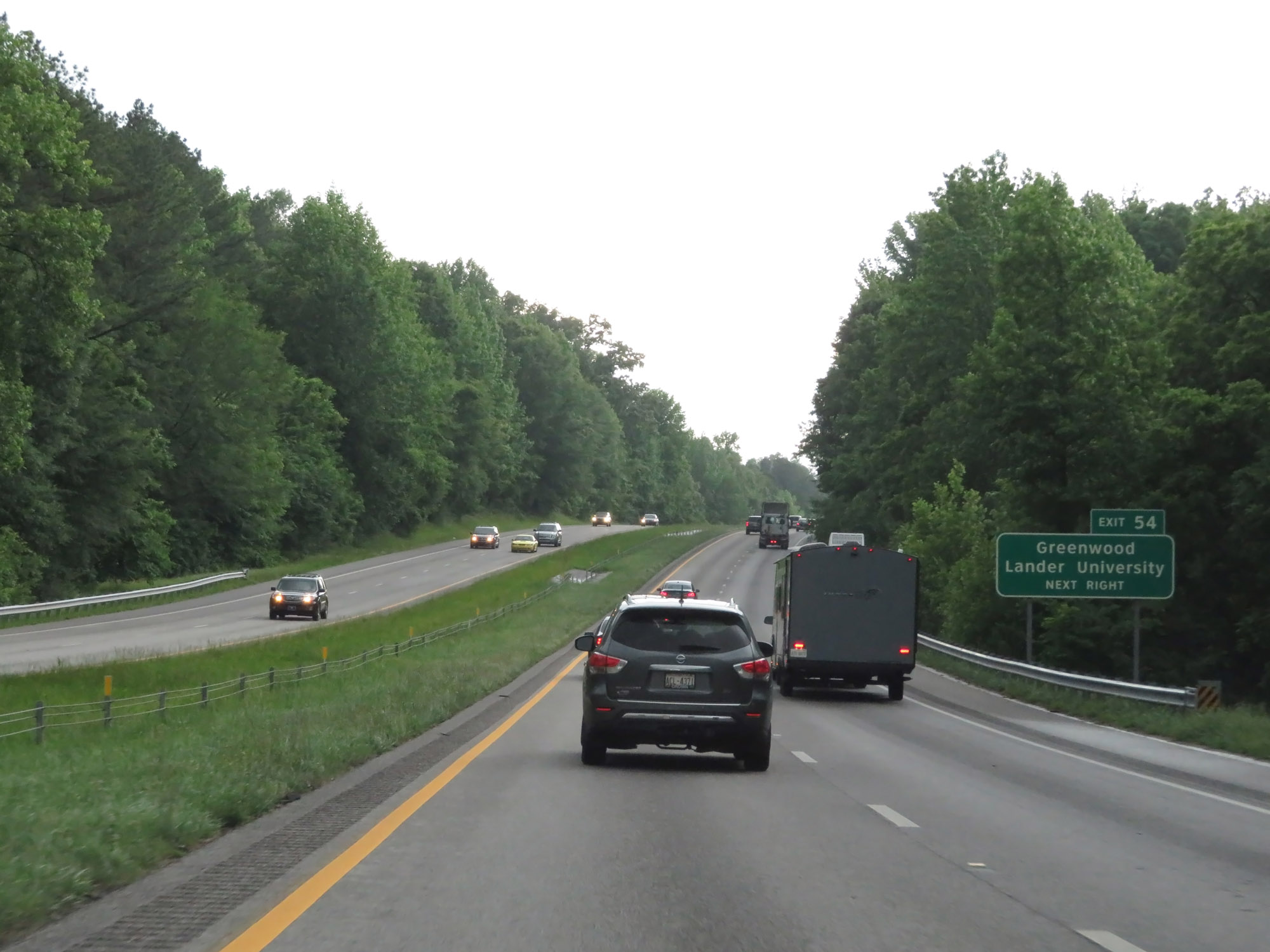 |
Take Exit 54 to Greenwood and Lander University. (Photo taken 5/25/18). |
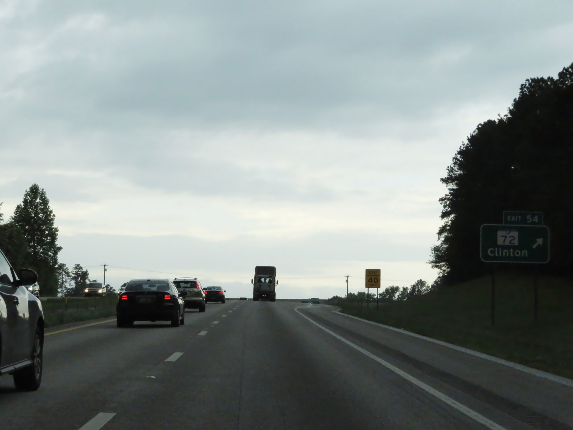 |
Interstate 26 West at Exit 54: SC 72 - Clinton (Photo taken 5/25/18). |
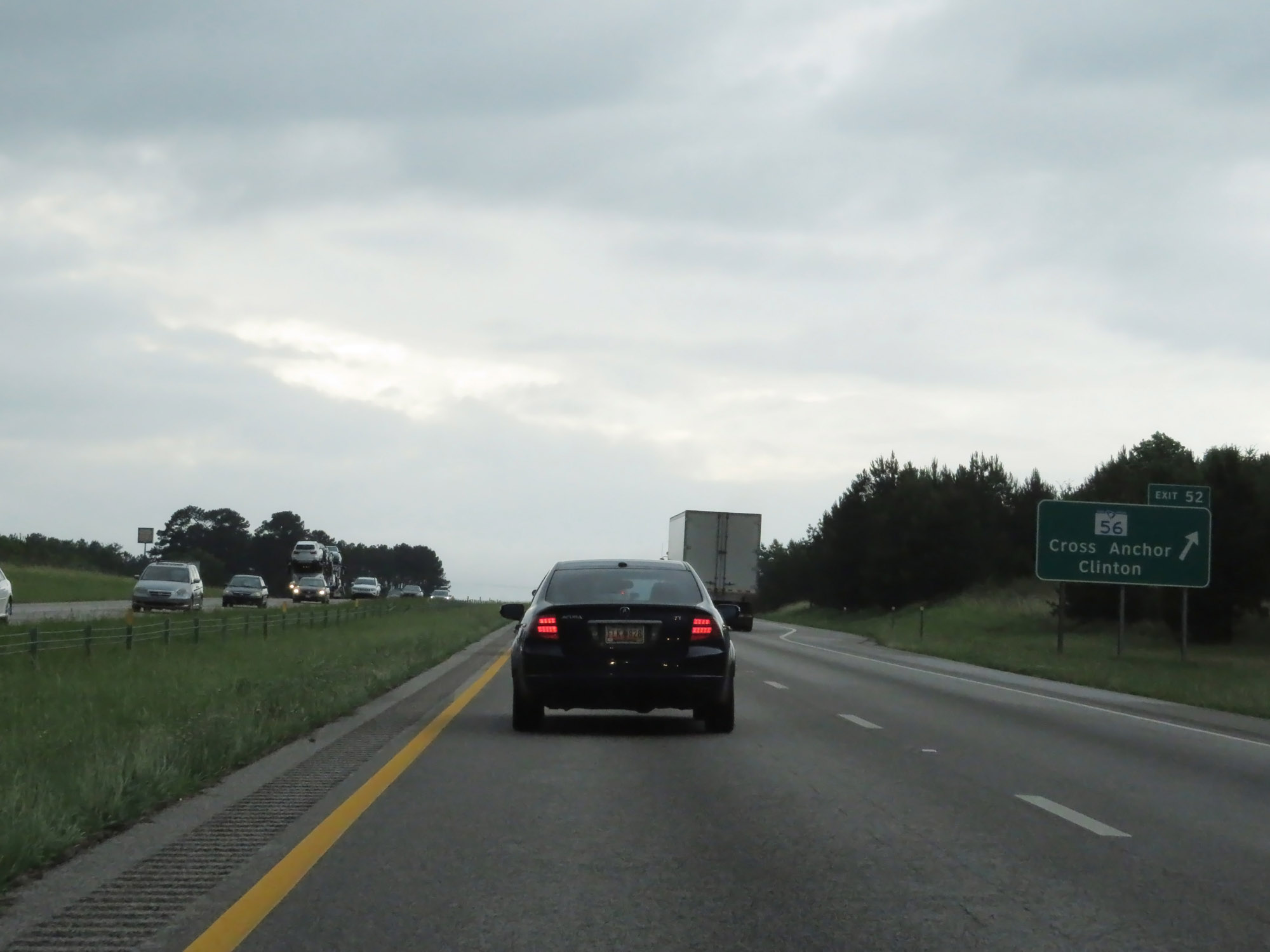 |
Interstate 26 West at Exit 52: SC 56 - Cross Anchor / Clinton (Photo taken 5/25/18). |
 |
Interstate 26 West approaching Exit 51 - 1/2 mile on the left. (Photo taken 5/25/18). |
 |
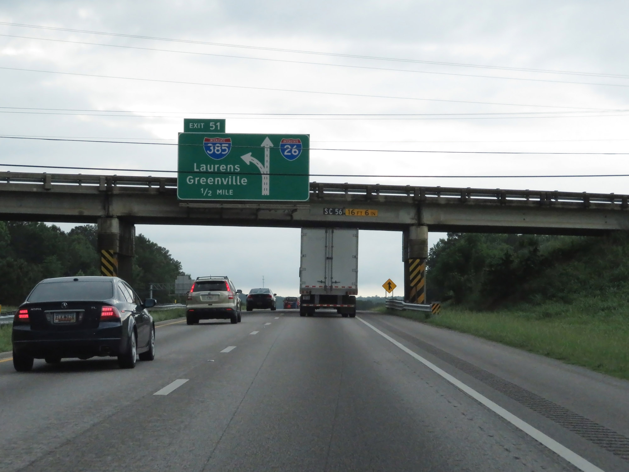
Interstate 26 West at Exit 51: Interstate 385 - Laurens / Greenville (Photo taken 5/25/18). |
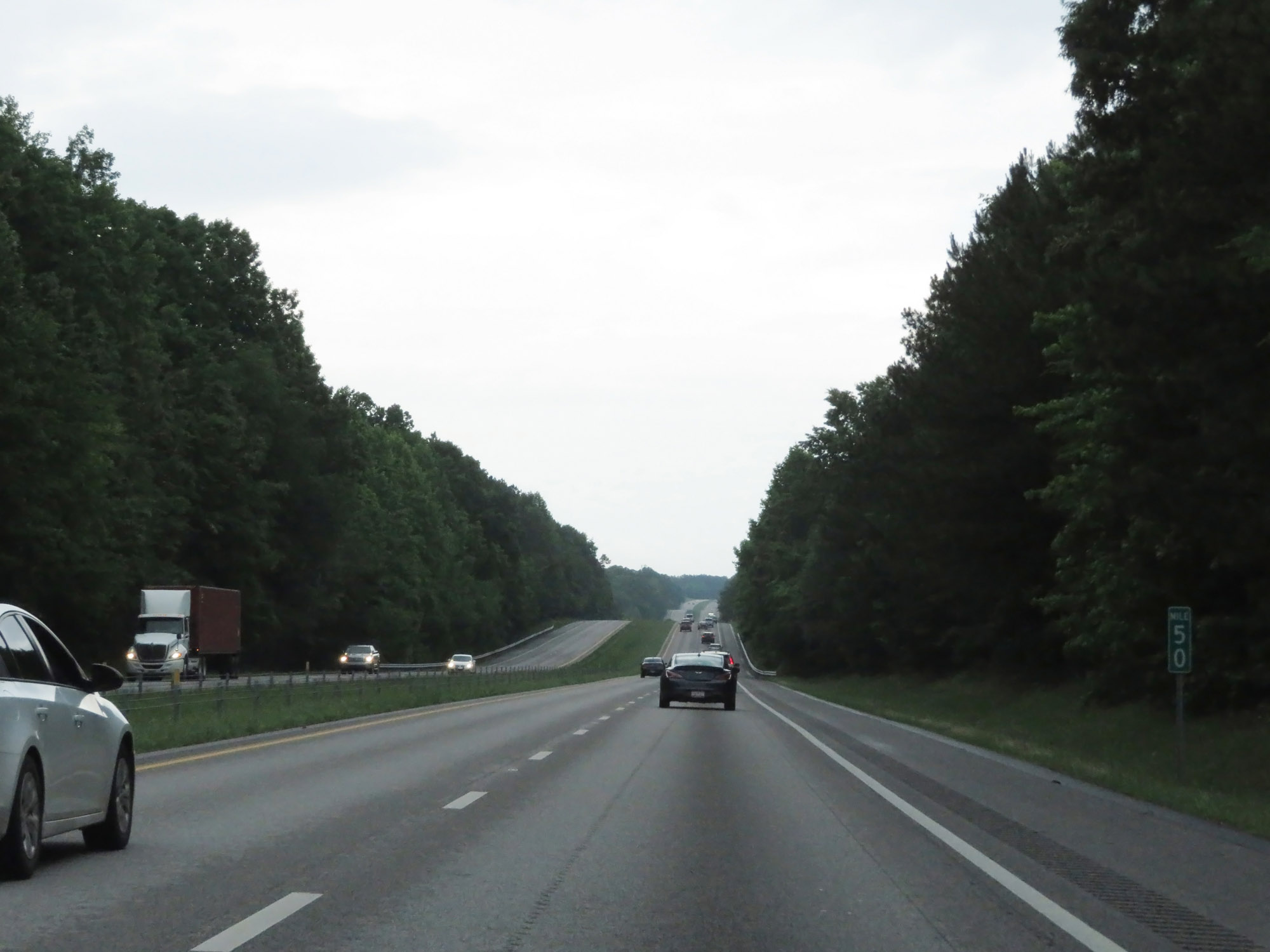 |
View on Interstate 26 West at mile marker 50. (Photo taken 5/25/18). |
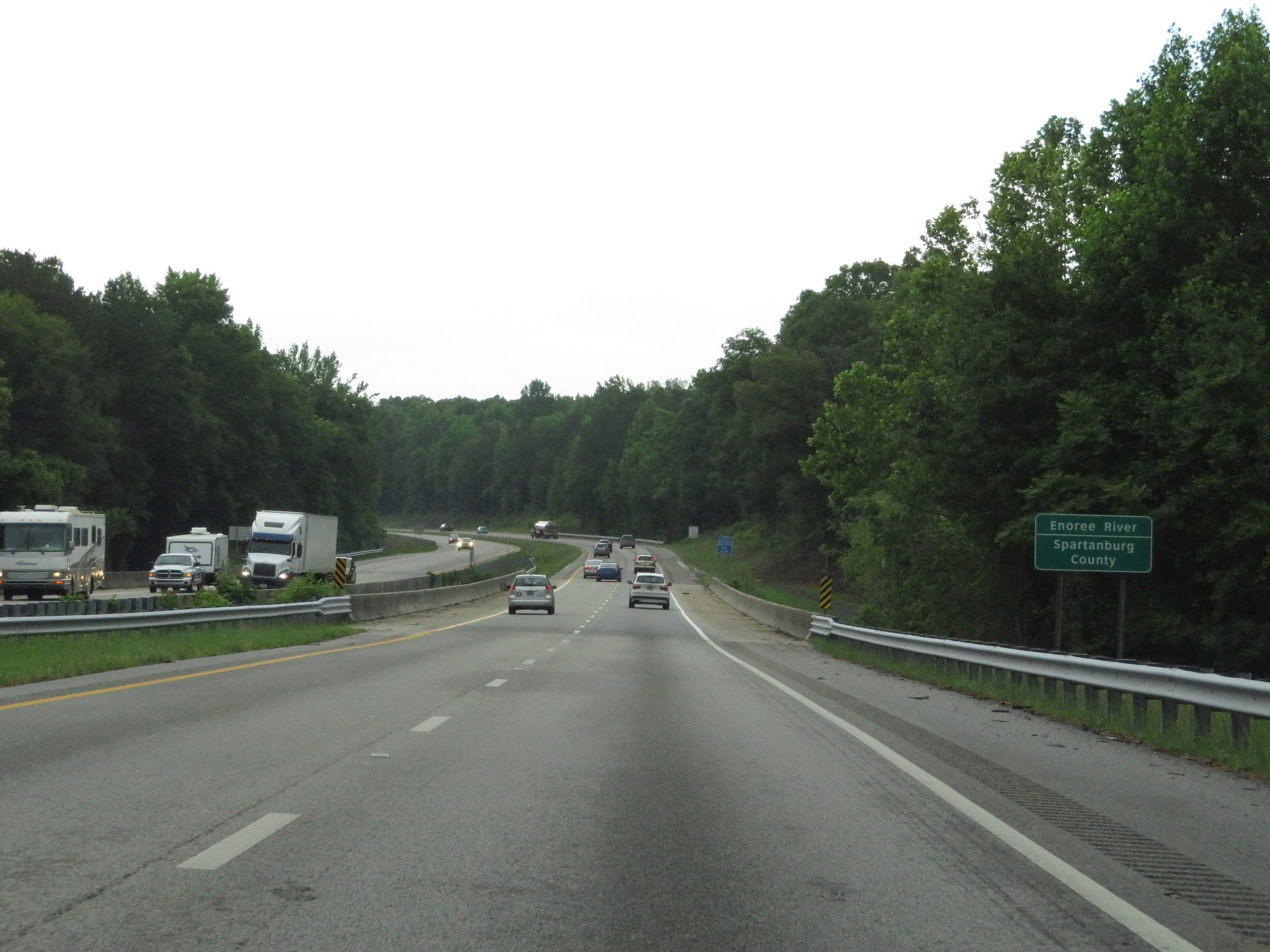 |
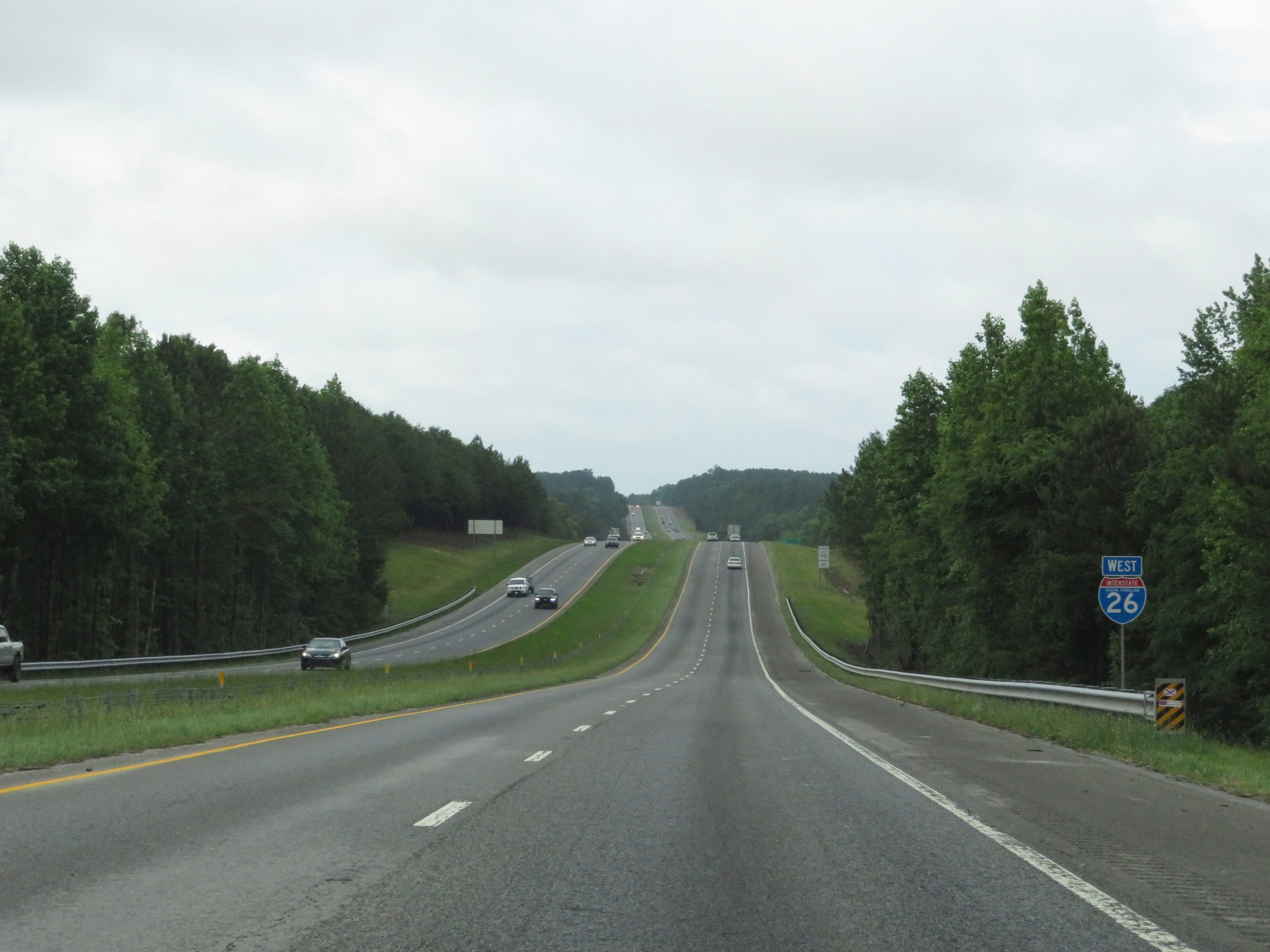
Entering Spartanburg County on Interstate 26 West. (Photo taken 5/25/18). |
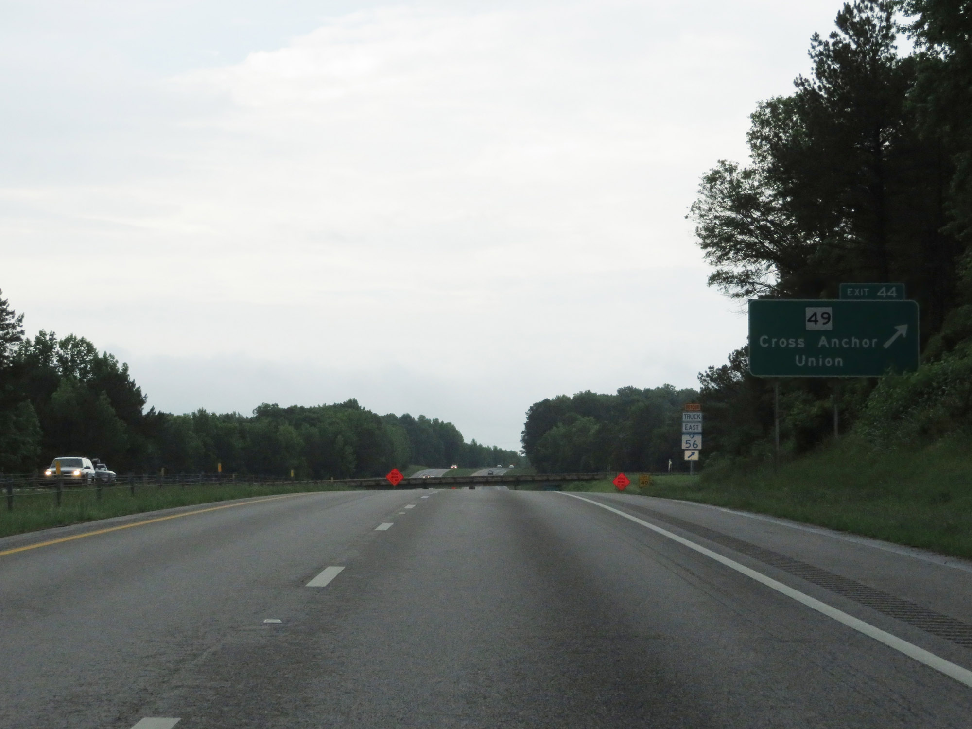 |
Interstate 26 West at Exit 44: SC 49 - Cross Anchor / Union (Photo taken 5/25/18). |
 |
The speed limits remain 70 mph maximum and 45 mph minimum. (Photo taken 5/25/18). |
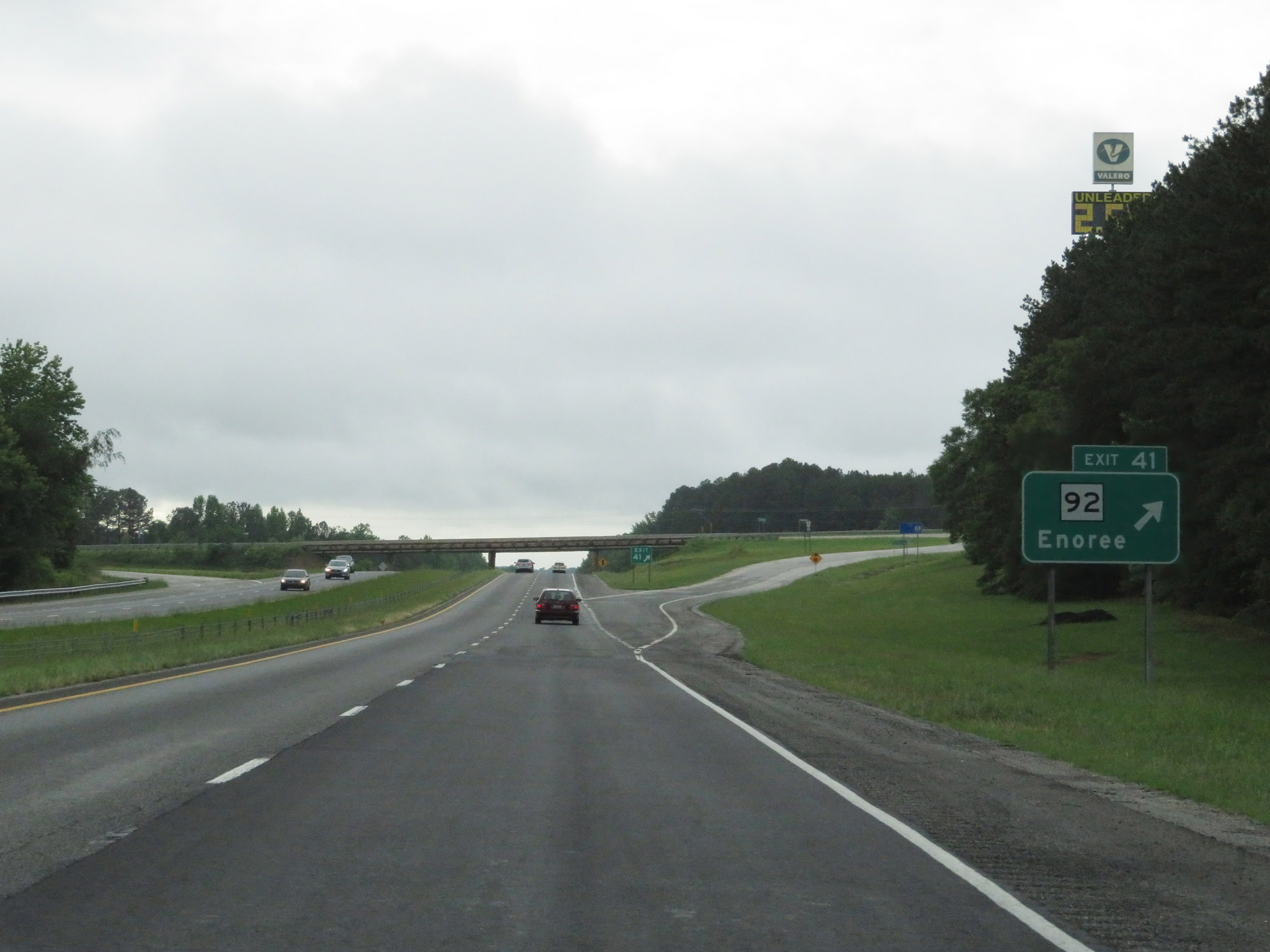 |
Interstate 26 West at Exit 41: SC 92 - Enoree (Photo taken 5/25/18). |
 |
Interstate 26 West at Exit 38: SC 146 - Woodruff (Photo taken 5/25/18). |
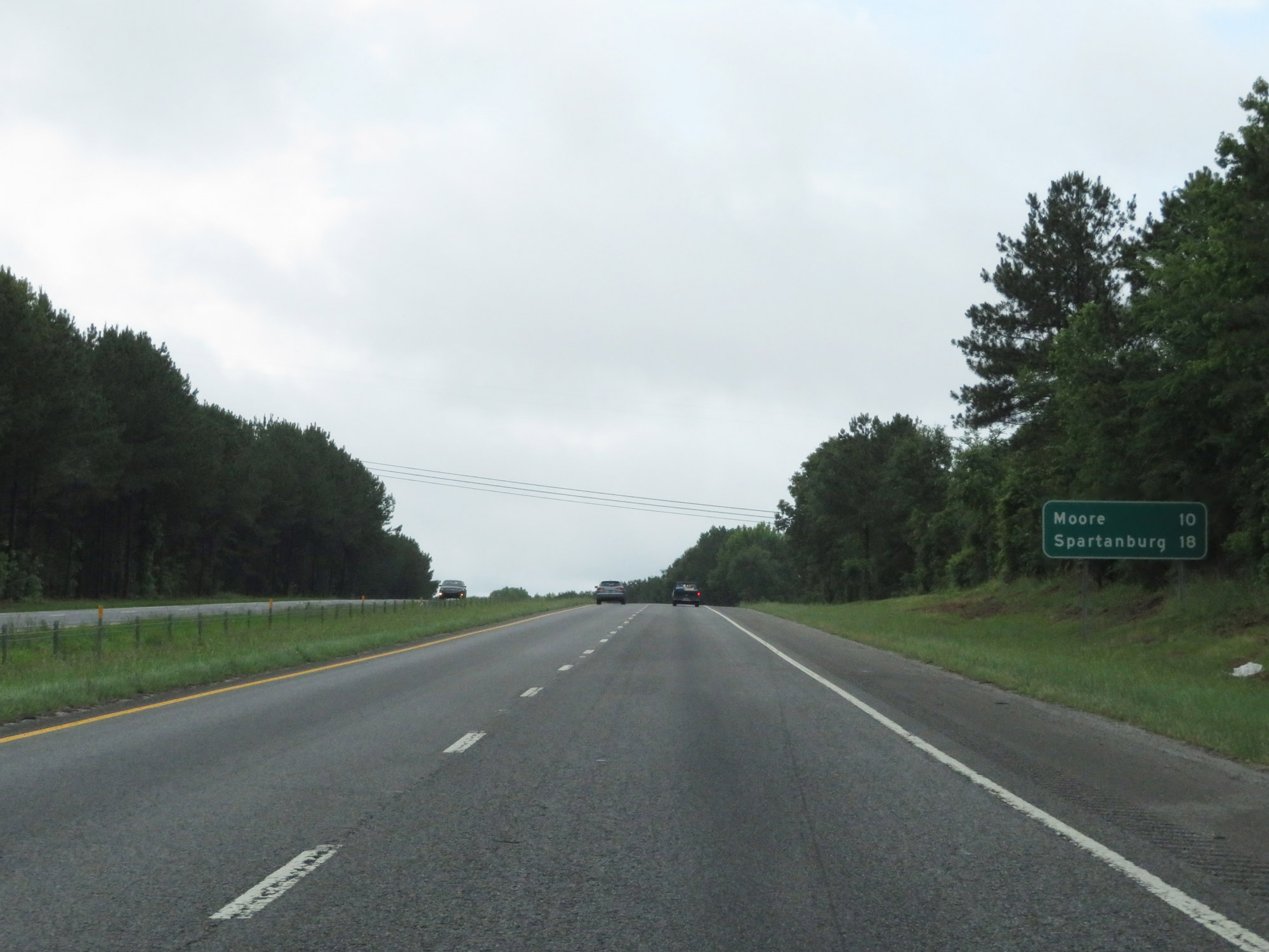 |
Mileage sign on Interstate 26 West. It's 10 miles to Moore and 18 miles to Spartanburg. (Photo taken 5/25/18). |
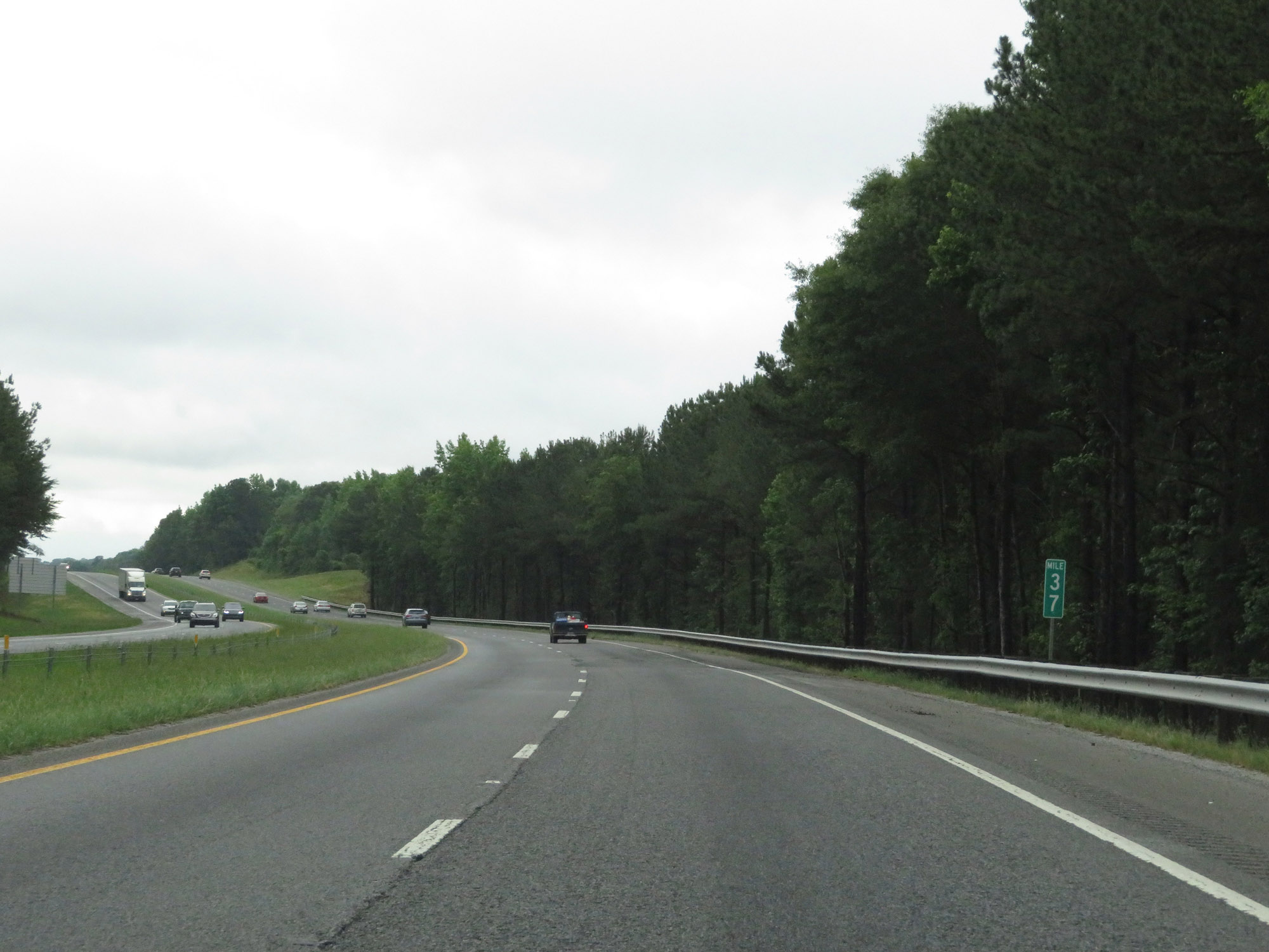 |
Interstate 26 West at mile marker 37. (Photo taken 5/25/18). |
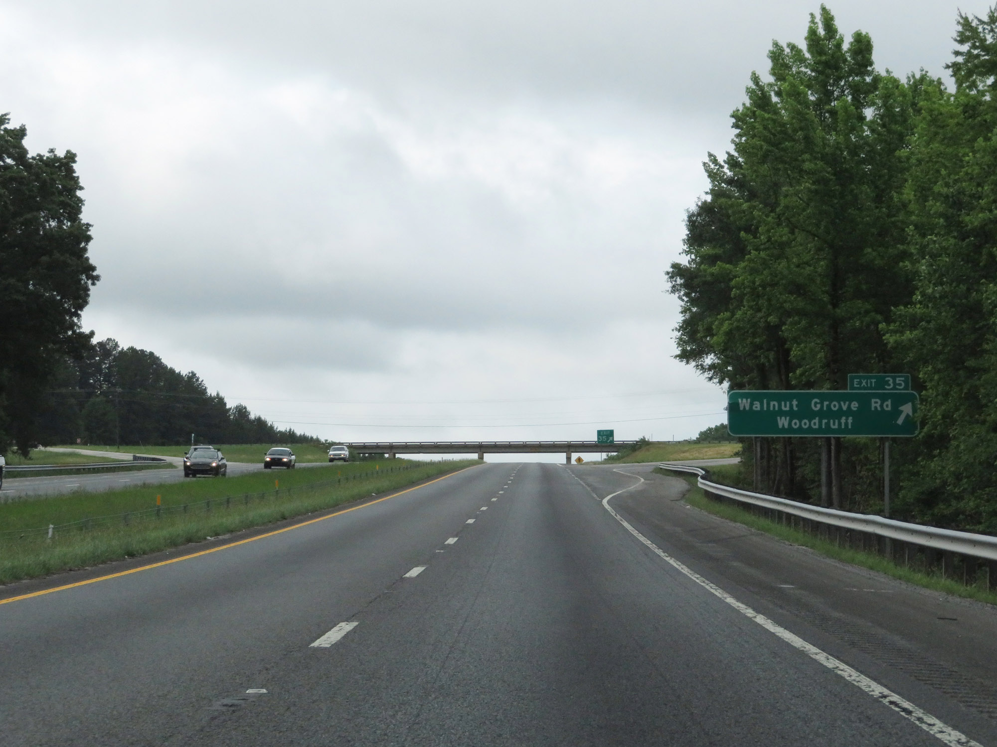 |
Interstate 26 West at Exit 35: Walnut Grove Rd / Woodruff (Photo taken 5/25/18). |
 |
Another state-named Interstate 26 West reassurance shield. (Photo taken 5/25/18). |
 |
View on Interstate 26 West at mile marker 32. (Photo taken 5/25/18). |
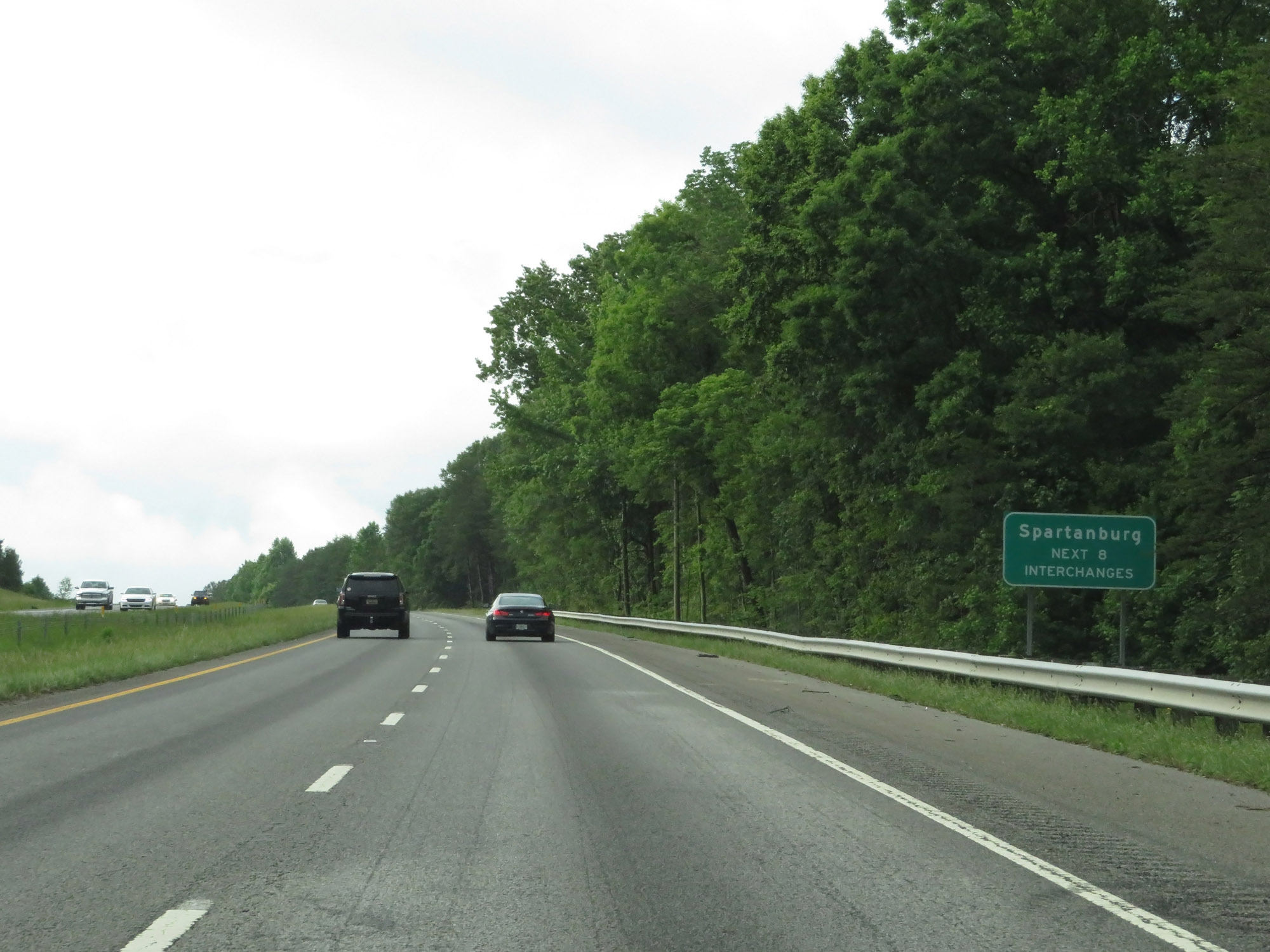 |
Take any of the next 8 exits to Spartanburg. (Photo taken 5/25/18). |
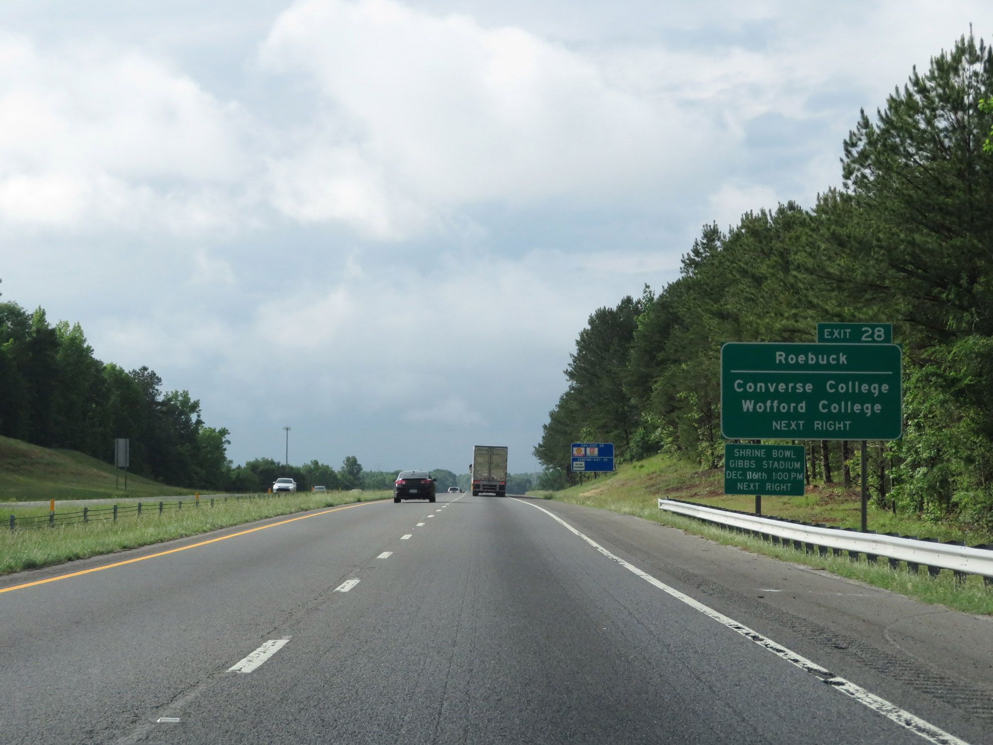 |
Take Exit 28 to Roebuck, Converse College, and Wofford College. (Photo taken 5/25/18). |
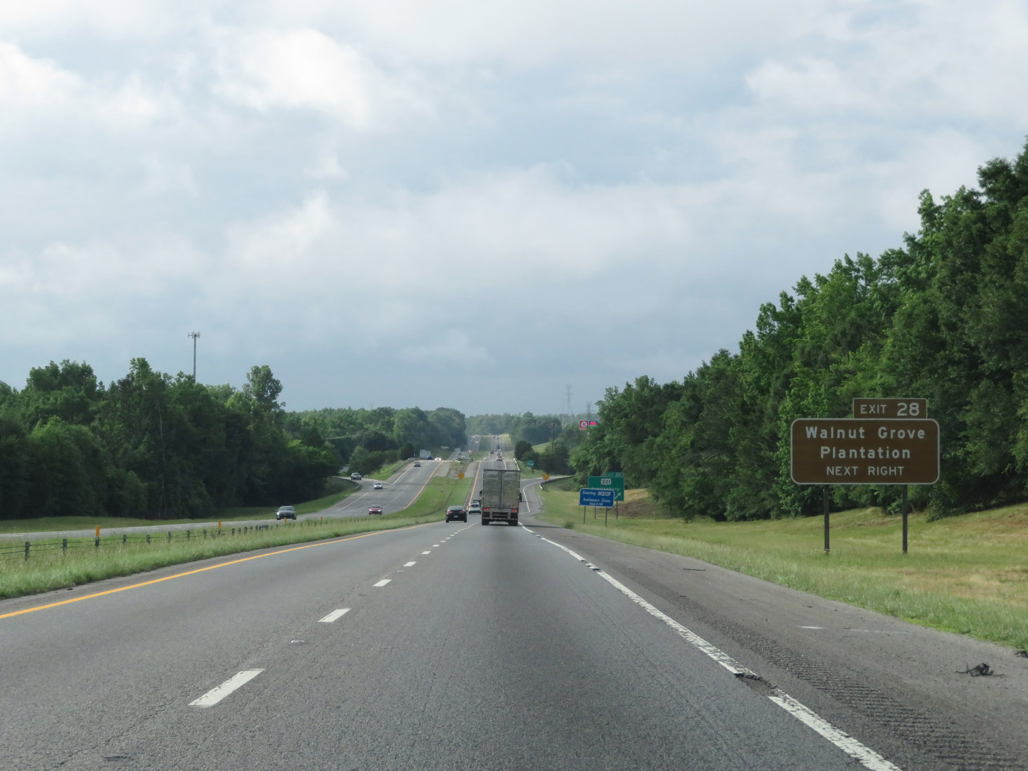 |
Also take Exit 28 to Walnut Grove Plantation. (Photo taken 5/25/18). |
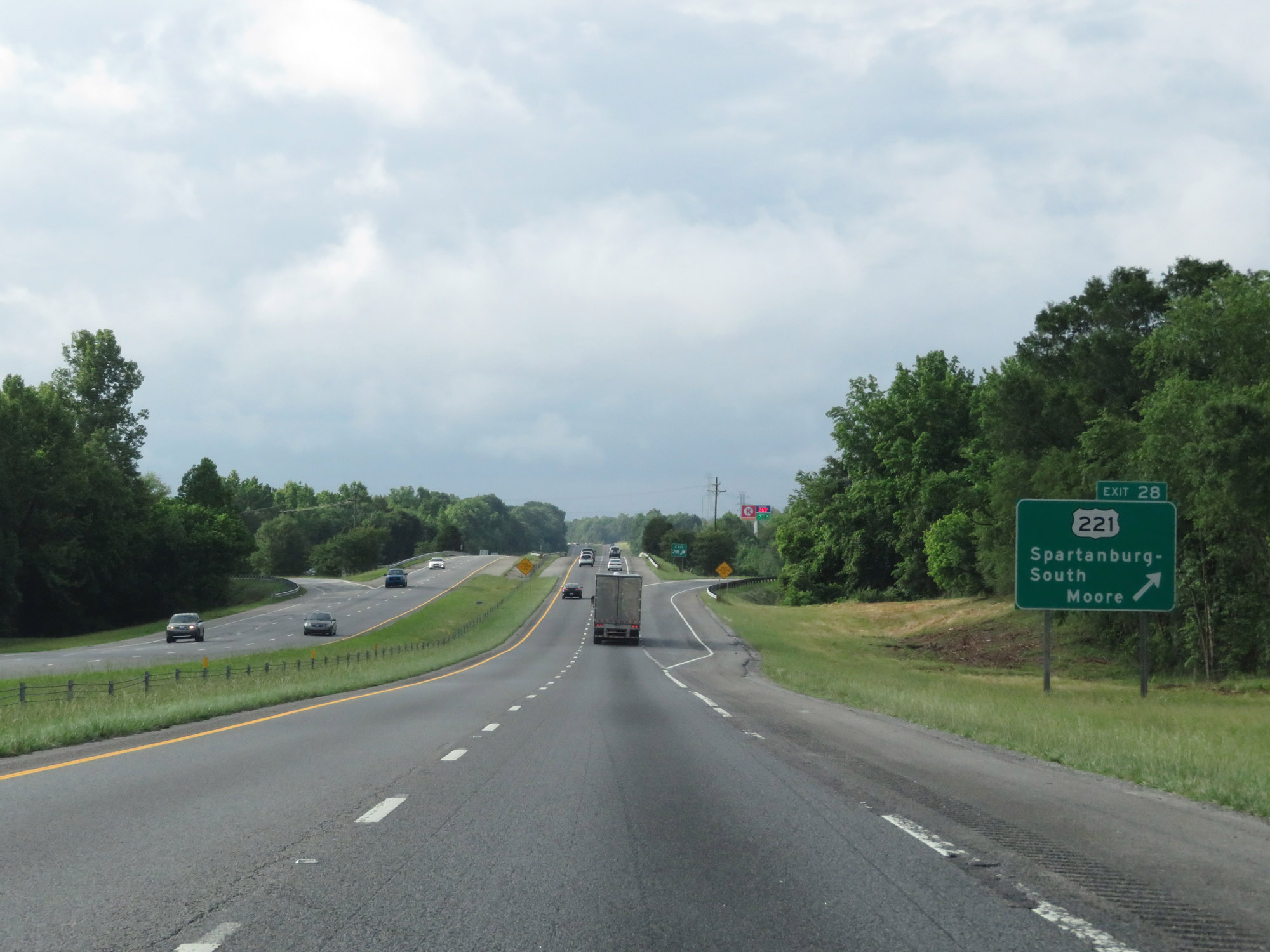 |
Interstate 26 West at Exit 28: US 221 - Spartanburg-South / Moore (Photo taken 5/25/18). |
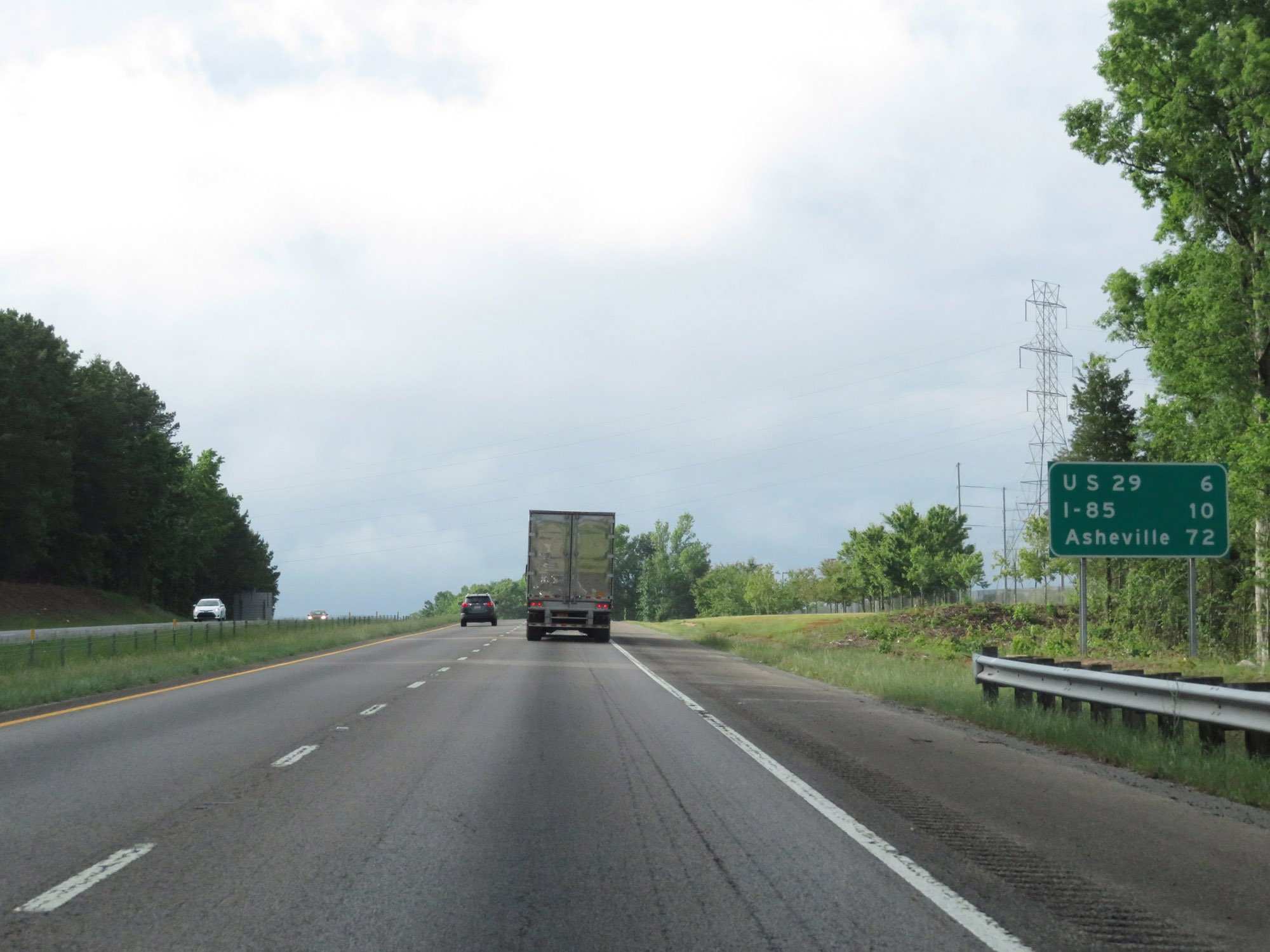 |
Mileage sign on Interstate 26 West. It's 6 miles to the junction of US 29, 10 miles to the junction of I-85, and 72 miles to Asheville. (Photo taken 5/25/18). |
 |
Interstate 26 West at mile marker 26. (Photo taken 5/25/18). |
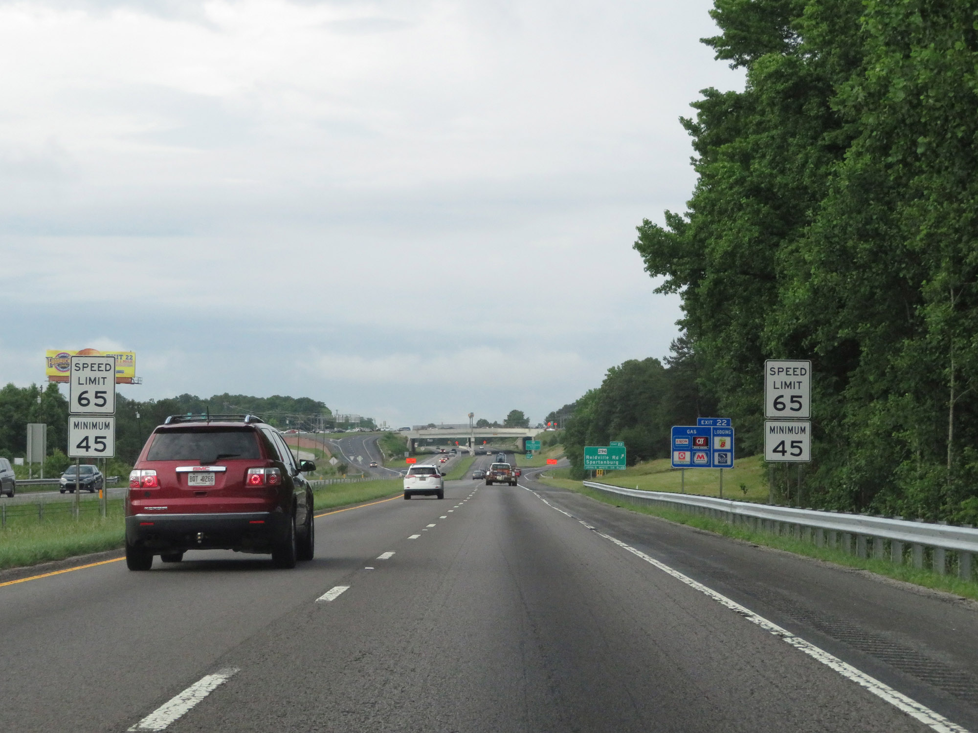 |
Entering the Spartanburg area, the maximum speed limit decreases to 65 mph. The minimum remains 45 mph. (Photo taken 5/25/18). |
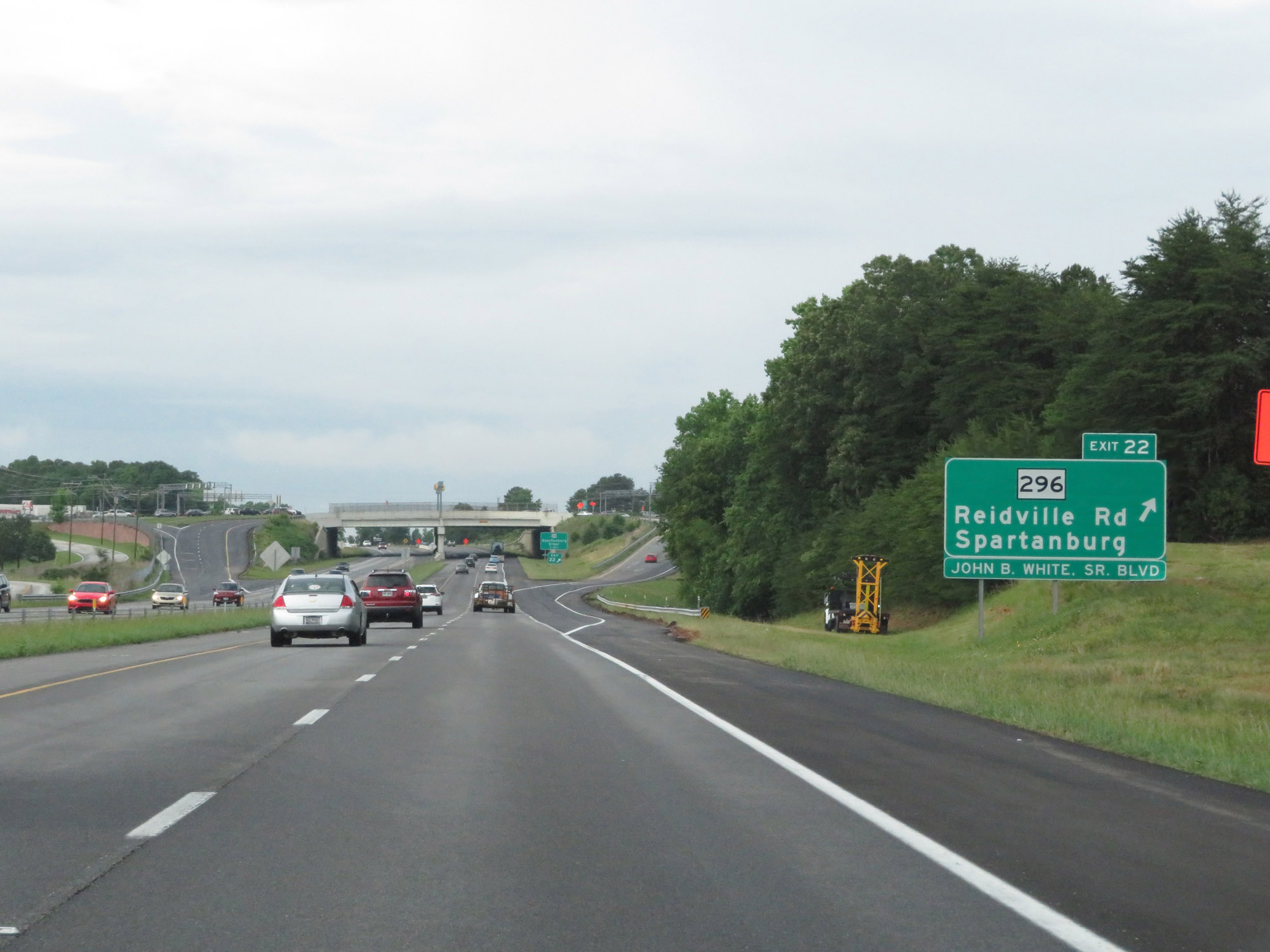 |
Interstate 26 West at Exit 22: SC 296 - Reidville Rd / Spartanburg (Photo taken 5/25/18). |
 |
Take Exit 21B to Spartanburg Methodist College. (Photo taken 5/26/18). |
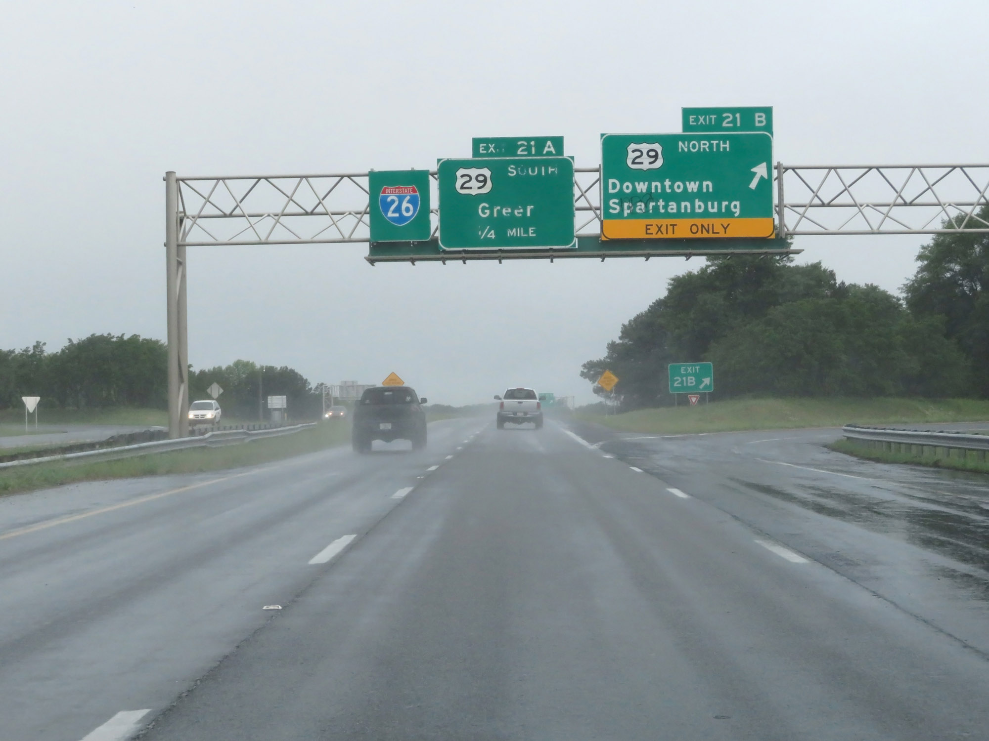 |
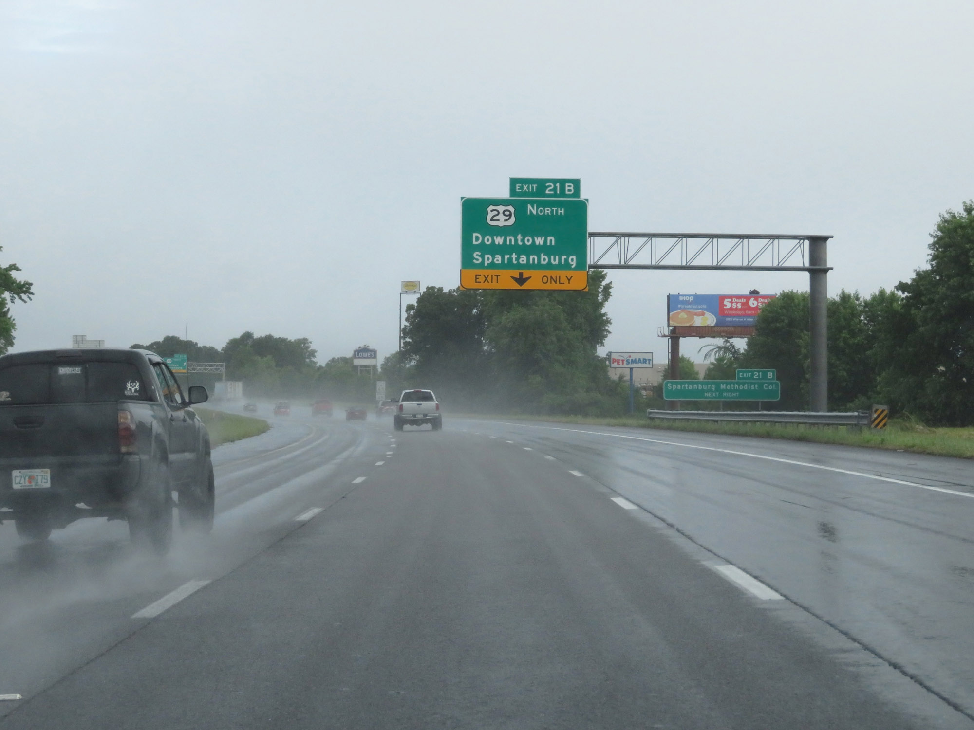
Interstate 26 West at Exit 21B: US 29 North - Downtown Spartanburg (Photo taken 5/26/18). |
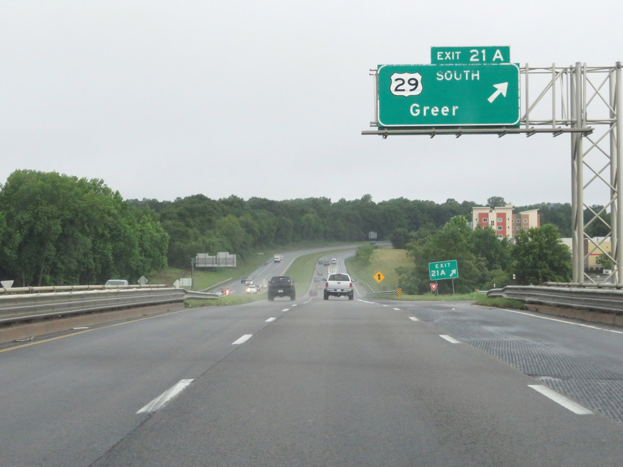 |
Interstate 26 West at Exit 21A: US 29 South - Greer (Photo taken 5/26/18). |
 |
Take Exit 19B to USC Upstate. (Photo taken 5/26/18). |
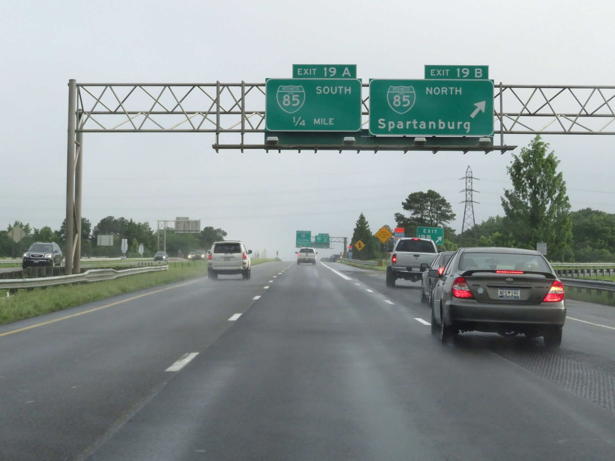 |
Interstate 26 West at Exit 19B: Interstate 85 Business North - Spartanburg (Photo taken 5/26/18). |
 |
Interstate 26 West at Exit 19A: Interstate 85 Business South (Photo taken 5/26/18). |
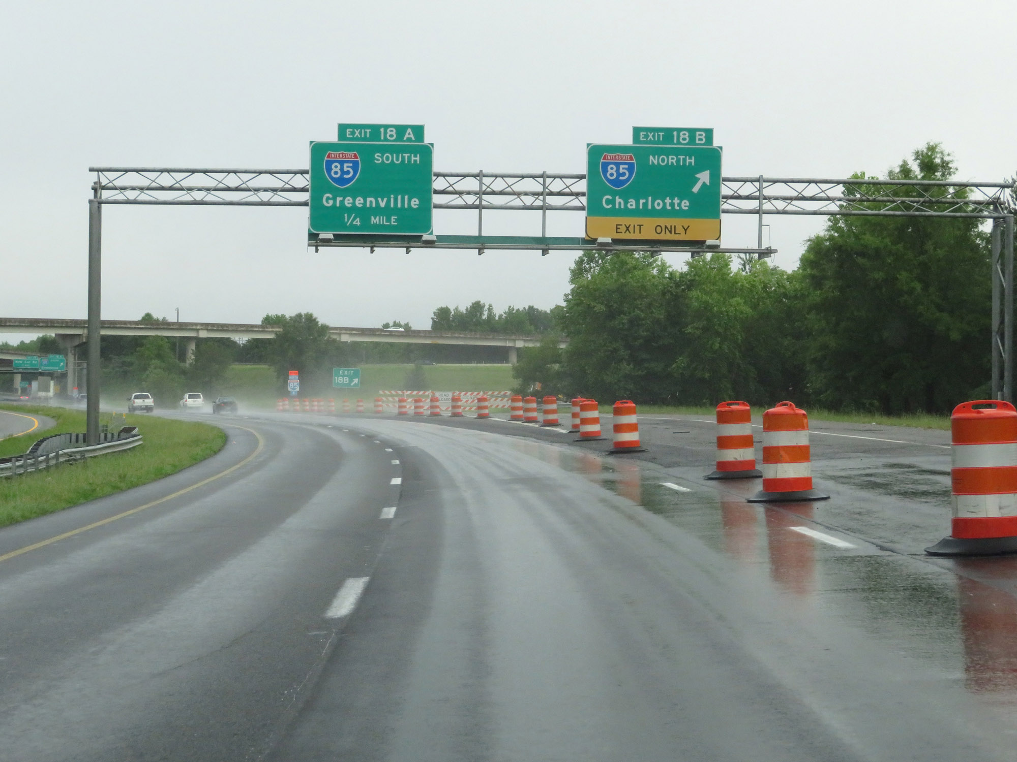 |
Interstate 26 West at Exit 18B: Interstate 85 North - Charlotte (Photo taken 5/26/18). |
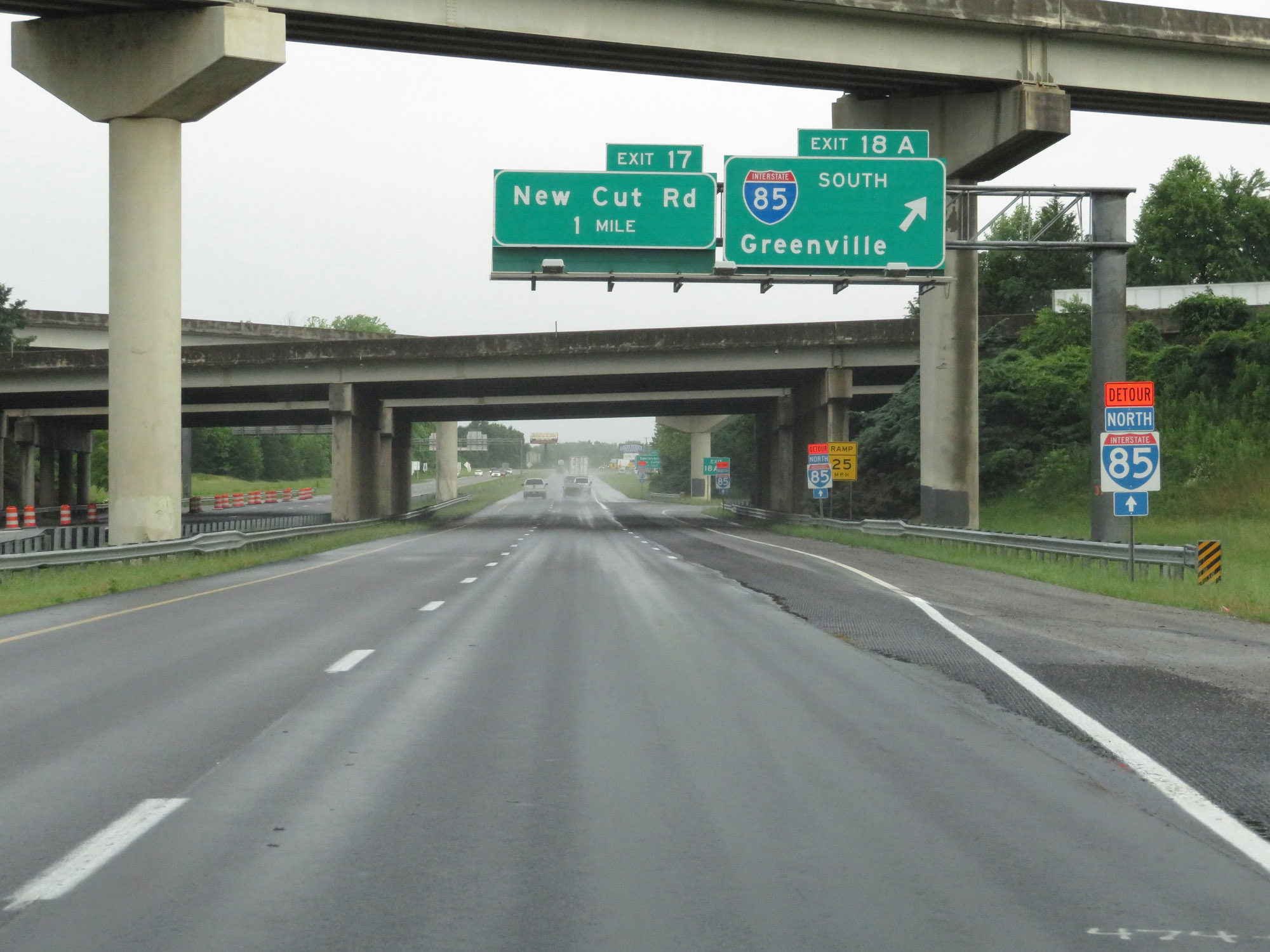 |
Interstate 26 West at Exit 18A: Interstate 85 South - Greenville (Photo taken 5/26/18). |
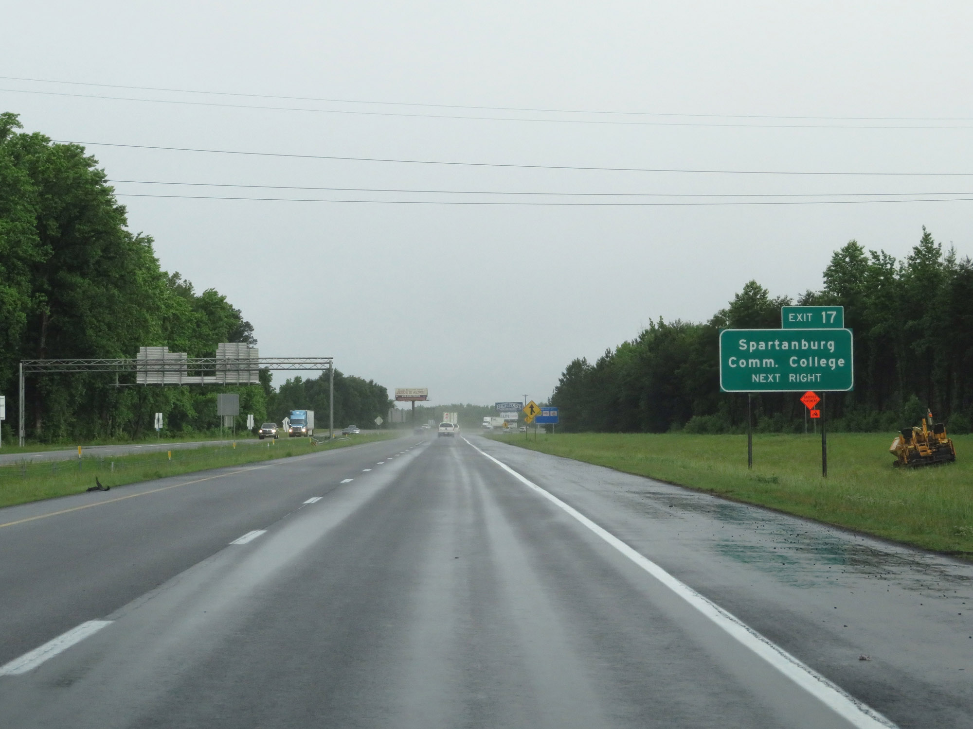 |
Take Exit 17 to Spartanburg Community College. (Photo taken 5/26/18). |
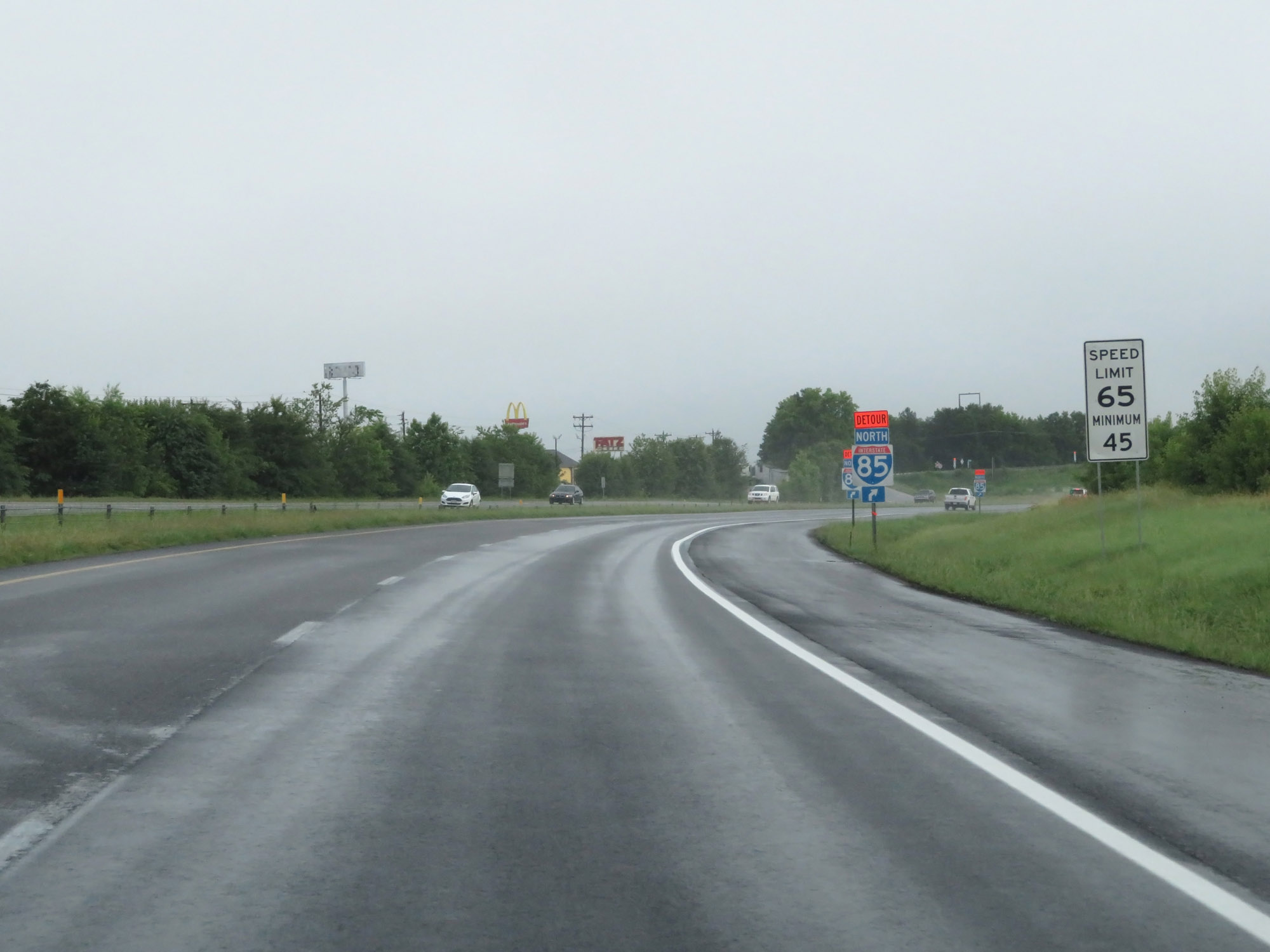 |
The speed limits remain 65 mph maximum and 45 mph minimum. (Photo taken 5/26/18). |
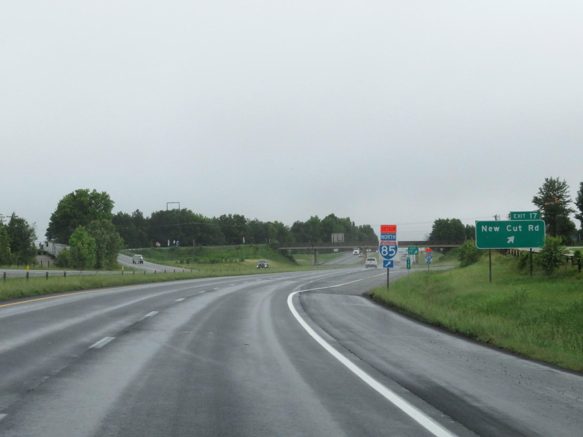 |
Interstate 26 West at Exit 17: New Cut Rd (Photo taken 5/26/18). |
 |
Northwest of Exit 17, the standard rural speed limits of 70 mph maximum and 45 mph minimum resume. (Photo taken 5/26/18). |
 |
Interstate 26 West at Exit 16: John Dodd Road (Photo taken 5/26/18). |
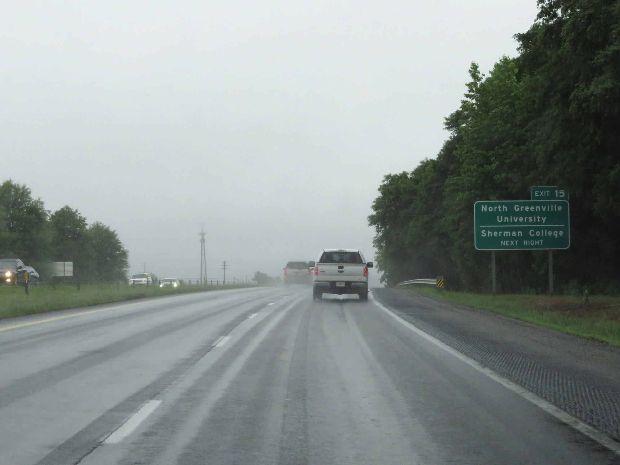 |
Take Exit 15 to North Greenville University and Sherman College. (Photo taken 5/26/18). |
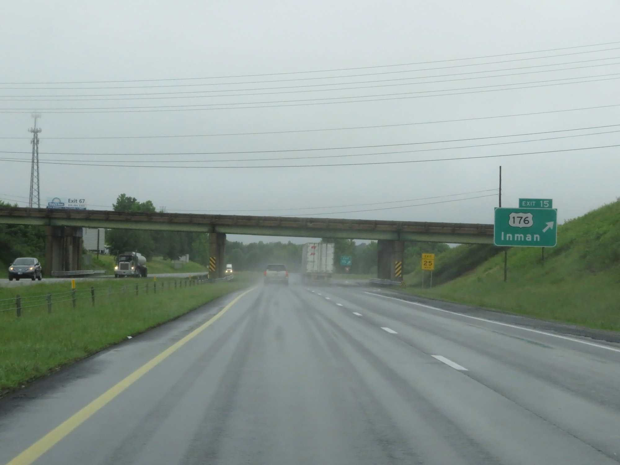 |
Interstate 26 West at Exit 15: US 176 - Inman (Photo taken 5/26/18). |
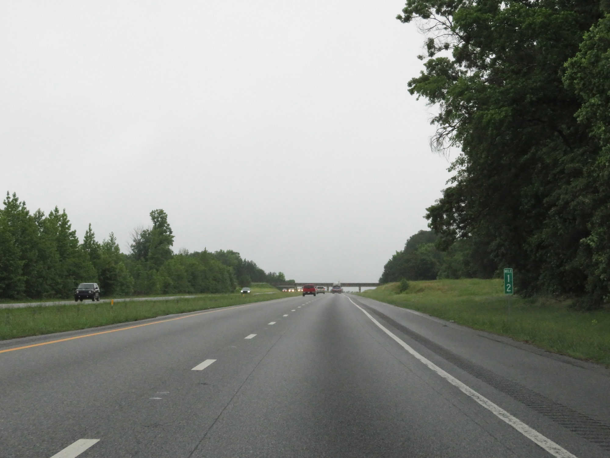 |
Interstate 26 West at mile marker 12. (Photo taken 5/26/18). |
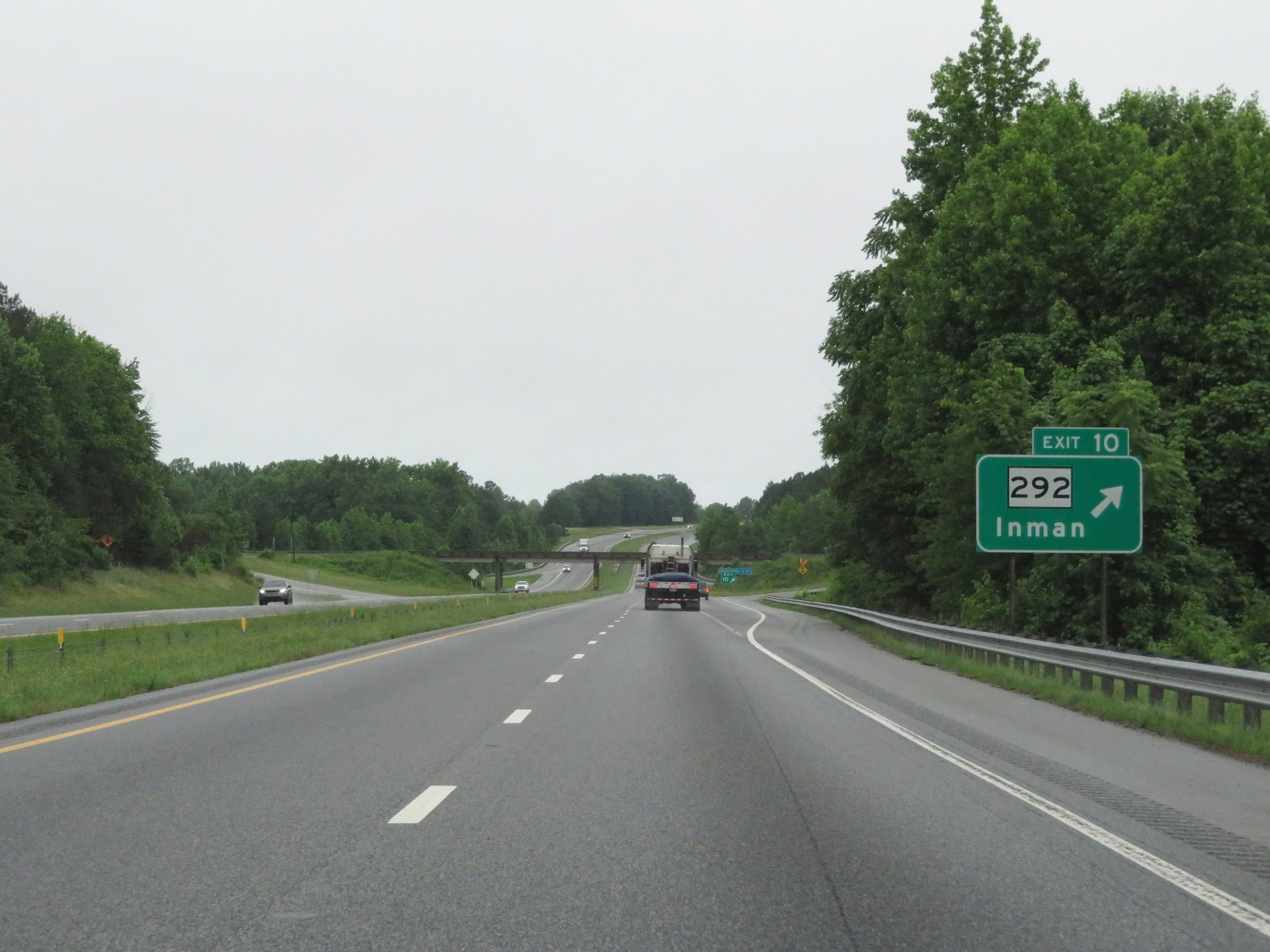 |
Interstate 26 West at Exit 10: SC 292 - Inman (Photo taken 5/26/18). |
 |
View on Interstate 26 West at mile marker 9. (Photo taken 5/26/18). |
 |
Take Exit 5 to Cherokee Foothills Scenic Highway and Cowpens Battlefield. (Photo taken 5/26/18). |
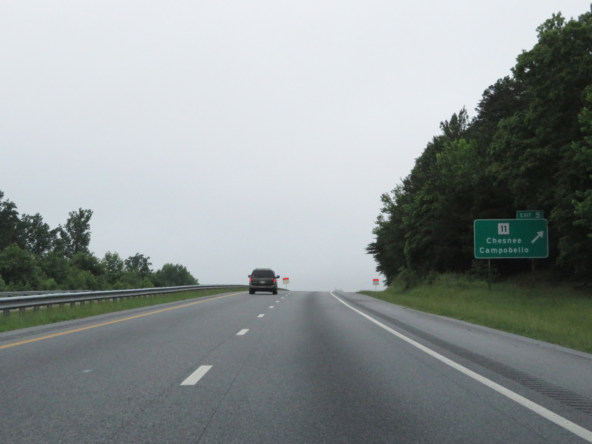 |
Interstate 26 West at Exit 5: SC 11 - Chesnee / Campobello (Photo taken 5/26/18). |
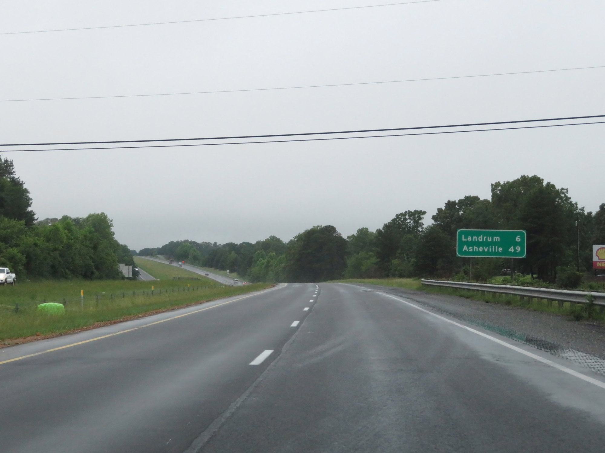 |
Mileage sign on Interstate 26 West. It's 6 miles to Landrum and 49 miles to Asheville. (Photo taken 5/26/18). |
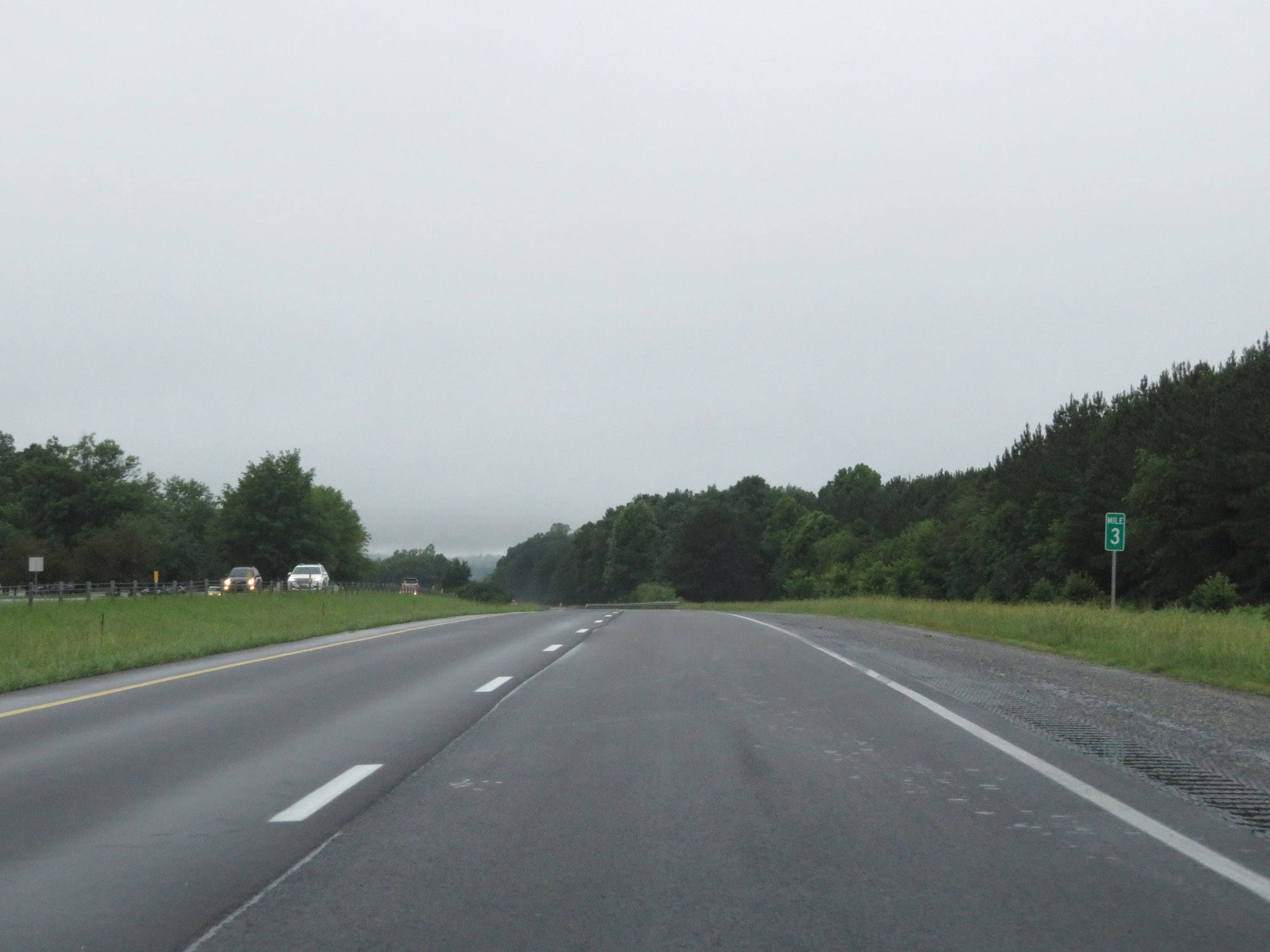 |
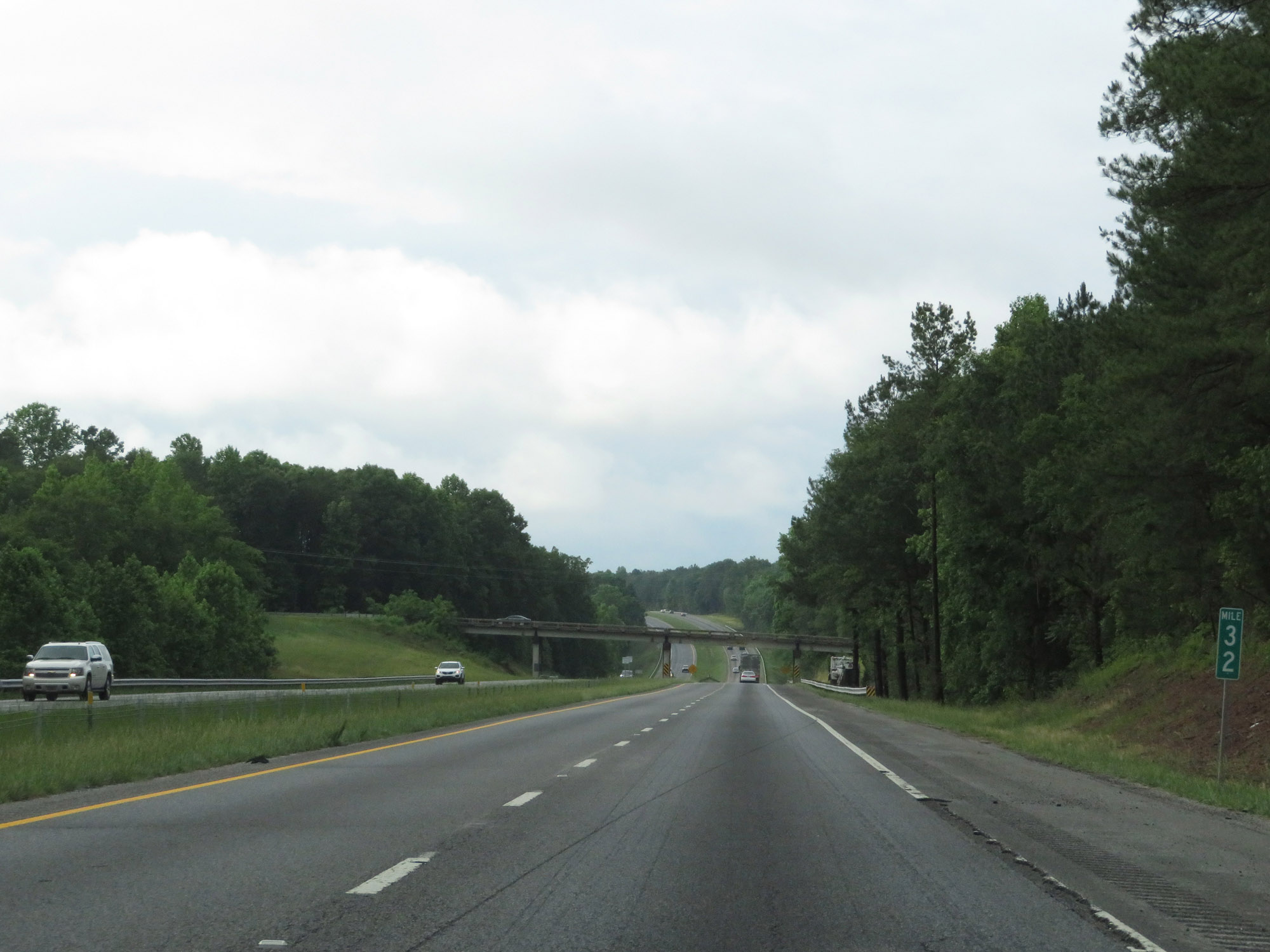
Interstate 26 West at mile marker 3. (Photo taken 5/26/18). |
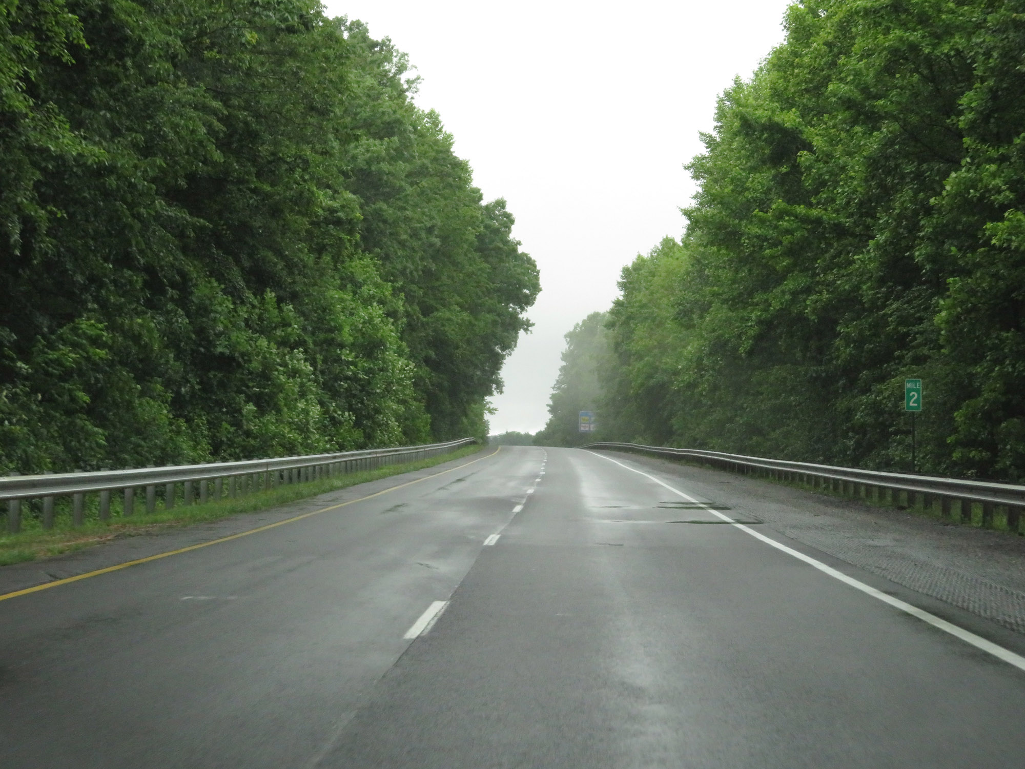 |
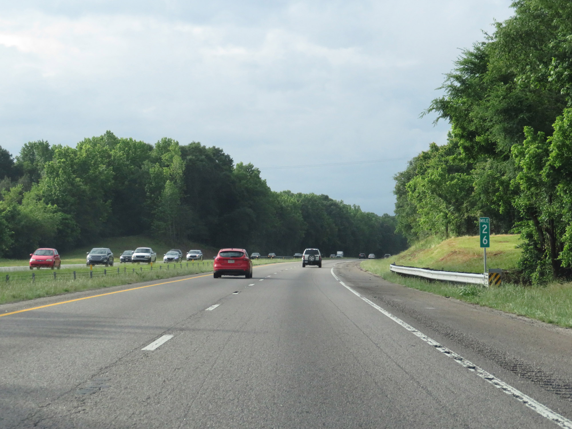
View on Interstate 26 West at mile marker 2. (Photo taken 5/26/18). |
 |
Take Exit 1 to Foothills Equestrian Nature Center. (Photo taken 5/26/18). |
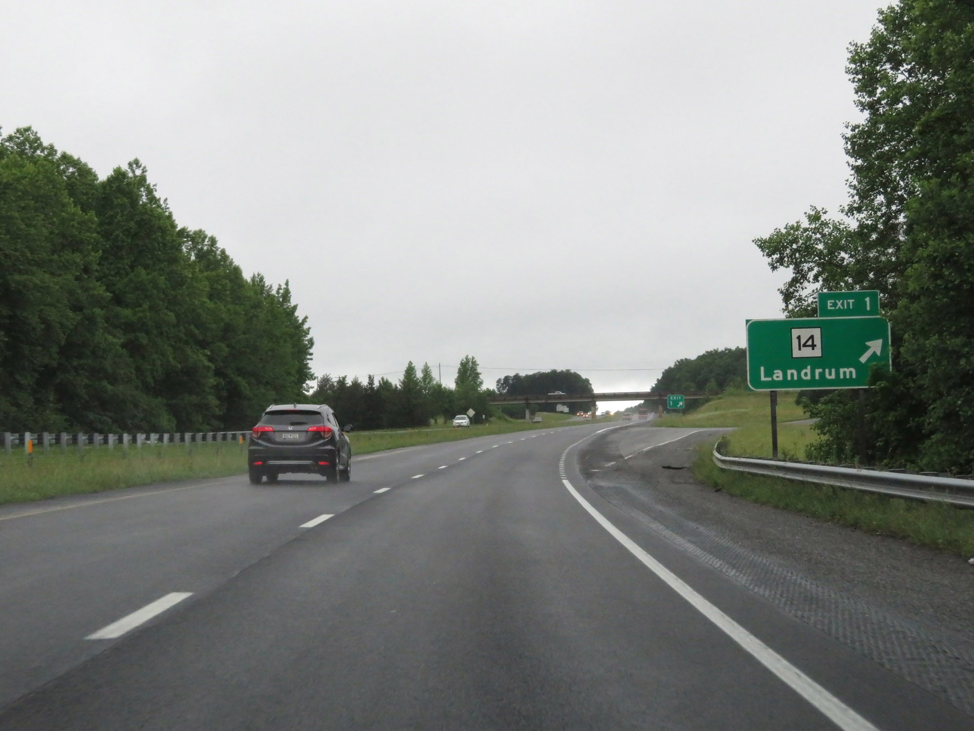 |
Interstate 26 West at Exit 1: SC 14 - Landrum (Photo taken 5/26/18). |
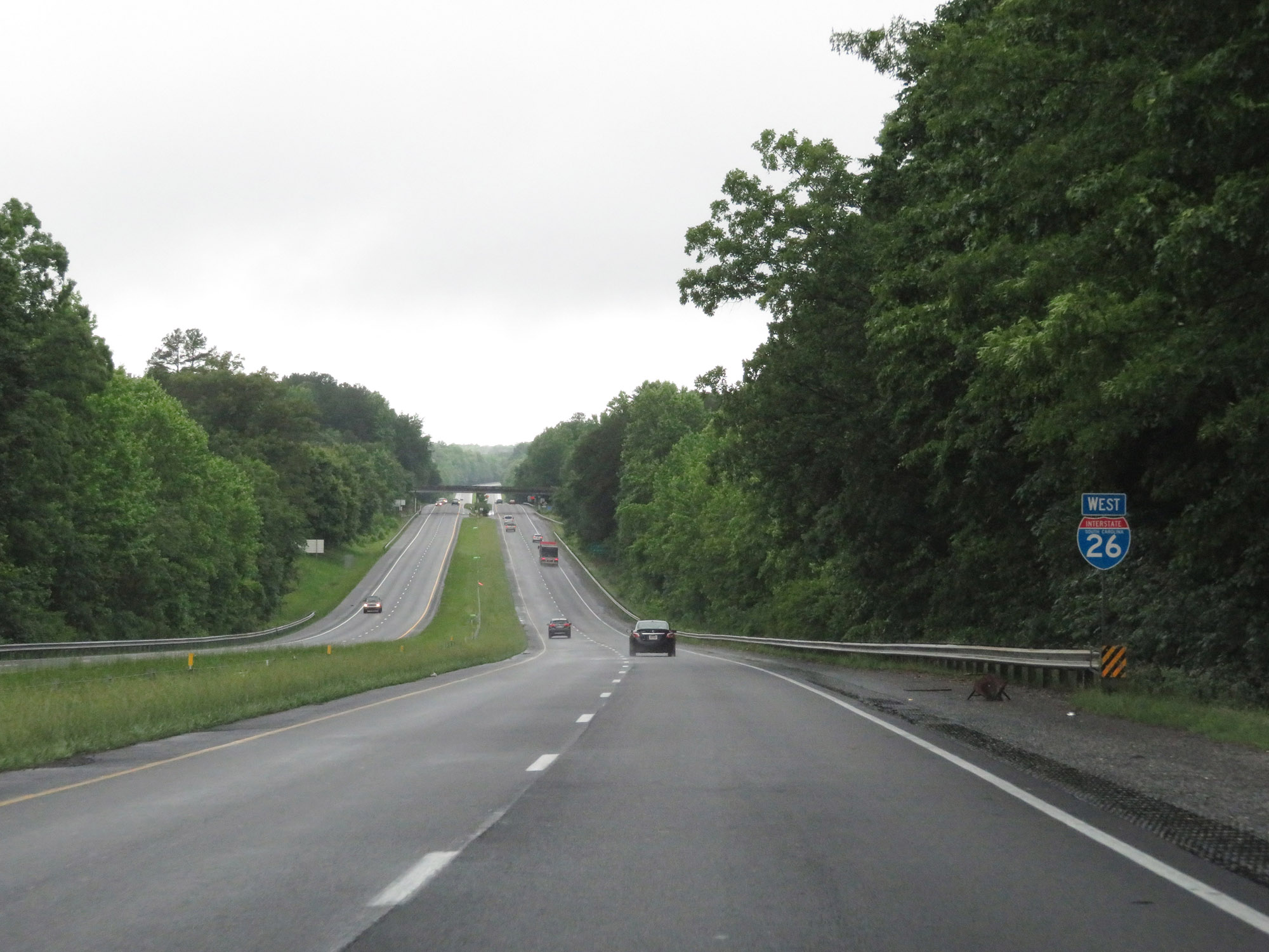 |
One final state-named Interstate 26 West reassurance shield as it prepares to enter North Carolina. (Photo taken 5/26/18). |