Road Information |
||
 |
||
| Total Mileage in State: | 132 miles | |
| Northern End: | At I-81/US 6/US 11, near Clarks Summit | |
| Southern End: | At I-95, in Woodlyn | |
| Mileage covered in Photos: | 132 miles | |
| Counties covered in Photos: | Delaware, Montgomery, Bucks, Lehigh, Carbon, Luzerne, Lackawanna | |
| Major Junctions in Photos: | I-76, in West Conshohocken I-276 (PA Turnpike), in Plymouth Meeting I-78/US 22, near Allentown I-80, near White Haven I-81, near Clarks Summit |
|
| Control Cities in Photos: | Woodlyn, Plymouth Meeting, Wilkes-Barre, Pittston, Taylor, Clarks Summit | |
Northbound
- Section 1: Interstate 95 to Whitehall Twp (Exit 56)
- Section 2: Whitehall Twp (Exit 56) to Interstate 81
Section 1: Interstate 95 to Whitehall Twp (Exit 56)
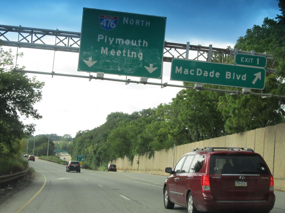 |
Interstate 476 North at Exit 1: MacDade Blvd (Photo taken 8/9/15). |
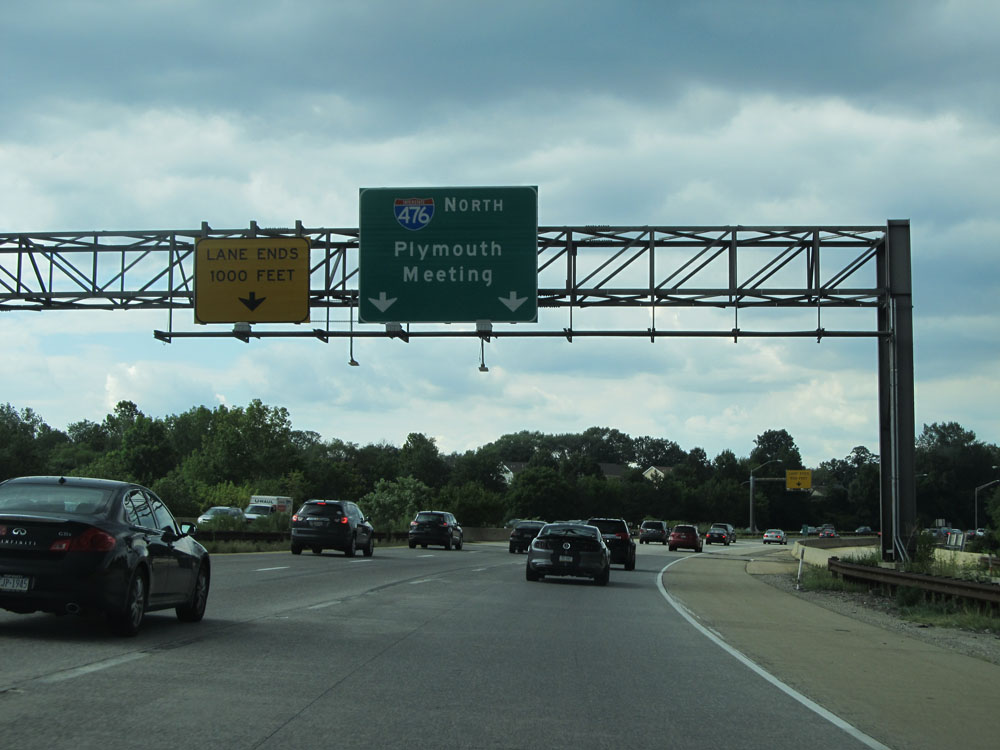 |
Shortly after Exit 1, the leftmost lane prepares to come to an end, reducing Interstate 476 North to just two lanes. (Photo taken 8/9/15). |
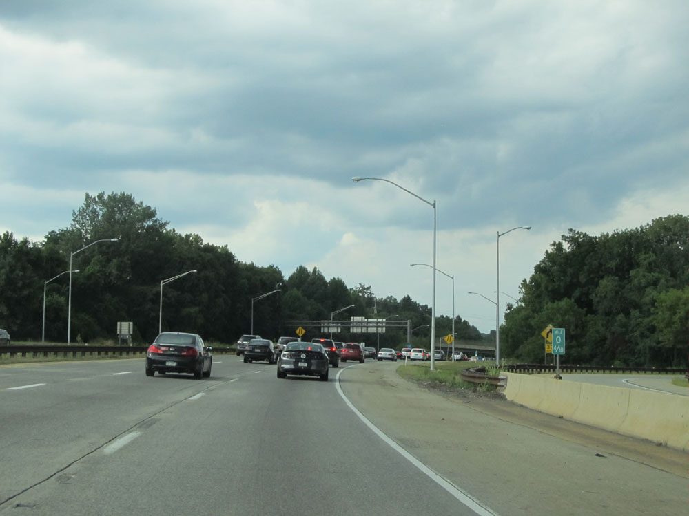 |
A congested Interstate 476 North at mile marker 0.4. (Photo taken 8/9/15). |
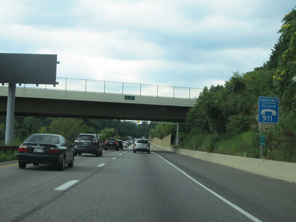 |
Interstate 476 North at mile marker 1.3. (Photo taken 8/9/15). |
 |
Interstate 476 North at Exit 3: Media / Swarthmore (Photo taken 8/9/15). |
 |
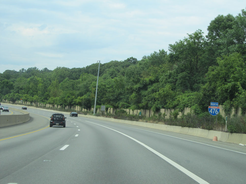
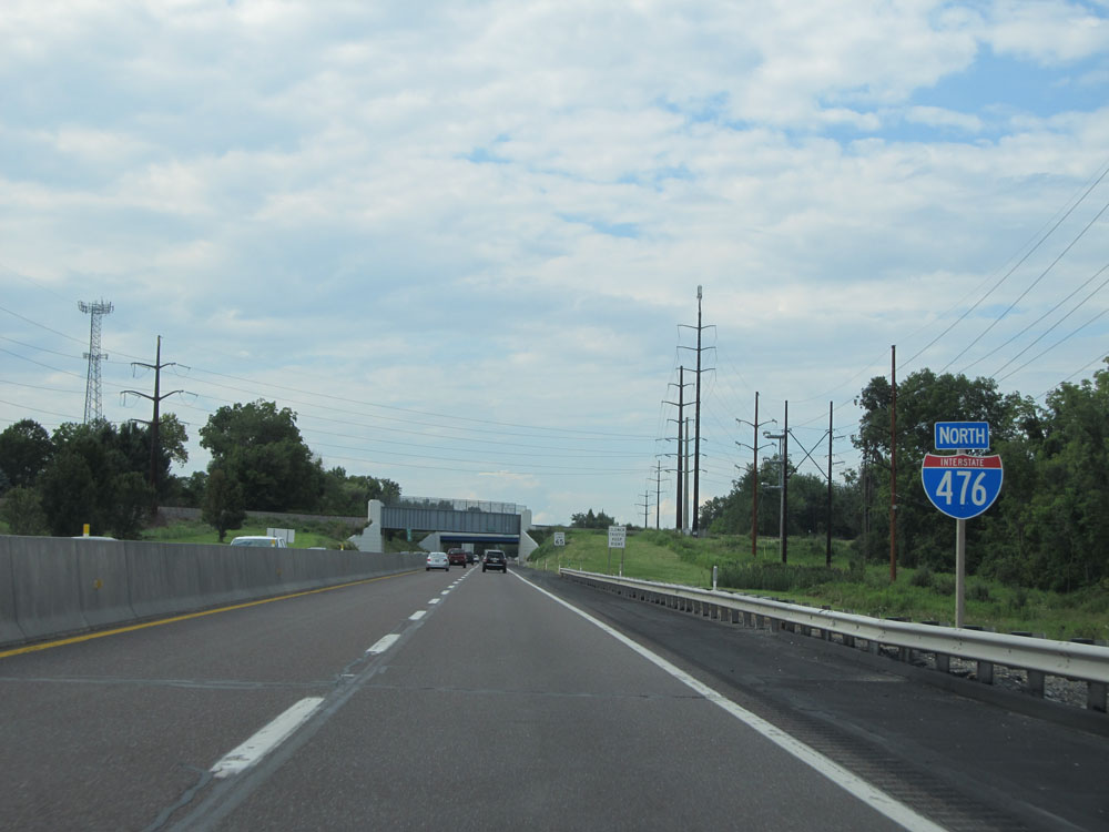
Interstate 476 North assurance shield. (Photo taken 8/9/15). |
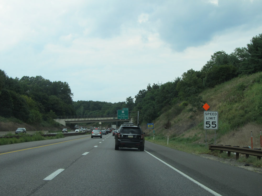 |
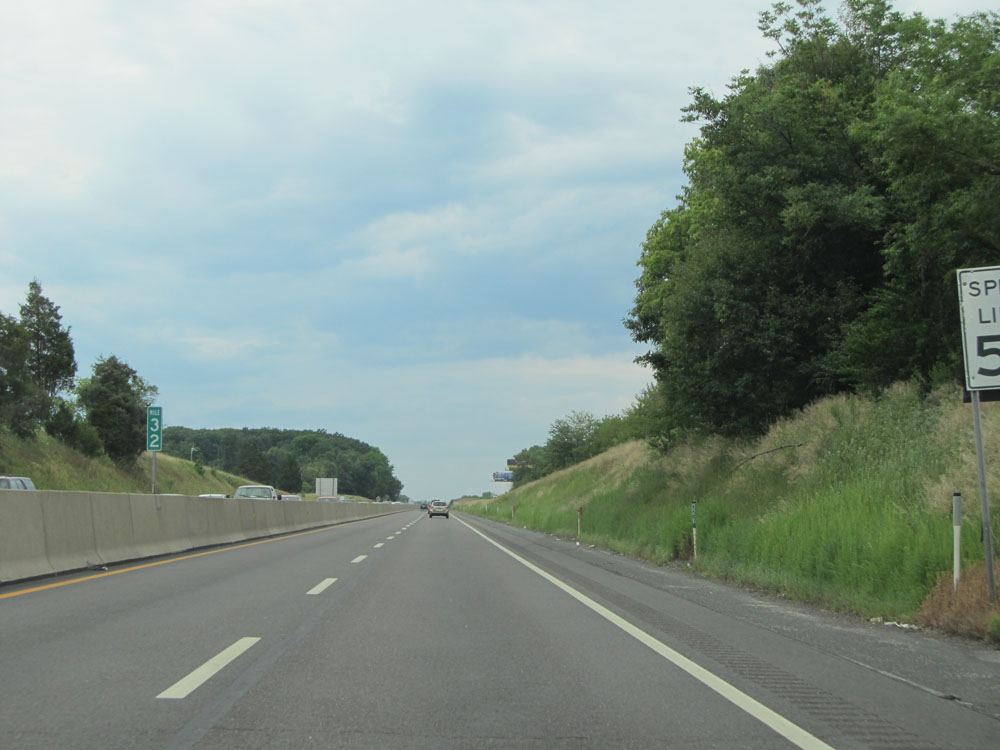
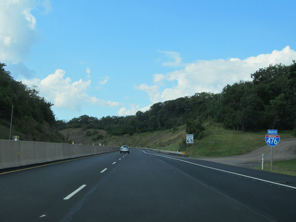
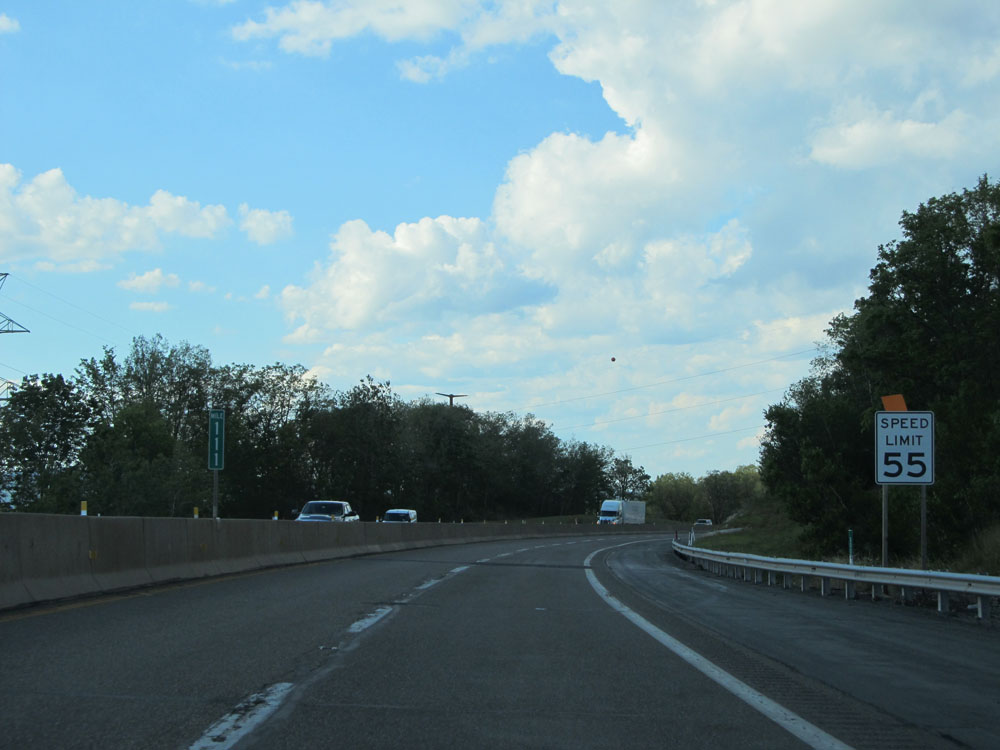
Speed limit sign near mile marker 4. The speed limit on Interstate 476 North starts out at 55 mph. (Photo taken 8/9/15). |
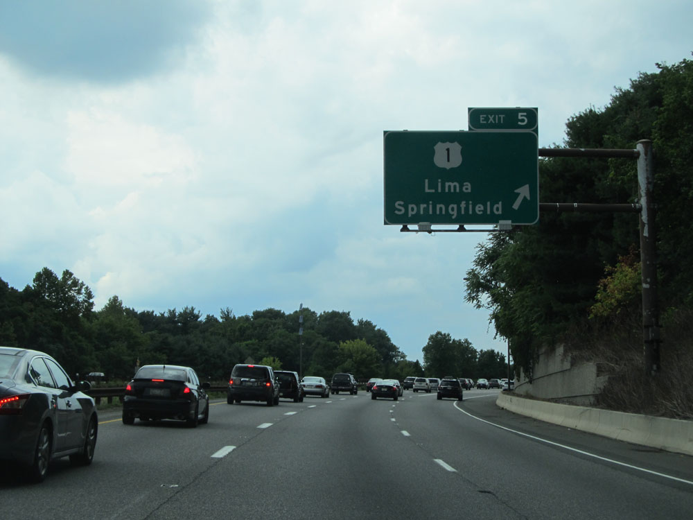 |
Interstate 476 North at Exit 5: US 1 - Lima / Springfield (Photo taken 8/9/15). |
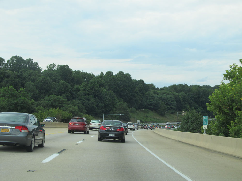 |
More congestion at mile marker 5. (Photo taken 8/9/15). |
 |
Interstate 476 North at mile marker 7.2. (Photo taken 8/9/15). |
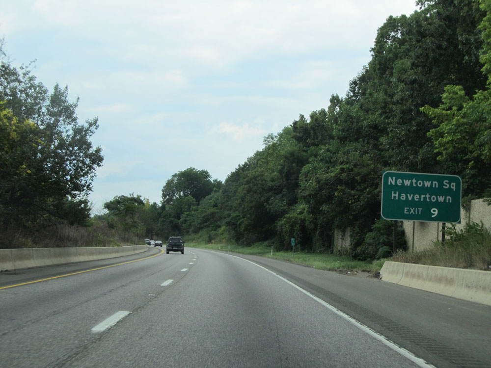 |
Take Exit 9 to Newtown Square and Havertown. (Photo taken 8/9/15). |
 |
Interstate 476 North: Road view from mile marker 8. (Photo taken 8/9/15). |
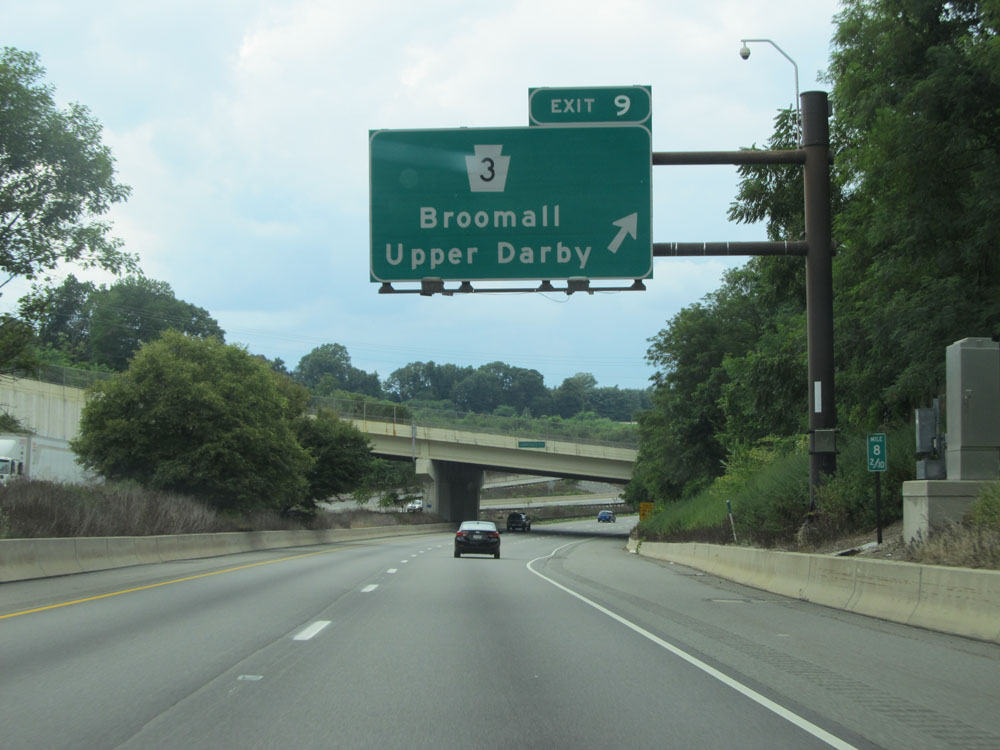 |
Interstate 476 North at Exit 9: PA 3 - Broomall / Upper Darby (Photo taken 8/9/15). |
 |
Interstate 476 North assurance shield north of Exit 9. (Photo taken 8/9/15). |
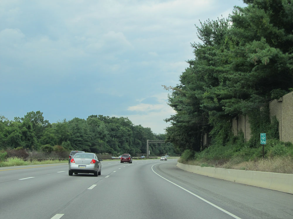 |
Interstate 476 North at mile marker 12.2. (Photo taken 8/9/15). |
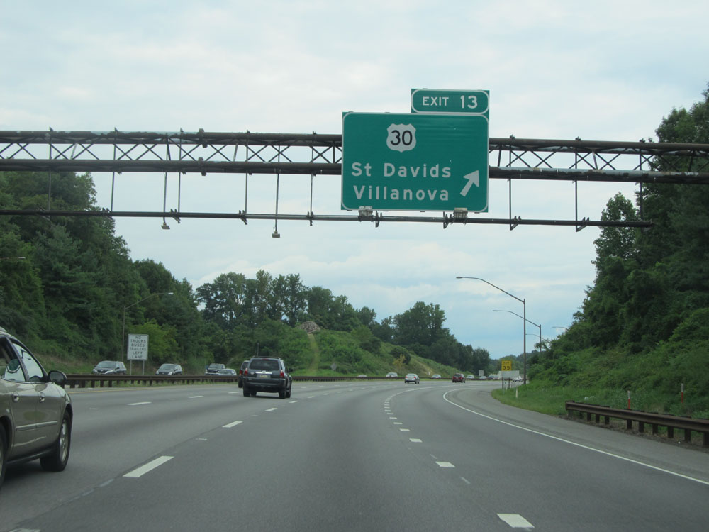 |
Interstate 476 North at Exit 13: US 30 - St Davids / Villanova (Photo taken 8/9/15). |
 |
Take Exit 16A to Conshohocken. Take Exit 16B to Harrisburg. (Photo taken 8/9/15). |
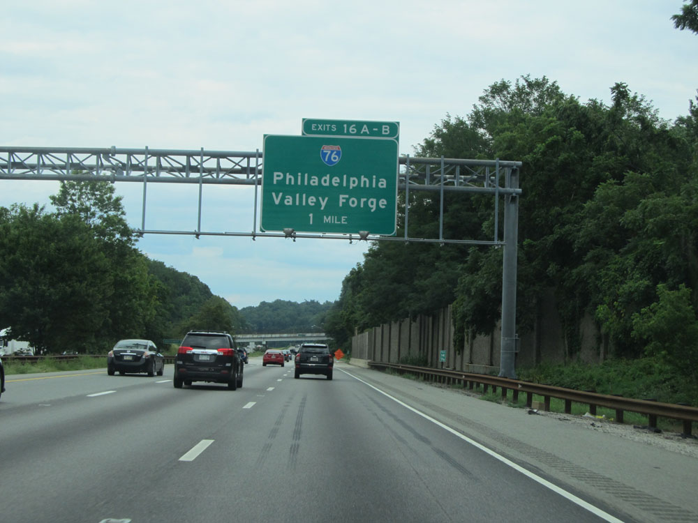 |
Interstate 476 North approaching Exits 16A-B - 1 mile. (Photo taken 8/9/15). |
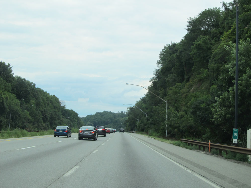 |
Interstate 476 North at mile marker 15. (Photo taken 8/9/15). |
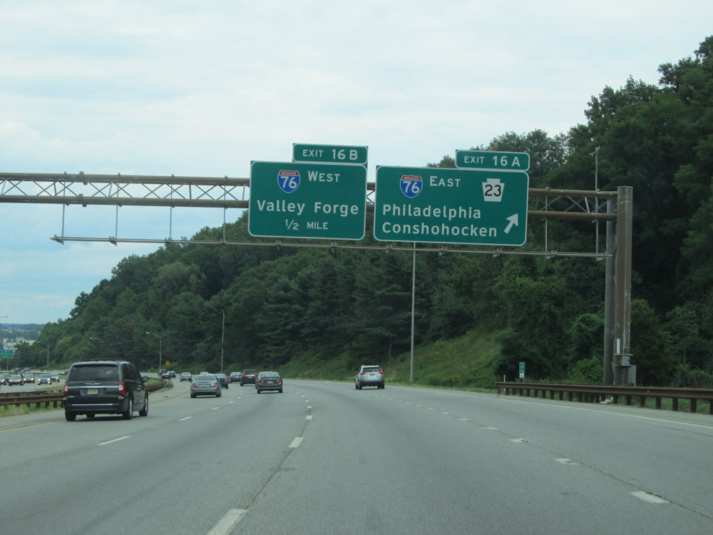 |
Interstate 476 North at Exit 16A: Interstate 76 East / PA 23 - Philadelphia / Conshohocken (Photo taken 8/9/15). |
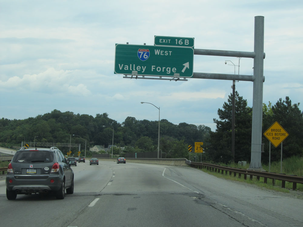 |
Interstate 476 North at Exit 16B: Interstate 76 West - Valley Forge (Photo taken 8/9/15). |
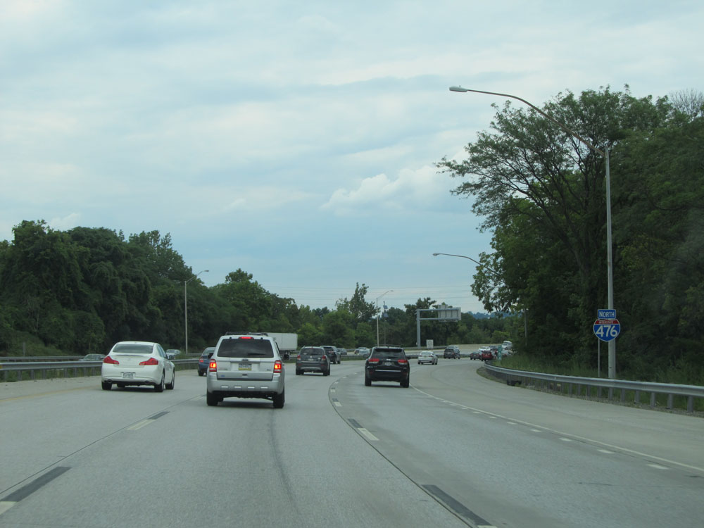 |
Interstate 476 North assurance shield north of Exit 16B. (Photo taken 8/9/15). |
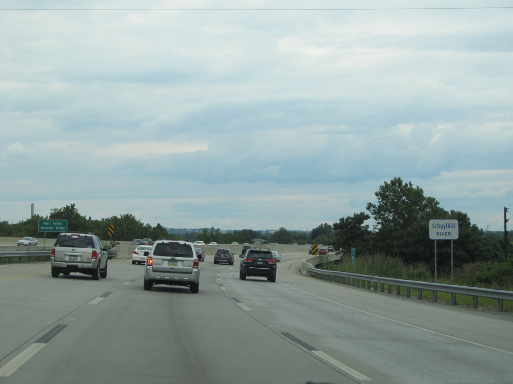 |
Interstate 476 North as it prepares to cross the Schuylkill River at mile marker 16.7. (Photo taken 8/9/15). |
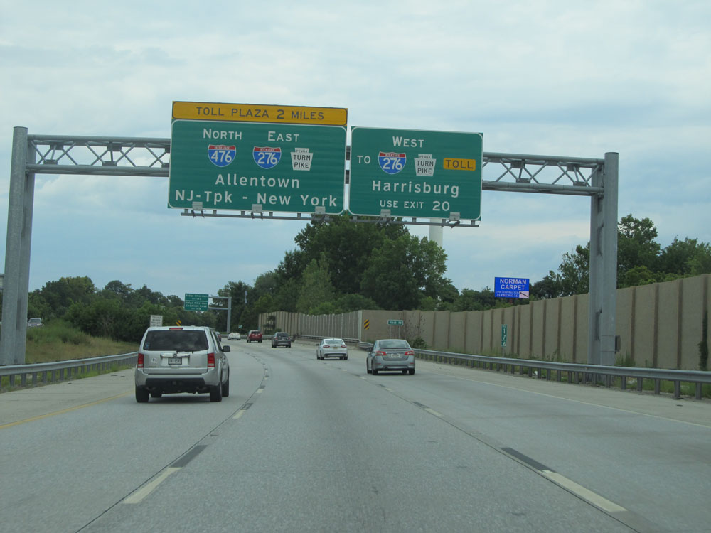 |
Interstate 476 North approaching the Mid-County Toll Plaza - 2 miles. Beyond this toll plaza, Interstate 476 North becomes the Northeast Extension of the PA Turnpike. (Photo taken 8/9/15). |
 |
Take Exit 18A to Ridge Pike East. Take Exit 18B to Ridge Pike West and Chemical Road. (Photo taken 8/9/15). |
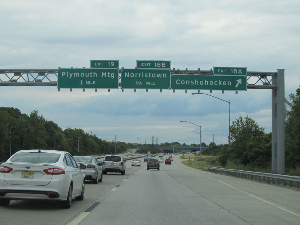 |
Interstate 476 North at Exit 18A: Conshohocken (Photo taken 8/9/15). |
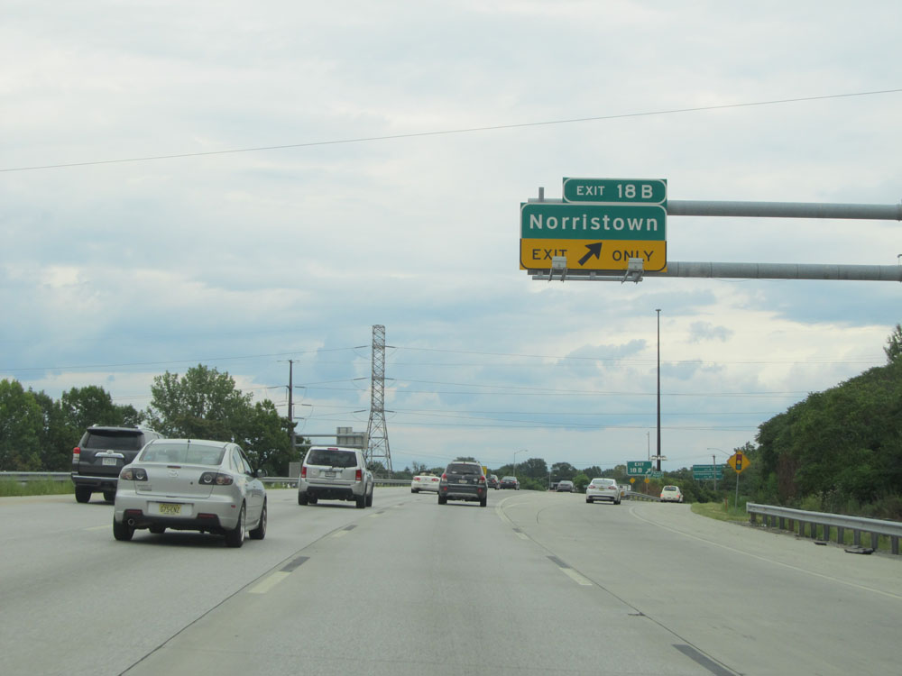 |
Interstate 476 North at Exit 18B: Norristown (Photo taken 8/9/15). |
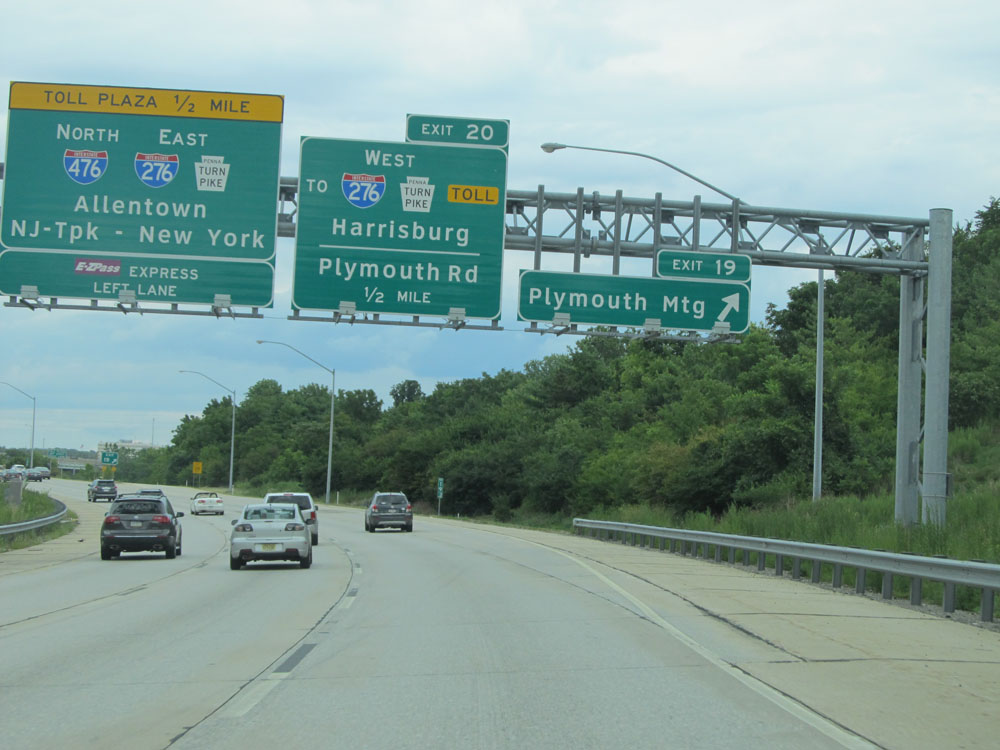 |
Interstate 476 North at Exit 19: Plymouth Meeting. The Mid-County Toll Plaza now lies just 1/2 mile ahead. (Photo taken 8/9/15). |
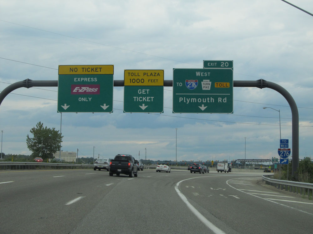 |
Interstate 476 North at Exit 20: To Interstate 276 West (PA Turnpike) / Plymouth Rd (Photo taken 8/9/15). |
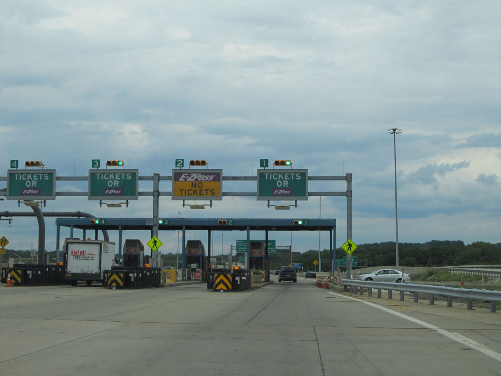 |
Interstate 476 North at the Mid-County Toll Plaza, entering the PA Turnpike Northeast Extension. The Northeast Extention lasts for the remainder of I-476 North. To keep captions shorter, I will omit "PA Turnpike Northeast Extension" from here on out. (Photo taken 8/9/15). |
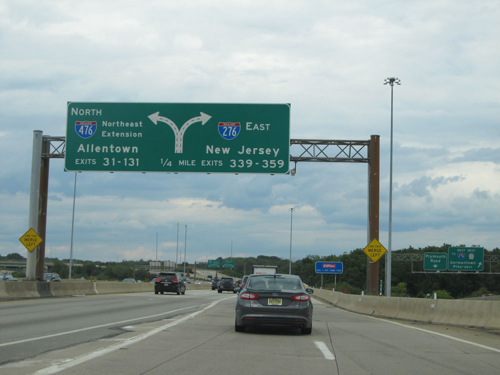 |
North of the toll plaza, the lanes split ahead. Keep to the right for direct access to Interstate 276 West (PA Turnpike) toward New Jersey and the turnpike's Exits 339-359. (Photo taken 8/9/15). |
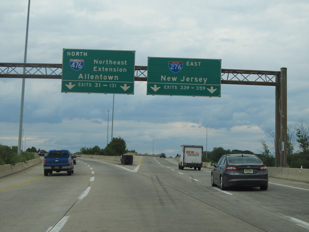 |
At the split, keep to the left to remain on Interstate 476 North (PA Turnpike Northeast Extension). (Photo taken 8/9/15). |
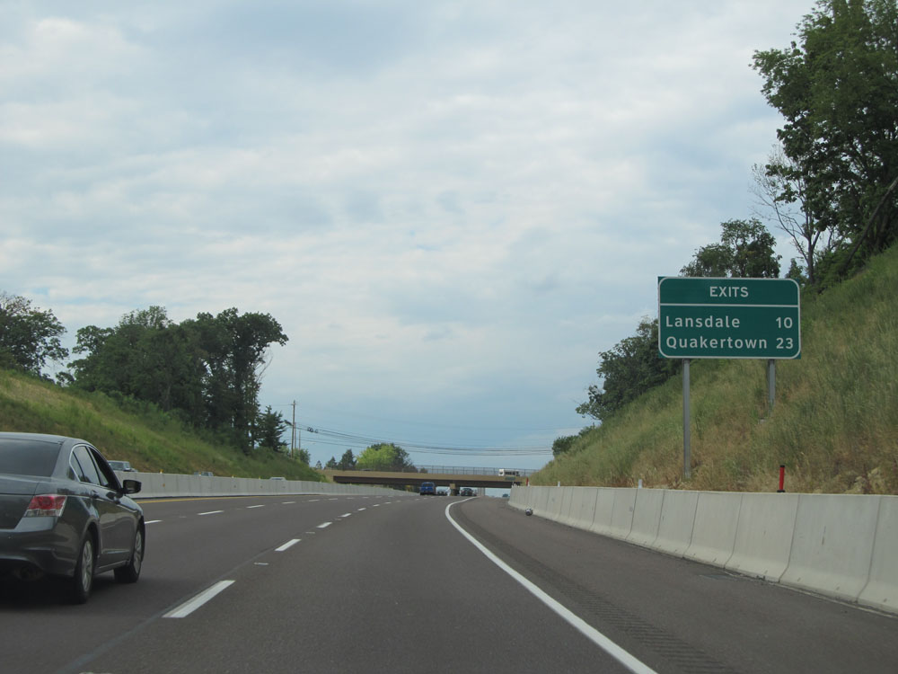 |
This sign lists the distances to the first two exits on the PA Turnpike Northeast Extension segment of Interstate 476 North. It's 10 miles to the Lansdale interchange (the first exit) and 23 miles to the Quakertown interchange. (Photo taken 8/9/15). |
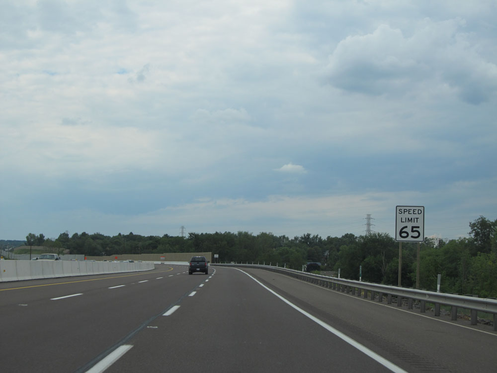 |
Speed limit sign on Interstate 476 North. The speed limit starts out at 65 mph on the PA Turnpike Northeast Extension segment, which is standard on most rural Interstates in Pennsylvania. (Photo taken 8/9/15). |
 |
Interstate 476 North at mile marker 24. (Photo taken 8/9/15). |
 |
Interstate 476 North at mile marker 25. (Photo taken 8/9/15). |
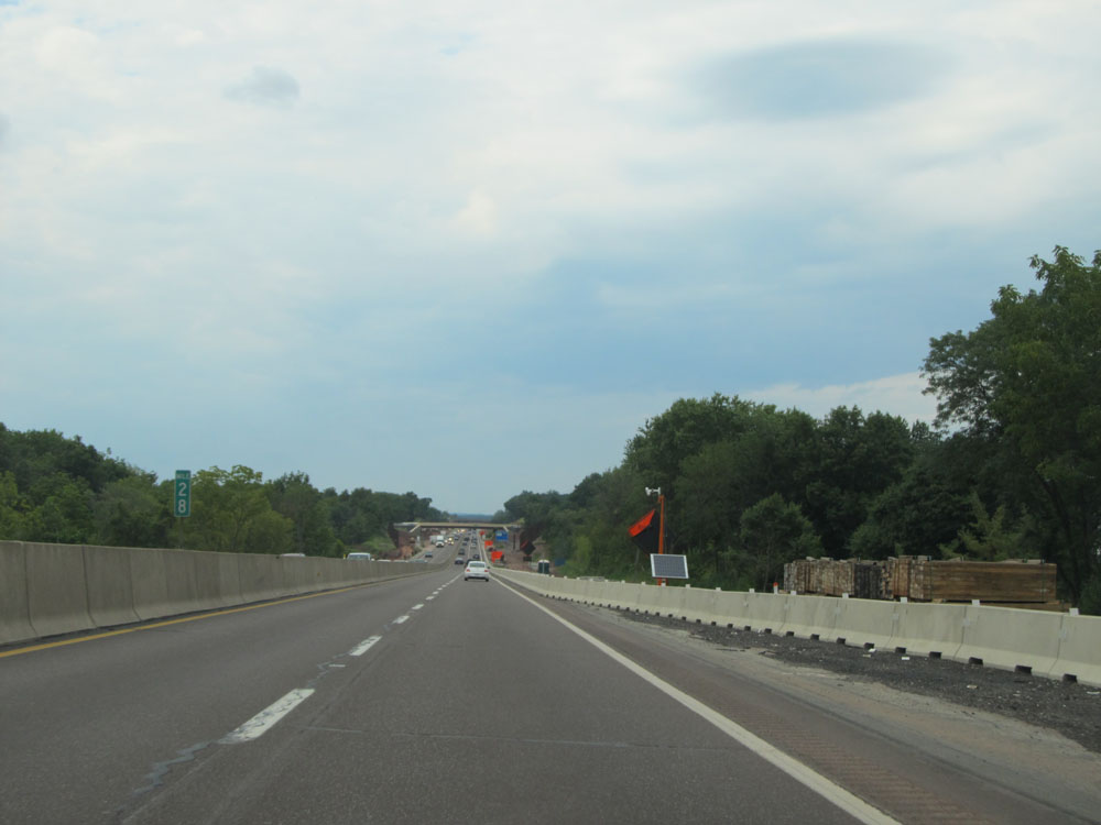 |
Interstate 476 North at mile marker 28. (Photo taken 8/9/15). |
 |
Interstate 476 North approaching Exit 31 - 1 mile. (Photo taken 8/9/15). |
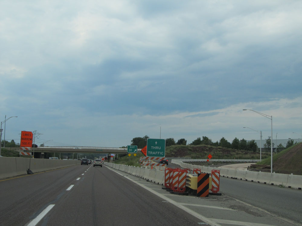 |
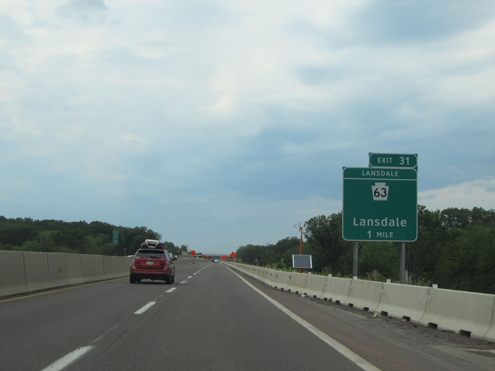
Interstate 476 North at Exit 31: PA 63 - Lansdale (Photo taken 8/9/15). |
 |
Interstate 476 North at mile marker 32. (Photo taken 8/9/15). |
 |
Interstate 476 North: Road view from mile marker 36. (Photo taken 8/9/15). |
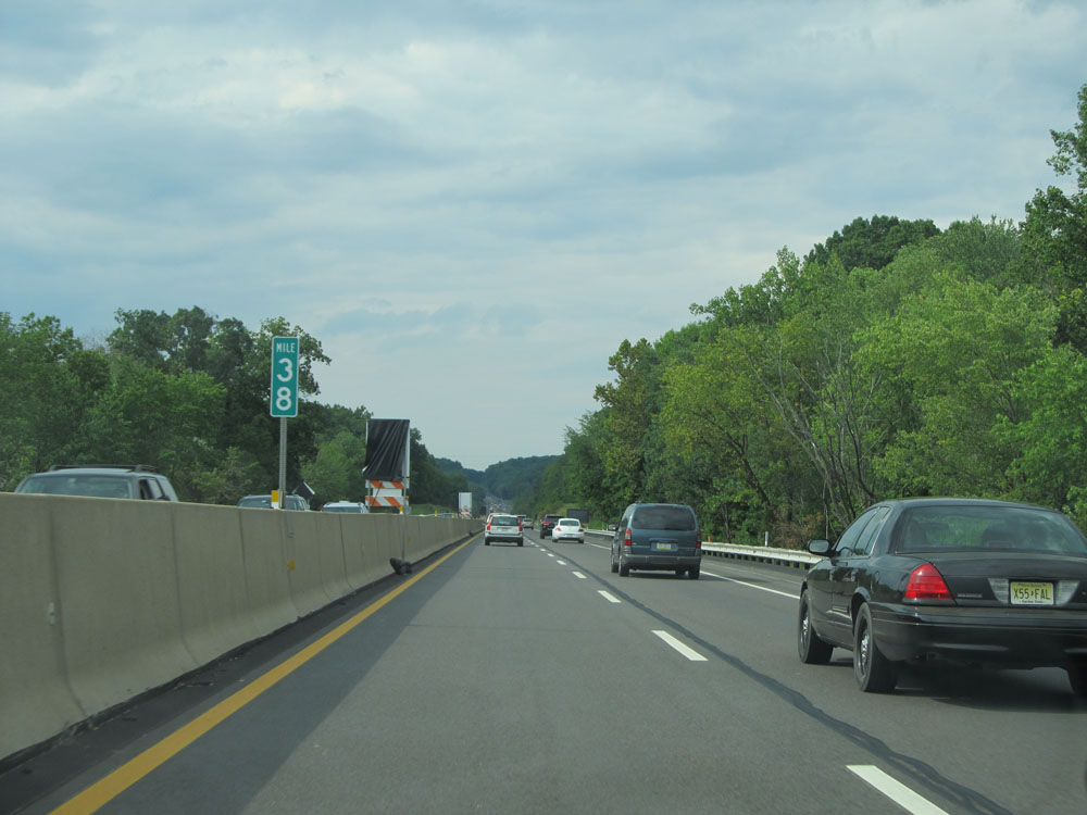 |
Interstate 476 North at mile marker 38. (Photo taken 8/9/15). |
 |
The Allentown Service Plaza, featuring the services shown on this sign, lies 15 miles ahead. (Photo taken 8/9/15). |
 |
Interstate 476 North approaching Exit 44 - 1 mile. (Photo taken 8/9/15). |
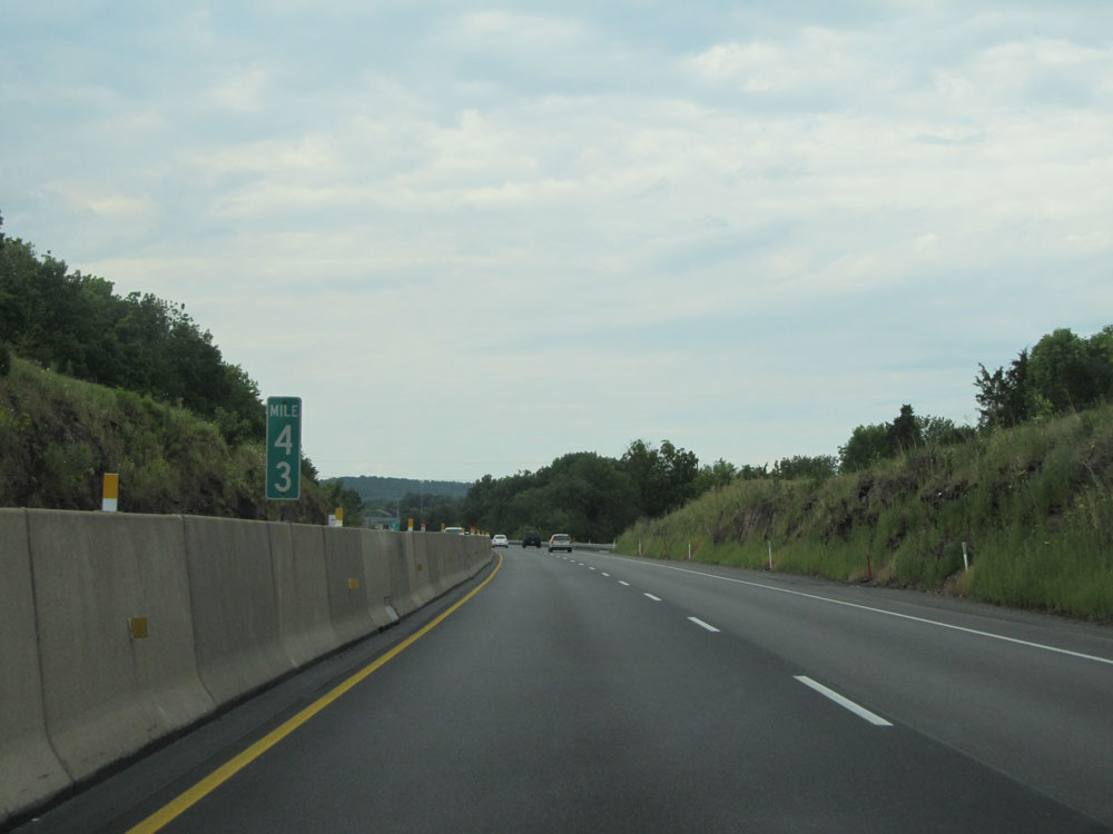 |
Interstate 476 North at mile marker 43. (Photo taken 8/9/15). |
 |
Interstate 476 North at Exit 44: PA 663 - Quakertown / Pottstown (Photo taken 8/9/15). |
 |
Distance sign for the two upcoming interchanges. It's 13 miles to the Lehigh Valley interchange and 32 miles to the Mahoning Valley interchange. (Photo taken 8/9/15). |
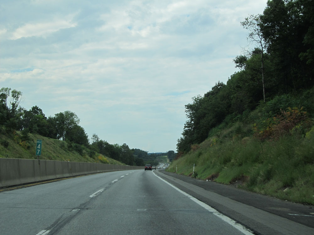 |
Interstate 476 North at mile marker 47. (Photo taken 8/9/15). |
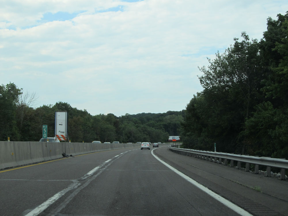 |
Interstate 476 North at mile marker 50. (Photo taken 8/9/15). |
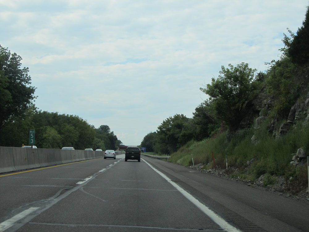 |
Interstate 476 North: Road view from mile marker 53. (Photo taken 8/9/15). |
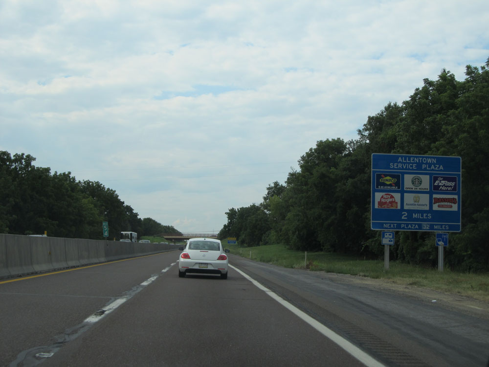 |
Interstate 476 North approaching the Allentown Service Plaza - 2 miles. It is one of two service plazas on the PA Turnpike's Northeast Extension. The other one, the Hickory Run Service Plaza, lies 32 miles ahead. (Photo taken 8/9/15). |
 |
Interstate 476 North approaching Exit 56 - 2 miles. (Photo taken 8/9/15). |
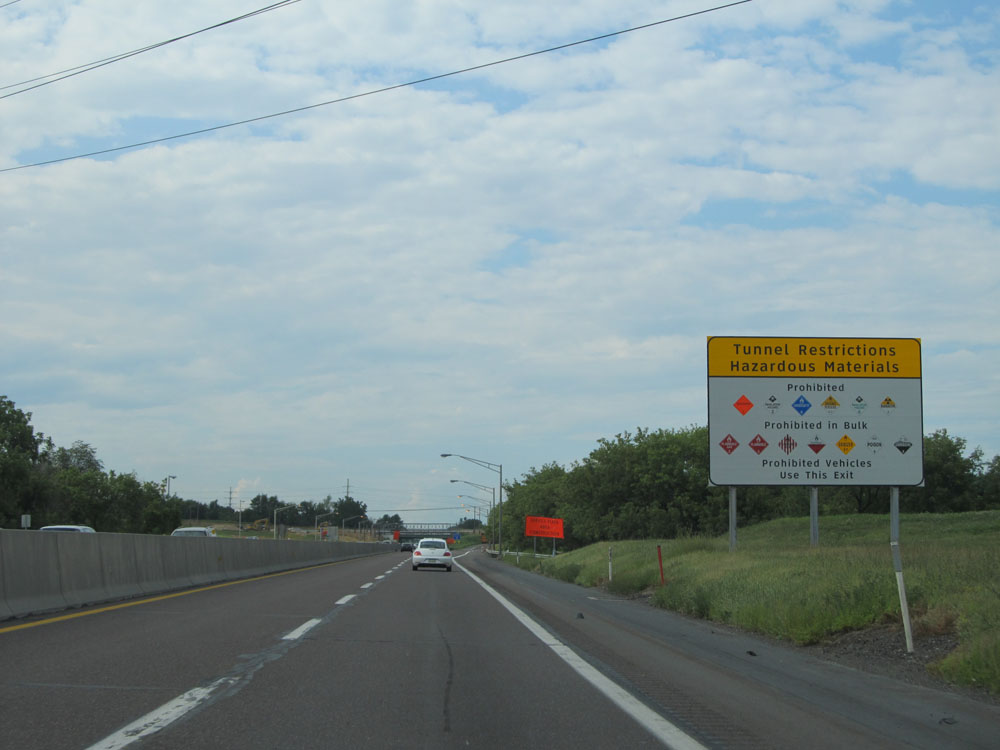 |
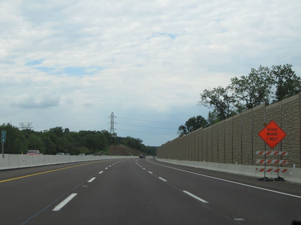
This sign lists the classes of hazardous materials that are prohibited in the Lehigh Tunnel to the north of Exit 56. Any vehicles hauling the materials listed on this sign must use Exit 56 ahead. (Photo taken 8/9/15). |
 |
Interstate 476 North at the Allentown Service Plaza, located at mile marker 56. (Photo taken 8/9/15). |
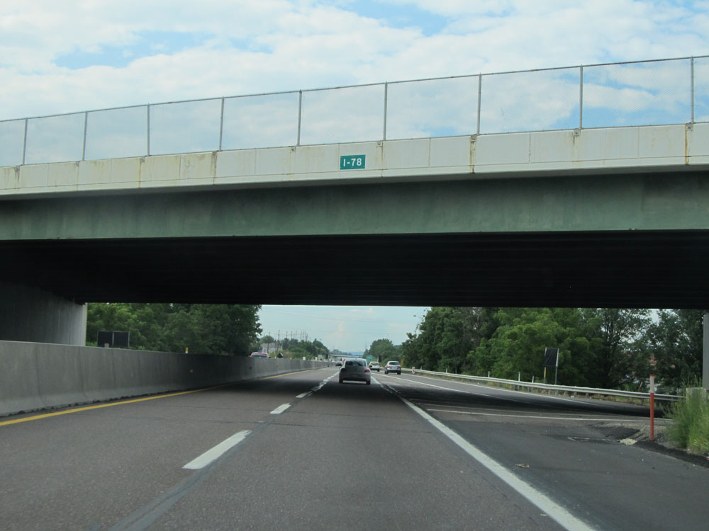 |
Interstate 476 North as it passes under Interstate 78. (Photo taken 8/9/15). |
 |
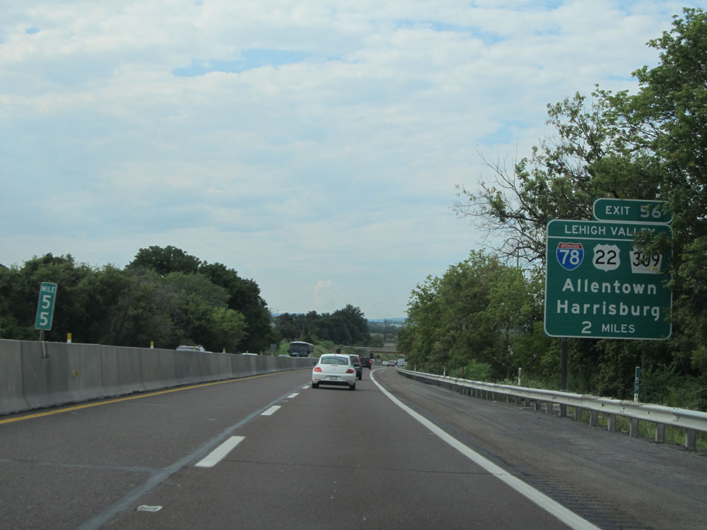
Interstate 476 North at Exit 56: Interstate 78 / US 22 / PA 309 - Allentown / Harrisburg (Photo taken 8/9/15). |
Section 2: Whitehall Twp (Exit 56) to Interstate 81
 |
A closer view of the off ramp for Exit 56. (Photo taken 8/9/15). |
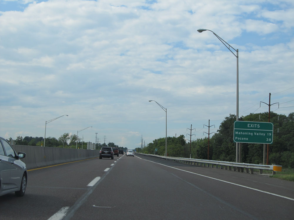 |
Distance sign for the next two interchanges on Interstate 476 North. It's 19 miles to the Mahoning Valley interchange and 38 miles to the Pocono interchange. (Photo taken 8/9/15). |
 |
Interstate 476 North assurance shield. (Photo taken 8/9/15). |
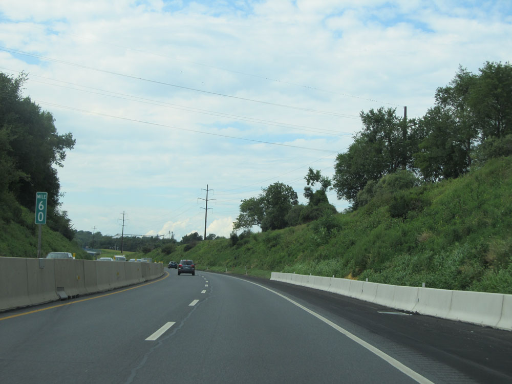 |
Interstate 476 North at mile marker 60. (Photo taken 8/9/15). |
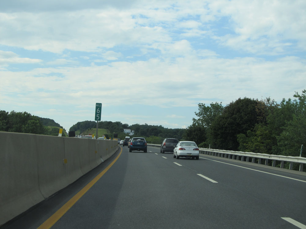 |
Interstate 476 North at mile marker 65. (Photo taken 8/9/15). |
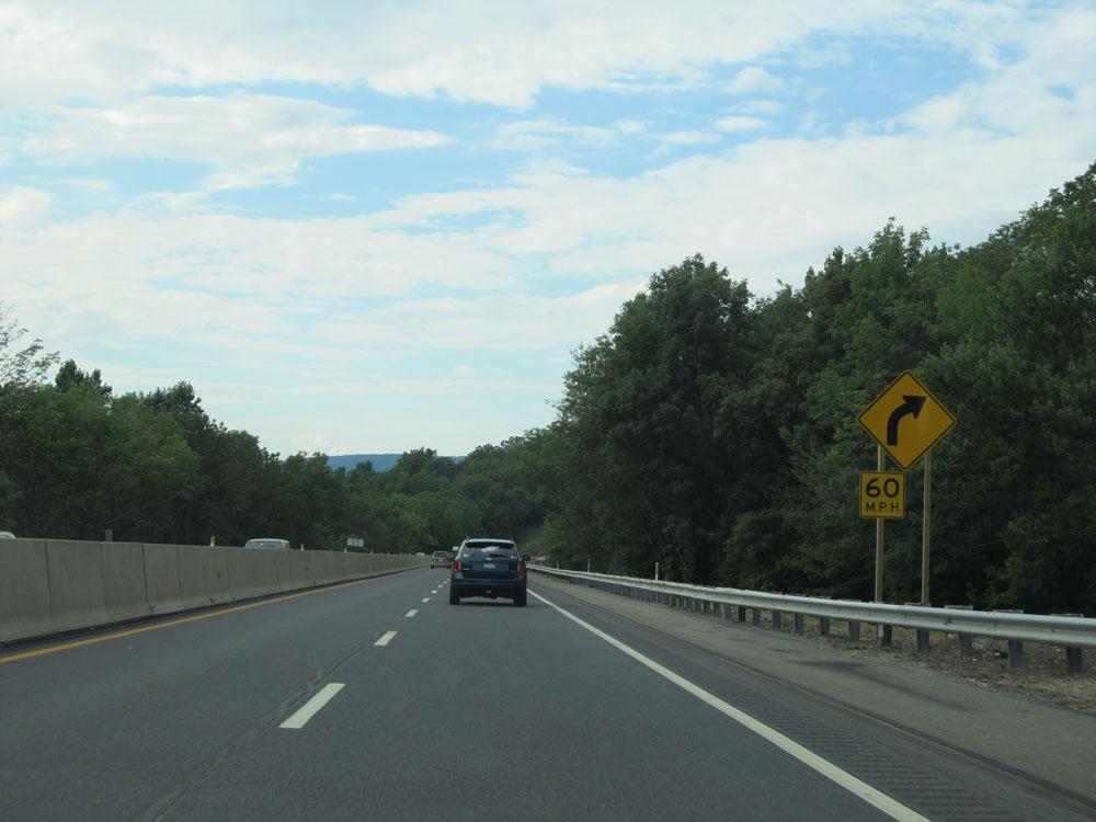 |
Interstate 476 North as it approaches a 60 mph curve to the right ahead. (Photo taken 8/9/15). |
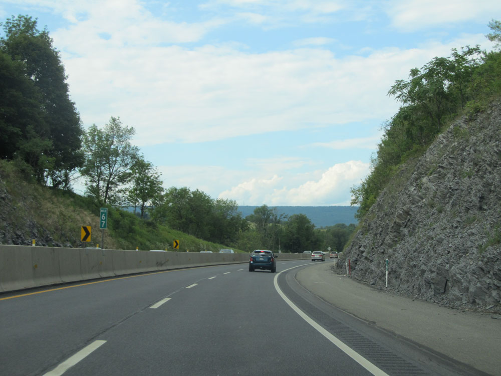 |
Interstate 476 North at mile marker 67. (Photo taken 8/9/15). |
 |
Interstate 476 North: Road view from mile marker 68. (Photo taken 8/9/15). |
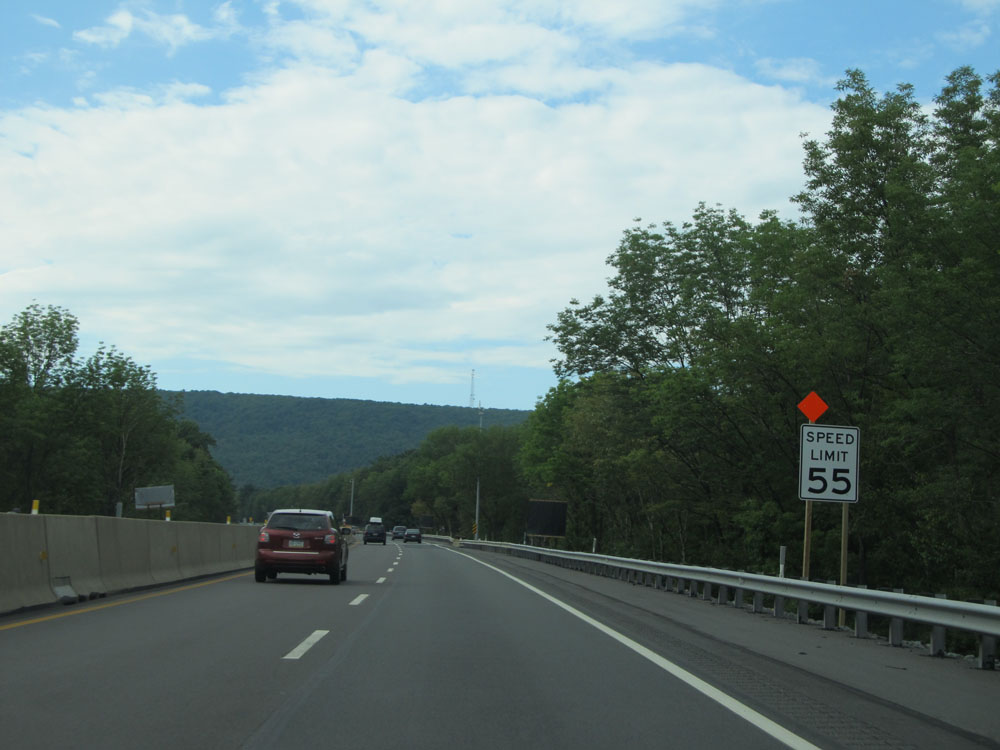 |
Just north of mile marker 69, the speed limit decreases to 55 mph as Interstate 476 begins to approach the Lehigh Tunnel. (Photo taken 8/9/15). |
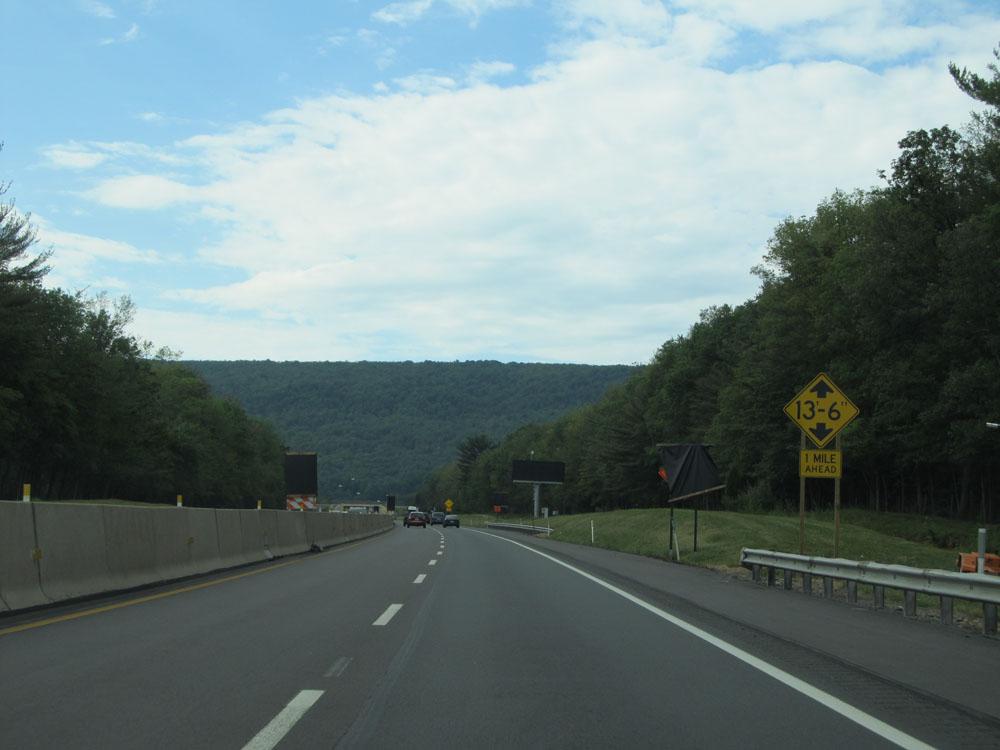 |
The tunnel has a maximum vertical clearance of 13'6". (Photo taken 8/9/15). |
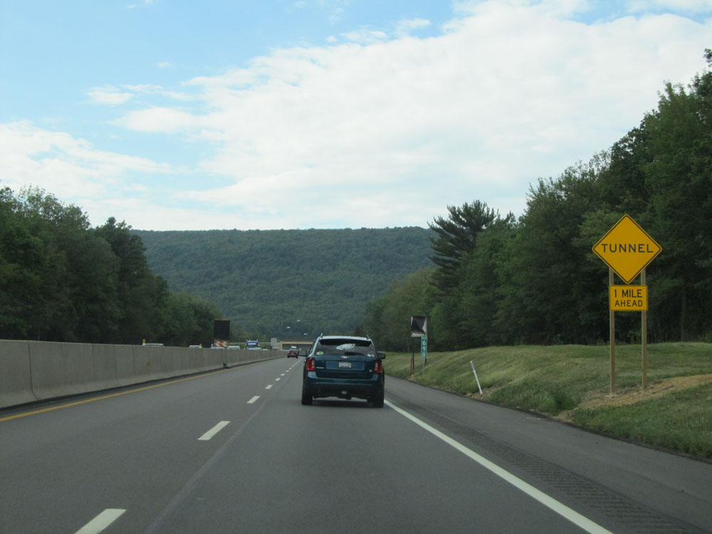 |
Interstate 476 North approaching the Lehigh Tunnel - 1 mile ahead. (Photo taken 8/9/15). |
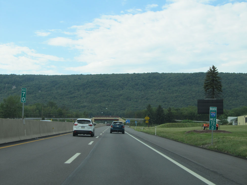 |
Interstate 476 North at mile marker 70, less than a mile from the tunnel. (Photo taken 8/9/15). |
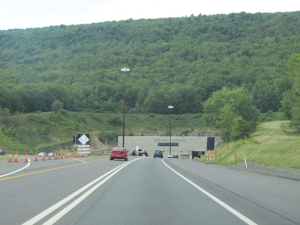 |
Interstate 476 North as the Lehigh Tunnel comes into view. (Photo taken 8/9/15). |
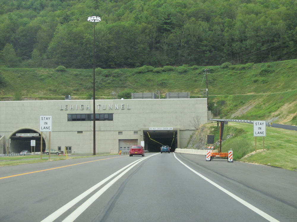 |
Interstate 476 North preparing to enter the Lehigh Tunnel. (Photo taken 8/9/15). |
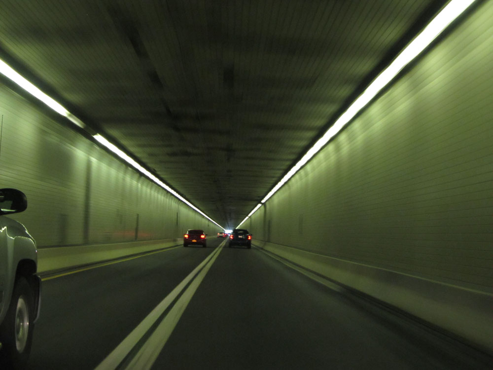 |
View from inside the Lehigh Tunnel. (Photo taken 8/9/15). |
 |
Interstate 476 North at mile marker 71.7, as it exits the Lehigh Tunnel. (Photo taken 8/9/15). |
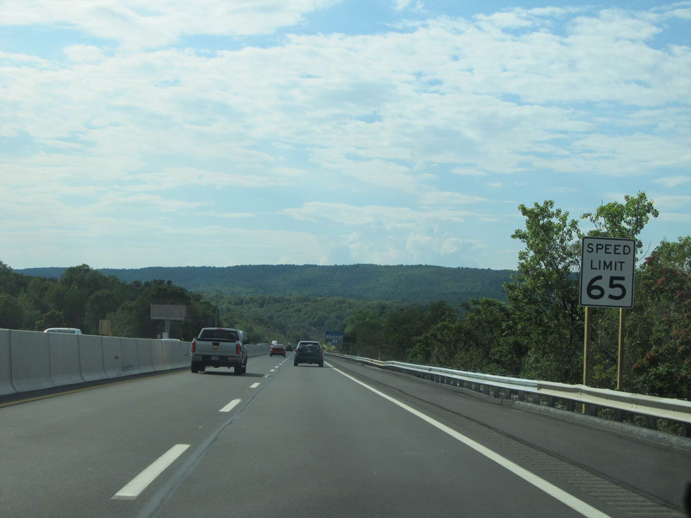 |
North of the tunnel, the standard speed limit of 65 mph resumes. (Photo taken 8/9/15). |
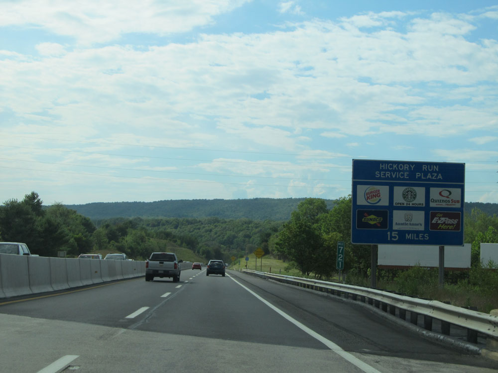 |
The Hickory Run Service Plaza, featuring the services listed on this sign, lies 15 miles ahead. (Photo taken 8/9/15). |
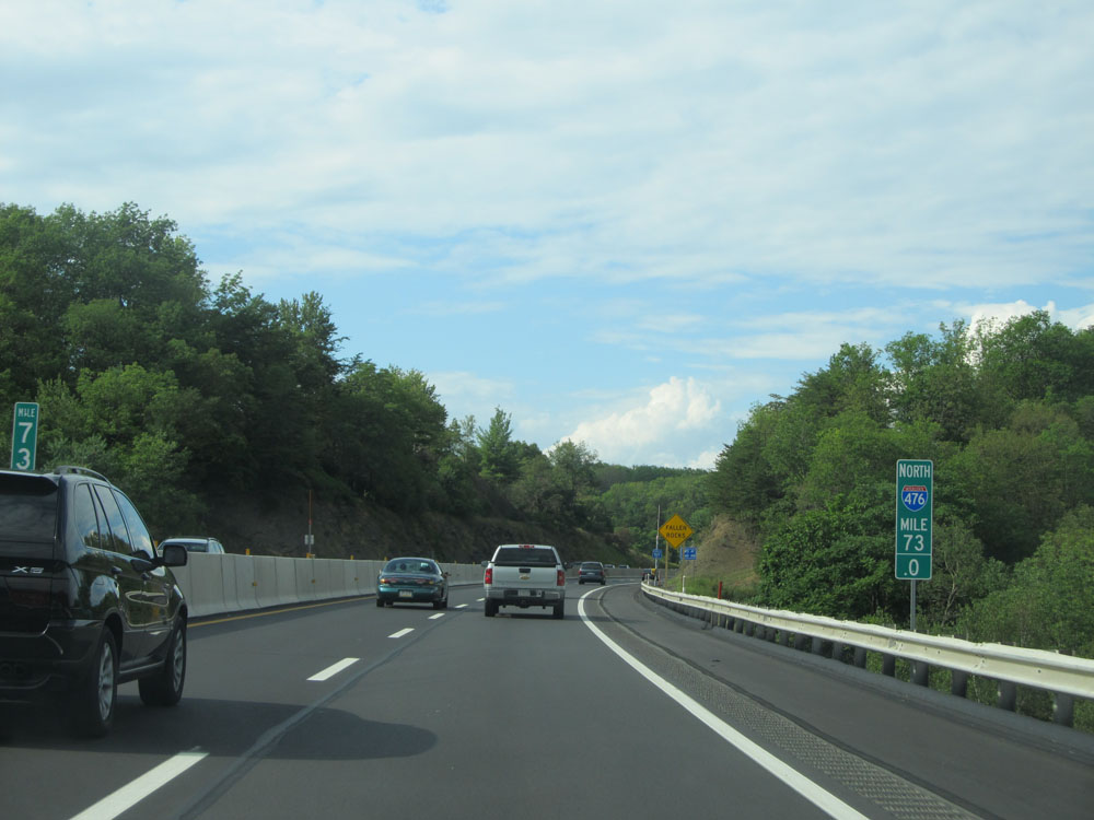 |
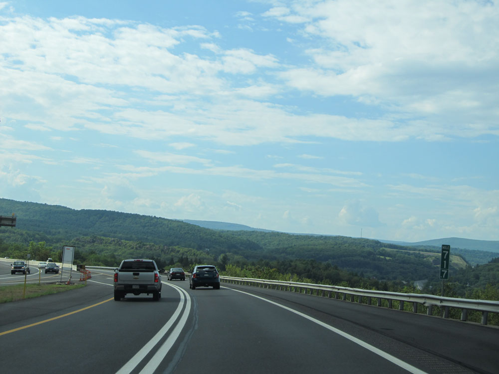
Interstate 476 North at mile marker 73. (Photo taken 8/9/15). |
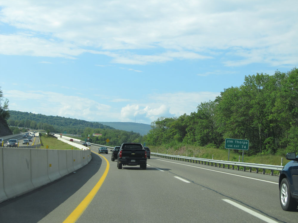 |
Take Exit 74 to Jim Thorpe. (Photo taken 8/9/15). |
 |
Interstate 476 North approaching Exit 74 - 1 mile. (Photo taken 8/9/15). |
 |
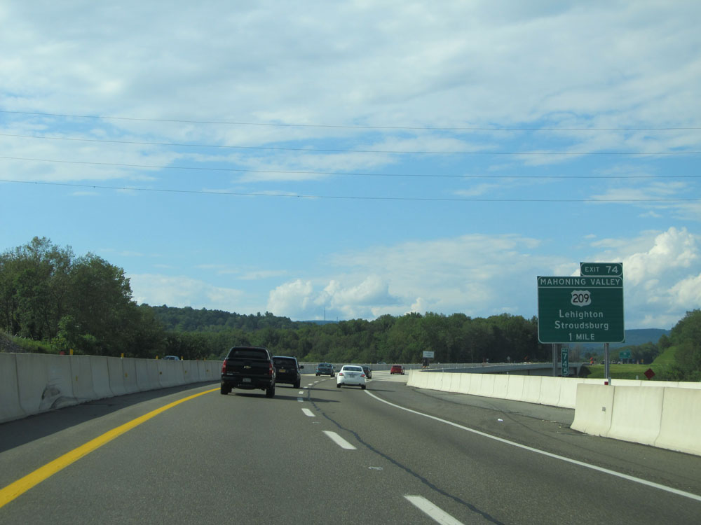
Interstate 476 North at Exit 74: US 209 - Lehighton / Stroudsburg (Photo taken 8/9/15). |
 |
At mile marker 75, Interstate 476 North prepares to traverse another 60 mph curve to the right. (Photo taken 8/9/15). |
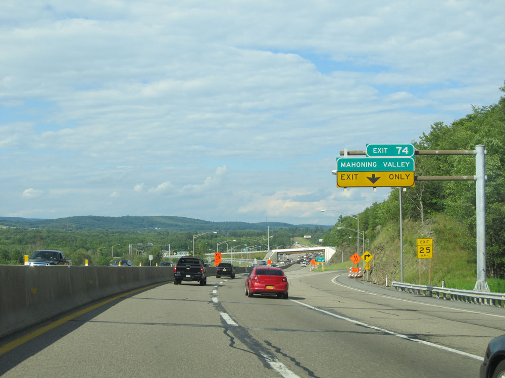 |
A closer view of the off ramp for Exit 74. (Photo taken 8/9/15). |
 |
Distance sign for the next two interchanges. It's 19 miles to the Pocono interchange and 30 miles to the Wilkes-Barre interchange. (Photo taken 8/9/15). |
 |
Interstate 476 North at mile marker 77. (Photo taken 8/9/15). |
 |
Interstate 476 North: Road view from mile marker 77.8. (Photo taken 8/9/15). |
 |
Interstate 476 North at mile marker 80. (Photo taken 8/9/15). |
 |
Interstate 476 North at mile marker 84. (Photo taken 8/9/15). |
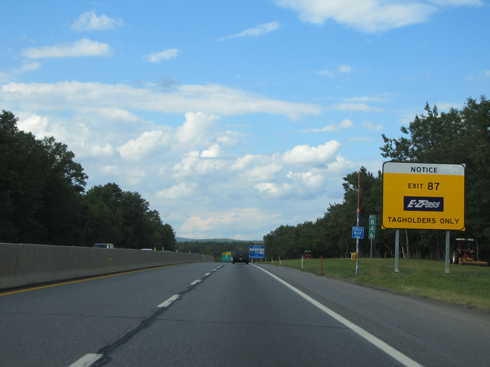 |
This sign alerts motorists that Exit 87 is for EZ Pass tagholders only. There are no toll collectors on duty, and pay-by-plate is not an option either. (Photo taken 8/9/15). |
 |
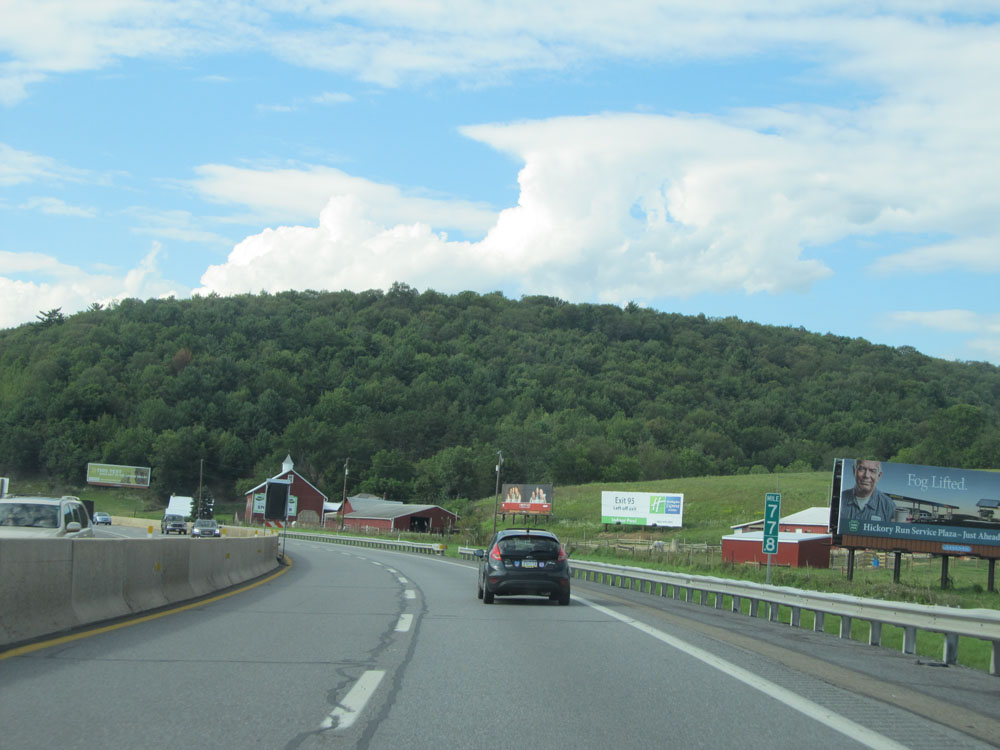
Interstate 476 North approaching the Hickory Run Service Plaza - 1 mile. (Photo taken 8/9/15). |
 |
Take Exit 87 to Long Pond. (Photo taken 8/9/15). |
 |
Interstate 476 North approaching Exit 87 - 1 mile. (Photo taken 8/9/15). (Photo taken 8/9/15). |
 |
Interstate 476 North at the Hickory Run Service Plaza, located at mile marker 86.3. (Photo taken 8/9/15). |
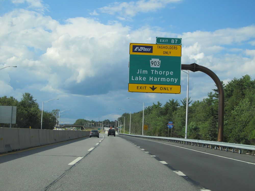 |
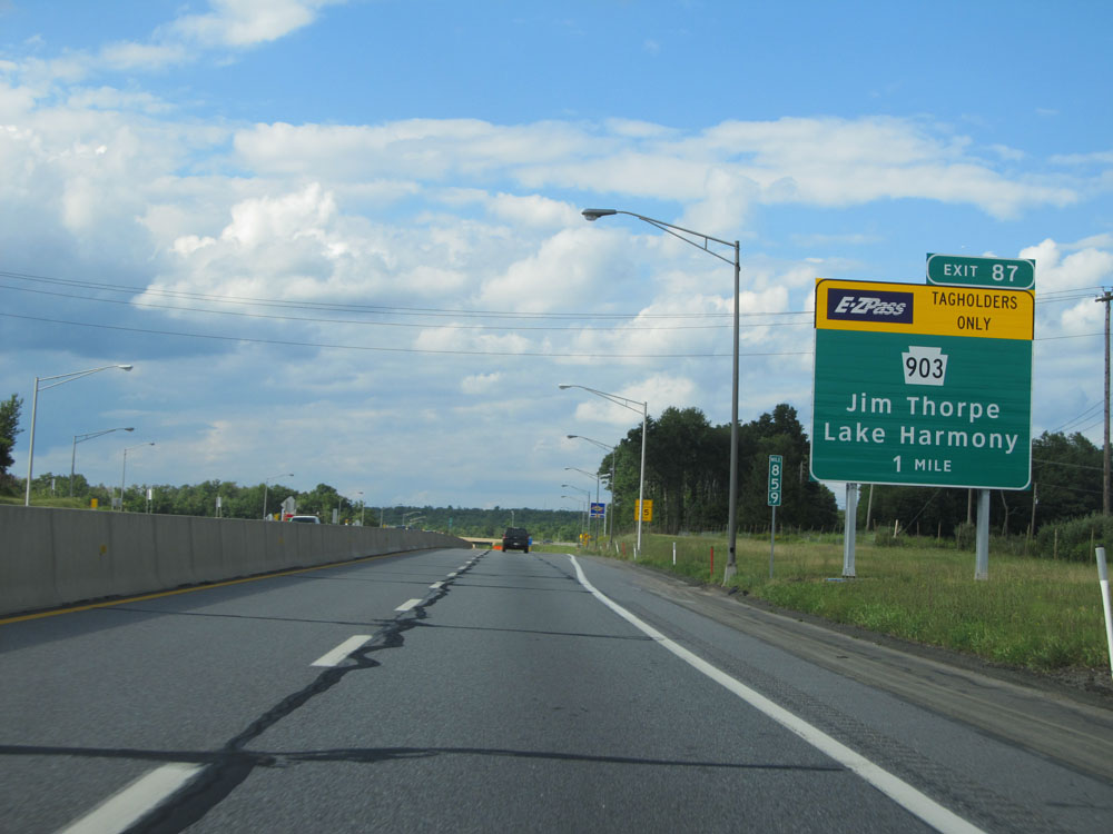
Interstate 476 North at Exit 87: PA 903 - Jim Thorpe / Lake Harmony (Photo taken 8/9/15). |
 |
Interstate 476 North assurance shield north of Exit 87. (Photo taken 8/9/15). |
 |
Distance sign for the next two interchanges. It's 8 miles to the Pocono interchange and 18 miles to the Wilkes-Barre interchange. (Photo taken 8/9/15). |
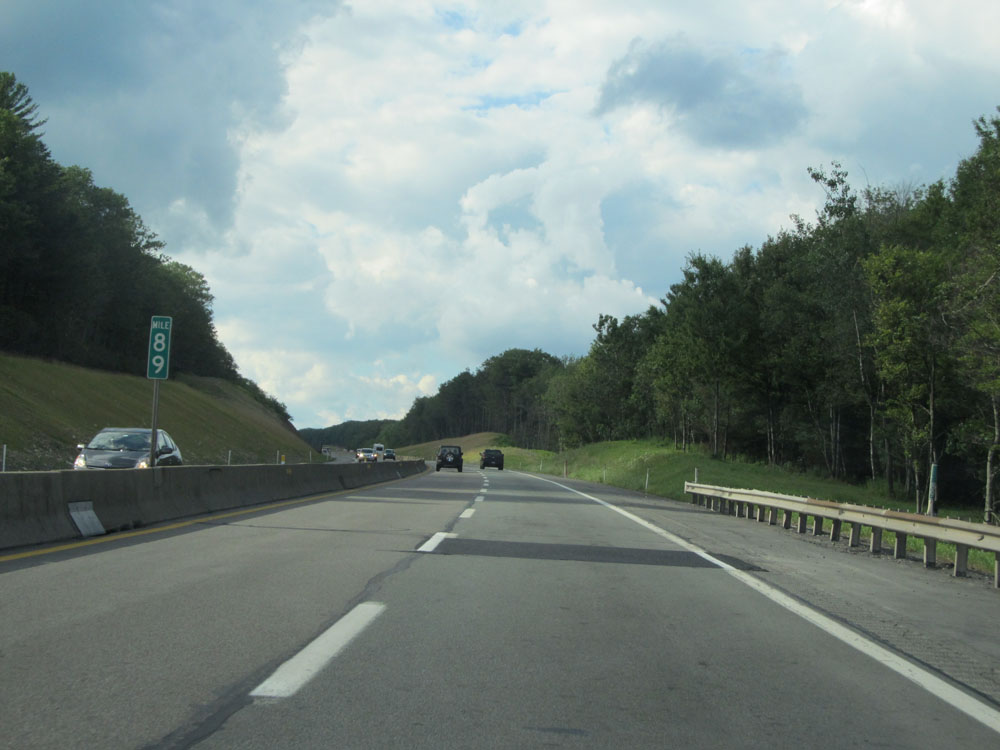 |
Interstate 476 North at mile marker 89. (Photo taken 8/9/15). |
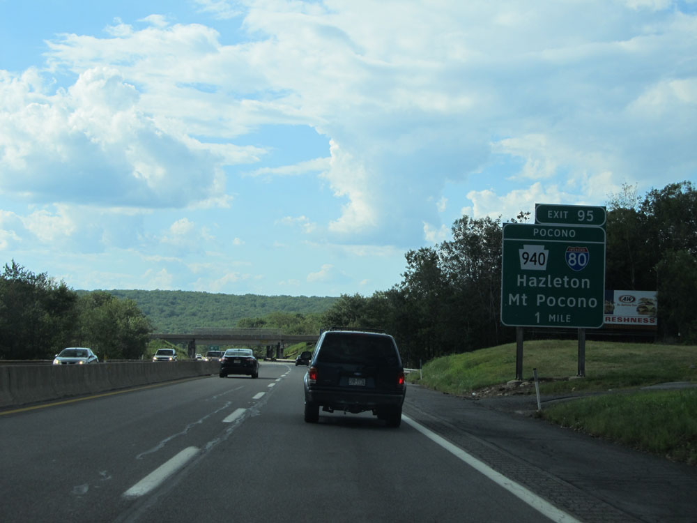 |
Interstate 476 North approaching Exit 95 - 1 mile. (Photo taken 8/9/15). |
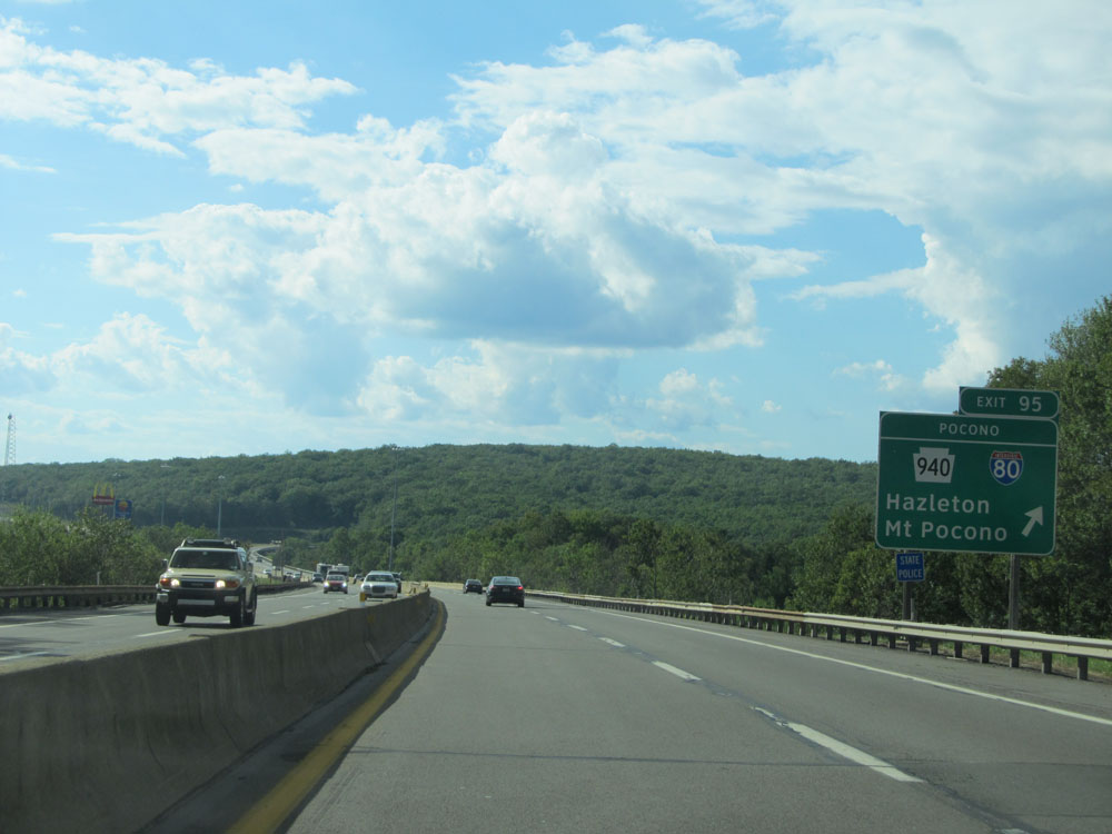 |
Interstate 476 North at Exit 95: Interstate 80 / PA 940 - Hazleton / Mt Pocono (Photo taken 8/9/15). |
 |
A closer view of the off ramp for Exit 95. (Photo taken 8/9/15). |
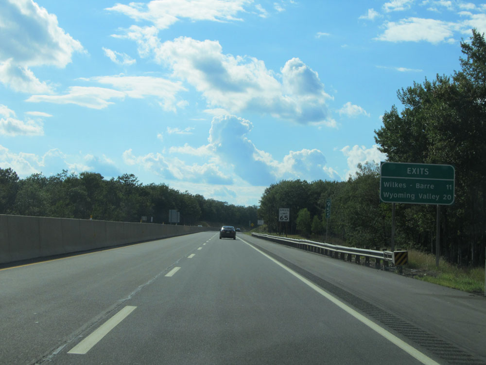 |
Distance sign for the next two interchanges. It's 11 miles to the Wilkes-Barre interchange and 20 miles to the Wyoming Valley interchange. (Photo taken 8/9/15). |
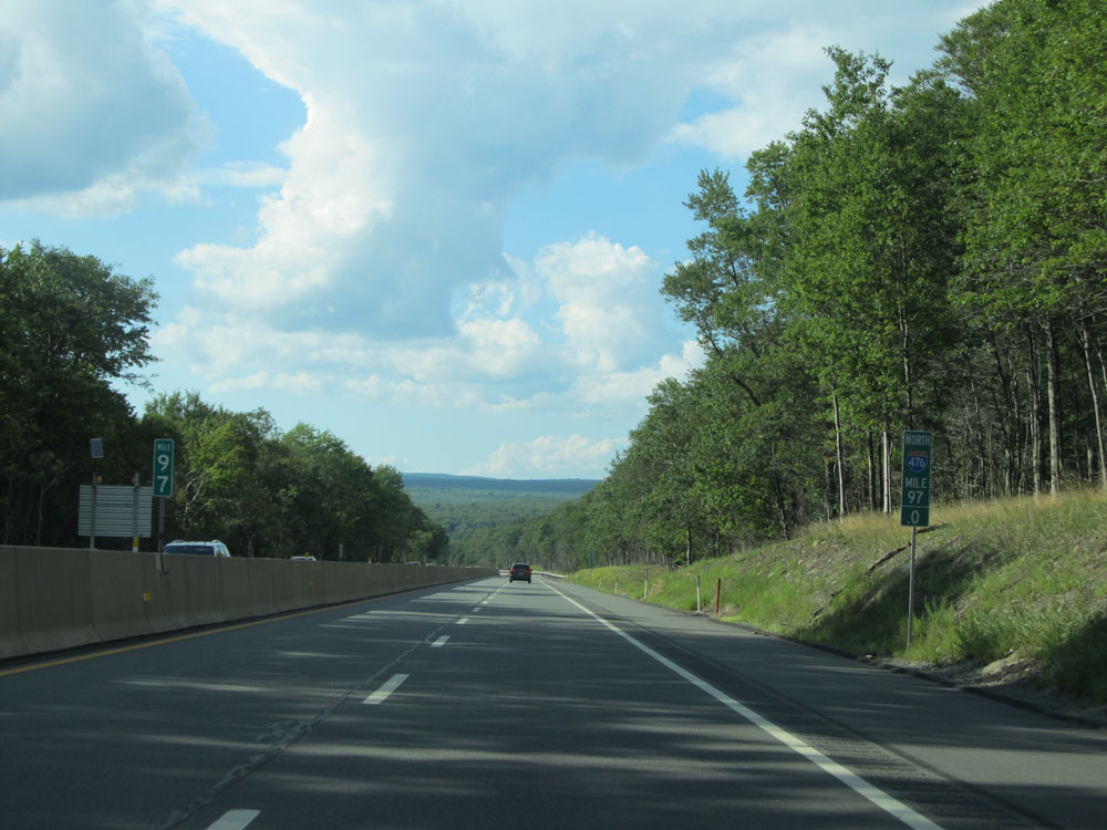 |
Interstate 476 North at mile marker 97. (Photo taken 8/9/15). |
 |
Interstate 476 North at mile marker 99. (Photo taken 8/9/15). |
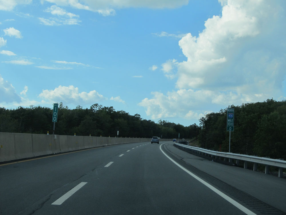 |
Interstate 476 North: Road view from mile marker 100. (Photo taken 8/9/15). |
 |
Interstate 476 North approaching Exit 105 - 1 mile. (Photo taken 8/9/15). |
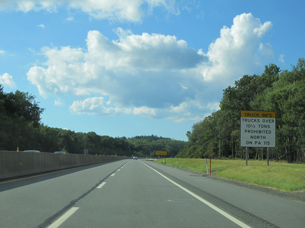 |
Trucks over 10 1/2 tons are prohibited from using PA 115 North. (Photo taken 8/9/15). |
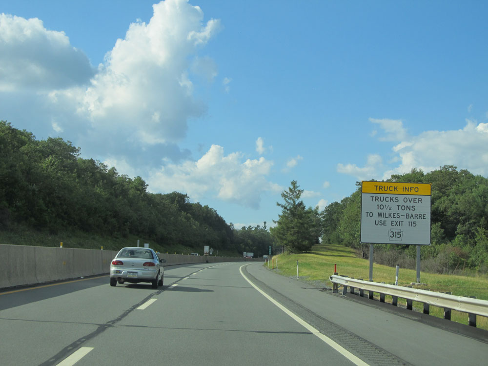 |
The suggested alternate route to Wilkes-Barre for trucks over 10 1/2 tons is PA 315 via Exit 115. (Photo taken 8/9/15). |
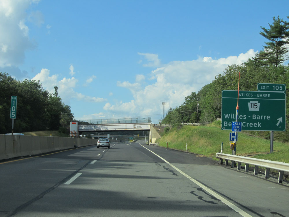 |
Interstate 476 North at Exit 105: PA 115 - Wilkes-Barre / Bear Creek (Photo taken 8/9/15). |
 |
Interstate 476 North assurance shield to the north of Exit 105. (Photo taken 8/9/15). |
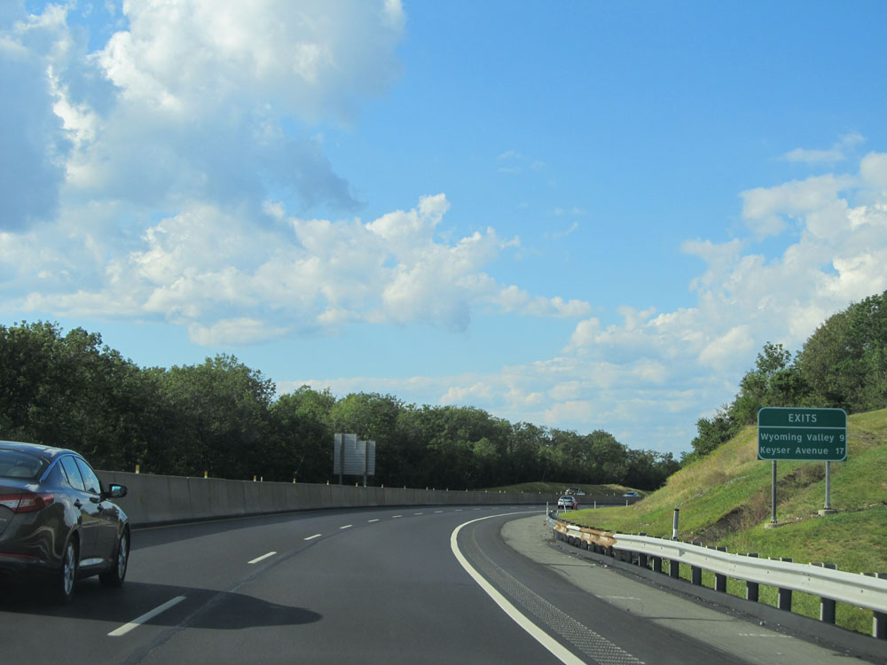 |
Distance sign for the next two interchanges on Interstate 476 North. It's 9 miles to the Wyoming Valley interchange and 17 miles to the Keyser Avenue interchange. (Photo taken 8/9/15). |
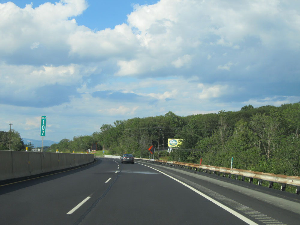 |
Interstate 476 North at mile marker 107. (Photo taken 8/9/15). |
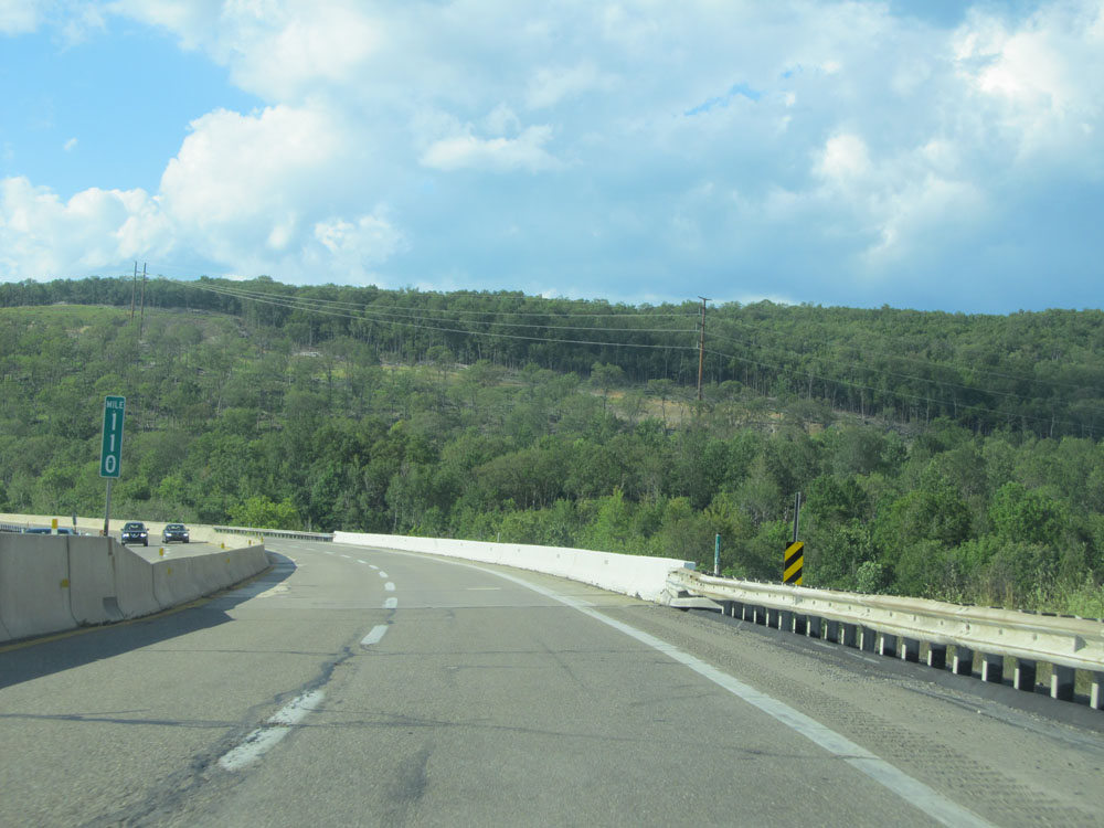 |
Interstate 476 North at mile marker 110. (Photo taken 8/9/15). |
 |
At mile marker 111, the speed limit decreases to 55 mph as Interstate 476 North approaches the Wyoming Valley Toll Plaza. (Photo taken 8/9/15). |
 |
Interstate 476 North approaching the Wyoming Valley Toll Plaza - 1 mile. (Photo taken 8/9/15). |
 |
Interstate 476 North approaching the toll plaza. (Photo taken 8/9/15). |
 |
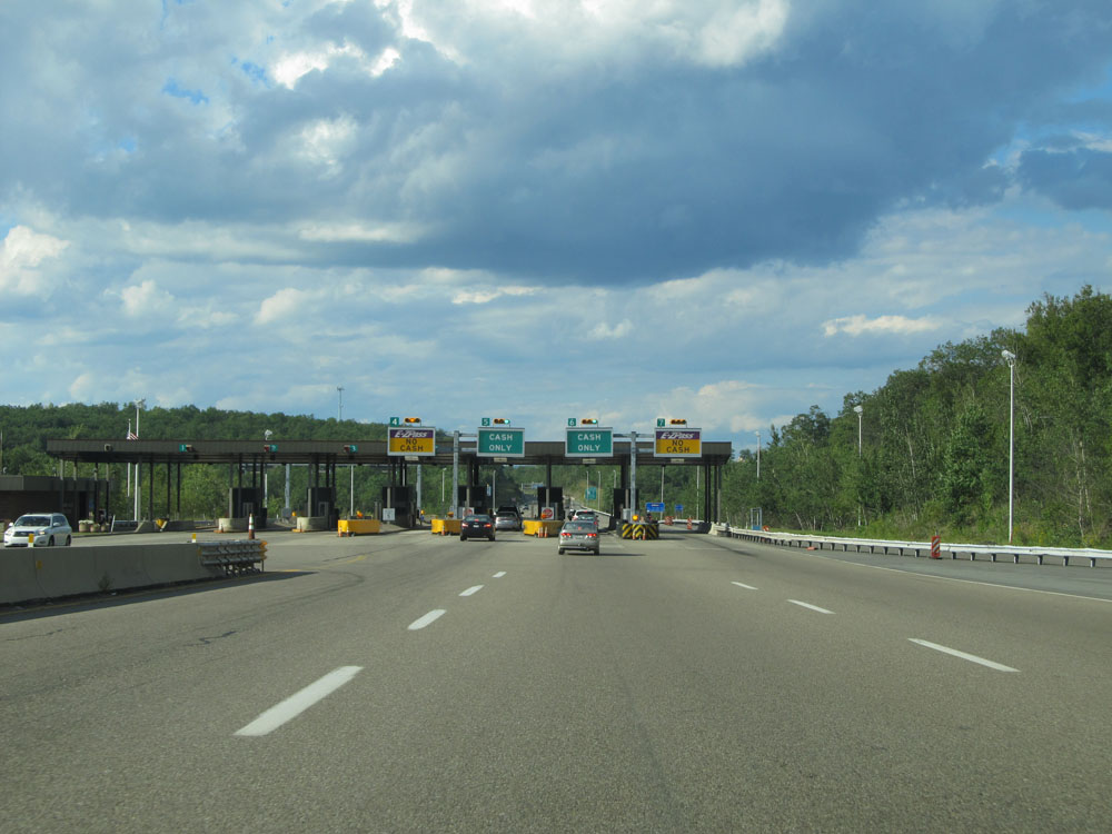
A closer view of the Wyoming Valley Toll Plaza. (Photo taken 8/9/15). |
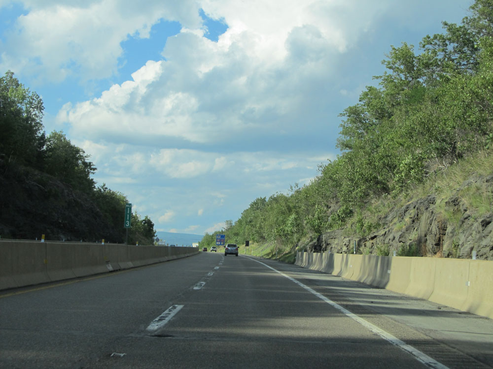 |
Interstate 476 North at mile marker 113. (Photo taken 8/9/15). |
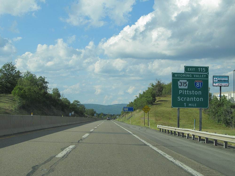 |
Interstate 476 North approaching Exit 115 - 1 mile. (Photo taken 8/9/15). |
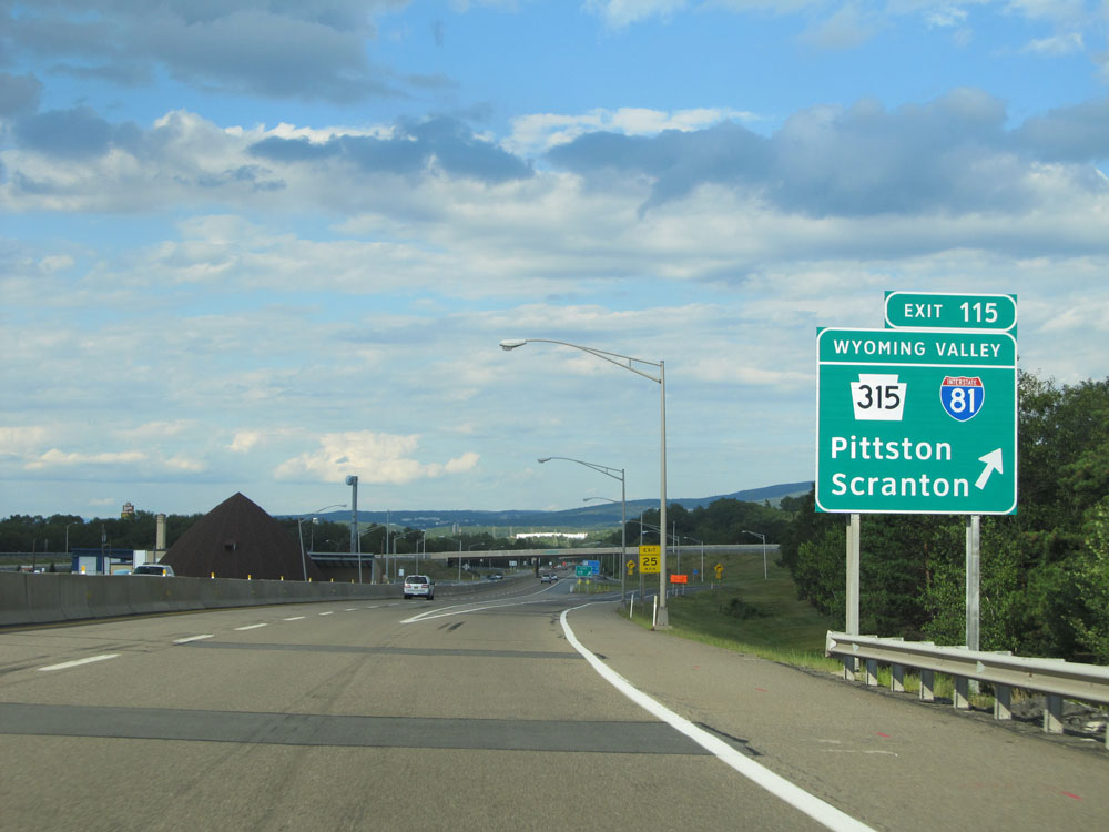 |
Interstate 476 North at Exit 115: PA 315 / To Interstate 81 - Pittston / Scranton (Photo taken 8/9/15). |
 |
Distance sign for the final two interchanges. It's 7 miles to the Keyser Avenue interchange and 16 miles to the Clarks Summit interchange. (Photo taken 8/10/15). |
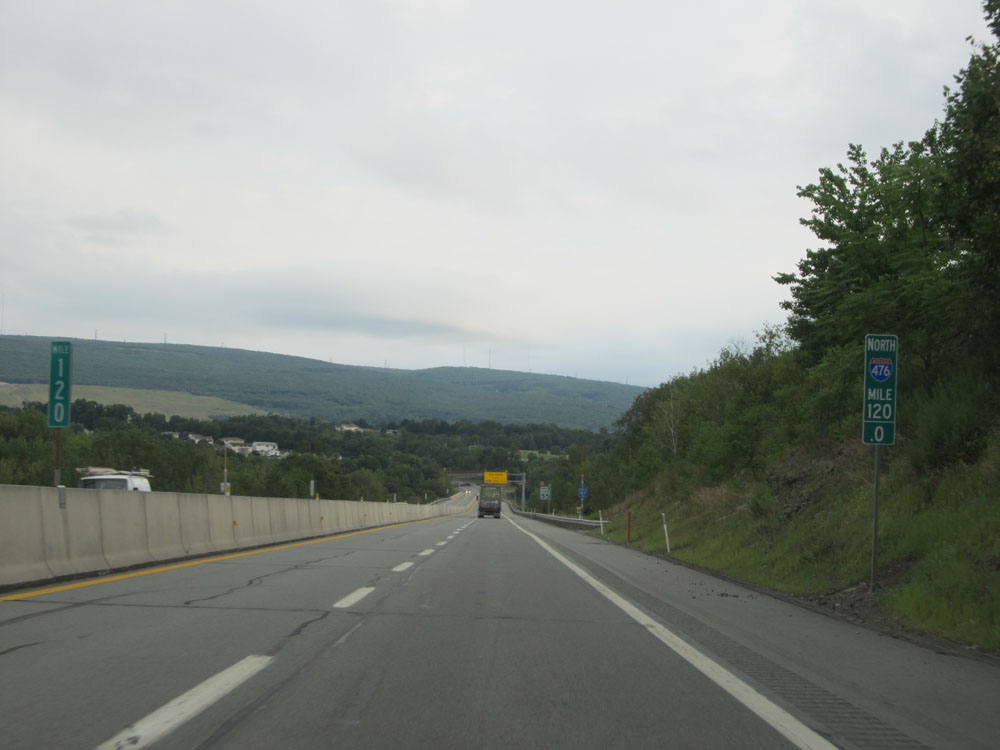 |
Interstate 476 North at mile marker 120. (Photo taken 8/10/15). |
 |
Just north of mile marker 120, the speed limit decreases to 55 mph as we once again approach a toll plaza, this one being the Keyser Avenue Mainline Toll Plaza. (Photo taken 8/10/15). |
 |
Interstate 476 North approaching the Keyser Avenue Mainline Toll Plaza - 1 mile. (Photo taken 8/10/15). |
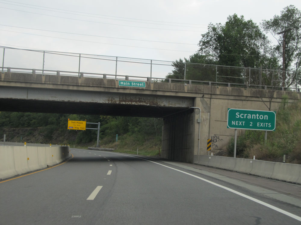 |
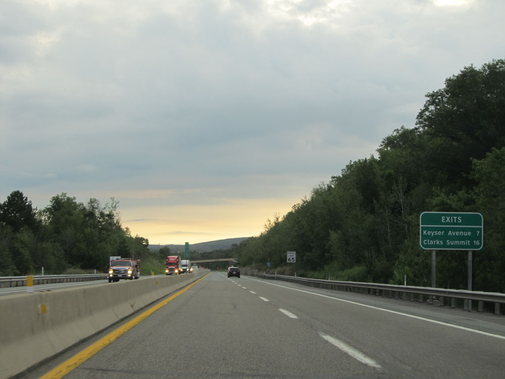
Take either of the next 2 interchanges to Scranton. (Photo taken 8/10/15). |
 |
Interstate 476 North approaching Exit 122 - 1 mile. (Photo taken 8/10/15). |
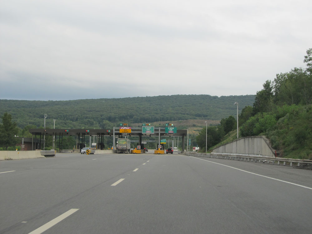 |
Approaching the Keyser Avenue Mainline Toll Plaza. (Photo taken 8/10/15). |
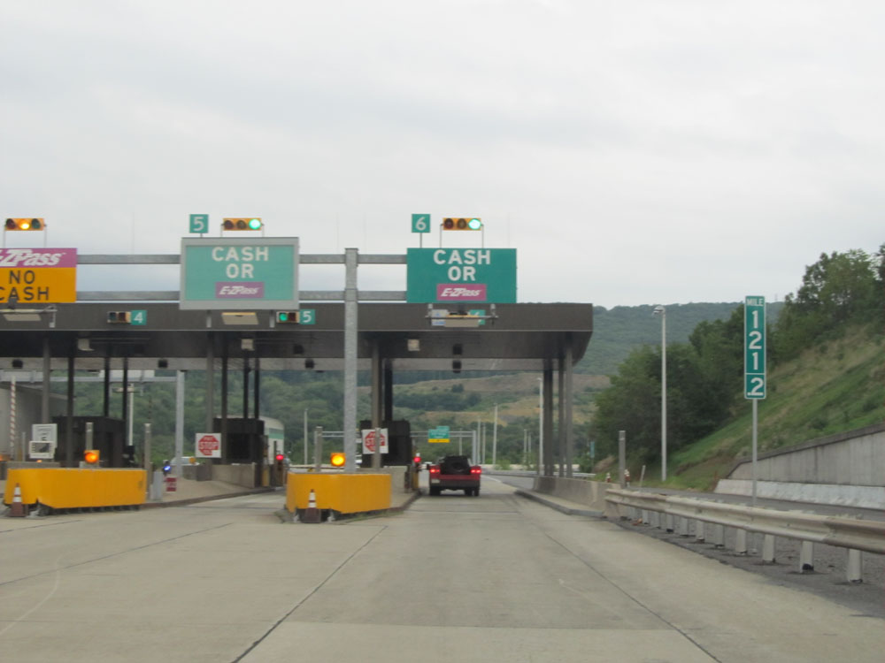 |
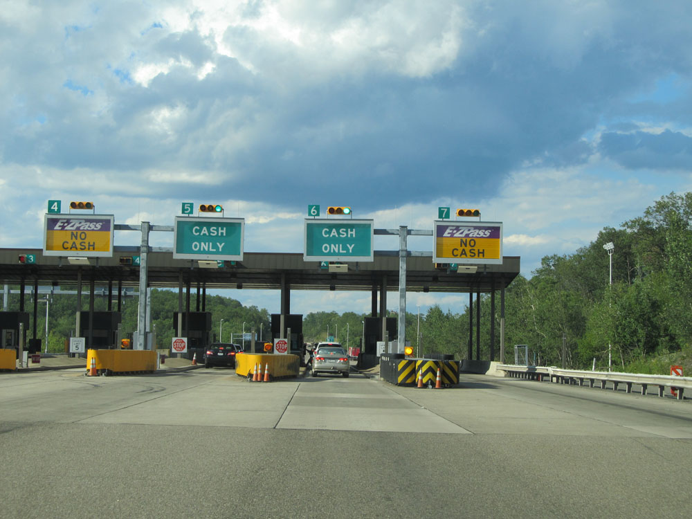
A closer view of the toll plaza, at mile marker 121.2. (Photo taken 8/10/15). |
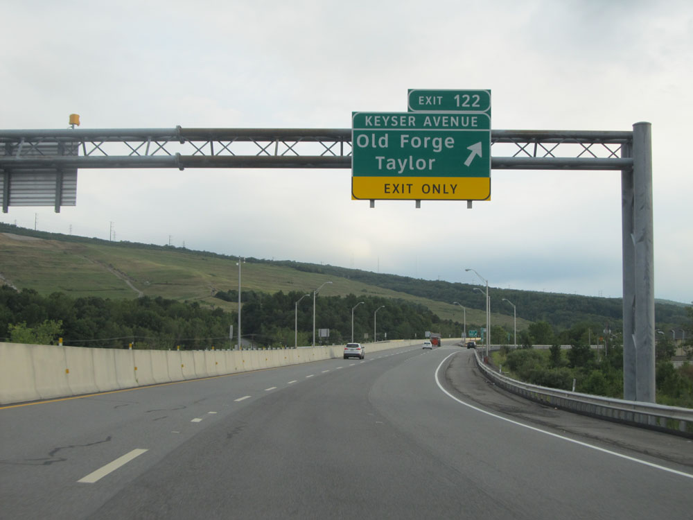 |
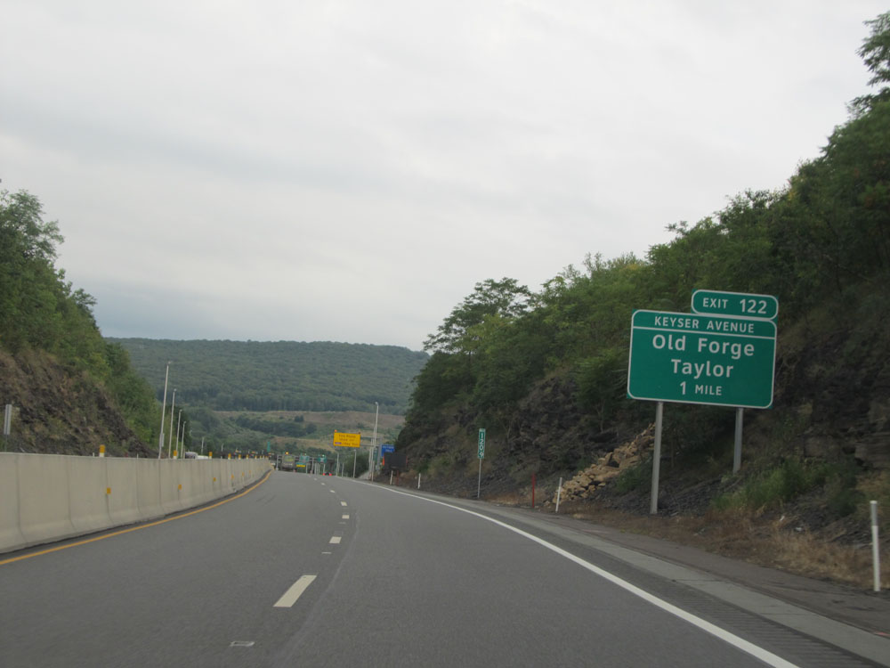
Interstate 476 North at Exit 122: Old Forge / Taylor (Photo taken 8/10/15). |
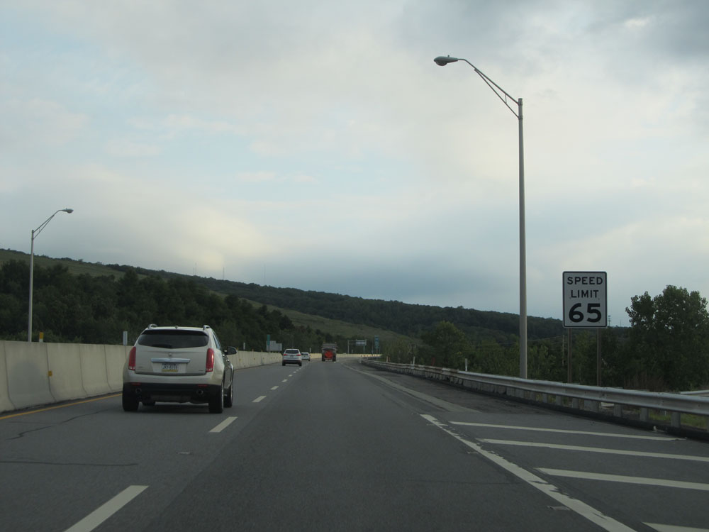 |
North of Exit 122, the standard speed limit of 65 mph resumes. (Photo taken 8/10/15). |
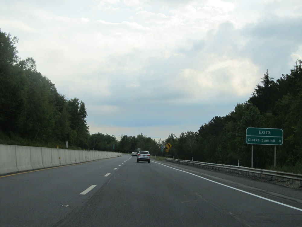 |
Distance sign for the final interchange on the PA Turnpike Northeast Extension, which is the Clarks Summit interchange. It lies 8 miles ahead, at the northern terminus of Interstate 476. (Photo taken 8/10/15). |
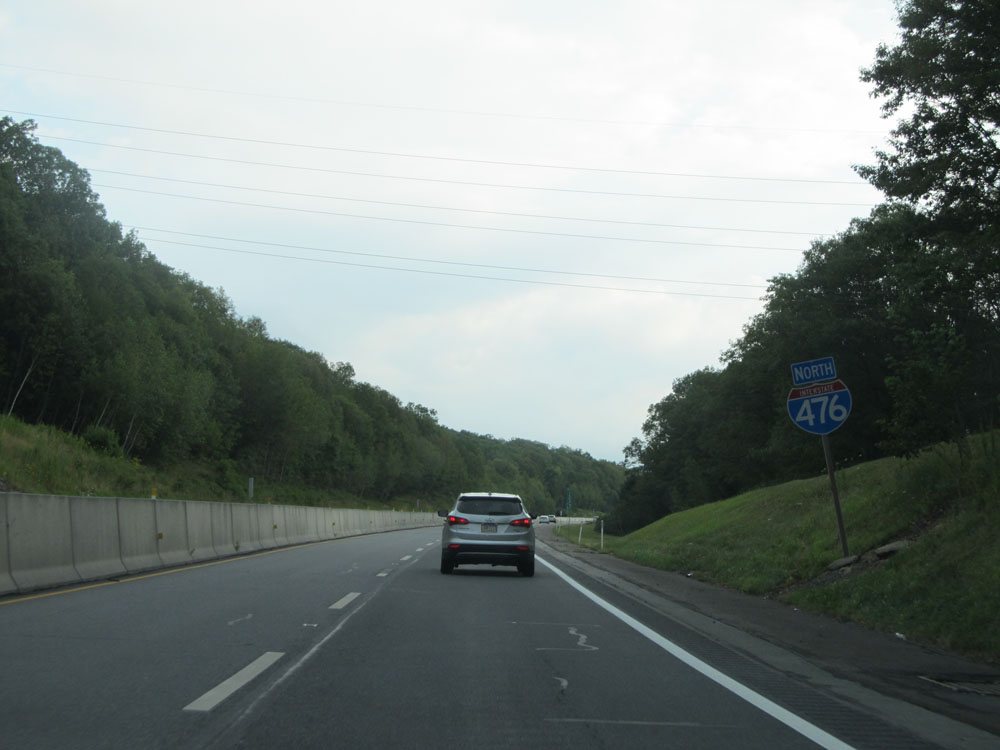 |
Interstate 476 North assurance shield. (Photo taken 8/10/15). |
 |
Interstate 476 North at mile marker 125. (Photo taken 8/10/15). |
 |
Interstate 476 North at mile marker 127. (Photo taken 8/10/15). |
 |
Interstate 476 North approaching Exit 131, and the northern terminus of Interstate 476 - 1 mile. (Photo taken 8/10/15). |
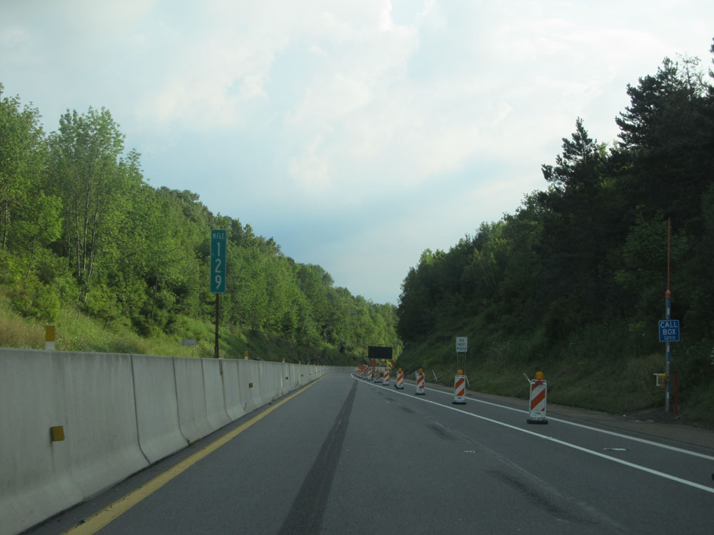 |
Interstate 476 North at mile marker 129. (Photo taken 8/10/15). |
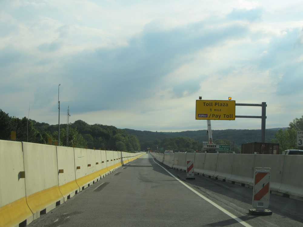 |
Interstate 476 North approaching the Clarks Summit Mainline Toll Plaza - 1 mile. (Photo taken 8/10/15). |
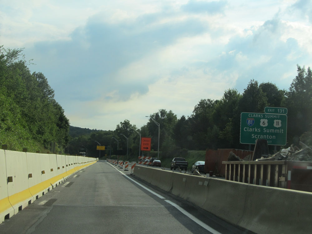 |
Interstate 476 North approaching Exit 131, which lies just beyond the Clarks Summit Mainline Toll Plaza at I-476's northern terminus. (Photo taken 8/10/15). |
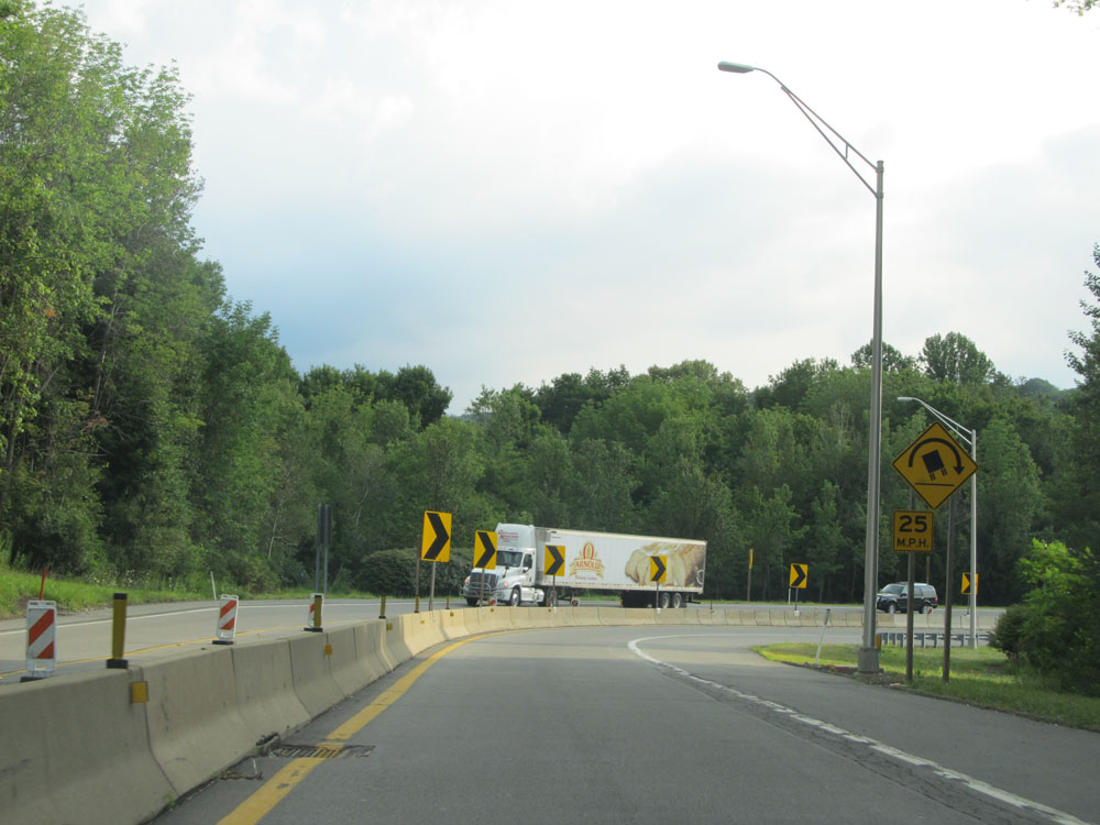 |
Nearing the toll plaza, Interstate 476 North is reduced to one lane as it traverses a 25 mph curve to the east. (Photo taken 8/10/15). |
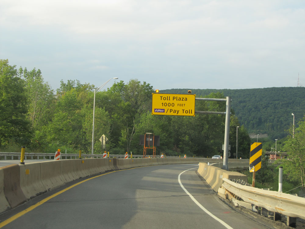 |
During the curve, this sign states that the toll plaza now lies just 1,000 feet ahead. (Photo taken 8/10/15). |
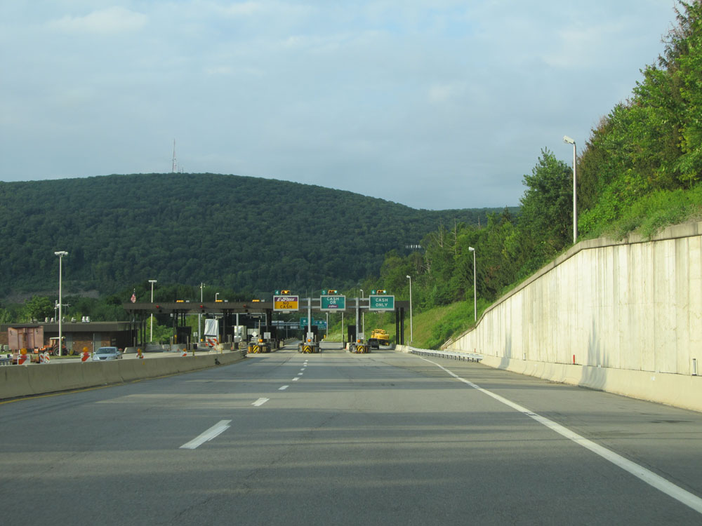 |
Interstate 476 North approaching the Clarks Summit Mainline Toll Plaza. (Photo taken 8/10/15). |
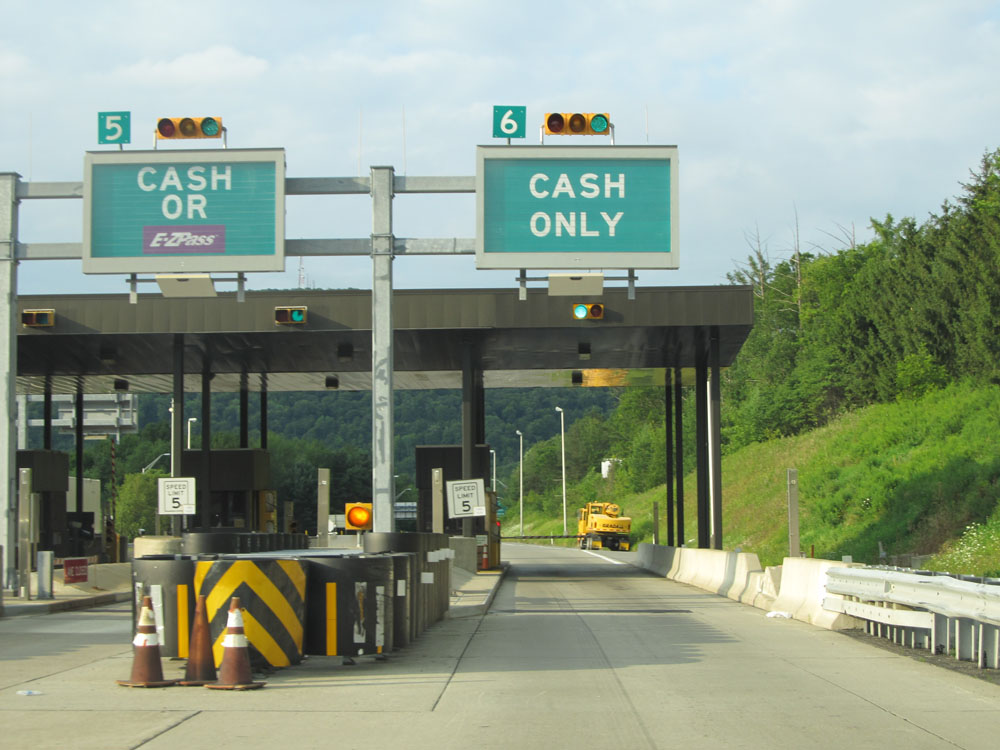 |
A closer view of the toll plaza. (Photo taken 8/10/15). |
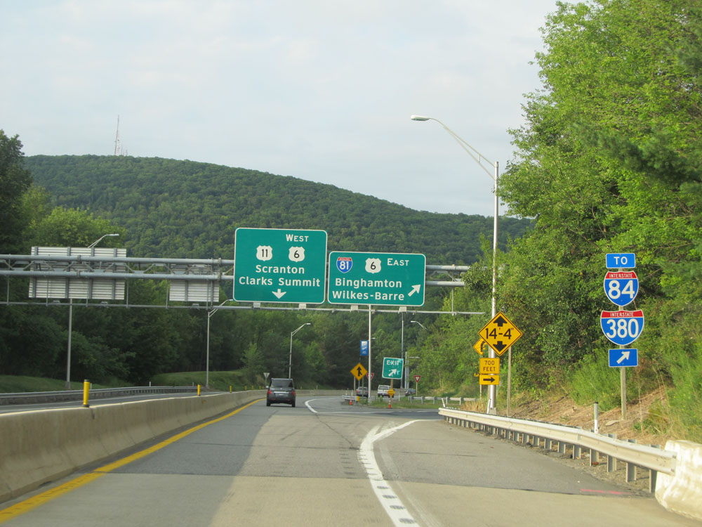 |
Interstate 476 at its northern terminus, which is an interchange with Interstate 81 / US 6 / US 11. (Photo taken 8/10/15). |