Road Information |
||
 |
||
| Total Mileage in State: | 377 miles | |
| Eastern End: | At Idaho state line | |
| Western End: | At I-5, in Portland | |
| Mileage covered in Photos: | 377 miles | |
| Counties covered in Photos: | Malheur, Baker, Union, Umatilla, Morrow, Gilliam, Sherman, Wasco, Hood River, Multnomah | |
| Major Junctions in Photos: | US 395, in Pendleton I-82, near Hermiston US 97, in Biggs Junction US 197, in The Dalles I-205, in Portland I-5, in Portland |
|
| Control Cities in Photos: | Ontario, Baker City, Pendleton, The Dalles, Hood River, Troutdale, Portland | |
Westbound
- Section 1: Idaho Border to Baker City (Exit 353)
- Section 2: Baker City (Exit 353) to La Grande (Exit 261)
- Section 3: La Grande (Exit 261) to Pendleton (Exit 213)
- Section 4: Pendleton (Exit 213) to Arlington (Exit 137)
- Section 5: Arlington (Exit 173) to The Dalles (Exit 85)
- Section 6: The Dalles (Exit 85) to Cascade Locks (Exit 44)
- Section 7: Cascade Locks (Exit 44) to Portland
Section 1: Idaho Border to Baker City (Exit 353)
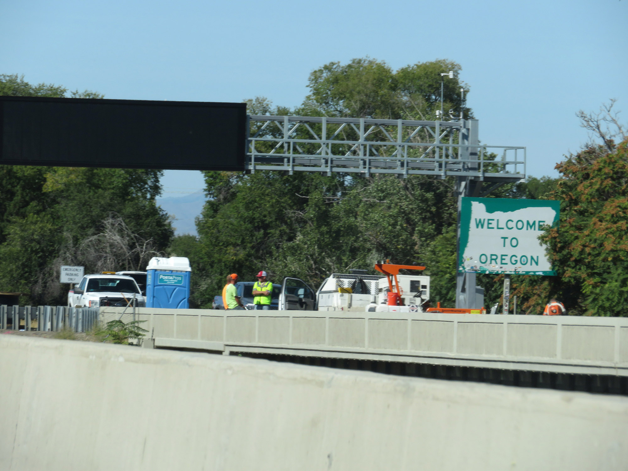 |
Oregon welcome sign as Interstate 84 West enters the state from Idaho via the Devo Bridge over the Snake River. (Photo taken 9/25/19). |
 |
View on the Devo Bridge over the Snake River as Interstate 84 West enters Oregon. (Photo taken 9/25/19). |
 |
Rest Area / Welcome Center on Interstate 84 West in Ontario, Malheur County. (Photo taken 9/25/19). |
 |
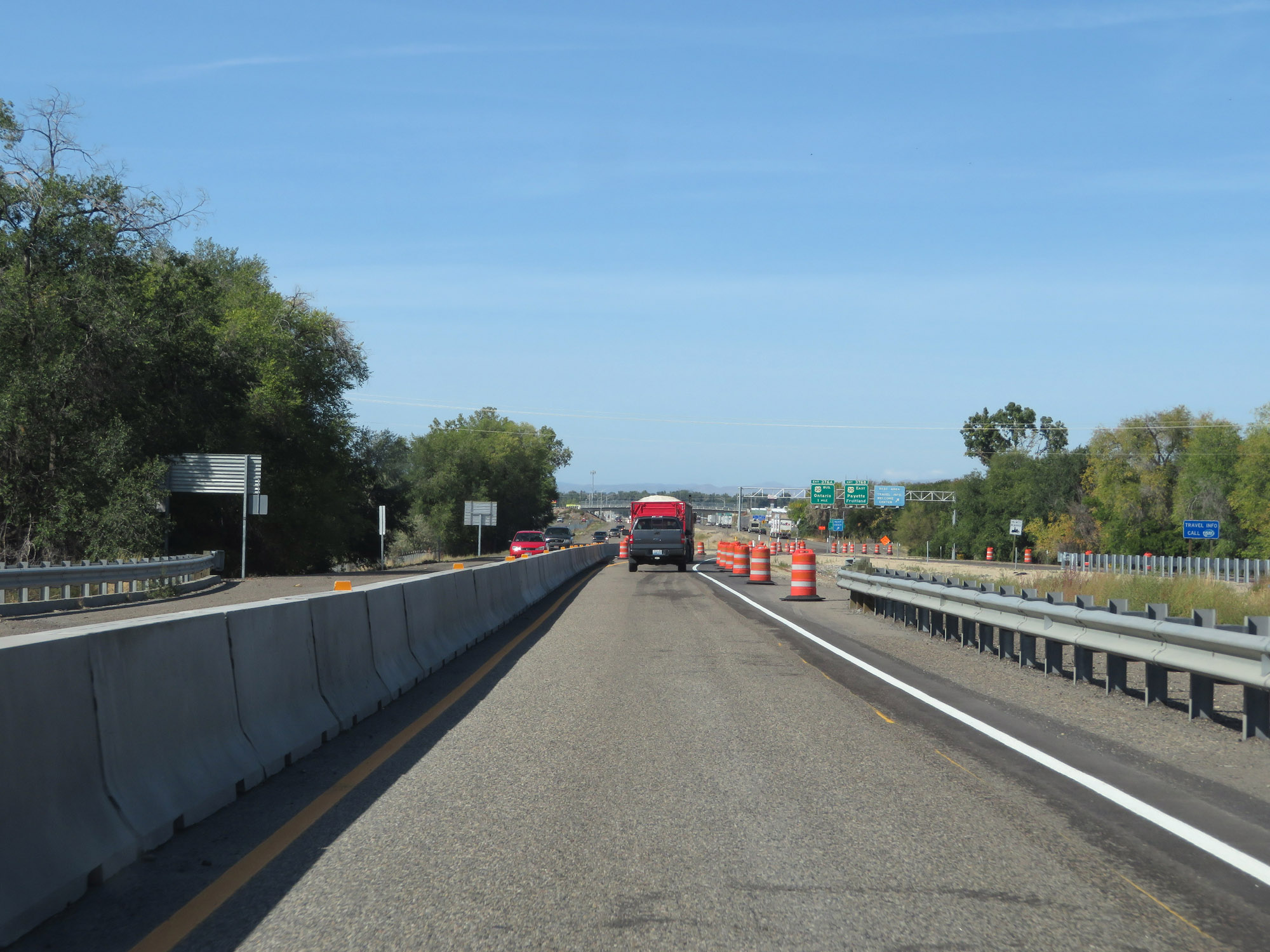
Take Exit 376A to Treasure Valley Community College. (Photo taken 9/25/19). |
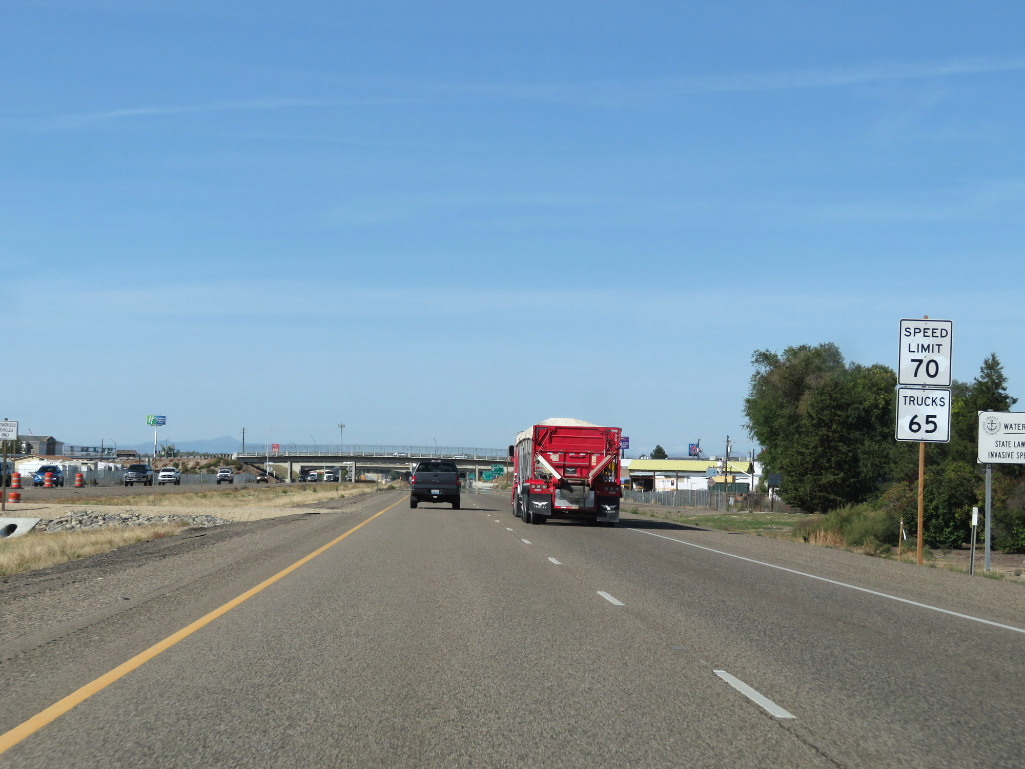 |
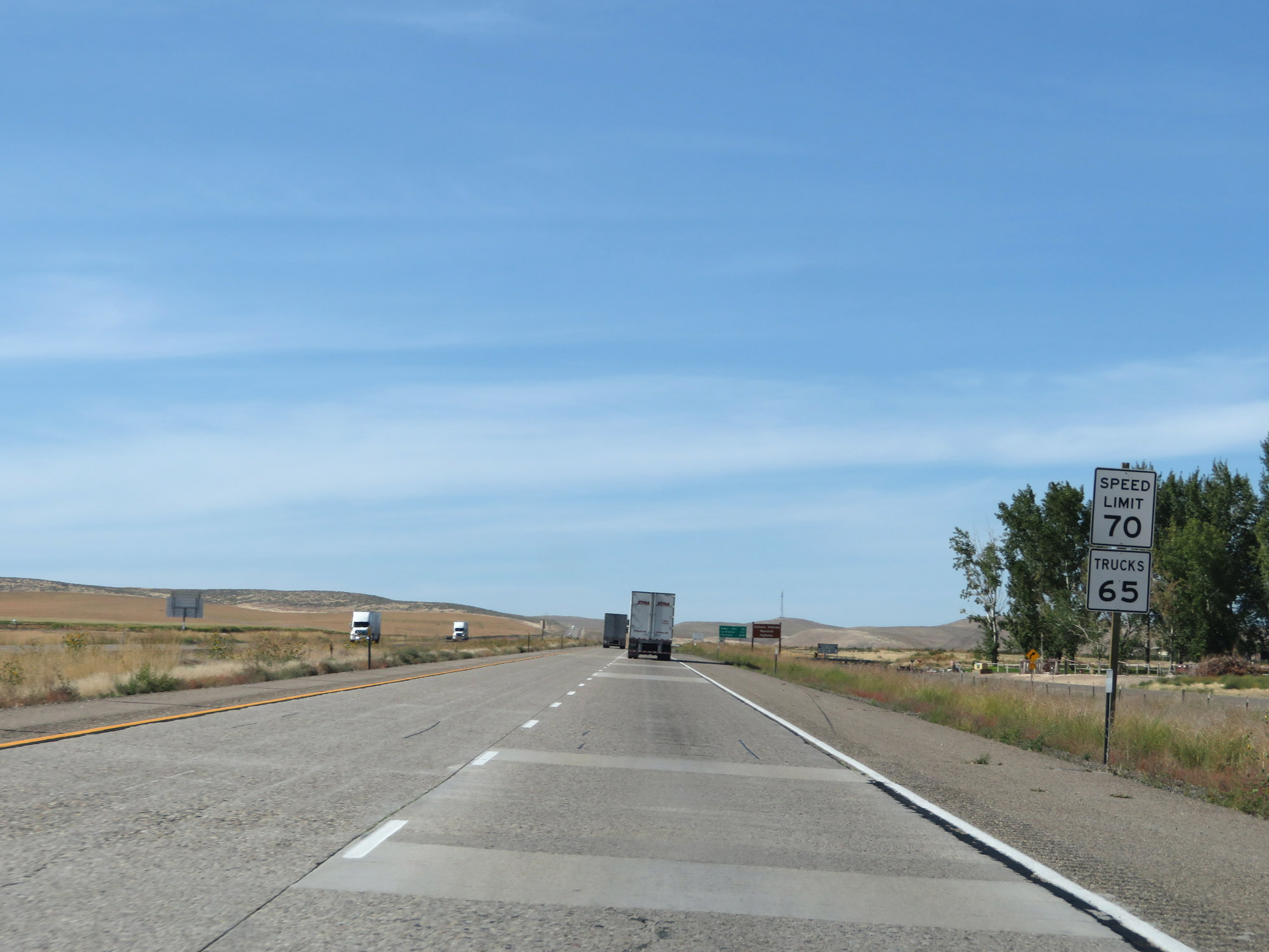
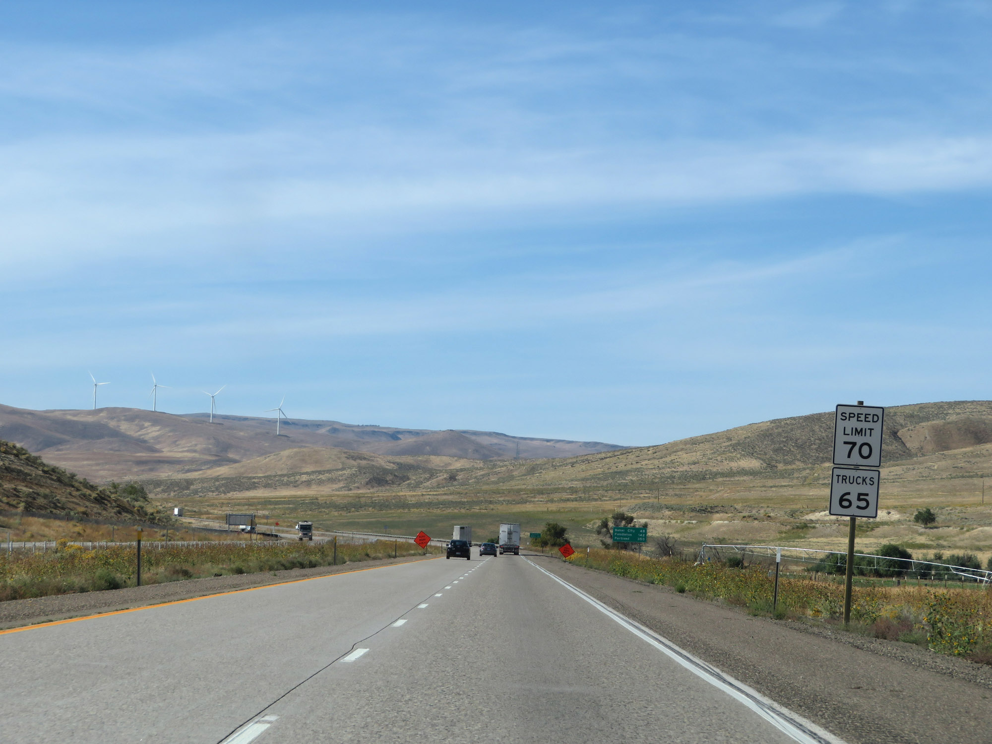
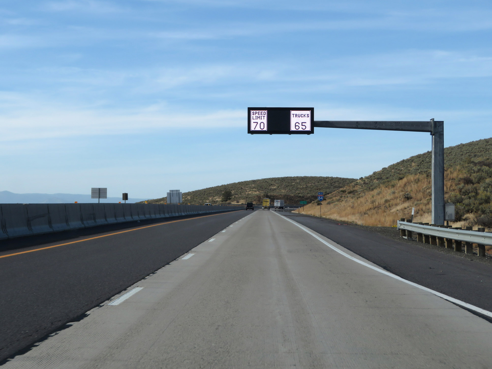
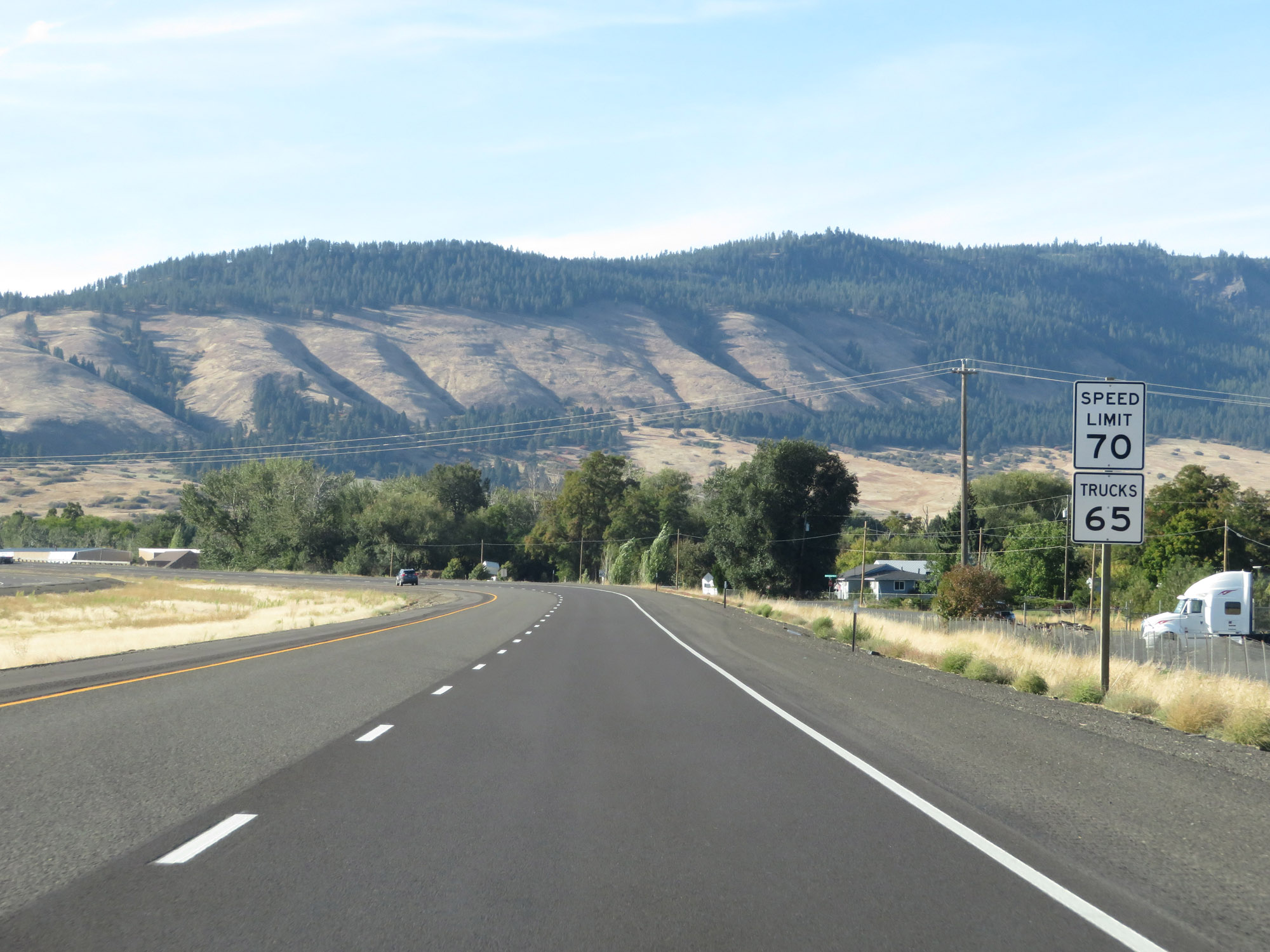
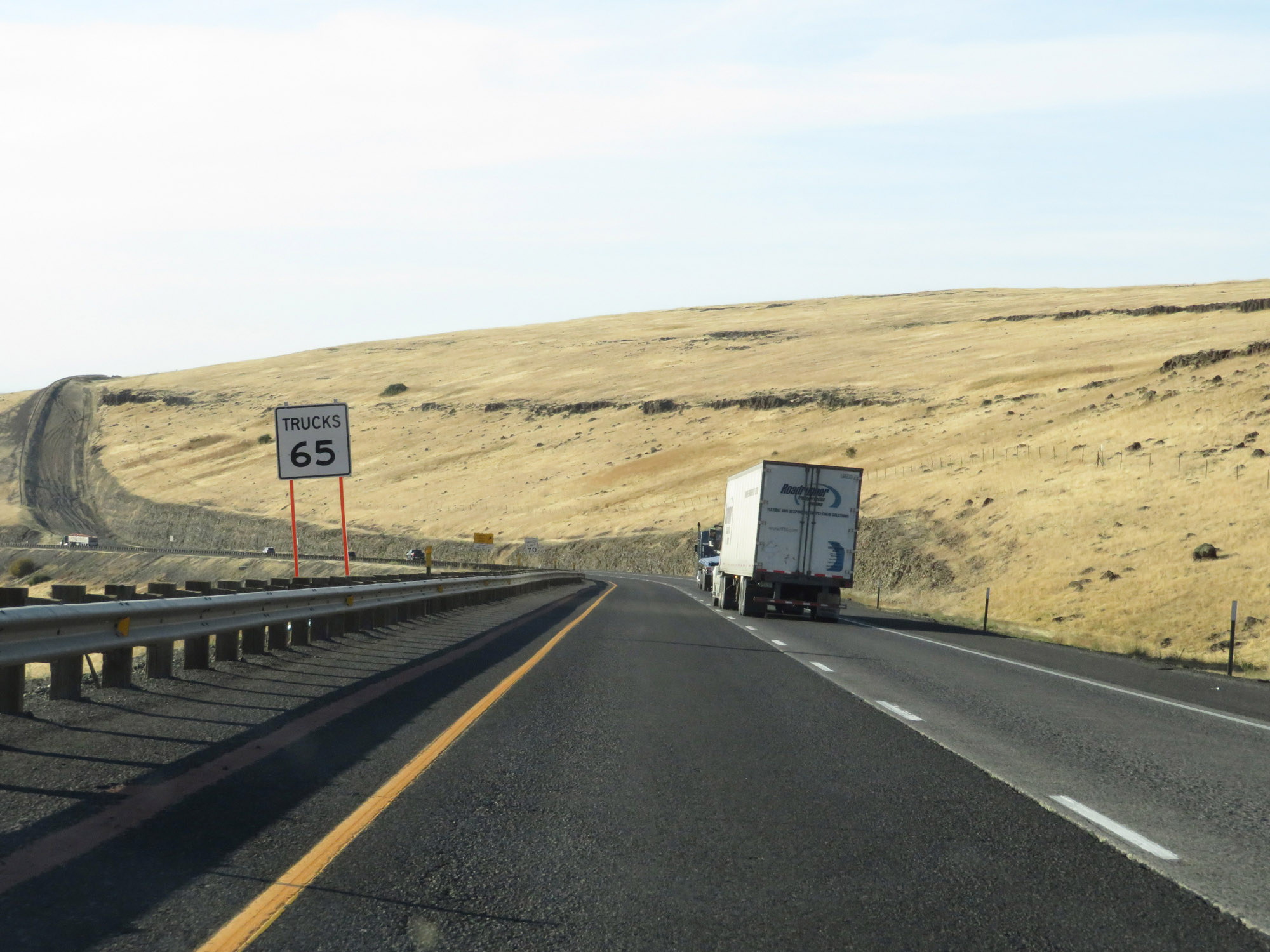
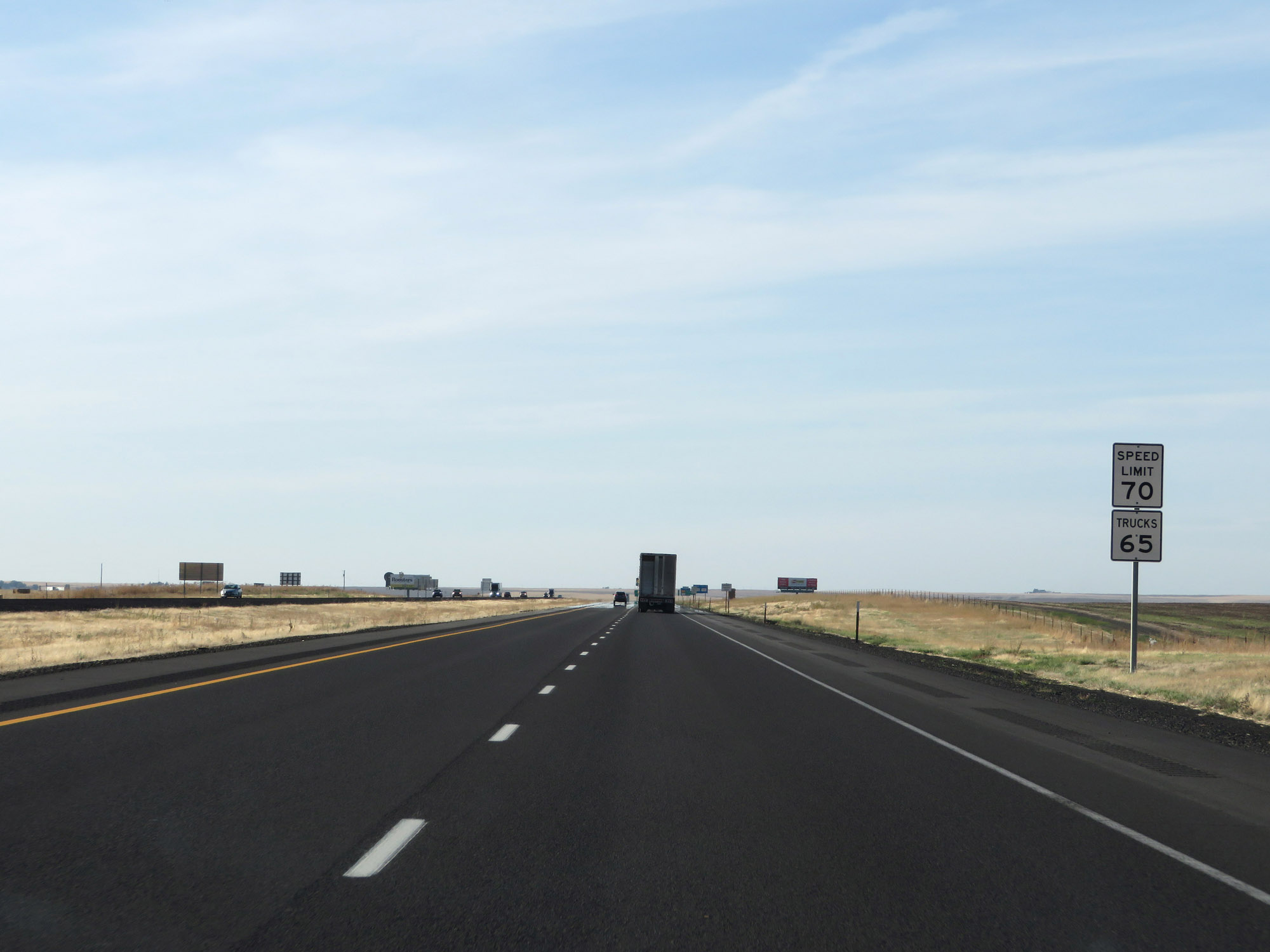
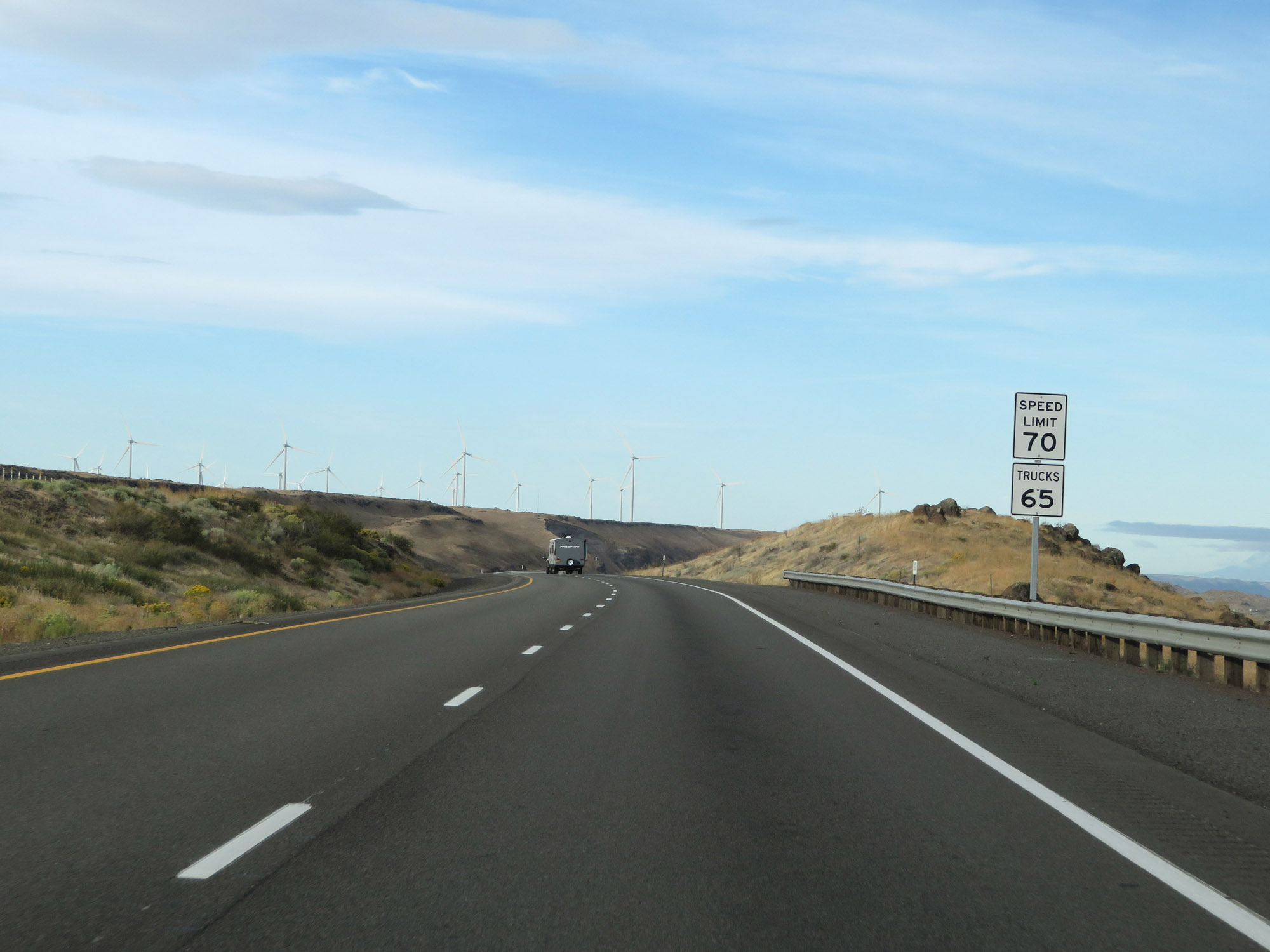
The speed limits on Interstate 84 West in Oregon start out at 70 mph for cars and 65 mph for trucks. I-84 and Interstate 82 are the only Interstate highways in Oregon to have a 70 mph speed limit for cars and a 65 mph speed limit for trucks. (Photo taken 9/25/19). |
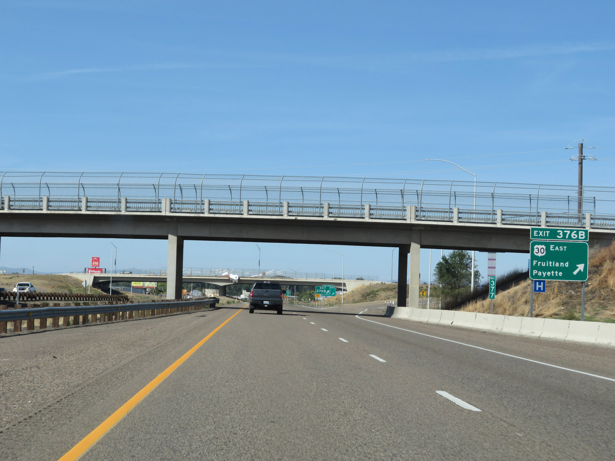 |
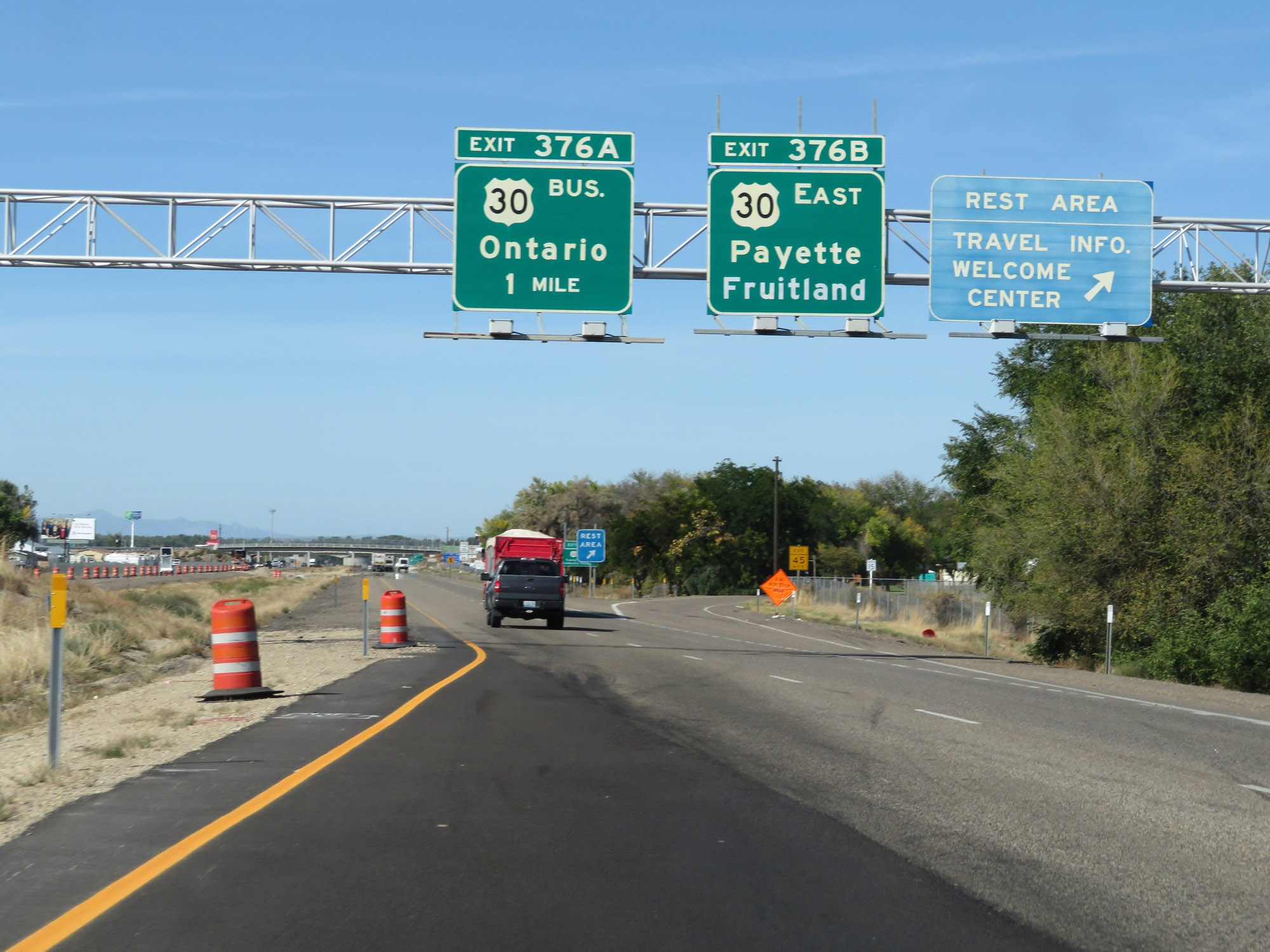
Interstate 84 West at Exit 376B: US 30 East - Fruitland / Payette (Photo taken 9/25/19). |
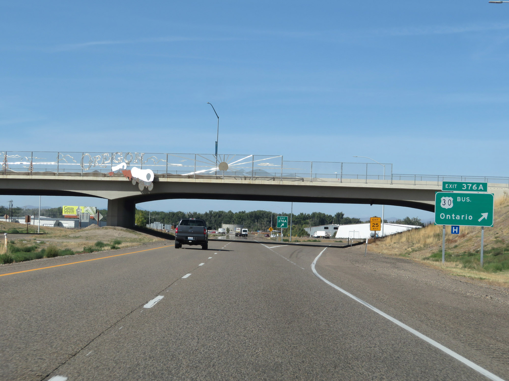 |
Interstate 84 West at Exit 376A: US 30 Business - Ontario (Photo taken 9/25/19). |
 |
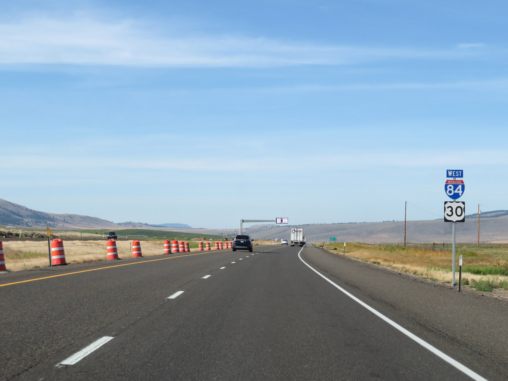
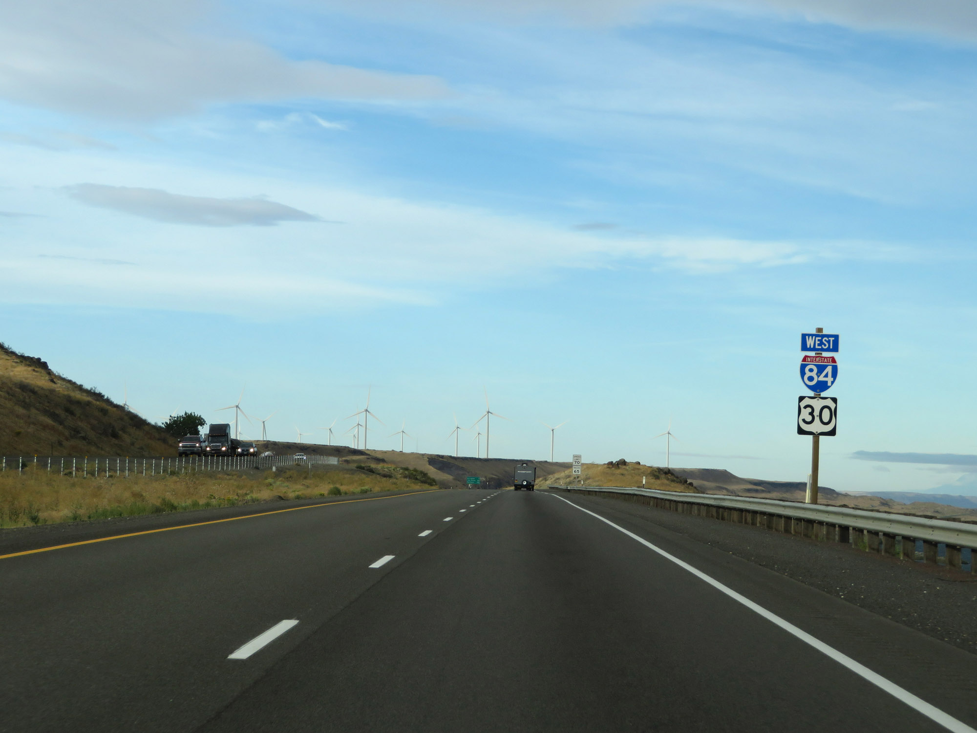
Interstate 84 West reassurance shield with a US 30 West marker. (Photo taken 9/25/19). |
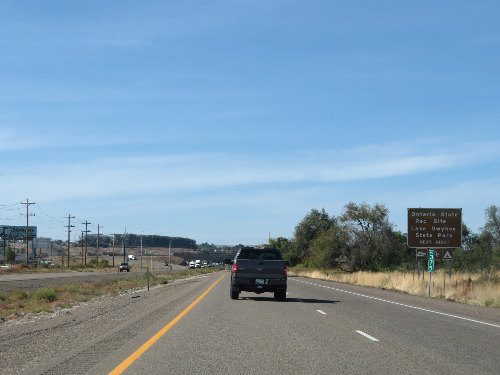 |
Take Exit 374 to Ontario State Recreation Site and Lake Owyhee State Park. (Photo taken 9/25/19). |
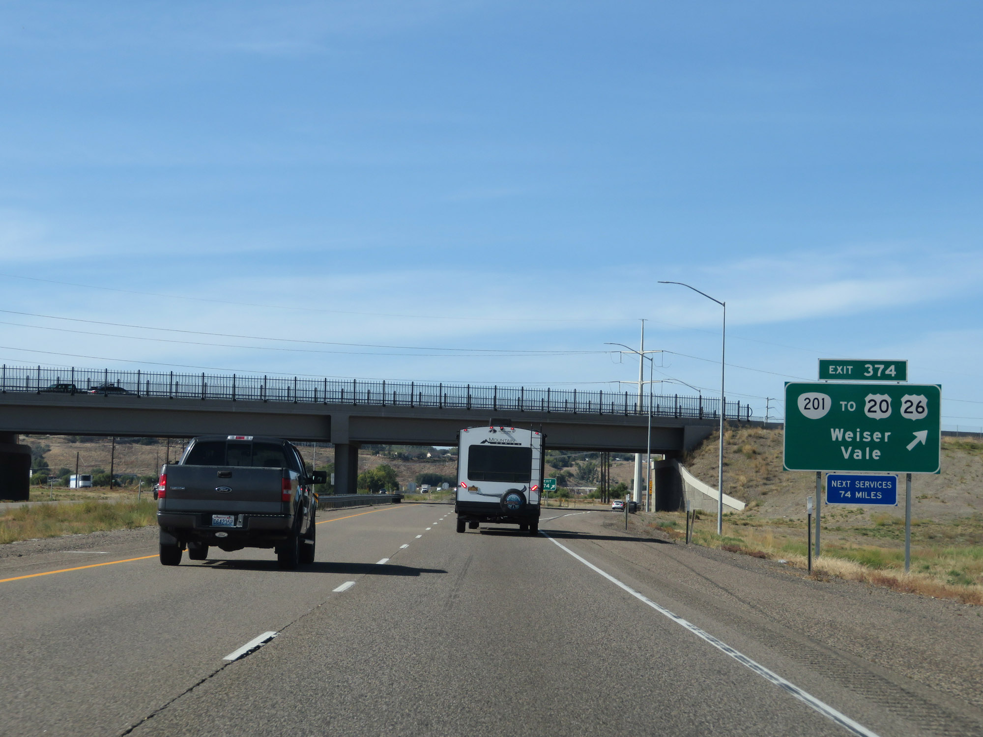 |
Interstate 84 West at Exit 374: OR 201 / To US 20 / To US 26 - Weiser / Vale (Photo taken 9/25/19). |
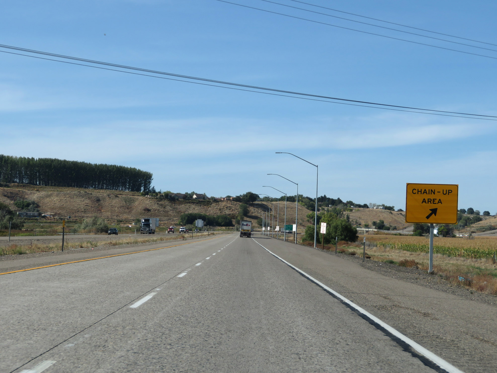 |
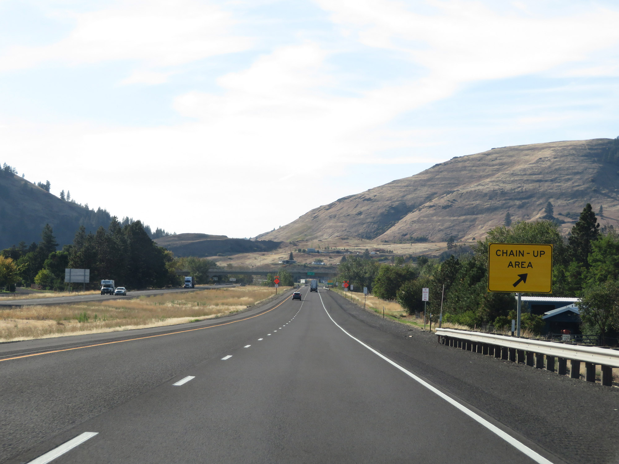
Since this area is subject to severe winter weather, a Chain-Up Area exists here just beyond Exit 374. (Photo taken 9/25/19). |
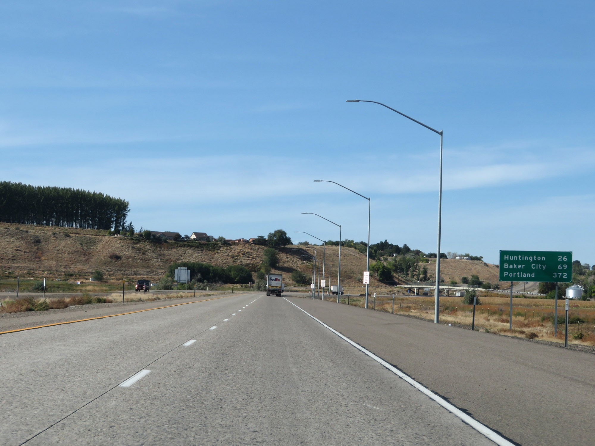 |
Mileage sign on Interstate 84 West. It's 26 miles to Huntington, 69 miles to Baker City, and 372 miles to Portland. (Photo taken 9/25/19). |
 |
Another Interstate 84 West reassurance shield. (Photo taken 9/25/19). |
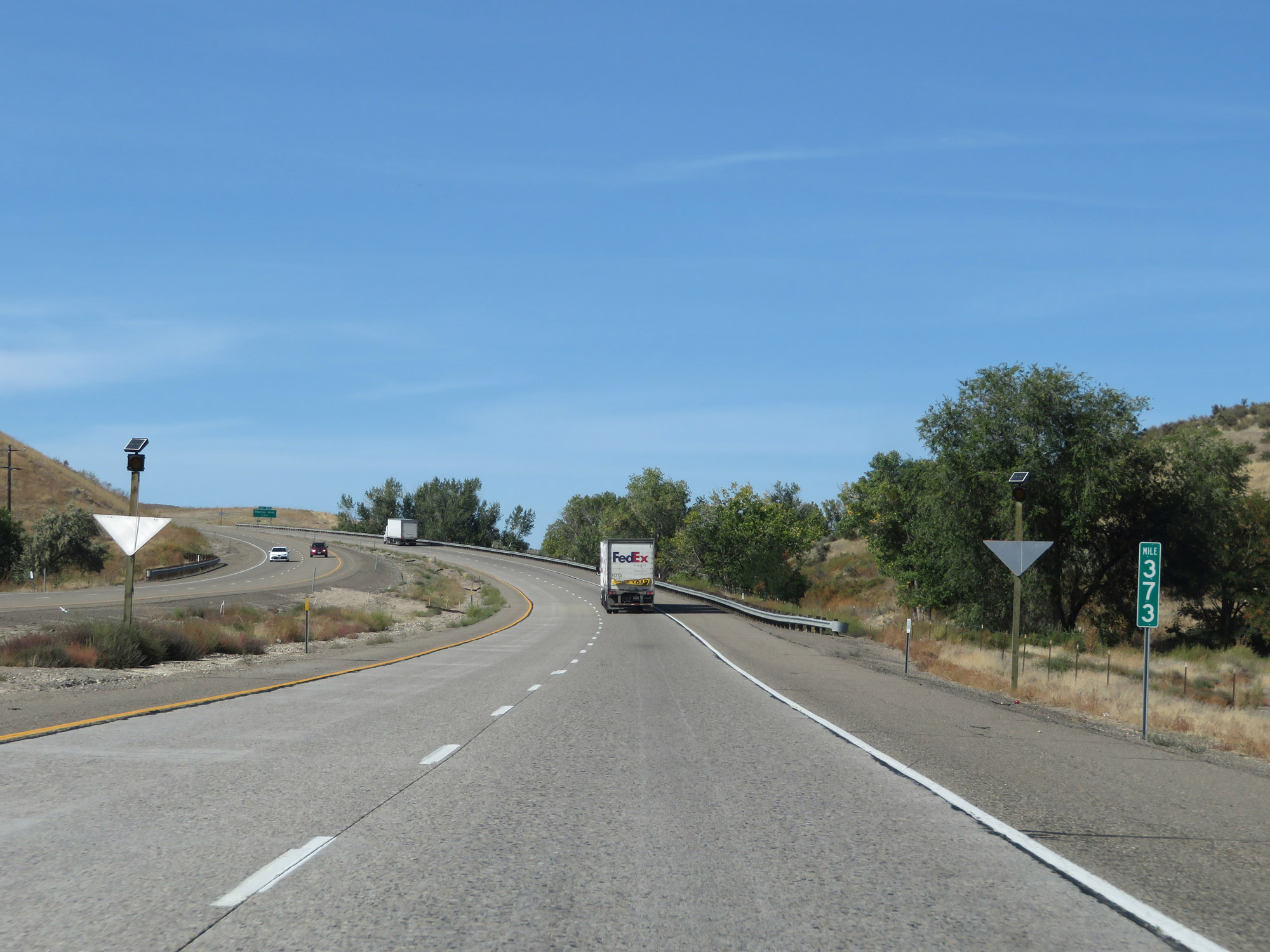 |
Interstate 84 West at mile marker 373. (Photo taken 9/25/19). |
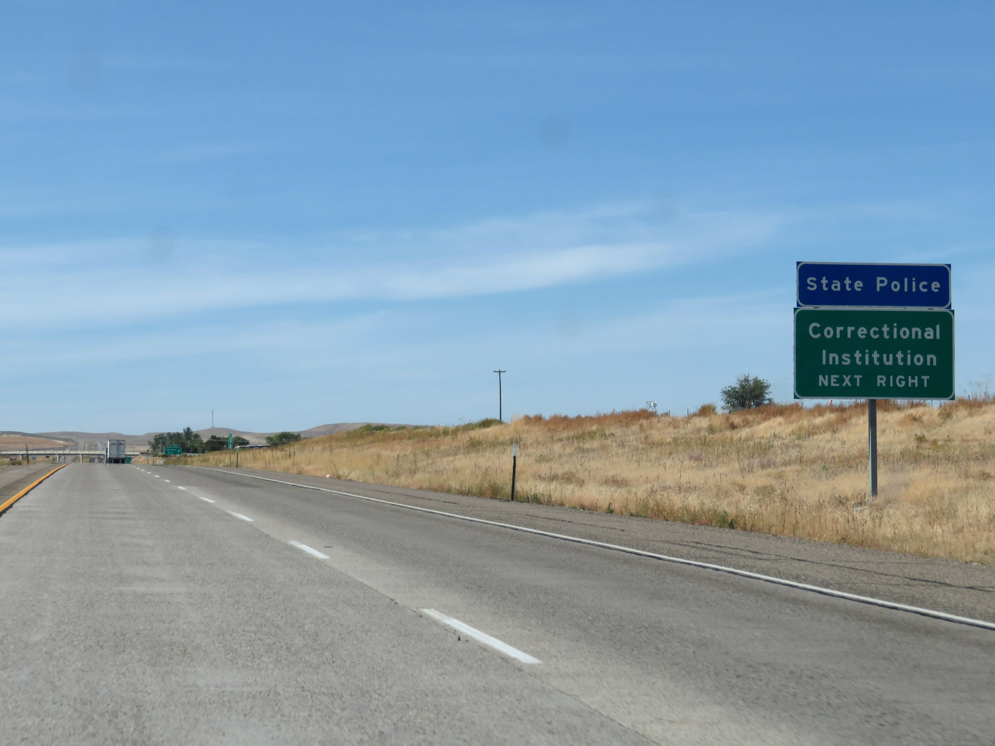 |
Take Exit 371 to the Correctional Institution and State Police. (Photo taken 9/25/19). |
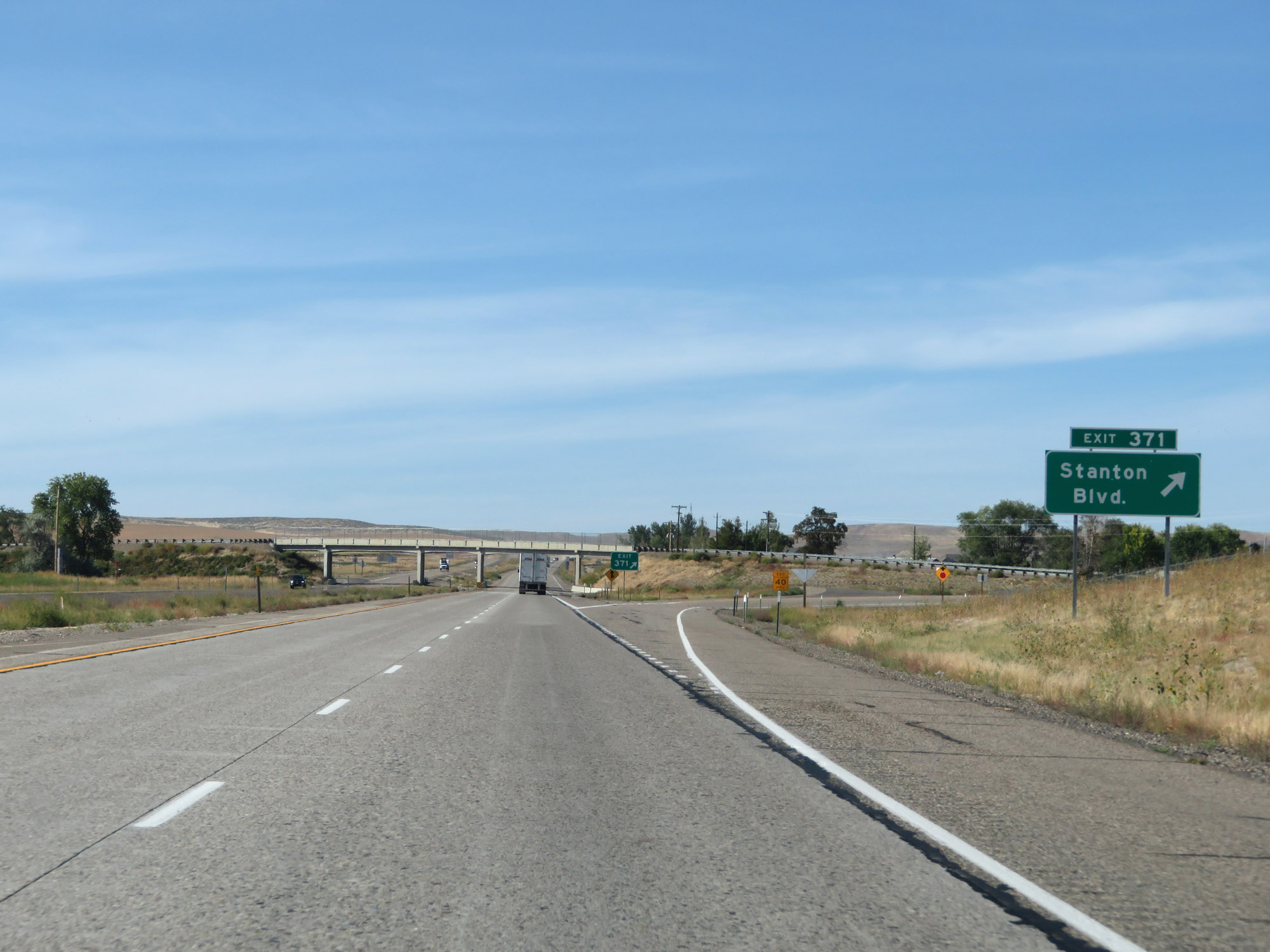 |
Interstate 84 West at Exit 371: Stanton Blvd (Photo taken 9/25/19). |
 |
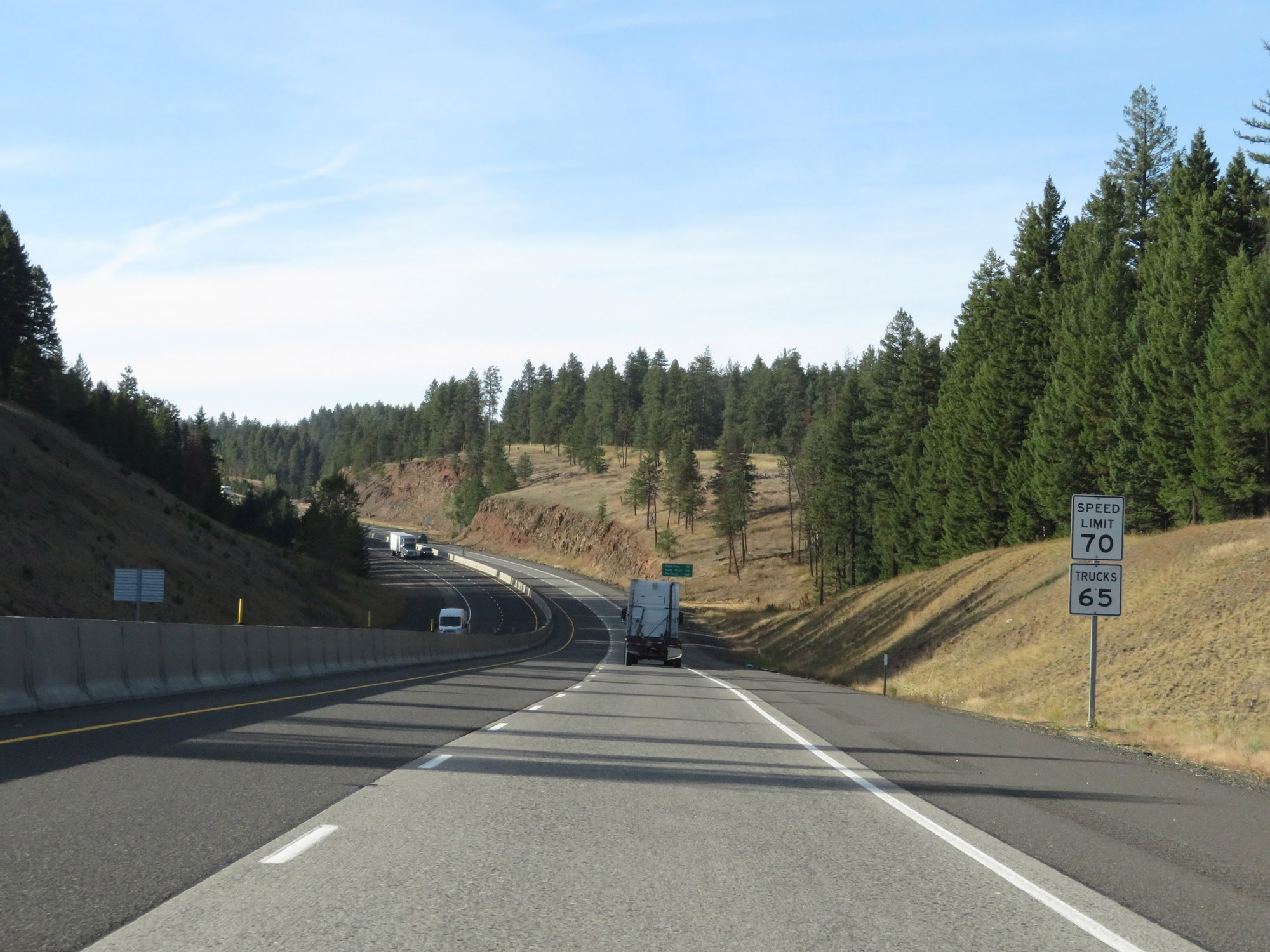
The speed limits remain 70 mph for cars and 65 mph for trucks. (Photo taken 9/25/19). |
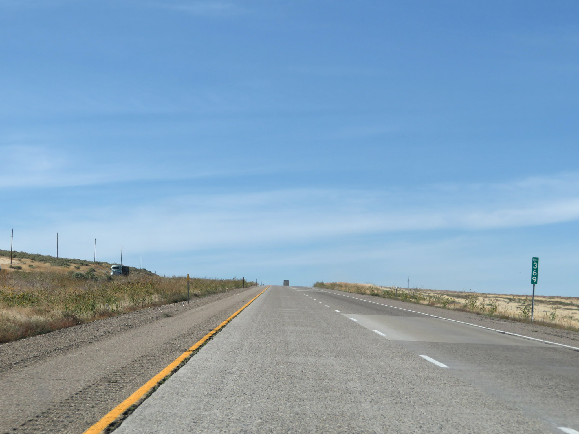 |
View on Interstate 84 West at mile marker 369. (Photo taken 9/25/19). |
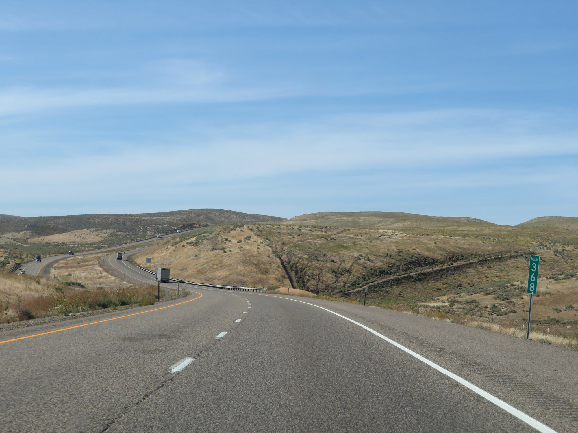 |
Interstate 84 West at mile marker 368. (Photo taken 9/25/19). |
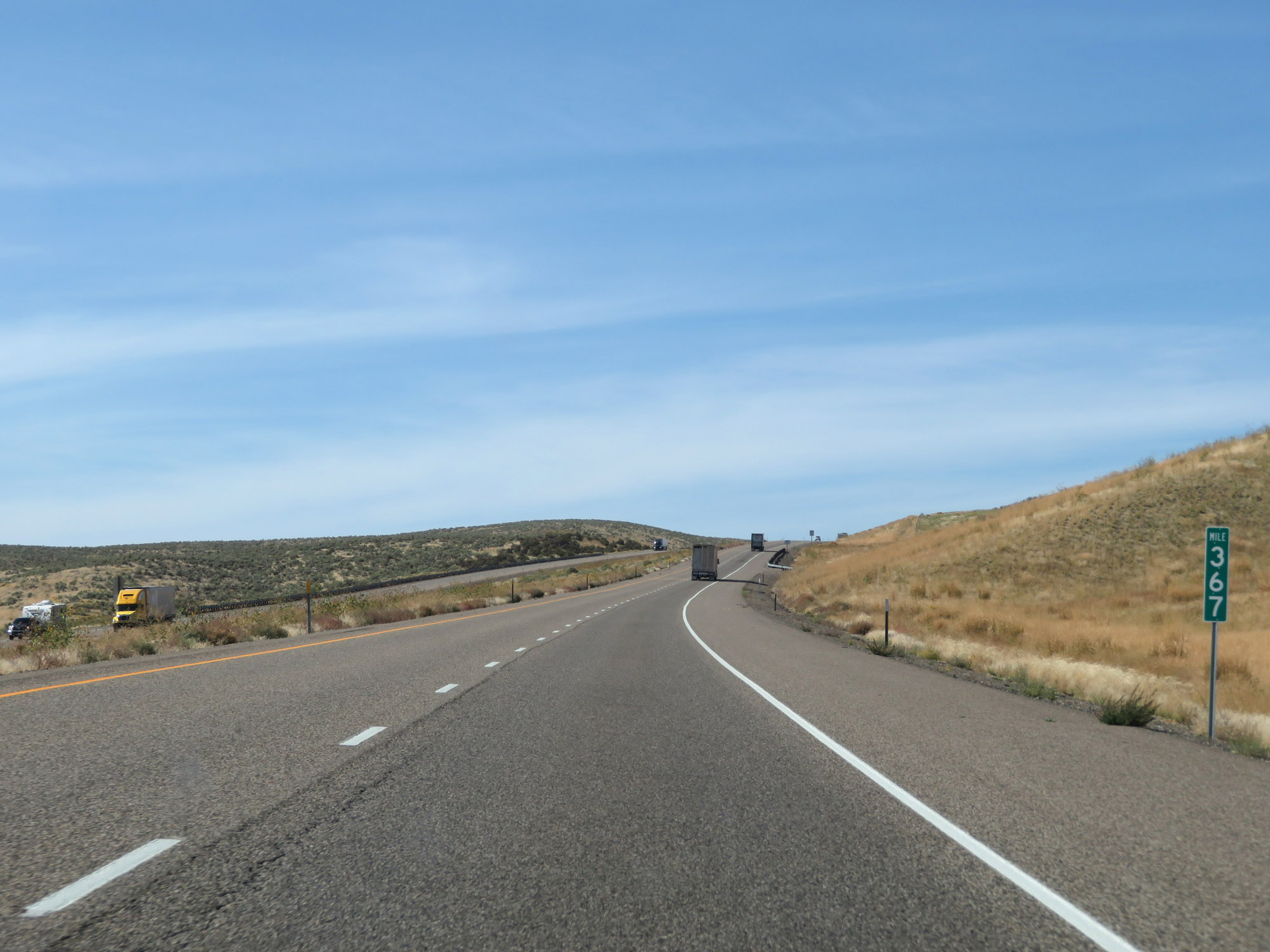 |
Interstate 84 West at mile marker 367. (Photo taken 9/25/19). |
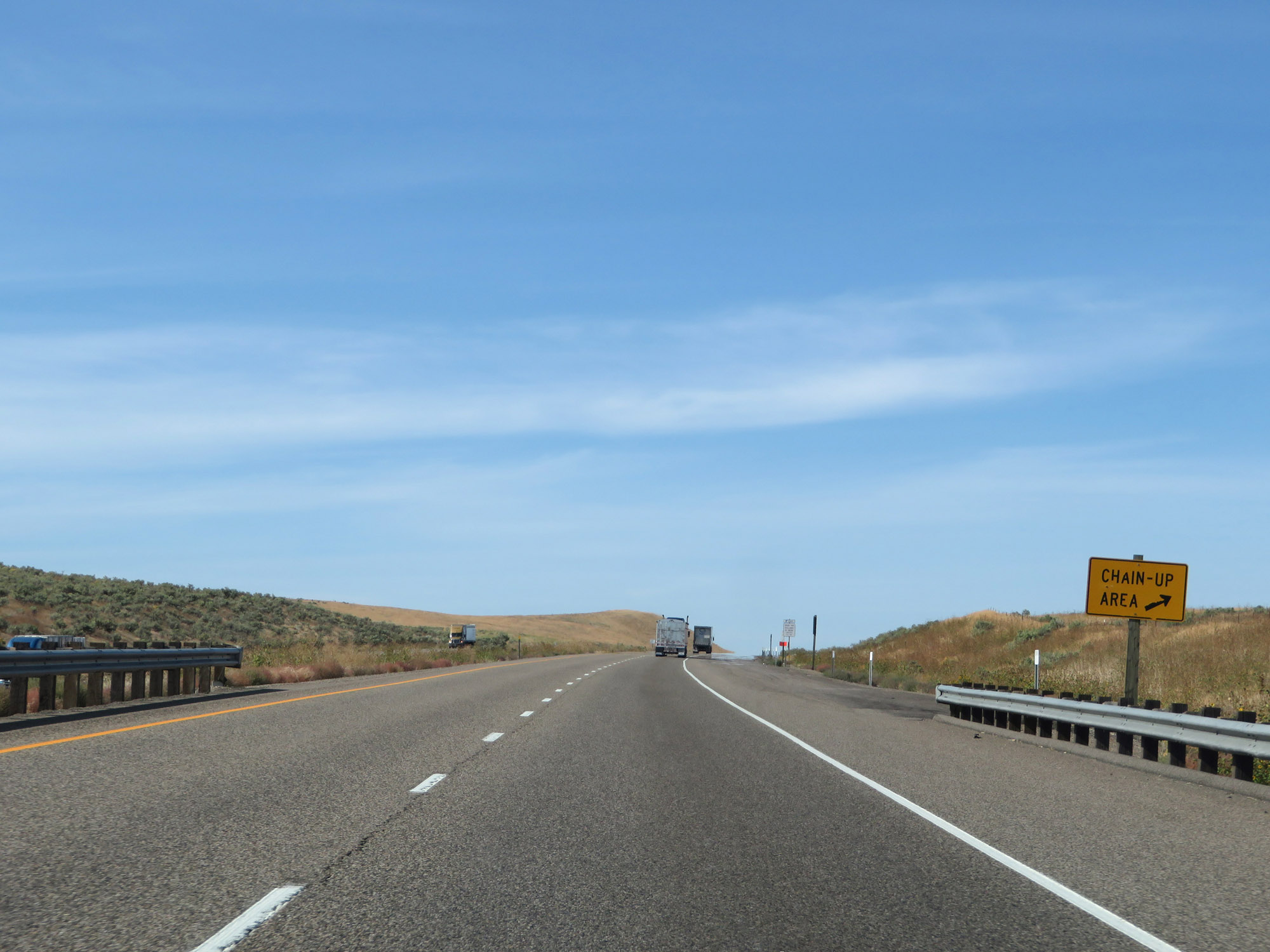 |
Another Chain-Up Area on Interstate 84 West. (Photo taken 9/25/19). |
 |
View on Interstate 84 West at mile marker 364. (Photo taken 9/25/19). |
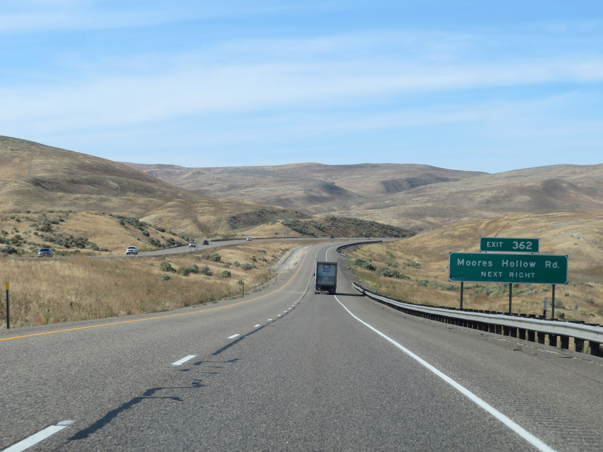 |
Interstate 84 West approaching Exit 362. (Photo taken 9/25/19). |
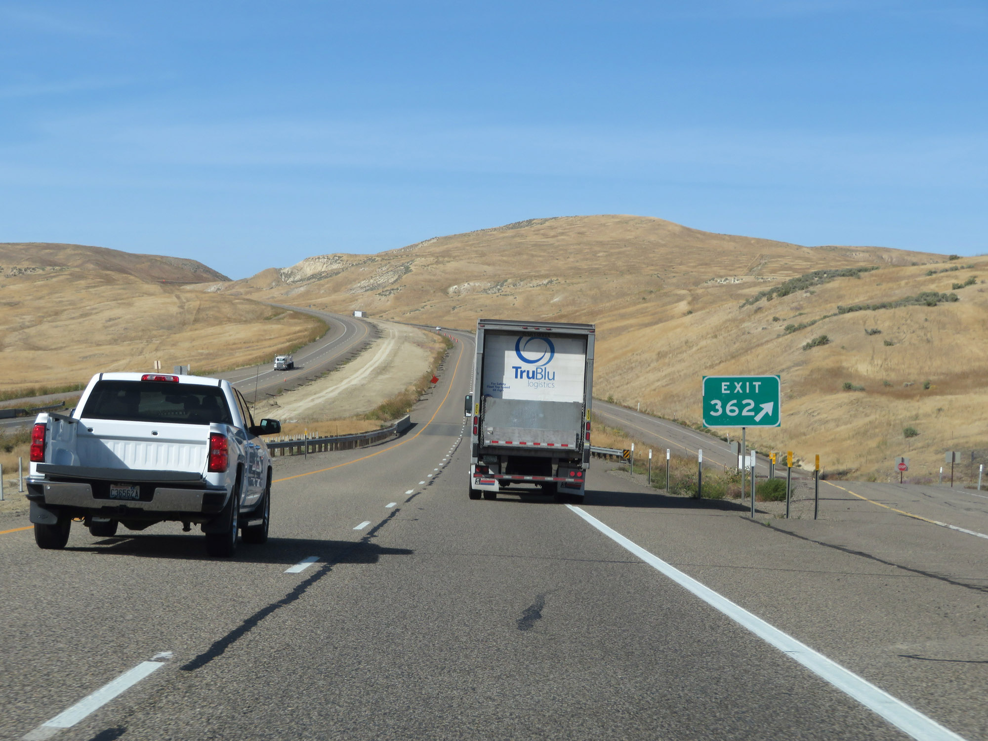 |
Interstate 84 West at Exit 362: Moores Hollow Rd (Photo taken 9/25/19). |
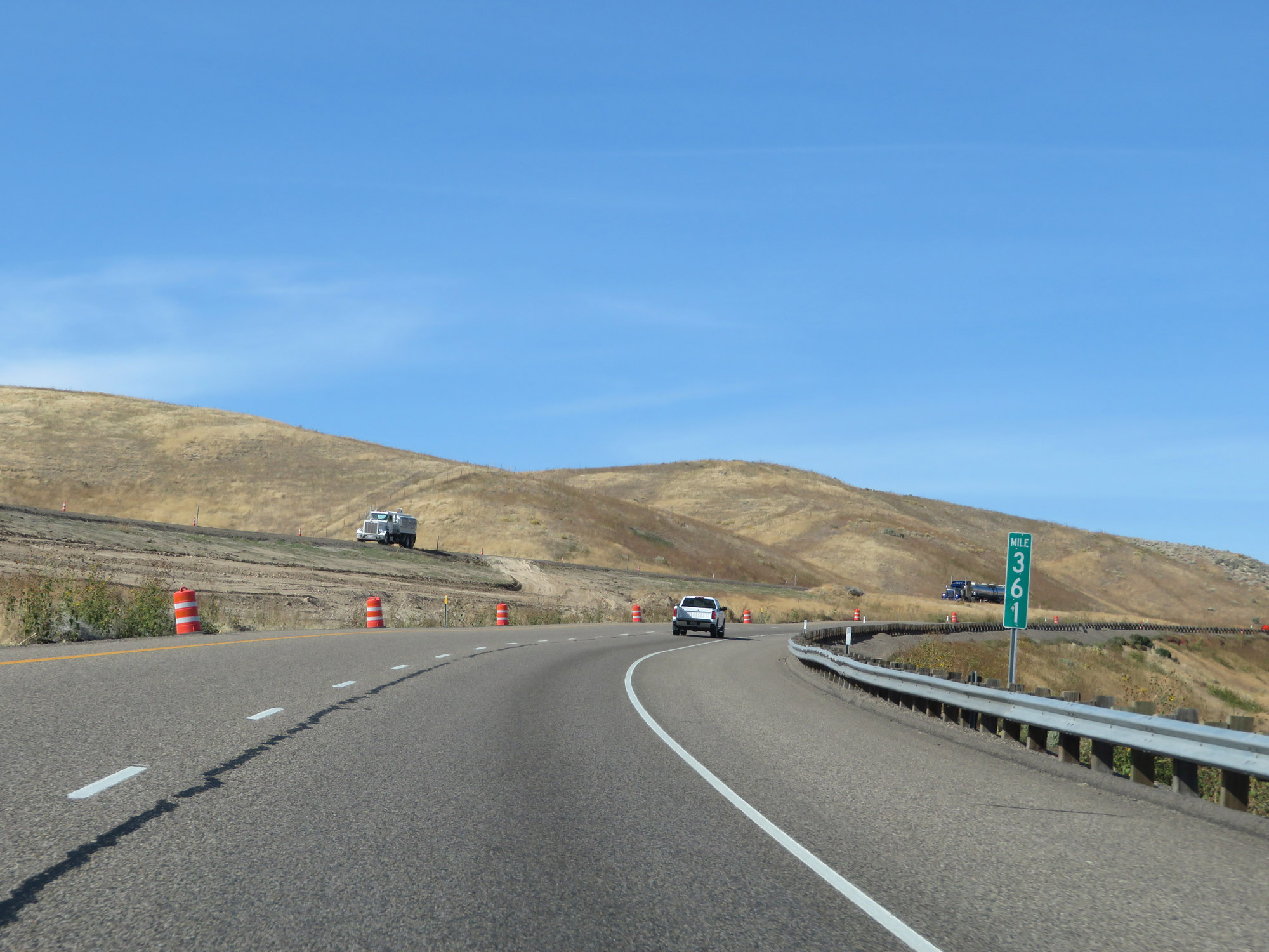 |
View on Interstate 84 West at mile marker 361. (Photo taken 9/25/19). |
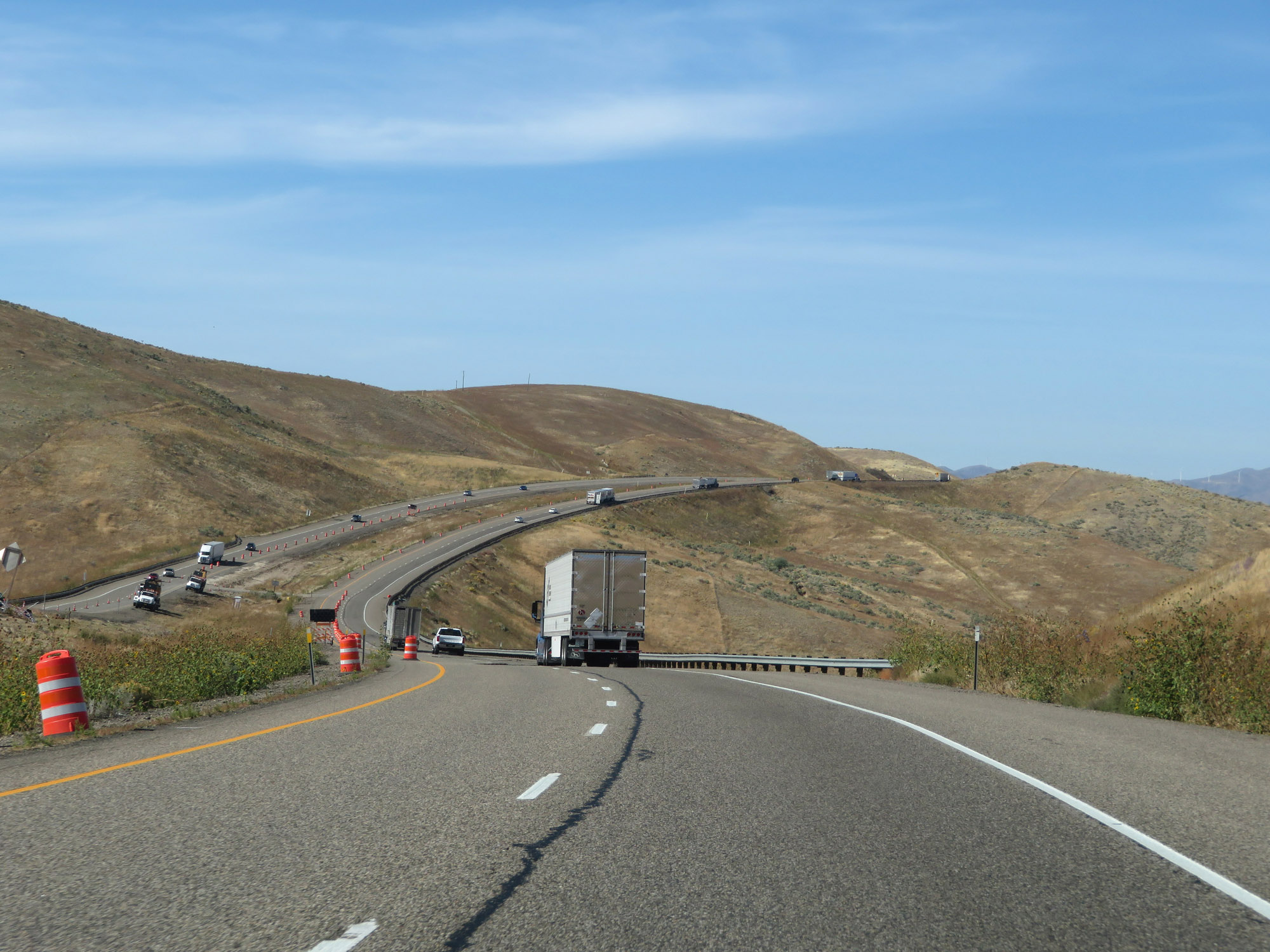 |
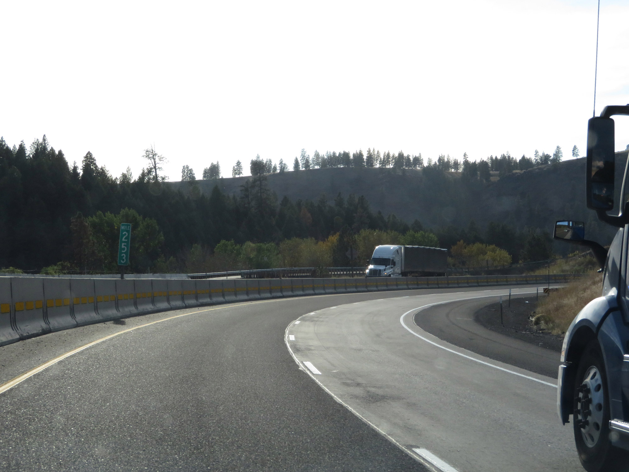
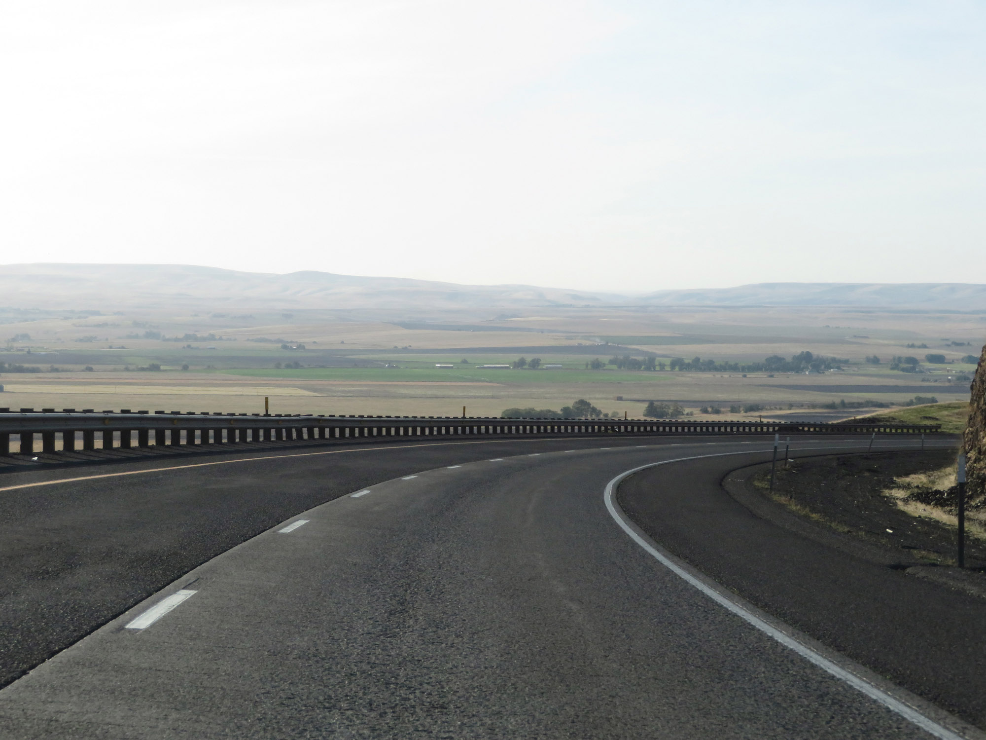
Another view on Interstate 84 West. Isn't it quite remarkable how much more mountainous I-84 has become upon entering Oregon from Idaho? (Photo taken 9/25/19). |
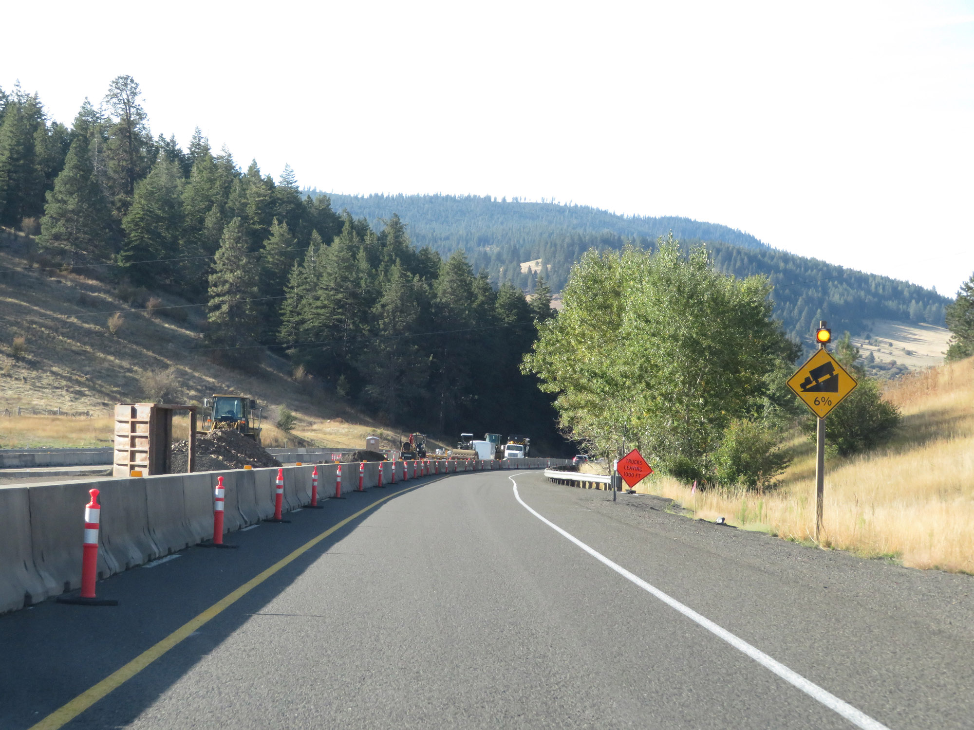
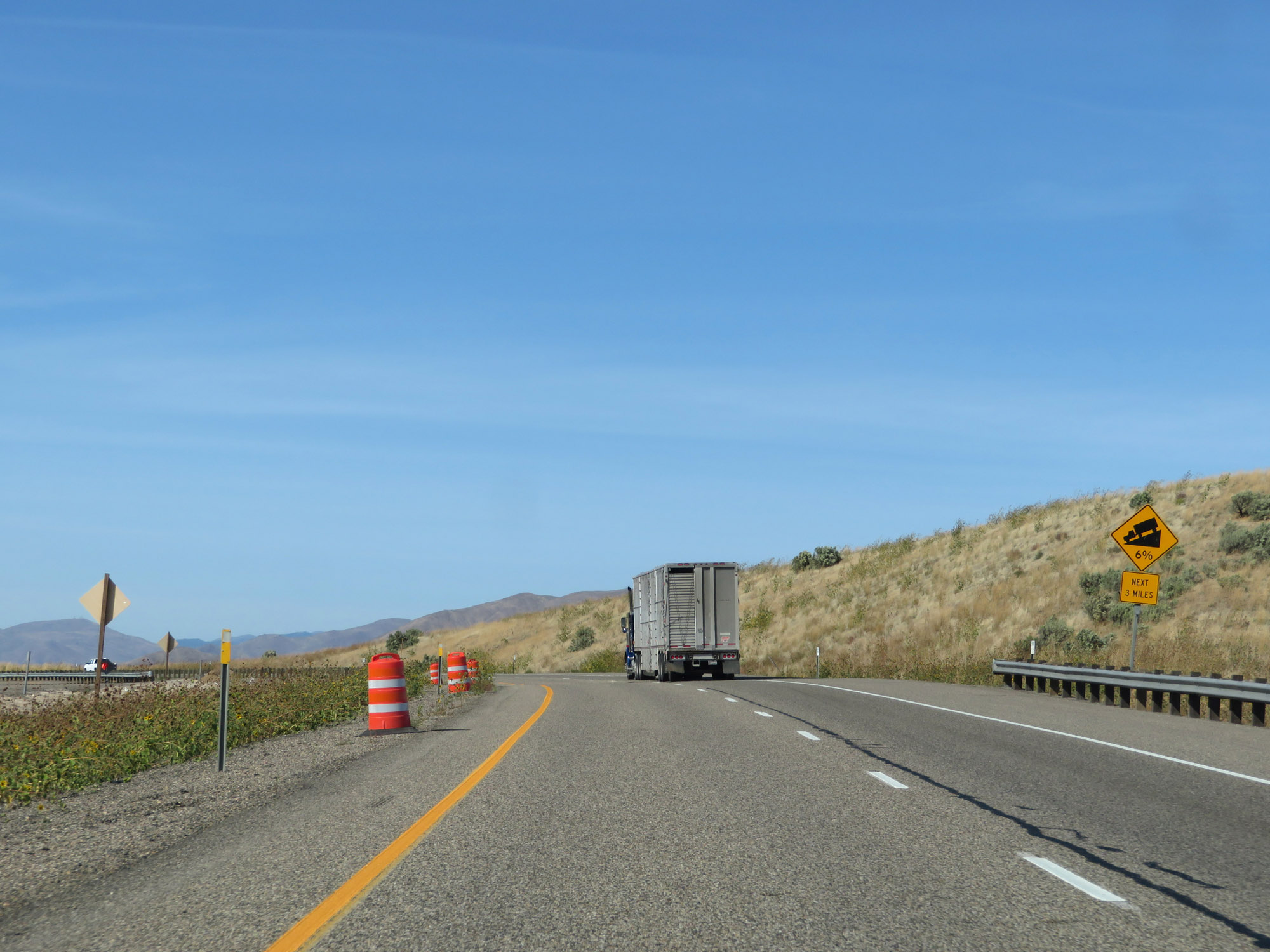 |
This sign warns that Interstate 84 West will traverse a 6% downgrade which will last for the next 3 miles. (Photo taken 9/25/19). |
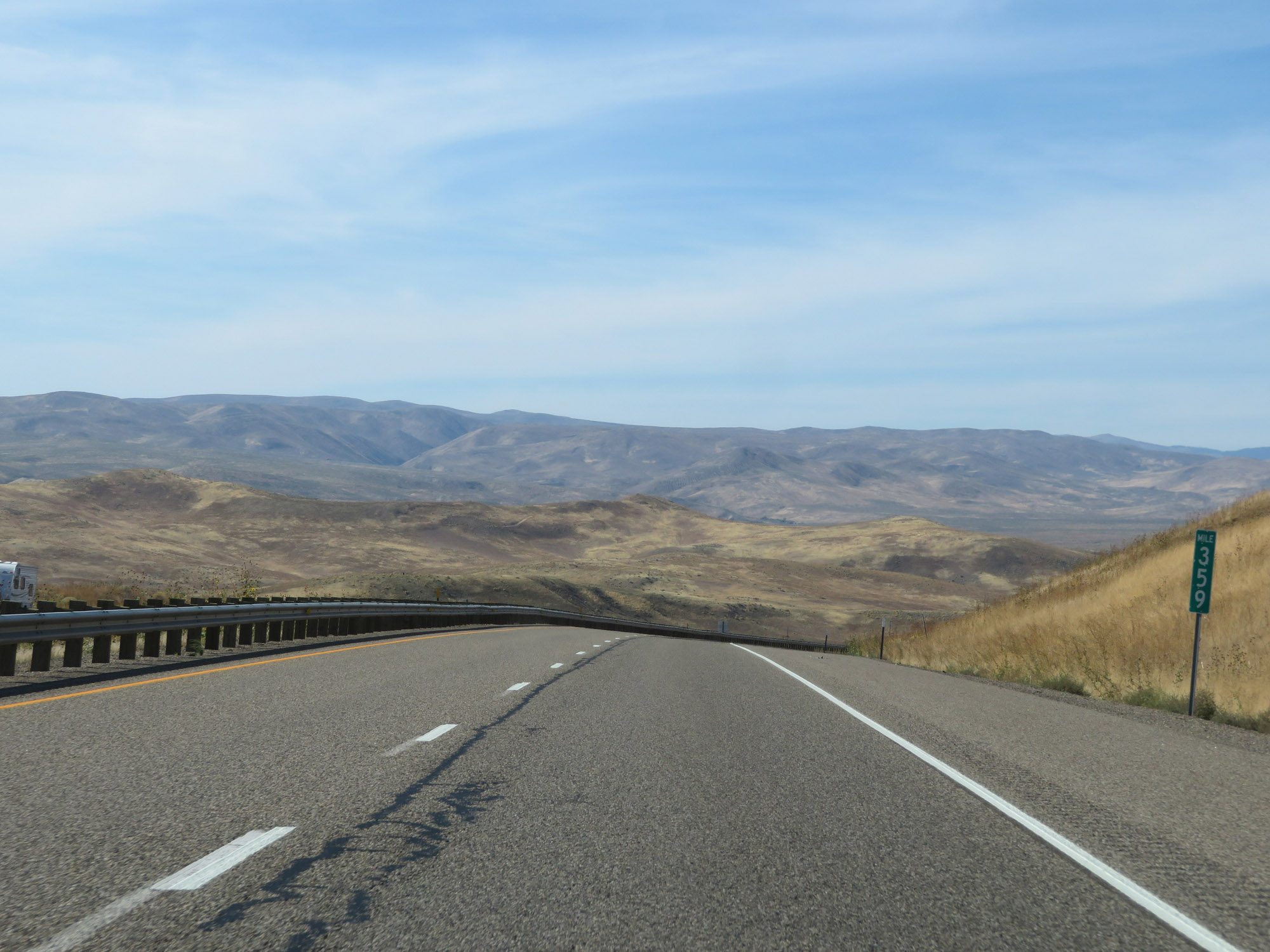 |
View on Interstate 84 West at mile marker 359, as it starts down the steep grade. (Photo taken 9/25/19). |
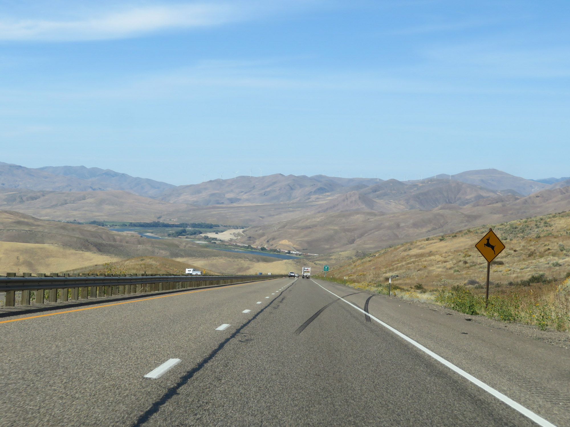 |
Watch for deer entering the right of way as you go down the grade. (Photo taken 9/25/19). |
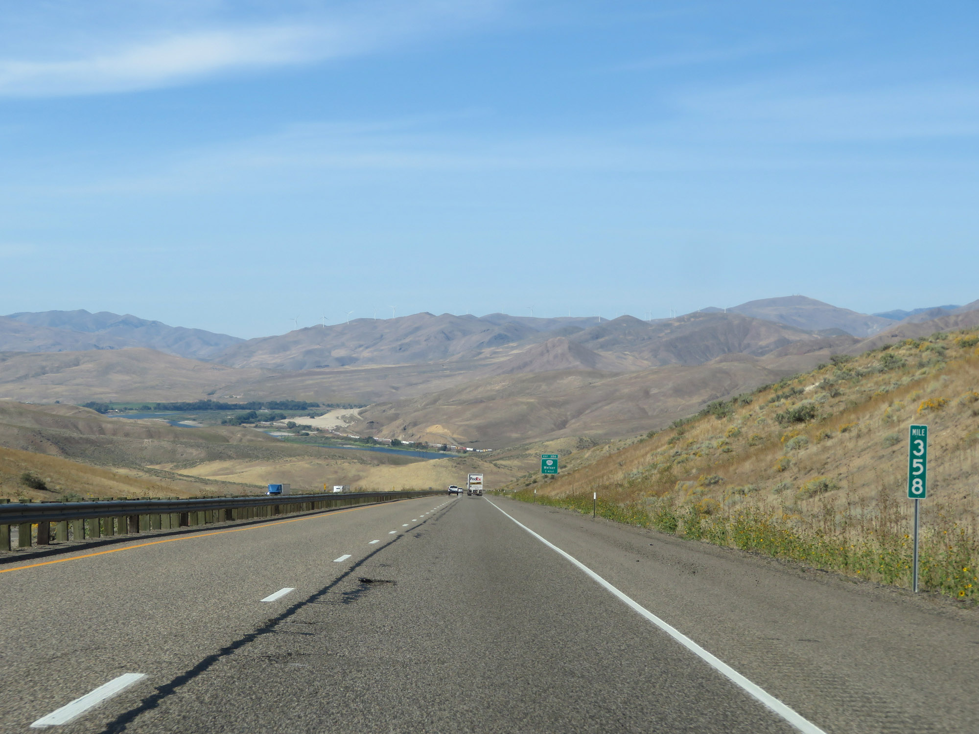 |
Interstate 84 West at mile marker 358, as the downgrade continues. (Photo taken 9/25/19). |
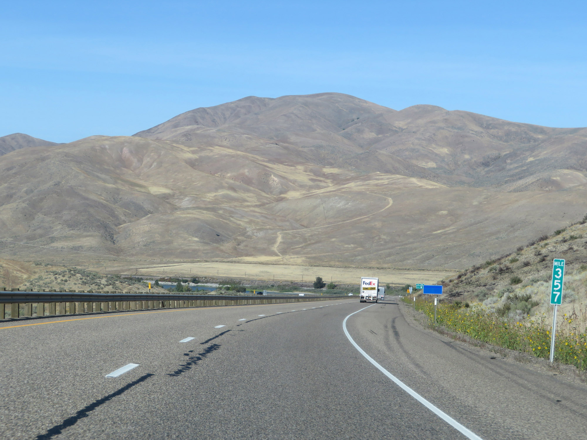 |
View on Interstate 84 West at mile marker 357. (Photo taken 9/25/19). |
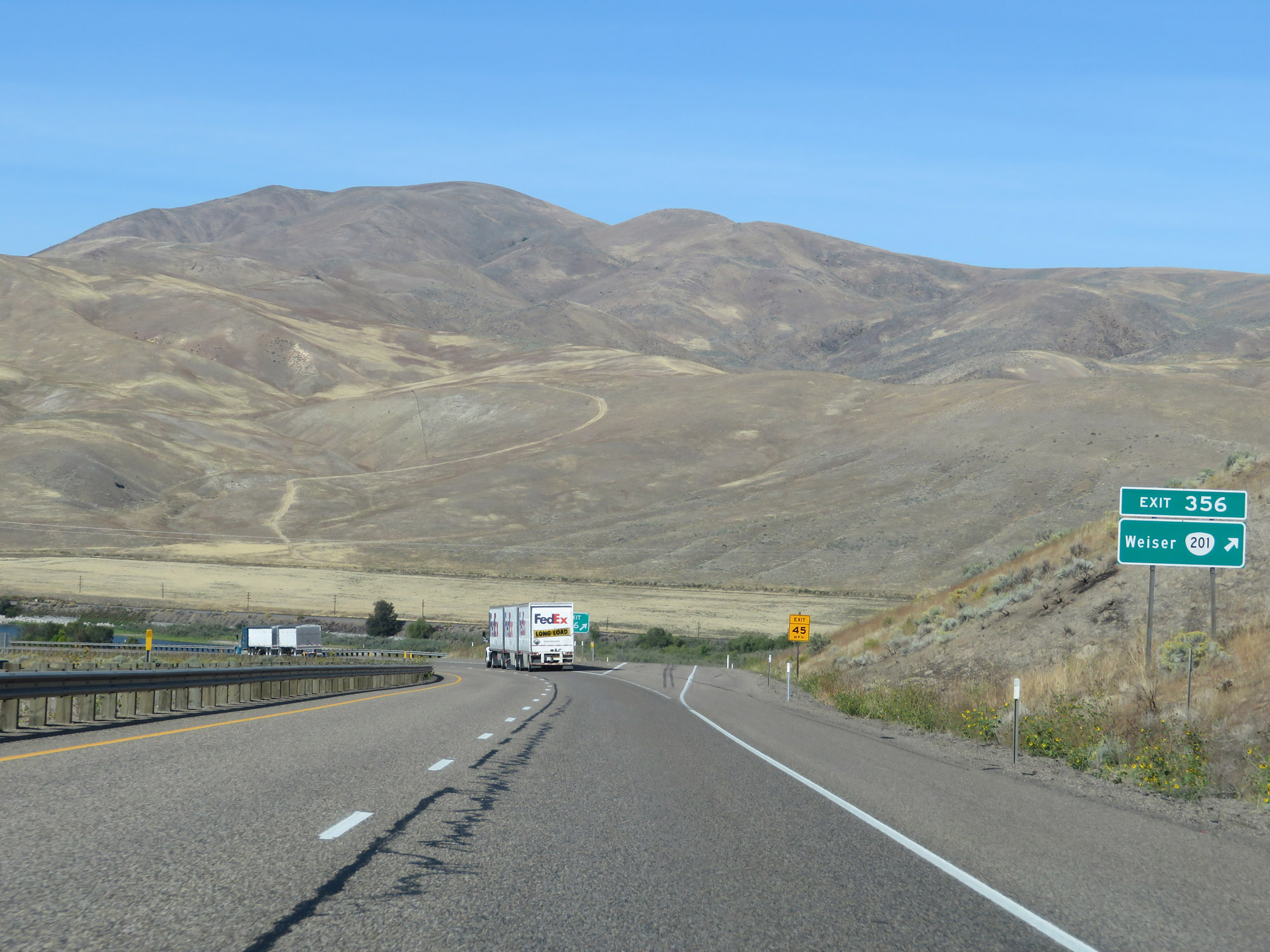 |
Interstate 84 West at Exit 356: OR 201 - Weiser (Photo taken 9/25/19). |
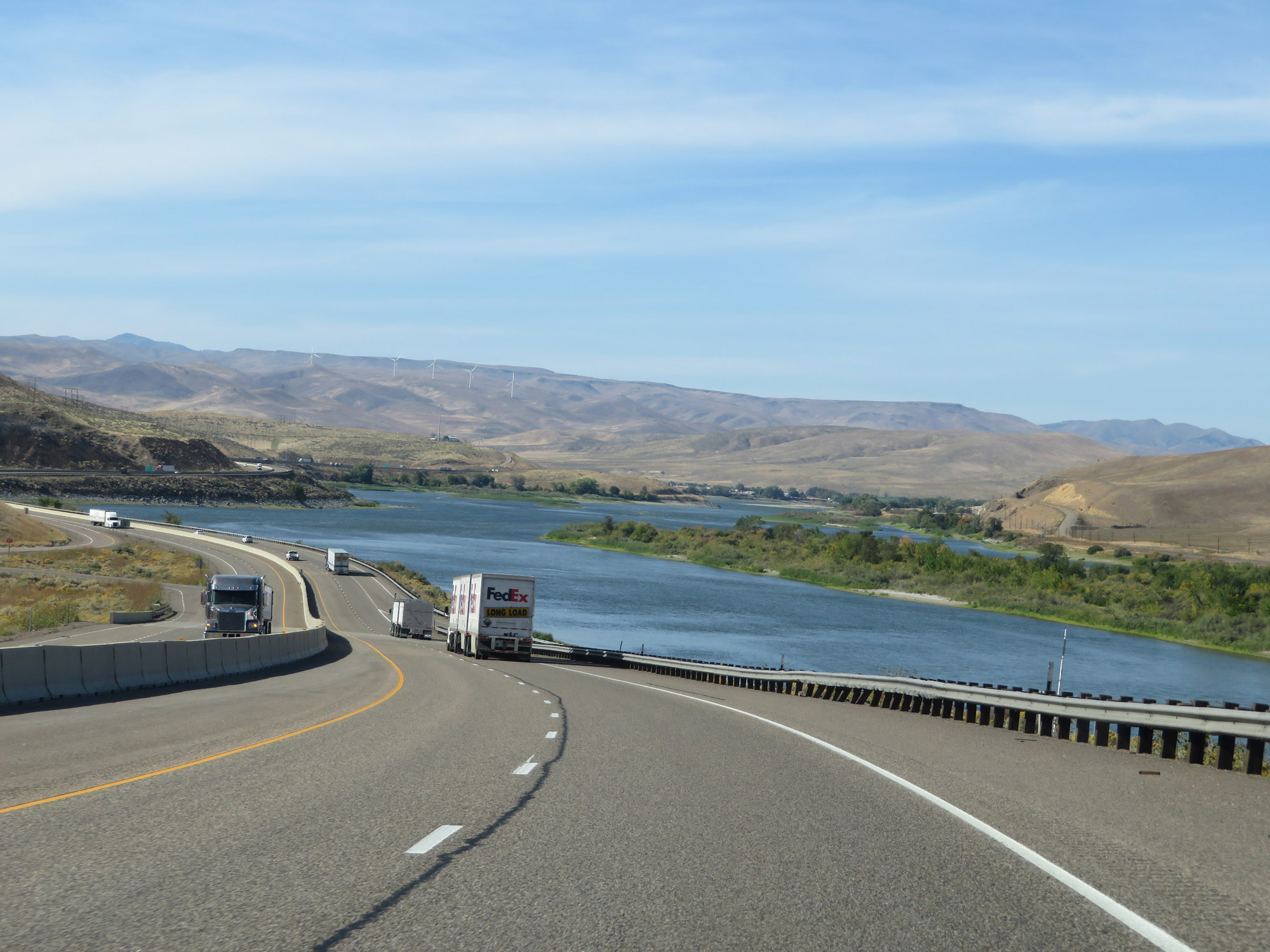 |
As the bottom of the 3-mile 6% downgrade comes into view, so does the the Snake River and Huffman Island. (Photo taken 9/25/19). |
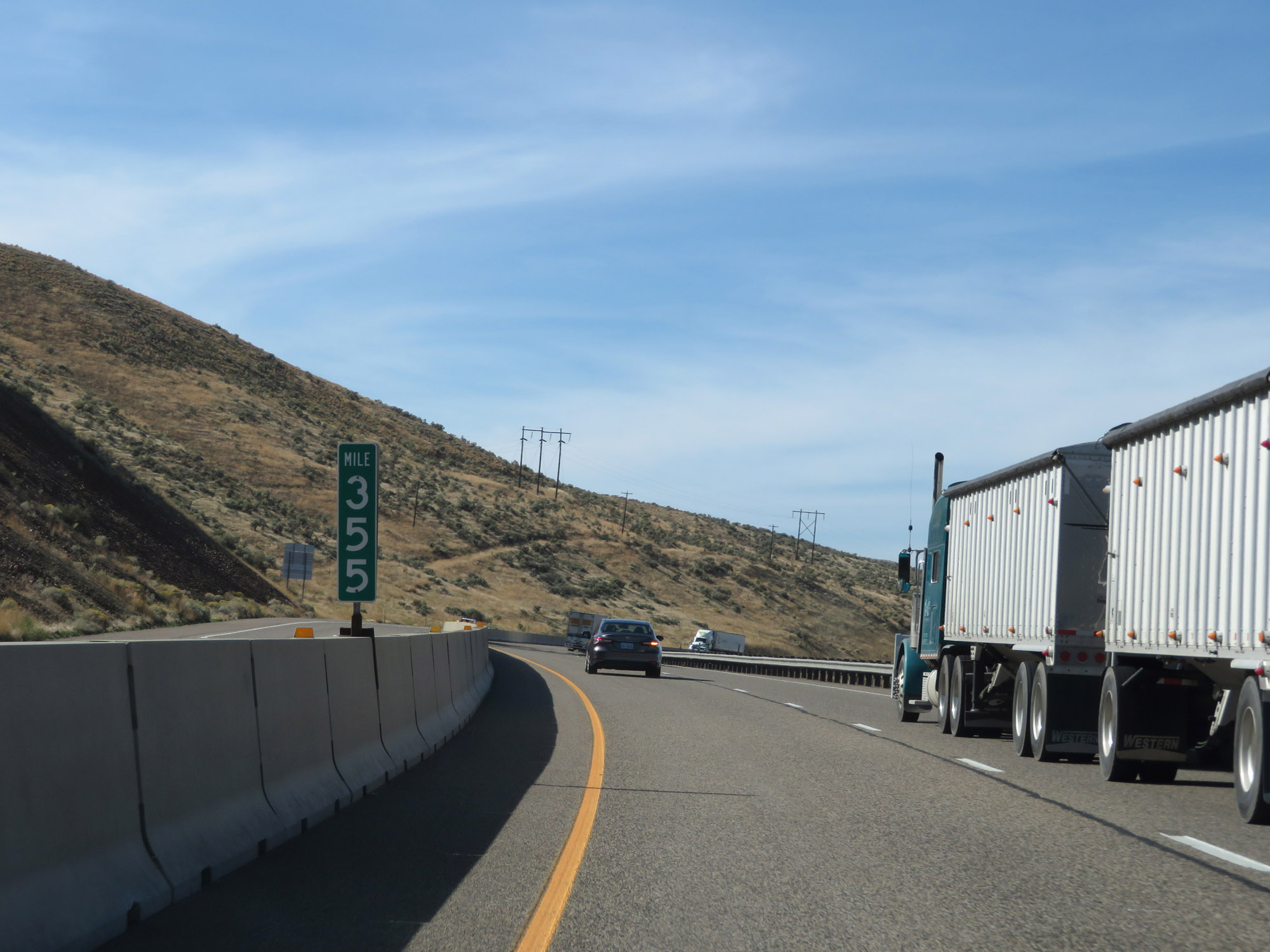 |
Interstate 84 West at mile marker 355. (Photo taken 9/25/19). |
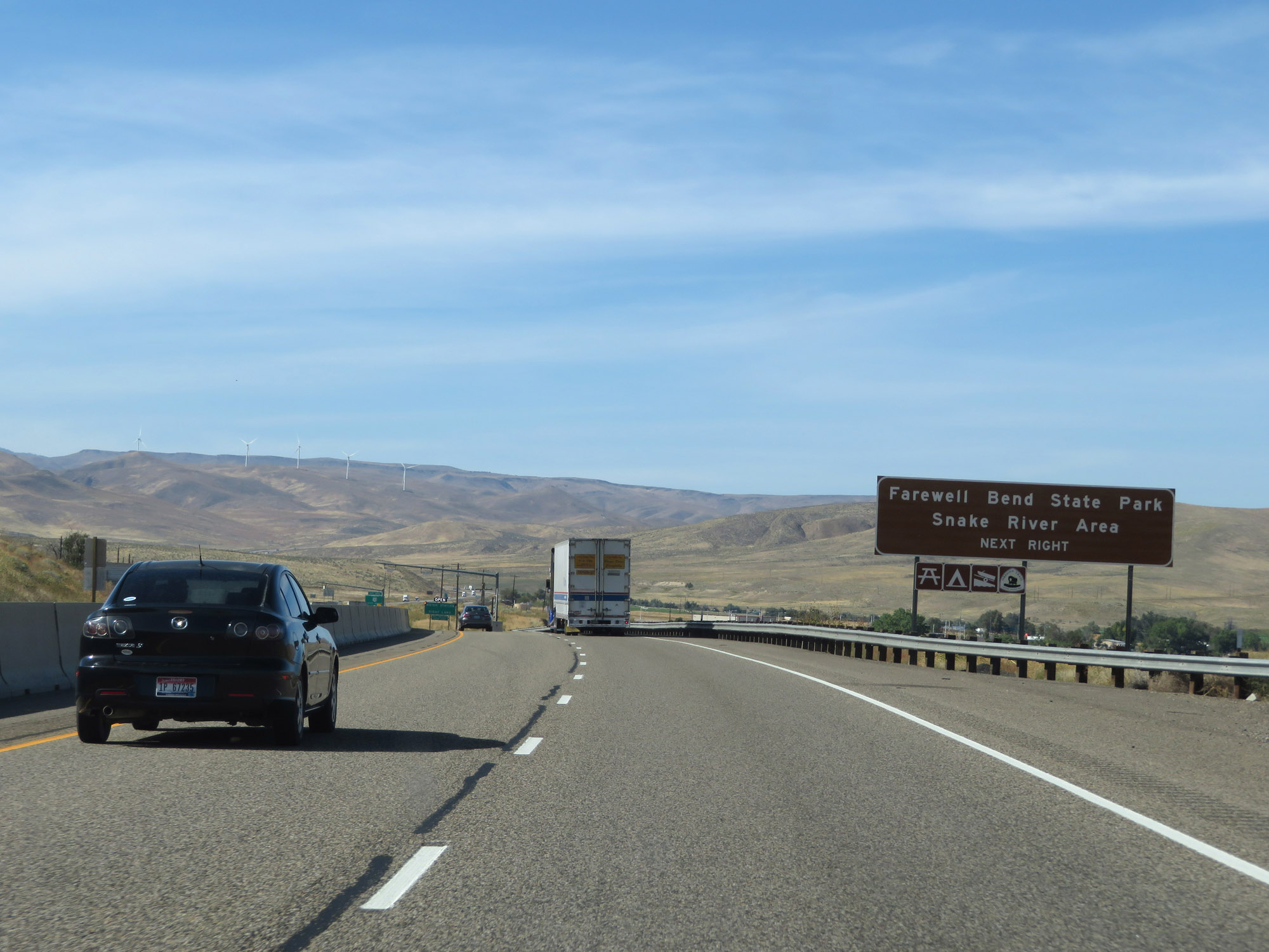 |
Take Exit 353 to Farewell Bend State Park and the Snake River Area. (Photo taken 9/25/19). |
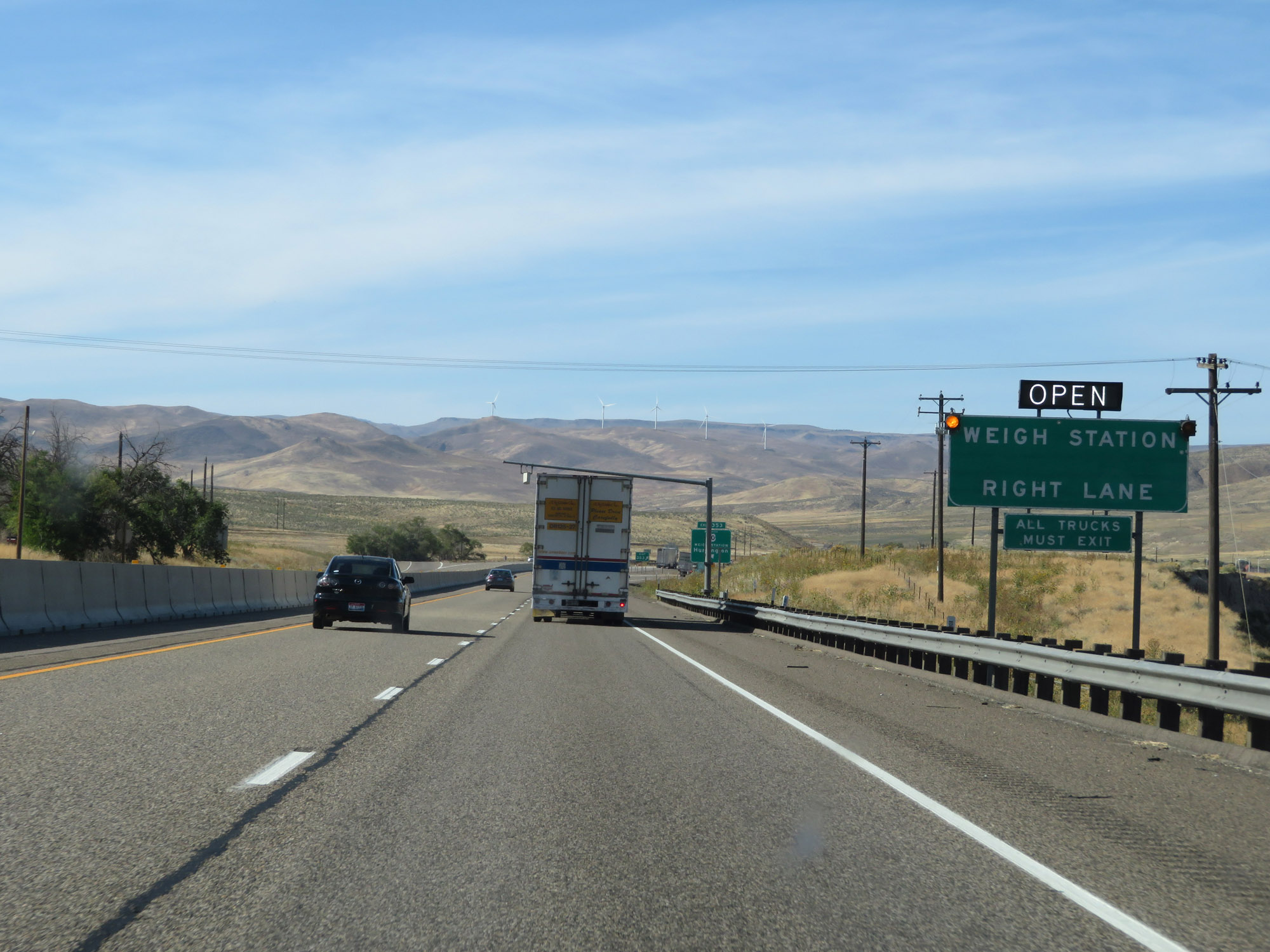 |
A Weigh Station also exists off Exit 353. (Photo taken 9/25/19). |
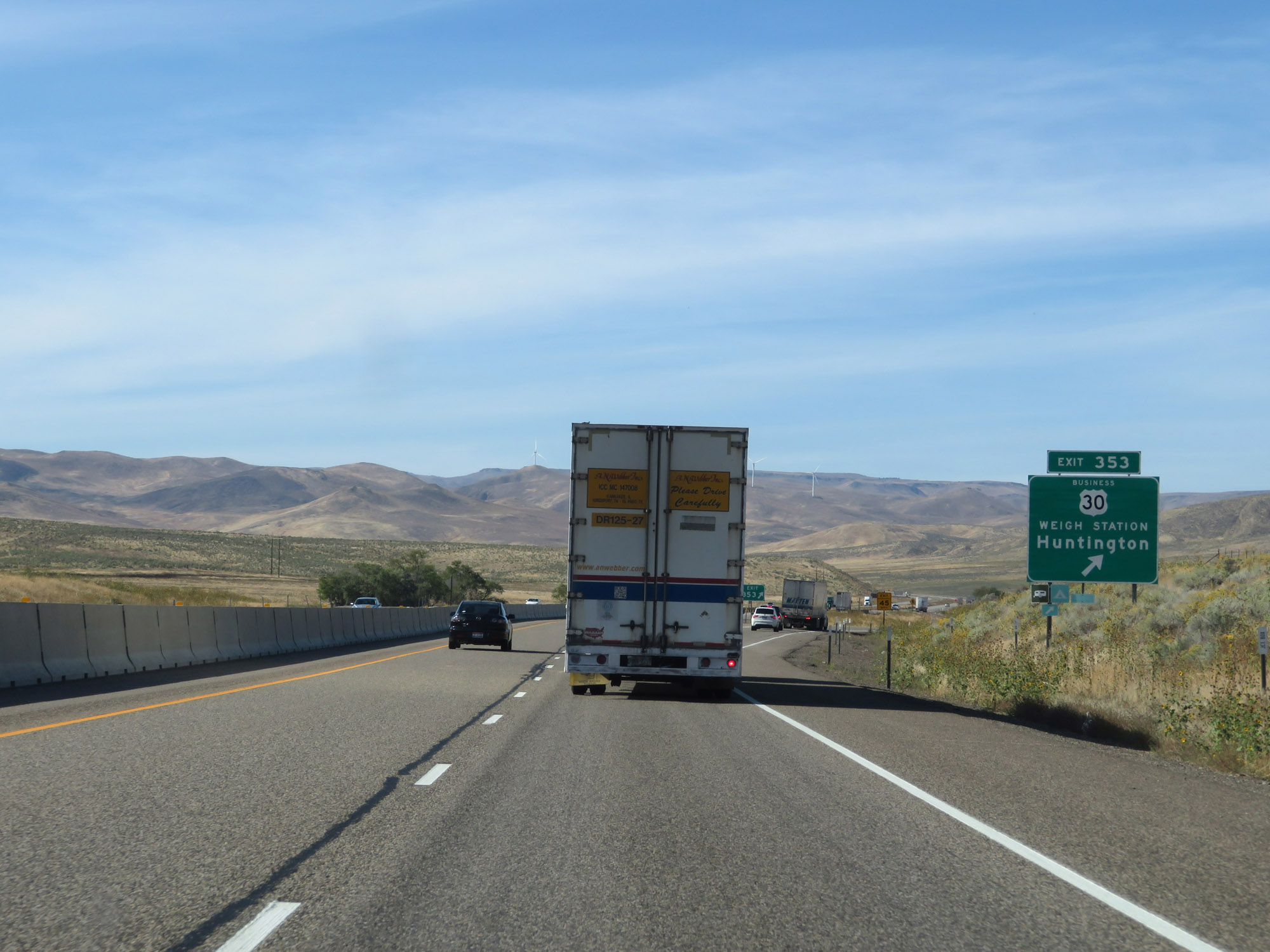 |
Interstate 84 West at Exit 353: US 30 Business - Huntington / Weigh Station (Photo taken 9/25/19). |
 |
Interstate 84 West reassurance shield. (Photo taken 9/25/19). |
 |
The speed limits remain 70 mph for automobiles and 65 mph for trucks. (Photo taken 9/25/19). |
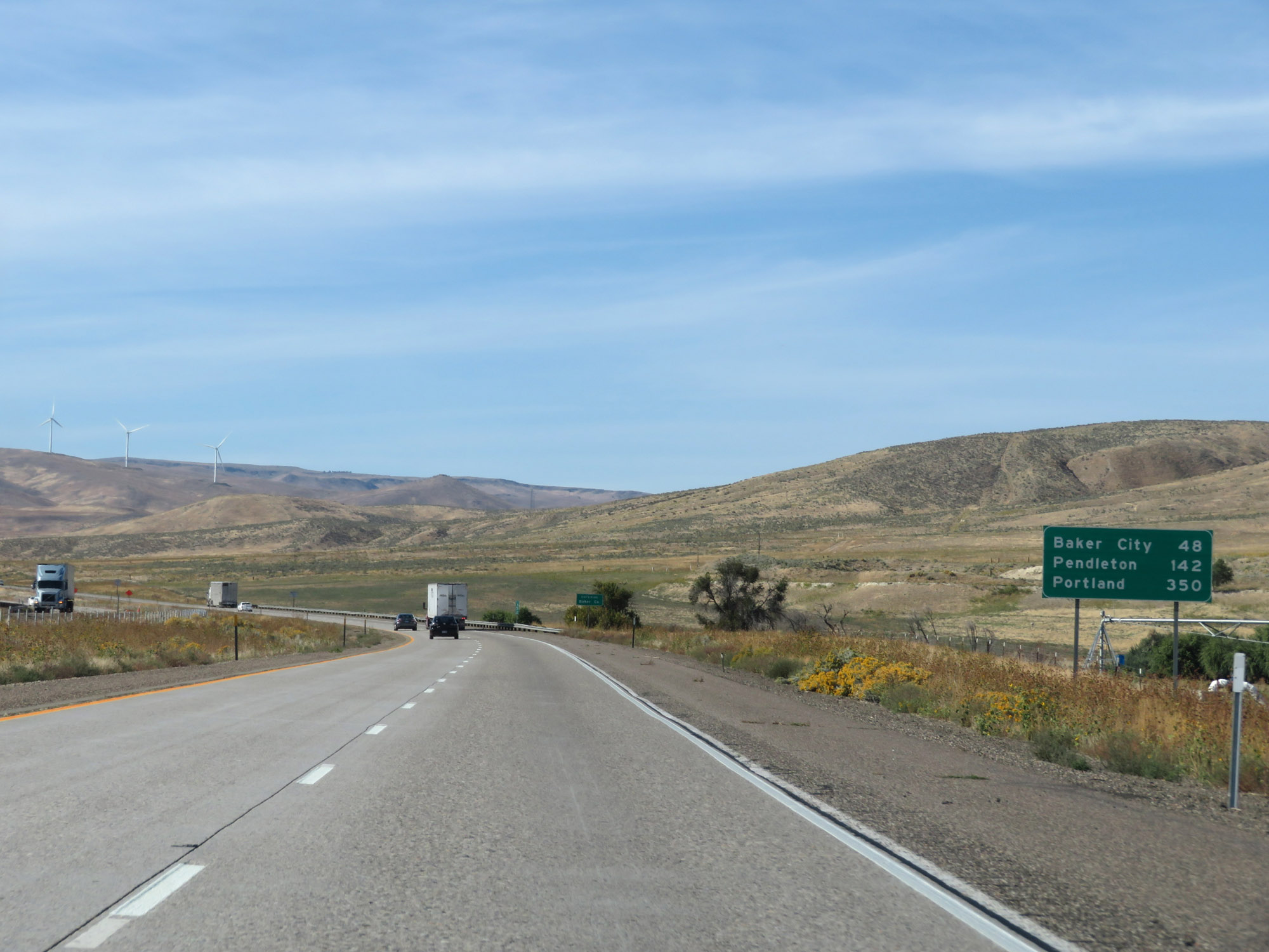 |
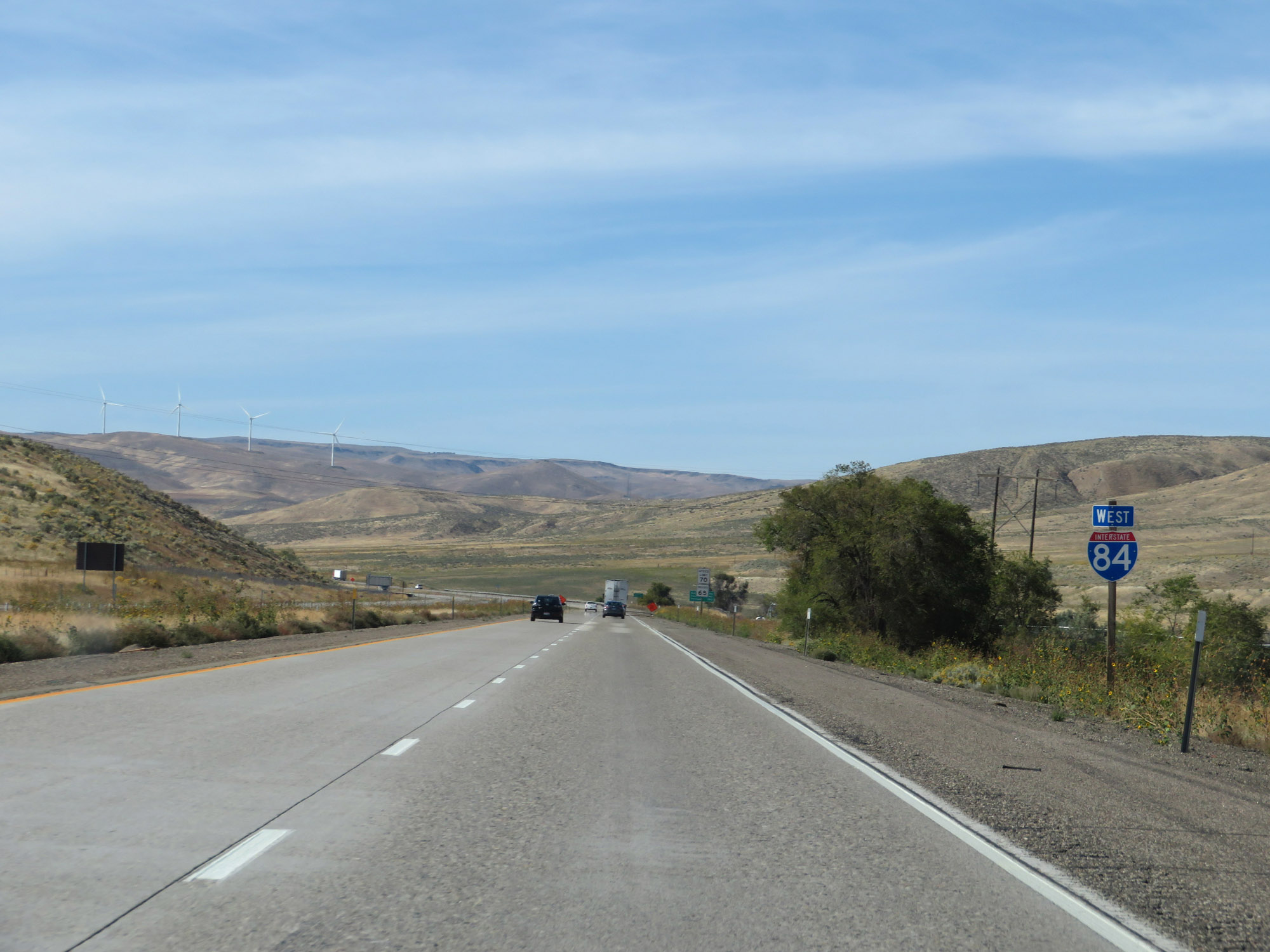
Mileage sign on Interstate 84 West. It's 48 miles to Baker City, 142 miles to Pendleton, and 350 miles to Portland. (Photo taken 9/25/19). |
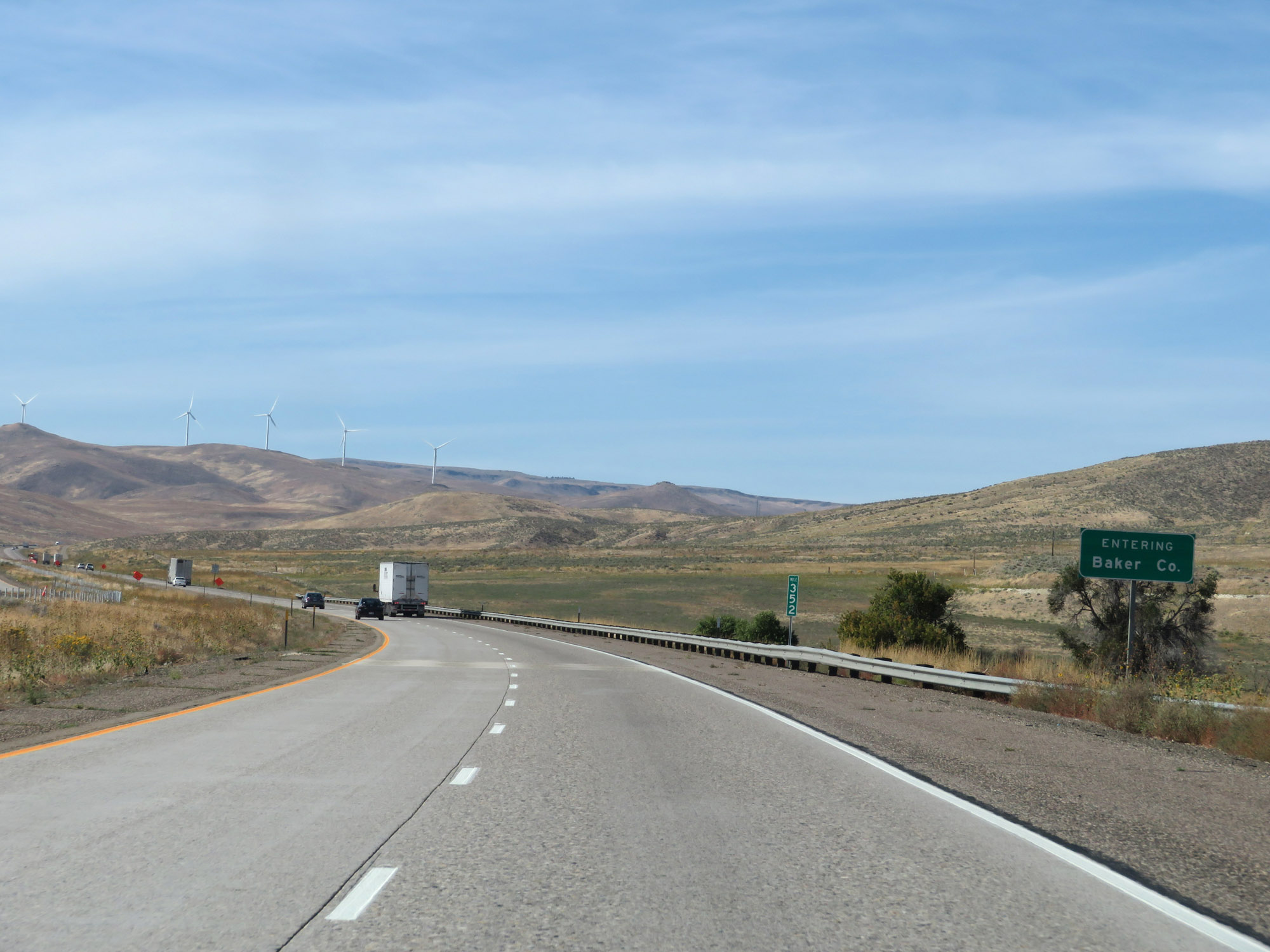 |
Entering Baker County on Interstate 84 West at mile marker 352. (Photo taken 9/25/19). |
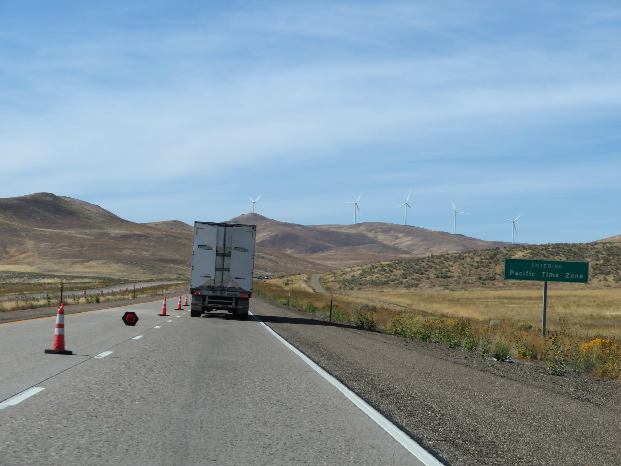 |
Upon entering Baker County, Interstate 84 West also enters the Pacific Time Zone. (Photo taken 9/25/19). |
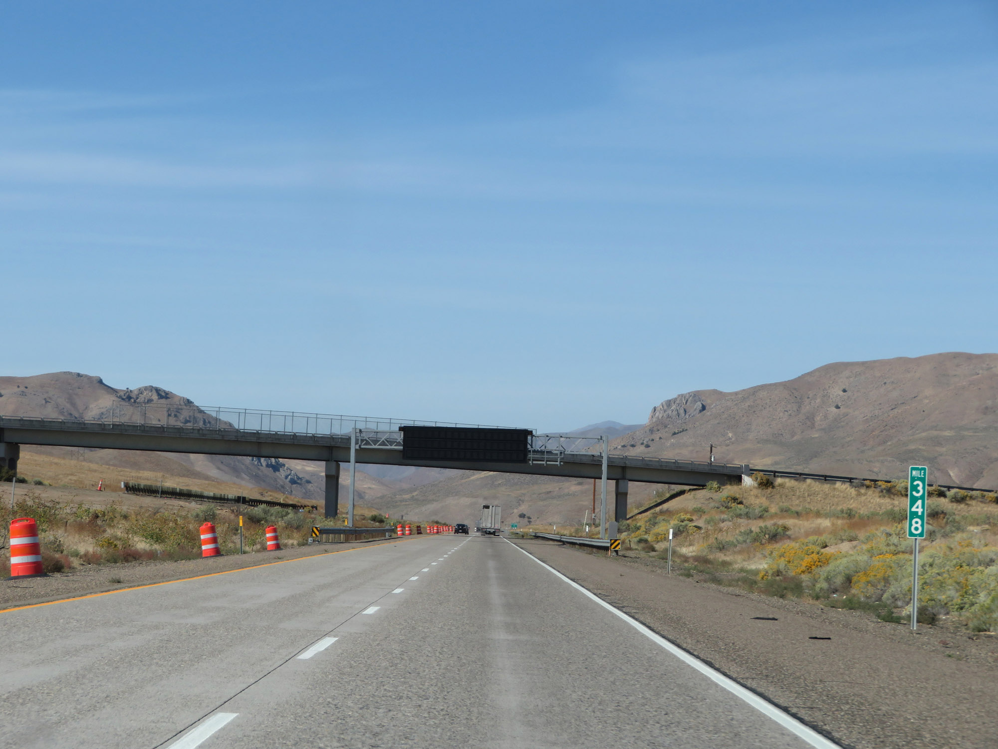 |
Interstate 84 West at mile marker 348. (Photo taken 9/25/19). |
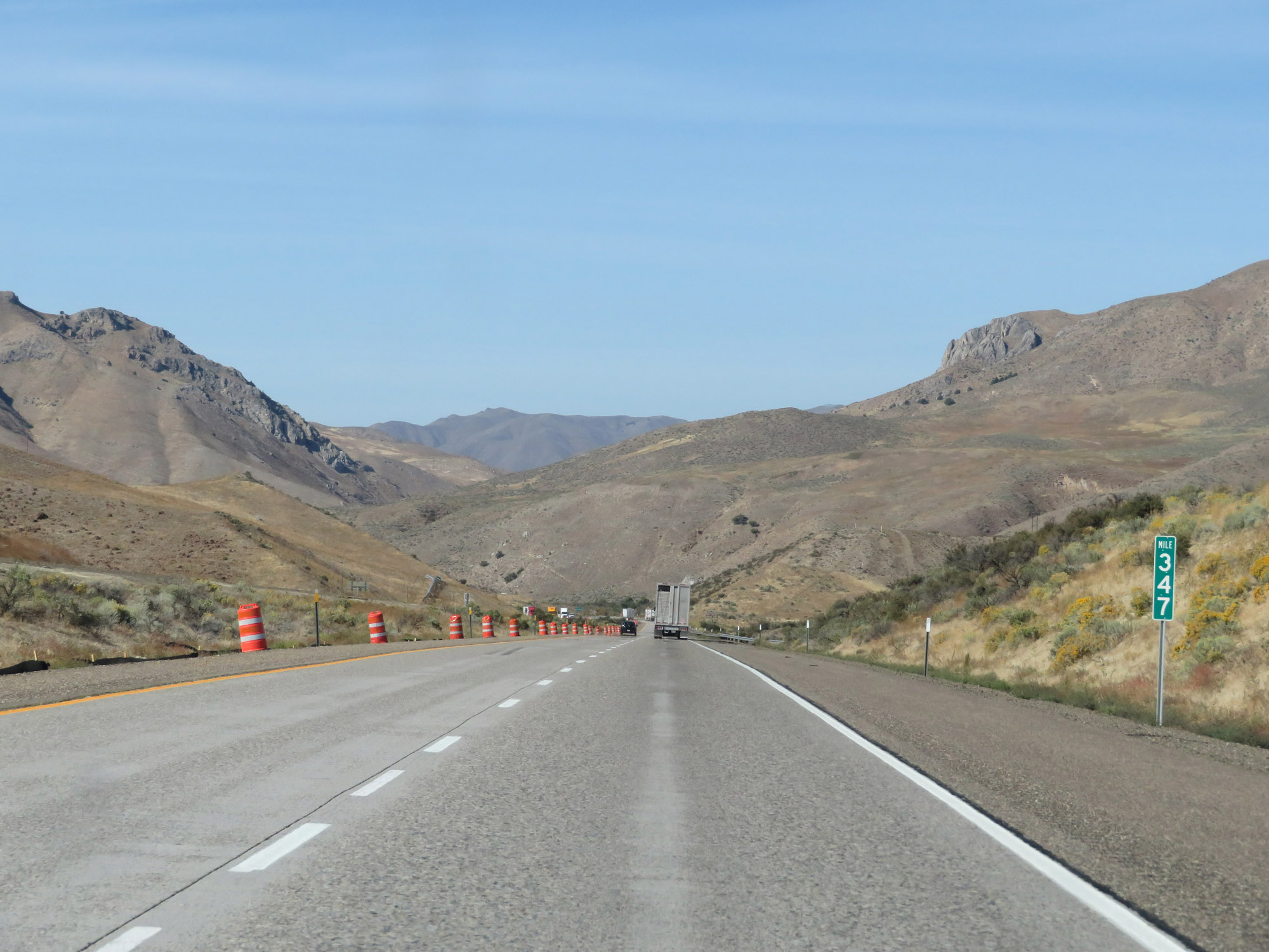 |
View on Interstate 84 West at mile marker 347. (Photo taken 9/25/19). |
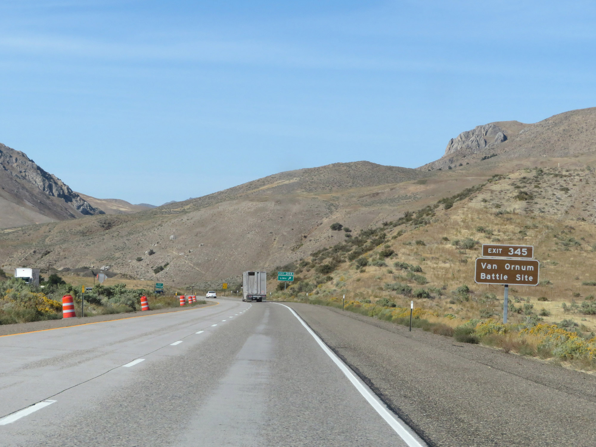 |
Take Exit 345 to Van Ornum Battle Site. (Photo taken 9/25/19). |
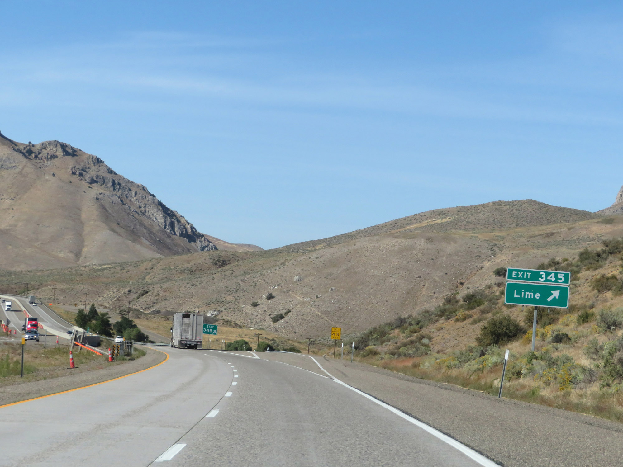 |
Interstate 84 West at Exit 345: Lime (Photo taken 9/25/19). |
 |
View on Interstate 84 West. (Photo taken 9/25/19). |
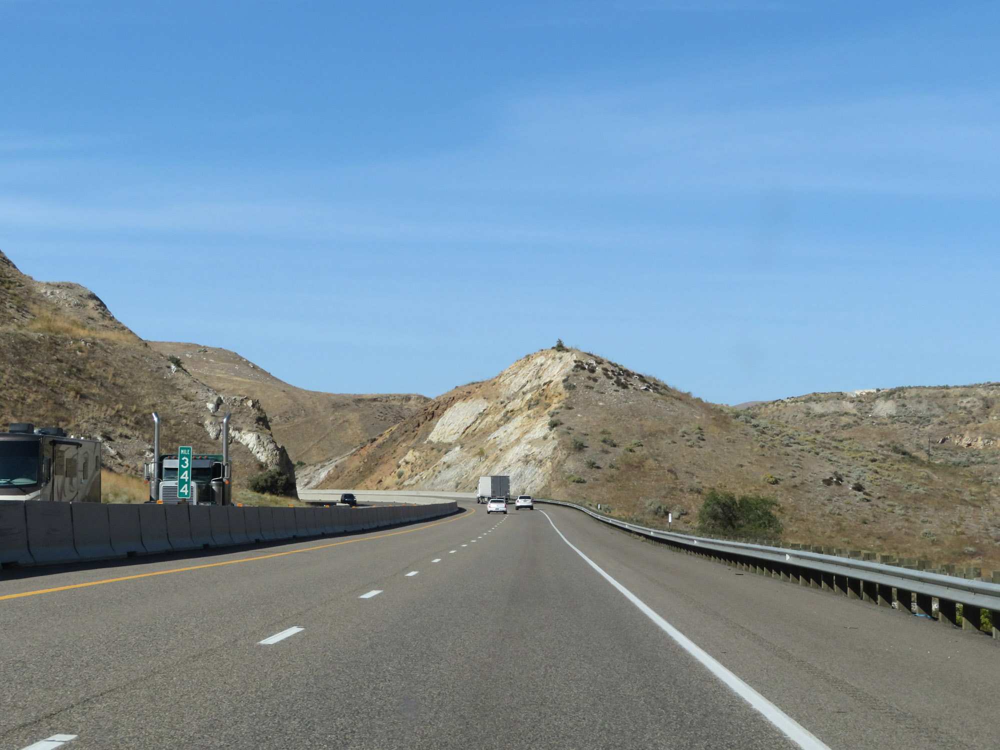 |
Interstate 84 West at mile marker 344. (Photo taken 9/25/19). |
 |
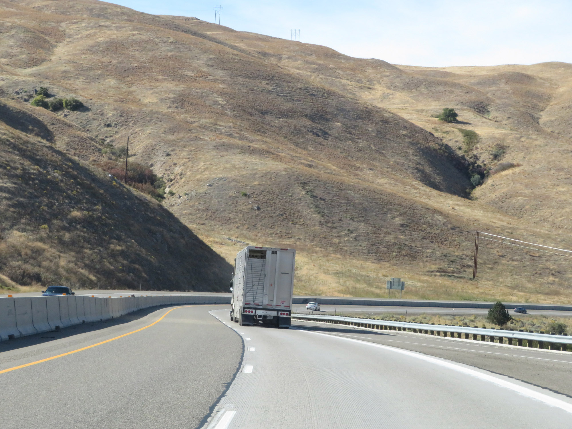
Interstate 84 West continues to traverse the mountainous terrain of northwestern Oregon here in Baker County. (Photo taken 9/25/19). |
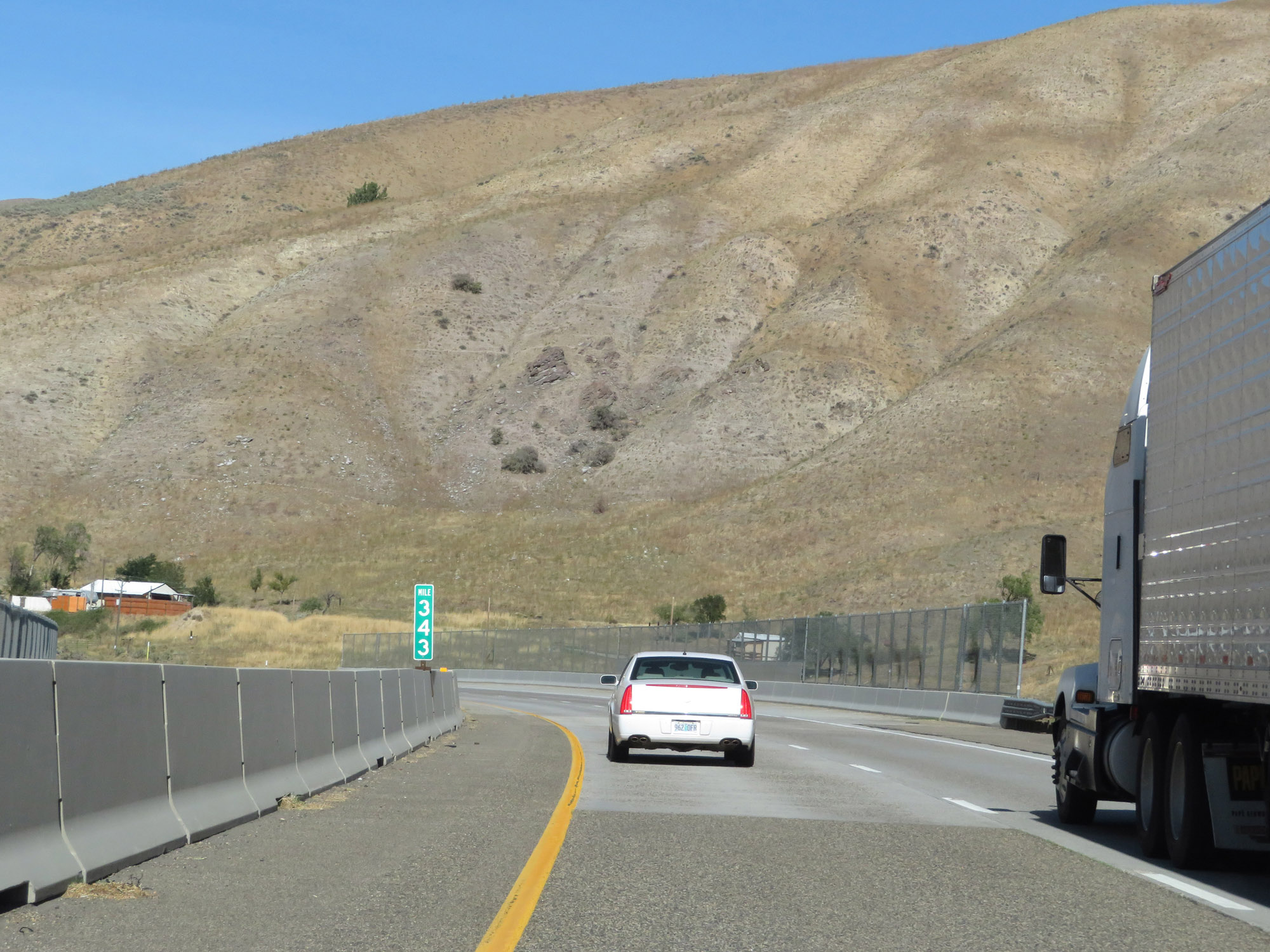 |
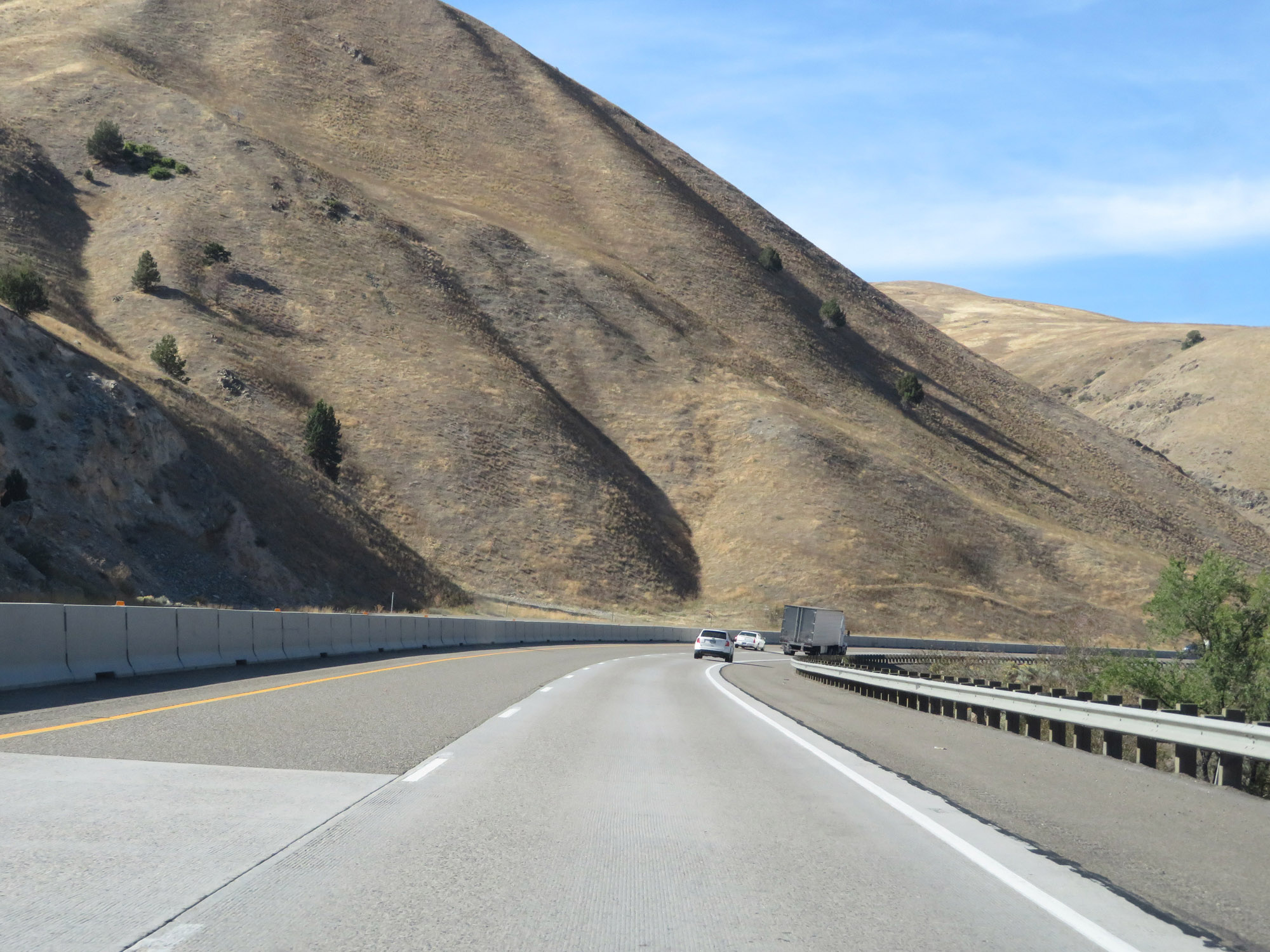
View on Interstate 84 West at mile marker 343. (Photo taken 9/25/19). |
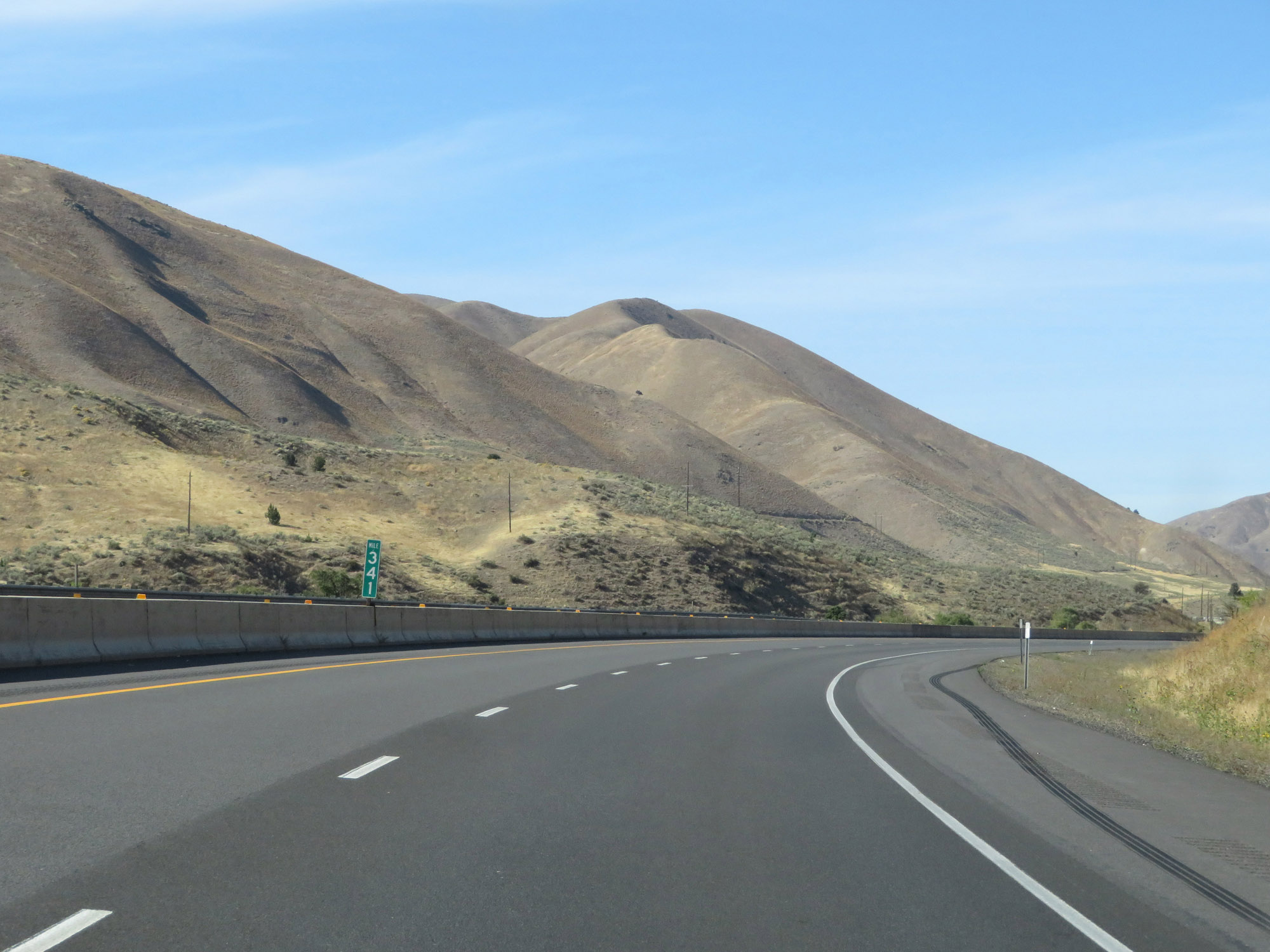 |
Interstate 84 West at mile marker 341. (Photo taken 9/25/19). |
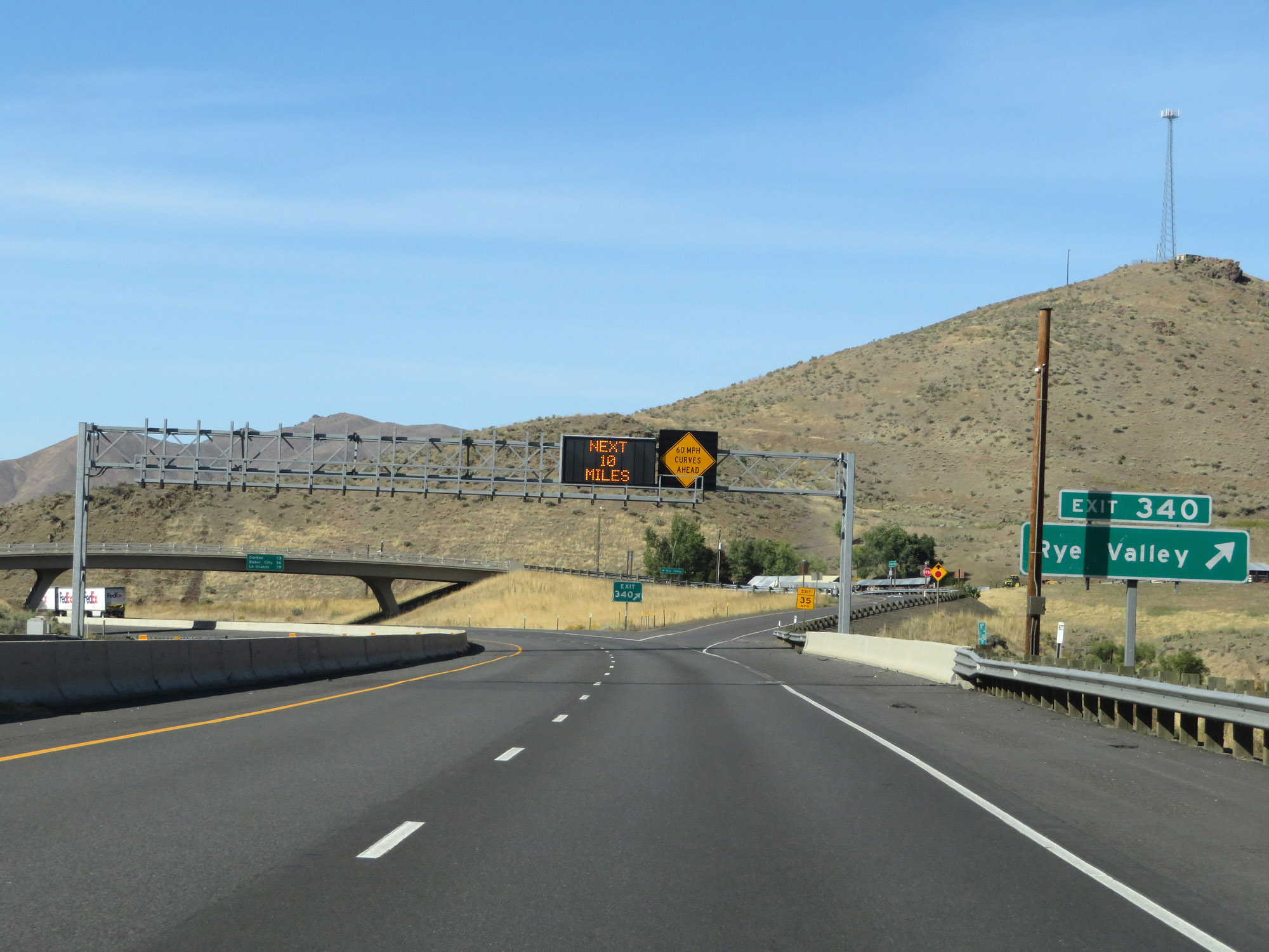 |
Interstate 84 West at Exit 340: Rye Valley (Photo taken 9/25/19). |
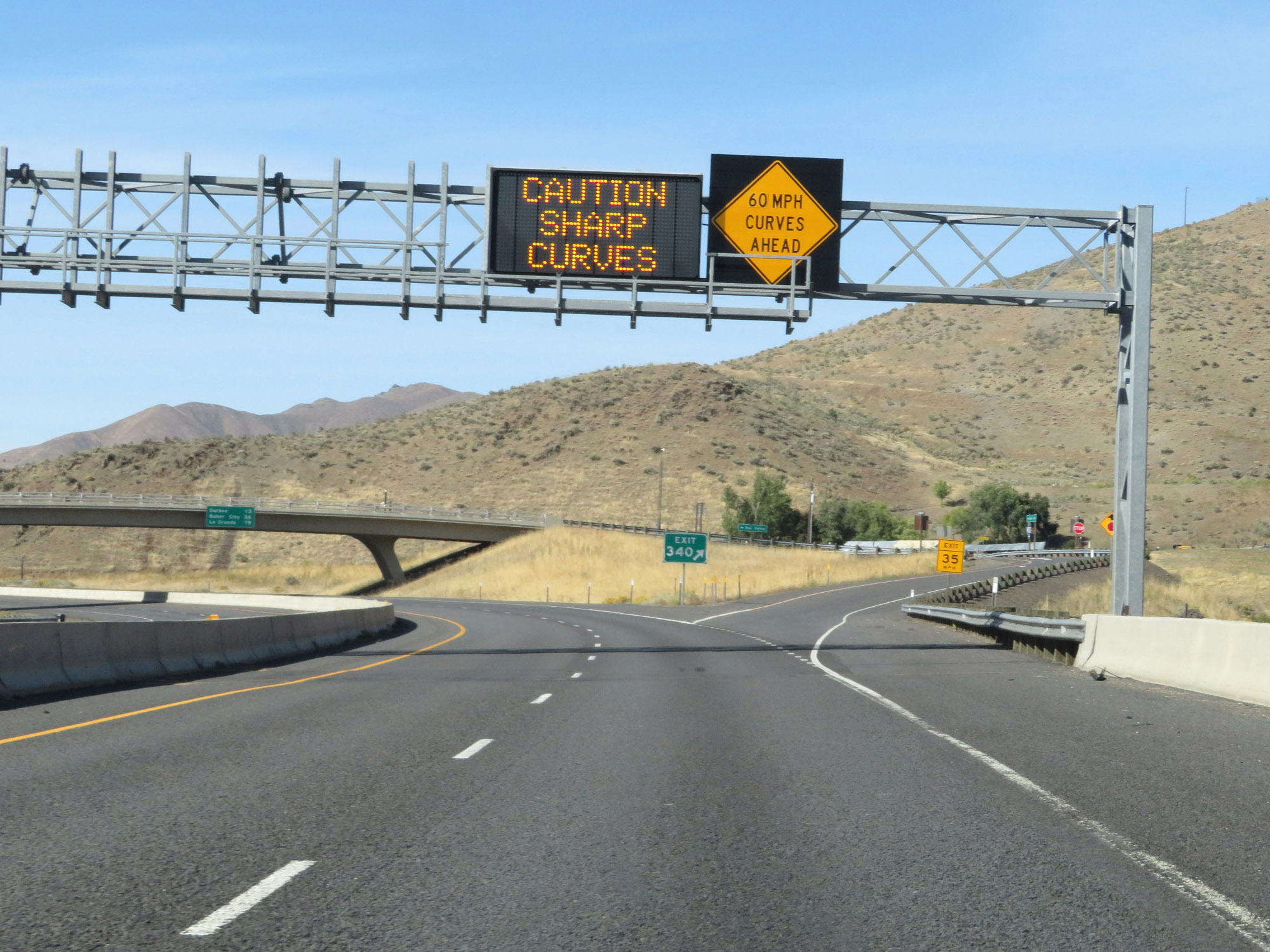 |
As this overhead sign warns, Interstate 84 West will traverse several sharp 60 mph curves ahead. (Photo taken 9/25/19). |
 |
The sharp curves will last for the next 9 miles. This sign warns of a rollover hazard for tractor trailers during this stretch. (Photo taken 9/25/19). |
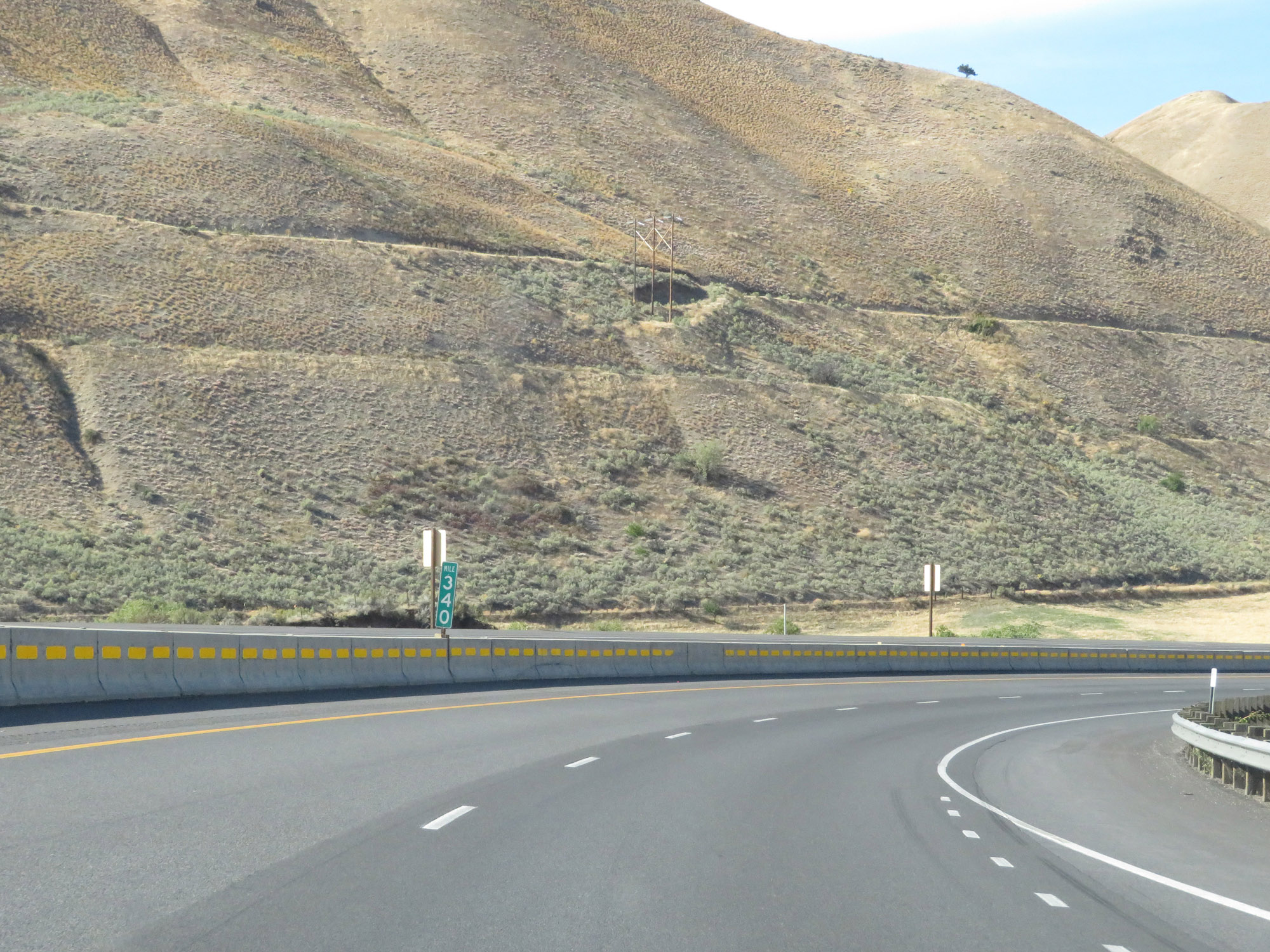 |
Interstate 84 West at mile marker 340. (Photo taken 9/25/19). |
 |
Another Interstate 84 West reassurance shield. (Photo taken 9/25/19). |
 |
View on Interstate 84 West as the 60 mph curves continue. (Photo taken 9/25/19). |
 |
Interstate 84 West at mile marker 339. (Photo taken 9/25/19). |
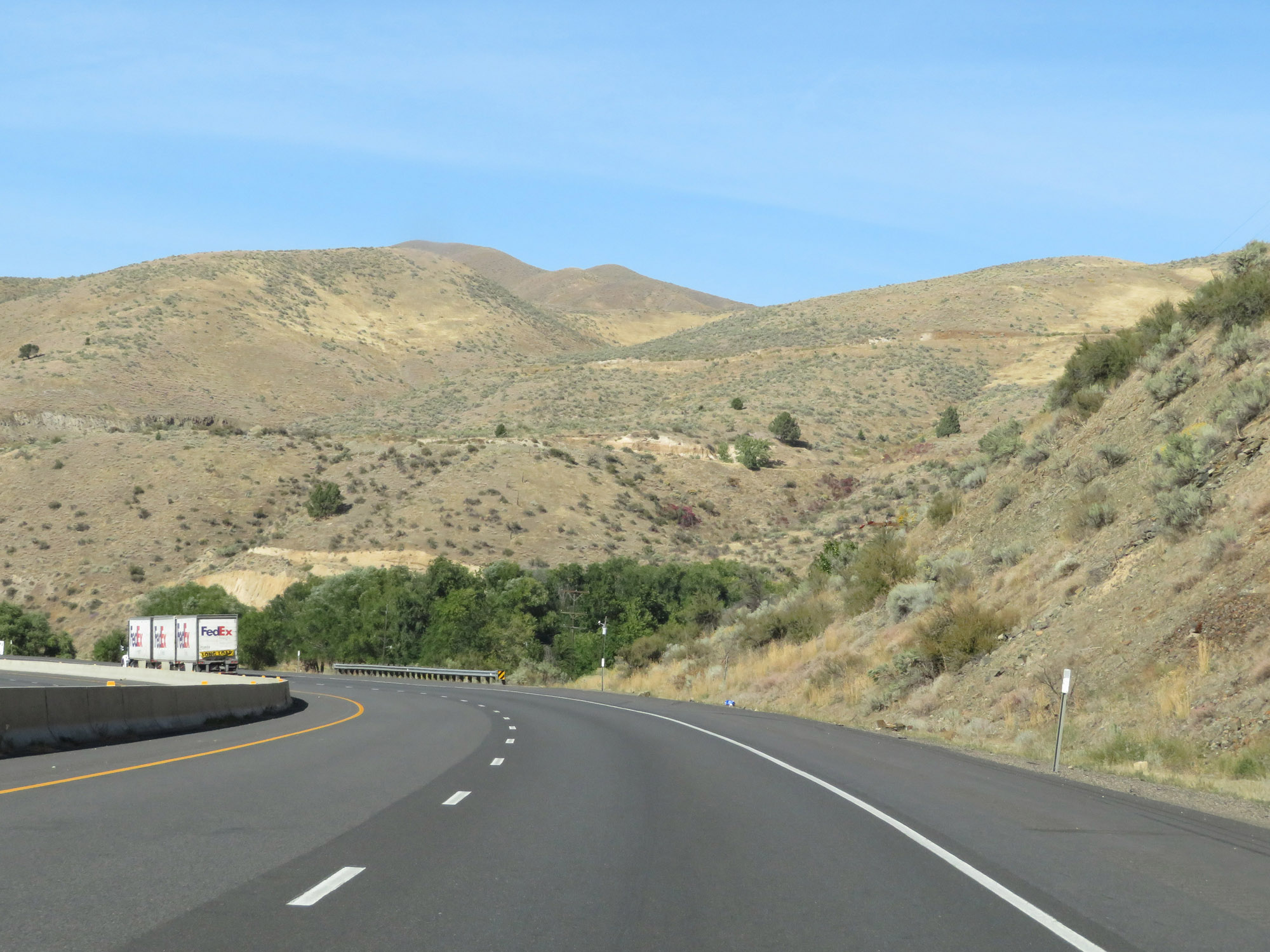 |
Another view on Interstate 84 West as it continues through the mountainous terrain. (Photo taken 9/25/19). |
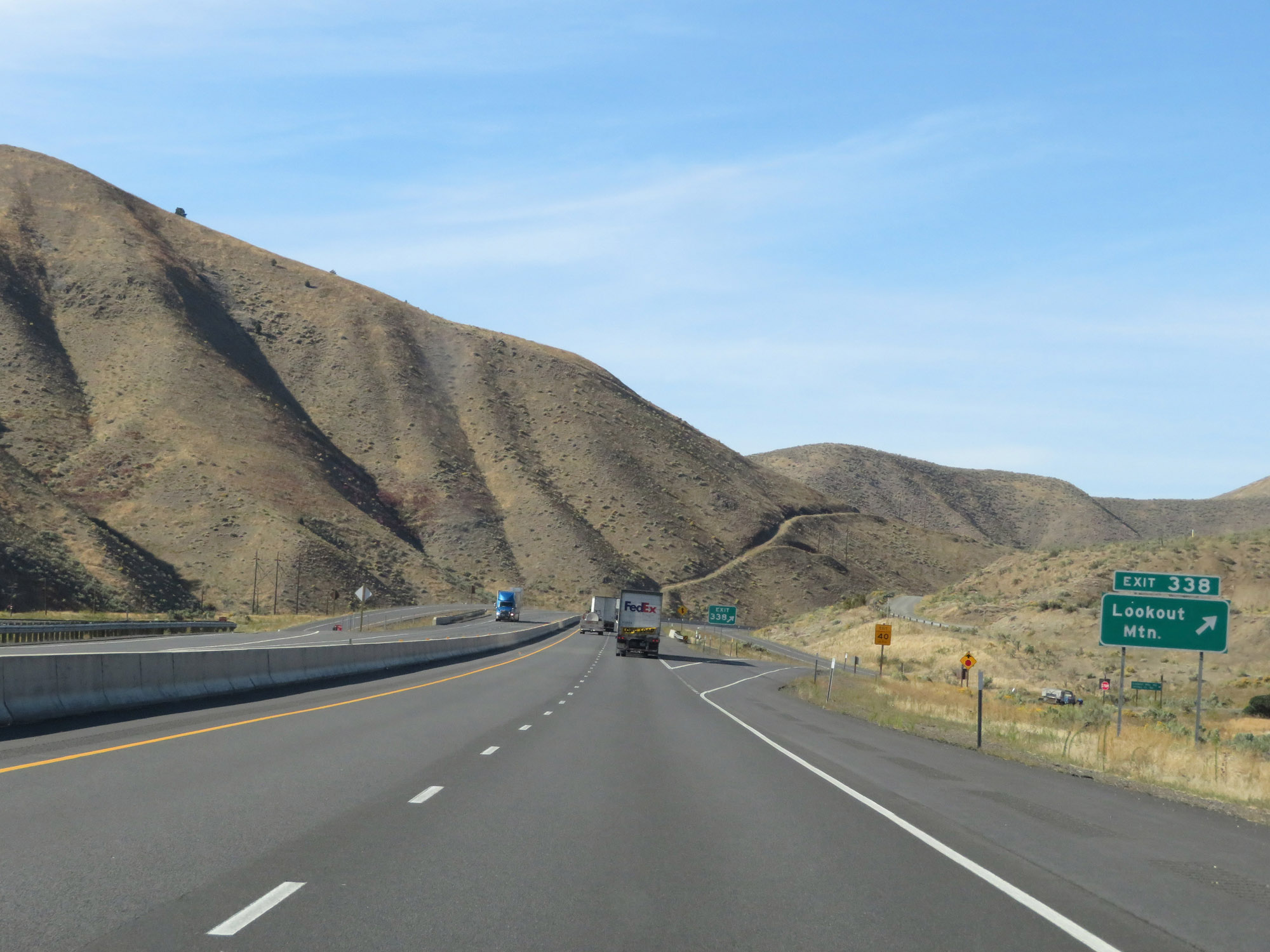 |
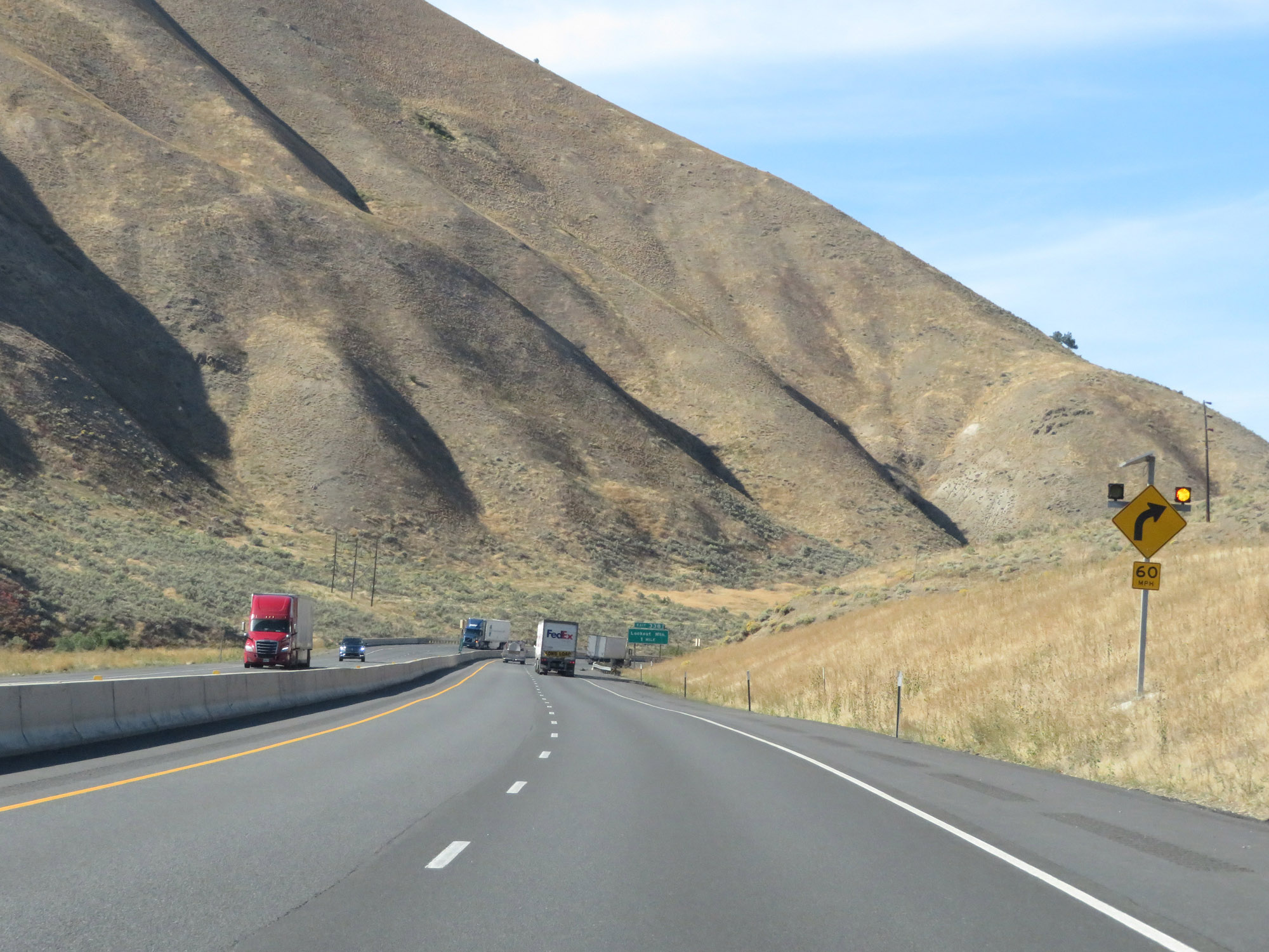
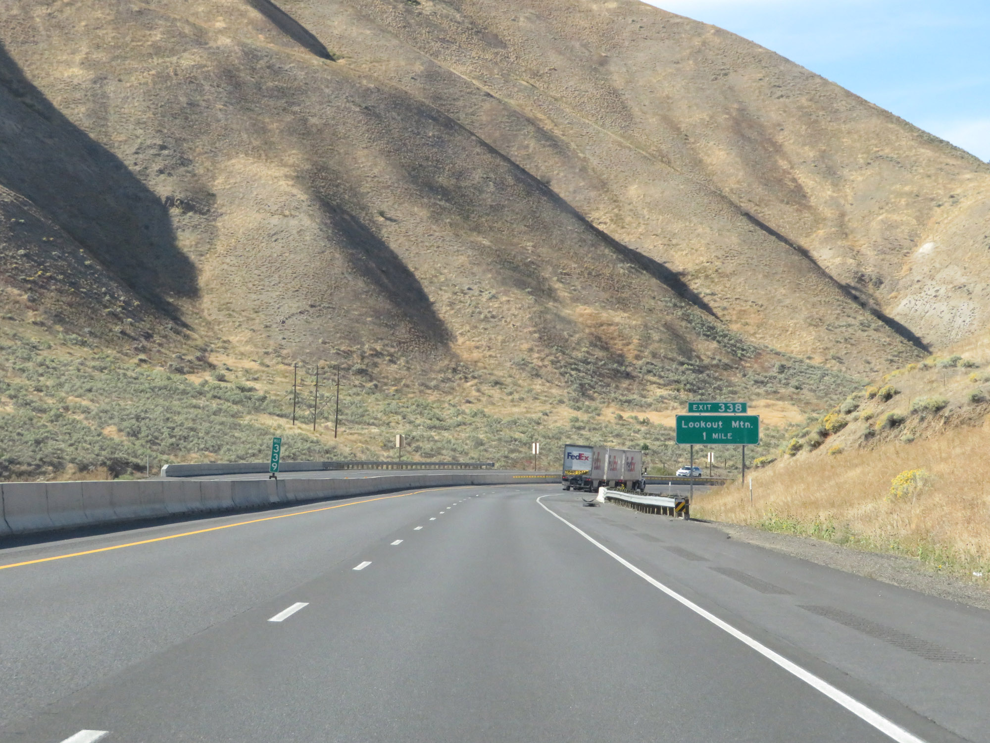
Interstate 84 West at Exit 338: Lookout Mountain (Photo taken 9/25/19). |
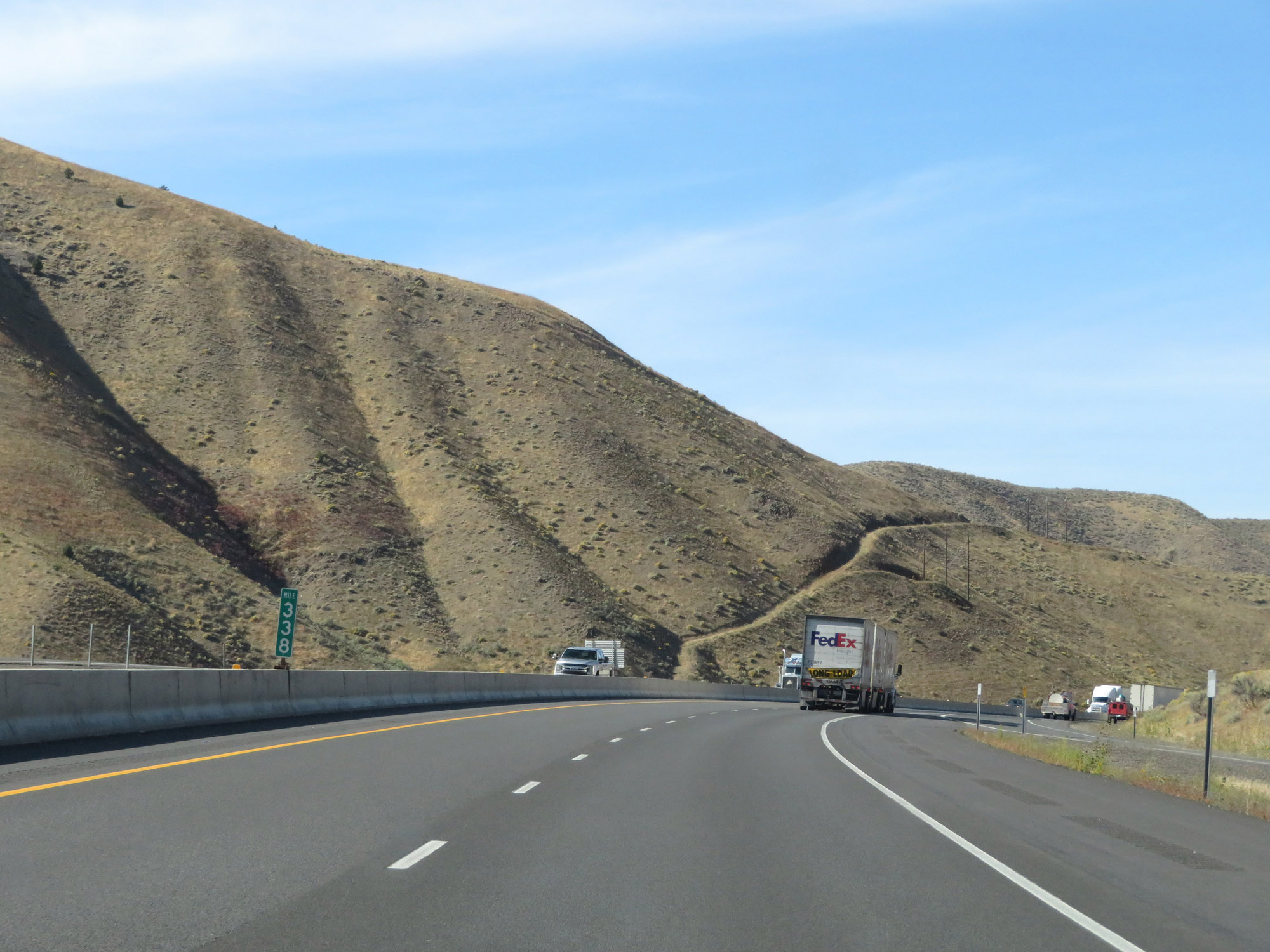 |
Interstate 84 West at mile marker 338. (Photo taken 9/25/19). |
 |
View on Interstate 84 West as it continues to wind through the mountains of northwestern Oregon. (Photo taken 9/25/19). |
 |
Interstate 84 West at mile marker 337. (Photo taken 9/25/19). |
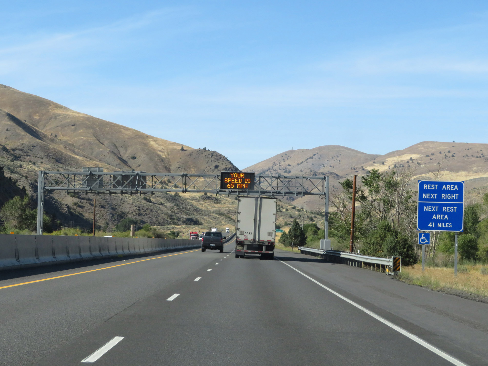 |
A Rest Area exists off Exit 335 ahead. Beyond that, the next Rest Area is 41 miles ahead. (Photo taken 9/25/19). |
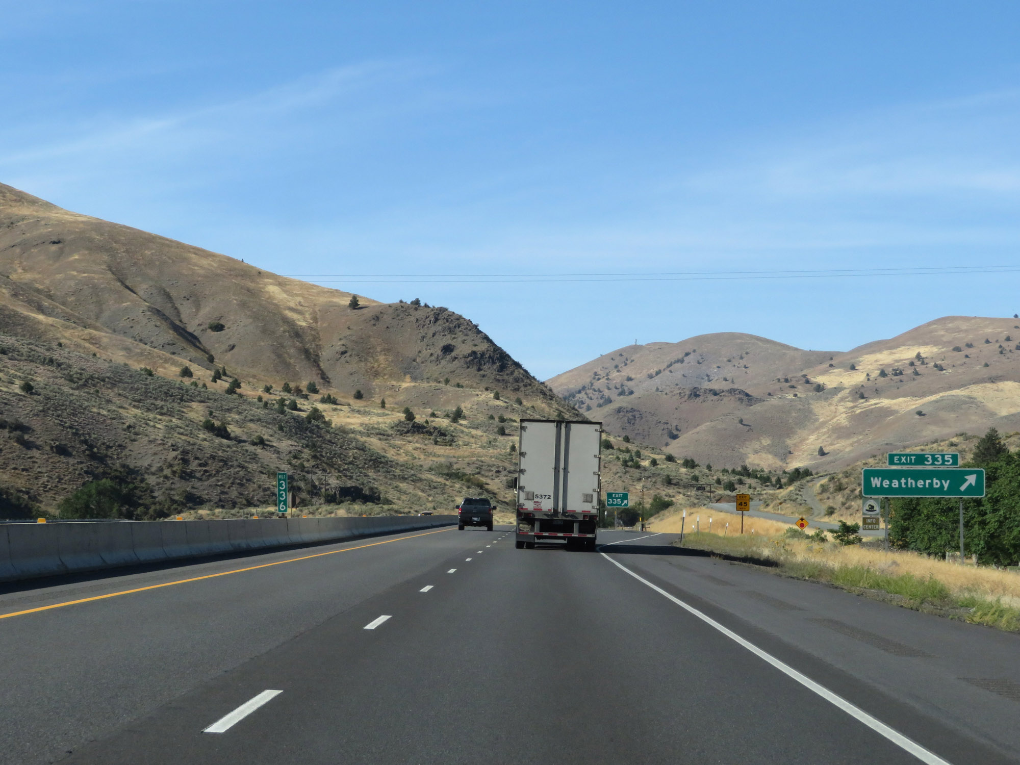 |
Interstate 84 West at Exit 335: Weatherby (Photo taken 9/25/19). |
 |
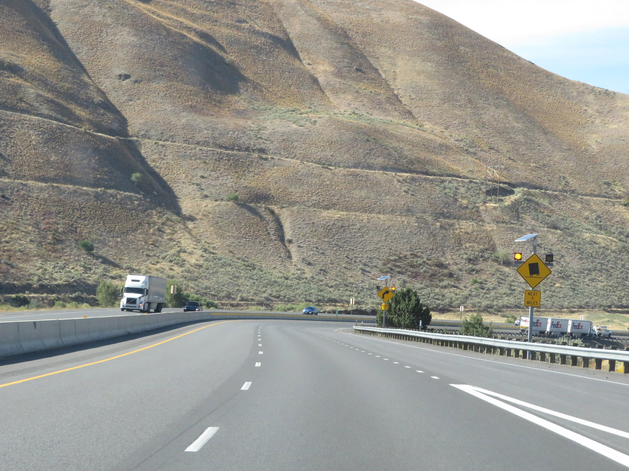
The 60 mph curves continue beyond Exit 335. (Photo taken 9/25/19). |
 |
View on Interstate 84 West. (Photo taken 9/25/19). |
 |
Interstate 84 West in Baker County, continuing to wind through the mountains. (Photo taken 9/25/19). |
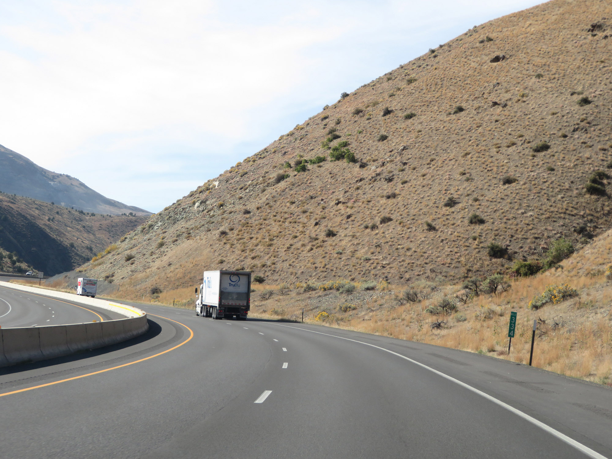 |
Interstate 84 West at mile marker 334. (Photo taken 9/25/19). |
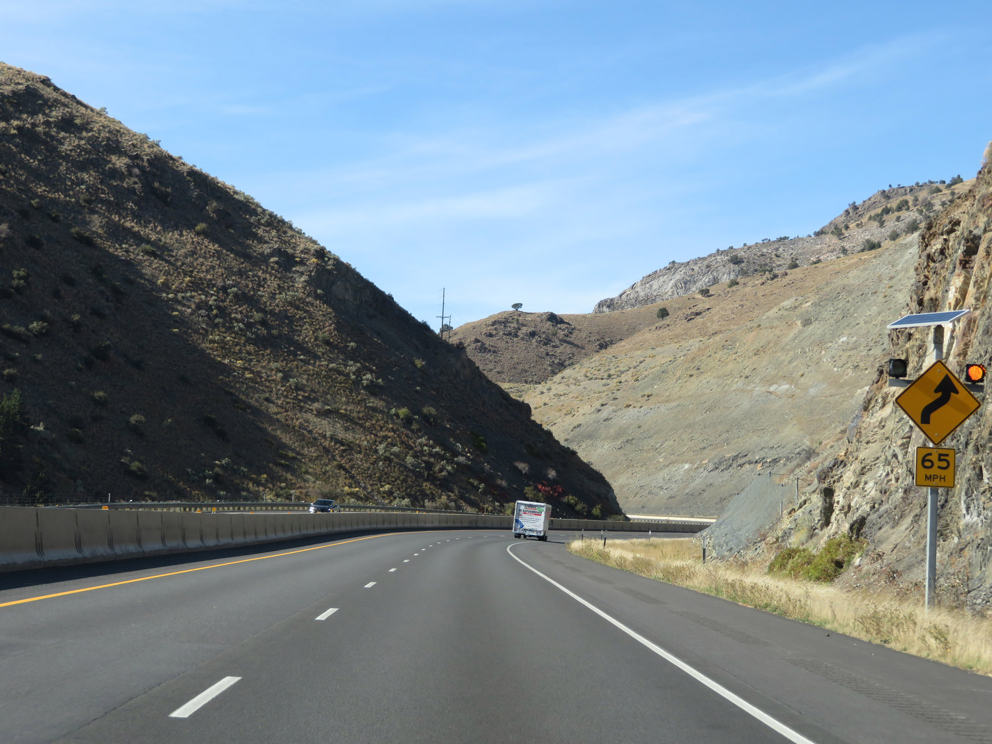 |
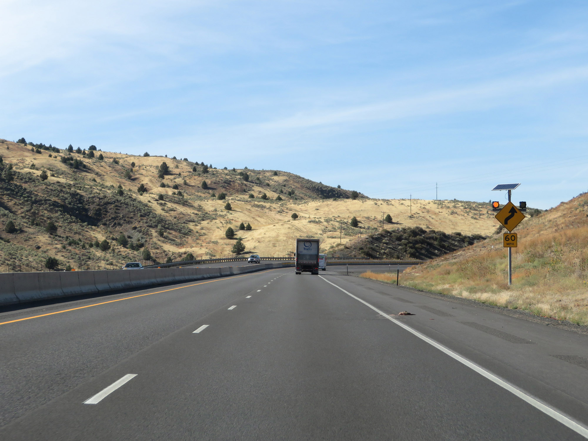
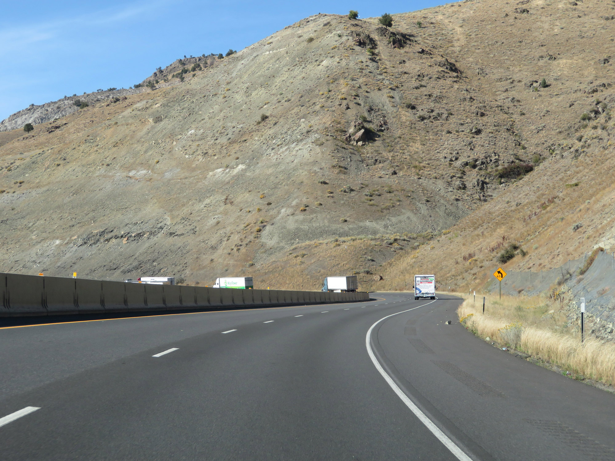
The series of curves ahead aren't quite as sharp, as the advisory speed is 65 mph. (Photo taken 9/25/19). |
 |
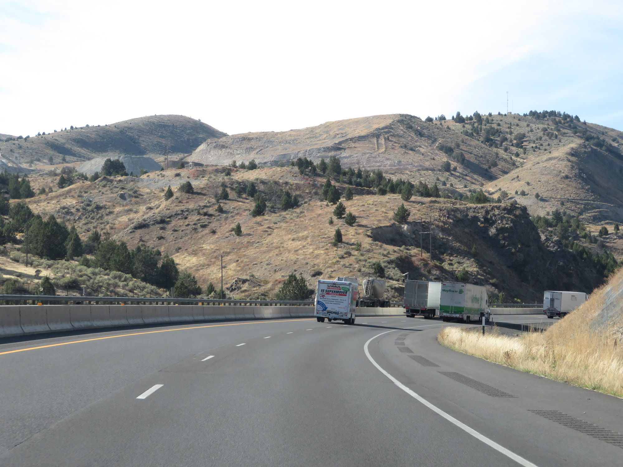
View on Interstate 84 West. (Photo taken 9/25/19). |
 |
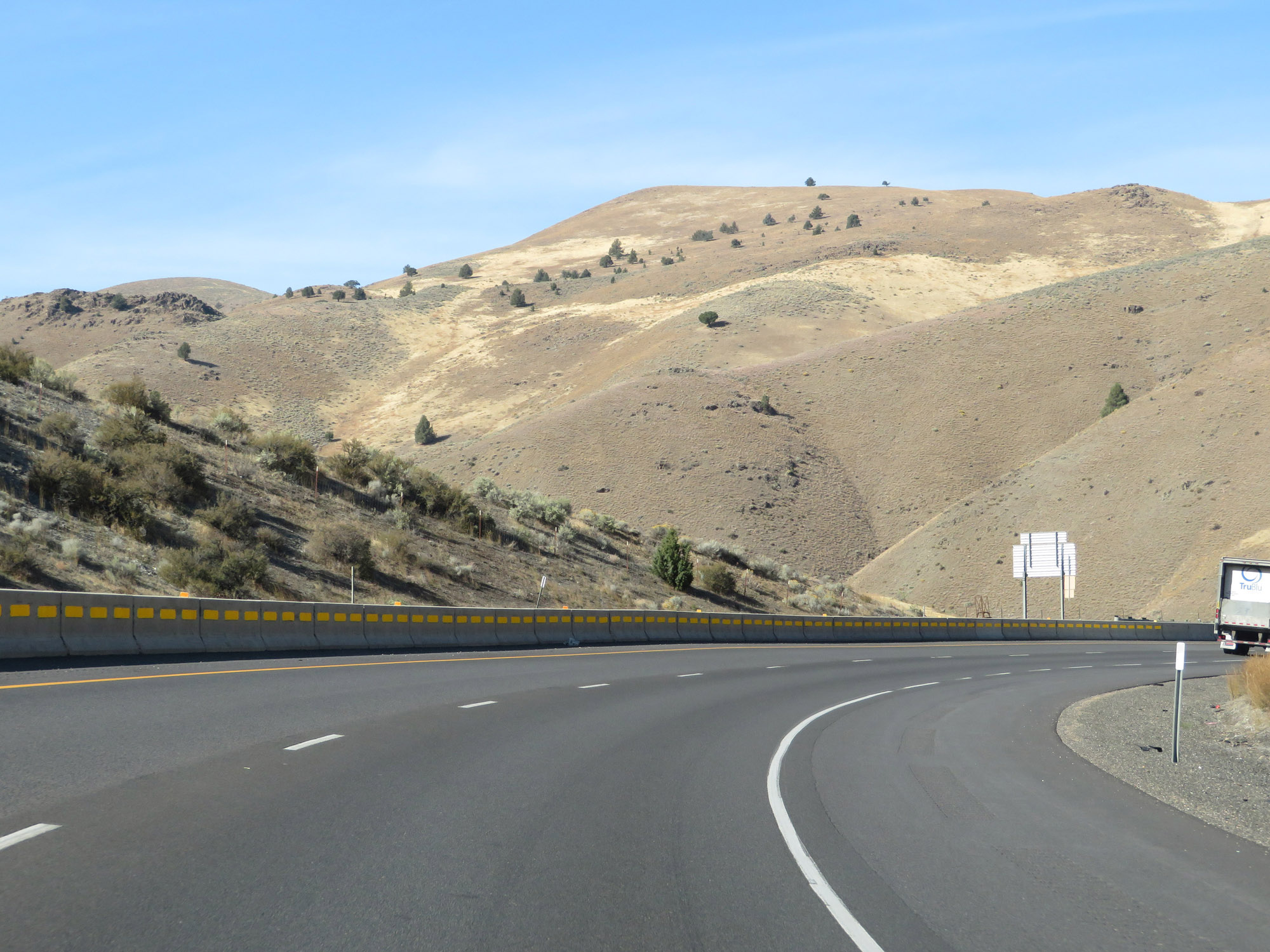
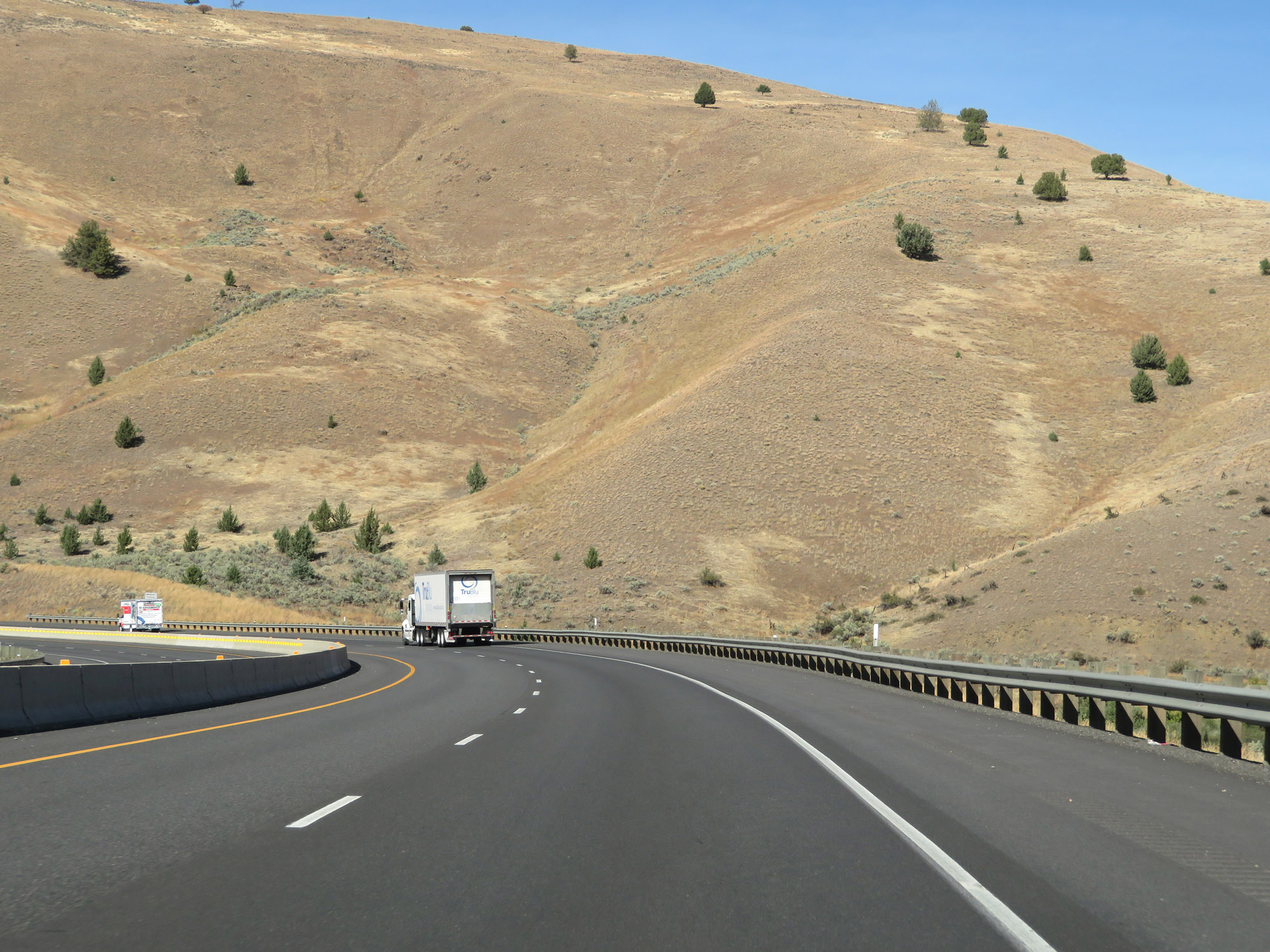
Continuing through the Blue Mountains on Interstate 84 West. (Photo taken 9/25/19). |
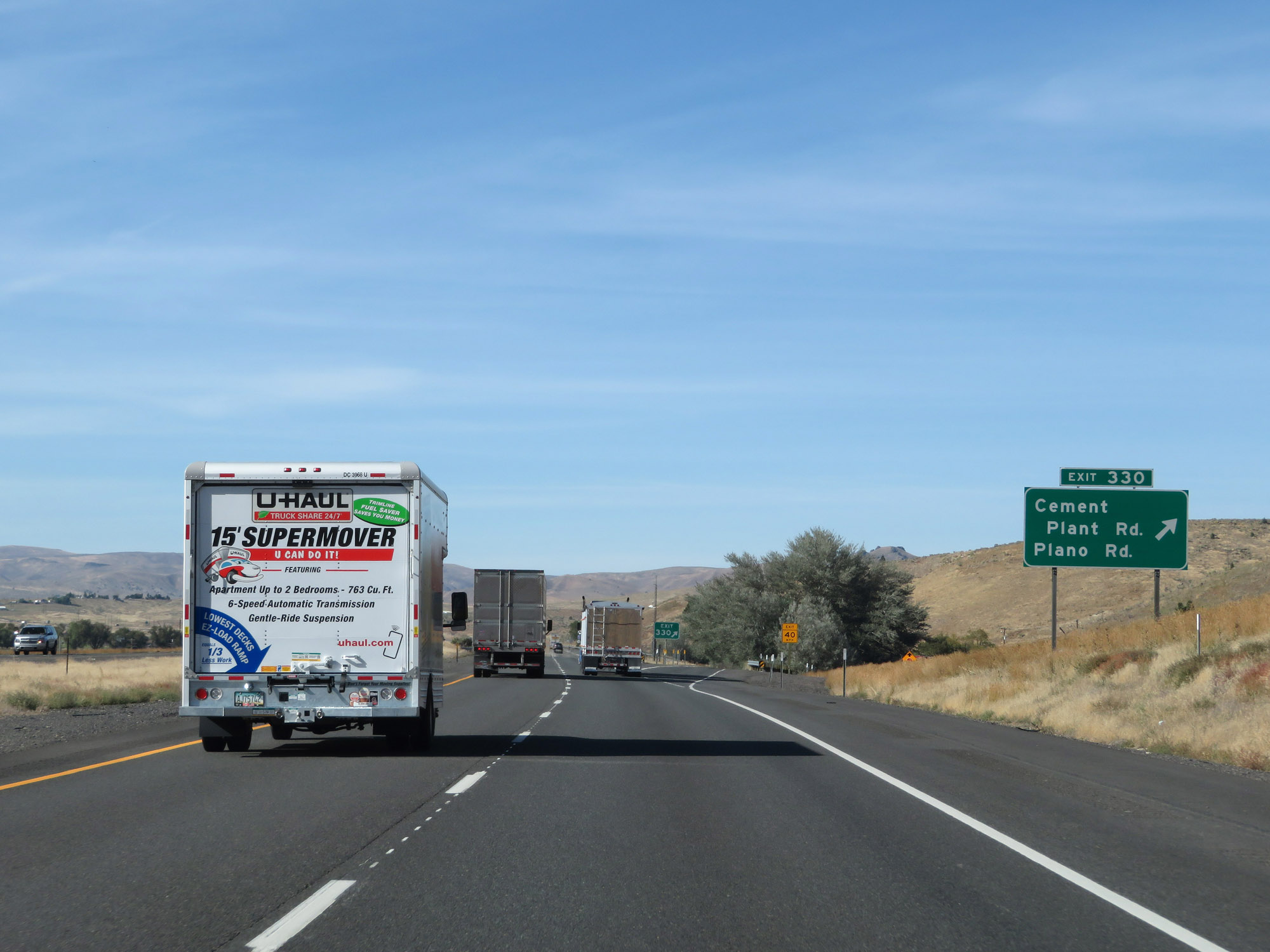 |
Interstate 84 West at Exit 330: Cement Plant Rd / Plano Rd (Photo taken 9/25/19). |
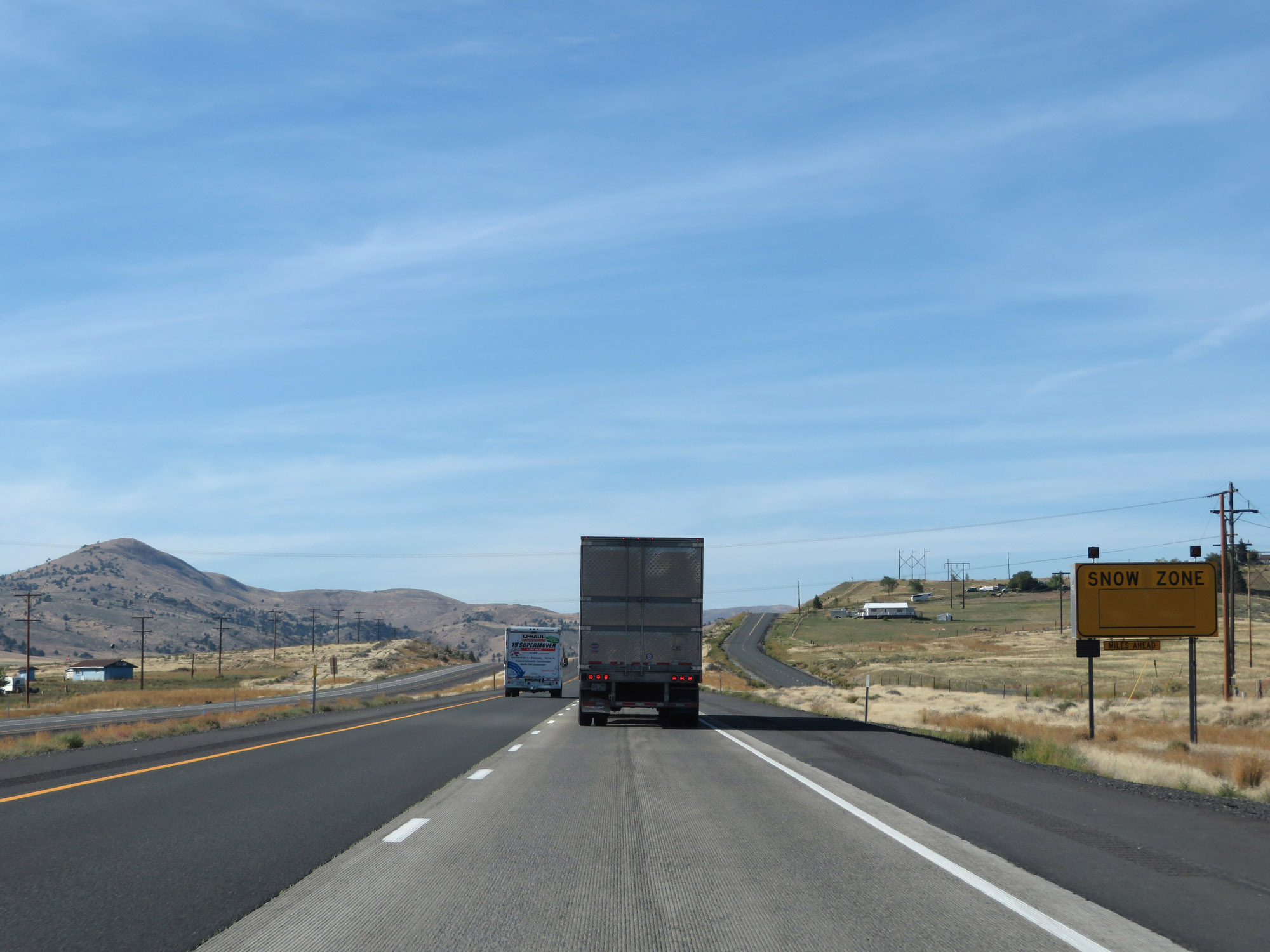 |
This sign warns that Interstate 84 West is about to enter an area subject to heavy snowfall. (Photo taken 9/25/19). |
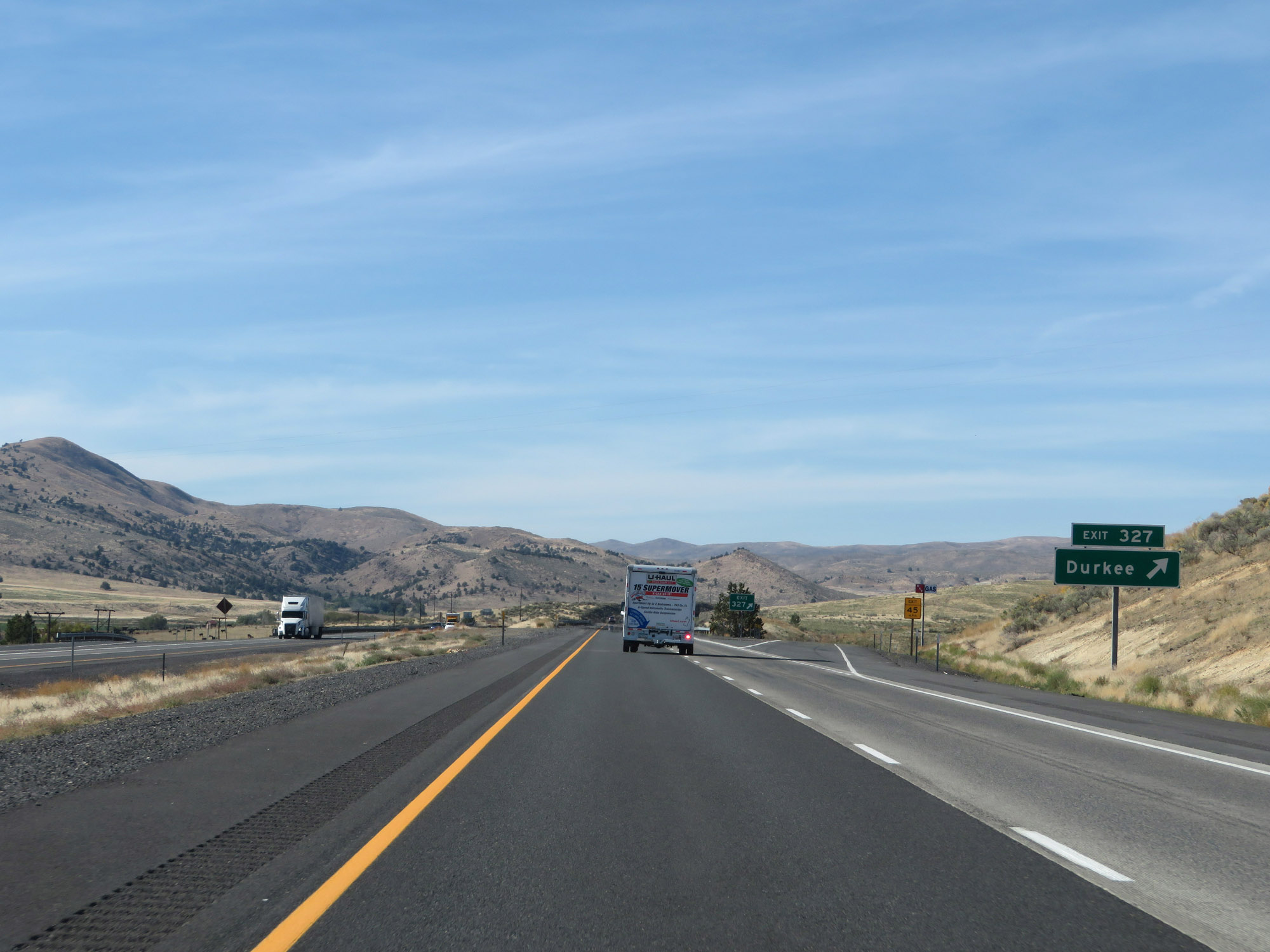 |
Interstate 84 West at Exit 327: Durkee (Photo taken 9/25/19). |
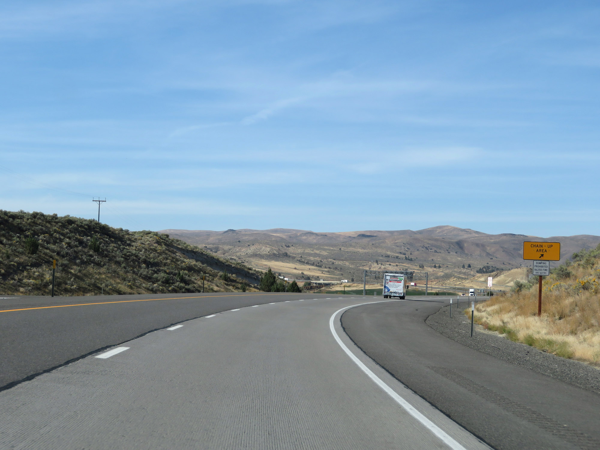 |
As one would expect on a stretch subject to heavy snowfall, a Chain-Up Area exists to the west of Exit 327. (Photo taken 9/25/19). |
 |
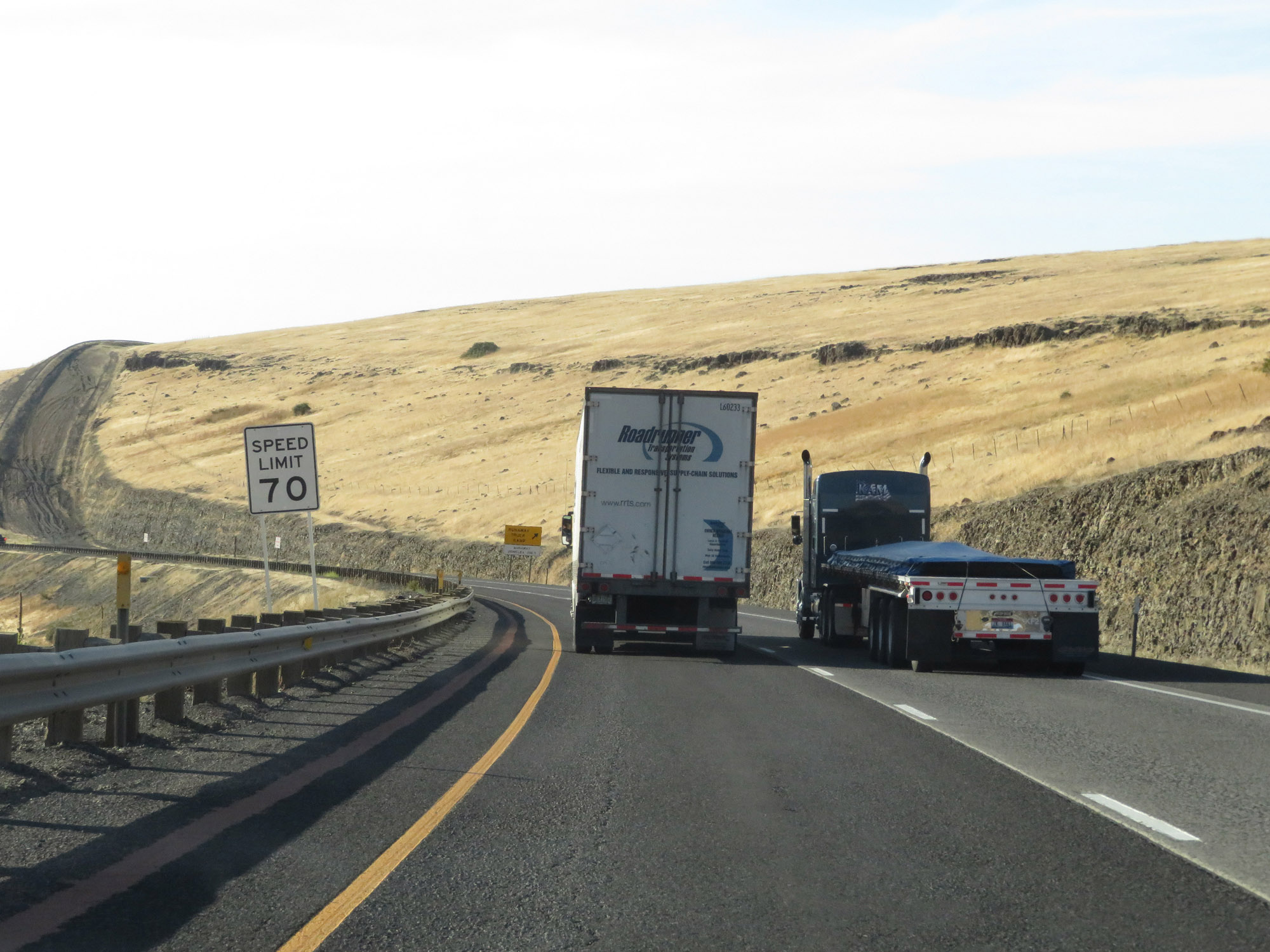
The speed limits remain 70 mph for cars and 65 mph for trucks. (Photo taken 9/25/19). |
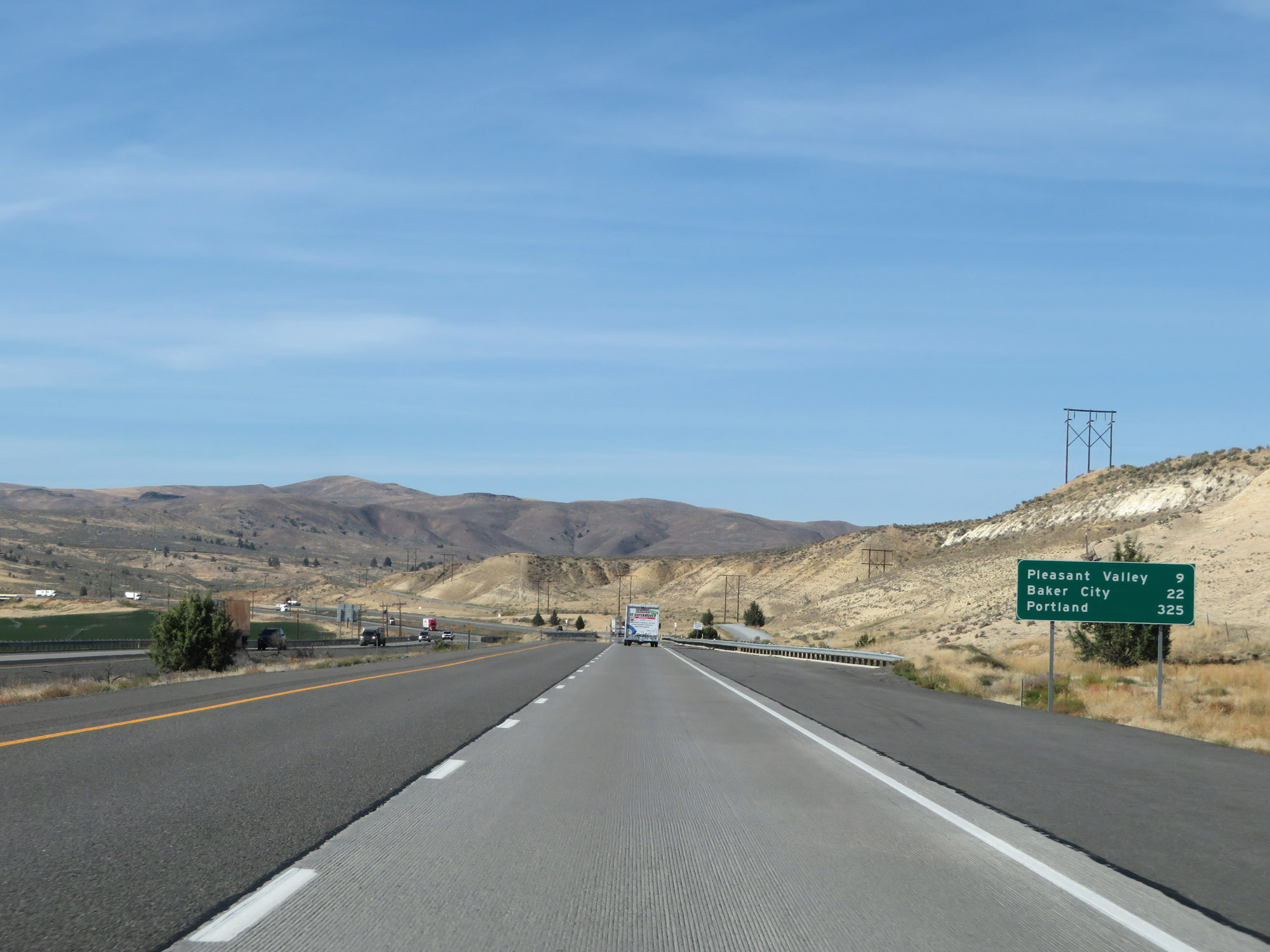 |
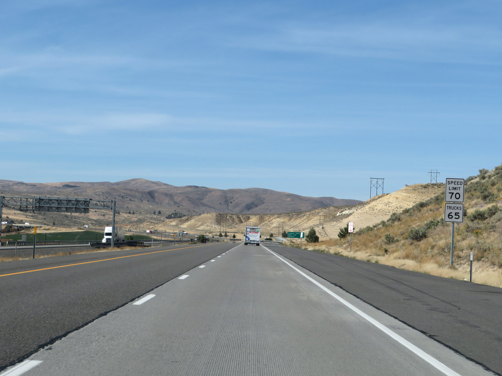
Mileage sign on Interstate 84 West. It's 9 miles to Pleasant Valley, 22 miles to Baker City, and 325 miles to Portland. (Photo taken 9/25/19). |
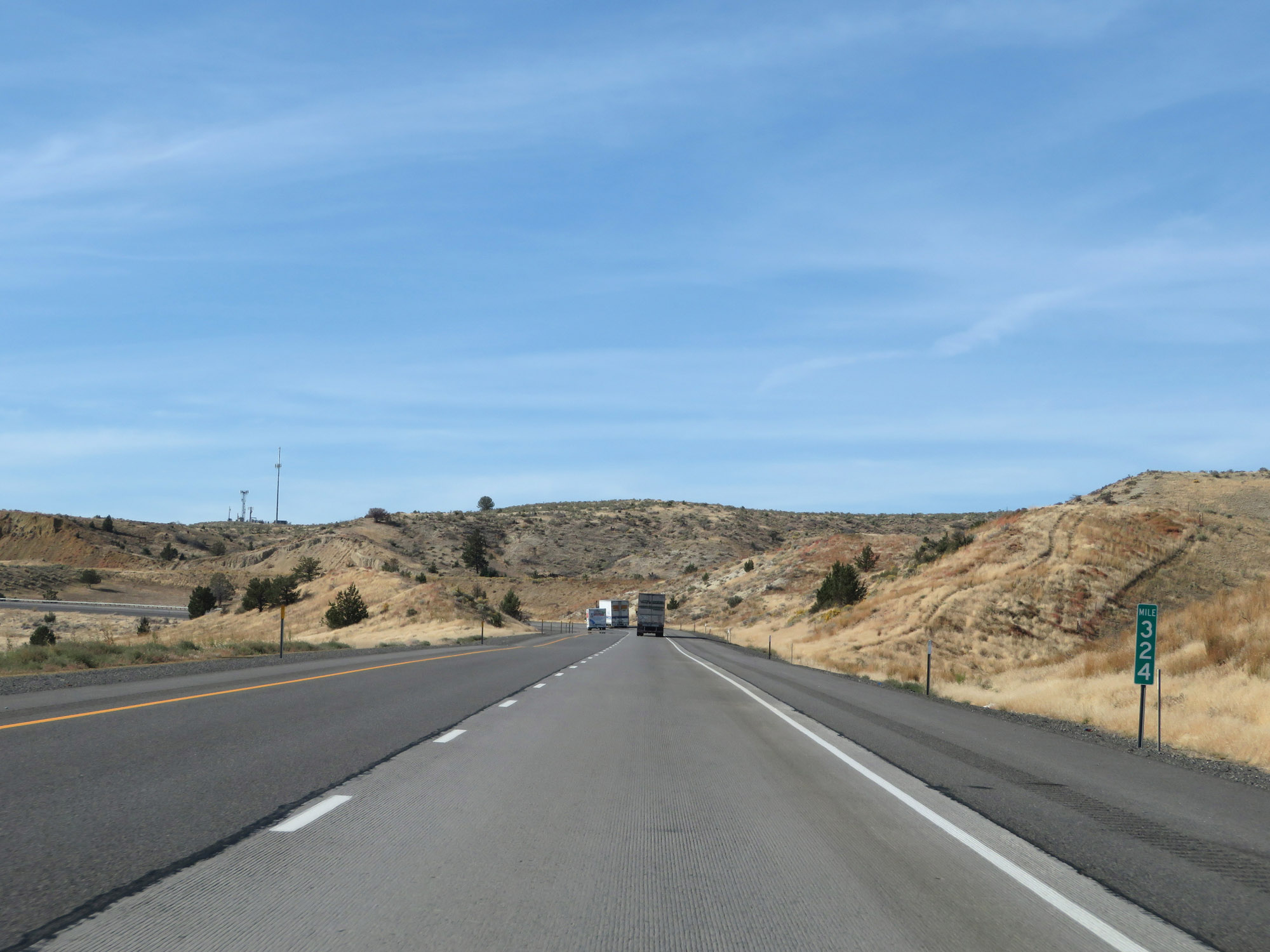 |
View on Interstate 84 West at mile marker 324. (Photo taken 9/25/19). |
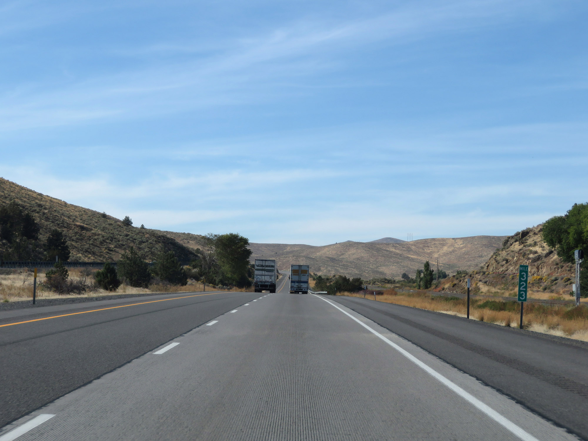 |
Interstate 84 West at mile marker 323. (Photo taken 9/25/19). |
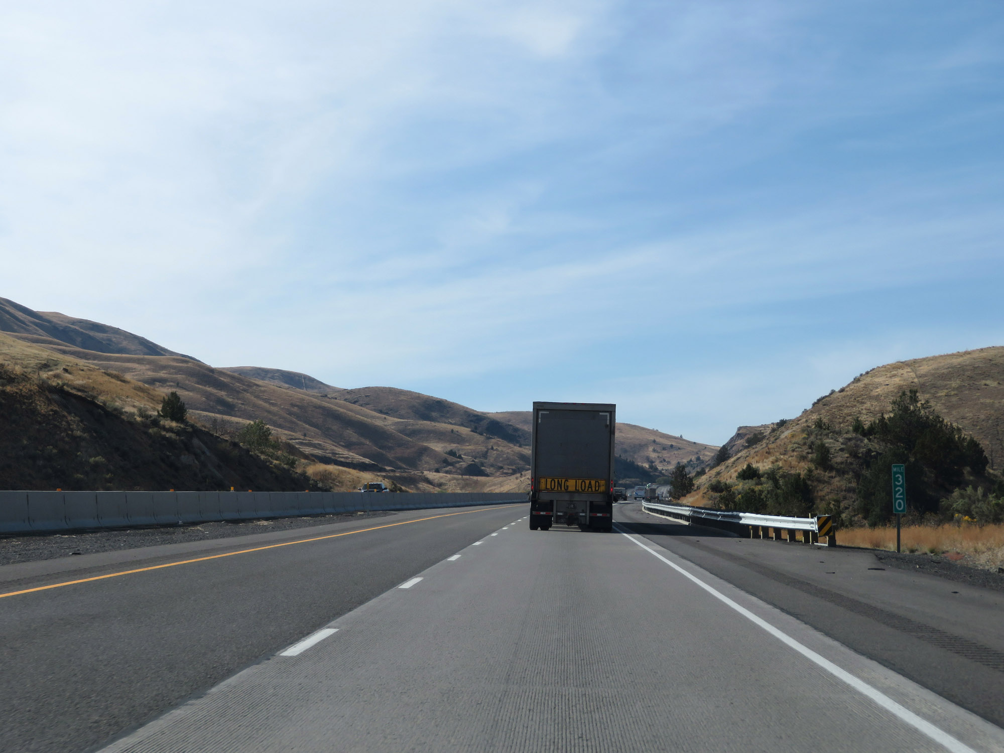 |
Interstate 84 West at mile marker 320. (Photo taken 9/25/19). |
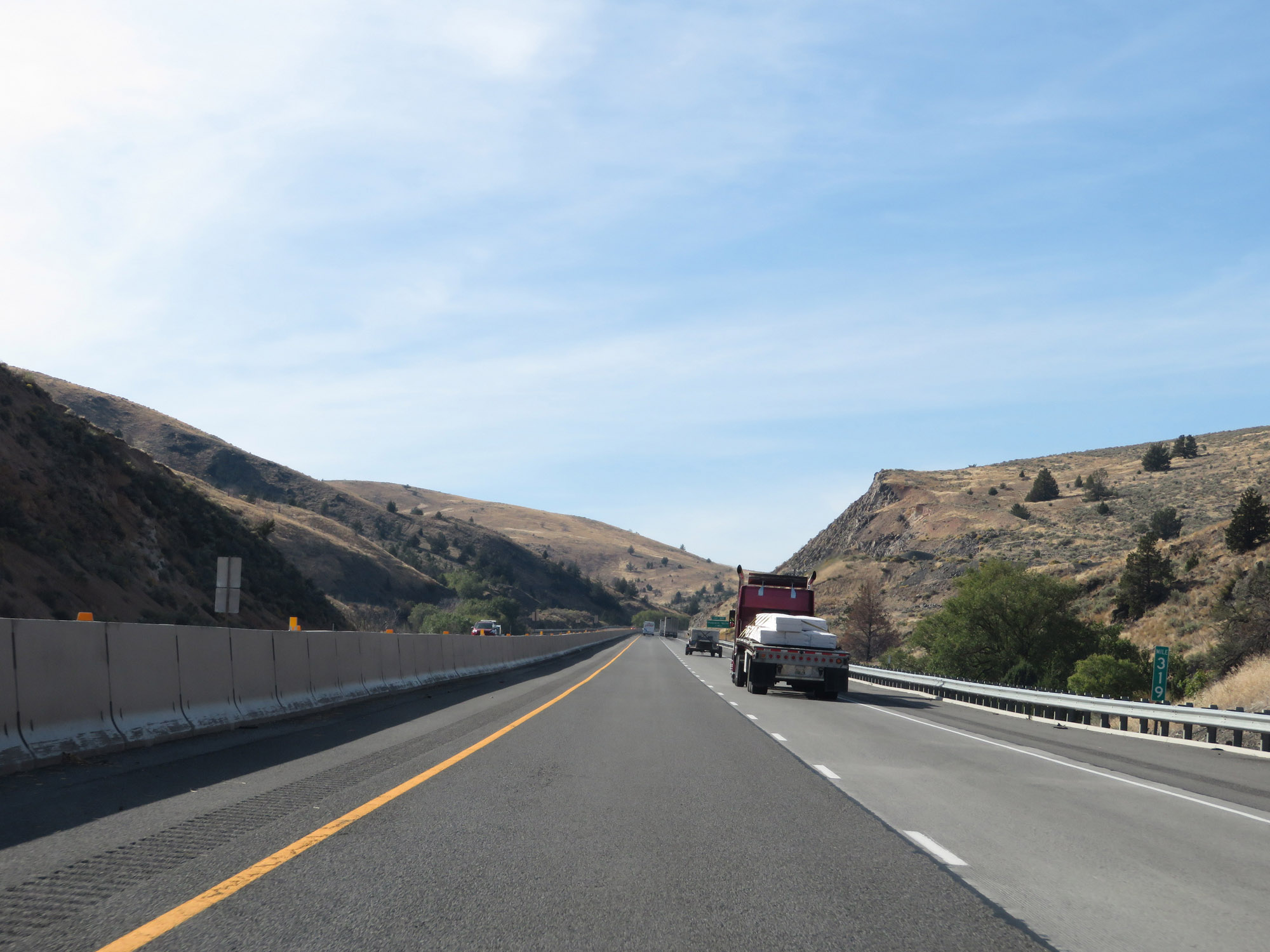 |
View on Interstate 84 West at mile marker 319. (Photo taken 9/25/19). |
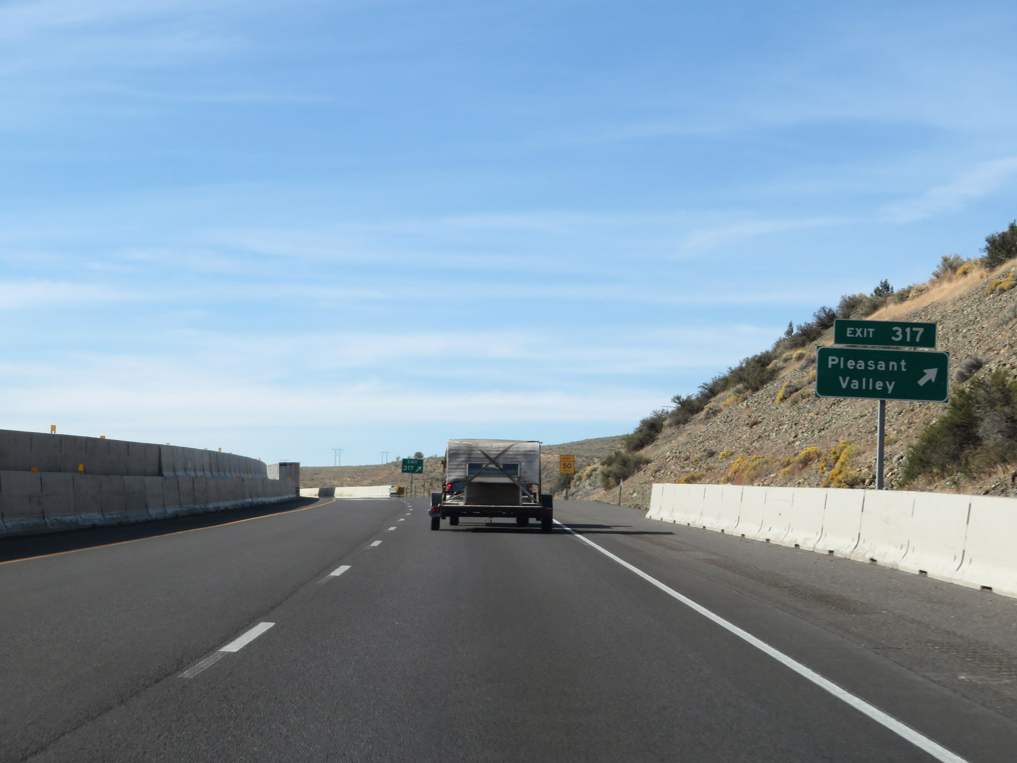 |
Interstate 84 West at Exit 317: Pleasant Valley (Photo taken 9/25/19). |
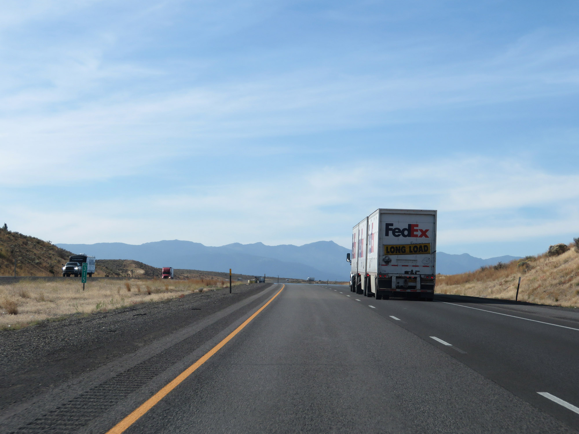 |
Interstate 84 West at mile marker 315. (Photo taken 9/25/19). |
 |
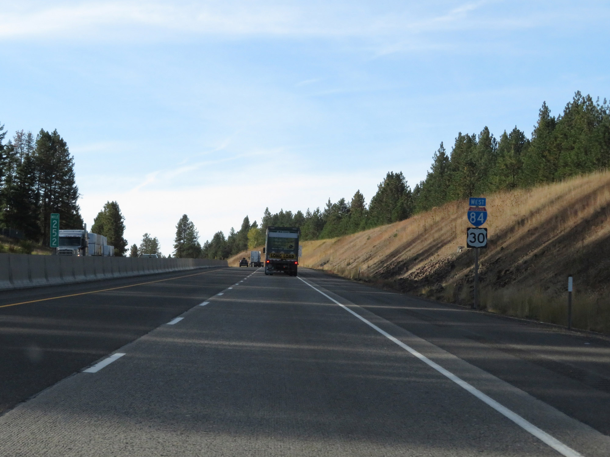
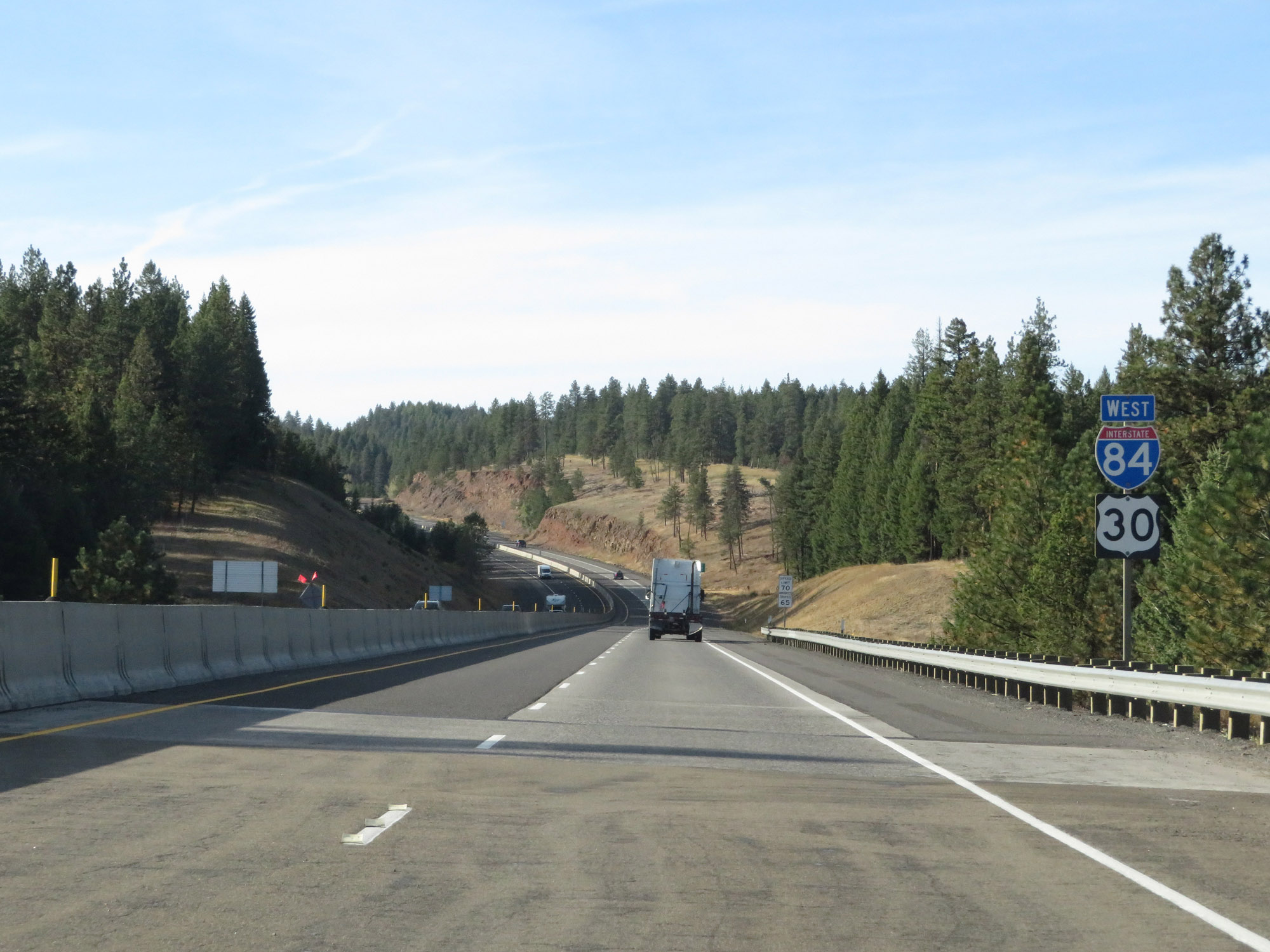
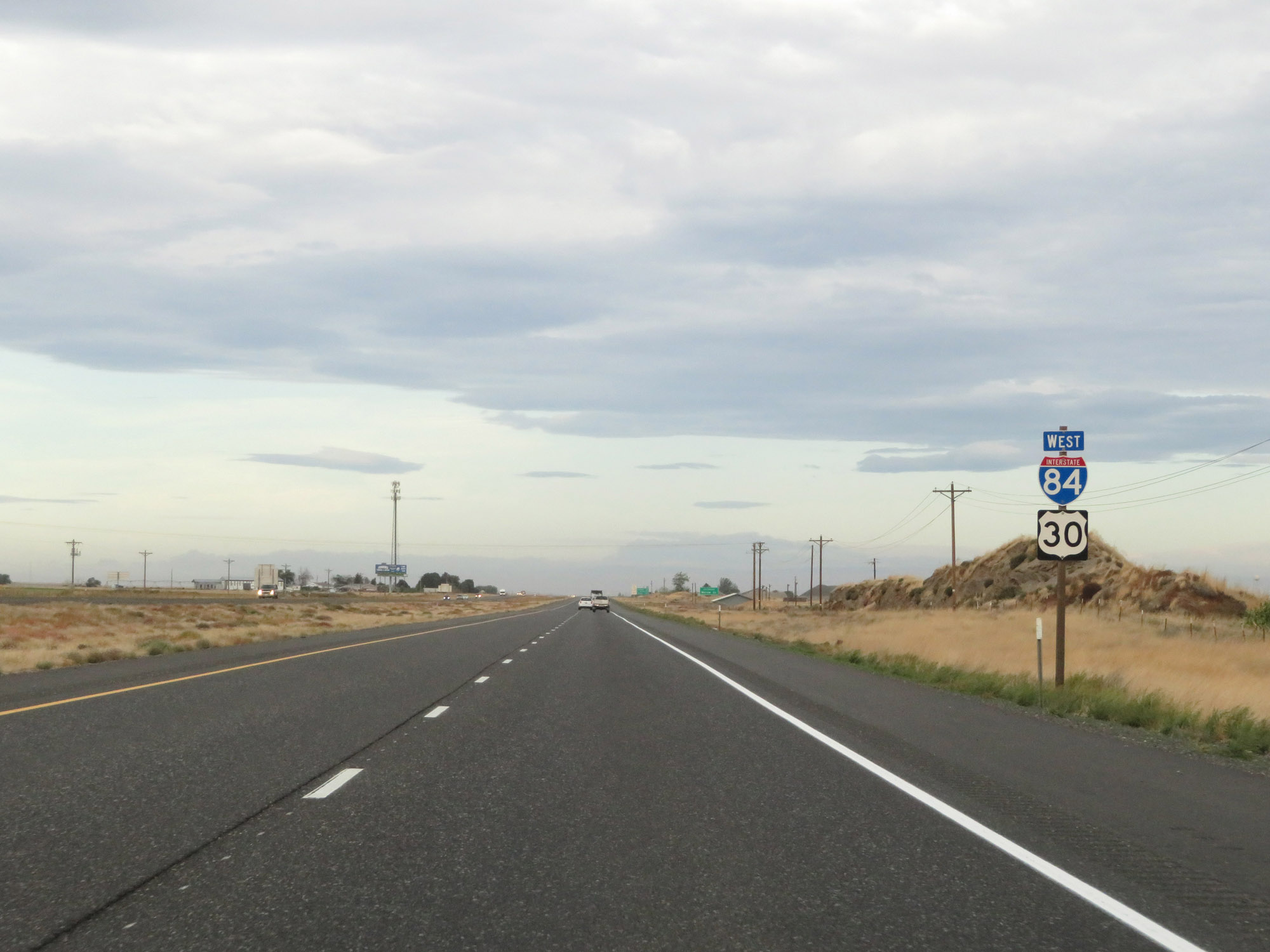
Interstate 84 West reassurance shield along with a US 30 West reassurance shield. (Photo taken 9/25/19). |
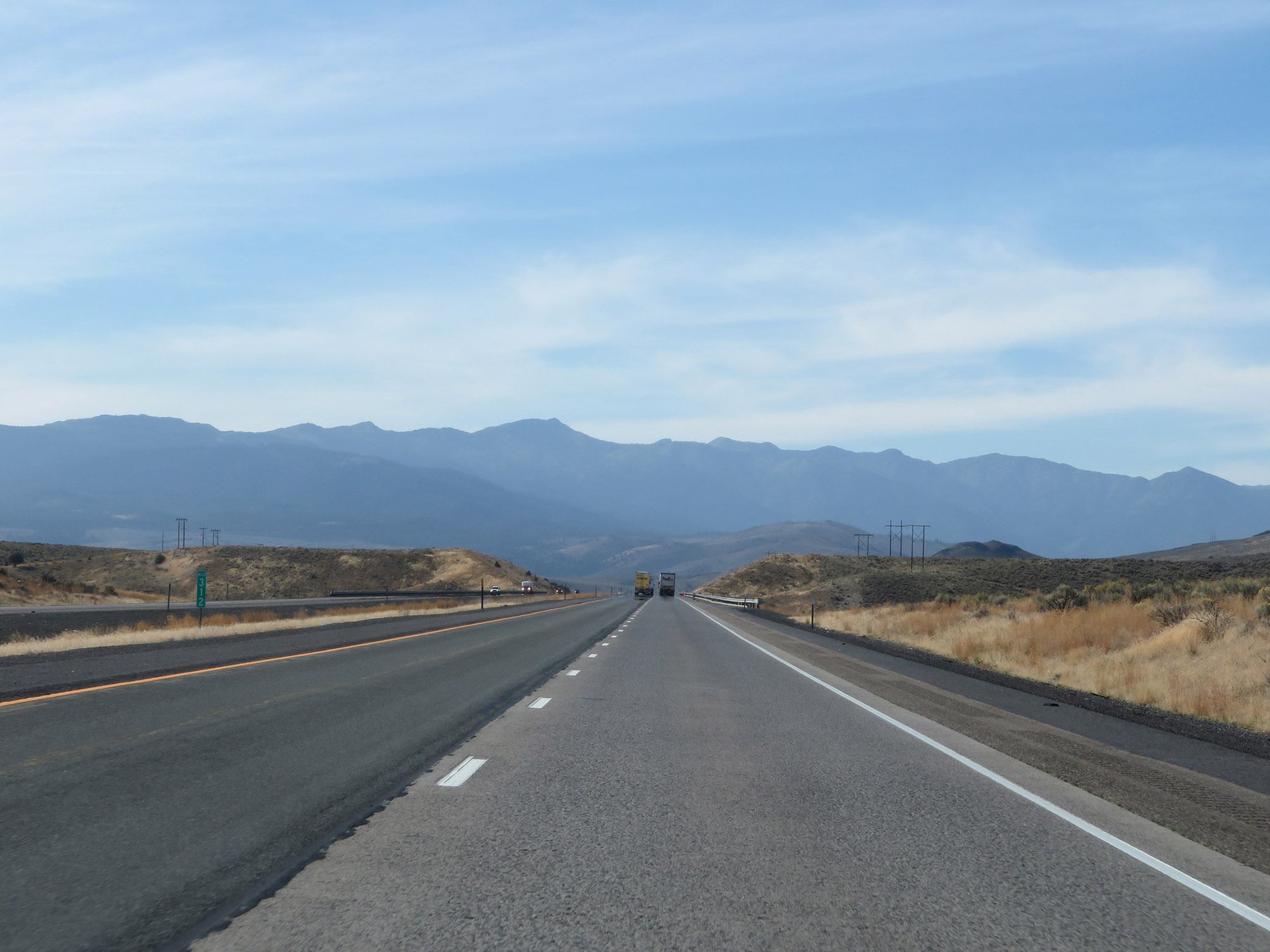 |
View on Interstate 84 West at mile marker 312. (Photo taken 9/25/19). |
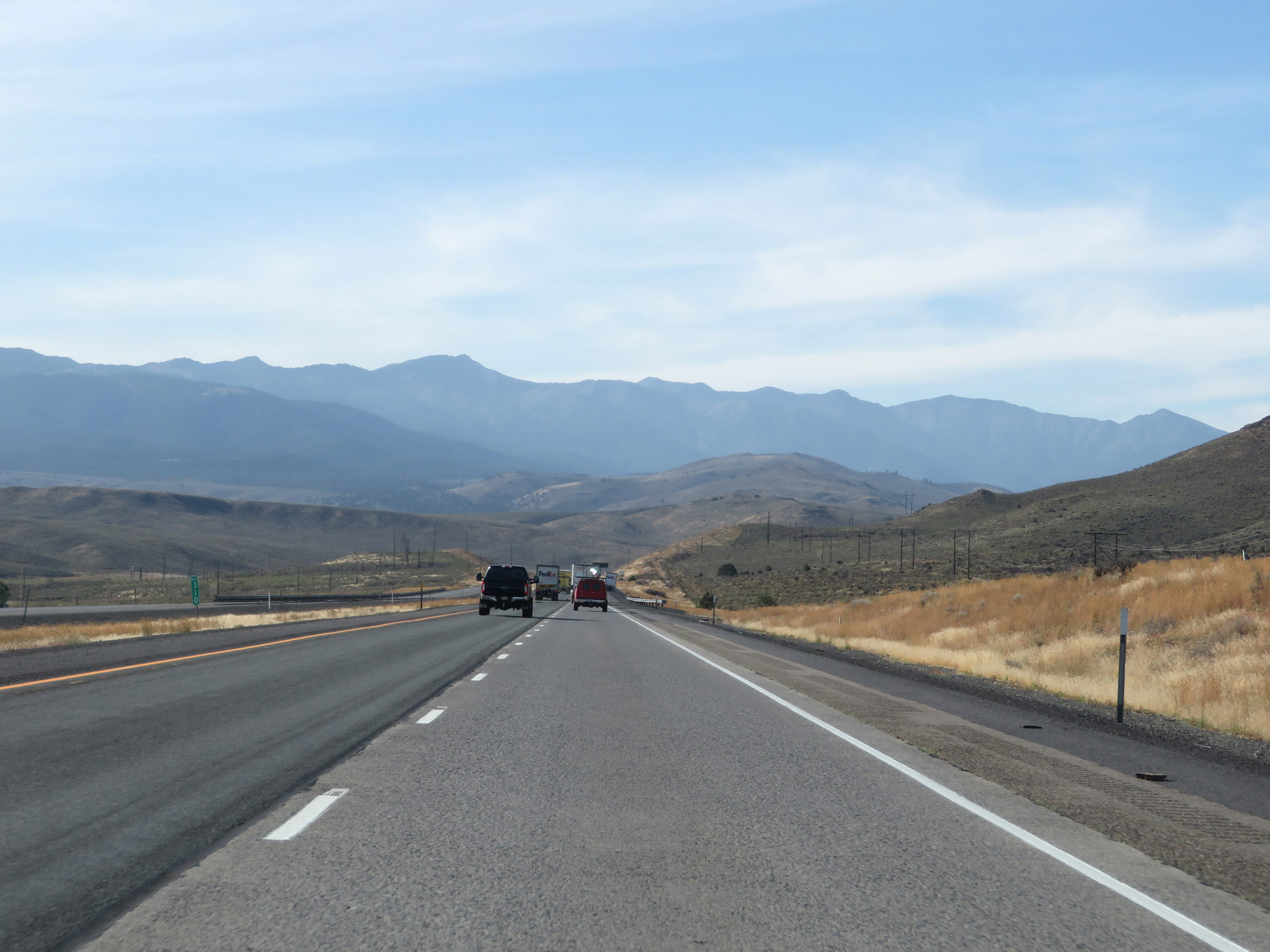 |
Interstate 84 West at mile marker 310. (Photo taken 9/25/19). |
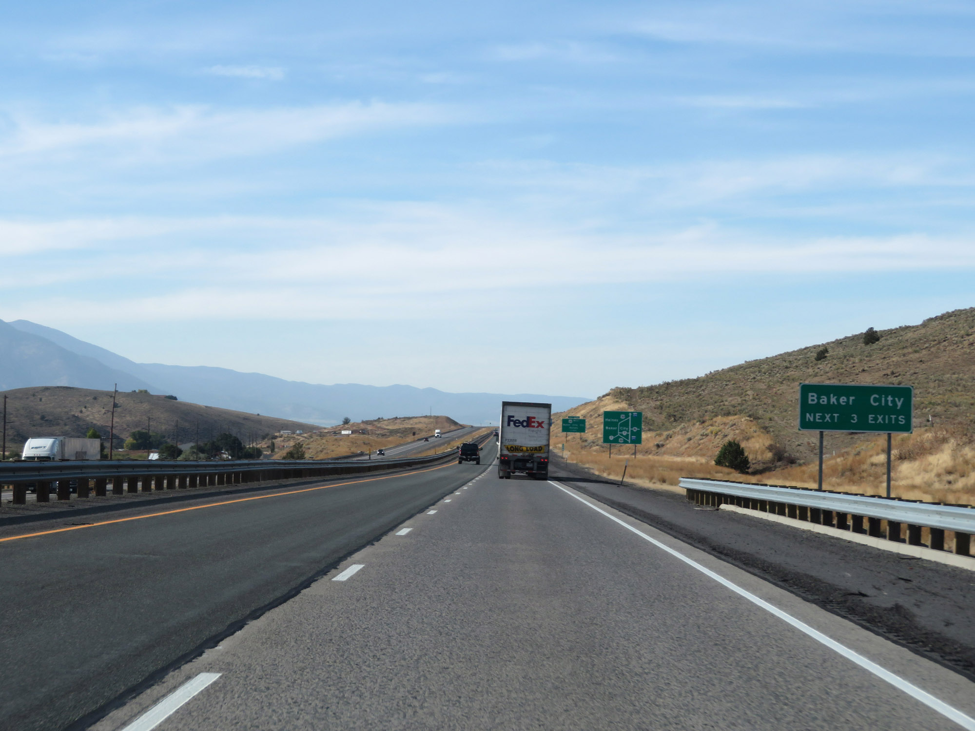 |
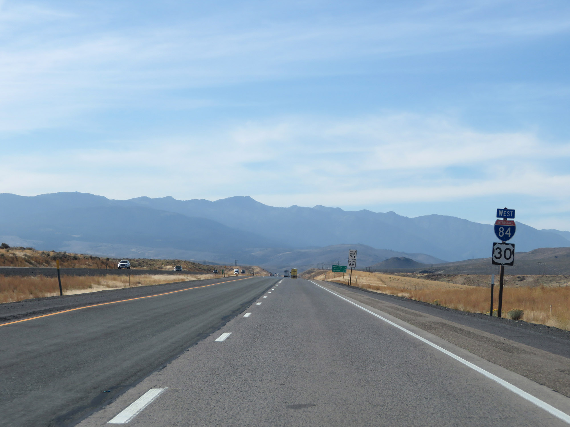
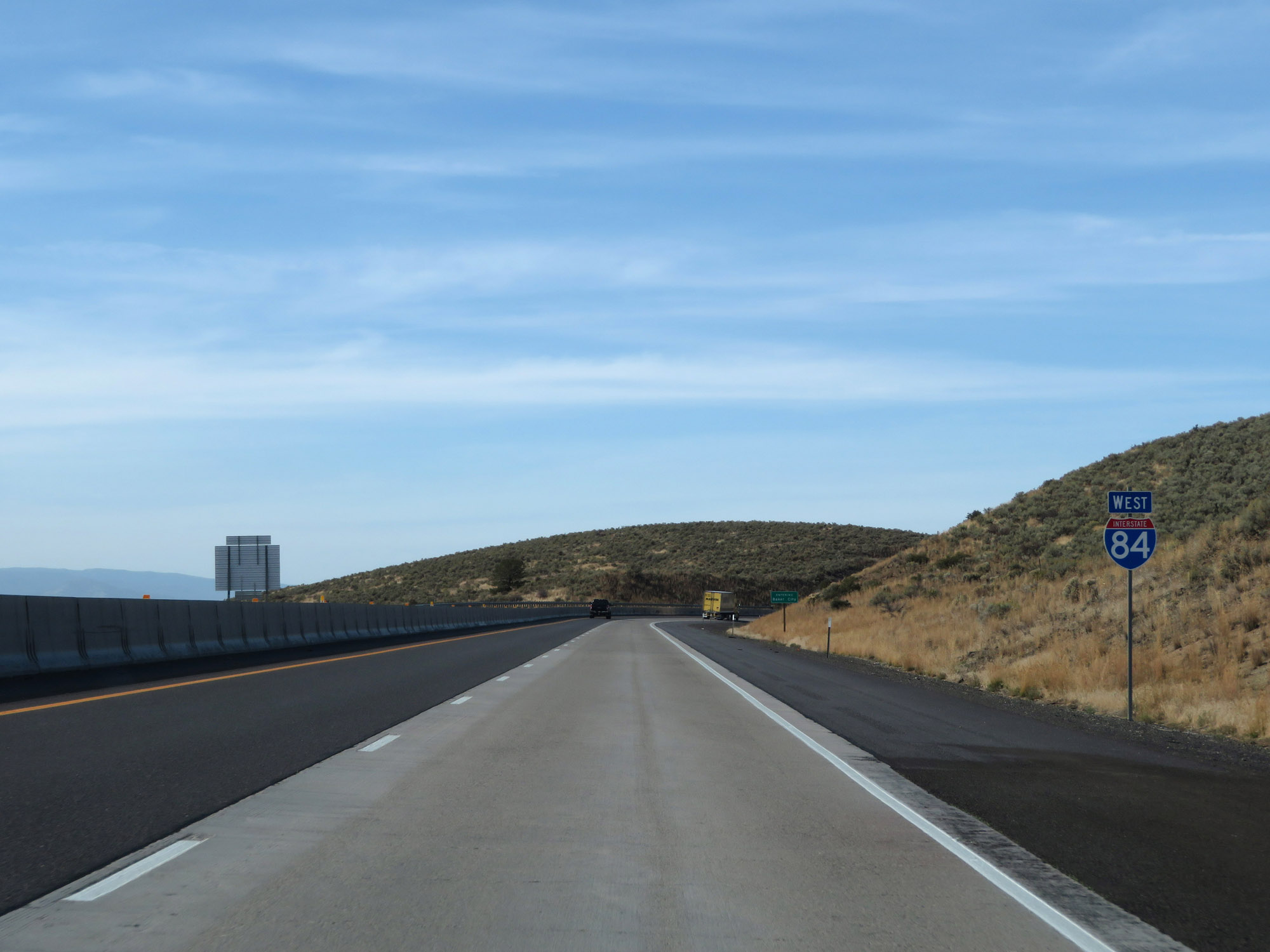
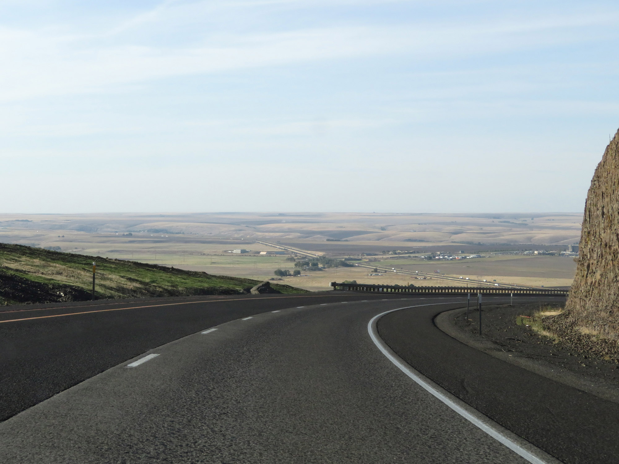
Take any of the next 3 exits to Baker City. (Photo taken 9/25/19). |
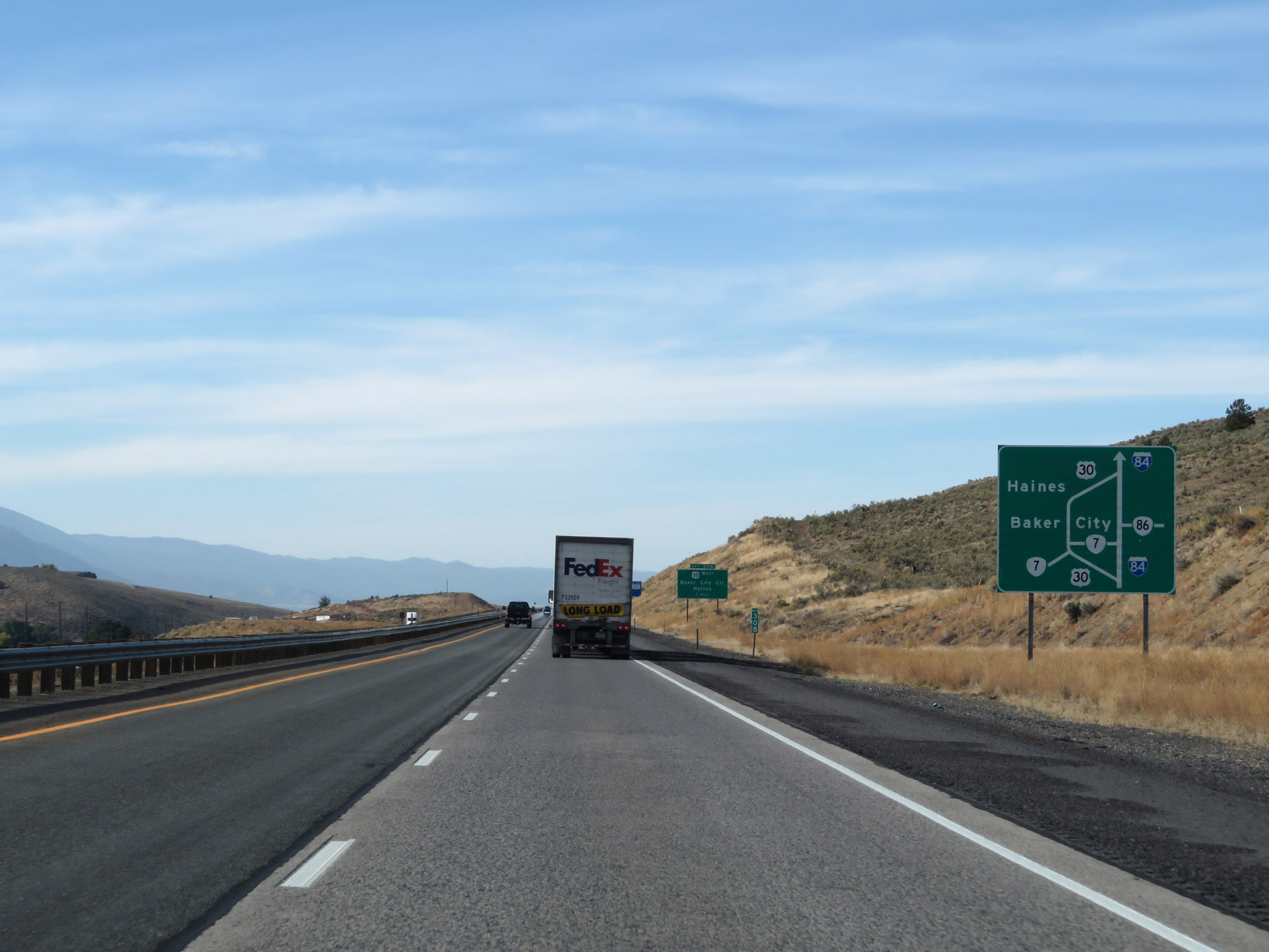 |
This sign gives a visual of the layout of roads in the Baker City area. US 30 West will depart Interstate 84 West and go into Baker City, at which point it will continue west and join back up with I-84 on the west end of town. (Photo taken 9/25/19). |
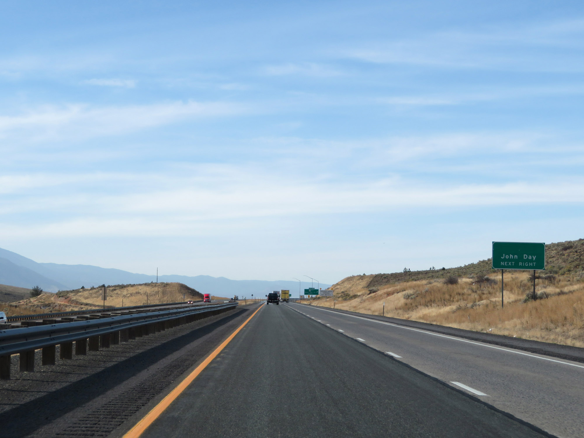 |
Take Exit 306 to John Day. (Photo taken 9/25/19). |
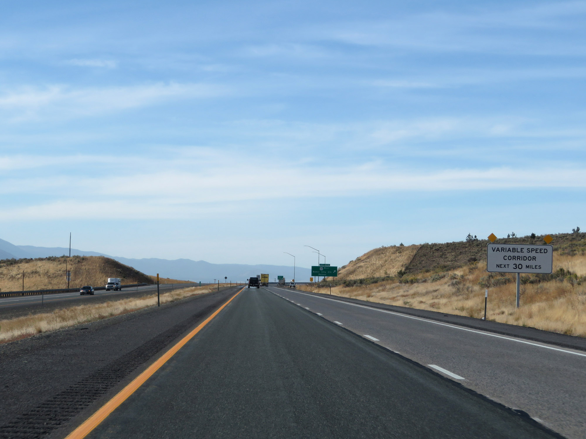 |
This sign warns that variable speed limits will be in effect on Interstate 84 West for the next 30 miles. (Photo taken 9/25/19). |
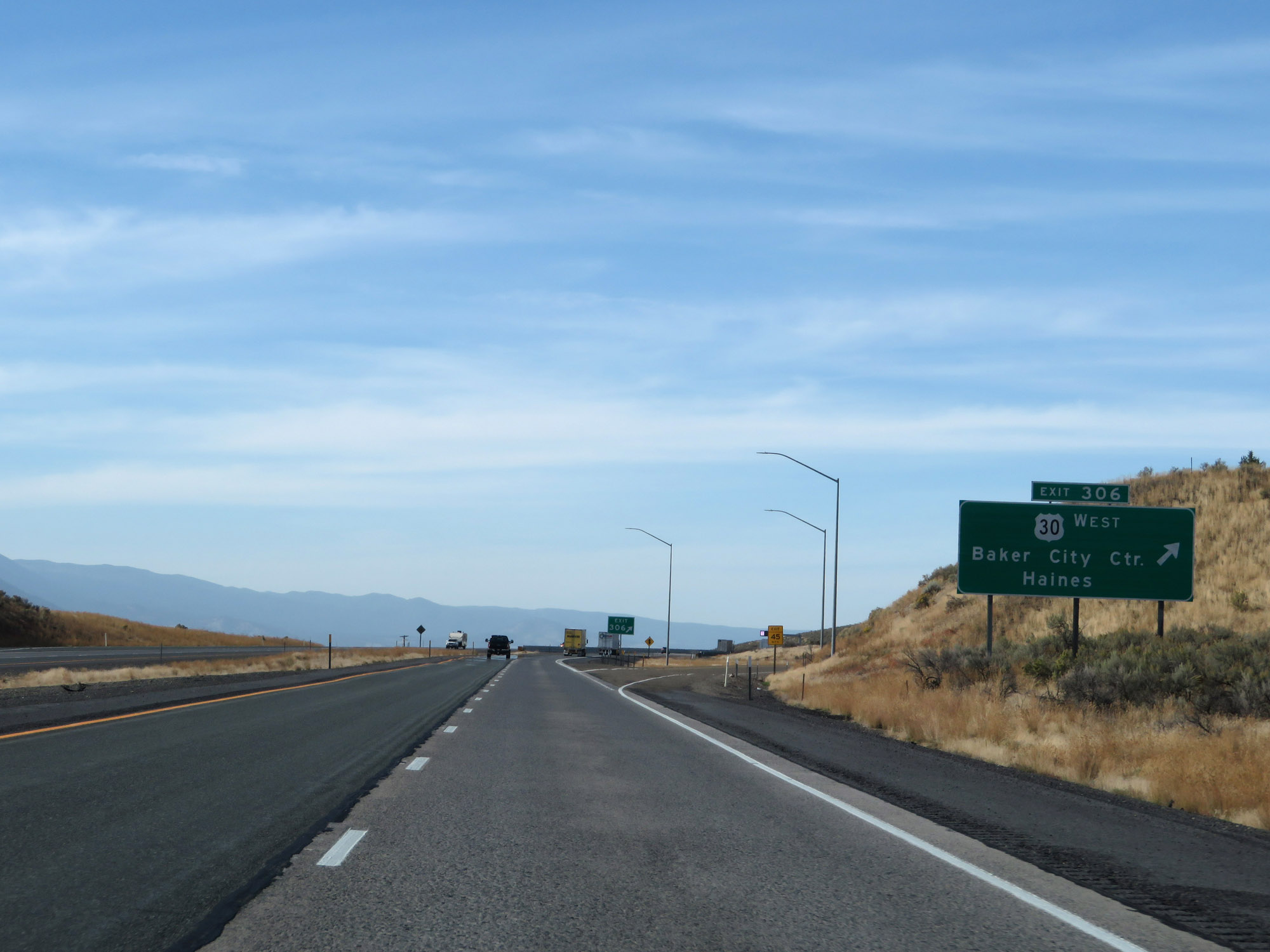 |
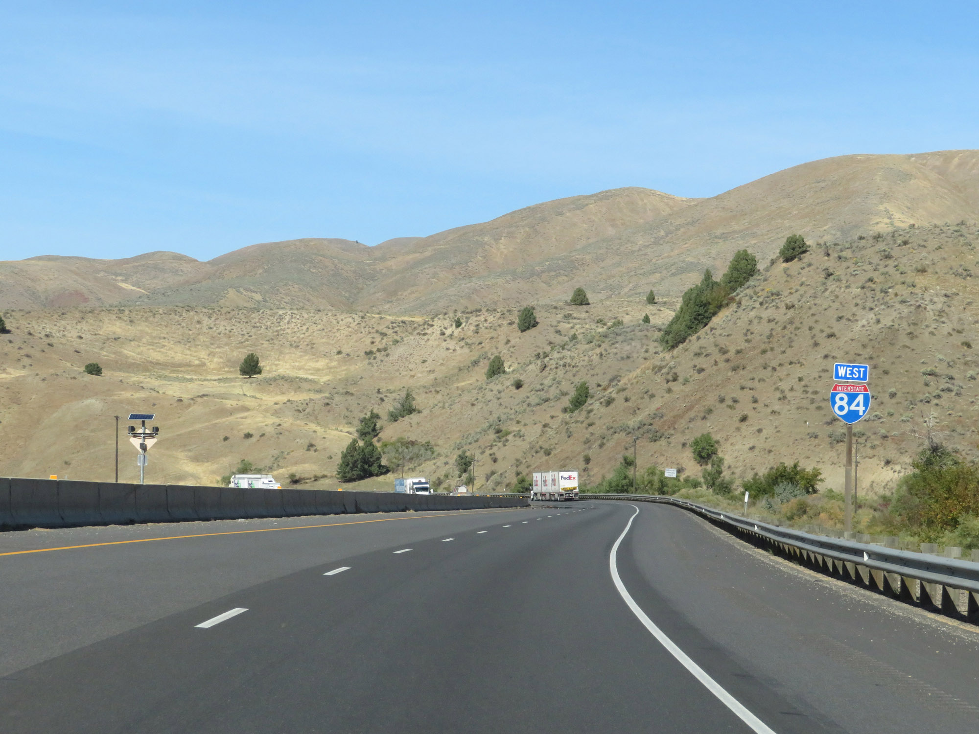
Interstate 84 West at Exit 306: US 30 West - Baker City Center / Haines (Photo taken 9/25/19). |
Section 2: Baker City (Exit 306) to La Grande (Exit 261)
 |
This overhead electronic sign shows the current speed limits in the variable speed limit zone. At the time, the speed limits remained the usual 70 mph for cars and 65 mph for trucks. (Photo taken 9/25/19). |
 |
Another Interstate 84 West reassurance shield. (Photo taken 9/25/19). |
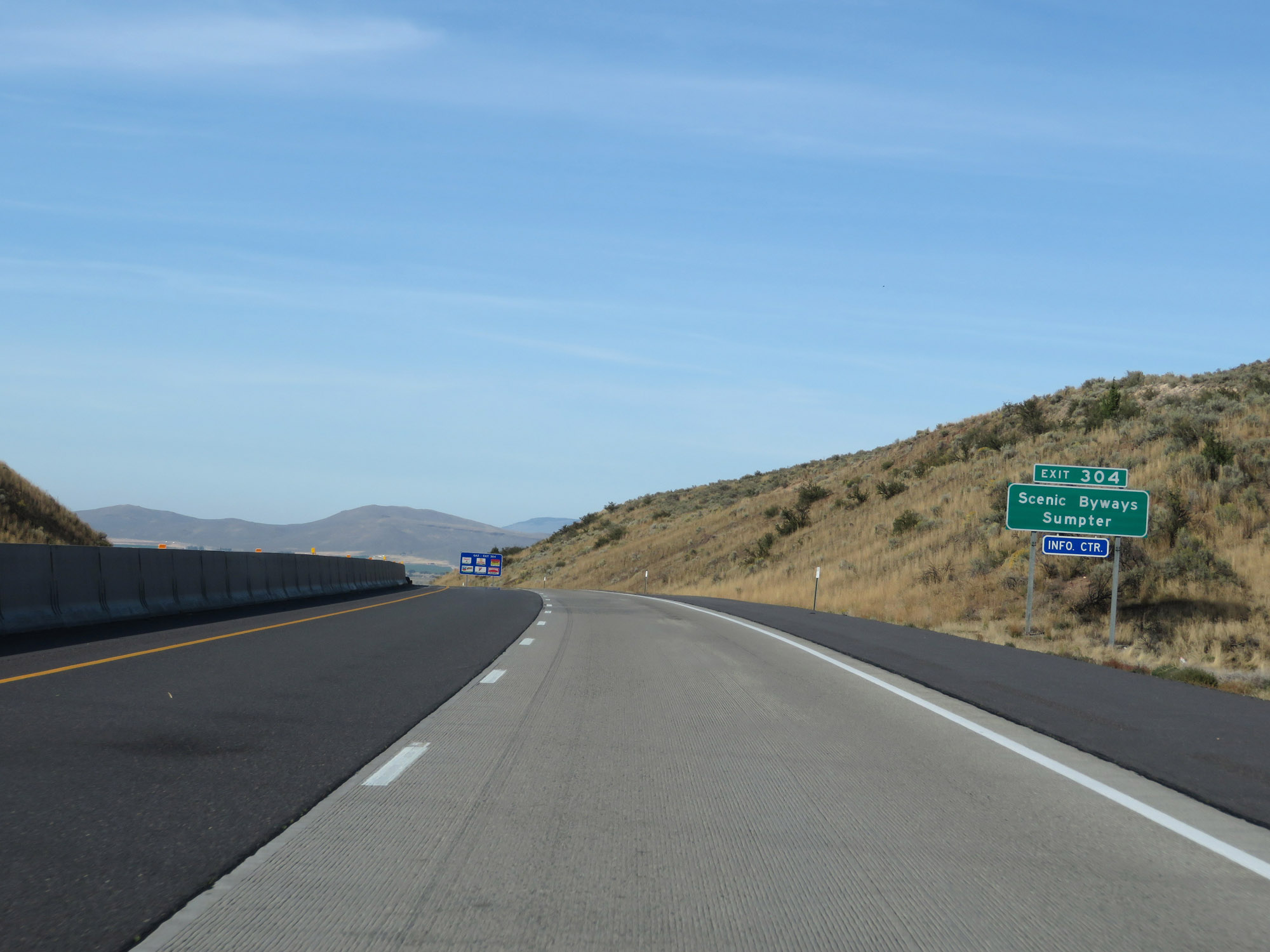 |
Take Exit 304 to the area's Scenic Byways and Sumpter. (Photo taken 9/25/19). |
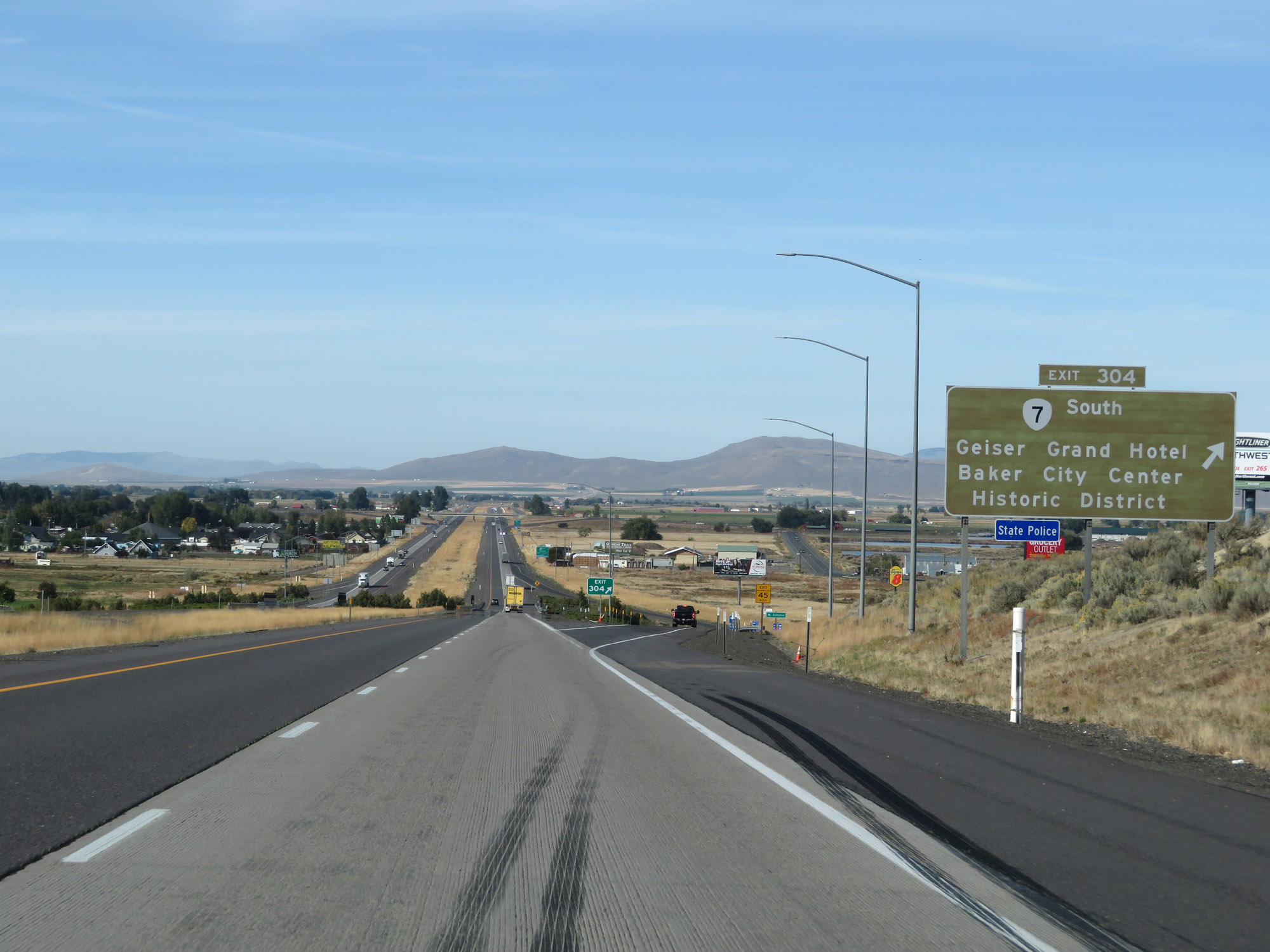 |
Interstate 84 West at Exit 304: OR 7 South - Geiser Grand Hotel / Baker City Center Historic District (Photo taken 9/25/19). |
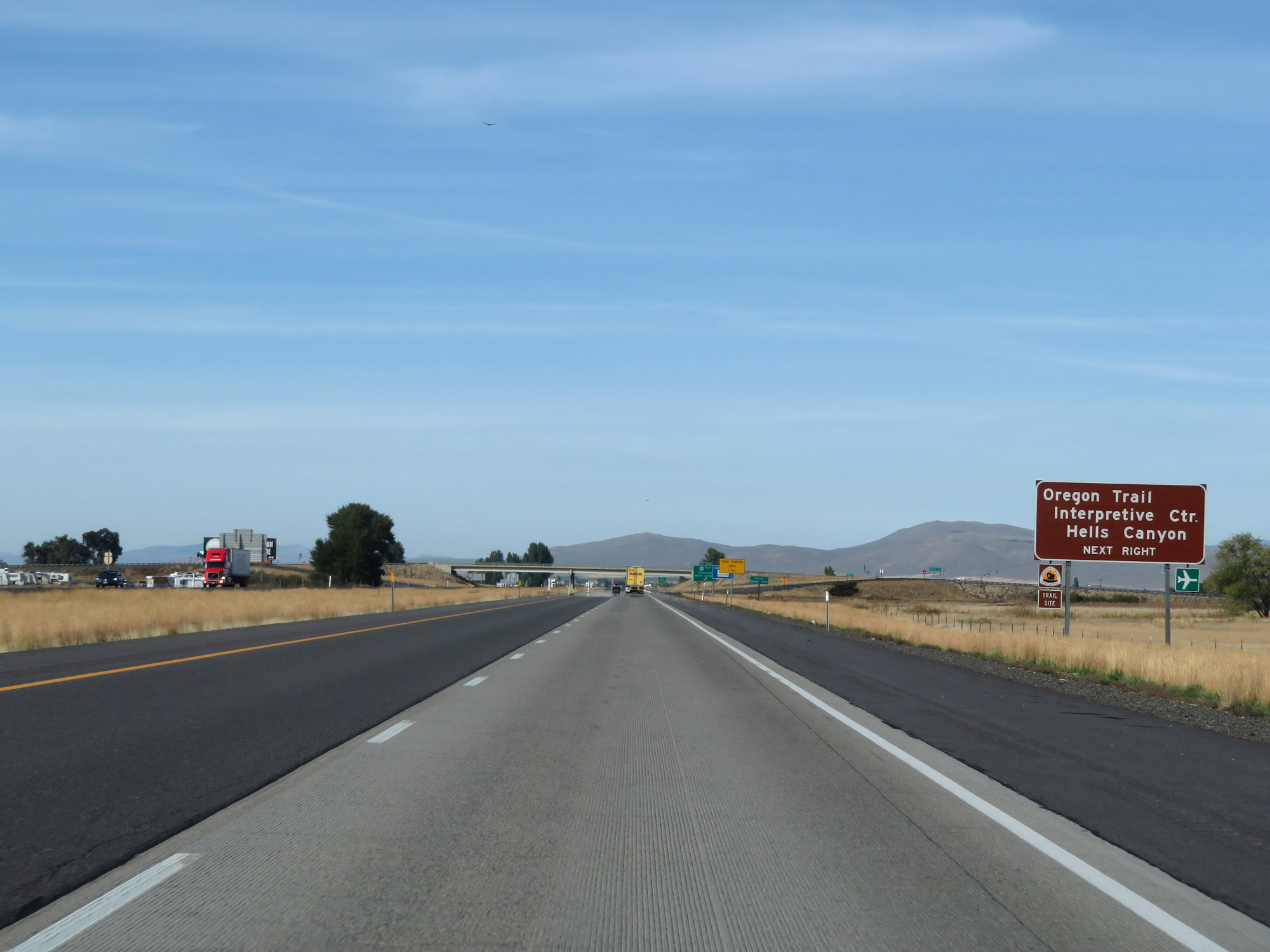 |
Take Exit 302 to the Oregon Trail Interpretive Center and Hells Canyon. (Photo taken 9/25/19). |
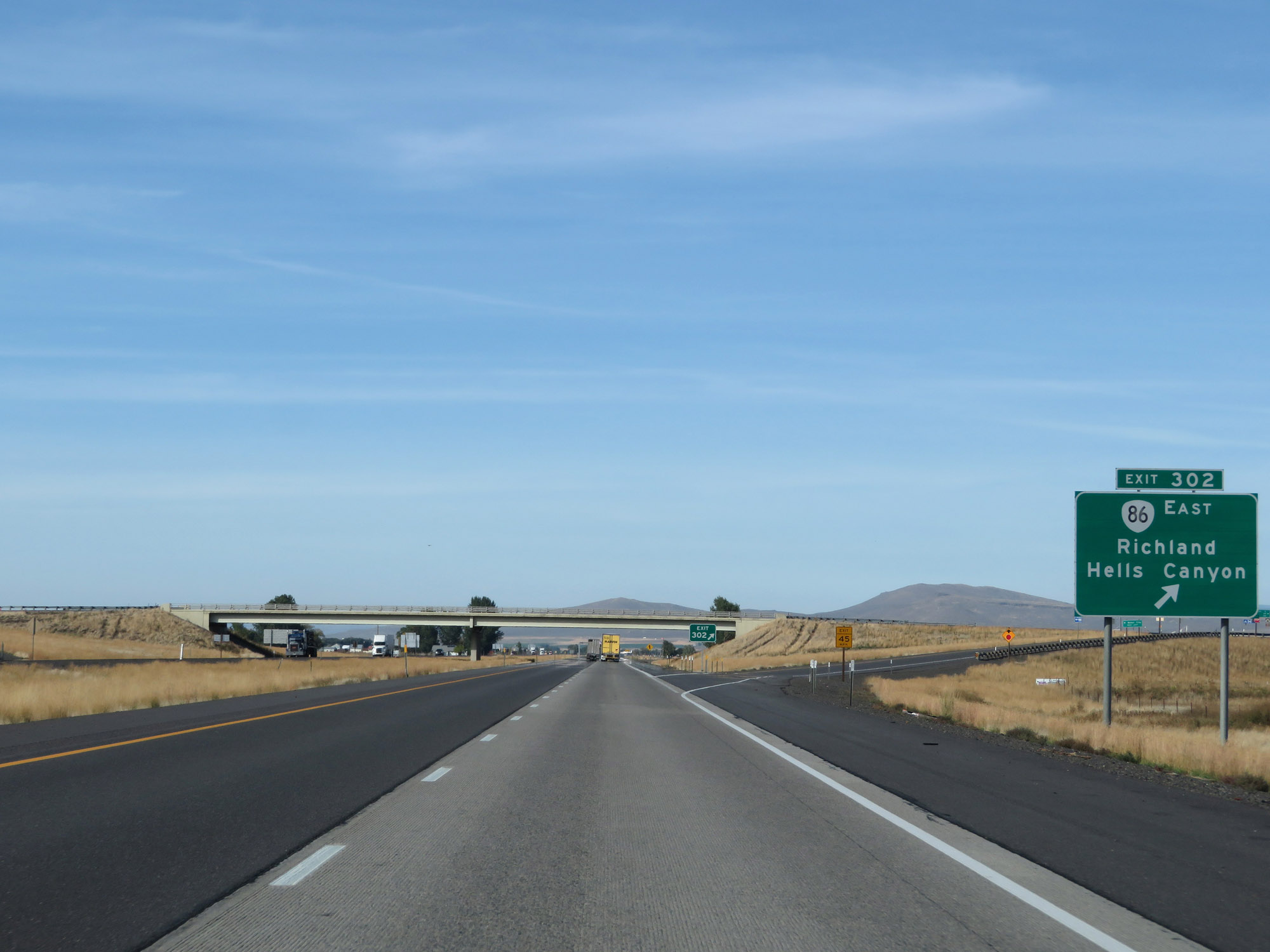 |
Interstate 84 West at Exit 302: OR 86 East - Richland / Hells Canyon (Photo taken 9/25/19). |
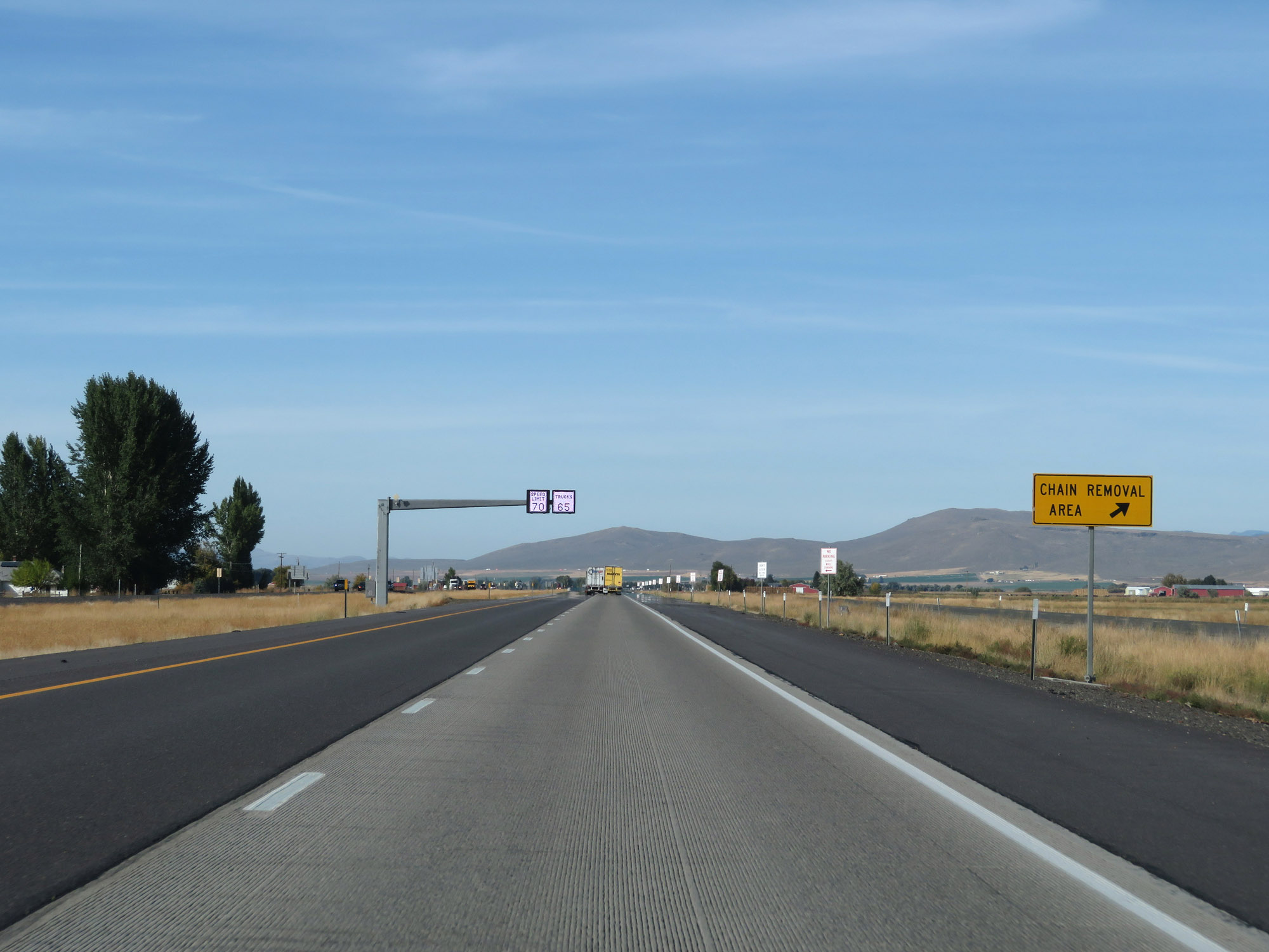 |
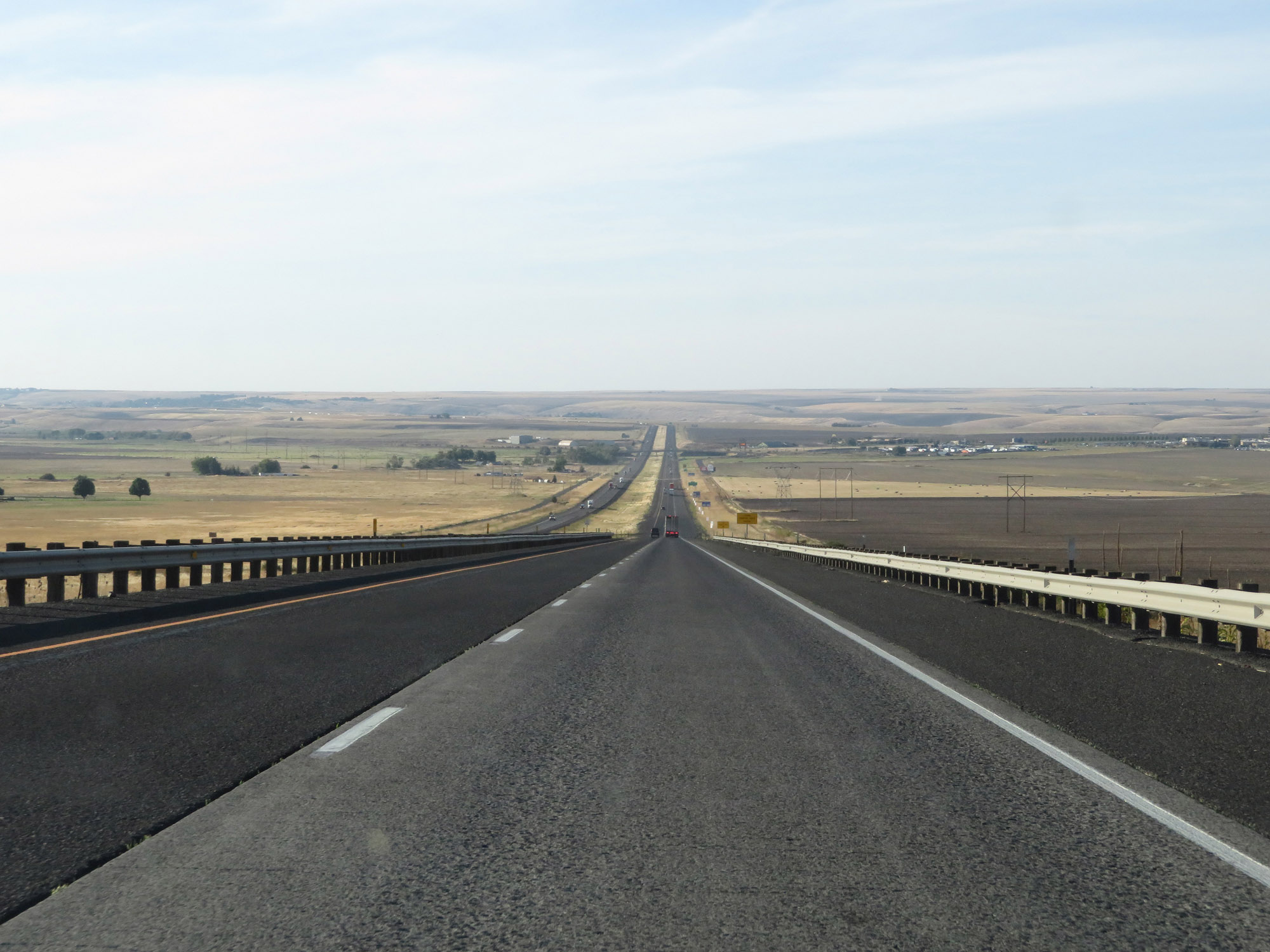
Chain Removal Area on Interstate 84 West in Baker City. (Photo taken 9/25/19). |
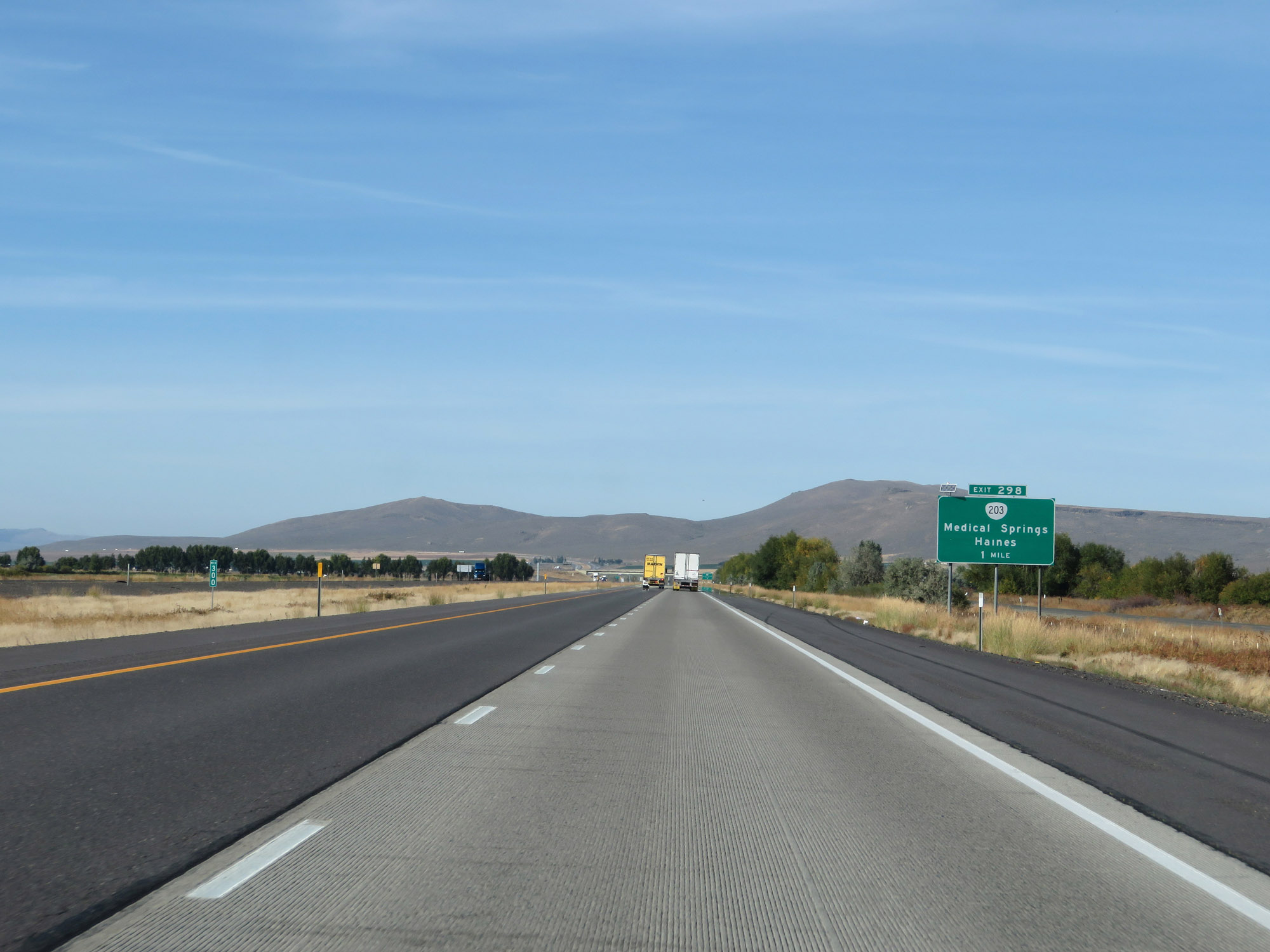 |
Interstate 84 West at mile marker 300. (Photo taken 9/25/19). |
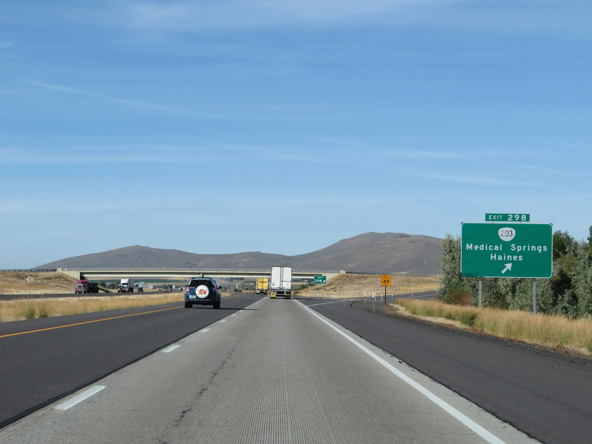 |
Interstate 84 West at Exit 298: OR 203 - Medical Springs / Haines (Photo taken 9/25/19). |
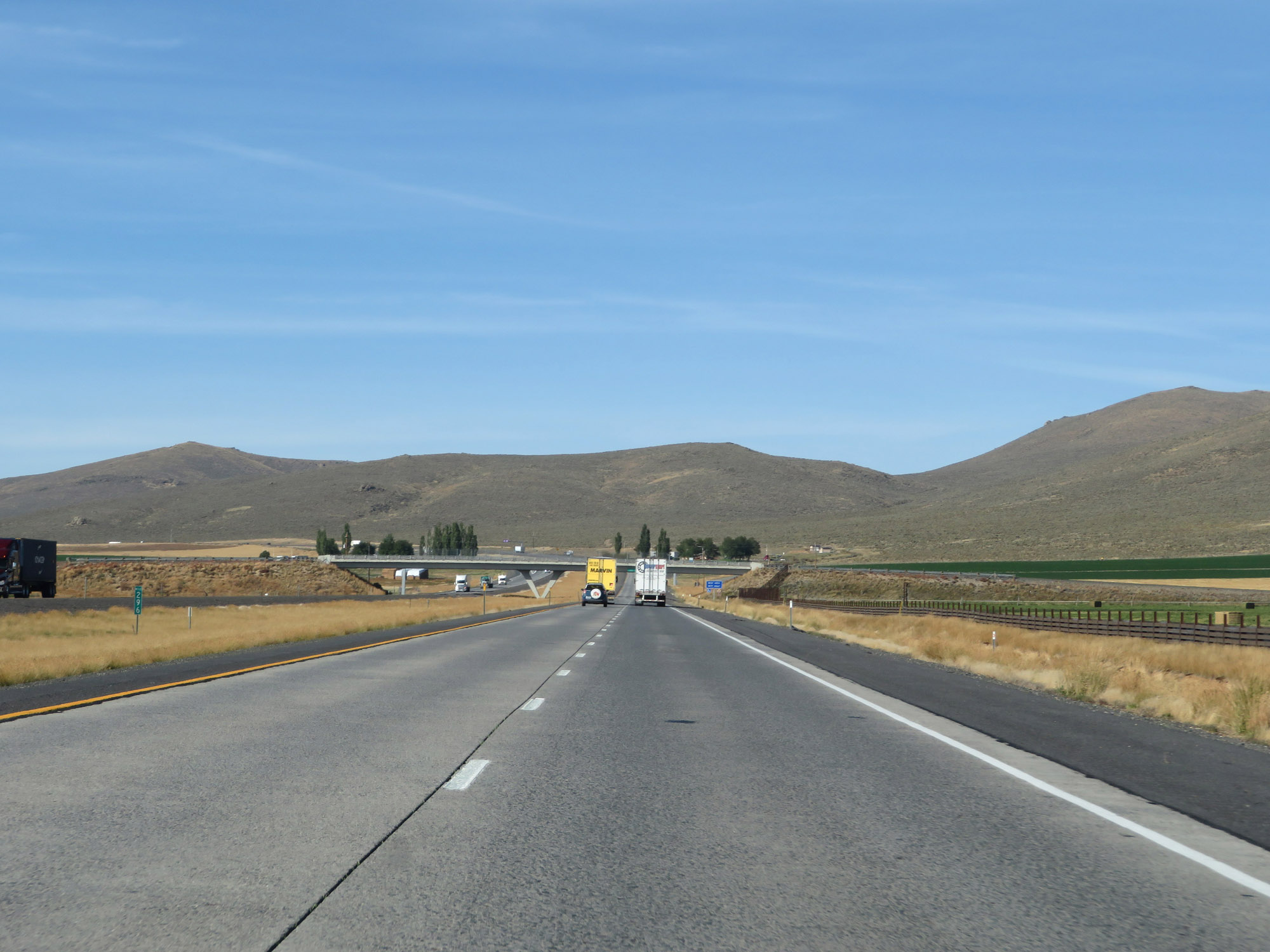 |
View on Interstate 84 West at mile marker 296. (Photo taken 9/25/19). |
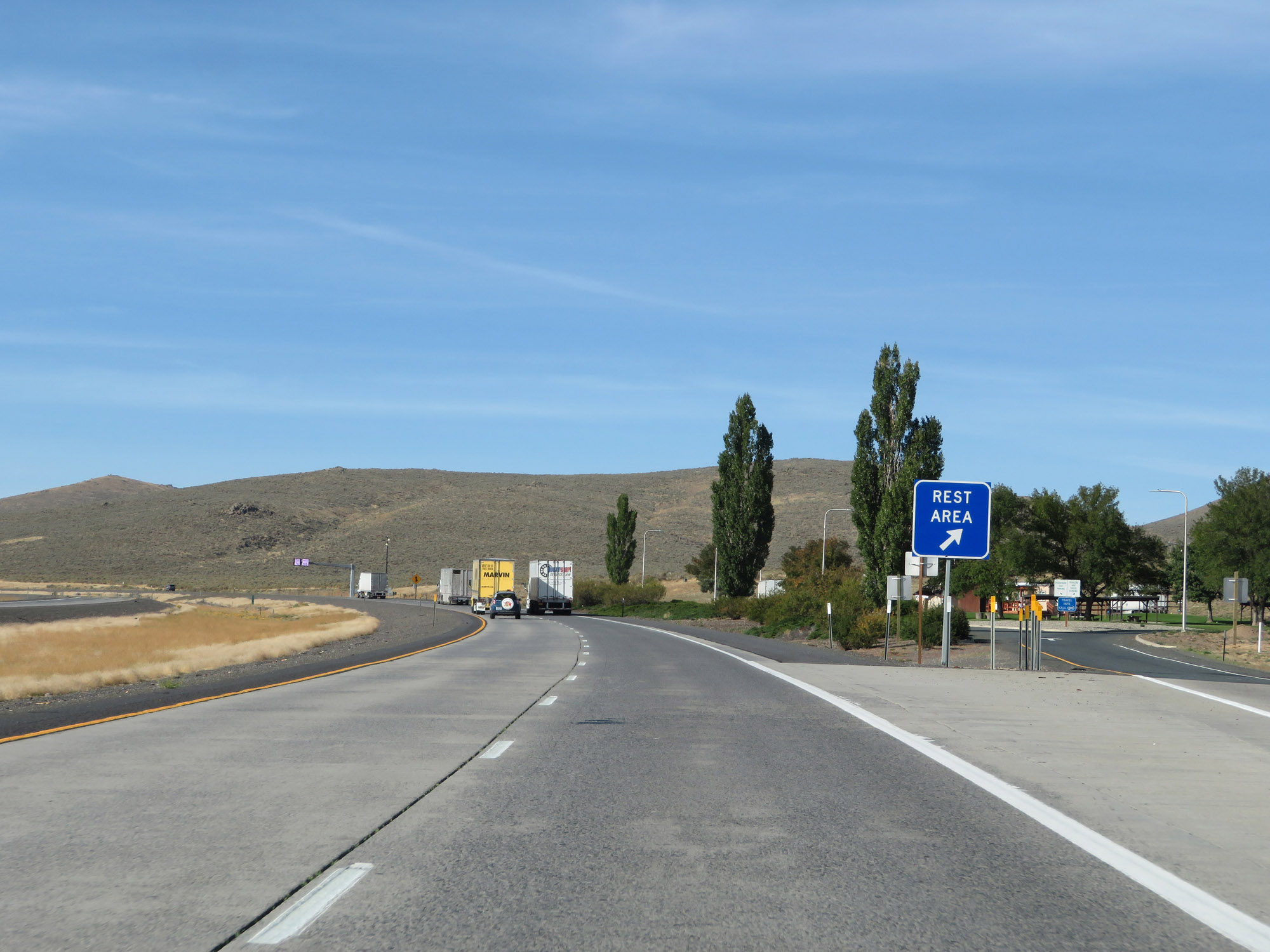 |
Rest Area on Interstate 84 West in Baker County. (Photo taken 9/25/19). |
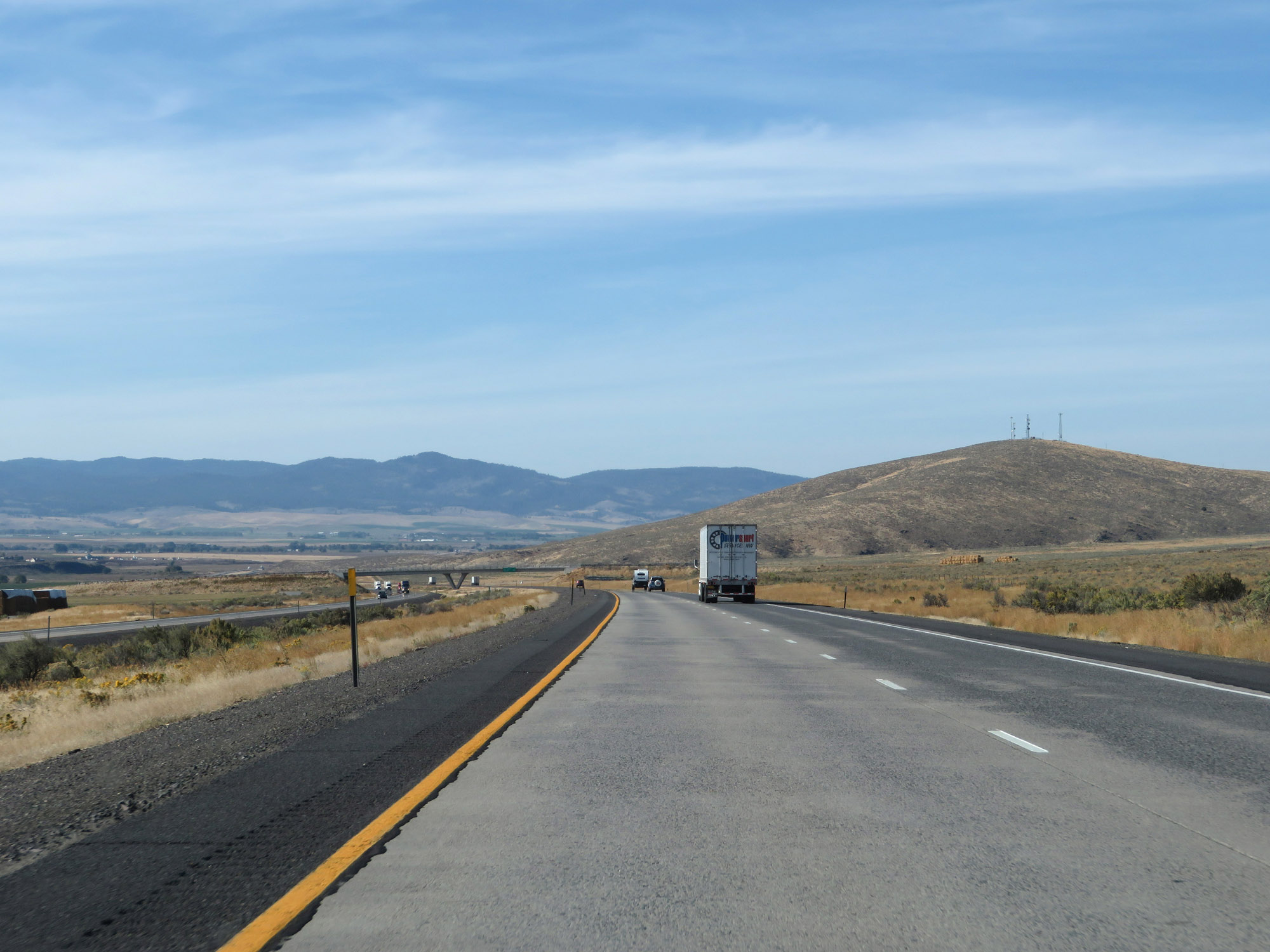 |
View on Interstate 84 West as it leaves the Baker City area. (Photo taken 9/25/19). |
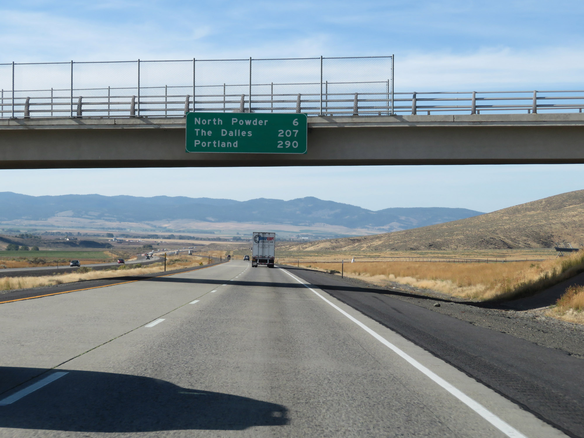 |
Overhead mileage sign on Interstate 84 West. It's 6 miles to North Powder, 207 miles to The Dalles, and 290 miles to Portland. (Photo taken 9/25/19). |
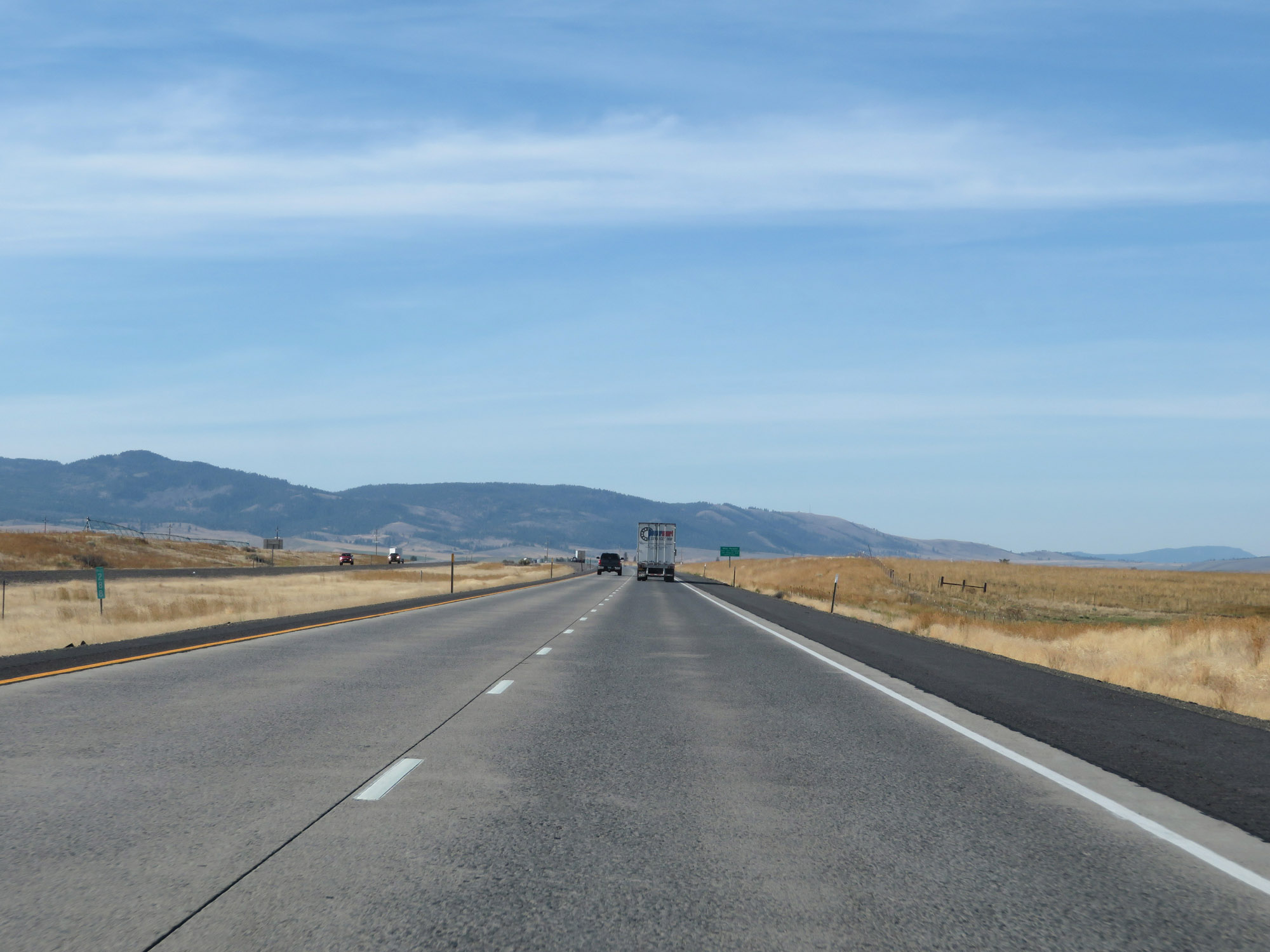 |
Interstate 84 West at mile marker 288. (Photo taken 9/25/19). |
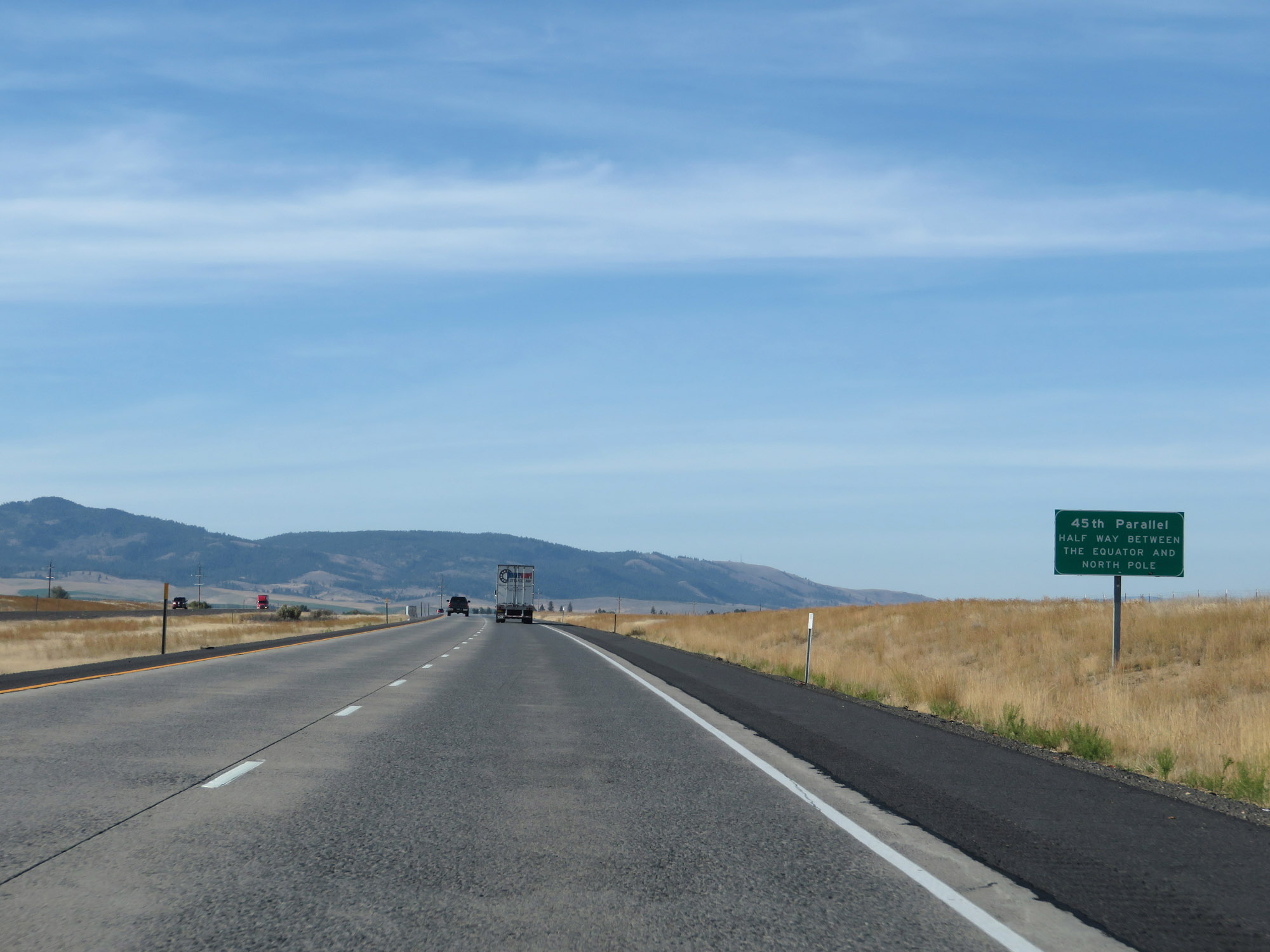 |
Just beyond mile marker 288, Interstate 84 West crosses the 45th Parallel, which means that at this point, you're exactly halfway between the equator and North Pole. (Photo taken 9/25/19). |
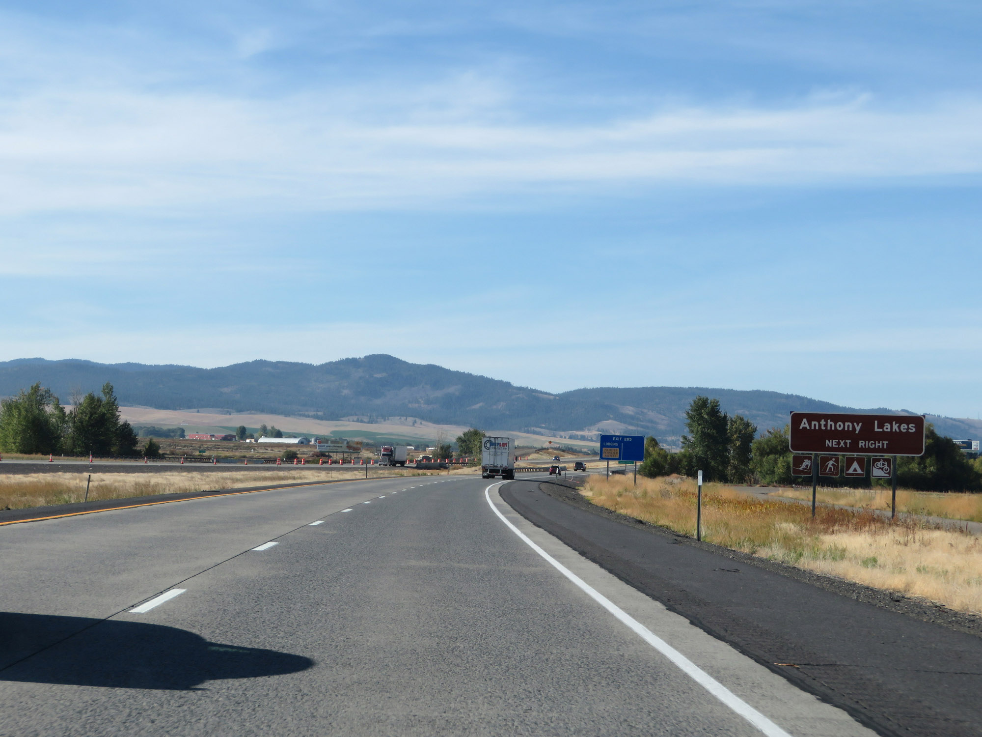 |
Take Exit 285 to Anthony Lakes. (Photo taken 9/25/19). |
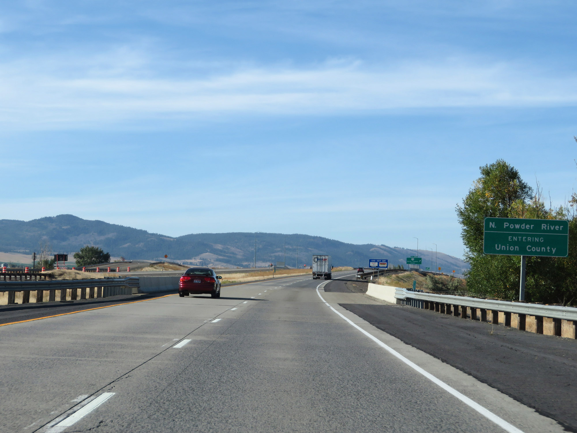 |
Upon crossing the North Powder River just before Exit 285, Interstate 84 West enters Union County. (Photo taken 9/25/19). |
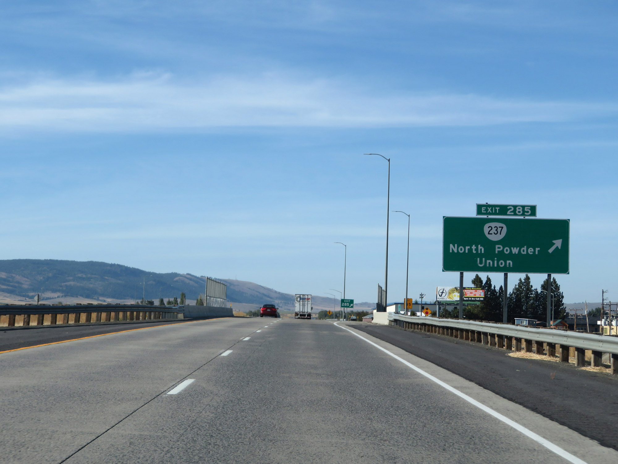 |
Interstate 84 West at Exit 285: OR 237 - North Powder / Union (Photo taken 9/25/19). |
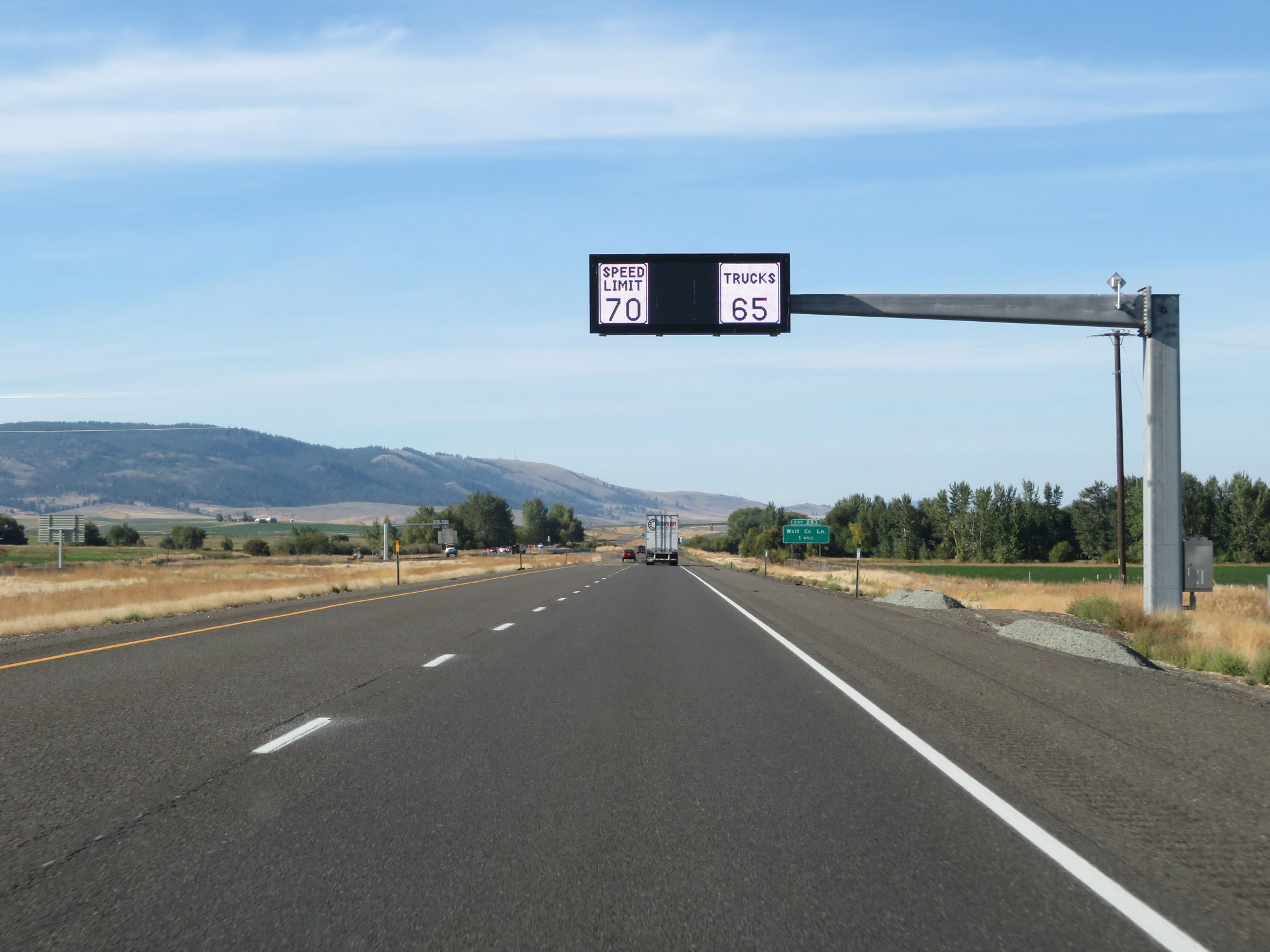 |
The variable speed limits remain in effect on Interstate 84 West. (Photo taken 9/25/19). |
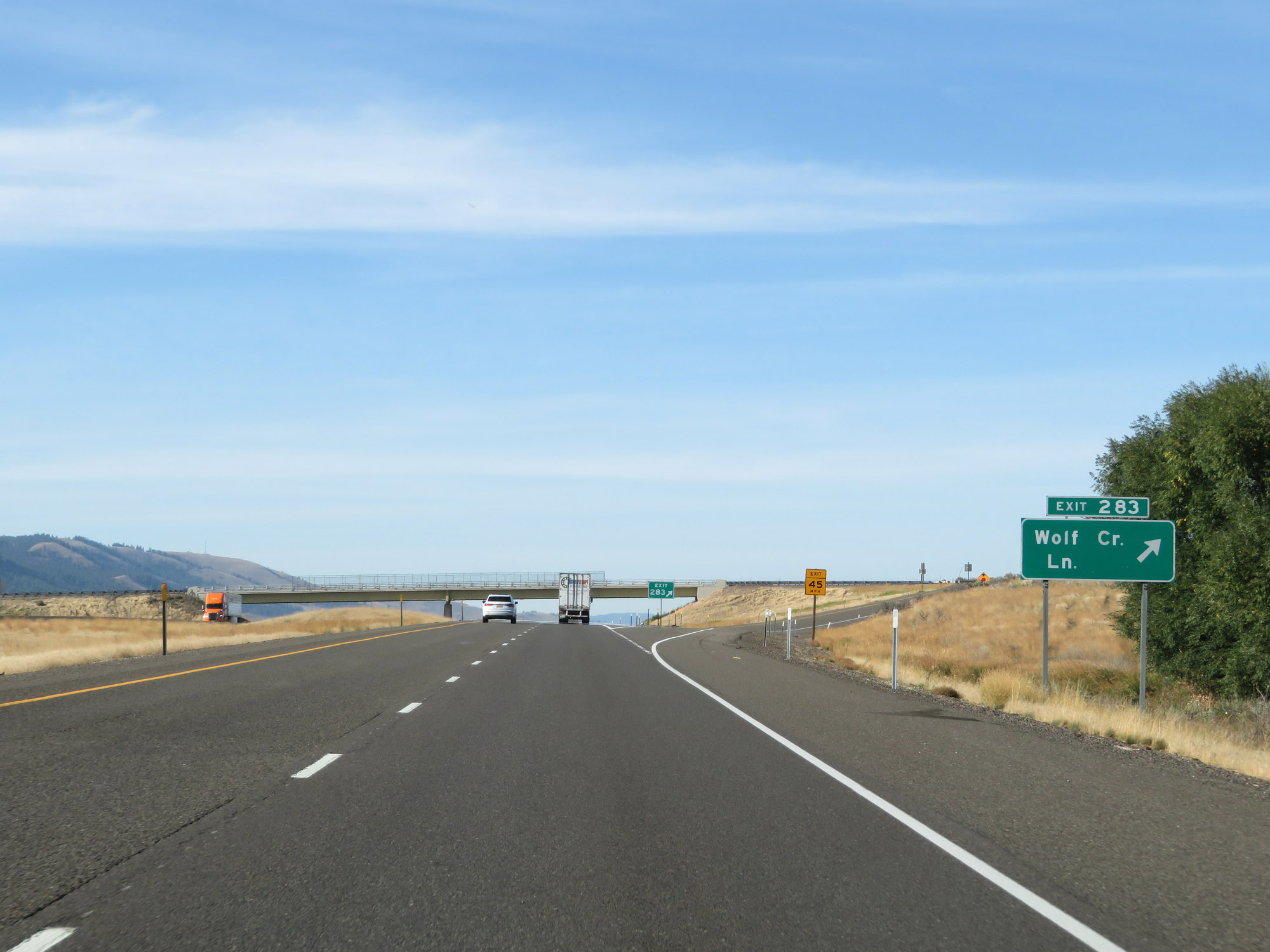 |
Interstate 84 West at Exit 283: Wolf Creek Ln (Photo taken 9/25/19). |
 |
Another set of Interstate 84 West / US 30 West reassurance shields. (Photo taken 9/25/19). |
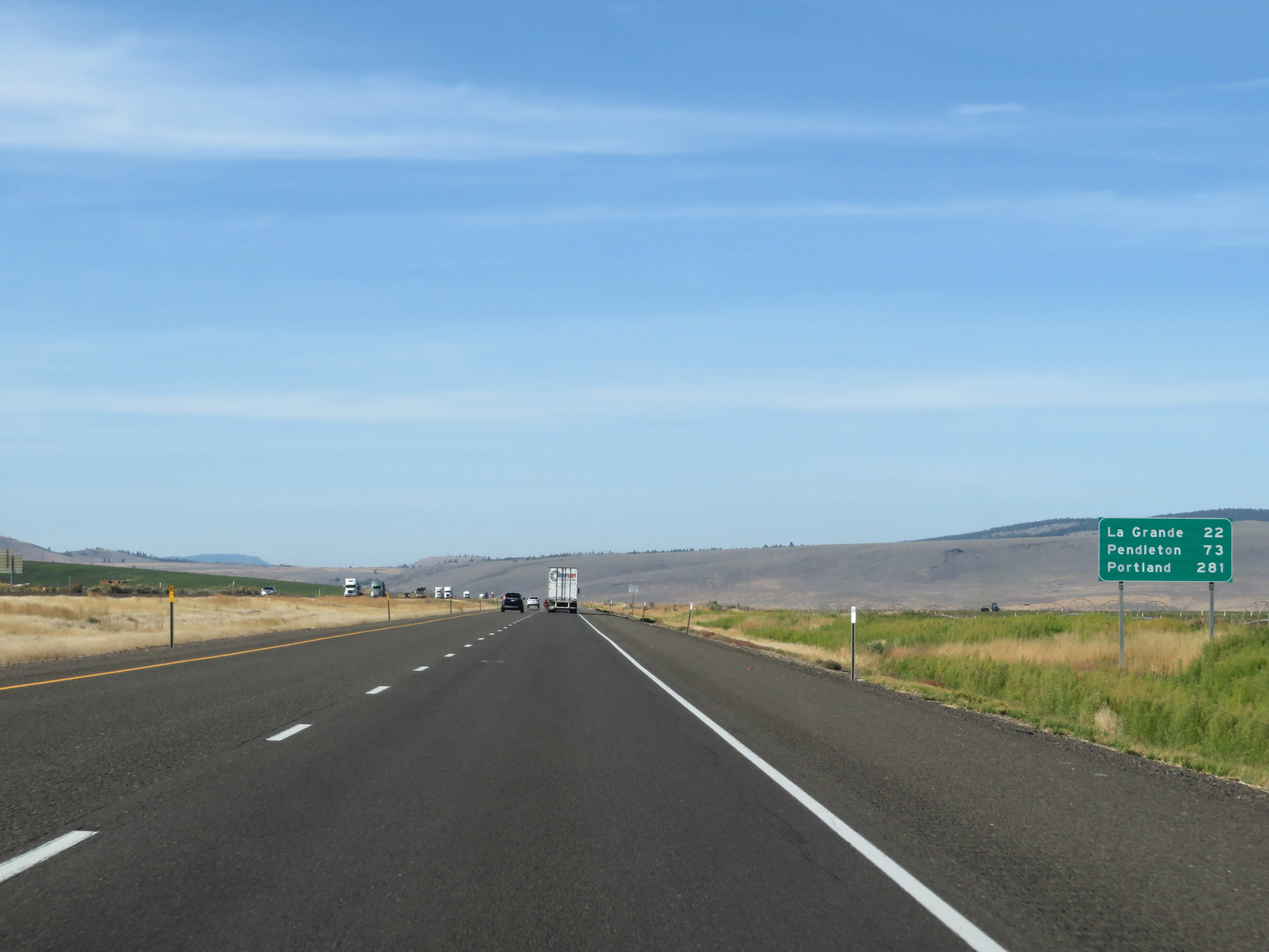 |
Mileage sign on Interstate 84 West. It's 22 miles to La Grande, 73 miles to Pendleton, and 281 miles to Portland. (Photo taken 9/25/19). |
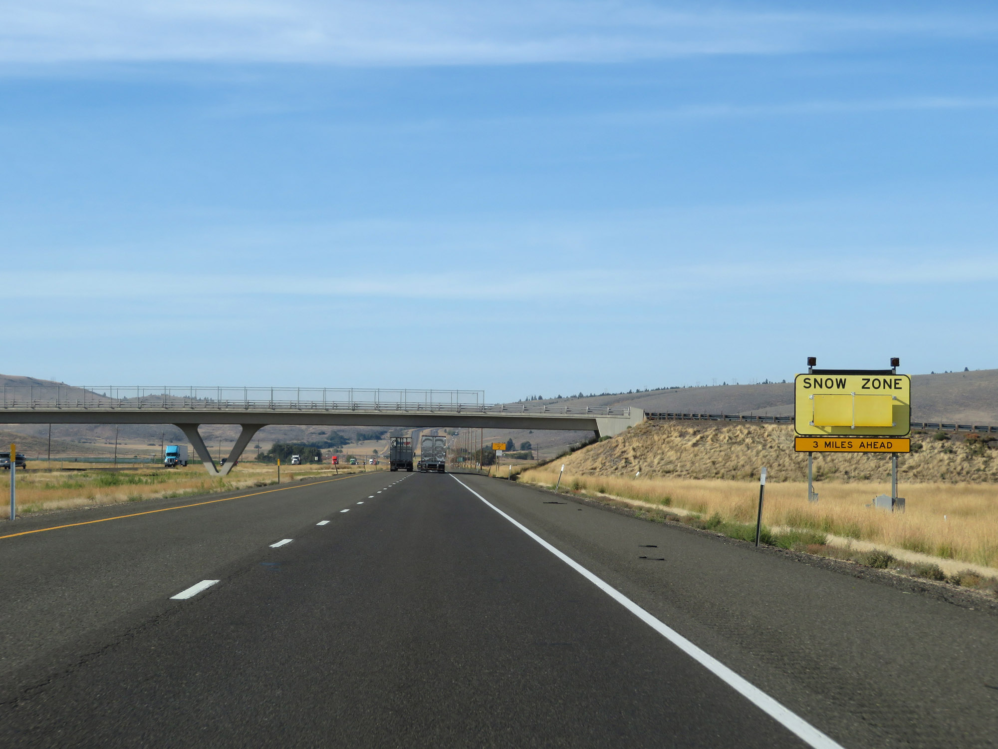 |
3 miles ahead, Interstate 84 West will enter another stretch that is subject to heavy snow. (Photo taken 9/25/19). |
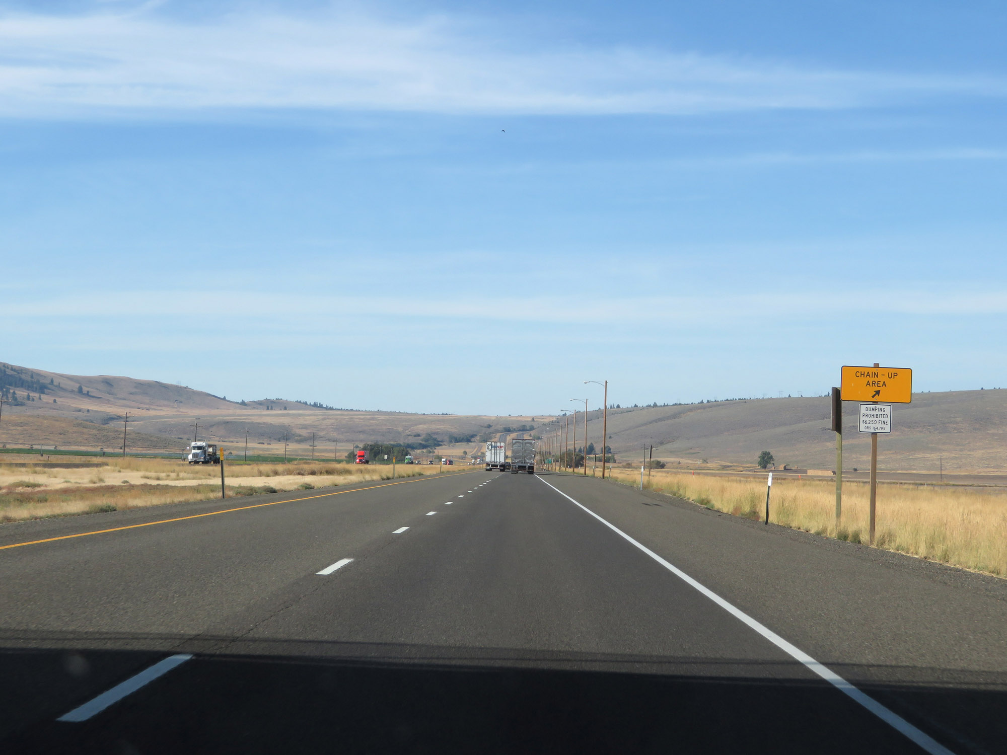 |
Before the Snow Zone begins, a Chain-Up Area exists on Interstate 84 West. (Photo taken 9/25/19). |
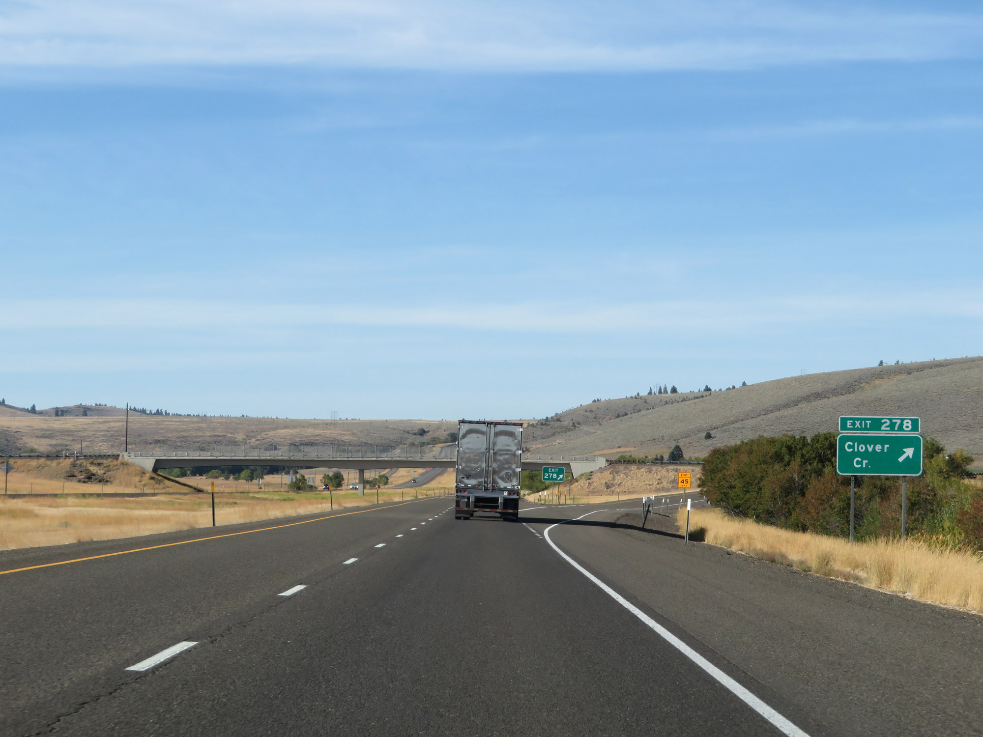 |
Interstate 84 West at Exit 278: Clover Creek (Photo taken 9/25/19). |
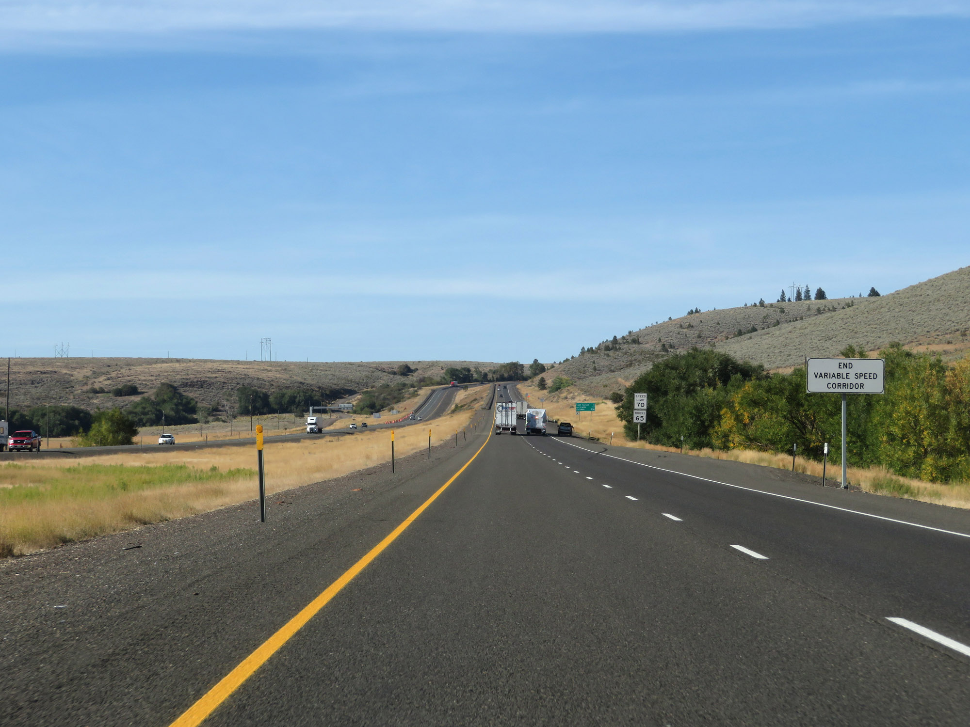 |
West of Exit 278, the variable speed limit corridor comes to an end. (Photo taken 9/25/19). |
 |
Since the variable speed limits have ended, the speed limits of 70 mph for cars and 65 mph for trucks resume. (Photo taken 9/25/19). |
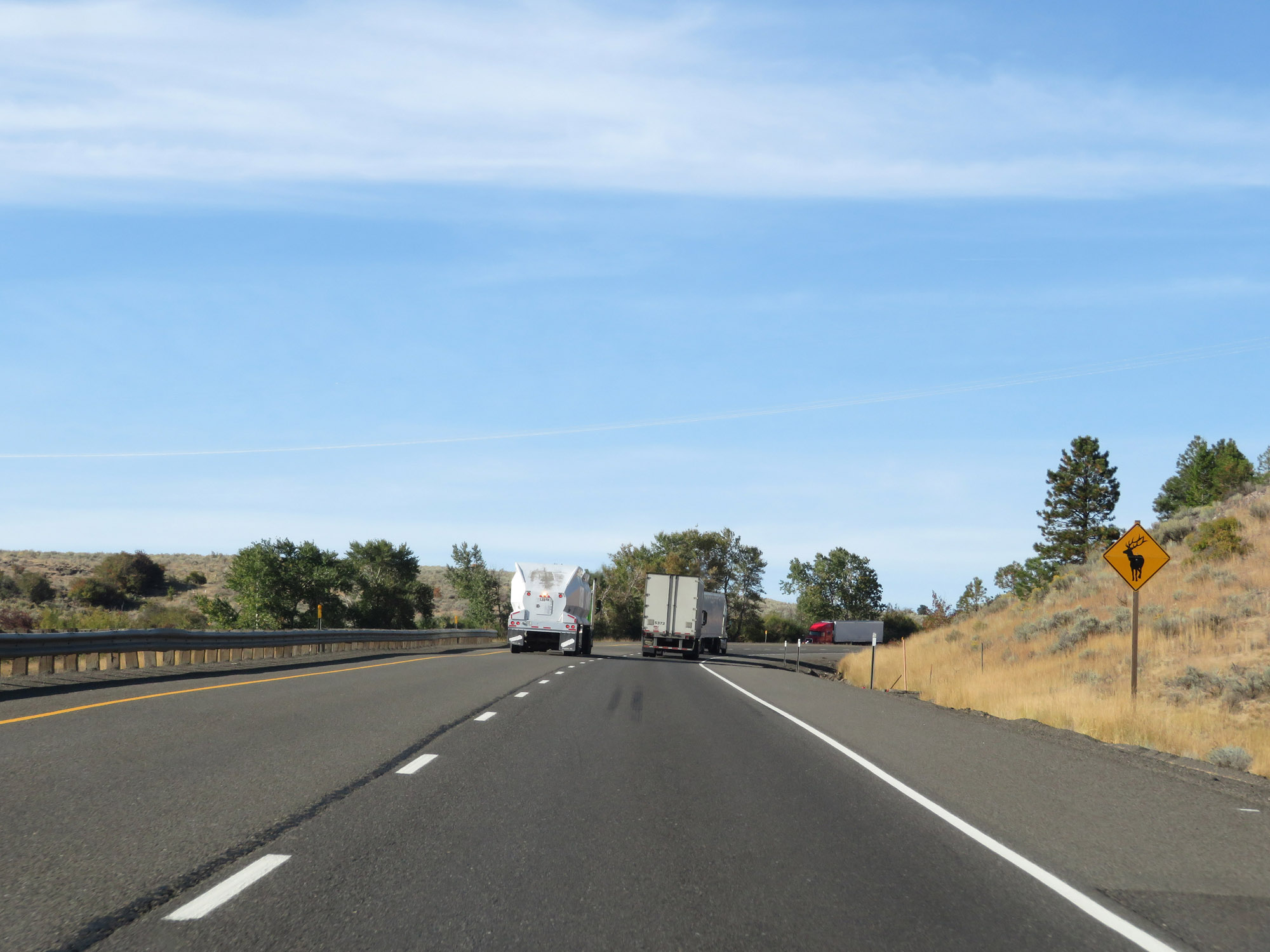 |
This sign warns motorists to watch for elk entering the right of way. (Photo taken 9/25/19). |
 |
View on Interstate 84 West, as we can start to notice a change in the surrounding vegetation. (Photo taken 9/25/19). |
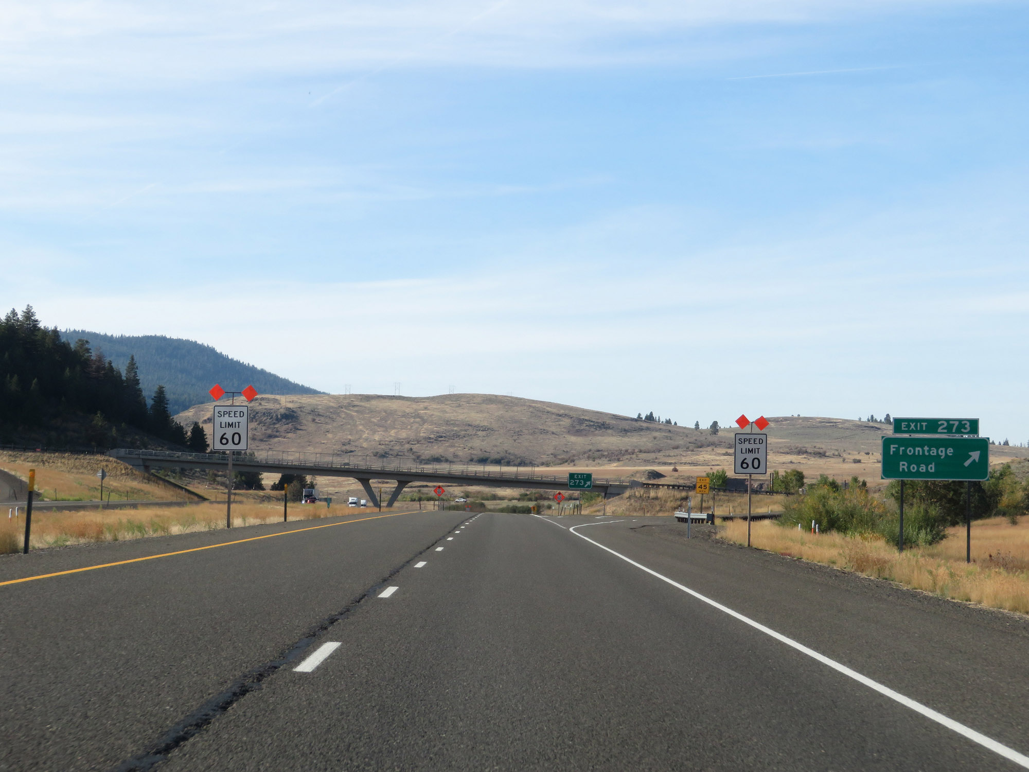 |
Interstate 84 West at Exit 273: Frontage Road (Photo taken 9/25/19). |
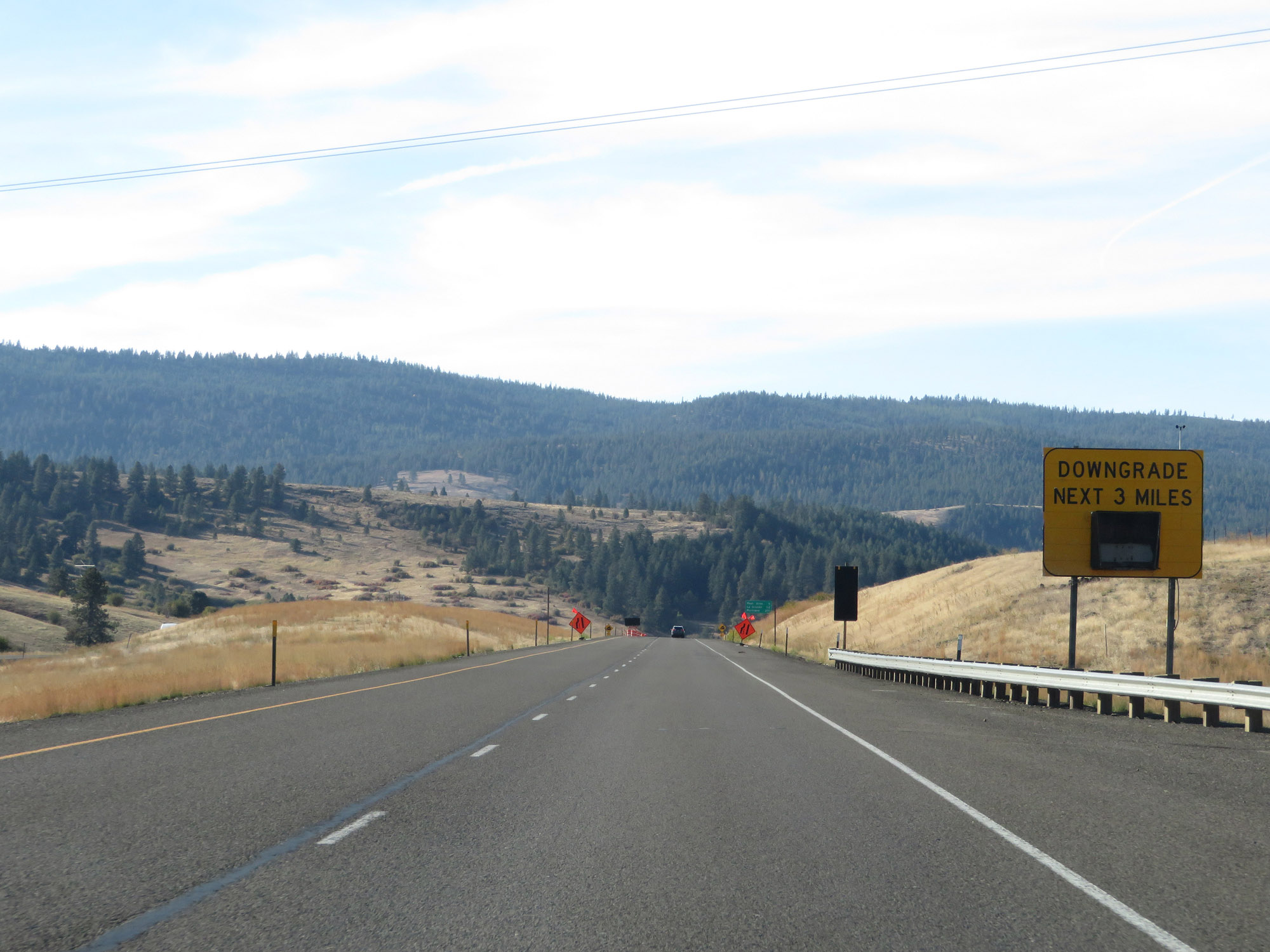 |
This sign warns that Interstate 84 West will traverse yet another steep downgrade just ahead, which will last for the next 3 miles. (Photo taken 9/25/19). |
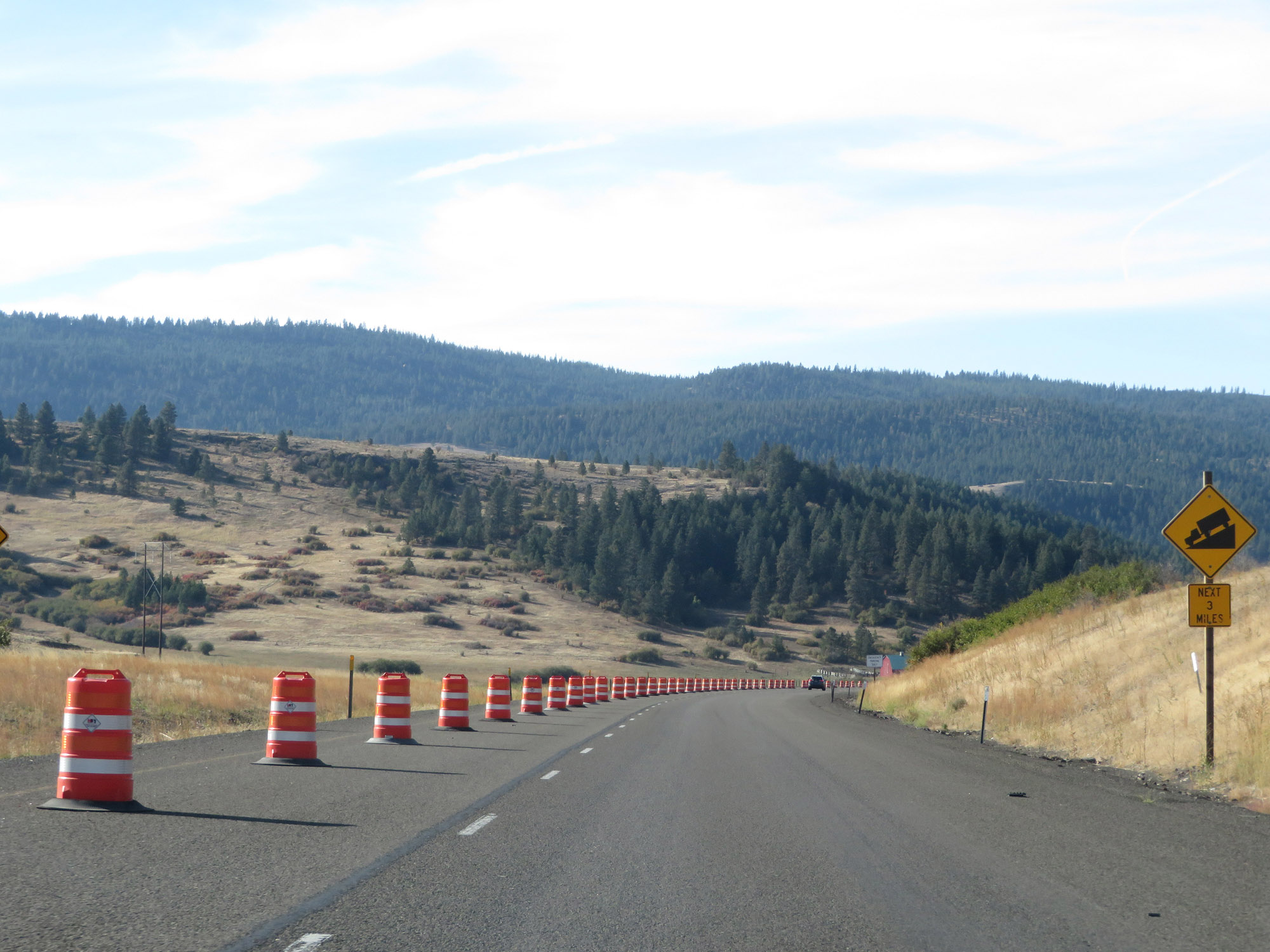 |
Another warning sign as the downgrade begins. (Photo taken 9/25/19). |
 |
View on Interstate 84 West going down the steep grade. (Photo taken 9/25/19). |
 |
Finally, although well after the downgrade begins, this sign is posted to warn that the grade is a 6% downgrade. Why would you wait until now to state the steepness of the grade? (Photo taken 9/25/19). |
 |
View on Interstate 84 West continuing down the 6% grade. This grade is part of what is known as Craig Mountain. (Photo taken 9/25/19). |
 |
Another view on Interstate 84 West going down the grade. (Photo taken 9/25/19). |
 |
Interstate 84 West as it continues to descend. (Photo taken 9/25/19). |
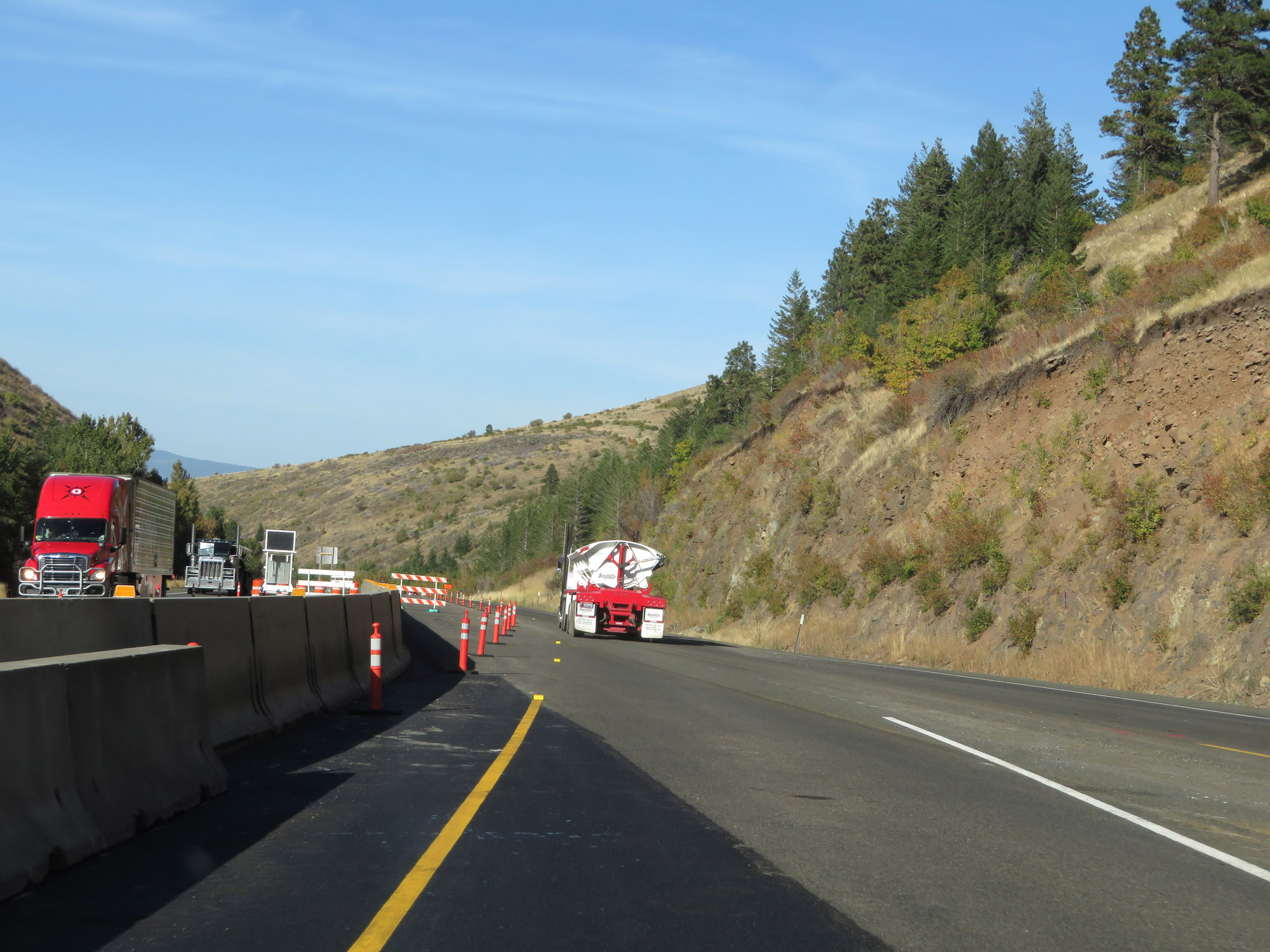 |
Interstate 84 West as it reaches the bottom of the 3-mile 6% downgrade in Union County. (Photo taken 9/25/19). |
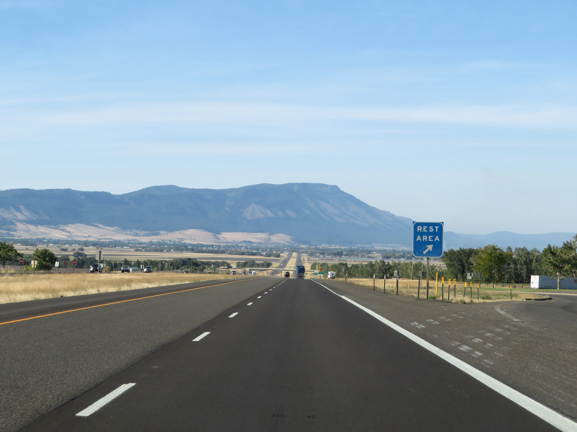 |
Rest Area on Interstate 84 West in Union County. (Photo taken 9/25/19). |
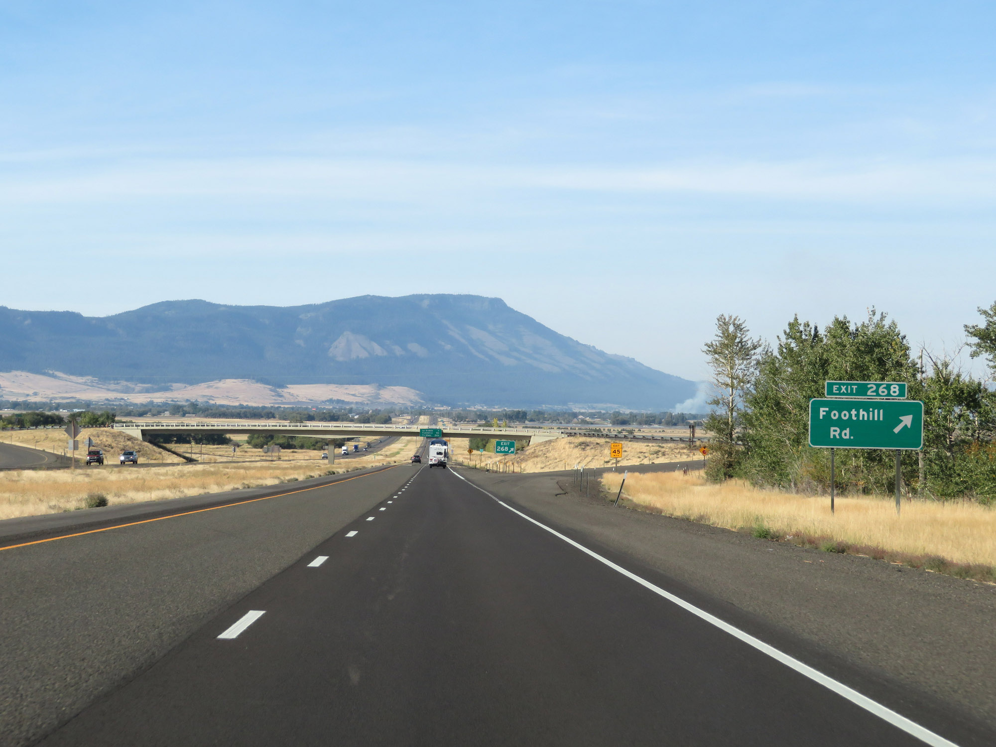 |
Interstate 84 West at Exit 268: Foothill Rd (Photo taken 9/25/19). |
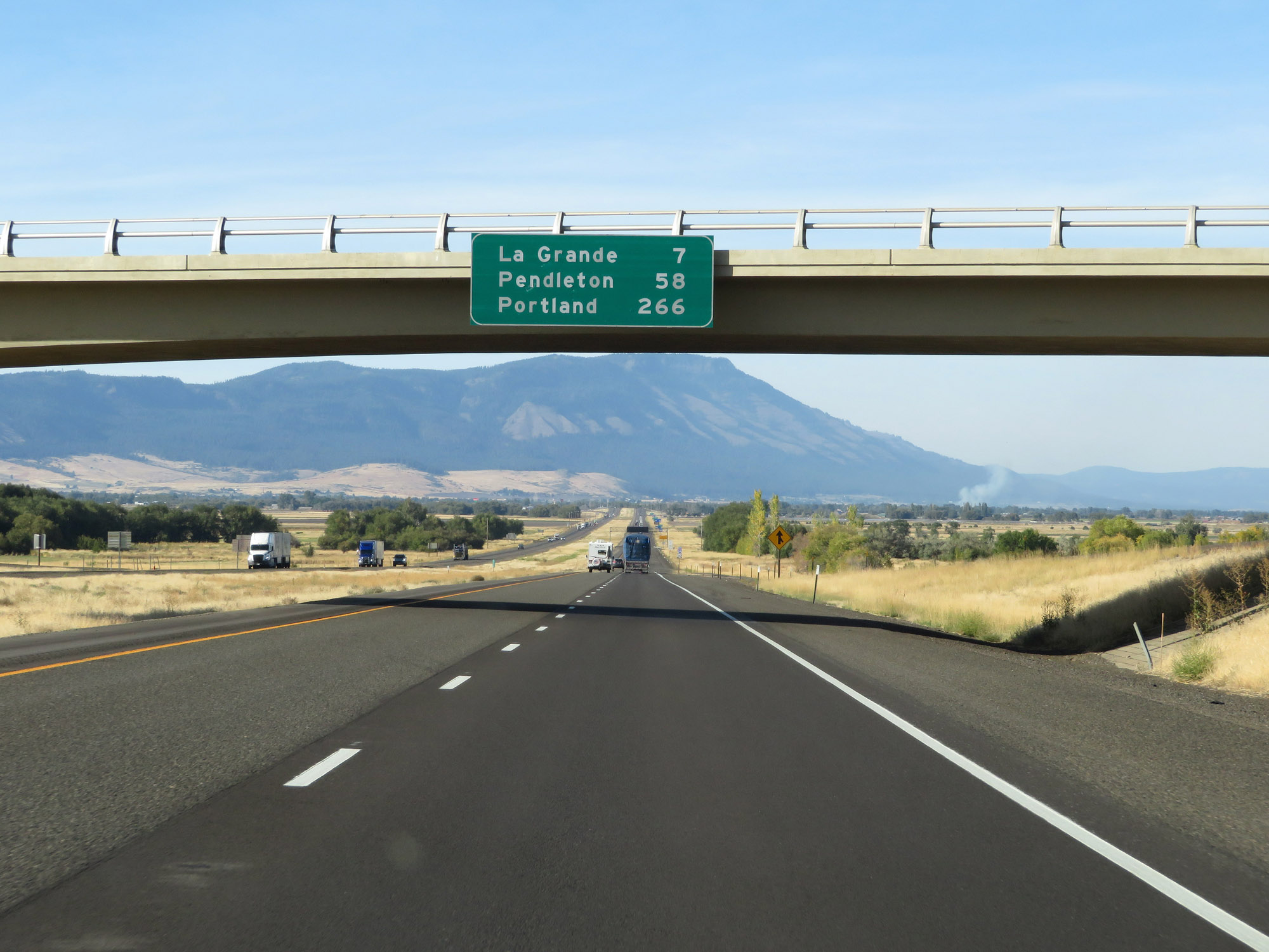 |
Another overhead mileage sign on Interstate 84 West. It's 7 miles to La Grande, 58 miles to Pendleton, and 266 miles to Portland. (Photo taken 9/25/19). |
 |
Take either of the next 2 exits to La Grande. (Photo taken 9/25/19). |
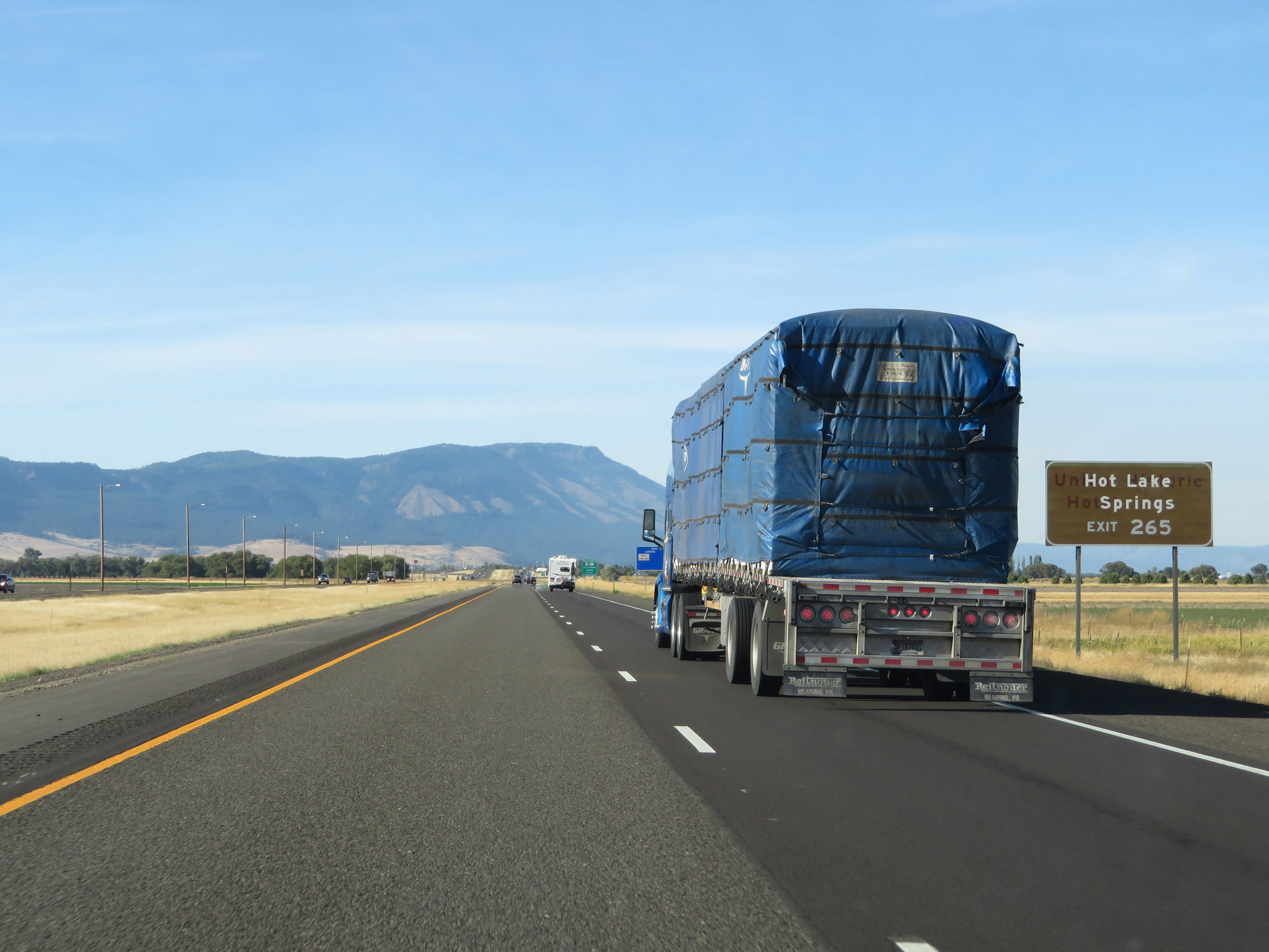 |
Take Exit 265 to Hot Lake Springs. (Photo taken 9/25/19). |
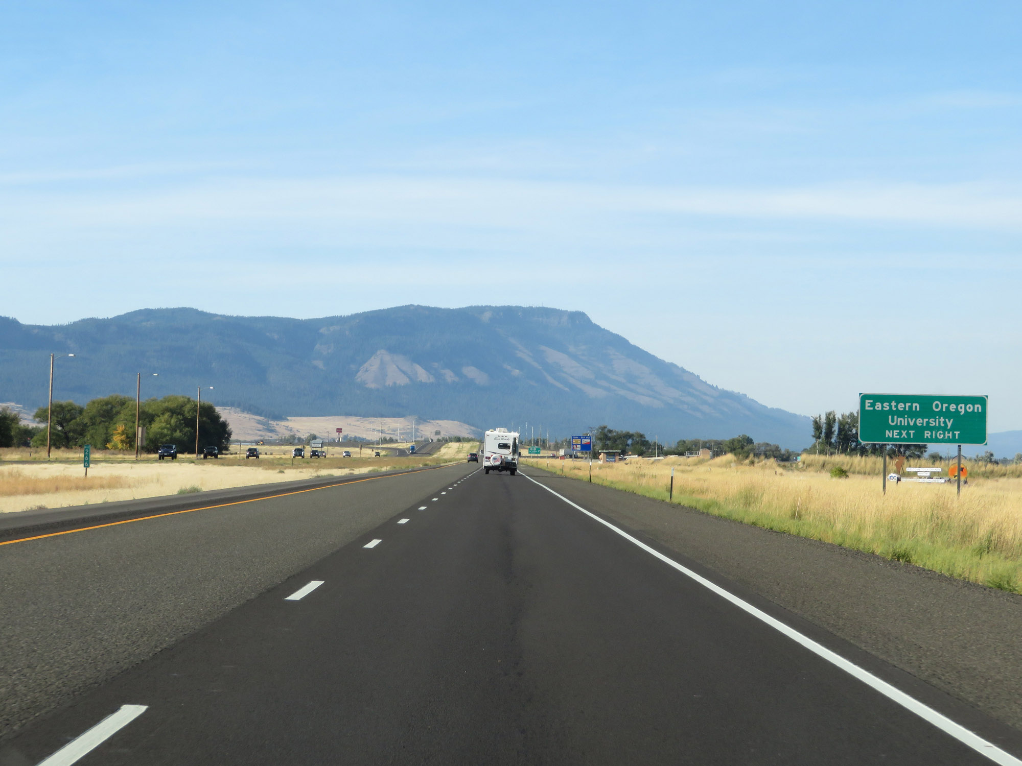 |
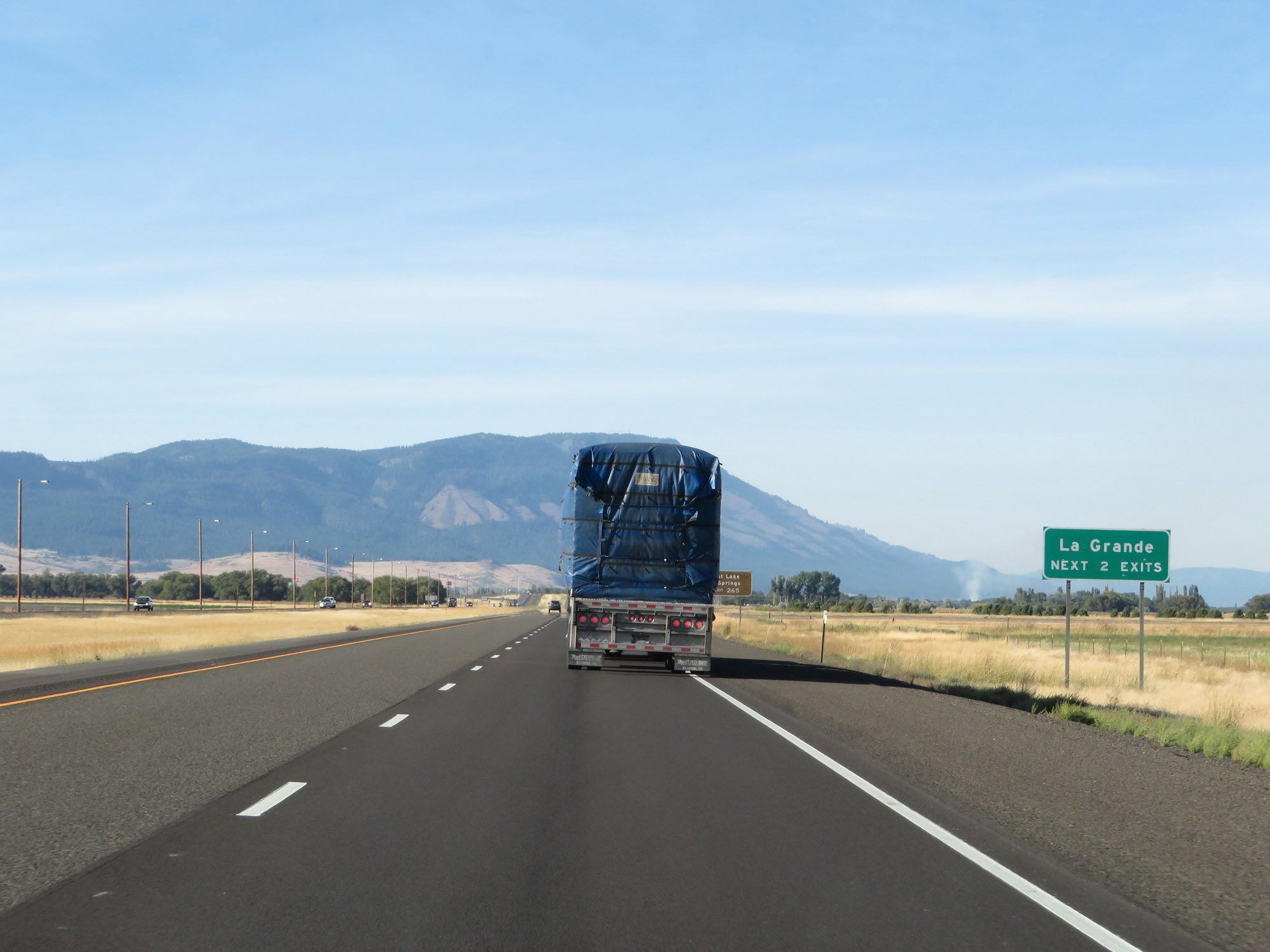
Also take Exit 265 to Eastern Oregon University. (Photo taken 9/25/19). |
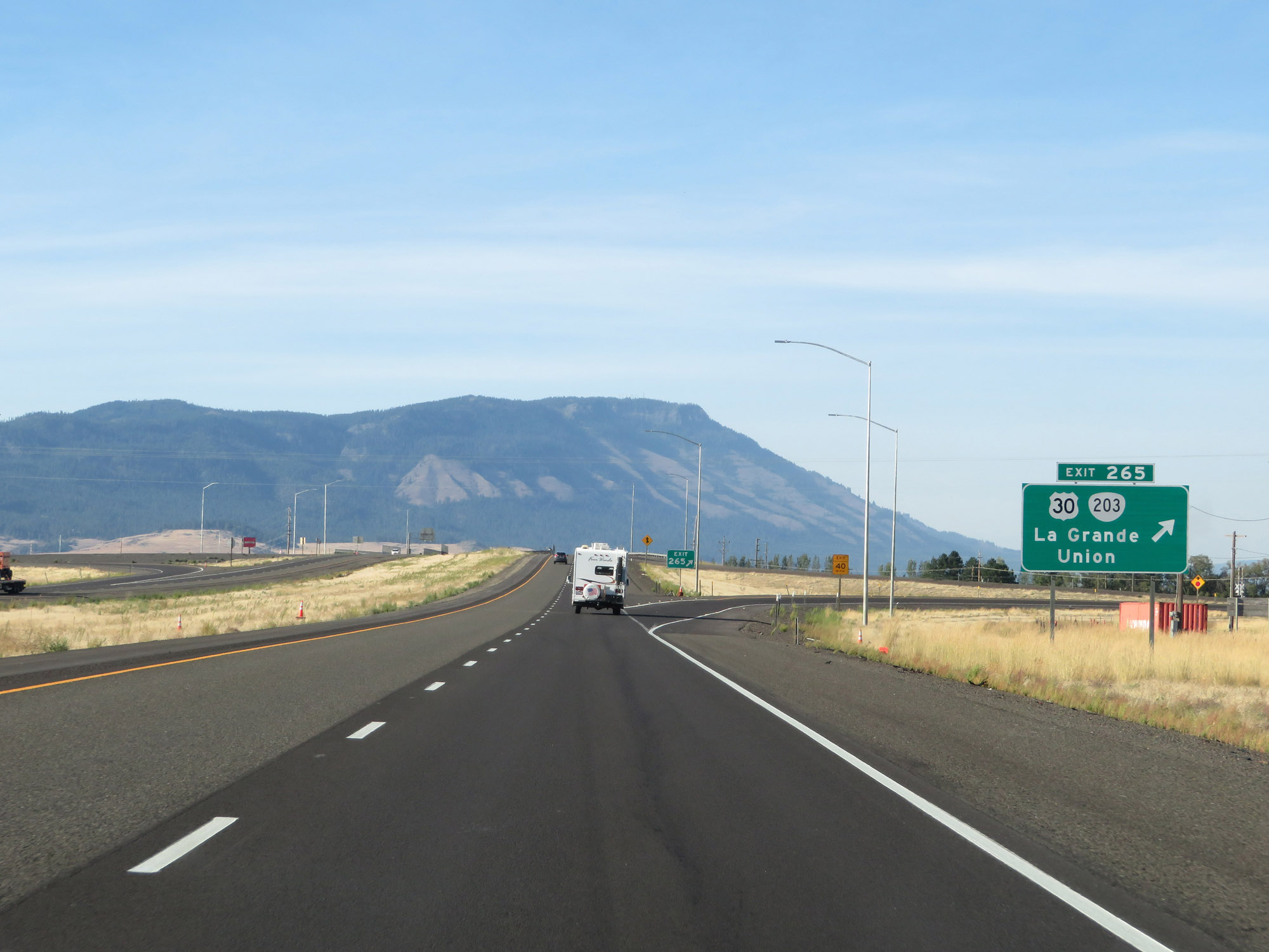 |
Interstate 84 West at Exit 265: US 30 / OR 203 - La Grande / Union (Photo taken 9/25/19). |
 |
View on Interstate 84 West at mile marker 264. (Photo taken 9/25/19). |
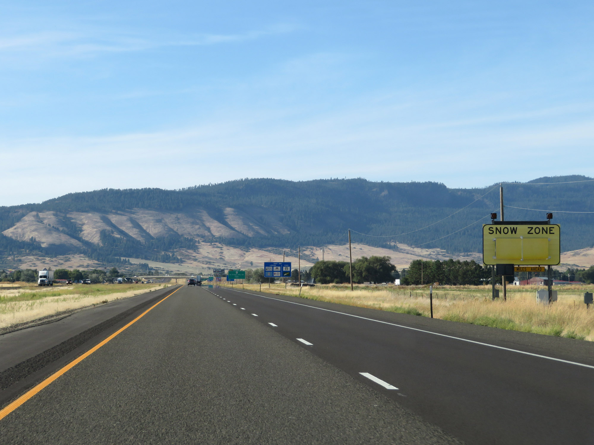 |
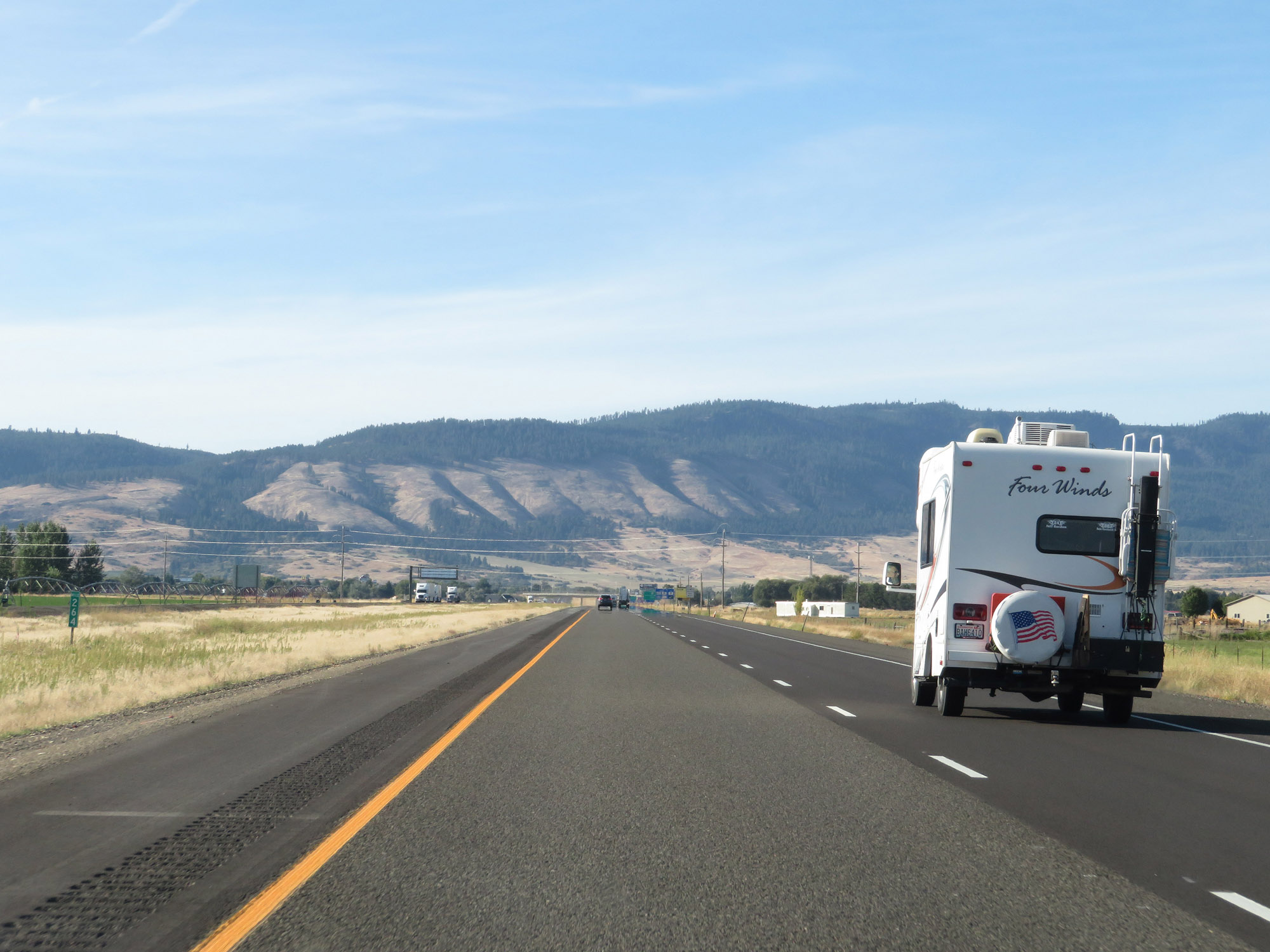
On the west side of La Grande, Interstate 84 West enters another area subject to heavy snowfall. In this Snow Zone, I-84 will traverse more sharp curves through another canyon as it did back in Malheur County. (Photo taken 9/25/19). |
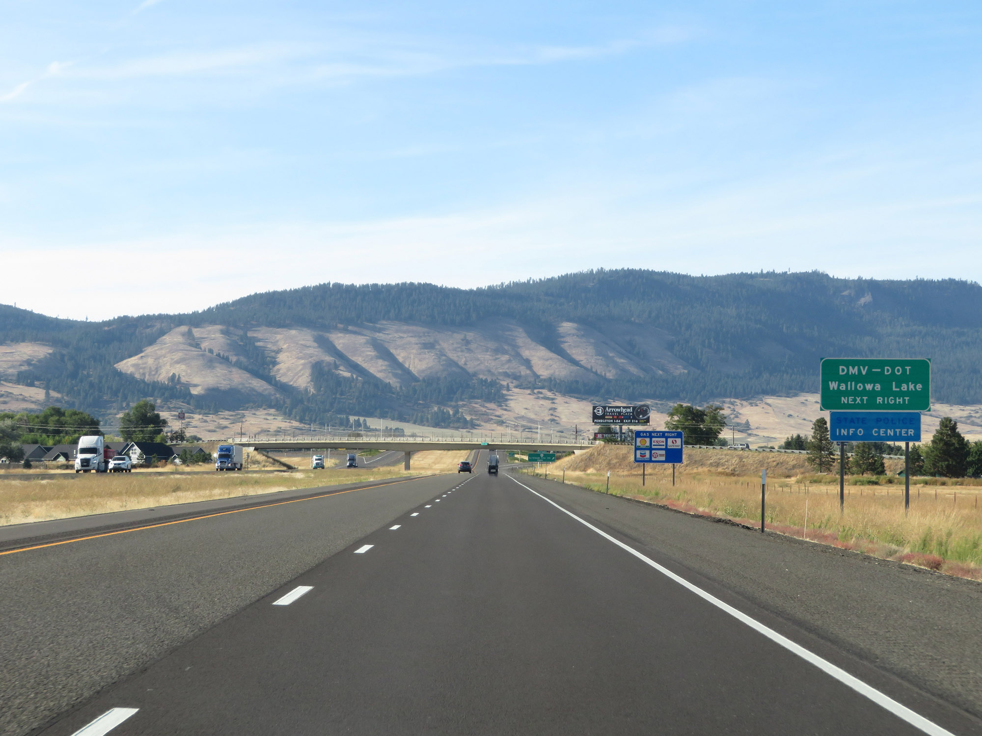 |
Take Exit 261 to the DMV-DOT and Wallowa Lake. (Photo taken 9/25/19). |
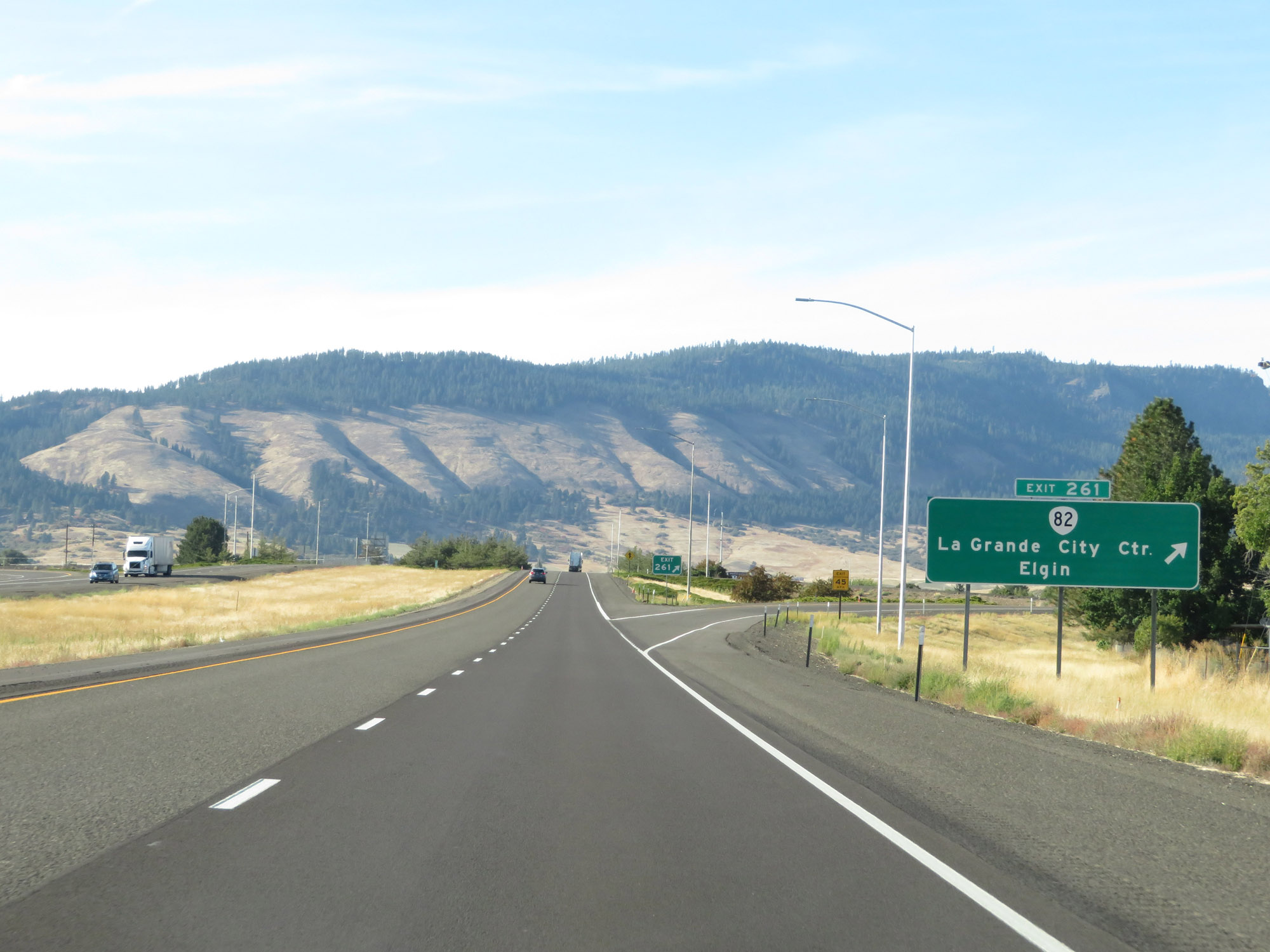 |
Interstate 84 West at Exit 261: OR 82 - La Grande City Center / Elgin (Photo taken 9/25/19). |
Section 3: La Grande (Exit 261) to Pendleton (Exit 213)
 |
Another Interstate 84 West reassurance shield. (Photo taken 9/25/19). |
 |
The speed limits remain 70 mph for automobiles and 65 mph for trucks. (Photo taken 9/25/19). |
 |
Approaching the next stretch of windy road, a Chain-Up Area exists to the west of La Grande. (Photo taken 9/25/19). |
 |
Interstate 84 West at mile marker 260. (Photo taken 9/25/19). |
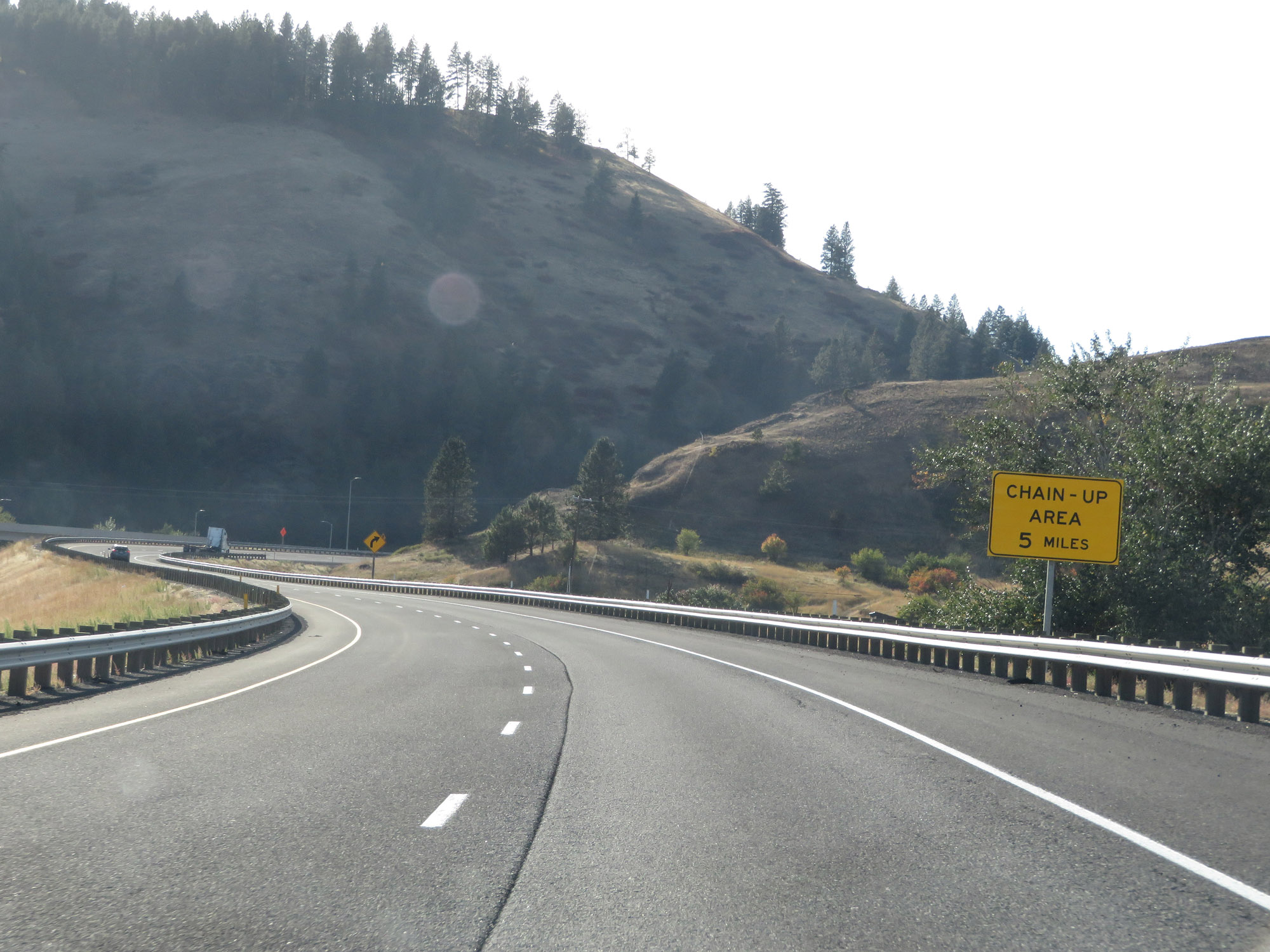 |
The next Chain-Up Area lies 5 miles ahead. (Photo taken 9/25/19). |
 |
View on Interstate 84 West as the sharp curves begin. (Photo taken 9/25/19). |
 |
Interstate 84 West as it passes through the valley. (Photo taken 9/25/19). |
 |
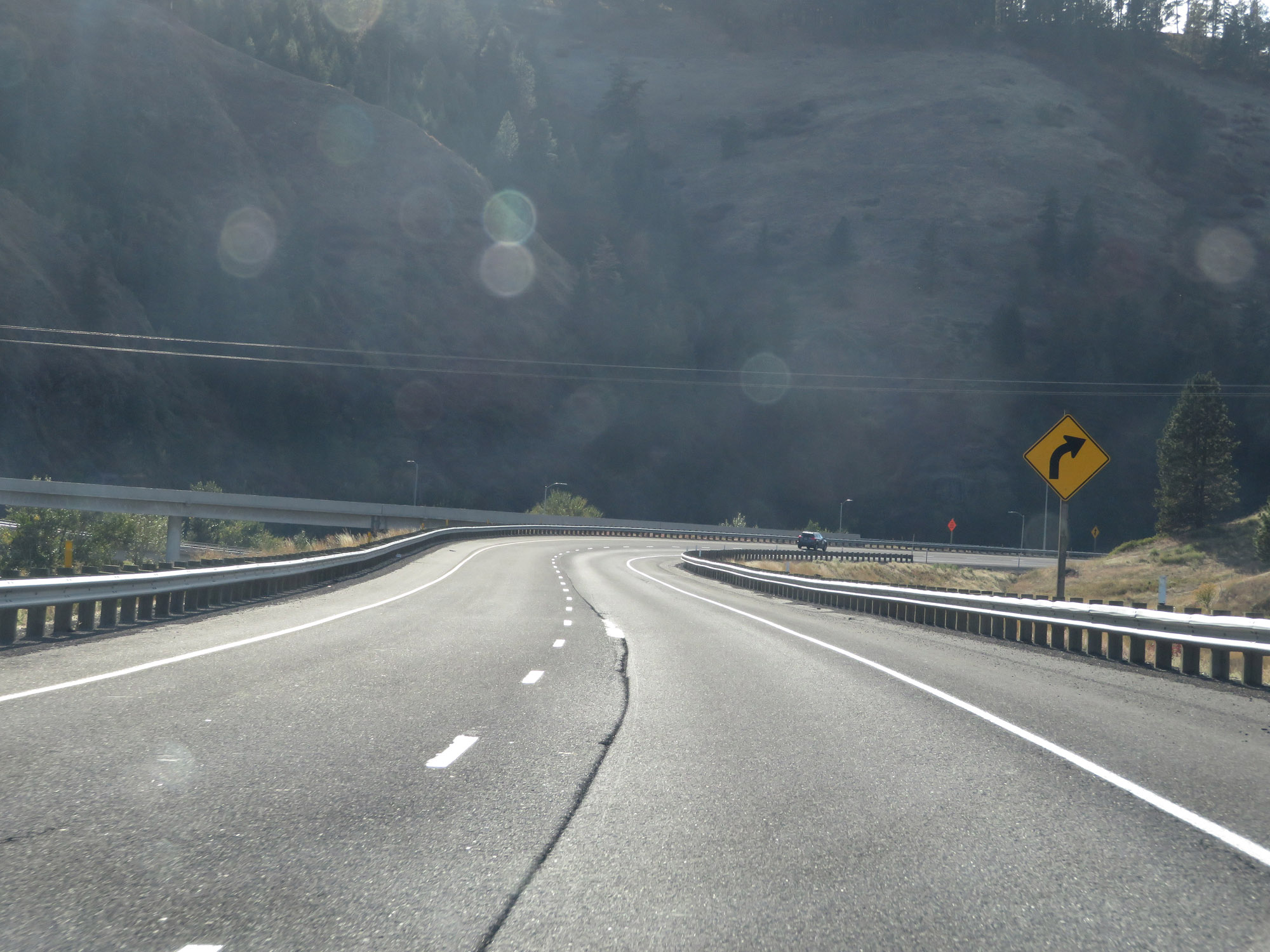
At mile marker 258, this sign warns of more sharp curves just ahead. (Photo taken 9/25/19). |
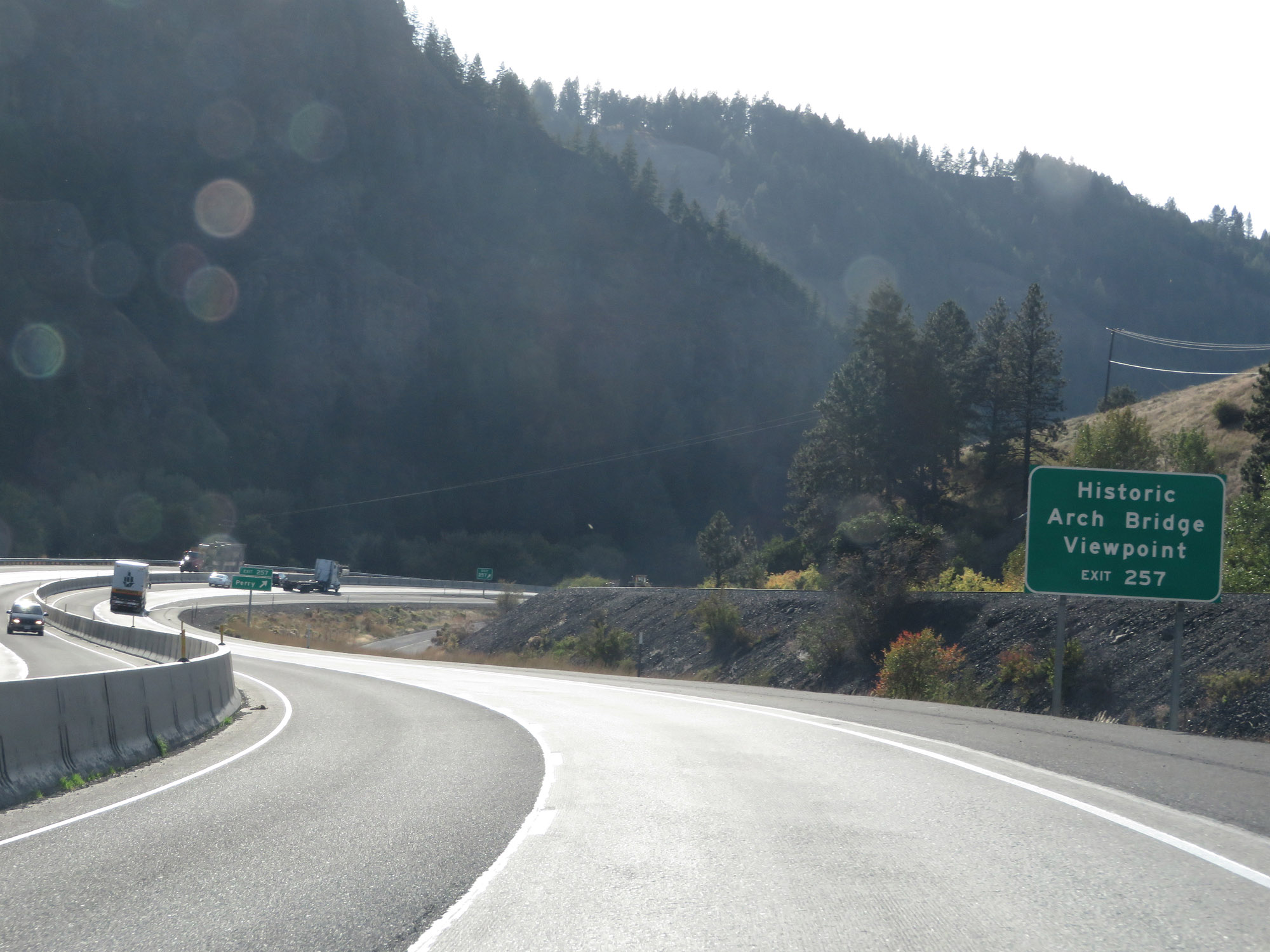 |
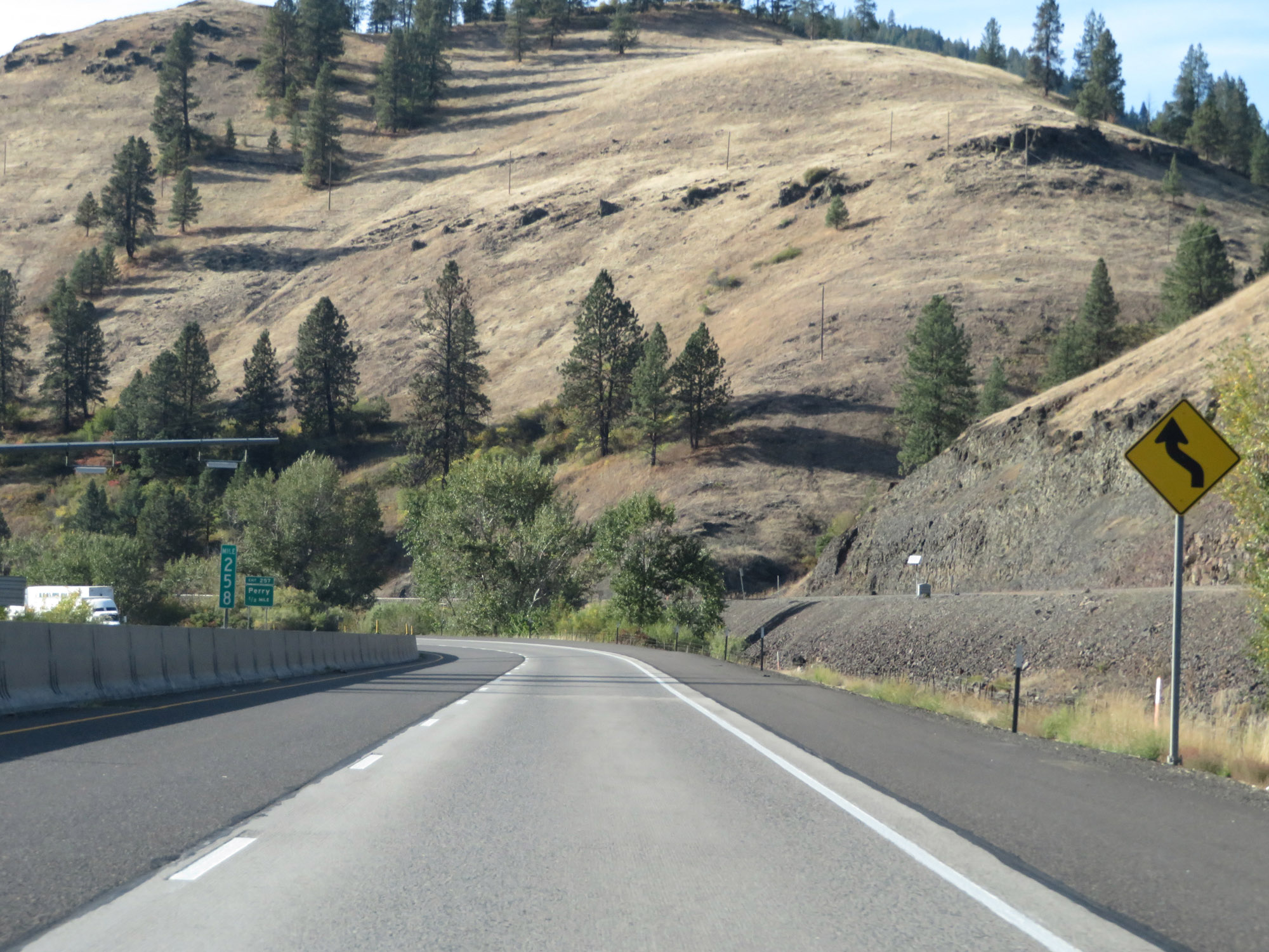
Take Exit 257 to the Historic Arch Bridge Viewpoint. (Photo taken 9/25/19). |
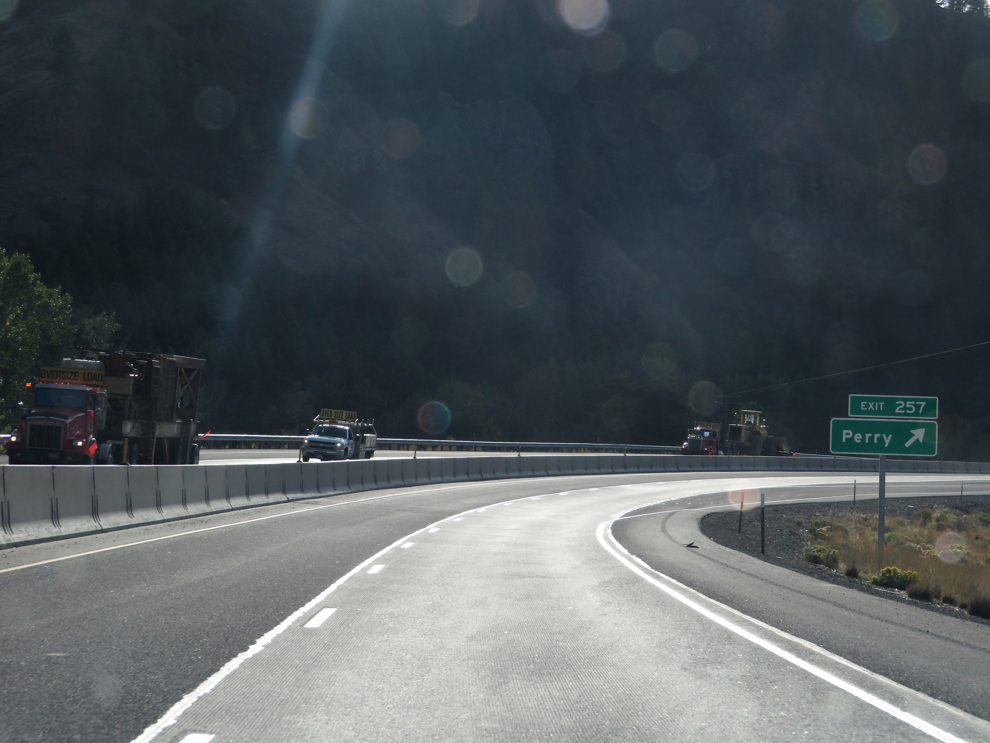 |
Interstate 84 West at Exit 257: Perry (Photo taken 9/25/19). |
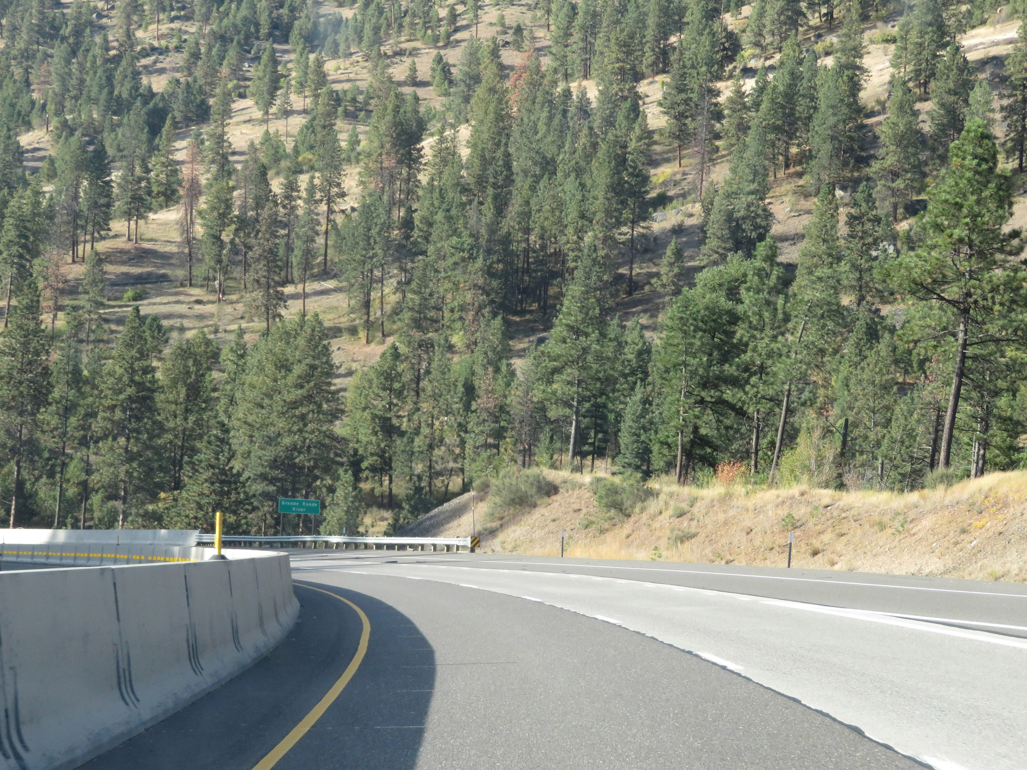 |
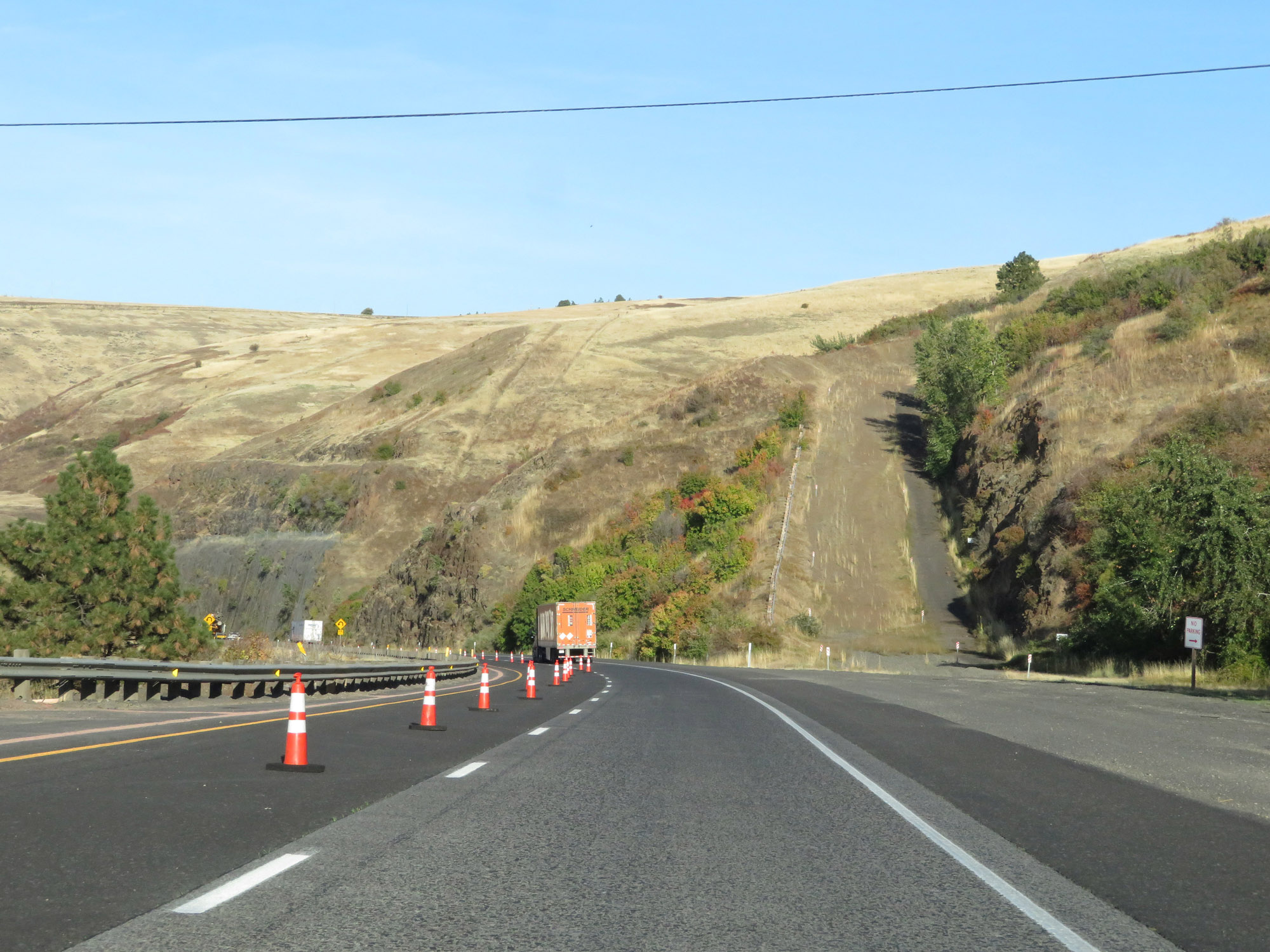
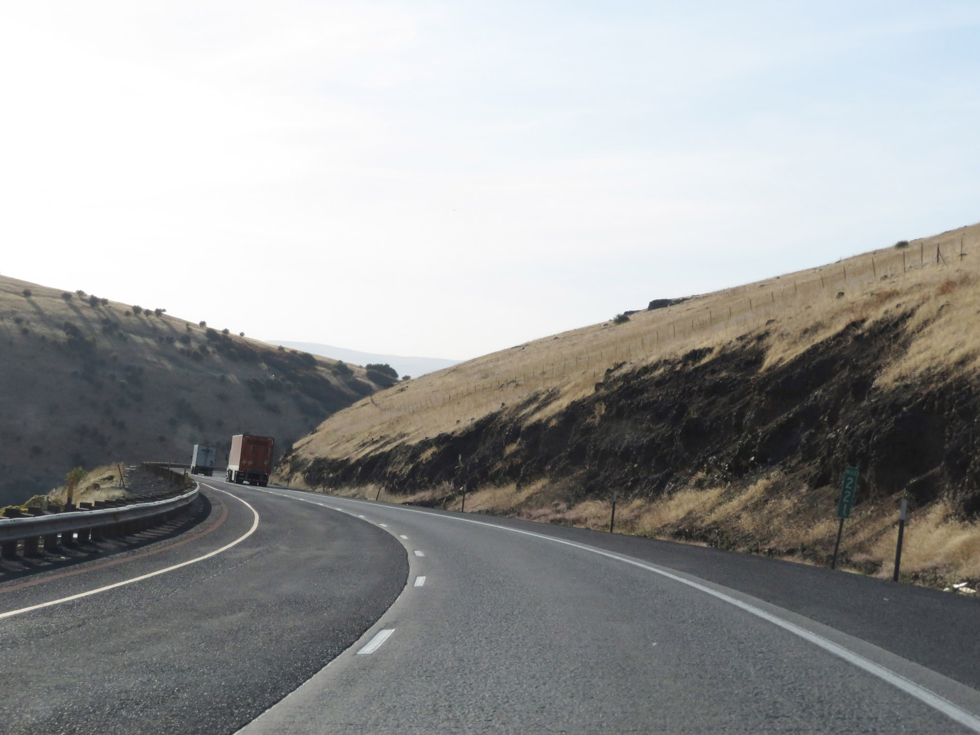
View on Interstate 84 West as the curves continue. During this stretch, I-84 closely follows the Grande Ronde River through a winding valley, with several canyons surrounding the area. (Photo taken 9/25/19). |
 |
Interstate 84 West at mile marker 256. (Photo taken 9/25/19). |
 |
Mileage sign on Interstate 84 West. It's 2 miles to the junction of OR 244, 45 miles to Pendleton, and 254 miles to Portland. (Photo taken 9/25/19). |
 |
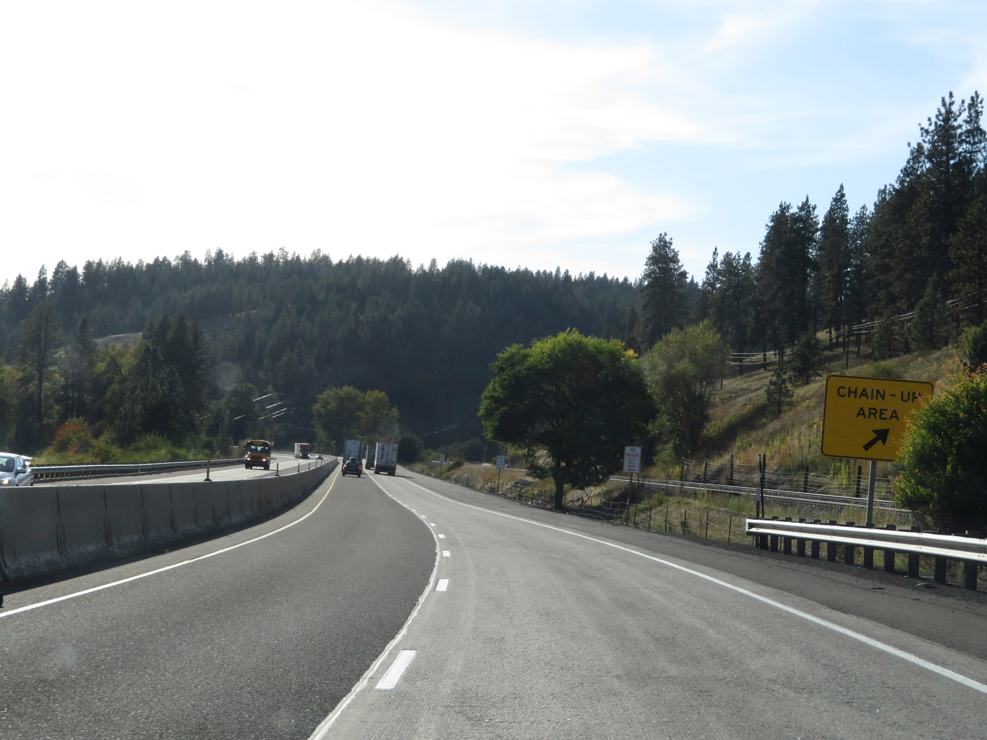
Another Chain-Up Area on Interstate 84 West as it continues to wind through the narrow valley near the Grande Ronde River. (Photo taken 9/25/19). |
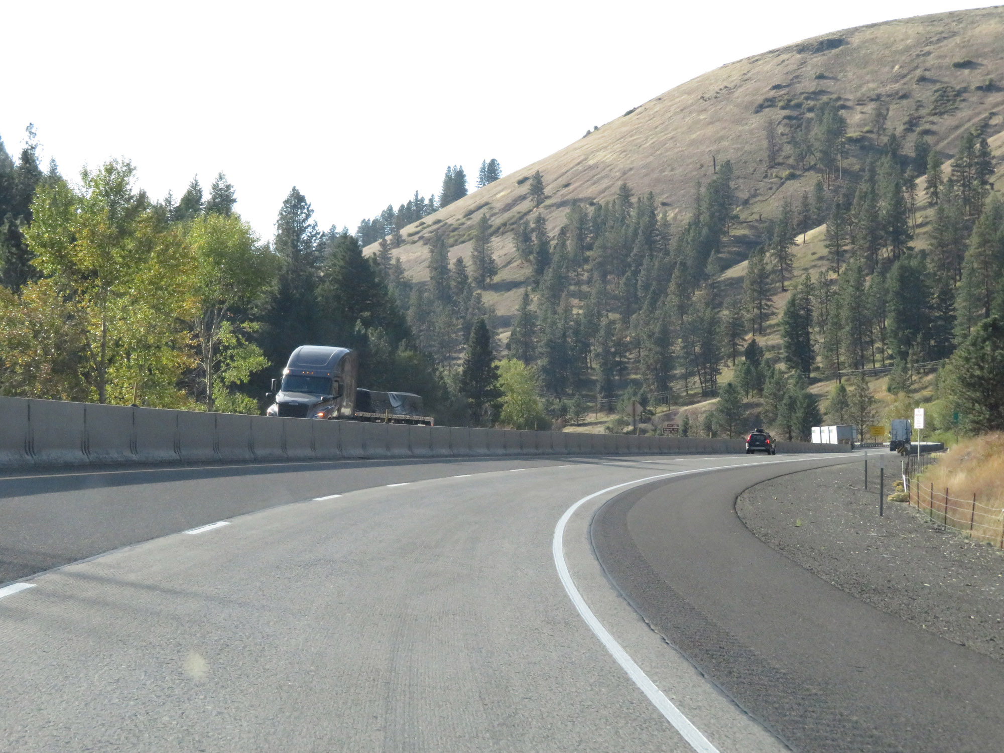 |
View on Interstate 84 West. (Photo taken 9/25/19). |
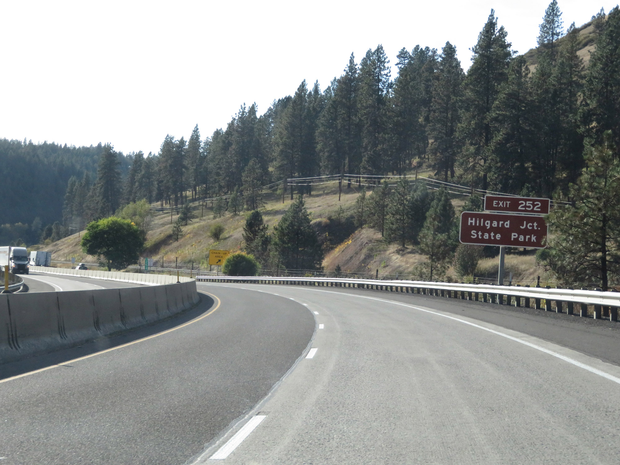 |
Take Exit 252 to Hilgard Junction State Park. (Photo taken 9/25/19). |
 |
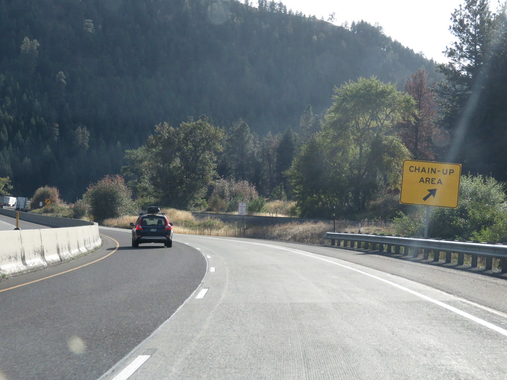
Another Chain-Up Area on Interstate 84 West. (Photo taken 9/25/19). |
 |
Interstate 84 West at Exit 252: OR 244 - Ukiah (Photo taken 9/25/19). |
 |
Interstate 84 West at mile marker 253. (Photo taken 9/25/19). |
 |
View on Interstate 84 West at mile marker 252. (Photo taken 9/25/19). |
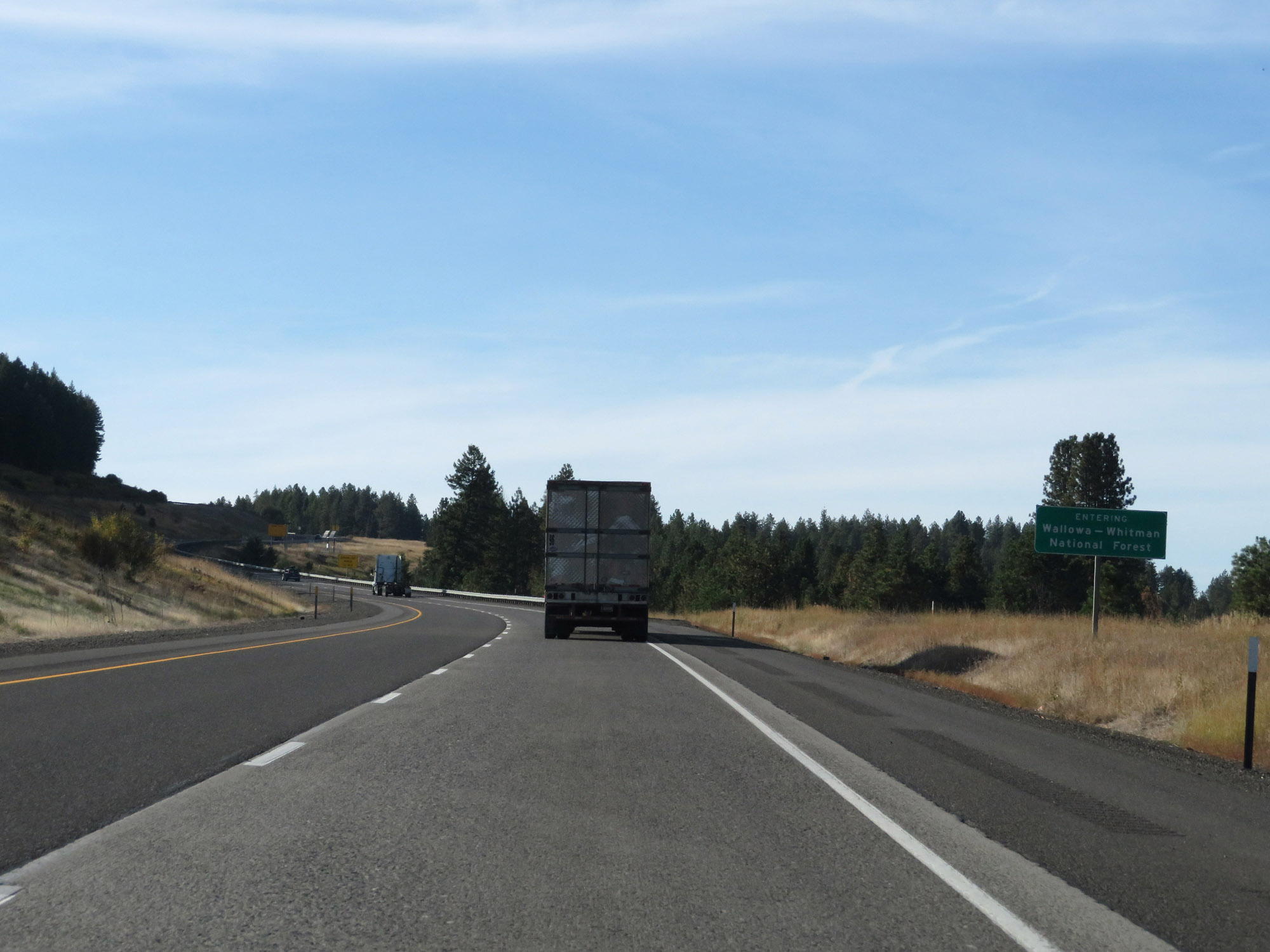 |
Entering the Wallowa-Whitman National Forest on Interstate 84 West. (Photo taken 9/25/19). |
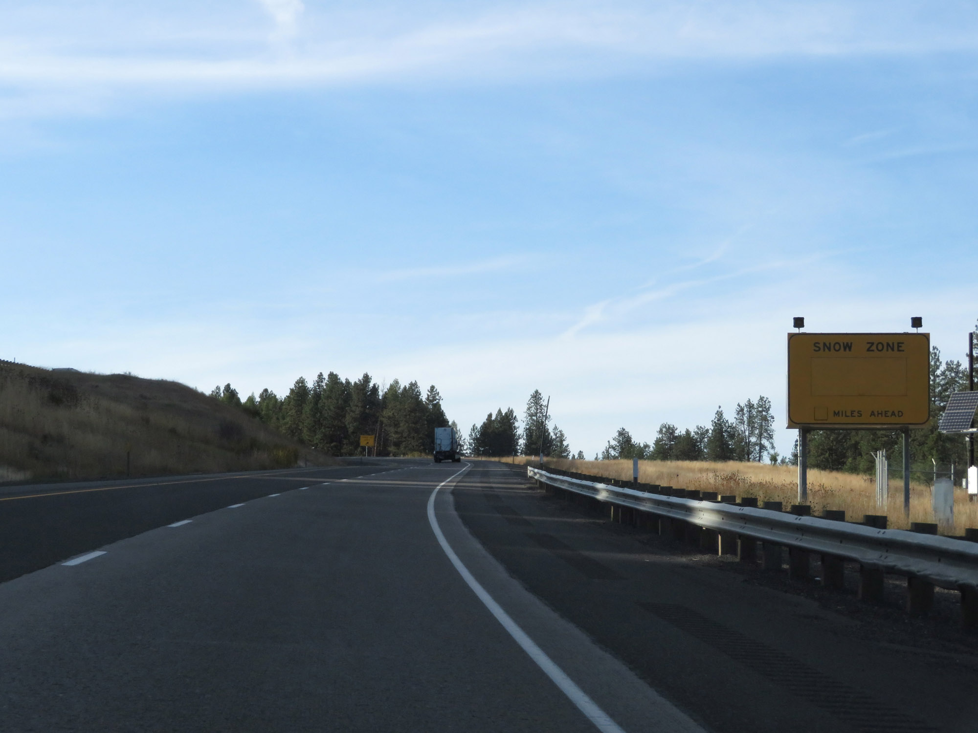 |
Interstate 84 West as it enters another Snow Zone. (Photo taken 9/25/19). |
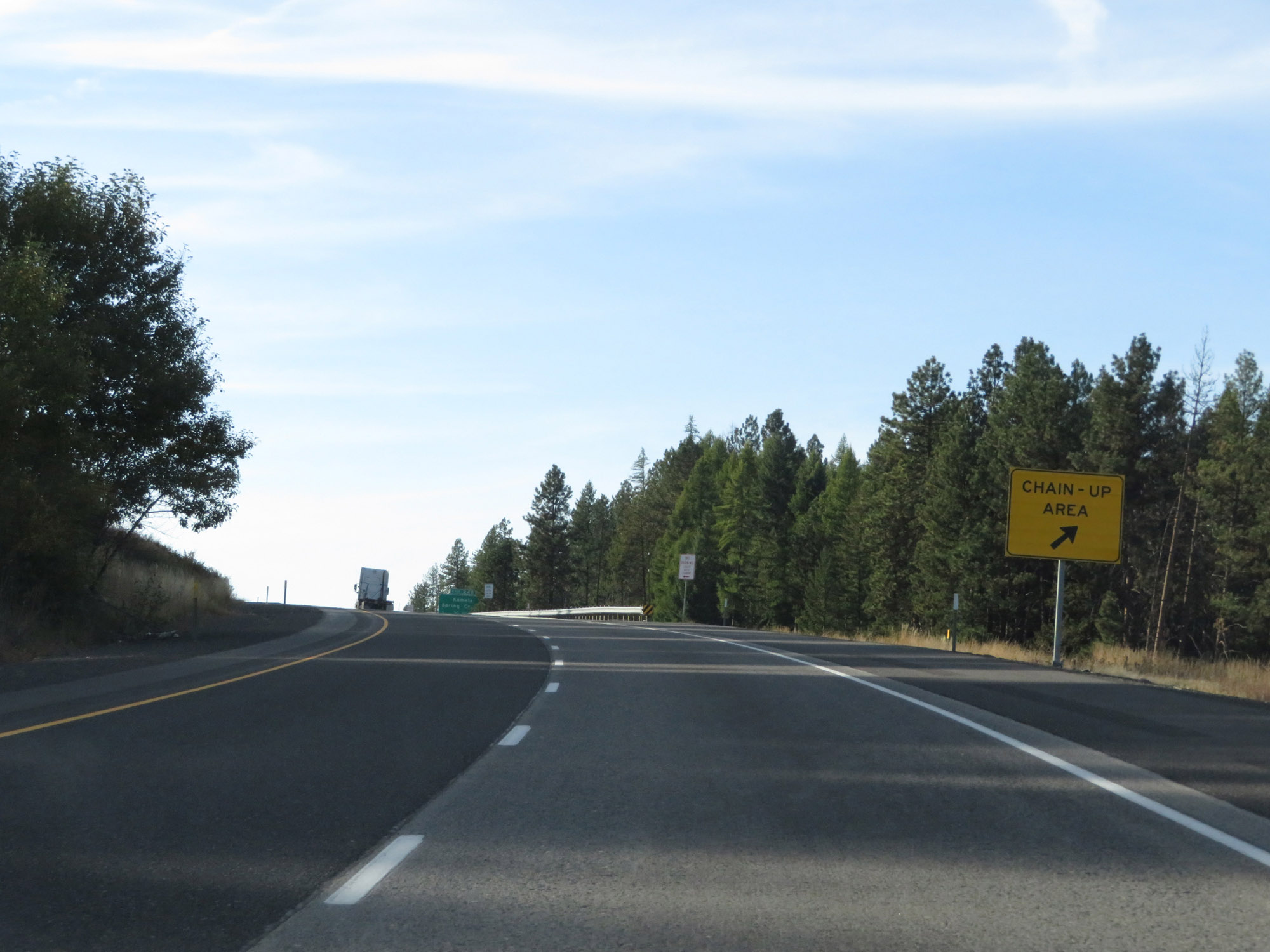 |
Upon entering another Snow Zone, another Chain-Up Area exits. (Photo taken 9/25/19). |
 |
The Chain-Up Area extends quite a bit in the westerly direction. (Photo taken 9/25/19). |
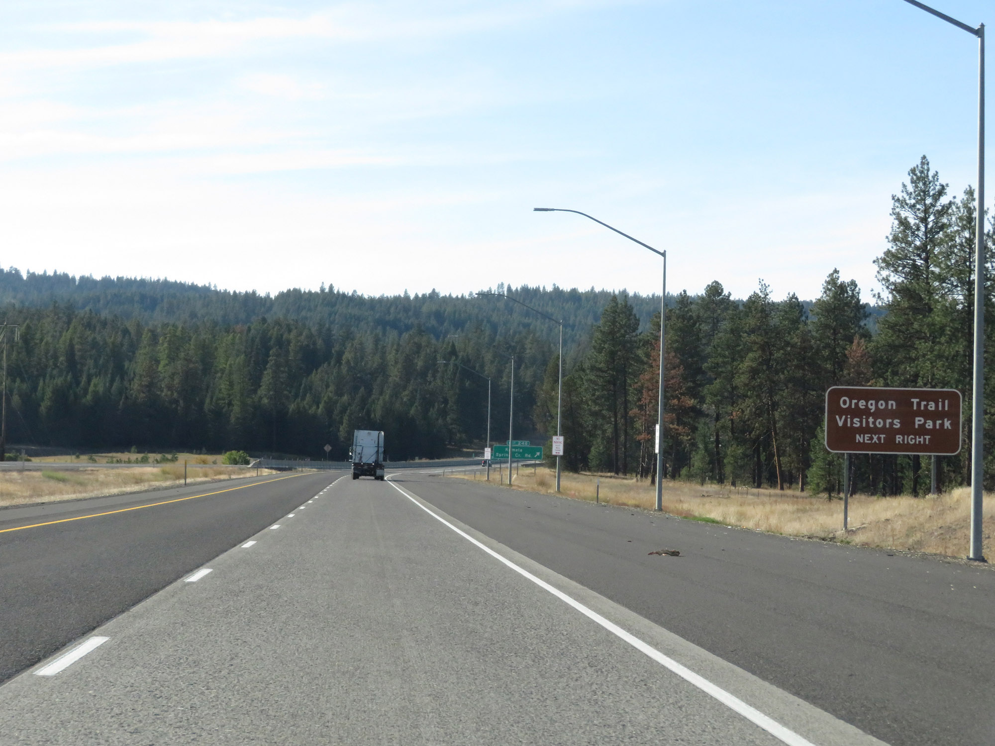 |
Take Exit 248 to Oregon Trail Visitors Park. (Photo taken 9/25/19). |
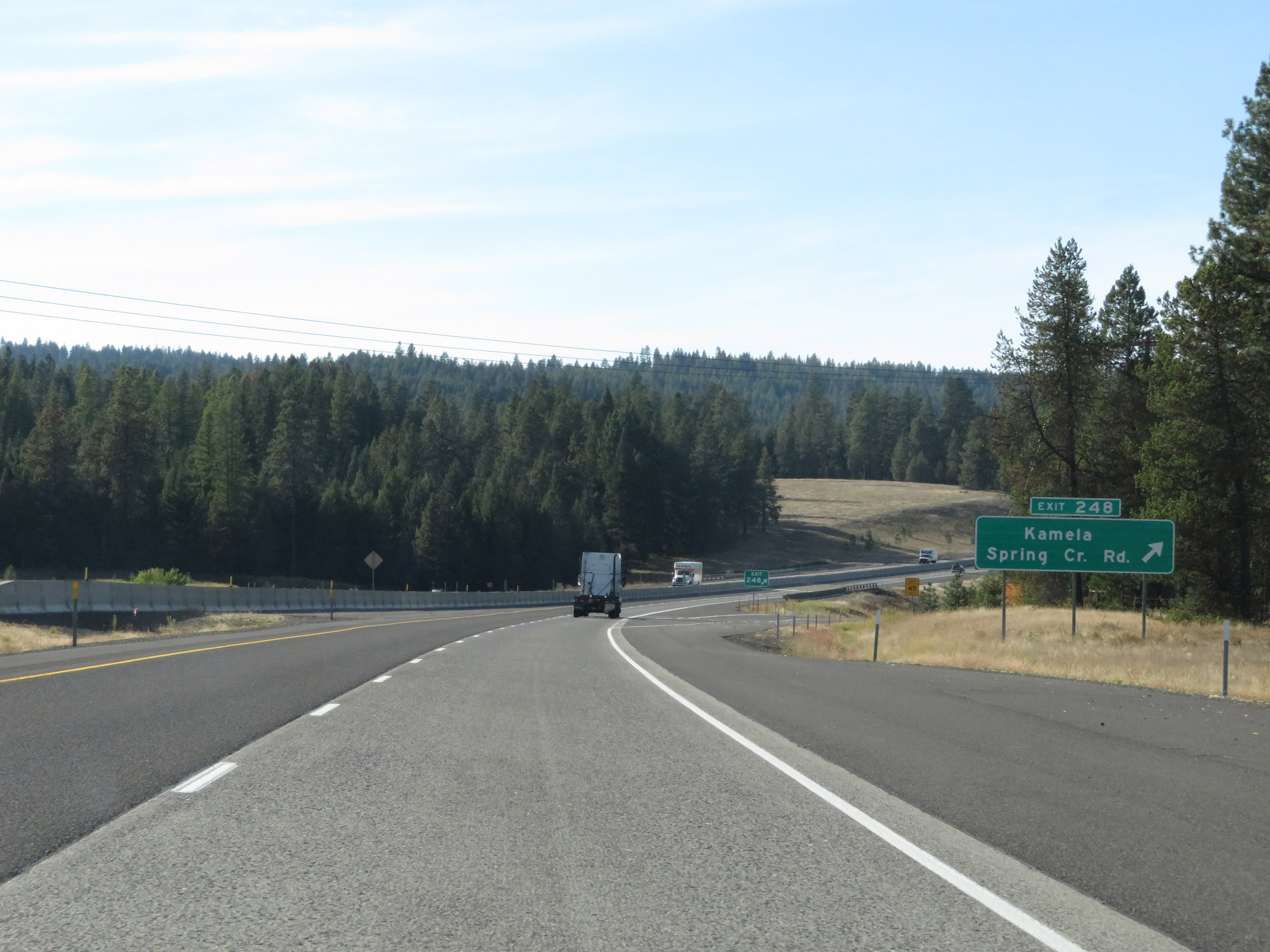 |
Interstate 84 West at Exit 248: Kamela / Spring Creek Rd (Photo taken 9/25/19). |
 |
Interstate 84 West / US 30 West reassurance shields. (Photo taken 9/25/19). |
 |
The speed limits remain 70 mph for cars and 65 mph for trucks. (Photo taken 9/25/19). |
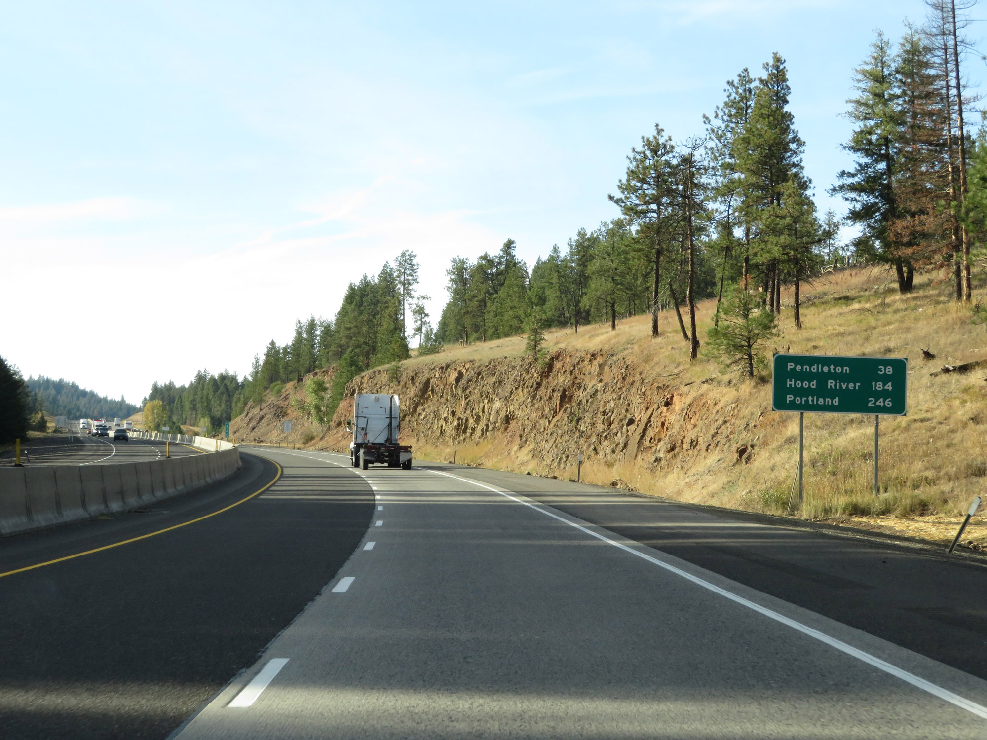 |
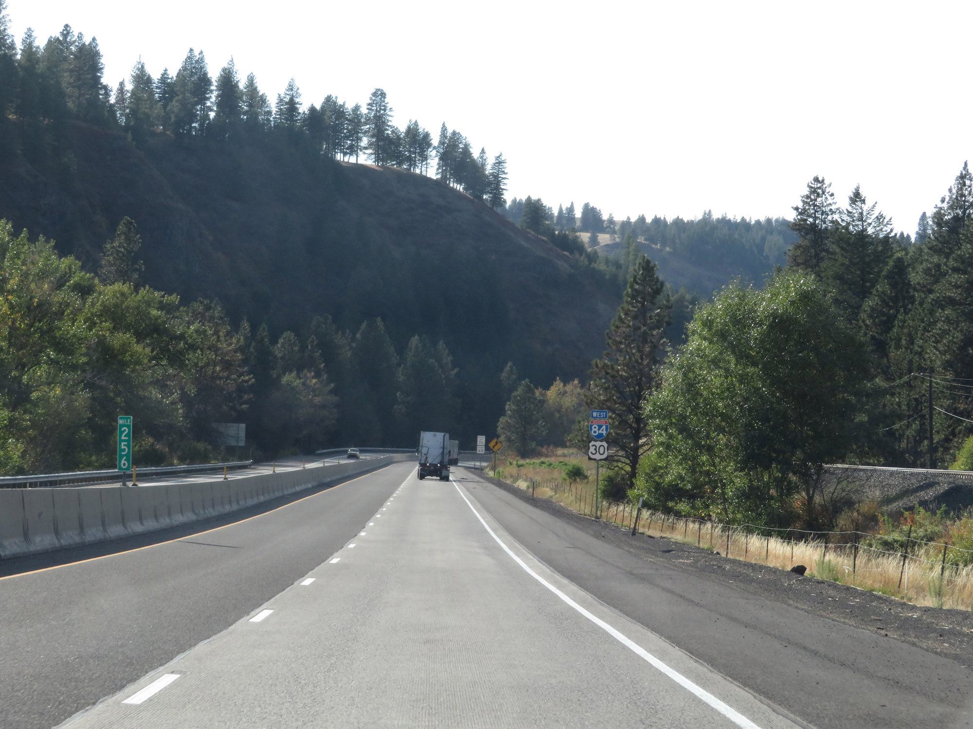
Another mileage sign on Interstate 84 West. It's 38 miles to Pendleton, 184 miles to Hood River, and 246 miles to Portland. (Photo taken 9/25/19). |
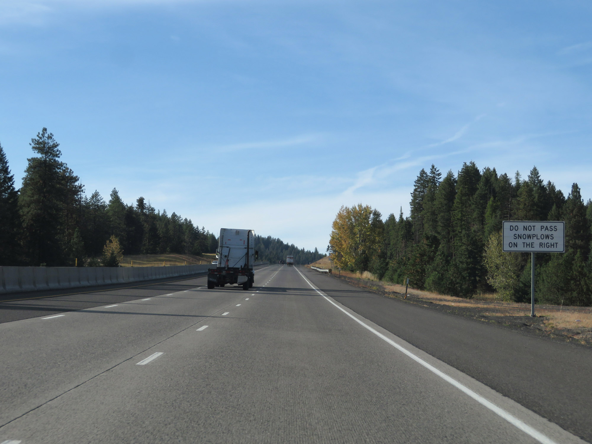 |
This sign warns motorists to avoid passing snow plows on the right, as a climbing lane continues to take Interstate 84 West higher up into the Blue Mountains. (Photo taken 9/25/19). |
 |
Interstate 84 West as the climbing lane comes to an end. (Photo taken 9/25/19). |
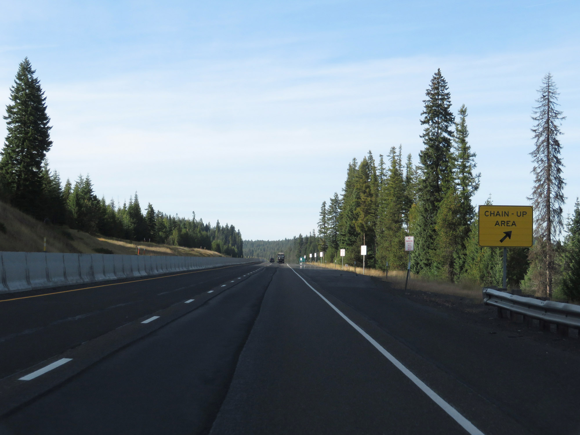 |
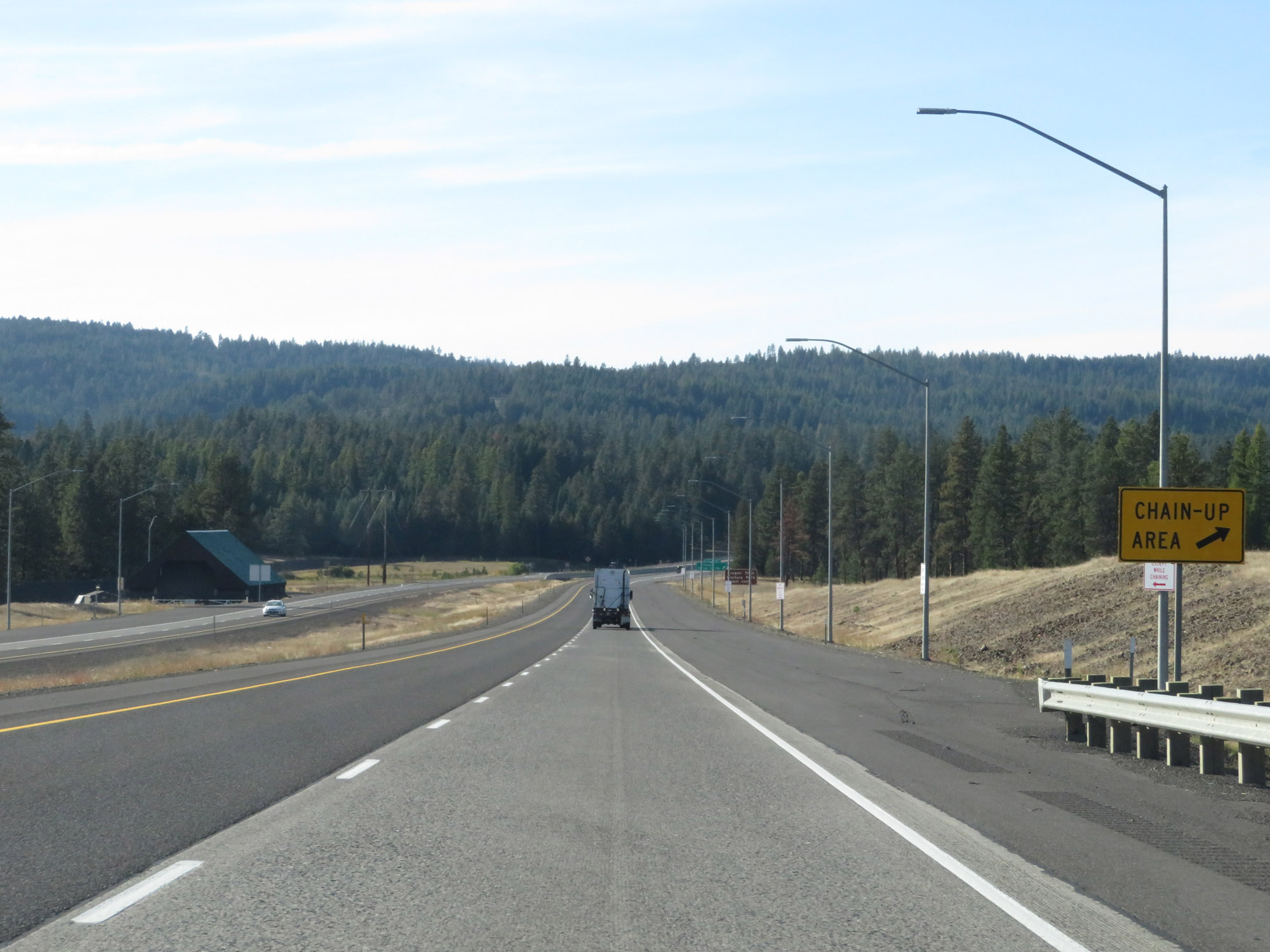
Yet another Chain-Up Area on Interstate 84 West. (Photo taken 9/25/19). |
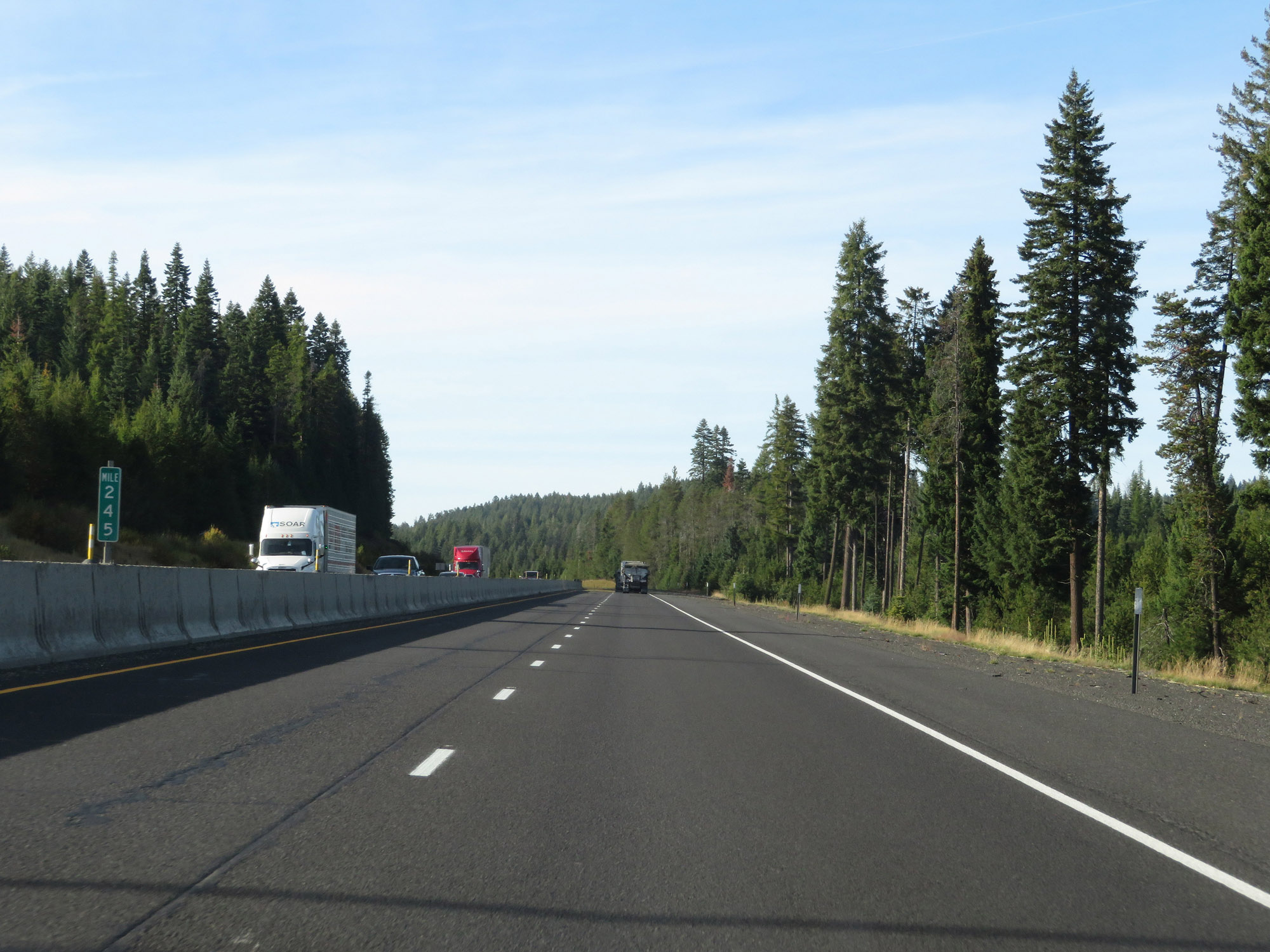 |
View on Interstate 84 West at mile marker 245. (Photo taken 9/25/19). |
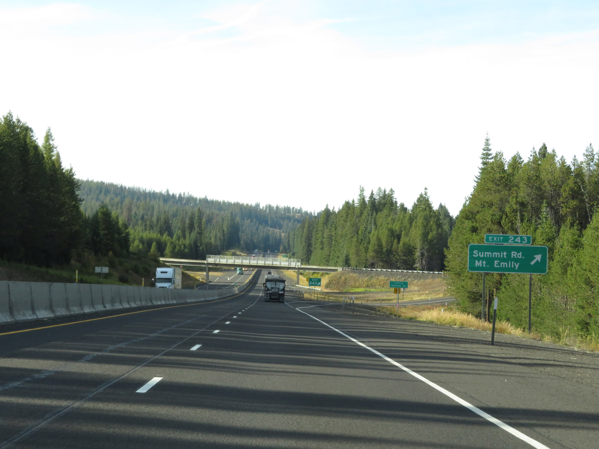 |
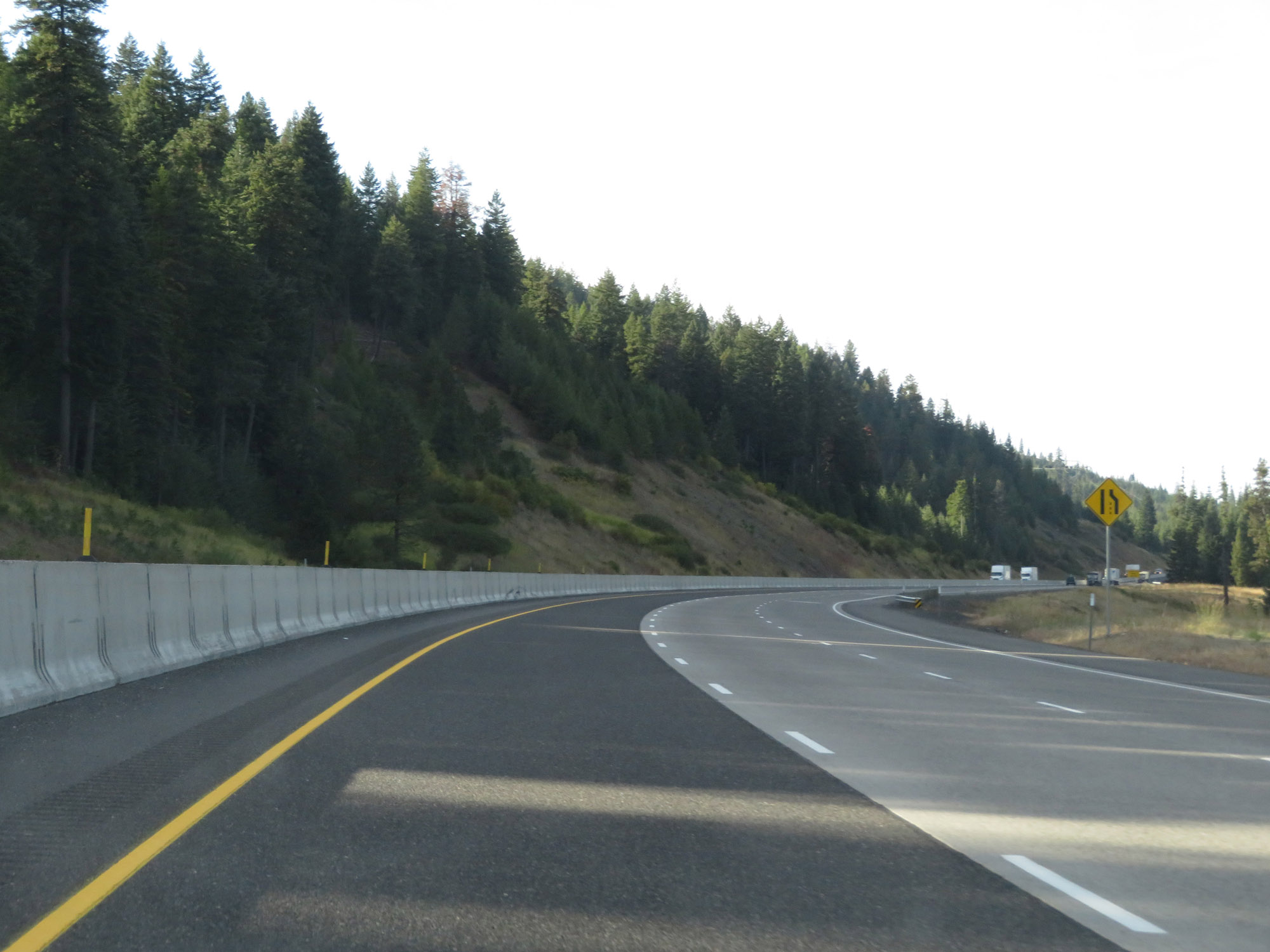
Interstate 84 West at Exit 243: Summit Rd / Mt. Emily (Photo taken 9/25/19). |
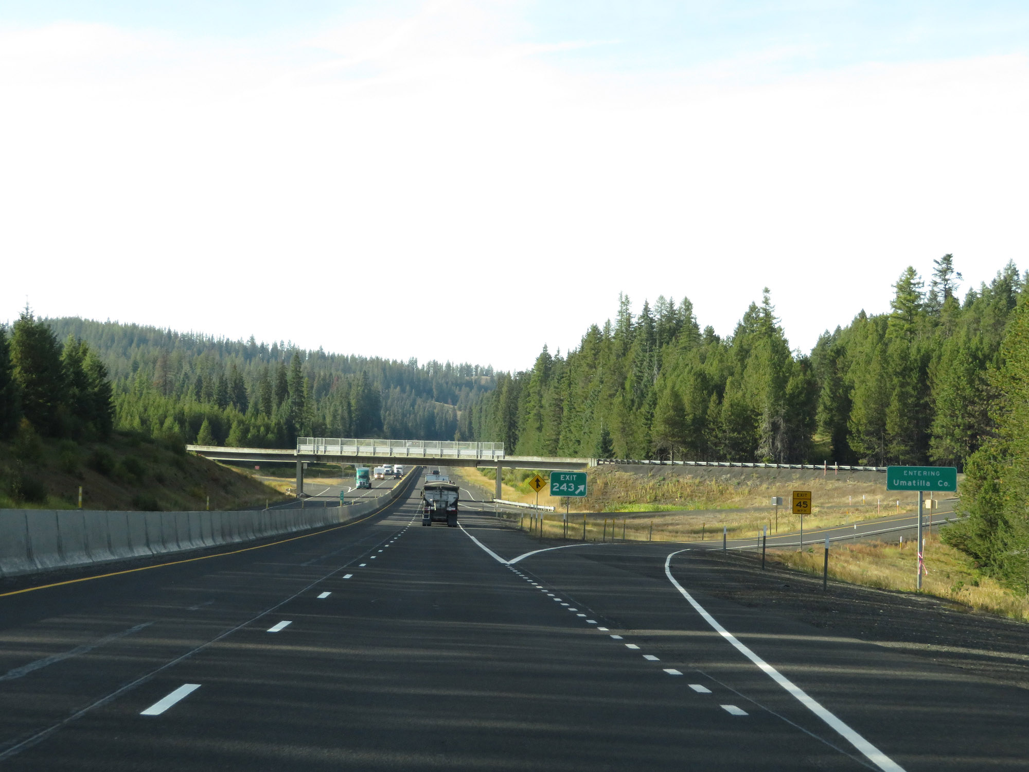 |
At Exit 243, Interstate 84 West enters Umatilla County. (Photo taken 9/25/19). |
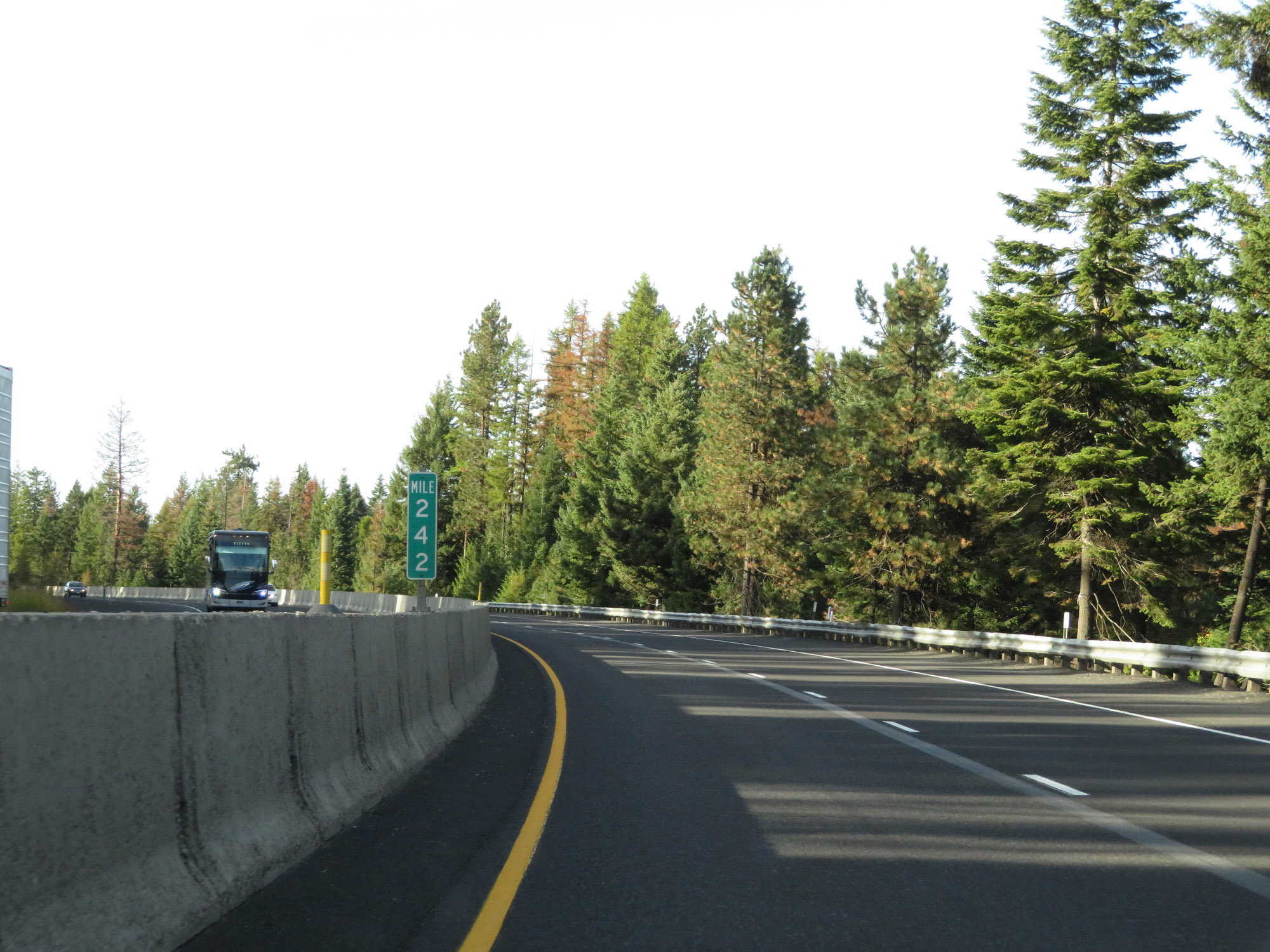 |
Interstate 84 West at mile marker 242. (Photo taken 9/25/19). |
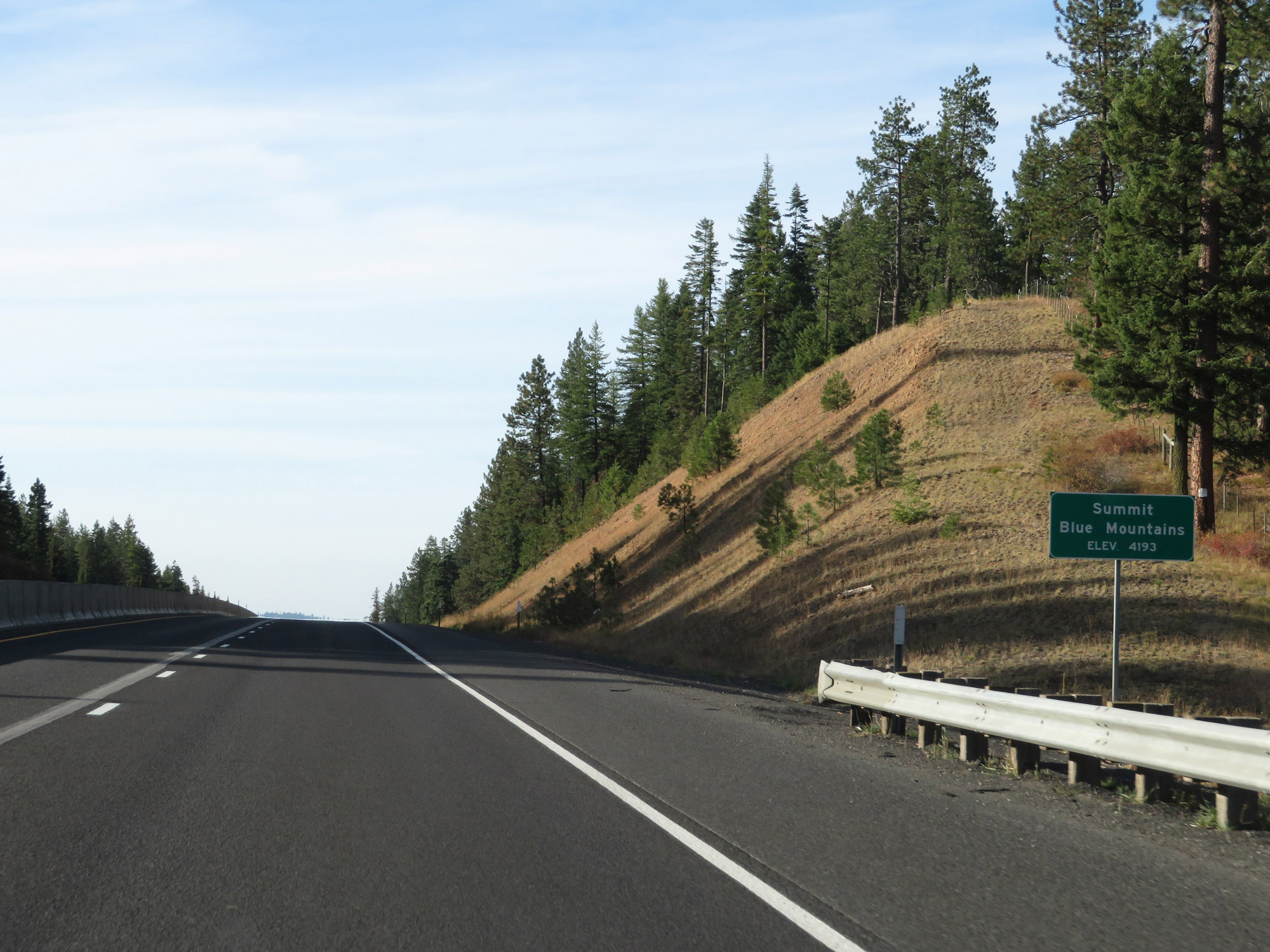 |
Here, Interstate 84 West finally reaches the summit of the Blue Mountains in Umatilla County at an elevation of 4,193 feet. (Photo taken 9/25/19). |
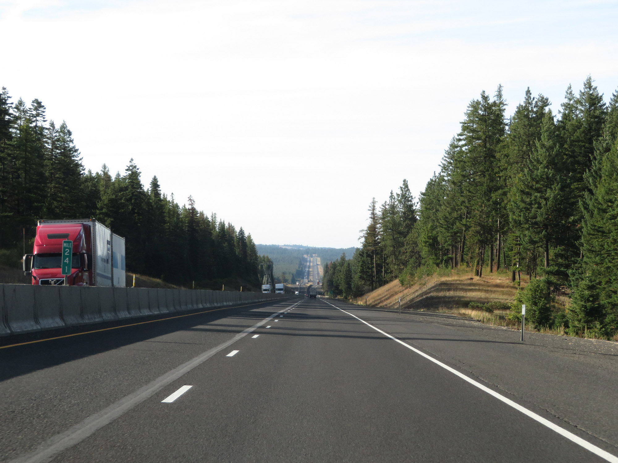 |
View on Interstate 84 West at mile marker 241. (Photo taken 9/25/19). |
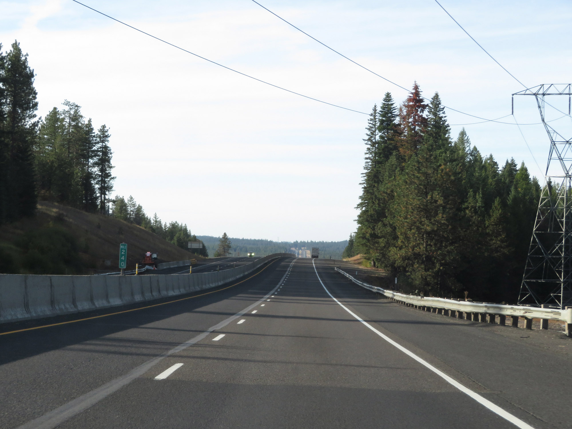 |
Interstate 84 West at mile marker 240, high in the Blue Mountains. (Photo taken 9/25/19). |
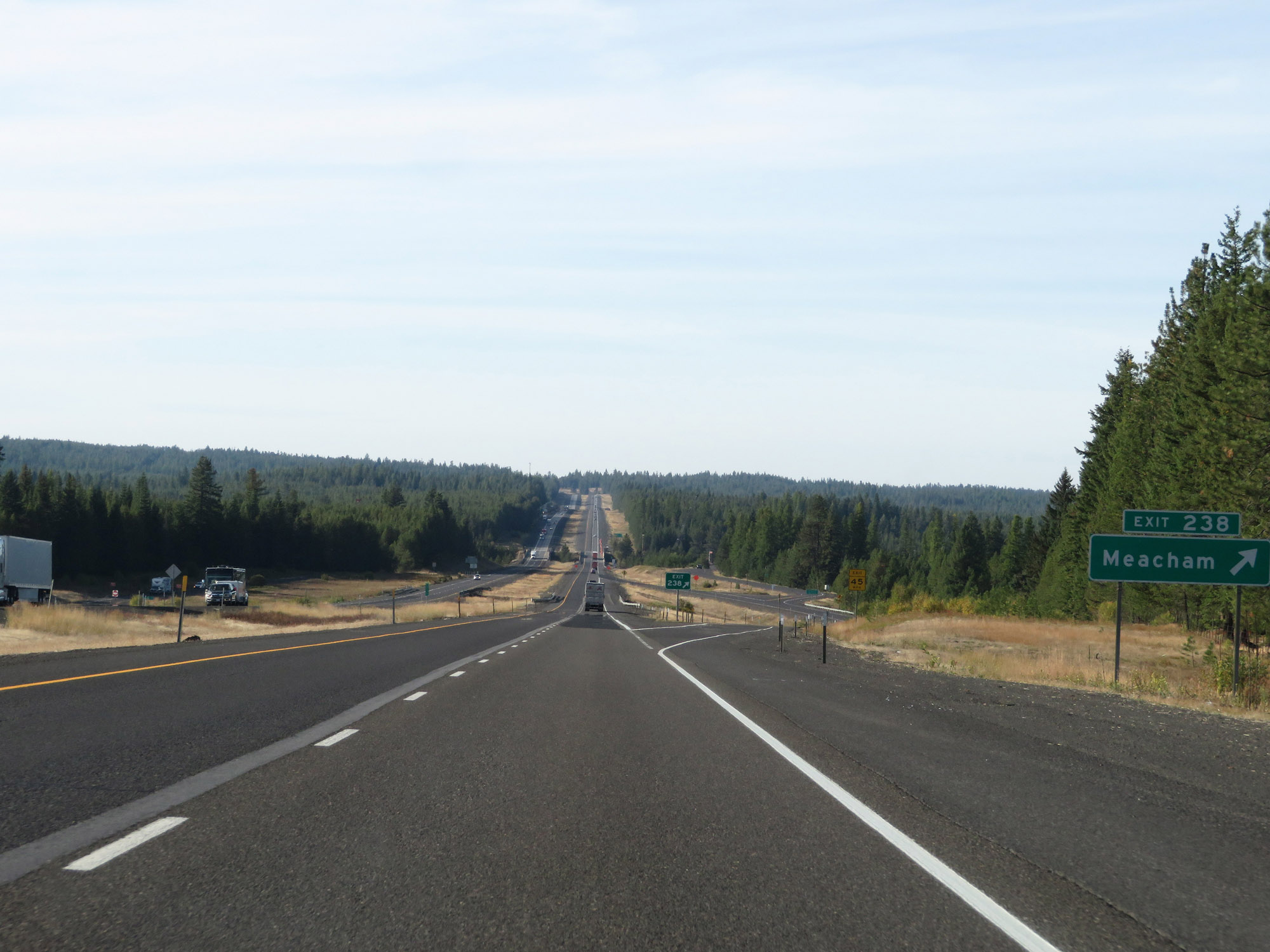 |
Interstate 84 West at Exit 238: Meacham (Photo taken 9/25/19). |
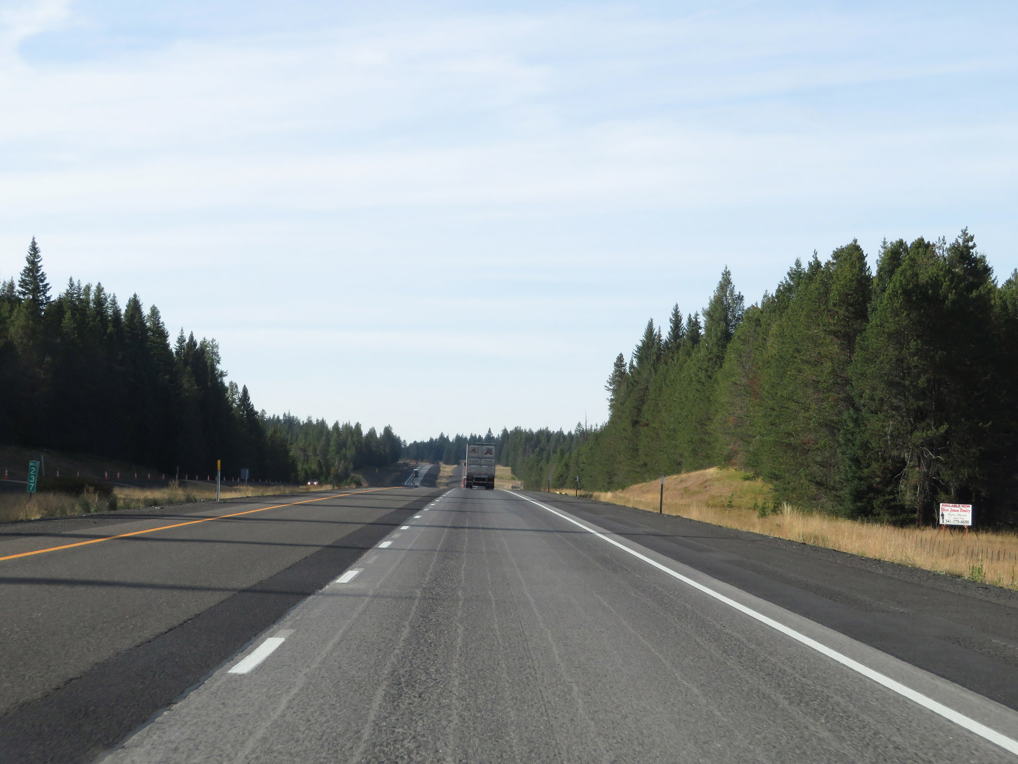 |
View on Interstate 84 West at mile marker 237. (Photo taken 9/25/19). |
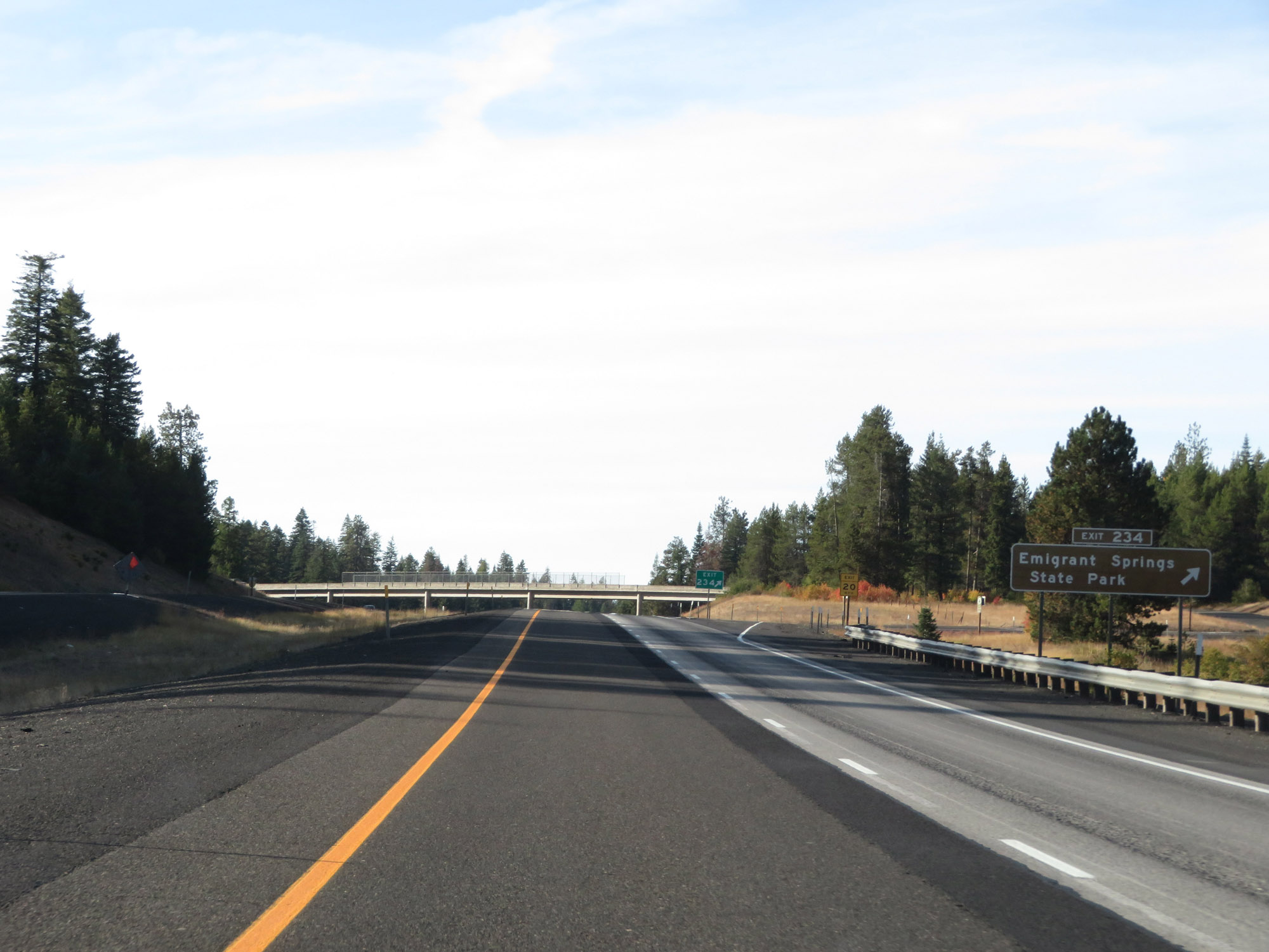 |
Interstate 84 West at Exit 234: Emigrant Springs State Park (Photo taken 9/25/19). |
 |
Interstate 84 West at mile marker 233. (Photo taken 9/25/19). |
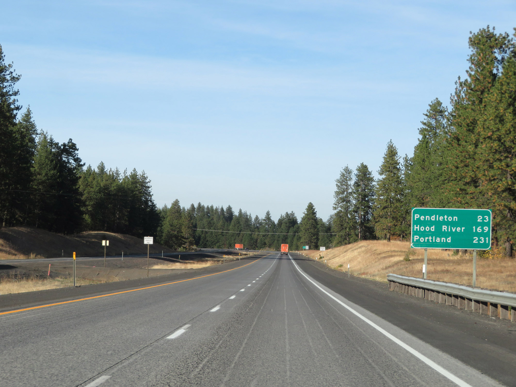 |
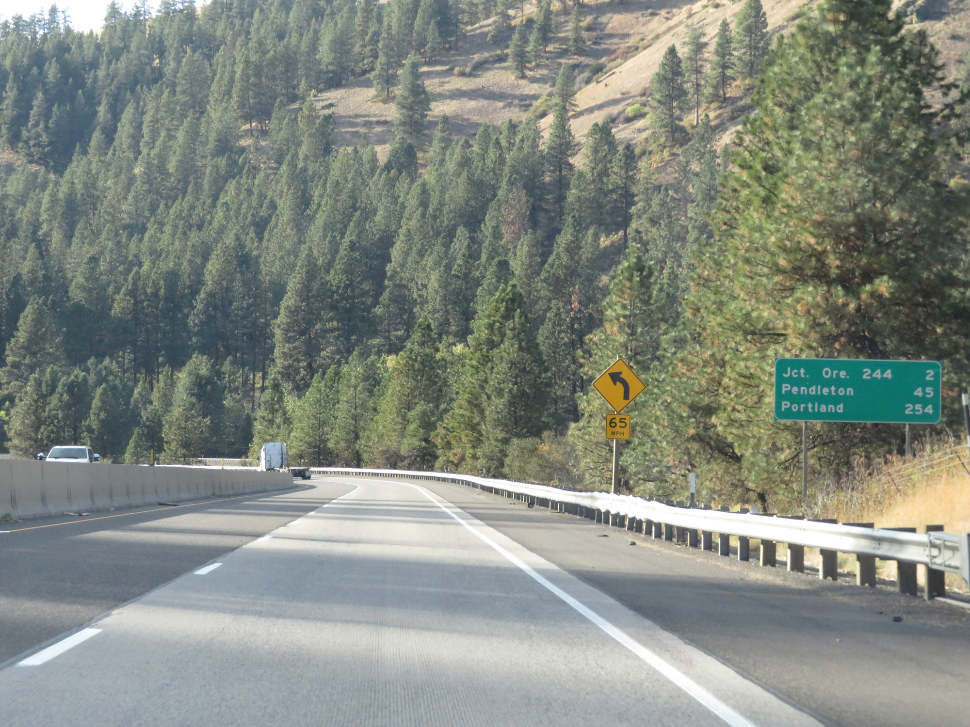
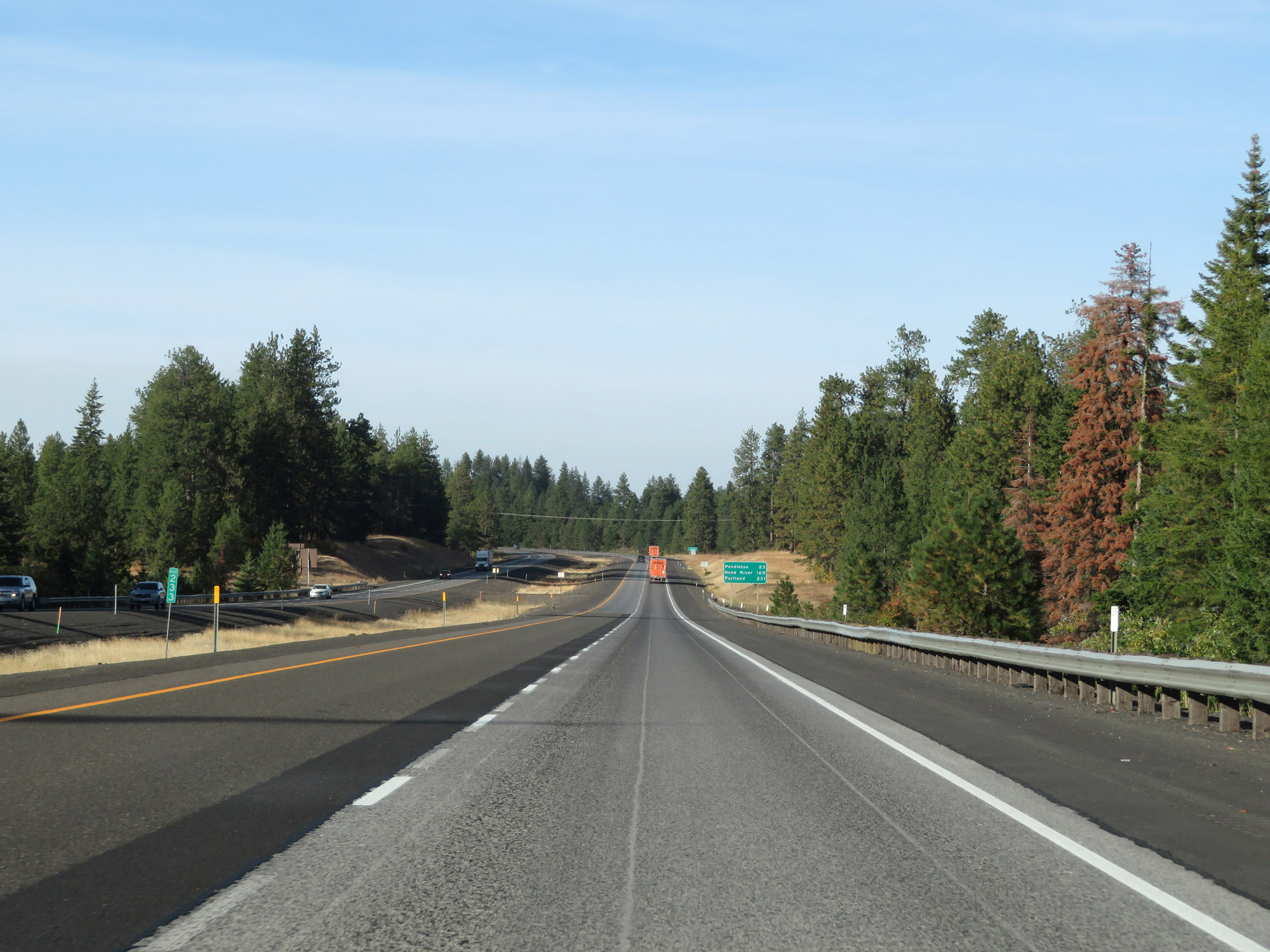
Mileage sign on Interstate 84 West. It's 23 miles to Pendleton, 169 miles to Hood River, and 231 miles to Portland. (Photo taken 9/25/19). |
 |
Entering the Umatilla Indian Reservation on Interstate 84 West, high in the Blue Mountains. (Photo taken 9/25/19). |
 |
Interstate 84 West at mile marker 230. (Photo taken 9/25/19). |
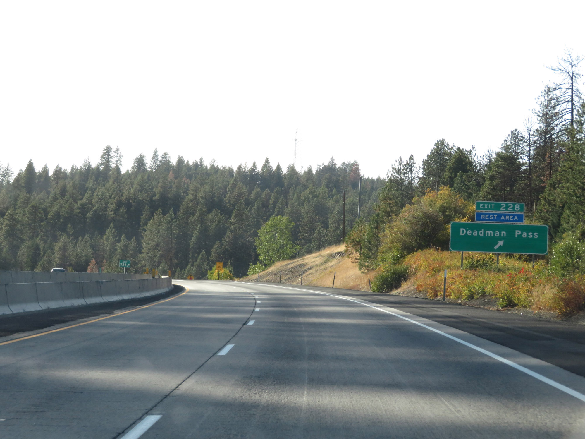 |
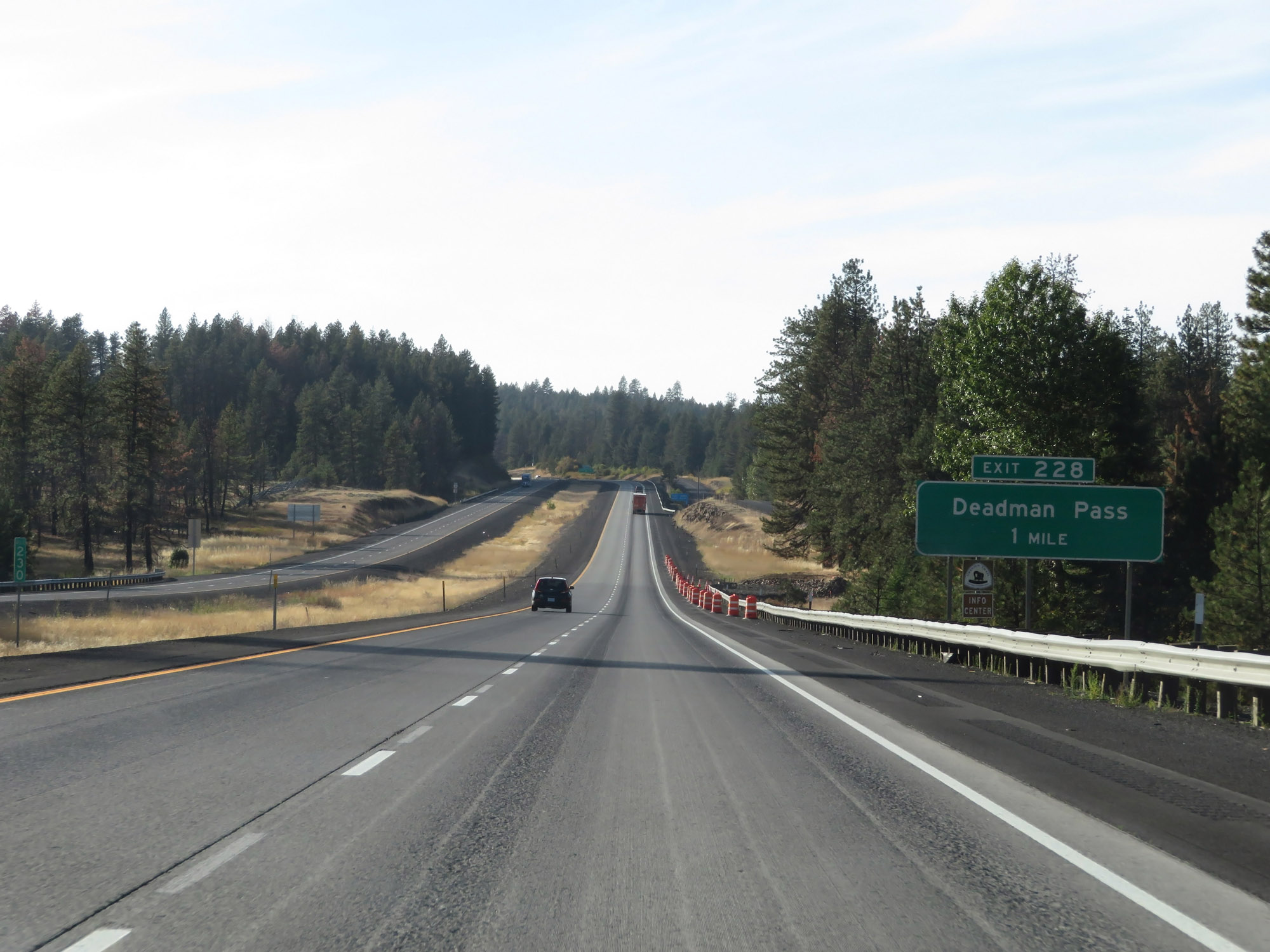
Interstate 84 West at Exit 228: Deadman Pass / Rest Area (Photo taken 9/25/19). |
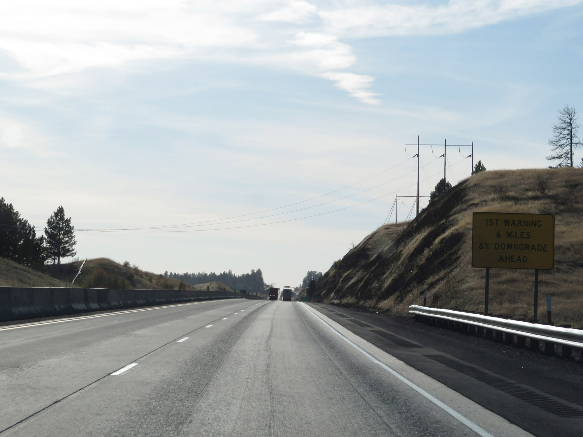 |
In a few miles, Interstate 84 West will traverse one of the longest and steepest downgrades on the Interstate Highway System known as Deadman Pass, or Cabbage Hill. This sign provides truck drivers with the first warning of the impending treacherous downgrade, which is a 6% grade which lasts for 6 miles. Along the way, there are several VERY sharp curves as well. (Photo taken 9/25/19). |
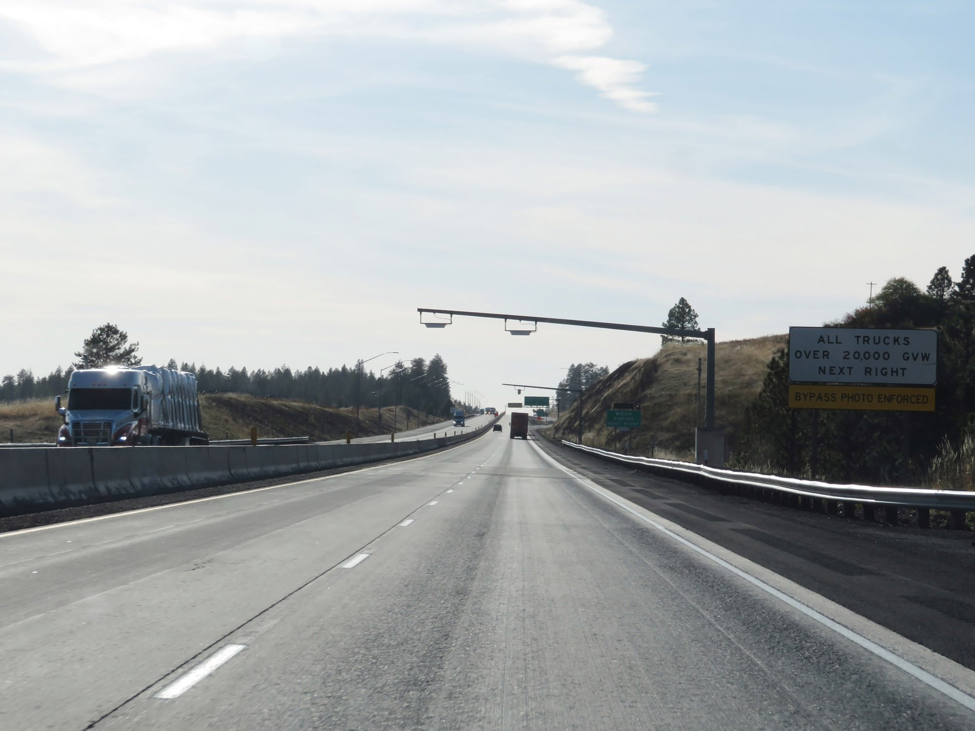 |
All trucks over 20,000 lbs GVW (Gross Vehicle Weight) must enter the Weigh Station ahead when it is open. (Photo taken 9/25/19). |
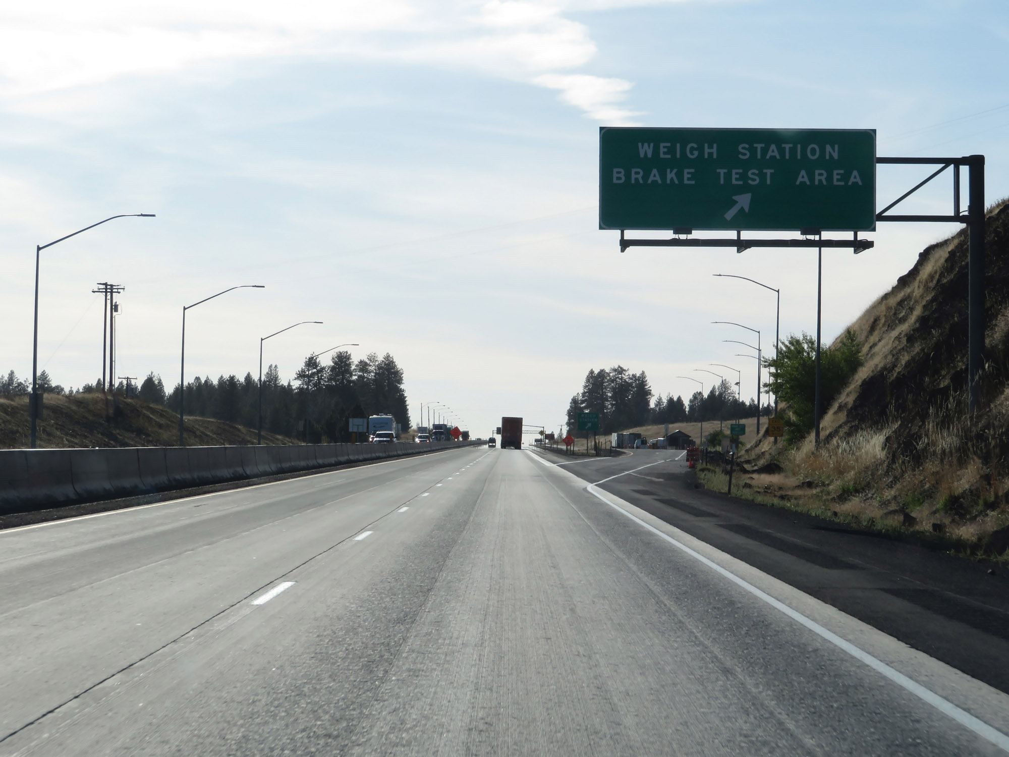 |
Weigh Station / Brake Test Area on Interstate 84 West in Umatilla County, at the summit of Deadman Pass. (Photo taken 9/25/19). |
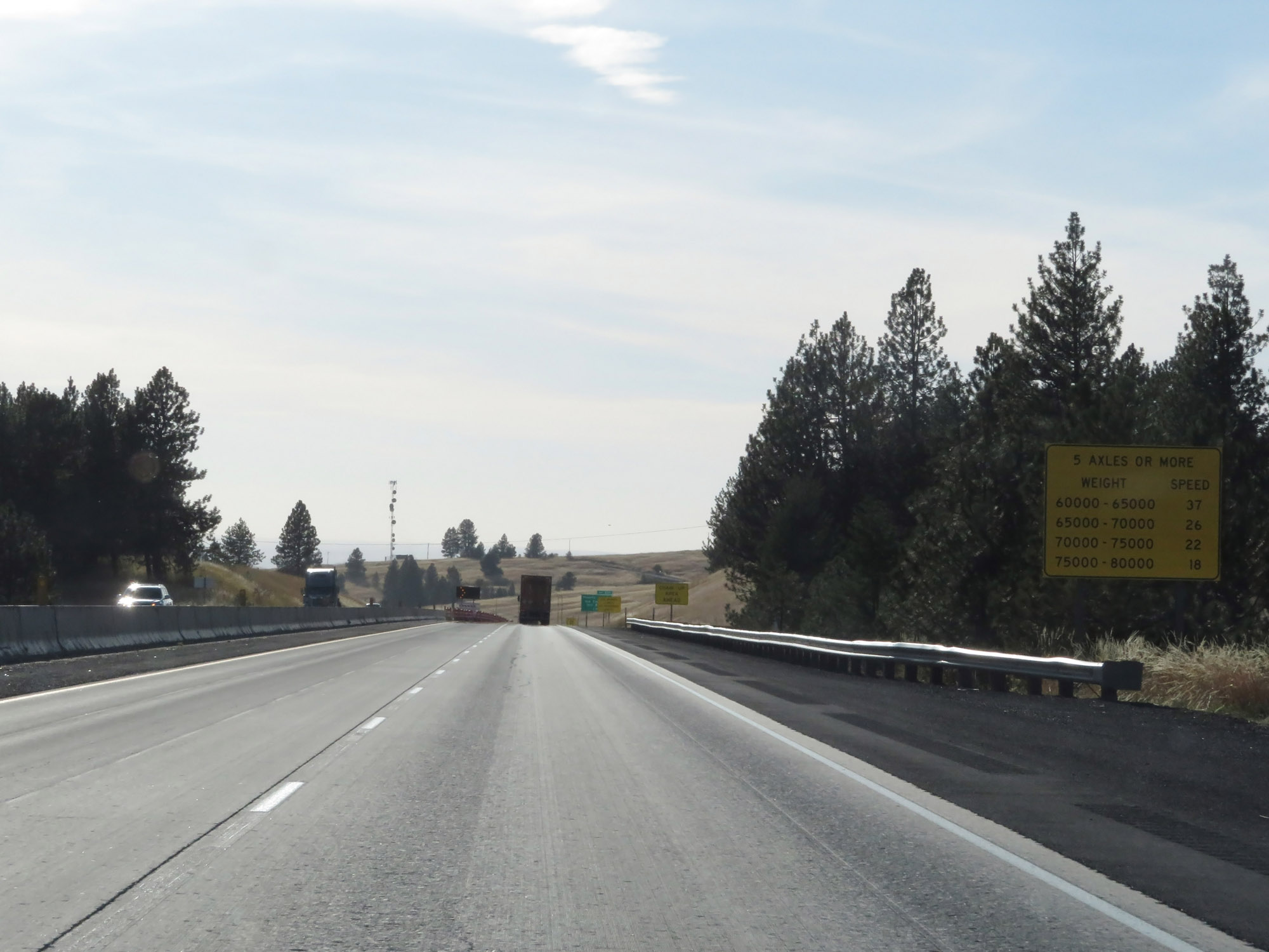 |
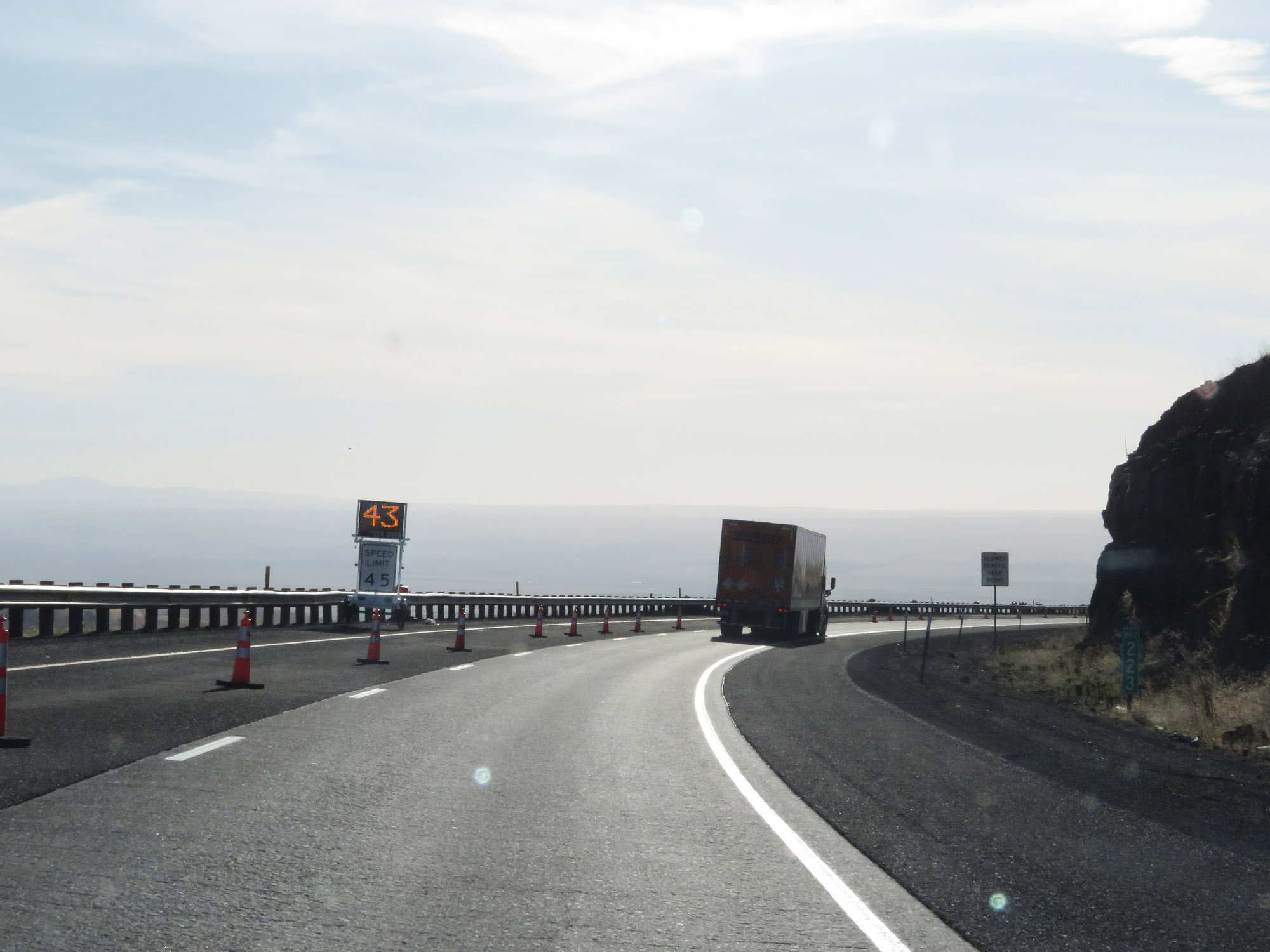
As the treacherous downgrade draws near, this sign provides advisory speeds for trucks of 5 or more axles based on their GCW (Gross Combination Weight), which is the weight of the truck, trailer(s), and their load. In case you can't tell, Cabbage Hill on Deadman Pass is certainly no joke. (Photo taken 9/25/19). |
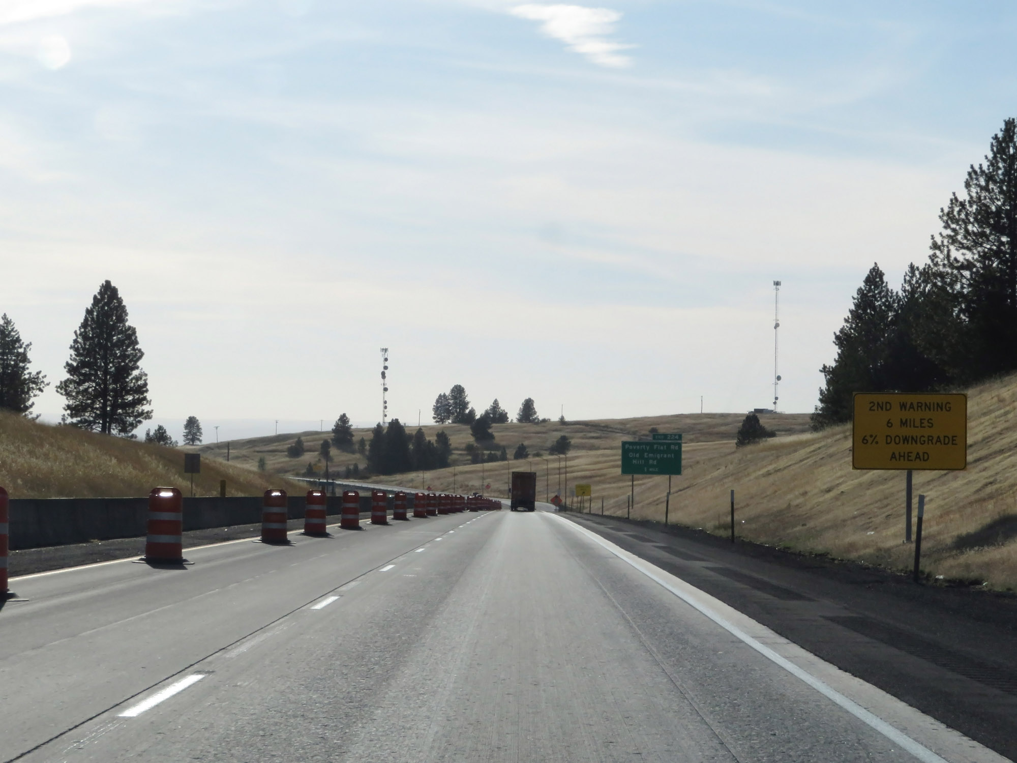 |
One mile from Exit 224, which is the point at which the downgrade will begin, this sign provides a 2nd warning of the 6%, 6-mile long descent down Deadman Pass which lies ahead. (Photo taken 9/25/19). |
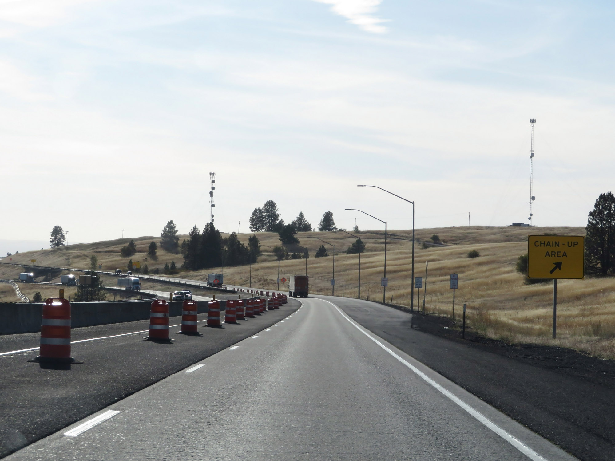 |
One final Chain-Up Area before the long, steep downgrade will begin. (Photo taken 9/25/19). |
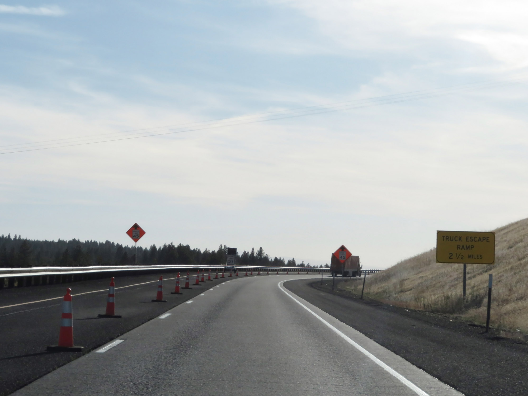 |
The first truck escape ramp going down Cabbage Hill is 2 1/2 miles ahead. I will use the terms Deadman Pass and Cabbage Hill interchangably during the downgrade, as both names are used among truck drivers and the motoring public. (Photo taken 9/25/19). |
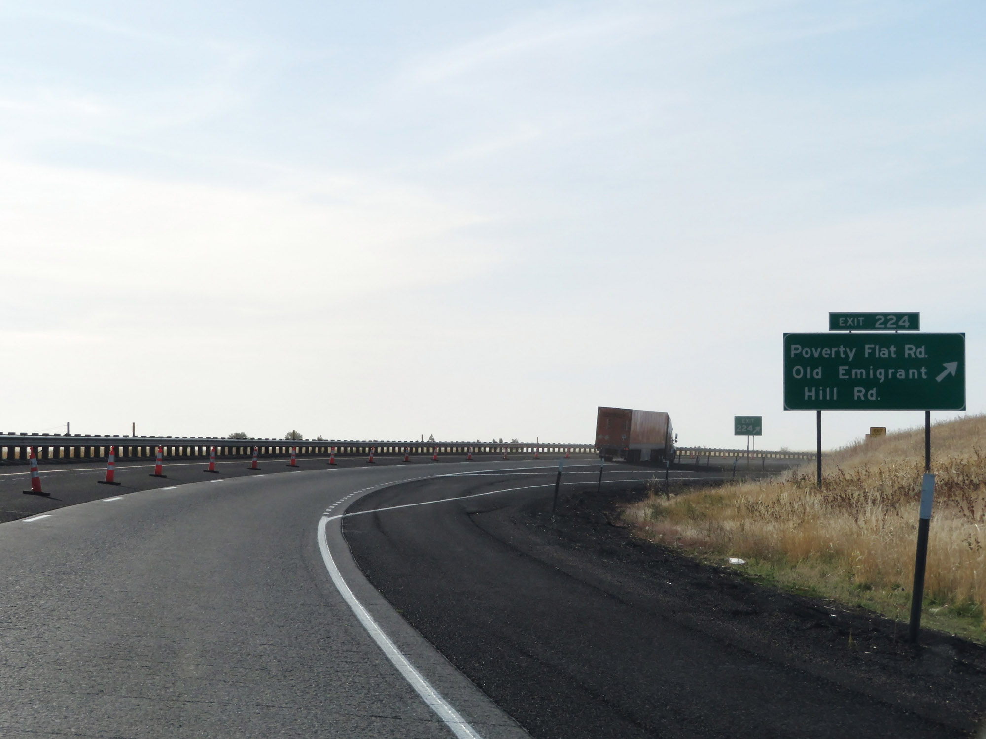 |
Interstate 84 West at Exit 224: Poverty Flat Rd / Old Emigrant Hill Rd (Photo taken 9/25/19). |
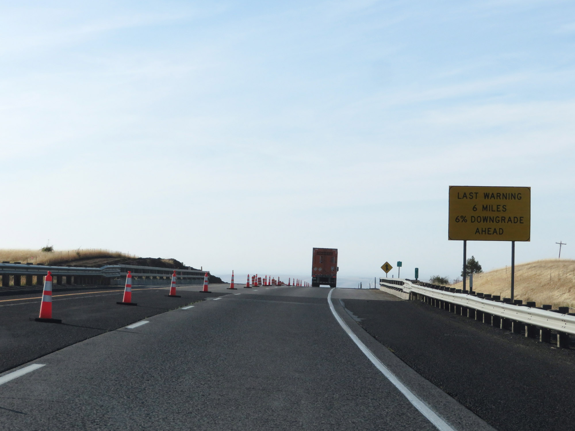 |
Just beyond Exit 224, we get our final warning of the 6-mile, 6% downgrade which will start just ahead. Trucks, gear down now. (Photo taken 9/25/19). |
 |
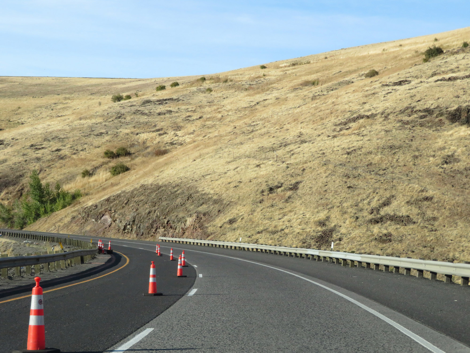
A smaller Chain-Up Area exists as the downgrade begins. Enjoy this scenic (although dangerous!) descent down Deadman Pass! (Photo taken 9/25/19). |
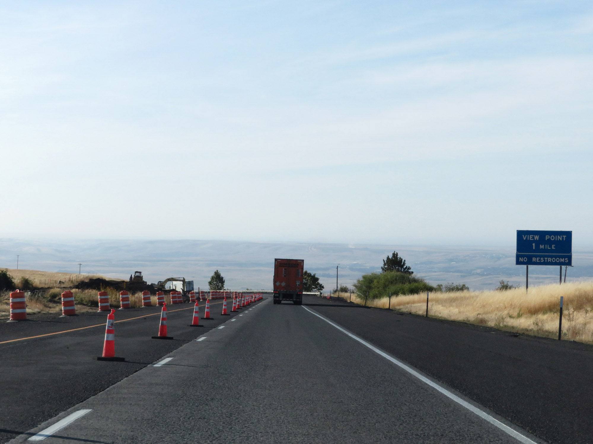 |
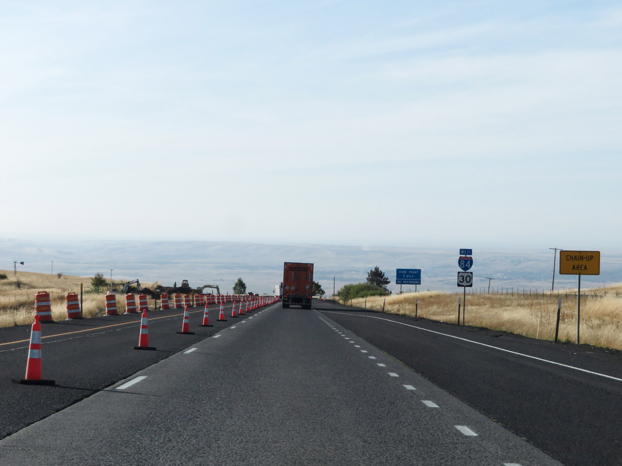
As the downgrade begins, this sign states that a View Point exists 1 mile ahead. (Photo taken 9/25/19). |
 |
Interstate 84 West as it starts to descend Cabbage Hill. (Photo taken 9/25/19). |
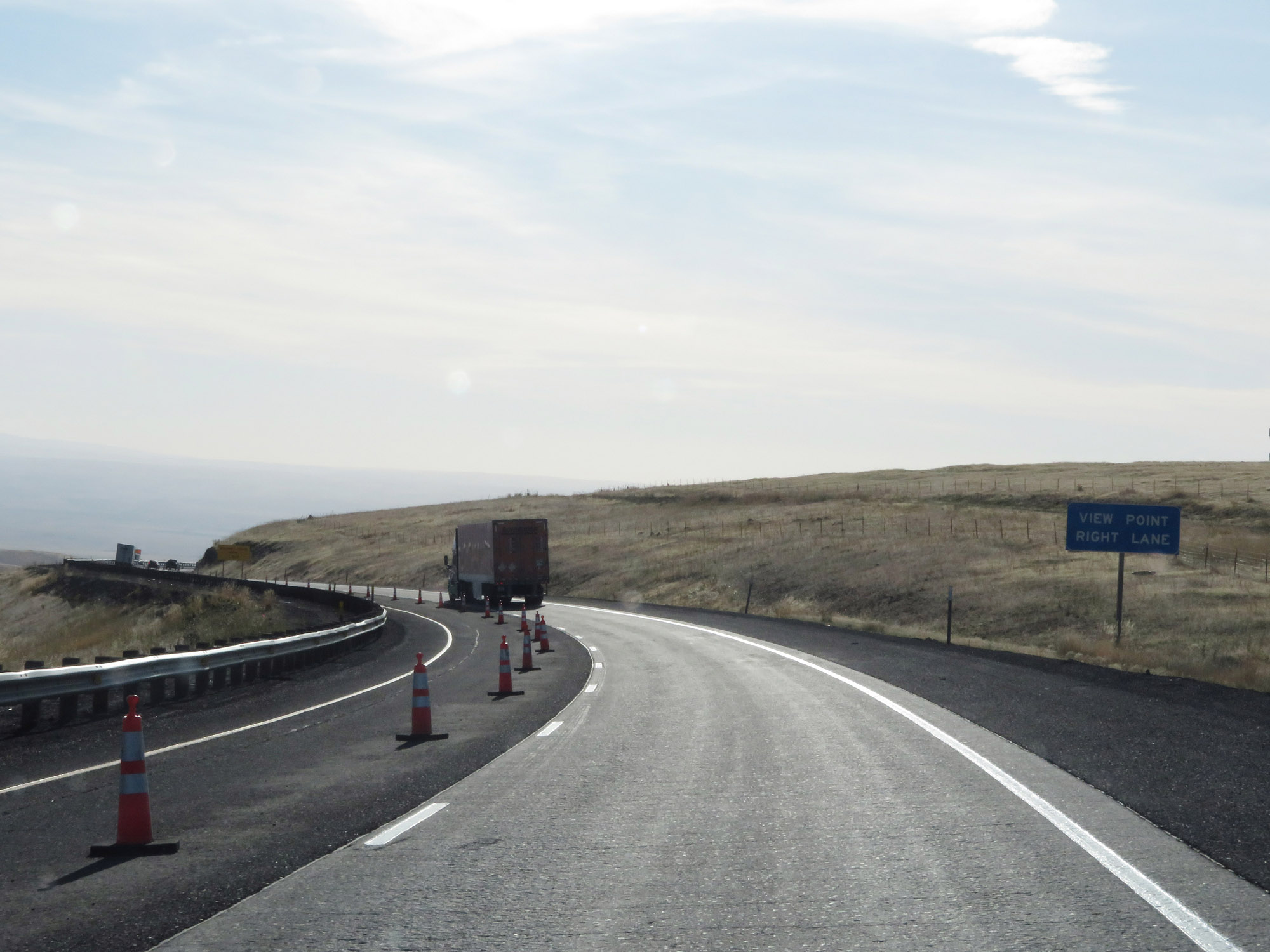 |
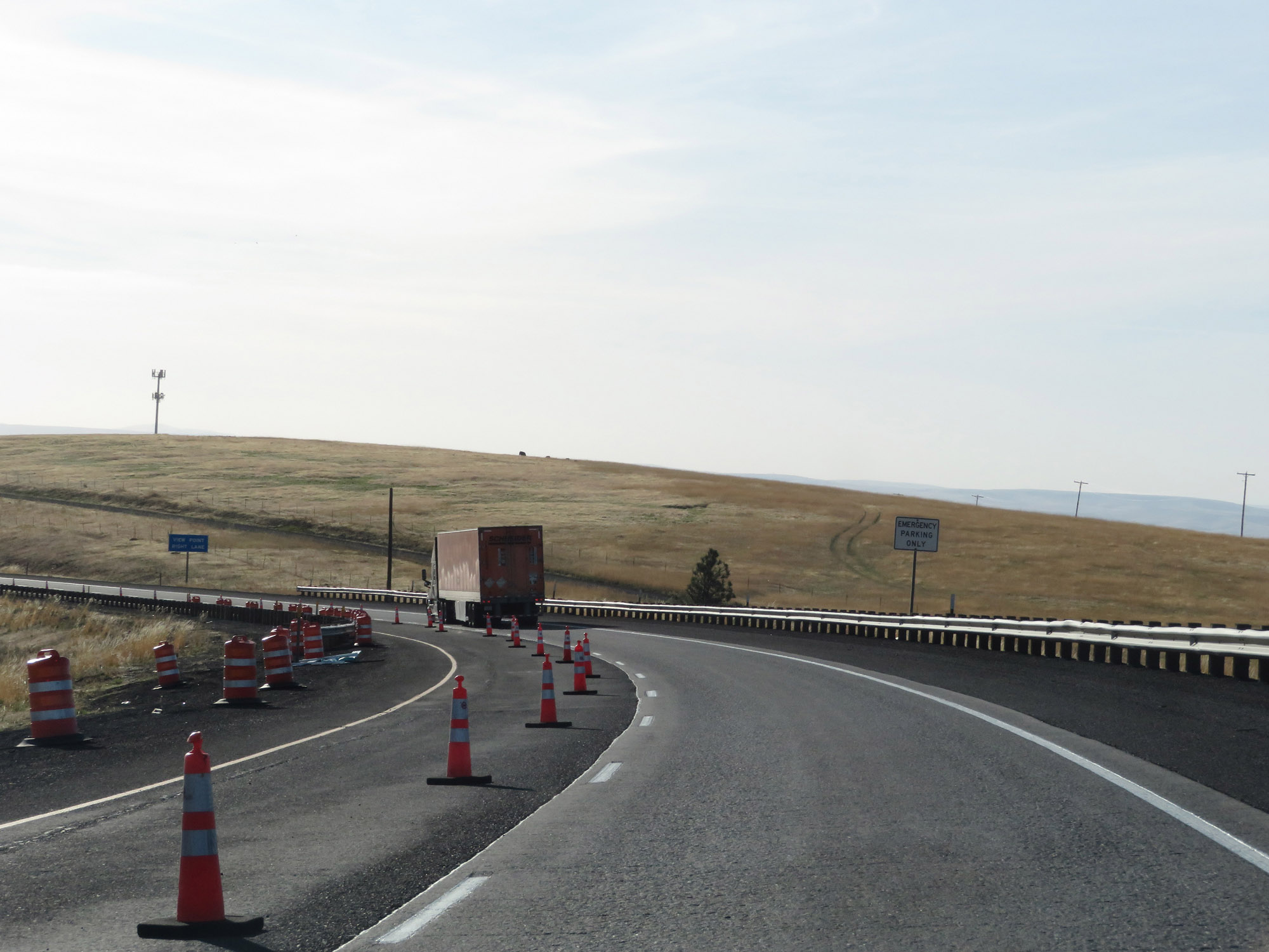
Traffic looking to enter the View Point ahead should remain in the right lane. (Photo taken 9/25/19). |
 |
Looking to the south as we descend Deadman Pass, we get this view of the eastbound lanes of Interstate 84 making the steep climb up Cabbage Hill. (Photo taken 9/25/19). |
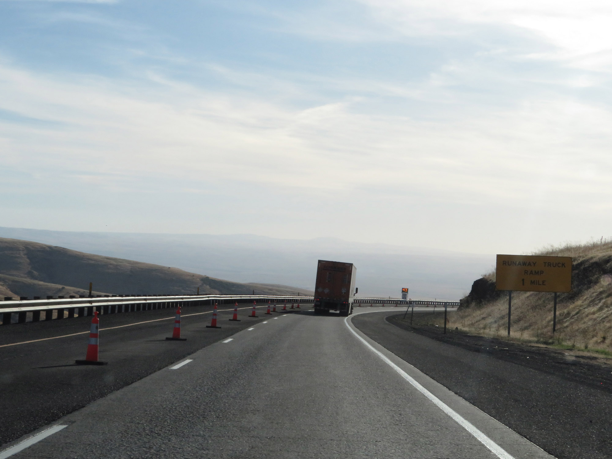 |
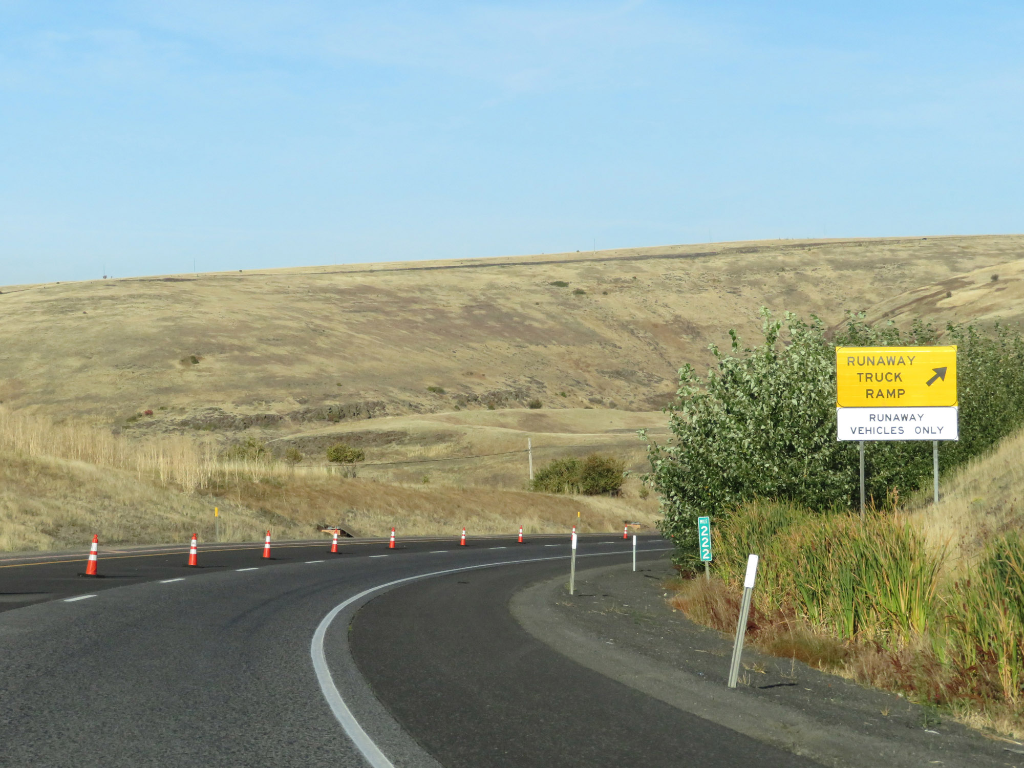
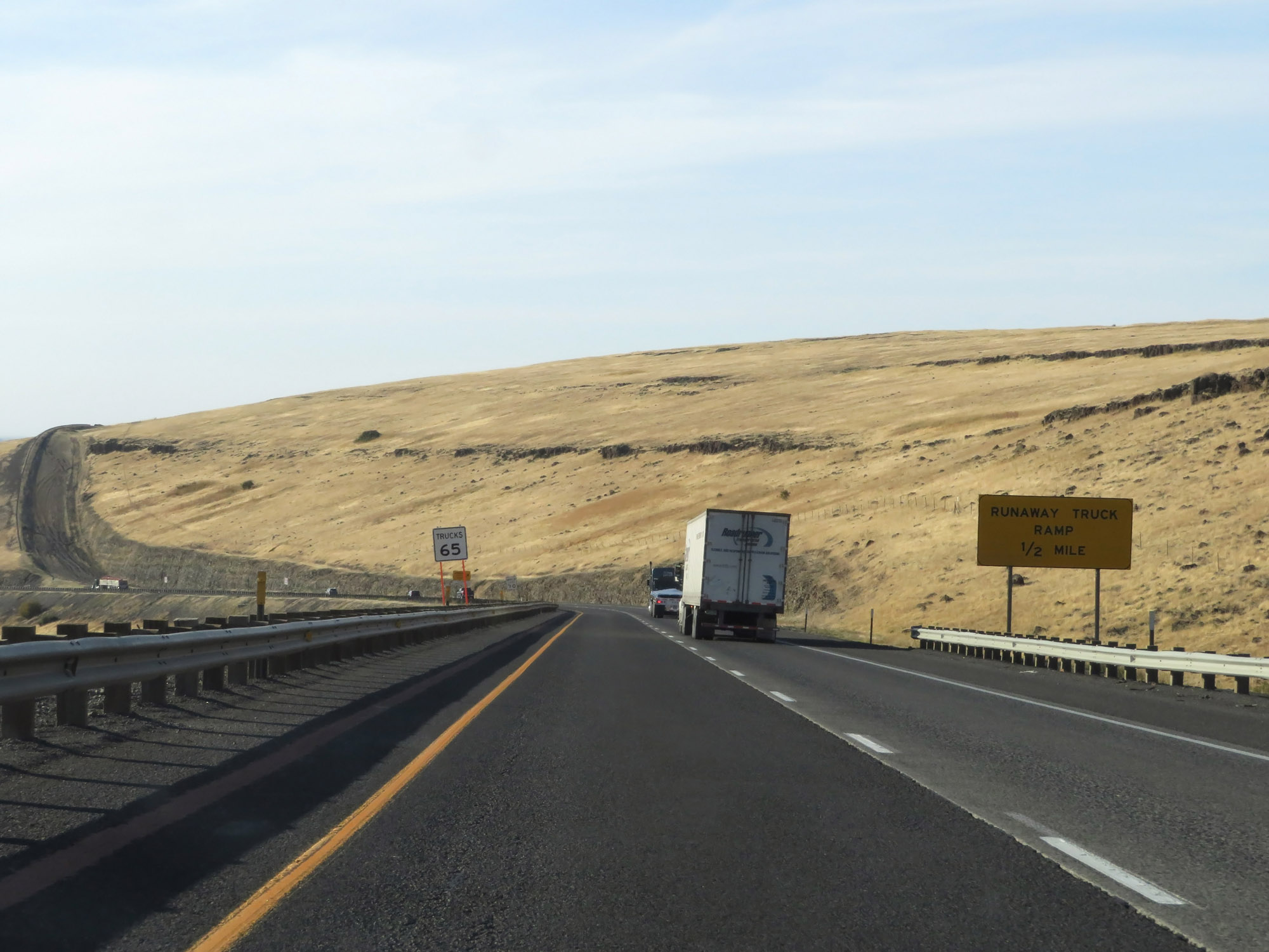
The first runaway truck ramp on Cabbage Hill lies 1 mile ahead. (Photo taken 9/25/19). |
 |
View on Interstate 84 West at mile marker 223 on Cabbage Hill. (Photo taken 9/25/19). |
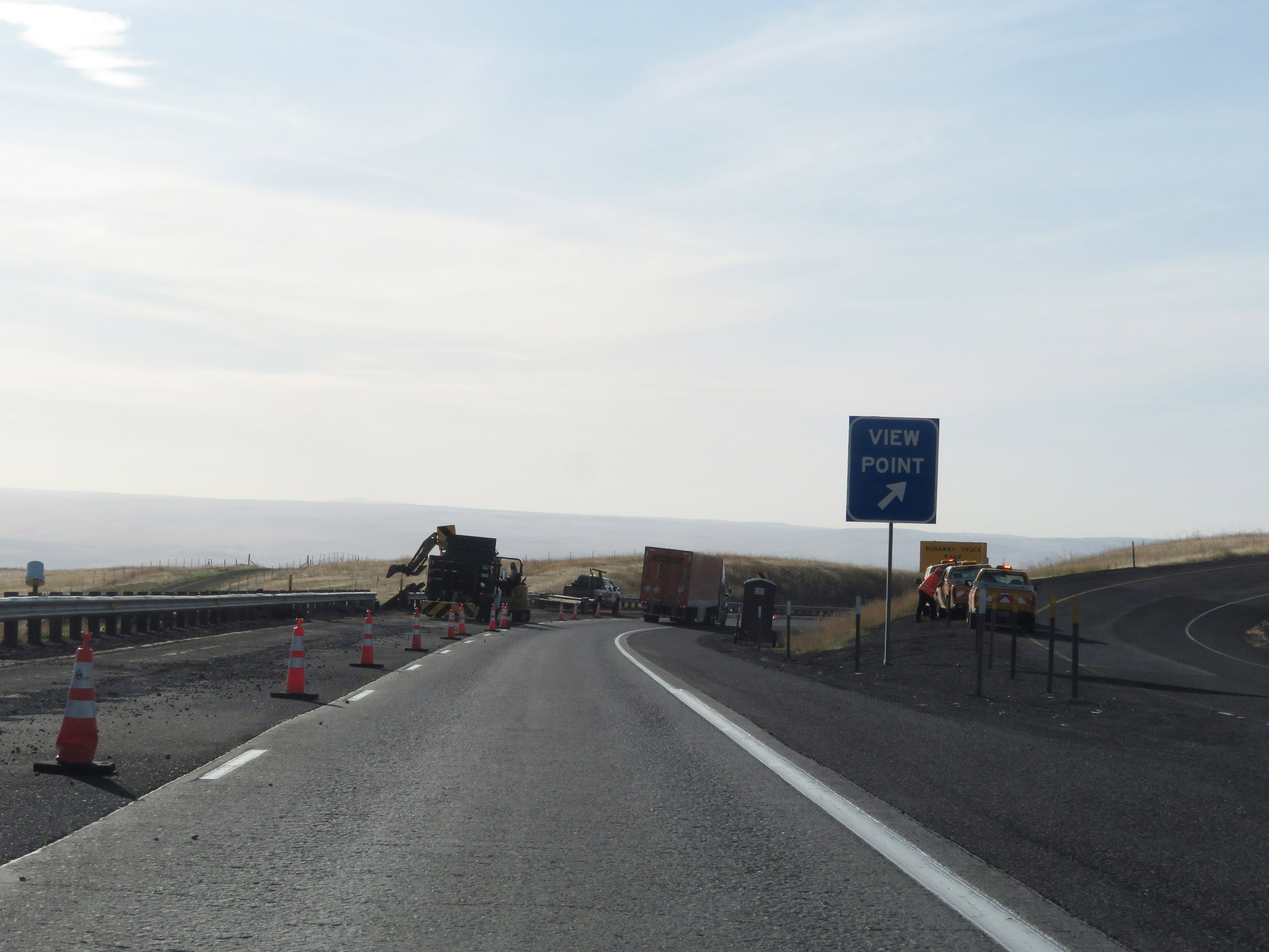 |
View Point on Interstate 84 West as it descends Deadman Pass via Cabbage Hill. (Photo taken 9/25/19). |
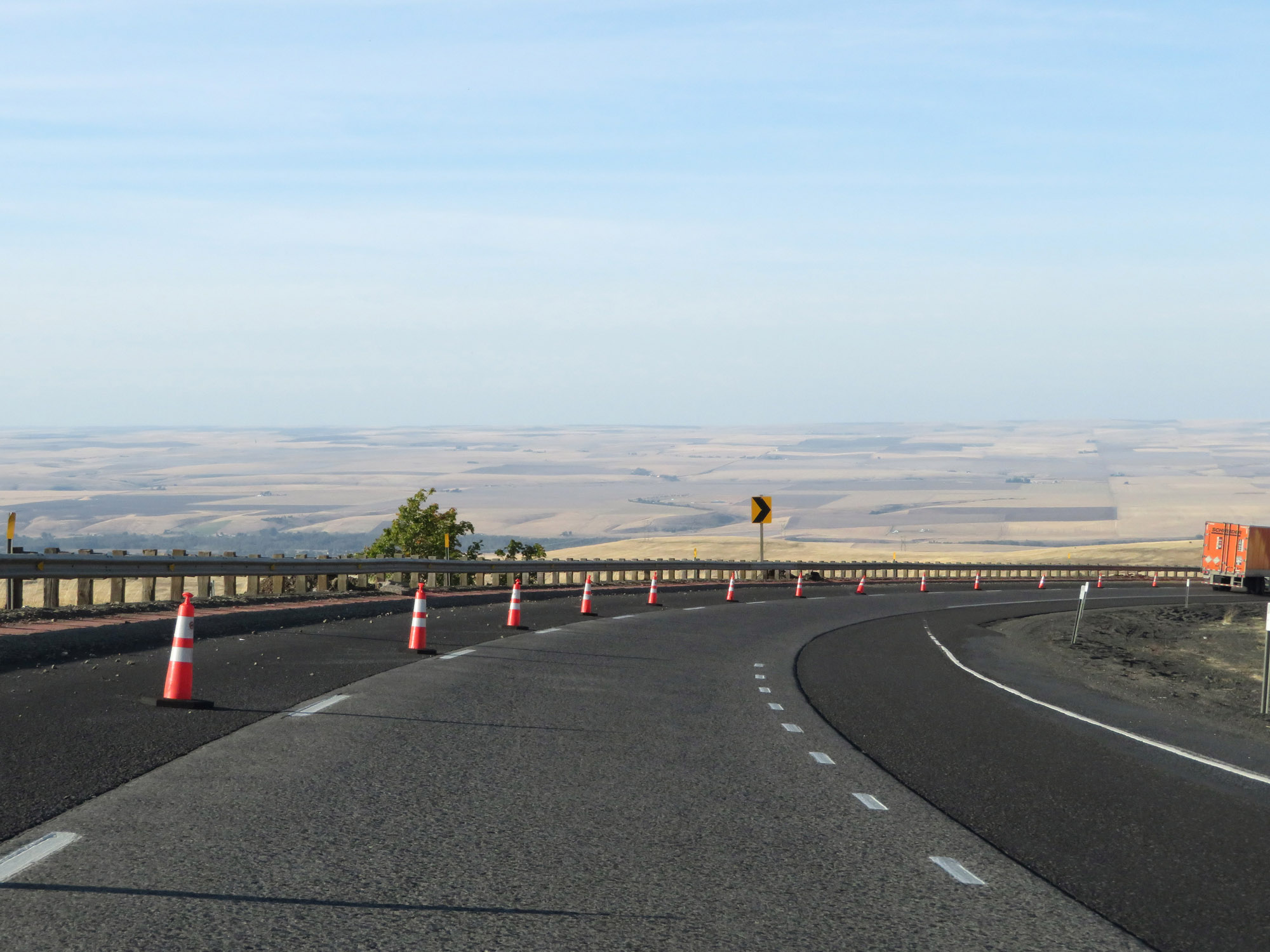 |
Interstate 84 West curves sharply to the north as it continues to lose altitude. This is one of a few sharp curves on the descent of Deadman Pass. (Photo taken 9/25/19). |
 |
As you can see, the curves can be quite lengthy as well. (Photo taken 9/25/19). |
 |
View on Interstate 84 West at mile marker 222. (Photo taken 9/25/19). |
 |
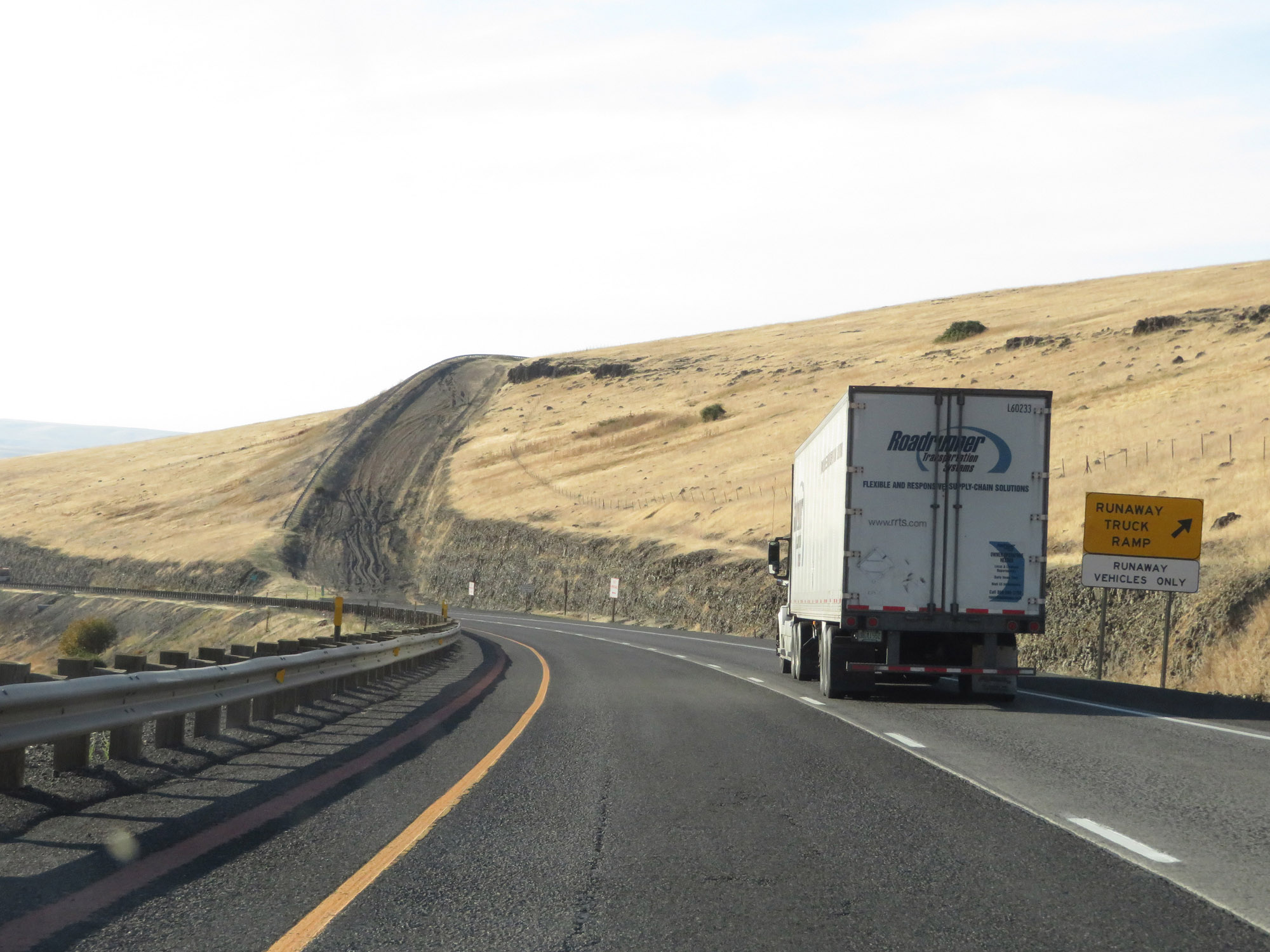
Runaway truck ramp on Interstate 84 West as it descends Cabbage Hill. (Photo taken 9/25/19). |
 |
Ahead, as these signs warn, Interstate 84 West will make a hairpin curve back to the southwestern direction. Notice how the steepness of the downgrade is very consistent. There isn't any flat ground during the descent to catch your breath or a gear, if you're a truck driver. (Photo taken 9/25/19). |
 |
Entering the 55 mph curve mentioned on the warning signs in the previous photo. (Photo taken 9/25/19). |
 |
Continuing around the hairpin curve on Interstate 84 West as it descends Deadman Pass. (Photo taken 9/25/19). |
 |
The curve continues. We're now facing it a more westerly direction. (Photo taken 9/25/19). |
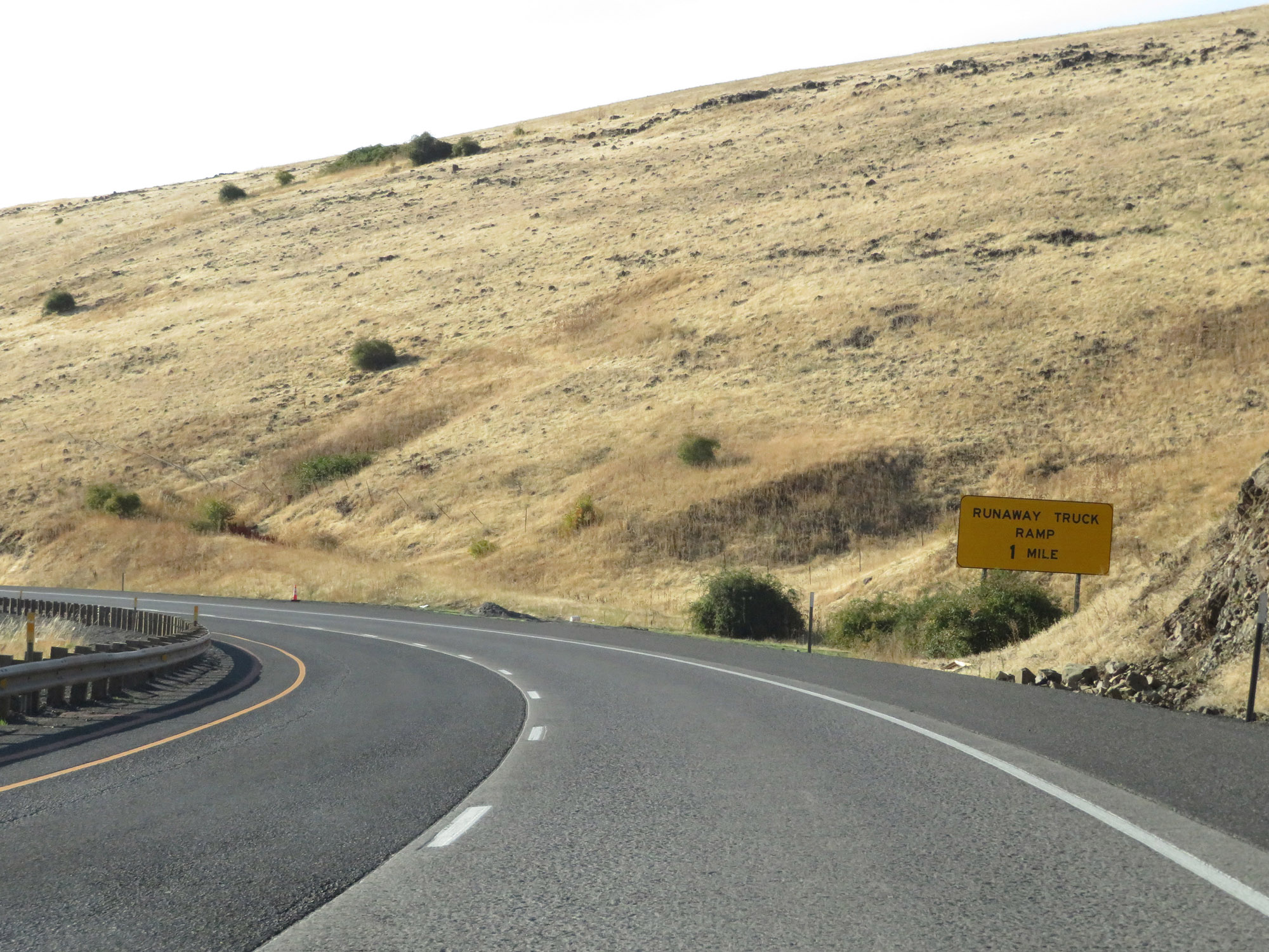 |
A second runaway truck ramp exists 1 mile ahead. (Photo taken 9/25/19). |
 |
Coming out of the hairpin curve at mile marker 221. (Photo taken 9/25/19). |
 |
The truck escape ramp is now just 1/2 mile ahead. (Photo taken 9/25/19). |
 |
Despite the long, steep downgrade, the speed limit for trucks is still posted at 65 mph going down Cabbage Hill. (Photo taken 9/25/19). |
 |
The speed limit for cars remains 70 mph on Cabbage Hill. (Photo taken 9/25/19). |
 |
Interstate 84 West at the second (and final) runaway truck ramp going down Deadman Pass. (Photo taken 9/25/19). |
 |
View on Interstate 84 West at mile marker 220. (Photo taken 9/25/19). |
 |
Another view on interstate 84 West as it continues the steep descent down Cabbage Hill. (Photo taken 9/25/19). |
 |
The bottom of Cabbage Hill comes into view here, as Interstate 84 West traverses another curve on the downgrade. (Photo taken 9/25/19). |
 |
The downgrade continues.....but we're almost to the bottom. (Photo taken 9/25/19). |
 |
Interstate 84 West curves back to the west once more for the final leg of the descent down Deadman Pass. (Photo taken 9/25/19). |
 |
As the bottom of the downgrade comes into plain view, Interstate 84 West finally straightens out. (Photo taken 9/25/19). |
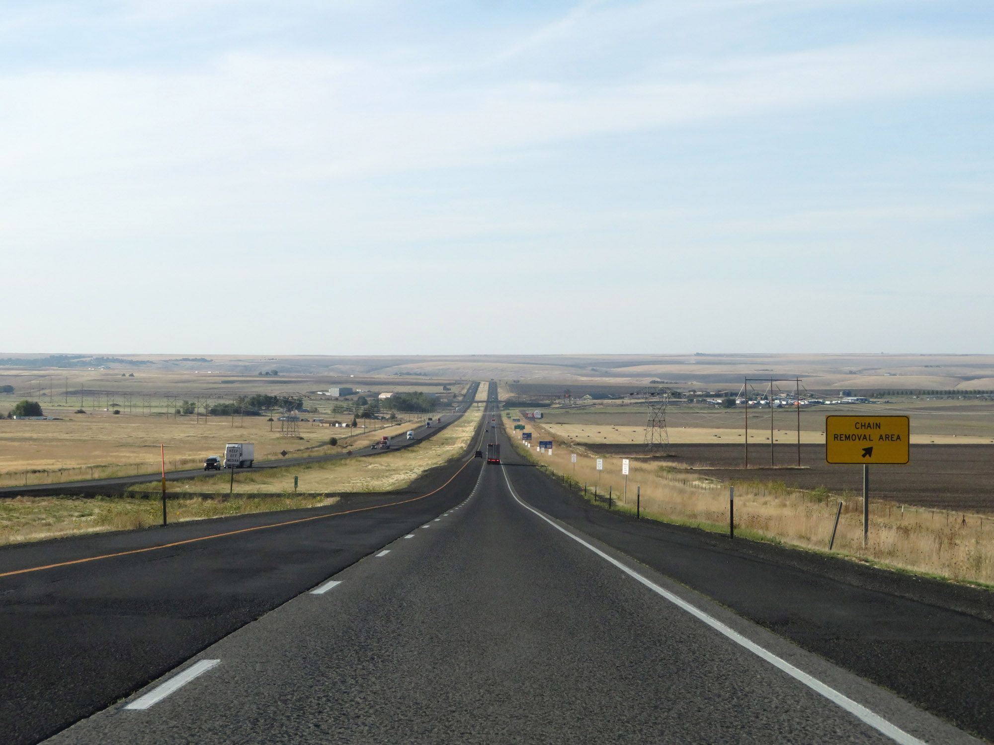 |
Chain Removal Area on Interstate 84 West as it reaches the bottom of Cabbage Hill. You can breathe easy now. (Photo taken 9/25/19). |
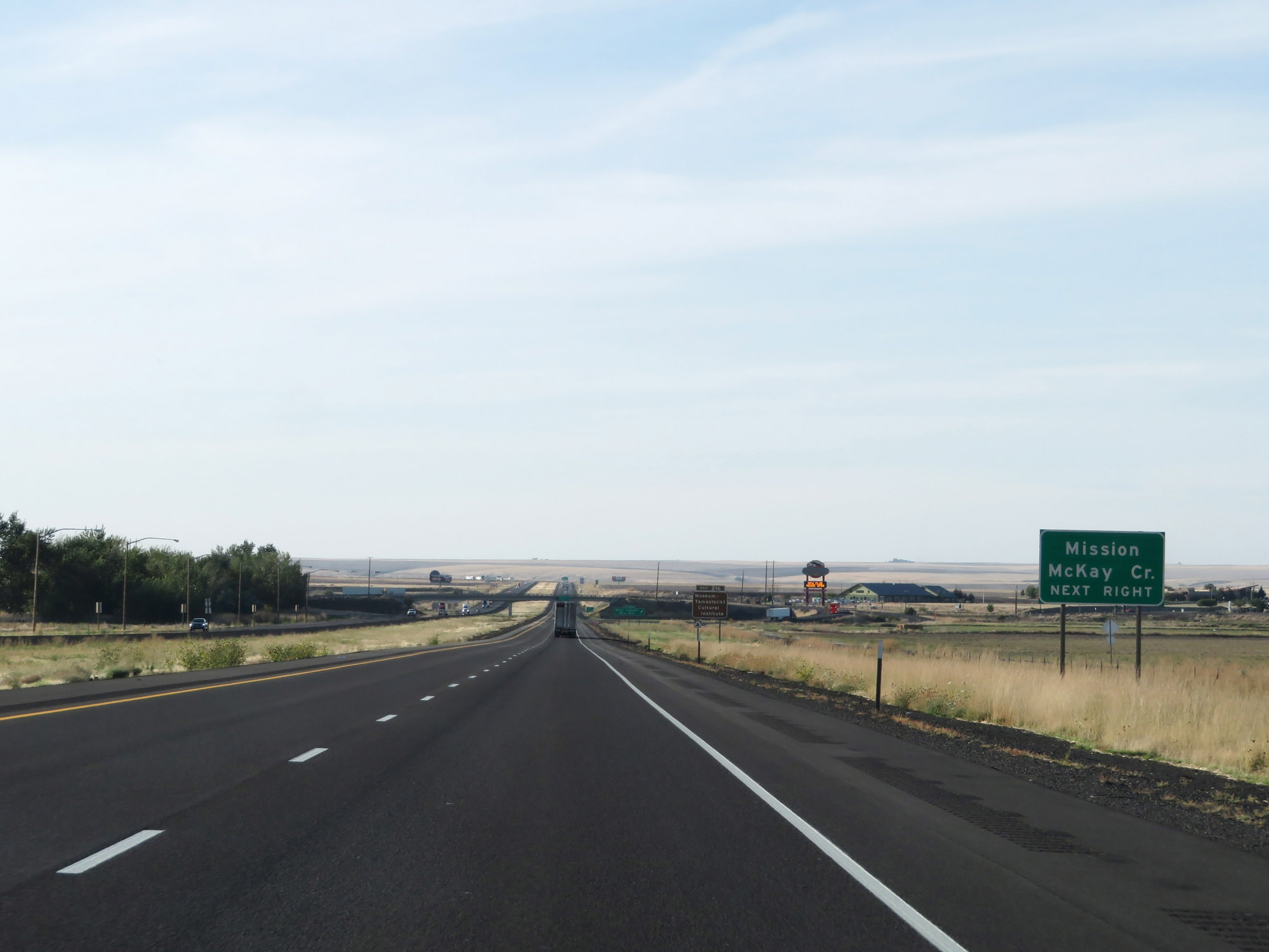 |
Take Exit 216 to Mission and McKay Creek. (Photo taken 9/25/19). |
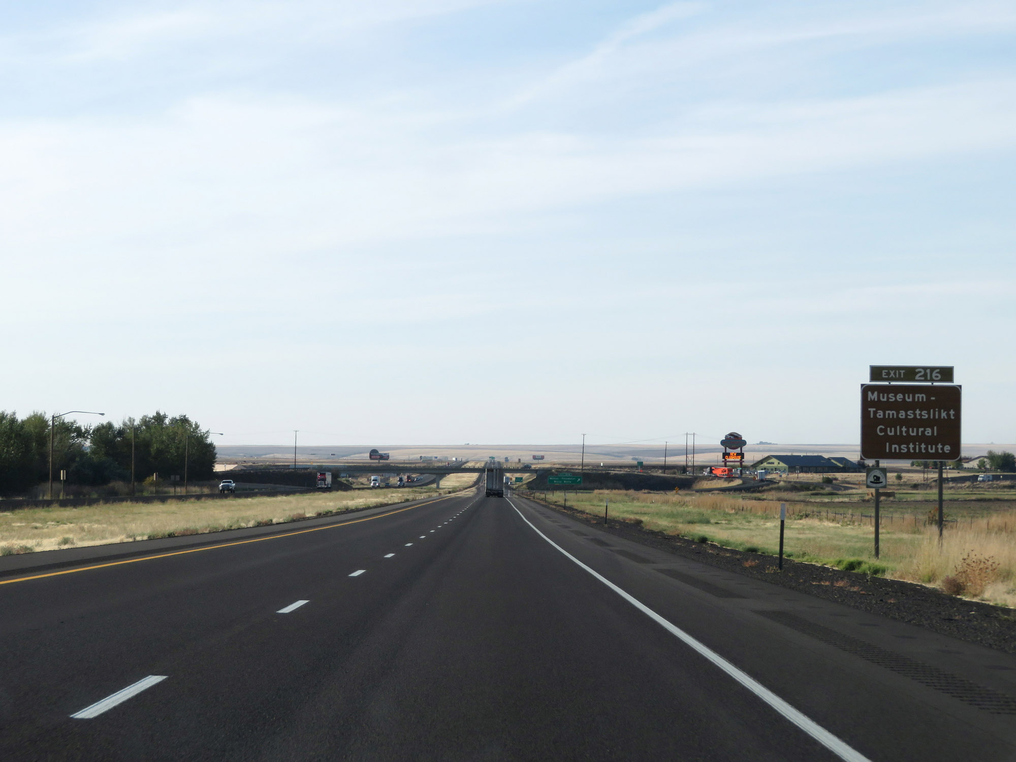 |
Also take Exit 216 to the Museum-Tamastslikt Cultural Institute. (Photo taken 9/25/19). |
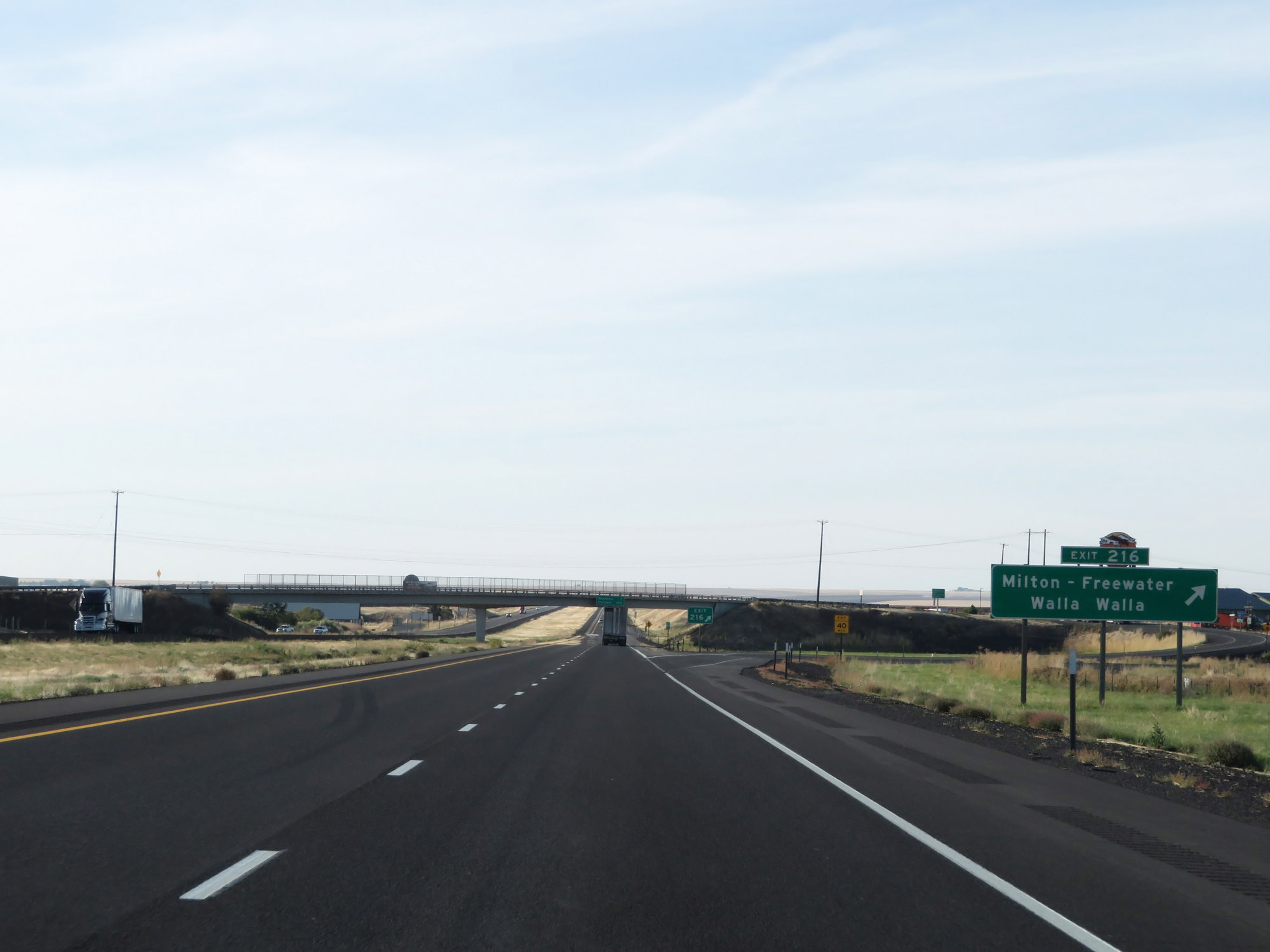 |
Interstate 84 West at Exit 216: Milton-Freewater / Walla Walla (Photo taken 9/25/19). |
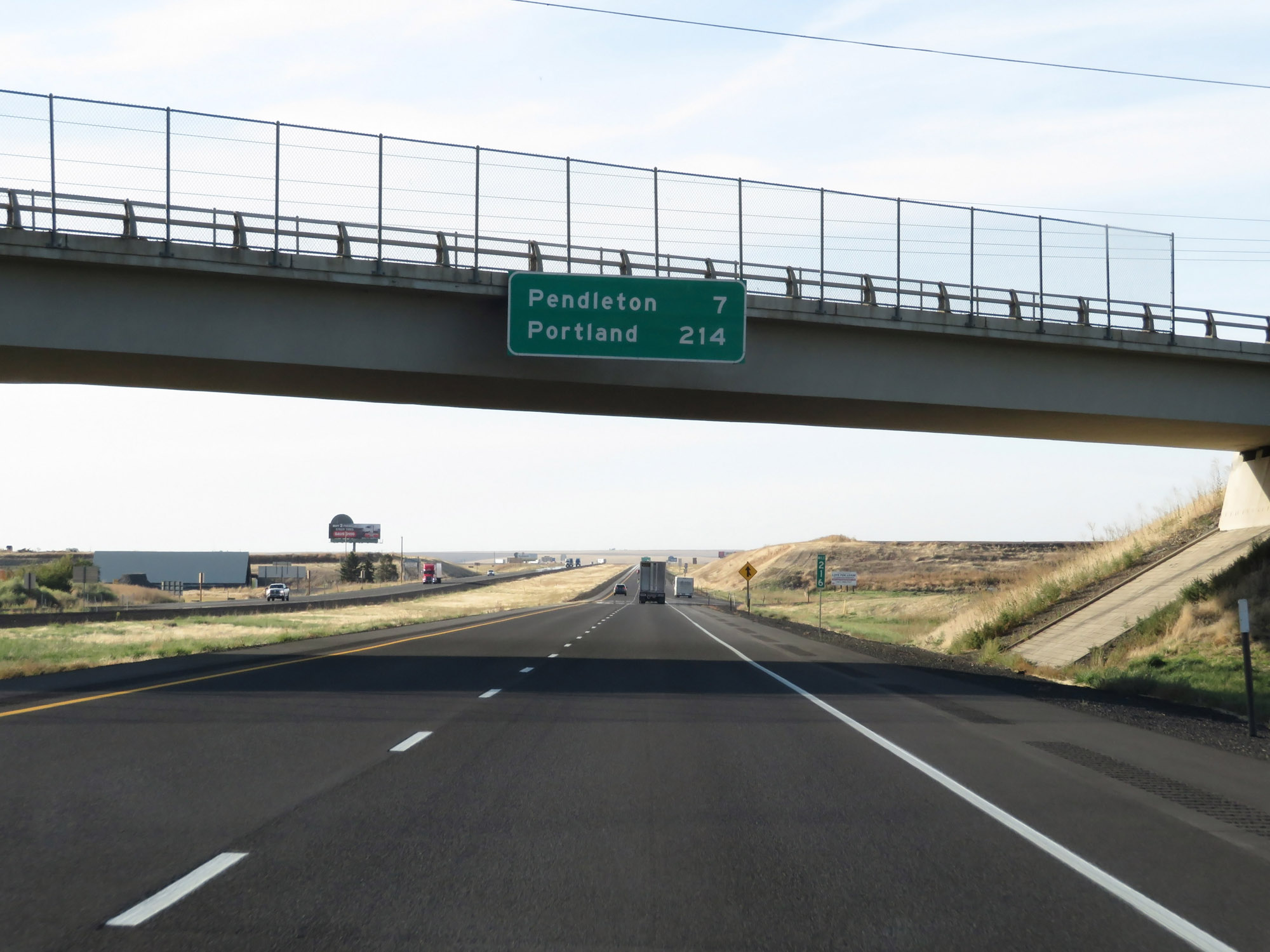 |
Overhead mileage sign on Interstate 84 West. It's 7 miles to Pendleton and 214 miles to Portland. (Photo taken 9/25/19). |
 |
The speed limits remain 70 mph for cars and 65 mph for trucks. (Photo taken 9/25/19). |
 |
View on Interstate 84 West at mile marker 215. (Photo taken 9/25/19). |
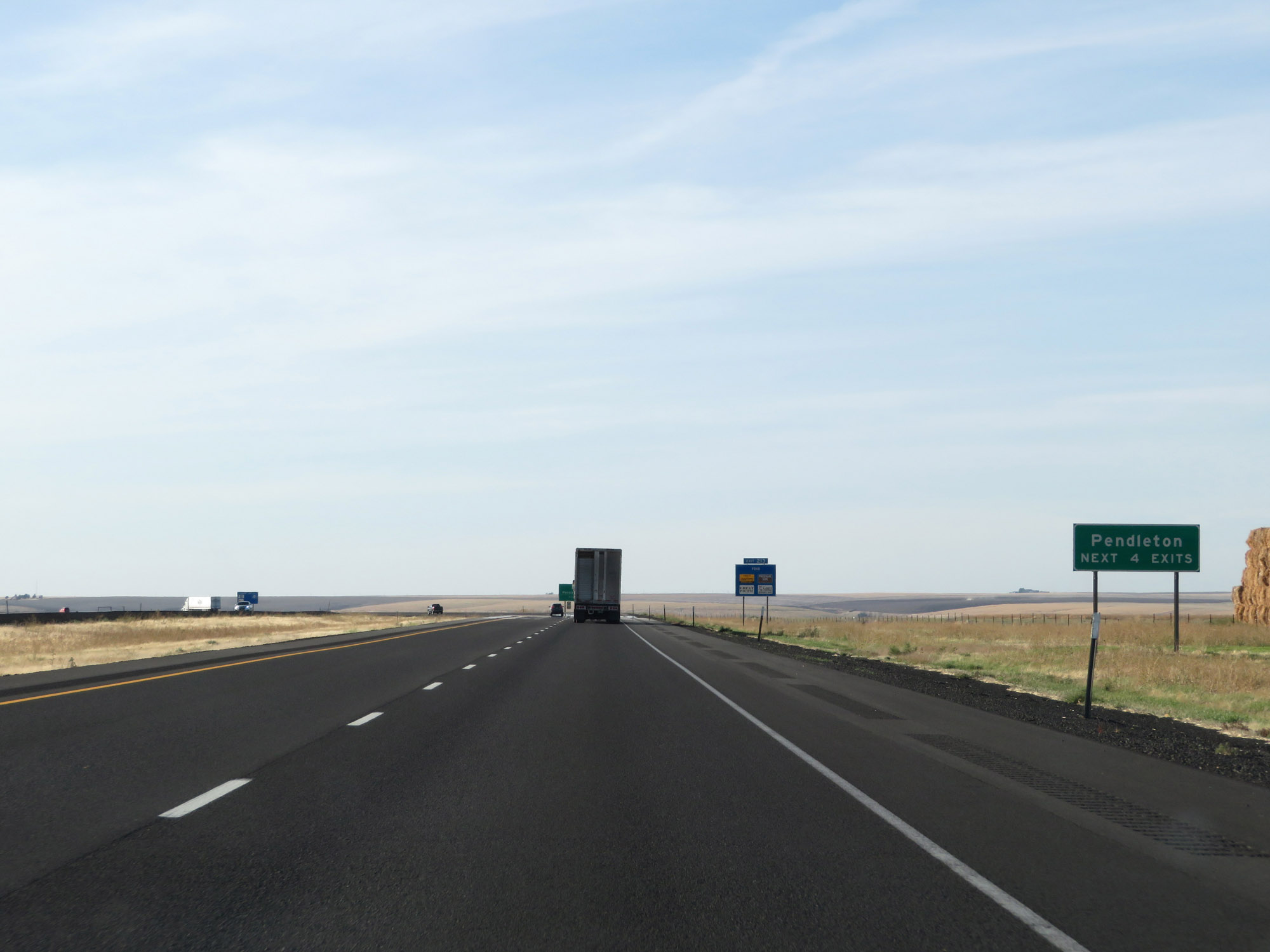 |
Take any of the next 4 exits to Pendleton. (Photo taken 9/25/19). |
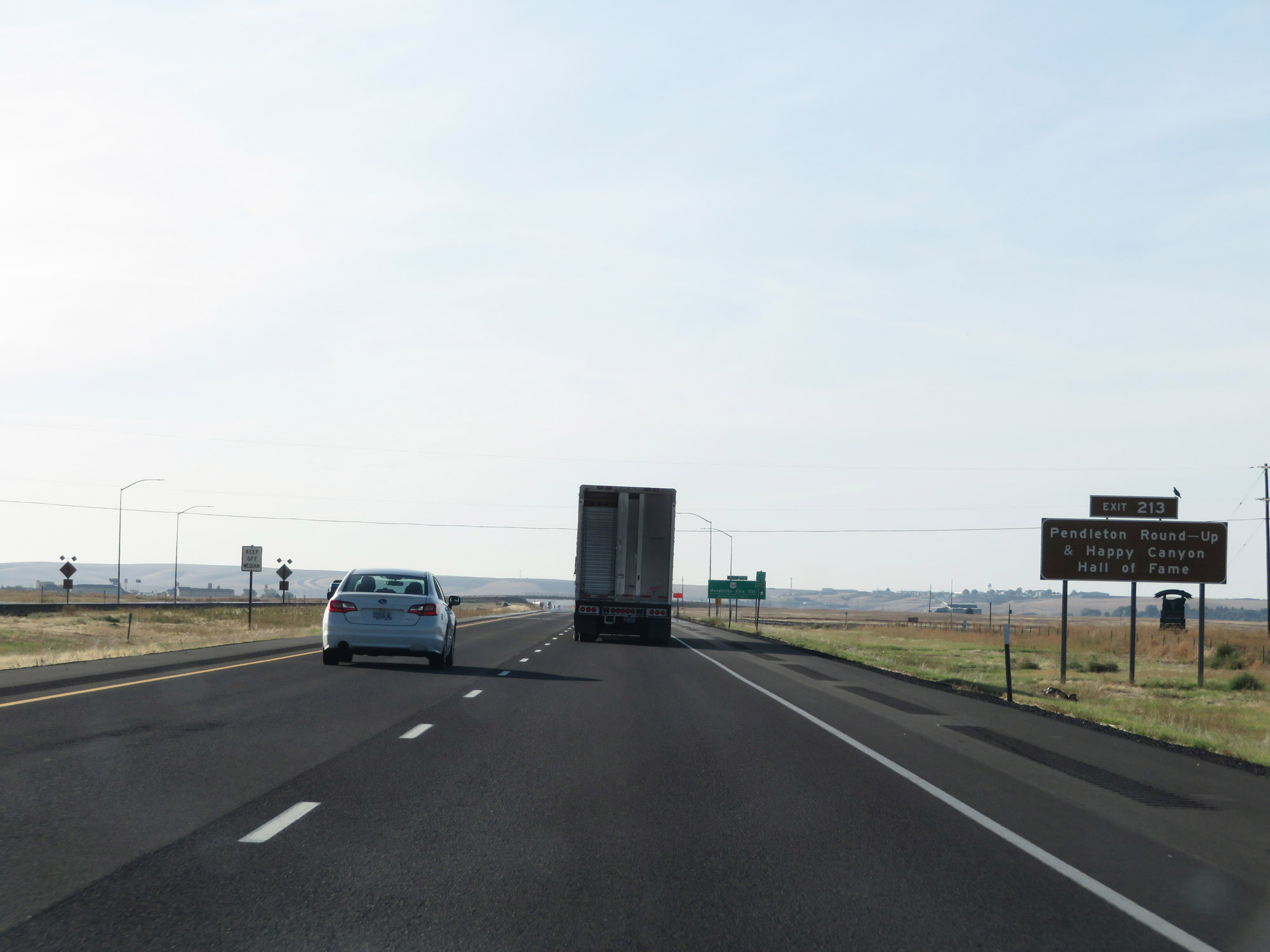 |
Take Exit 213 to Pendleton Round-Up & Happy Canyon Hall of Fame. (Photo taken 9/25/19). |
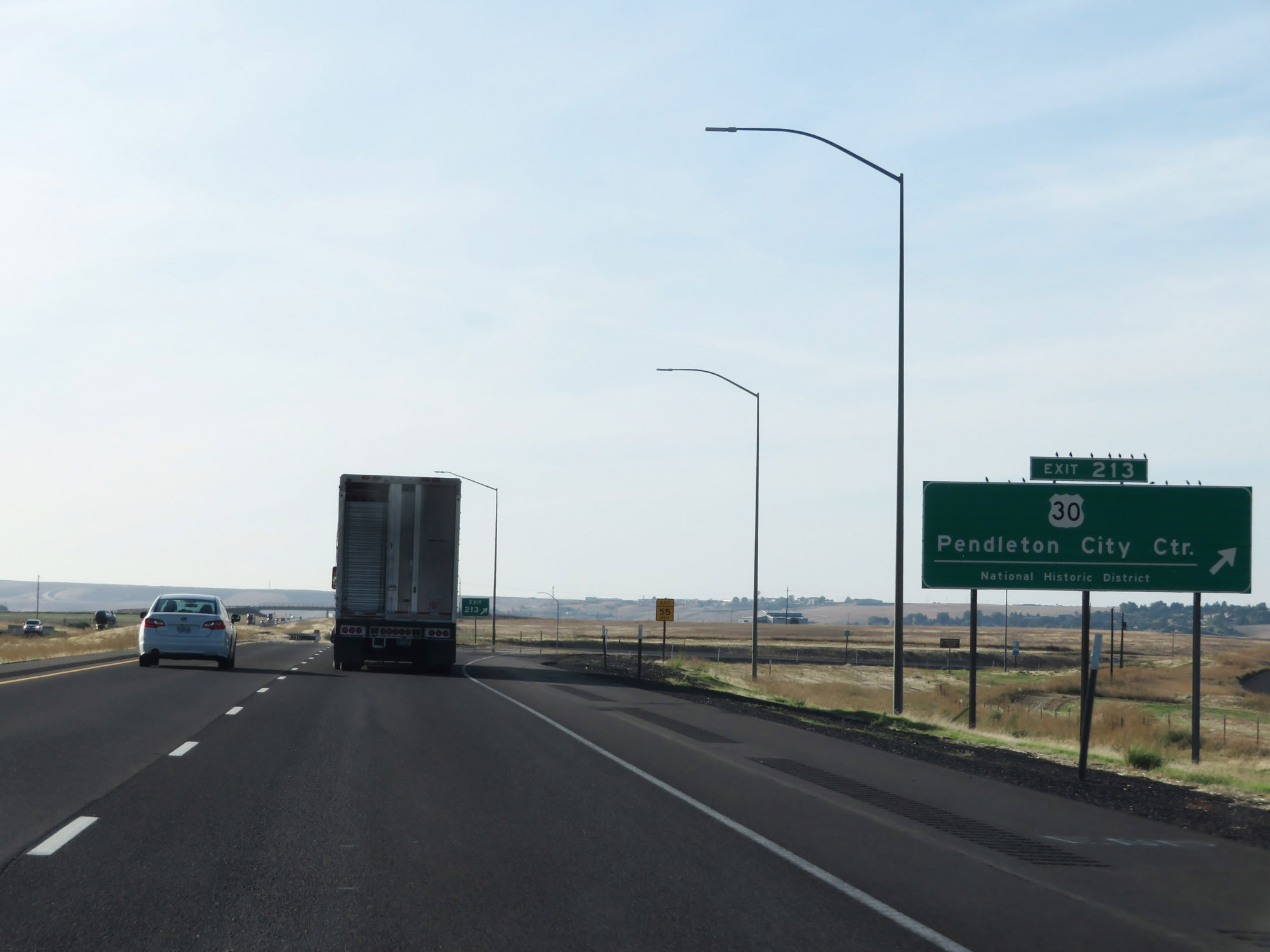 |
Interstate 84 West at Exit 213: US 30 - Pendleton City Center National Historic District (Photo taken 9/25/19). |
Section 4: Pendleton (Exit 213) to Arlington (Exit 137)
 |
West of Exit 213, Interstate 84 West leaves the Umatilla Indian Reservation. (Photo taken 9/25/19). |
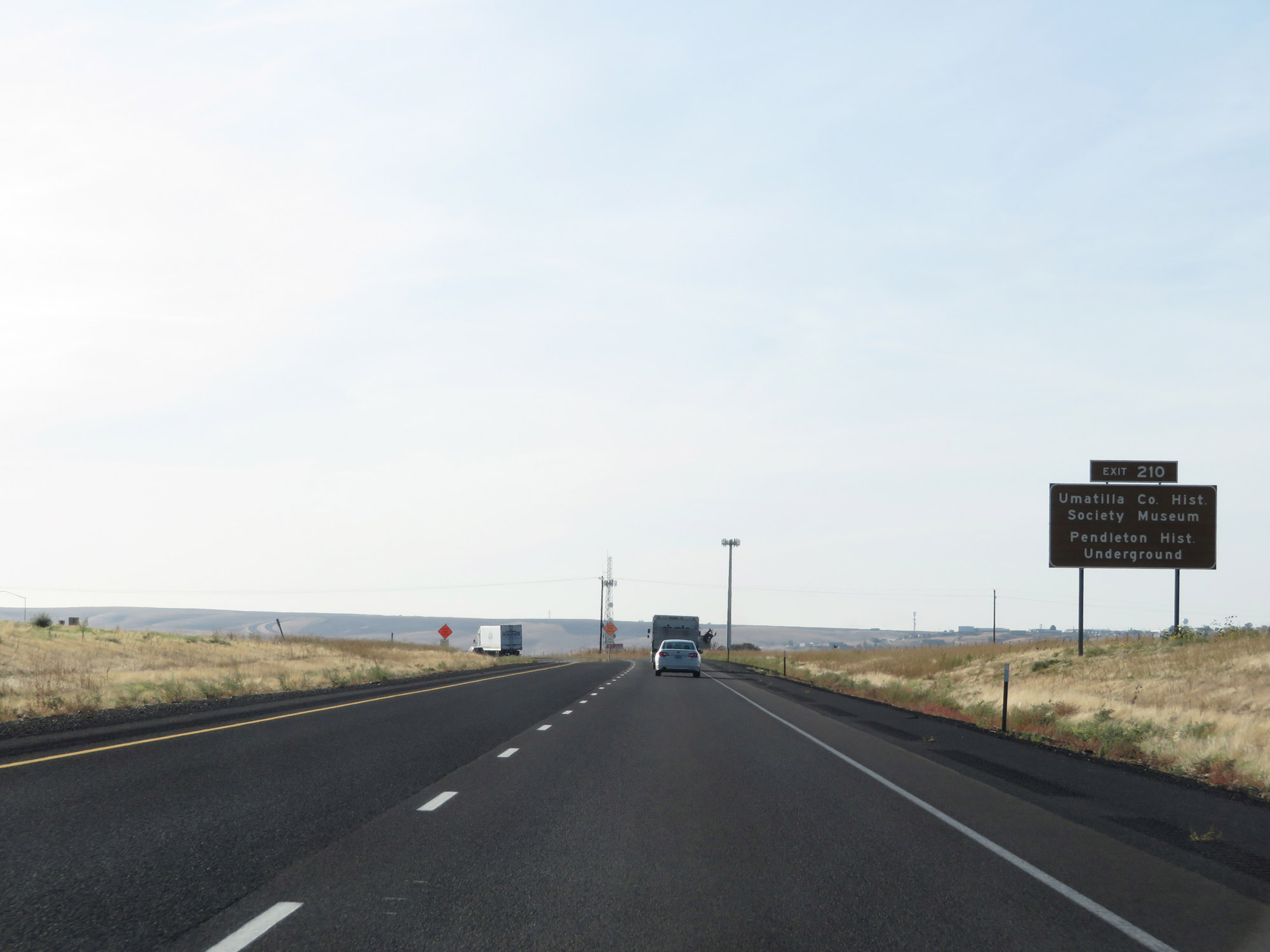 |
Take Exit 210 to the Umatilla County Historical Society Museum and Pendleton Historic Underground. (Photo taken 9/25/19). |
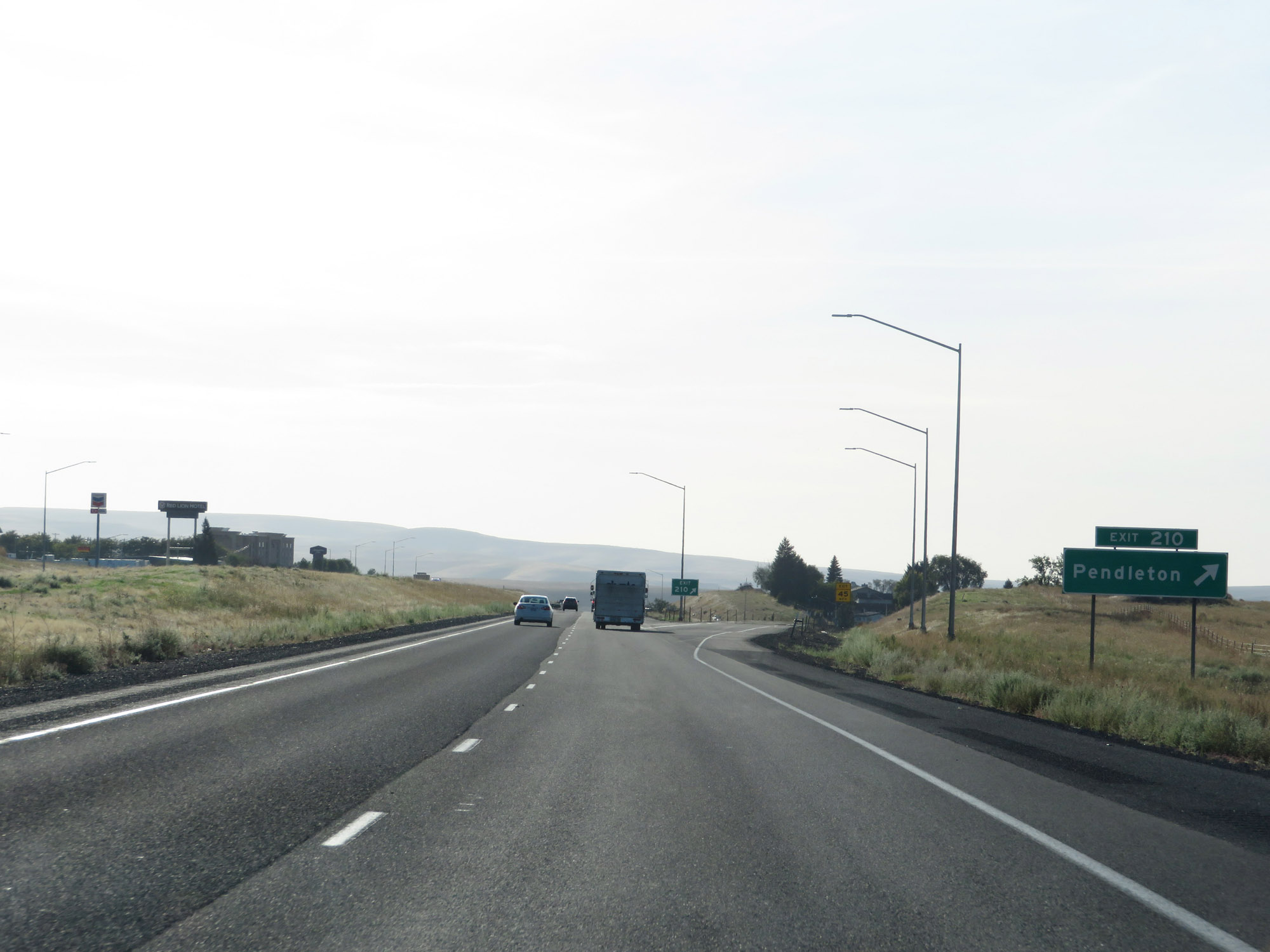 |
Interstate 84 West at Exit 210: Pendleton (Photo taken 9/25/19). |
 |
Interstate 84 West approaching Exit 209 - 1 mile. (Photo taken 9/25/19). |
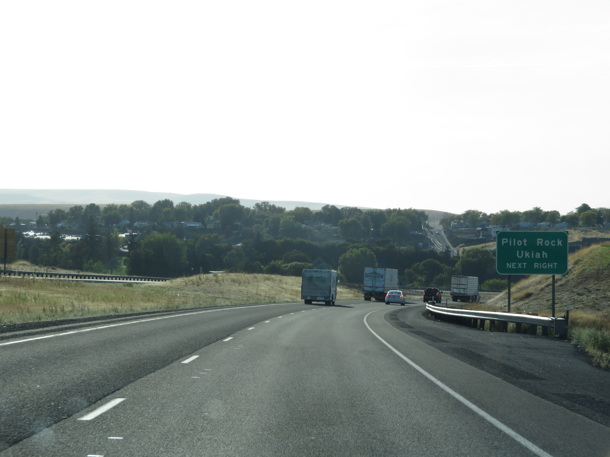 |
Take Exit 209 to Pilot Rock and Ukiah. (Photo taken 9/25/19). |
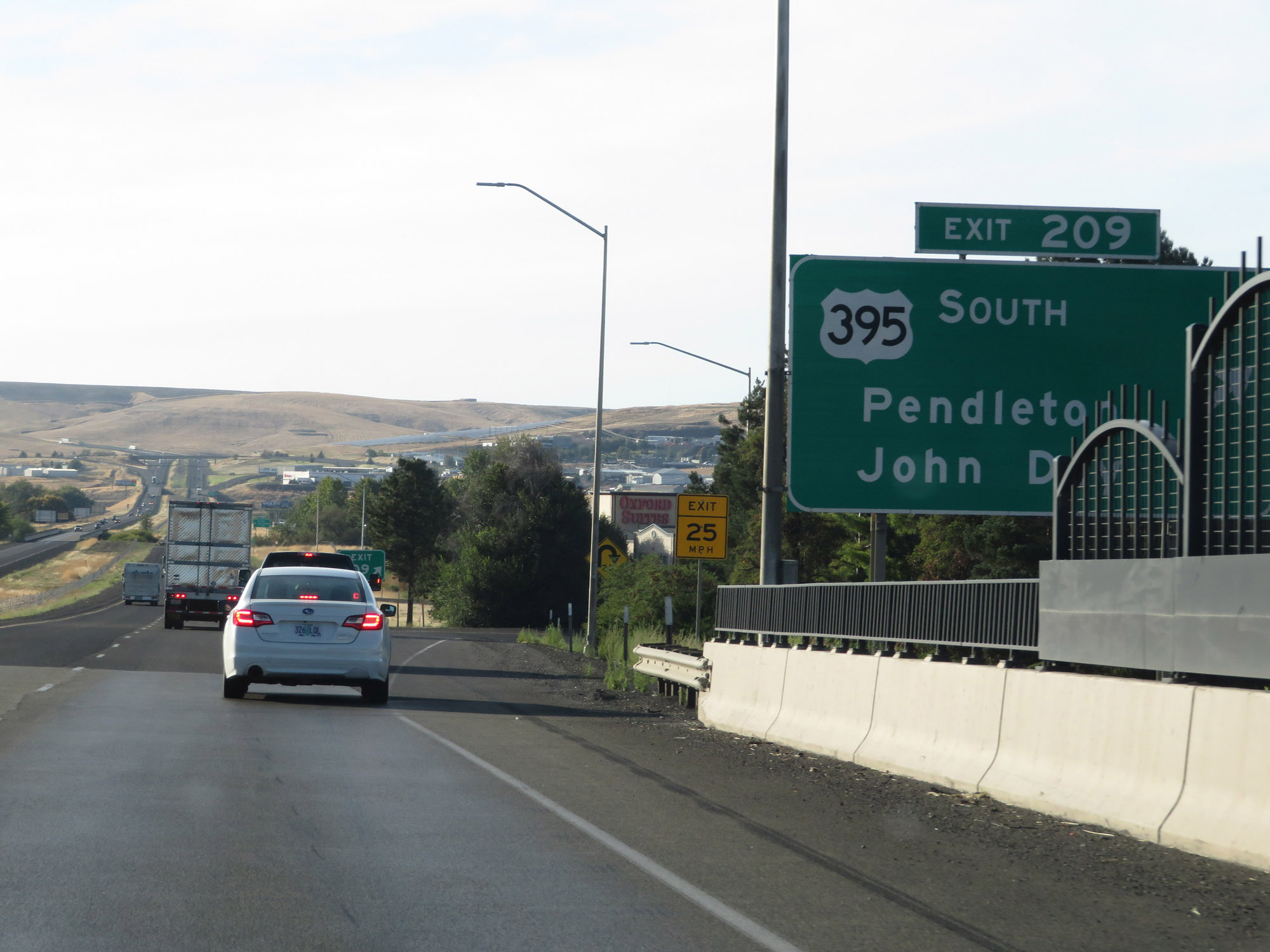 |
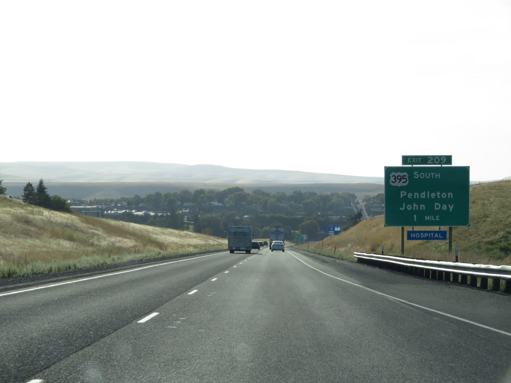
Interstate 84 West at Exit 209: US 395 South - Pendleton / John Day (Photo taken 9/25/19). |
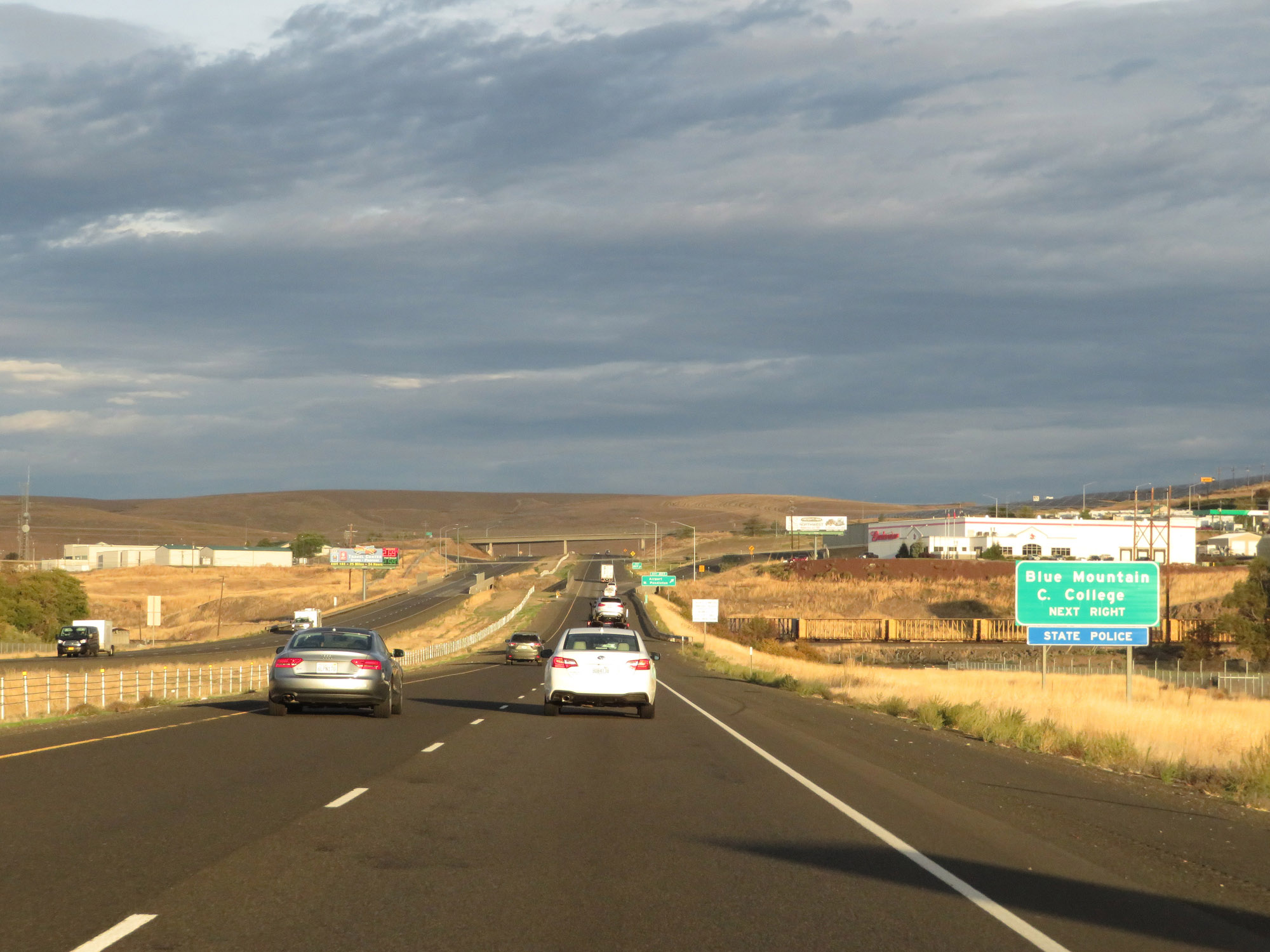 |
Take Exit 207 to Blue Mountain Community College. (Photo taken 9/26/19). |
 |
Interstate 84 West at Exit 207: Airport / West Pendleton (Photo taken 9/26/19). |
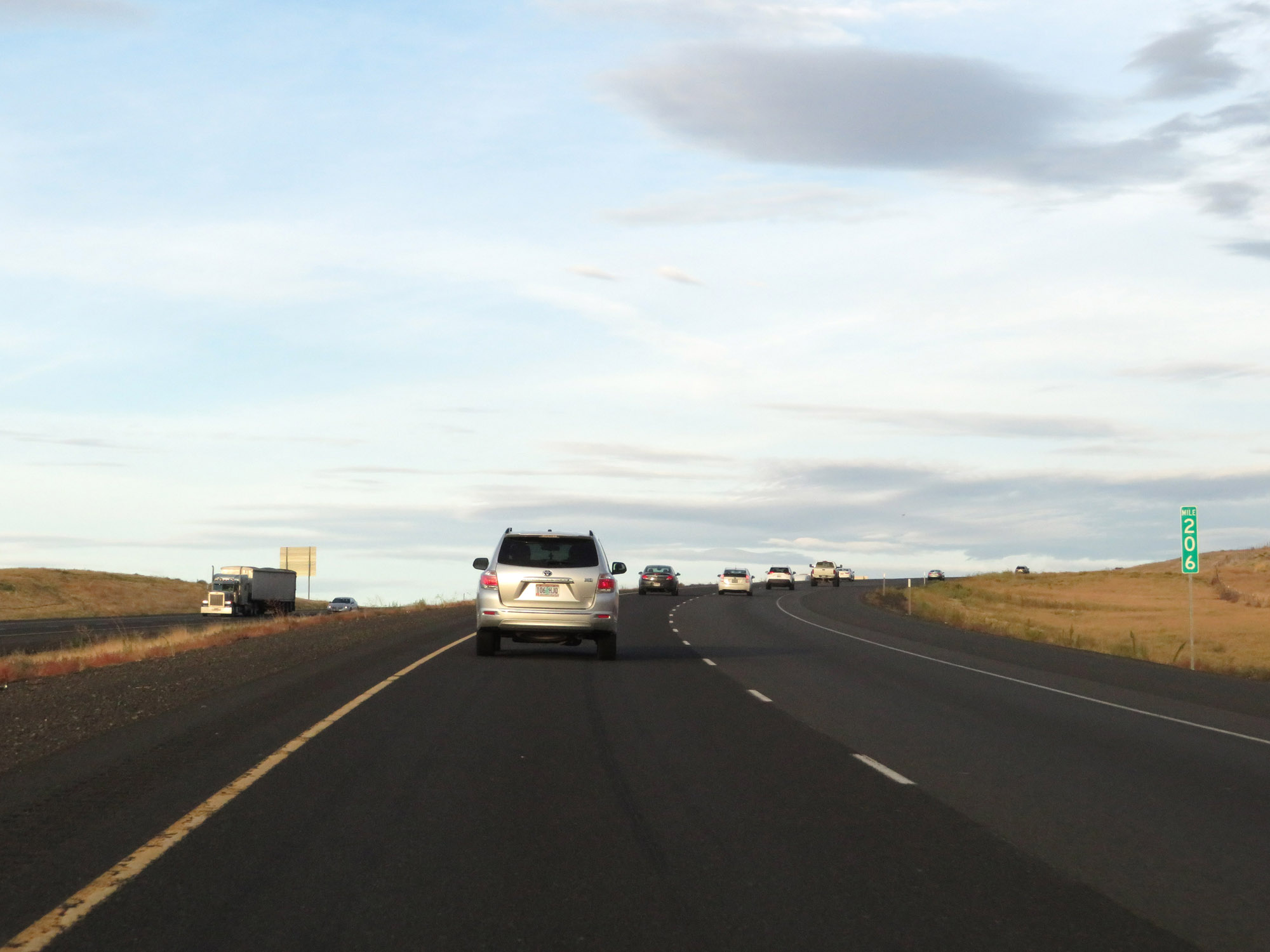 |
Interstate 84 West at mile marker 206. (Photo taken 9/26/19). |
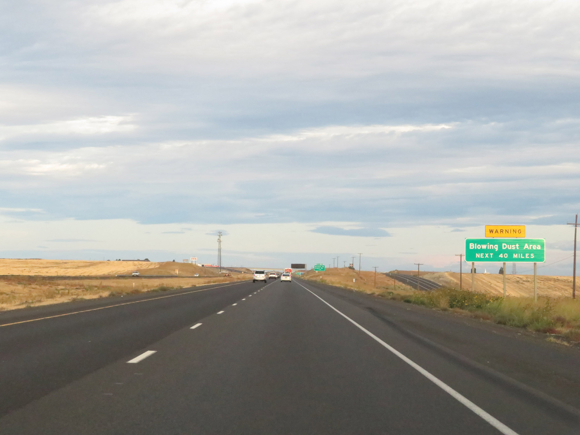 |
This sign warns of the possibility of blowing dust for the next 40 miles. (Photo taken 9/26/19). |
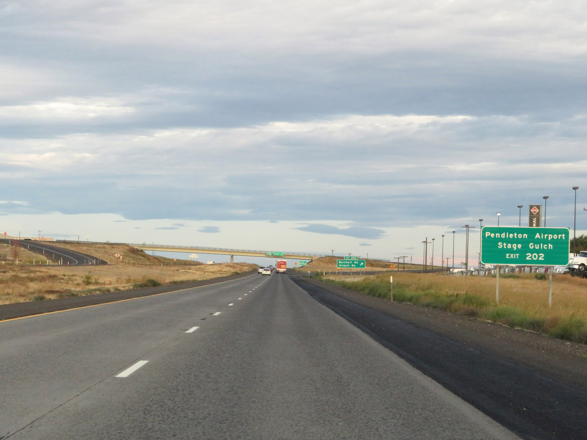 |
Take Exit 202 to Pendleton Airport and Stage Gulch. (Photo taken 9/26/19). |
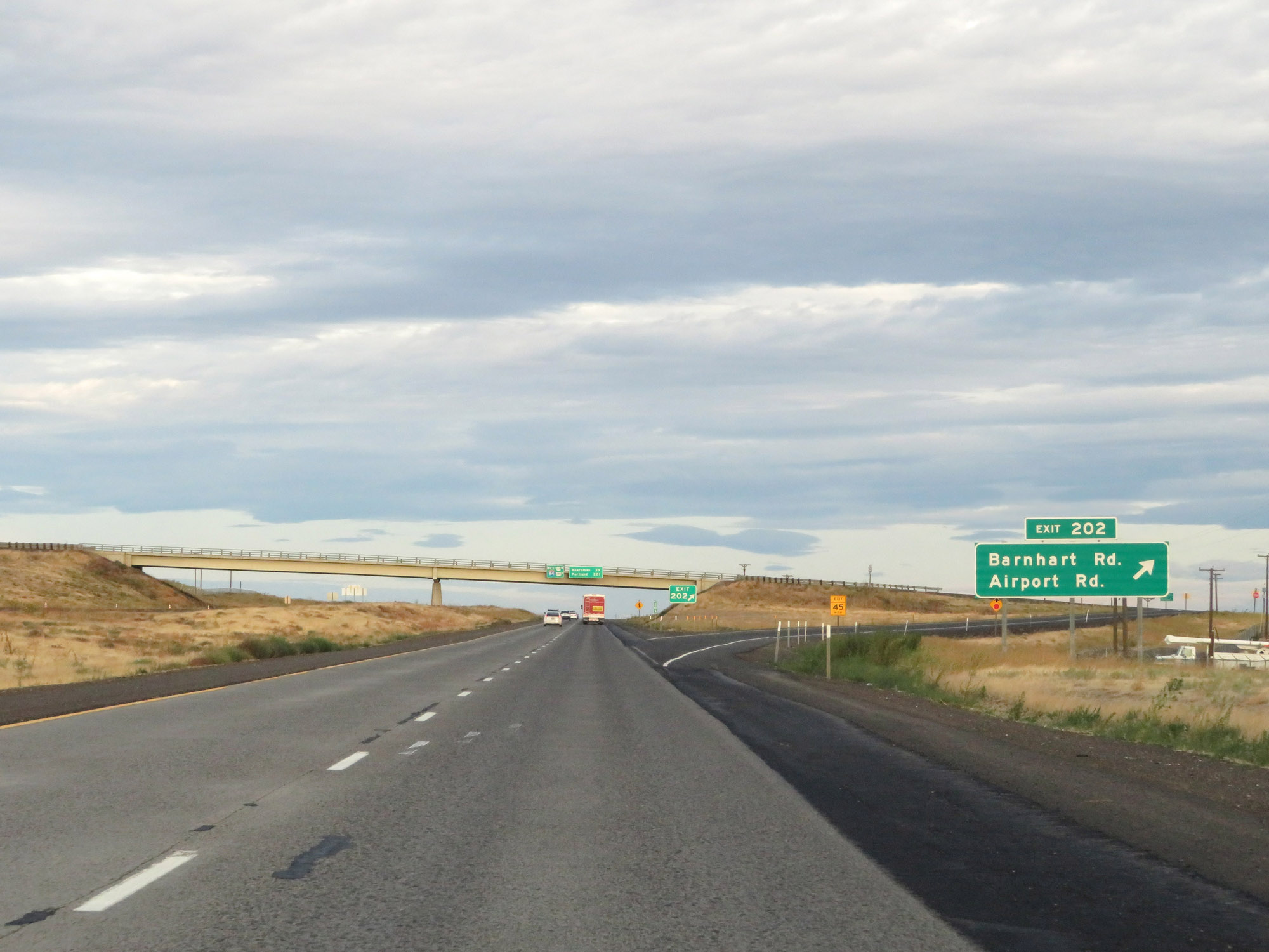 |
Interstate 84 West at Exit 202: Barnhart Rd / Airport Rd (Photo taken 9/26/19). |
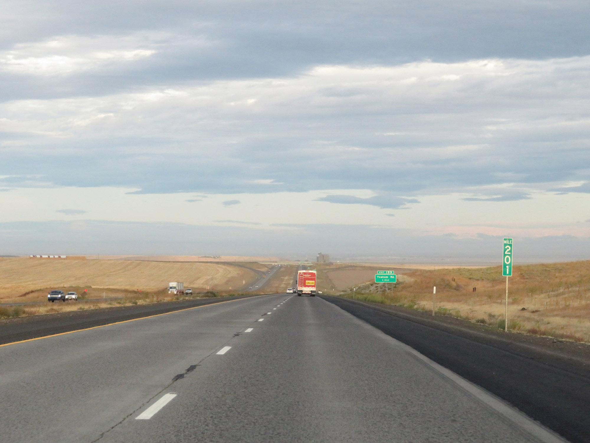 |
View on Interstate 84 West at mile marker 201. (Photo taken 9/26/19). |
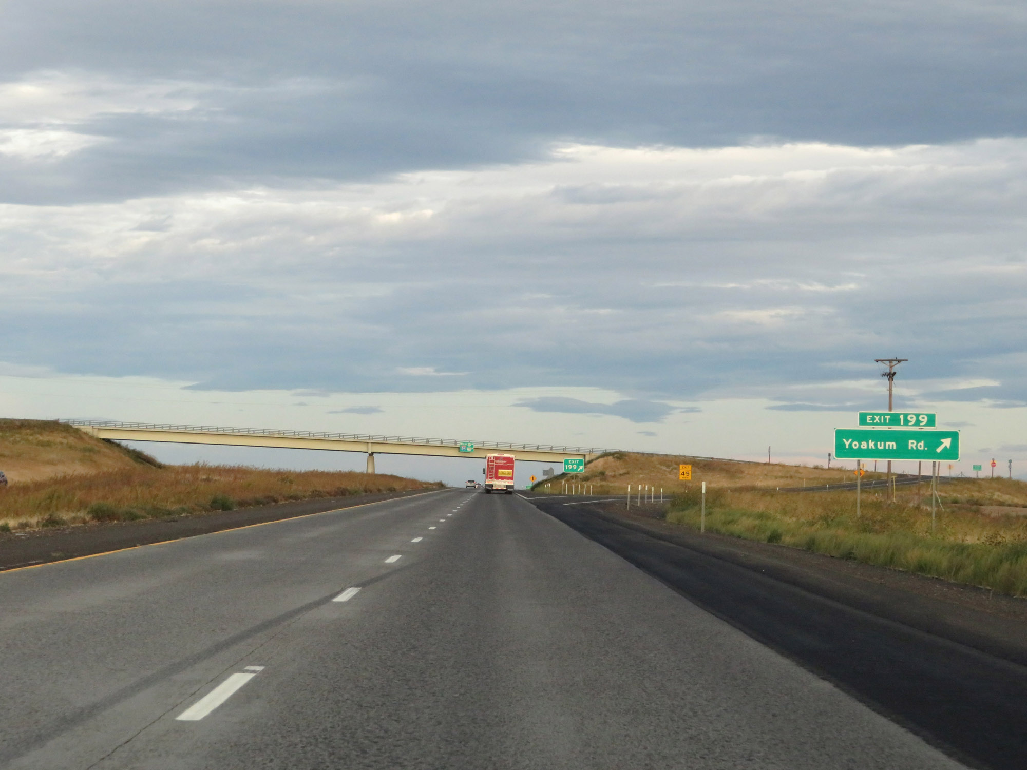 |
Interstate 84 West at Exit 199: Yoakum Rd (Photo taken 9/26/19). |
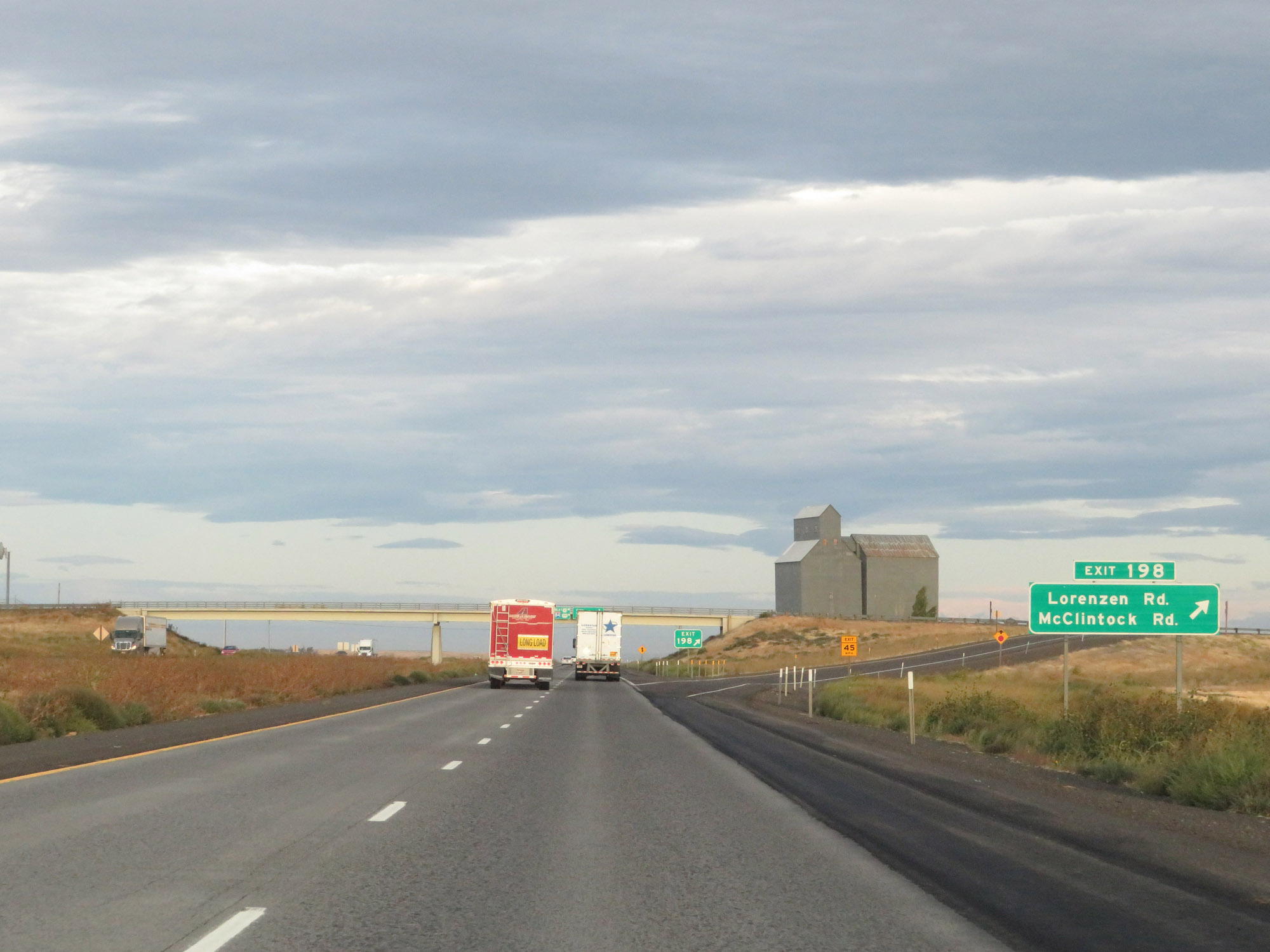 |
Interstate 84 West at Exit 198: Lorenzen Rd / McClintock Rd (Photo taken 9/26/19). |
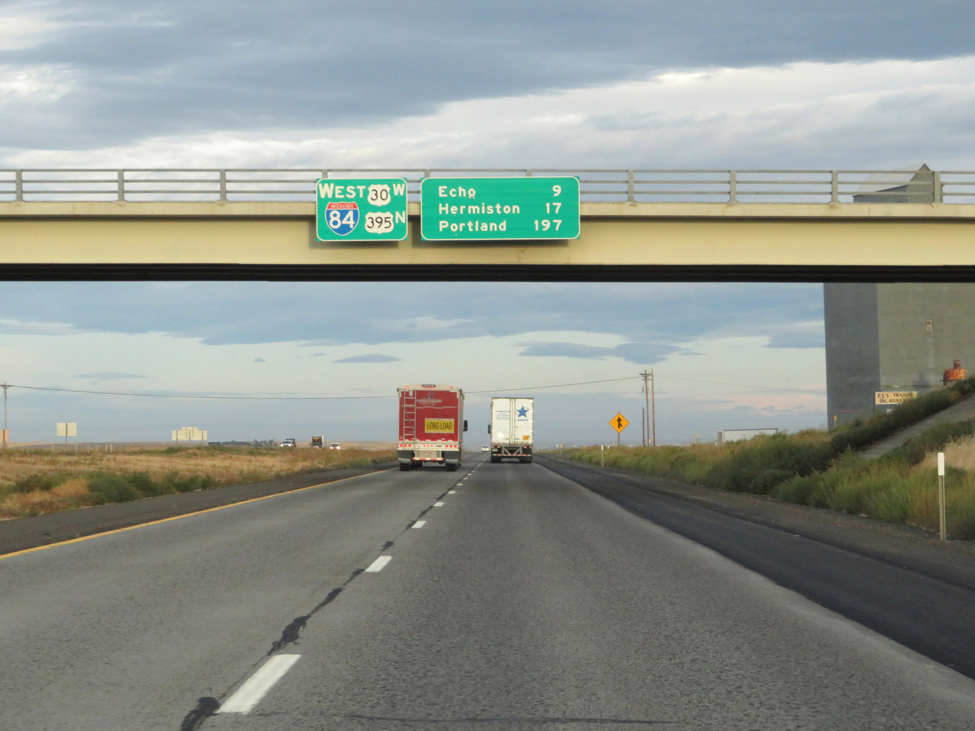 |
Another overhead mileage sign alongside a reassurance sign with a rather unique layout. It's 9 miles to Echo, 17 miles to Hermiston, and 197 miles to Portland. (Photo taken 9/26/19). |
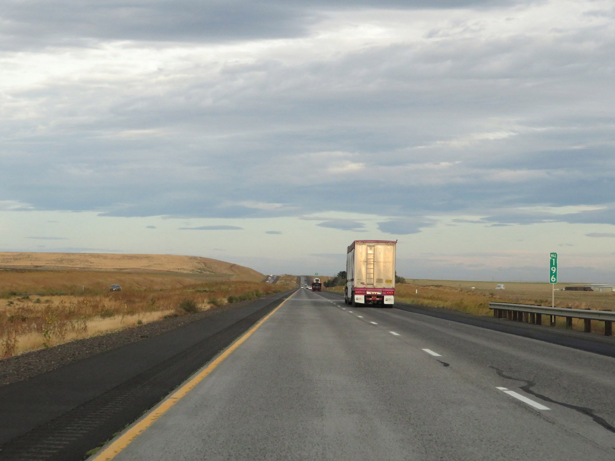 |
Interstate 84 West at mile marker 196. (Photo taken 9/26/19). |
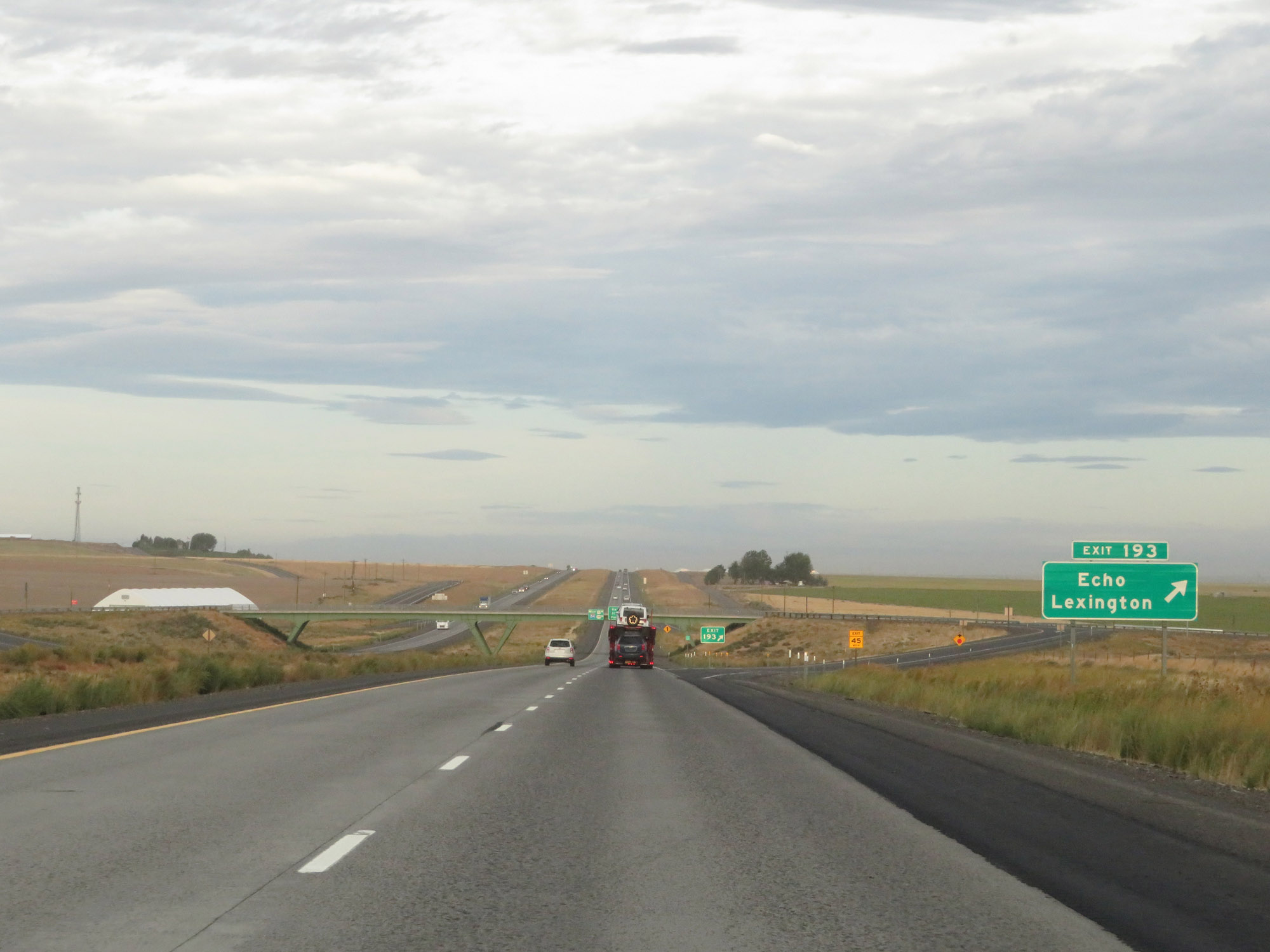 |
Interstate 84 West at Exit 193: Echo / Lexington (Photo taken 9/26/19). |
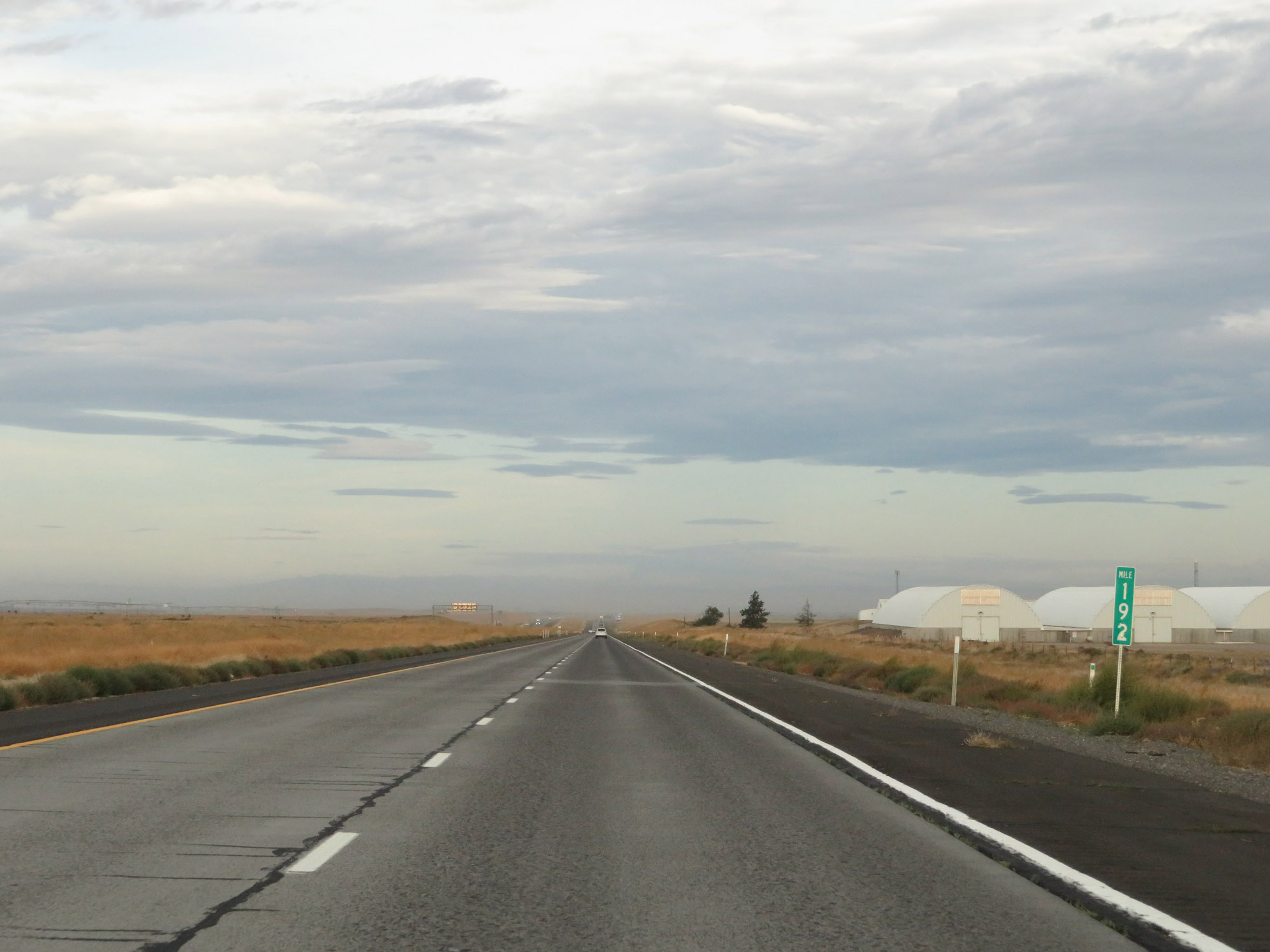 |
View on Interstate 84 West at mile marker 192. (Photo taken 9/26/19). |
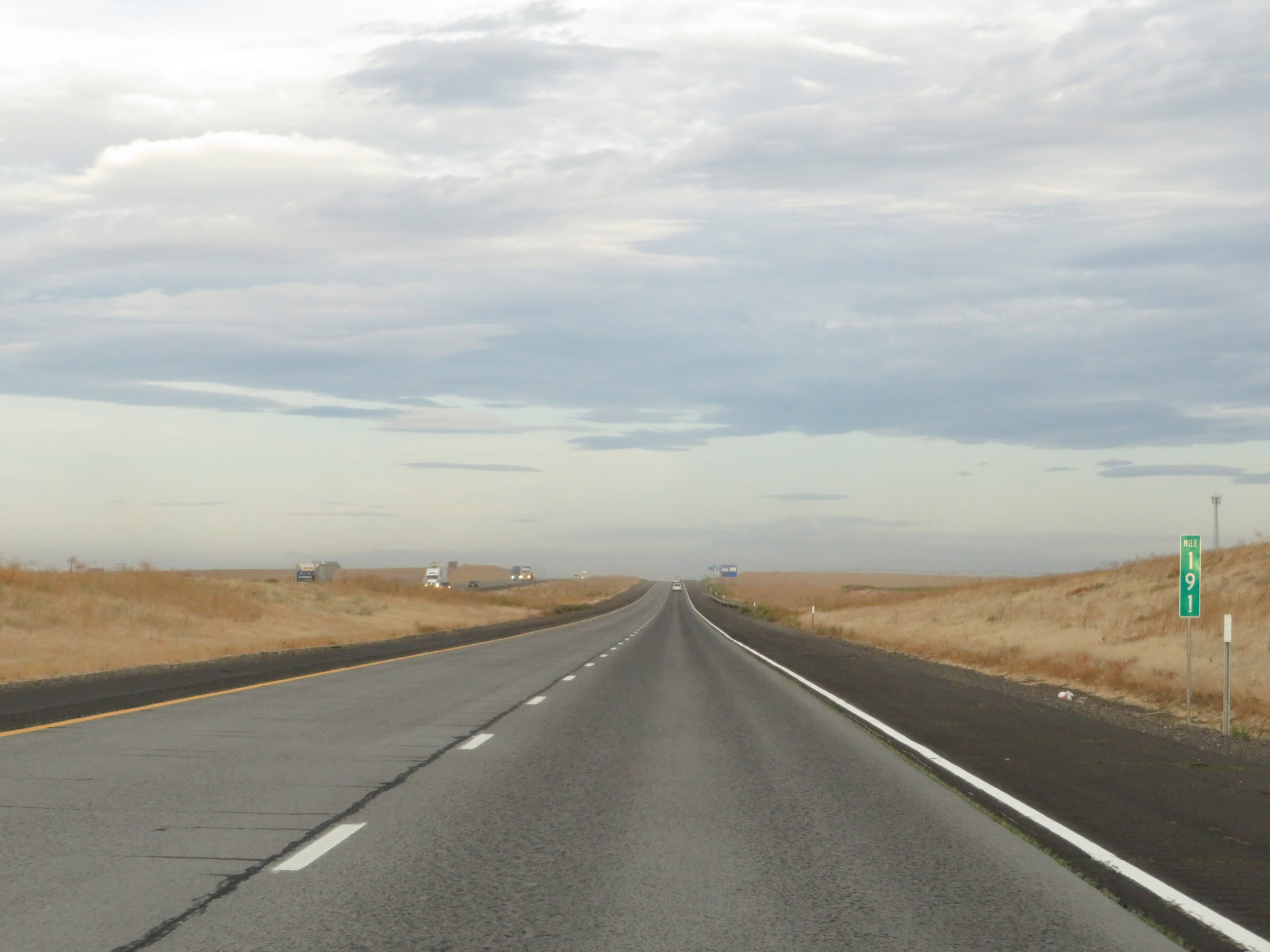 |
Interstate 84 West at mile marker 191. (Photo taken 9/26/19). |
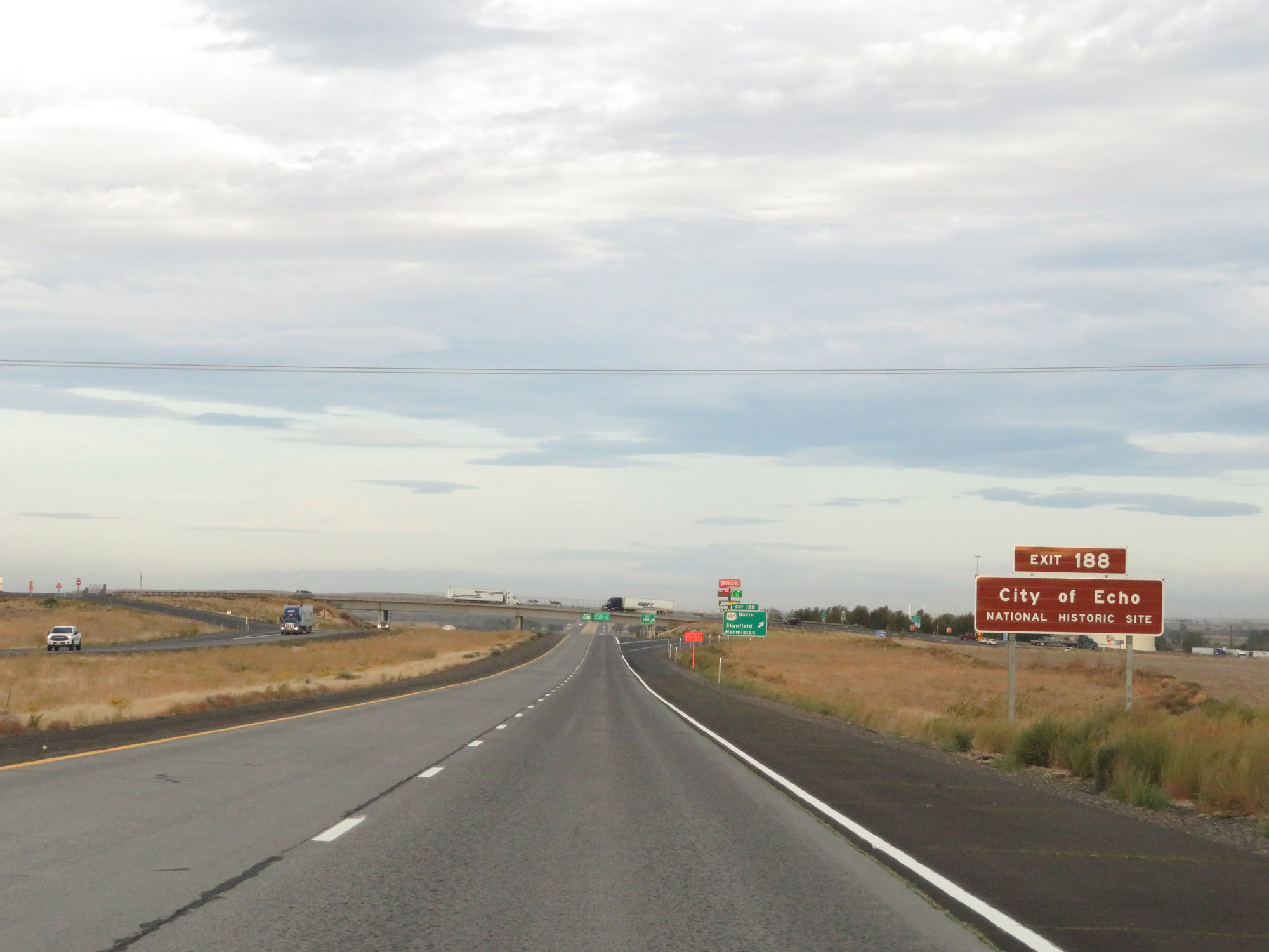 |
Take Exit 188 to the City of Echo National Historic Site. (Photo taken 9/26/19). |
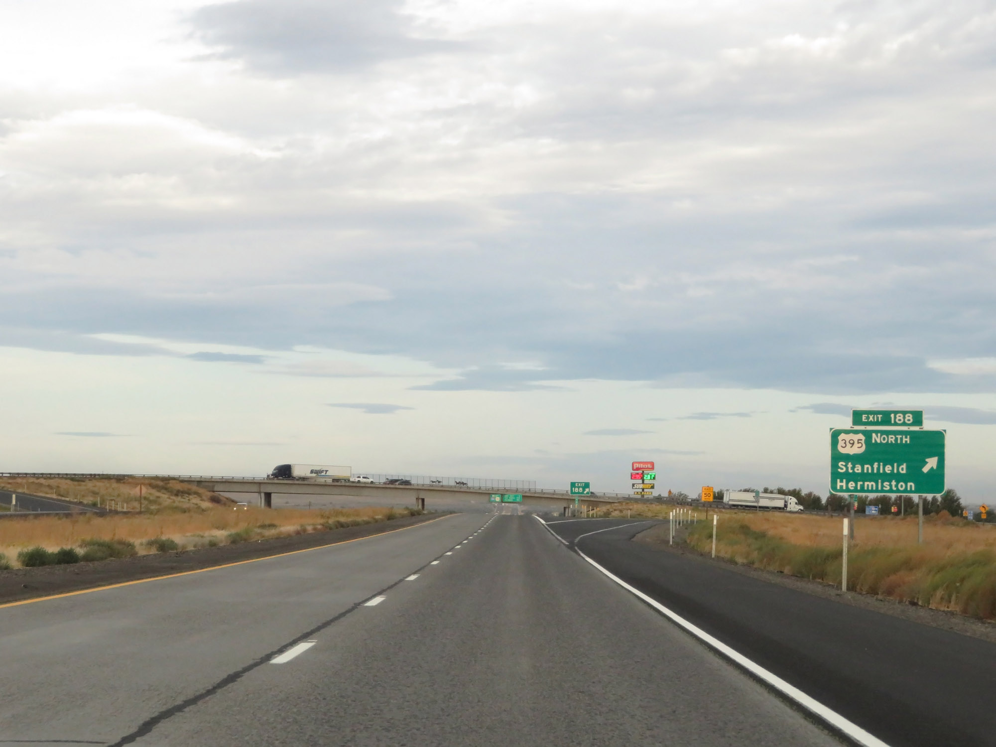 |
Interstate 84 West at Exit 188: US 395 North - Stanfield / Hermiston (Photo taken 9/26/19). |
 |
Speed limit signs on Interstate 84 West. The speed limit for automobiles remains 70 mph and the truck speed limit remains 65 mph. (Photo taken 9/26/19). |
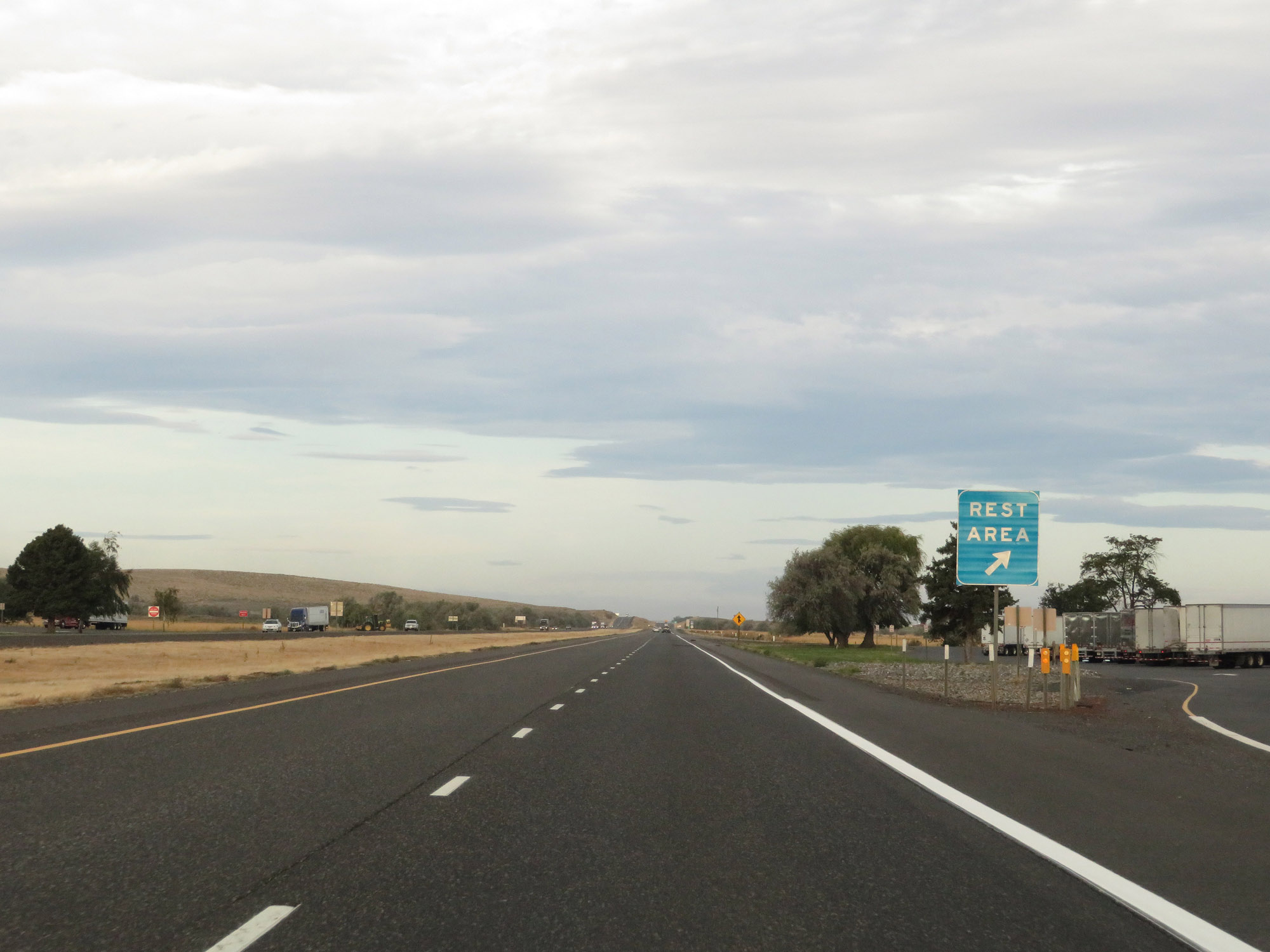 |
Rest Area on Interstate 84 West in Umatilla County. (Photo taken 9/26/19). |
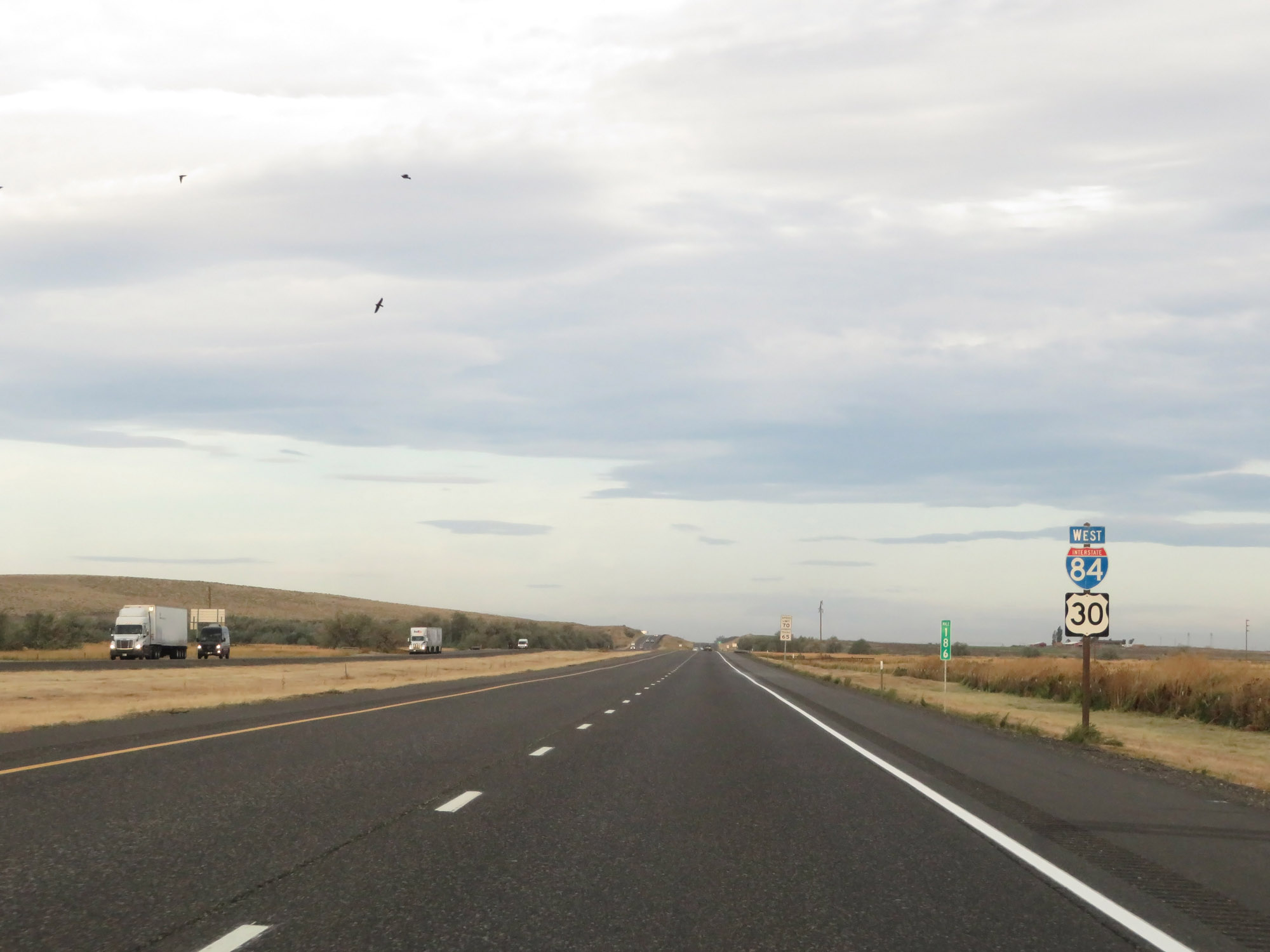 |
Another set of Interstate 84 West / US 30 West reassurance shields at mile marker 186. (Photo taken 9/26/19). |
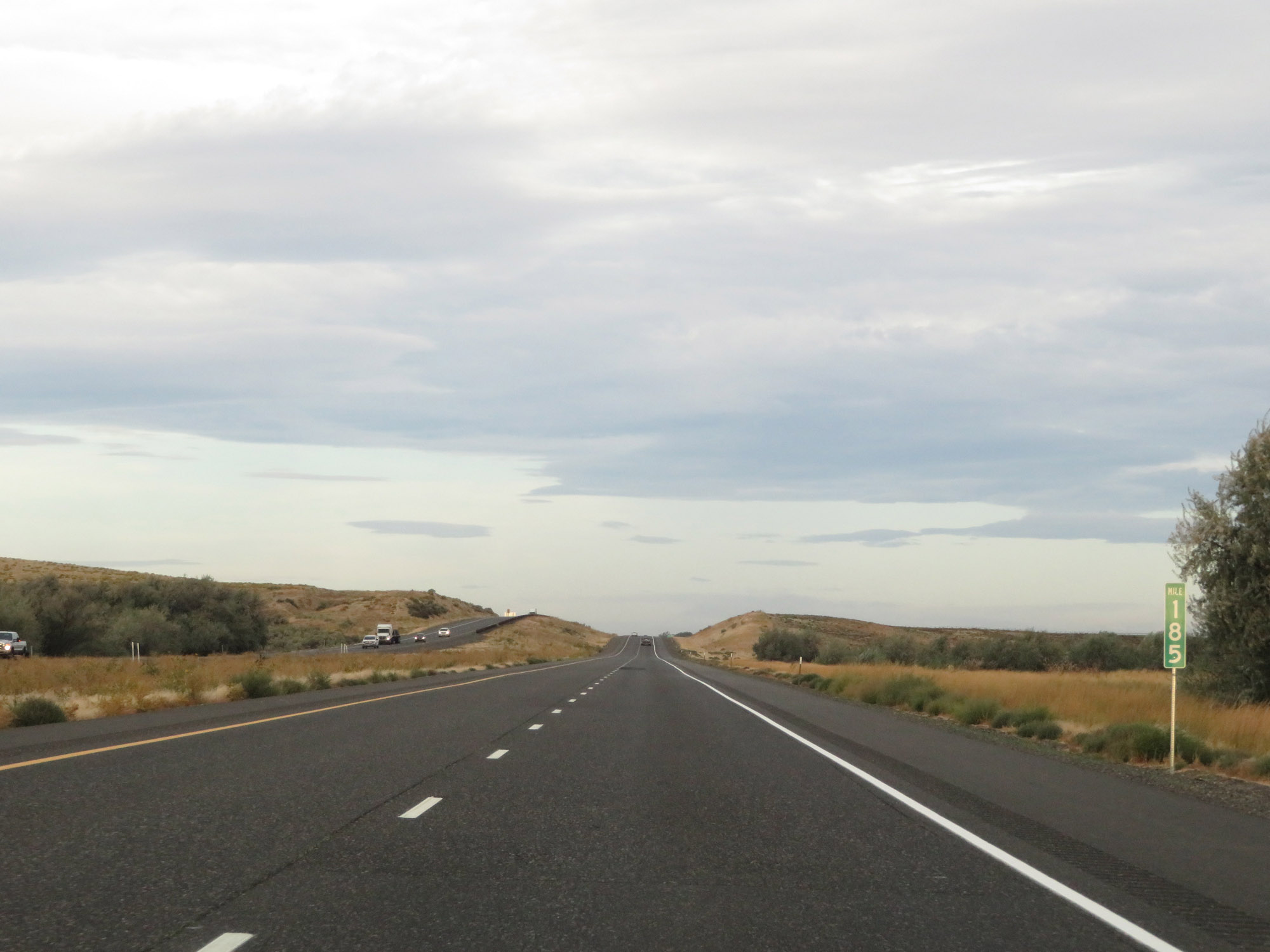 |
View on Interstate 84 West at mile marker 185. (Photo taken 9/26/19). |
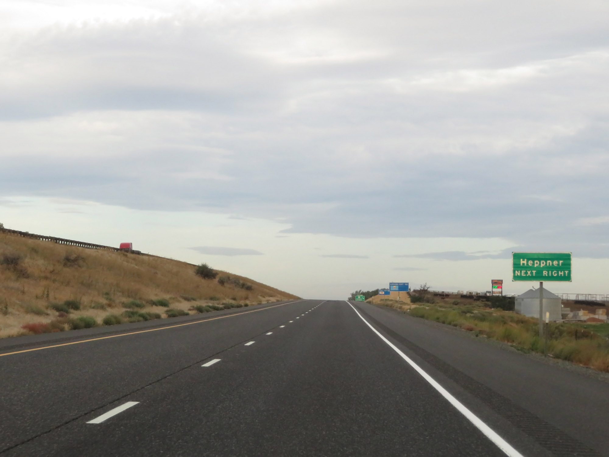 |
Take Exit 182 to Heppner. (Photo taken 9/26/19). |
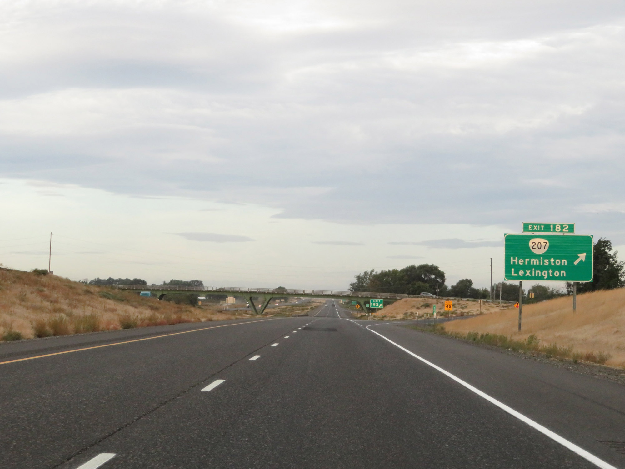 |
Interstate 84 West at Exit 182: OR 207 - Hermiston / Lexington (Photo taken 9/26/19). |
 |
Interstate 84 West approaching Exit 179 - 2 miles. (Photo taken 9/26/19). |
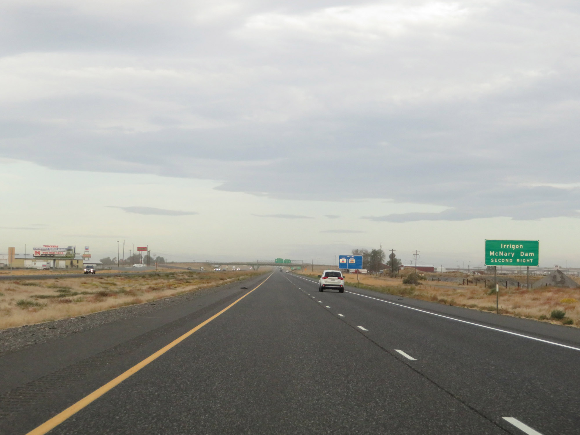 |
Take Exit 179 (Interstate 82 West) to Irrigon and McNary Dam. (Photo taken 9/26/19). |
 |
Interstate 84 West at Exit 180: Westland Rd (Photo taken 9/26/19). |
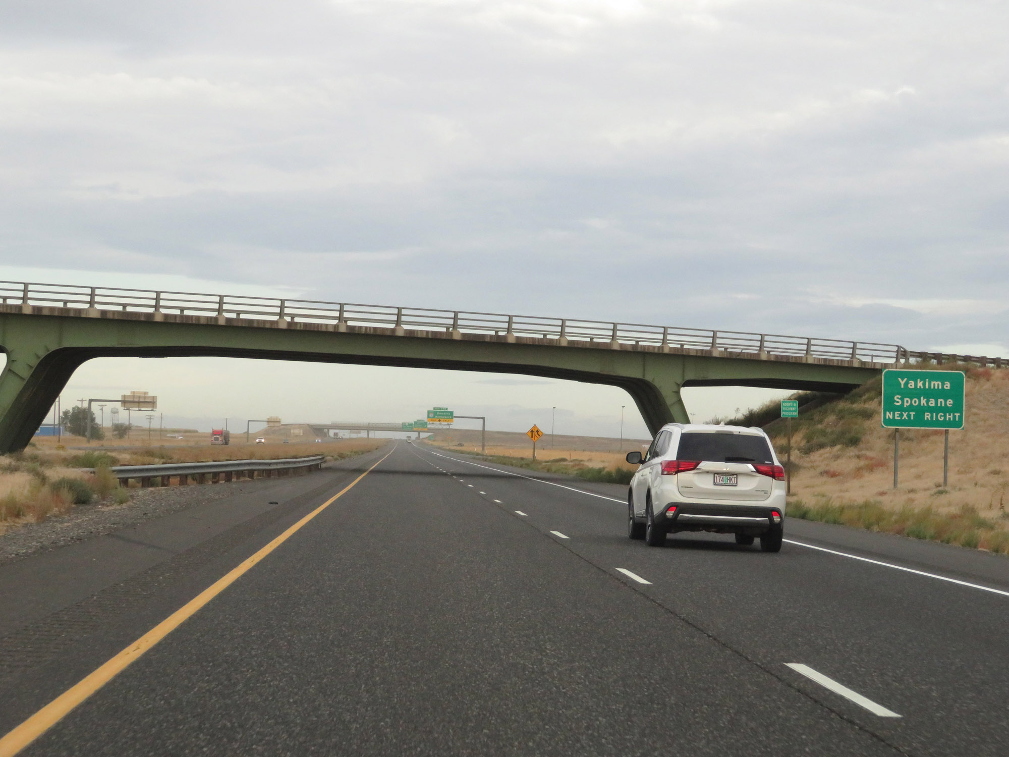 |
Also take Exit 179 (Interstate 82 West) to Yakima and Spokane. (Photo taken 9/26/19). |
 |
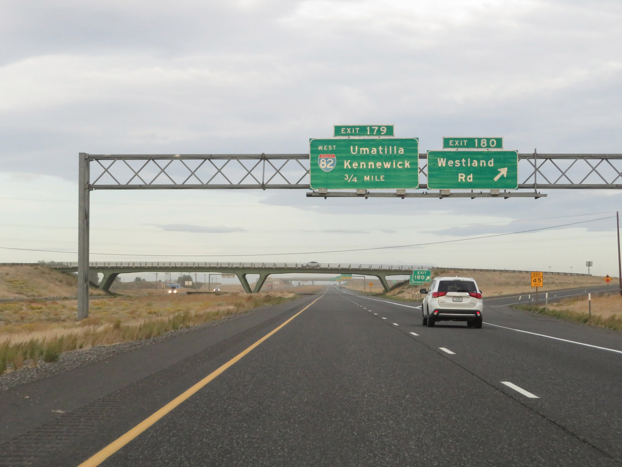
An Exit Only lane appears for Exit 179. (Photo taken 9/26/19). |
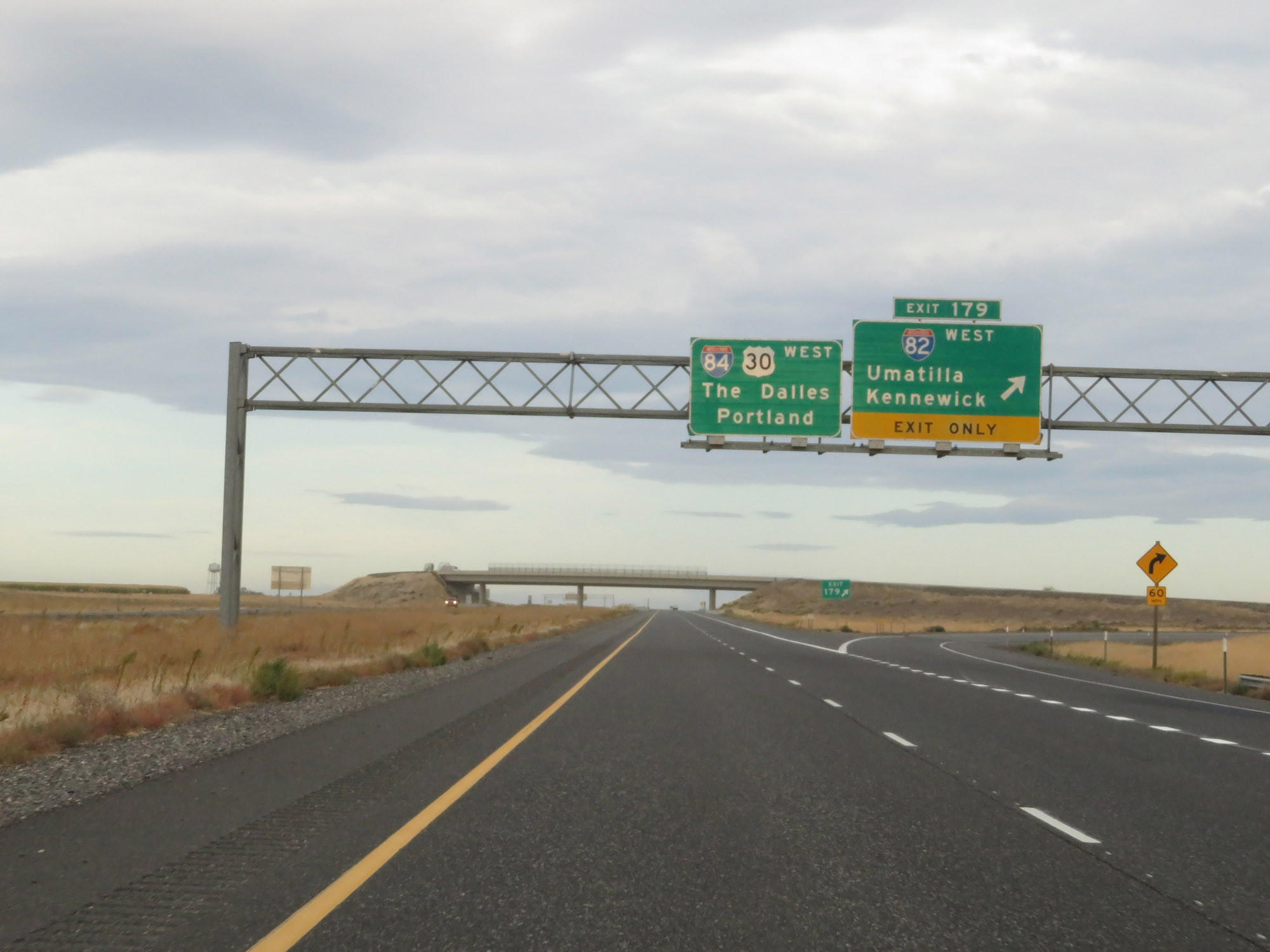 |
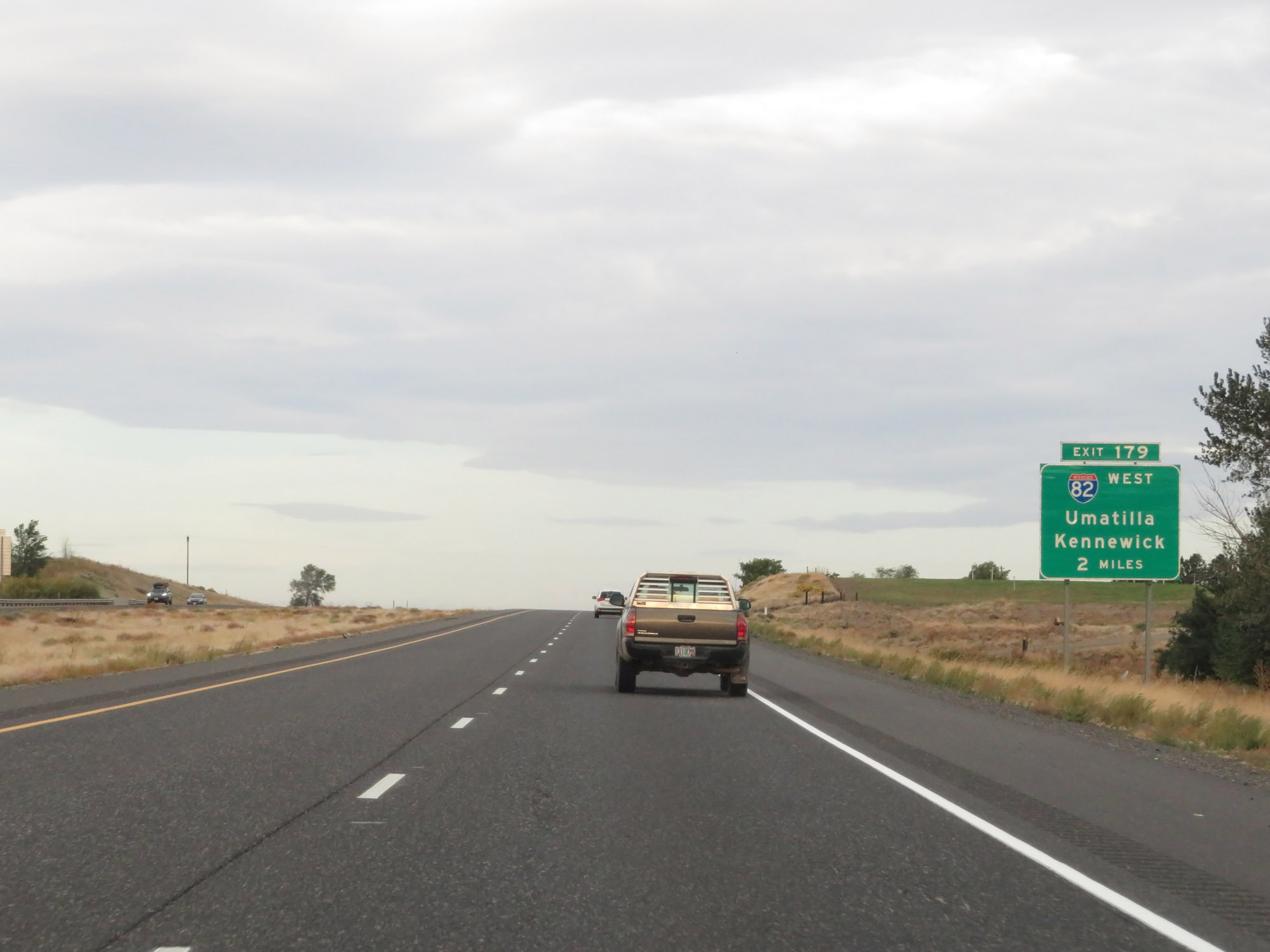
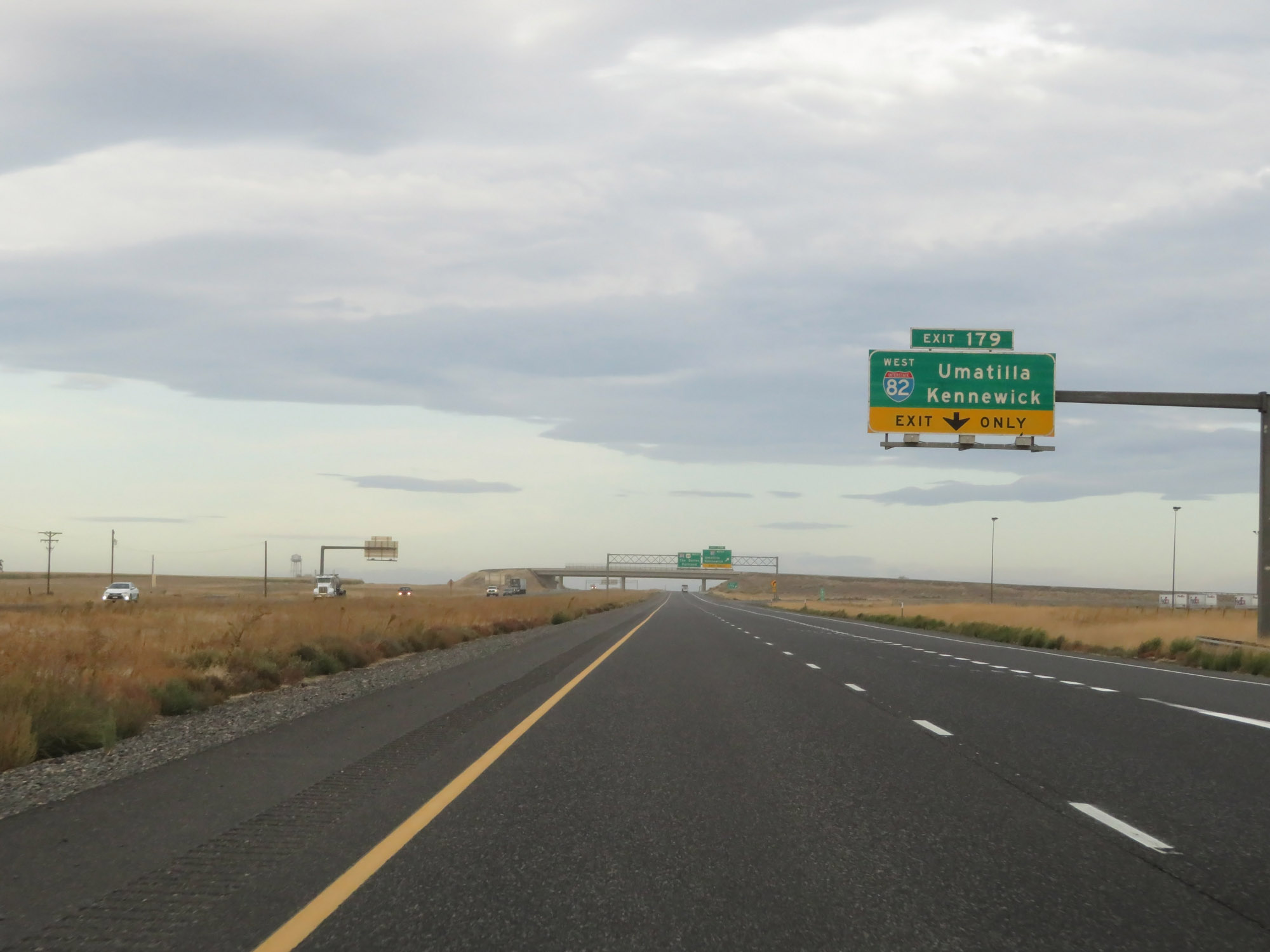
Interstate 84 West at Exit 179: Interstate 82 West - Umatilla / Kennewick (Photo taken 9/26/19). |
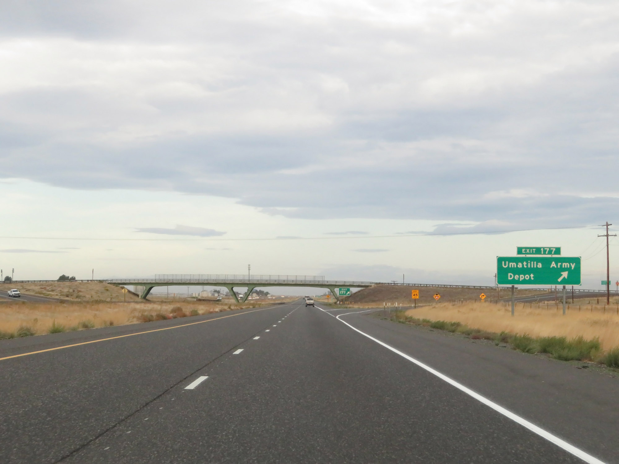 |
Interstate 84 West at Exit 177: Umatilla Army Depot (Photo taken 9/26/19). |
 |
Interstate 84 West / US 30 West reassurance shields. (Photo taken 9/26/19). |
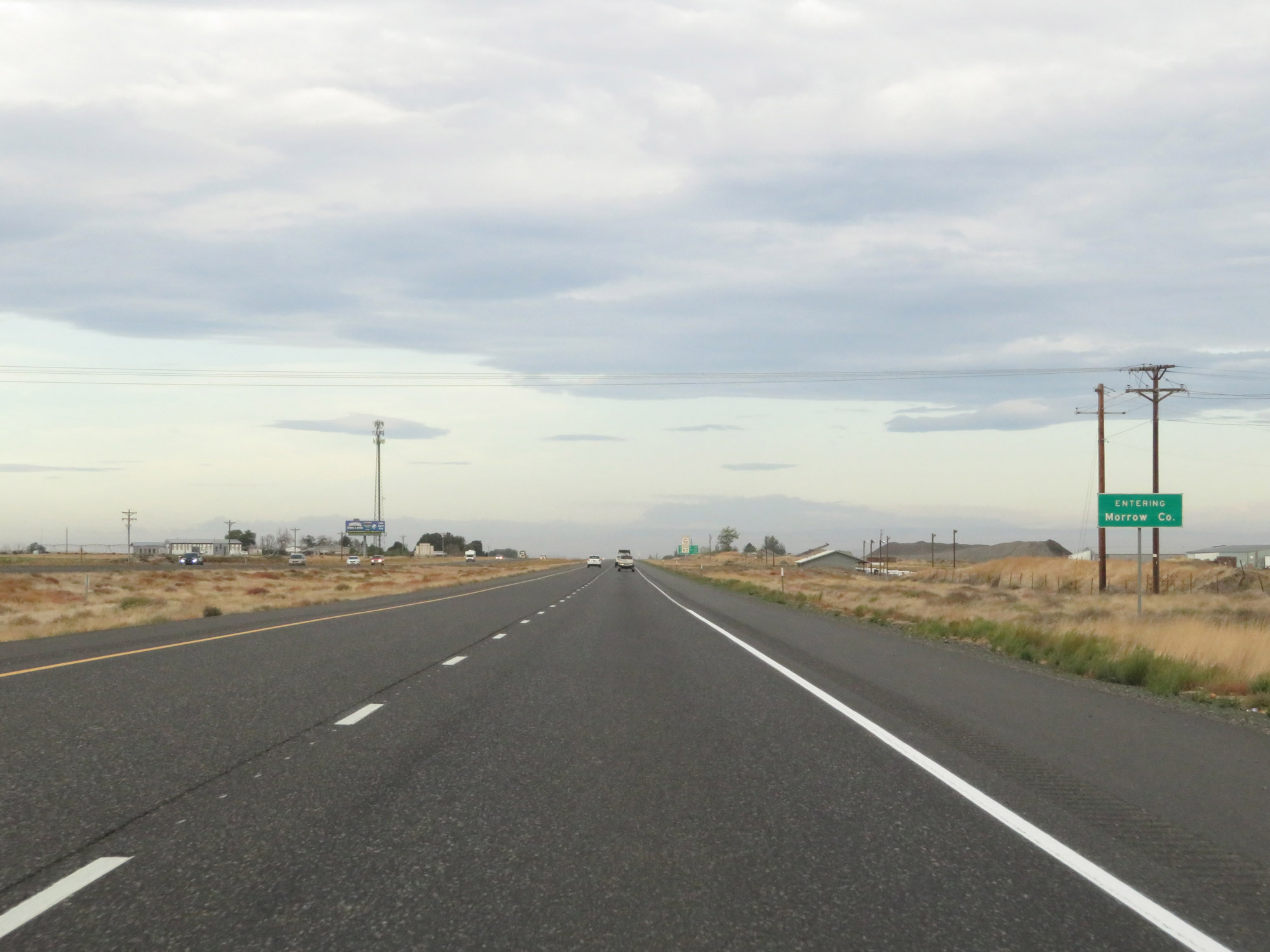 |
Interstate 84 West as it enters Morrow County. (Photo taken 9/26/19). |
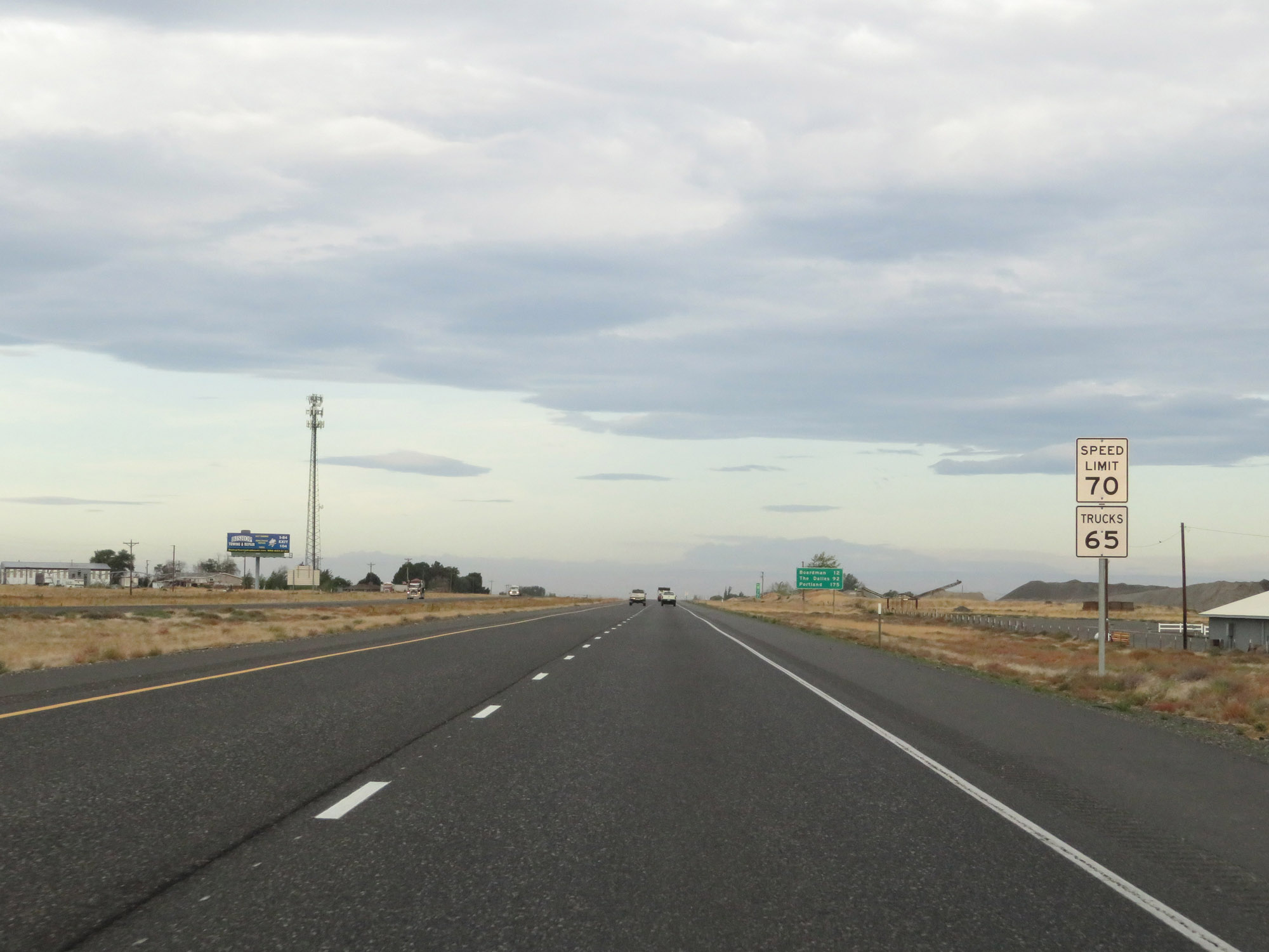 |
The speed limits remain 70 mph for cars and 65 mph for trucks. (Photo taken 9/26/19). |
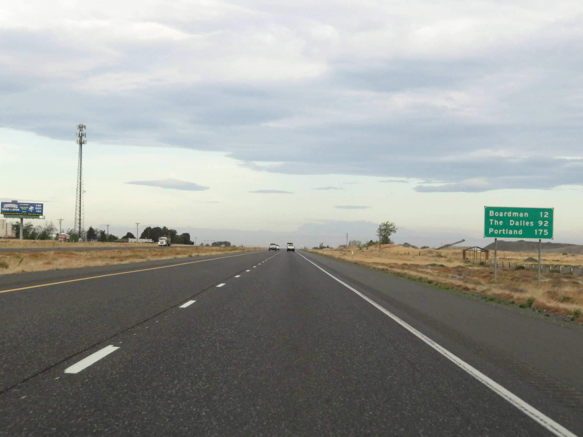 |
Mileage sign on Interstate 84 West. It's 12 miles to Boardman, 92 miles to The Dalles, and 175 miles to Portland. (Photo taken 9/26/19). |
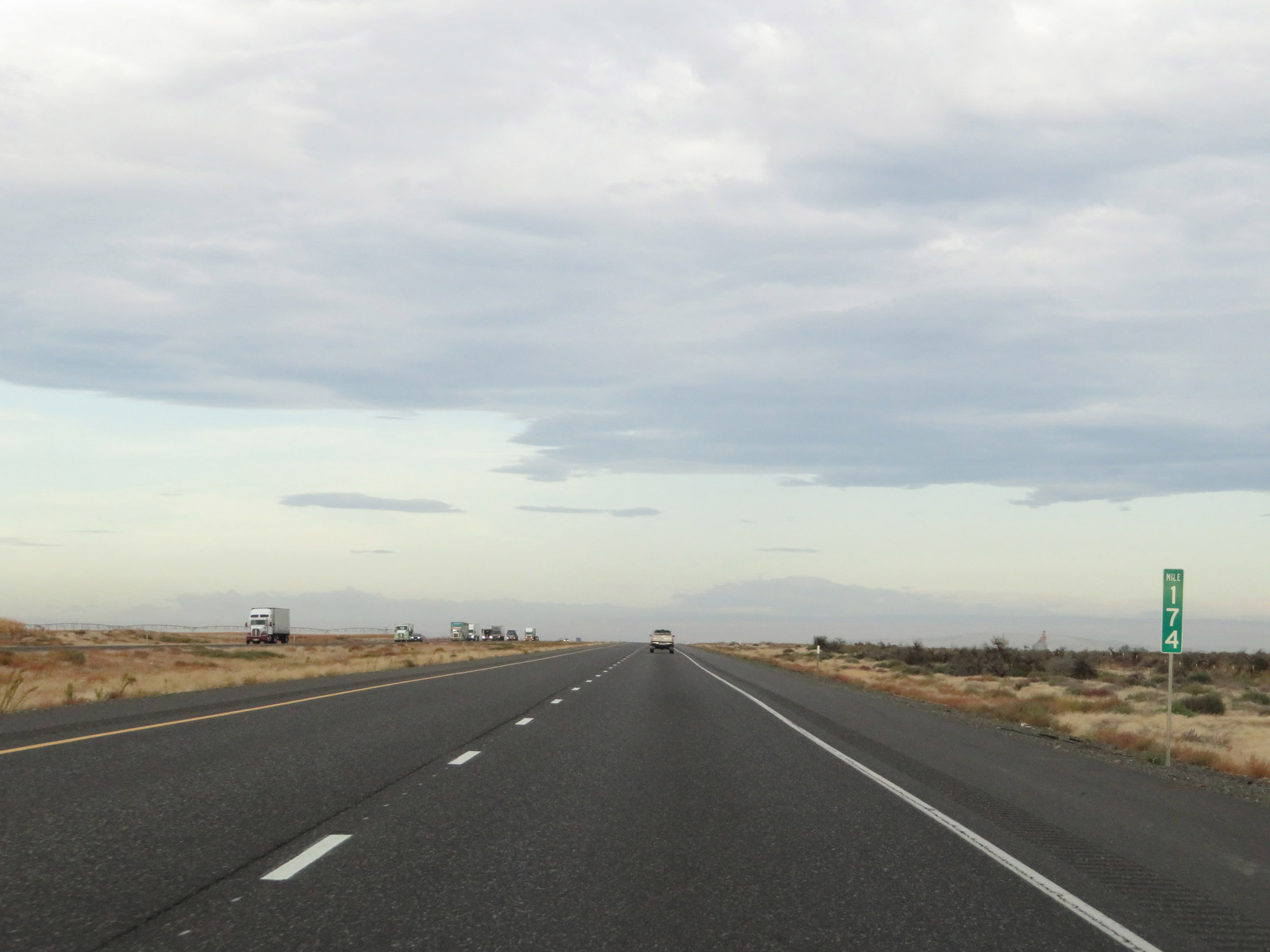 |
View on Interstate 84 West at mile marker 174. (Photo taken 9/26/19). |
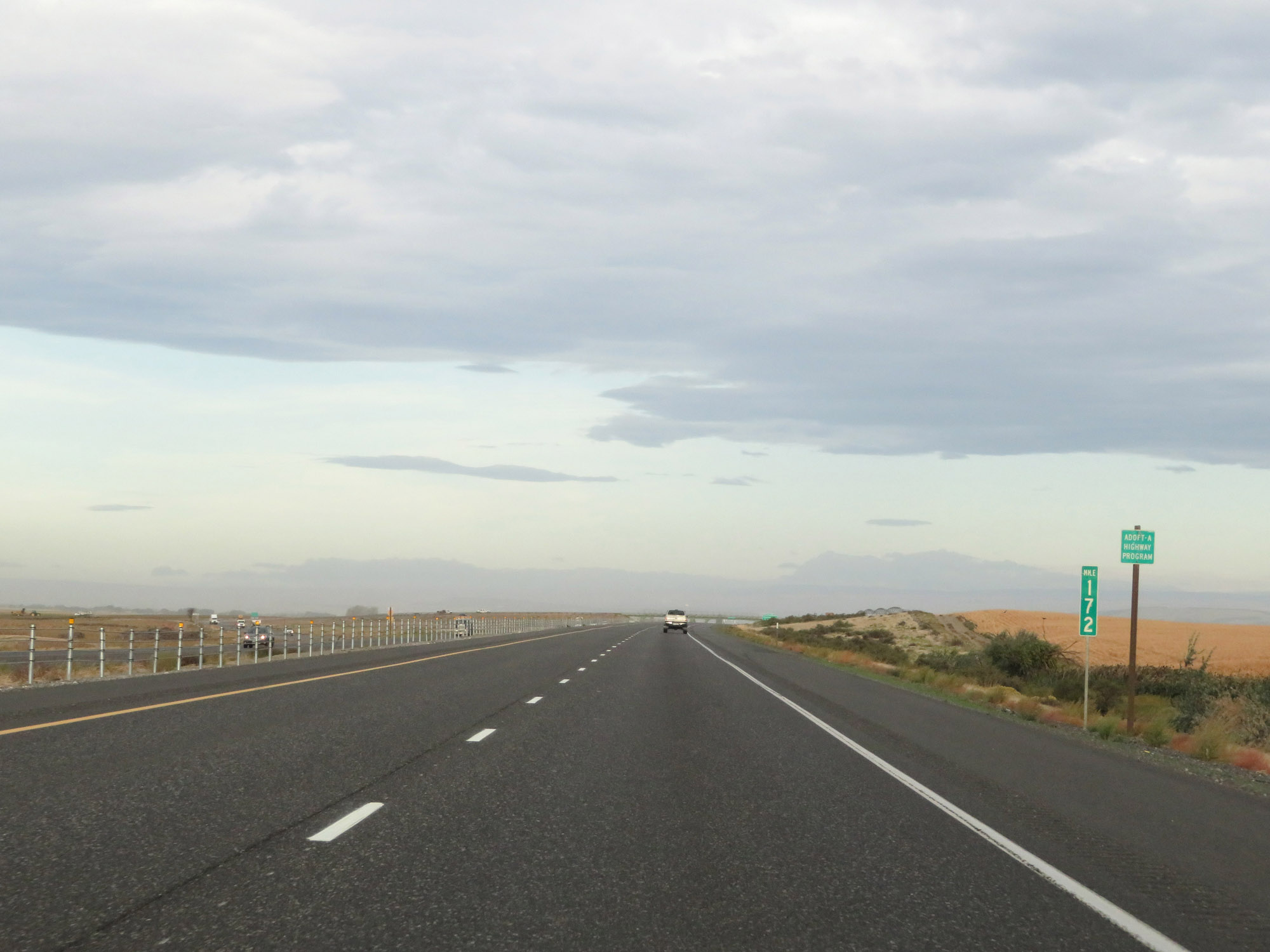 |
Interstate 84 West at mile marker 172. (Photo taken 9/26/19). |
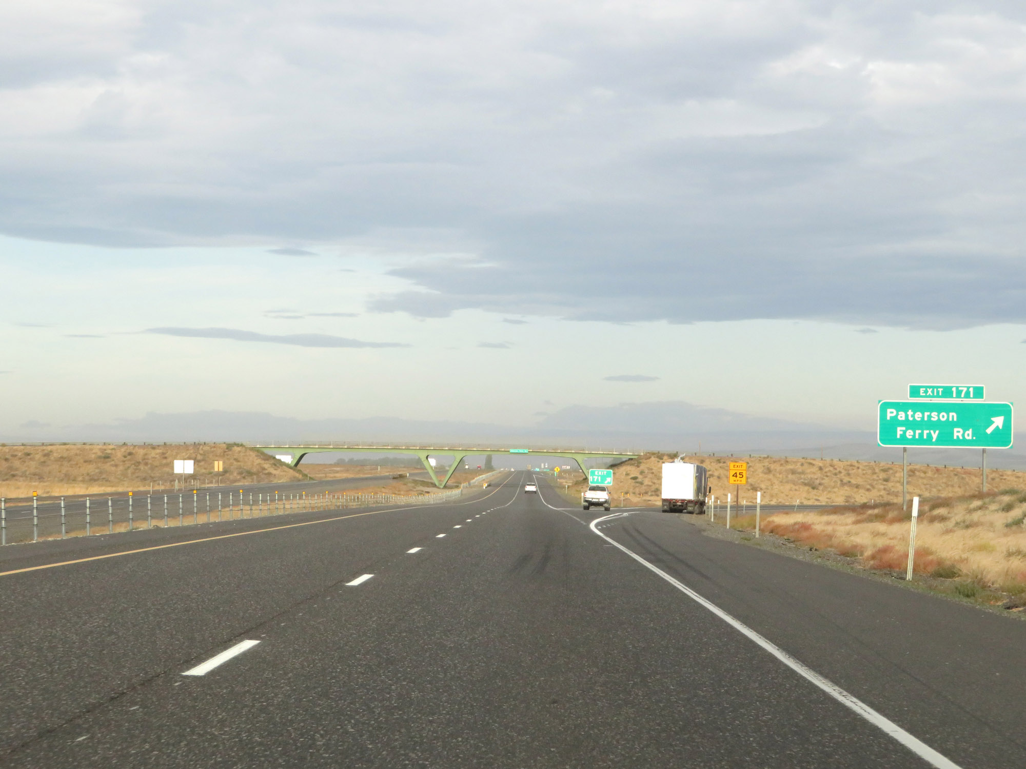 |
Interstate 84 West at Exit 171: Paterson Ferry Rd (Photo taken 9/26/19). |
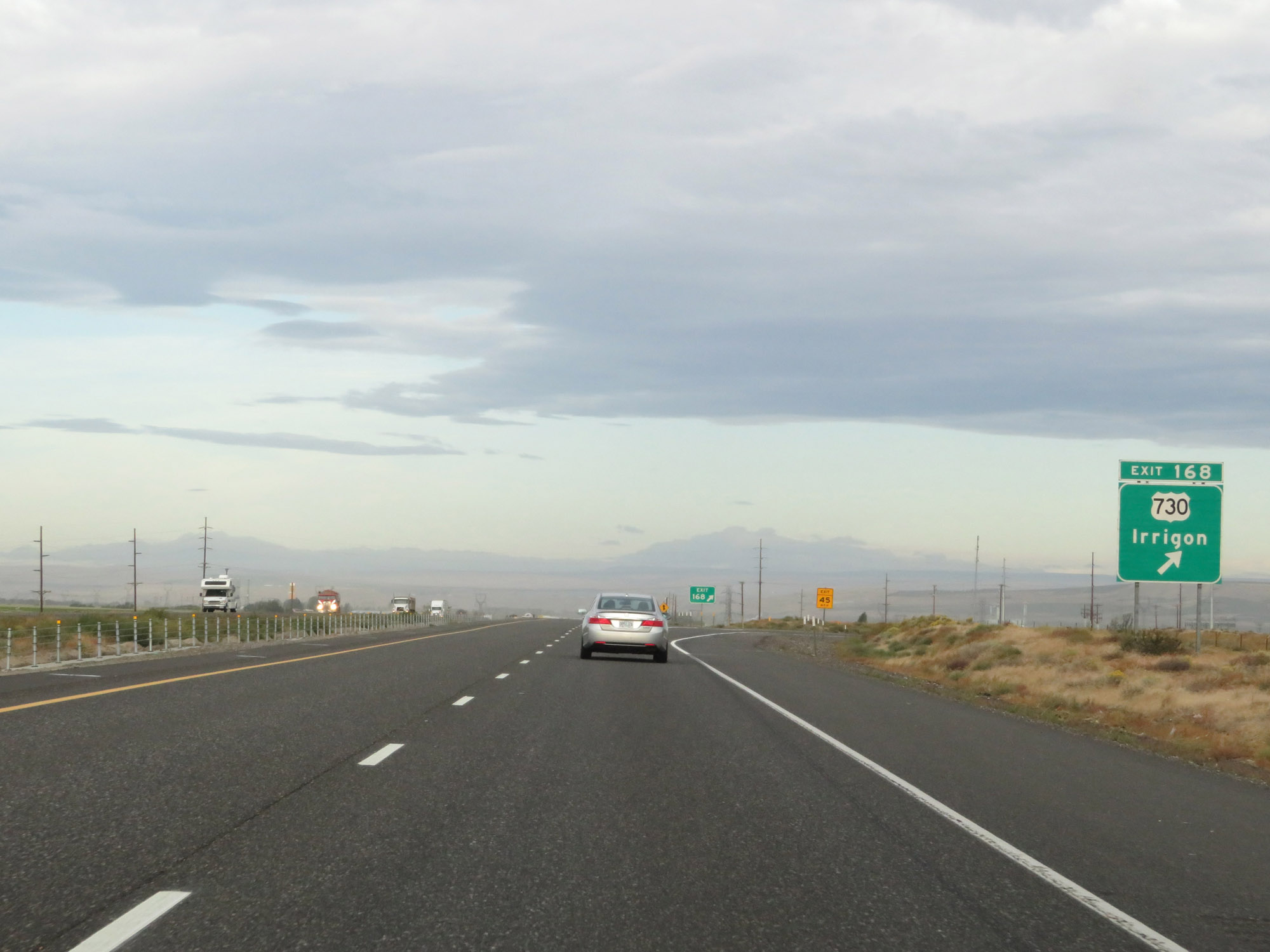 |
Interstate 84 West at Exit 168: US 730 - Irrigon (Photo taken 9/26/19). |
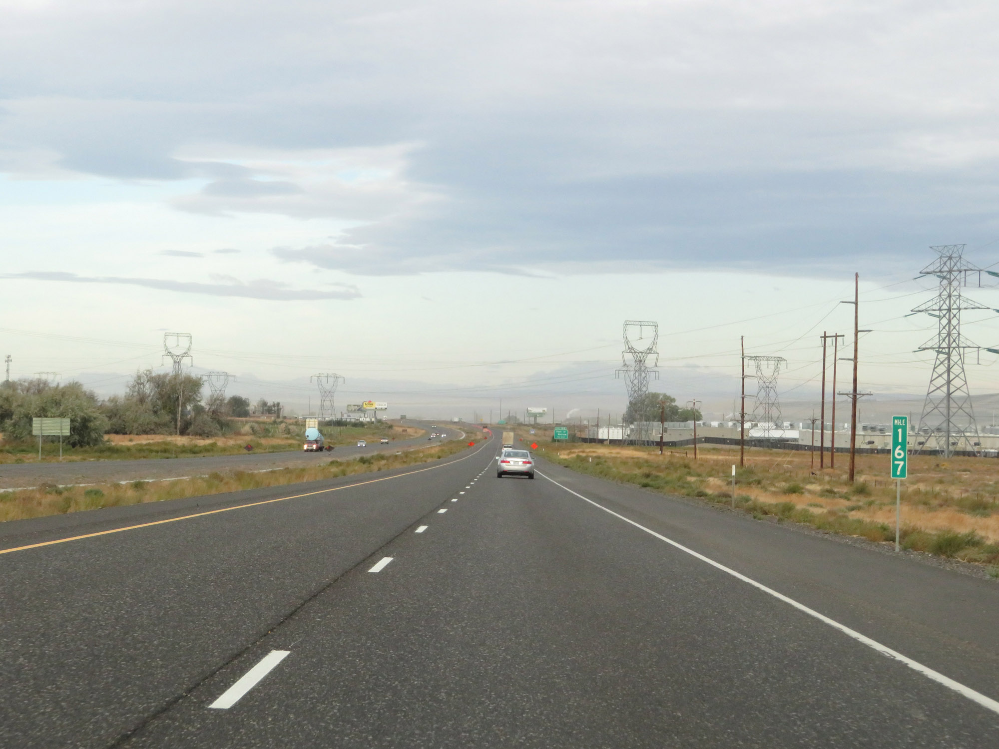 |
View on Interstate 84 West at mile marker 167. (Photo taken 9/26/19). |
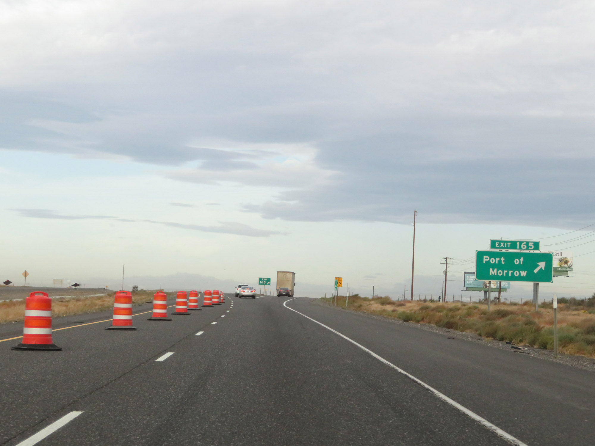 |
Interstate 84 West at Exit 165: Port of Morrow (Photo taken 9/26/19). |
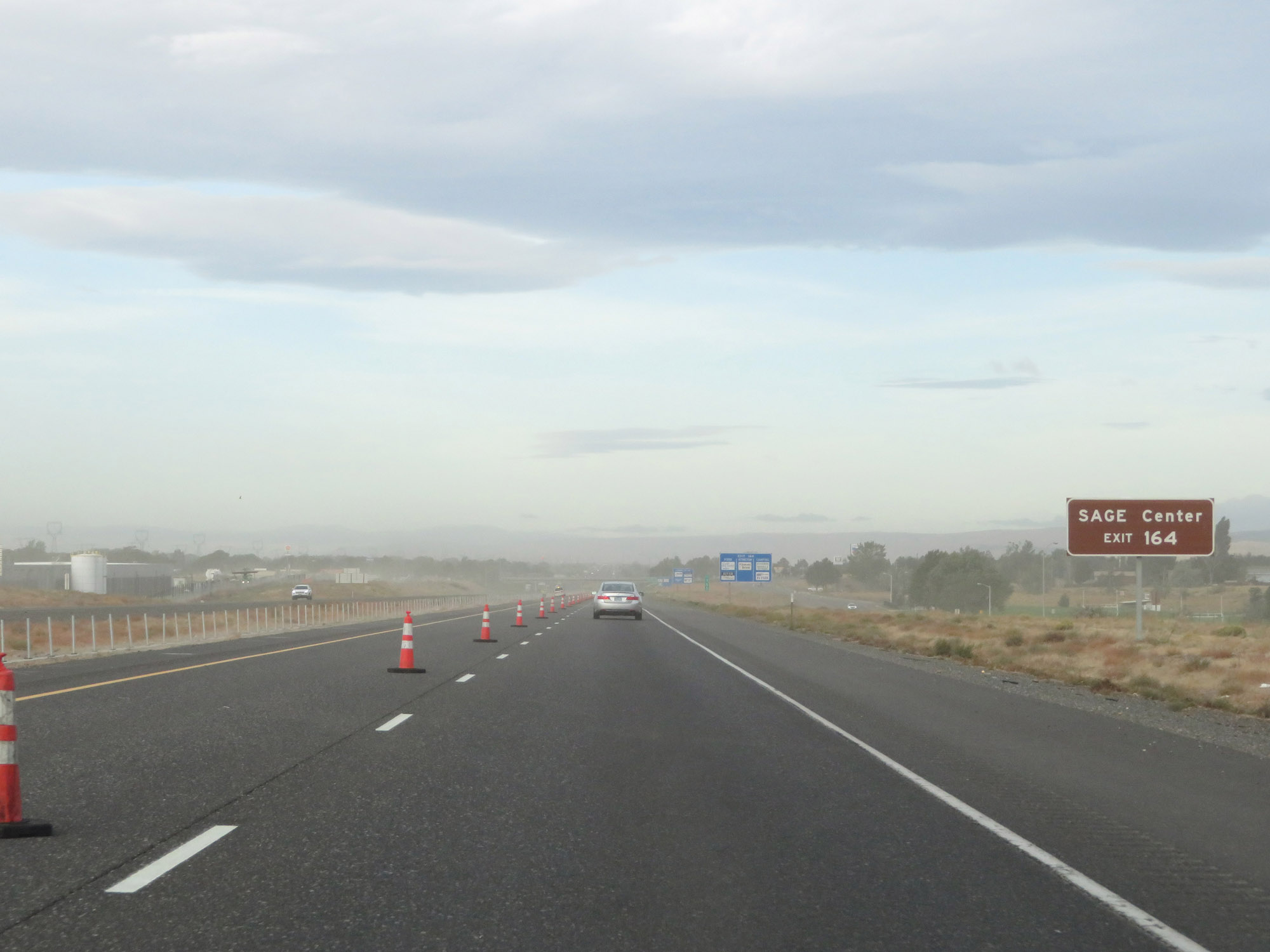 |
Take Exit 164 to the SAGE Center. (Photo taken 9/26/19). |
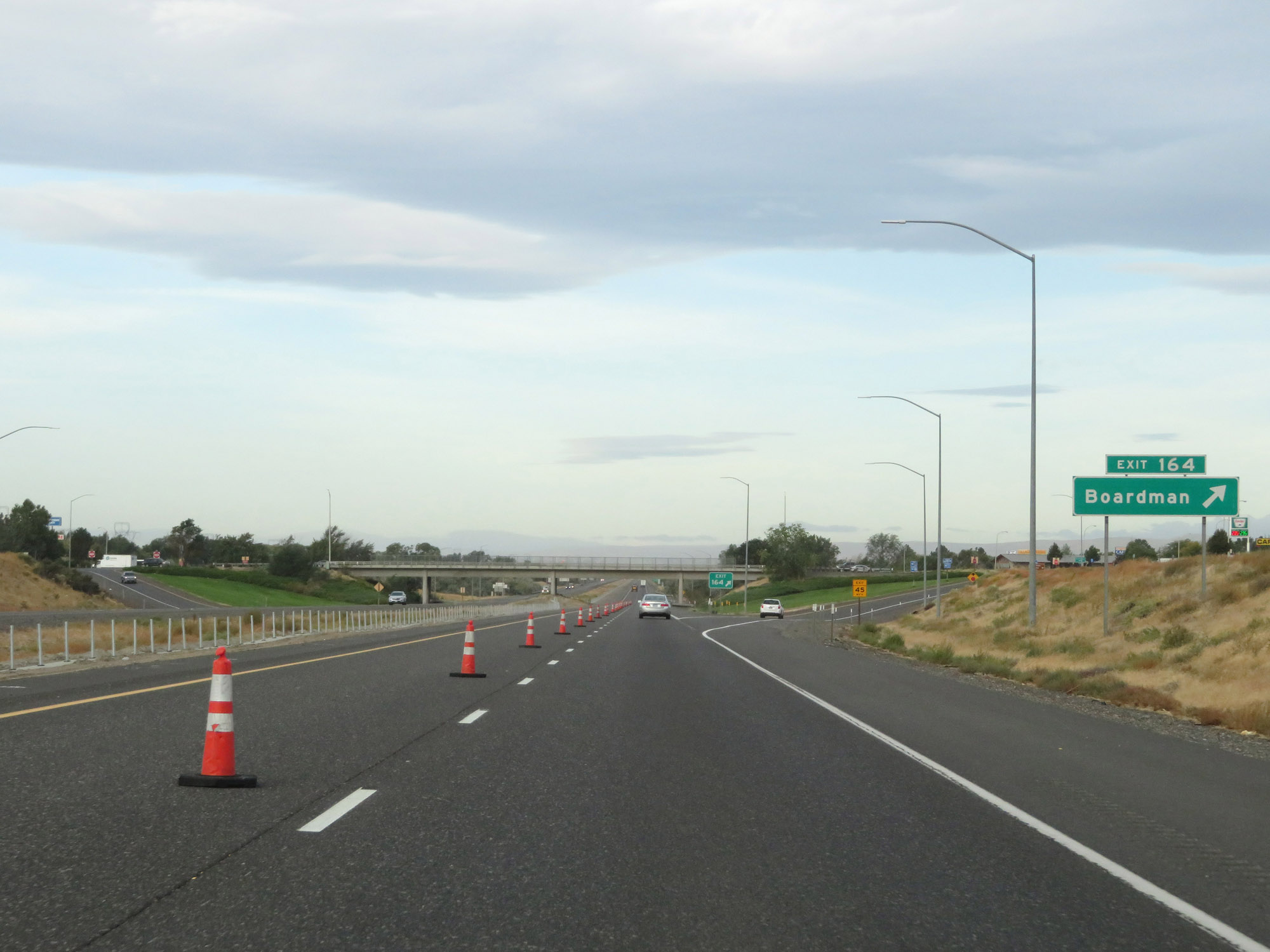 |
Interstate 84 West at Exit 164: Boardman (Photo taken 9/26/19). |
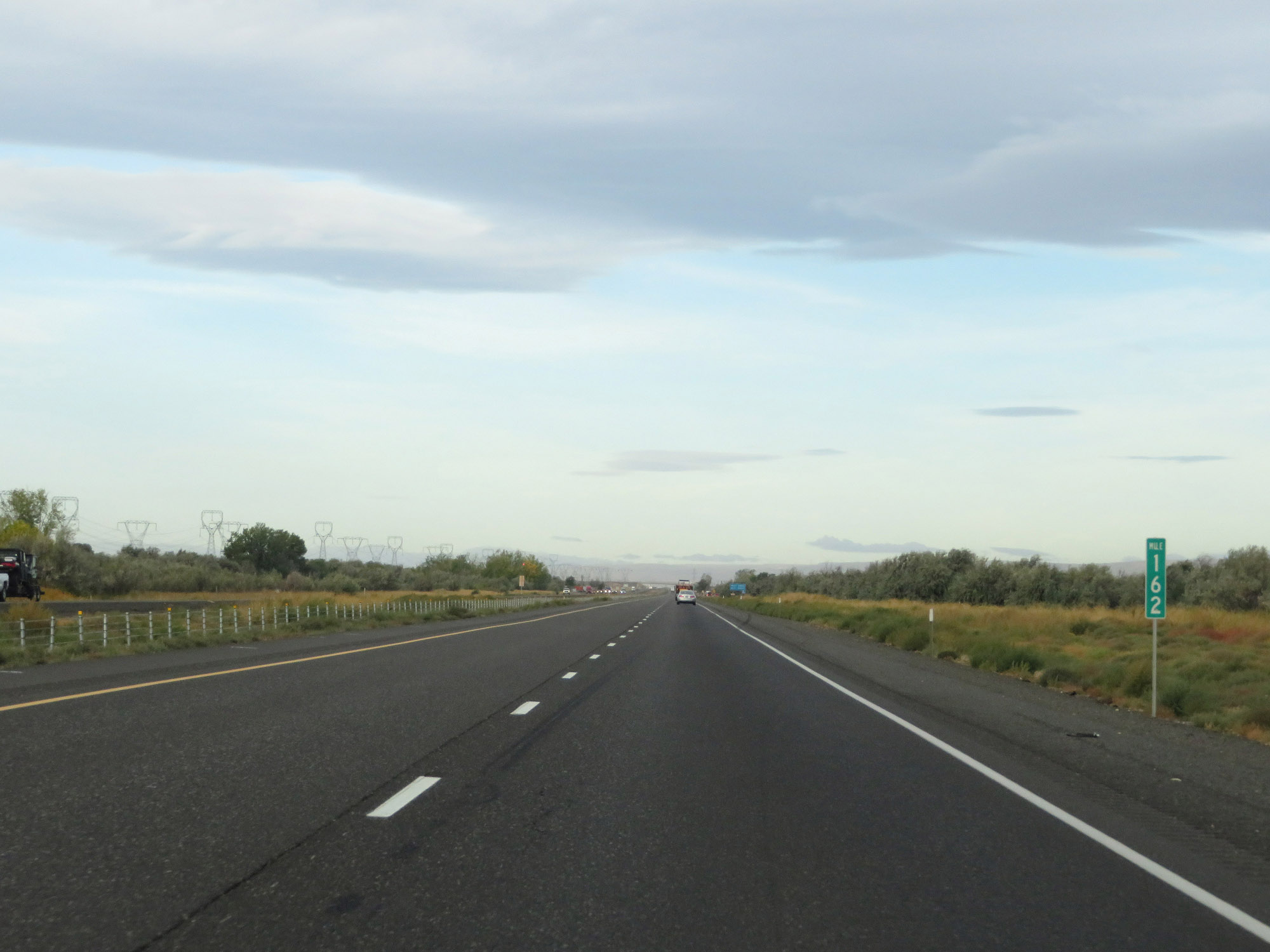 |
Interstate 84 West at mile marker 162. (Photo taken 9/26/19). |
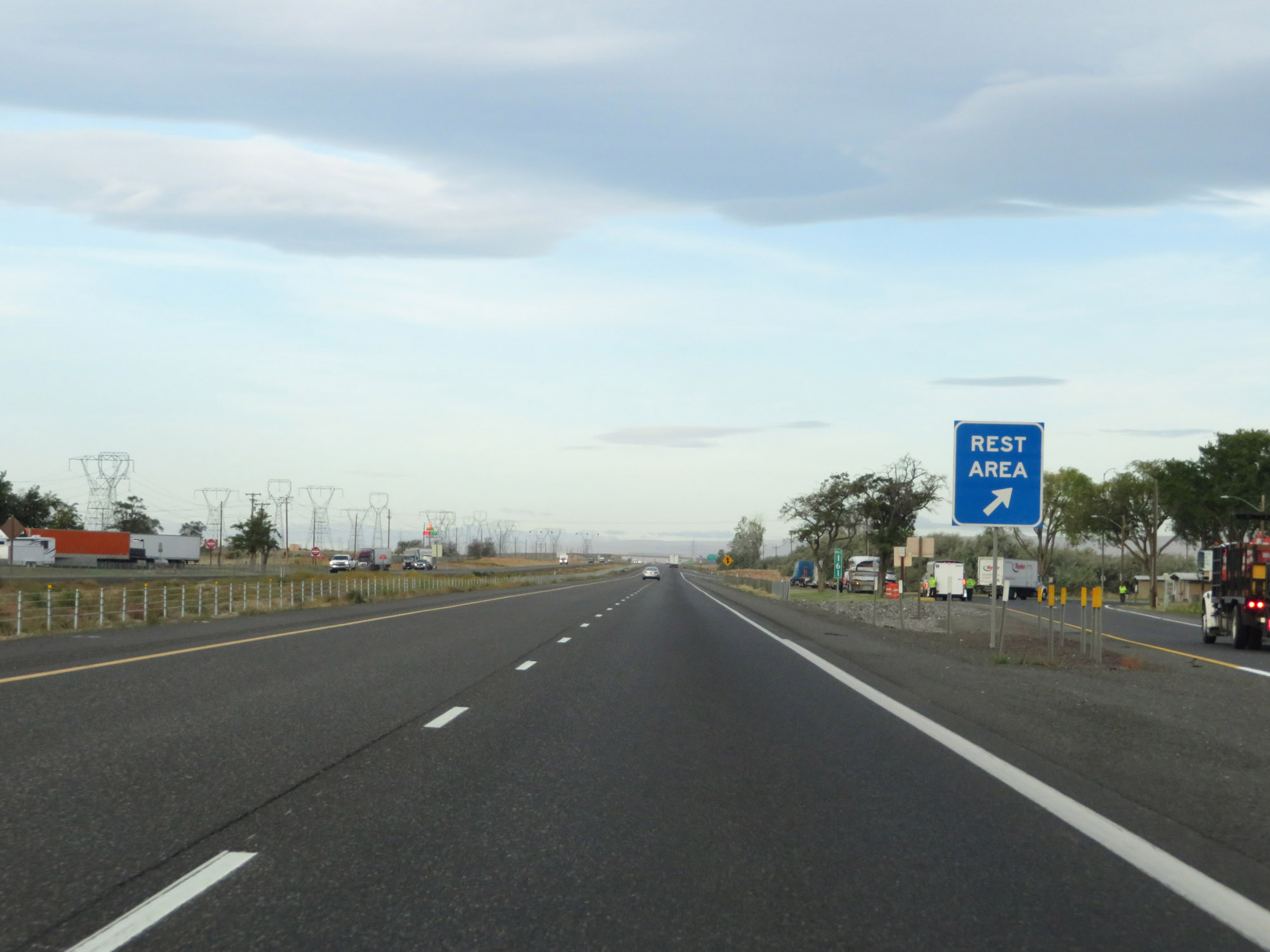 |
Rest Area on Interstate 84 West in Morrow County at mile marker 161. (Photo taken 9/26/19). |
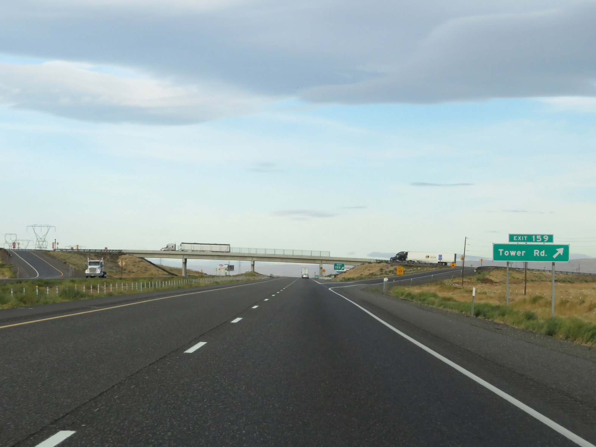 |
Interstate 84 West at Exit 159: Tower Rd (Photo taken 9/26/19). |
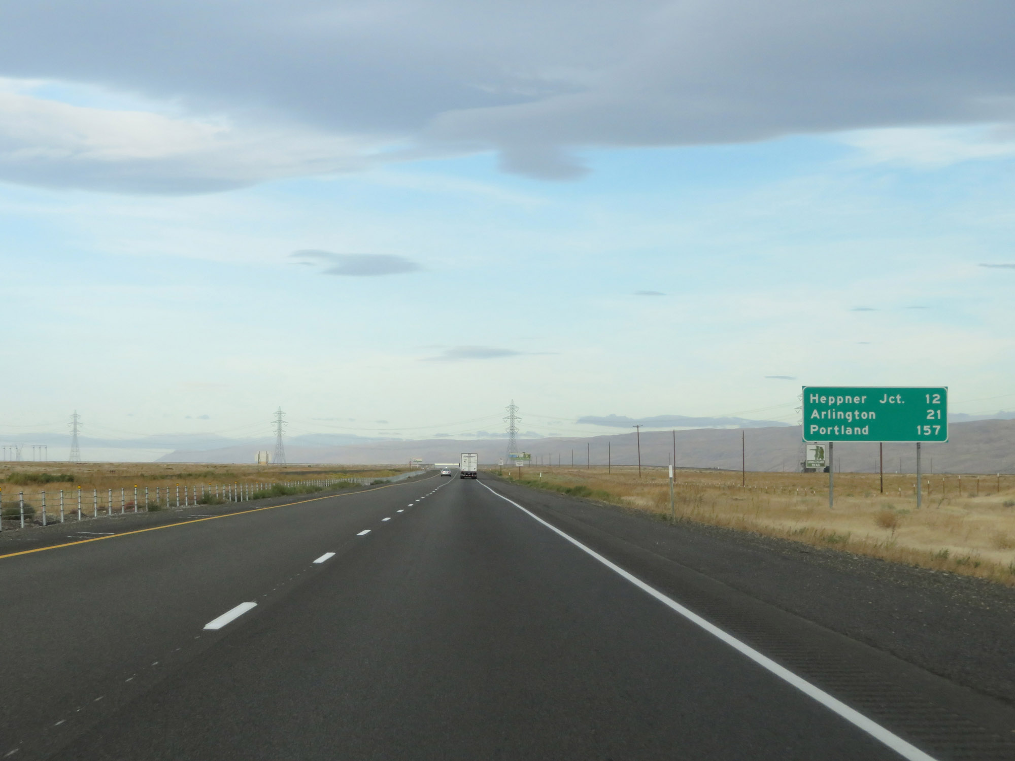 |
Mileage sign on Interstate 84 West. It's 12 miles to Heppner Junction, 21 miles to Arlington, and 157 miles to Portland. (Photo taken 9/26/19). |
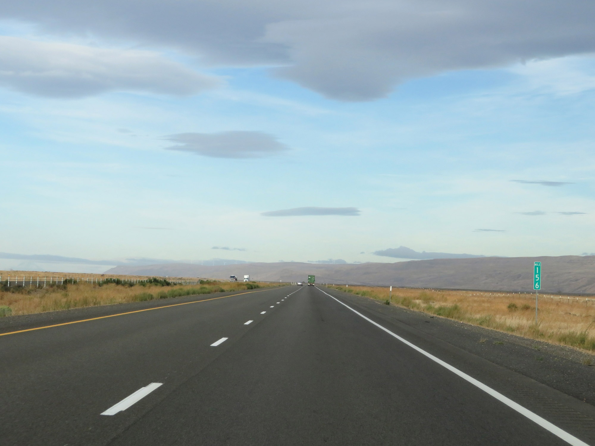 |
View on Interstate 84 West at mile marker 156. (Photo taken 9/26/19). |
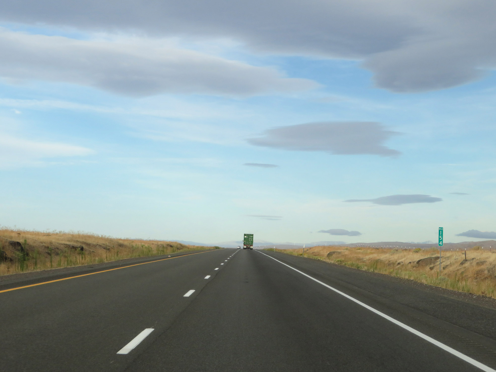 |
Interstate 84 West at mile marker 154. (Photo taken 9/26/19). |
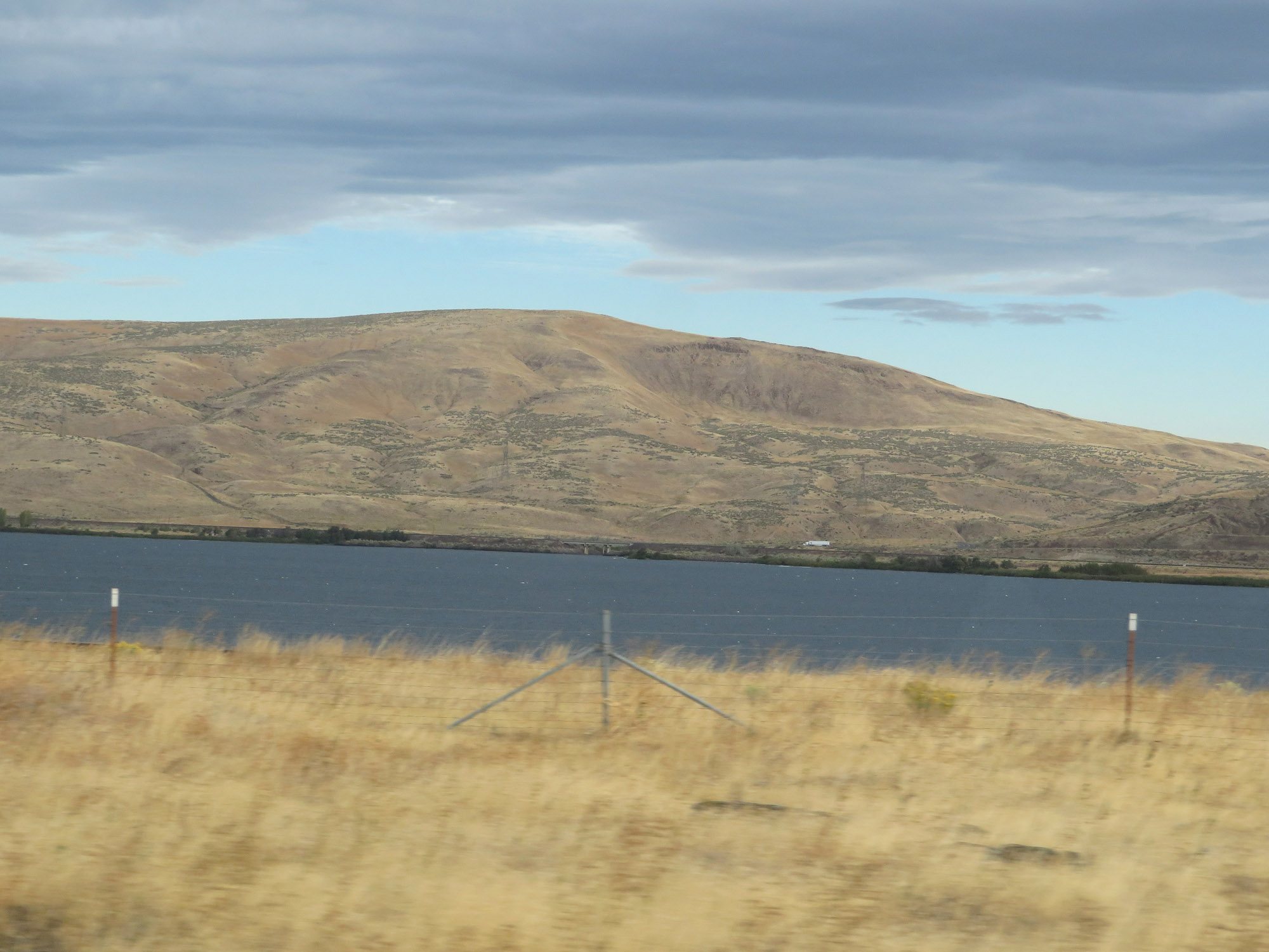 |
It's at this point, just west of mile marker 154, that we begin to get a clear view of the Columbia River from Interstate 84 West. I-84 will run alongside the Columbia River the rest of the way to Portland, making for some great scenic views along the way as you'll see. On the other side of the river is WA 14. (Photo taken 9/26/19). |
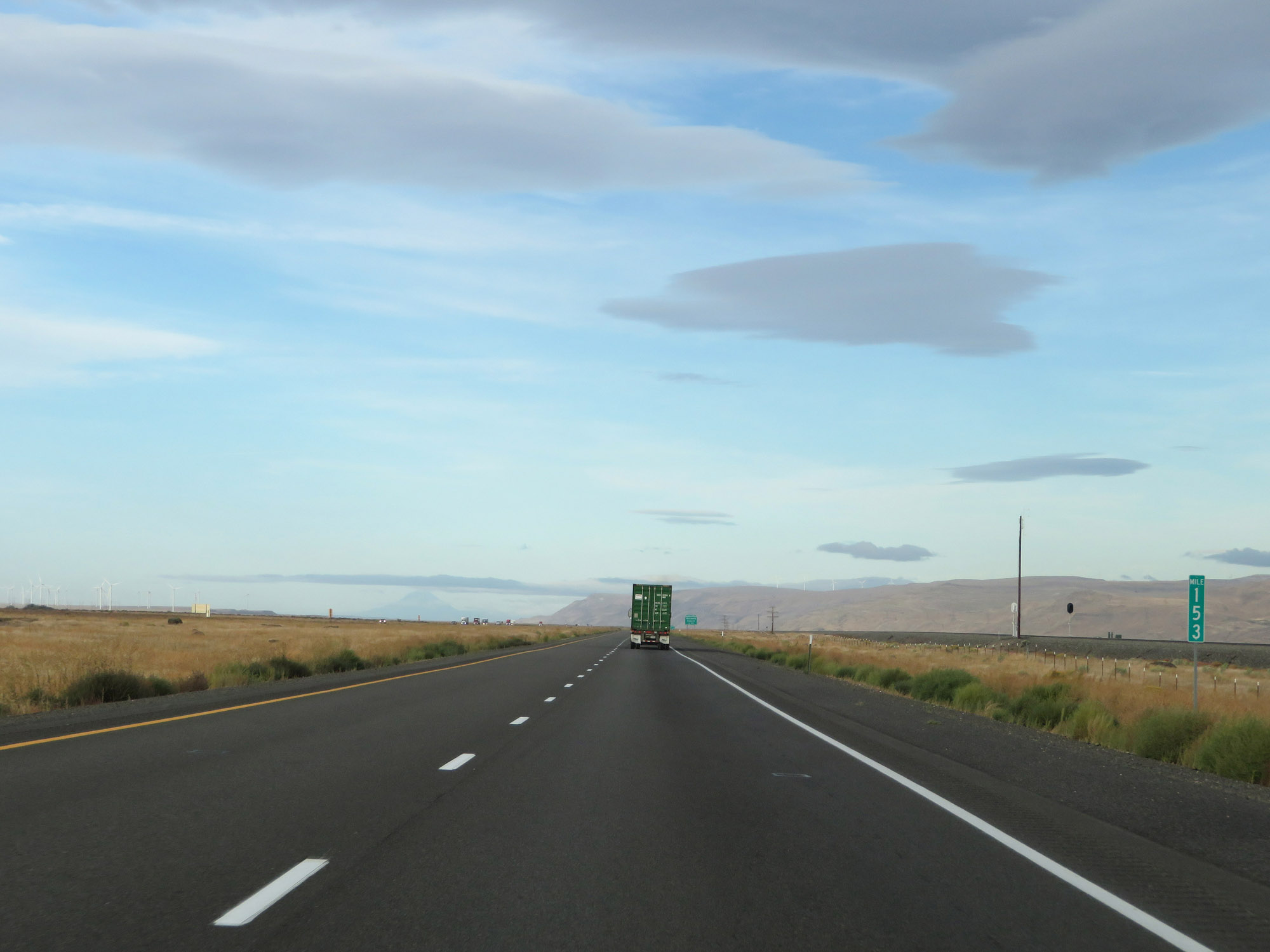 |
View on Interstate 84 West at mile marker 153. (Photo taken 9/26/19). |
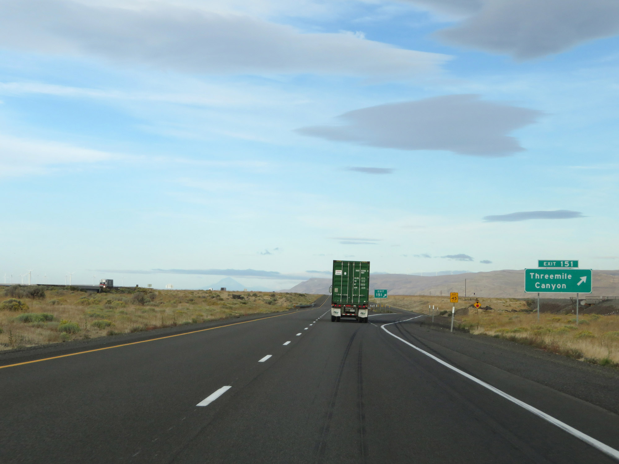 |
Interstate 84 West at Exit 151: Threemile Canyon (Photo taken 9/26/19). |
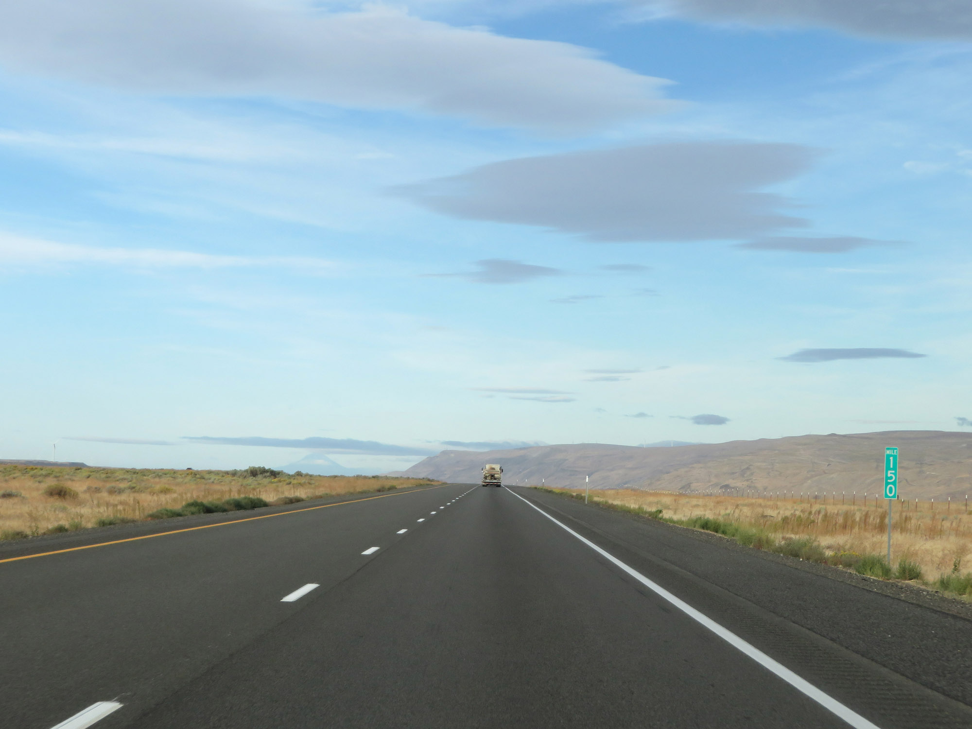 |
Interstate 84 West at mile marker 150. (Photo taken 9/26/19). |
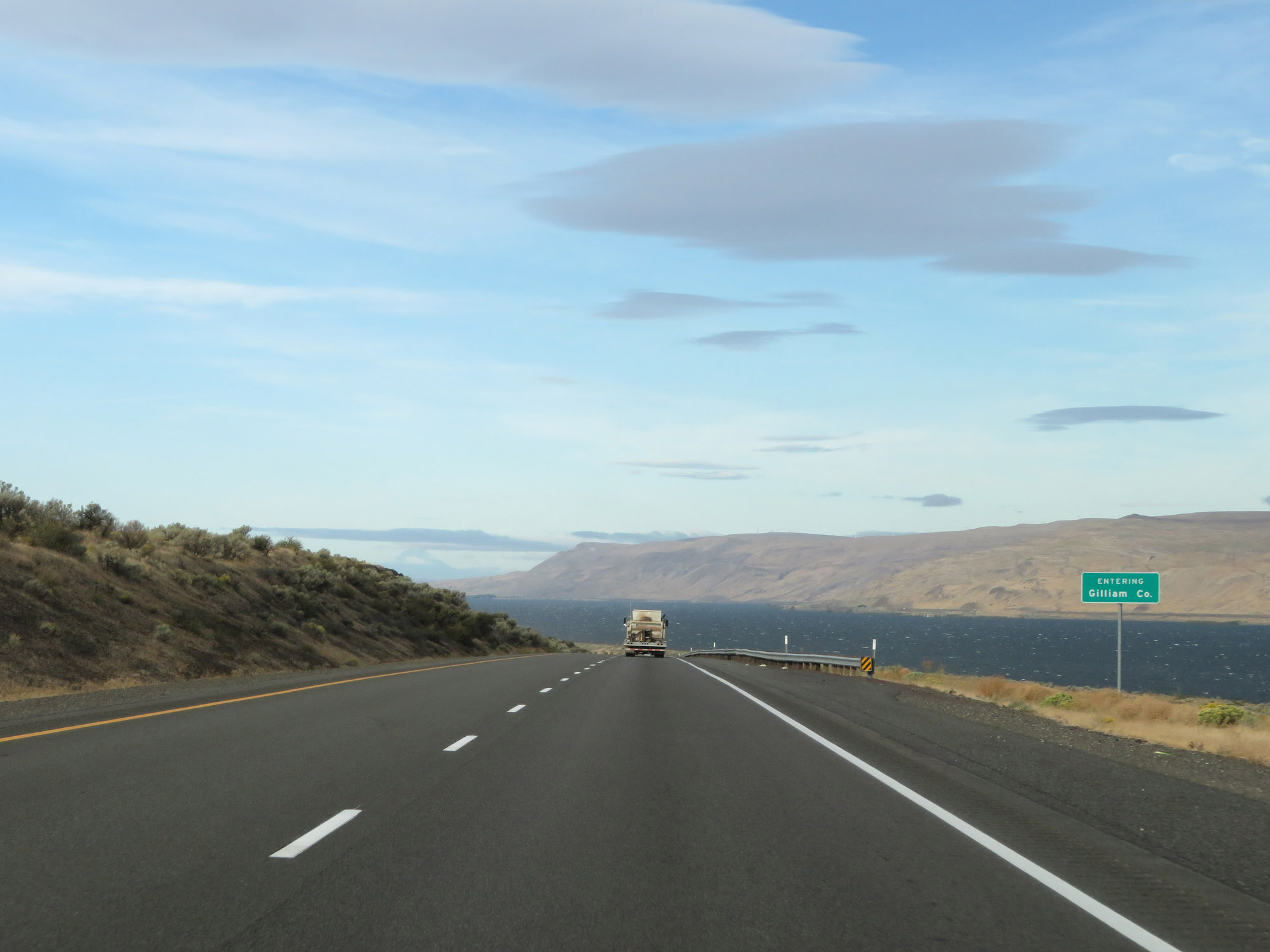 |
As Interstate 84 West enters Gilliam County, we get a more straight on view of the Columbia River. (Photo taken 9/26/19). |
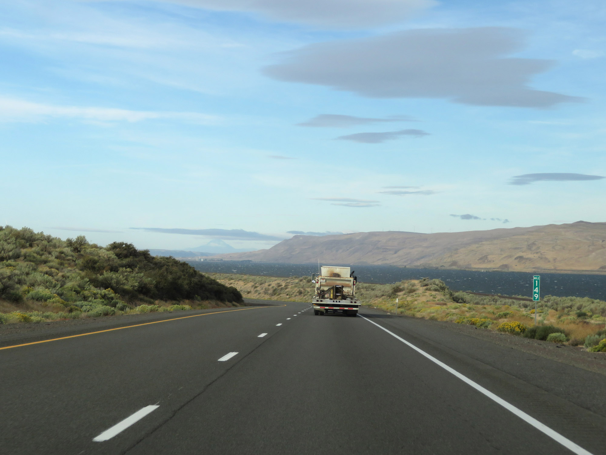 |
View on Interstate 84 West at mile marker 149. (Photo taken 9/26/19). |
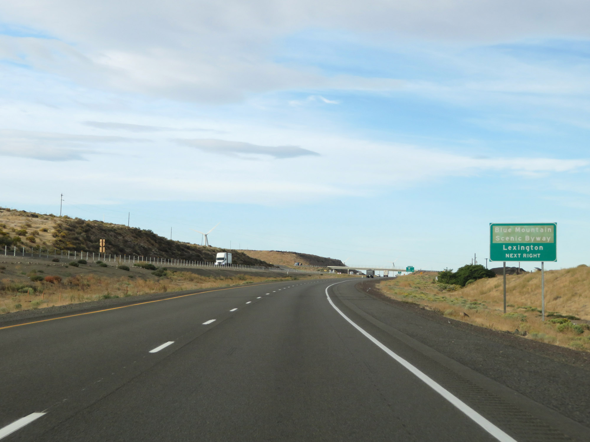 |
Take Exit 147 to Blue Mountain Scenic Byway and Lexington. (Photo taken 9/26/19). |
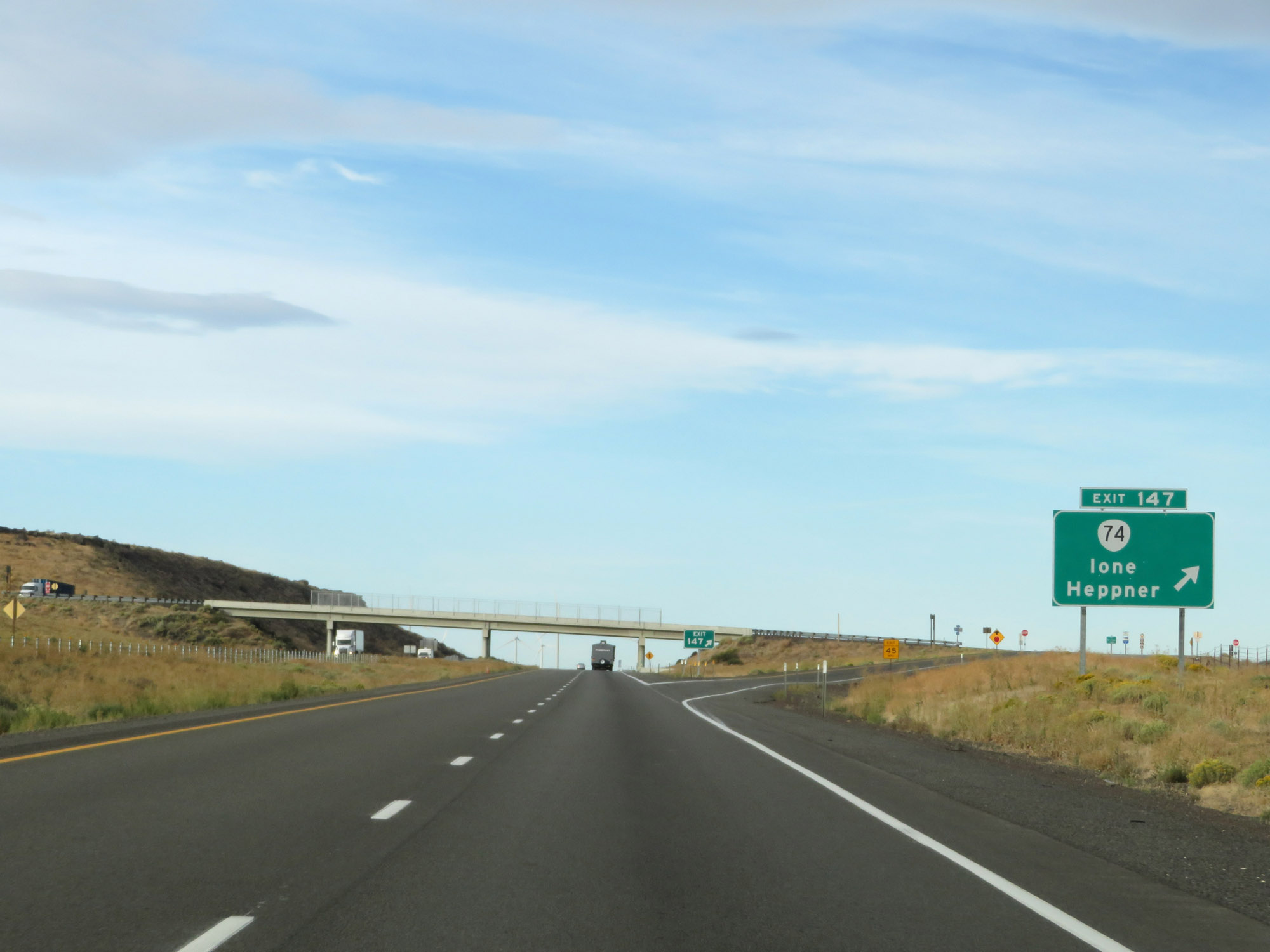 |
Interstate 84 West at Exit 147: OR 47 - Ione / Heppner (Photo taken 9/26/19). |
 |
Interstate 84 West / US 30 West reassurance shields. (Photo taken 9/26/19). |
 |
The speed limits remain 70 mph for automobiles and 65 mph for trucks. (Photo taken 9/26/19). |
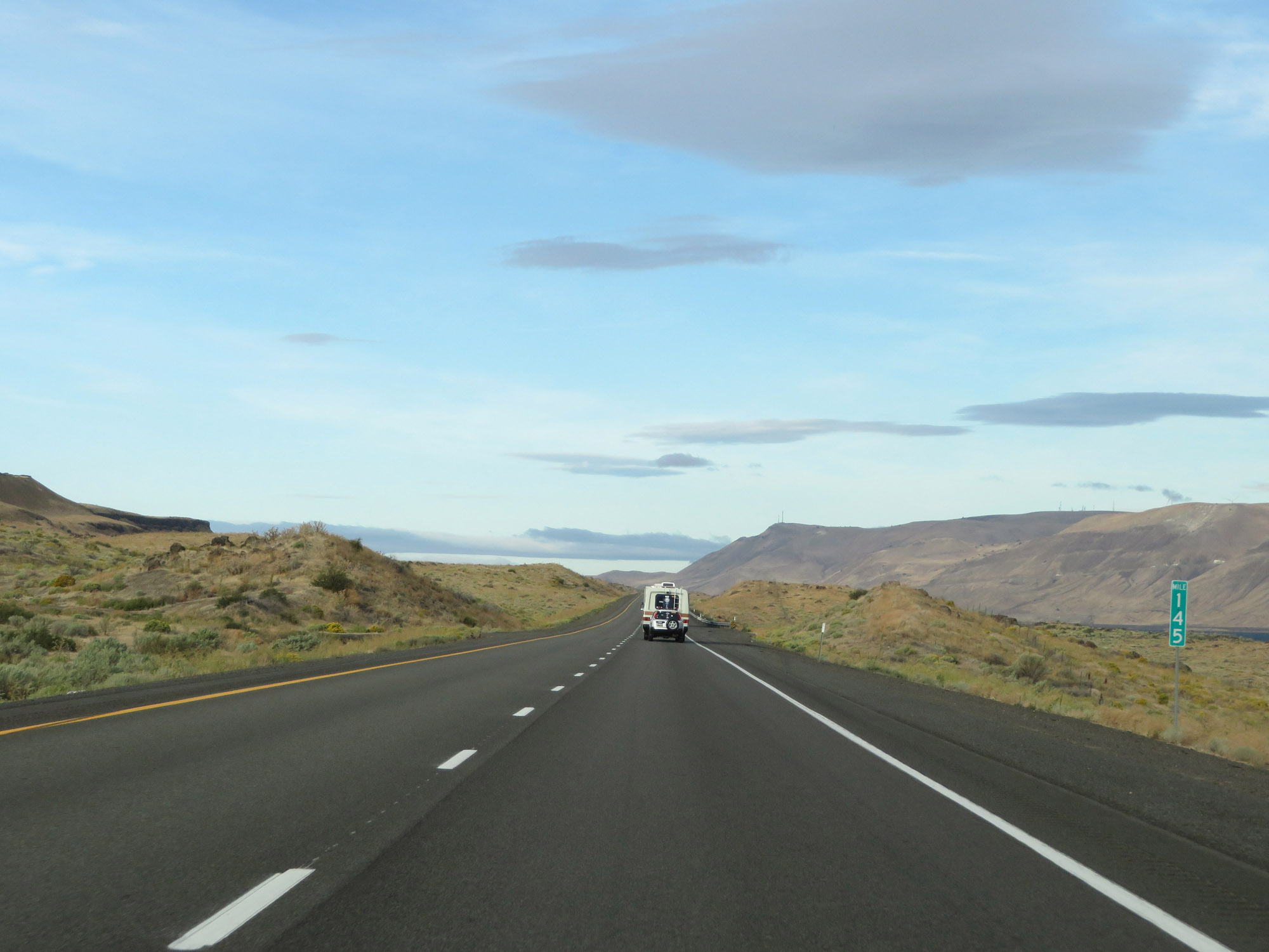 |
View on Interstate 84 West at mile marker 145. (Photo taken 9/26/19). |
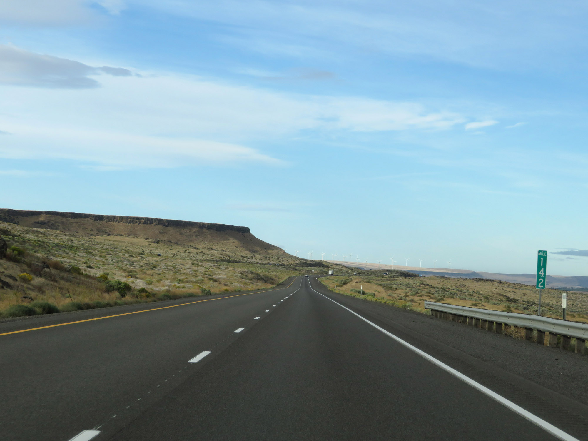 |
Interstate 84 West at mile marker 142. (Photo taken 9/26/19). |
 |
Interstate 84 West at mile marker 141. (Photo taken 9/26/19). |
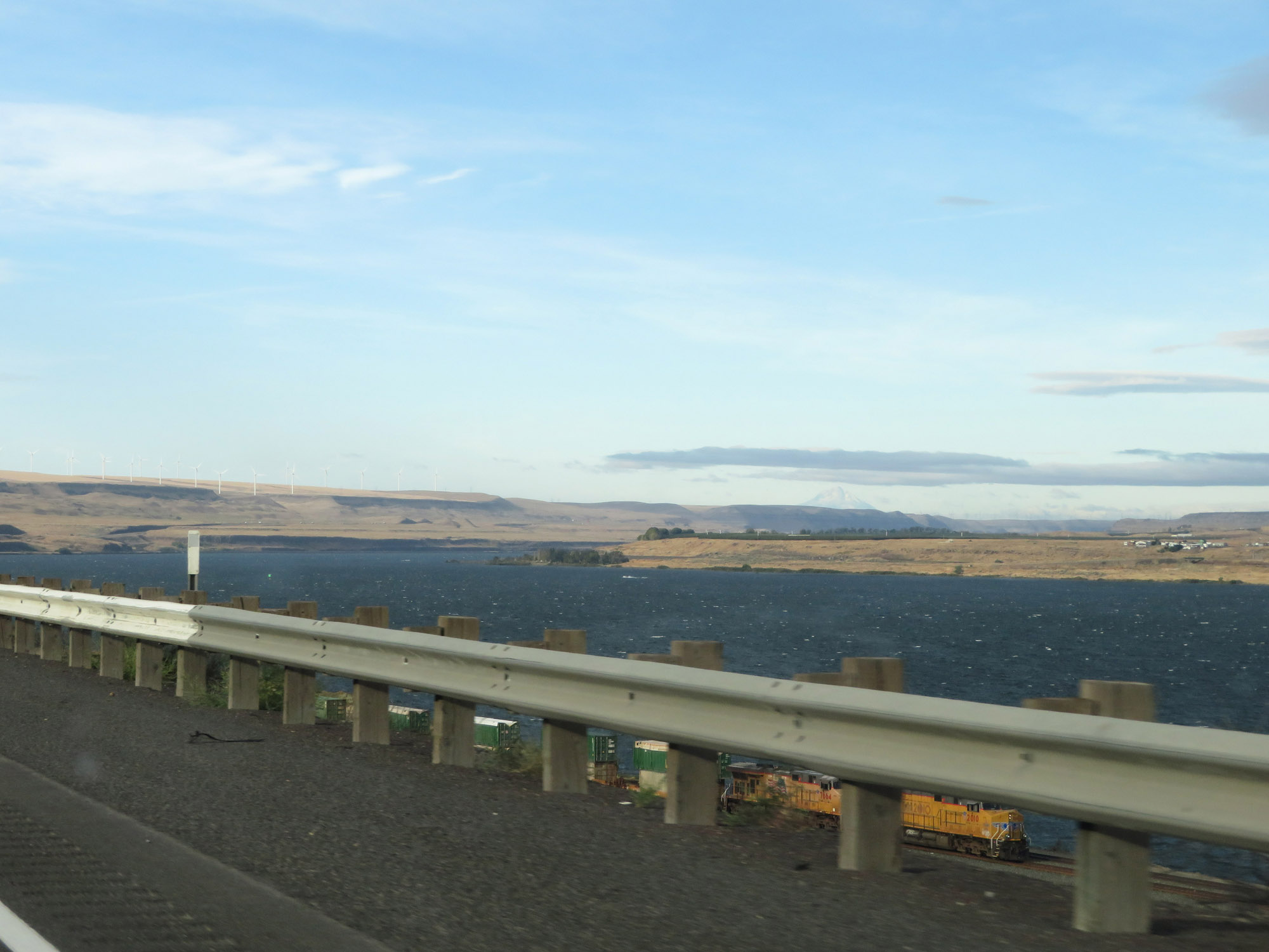 |
Another view of the Columbia River from Interstate 84 West. (Photo taken 9/26/19). |
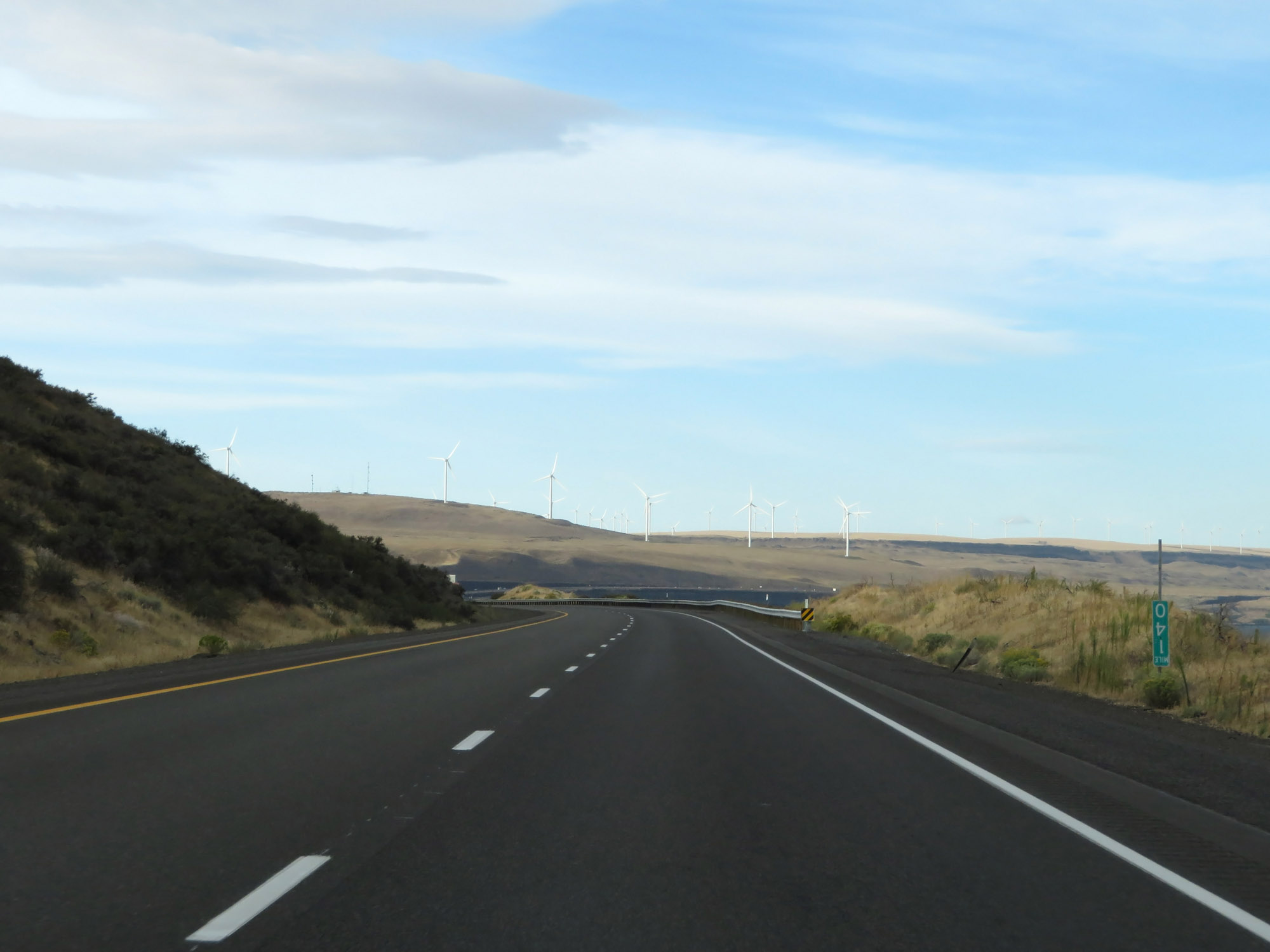 |
View on Interstate 84 West at mile marker 140. (Photo taken 9/26/19). |
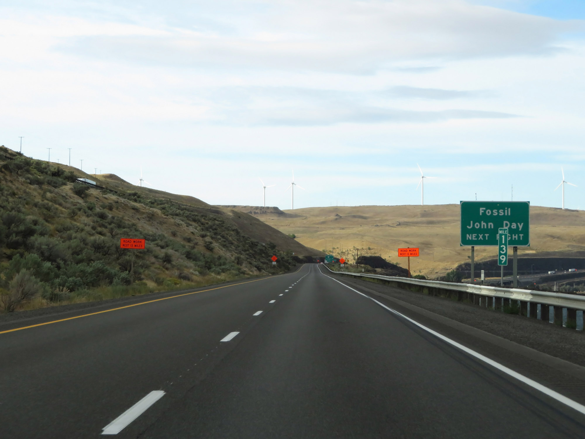 |
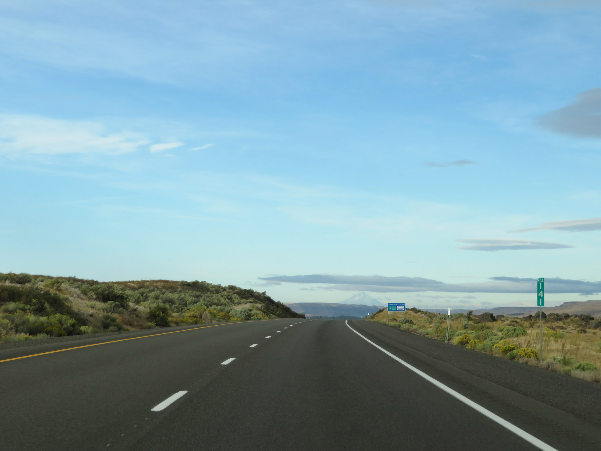
Take Exit 137 to Fossil and John Day. (Photo taken 9/26/19). |
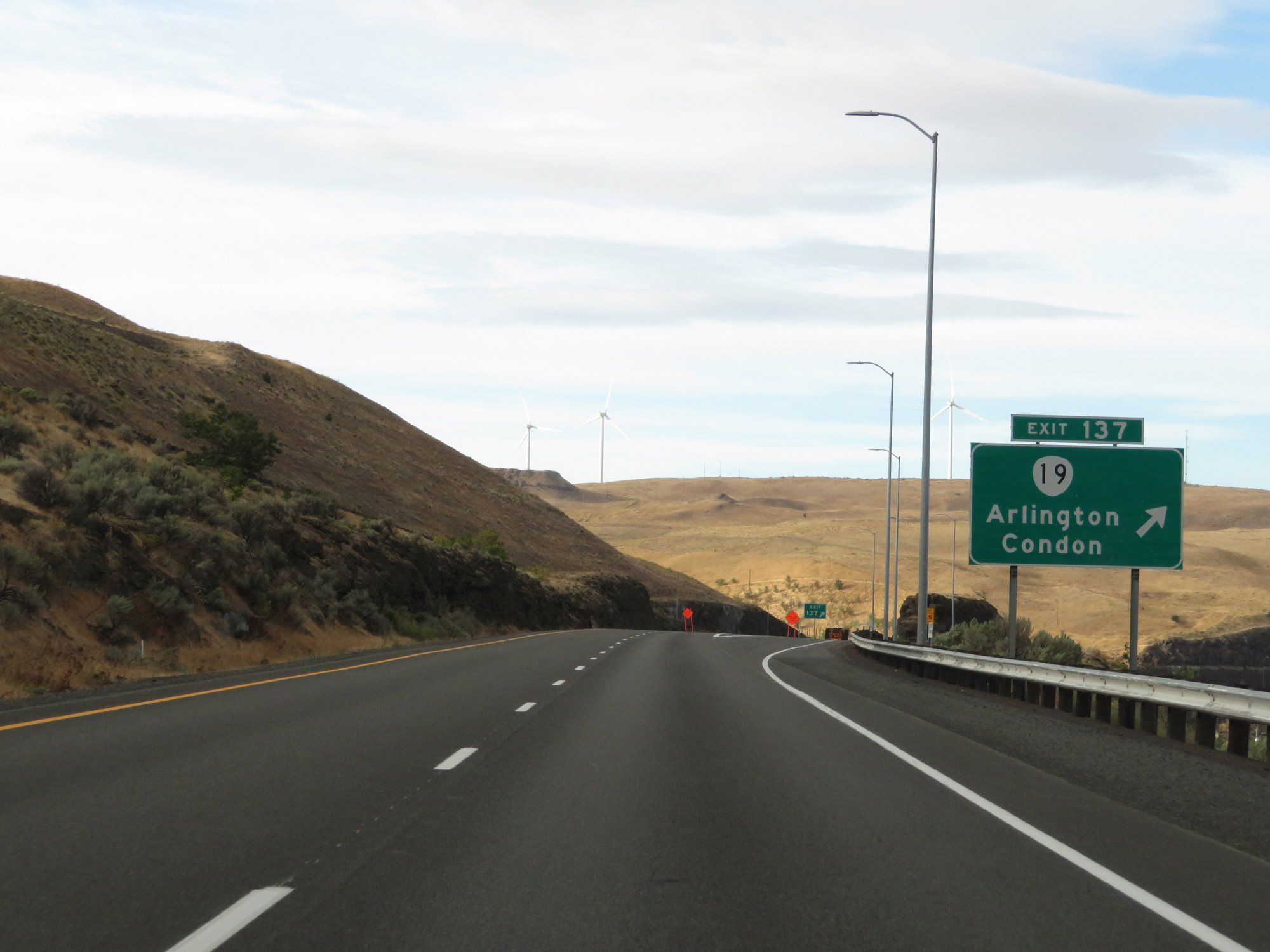 |
Interstate 84 West at Exit 137: OR 19 - Arlington / Condon (Photo taken 9/26/19). |
Section 5: Arlington (Exit 137) to The Dalles (Exit 85)
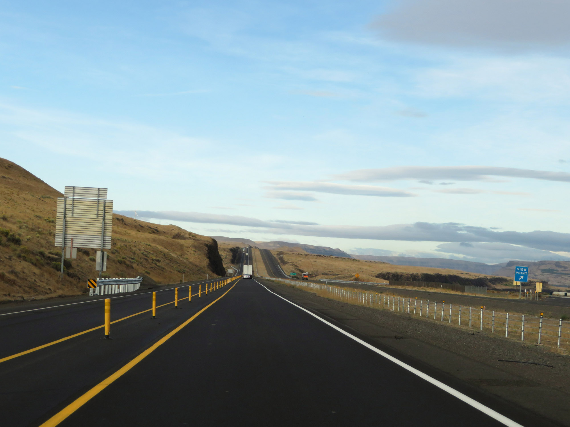 |
View Point for the Columbia River on Interstate 84 West in Gilliam County. (Photo taken 9/26/19). |
 |
Interstate 84 West at mile marker 136. (Photo taken 9/26/19). |
 |
View on Interstate 84 West at mile marker 134. (Photo taken 9/26/19). |
 |
Interstate 84 West at mile marker 133. (Photo taken 9/26/19). |
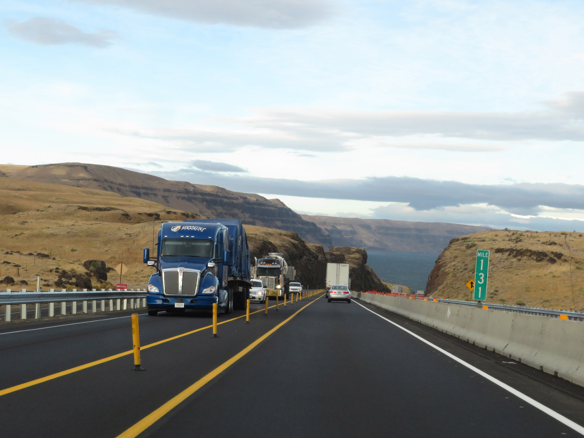 |
View on Interstate 84 West at mile marker 131. (Photo taken 9/26/19). |
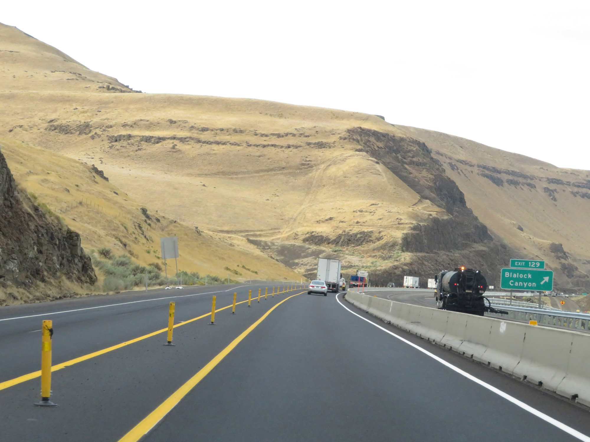 |
Interstate 84 West at Exit 129: Blalock Canyon (Photo taken 9/26/19). |
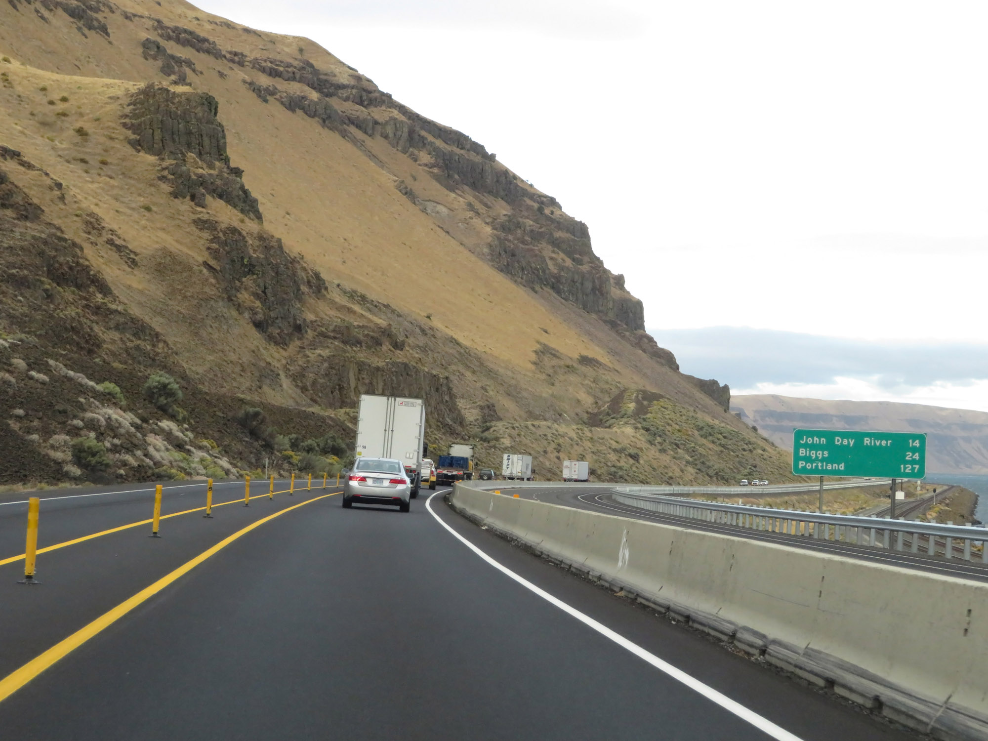 |
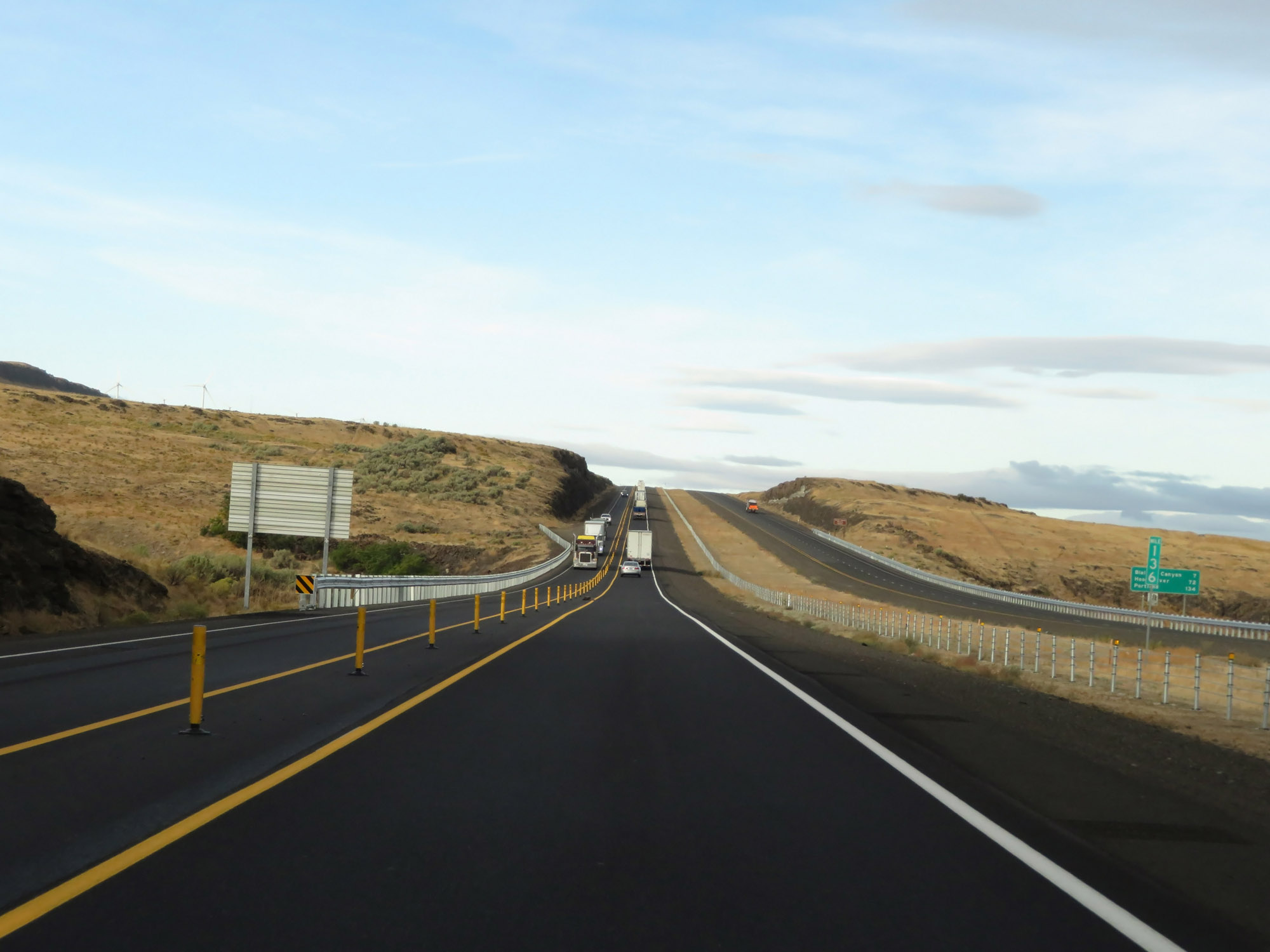
Mileage sign on Interstate 84 West. It's 14 miles to John Day River, 24 miles to Biggs Junction, and 127 miles to Portland. (Photo taken 9/26/19). |
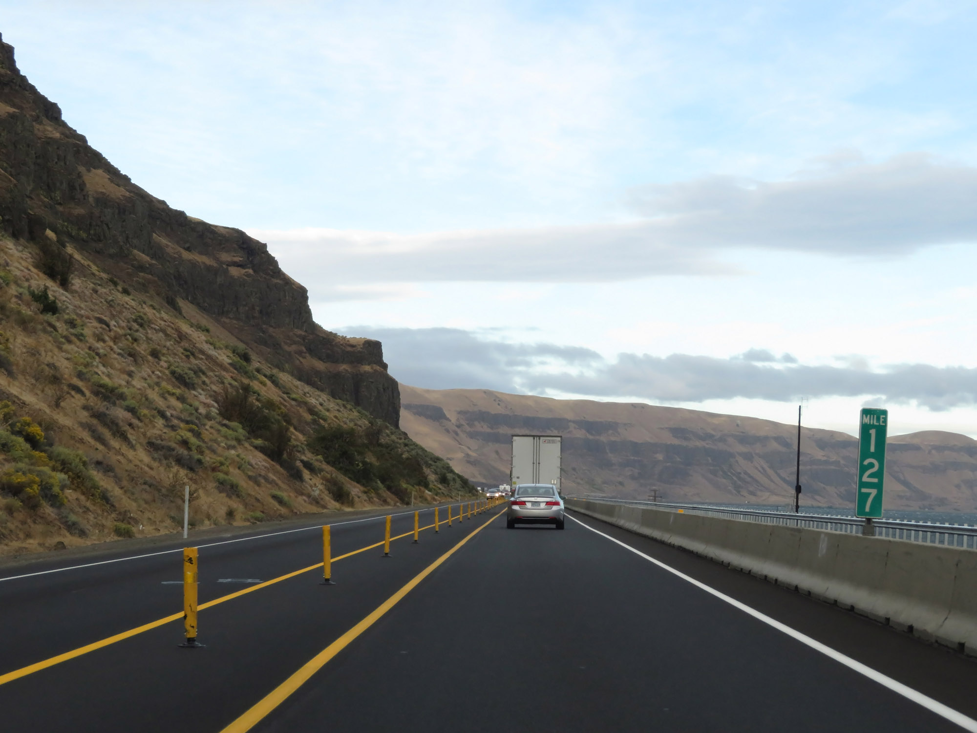 |
View on Interstate 84 West at mile marker 127. (Photo taken 9/26/19). |
 |
Interstate 84 West at mile marker 126. (Photo taken 9/26/19). |
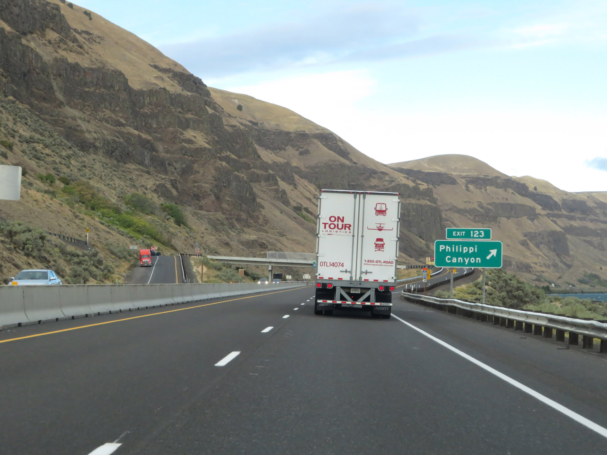 |
Interstate 84 West at Exit 123: Philippi Canyon (Photo taken 9/26/19). |
 |
The speed limits remain 70 mph for cars and 65 mph for trucks. (Photo taken 9/26/19). |
 |
Interstate 84 West at mile marker 121. (Photo taken 9/26/19). |
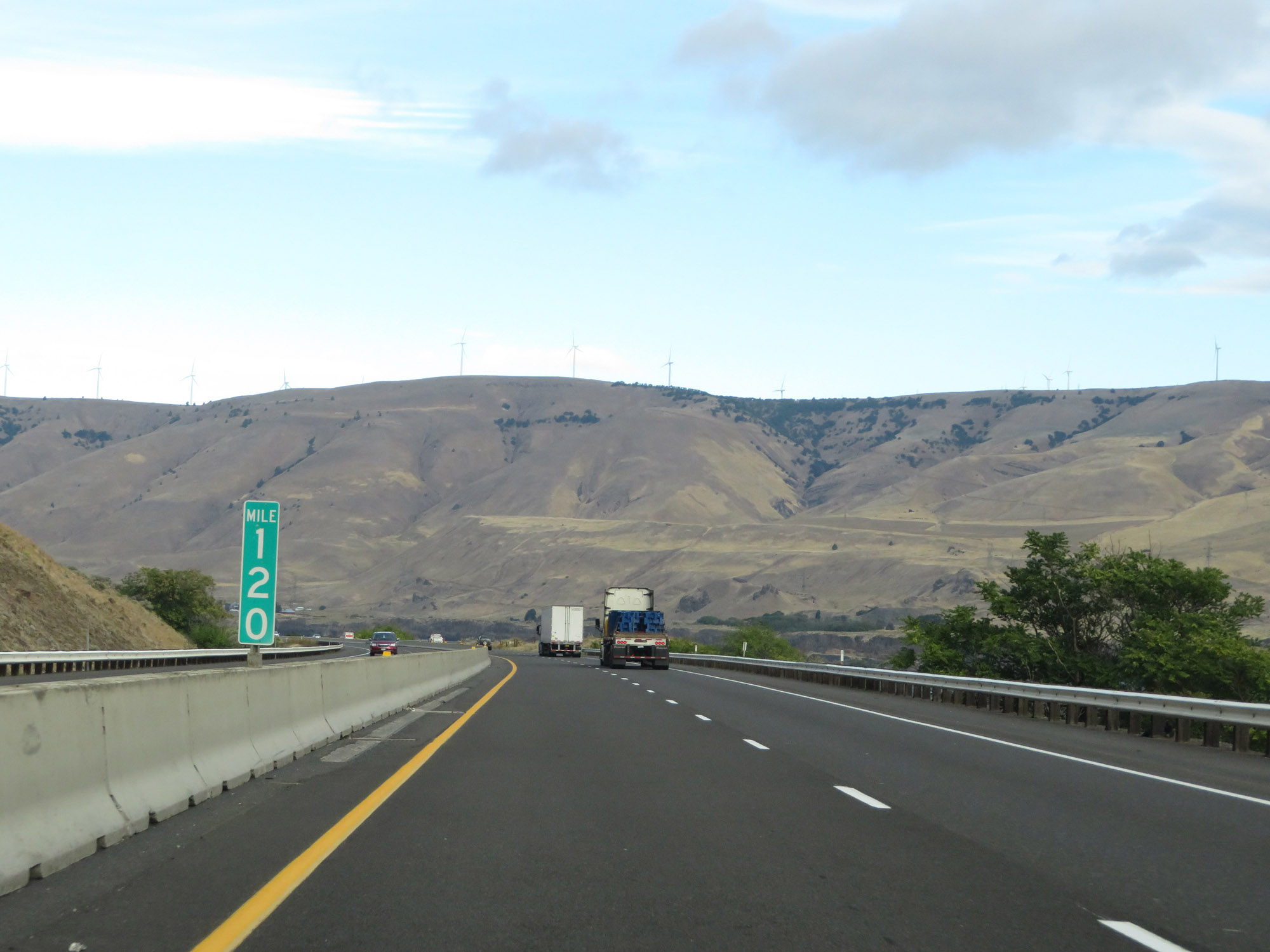 |
View on Interstate 84 West at mile marker 120. Because this part of Interstate 84 is squeezed up against the Union Pacific Railroad (down below, off to the right) and the Columbia River on one side and several mountains and canyons on the other (south) side, much of it does not have a median and center barriers are used in place of it. (Photo taken 9/26/19). |
 |
Interstate 84 West at mile marker 119. (Photo taken 9/26/19). |
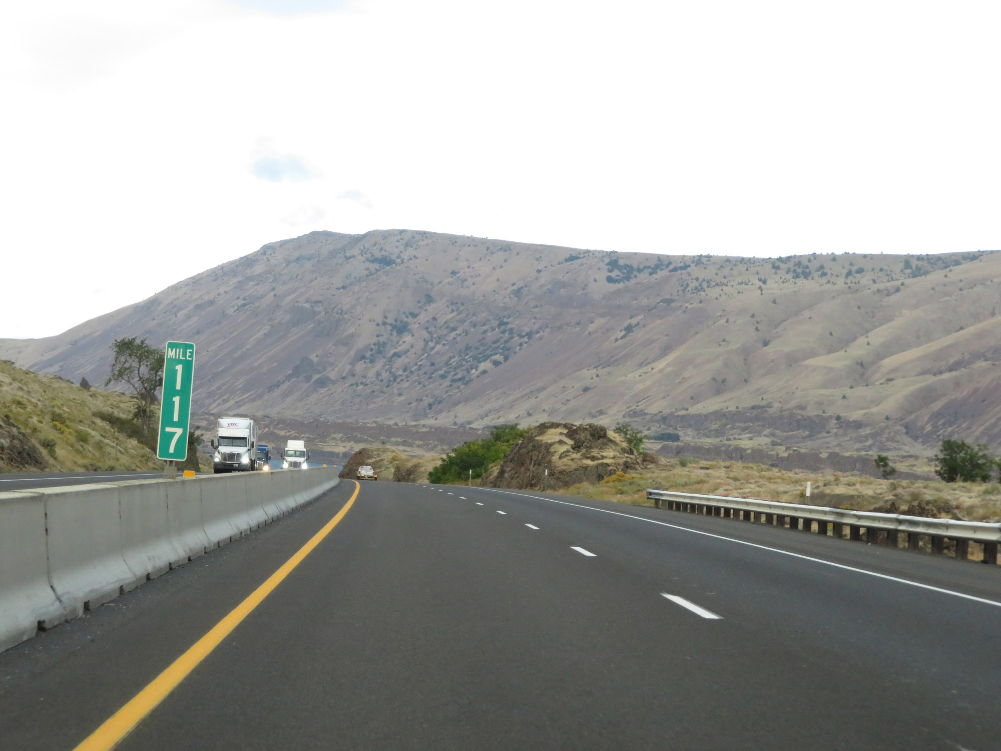 |
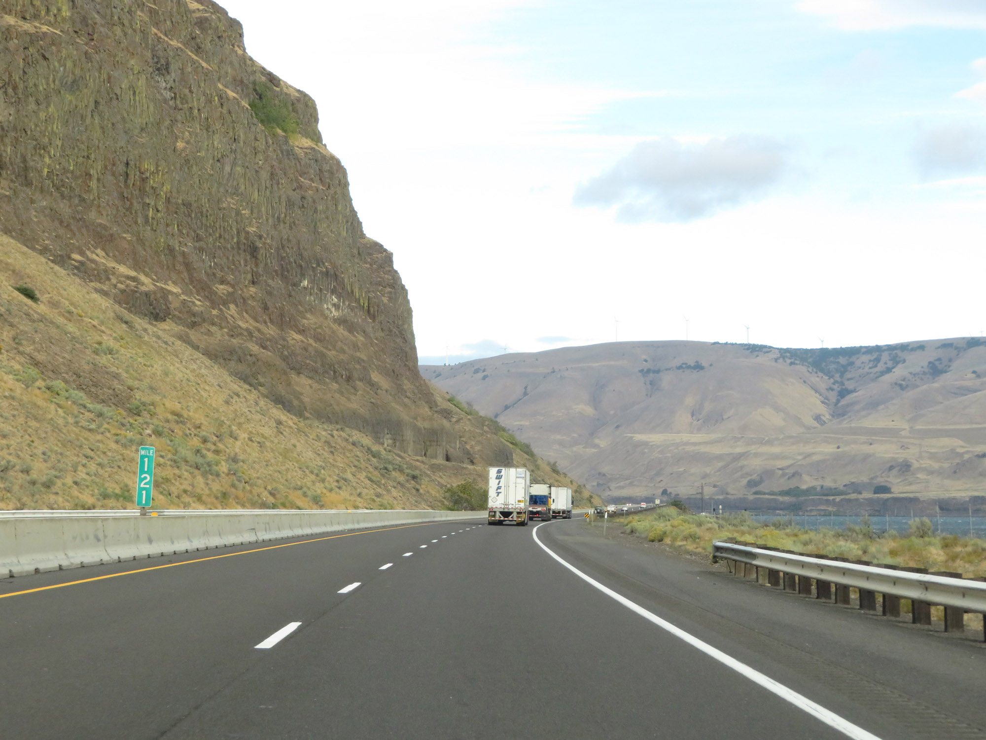
View on Interstate 84 West at mile marker 117. (Photo taken 9/26/19). |
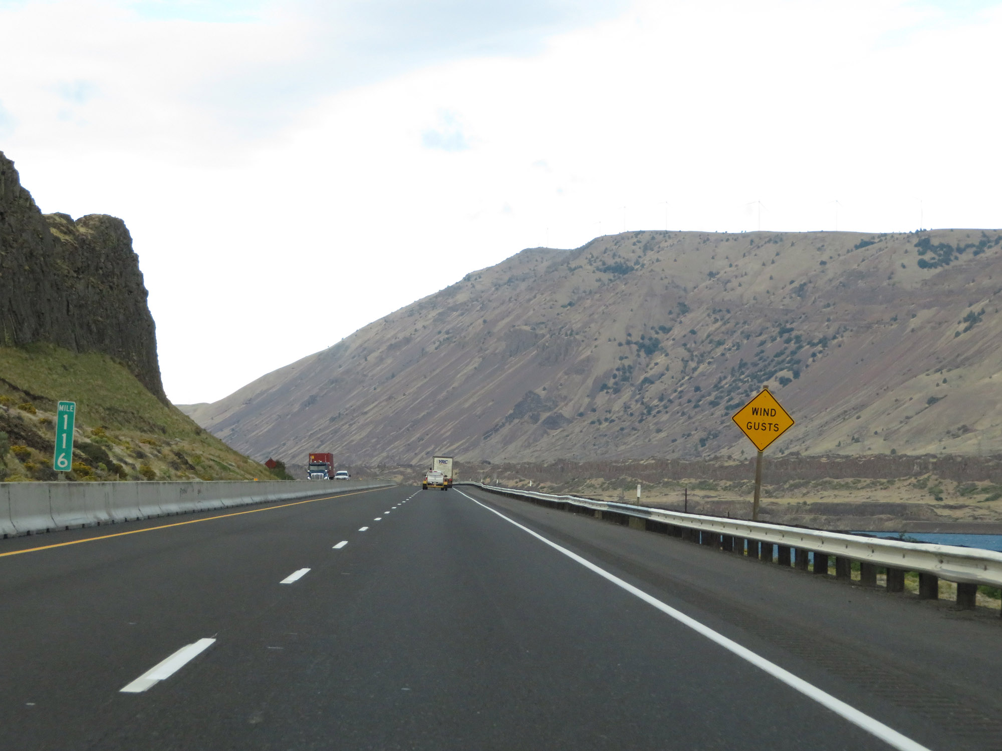 |
At mile marker 116, this sign warns of possible strong wind gusts. (Photo taken 9/26/19). |
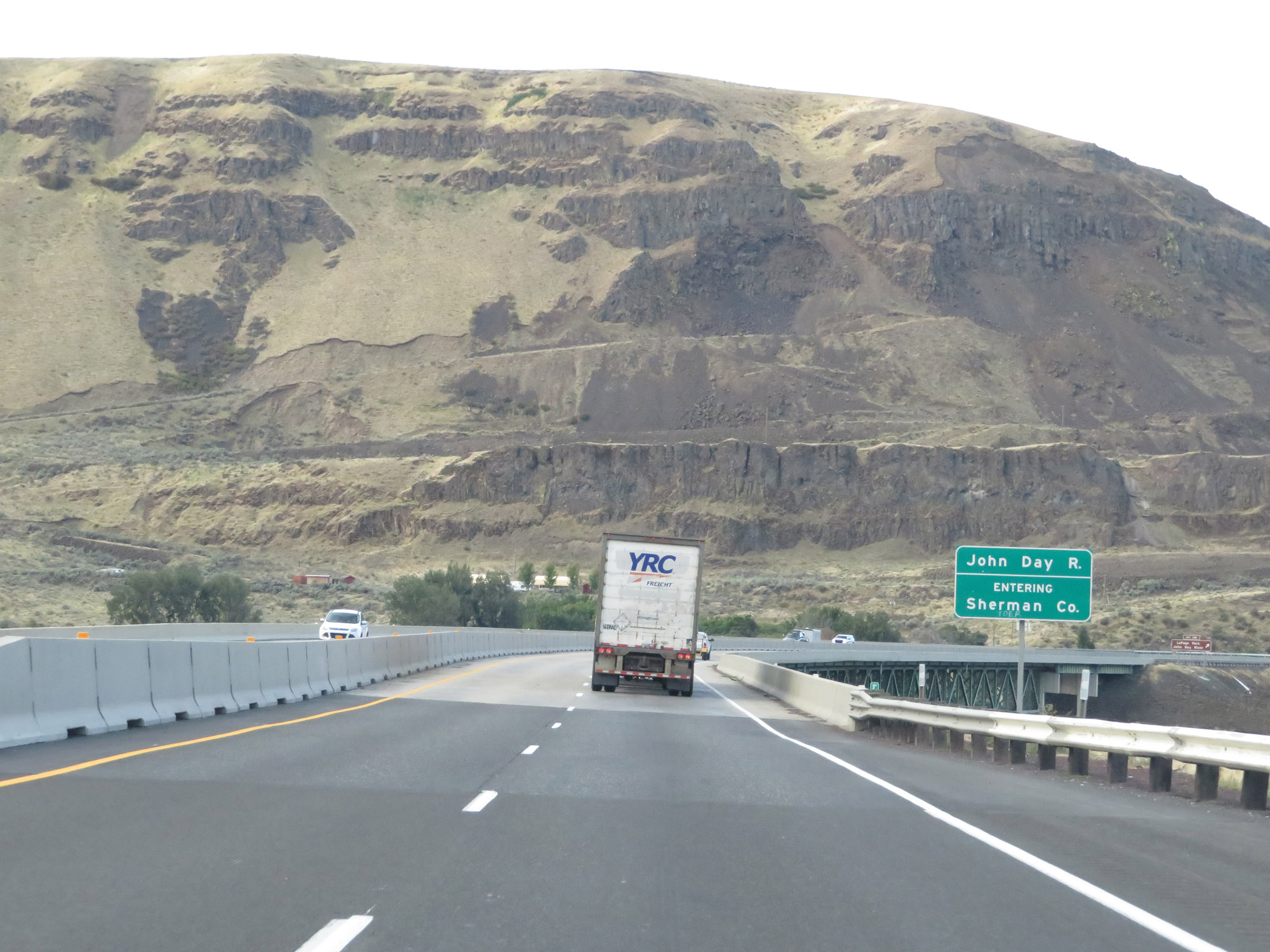 |
Interstate 84 West as it enters Sherman County by crossing the John Day River. (Photo taken 9/26/19). |
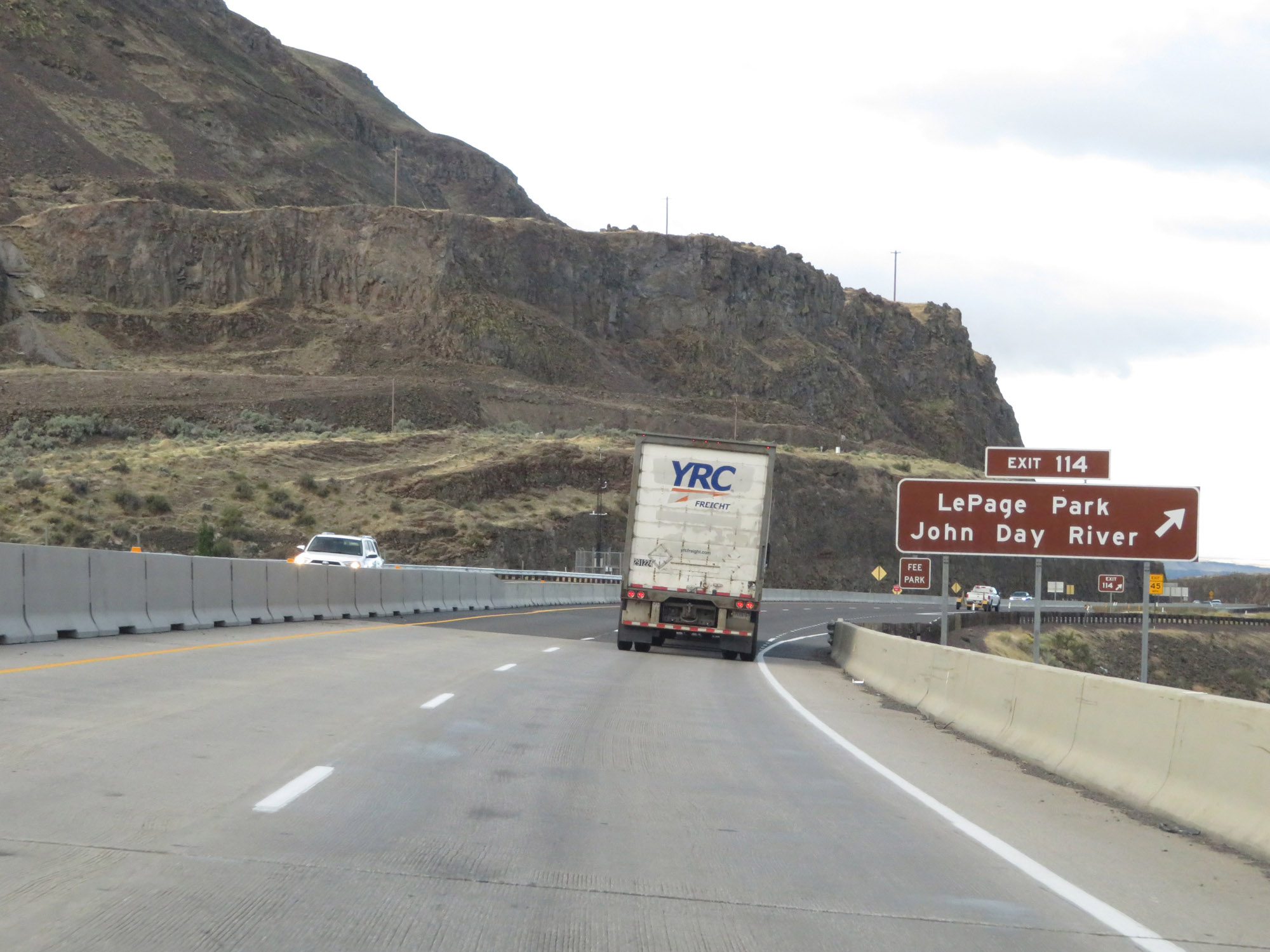 |
Interstate 84 West at Exit 114: LePage Park / John Day River (Photo taken 9/26/19). |
 |
Another set of Interstate 84 West / US 30 West reassurance shields. (Photo taken 9/26/19). |
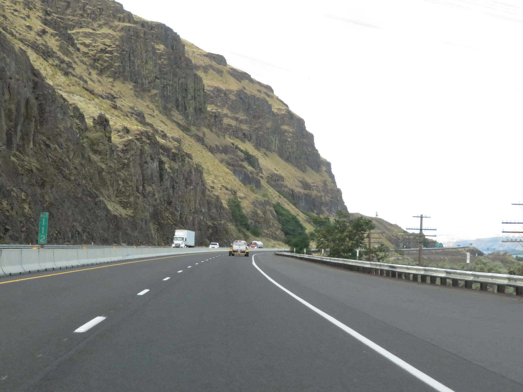 |
View on Interstate 84 West at mile marker 112. (Photo taken 9/26/19). |
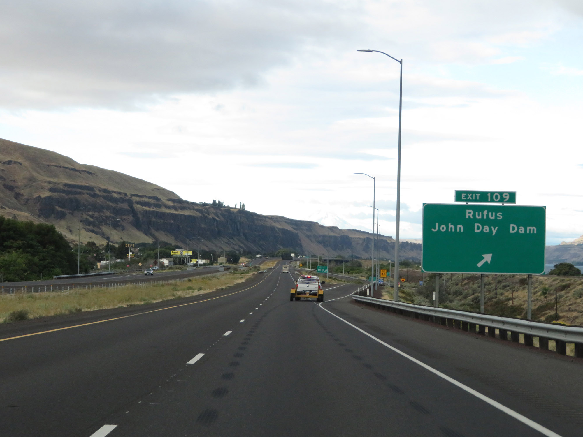 |
Interstate 84 West at Exit 109: Rufus / John Day Dam (Photo taken 9/26/19). |
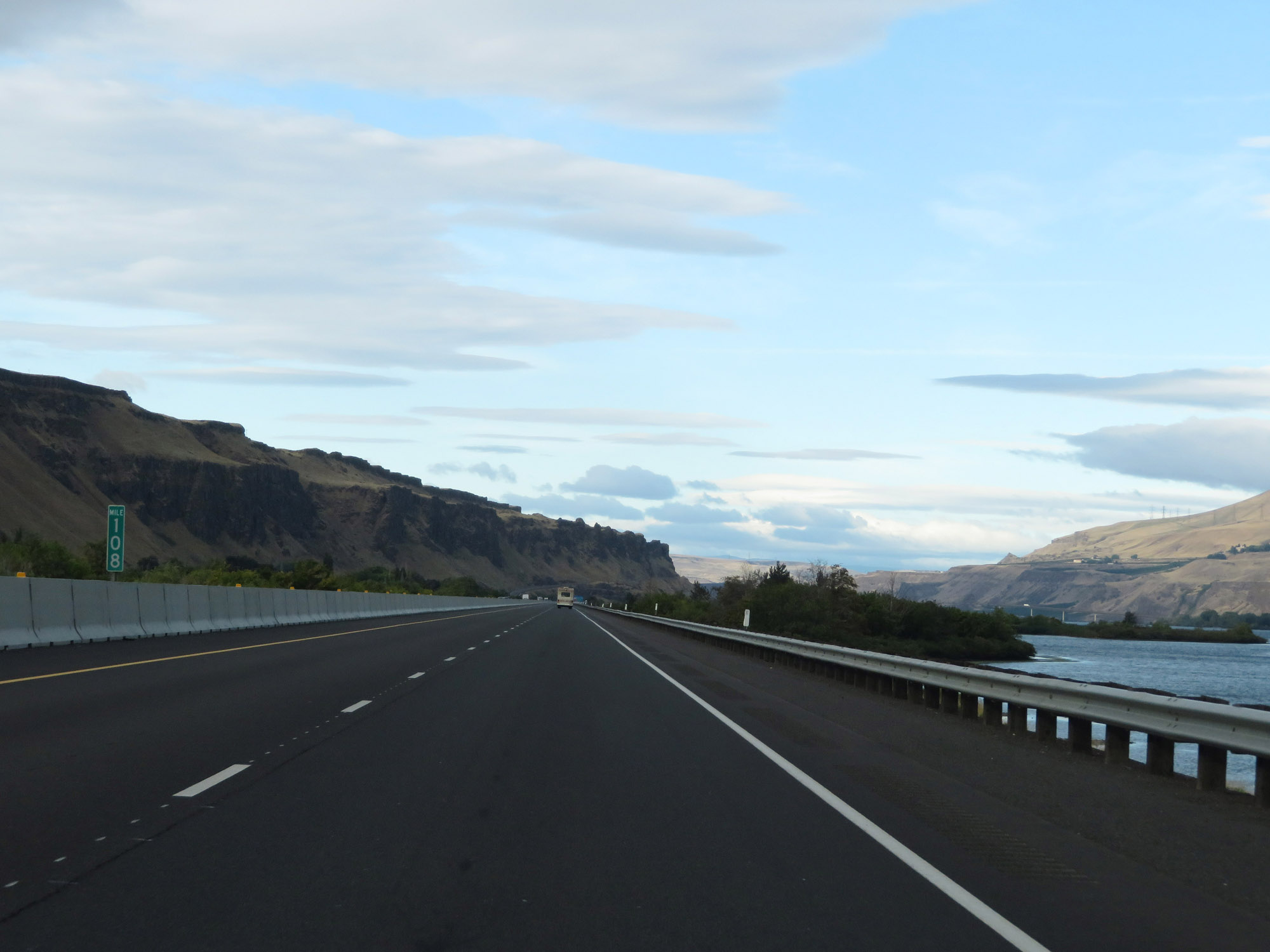 |
Interstate 84 West at mile marker 108. (Photo taken 9/26/19). |
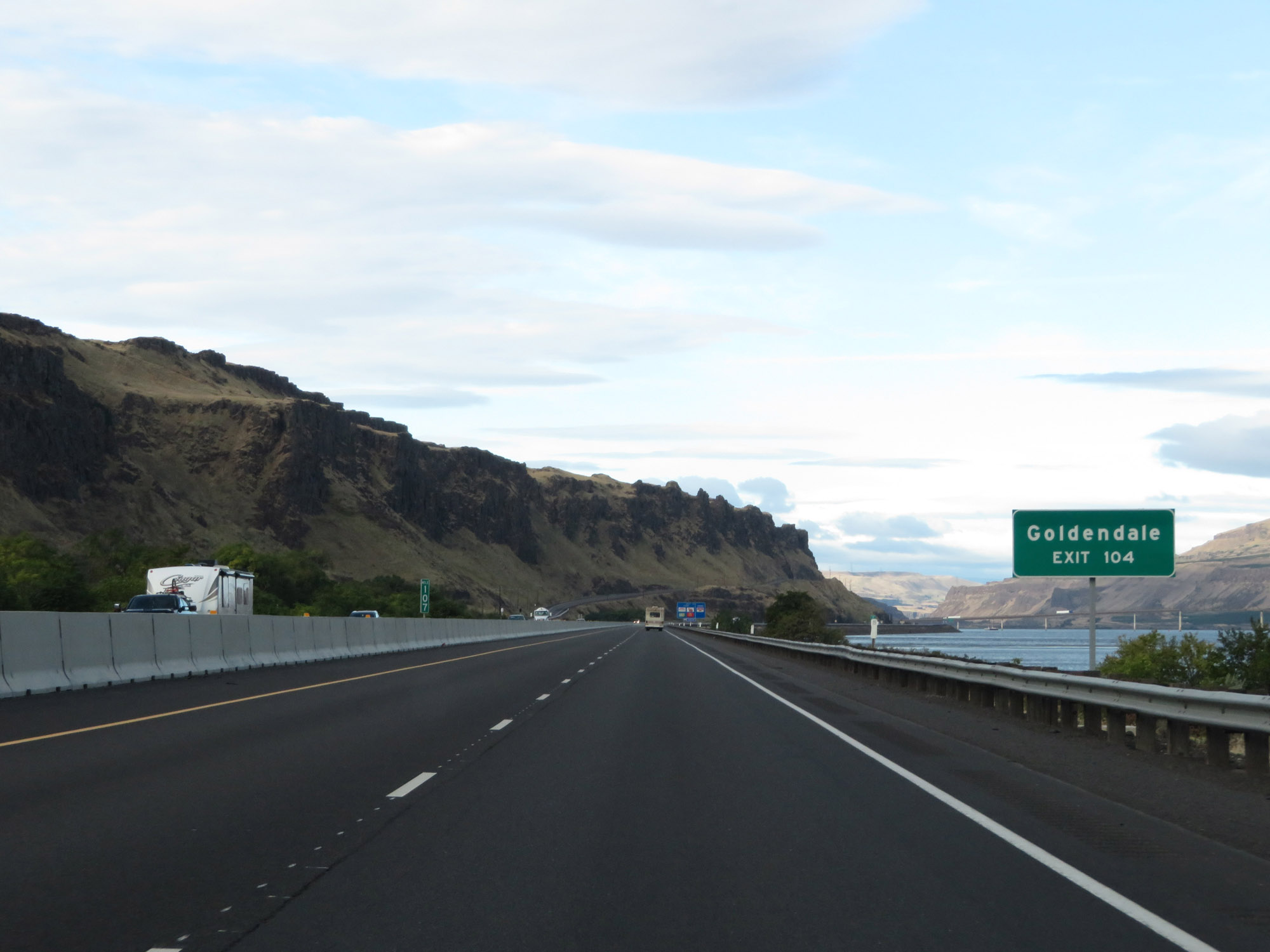 |
Take Exit 104 to Goldendale. (Photo taken 9/26/19). |
 |
Also take Exit 104 to the Maryhill Museum. (Photo taken 9/26/19). |
 |
Interstate 84 West approaching Exit 104 - 1 mile. (Photo taken 9/26/19). |
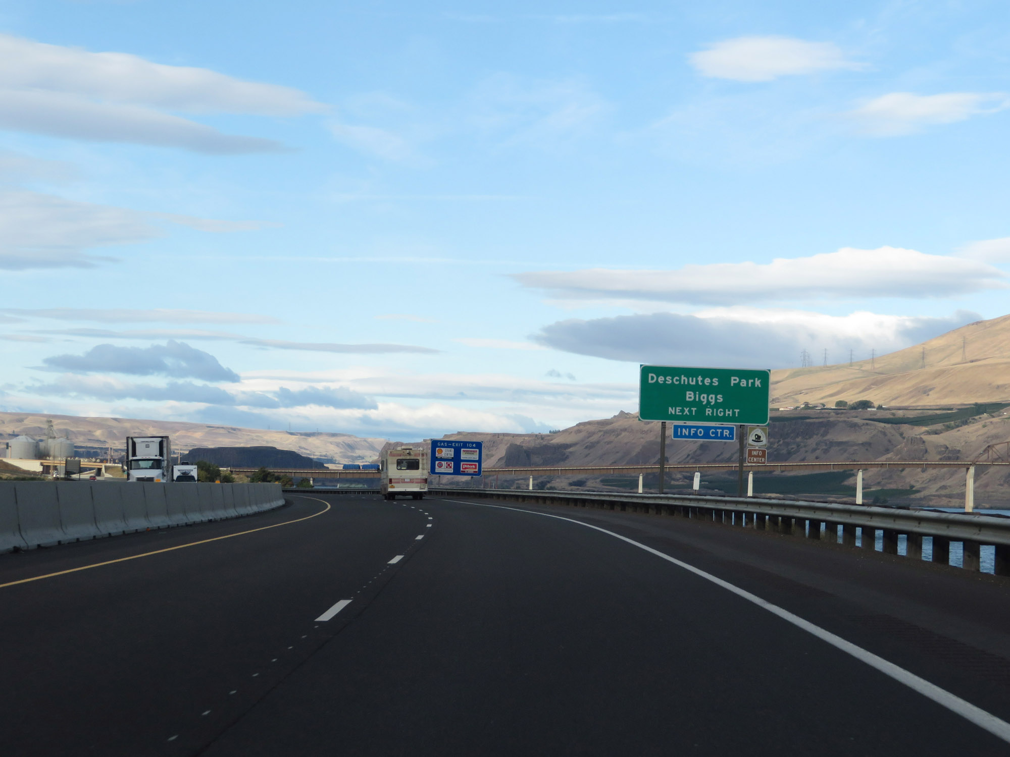 |
Take Exit 104 to Deschutes Park and Biggs Junction as well. (Photo taken 9/26/19). |
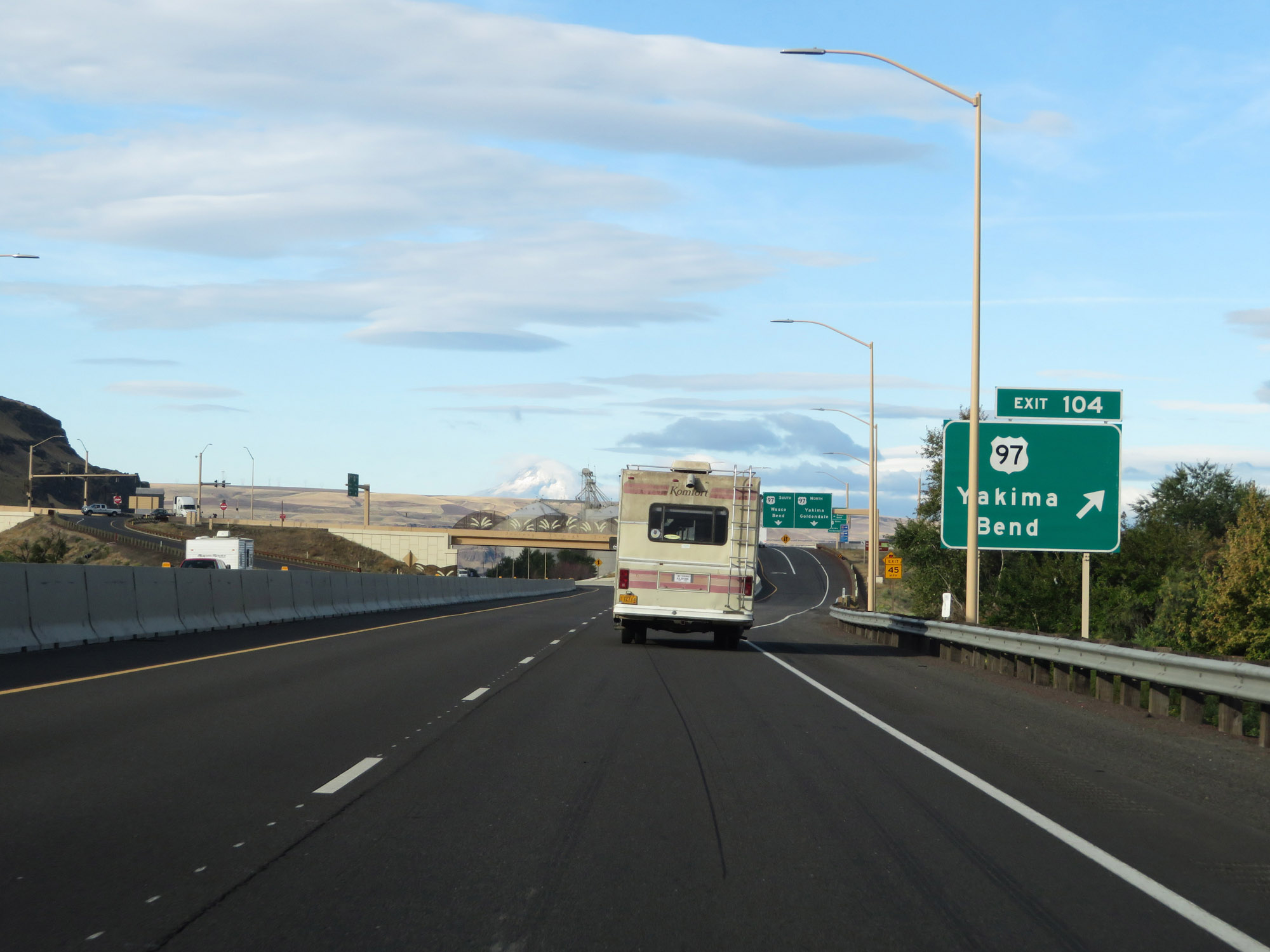 |
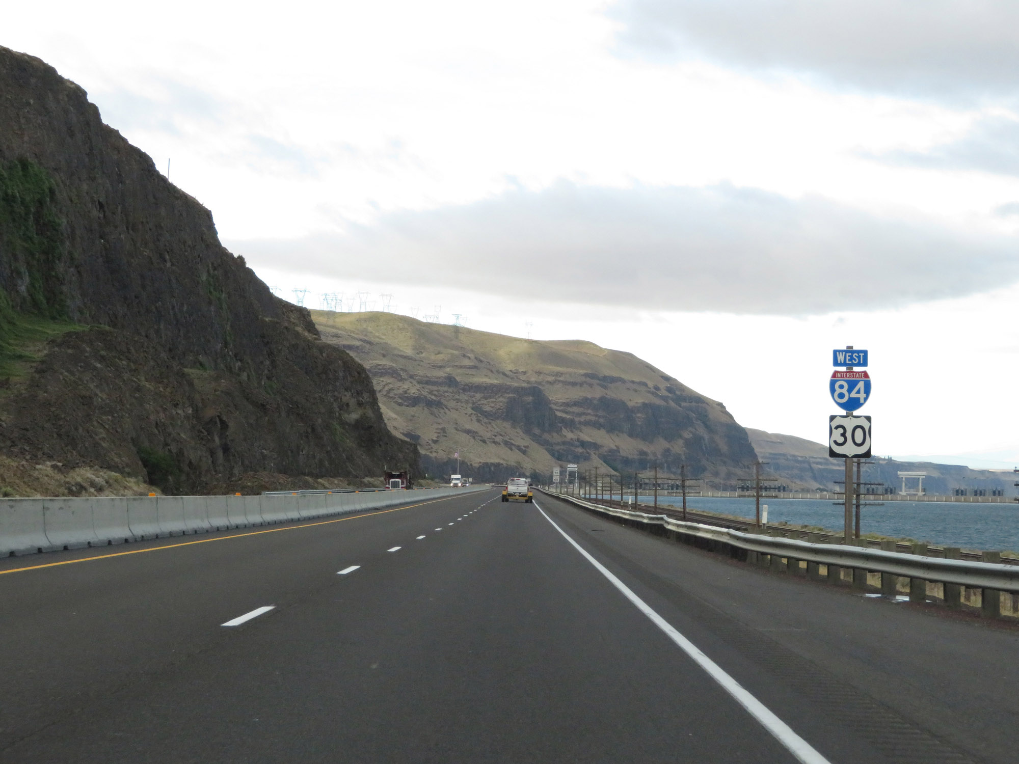
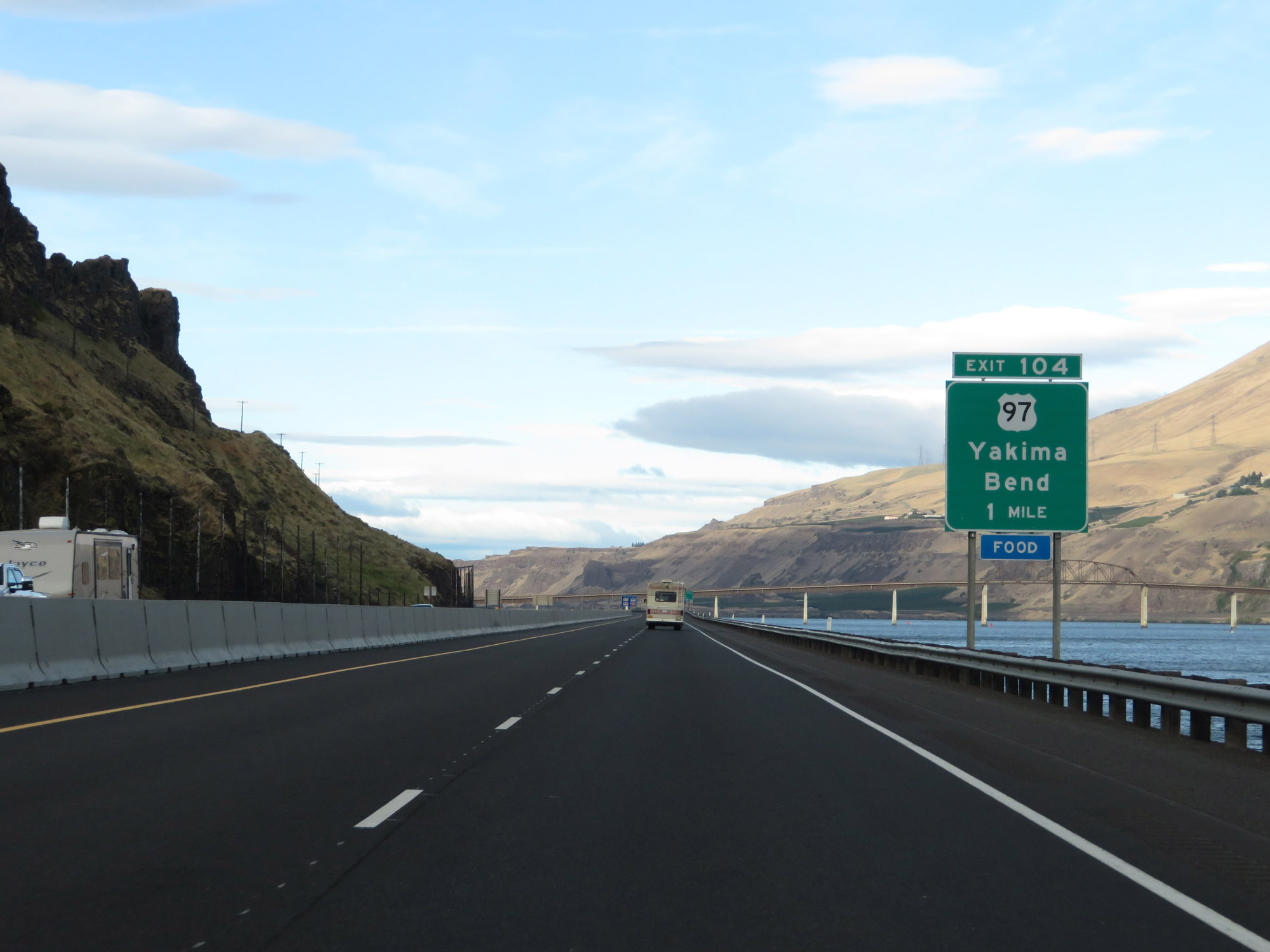
Interstate 84 West at Exit 104: US 97 - Yakima / Bend (Photo taken 9/26/19). |
 |
Interstate 84 West reassurance shield. (Photo taken 9/26/19). |
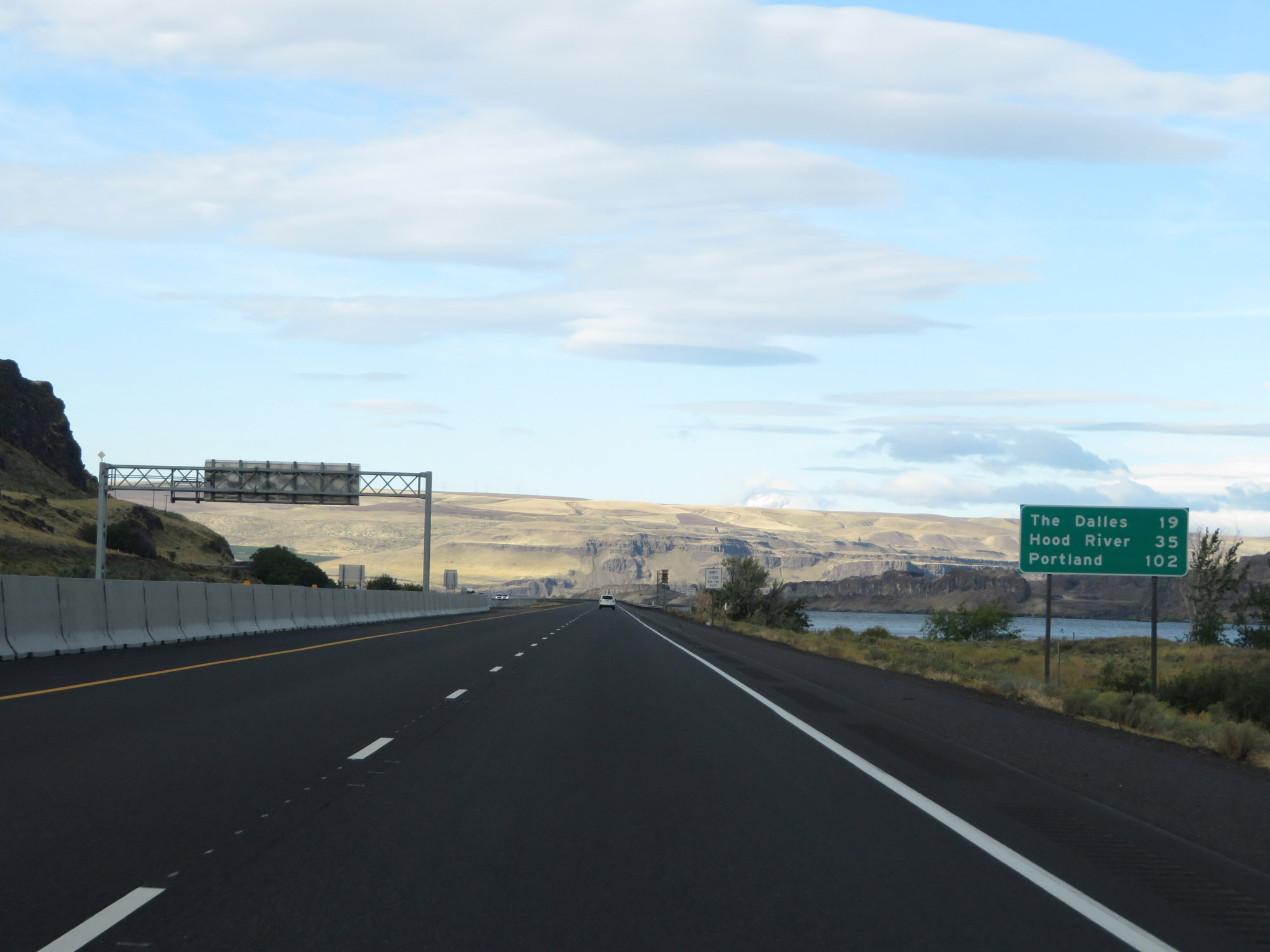 |
Mileage sign on Interstate 84 West. It's 19 miles to The Dalles, 35 miles to Hood River, and 102 miles to Portland. (Photo taken 9/26/19). |
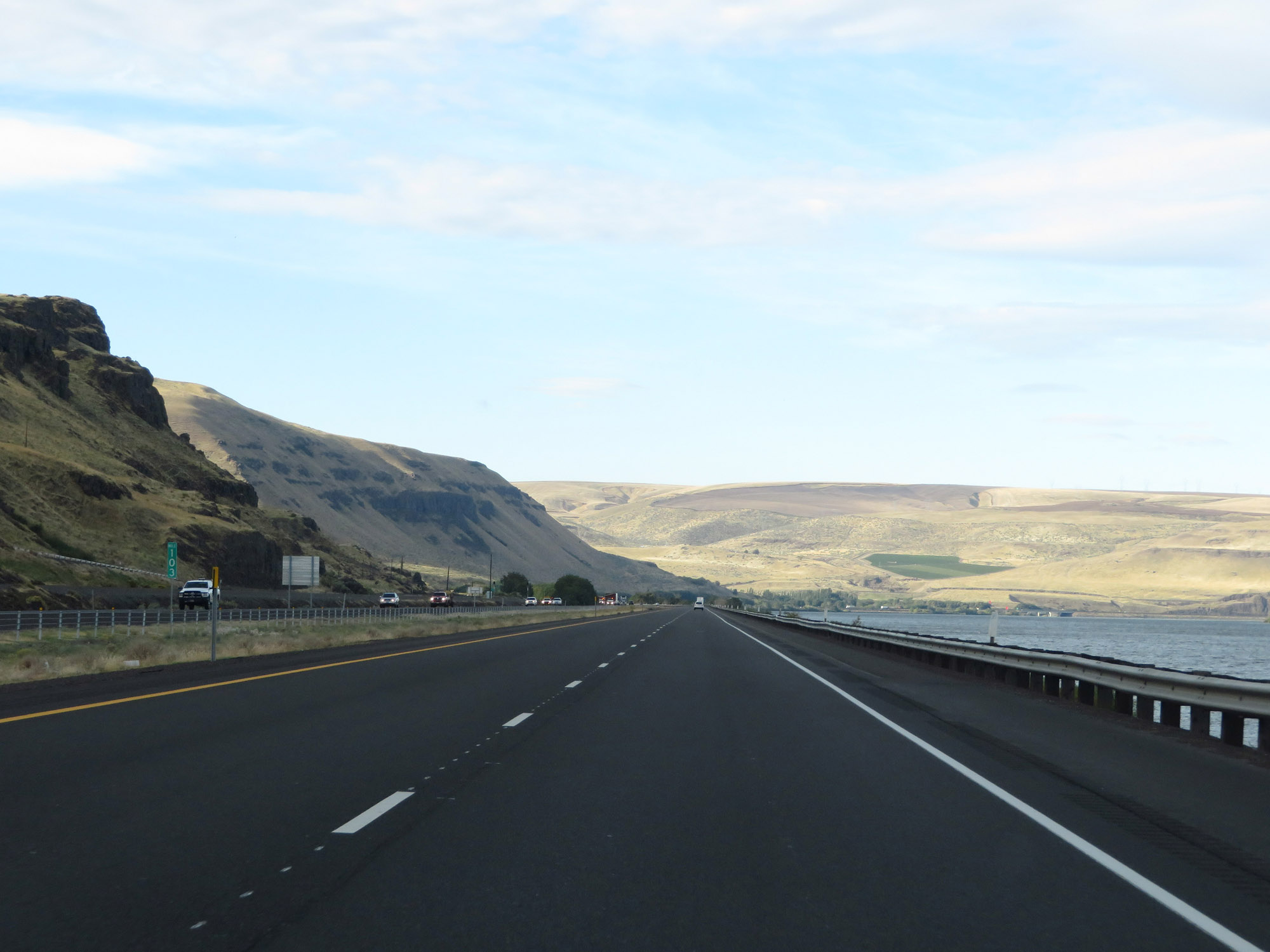 |
View on Interstate 84 West at mile marker 103. (Photo taken 9/26/19). |
 |
Interstate 84 West at mile marker 101. (Photo taken 9/26/19). |
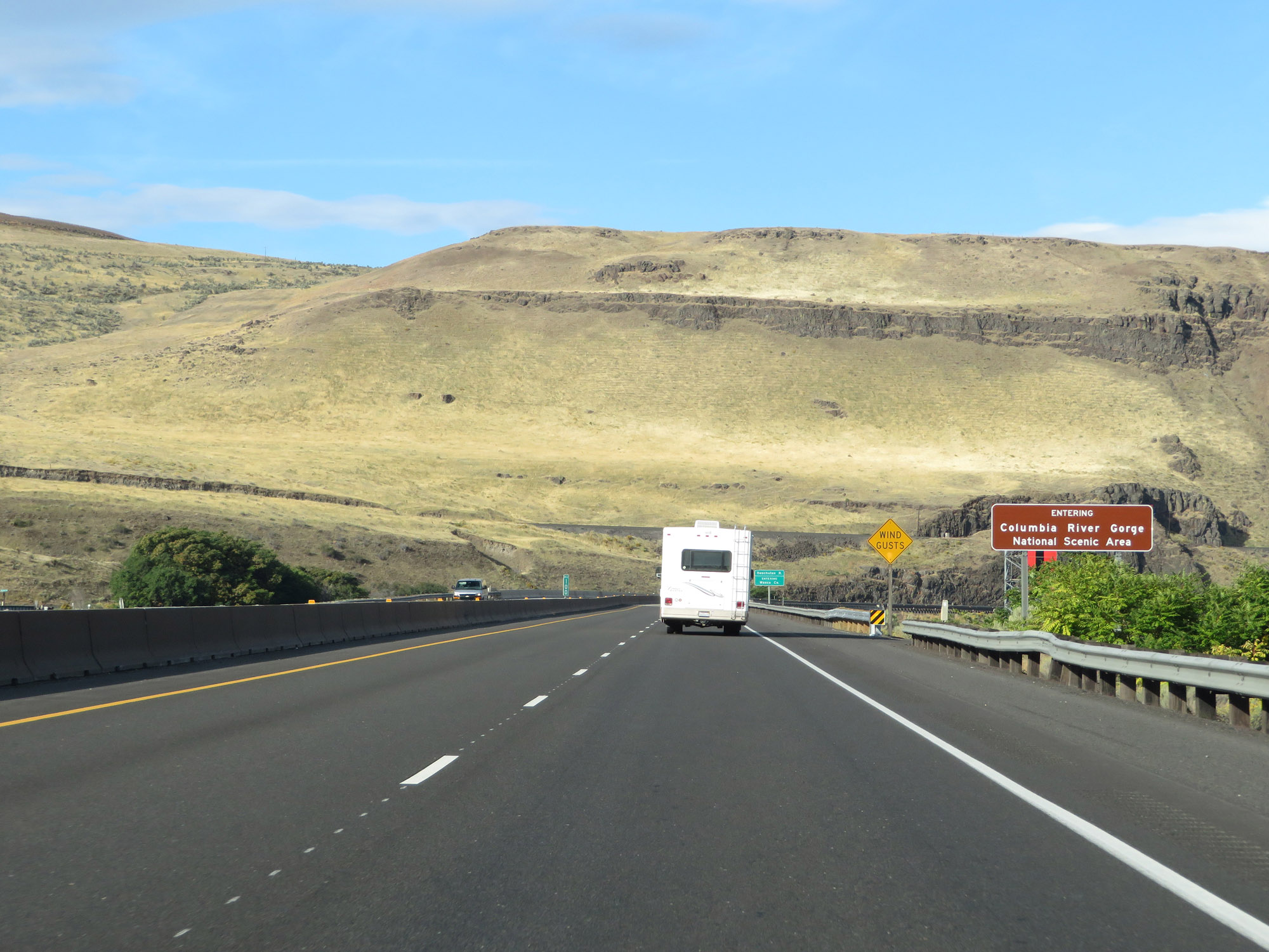 |
Entering the Columbia River Gorge National Scenic Area on Interstate 84 West, just before entering Wasco County. (Photo taken 9/26/19). |
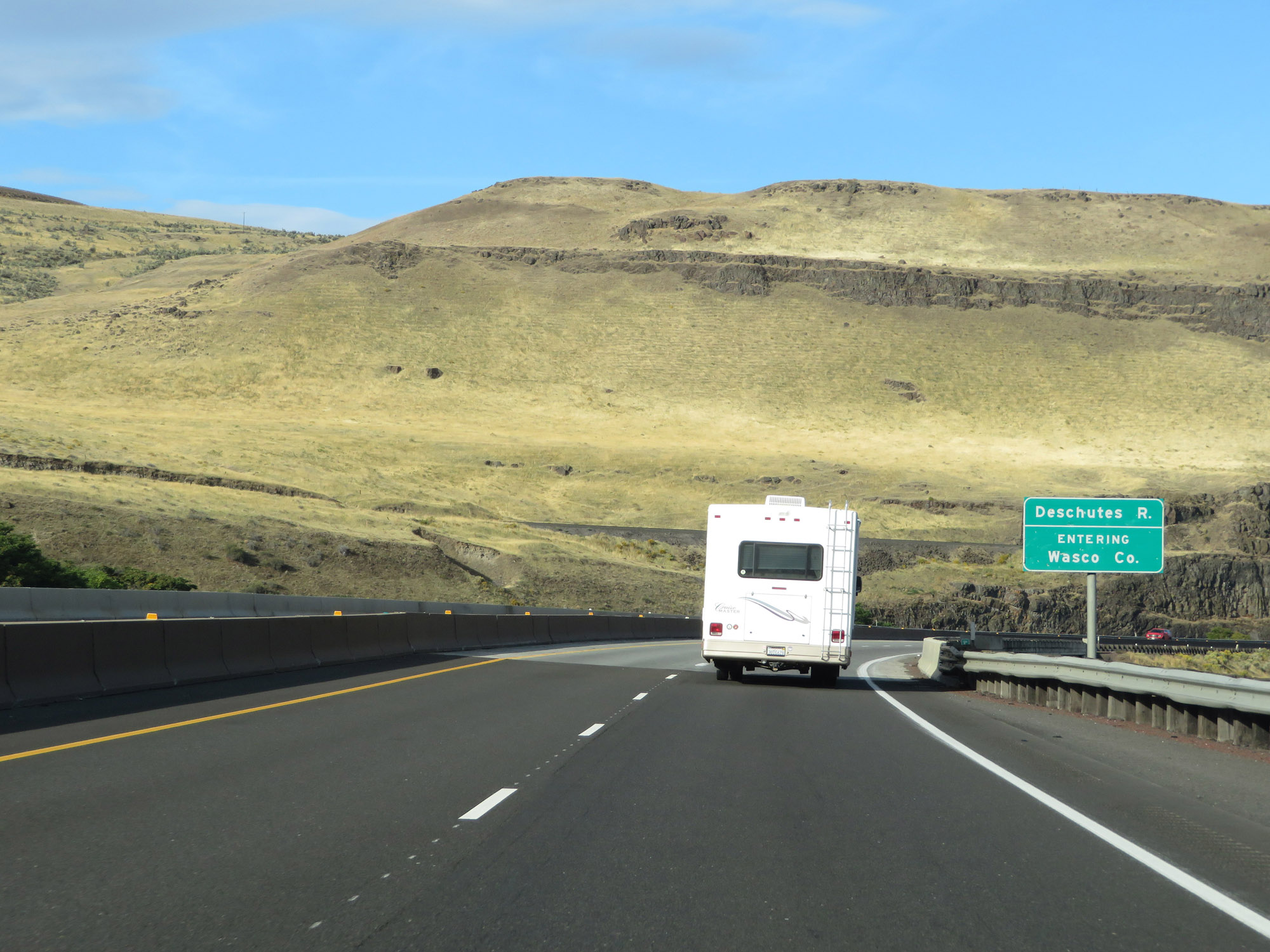 |
Interstate 84 West as it enters Wasco County. (Photo taken 9/26/19). |
 |
View on Interstate 84 West at mile marker 99. (Photo taken 9/26/19). |
 |
Interstate 84 West at mile marker 98. (Photo taken 9/26/19). |
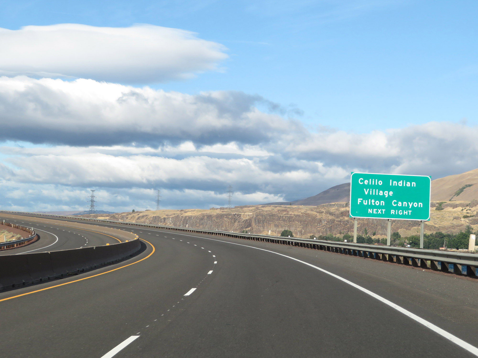 |
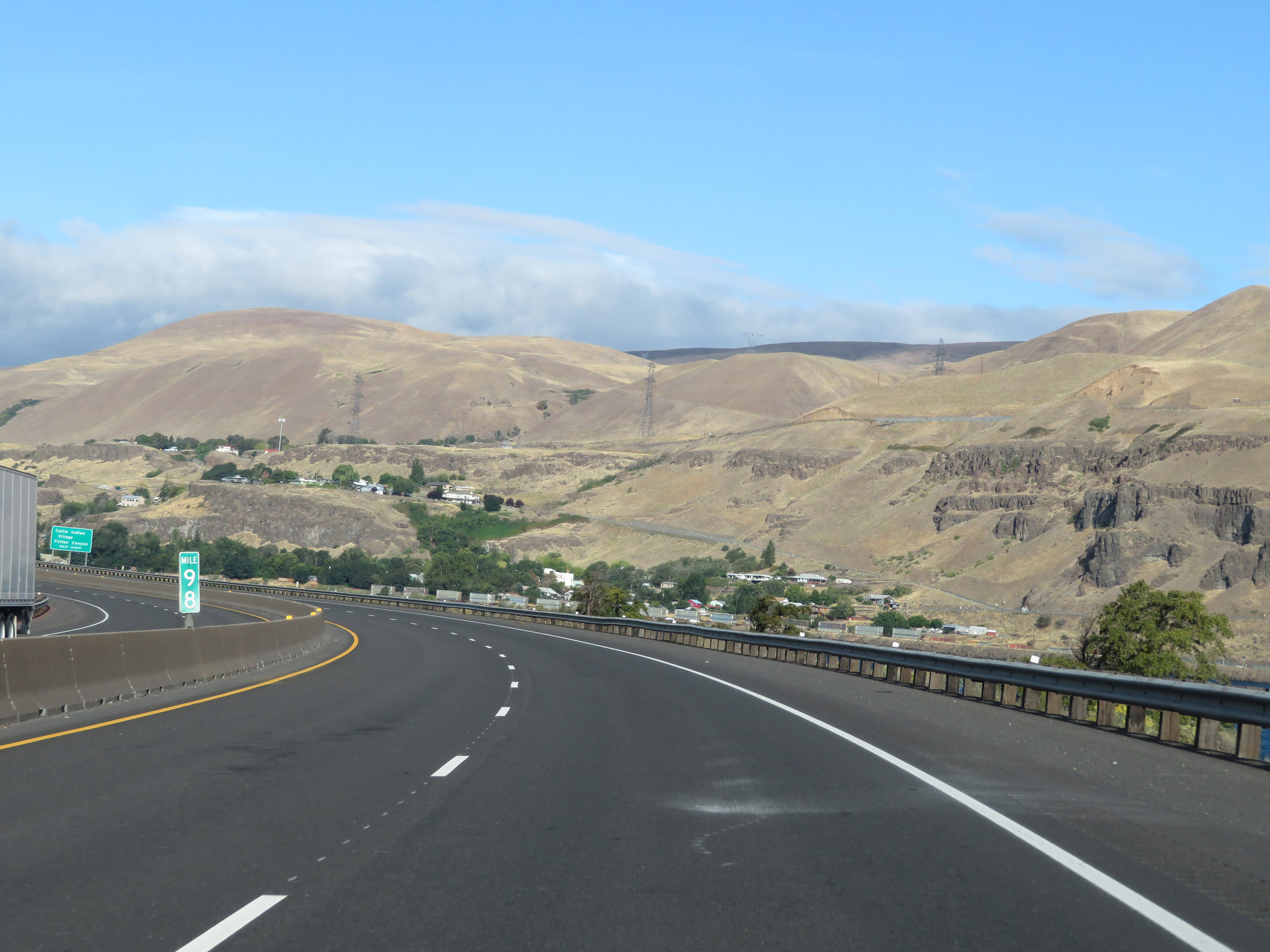
Take Exit 97 to Celilo Indian Village and Fulton Canyon. (Photo taken 9/26/19). |
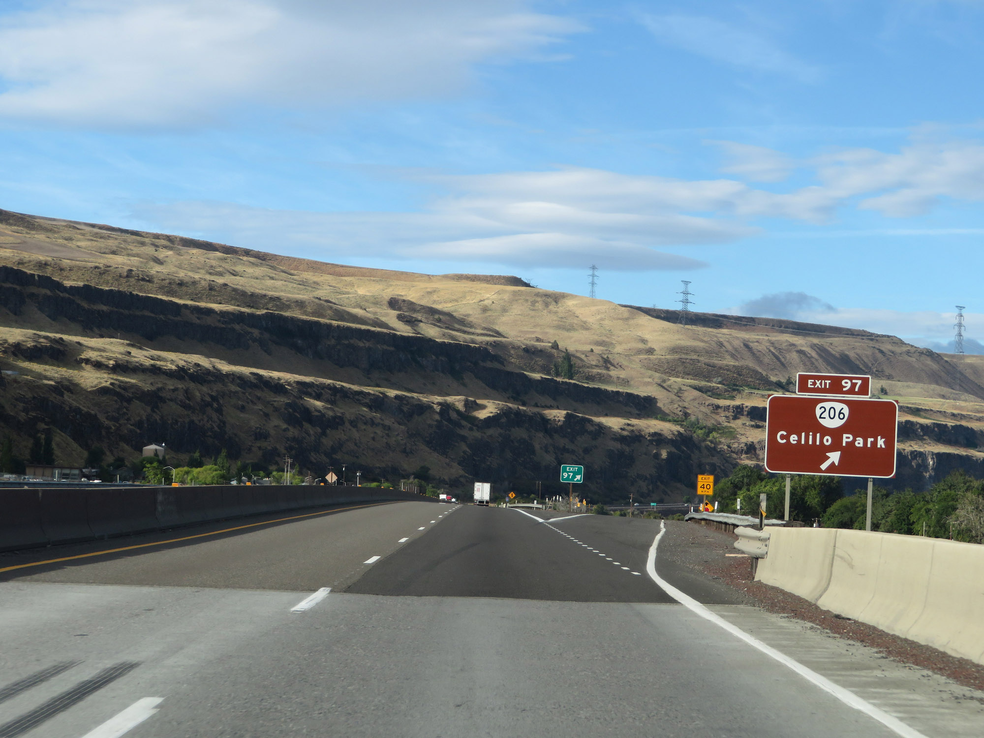 |
Interstate 84 West at Exit 97: OR 206 - Celilo Park (Photo taken 9/26/19). |
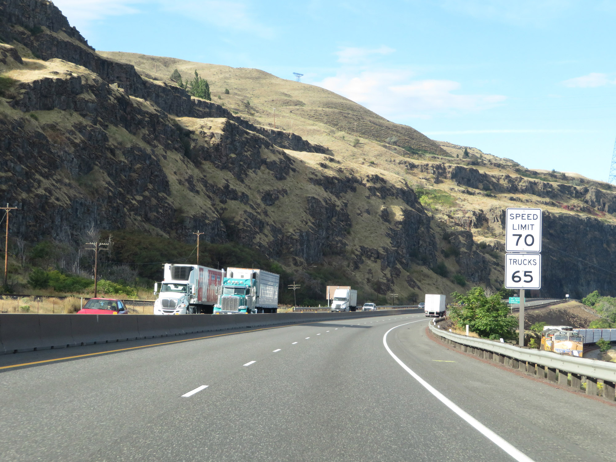 |
The speed limits remain 70 mph for automobiles and 65 mph for trucks. (Photo taken 9/26/19). |
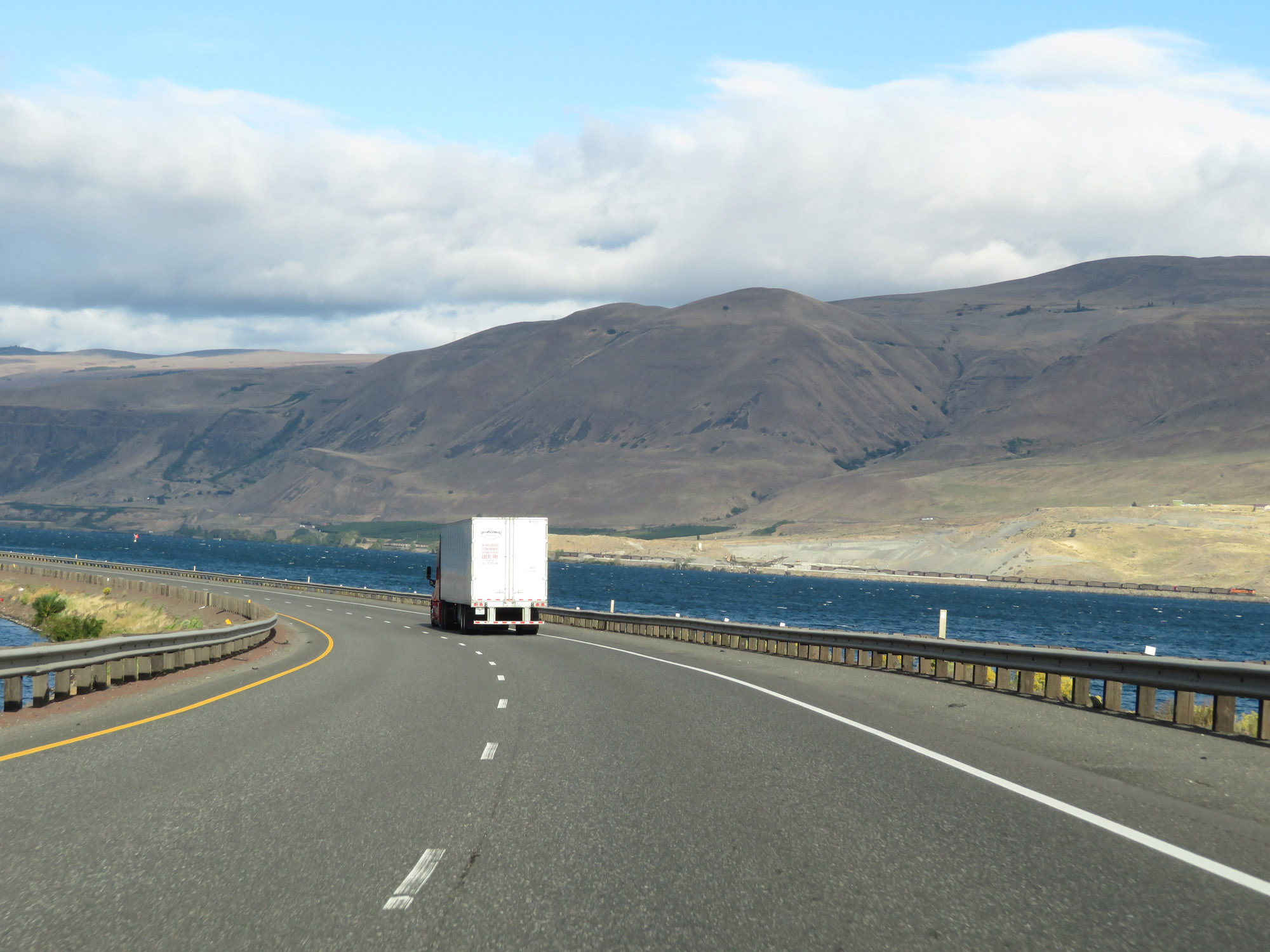 |
A view of the Columbia River on Interstate 84 West. On the Washington side of the river, we can see the Burlington Northern railroad. (Photo taken 9/26/19). |
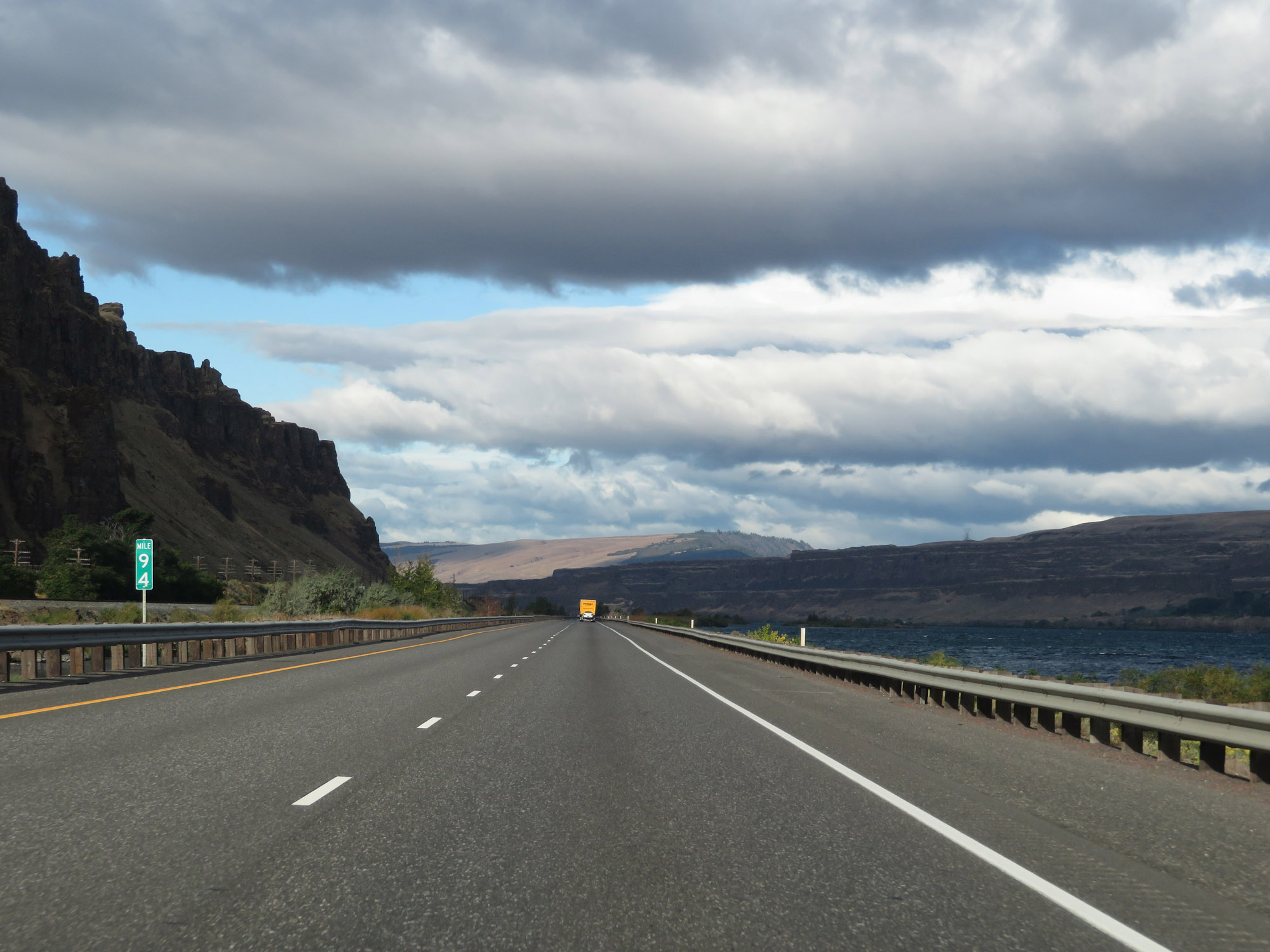 |
Interstate 84 West at mile marker 94. (Photo taken 9/26/19). |
 |
View on interstate 84 West at mile marker 92. (Photo taken 9/26/19). |
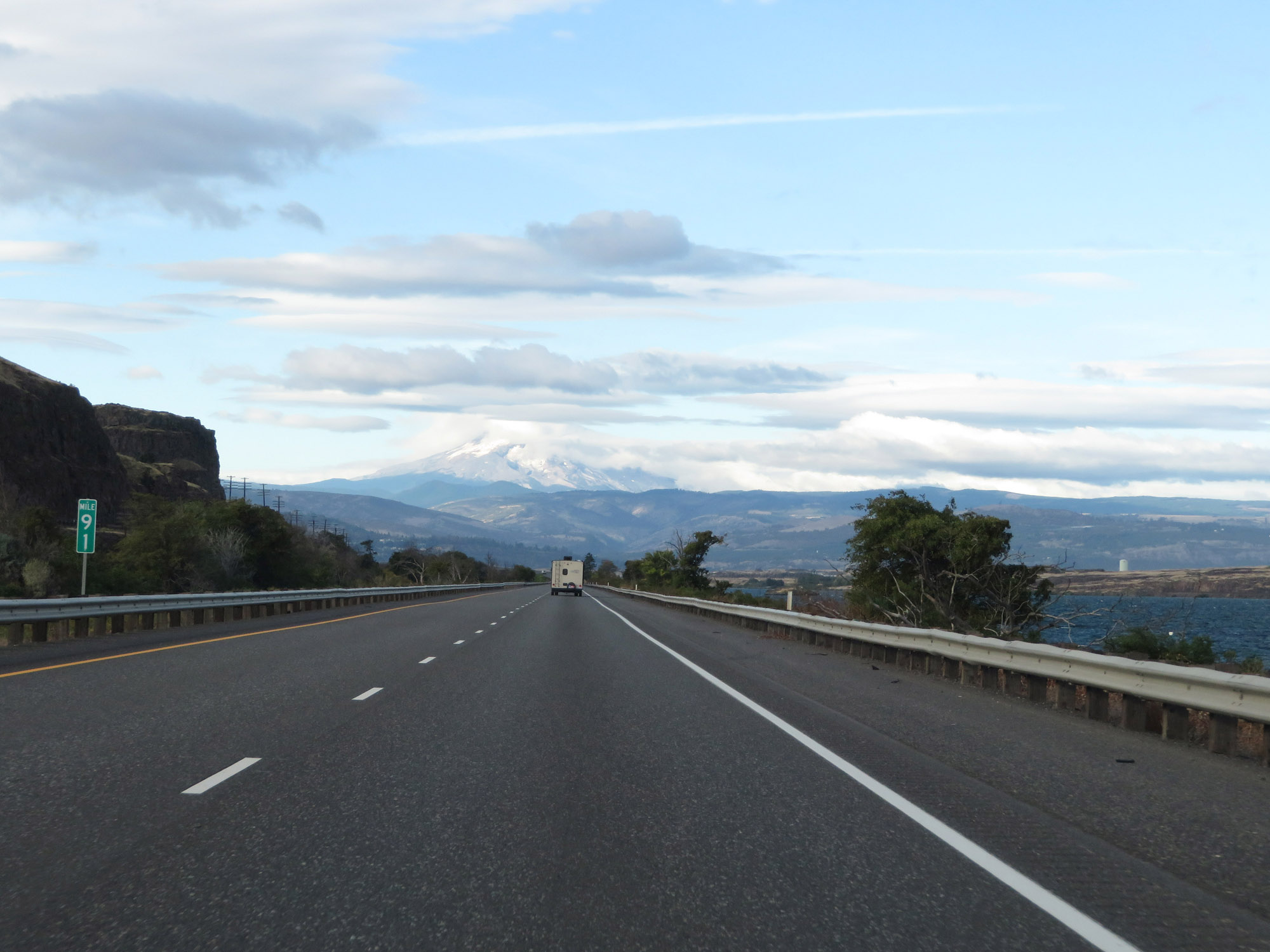 |
Interstate 84 West at mile marker 91. (Photo taken 9/26/19). |
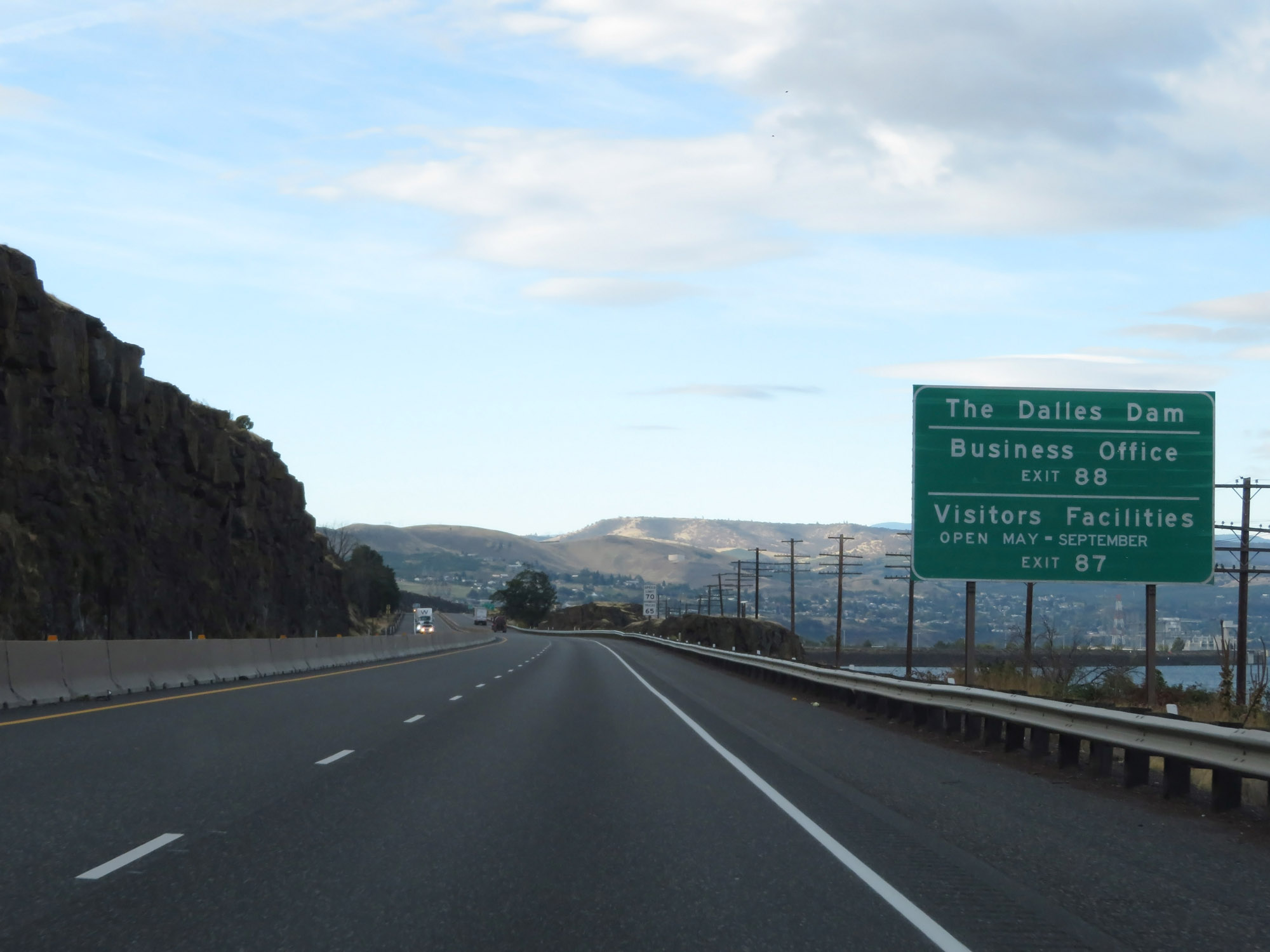 |
Take Exit 87 to The Dalles Dam, its Business Office, and Visitors Facilities. (Photo taken 9/26/19). |
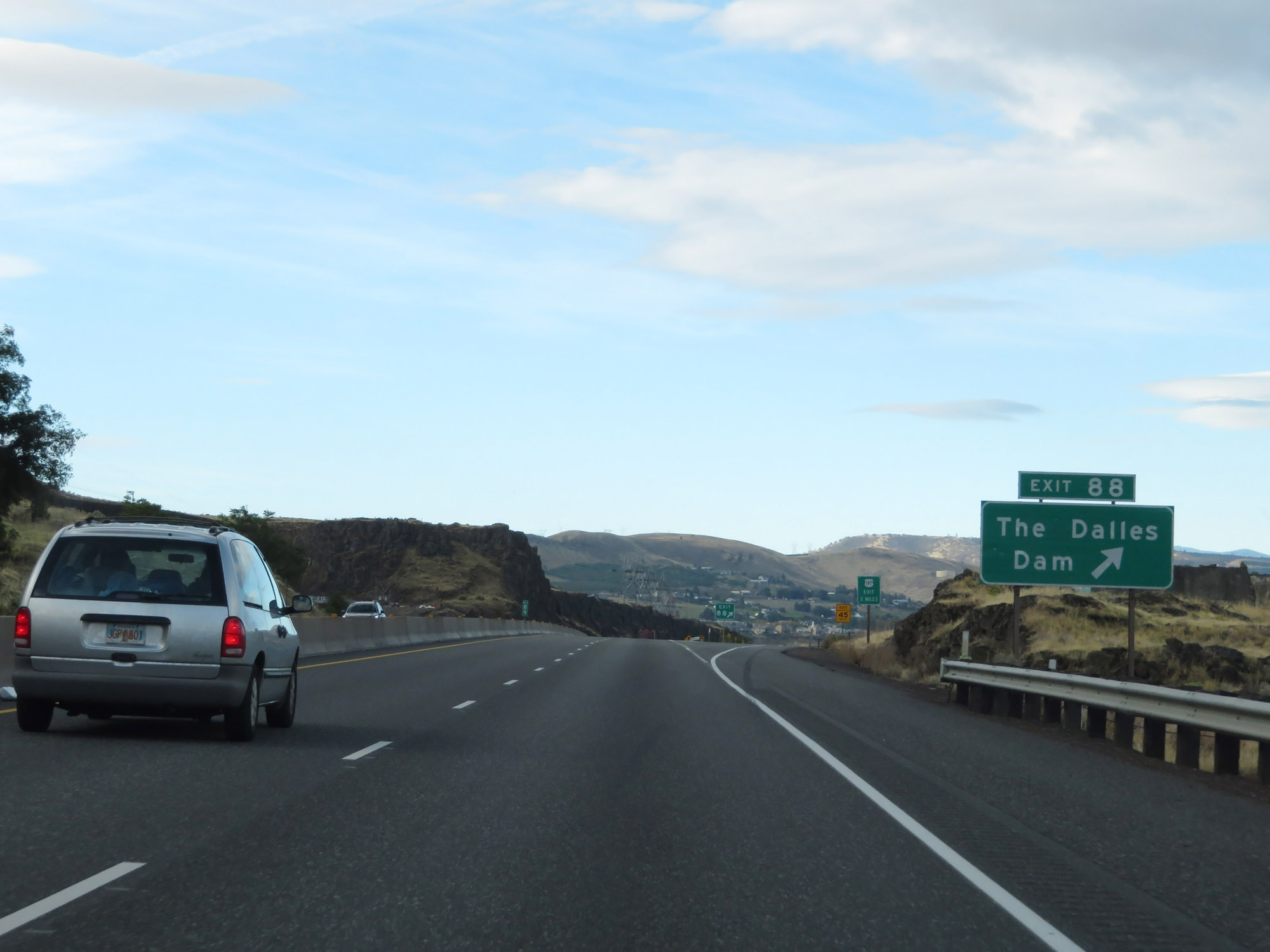 |
Interstate 84 West at Exit 88: The Dalles Dam (Photo taken 9/26/19). |
 |
Take any of the next 4 exits to The Dalles. (Photo taken 9/26/19). |
 |
Interstate 84 West approaching Exit 87 - 1 mile. (Photo taken 9/26/19). |
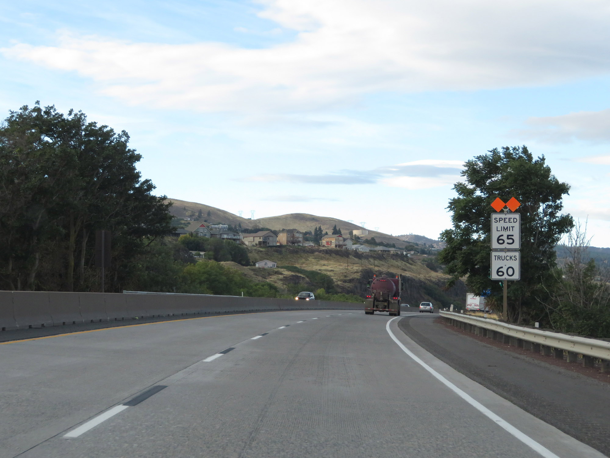 |
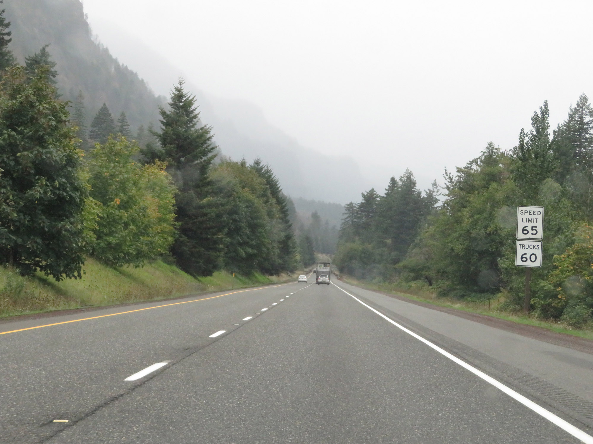
Entering The Dalles, the speed limits are reduced to 65 mph for cars and 60 mph for trucks. This marks the end of the 70/65 mph speed limits on Interstate 84 West in Oregon. (Photo taken 9/26/19). |
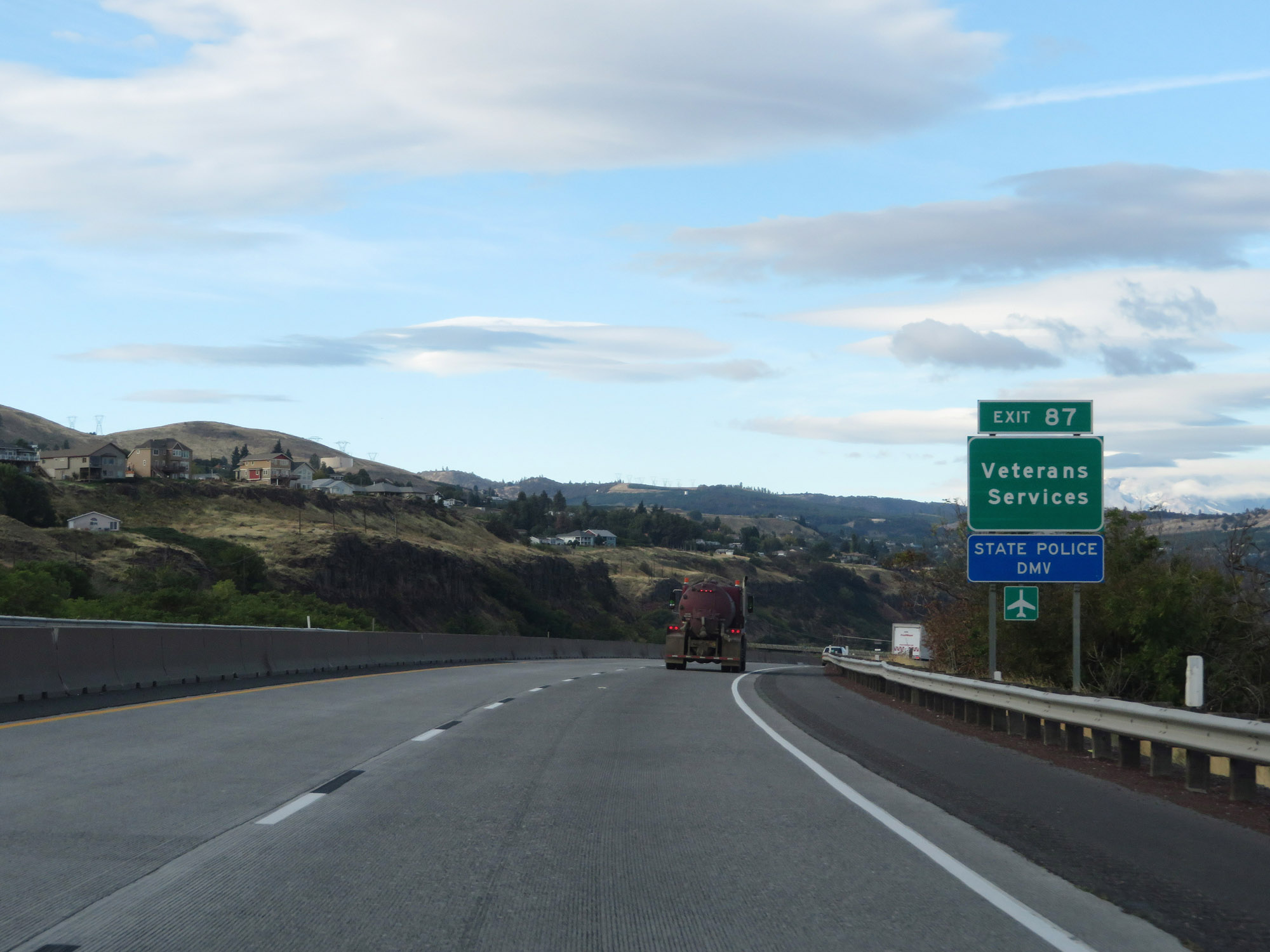 |
Take Exit 87 to Veterans Services, the State Police, and DMV. (Photo taken 9/26/19). |
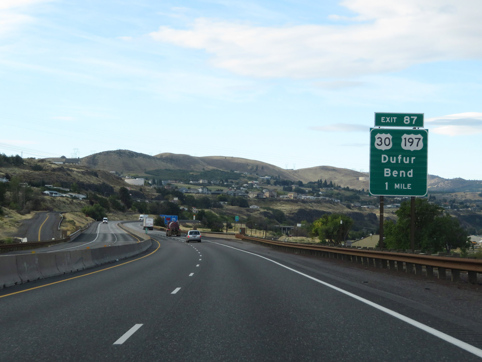
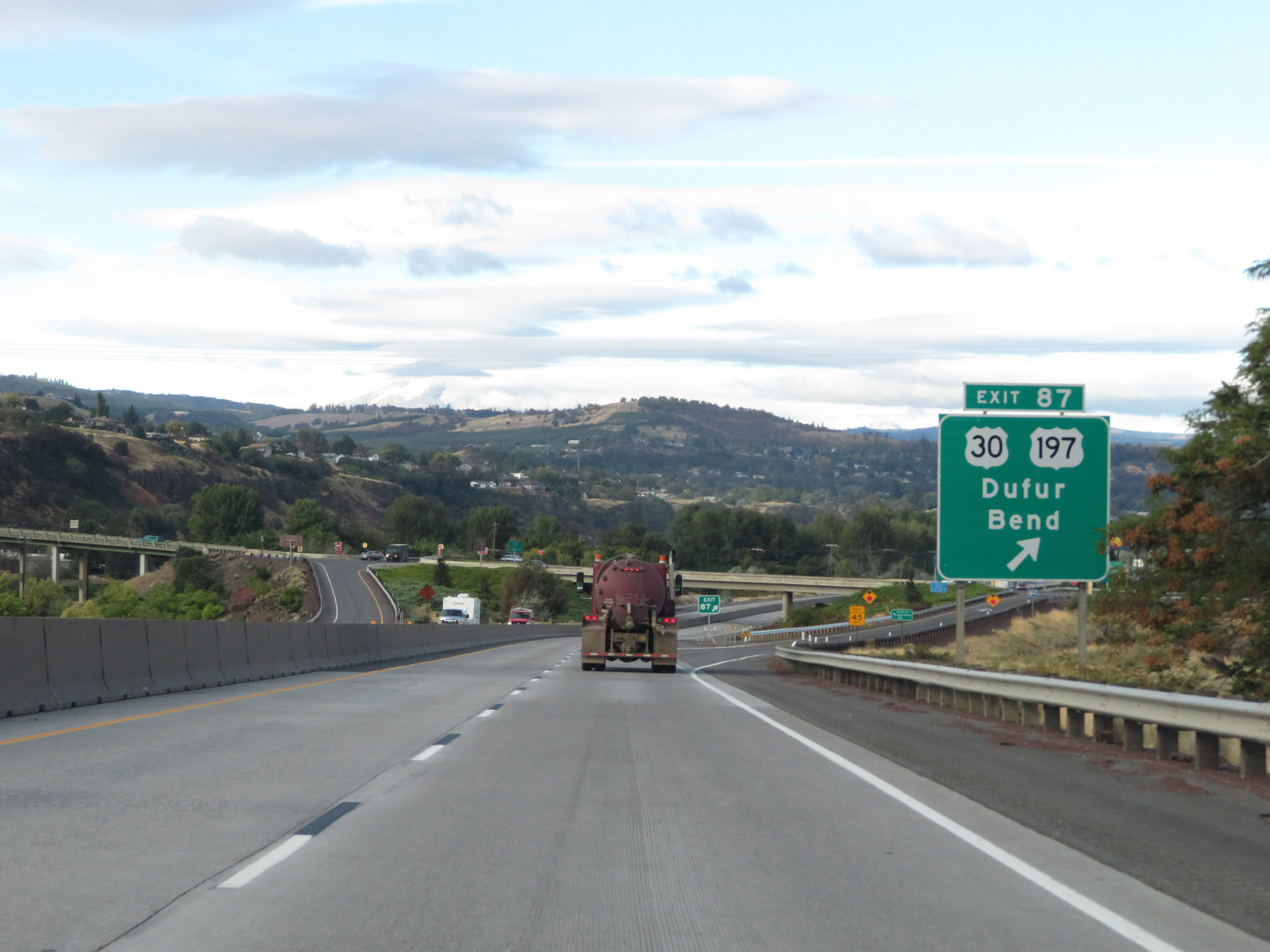 |
Interstate 84 West at Exit 87: US 30 / US 197 - Dufur / Bend (Photo taken 9/26/19). |
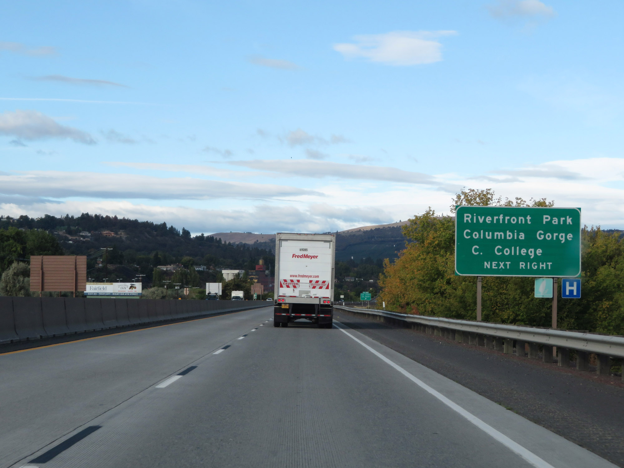 |
Take Exit 85 to Riverfront Park and Columbia Gorge Community College. (Photo taken 9/26/19). |
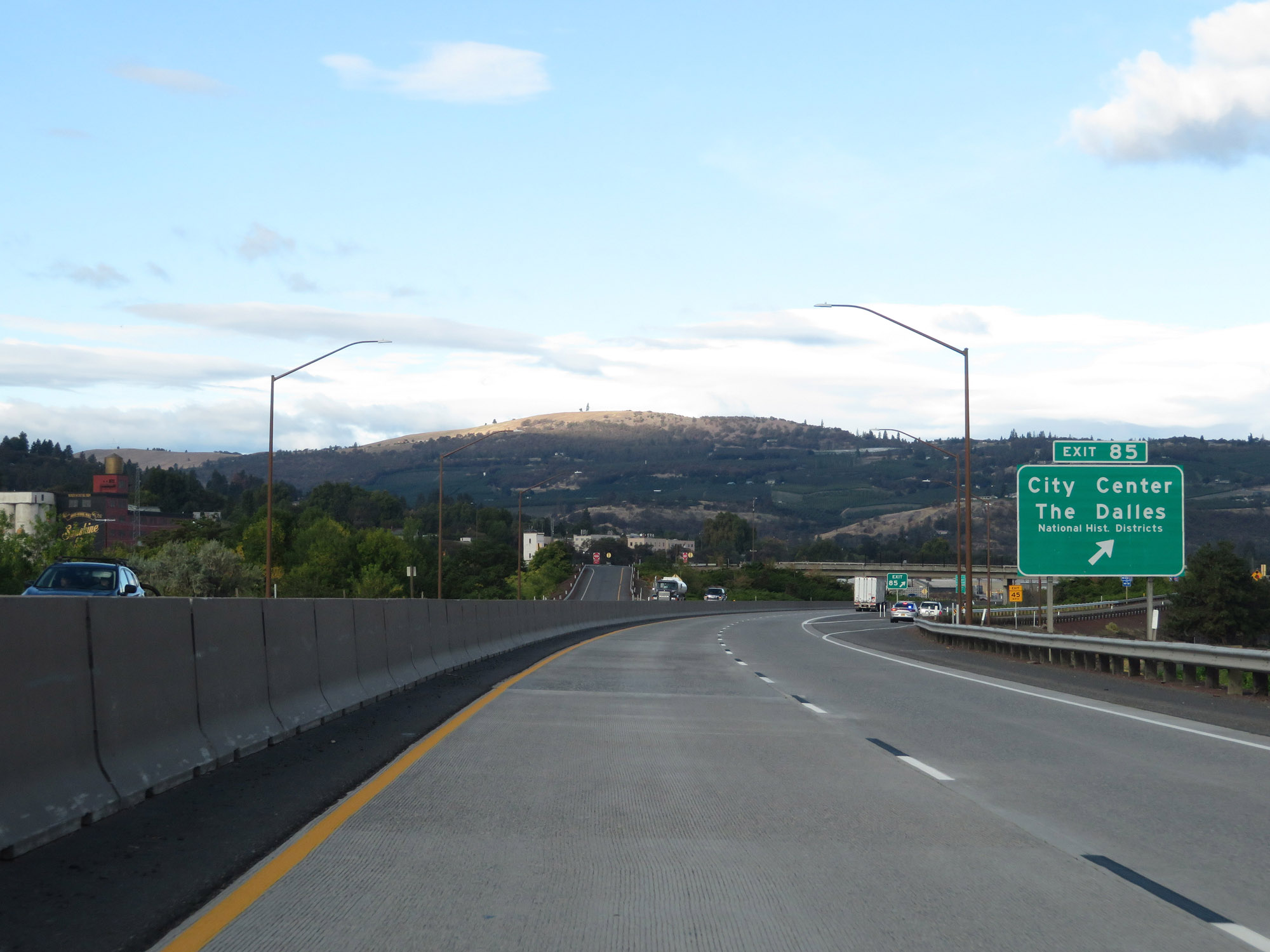 |
Interstate 84 West at Exit 85: City Center / The Dalles National Historic District (Photo taken 9/26/19). |
Section 6: The Dalles (Exit 85) to Cascade Locks (Exit 44)
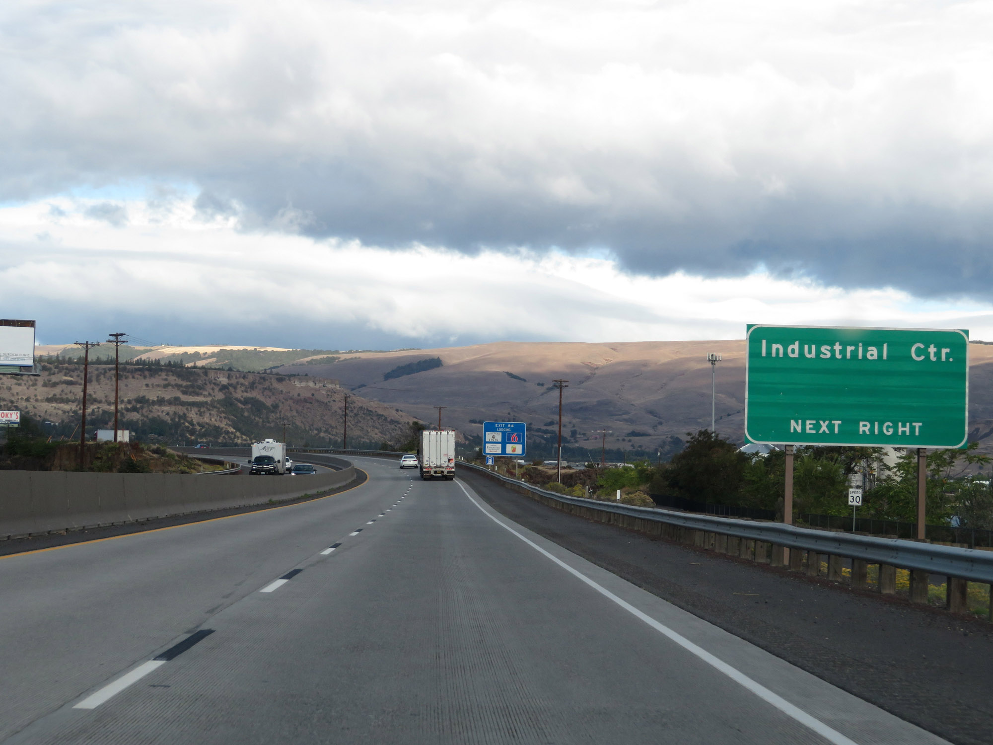 |
Take Exit 84 to the Industrial Center. (Photo taken 9/26/19). |
 |
Interstate 84 West at Exit 84: West The Dalles (Photo taken 9/26/19). |
 |
View on Interstate 84 West at mile marker 83. (Photo taken 9/26/19). |
 |
Take Exit 82 to Port of The Dalles. (Photo taken 9/26/19). |
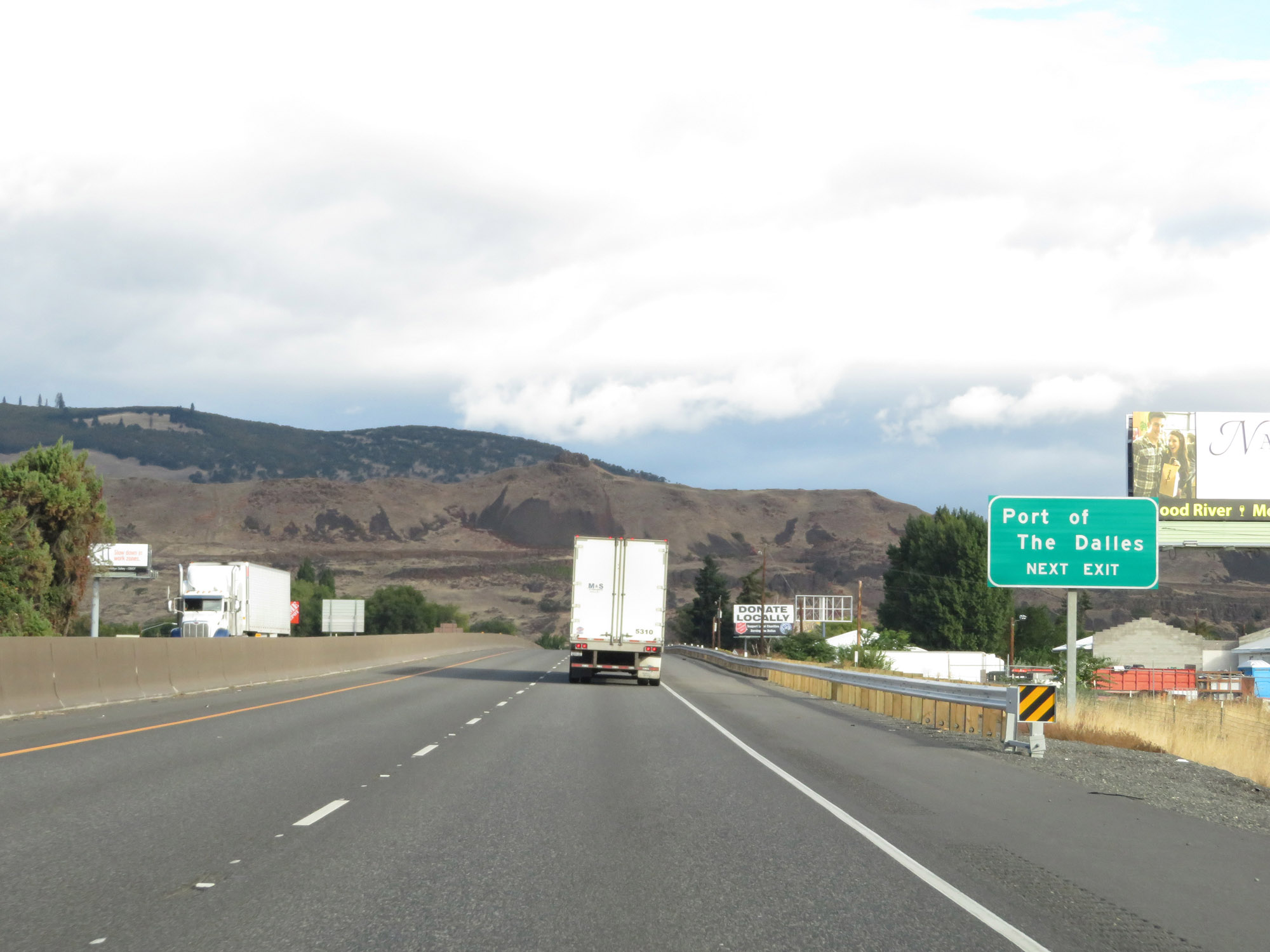
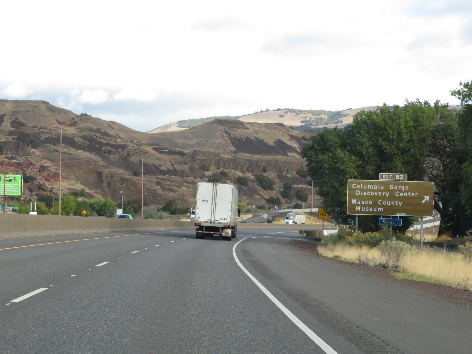 |
Interstate 84 West at Exit 82: Columbia Gorge Discovery Center / Wasco County Museum (Photo taken 9/26/19). |
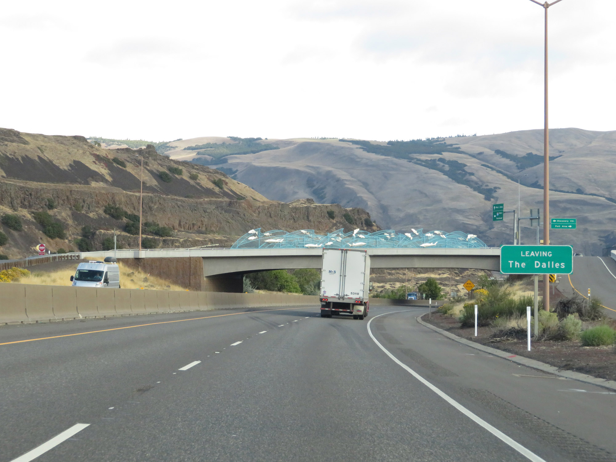 |
Beyond Exit 82, Interstate 84 West leaves The Dalles. (Photo taken 9/26/19). |
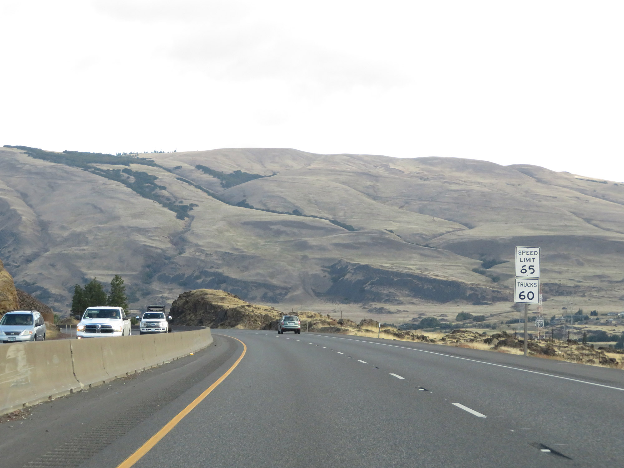 |
The speed limits remain 65 mph for cars and 60 mph for trucks. (Photo taken 9/26/19). |
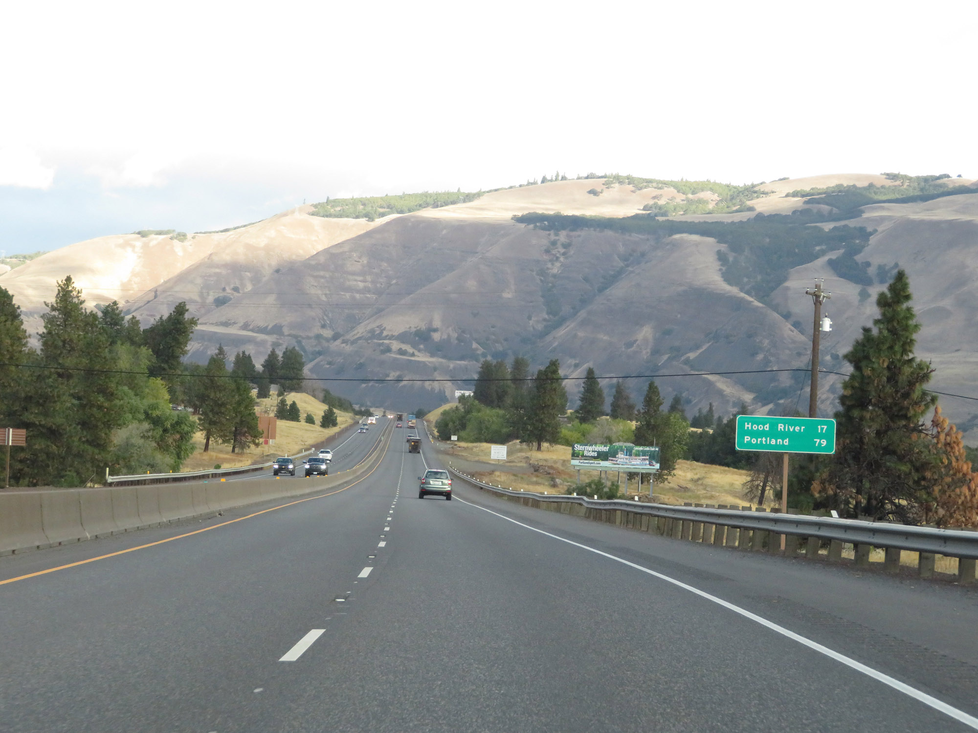 |
Mileage sign on Interstate 84 West. It's 17 miles to Hood River and 79 miles to Portland. (Photo taken 9/26/19). |
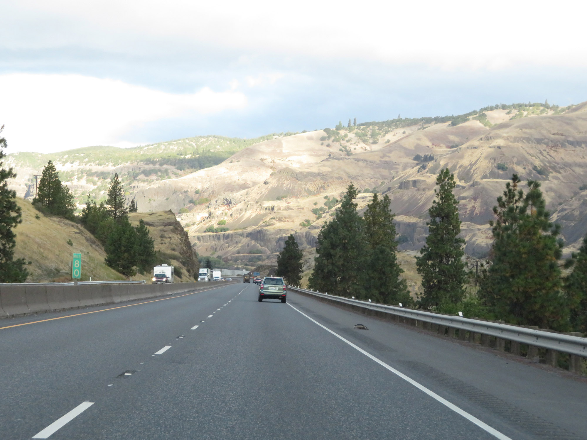 |
View on Interstate 84 West at mile marker 80. (Photo taken 9/26/19). |
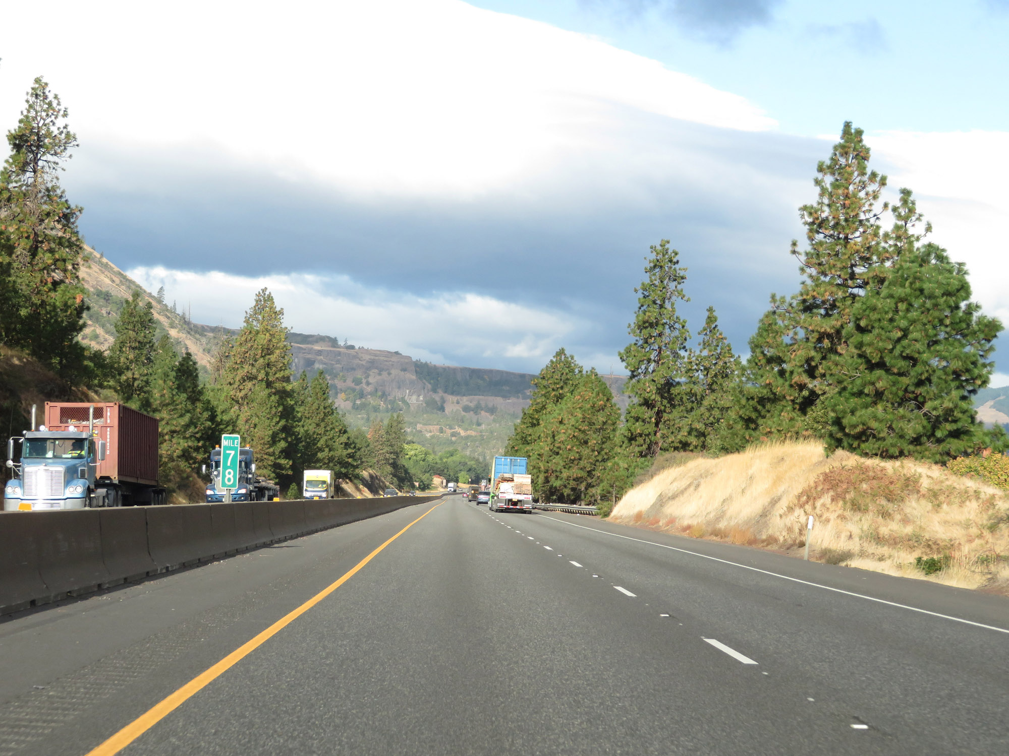 |
Interstate 84 West at mile marker 78. Notice the change in vegetation taking place. (Photo taken 9/26/19). |
 |
Take Exit 76 to Mayer State Park. A Chain-Up Area also exists on the shoulder here. (Photo taken 9/26/19). |
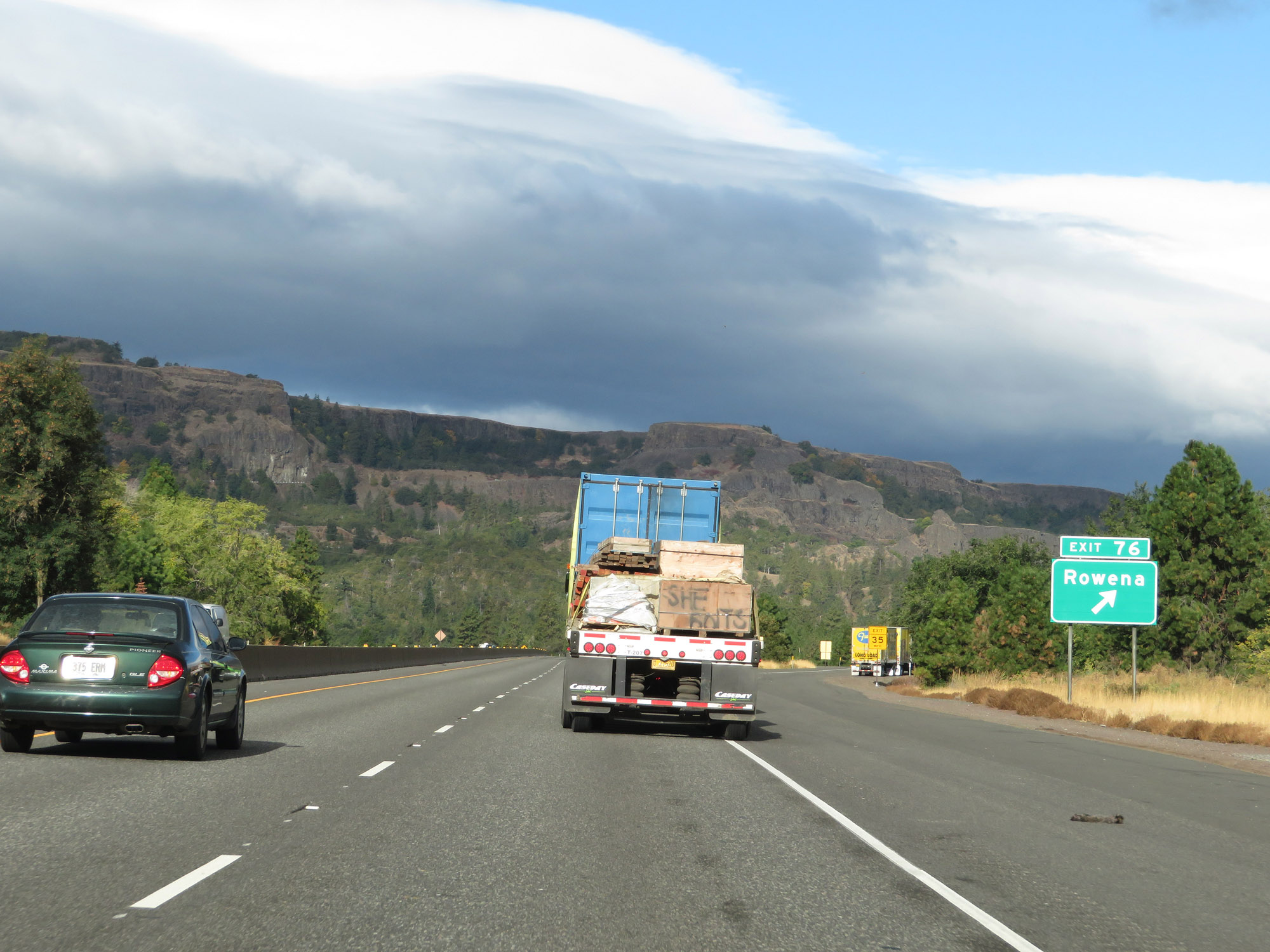 |
Interstate 84 West at Exit 76: Rowena (Photo taken 9/26/19). |
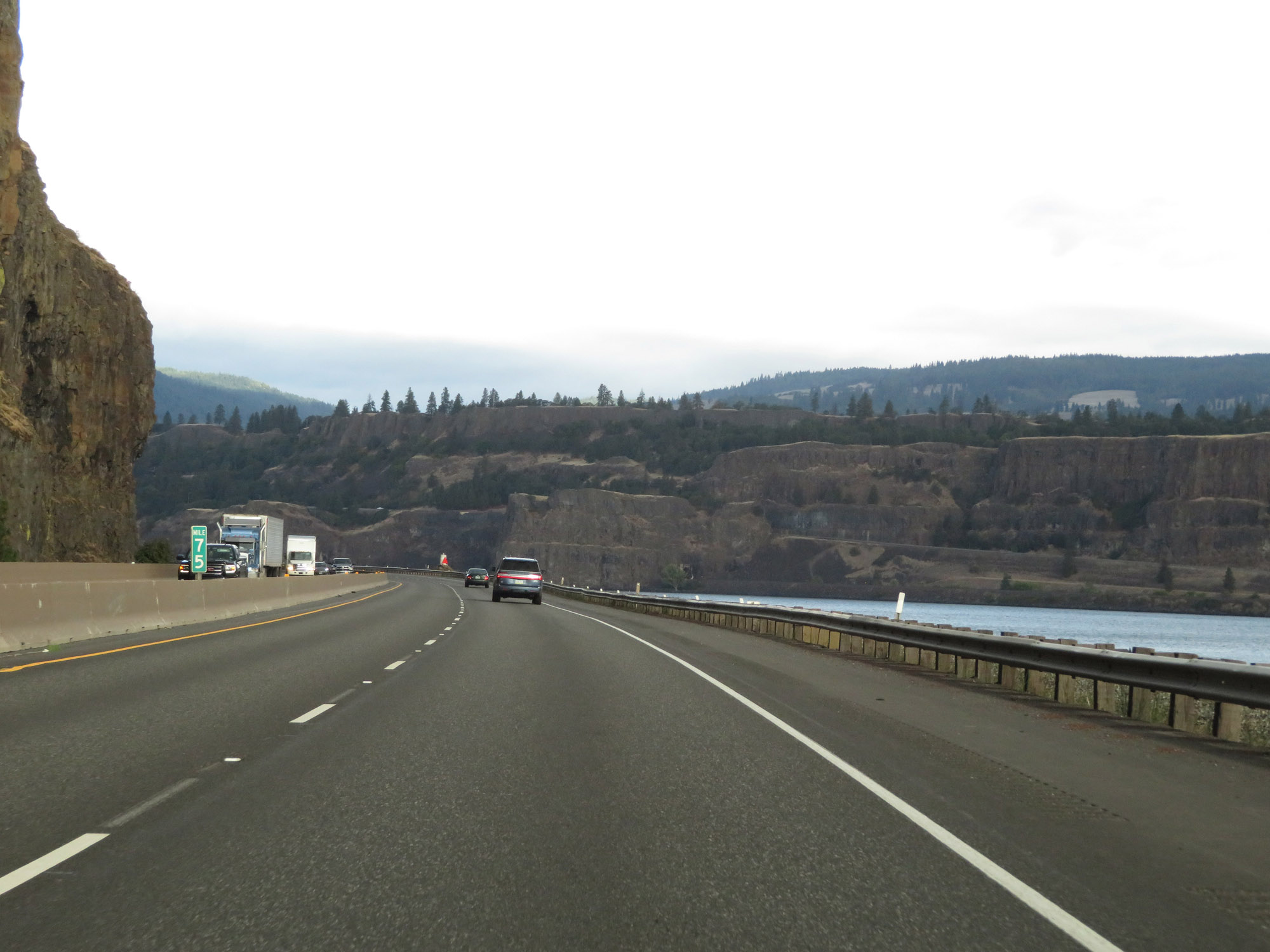 |
View on Interstate 84 West at mile marker 75. (Photo taken 9/26/19). |
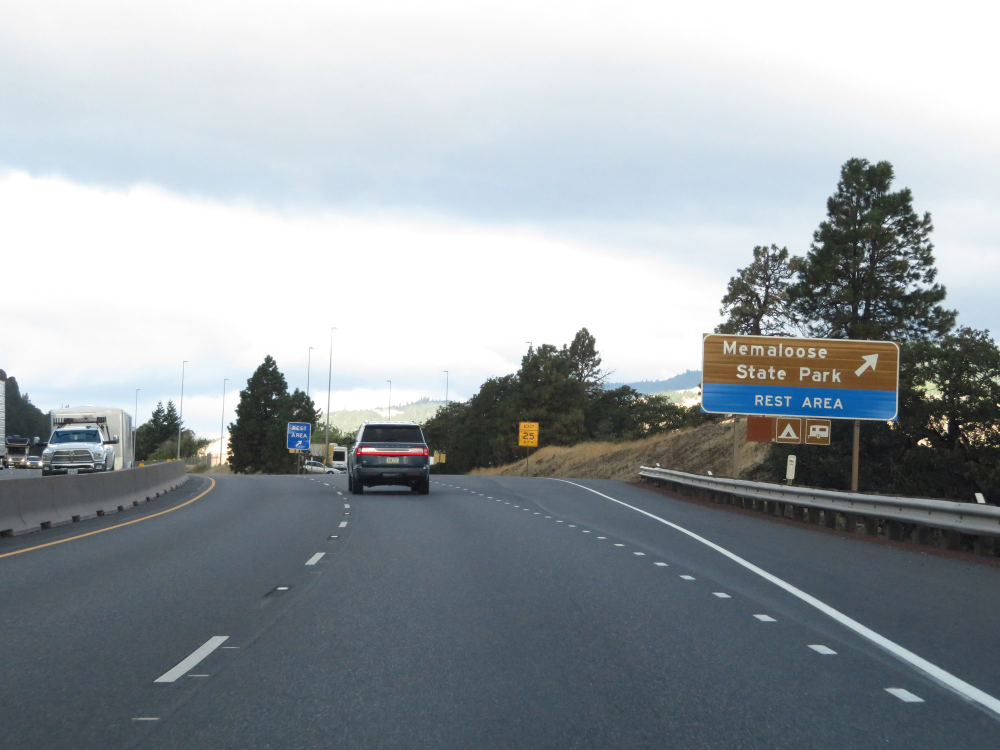 |
Rest Area on Interstate 84 West in Wasco County. The Rest Area also provides access to Memaloose State Park. (Photo taken 9/26/19). |
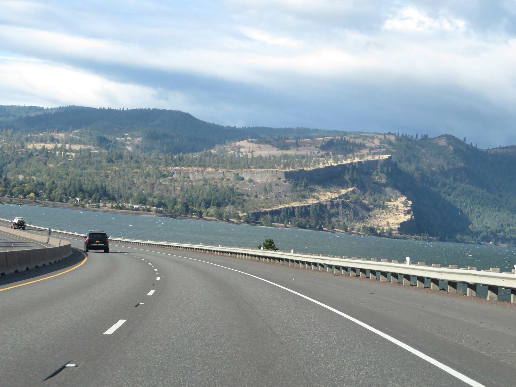 |
Beautiful view on Interstate 84 West. (Photo taken 9/26/19). |
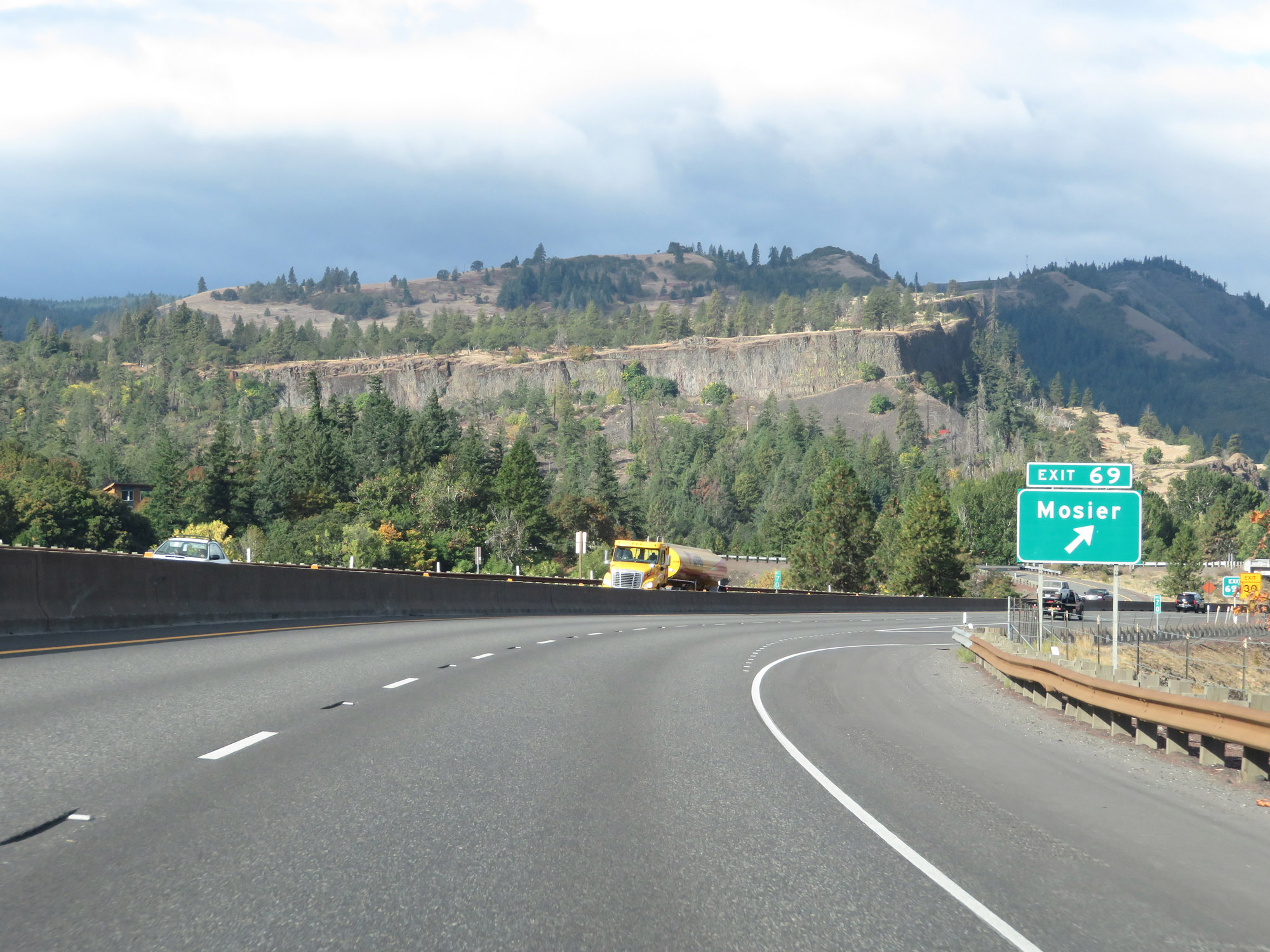 |
Interstate 84 West at Exit 69: Mosier (Photo taken 9/26/19). |
 |
Dual Interstate 84 West / US 30 West reassurance shields as their on again/off again concurrency continues in Oregon. (Photo taken 9/26/19). |
 |
Interstate 84 West at mile marker 68. (Photo taken 9/26/19). |
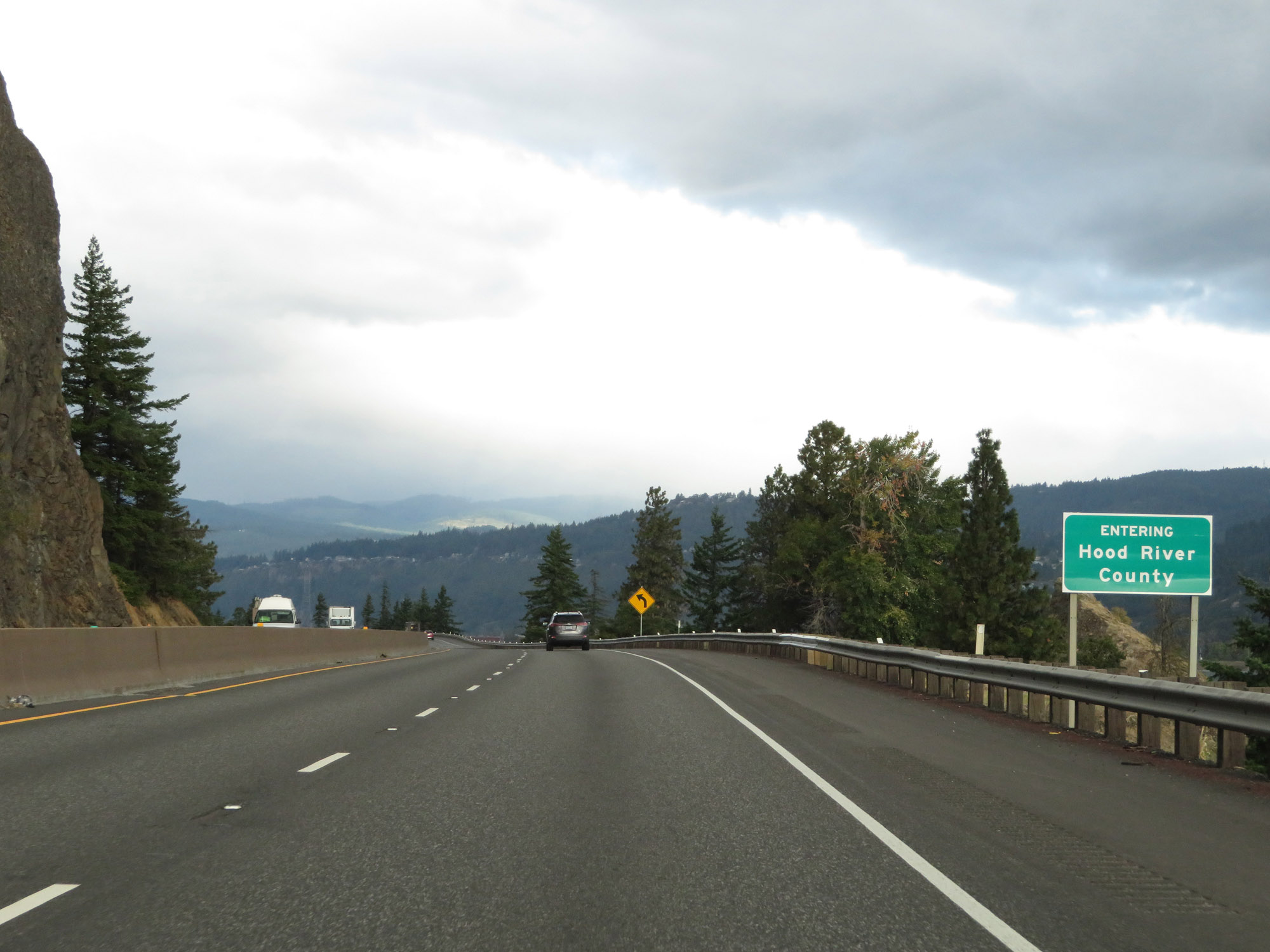 |
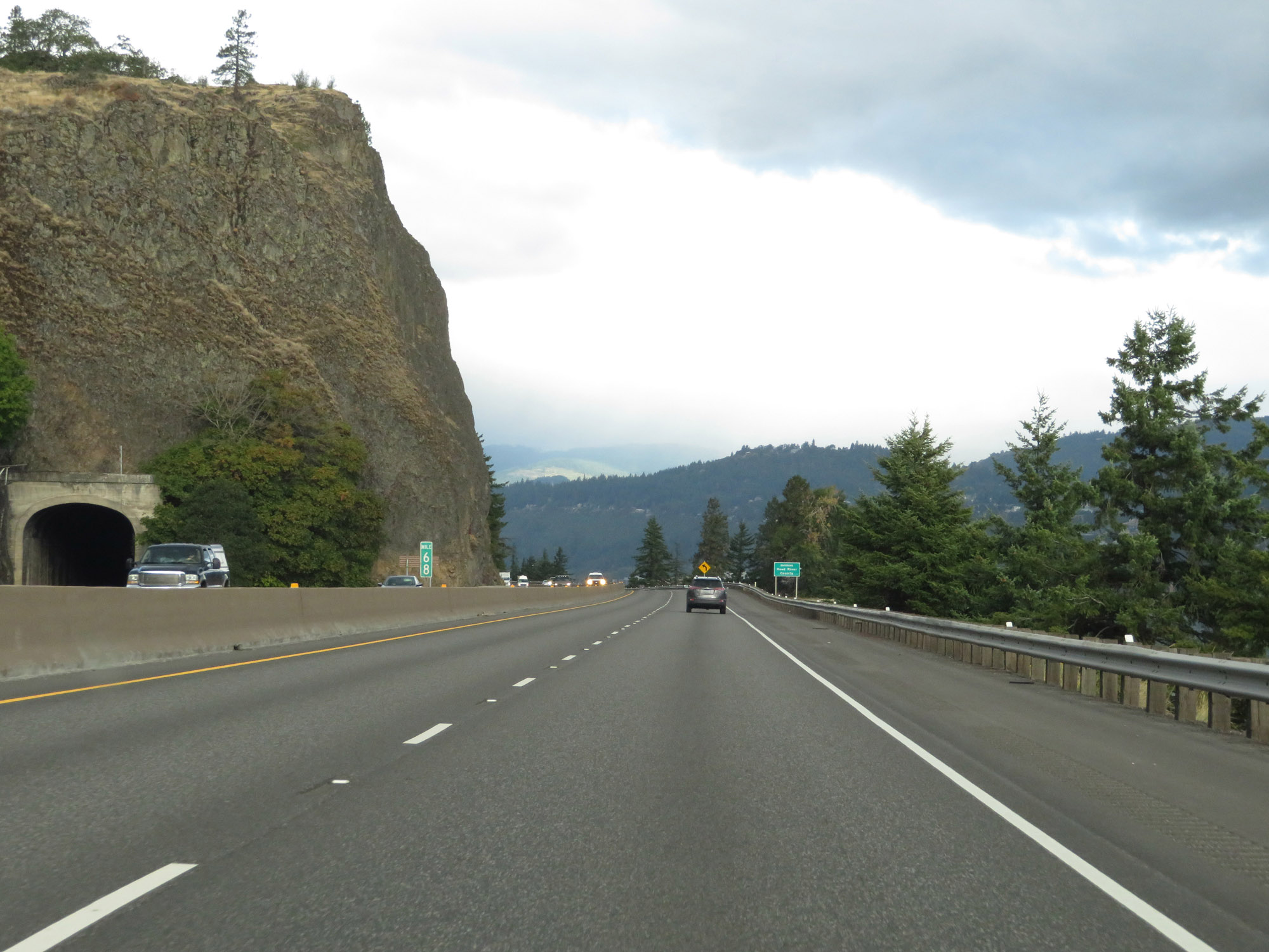
Interstate 84 West as it enters Hood River County. (Photo taken 9/26/19). |
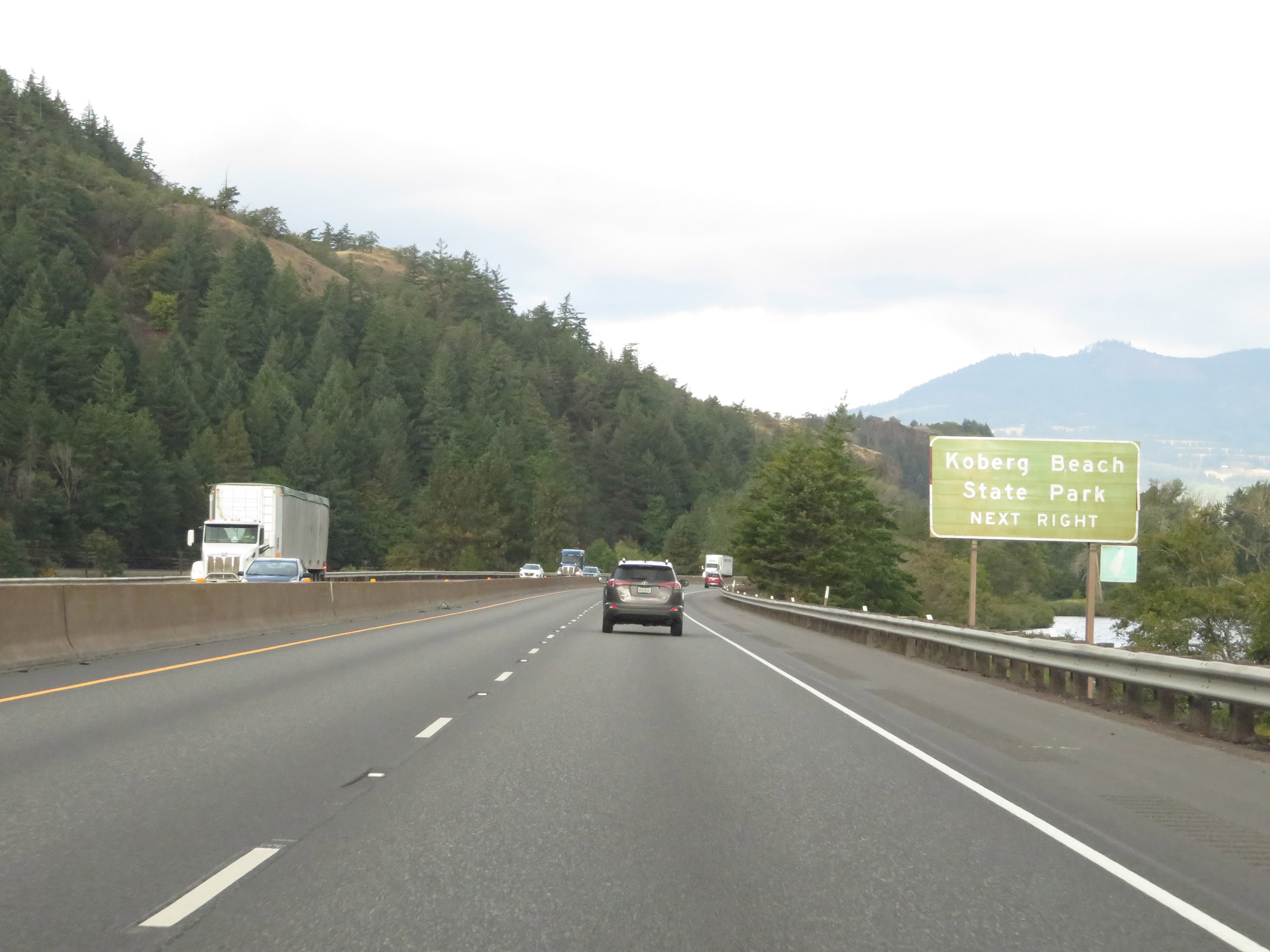 |
Enter the Rest Area ahead to access Koberg Beach State Park. (Photo taken 9/26/19). |
 |
Rest Area on Interstate 84 West in Hood River County. Since the parking area is rather tight, trucks are prohibited in this Rest Area. (Photo taken 9/26/19). |
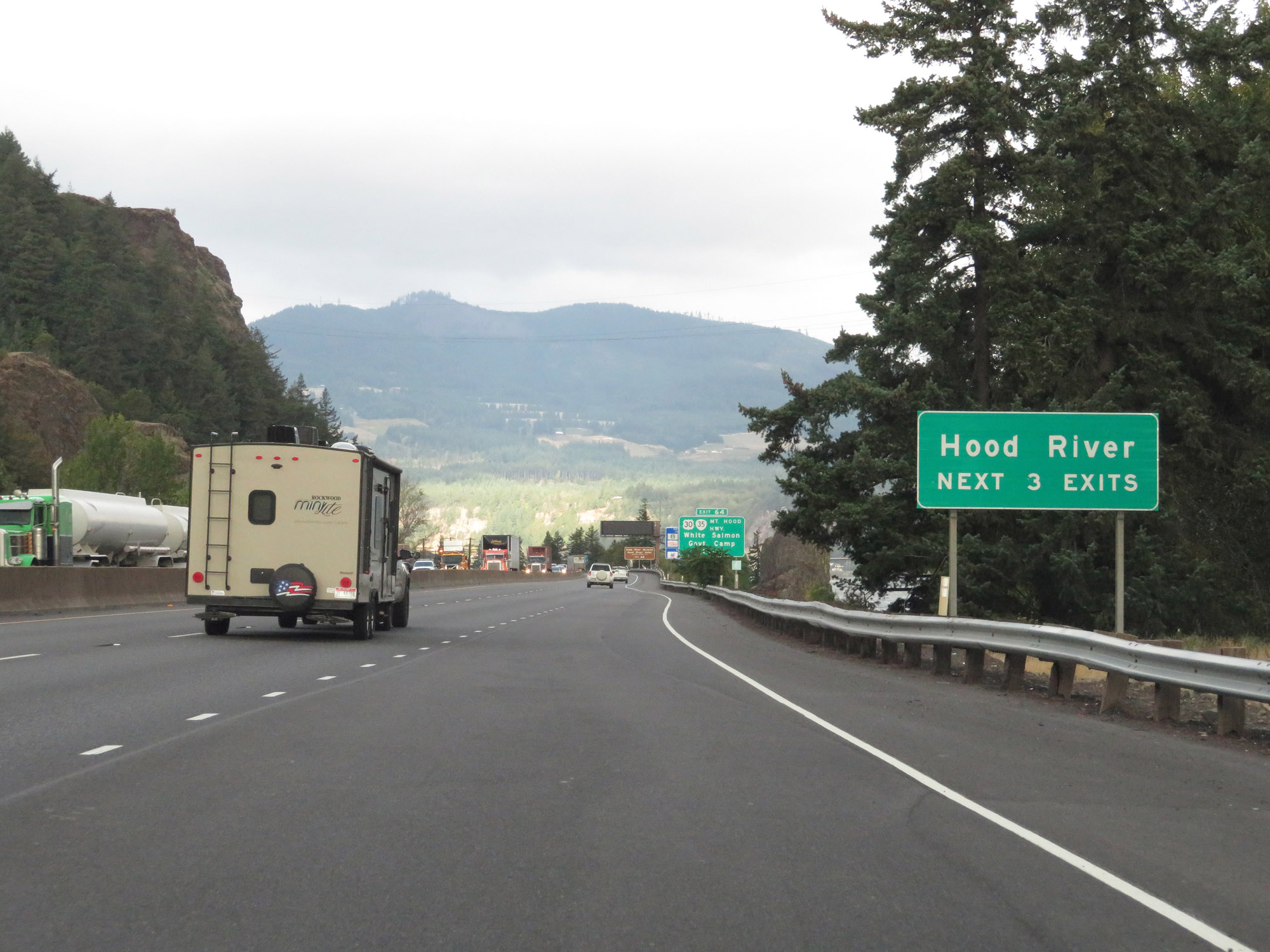 |
Take any of the next 3 exits to Hood River. (Photo taken 9/26/19). |
 |
Take Exit 64 to the Hood River Museum and Hood River Hotel National Historic Site. (Photo taken 9/26/19). |
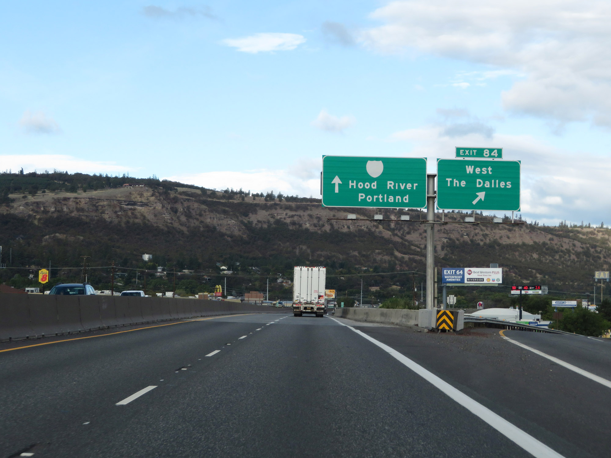
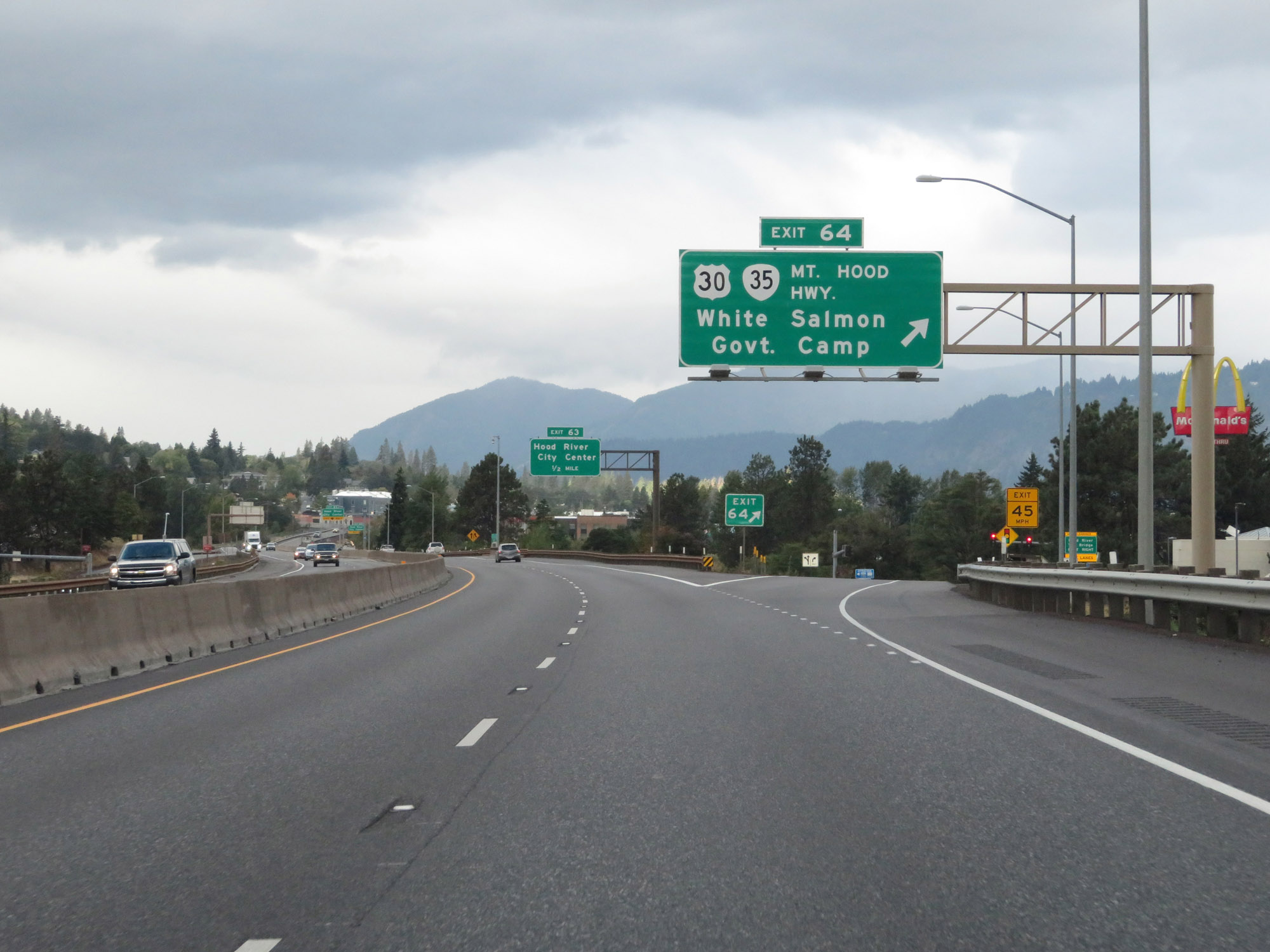 |
Interstate 84 West at Exit 64: US 30 / OR 35 (Mt. Hood Hwy) - White Salmon / Goverment Camp (Photo taken 9/26/19). |
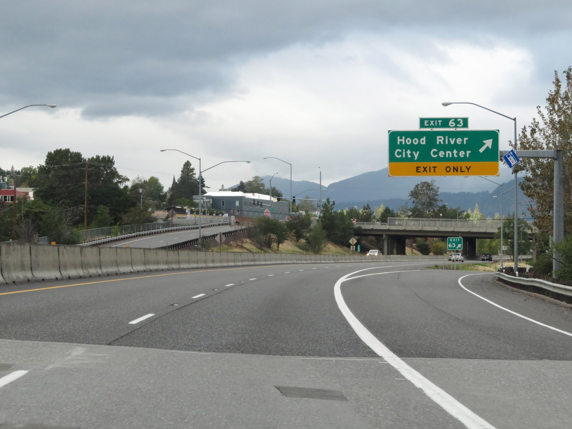 |
Interstate 84 West at Exit 63: Hood River City Center (Photo taken 9/26/19). |
 |
The first set of Oregon-style speed limit signs we see on Interstate 84 West are here in Hood River. The speed limits remain 65 mph for cars and 60 mph for trucks. (Photo taken 9/26/19). |
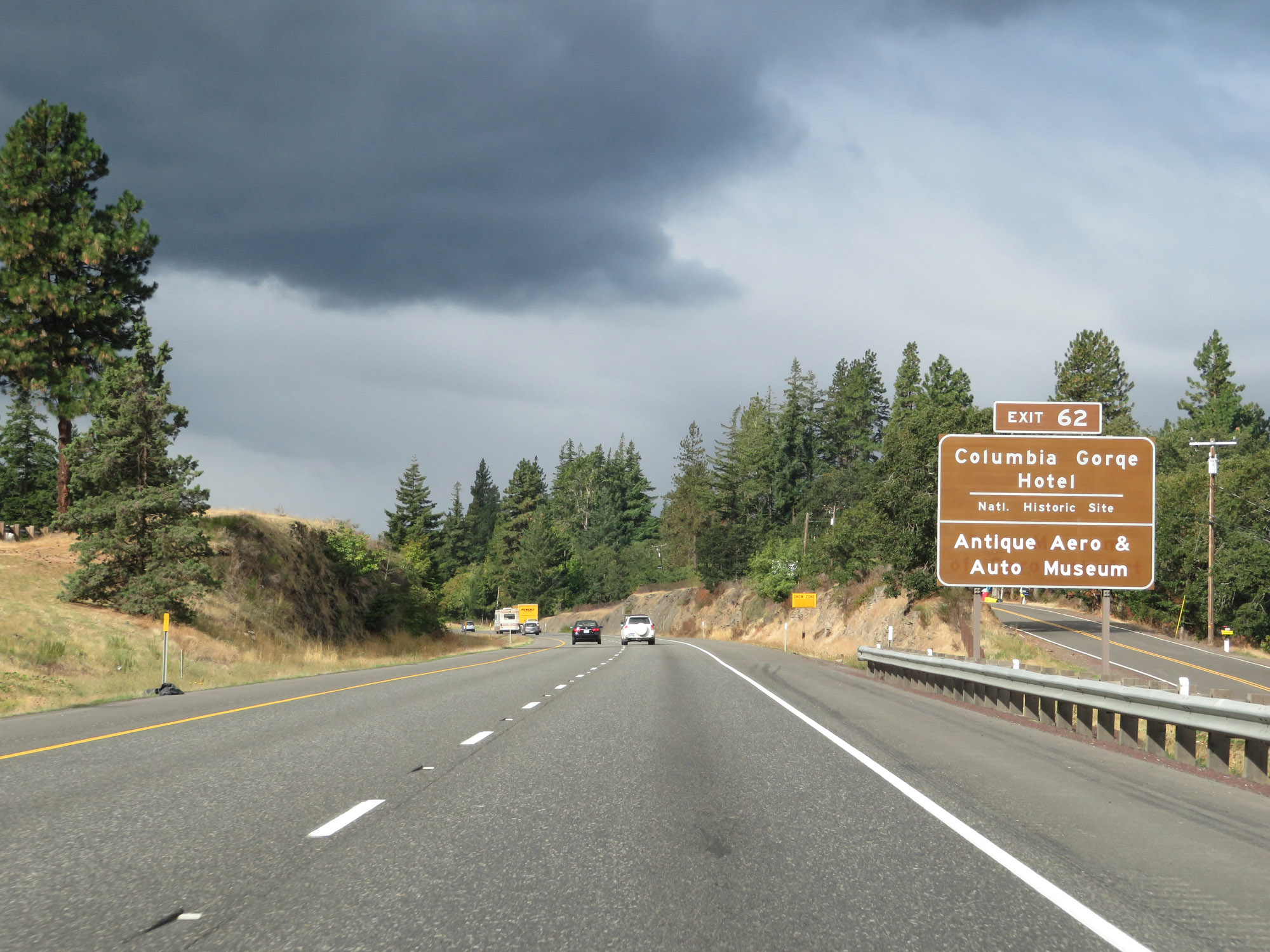 |
Take Exit 62 to Columbia Gorge Hotel National Historic Site as well as the Antique Aero & Auto Museum. (Photo taken 9/26/19). |
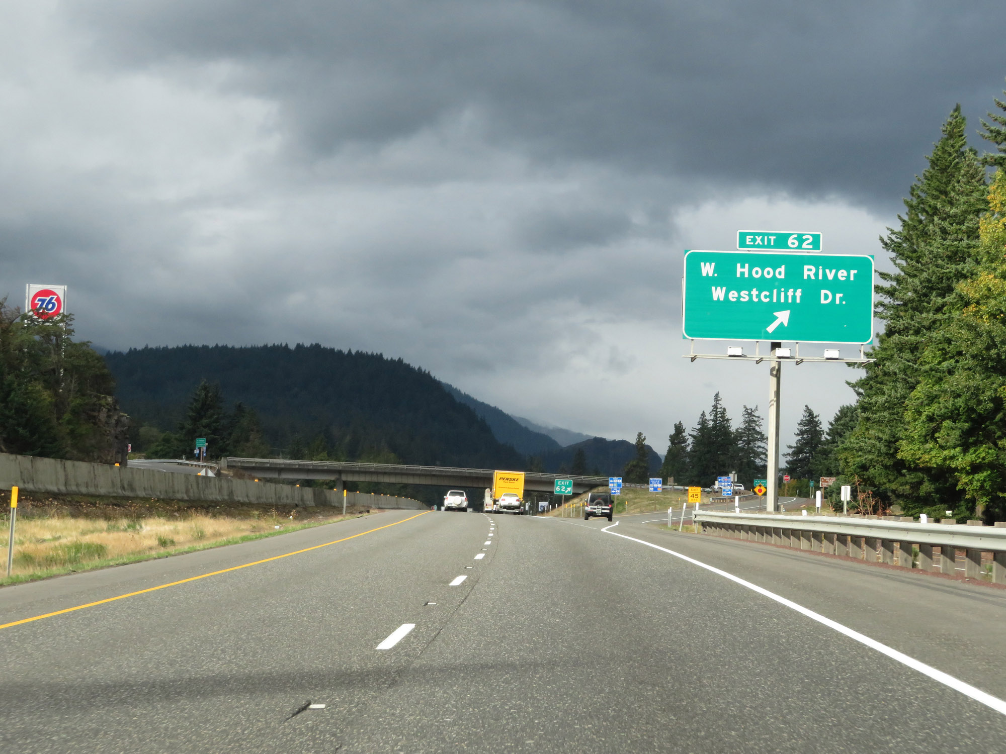 |
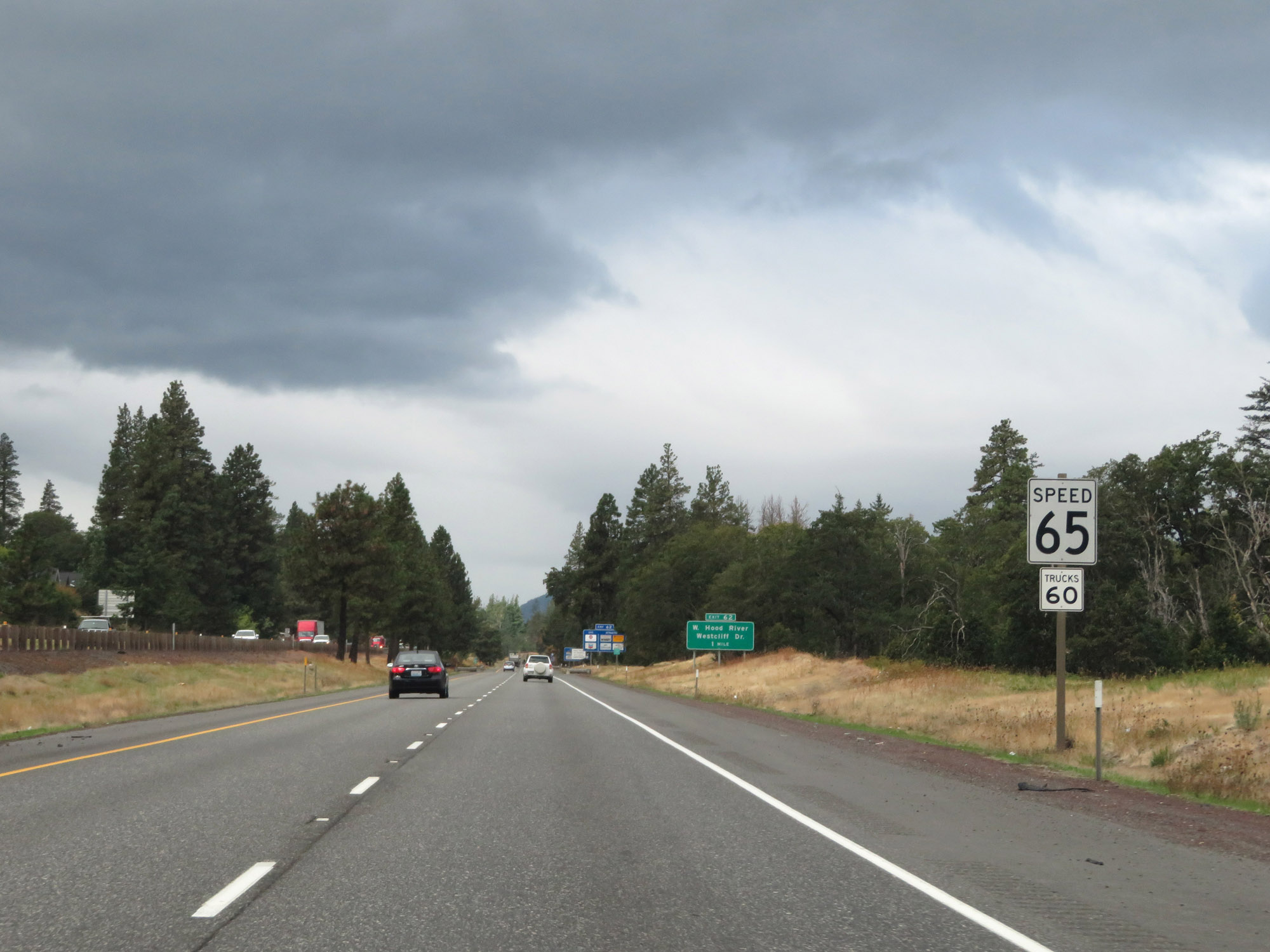
Interstate 84 West at Exit 62: West Hood River / Westcliff Dr (Photo taken 9/26/19). |
 |
An unsigned turnout on Interstate 84 West in Hood River. Although no signage states it, this turnout provides access to Morton Rd, which leads down to the riverfront. (Photo taken 9/26/19). |
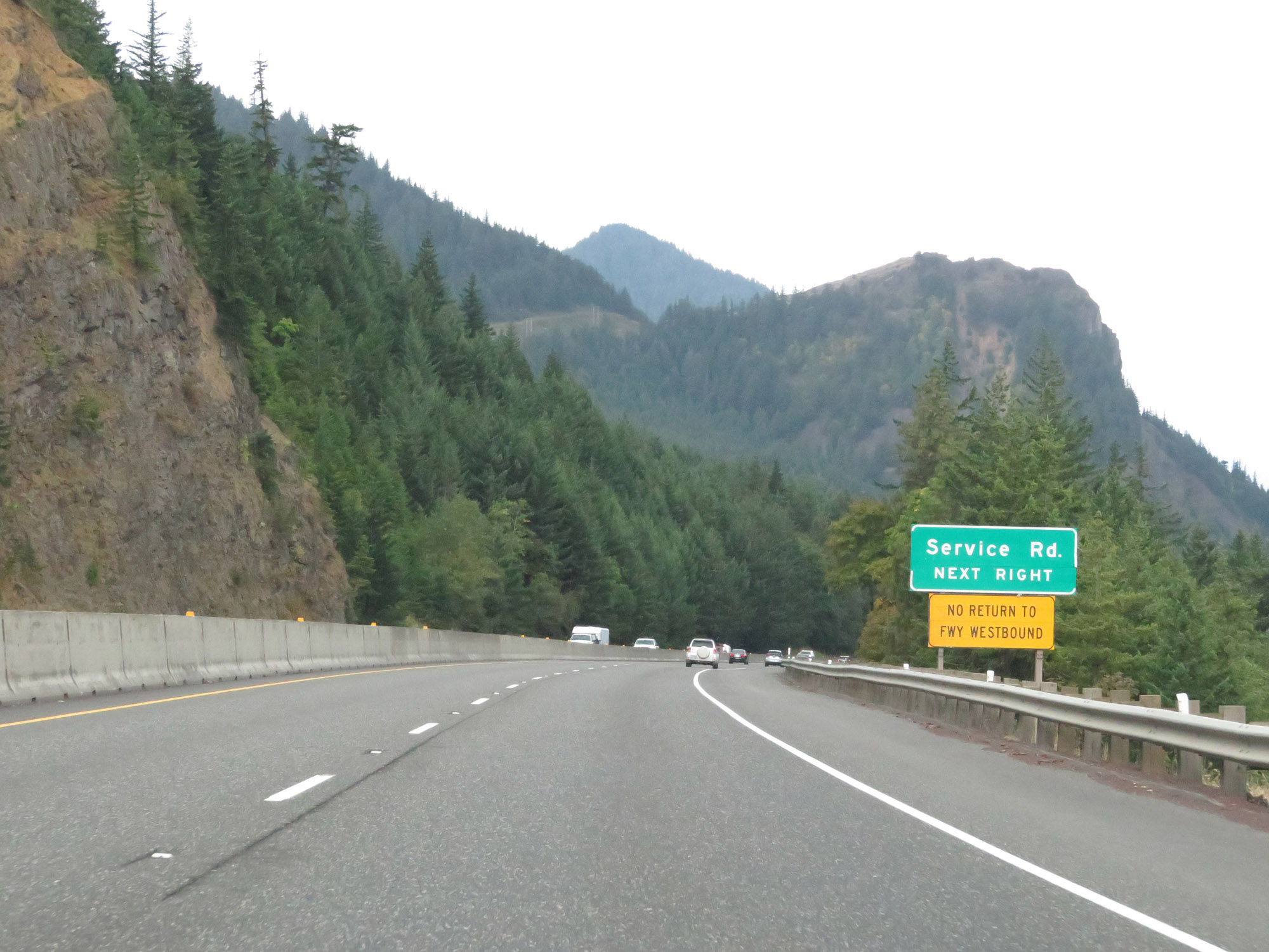 |
Take the next exit (not numbered or signed) to access the service road of Interstate 84, on the south side of the highway. This exit will also provide access to Mitchell Point Dr. (Photo taken 9/26/19). |
 |
Interstate 84 West at Exit: Service Road / Mitchell Point Dr. This interchange provides no return access to I-84 West. (Photo taken 9/26/19). |
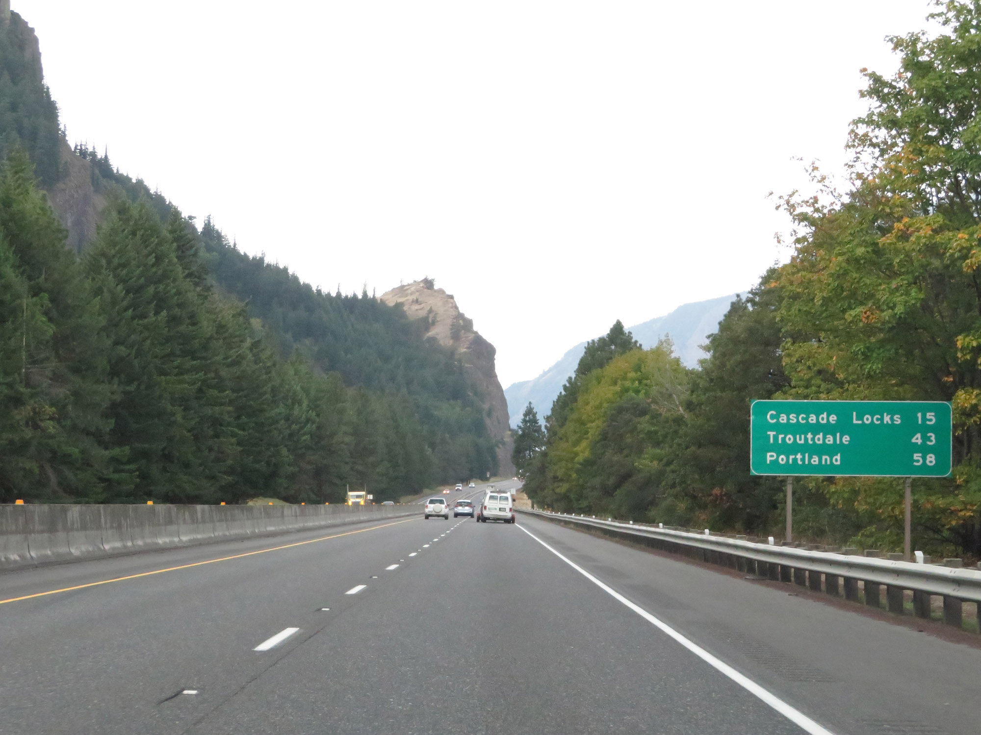 |
Mileage sign on Interstate 84 West. It's 15 miles to Cascade Locks, 43 miles to Troutdale, and 58 miles to Portland. (Photo taken 9/26/19). |
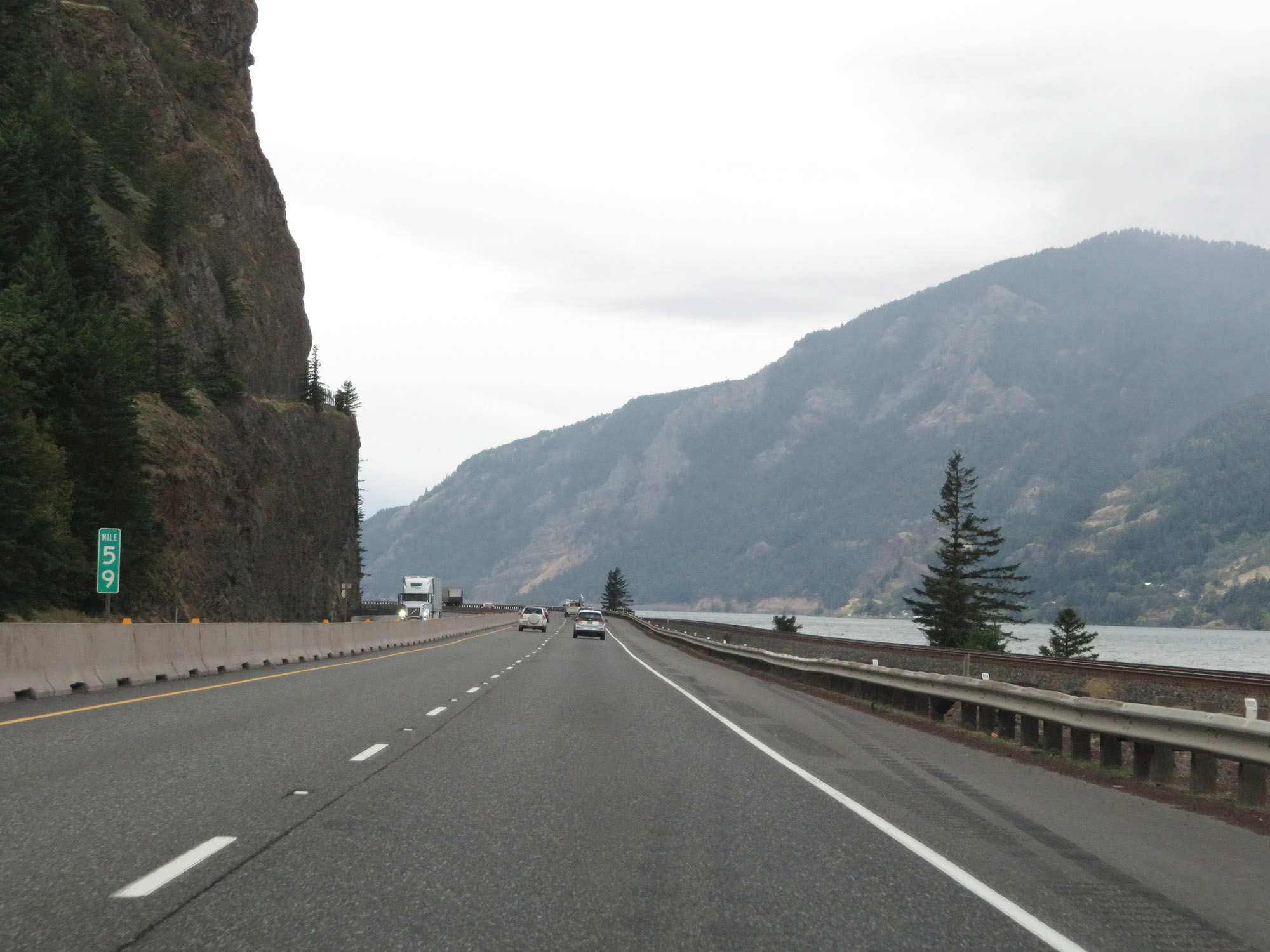 |
View on Interstate 84 West at mile marker 59. (Photo taken 9/26/19). |
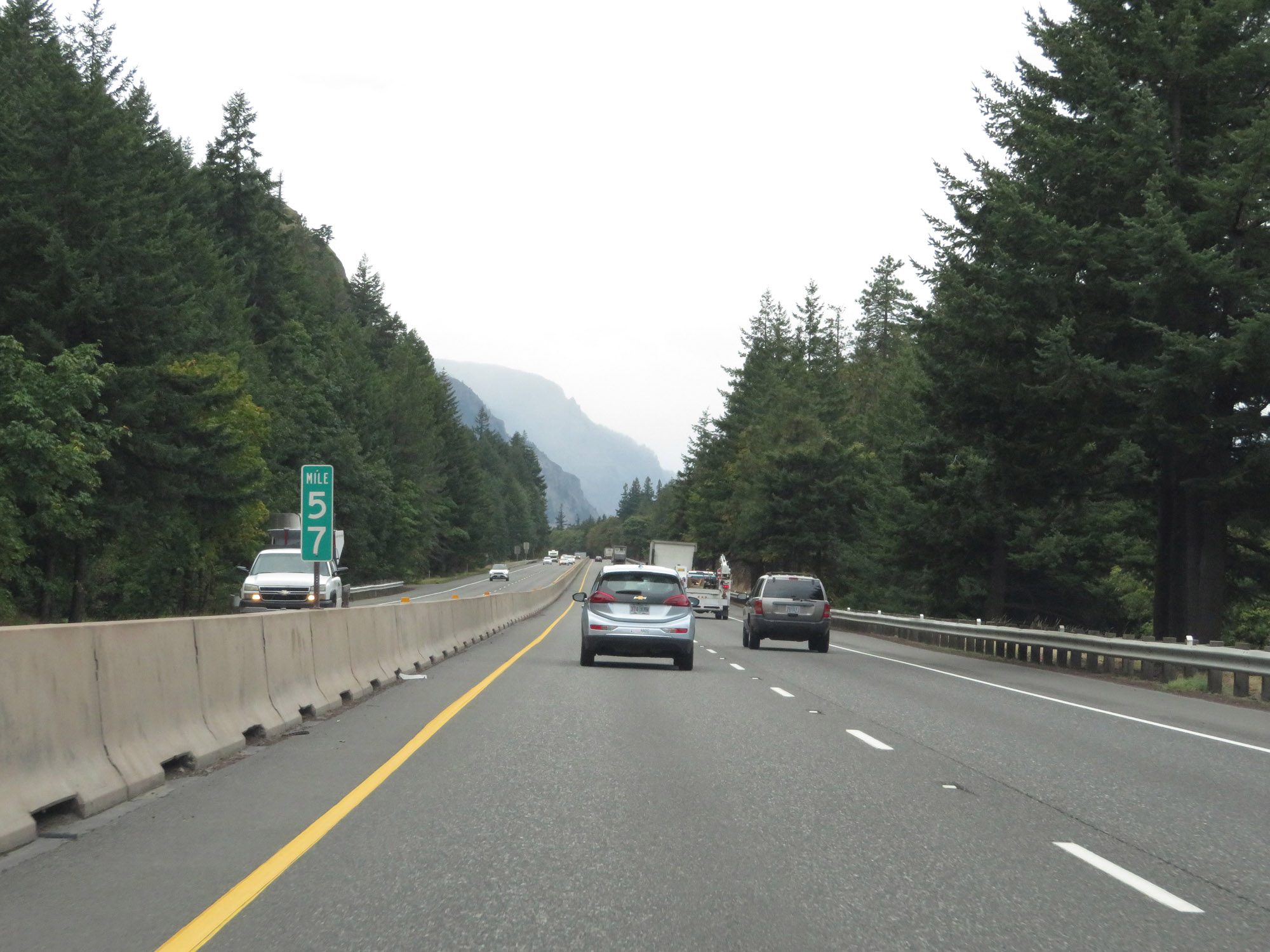 |
Interstate 84 West at mile marker 57. (Photo taken 9/26/19). |
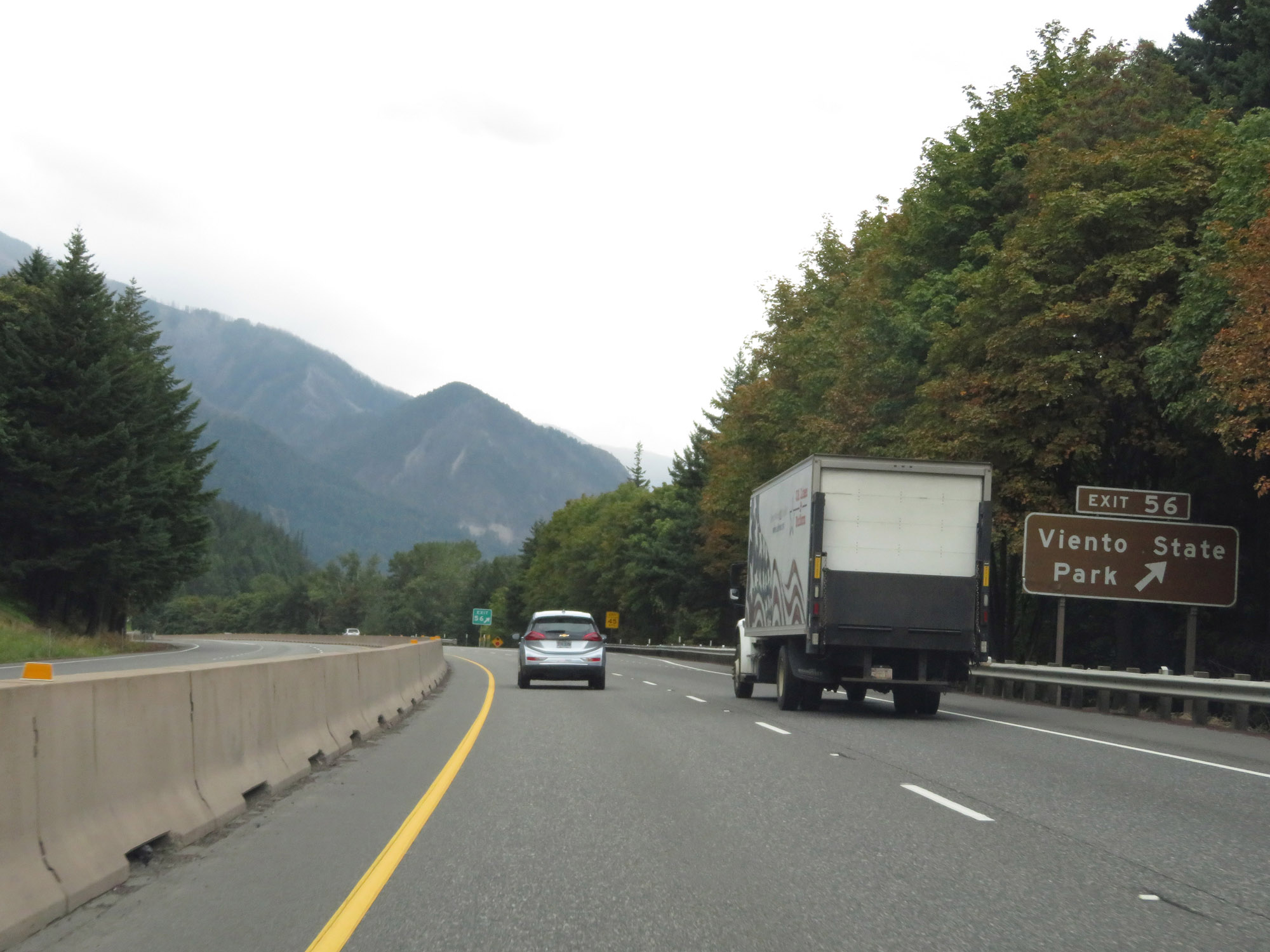 |
Interstate 84 West at Exit 56: Viento State Park (Photo taken 9/26/19). |
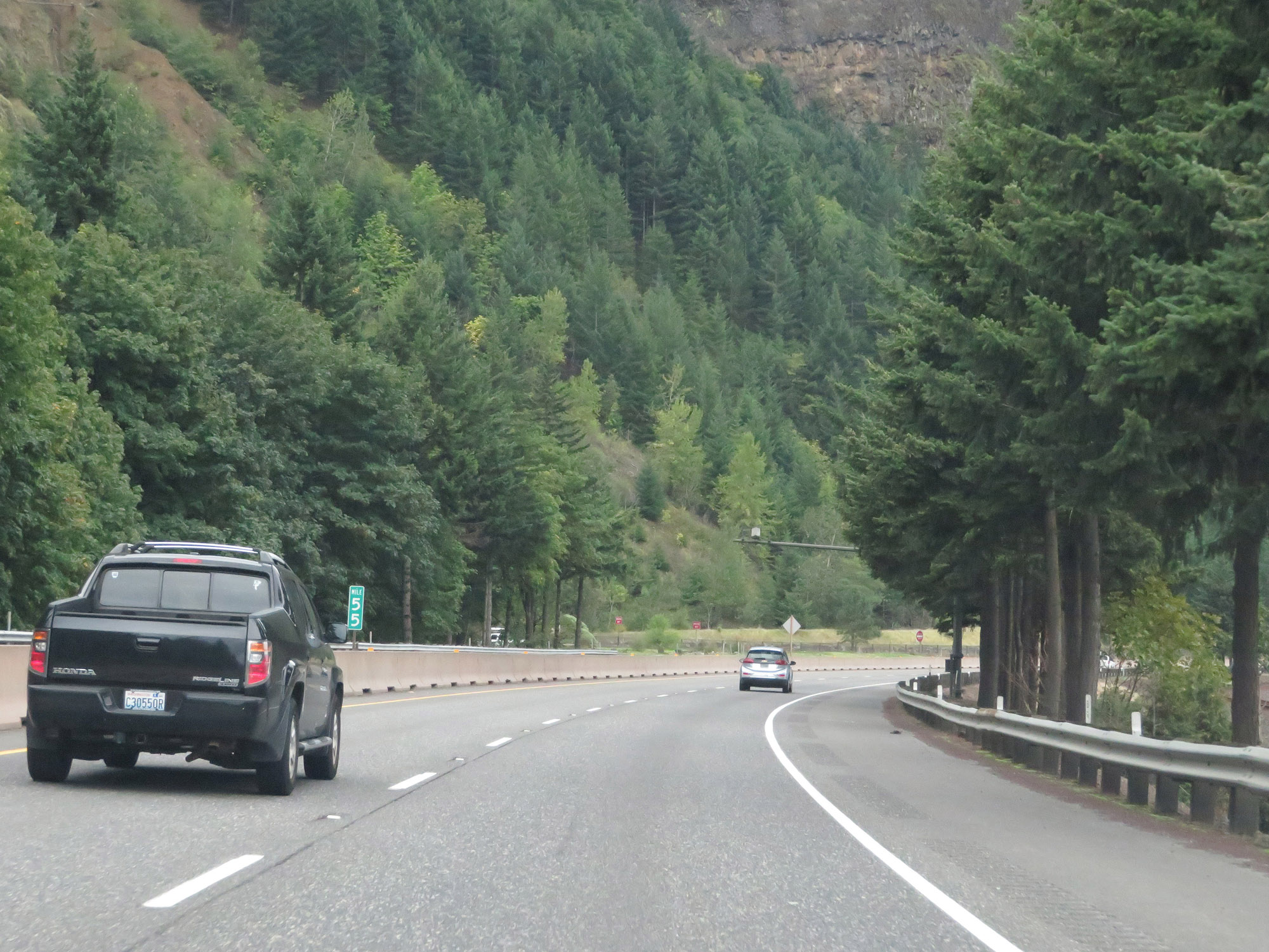 |
View on Interstate 84 West at mile marker 55. (Photo taken 9/26/19). |
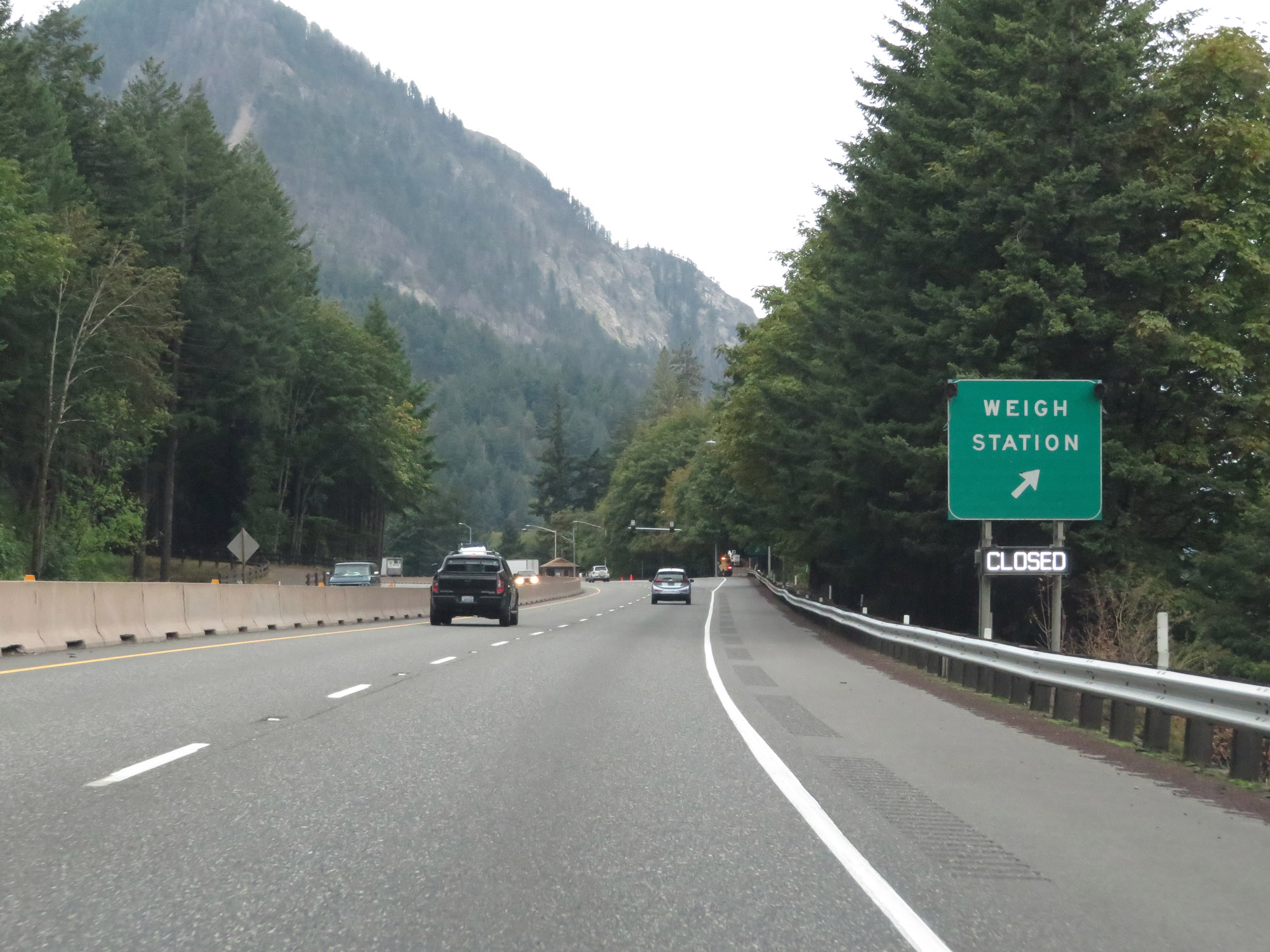 |
Weigh Station on Interstate 84 West in Hood River County. (Photo taken 9/26/19). |
 |
A closer view of the Weigh Station in Hood River County. (Photo taken 9/26/19). |
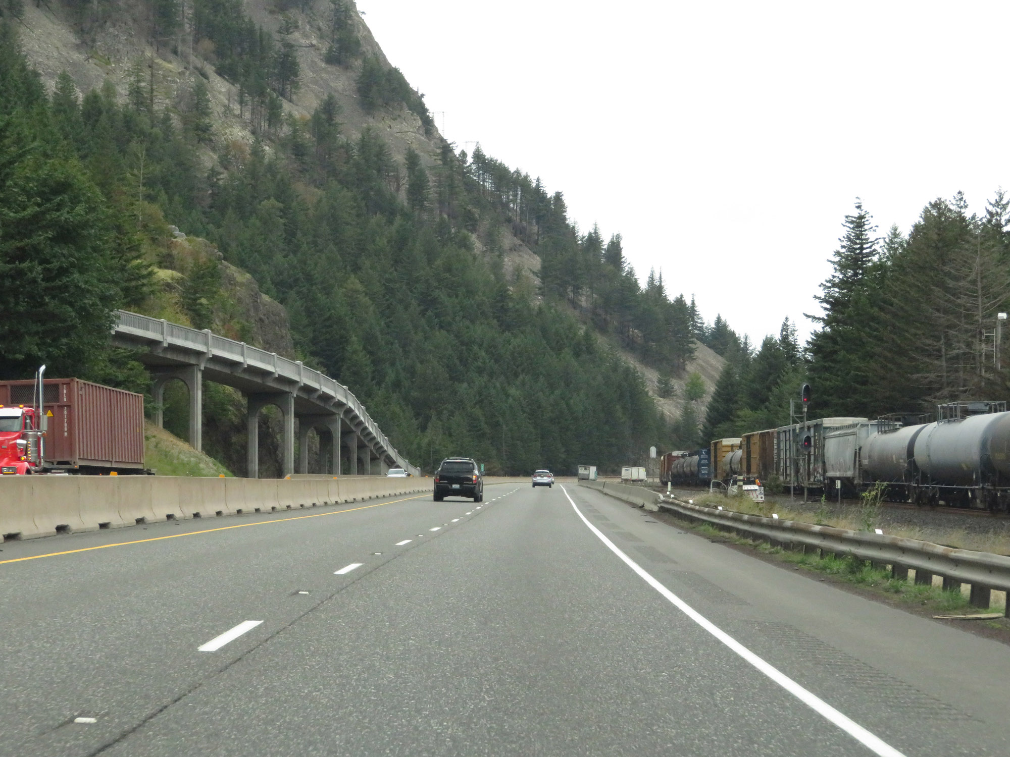 |
View on Interstate 84 West, as we see the Union Pacific railroad pushed up closer to I-84. (Photo taken 9/26/19). |
 |
Interstate 84 West at mile marker 52. (Photo taken 9/26/19). |
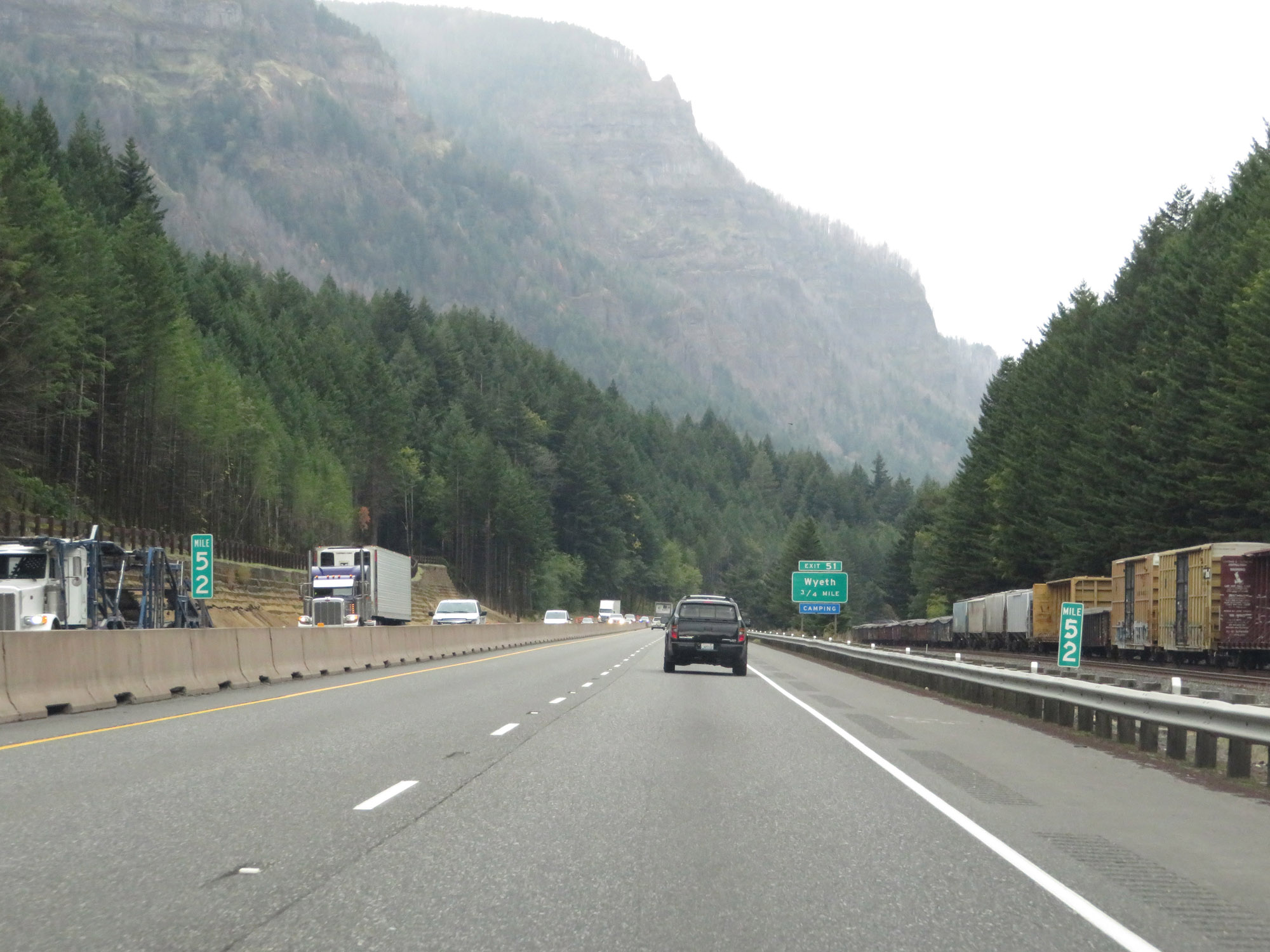
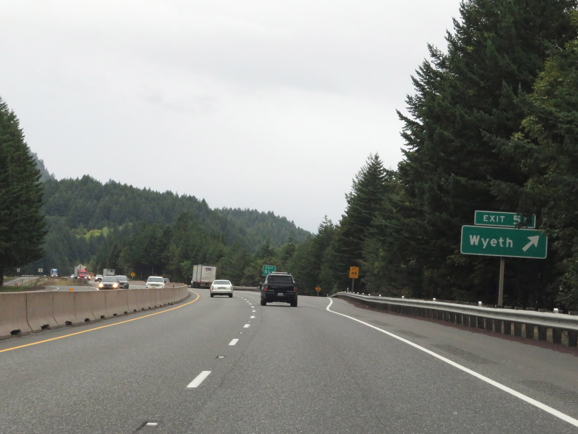 |
Interstate 84 West at Exit 51: Wyeth (Photo taken 9/26/19). |
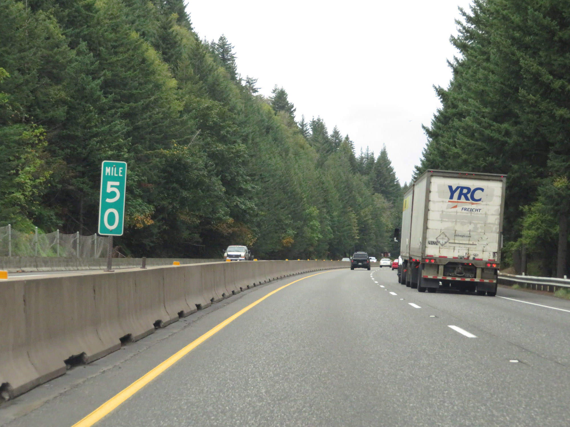 |
View on Interstate 84 West at mile marker 50. (Photo taken 9/26/19). |
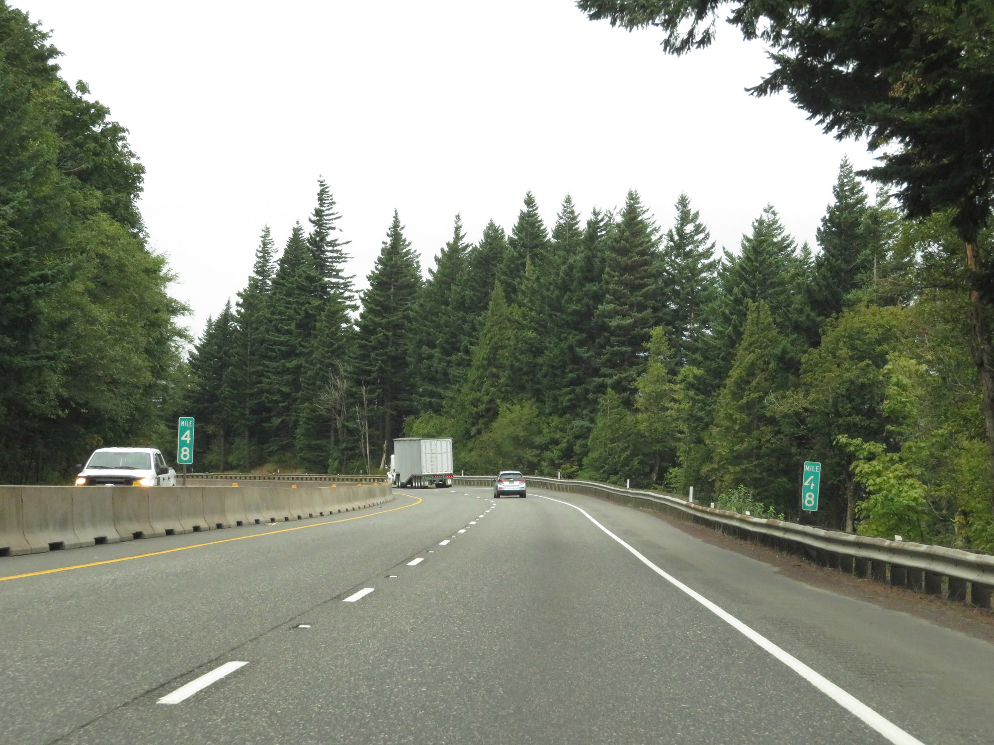 |
Interstate 84 West at mile marker 48. (Photo taken 9/26/19). |
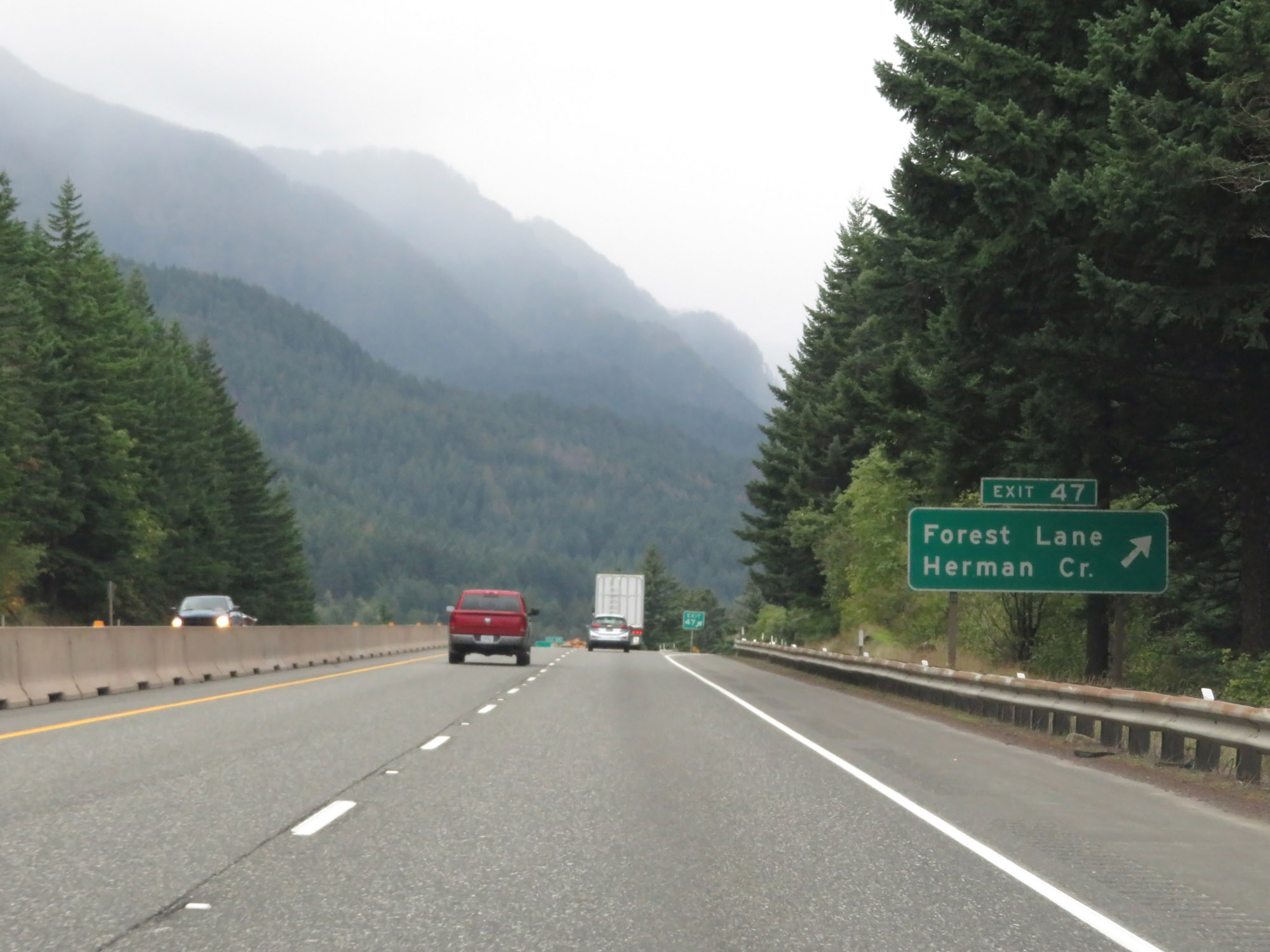 |
Interstate 84 West at Exit 47: Forest Lane / Herman Creek (Photo taken 9/26/19). |
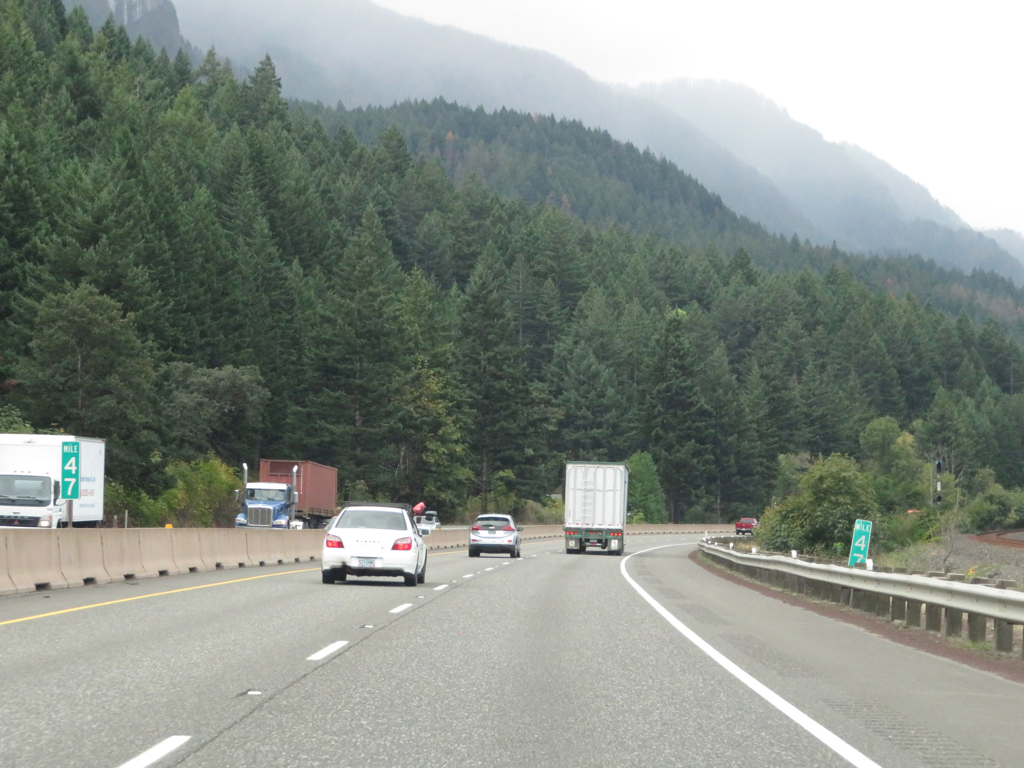 |
View on Interstate 84 West at mile marker 47. (Photo taken 9/26/19). |
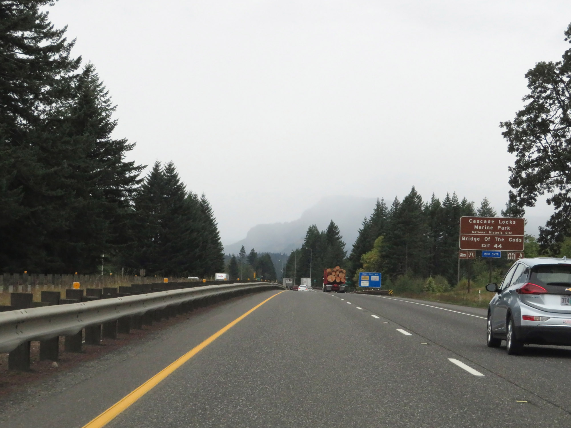 |
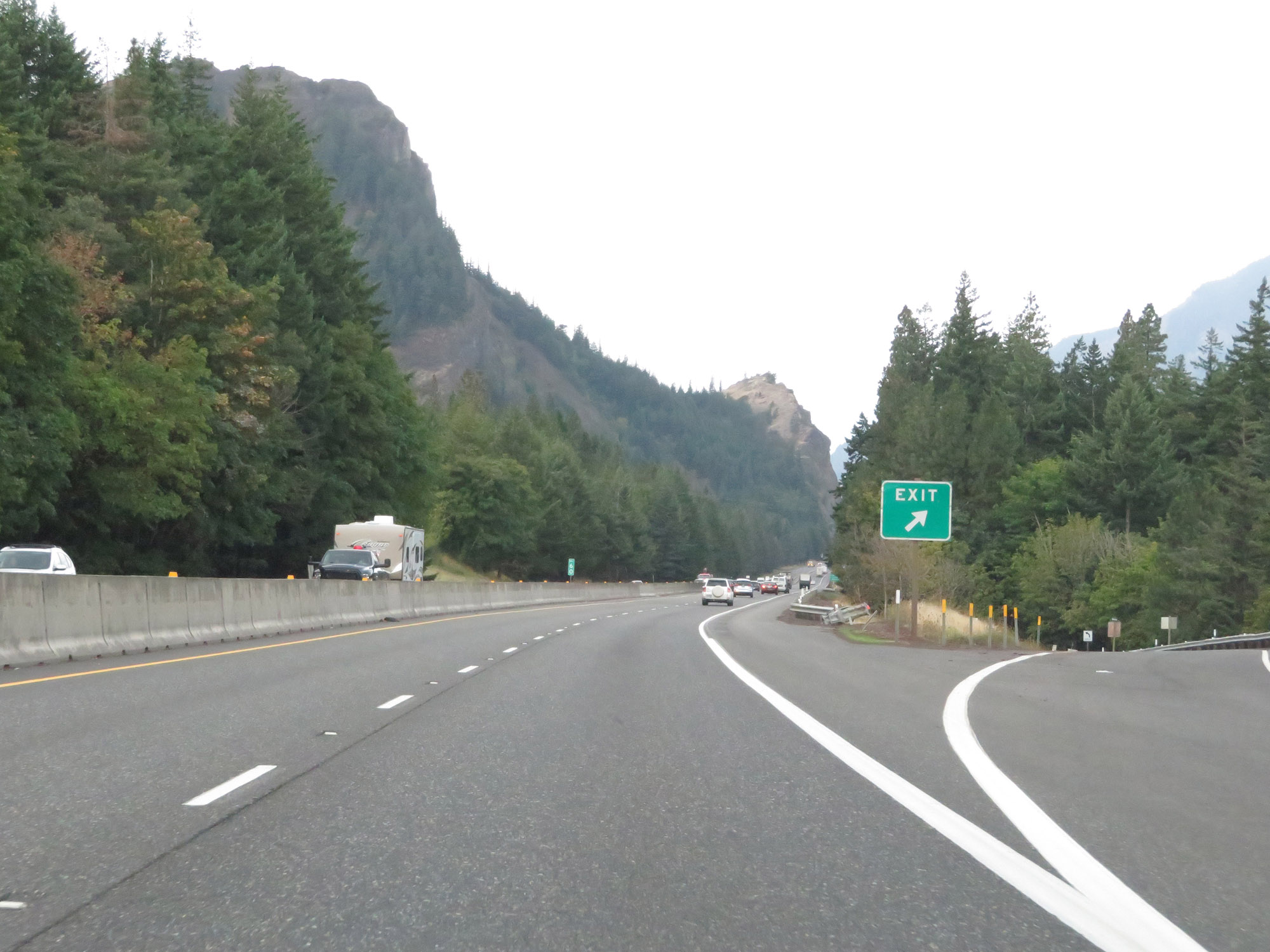
Take Exit 44 to Cascade Locks Marine Park National Historic Site and Bridge Of The Gods. (Photo taken 9/26/19). |
 |
Interstate 84 West at Exit 44: US 30 - Cascade Locks (Photo taken 9/26/19). |
Section 7: Cascade Locks (Exit 44) to Portland
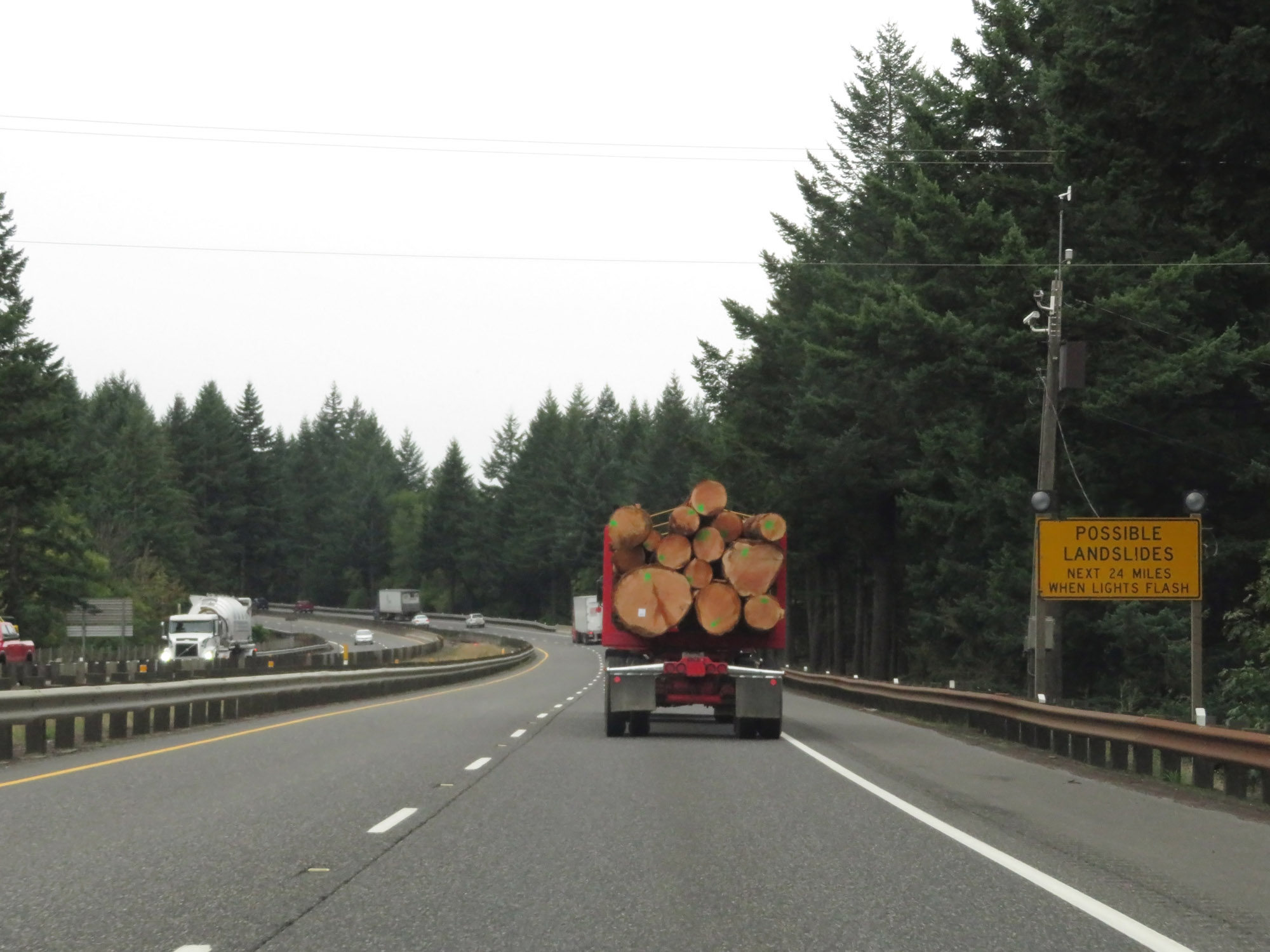 |
This sign warns that landslides are possible for the next 24 miles when its lights are flashing. Given the tight corridor of I-84 with steep mountainous terrain directly to the south of it, this doesn't come as much of a surprise. (Photo taken 9/26/19). |
 |
Interstate 84 West at mile marker 43. (Photo taken 9/26/19). |
 |
Interstate 84 West as it enters Multnomah County, where it will stay for the remainder of its length. (Photo taken 9/26/19). |
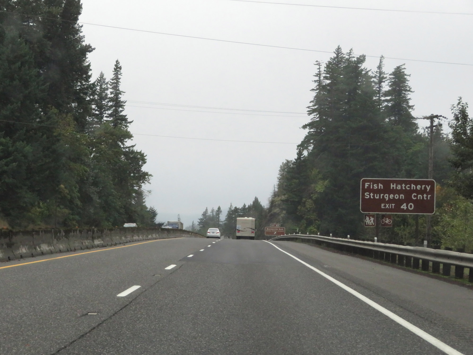 |
Take Exit 40 to the Fish Hatchery and Sturgeon Center. (Photo taken 9/26/19). |
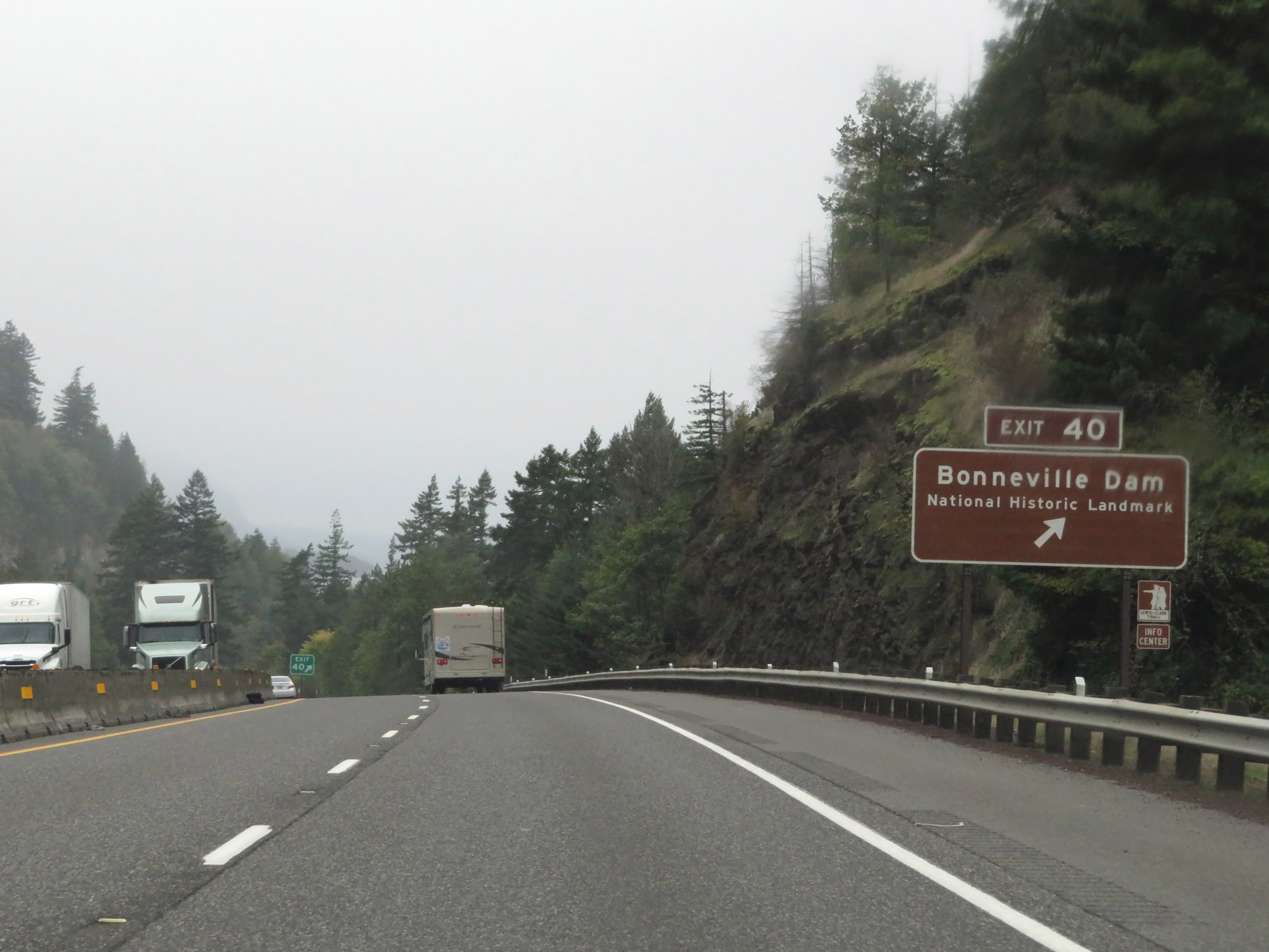 |
Interstate 84 West at Exit 40: Bonneville Dam National Historic Landmark (Photo taken 9/26/19). |
 |
The speed limits remain 65 mph for automobiles and 60 mph for trucks. (Photo taken 9/26/19). |
 |
Interstate 84 West at mile marker 39. (Photo taken 9/26/19). |
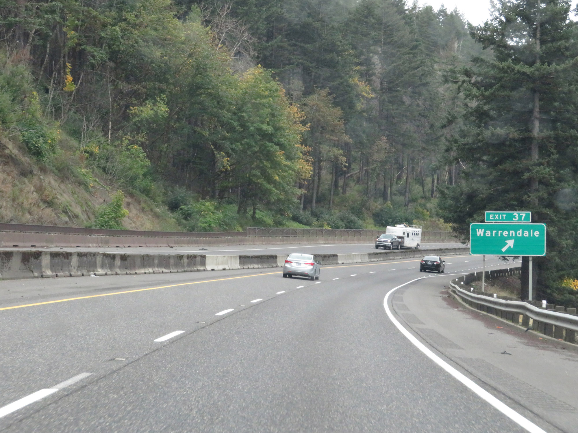 |
Interstate 84 West at Exit 37: Warrendale (Photo taken 9/26/19). |
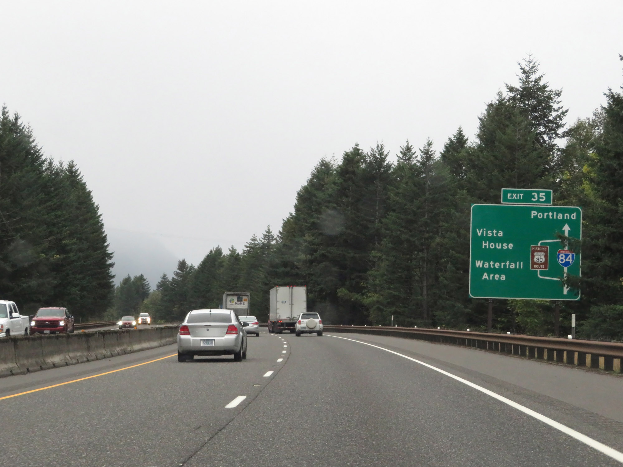 |
This sign shows the layout of US 30 in relation to Interstate 84 West. Take Exit 35 to the Waterfall Area and Vista House via Old US 30. (Photo taken 9/26/19). |
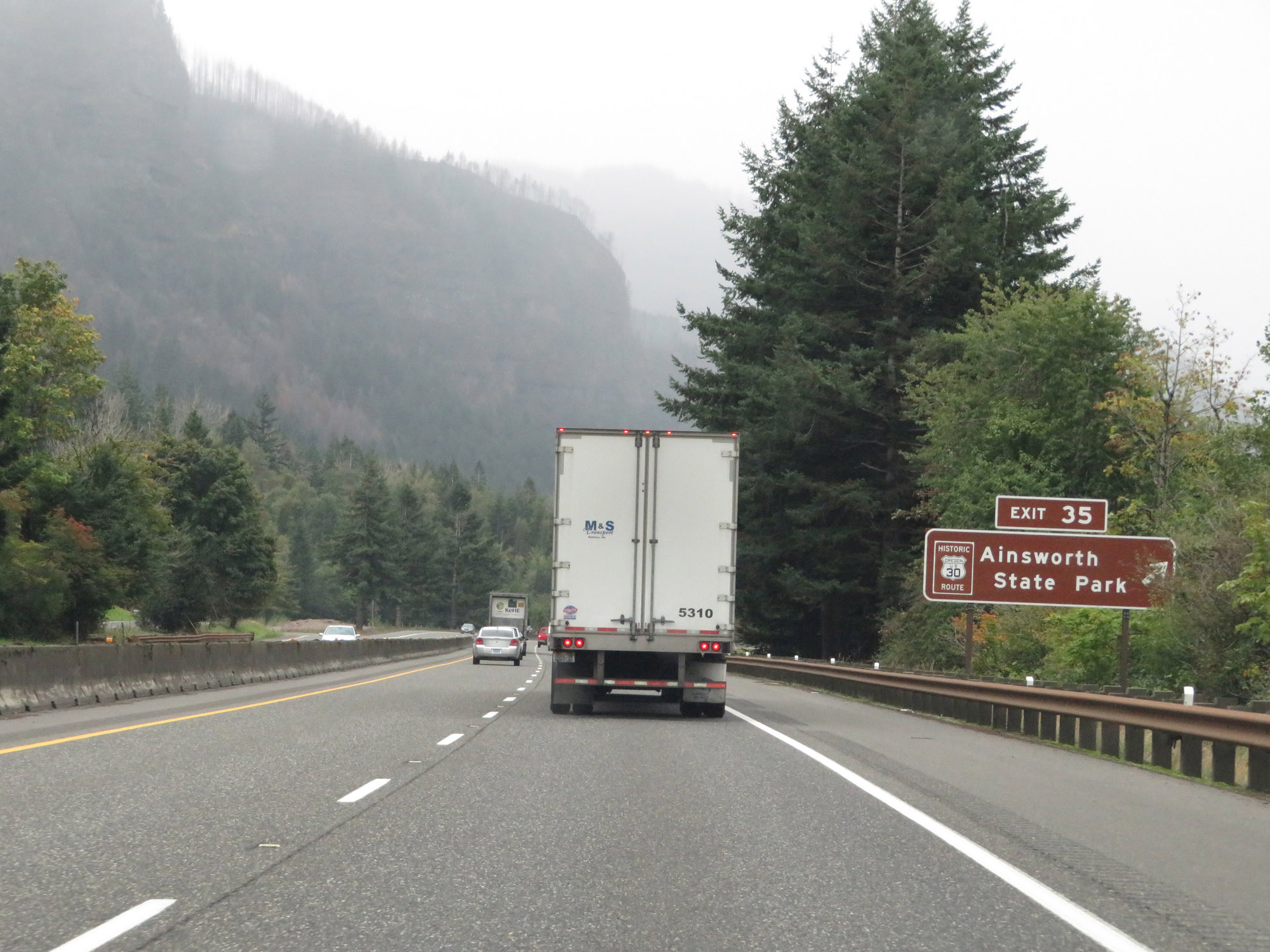 |
Interstate 84 West at Exit 35: Old US 30 - Ainsworth State Park (Photo taken 9/26/19). |
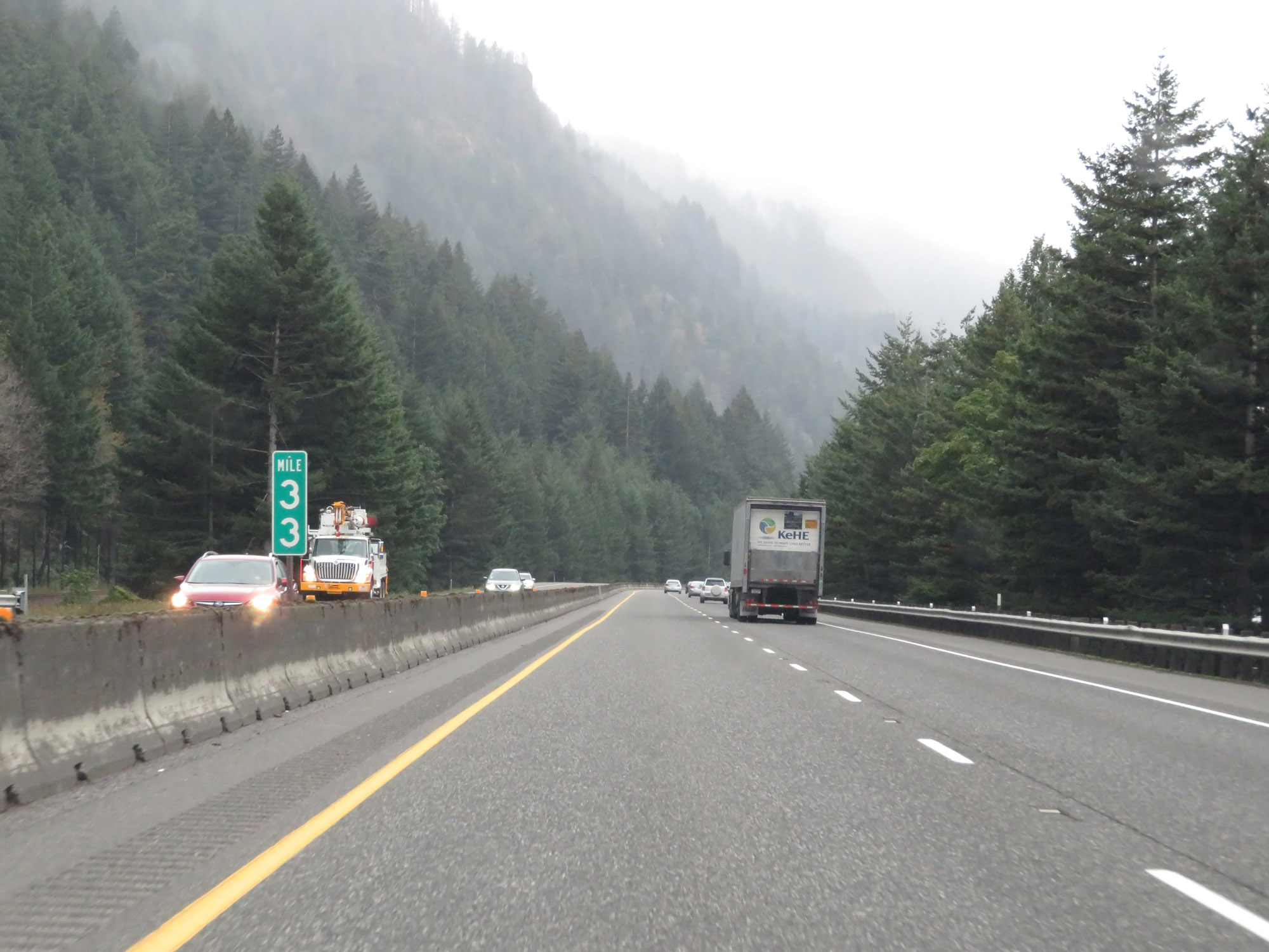 |
View on Interstate 84 West at mile marker 33. (Photo taken 9/26/19). |
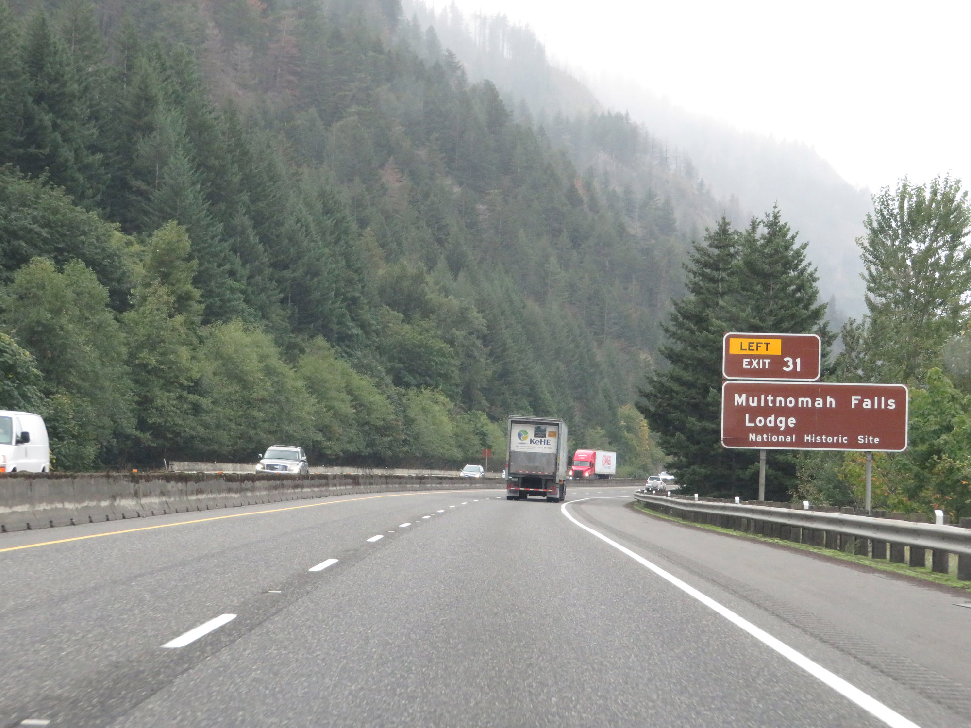 |
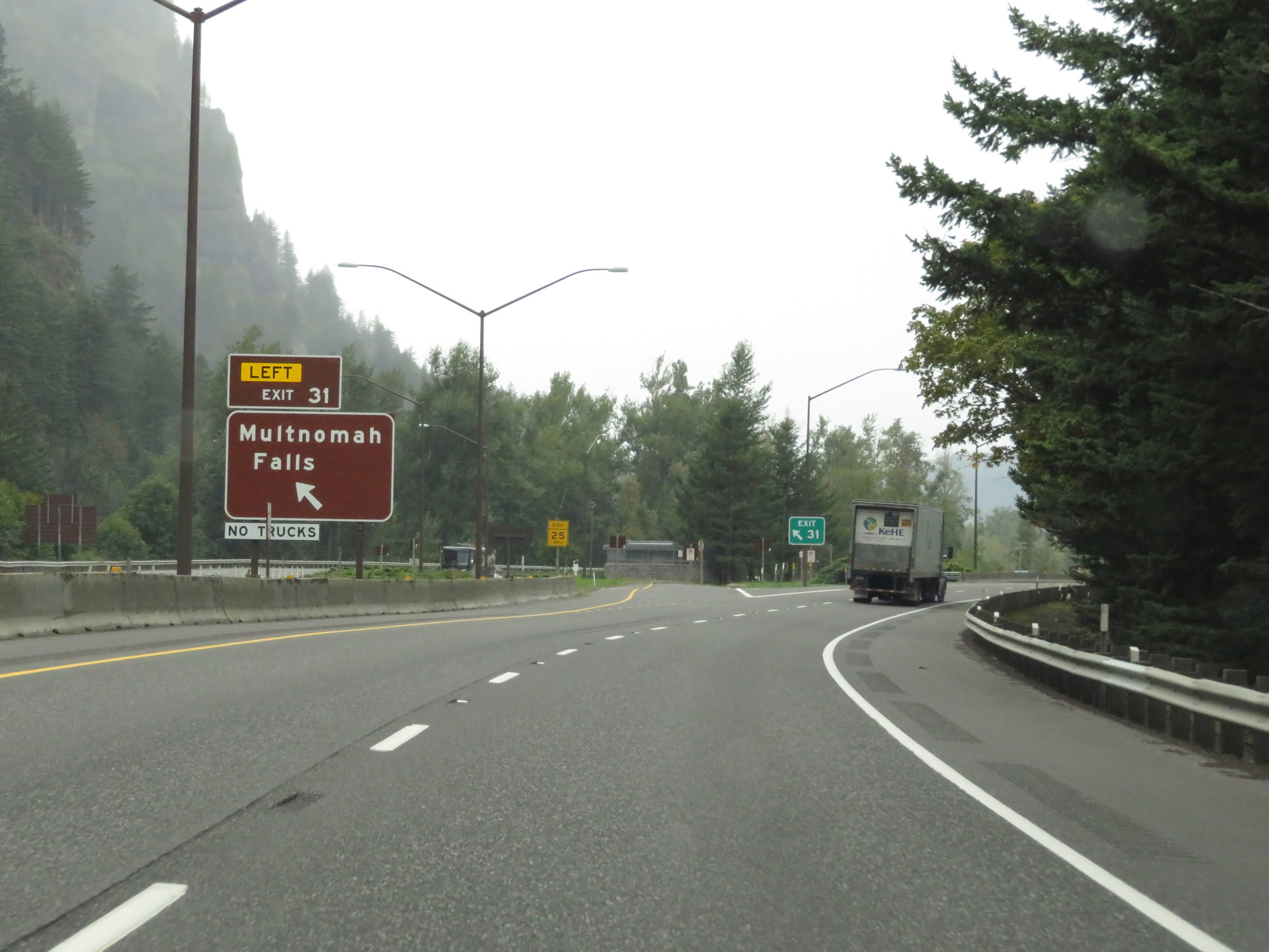
Take Exit 31 (on the left) to Multnomah Falls Lodge National Historic Site. (Photo taken 9/26/19). |
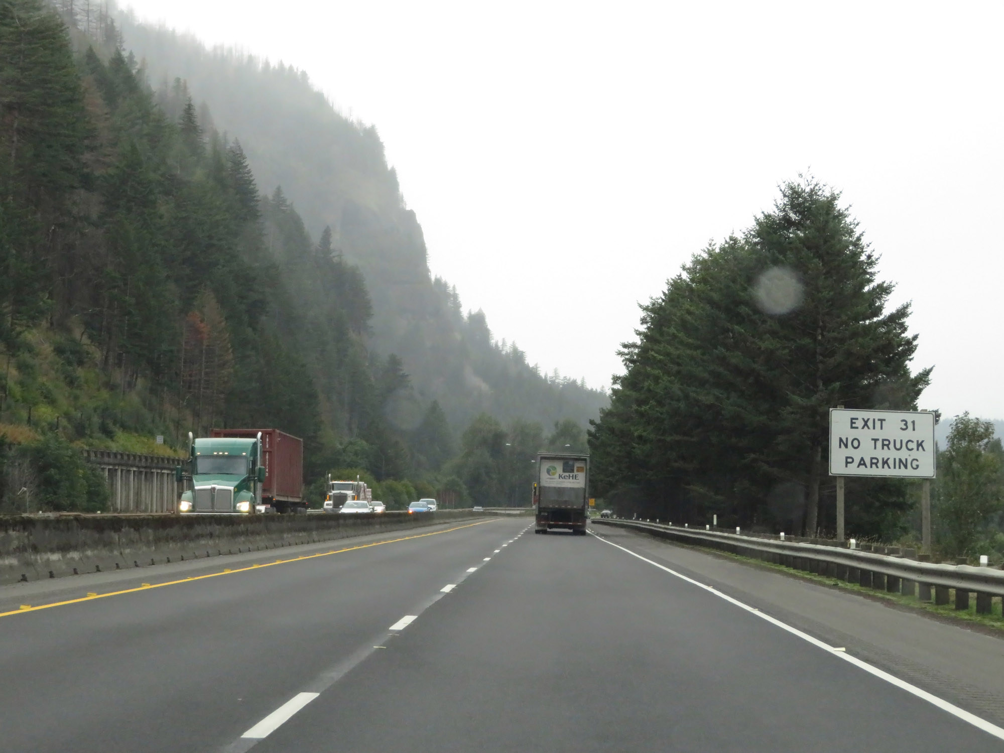 |
No truck parking is available off Exit 31. (Photo taken 9/26/19). |
 |
Interstate 84 West at Exit 31: Multnomah Falls (Photo taken 9/26/19). |
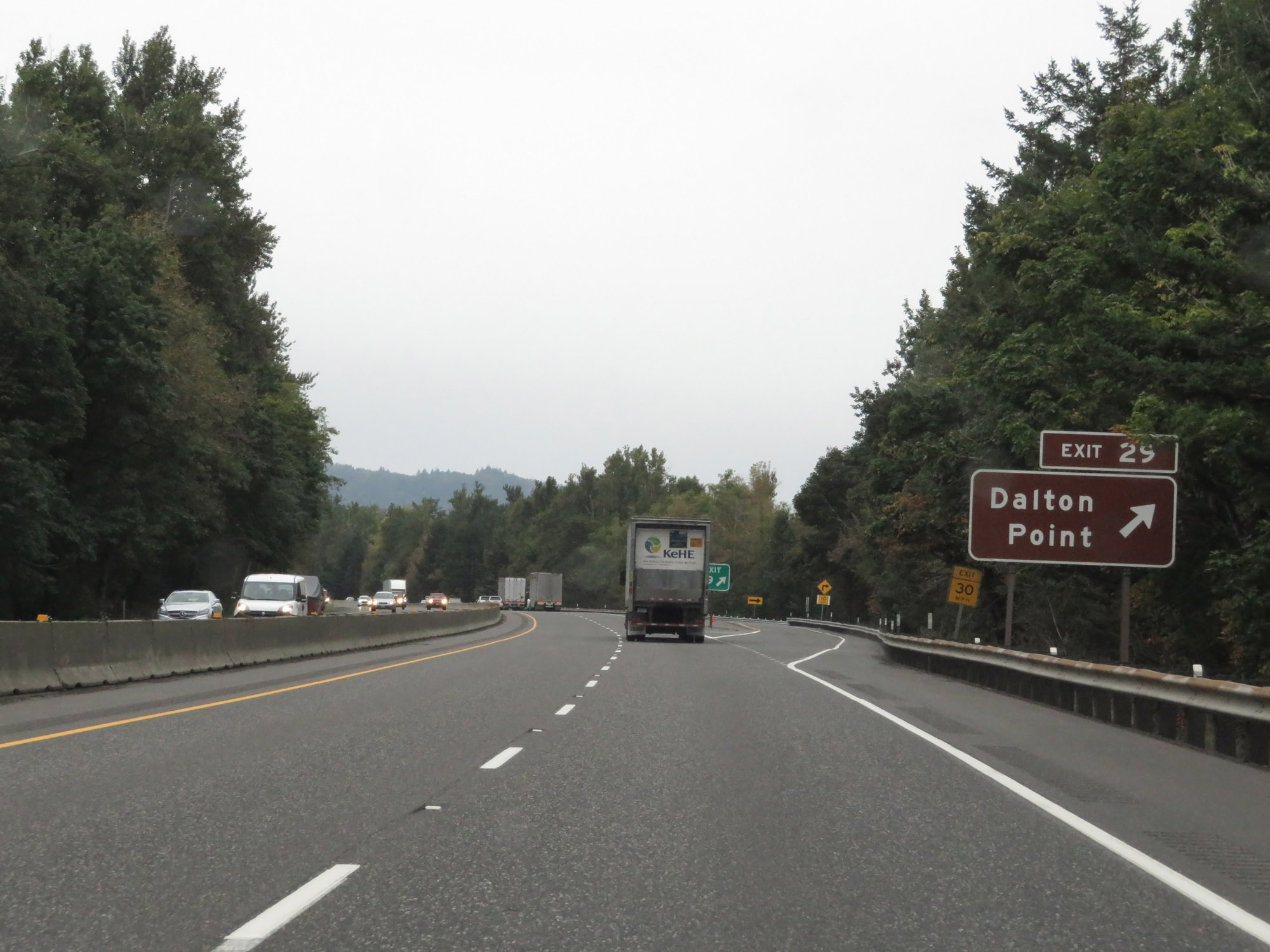 |
Interstate 84 West at Exit 29: Dalton Point (Photo taken 9/26/19). |
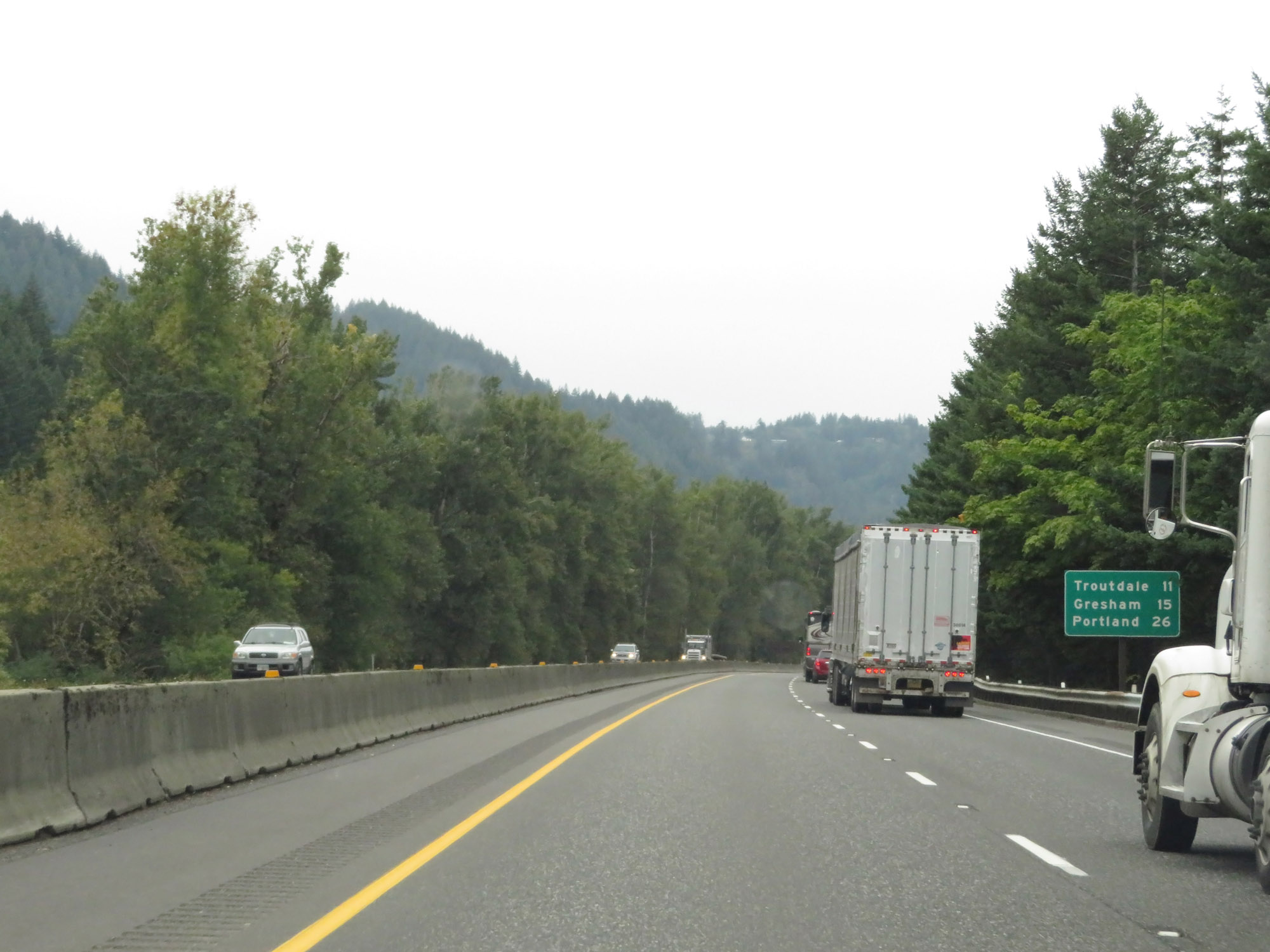 |
Mileage sign on Interstate 84 West. It's 11 miles to Troutdale, 15 miles to Gresham, and 26 miles to Portland. (Photo taken 9/26/19). |
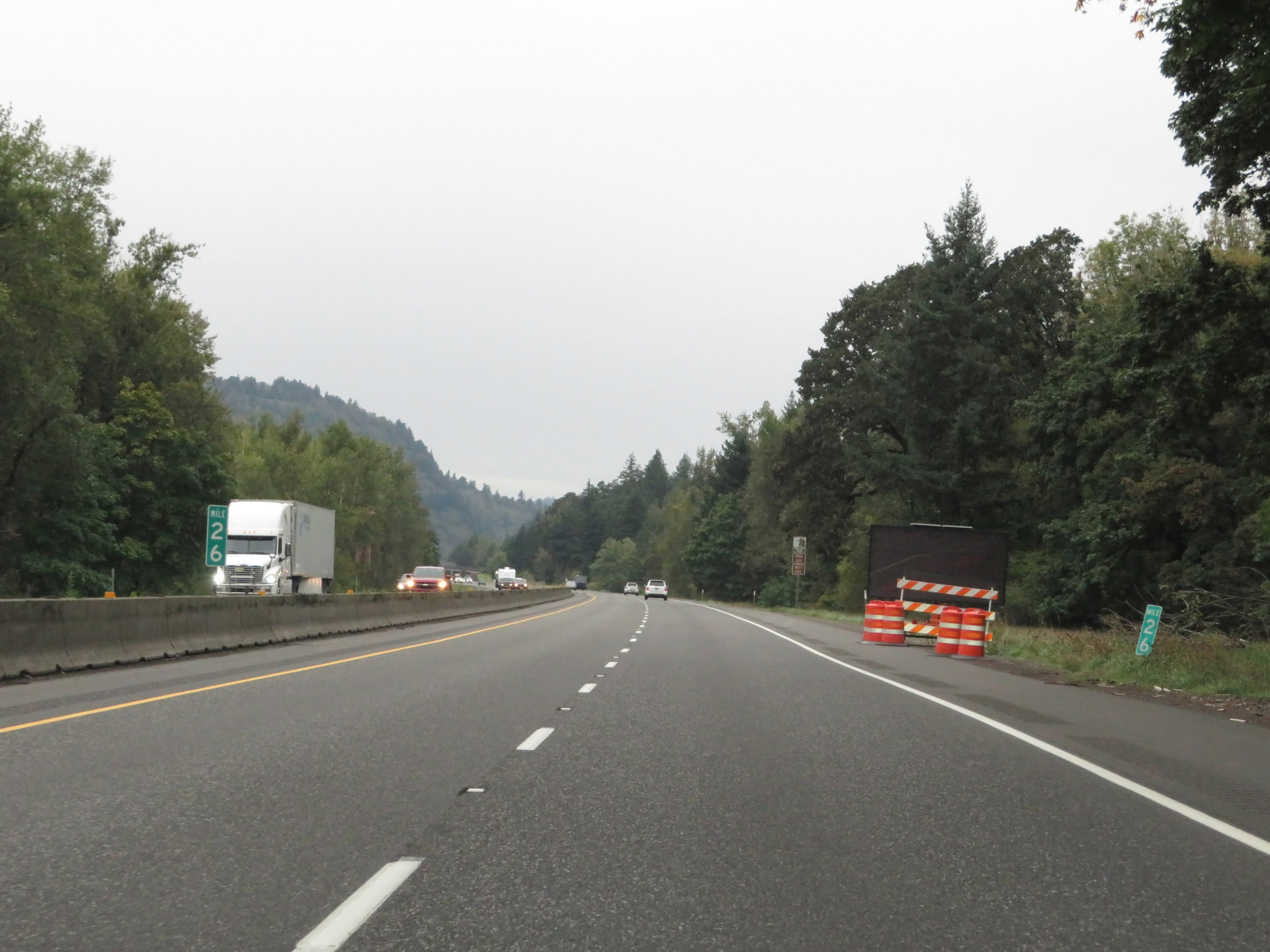 |
View on Interstate 84 West at mile marker 26. (Photo taken 9/26/19). |
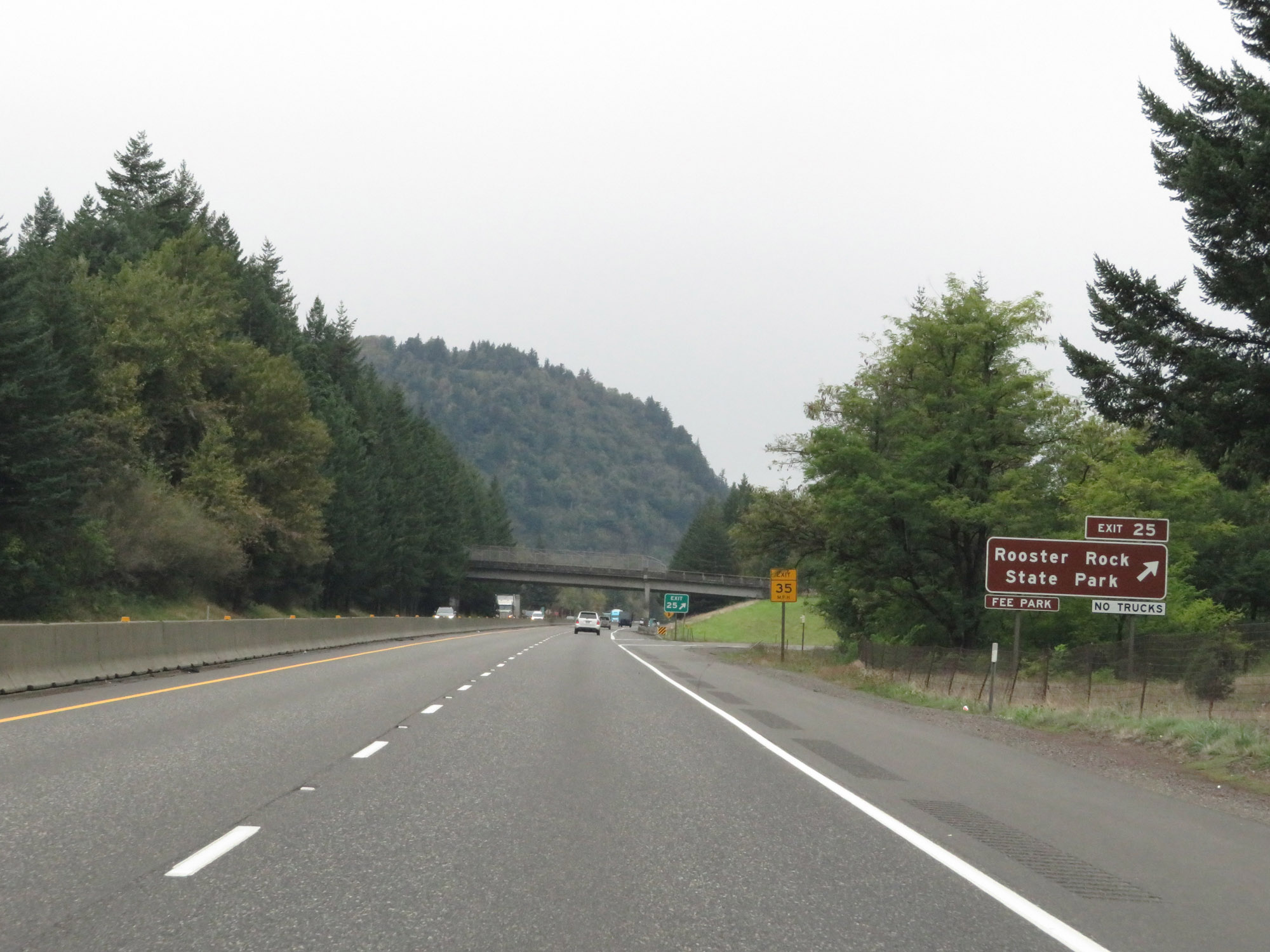 |
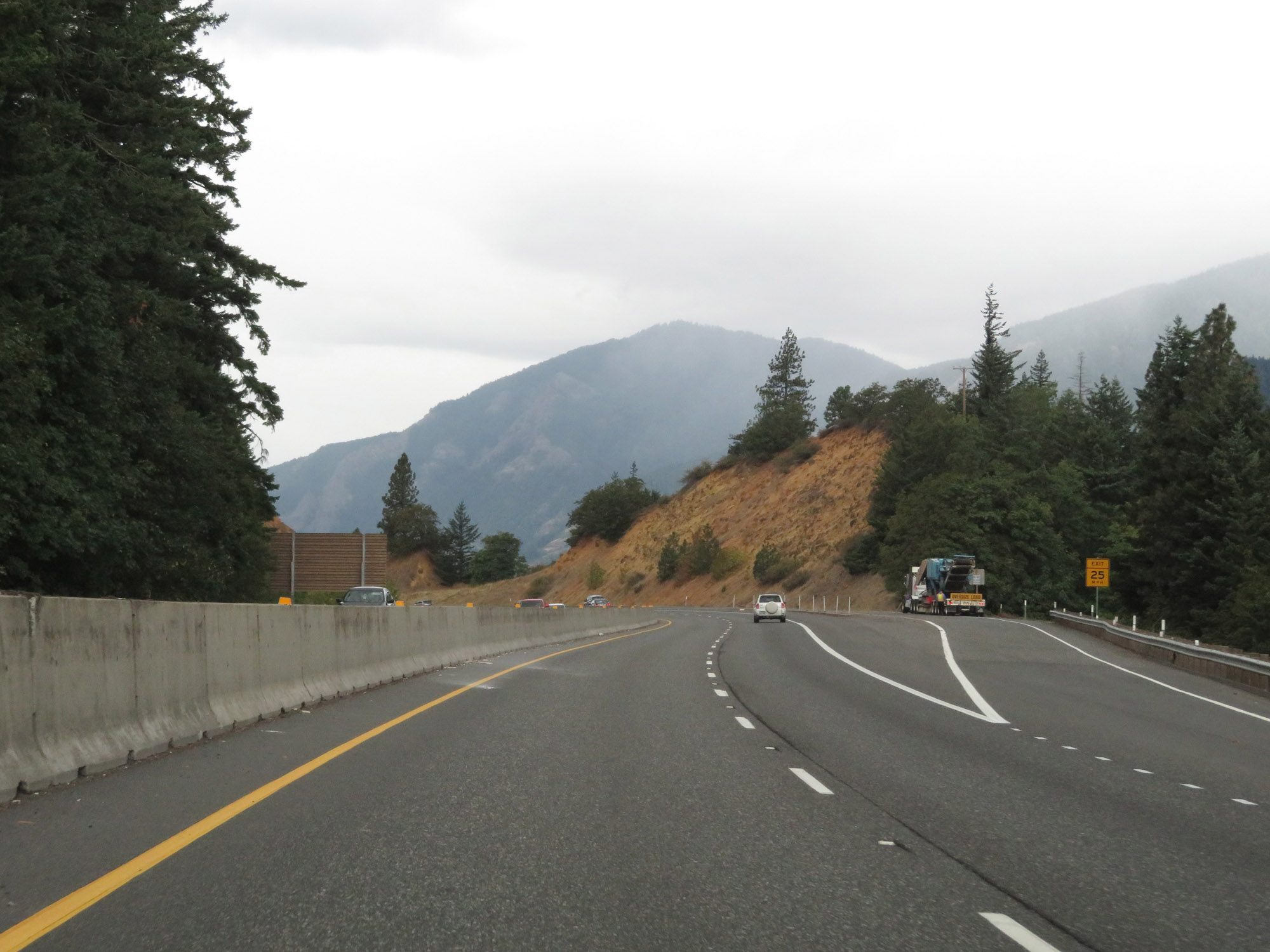
Interstate 84 West at Exit 25: Rooster Rock State Park (Photo taken 9/26/19). |
 |
Interstate 84 West / US 30 West reassurance shields. (Photo taken 9/26/19). |
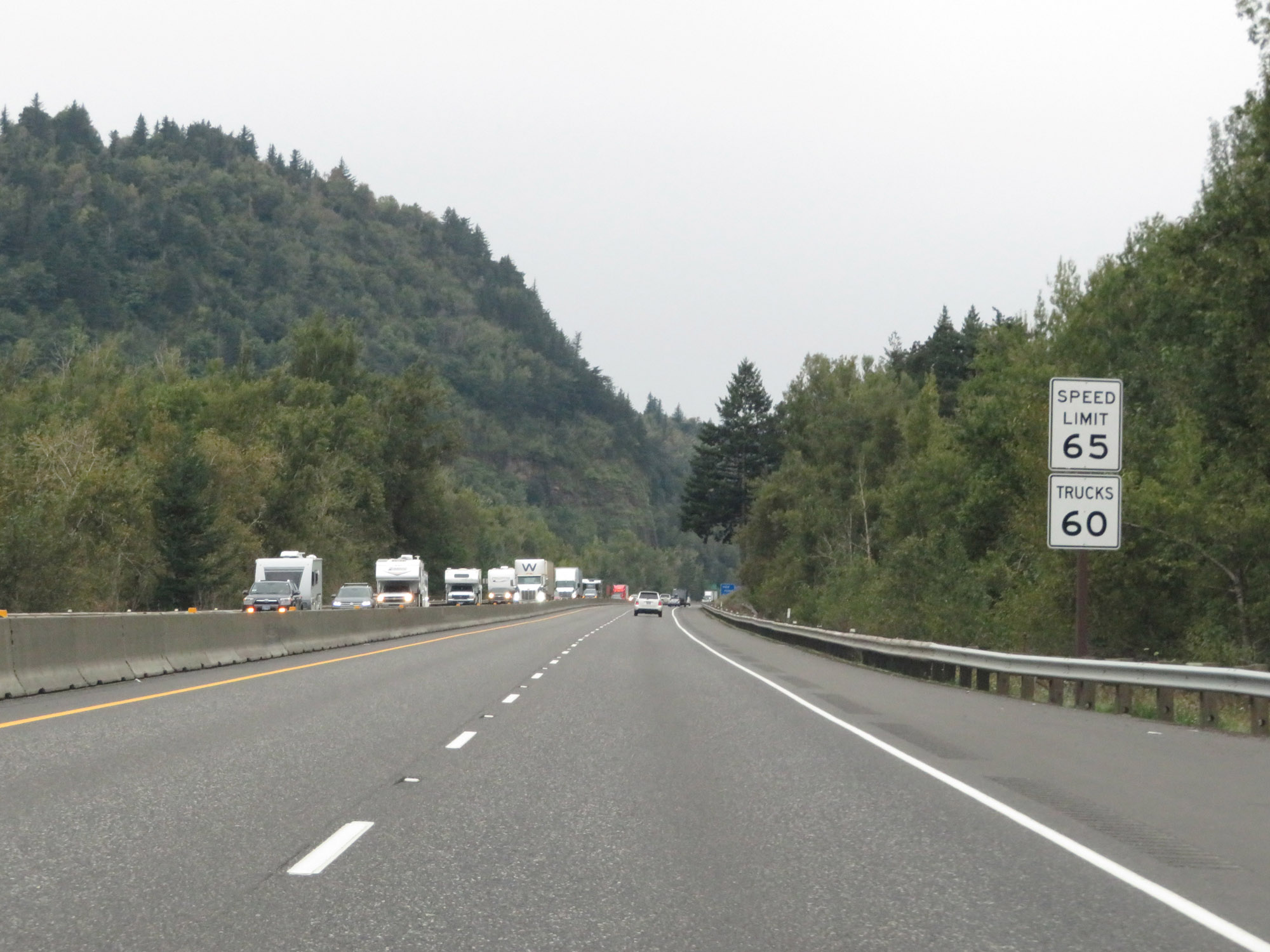 |
The speed limits remain 65 mph for automobiles and 60 mph for trucks. (Photo taken 9/26/19). |
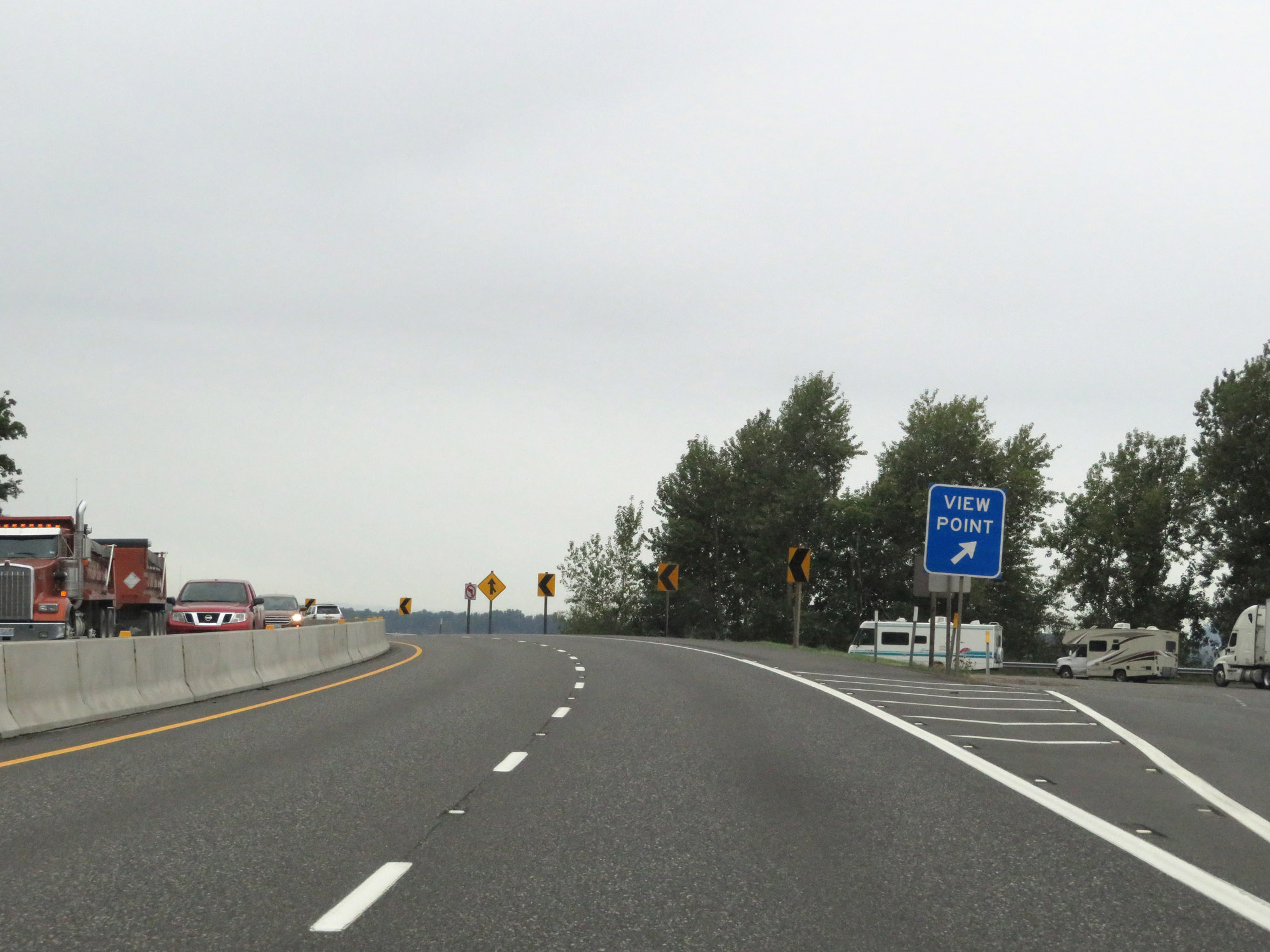 |
View Point for the Columbia River Gorge on Interstate 84 West in Multnomah County. (Photo taken 9/26/19). |
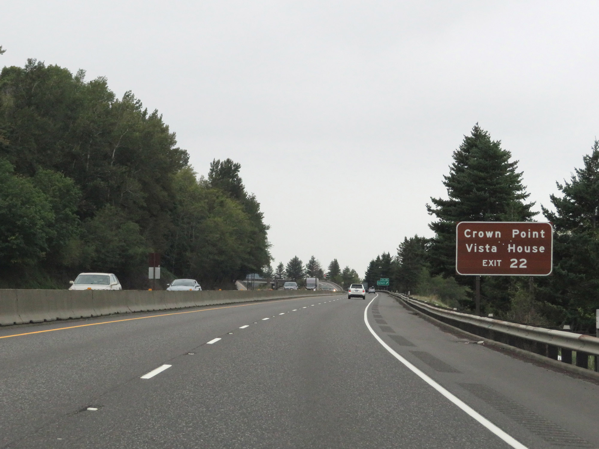 |
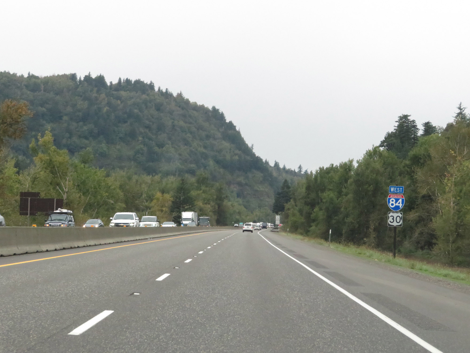
Take Exit 22 to Crown Point Vista House. (Photo taken 9/26/19). |
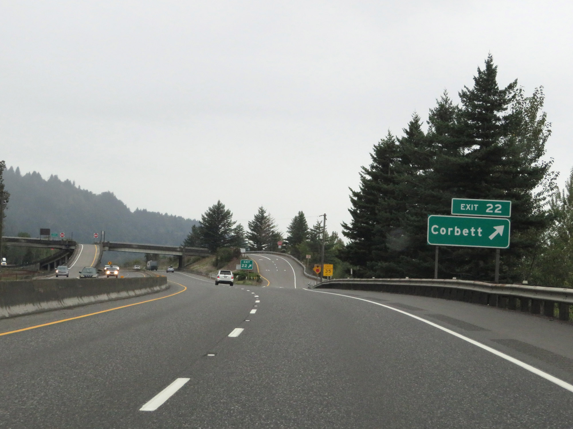 |
Interstate 84 West at Exit 22: Corbett (Photo taken 9/26/19). |
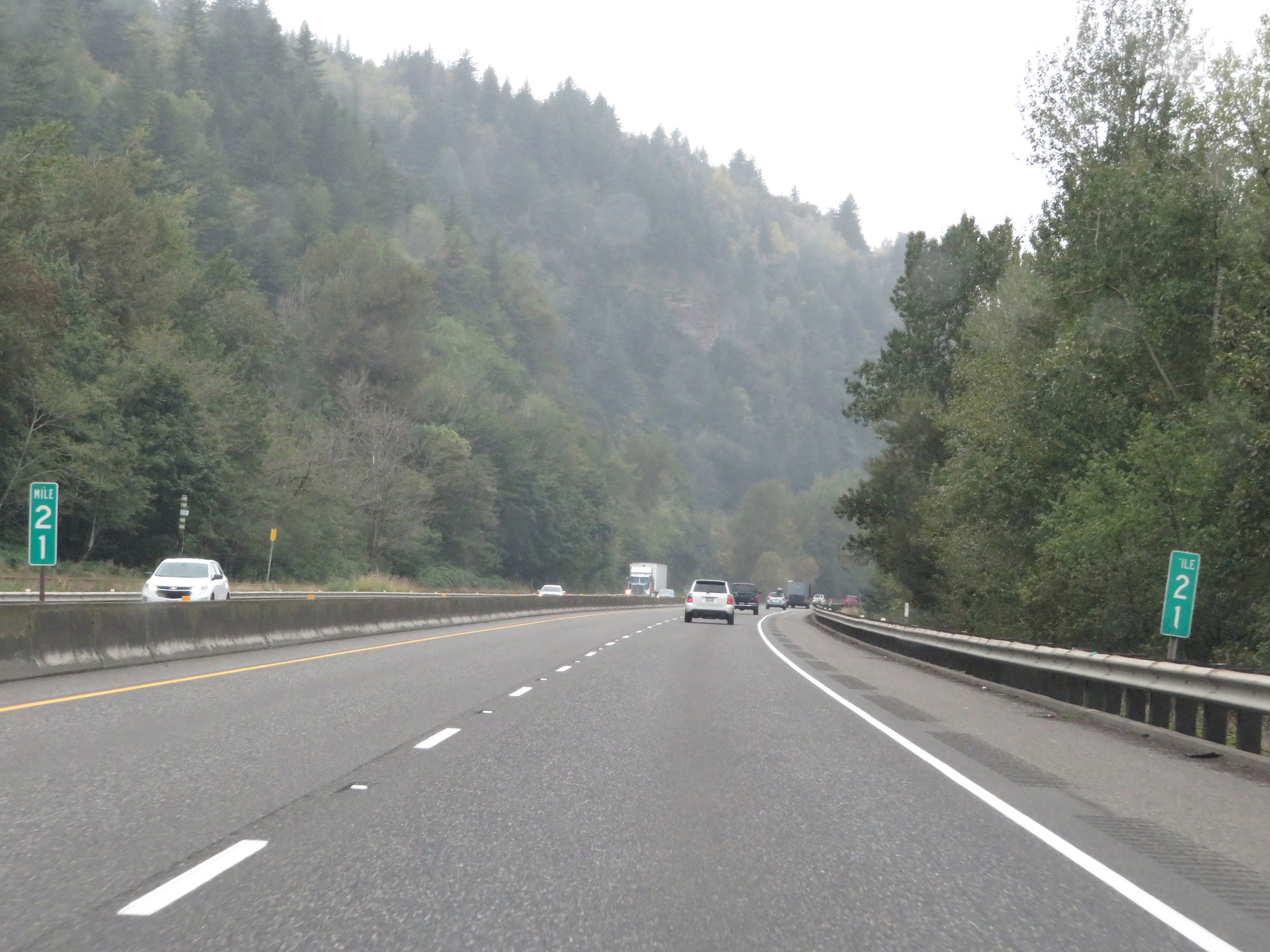 |
View on Interstate 84 West at mile marker 21. (Photo taken 9/26/19). |
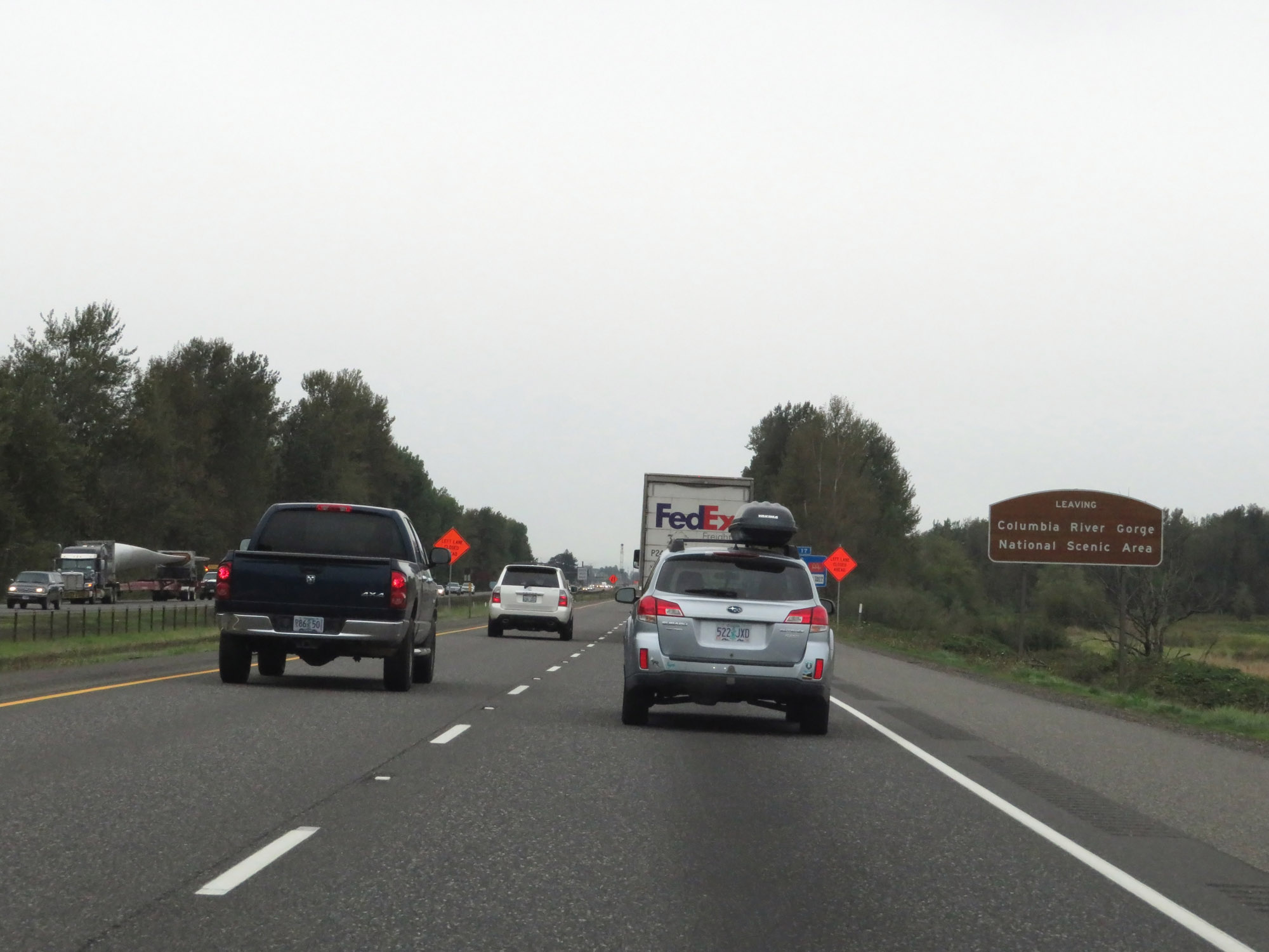 |
Near mile marker 20, this sign states that Interstate 84 West is now leaving the Columbia River Gorge National Scenic Area. (Photo taken 9/26/19). |
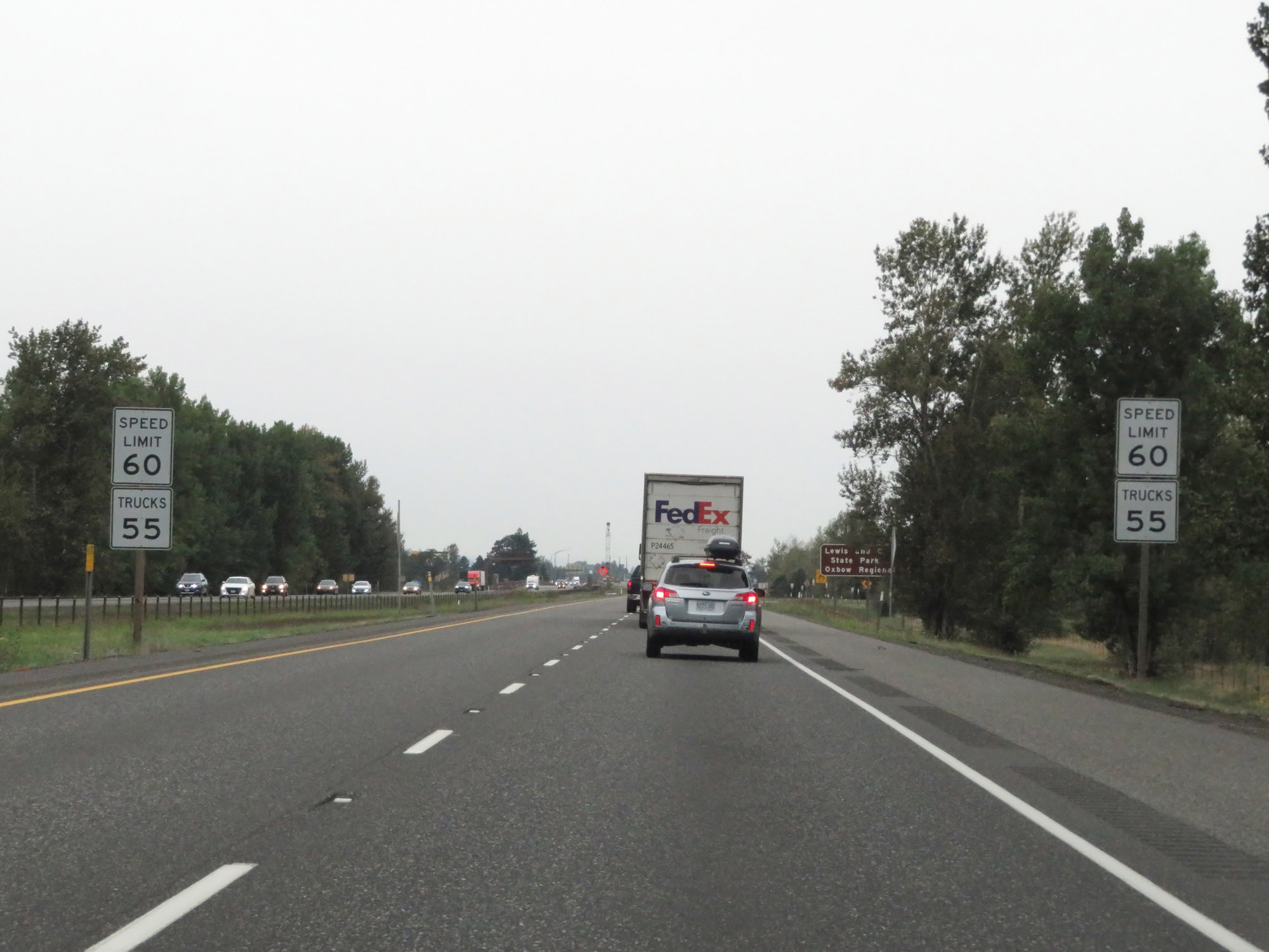 |
As Interstate 84 West nears Troutville, the speed limits decrease to 60 mph for cars and 55 mph for trucks. (Photo taken 9/26/19). |
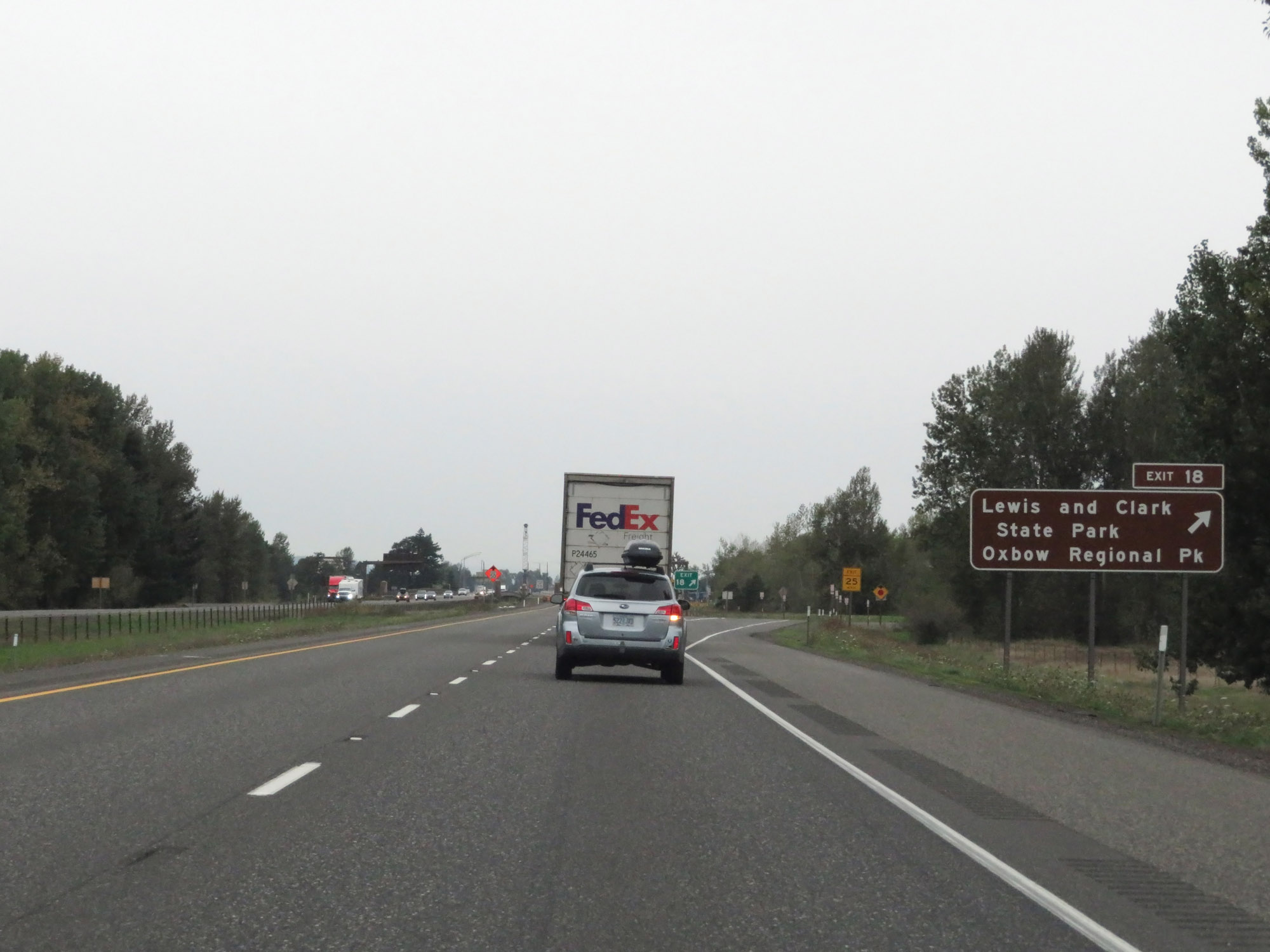 |
Interstate 84 West at Exit 18: Lewis and Clark State Park / Oxbow Regional Park (Photo taken 9/26/19). |
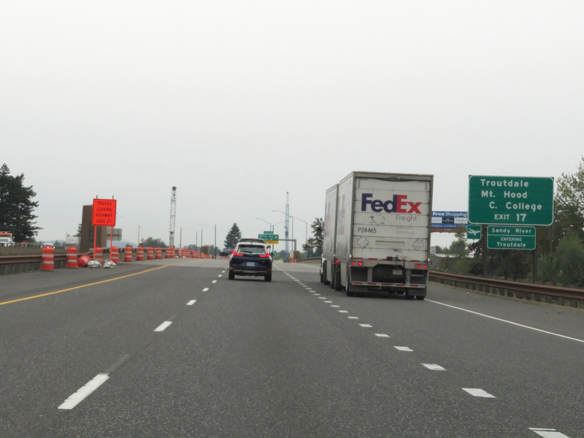 |
Take Exit 17 to Troutdale and Mt. Hood Community College. (Photo taken 9/26/19). |
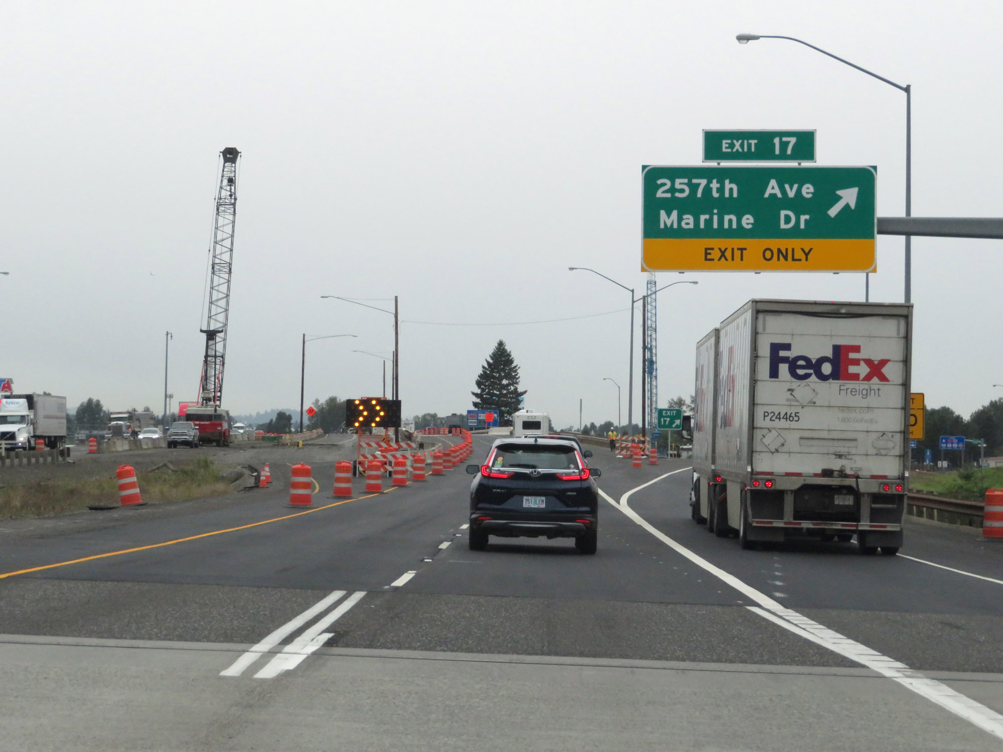 |
Interstate 84 West at Exit 17: 257th Ave / Marine Dr (Photo taken 9/26/19). |
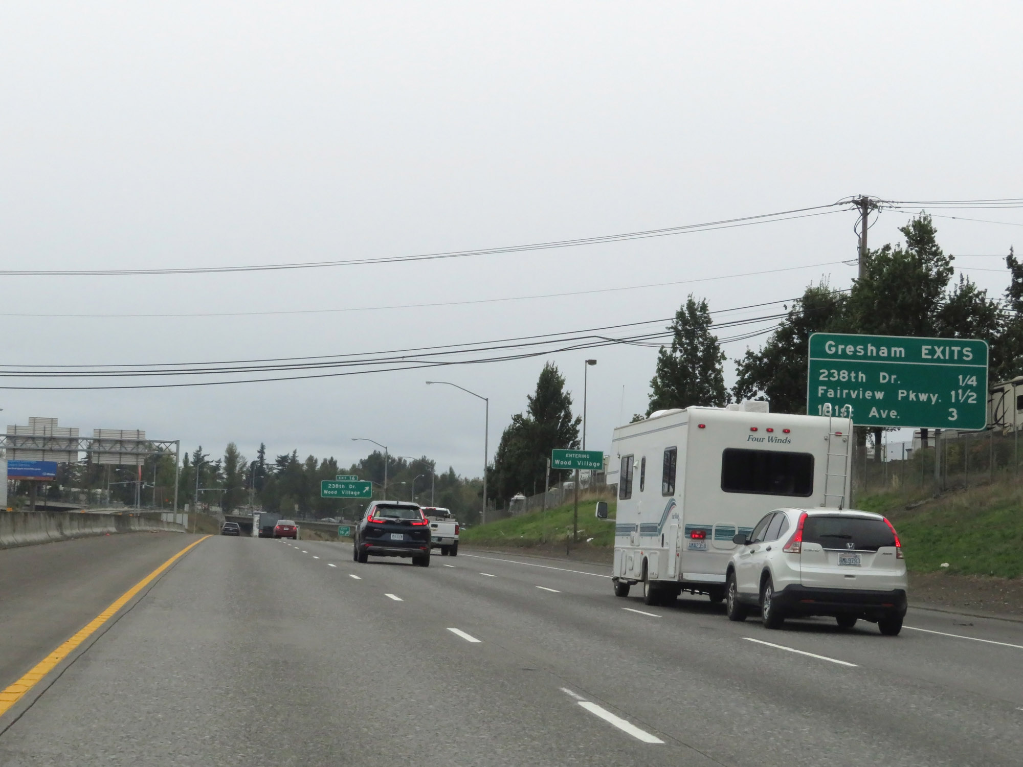 |
Mileage sign listing the distances to the three upcoming exits to Gresham. (Photo taken 9/26/19). |
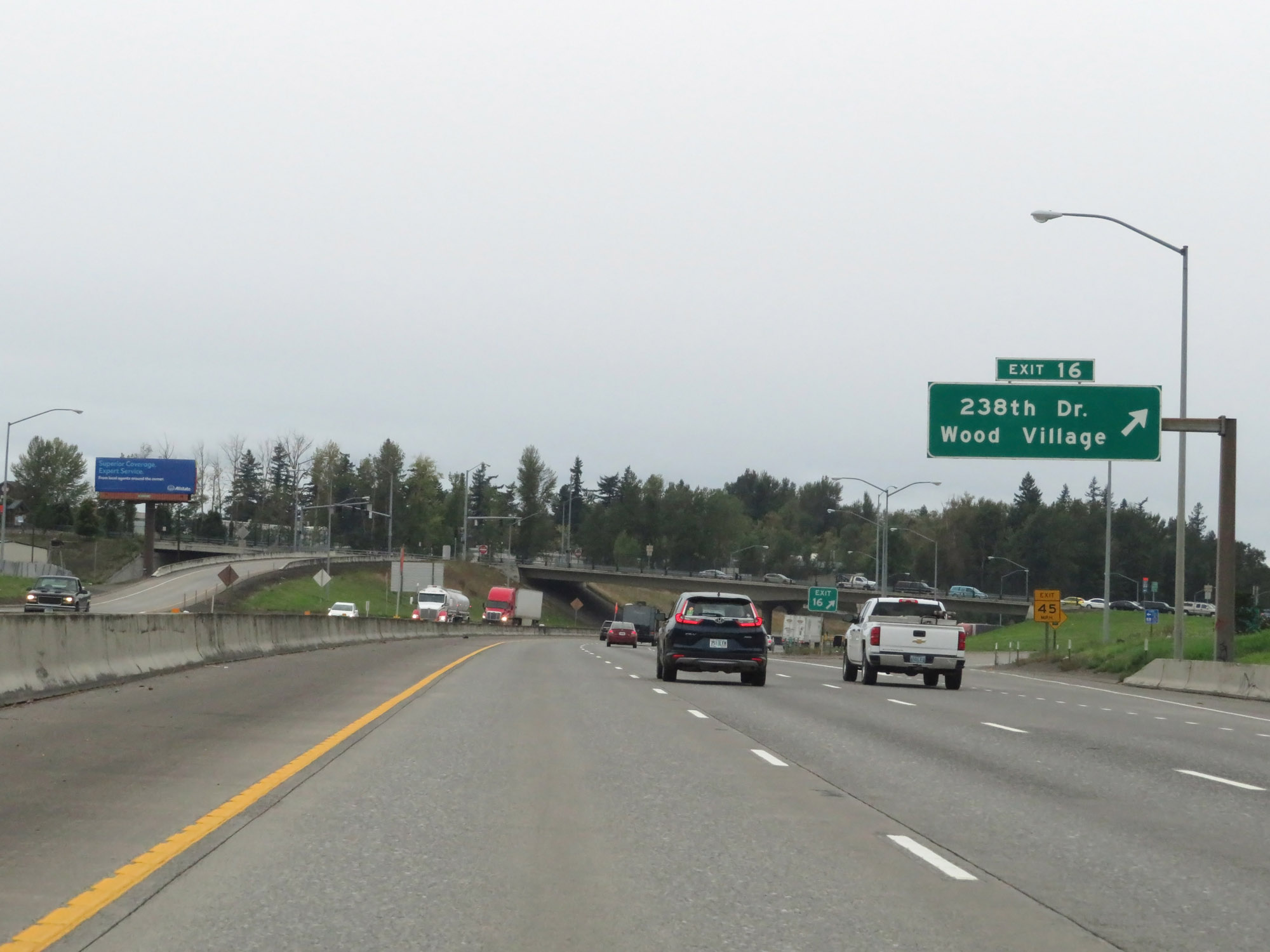 |
Interstate 84 West at Exit 16: 238th Dr / Wood Village (Photo taken 9/26/19). |
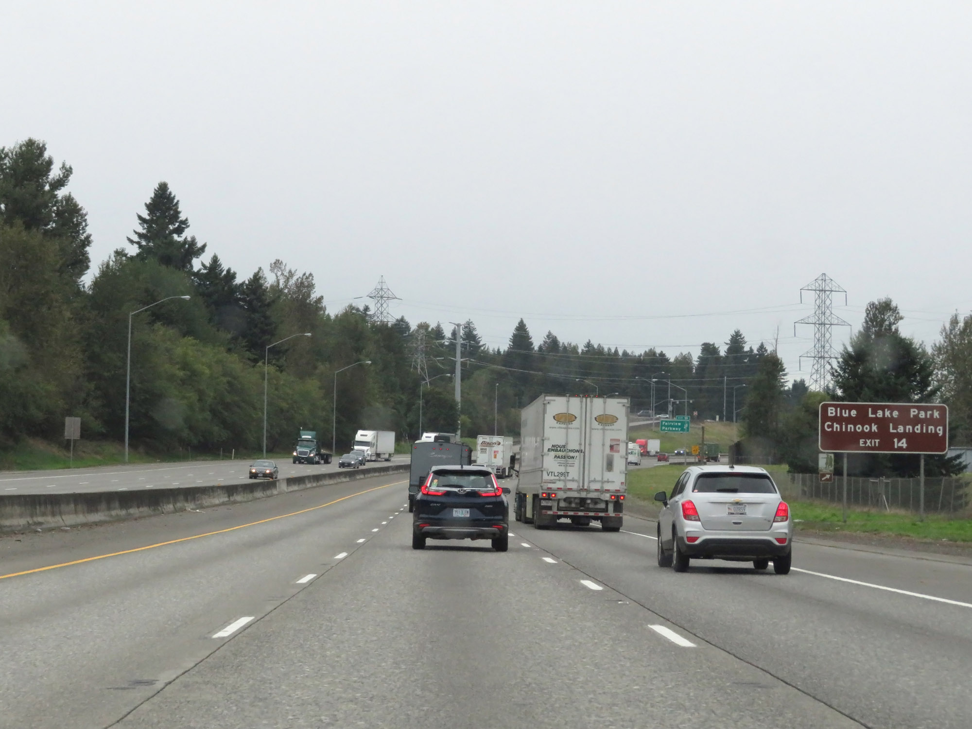 |
Take Exit 14 to Blue Lake Park and Chinook Landing. (Photo taken 9/26/19). |
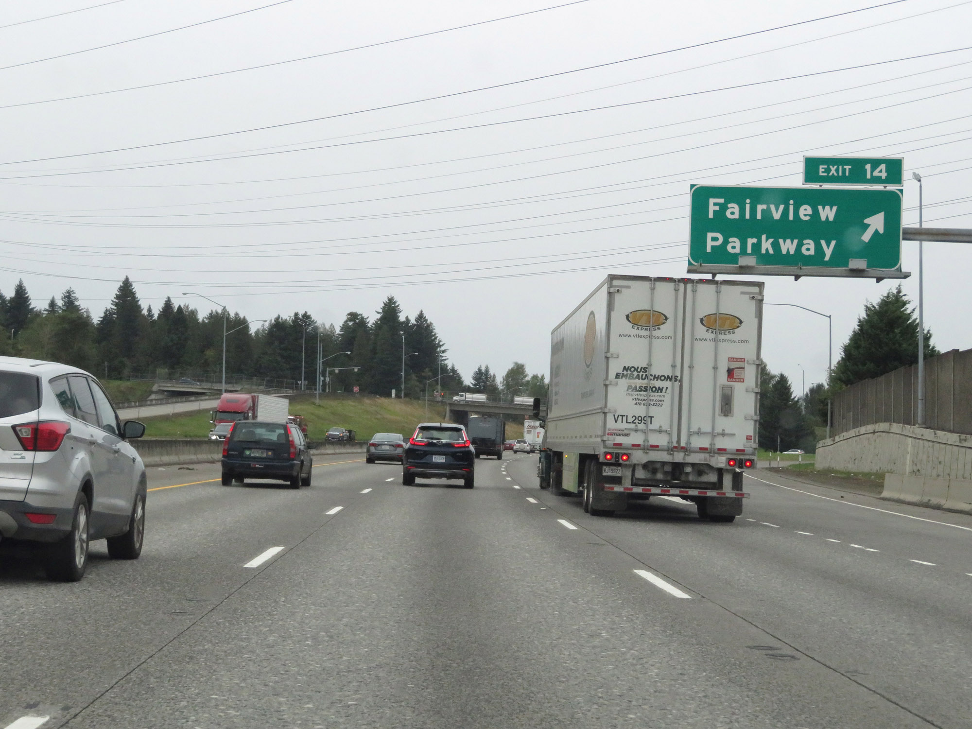 |
Interstate 84 West at Exit 14: Fairview Parkway (Photo taken 9/26/19). |
 |
View on Interstate 84 West at mile marker 14. (Photo taken 9/26/19). |
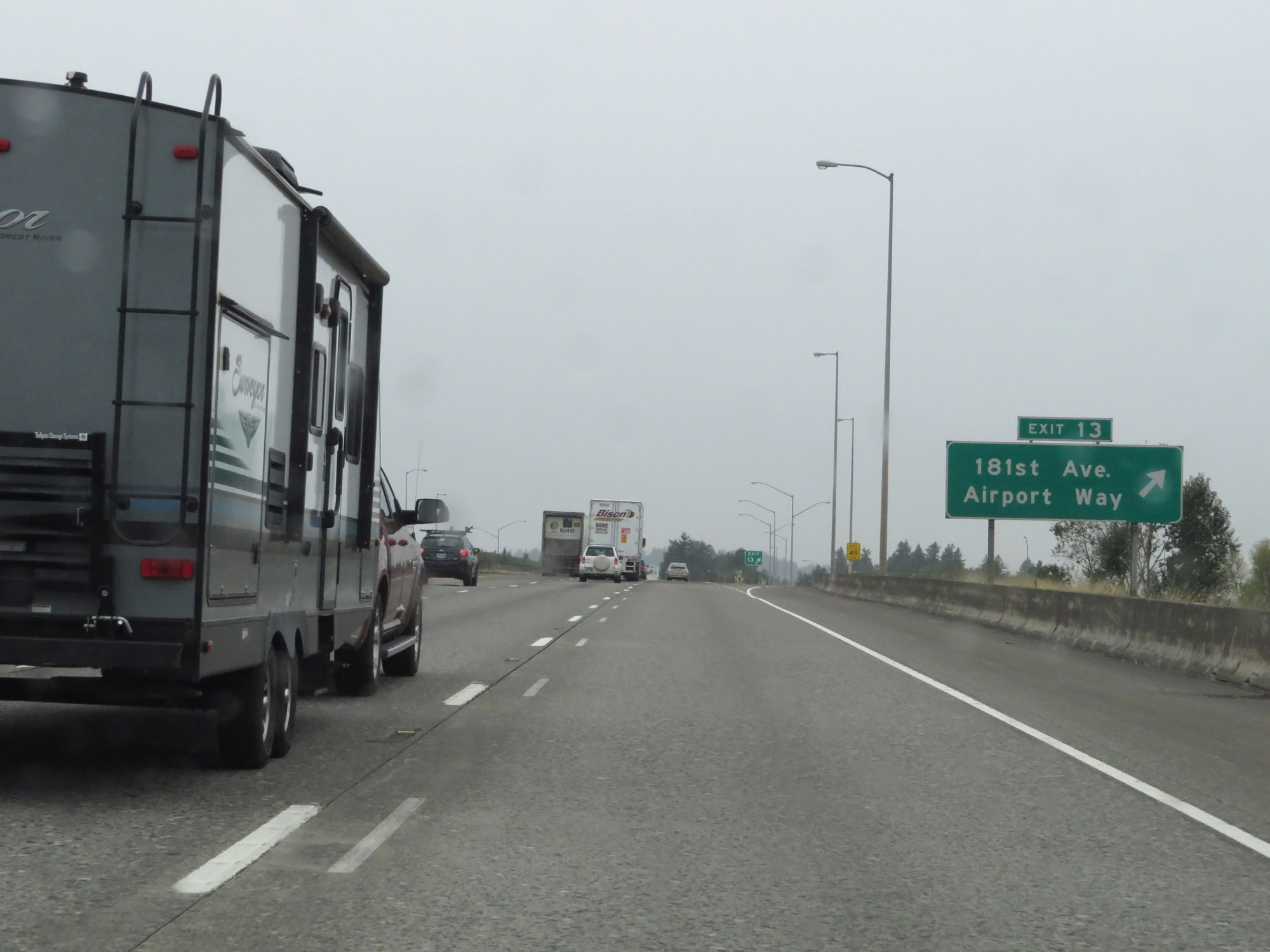 |
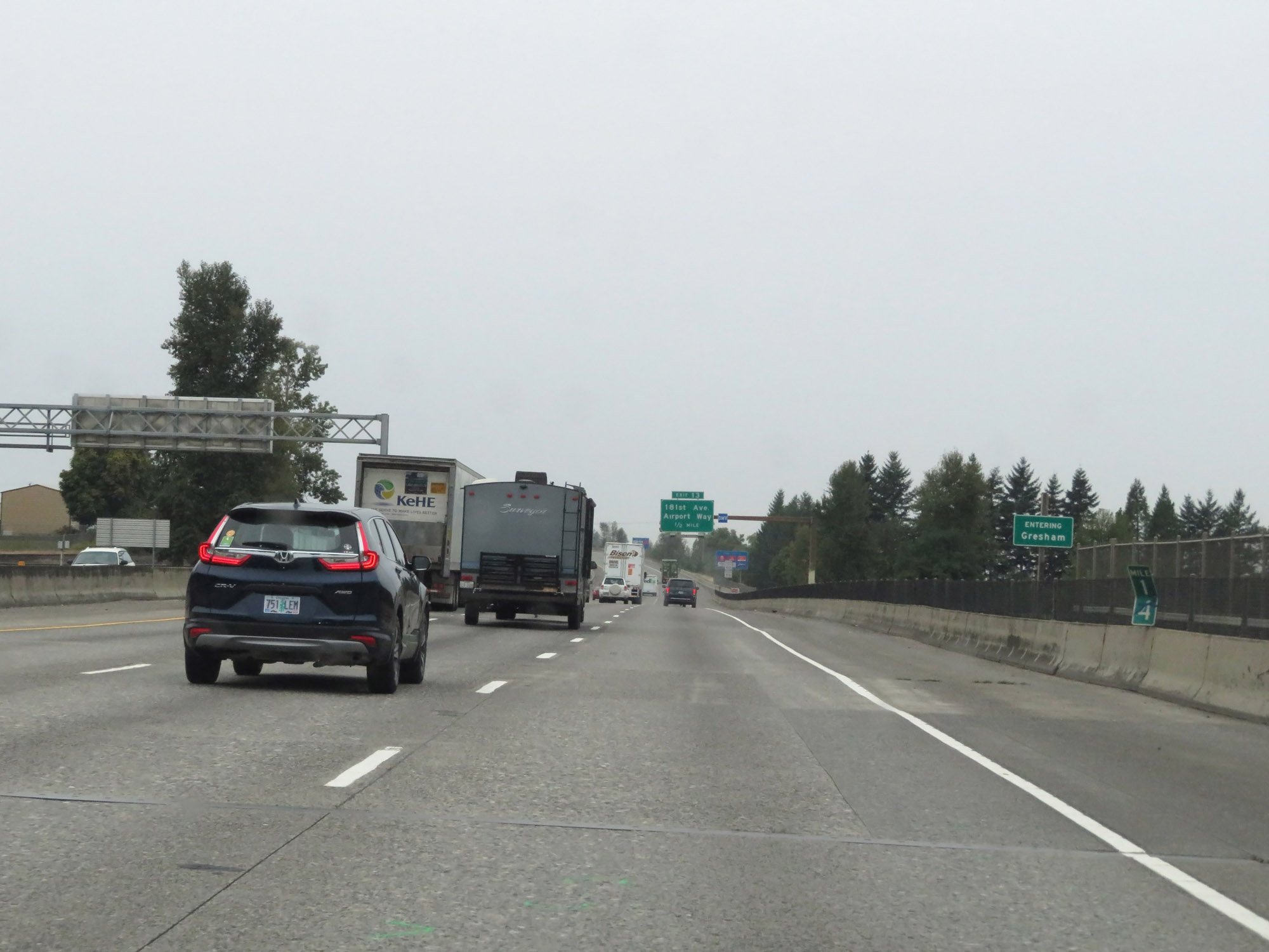
Interstate 84 West at Exit 13: 181st Ave / Airport Way (Photo taken 9/26/19). |
 |
Another set of Interstate 84 West / US 30 West reassurance shields. (Photo taken 9/26/19). |
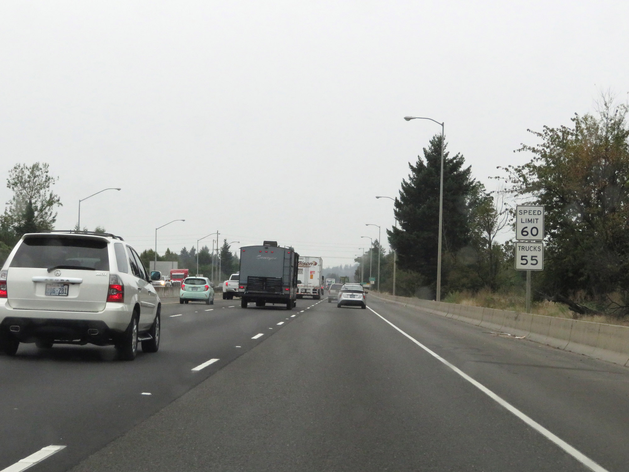 |
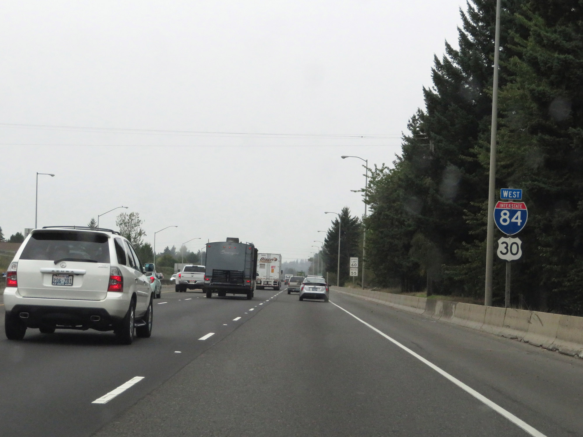
The speed limits remain 60 mph for cars and 55 mph for trucks. (Photo taken 9/26/19). |
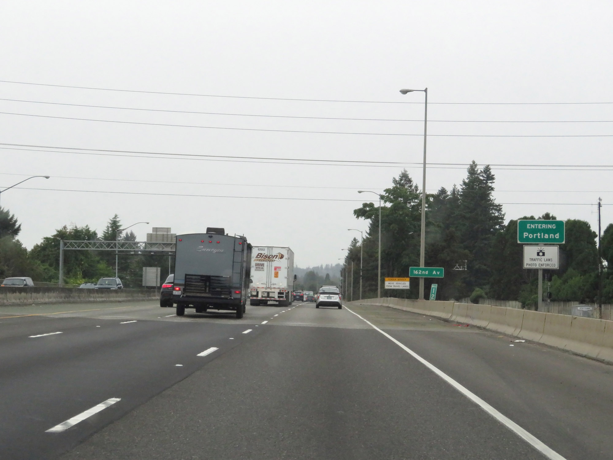 |
At mile marker 12, Interstate 84 West enters the Portland city limits. (Photo taken 9/26/19). |
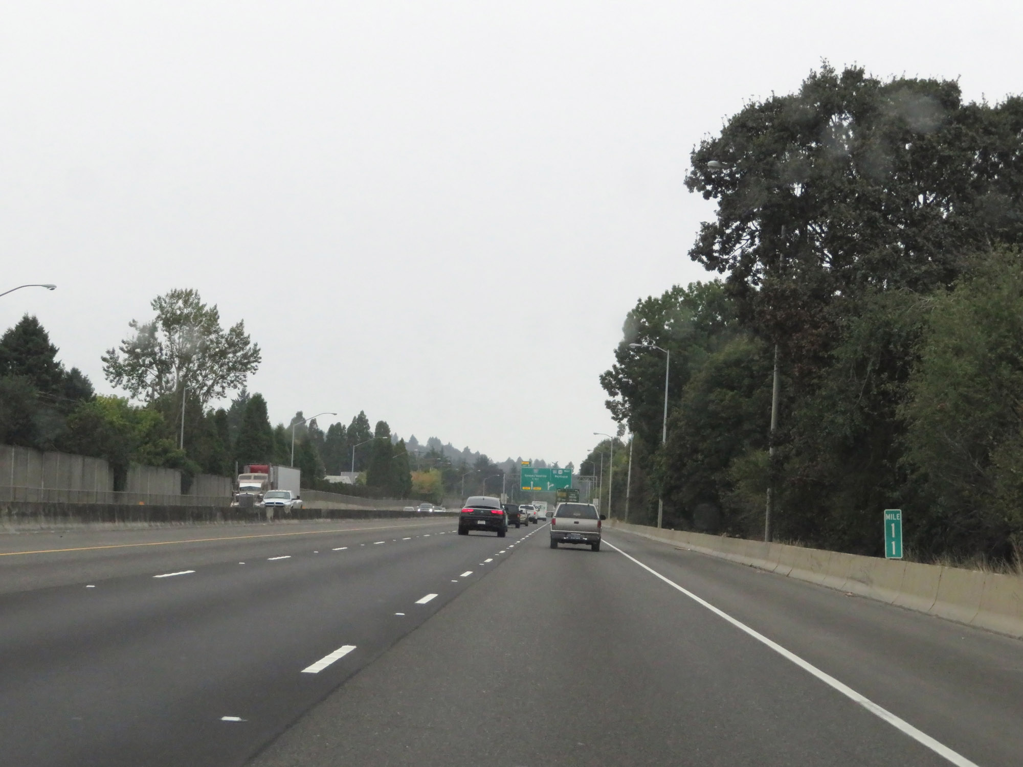 |
Interstate 84 West at mile marker 11. (Photo taken 9/26/19). |
 |
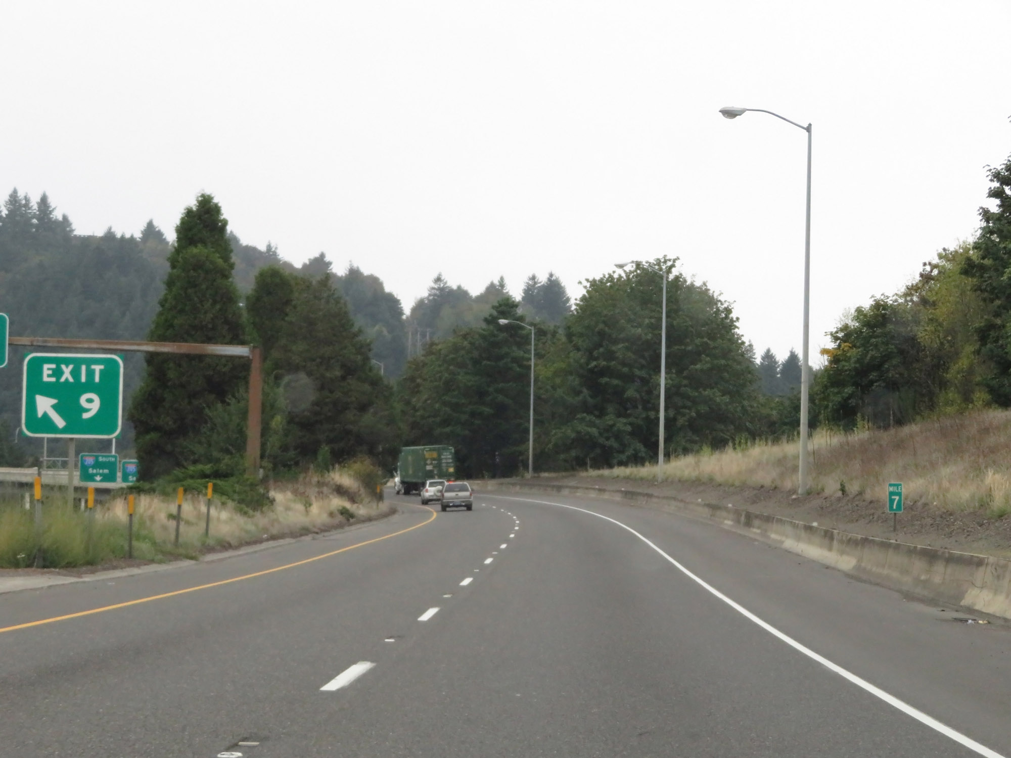
Interstate 84 West approaching Exit 9 - 1 mile on the left. (Photo taken 9/26/19). |
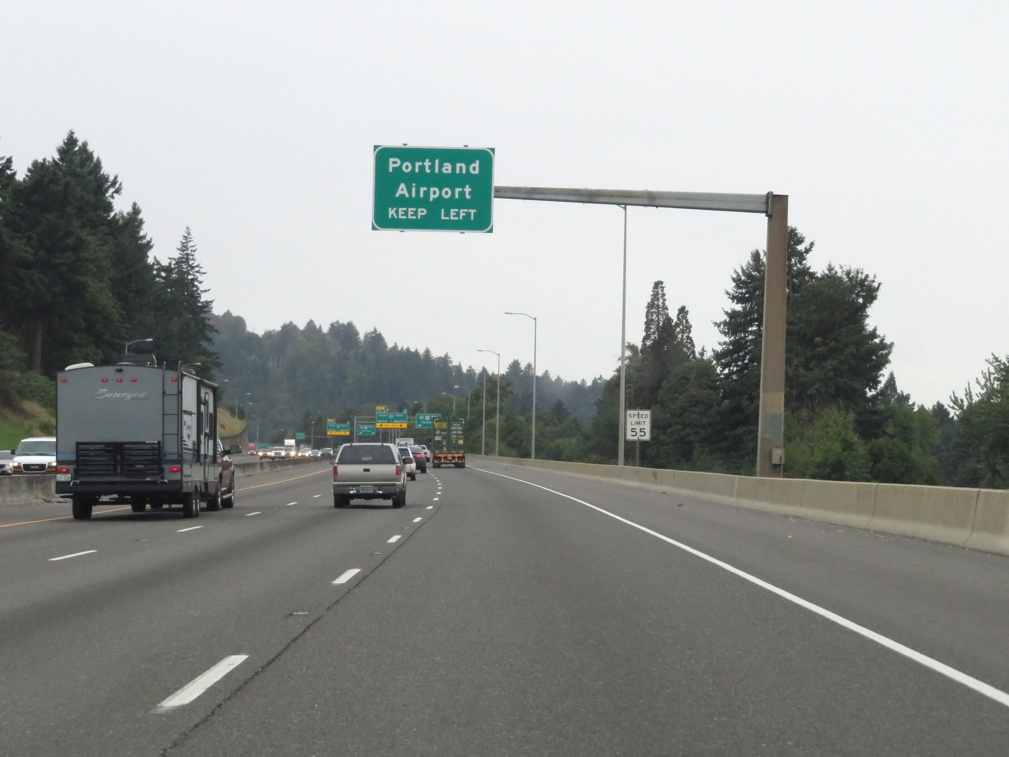 |
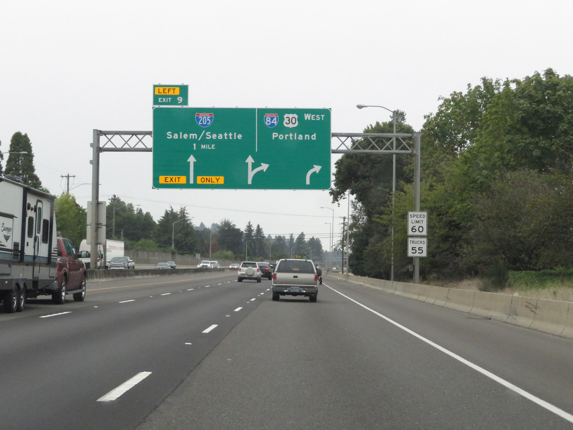
Take Exit 9 (Interstate 205) to Portland International Airport. (Photo taken 9/26/19). |
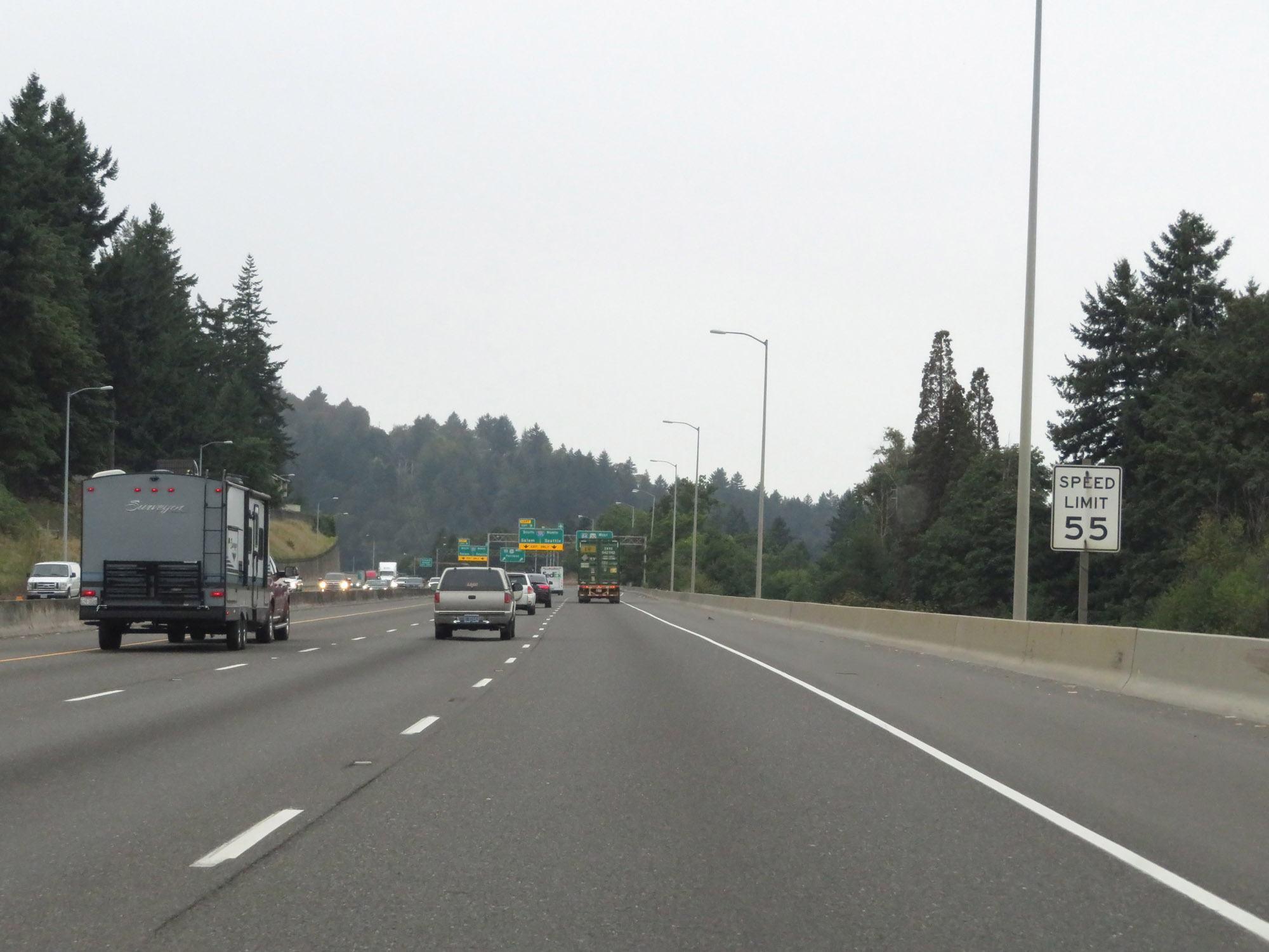 |
Nearing the junction of Interstate 205, the speed limit decreases to 55 mph for all traffic. (Photo taken 9/26/19). |
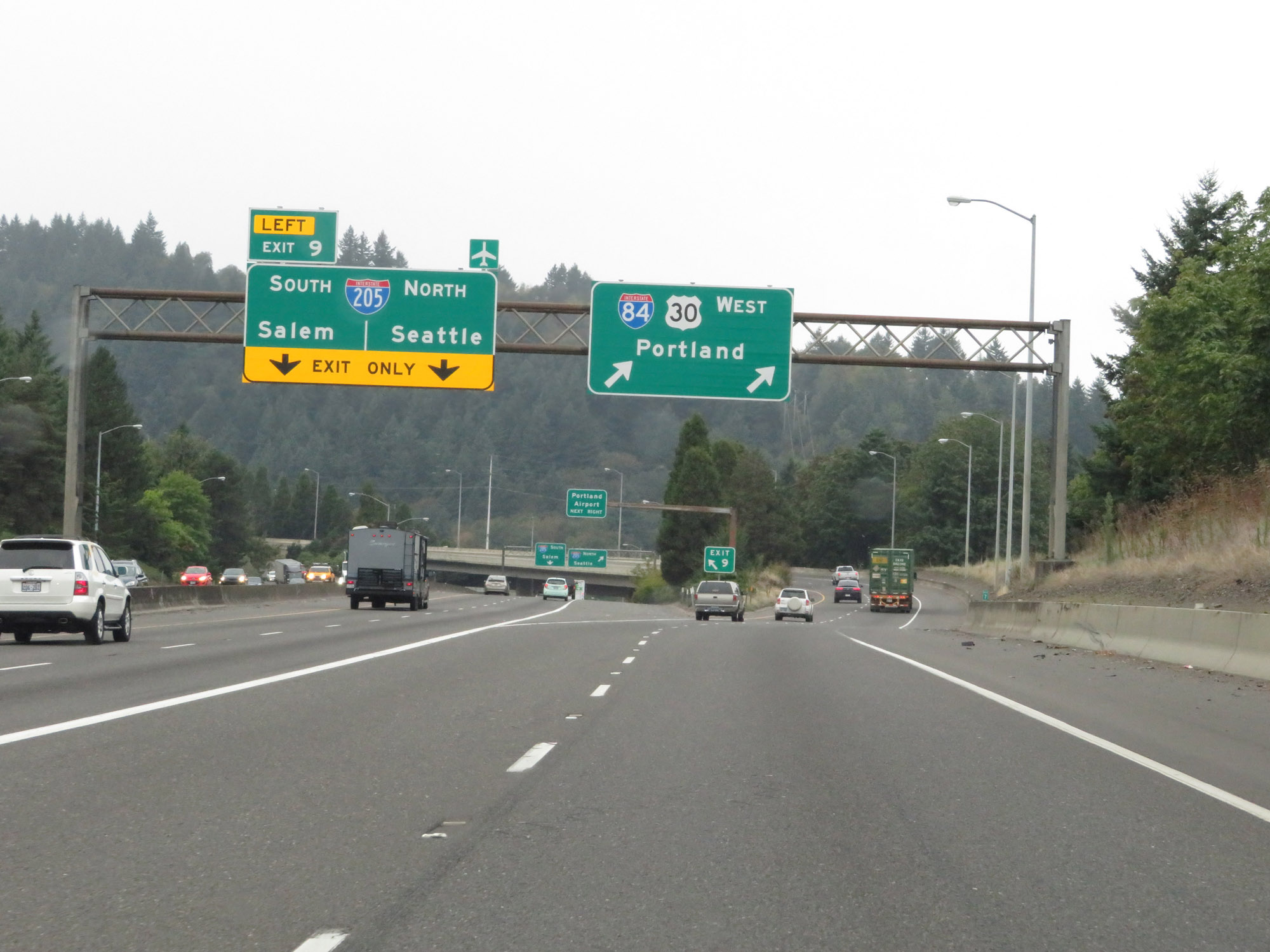 |
Interstate 84 West at Exit 9: Interstate 205 - Salem / Seattle (Photo taken 9/26/19). |
 |
At mile marker 7, Interstate 84 West will curve to the south and run in roughly the same direction as Interstate 205 for a mile or so. (Photo taken 9/26/19). |
 |
Overhead mileage sign as Interstate 84 West continues to curve to the south. (Photo taken 9/26/19). |
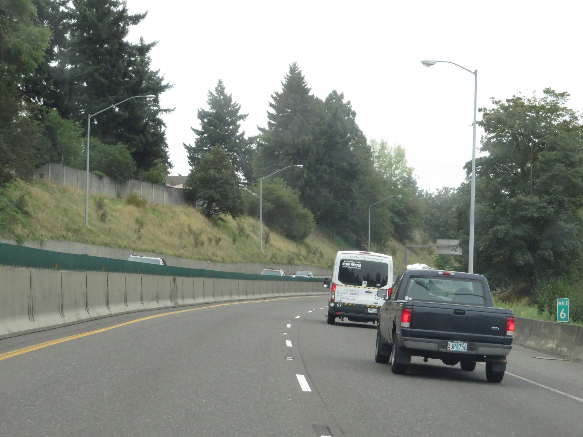 |
View on Interstate 84 West at mile marker 6. (Photo taken 9/26/19). |
 |
Interstate 84 West as it begins to curve back to the west. (Photo taken 9/26/19). |
 |
The speed limit remains 55 mph for all traffic. (Photo taken 9/26/19). |
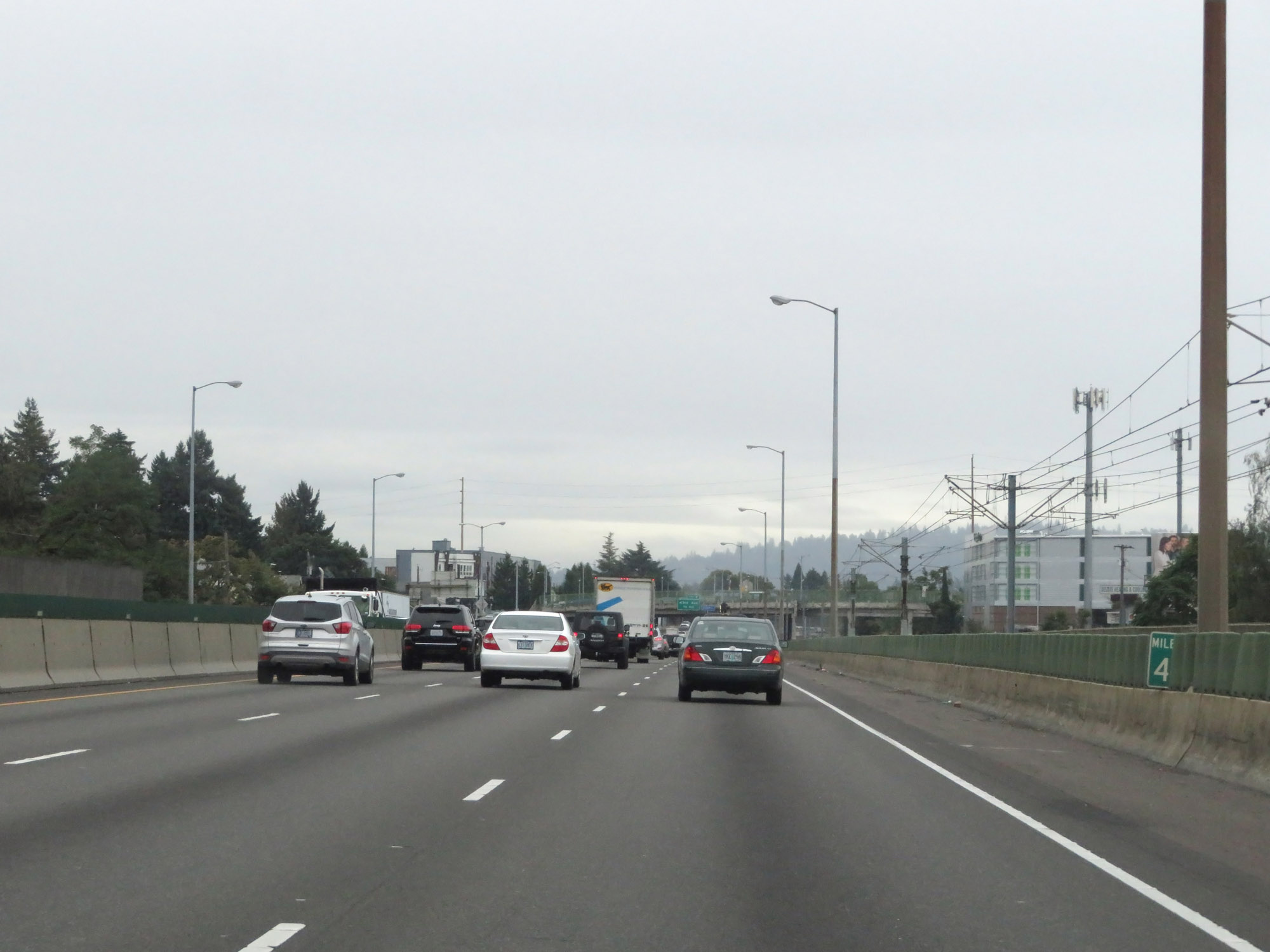 |
View on Interstate 84 West at mile marker 4. (Photo taken 9/26/19). |
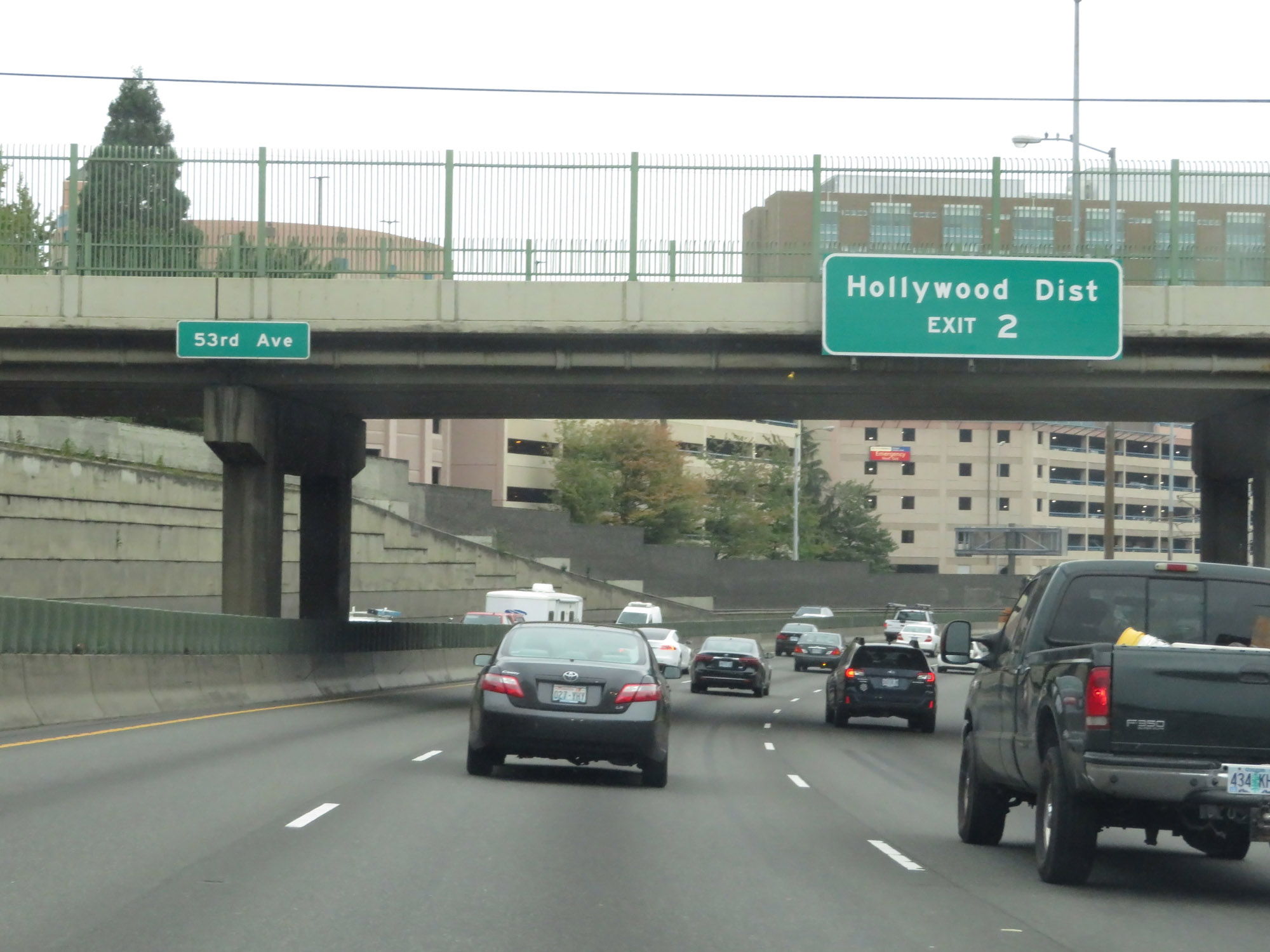 |
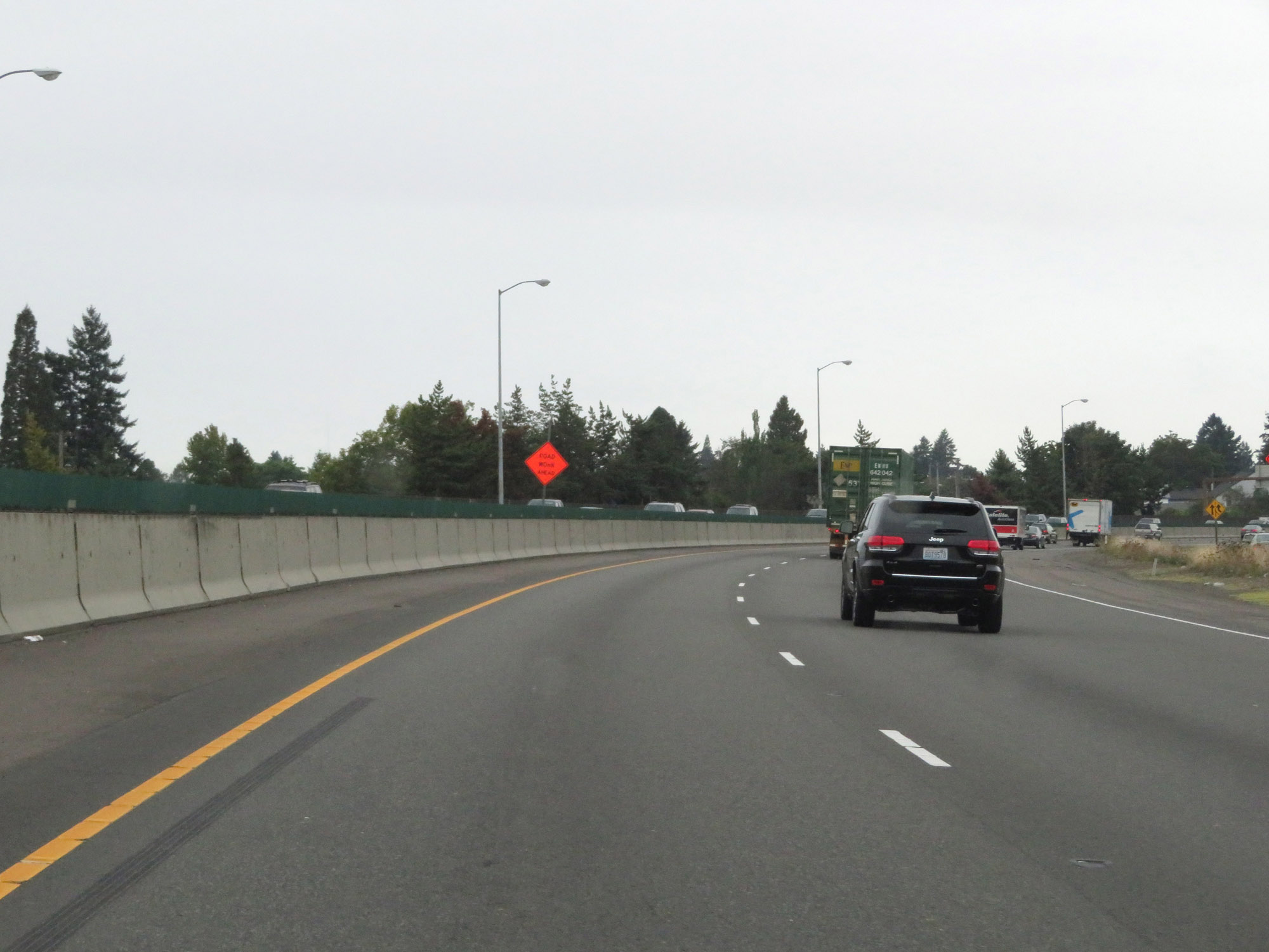
Take Exit 2 to the Hollywood District. (Photo taken 9/26/19). |
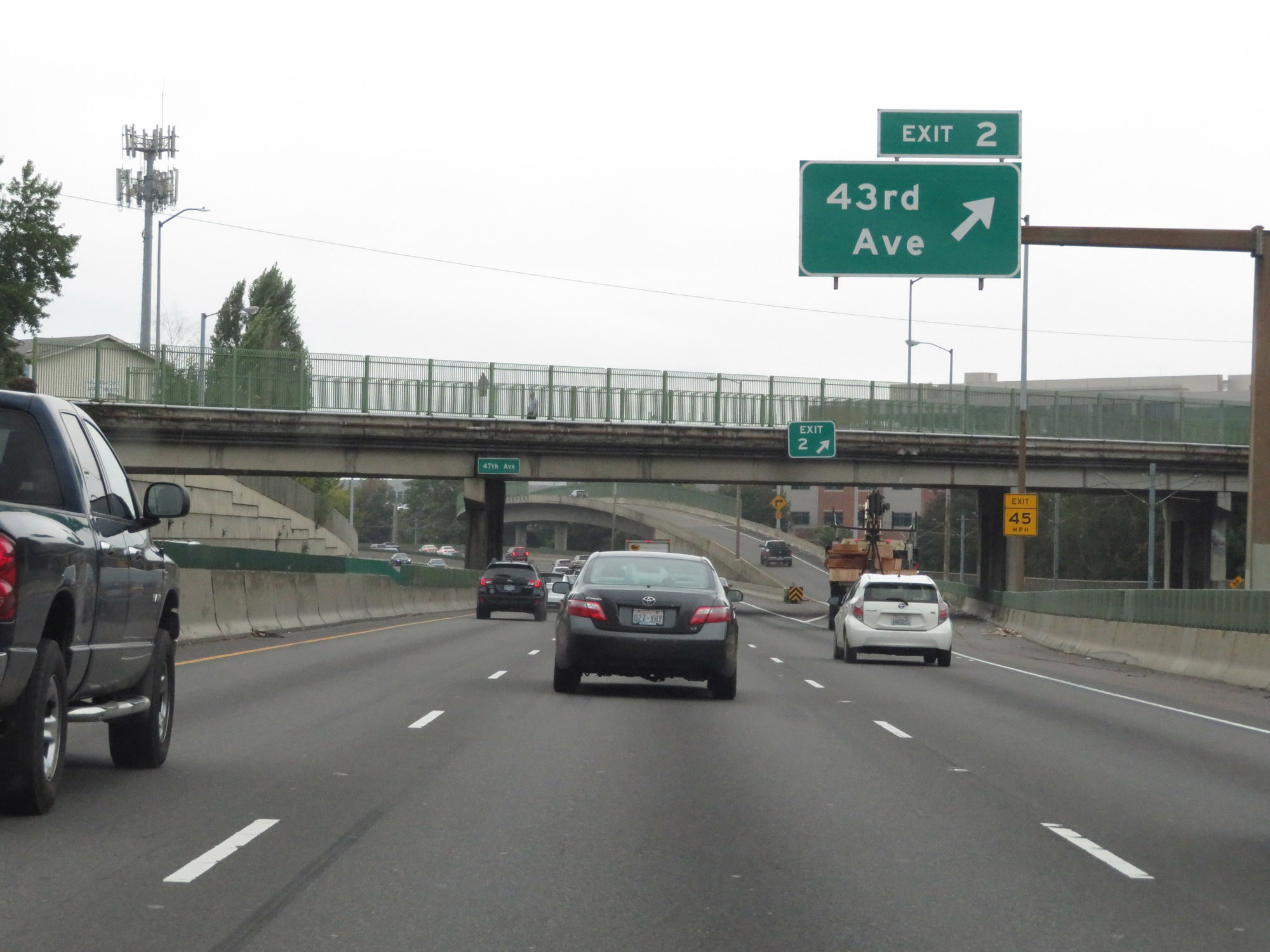 |
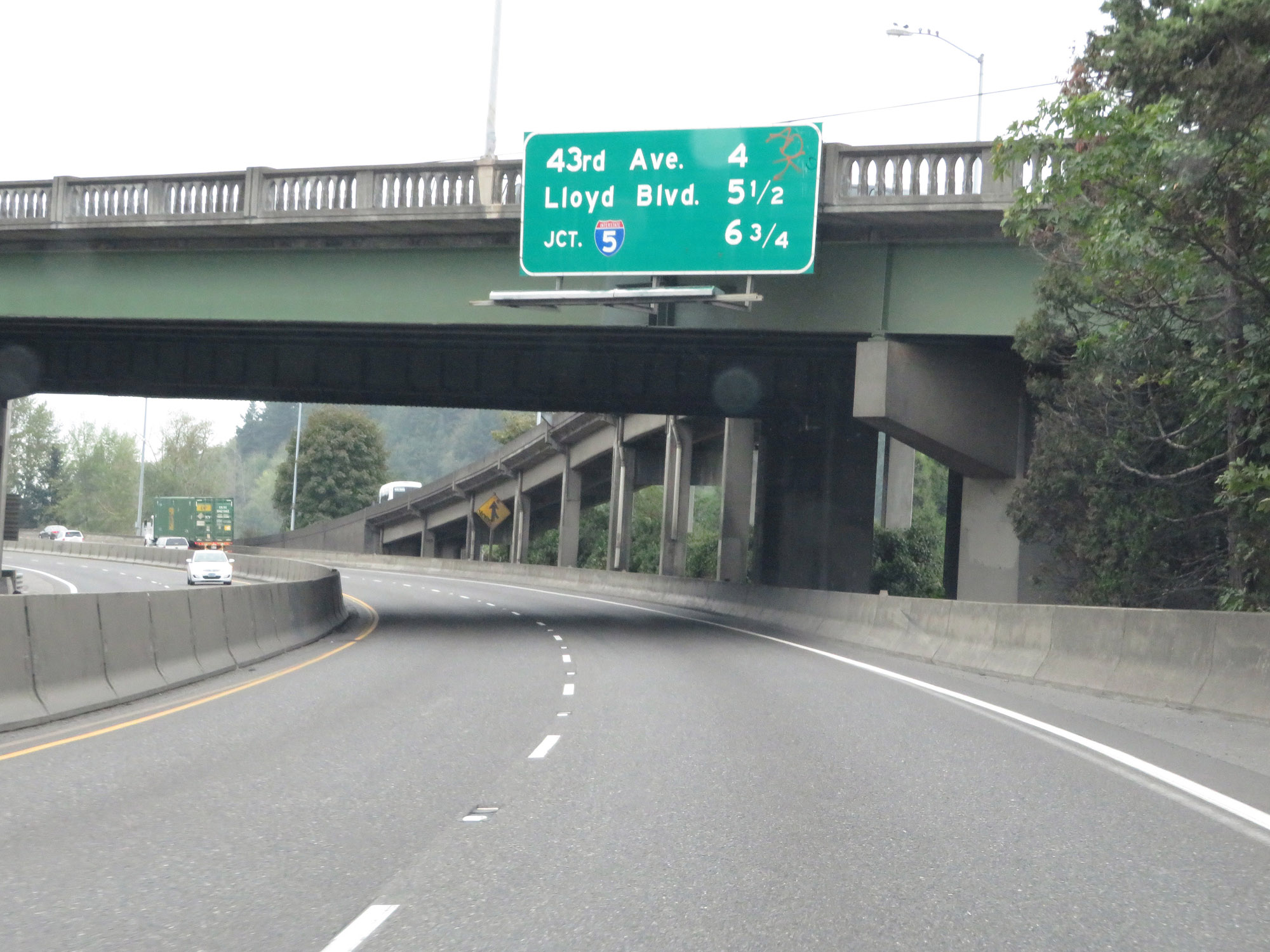
Interstate 84 West at Exit 2: 43rd Ave (Photo taken 9/26/19). |
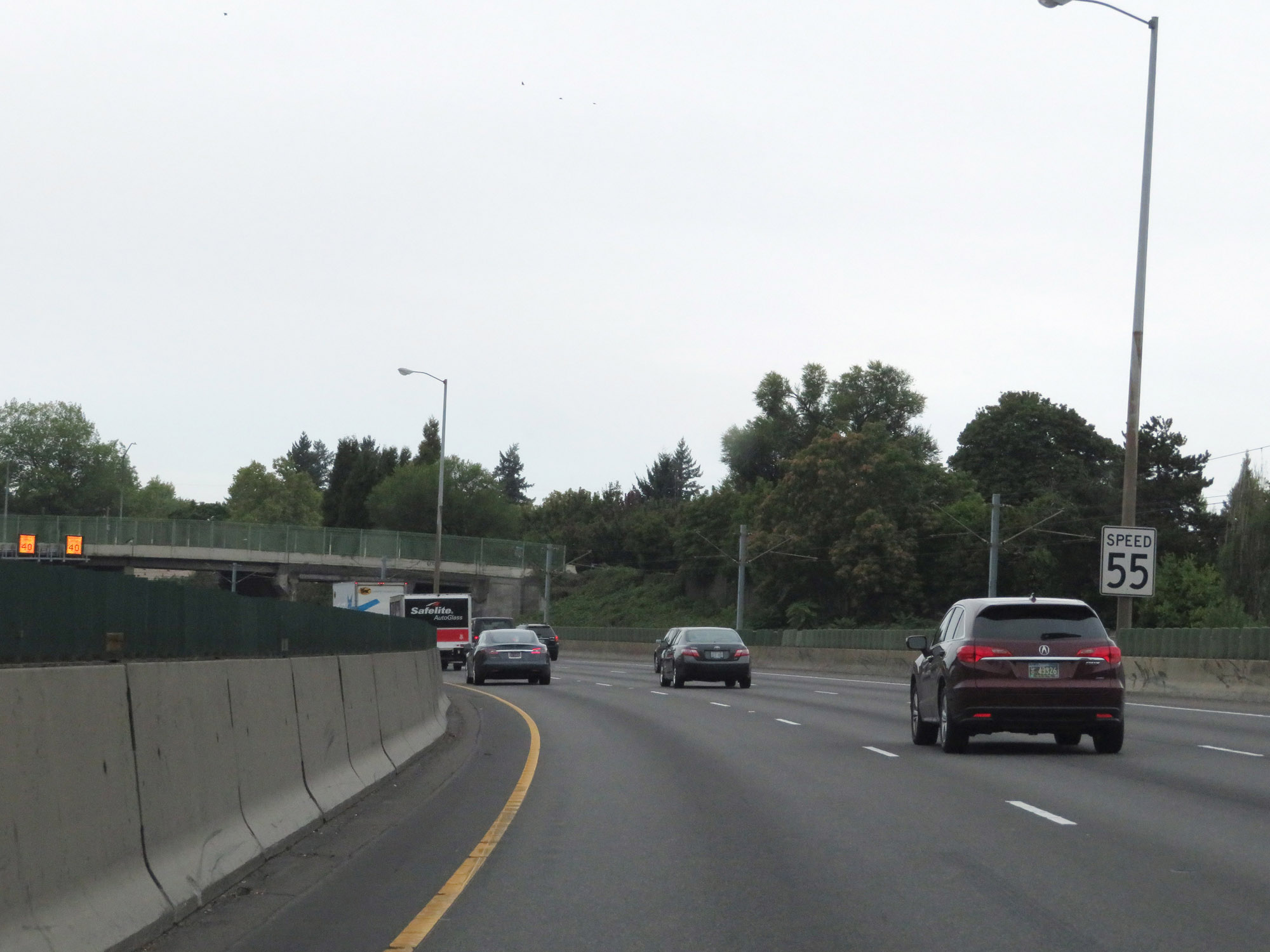
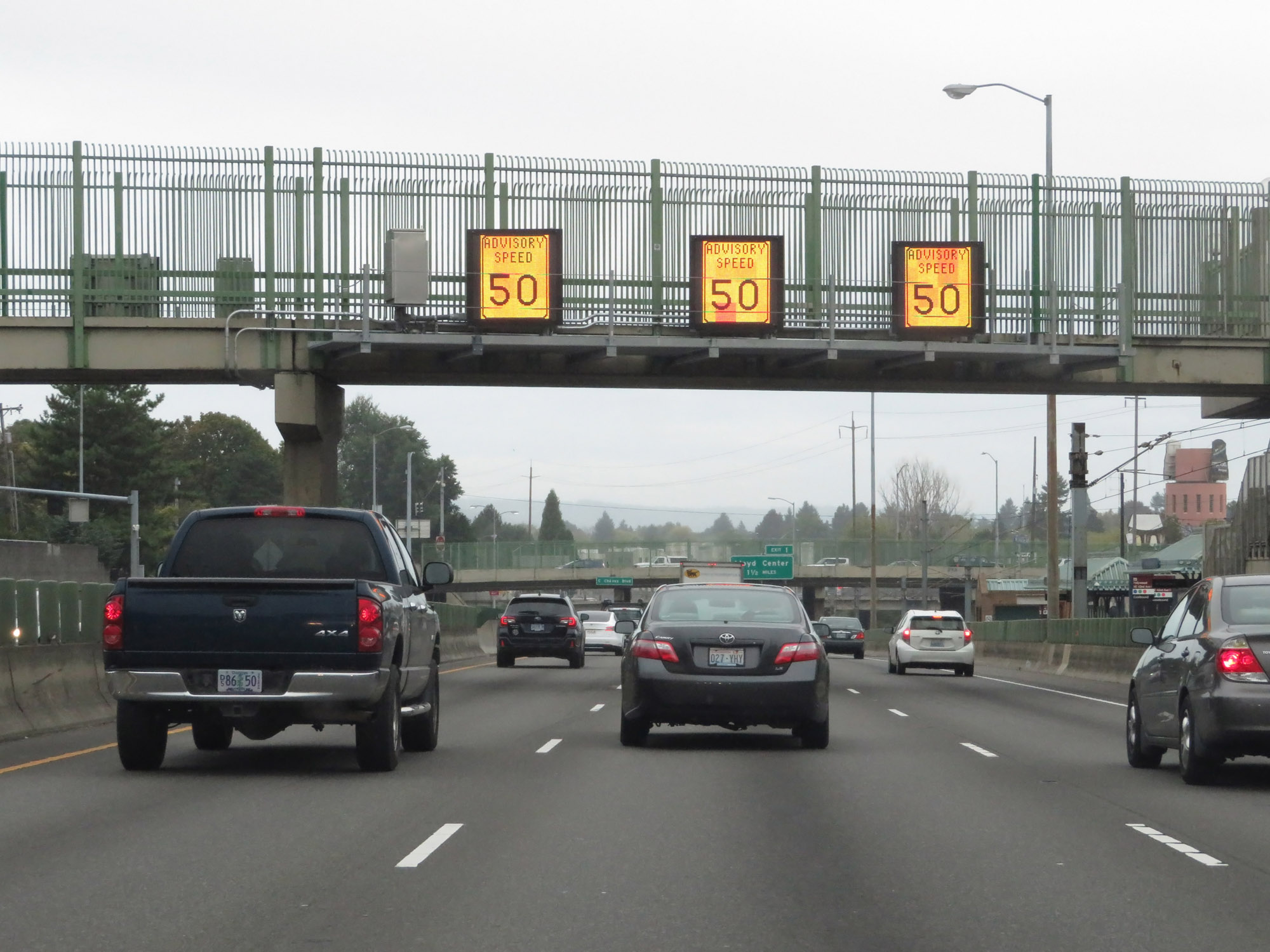 |
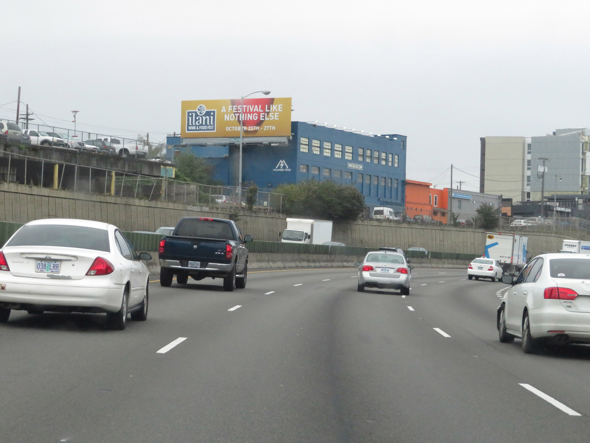
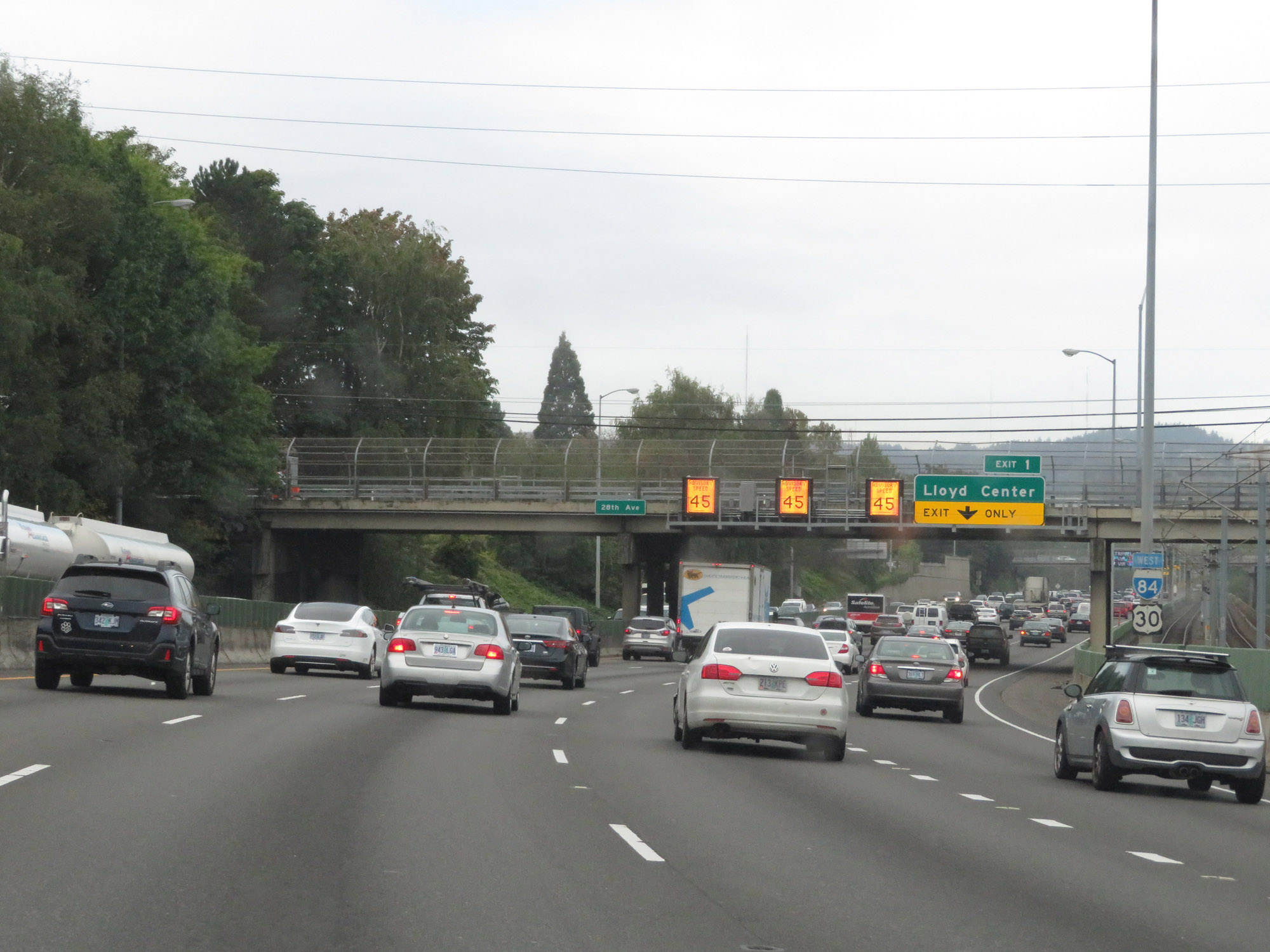
Overhead electronic advisory speed signs in Portland on Interstate 84 West. (Photo taken 9/26/19). |
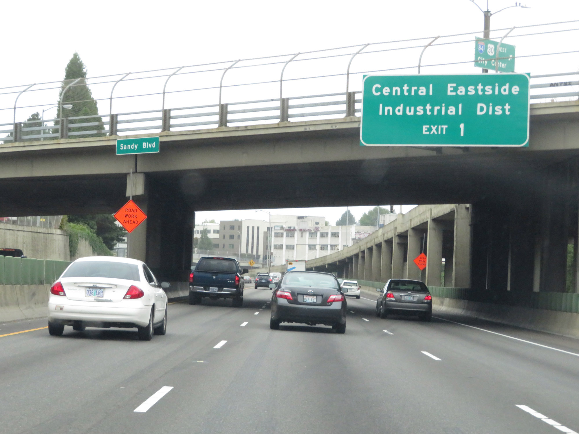 |
Take Exit 1 to Central Eastside Industrial District. (Photo taken 9/26/19). |
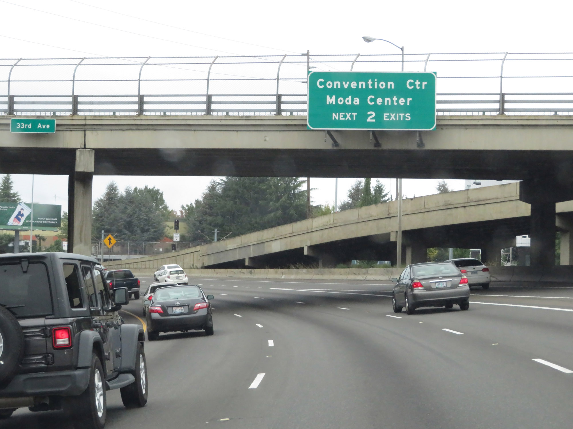 |
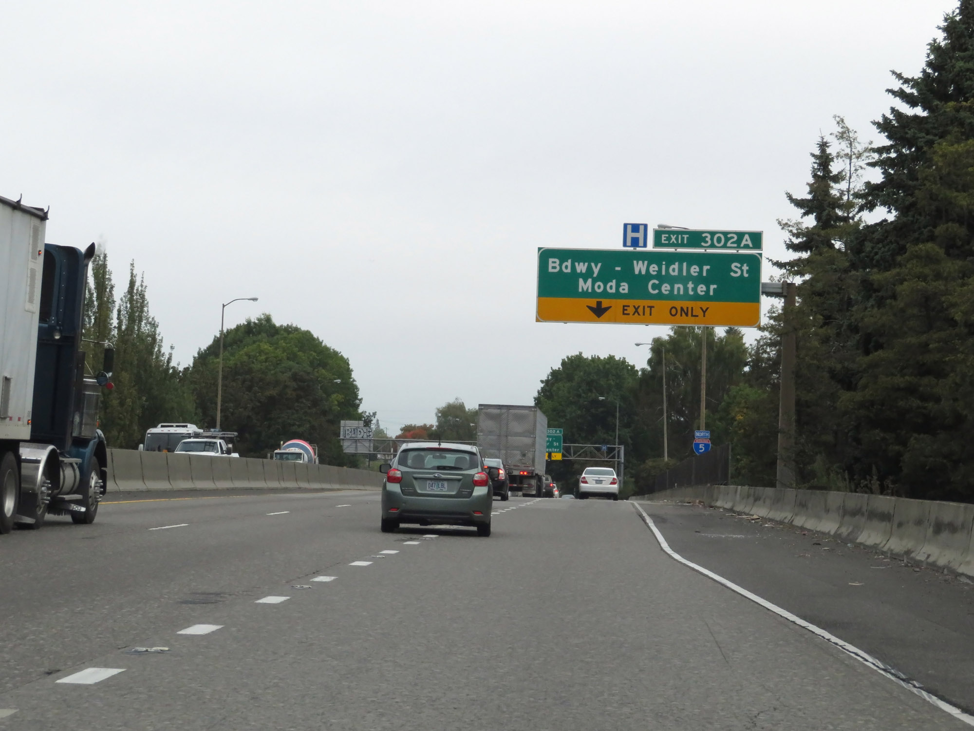
Take either of the next 2 exits to the Convention Center and Moda Center. (Photo taken 9/26/19). |
 |
View on Interstate 84 West as it nears downtown Portland. (Photo taken 9/26/19). |
 |
One final set of Interstate 84 West / US 30 West reassurance shields. (Photo taken 9/26/19). |
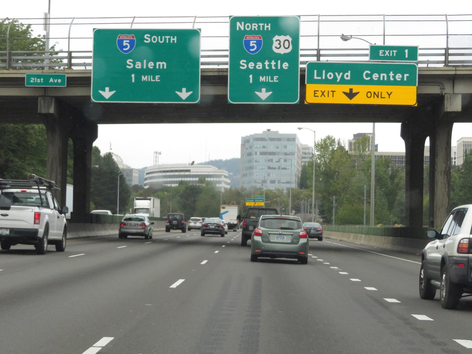 |
Interstate 84 West approaching the junction of Interstate 5, which will be the western terminus of I-84 - 1 mile. (Photo taken 9/26/19). |
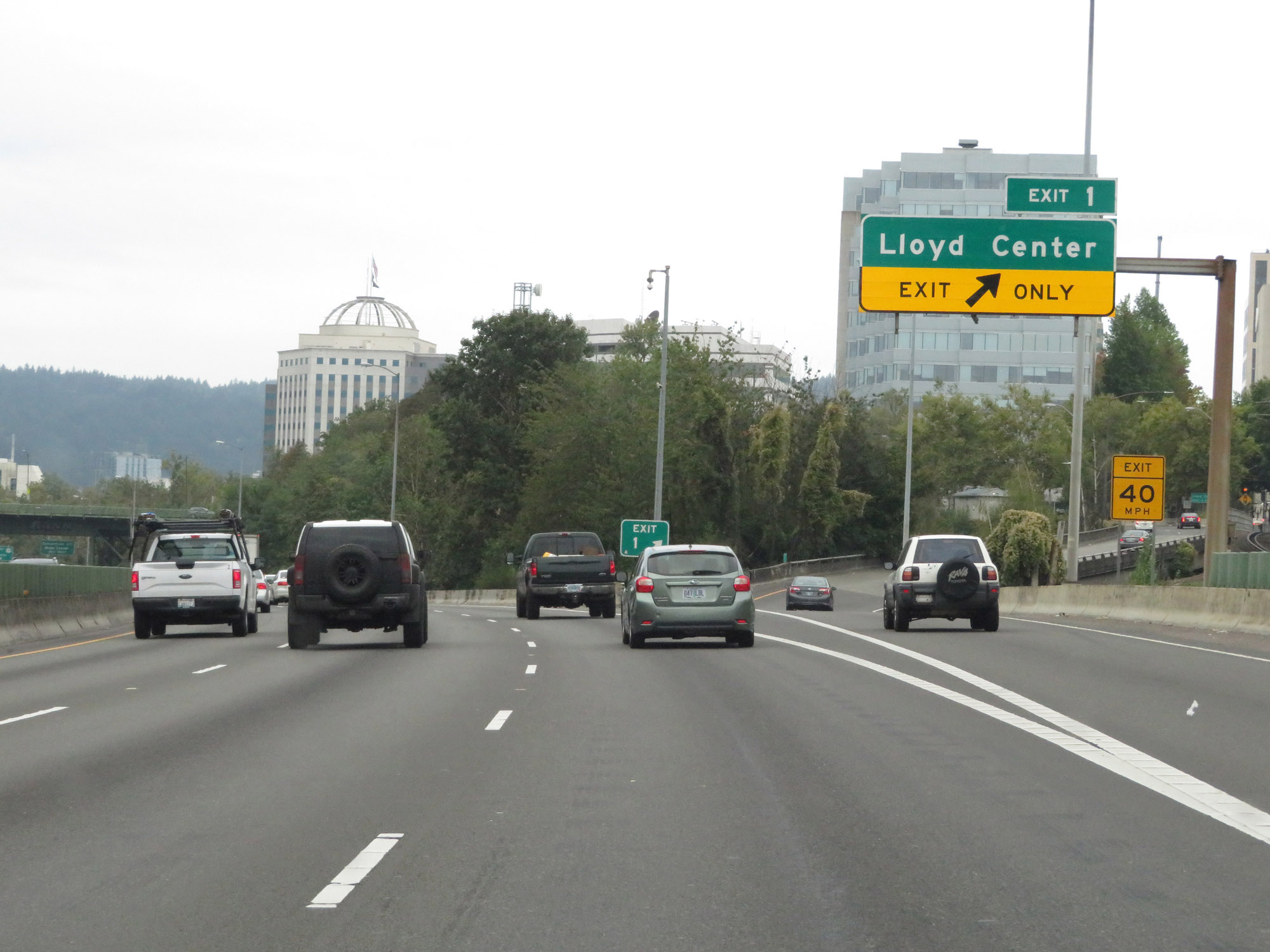 |
Interstate 84 West at Exit 1: Lloyd Center (Photo taken 9/26/19). |
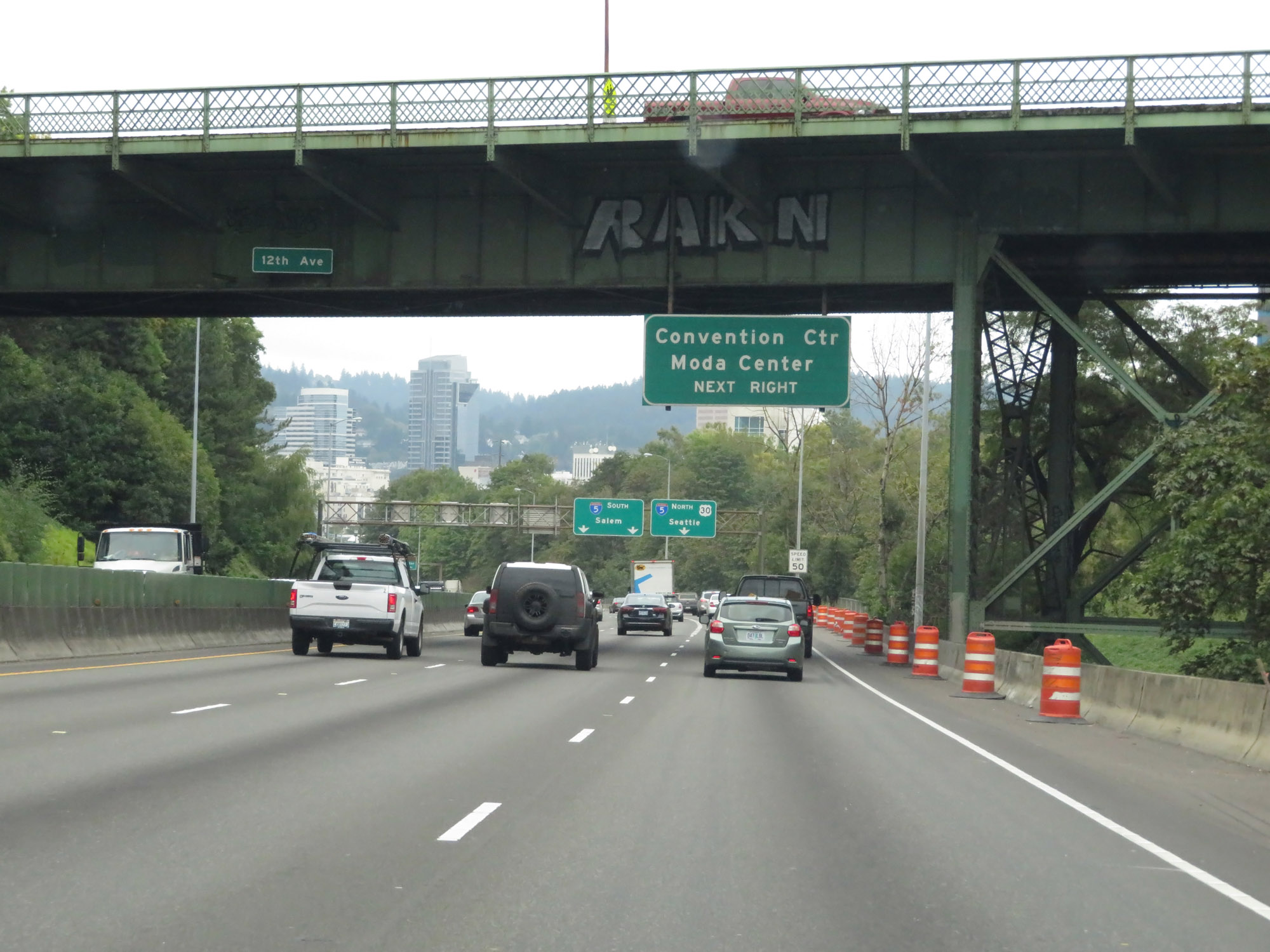 |
The ramp to Interstate 5 North provides access to the Convention Center and Moda Center. (Photo taken 9/26/19). |
 |
The speed limit decreases to 50 mph for all traffic as Interstate 84 West descends a hill into downtown Portland. (Photo taken 9/26/19). |
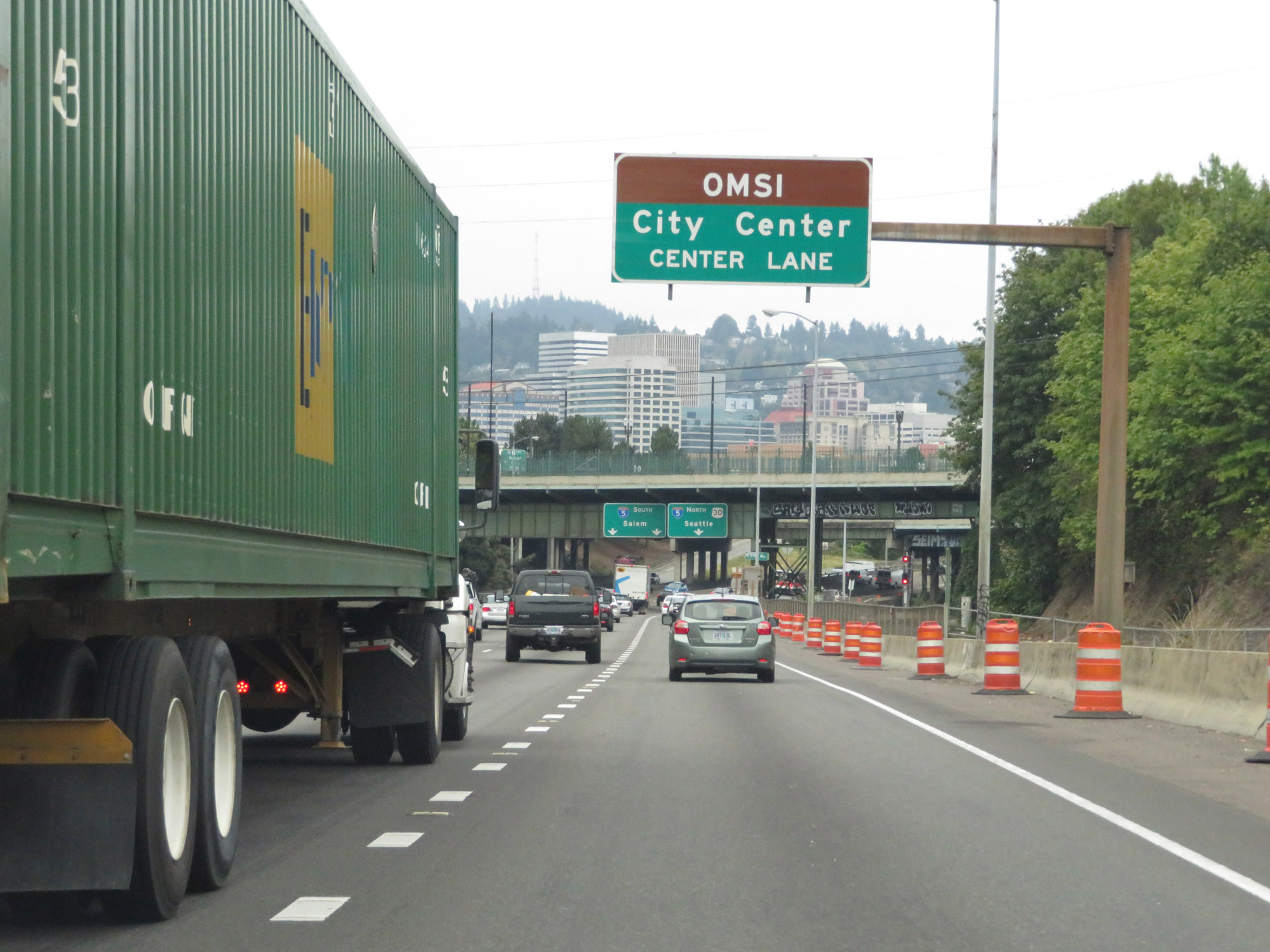 |
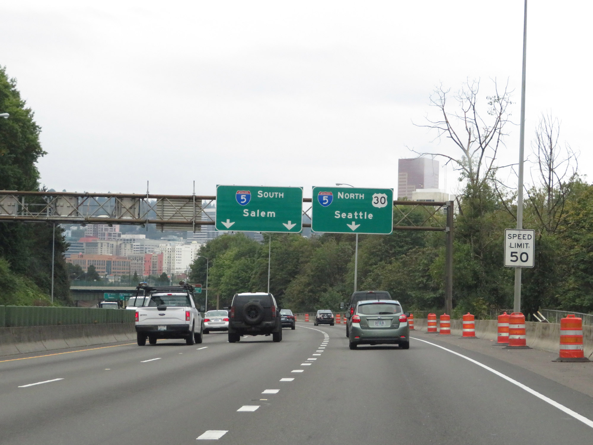
Use the center lane (Interstate 5 South) to OMSI and the City Center. (Photo taken 9/26/19). |
 |
Traffic to Interstate 5 North must use the right lane. Interstate 5 South traffic can use either the center or left lanes. (Photo taken 9/26/19). |
 |
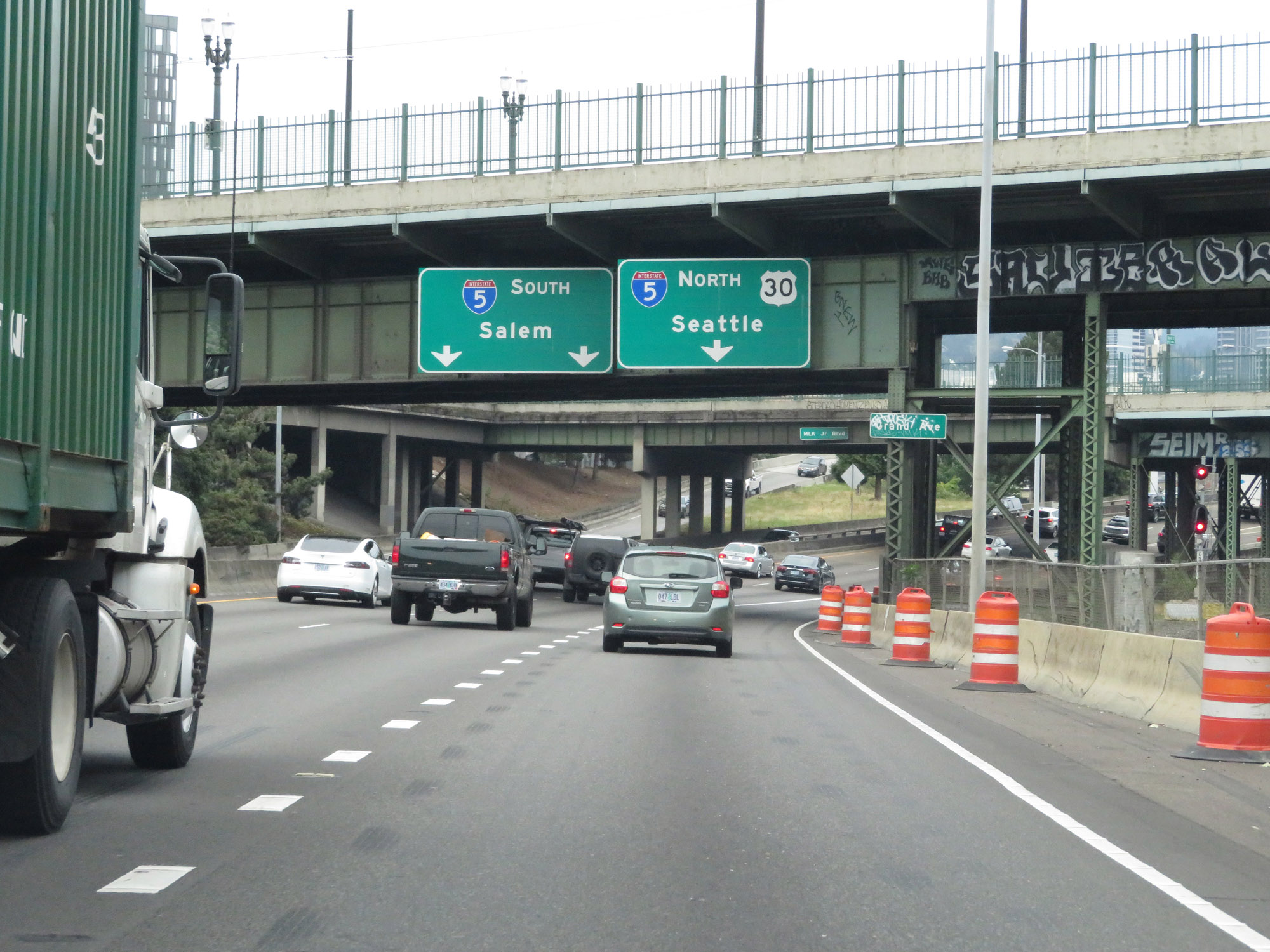
View on Interstate 84 West as it approaches its western terminus at Interstate 5 in downtown Portland. (Photo taken 9/26/19). |
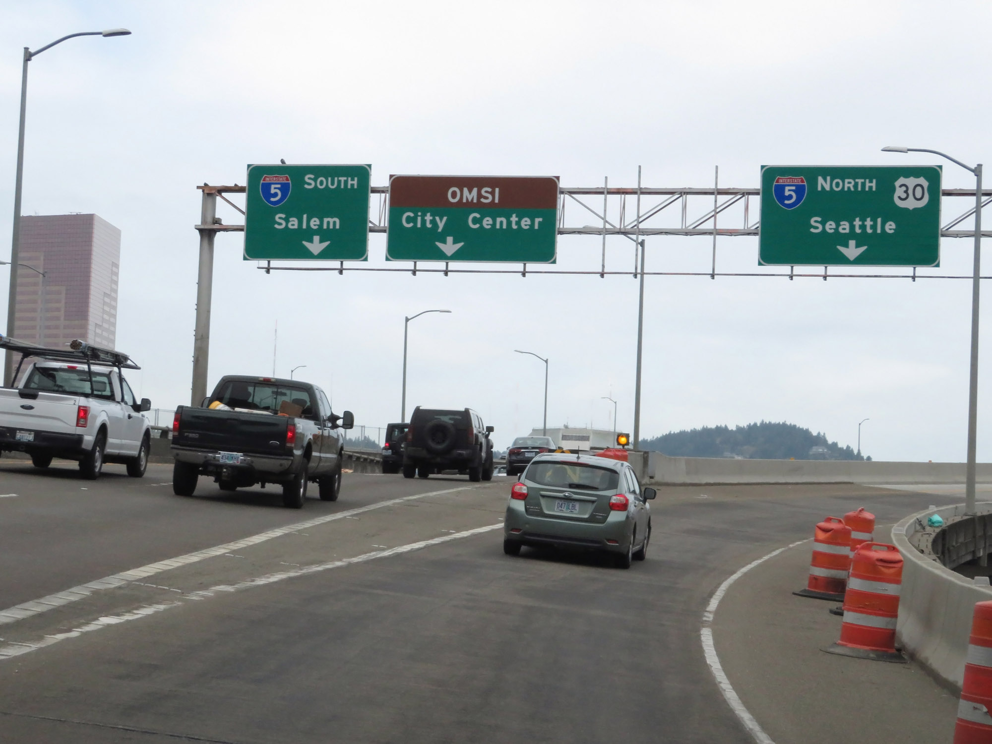 |
Interstate 84 West at its western terminus, which is the junction of Interstate 5 in downtown Portland. (Photo taken 9/26/19). |
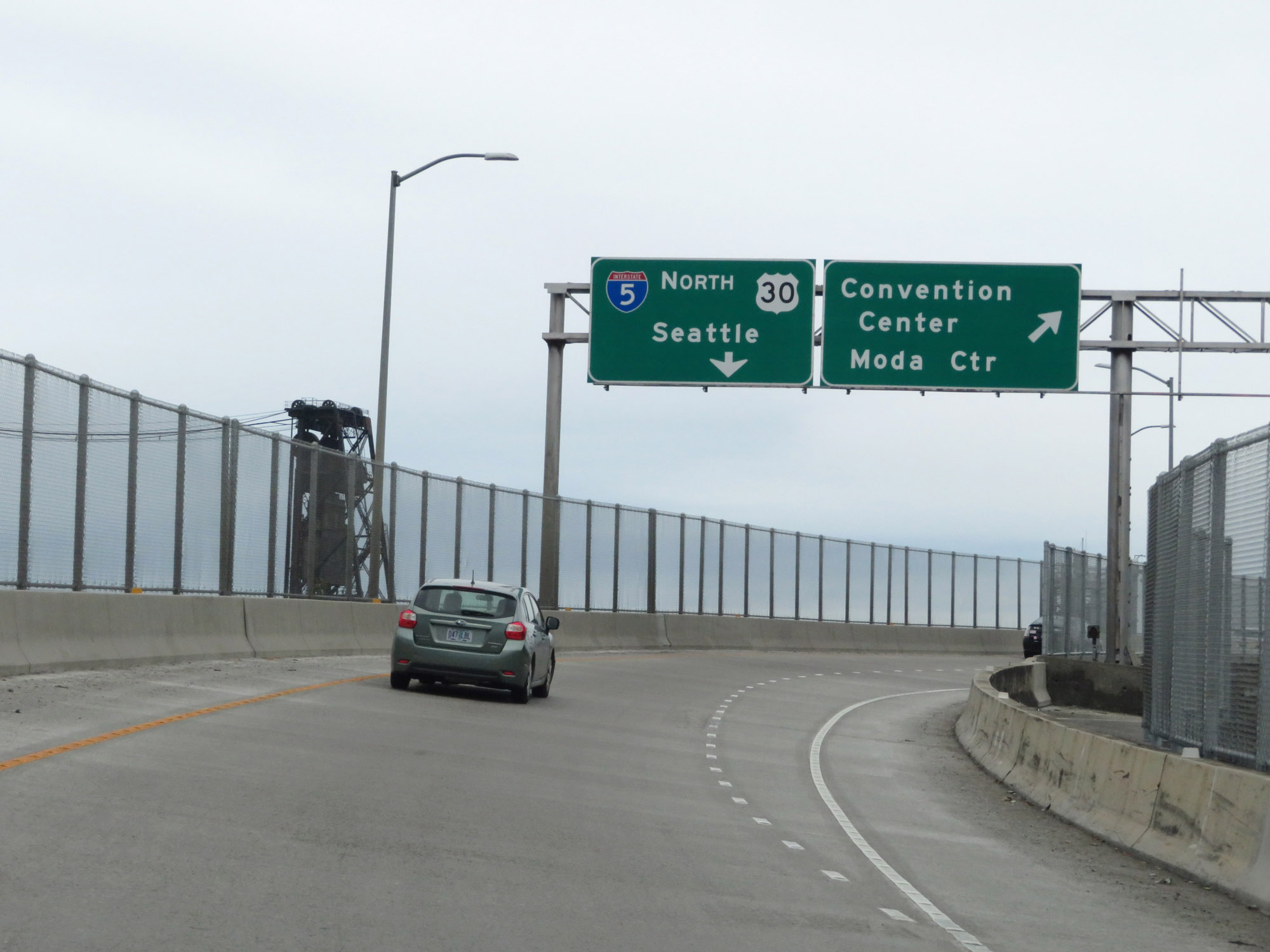 |
On the ramp from Interstate 84 West to Interstate 5 North, this exit provides access to the Convention Center and Moda Center. (Photo taken 9/26/19). |
 |
A closer view of the exit to the Convention Center and Moda Center from the ramp to Interstate 5 North. (Photo taken 9/26/19). |
 |
On the ramp to Interstate 5 North, as the I-5 North traffic comes into view on the left. (Photo taken 9/26/19). |
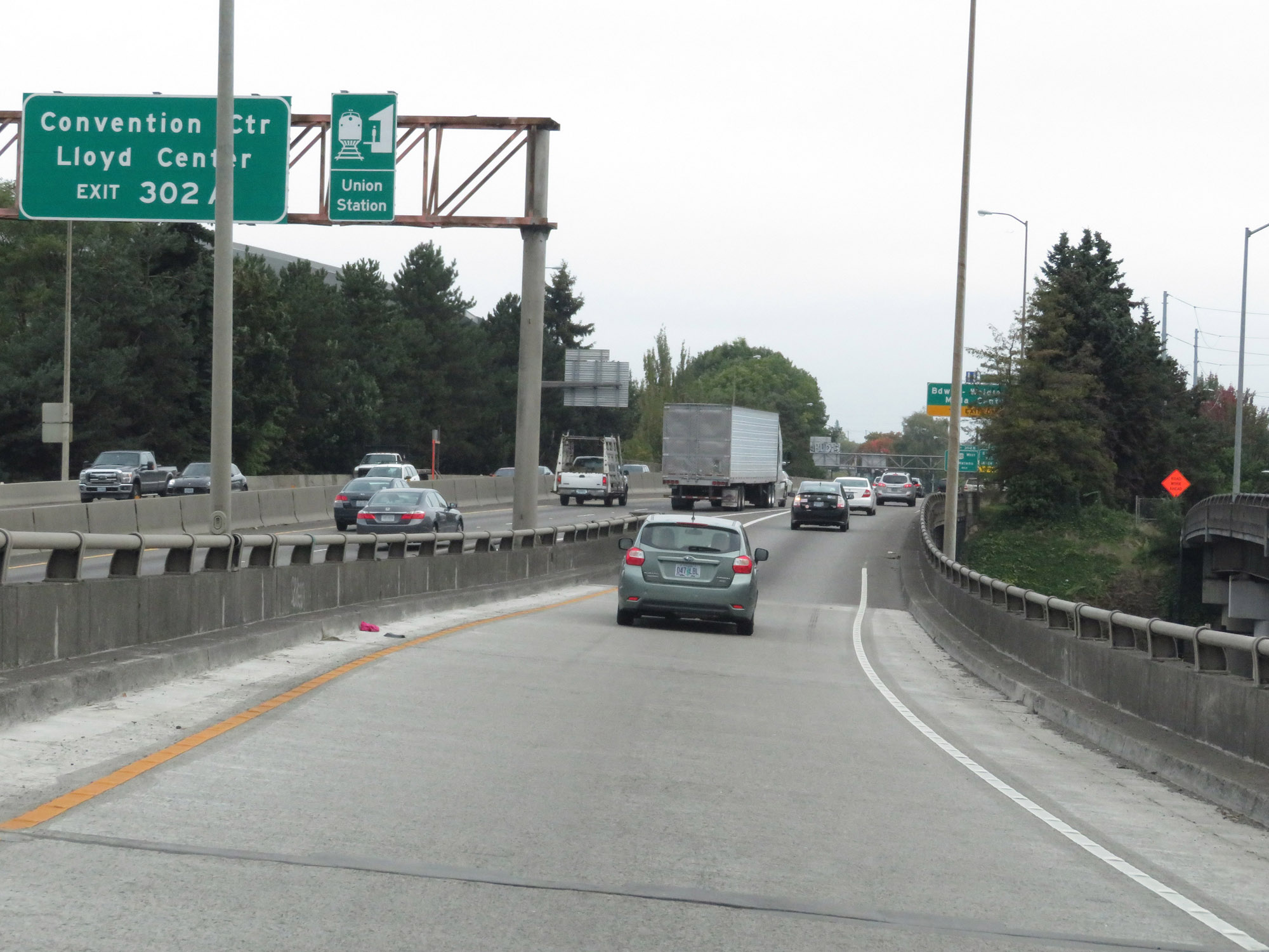
 |
The ramp from Interstate 84 West to Interstate 5 North joins I-5 North just before Exit 302A. (Photo taken 9/26/19). |