Road Information |
||
 |
||
| Total Mileage in State: | 11 miles | |
| Eastern End: | At I-84, near Hermiston | |
| Western End: | At Washington state line | |
| Mileage covered in Photos: | 11 miles | |
| Counties covered in Photos: | Umatilla | |
| Major Junctions in Photos: | US 395 South/US 730, in Umatilla | |
| Control Cities in Photos: | Hermiston, Umatilla | |
Westbound
 |
Merging onto Interstate 82 West via Exit 179 on Interstate 84 West. (Photo taken 9/26/19). |
 |
View on the ramp from Interstate 84 West to Interstate 82 West. (Photo taken 9/26/19). |
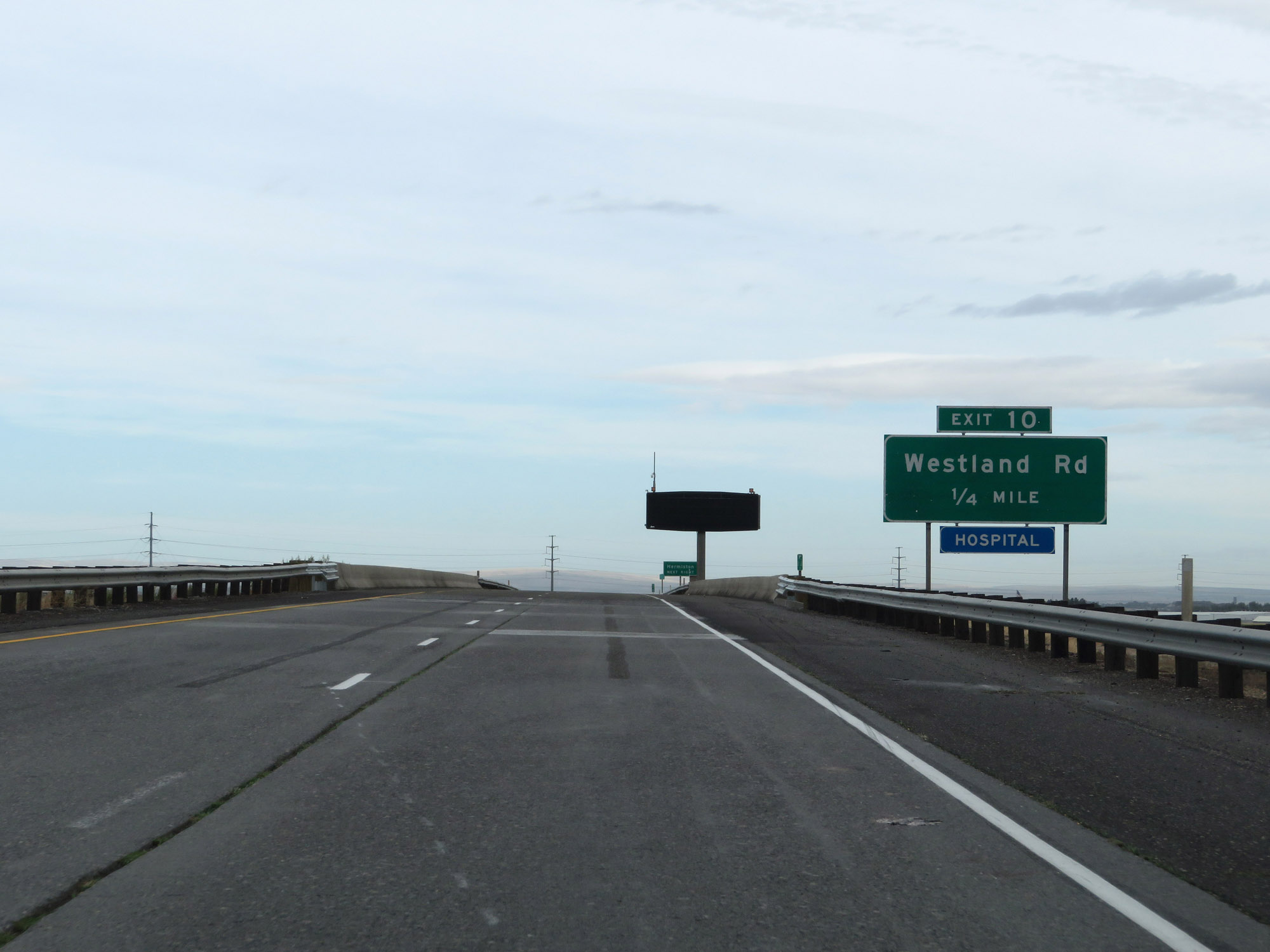 |
Interstate 82 West approaching Exit 10 - 1/4 mile. (Photo taken 9/26/19). |
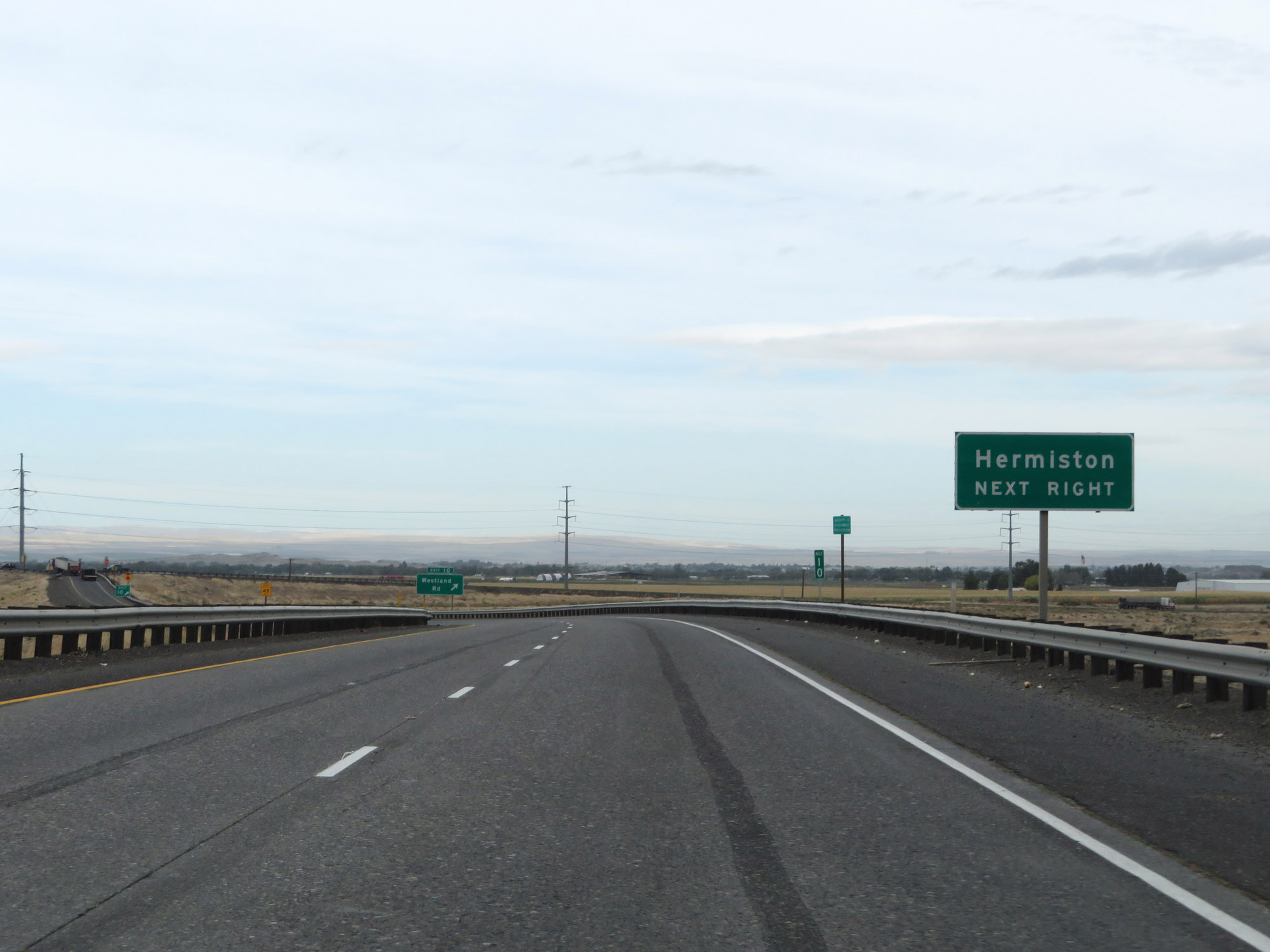 |
Take Exit 10 to Hermiston. (Photo taken 9/26/19). |
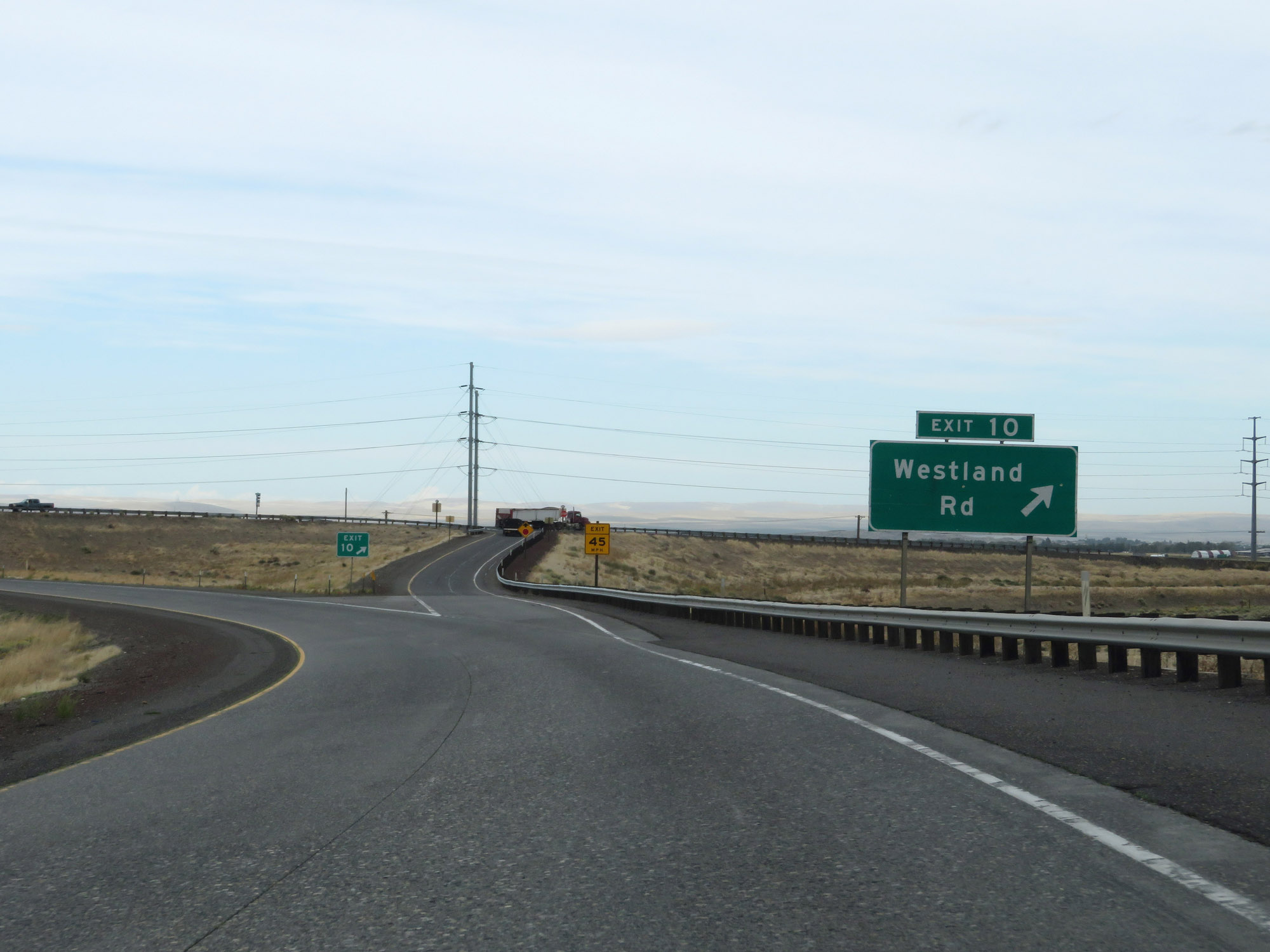 |
Interstate 82 West at Exit 10: Westland Rd (Photo taken 9/26/19). |
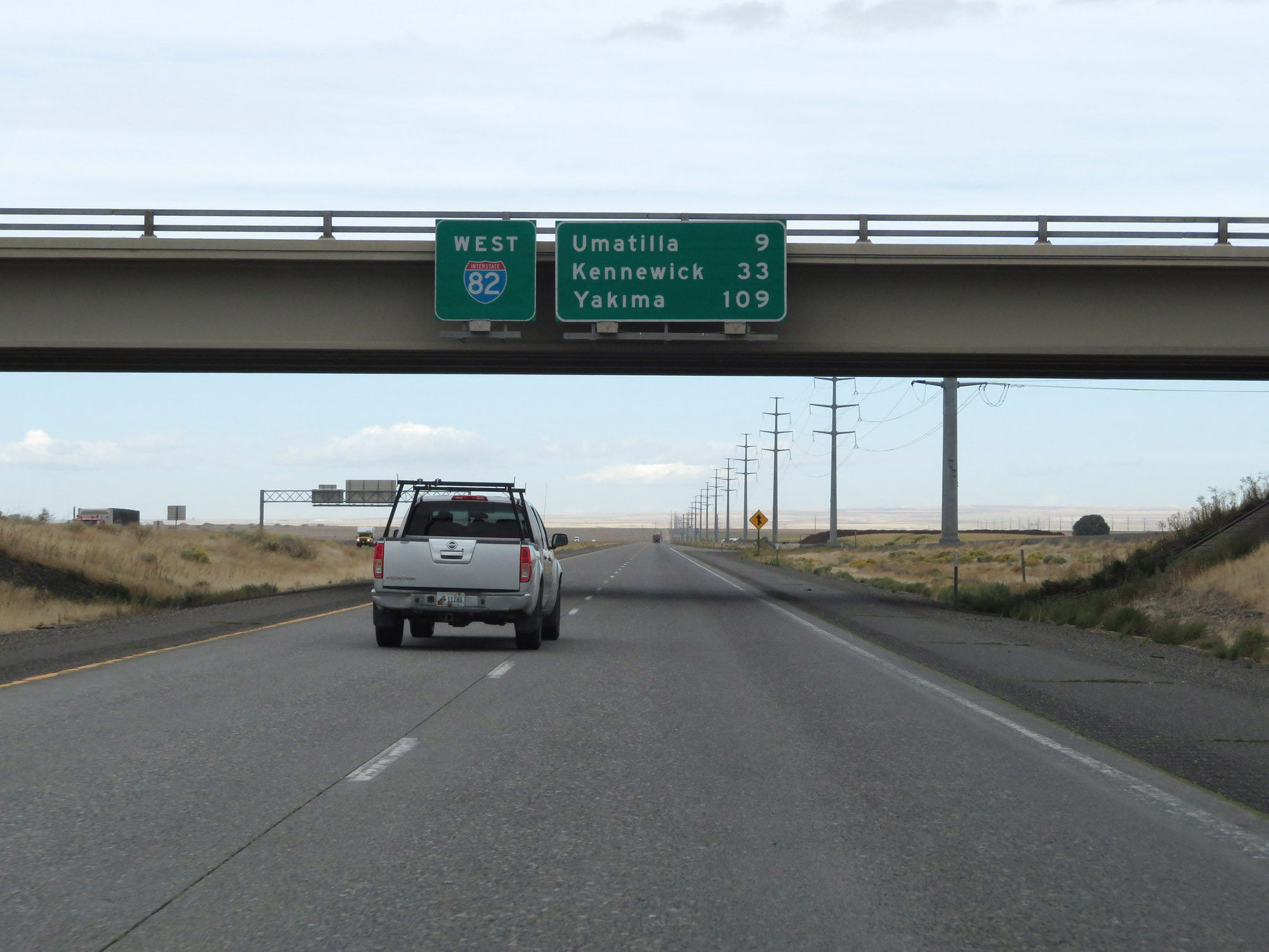 |
Overhead mileage sign on Interstate 82 West. It's 9 miles to Umatilla, 33 miles to Kennewick, and 109 miles to Yakima. (Photo taken 9/26/19). |
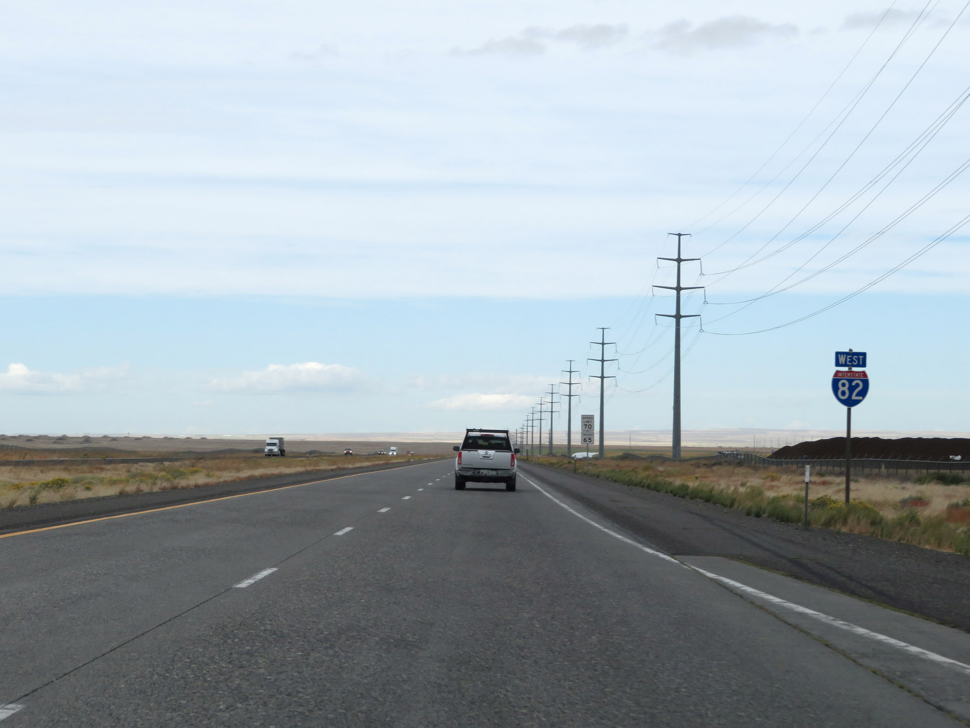 |
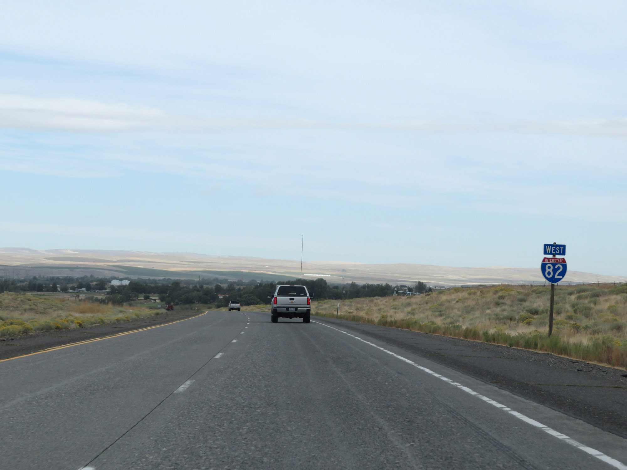
Interstate 82 West reassurance shield. (Photo taken 9/26/19). |
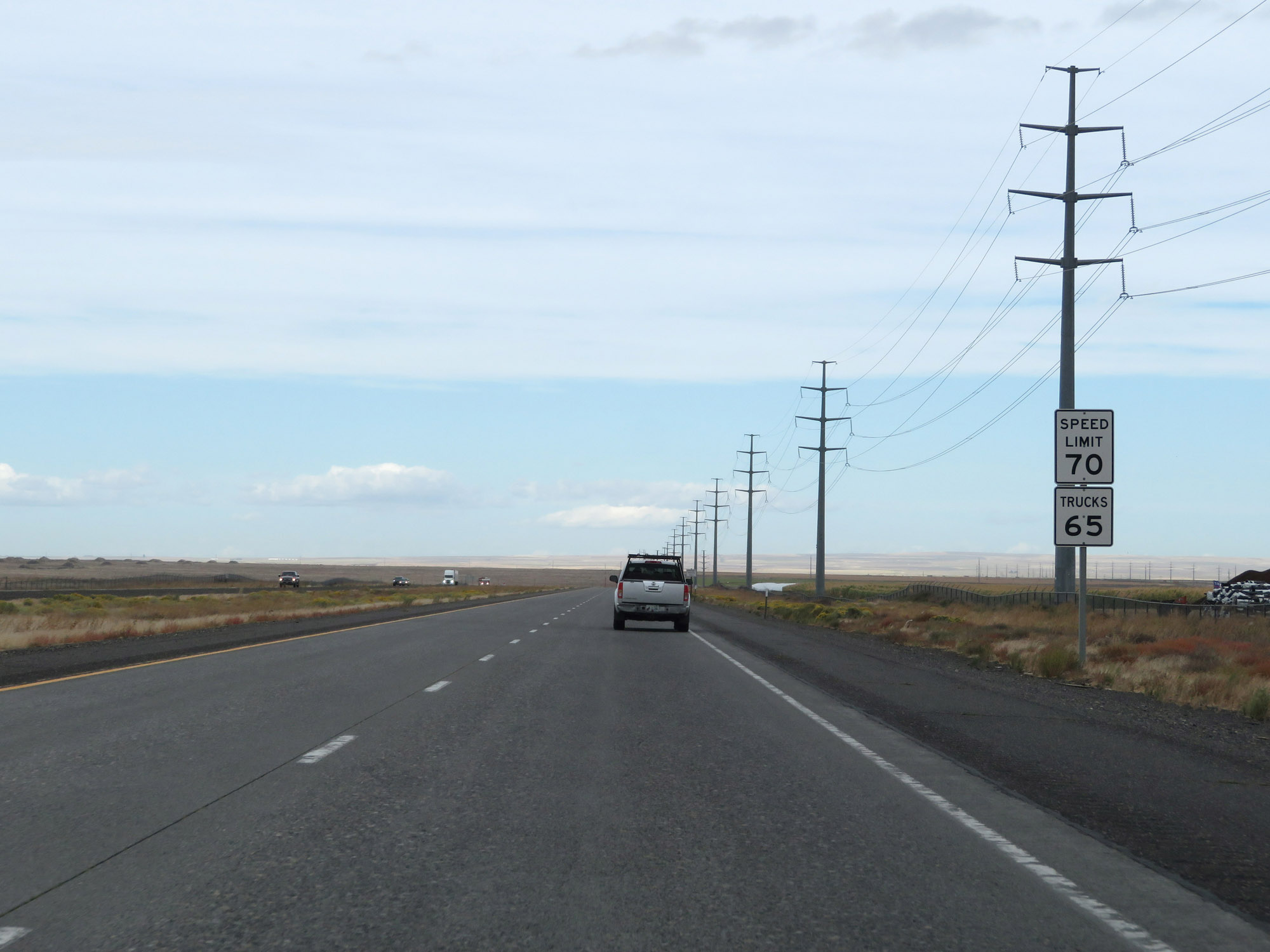 |
The speed limits on Interstate 82 in Oregon are 70 mph for cars and 65 mph for trucks. Interstate 82 is one of two Interstates in Oregon with such speed limits, with the other one being Interstate 84. (Photo taken 9/26/19). |
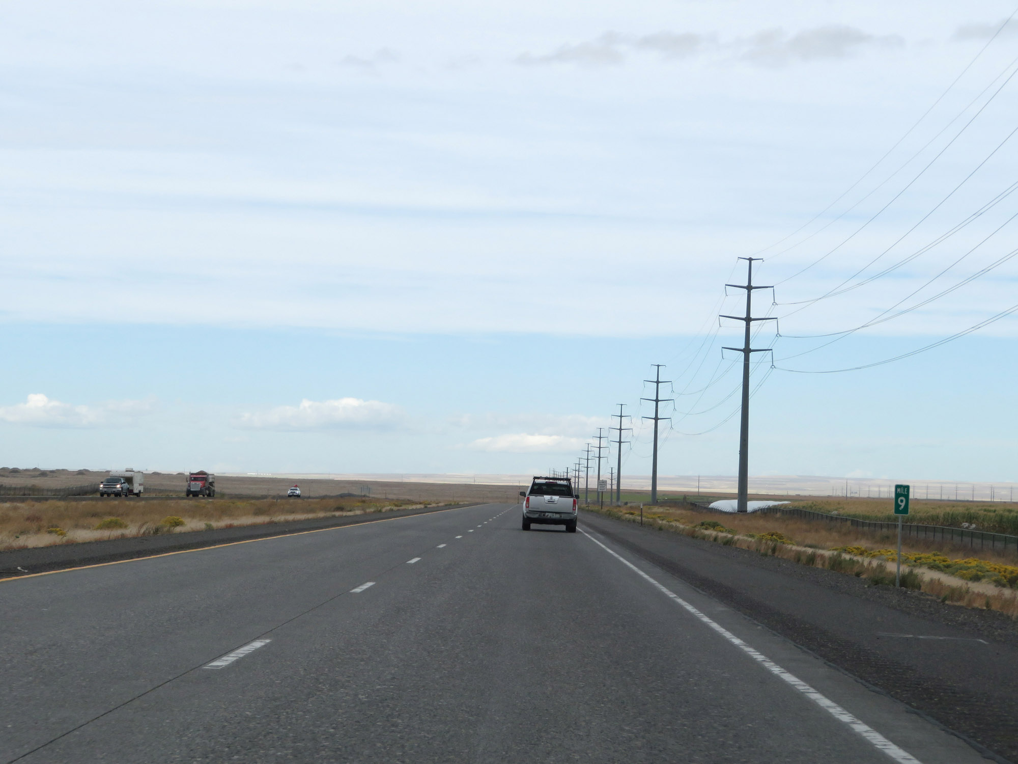 |
View on Interstate 82 West at mile marker 9. (Photo taken 9/26/19). |
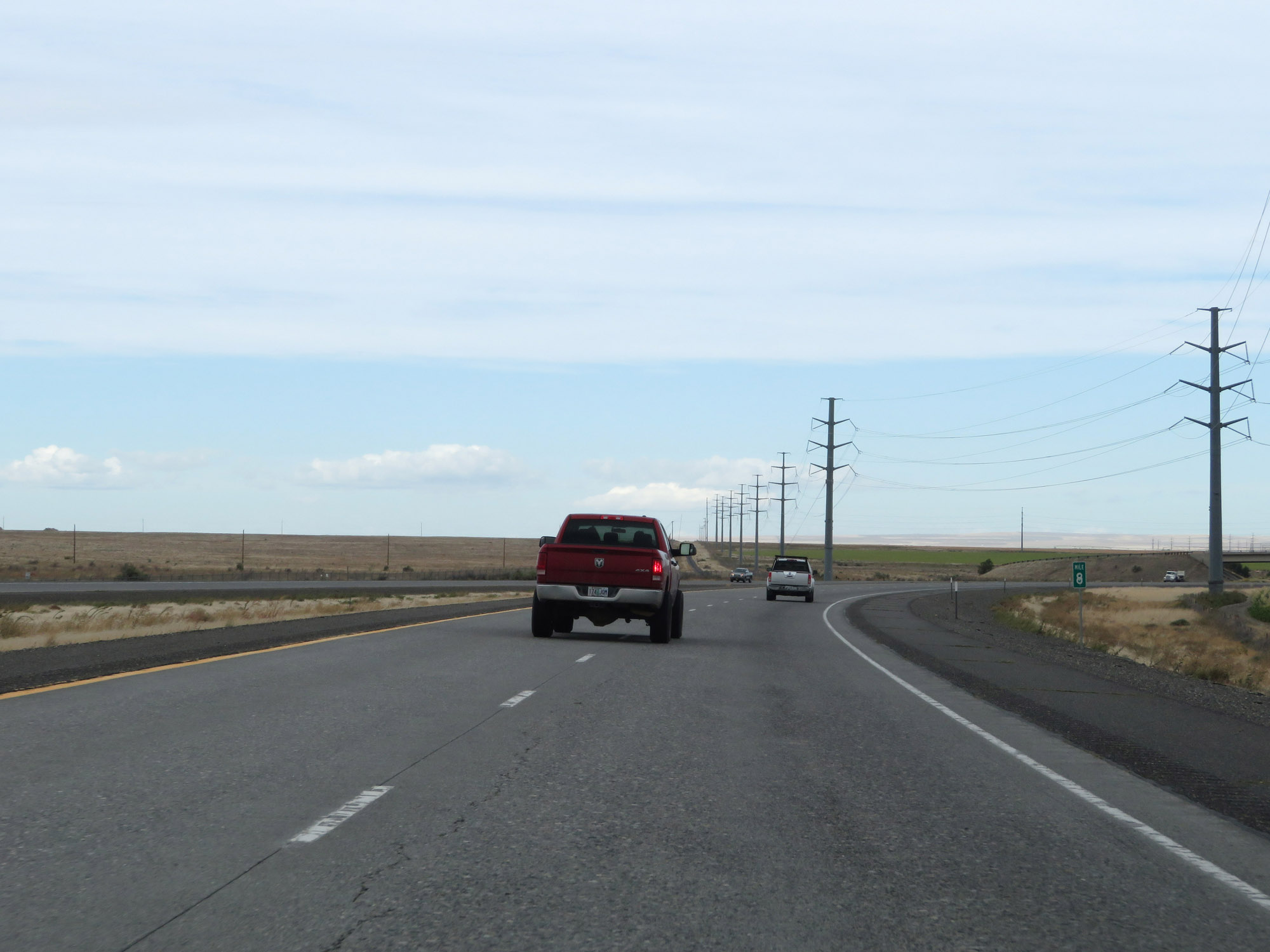 |
Interstate 82 West at mile marker 8. (Photo taken 9/26/19). |
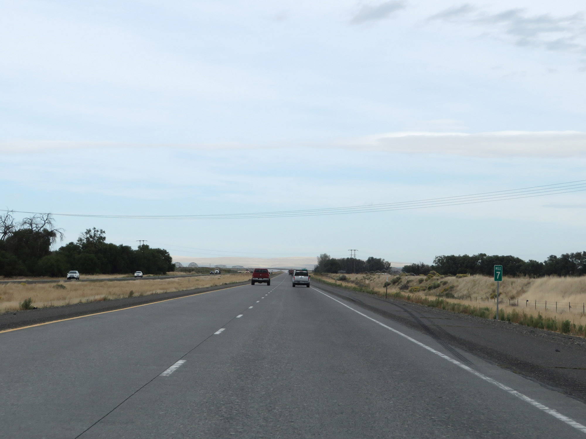 |
Interstate 82 West at mile marker 7. (Photo taken 9/26/19). |
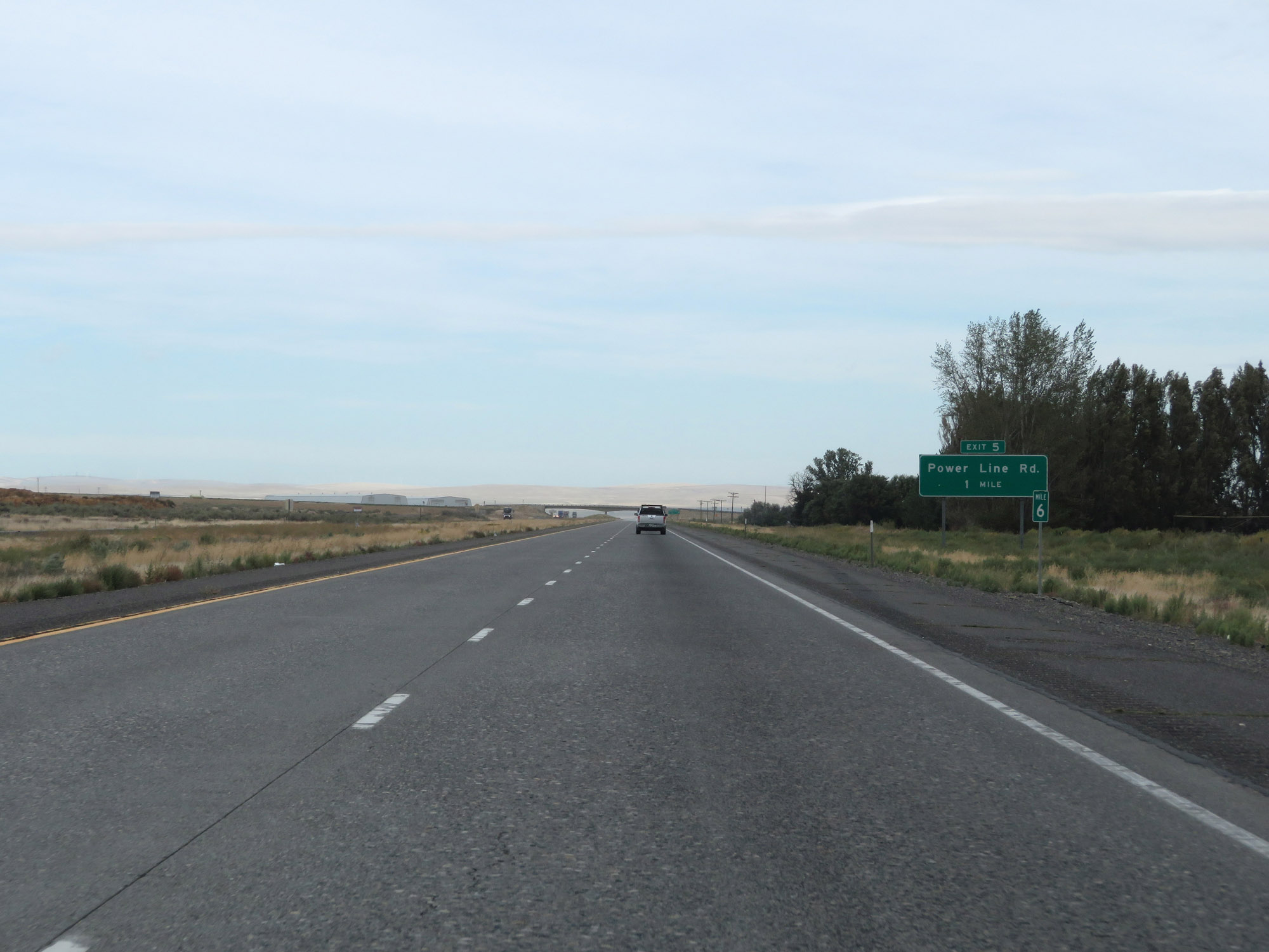 |
View on Interstate 82 West at mile marker 6. (Photo taken 9/26/19). |
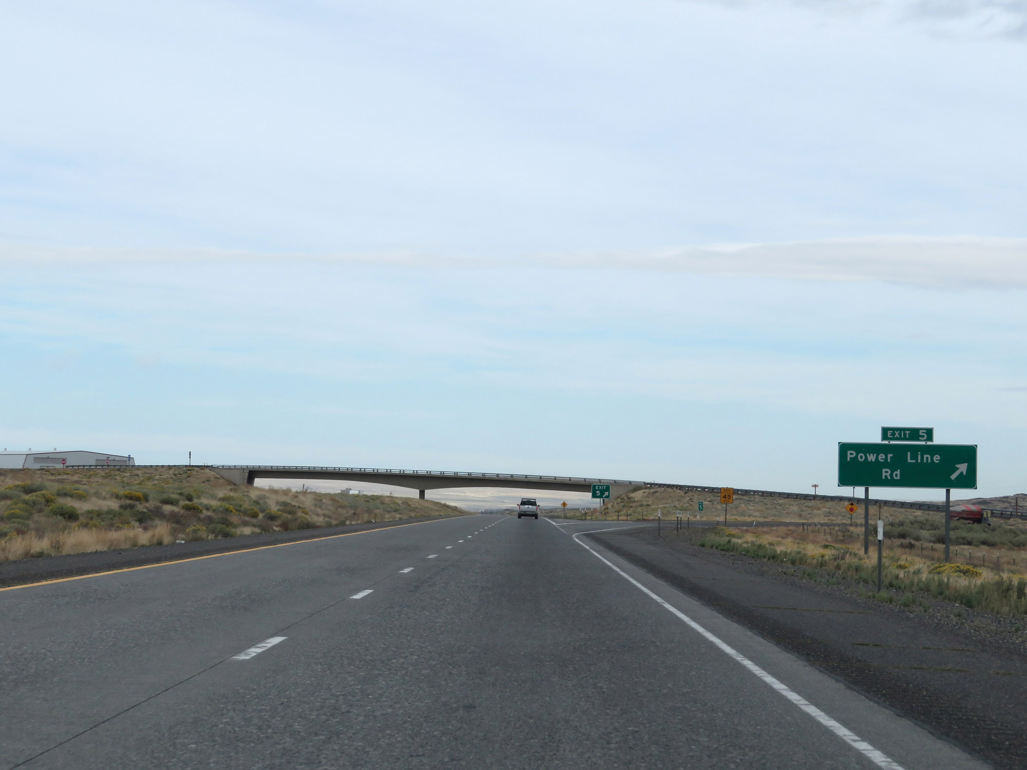 |
Interstate 82 West at Exit 5: Power Line Rd (Photo taken 9/26/19). |
 |
Another Interstate 82 West reassurance shield. (Photo taken 9/26/19). |
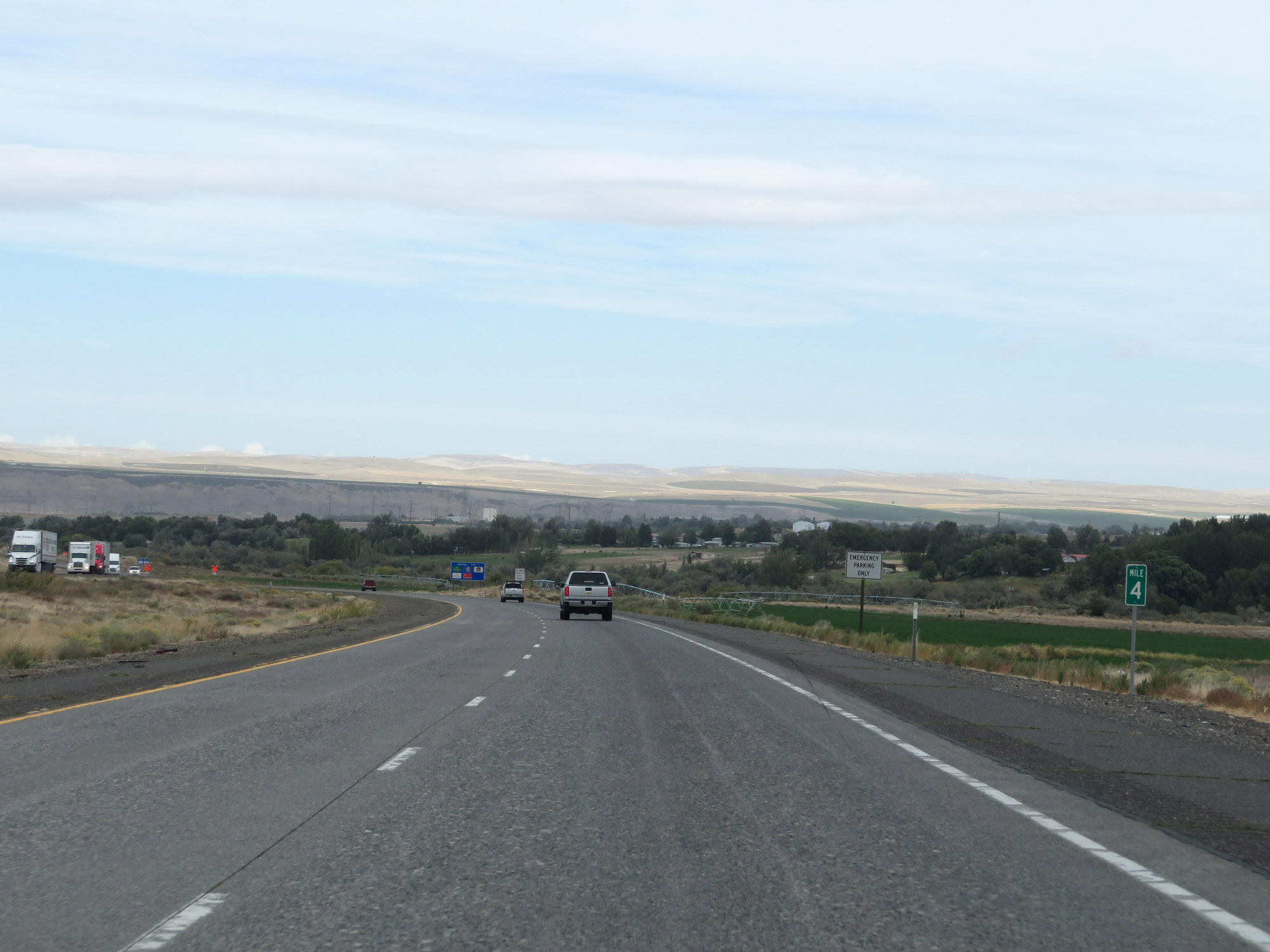 |
Interstate 82 West at mile marker 4. (Photo taken 9/26/19). |
 |
View on Interstate 82 West at mile marker 3. (Photo taken 9/26/19). |
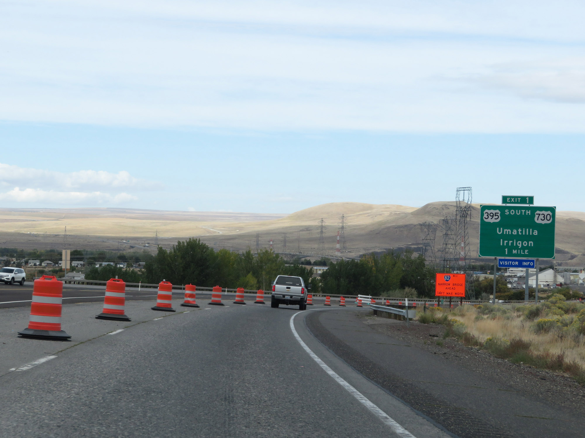 |
Interstate 82 West approaching Exit 1 - 1 mile. (Photo taken 9/26/19). |
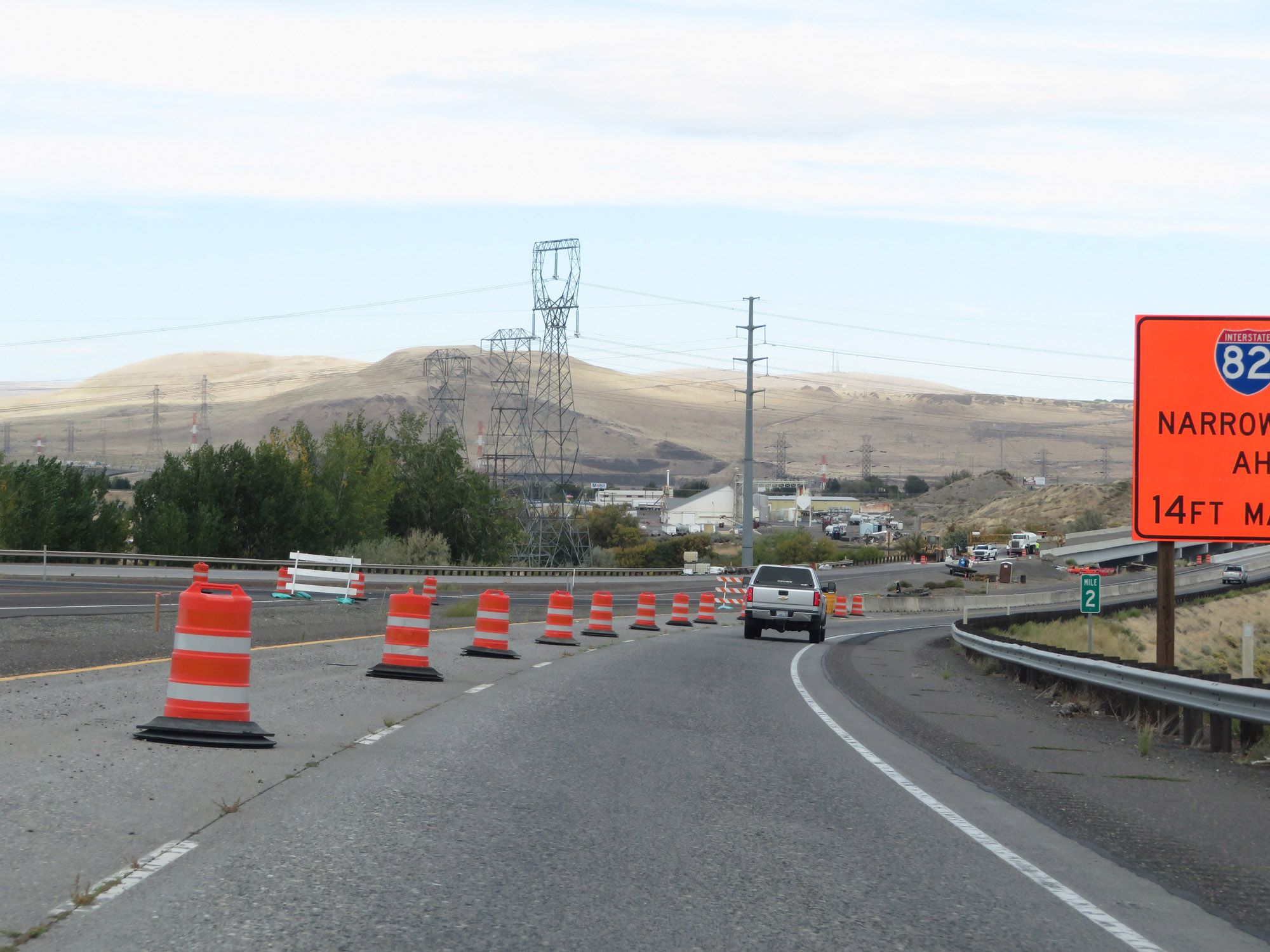 |
View on Interstate 82 West at mile marker 2. (Photo taken 9/26/19). |
 |
Crossing the Umatilla River on Interstate 82 West, just before Exit 1. (Photo taken 9/26/19). |
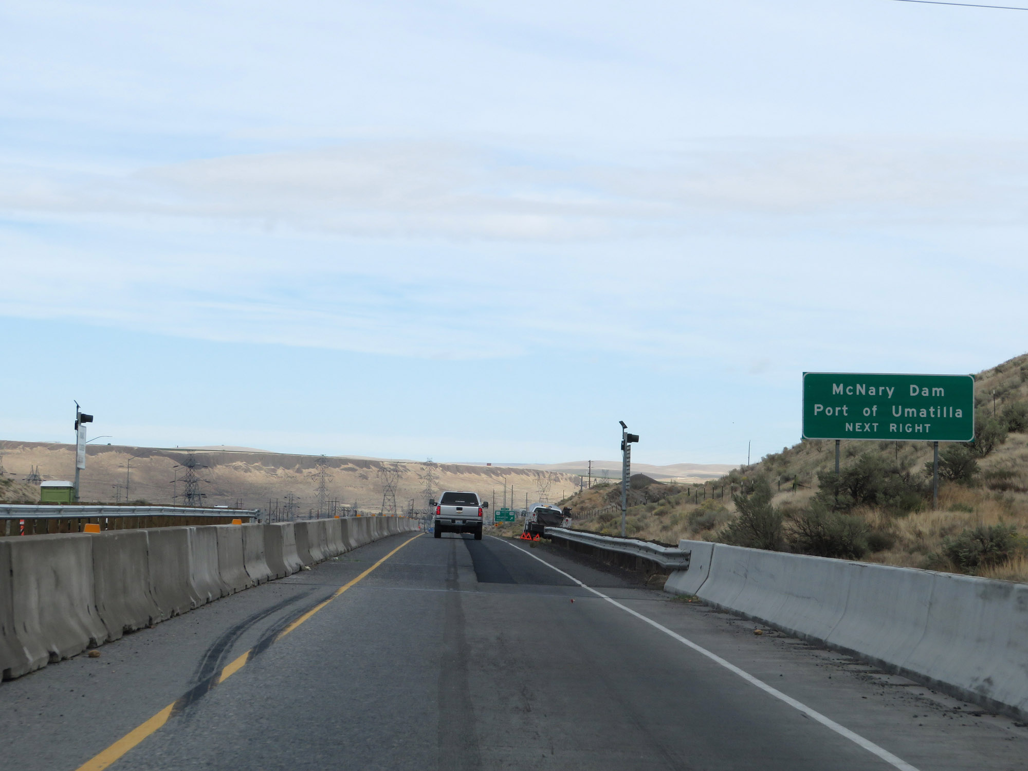 |
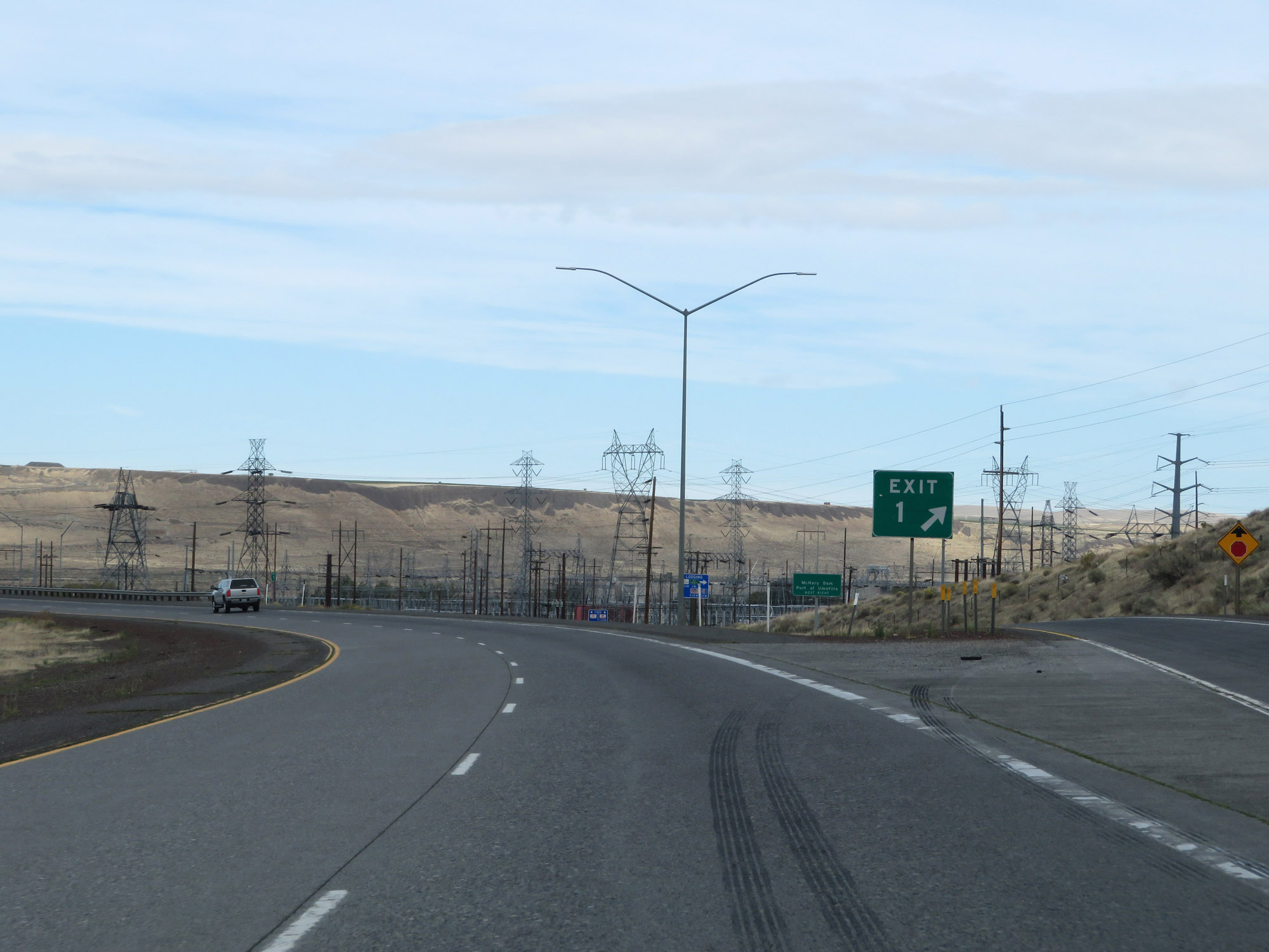
Take Exit 1 to McNary Dam and Port of Umatilla. (Photo taken 9/26/19). |
 |
Interstate 82 West at Exit 1: US 395 South / US 730 - Umatilla / Irrigon (Photo taken 9/26/19). |
 |
Gore point signage for Exit 1. (Photo taken 9/26/19). |
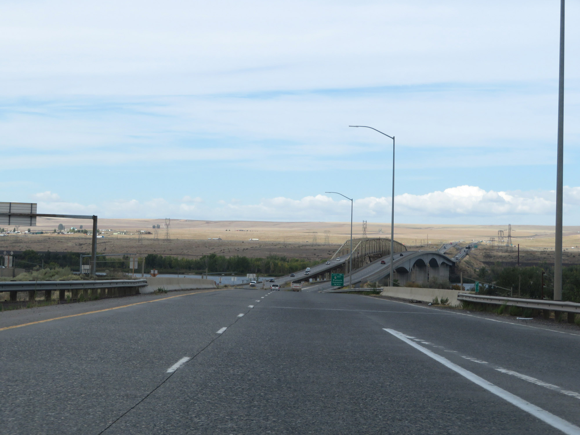 |
Interstate 82 West as the Umatilla Bridge over the Columbia River comes into view. (Photo taken 9/26/19). |
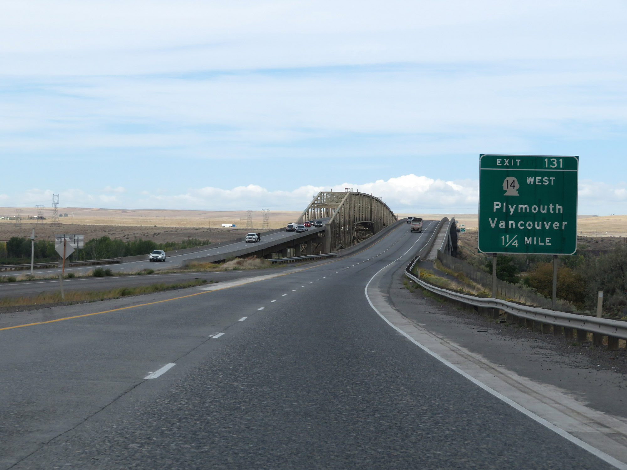 |
Advance signage for Exit 131, which is the first exit on Interstate 82 West in Washington. (Photo taken 9/26/19). |
 |
Interstate 82 West as it prepares to cross the Umatilla Bridge over the Columbia River. (Photo taken 9/26/19). |
 |
Interstate 82 West on the Umatilla Bridge, as it crosses the Columbia River into Washington. (Photo taken 9/26/19). |
 |
Looking to the east while crossing the Columbia River on the Umatilla Bridge, you can see McNary Dam. (Photo taken 9/26/19). |