Road Information |
||
 |
||
| Total Mileage in State: | 237 miles | |
| Eastern End: | At Pennsylvania state line | |
| Western End: | At Indiana state line | |
| Mileage covered in Photos: | 237 miles | |
| Counties covered in Photos: | Trumbull, Mahoning, Trumbull, Portage, Summit, Cuyahoga, Lorain, Erie, Sandusky, Ottawa, Wood, Lucas, Fulton, Williams | |
| Major Junctions in Photos: | I-76, in North Jackson I-480, in Streetsboro I-77, near Richfield I-71, near Strongsville I-280, near Perrysburg I-75, in Perrysburg I-475/US 20/US 23, in Maumee |
|
| Control Cities in Photos: | Hubbard, Youngstown, North Ridgeville, Elyria, Fremont, Perrysburg, Maumee, Montpelier | |
Westbound
- Section 1: Pennsylvania Border to Streetsboro (Exit 187)
- Section 2: Streetsboro (Exit 187) to Milan (Exit 118)
- Section 3: Milan (Exit 118) to Maumee (Exit 59)
- Section 4: Maumee (Exit 59) to Indiana Border
Section 1: Pennsylvania Border to Streetsboro (Exit 187)
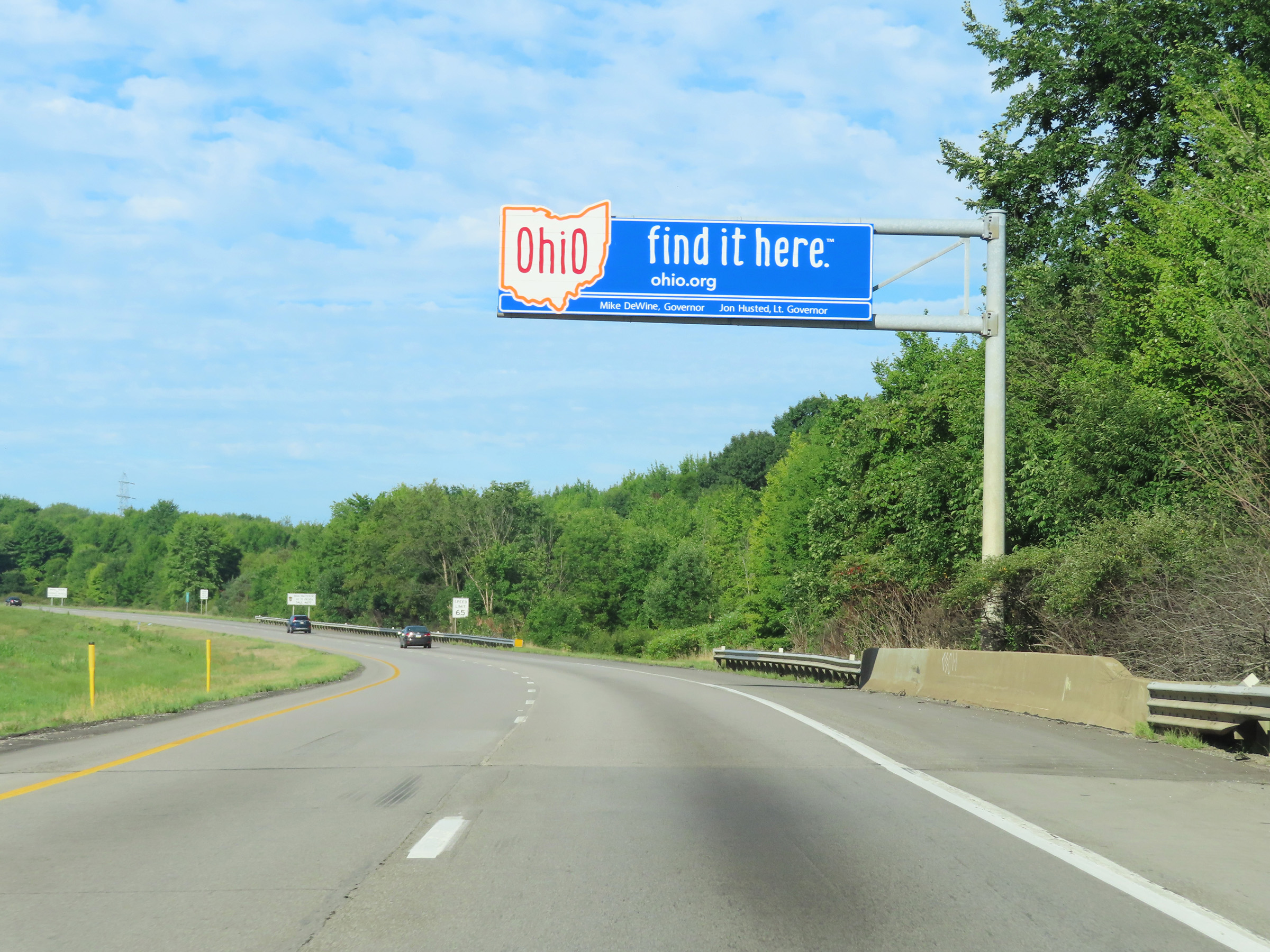 |
Ohio welcome sign as Interstate 80 West enters the Buckeye State from Pennsylvania. (Photo taken 8/13/22). |
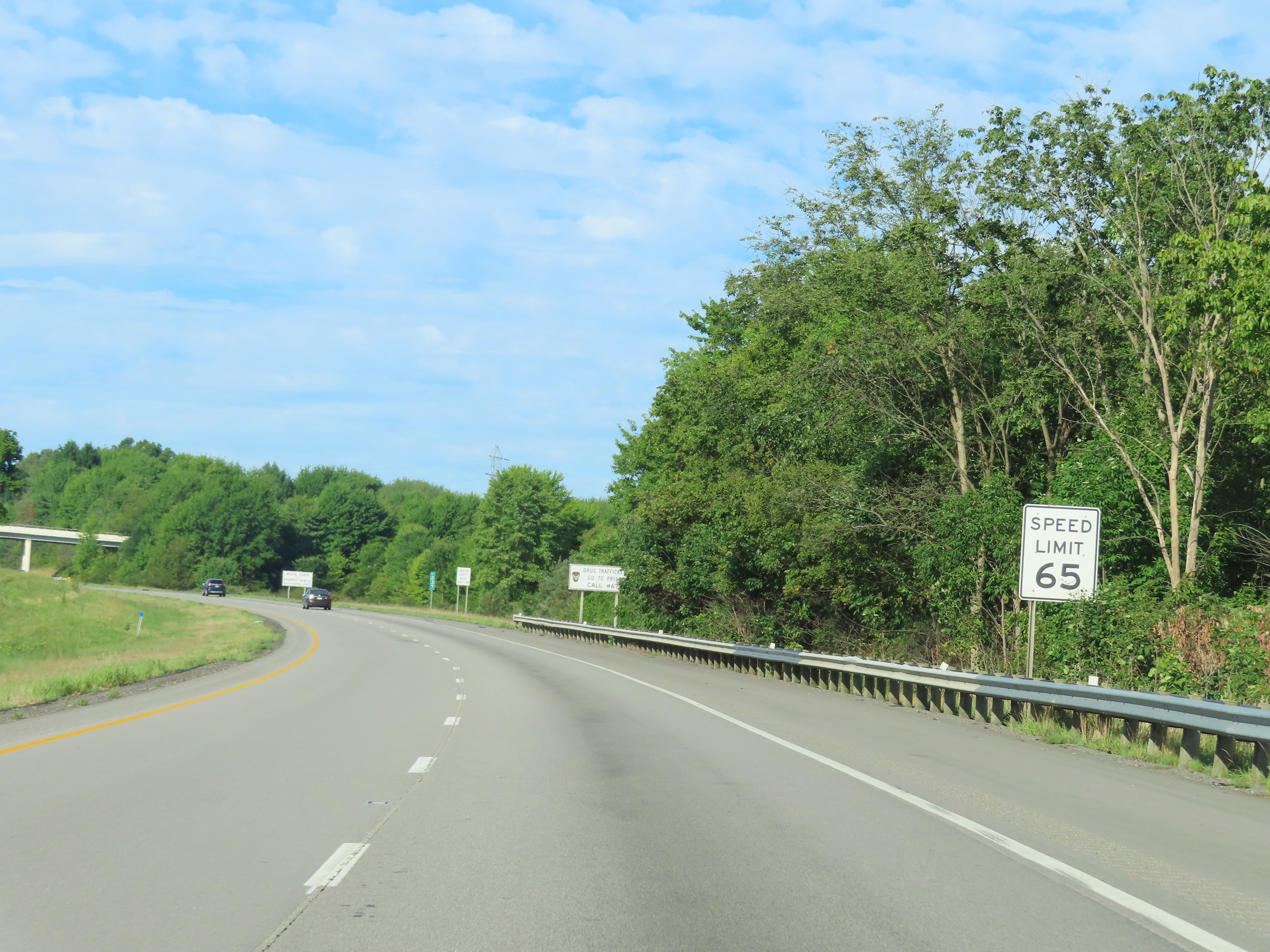 |
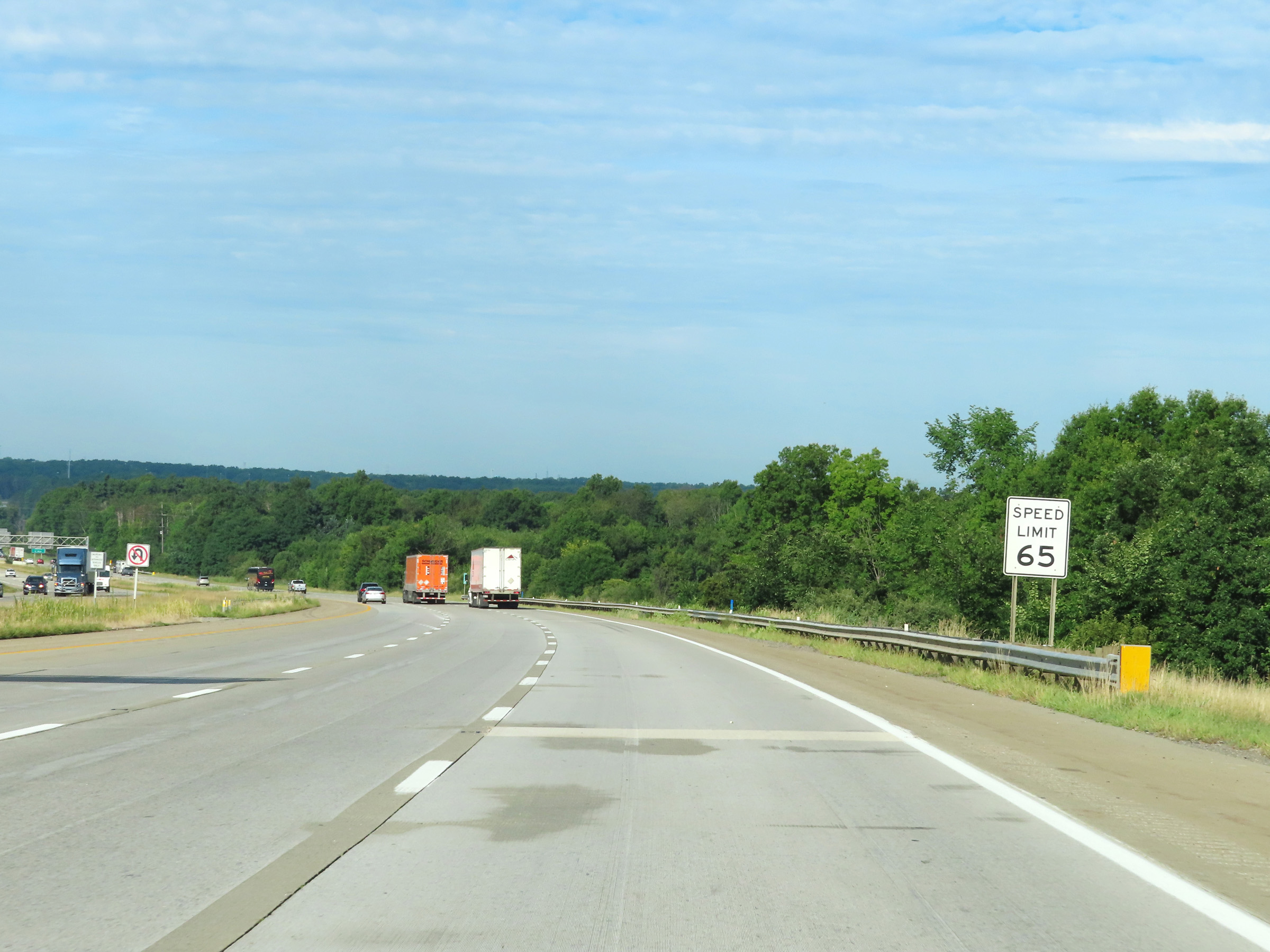
The speed limit on Interstate 80 West in Ohio starts out at 65 mph. (Photo taken 8/13/22). |
 |
Abandoned Rest Area on Interstate 80 West in Trumbull County. (Photo taken 8/13/22). |
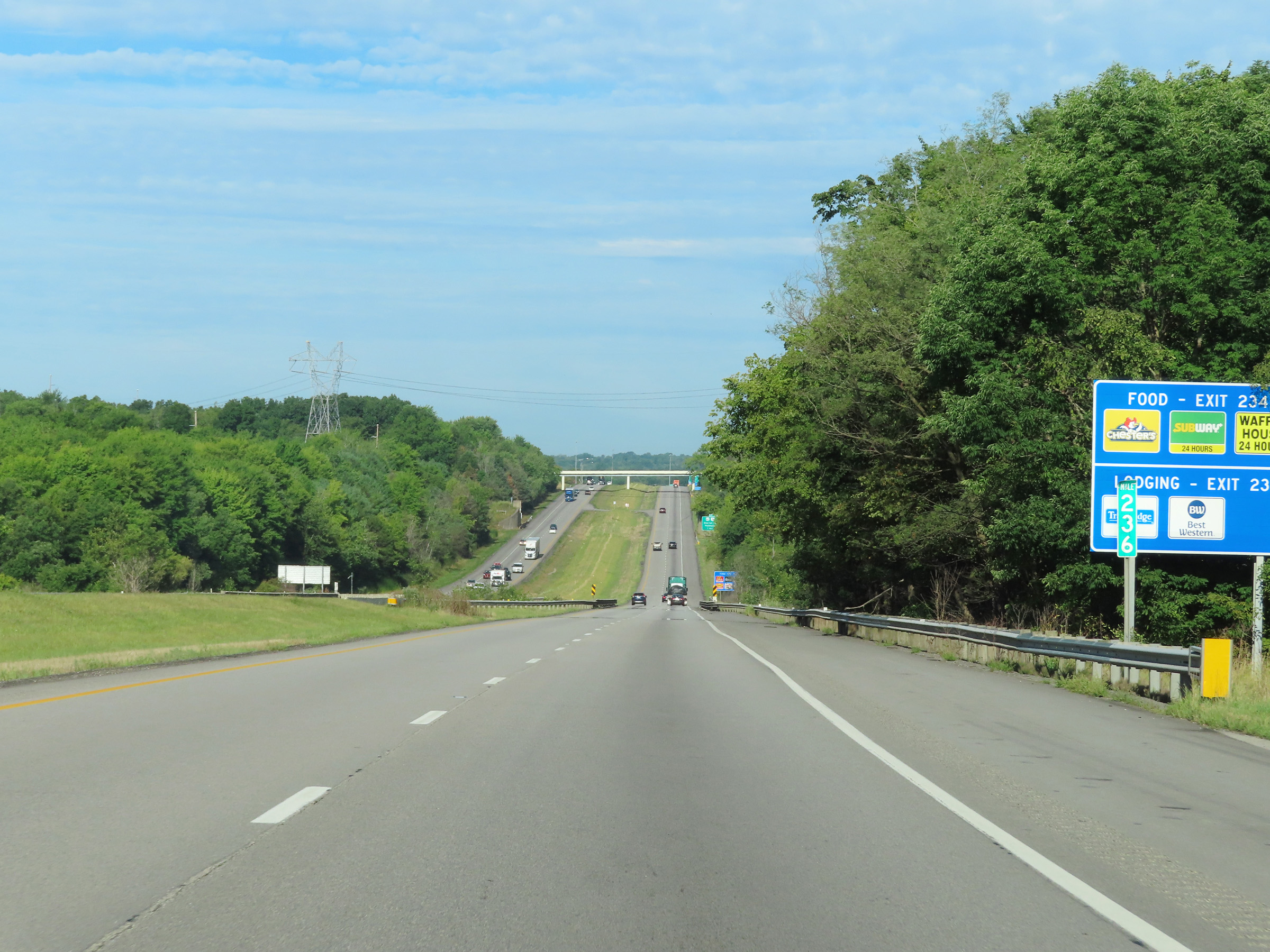 |
View on Interstate 80 West at mile marker 236. (Photo taken 8/13/22). |
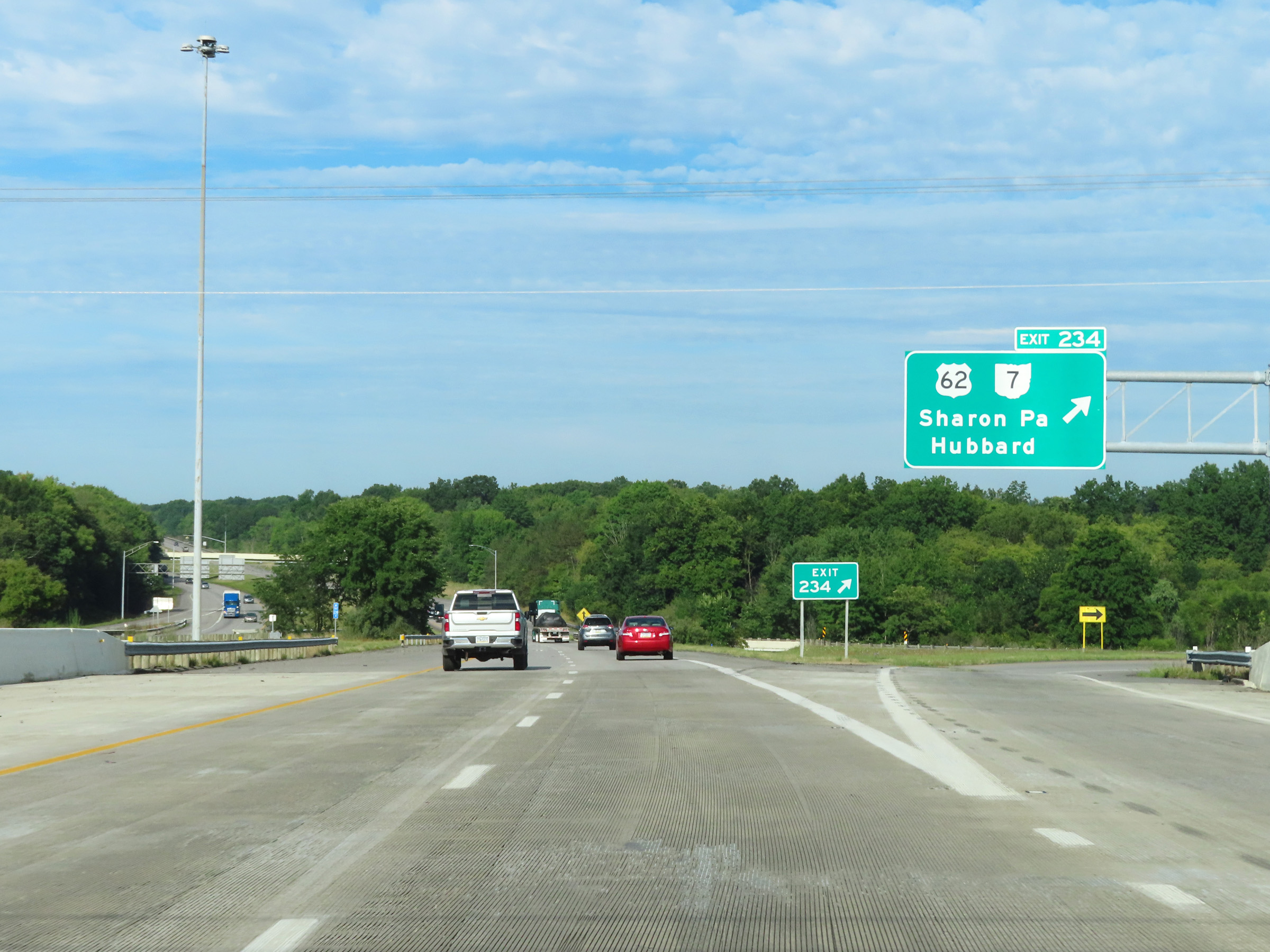 |
Interstate 80 West at Exit 234: US 62 / OH 7 - Sharon, PA / Hubbard (Photo taken 8/13/22). |
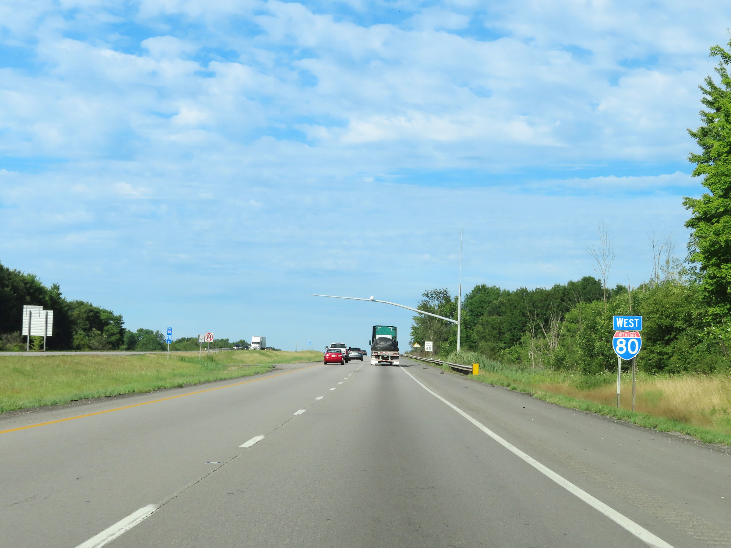 |
Interstate 80 West reassurance shield. (Photo taken 8/13/22). |
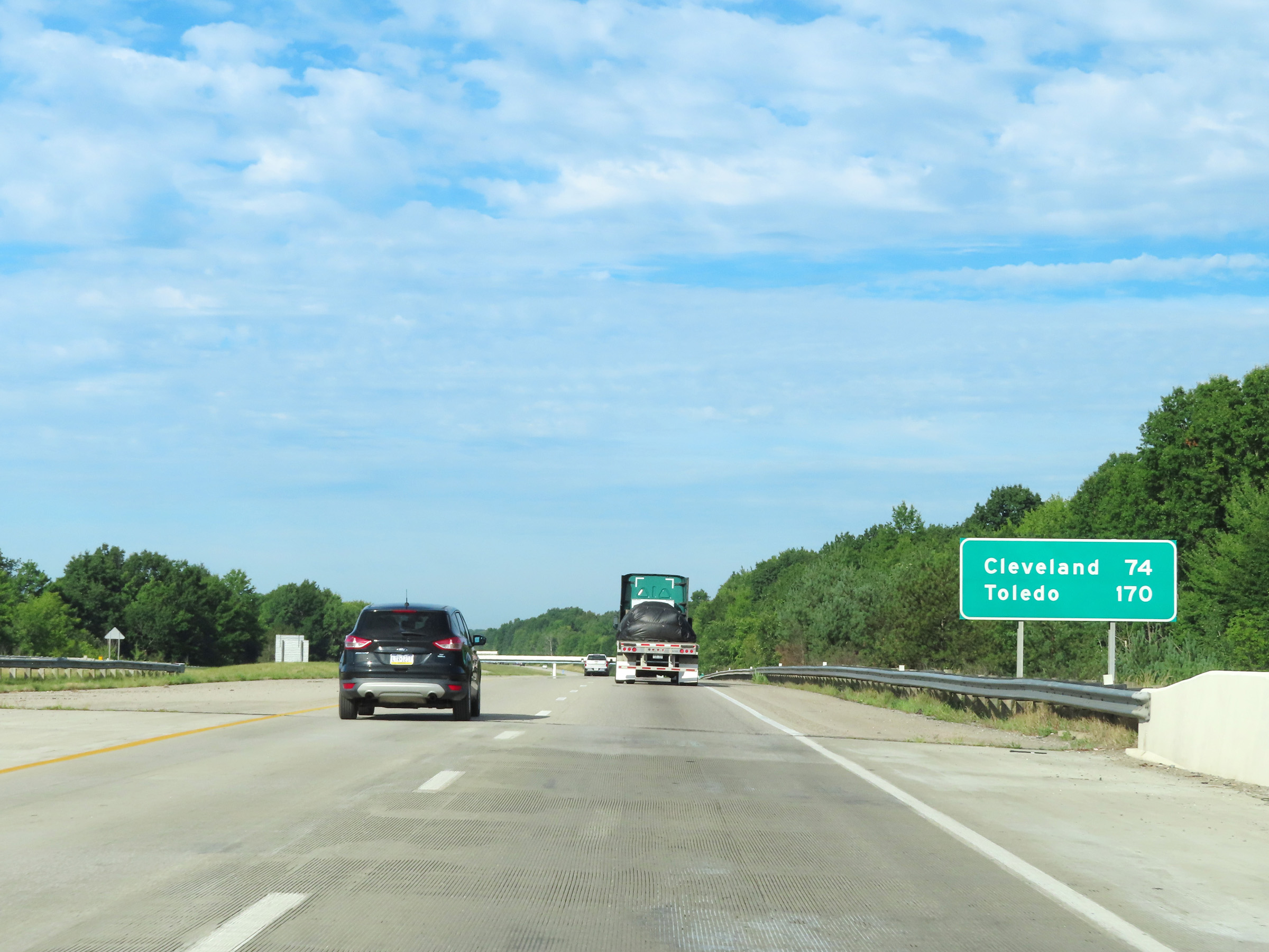 |
Mileage sign on Interstate 80 West. It's 74 miles to Cleveland and 170 miles to Toledo. (Photo taken 8/13/22). |
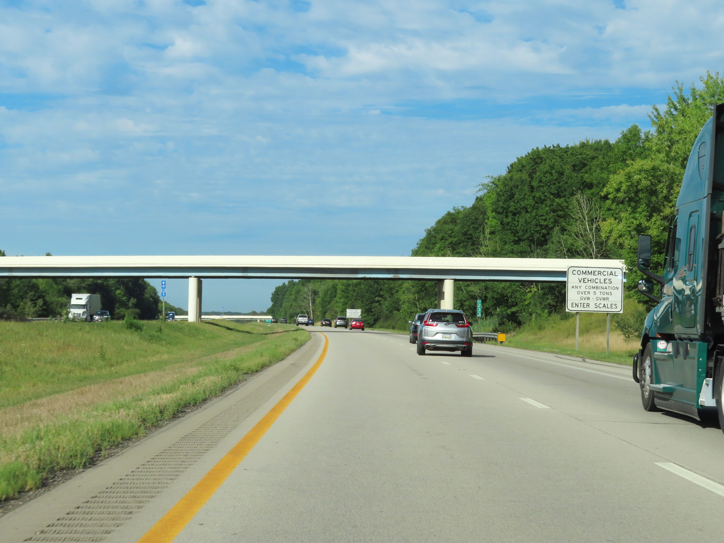 |
This sign at mile marker 233 shows that all commercial vehicles and combinations over 5 tons GVW/GVWR must enter the Weigh Station ahead when it's open. (Photo taken 8/13/22). |
 |
Additionally, all trucks hauling hazardous materials in a class or weight requiring placards must enter the scales. (Photo taken 8/13/22). |
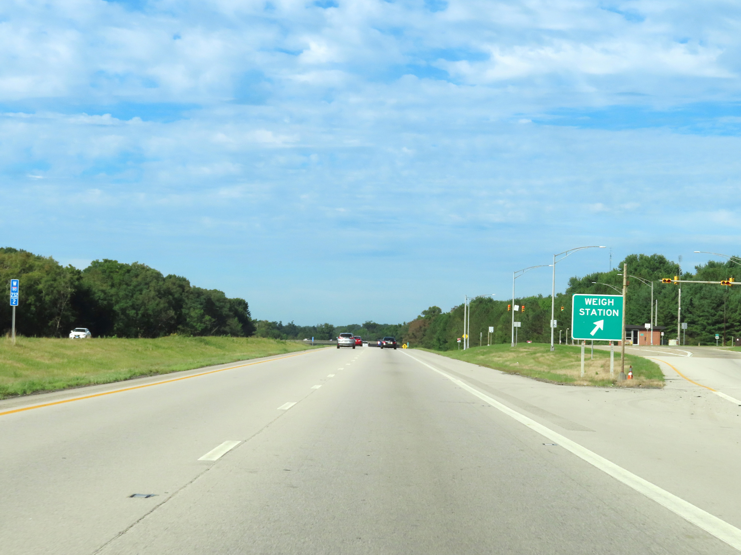 |
Weigh Station on Interstate 80 West at mile marker 232.2 in Trumbull County. (Photo taken 8/13/22). |
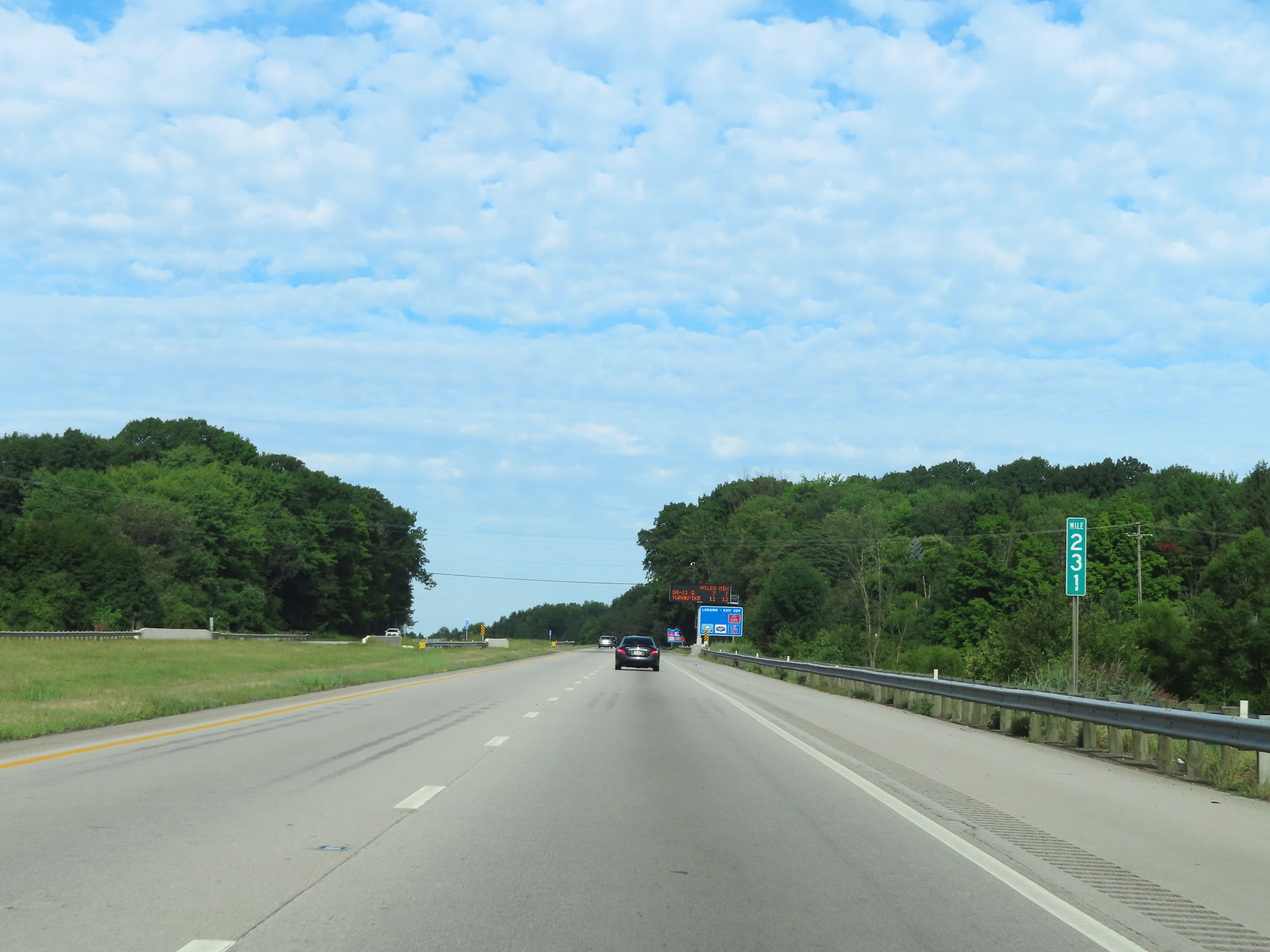 |
Interstate 80 West at mile marker 231. (Photo taken 8/13/22). |
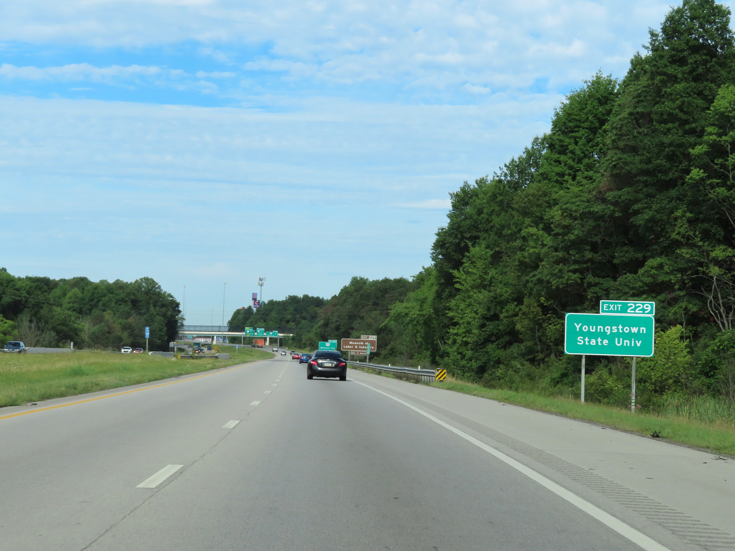 |
Take Exit 229 to Youngstown State University. (Photo taken 8/13/22). |
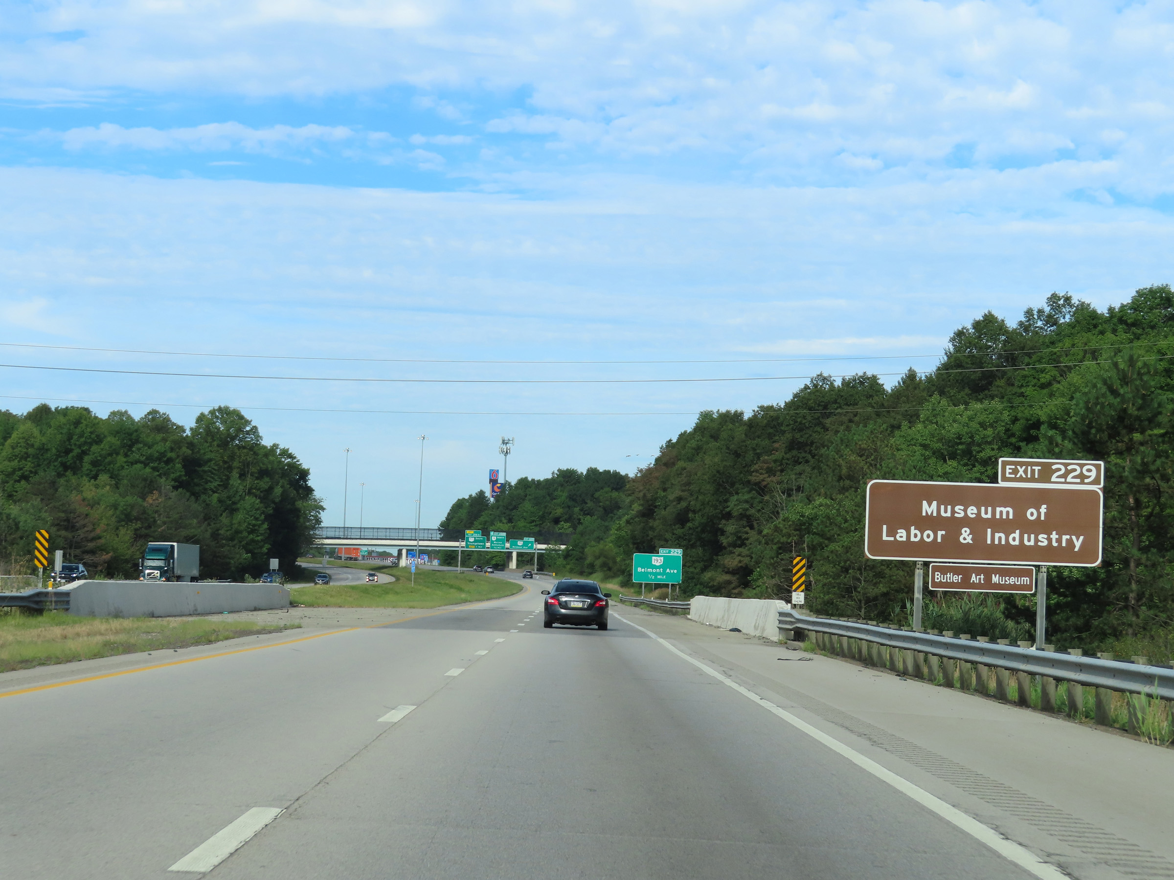 |
Also take Exit 229 to the Museum of Labor & Industry as well as Butler Art Museum. (Photo taken 8/13/22). |
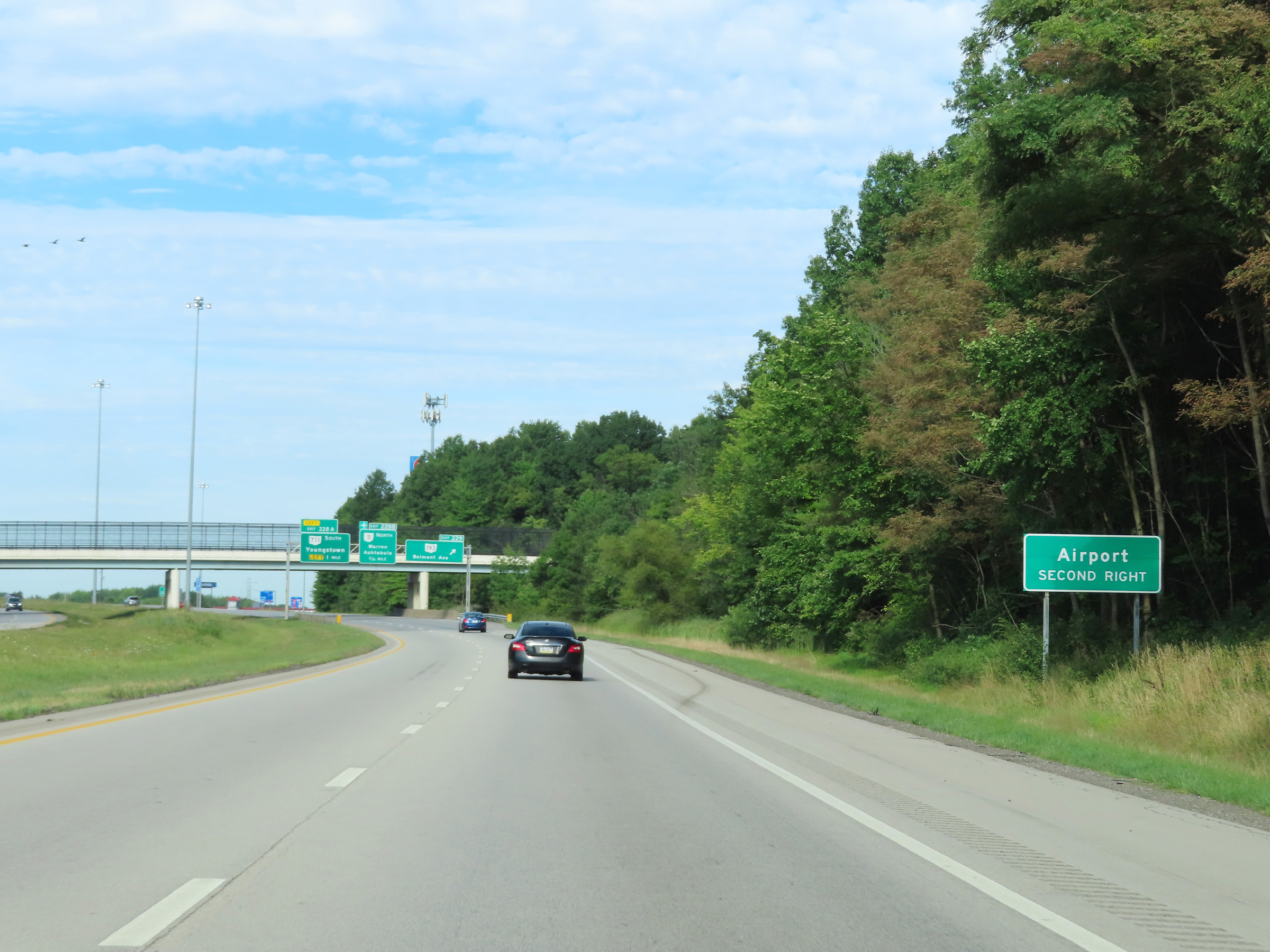 |
Take Exit 228B to the Airport. (Photo taken 8/13/22). |
 |
Interstate 80 West at Exit 229: OH 193 - Belmont Ave (Photo taken 8/13/22). |
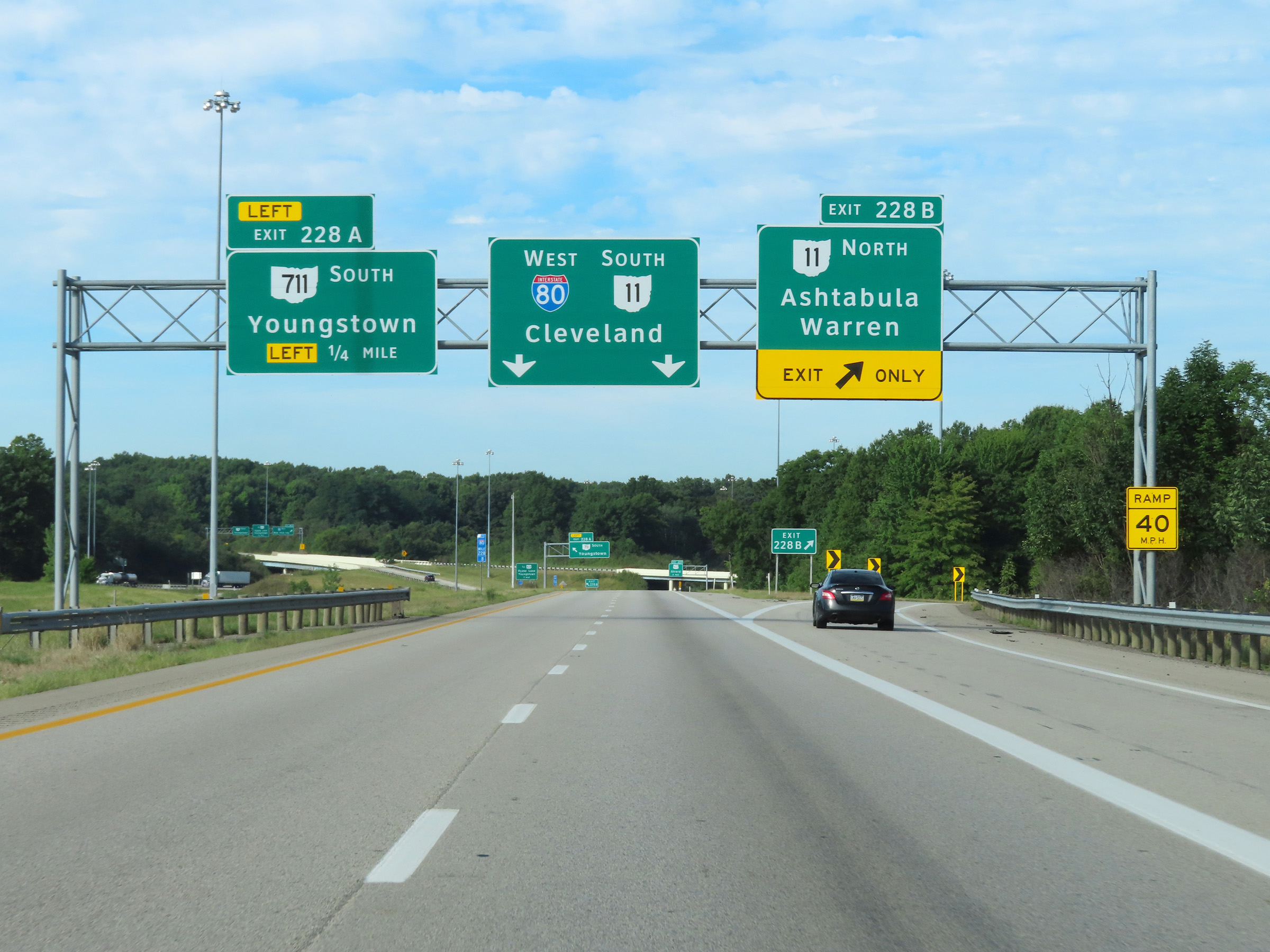 |
Interstate 80 West at Exit 228B: OH 11 North - Ashtabula / Warren (Photo taken 8/13/22). |
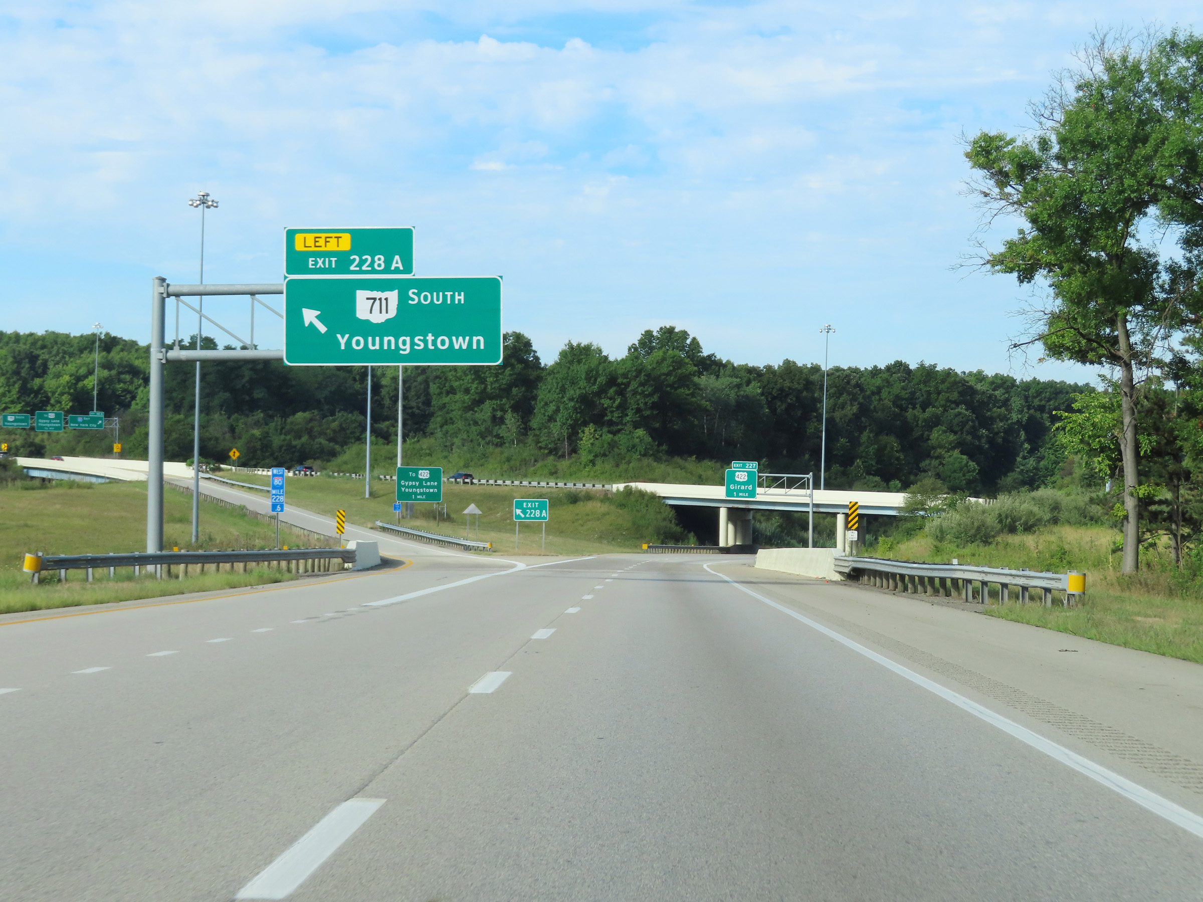 |
Interstate 80 West at Exit 228A: OH 711 South - Youngstown (Photo taken 8/13/22). |
 |
View on Interstate 80 West at mile marker 228, as the ramp from OH 11 South continues ahead giving I-80 West three thru lanes. (Photo taken 8/13/22). |
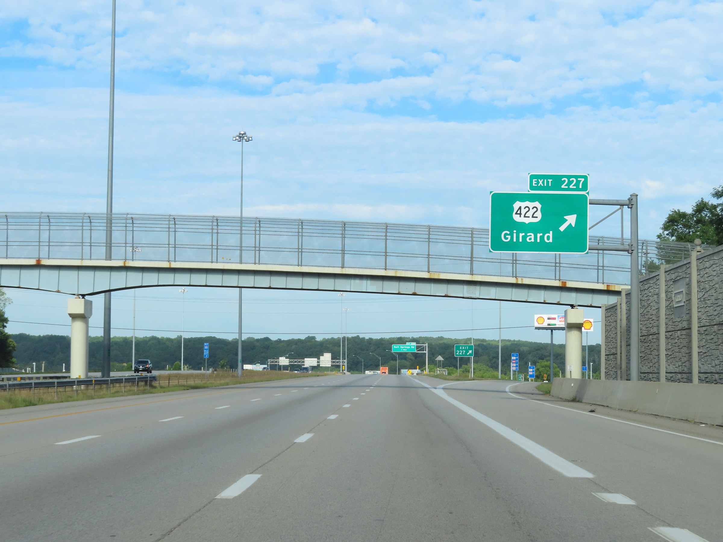 |
Interstate 80 West at Exit 227: US 422 - Girard (Photo taken 8/13/22). |
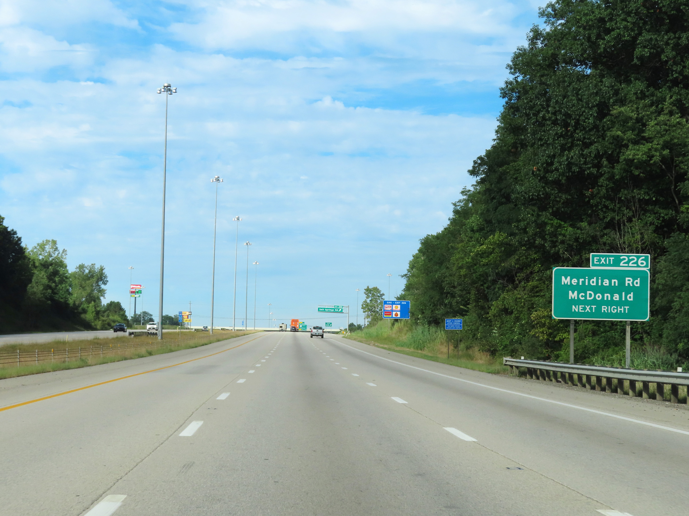 |
Take Exit 226 to Meridian Rd and McDonald. (Photo taken 8/13/22). |
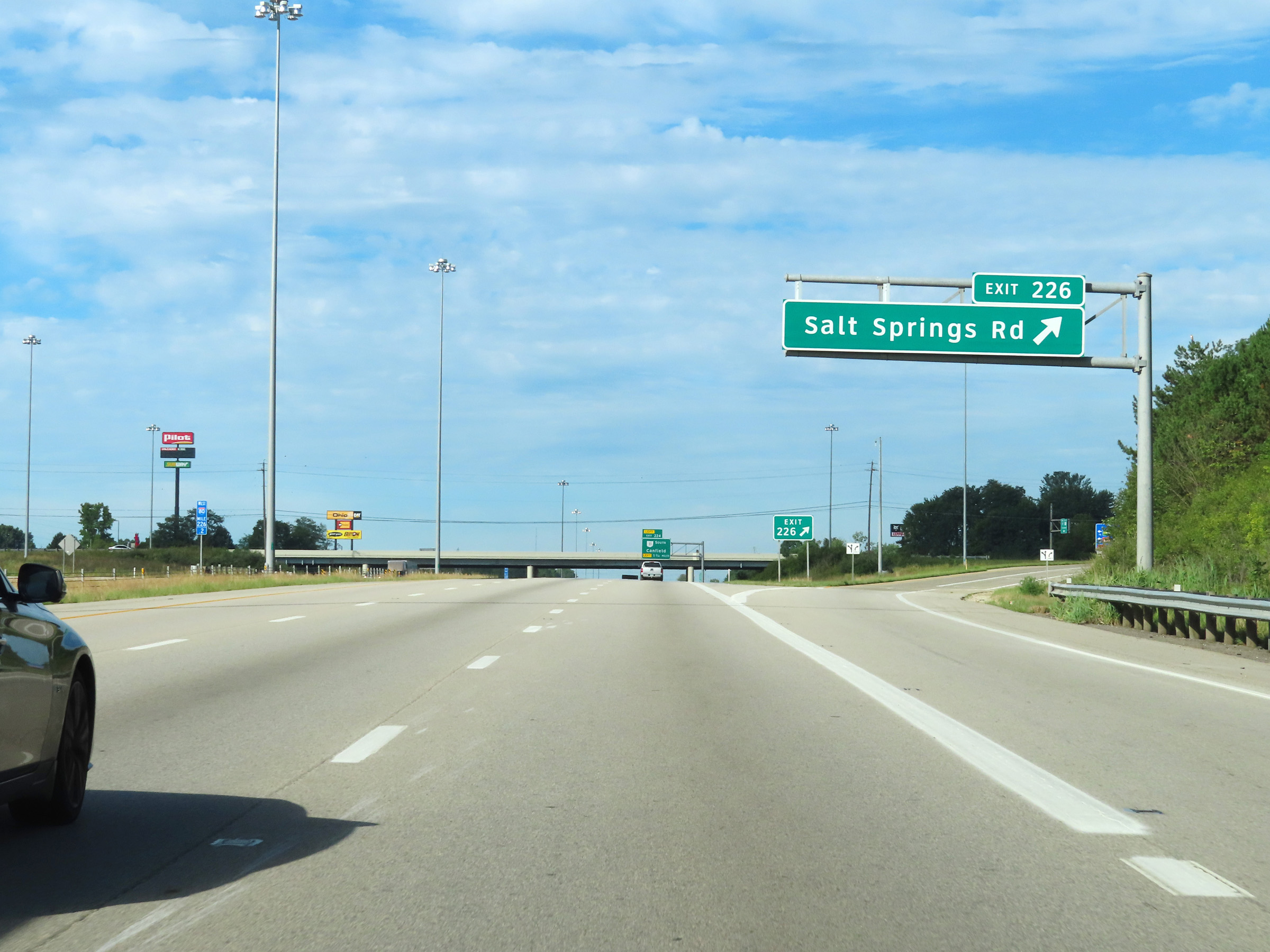 |
Interstate 80 West at Exit 226: Salt Springs Rd (Photo taken 8/13/22). |
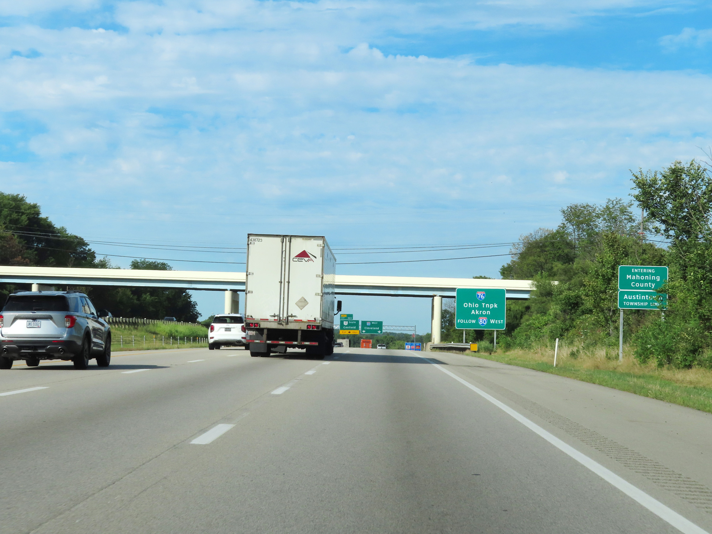 |
Interstate 80 West as it enters Mahoning County. (Photo taken 8/13/22). |
 |
As this sign reads, traffic to Interstate 76, the Ohio Turnpike and Akron should stay on Interstate 80 West. (Photo taken 8/13/22). |
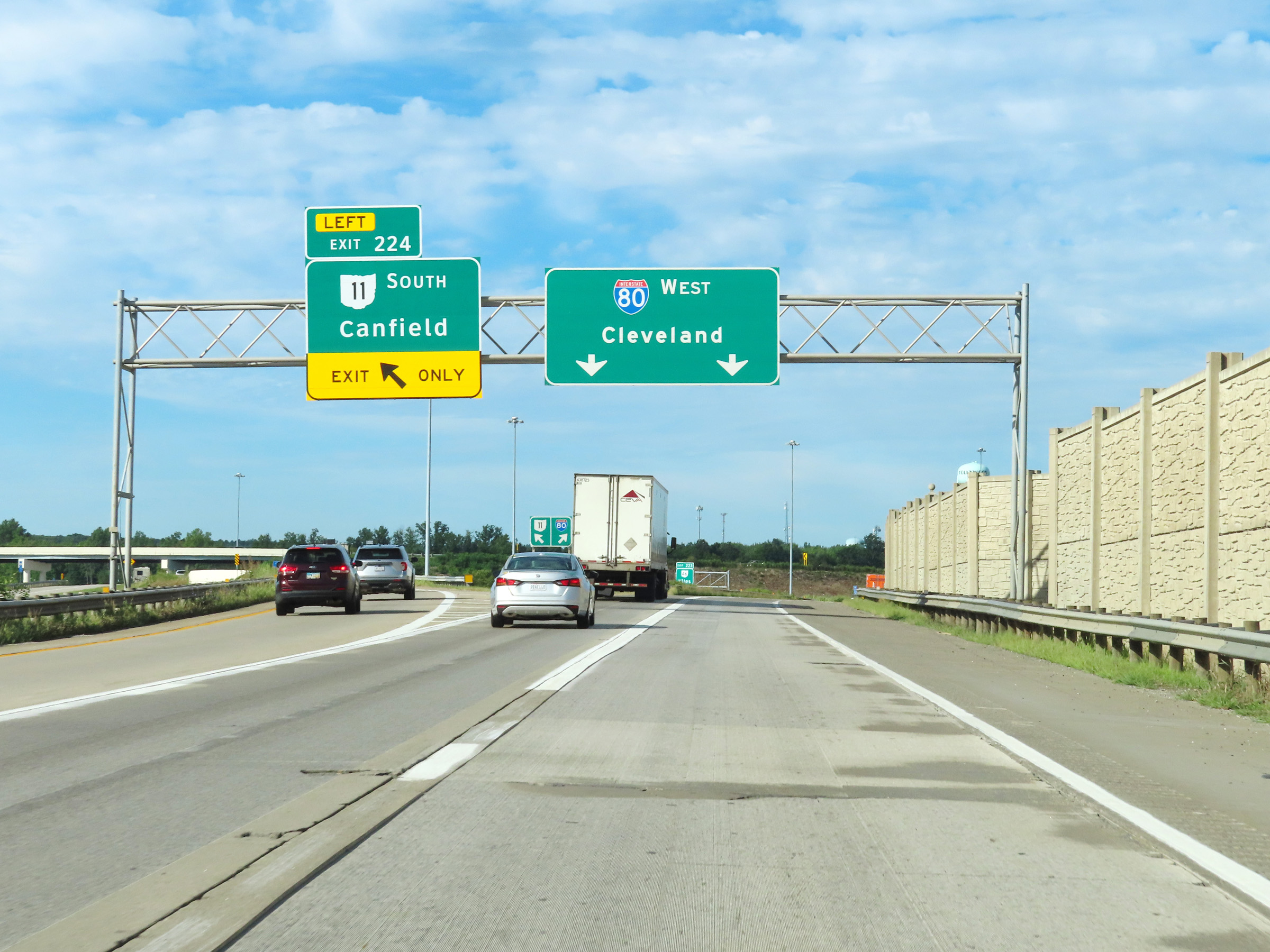 |
Interstate 80 West at Exit 224: OH 11 South - Canfield (Photo taken 8/13/22). |
 |
Take Exit 223 to the William McKinley National Memorial and Hollywood Gaming Race Course. (Photo taken 8/13/22). |
 |
Interstate 80 West at Exit 223: OH 46 - Niles (Photo taken 8/13/22). |
 |
Another Interstate 80 West reassurance shield. (Photo taken 8/13/22). |
 |
The speed limit remains 65 mph. (Photo taken 8/13/22). |
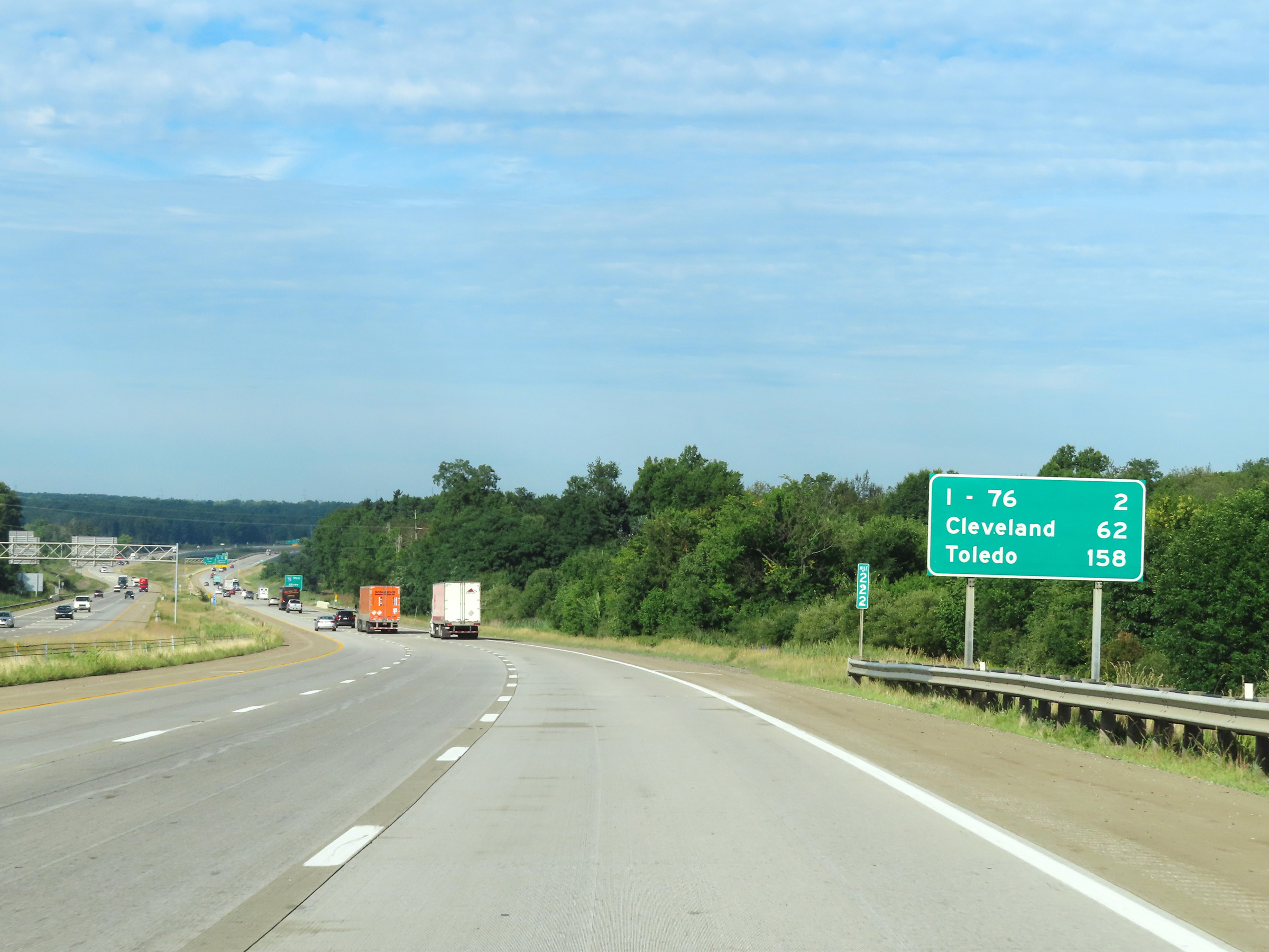 |
Mileage sign at mile marker 222. It's 2 miles to the junction of Interstate 76, 62 miles to Cleveland, and 158 miles to Toledo. (Photo taken 8/13/22). |
 |
Interstate 80 West approaching Exit 219 - 1 1/2 miles. I-80 West thru traffic will need to take Exit 219 and enter the Ohio Turnpike. The right lane will be an Exit Only lane for Exit 219. (Photo taken 8/13/22). |
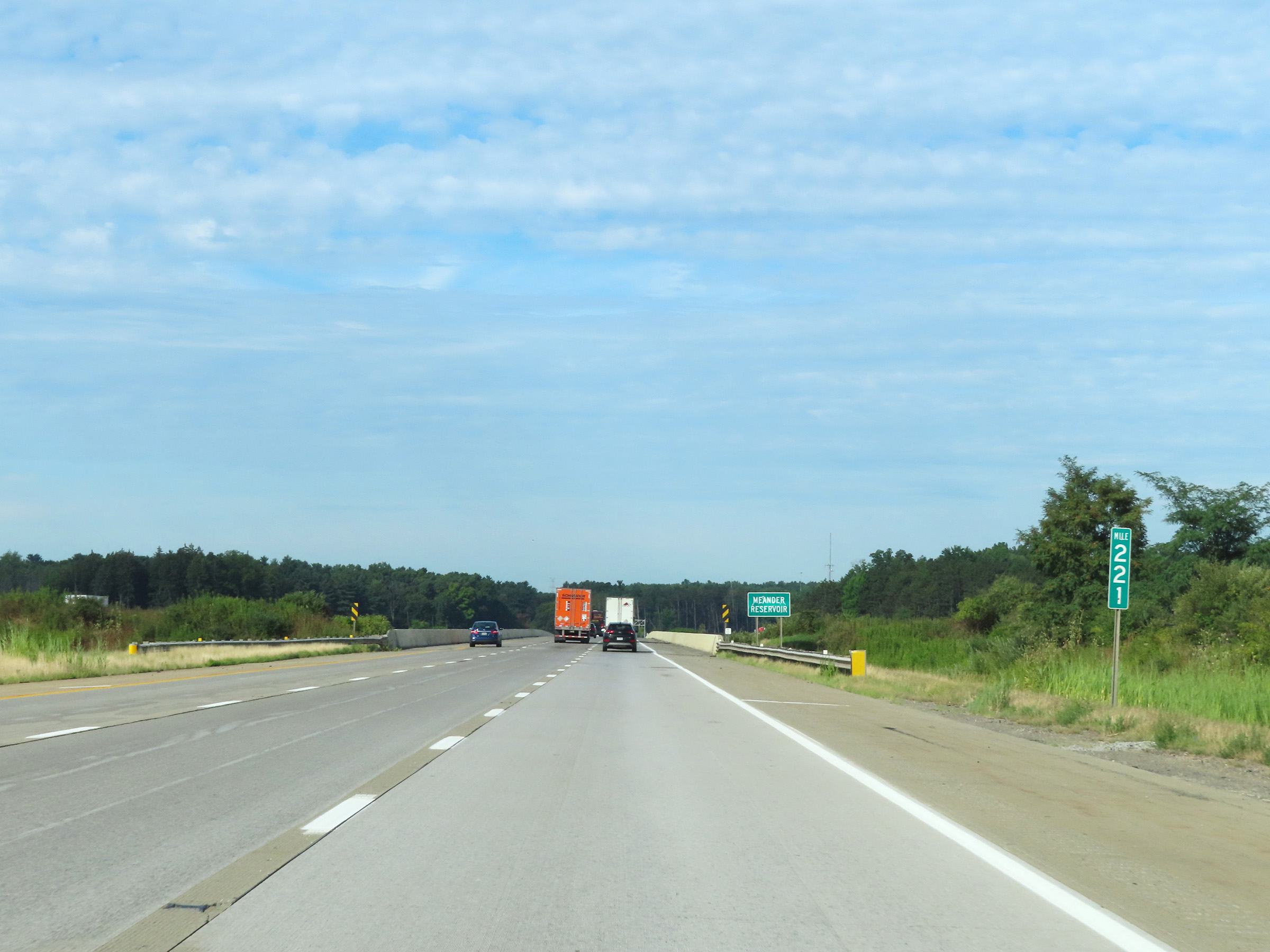 |
View on Interstate 80 West at mile marker 221. (Photo taken 8/13/22). |
 |
Again, the right lane will become an Exit Only lane for Exit 219 ahead. Interstate 80 West thru traffic will need to take Exit 219 to enter the Ohio Turnpike. The two remaining lanes seen here will continue as Interstate 76 West toward Akron. (Photo taken 8/13/22). |
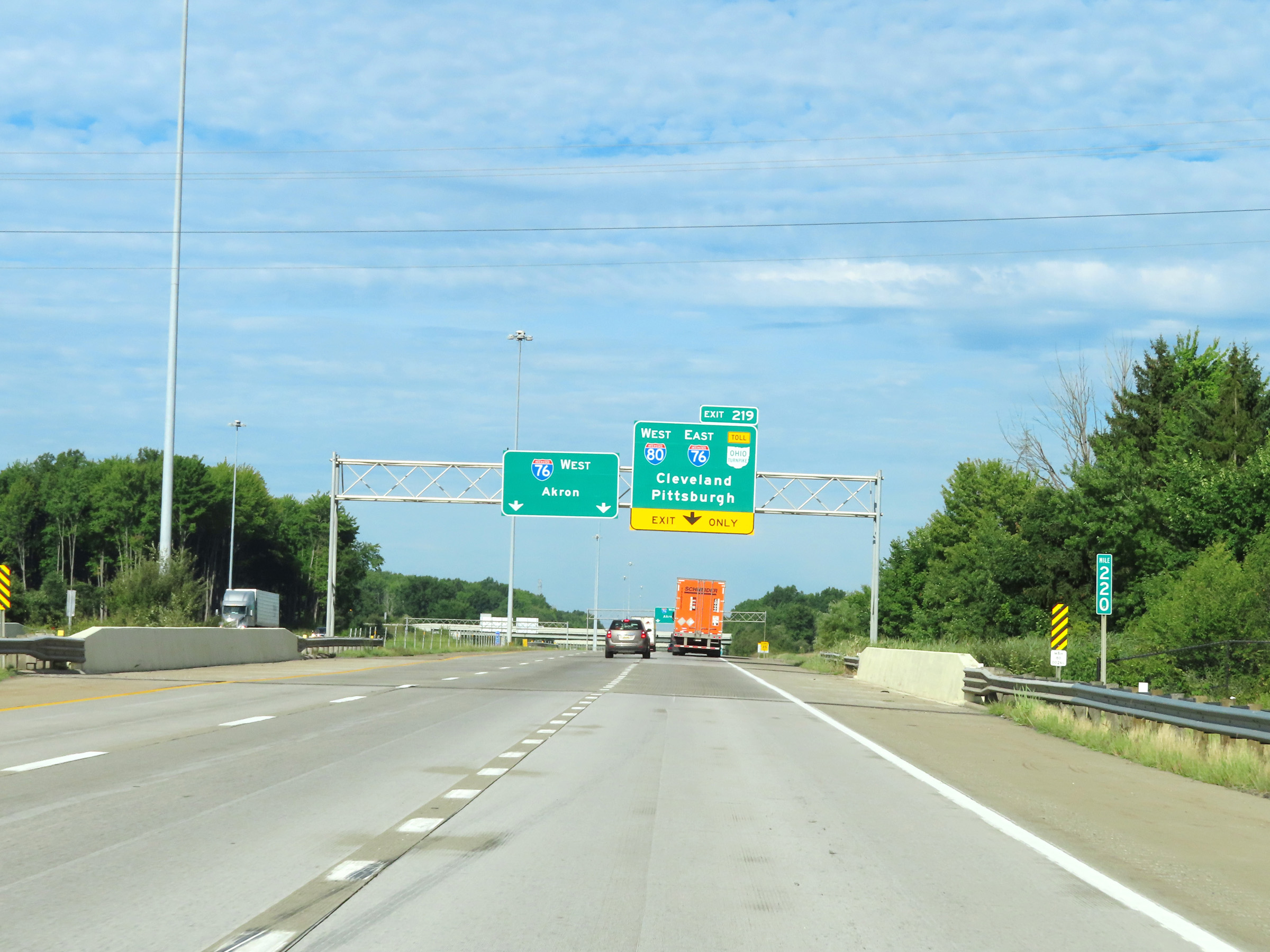 |
Mile marker 220 on Interstate 80 West in Mahoning County, approaching the junction of the Ohio Turnpike via Exit 219. (Photo taken 8/13/22). |
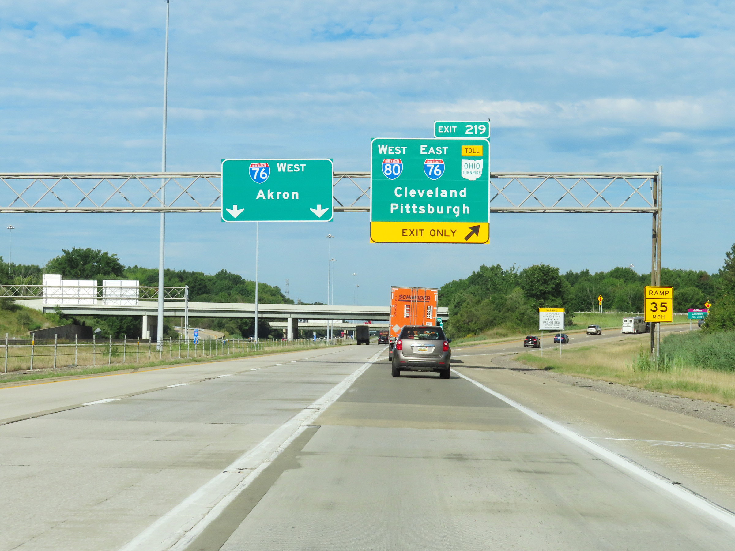 |
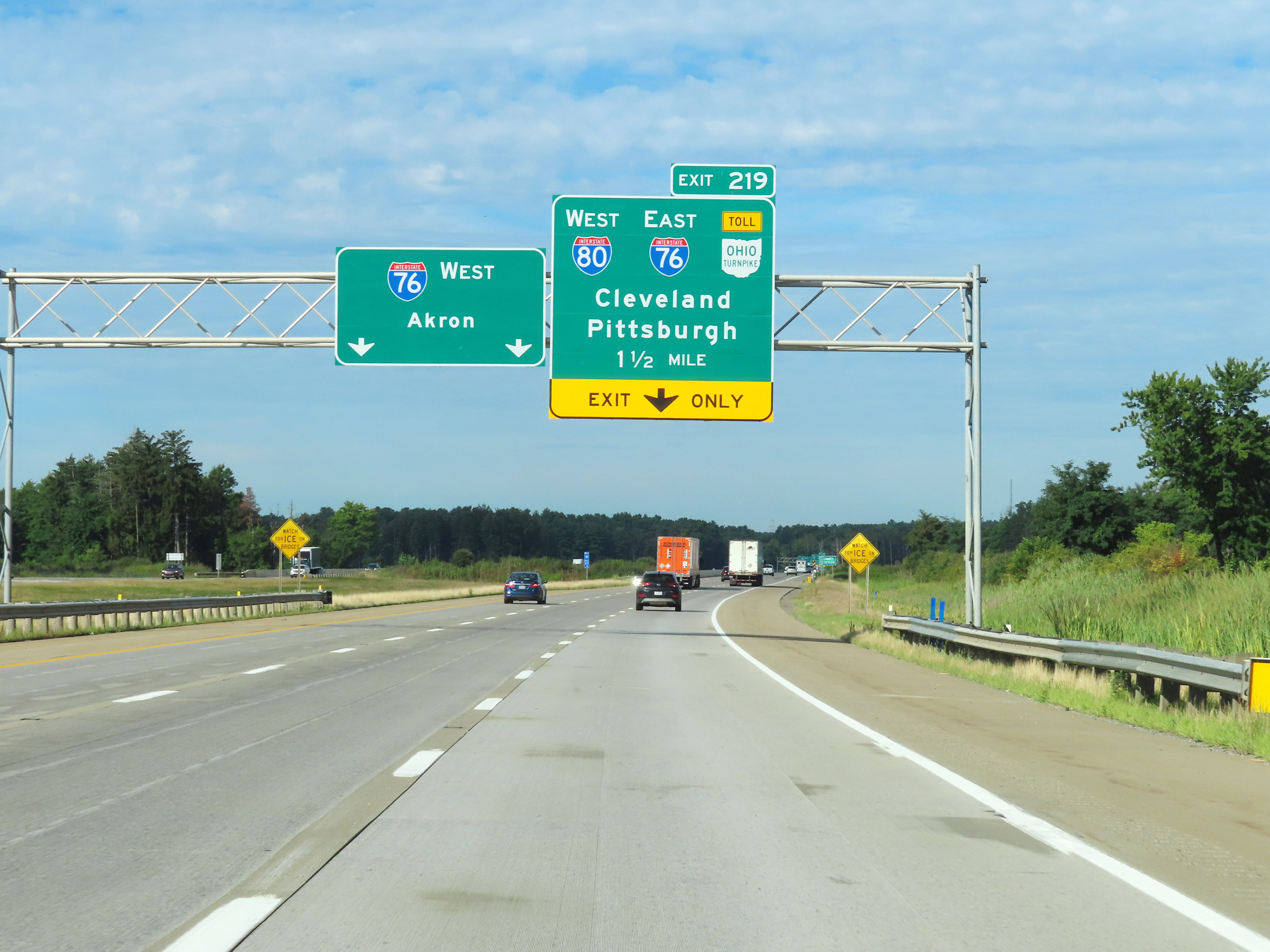
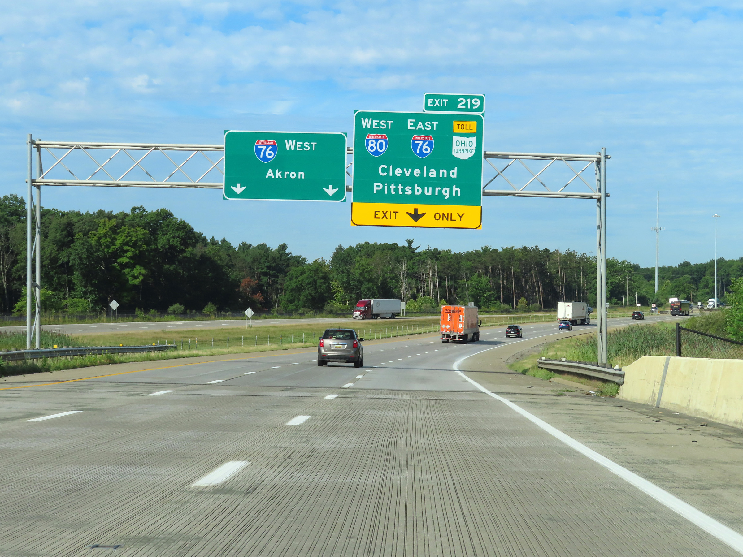
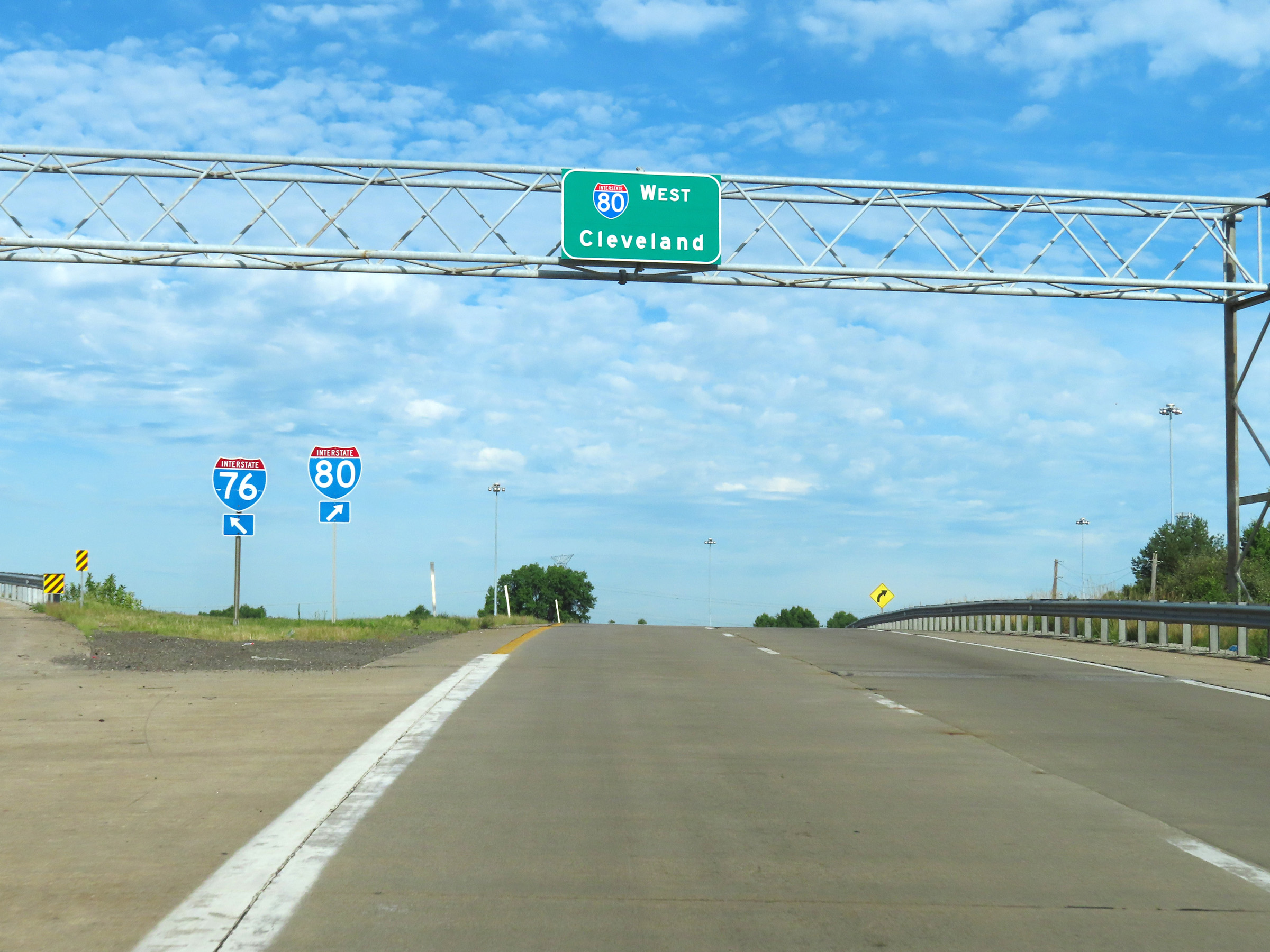
Interstate 80 West at Exit 219: Interstate 80 West / Interstate 76 East / Ohio Turnpike - Cleveland / Pittsburgh (Photo taken 8/13/22). |
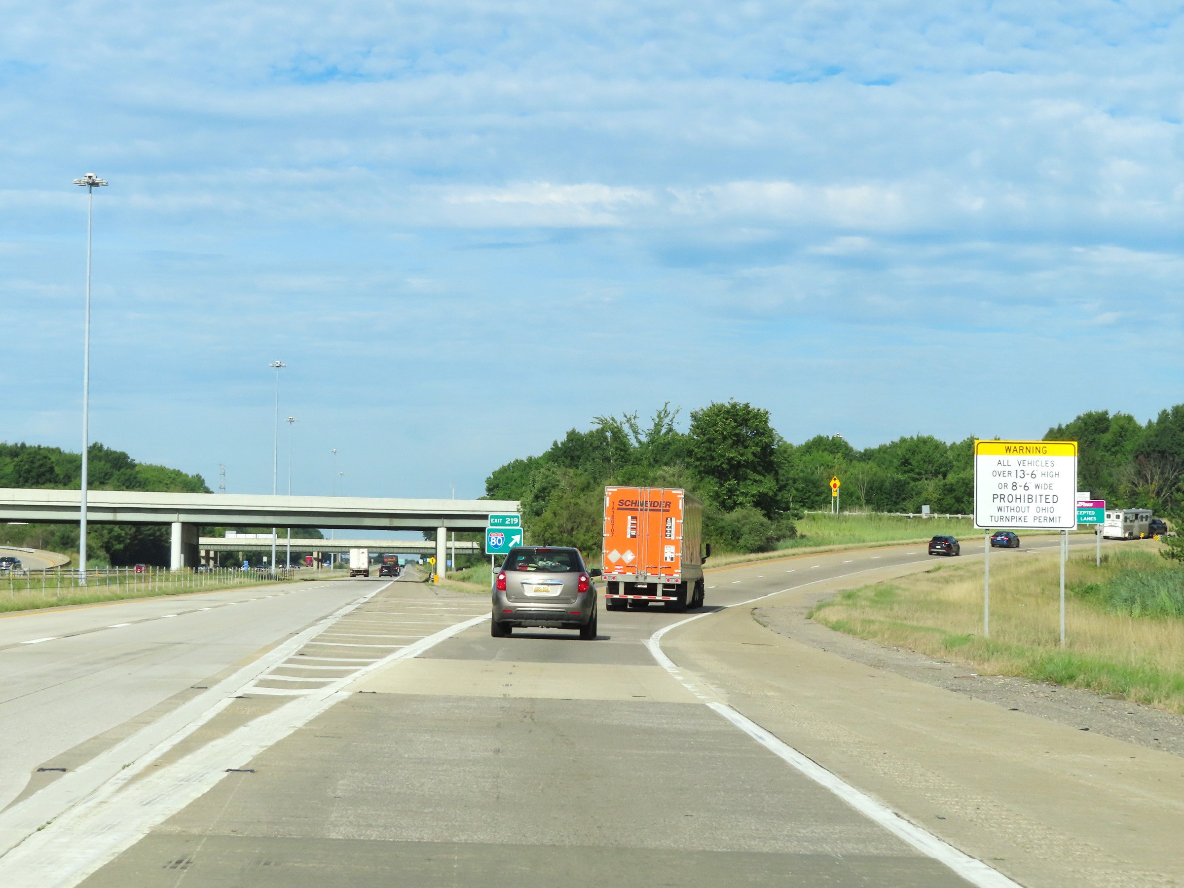 |
On the ramp for Exit 219, this sign warns that all vehicles over 13'-6" in height or 8'-6" in width are prohibited on the Ohio Turnpike without an Ohio Turnpike Permit. (Photo taken 8/13/22). |
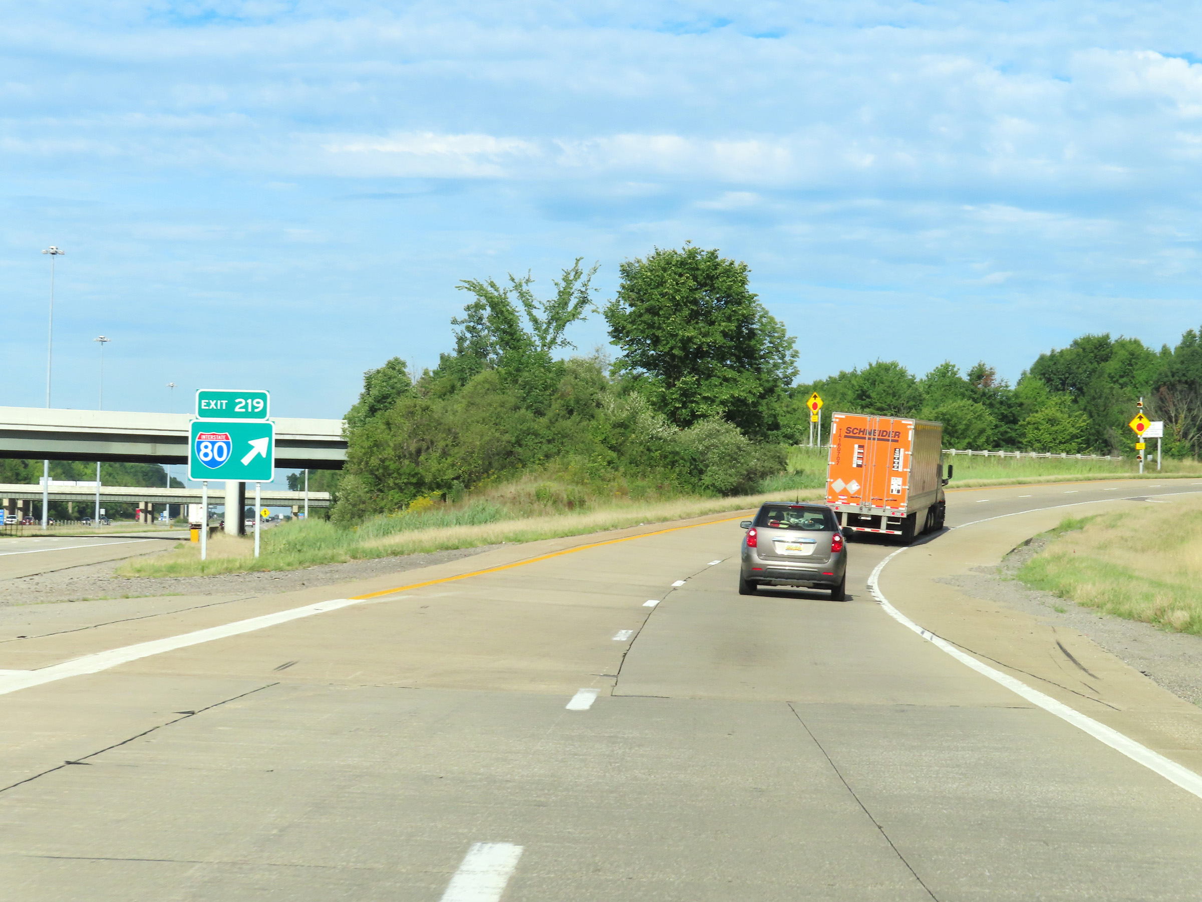 |
Gore point signage for Exit 219, as Interstate 80 West approaches the toll plaza to enter the Ohio Turnpike. (Photo taken 8/13/22). |
 |
E-Z Pass is accepted in all lanes at the toll plaza ahead. (Photo taken 8/13/22). |
 |
Interstate 80 West as the toll plaza to enter the Ohio Turnpike comes into view ahead. (Photo taken 8/13/22). |
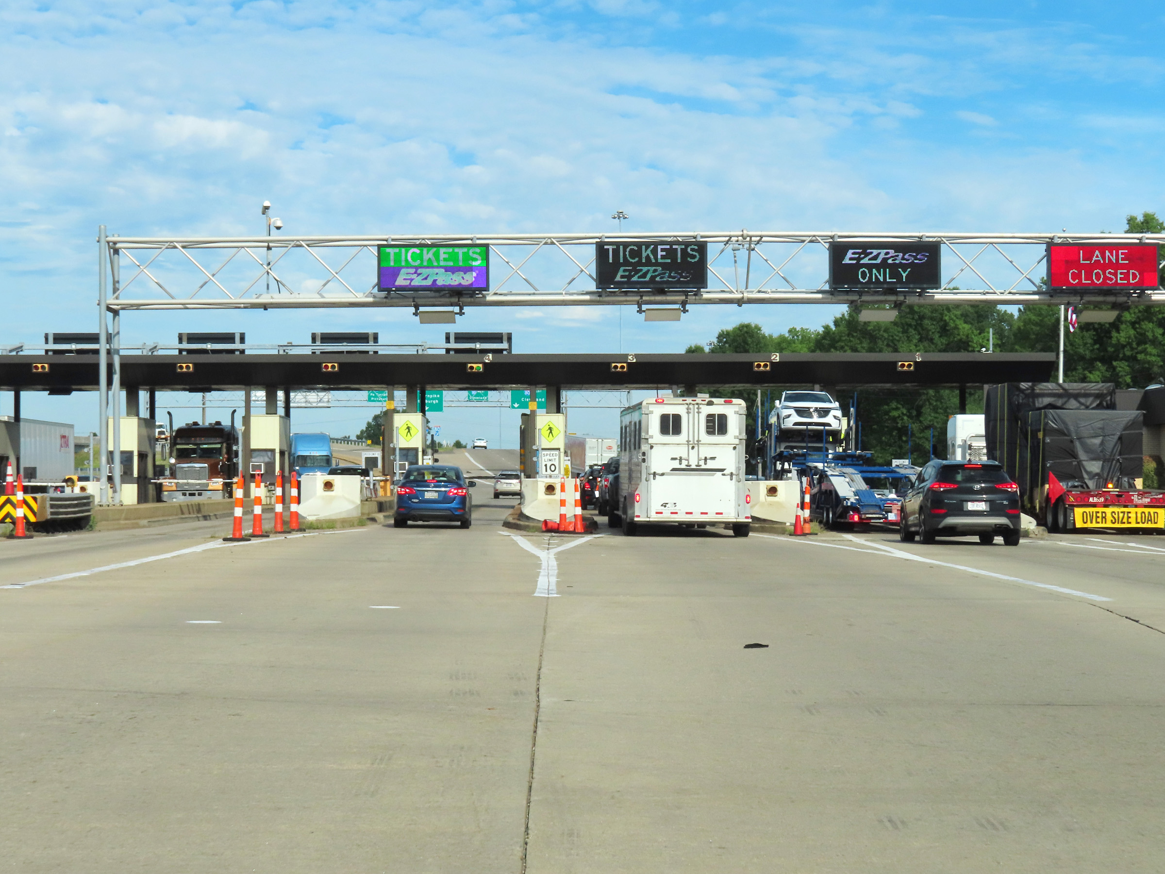 |
View on Interstate 80 West approaching the toll plaza to enter the Ohio Turnpike. (Photo taken 8/13/22). |
 |
A closer view of the toll plaza entering the Ohio Turnpike on Interstate 80 West. (Photo taken 8/13/22). |
 |
Leaving the toll plaza, Interstate 80 West thru traffic must keep right. As you can see, you don't have much time to make the necessary lane changes. (Photo taken 8/13/22). |
 |
The lanes leaving the toll plaza split into ramps to Interstate 76 East (left) and Interstate 80 West (straight ahead) at this point. (Photo taken 8/13/22). |
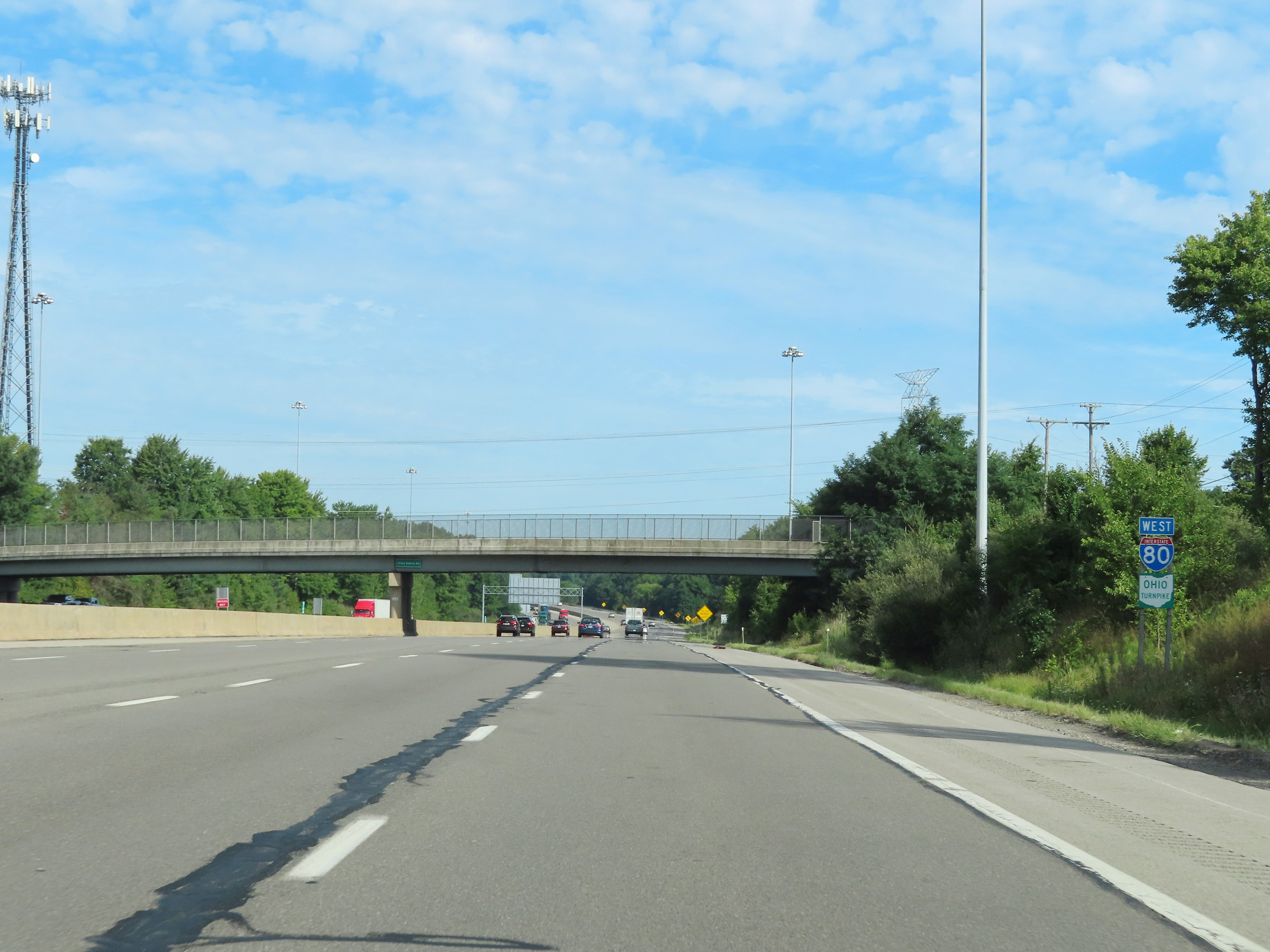 |
Interstate 80 West reassurance shield along with an Ohio Turnpike marker. I-80 West will run concurrently with the Ohio Turnpike for the rest of its length in Ohio, all the way to the Indiana border. (Photo taken 8/13/22). |
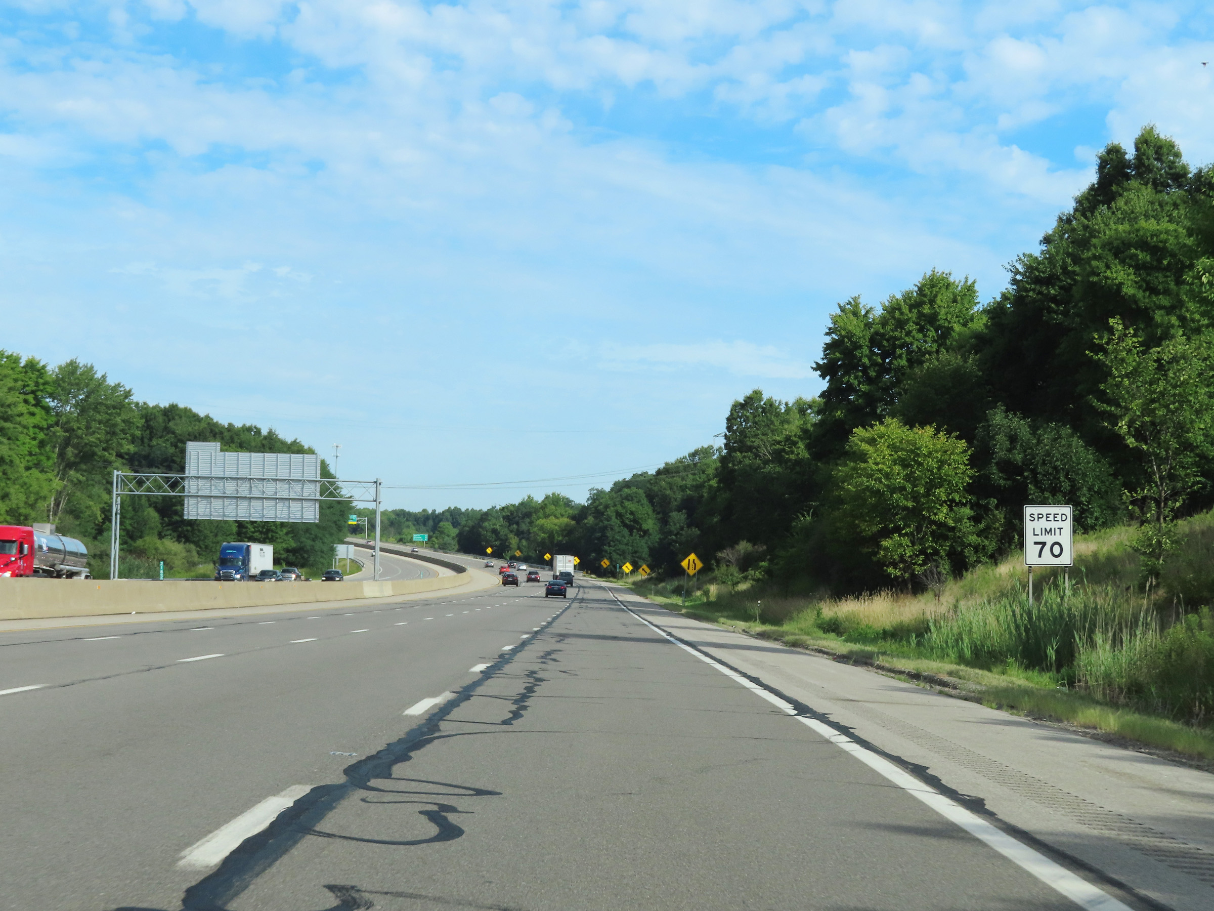 |
The speed limit on Interstate 80 West (Ohio Turnpike) is 70 mph. This is the standard speed limit on most rural Interstate highways in Ohio. (Photo taken 8/13/22). |
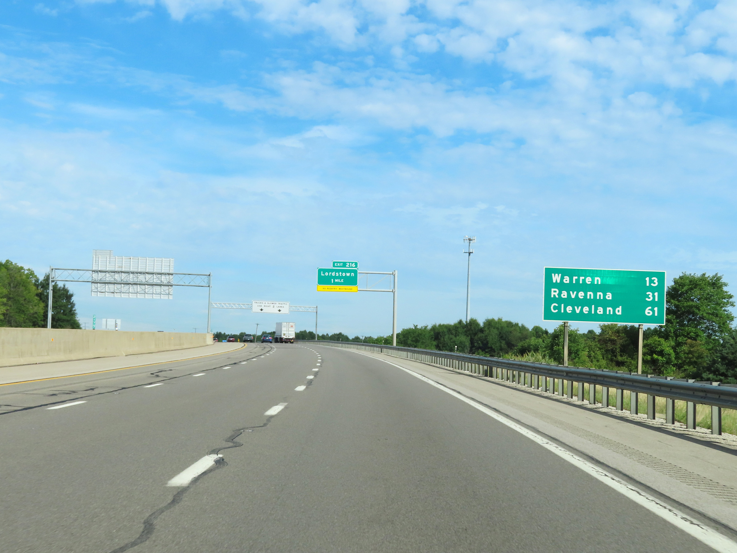 |
Mileage sign on Interstate 80 West (Ohio Turnpike). It's 13 miles to Warren, 31 miles to Ravenna, and 61 miles to Cleveland. (Photo taken 8/13/22). |
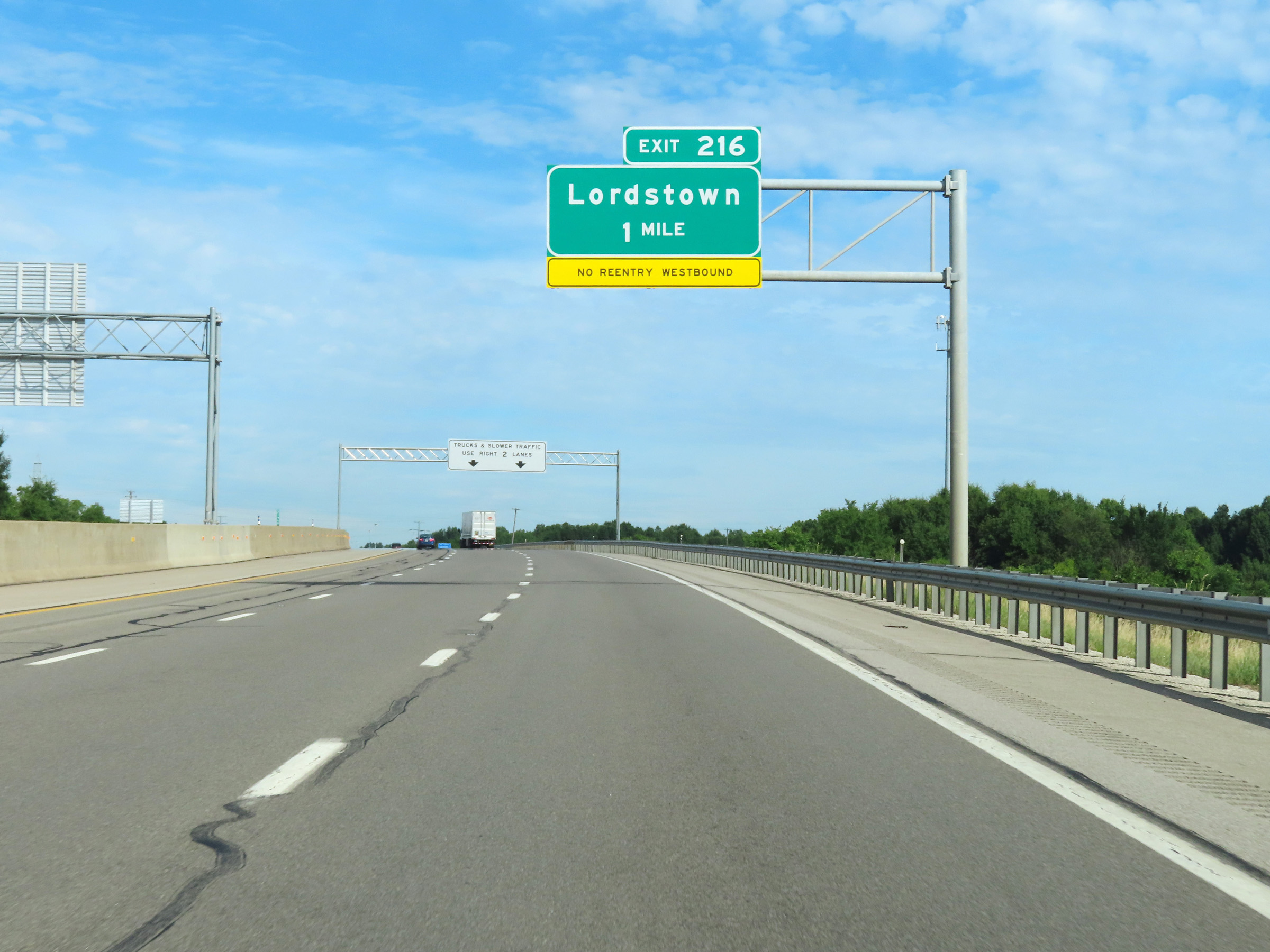 |
Advance signage for Exit 216 - 1 mile ahead. Exit 216 provides no direct reentry to Interstate 80 West (Ohio Turnpike). (Photo taken 8/13/22). |
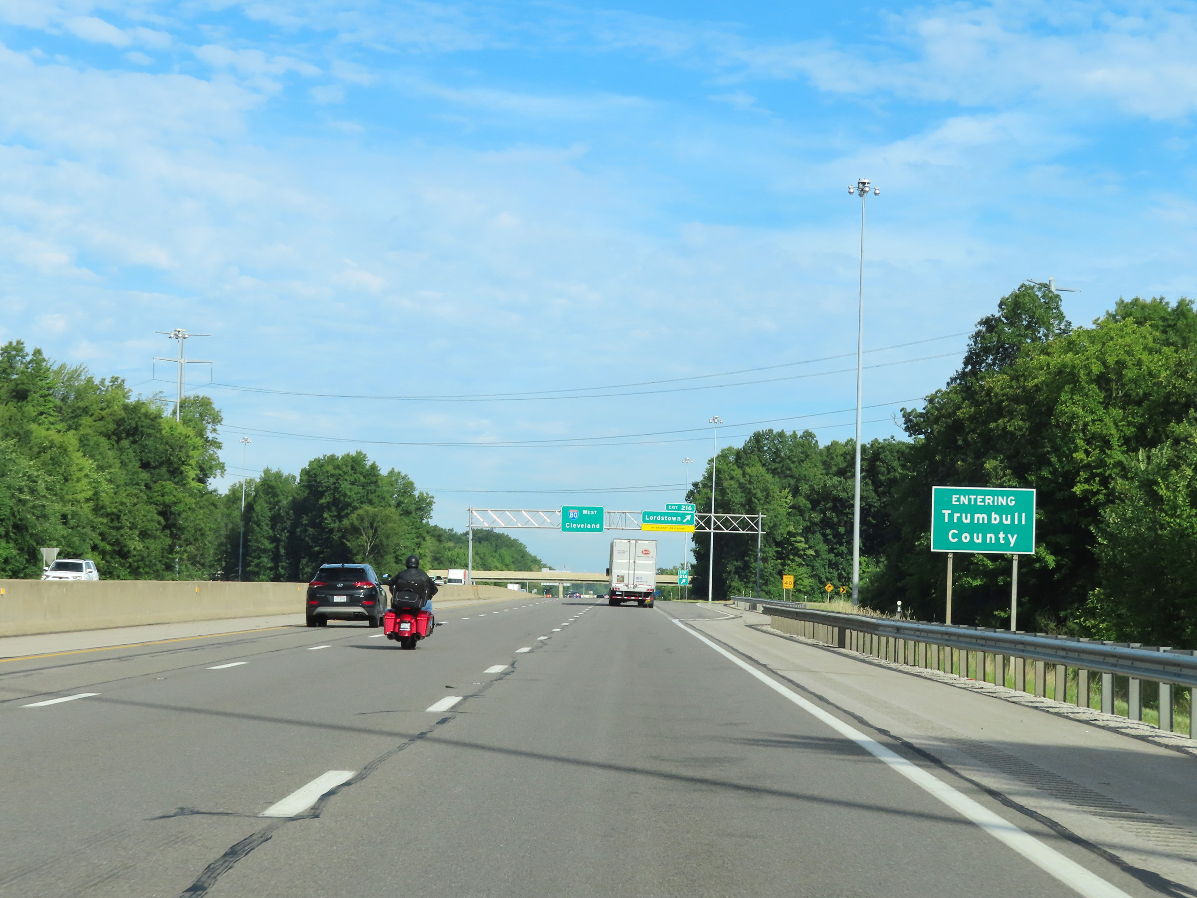 |
Interstate 80 West (Ohio Turnpike) as it reenters Trumbull County. (Photo taken 8/13/22). |
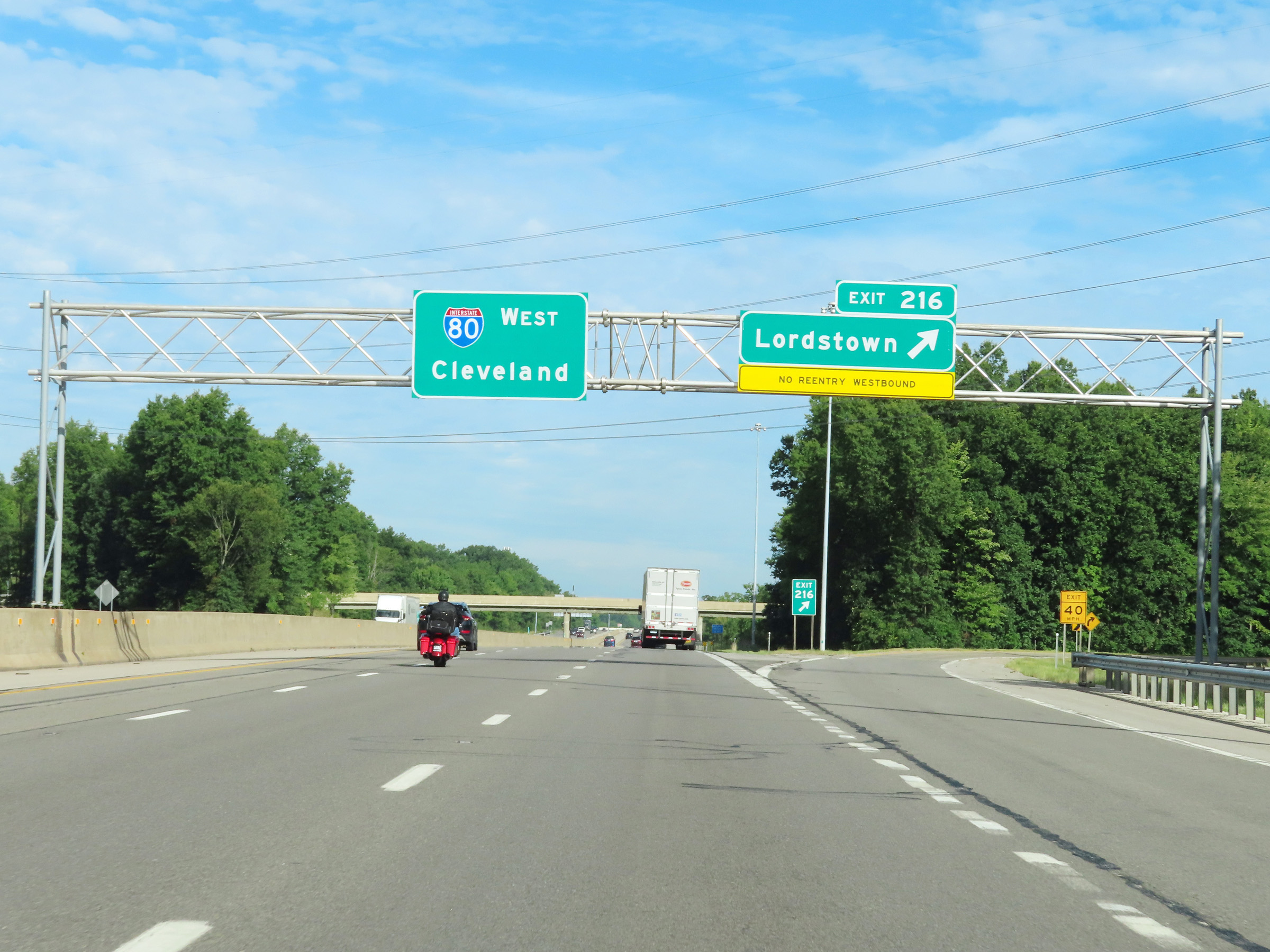 |
Interstate 80 West (Ohio Turnpike) at Exit 216: Lordstown (Photo taken 8/13/22). |
 |
Mile marker 215 on Interstate 80 West (Ohio Turnpike) in Trumbull County. (Photo taken 8/13/22). |
 |
View on Interstate 80 West (Ohio Turnpike) at mile marker 213. (Photo taken 8/13/22). |
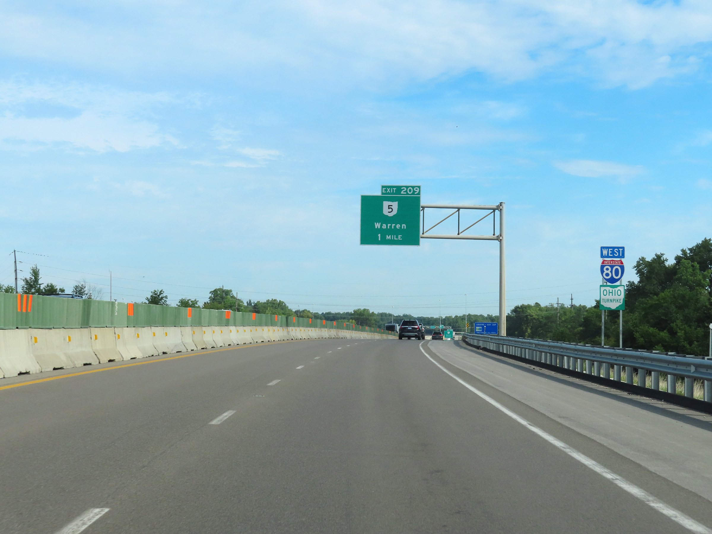 |
Advance signage for Exit 209, 1 mile ahead. (Photo taken 8/13/22). |
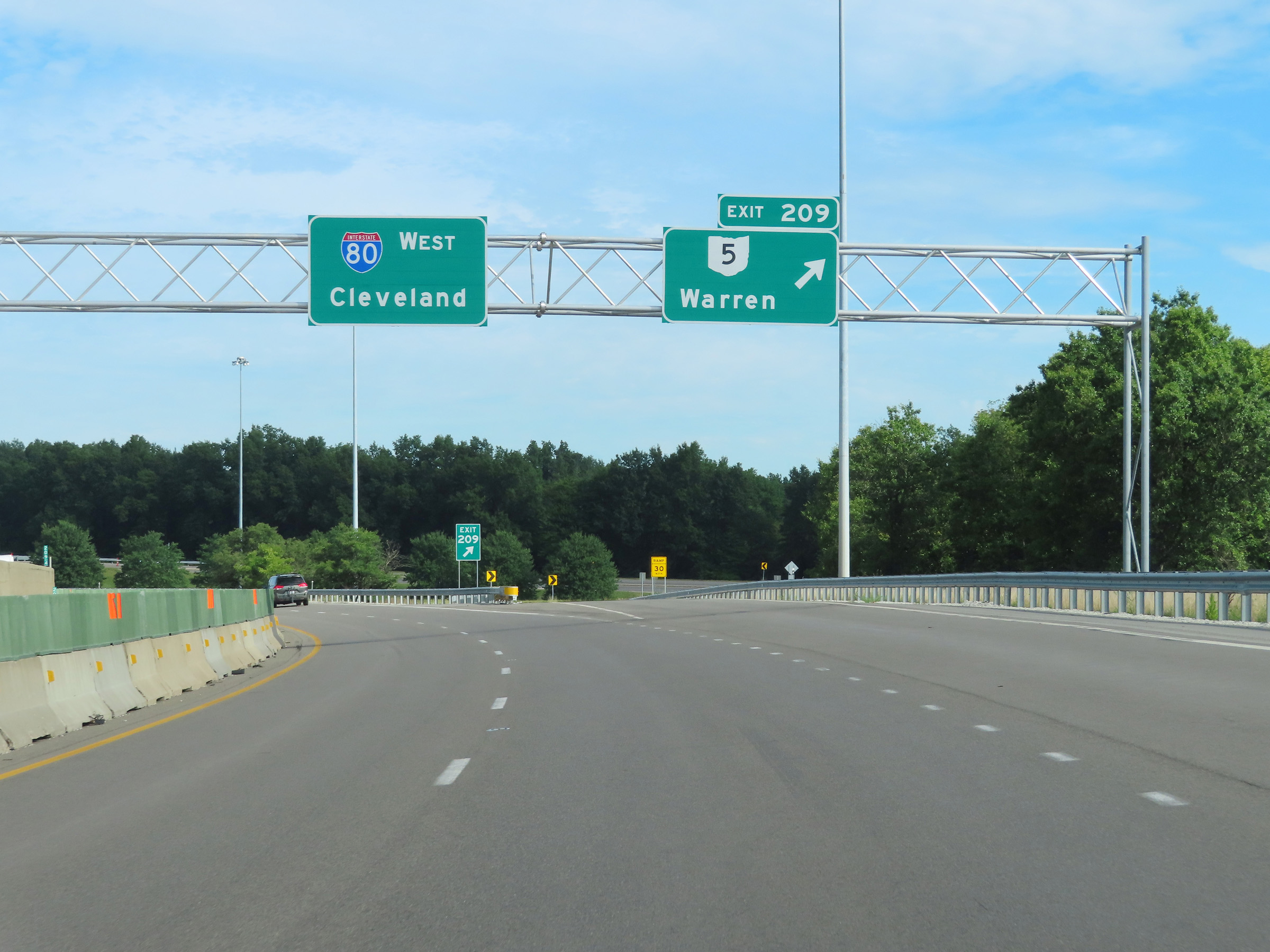 |
Interstate 80 West (Ohio Turnpike) at Exit 209: OH 5 - Warren (Photo taken 8/13/22). |
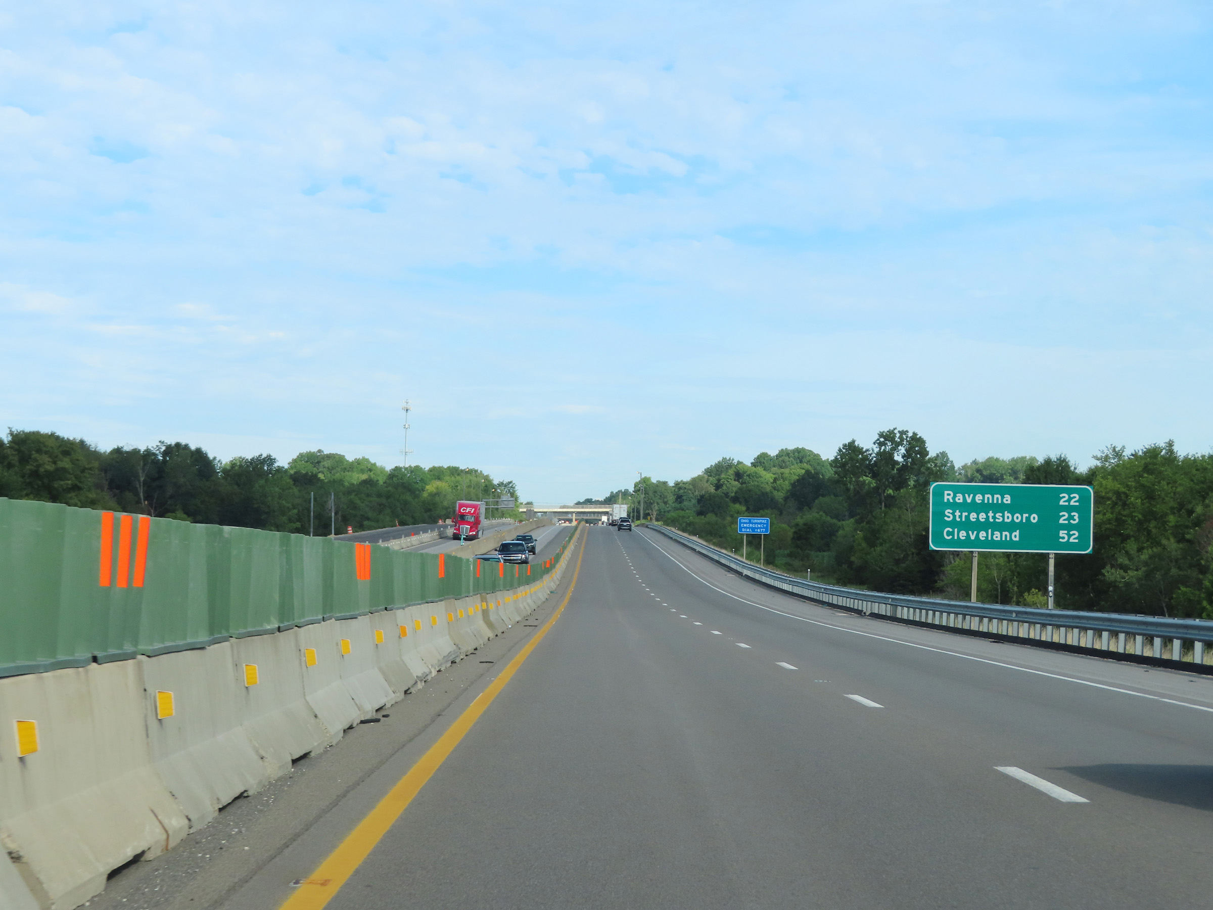 |
Another mileage sign on Interstate 80 West (Ohio Turnpike). It's 22 miles to Ravenna, 23 miles to Streetsboro, and 52 miles to Cleveland. (Photo taken 8/13/22). |
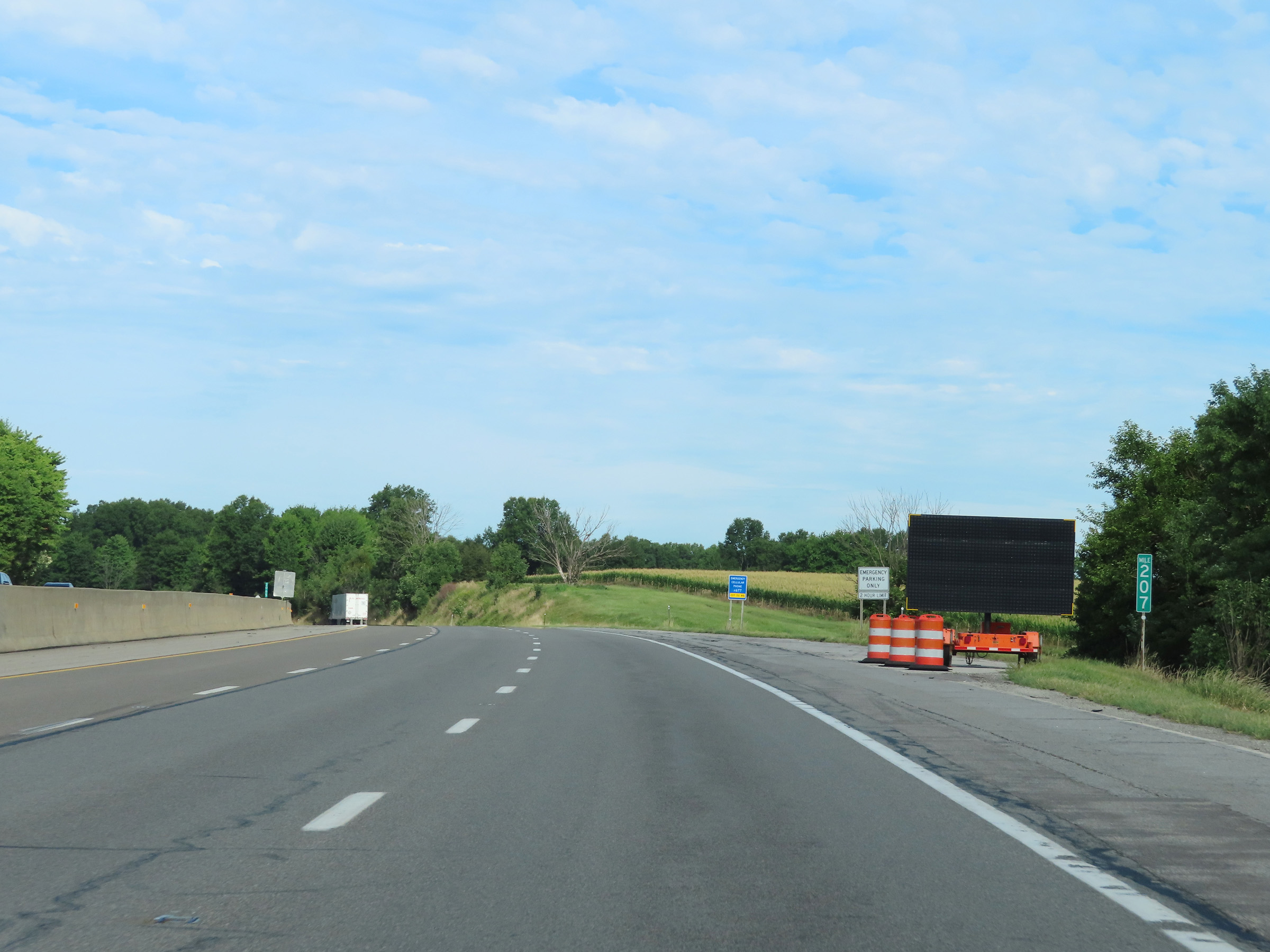 |
View on Interstate 80 West (Ohio Turnpike) at mile marker 207. (Photo taken 8/13/22). |
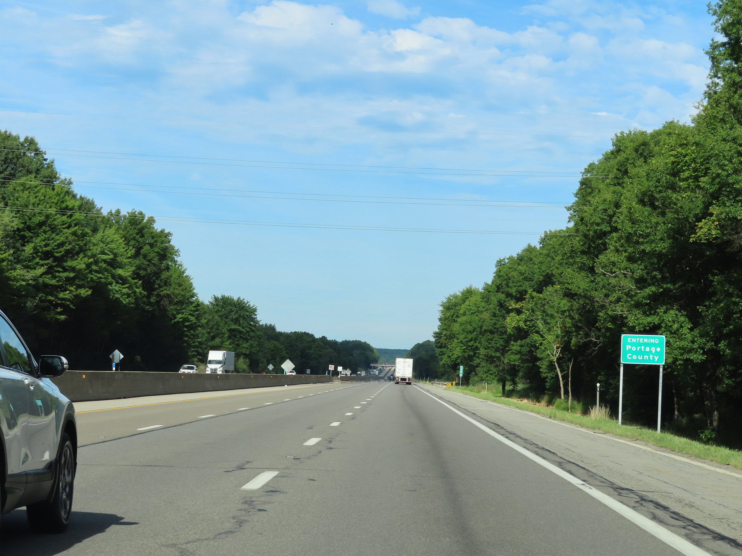 |
Interstate 80 West (Ohio Turnpike) as it enters Portage County. (Photo taken 8/13/22). |
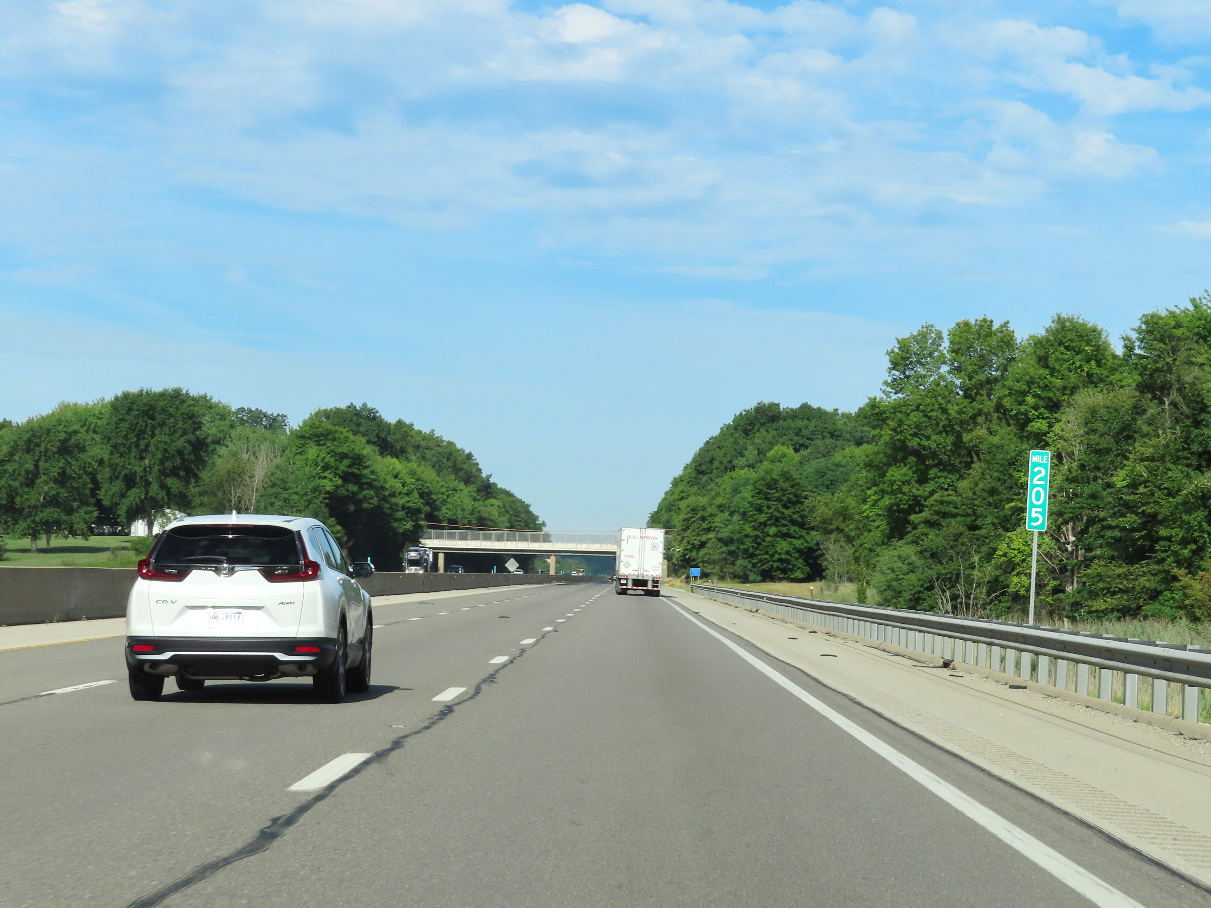 |
Interstate 80 West (Ohio Turnpike) at mile marker 205. (Photo taken 8/13/22). |
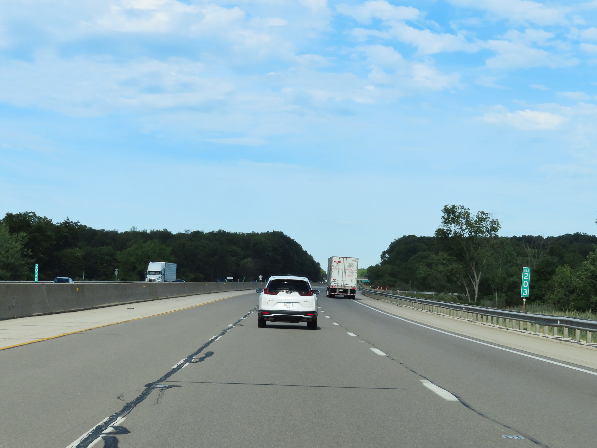 |
Mile marker 203 on Interstate 80 West (Ohio Turnpike) in Portage County. (Photo taken 8/13/22). |
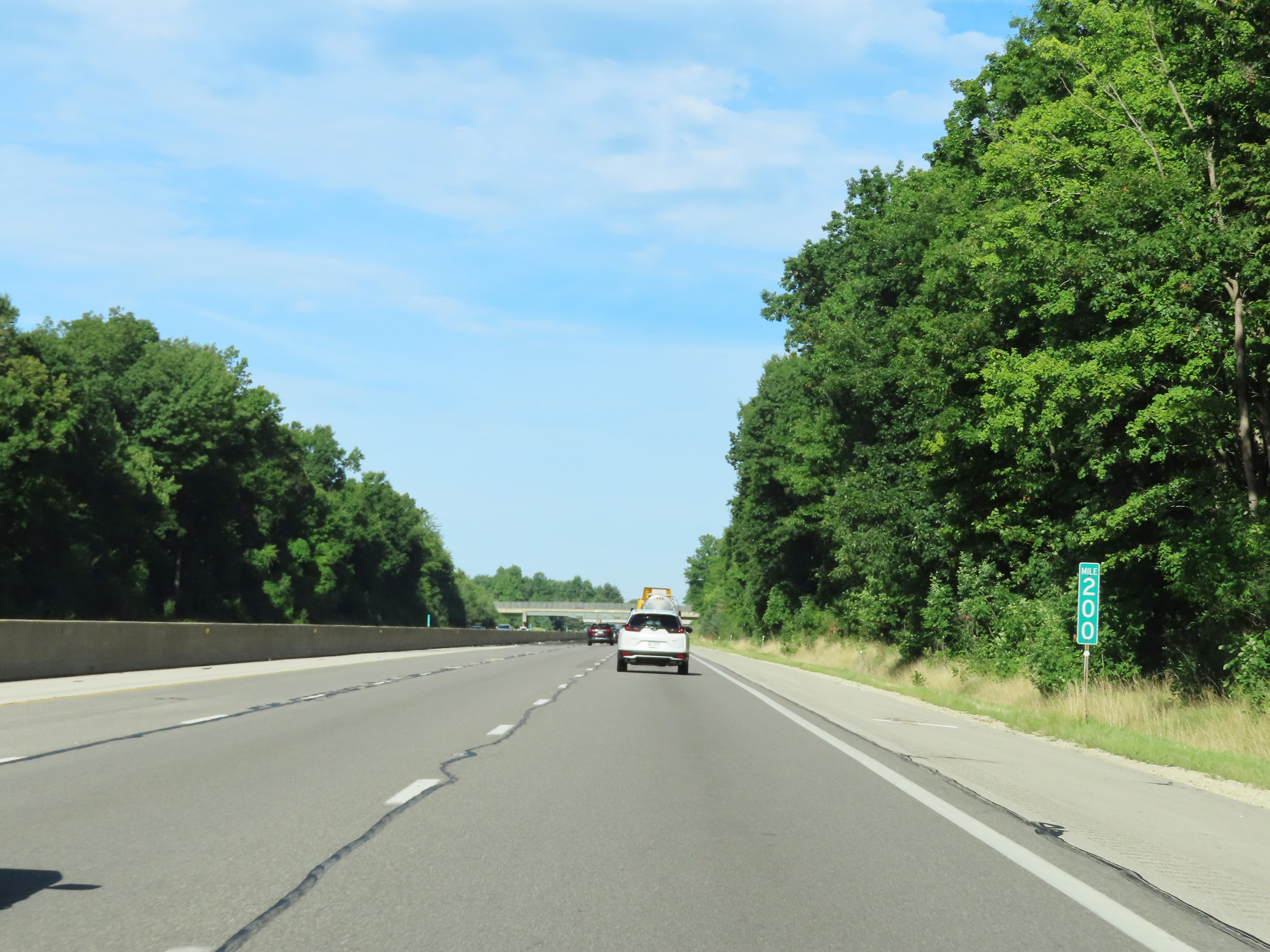 |
Interstate 80 West (Ohio Turnpike) at mile marker 200. (Photo taken 8/13/22). |
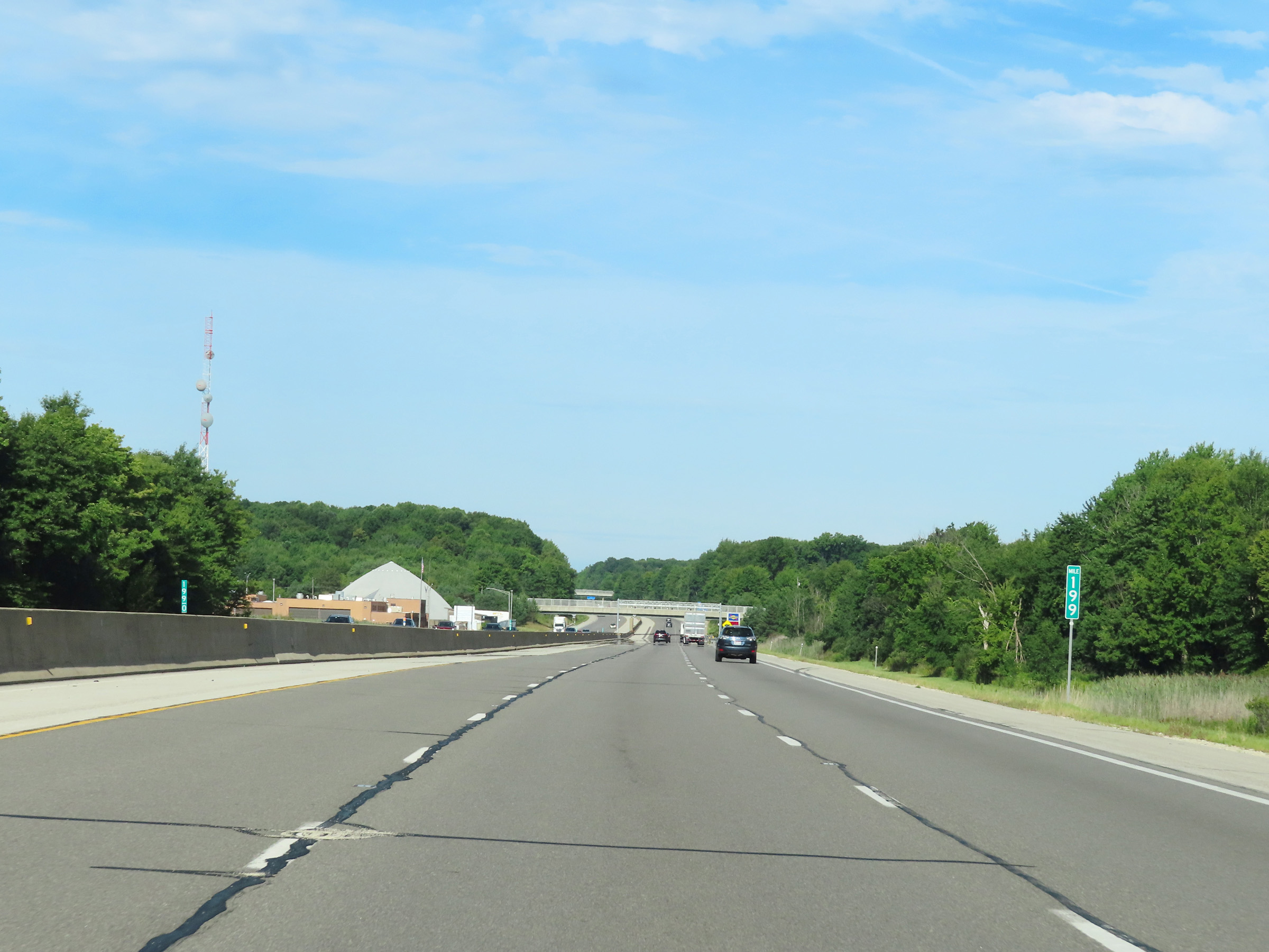 |
View on Interstate 80 West (Ohio Turnpike) at mile marker 199. (Photo taken 8/13/22). |
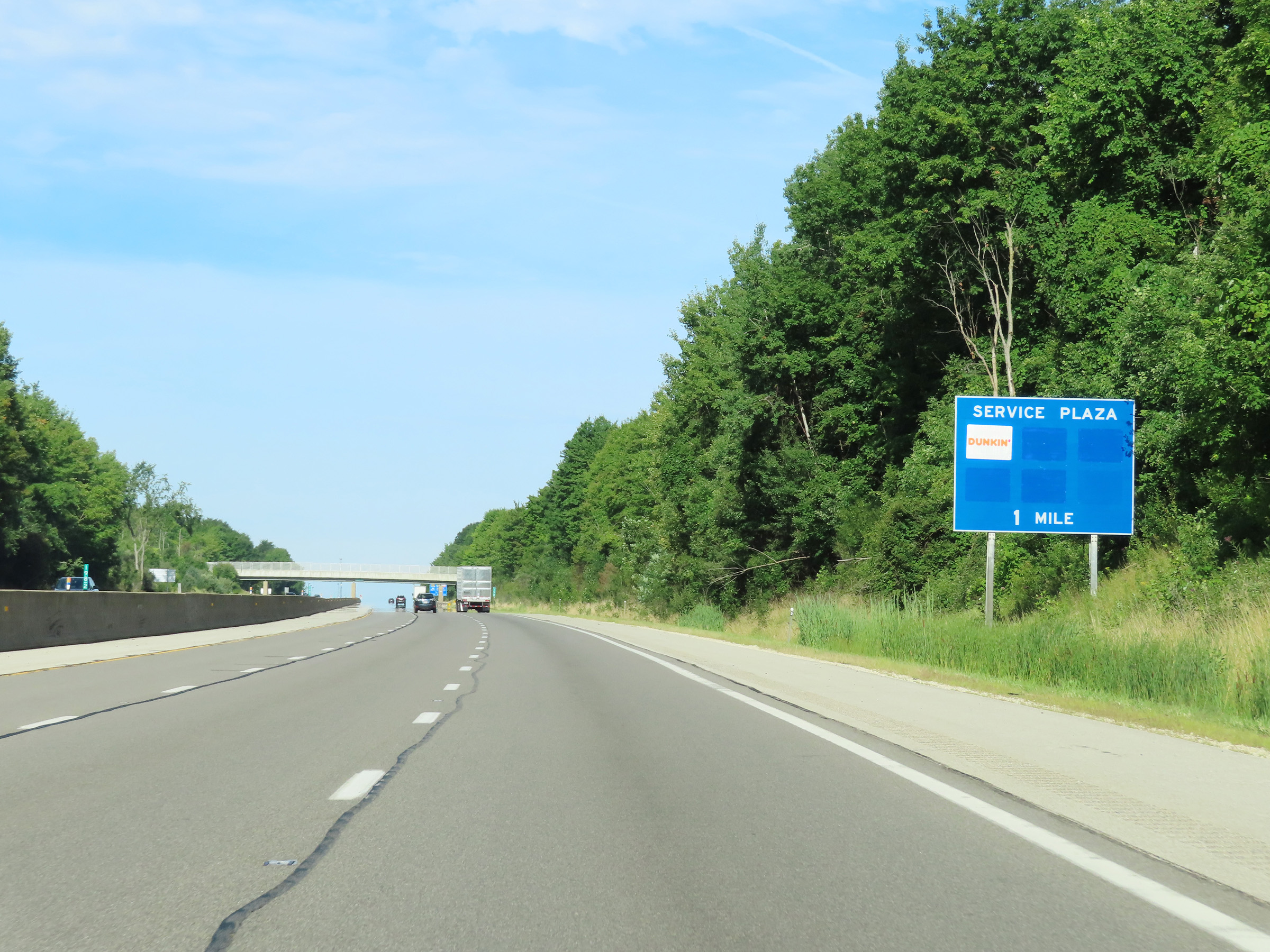 |
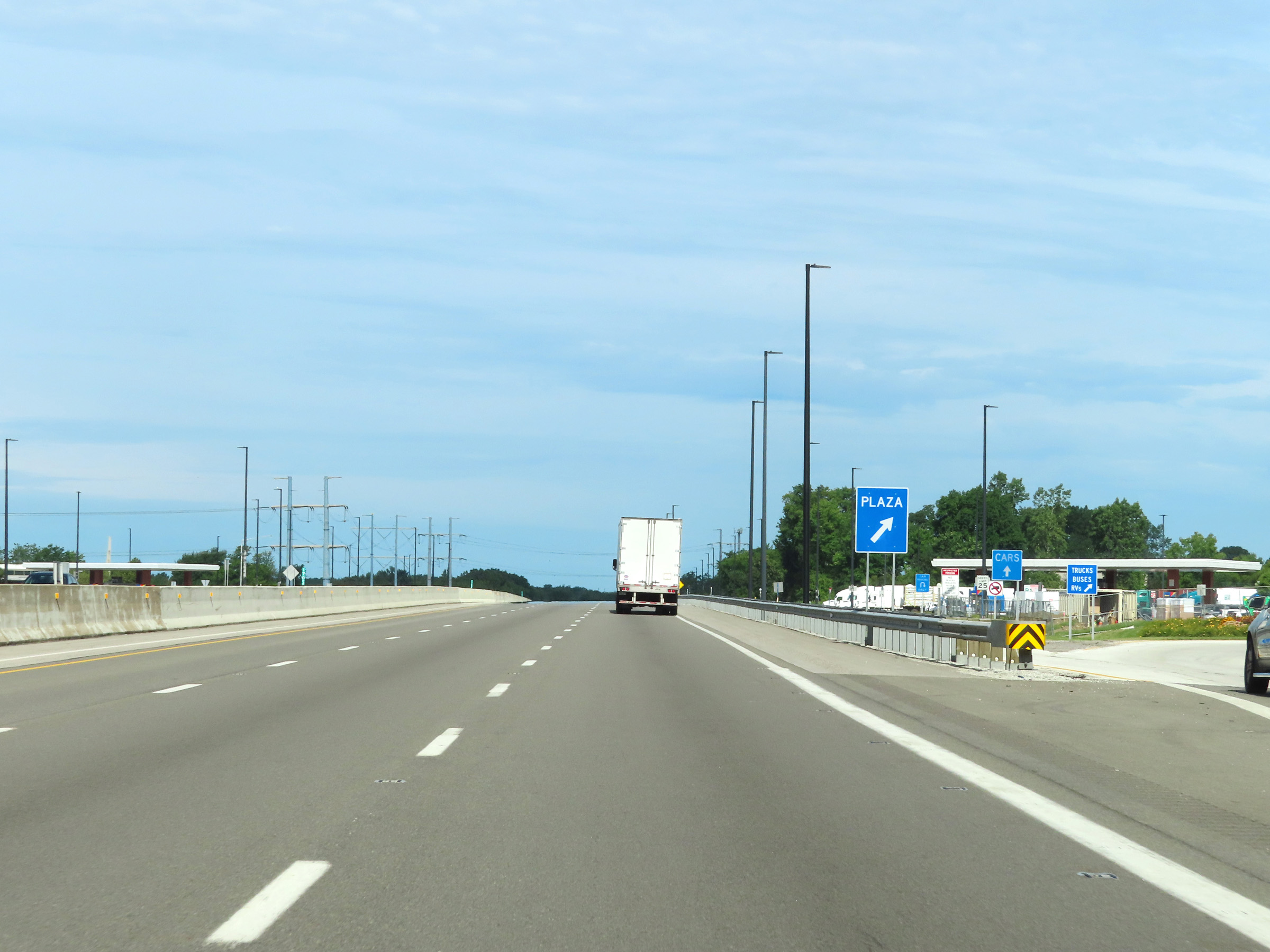
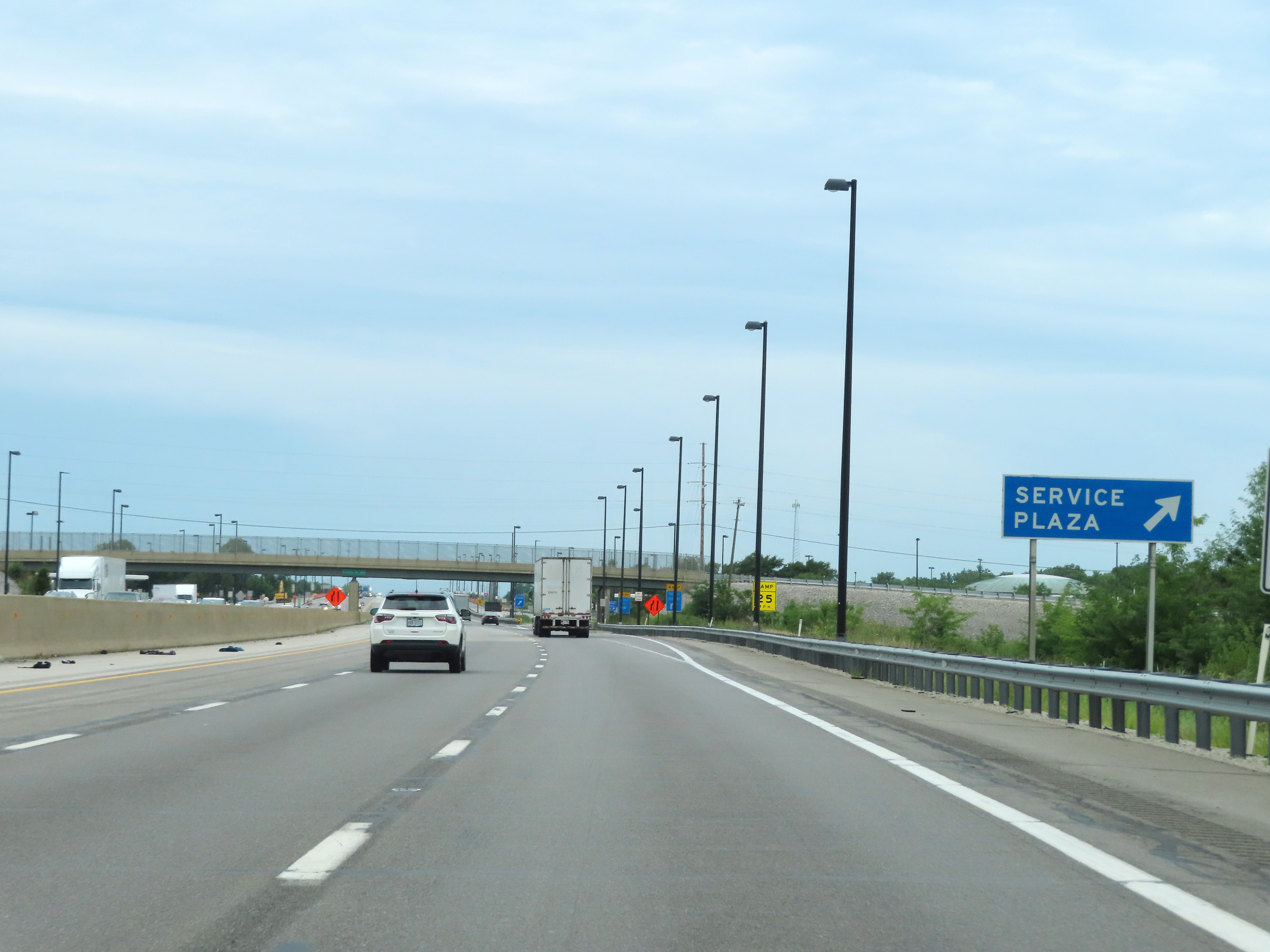
Advance signage for the Portage Service Plaza, which is 1 mile ahead. (Photo taken 8/13/22). |
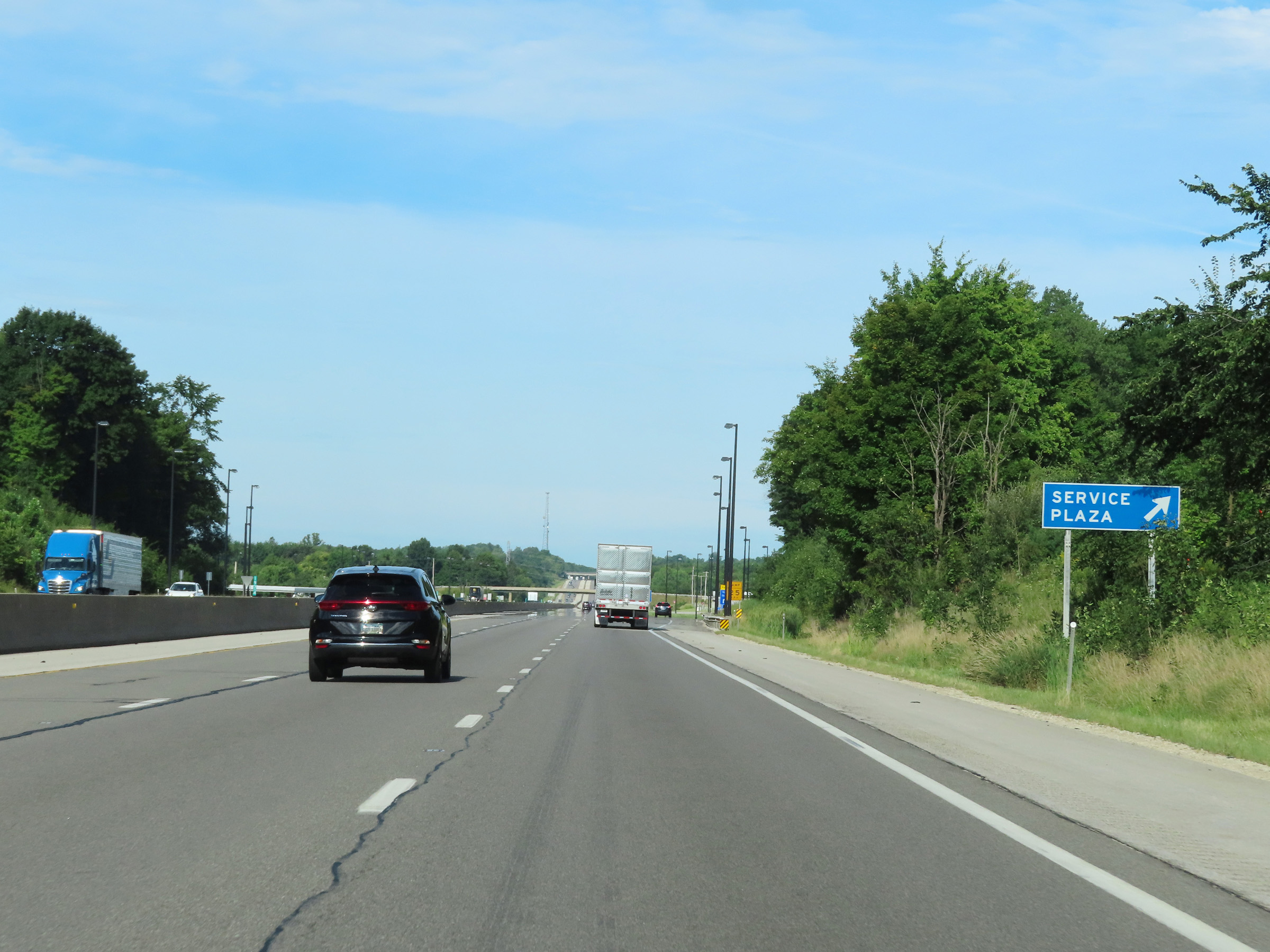 |
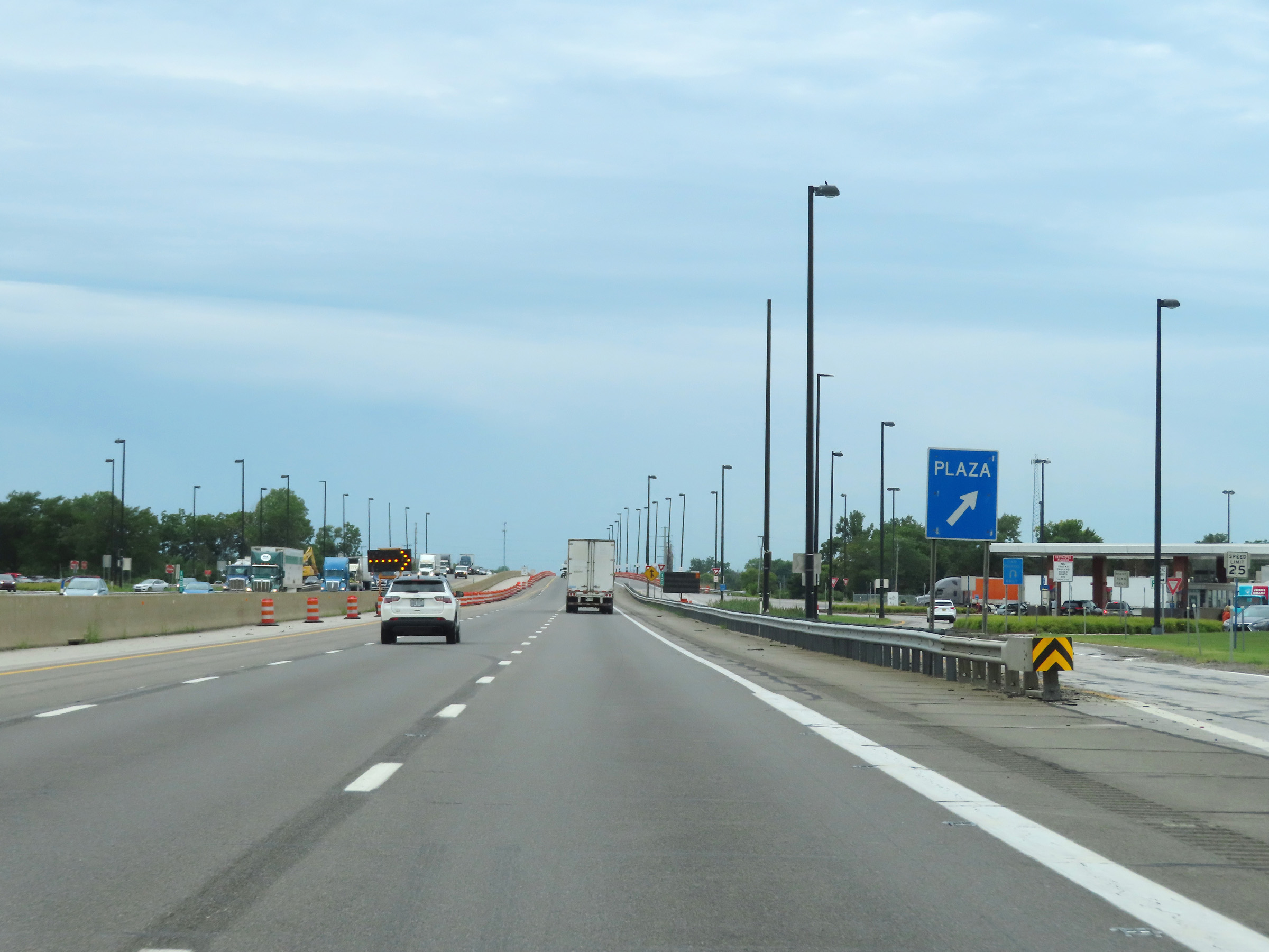
Interstate 80 West (Ohio Turnpike) at the Portage Service Plaza. (Photo taken 8/13/22). |
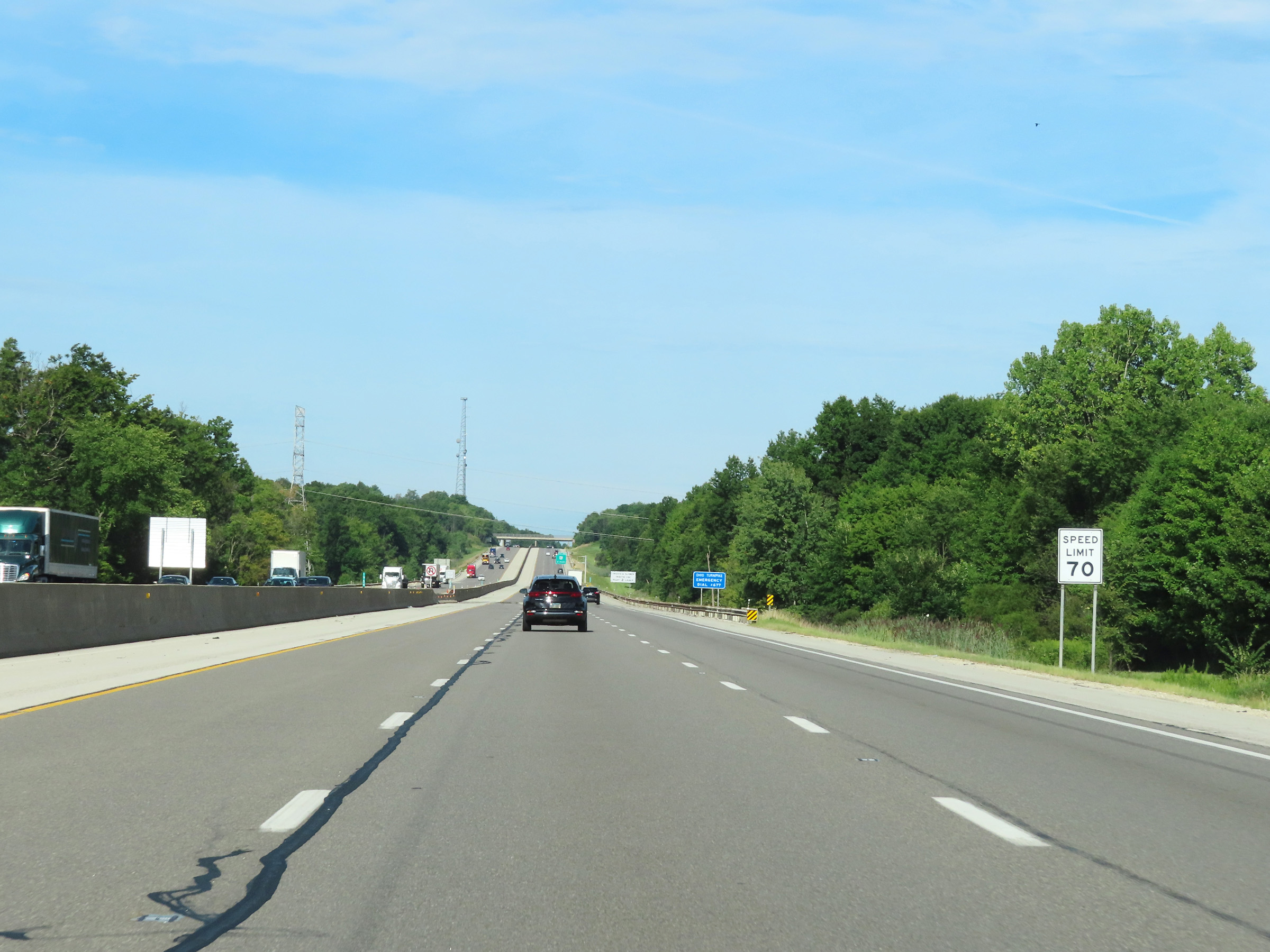 |
The speed limit remains 70 mph on Interstate 80 West (Ohio Turnpike). (Photo taken 8/13/22). |
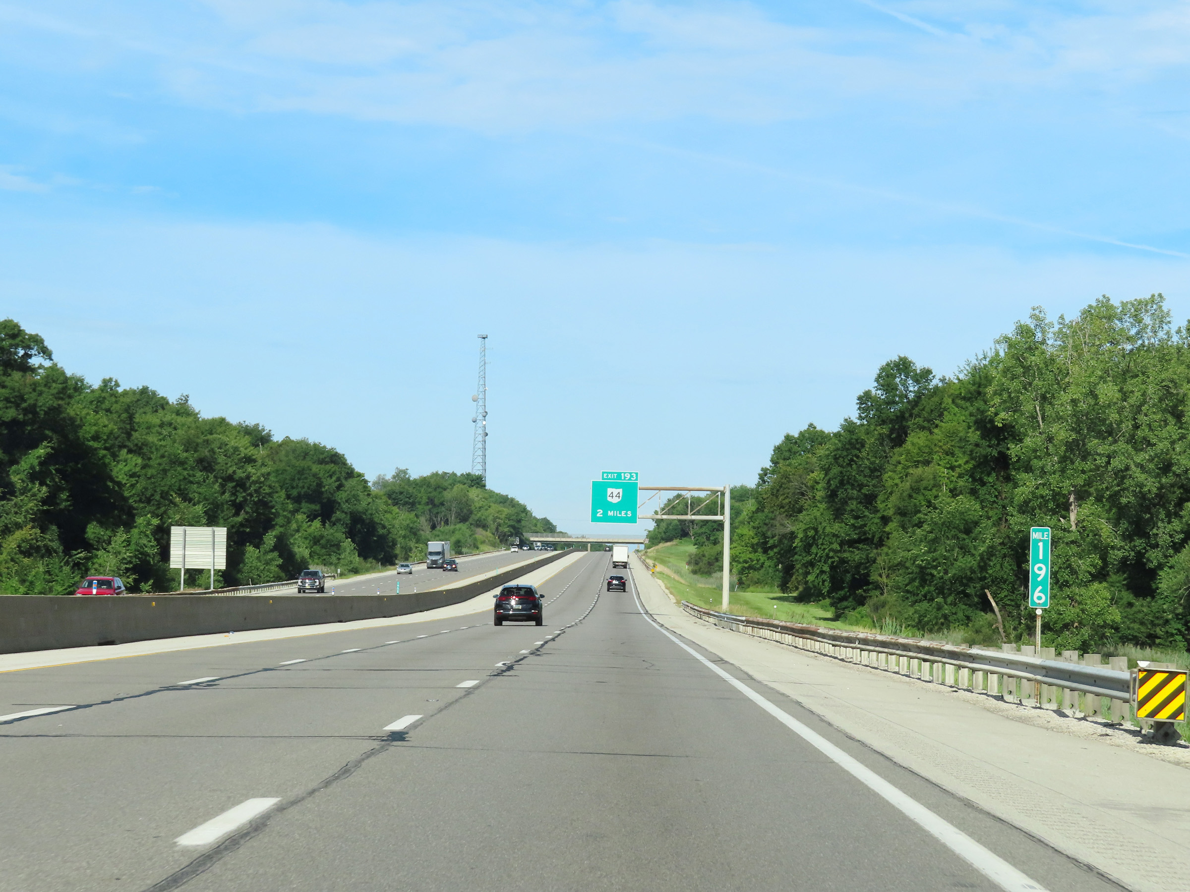 |
View on Interstate 80 West (Ohio Turnpike) at mile marker 196. (Photo taken 8/13/22). |
 |
Advance signage for Exit 193 - 1 mile ahead. (Photo taken 8/13/22). |
 |
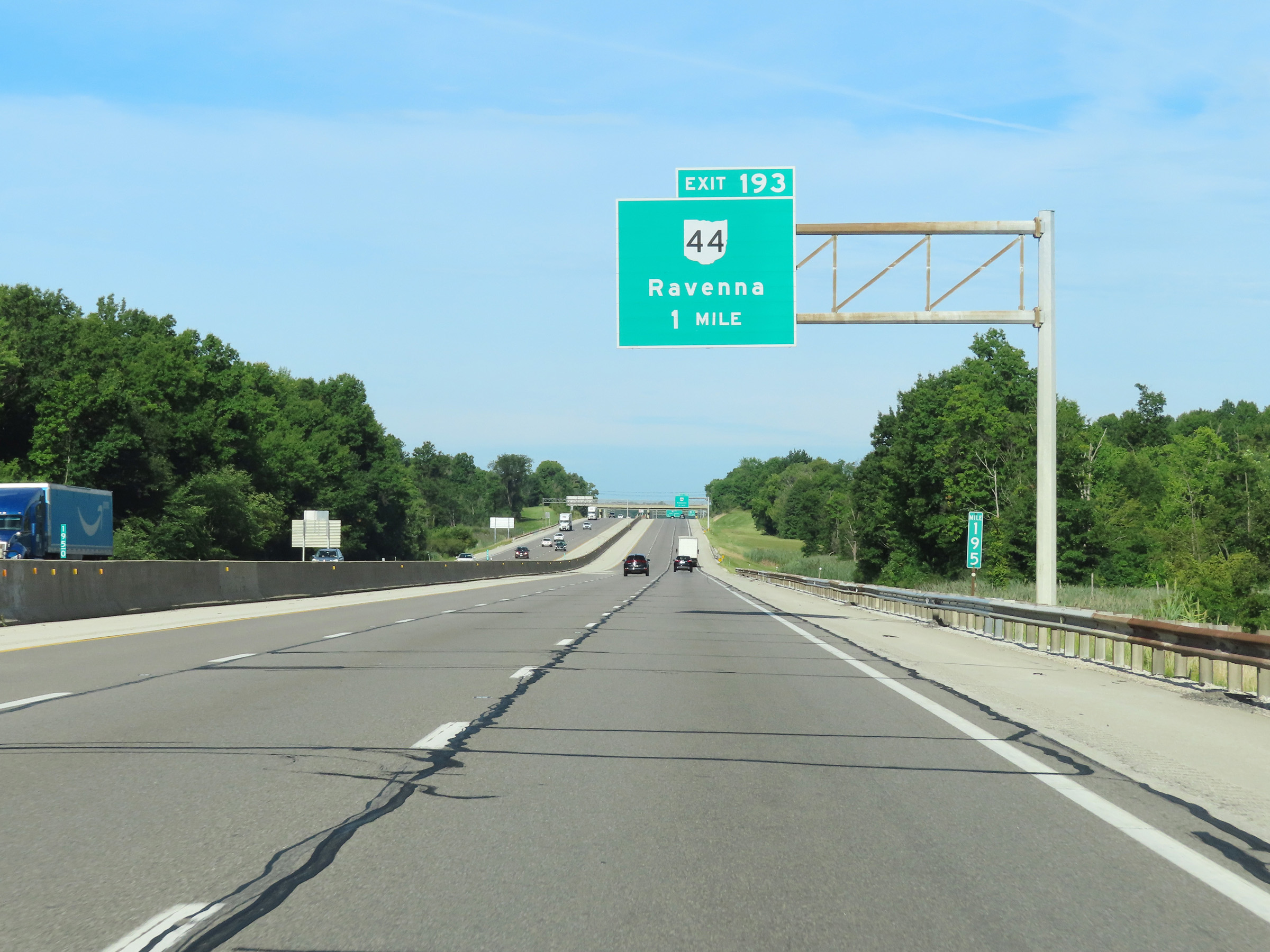
Interstate 80 West (Ohio Turnpike) at Exit 193: OH 44 - Ravenna (Photo taken 8/13/22). |
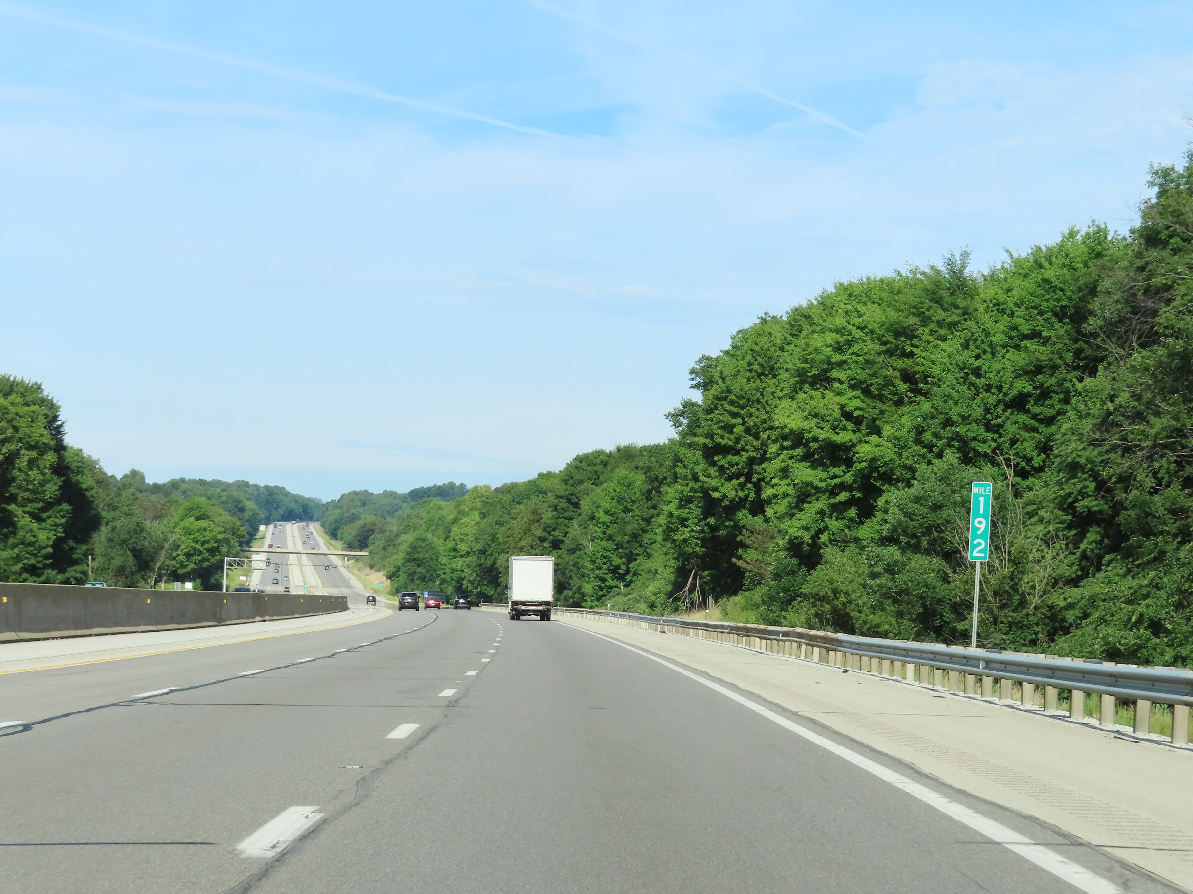 |
Mile marker 192 on Interstate 80 West (Ohio Turnpike) in Portage County. (Photo taken 8/13/22). |
 |
Interstate 80 West (Ohio Turnpike) at mile marker 191. (Photo taken 8/13/22). |
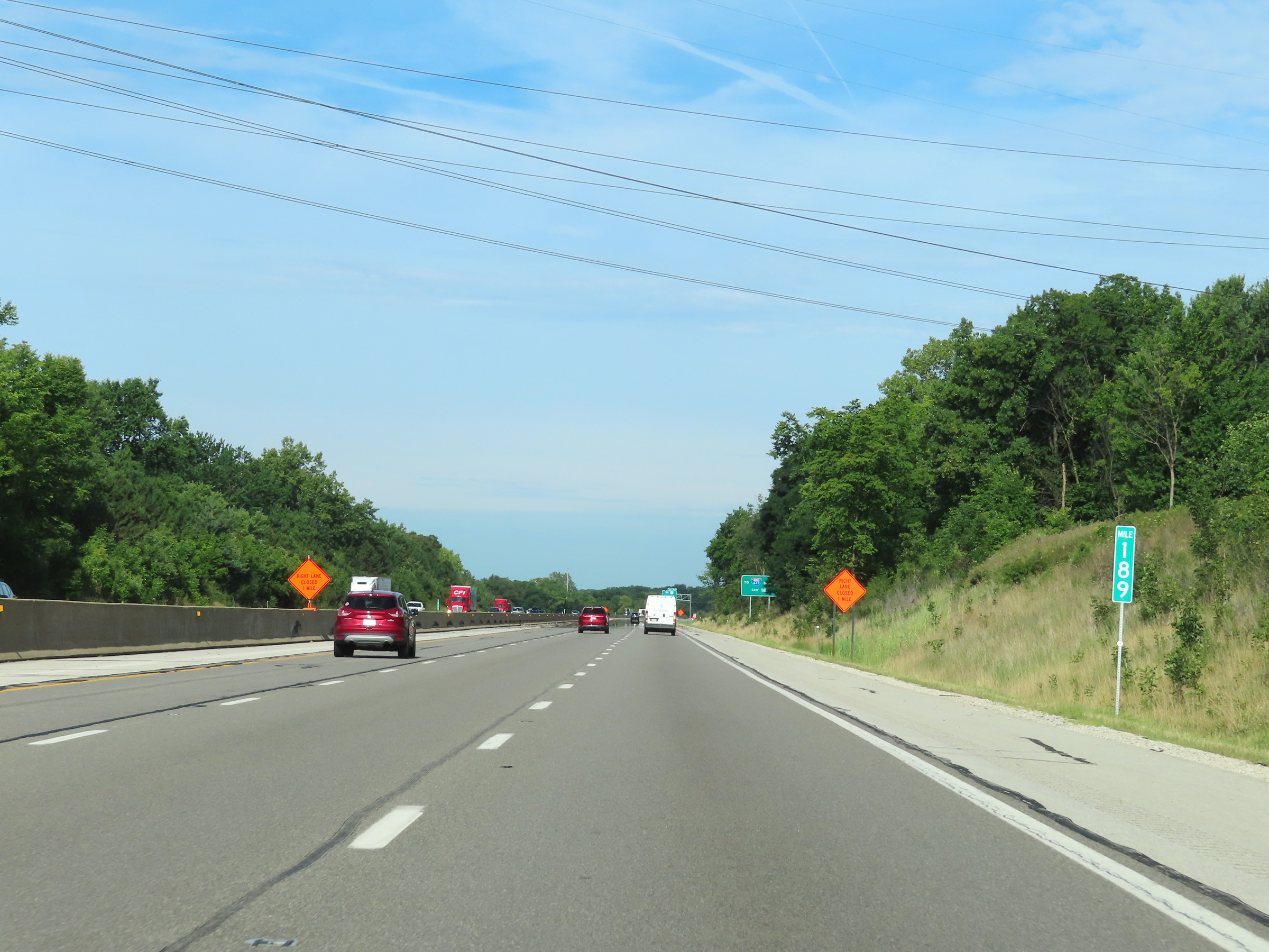 |
View on Interstate 80 West (Ohio Turnpike) at mile marker 189. (Photo taken 8/13/22). |
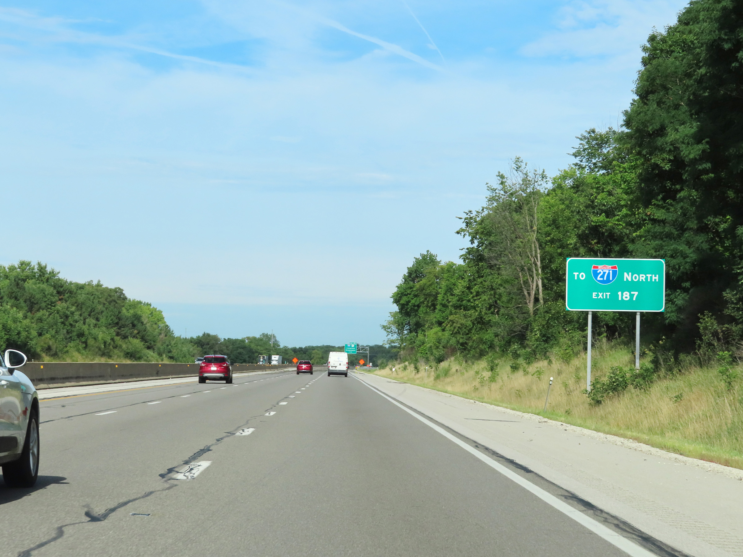 |
Traffic to Interstate 271 North should use Exit 187, as there is no direct interchange between Interstate 80 (Ohio Turnpike) and I-271. (Photo taken 8/13/22). |
 |
Advance signage for Exit 187, which is 1 mile ahead. (Photo taken 8/13/22). |
 |
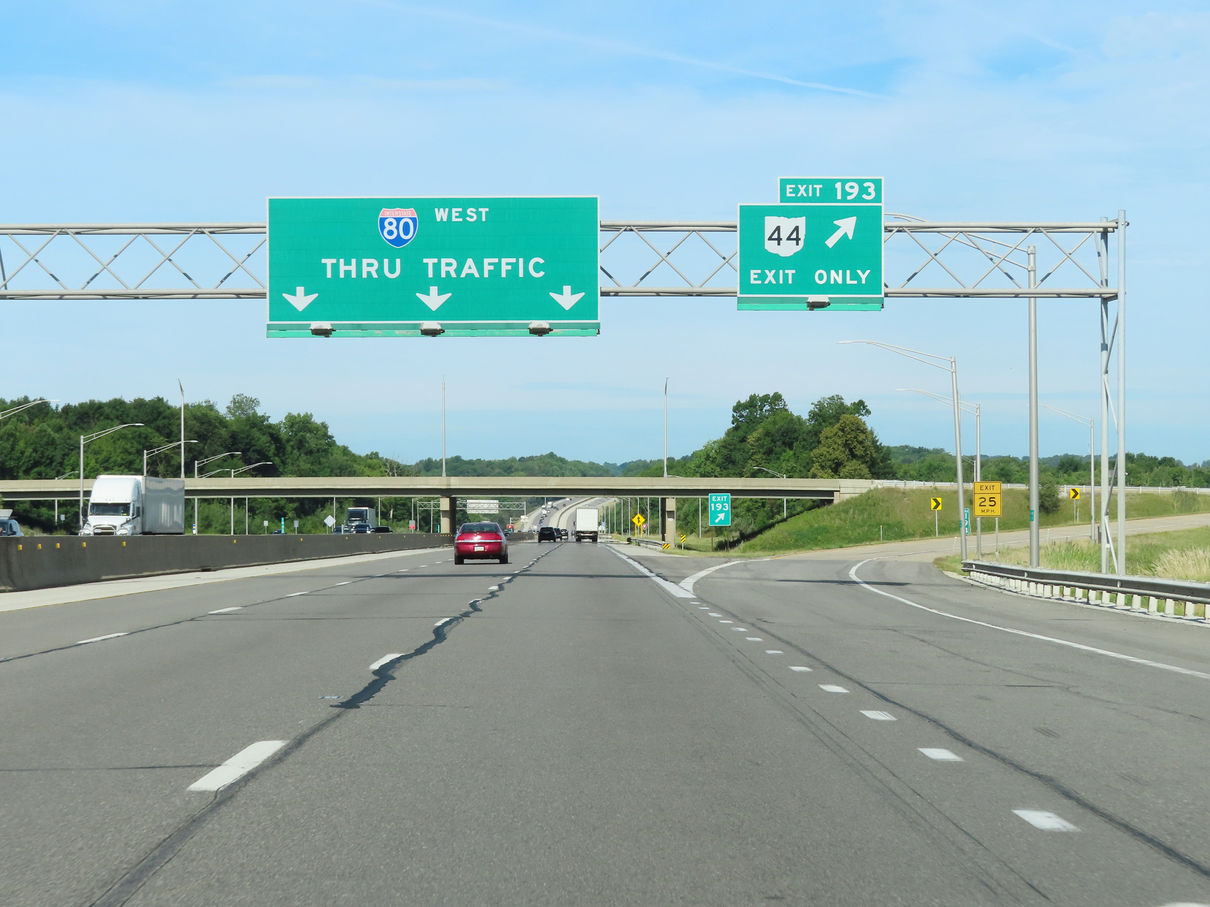
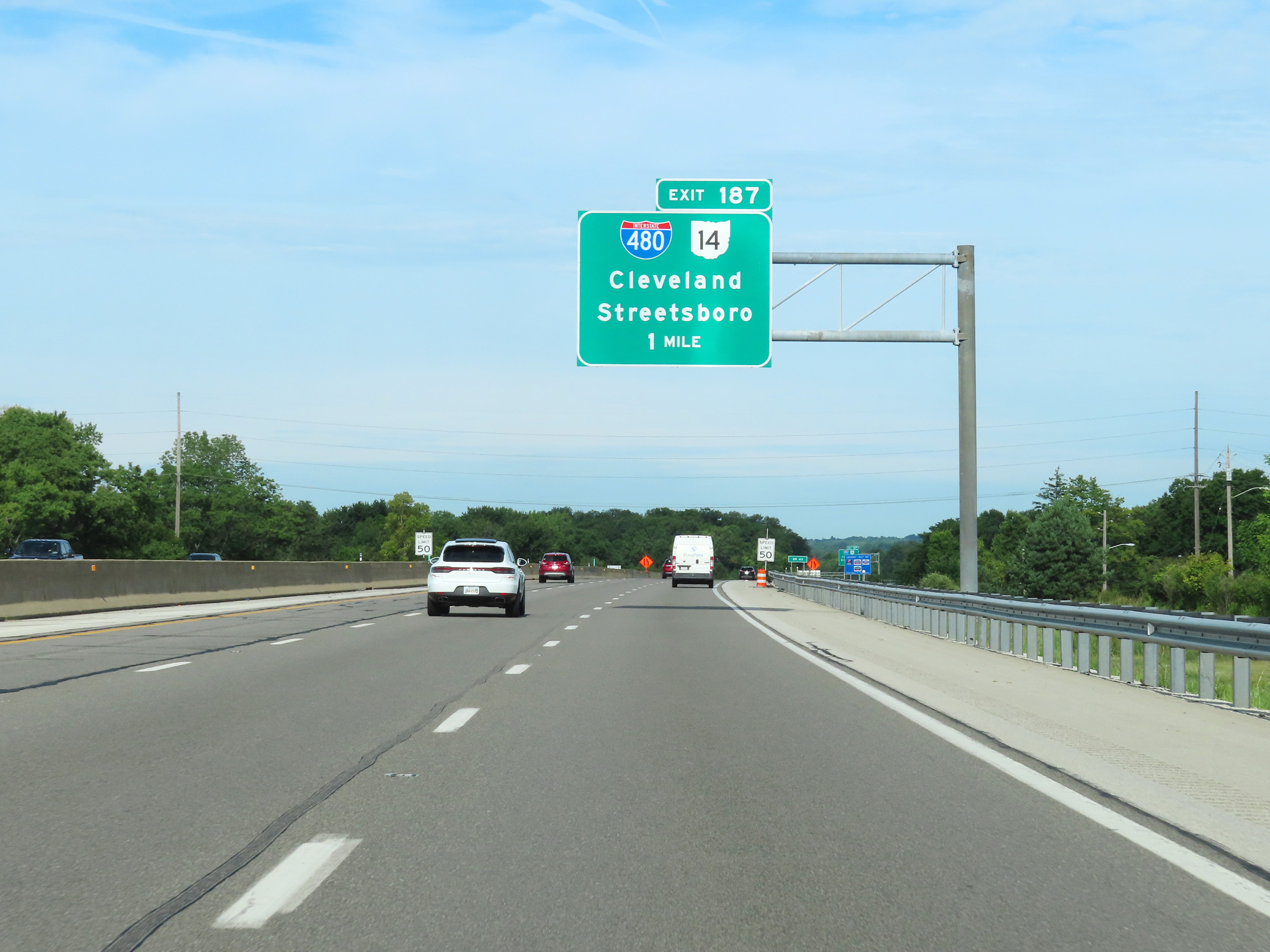
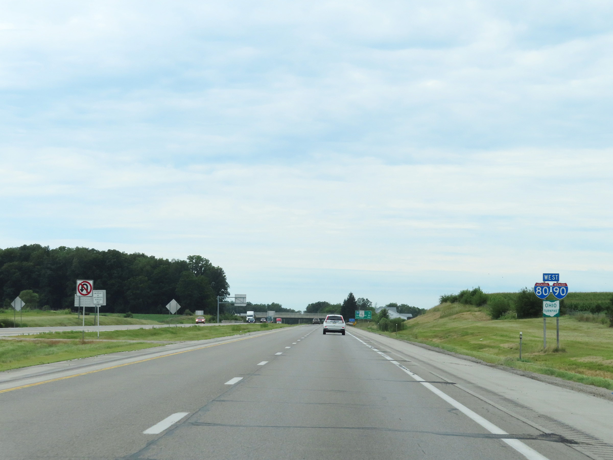
Interstate 80 West (Ohio Turnpike) at Exit 187: Interstate 480 / OH 14 - Cleveland / Streetsboro (Photo taken 8/13/22). |
Section 2: Streetsboro (Exit 187) to Milan (Exit 118)
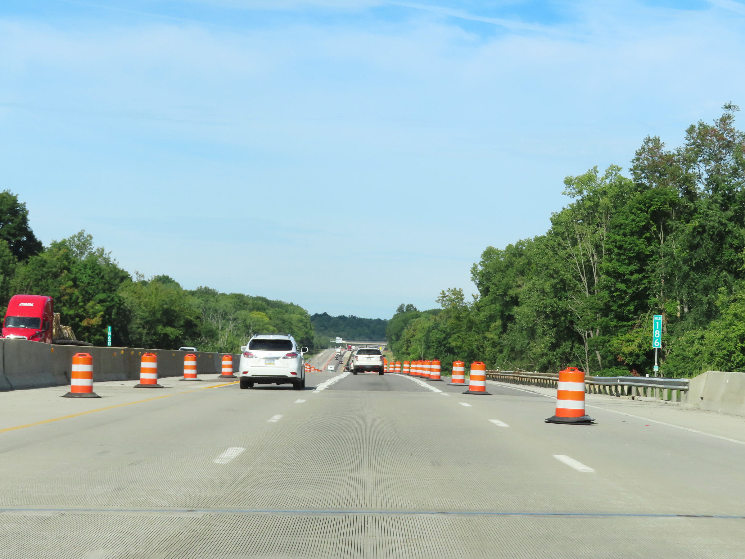 |
Interstate 80 West (Ohio Turnpike) at mile marker 186. (Photo taken 8/13/22). |
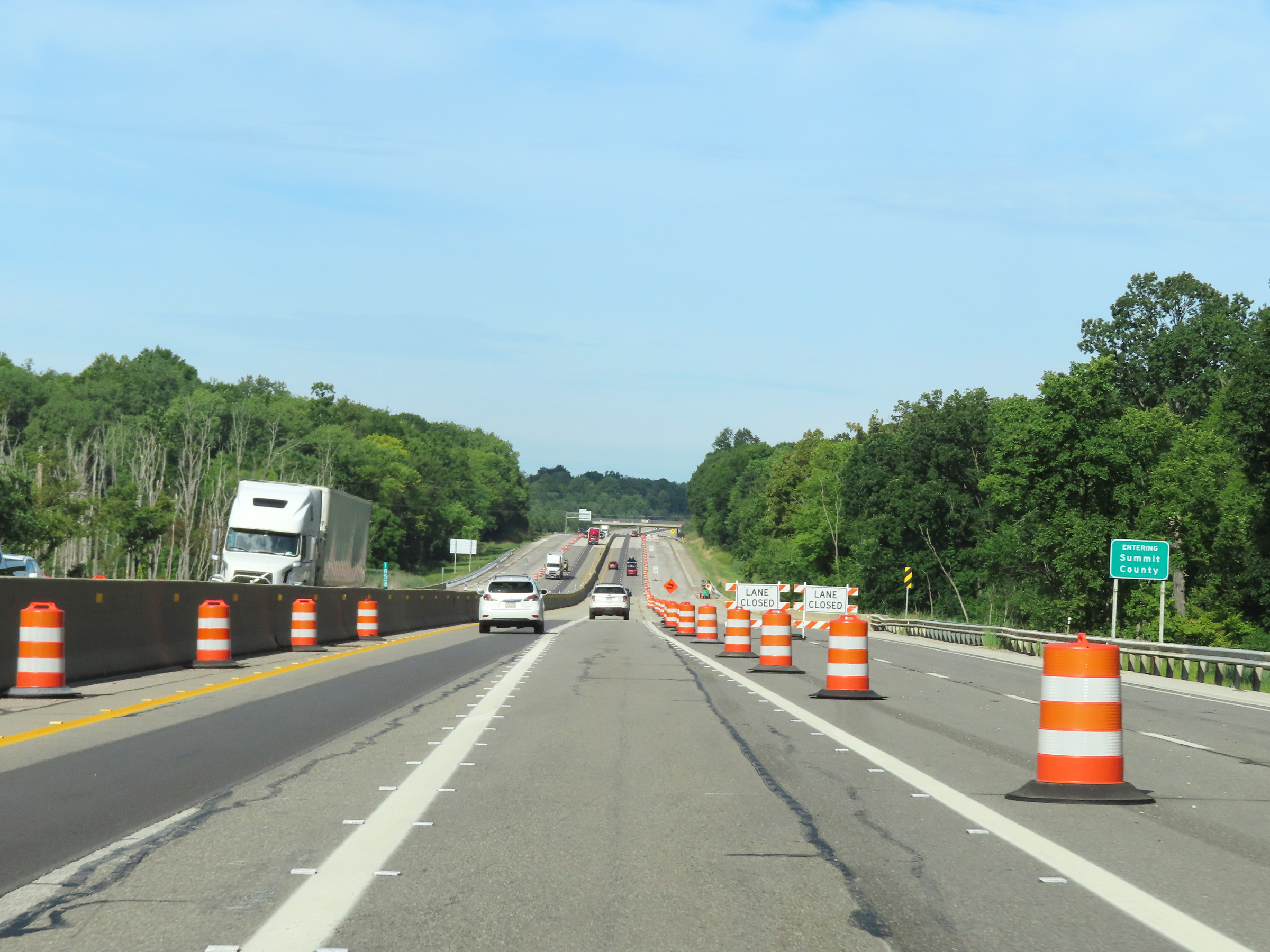 |
Interstate 80 West (Ohio Turnpike) as it enters Summit County. (Photo taken 8/13/22). |
 |
Interstate 80 West (Ohio Turnpike) at mile marker 184. (Photo taken 8/13/22). |
 |
View on Interstate 80 West (Ohio Turnpike) at mile marker 183. (Photo taken 8/13/22). |
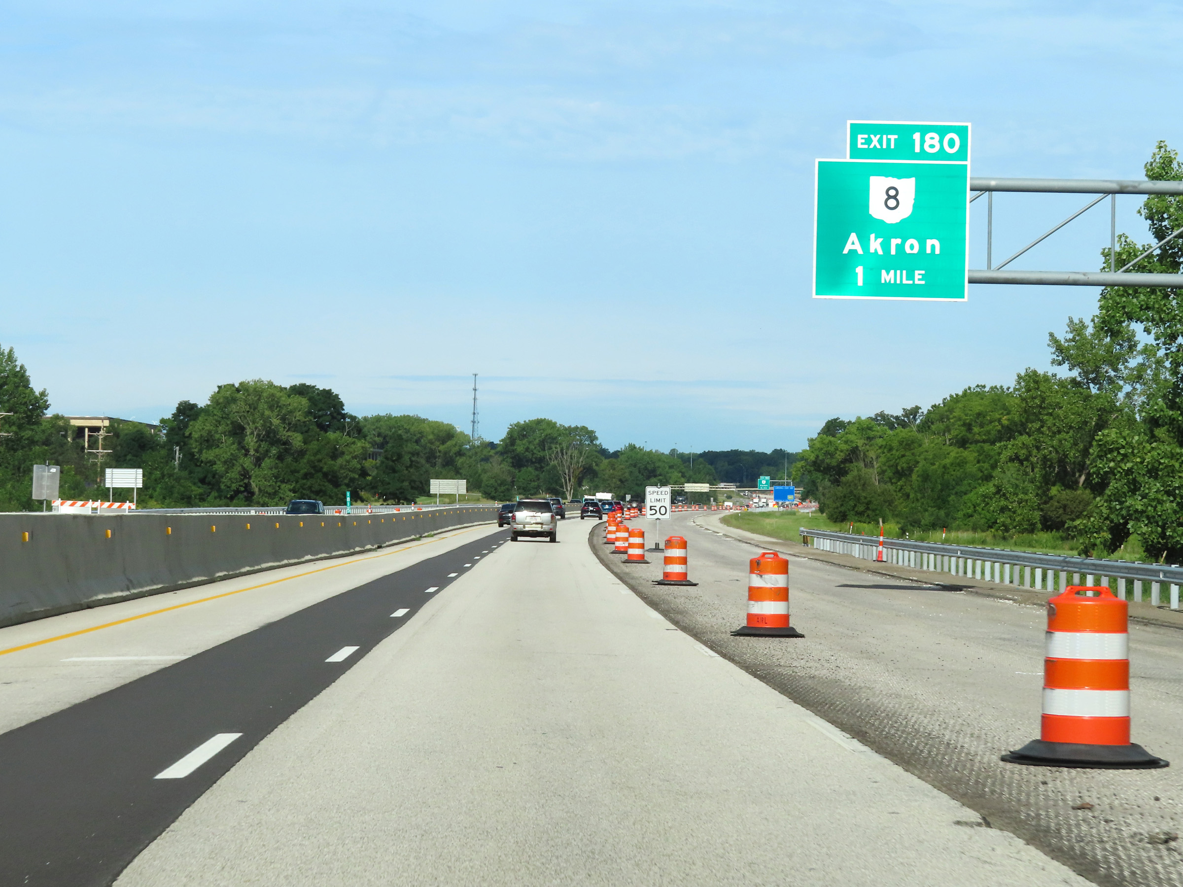 |
Advance signage for Exit 180, 1 mile ahead. (Photo taken 8/13/22). |
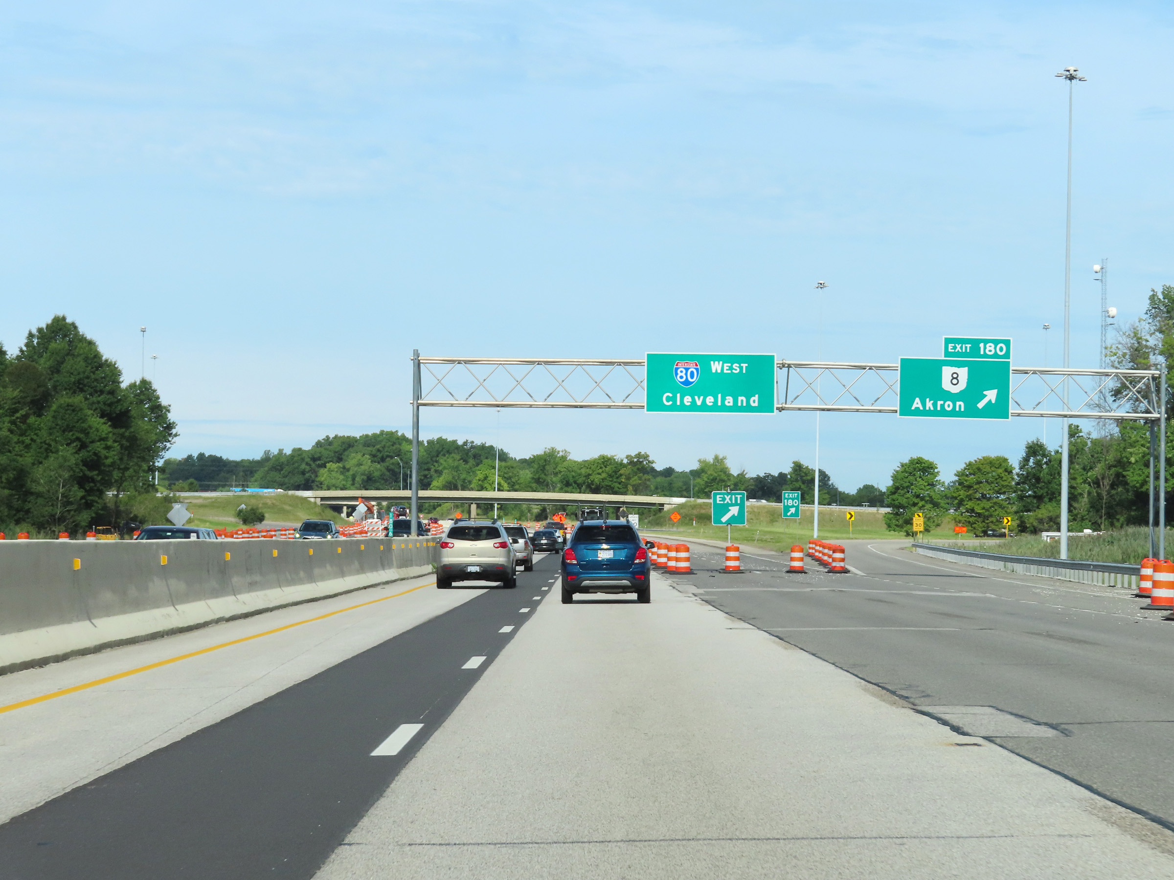 |
Interstate 80 West (Ohio Turnpike) at Exit 180: OH 8 - Akron (Photo taken 8/13/22). |
 |
View on Interstate 80 West (Ohio Turnpike) at mile marker 179.7. (Photo taken 8/13/22). |
 |
Mileage sign on Interstate 80 West (Ohio Turnpike). It's 7 miles to the junction of Interstate 77 (Exit 173), 18 miles to the junction of Interstate 71 (Exit 161), and 119 miles to Toledo. (Photo taken 8/13/22). |
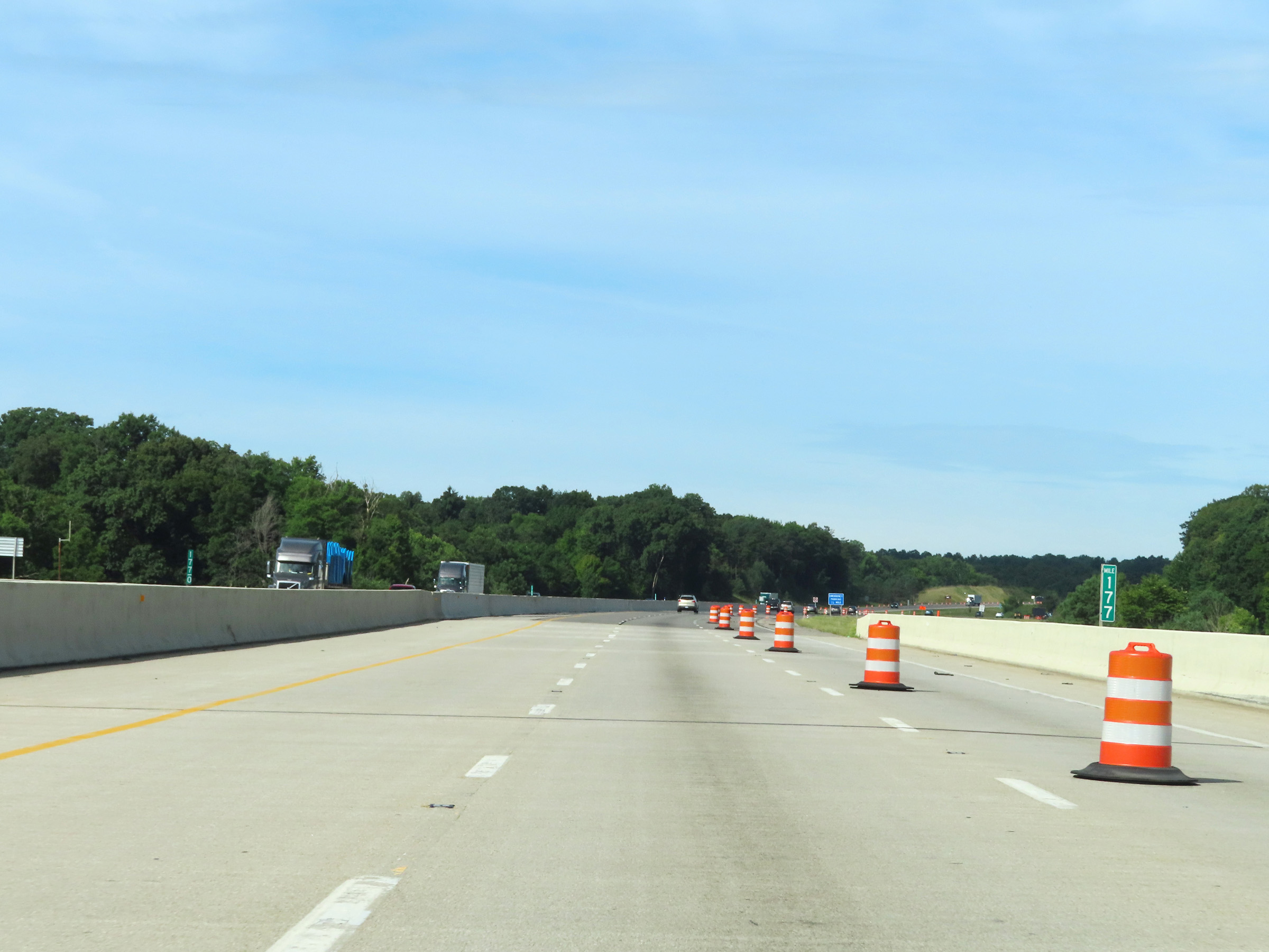 |
View on Interstate 80 West (Ohio Turnpike) at mile marker 177. (Photo taken 8/13/22). |
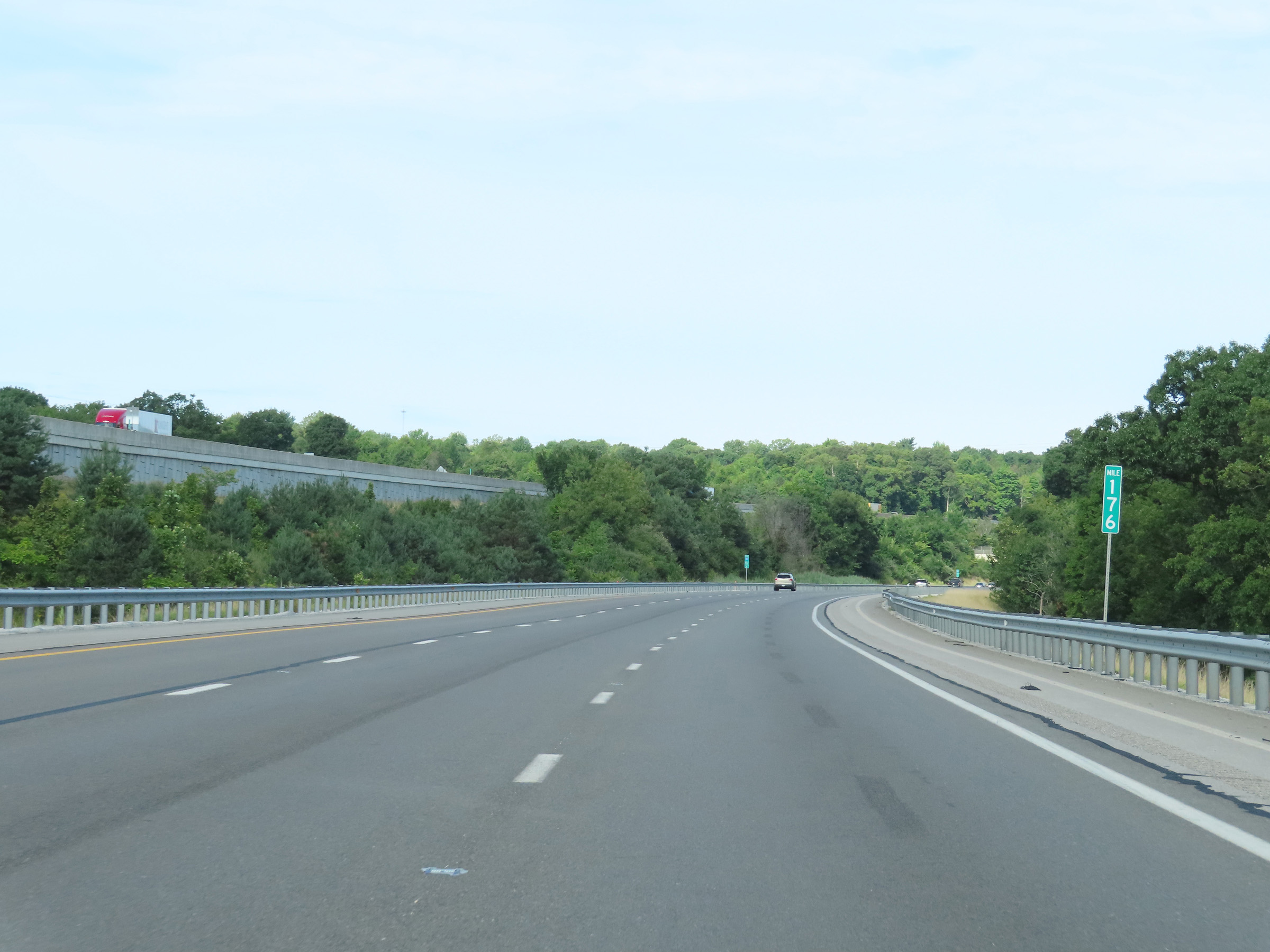 |
Mile marker 176 on Interstate 80 West (Ohio Turnpike) in Summit County. (Photo taken 8/13/22). |
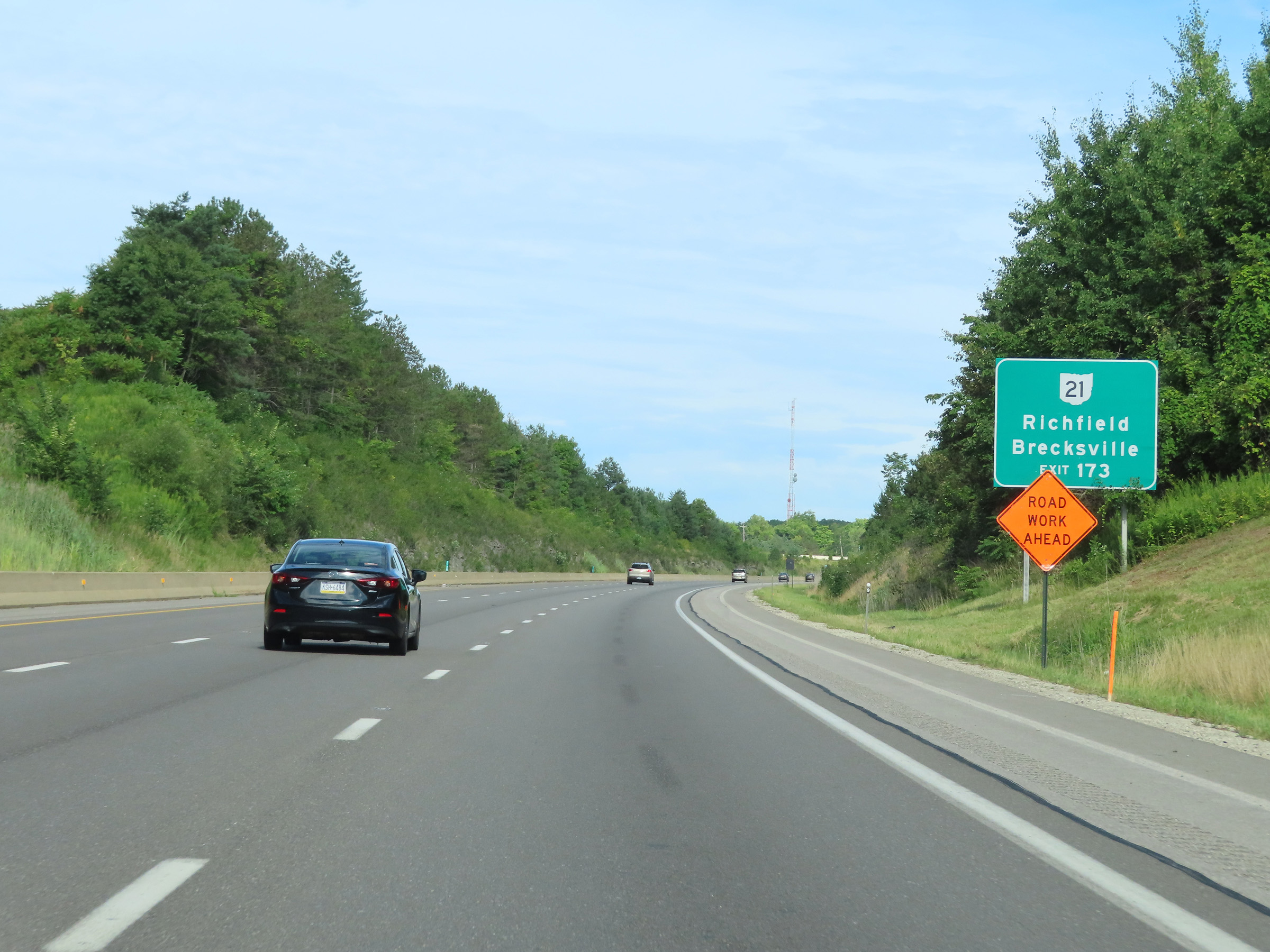 |
Take Exit 173 to OH 21 toward Richfield and Brecksville. (Photo taken 8/13/22). |
 |
Advance signage for Exit 173, which is 1 mile ahead. (Photo taken 8/13/22). |
 |
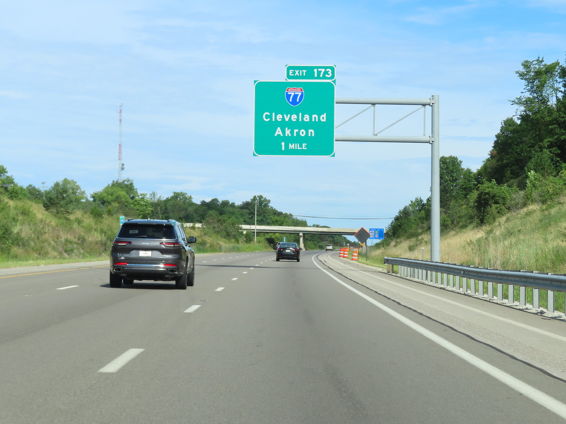
Interstate 80 West (Ohio Turnpike) at Exit 173: Interstate 77 - Akron / Cleveland (Photo taken 8/13/22). |
 |
Interstate 80 West / Ohio Turnpike reassurance shields. (Photo taken 8/13/22). |
 |
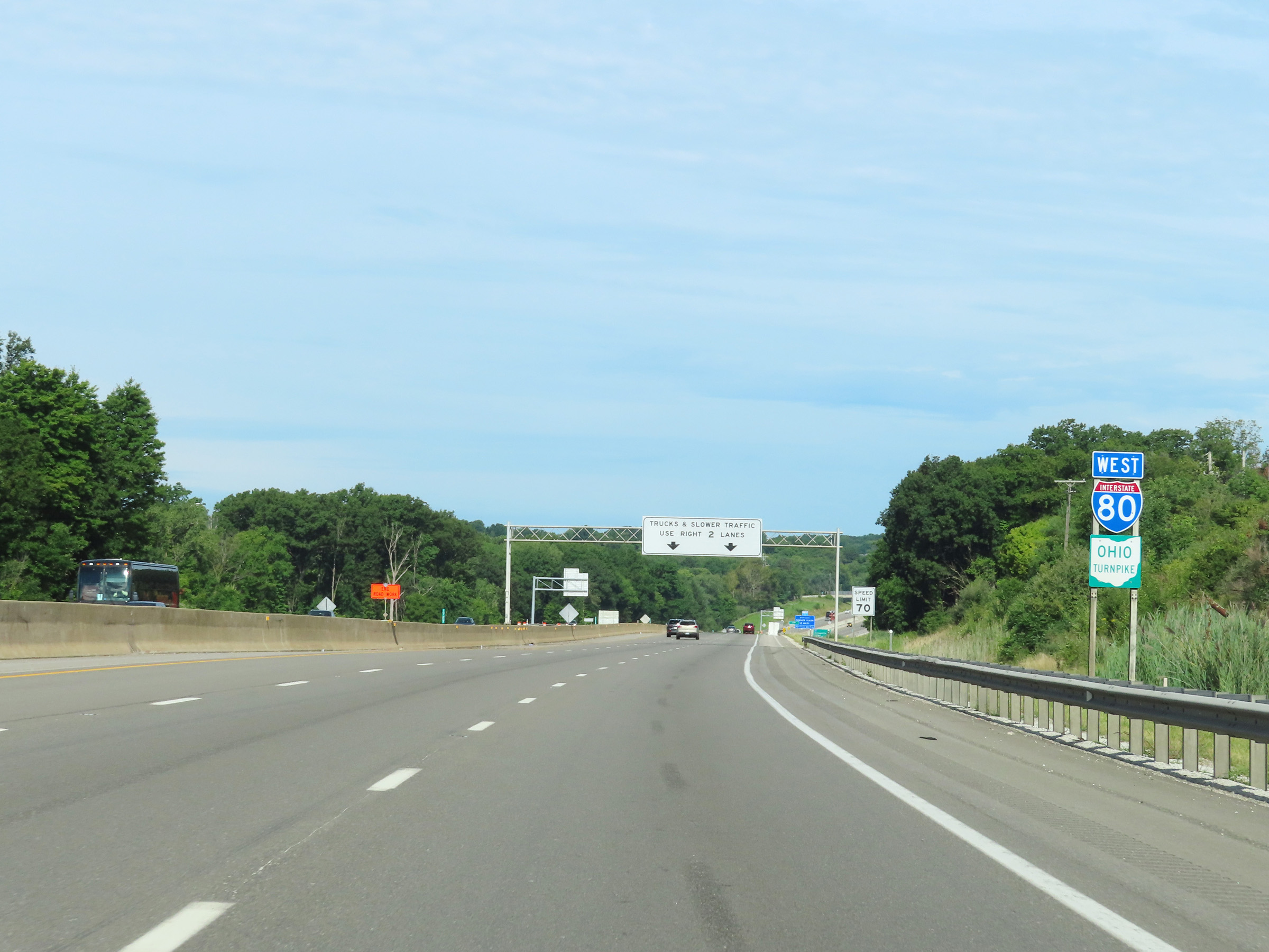
The speed limit remains 70 mph for all traffic. Trucks and slower traffic are restricted to the two right lanes on the Ohio Turnpike when there are three thru lanes. (Photo taken 8/13/22). |
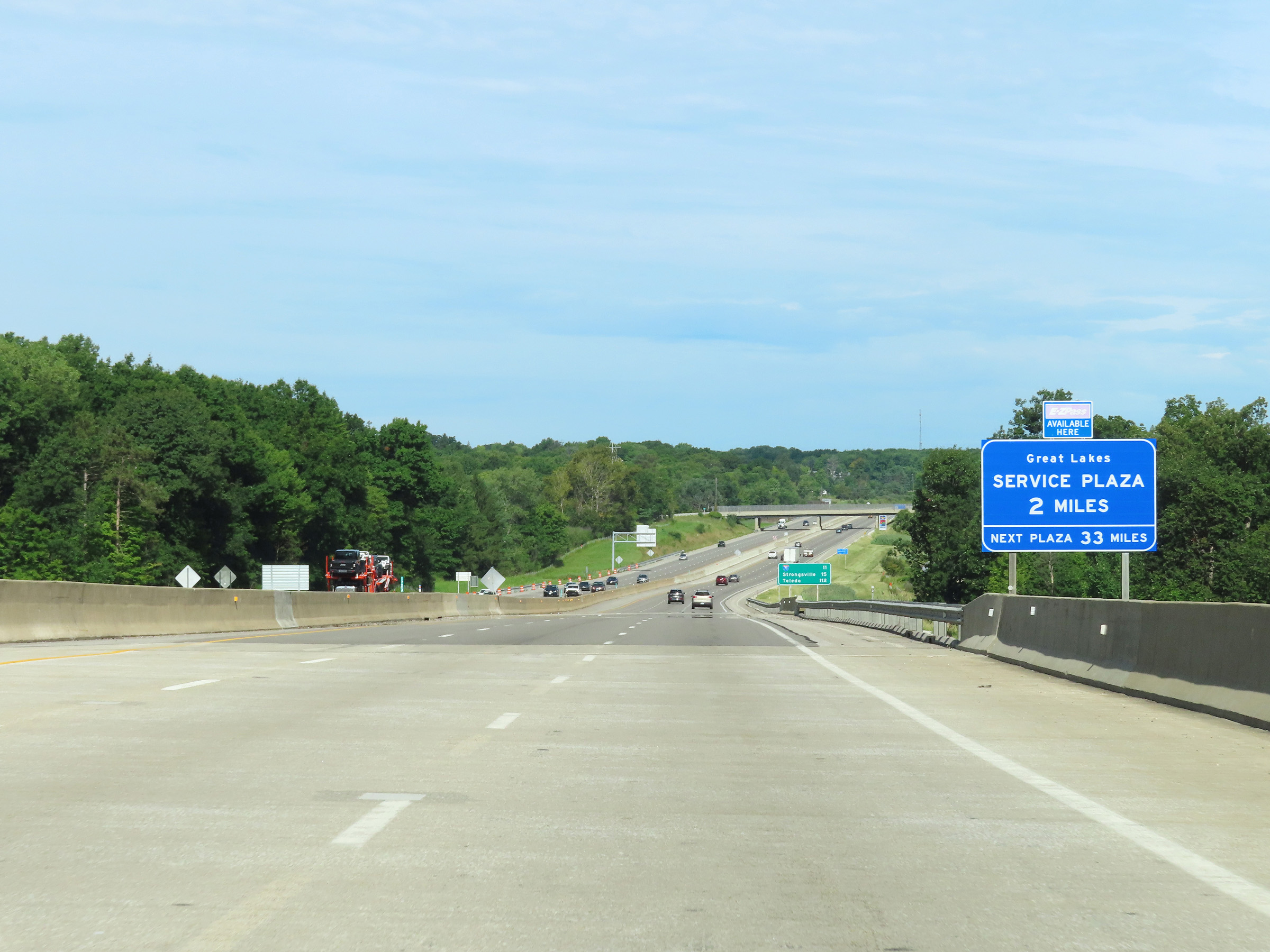 |
The Great Lakes Service Plaza lies 2 miles ahead on Interstate 80 West (Ohio Turnpike). After it, the next plaza is 33 miles ahead. (Photo taken 8/13/22). |
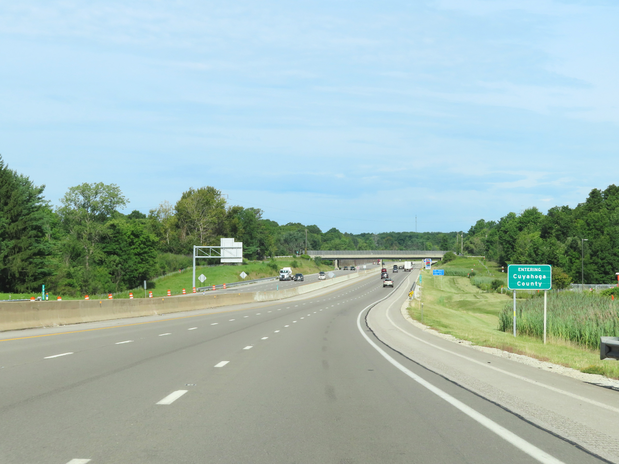 |
Interstate 80 West (Ohio Turnpike) as it enters Cuyahoga County. (Photo taken 8/13/22). |
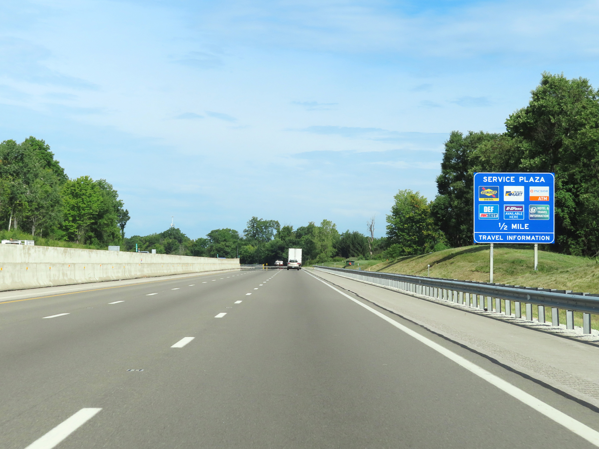 |
More advance signage for the Great Lakes Service Plaza, now 1/2 mile ahead. (Photo taken 8/13/22). |
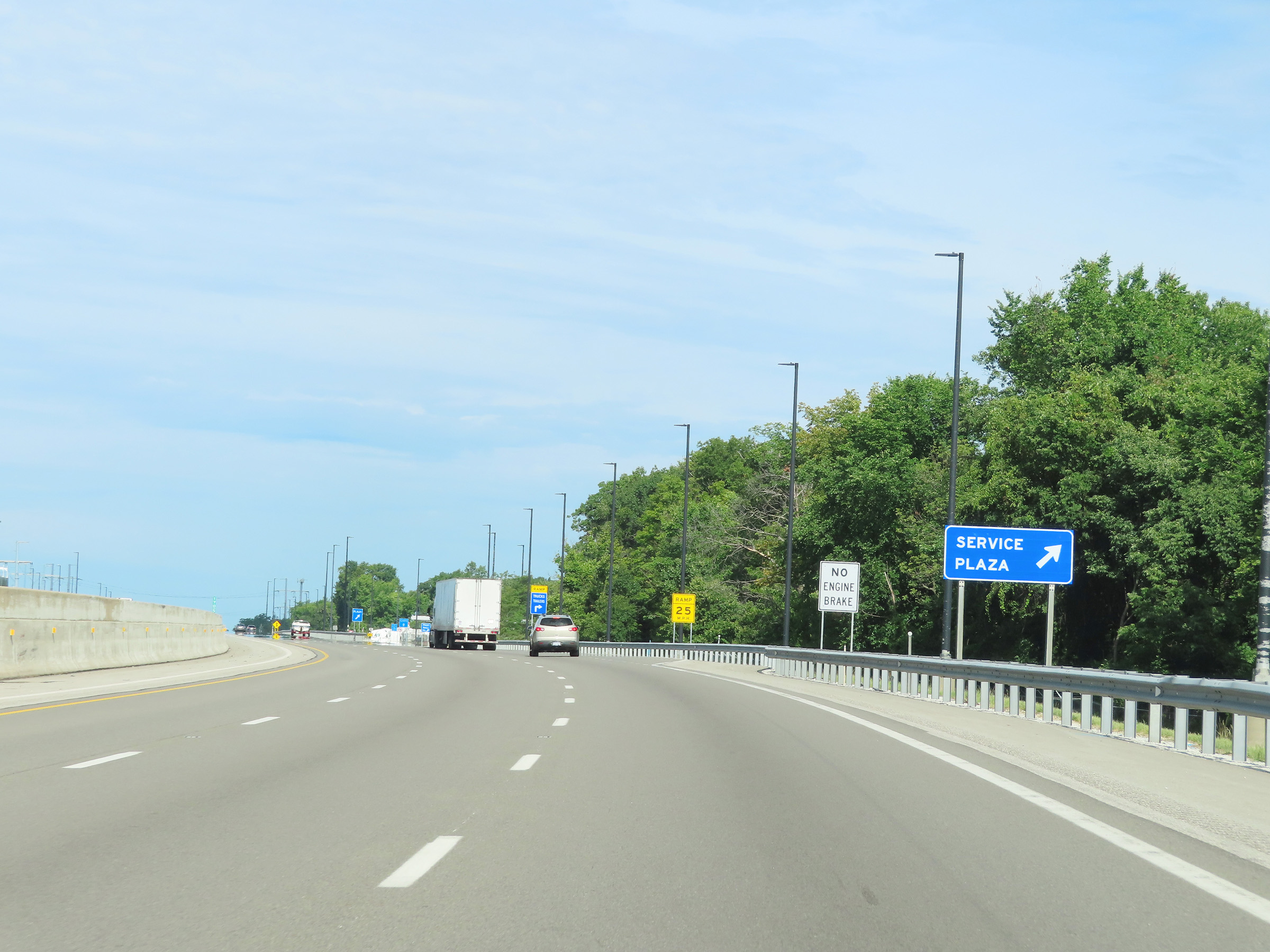 |
Interstate 80 West (Ohio Turnpike) at the Great Lakes Service Plaza in Cuyahoga County. (Photo taken 8/13/22). |
 |
A closer view of the ramp to the Great Lakes Service Plaza. (Photo taken 8/13/22). |
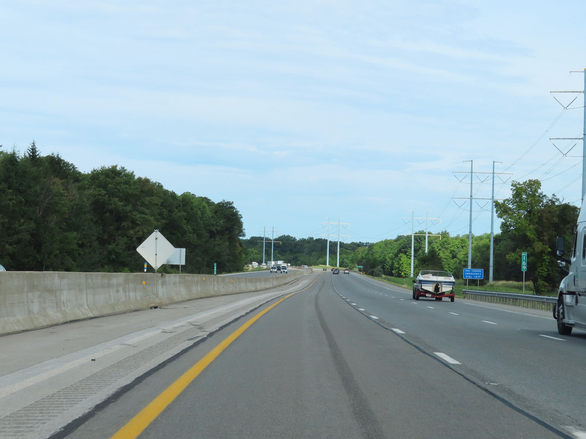 |
View on Interstate 80 West (Ohio Turnpike) at mile marker 169. (Photo taken 8/13/22). |
 |
Interstate 80 West (Ohio Turnpike) at mile marker 167. (Photo taken 8/13/22). |
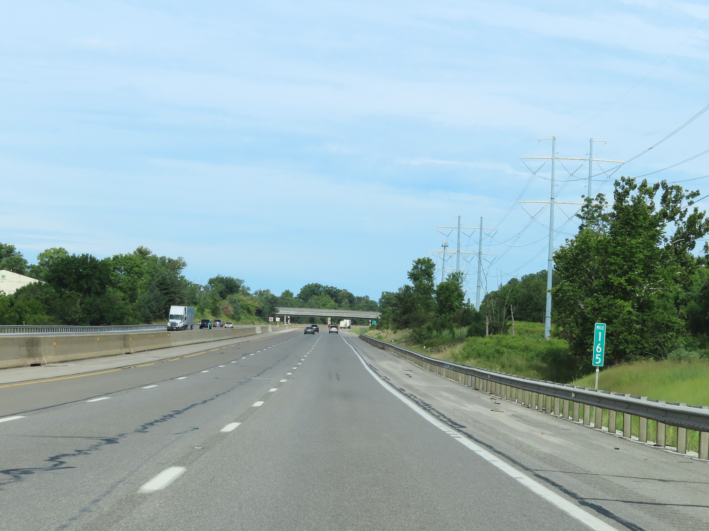 |
Mile marker 165 on Interstate 80 West (Ohio Turnpike) in Cuyahoga County. (Photo taken 8/13/22). |
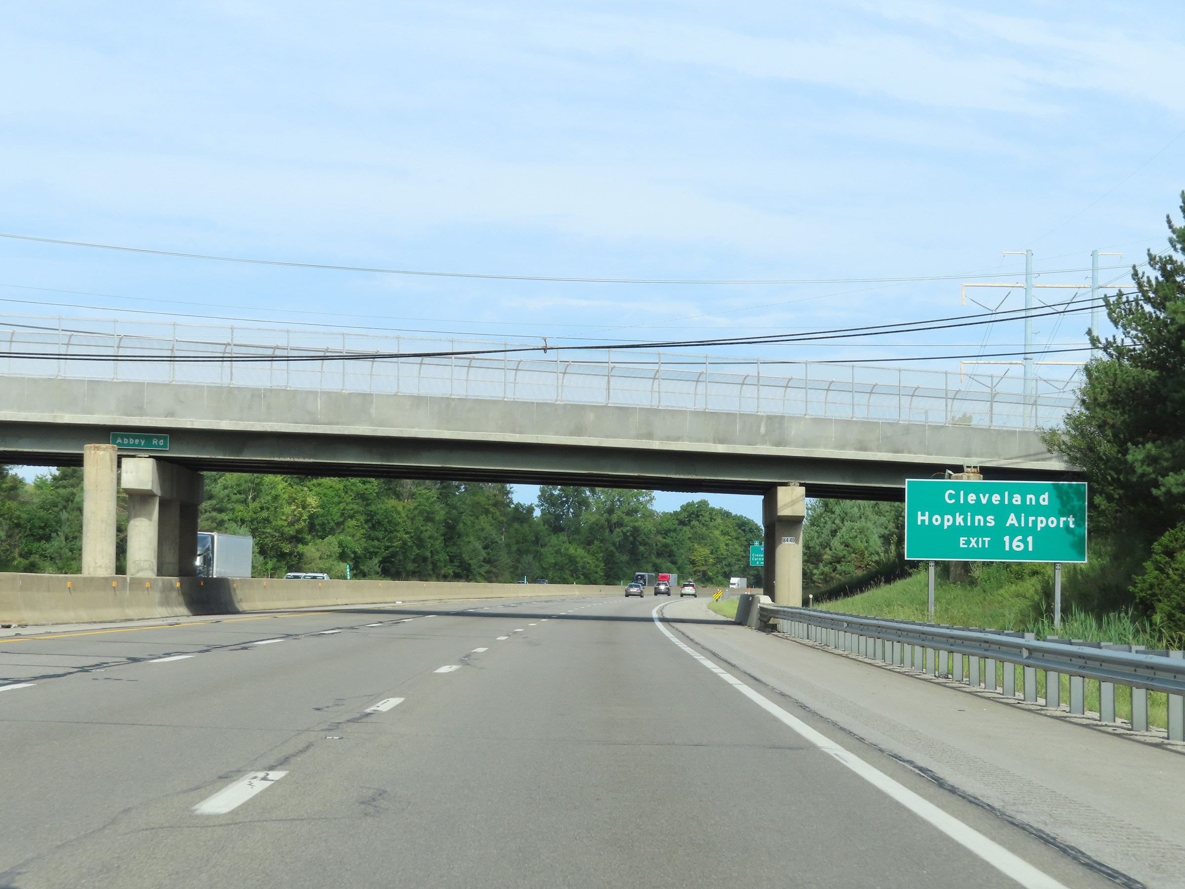 |
Take Exit 161 to Cleveland Hopkins Airport. (Photo taken 8/13/22). |
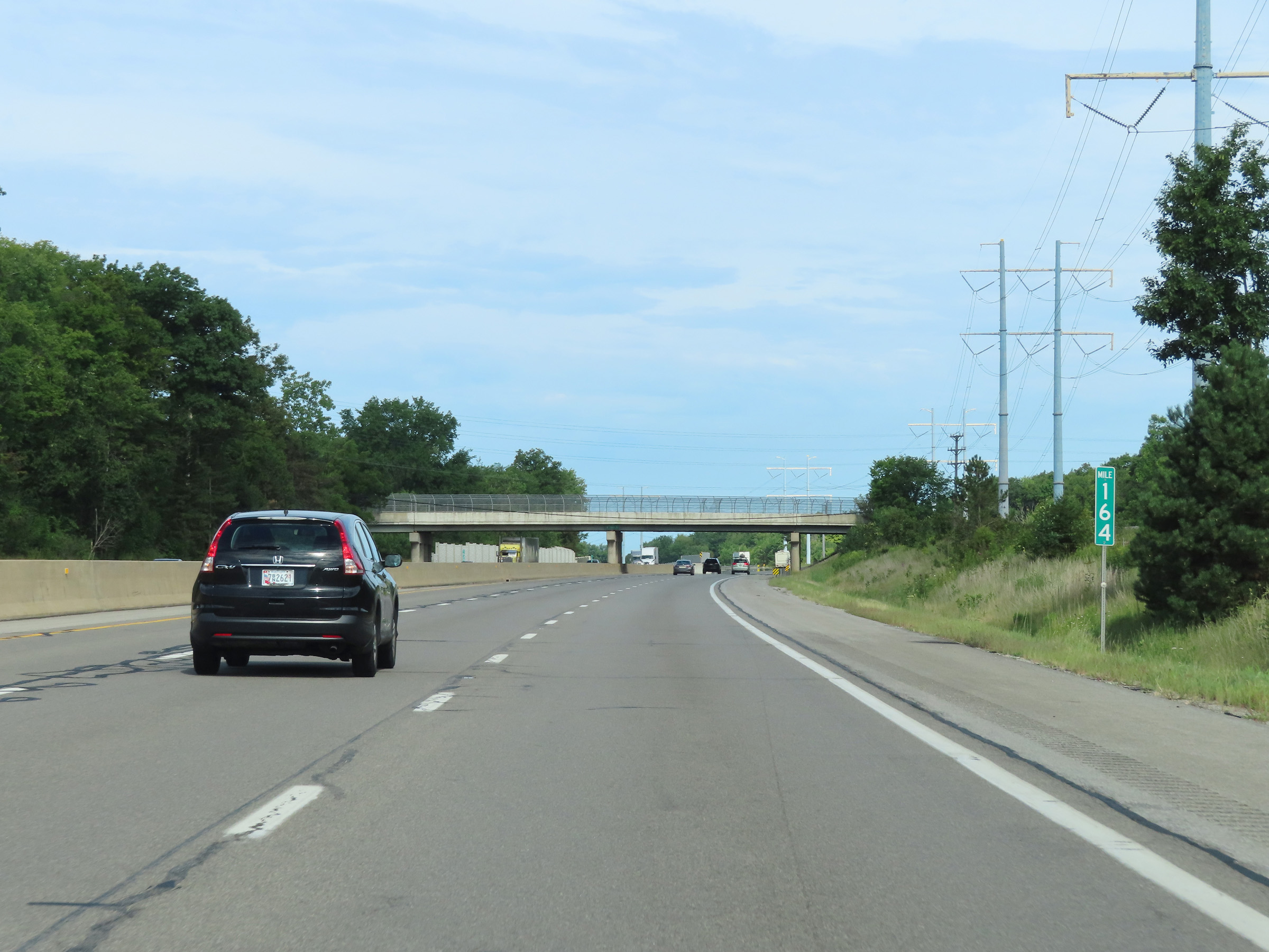 |
View on Interstate 80 West (Ohio Turnpike) at mile marker 164. (Photo taken 8/13/22). |
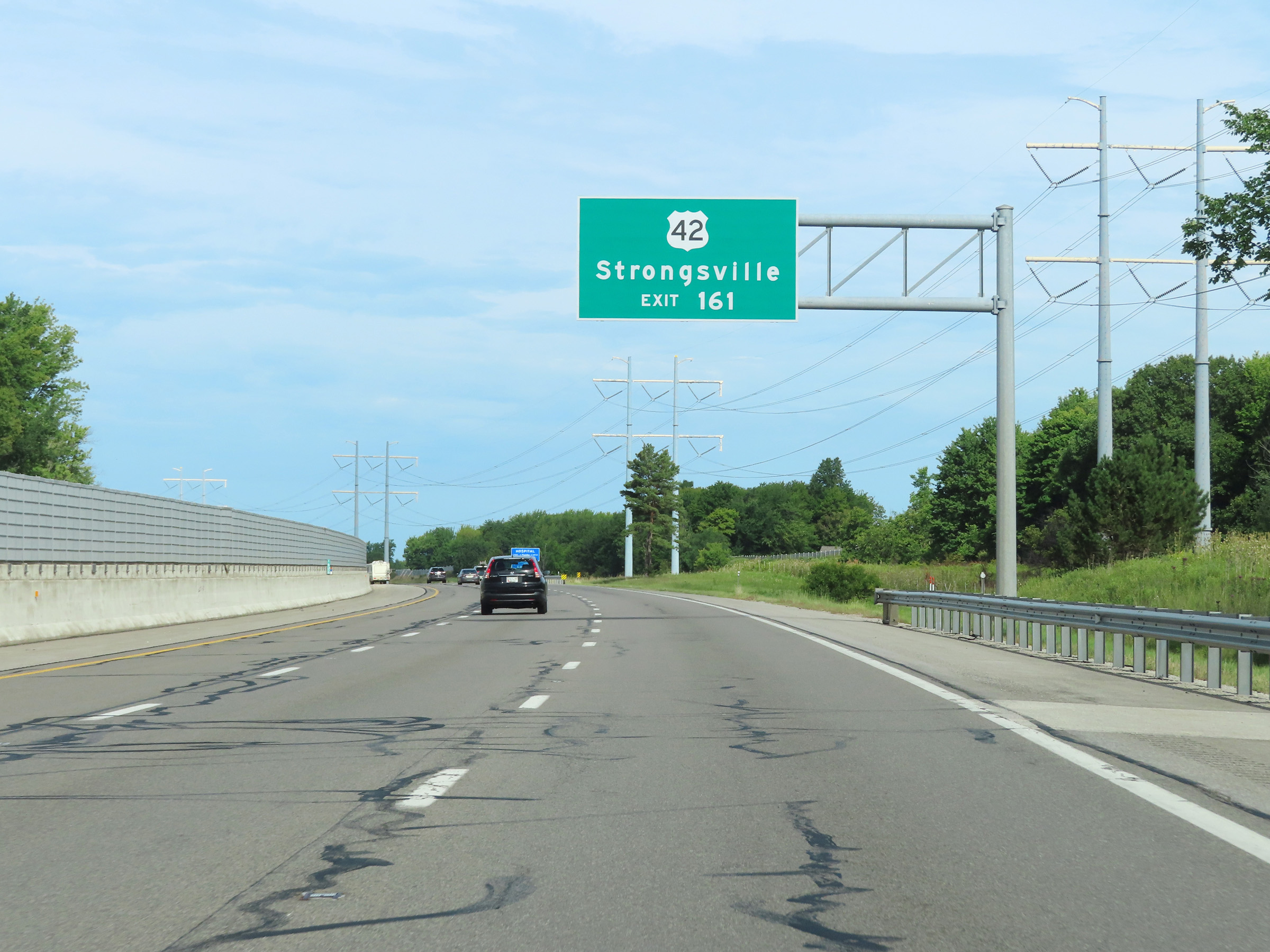 |
Take Exit 161 to US 42 and Strongsville. (Photo taken 8/13/22). |
 |
Advance signage for Exit 161, 1 mile ahead. (Photo taken 8/13/22). |
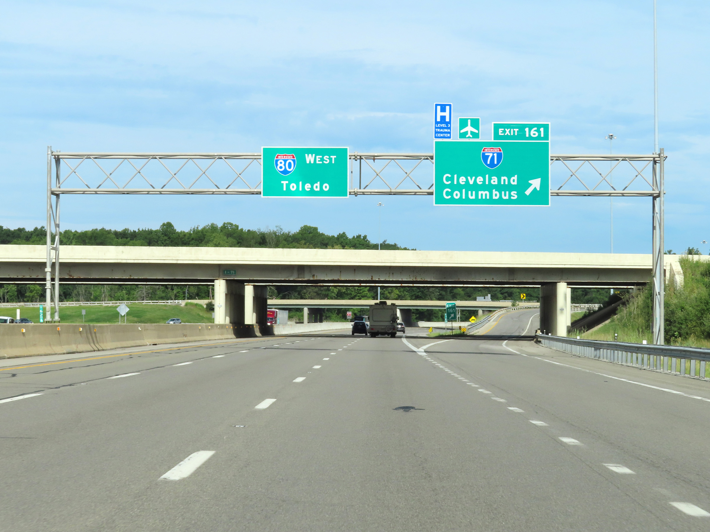 |
Interstate 80 West (Ohio Turnpike) at Exit 161: Interstate 71 - Cleveland / Columbus (Photo taken 8/13/22). |
 |
Mileage sign on Interstate 80 West (Ohio Turnpike). It's 14 miles to North Olmsted, 17 miles to Elyria, and 100 miles to Toledo. (Photo taken 8/13/22). |
 |
Mile marker 160 on Interstate 80 West (Ohio Turnpike) in Cuyahoga County. (Photo taken 8/13/22). |
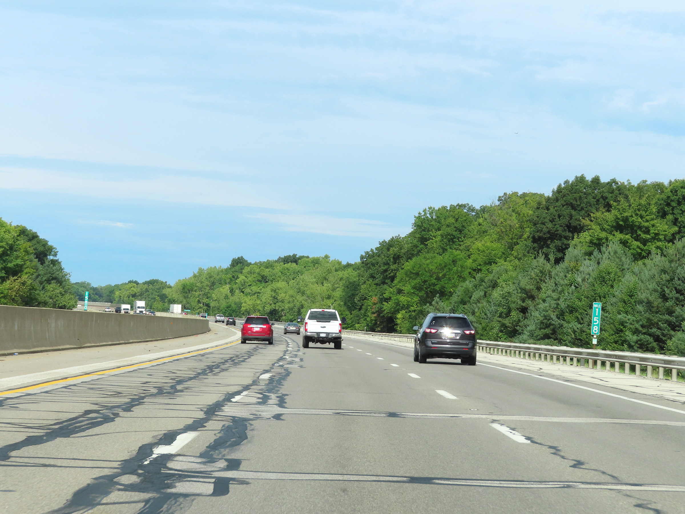 |
View on Interstate 80 West (Ohio Turnpike) at mile marker 158. (Photo taken 8/13/22). |
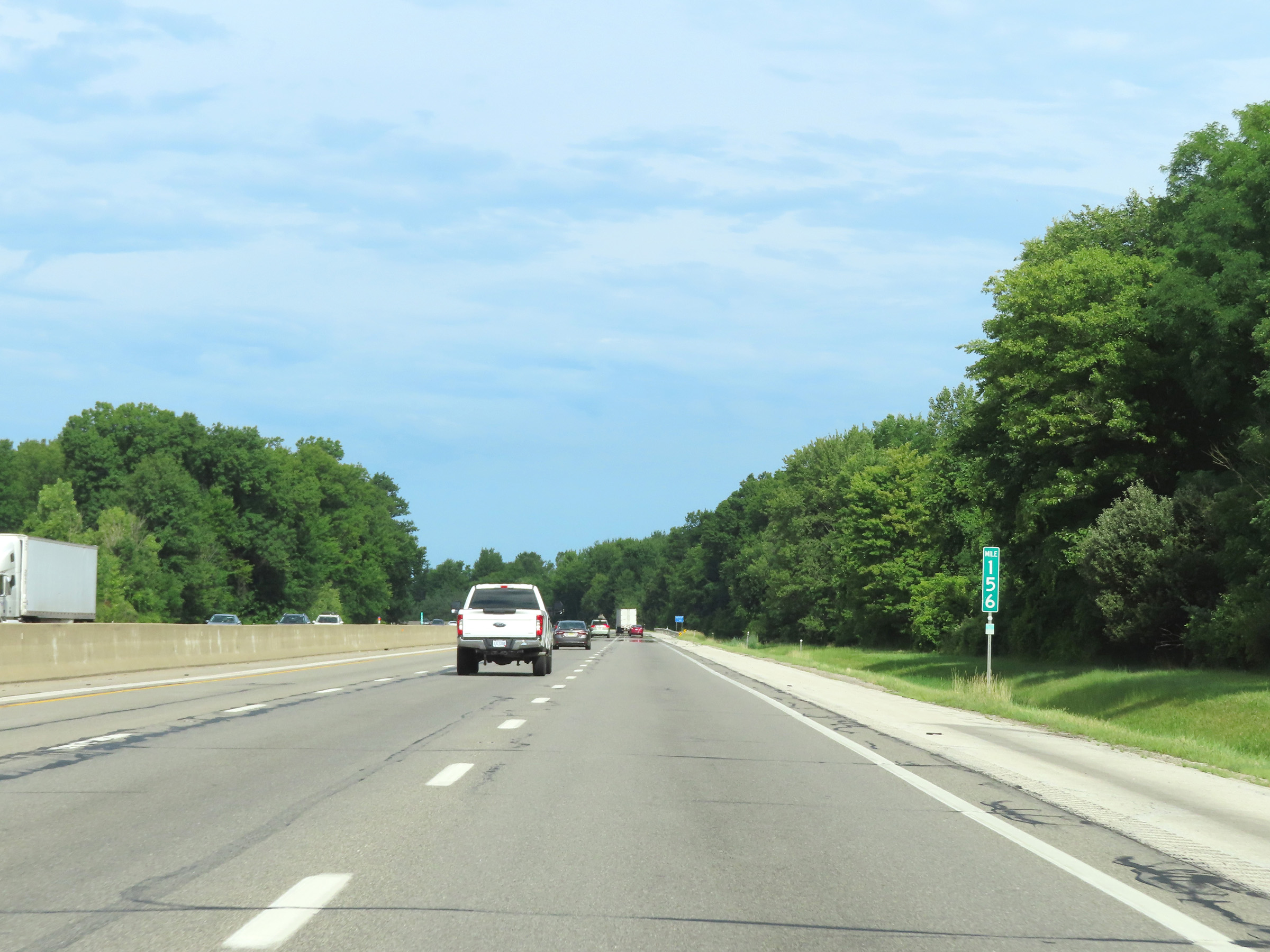 |
Interstate 80 West (Ohio Turnpike) at mile marker 156. (Photo taken 8/13/22). |
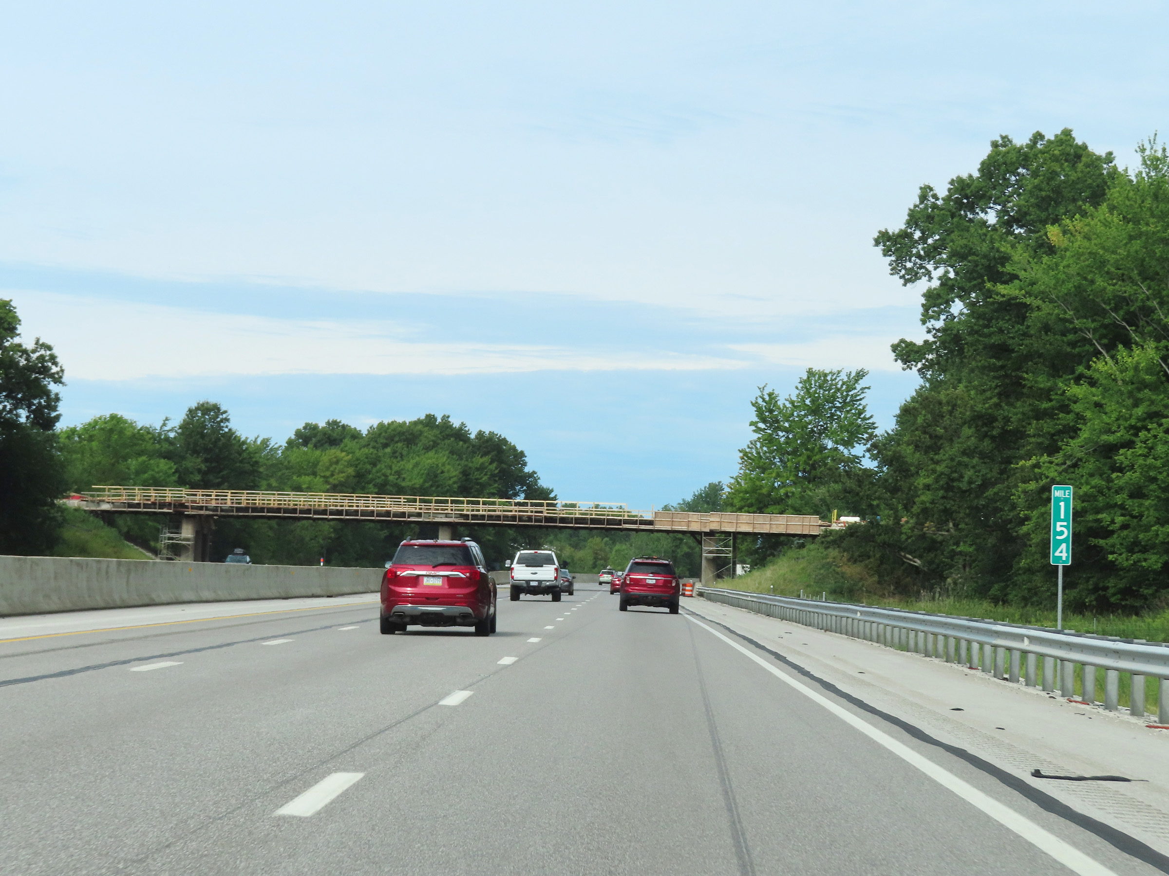 |
Mile marker 154 on Interstate 80 West (Ohio Turnpike) in Cuyahoga County. (Photo taken 8/13/22). |
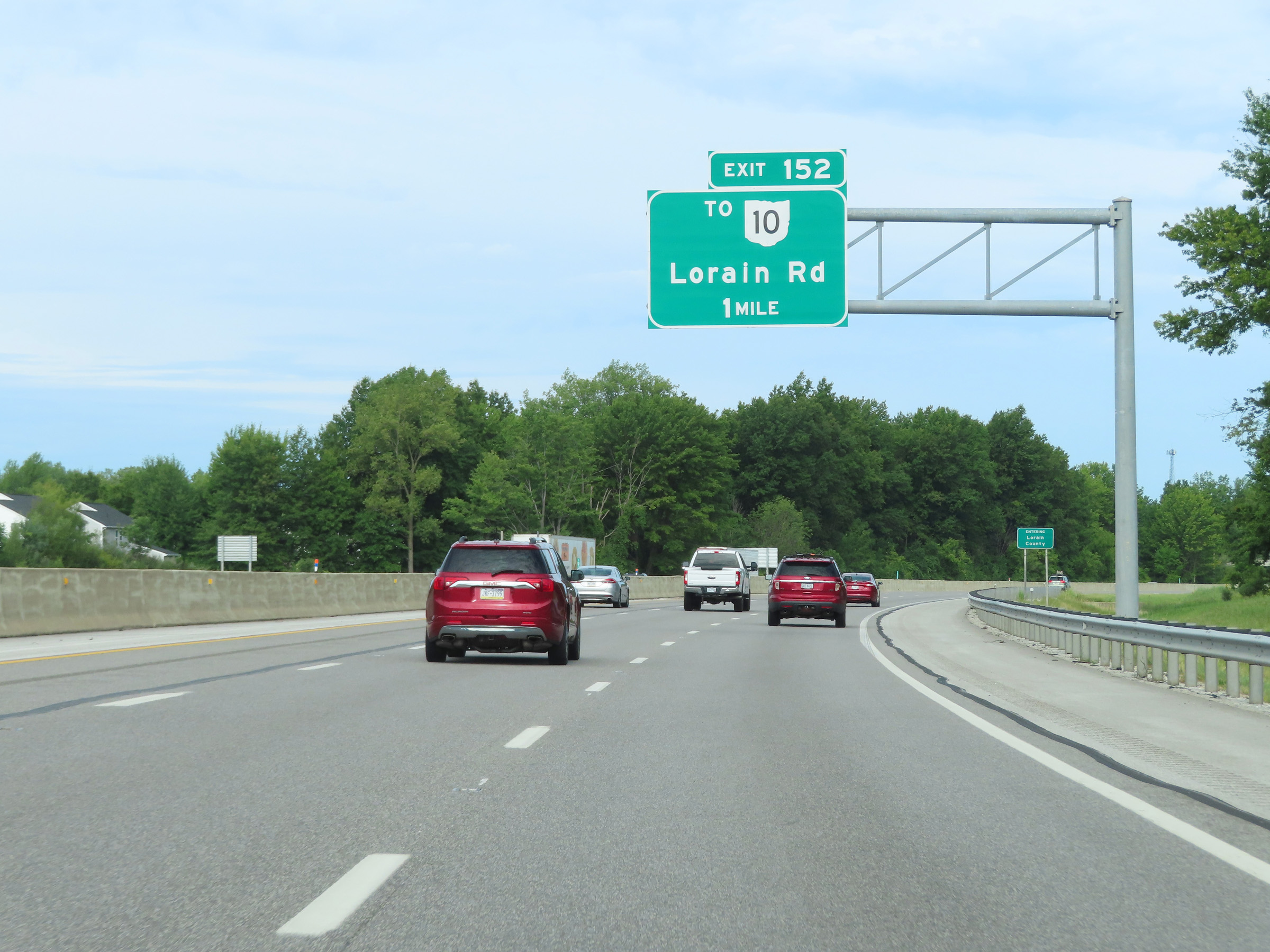 |
Advance signage for Exit 152, which is now 1 mile ahead on Interstate 80 West (Ohio Turnpike). (Photo taken 8/13/22). |
 |
Interstate 80 West (Ohio Turnpike) as it enters Lorain County. (Photo taken 8/13/22). |
 |
Take Exit 152 to North Olmsted and North Ridgeville. (Photo taken 8/13/22). |
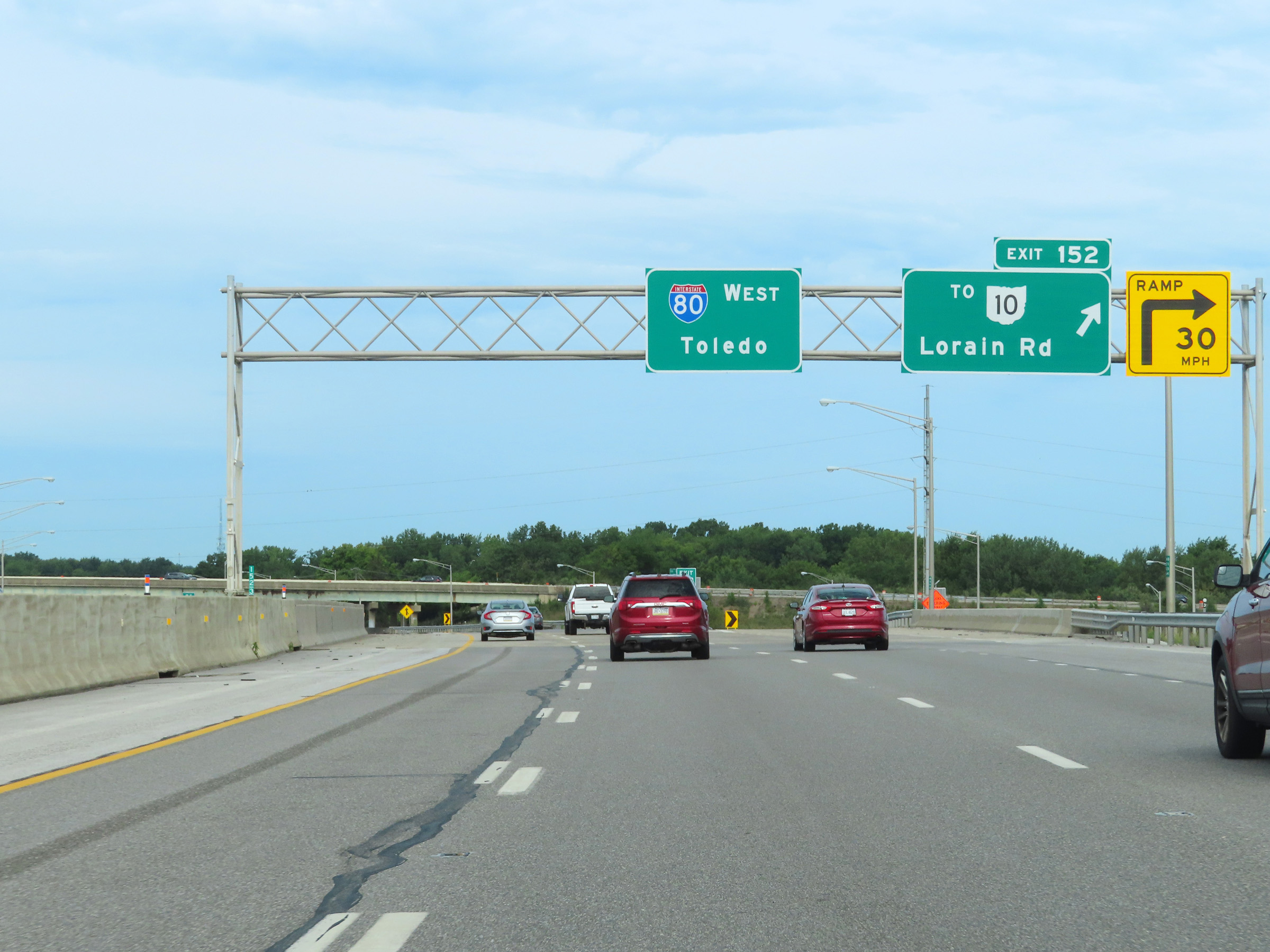 |
Interstate 80 West (Ohio Turnpike) at Exit 152: To OH 10 - Lorain Rd (Photo taken 8/13/22). |
 |
Another set of Interstate 80 West / Ohio Turnpike reassurance shields. (Photo taken 8/13/22). |
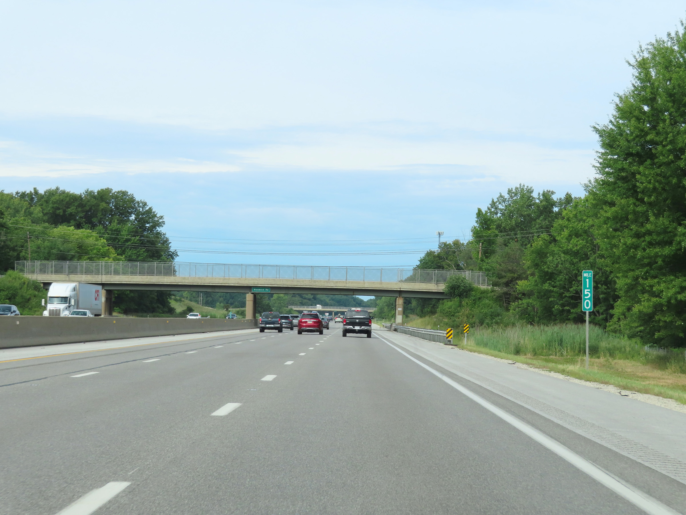 |
Mile marker 150 on Interstate 80 West (Ohio Turnpike) in Lorain County. (Photo taken 8/13/22). |
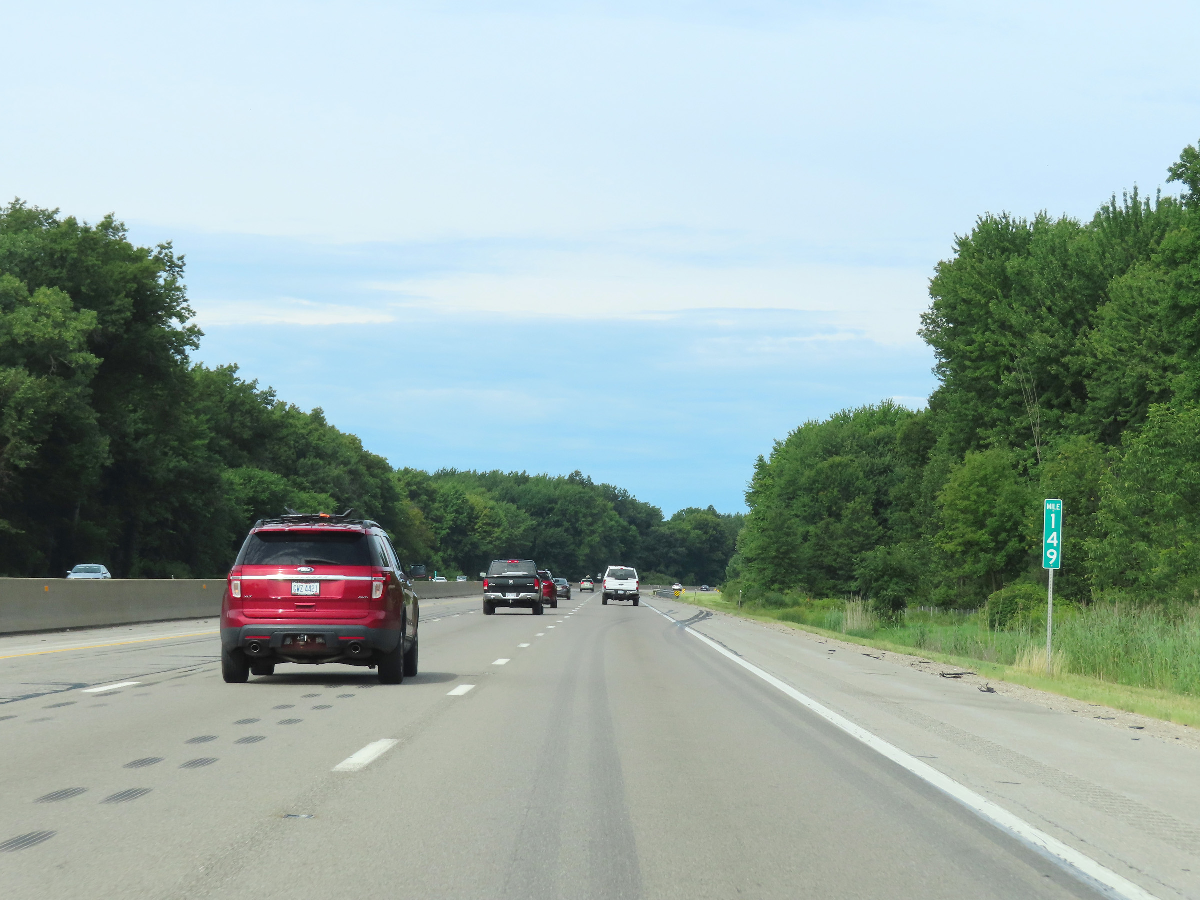 |
View on Interstate 80 West (Ohio Turnpike) at mile marker 149. (Photo taken 8/13/22). |
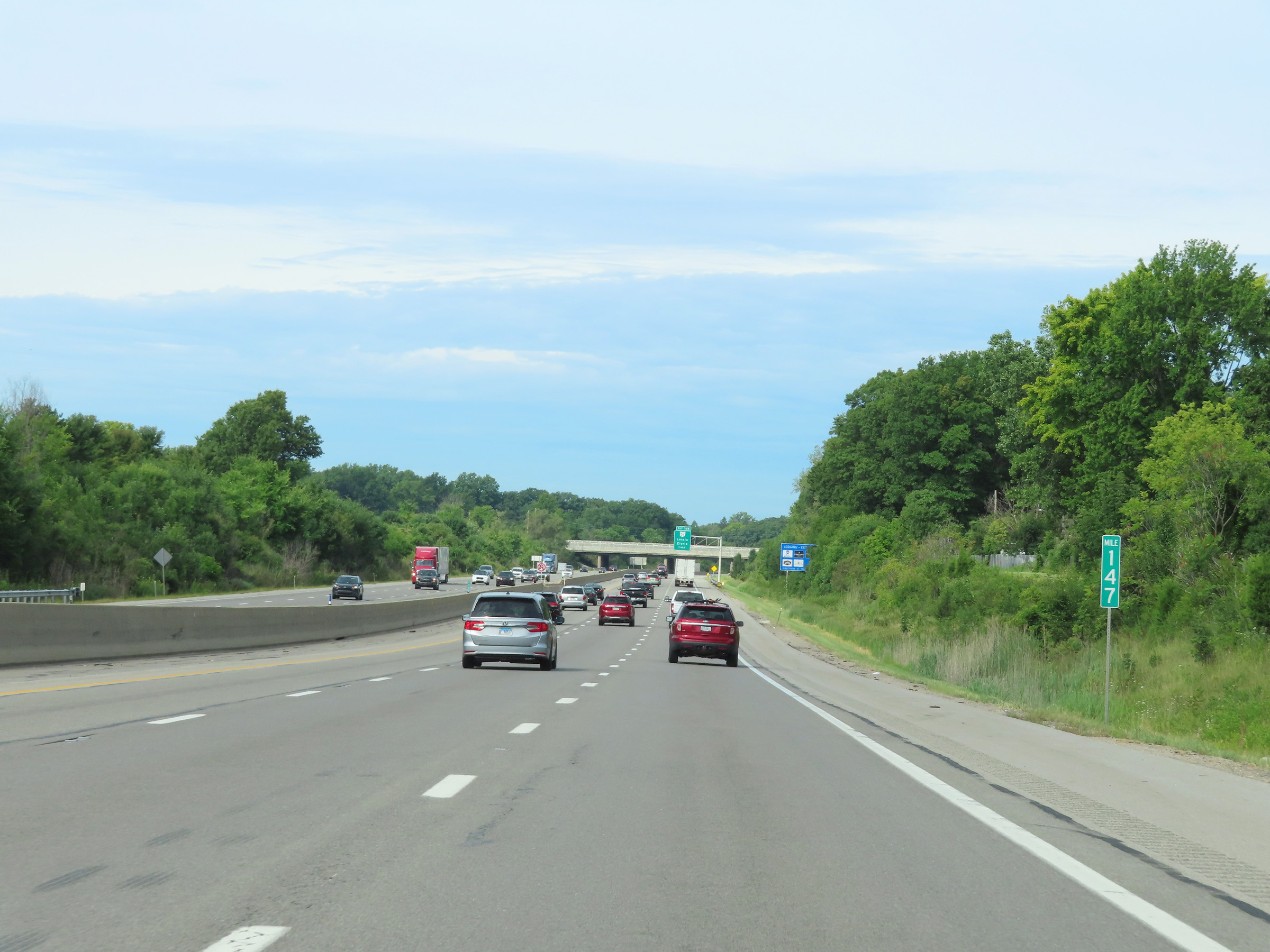 |
Interstate 80 West (Ohio Turnpike) at mile marker 147. (Photo taken 8/13/22). |
 |
Advance signage for Exit 145 on Interstate 80 West (Ohio Turnpike), 1 mile ahead. (Photo taken 8/13/22). |
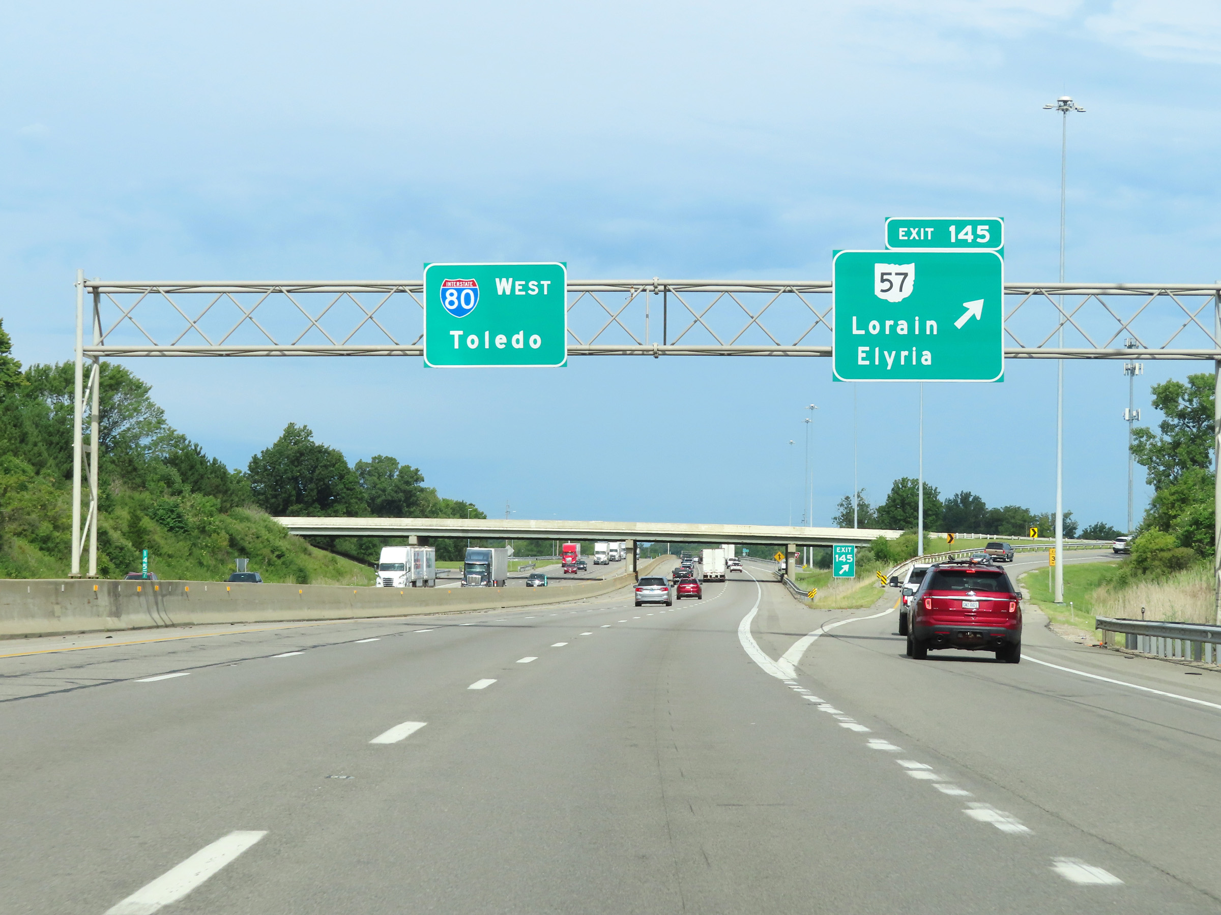 |
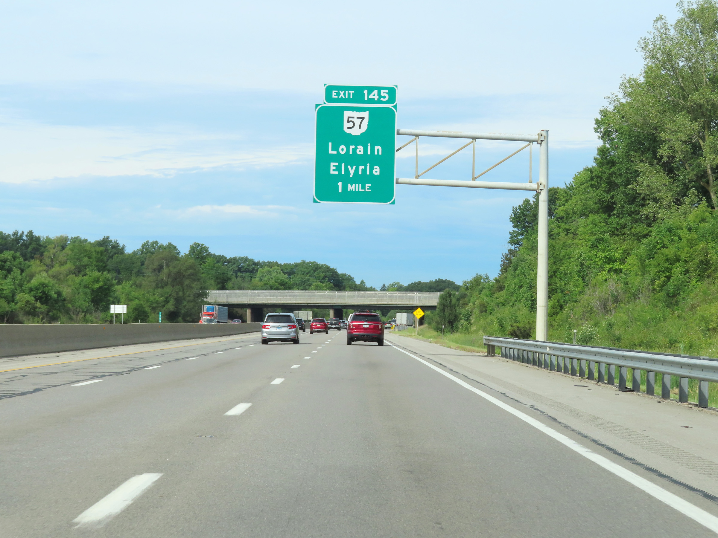
Interstate 80 West (Ohio Turnpike) at Exit 145: OH 57 - Lorain / Elyria (Photo taken 8/13/22). |
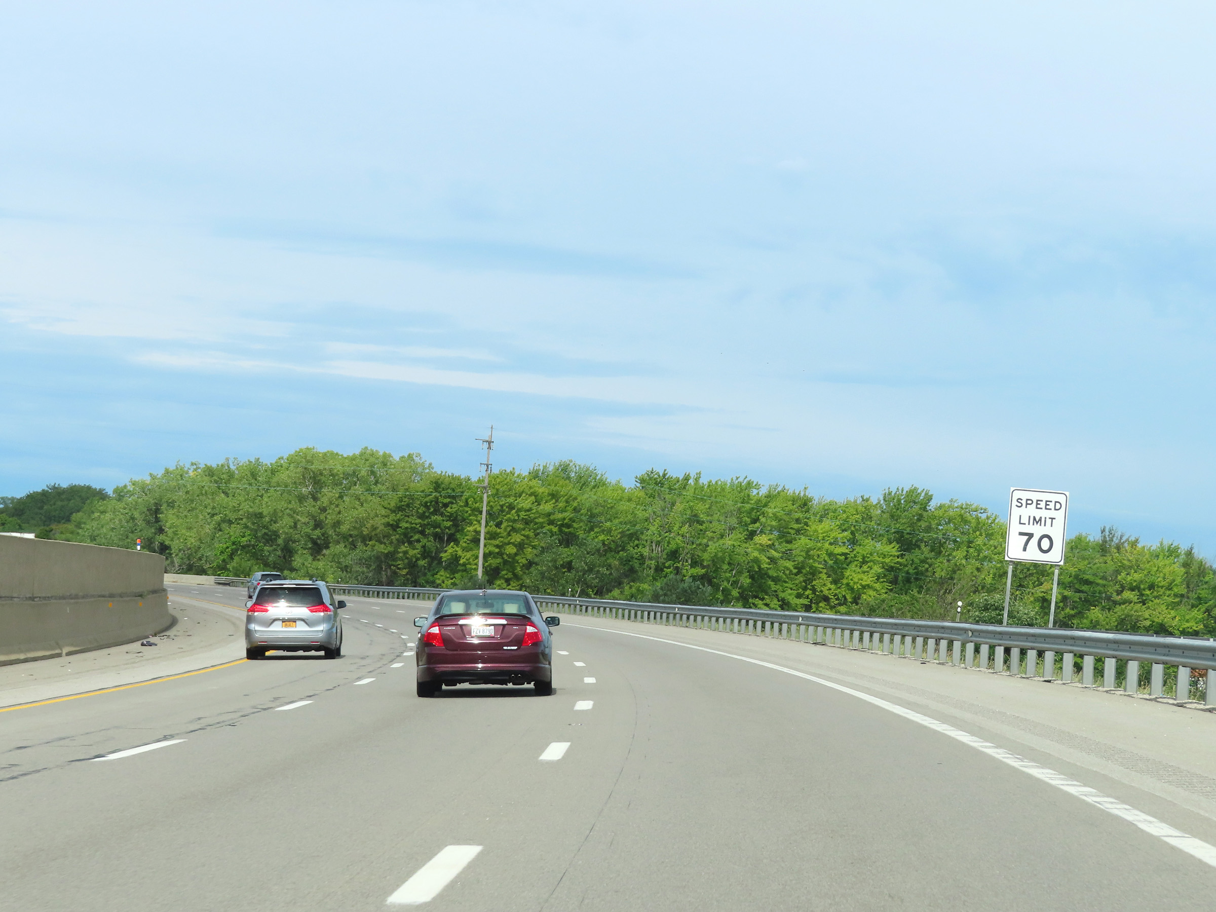 |
Speed limit sign on Interstate 80 West (Ohio Turnpike). The speed limit remains 70 mph. (Photo taken 8/13/22). |
 |
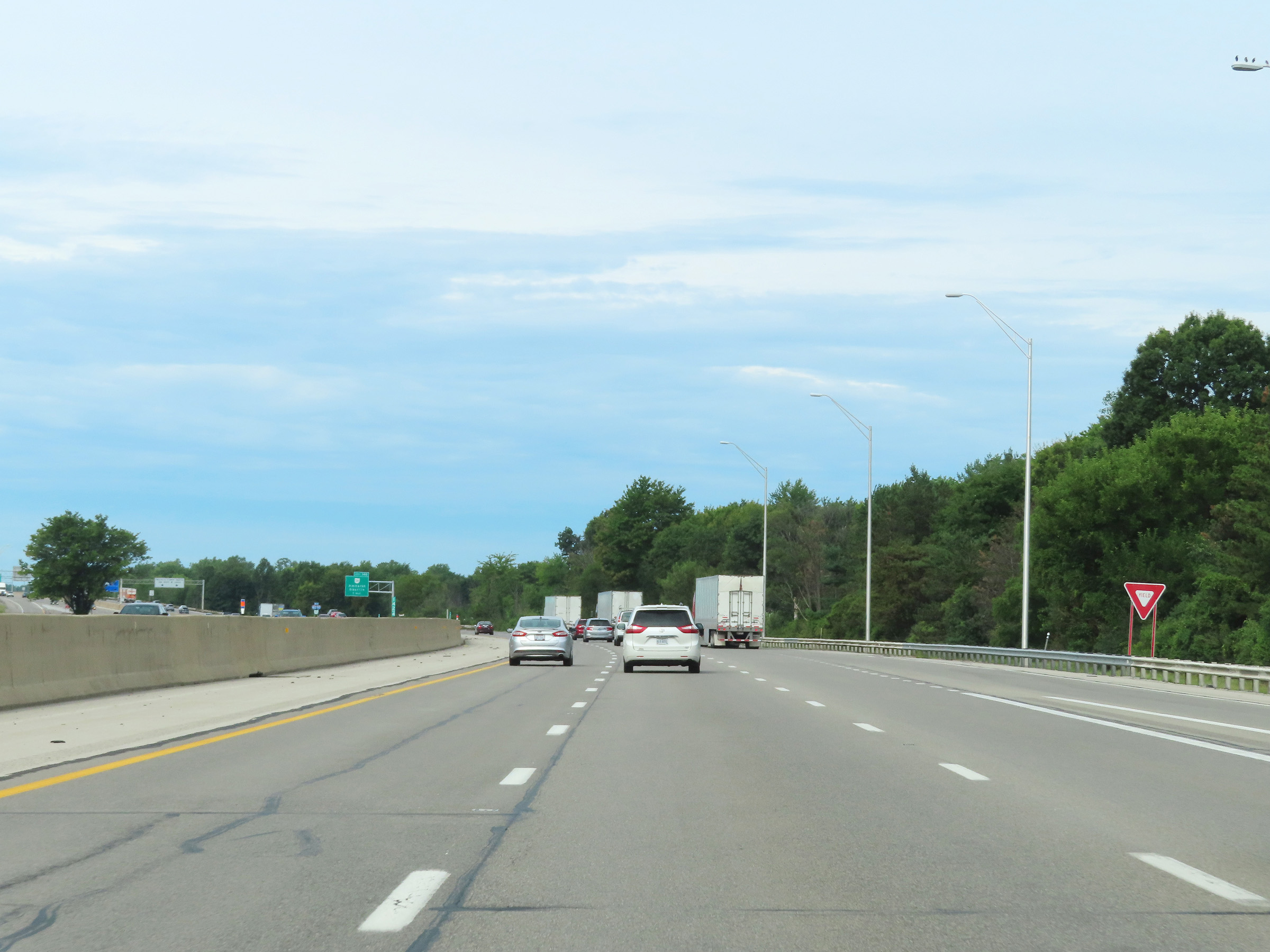
View on Interstate 80 West (Ohio Turnpike) at mile marker 144. (Photo taken 8/13/22). |
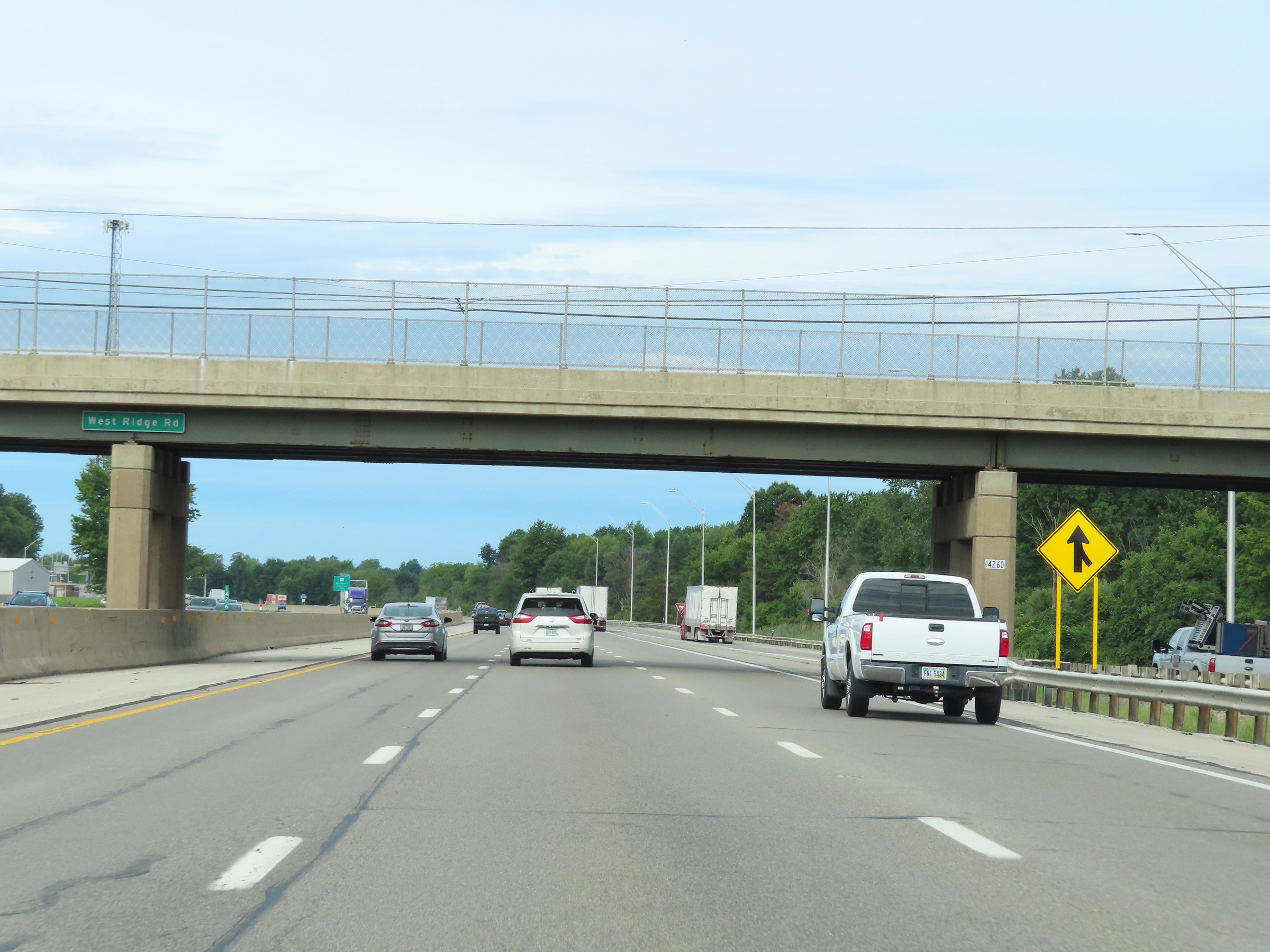 |
Near mile marker 142, we see Interstate 90 West traffic on the right as it prepares to merge into Interstate 80 West / Ohio Turnpike ahead on the right hand side. There is no direct access from Interstate 80 West (Ohio Turnpike) to Interstate 90 East. (Photo taken 8/13/22). |
 |
Here, Interstate 90 West traffic joins Interstate 80 West (Ohio Turnpike) as it merges into it from the right. I-80 and I-90 will run concurrently from this point to the Indiana border, and are both tolled as part of the Ohio Turnpike. (Photo taken 8/13/22). |
 |
Advance signage for Exit 140 on Interstate 80 / Interstate 90 West (Ohio Turnpike) - 1 mile ahead. (Photo taken 8/13/22). |
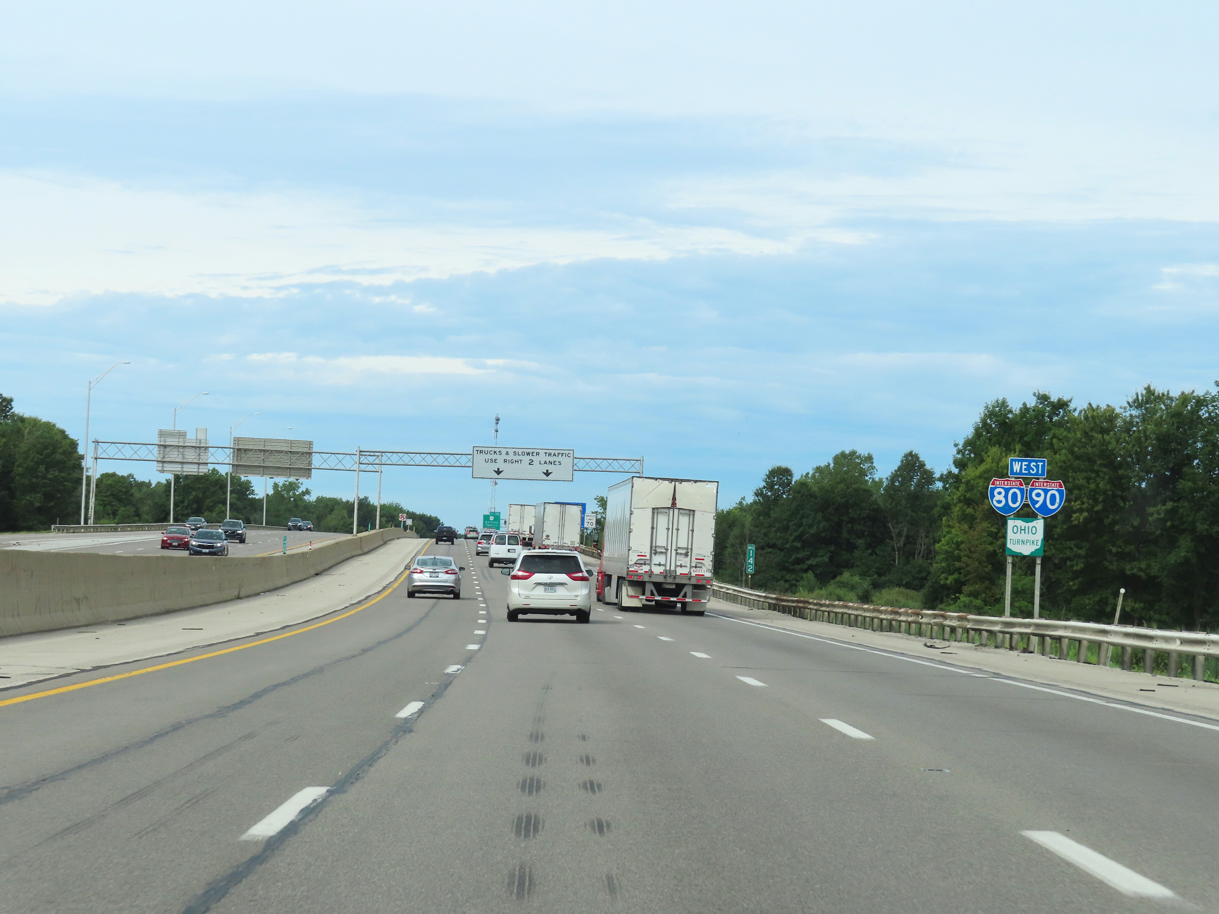 |
Interstate 80 West / Interstate 90 West / Ohio Turnpike reassurance shields at mile marker 142. (Photo taken 8/13/22). |
 |
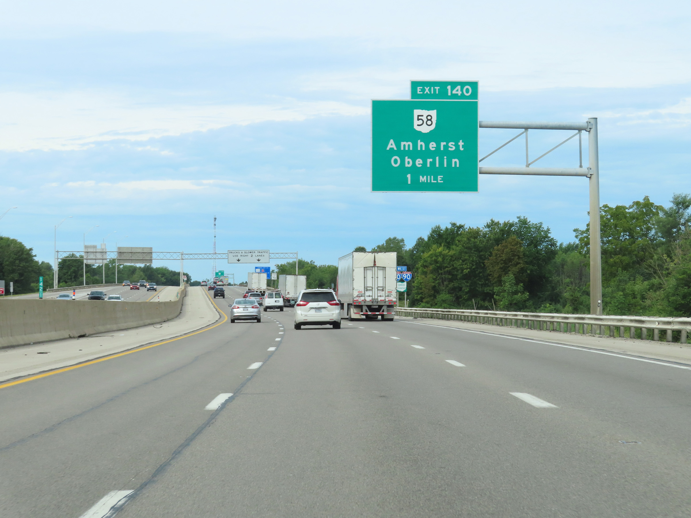
Interstate 80 / Interstate 90 West (Ohio Turnpike) at Exit 140: OH 58 - Amherst / Oberlin (Photo taken 8/13/22). |
 |
Advance signage for the Middle Ridge Service Plaza, which is 1 mile ahead on Interstate 80 / Interstate 90 West (Ohio Turnpike). The next plaza beyond this one is 40 miles ahead. (Photo taken 8/13/22). |
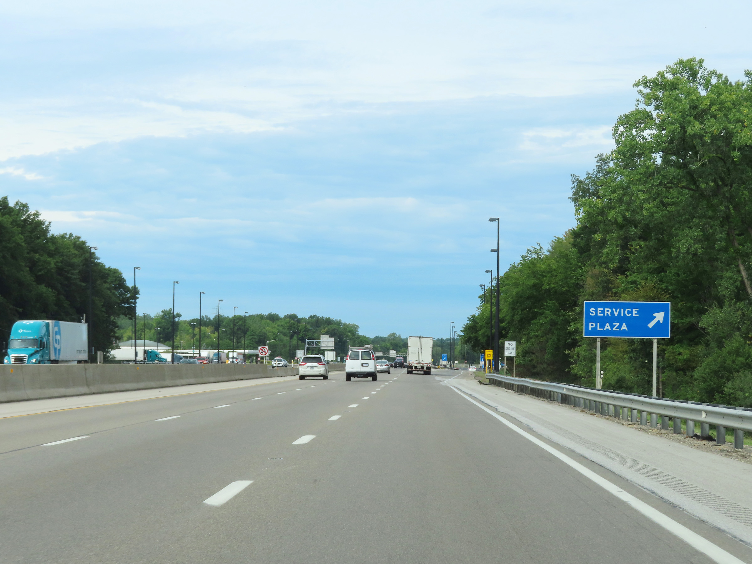 |
Interstate 80 / Interstate 90 West (Ohio Turnpike) at the Middle Ridge Service Plaza. (Photo taken 8/13/22). |
 |
The speed limit remains the rural standard 70 mph for all traffic on Interstate 80 / Interstate 90 West (Ohio Turnpike). (Photo taken 8/13/22). |
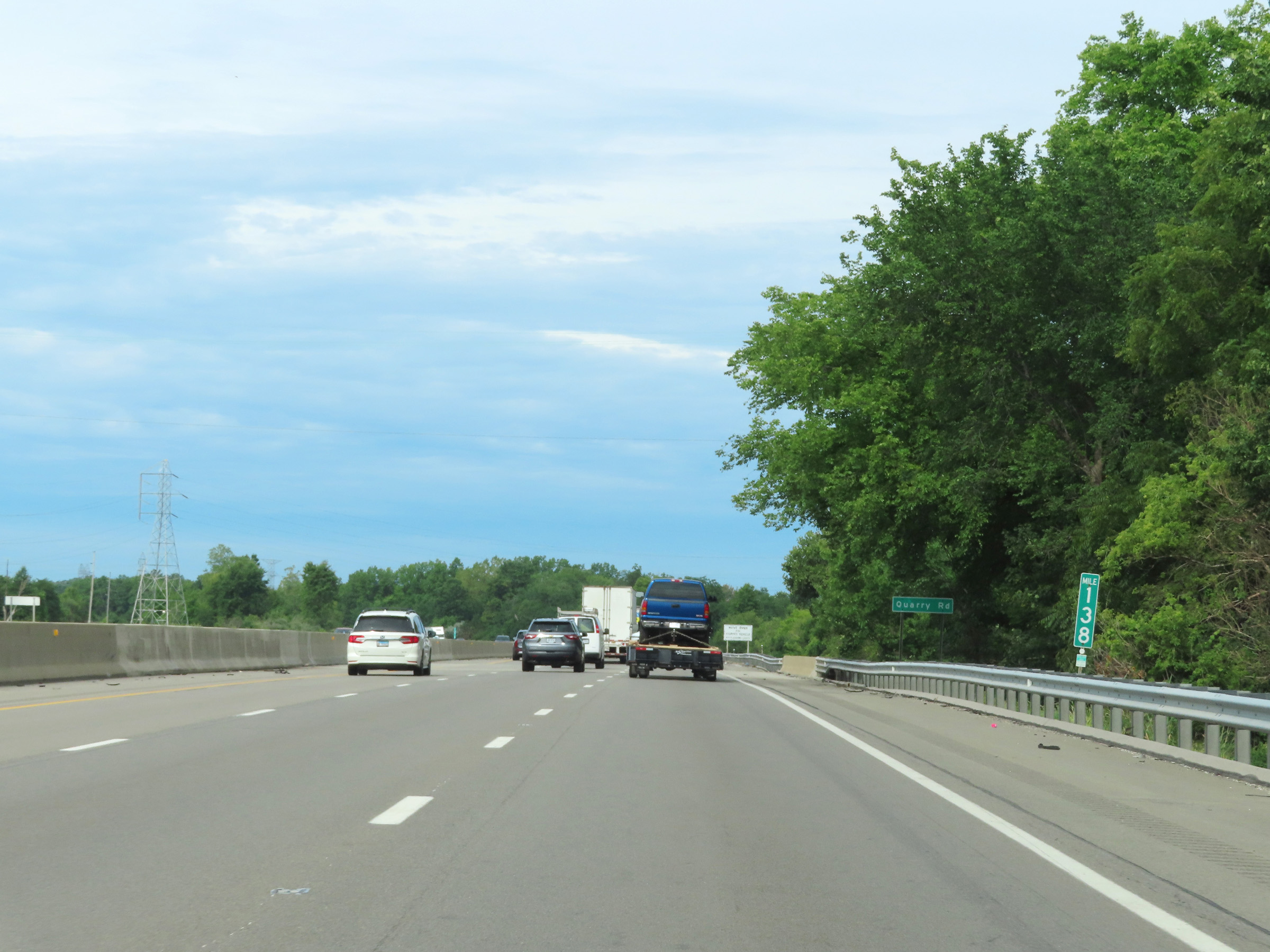 |
Mile marker 138 on Interstate 80 / Interstate 90 West (Ohio Turnpike) in Lorain County. (Photo taken 8/13/22). |
 |
Advance signage for Exit 135, which is 1 mile ahead on Interstate 80 / Interstate 90 West (Ohio Turnpike). (Photo taken 8/13/22). |
 |
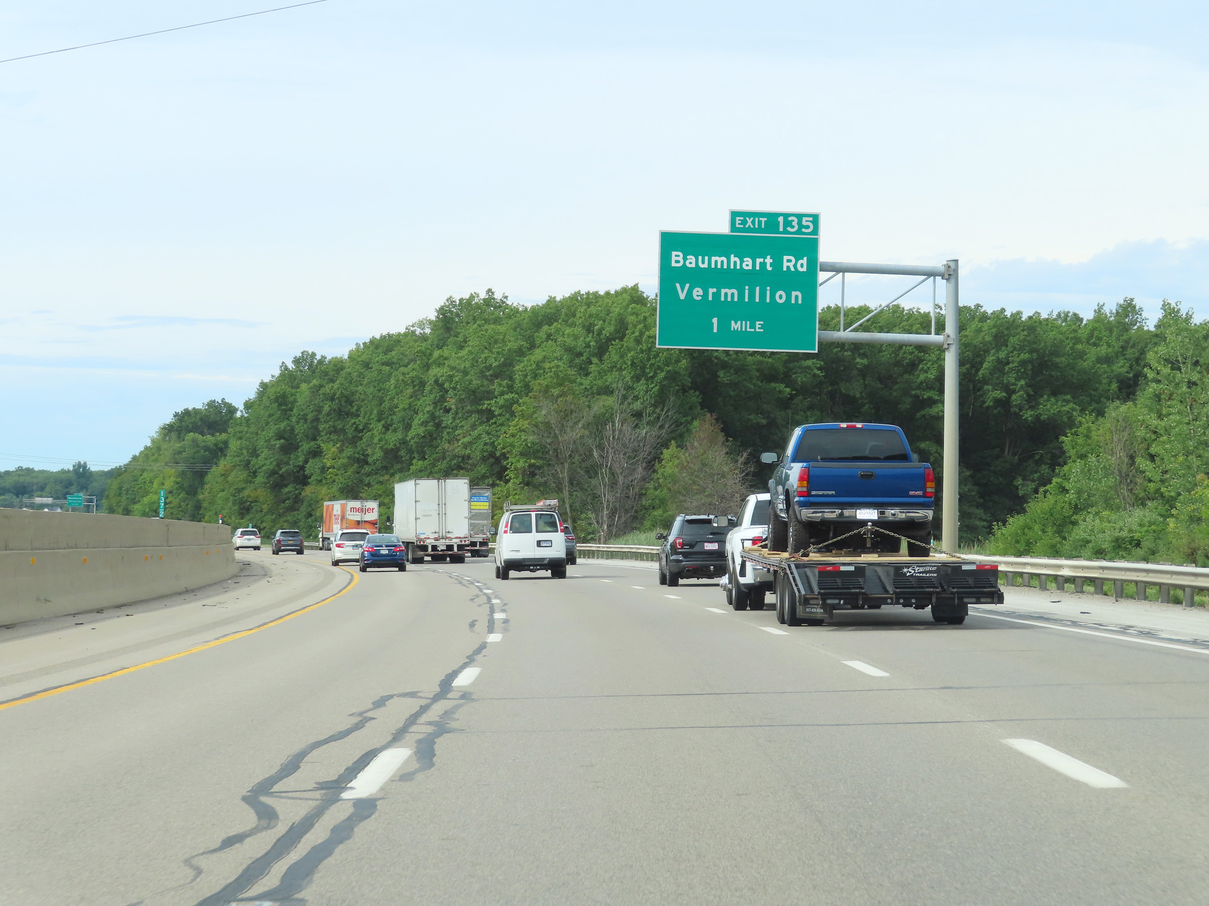
Interstate 80 / Interstate 90 West (Ohio Turnpike) at Exit 135: To OH 2 - Baumhart Rd / Vermilion (Photo taken 8/13/22). |
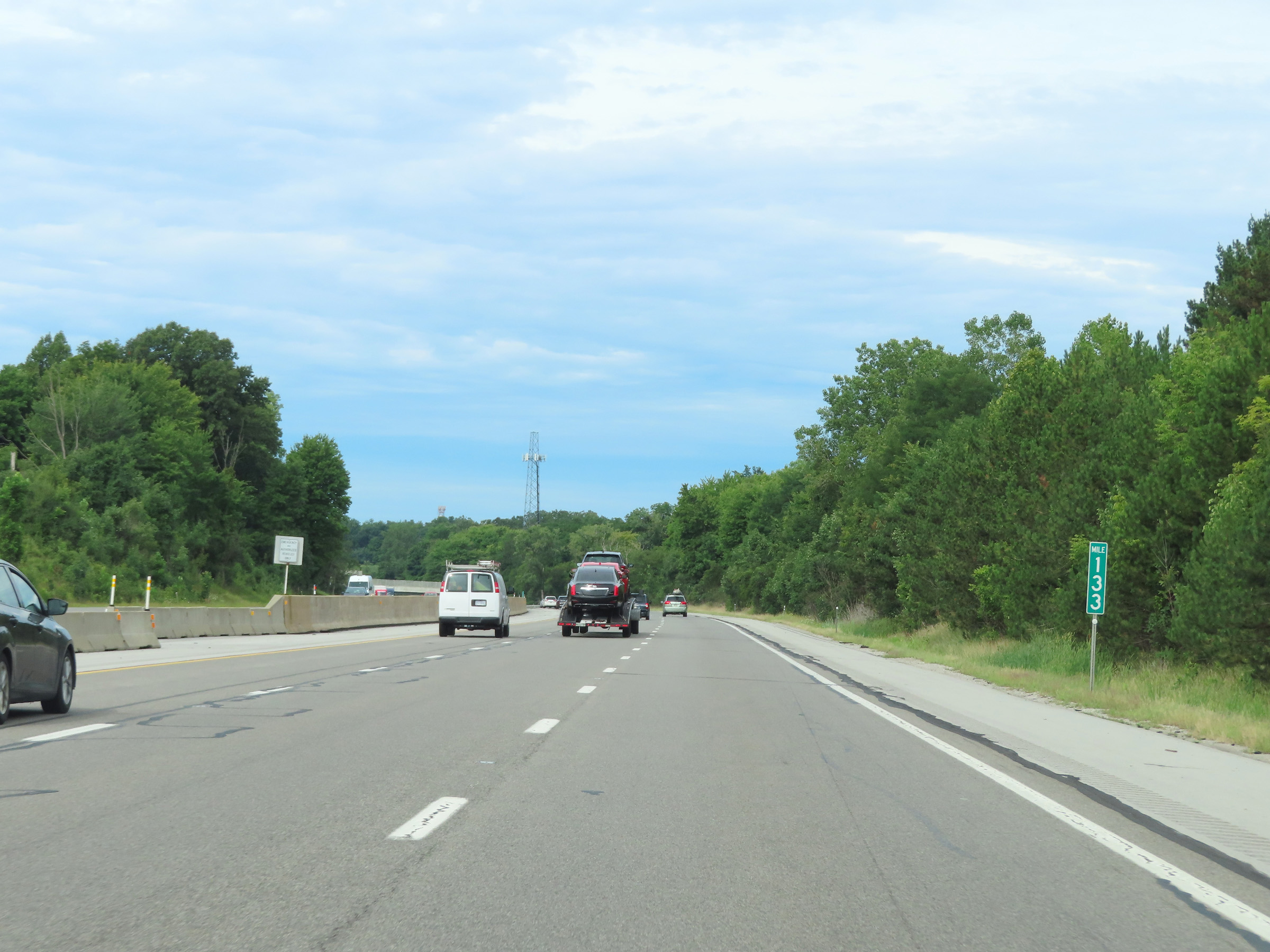 |
View on Interstate 80 / Interstate 90 West (Ohio Turnpike) at mile marker 133. (Photo taken 8/13/22). |
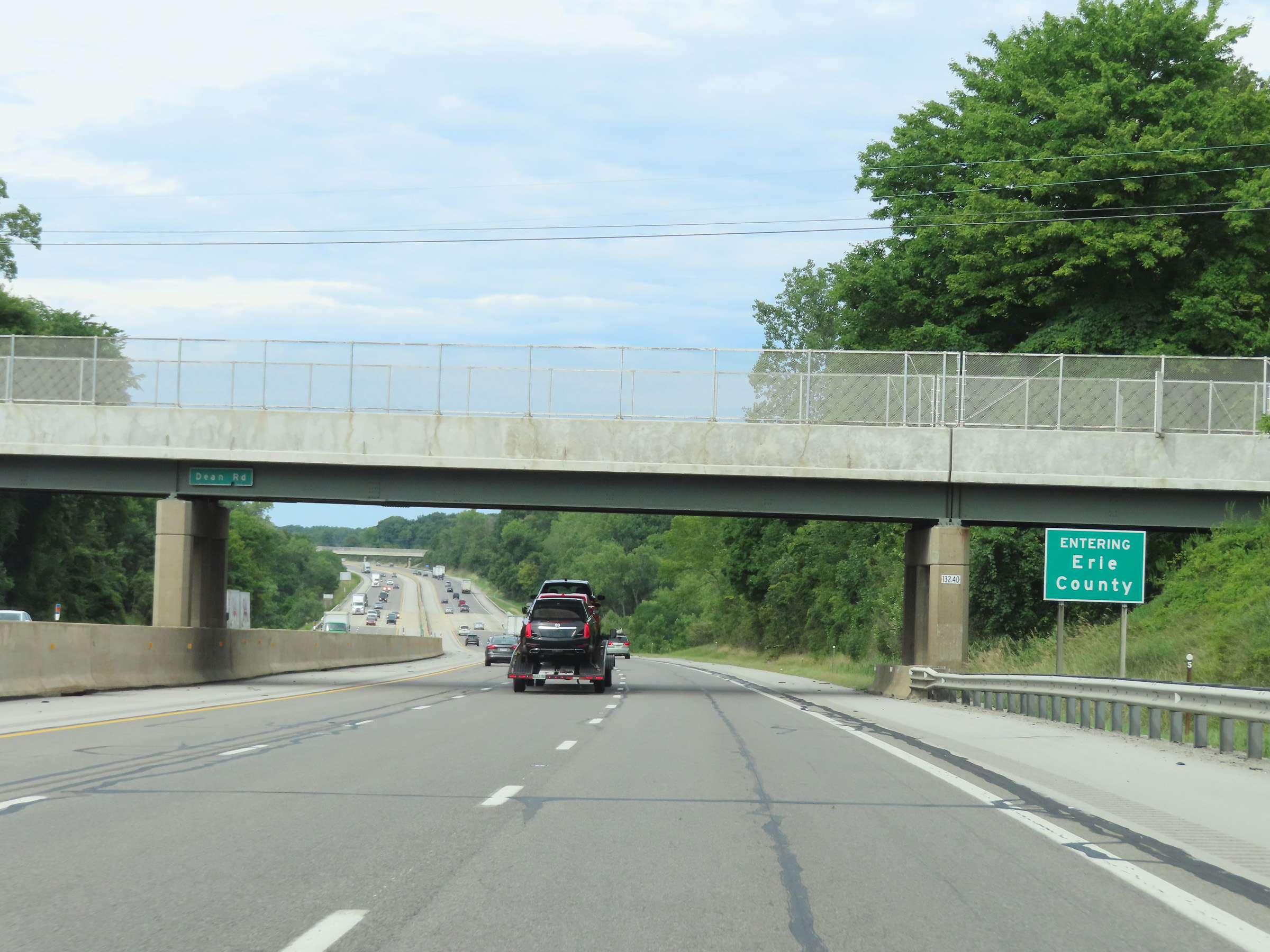 |
Interstate 80 / Interstate 90 West (Ohio Turnpike) as they enter Erie County. (Photo taken 8/13/22). |
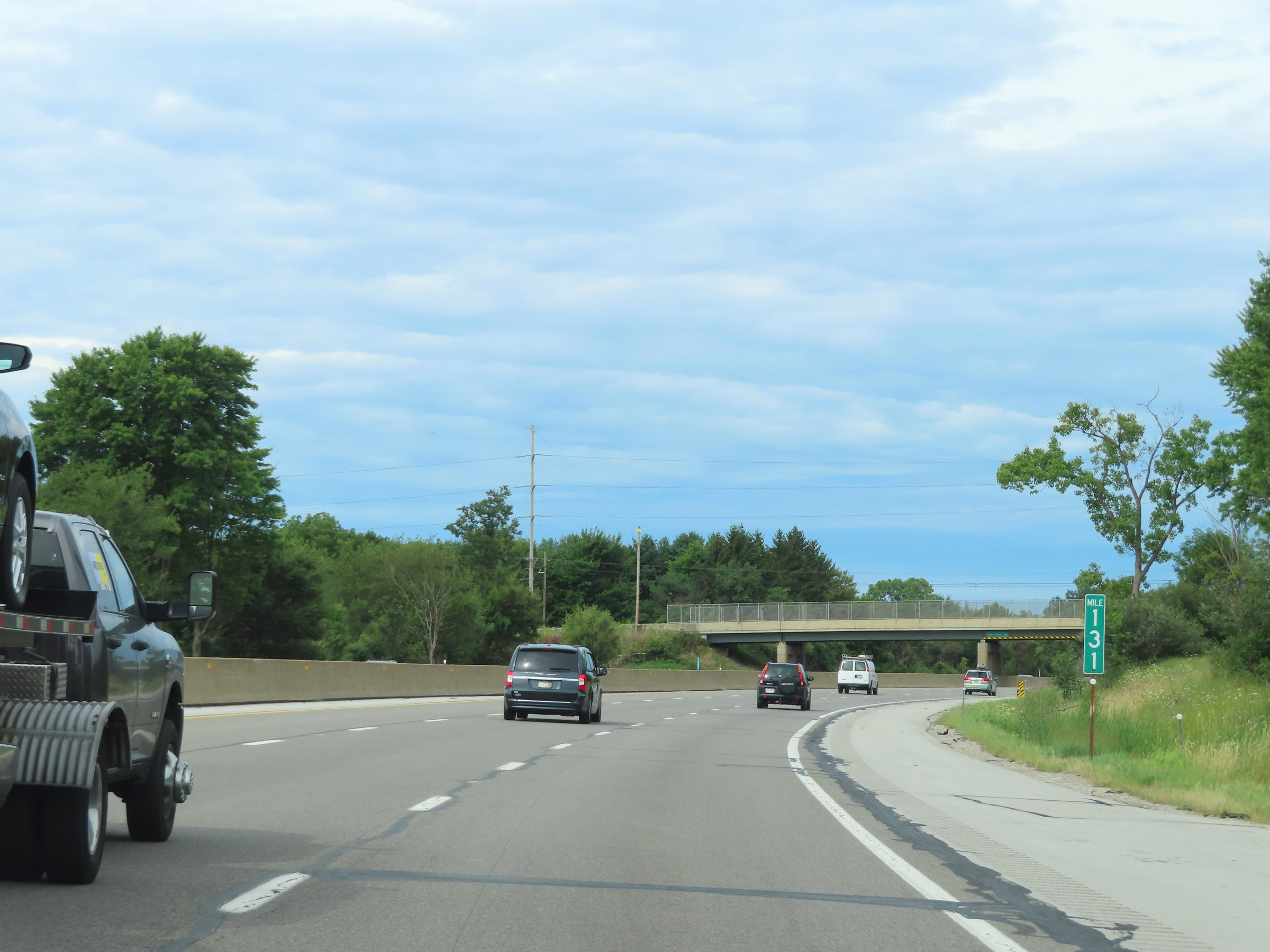 |
Interstate 80 / Interstate 90 West (Ohio Turnpike) at mile marker 131. (Photo taken 8/13/22). |
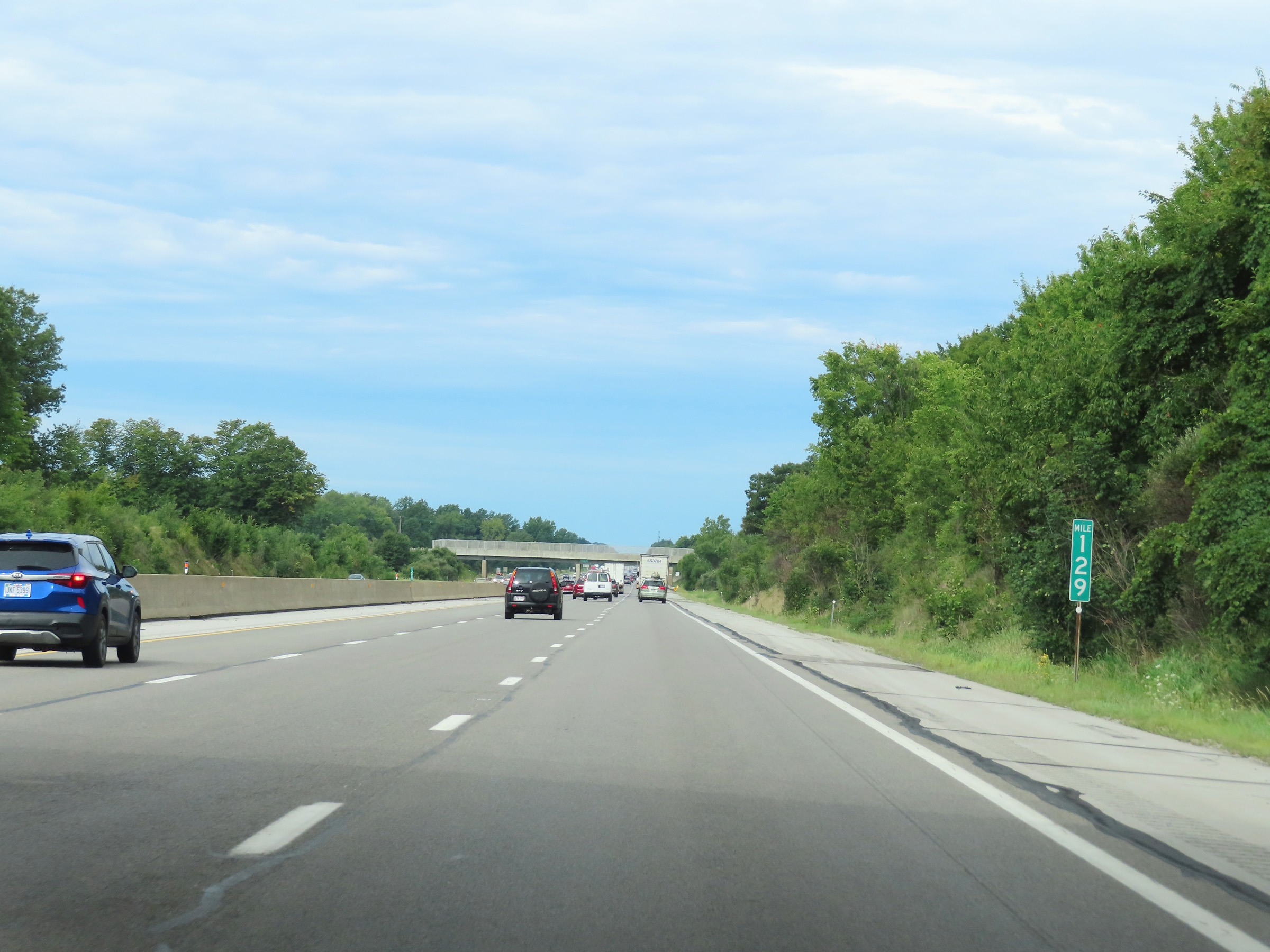 |
Mile marker 129 on Interstate 80 / Interstate 90 West (Ohio Turnpike) in Erie County. (Photo taken 8/13/22). |
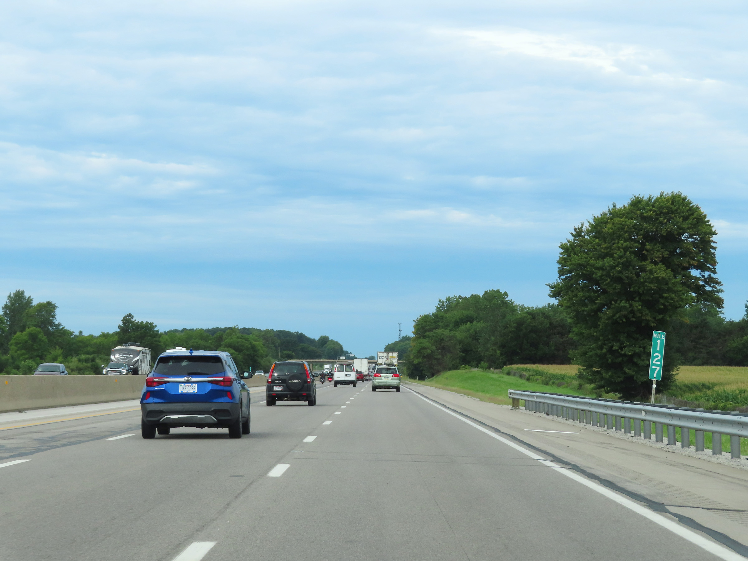 |
View on Interstate 80 / Interstate 90 West (Ohio Turnpike) at mile marker 127. (Photo taken 8/13/22). |
 |
Interstate 80 / Interstate 90 West (Ohio Turnpike) at mile marker 124. (Photo taken 8/13/22). |
 |
Mile marker 122 on Interstate 80 / Interstate 90 West (Ohio Turnpike) in Erie County. (Photo taken 8/13/22). |
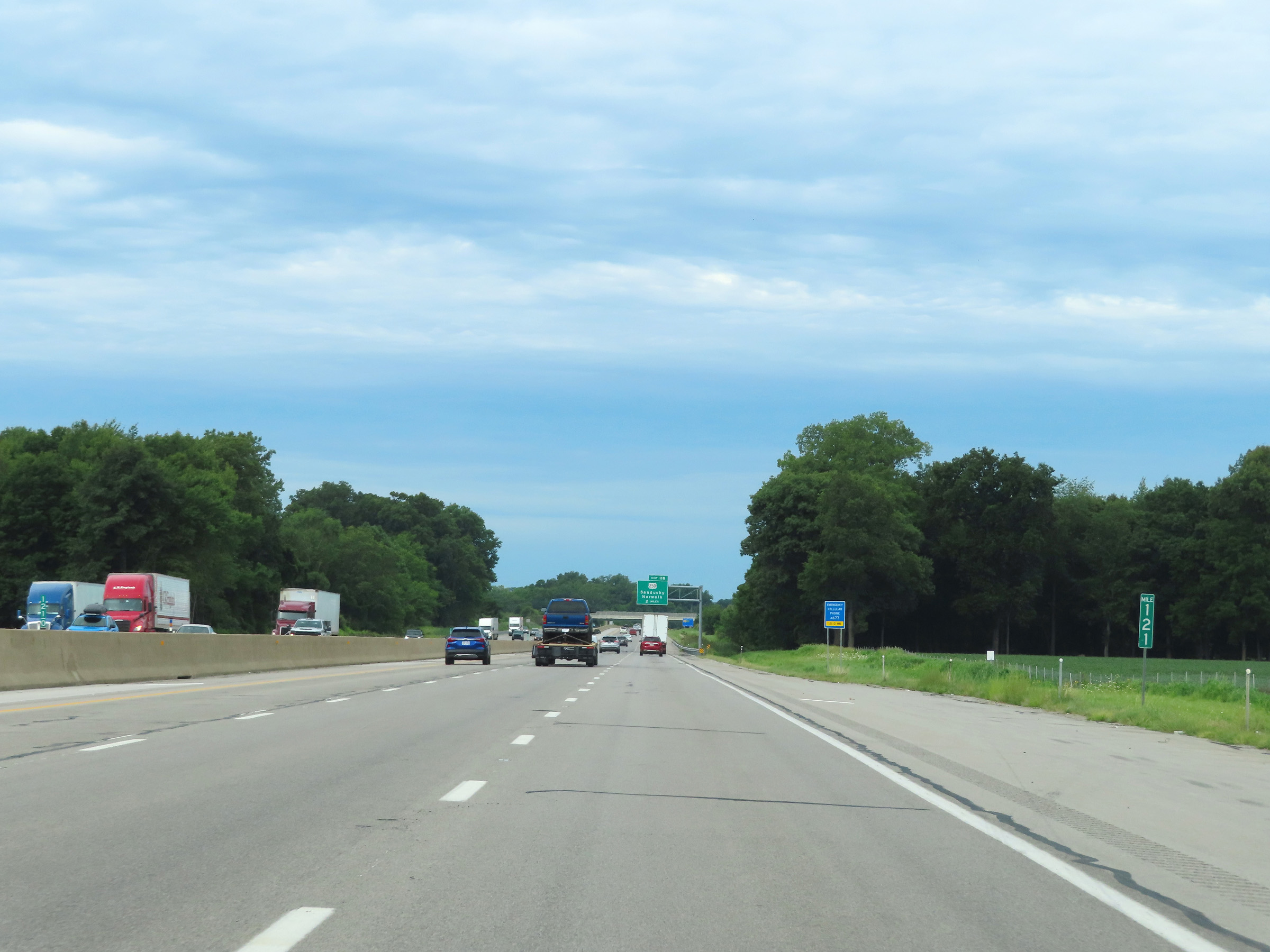 |
View on Interstate 80 / Interstate 90 West (Ohio Turnpike) at mile marker 121. (Photo taken 8/13/22). |
 |
Advance signage for Exit 118 on Interstate 80 / Interstate 90 West (Ohio Turnpike) - 1 mile ahead. (Photo taken 8/13/22). |
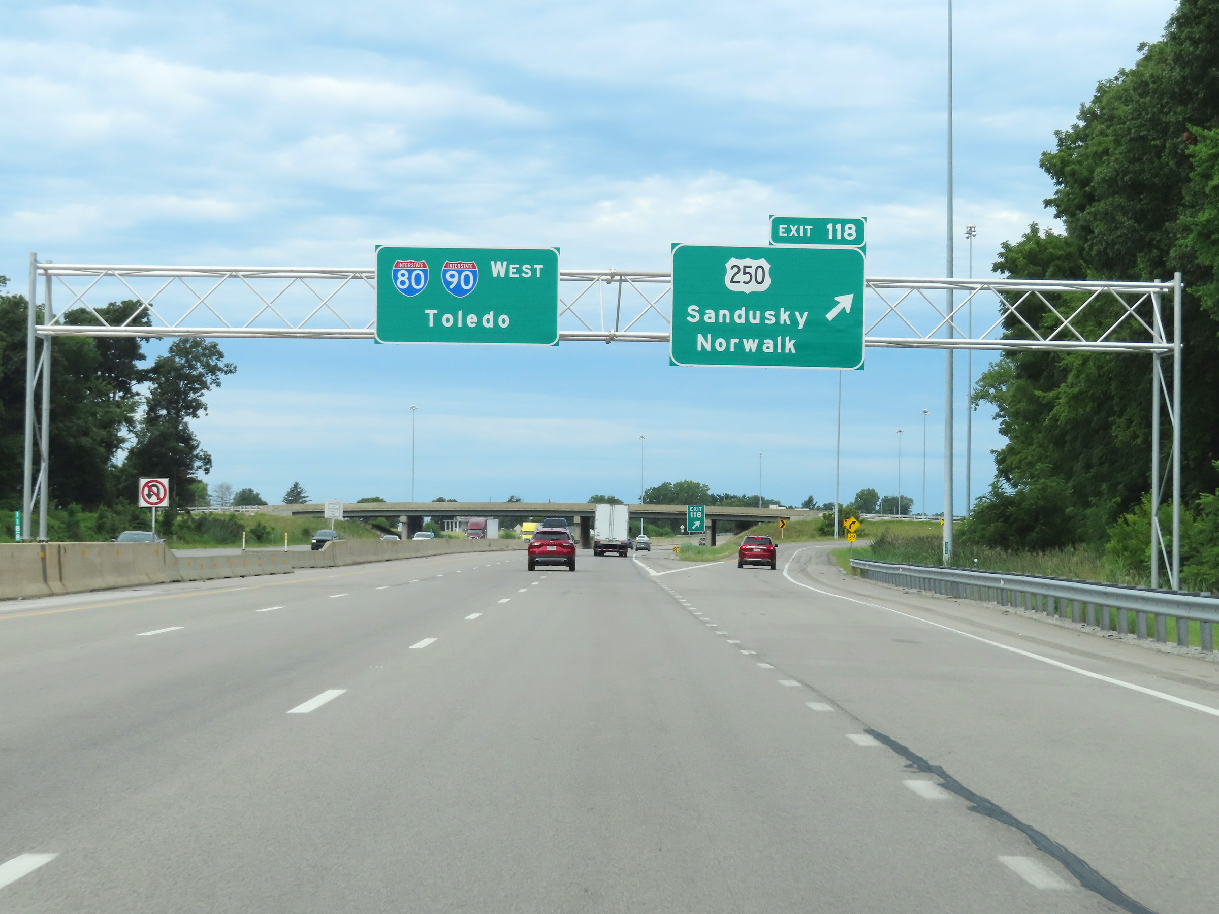 |
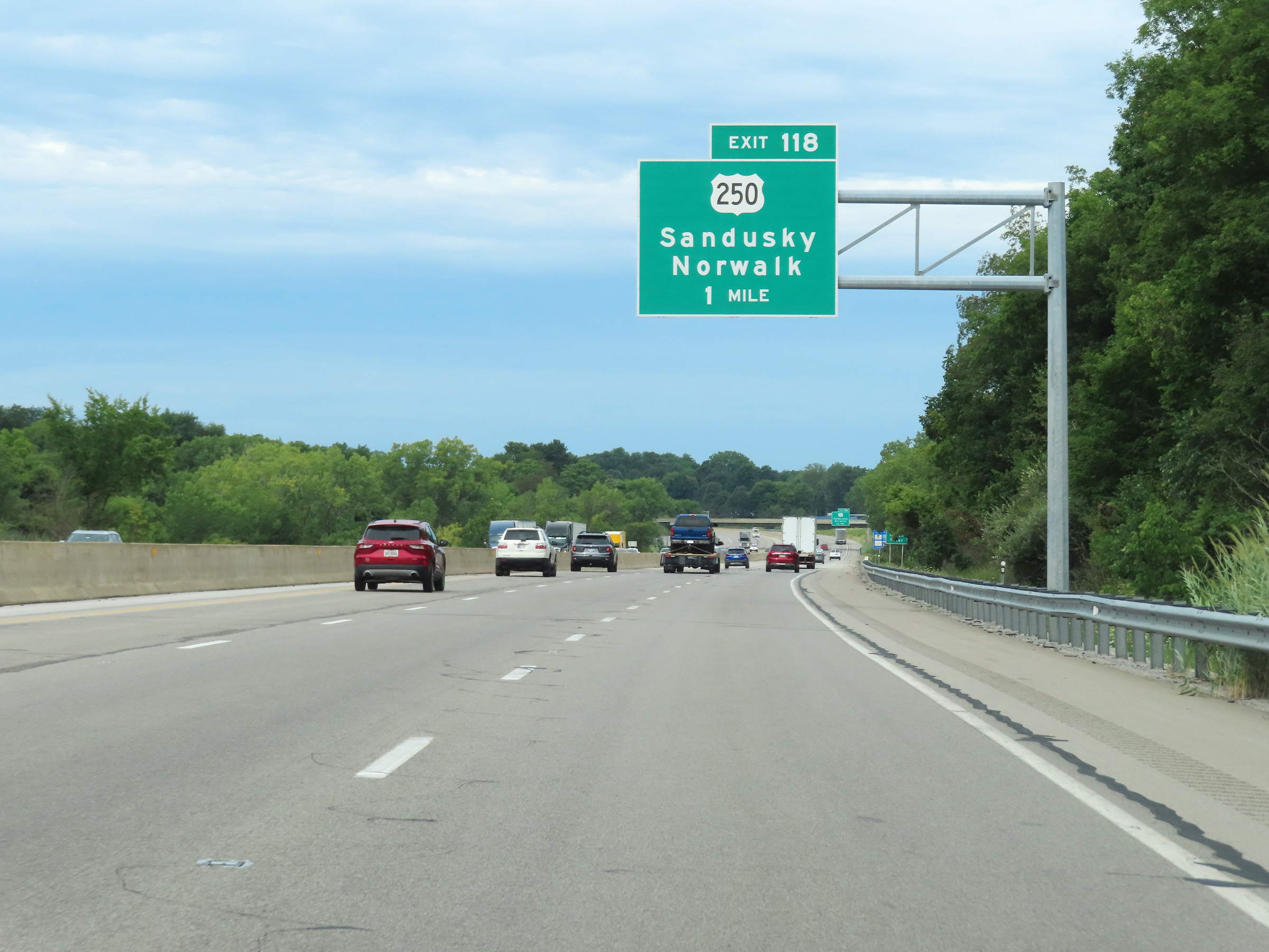
Interstate 80 / Interstate 90 West (Ohio Turnpike) at Exit 118: US 250 - Sandusky / Norwalk (Photo taken 8/13/22). |
Section 3: Milan (Exit 118) to Maumee (Exit 59)
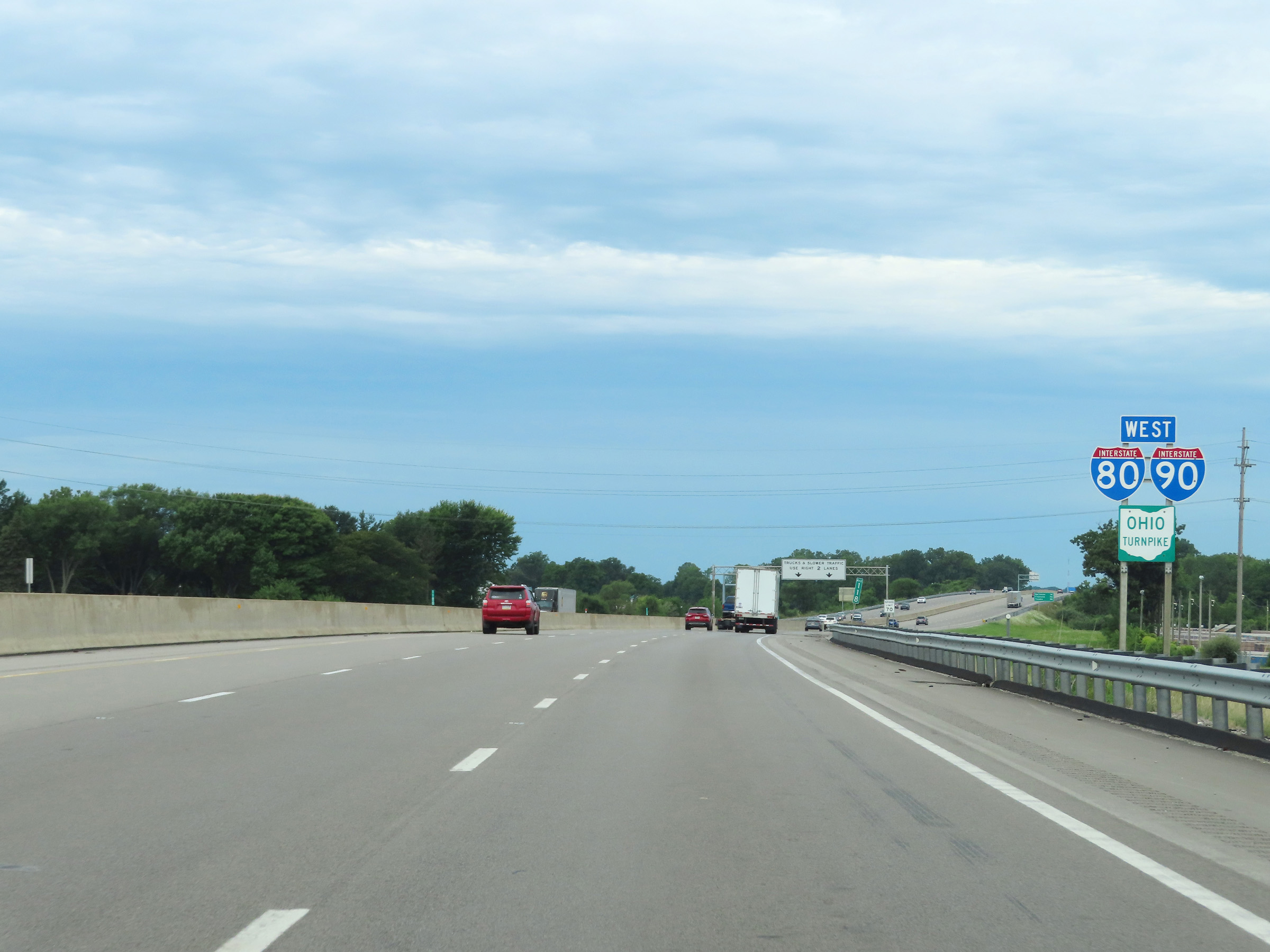 |
Another set of Interstate 80 West / Interstate 90 West / Ohio Turnpike reassurance shields at mile marker 118. (Photo taken 8/13/22). |
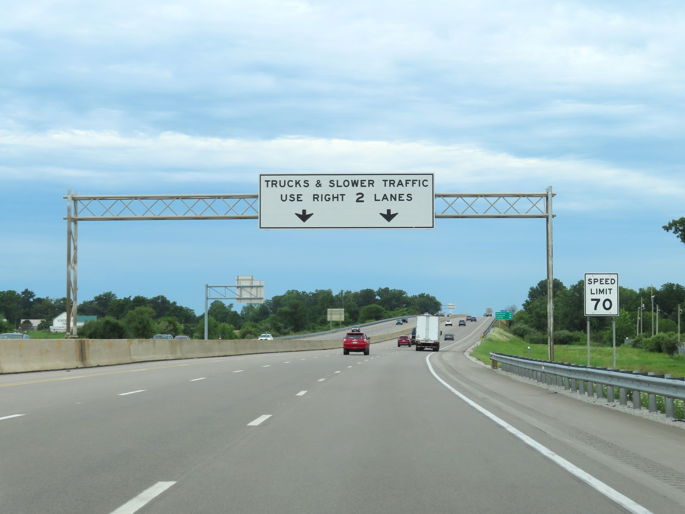 |
The speed limit remains 70 mph. Trucks and slower traffic remain restricted to the two right lanes. (Photo taken 8/13/22). |
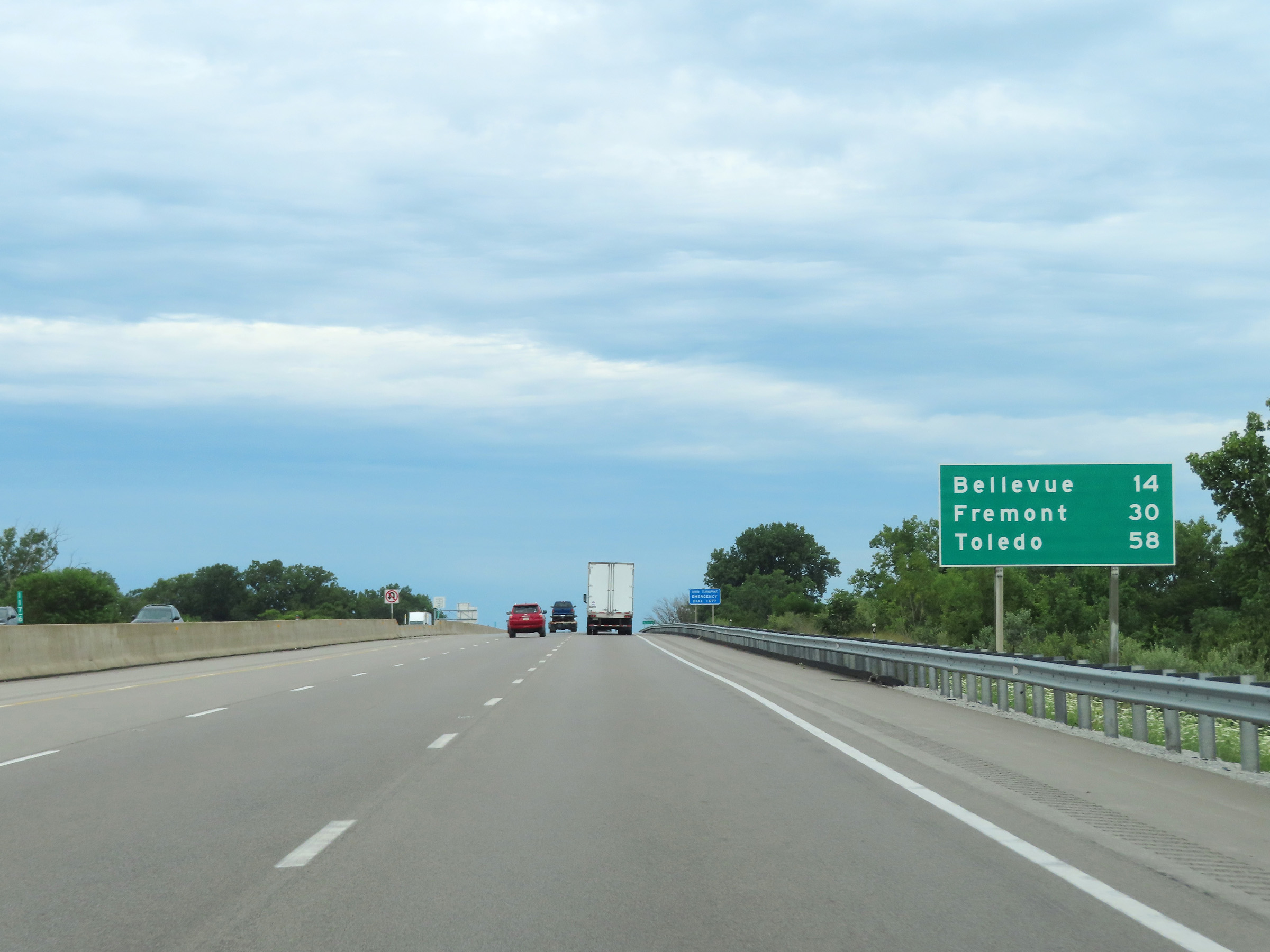 |
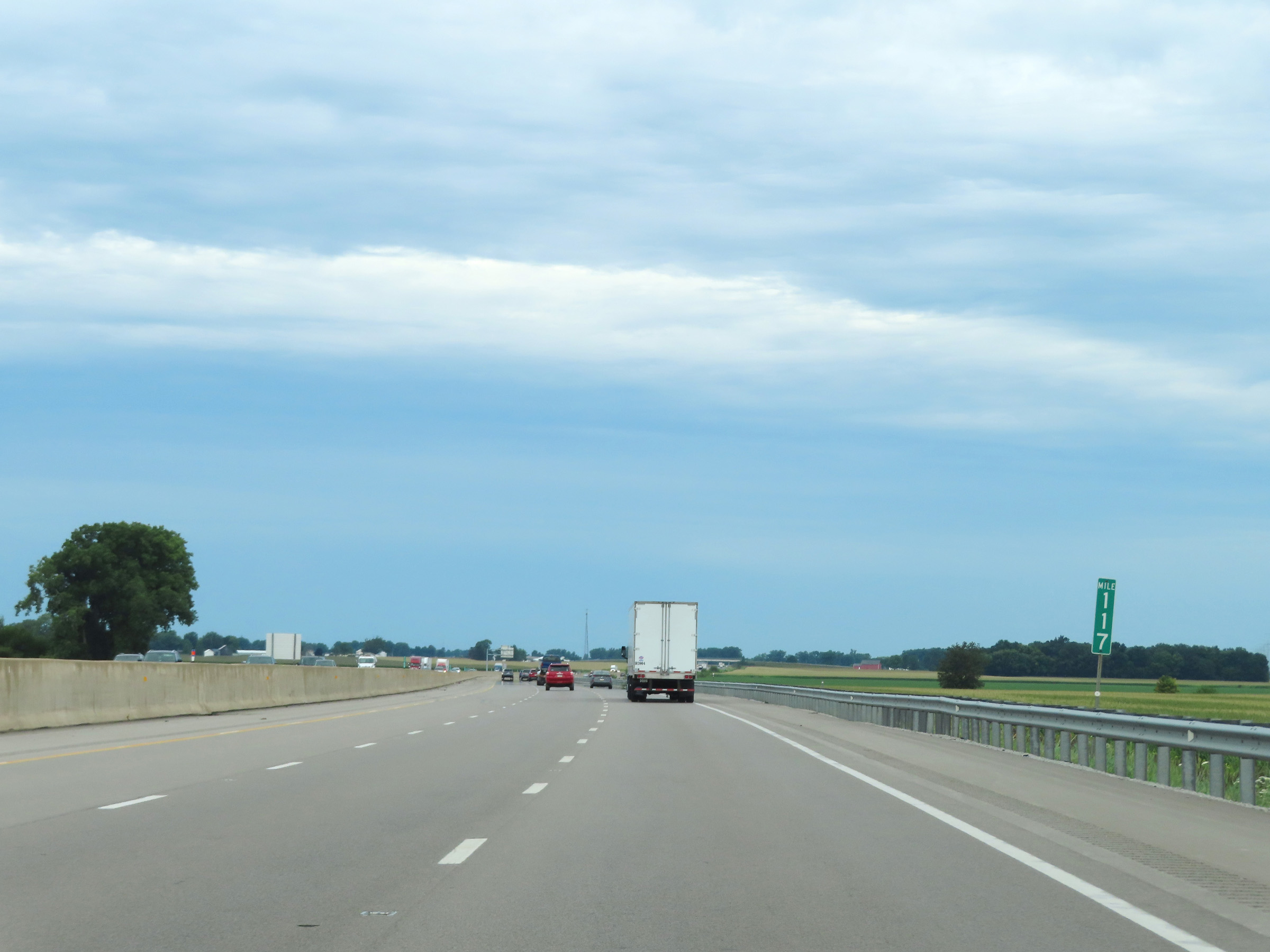
Mileage sign at mile marker 117.6. It's 14 miles to Bellevue, 30 miles to Fremont, and 58 miles to Toledo. (Photo taken 8/13/22). |
 |
Interstate 80 / Interstate 90 West (Ohio Turnpike) at mile marker 117. (Photo taken 8/13/22). |
 |
Mile marker 115 on Interstate 80 / Interstate 90 West (Ohio Turnpike) in Erie County. (Photo taken 8/13/22). |
 |
Interstate 80 / Interstate 90 West (Ohio Turnpike) at mile marker 113. (Photo taken 8/13/22). |
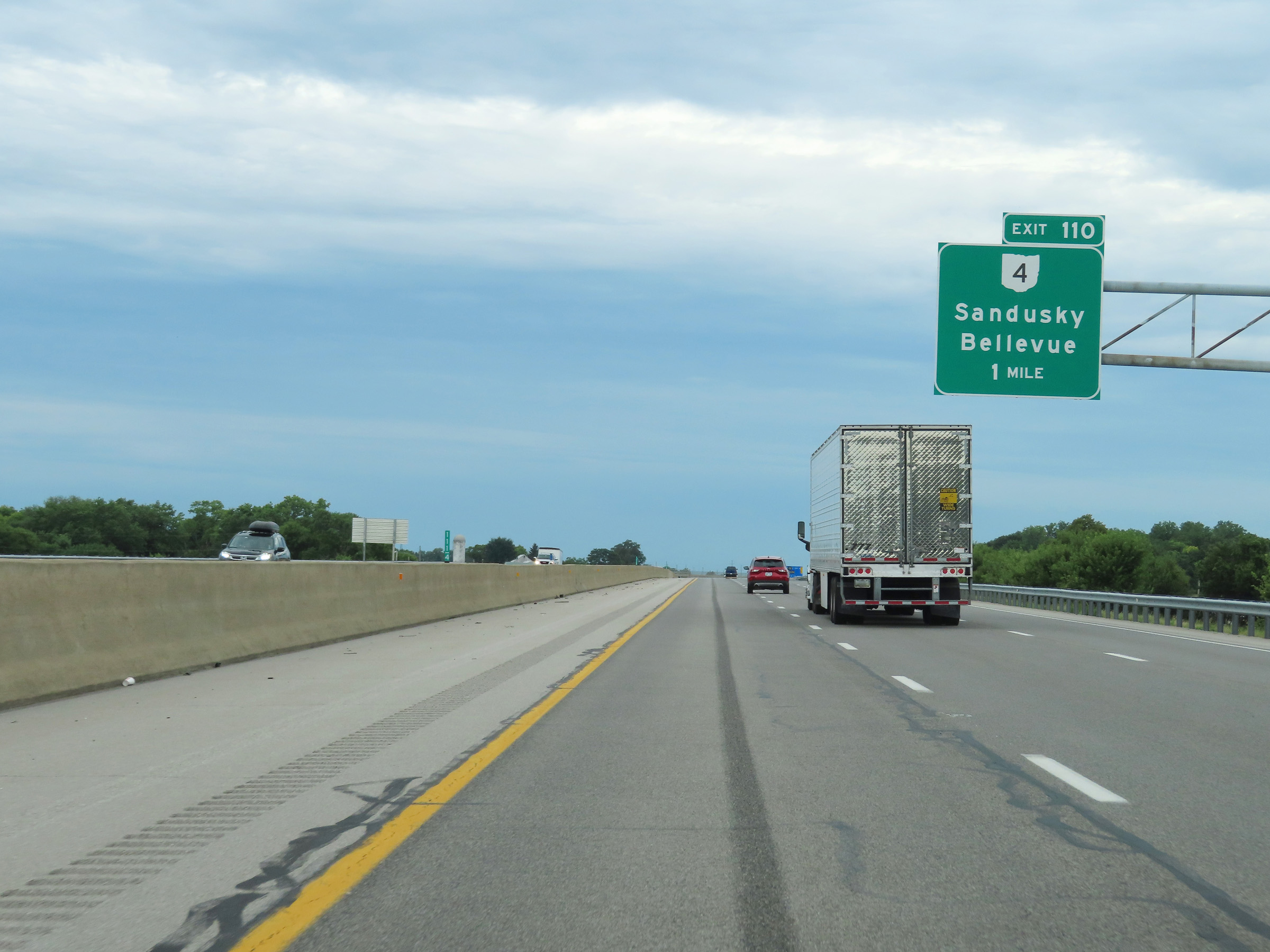 |
Advance signage for Exit 110 - 1 mile ahead. (Photo taken 8/13/22). |
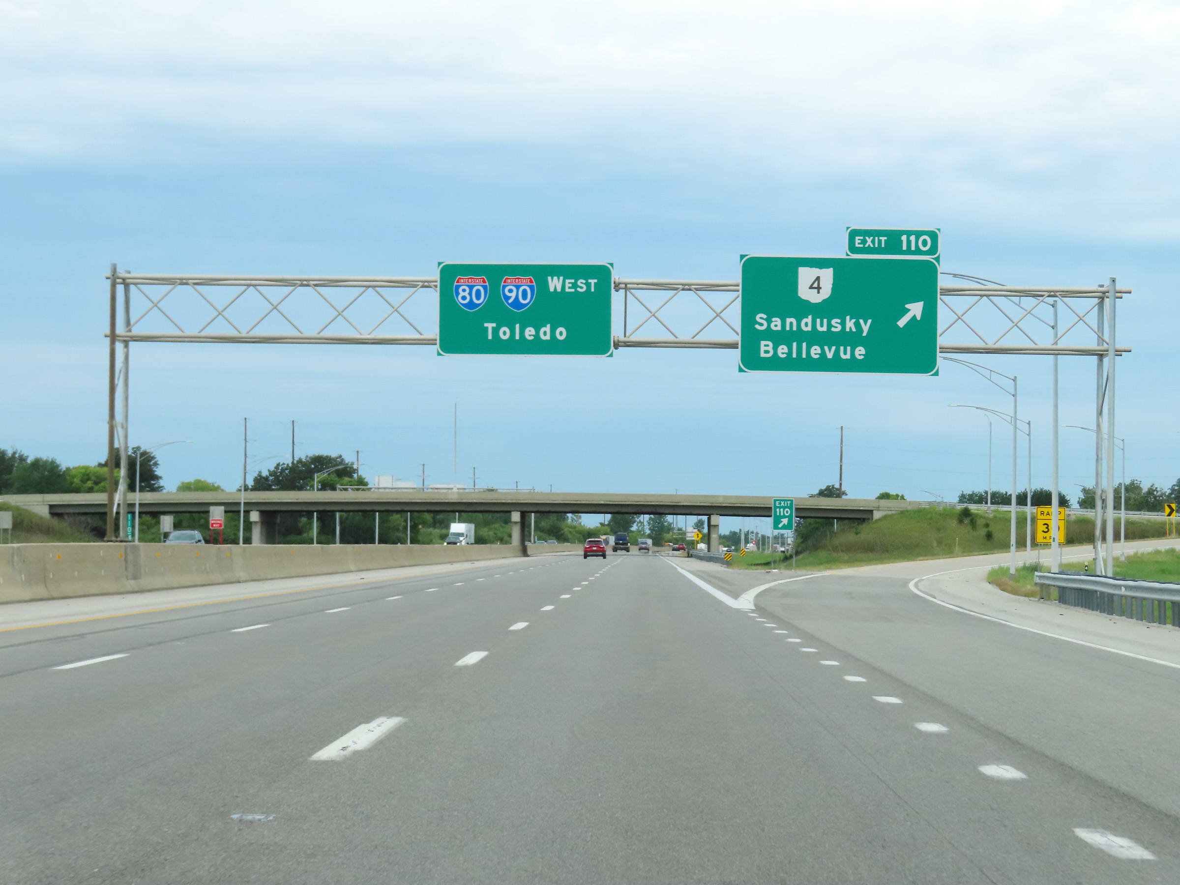 |
Interstate 80 / Interstate 90 West (Ohio Turnpike) at Exit 110: OH 4 - Sandusky / Bellevue (Photo taken 8/13/22). |
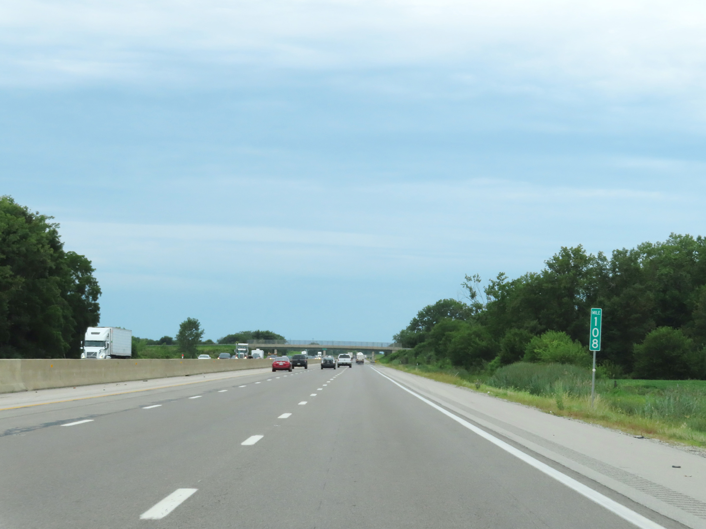 |
View on Interstate 80 / Interstate 90 West (Ohio Turnpike) at mile marker 108. (Photo taken 8/13/22). |
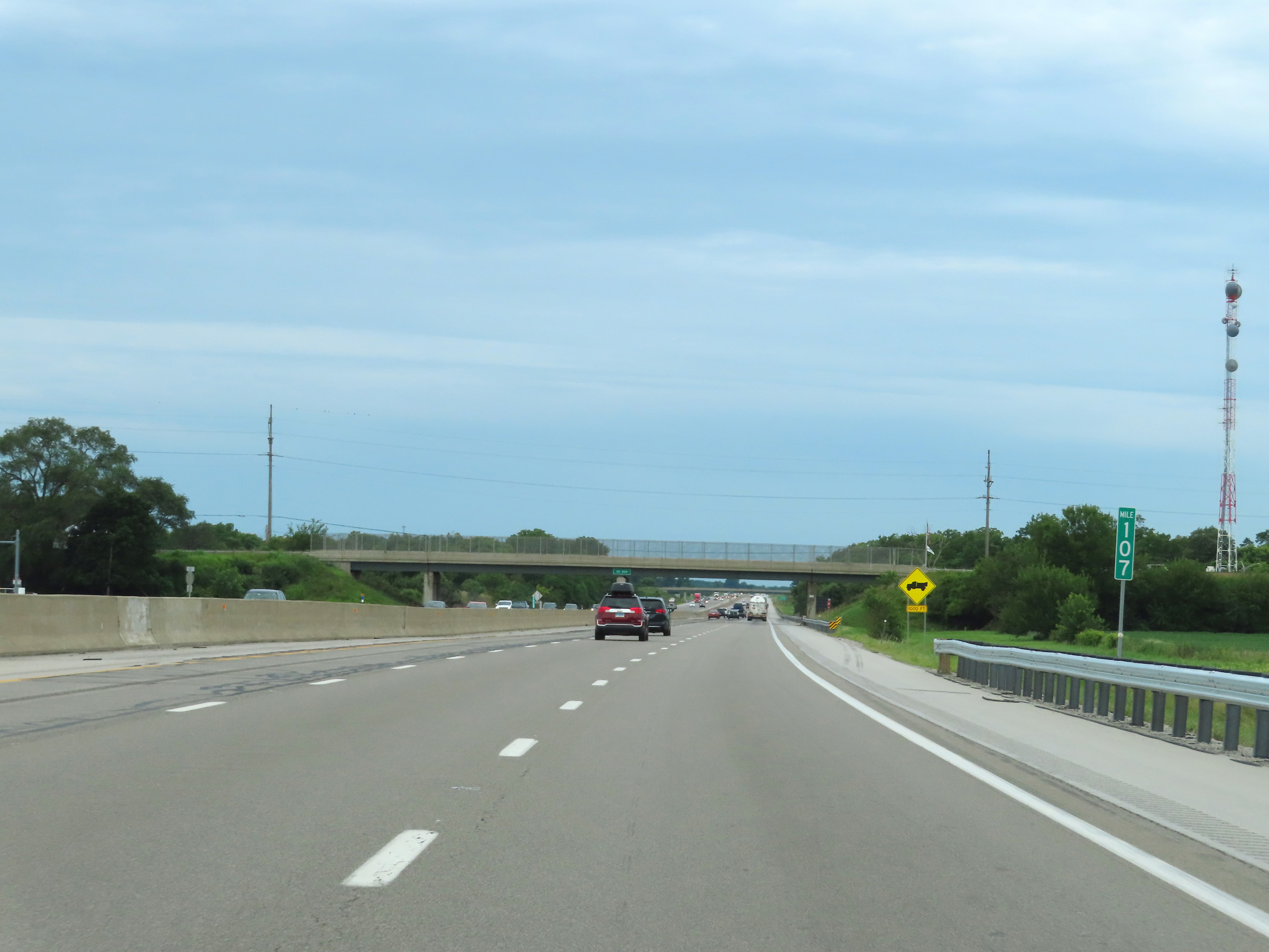 |
Mile marker 107 on Interstate 80 / Interstate 90 West (Ohio Turnpike) in Erie County. (Photo taken 8/13/22). |
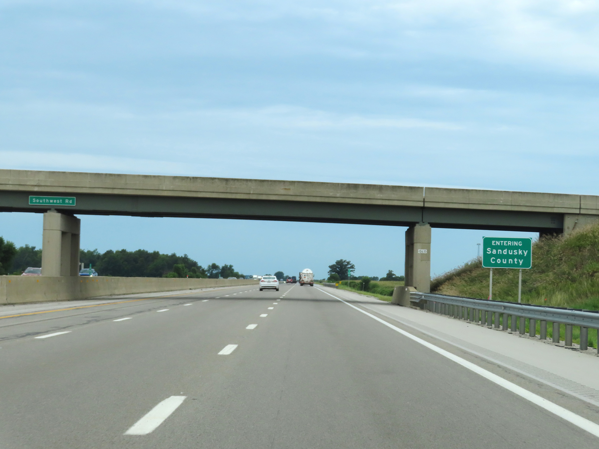 |
Interstate 80 / Interstate 90 West (Ohio Turnpike) as the duplex enters Sandusky County. (Photo taken 8/13/22). |
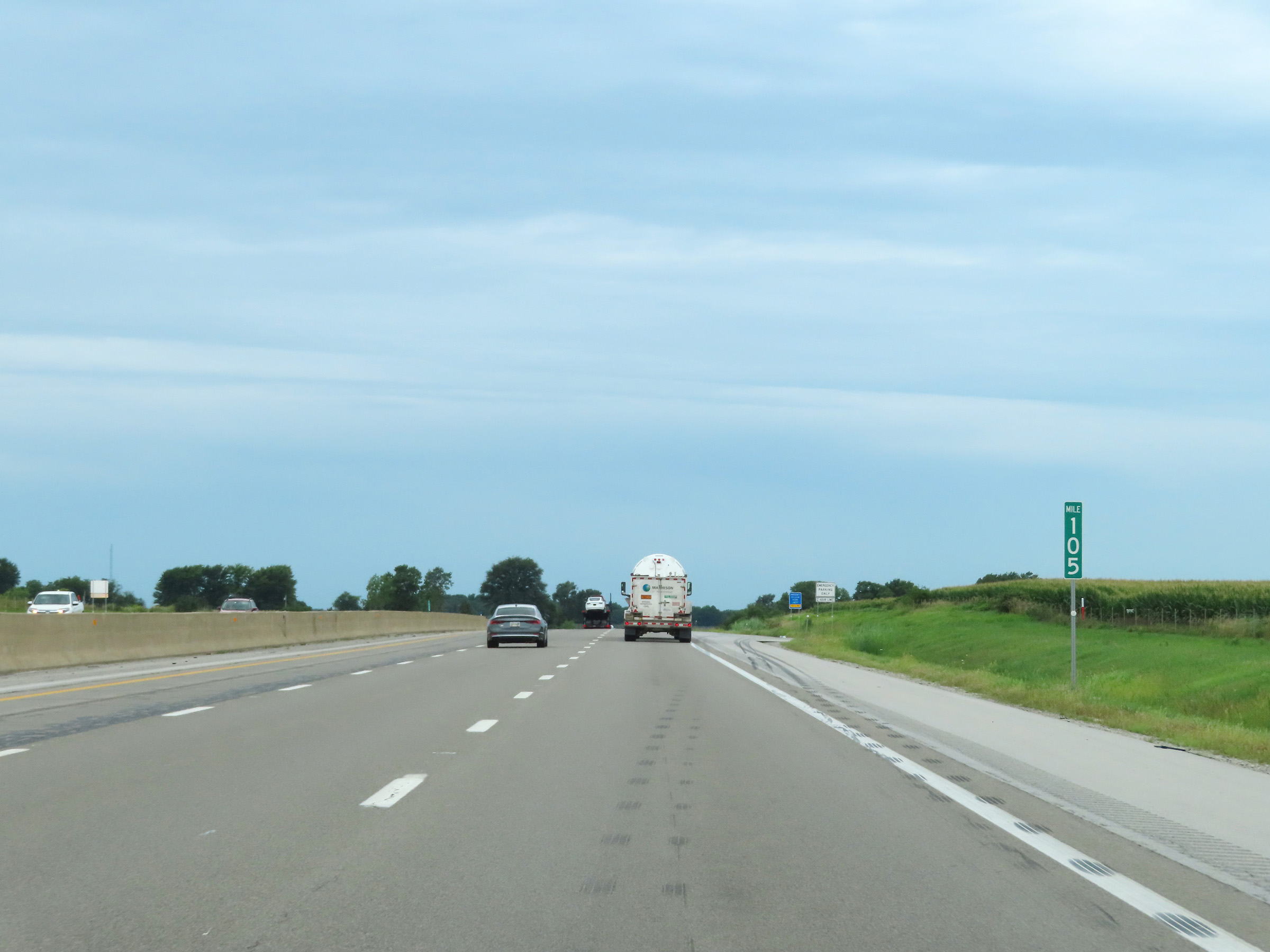 |
Interstate 80 / Interstate 90 West (Ohio Turnpike) at mile marker 105. (Photo taken 8/13/22). |
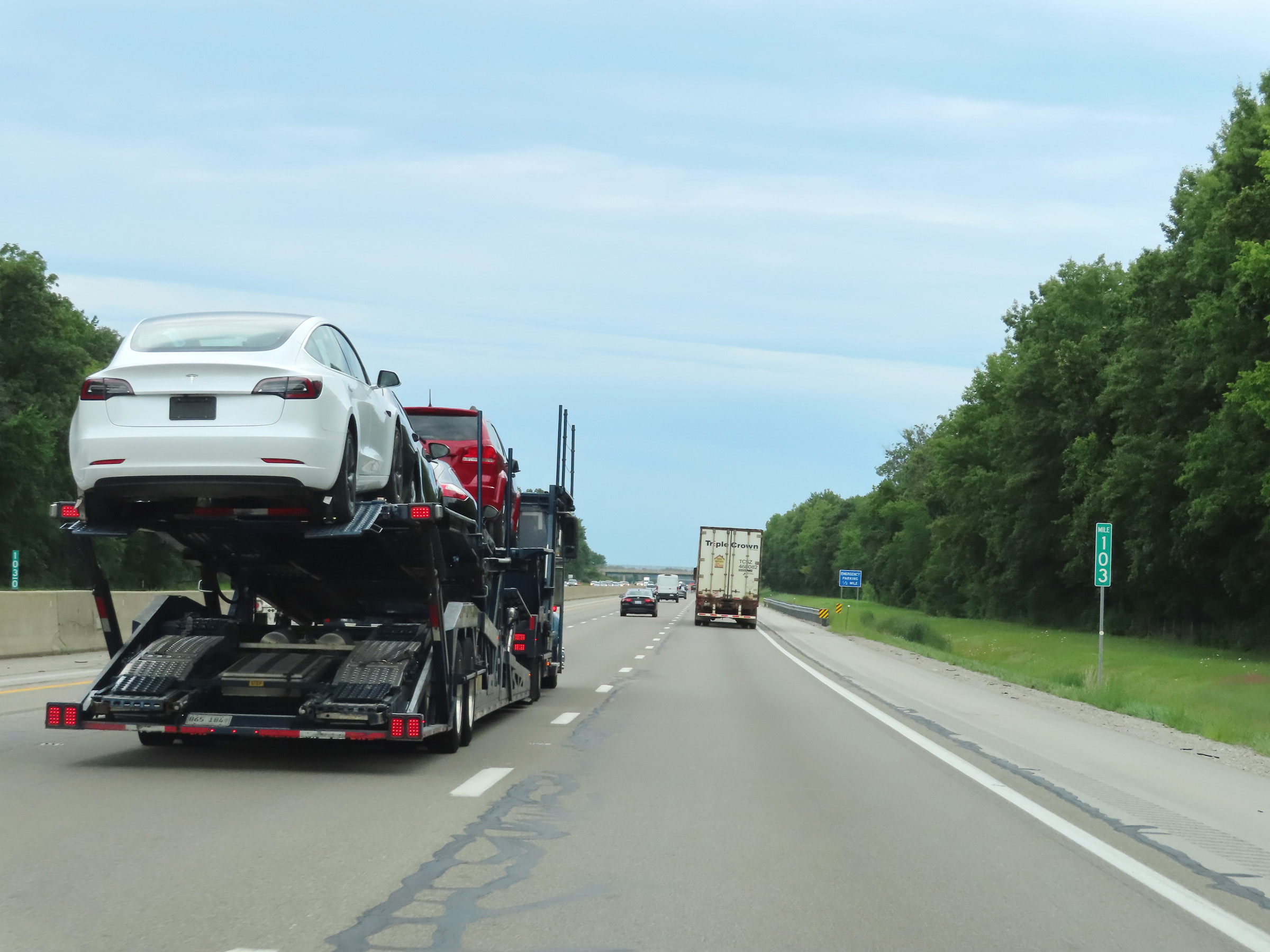 |
Mile marker 103 on Interstate 80 / Interstate 90 West (Ohio Turnpike) in Sandusky County. (Photo taken 8/13/22). |
 |
Advance signage for the Erie Islands Service Plaza, which is 2 miles ahead on Interstate 80 / Interstate 90 West (Ohio Turnpike). The next plaza beyond it is 23 miles ahead. (Photo taken 8/13/22). |
 |
View on Interstate 80 / Interstate 90 West (Ohio Turnpike) at mile marker 101. (Photo taken 8/13/22). |
 |
Interstate 80 / Interstate 90 West (Ohio Turnpike) at the Erie Islands Service Plaza. (Photo taken 8/13/22). |
 |
A closer view of the Erie Islands Service Plaza on Interstate 80 / Interstate 90 West (Ohio Turnpike). (Photo taken 8/13/22). |
 |
Interstate 80 West / Interstate 90 West / Ohio Turnpike reassurance shields. (Photo taken 8/13/22). |
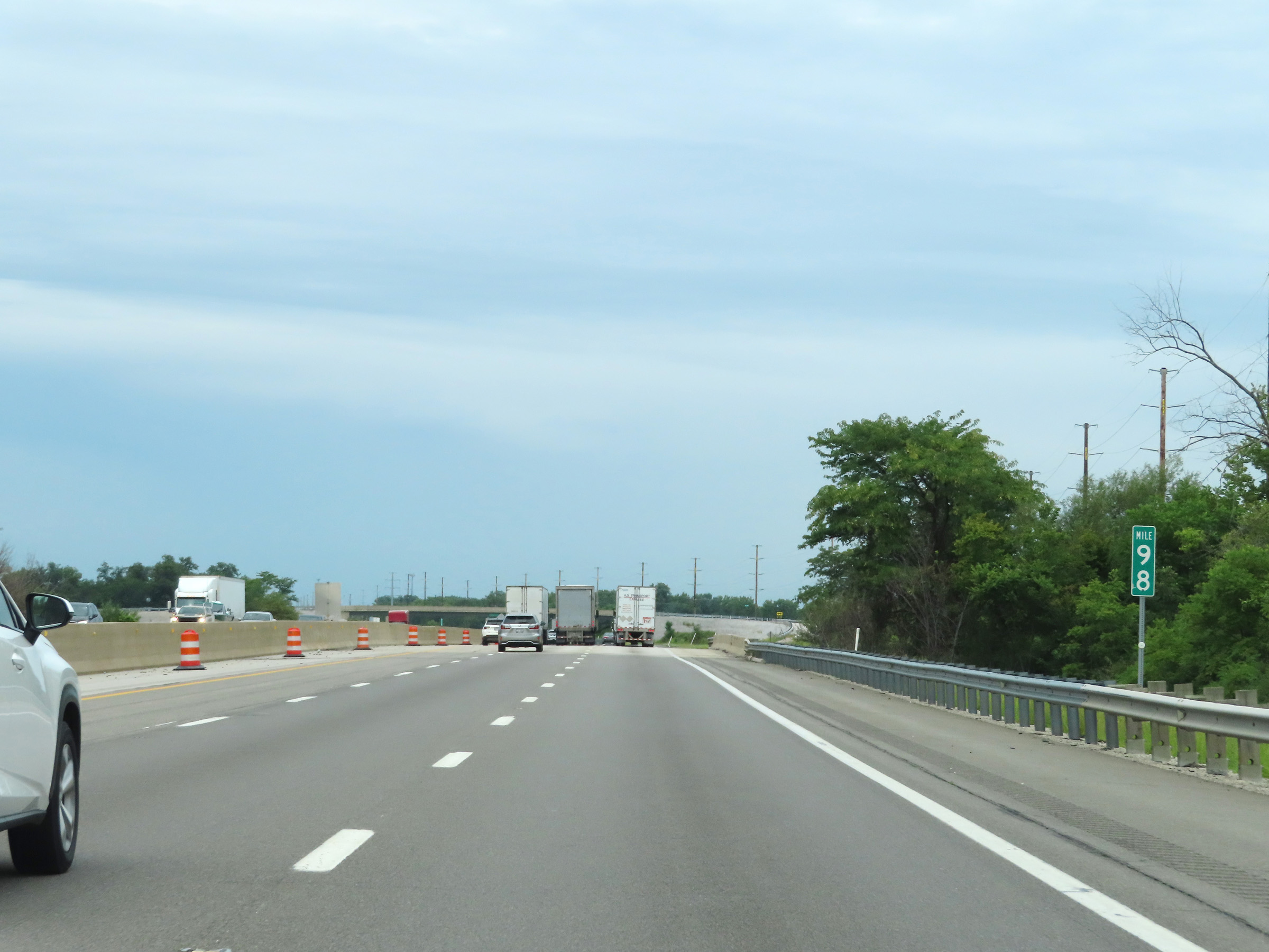 |
View on Interstate 80 / Interstate 90 West (Ohio Turnpike) at mile marker 98. (Photo taken 8/13/22). |
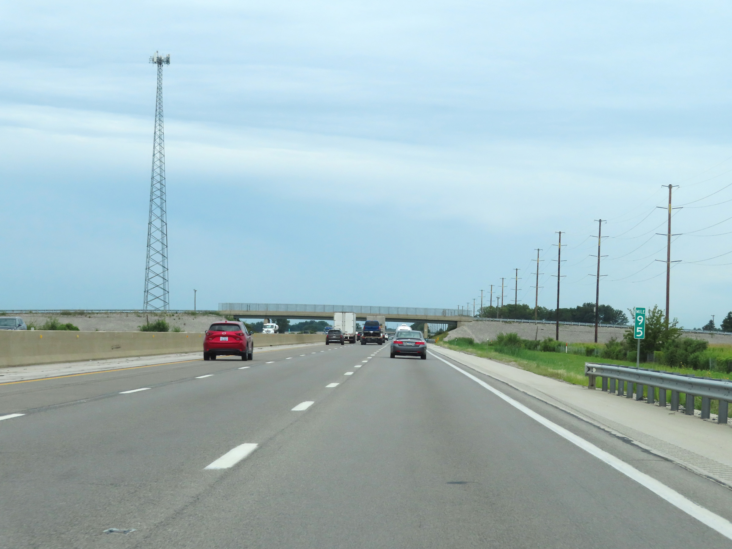 |
Mile marker 95 on Interstate 80 / Interstate 90 West (Ohio Turnpike) in Sandusky County. (Photo taken 8/13/22). |
 |
Interstate 80 / Interstate 90 West (Ohio Turnpike) at mile marker 94. (Photo taken 8/13/22). |
 |
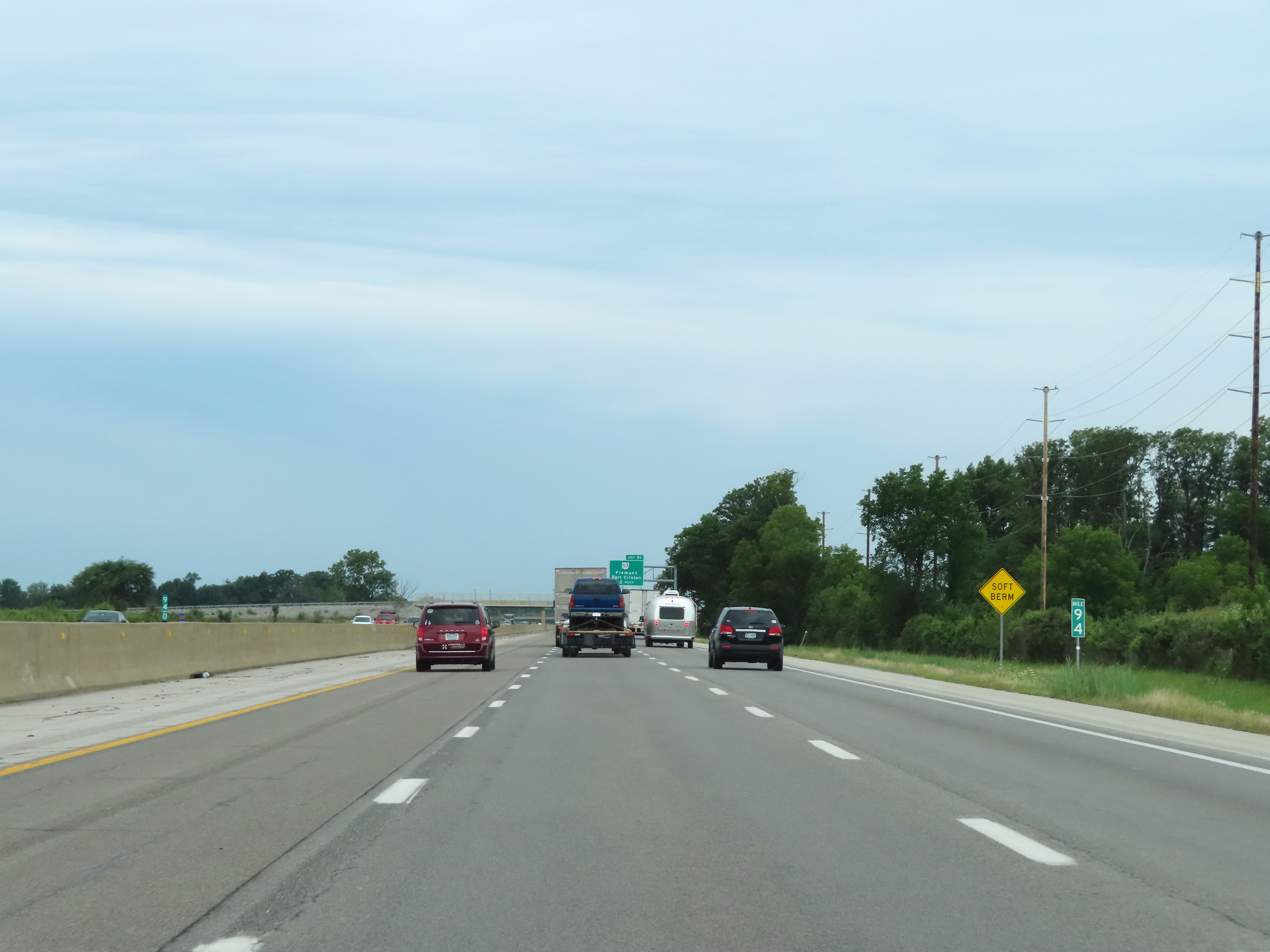
Advance signage for Exit 91, which is 1 mile ahead. (Photo taken 8/13/22). |
 |
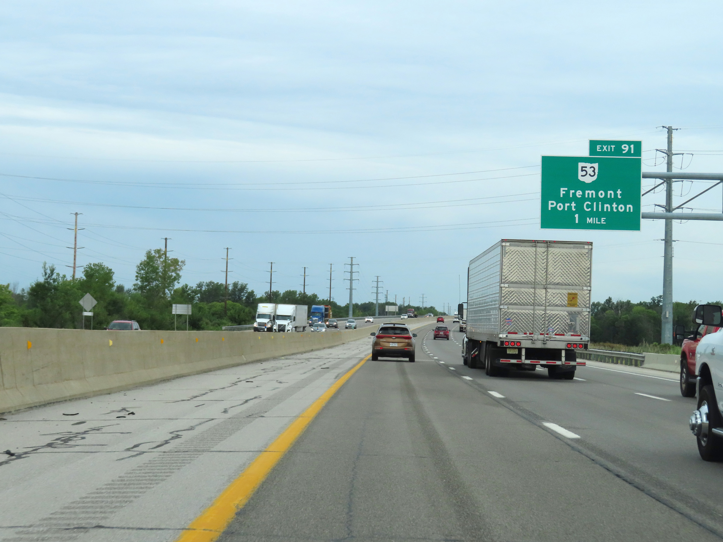
Interstate 80 / Interstate 90 West (Ohio Turnpike) at Exit 91: OH 53 - Fremont / Port Clinton (Photo taken 8/13/22). |
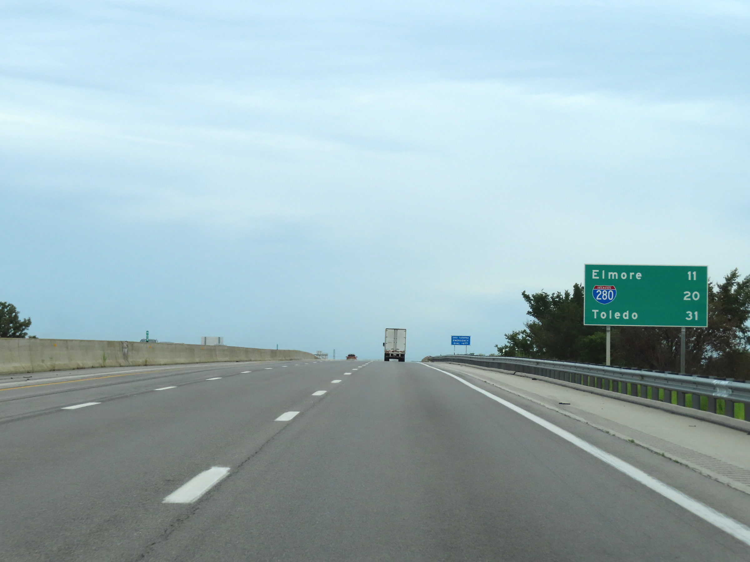 |
Another mileage sign on Interstate 80 / Interstate 90 West (Ohio Turnpike). It's 11 miles to Elmore, 20 miles to the junction of Interstate 280, and 31 miles to Toledo. (Photo taken 8/13/22). |
 |
View on Interstate 80 / Interstate 90 West (Ohio Turnpike) at mile marker 89. (Photo taken 8/13/22). |
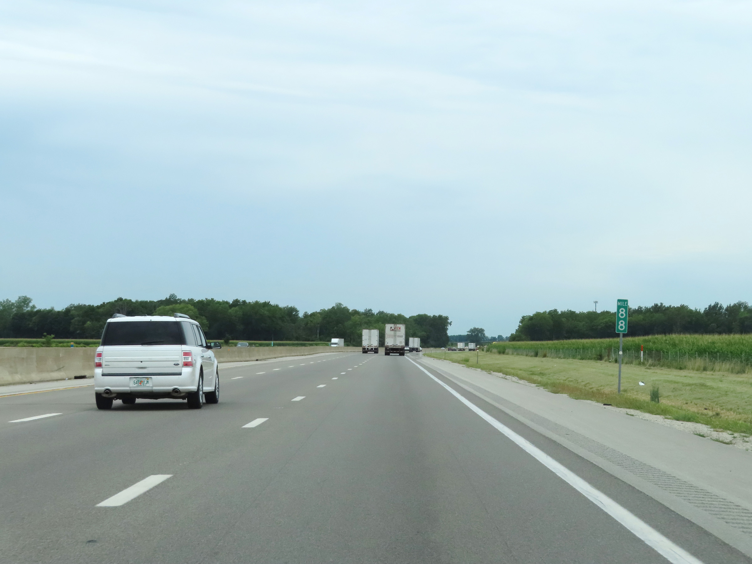 |
Mile marker 88 on Interstate 80 / Interstate 90 West (Ohio Turnpike) in Sandusky County. (Photo taken 8/13/22). |
 |
Interstate 80 / Interstate 90 West (Ohio Turnpike) at mile marker 86. (Photo taken 8/13/22). |
 |
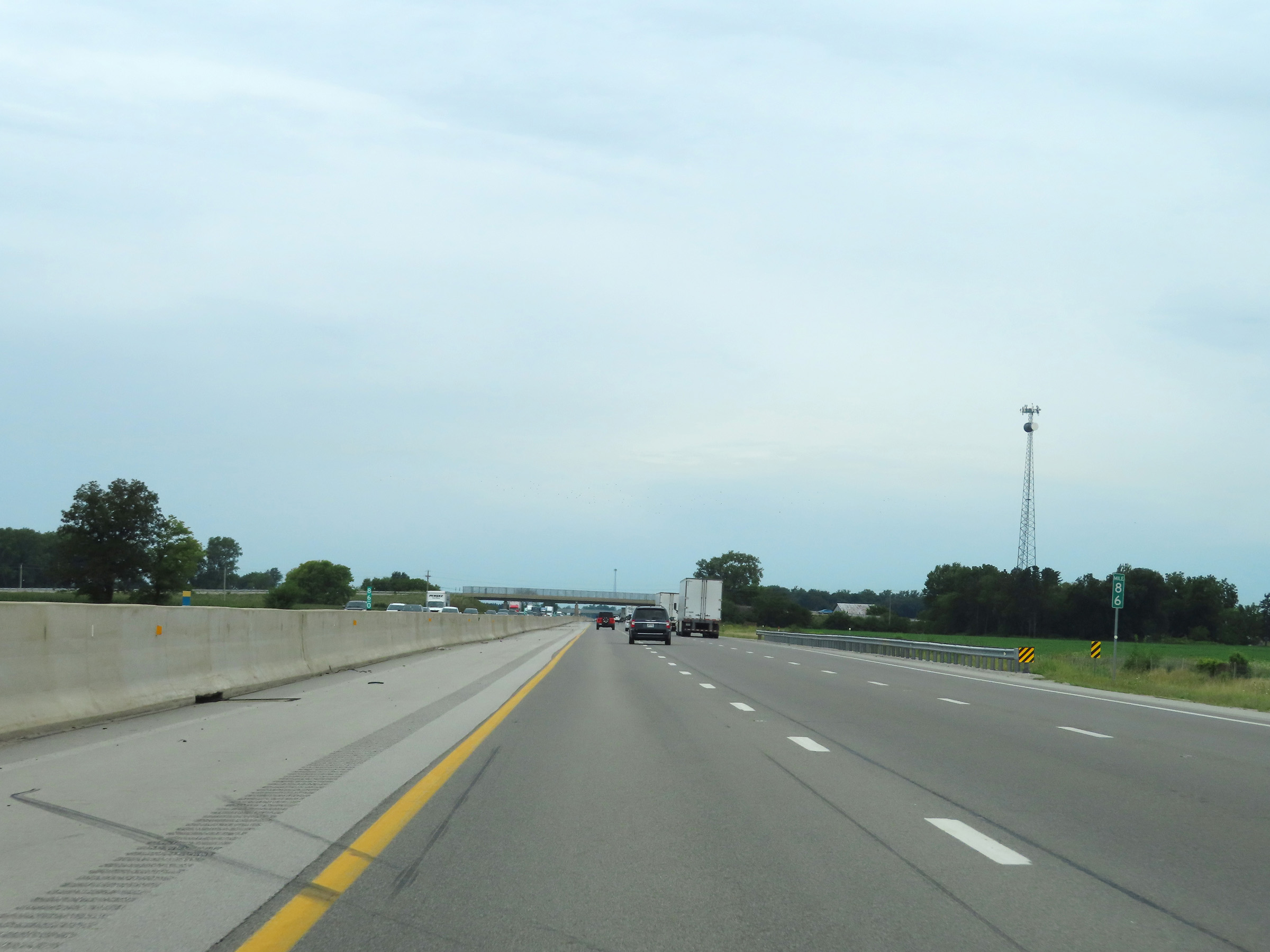
View on Interstate 80 / Interstate 90 West (Ohio Turnpike) at mile marker 84. (Photo taken 8/13/22). |
 |
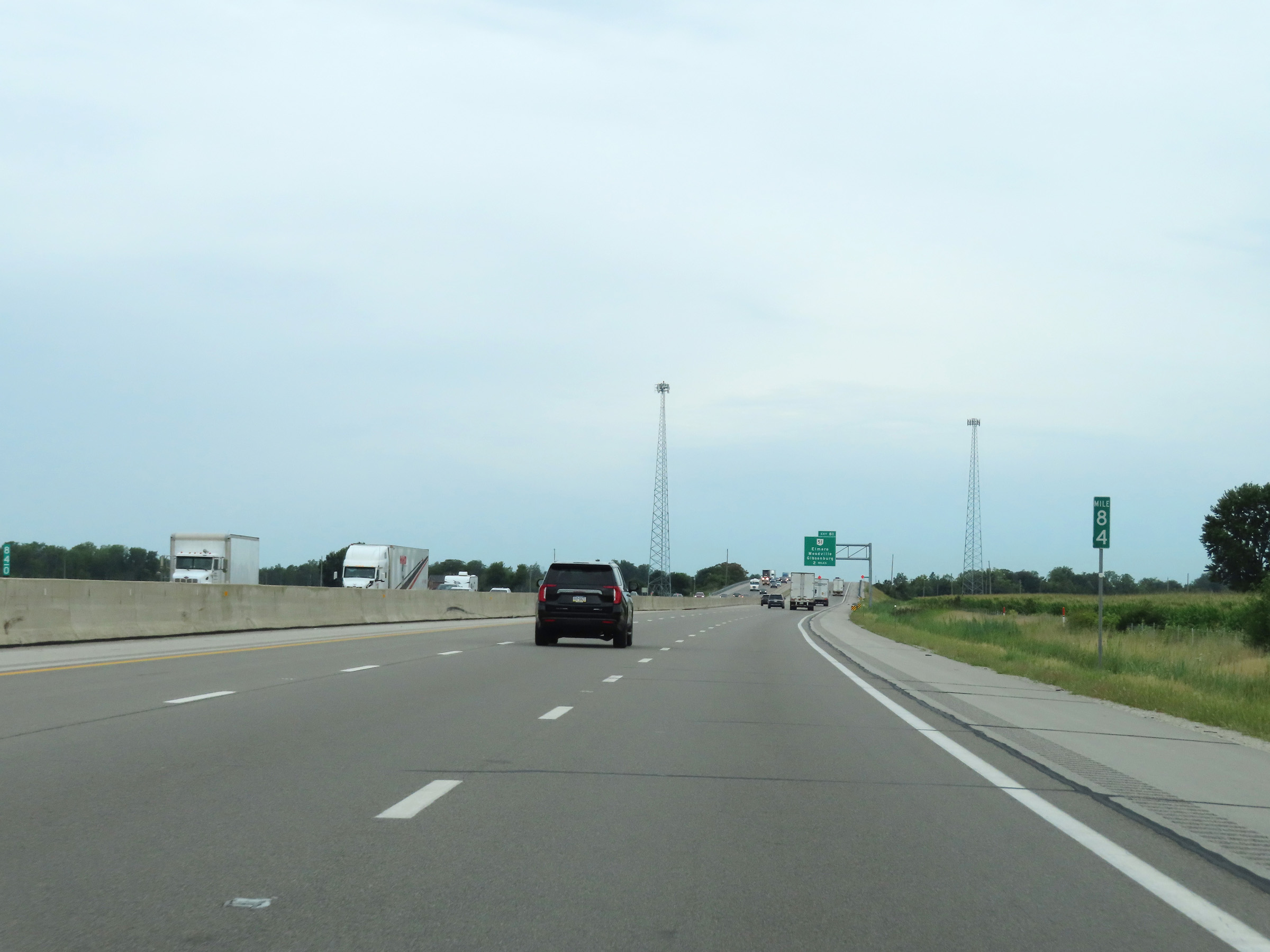
Advance signage for Exit 81 - 1 mile ahead. (Photo taken 8/13/22). |
 |
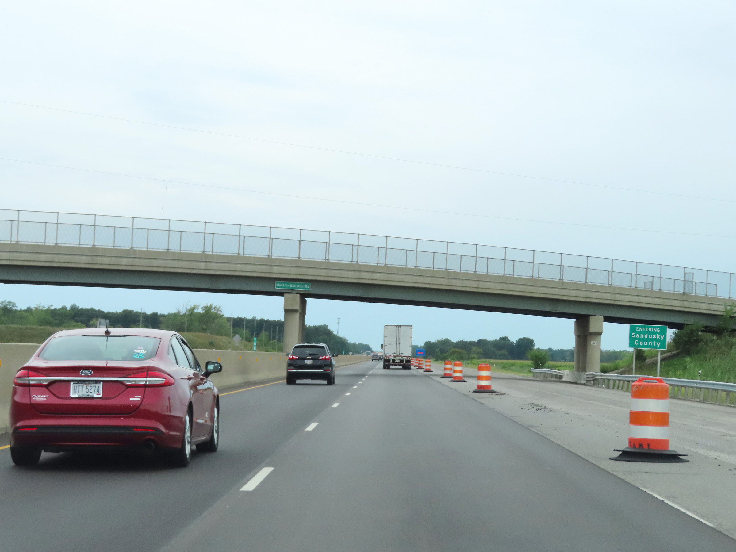
Immediately before Exit 81, Interstate 80 / Interstate 90 West (Ohio Turnpike) enter Ottawa County. (Photo taken 8/13/22). |
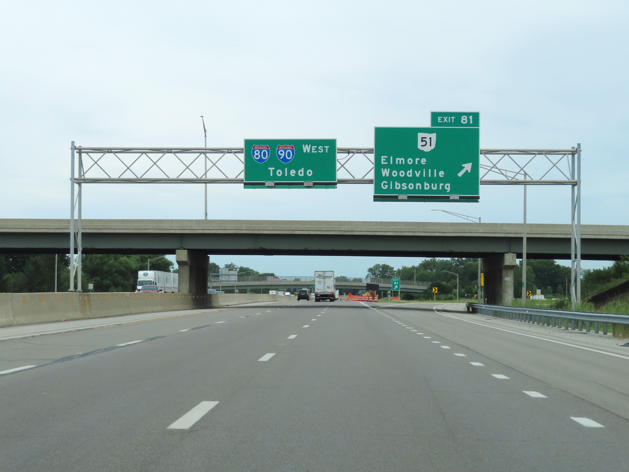 |
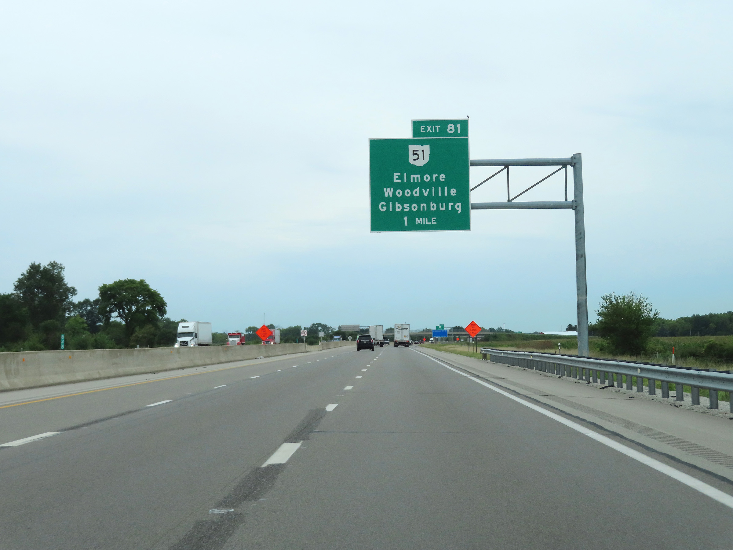
Interstate 80 / Interstate 90 West (Ohio Turnpike) at Exit 81: OH 51 - Elmore / Woodville / Gibsonburg (Photo taken 8/13/22). |
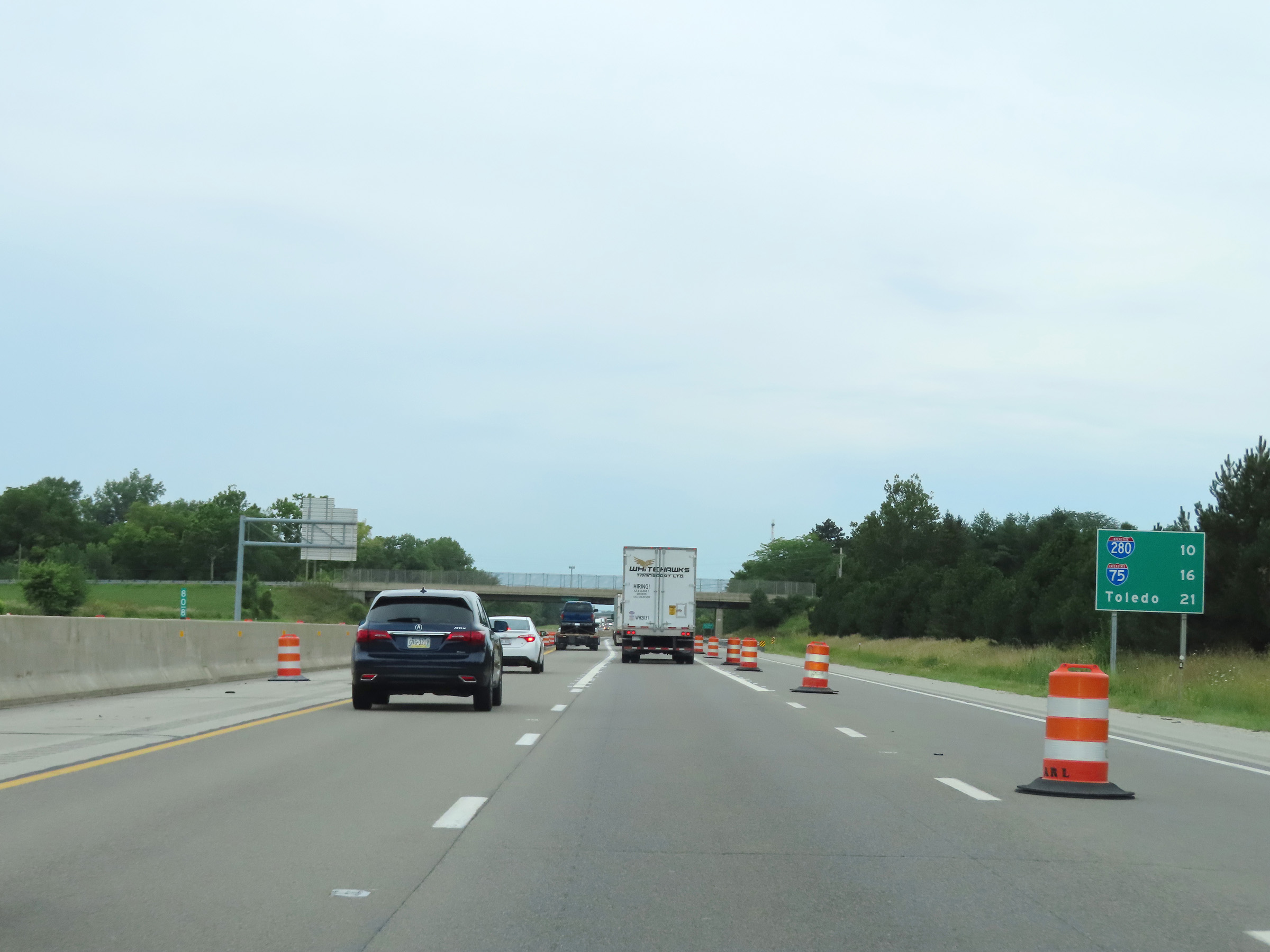 |
Mileage sign at mile marker 80.8 on Interstate 80 / Interstate 90 West (Ohio Turnpike). It's now just 10 miles to the junction of Interstate 280, while its 16 miles to the junction of Interstate 75 and 21 miles to Toledo. (Photo taken 8/13/22). |
 |
Advance signage for the Blue Heron Service Plaza, which is now 2 miles ahead. (Photo taken 8/13/22). |
 |
At mile marker 78.8, Interstate 80 / Interstate 90 West (Ohio Turnpike) briefly dip back into Sandusky County. (Photo taken 8/13/22). |
 |
Interstate 80 / Interstate 90 West (Ohio Turnpike) at mile marker 78. (Photo taken 8/13/22). |
 |
Interstate 80 / Interstate 90 West (Ohio Turnpike) at the Blue Heron Service Plaza. (Photo taken 8/13/22). |
 |
View on Interstate 80 / Interstate 90 West (Ohio Turnpike) at mile marker 76. (Photo taken 8/13/22). |
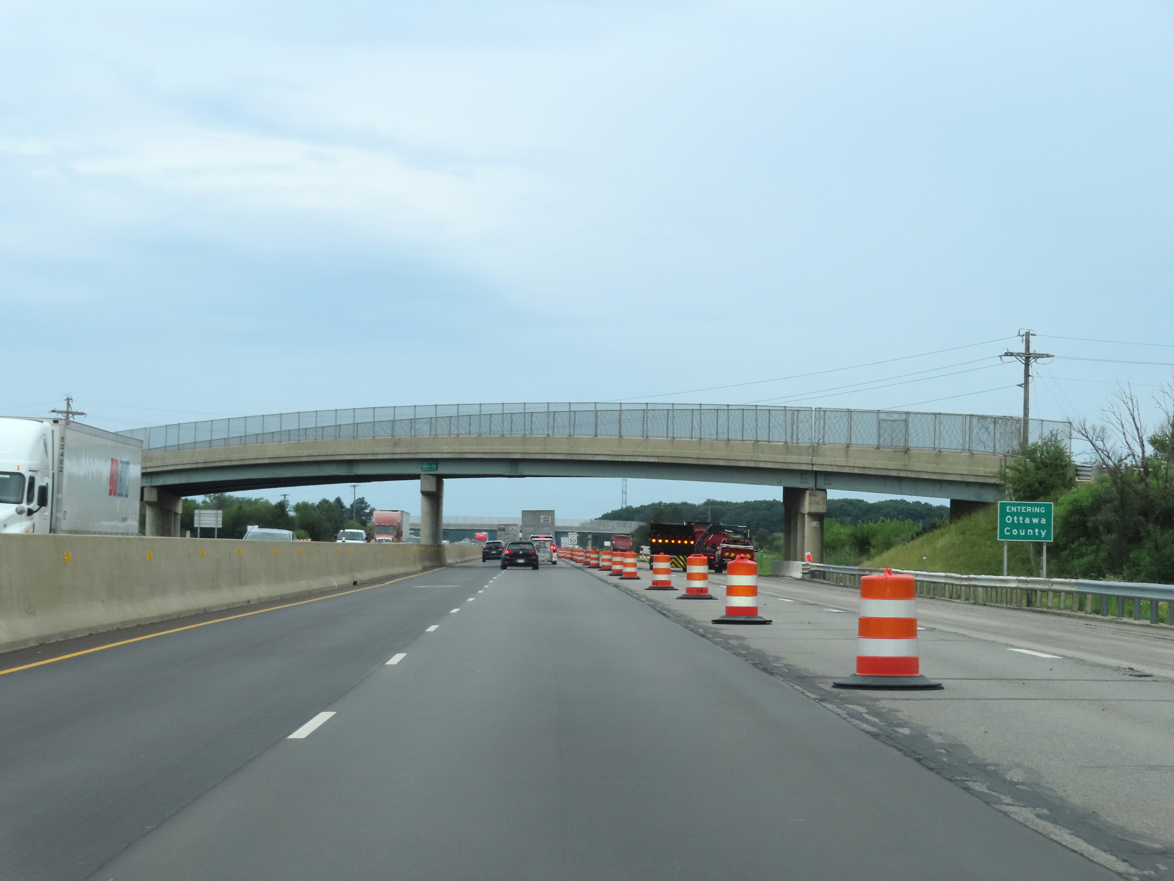 |
Interstate 80 / Interstate 90 West (Ohio Turnpike) as they reenter Ottawa County. (Photo taken 8/13/22). |
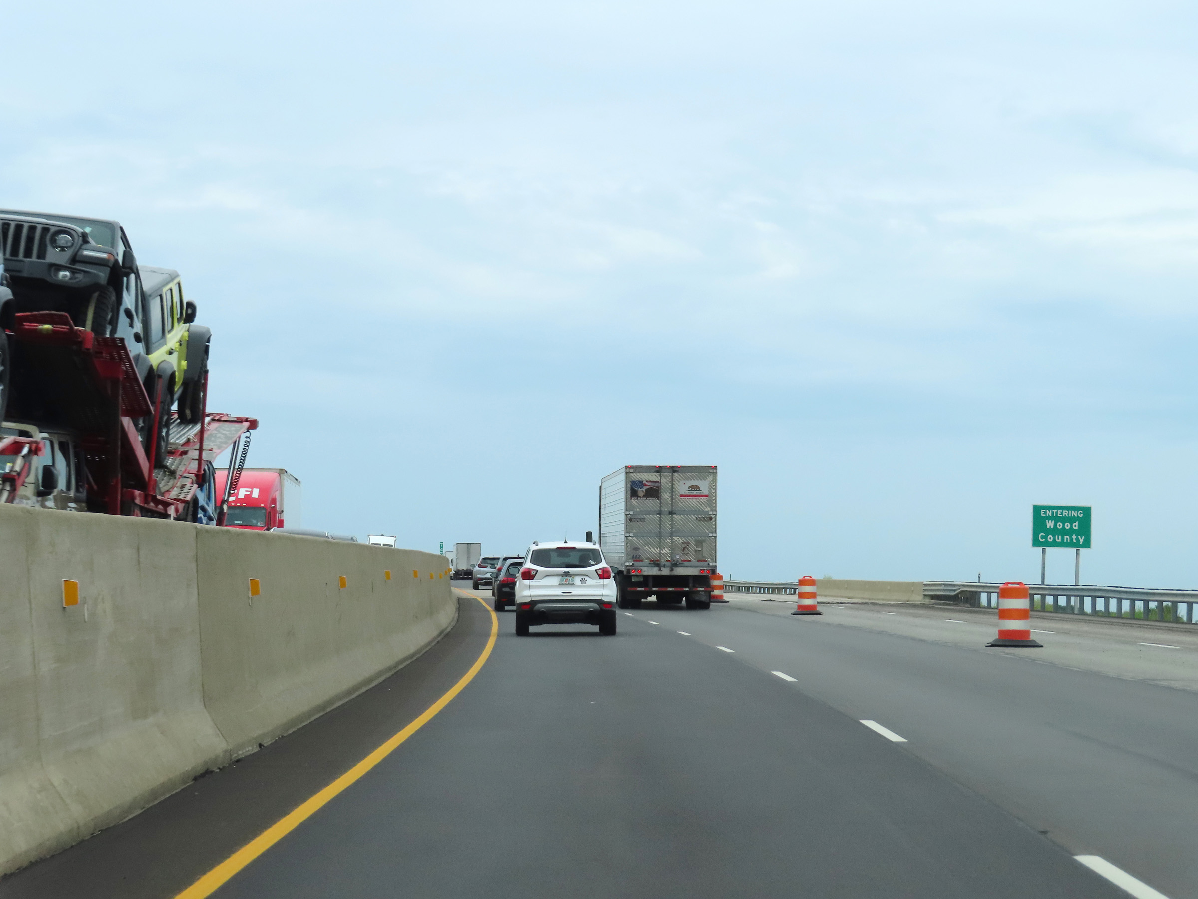 |
Shortly after, Interstate 80 / Interstate 90 West (Ohio Turnpike) enter Wood County. (Photo taken 8/13/22). |
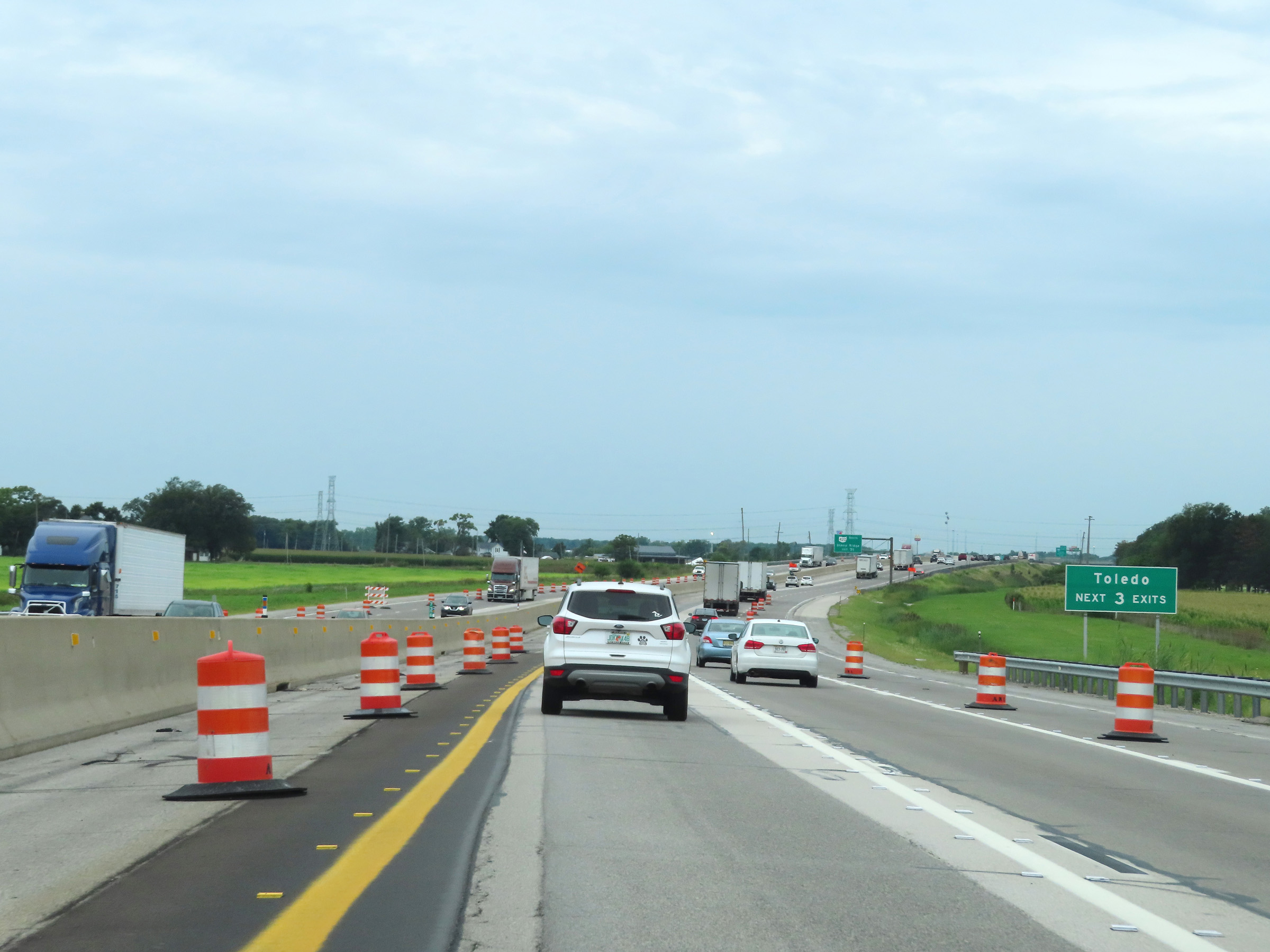 |
Take any of the next 3 exits to Toledo. (Photo taken 8/13/22). |
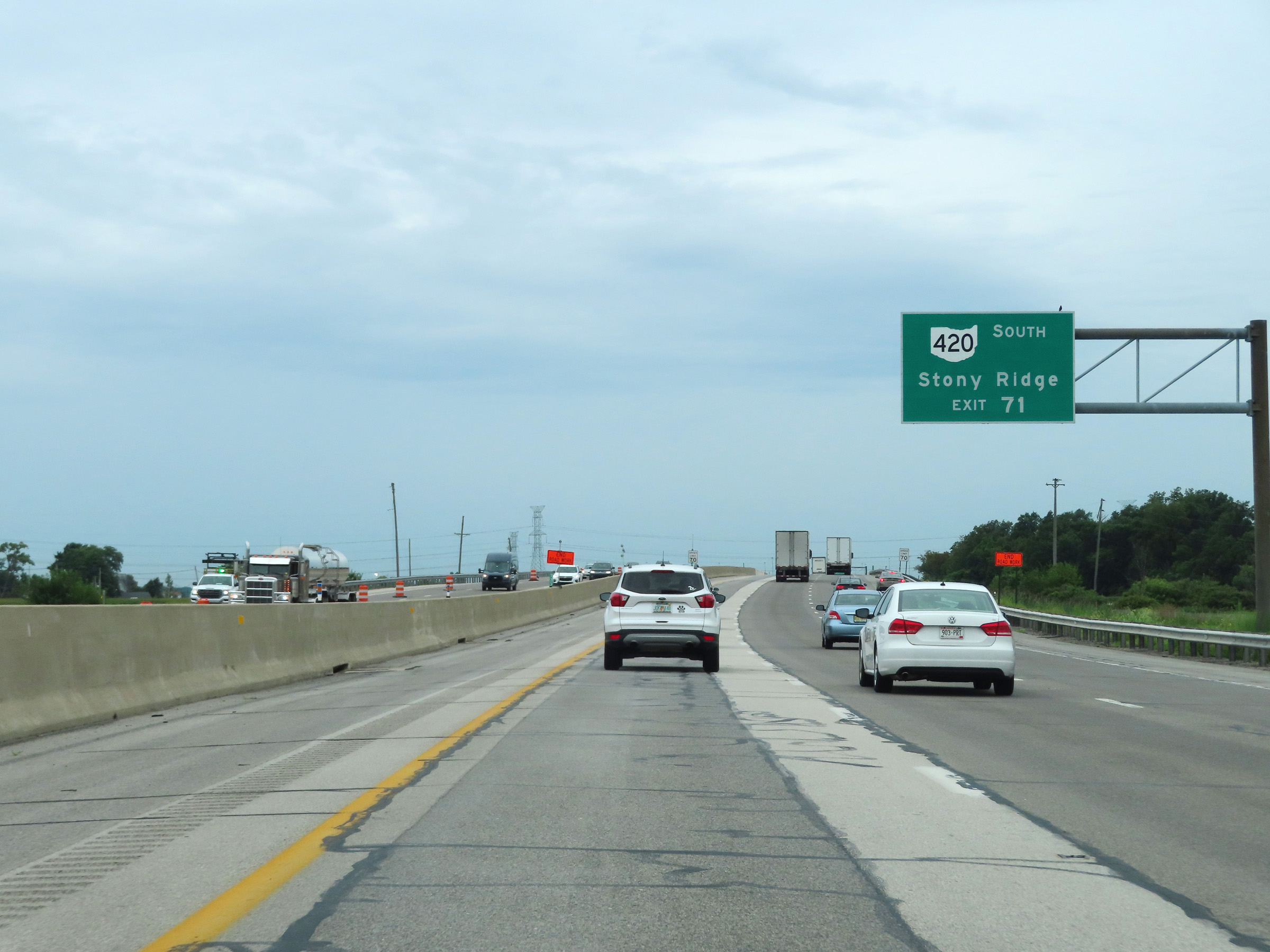 |
Take Exit 71 to OH 420 South toward Stony Ridge. (Photo taken 8/13/22). |
 |
Mile marker 73 on Interstate 80 / Interstate 90 West (Ohio Turnpike) in Wood County. (Photo taken 8/13/22). |
 |
Advance signage for Exit 71 - 1 mile ahead on Interstate 80 / Interstate 90 West (Ohio Turnpike). (Photo taken 8/13/22). |
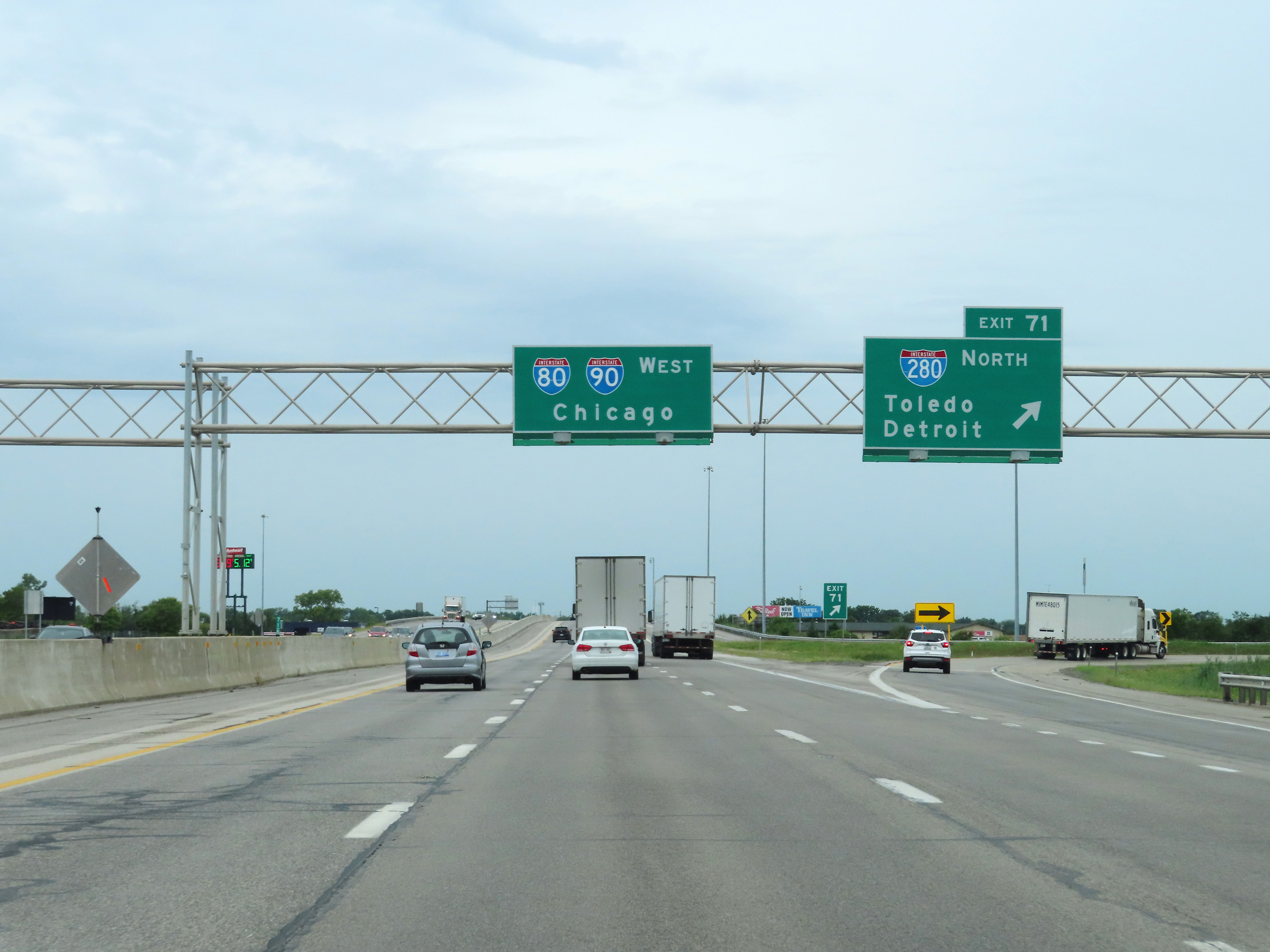 |
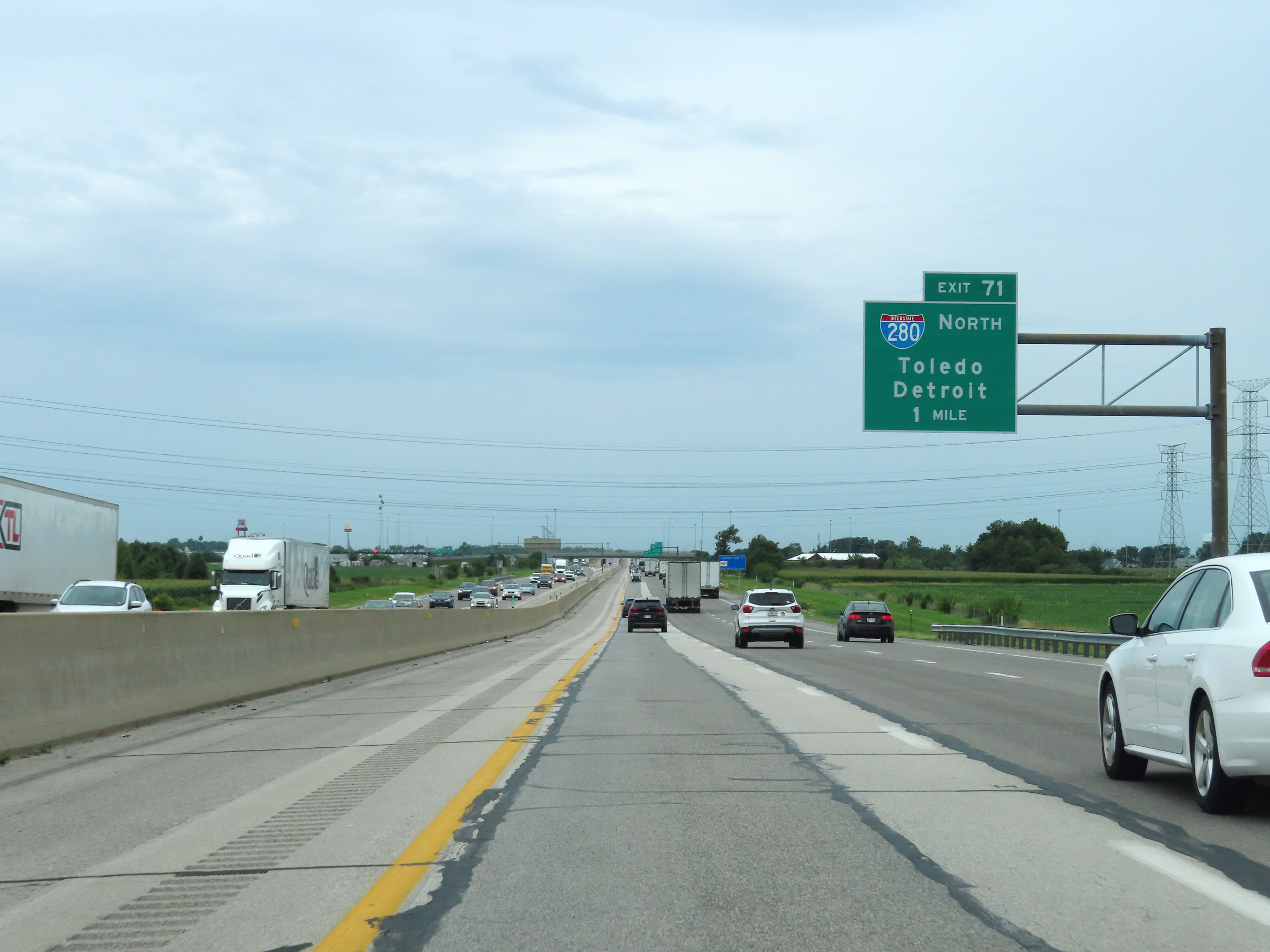
Interstate 80 / Interstate 90 West (Ohio Turnpike) at Exit 71: Interstate 280 North - Toledo / Detroit (Photo taken 8/13/22). |
 |
View on Interstate 80 / Interstate 90 West (Ohio Turnpike) at mile marker 70. (Photo taken 8/13/22). |
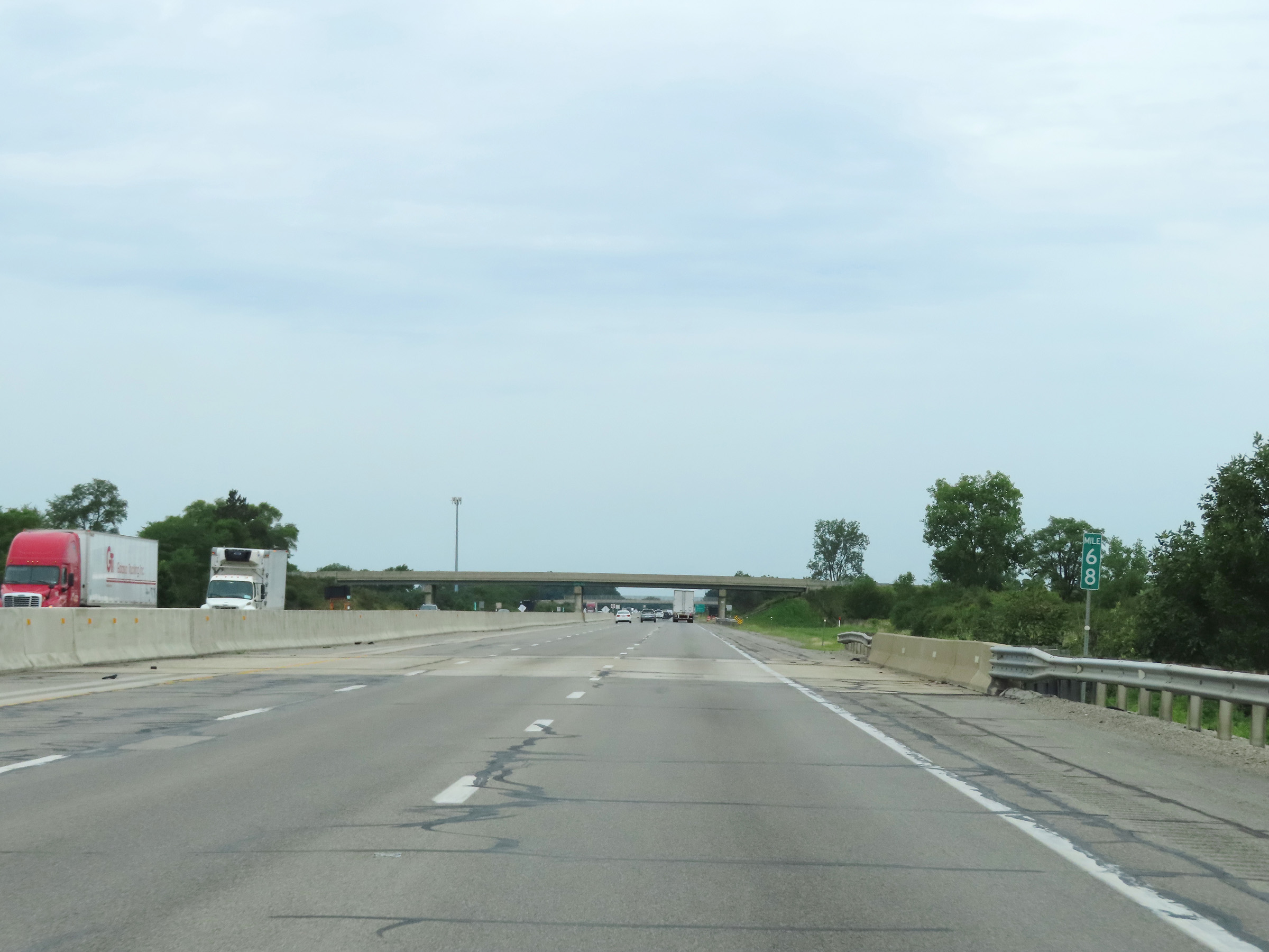 |
Mile marker 68 on Interstate 80 / Interstate 90 West (Ohio Turnpike) in Wood County. (Photo taken 8/13/22). |
 |
Traffic to Detroit via Interstate 75 North can use Exit 64. (Photo taken 8/13/22). |
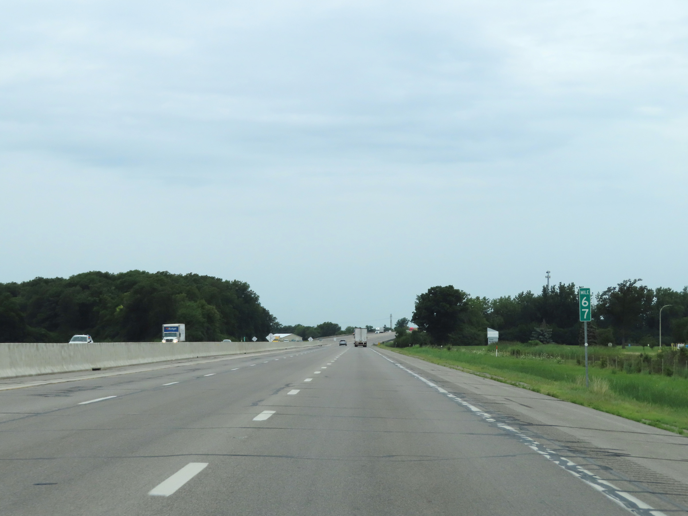 |
View on Interstate 80 / Interstate 90 West (Ohio Turnpike) at mile marker 67. (Photo taken 8/13/22). |
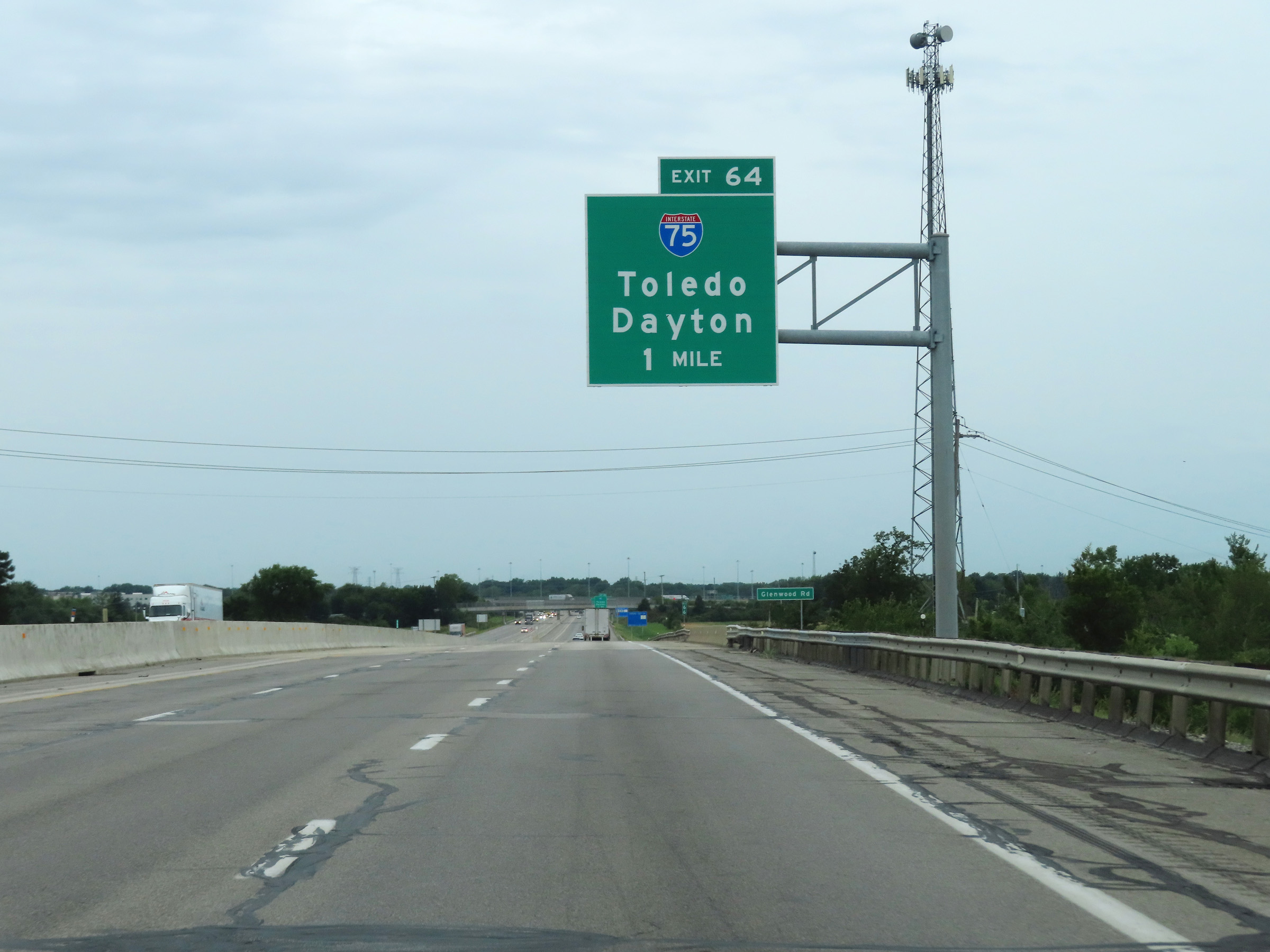 |
Advance signage for Exit 64, which is 1 mile ahead. (Photo taken 8/13/22). |
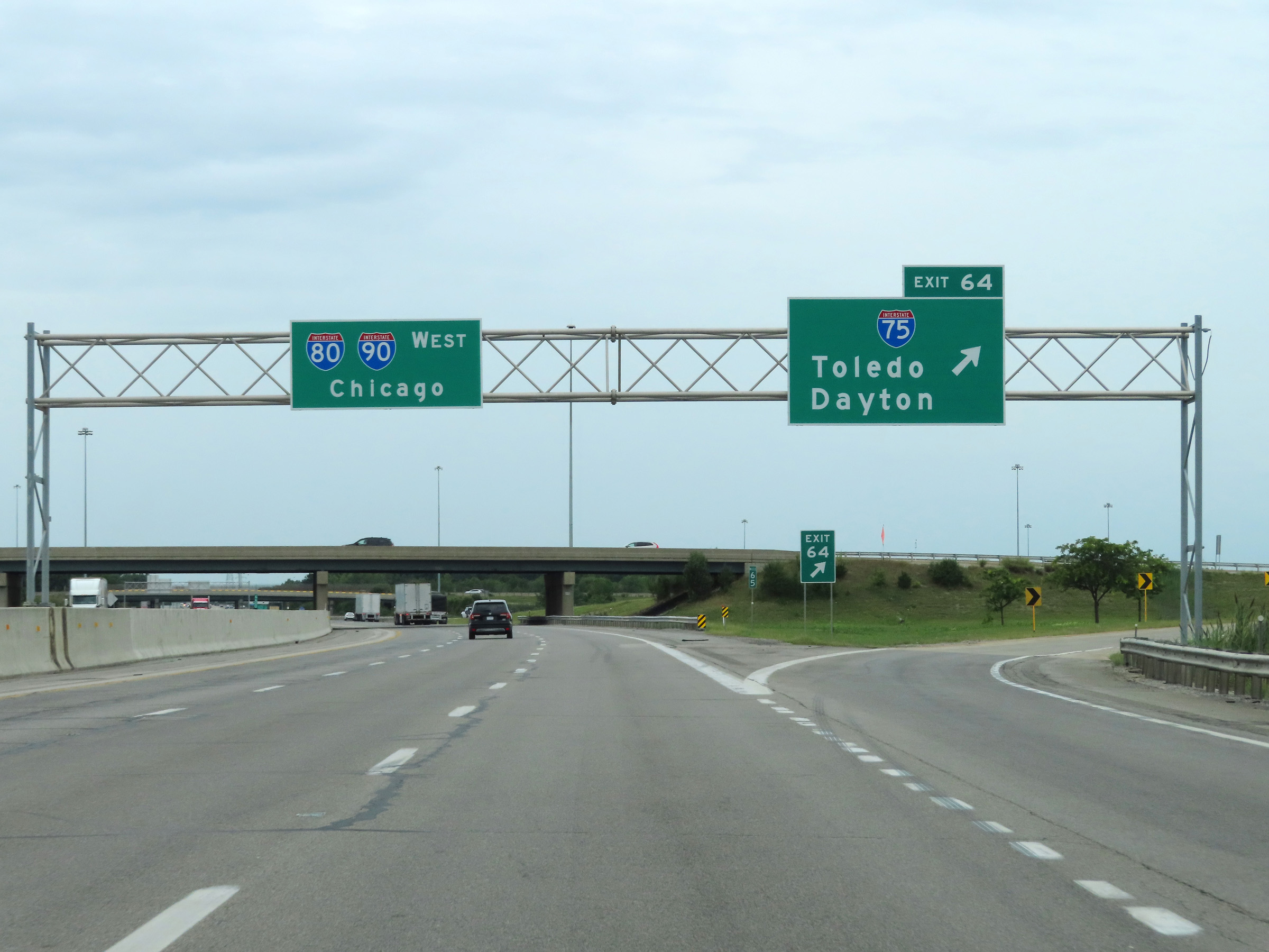 |
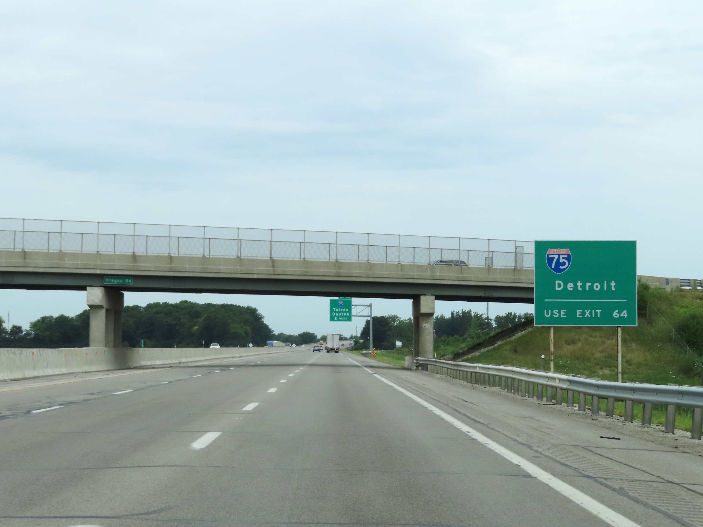
Interstate 80 / Interstate 90 West (Ohio Turnpike) at Exit 64: Interstate 75 - Toledo / Detroit (Photo taken 8/13/22). |
 |
Interstate 80 West / Interstate 90 West / Ohio Turnpike reassurance shields at mile marker 64.4. (Photo taken 8/13/22). |
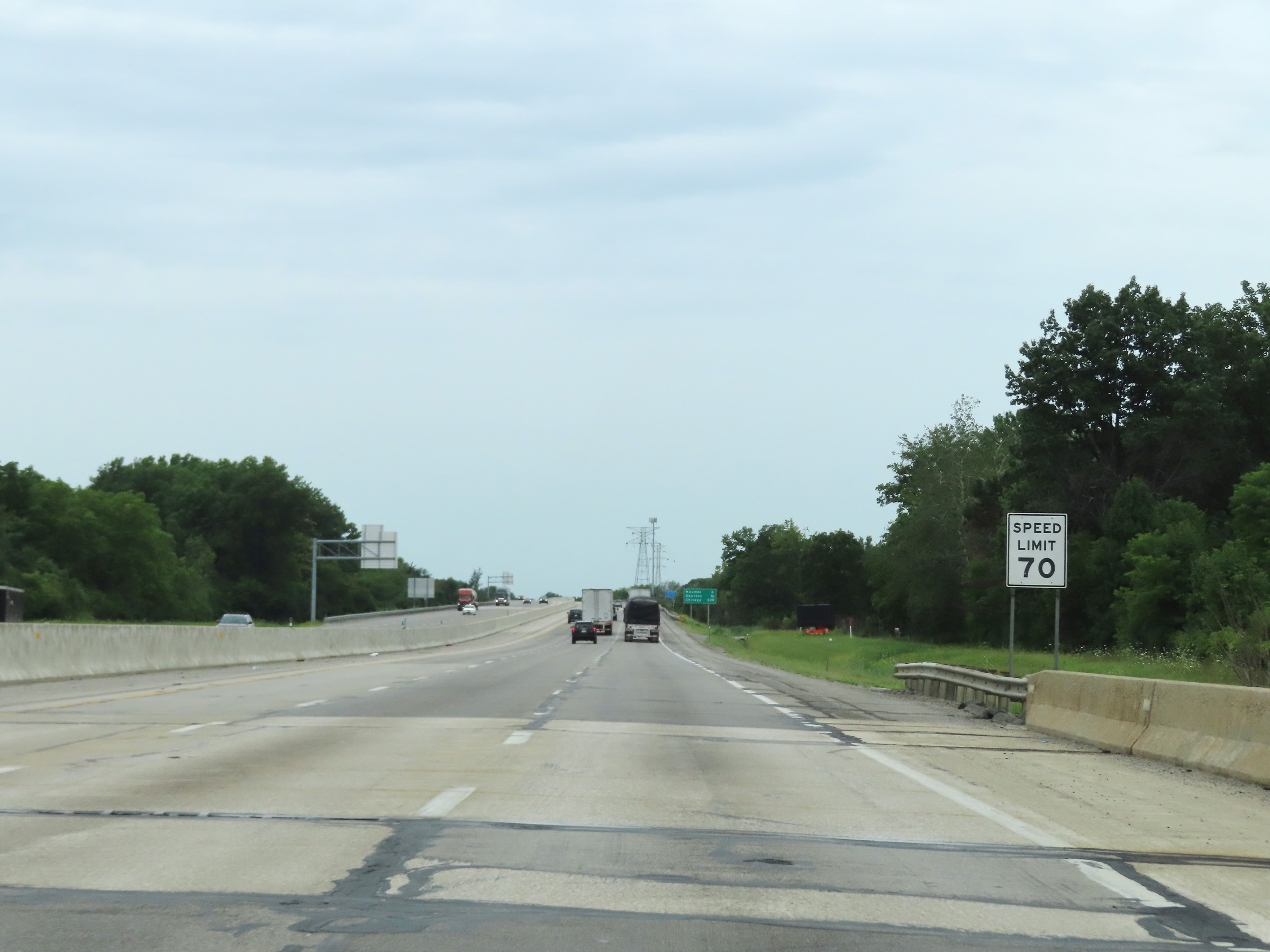 |
The speed limit remains 70 mph on Interstate 80 / Interstate 90 West (Ohio Turnpike). (Photo taken 8/13/22). |
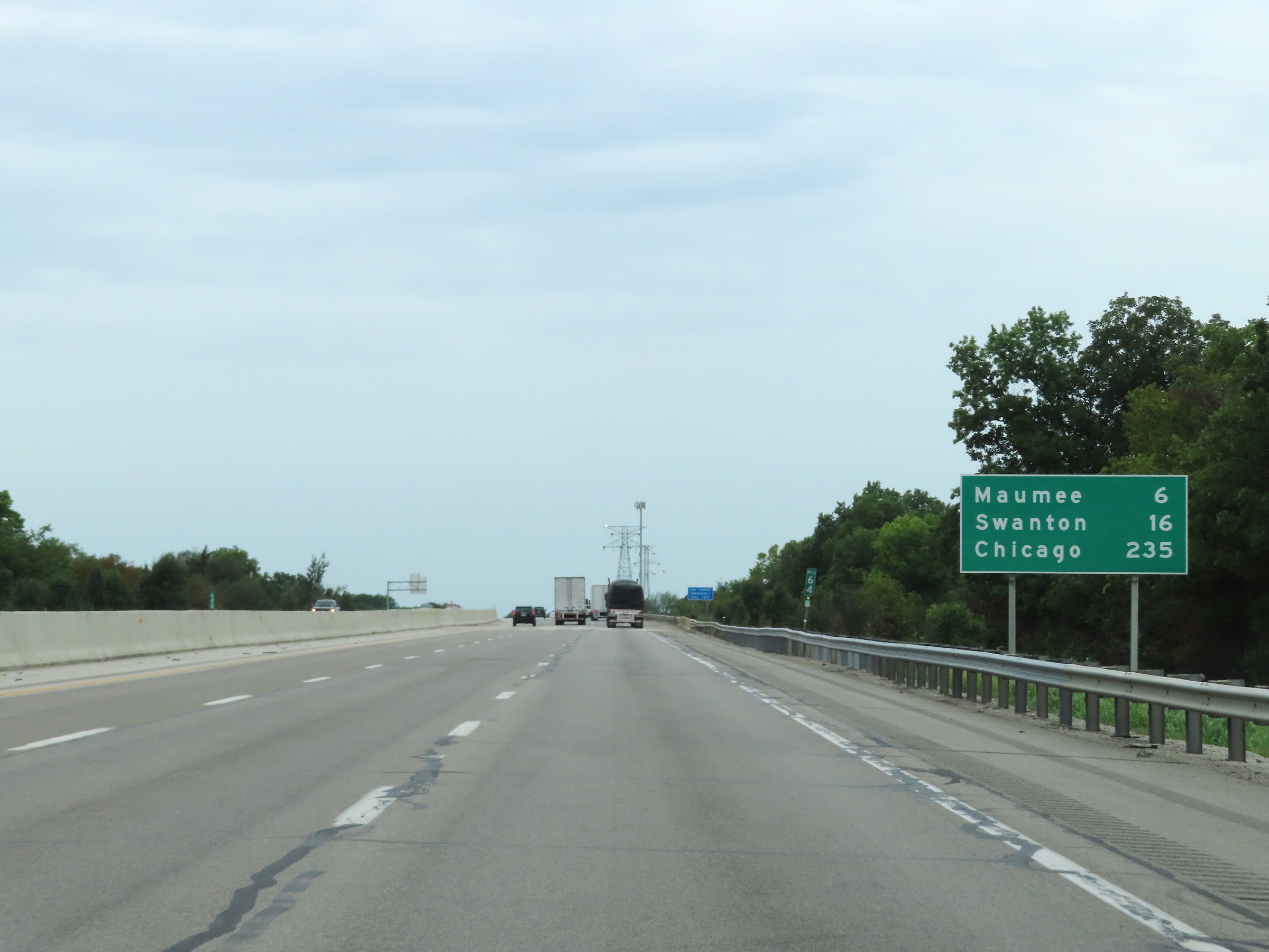 |
Mileage sign at mile marker 64. It's 6 miles to Maumee, 16 miles to Swanton, and 235 miles to Chicago. (Photo taken 8/13/22). |
 |
Interstate 80 / Interstate 90 West (Ohio Turnpike) as they cross the Maumee River to the south of downtown Toledo. (Photo taken 8/13/22). |
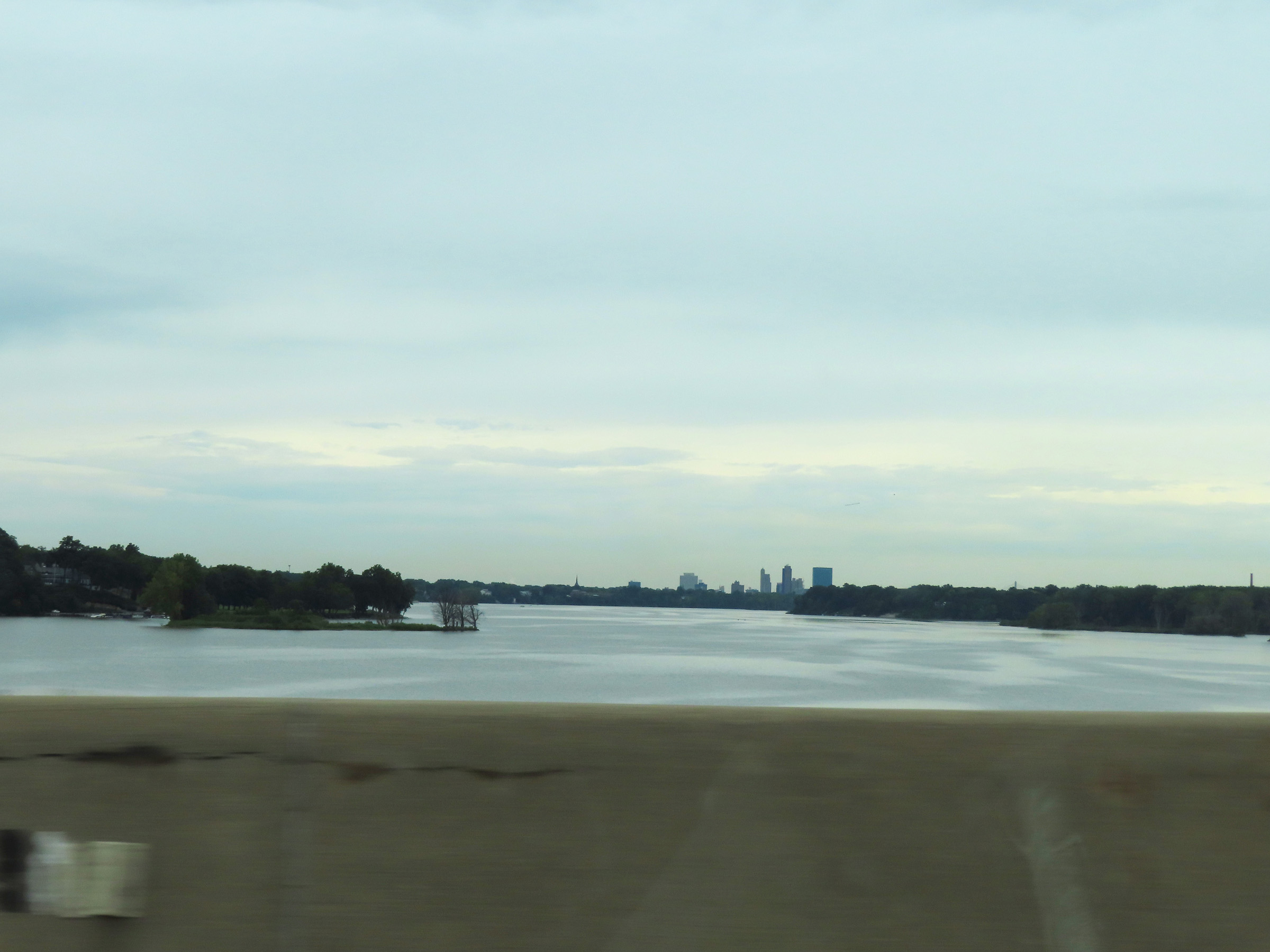 |
View of the Maumee River from Interstate 80 / Interstate 90 West (Ohio Turnpike), looking to the north. We can see downtown Toledo in the distance. (Photo taken 8/13/22). |
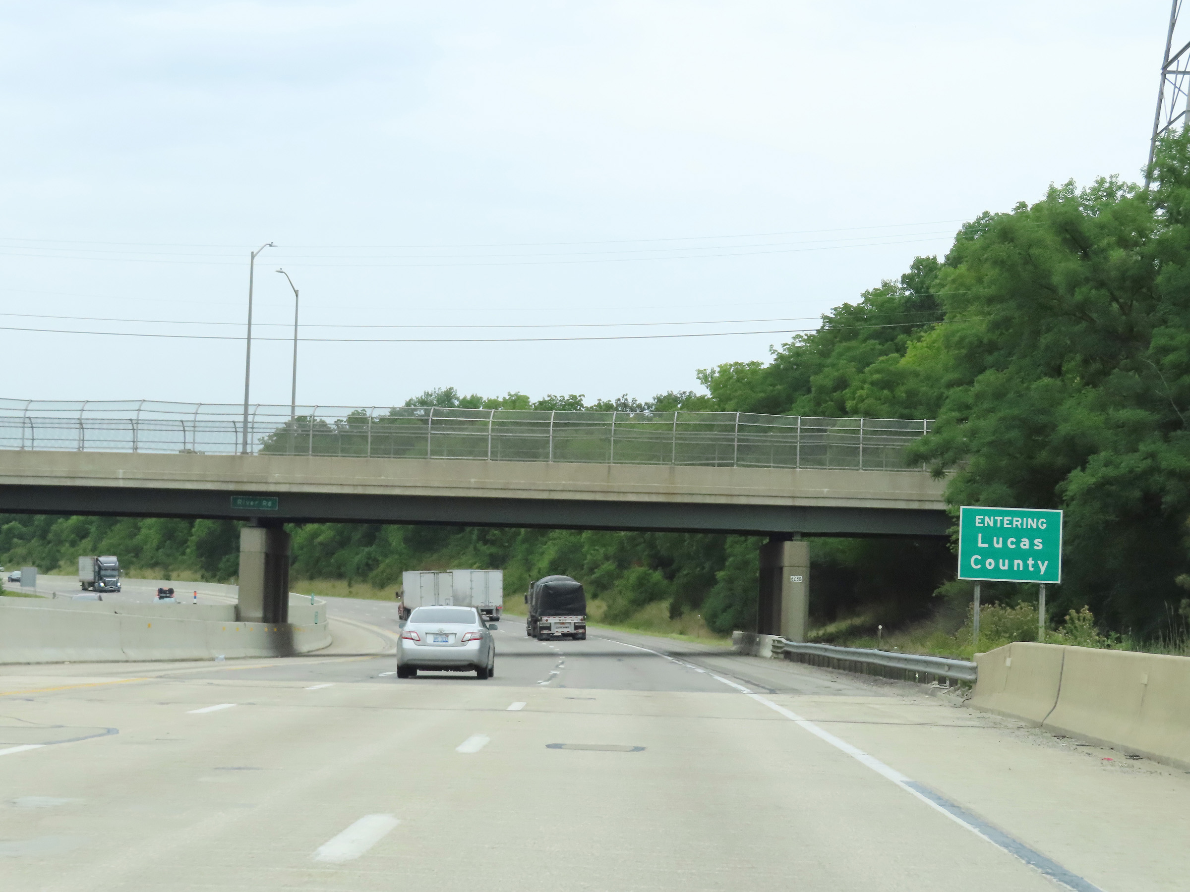 |
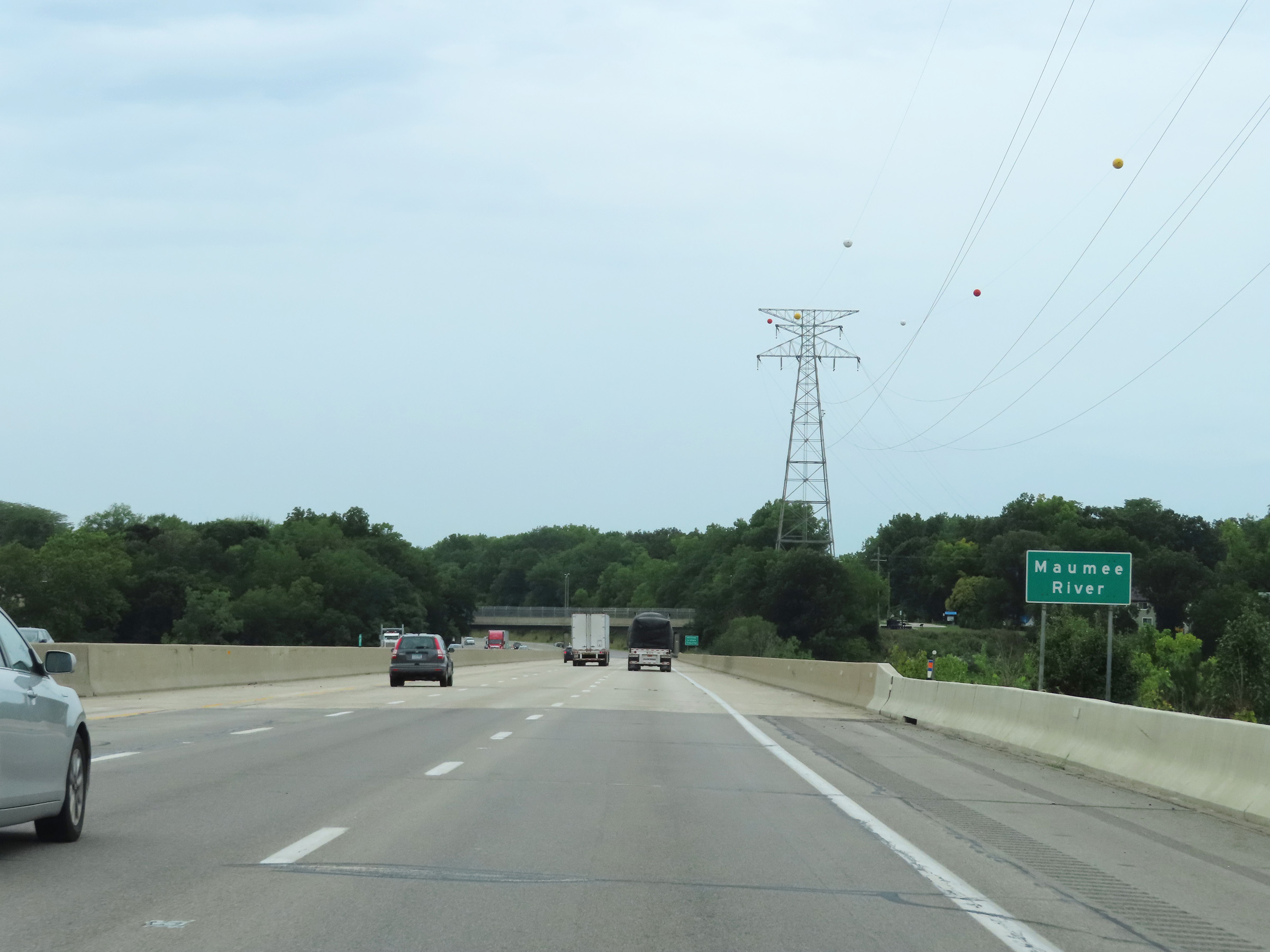
Upon crossing the Maumee River, Interstate 80 / Interstate 90 West (Ohio Turnpike) enter Lucas County. (Photo taken 8/13/22). |
 |
Interstate 80 / Interstate 90 West (Ohio Turnpike) at mile marker 62. (Photo taken 8/13/22). |
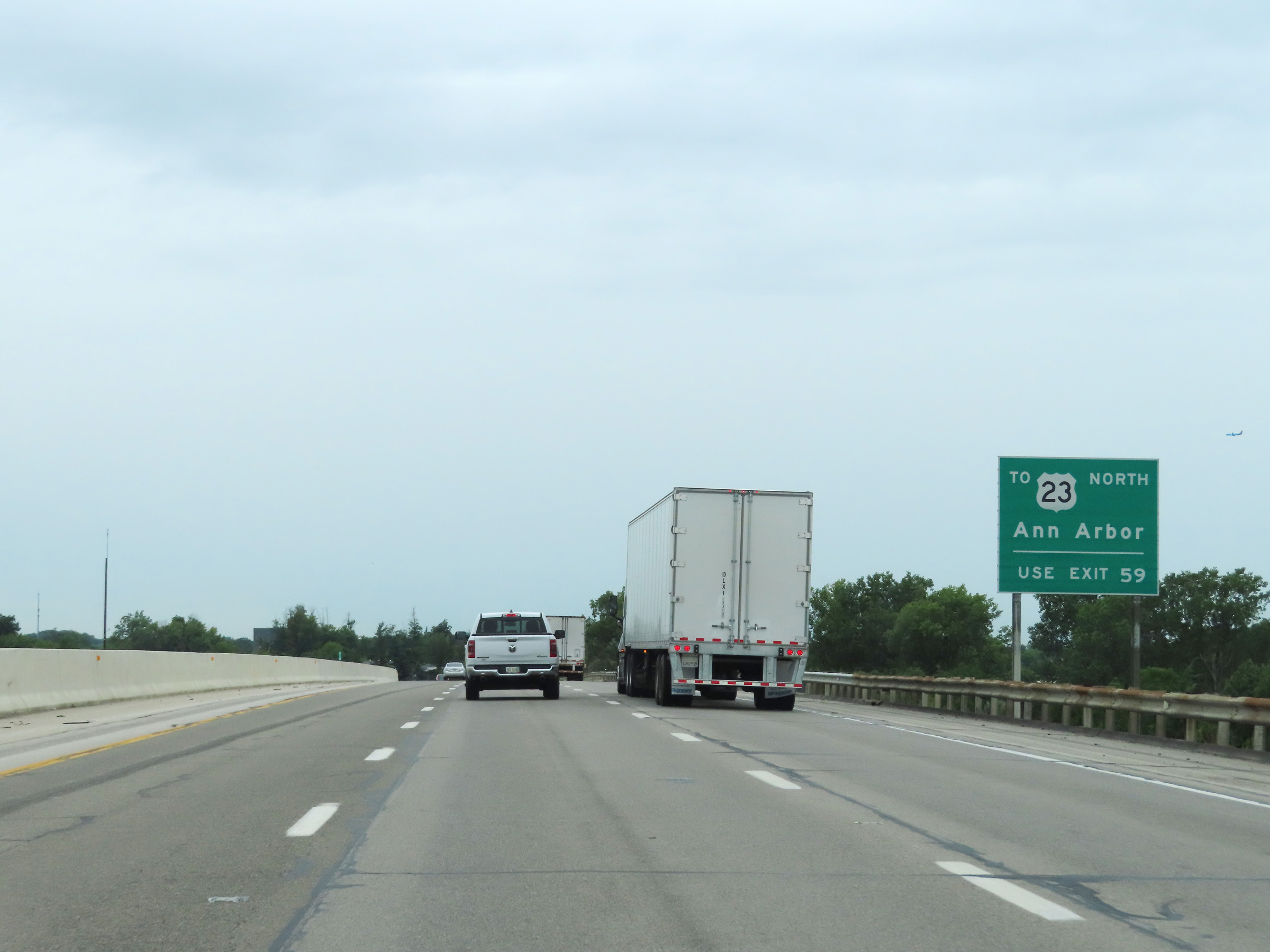 |
Traffic to US 23 North toward Ann Arbor should take Exit 59. (Photo taken 8/13/22). |
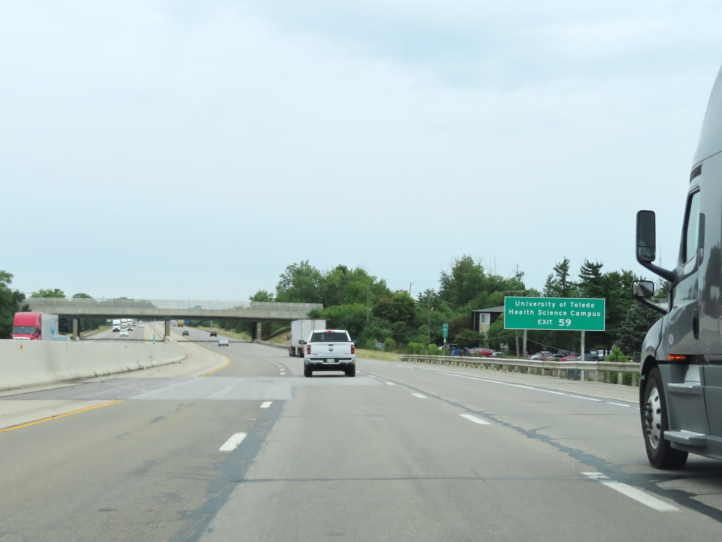 |
Also take Exit 59 to the University of Toledo Health Sciences Campus. (Photo taken 8/13/22). |
 |
Advance signage for Exit 59, which is now 1 mile ahead. (Photo taken 8/13/22). |
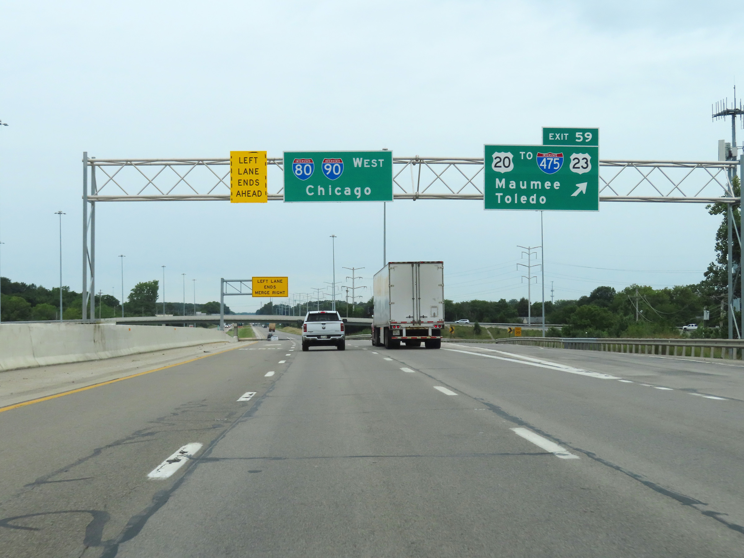 |
Interstate 80 / Interstate 90 West (Ohio Turnpike) at Exit 59: US 20 / To Interstate 475 / To US 23 - Maumee / Toledo (Photo taken 8/13/22). |
Section 4: Maumee (Exit 59) to Indiana Border
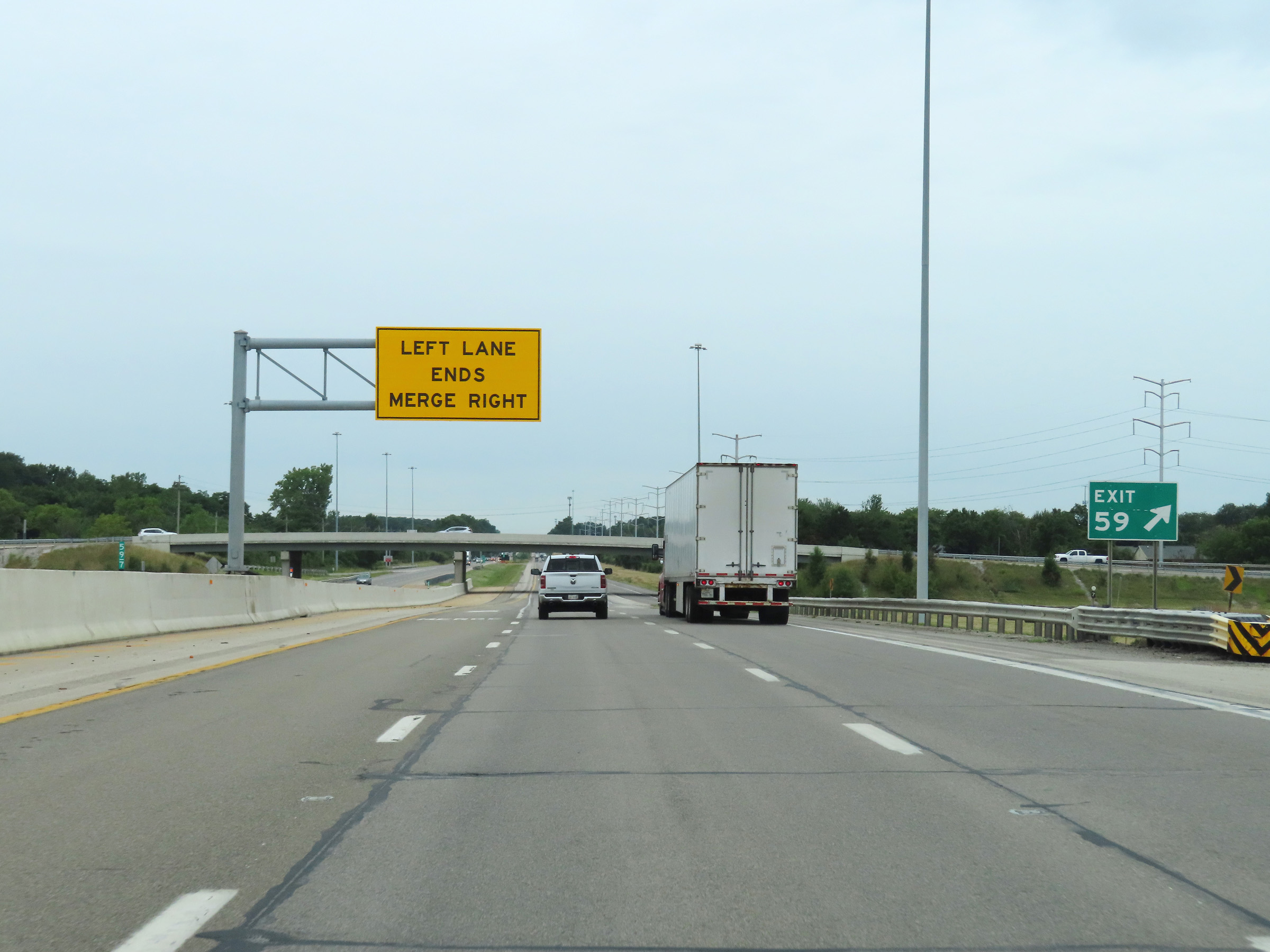 |
Immediately after Exit 59, the left lane comes to an end on Interstate 80 / Interstate 90 West (Ohio Turnpike), which leaves it with just two thru lanes. (Photo taken 8/13/22). |
 |
Another set of Interstate 80 West / Interstate 90 West / Ohio Turnpike reassurance shields at mile marker 59.2. (Photo taken 8/13/22). |
 |
View on Interstate 80 / Interstate 90 West (Ohio Turnpike) at mile marker 57. (Photo taken 8/13/22). |
 |
Mile marker 55 on Interstate 80 / Interstate 90 West (Ohio Turnpike) in Lucas County. (Photo taken 8/13/22). |
 |
Interstate 80 / Interstate 90 West (Ohio Turnpike) at mile marker 54. (Photo taken 8/13/22). |
 |
Advance signage for exit 52 - 1 mile ahead. (Photo taken 8/13/22). |
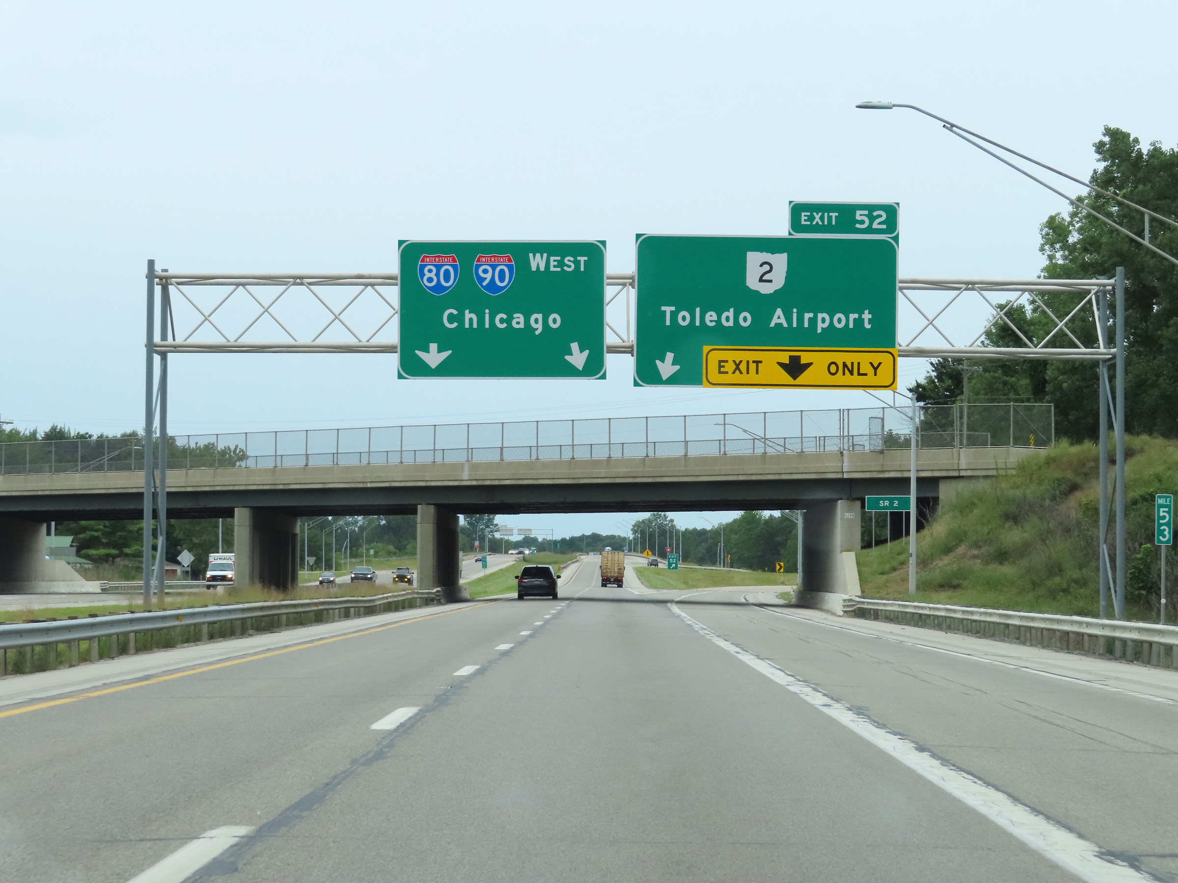 |
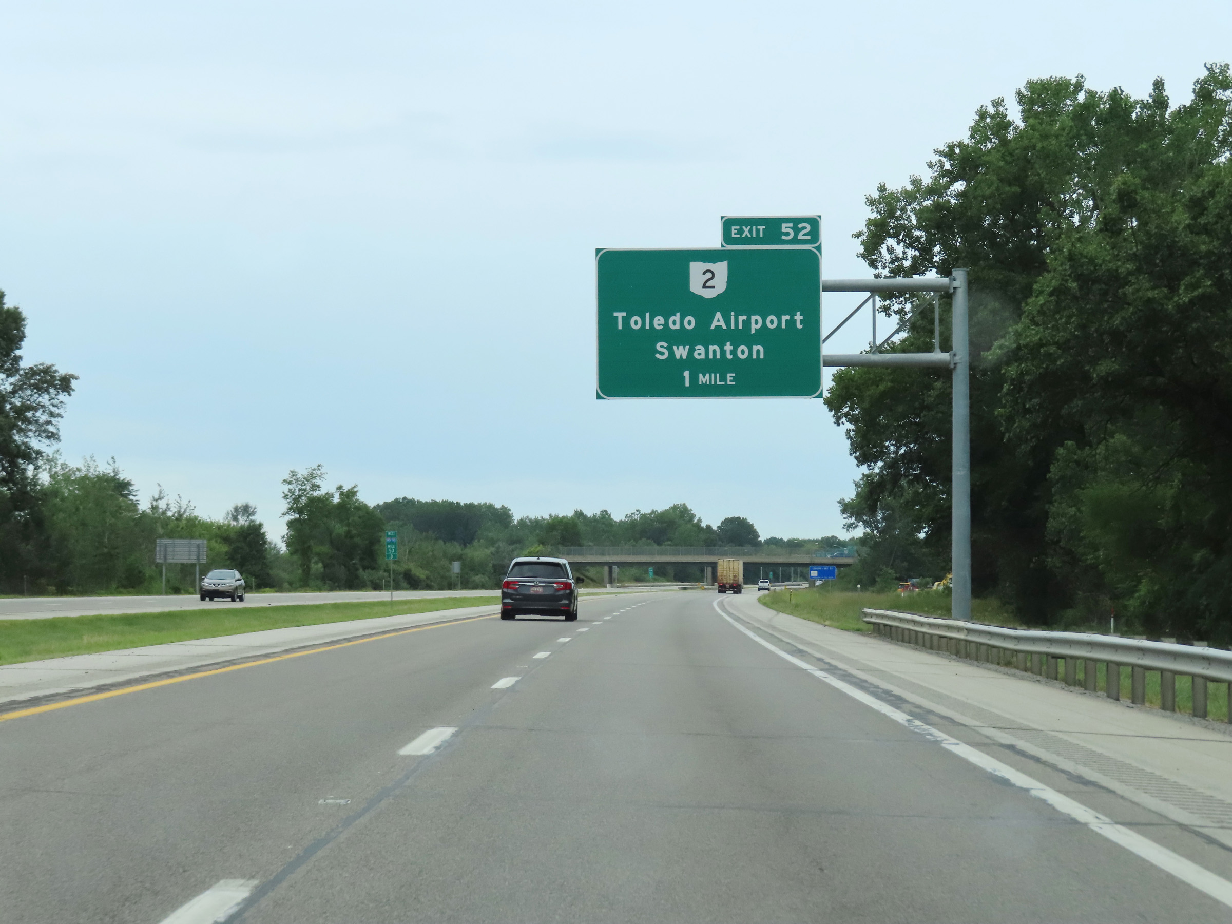
Interstate 80 / Interstate 90 West (Ohio Turnpike) at Exit 52: OH 2 - Toledo Airport / Swanton (Photo taken 8/13/22). |
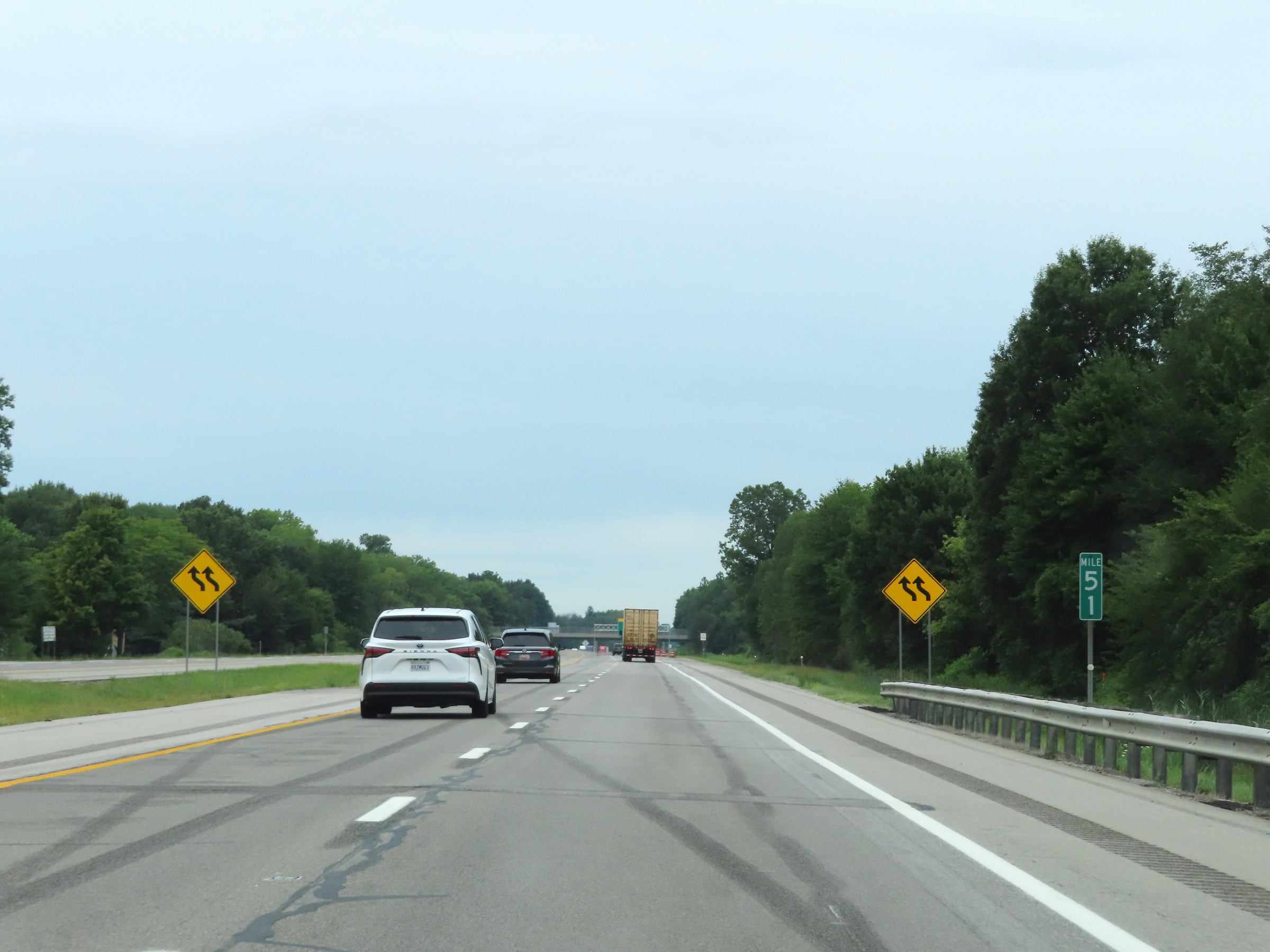 |
View on Interstate 80 / Interstate 90 West (Ohio Turnpike) at mile marker 51. (Photo taken 8/13/22). |
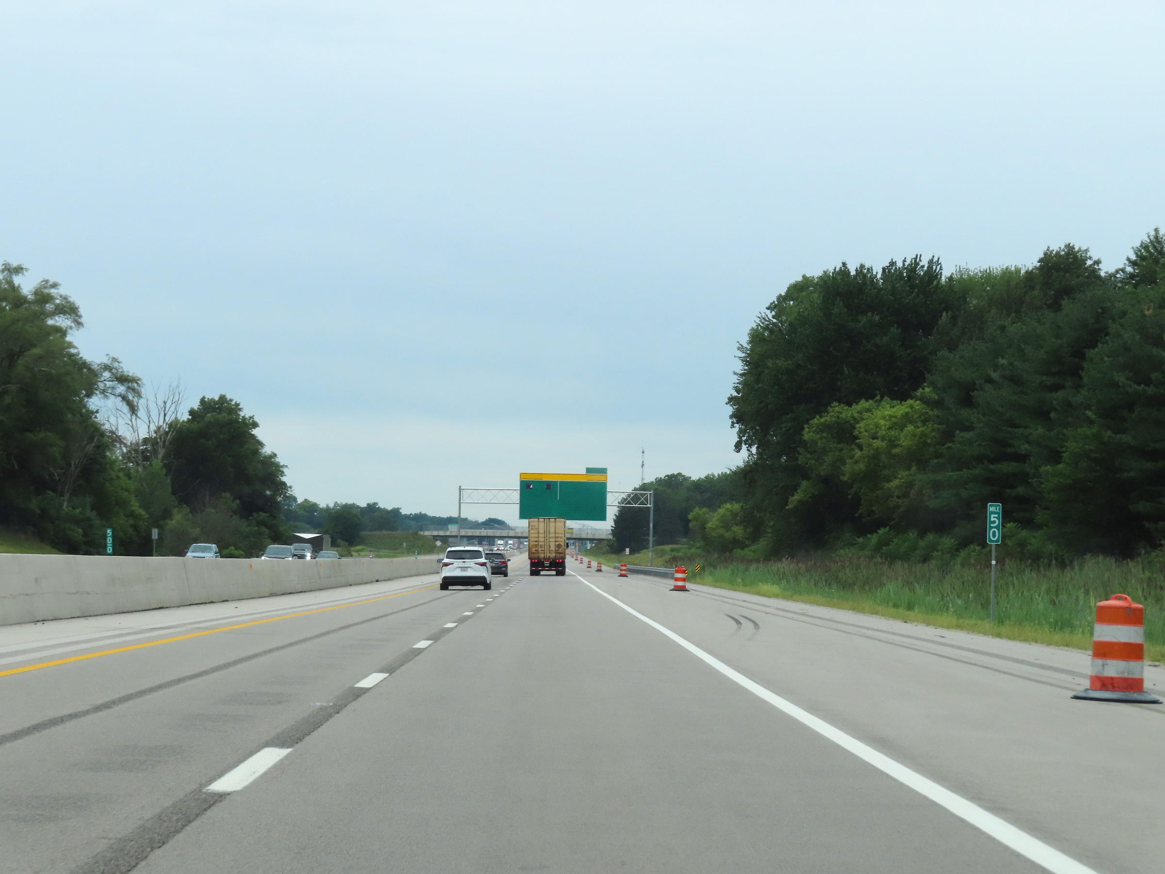 |
Mile marker 50 on Interstate 80 / Interstate 90 West (Ohio Turnpike) in Lucas County. (Photo taken 8/13/22). |
 |
Blank overhead signage for the newly built mainline toll plaza on Interstate 80 / Interstate 90 West (Ohio Turnpike) near mile marker 49, which had yet to be opened. This new toll plaza will offer express lanes, like most other toll plazas today. (Photo taken 8/13/22). |
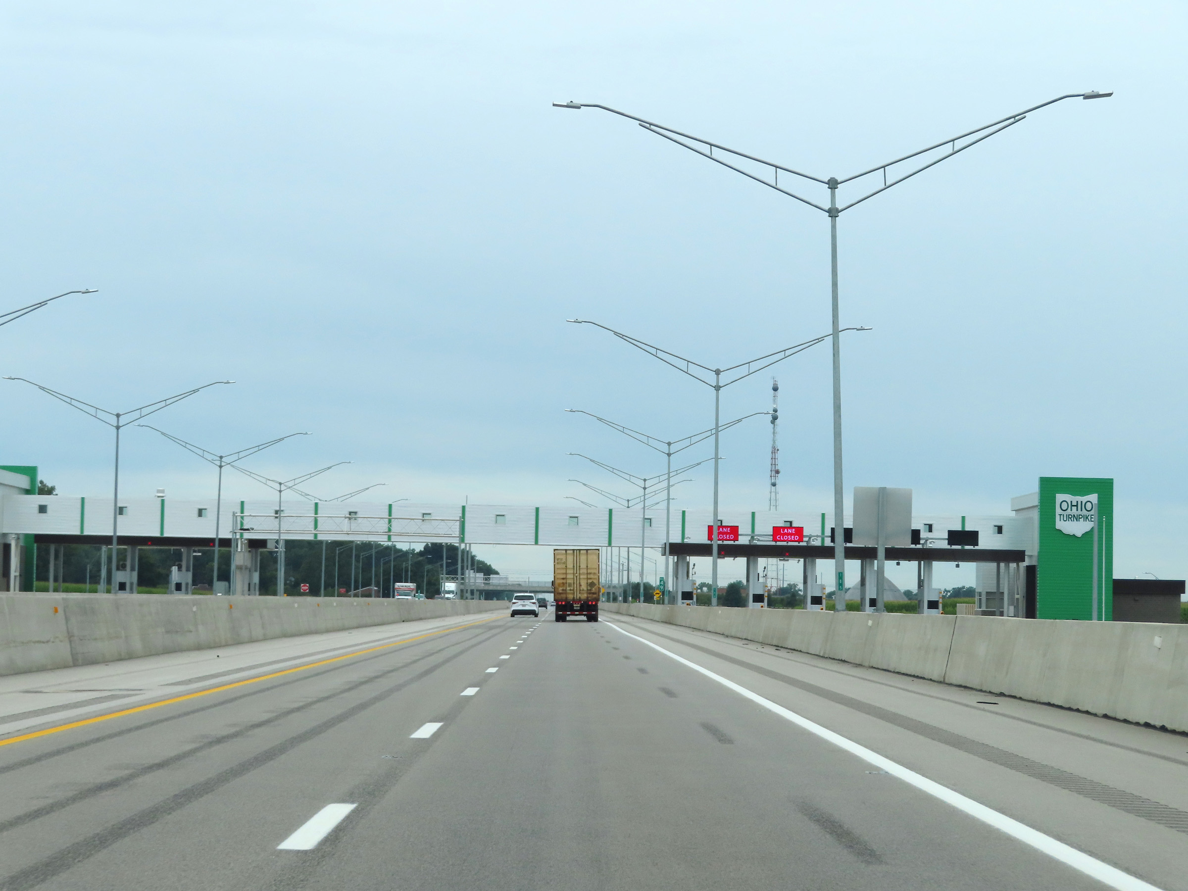 |
A closer view of the newly built mainline toll plaza near mile marker 49 on Interstate 80 / Interstate 90 West (Ohio Turnpike) in Lucas County. (Photo taken 8/13/22). |
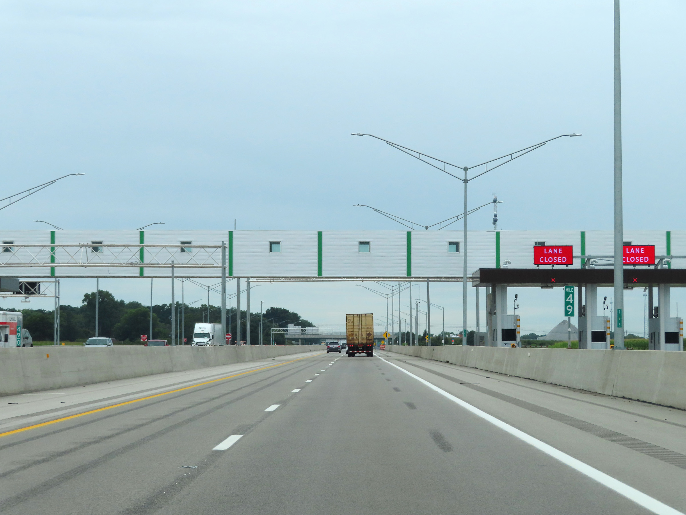 |
View on Interstate 80 / Interstate 90 West (Ohio Turnpike) at mile marker 49, as it prepares to pass under the point the new electronic toll gantry will be when opened. (Photo taken 8/13/22). |
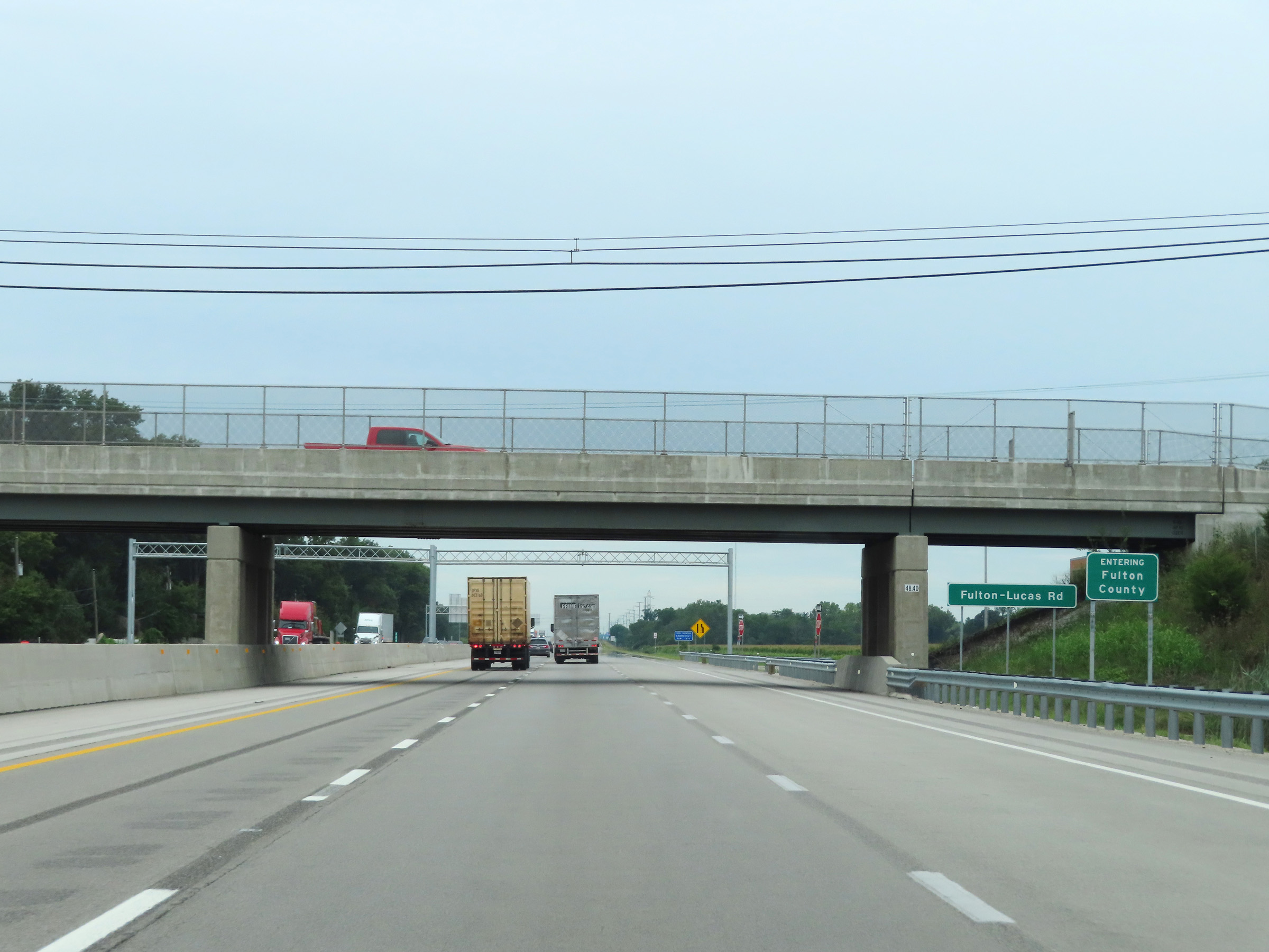 |
Interstate 80 / Interstate 90 West (Ohio Turnpike) as they enter Fulton County. (Photo taken 8/13/22). |
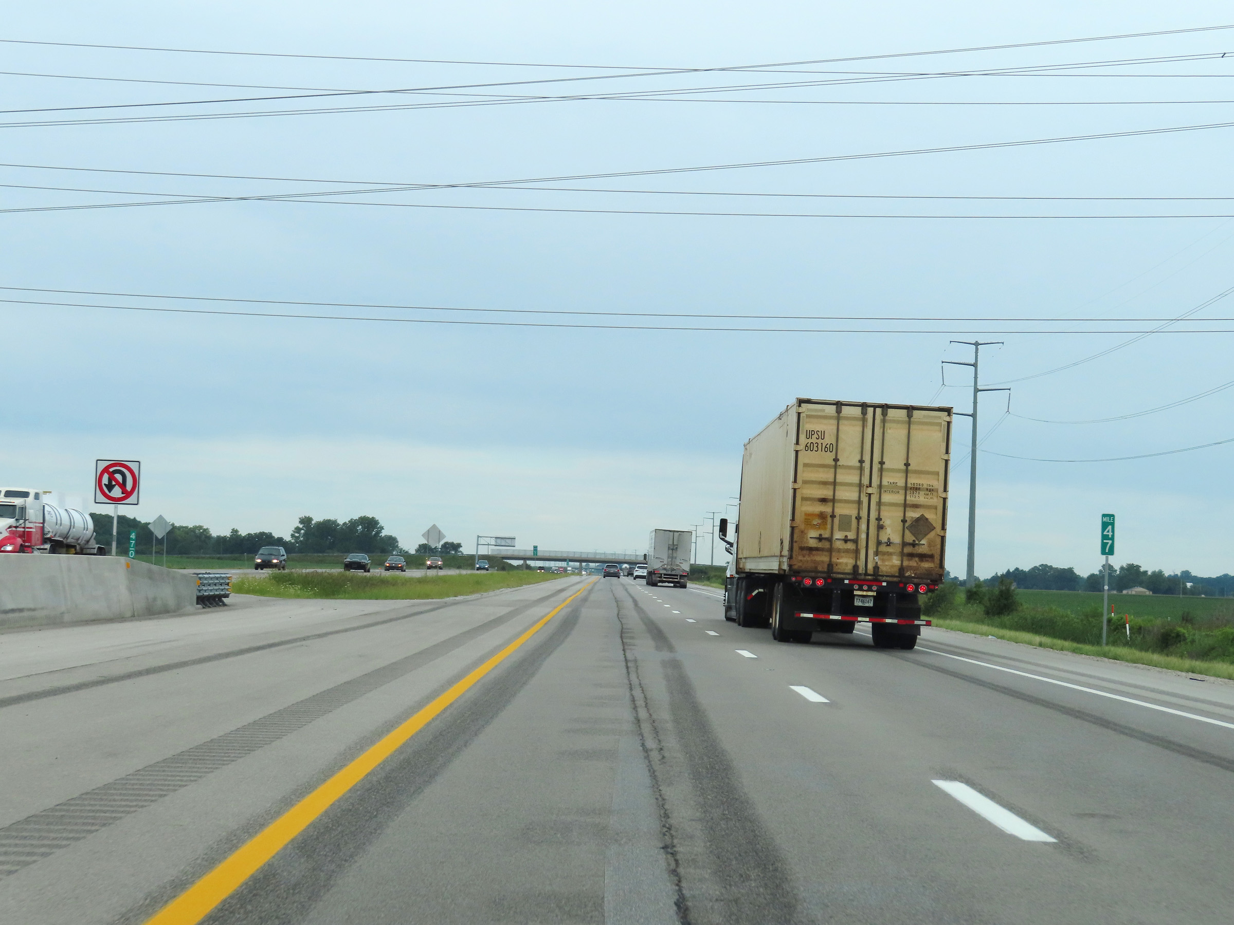 |
Interstate 80 / Interstate 90 West (Ohio Turnpike) at mile marker 47. (Photo taken 8/13/22). |
 |
View on Interstate 80 / Interstate 90 West (Ohio Turnpike) at mile marker 46. (Photo taken 8/13/22). |
 |
Mile marker 43 on Interstate 80 / Interstate 90 West (Ohio Turnpike) in Fulton County. (Photo taken 8/13/22). |
 |
Interstate 80 / Interstate 90 West (Ohio Turnpike) at mile marker 42. (Photo taken 8/13/22). |
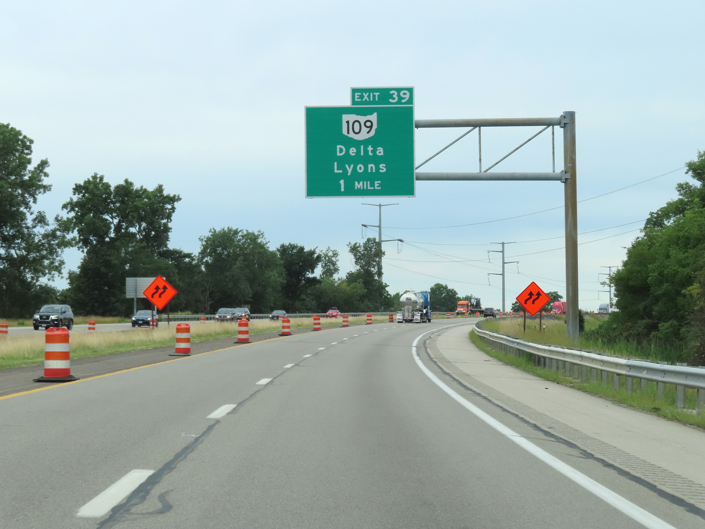 |
Advance signage for Exit 39, which is 1 mile ahead on Interstate 80 / Interstate 90 West (Ohio Turnpike). (Photo taken 8/13/22). |
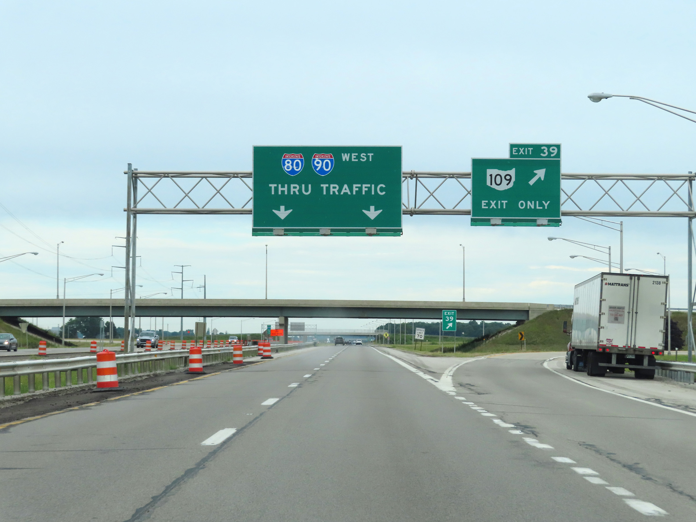 |
Interstate 80 / Interstate 90 West (Ohio Turnpike) at Exit 39: OH 109 - Delta / Lyons (Photo taken 8/13/22). |
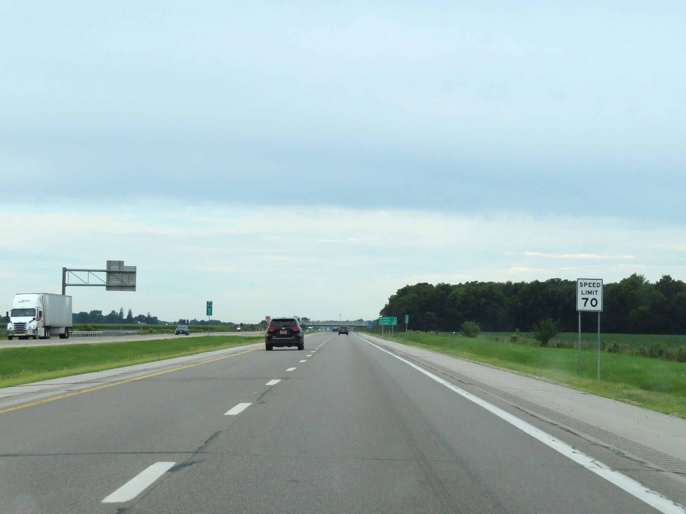 |
The speed limit on Interstate 80 / Interstate 90 West (Ohio Turnpike) remains 70 mph. (Photo taken 8/13/22). |
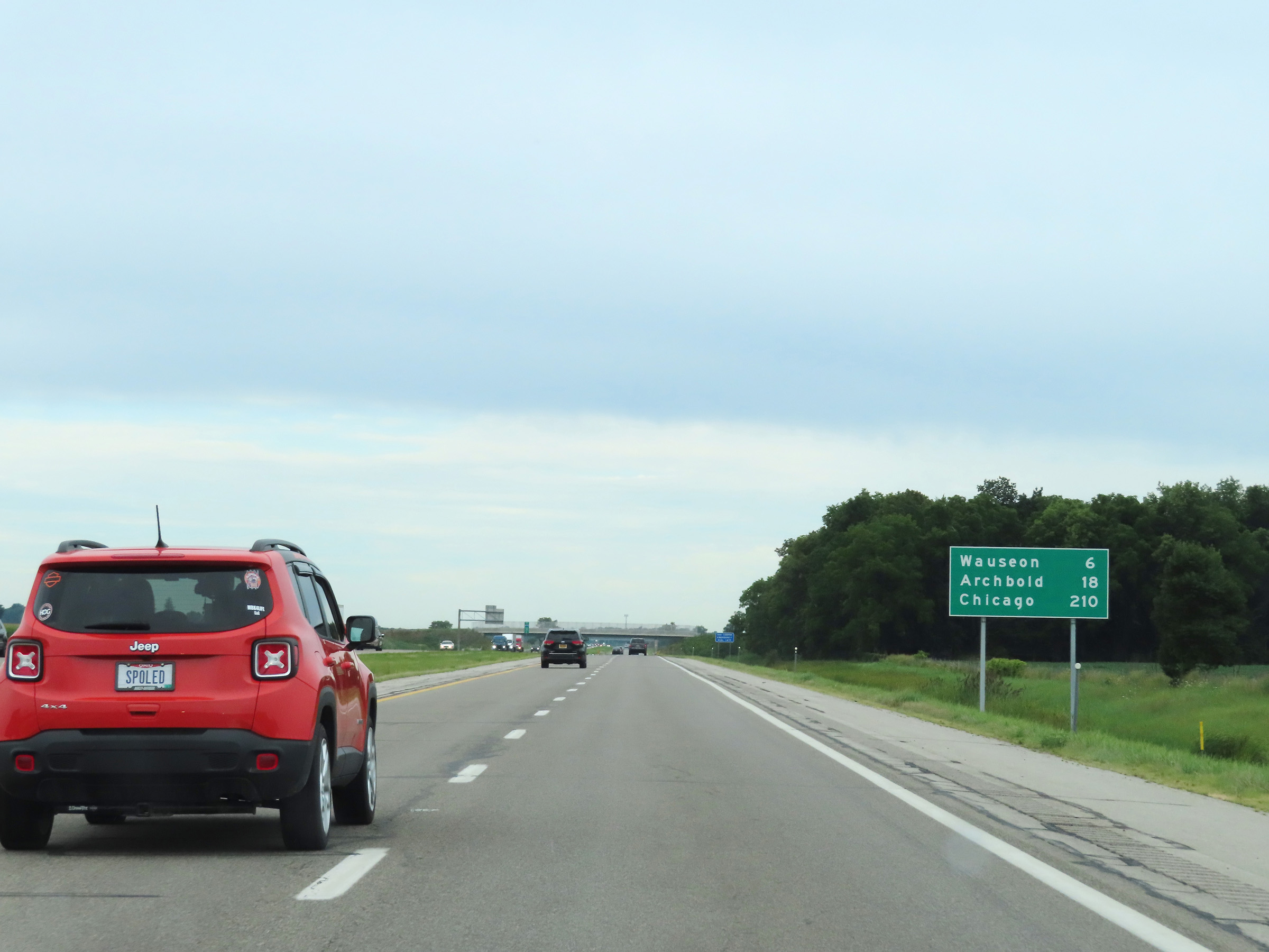 |
Mileage sign on Interstate 80 / Interstate 90 West (Ohio Turnpike). It's 6 miles to Wauseon, 18 miles to Archbold, and 210 miles to Chicago. (Photo taken 8/13/22). |
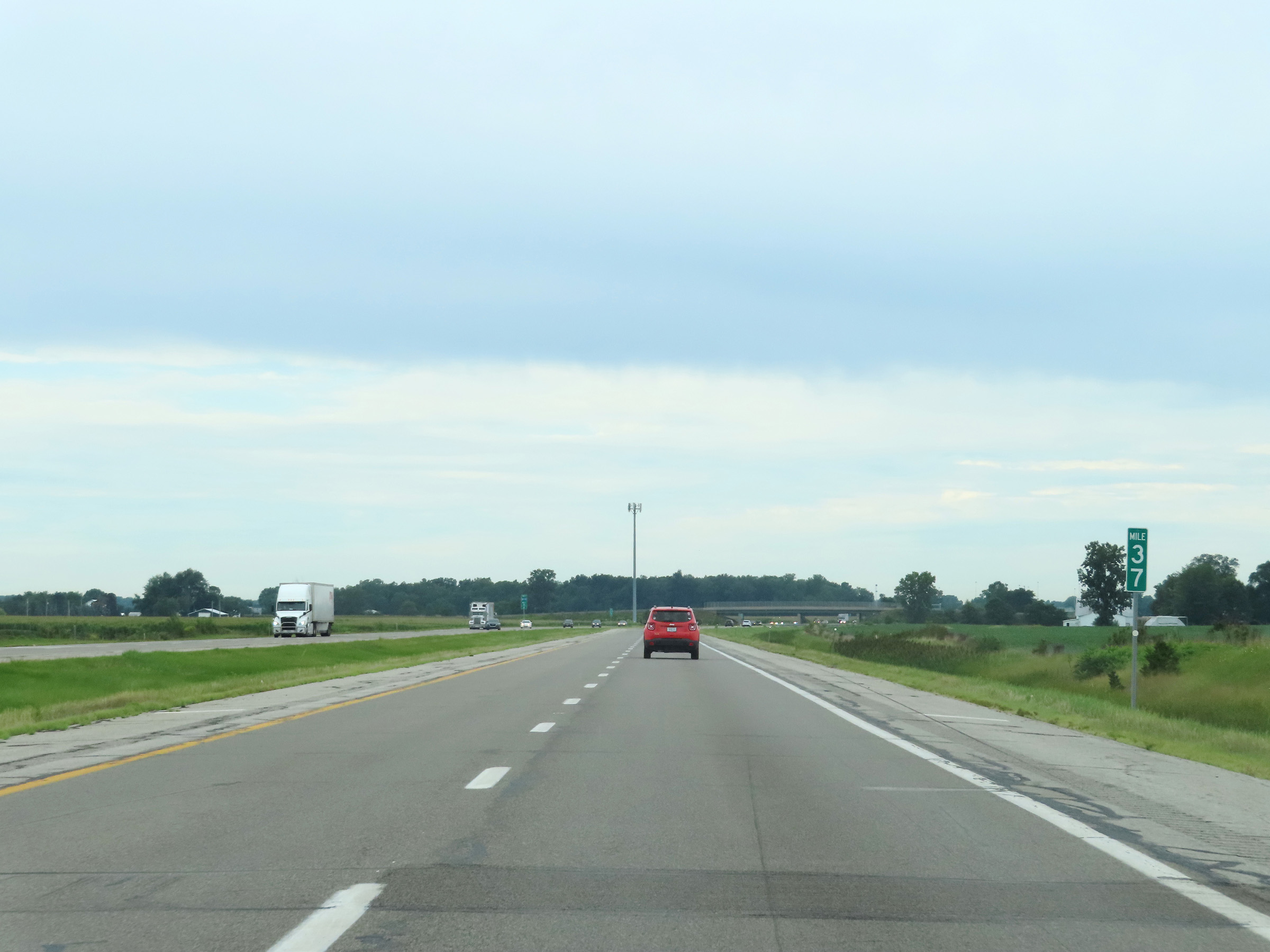 |
View on Interstate 80 / Interstate 90 West (Ohio Turnpike) at mile marker 37. (Photo taken 8/13/22). |
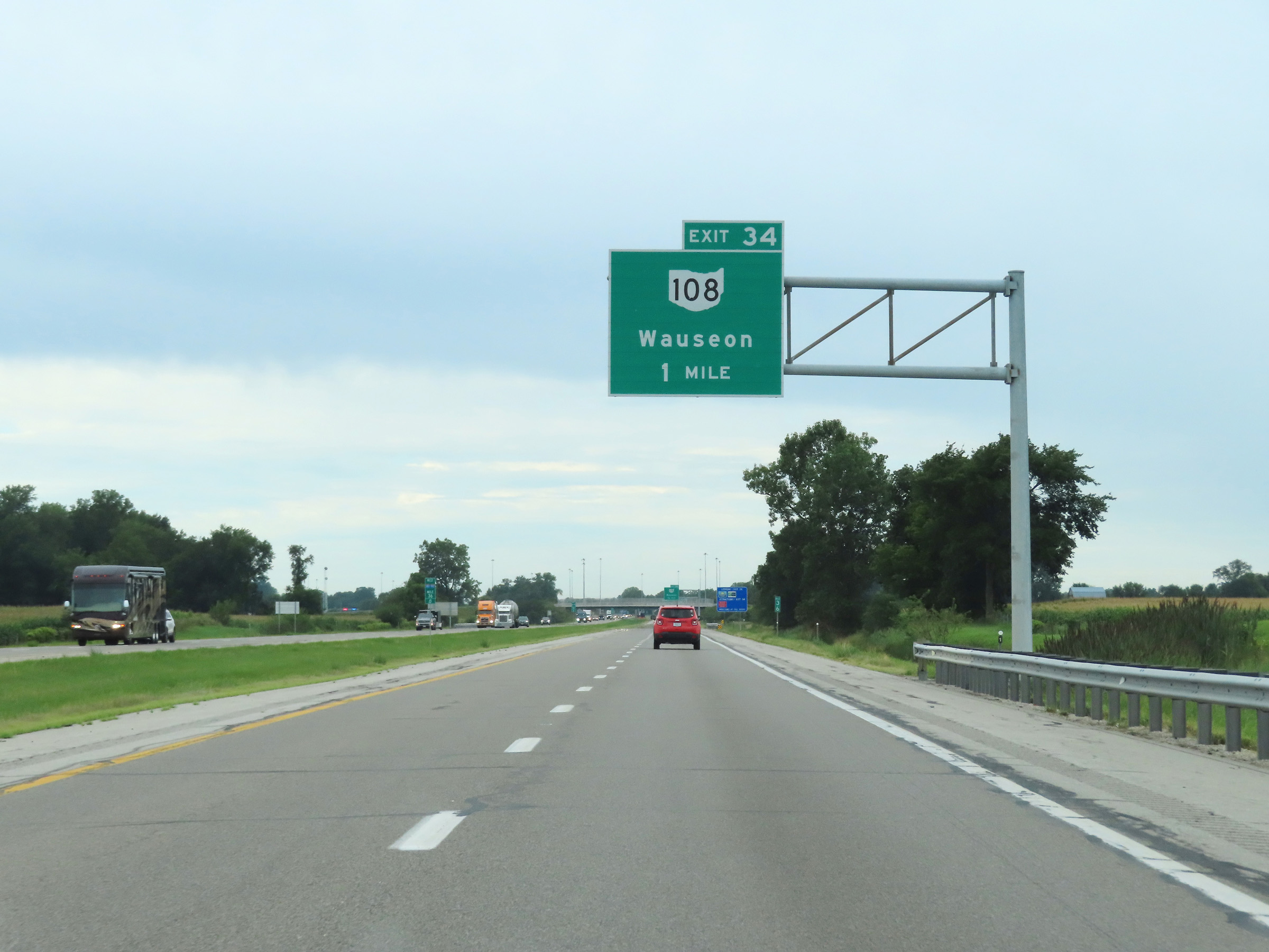 |
Advance signage for Exit 34 - 1 mile ahead. (Photo taken 8/13/22). |
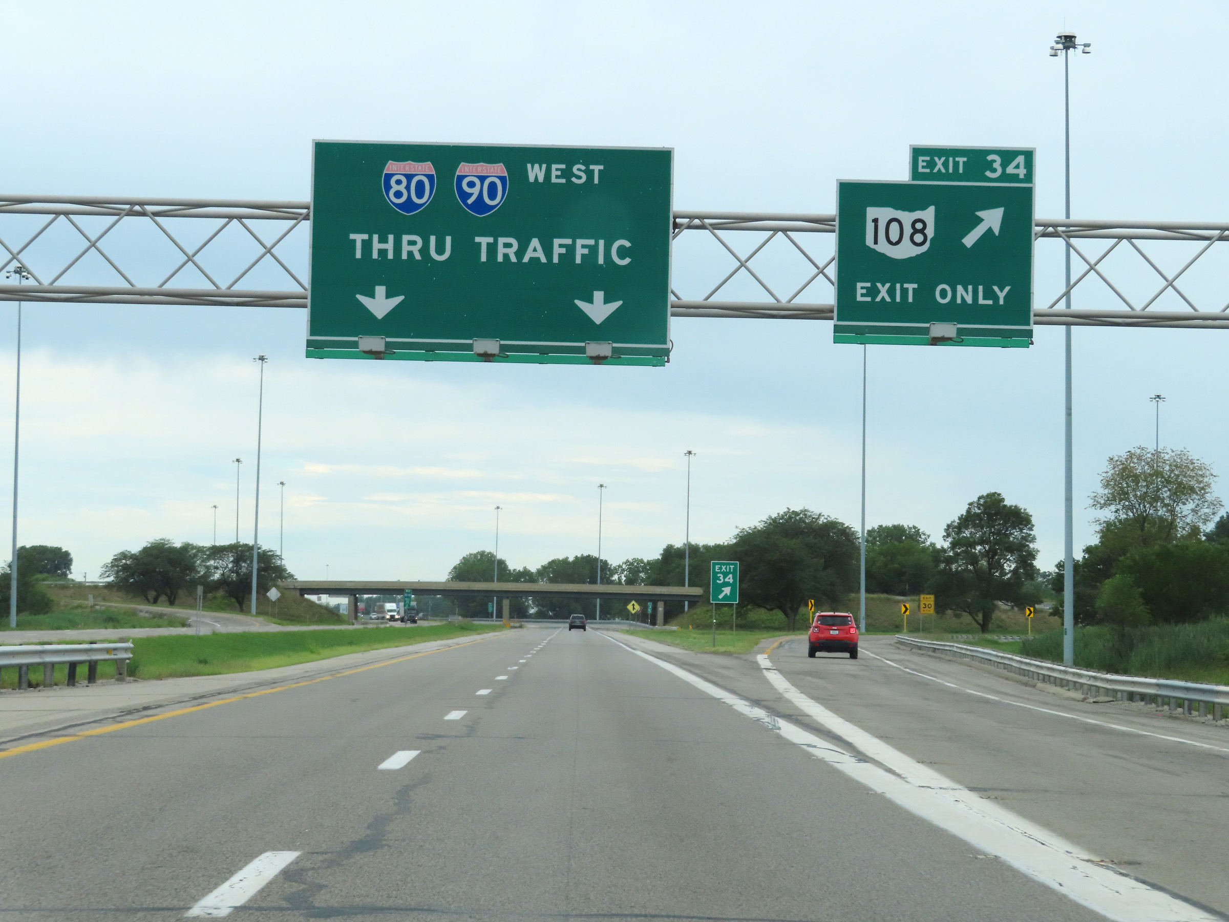 |
Interstate 80 / Interstate 90 West (Ohio Turnpike) at Exit 34: OH 108 - Wauseon (Photo taken 8/13/22). |
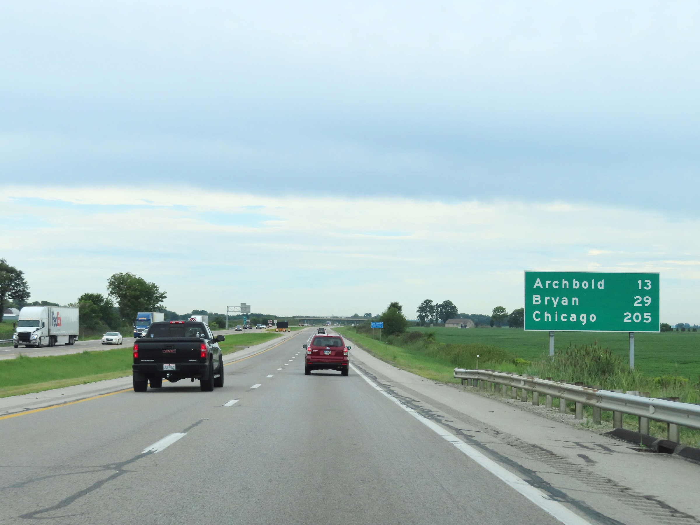 |
Another mileage sign on Interstate 80 / Interstate 90 West (Ohio Turnpike). It's 13 miles to Archbold, 29 miles to Bryan, and 205 miles to Chicago. (Photo taken 8/13/22). |
 |
Mile marker 32 on Interstate 80 / Interstate 90 West (Ohio Turnpike) in Fulton County. (Photo taken 8/13/22). |
 |
View on Interstate 80 / Interstate 90 West (Ohio Turnpike) at mile marker 30. (Photo taken 8/13/22). |
 |
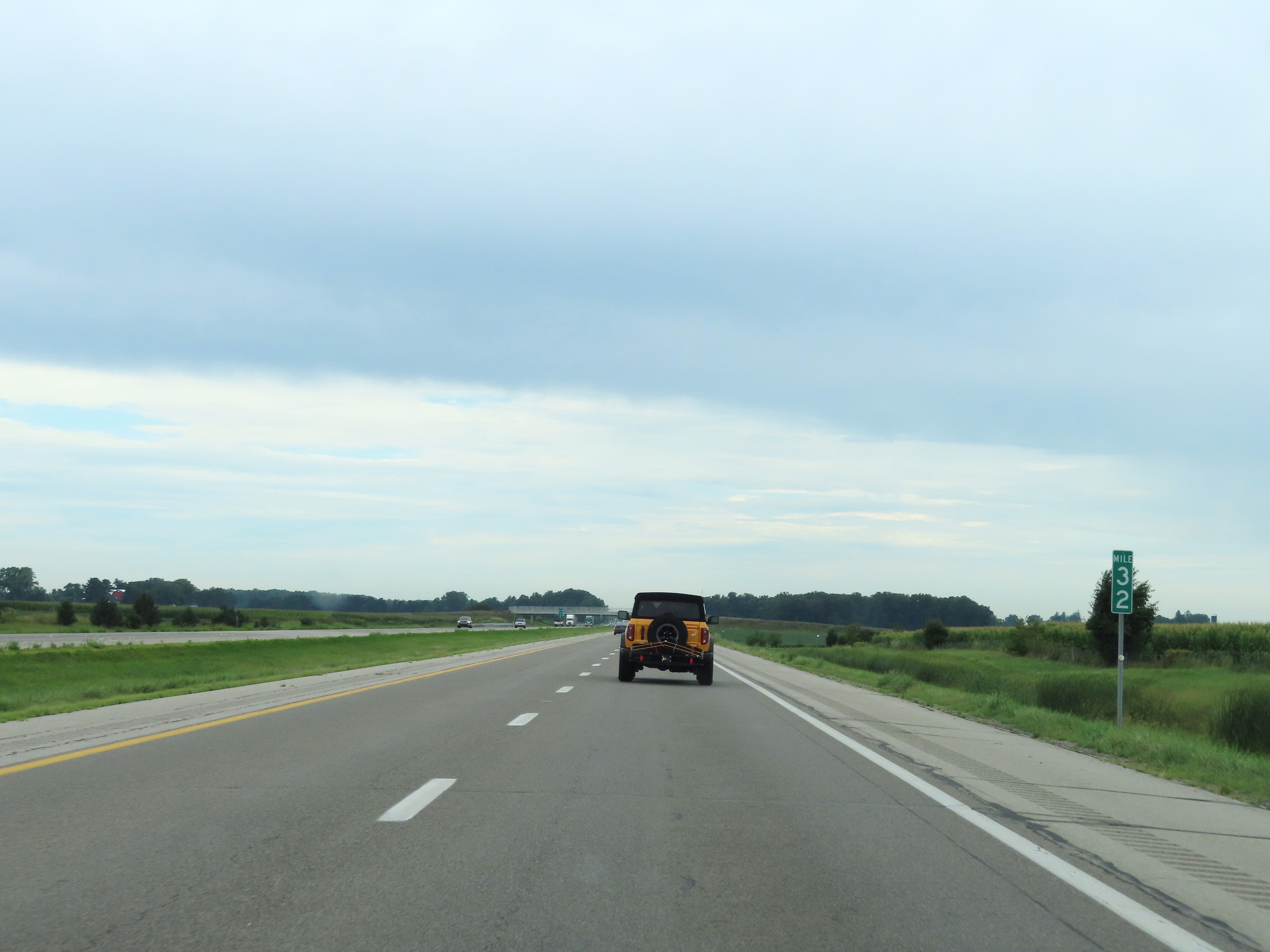
Interstate 80 / Interstate 90 West (Ohio Turnpike) at mile marker 28. (Photo taken 8/13/22). |
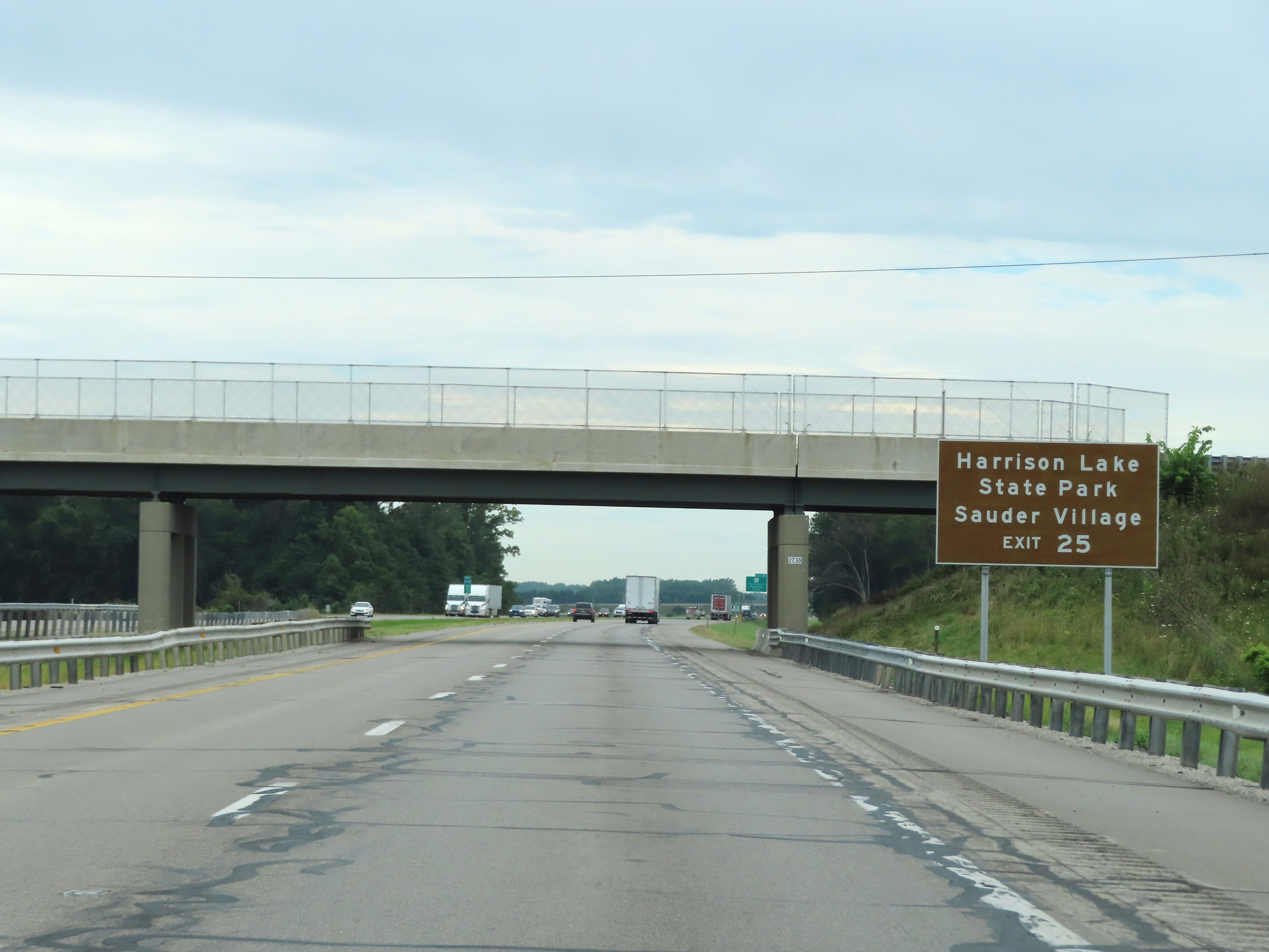 |
Take Exit 25 to Harrison Lake State Park and Sauder Village. (Photo taken 8/13/22). |
 |
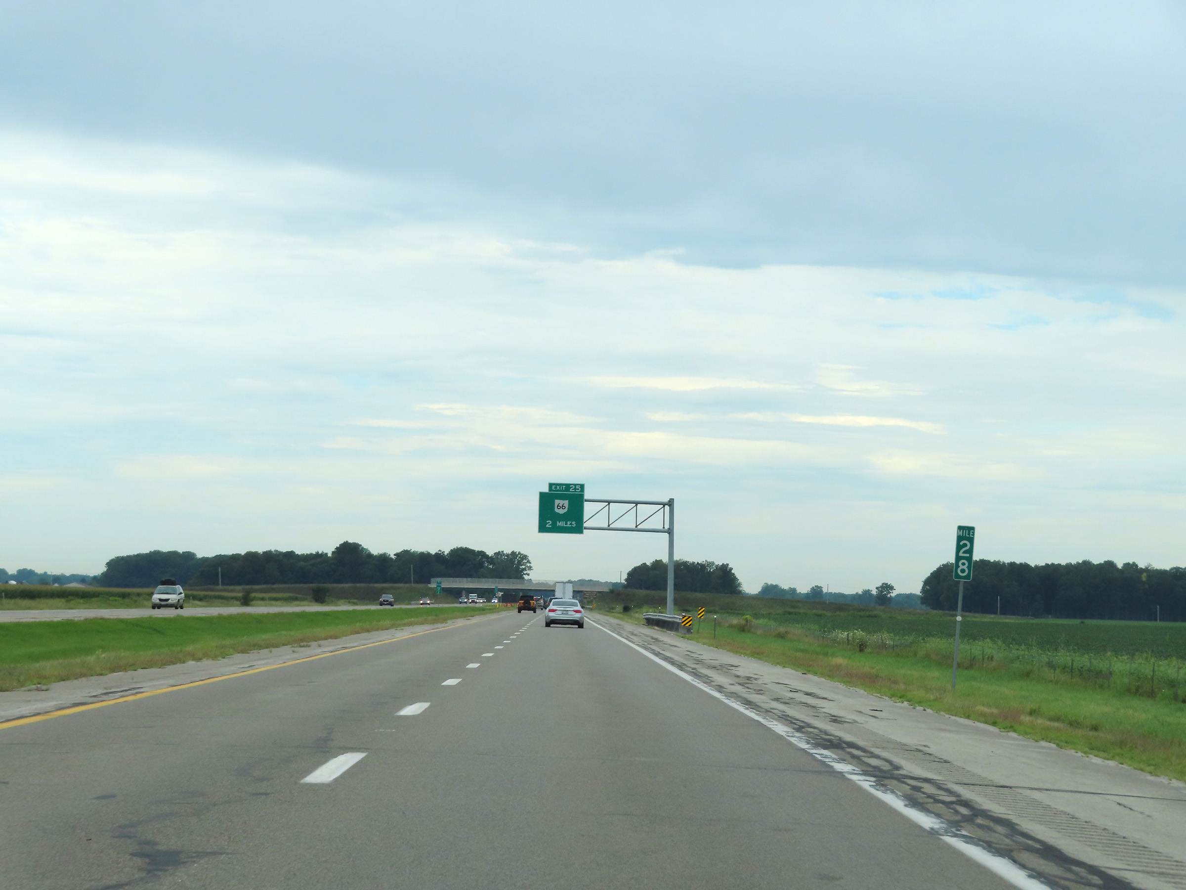
Advance signage for Exit 25 - 1 mile ahead. (Photo taken 8/13/22). |
 |
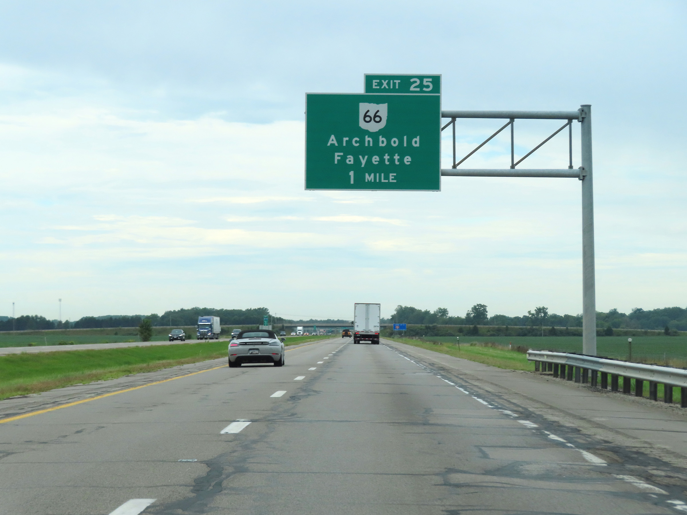
Interstate 80 / Interstate 90 West (Ohio Turnpike) at Exit 25: OH 66 - Archbold / Fayette (Photo taken 8/13/22). |
 |
More Interstate 80 West / Interstate 90 West / Ohio Turnpike reassurance shields at mile marker 25.2. (Photo taken 8/13/22). |
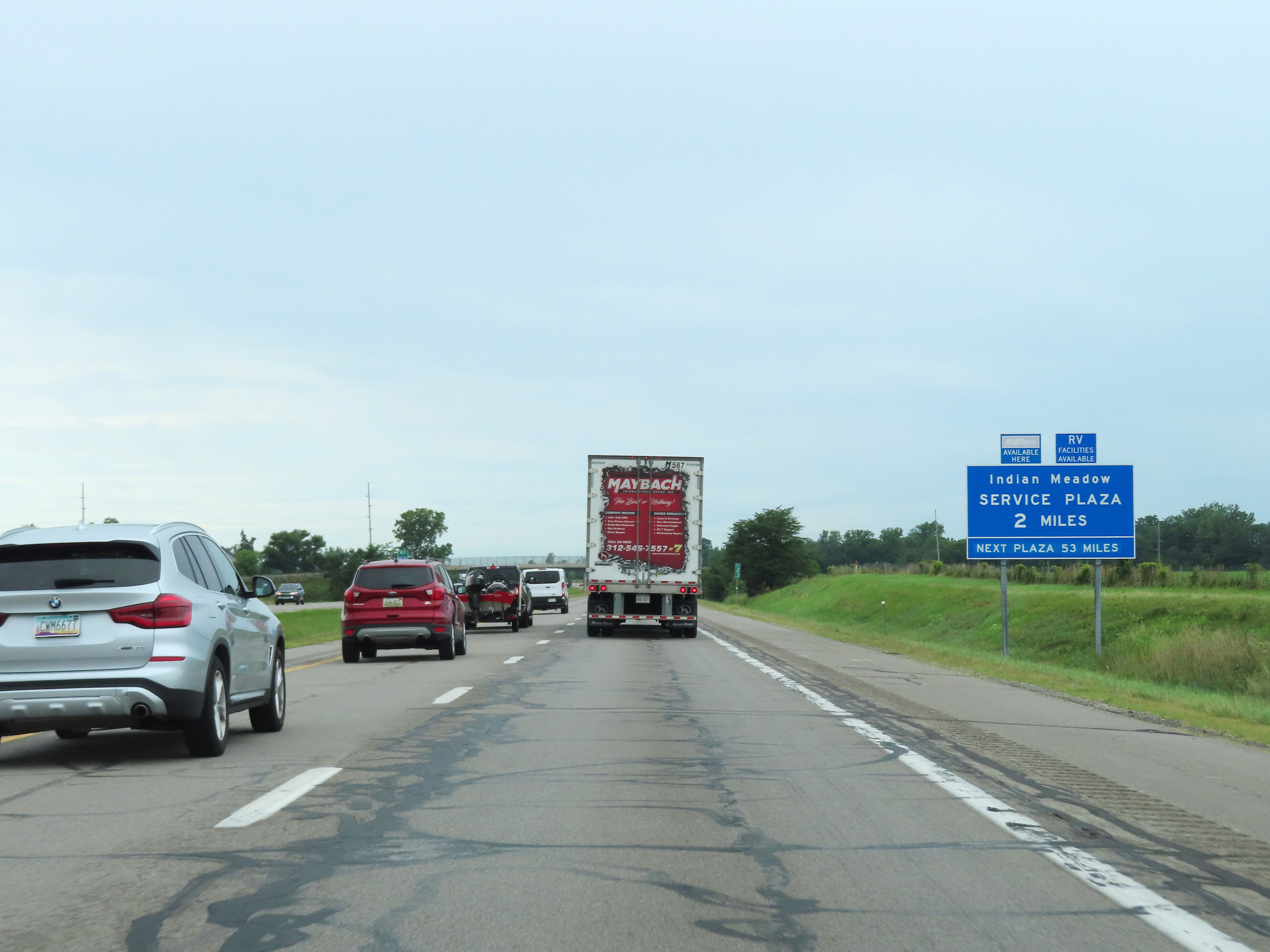 |
Advance signage for the Indian Meadow Service Plaza, which is 2 miles ahead on Interstate 80 / Interstate 90 West (Ohio Turnpike). This is the final service plaza heading west on the Ohio Turnpike. (Photo taken 8/13/22). |
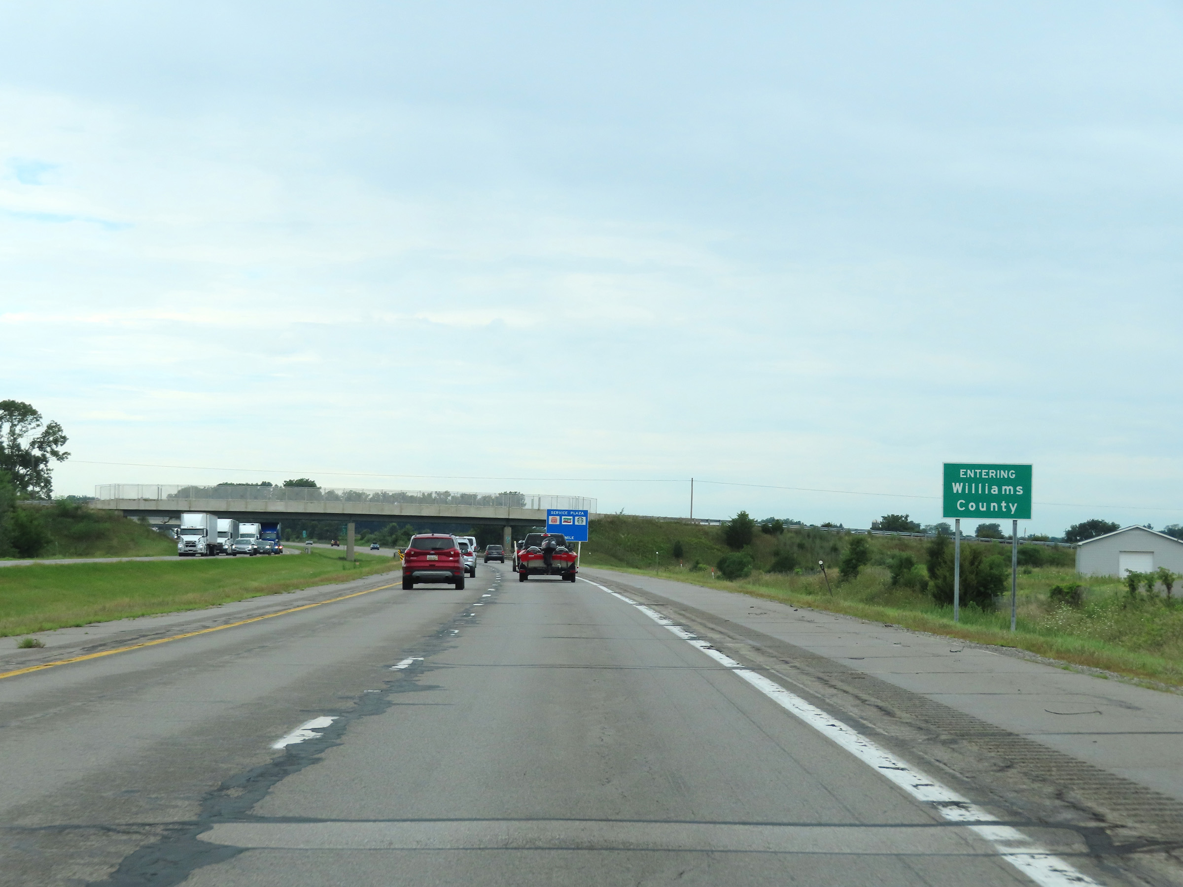 |
Interstate 80 / Interstate 90 West (Ohio Turnpike) as they enter Williams County. (Photo taken 8/13/22). |
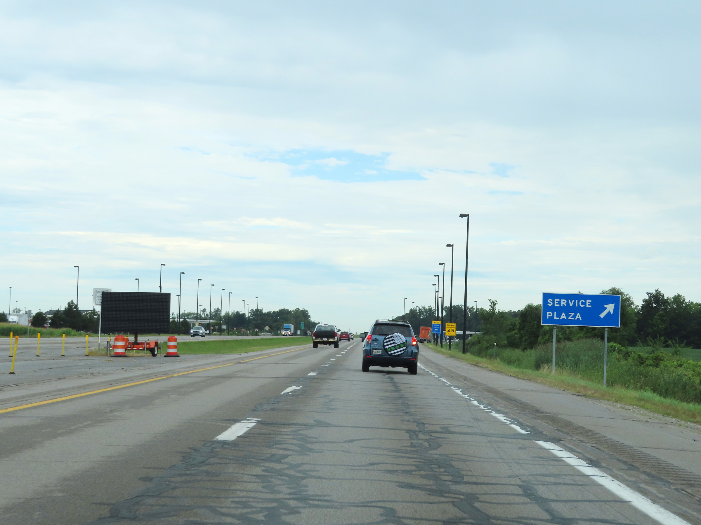 |
Interstate 80 / Interstate 90 West (Ohio Turnpike) at the Indian Meadow Service Plaza. (Photo taken 8/13/22). |
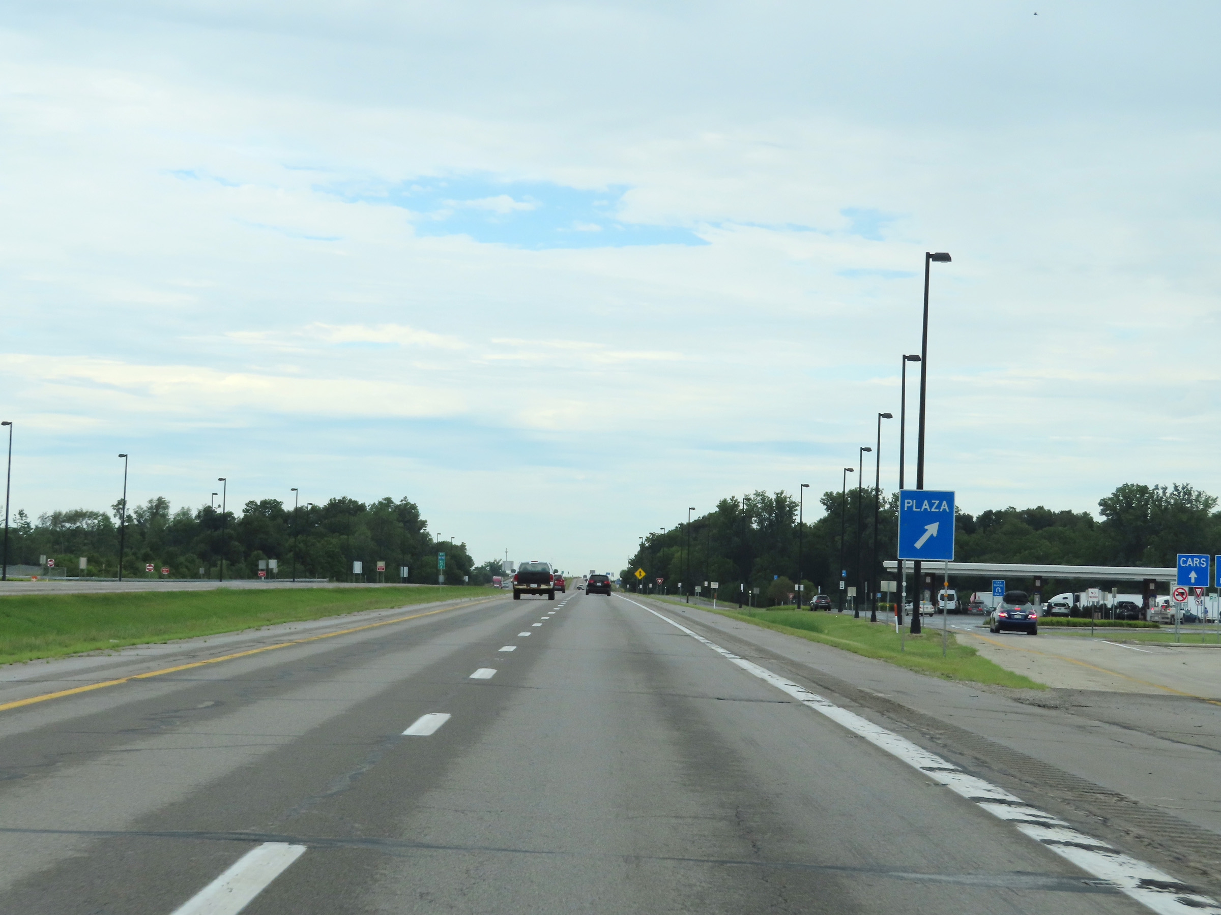 |
A closer view of the ramp to the Indian Meadow Service Plaza. (Photo taken 8/13/22). |
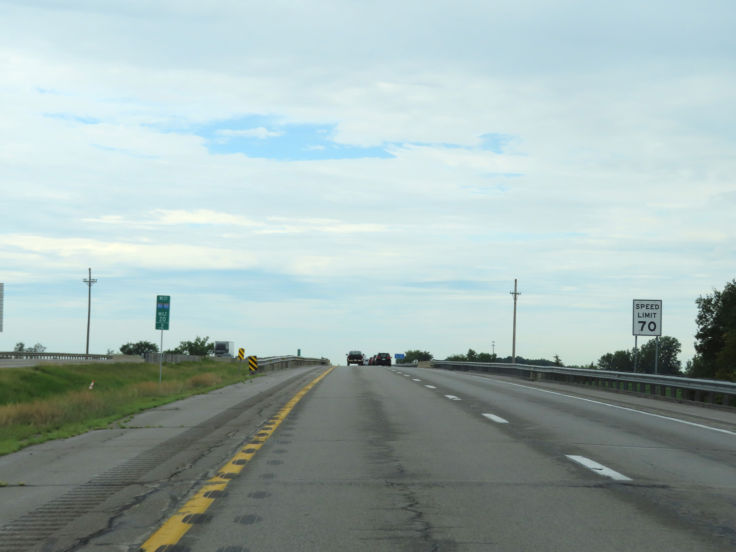 |
Speed limit signage at mile marker 20.2. The speed limit remains 70 mph. (Photo taken 8/13/22). |
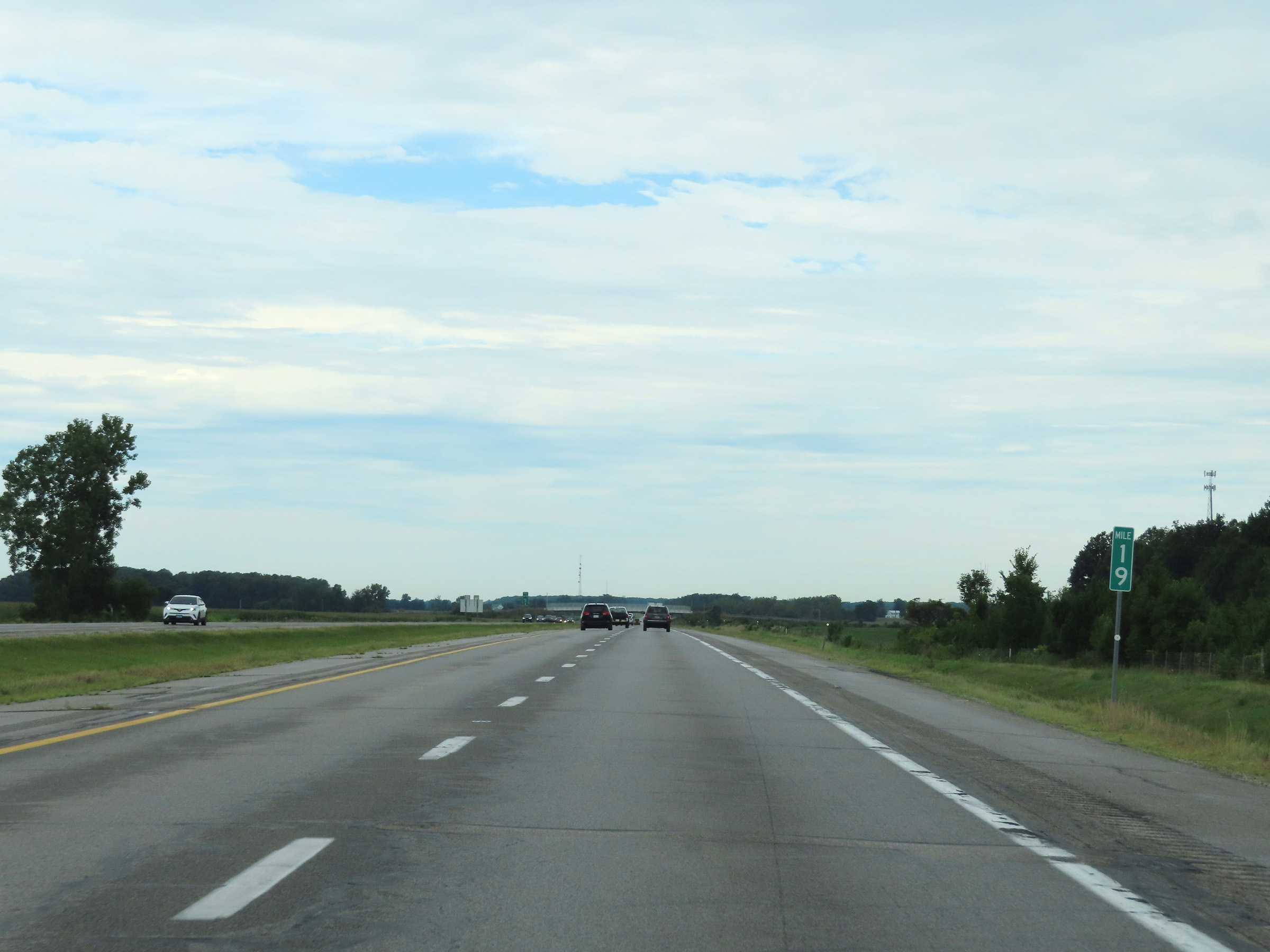 |
View on Interstate 80 / Interstate 90 West (Ohio Turnpike) at mile marker 19. (Photo taken 8/13/22). |
 |
Mile marker 17 on Interstate 80 / Interstate 90 West (Ohio Turnpike) in Williams County. (Photo taken 8/13/22). |
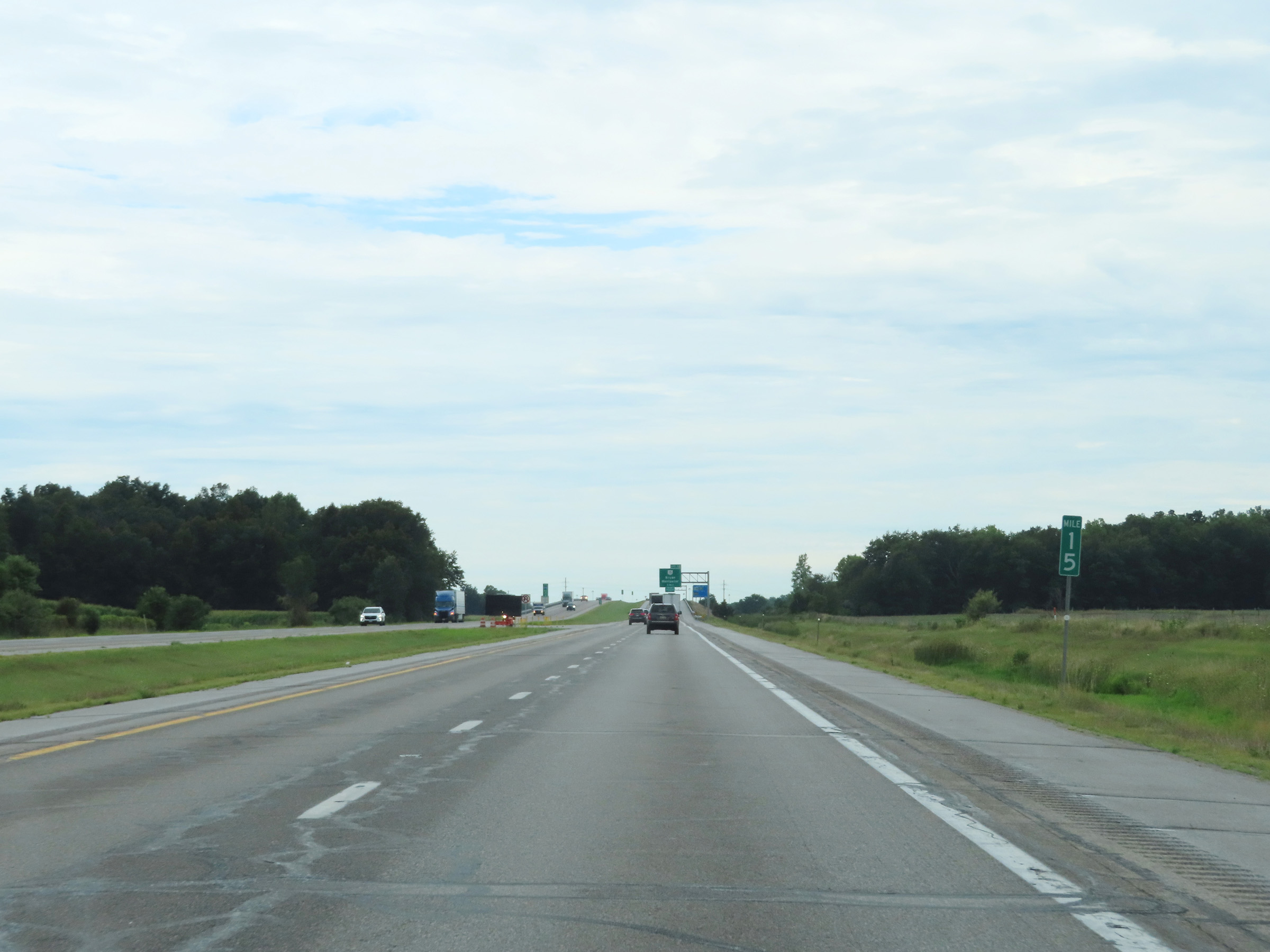 |
Interstate 80 / Interstate 90 West (Ohio Turnpike) at mile marker 15. (Photo taken 8/13/22). |
 |
Advance signage for Exit 13, which is 1 mile ahead on Interstate 80 / Interstate 90 West (Ohio Turnpike). (Photo taken 8/13/22). |
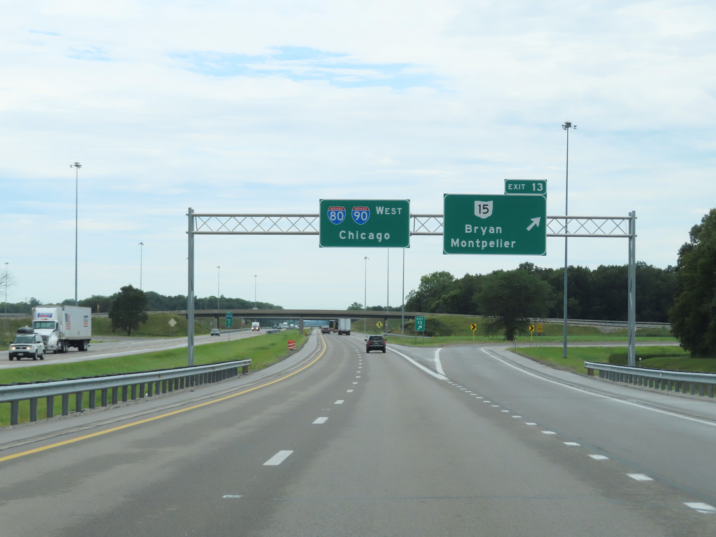 |
Interstate 80 / Interstate 90 West (Ohio Turnpike) at Exit 13: OH 15 - Bryan / Montpelier (Photo taken 8/13/22). |
 |
Interstate 80 West / Interstate 90 West / Ohio Turnpike reassurance shields at mile marker 13. (Photo taken 8/13/22). |
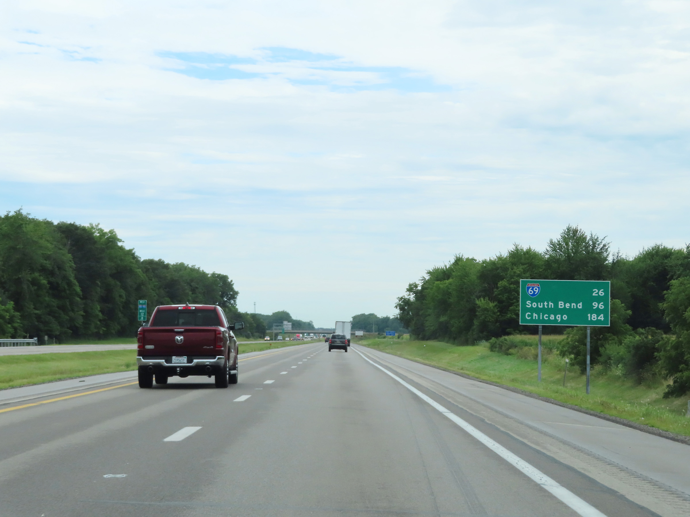 |
Mileage sign on Interstate 80 / Interstate 90 West (Ohio Turnpike) at mile marker 12.8. It's 26 miles to the junction of Interstate 69, 96 miles to South Bend, and 184 miles to Chicago. (Photo taken 8/13/22). |
 |
View on Interstate 80 / Interstate 90 West (Ohio Turnpike) at mile marker 11. (Photo taken 8/13/22). |
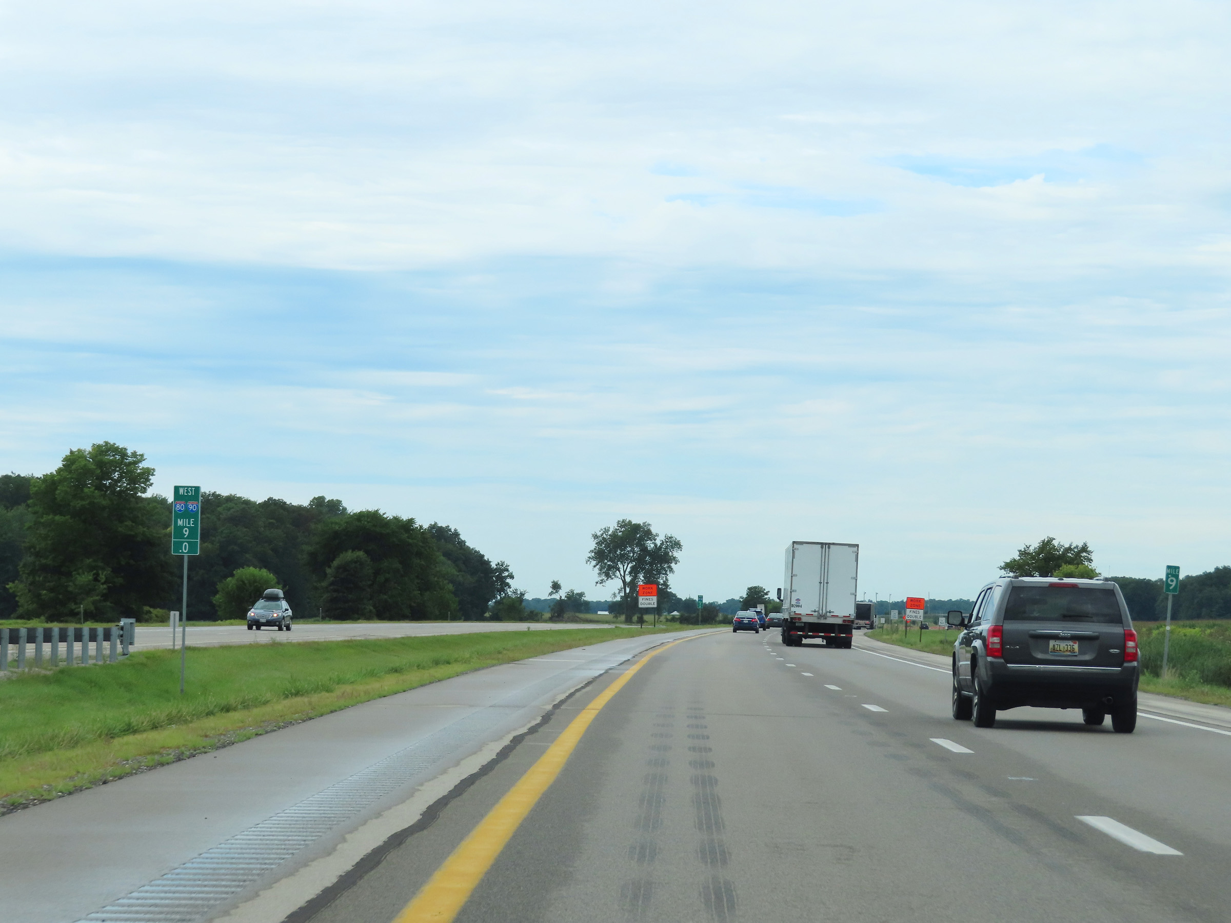 |
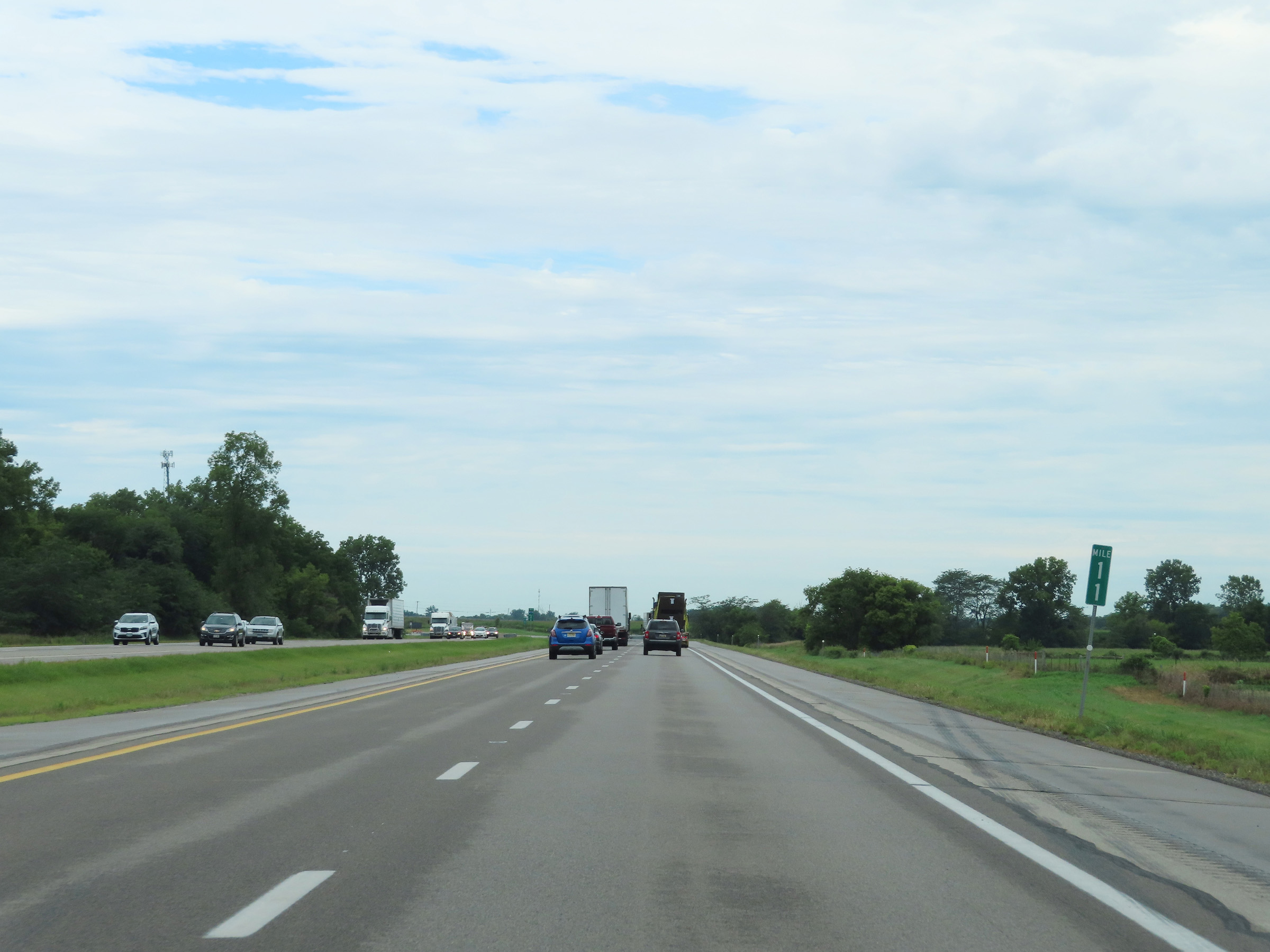
Mile marker 9 on Interstate 80 / Interstate 90 West (Ohio Turnpike) in Williams County. (Photo taken 8/13/22). |
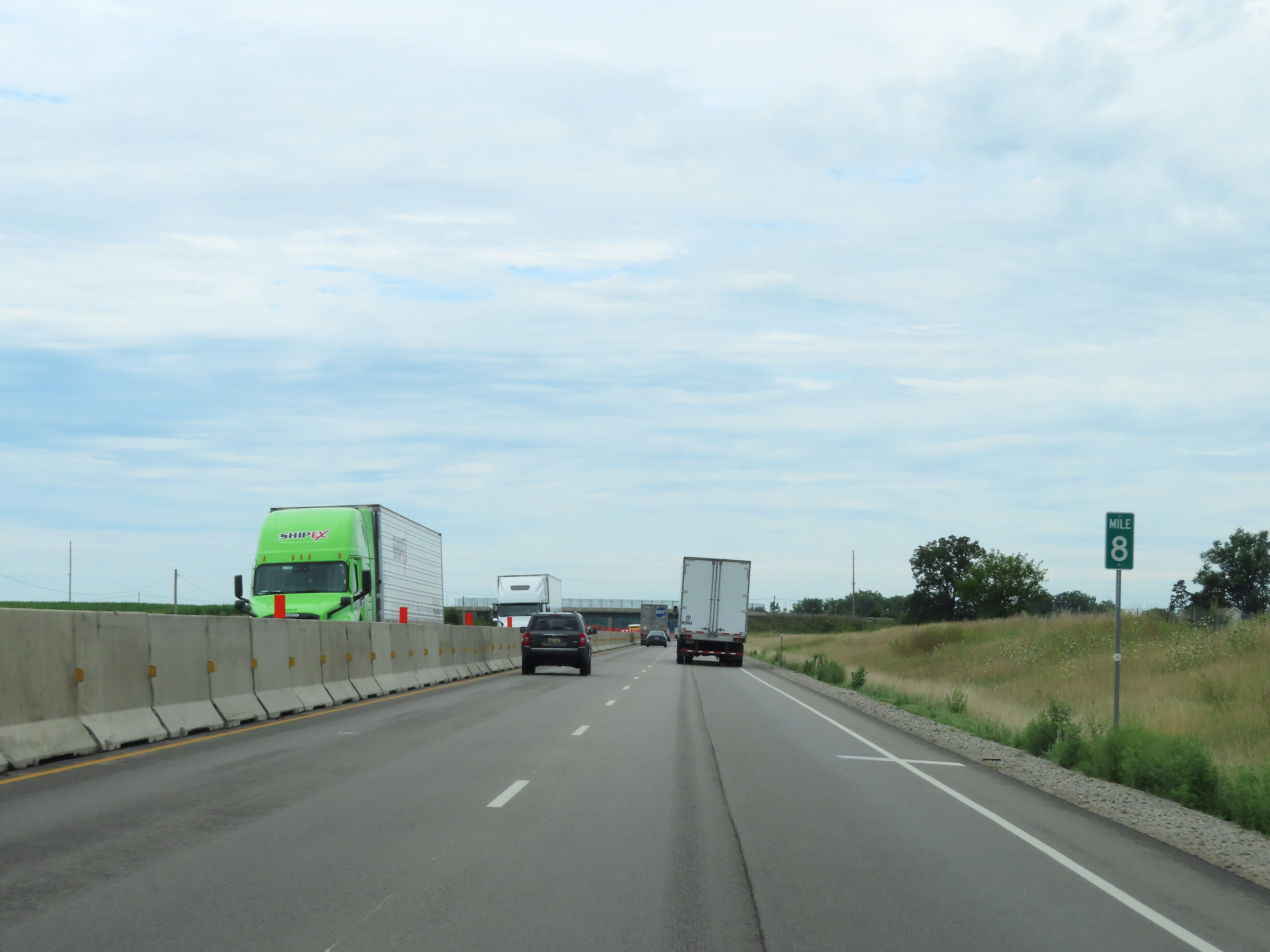 |
Interstate 80 / Interstate 90 West (Ohio Turnpike) at mile marker 8. (Photo taken 8/13/22). |
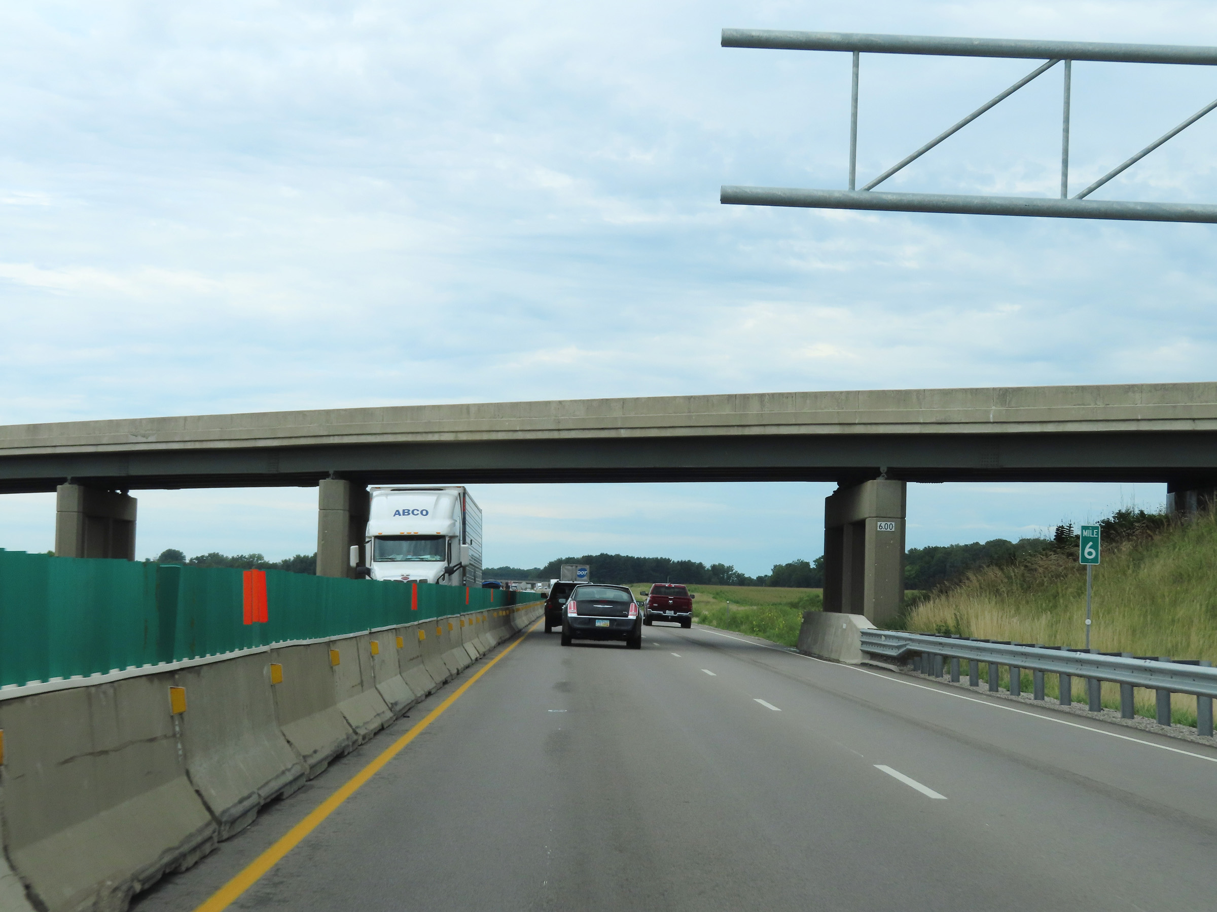 |
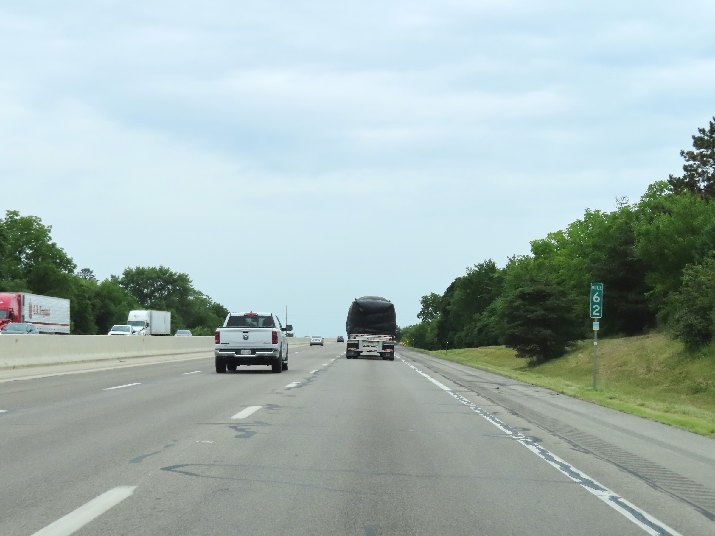
Interstate 80 / Interstate 90 West (Ohio Turnpike) at mile marker 6. (Photo taken 8/13/22). |
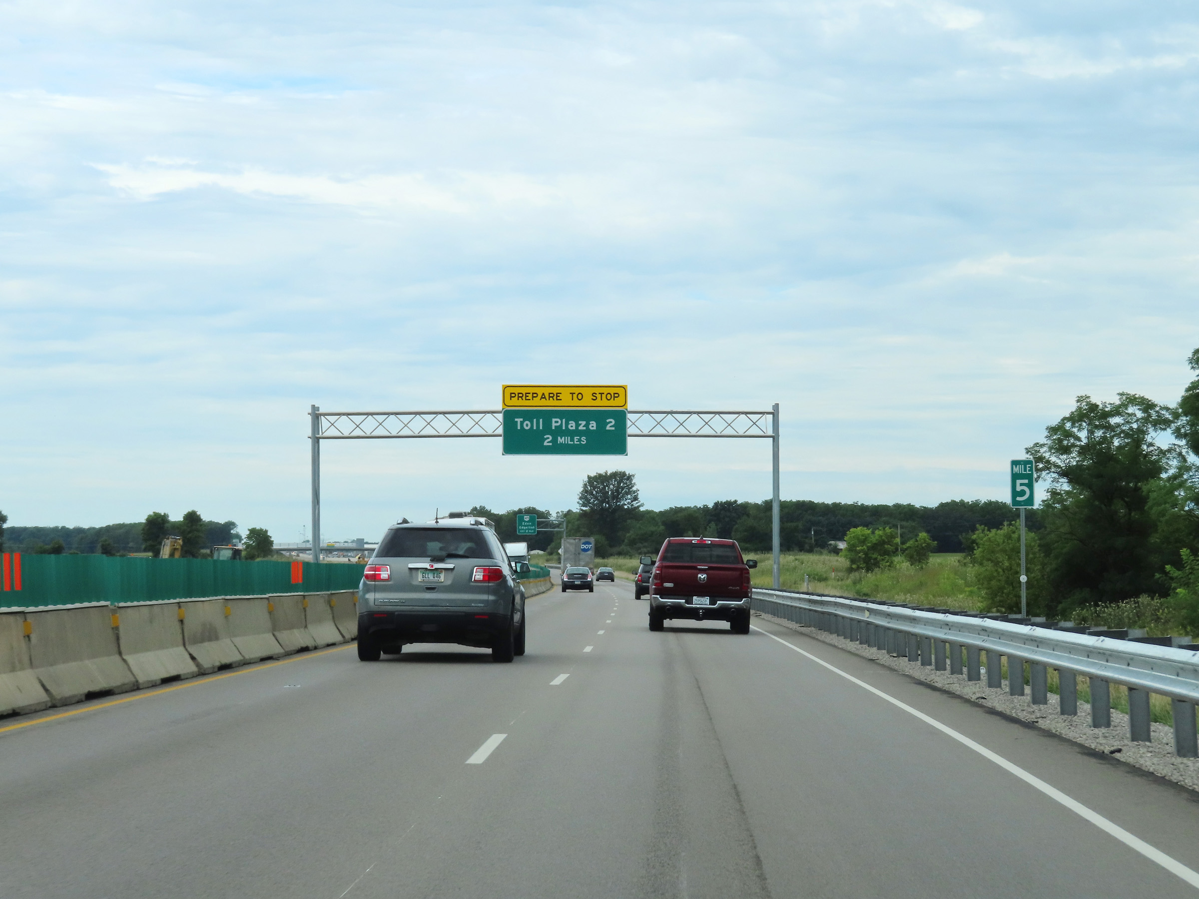 |
View on Interstate 80 / Interstate 90 West (Ohio Turnpike) at mile marker 5. The Westgate Toll Plaza is 2 miles ahead. (Photo taken 8/13/22). |
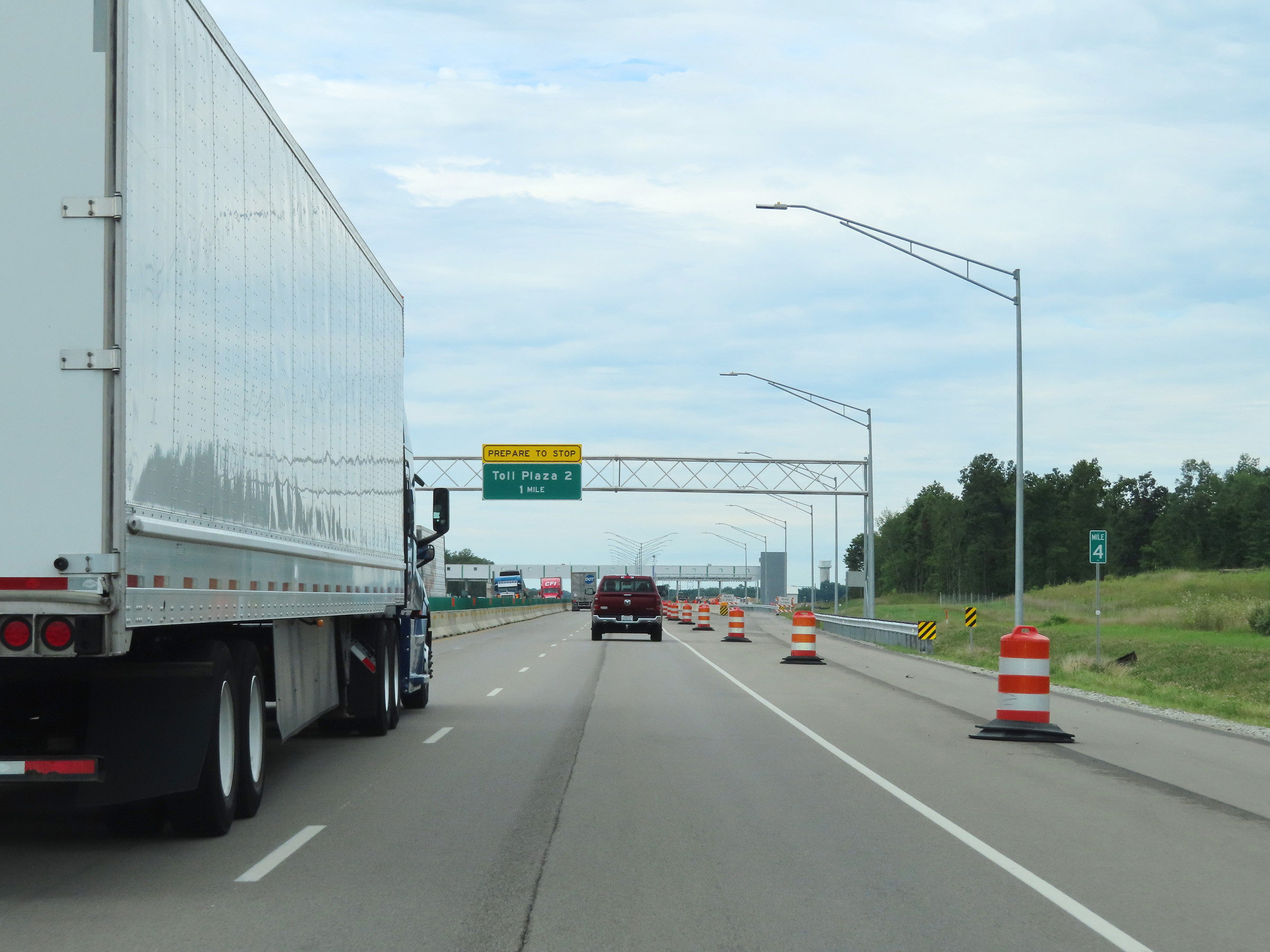 |
View on Interstate 80 / Interstate 90 West (Ohio Turnpike) at mile marker 4, with the Westgate Toll Plaza now just 1 mile ahead. (Photo taken 8/13/22). |
 |
The Westgate Toll Plaza, also called Toll Plaza 2, is also getting rebuilt to allow for express lane electronic tolling which will reduce congestion. Here we see what the new toll plaza will look like when its open. (Photo taken 8/13/22). |
 |
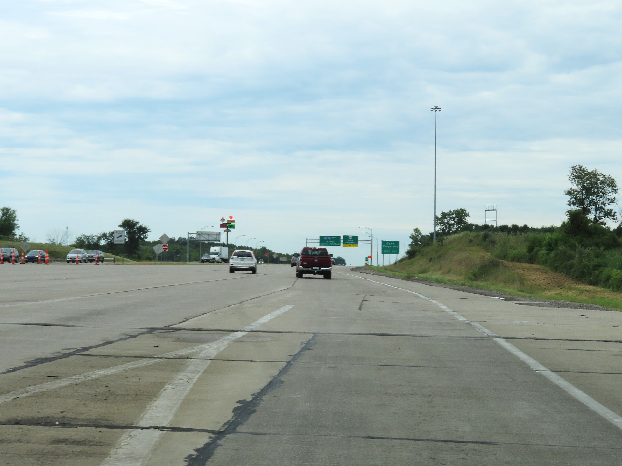
Advance signage for the unnumbered exit for OH 49, which is 3/4 mile ahead on the west side of the Westgate Toll Plaza ahead. (Photo taken 8/13/22). |
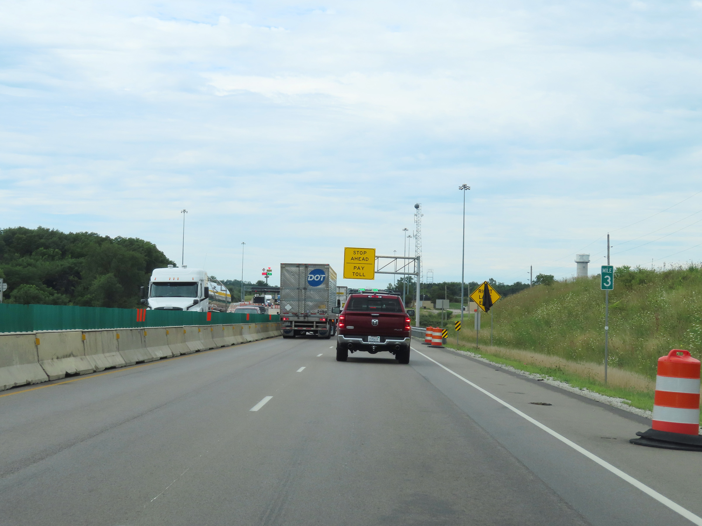 |
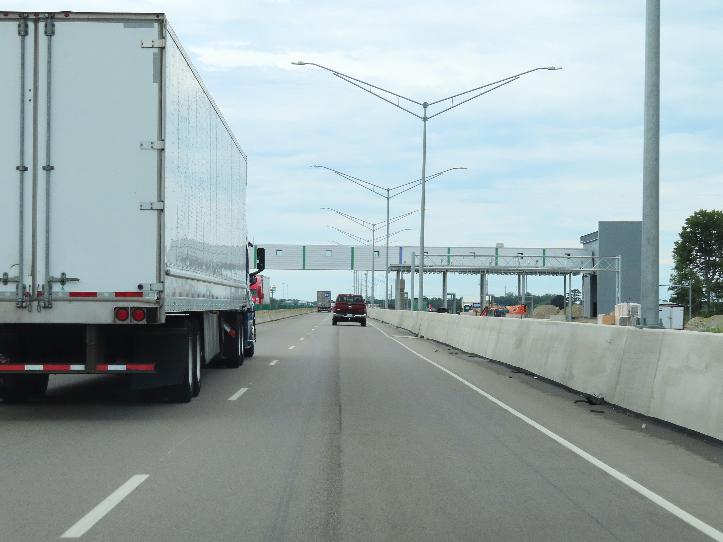
At mile marker 3, Interstate 80 / Interstate 90 West (Ohio Turnpike) begins to make its approach to the Westgate Toll Plaza. (Photo taken 8/13/22). |
 |
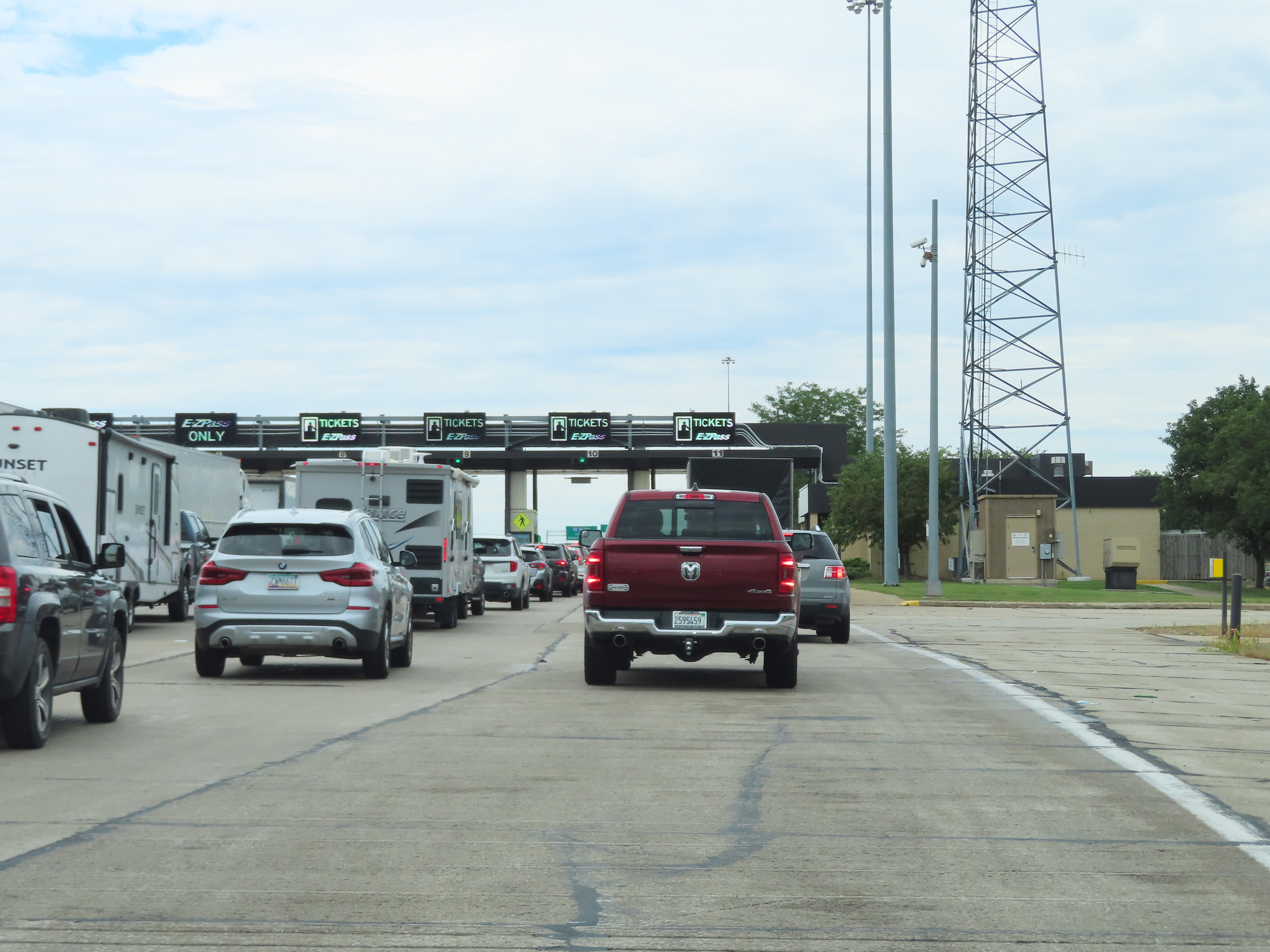
The kind of congestion seen here in this photo approaching the toll plaza will hopefully be relieved once the new toll plaza, which allows for open-road electronic tolling, opens. (Photo taken 8/13/22). |
 |
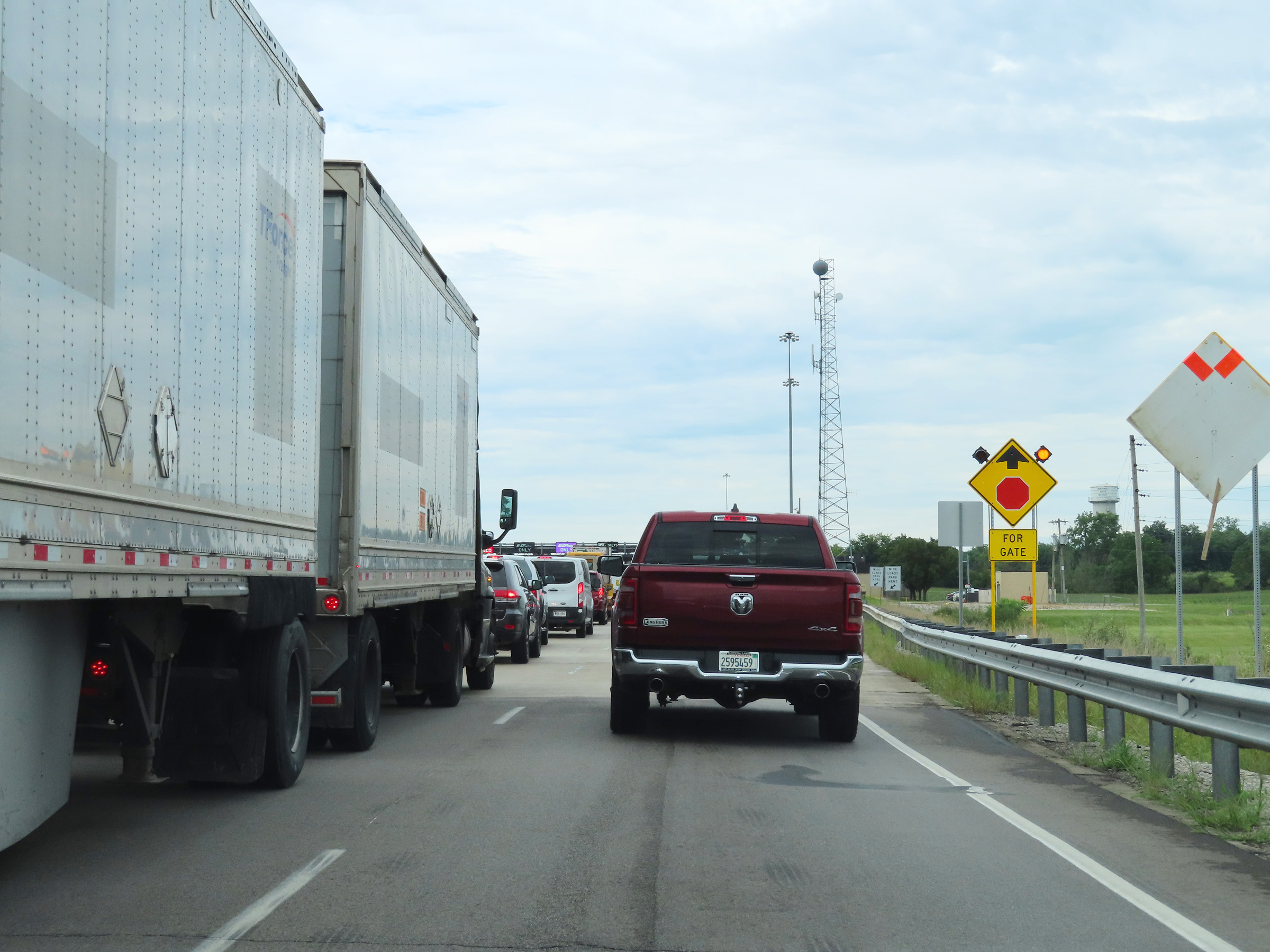
Interstate 80 / Interstate 90 West (Ohio Turnpike) as the Westgate Toll Plaza (Toll Plaza 2) comes into view. (Photo taken 8/13/22). |
 |
Interstate 80 / Interstate 90 West (Ohio Turnpike) approaching the Westgate Toll Plaza (Toll Plaza 2). (Photo taken 8/13/22). |
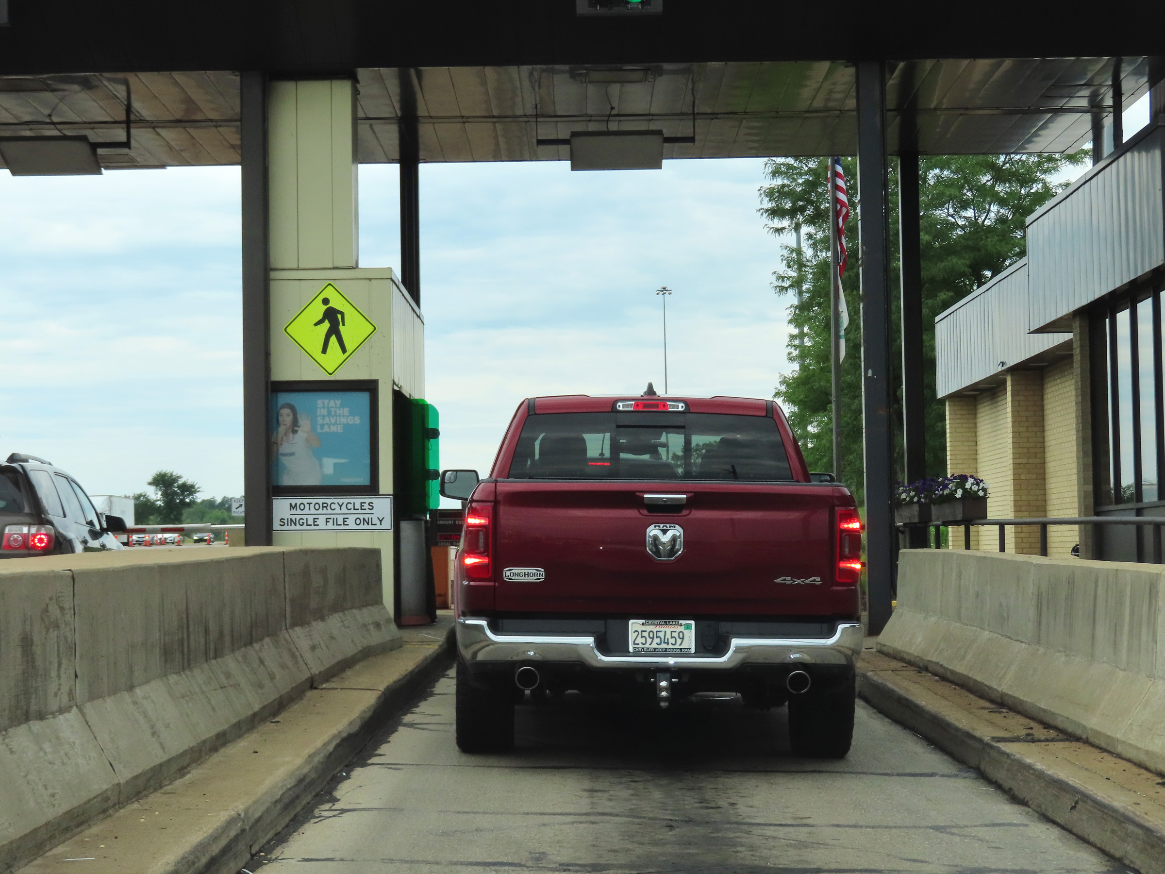 |
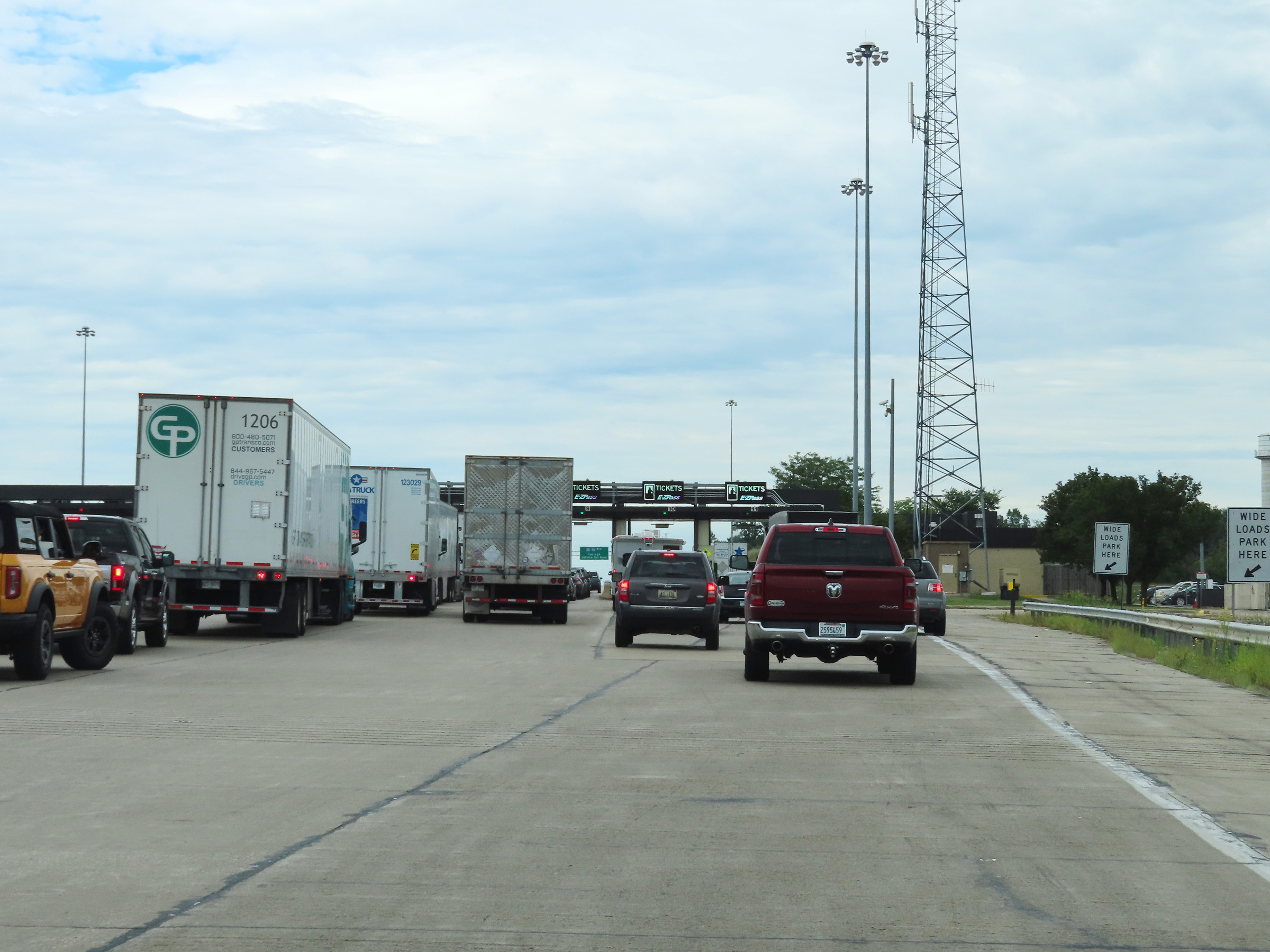
A closer view at the Westgate Toll Plaza (Toll Plaza 2) on Interstate 80 / Interstate 90 West (Ohio Turnpike). (Photo taken 8/13/22). |
 |
Leaving the Westgate Toll Plaza (Toll Plaza 2) on Interstate 80 / Interstate 90 West (Ohio Turnpike). (Photo taken 8/13/22). |
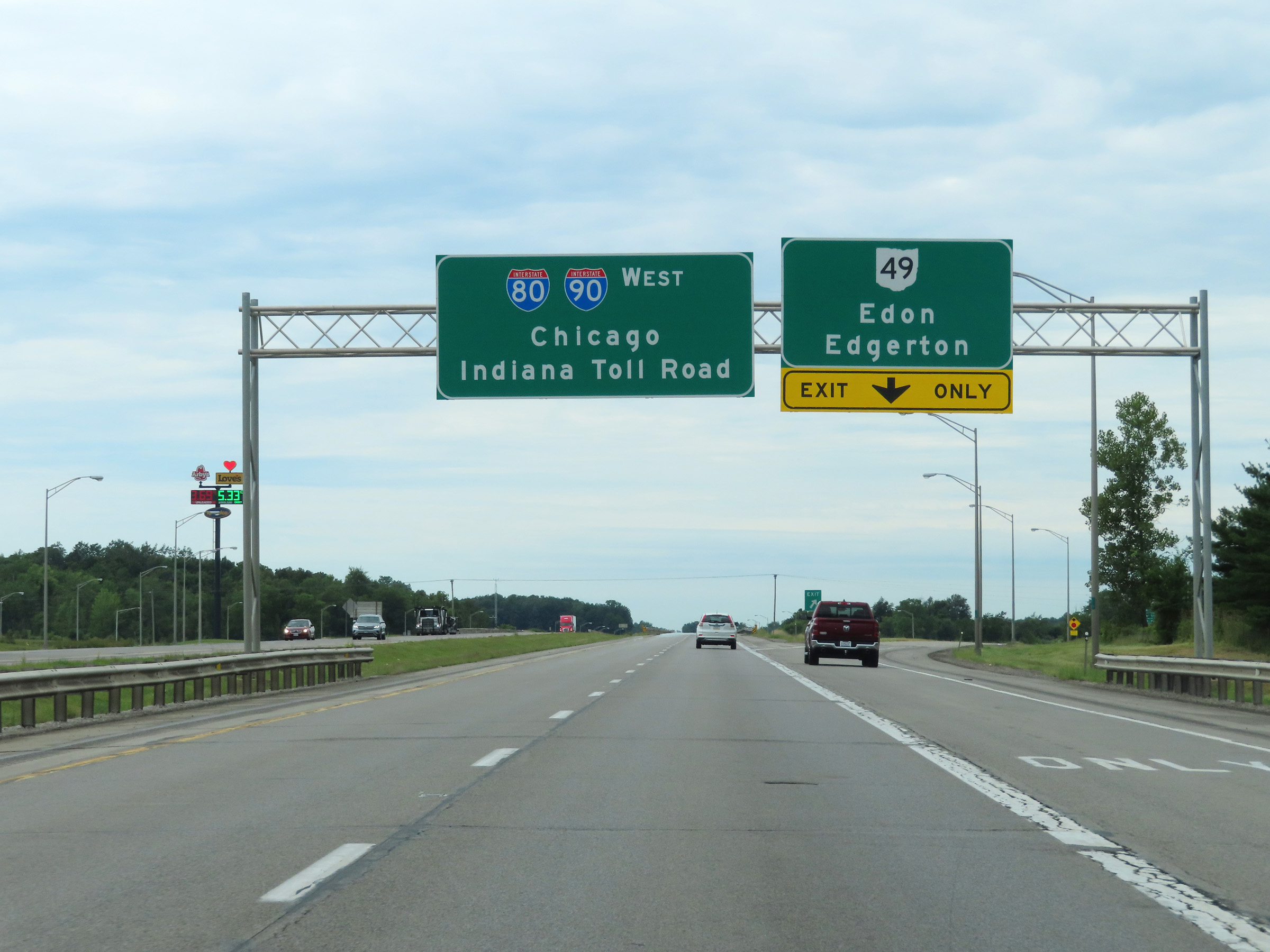 |
Interstate 80 / Interstate 90 West (Ohio Turnpike) at Exit: OH 49 - Edon / Edgerton (Photo taken 8/13/22). |
 |
View on Interstate 80 / Interstate 90 West (Ohio Turnpike) at mile marker 2. (Photo taken 8/13/22). |
 |
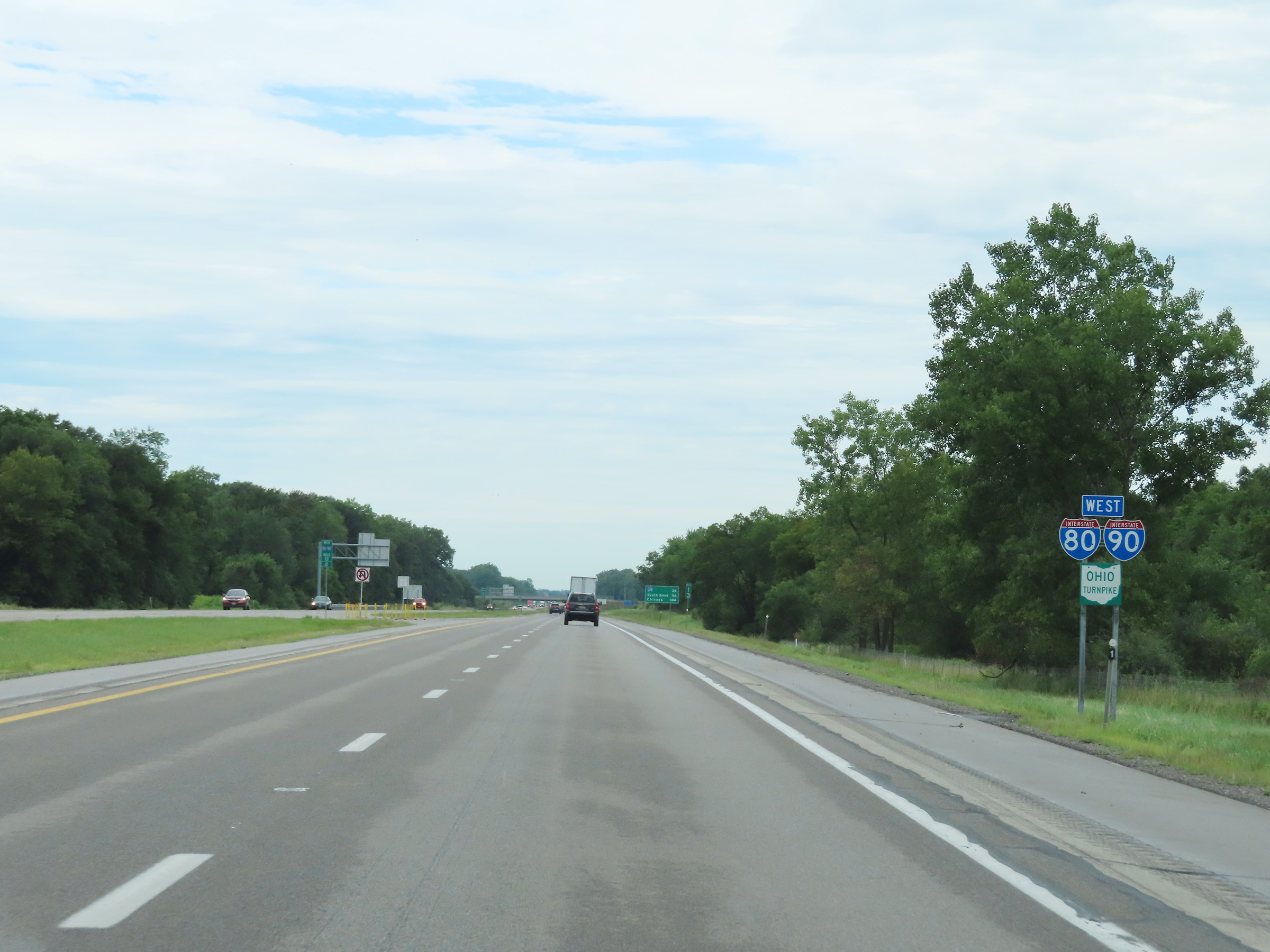
One final set of Interstate 80 West / Interstate 90 West / Ohio Turnpike reassurance shields. (Photo taken 8/13/22). |
 |
The speed limit remains the rural standard 70 mph on Interstate 80 / Interstate 90 West (Ohio Turnpike). (Photo taken 8/13/22). |
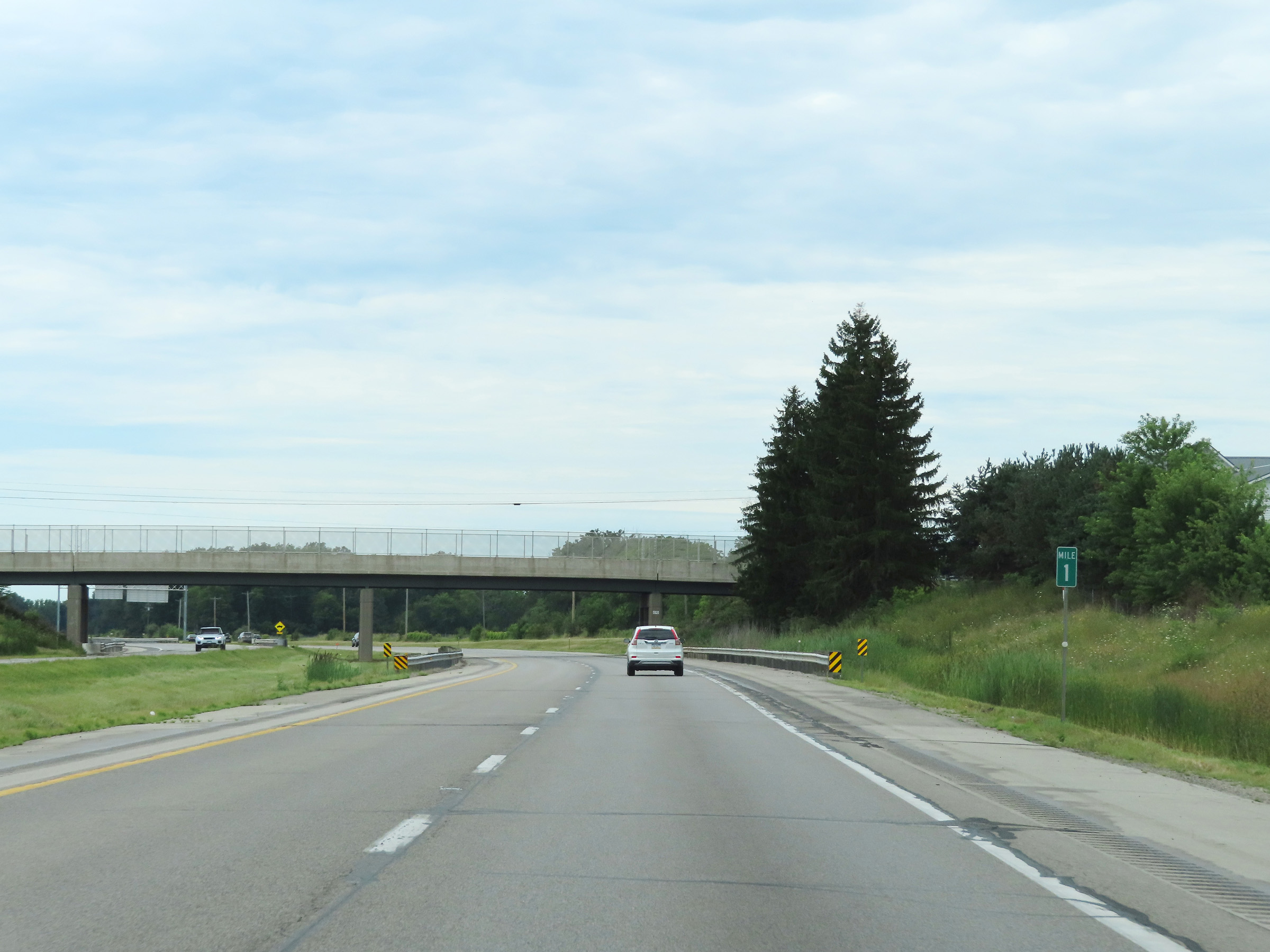 |
View on Interstate 80 / Interstate 90 West (Ohio Turnpike) at mile marker 1. (Photo taken 8/13/22). |
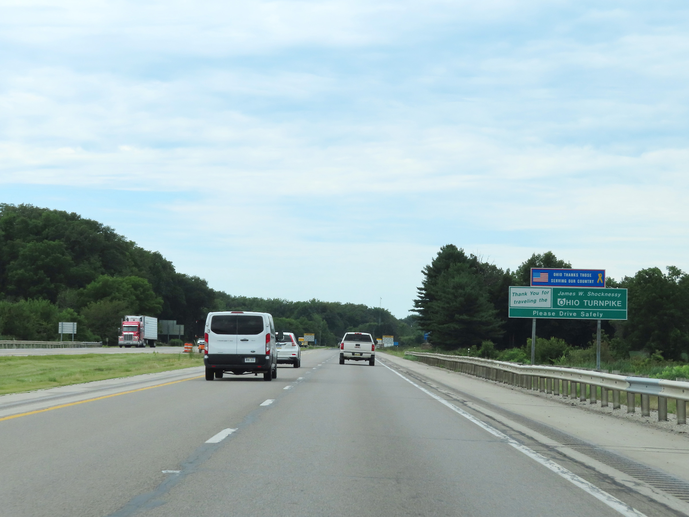 |
Nearing the Indiana state line, this sign thanks you for traveling the Ohio Turnpike. (Photo taken 8/13/22). |
 |
Interstate 80 / Interstate 90 West (Ohio Turnpike) as the Indiana state line comes into view. The Ohio Turnpike comes to an end and will transition seamlessly into the Indiana Toll Road upon crossing the border ahead. (Photo taken 8/13/22). |