Road Information |
||
 |
||
| Total Mileage in State: | 42 miles | |
| Eastern End: | At I-80 (Ohio Turnpike), in Streetsboro | |
| Western End: | At I-80 (Ohio Turnpike), in North Ridgeville | |
| Mileage covered in Photos: | 42 miles | |
| Counties covered in Photos: | Lorain, Cuyahoga, Summit, Portage | |
| Major Junctions in Photos: | I-71, in Brook Park I-77, in Independence I-480N, in Bedford Heights I-271 South, in Bedford Heights I-80 (OH Turnpike), in Streetsboro |
|
| Control Cities in Photos: | North Ridgeville, Brooklyn, Independence, Cleveland, Bedford Heights, Twinsburg, Streetsboro | |
Eastbound
 |
Interstate 480 East begins here at Exit 151 on Interstate 80 East (Ohio Turnpike). (Photo taken 9/6/15). |
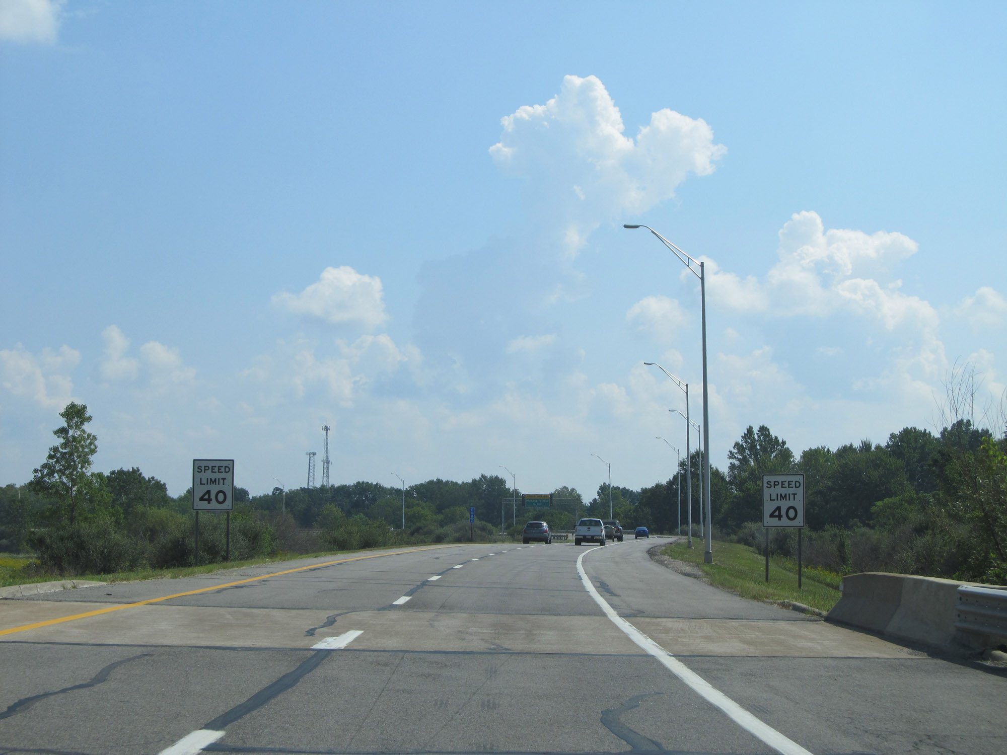 |
The speed limit starts out at 40 mph, as the toll plaza for the Ohio Turnpike is about one mile ahead. (Photo taken 9/6/15). |
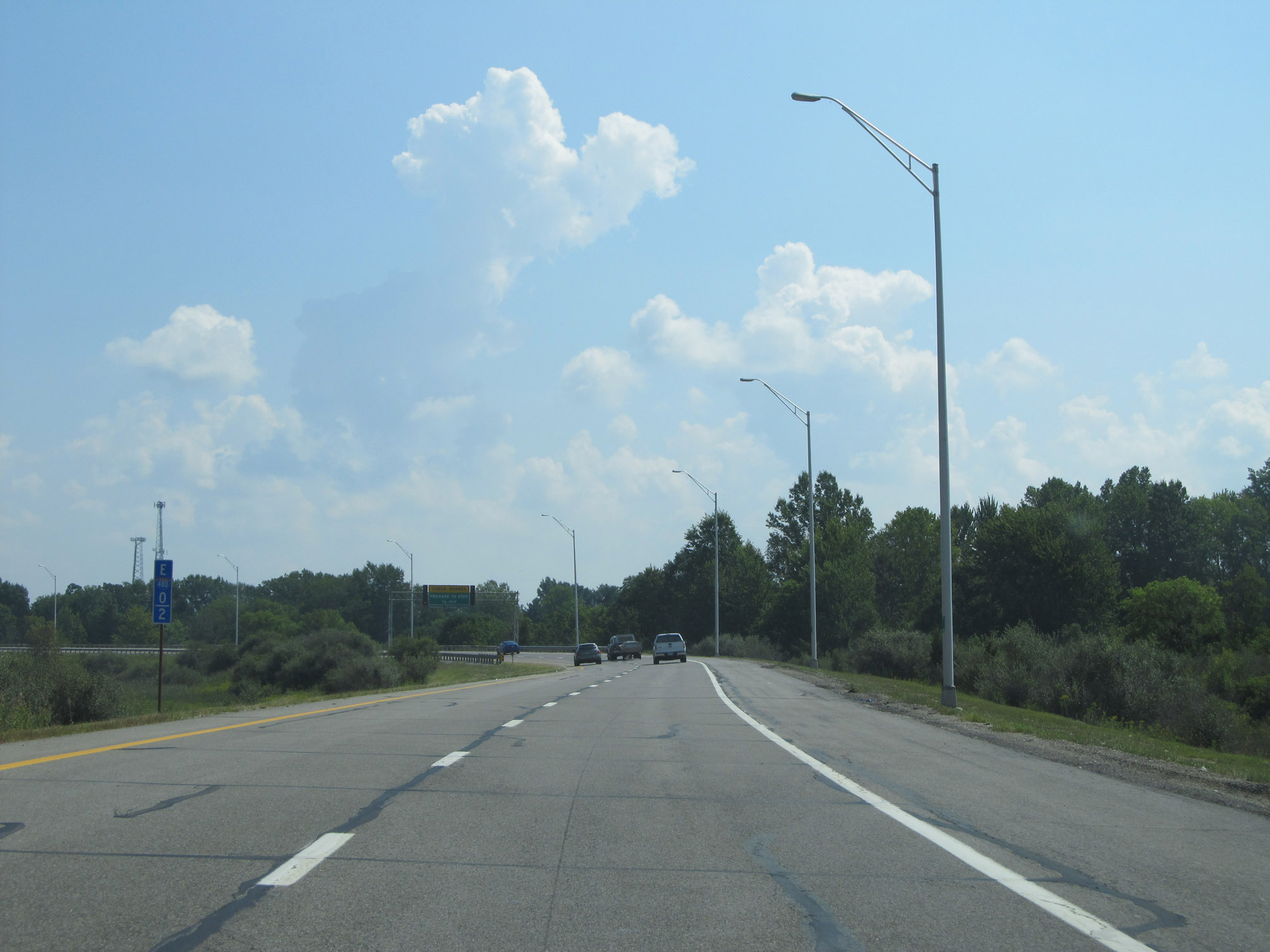 |
Although this is essentially the ramp for Exit 127 to Interstate 480 East, the measured mile of I-480 East begins immediately on the ramp as seen here at mile marker 0.2. (Photo taken 9/6/15). |
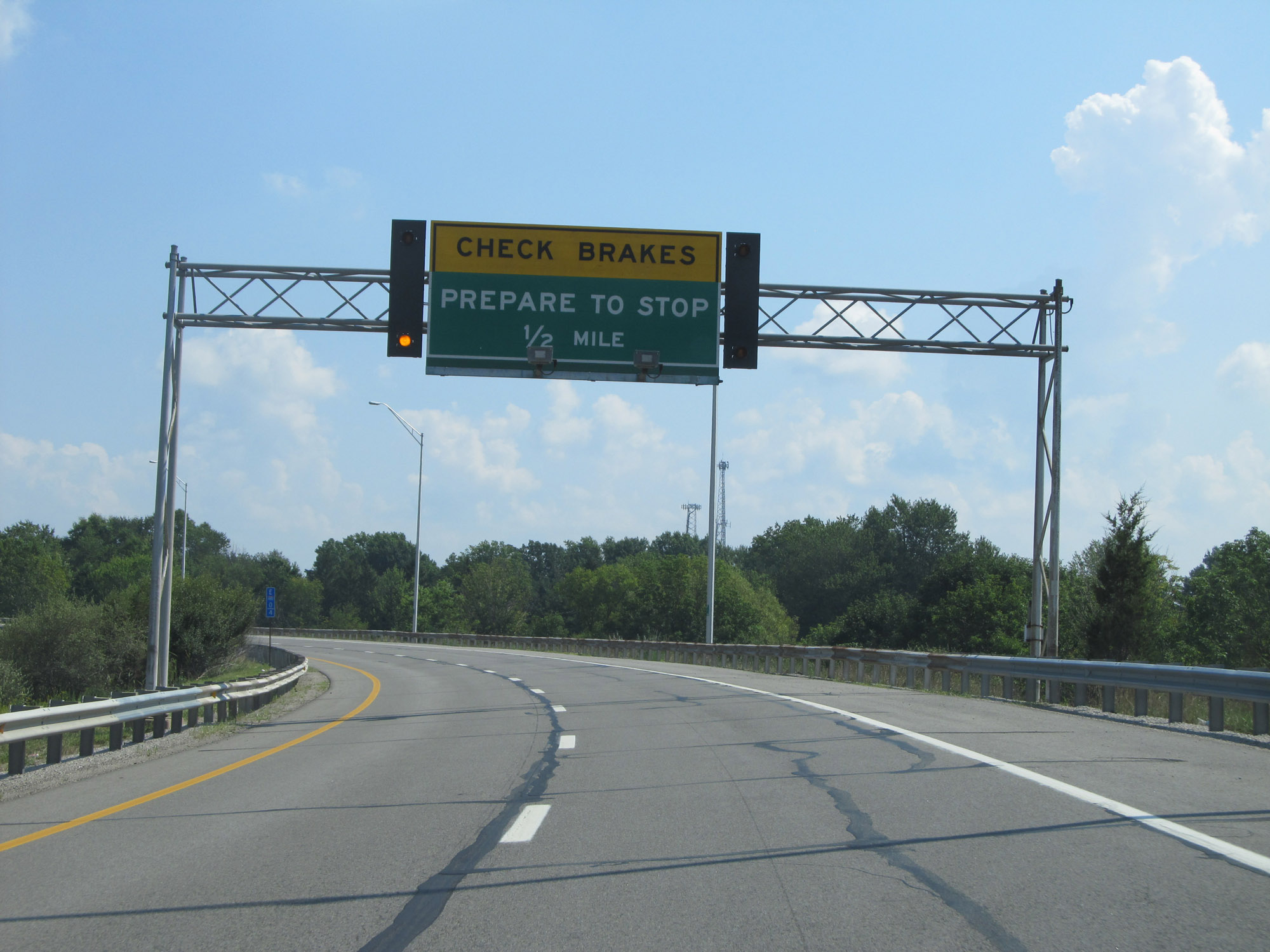 |
Interstate 480 East approaching the toll plaza for the Ohio Turnpike - 1/2 mile. (Photo taken 9/6/15). |
 |
EZ Pass is accepted in all lanes at the toll plaza. (Photo taken 9/6/15). |
 |
Interstate 480 East approaching the toll plaza. (Photo taken 9/6/15). |
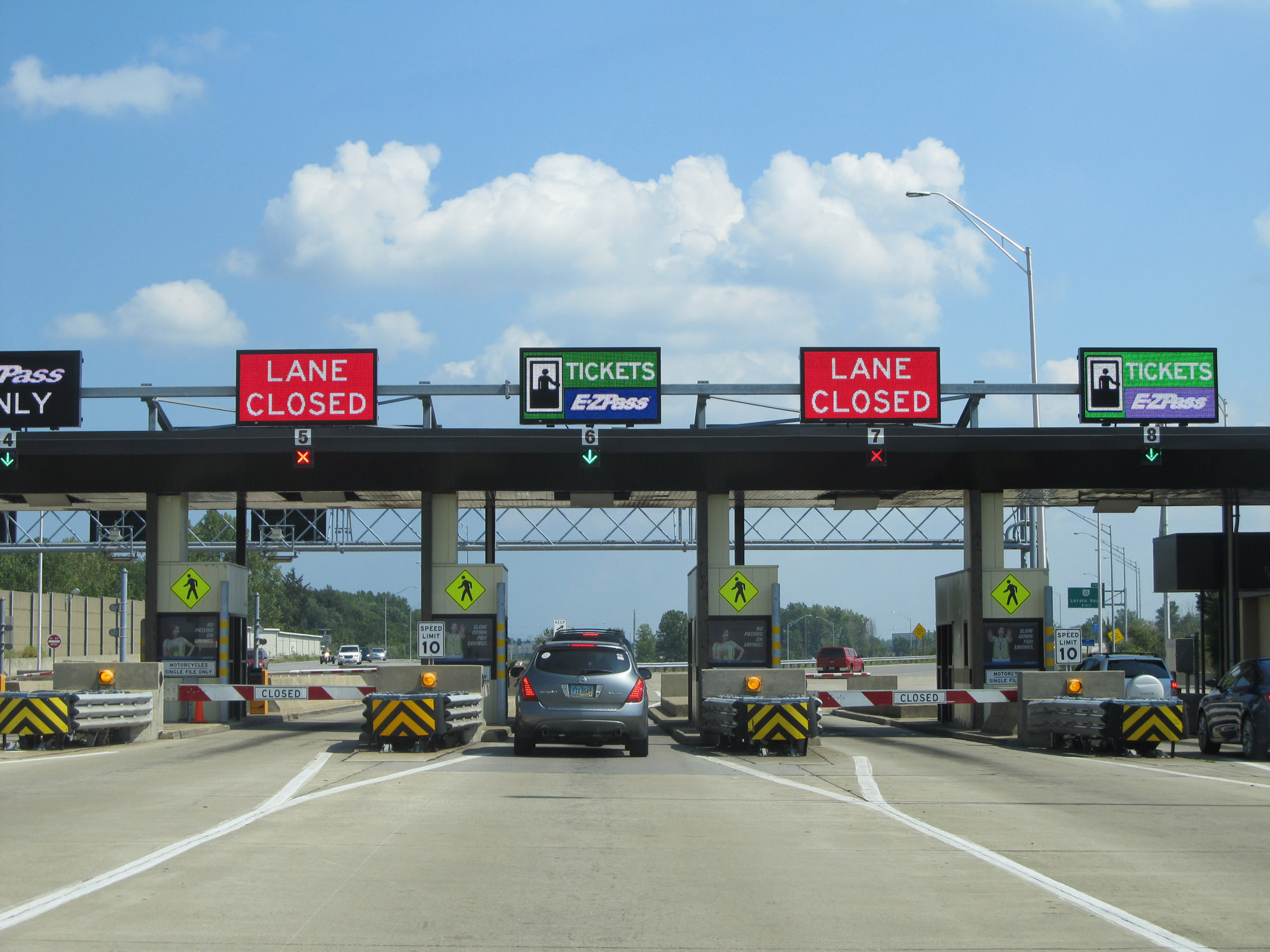 |
A closer view of the toll plaza. (Photo taken 9/6/15). |
 |
View on Interstate 480 East leaving the toll plaza. (Photo taken 9/6/15). |
 |
Interstate 480 East reassurance shield. The speed limit increases to 65 mph here, after having left the toll plaza. (Photo taken 9/6/15). |
 |
View on Interstate 480 East at mile marker 1.4, as traffic from OH 10 joins on the right. (Photo taken 9/6/15). |
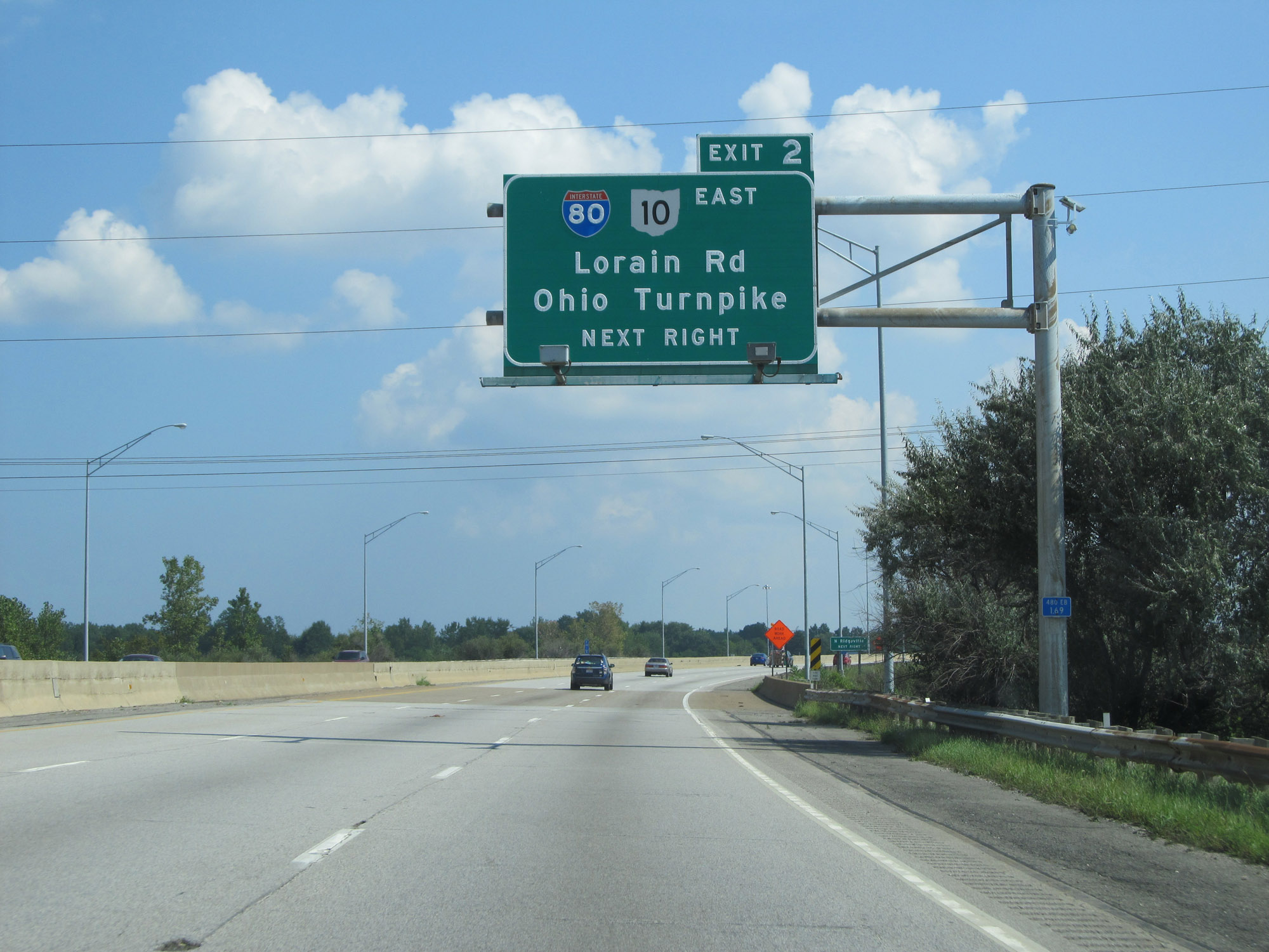 |
Take Exit 2 to Interstate 80 East (Ohio Turnpike). (Photo taken 9/6/15). |
 |
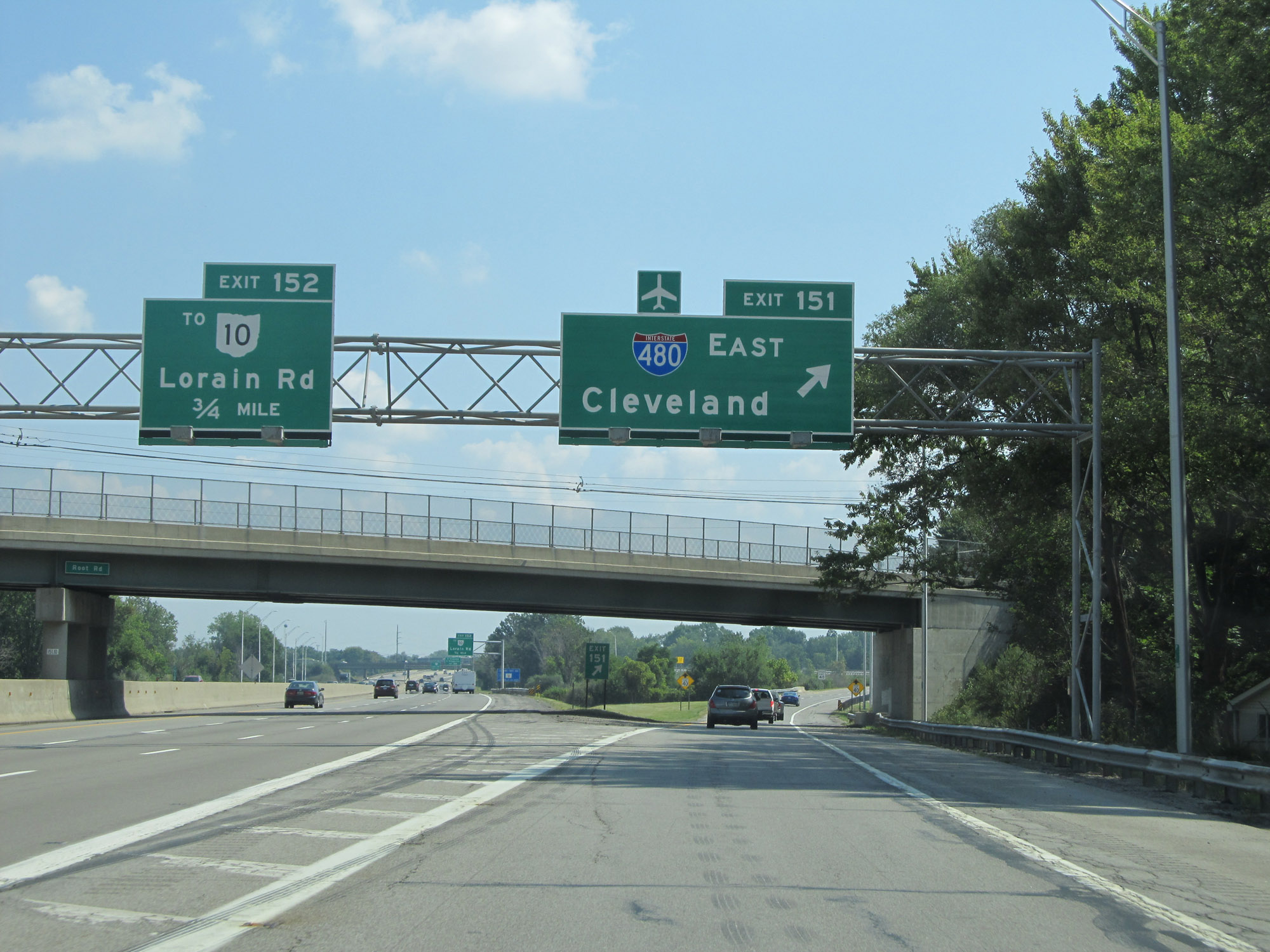
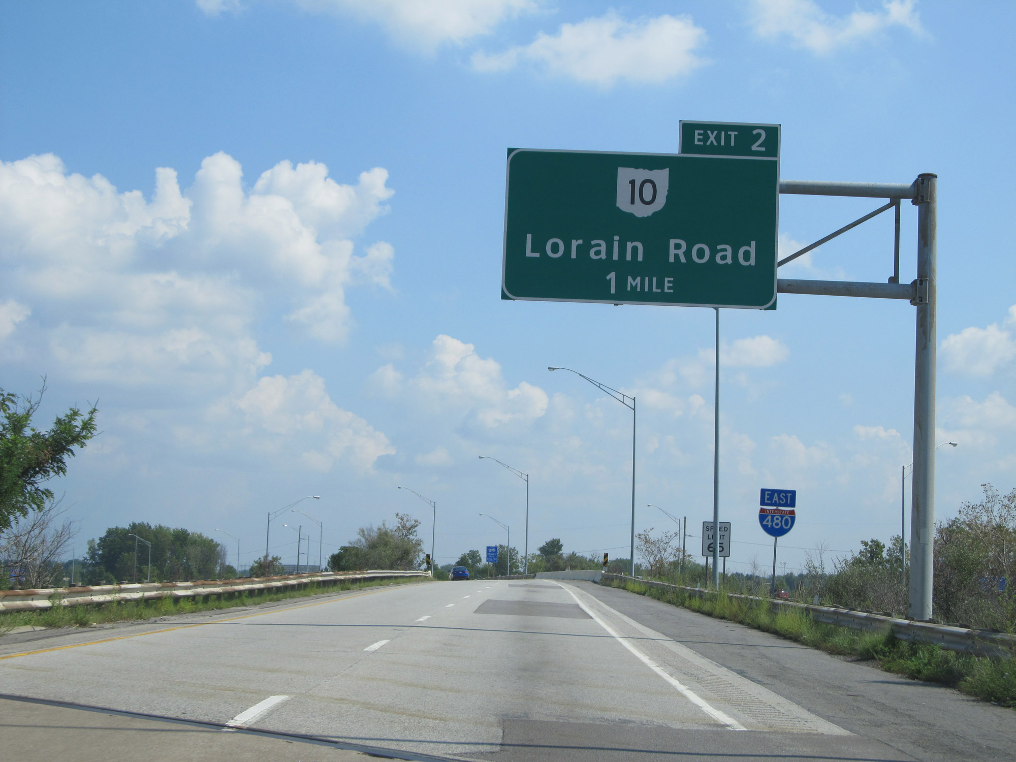
Interstate 480 East at Exit 2: OH 10 East - Lorain Rd (Photo taken 9/6/15). |
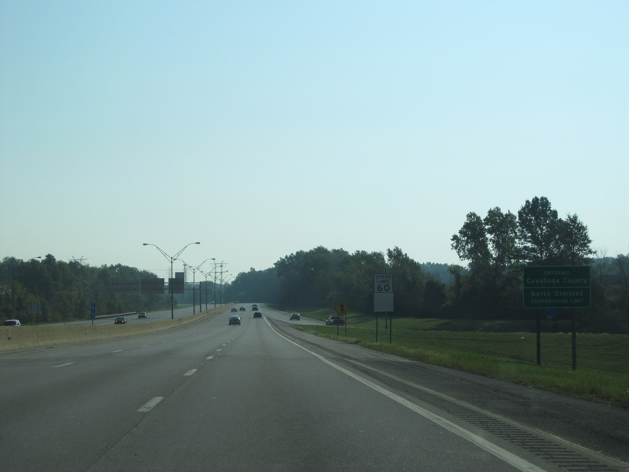 |
Beyond Exit 2, Interstate 480 East enters Cuyahoga County. Upon doing so, the speed limit decreases to 60 mph. (Photo taken 9/6/15). |
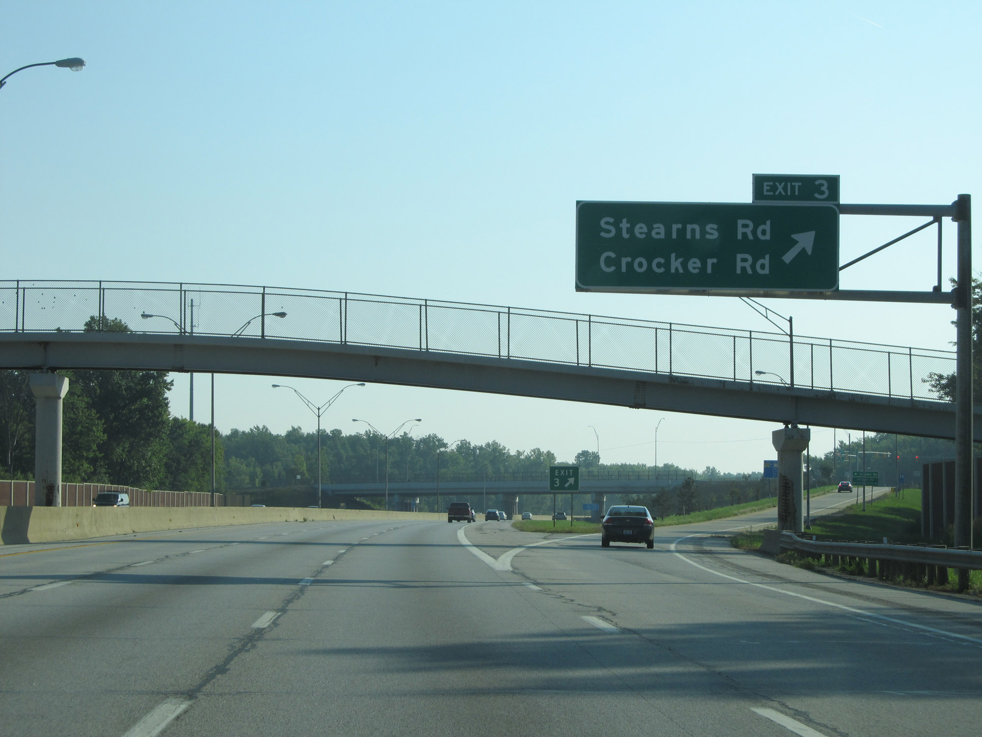 |
Interstate 480 East at Exit 3: Stearns Rd / Crocker Rd (Photo taken 9/6/15). |
 |
View on Interstate 480 East at mile marker 4. (Photo taken 9/6/15). |
 |
Another Interstate 480 East reassurance shield. (Photo taken 9/6/15). |
 |
Mileage sign on Interstate 480 East. It's 5 miles to the junction of Interstate 71 and 6 miles to the Airport. (Photo taken 9/6/15). |
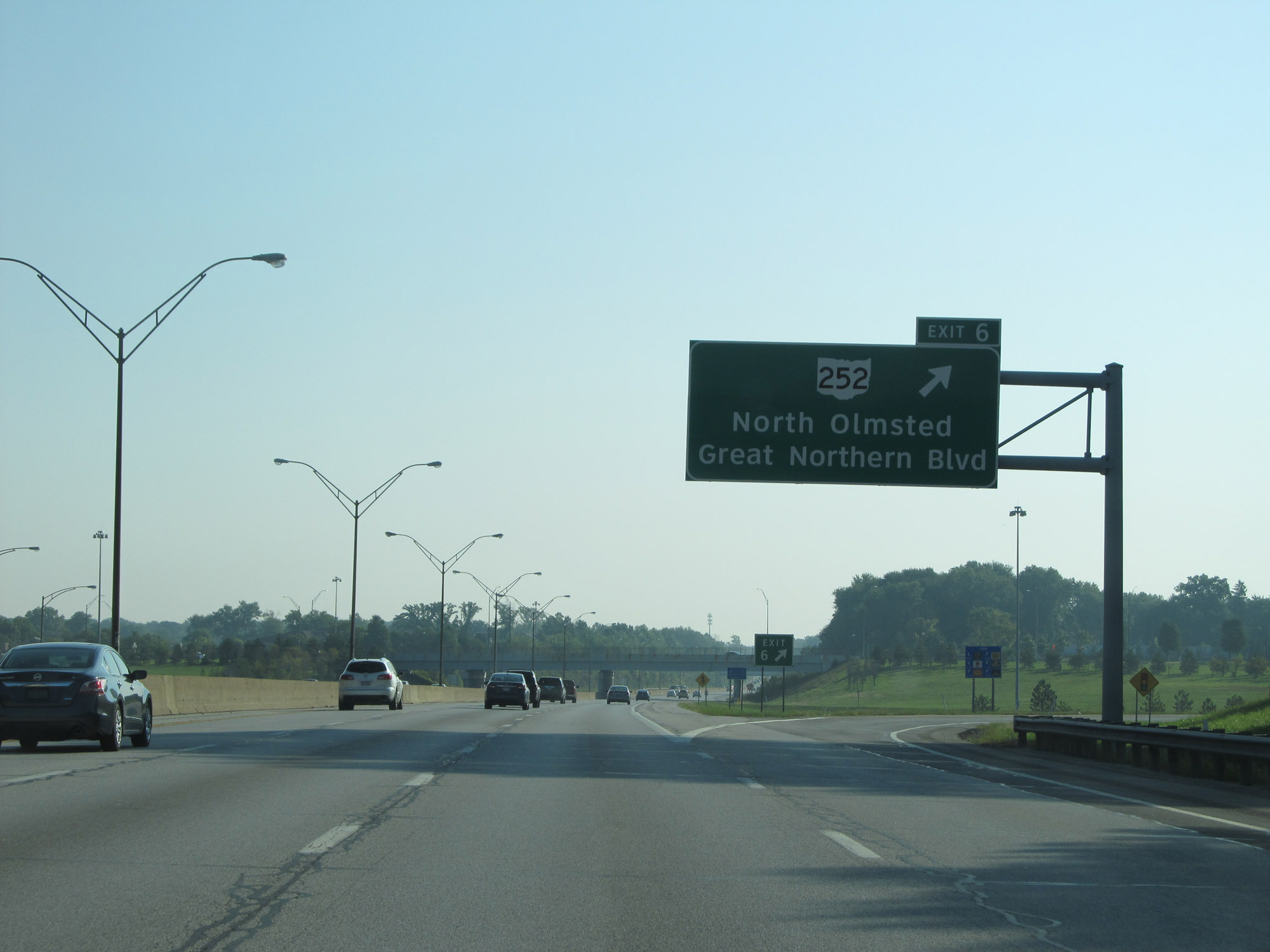 |
Interstate 480 East at Exit 6: OH 252 - North Olmsted / Great Northern Blvd (Photo taken 9/6/15). |
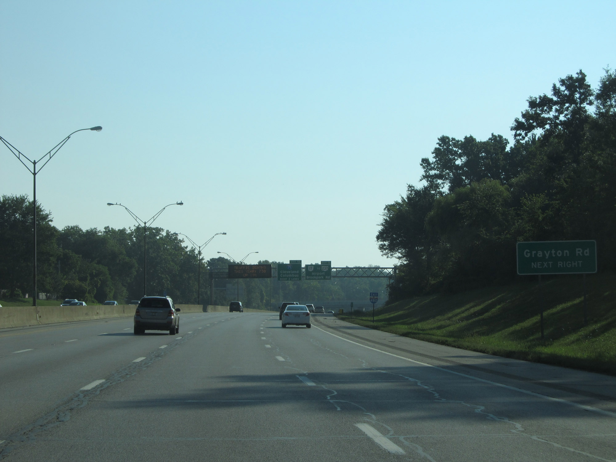 |
Take Exit 9 to Grayton Rd. (Photo taken 9/6/15). |
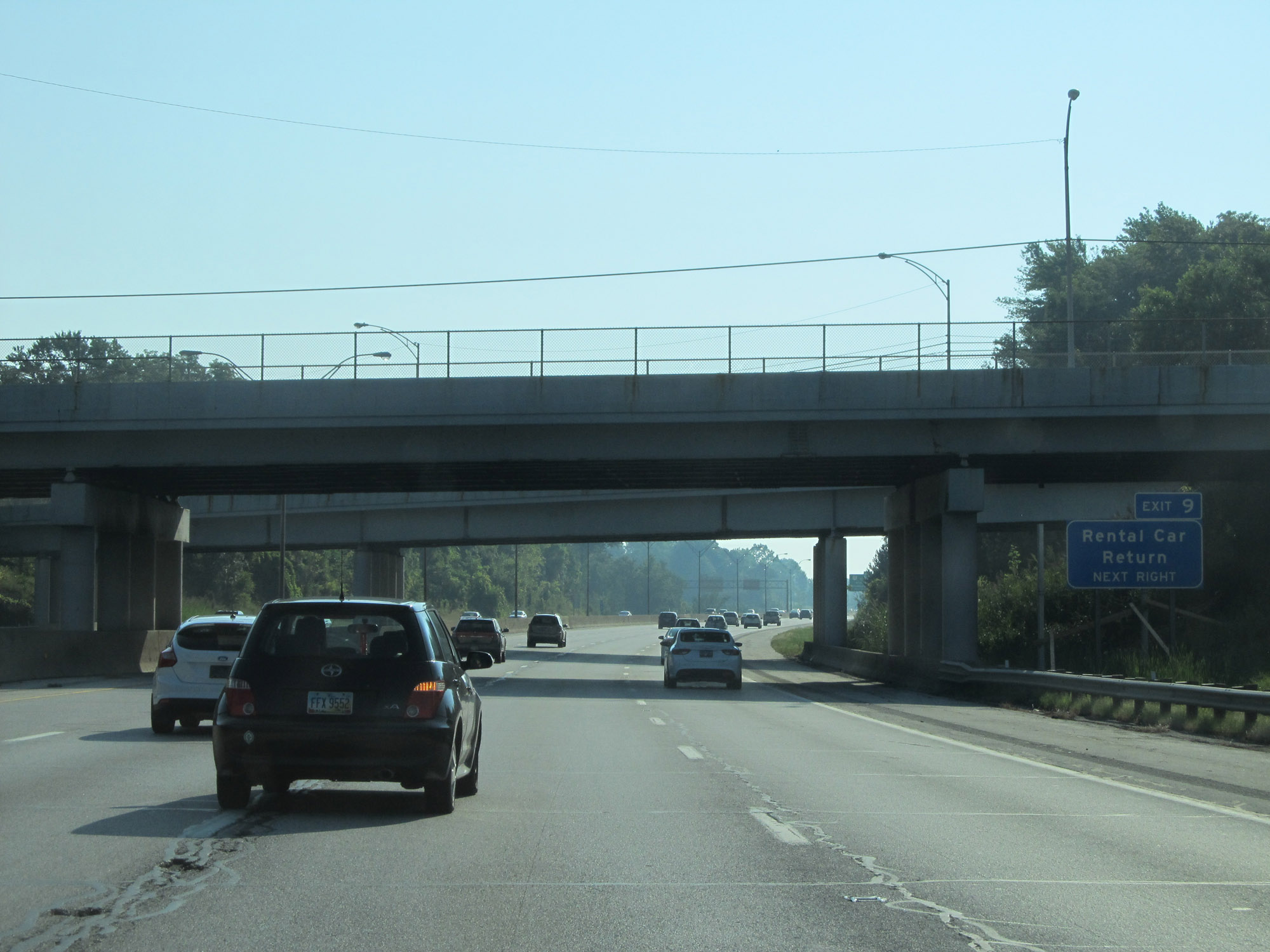 |
Also take Exit 9 to Rental Car Return. (Photo taken 9/6/15). |
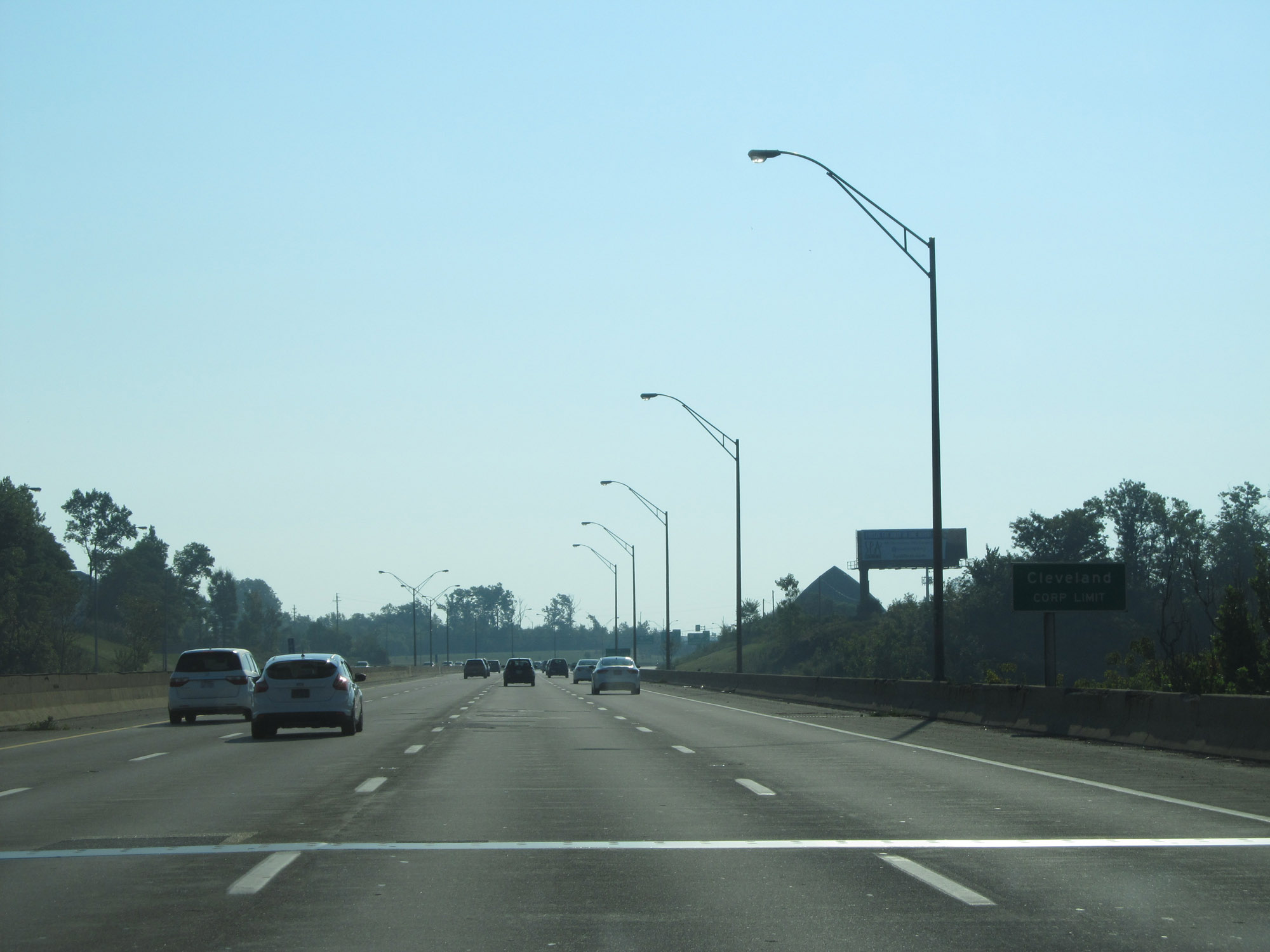 |
Interstate 480 East as it enters the Cleveland city limits. (Photo taken 9/6/15). |
 |
Interstate 480 East at Exit 9: OH 17 / To OH 237 - Airport / Brookpark Rd (Photo taken 9/6/15). |
 |
Interstate 480 East approaching Exit 11. (Photo taken 9/6/15). |
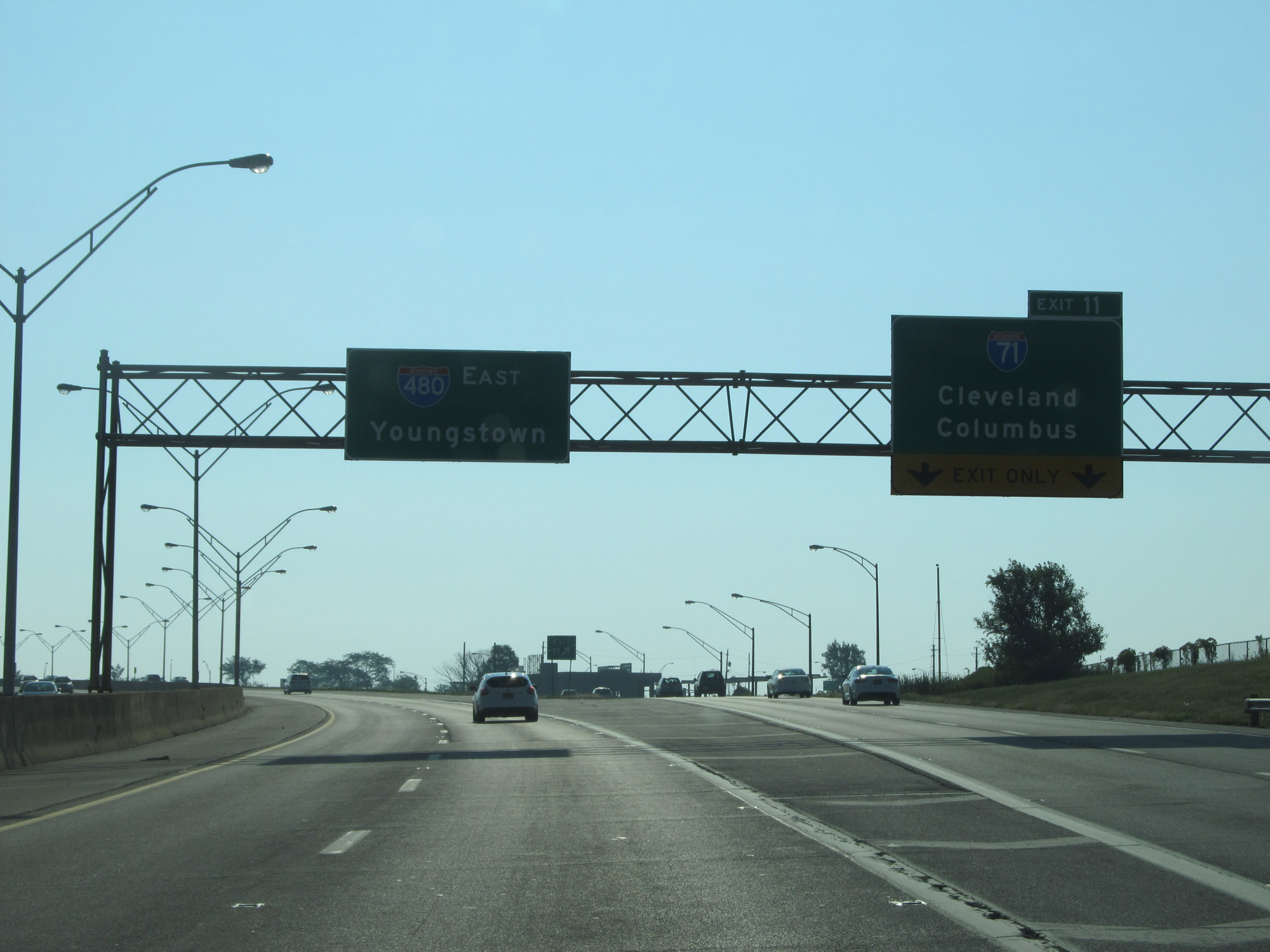 |
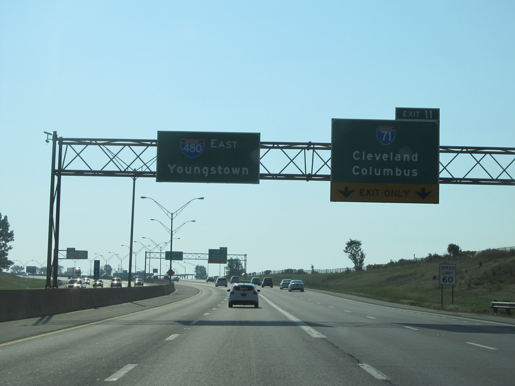
Interstate 480 East at Exit 11: Interstate 71 - Cleveland / Columbus (Photo taken 9/6/15). |
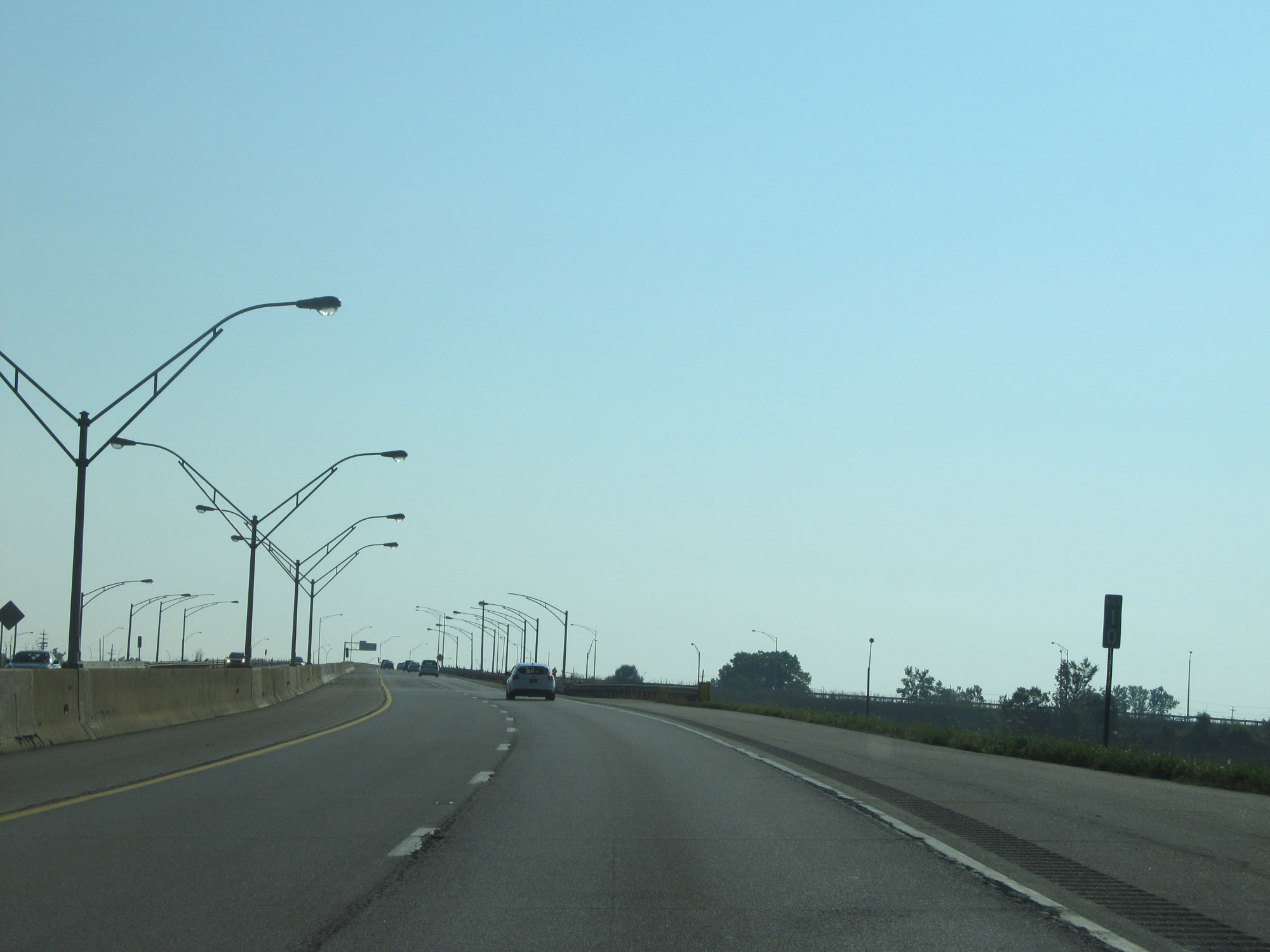 |
View on Interstate 480 East at mile marker 10. (Photo taken 9/6/15). |
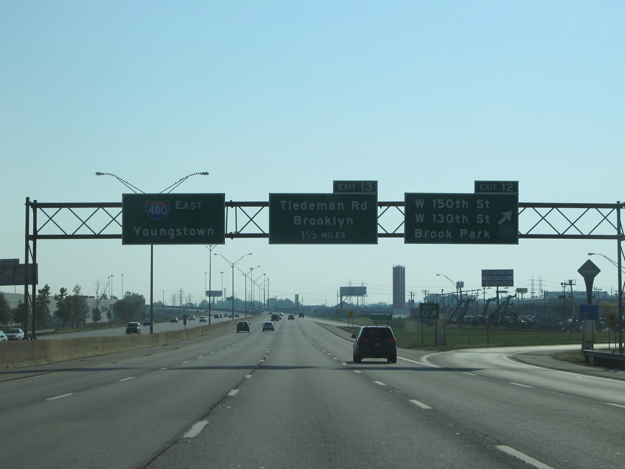 |
Interstate 480 East at Exit 12: W 150th St / W 130th St / Brook Park (Photo taken 9/6/15). |
 |
Interstate 480 East at Exit 13: Tiedeman Rd / Brooklyn (Photo taken 9/6/15). |
 |
Take Exit 15 to Parma. (Photo taken 9/6/15). |
 |
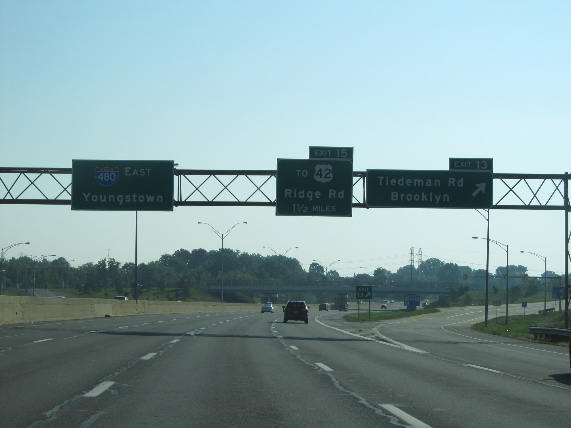
Interstate 480 East at Exit 15: To US 42 - Ridge Rd (Photo taken 9/6/15). |
 |
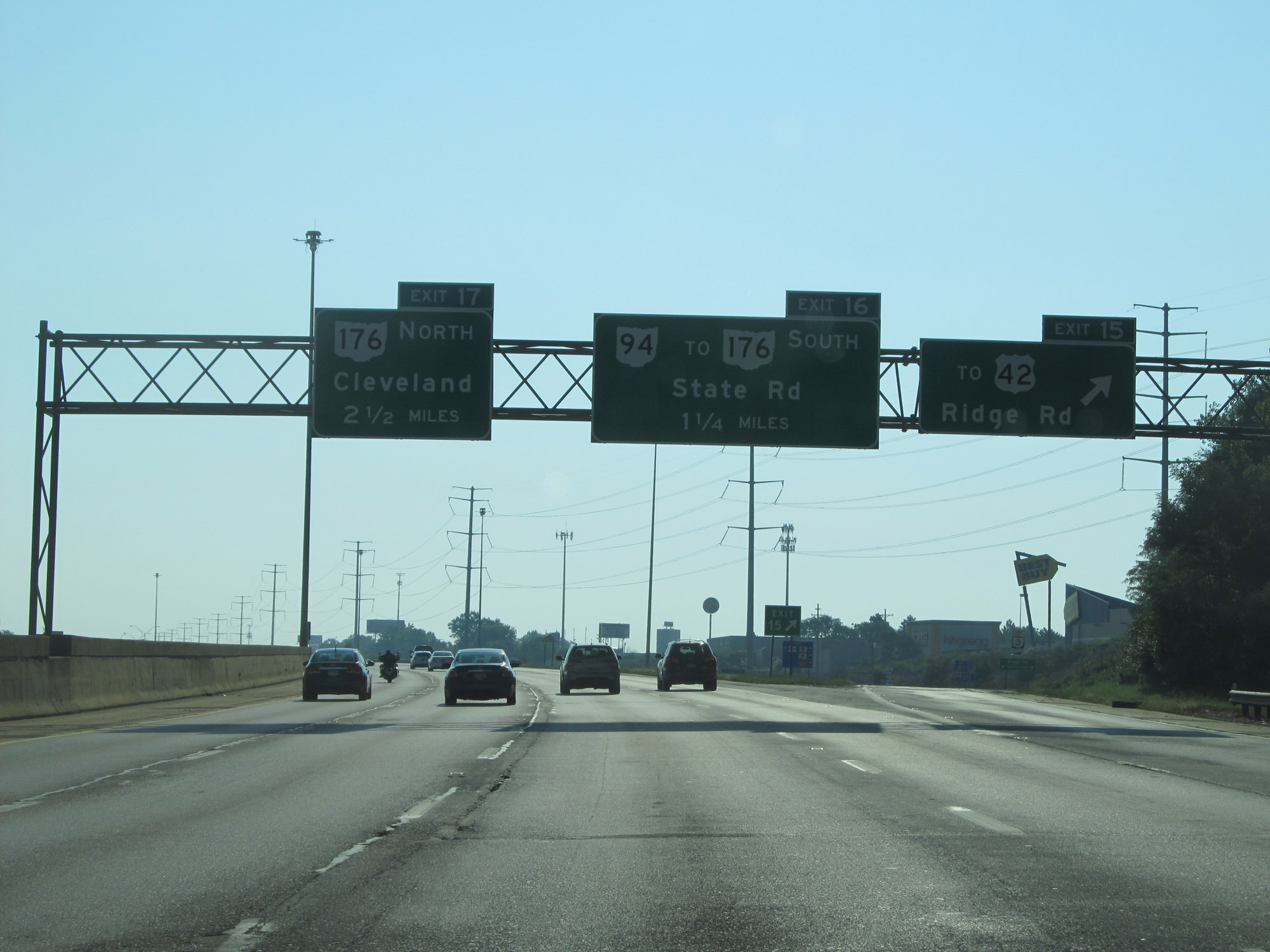
Interstate 480 East at Exit 16: OH 94 / To OH 176 South - State Rd (Photo taken 9/6/15). |
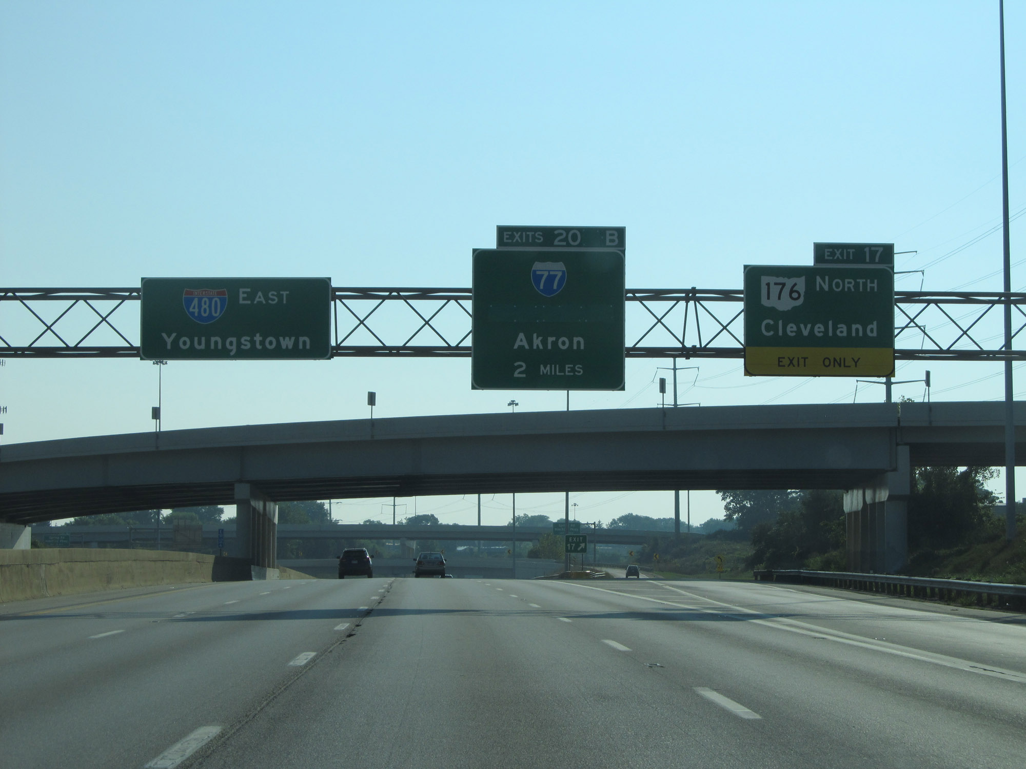 |
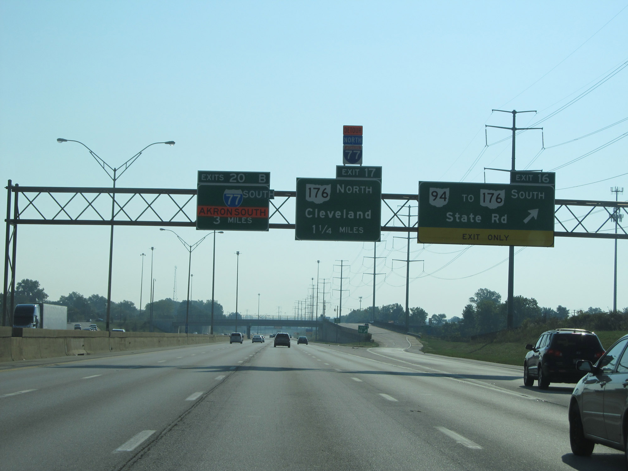
Interstate 480 East at Exit 17: OH 176 North - Cleveland (Photo taken 9/6/15). |
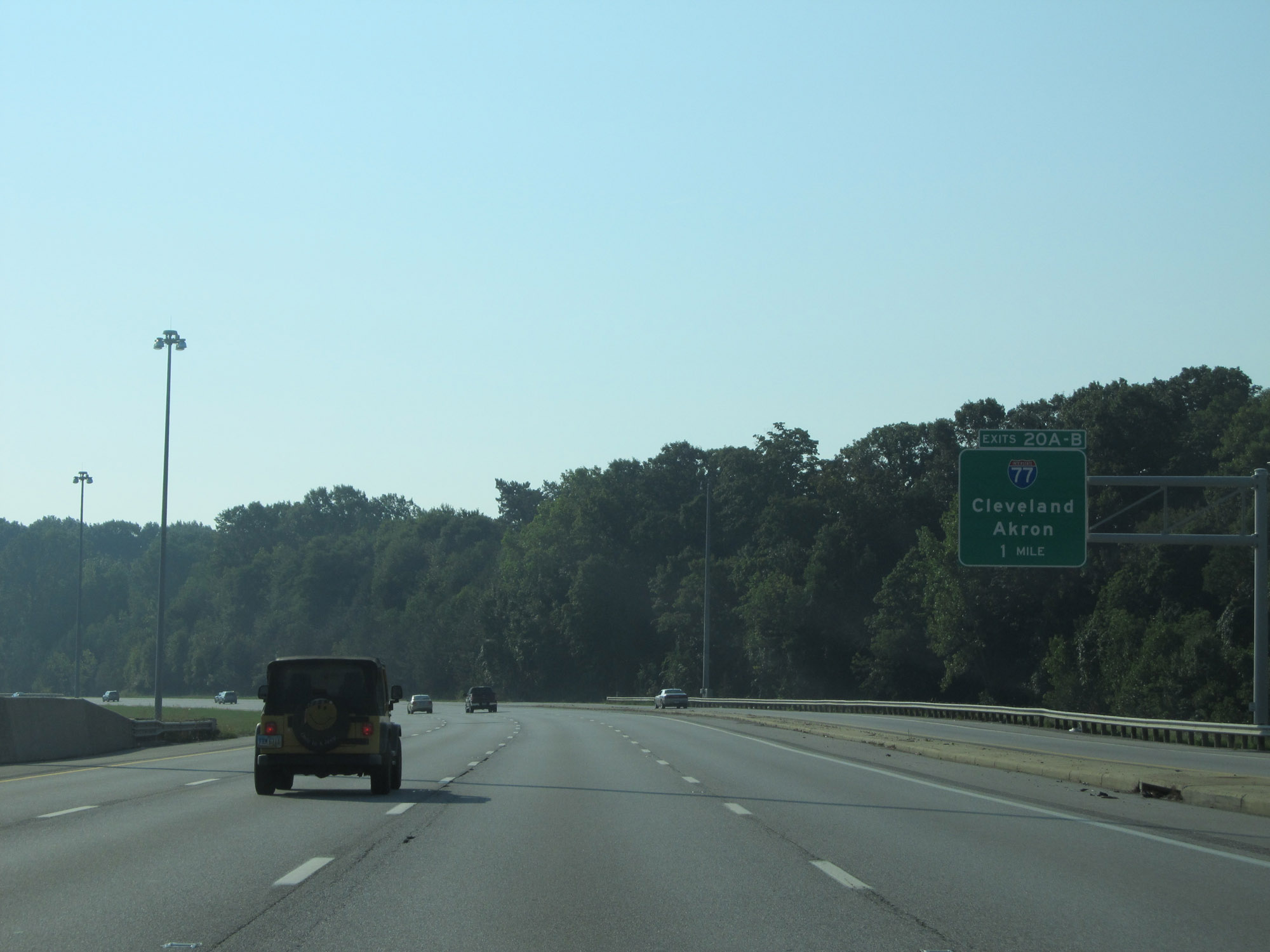 |
Interstate 480 East approaching Exits 20A-B - 1 mile. (Photo taken 9/6/15). |
 |
Interstate 480 East at Exit 20A: Interstate 77 North - Cleveland; Exit 20B: Interstate 77 South - Akron (Photo taken 9/6/15). |
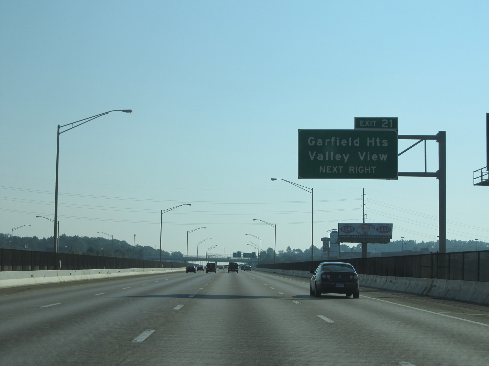 |
Take Exit 21 to Garfield Heights and Valley View. (Photo taken 9/6/15). |
 |
Interstate 480 East at Exit 21: Transportation Boulevard / E 98th St (Photo taken 9/6/15). |
 |
Interstate 480 East reassurance shield. (Photo taken 9/6/15). |
 |
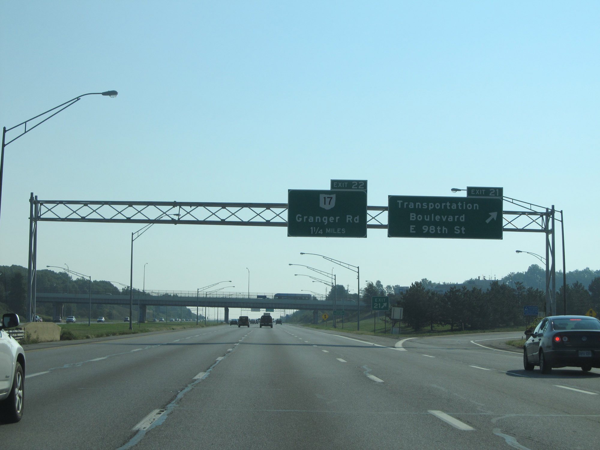
Take Exit 22 to Maple Heights and Garfield Heights. Trucks to OH 17 Truck Route should use Broadway Ave, 1 1/2 miles ahead via Exit 23. (Photo taken 9/6/15). |
 |
Interstate 480 East at Exit 22: OH 17 - Granger Rd (Photo taken 9/6/15). |
 |
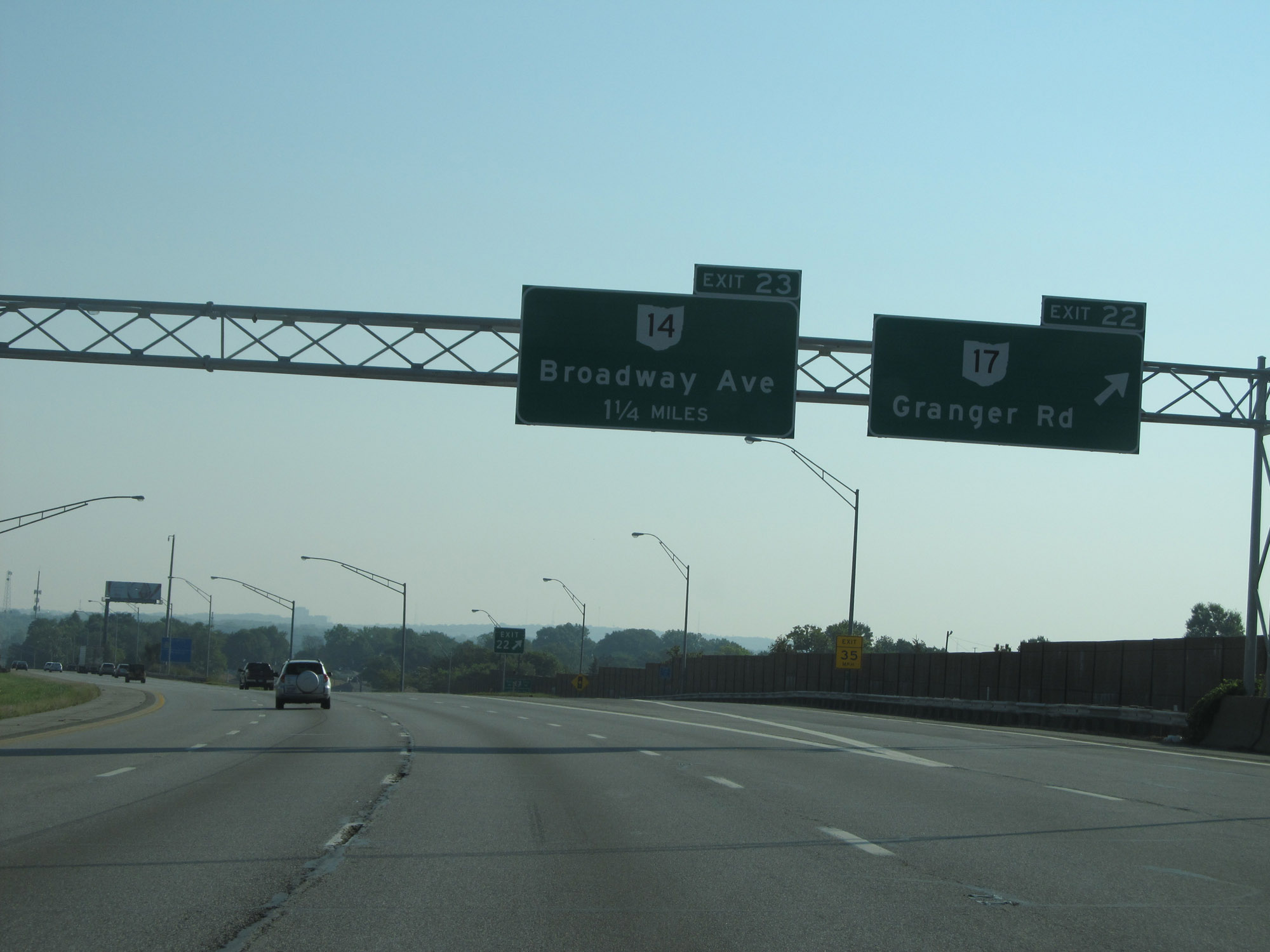
Take Exit 23 to Garfield Heights. (Photo taken 9/6/15). |
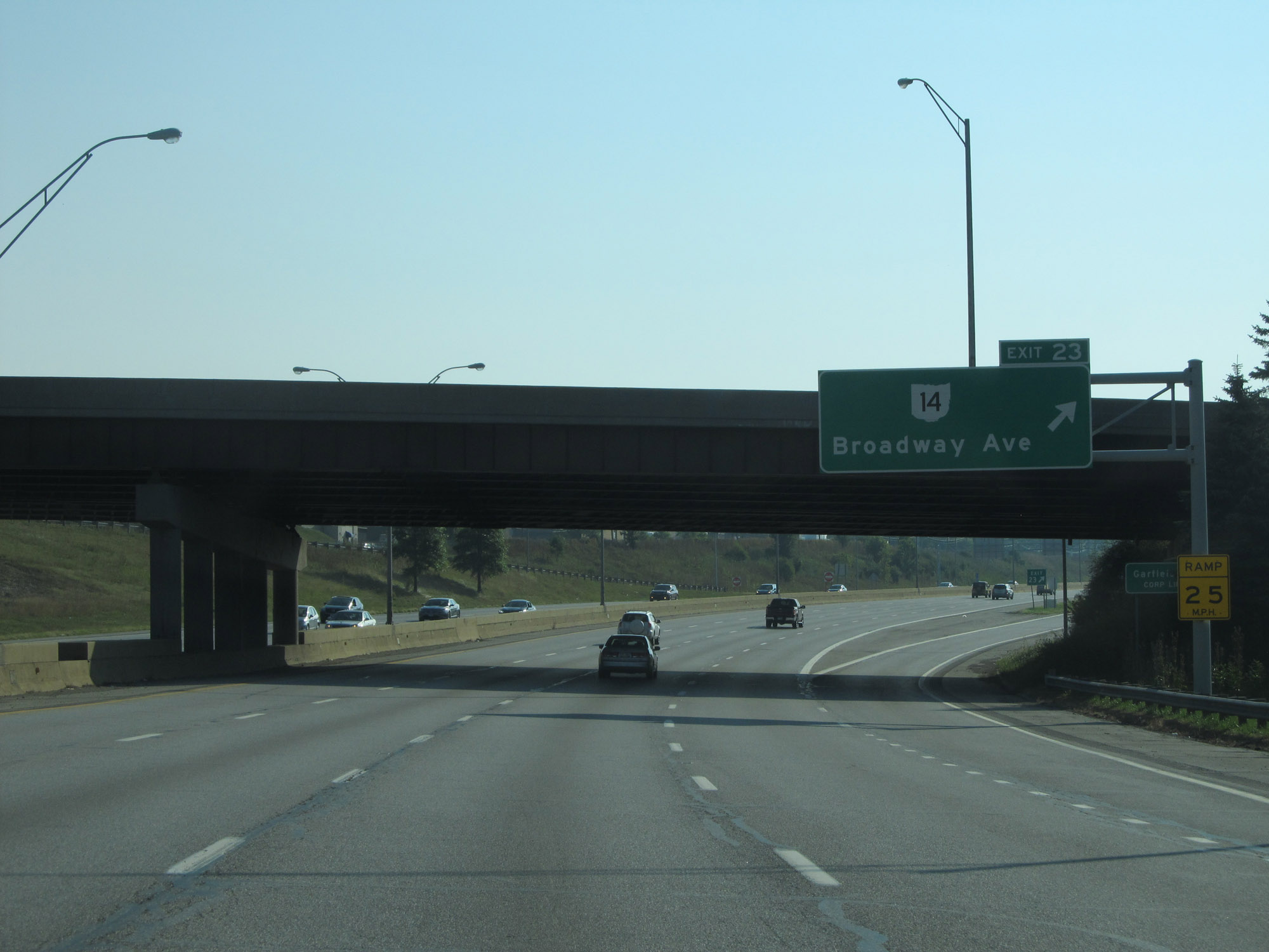 |
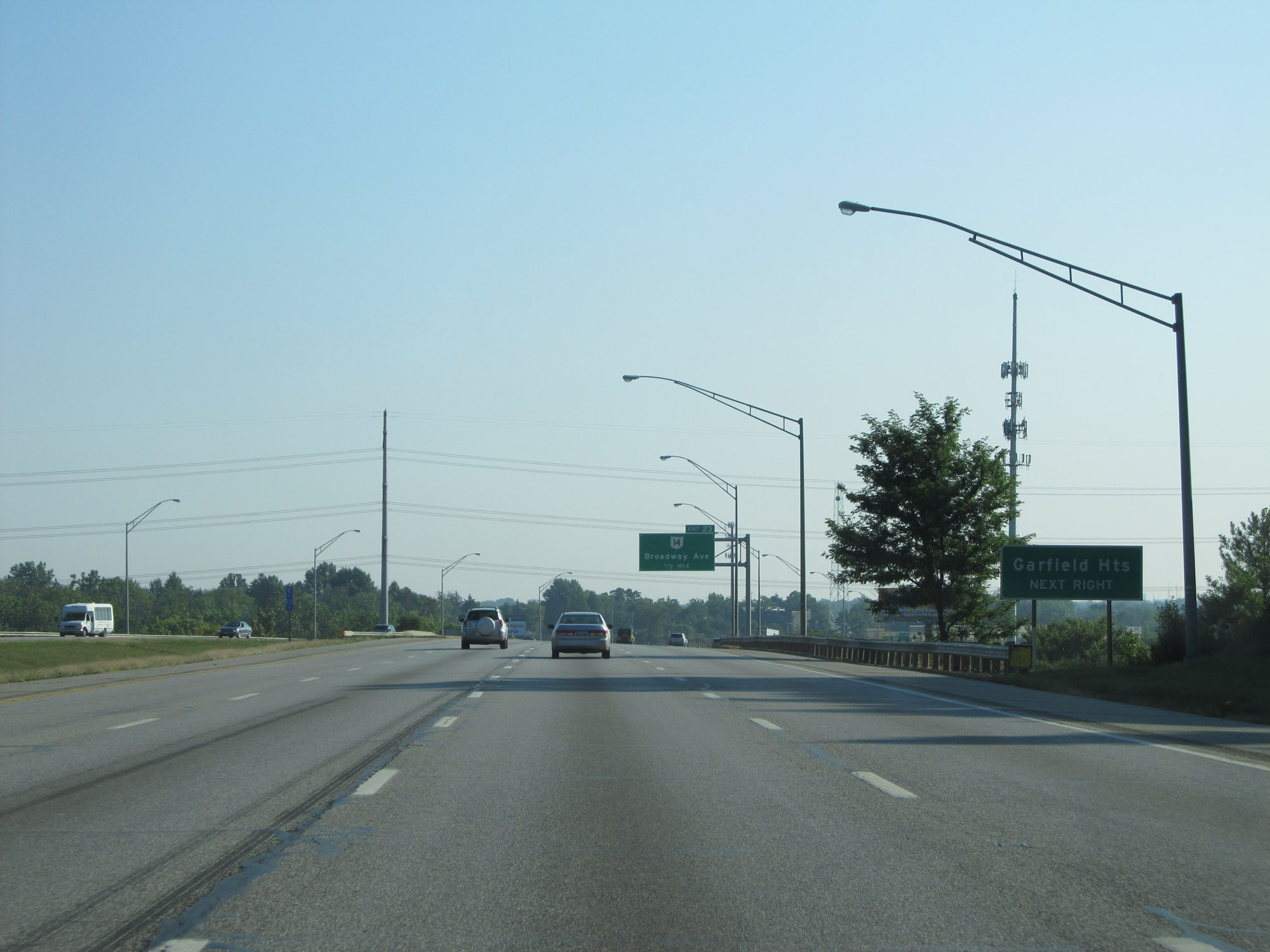
Interstate 480 East at Exit 23: OH 14 - Broadway Ave (Photo taken 9/6/15). |
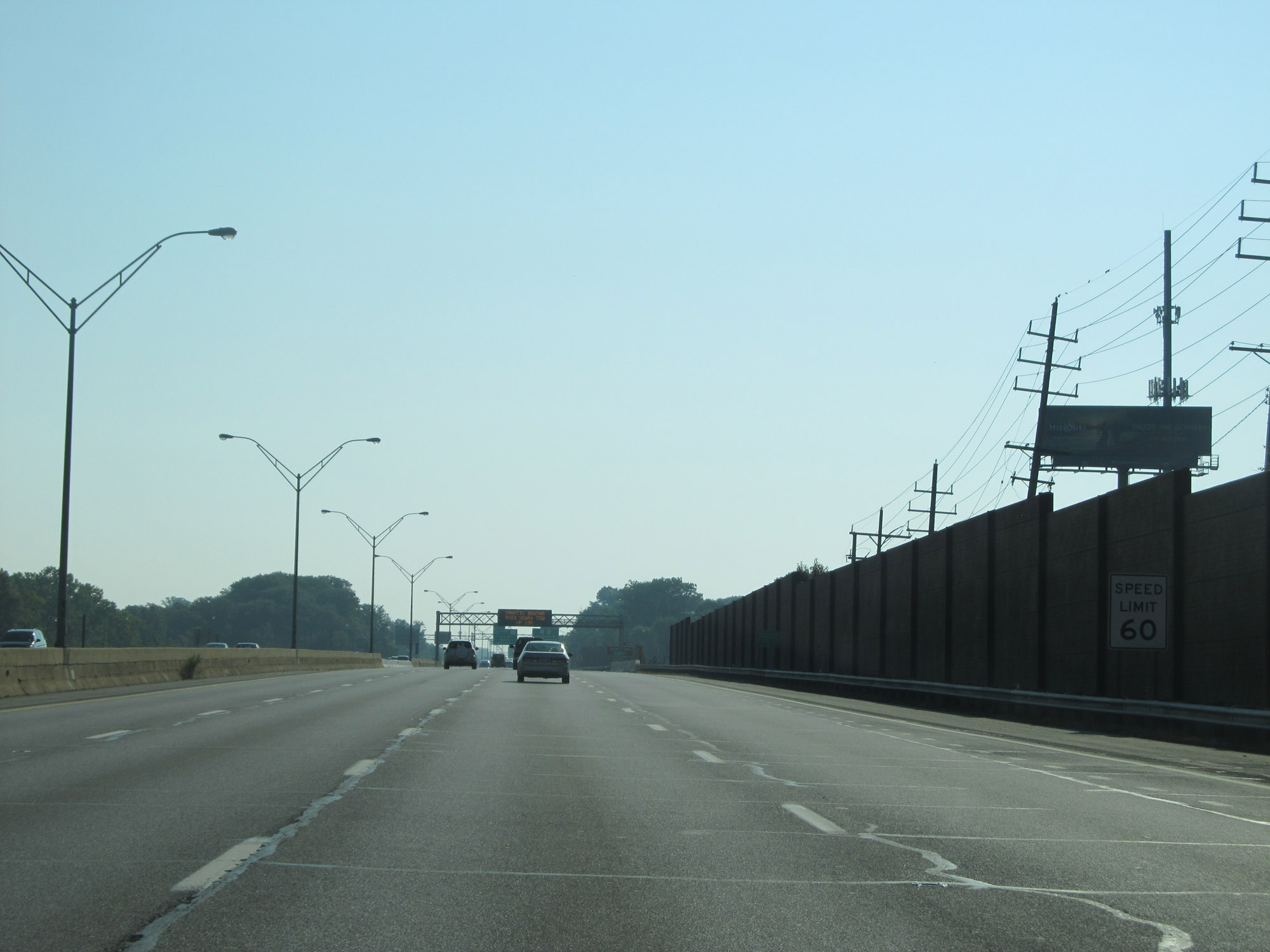 |
The speed limit remains 60 mph. (Photo taken 9/6/15). |
 |
Take Exit 25B to ThistleDown Racino. (Photo taken 9/6/15). |
 |
Interstate 480 East at Exits 25A-B: Warrensville Rd; Exit 25C: OH 8 / OH 43 - Northfield Rd (Photo taken 9/6/15). |
 |
Interstate 480 East approaching Exit 26 - 1/2 mile on the left. (Photo taken 9/6/15). |
 |
Take Exit 26 to Miles Rd, North Randall, and Bedford Heights. (Photo taken 9/6/15). |
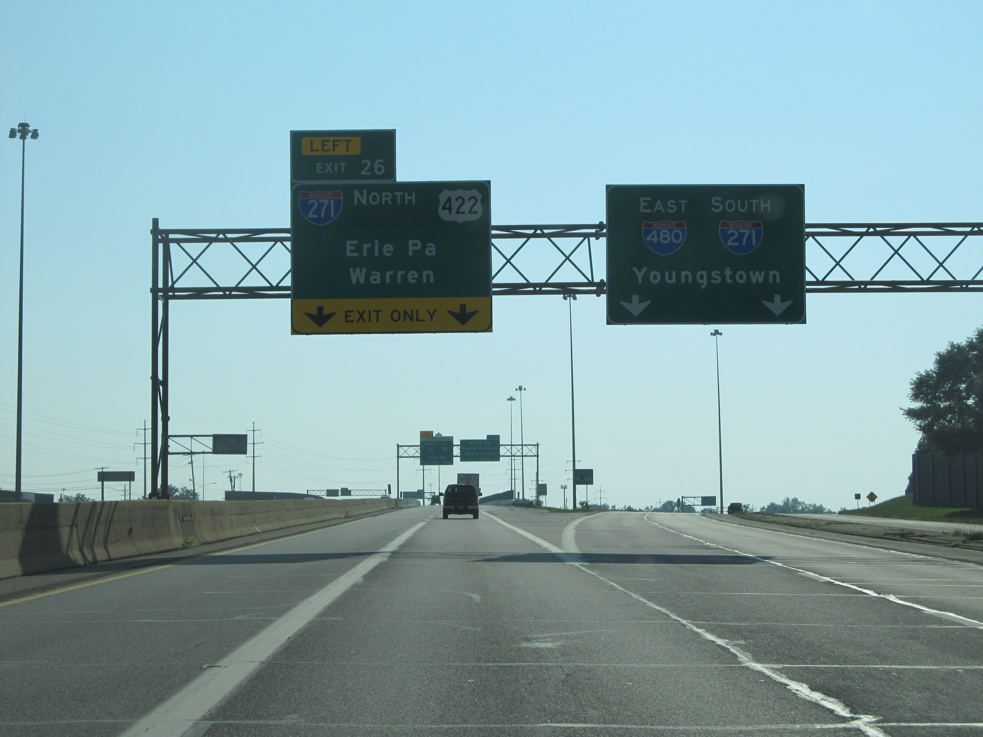 |
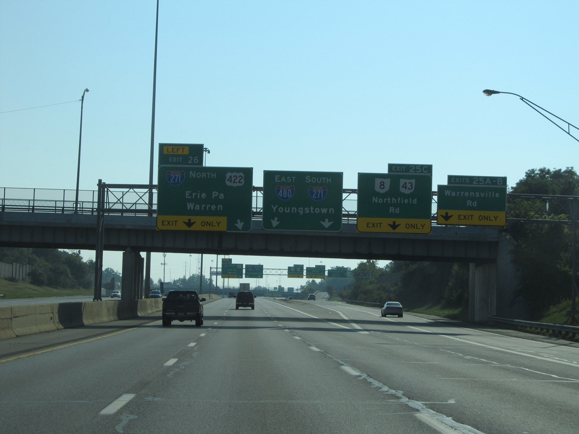
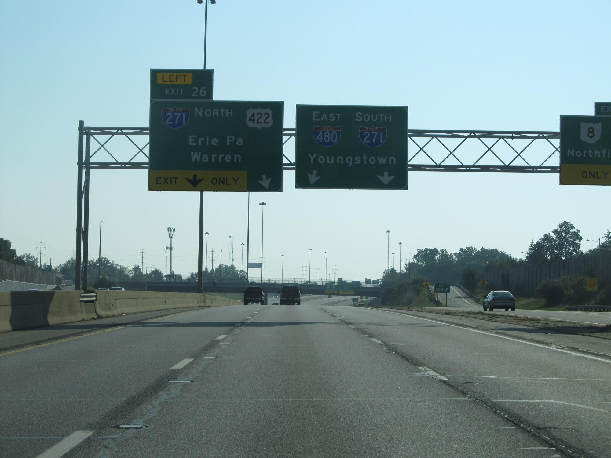
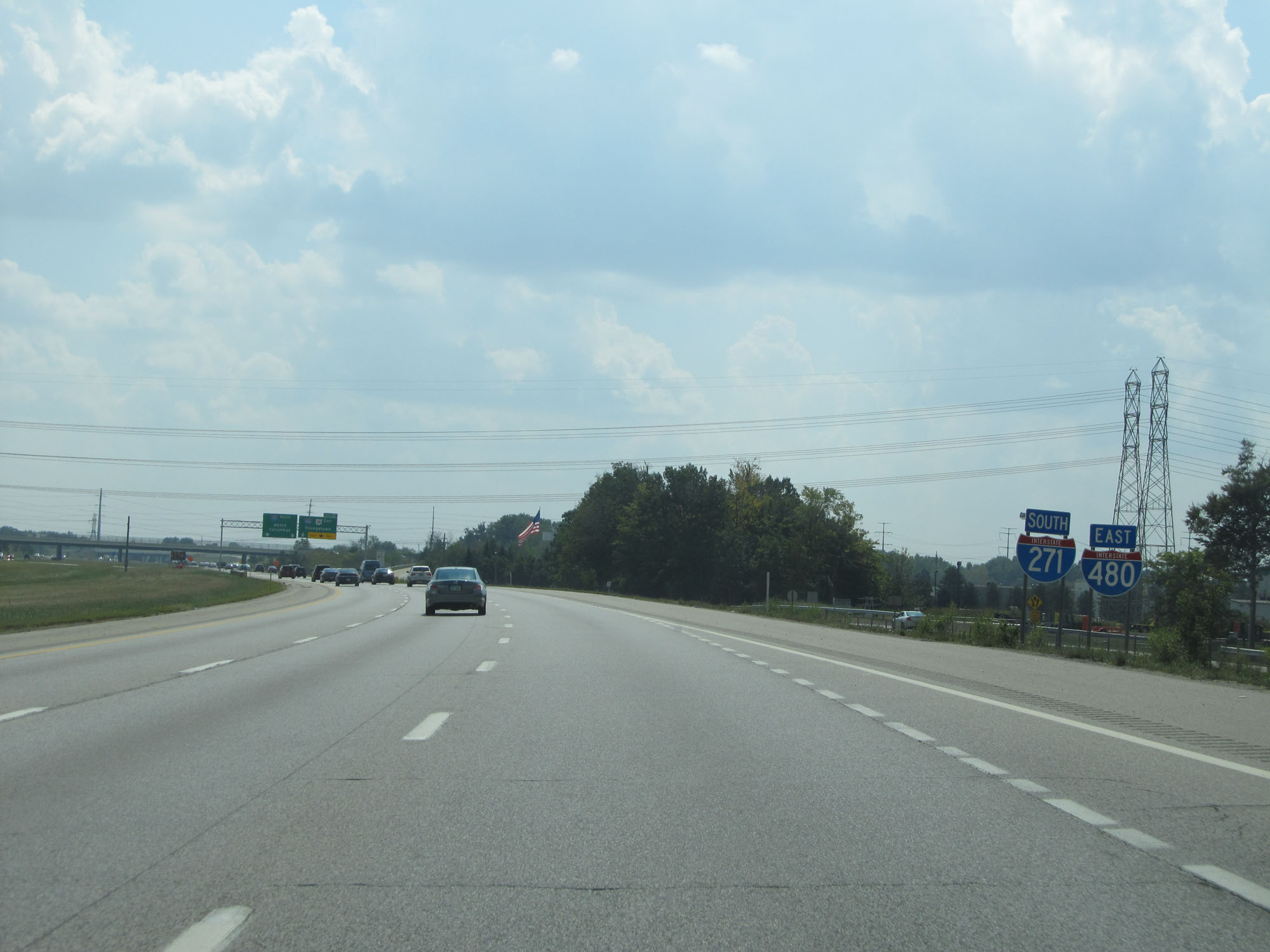
Interstate 480 East at Exit 26: Interstate 271 North / US 422 - Erie, PA / Warren. Ahead, Interstate 480 East will merge into the southbound lanes of Interstate 271 for a brief concurrency. (Photo taken 9/6/15). |
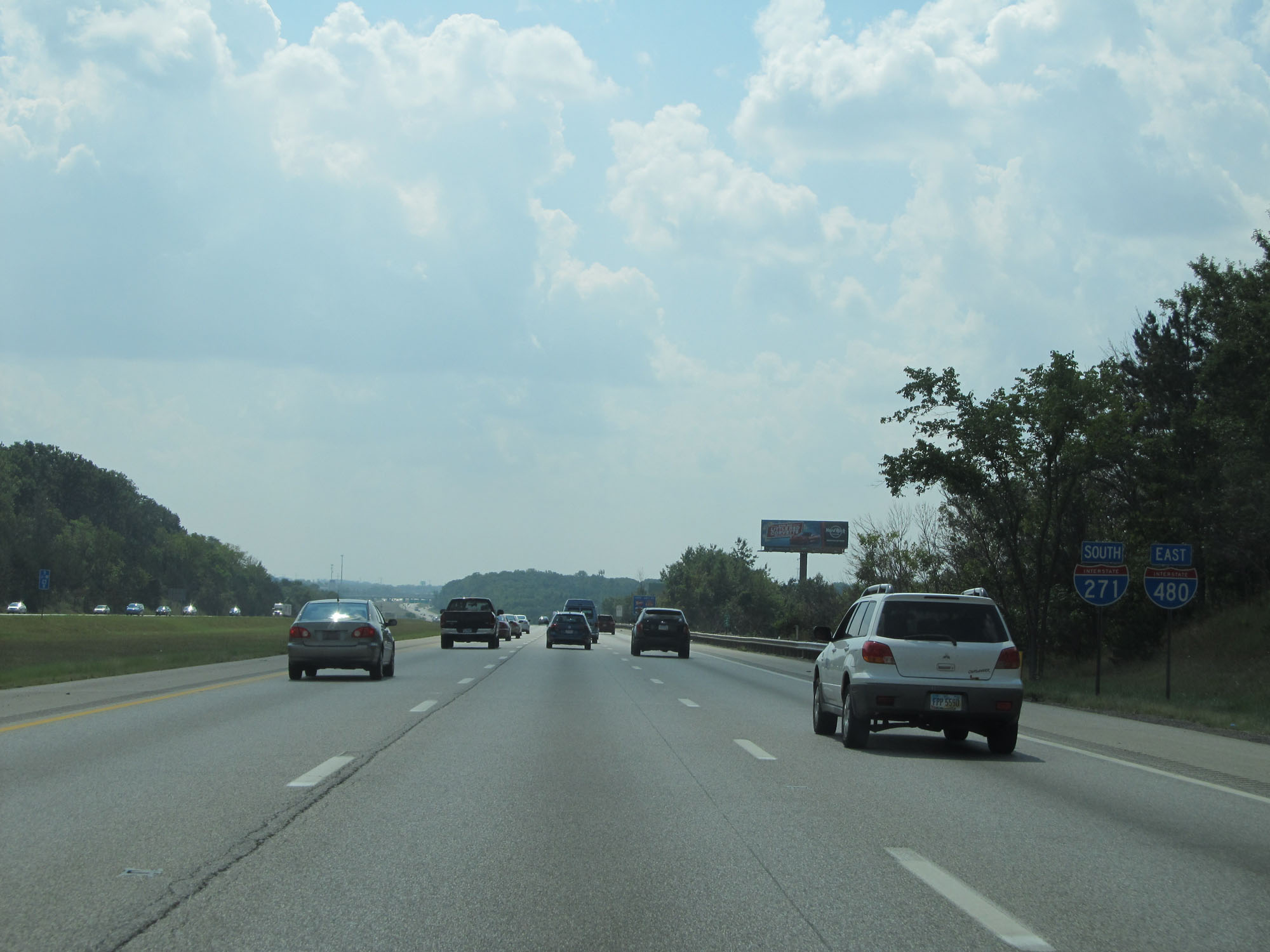 |
Interstate 480 East / Interstate 271 South reassurance shields as their concurrency begins. (Photo taken 9/7/15). |
 |
Take Exit 23 to Walton Hills, Hard Rock Rocksino, Northfield Park, and Bedford Reservation. During the I-480 / I-271 concurrency, the exit numbers and mile markers are based on the mileage of I-271. (Photo taken 9/7/15). |
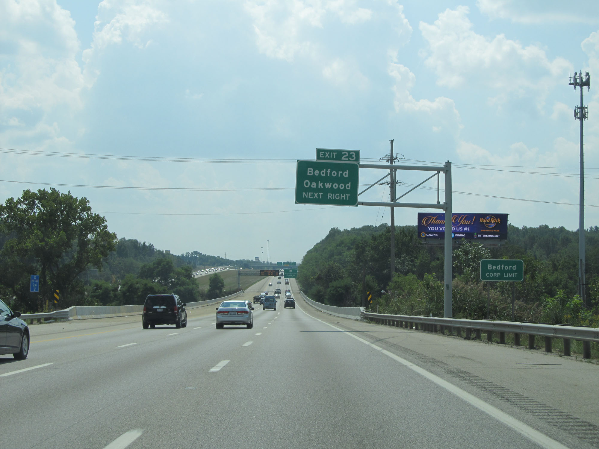 |
Also take Exit 23 to Bedford and Oakwood. (Photo taken 9/7/15). |
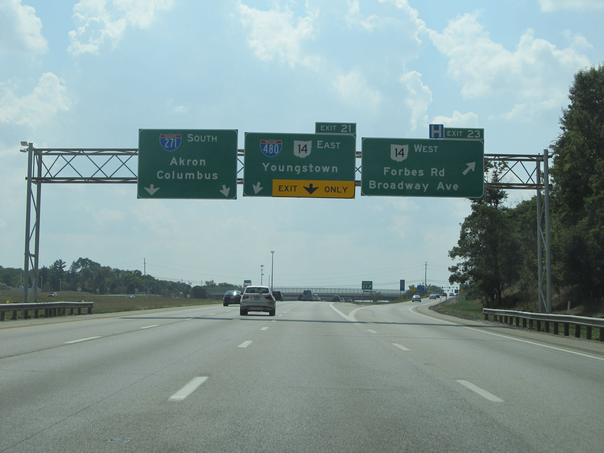 |
Interstate 480 East / Interstate 271 South at Exit 23: OH 14 West - Forbes Rd / Broadway Ave (Photo taken 9/7/15). |
 |
Another set of Interstate 480 East / Interstate 271 South reassurance shields. (Photo taken 9/7/15). |
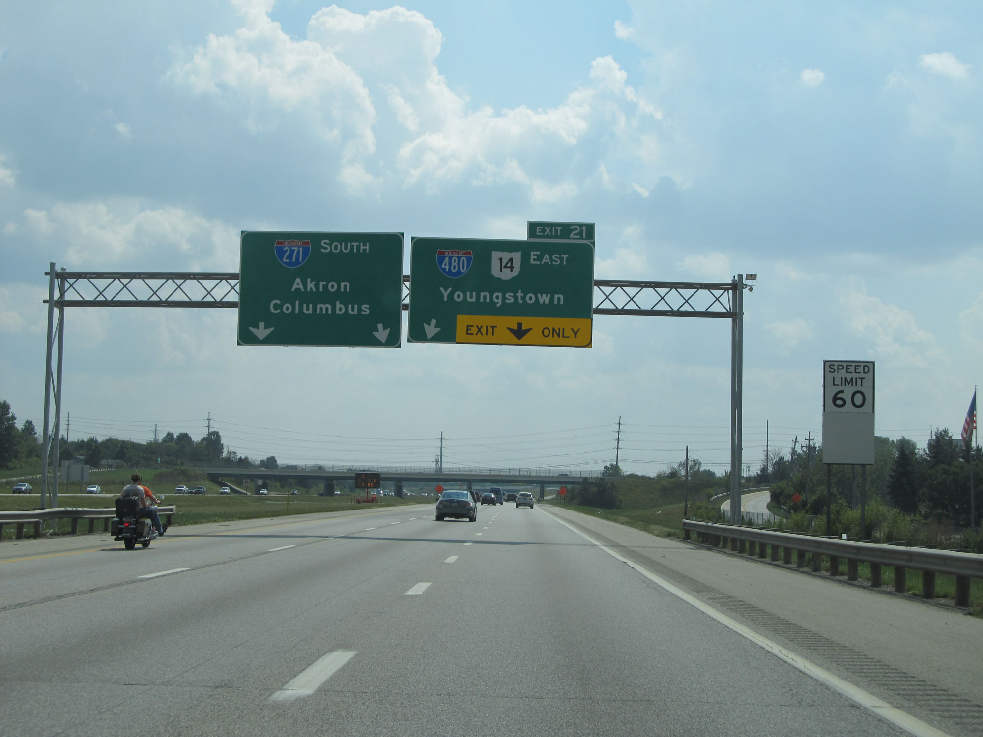 |
Interstate 480 East / Interstate 271 South approaching Exit 21, at which point I-480 will depart to the east. (Photo taken 9/7/15). |
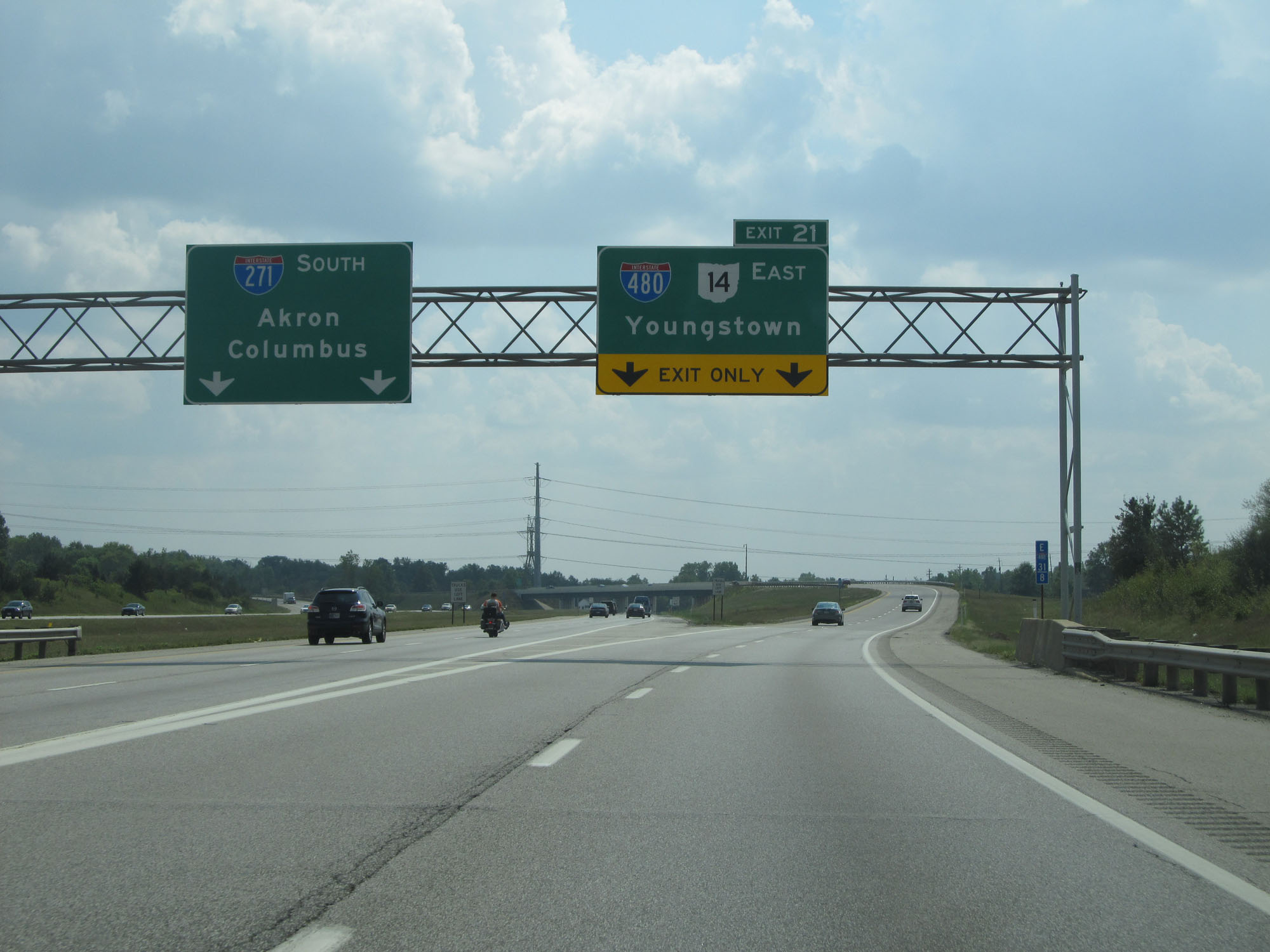 |
Interstate 480 East / Interstate 271 South at Exit 21: Interstate 480 East / OH 14 East - Youngstown (Photo taken 9/7/15). |
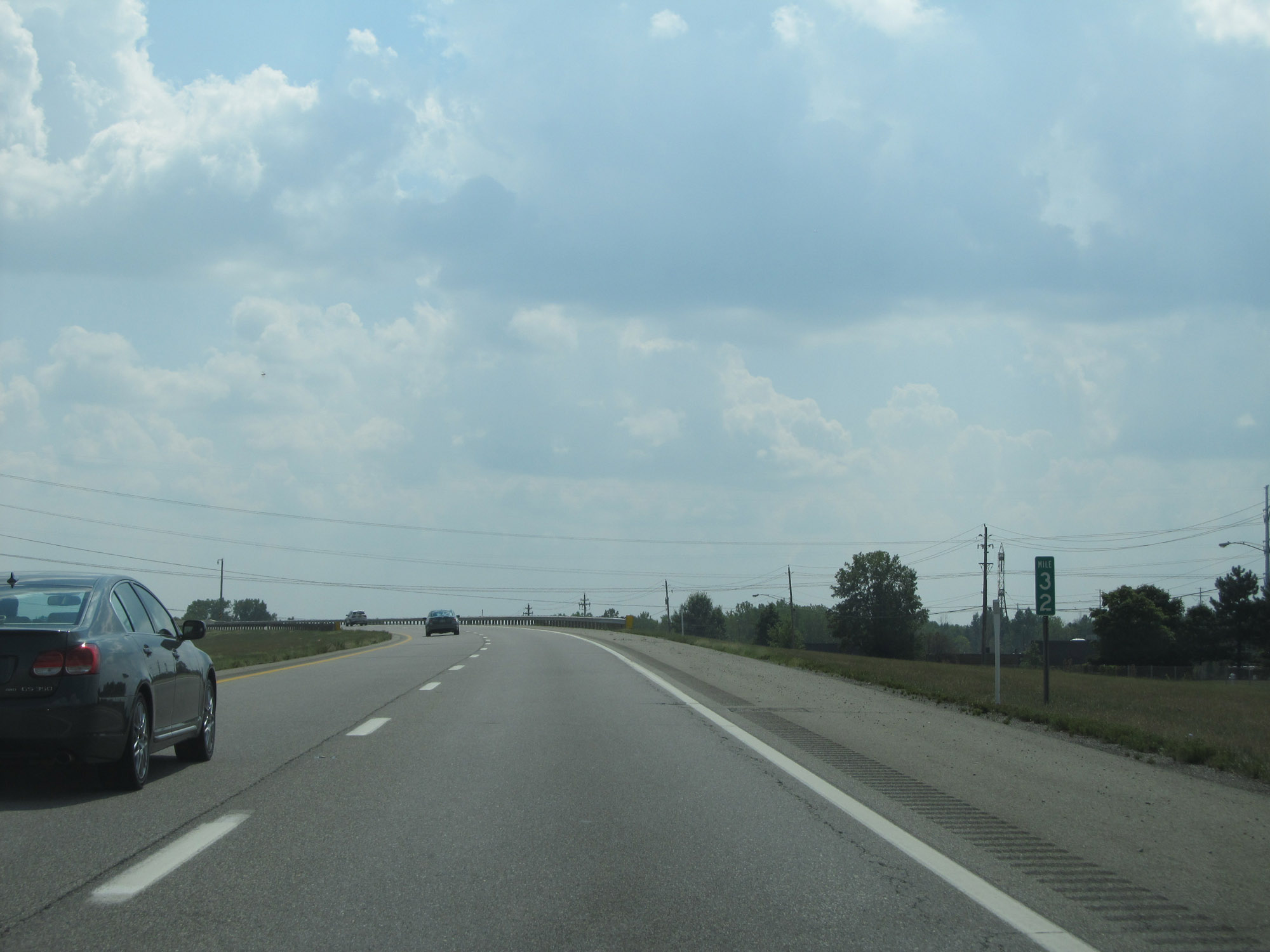 |
Interstate 480 East at mile marker 32. (Photo taken 9/7/15). |
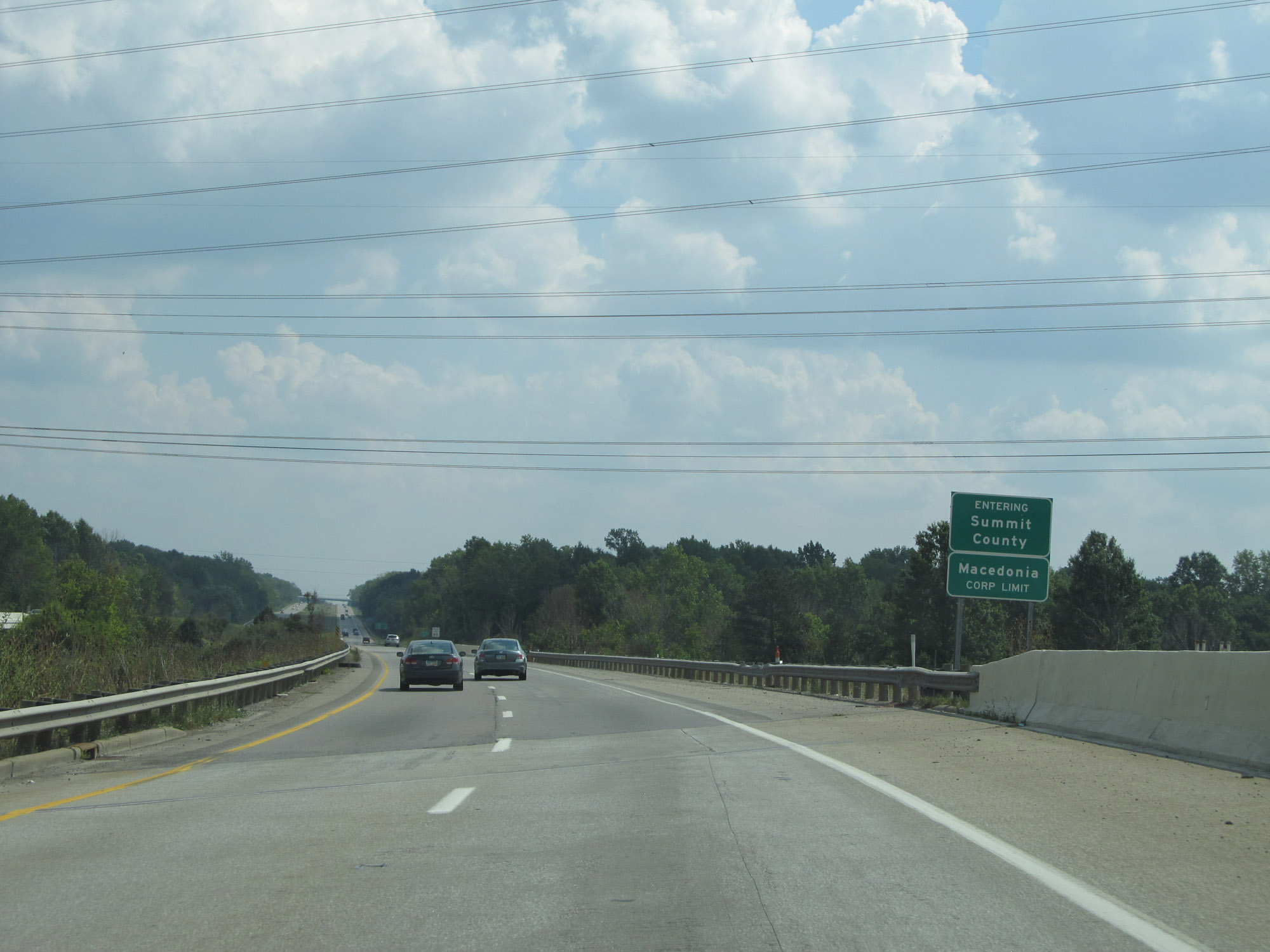 |
Entering Summit County on Interstate 480 East. (Photo taken 9/7/15). |
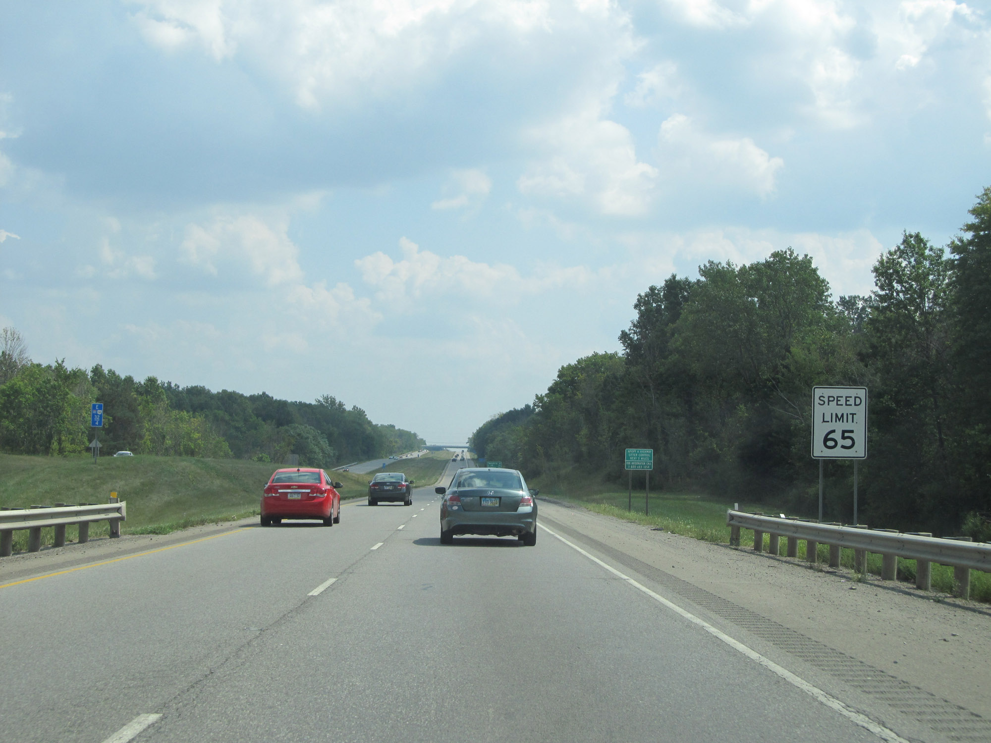 |
Upon entering Summit County, the speed limit increases to 65 mph. (Photo taken 9/7/15). |
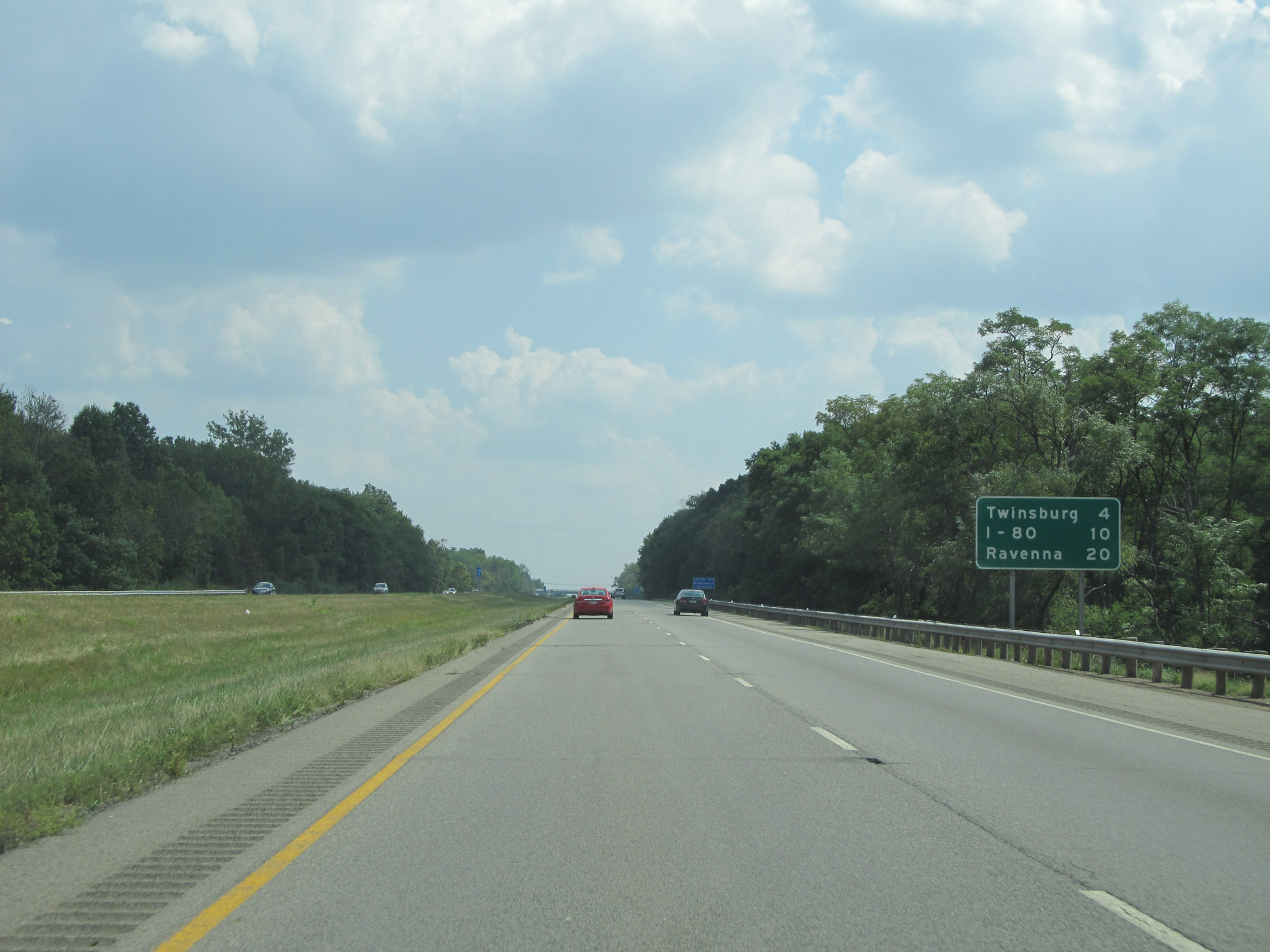 |
Mileage sign on Interstate 480 East. It's 4 miles to Twinsburg, 10 miles to the junction of Interstate 80 (Ohio Turnpike), and 20 miles to Ravenna. (Photo taken 9/7/15). |
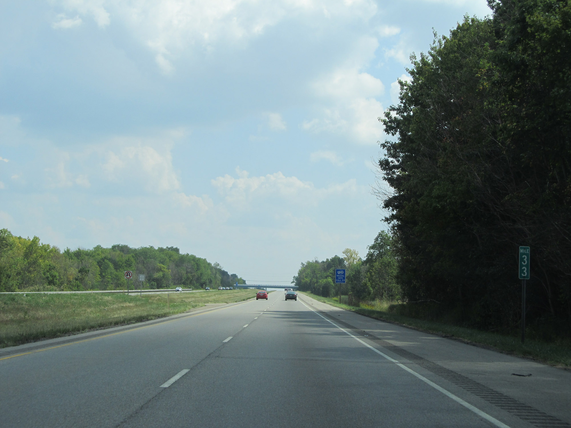 |
View on Interstate 480 East at mile marker 33. (Photo taken 9/7/15). |
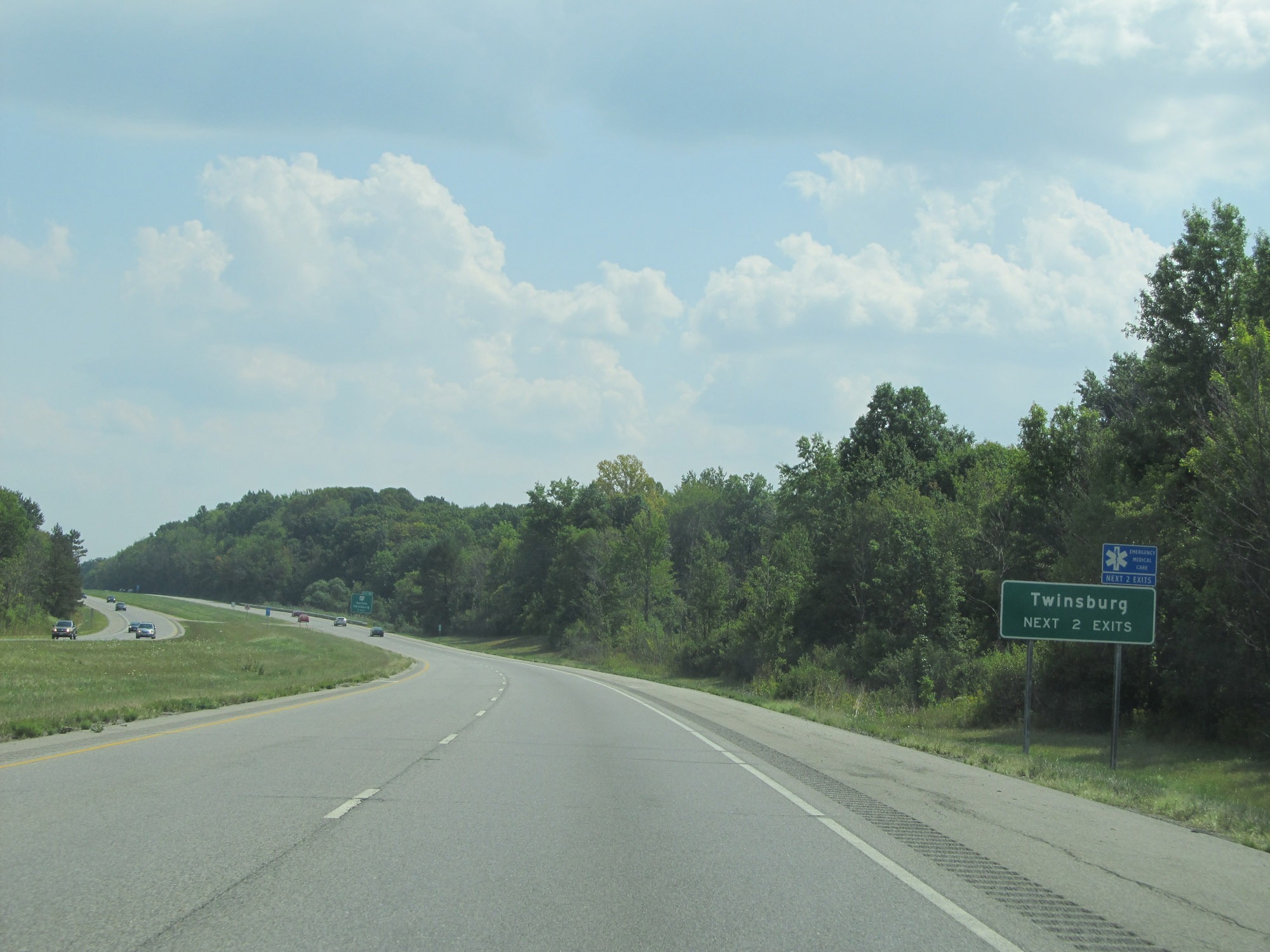 |
Take either of the next 2 exits to Twinsburg. (Photo taken 9/7/15). |
 |
Interstate 480 East at Exit 36: OH 82 - Aurora / Twinsburg (Photo taken 9/7/15). |
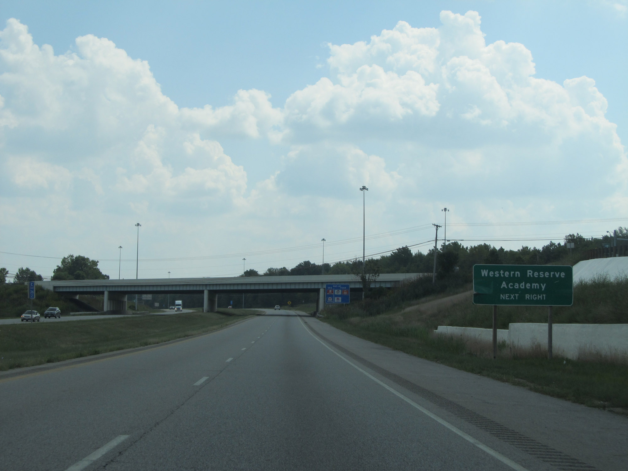 |
Take Exit 37 to Western Reserve Academy. (Photo taken 9/7/15). |
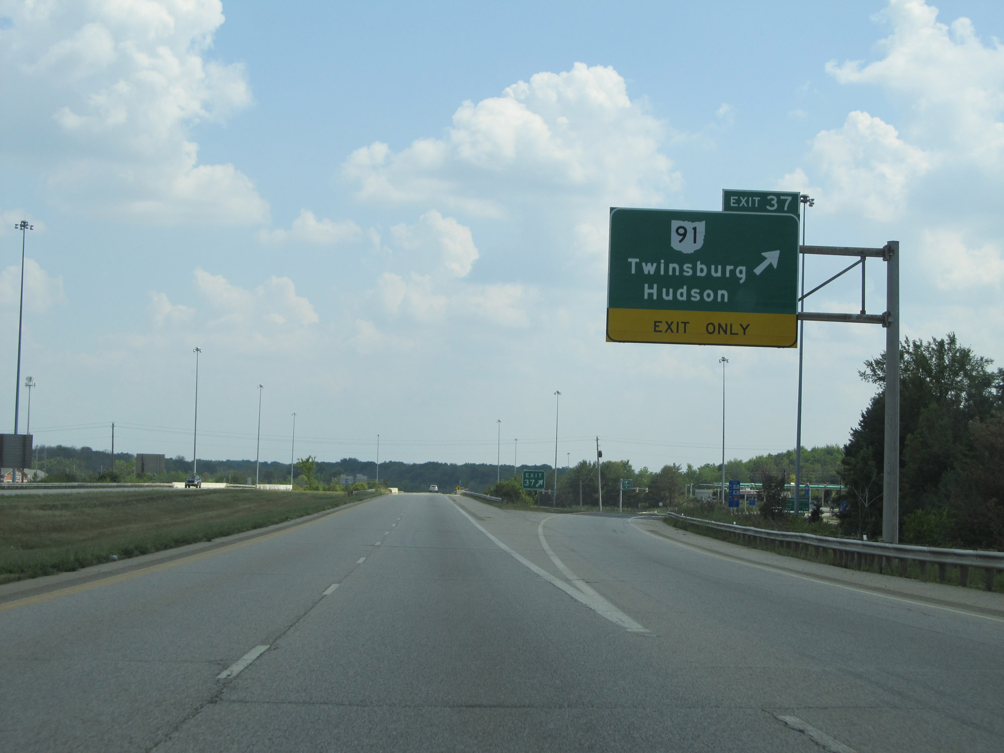 |
Interstate 480 East at Exit 37: OH 91 - Twinsburg / Hudson (Photo taken 9/7/15). |
 |
Interstate 480 East reassurance shield. (Photo taken 9/7/15). |
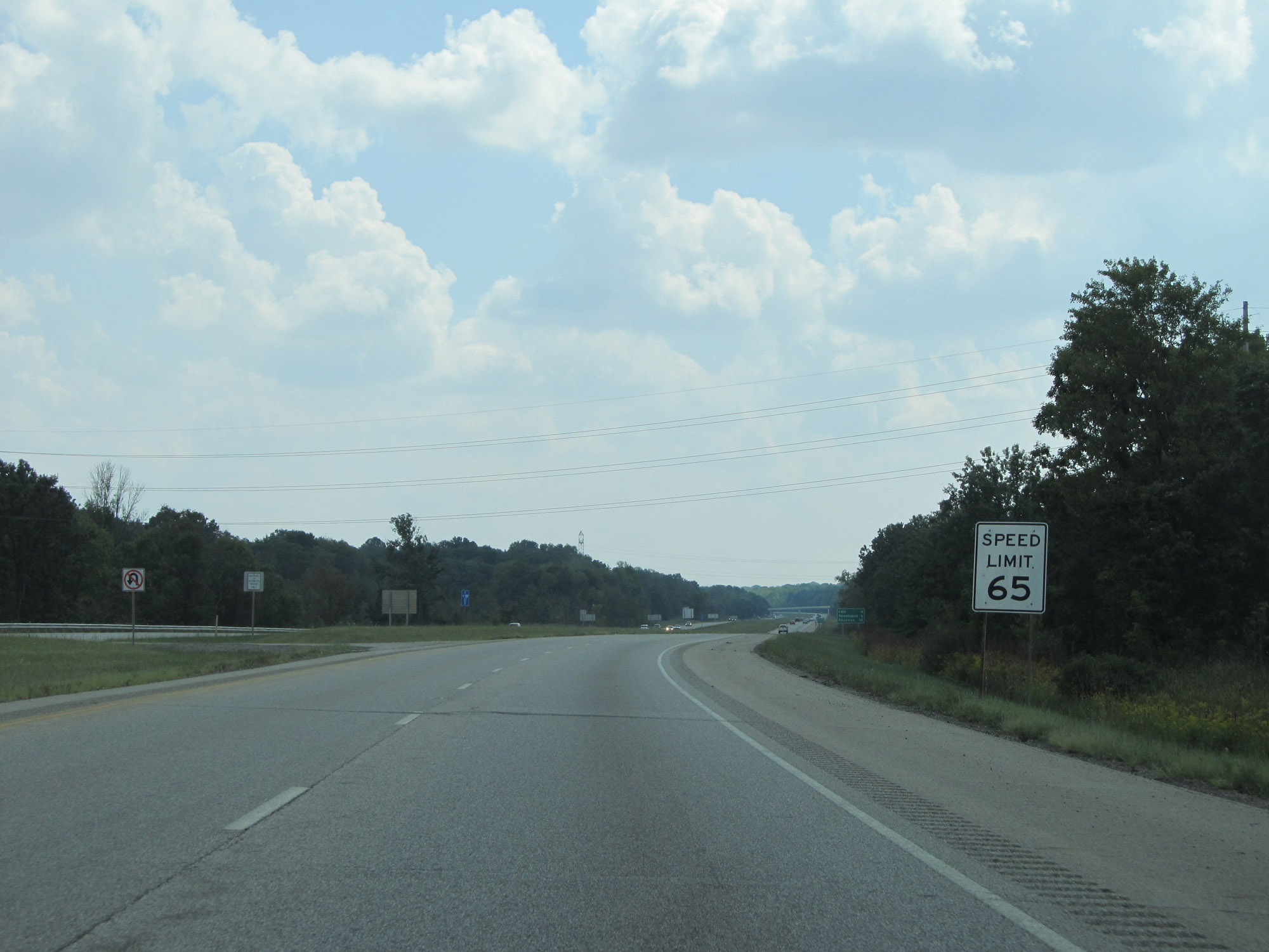 |
The speed limit remains 65 mph. (Photo taken 9/7/15). |
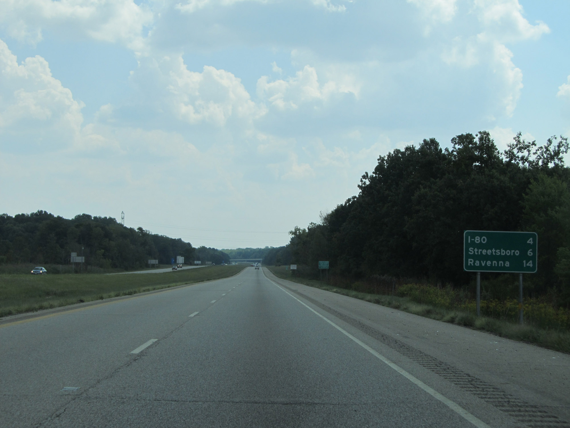 |
Mileage sign on Interstate 480 East. It's 4 miles to the junction of Interstate 80 (Ohio Turnpike) / 6 miles to Streetsboro, and 14 miles to Ravenna. (Photo taken 9/7/15). |
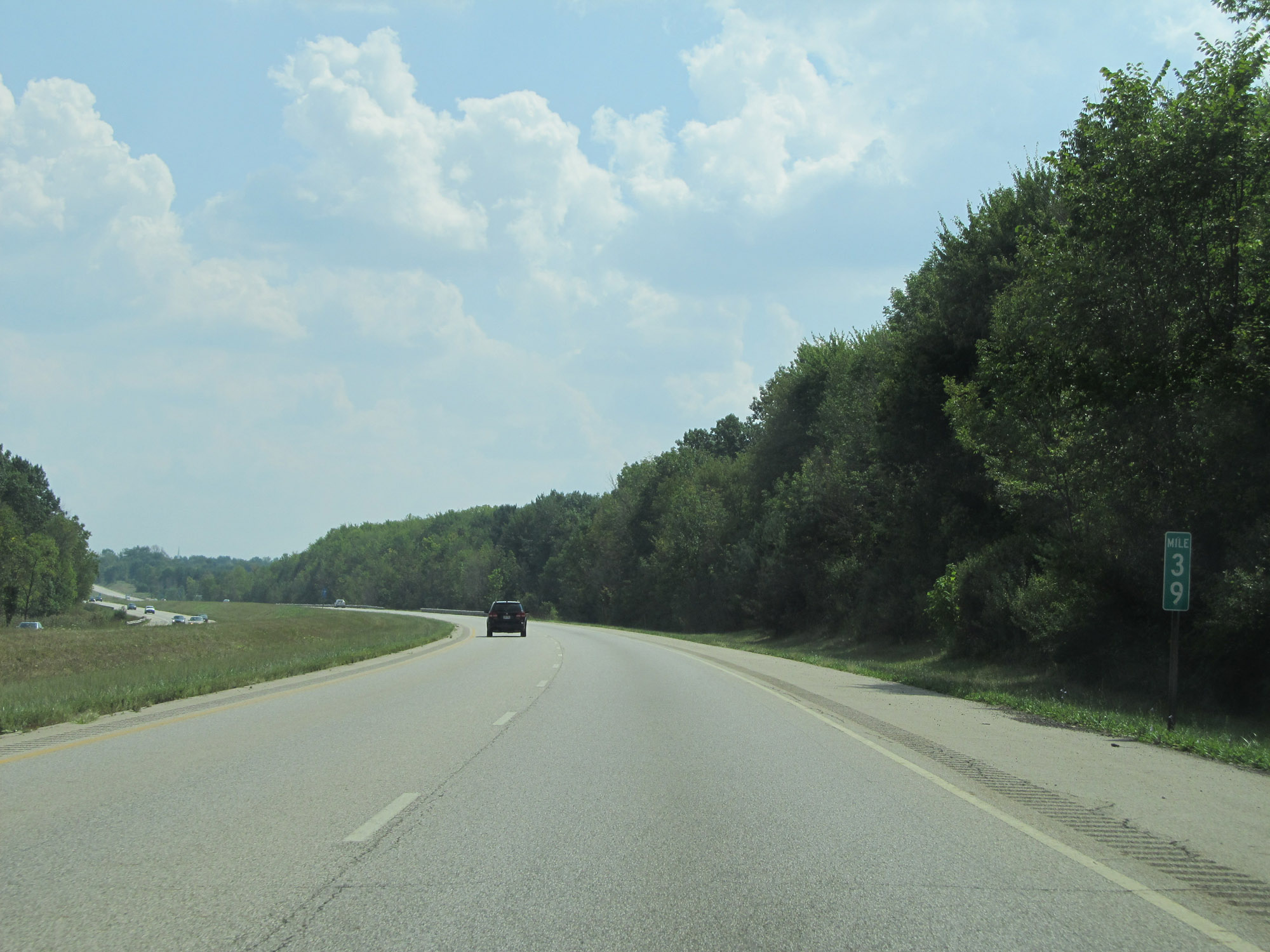 |
View on Interstate 480 East at mile marker 39. (Photo taken 9/7/15). |
 |
Interstate 480 East at mile marker 40. (Photo taken 9/7/15). |
 |
Take Exit 41 to Hudson-Aurora Rd. (Photo taken 9/7/15). |
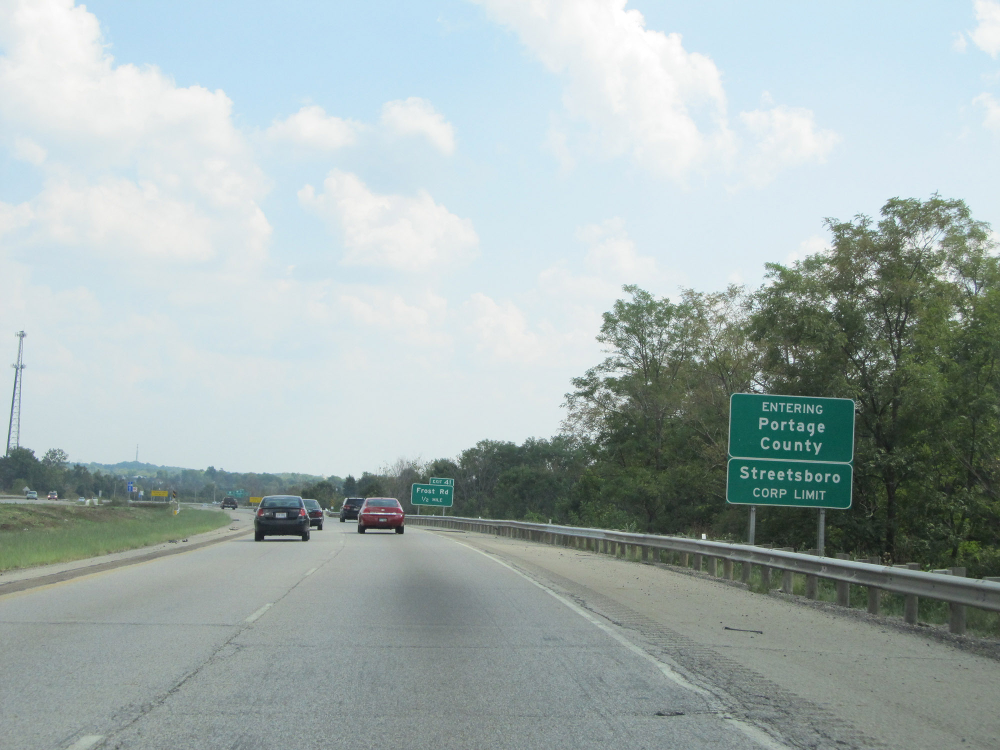 |
Nearing Exit 41, Interstate 480 East enters Portage County. (Photo taken 9/7/15). |
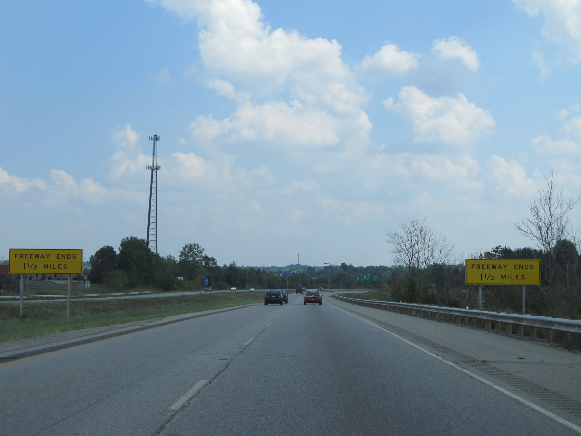 |
These signs warn that Interstate 480 East ends 1 1/2 miles ahead, which is at the junction of Interstate 80 (Ohio Turnpike). (Photo taken 9/7/15). |
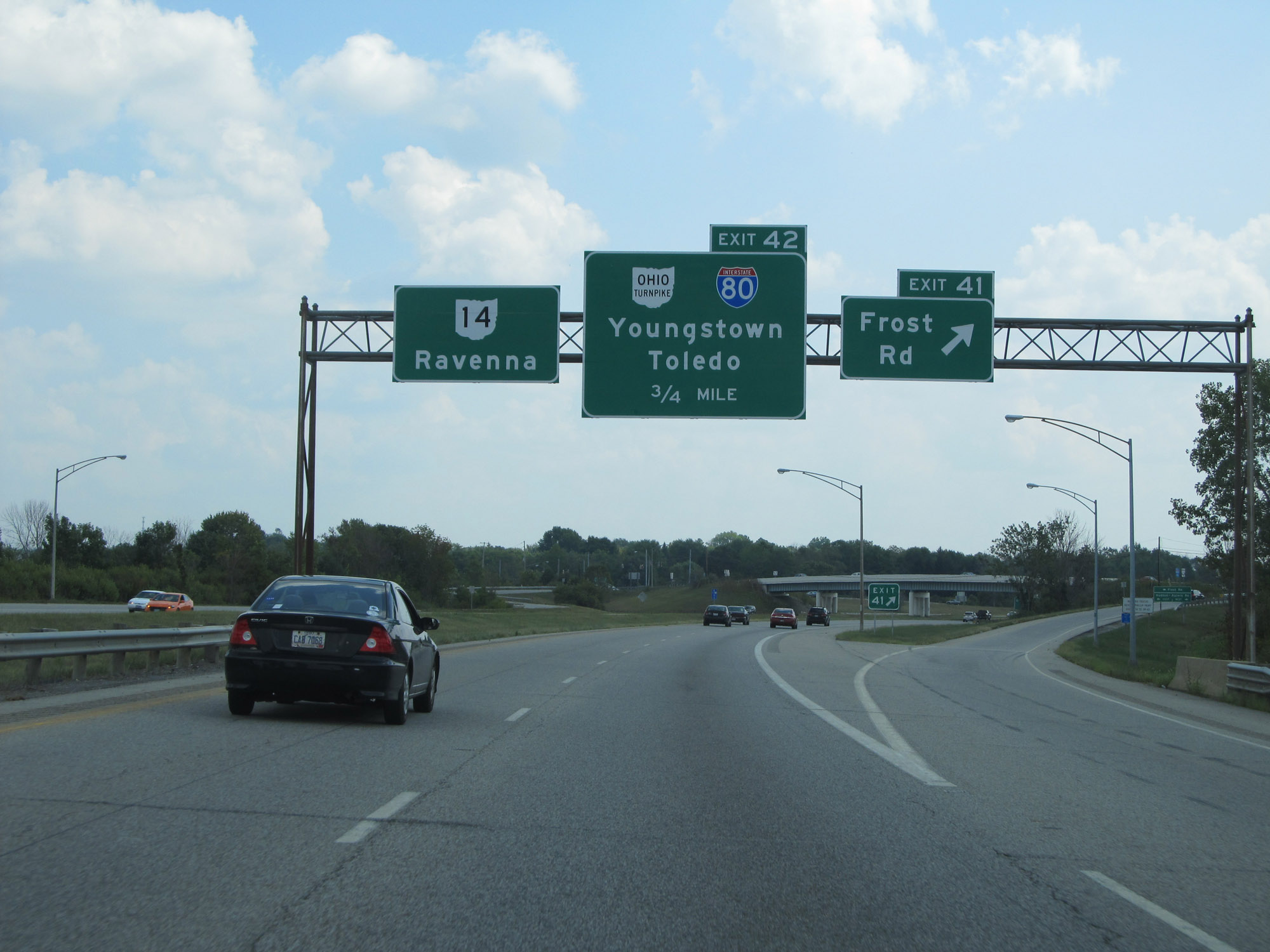 |
Interstate 480 East at Exit 41: Frost Rd (Photo taken 9/7/15). |
 |
View on Interstate 480 East at mile marker 42, approaching its eastern terminus. (Photo taken 9/7/15). |
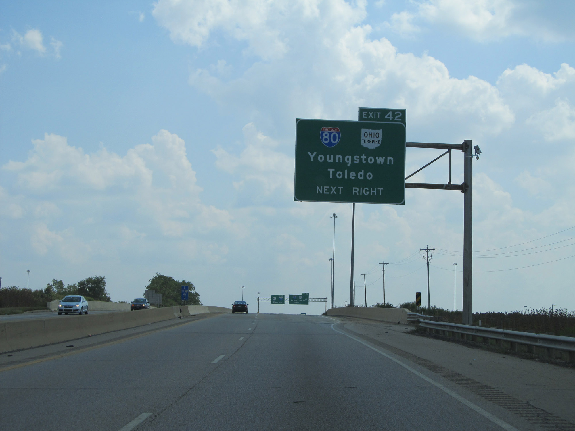 |
Interstate 480 East approaching Exit 42. (Photo taken 9/7/15). |
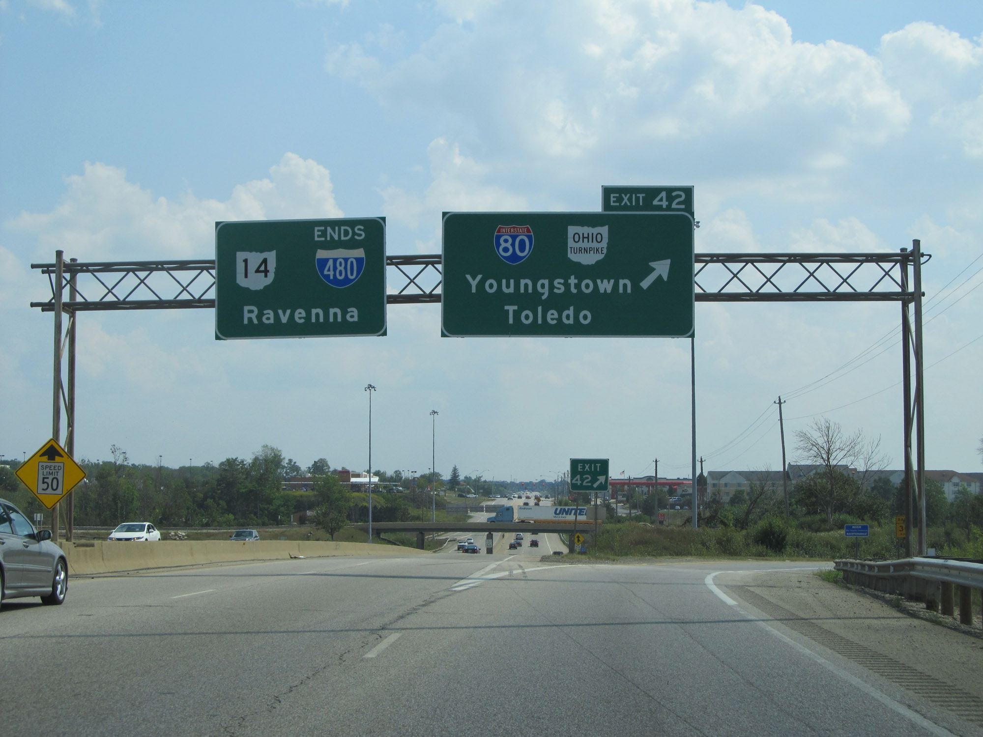 |
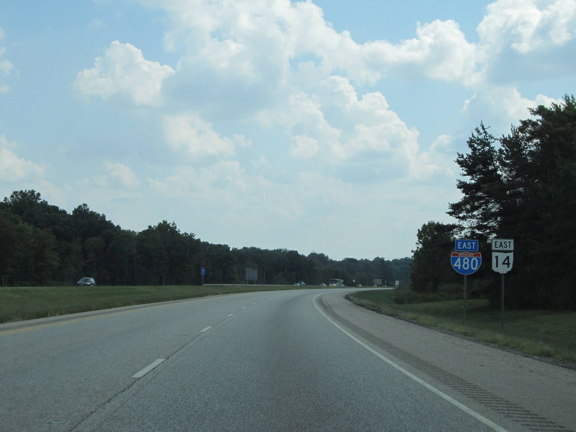
Interstate 480 East at Exit 42: Interstate 80 (Ohio Turnpike) - Youngstown / Toledo. This interchange marks the eastern terminus of I-480 in Streetsboro. OH 14 East continues straight ahead. (Photo taken 9/7/15). |