Road Information |
||
 |
||
| Total Mileage in State: | 352 miles | |
| Eastern End: | At Minnesota state line | |
| Western End: | At Montana state line | |
| Mileage covered in Photos: | 352 miles | |
| Counties covered in Photos: | Cass, Barnes, Stutsman, Kidder, Burleigh, Morton, Stark, Billings, Golden Valley | |
| Major Junctions in Photos: | I-29, in Fargo US 52/US 281, in Jamestown US 83, near Sterling US 83, in Bismarck I-194, in Mandan US 85, in Belfield |
|
| Control Cities in Photos: | Fargo, West Fargo, Valley City, Jamestown, Bismarck, Mandan, Dickinson | |
Westbound
- Section 1: Minnesota Border to Valley City (Exit 294)
- Section 2: Valley City (Exit 294) to Dawson (Exit 208)
- Section 3: Dawson (Exit 208) to Bismarck (Exit 157)
- Section 4: Bismarck (Exit 157) to Dickinson (Exit 64)
- Section 5: Dickinson (Exit 64) to Montana Border
Section 1: Minnesota Border to Valley City (Exit 294)
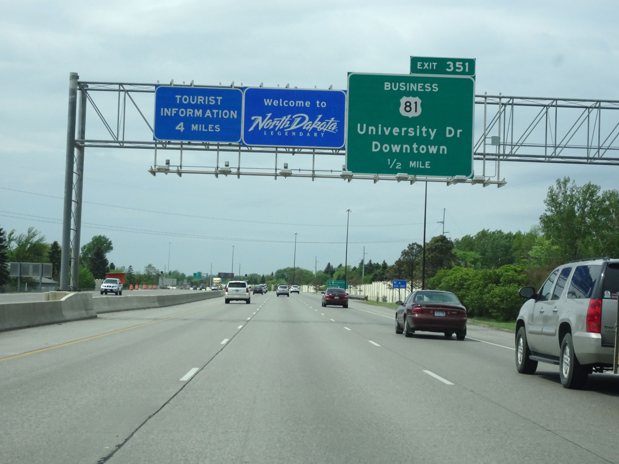 |
North Dakota welcome sign as Interstate 94 West enters the Peace Garden State from Minnesota by crossing the Red River. (Photo taken 5/22/16). |
 |
Mileage sign at mile marker 352 listing the distances to the three upcoming Fargo exits. (Photo taken 5/22/16). |
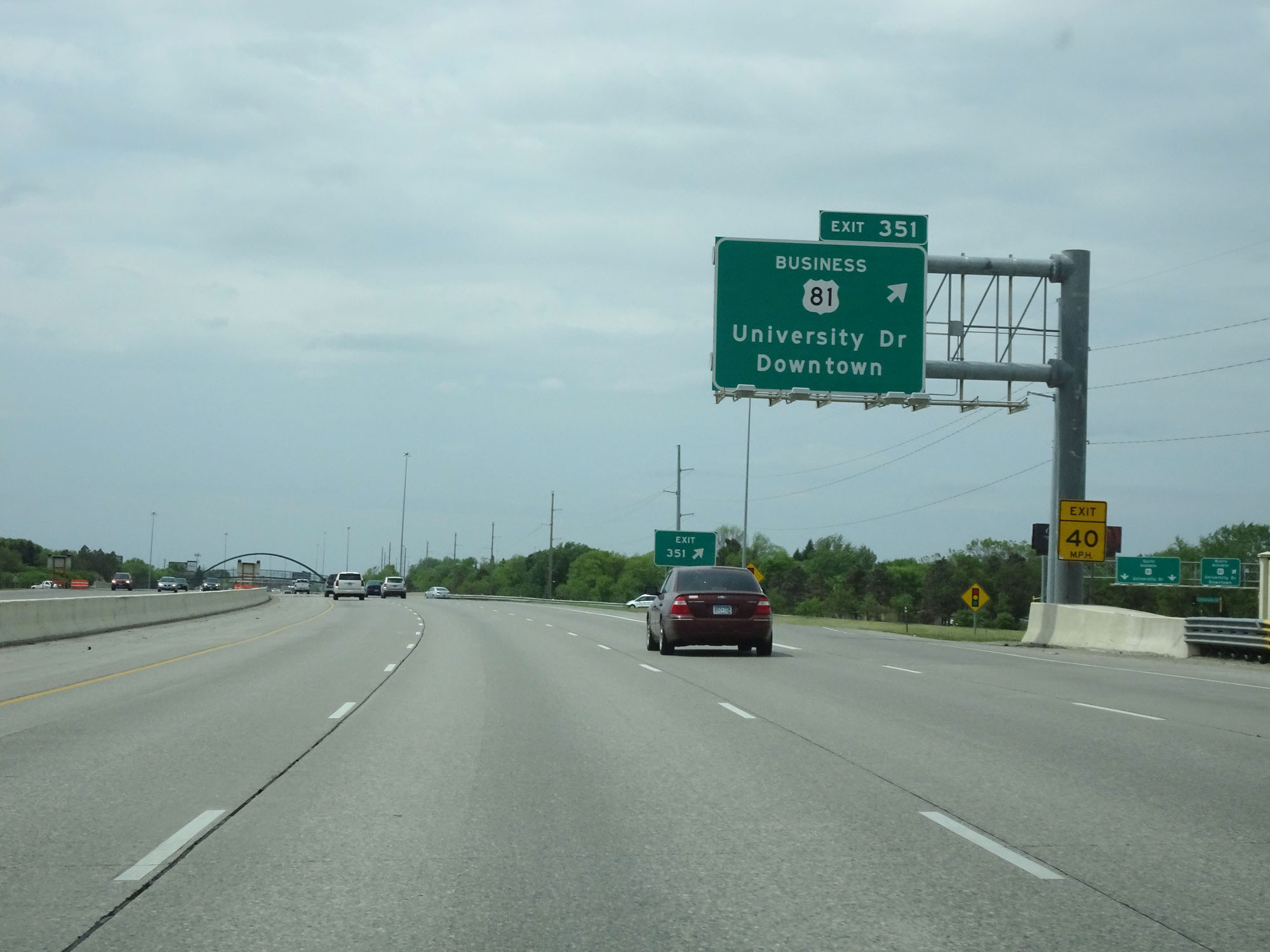 |
Interstate 94 West at Exit 351: US 81 Business - University Dr / Downtown (Photo taken 5/22/16). |
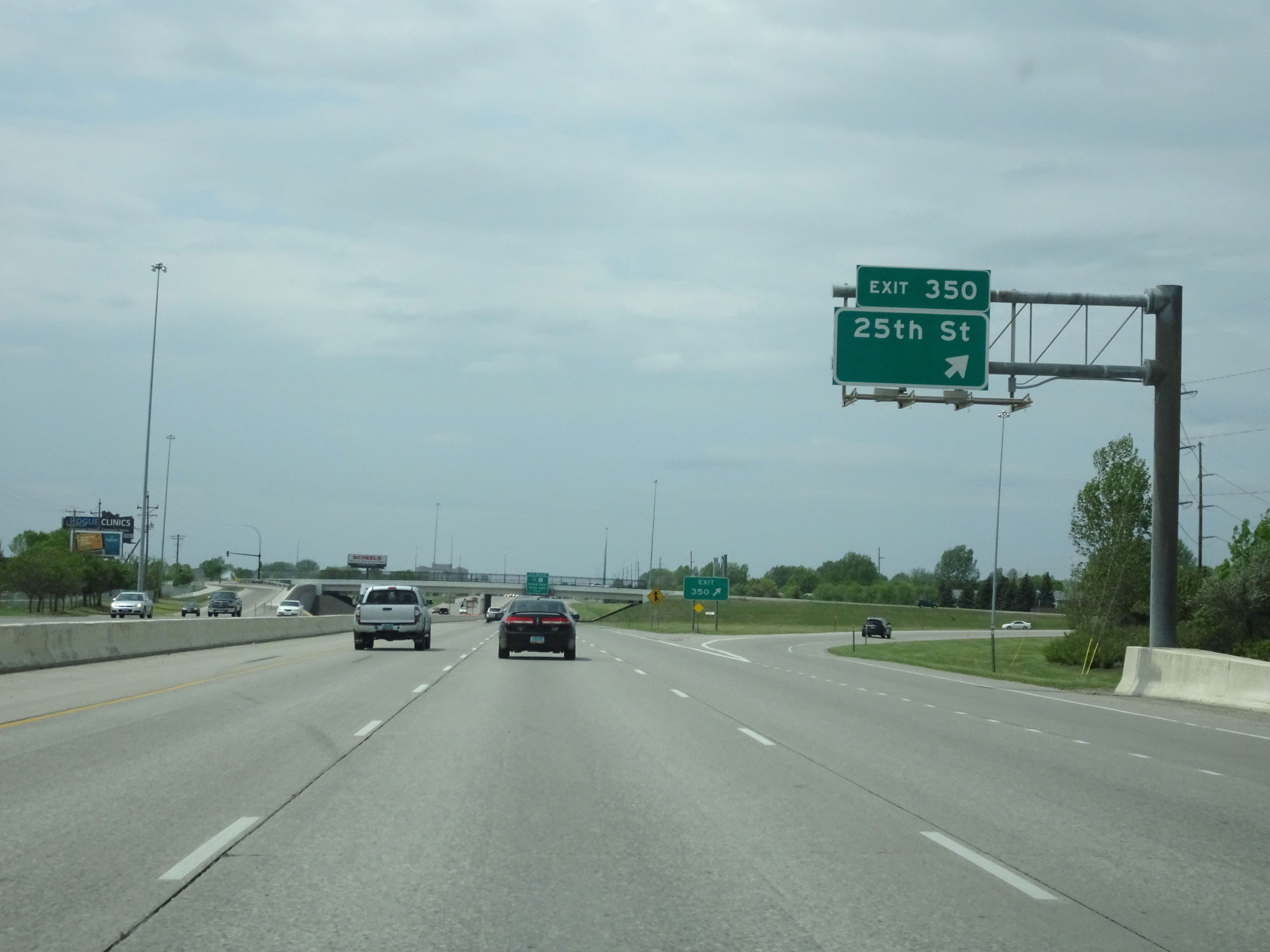 |
Interstate 94 West at Exit 350: 25th St (Photo taken 5/22/16). |
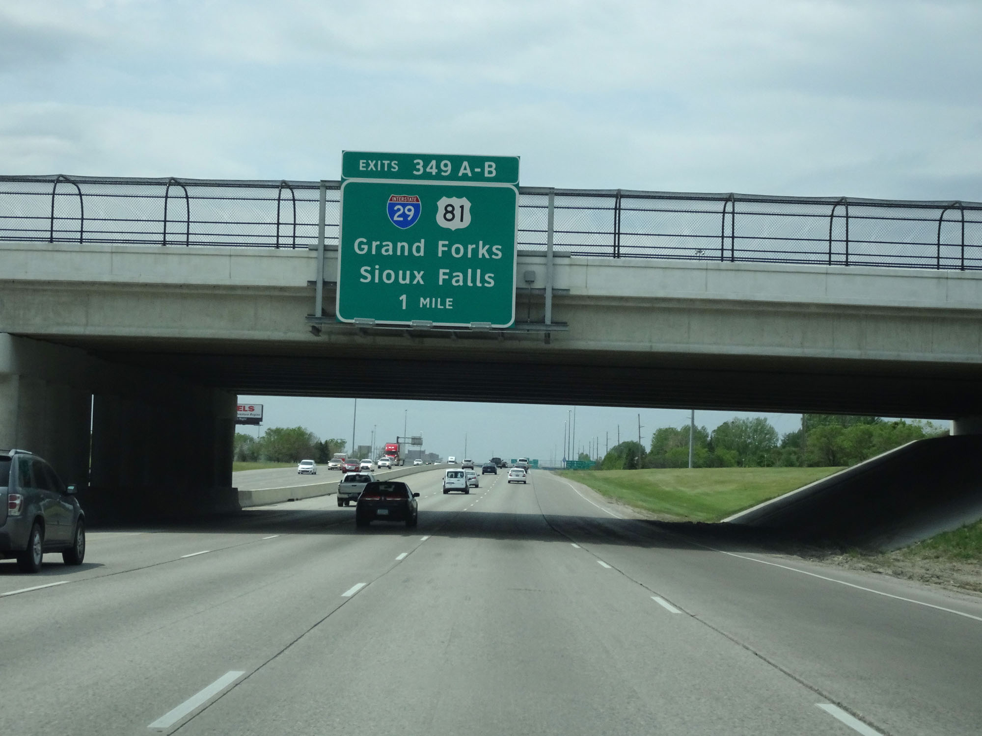 |
Interstate 94 West approaching Exits 349B-A - 1 mile. (Photo taken 5/22/16). |
 |
State-named Interstate 94 West assurance shield in Fargo. As you will see, North Dakota has several state-named shields on Interstate 94. (Photo taken 5/22/16). |
 |
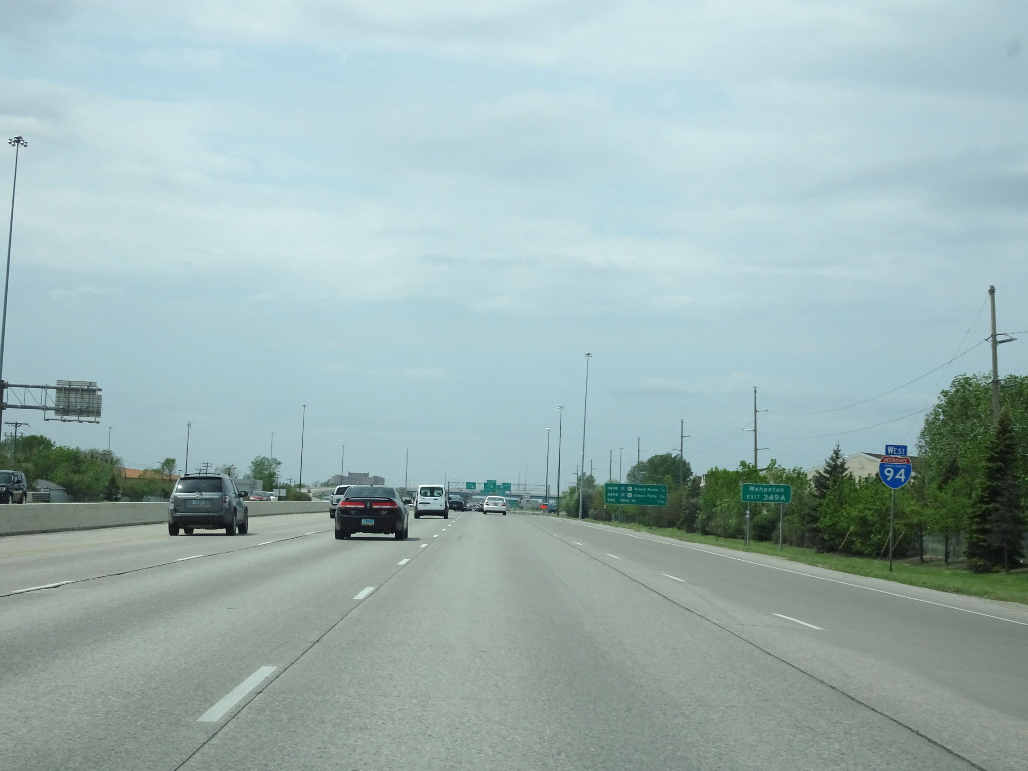
Take Exit 349A (Interstate 29 South) to Wahpeton. (Photo taken 5/22/16). |
 |
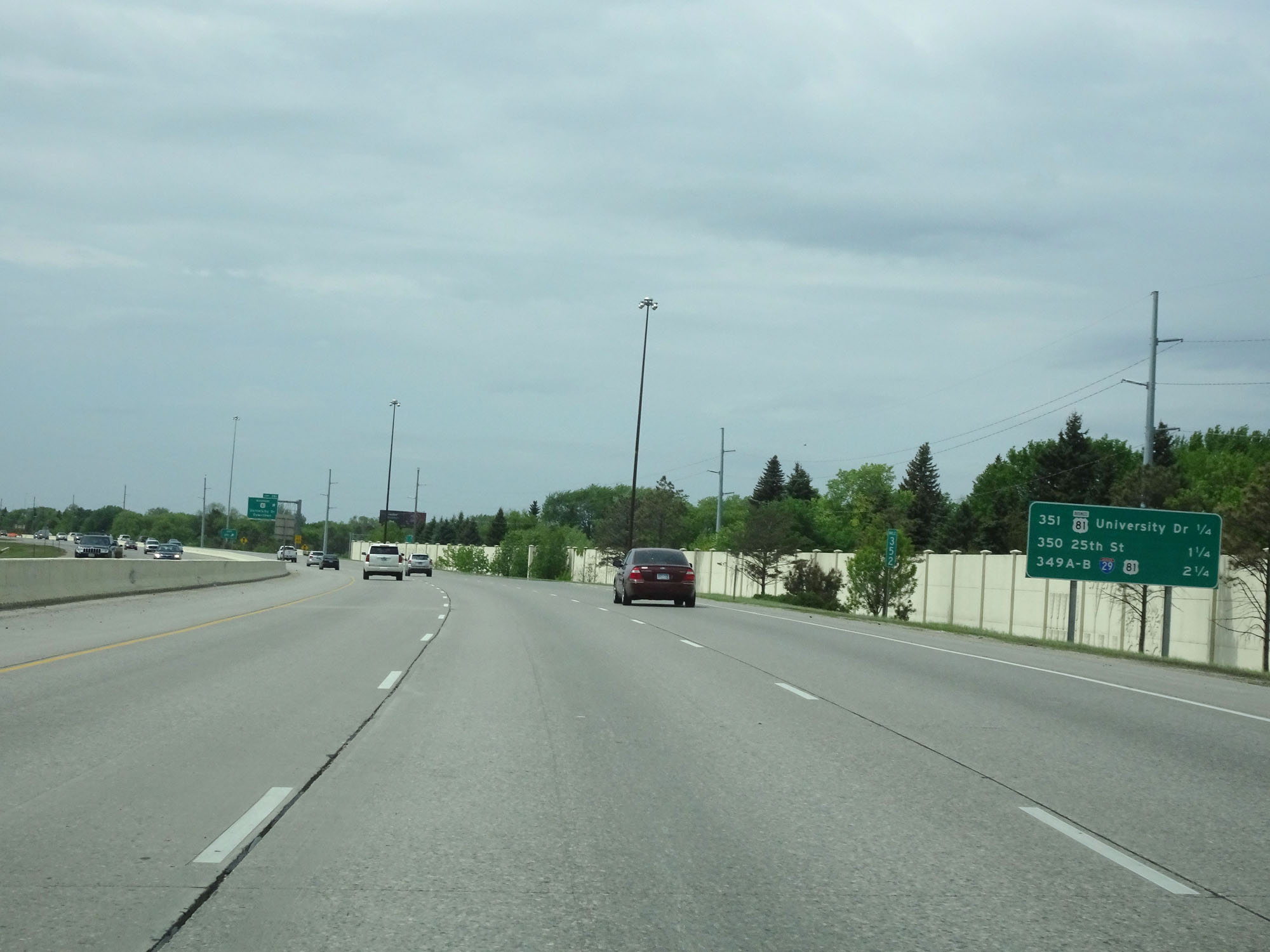
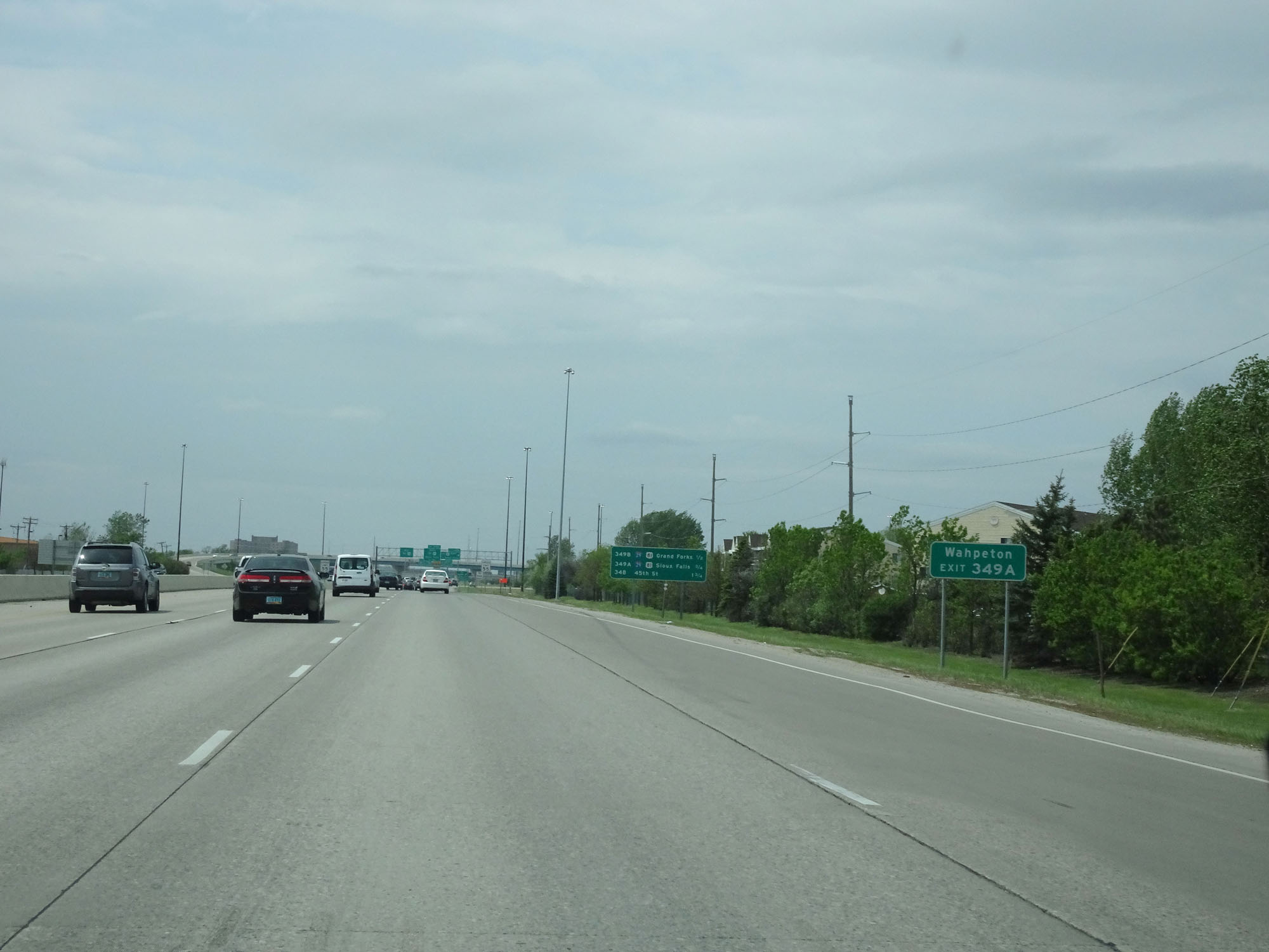
Another mileage sign listing the distances to the three upcoming exits in Fargo, along with their respective exit numbers. (Photo taken 5/22/16). |
 |
Speed limit sign approaching Exit 349B. The speed limit on Interstate 94 West starts out at 55 mph as you pass through the Fargo area. (Photo taken 5/22/16). |
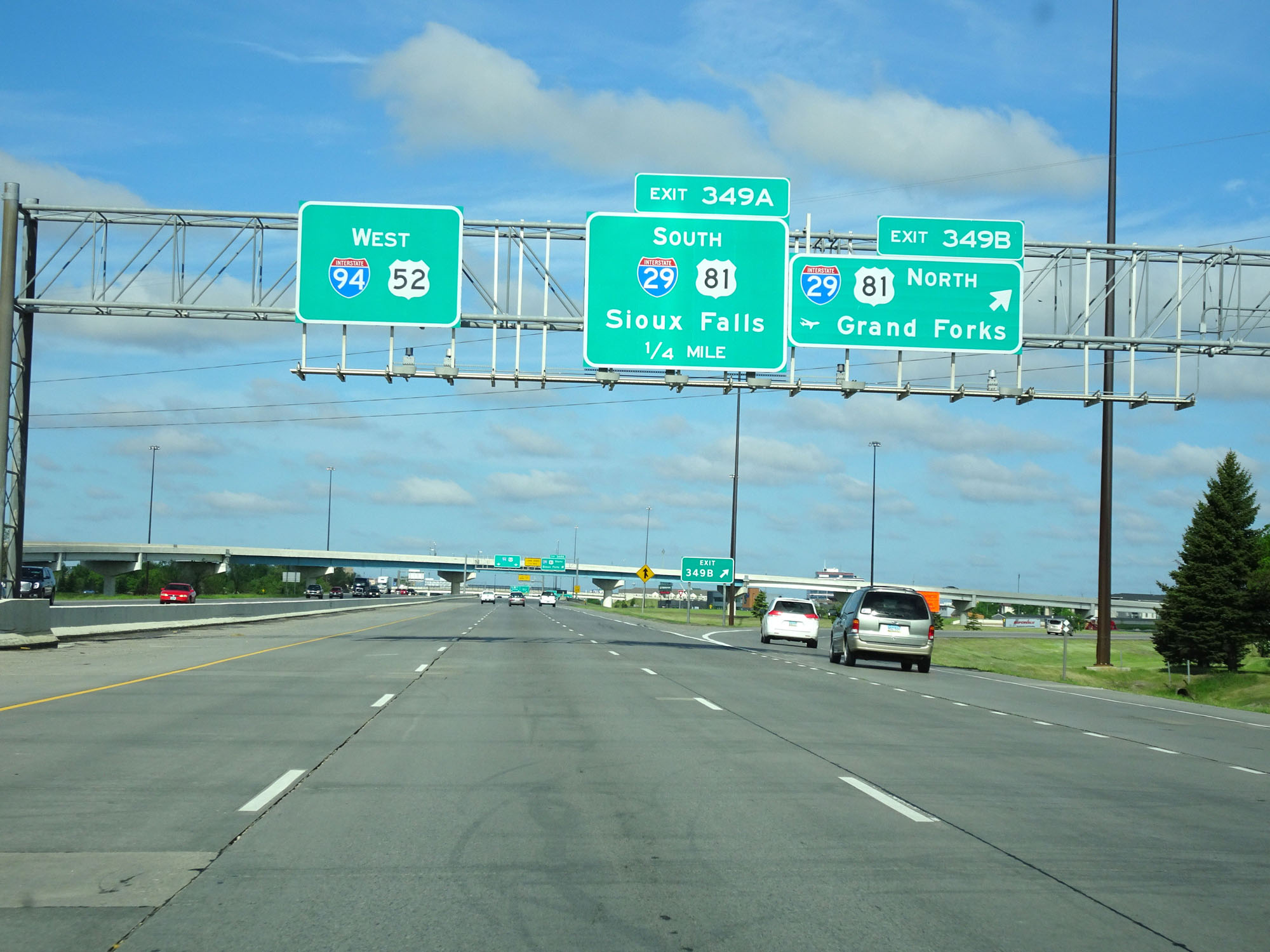 |
Interstate 94 West at Exit 349B: Interstate 29 North / US 81 North - Grand Forks (Photo taken 5/23/16). |
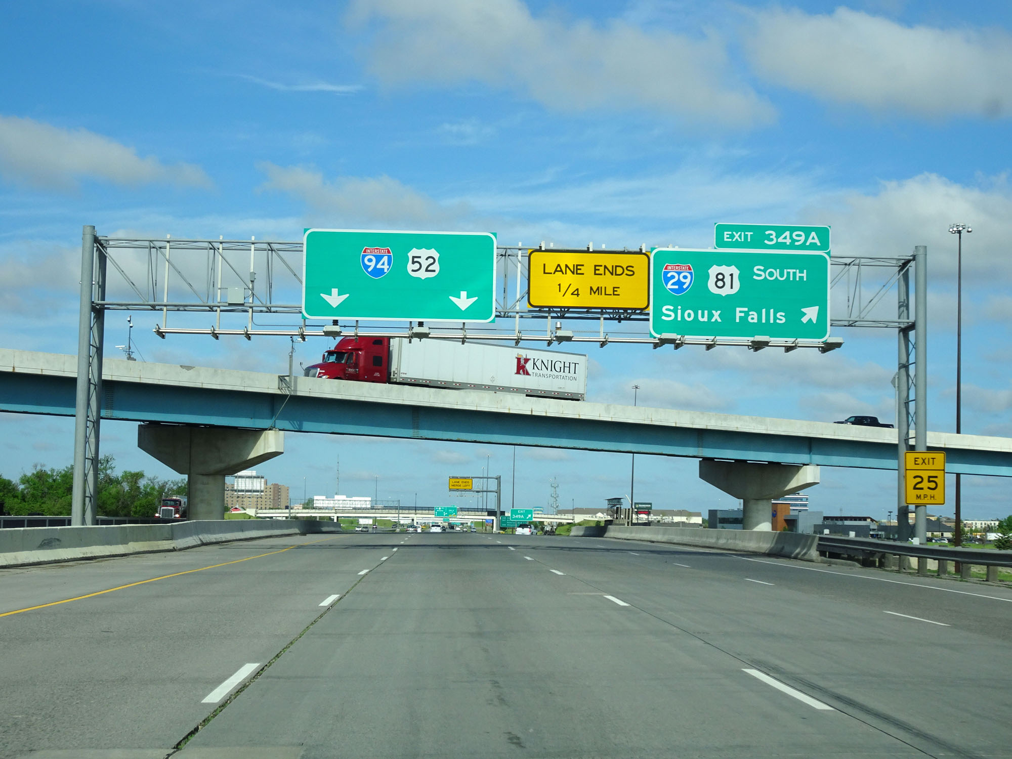 |
Interstate 94 West at Exit 349A: Interstate 29 South / US 81 South - Sioux Falls (Photo taken 5/23/16). |
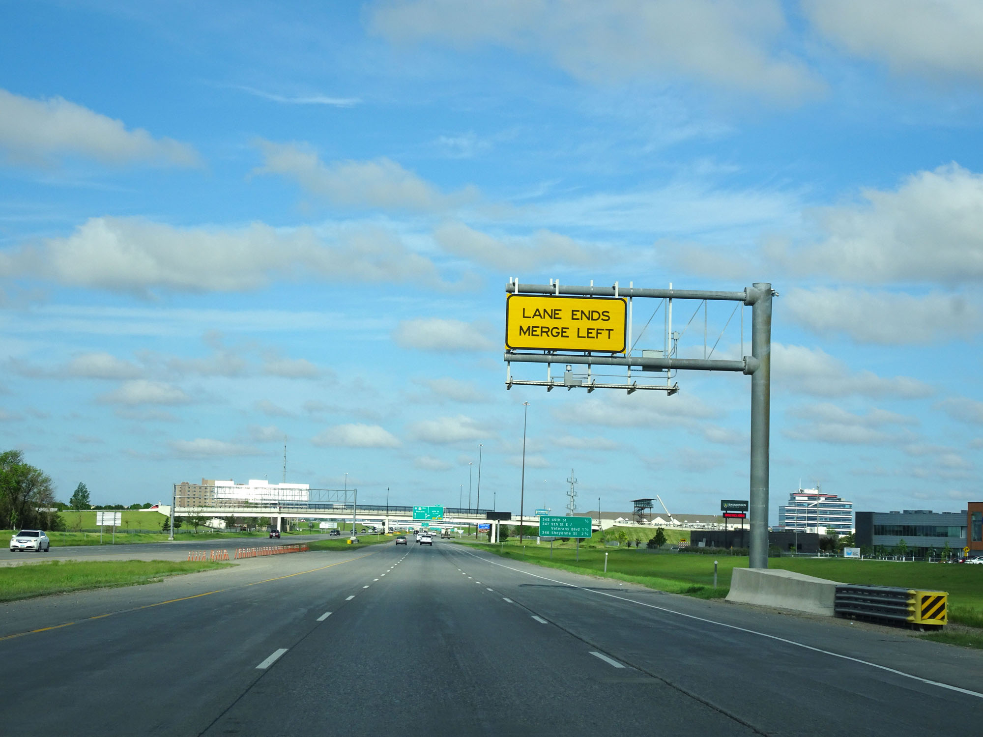 |
Just west of its interchange with Interstate 29, the rightmost lane on Interstate 94 West prepares to come to an end. (Photo taken 5/23/16). |
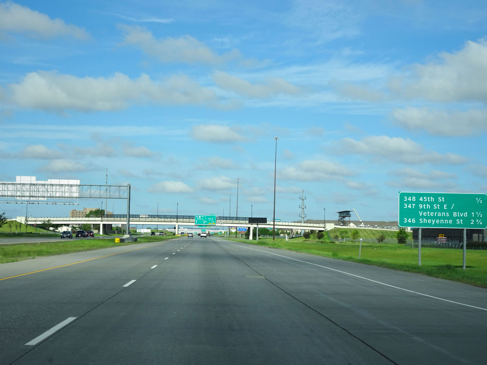 |
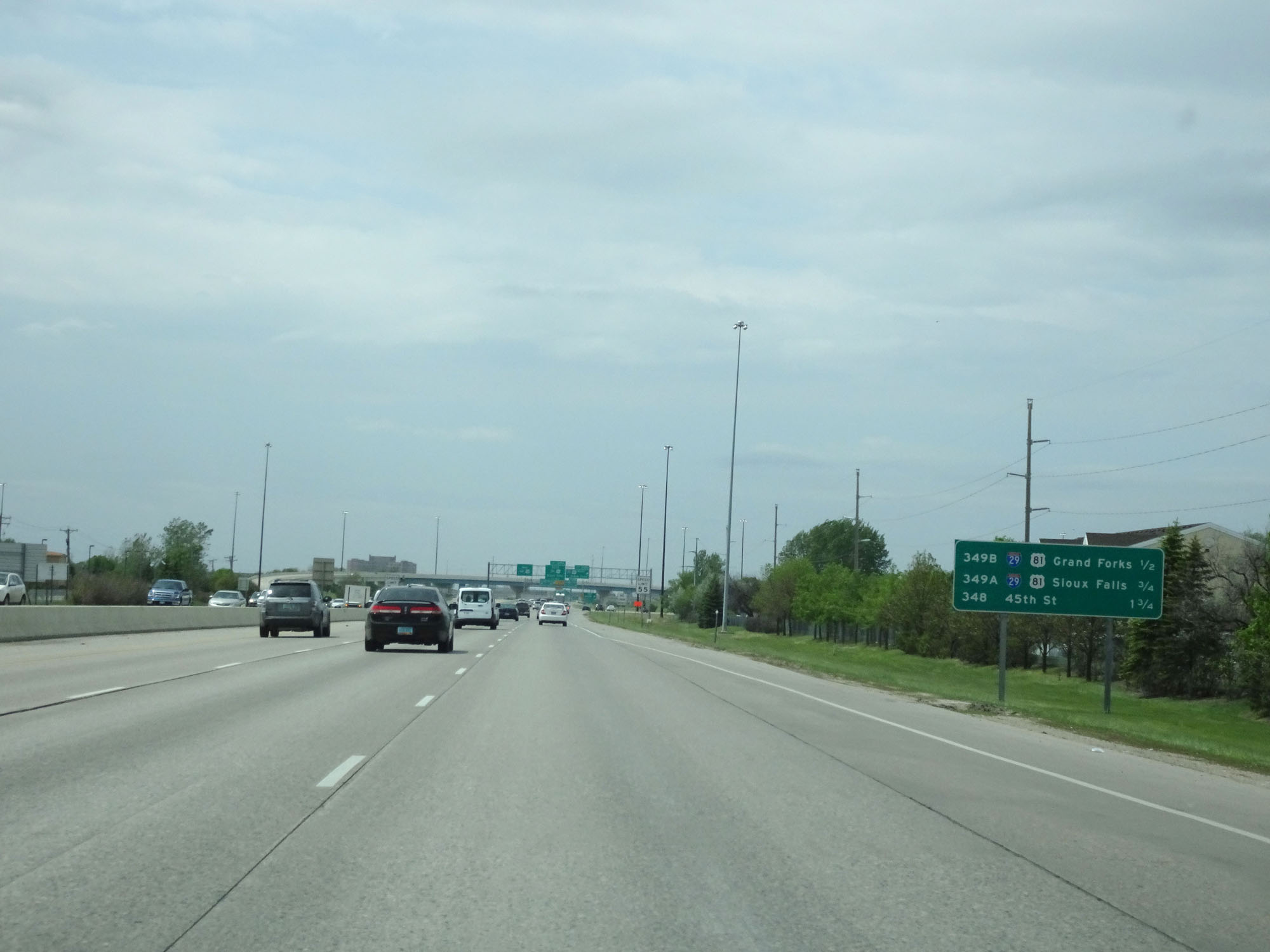
Another mileage sign listing the distances to the three upcoming exits to Fargo and West Fargo as well as their respective exit numbers. (Photo taken 5/23/16). |
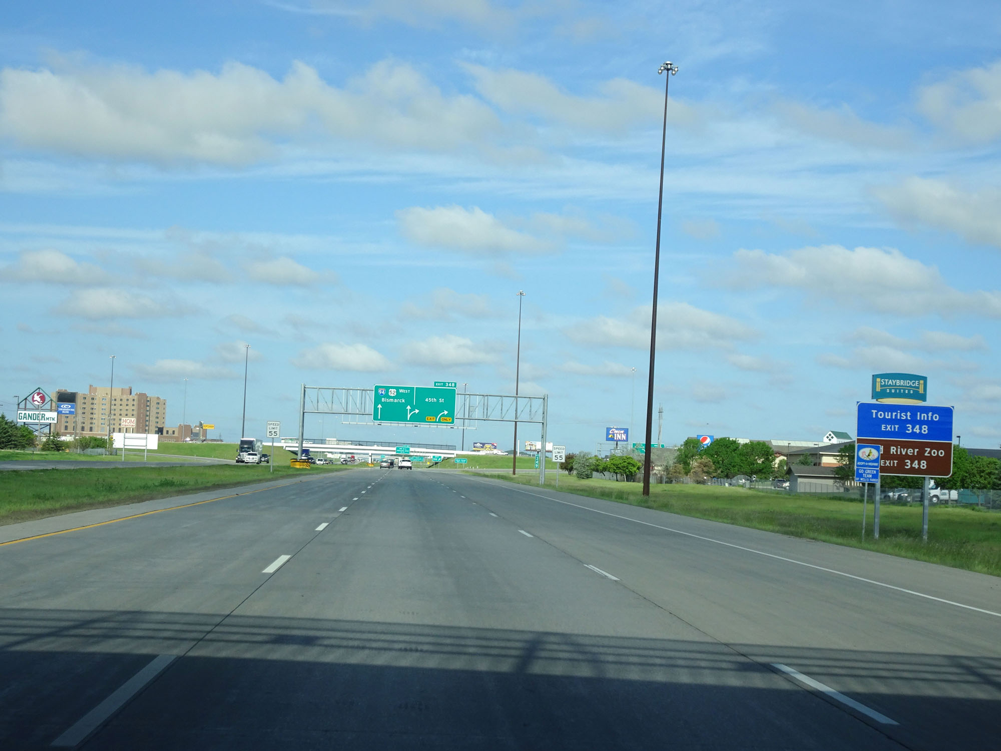 |
Take Exit 348 to Tourist Info and Red River Zoo. (Photo taken 5/23/16). |
 |
Interstate 94 West at Exit 348: 45th St (Photo taken 5/23/16). |
 |
Take any of the next 3 exits to West Fargo. (Photo taken 5/23/16). |
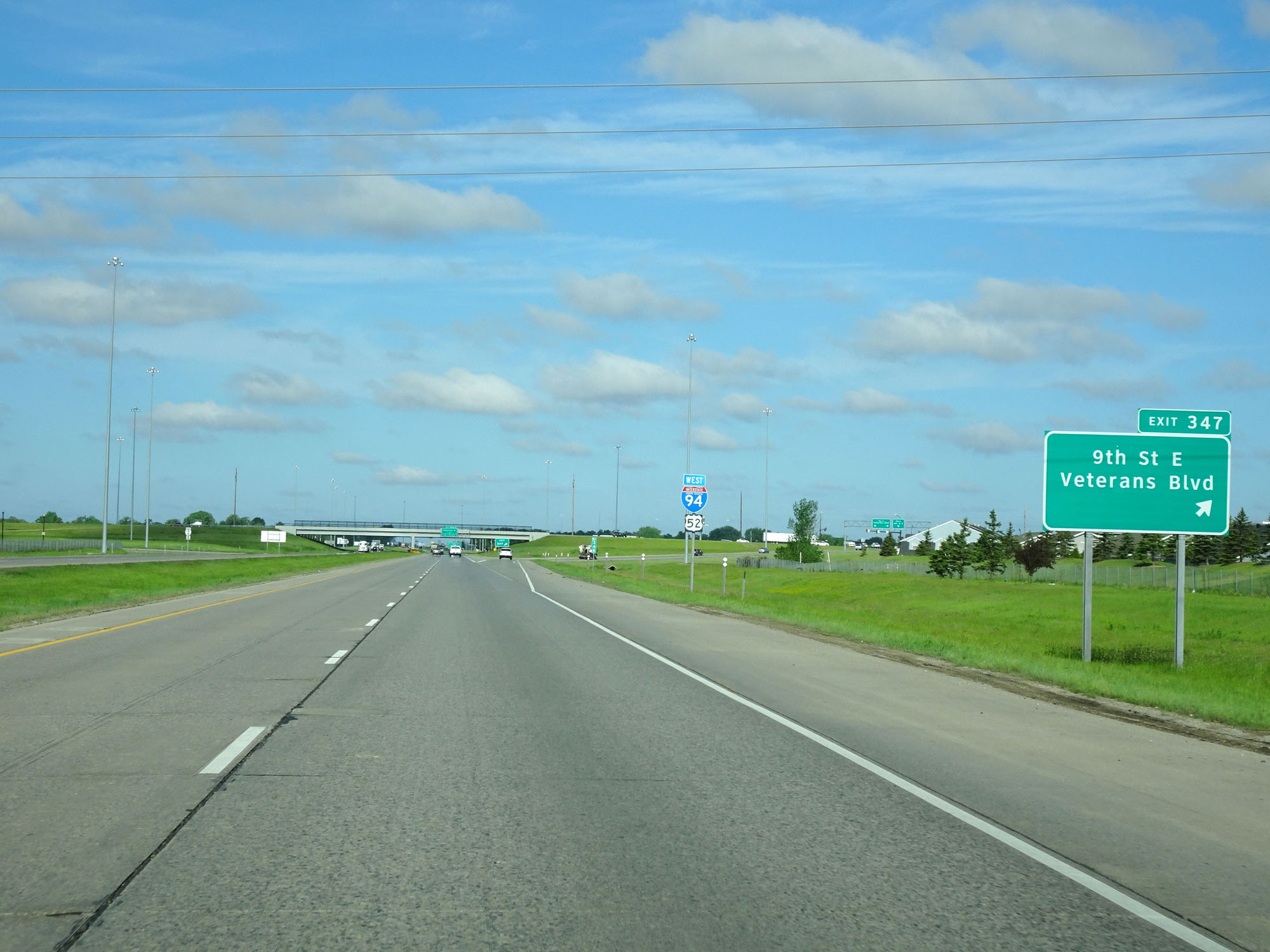 |
Interstate 94 West at Exit 347: 9th St E / Veterans Blvd (Photo taken 5/23/16). |
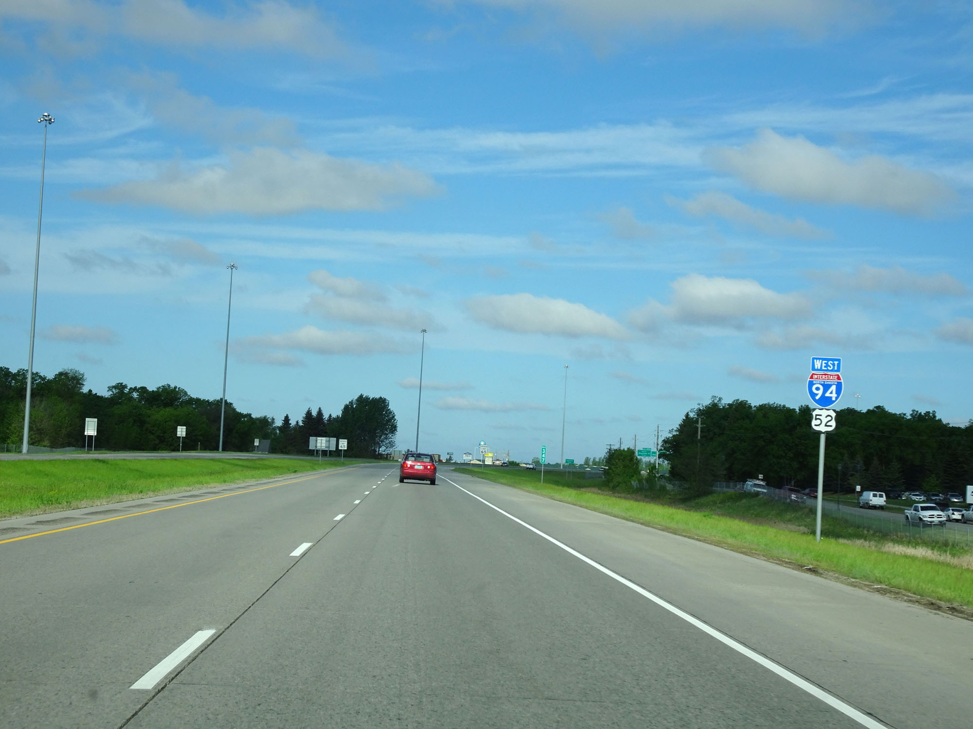 |
Another state-named Interstate 94 West assurance shield / US 52 West assurance shield. (Photo taken 5/23/16). |
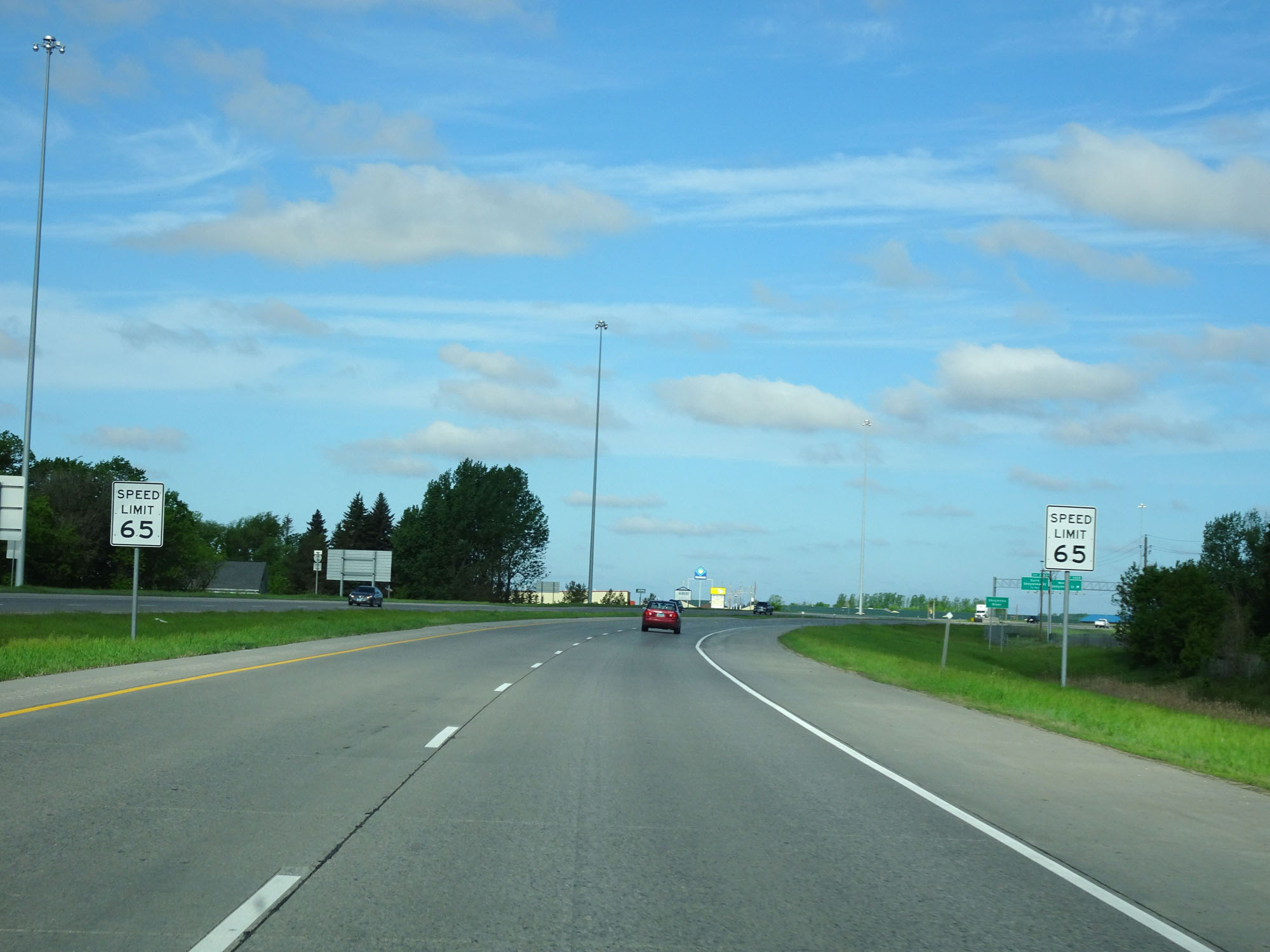 |
Approaching Exit 346B, the speed limit increases to 65 mph. (Photo taken 5/23/16). |
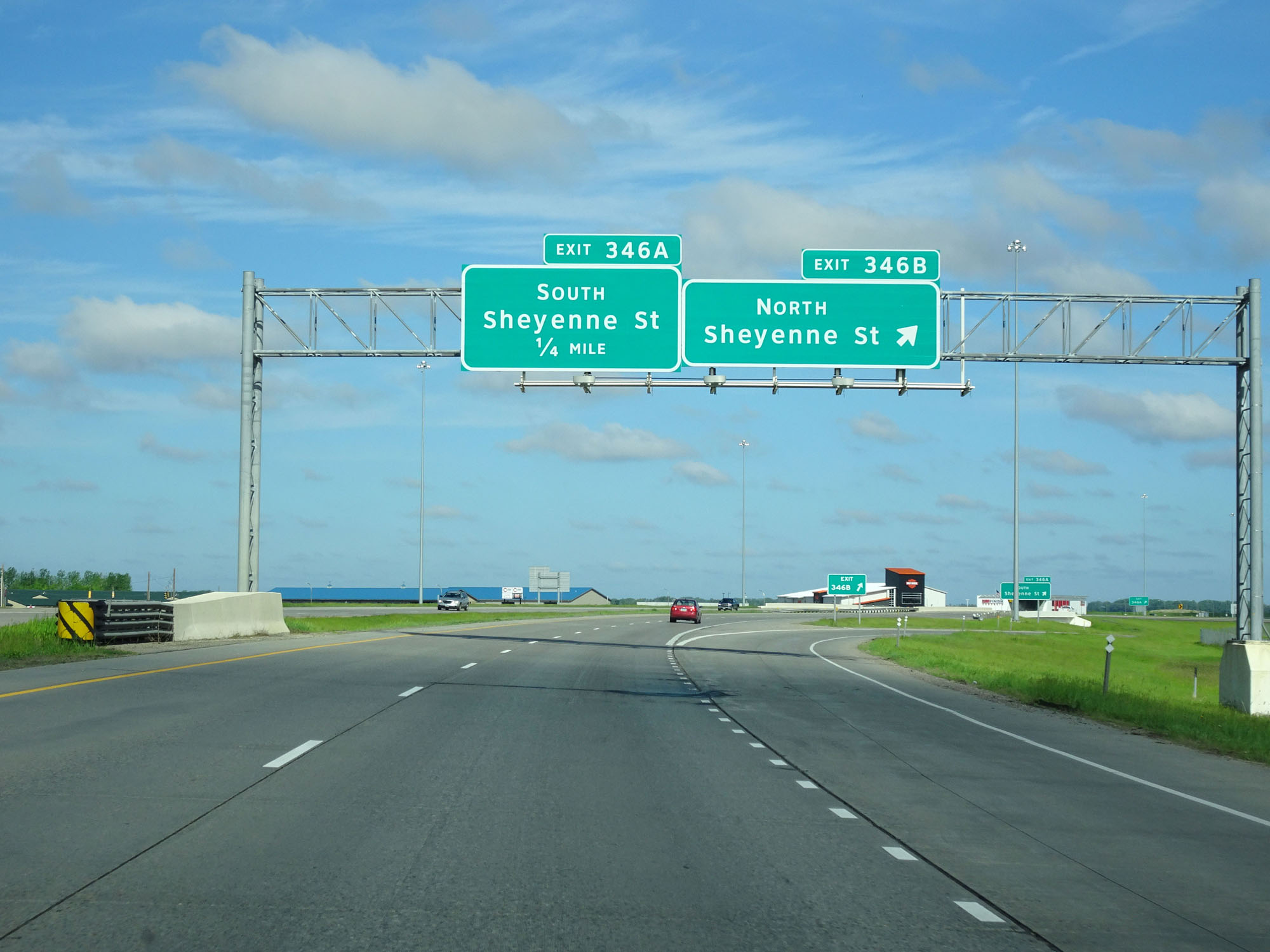 |
Interstate 94 West at Exit 346B: Sheyenne St North (Photo taken 5/23/16). |
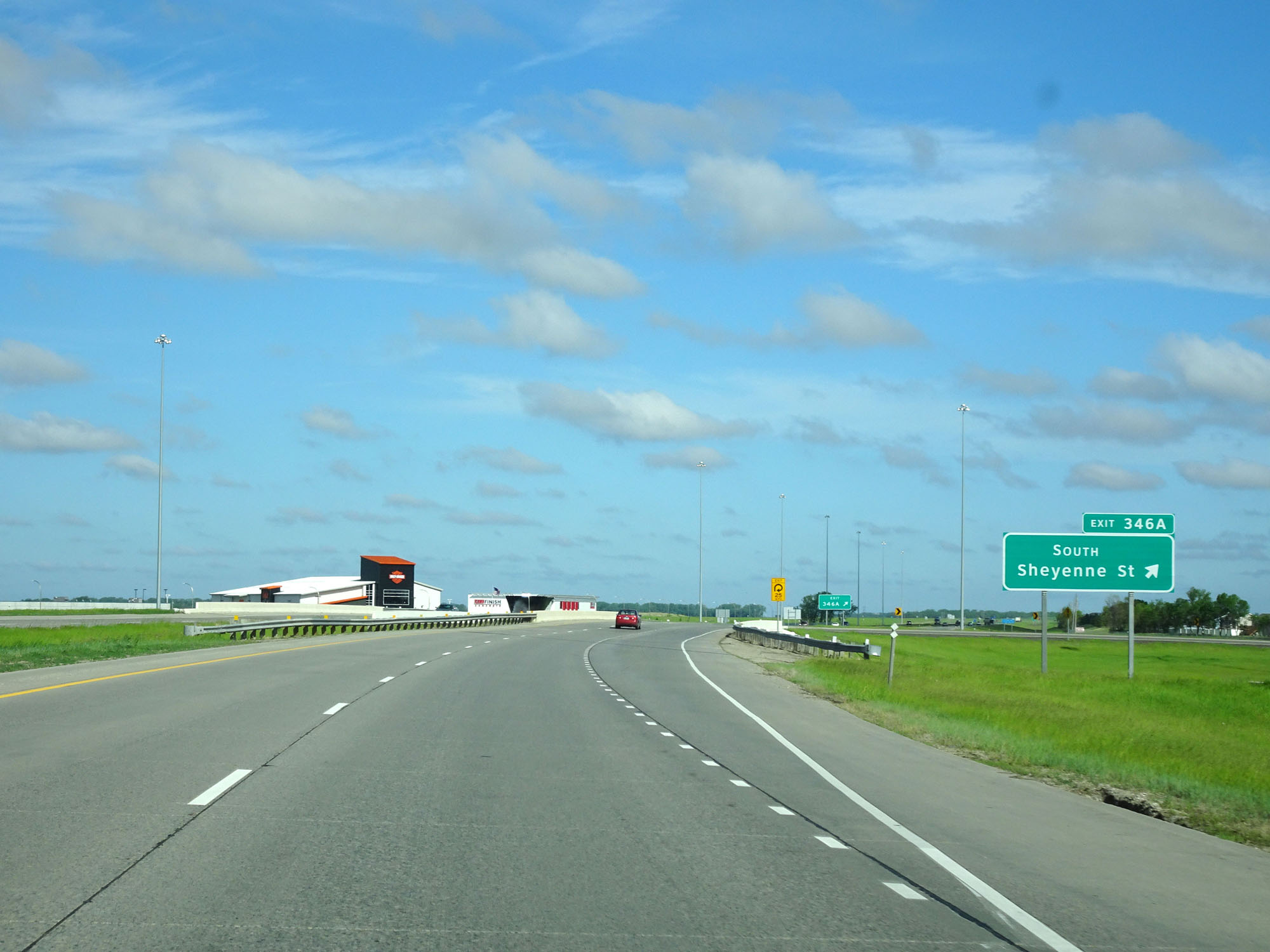 |
Interstate 94 West at Exit 346A: Sheyenne St South (Photo taken 5/23/16). |
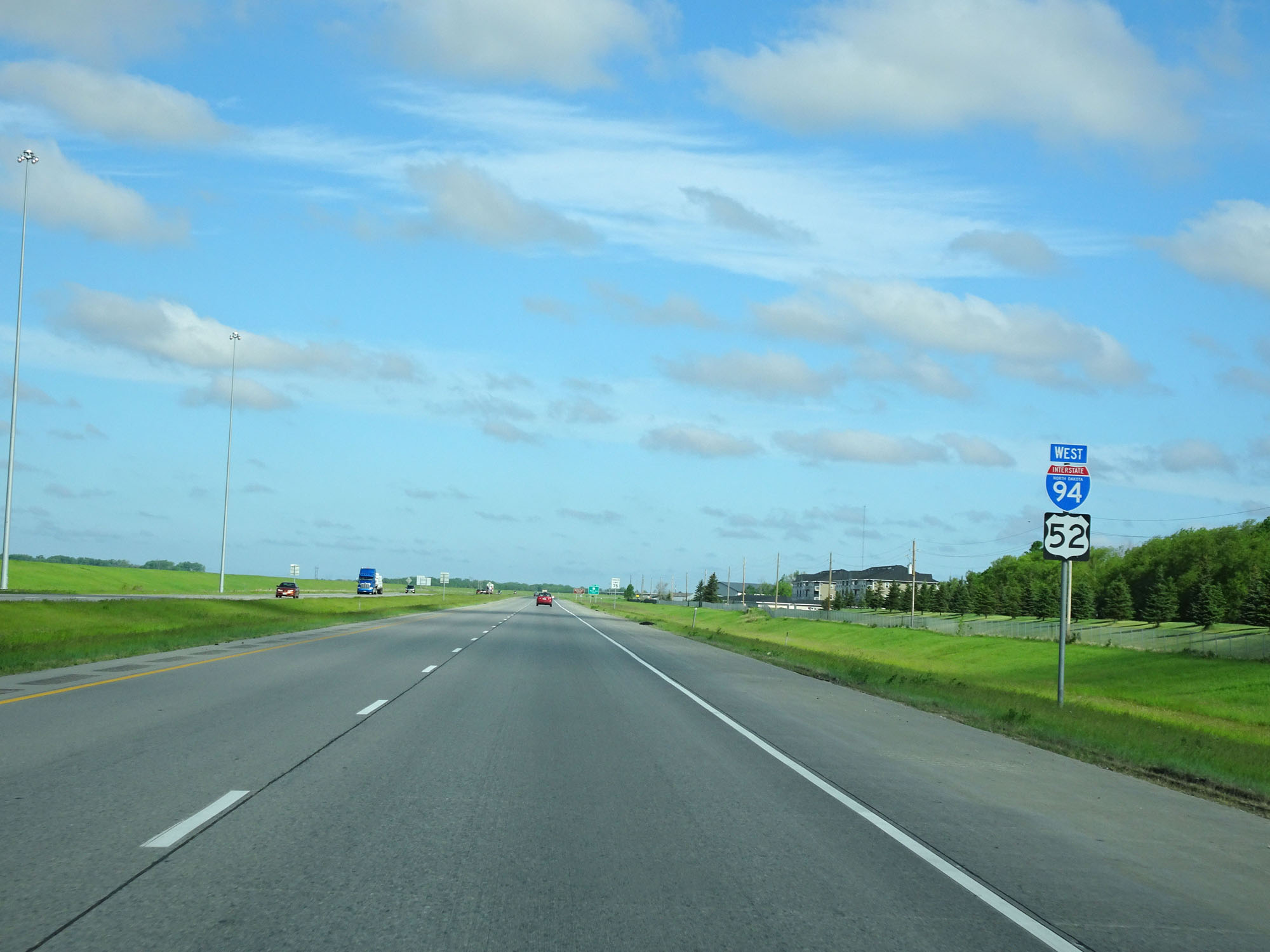 |
Interstate 94 West / US 52 West assurance shields just west of Exit 346A. (Photo taken 5/23/16). |
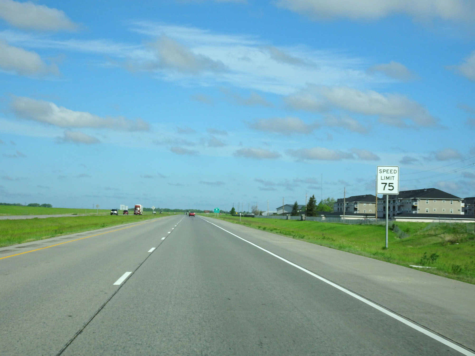 |
Also just west of Exit 346A, the speed limit increases to 75 mph. This is the standard speed limit on most rural Interstates in North Dakota. (Photo taken 5/23/16). |
 |
Take Exit 343 to Bonanzaville USA and Red River Valley Fairgrounds. (Photo taken 5/23/16). |
 |
Interstate 94 West at Exit 343: US 10 - Main Ave (Photo taken 5/23/16). |
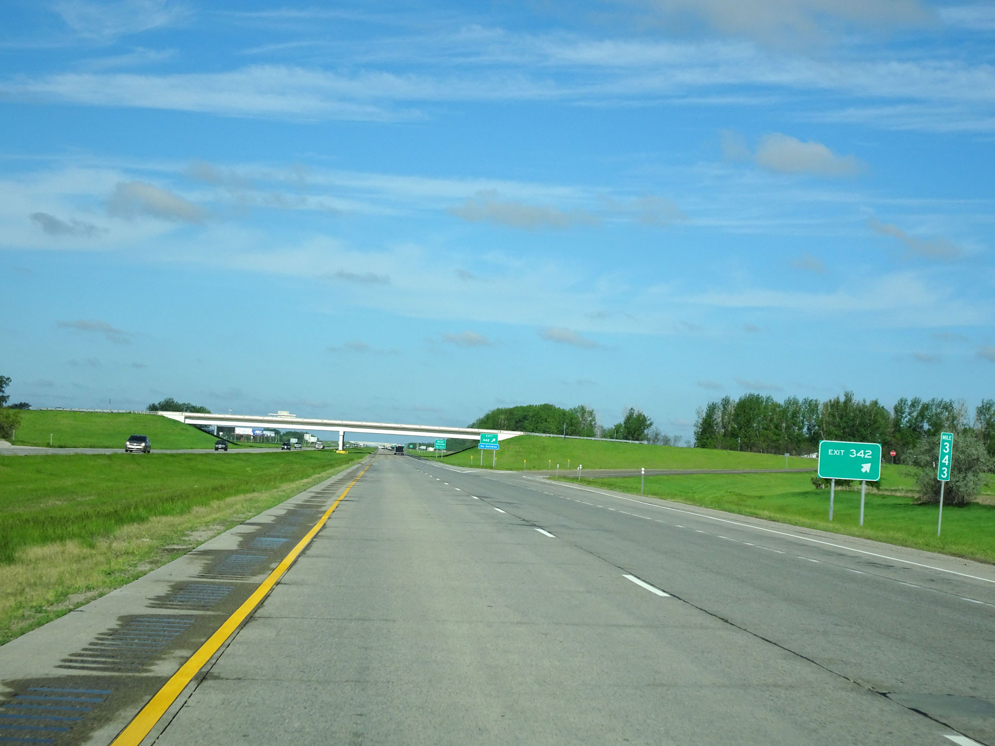 |
Interstate 94 West at Exit 342: (No Name) (Photo taken 5/23/16). |
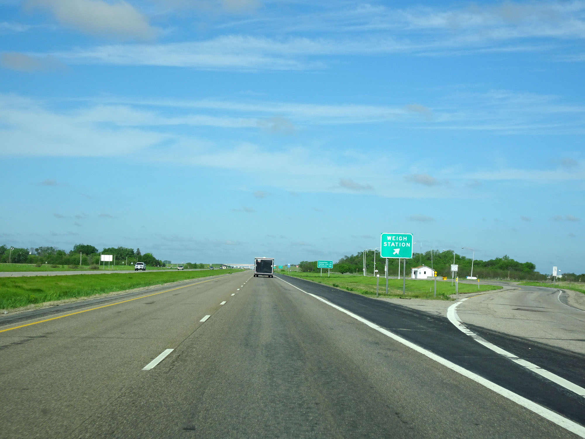 |
Interstate 94 West at the Weigh Station located just west of mile marker 342. (Photo taken 5/23/16). |
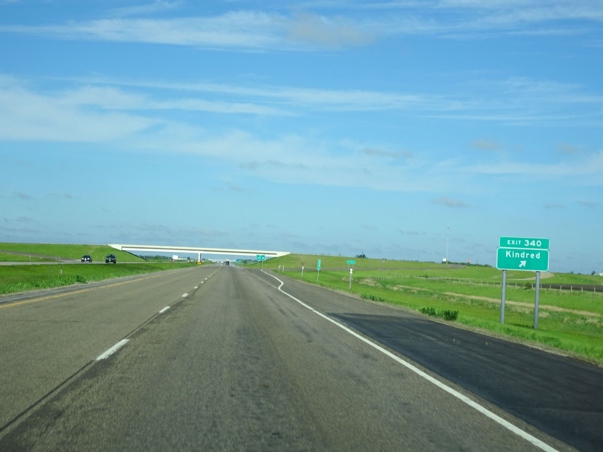 |
Interstate 94 West at Exit 340: Kindred (Photo taken 5/23/16). |
 |
Interstate 94 West at Exit 338: Mapleton (Photo taken 5/23/16). |
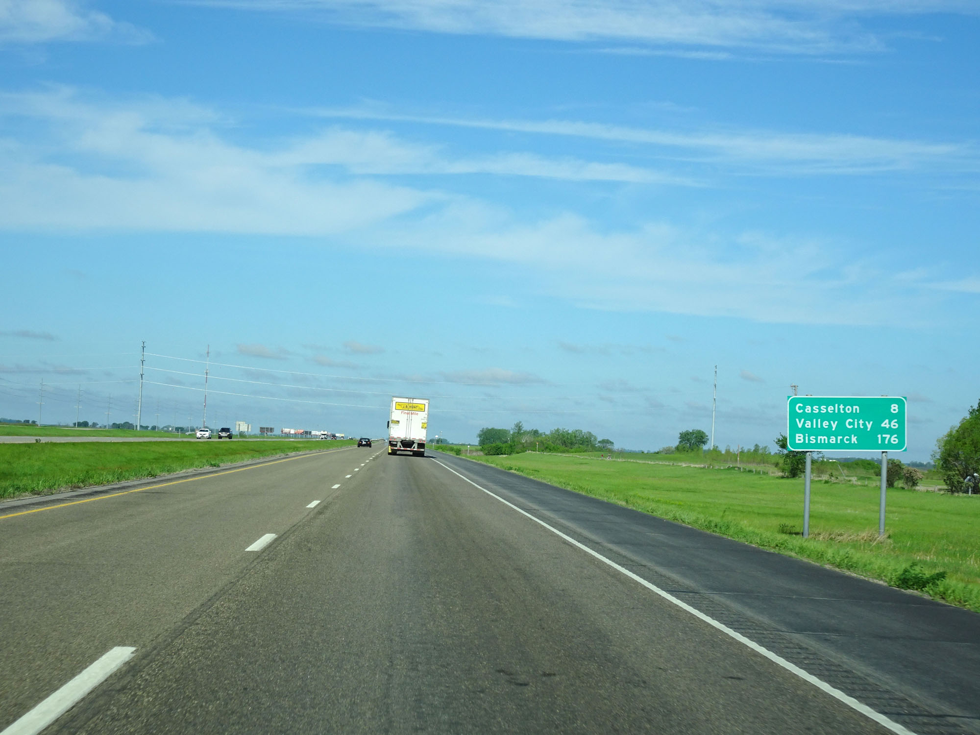 |
Mileage sign west of Exit 338. It's 8 miles to Casselton, 46 miles to Valley City, and 176 miles to Bismarck. (Photo taken 5/23/16). |
 |
Interstate 94 West at the Truck Parking Area located near mile marker 337. (Photo taken 5/23/16). |
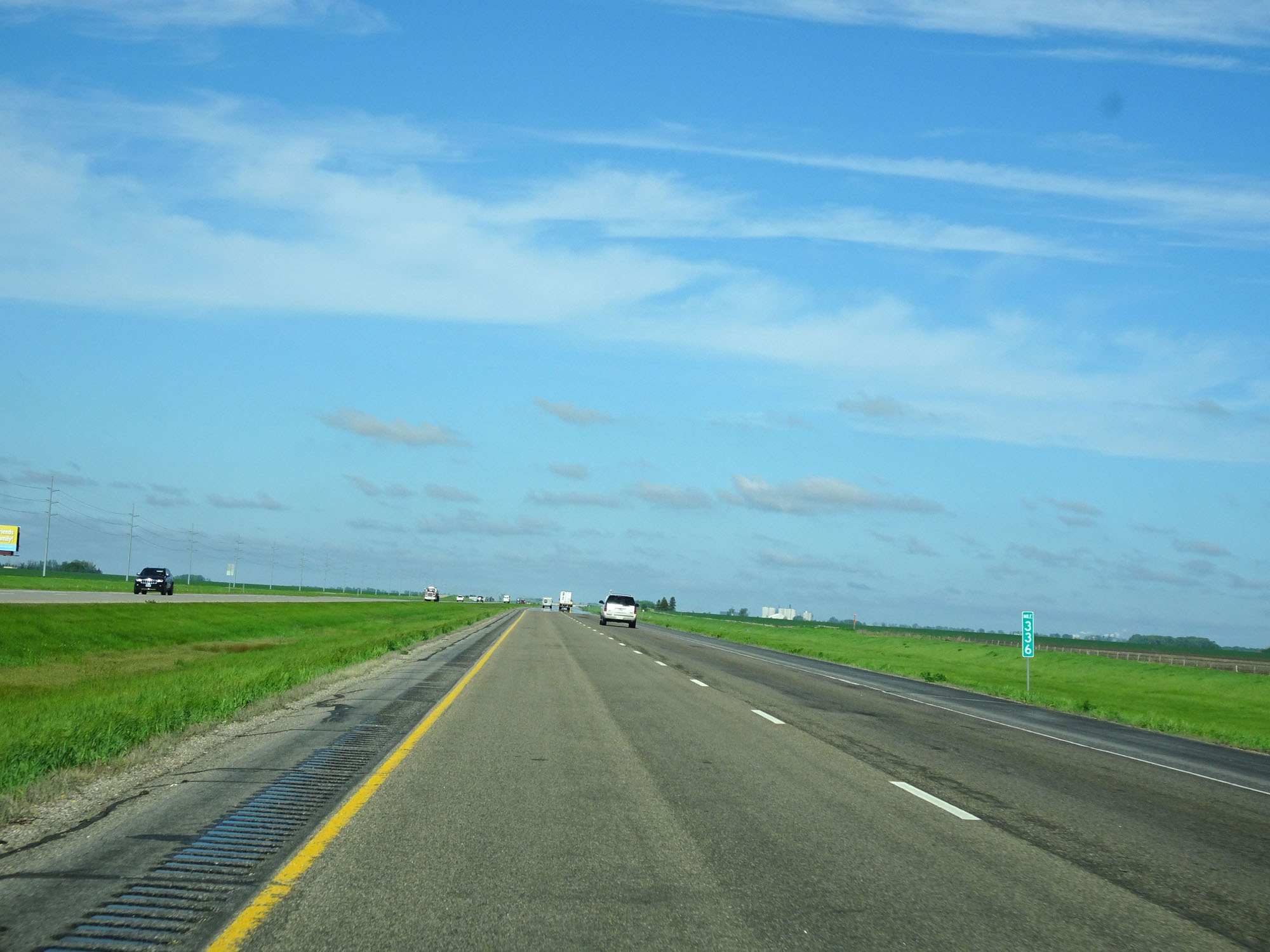 |
Interstate 94 West at mile marker 336. (Photo taken 5/23/16). |
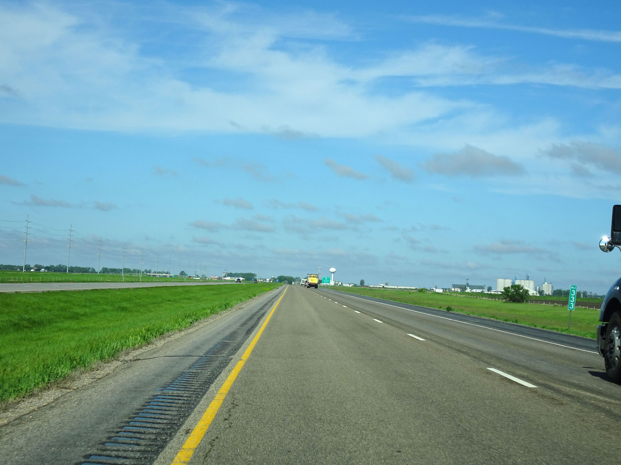 |
Interstate 94 West at mile marker 333. (Photo taken 5/23/16). |
 |
Interstate 94 West at mile marker 332. (Photo taken 5/23/16). |
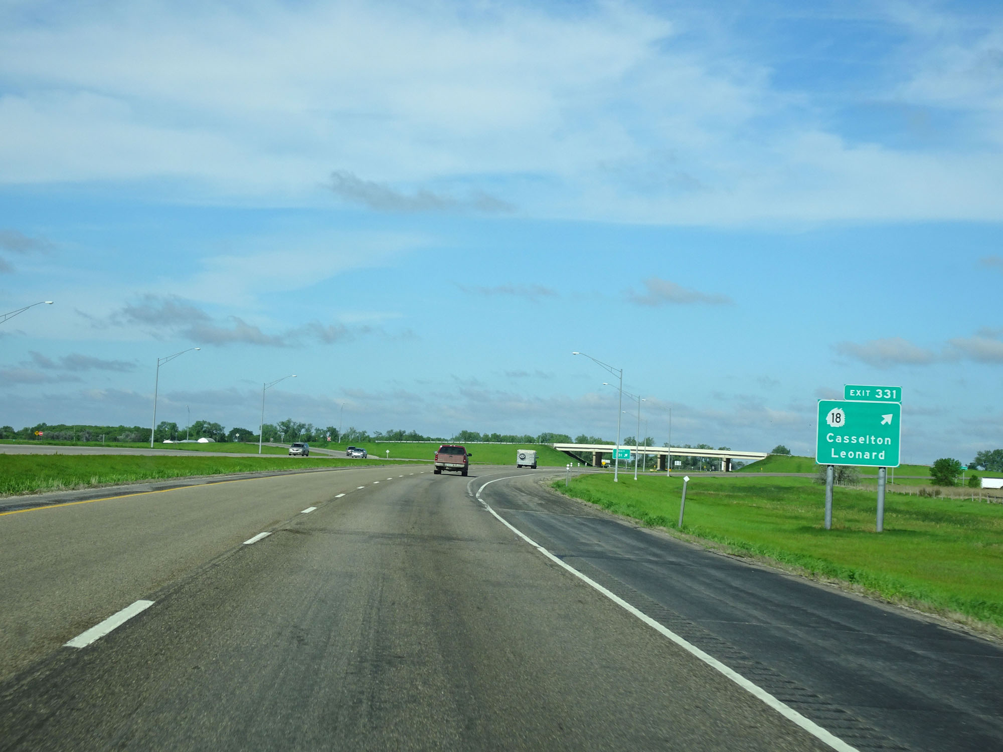 |
Interstate 94 West at Exit 331: ND 18 - Casselton / Leonard (Photo taken 5/23/16). |
 |
View on Interstate 94 West. (Photo taken 5/23/16). |
 |
Mileage sign on Interstate 94 West. From here, it's 18 miles to the next major junction (ND 38), 38 miles to Valley City, and 171 miles to Bismarck. (Photo taken 5/23/16). |
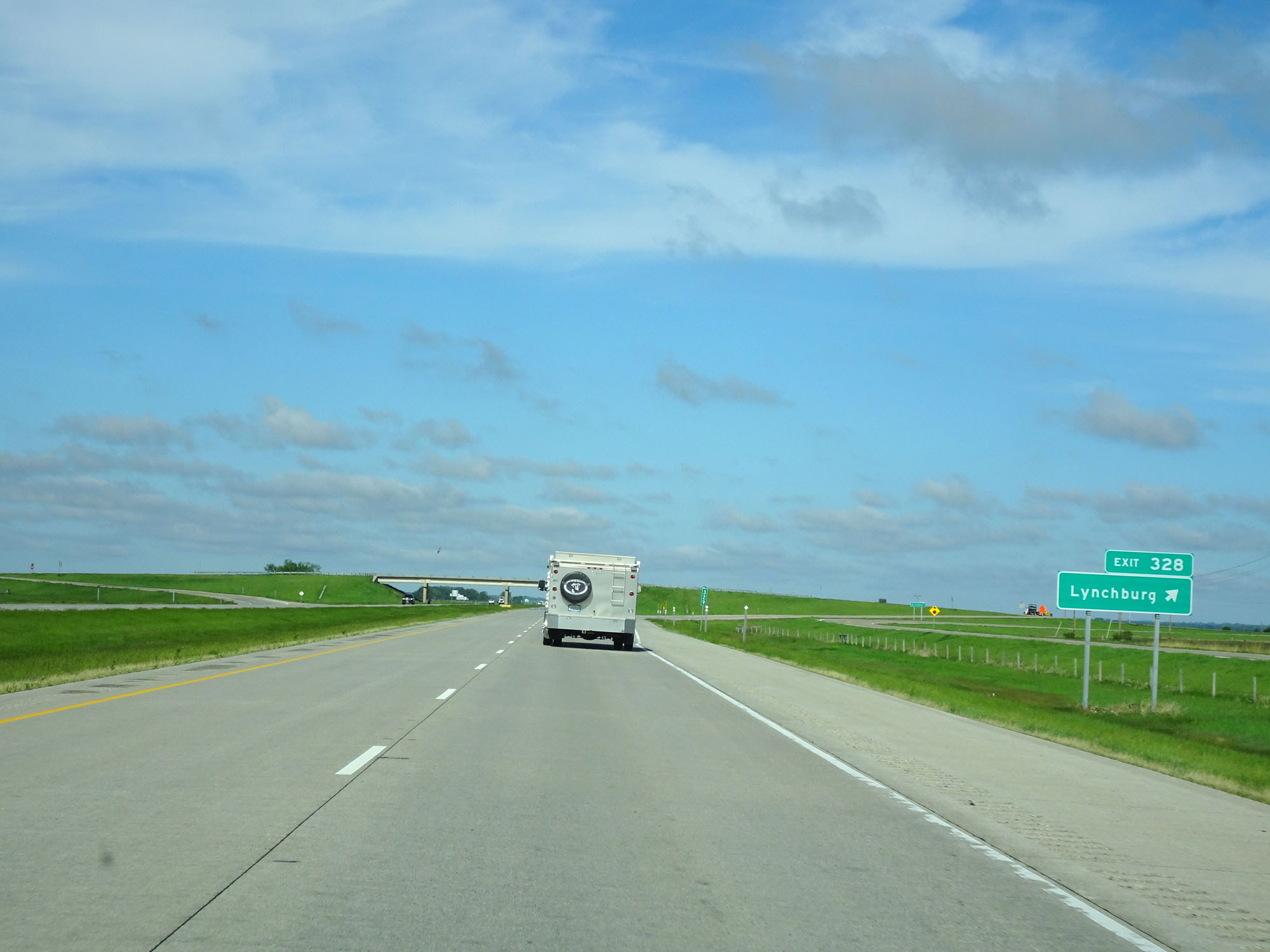 |
Interstate 94 West at Exit 328: Lynchburg (Photo taken 5/23/16). |
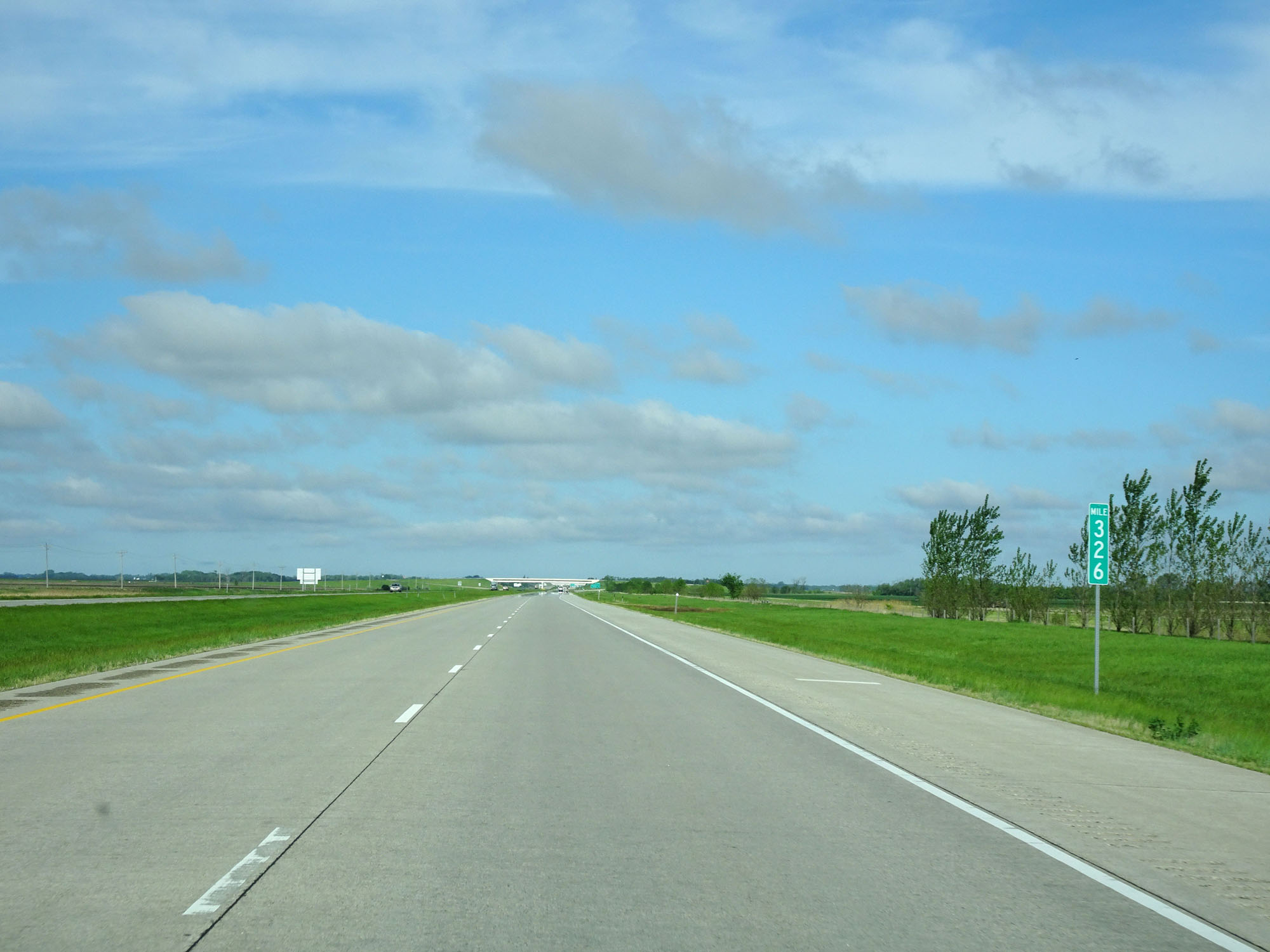 |
Interstate 94 West at mile marker 326. (Photo taken 5/23/16). |
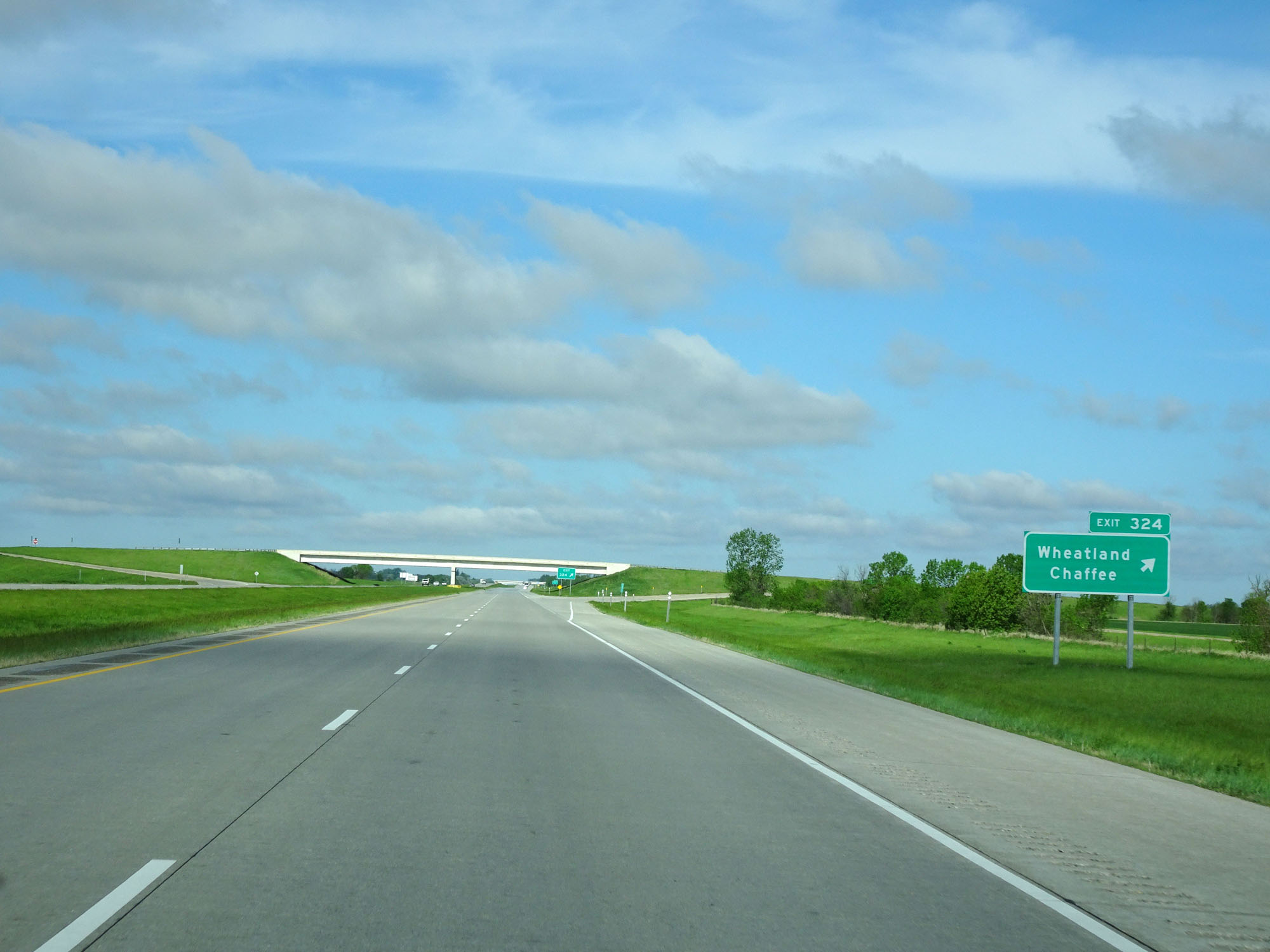 |
Interstate 94 West at Exit 324: Wheatland / Chaffee (Photo taken 5/23/16). |
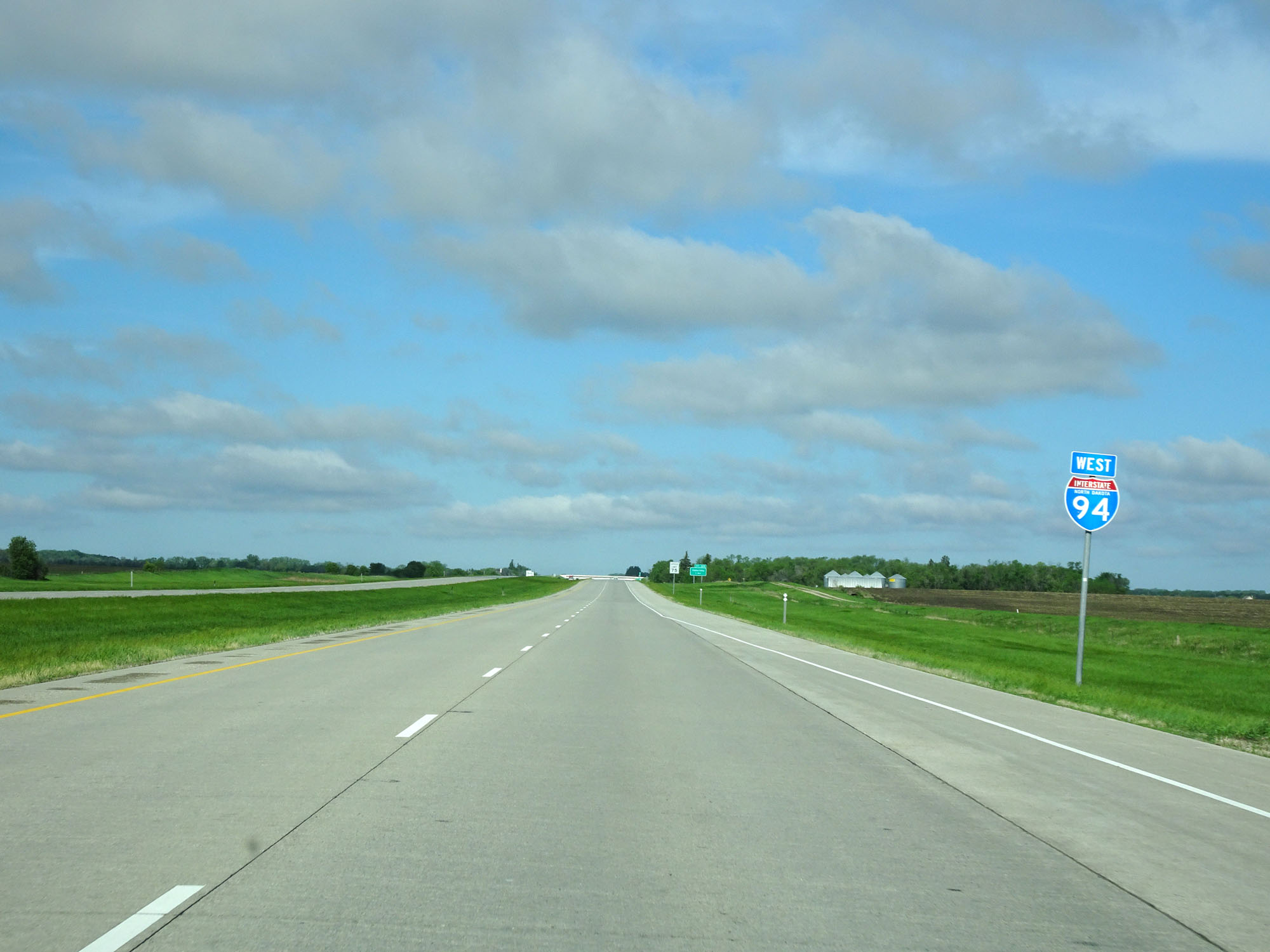 |
Another state-named Interstate 94 West assurance shield west of Exit 324. I like these, in case you couldn't already tell. (Photo taken 5/23/16). |
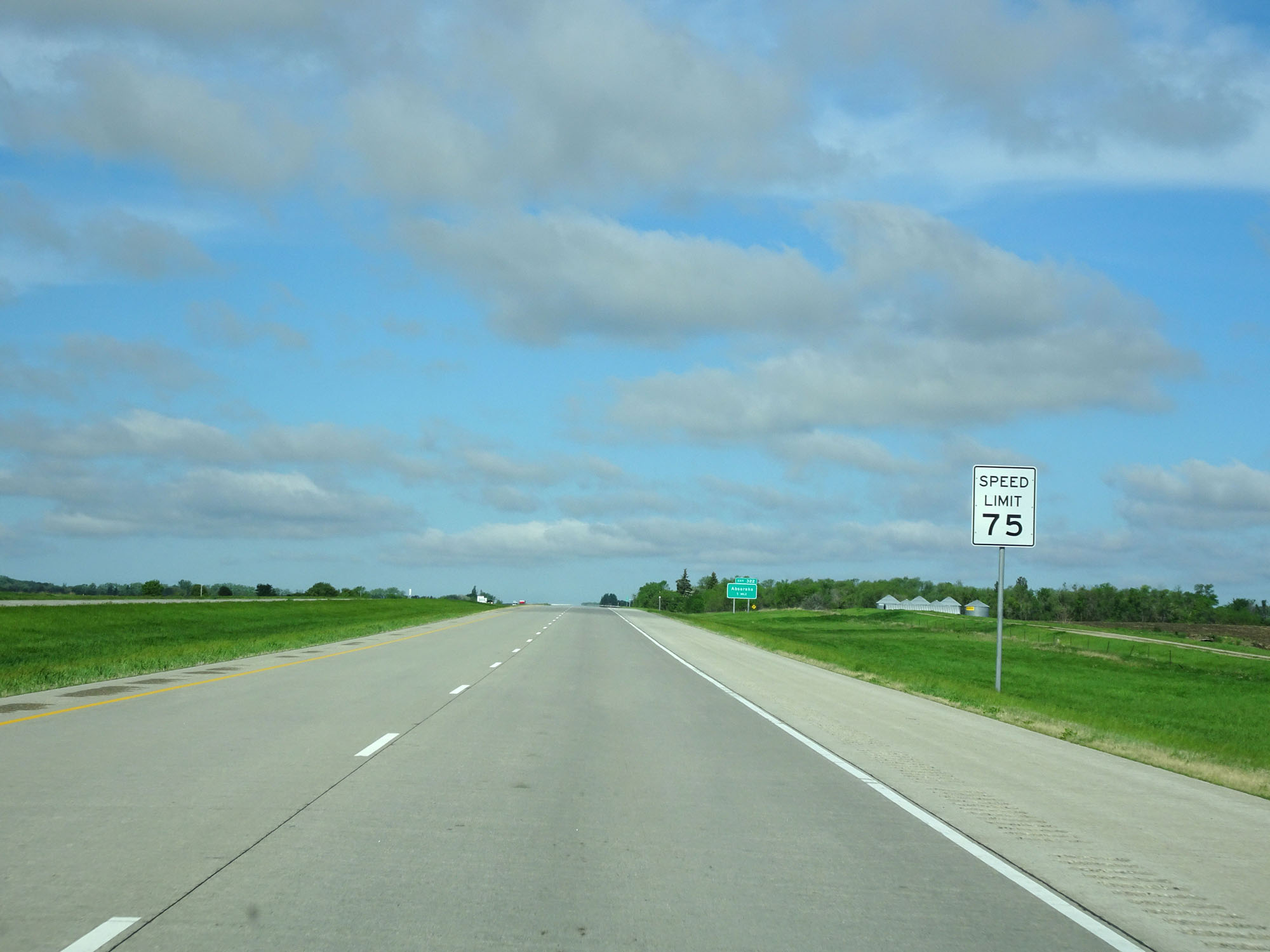 |
Speed limit assurance sign west of Exit 324. Speed Limit - 75 mph. (Photo taken 5/23/16). |
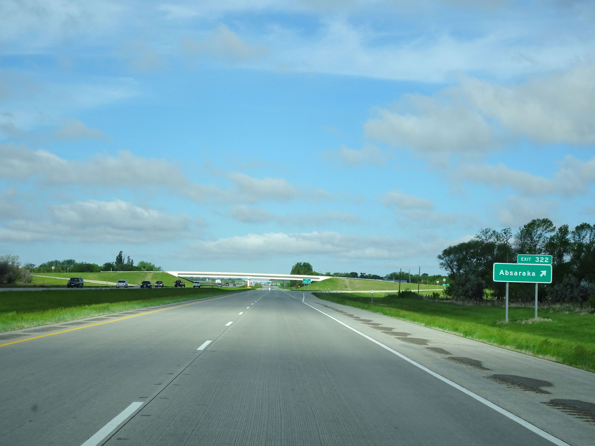 |
Interstate 94 West at Exit 322: Absaraka (Photo taken 5/23/16). |
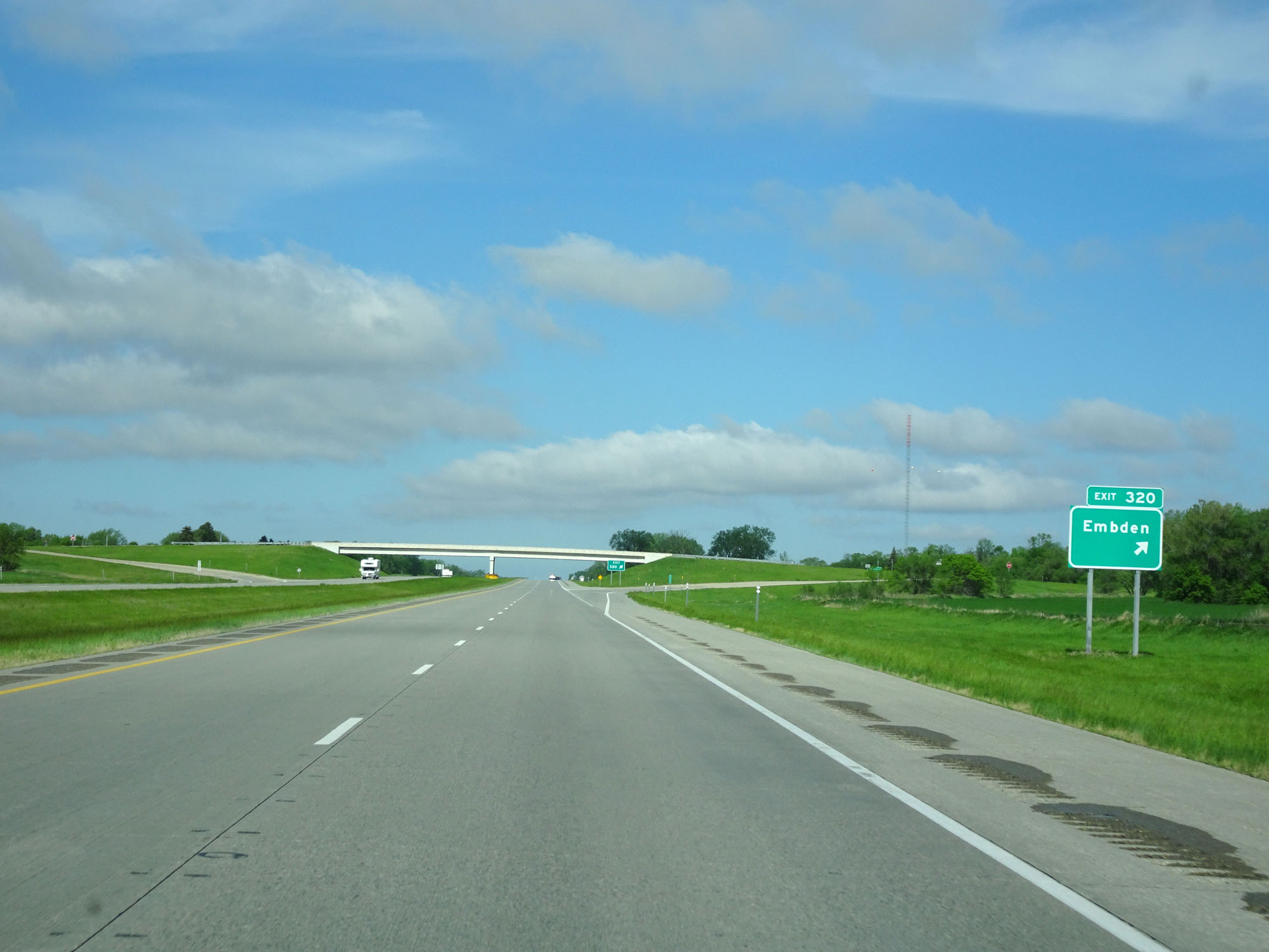 |
Interstate 94 West at Exit 320: Embden (Photo taken 5/23/16). |
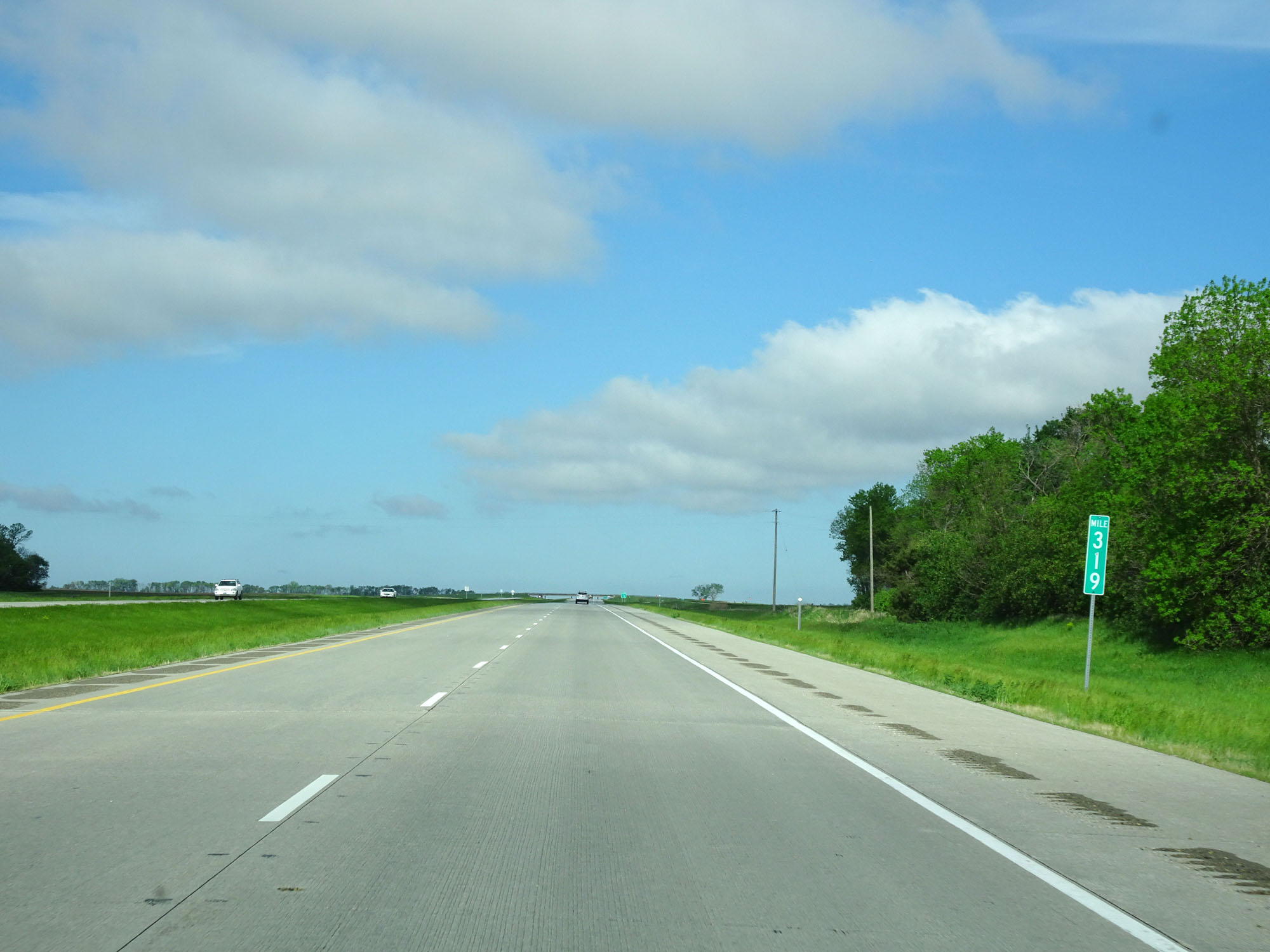 |
Interstate 94 West at mile marker 319. The great open road........ (Photo taken 5/23/16). |
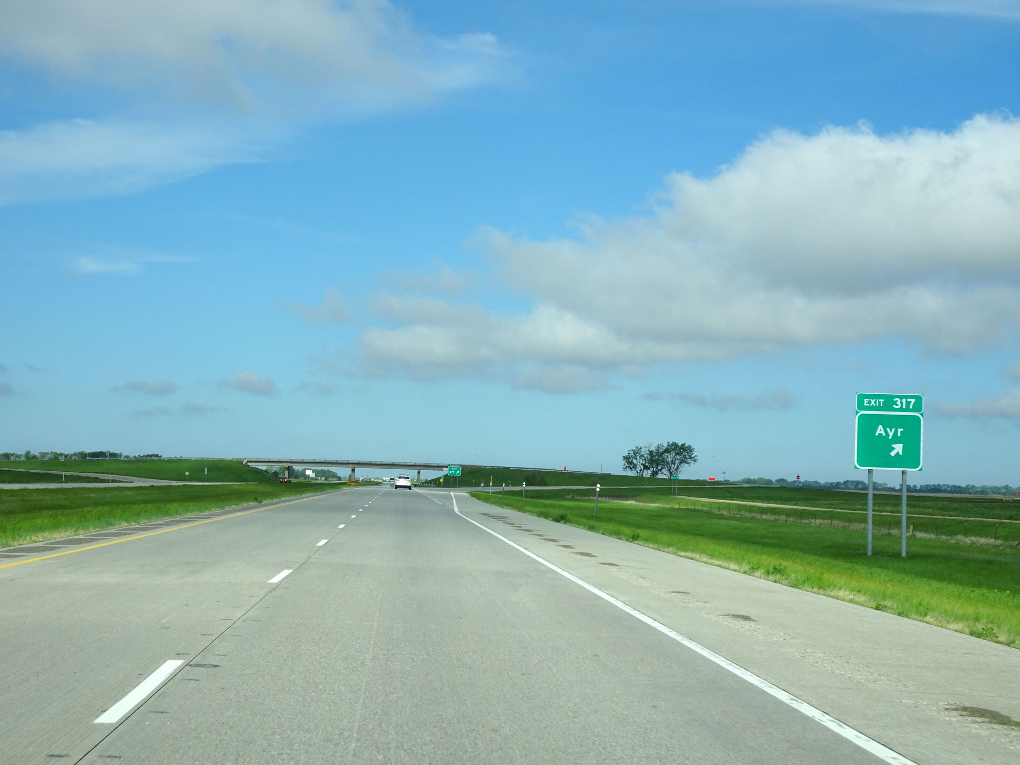 |
Interstate 94 West at Exit 317: Ayr (Photo taken 5/23/16). |
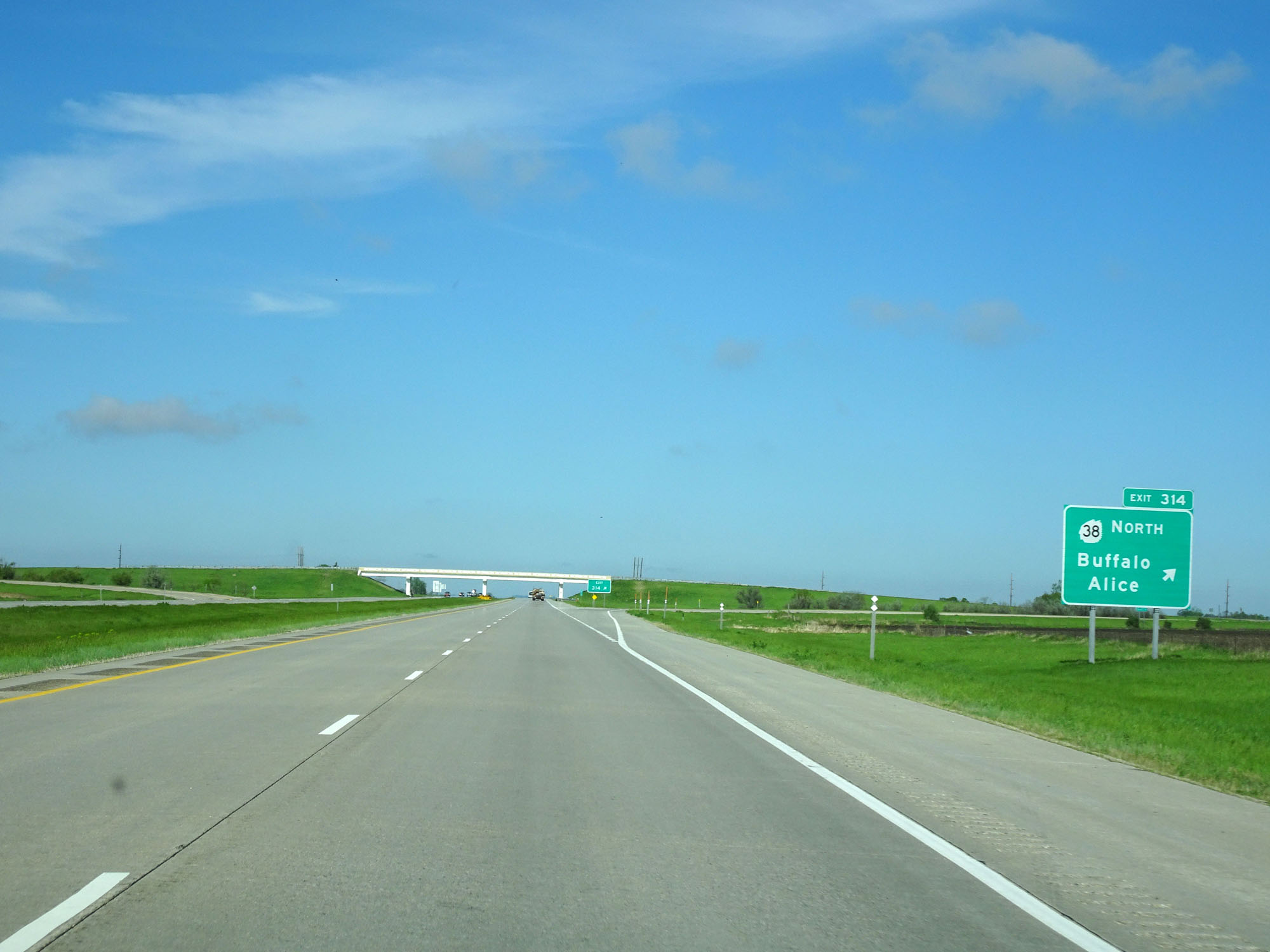 |
Interstate 94 West at Exit 314: ND 38 North - Buffalo / Alice (Photo taken 5/23/16). |
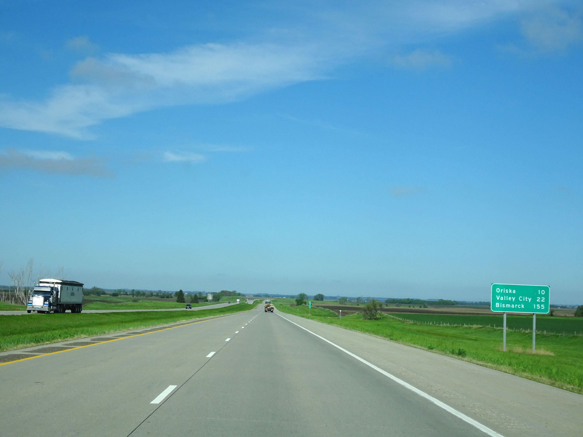 |
Mileage sign west of Exit 314. It's 10 miles to Oriska, 22 miles to Valley City, and 155 miles to Bismarck. (Photo taken 5/23/16). |
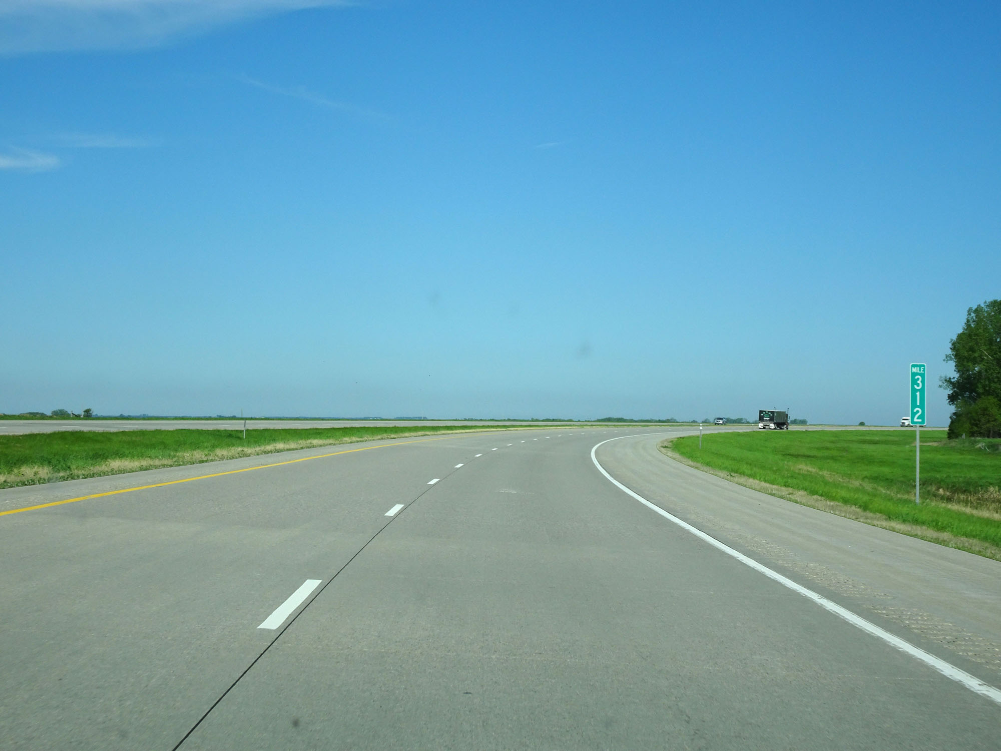 |
Interstate 94 West at mile marker 312. (Photo taken 5/23/16). |
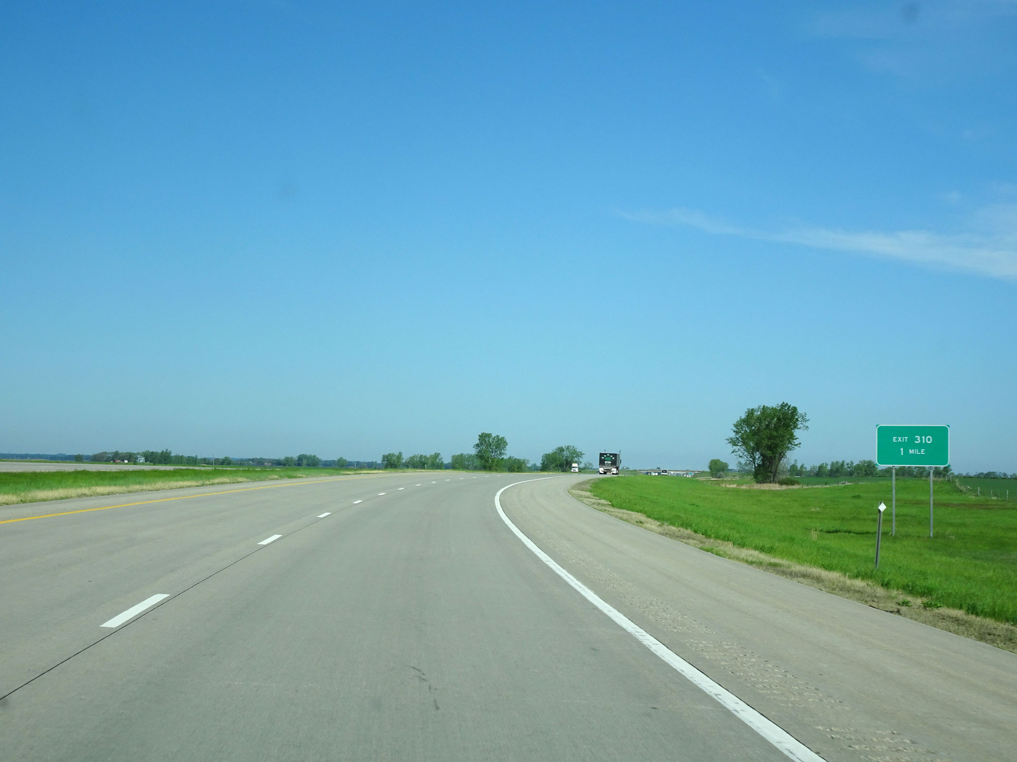 |
Interstate 94 West approaching Exit 310 - 1 mile. (Photo taken 5/23/16). |
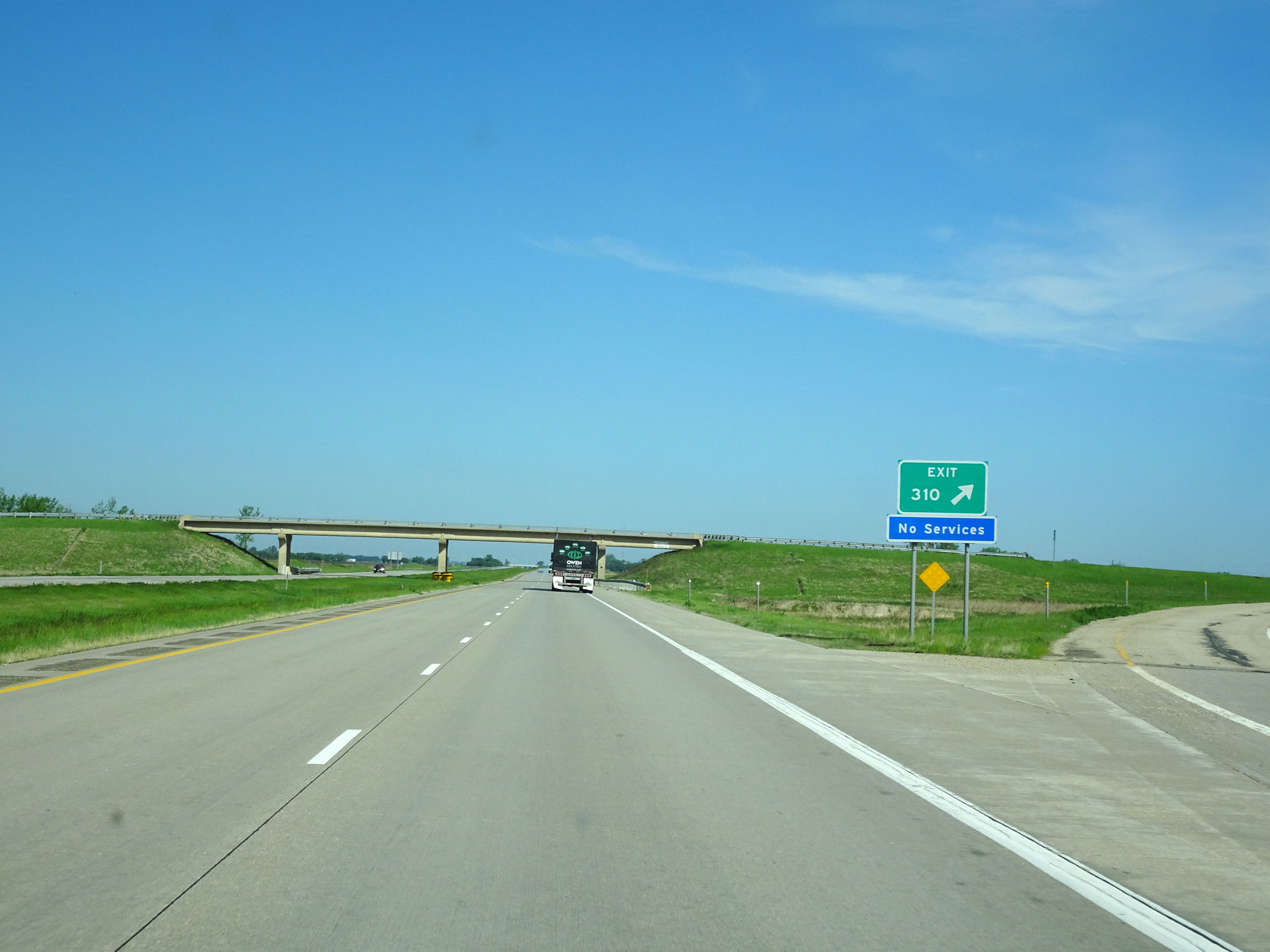 |
Interstate 94 West at Exit 310: (No Name) (Photo taken 5/23/16). |
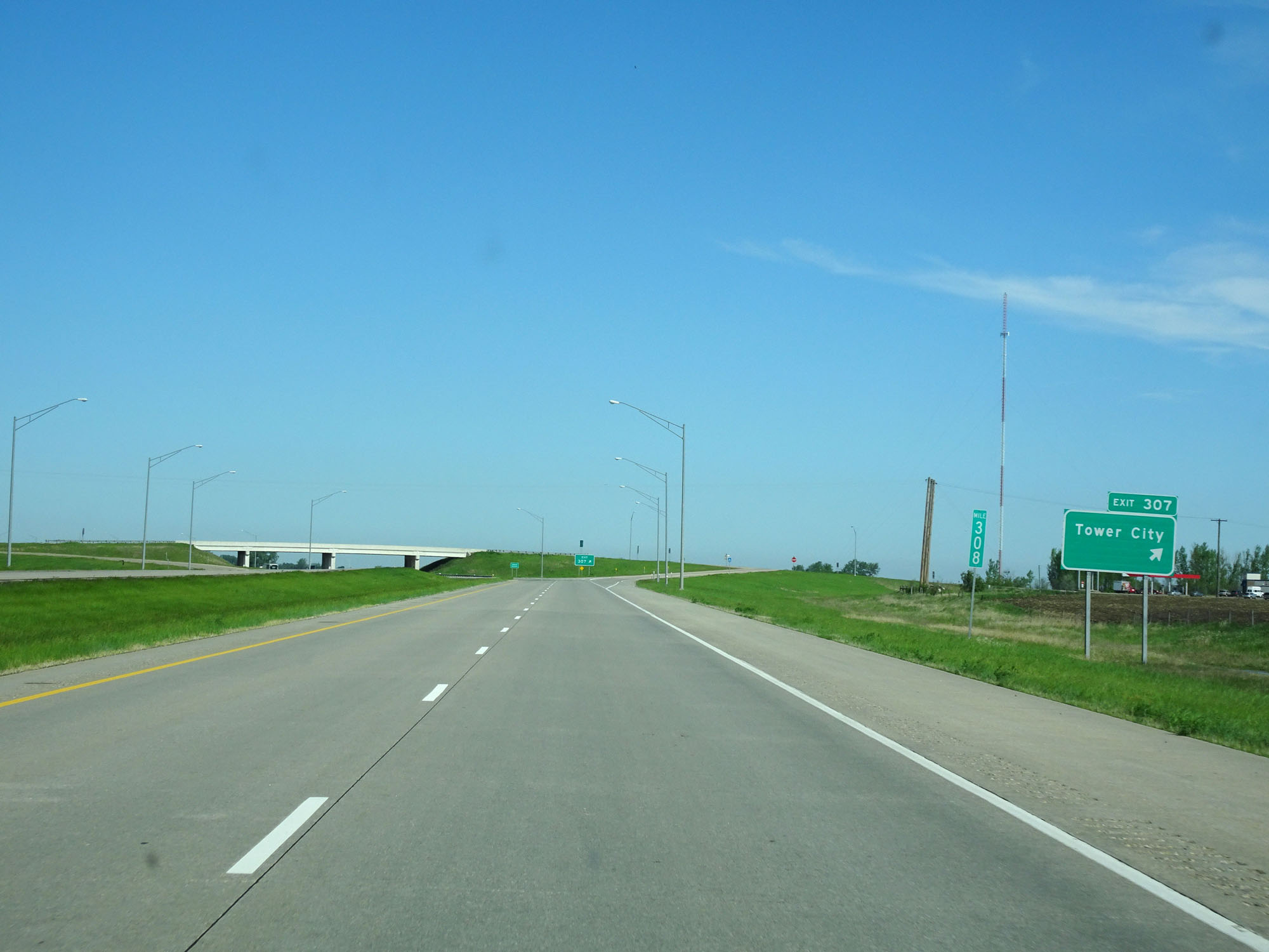 |
Interstate 94 West at Exit 307: Tower City (Photo taken 5/23/16). |
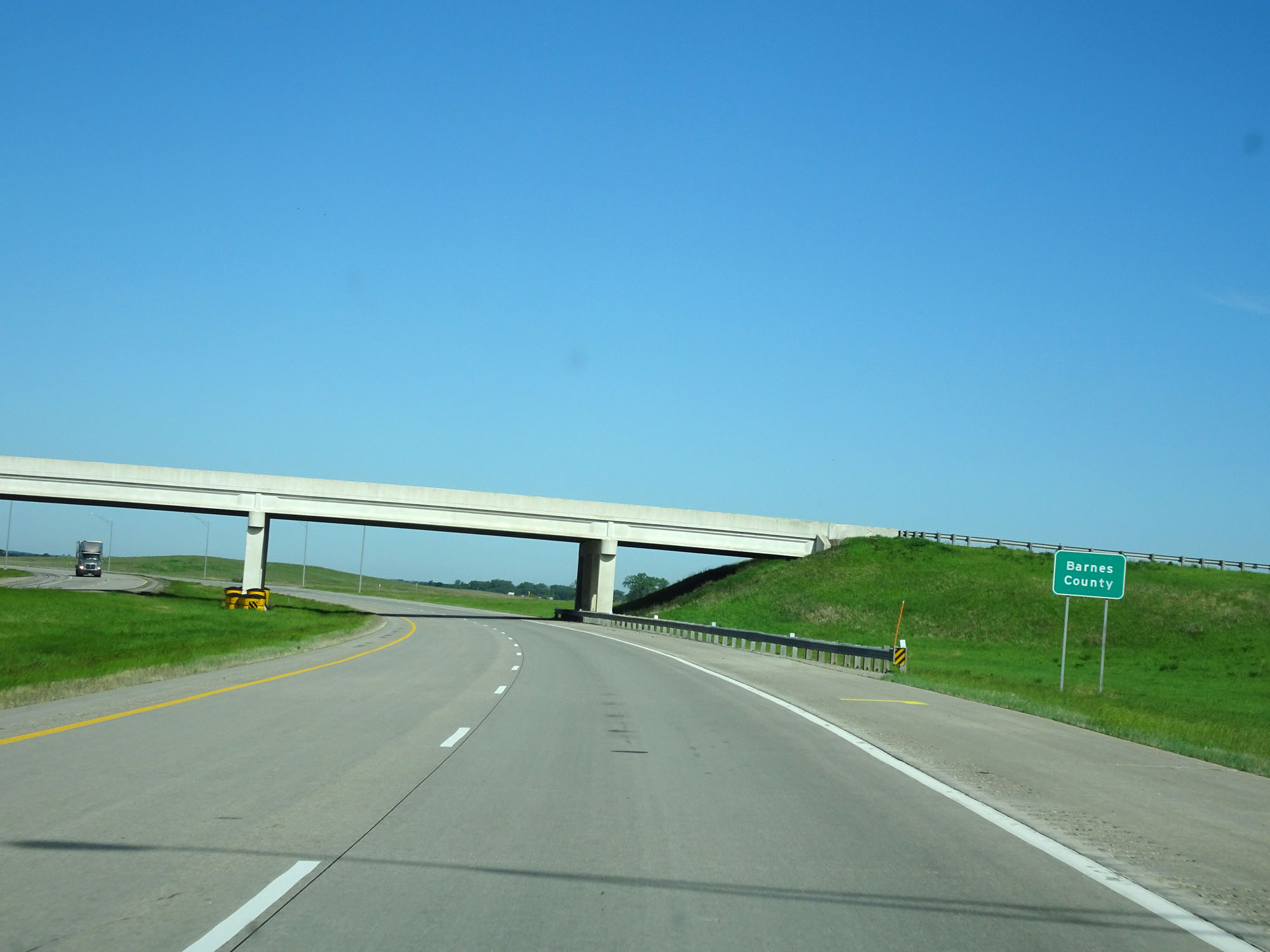 |
Interstate 94 West as it enters Barnes County. (Photo taken 5/23/16). |
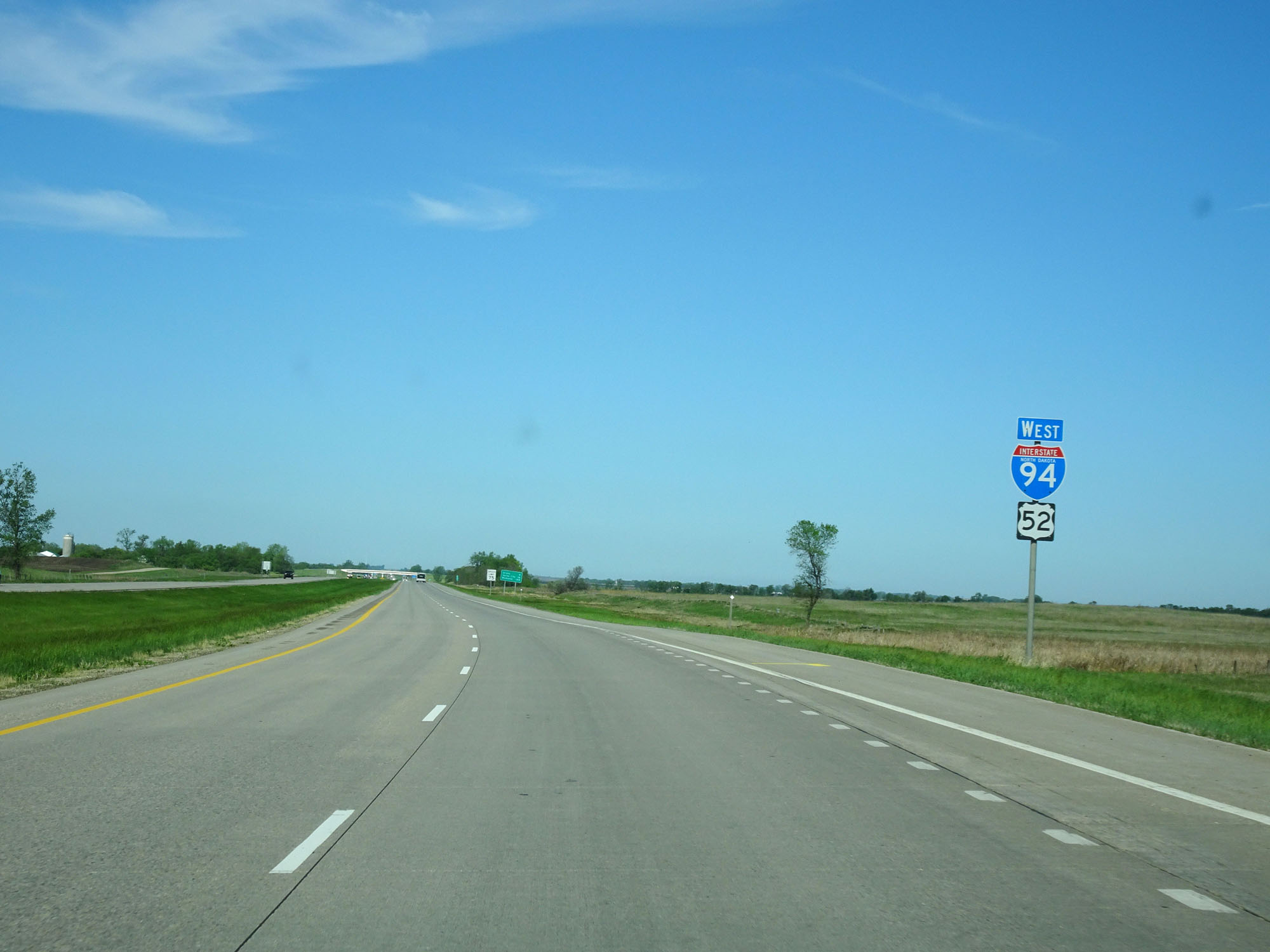 |
Another state-named Interstate 94 West assurance shield upon entering Barnes County. (Photo taken 5/23/16). |
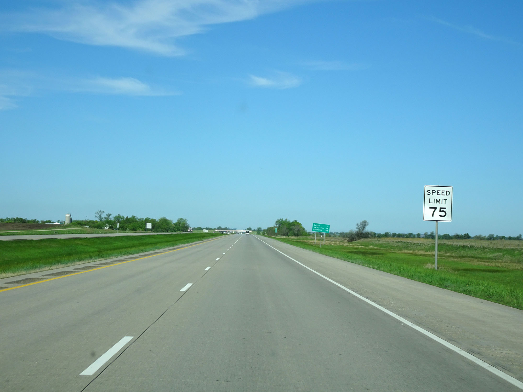 |
The speed limit remains 75 mph. (Photo taken 5/23/16). |
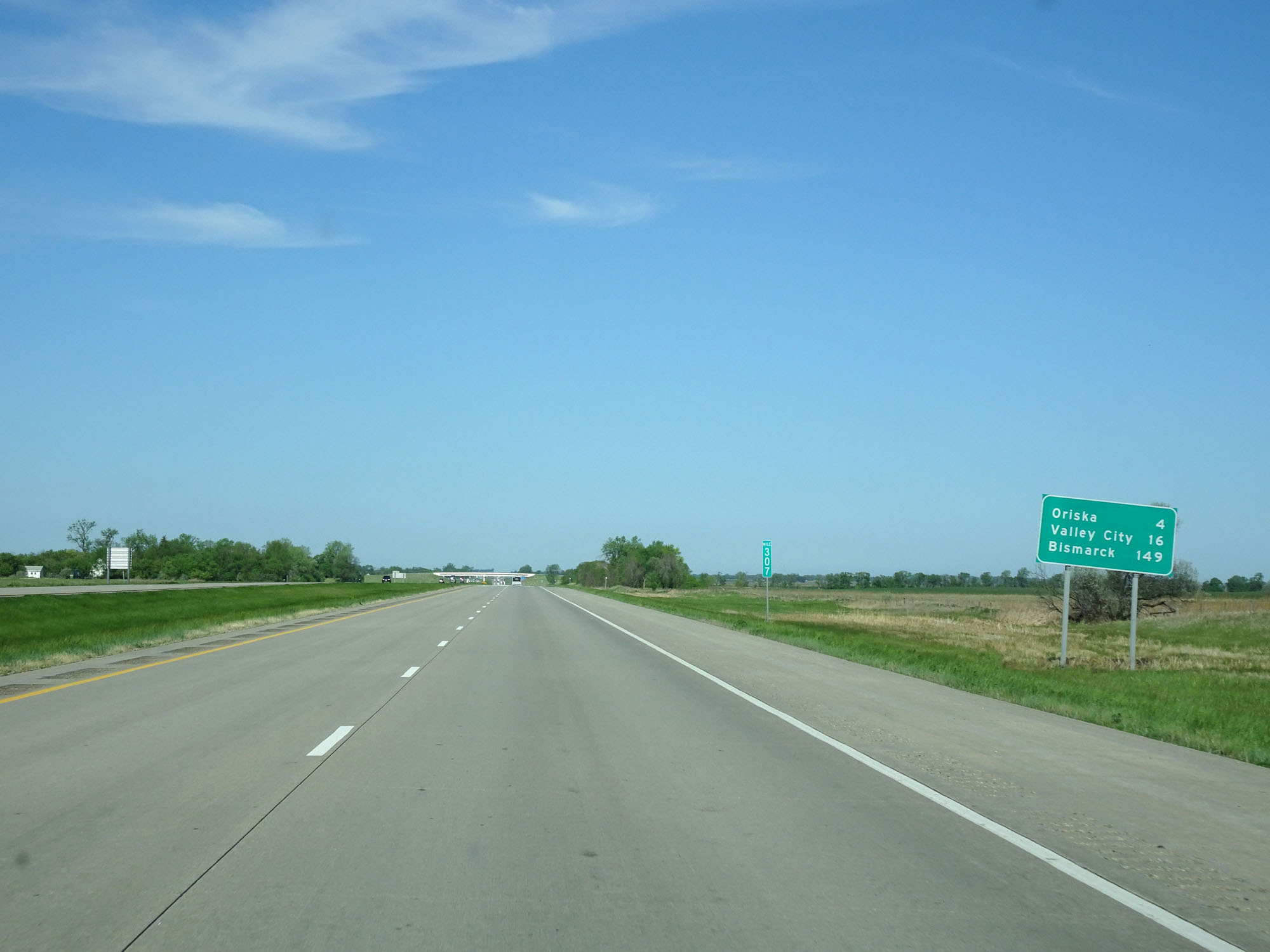 |
Mileage sign at mile marker 307. It's 4 miles to Oriska, 16 miles to Valley City, and 149 miles to Bismarck. (Photo taken 5/23/16). |
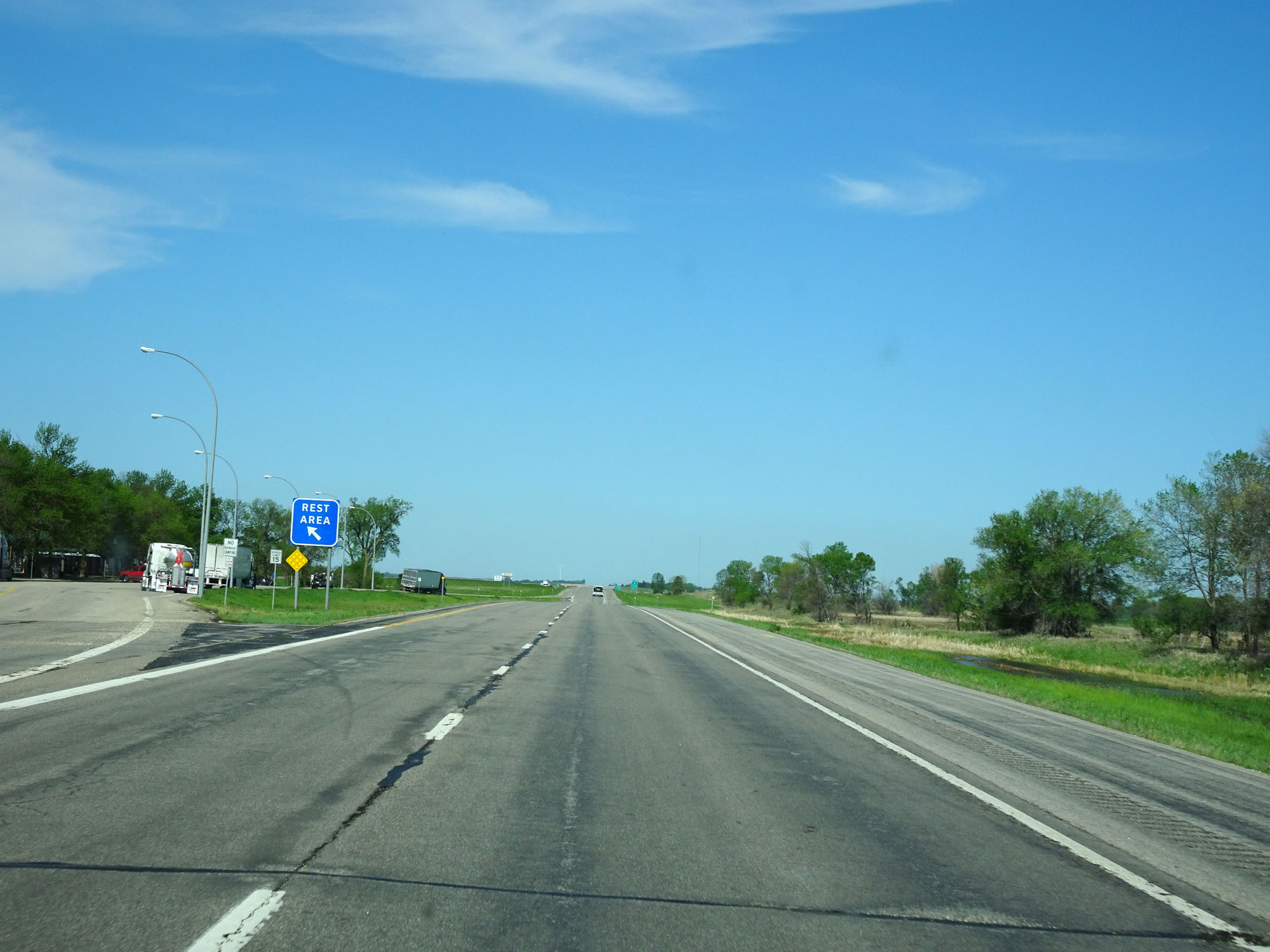 |
Interstate 94 West at the Rest Area located just beyond mile marker 305. (Photo taken 5/23/16). |
 |
Interstate 94 West at mile marker 304. (Photo taken 5/23/16). |
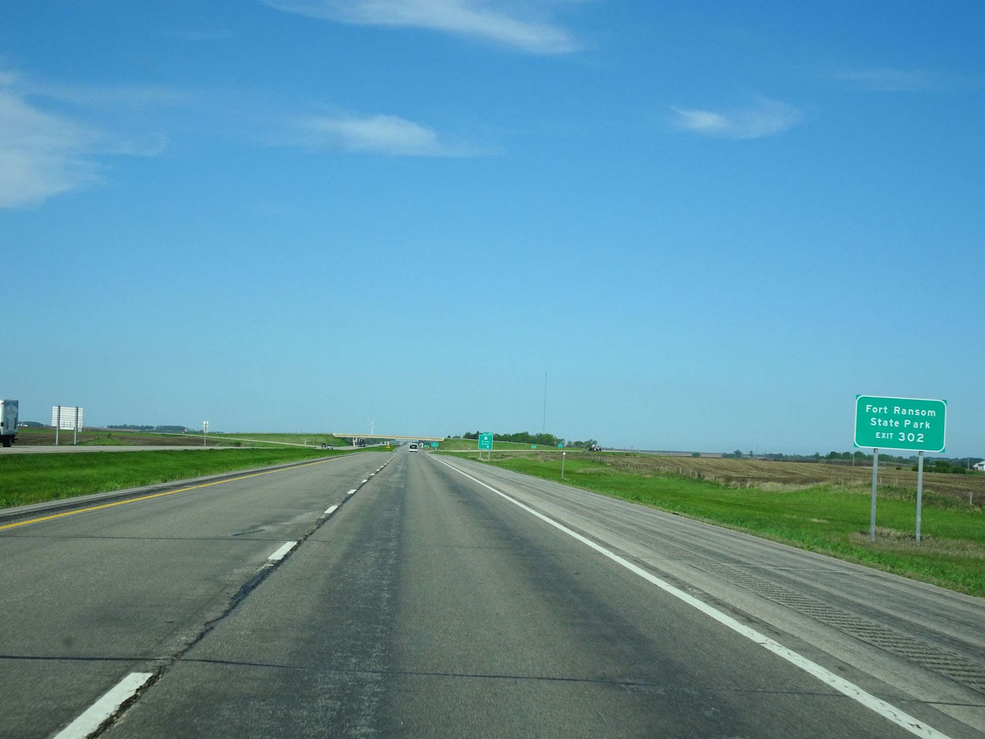 |
Take Exit 302 to Fort Ransom State Park. (Photo taken 5/23/16). |
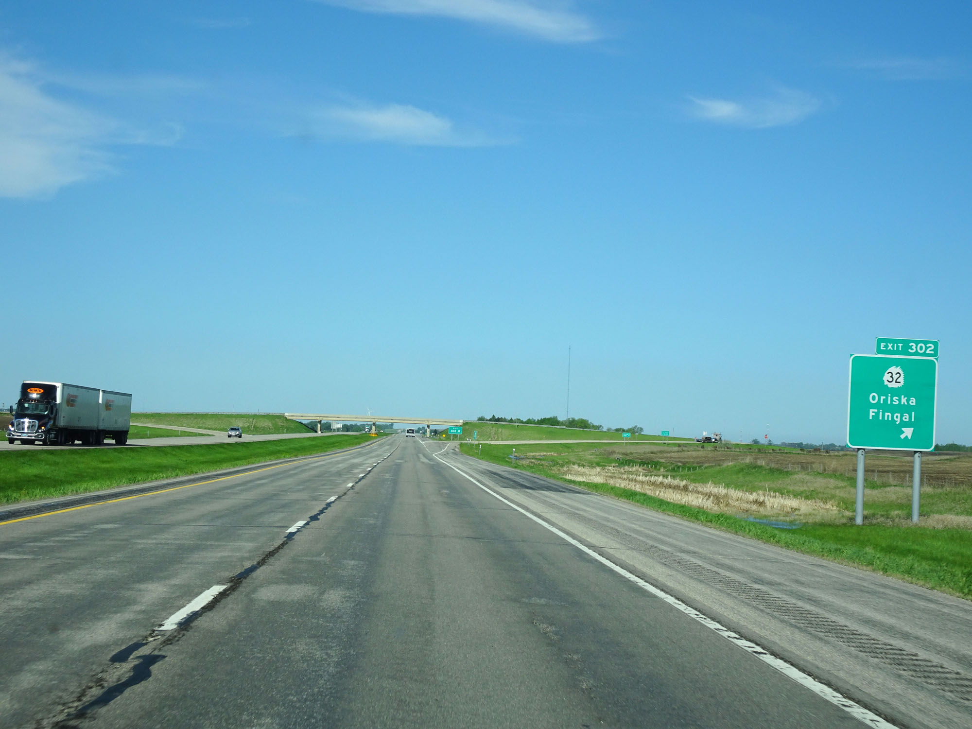 |
Interstate 94 West at Exit 302: ND 32 - Oriska / Fingal (Photo taken 5/23/16). |
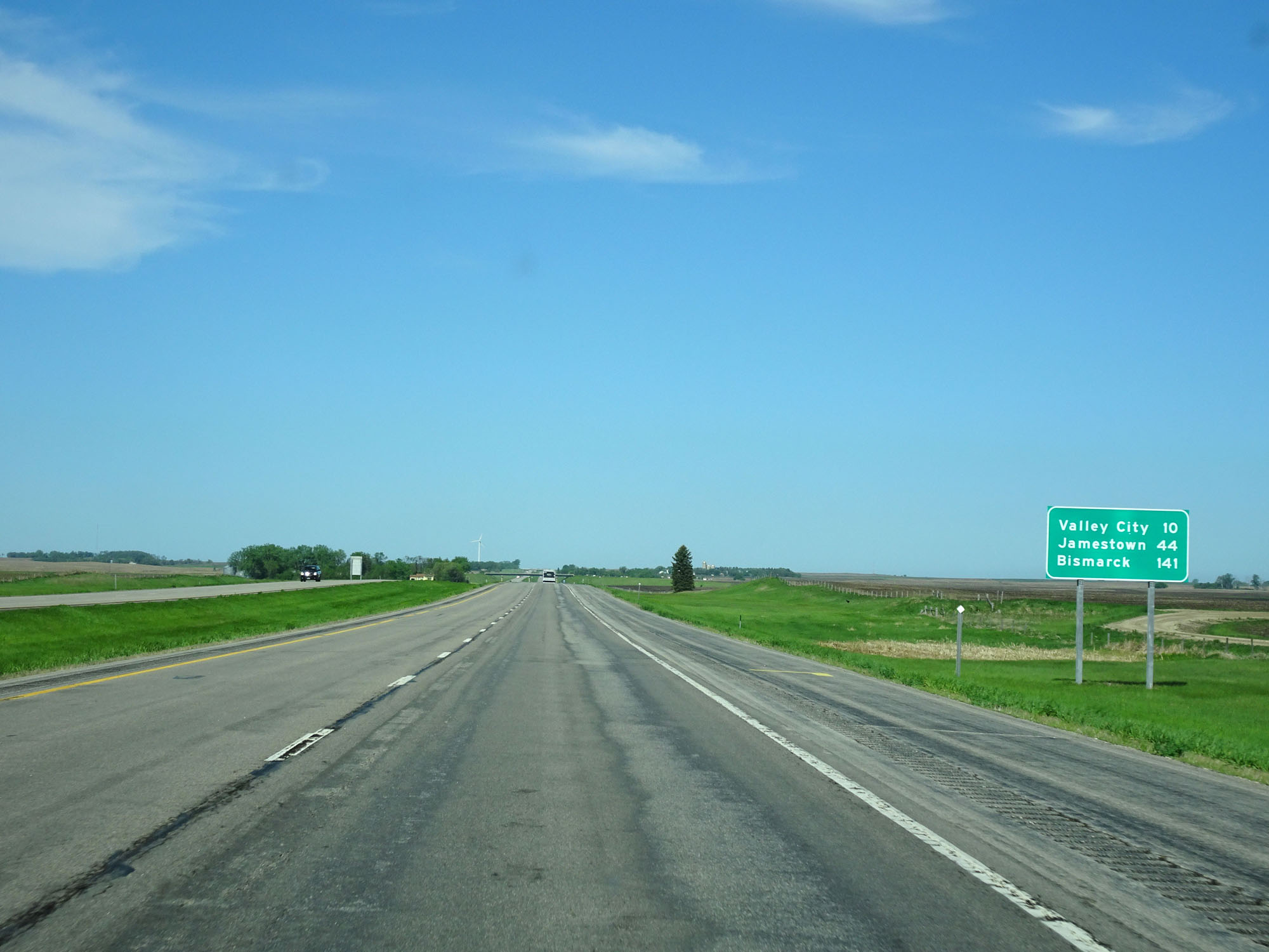 |
Mileage/distance sign west of Exit 302. It's 10 miles to Valley City, 44 miles to Jamestown, and 141 miles to Bismarck. (Photo taken 5/23/16). |
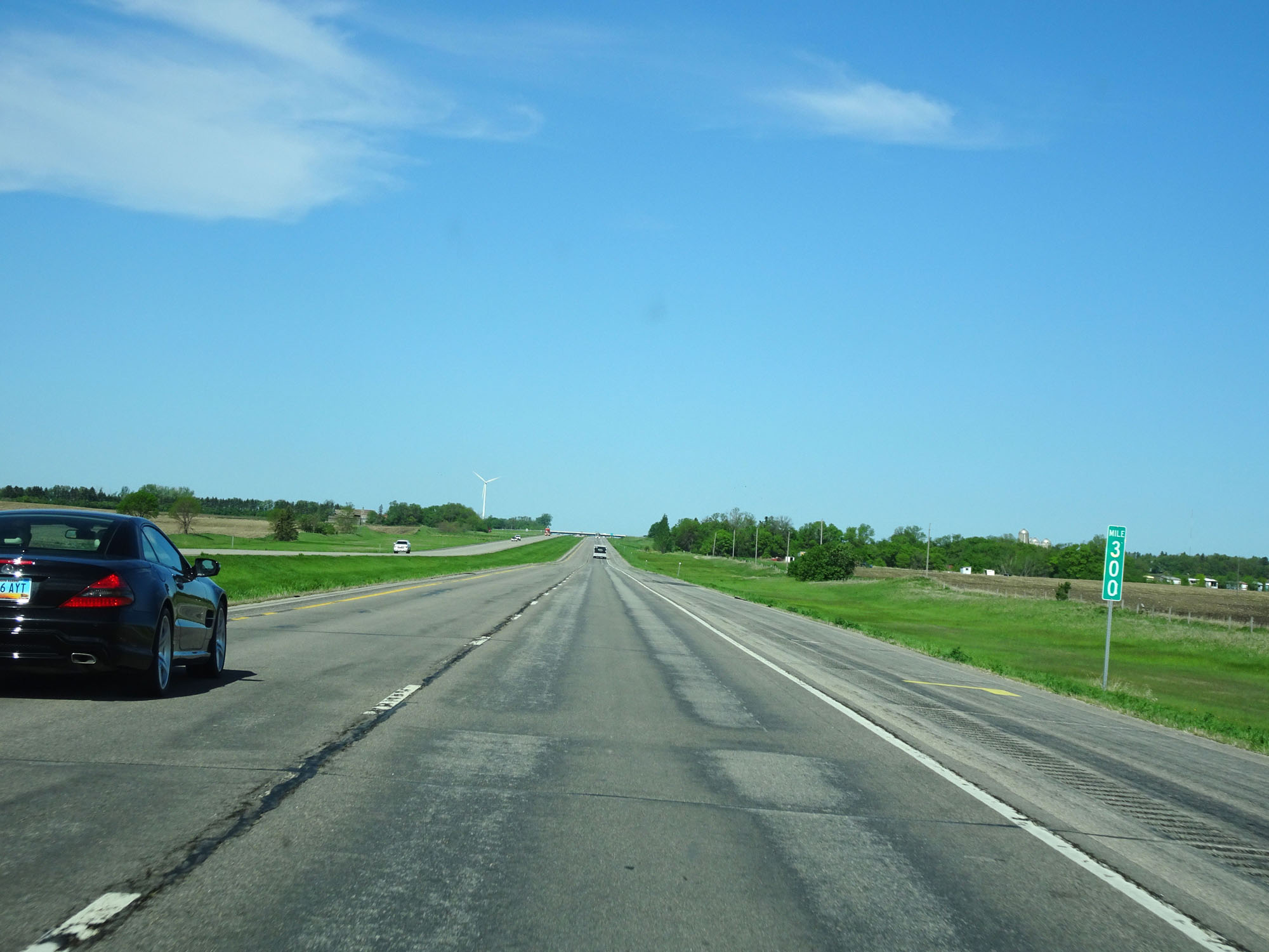 |
Interstate 94 West at mile marker 300. (Photo taken 5/23/16). |
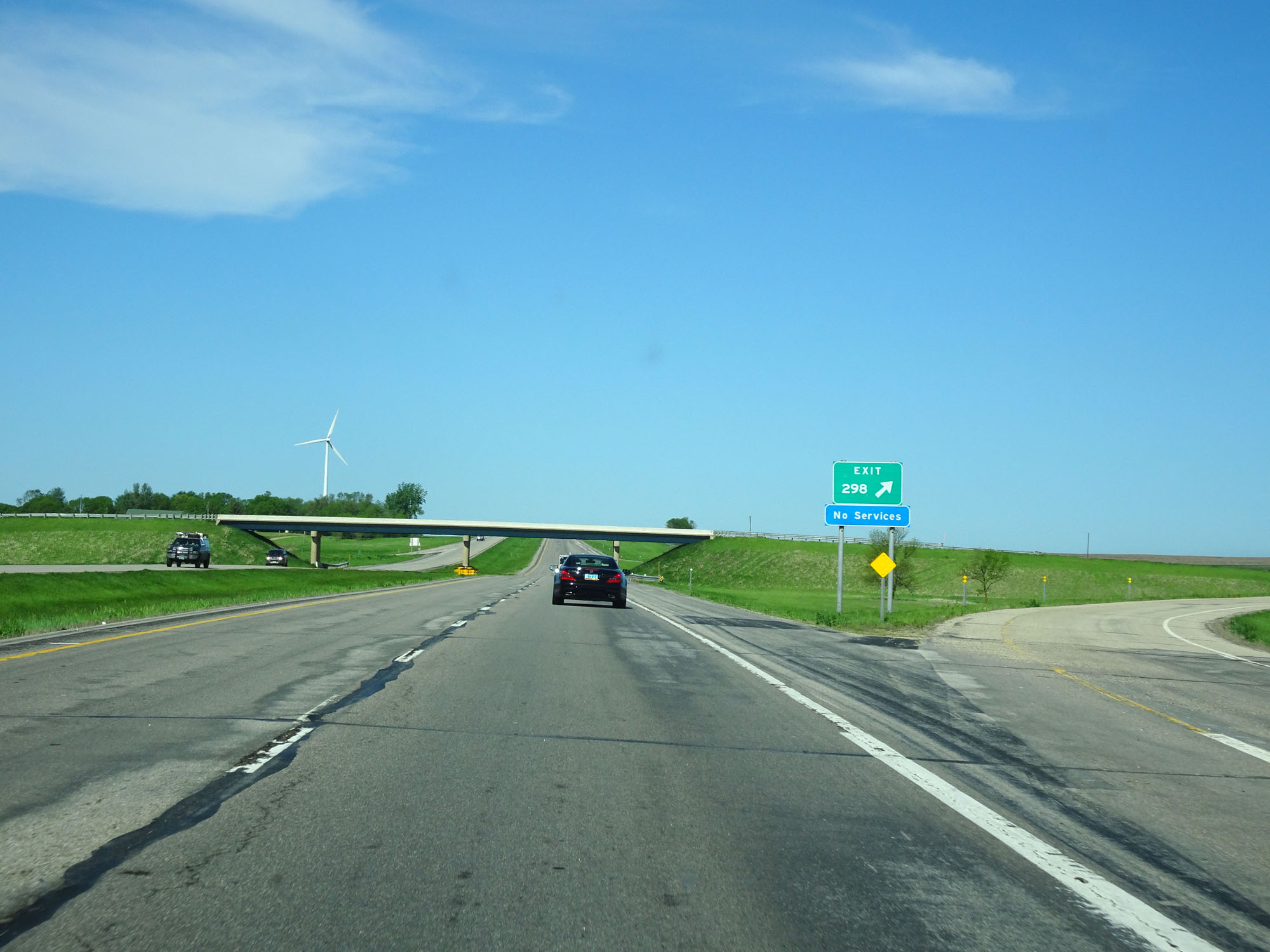 |
Interstate 94 West at Exit 298: (No Name) (Photo taken 5/23/16). |
 |
Interstate 94 West approaching Exit 296 - 1 mile. (Photo taken 5/23/16). |
 |
Interstate 94 West at Exit 296: (No Name) (Photo taken 5/23/16). |
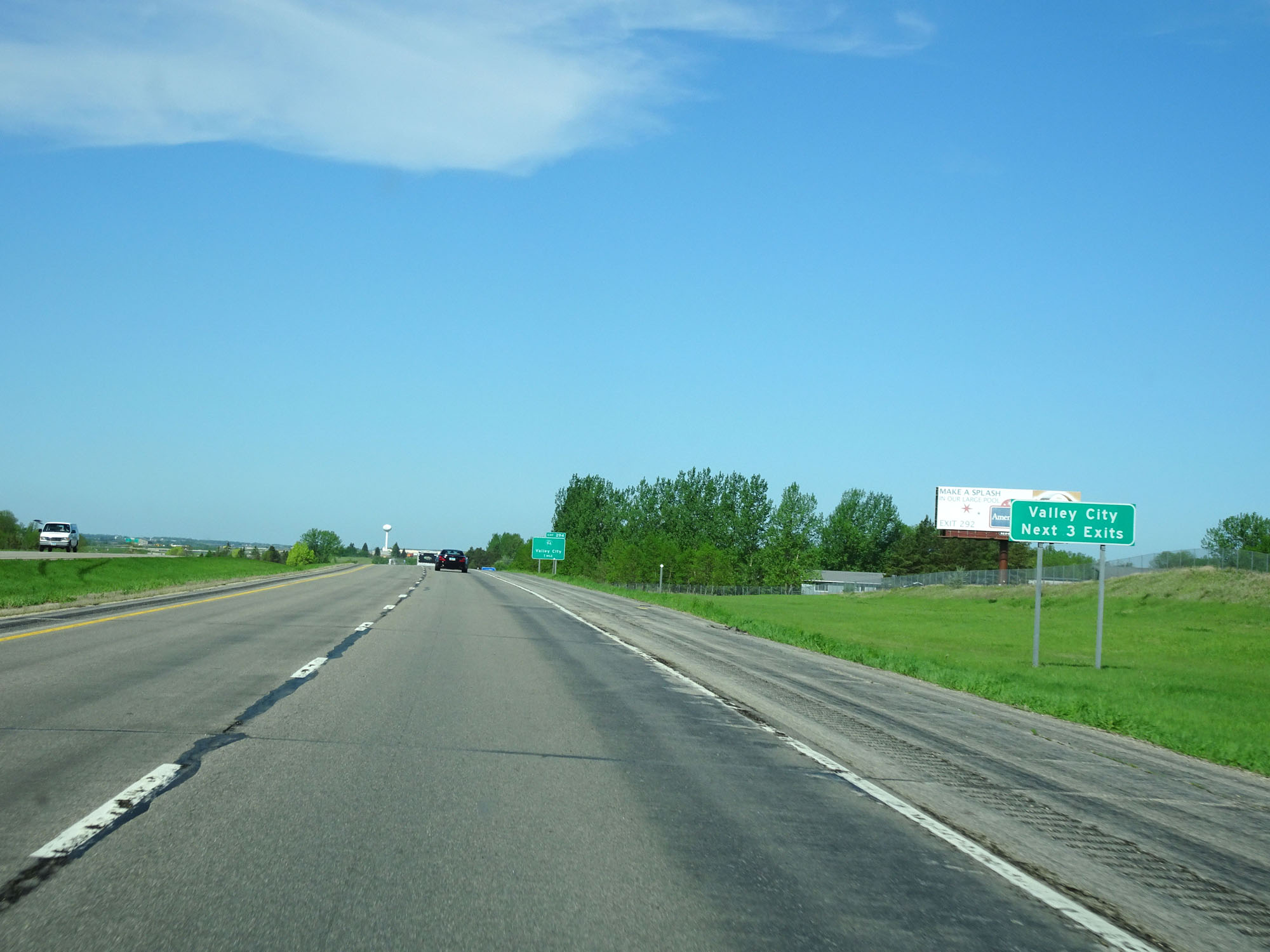 |
Take any of the next 3 exits to Valley City. (Photo taken 5/23/16). |
 |
Take Exit 294 to the Visitor Center. (Photo taken 5/23/16). |
 |
The use of Engine Brakes (a.k.a. Jake Brakes) are prohibited for the next 5 miles as you pass through Valley City. (Photo taken 5/23/16). |
 |
Interstate 94 West at mile marker 295. (Photo taken 5/23/16). |
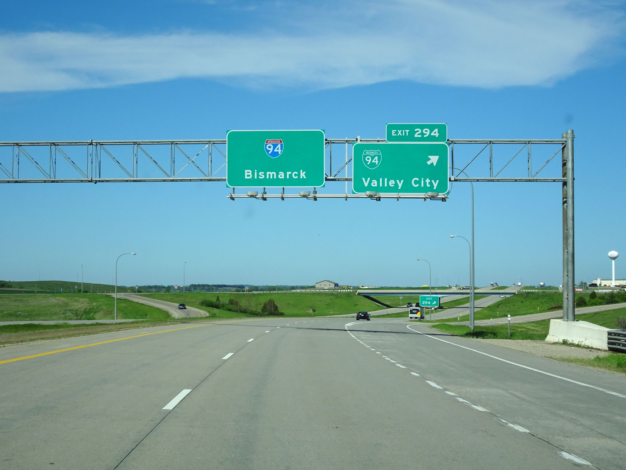 |
Interstate 94 West at Exit 294: Interstate 94 BL - Valley City (Photo taken 5/23/16). |
Section 2: Valley City (Exit 294) to Dawson (Exit 208)
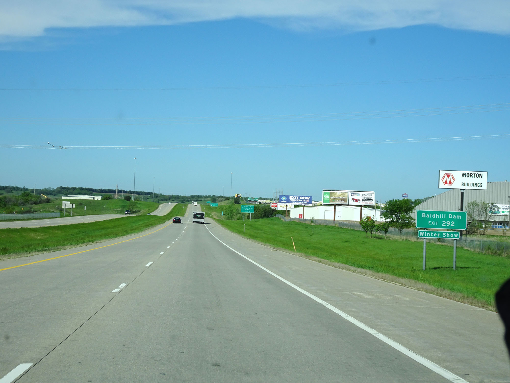 |
Take Exit 292 to Baldhill Dam and the North Dakota Winter Show. (Photo taken 5/23/16). |
 |
Also take Exit 292 to Valley City State University and Kathryn. (Photo taken 5/23/16). |
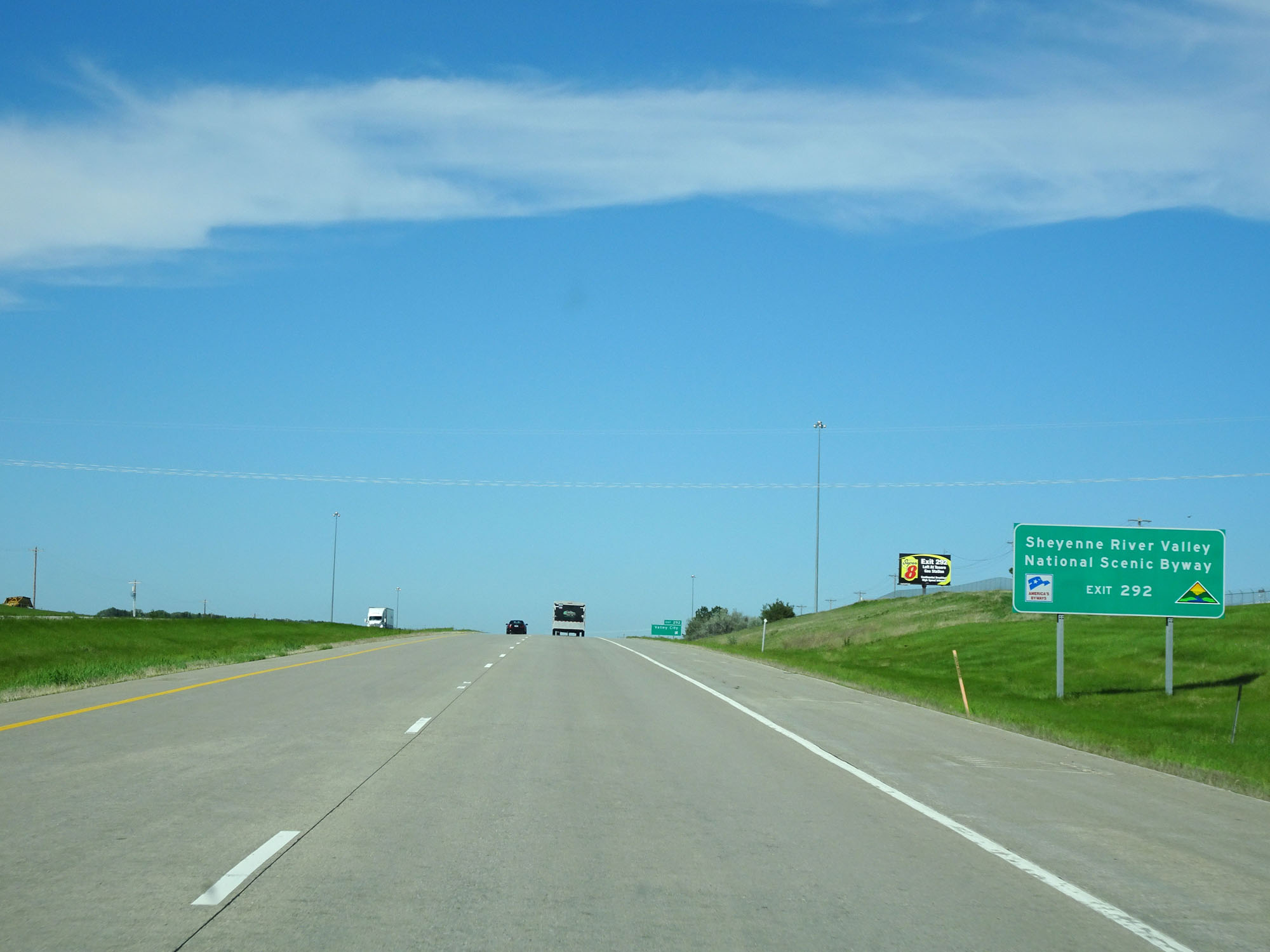 |
Take Exit 292 to Sheyenne River Valley National Scenic Byway as well. (Photo taken 5/23/16). |
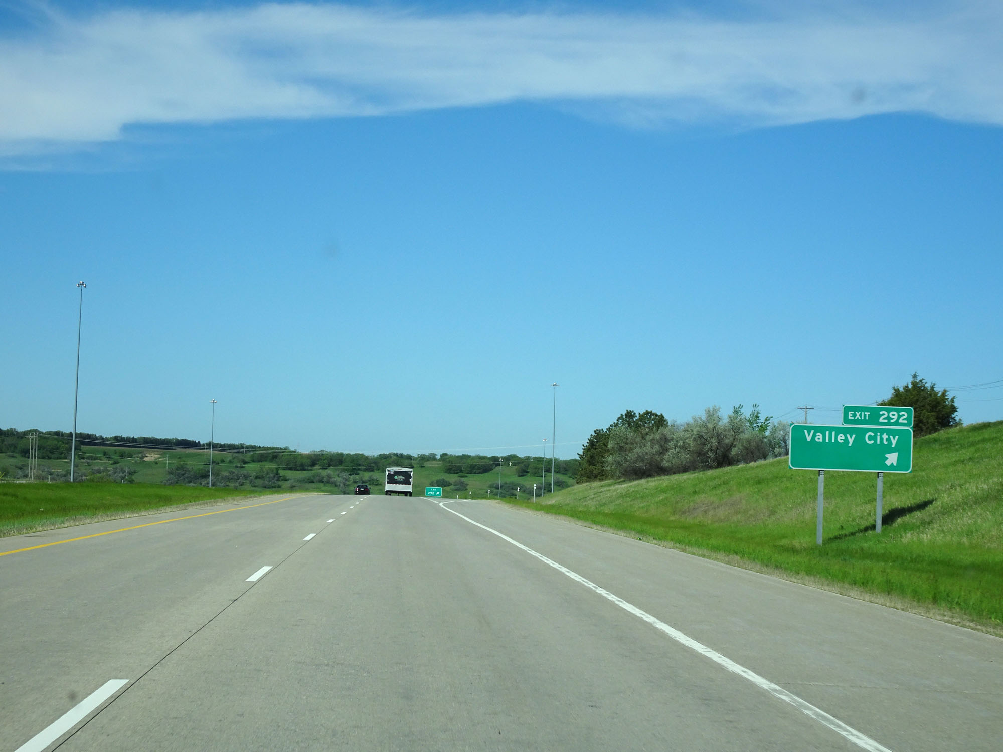 |
Interstate 94 West at Exit 292: Valley City (Photo taken 5/23/16). |
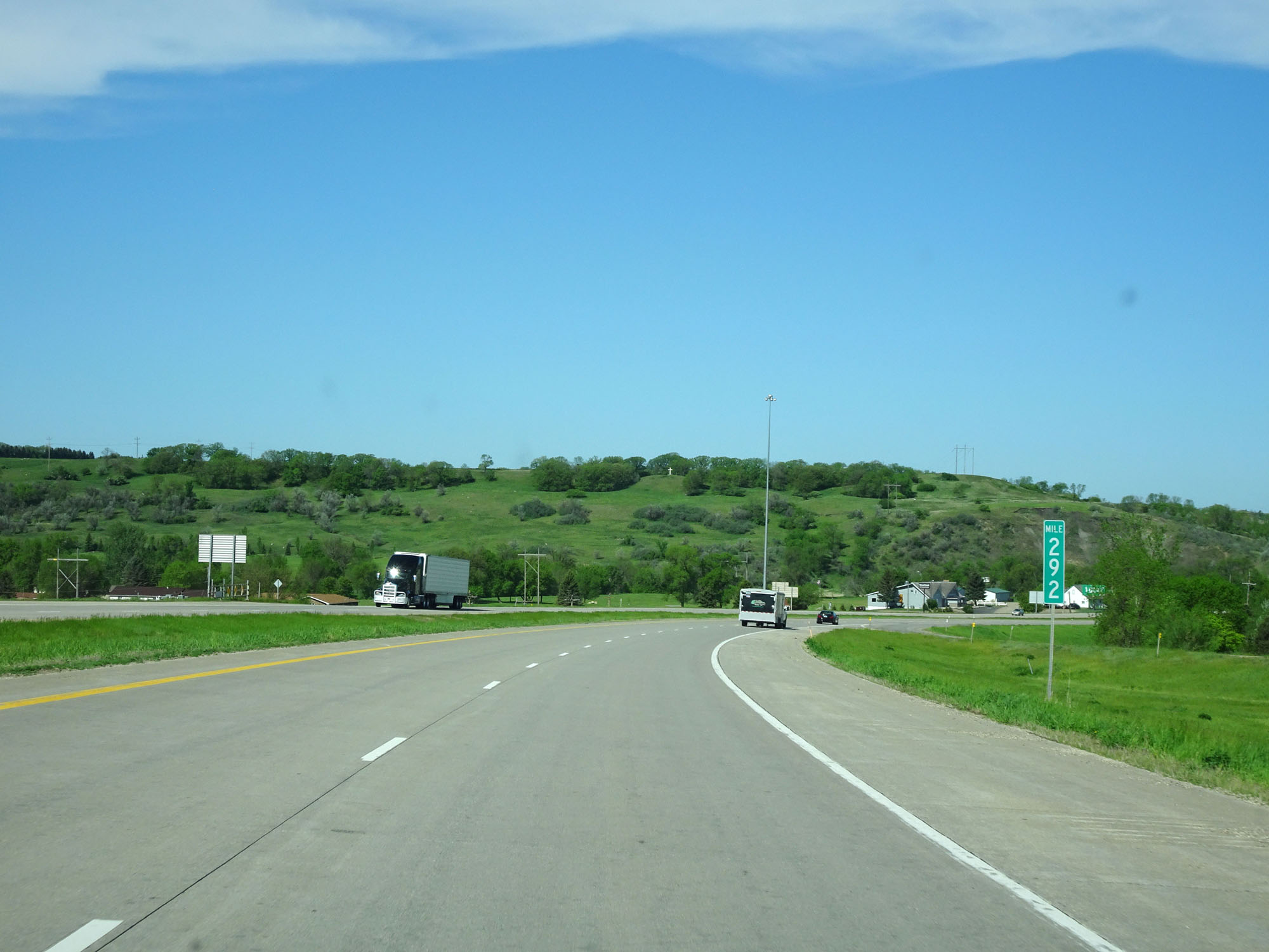 |
Interstate 94 West at mile marker 292. (Photo taken 5/23/16). |
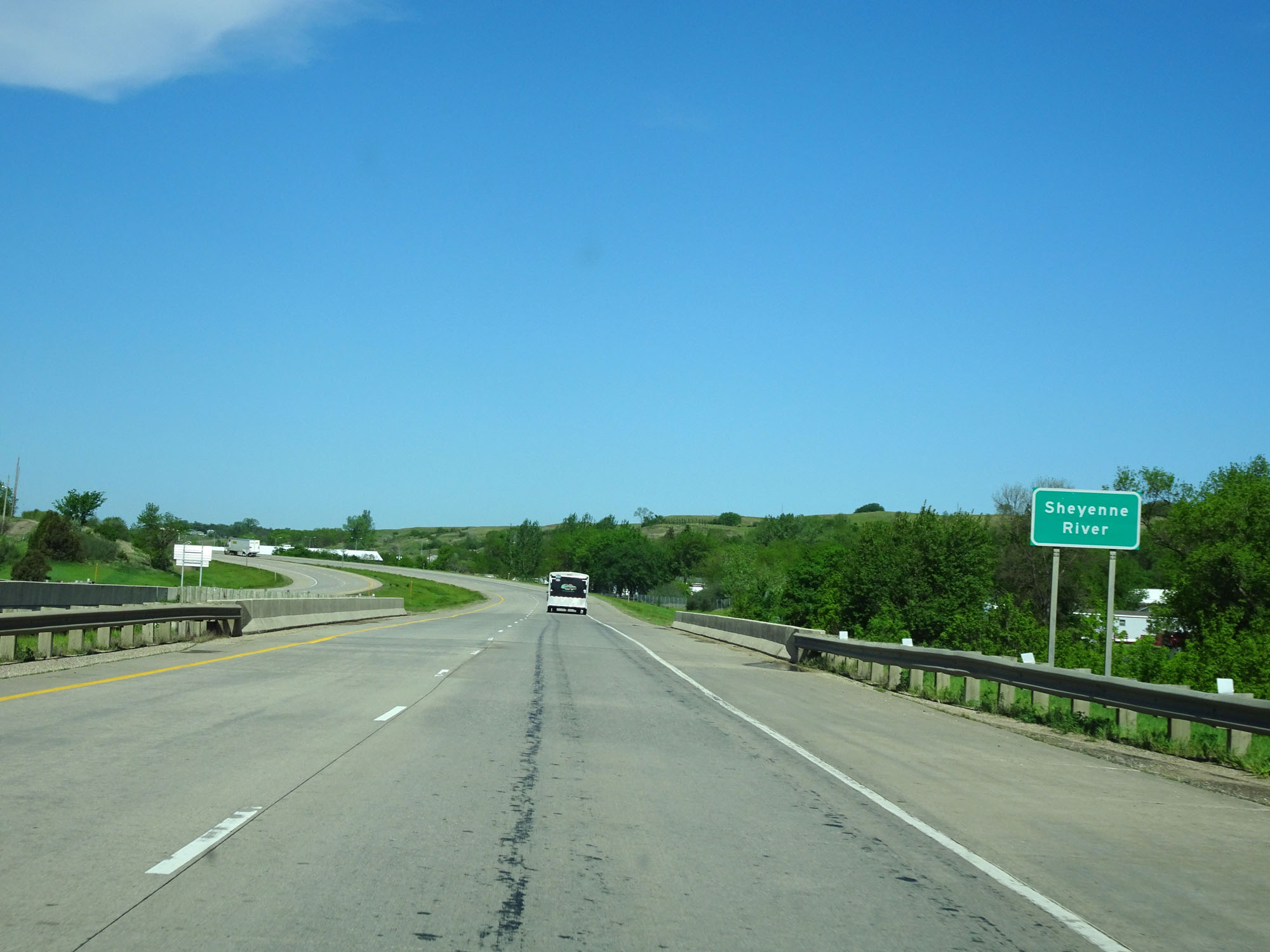 |
Interstate 94 West as it prepares to cross the Sheyenne River in Valley City. (Photo taken 5/23/16). |
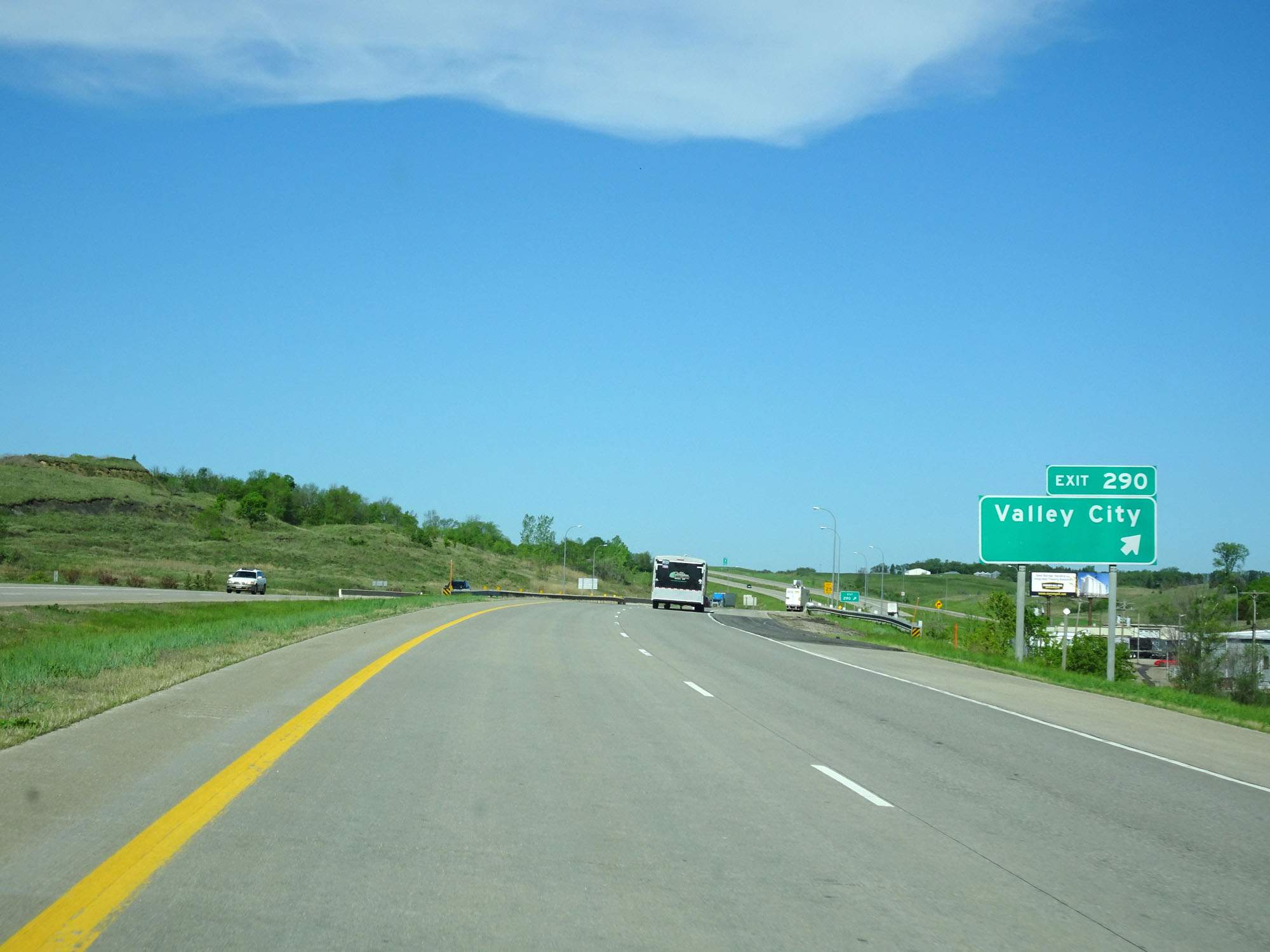 |
Interstate 94 West at Exit 290: Valley City (Photo taken 5/23/16). |
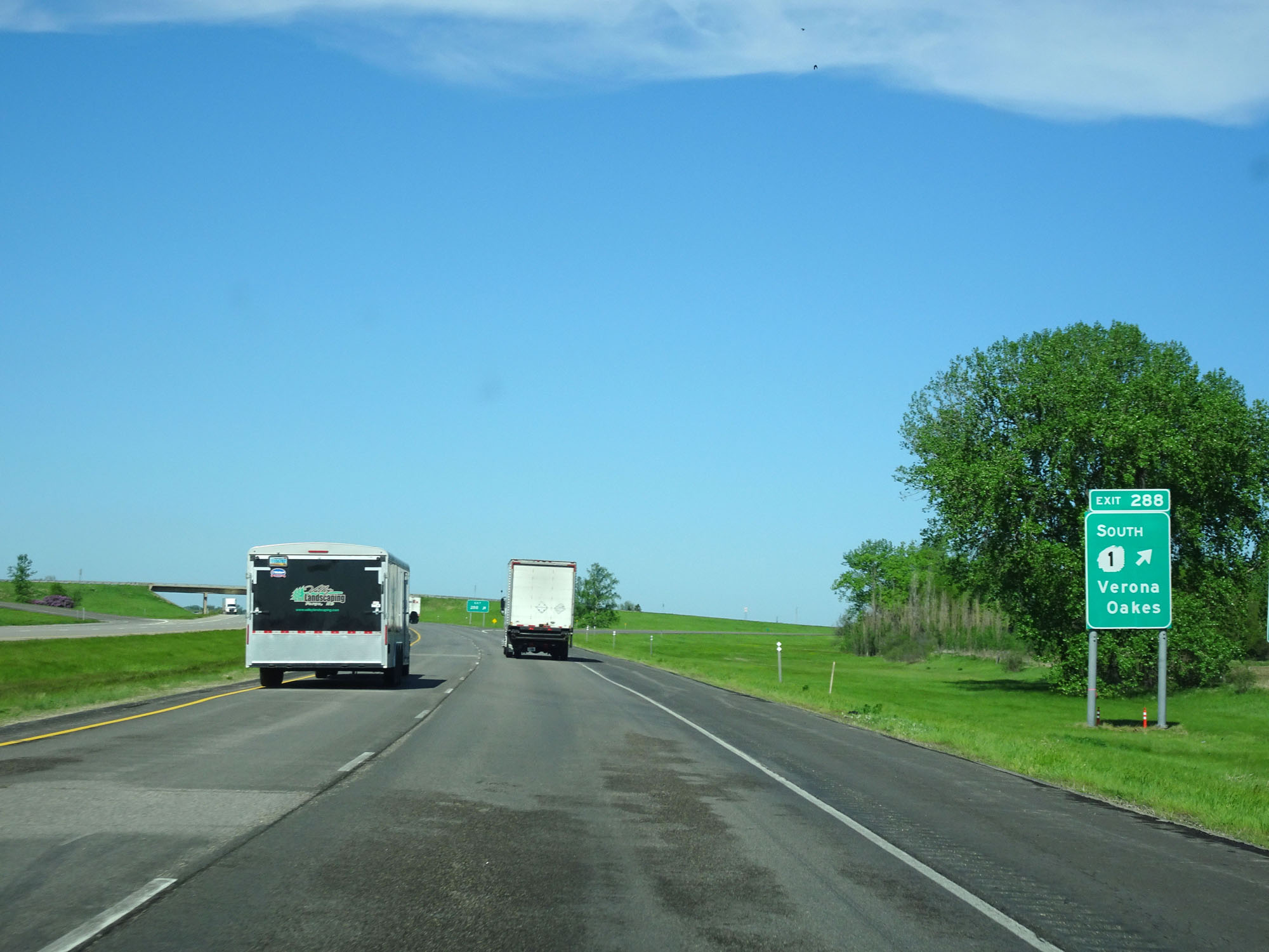 |
Interstate 94 West at Exit 288: ND 1 South - Verona / Oakes (Photo taken 5/23/16). |
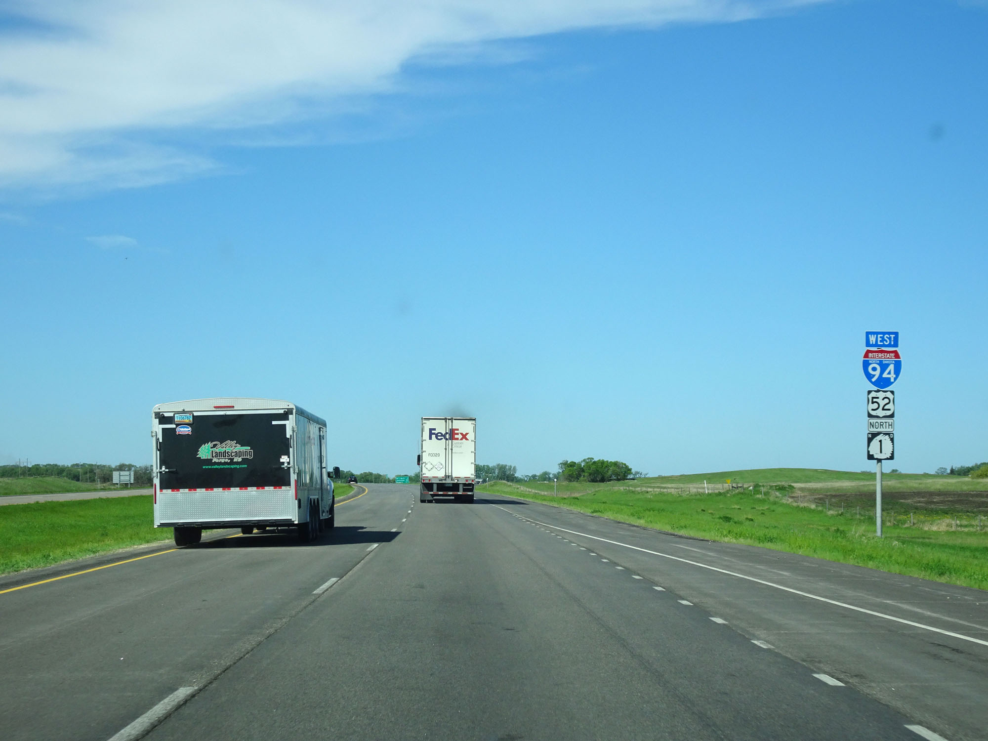 |
Interstate 94 West / US 52 West / ND 1 South assurance shields west of Exit 288. (Photo taken 5/23/16). |
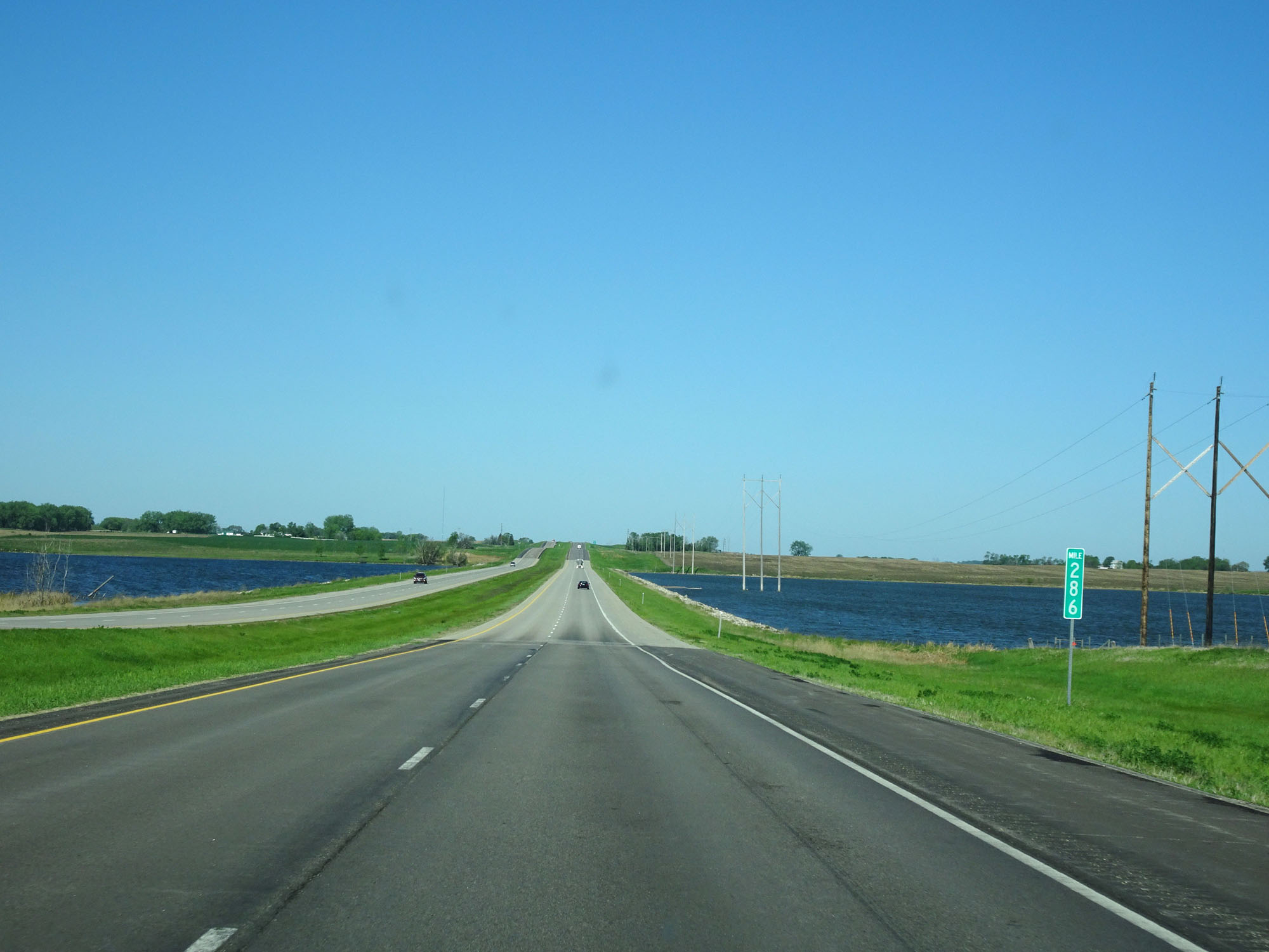 |
Interstate 94 West at mile marker 286. (Photo taken 5/23/16). |
 |
Interstate 94 West at Exit 283: ND 1 North - Rogers (Photo taken 5/23/16). |
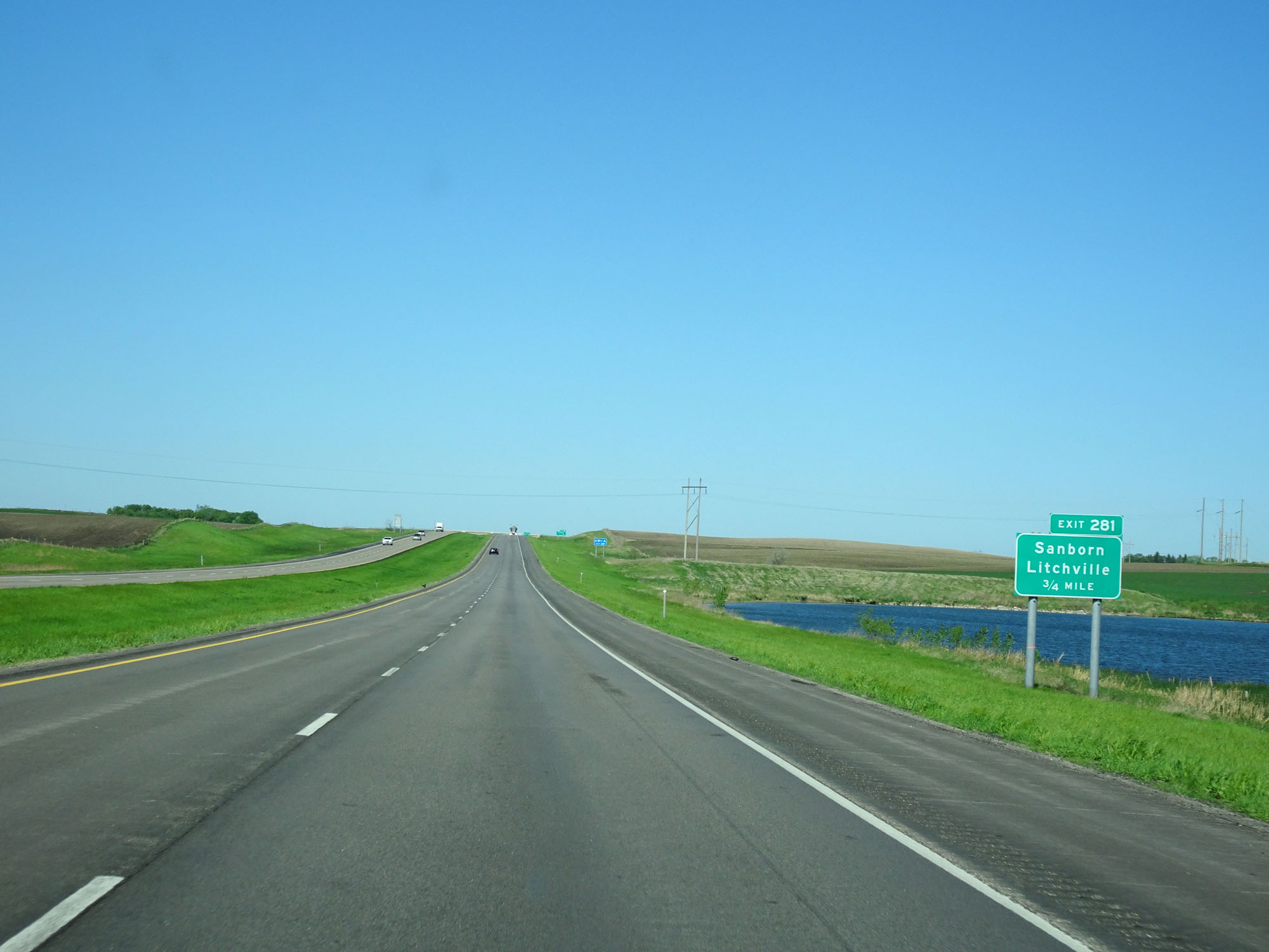 |
Interstate 94 West approaching Exit 281 - 1 mile. (Photo taken 5/23/16). |
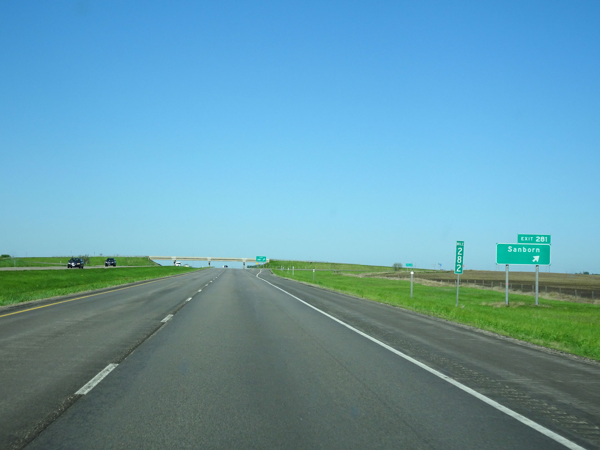 |
Interstate 94 West at Exit 281: Sanborn / Litchville (Photo taken 5/23/16). |
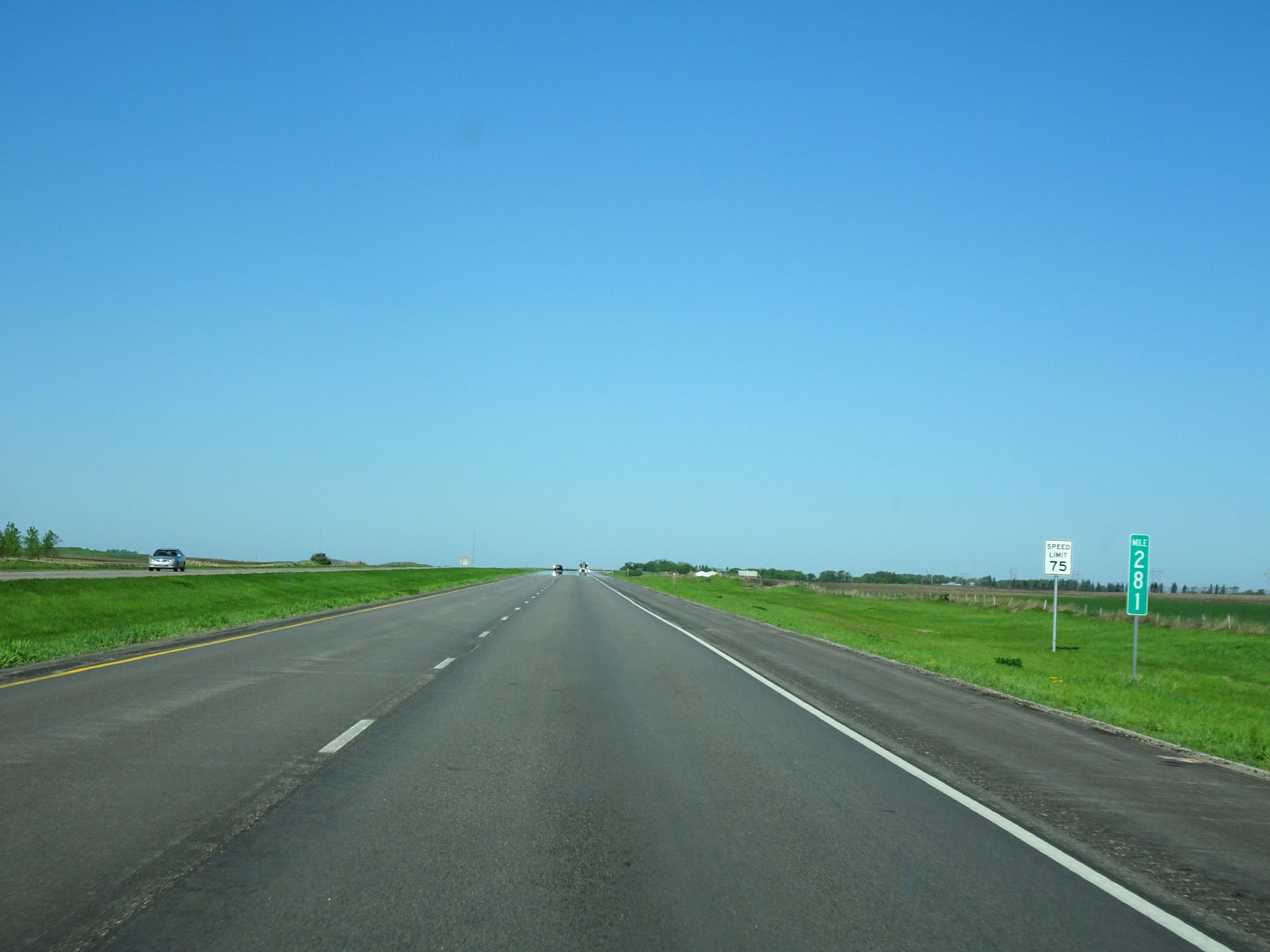 |
Interstate 94 West at mile marker 281. (Photo taken 5/23/16). |
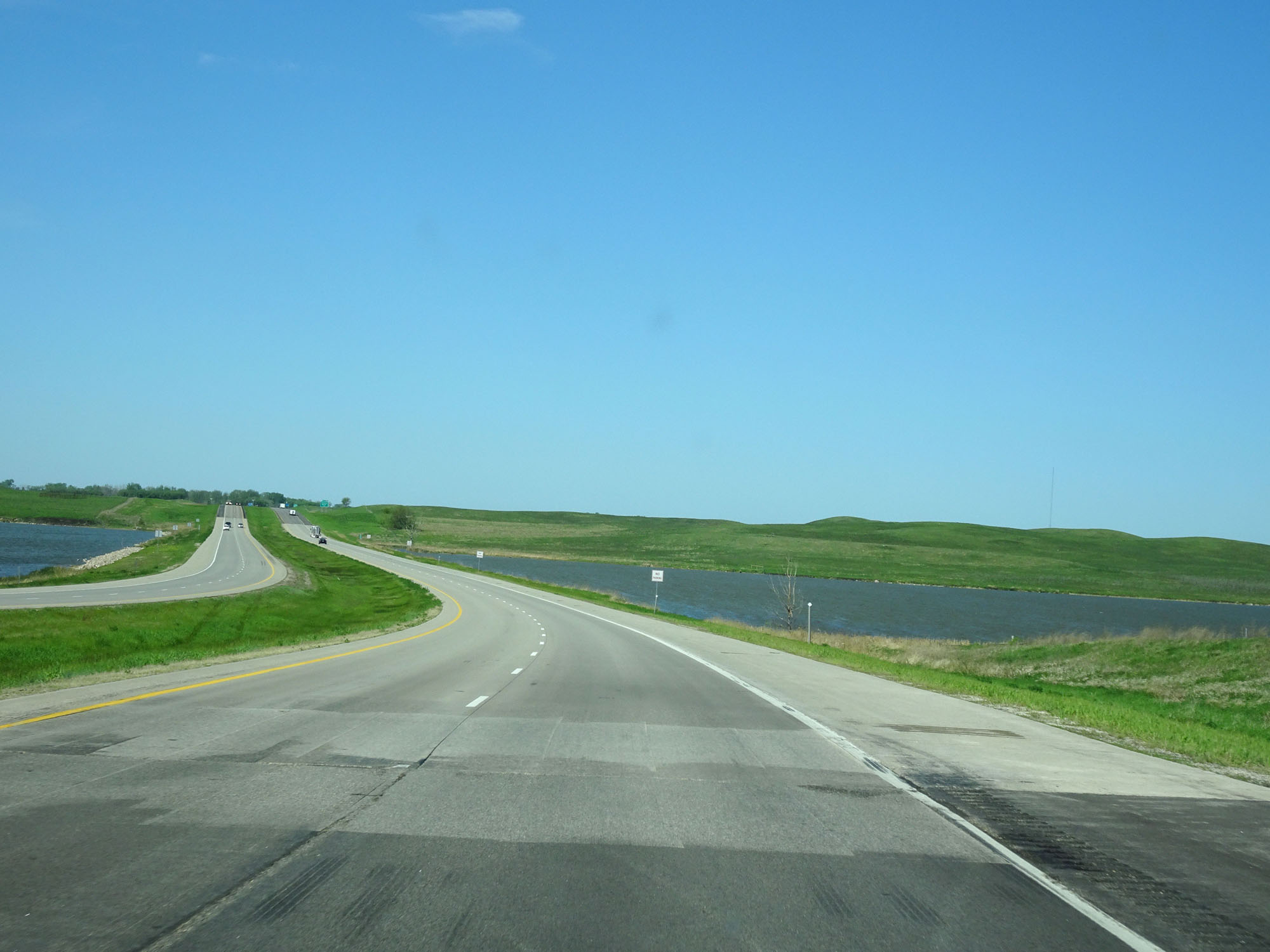 |
View on Interstate 94 West. (Photo taken 5/23/16). |
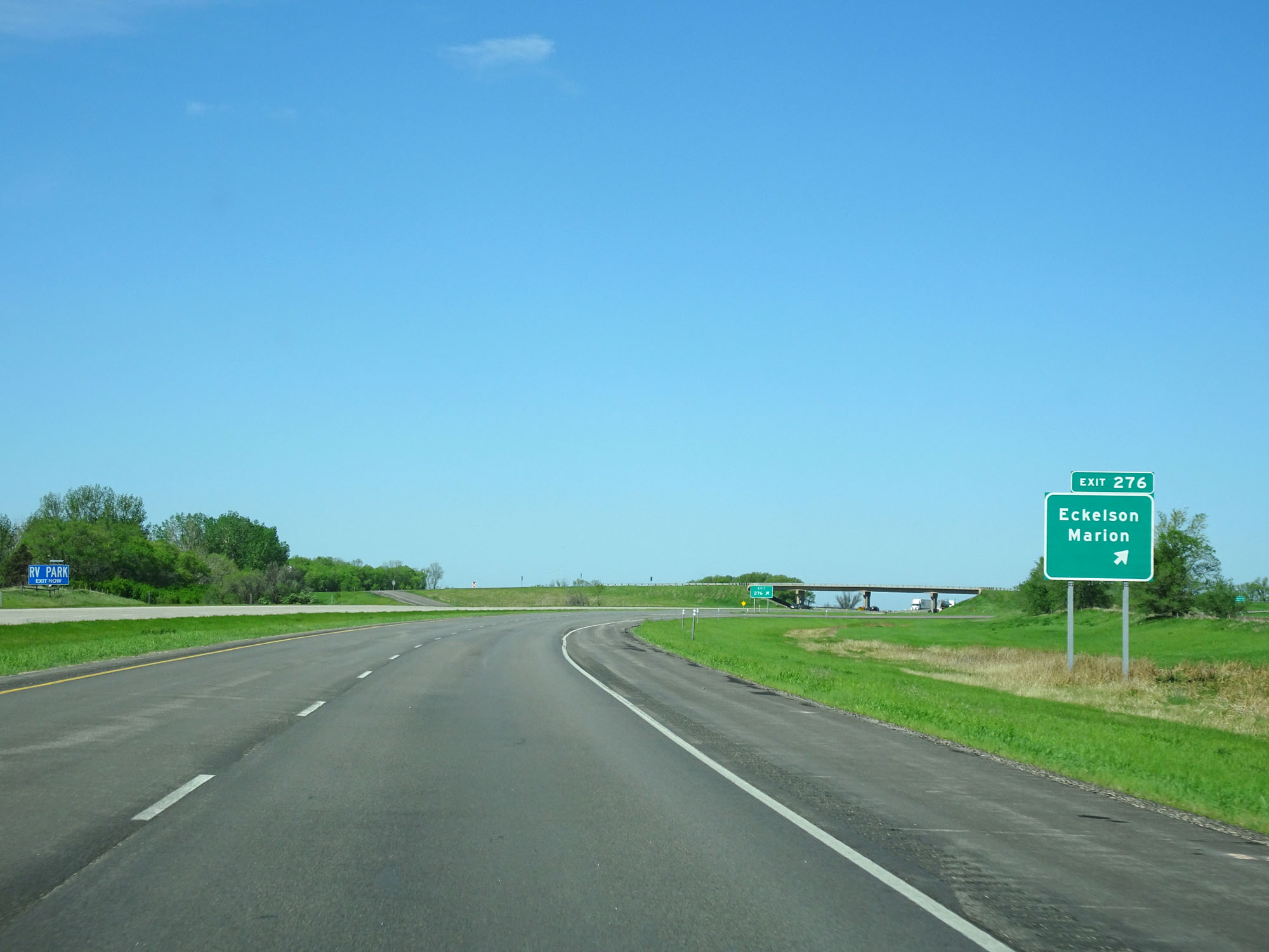 |
Interstate 94 West at Exit 276: Eckelson / Marion (Photo taken 5/23/16). |
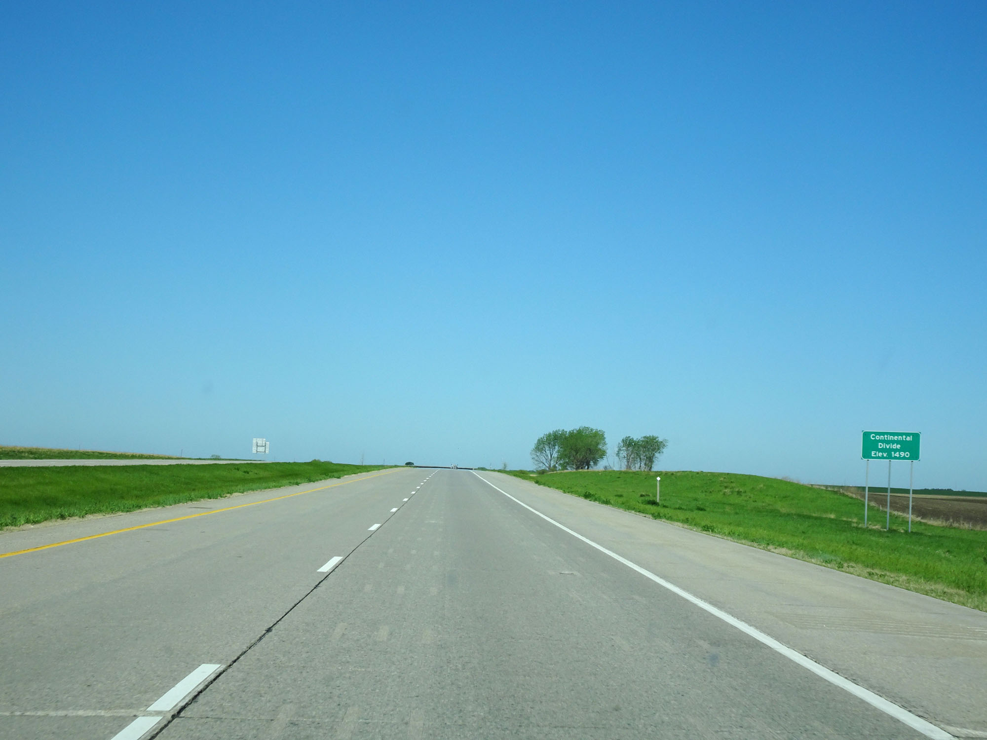 |
Interstate 94 West as it crosses the Continental Divide at an elevation of 1,490 feet just west of Exit 276. (Photo taken 5/23/16). |
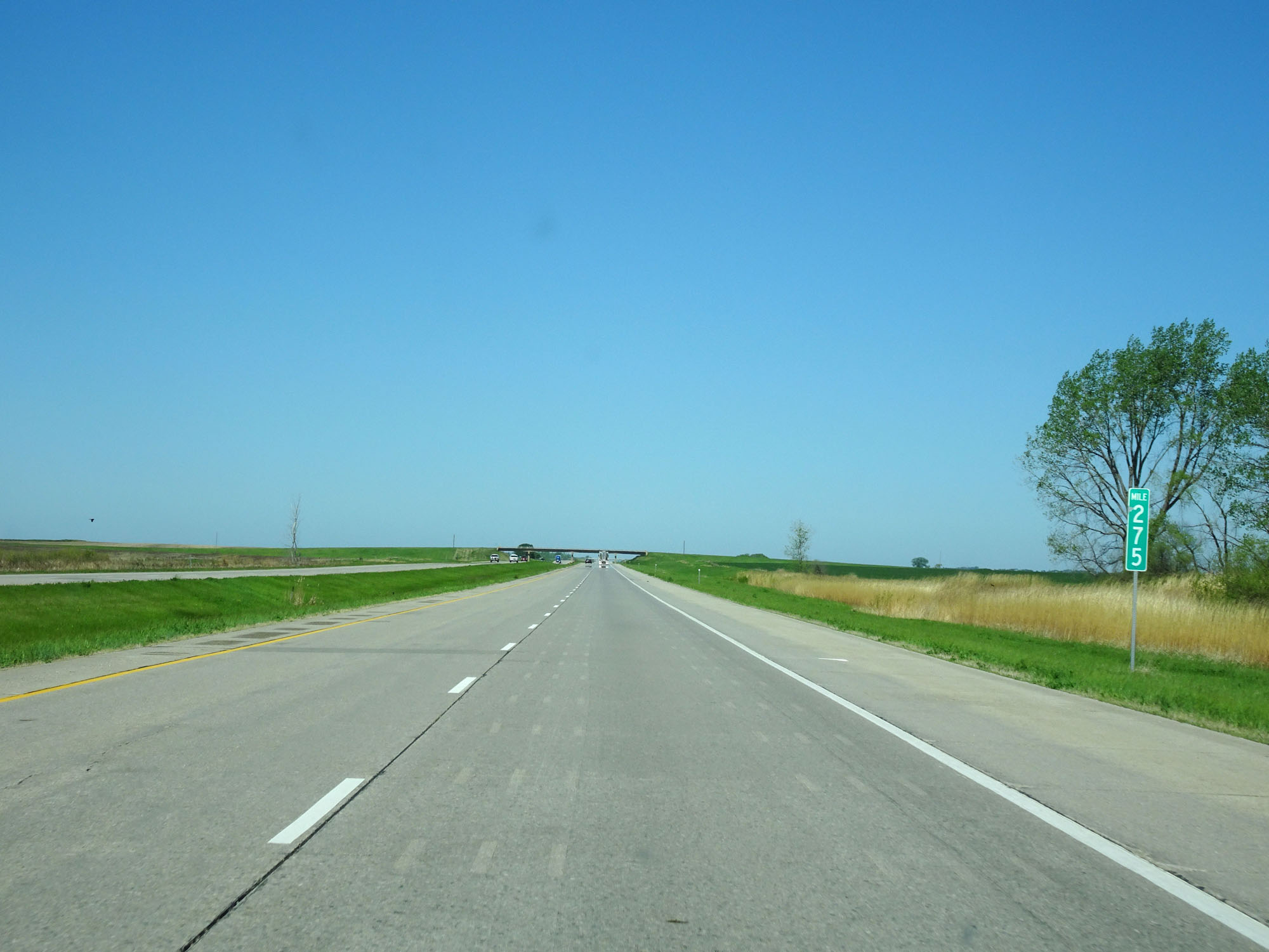 |
Interstate 94 West at mile marker 275. (Photo taken 5/23/16). |
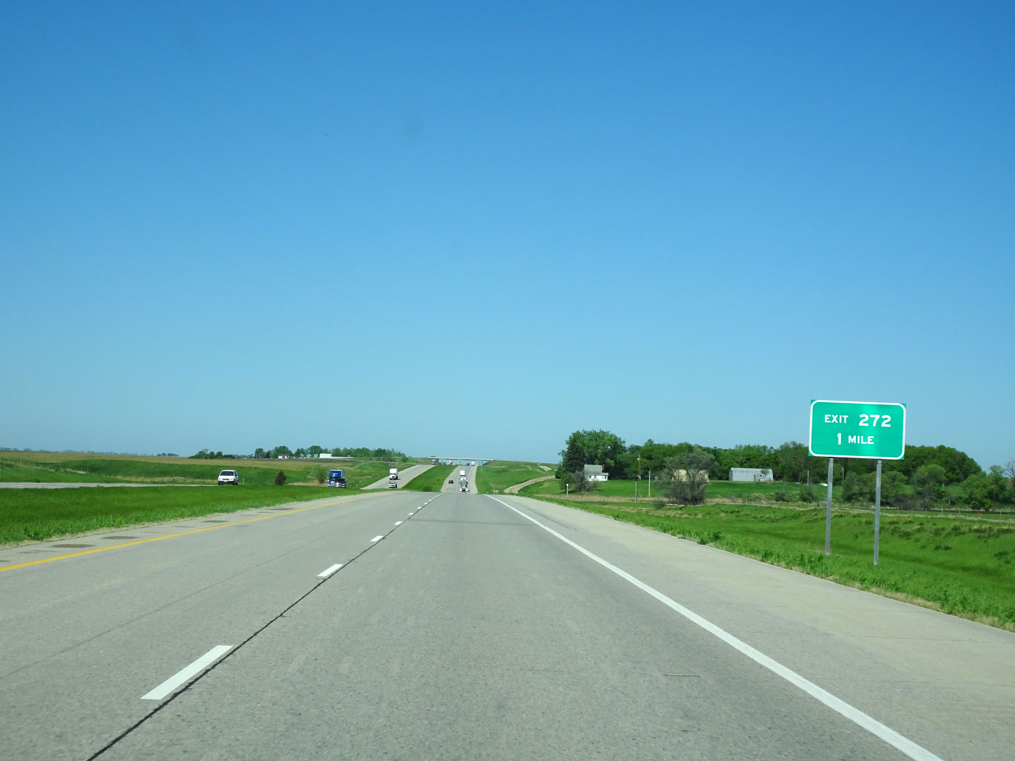 |
Interstate 94 West approaching Exit 272 - 1 mile. (Photo taken 5/23/16). |
 |
Interstate 94 West at Exit 272: (No Name) (Photo taken 5/23/16). |
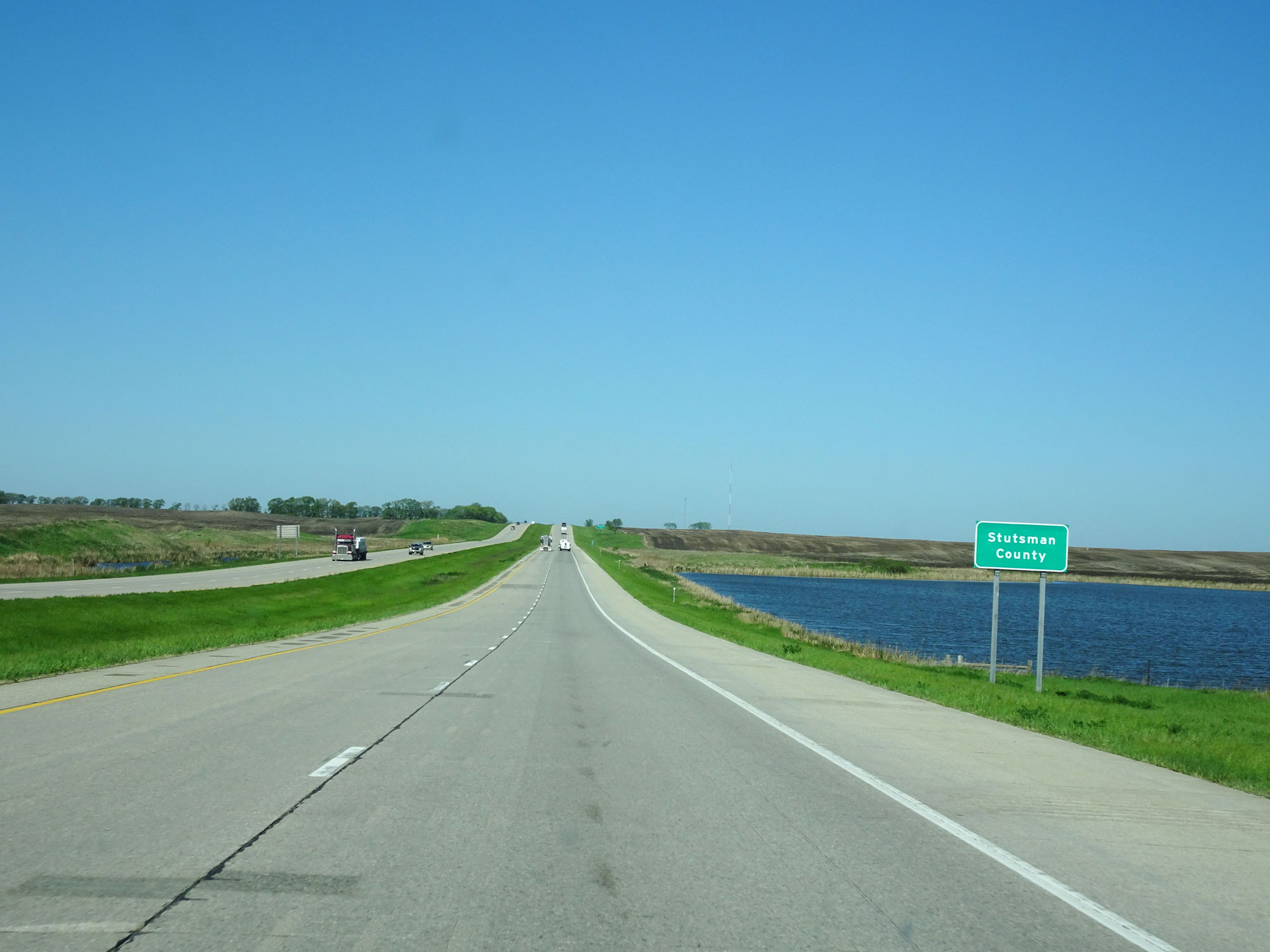 |
Interstate 94 West as it enters Stutsman County. (Photo taken 5/23/16). |
 |
Interstate 94 West at mile marker 271. (Photo taken 5/23/16). |
 |
Interstate 94 West at Exit 269: Spiritwood (Photo taken 5/23/16). |
 |
Interstate 94 West at mile marker 268. (Photo taken 5/23/16). |
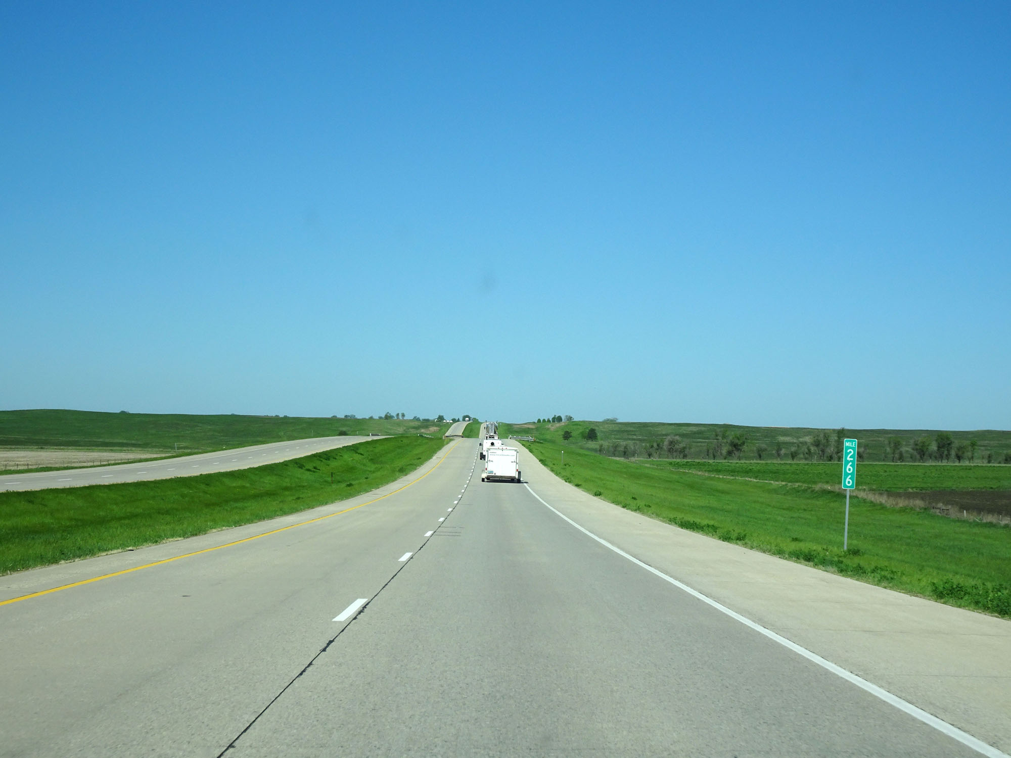 |
Interstate 94 West at mile marker 266. (Photo taken 5/23/16). |
 |
Interstate 94 West at Exit 262: Bloom (Photo taken 5/23/16). |
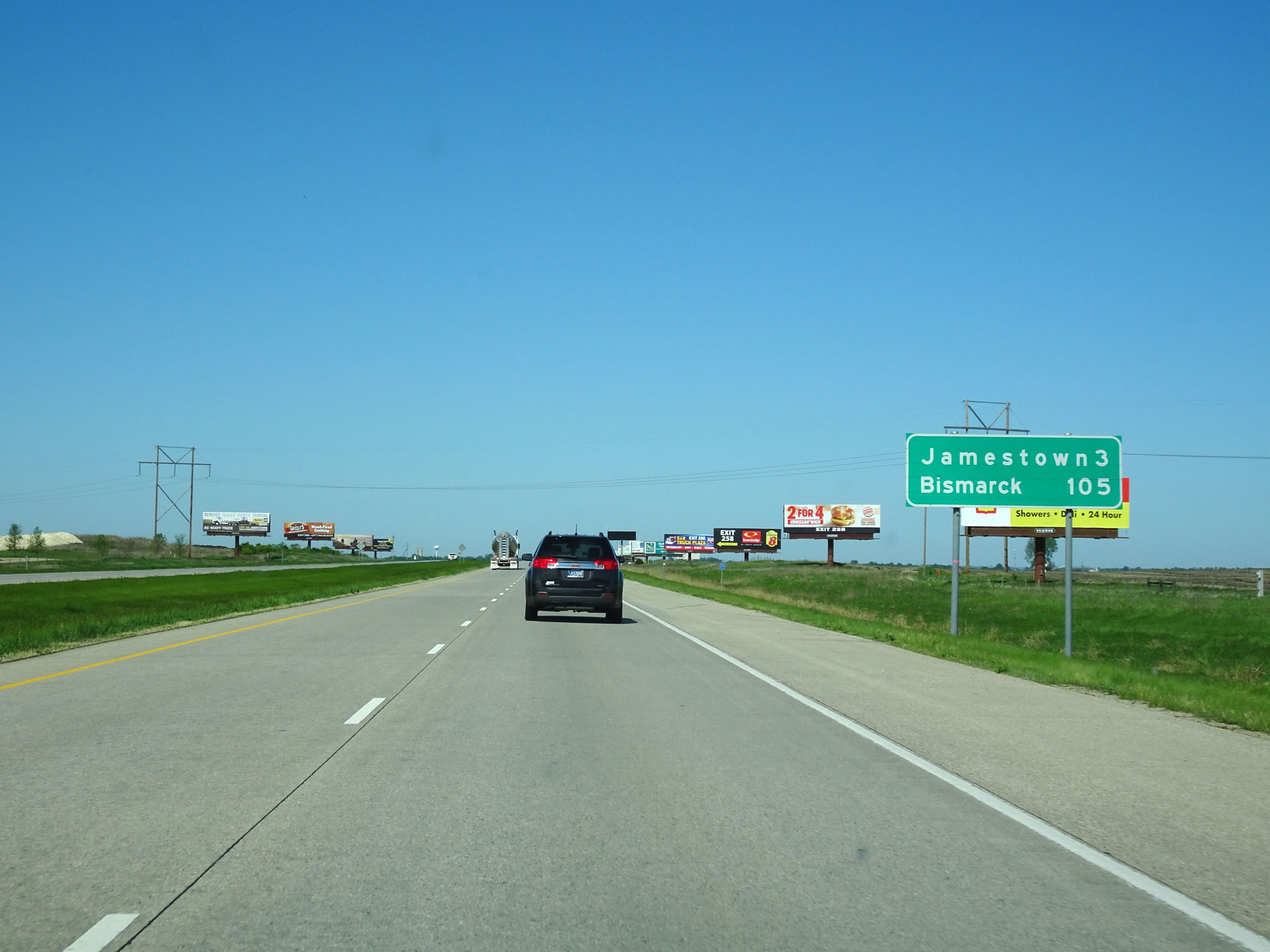 |
Mileage sign west of Exit 262. It's 3 miles to Jamestown and 105 miles to Bismarck. (Photo taken 5/23/16). |
 |
Interstate 94 West approaching Exit 260 - 1 mile. (Photo taken 5/23/16). |
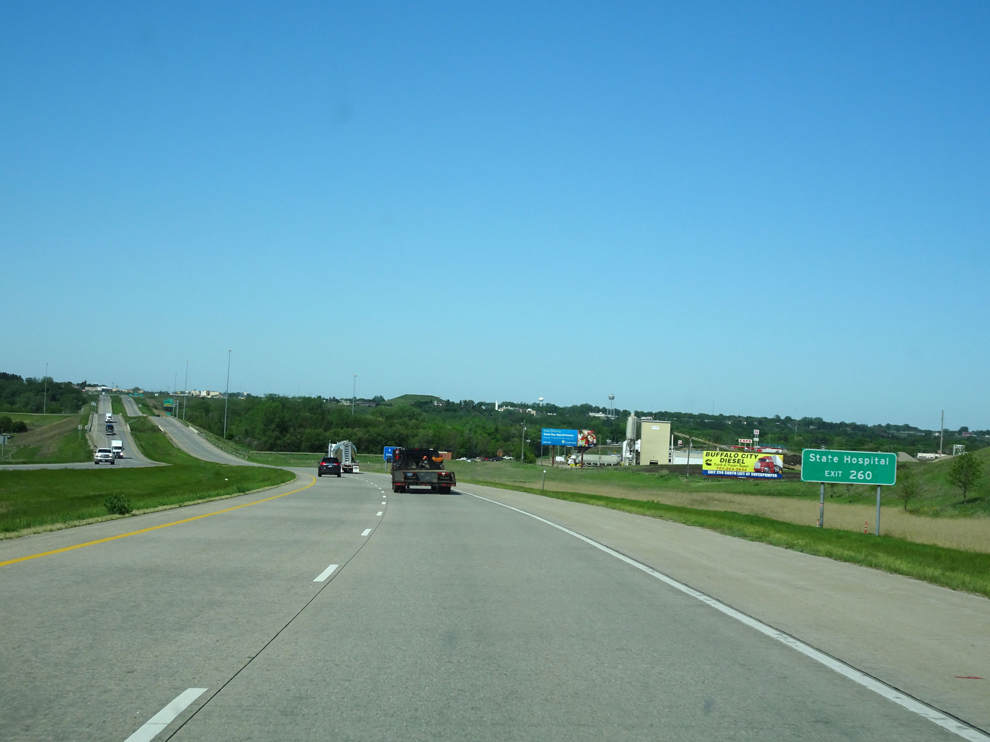 |
Take Exit 260 to the State Hospital. (Photo taken 5/23/16). |
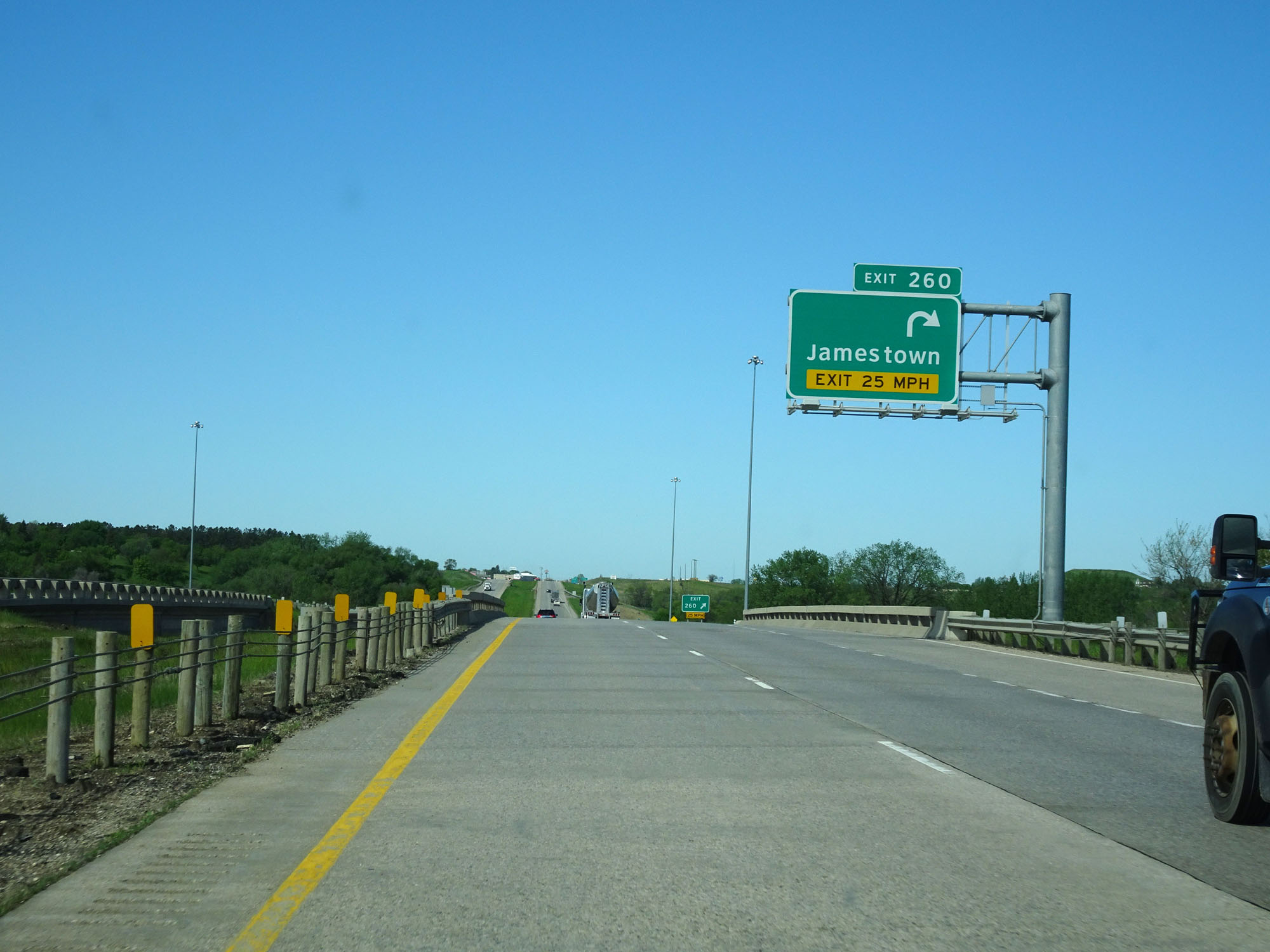 |
Interstate 94 West at Exit 260: Interstate 94 BL West - Jamestown (Photo taken 5/23/16). |
 |
The speed limit remains 75 mph through the Jamestown area. (Photo taken 5/23/16). |
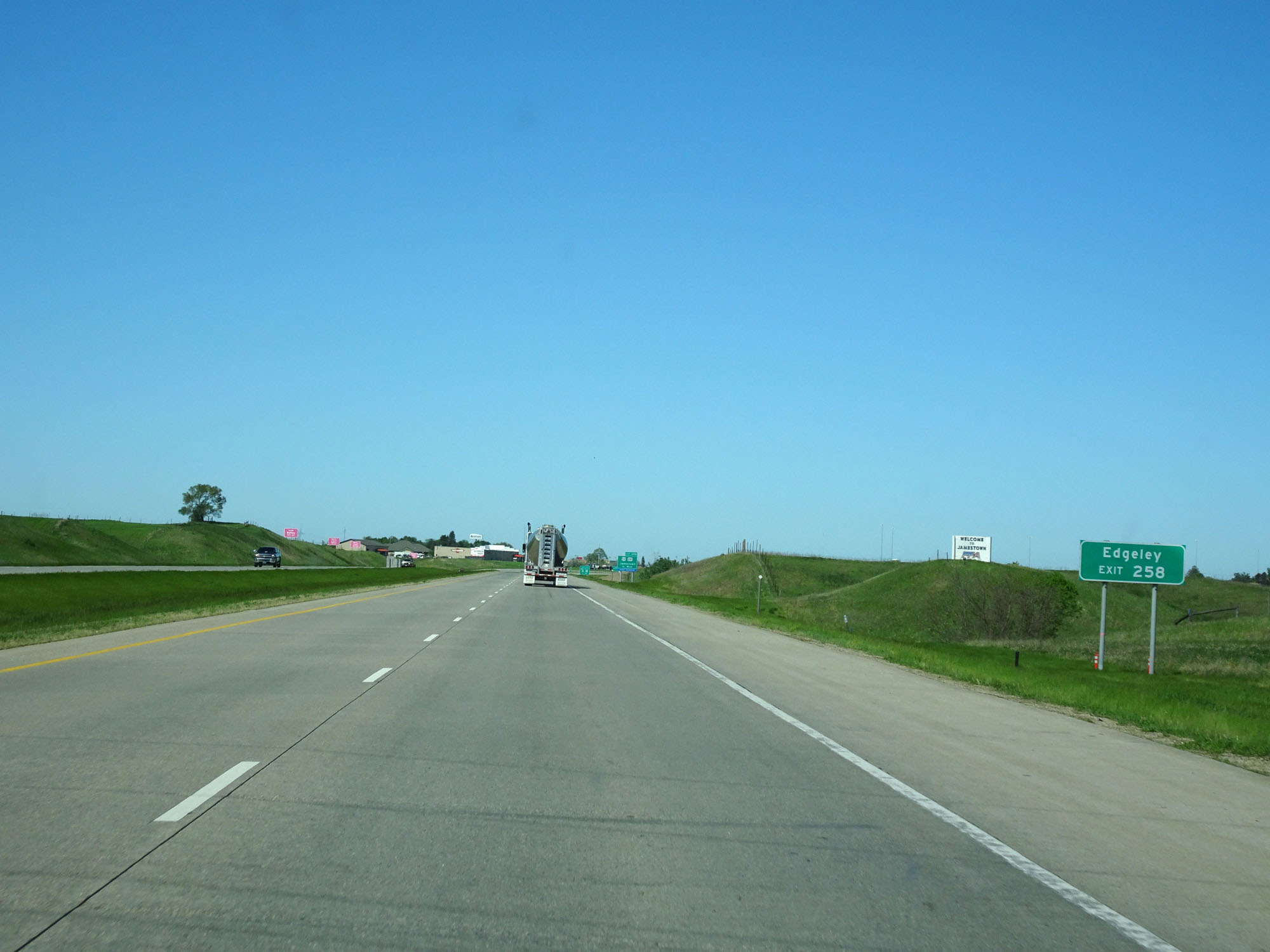 |
Take Exit 258 to Edgeley. (Photo taken 5/23/16). |
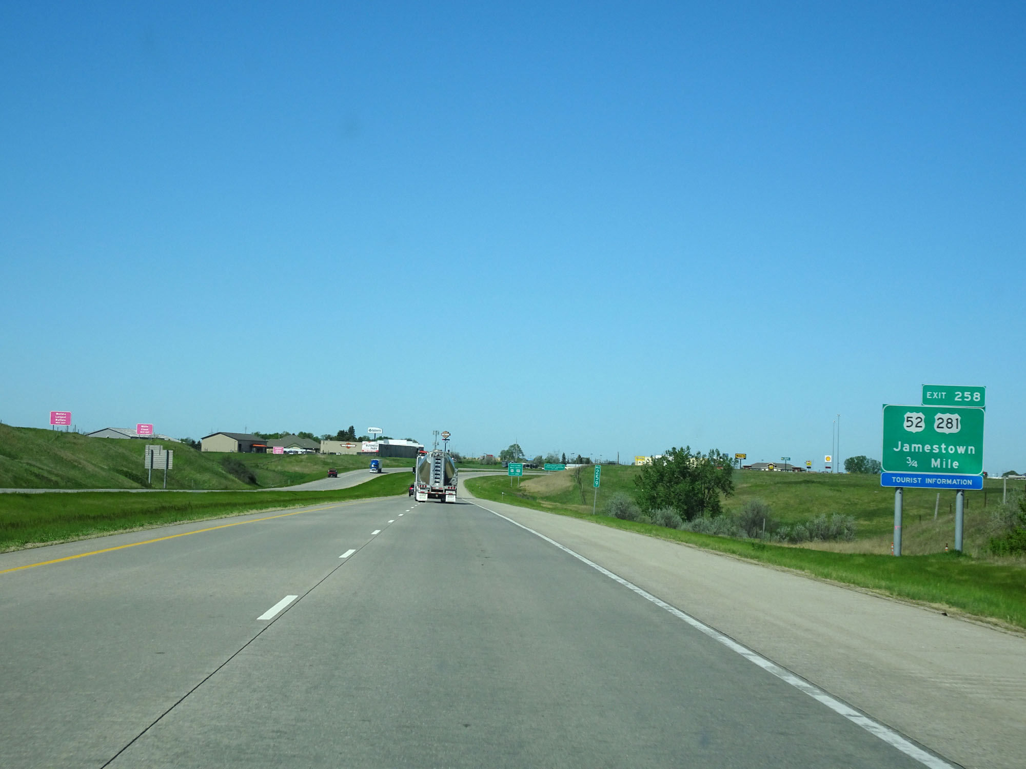 |
Interstate 94 West approaching Exit 258 - 3/4 mile. (Photo taken 5/23/16). |
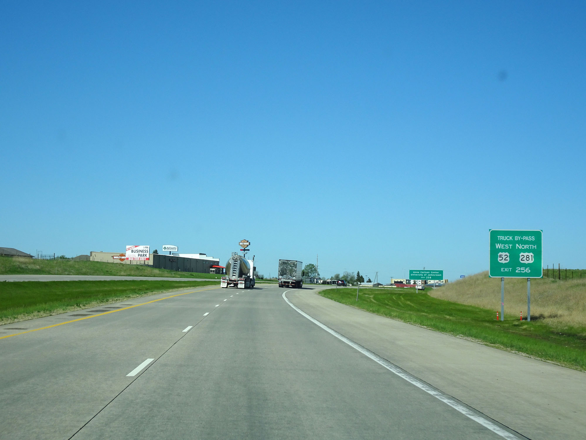 |
Take Exit 256 as the truck bypass for US 52 West / US 281 North. (Photo taken 5/23/16). |
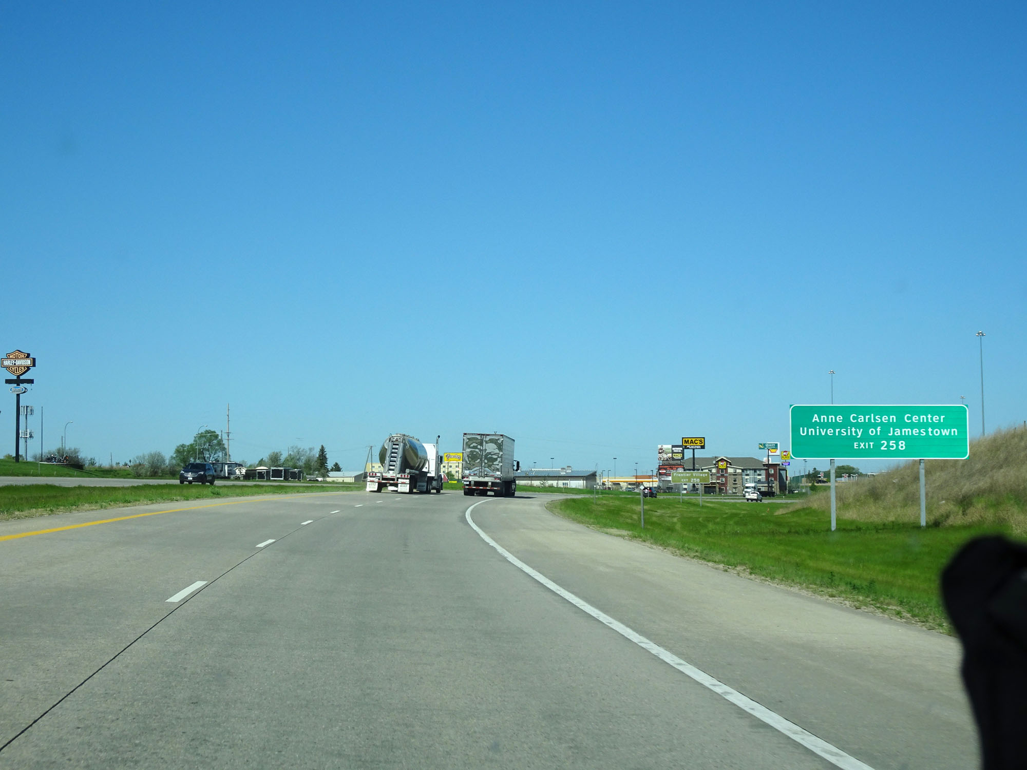 |
Take Exit 258 to Anne Carlsen Center and the University of Jamestown. (Photo taken 5/23/16). |
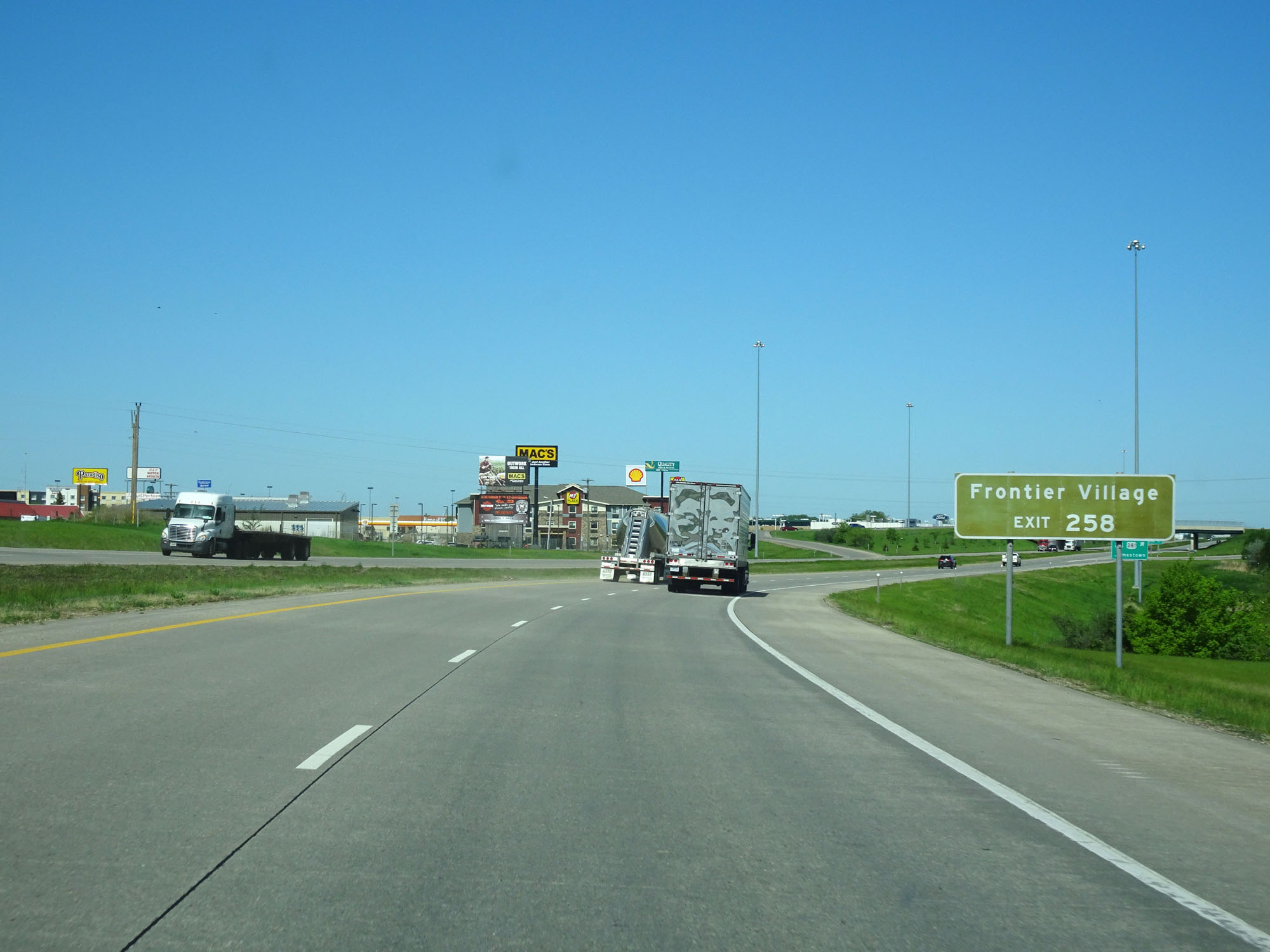 |
Also take Exit 258 to Frontier Village. (Photo taken 5/23/16). |
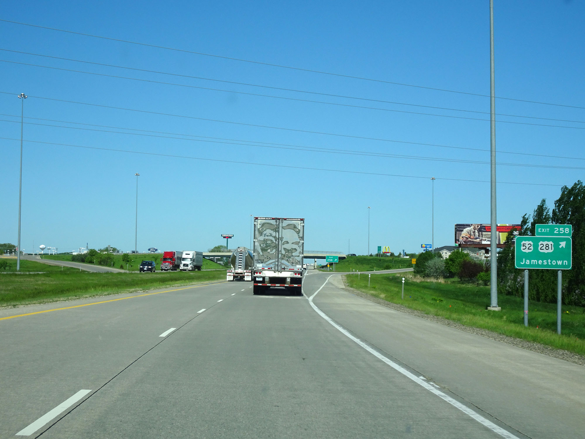 |
Interstate 94 West at Exit 258: US 52 / US 281 - Jamestown (Photo taken 5/23/16). |
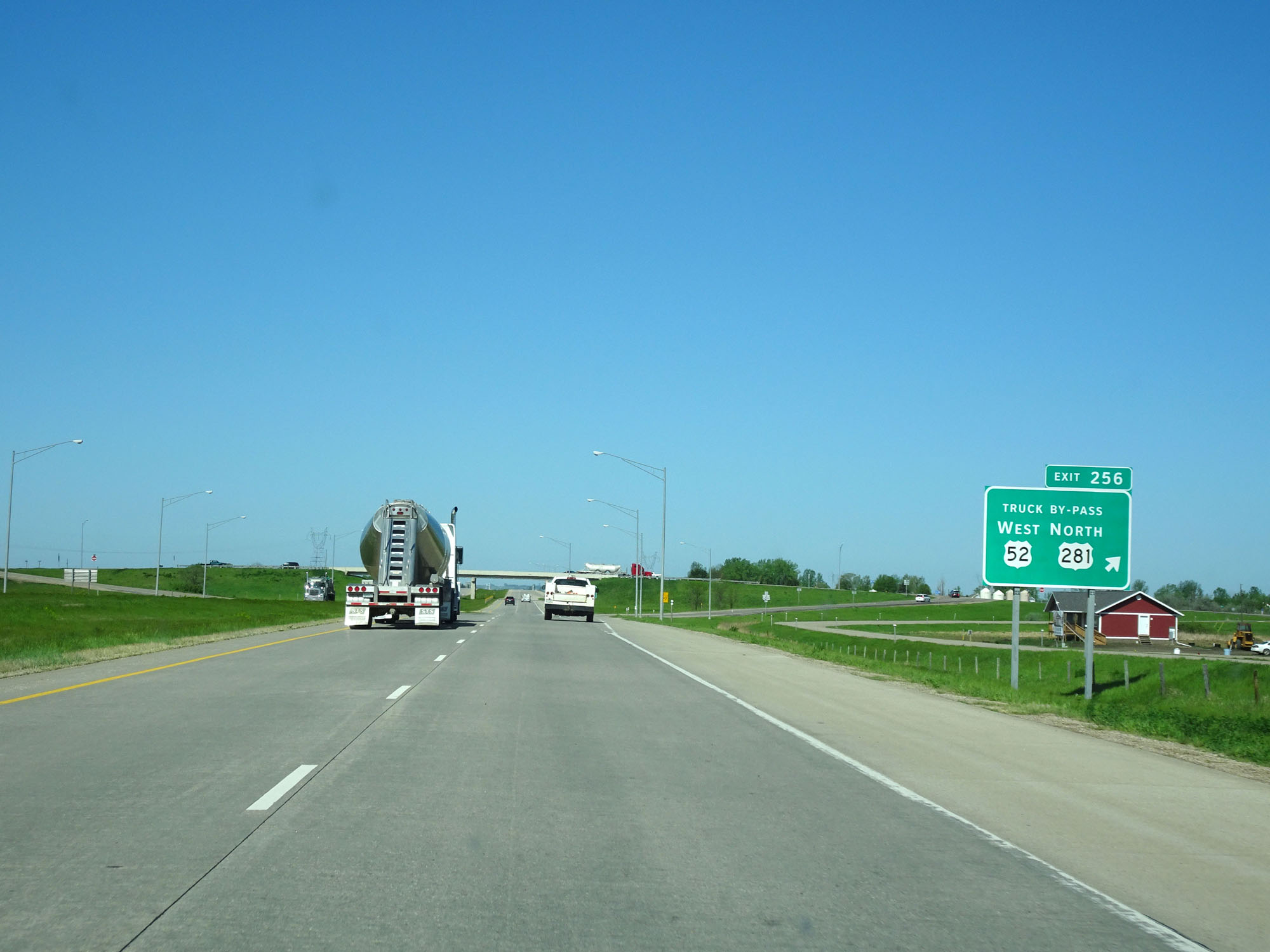 |
Interstate 94 West at Exit 256: US 52 West / US 281 North Truck Bypass (Photo taken 5/23/16). |
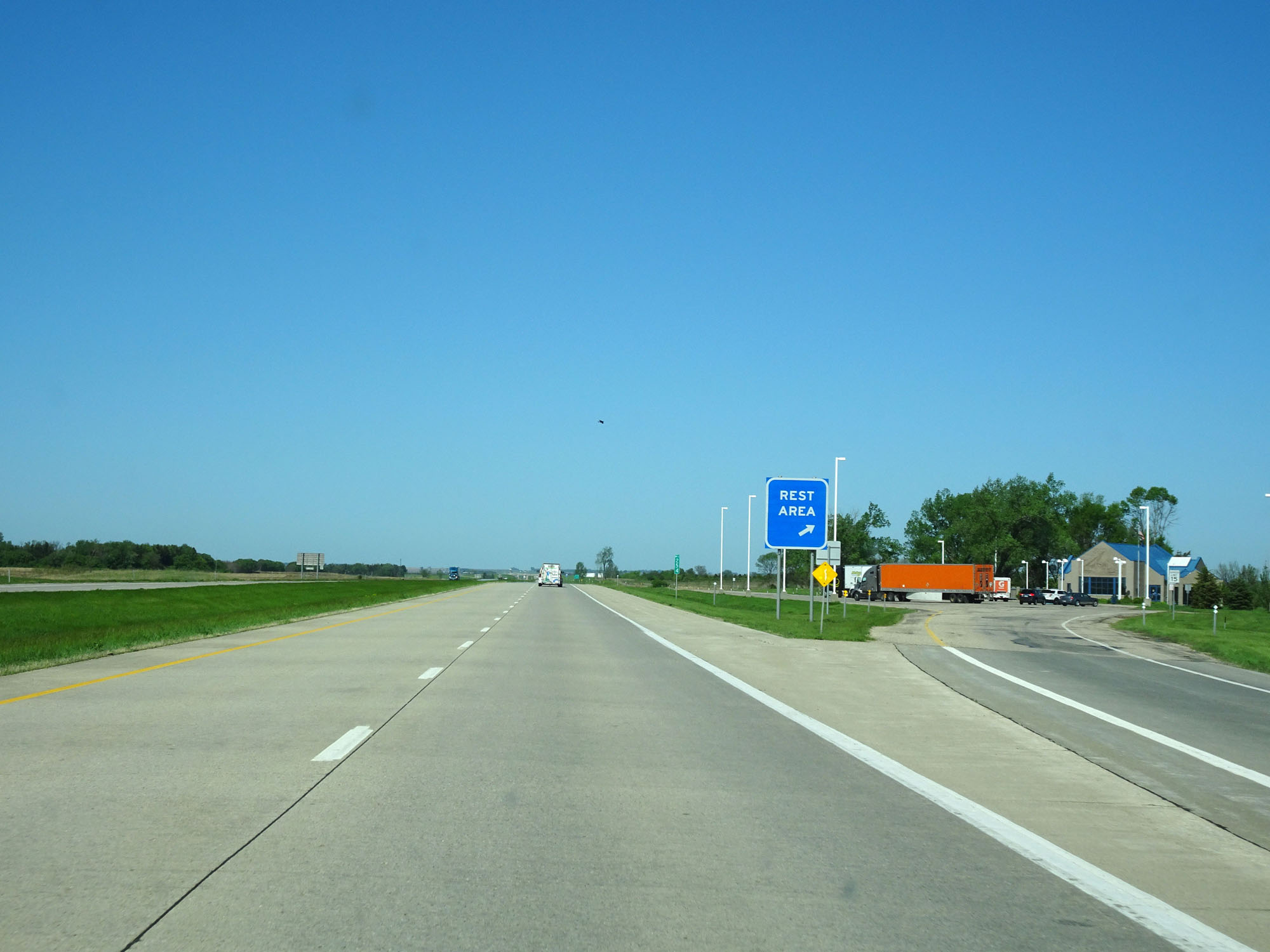 |
Interstate 94 West at the Rest Area located at mile marker 254. (Photo taken 5/23/16). |
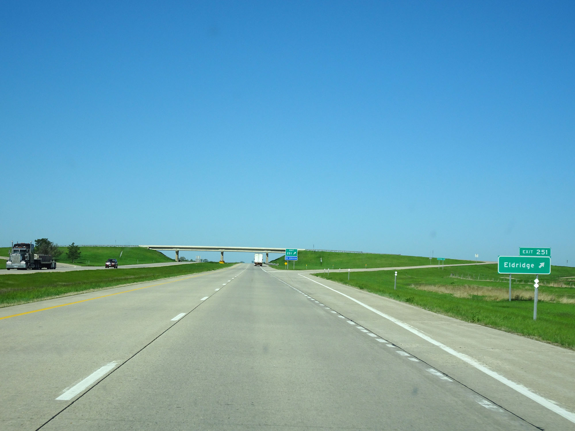 |
Interstate 94 West at Exit 251: Eldridge (Photo taken 5/23/16). |
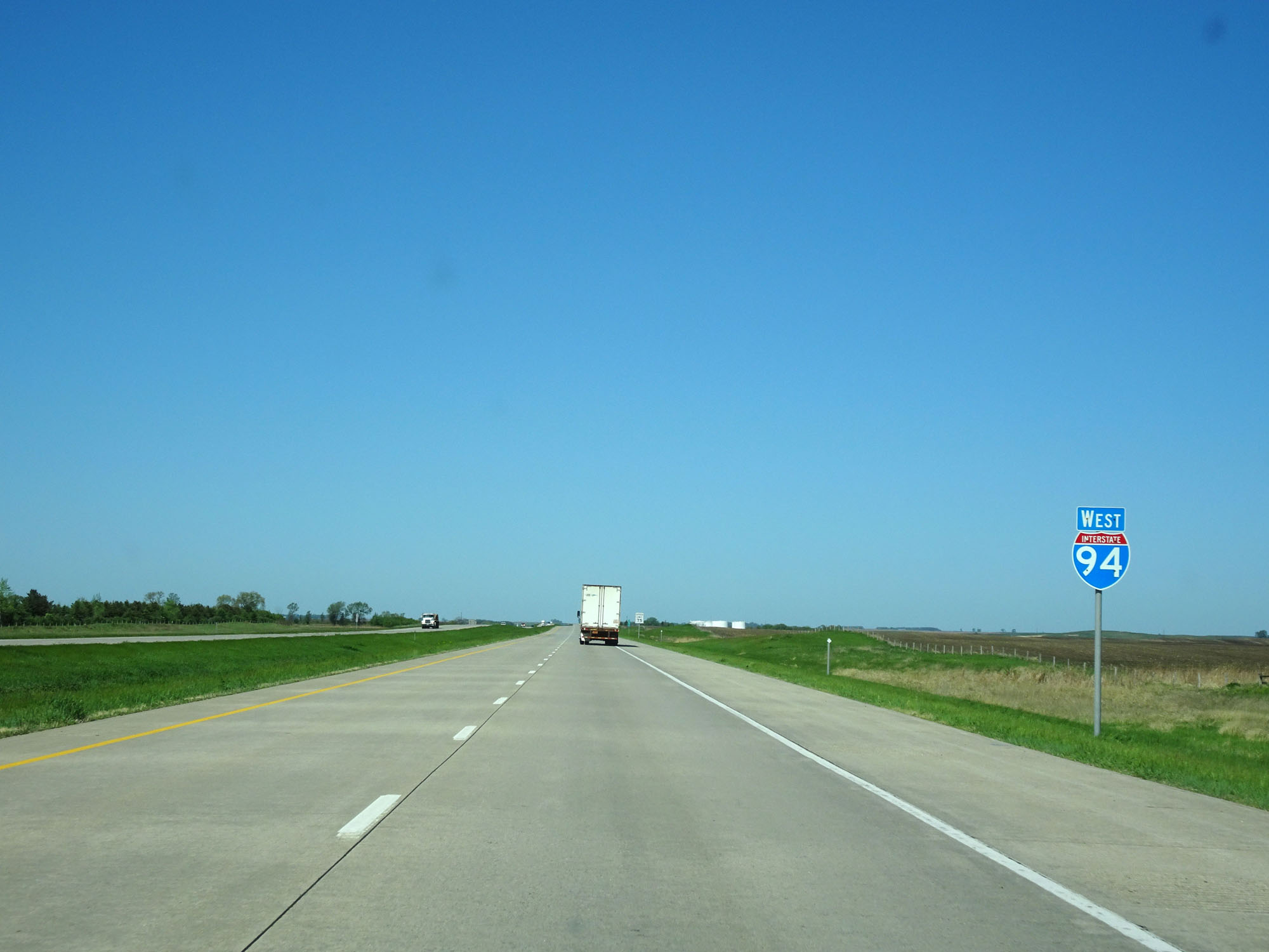 |
Interstate 94 West assurance shield near mile marker 250. This is one of the first (if not the first) I-94 West assurance shields in North Dakota that hasn't been state-named. (Photo taken 5/23/16). |
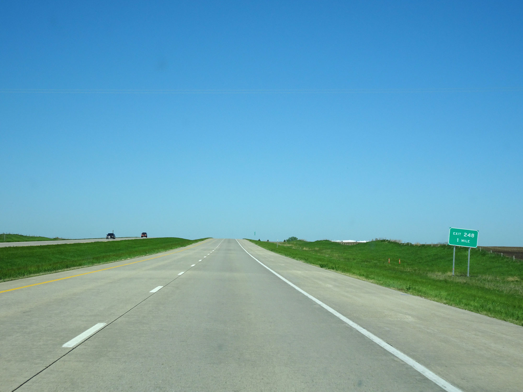 |
Interstate 94 West approaching Exit 248 - 1 mile. (Photo taken 5/23/16). |
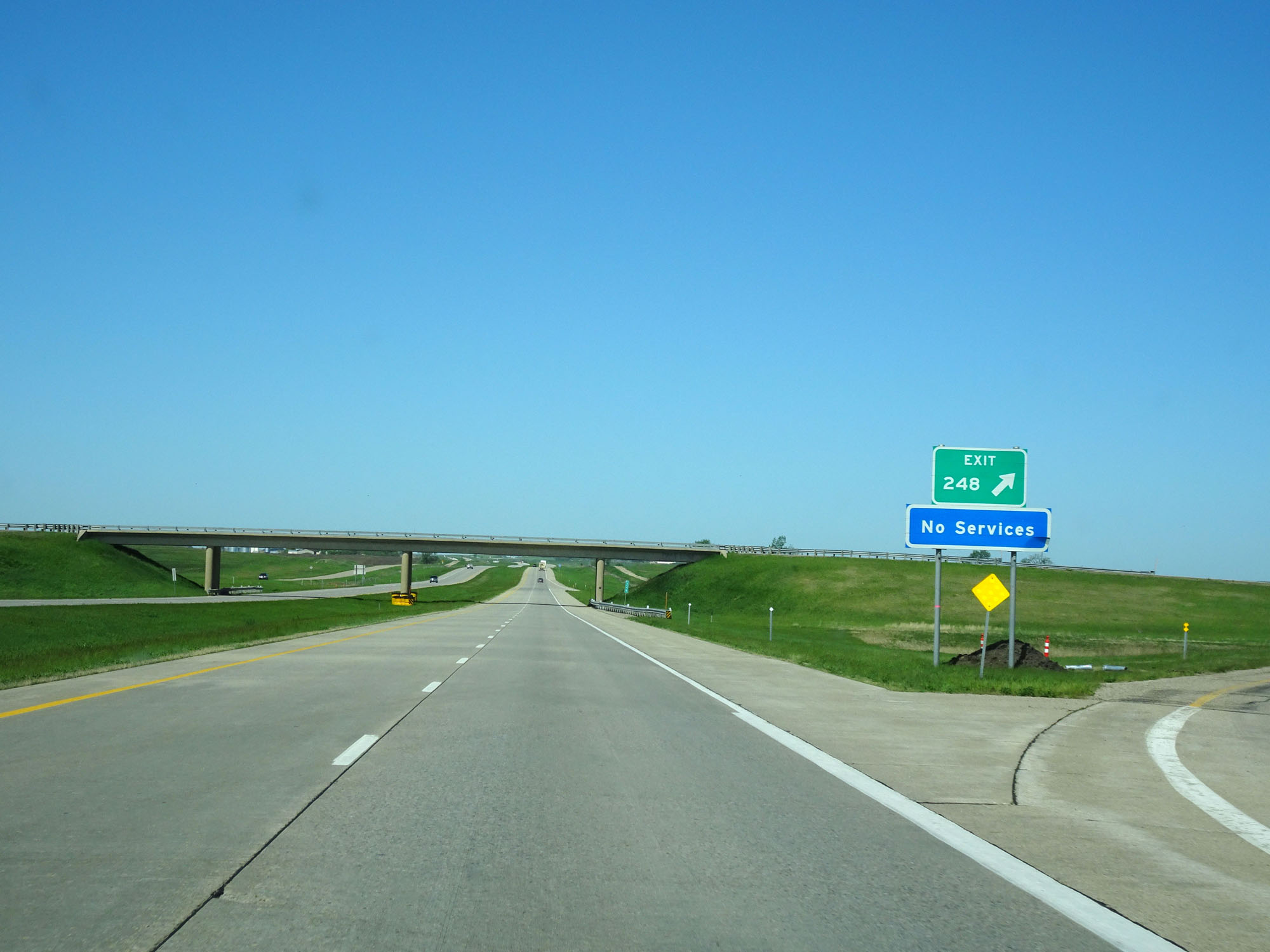 |
Interstate 94 West at Exit 248: (No Name) (Photo taken 5/23/16). |
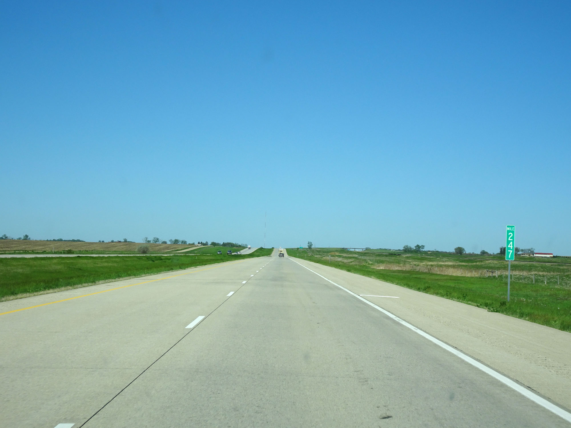 |
Interstate 94 West at mile marker 247. (Photo taken 5/23/16). |
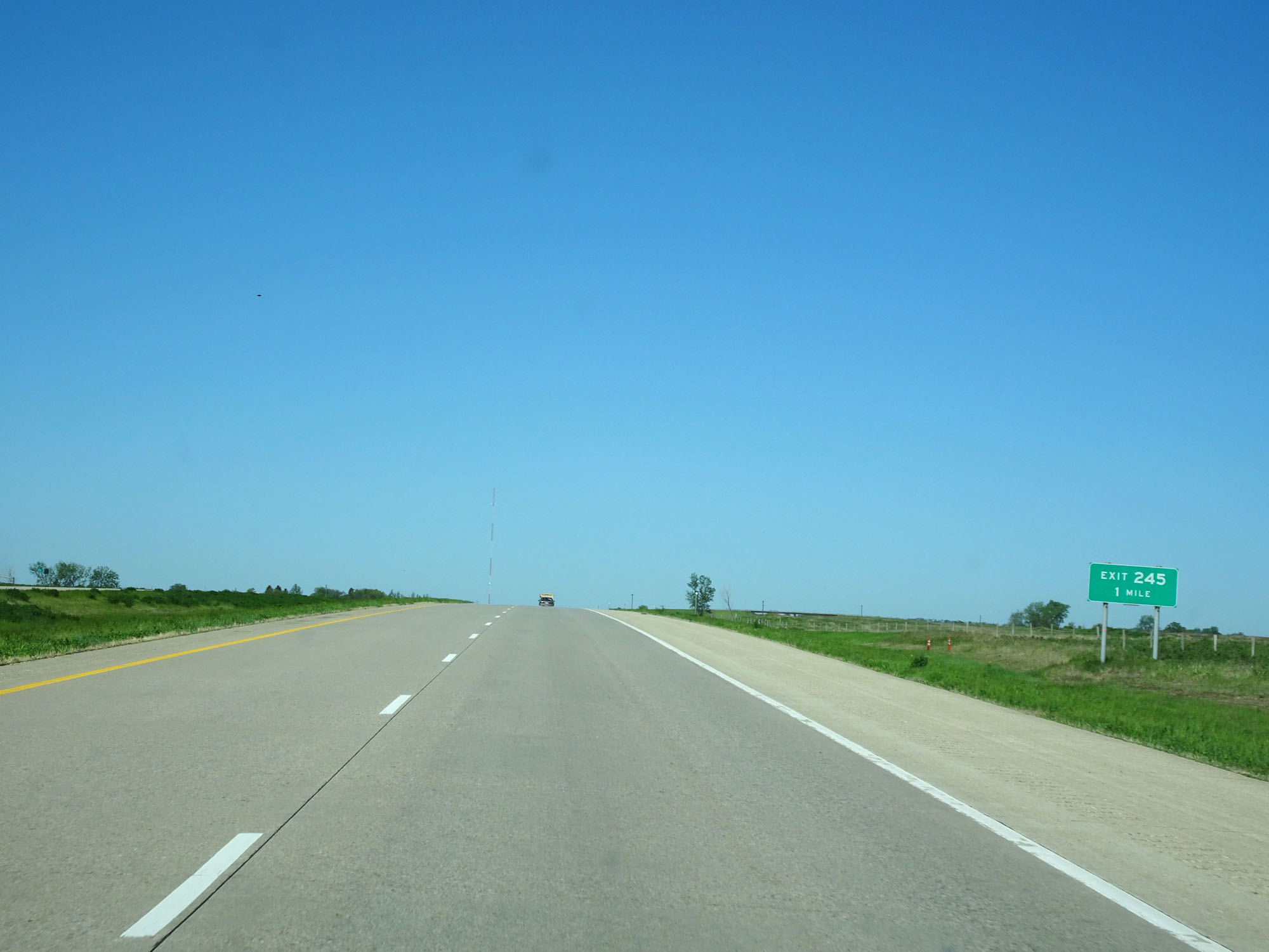 |
Interstate 94 West approaching Exit 245 - 1 mile. (Photo taken 5/23/16). |
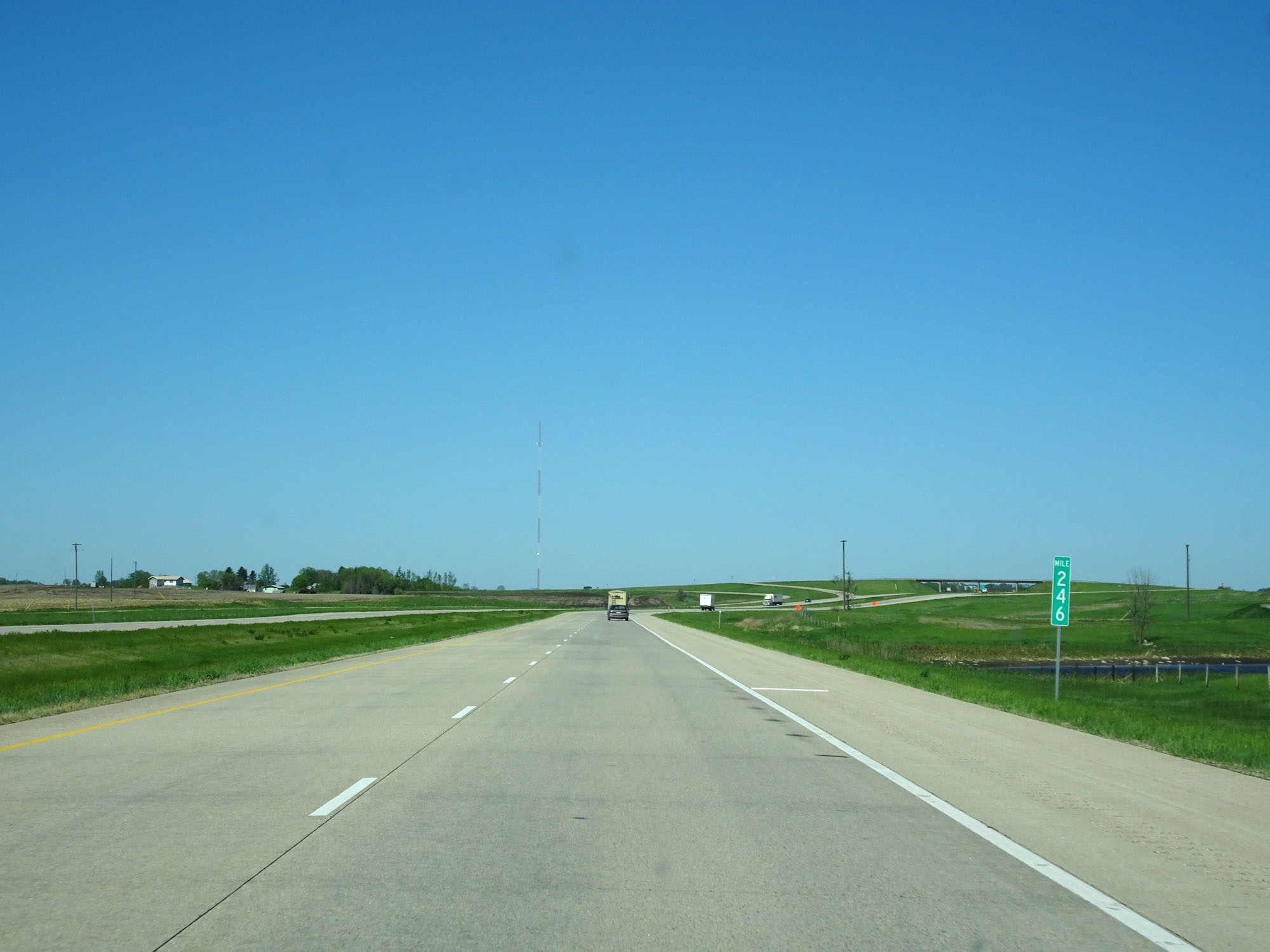 |
Interstate 94 West at mile marker 246. (Photo taken 5/23/16). |
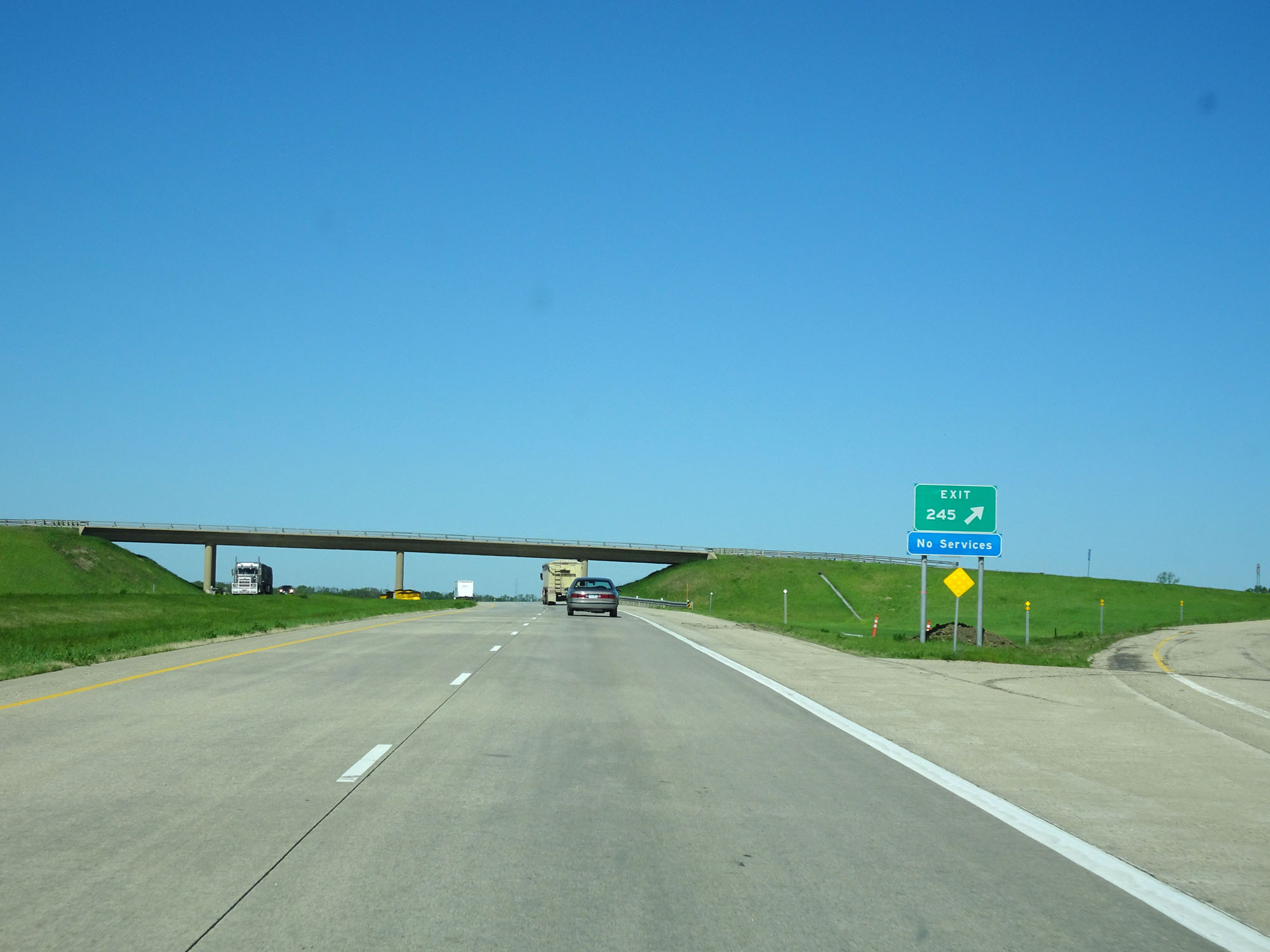 |
Interstate 94 West at Exit 245: (No Name) (Photo taken 5/23/16). |
 |
Interstate 94 West at Exit 242: Windsor (Photo taken 5/23/16). |
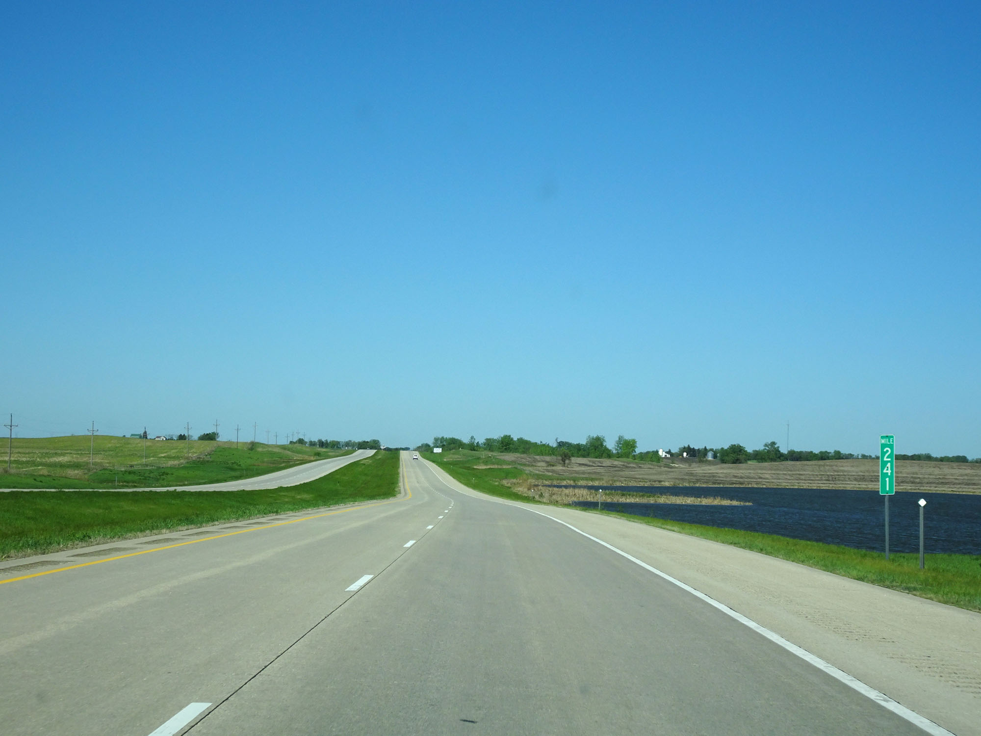 |
Interstate 94 West at mile marker 241. (Photo taken 5/23/16). |
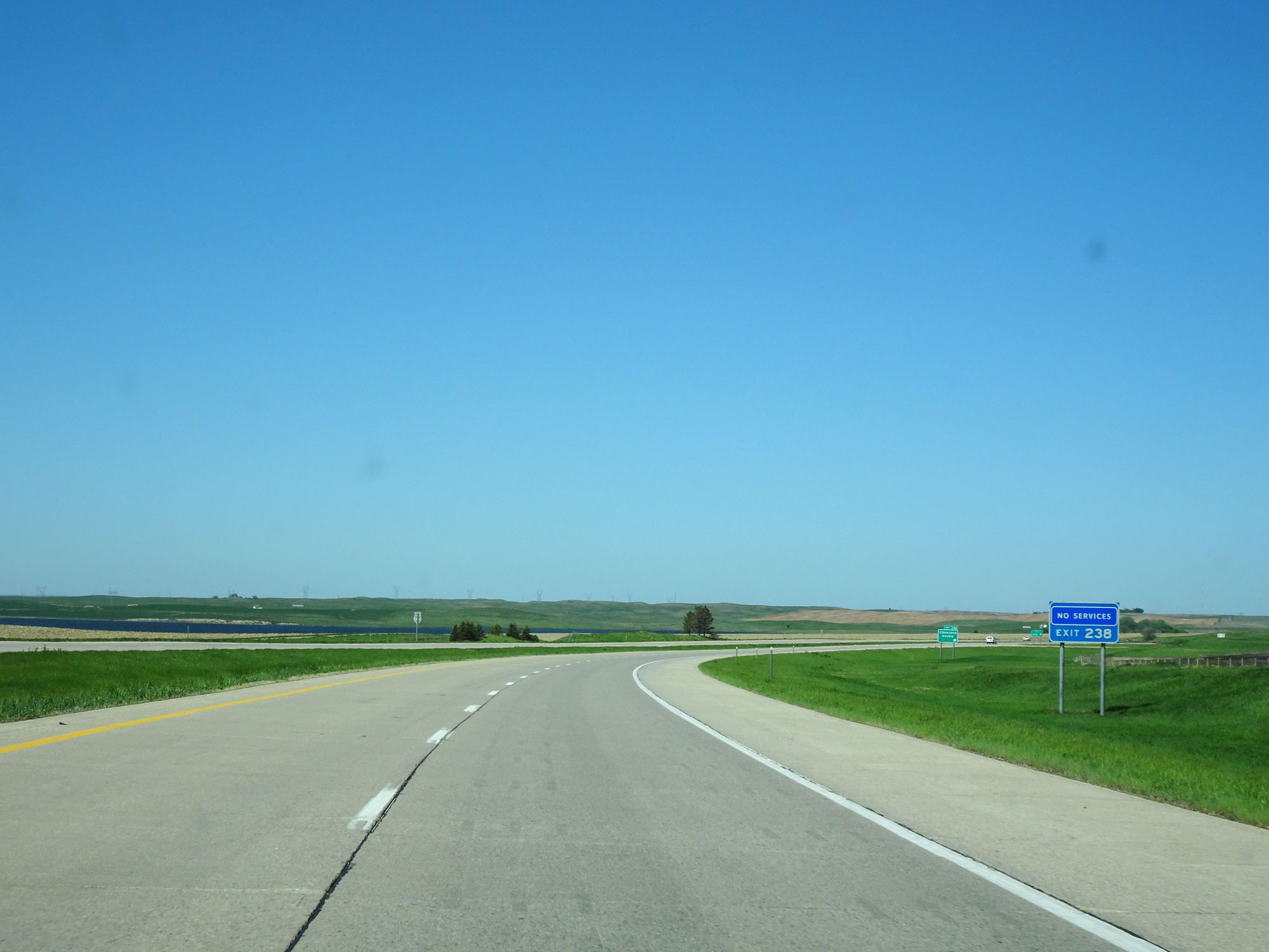 |
There are no motorist services off Exit 238. (Photo taken 5/23/16). |
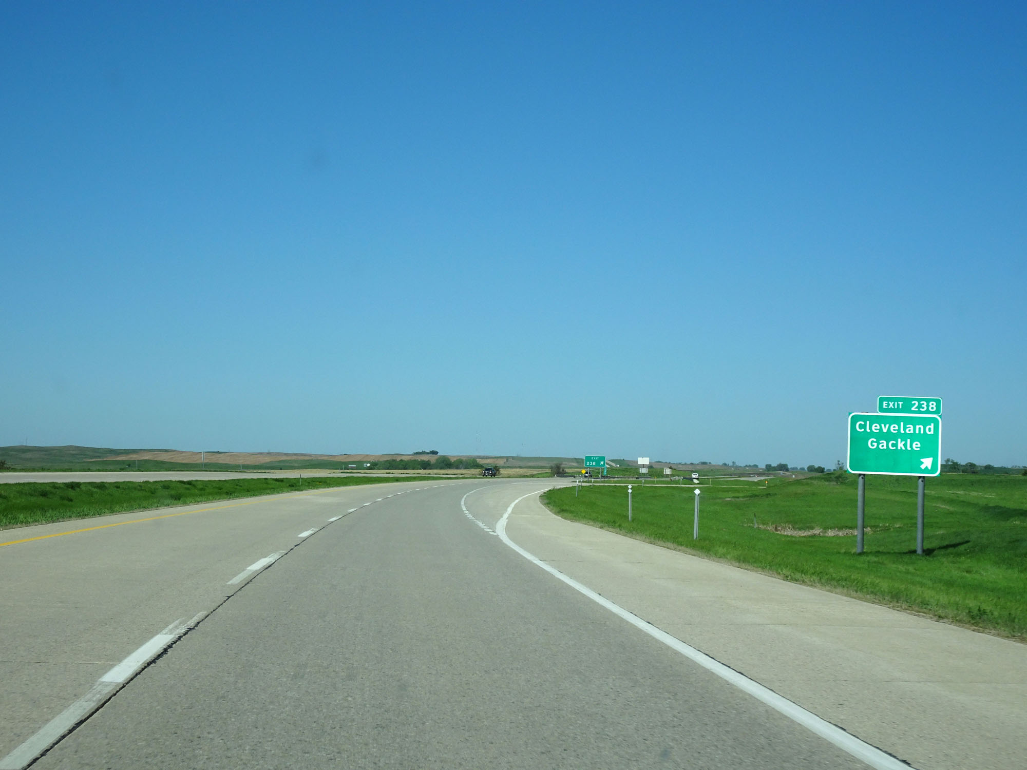 |
Interstate 94 West at Exit 238: Cleveland / Gackle (Photo taken 5/23/16). |
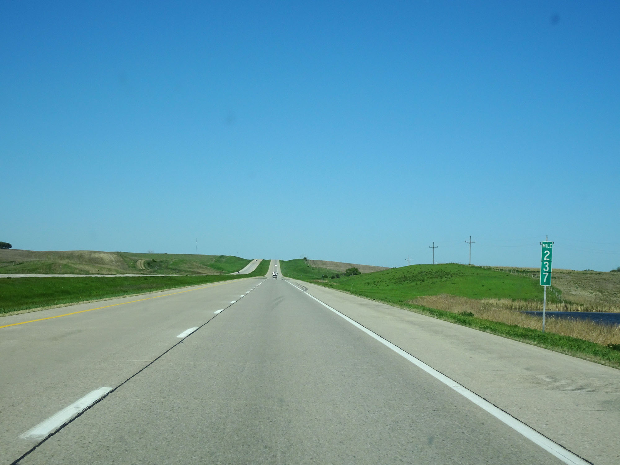 |
Interstate 94 West at mile marker 237. (Photo taken 5/23/16). |
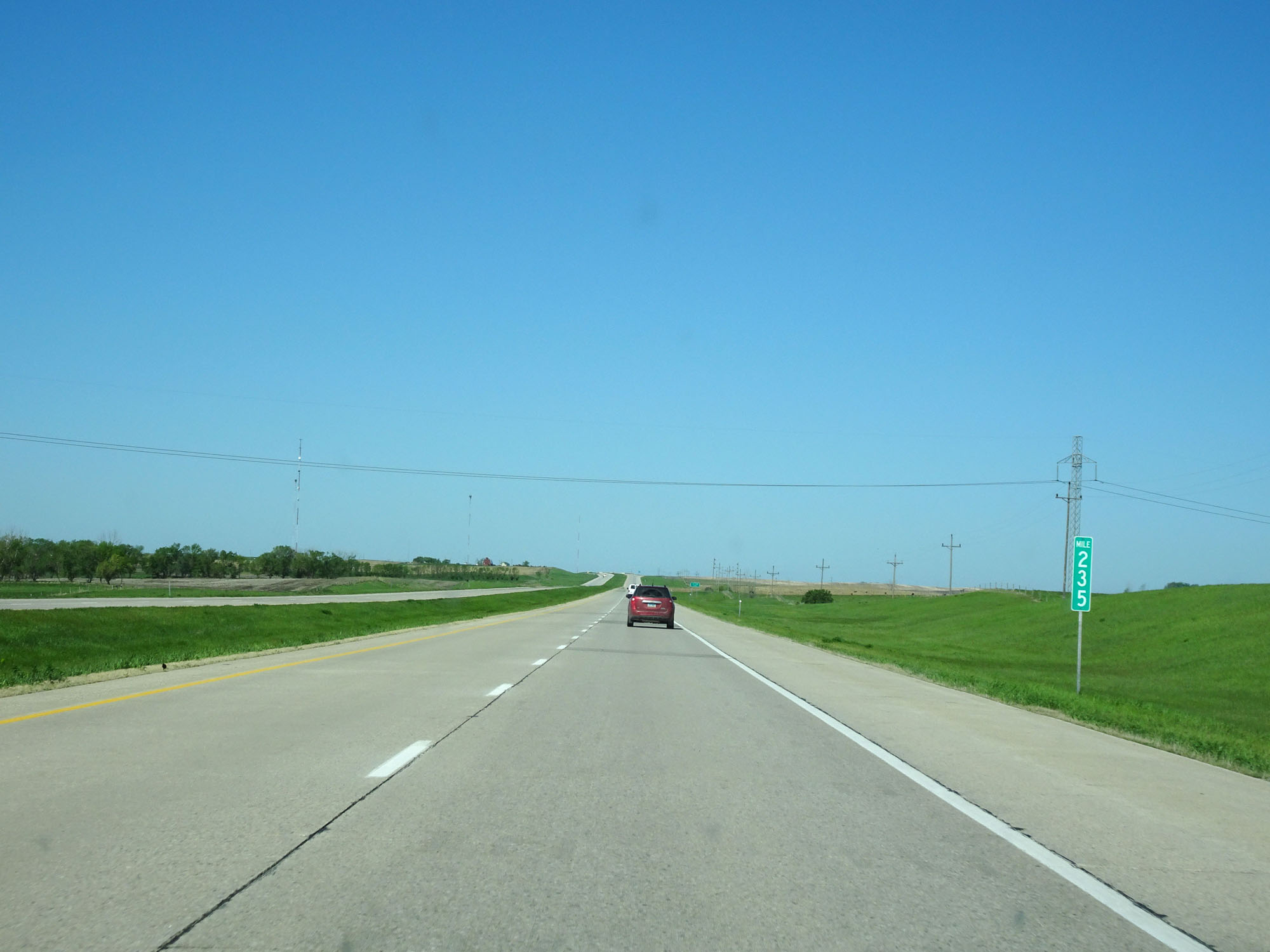 |
Interstate 94 West at mile marker 235. (Photo taken 5/23/16). |
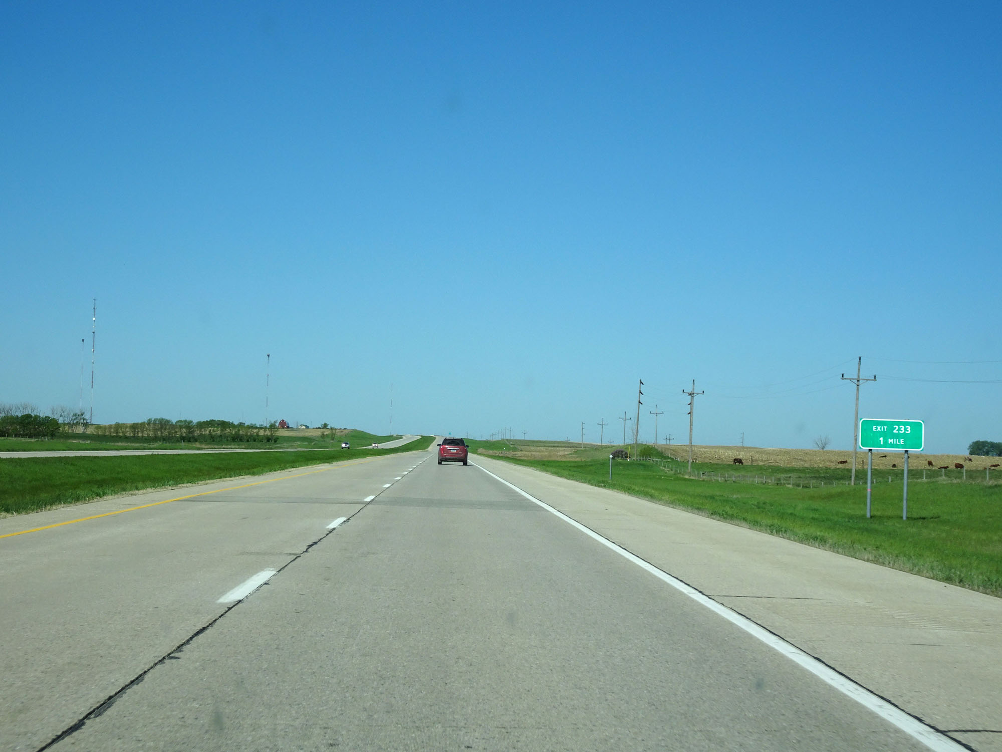 |
Interstate 94 West approaching Exit 233 - 1 mile. (Photo taken 5/23/16). |
 |
Interstate 94 West at Exit 233: (No Name) (Photo taken 5/23/16). |
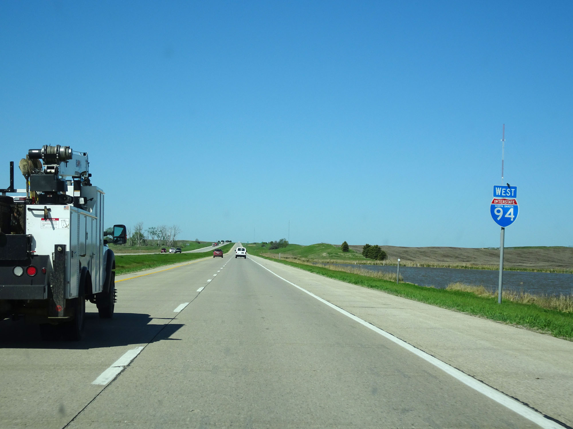 |
State-named Interstate 94 West assurance shield located near mile marker 232. (Photo taken 5/23/16). |
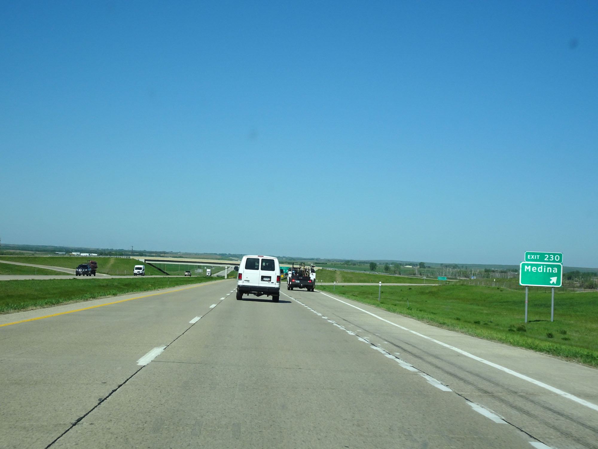 |
Interstate 94 West at Exit 230: Medina (Photo taken 5/23/16). |
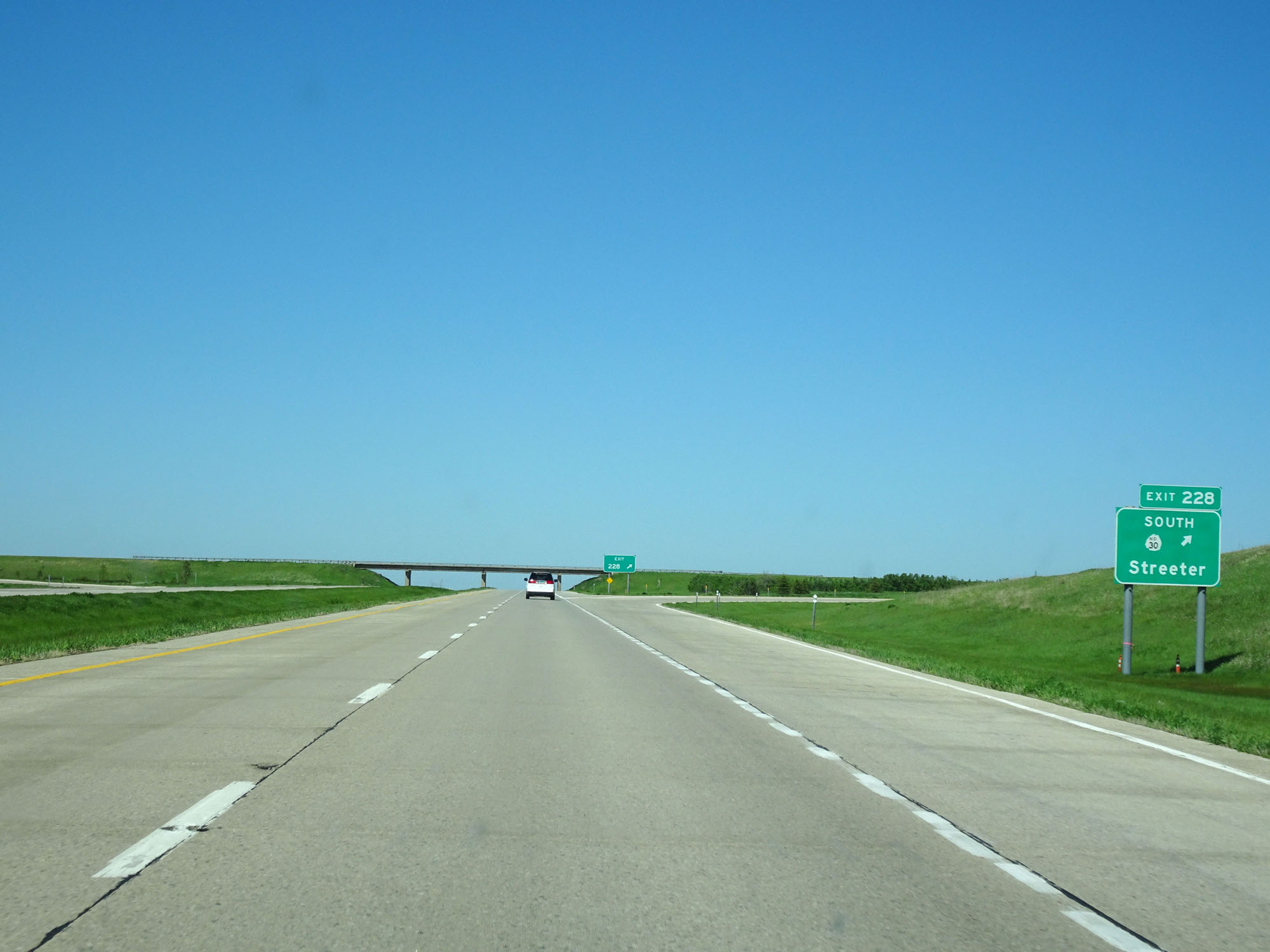 |
Interstate 94 West at Exit 228: ND 30 South - Streeter (Photo taken 5/23/16). |
 |
Mileage sign on Interstate 94 West. It's 19 miles to Dawson, 27 miles to Steele, and 68 miles to Bismarck. (Photo taken 5/23/16). |
 |
Interstate 94 West at mile marker 227. (Photo taken 5/23/16). |
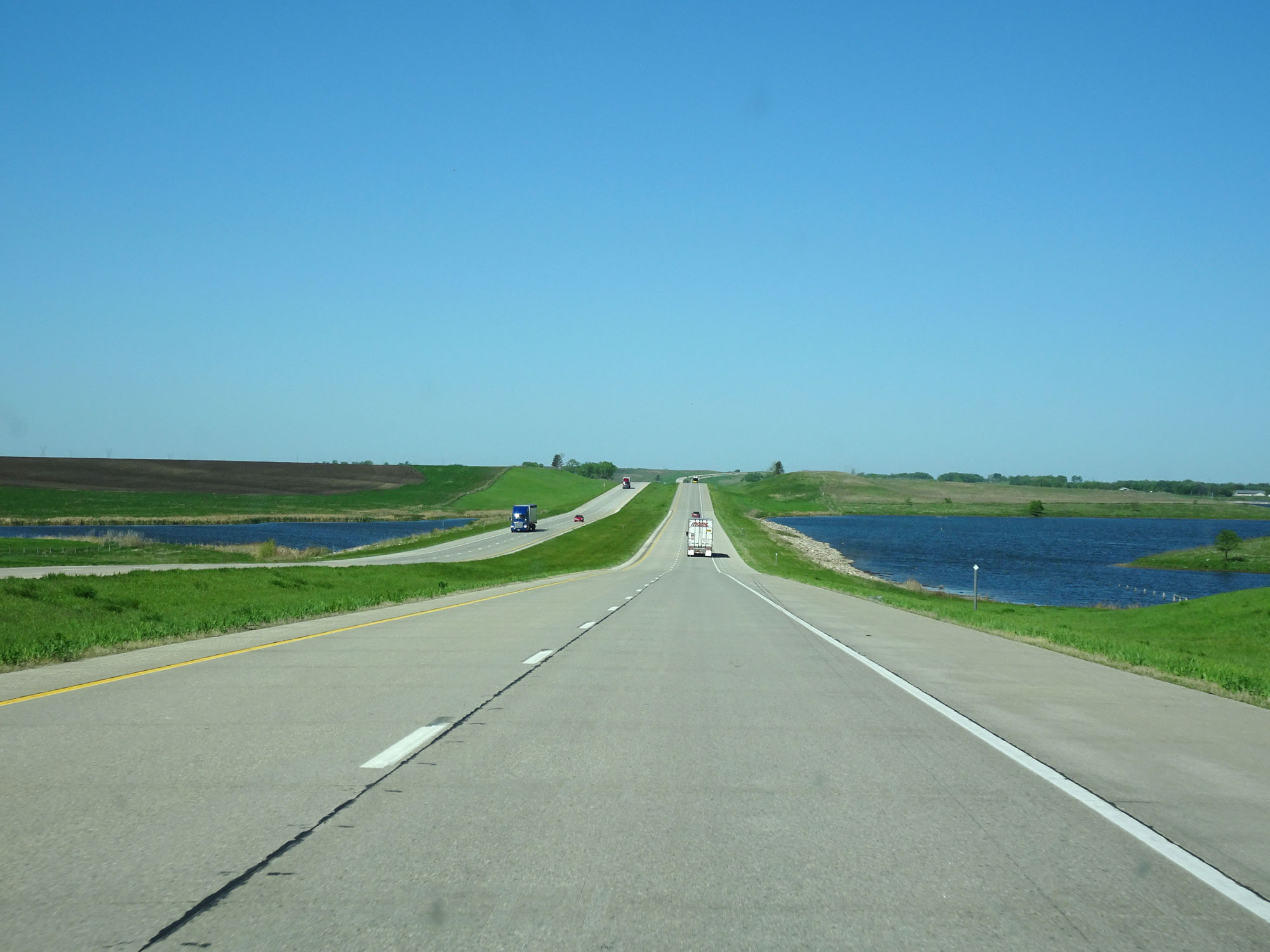 |
View on Interstate 94 West. (Photo taken 5/23/16). |
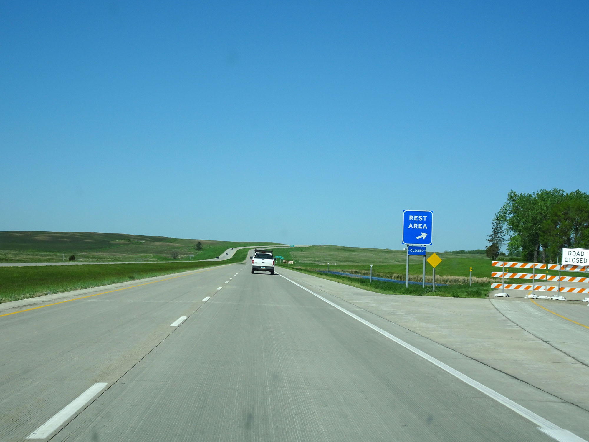 |
Interstate 94 West as the (closed at the time) Rest Area just beyond mile marker 224. (Photo taken 5/23/16). |
 |
Interstate 94 West as it enters Kidder County. (Photo taken 5/23/16). |
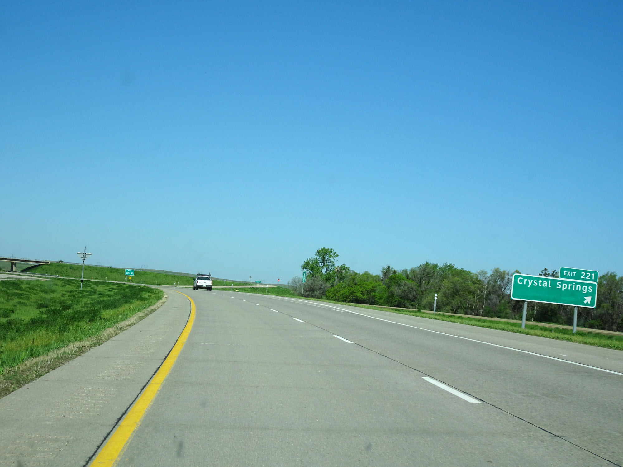 |
Interstate 94 West at Exit 221: Crystal Springs (Photo taken 5/23/16). |
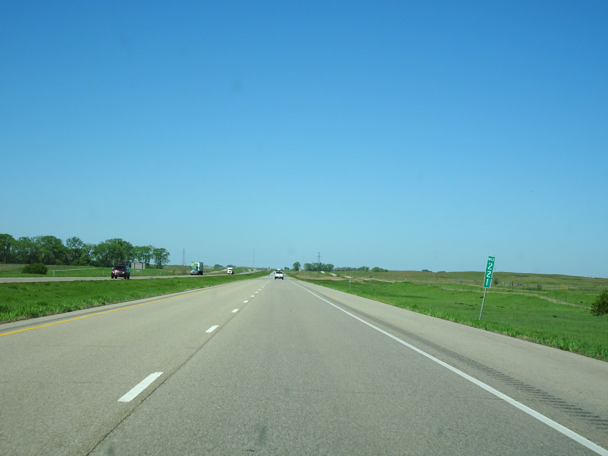 |
Interstate 94 West at mile marker 221. (Photo taken 5/23/16). |
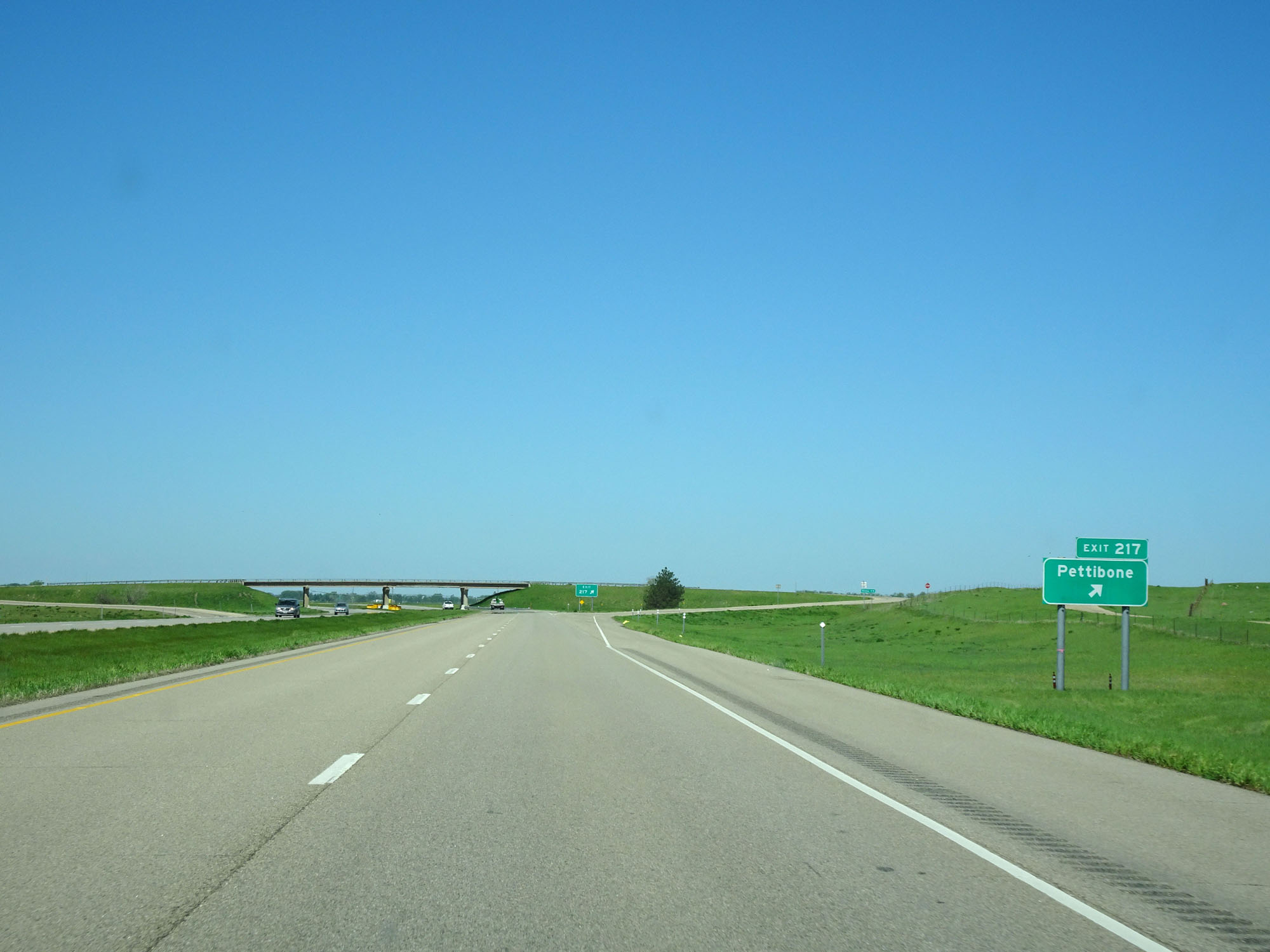 |
Interstate 94 West at Exit 217: Pettibone (Photo taken 5/23/16). |
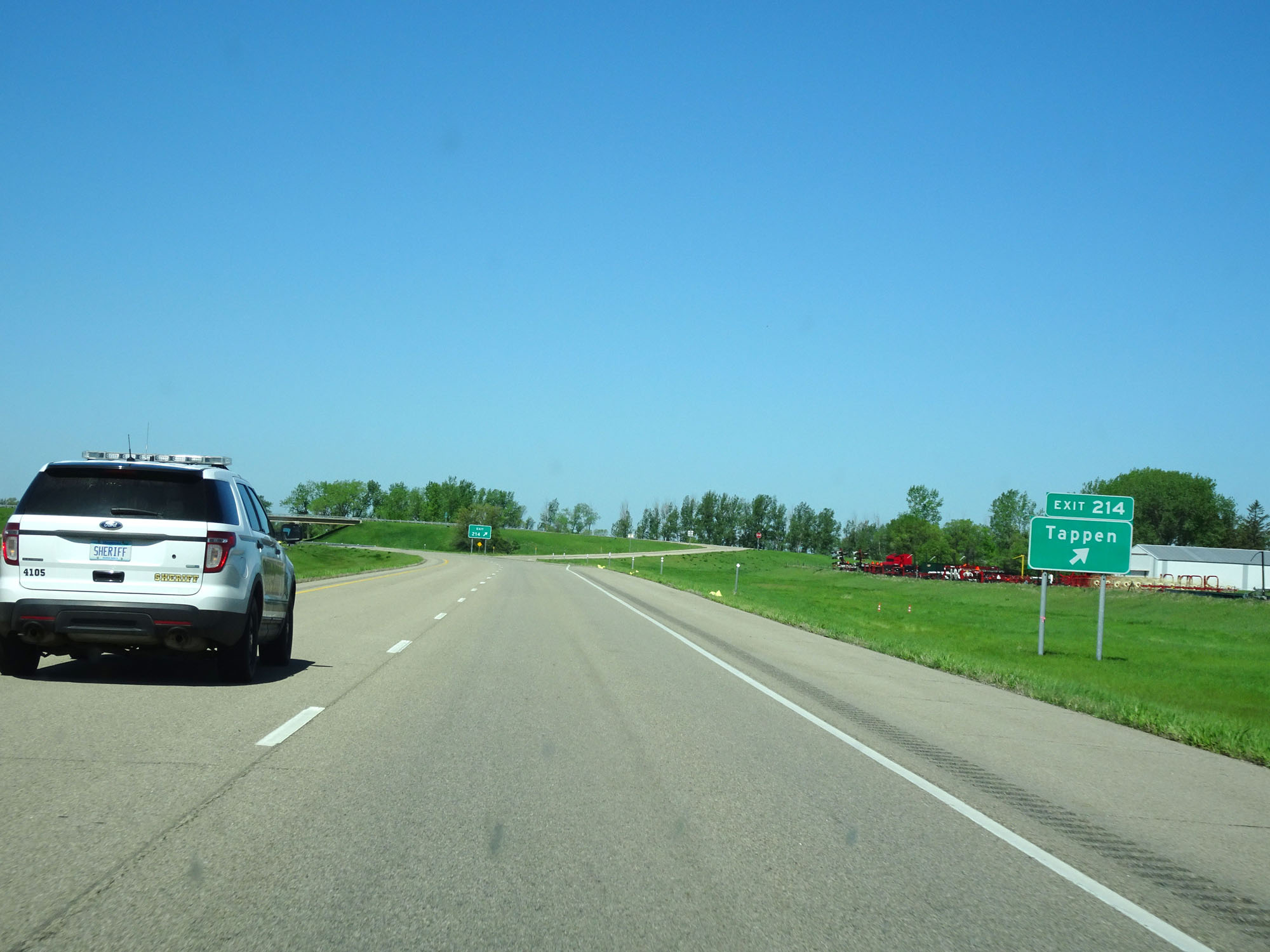 |
Interstate 94 West at Exit 214: Tappen (Photo taken 5/23/16). |
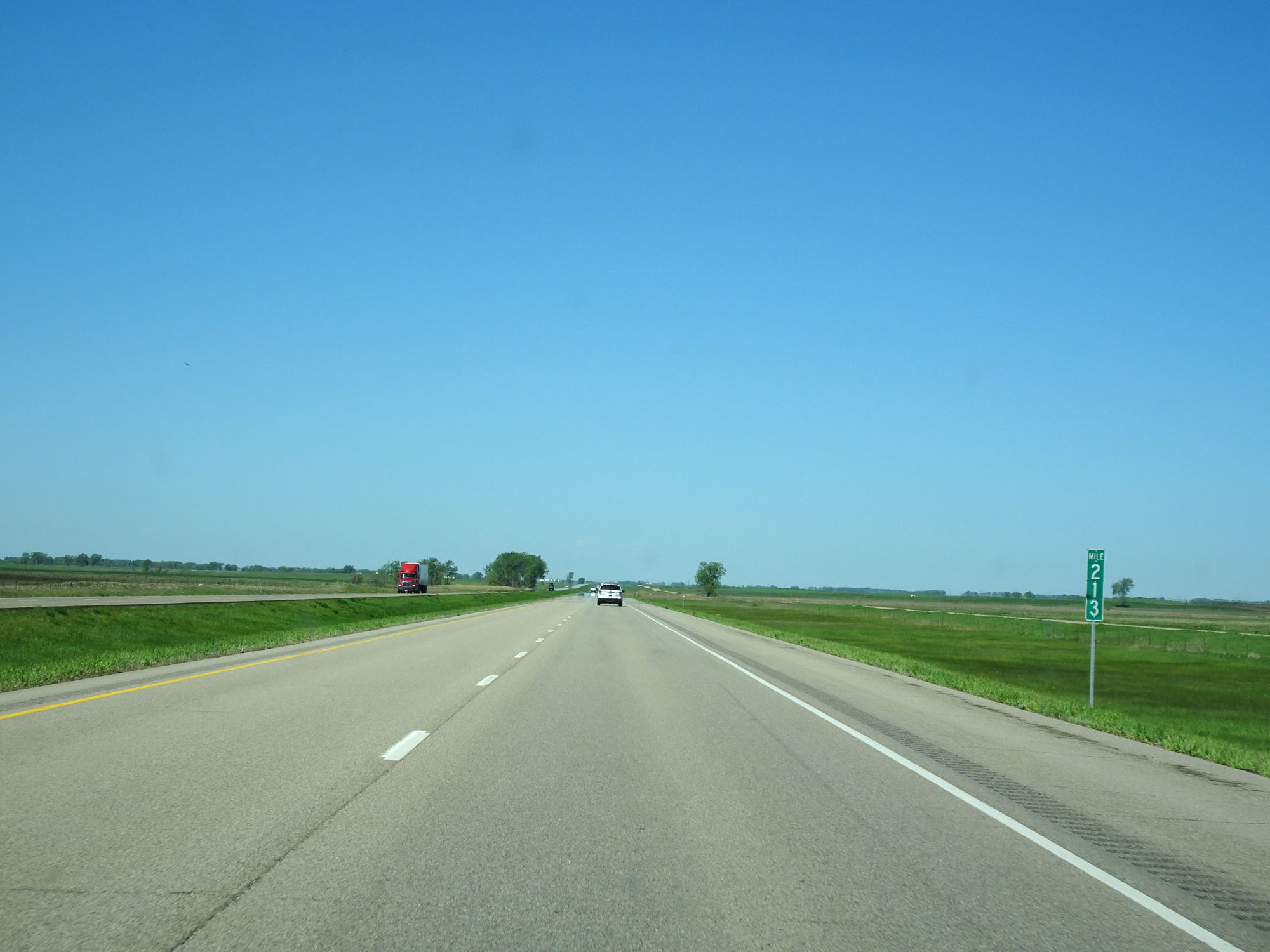 |
Interstate 94 West at mile marker 213. (Photo taken 5/23/16). |
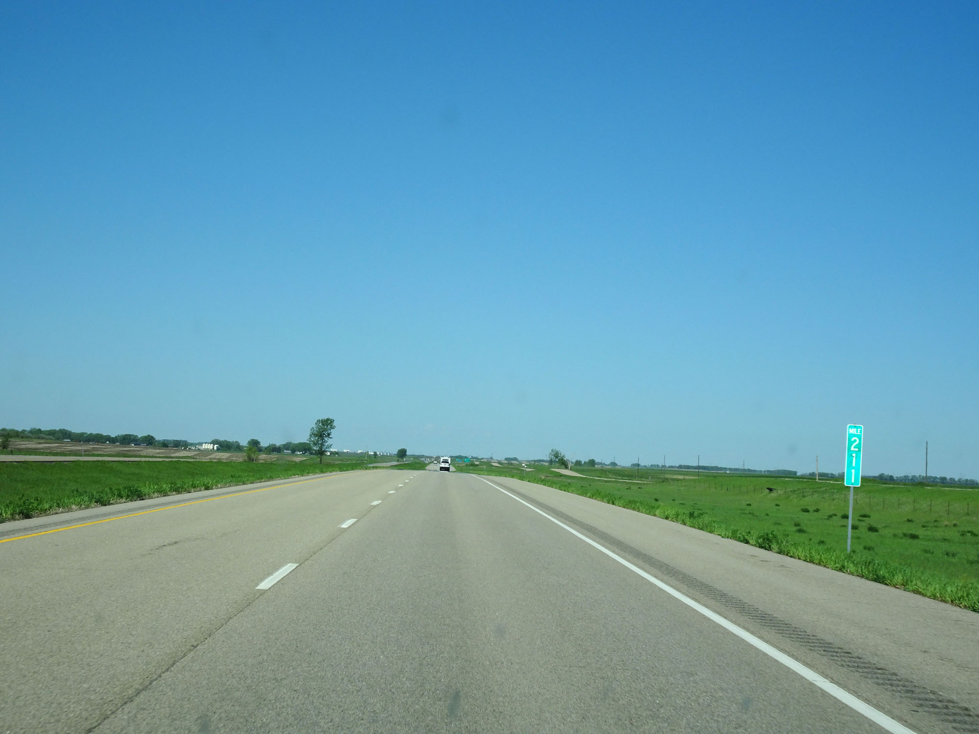 |
Interstate 94 West at mile marker 211. (Photo taken 5/23/16). |
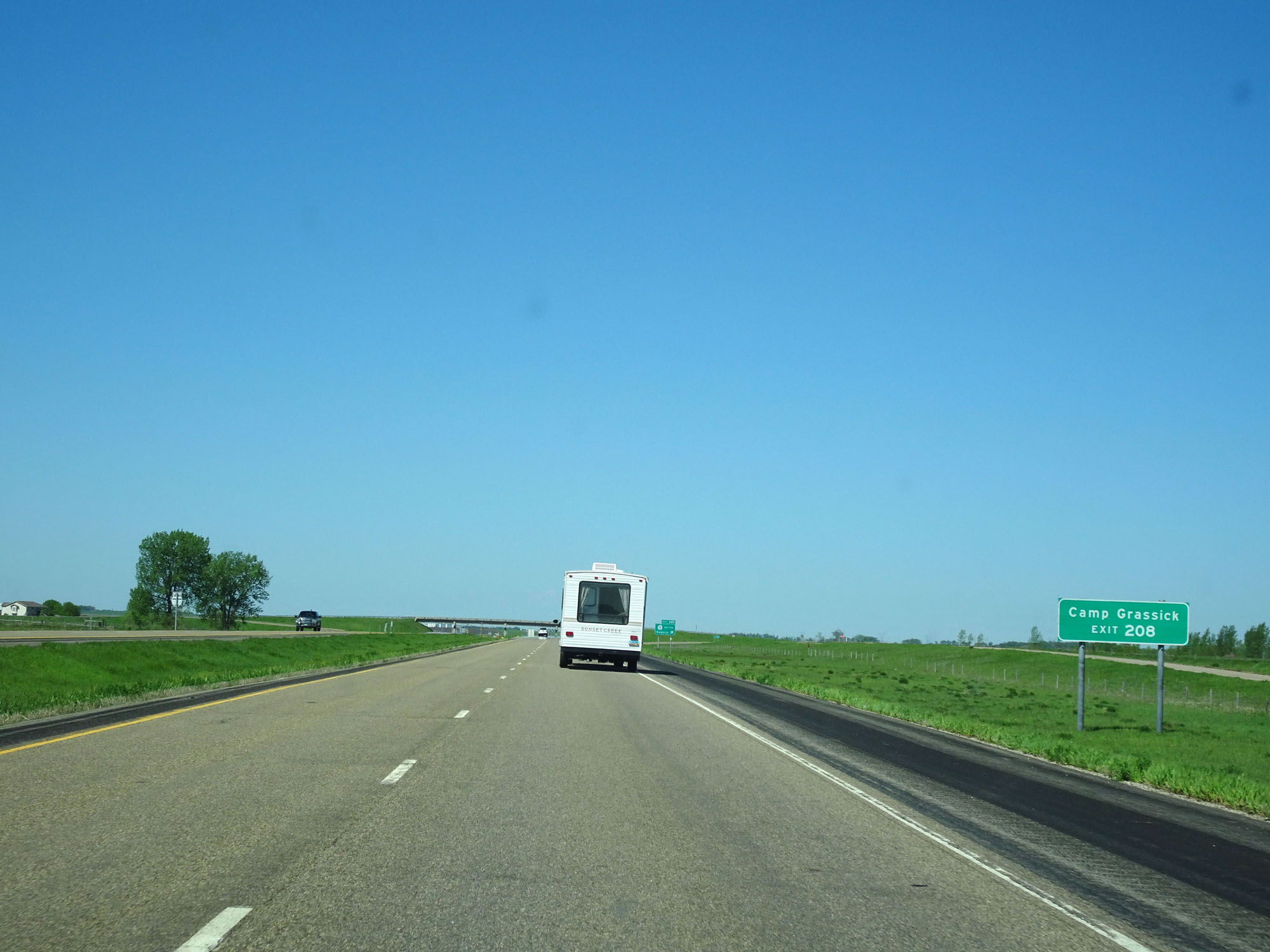 |
Take Exit 208 to Camp Grassick. (Photo taken 5/23/16). |
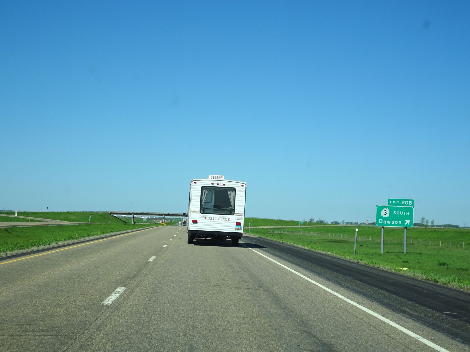 |
Interstate 94 West at Exit 208: ND 3 South - Dawson (Photo taken 5/23/16). |
Section 3: Dawson (Exit 208) to Bismarck (Exit 157)
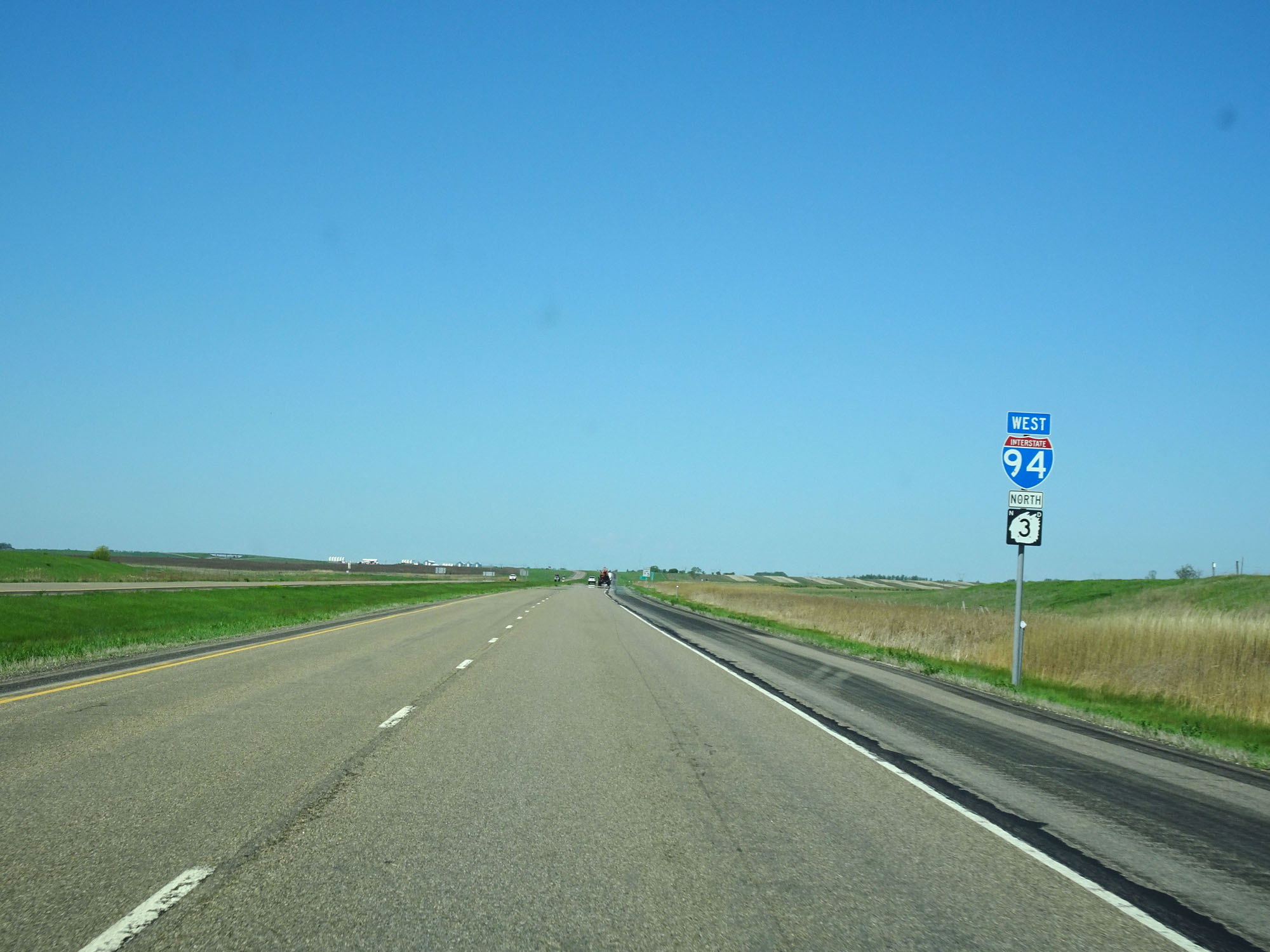 |
Interstate 94 West assurance shield near mile marker 207. (Photo taken 5/23/16). |
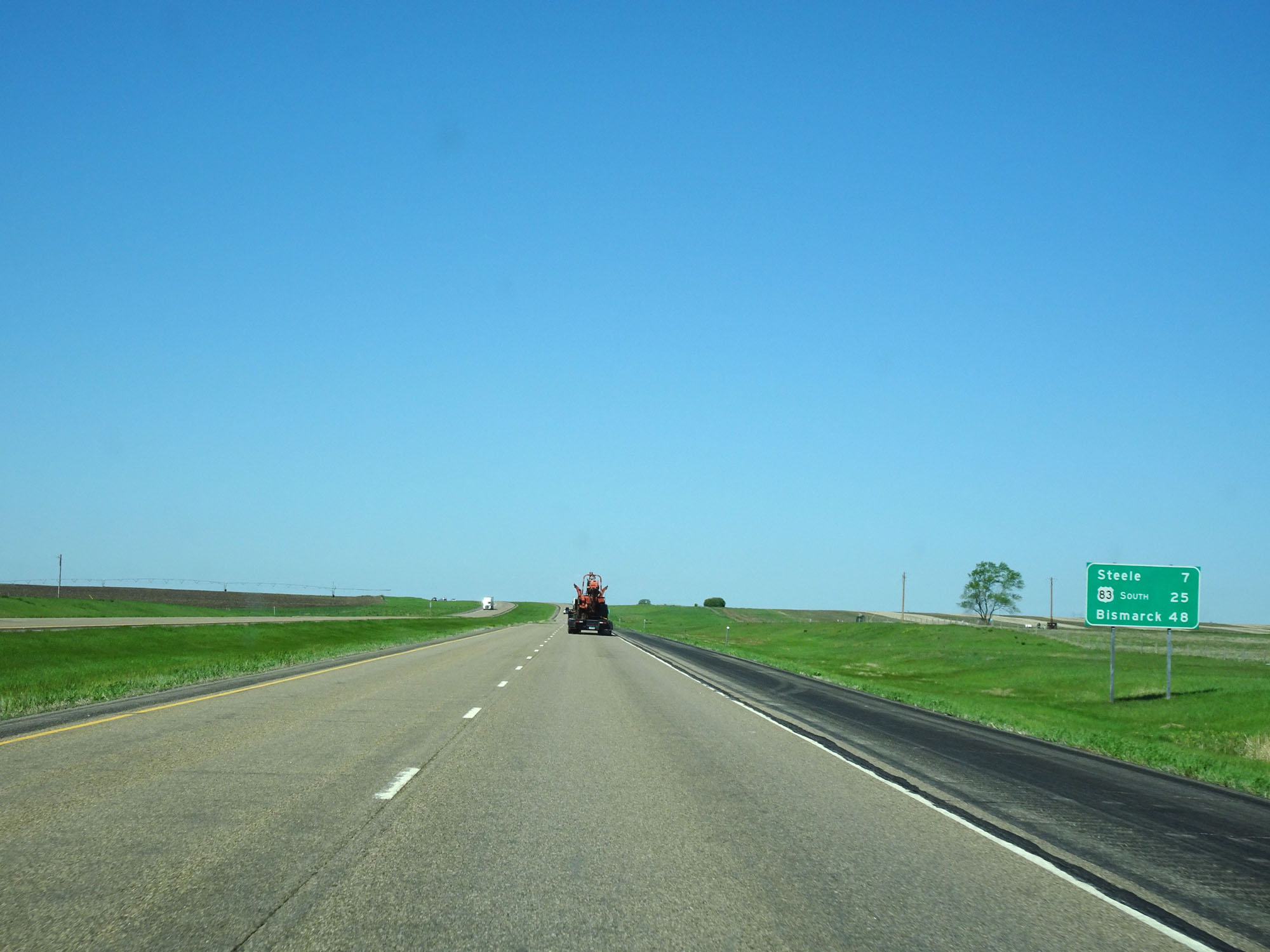 |
Mileage sign on Interstate 94 West. It's 7 miles to Steele, 25 miles to the junction of US 83 South, and 48 miles to Bismarck. (Photo taken 5/23/16). |
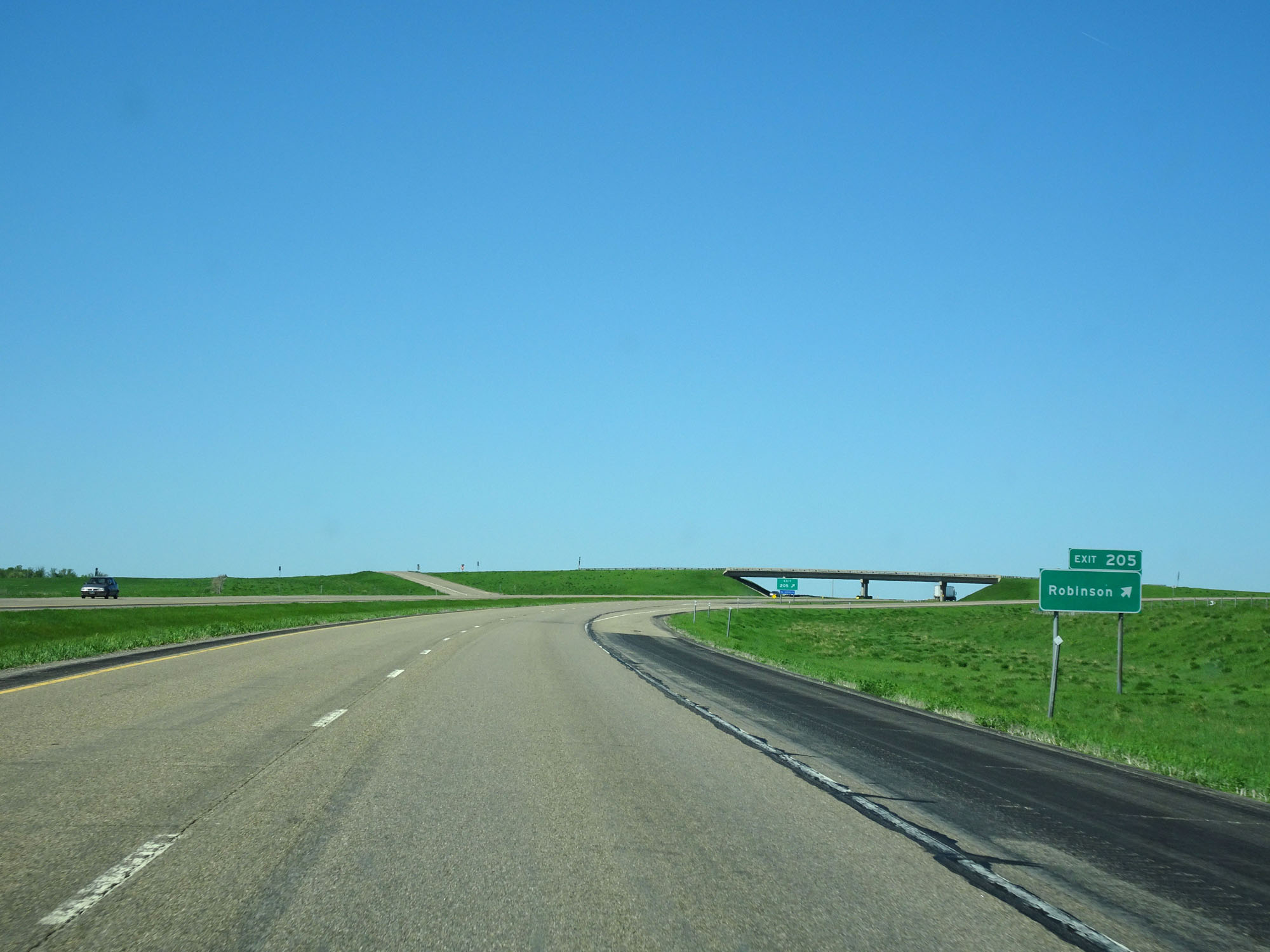 |
Interstate 94 West at Exit 205: Robinson (Photo taken 5/23/16). |
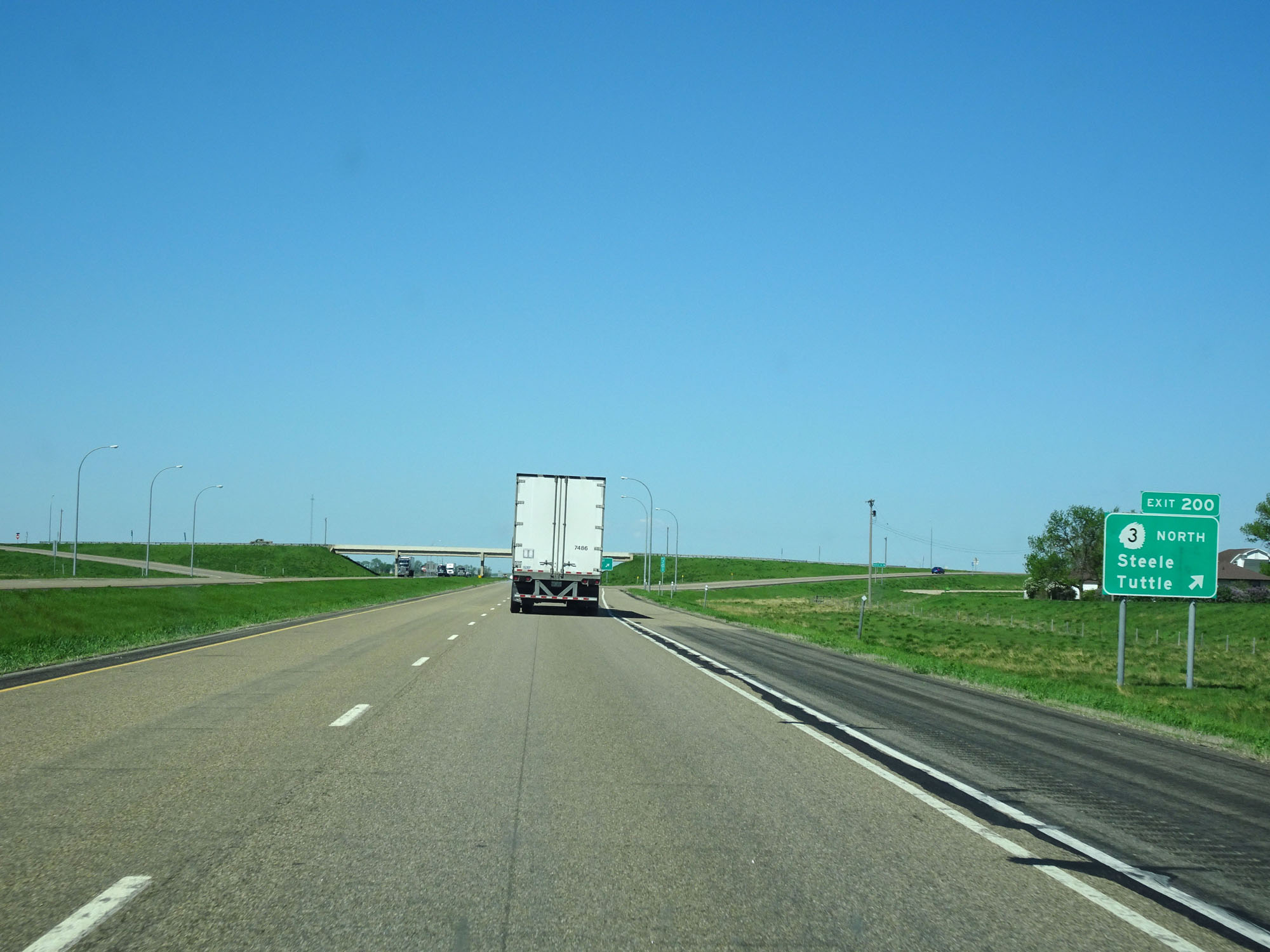 |
Interstate 94 West at Exit 200: ND 3 North - Steele / Tuttle (Photo taken 5/23/16). |
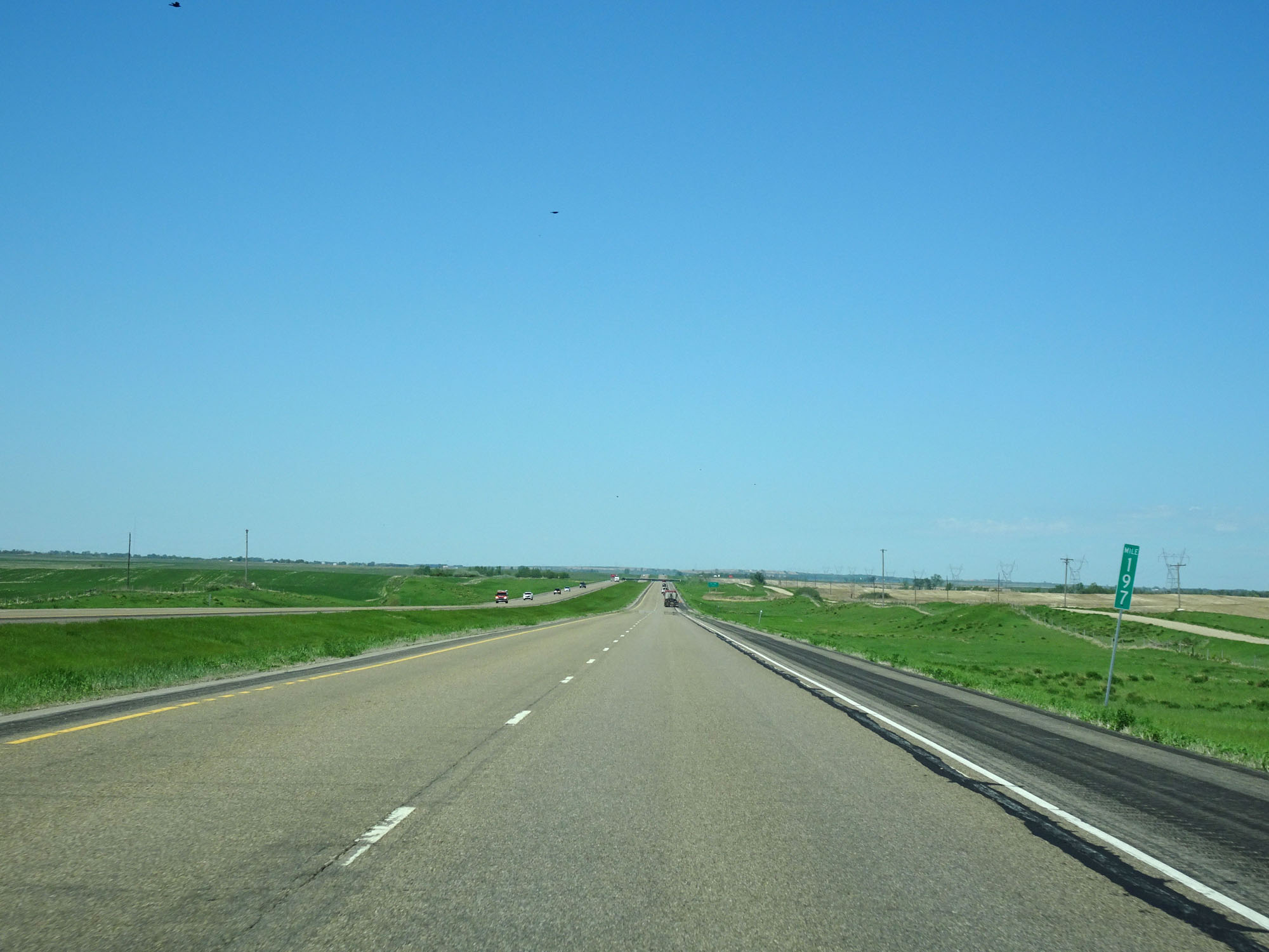 |
Interstate 94 West at mile marker 197. (Photo taken 5/23/16). |
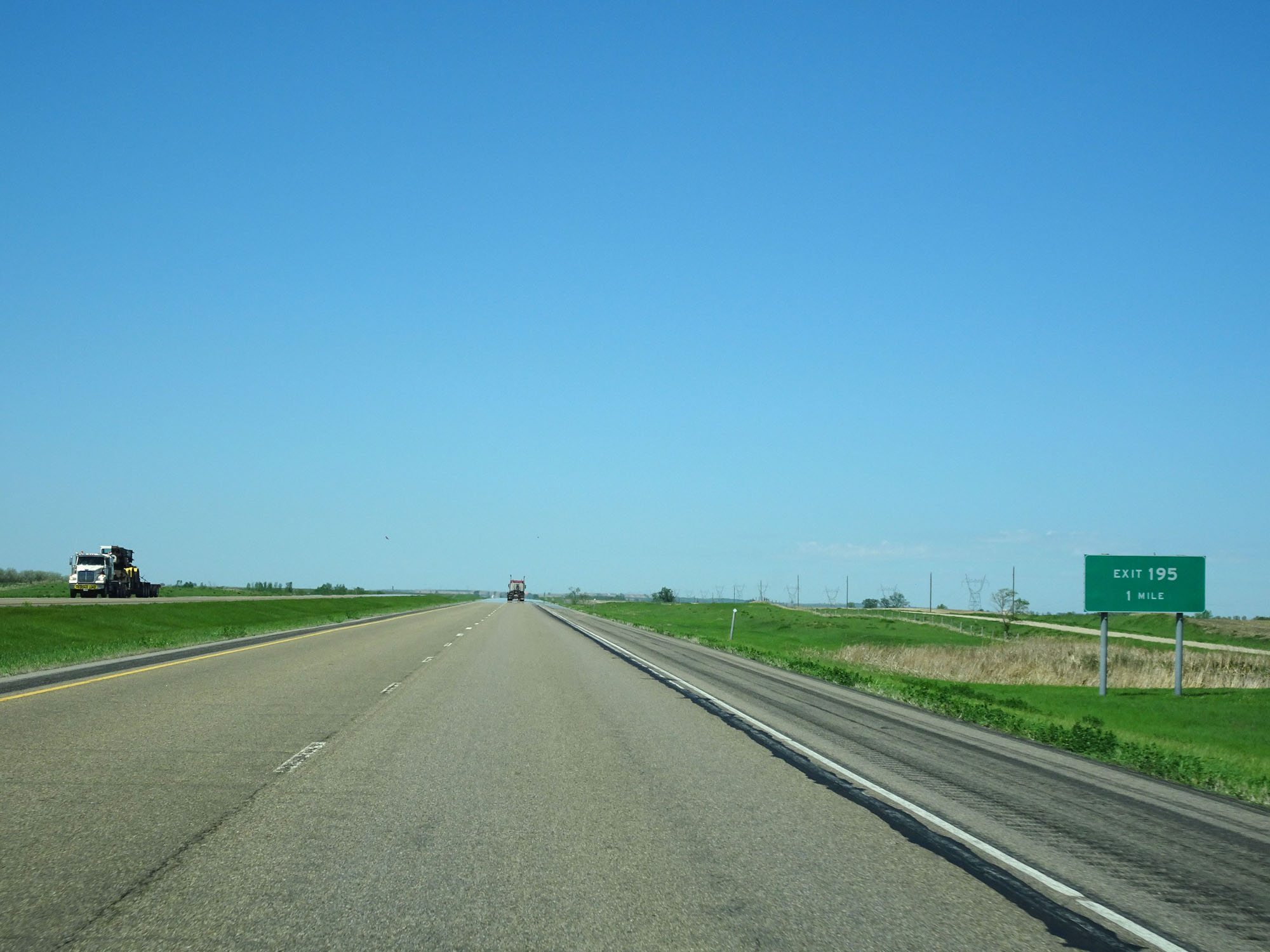 |
Interstate 94 West approaching Exit 195 - 1 mile. (Photo taken 5/23/16). |
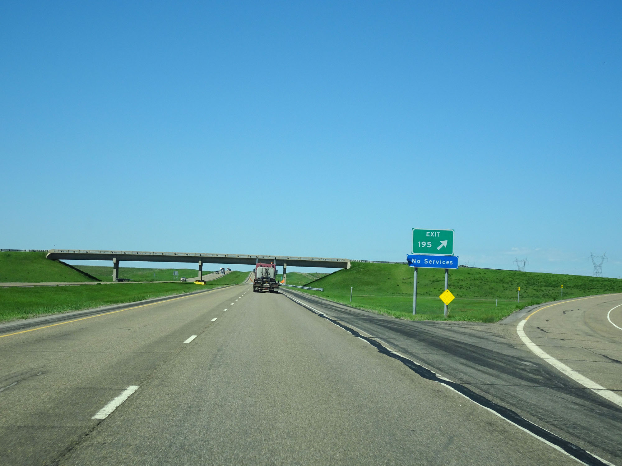 |
Interstate 94 West at Exit 195: (No Name) (Photo taken 5/23/16). |
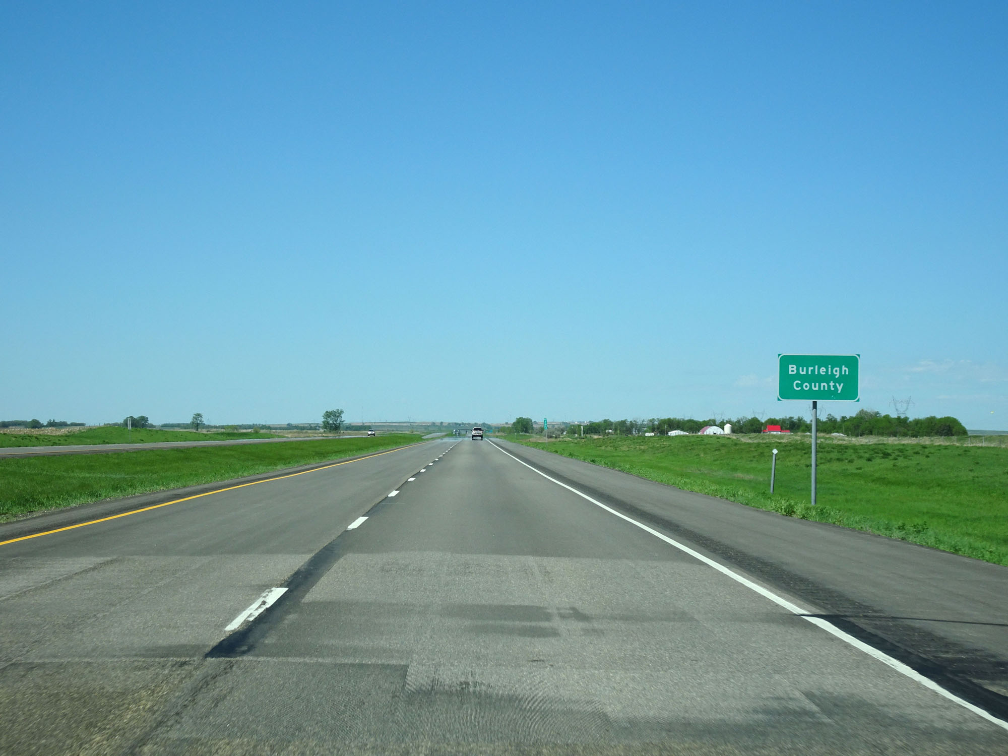 |
Interstate 94 West entering Burleigh County at mile marker 193. (Photo taken 5/23/16). |
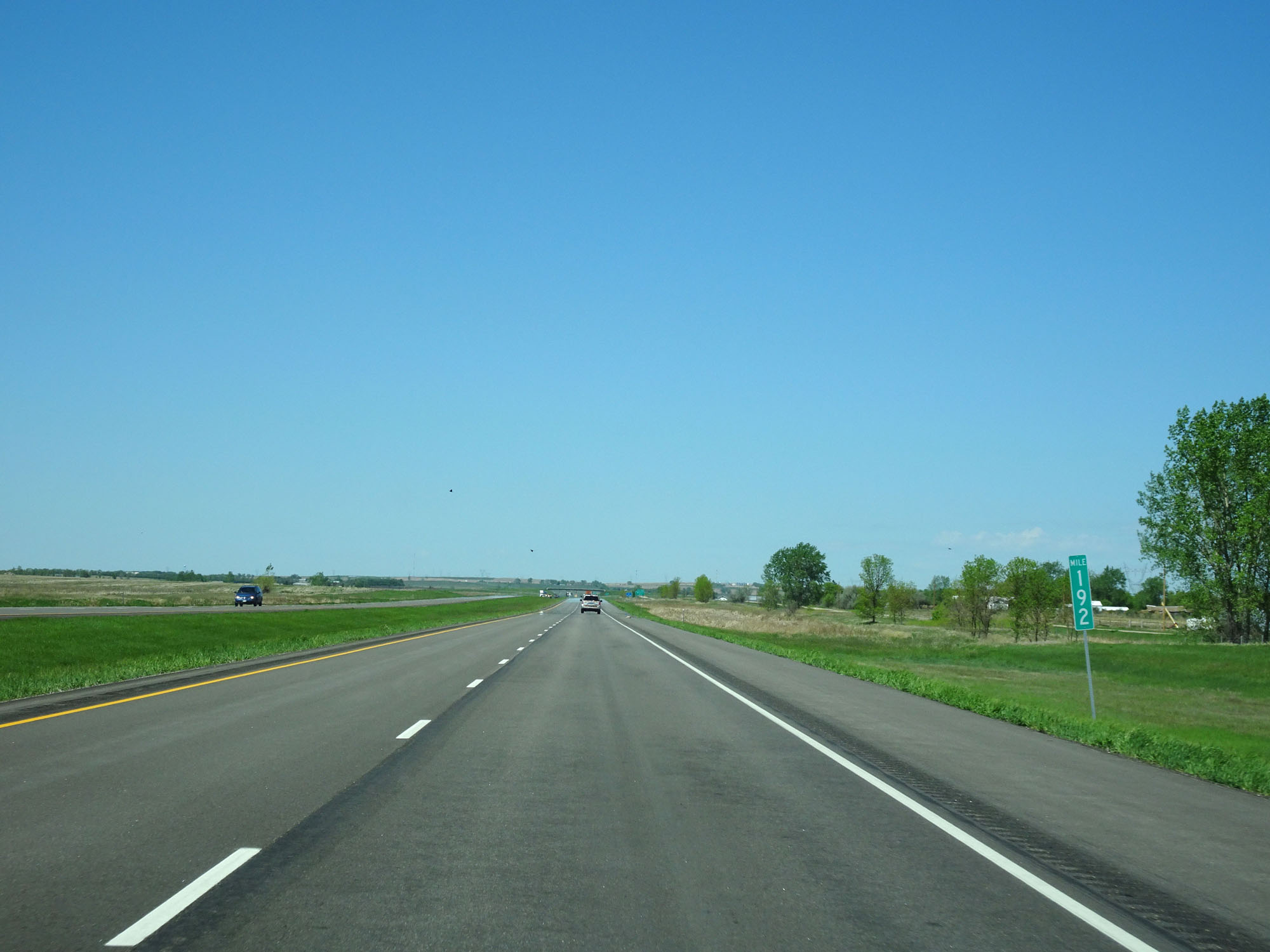 |
Interstate 94 West at mile marker 192. (Photo taken 5/23/16). |
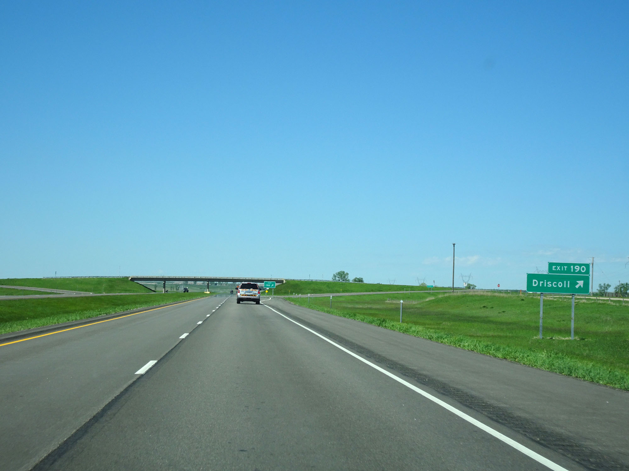 |
Interstate 94 West at Exit 190: Driscoll (Photo taken 5/23/16). |
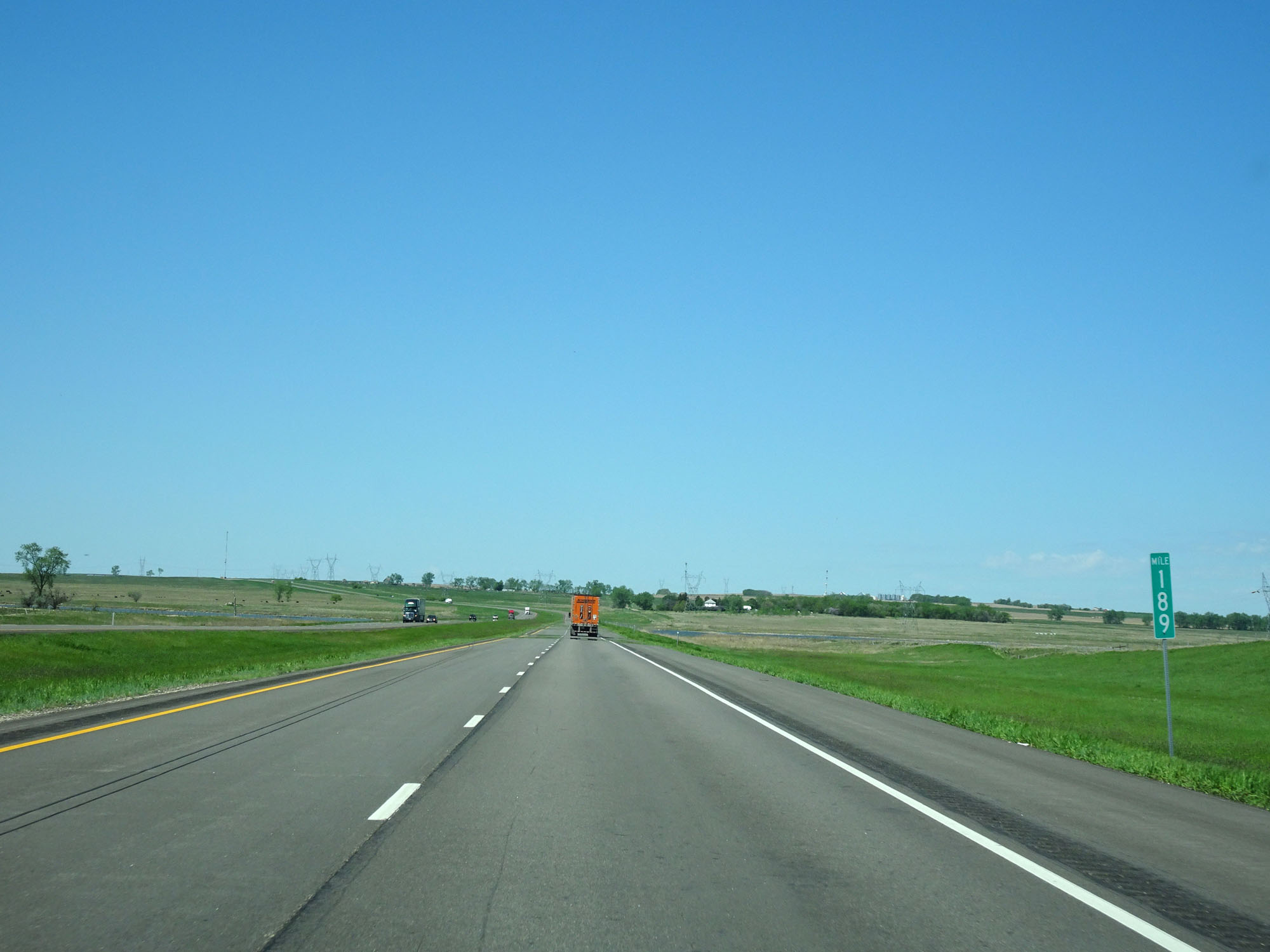 |
Interstate 94 West at mile marker 189. (Photo taken 5/23/16). |
 |
Interstate 94 West at mile marker 188. (Photo taken 5/23/16). |
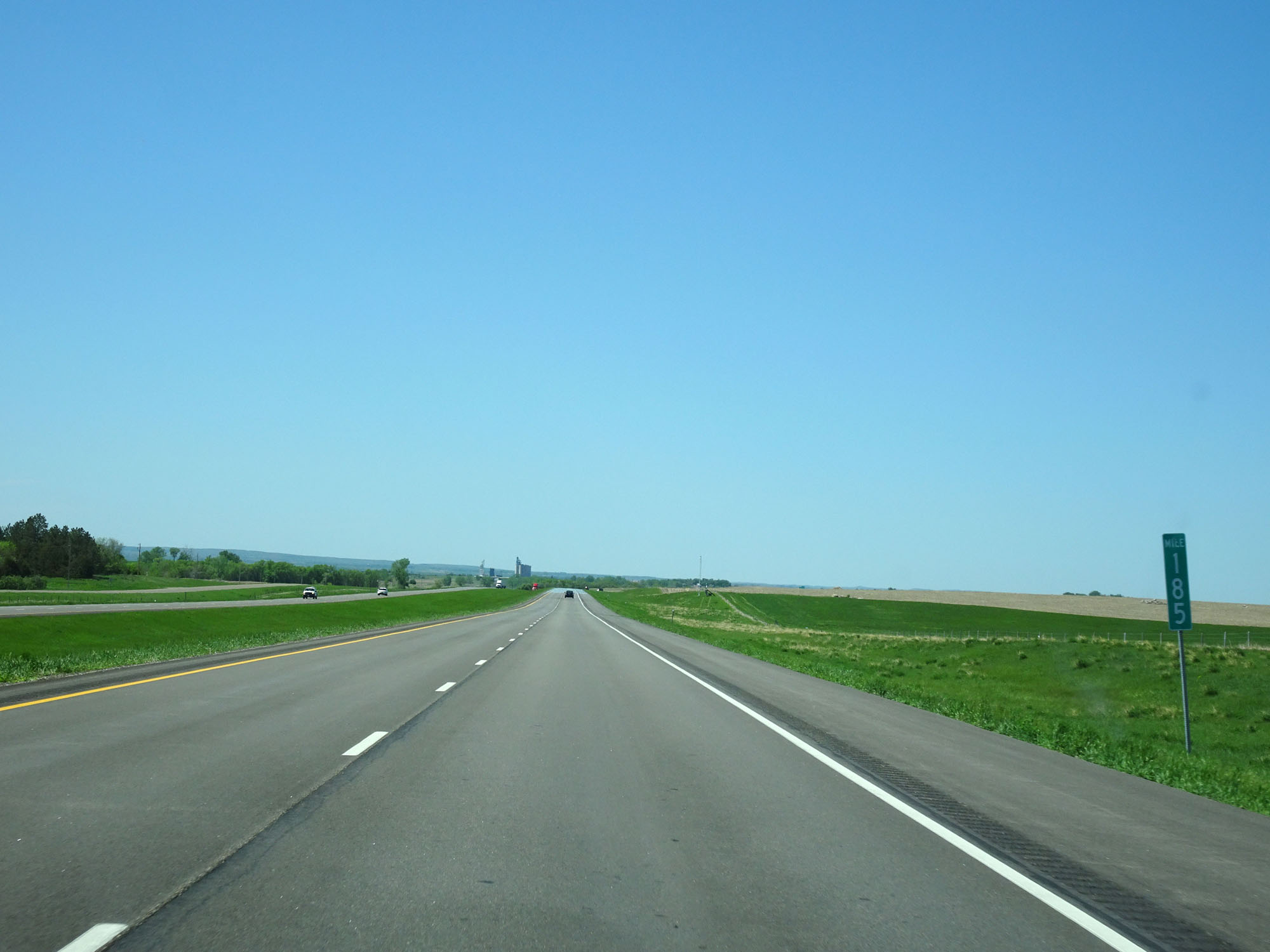 |
Interstate 94 West at mile marker 185. (Photo taken 5/23/16). |
 |
Interstate 94 West approaching Exit 182 - 1 mile. (Photo taken 5/23/16). |
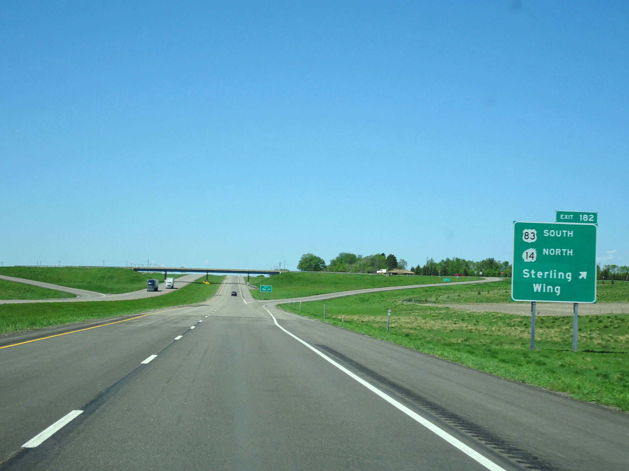 |
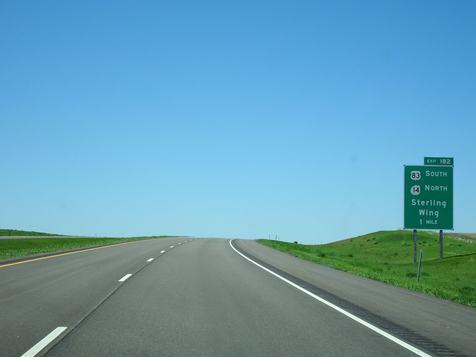
Interstate 94 West at Exit 182: US 83 South / ND 14 North - Sterling / Wing (Photo taken 5/23/16). |
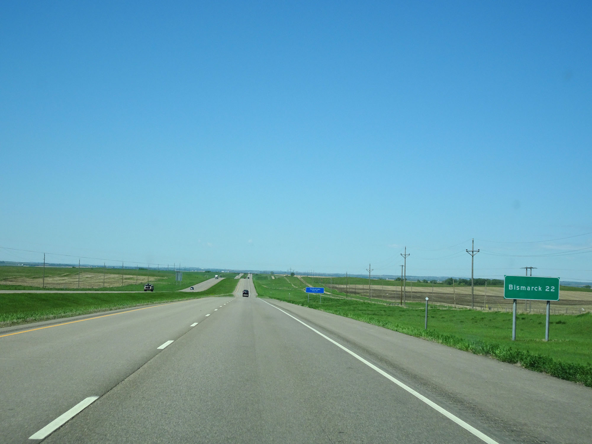 |
As the lone destination on this mileage sign, Bismarck lies 22 miles ahead. (Photo taken 5/23/16). |
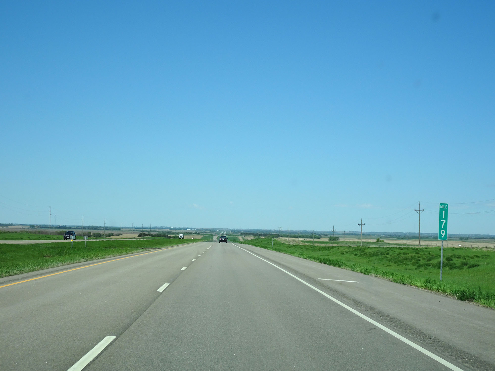 |
Interstate 94 West at mile marker 179. (Photo taken 5/23/16). |
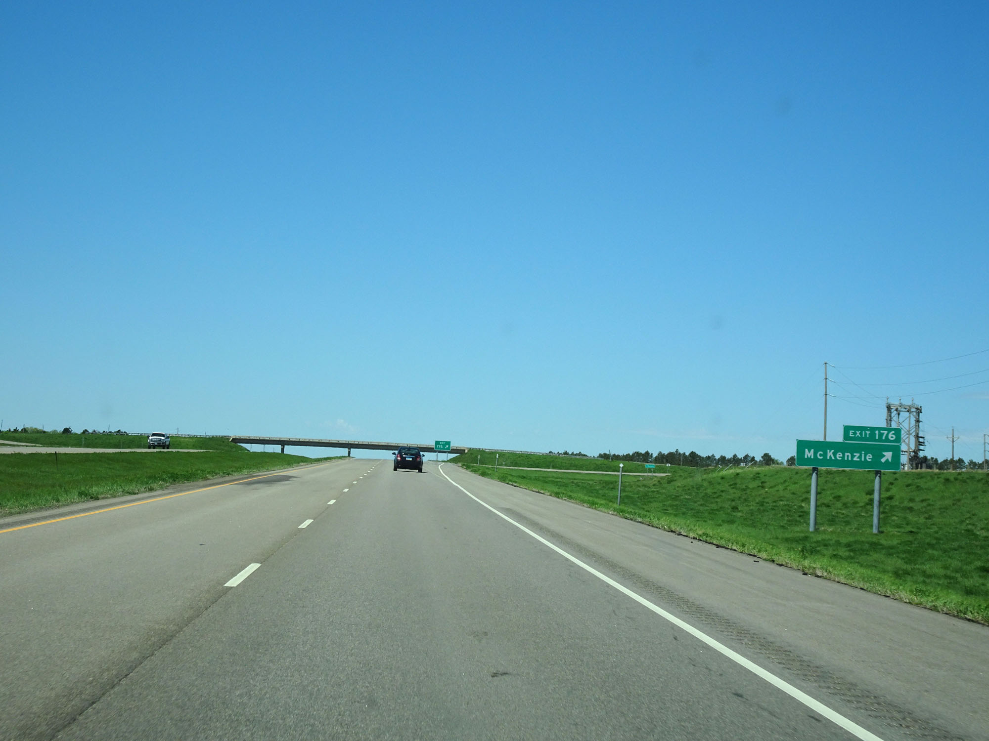 |
Interstate 94 West at Exit 176: McKenzie (Photo taken 5/23/16). |
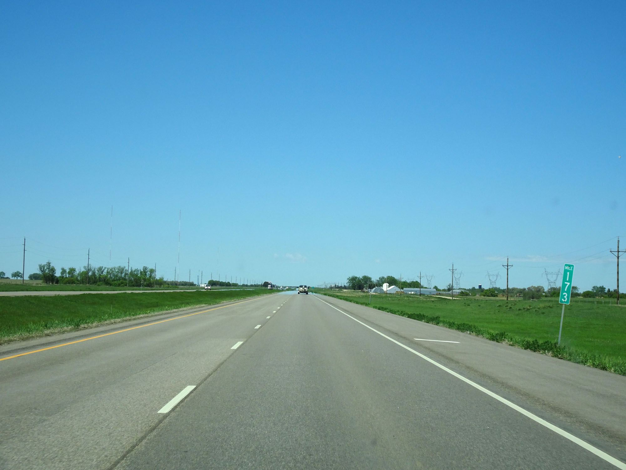 |
Interstate 94 West at mile marker 173. (Photo taken 5/23/16). |
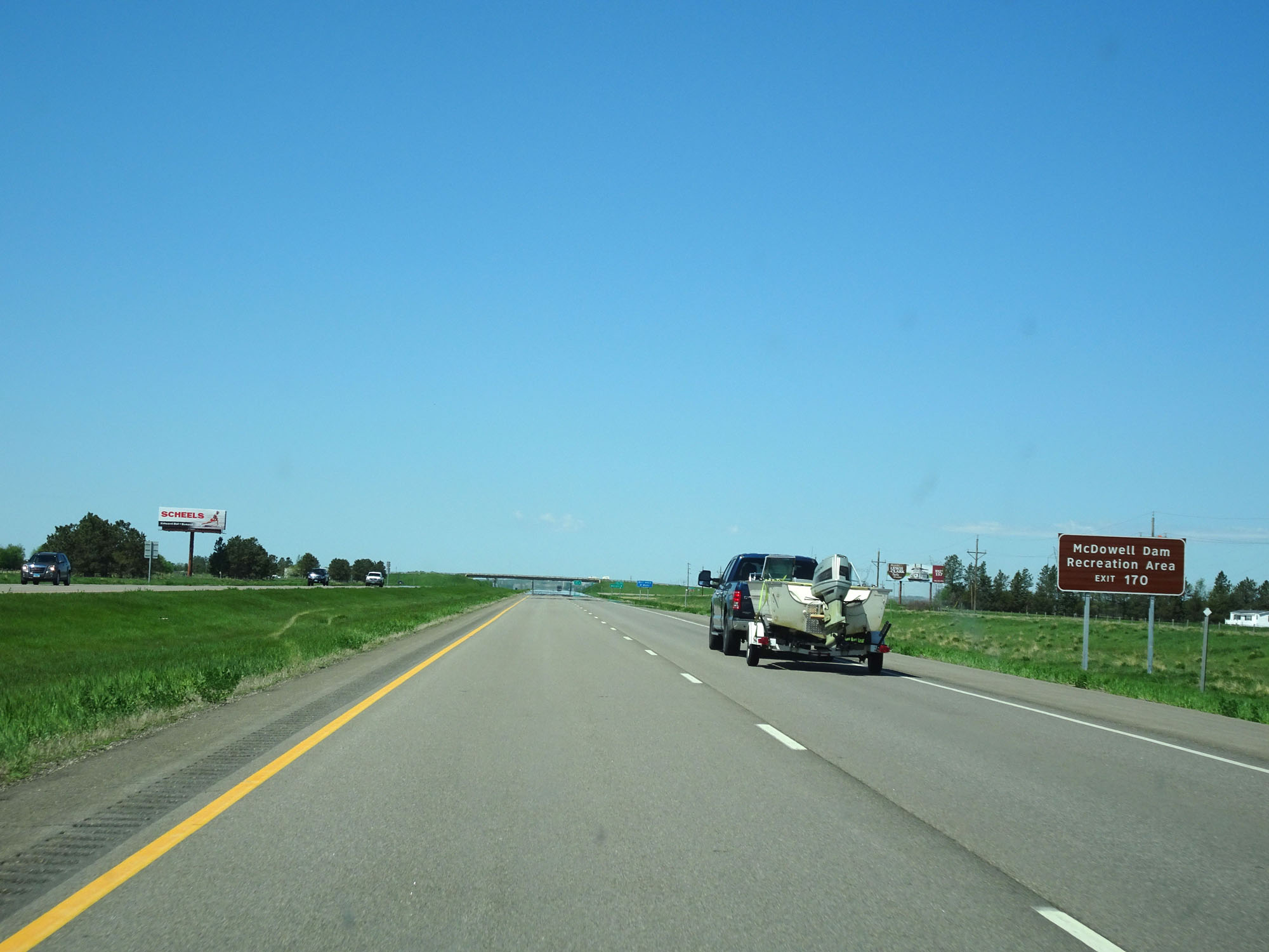 |
Take Exit 170 to McDowell Dam Recreation Area. (Photo taken 5/23/16). |
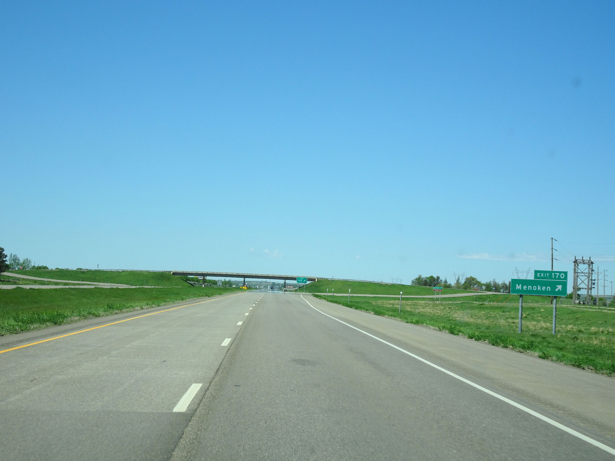 |
Interstate 94 West at Exit 170: Menoken (Photo taken 5/23/16). |
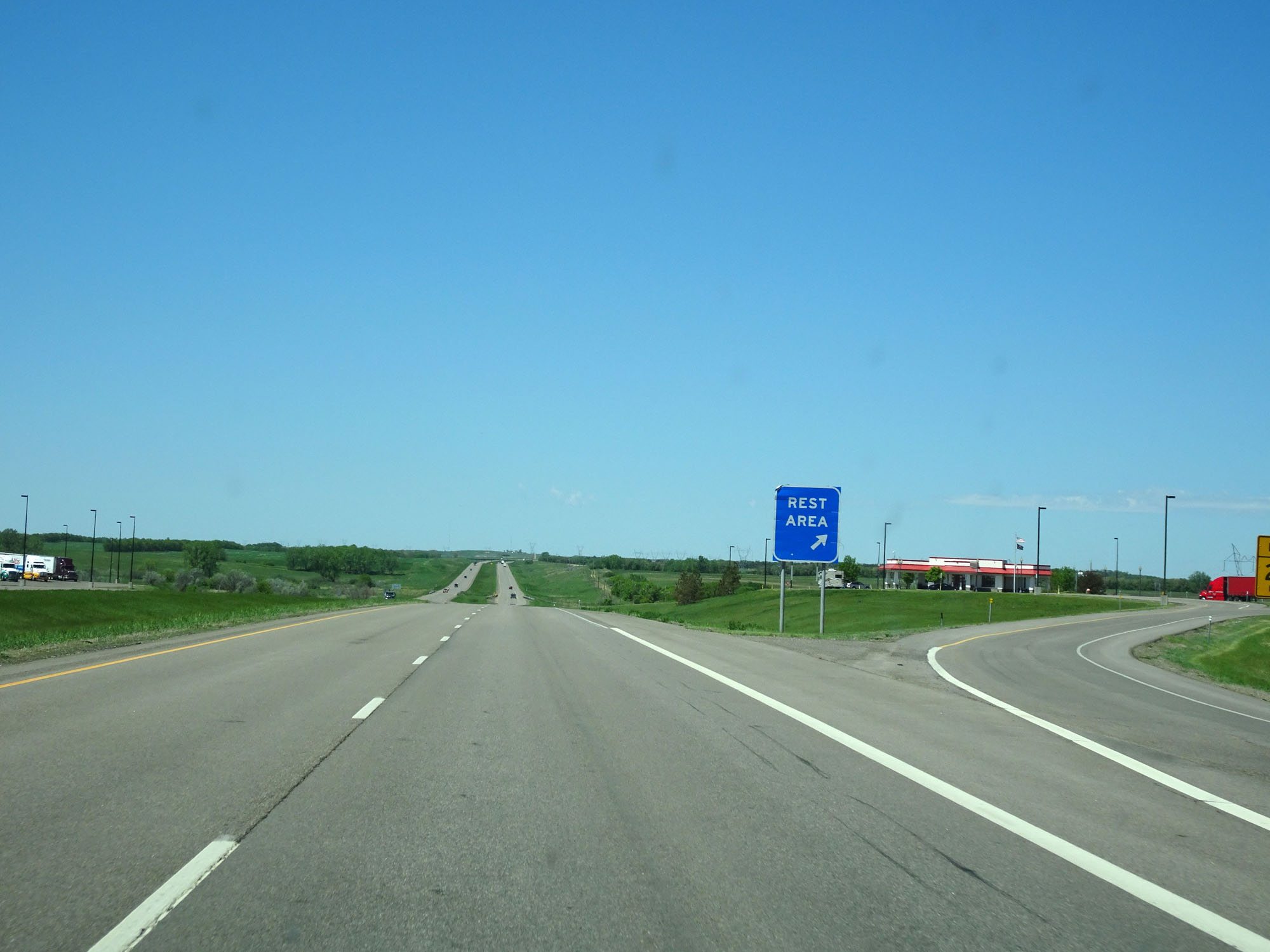 |
Interstate 94 West at the Rest Area just beyond mile marker 169. (Photo taken 5/23/16). |
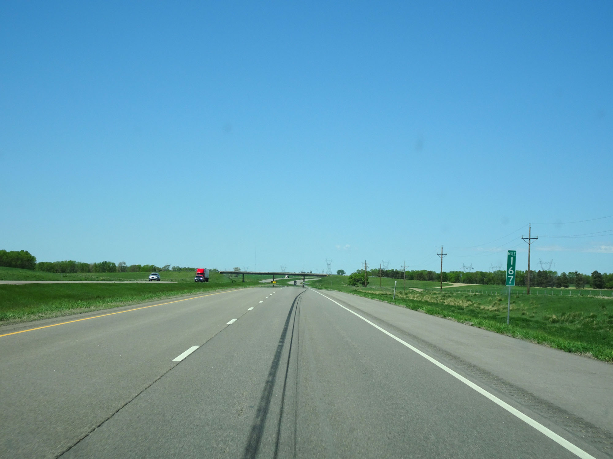 |
Interstate 94 West at mile marker 167. (Photo taken 5/23/16). |
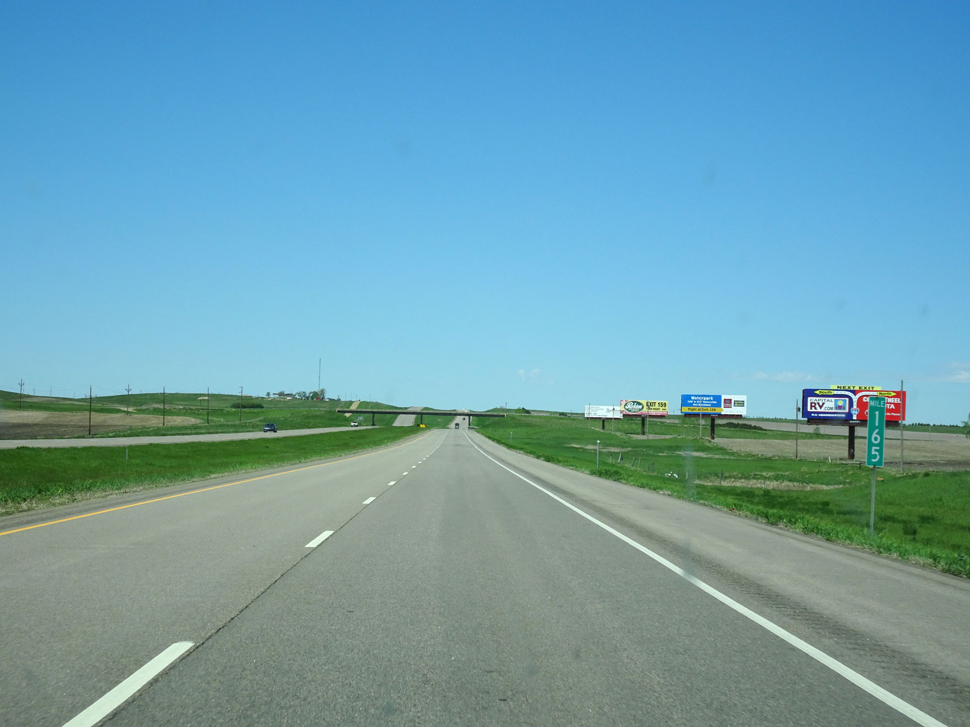 |
Interstate 94 West at mile marker 165. (Photo taken 5/23/16). |
 |
Take any of the next 4 exits to Bismarck. (Photo taken 5/23/16). |
 |
Take Exit 161 for the best Local Truck Route. (Photo taken 5/23/16). |
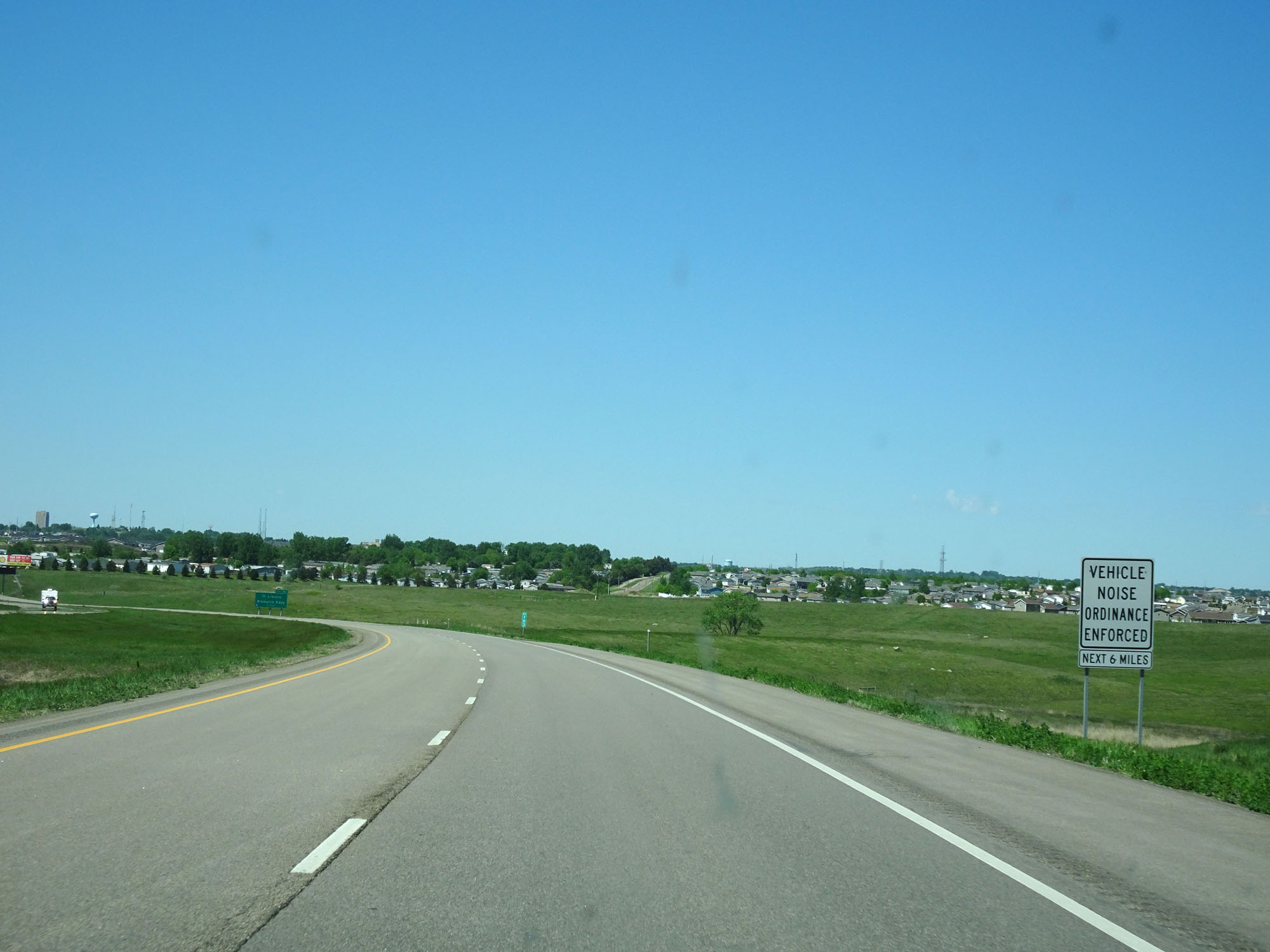 |
This sign states that a vehicle noise ordinance is enforced for the next 6 miles. No engine brakes / jake brakes. (Photo taken 5/23/16). |
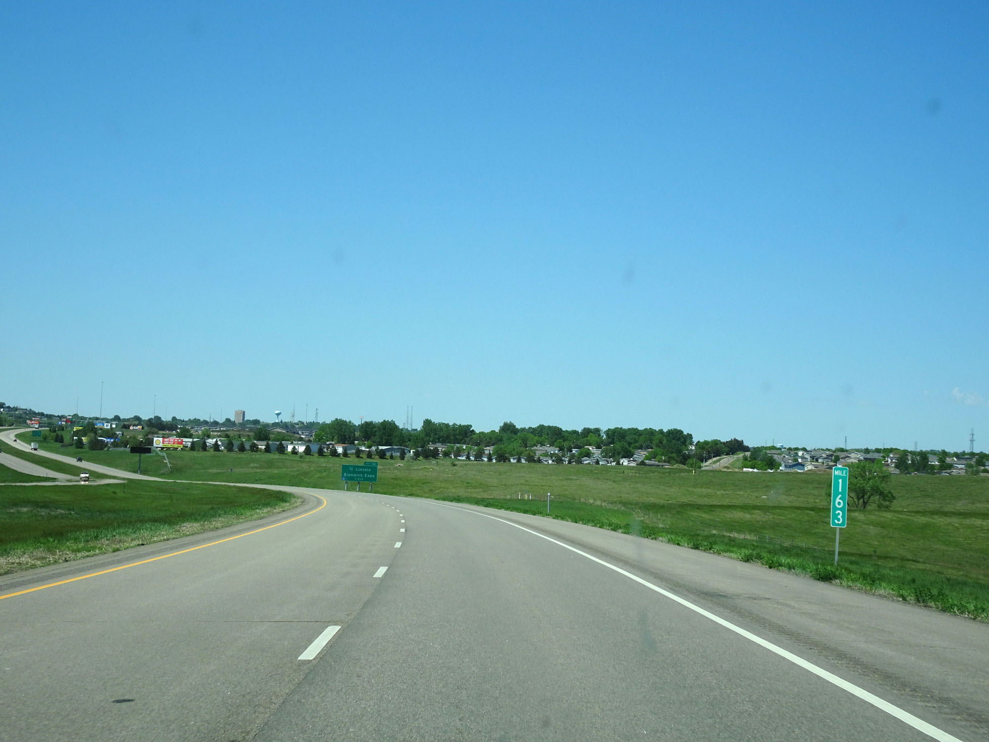 |
Interstate 94 West at mile marker 163, approaching Bismarck. (Photo taken 5/23/16). |
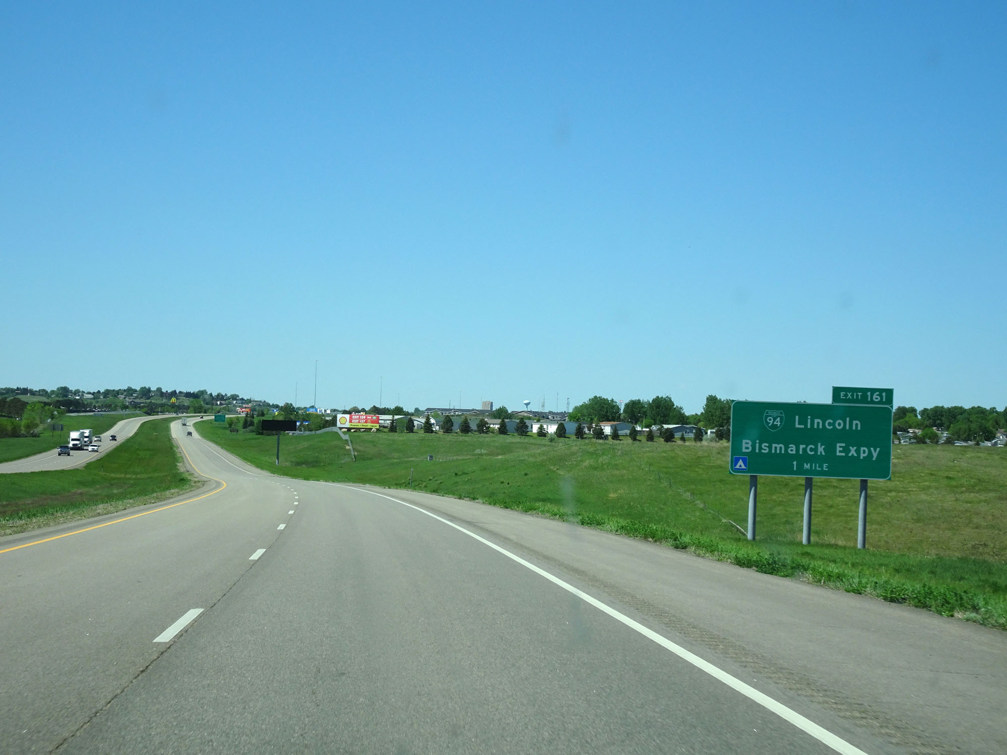 |
Interstate 94 West approaching Exit 161 - 1 mile. (Photo taken 5/23/16). |
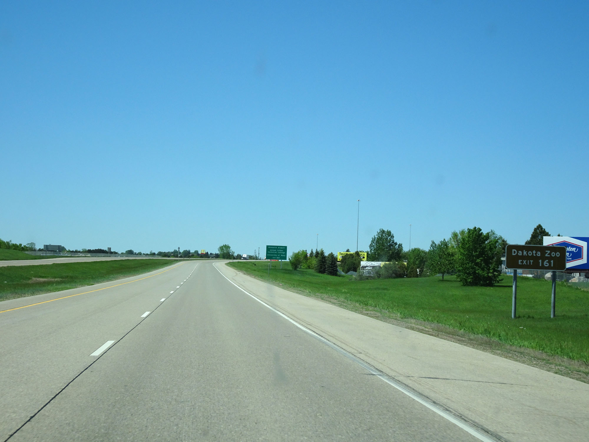 |
Take Exit 161 to Dakota Zoo. (Photo taken 5/23/16). |
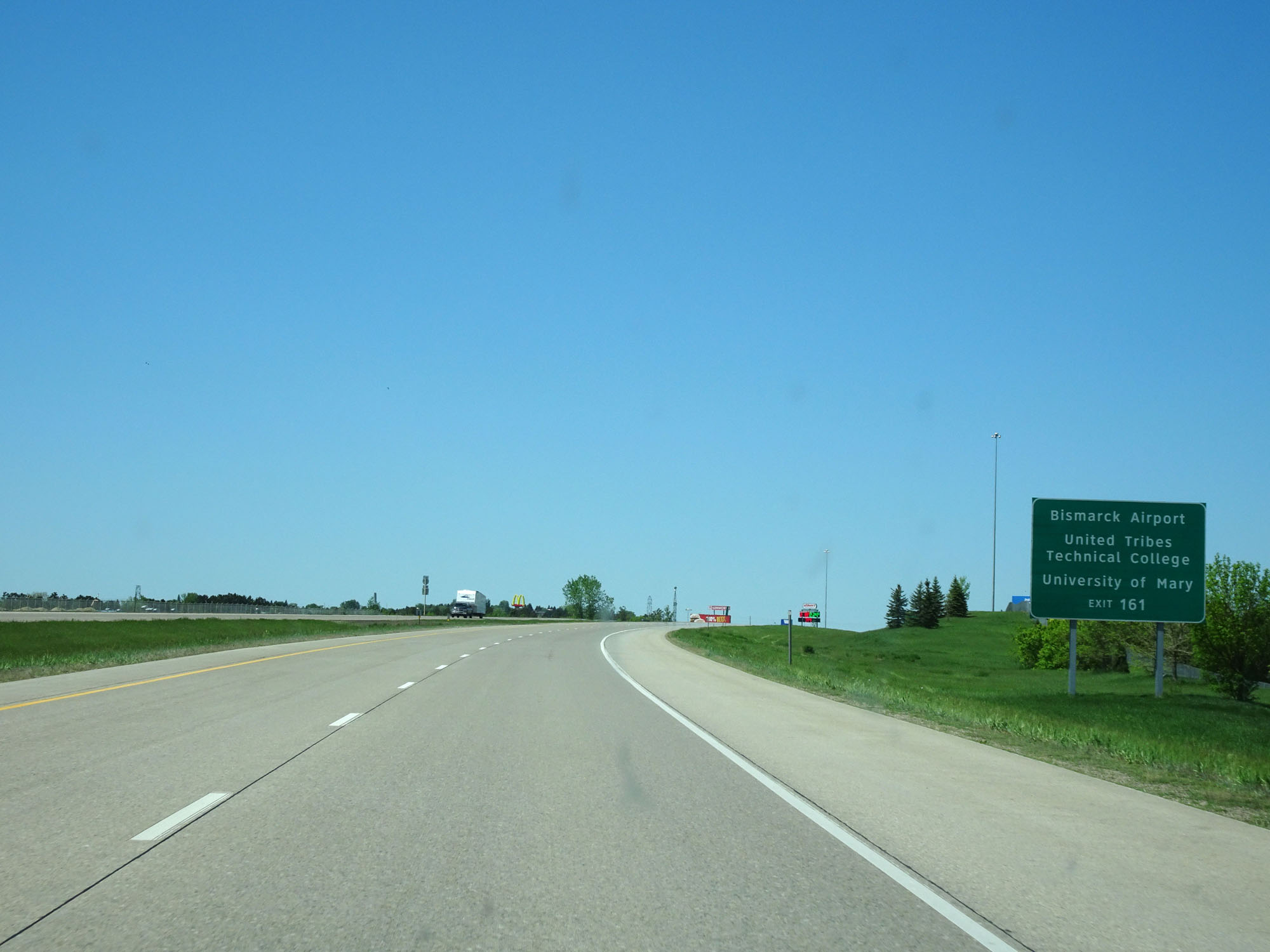 |
Also take Exit 161 to Bismarck Airport, United Tribes Technical College, and University of Mary. (Photo taken 5/23/16). |
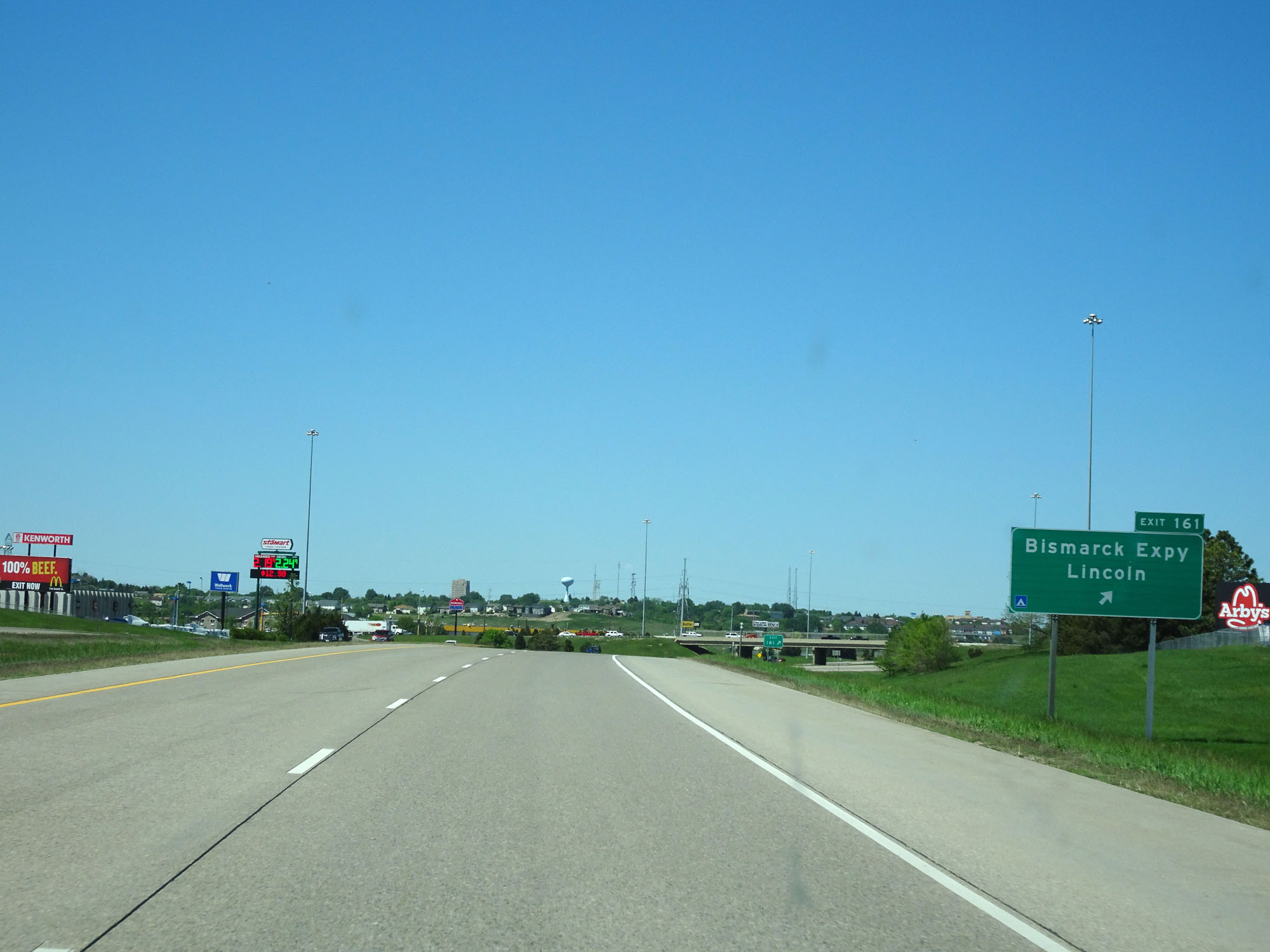 |
Interstate 94 West at Exit 161: Interstate 94 BL - Bismarck Expy / Lincoln (Photo taken 5/23/16). |
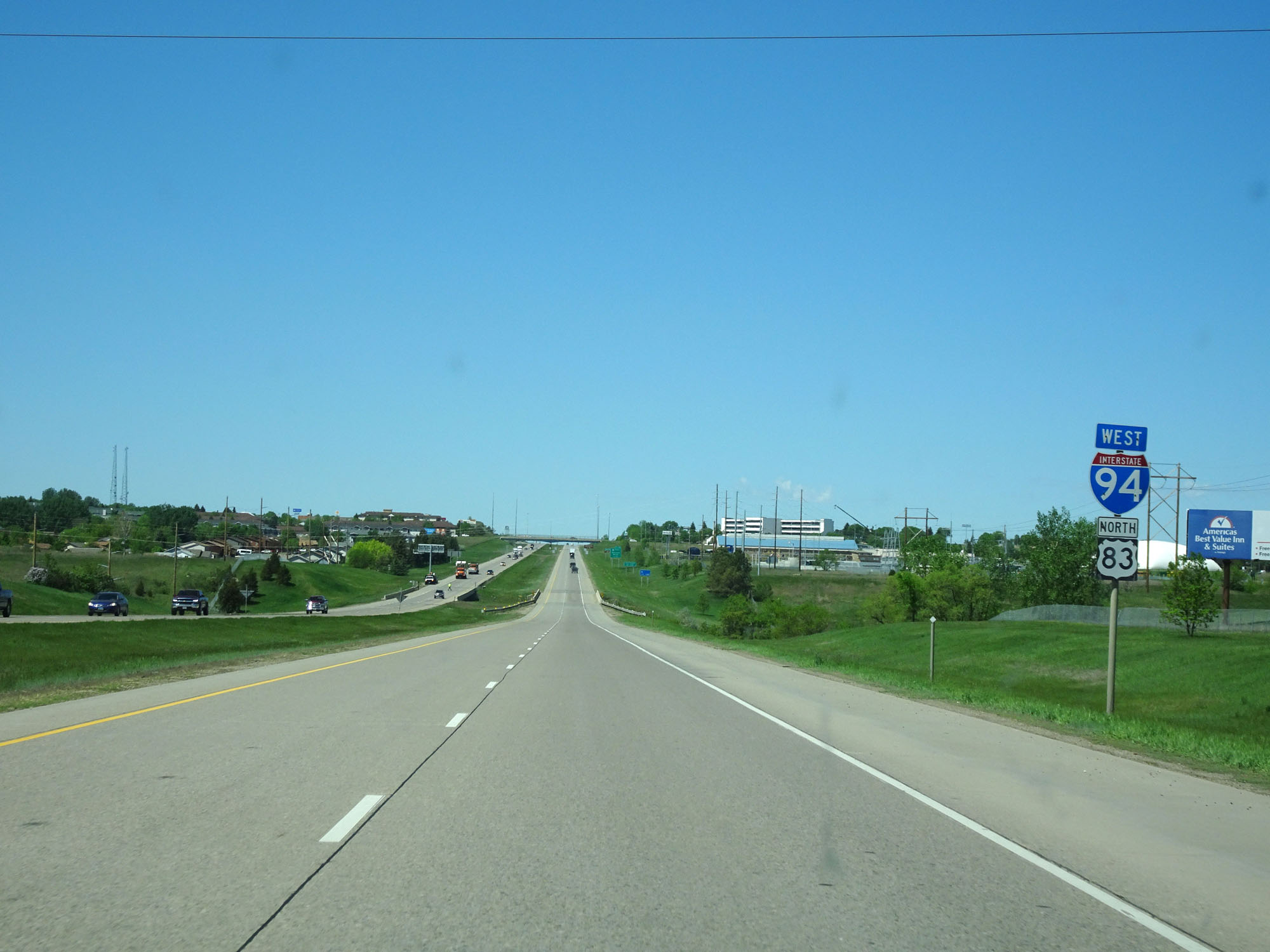 |
Dual Interstate 94 West / US 83 North assurance shields. (Photo taken 5/23/16). |
 |
Take Exit 159 to City Center. (Photo taken 5/23/16). |
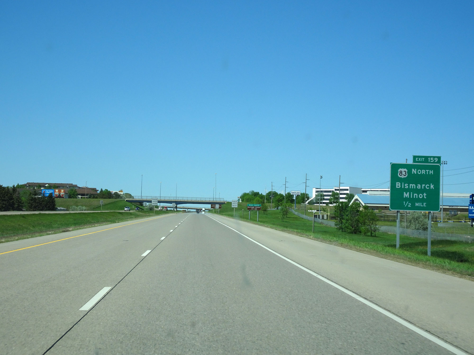 |
Interstate 94 West approaching Exit 159 - 1/2 mile. (Photo taken 5/23/16). |
 |
Take Exit 159 to the State Capitol and Heritage Center. (Photo taken 5/23/16). |
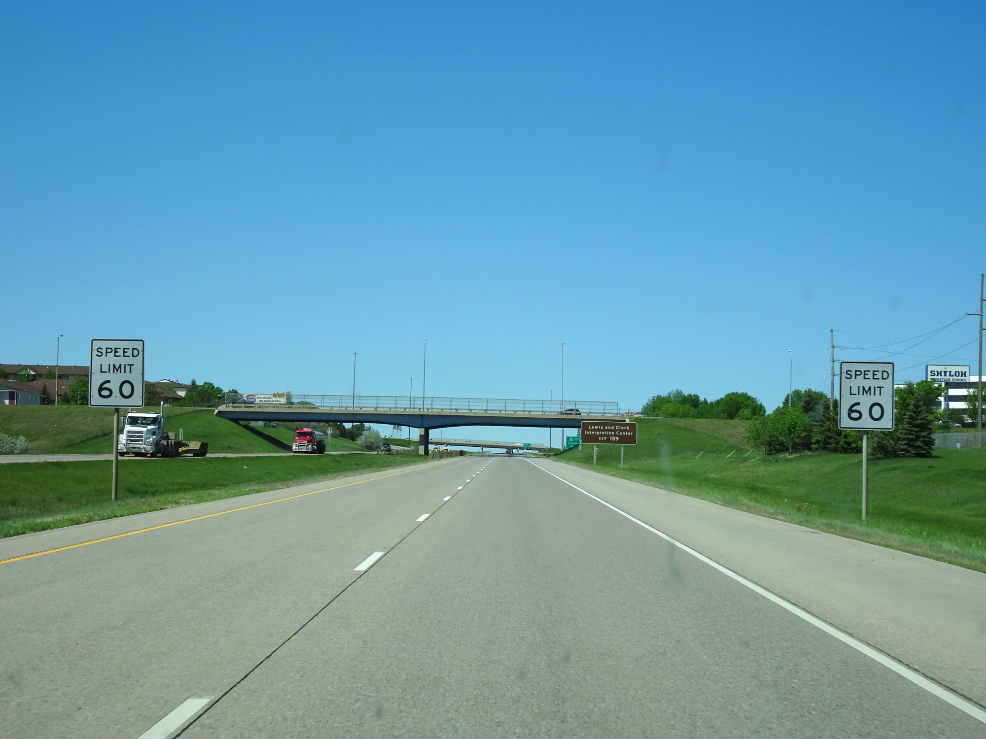 |
Nearing Exit 159, the speed limit decreases to 60 mph as we pass through Bismarck and Mandan. (Photo taken 5/23/16). |
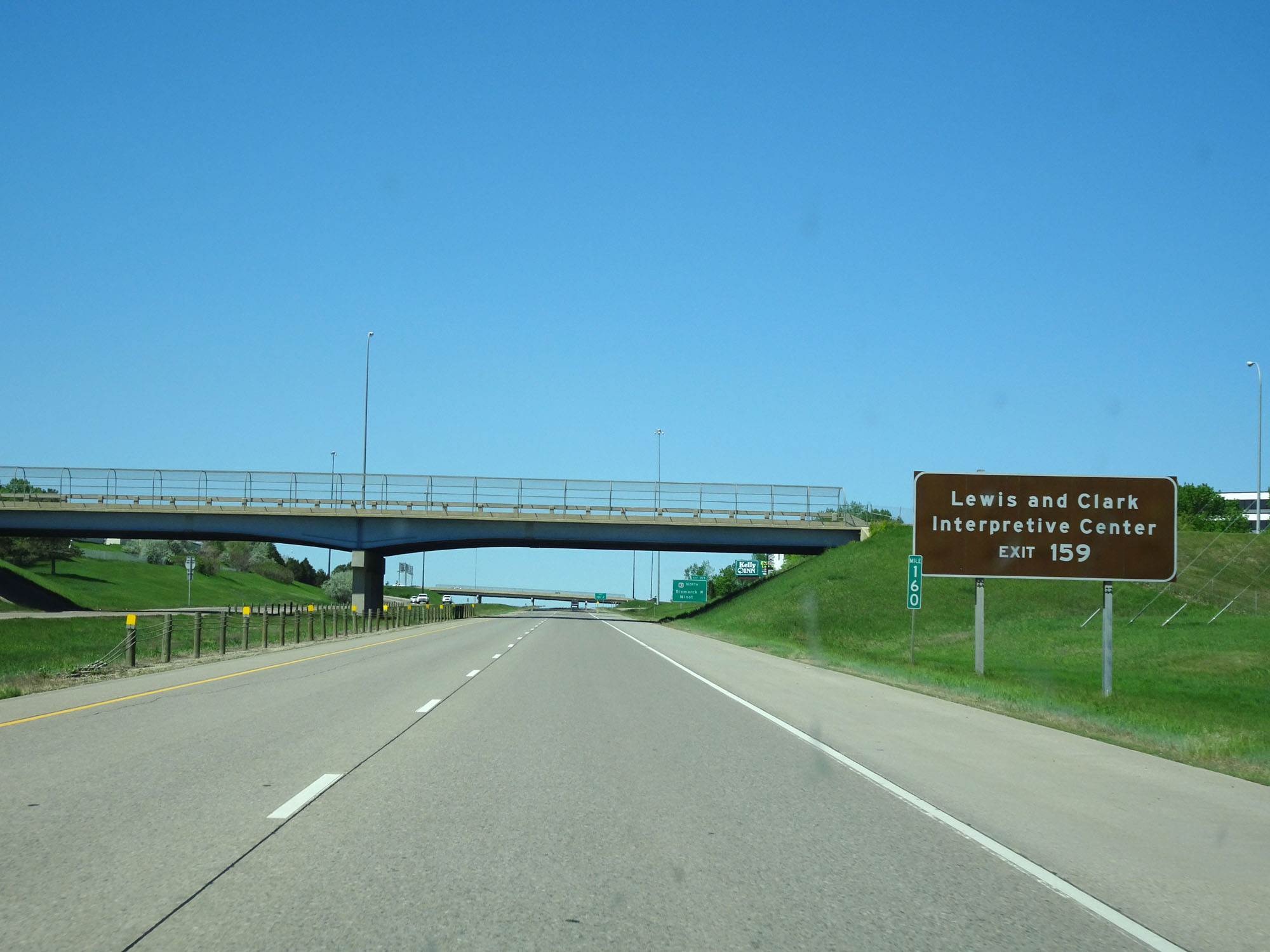 |
Also take Exit 159 to Lewis and Clark Interpretive Center. (Photo taken 5/23/16). |
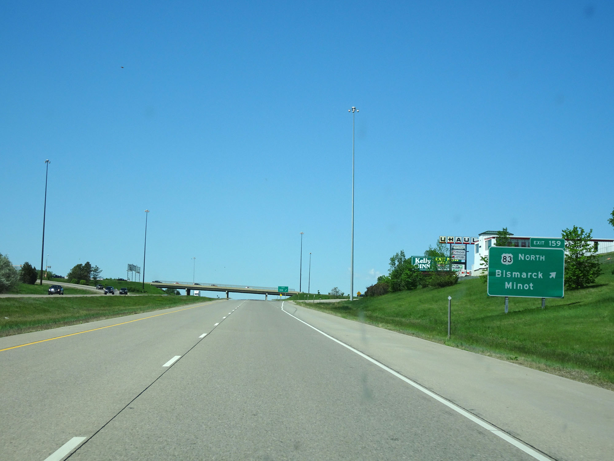 |
Interstate 94 West at Exit 159: US 83 North - Bismarck / Minot (Photo taken 5/23/16). |
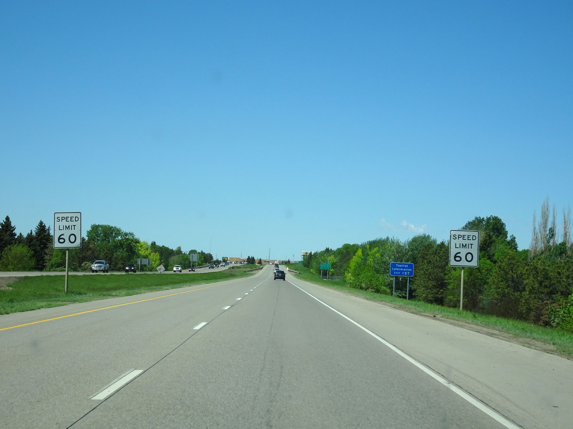 |
Again, the speed limit remains 60 mph as Interstate 94 passes through the Bismarck and Mandan areas. (Photo taken 5/23/16). |
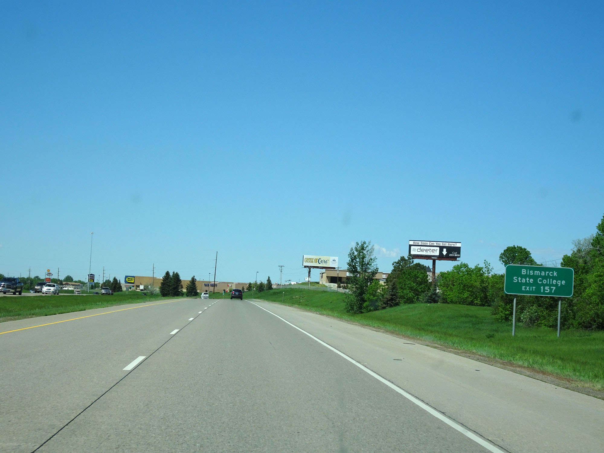 |
Take Exit 157 to Bismarck State College. (Photo taken 5/23/16). |
 |
Interstate 94 West at mile marker 158. (Photo taken 5/23/16). |
 |
Interstate 94 West at Exit 157: Divide Ave (Photo taken 5/23/16). |
Section 4: Bismarck (Exit 157) to Dickinson (Exit 64)
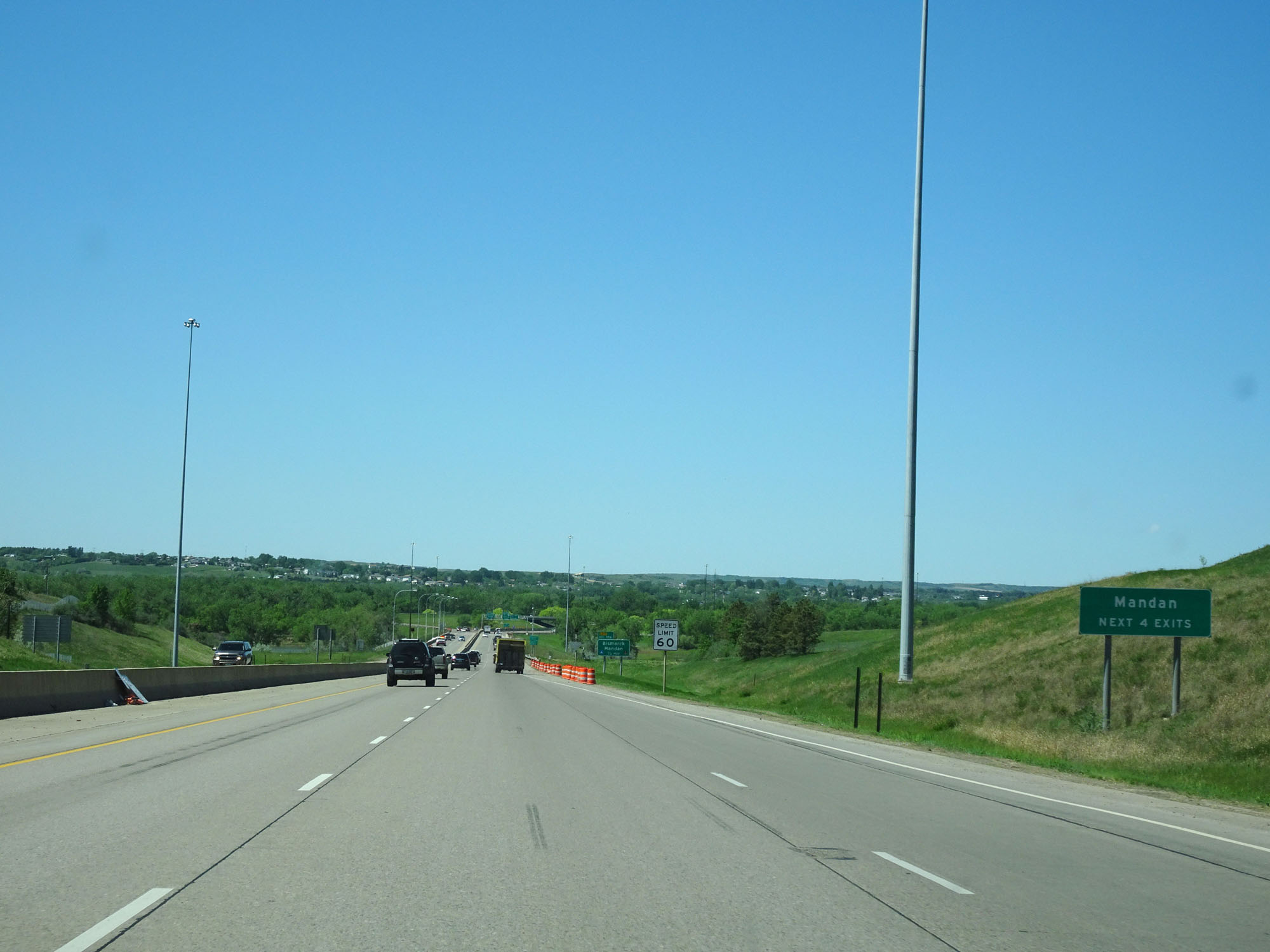 |
Take any of the next 4 exits to Mandan. (Photo taken 5/23/16). |
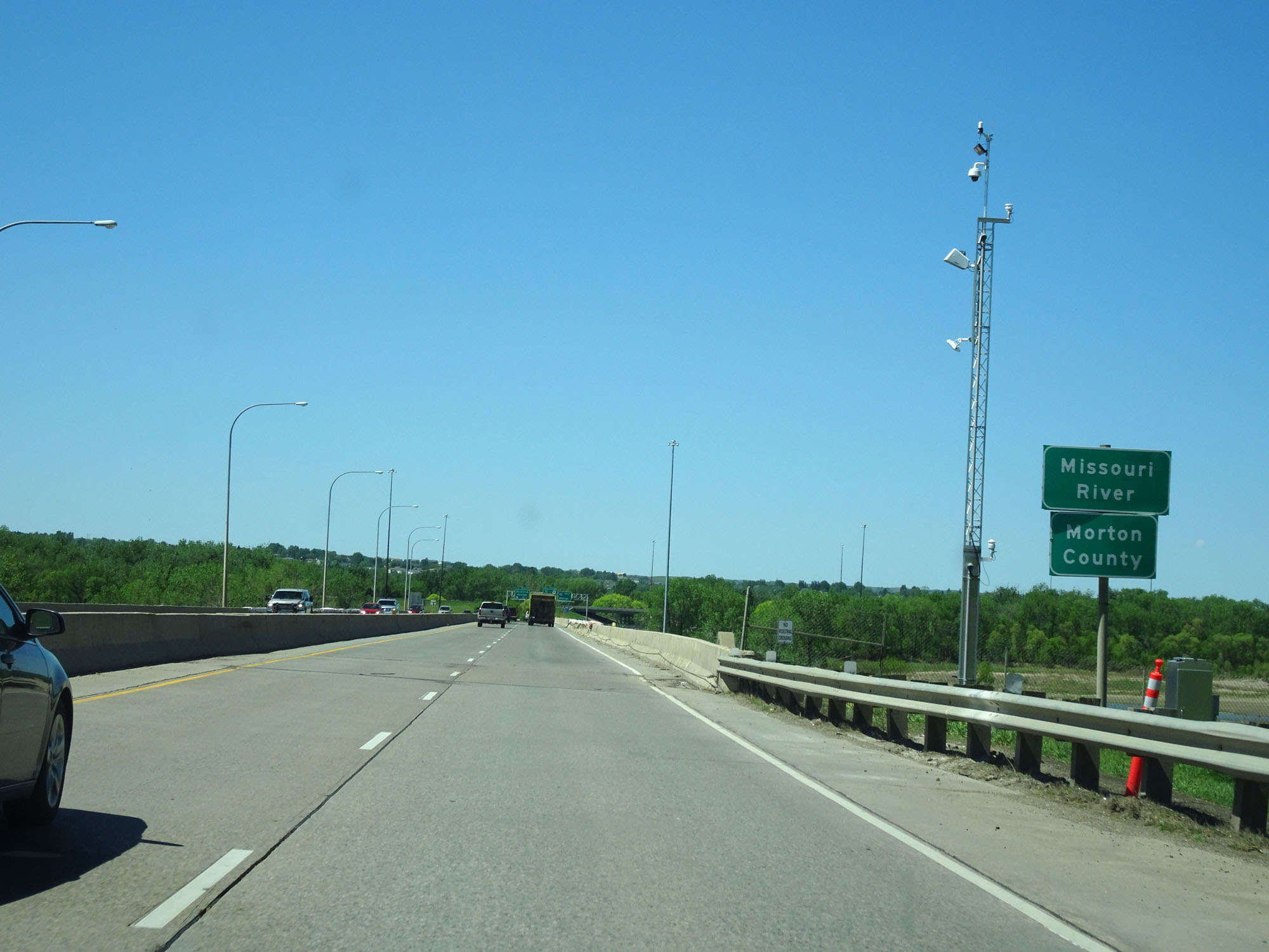 |
Interstate 94 West as it crosses the Missouri River and into Morton County. (Photo taken 5/23/16). |
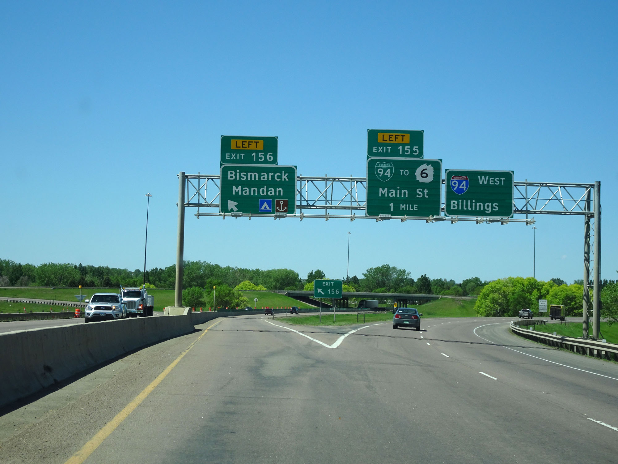 |
Interstate 94 West at Exit 156: Unsigned Interstate 194 - Bismarck / Mandan (Photo taken 5/23/16). |
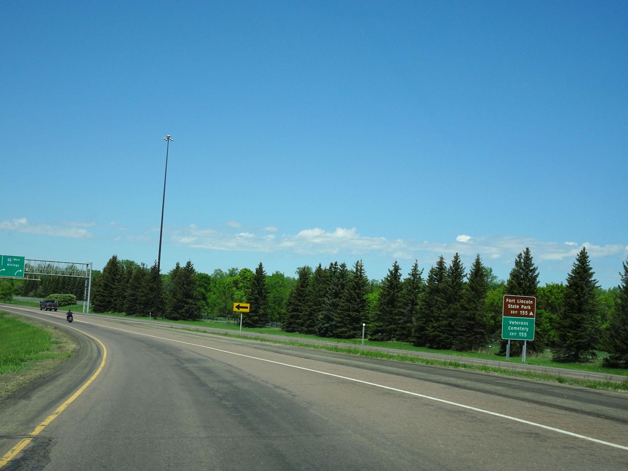 |
Take Exit 155 to Fort Lincoln State Park and the Veterans Cemetery. (Photo taken 5/23/16). |
 |
Interstate 94 West at Exit 155: Interstate 94 BL / To ND 6 - Main St (Photo taken 5/23/16). |
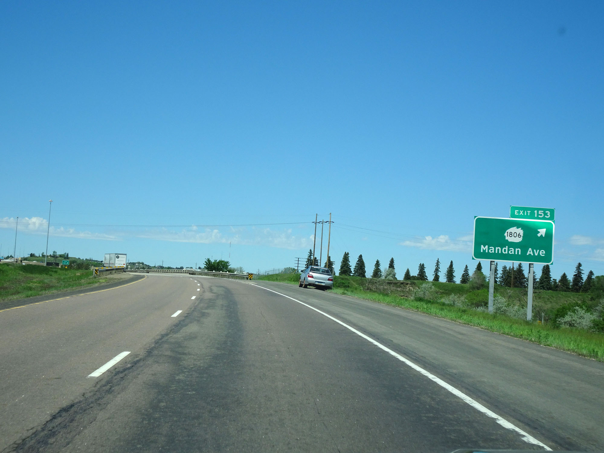 |
Interstate 94 West at Exit 153: ND 1806 - Mandan Ave (Photo taken 5/23/16). |
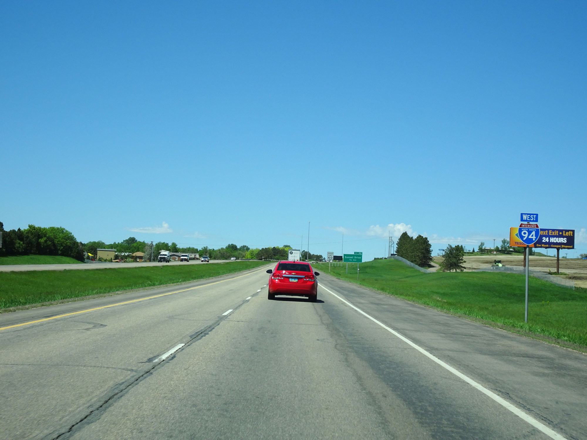 |
State-named Interstate 94 West assurance shield just west of Exit 153. (Photo taken 5/23/16). |
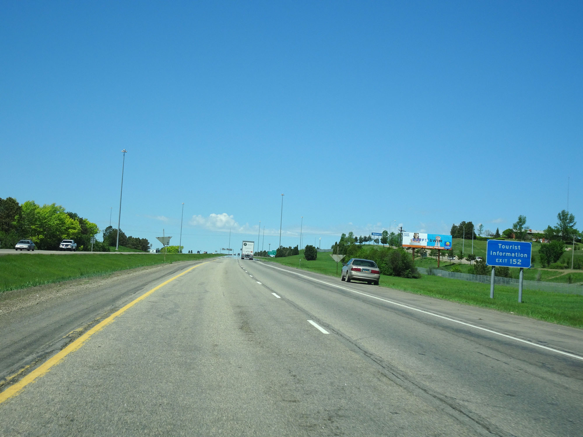 |
Take Exit 152 for Tourist Information. (Photo taken 5/23/16). |
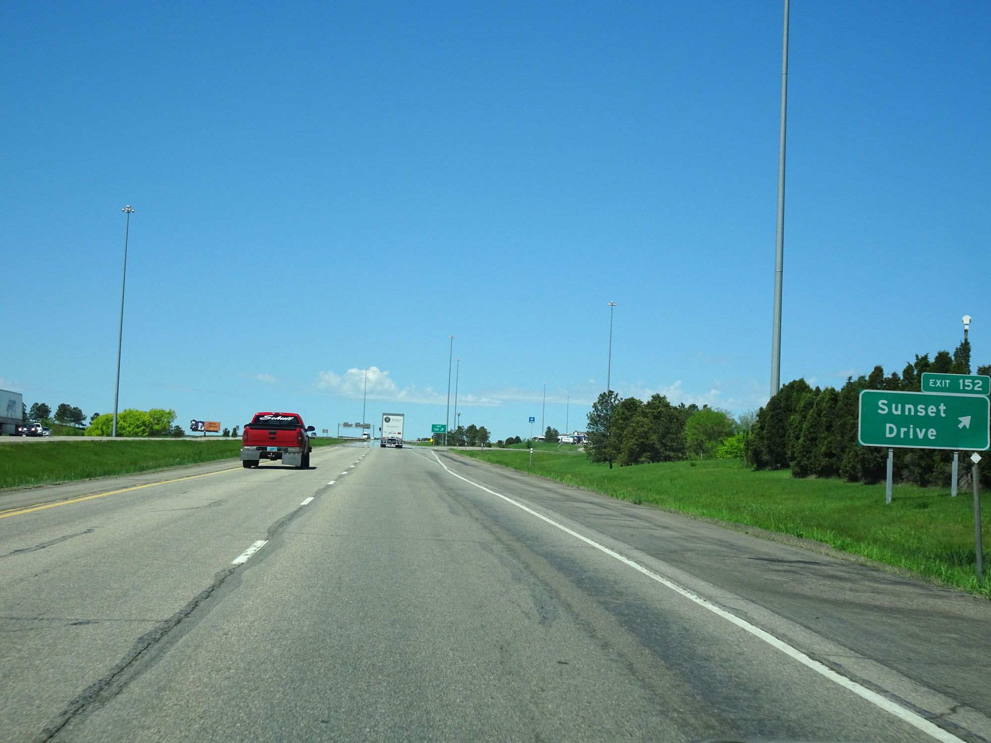 |
Interstate 94 West at Exit 152: Sunset Drive (Photo taken 5/23/16). |
 |
West of Exit 152, the standard speed limit of 75 mph resumes. The speed limit remains 75 mph the rest of the way through North Dakota on Interstate 94 West, save for any construction zones. (Photo taken 5/23/16). |
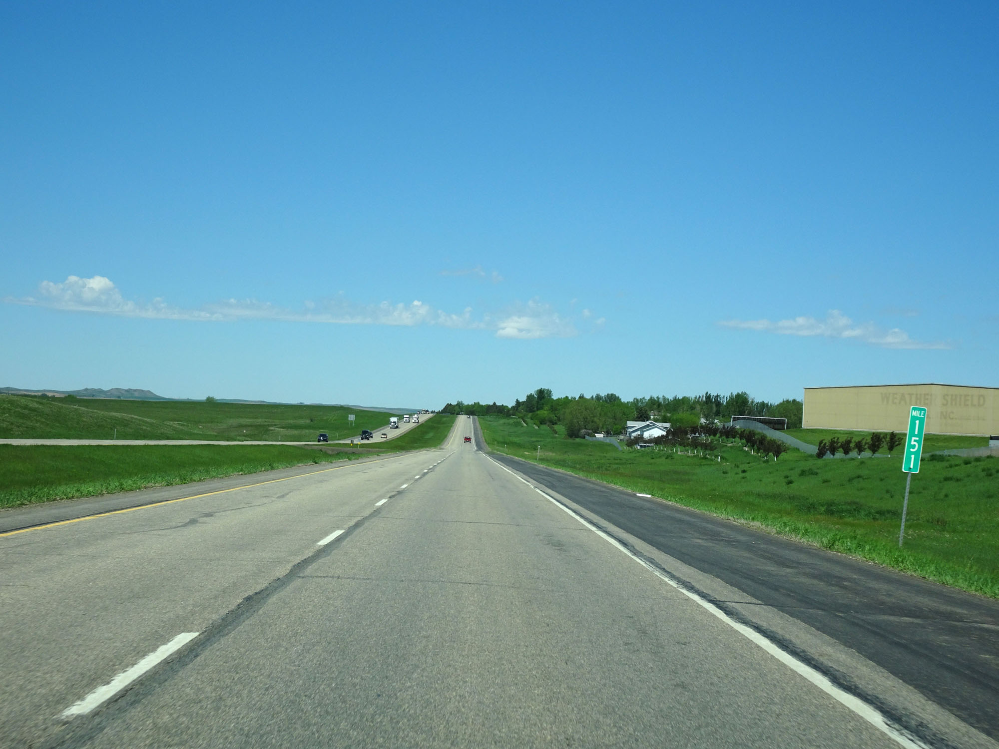 |
Interstate 94 West at mile marker 151. (Photo taken 5/23/16). |
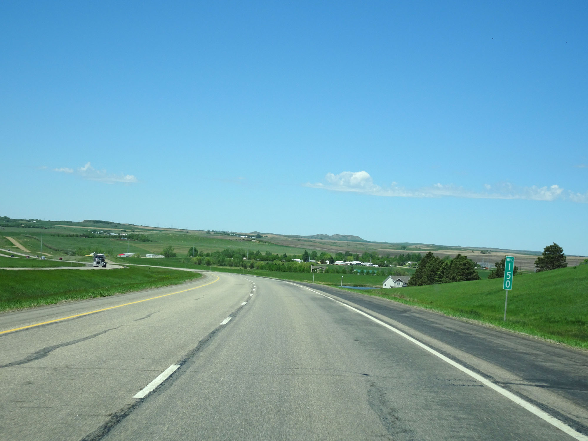 |
Interstate 94 West at mile marker 150. (Photo taken 5/23/16). |
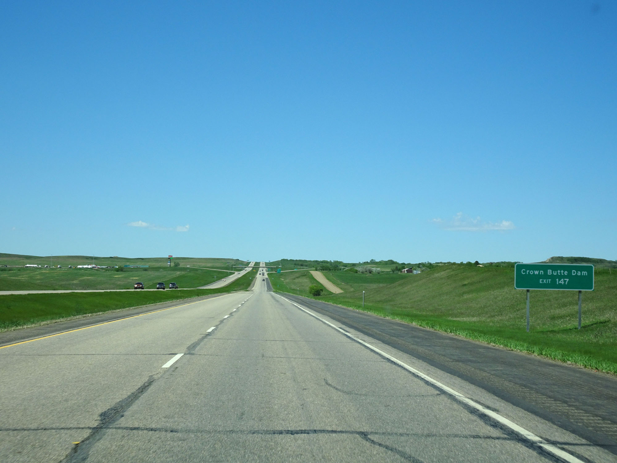 |
Take Exit 147 to Crown Butte Dam. (Photo taken 5/23/16). |
 |
Interstate 94 West at Exit 147: ND 25 North - Center / Stanton (Photo taken 5/23/16). |
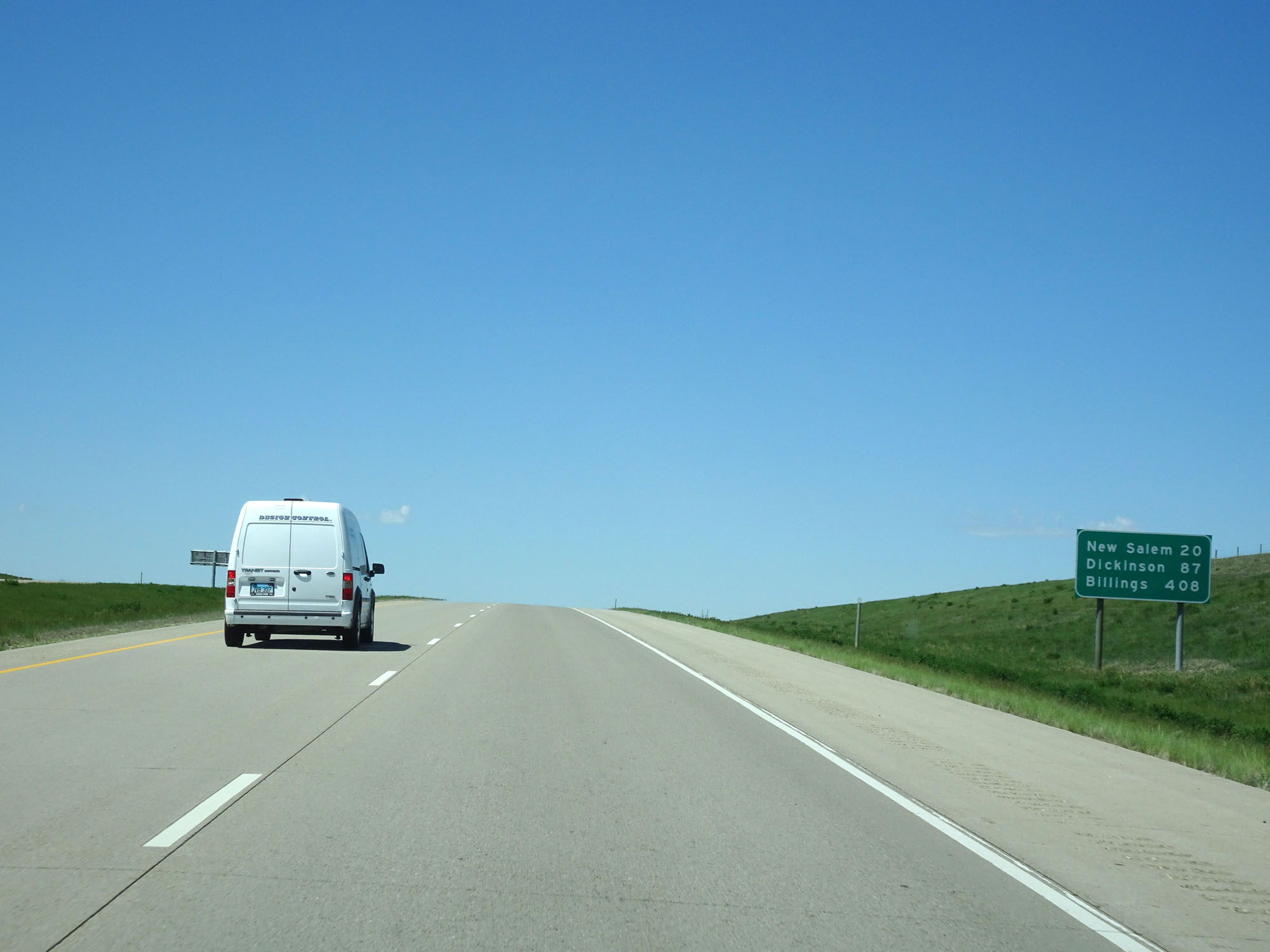 |
Mileage sign west of Exit 147. It's 20 miles to New Salem, 87 miles to Dickinson, and 408 miles to Billings. (Photo taken 5/23/16). |
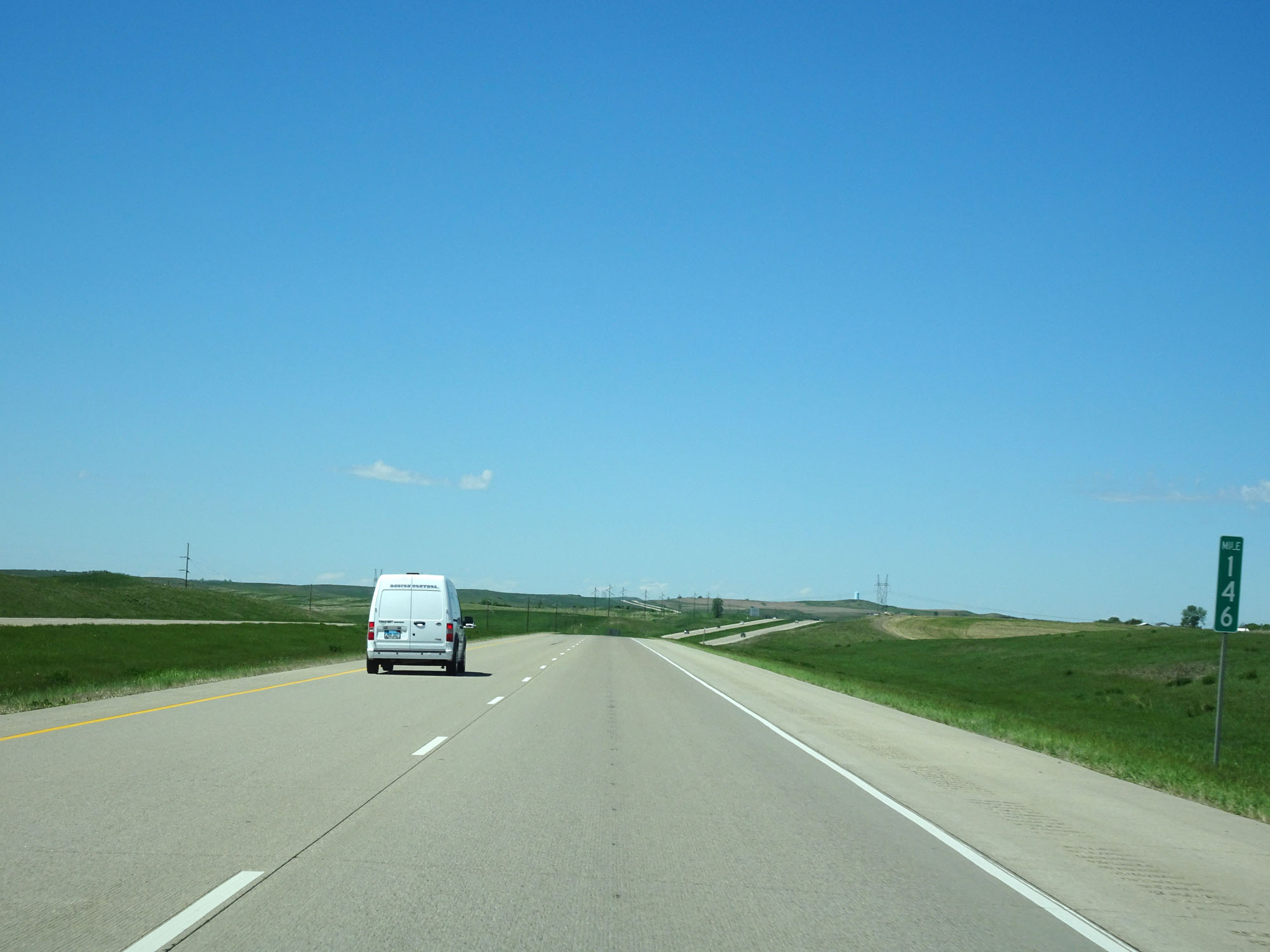 |
Interstate 94 West at mile marker 146. (Photo taken 5/23/16). |
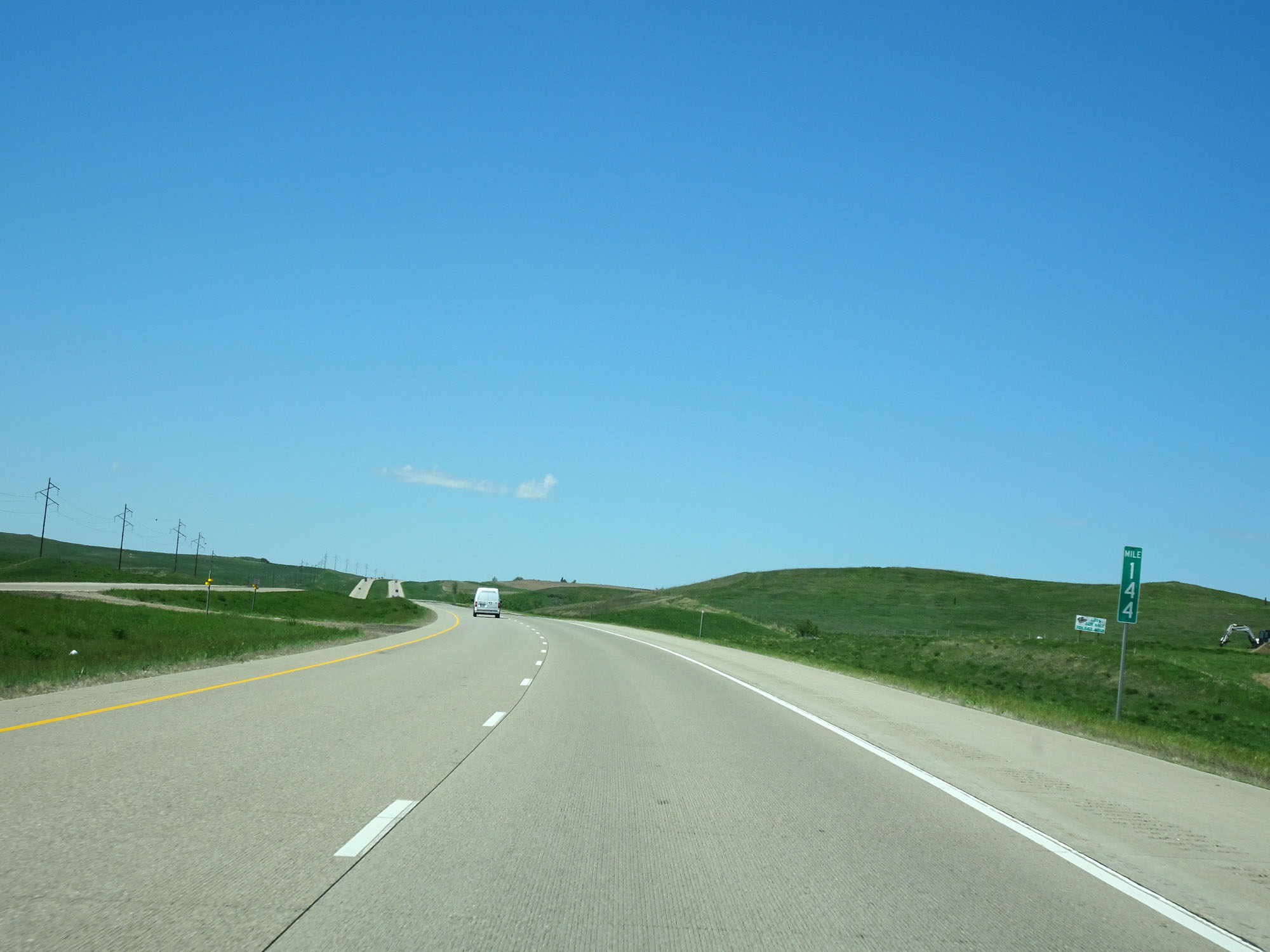 |
Interstate 94 West at mile marker 144. (Photo taken 5/23/16). |
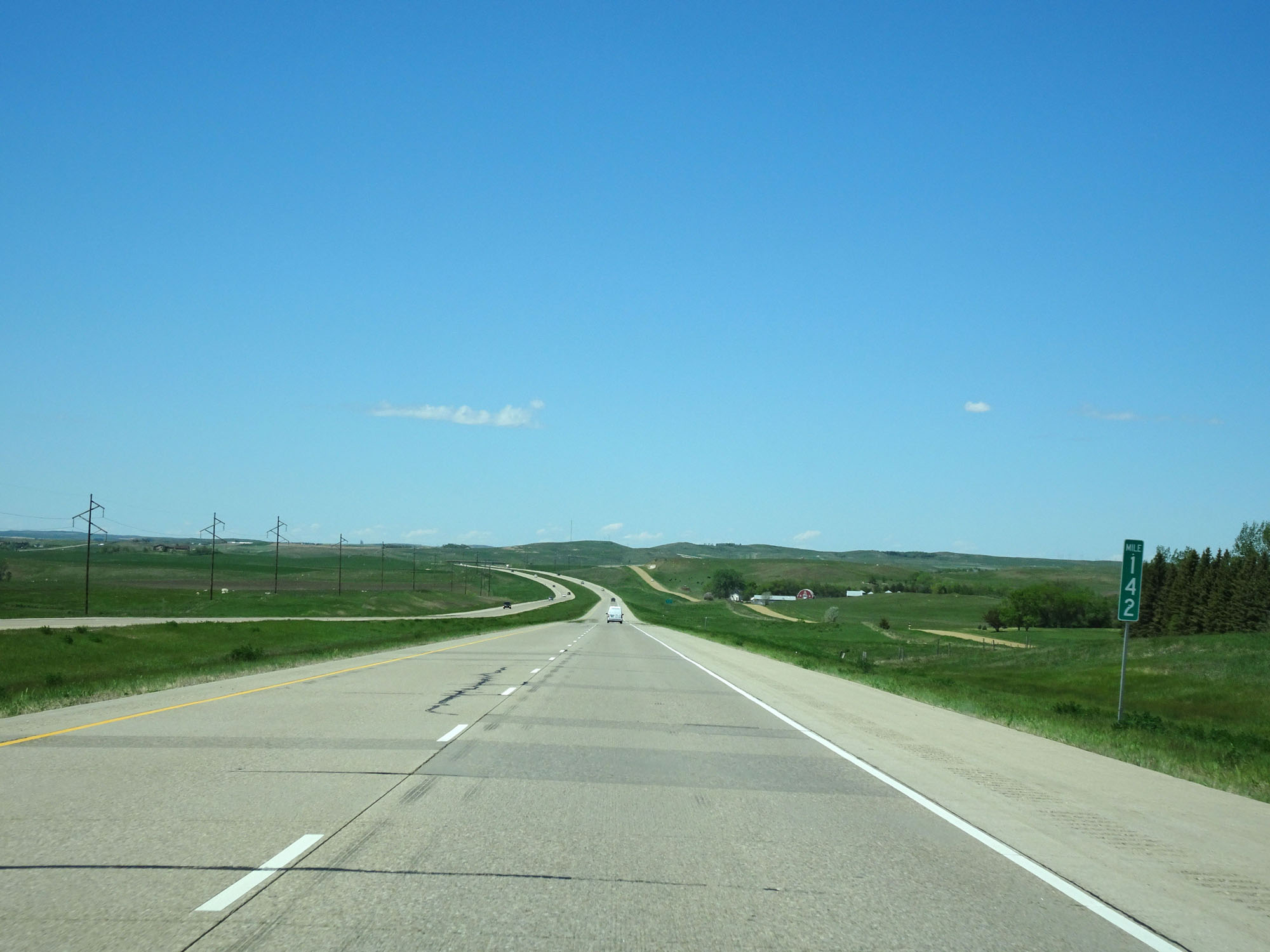 |
Interstate 94 West at mile marker 142. (Photo taken 5/23/16). |
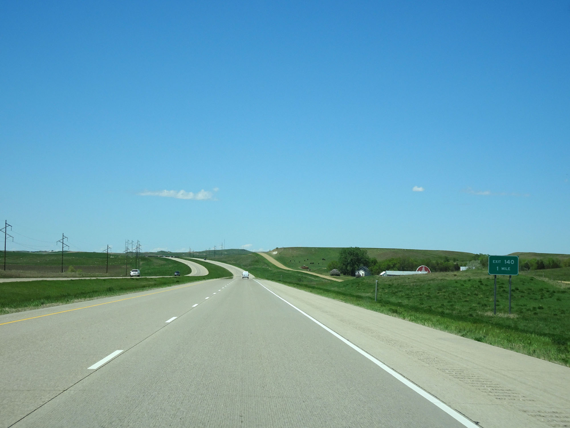 |
Interstate 94 West approaching Exit 140 - 1 mile. (Photo taken 5/23/16). |
 |
Interstate 94 West at Exit 140: (No Name) (Photo taken 5/23/16). |
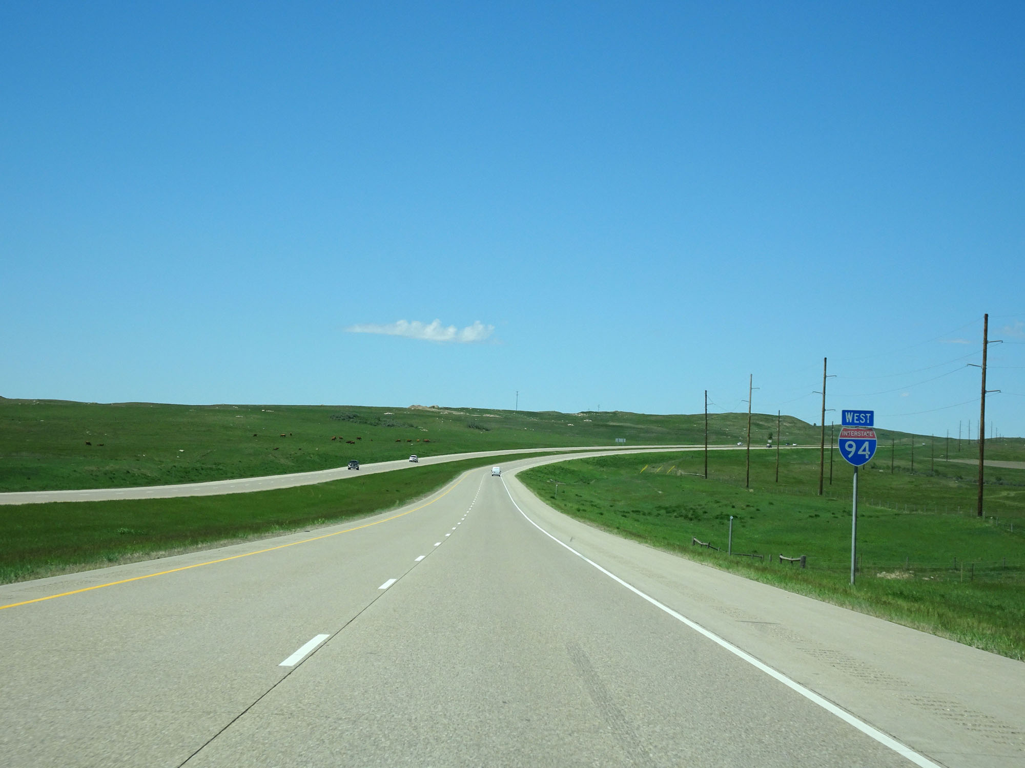 |
Interstate 94 West assurance shield near mile marker 139. (Photo taken 5/23/16). |
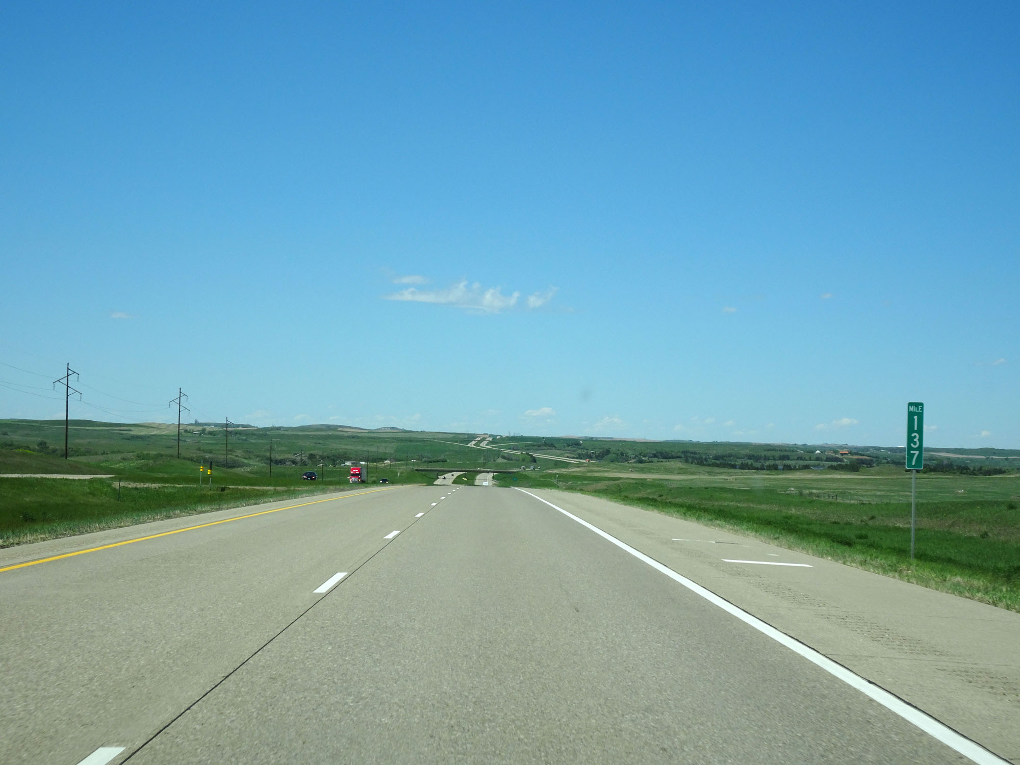 |
Interstate 94 West at mile marker 137. (Photo taken 5/23/16). |
 |
Interstate 94 West at the Scenic View Area located at mile marker 135. (Photo taken 5/23/16). |
 |
Interstate 94 West at Exit 134: Judson / Sweet Briar Lake (Photo taken 5/23/16). |
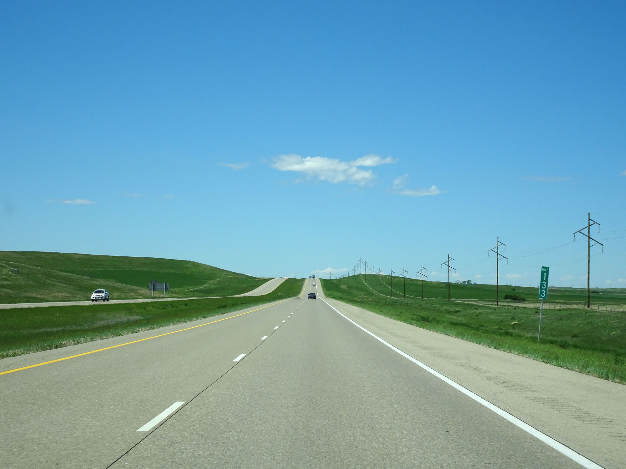 |
Interstate 94 West at mile marker 133. (Photo taken 5/23/16). |
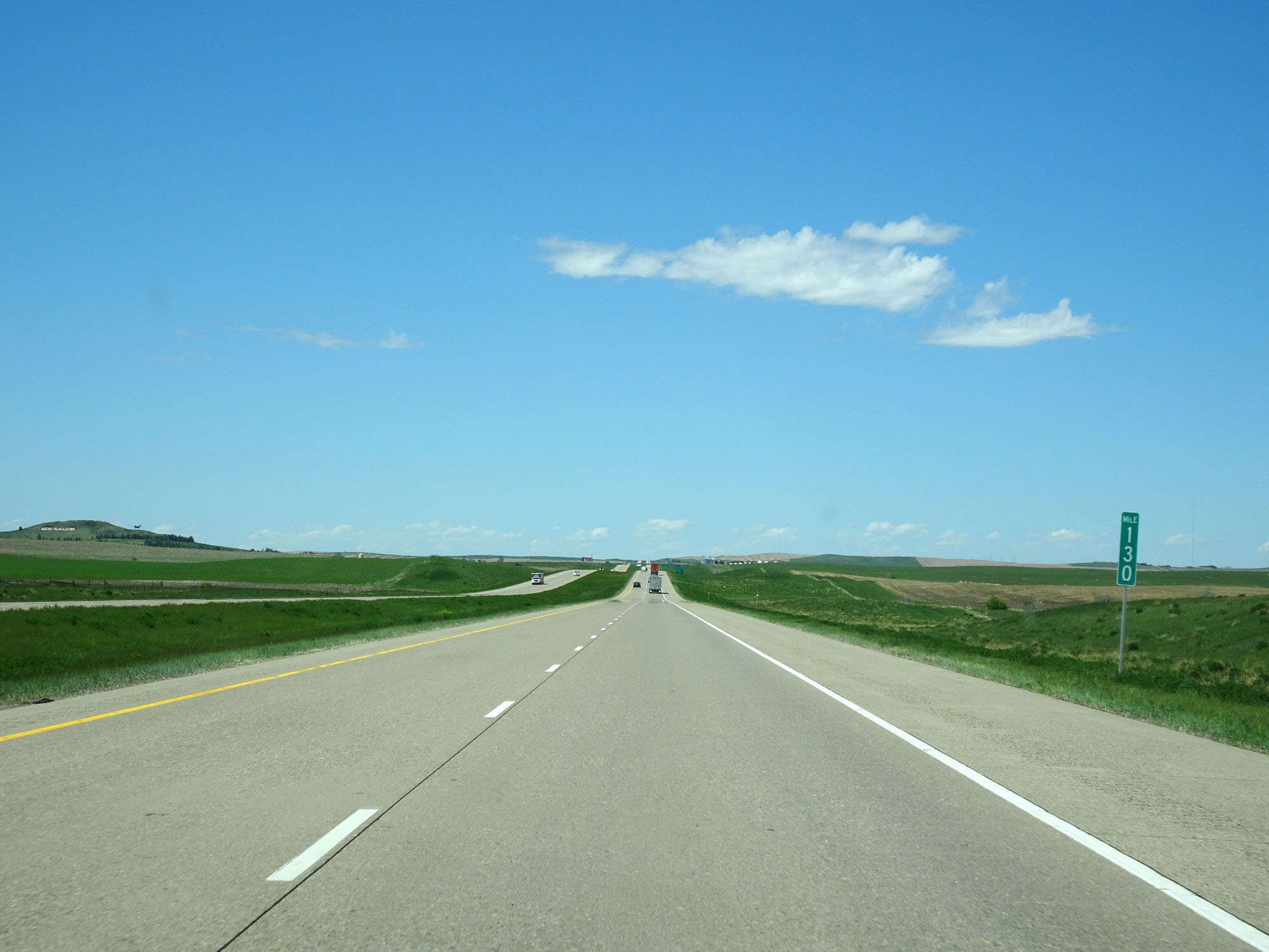 |
Interstate 94 West at mile marker 130. (Photo taken 5/23/16). |
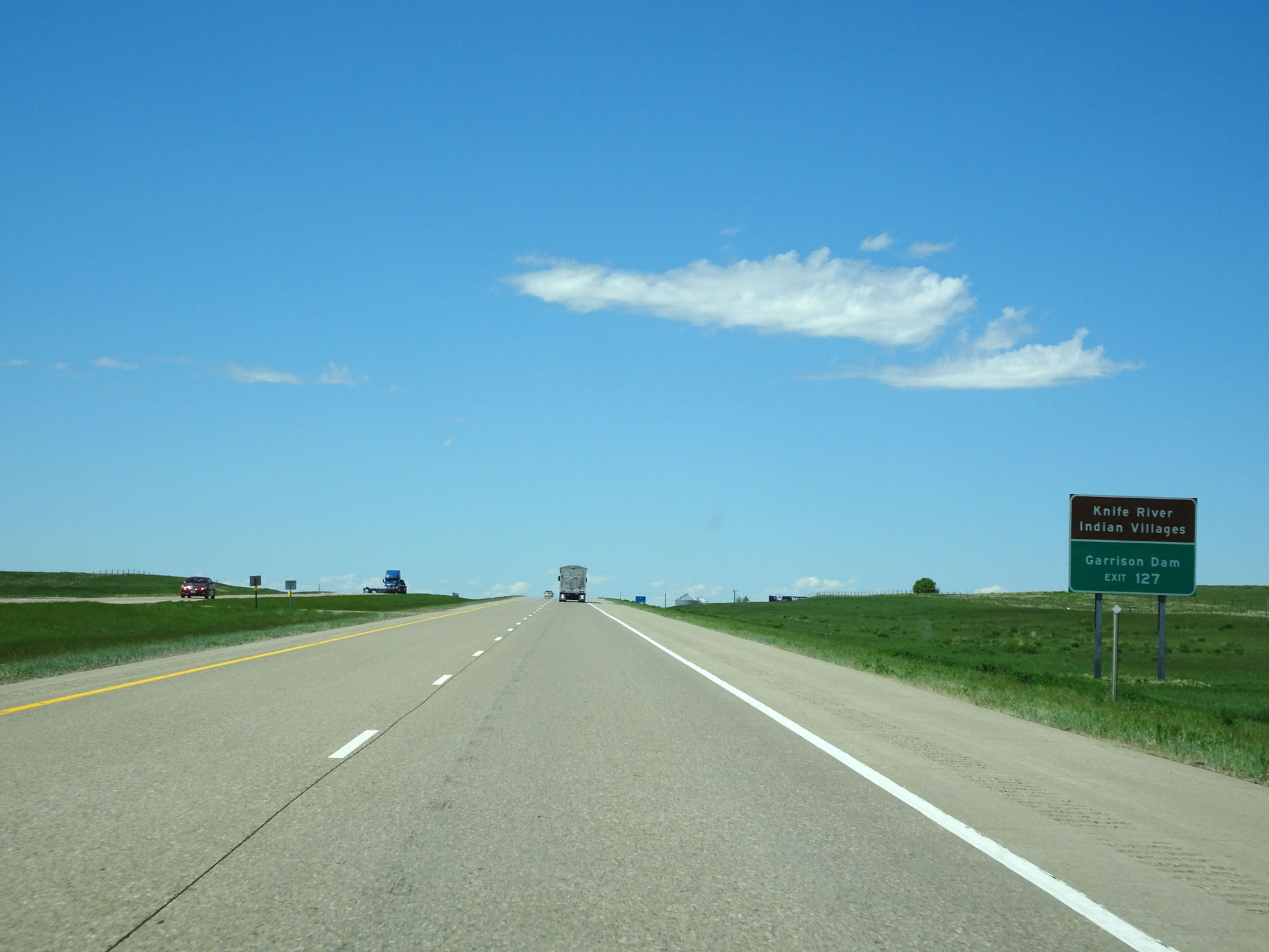 |
Take Exit 127 to Knife River Indian Villages and Garrison Dam. (Photo taken 5/23/16). |
 |
Interstate 94 West at Exit 127: ND 31 North - New Salem / Hazen (Photo taken 5/23/16). |
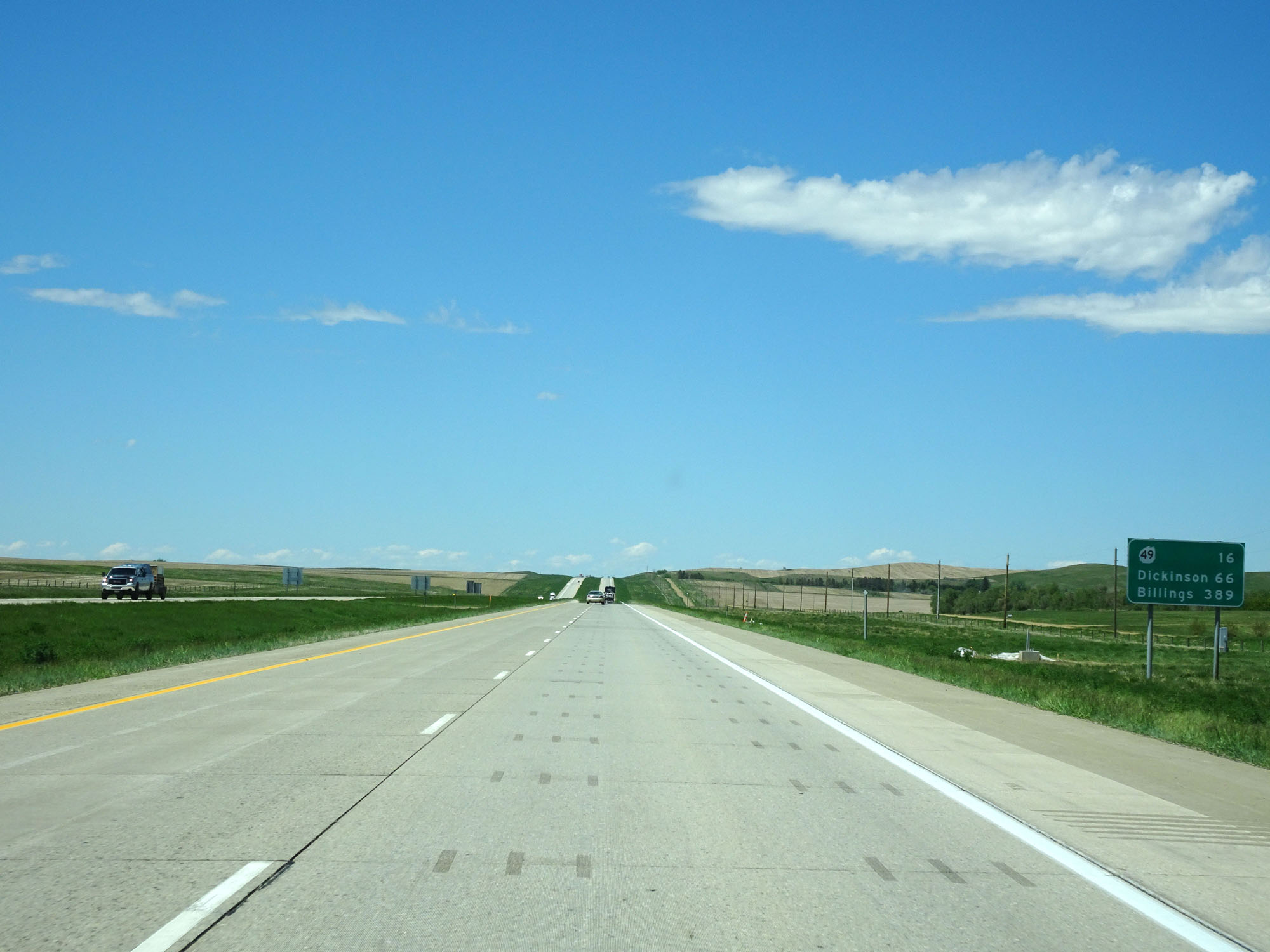 |
Mileage sign west of Exit 127. It's 16 miles to the junction of ND 49, 66 miles to Dickinson, and 389 miles to Billings. (Photo taken 5/23/16). |
 |
Interstate 94 West at Exit 123: Almont (Photo taken 5/23/16). |
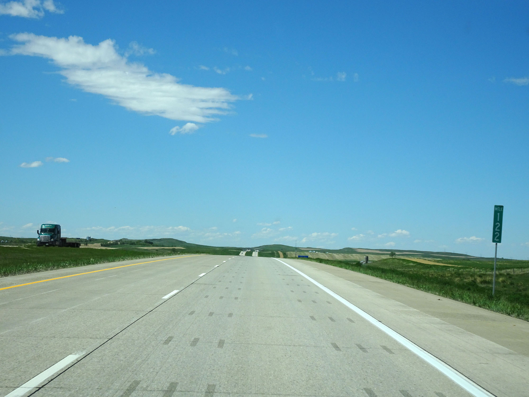 |
Interstate 94 West at mile marker 122. (Photo taken 5/23/16). |
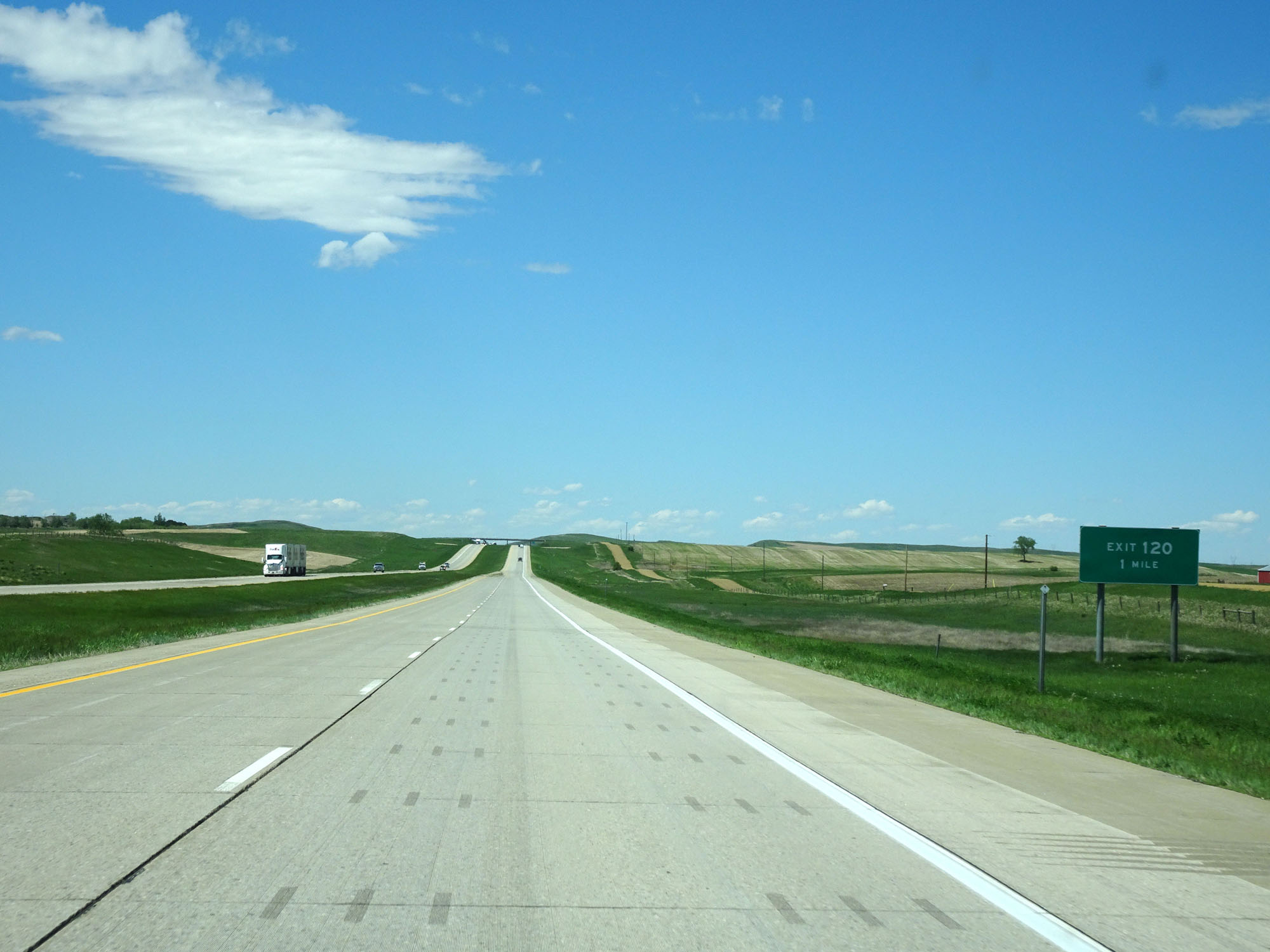 |
Interstate 94 West approaching Exit 120 - 1 mile. (Photo taken 5/23/16). |
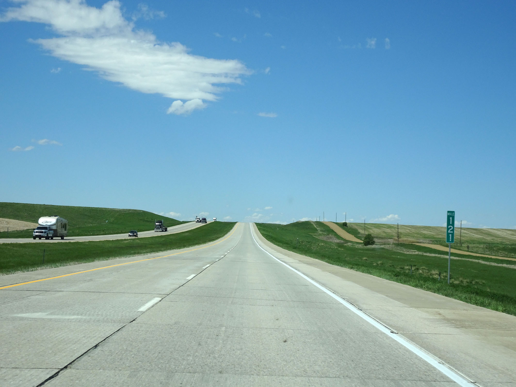 |
Interstate 94 West at mile marker 121. (Photo taken 5/23/16). |
 |
Interstate 94 West at Exit 120: (No Name) (Photo taken 5/23/16). |
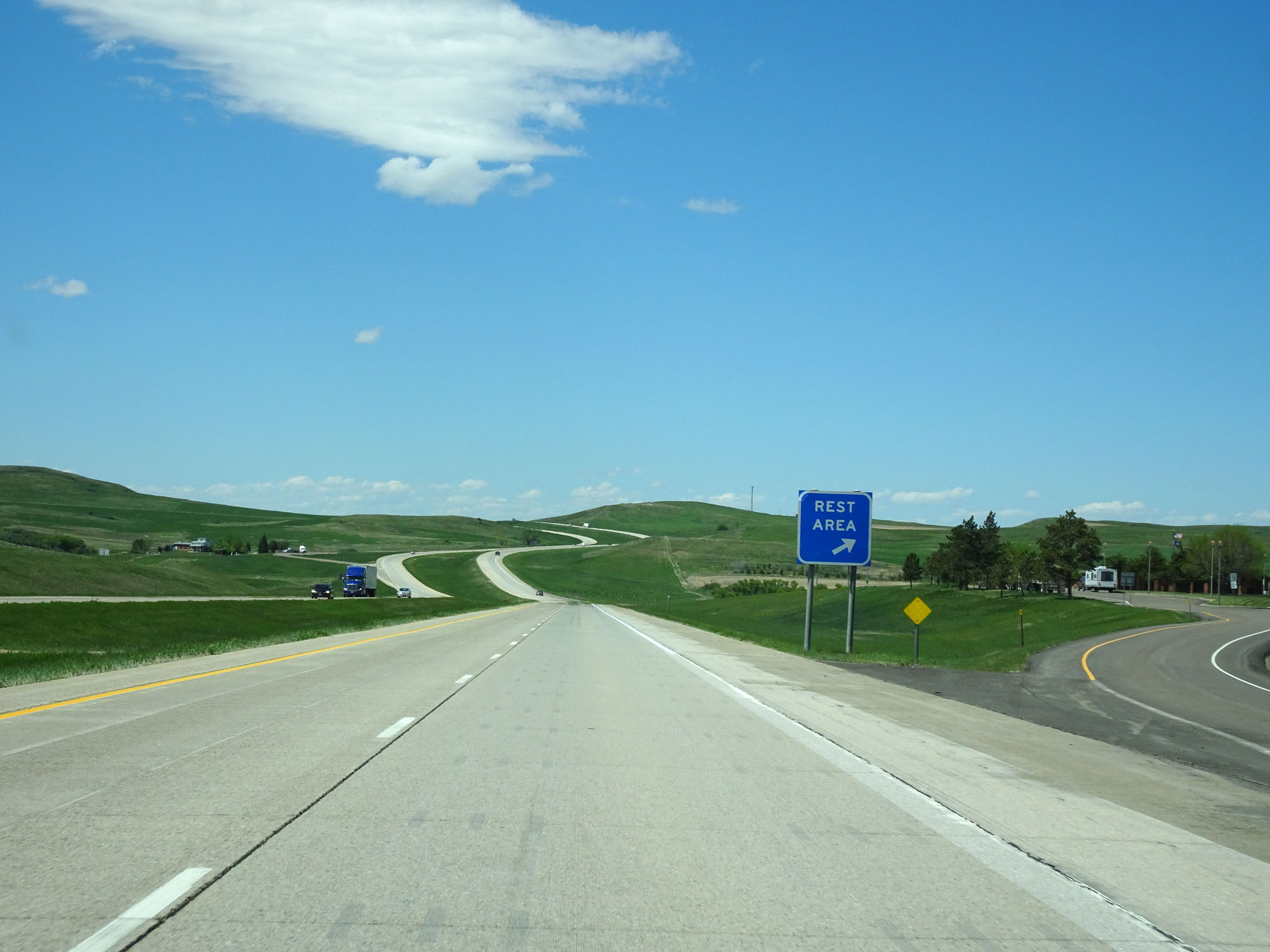 |
Interstate 94 West at the Rest Area located near mile marker 119.5. (Photo taken 5/23/16). |
 |
Interstate 94 West approaching Exit 117 - 1 mile. (Photo taken 5/23/16). |
 |
Interstate 94 West at mile marker 118. (Photo taken 5/23/16). |
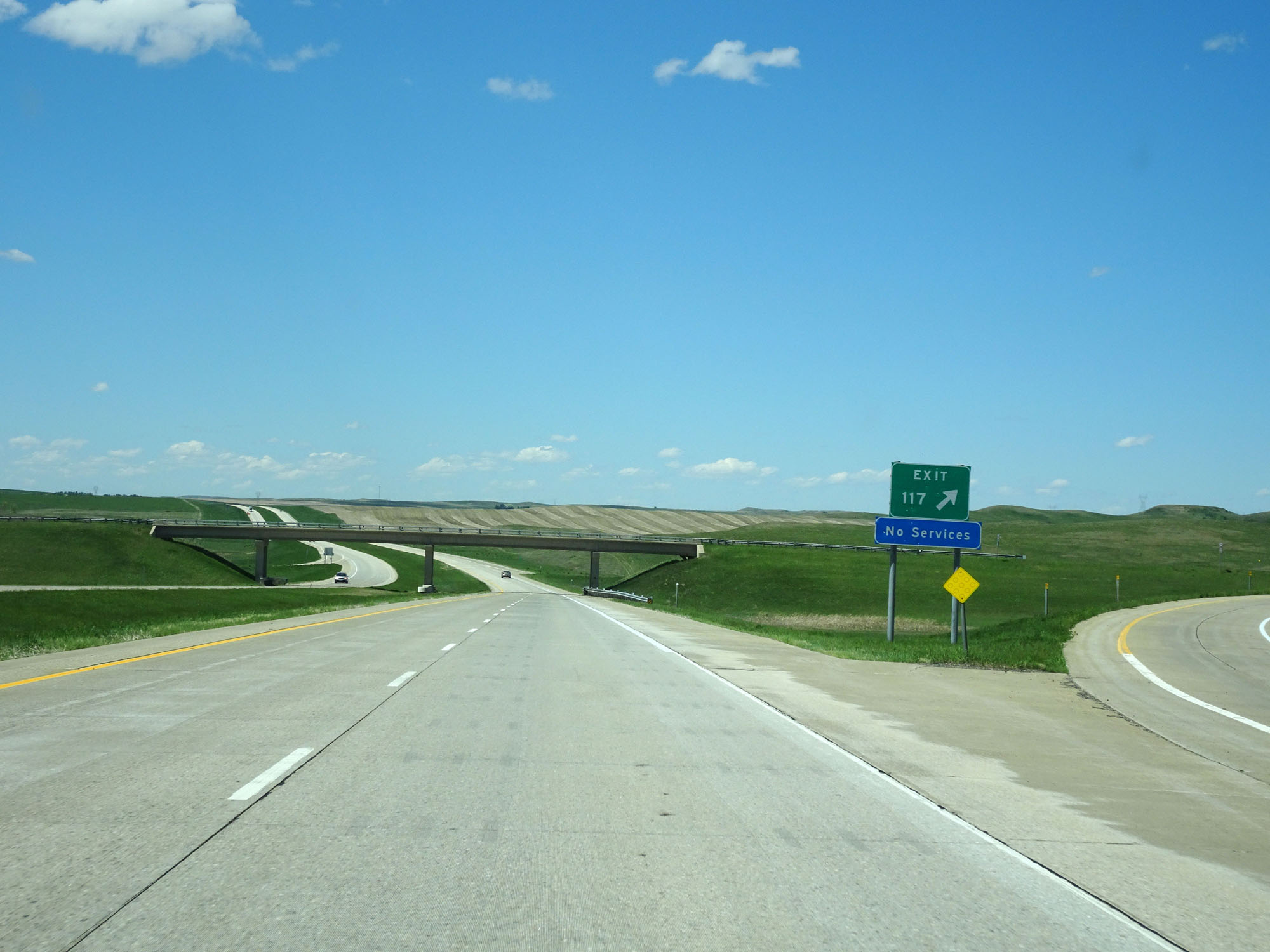 |
Interstate 94 West at Exit 117: (No Name) (Photo taken 5/23/16). |
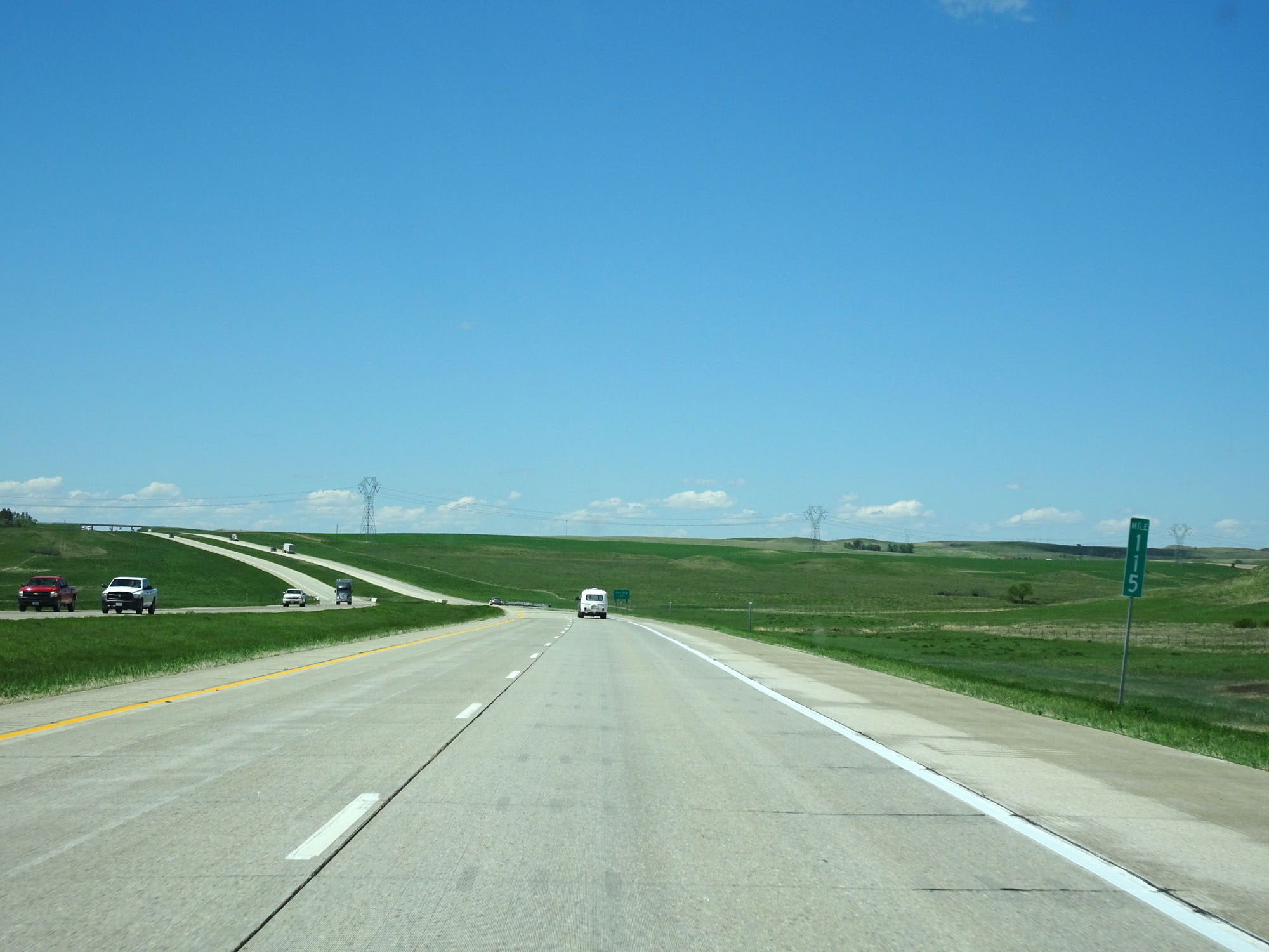 |
Interstate 94 West at mile marker 115. (Photo taken 5/23/16). |
 |
Interstate 94 West approaching Exit 113 - 1 mile. (Photo taken 5/23/16). |
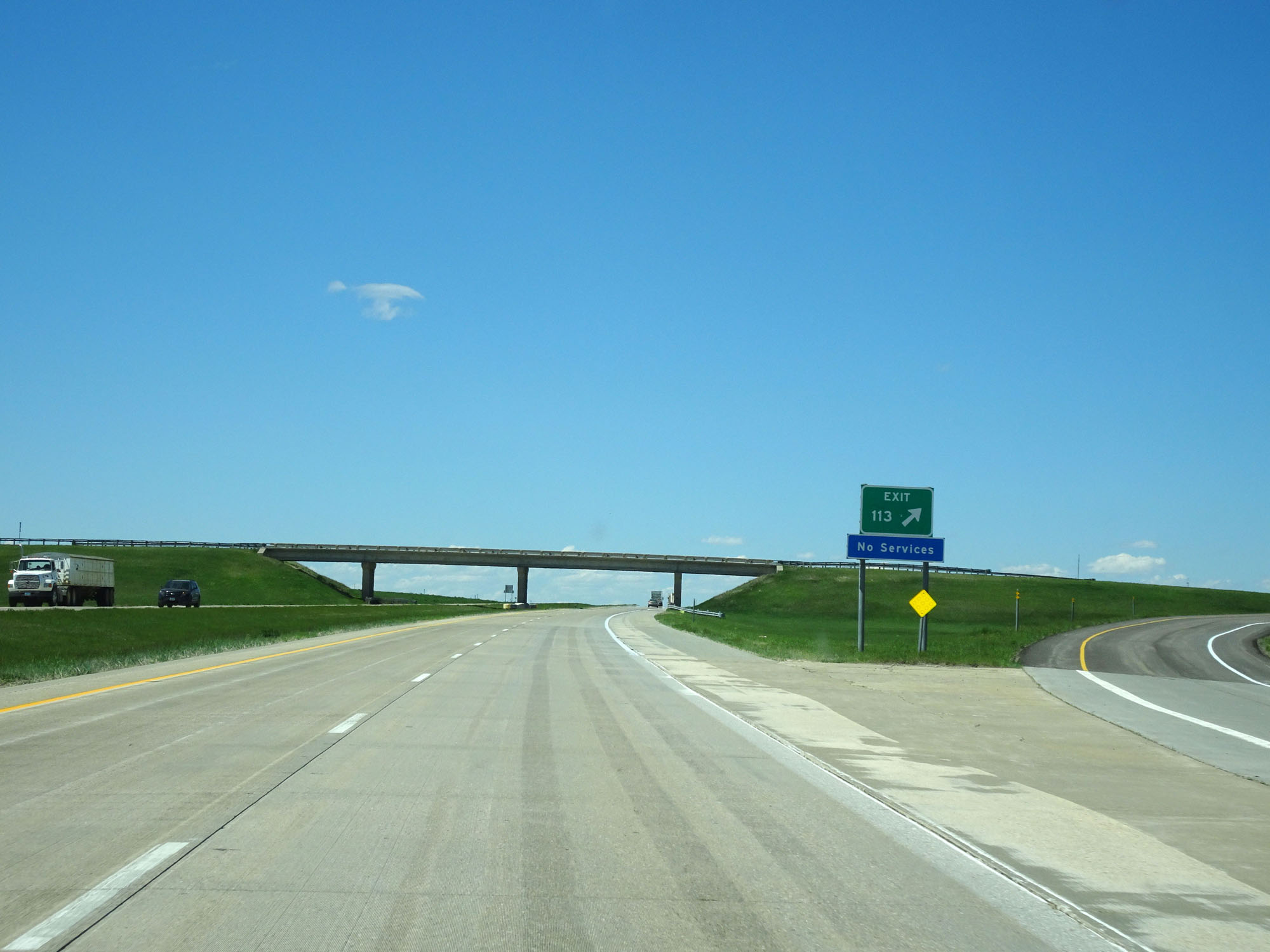 |
Interstate 94 West at Exit 113: (No Name) (Photo taken 5/23/16). |
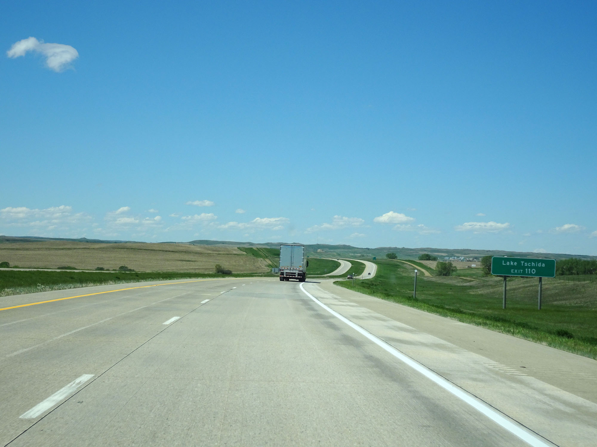 |
Take Exit 110 to Lake Tschida. (Photo taken 5/23/16). |
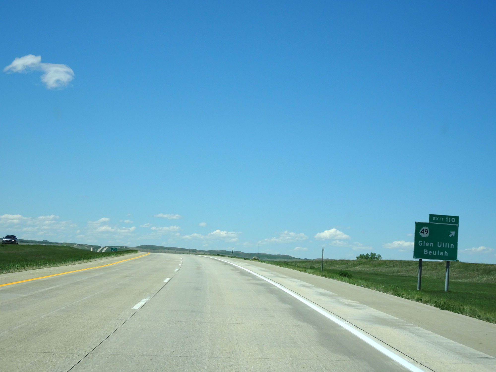 |
Interstate 94 West at Exit 110: ND 49 - Glen Ullin / Beulah (Photo taken 5/23/16). |
 |
Interstate 94 West at Exit 108: Glen Ullin (Photo taken 5/23/16). |
 |
Mileage sign west of Exit 108. It's 24 miles to Richardton, 47 miles to Dickinson, and 370 miles to Billings. (Photo taken 5/23/16). |
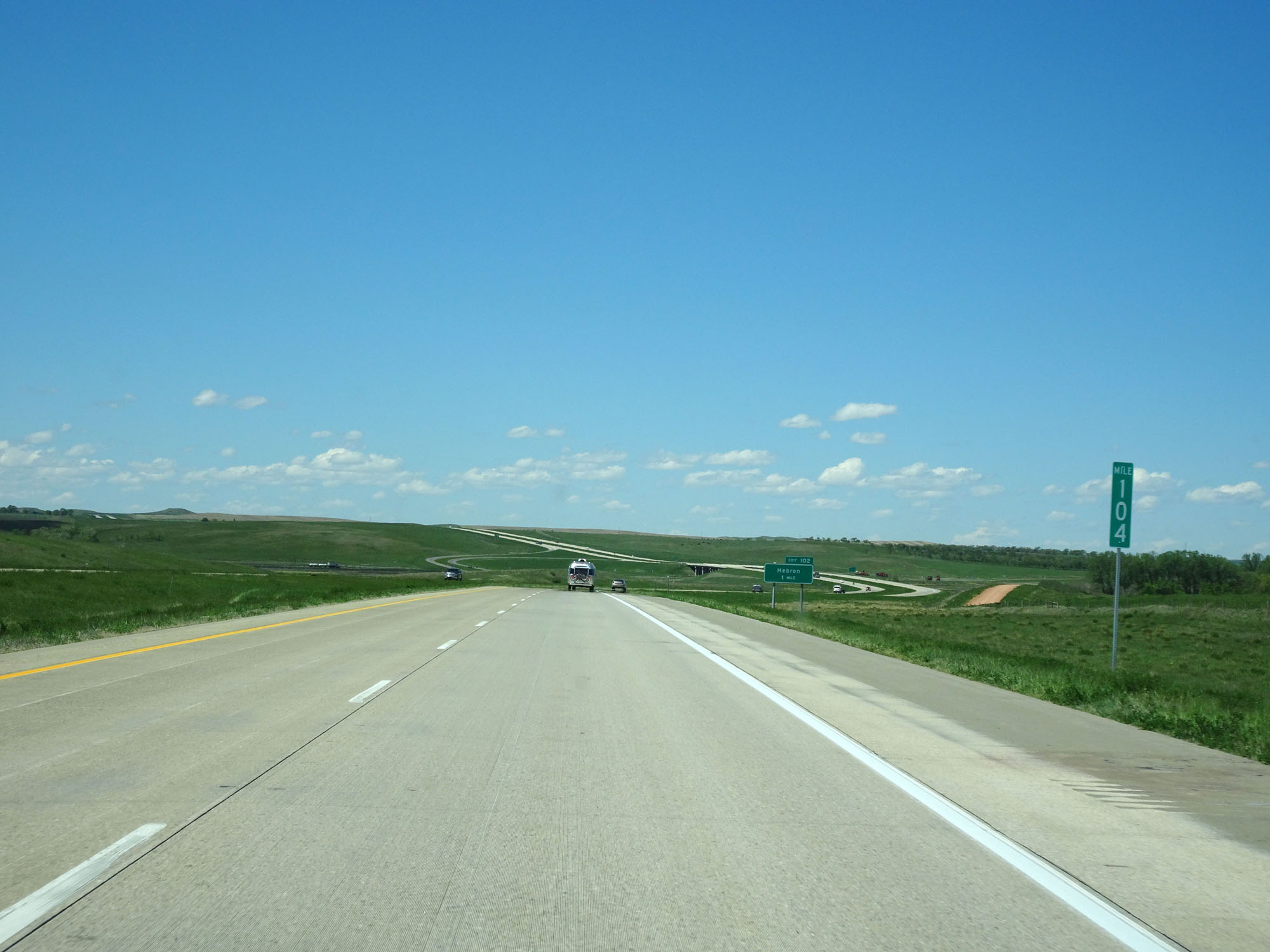 |
Interstate 94 West at mile marker 104. (Photo taken 5/23/16). |
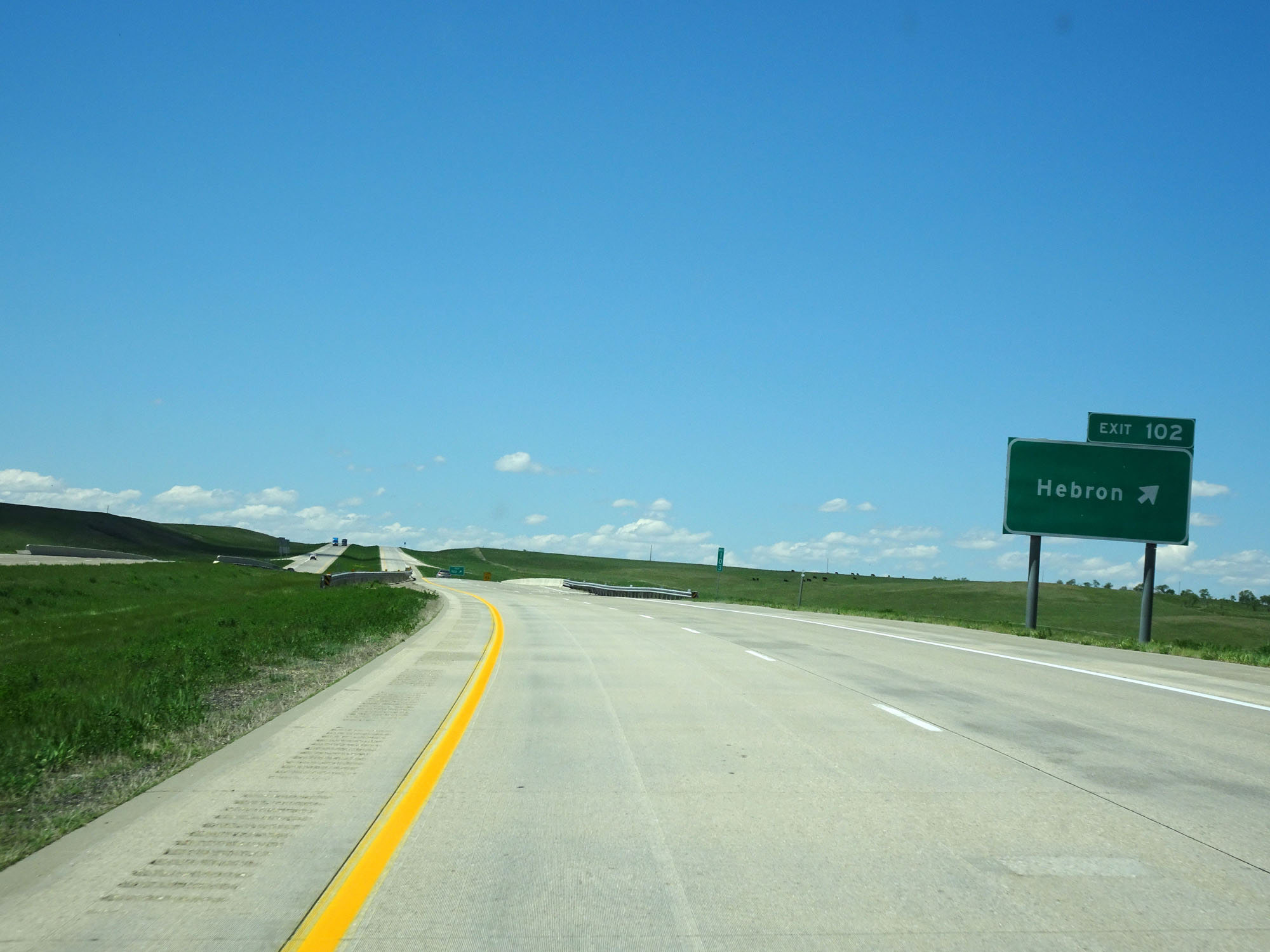 |
Interstate 94 West at Exit 102: Hebron (Photo taken 5/23/16). |
 |
Interstate 94 West at mile marker 100. (Photo taken 5/23/16). |
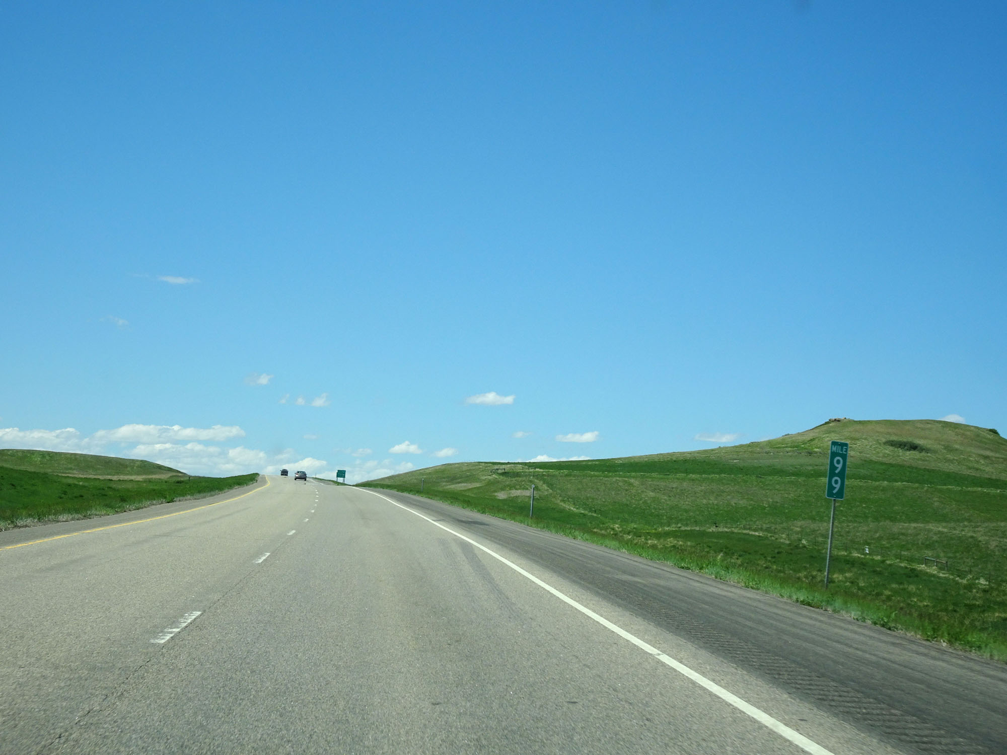 |
Interstate 94 West at mile marker 99. (Photo taken 5/23/16). |
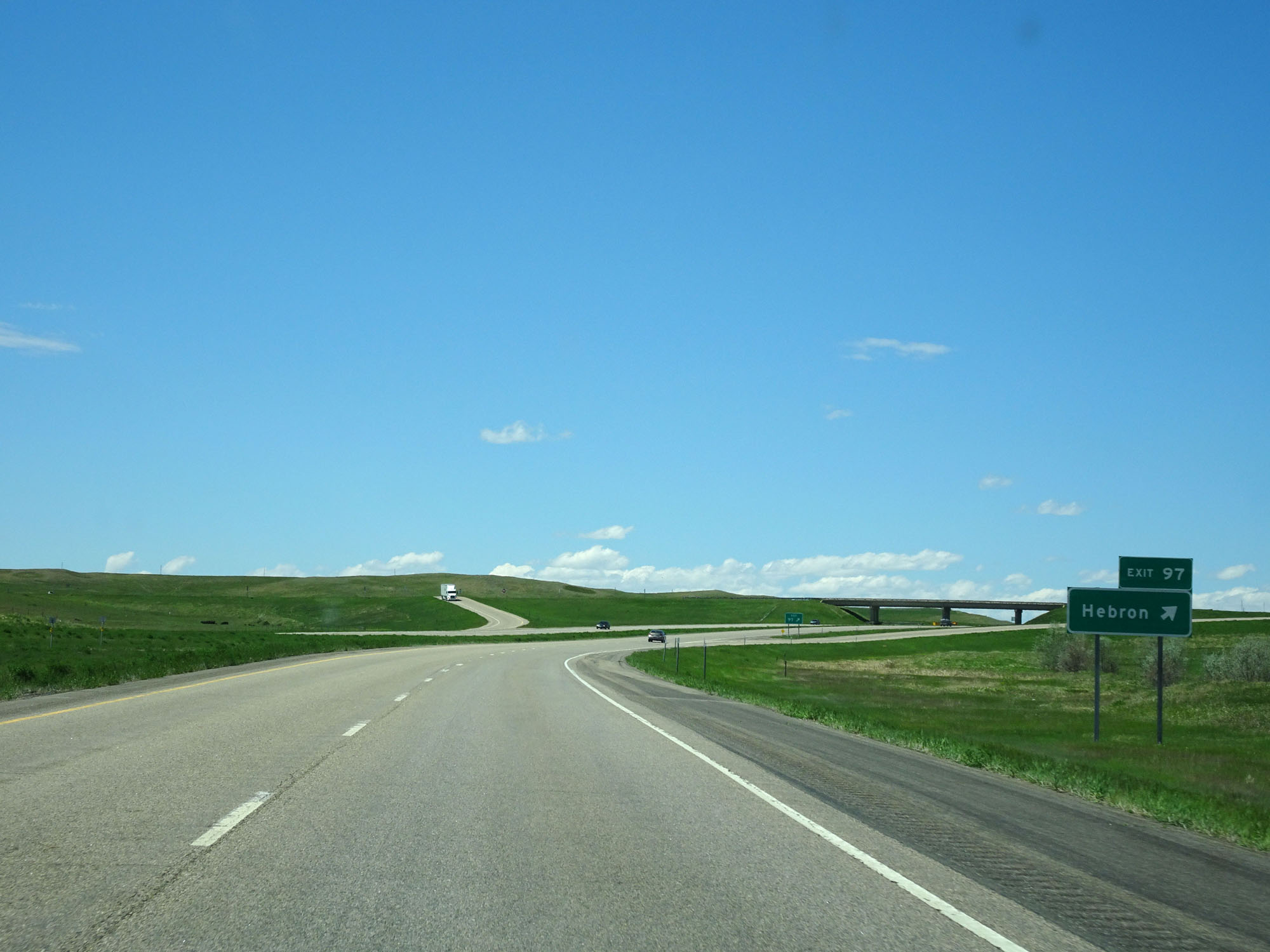 |
Interstate 94 West at Exit 97: Hebron (Photo taken 5/23/16). |
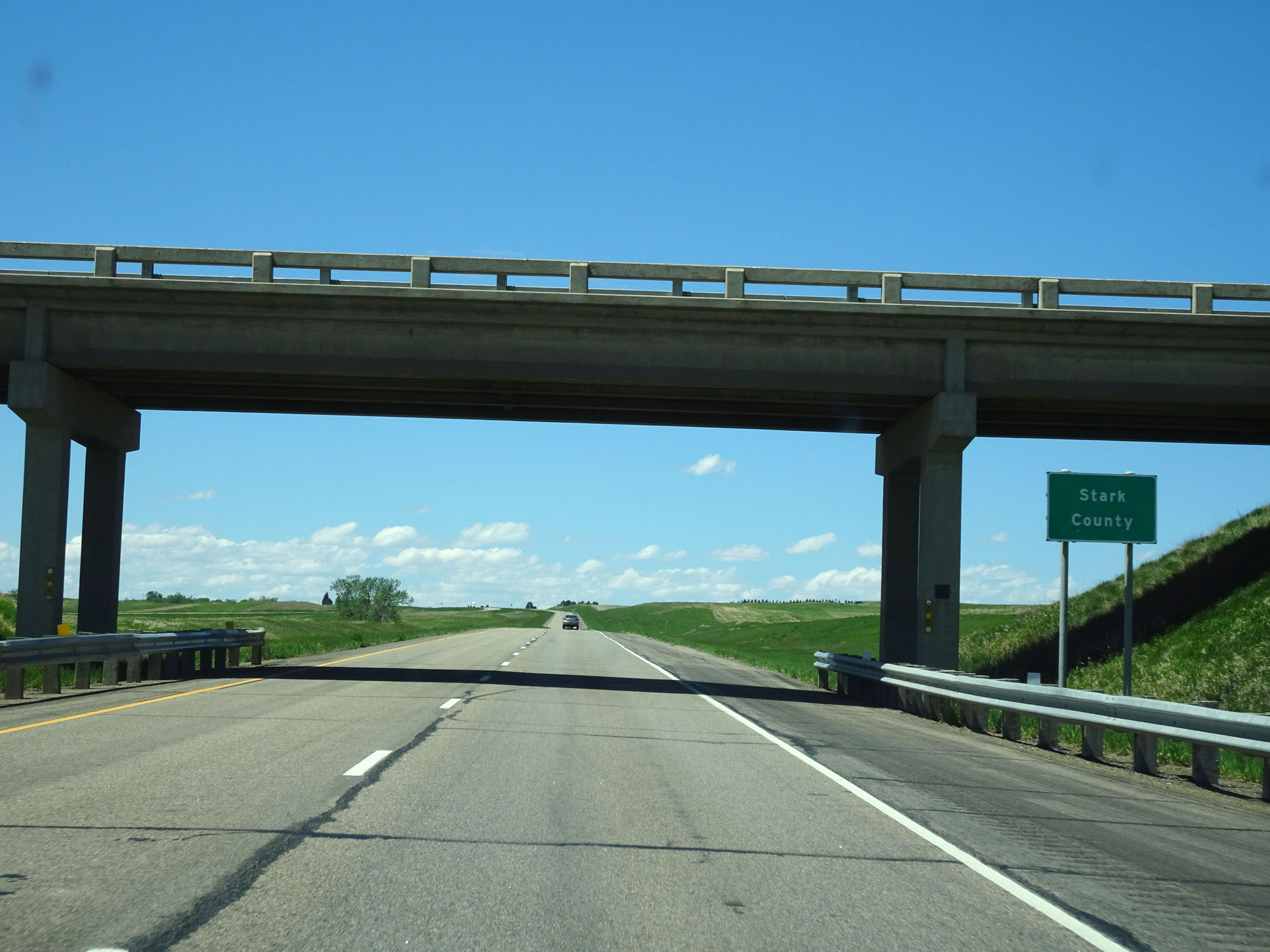 |
Interstate 94 West as it enters Stark County and the Mountain Time Zone. (Photo taken 5/23/16). |
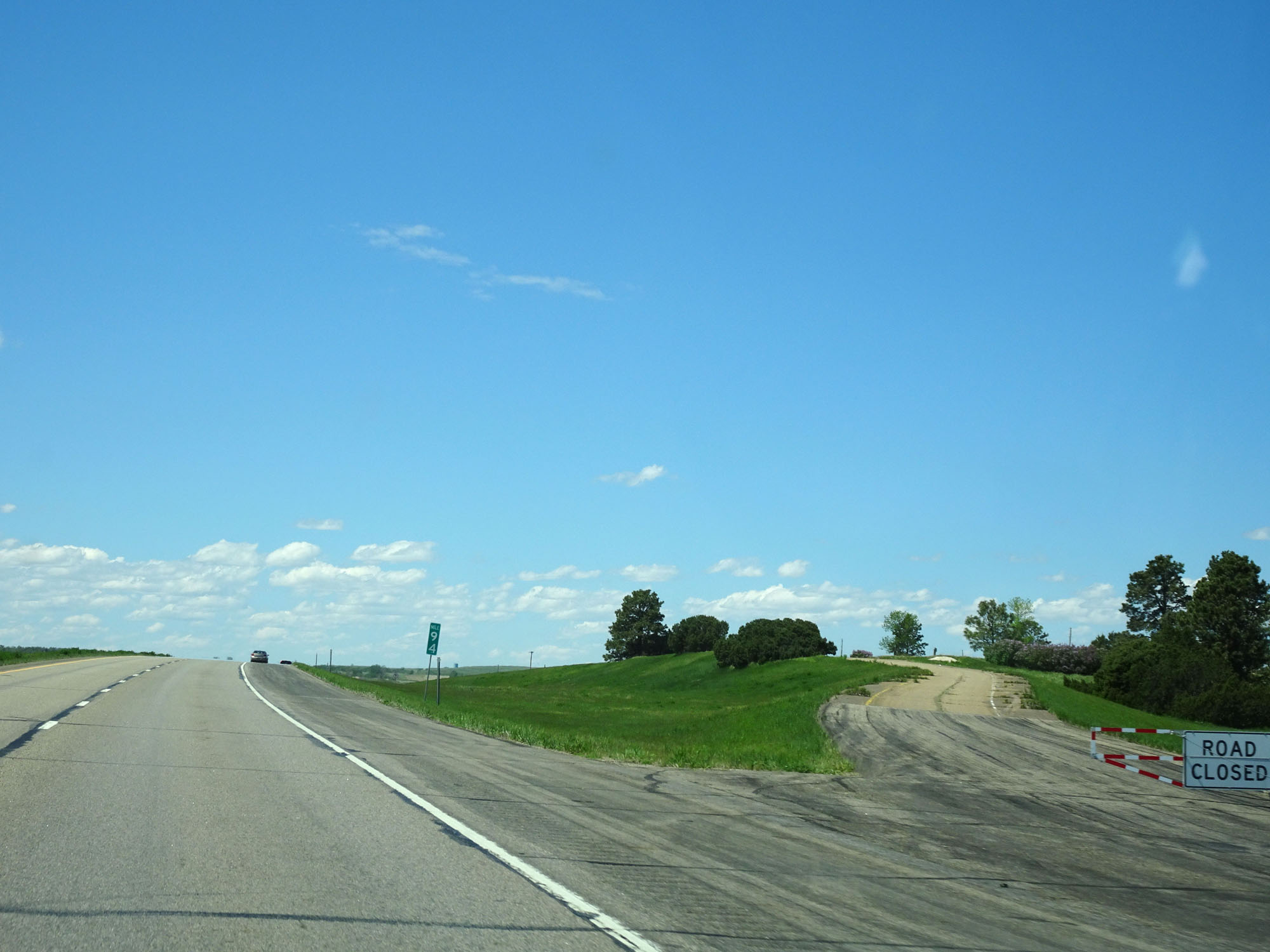 |
Interstate 94 West at an abandoned Rest Area located at mile marker 94. (Photo taken 5/23/16). |
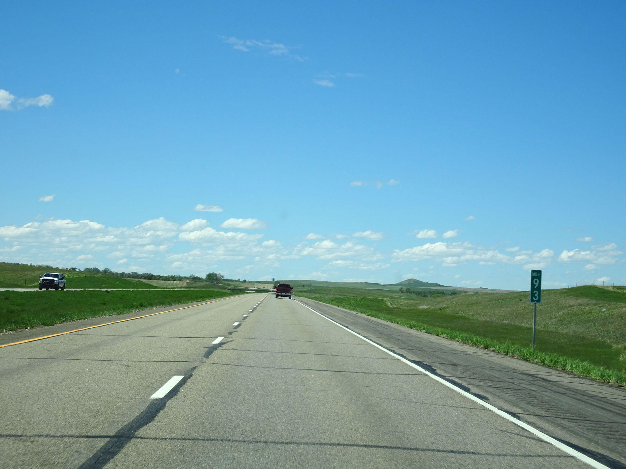 |
Interstate 94 West at mile marker 93. (Photo taken 5/23/16). |
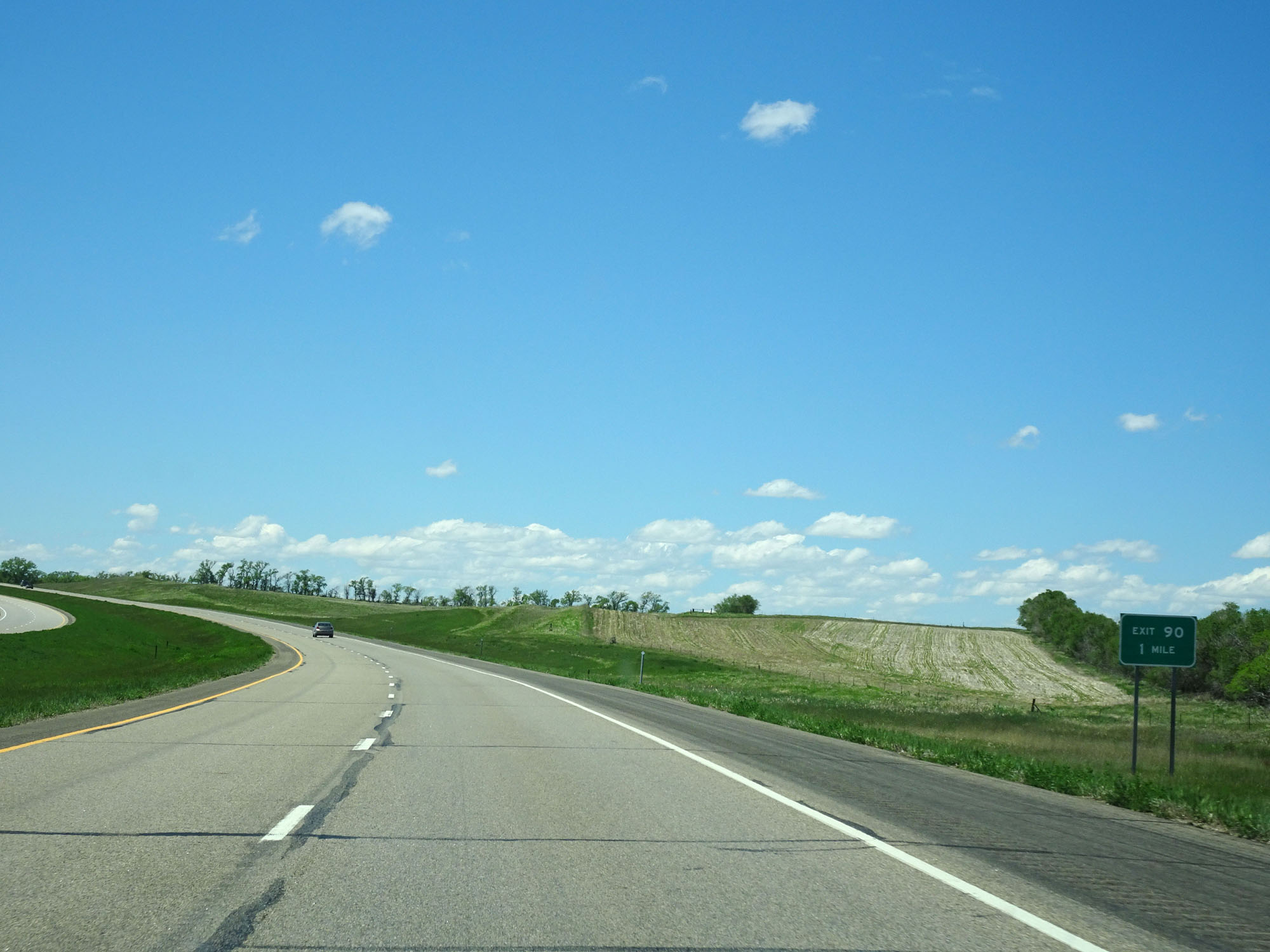 |
Interstate 94 West approaching Exit 90 - 1 mile. (Photo taken 5/23/16). |
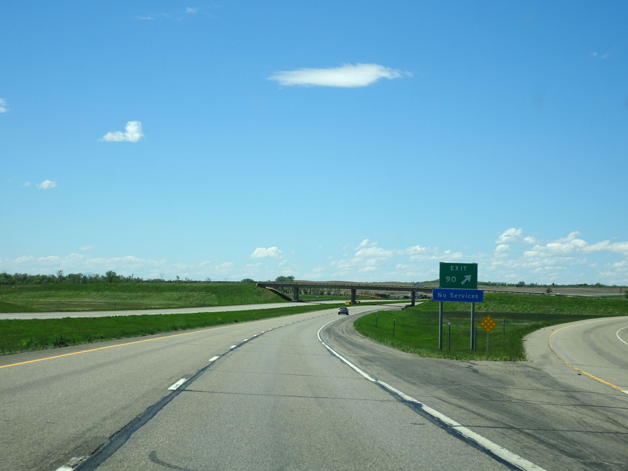 |
Interstate 94 West at Exit 90: (No Name) (Photo taken 5/23/16). |
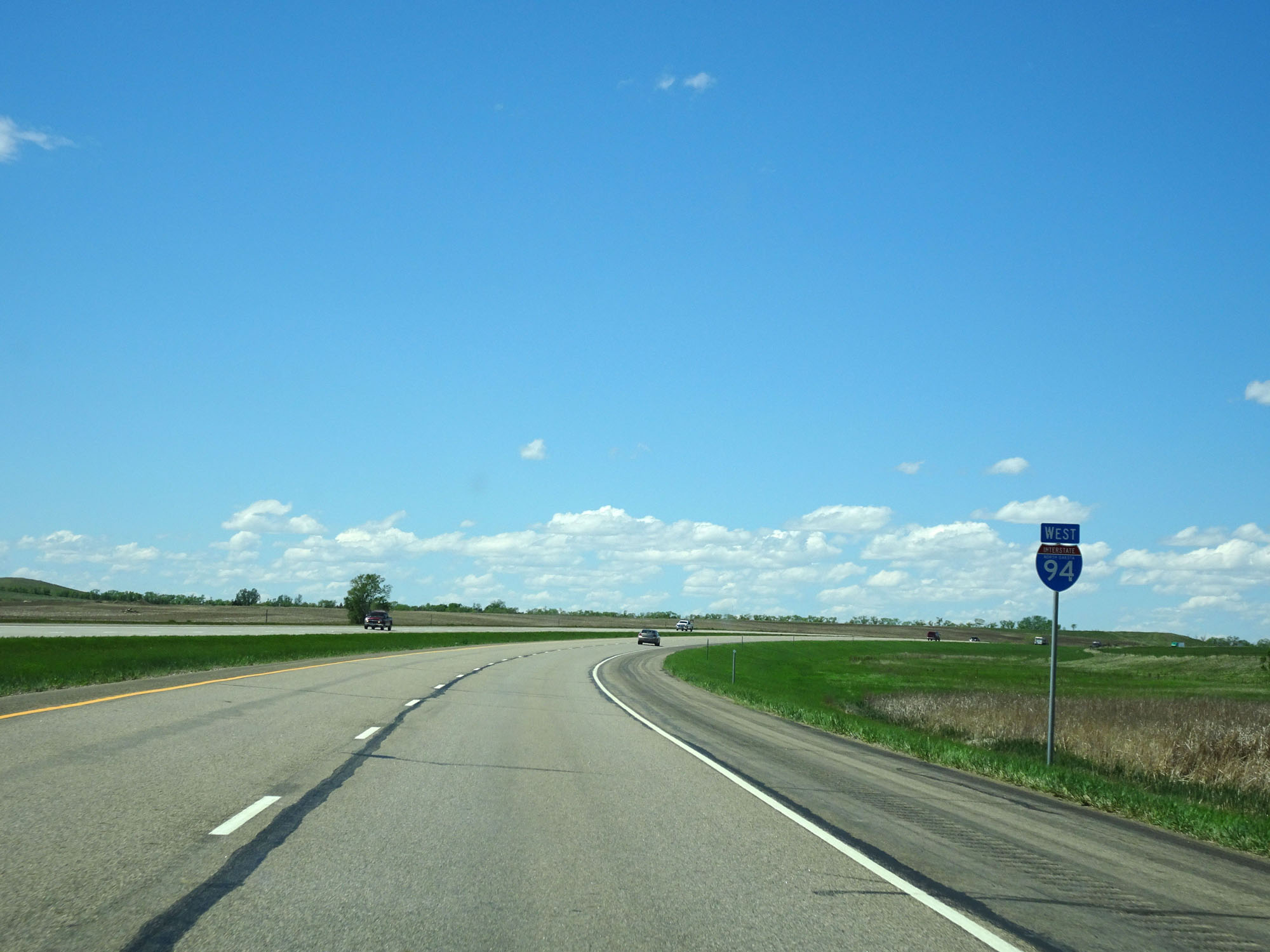 |
State-named Interstate 94 West assurance shield located near mile marker 90. (Photo taken 5/23/16). |
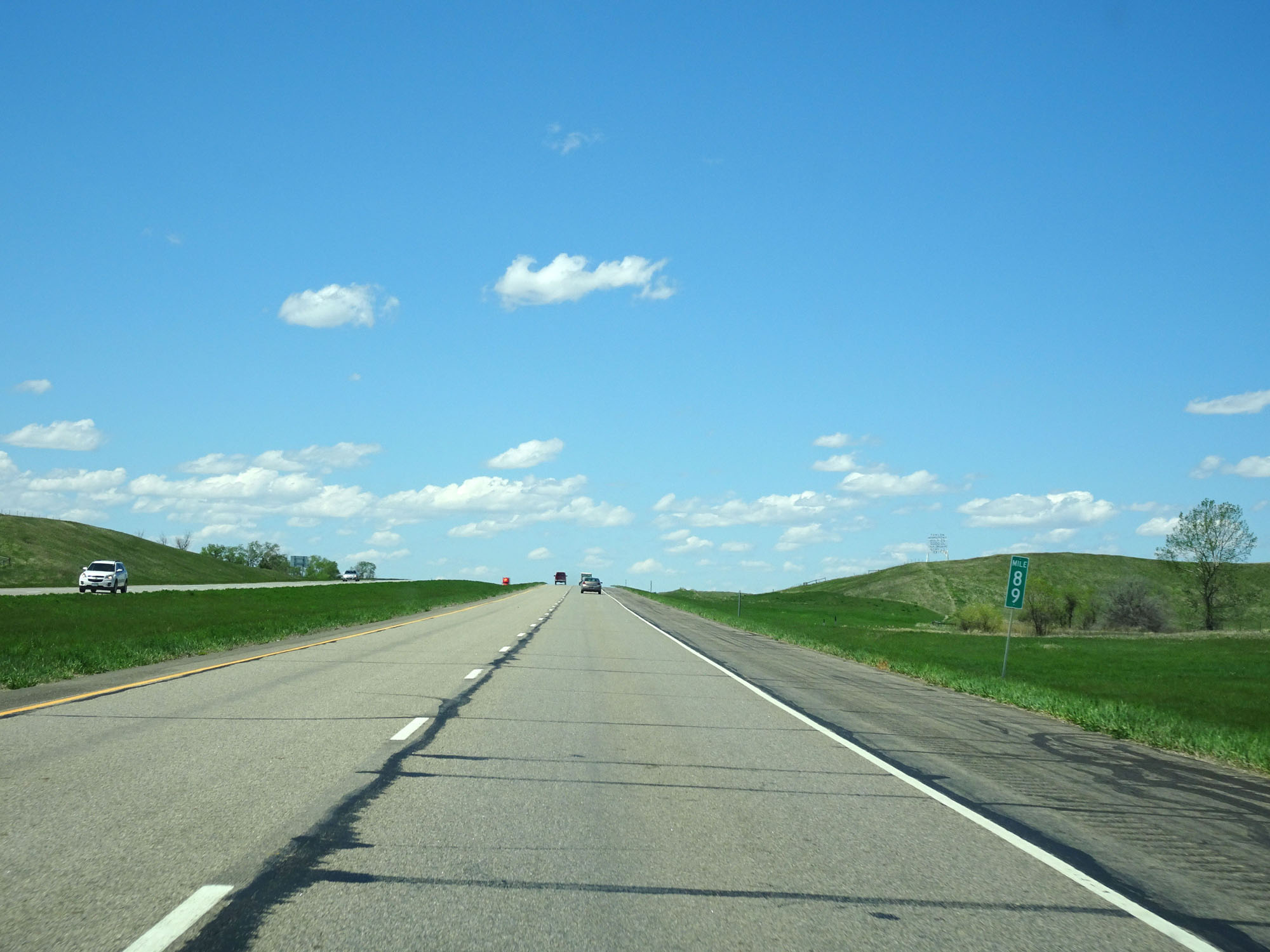 |
Interstate 94 West at mile marker 89. (Photo taken 5/23/16). |
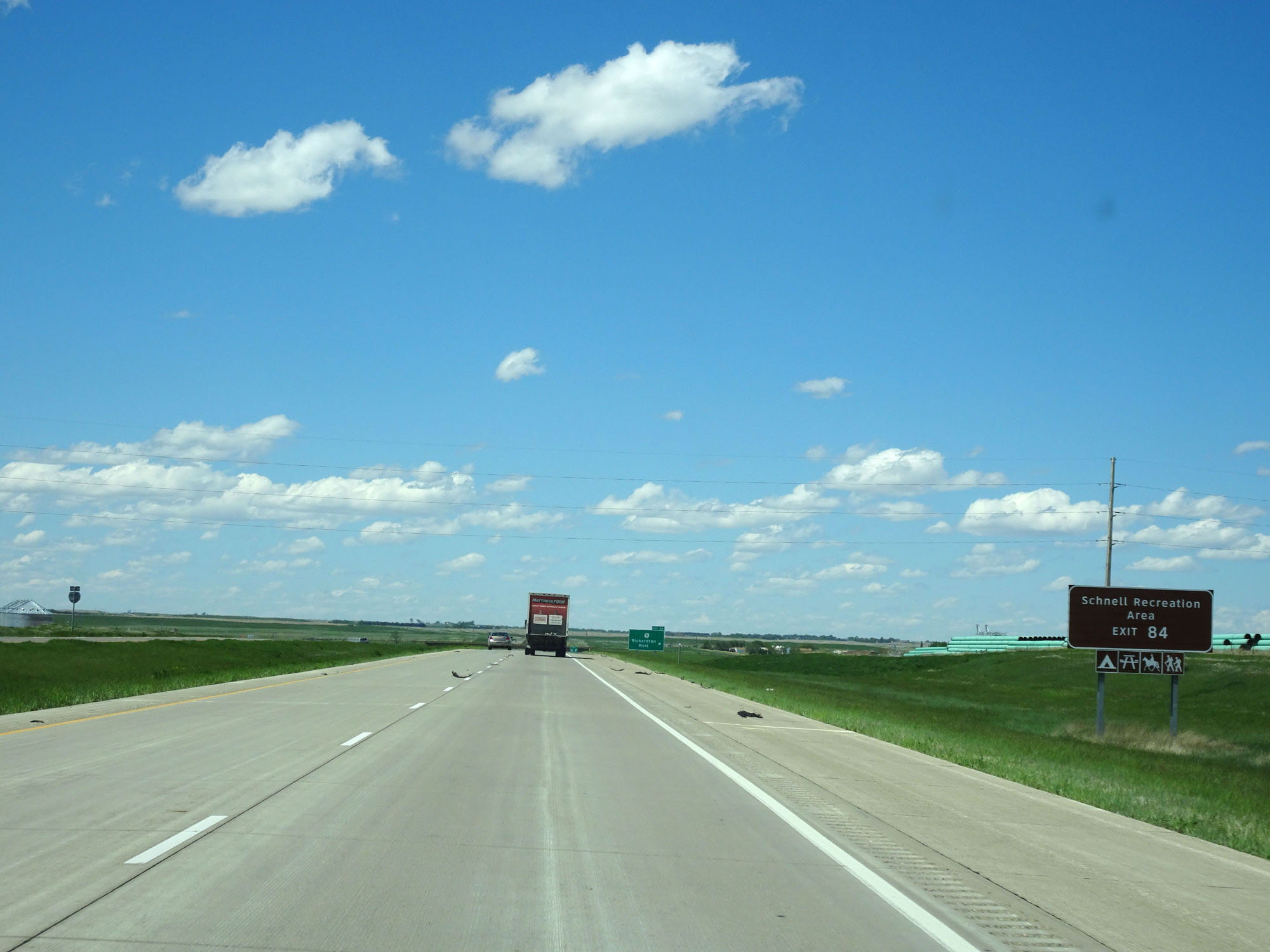 |
Take Exit 84 to Schnell Recreation Area. (Photo taken 5/23/16). |
 |
Interstate 94 West at Exit 84: ND 8 - Richardton / Mott (Photo taken 5/23/16). |
 |
Speed limit sign west of Exit 84. The speed limit remains 75 mph the rest of the way through North Dakota, except for in work zones. (Photo taken 5/23/16). |
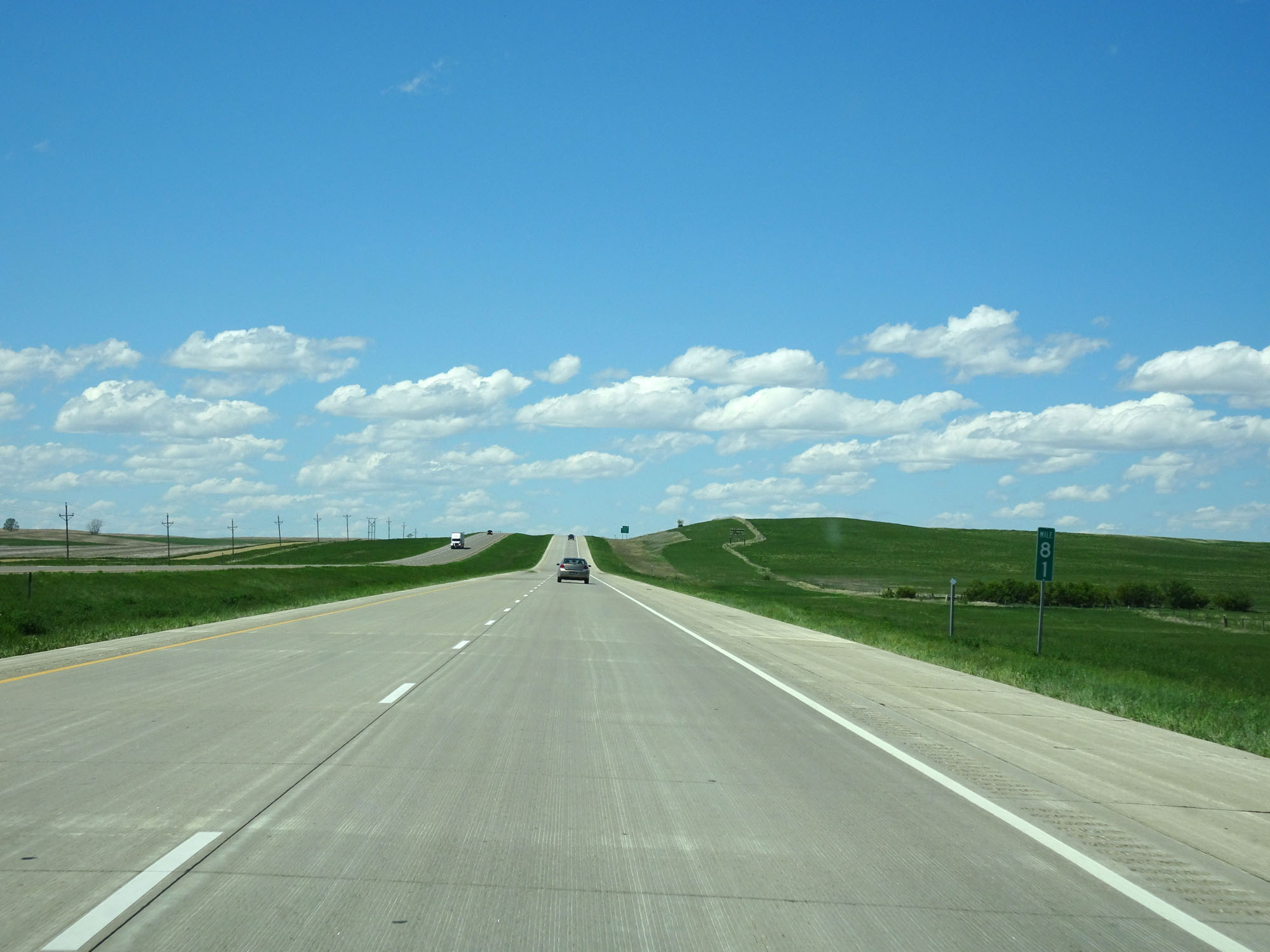 |
Interstate 94 West at mile marker 81. (Photo taken 5/23/16). |
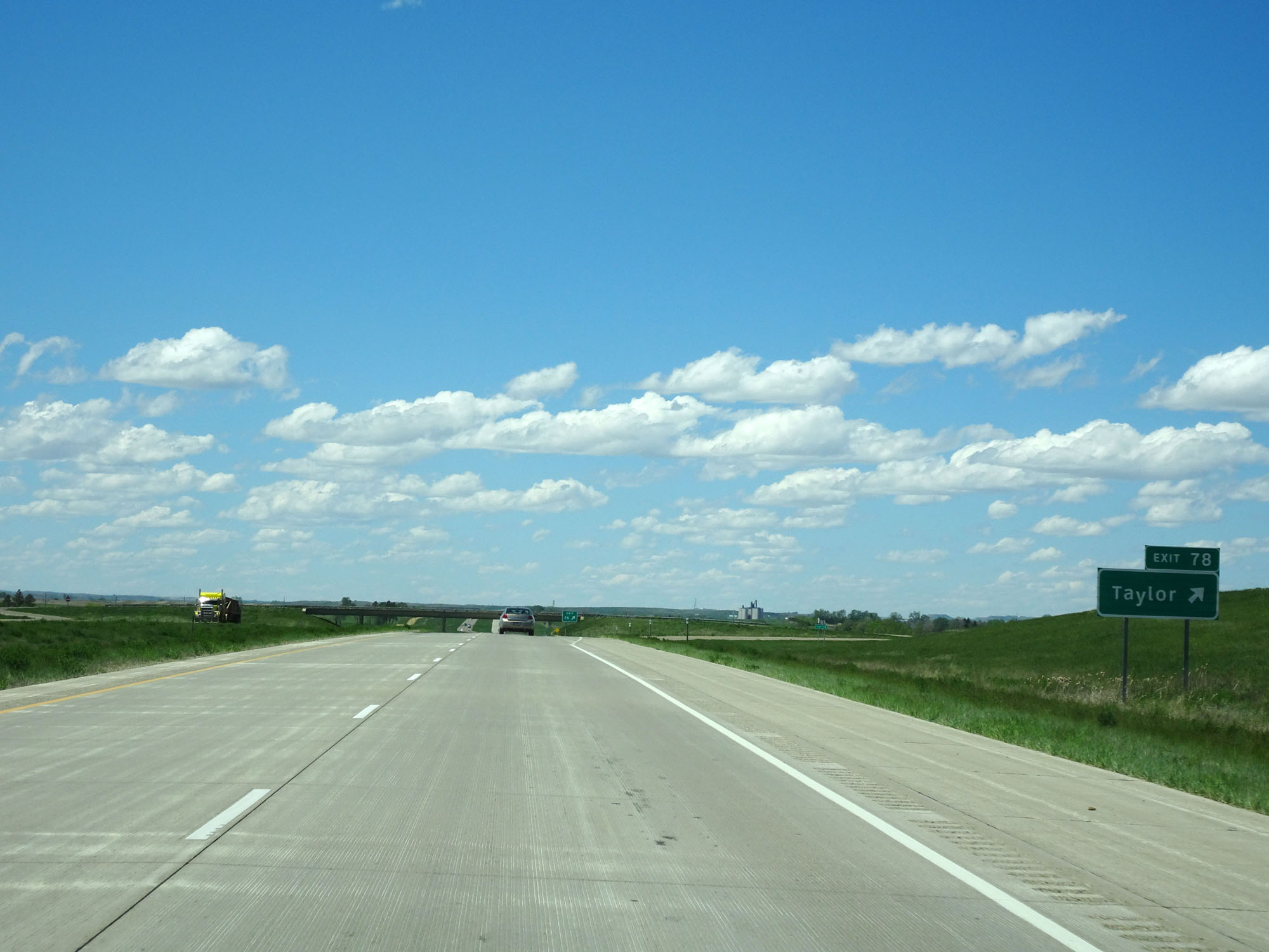 |
Interstate 94 West at Exit 78: Taylor (Photo taken 5/23/16). |
 |
Interstate 94 West at mile marker 77. (Photo taken 5/23/16). |
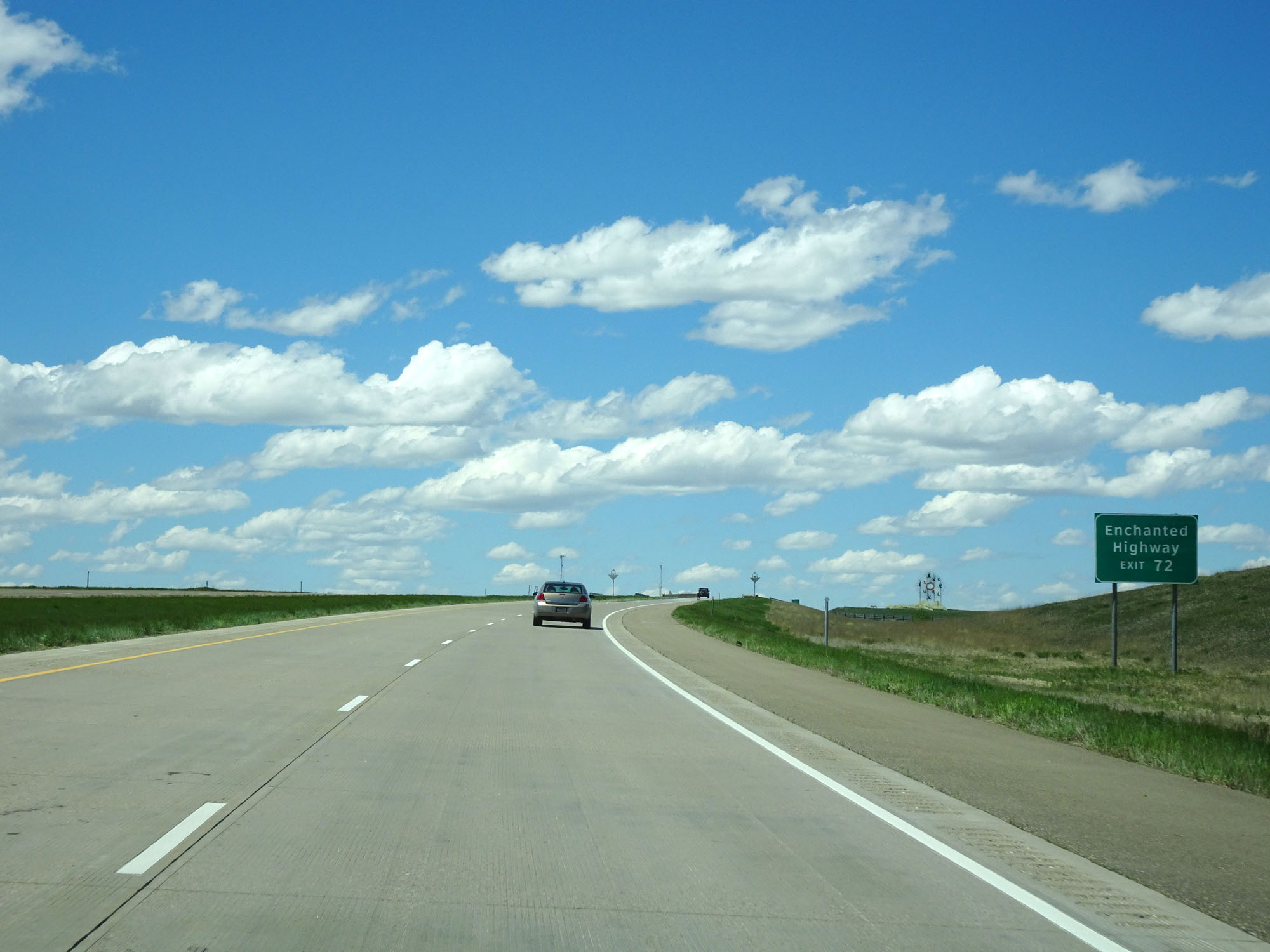 |
Take Exit 72 to Enchanted Highway. (Photo taken 5/23/16). |
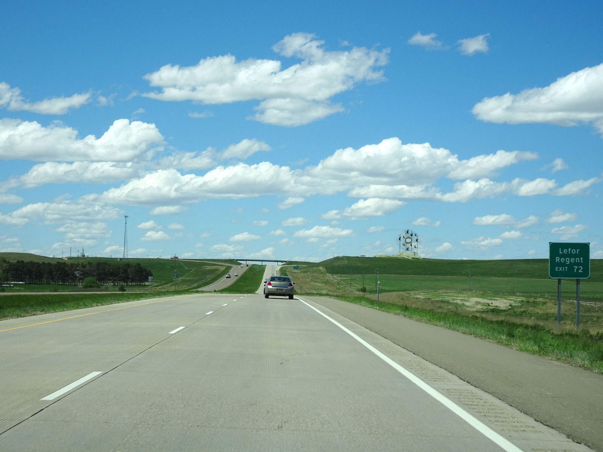 |
Also take Exit 72 to Lefor and Regent. (Photo taken 5/23/16). |
 |
View of the Geese in Flight sculpture approaching Exit 72. (Photo taken 5/23/16). |
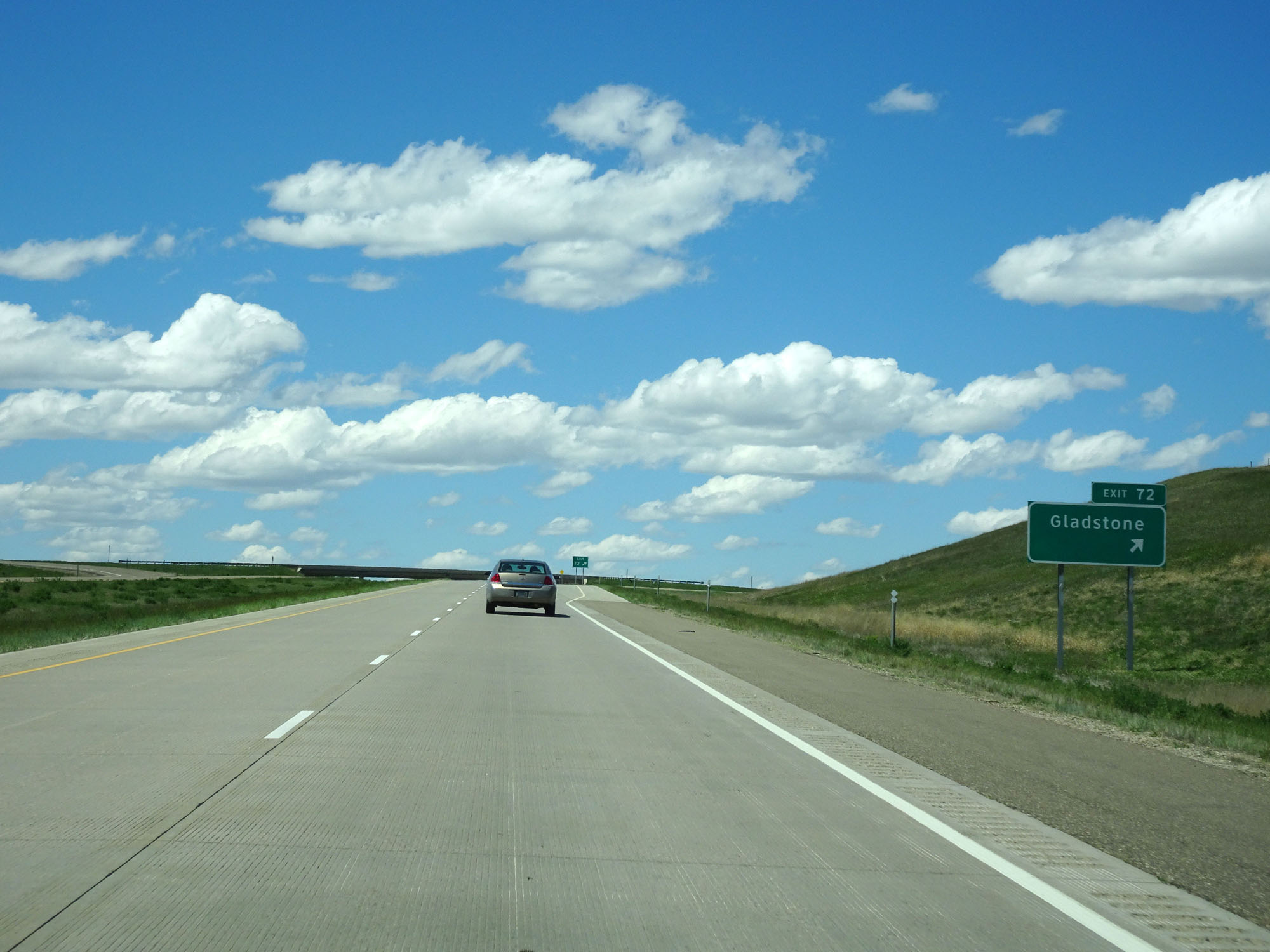 |
Interstate 94 West at Exit 72: Gladstone (Photo taken 5/23/16). |
 |
Interstate 94 West at mile marker 71. (Photo taken 5/23/16). |
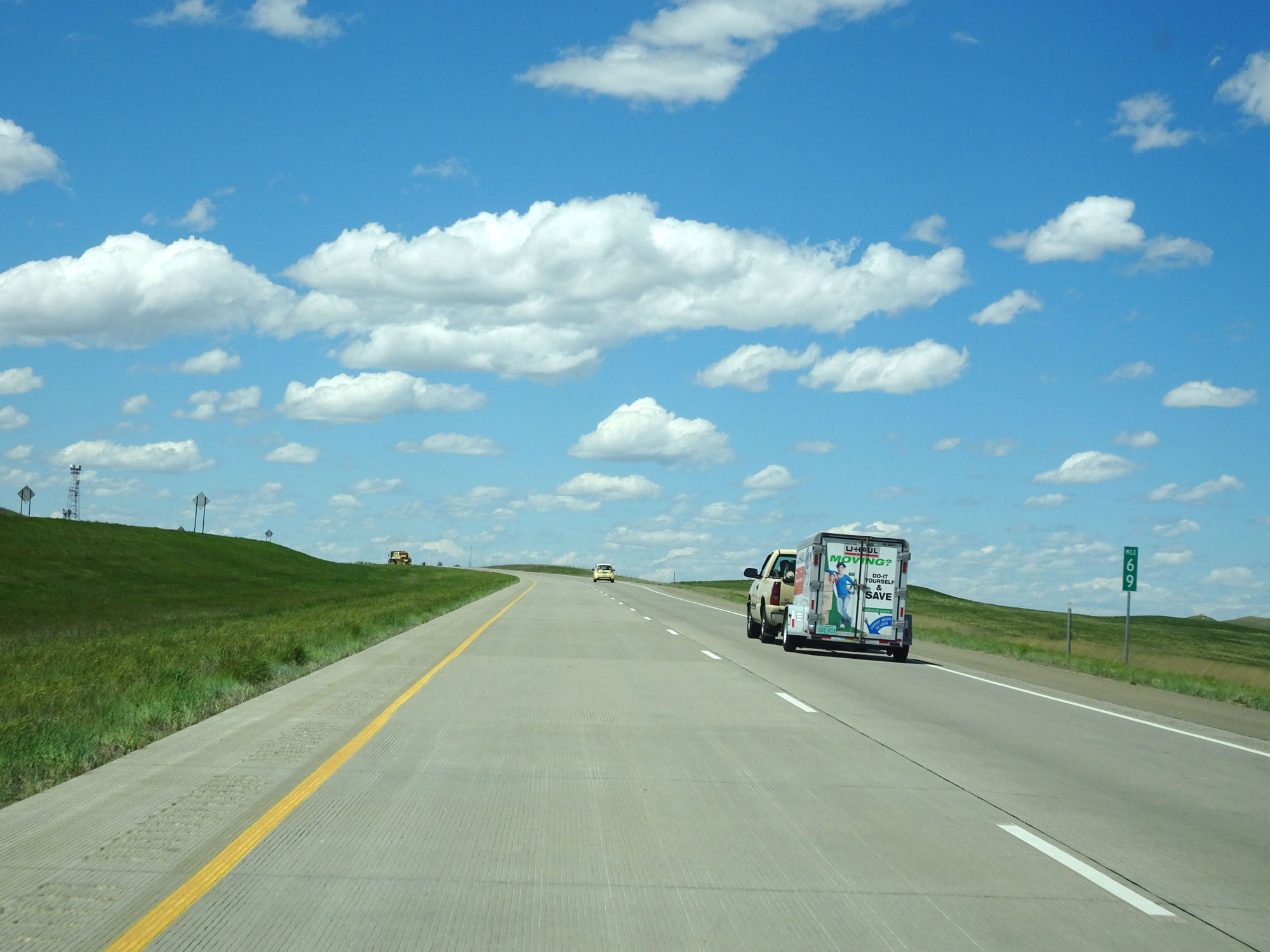 |
Interstate 94 West at mile marker 69. (Photo taken 5/23/16). |
 |
Interstate 94 West at mile marker 66. (Photo taken 5/23/16). |
 |
Take any of the next 3 exits to Dickinson. (Photo taken 5/23/16). |
 |
Take Exit 59 to Patterson Lake Recreation Area. (Photo taken 5/23/16). |
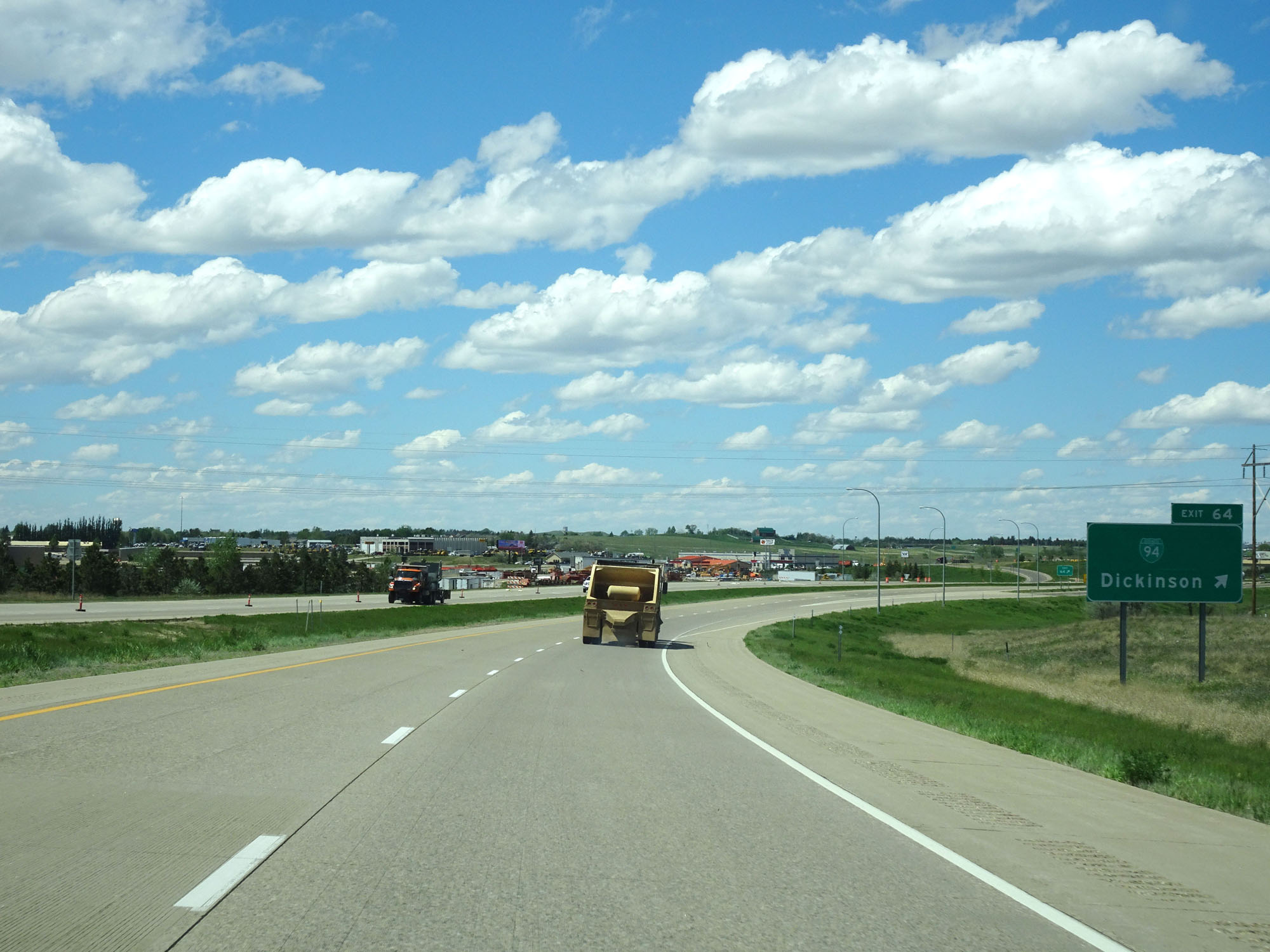 |
Interstate 94 West at Exit 64: Interstate 94 BL - Dickinson (Photo taken 5/23/16). |
Section 5: Dickinson (Exit 64) to Montana Border
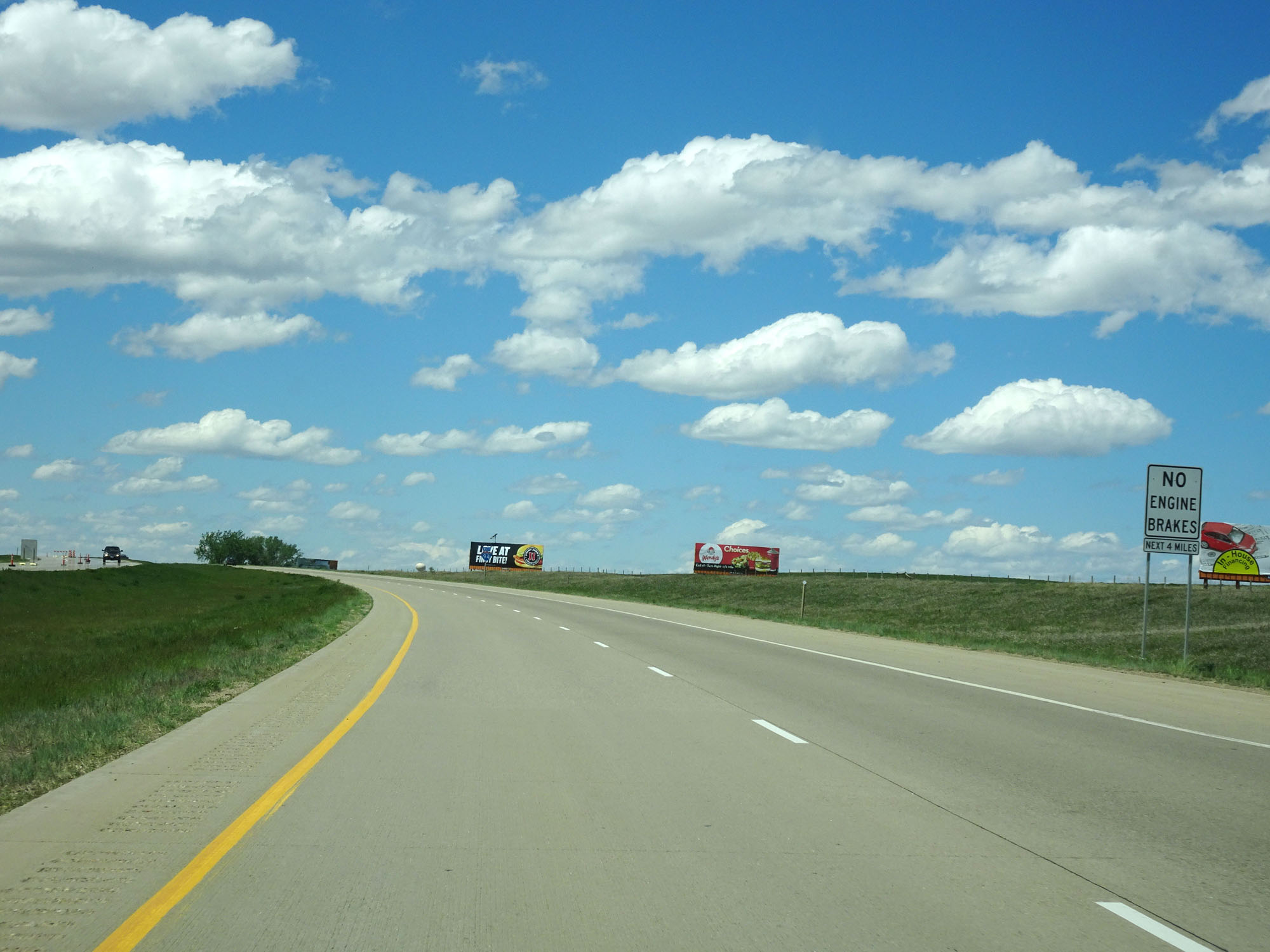 |
Like in other cities along Interstate 94 in North Dakota, engine brake use is prohibited for the next 4 miles as you pass through the Dickinson area. (Photo taken 5/23/16). |
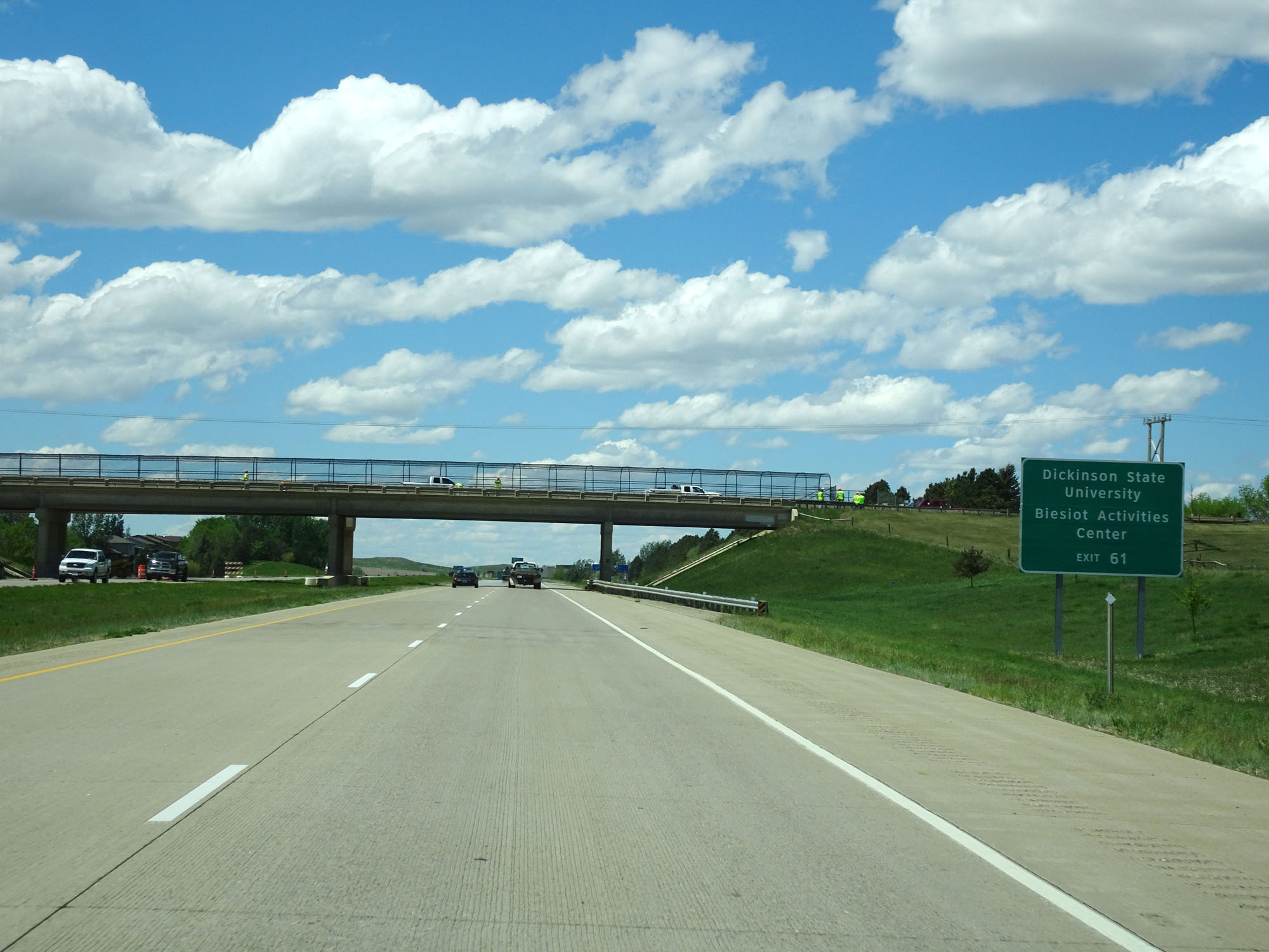 |
Take Exit 61 to Dickinson State University and Biesiot Activities Center. (Photo taken 5/23/16). |
 |
Also take Exit 61 for Tourist Information. (Photo taken 5/23/16). |
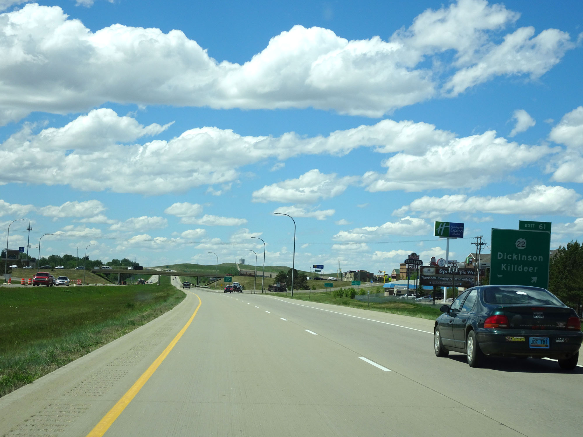 |
Interstate 94 West at Exit 61: ND 22 - Dickinson / Killdeer (Photo taken 5/23/16). |
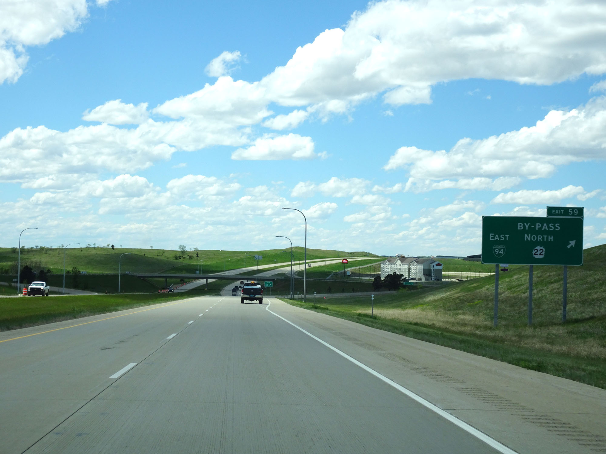 |
Interstate 94 West at Exit 59: Interstate 94 BL East / ND 22 North Bypass (Photo taken 5/23/16). |
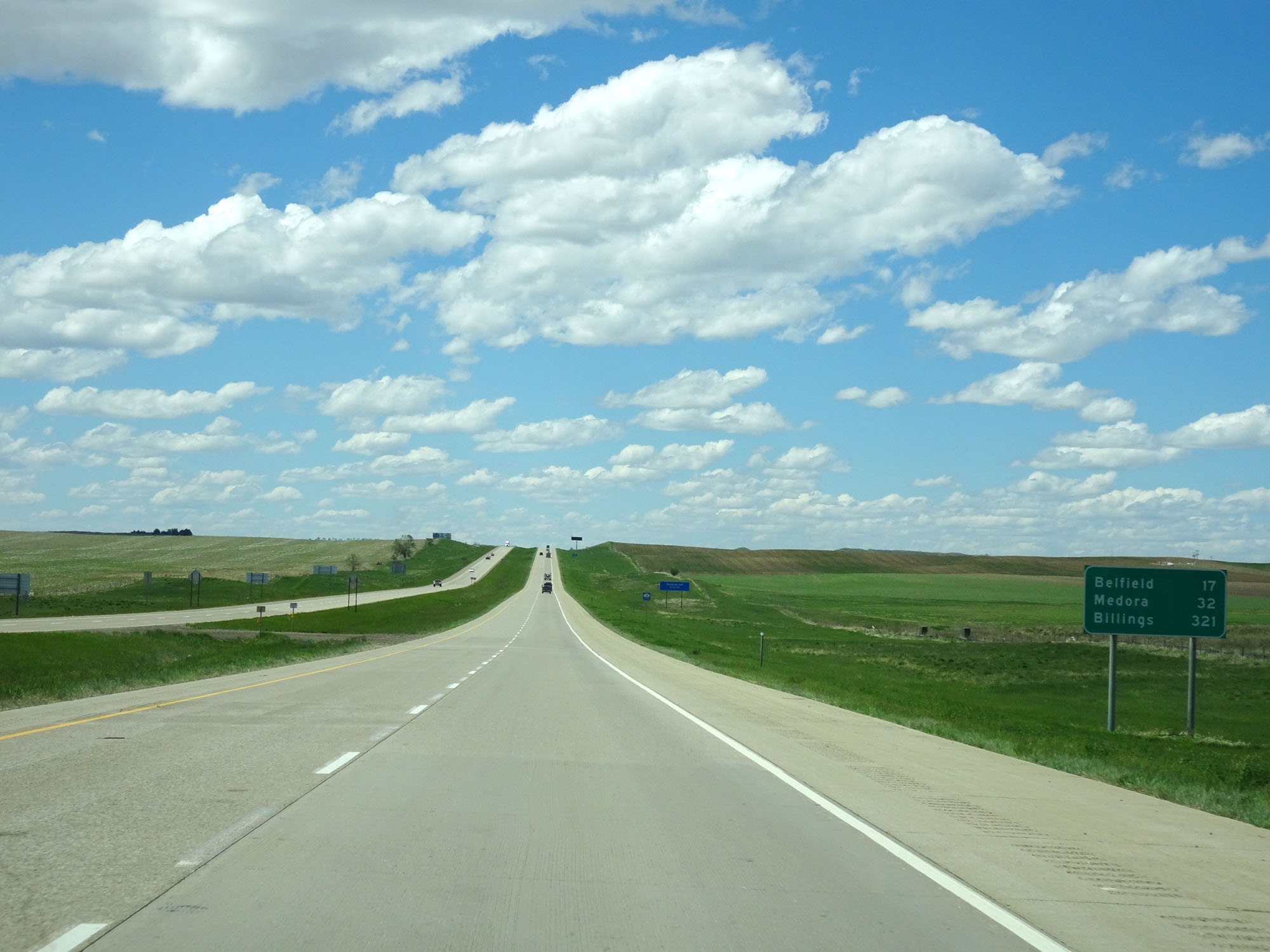 |
Mileage sign west of Exit 59, leaving the Dickinson area. It's 17 miles to Belfield, 32 miles to Medora, and 321 miles to Billings. (Photo taken 5/23/16). |
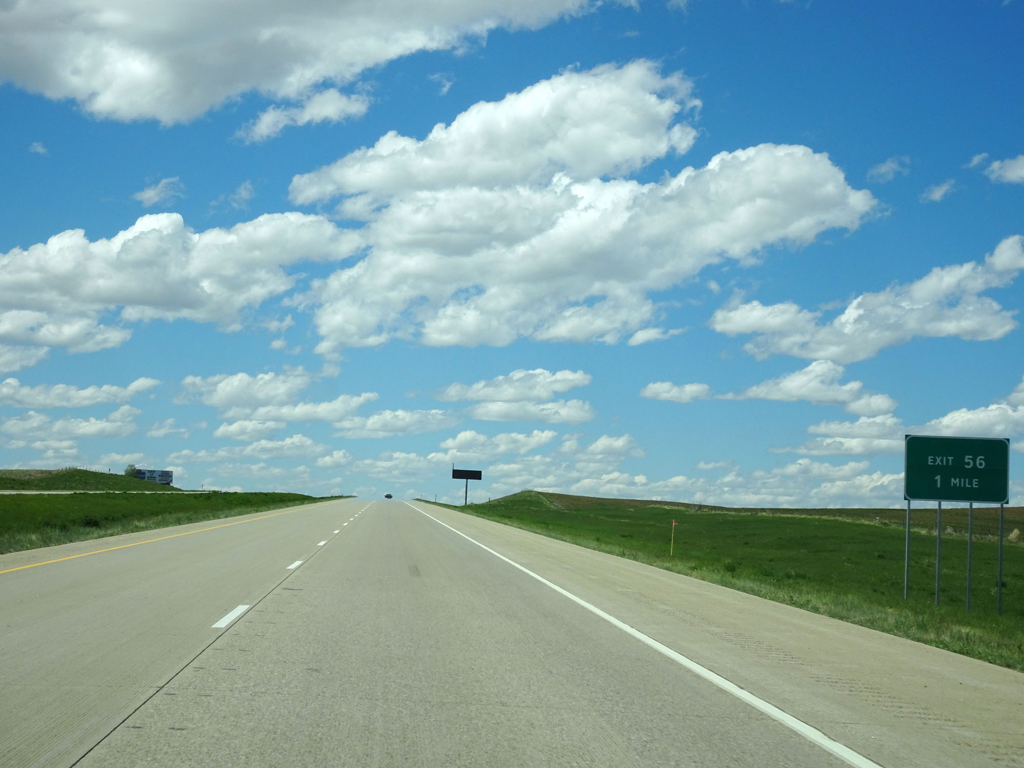 |
Interstate 94 West approaching Exit 56 - 1 mile. (Photo taken 5/23/16). |
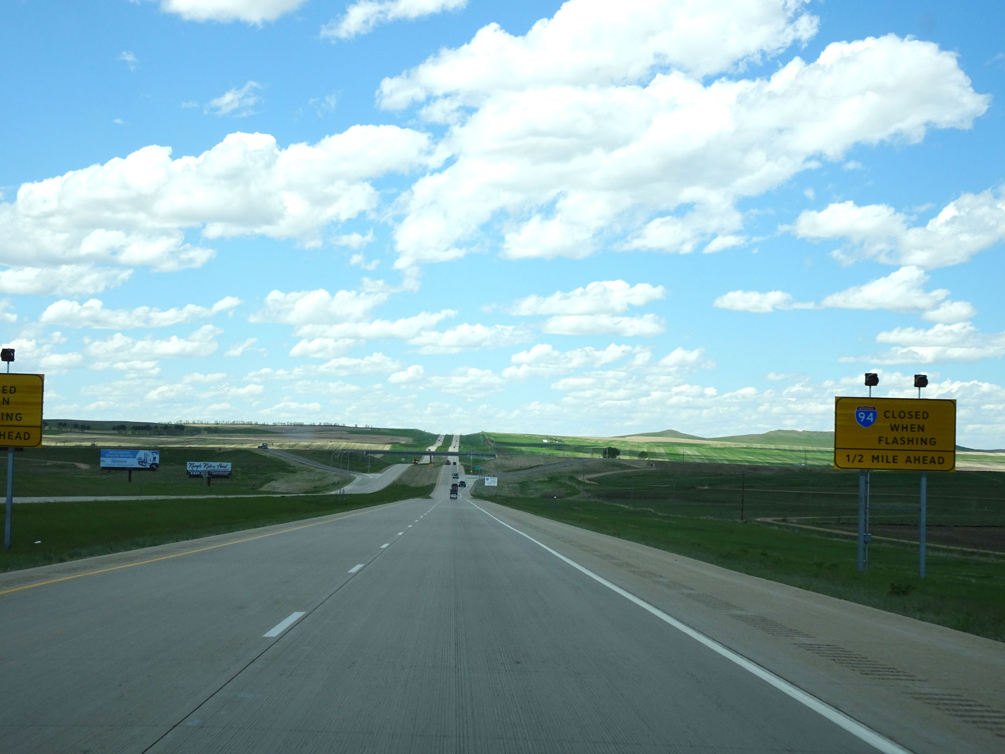 |
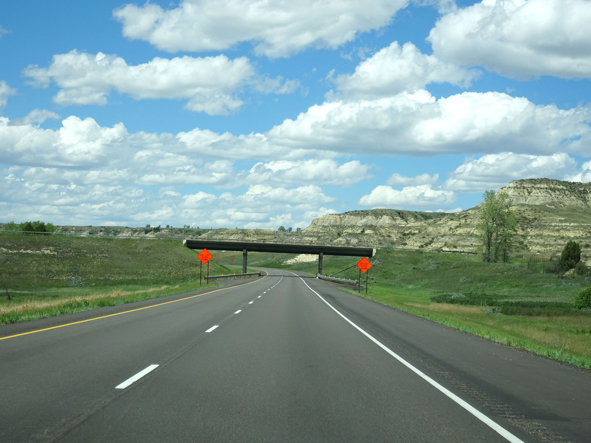
When the lights on this sign are flashing, it means that Interstate 94 West is closed ahead and all traffic must use Exit 56. (Photo taken 5/23/16). |
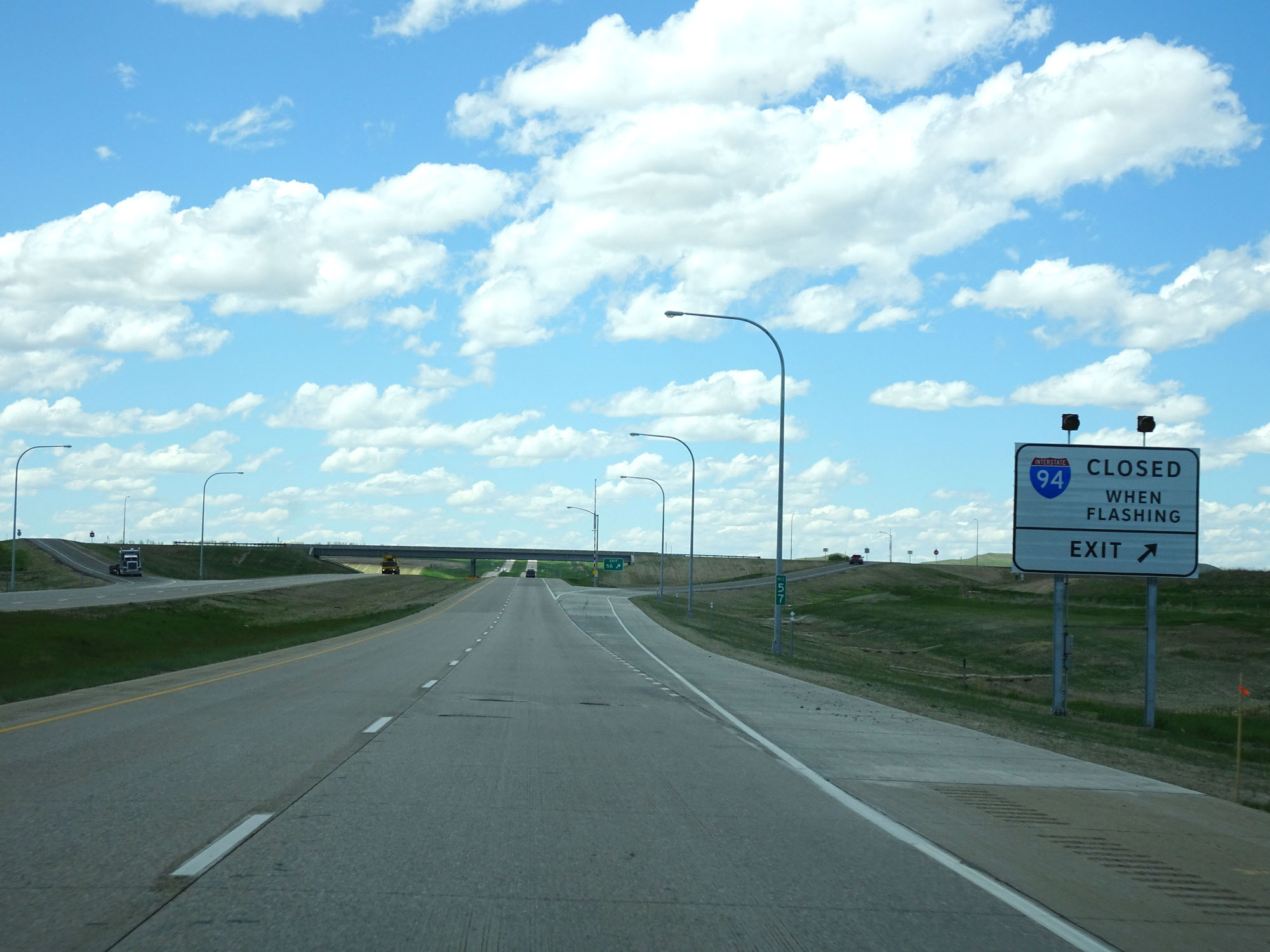 |
Another sign alerting motorists that Interstate 94 West is closed ahead when the lights on the sign are flashing, and if this is the case all traffic must use Exit 56 just ahead. (Photo taken 5/23/16). |
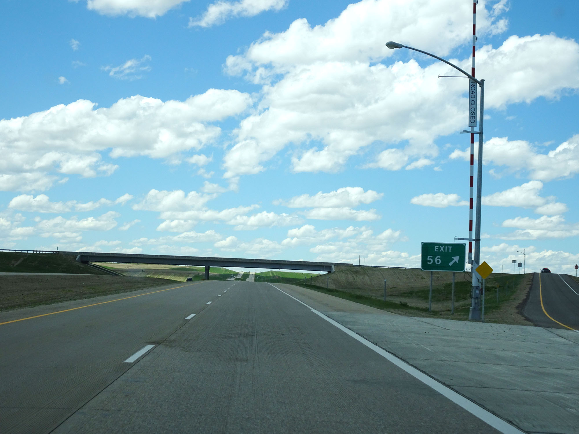 |
Interstate 94 West at Exit 56: (No Name) (Photo taken 5/23/16). |
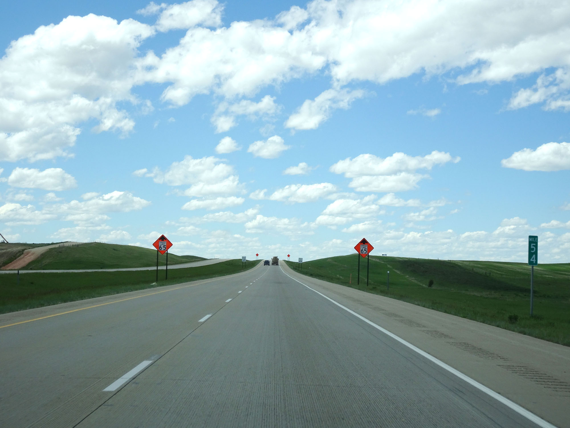 |
Interstate 94 West at mile marker 54. (Photo taken 5/23/16). |
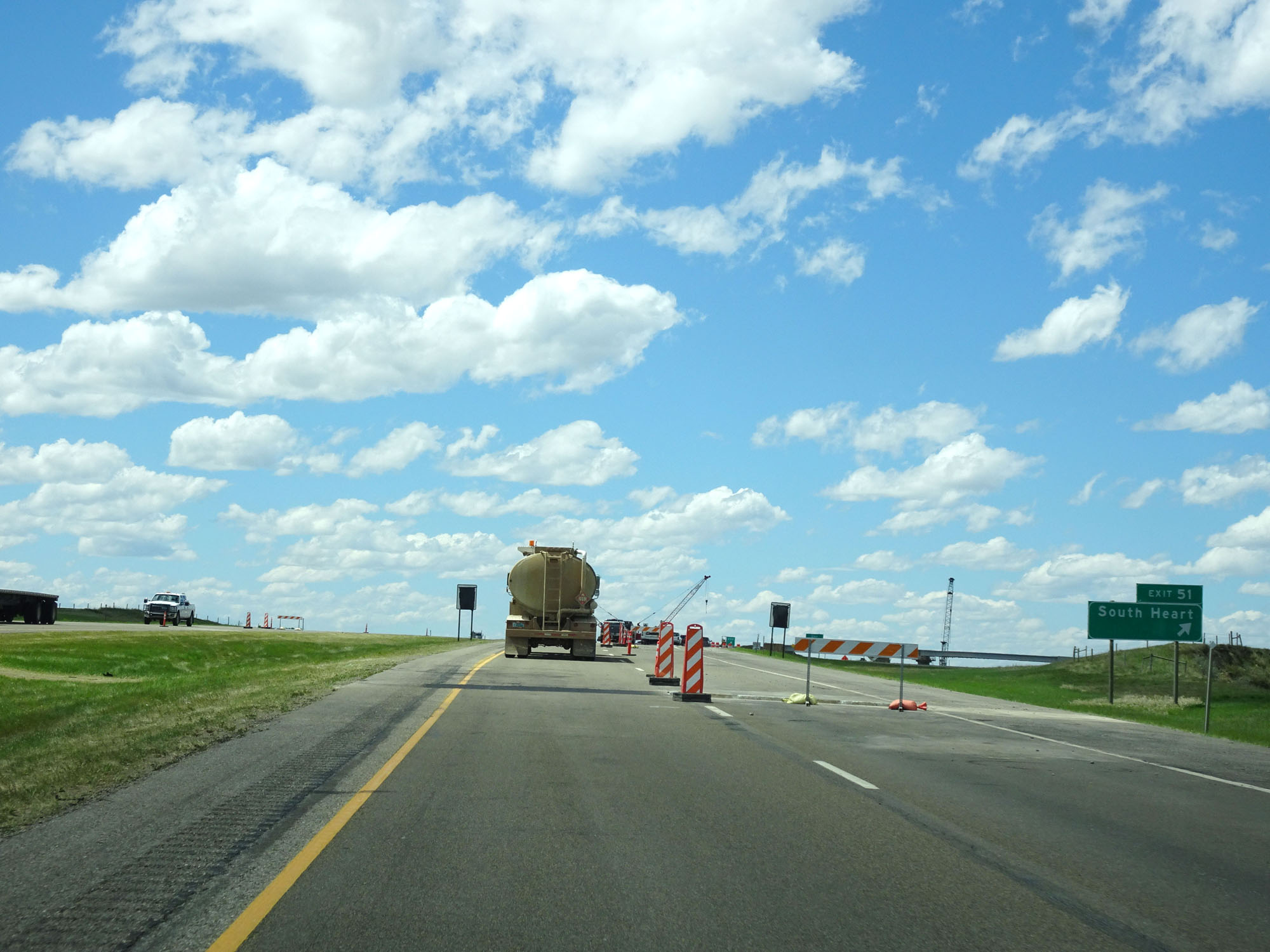 |
Interstate 94 West at Exit 51: South Heart (Photo taken 5/23/16). |
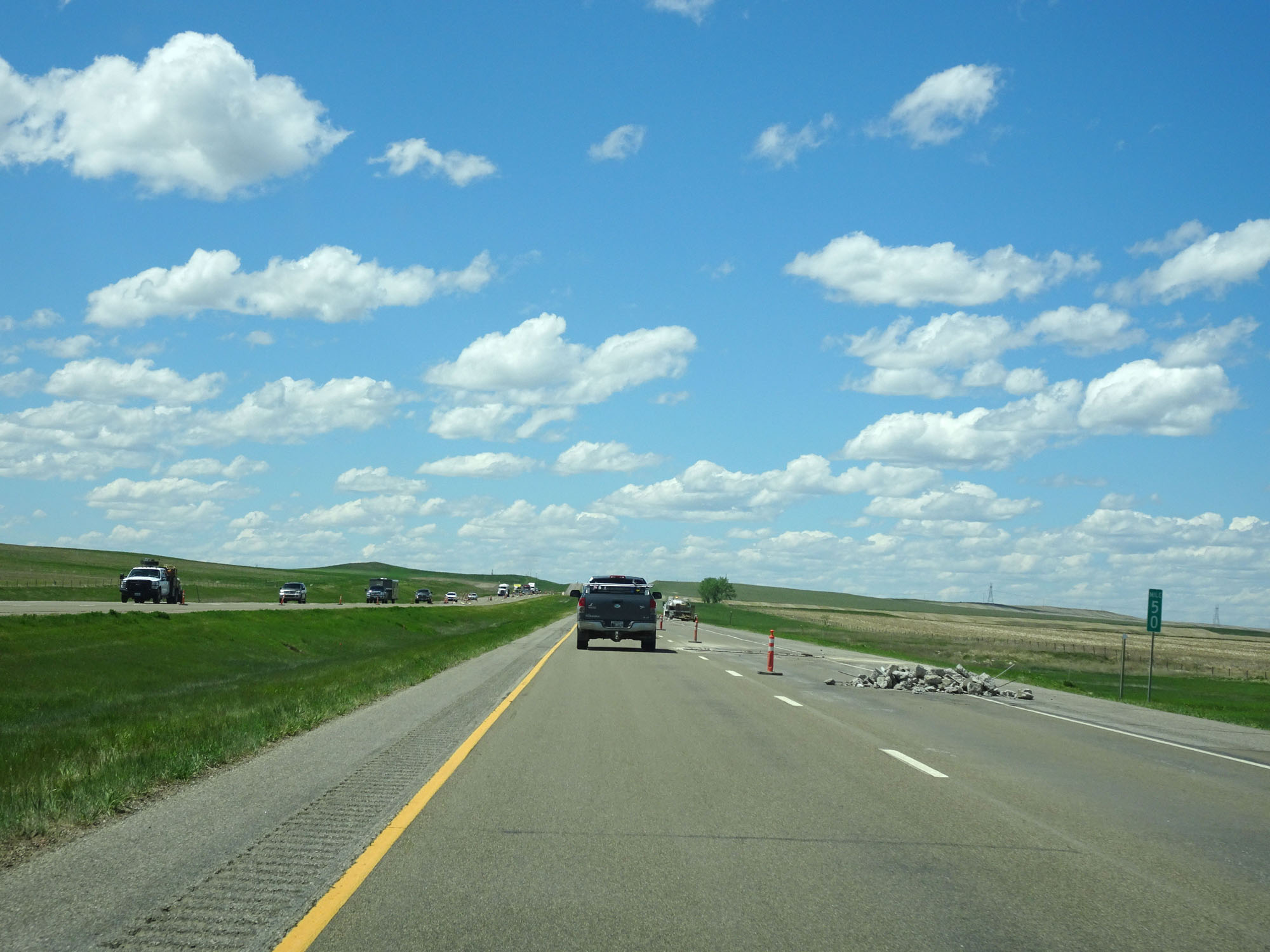 |
Interstate 94 West at mile marker 50. (Photo taken 5/23/16). |
 |
Interstate 94 West at mile marker 45. (Photo taken 5/23/16). |
 |
Interstate 94 West approaching Exit 42 - 1 mile. (Photo taken 5/23/16). |
 |
Take Exit 42 to Theodore Roosevelt National Park North Unit. (Photo taken 5/23/16). |
 |
Take Exit 42 to Williston. (Photo taken 5/23/16). |
 |
Also take Exit 42 for Tourist Information. (Photo taken 5/23/16). |
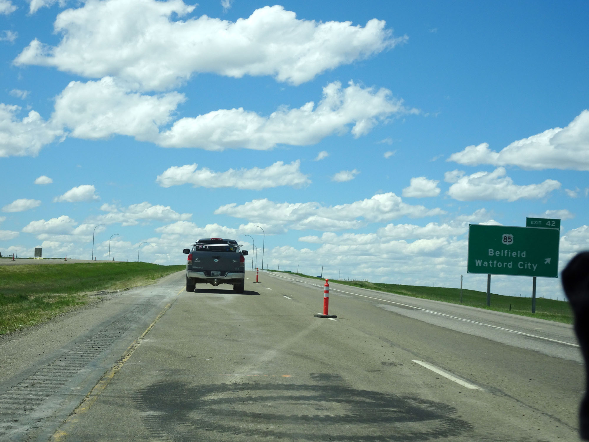 |
Interstate 94 West at Exit 42: US 85 - Belfield / Watford City (Photo taken 5/23/16). |
 |
Interstate 94 West at mile marker 41. (Photo taken 5/23/16). |
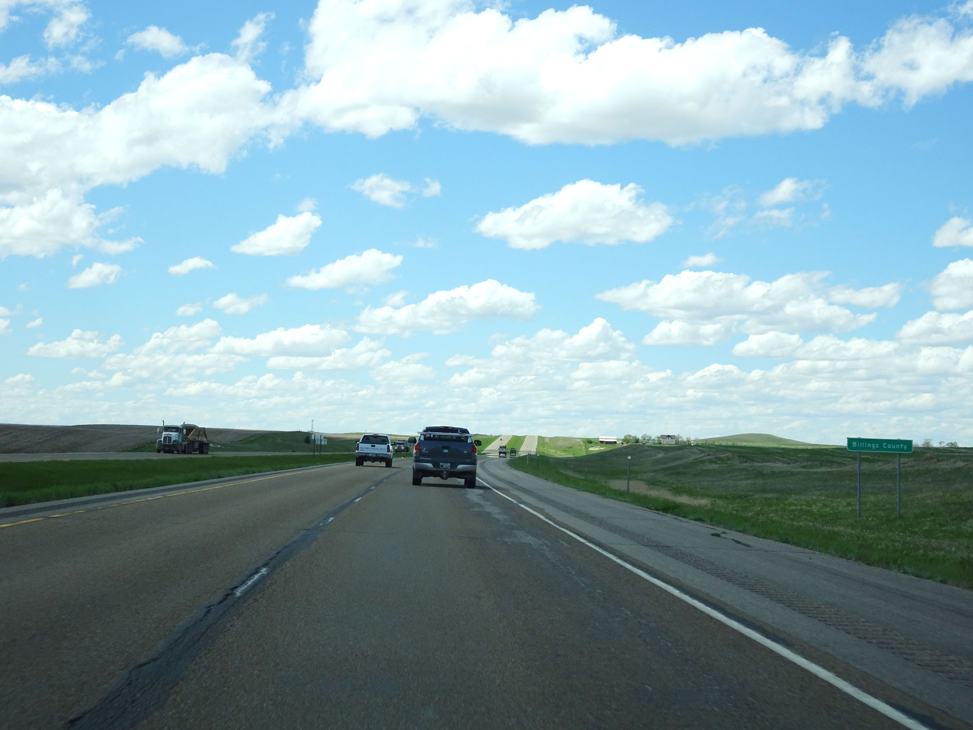 |
Interstate 94 West entering Billings County. (Photo taken 5/23/16). |
 |
Interstate 94 West approaching Exit 36 - 1 mile. (Photo taken 5/23/16). |
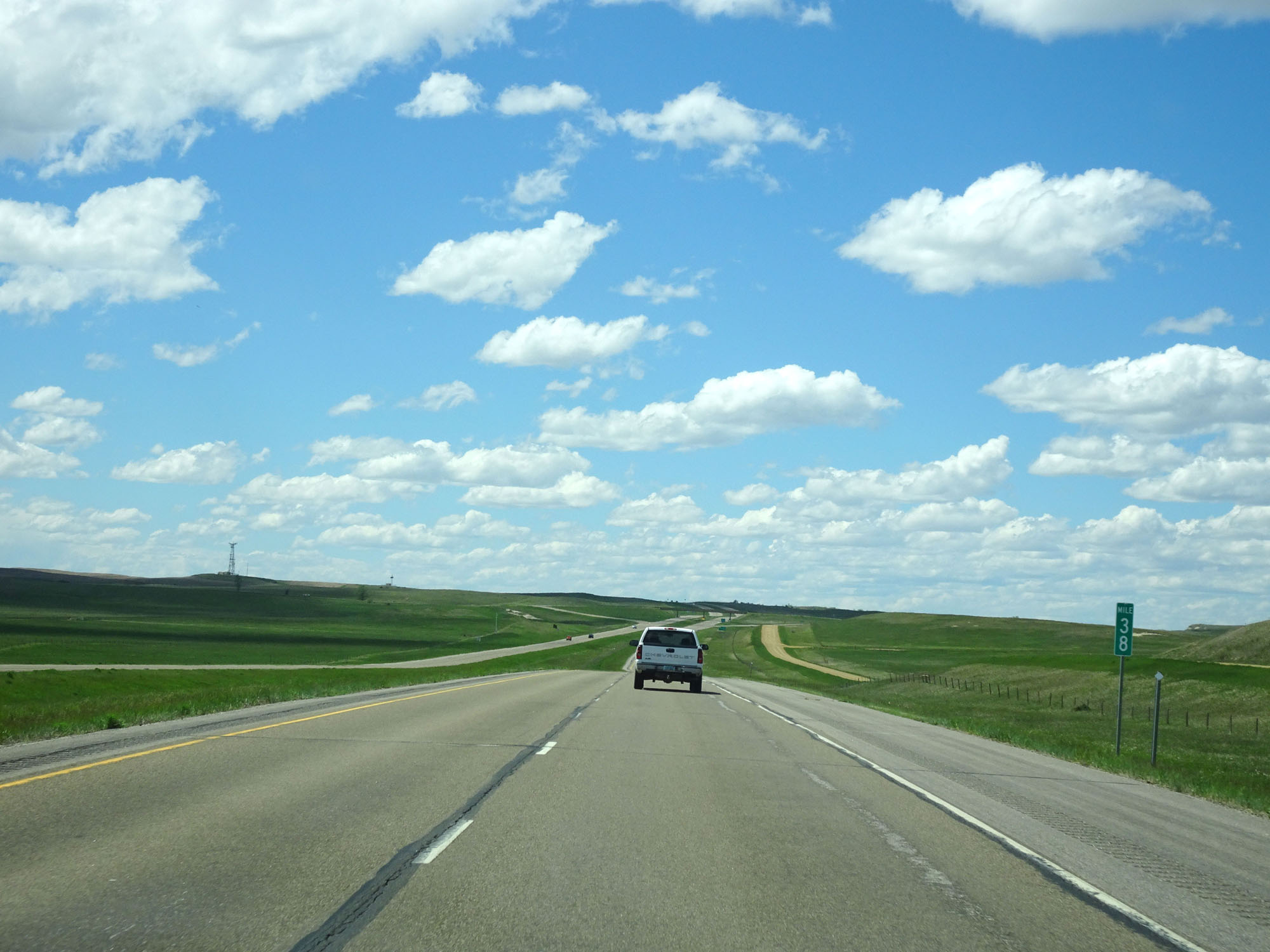 |
Interstate 94 West at mile marker 38. (Photo taken 5/23/16). |
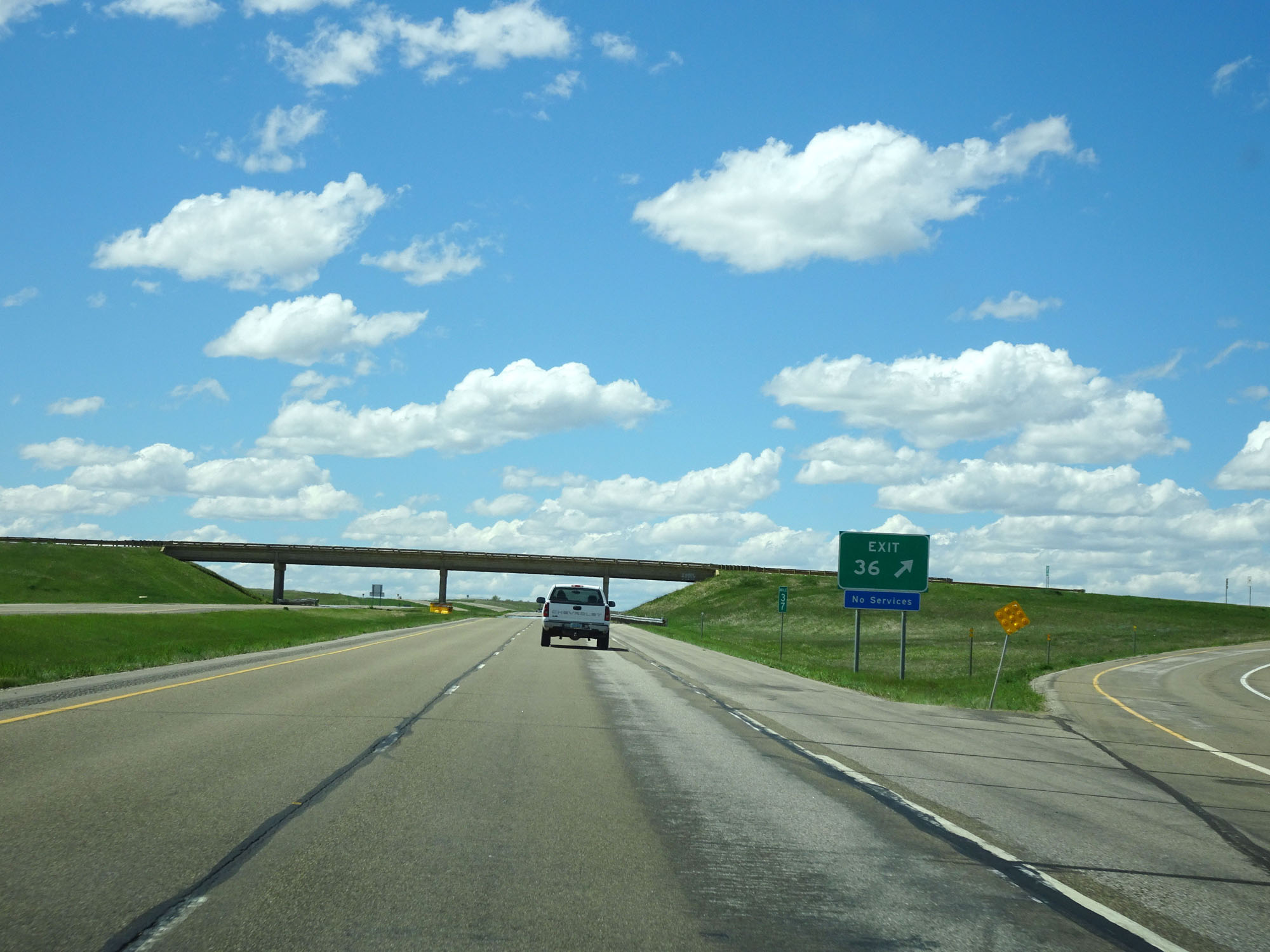 |
Interstate 94 West at Exit 36: Fryburg (Photo taken 5/23/16). |
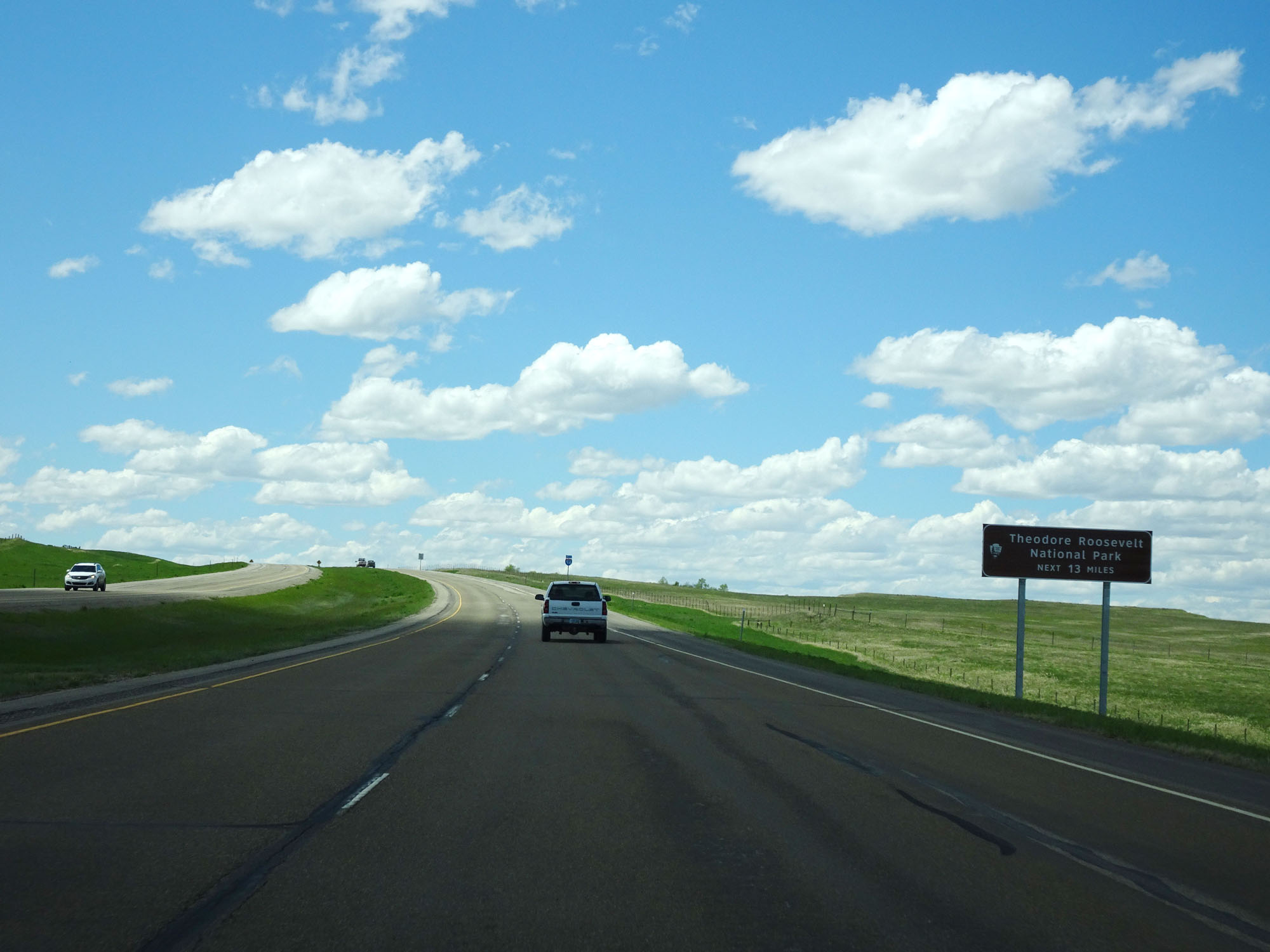 |
As this sign reads, Interstate 94 West will pass through Theodore Roosevelt National Park for the next 13 miles. This is, in my opinion, one of the more unique and neat stretches of Interstate in the country. (Photo taken 5/23/16). |
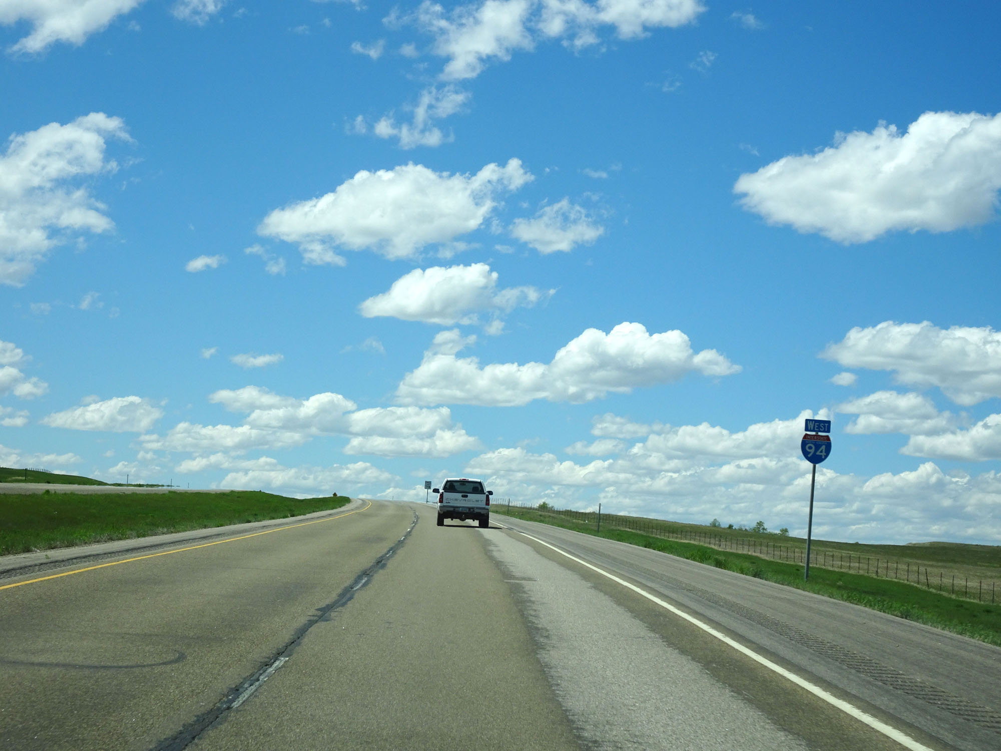 |
Interstate 94 West assurance shield entering Theodore Roosevelt National Park. (Photo taken 5/23/16). |
 |
The speed limit remains 75 mph through Theodore Roosevelt National Park. However, you might be tempted to go a bit slower when you see the scenery that lies ahead. (Photo taken 5/23/16). |
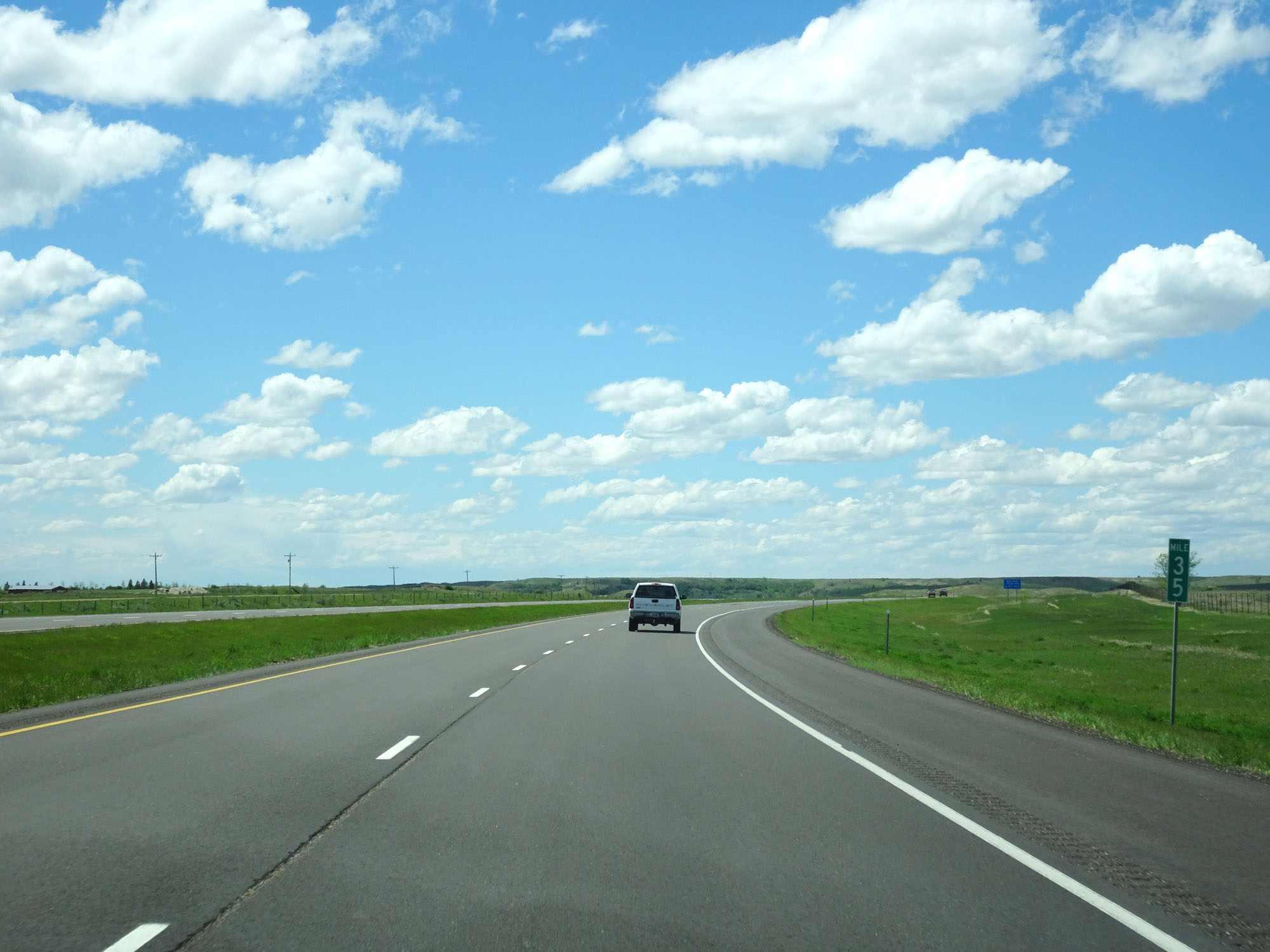 |
Interstate 94 West at mile marker 35. (Photo taken 5/23/16). |
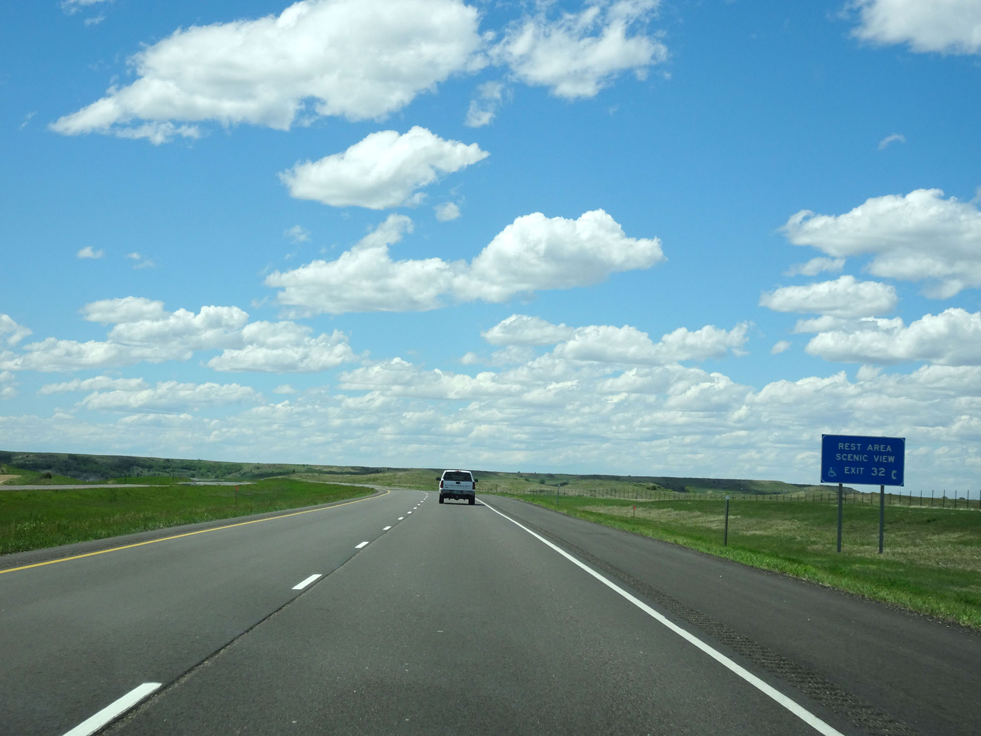 |
There is a Scenic View Area and Rest Area off Exit 32 ahead. (Photo taken 5/23/16). |
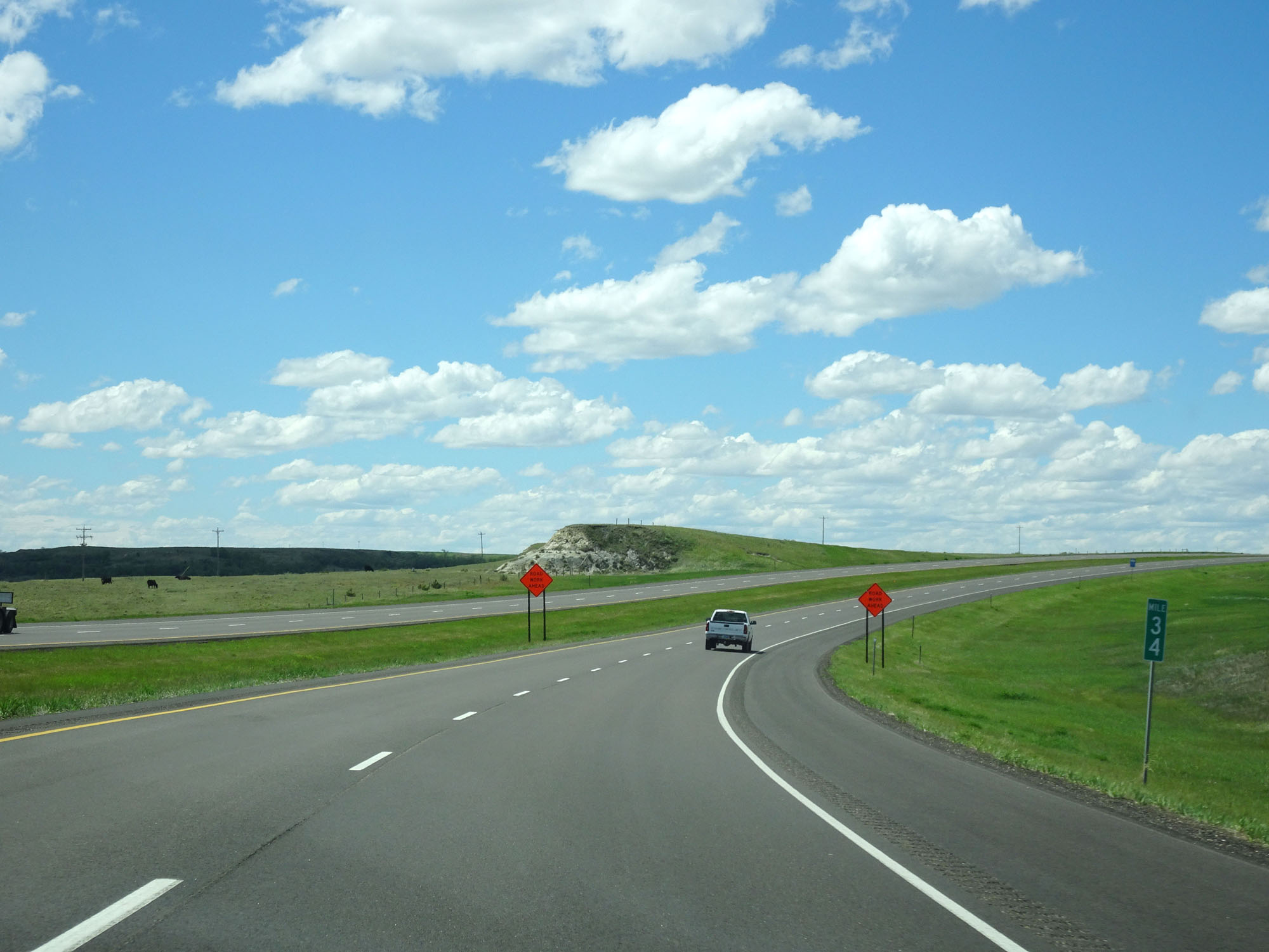 |
Interstate 94 West at mile marker 34. (Photo taken 5/23/16). |
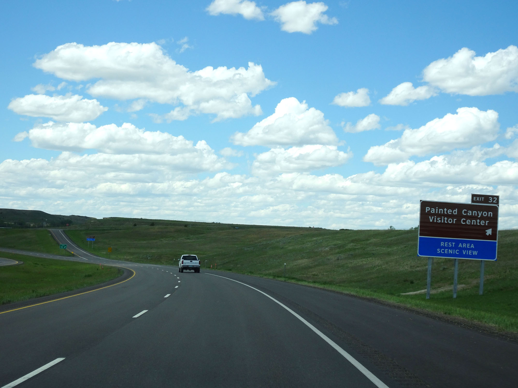 |
Interstate 94 West at Exit 32: Painted Canyon Visitor Center (Photo taken 5/23/16). |
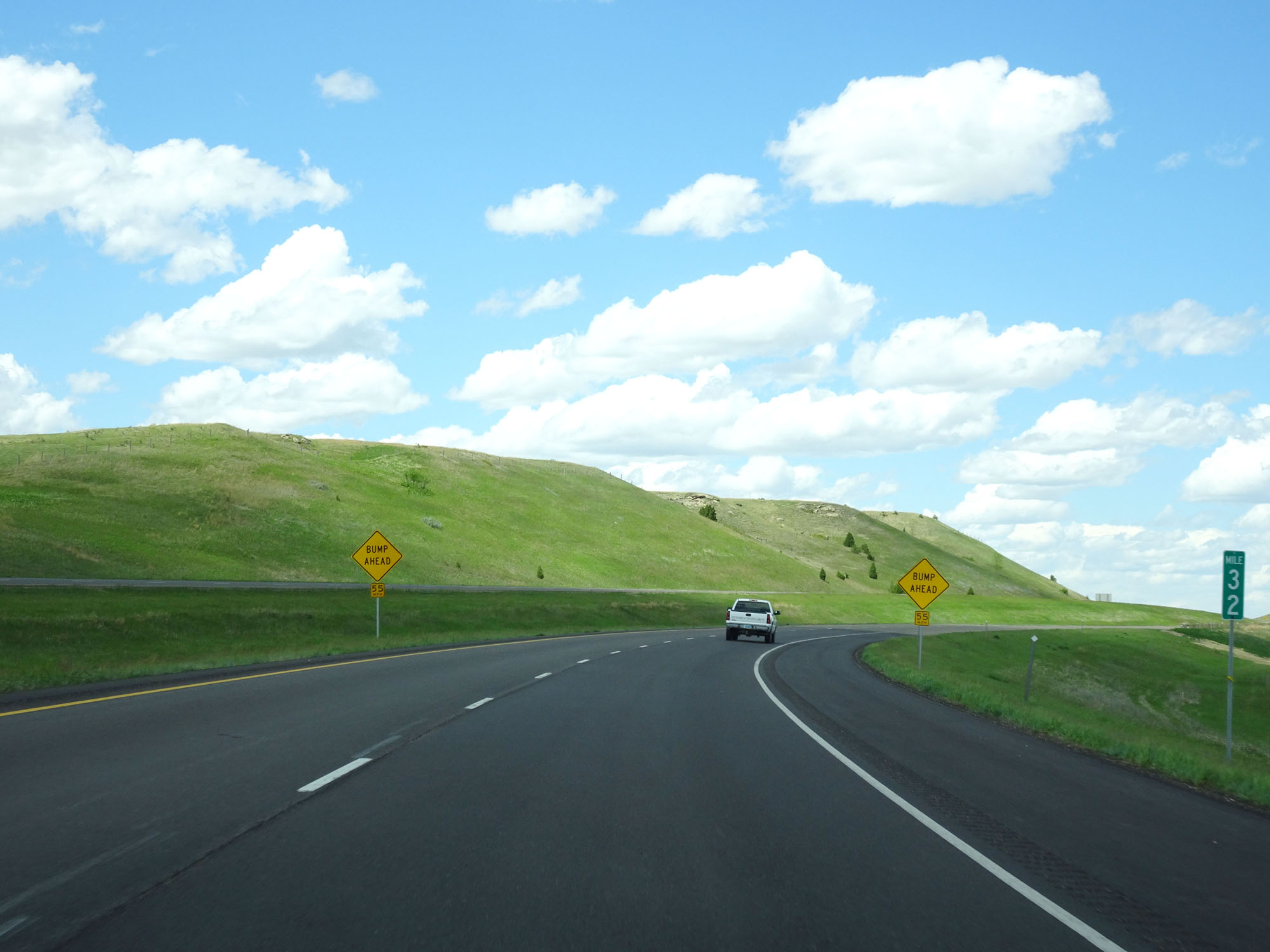 |
Interstate 94 West at mile marker 32. (Photo taken 5/23/16). |
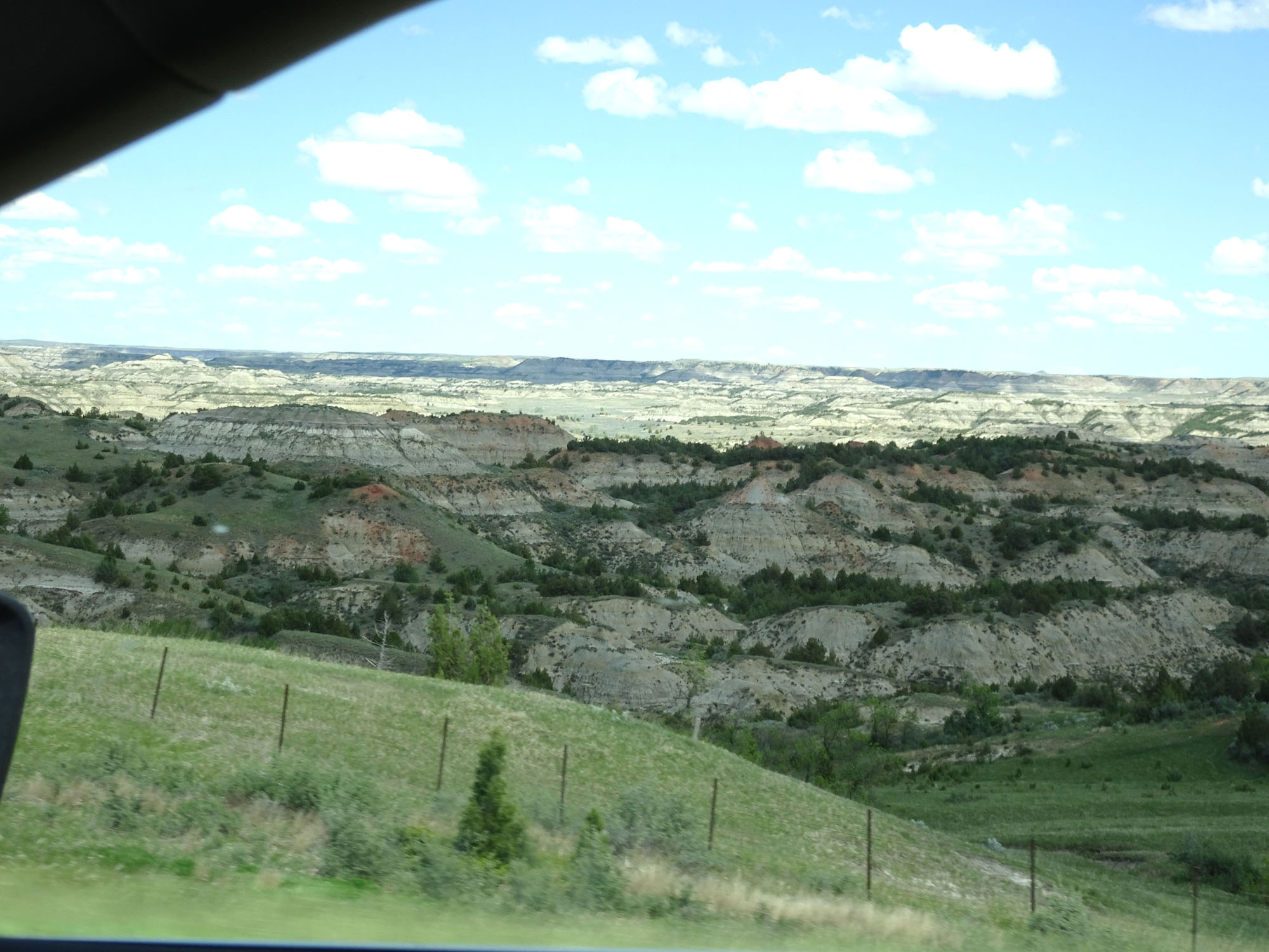 |
View of the terrain looking to the north on Interstate 94 West, near mile marker 31.5. (Photo taken 5/23/16). |
 |
View on Interstate 94 West approaching mile marker 31. (Photo taken 5/23/16). |
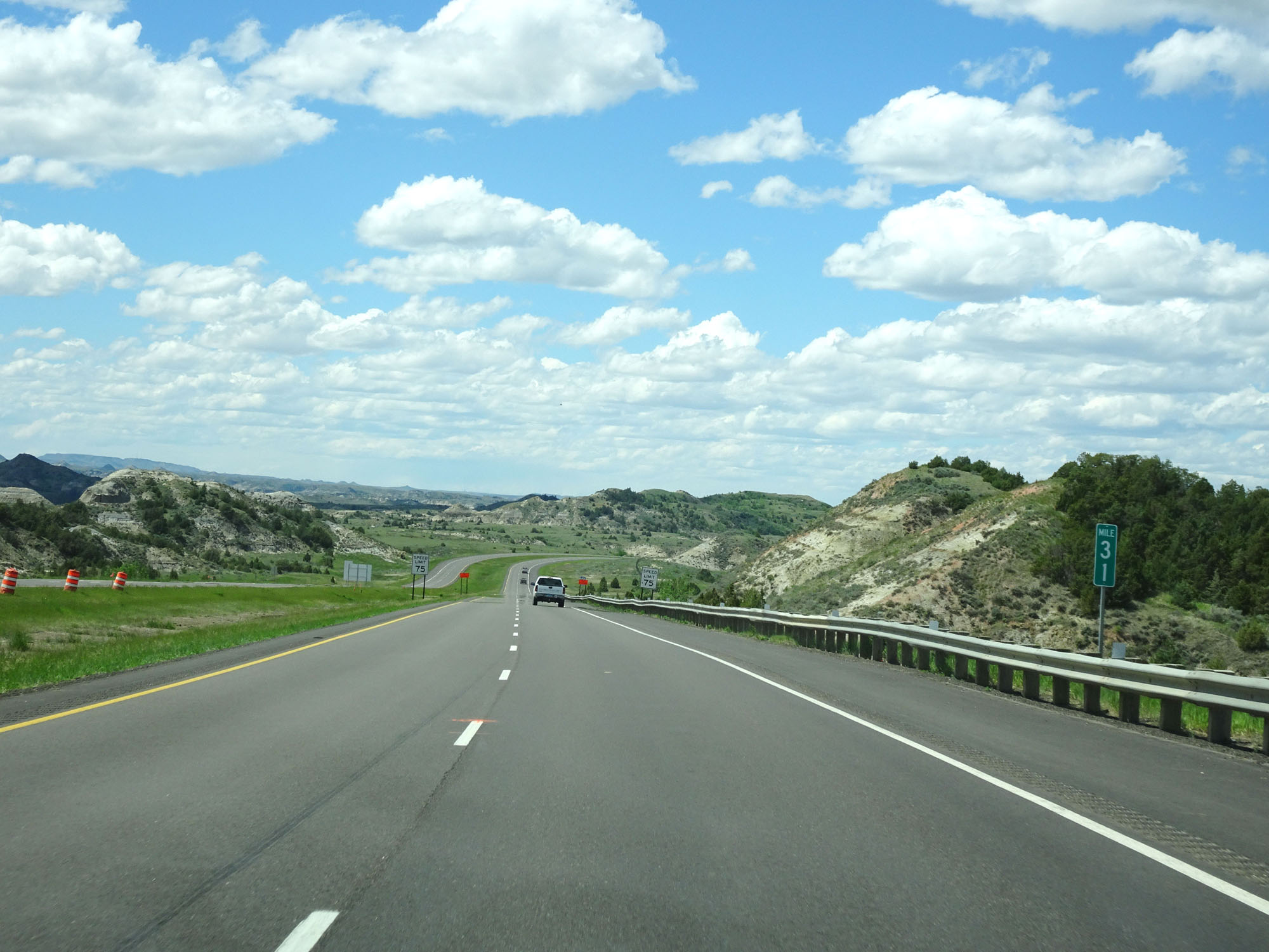 |
Interstate 94 West at mile marker 31. (Photo taken 5/23/16). |
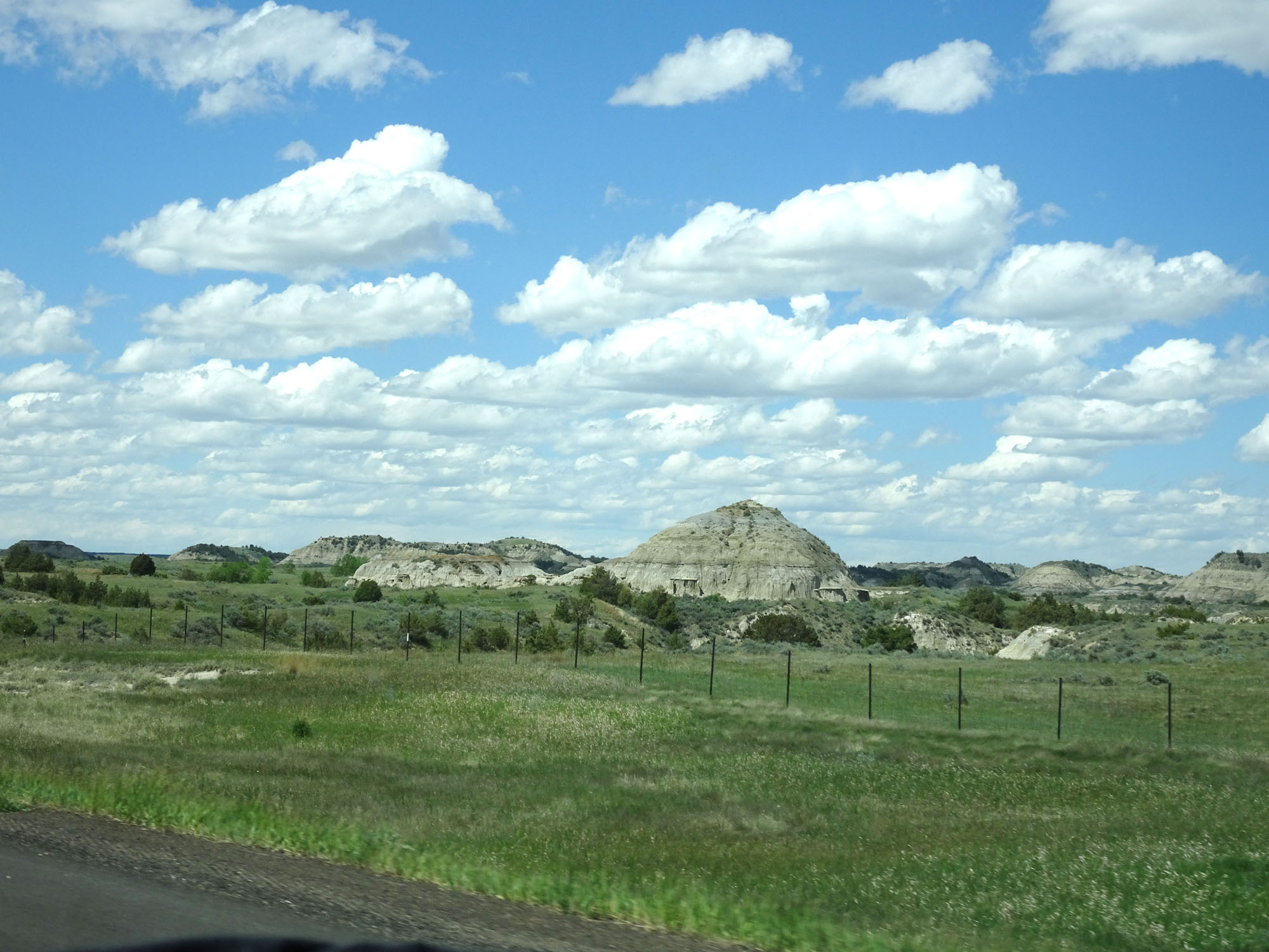 |
Another view looking to the northwest on Interstate 94 West. (Photo taken 5/23/16). |
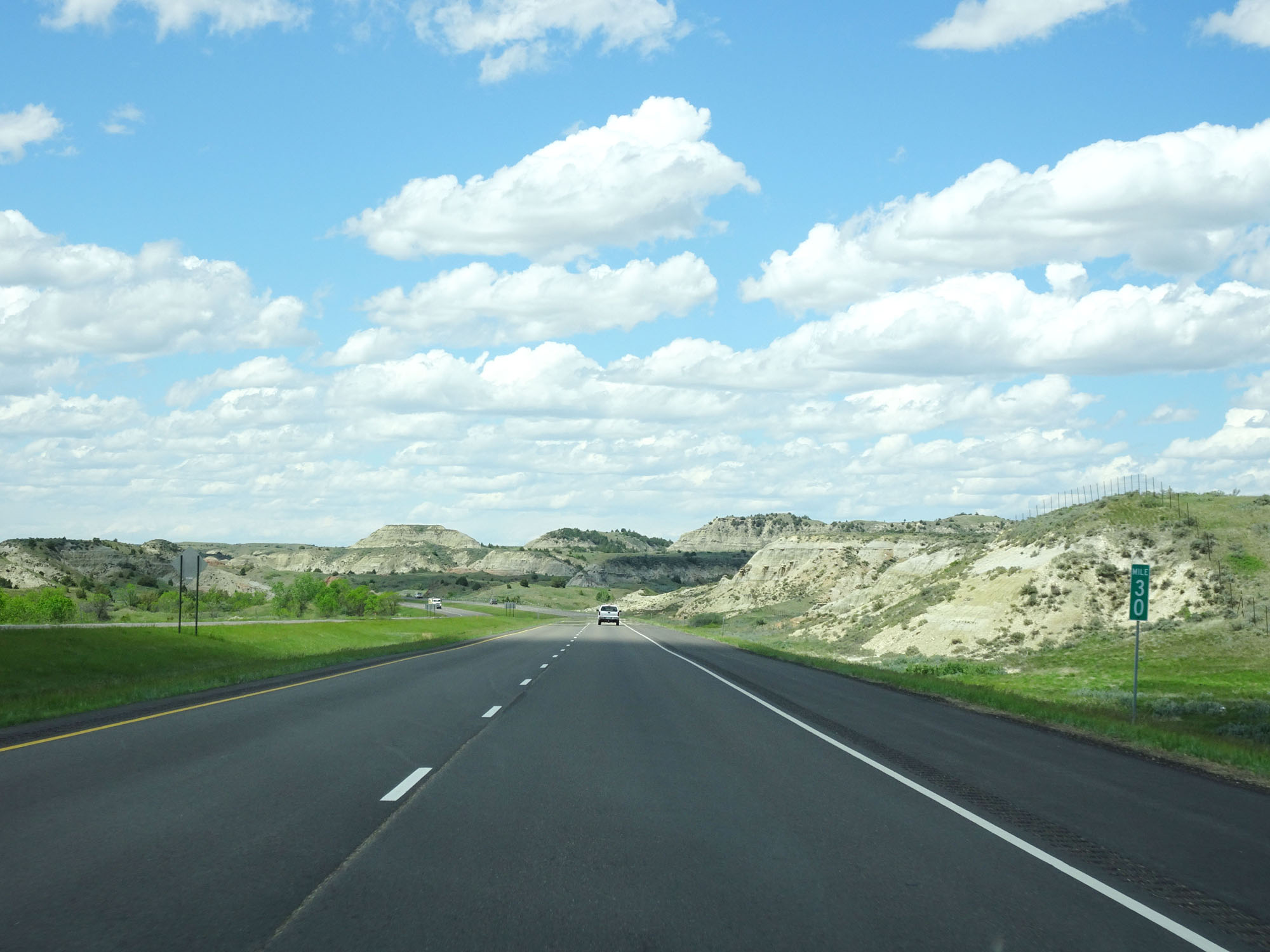 |
Interstate 94 West at mile marker 30. (Photo taken 5/23/16). |
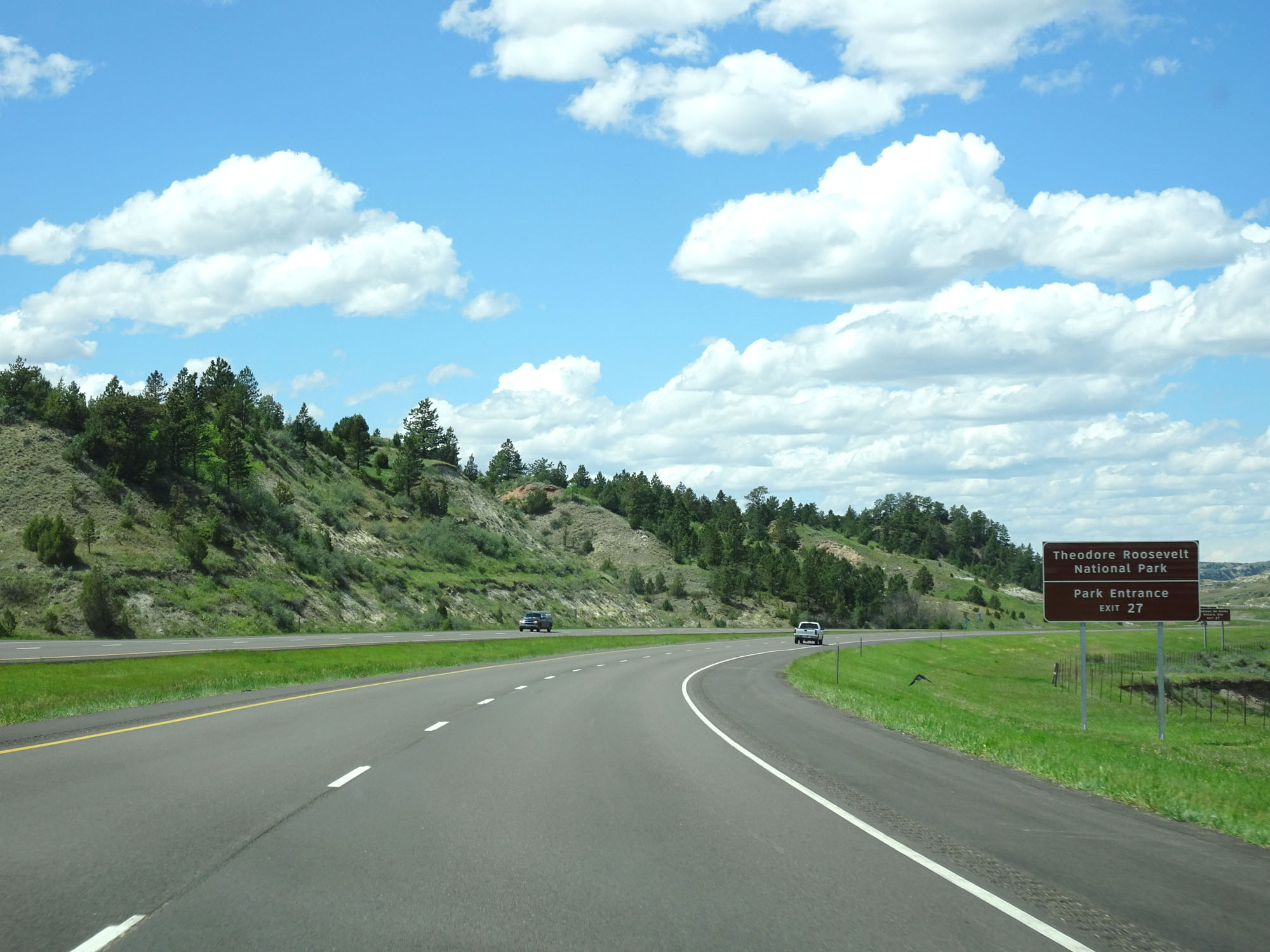 |
Take Exit 27 to the Park Entrance of Theodore Roosevelt National Park. (Photo taken 5/23/16). |
 |
Also take Exit 27 to Chateau De Mores Historic Site. (Photo taken 5/23/16). |
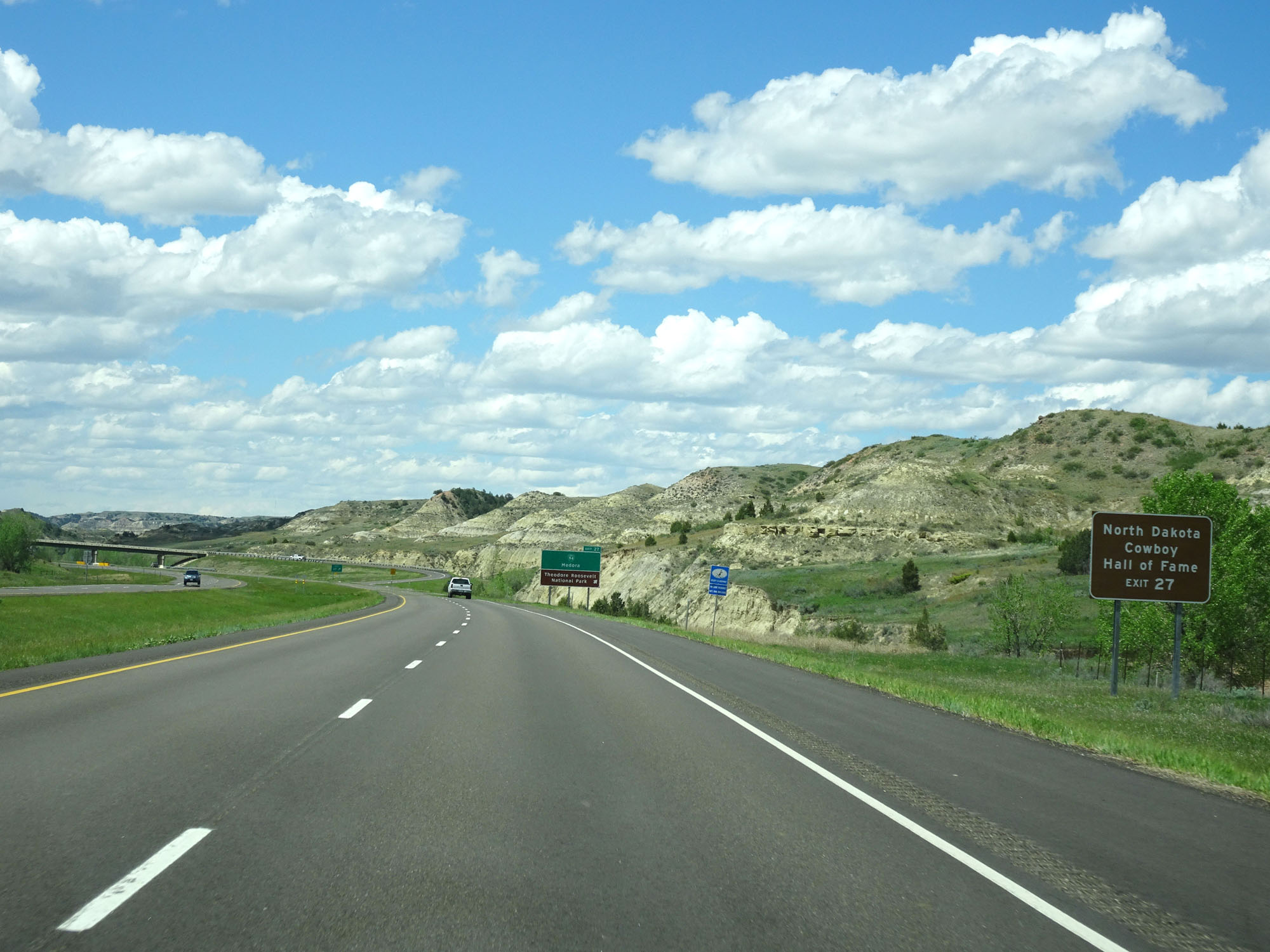 |
Take Exit 27 to the North Dakota Cowboy Hall of Fame as well. (Photo taken 5/23/16). |
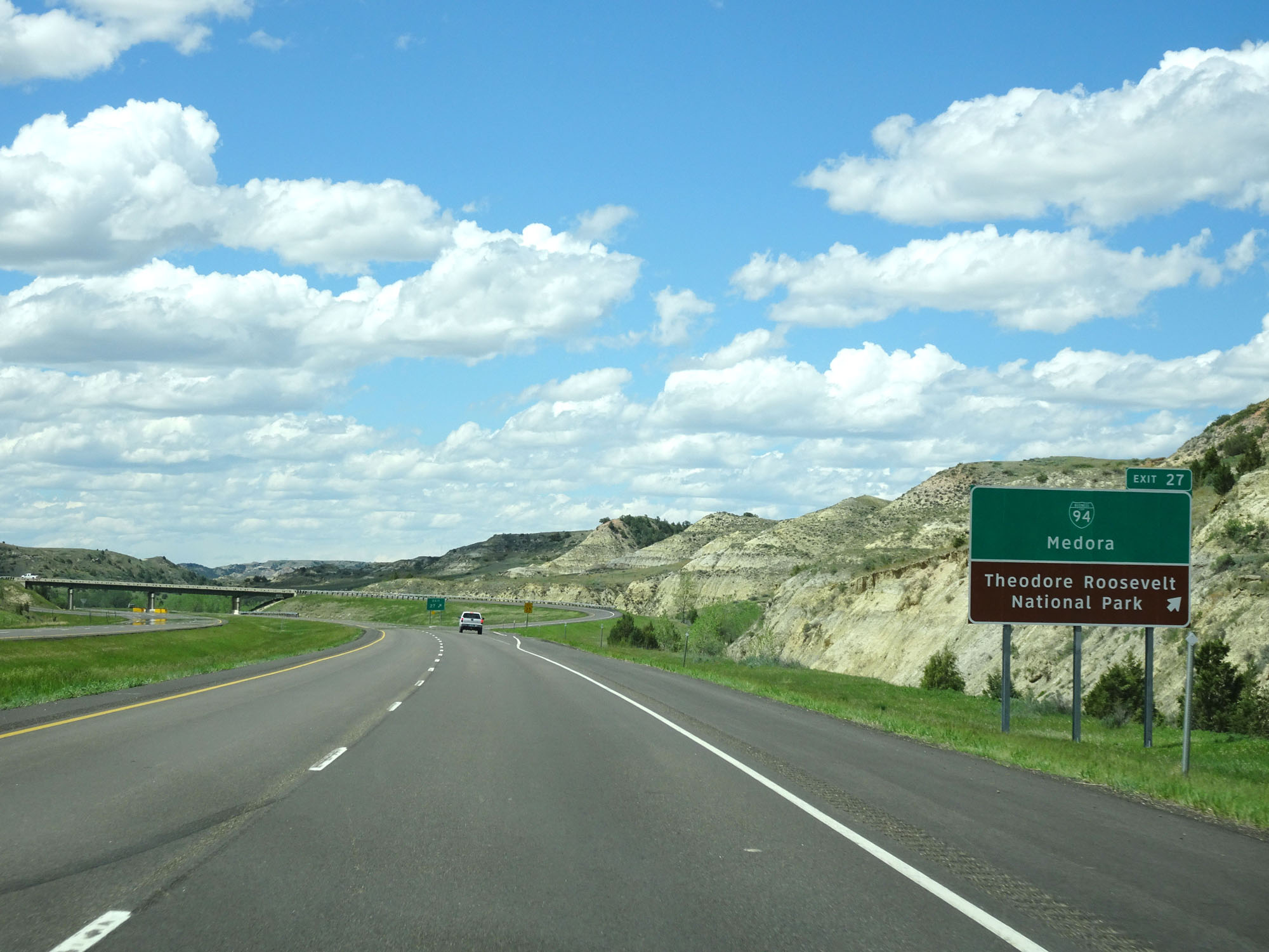 |
Interstate 94 West at Exit 27: Interstate 94 BL - Medora / Theodore Roosevelt National Park (Photo taken 5/23/16). |
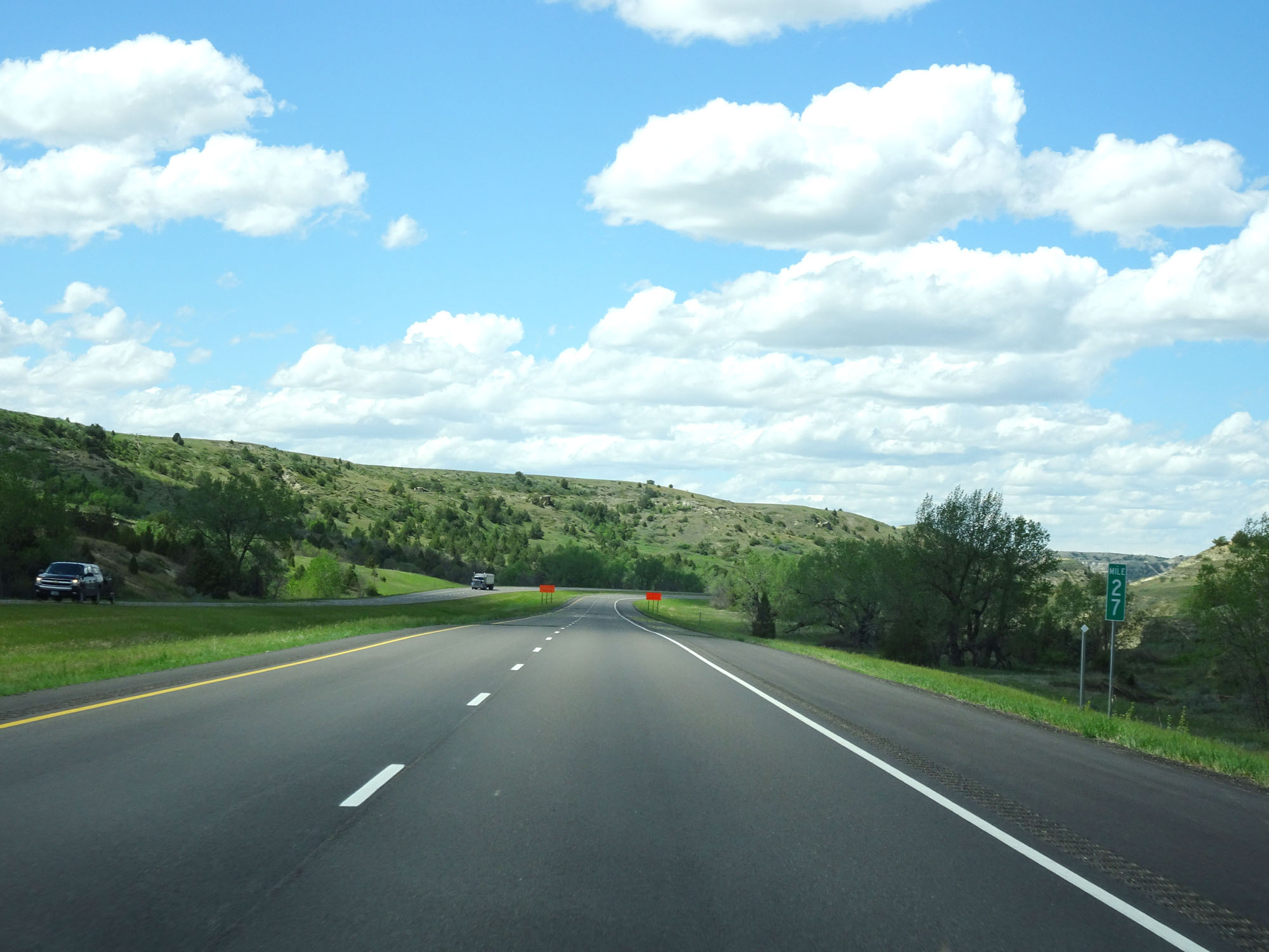 |
Interstate 94 West at mile marker 27. (Photo taken 5/23/16). |
 |
View on Interstate 94 West, near mile marker 26.5. (Photo taken 5/23/16). |
 |
Interstate 94 West at mile marker 26. (Photo taken 5/23/16). |
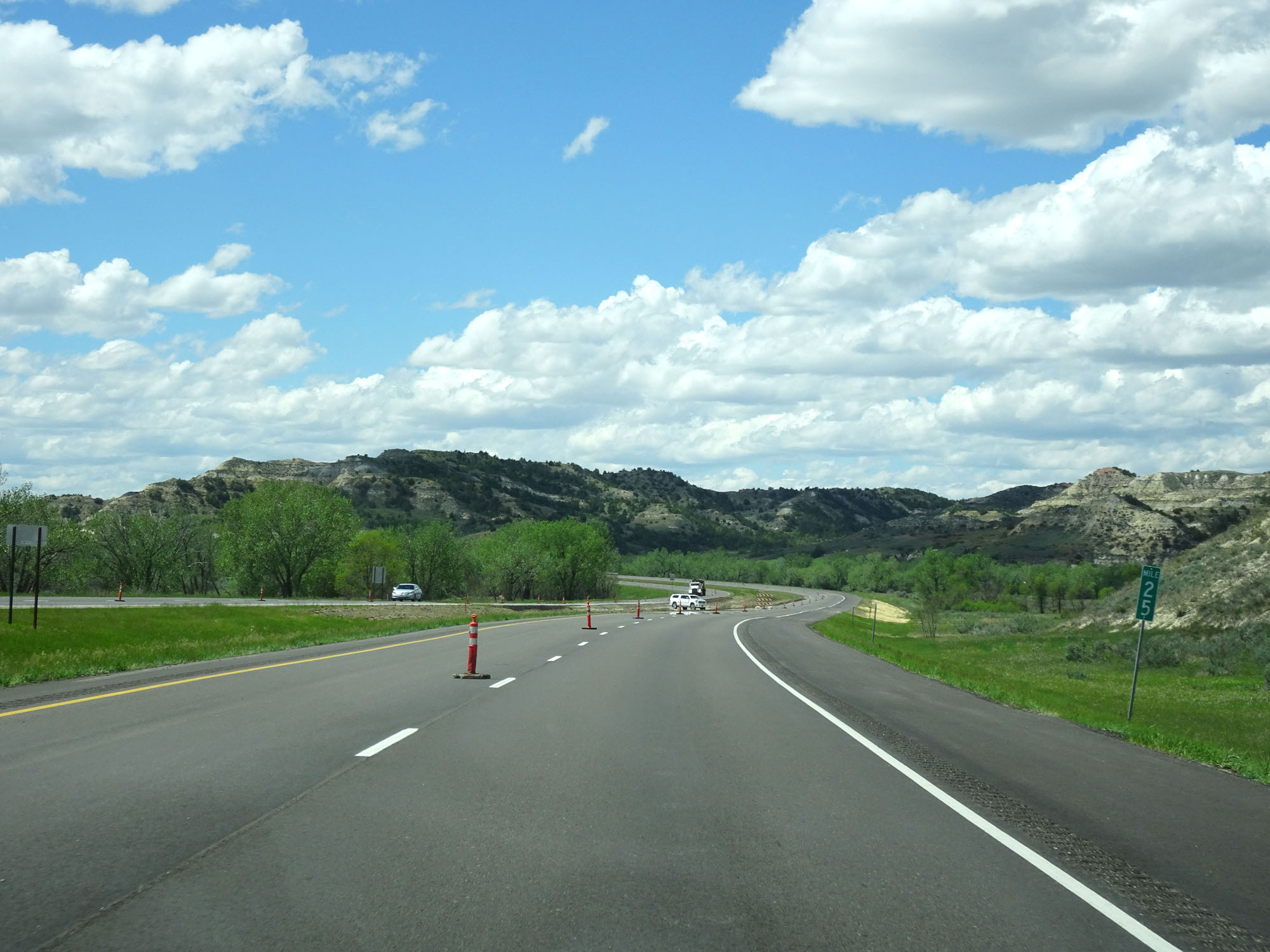 |
Interstate 94 West at mile marker 25. Yes, I took quite a few road view shots through this stretch. (Photo taken 5/23/16). |
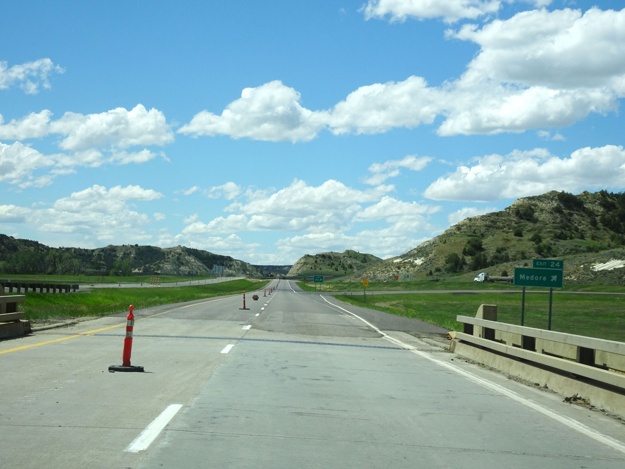 |
Interstate 94 West at Exit 24: Medora (Photo taken 5/23/16). |
 |
Interstate 94 West at Exit 23: W River Rd (Photo taken 5/23/16). |
 |
Another state-named Interstate 94 West assurance shield west of Exit 23. (Photo taken 5/23/16). |
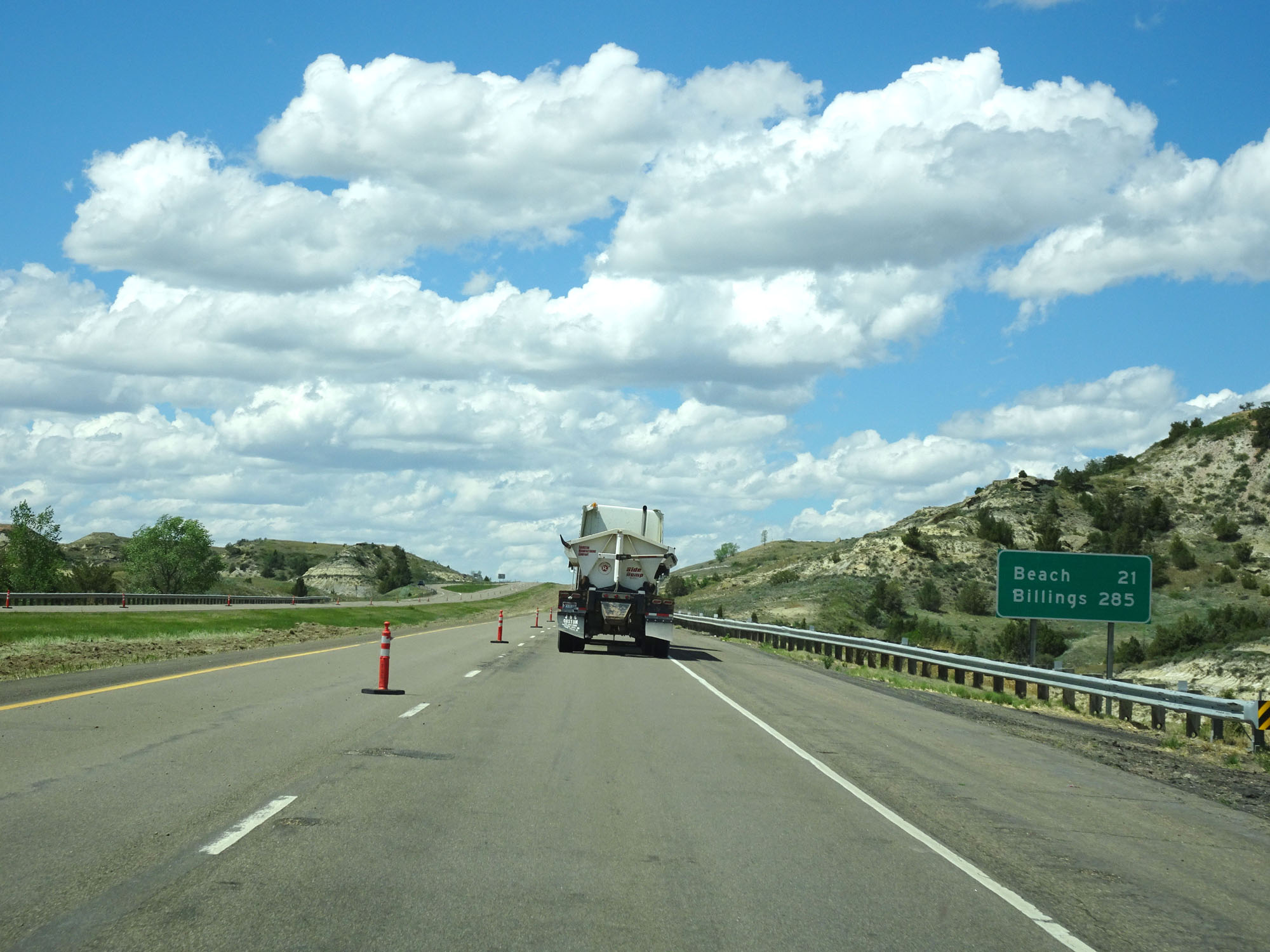 |
Mileage sign west of Exit 23. It's 21 miles to Beach and 285 miles to Billings. (Photo taken 5/23/16). |
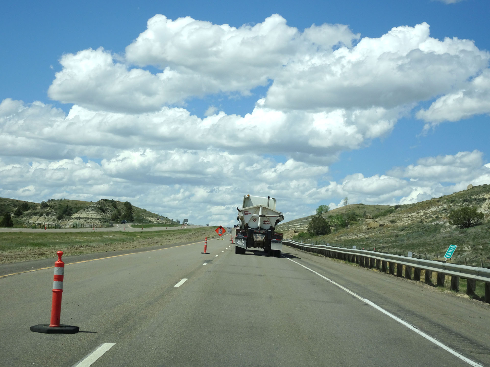 |
Interstate 94 West at mile marker 22. (Photo taken 5/23/16). |
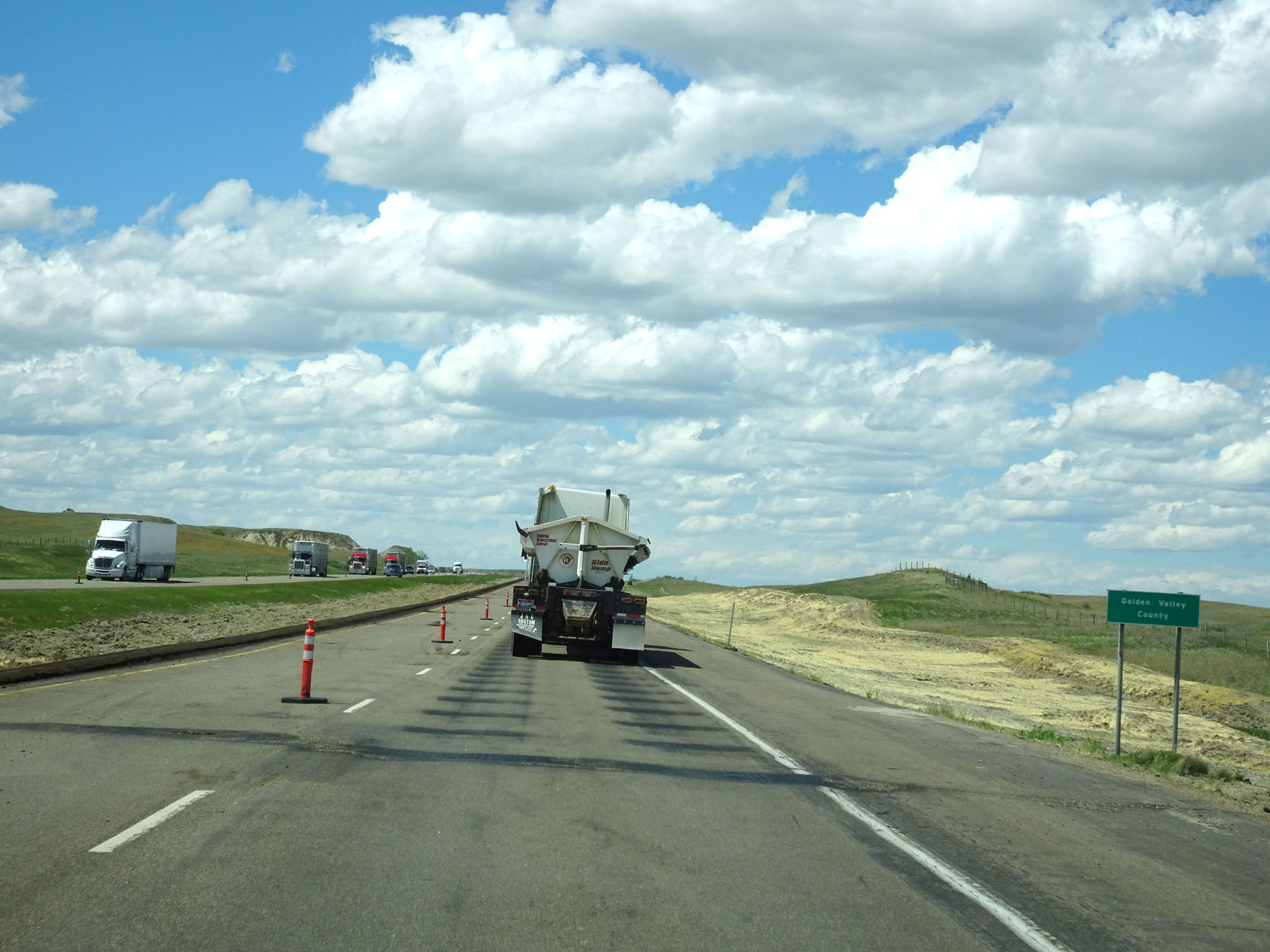 |
Interstate 94 West as it enters Golden Valley County. (Photo taken 5/23/16). |
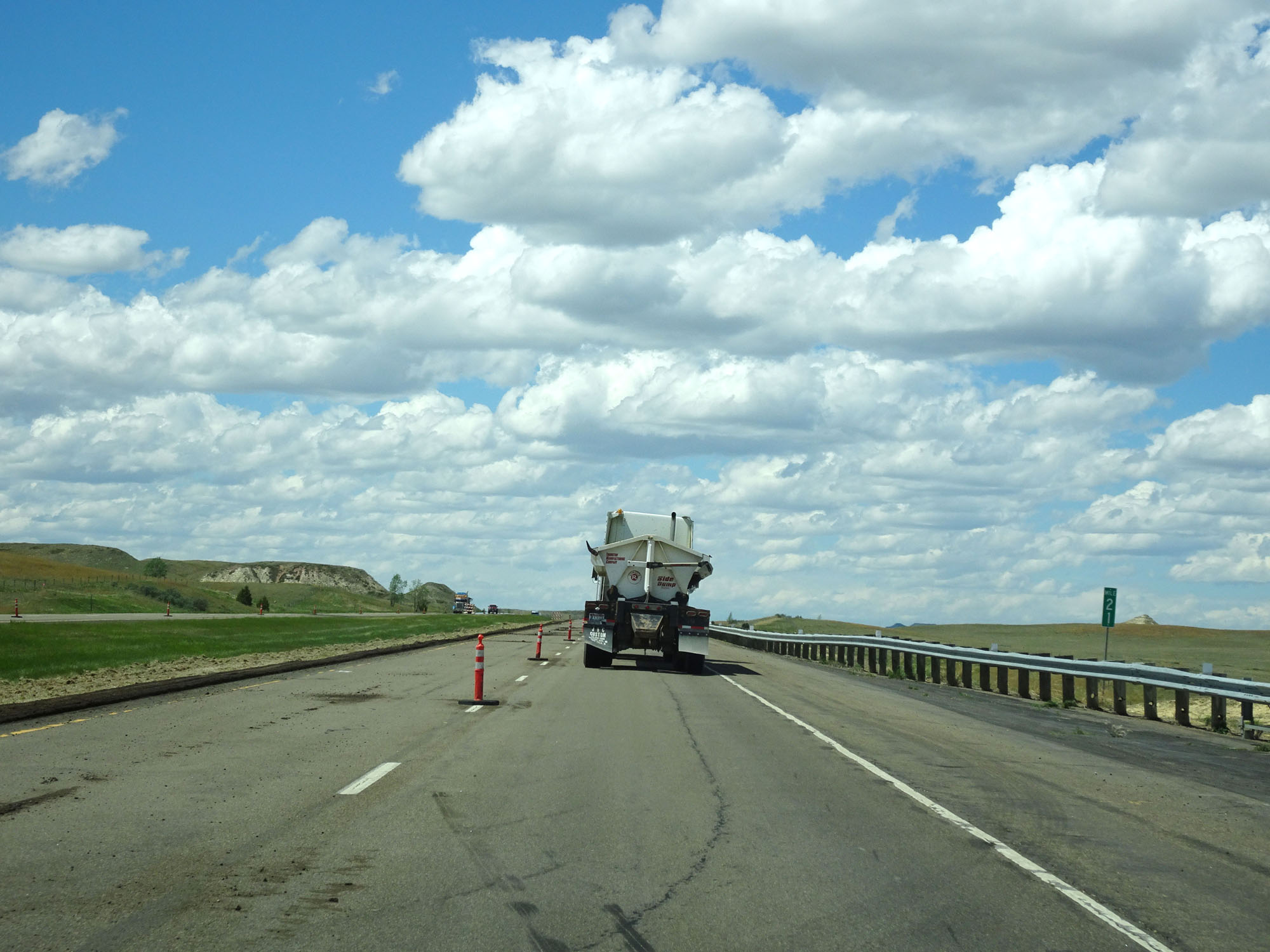 |
Interstate 94 West at mile marker 21. (Photo taken 5/23/16). |
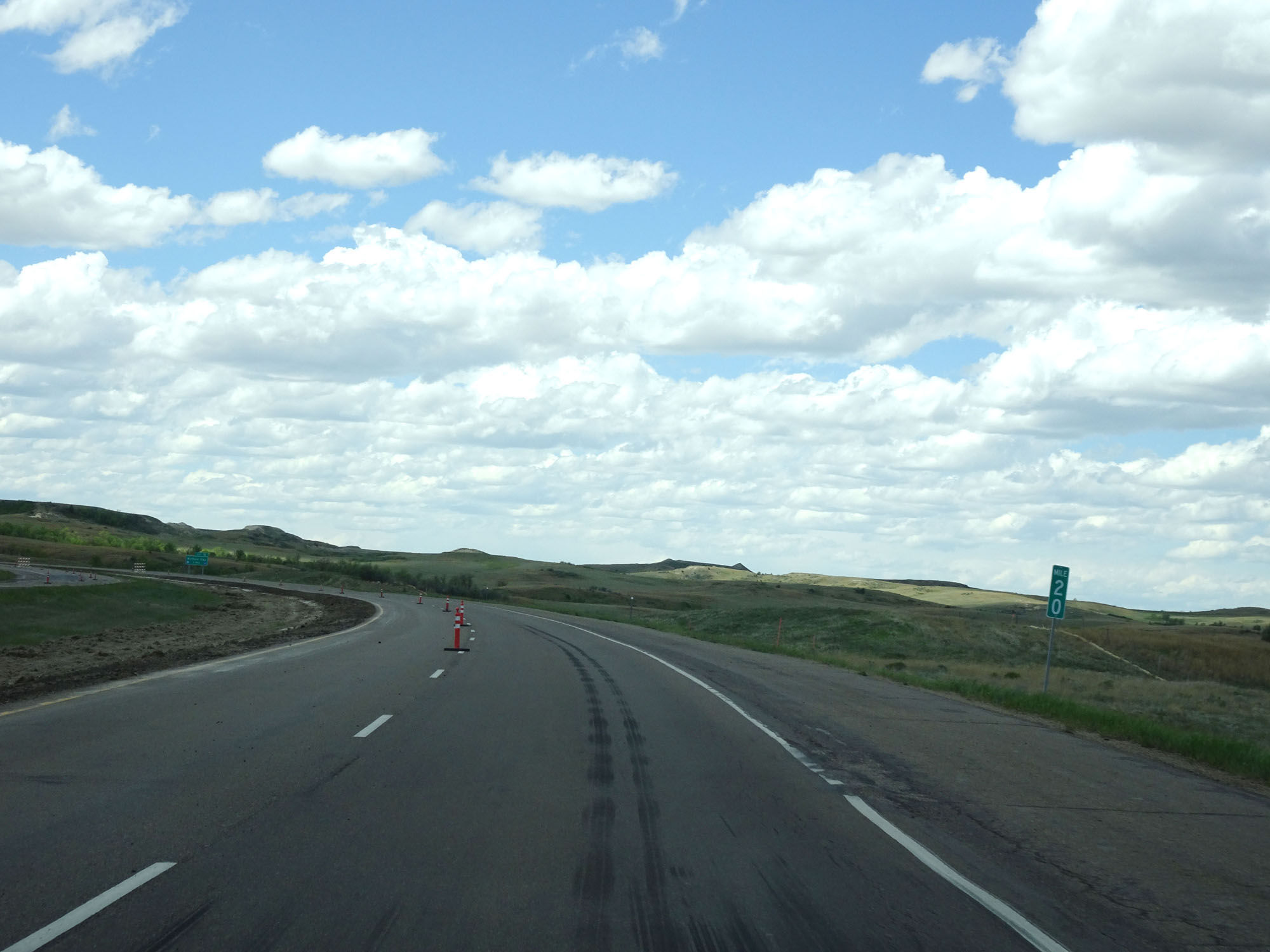 |
Interstate 94 West at mile marker 20. (Photo taken 5/23/16). |
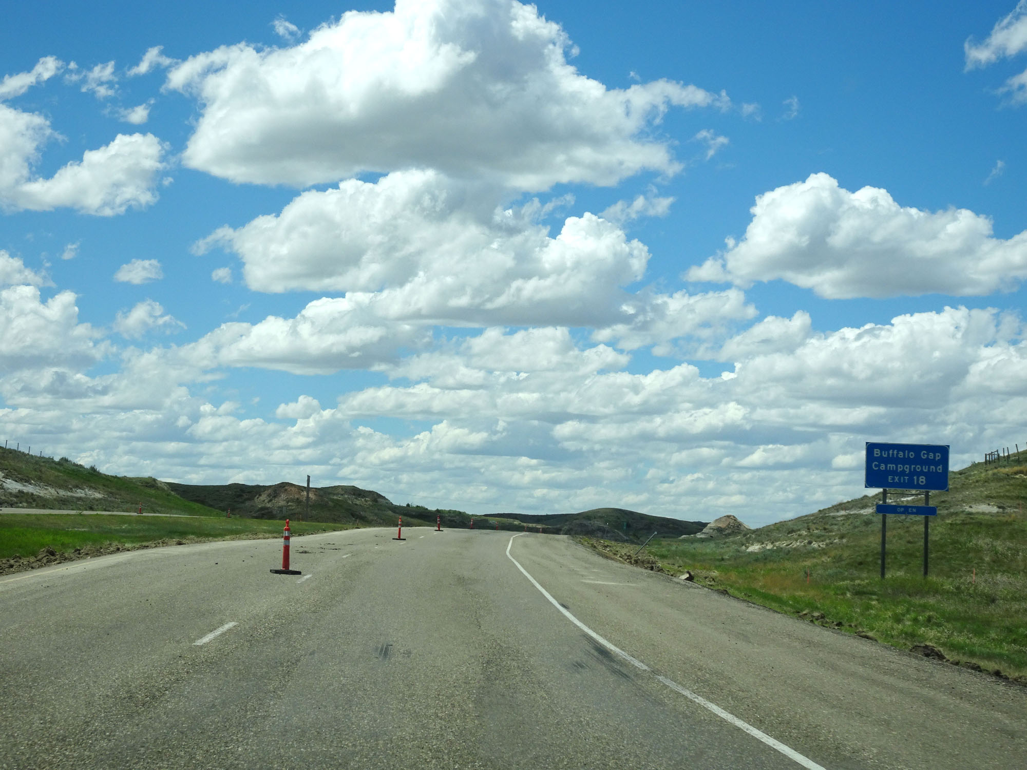 |
Take Exit 18 to Buffalo Gap Campground. (Photo taken 5/23/16). |
 |
Interstate 94 West at mile marker 19. (Photo taken 5/23/16). |
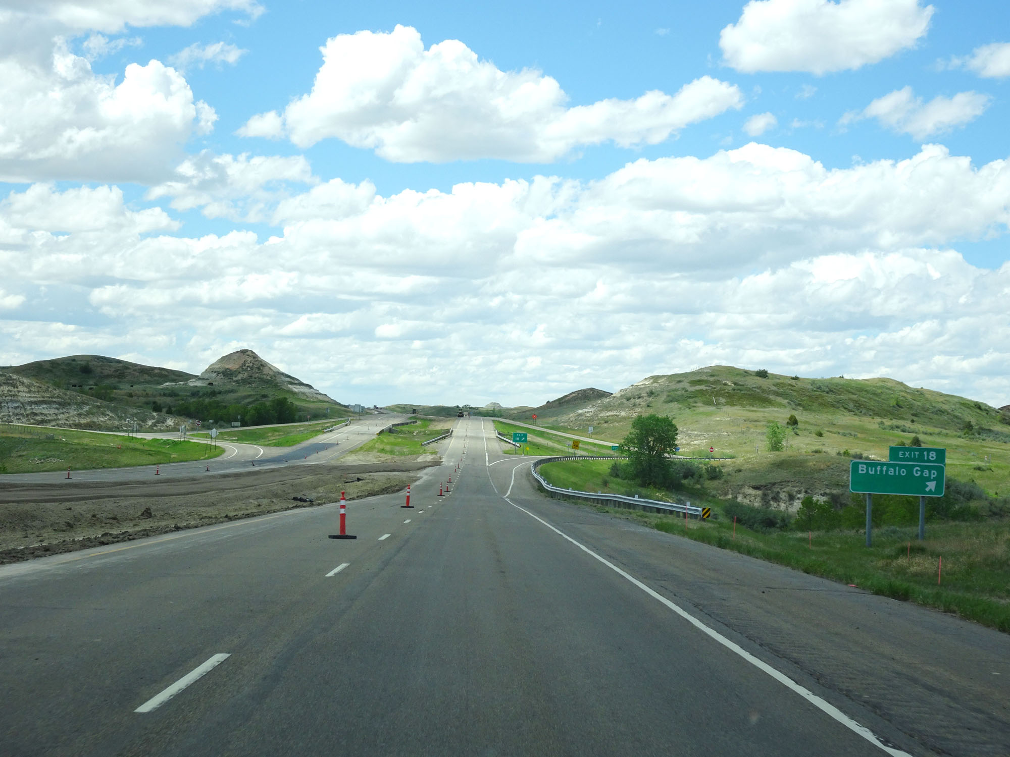 |
Interstate 94 West at Exit 18: Buffalo Gap (Photo taken 5/23/16). |
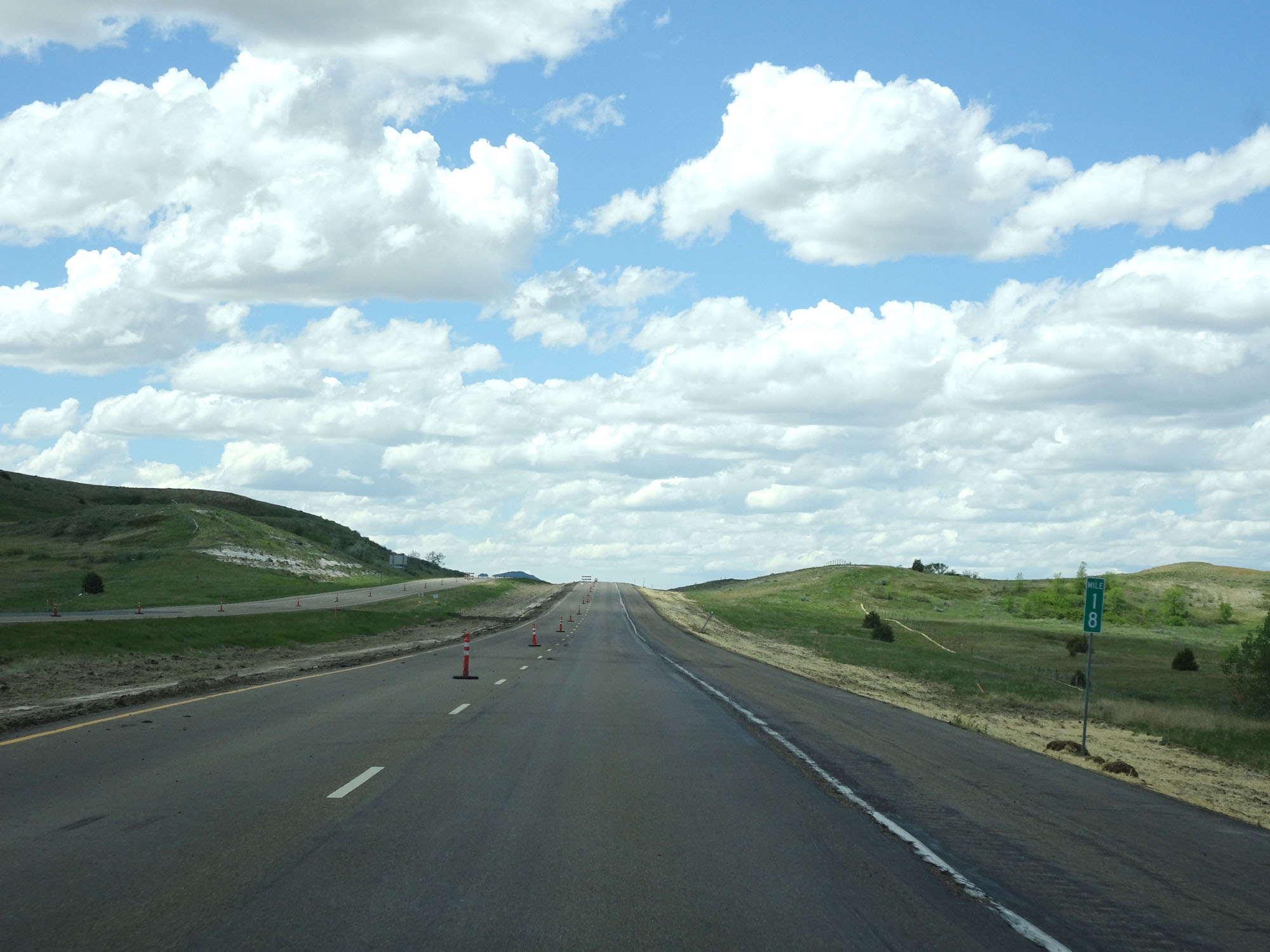 |
Interstate 94 West at mile marker 18. (Photo taken 5/23/16). |
 |
Interstate 94 West at mile marker 15. (Photo taken 5/23/16). |
 |
Interstate 94 West at mile marker 14. (Photo taken 5/23/16). |
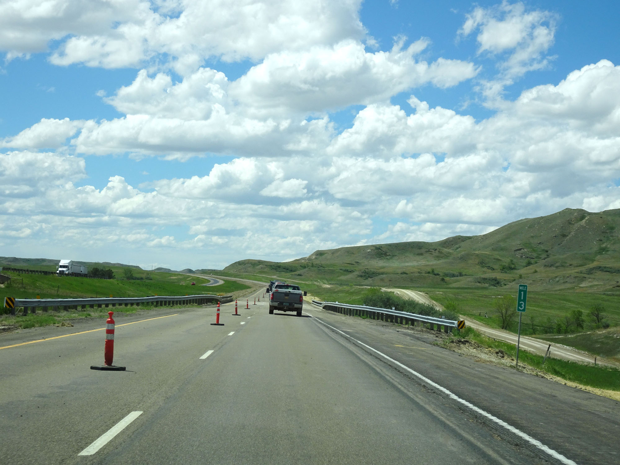 |
Interstate 94 West at mile marker 13. (Photo taken 5/23/16). |
 |
Interstate 94 West at mile marker 12. (Photo taken 5/23/16). |
 |
Interstate 94 West approaching Exit 10 - 1 mile. (Photo taken 5/23/16). |
 |
Interstate 94 West at Exit 10: Sentinel Butte / Camel Hump Lake (Photo taken 5/23/16). |
 |
Interstate 94 West assurance shield at mile marker 10. (Photo taken 5/23/16). |
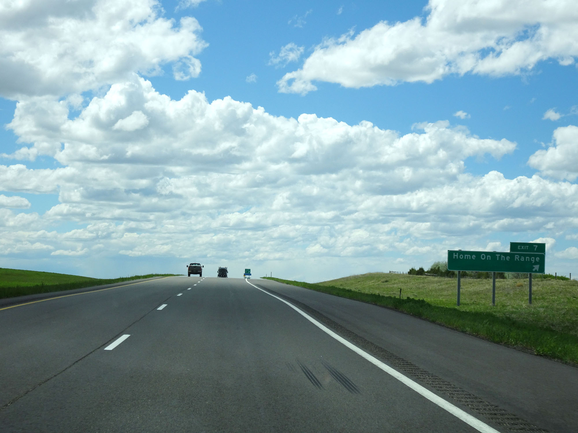 |
Interstate 94 West at Exit 7: Home On The Range (Photo taken 5/23/16). |
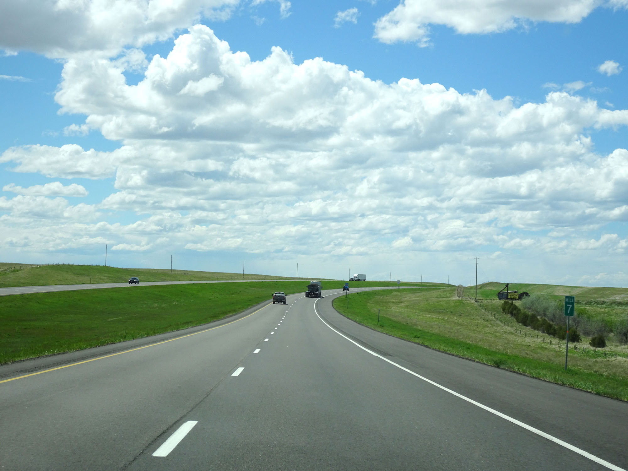 |
Interstate 94 West at mile marker 7. (Photo taken 5/23/16). |
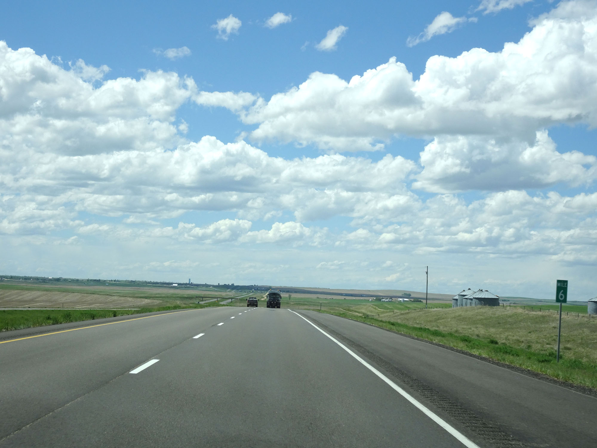 |
Interstate 94 West at mile marker 6. (Photo taken 5/23/16). |
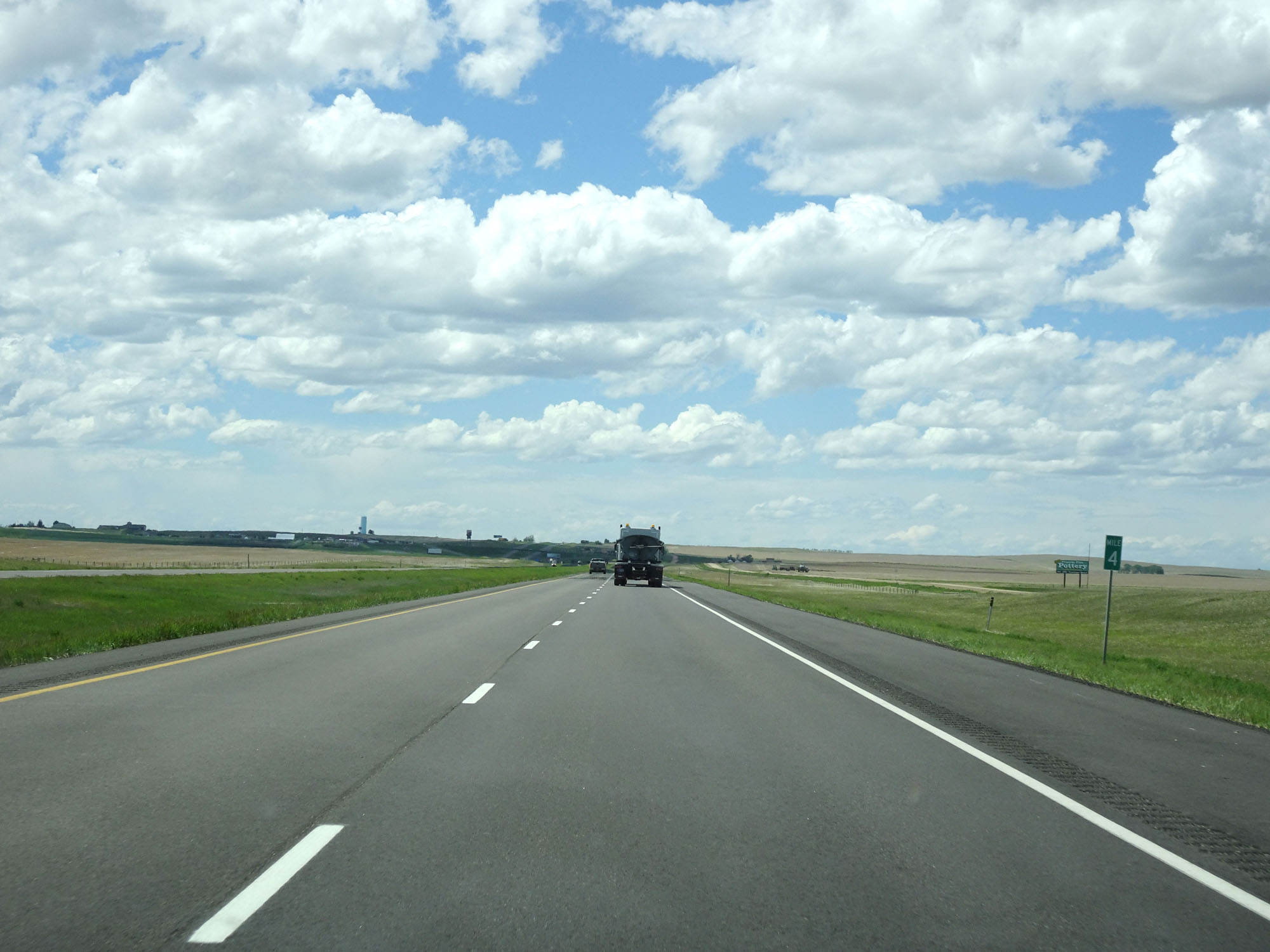 |
Interstate 94 West at mile marker 4. (Photo taken 5/23/16). |
 |
Interstate 94 West at mile marker 3. (Photo taken 5/23/16). |
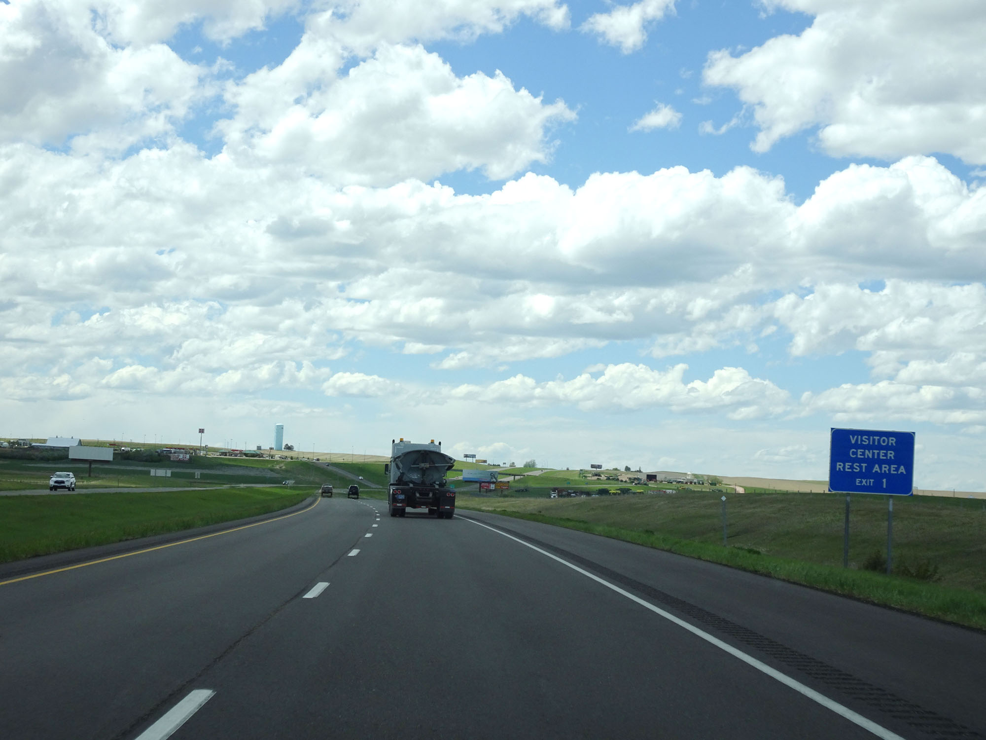 |
A Visitor Center and Rest Area exist off Exit 1 ahead. (Photo taken 5/23/16). |
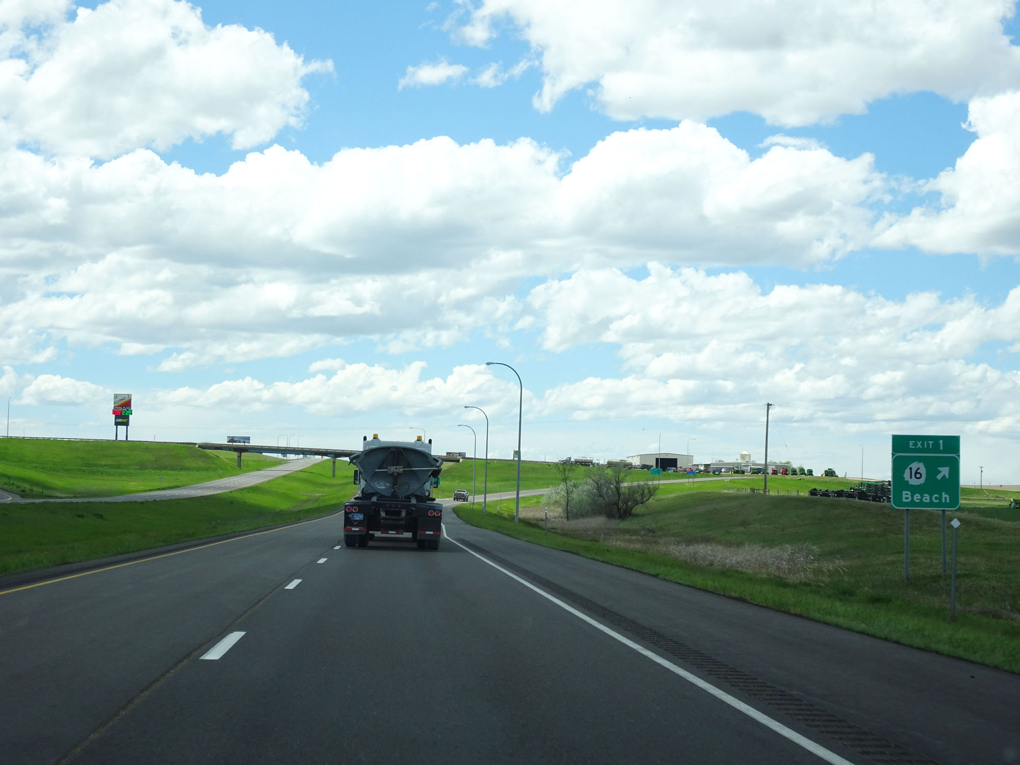 |
Interstate 94 West at Exit 1: ND 16 - Beach (Photo taken 5/23/16). |
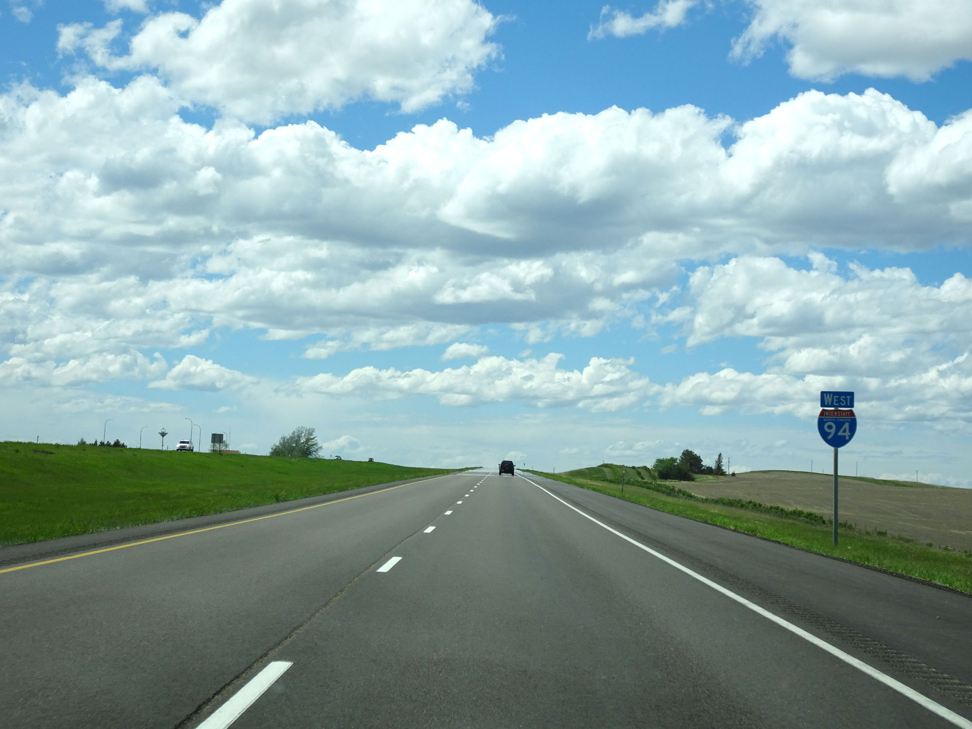 |
One final state-named Interstate 94 West assurance shield. (Photo taken 5/23/16). |
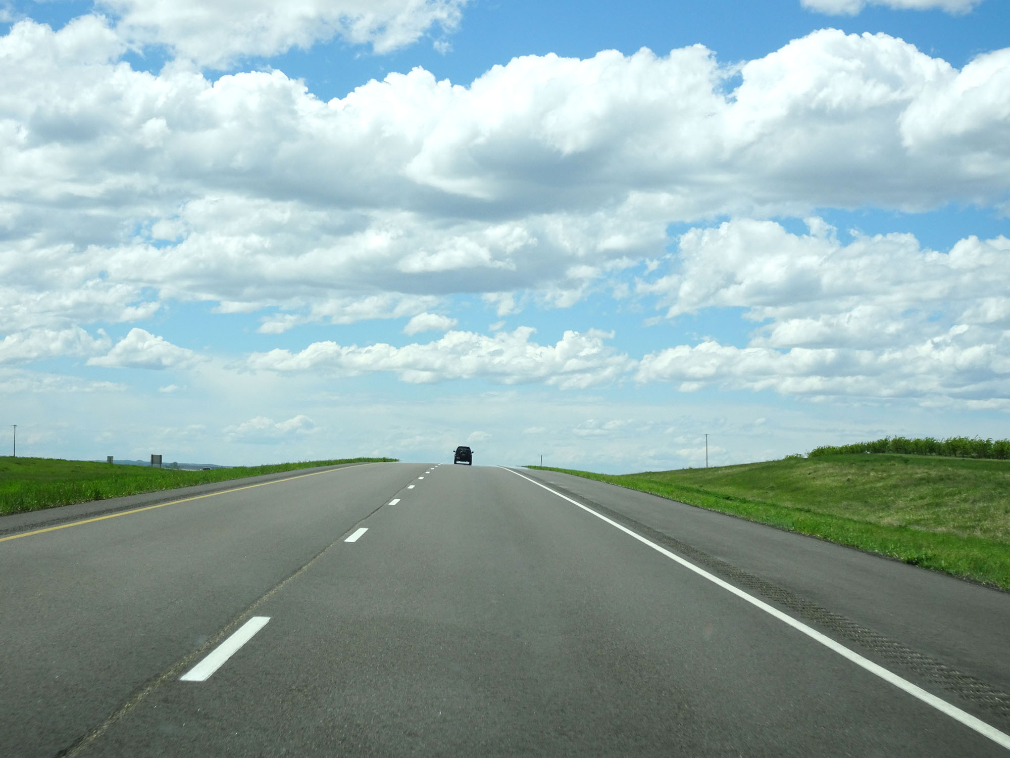 |
Interstate 94 West as it prepares to cross into Montana. (Photo taken 5/23/16). |