Road Information |
||
 |
||
| Total Mileage in State: | 125 miles | |
| Eastern End: | At US 74/NC 41, near Lumberton | |
| Western End: | At Virginia state line | |
| Mileage covered in Photos: | 17 miles | |
| Counties covered in Photos: | Surry | |
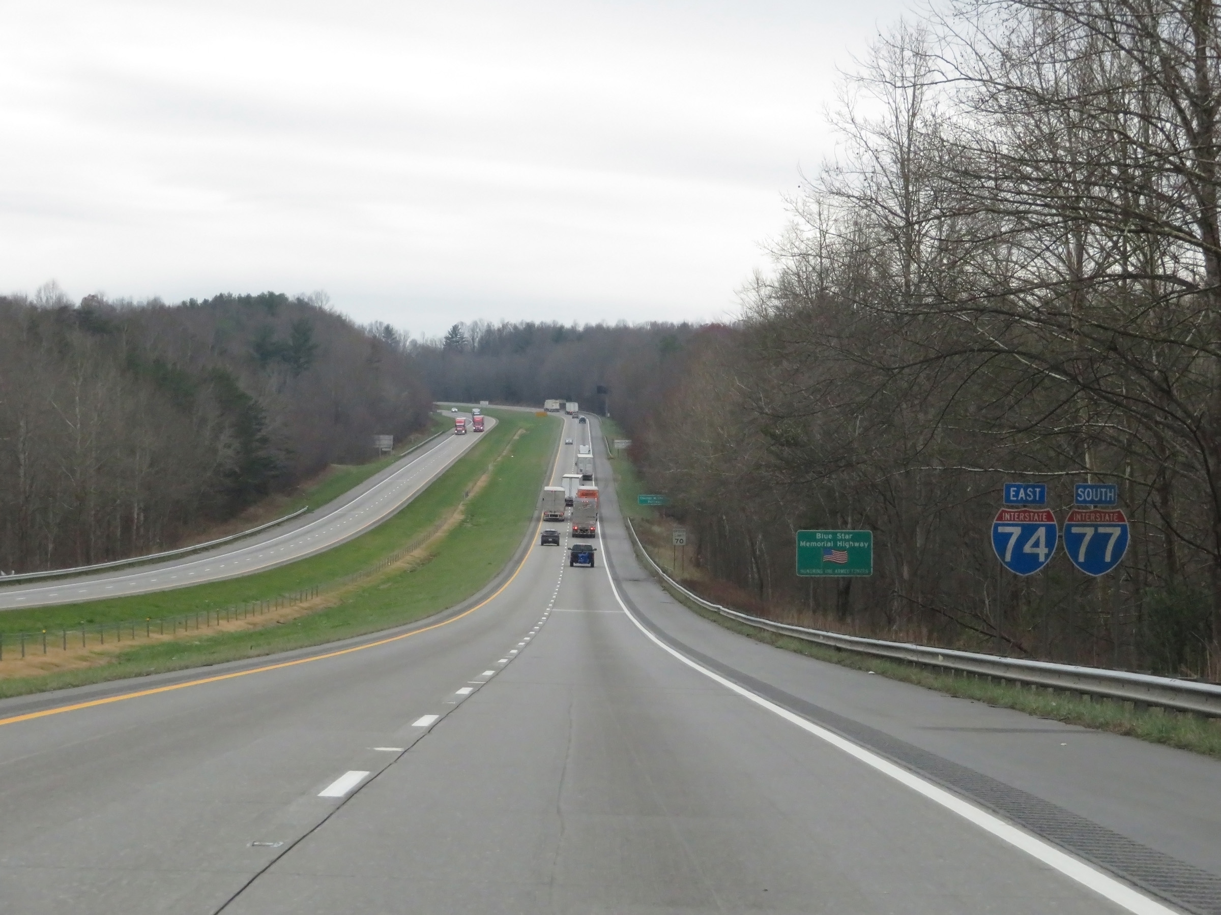
| Major Junctions in Photos: | I-77 South, in Pine Ridge US 52, in Mount Airy |
|
| Control Cities in Photos: | Mount Airy | |
Eastbound
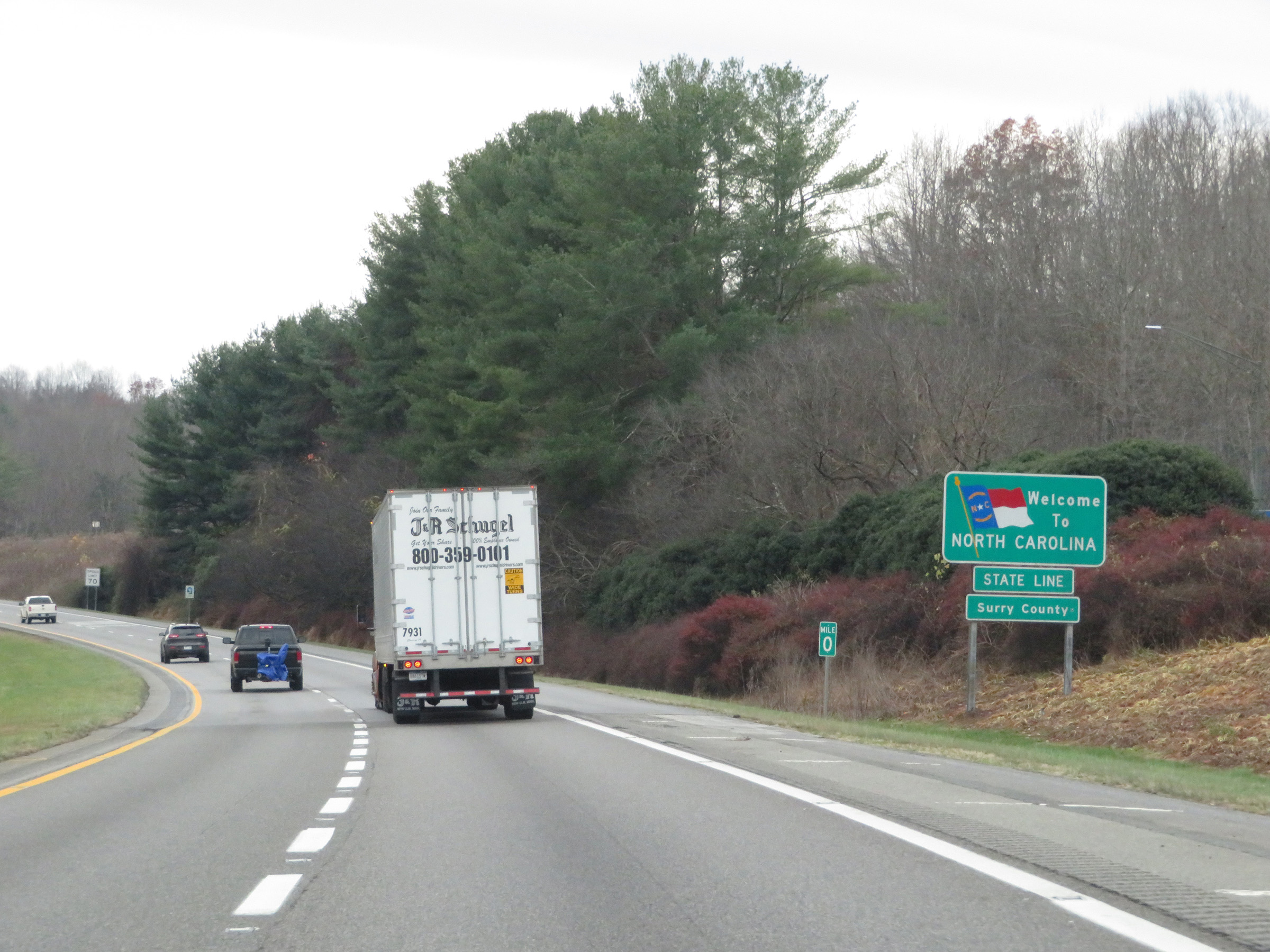 |
North Carolina welcome sign on Interstate 77 South as it enters the Tar Heel State from Virginia. Upon crossing the state line into North Carolina, Interstate 74 East begins and starts out running concurrently with I-77 South. (Photo taken 12/4/20). |
 |
Interstate 74 East / Interstate 77 South reassurance shields in Surry County. (Photo taken 12/4/20). |
 |
The speed limit on Interstate 74 East / Interstate 77 South starts out at 70 mph. Many miles of rural Interstate in North Carolina have a 70 mph speed limit, but certainly not all of them. (Photo taken 12/4/20). |
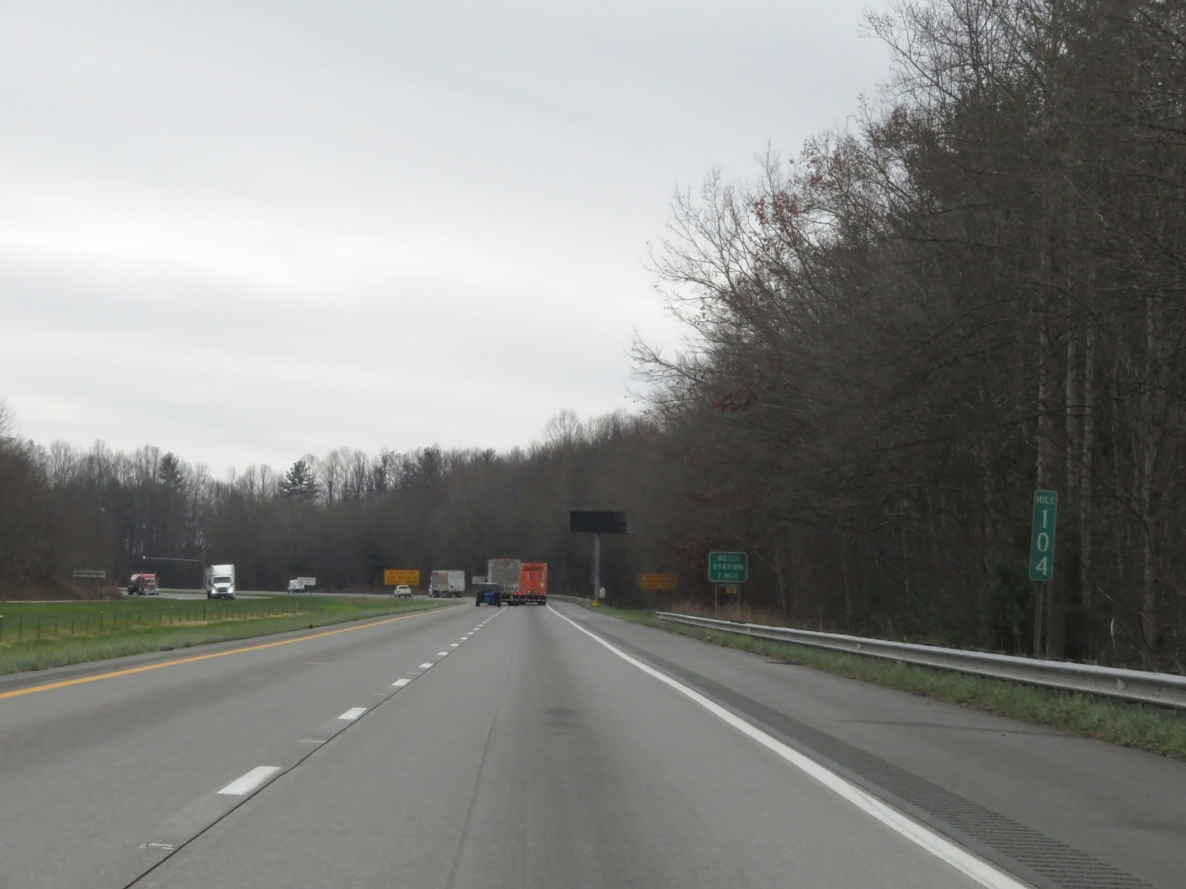 |
View on Interstate 74 East / Interstate 77 South at mile marker 104. During the I-74 / I-77 concurrency, the mileposts and exit numbers are based on the mileage of I-77. (Photo taken 12/4/20). |
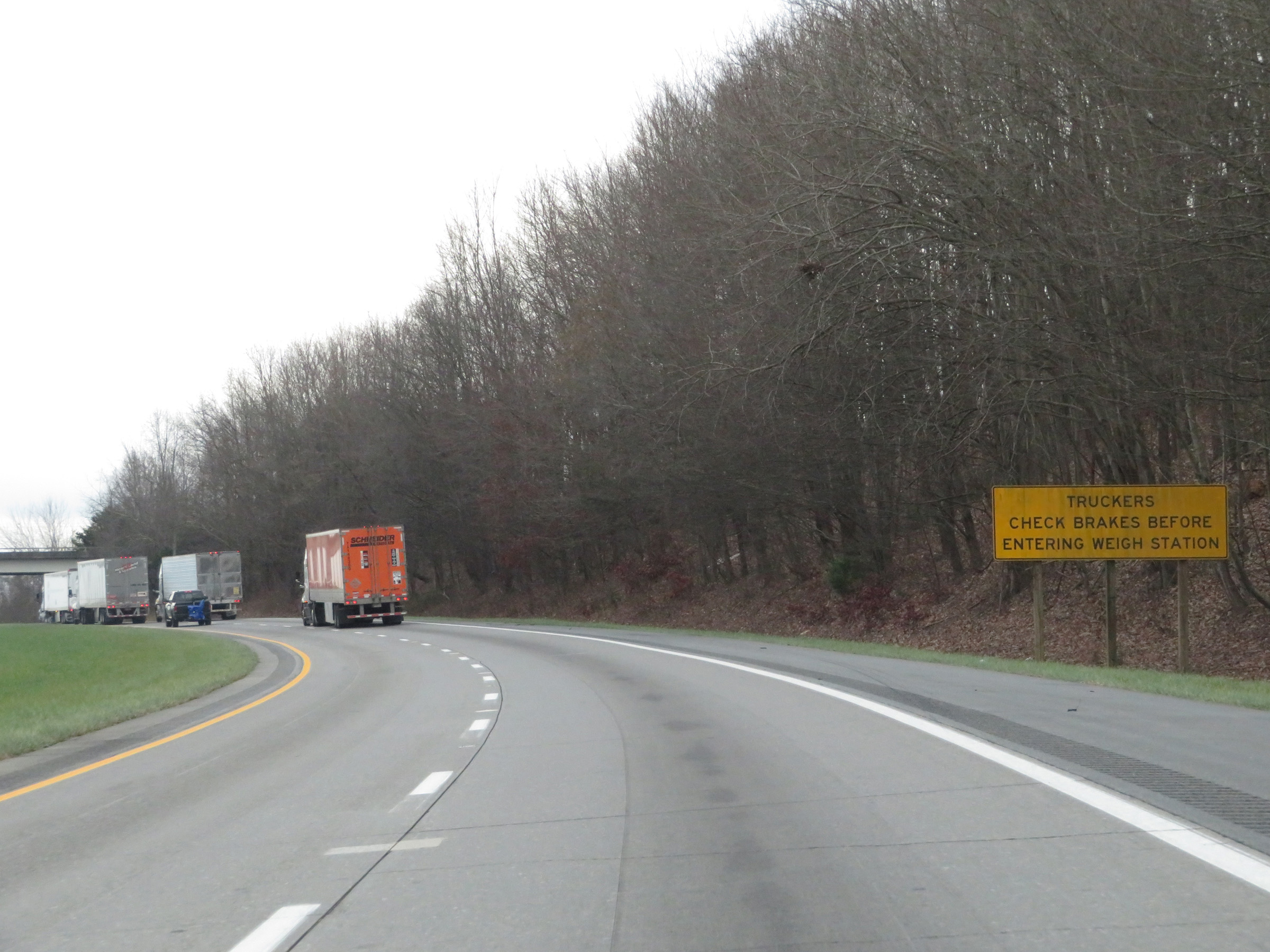 |
Approaching the Weigh Station on Interstate 74 East / Interstate 77 South in Surry County, this sign warns trucks to check their brakes before entering the scales. (Photo taken 12/4/20). |
 |
Weigh Station on Interstate 74 East / Interstate 77 South in Surry County. (Photo taken 12/4/20). |
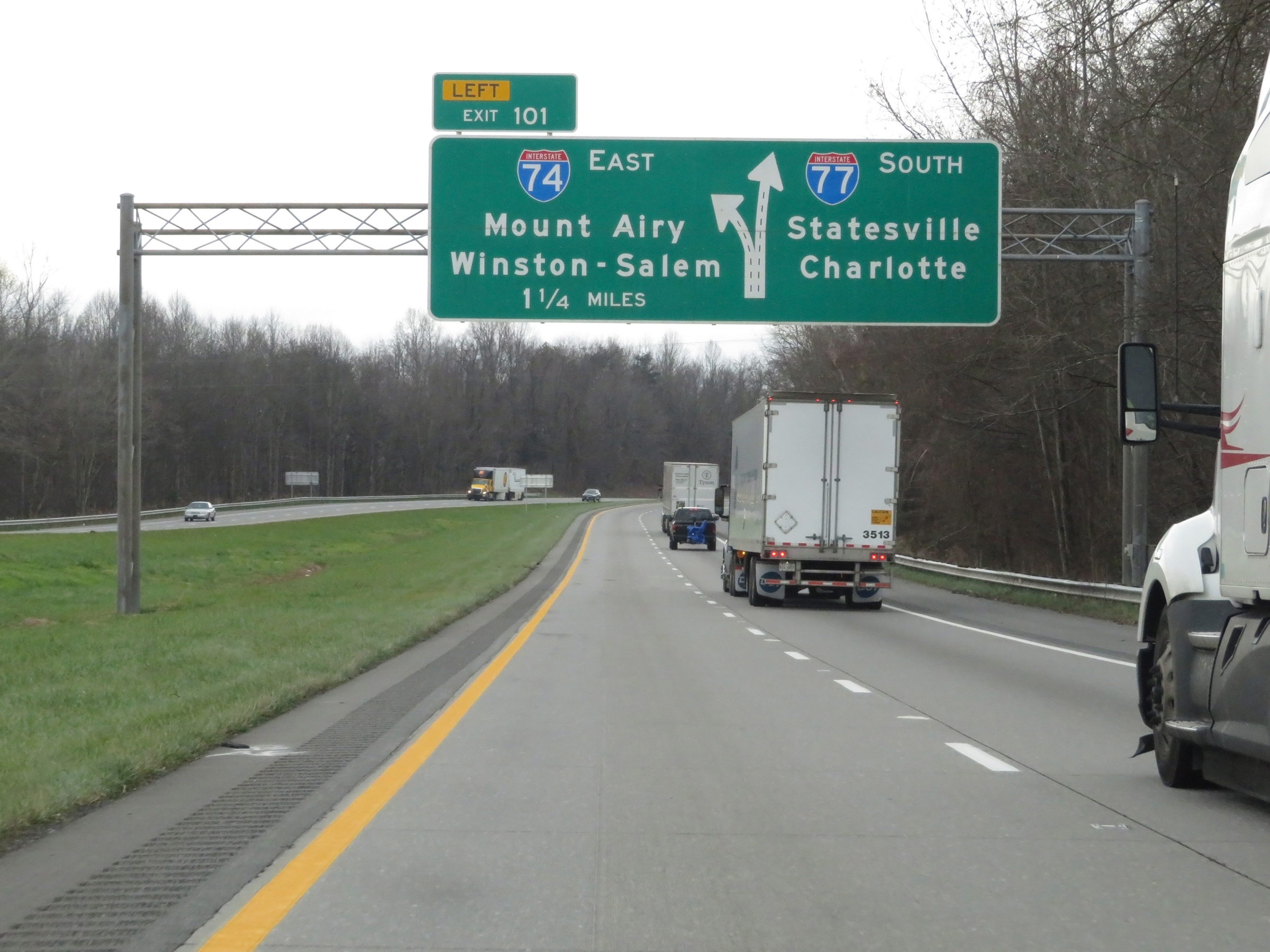 |
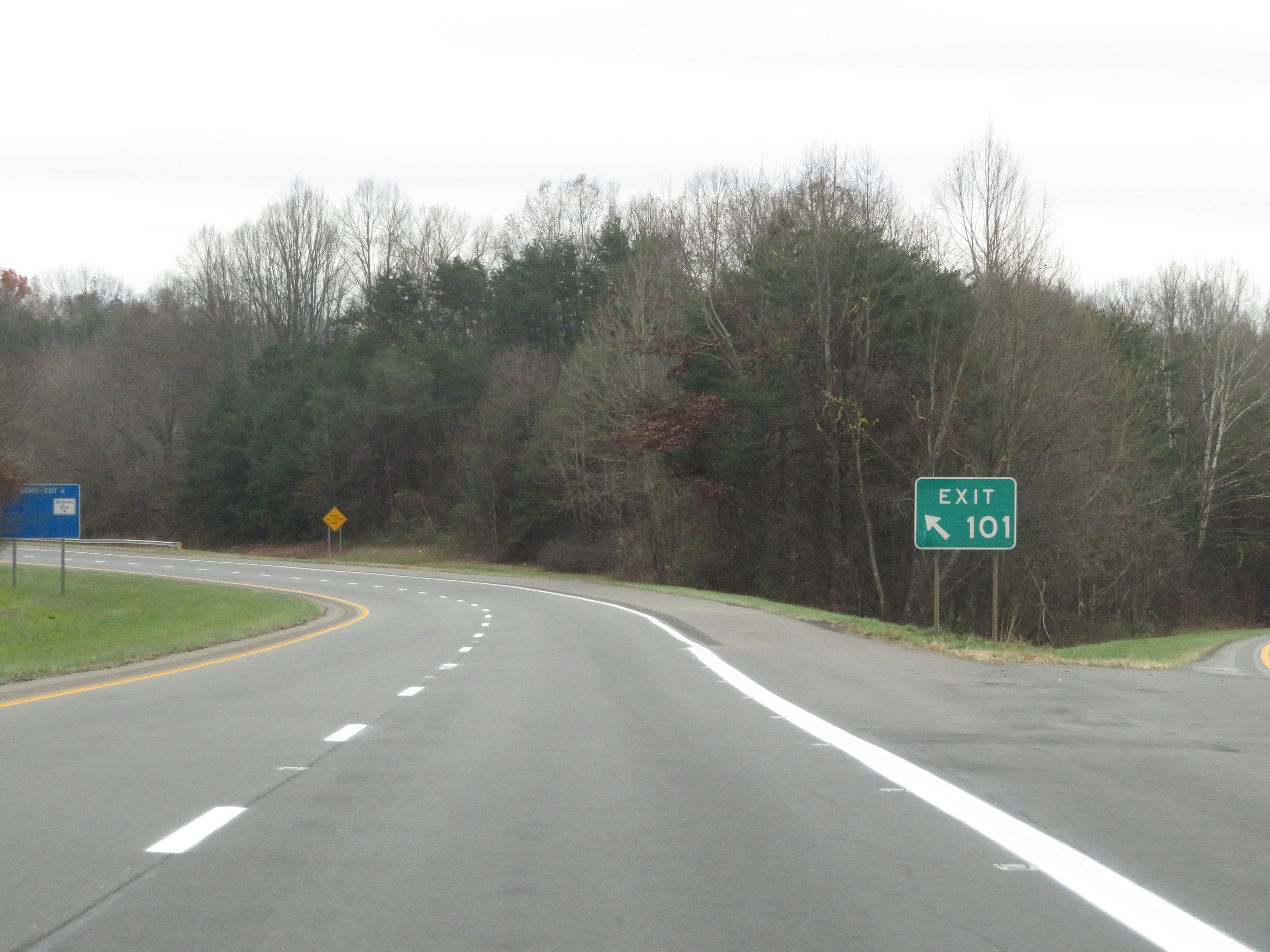
Interstate 74 East / Interstate 77 South approaching Exit 101 - 1 1/4 miles on the left. (Photo taken 12/4/20). |
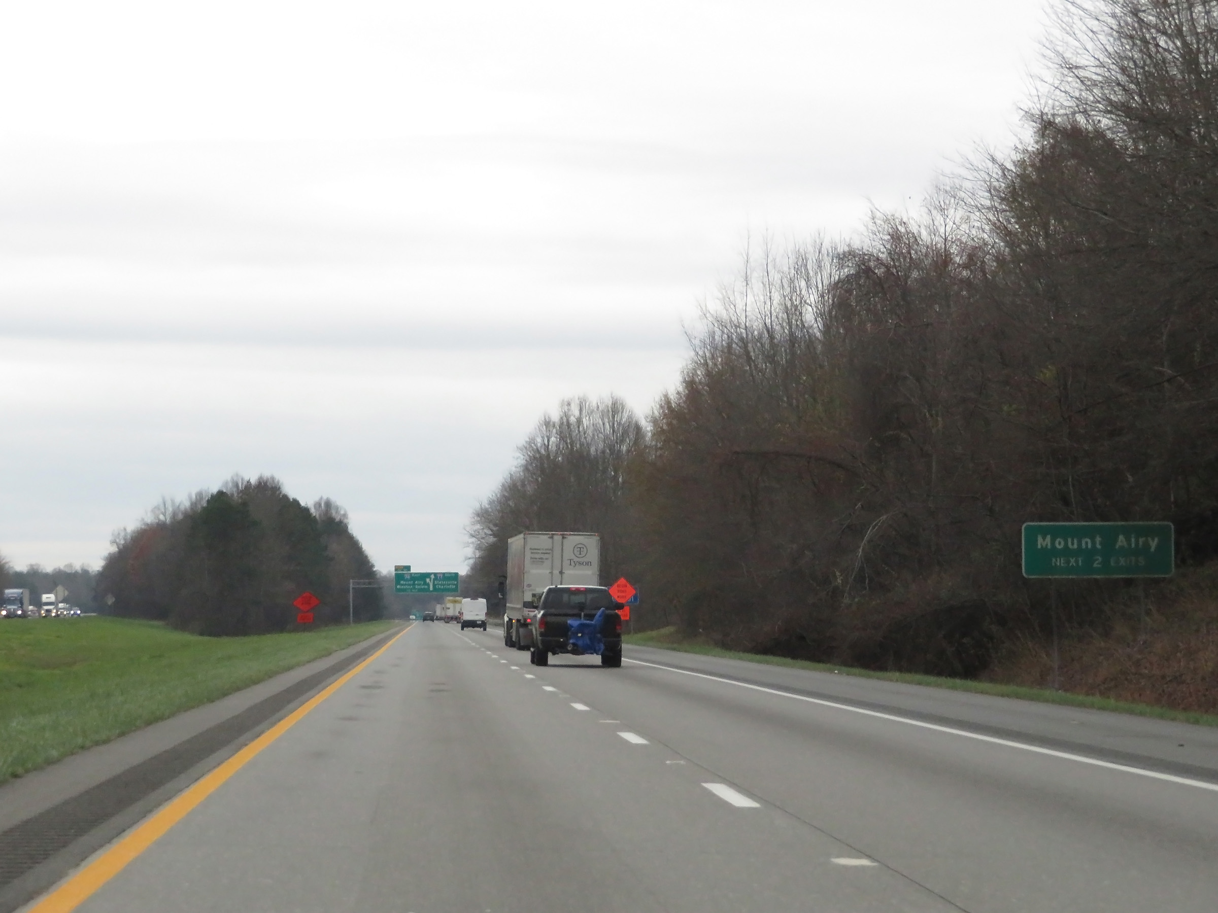 |
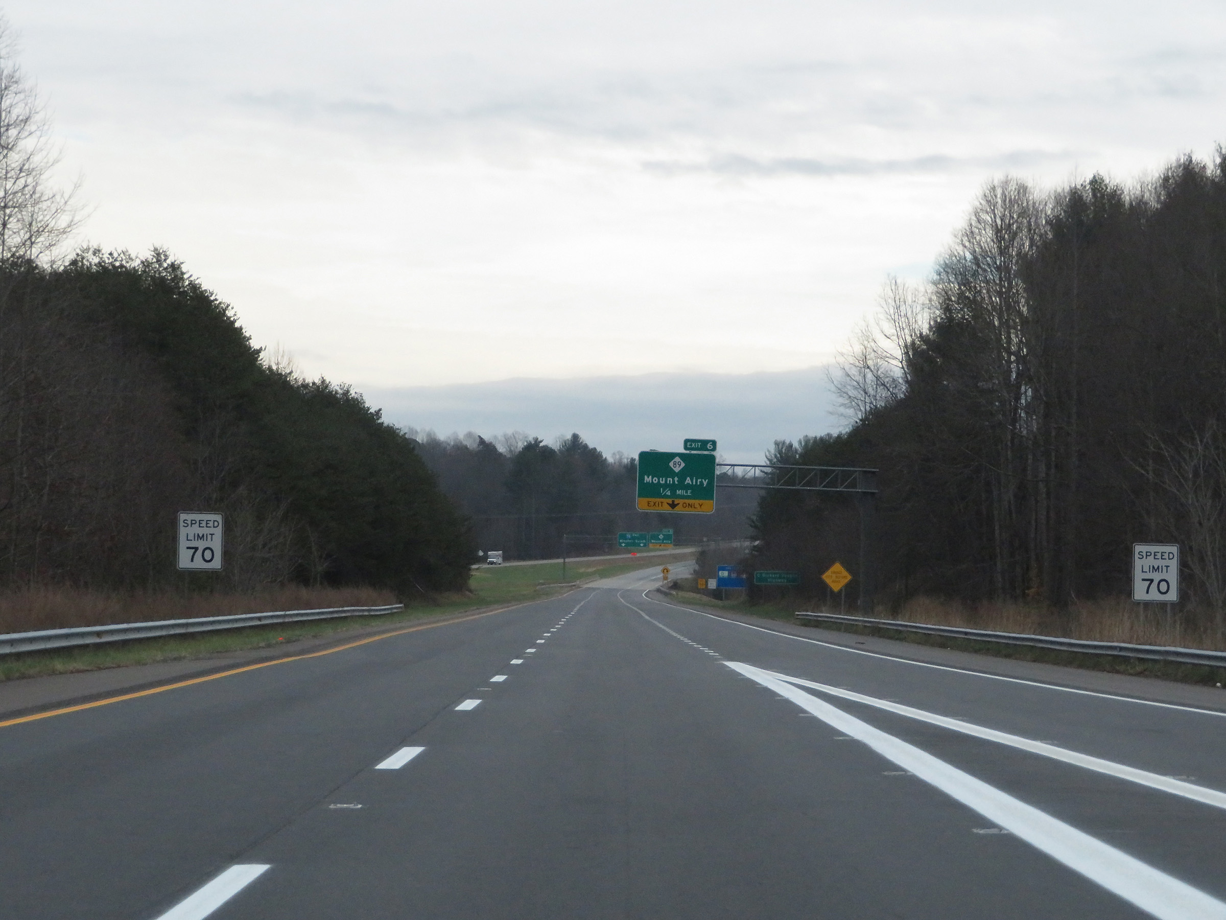
Take either of the next 2 exits to Mount Airy. (Photo taken 12/4/20). |
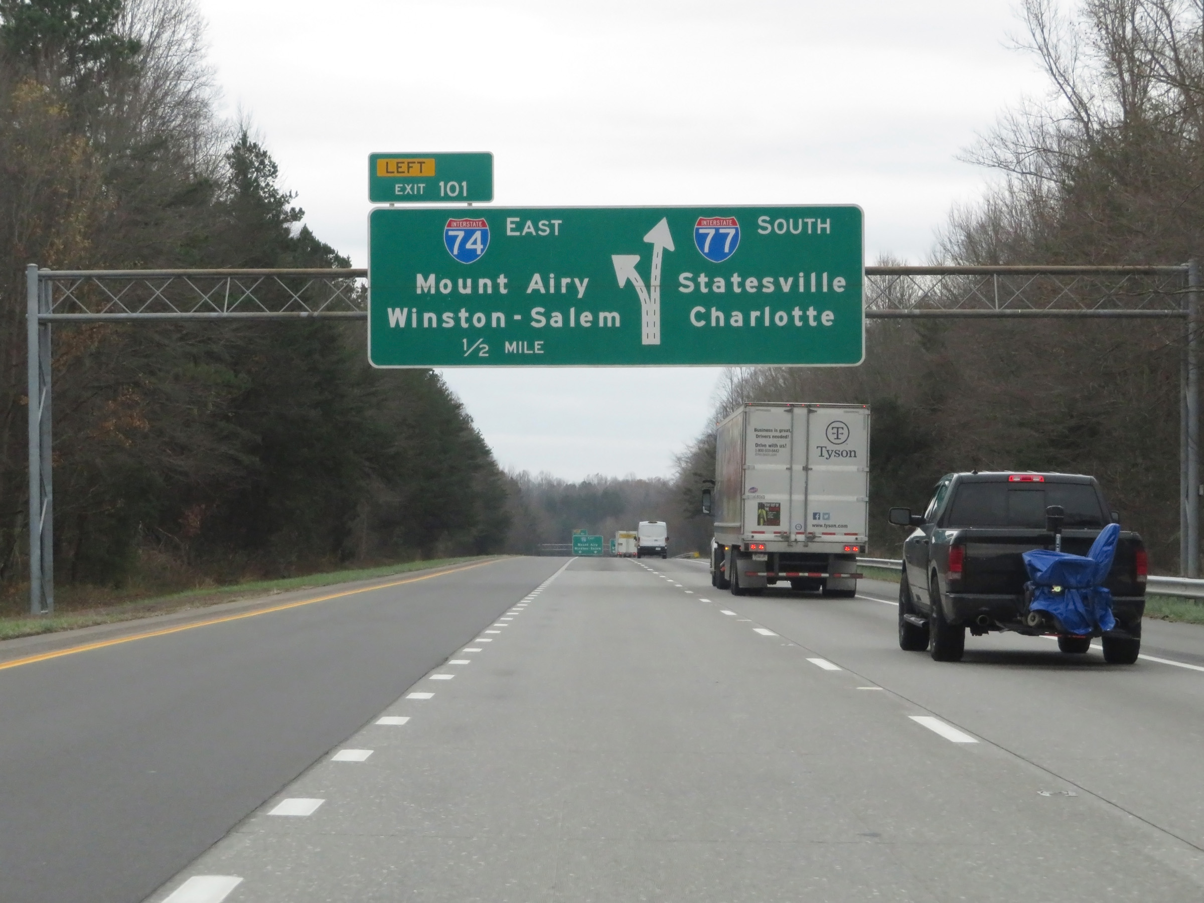 |
Interstate 74 East / Interstate 77 South approaching Exit 101 - 1/2 mile on the left. I-74 East thru traffic can use either the left or center lanes. (Photo taken 12/4/20). |
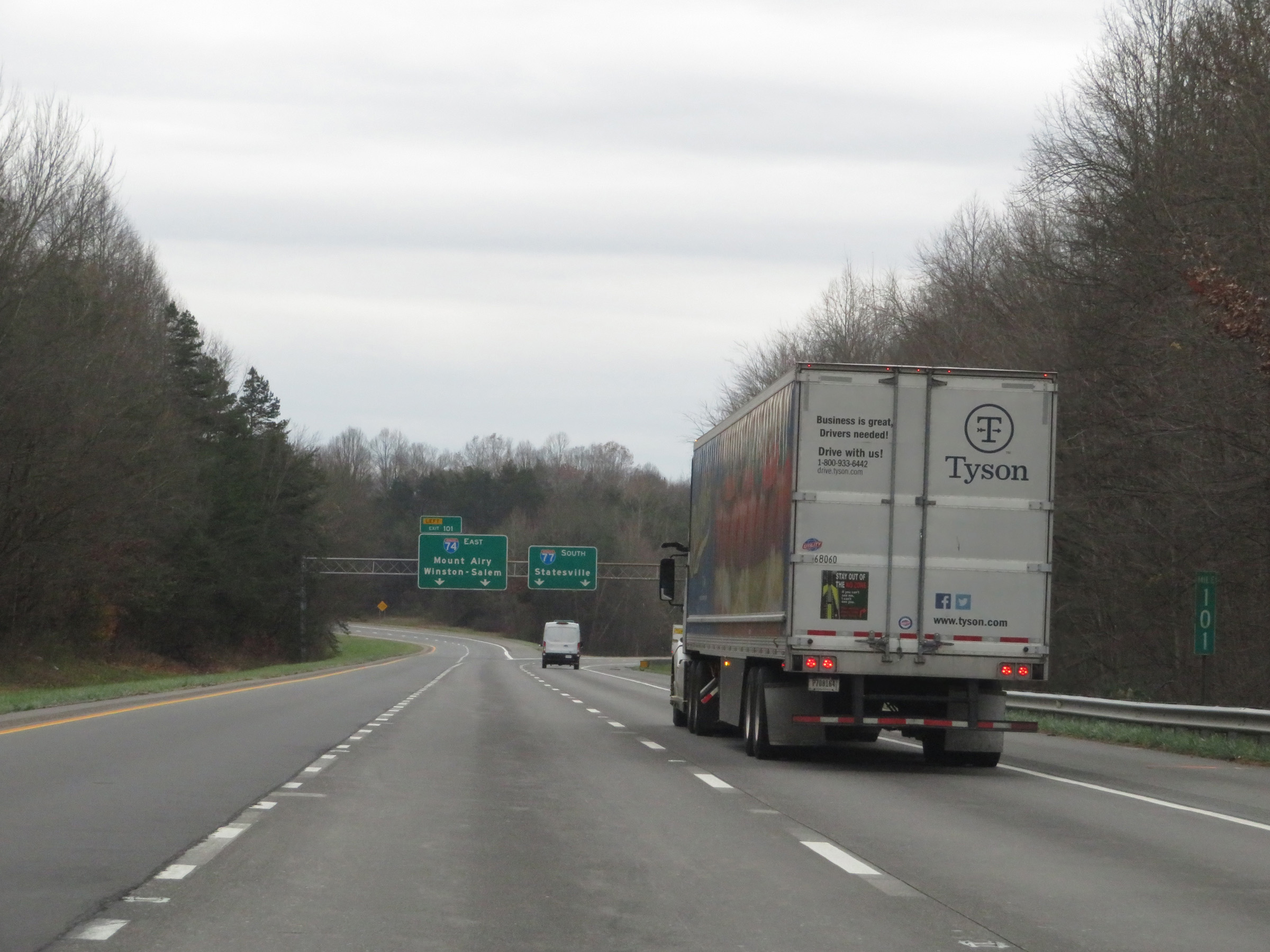 |
View on Interstate 74 East / Interstate 77 South at mile marker 101, approaching the split of I-74 from I-77 via Exit 101 on the left ahead. (Photo taken 12/4/20). |
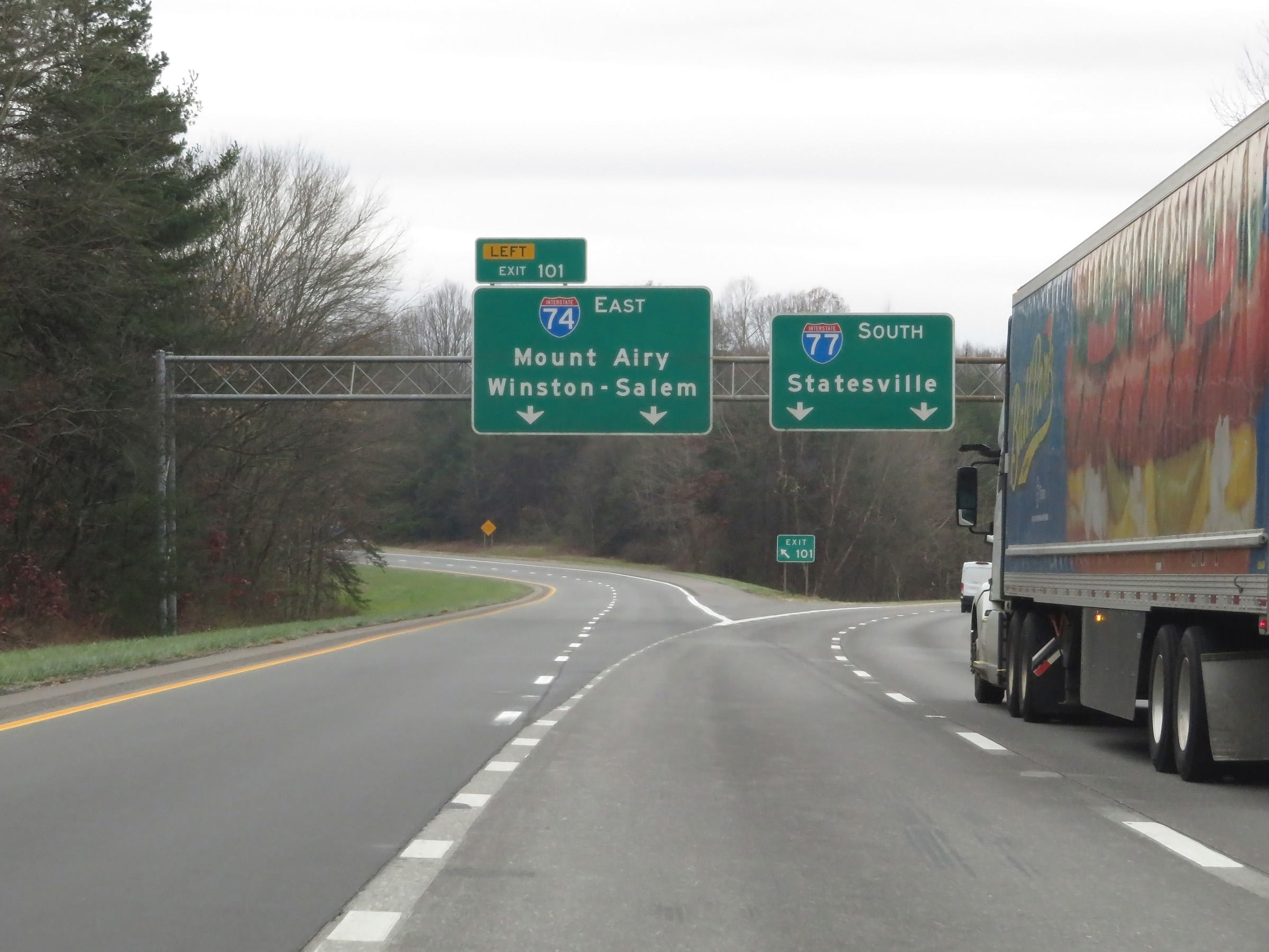 |
Interstate 74 East / Interstate 77 South at Exit 101: Interstate 74 East - Mount Airy / Winston-Salem (Photo taken 12/4/20). |
 |
A closer view of Interstate 74 East as it departs Interstate 77 South via Exit 101 and prepares to curve to the east. (Photo taken 12/4/20). |
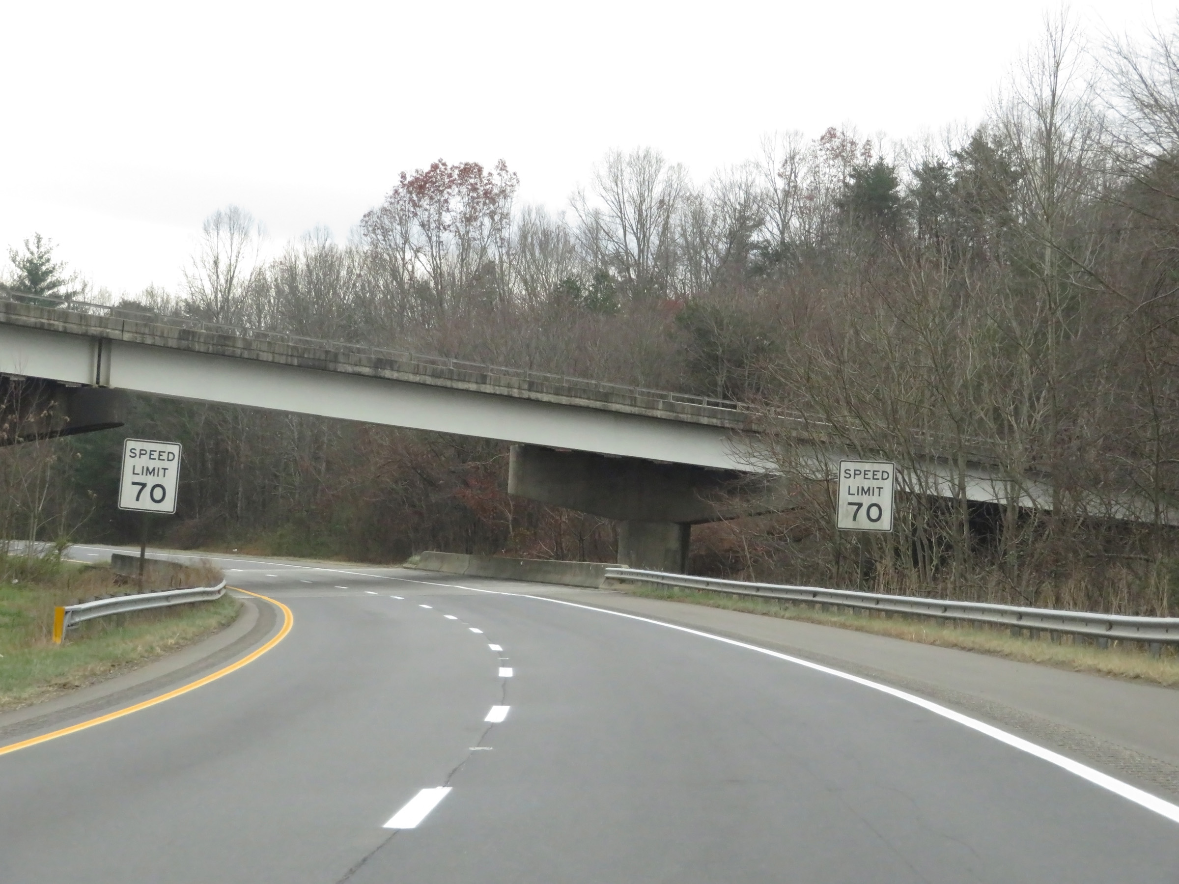 |
As these signs show, the speed limit remains 70 mph on Interstate 74 East as it prepares to pass under the northbound lanes of Interstate 77. (Photo taken 12/4/20). |
 |
Advance signage for Exit 6 as Interstate 74 East continues to curve to the east after departing Interstate 77 South. (Photo taken 12/4/20). |
 |
Interstate 74 East as traffic from Interstate 77 North merges into it on the right. (Photo taken 12/4/20). |
 |
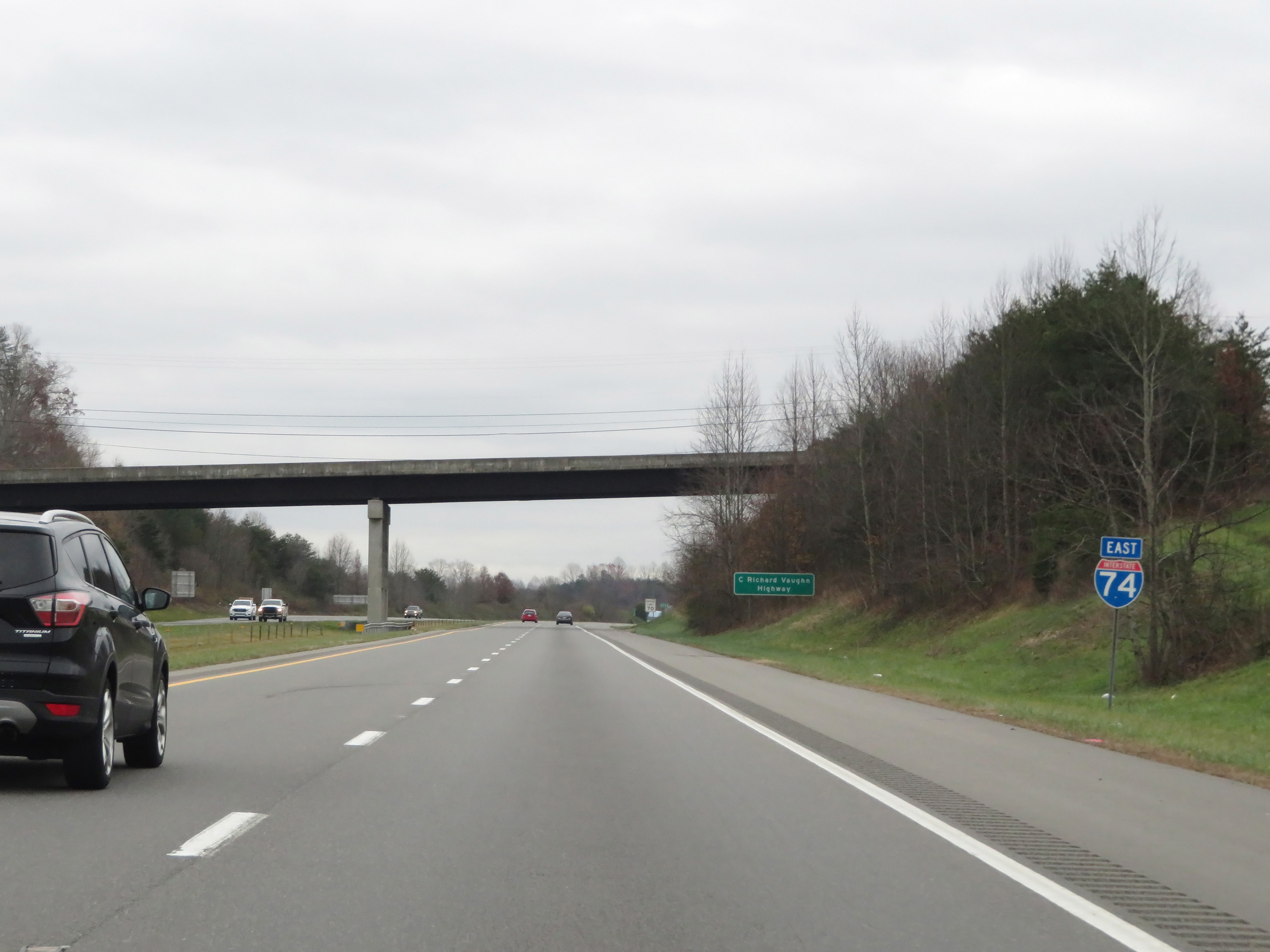
This stretch of Interstate 74 is also known as C. Richard Vaughn Highway, as this sign reads. (Photo taken 12/4/20). |
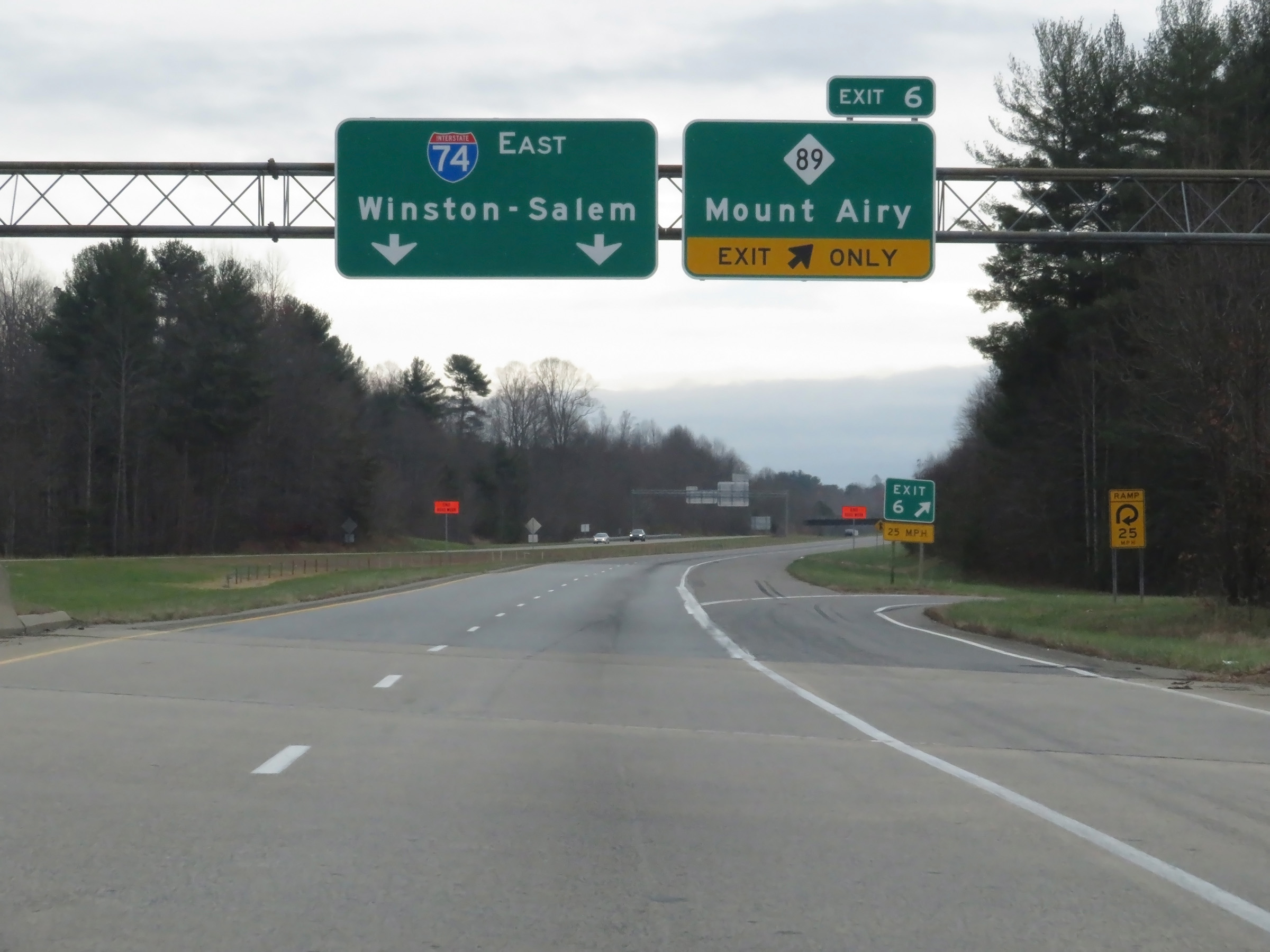 |
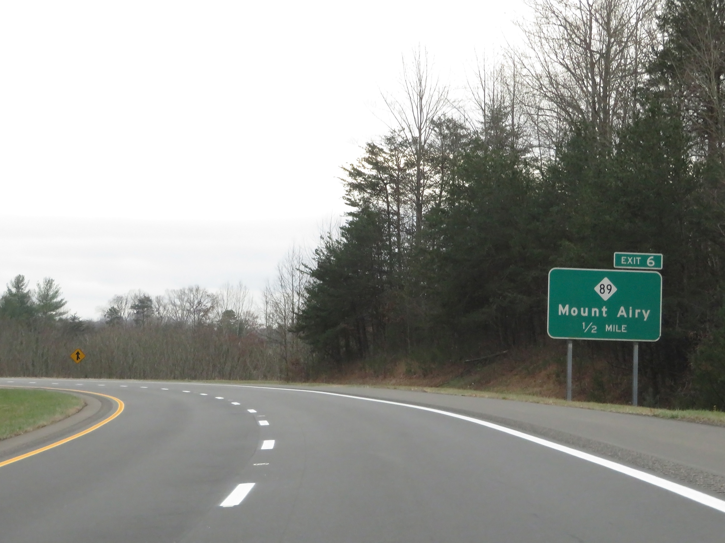
Interstate 74 East at Exit 6: NC 89 - Mount Airy (Photo taken 12/4/20). |
 |
View on Interstate 74 East at mile marker 6. (Photo taken 12/4/20). |
 |
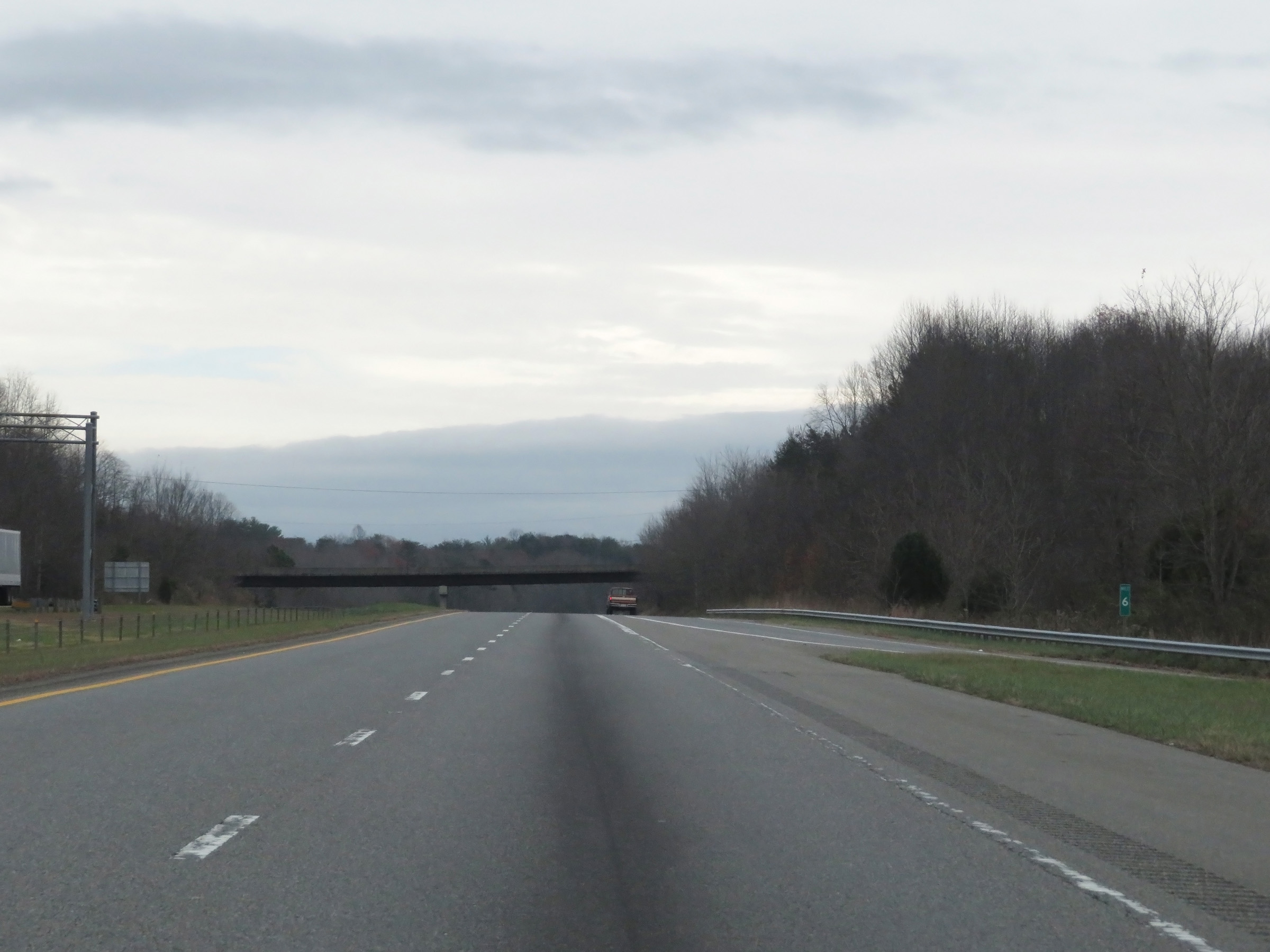
Interstate 74 East at mile marker 7. (Photo taken 12/4/20). |
 |
Interstate 74 East reassurance shield. (Photo taken 12/4/20). |
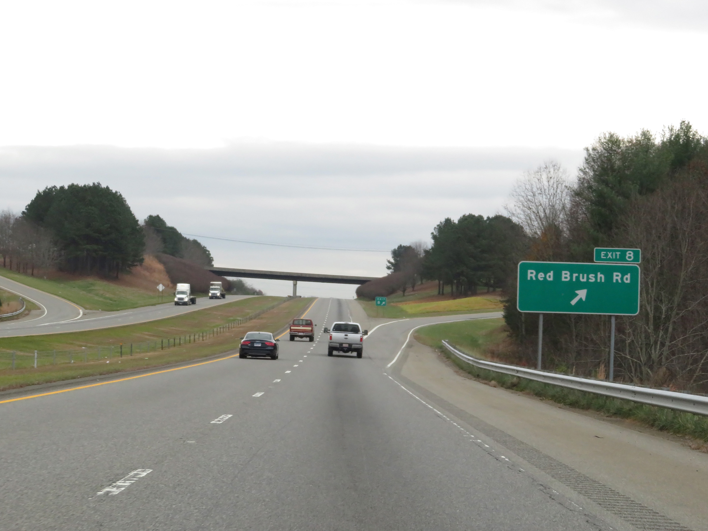 |
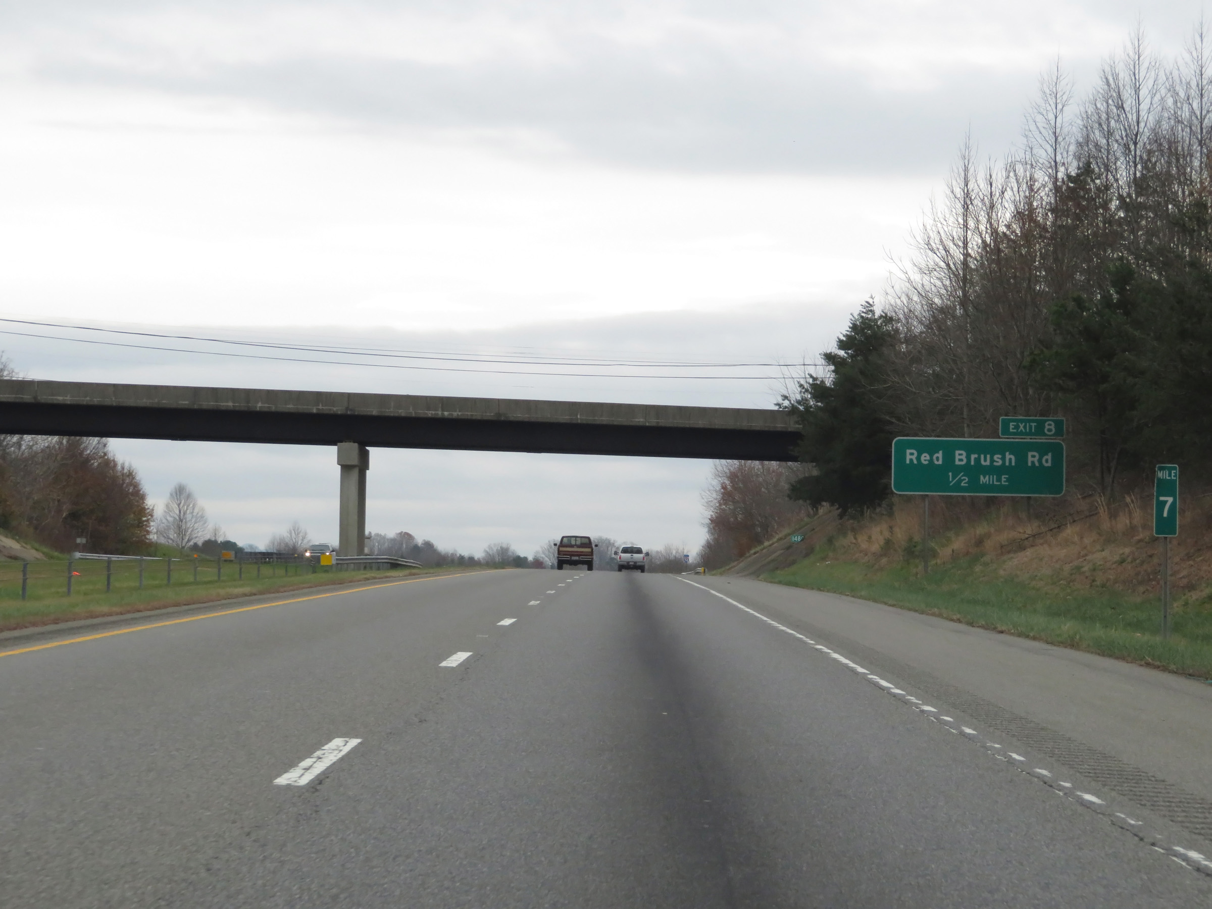
Interstate 74 East at Exit 8: Red Brush Rd (Photo taken 12/4/20). |
 |
The speed limit remains 70 mph on Interstate 74 East. (Photo taken 12/4/20). |
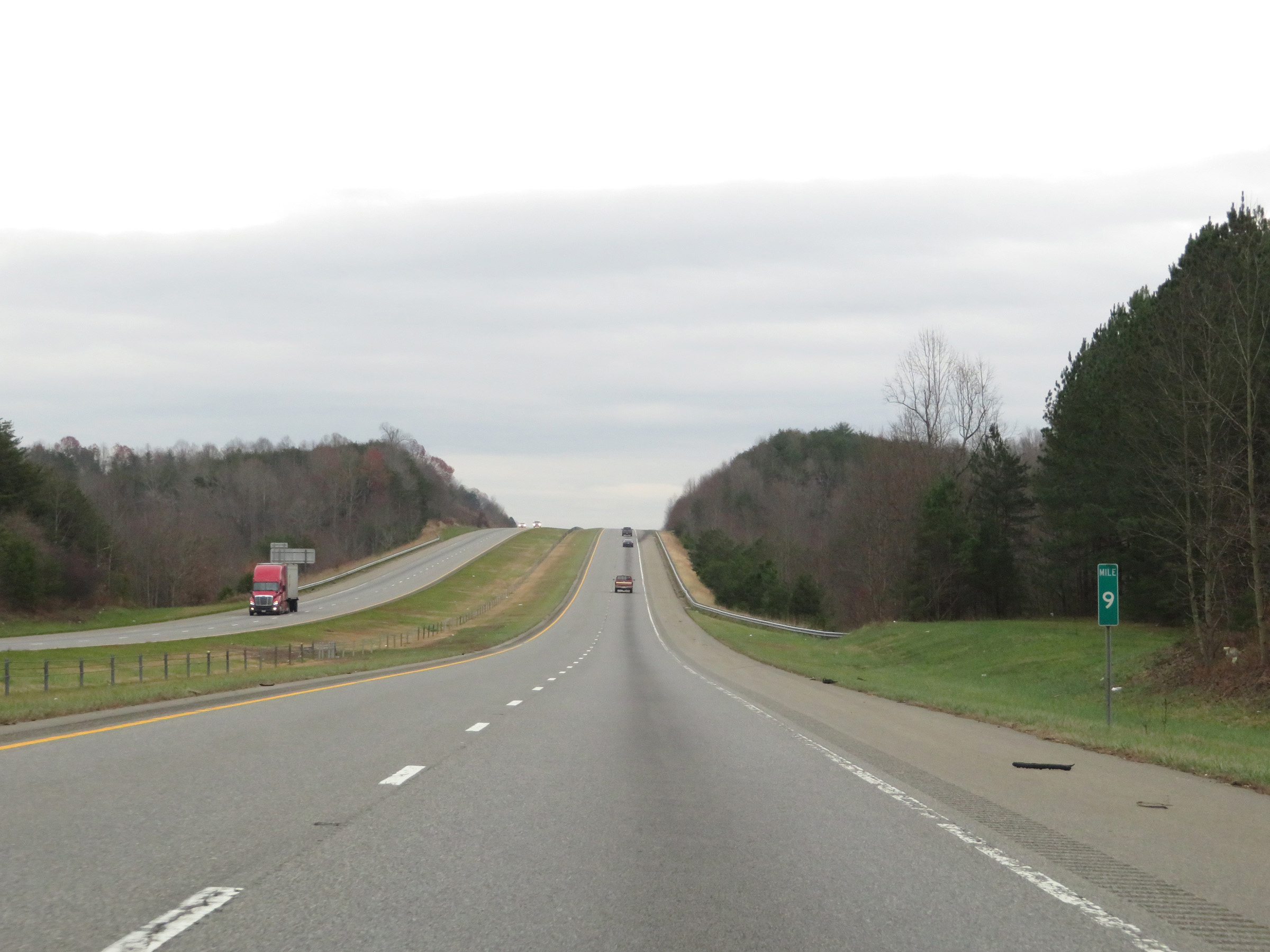 |
View on Interstate 74 East at mile marker 9. (Photo taken 12/4/20). |
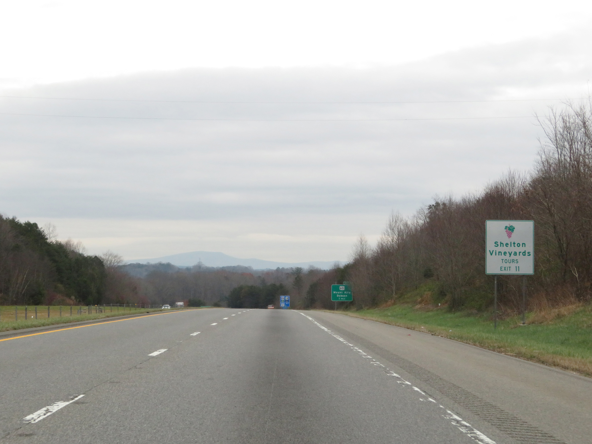 |
Take Exit 11 to Shelton Vineyards. (Photo taken 12/4/20). |
 |
Interstate 74 East at mile marker 10. (Photo taken 12/4/20). |
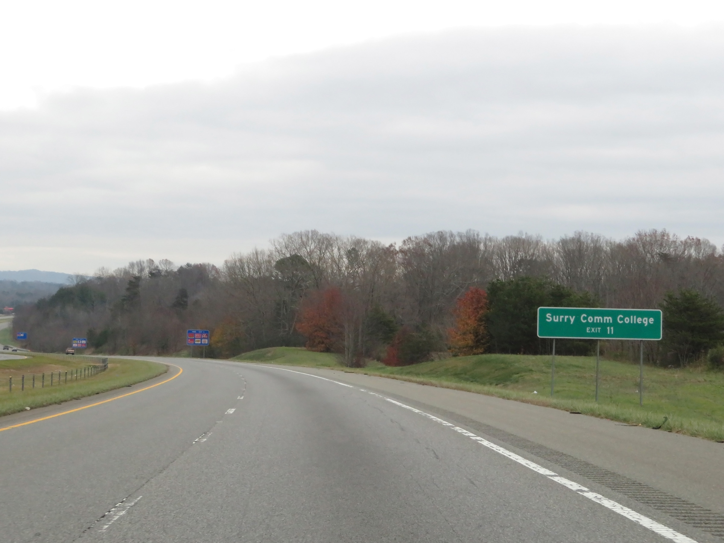 |
Also take Exit 11 to Surry Community College. (Photo taken 12/4/20). |
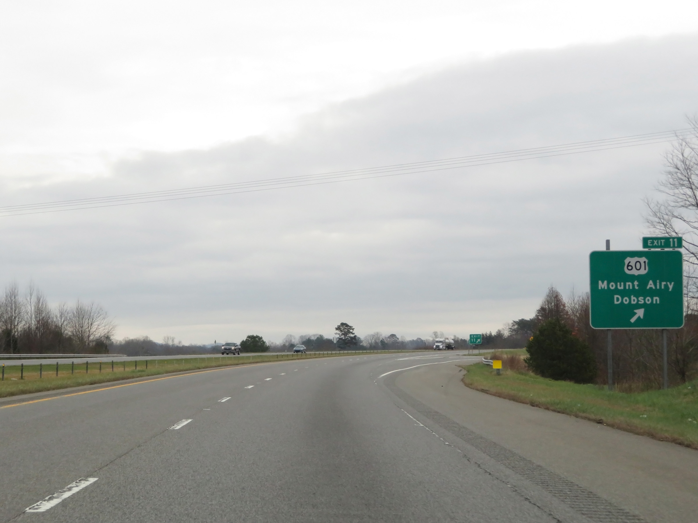 |
Interstate 74 East at Exit 11: US 601 - Mount Airy / Dobson (Photo taken 12/4/20). |
 |
Another Interstate 74 East reassurance shield. (Photo taken 12/4/20). |
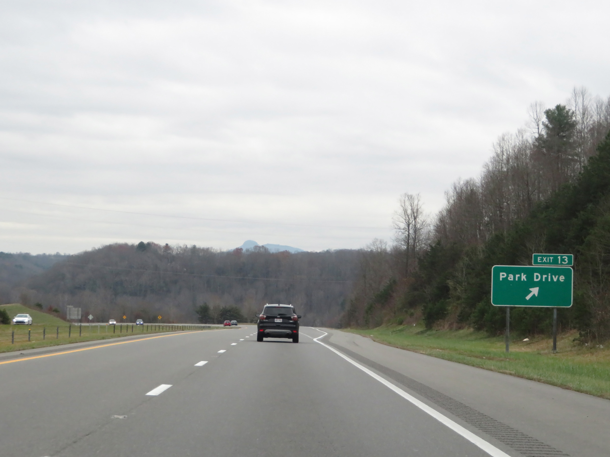 |
Interstate 74 East at Exit 13: Park Drive (Photo taken 12/4/20). |
 |
View on Interstate 74 East at mile marker 13. (Photo taken 12/4/20). |
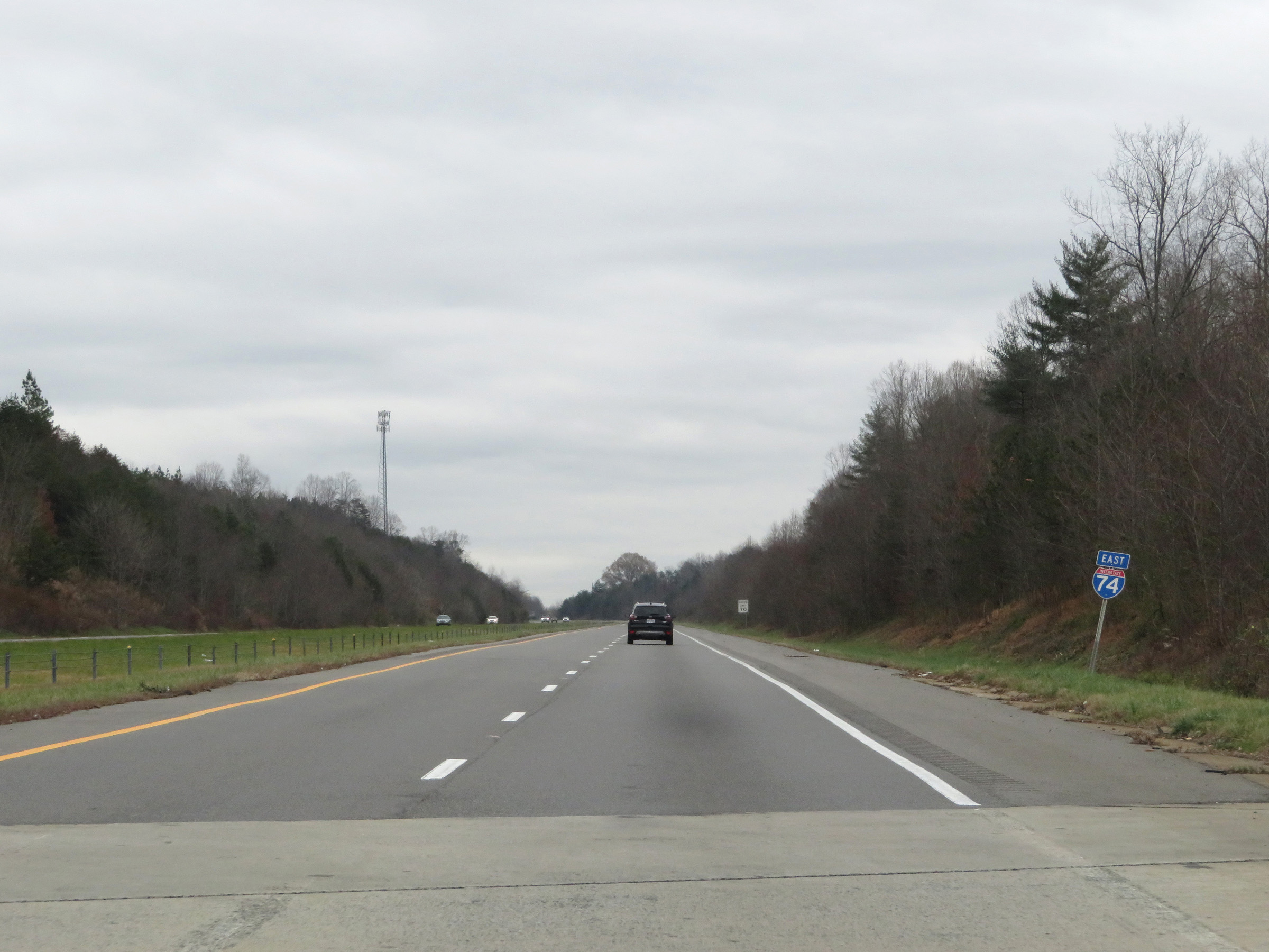 |
Interstate 74 East reassurance shield. (Photo taken 12/4/20). |
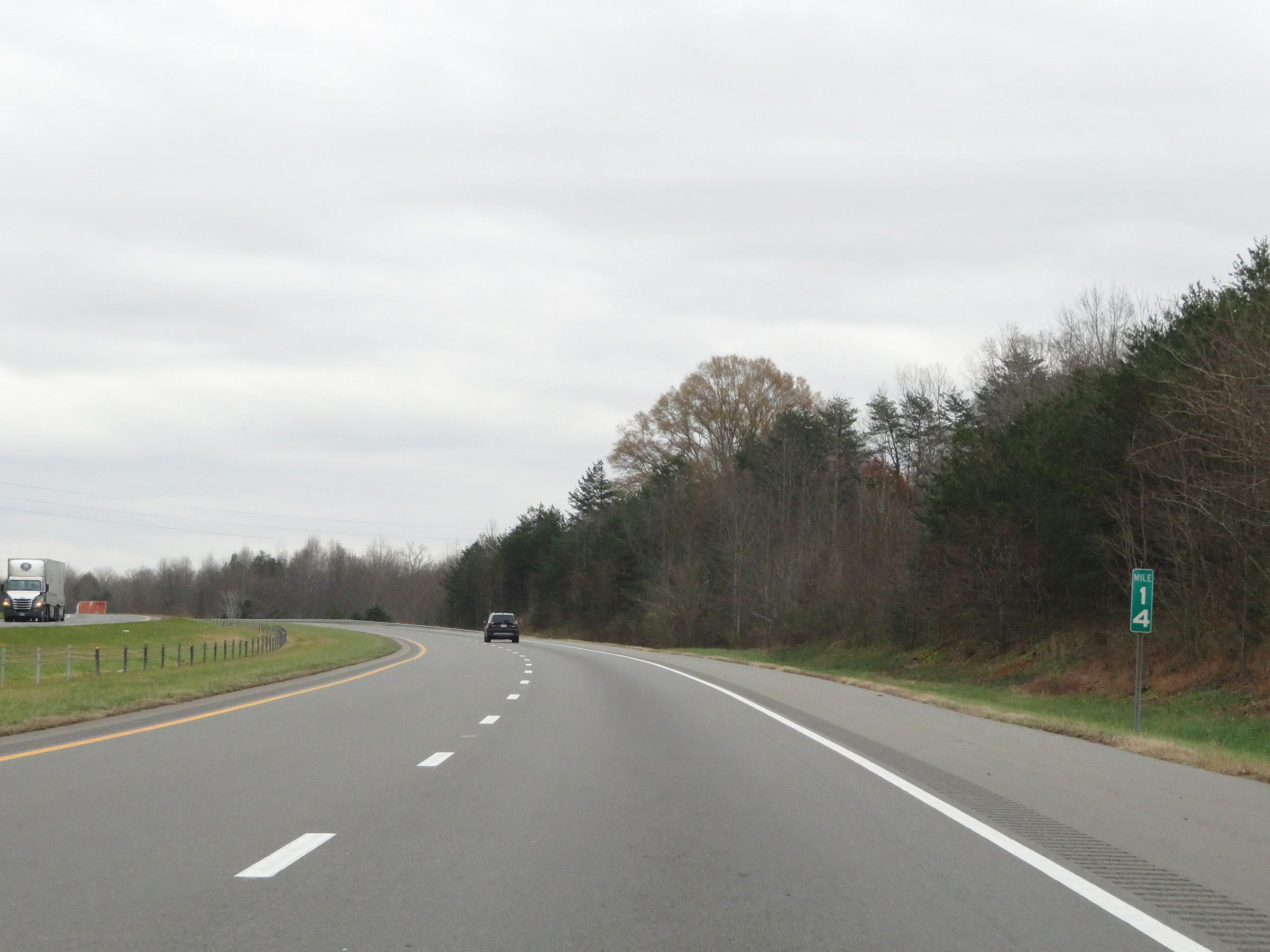 |
Interstate 74 East at mile marker 14. (Photo taken 12/4/20). |
 |
View on Interstate 74 East at mile marker 15. (Photo taken 12/4/20). |
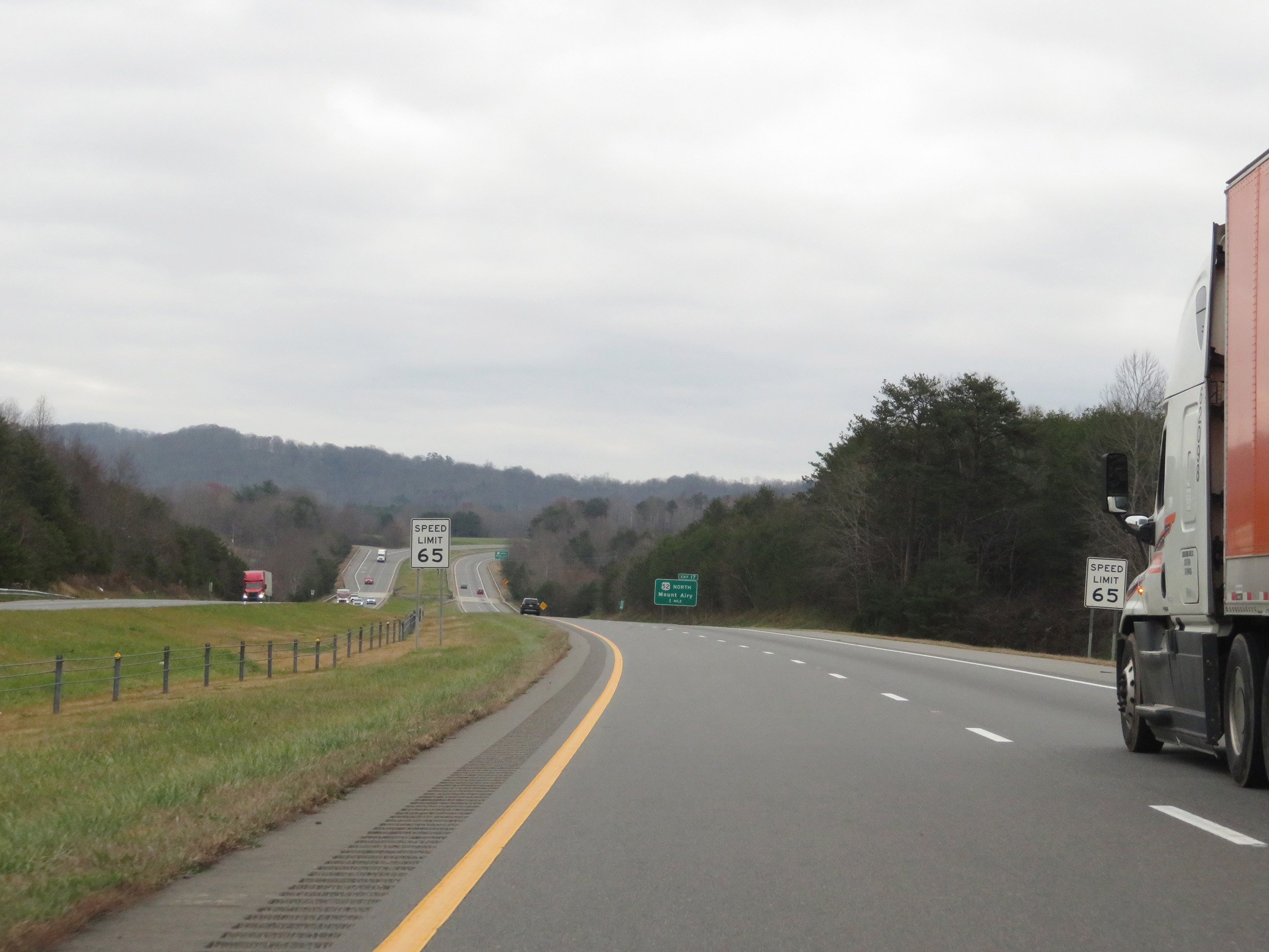 |
One mile from Exit 17 and the current eastern terminus of the Mount Airy segment of Interstate 74, the speed limit decreases to 65 mph. (Photo taken 12/4/20). |
 |
Interstate 74 East approaching Exit 17 - 1 mile. (Photo taken 12/4/20). |
 |
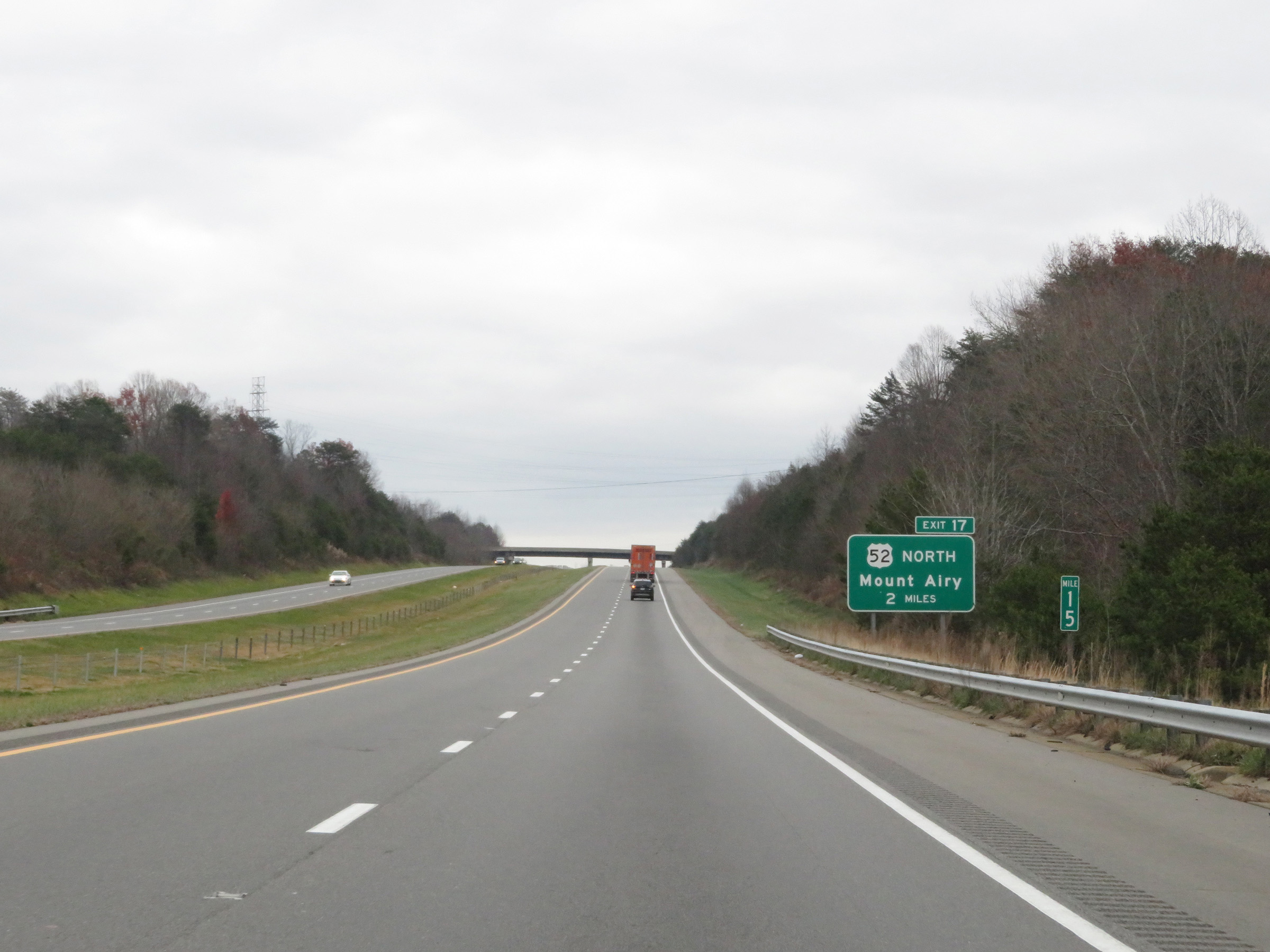
This sign warns that the ramp for Exit 17 to US 52 North is rather sharp, and the advised speed on the ramp is 25 mph. (Photo taken 12/4/20). |
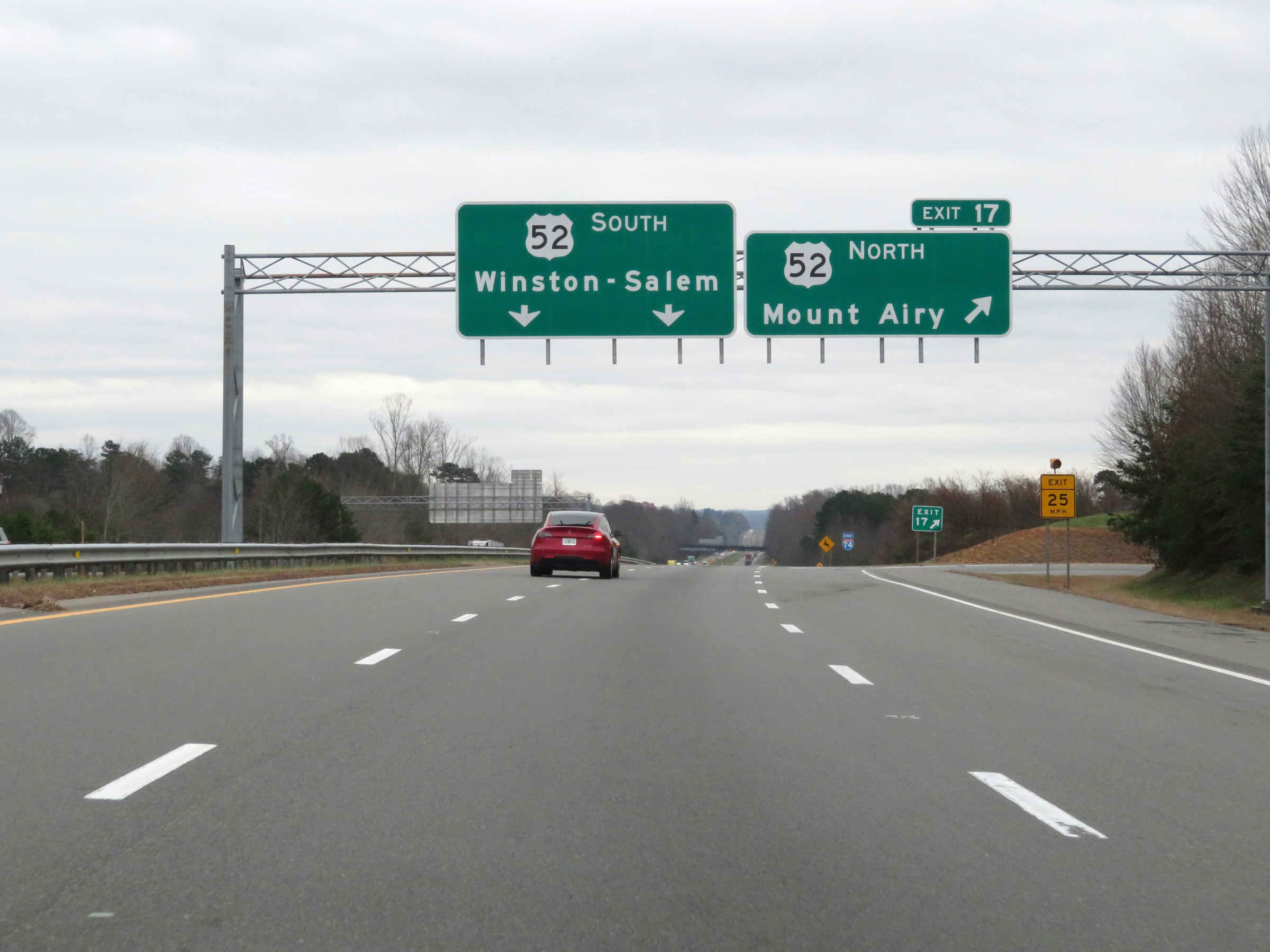 |
Interstate 74 East at Exit 17: US 52 North - Mount Airy (Photo taken 12/4/20). |
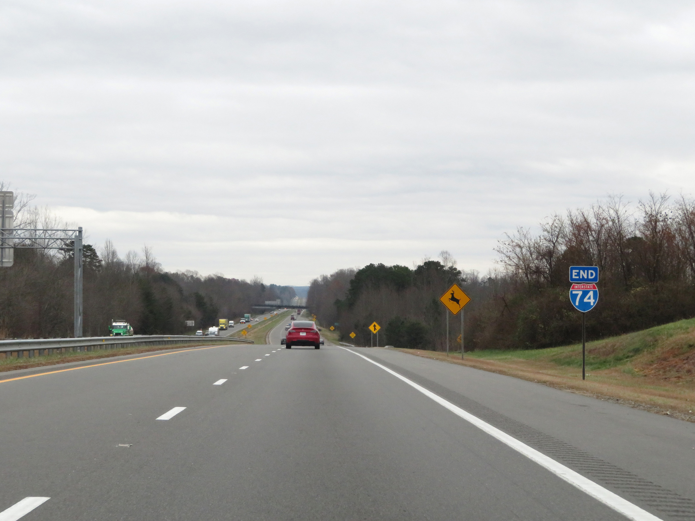 |
Interstate 74 END shield just east of Exit 17, as the Mount Airy segment of I-74 reaches its eastern terminus and transitions into US 52 South (Future Interstate 74) toward Winston-Salem. (Photo taken 12/4/20). |
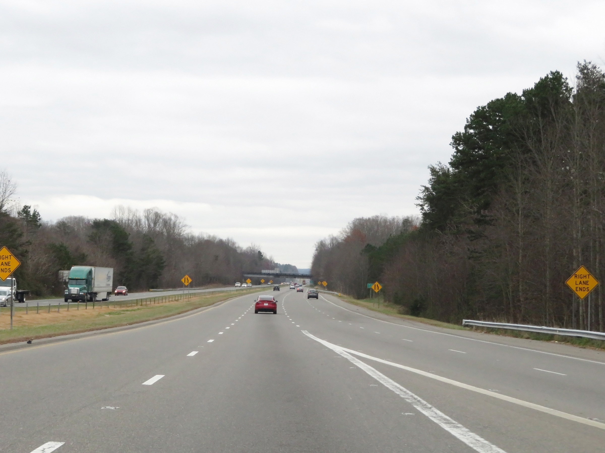 |
View at the eastern terminus of the Mount Airy segment of Interstate 74, as it prepares to merge into the southbound lanes of US 52. (Photo taken 12/4/20). |
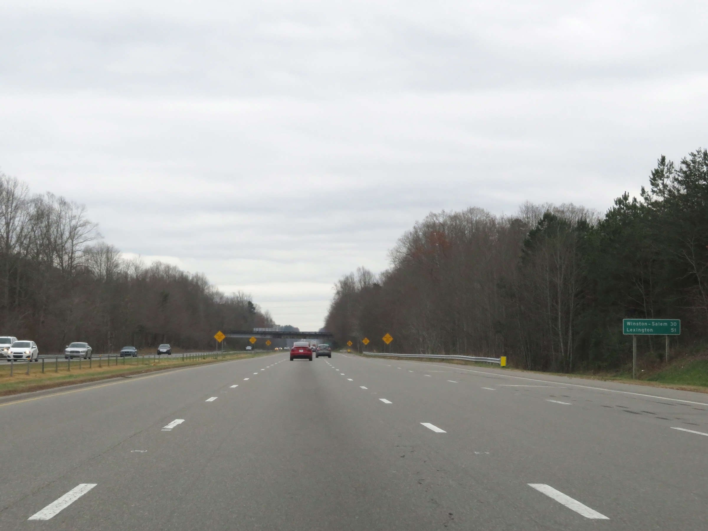 |
Mileage sign on US 52 South. It's 30 miles to Winston-Salem and 51 miles to Lexington. (Photo taken 12/4/20). |
 |
Future Interstate 74 Corridor sign as US 52 continues south toward Winston-Salem. (Photo taken 12/4/20). |