Road Information |
||
 |
||
| Total Mileage in State: | 423 miles | |
| Eastern End: | At US 117 in Wilmington | |
| Western End: | At Tennessee state line | |
| Mileage covered in Photos: | 152 miles | |
| Counties covered in Photos: | Iredell, Catawba, Burke, McDowell, Buncombe, Haywood | |
| Major Junctions in Photos: | I-240, in Asheville I-26, in Asheville |
|
| Control Cities in Photos: | Statesville, Hickory, Morganton, Asheville | |
Westbound
- Section 1: Statesville (Exit 152A) to Morganton (Exit 103)
- Section 2: Morganton (Exit 103) to Black Mountain (Exit 64)
- Section 3: Black Mountain (Exit 64) to Canton (Exit 31)
- Section 4: Canton (Exit 31) to Tennessee Border
Section 1: Statesville (Exit 152A) to Morganton (Exit 103)
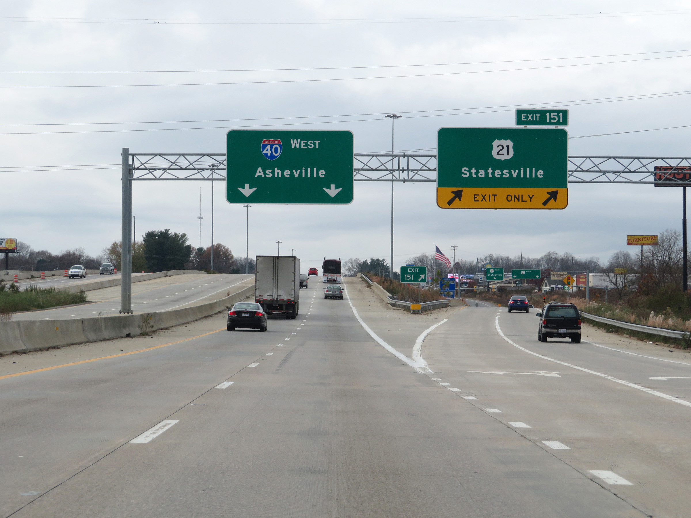 |
Interstate 40 West at Exit 151: US 21 - Statesville (Photo taken 12/4/20). |
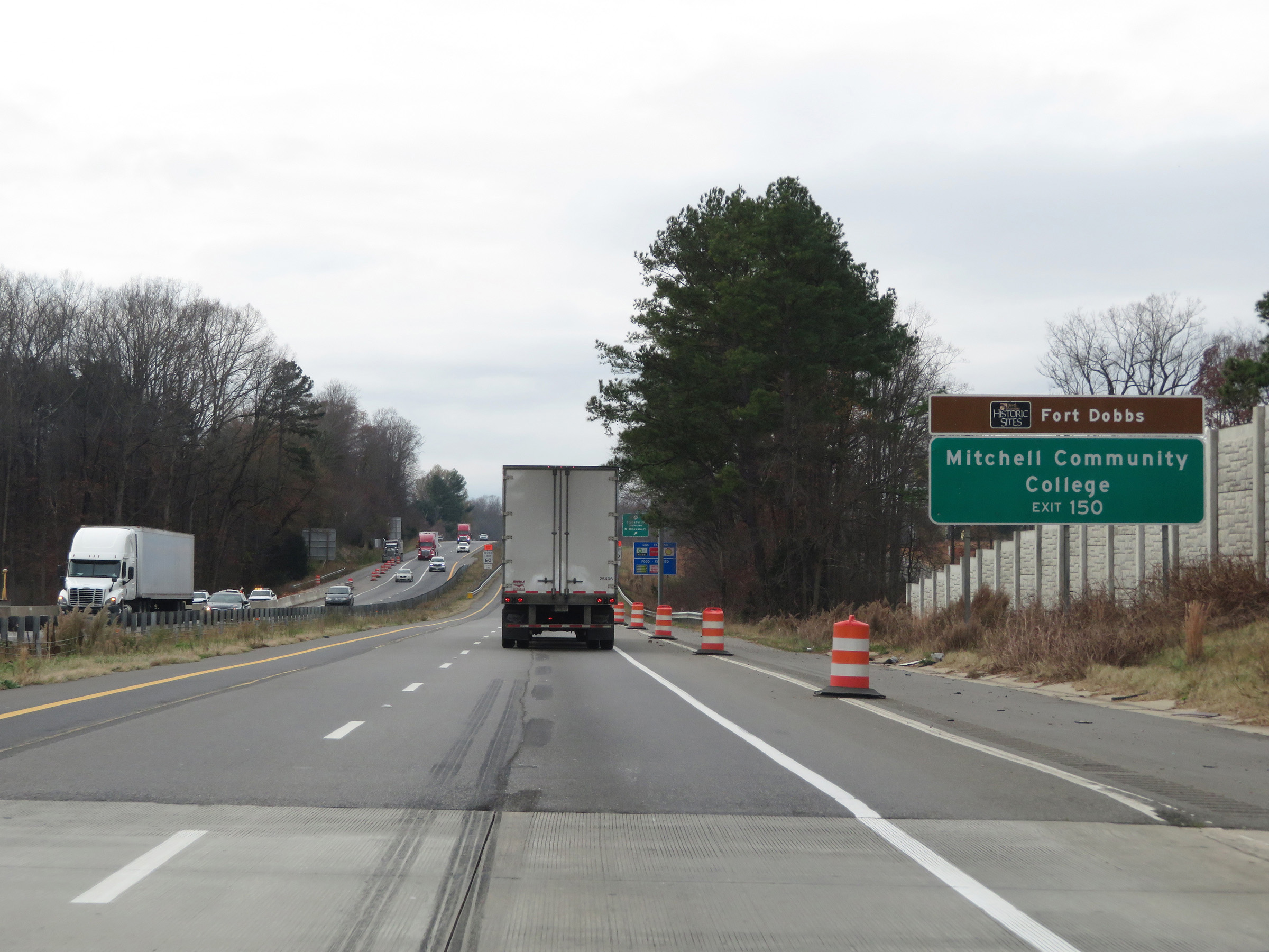 |
Take Exit 150 to Fort Dobbs Historic Site and Mitchell Community College. (Photo taken 12/4/20). |
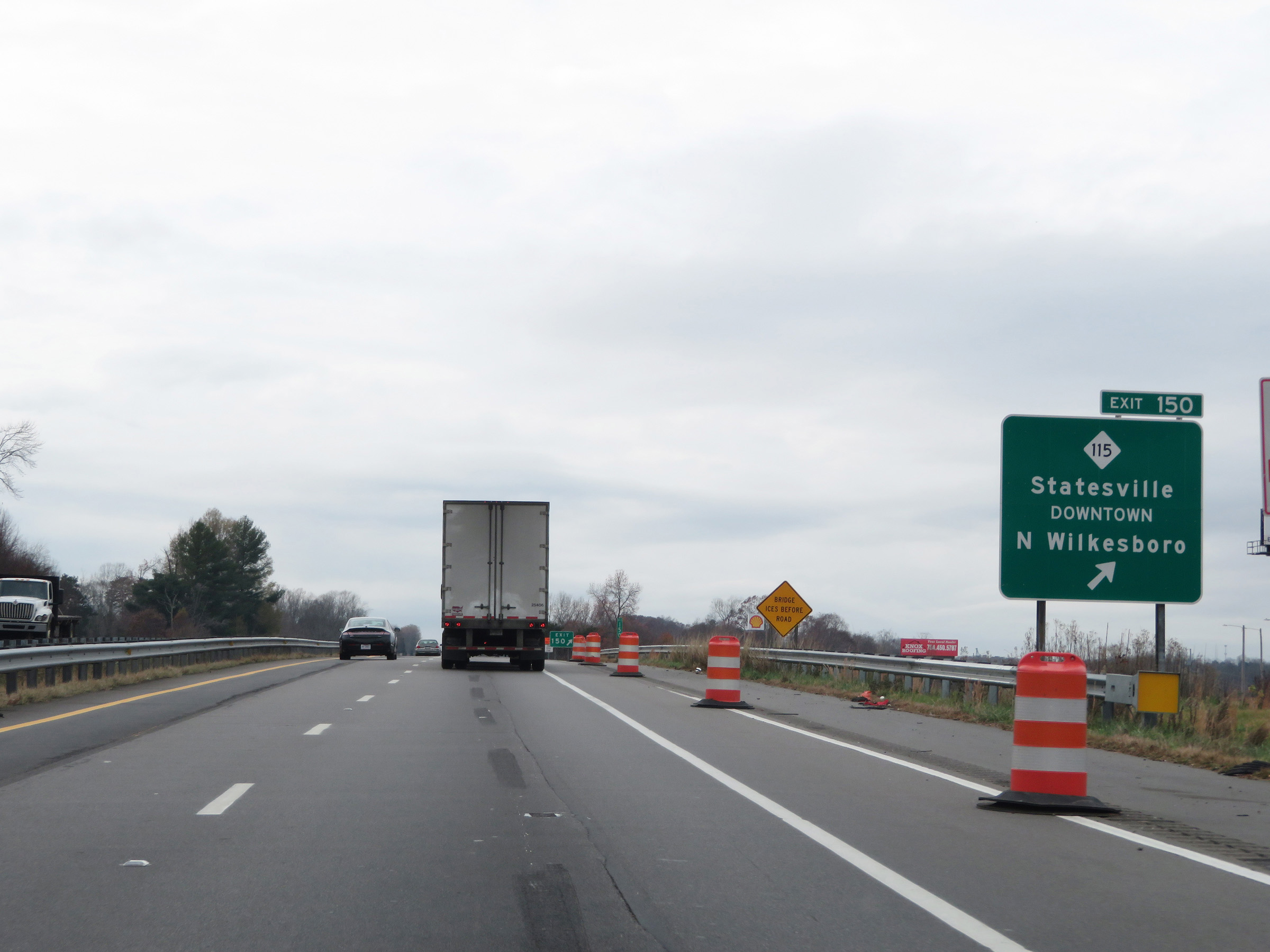 |
Interstate 40 West at Exit 150: NC 115 - Downtown Statesville / North Wilkesboro (Photo taken 12/4/20). |
 |
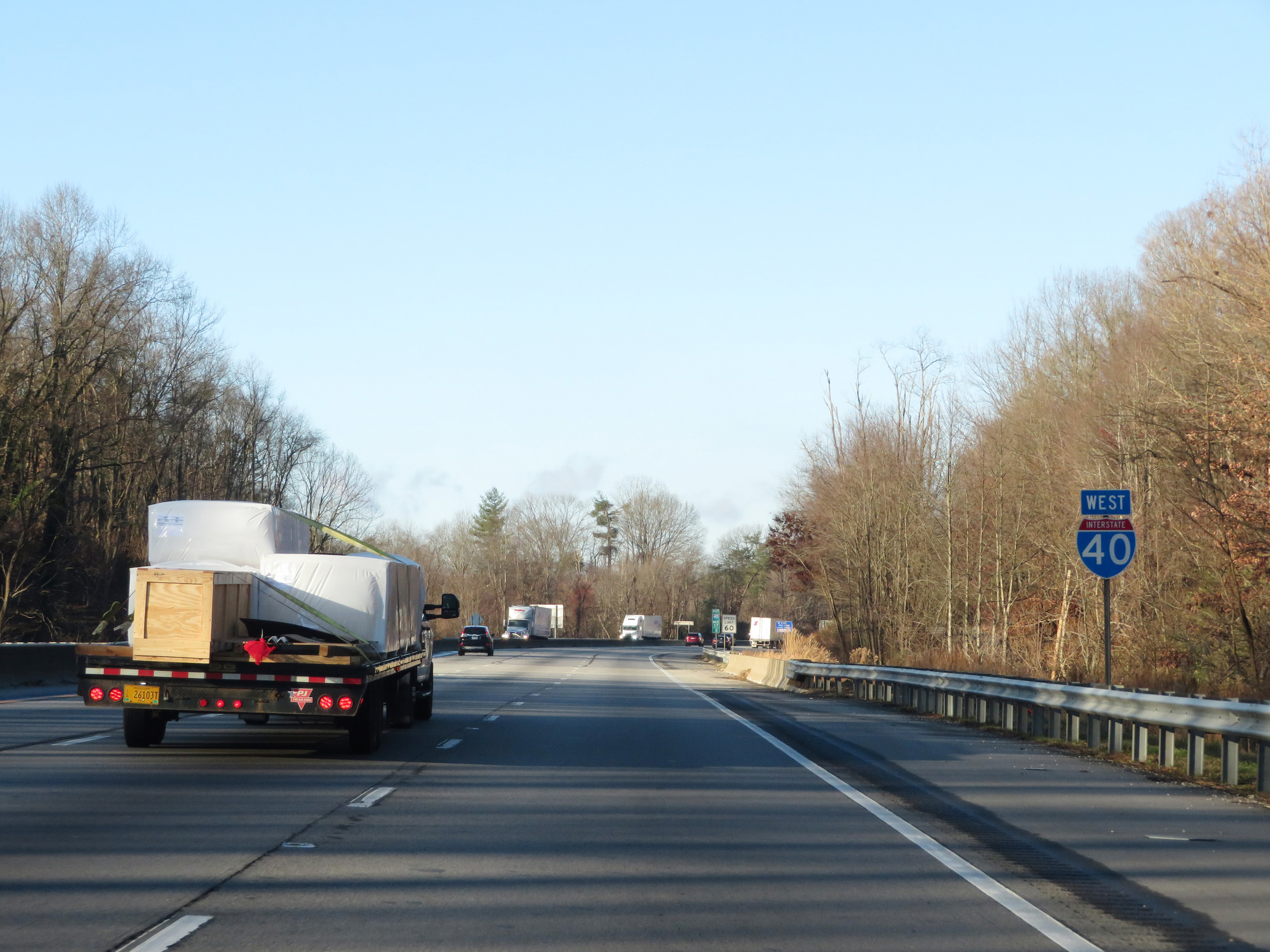
Interstate 40 West reassurance shield. The speed limit is 65 mph through the Statesville area and for a distance beyond it. (Photo taken 12/4/20). |
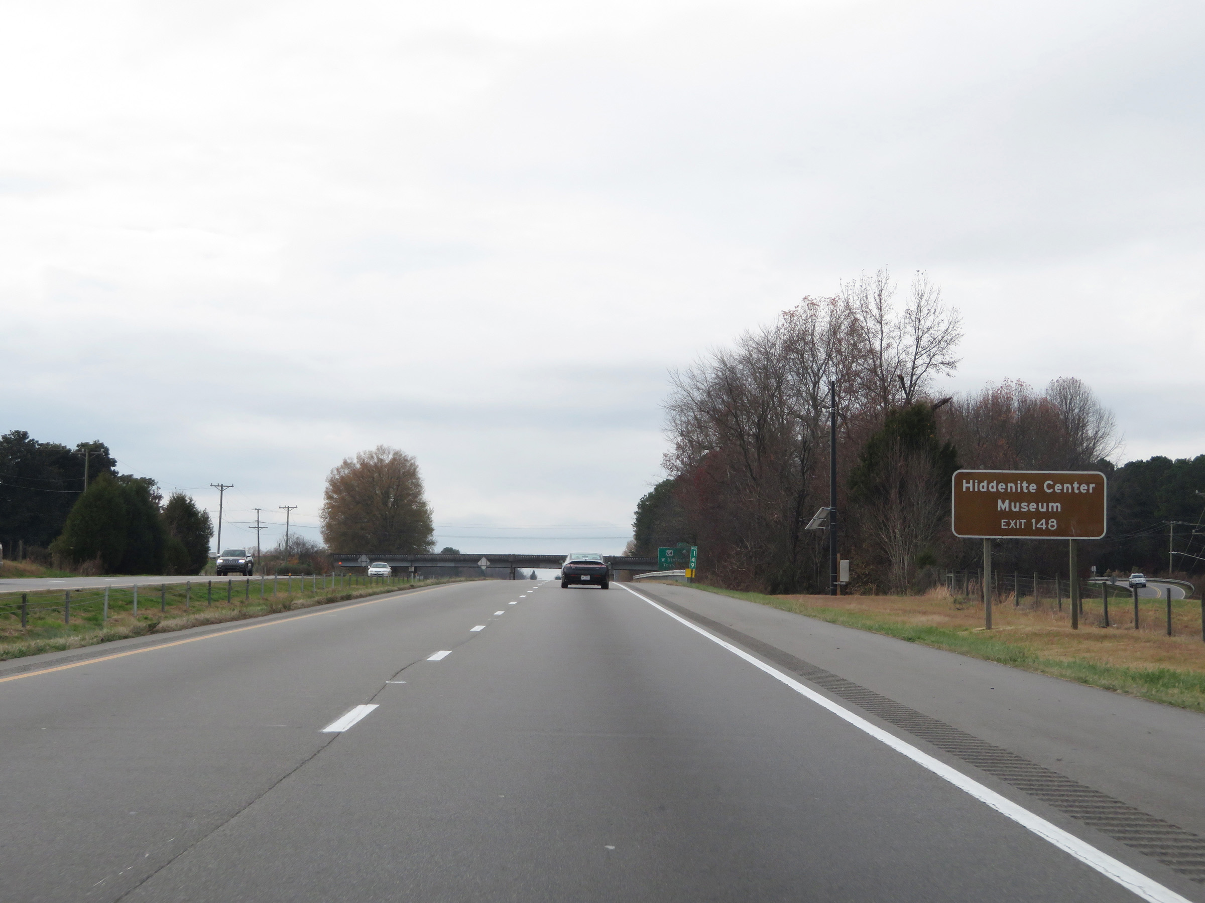 |
Take Exit 148 to Hiddenite Center Museum. (Photo taken 12/4/20). |
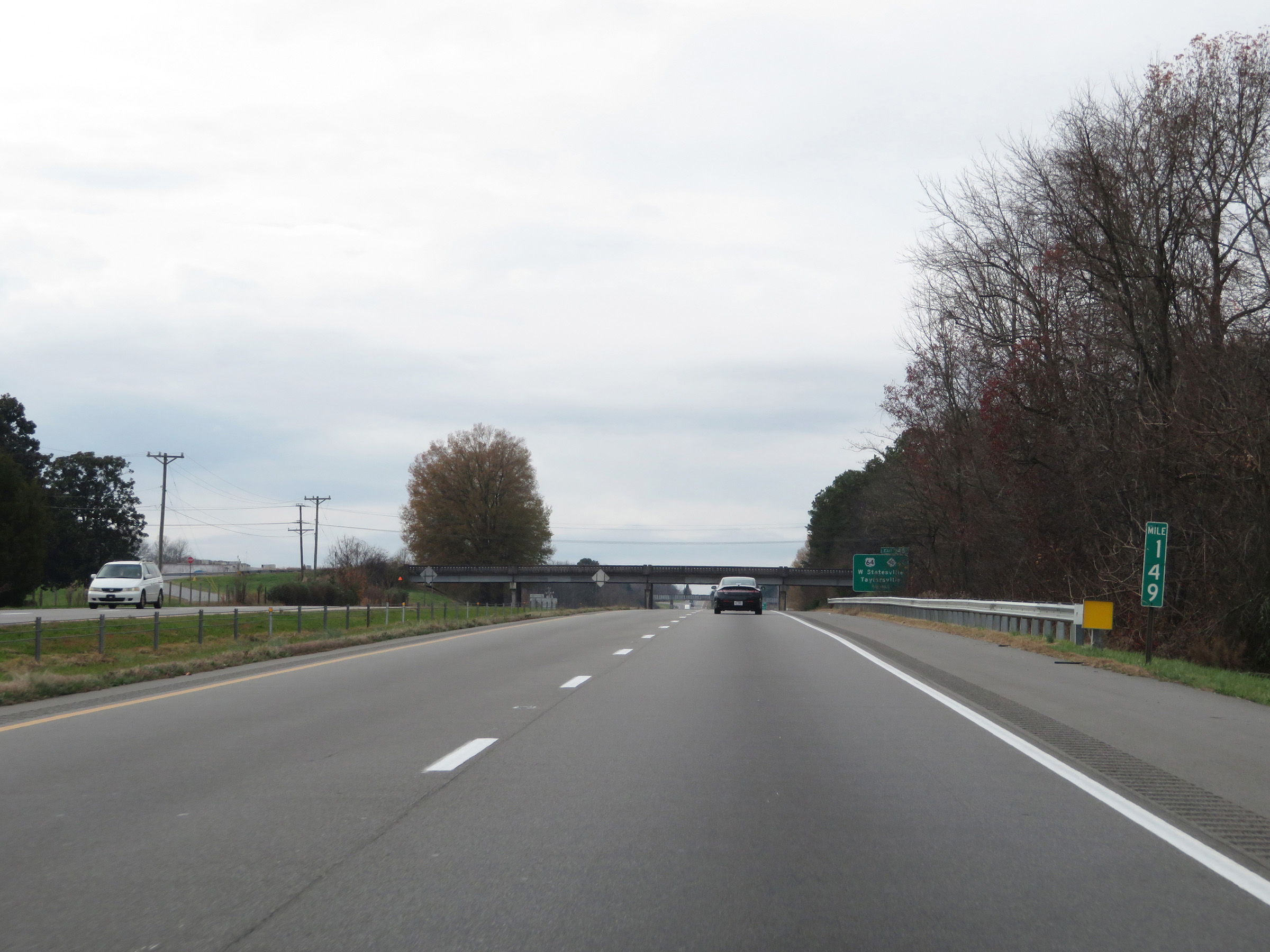 |
View on Interstate 40 West at mile marker 149. (Photo taken 12/4/20). |
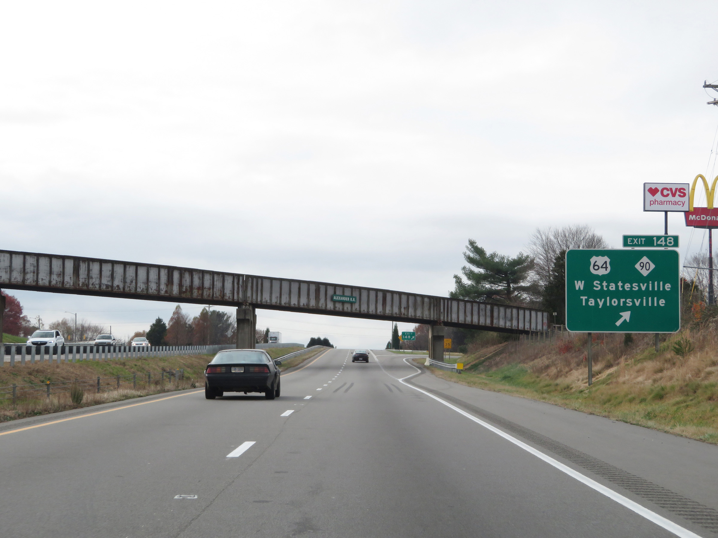 |
Interstate 40 West at Exit 148: US 64 / NC 90 - West Statesville / Taylorsville (Photo taken 12/4/20). |
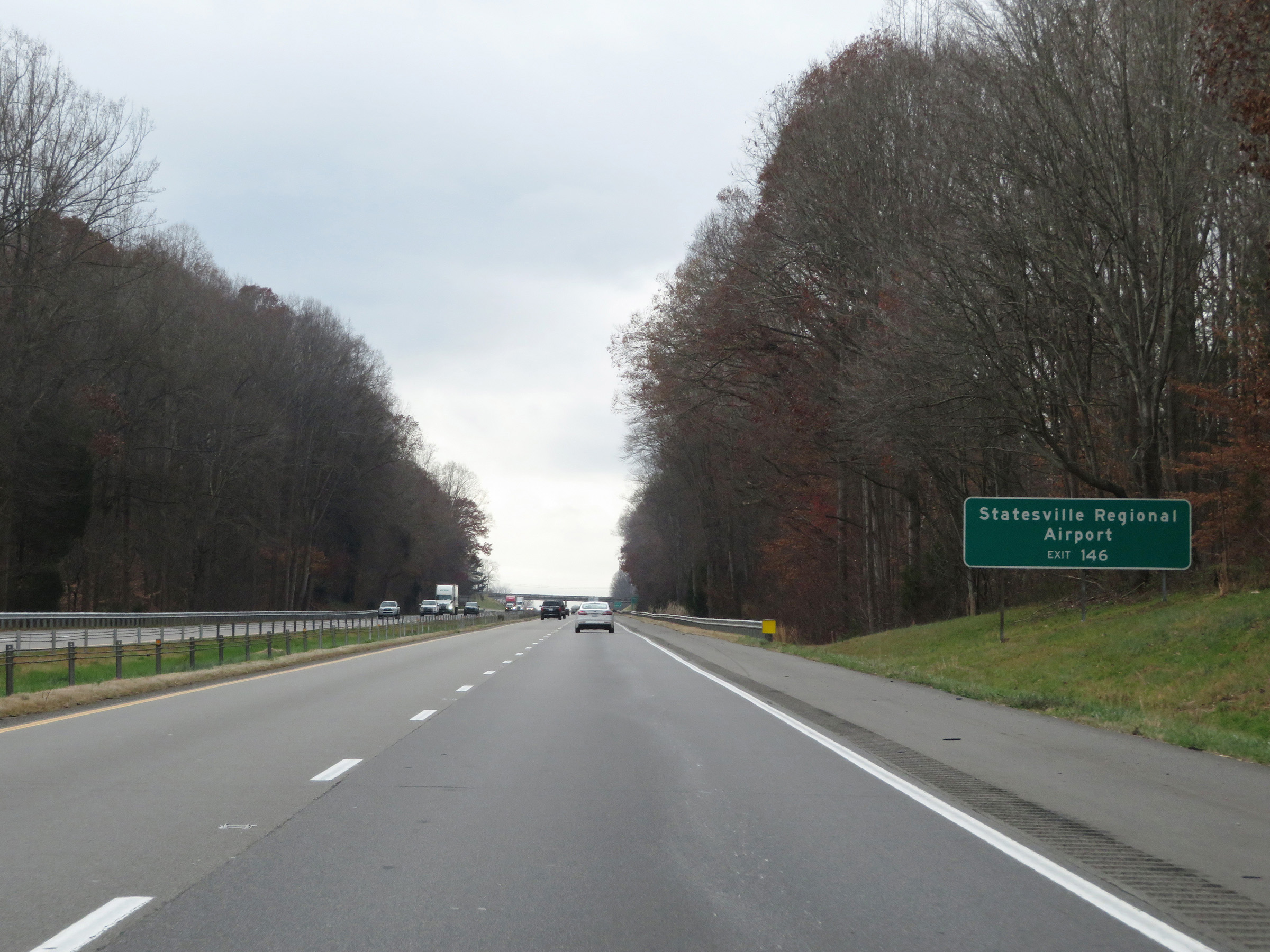 |
Take Exit 146 to Statesville Regional Airport. (Photo taken 12/4/20). |
 |
Interstate 40 West at Exit 146: Stamey Farm Rd (Photo taken 12/4/20). |
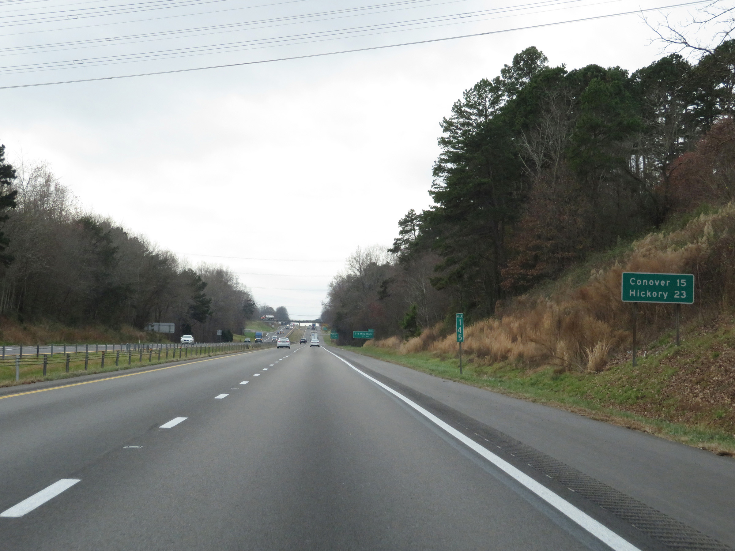 |
Mileage sign at mile marker 145. It's 15 miles to Conover and 23 miles to Hickory. (Photo taken 12/4/20). |
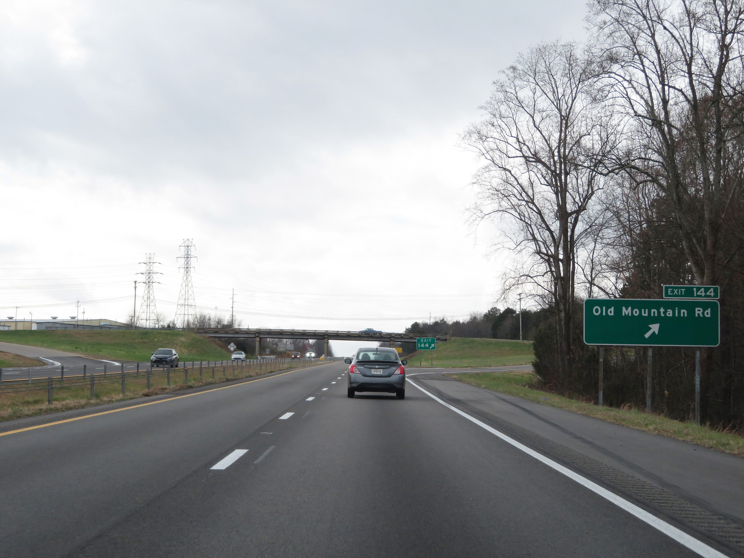 |
Interstate 40 West at Exit 144: Old Mountain Rd (Photo taken 12/4/20). |
 |
Approaching the Weigh Station on Interstate 40 West in Iredell County, this sign warns motorists to be alert for slow moving or stopped trucks. (Photo taken 12/4/20). |
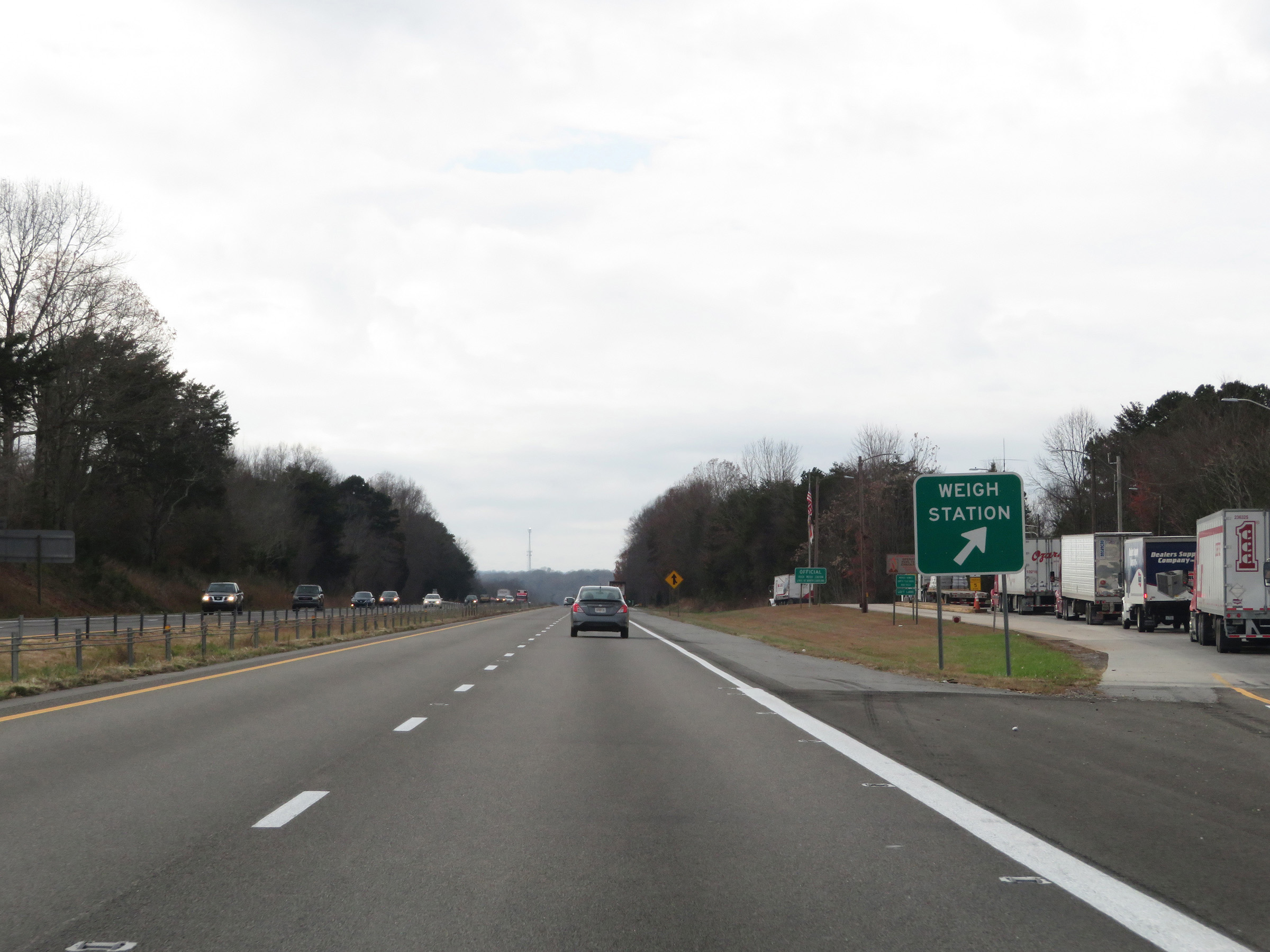 |
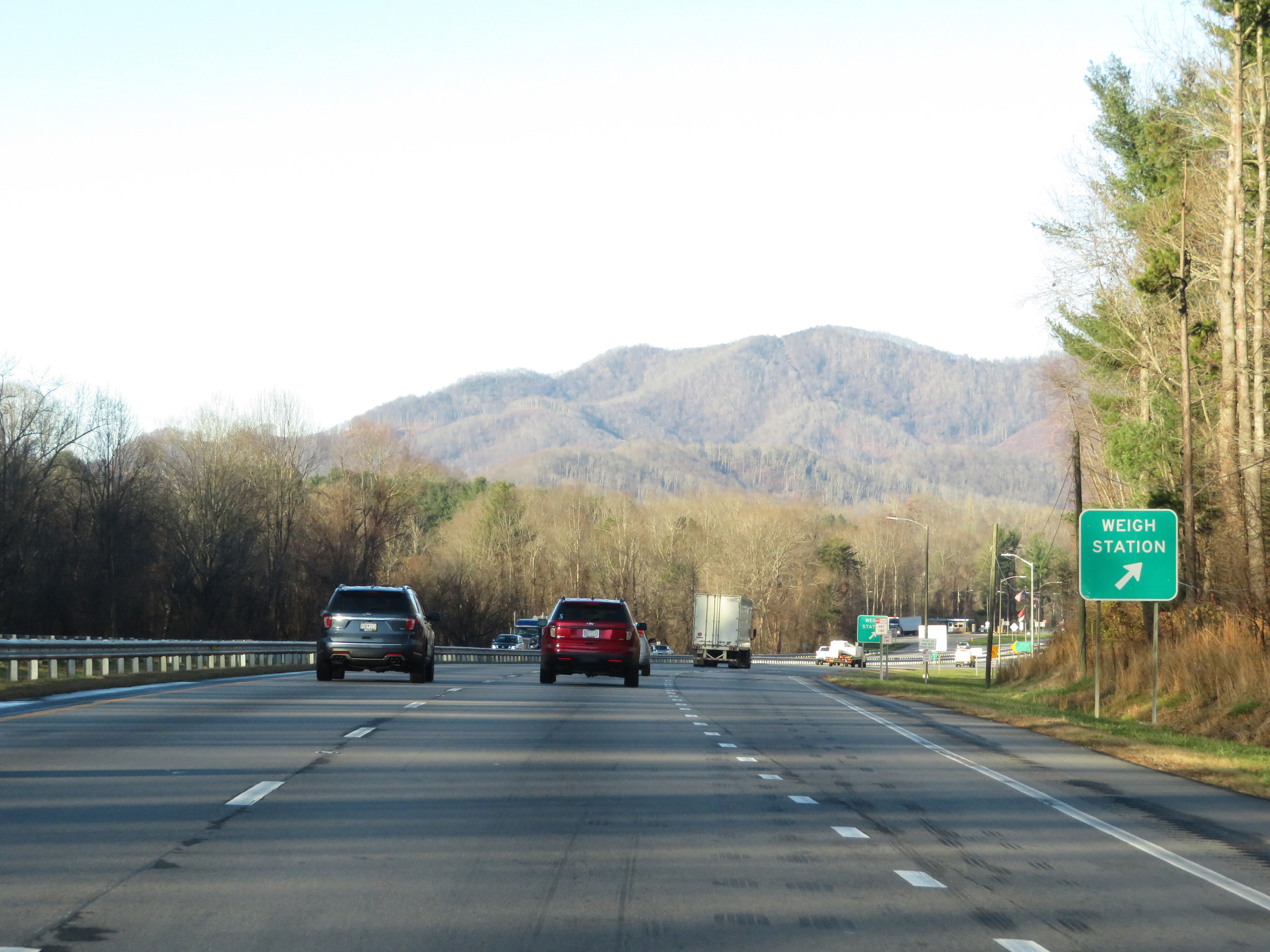
Weigh Station on Interstate 40 West in Iredell County. (Photo taken 12/4/20). |
 |
View on Interstate 40 West at mile marker 142. (Photo taken 12/4/20). |
 |
Interstate 40 West at Exit 141: Sharon School Rd (Photo taken 12/4/20). |
 |
Interstate 40 West as it enters Catawba County by crossing the Catawba River. (Photo taken 12/4/20). |
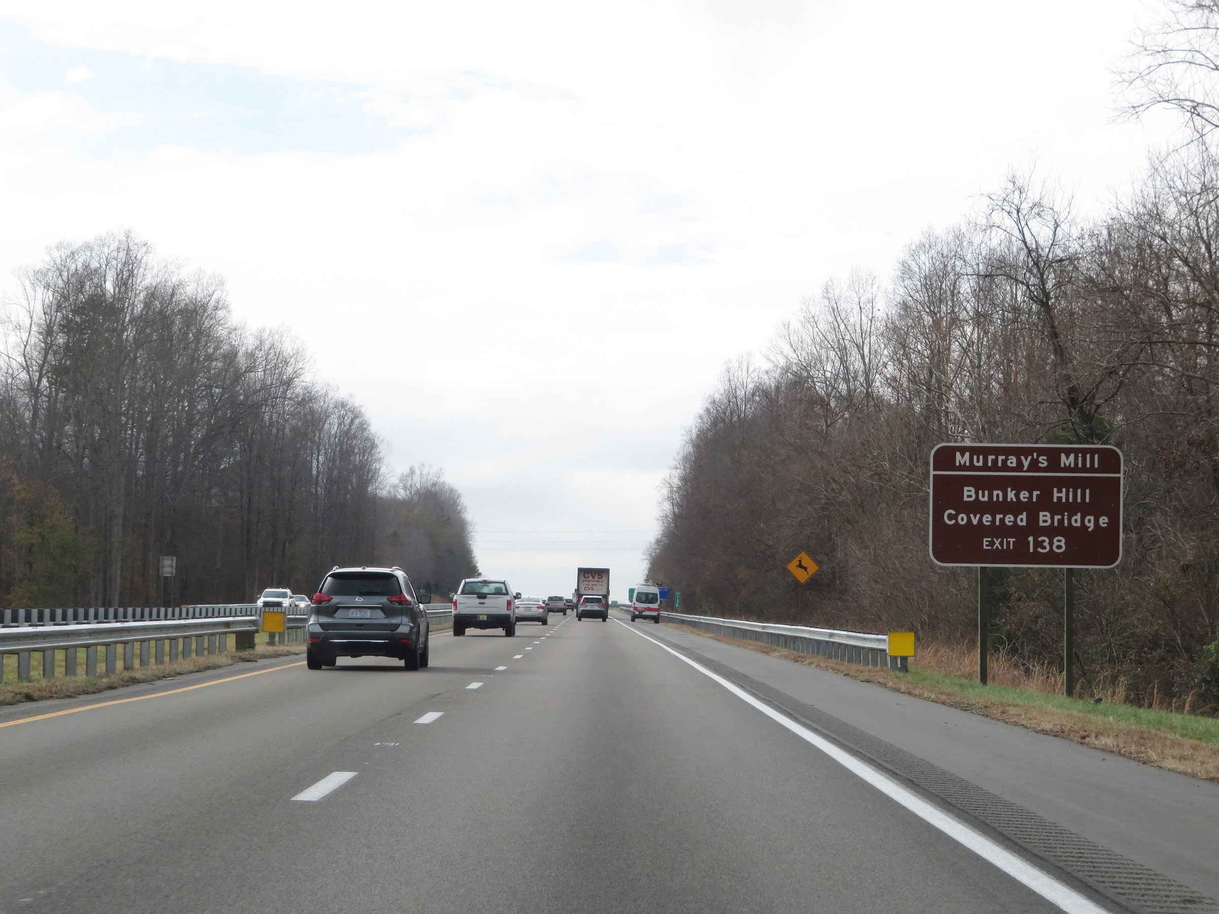 |
Take Exit 138 to Murray's Mill and Bunker Hill Covered Bridge. (Photo taken 12/4/20). |
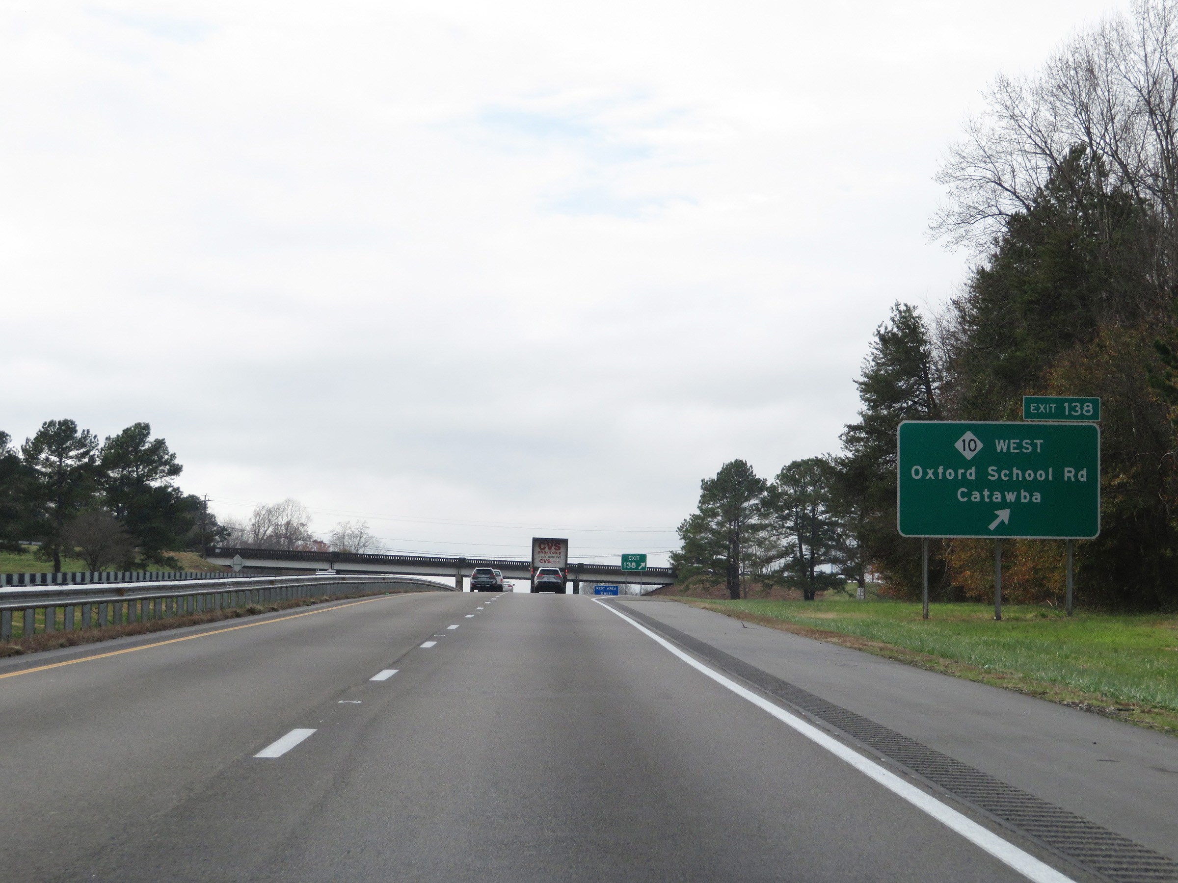 |
Interstate 40 West at Exit 138: NC 10 West - Oxford School Rd / Catawba (Photo taken 12/4/20). |
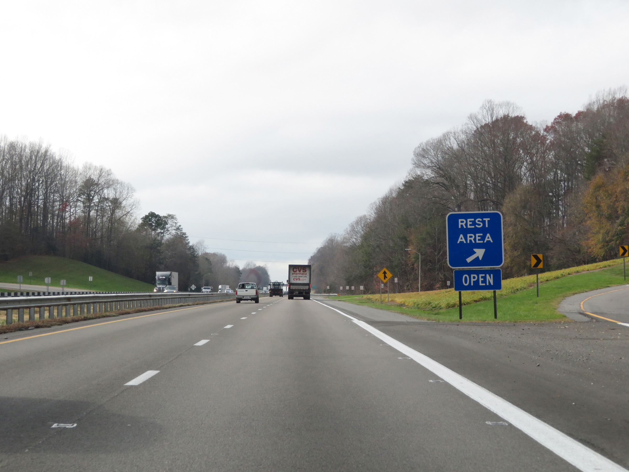 |
Rest Area on Interstate 40 West in Catawba County. (Photo taken 12/4/20). |
 |
Interstate 40 West at Exit 135: Claremont (Photo taken 12/4/20). |
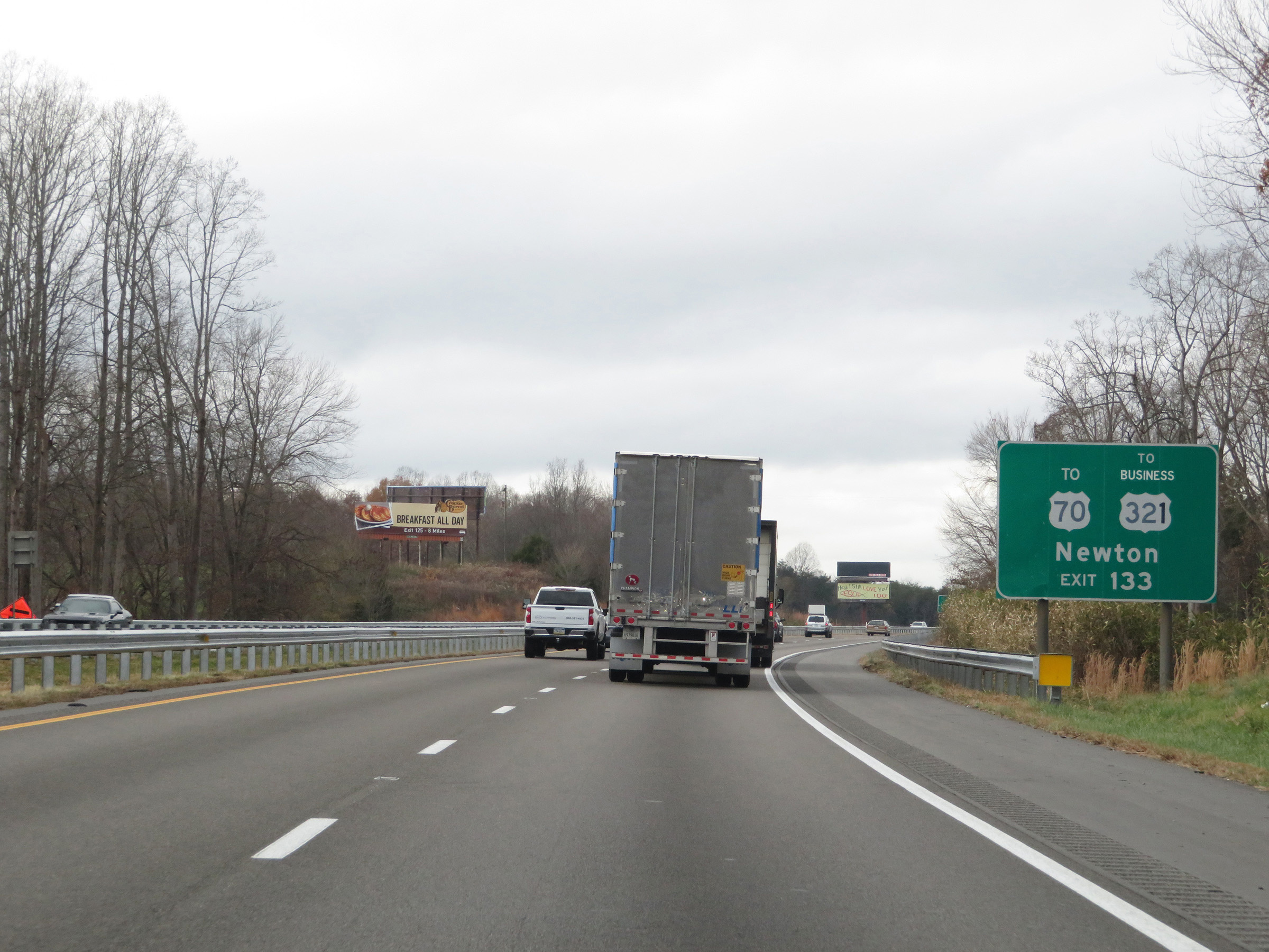 |
Take Exit 133 to US 70 and to US 321 Business toward Newton. (Photo taken 12/4/20). |
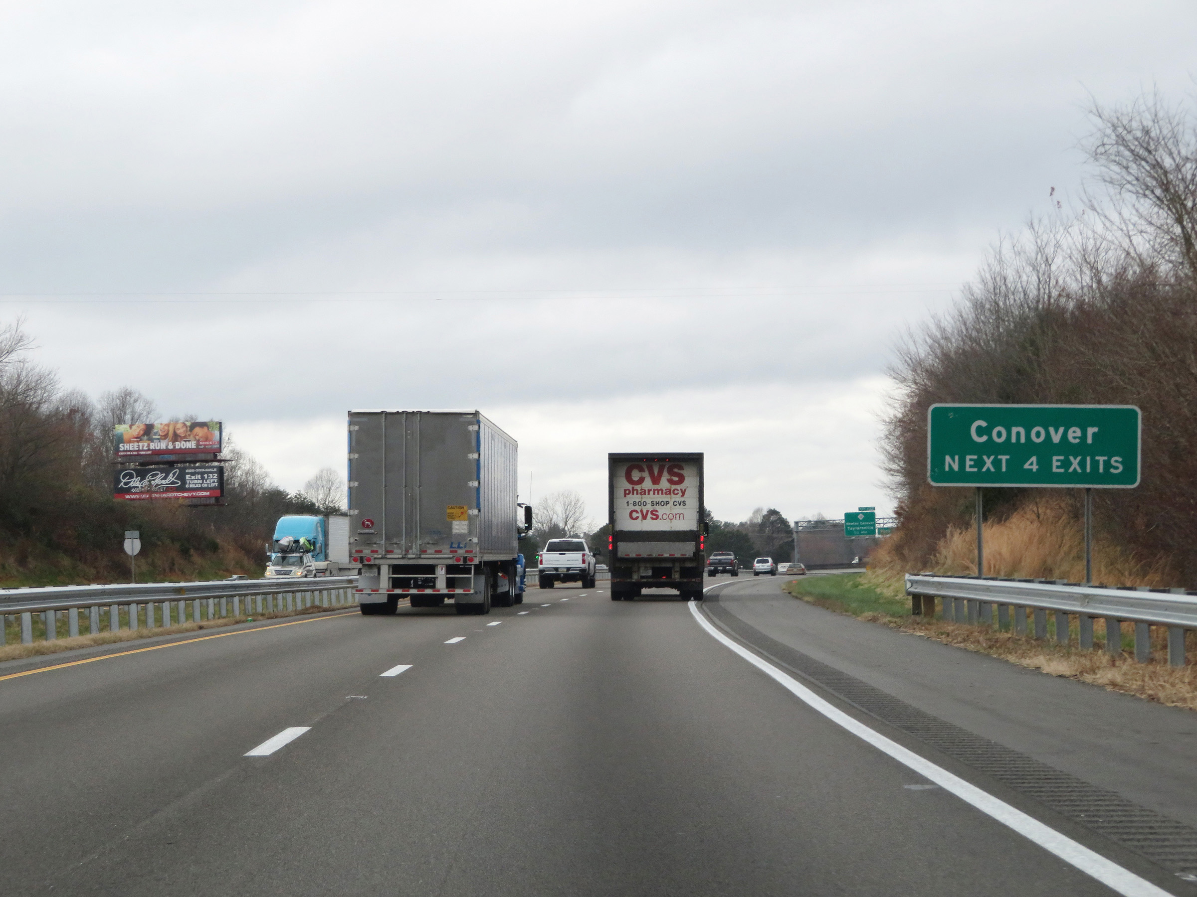 |
Take any of the next 4 exits to Conover. (Photo taken 12/4/20). |
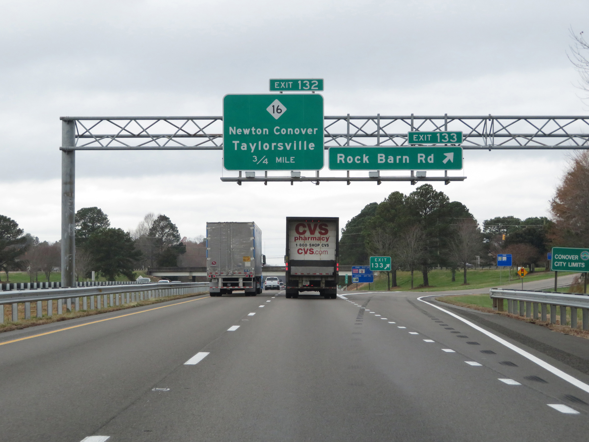 |
Interstate 40 West at Exit 133: Rock Barn Rd (Photo taken 12/4/20). |
 |
Interstate 40 West at Exit 132: NC 16 - Newton / Conover / Taylorsville (Photo taken 12/4/20). |
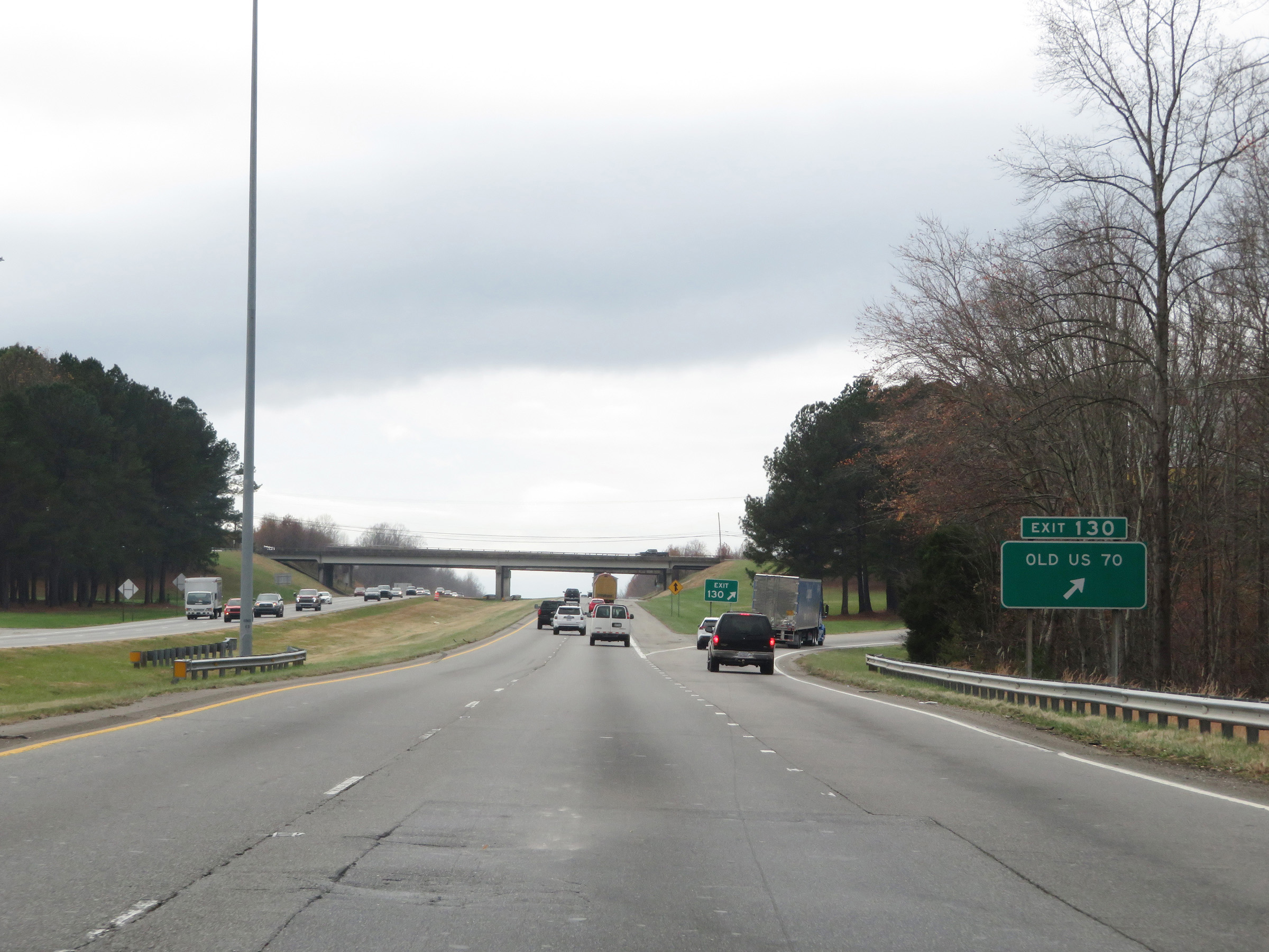 |
Interstate 40 West at Exit 130: Old US 70 (Photo taken 12/4/20). |
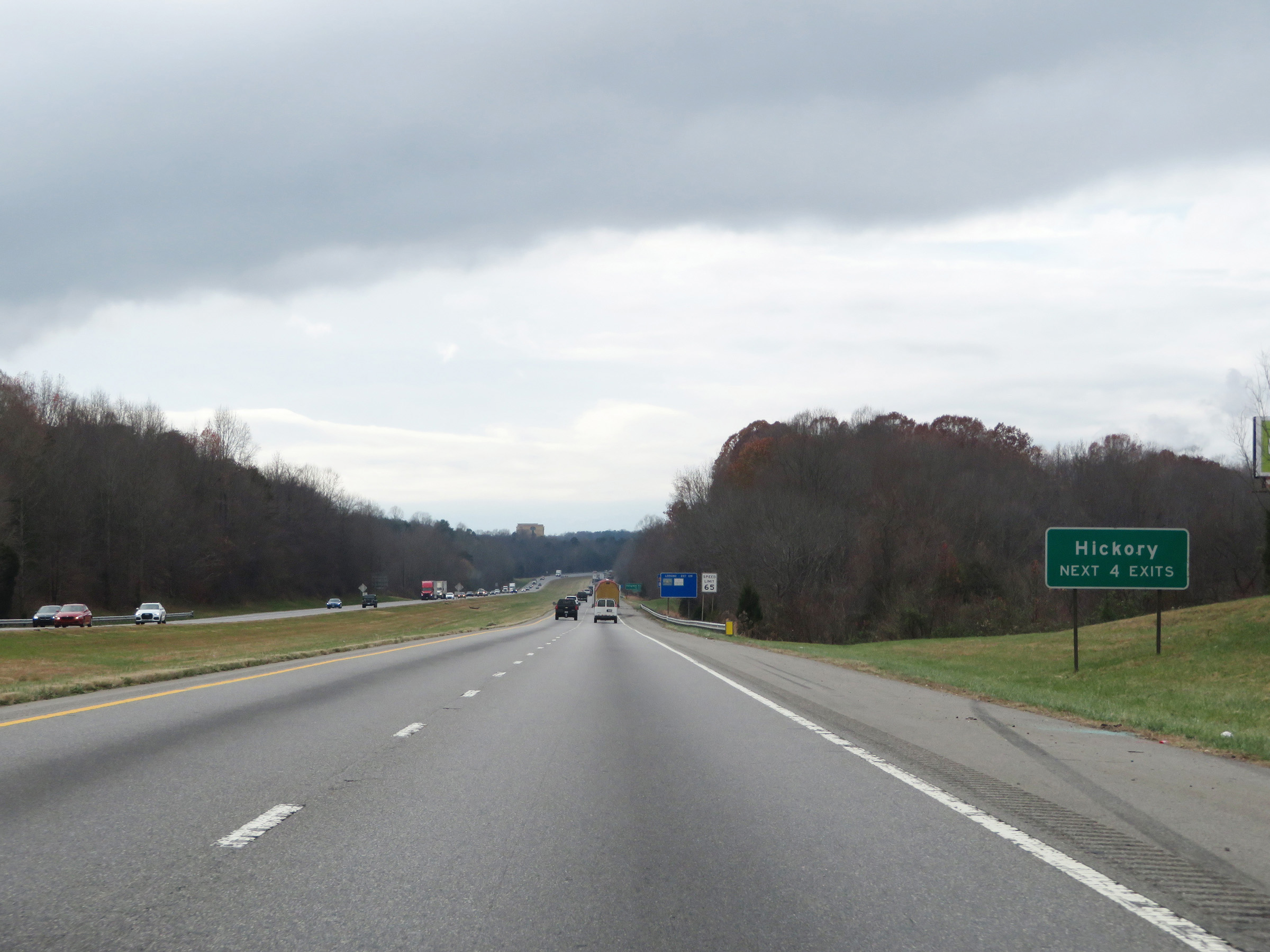 |
Take any of the next 4 exits to Hickory. (Photo taken 12/4/20). |
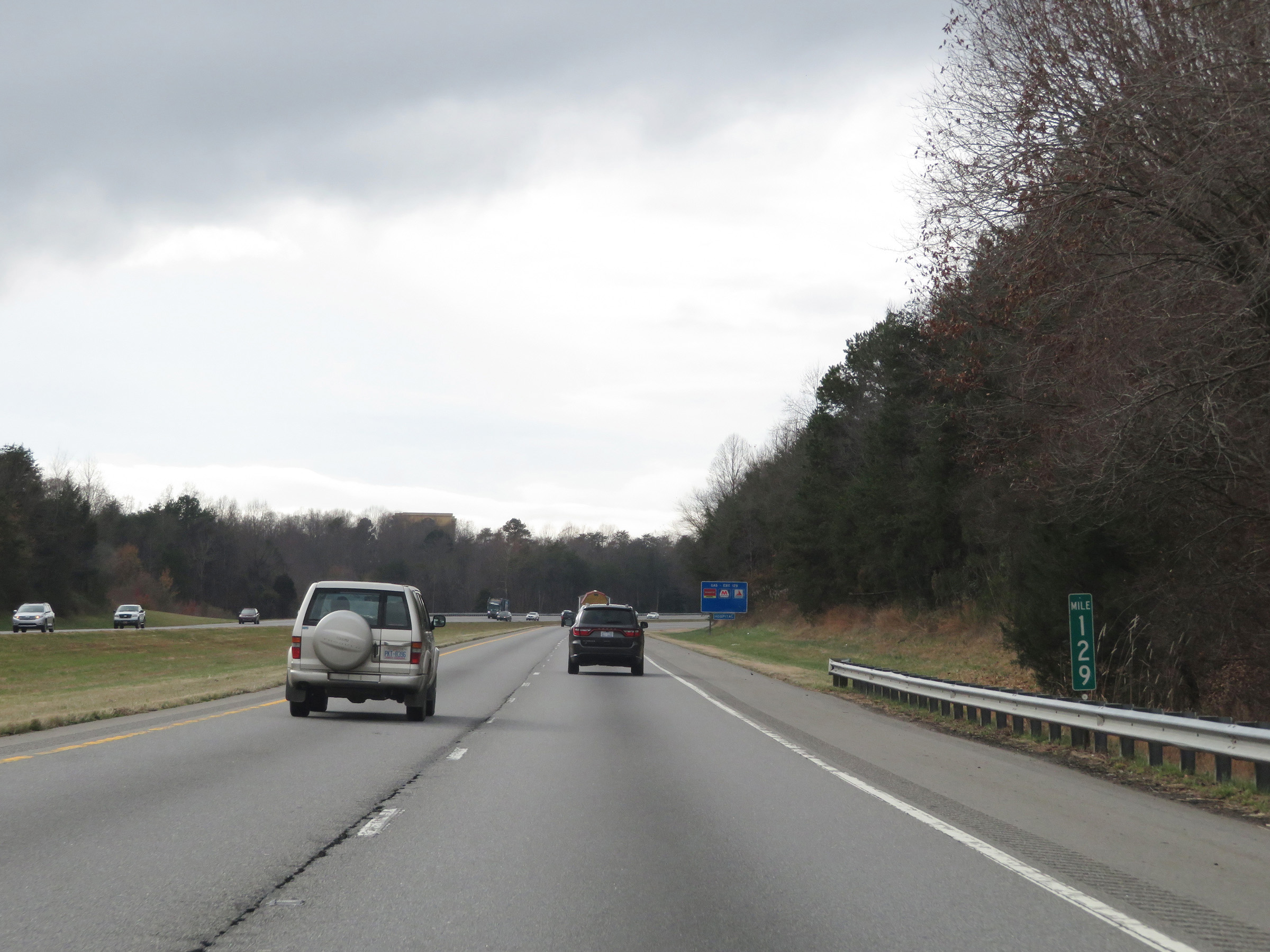 |
Mile marker 129 on Interstate 40 West in Catawba County. (Photo taken 12/4/20). |
 |
Interstate 40 West at Exit 128: Fairgrove Church Rd (Photo taken 12/4/20). |
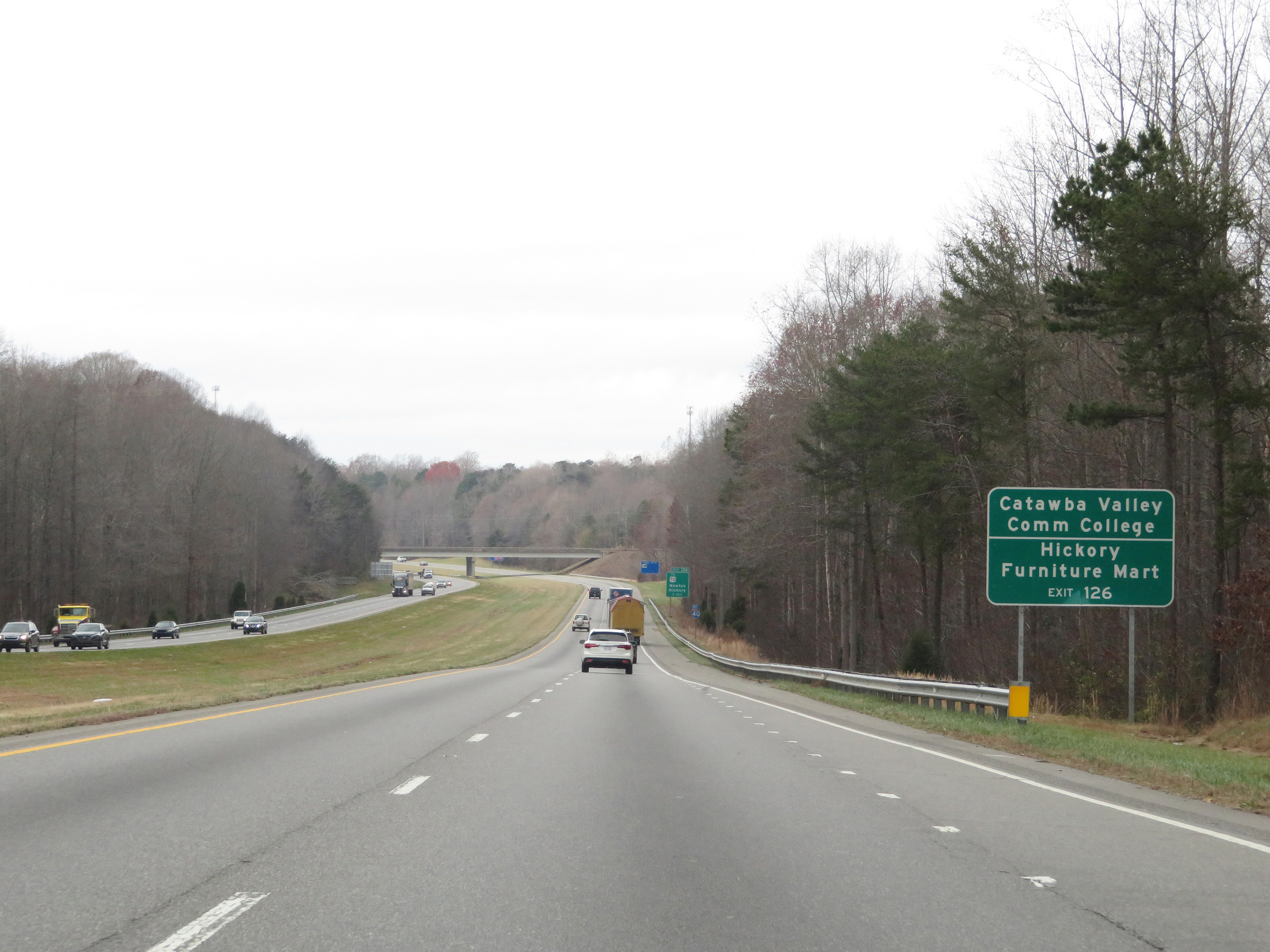 |
Take Exit 126 to Catawba Valley Community College and Hickory Furniture Mart. (Photo taken 12/4/20). |
 |
View on Interstate 40 West at mile marker 127. (Photo taken 12/4/20). |
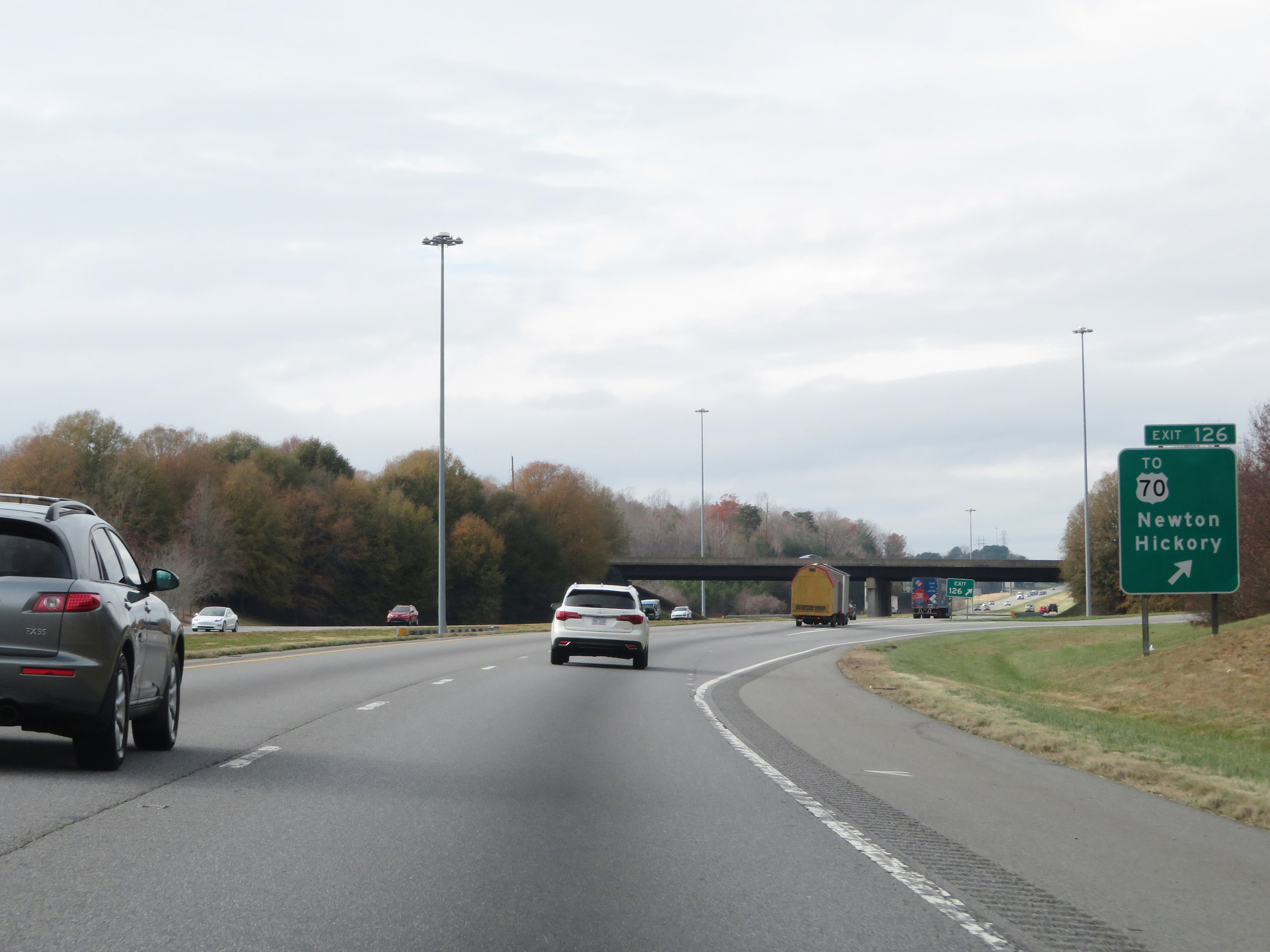 |
Interstate 40 West at Exit 126: To US 70 - Newton / Hickory (Photo taken 12/4/20). |
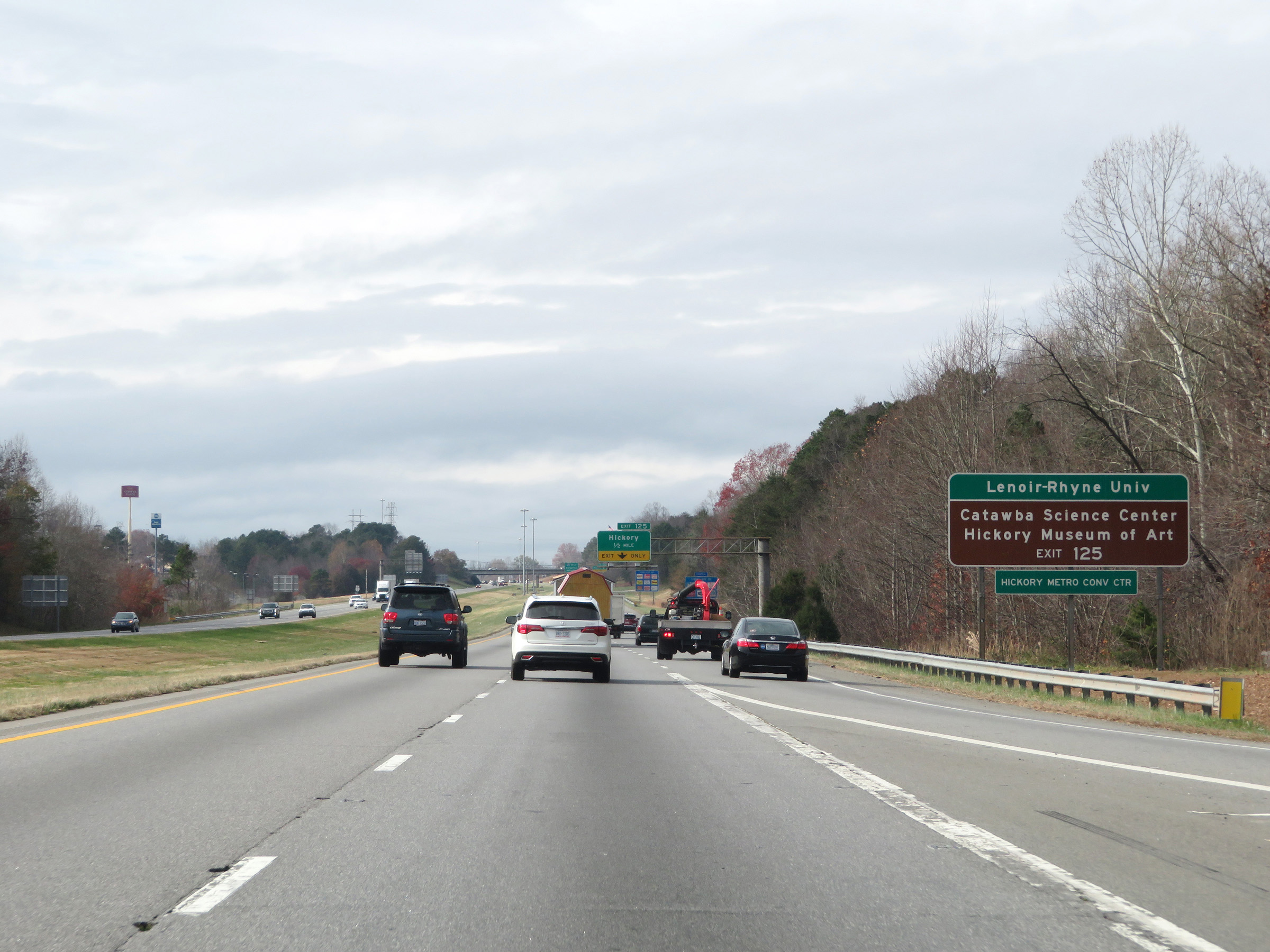 |
Take Exit 125 to Lenoir-Rhyne University, Catawba Science Center, and the Hickory Museum of Art. (Photo taken 12/4/20). |
 |
Interstate 40 West at Exit 125: Hickory (Photo taken 12/4/20). |
 |
Take Exit 123B to Boone. Take Exit 123A to Gastonia. (Photo taken 12/4/20). |
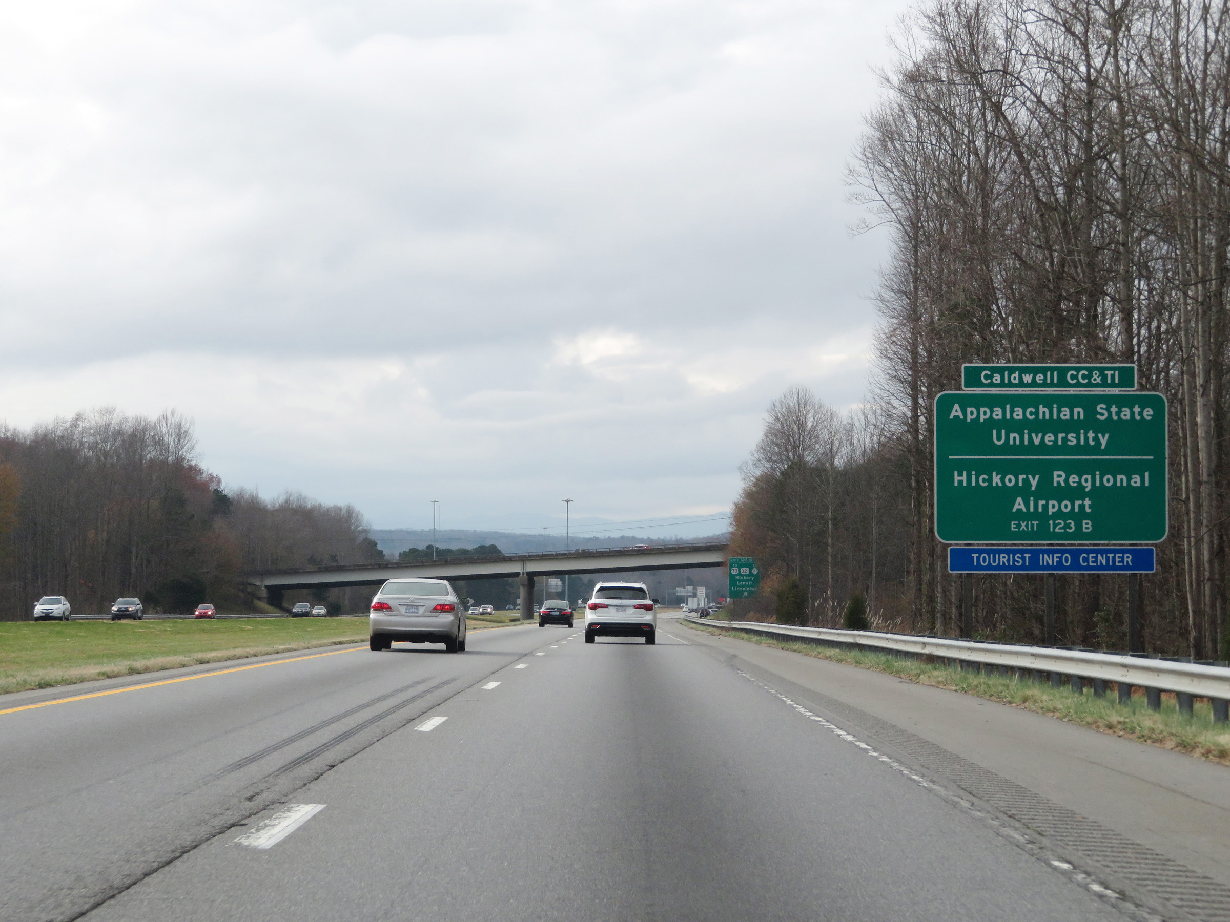 |
Also take Exit 123B to Appalachian State University and Hickory Regional Airport. (Photo taken 12/4/20). |
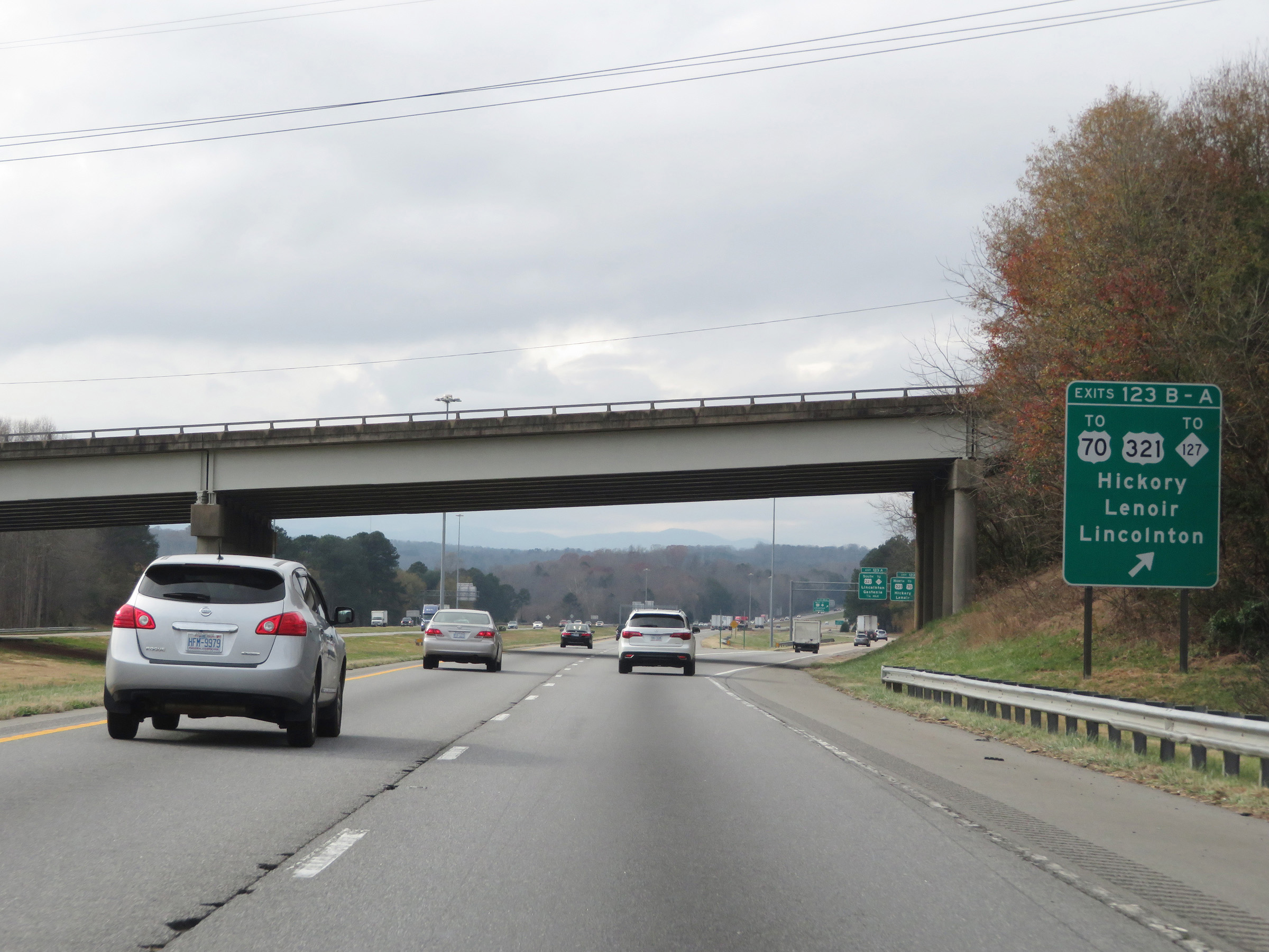 |
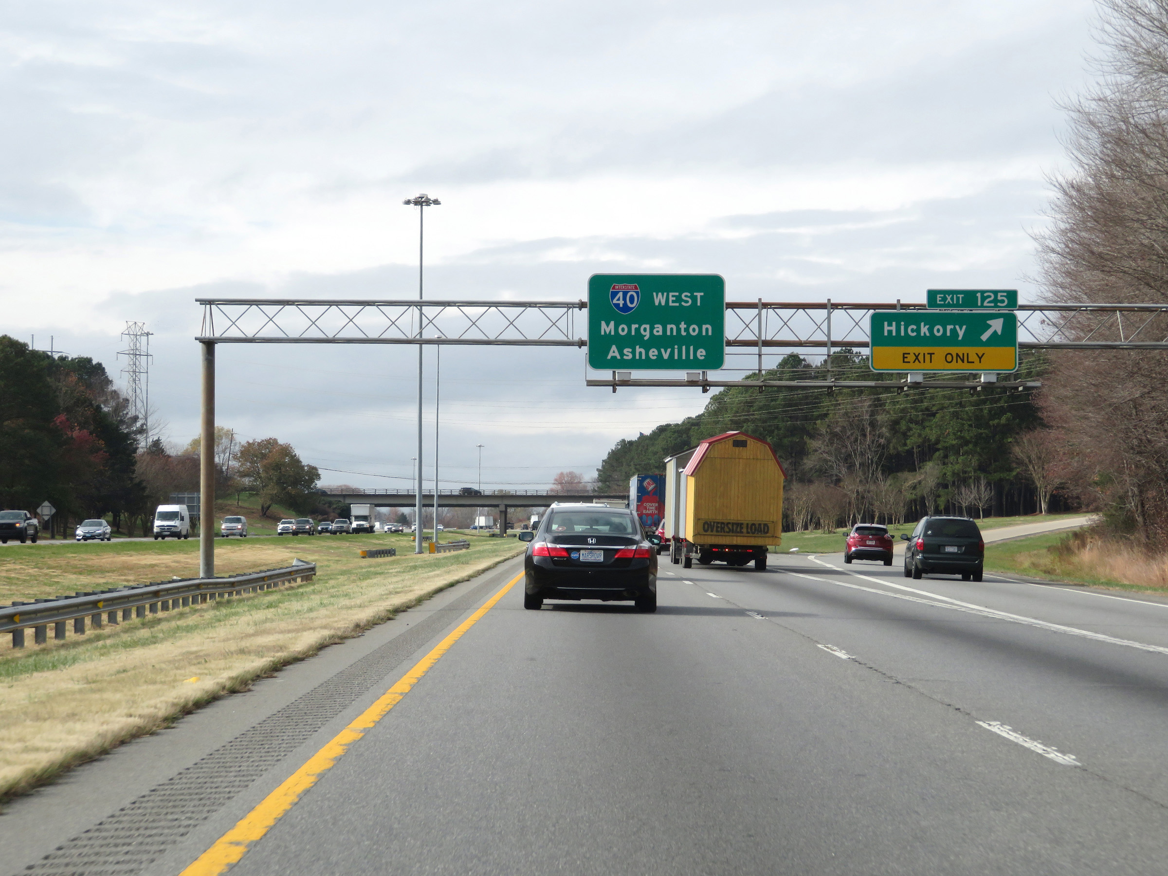
Interstate 40 West at Exits 123B-A: US 321 / To US 70 / To NC 127 - Hickory / Lenoir / Lincolnton (Photo taken 12/4/20). |
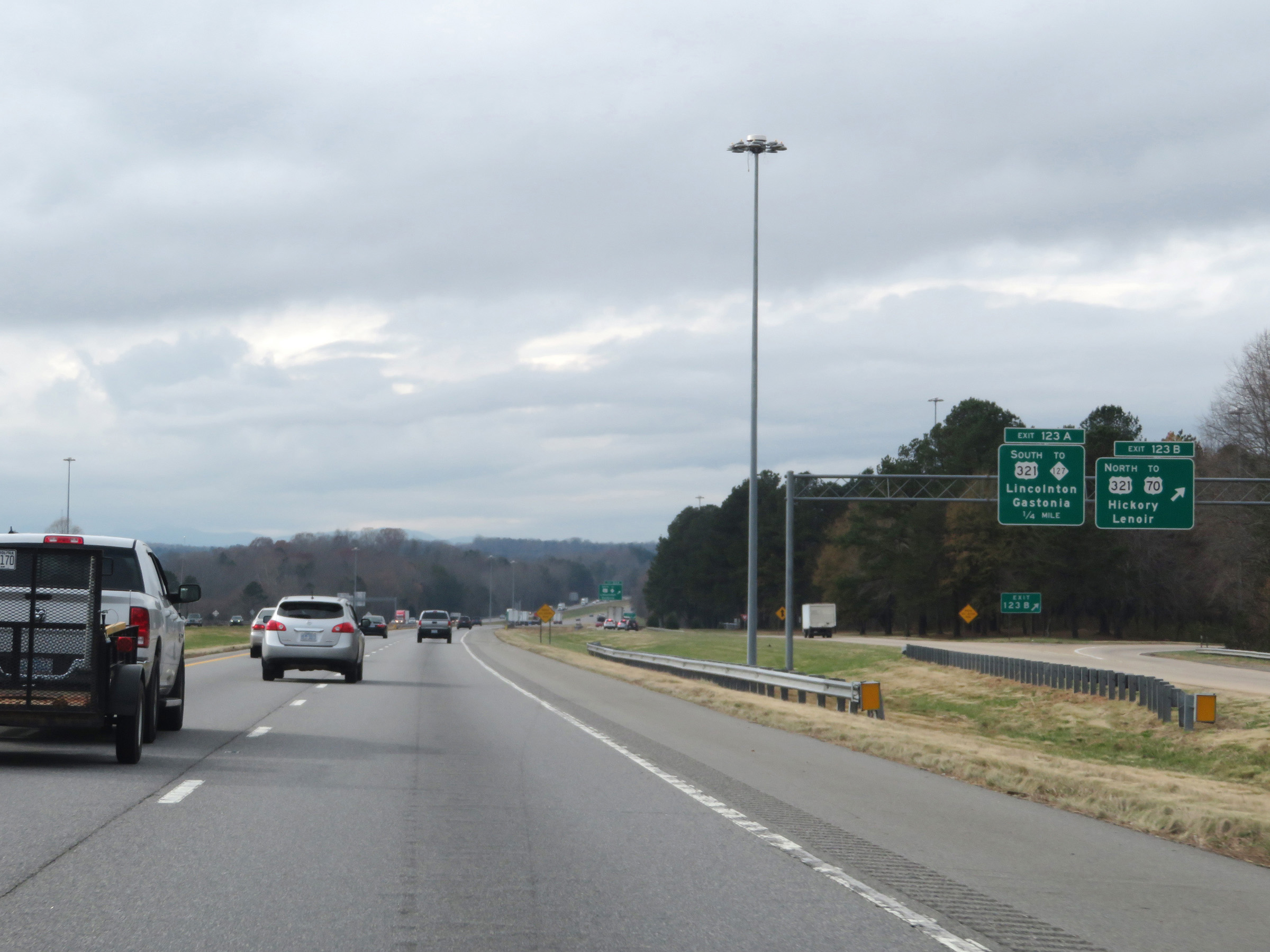 |
Interstate 40 West at Exit 123B: US 321 North / To US 70 - Hickory / Lenoir (Photo taken 12/4/20). |
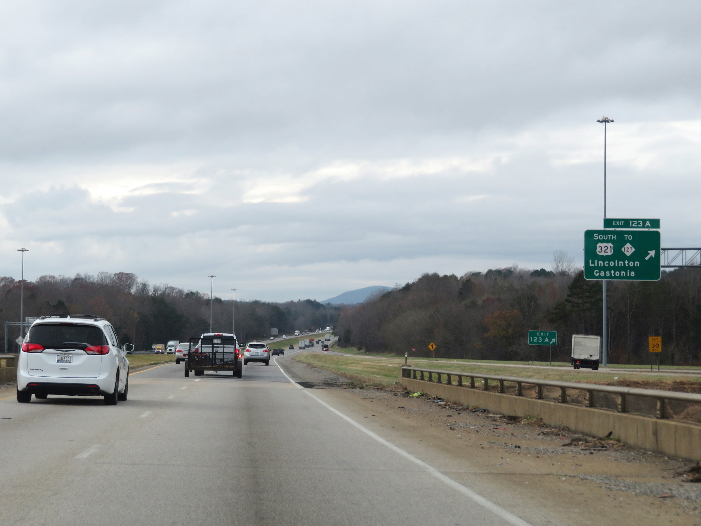 |
Interstate 40 West at Exit 123A: US 321 / To NC 127 - Lincolnton / Gastonia (Photo taken 12/4/20). |
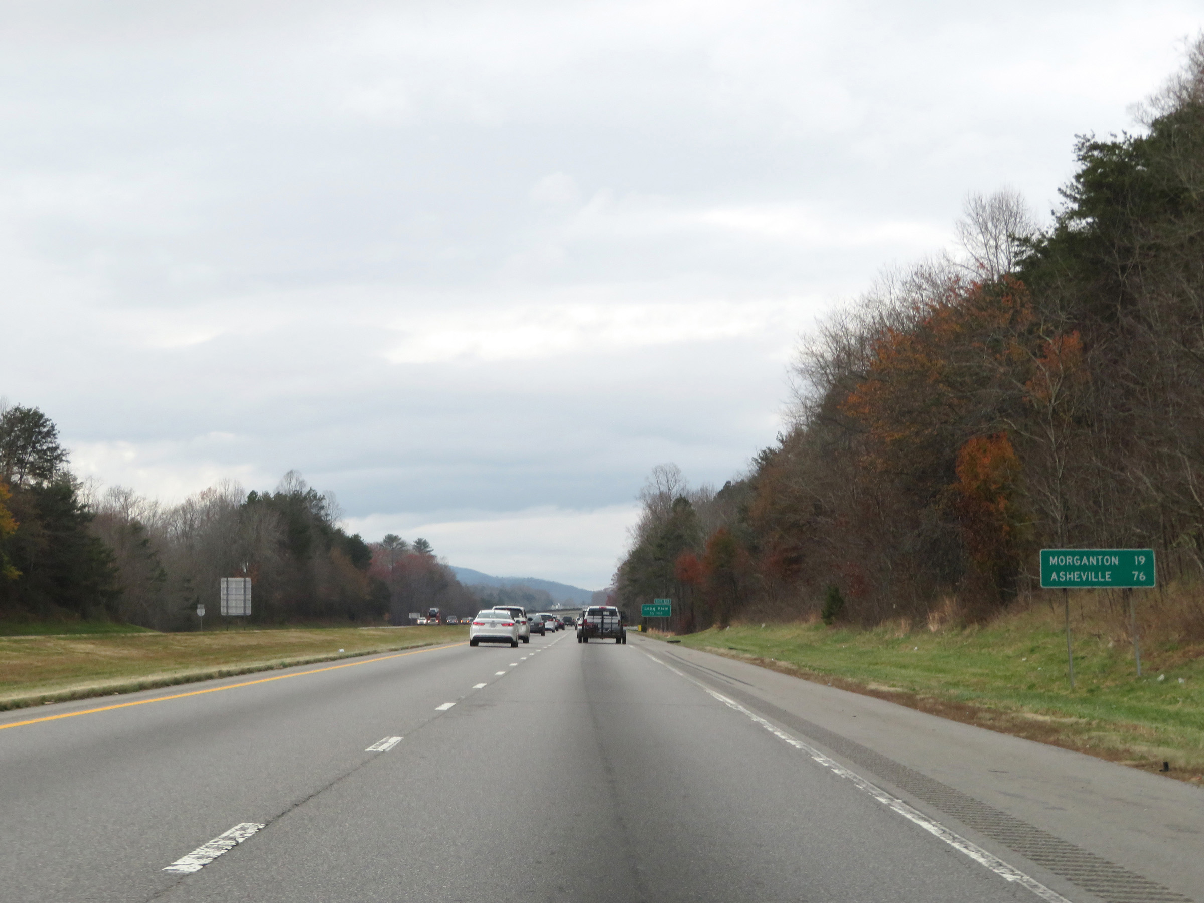 |
Another mileage sign on Interstate 40 West. It's 19 miles to Morganton and 76 miles to Asheville. (Photo taken 12/4/20). |
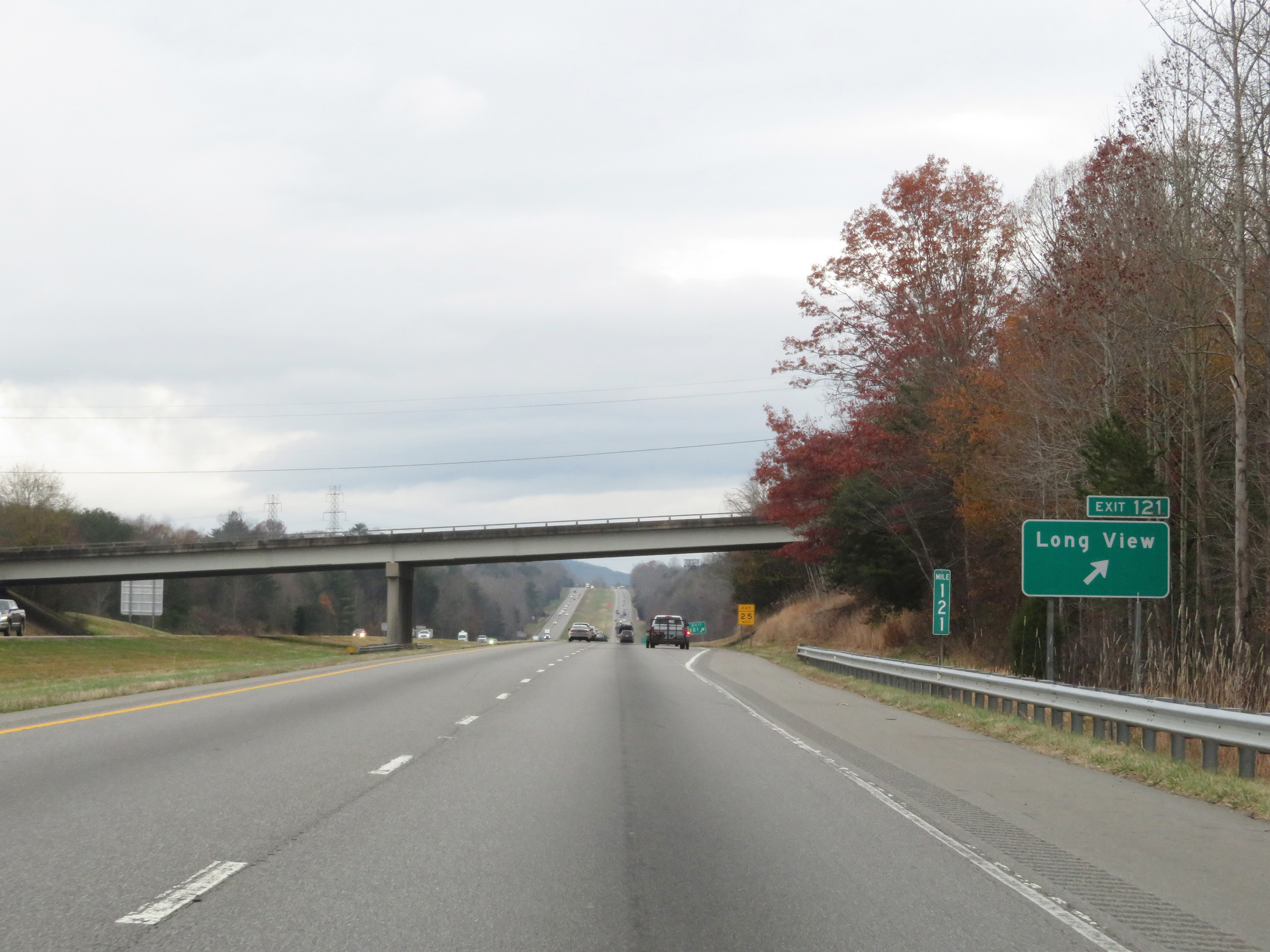 |
Interstate 40 West at Exit 121: Long View (Photo taken 12/4/20). |
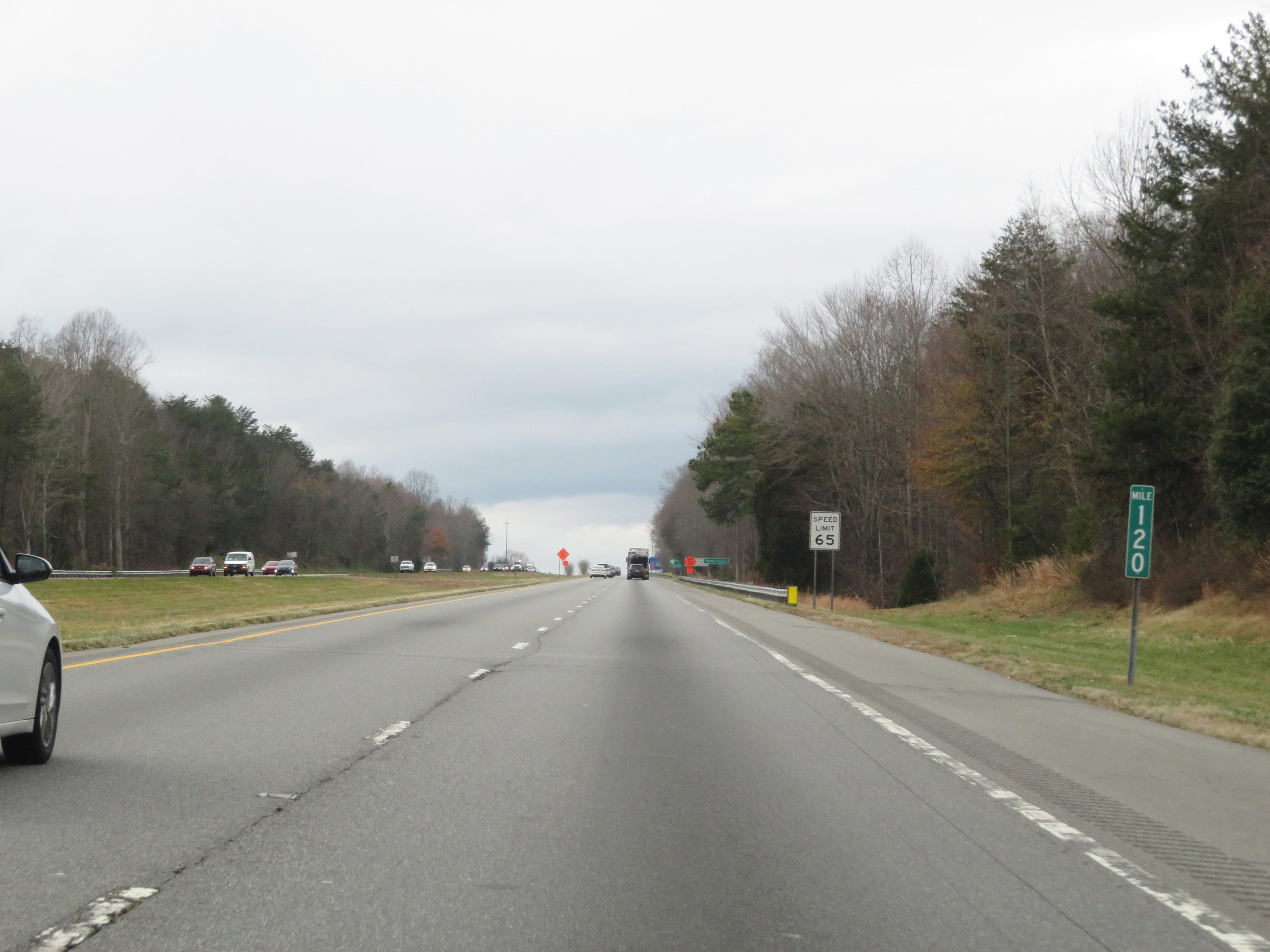 |
View on Interstate 40 West at mile marker 120. (Photo taken 12/4/20). |
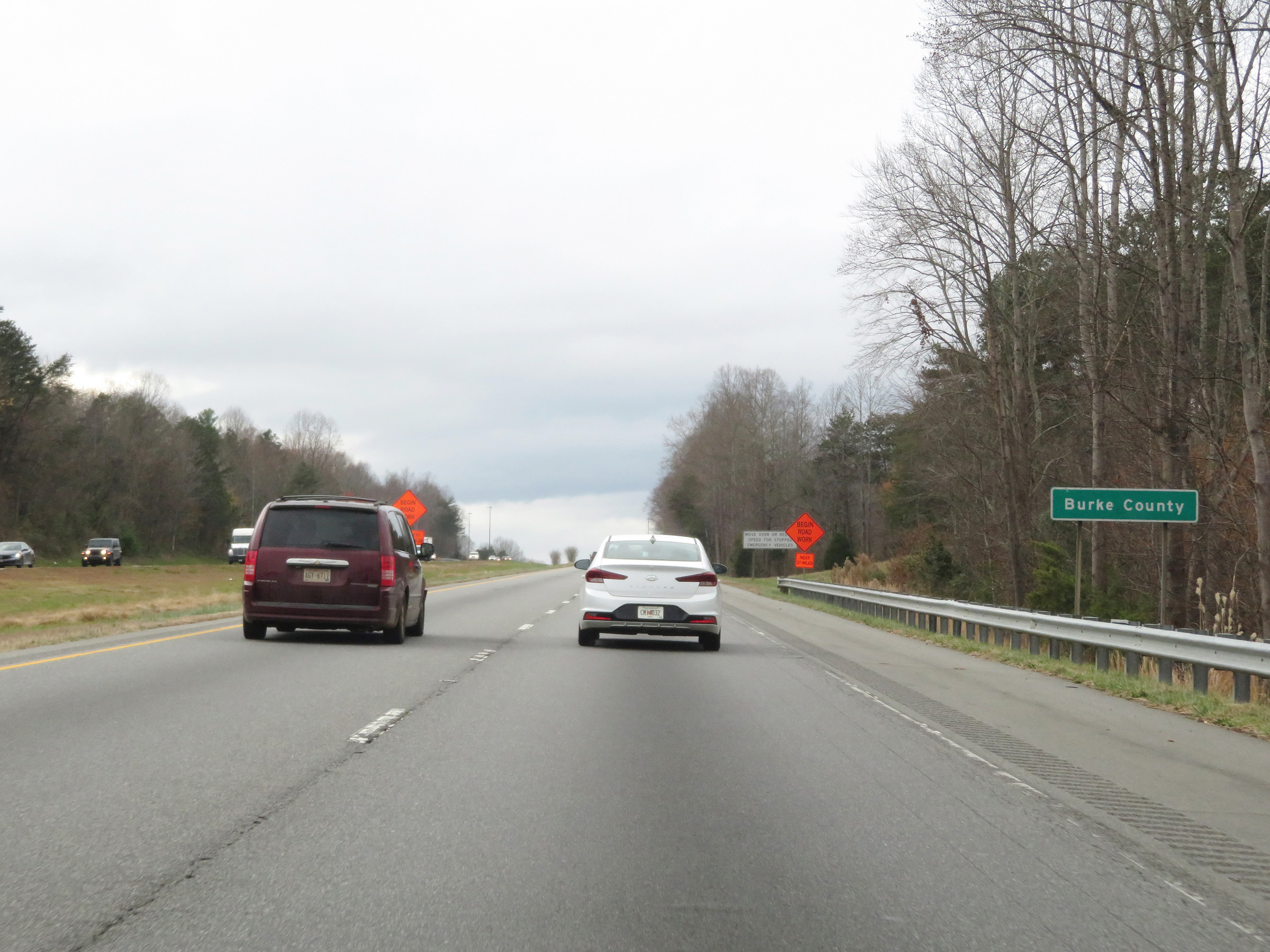 |
Interstate 40 West as it enters Burke County. (Photo taken 12/4/20). |
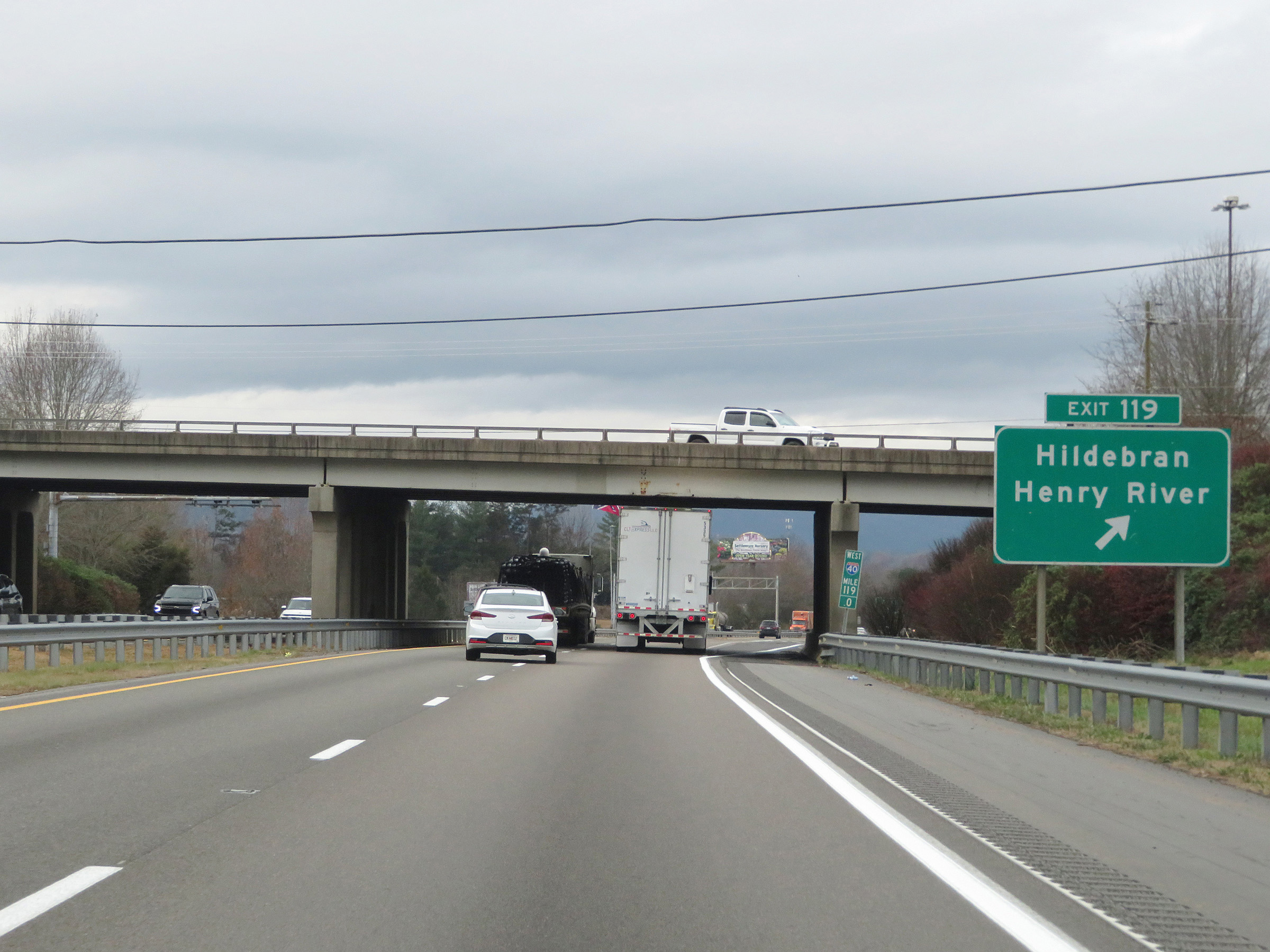 |
Interstate 40 West at Exit 119: Hildebran / Henry River (Photo taken 12/4/20). |
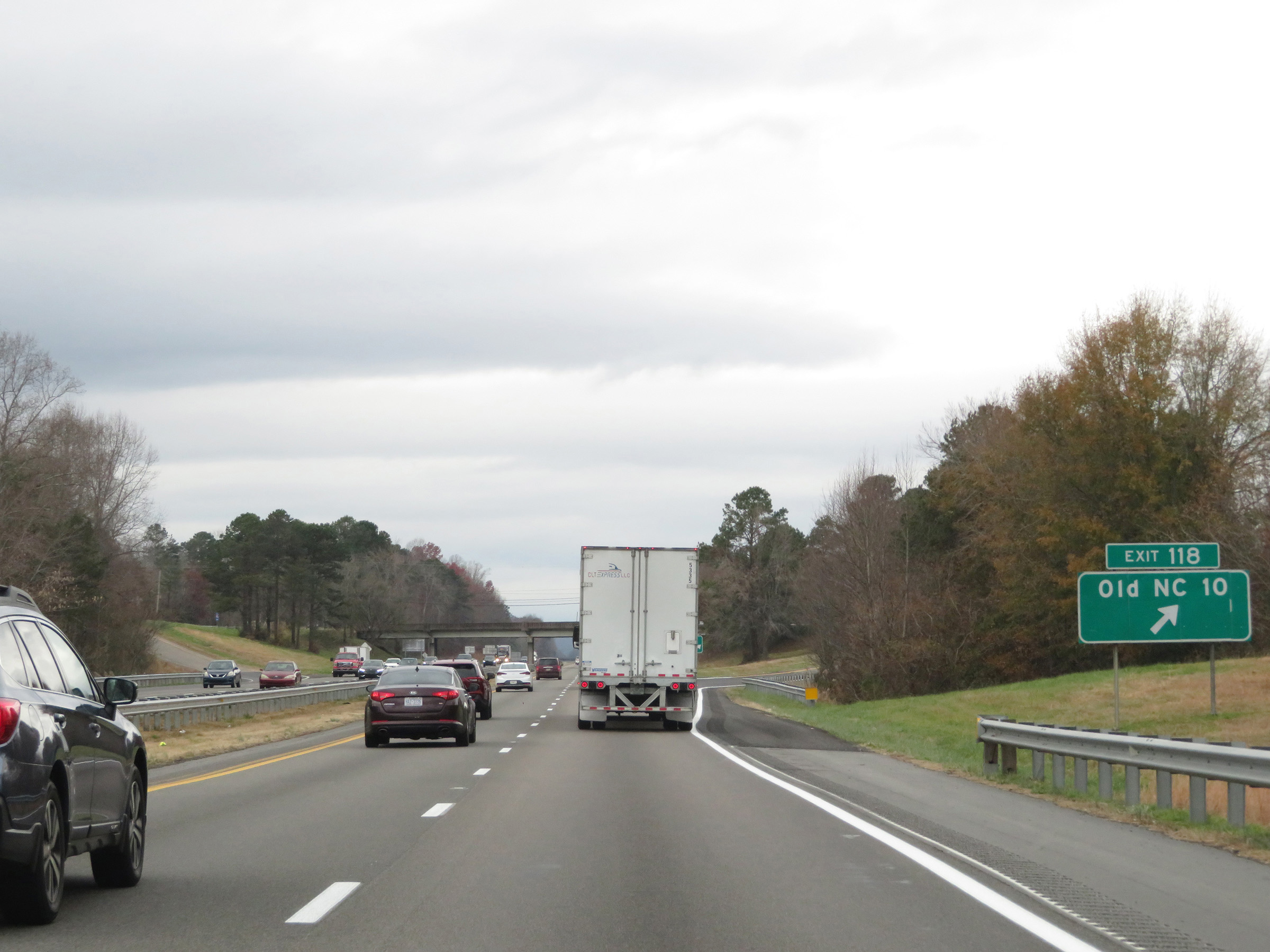 |
Interstate 40 West at Exit 118: Old NC 10 (Photo taken 12/4/20). |
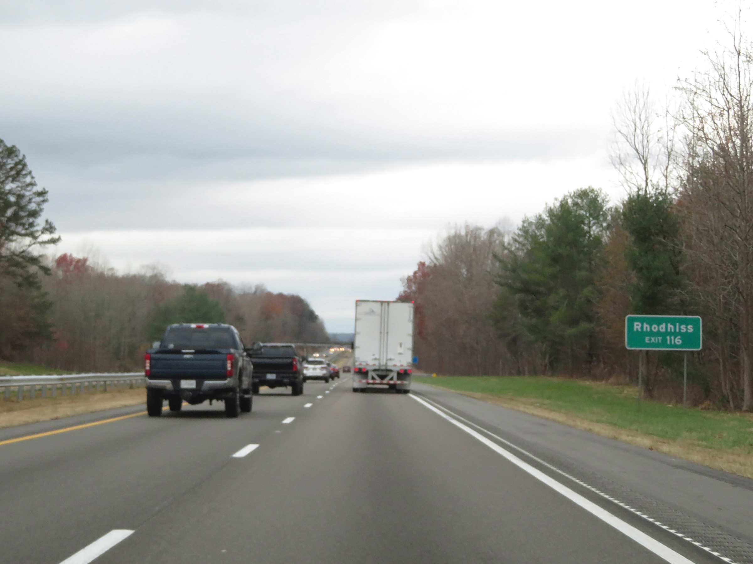 |
Take Exit 116 to Rhodhiss. (Photo taken 12/4/20). |
 |
Interstate 40 West at Exit 116: Icard (Photo taken 12/4/20). |
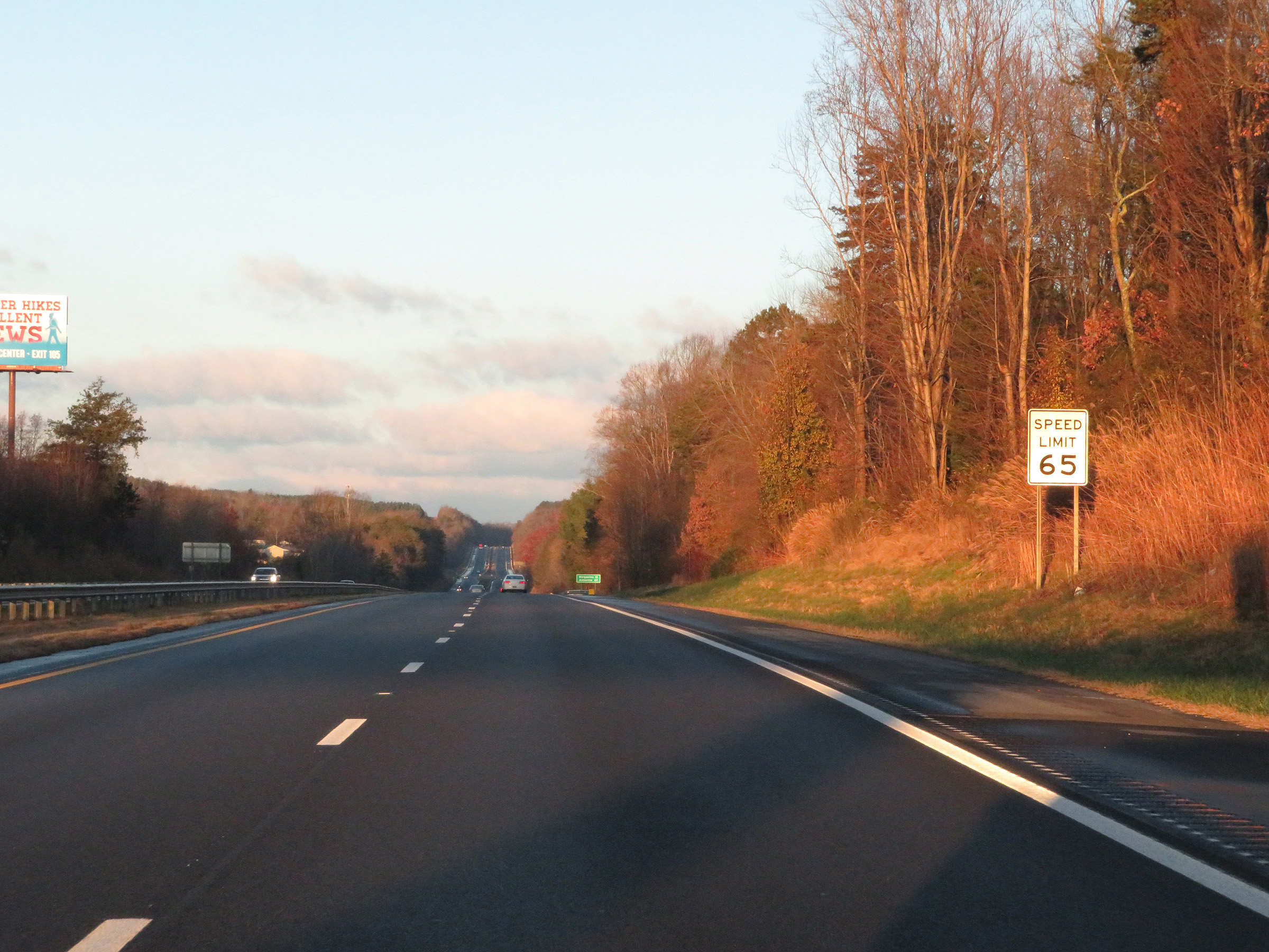 |
The speed limit remains 65 mph on Interstate 40 West. (Photo taken 12/5/20). |
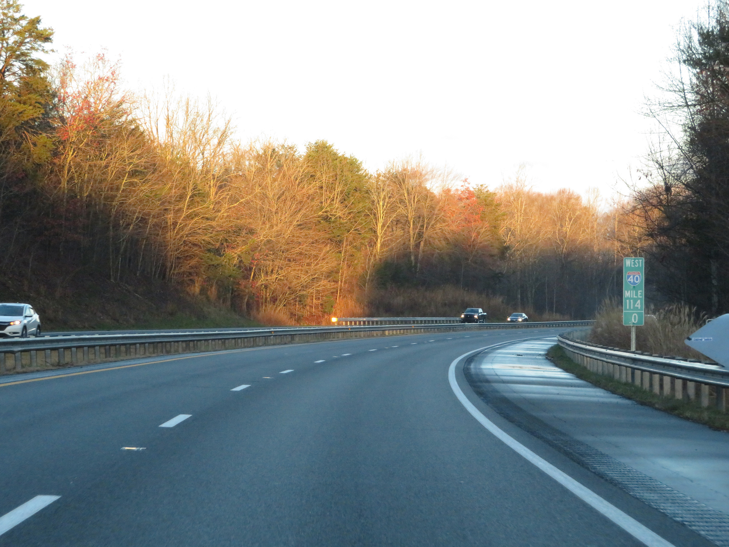 |
View on Interstate 40 West at mile marker 114. (Photo taken 12/5/20). |
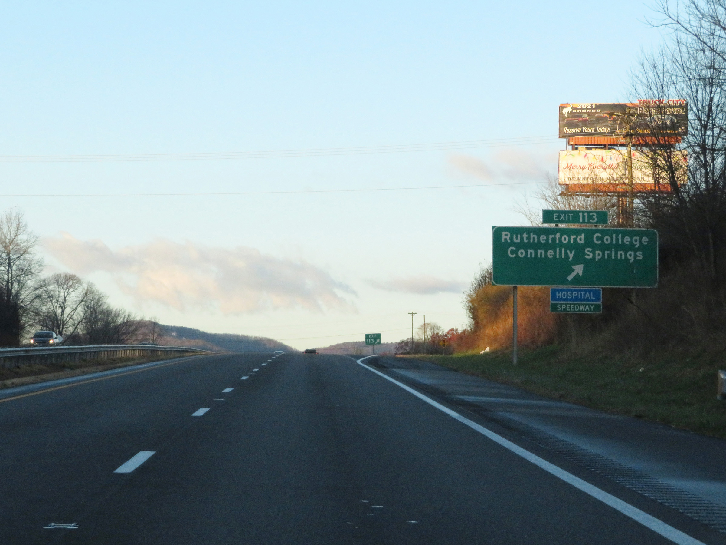 |
Interstate 40 West at Exit 113: Rutherford College / Connelly Springs (Photo taken 12/5/20). |
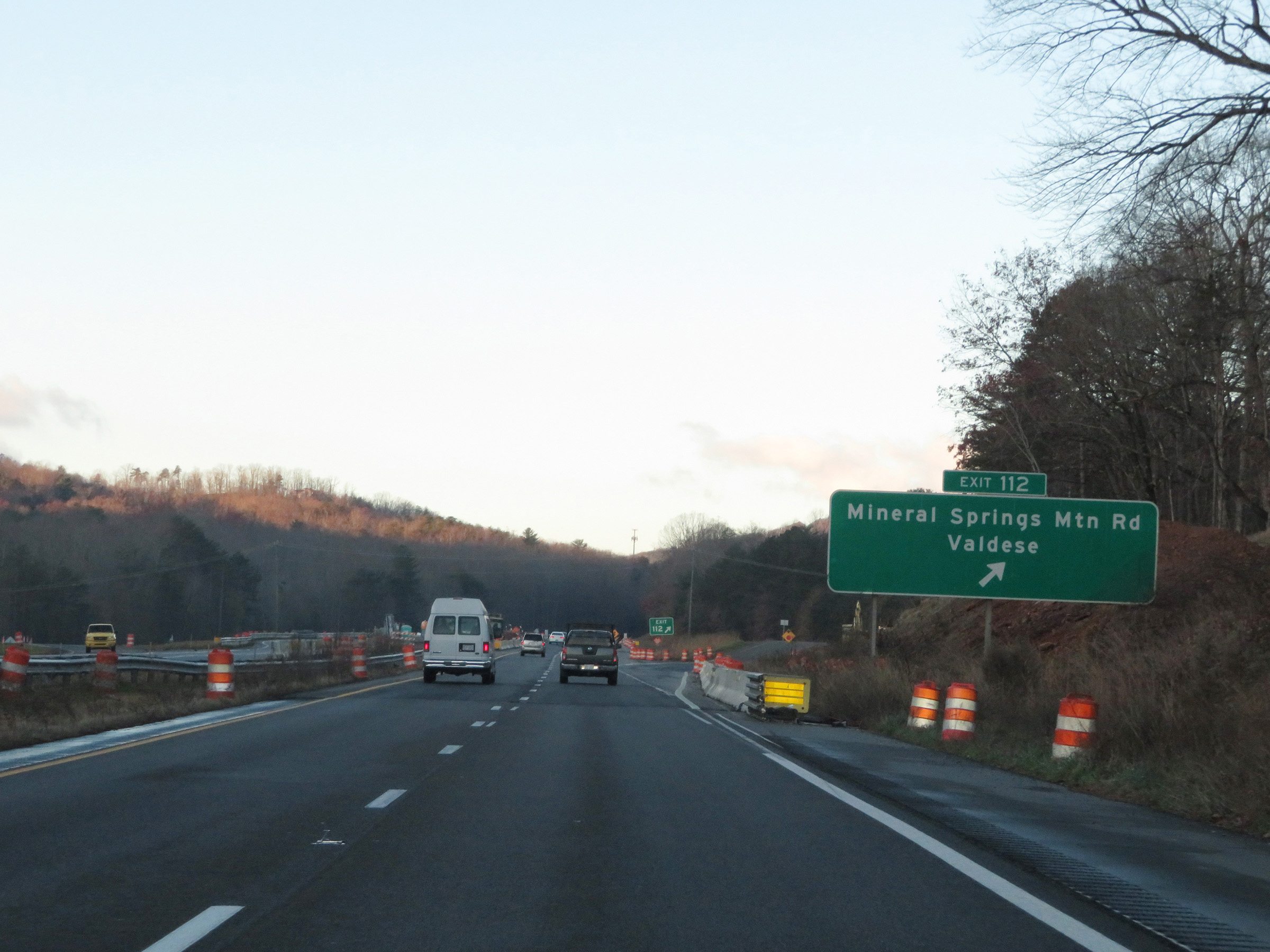 |
Interstate 40 West at Exit 112: Mineral Springs Mountain Rd / Valdese (Photo taken 12/5/20). |
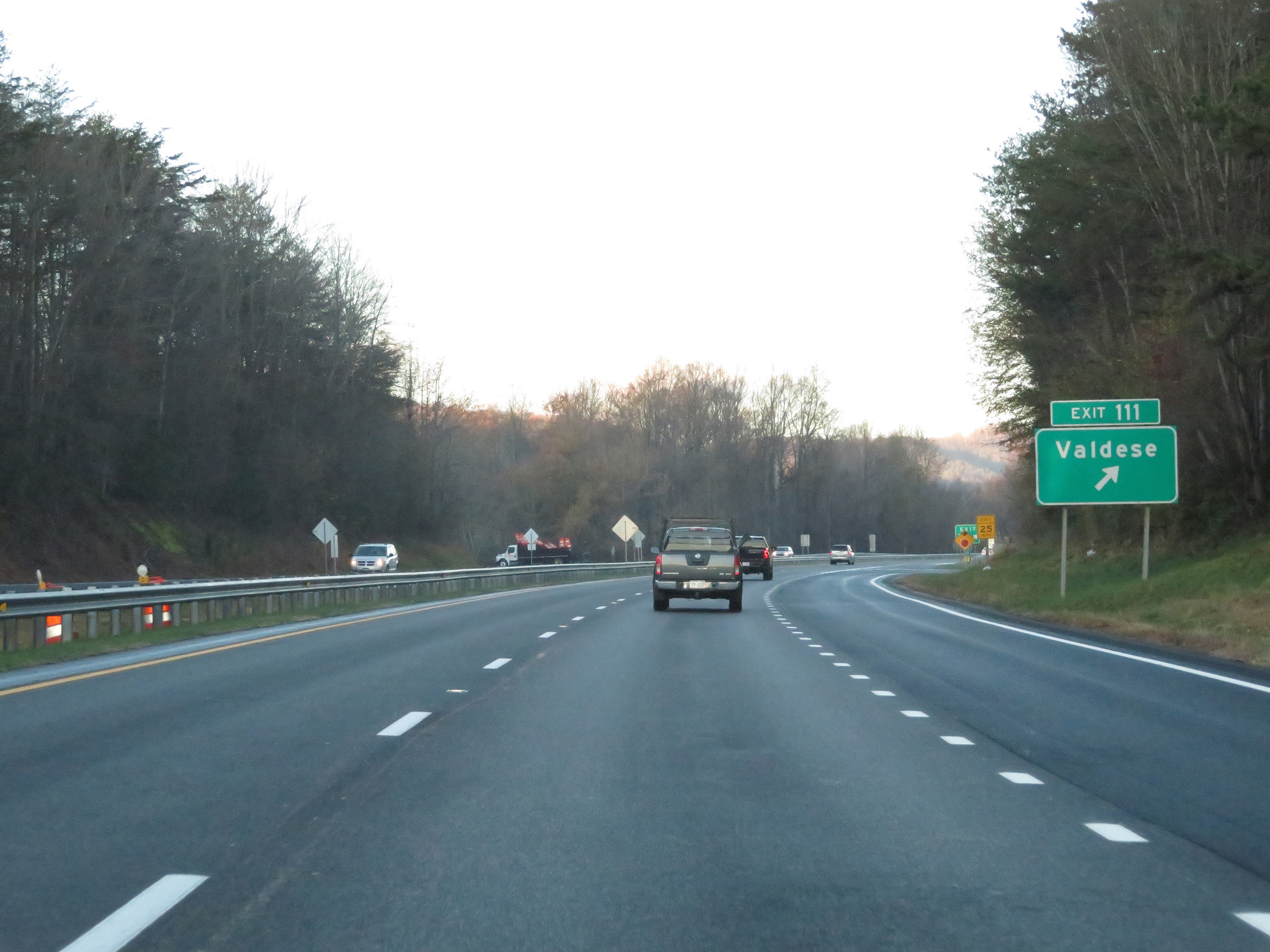 |
Interstate 40 West at Exit 111: Valdese (Photo taken 12/5/20). |
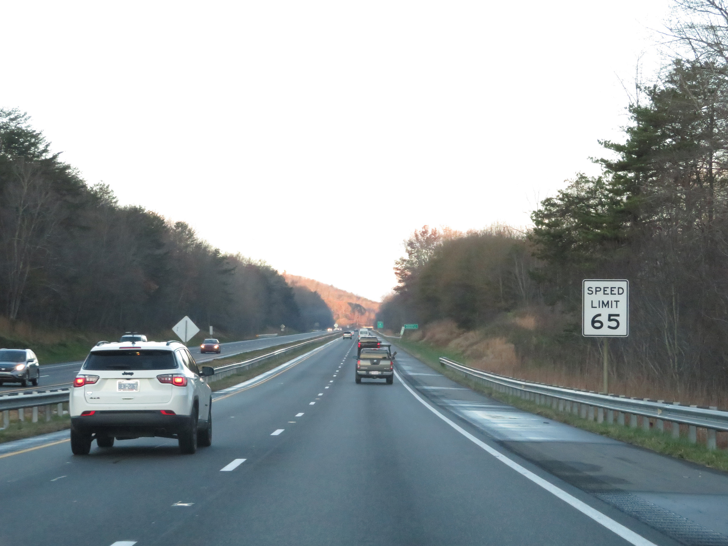 |
The speed limit still remains 65 mph. (Photo taken 12/5/20). |
 |
View on Interstate 40 West at mile marker 109. (Photo taken 12/5/20). |
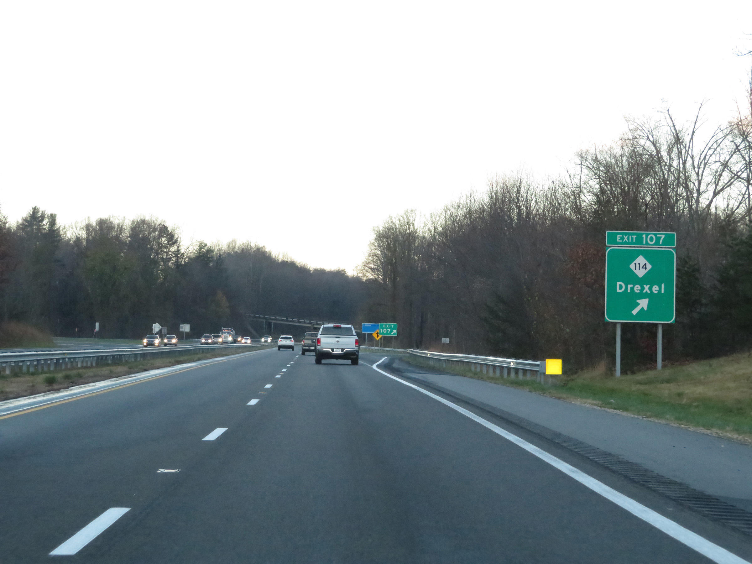 |
Interstate 40 West at Exit 107: NC 114 - Drexel (Photo taken 12/5/20). |
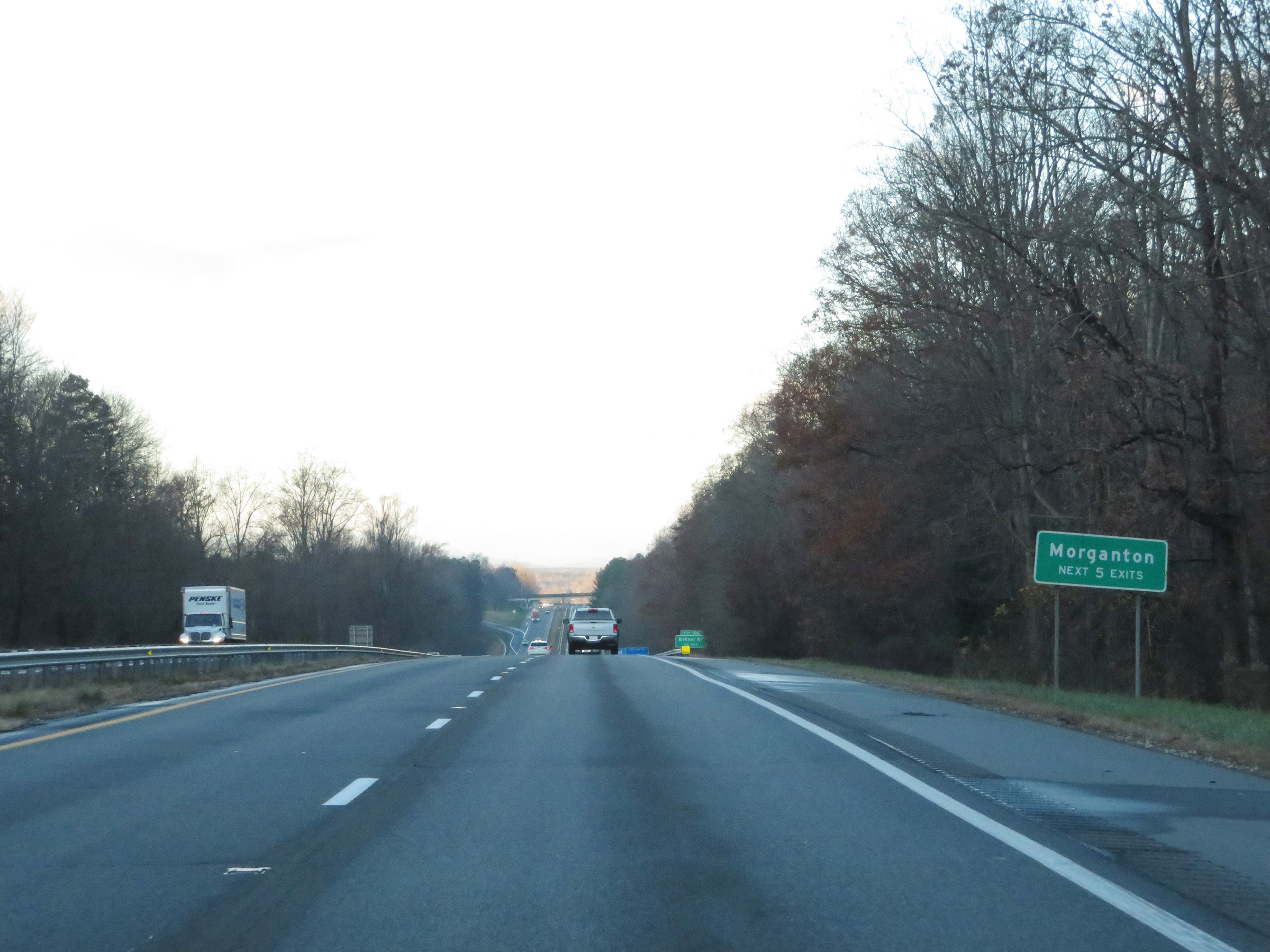 |
Take any of the next 5 exits to Morganton. (Photo taken 12/5/20). |
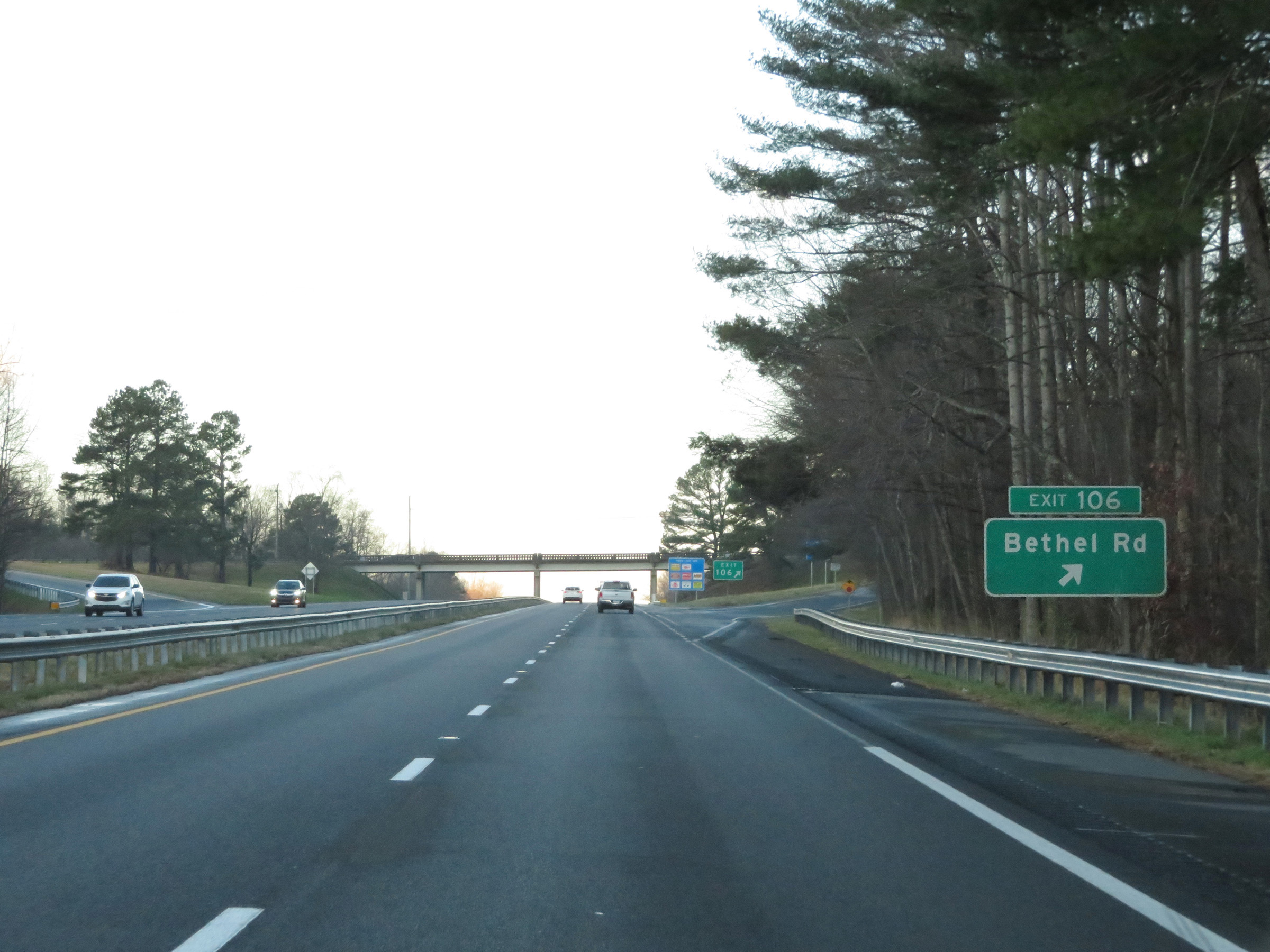 |
Interstate 40 West at Exit 106: Bethel Rd (Photo taken 12/5/20). |
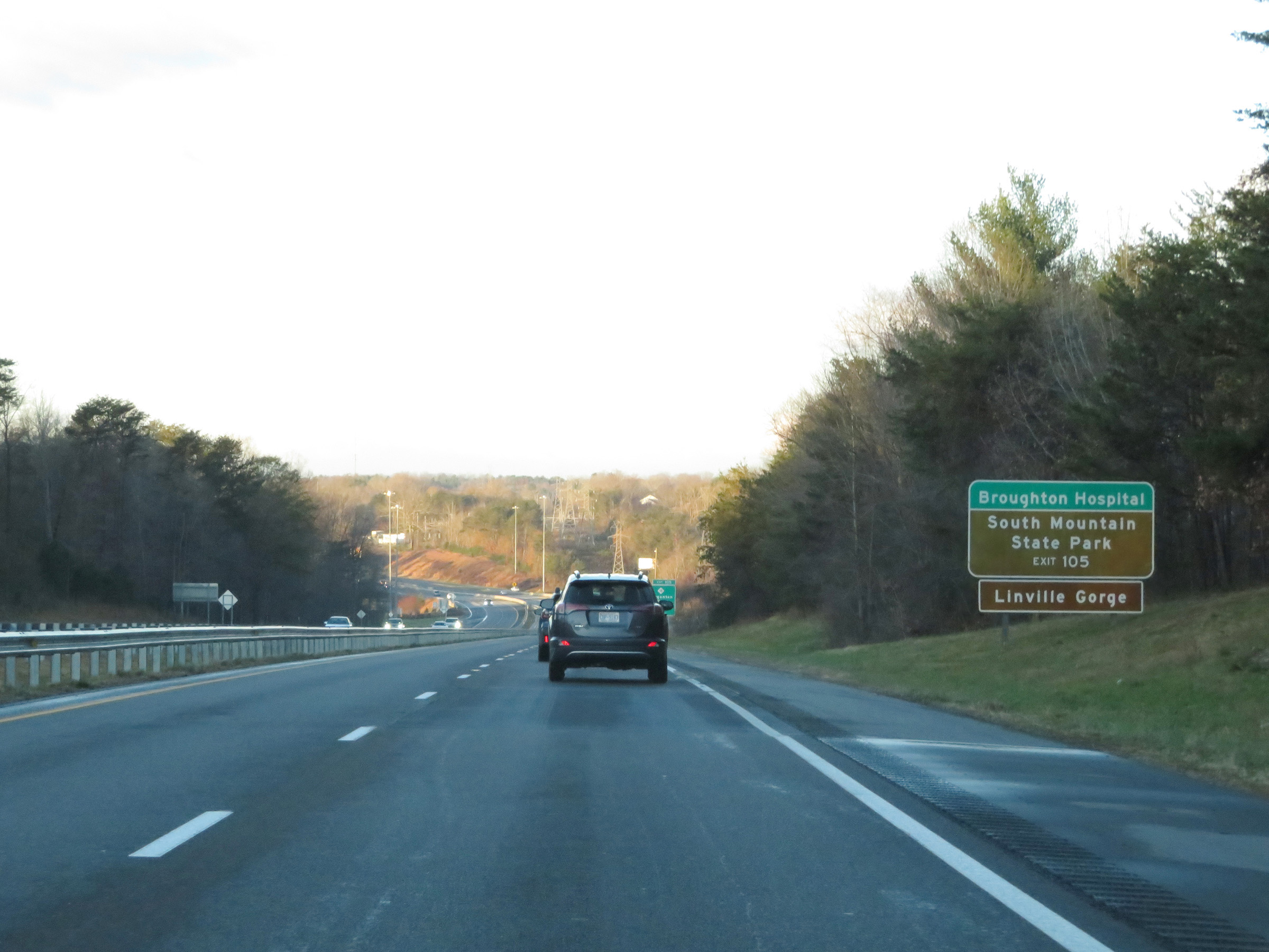 |
Take Exit 105 to Broughton Hospital, South Mountain State Park, and Linville Gorge. (Photo taken 12/5/20). |
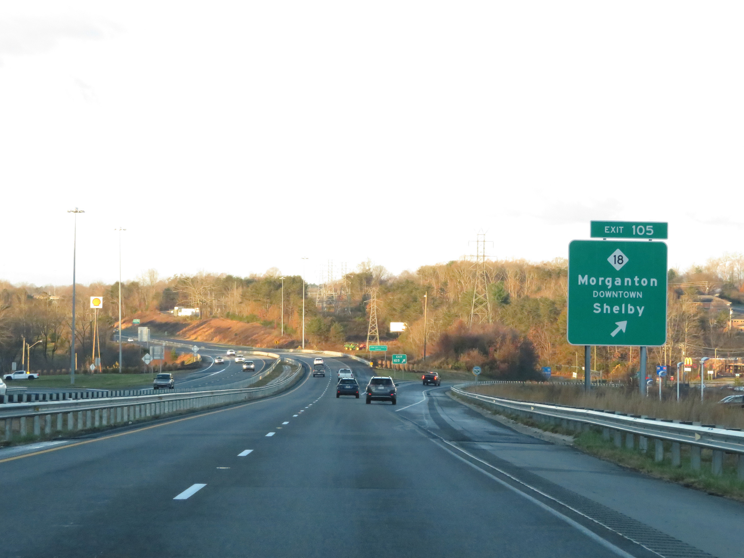 |
Interstate 40 West at Exit 105: NC 18 - Downtown Morganton / Shelby (Photo taken 12/5/20). |
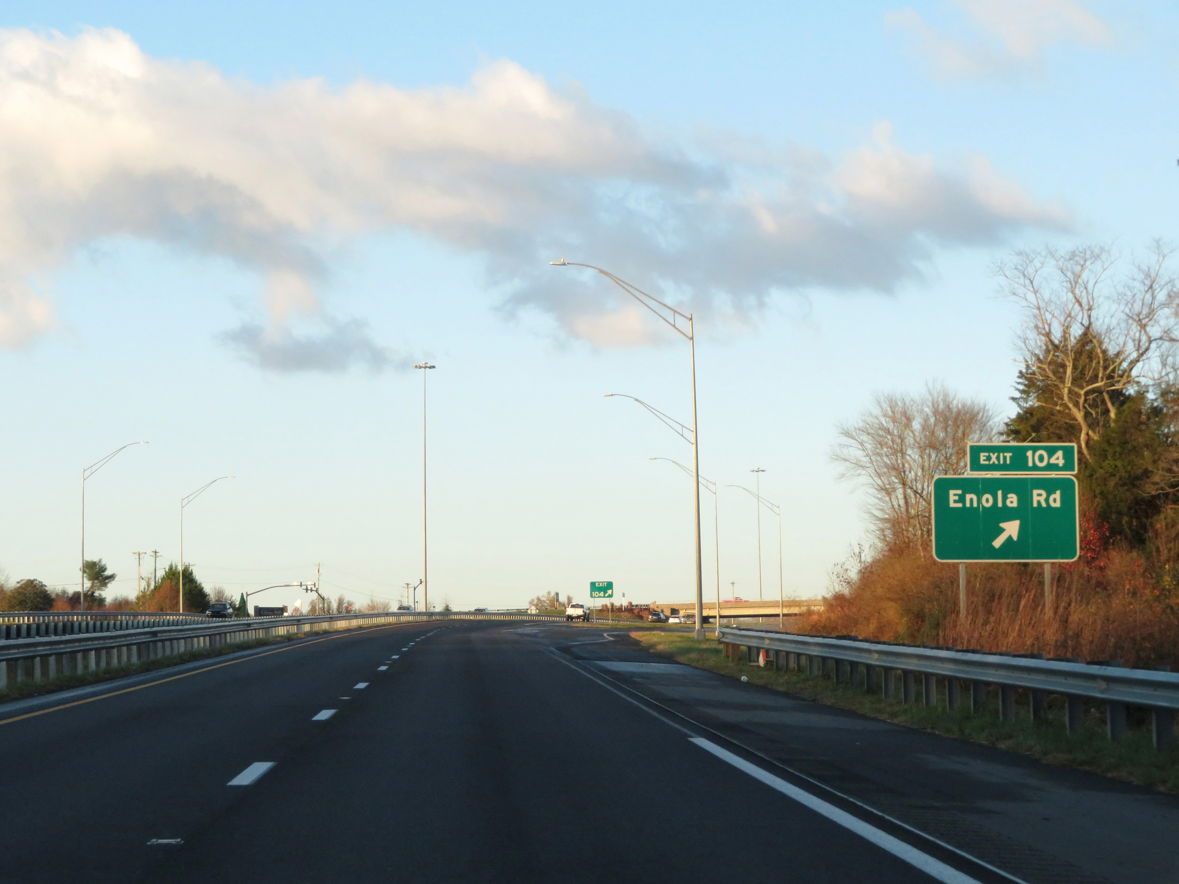 |
Interstate 40 West at Exit 104: Enola Rd (Photo taken 12/5/20). |
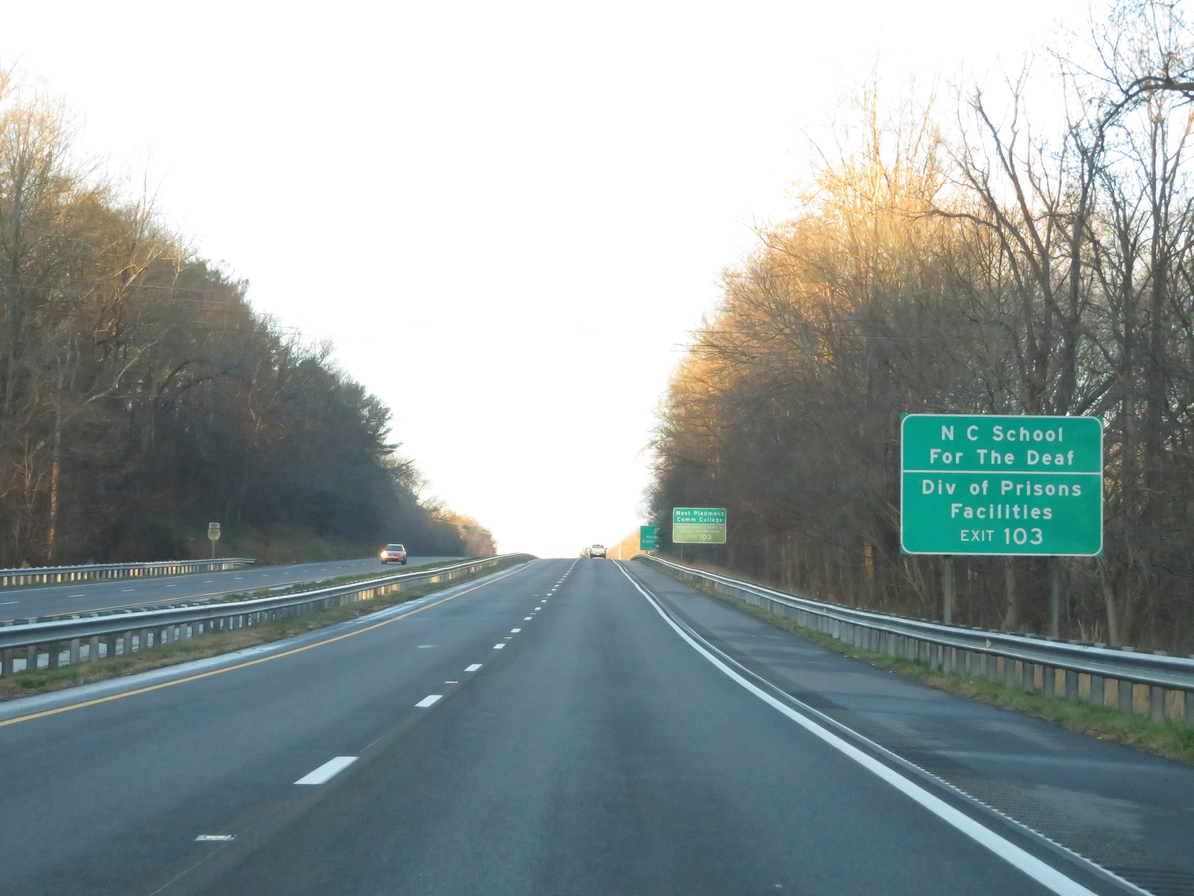 |
Take Exit 103 to North Carolina School for the Deaf and the Division of Prisons Facilities. (Photo taken 12/5/20). |
 |
Also take Exit 103 to West Piedmont Community College and Senator Sam J. Ervin Jr. Library and Museum. (Photo taken 12/5/20). |
 |
Interstate 40 West at Exit 103: US 64 - Morganton / Rutherfordton (Photo taken 12/5/20). |
Section 2: Morganton (Exit 103) to Black Mountain (Exit 64)
 |
Interstate 40 West reassurance shield. (Photo taken 12/5/20). |
 |
Mileage sign on Interstate 40 West. It's 19 miles to Marion and 54 miles to Asheville. (Photo taken 12/5/20). |
 |
View on Interstate 40 West at mile marker 101. (Photo taken 12/5/20). |
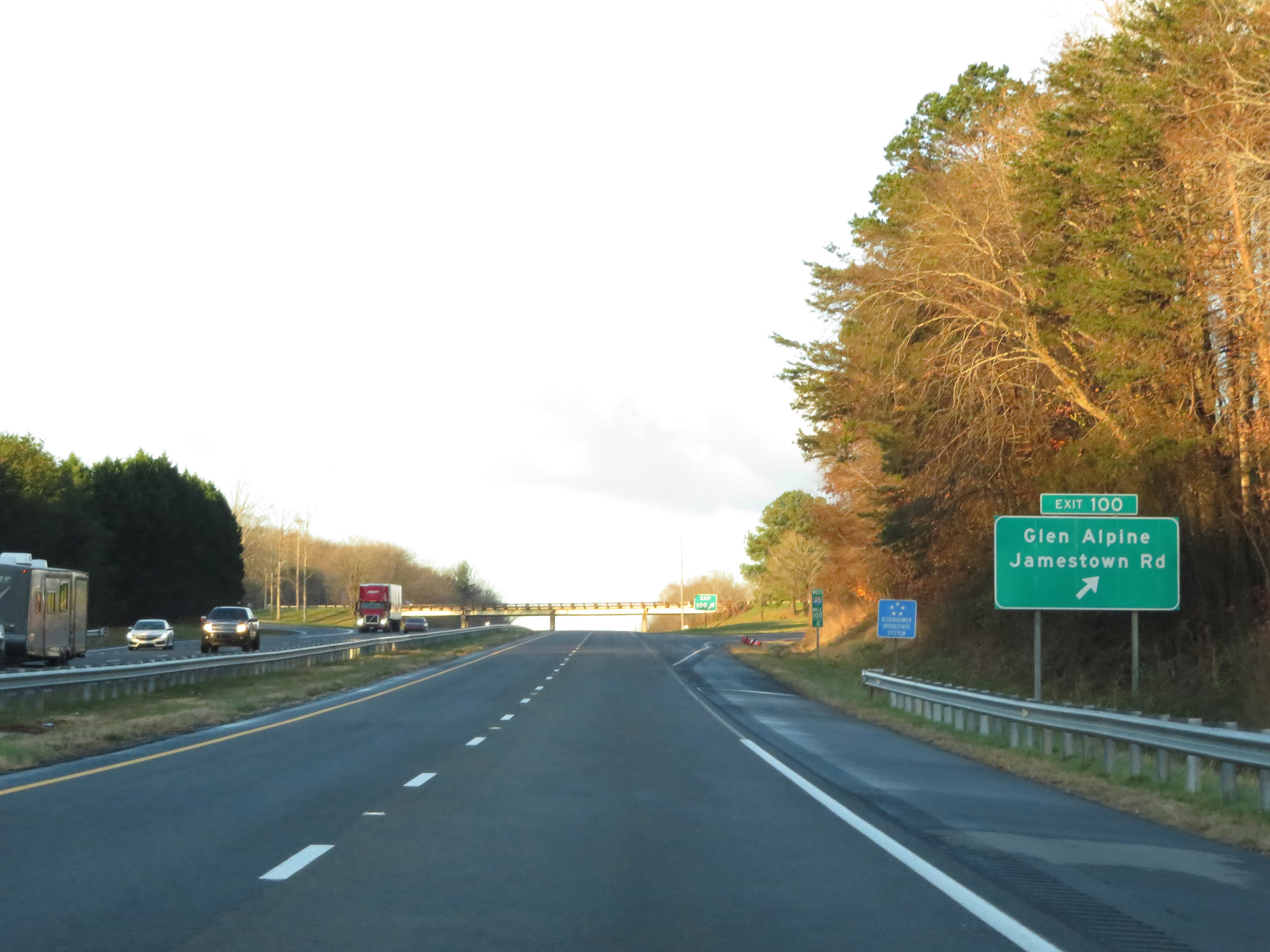 |
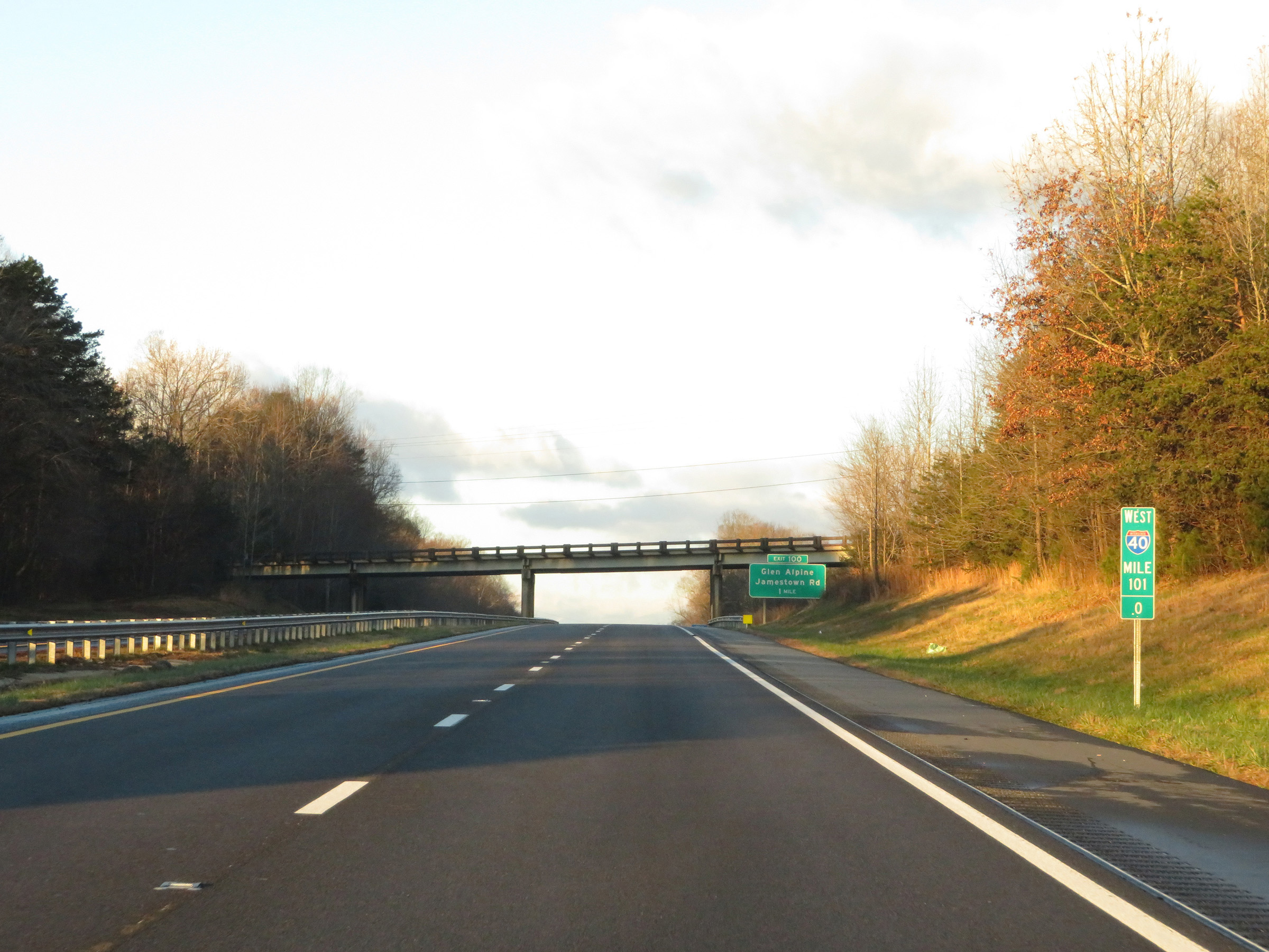
Interstate 40 West at Exit 100: Glen Alpine / Jamestown Rd (Photo taken 12/5/20). |
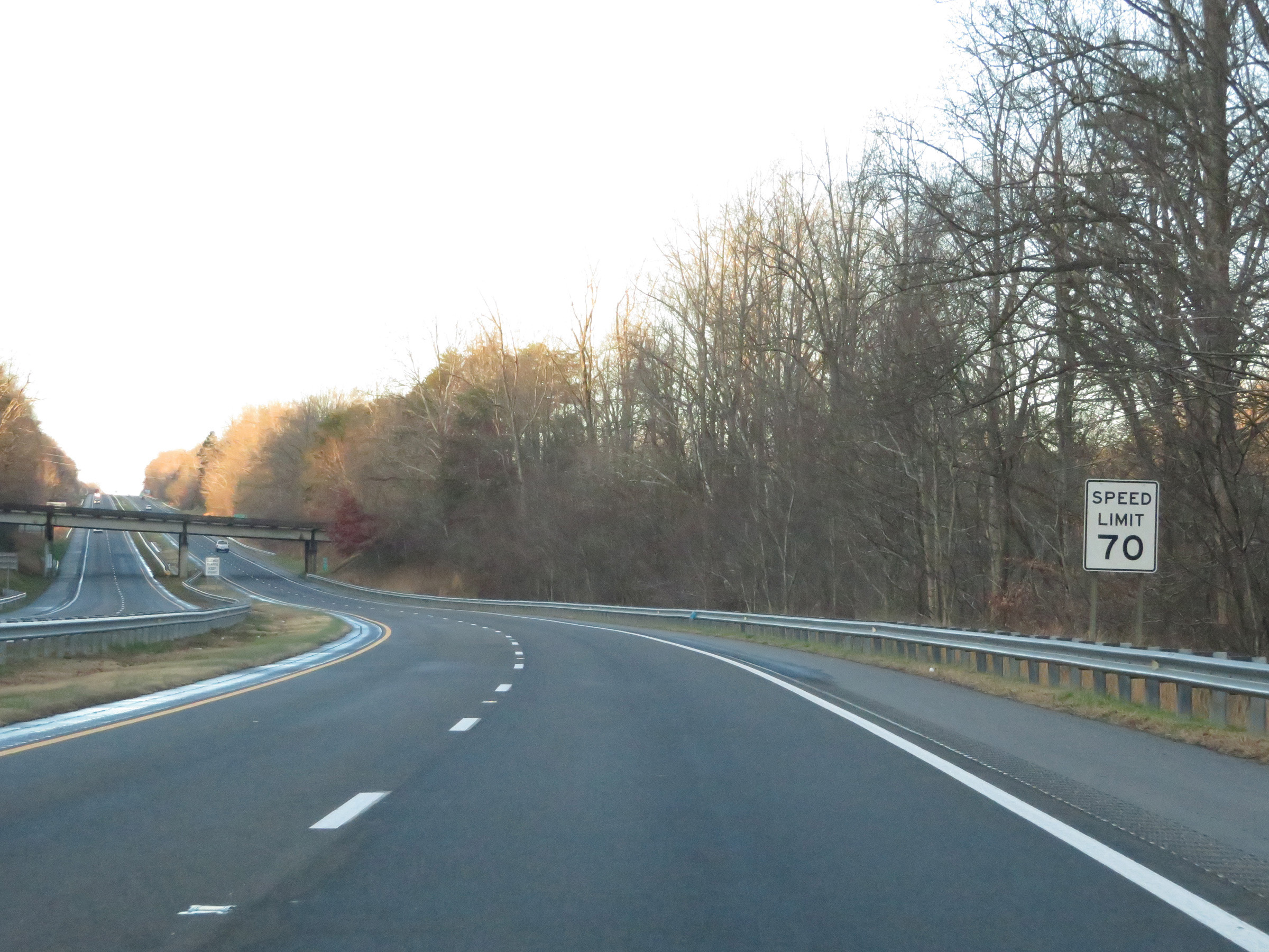 |
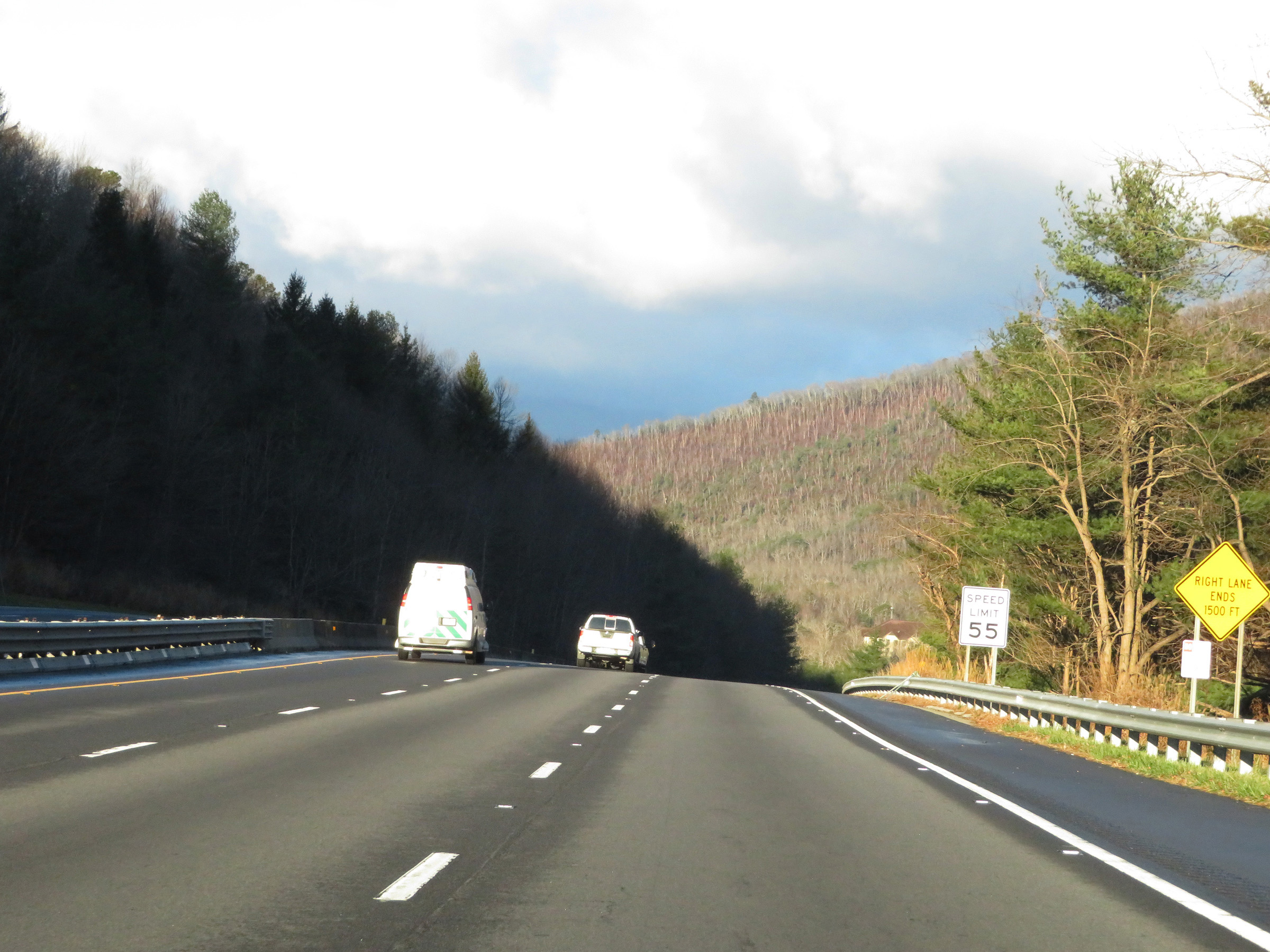
West of Exit 100, the speed limit finally increases to 70 mph on Interstate 40 West. (Photo taken 12/5/20). |
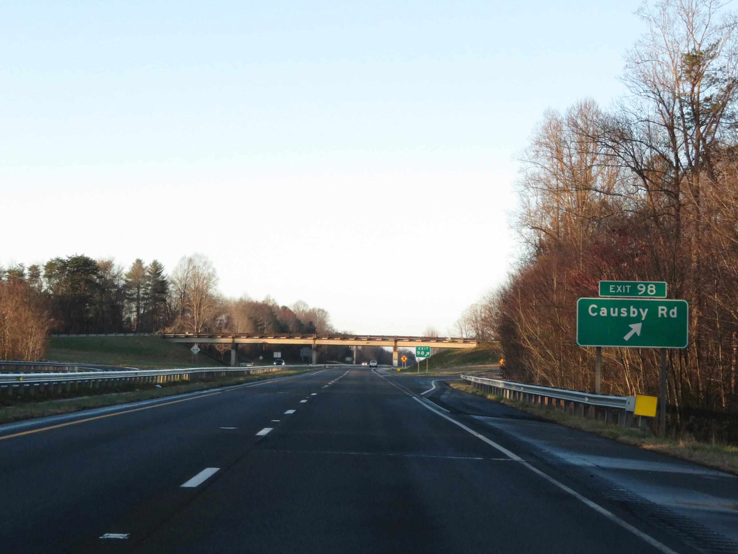 |
Interstate 40 West at Exit 98: Causby Rd (Photo taken 12/5/20). |
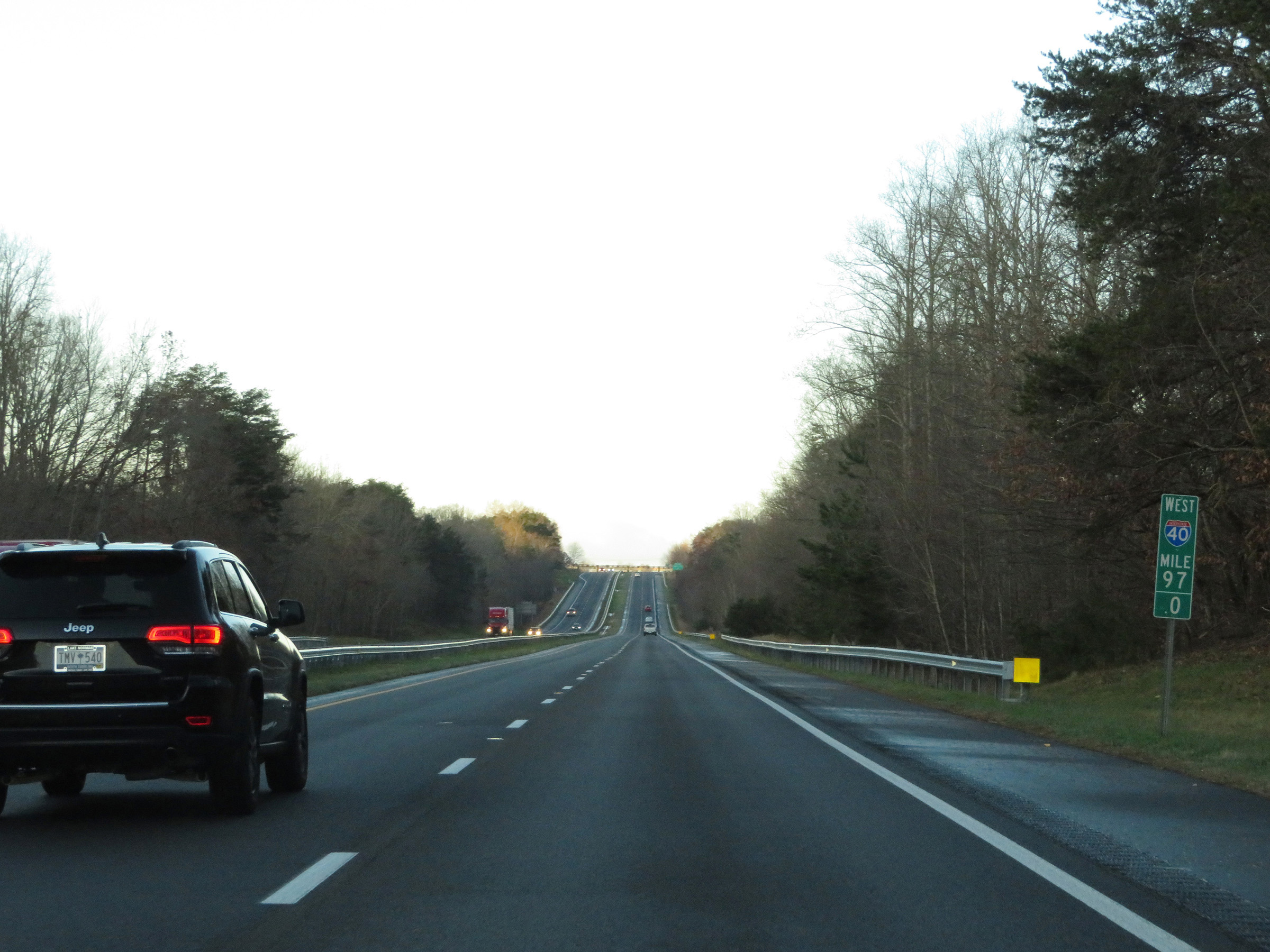 |
View on Interstate 40 West at mile marker 97. (Photo taken 12/5/20). |
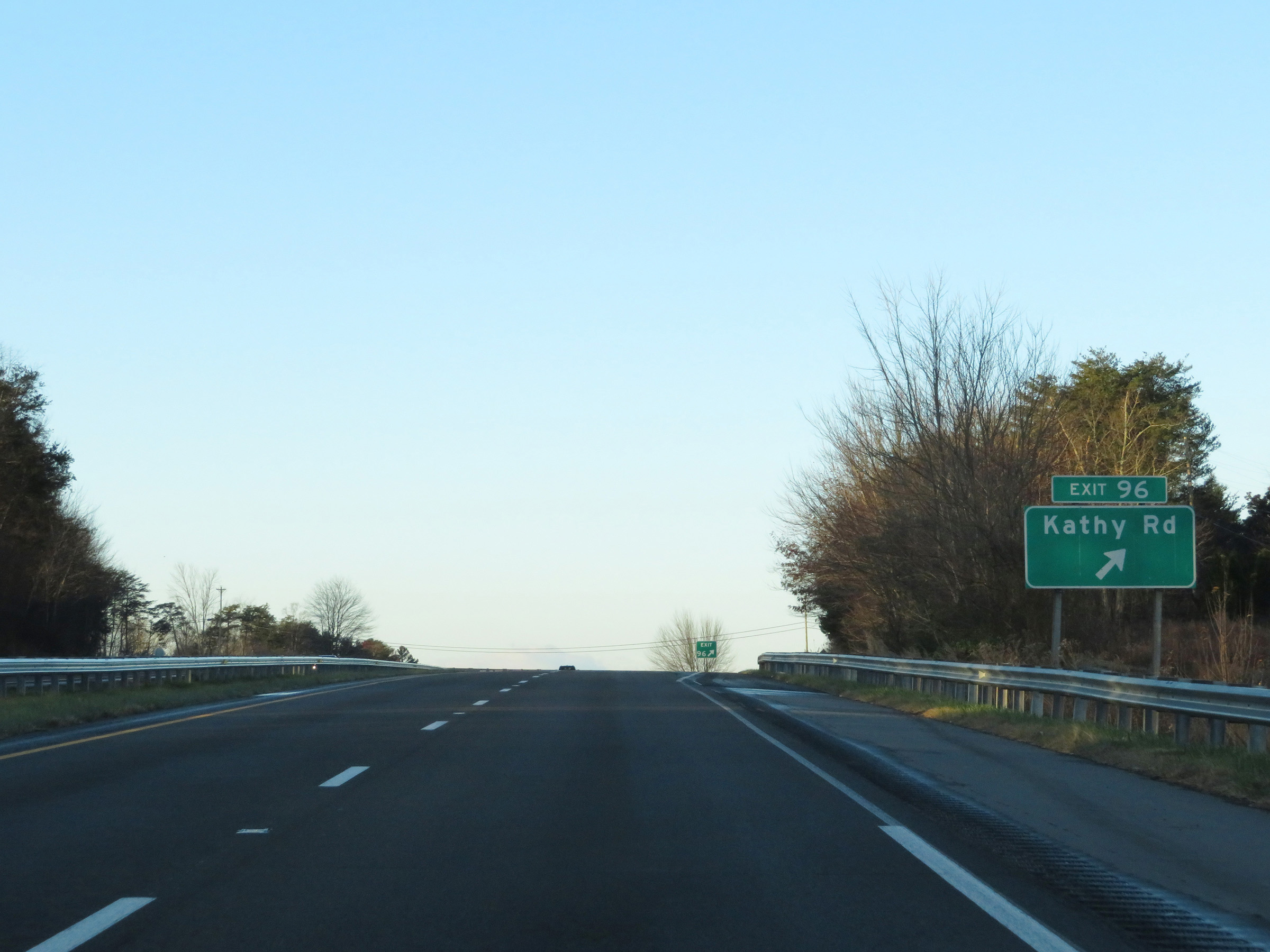 |
Interstate 40 West at Exit 96: Kathy Rd (Photo taken 12/5/20). |
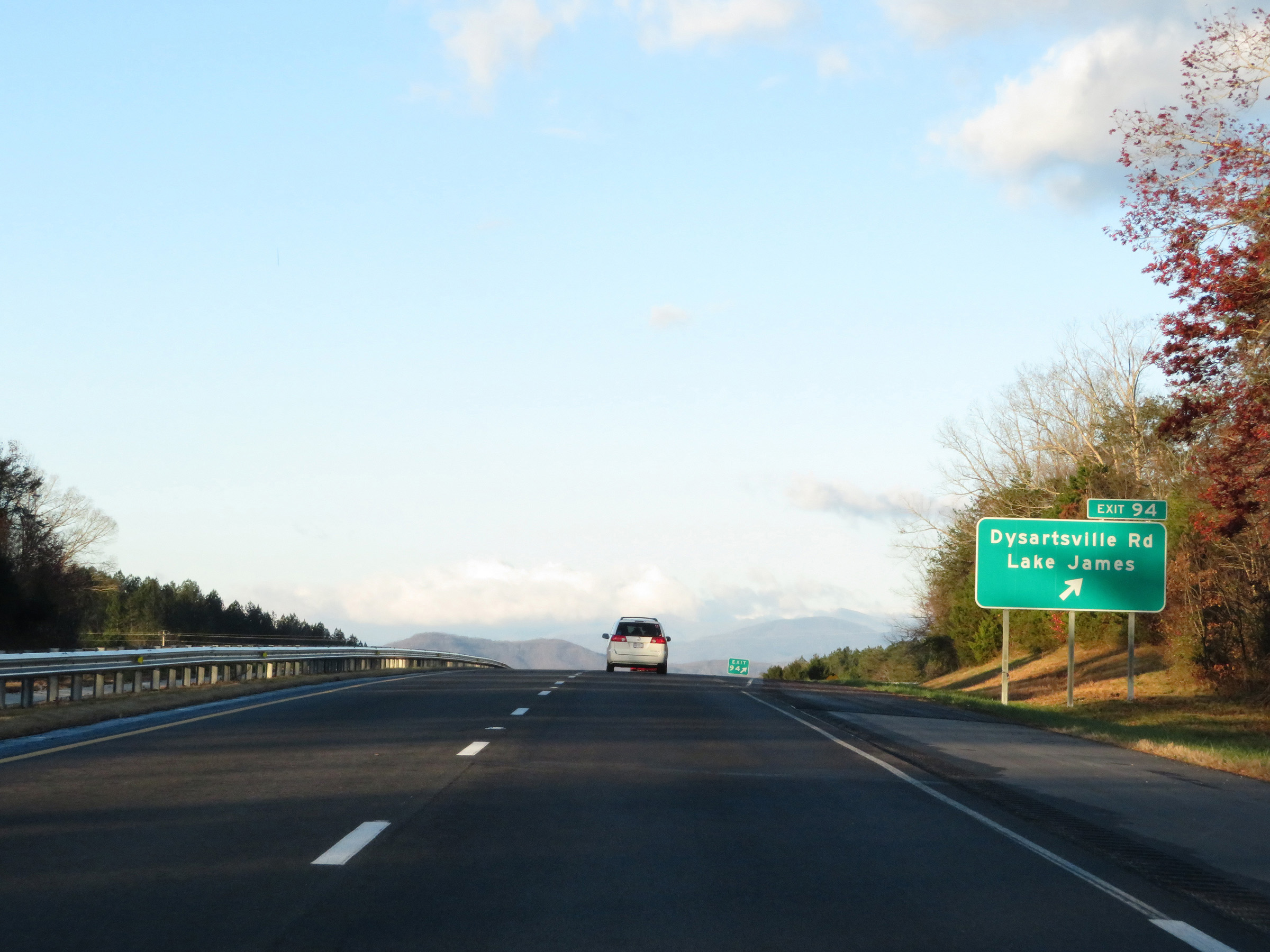 |
Interstate 40 West at Exit 94: Dysartsville Rd / Lake James (Photo taken 12/5/20). |
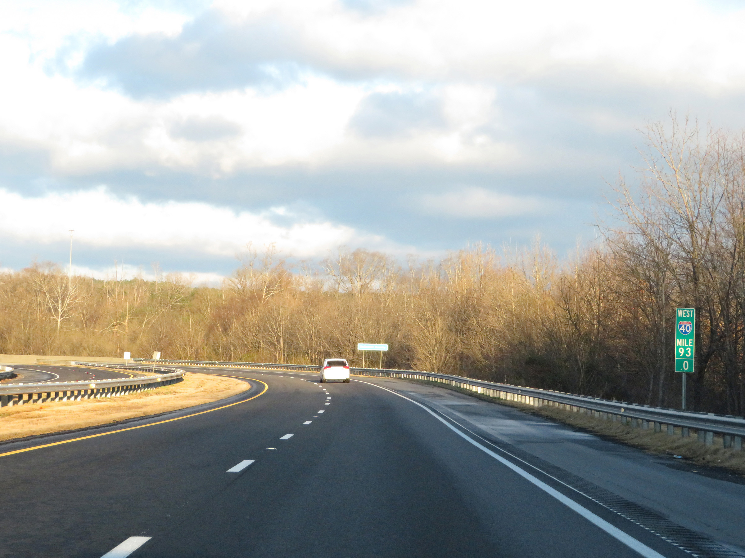 |
Mile marker 93 on Interstate 40 West in Burke County. (Photo taken 12/5/20). |
 |
Interstate 40 West as it enters McDowell County. (Photo taken 12/5/20). |
 |
Take Exit 90 to Lake James State Park and the National Forest Office & Information Center. (Photo taken 12/5/20). |
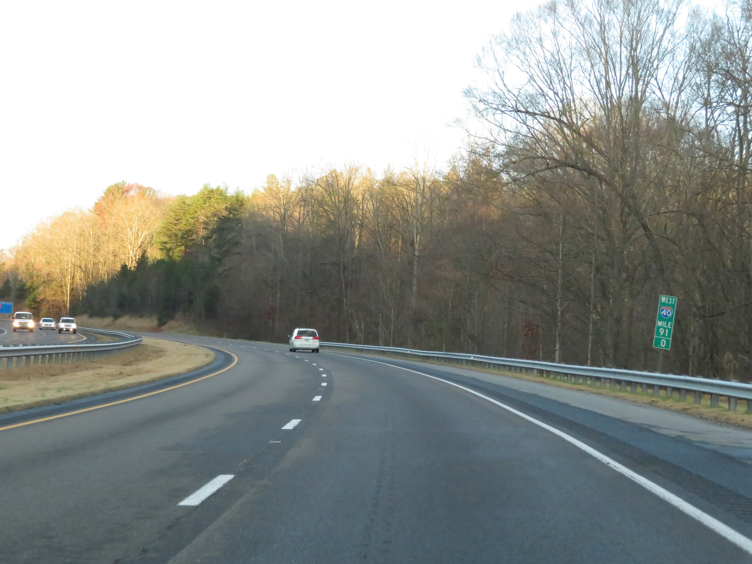 |
View on Interstate 40 West at mile marker 91. (Photo taken 12/5/20). |
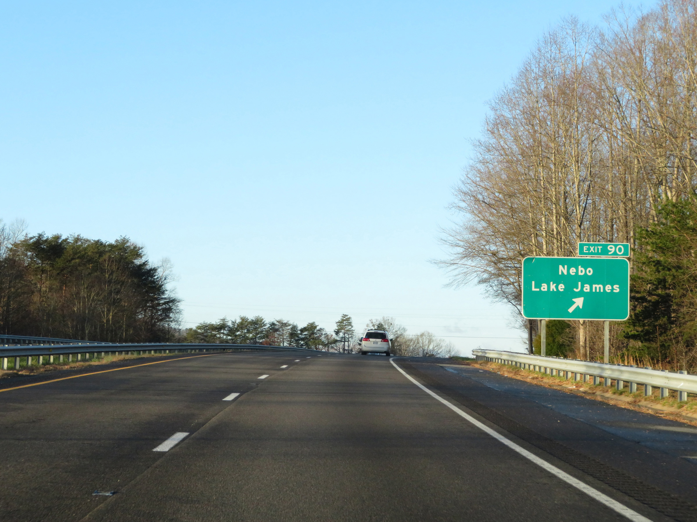 |
Interstate 40 West at Exit 90: Nebo / Lake James (Photo taken 12/5/20). |
 |
Another Interstate 40 West reassurance shield. (Photo taken 12/5/20). |
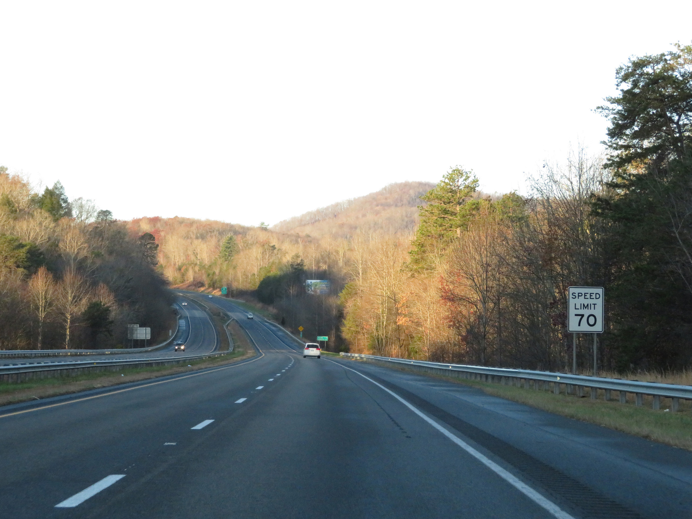 |
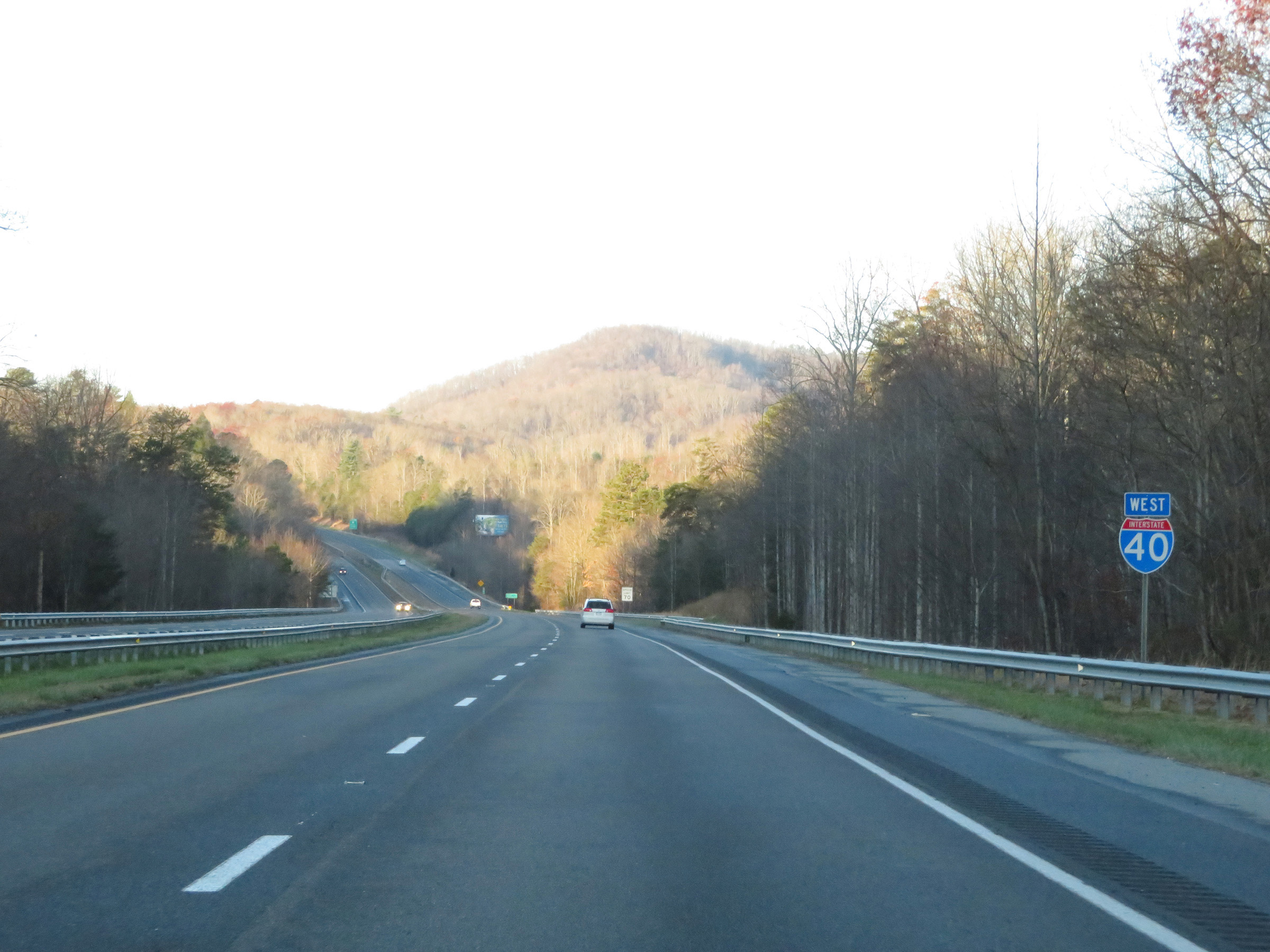
The speed limit remains 70 mph. (Photo taken 12/5/20). |
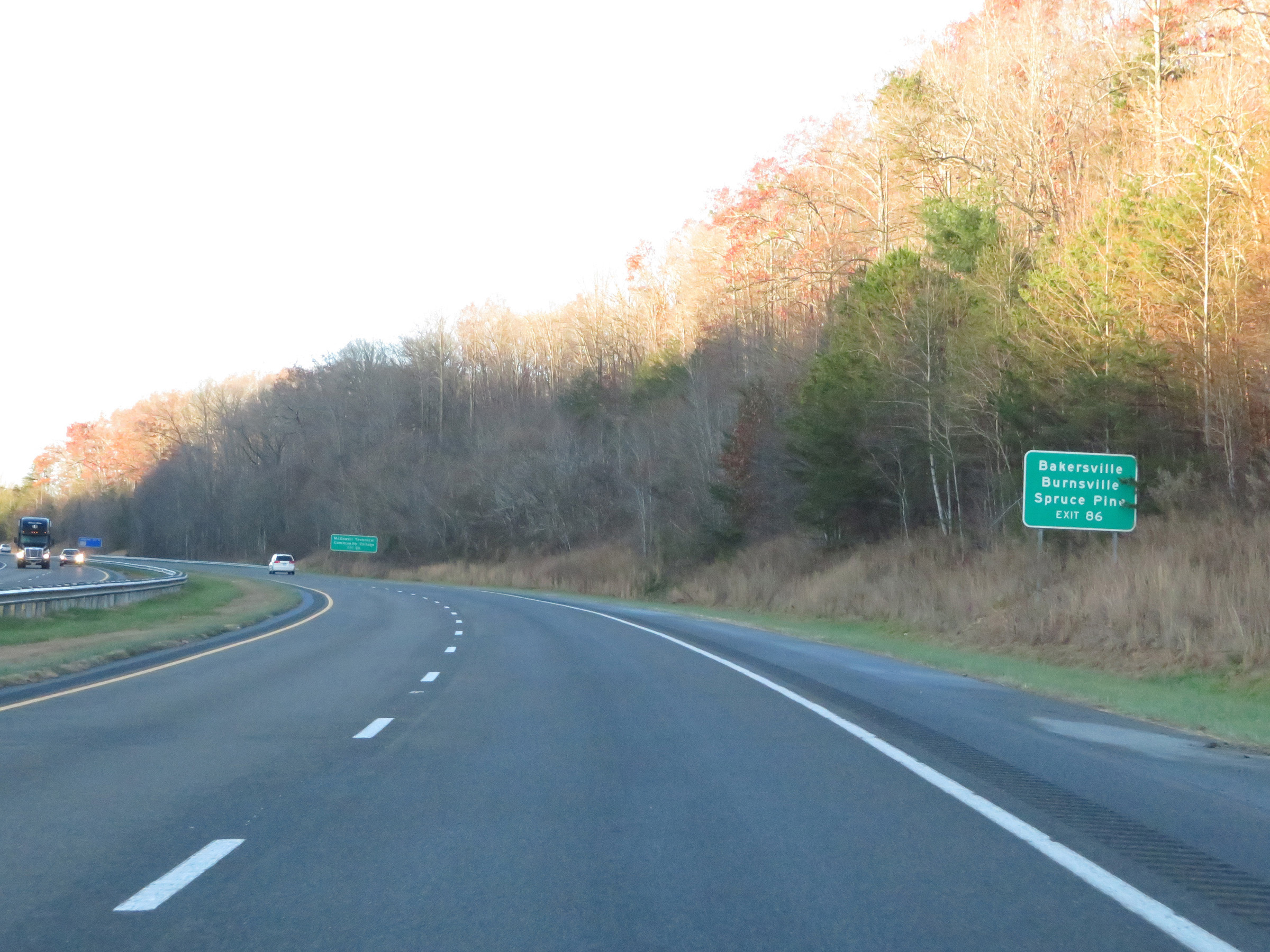 |
Take Exit 86 to Bakersville, Burnsville, and Spruce Pine. (Photo taken 12/5/20). |
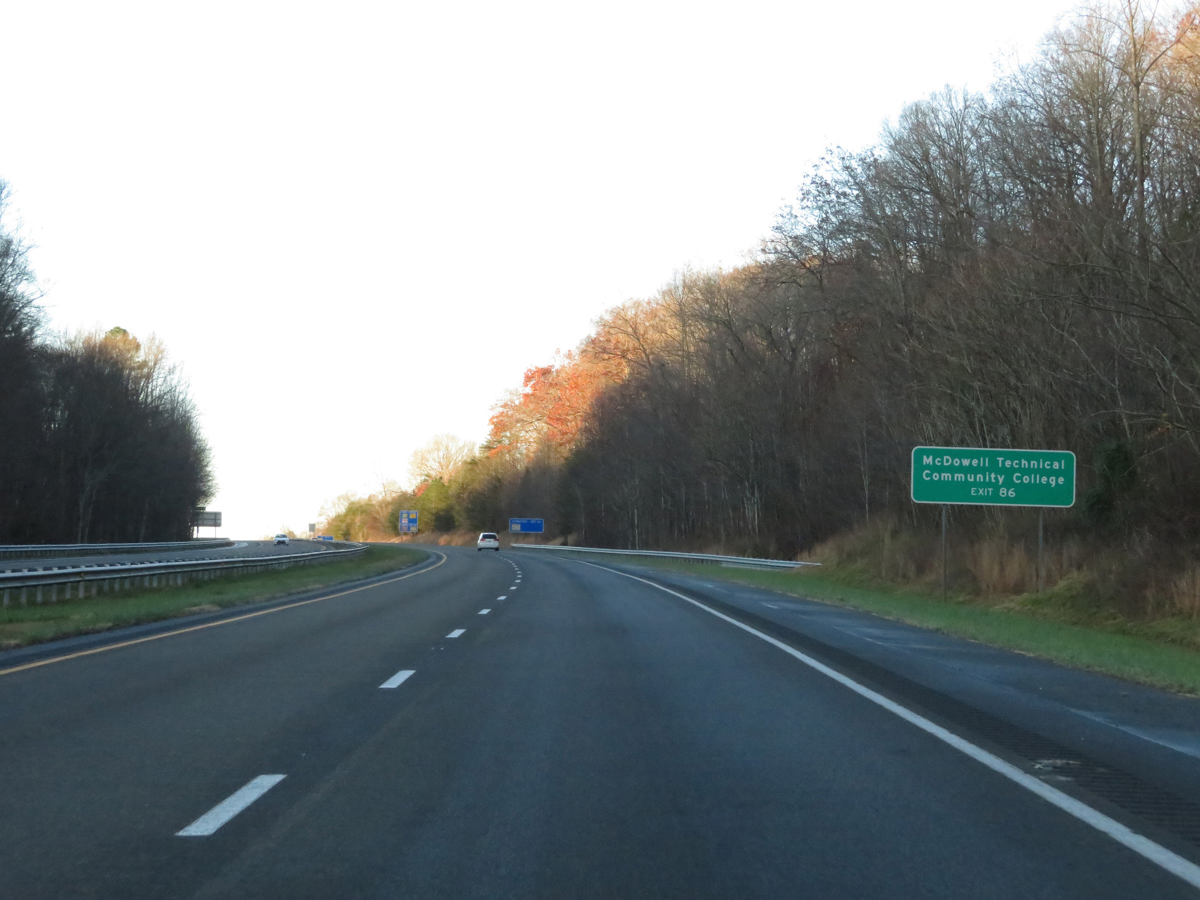 |
Also take Exit 86 to McDowell Technical Community College. (Photo taken 12/5/20). |
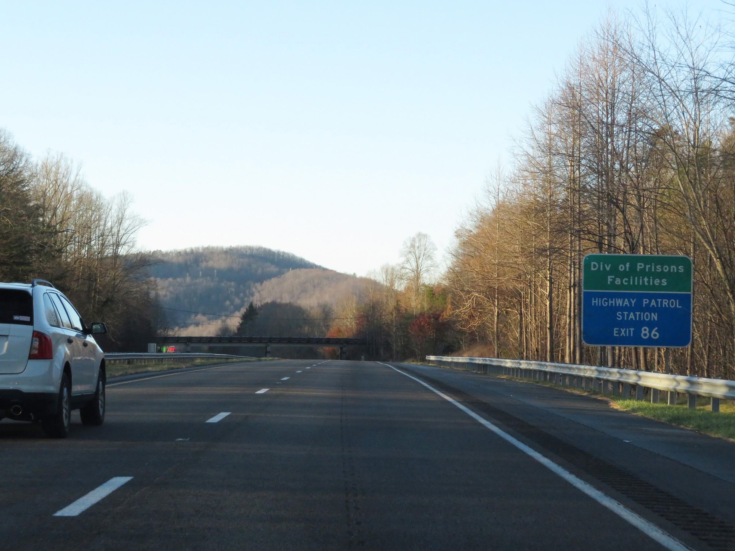 |
Take Exit 86 to the Division of Prisons Facilities and local Highway Patrol Station as well. (Photo taken 12/5/20). |
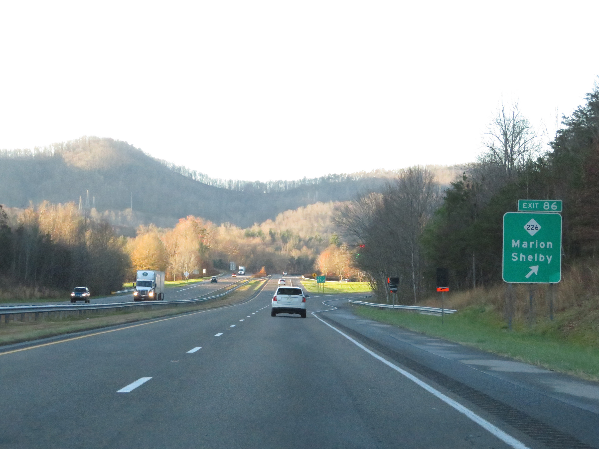 |
Interstate 40 West at Exit 86: NC 226 - Marion / Shelby (Photo taken 12/5/20). |
 |
Take Exit 85 to Mount Mitchell State Park and Linville Gorge. (Photo taken 12/5/20). |
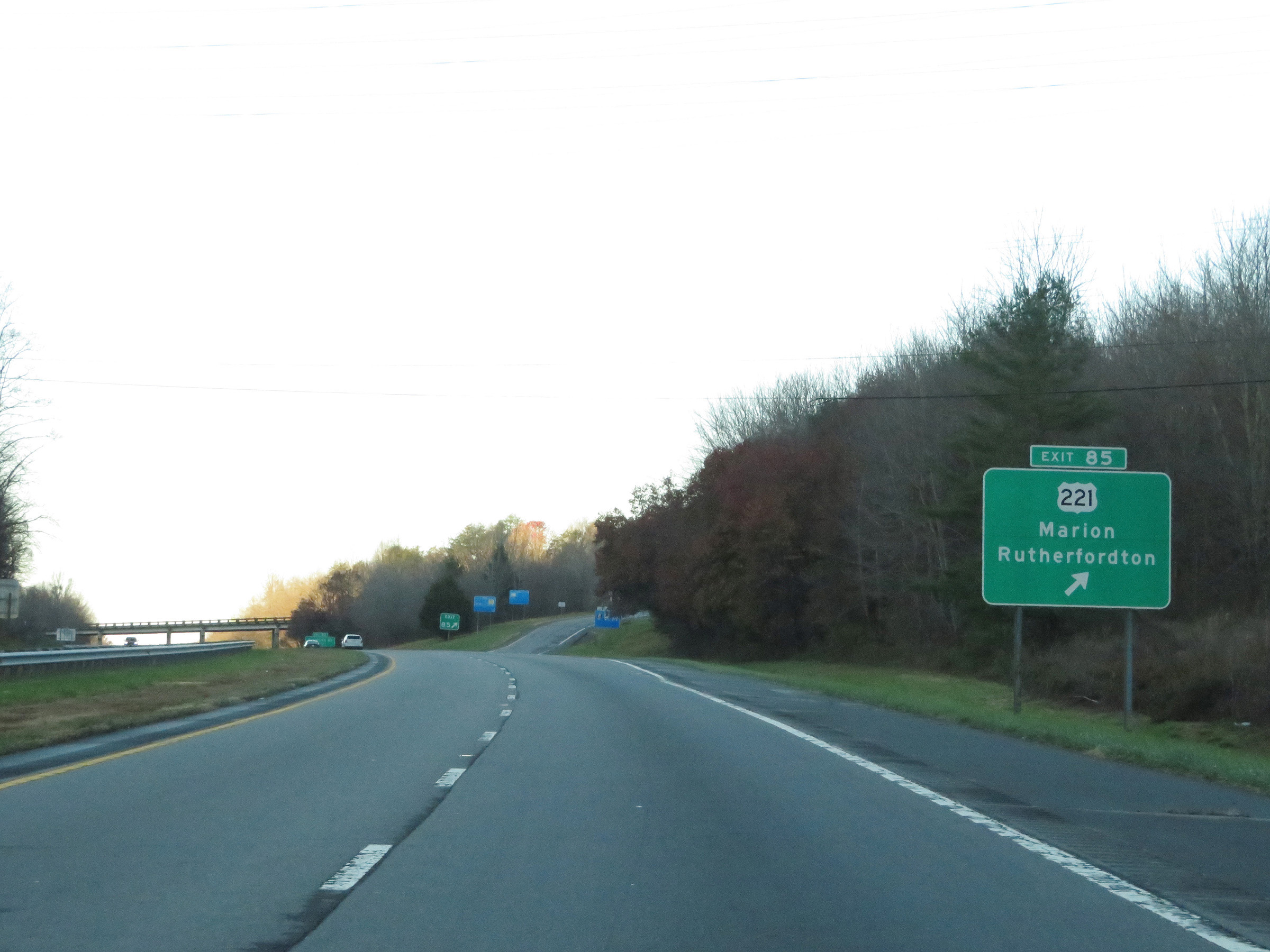 |
Interstate 40 West at Exit 85: US 221 - Marioin / Rutherfordton (Photo taken 12/5/20). |
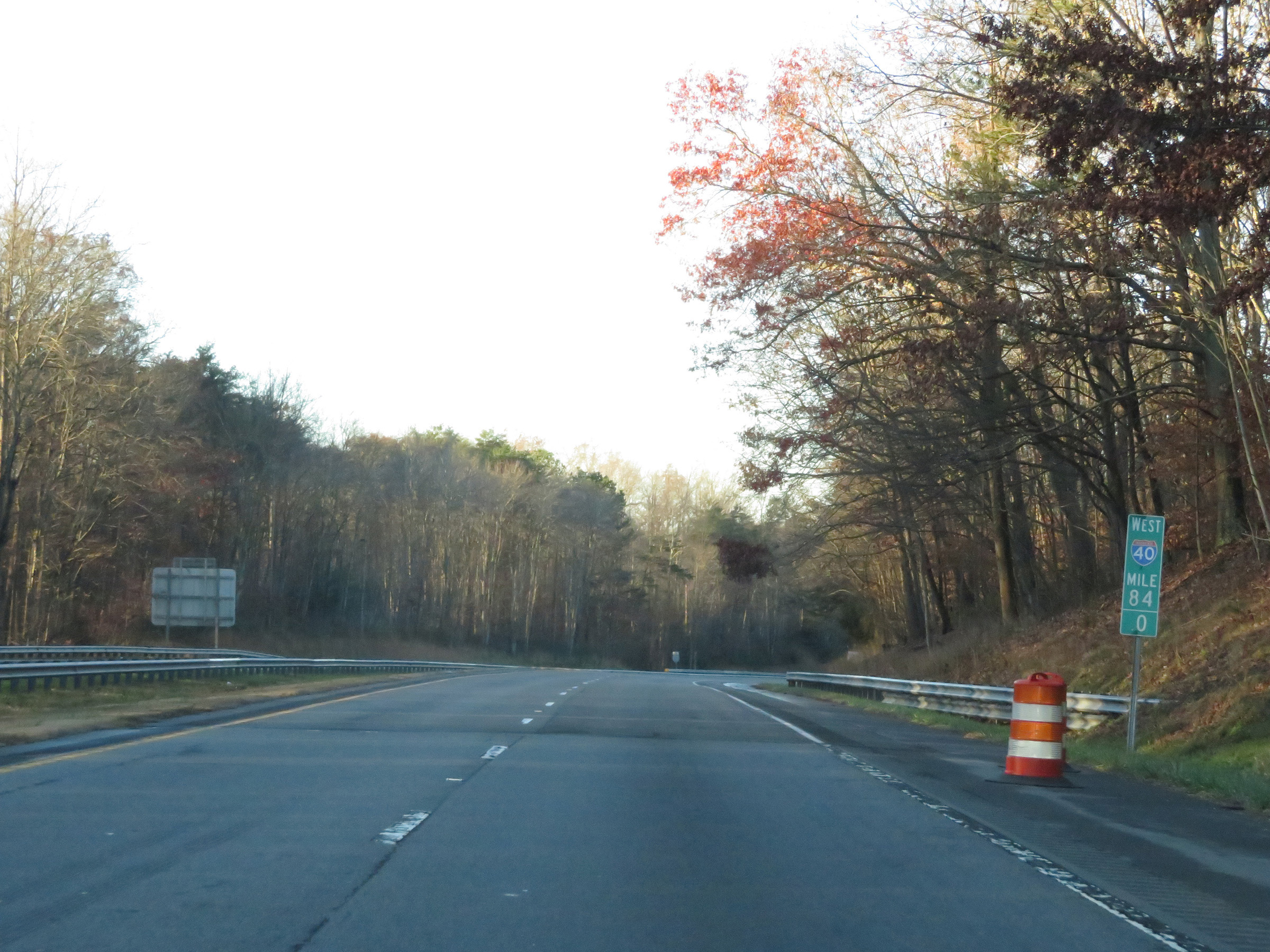 |
View on Interstate 40 West at mile marker 84. (Photo taken 12/5/20). |
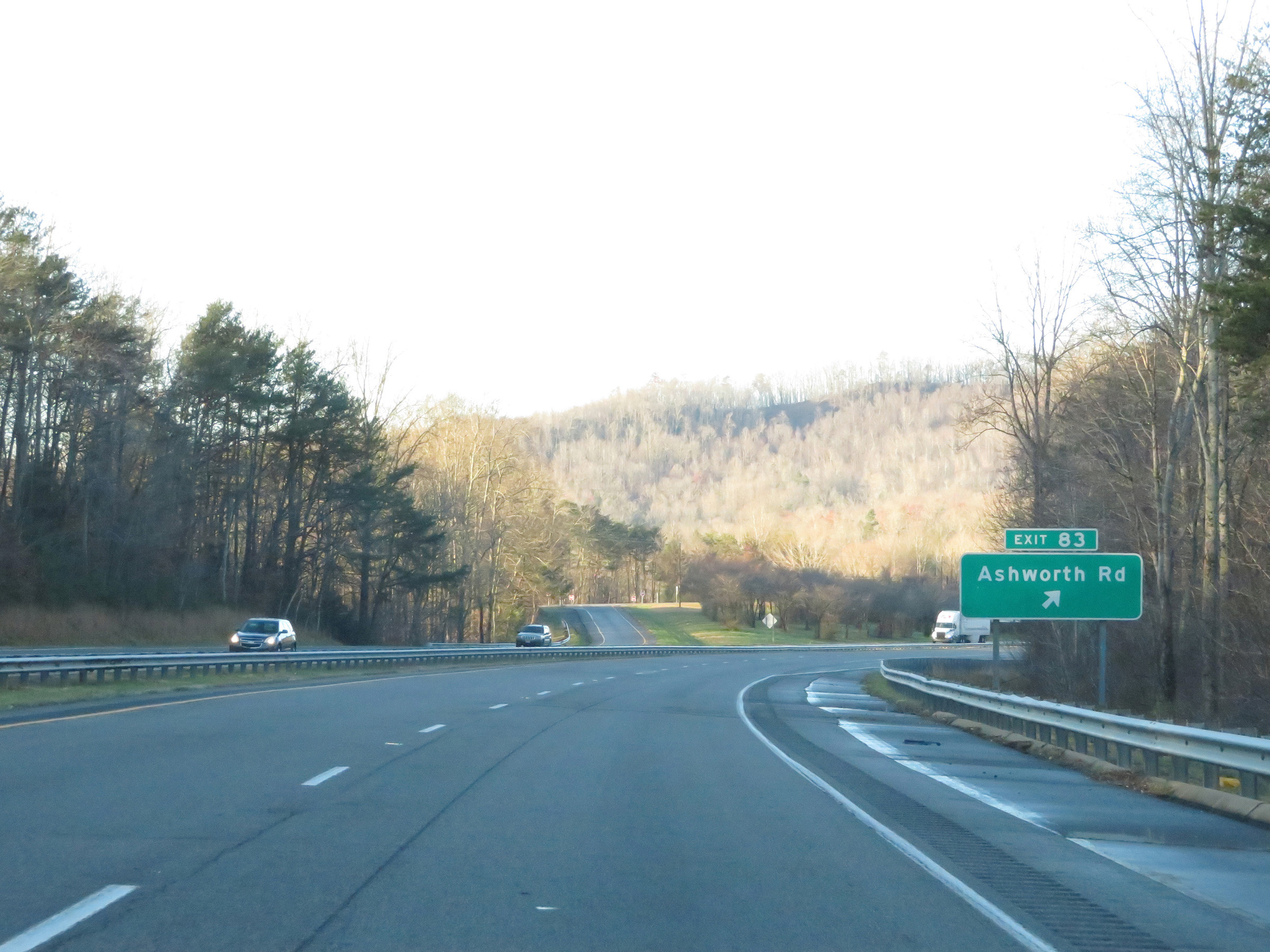 |
Interstate 40 West at Exit 83: Ashworth Rd (Photo taken 12/5/20). |
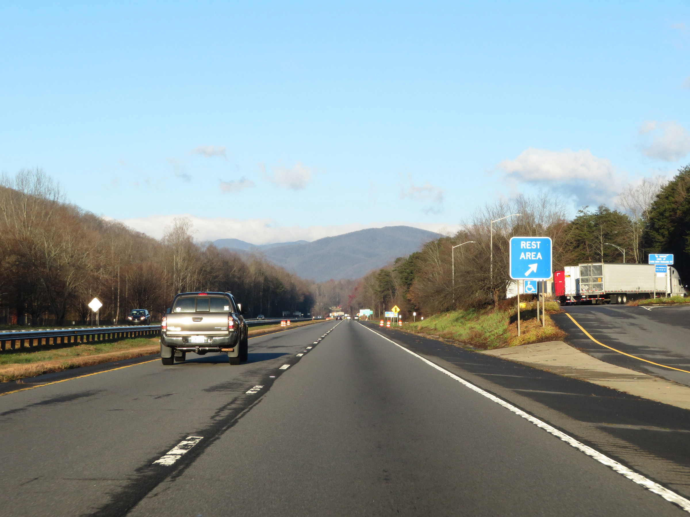 |
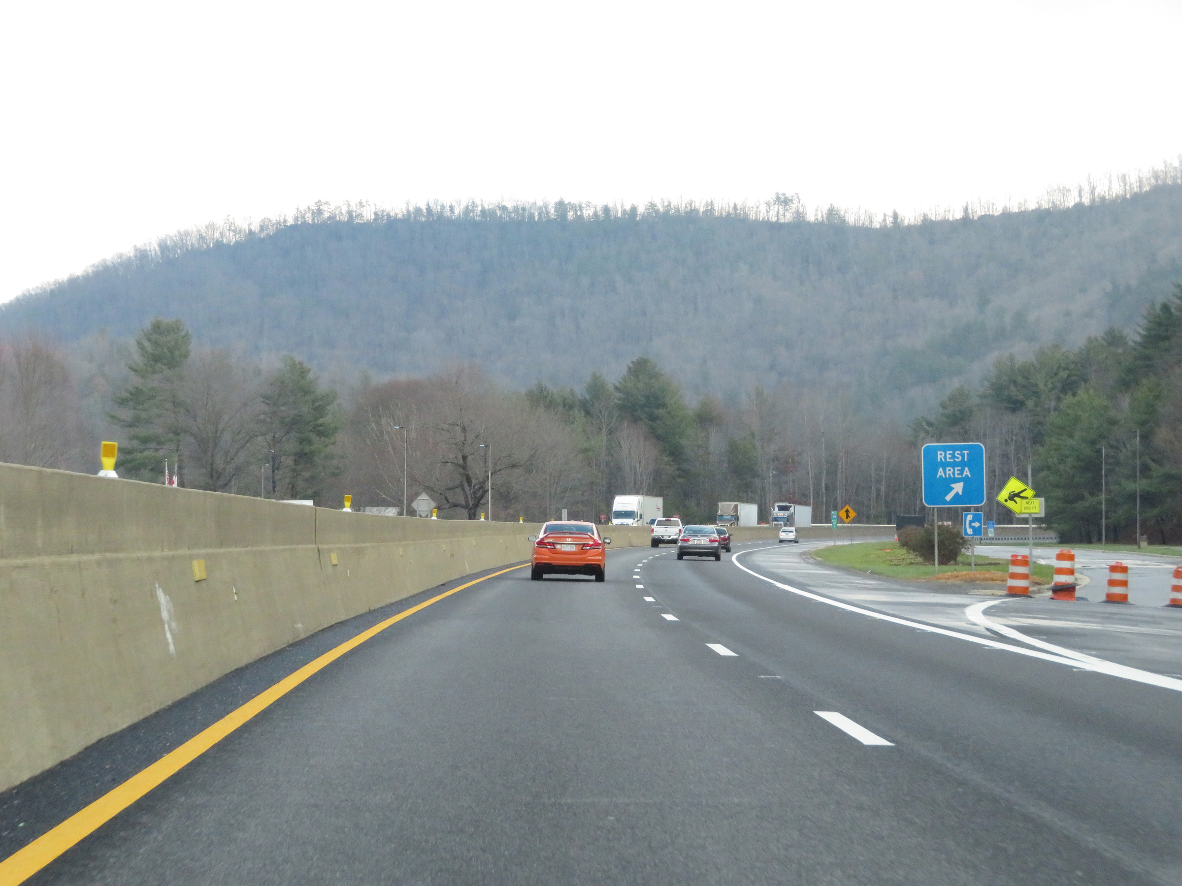
Rest Area on Interstate 40 West in McDowell County. (Photo taken 12/5/20). |
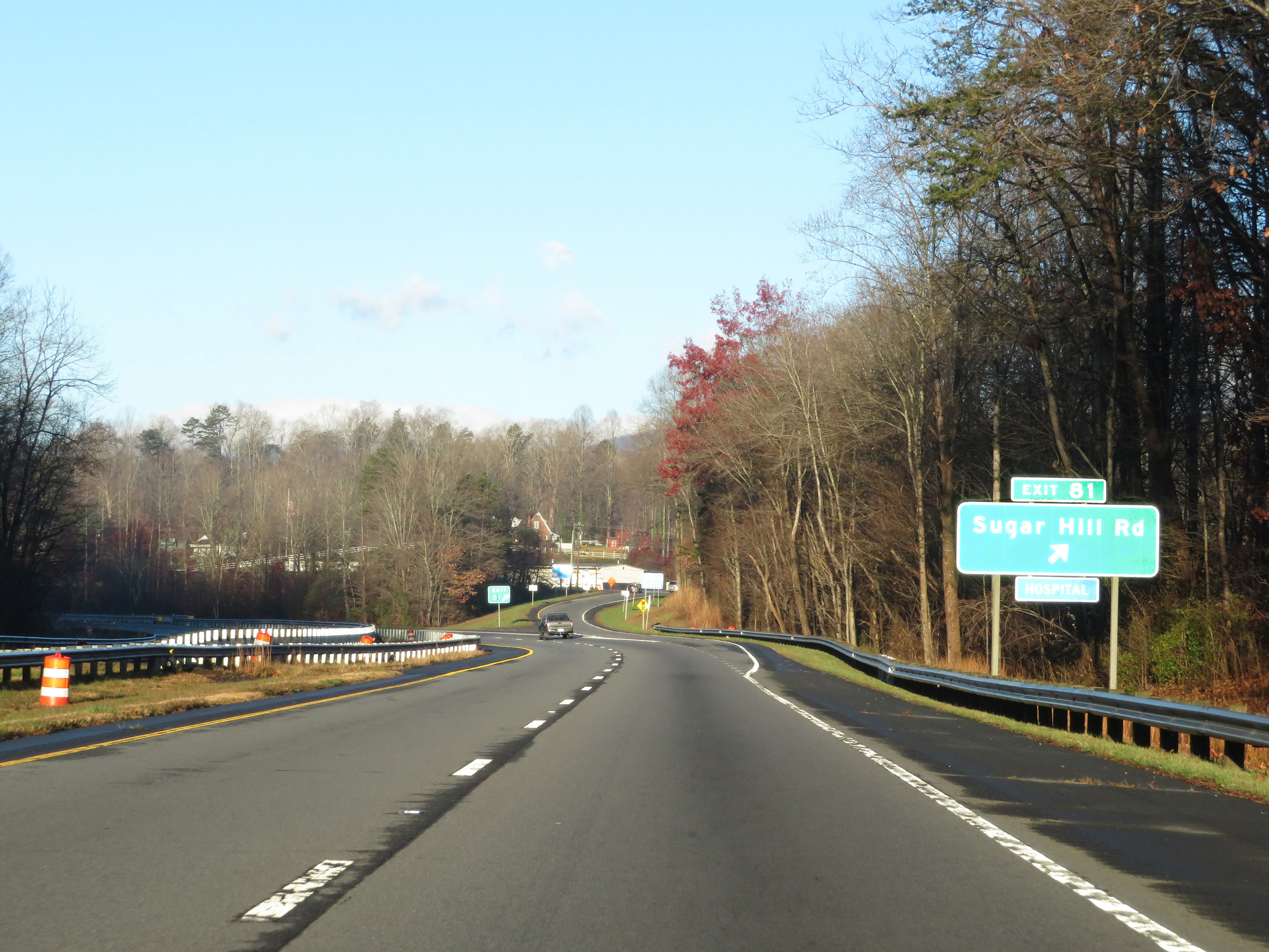 |
Interstate 40 West at Exit 81: Sugar Hill Rd (Photo taken 12/5/20). |
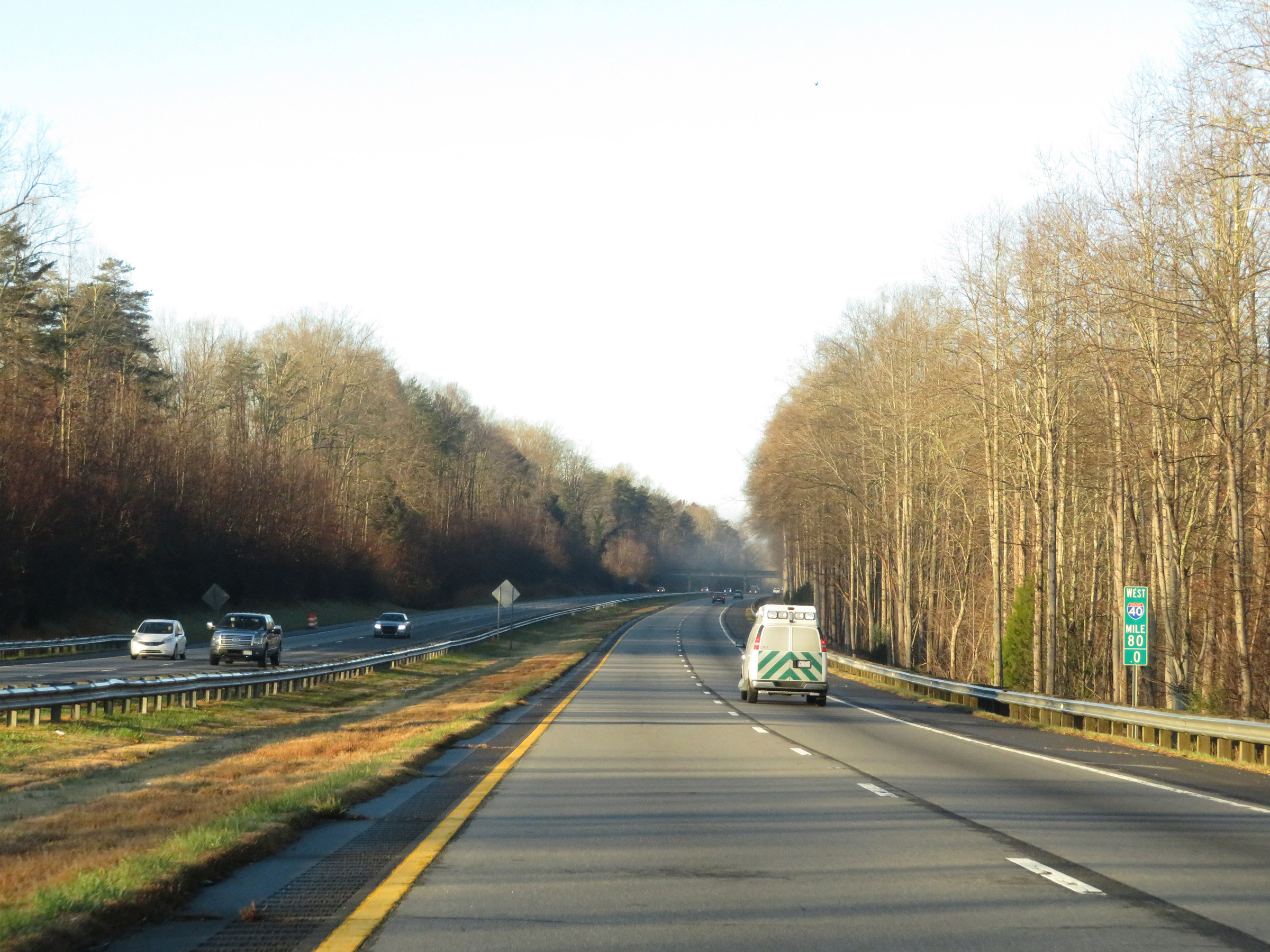 |
View on Interstate 40 West at mile marker 80. (Photo taken 12/5/20). |
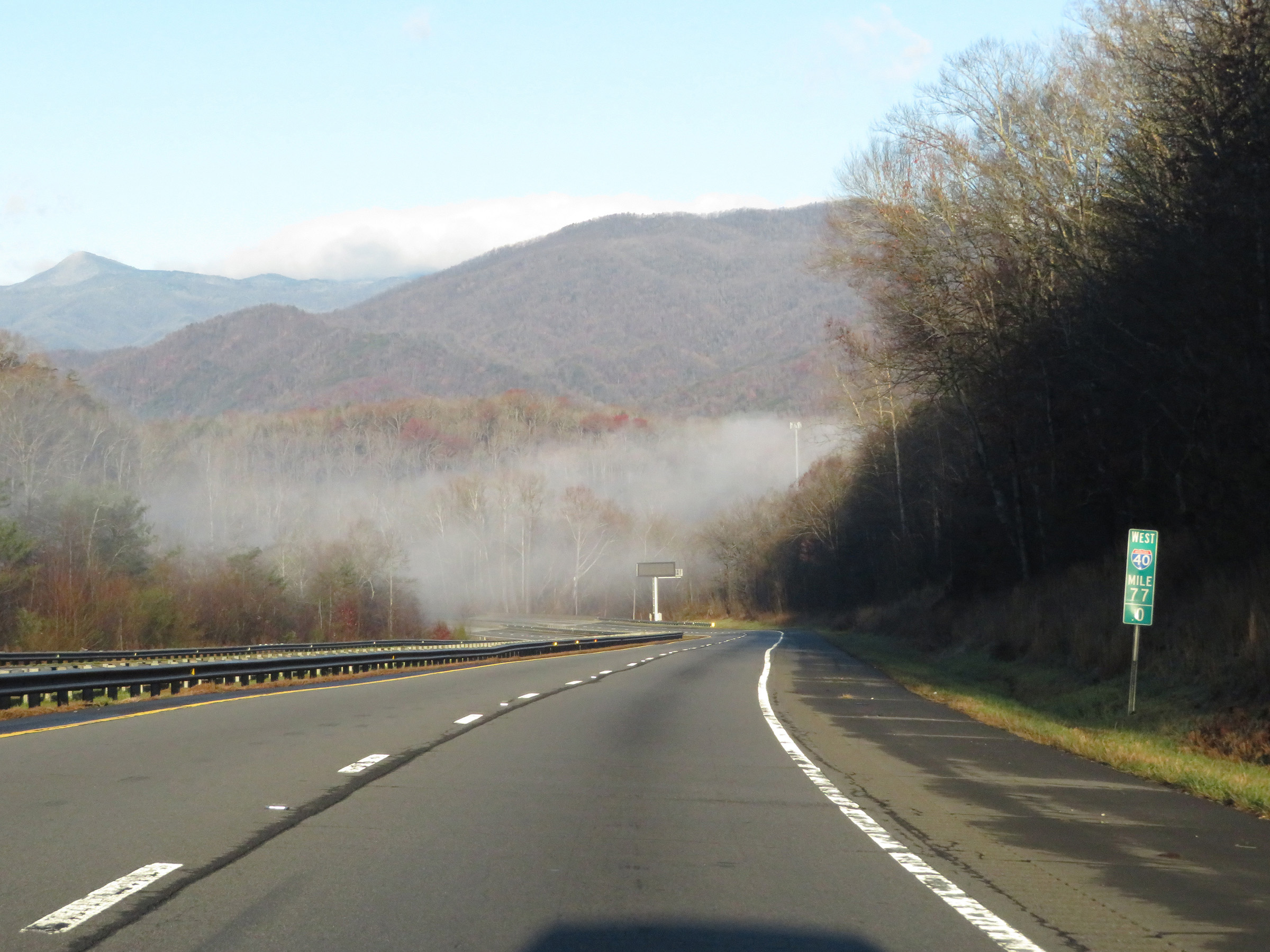 |
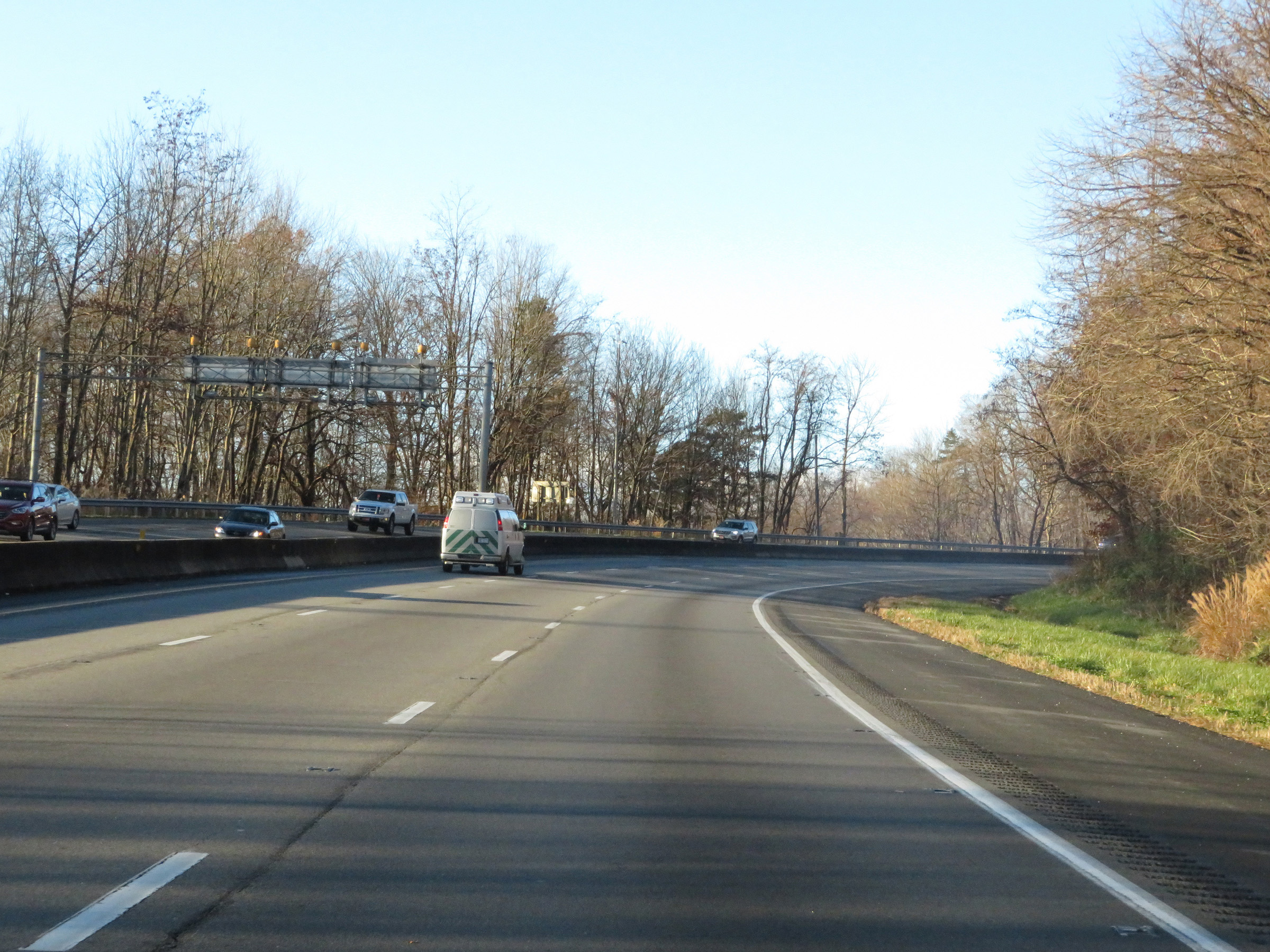
Interstate 40 West at mile marker 77. (Photo taken 12/5/20). |
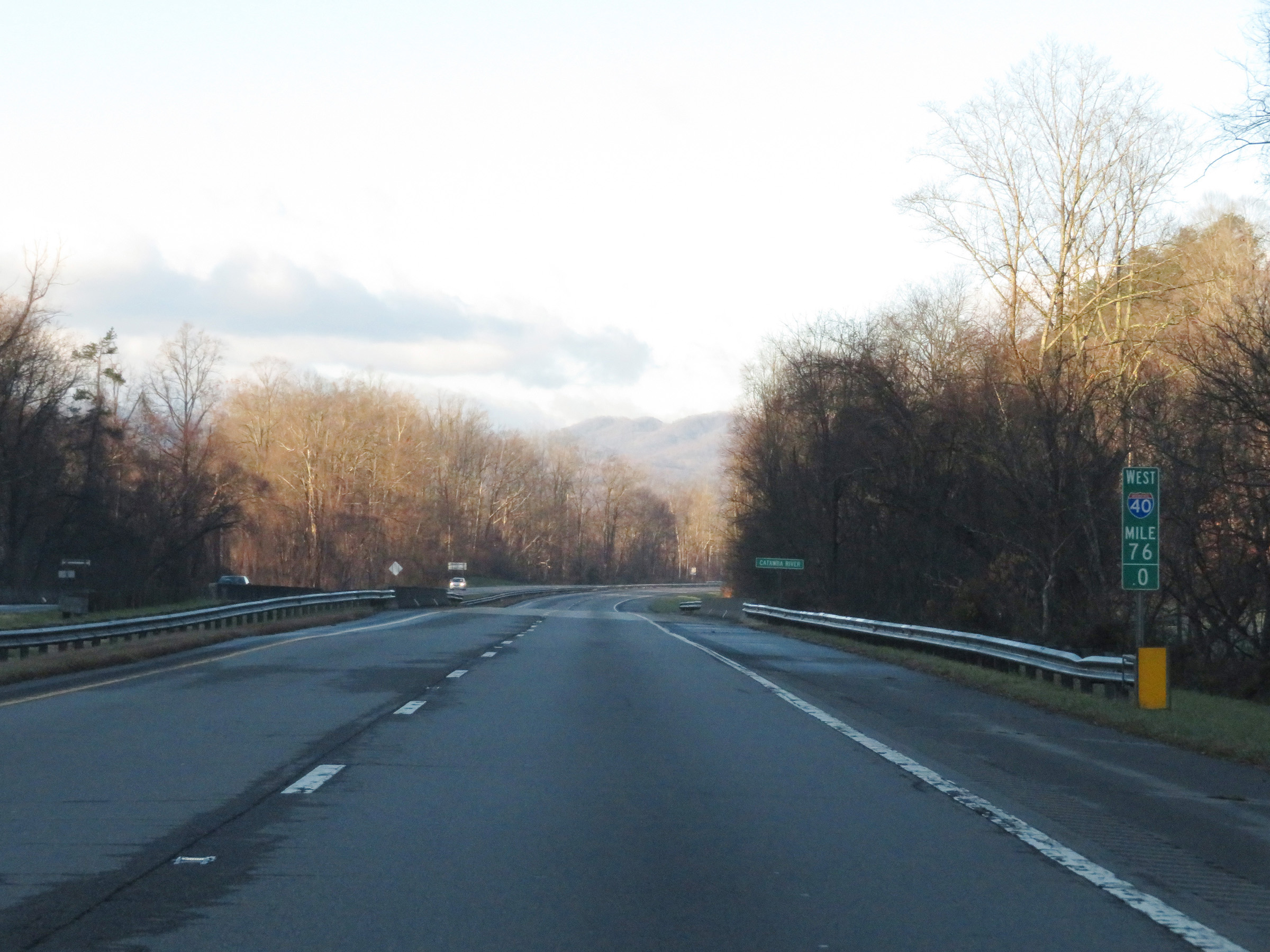 |
Mile marker 76 on Interstate 40 West in McDowell County. (Photo taken 12/5/20). |
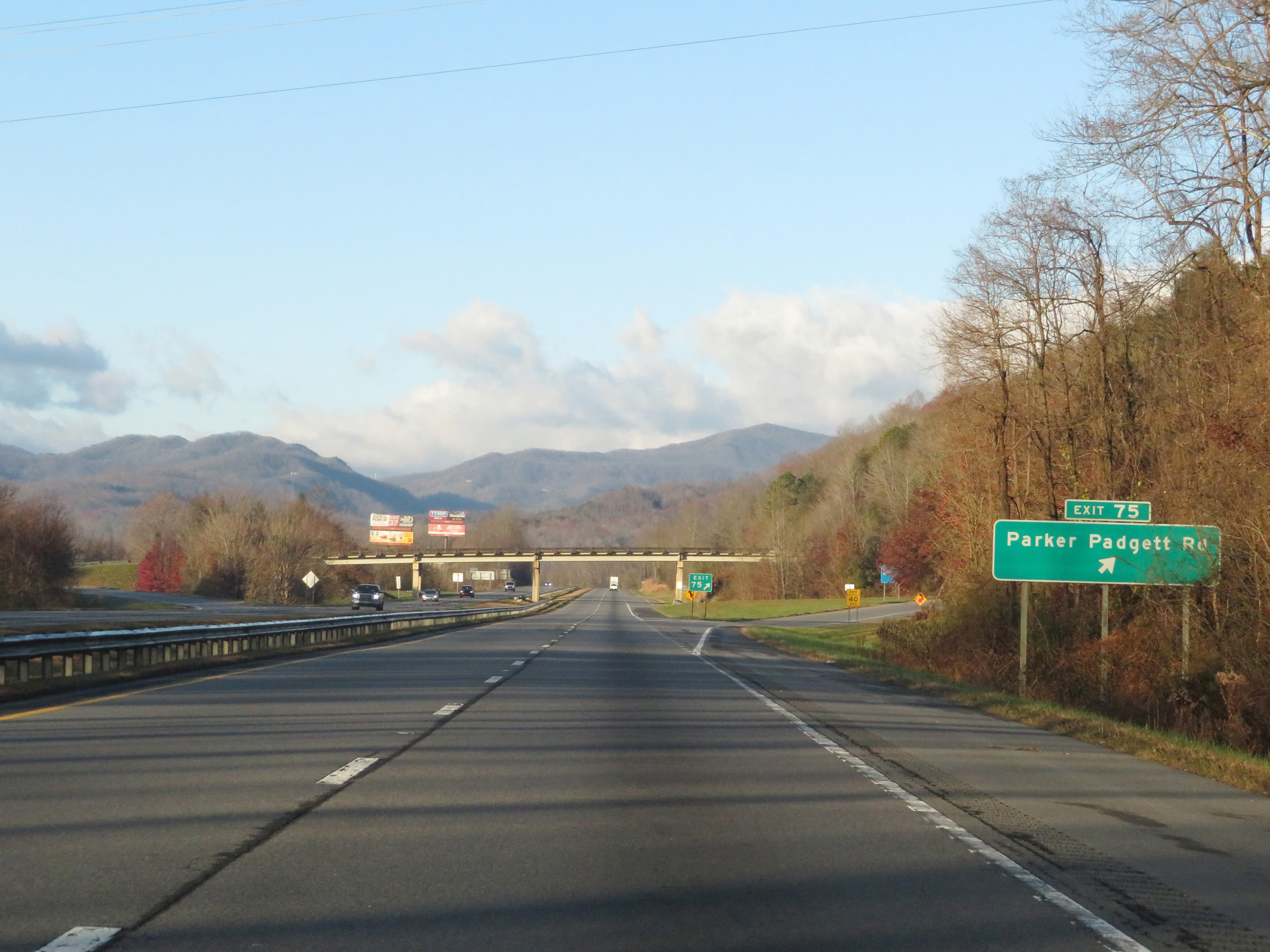 |
Interstate 40 West at Exit 75: Parker Padgett Rd (Photo taken 12/5/20). |
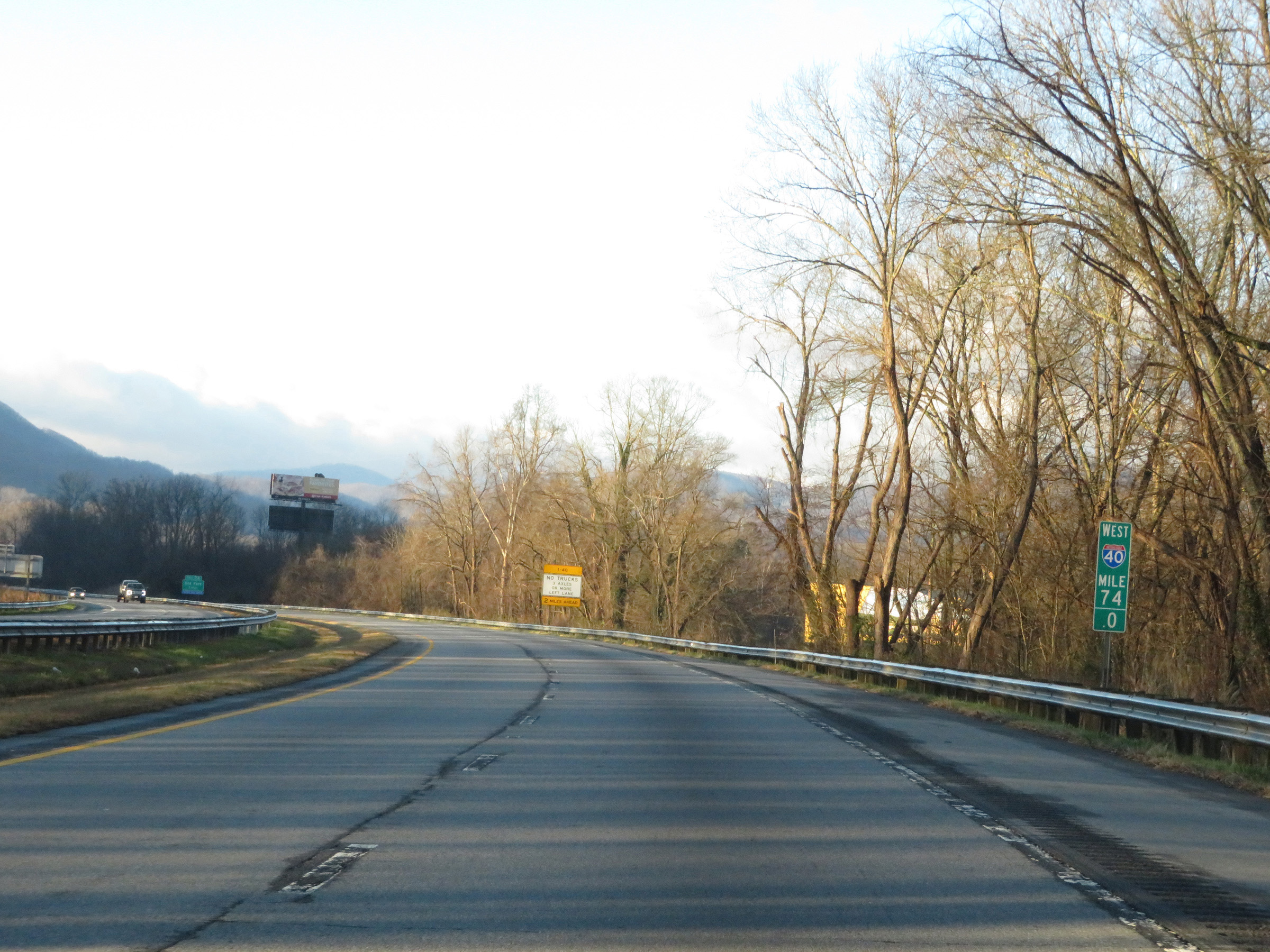 |
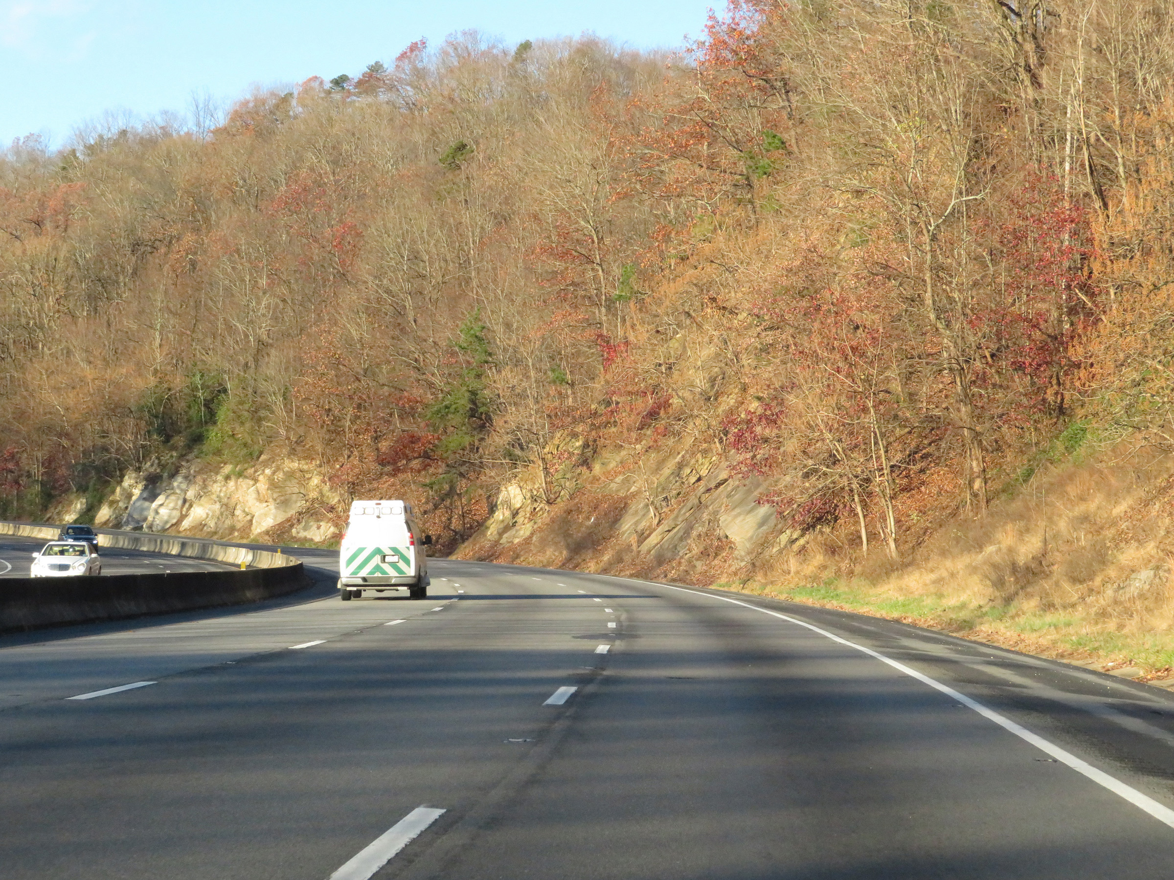
View on Interstate 40 West at mile marker 74. (Photo taken 12/5/20). |
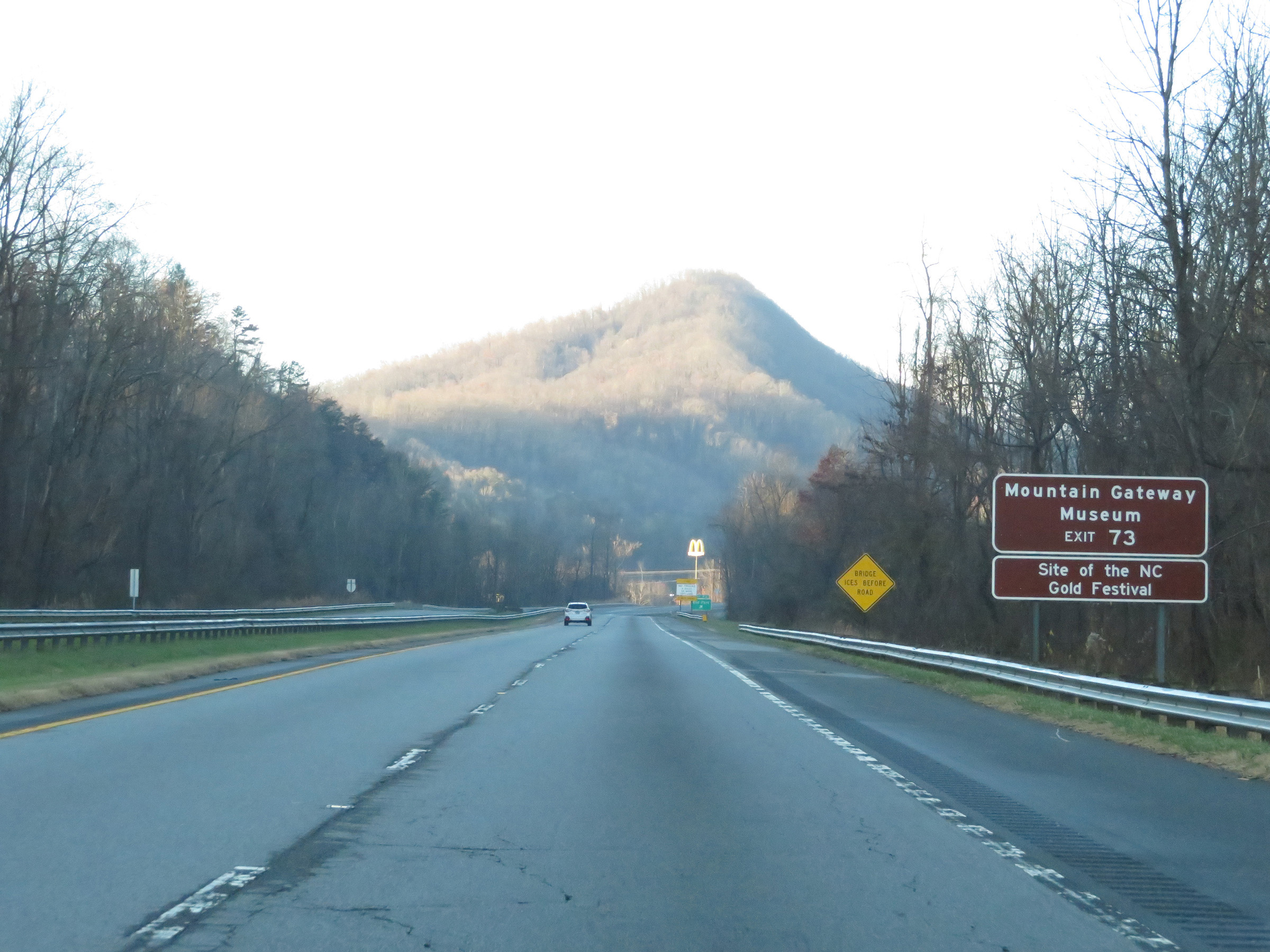 |
Take Exit 73 to Mountain Gateway Museum and the Site of the North Carolina Gold Festival. (Photo taken 12/5/20). |
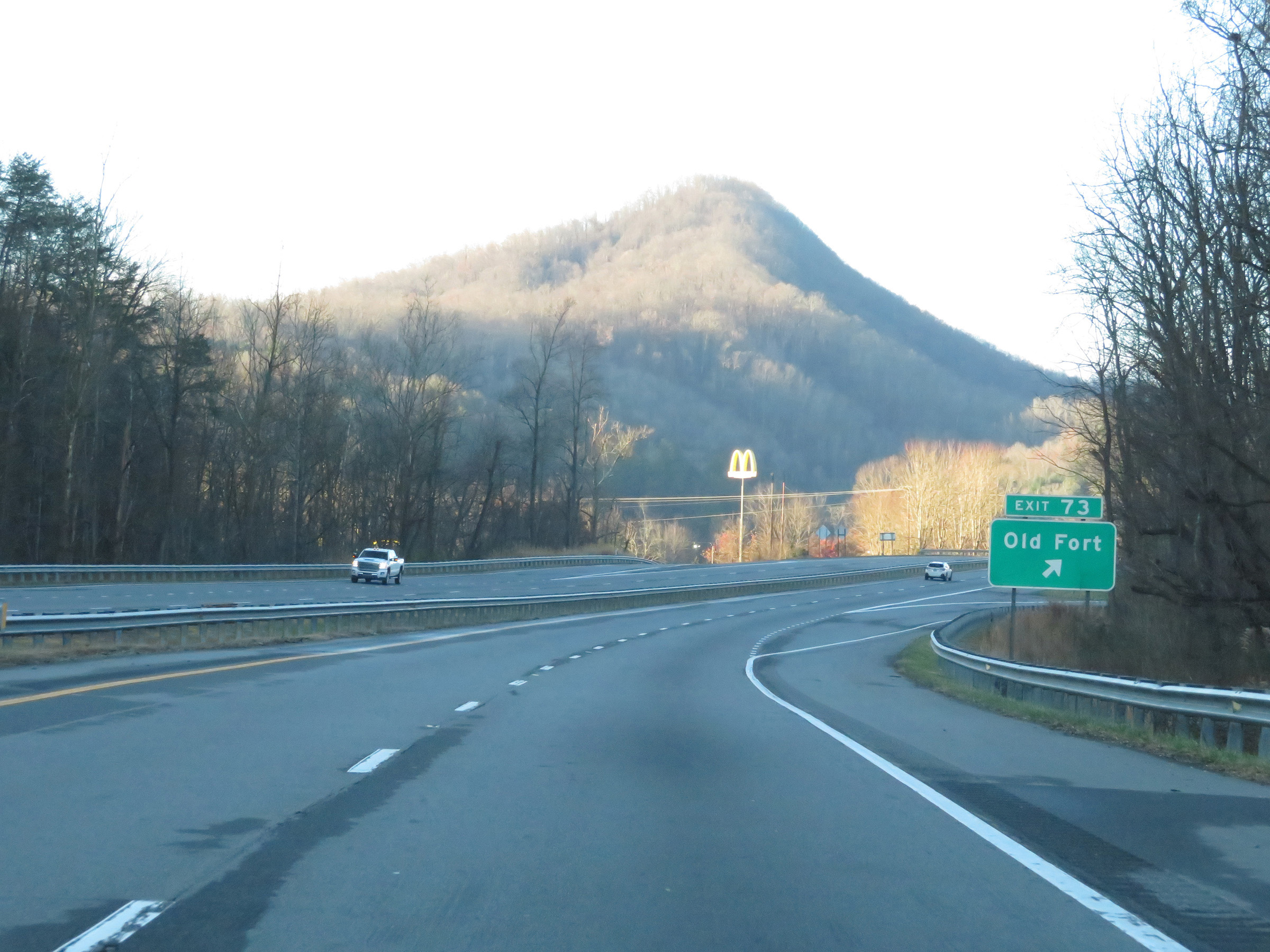 |
Interstate 40 West at Exit 73: Old Fort (Photo taken 12/5/20). |
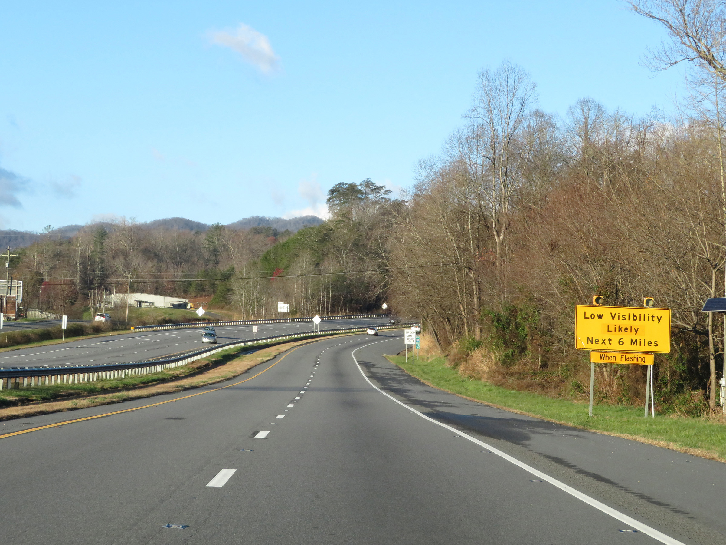 |
As Interstate 40 West approaches Old Fort Mountain, which it will climb for the next 6 miles, this sign warns that low visibility is likely when its lights are flashing. (Photo taken 12/5/20). |
 |
The speed limit decreases to 55 mph at mile marker 72, as Interstate 40 West prepares to begin its climb of Old Fort Mountain, which is part of the greater Black Mountains. (Photo taken 12/5/20). |
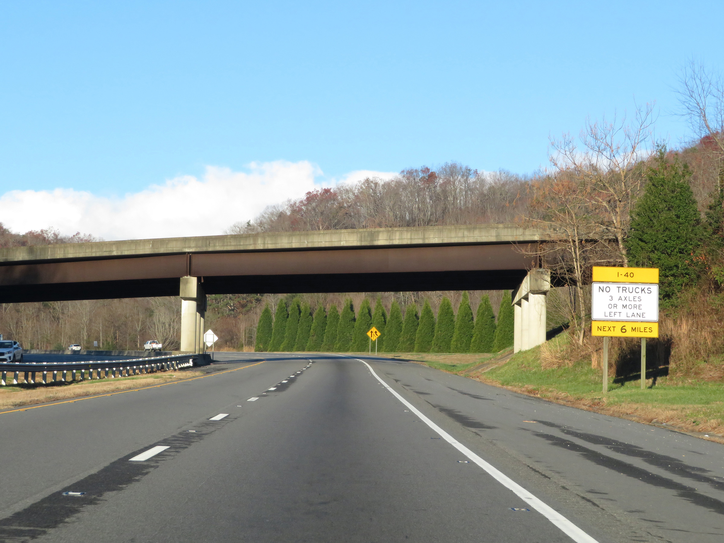 |
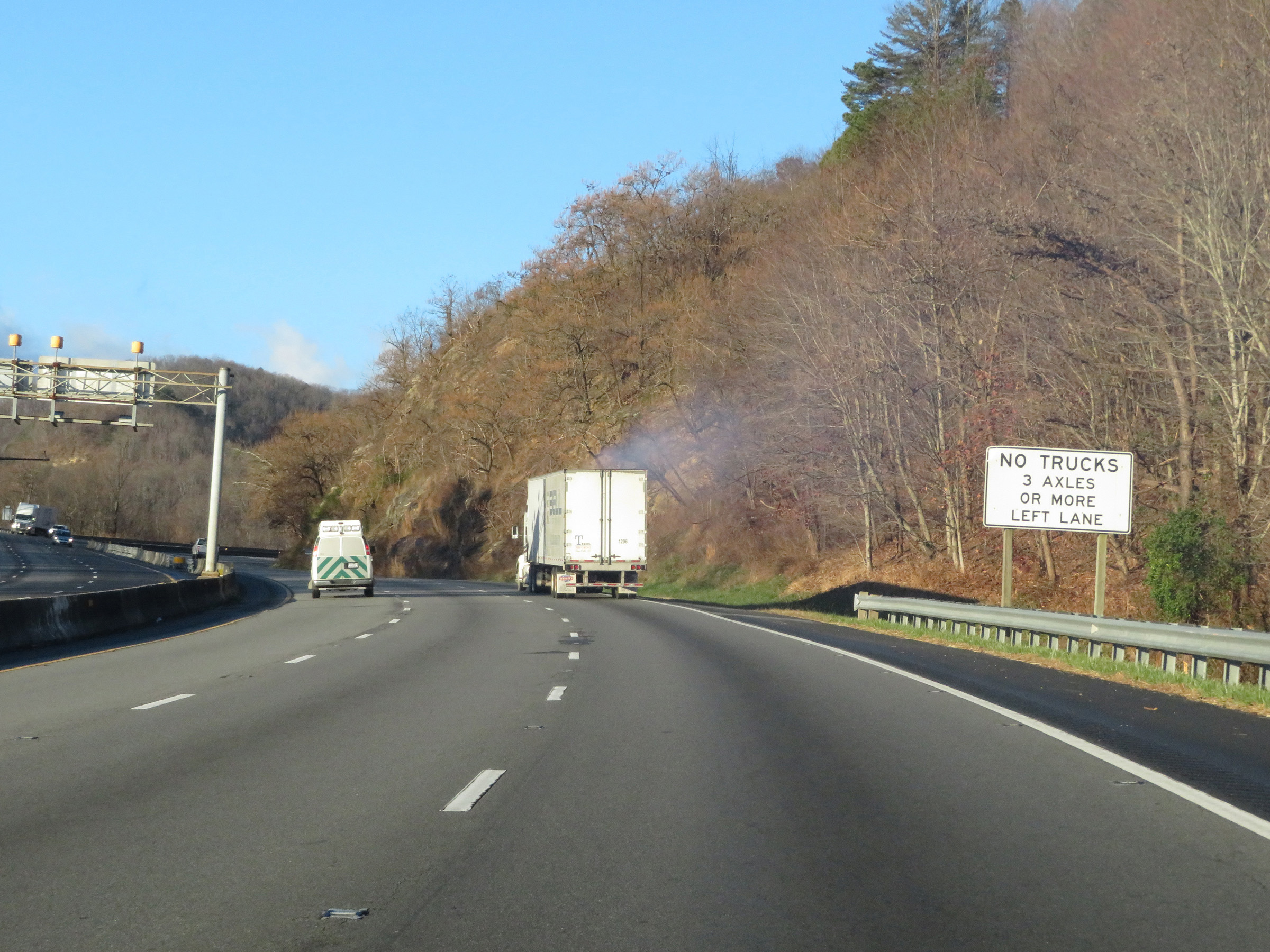
As the ascent up Old Fort Mountain begins, this sign warns that trucks of 3 axles or more are prohibited in the left lane for the next 6 miles to the summit of Old Fort Mountain. (Photo taken 12/5/20). |
 |
The on ramp from Exit 73 continues as a truck climbing lane on Interstate 40 West. (Photo taken 12/5/20). |
 |
View on Interstate 40 West as it makes its way up Old Fort Mountain in the Black Mountains. (Photo taken 12/5/20). |
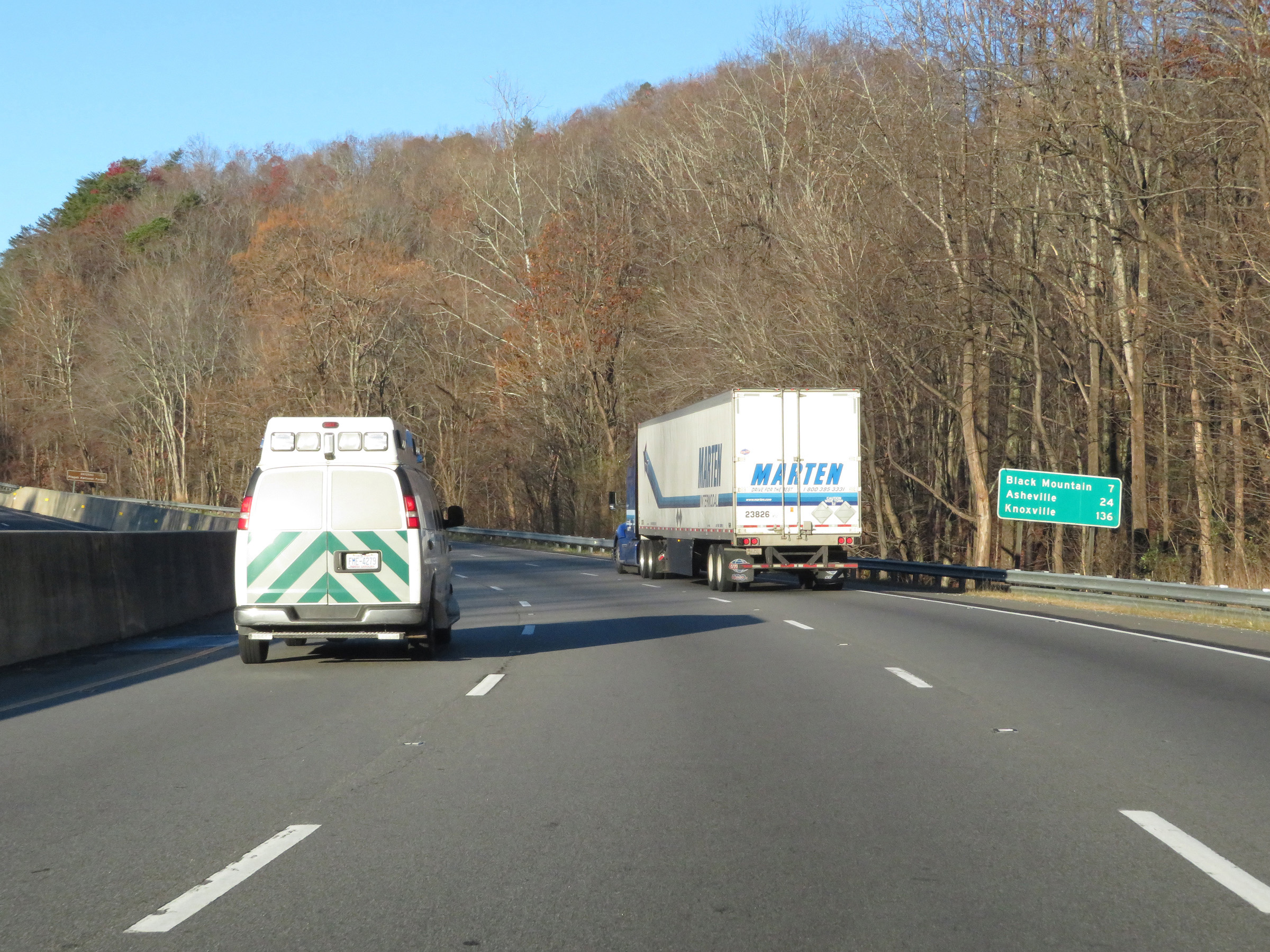 |
Mileage sign on Interstate 40 West. It's 7 miles to Black Mountain, 24 miles to Asheville, and 136 miles to Knoxville. (Photo taken 12/5/20). |
 |
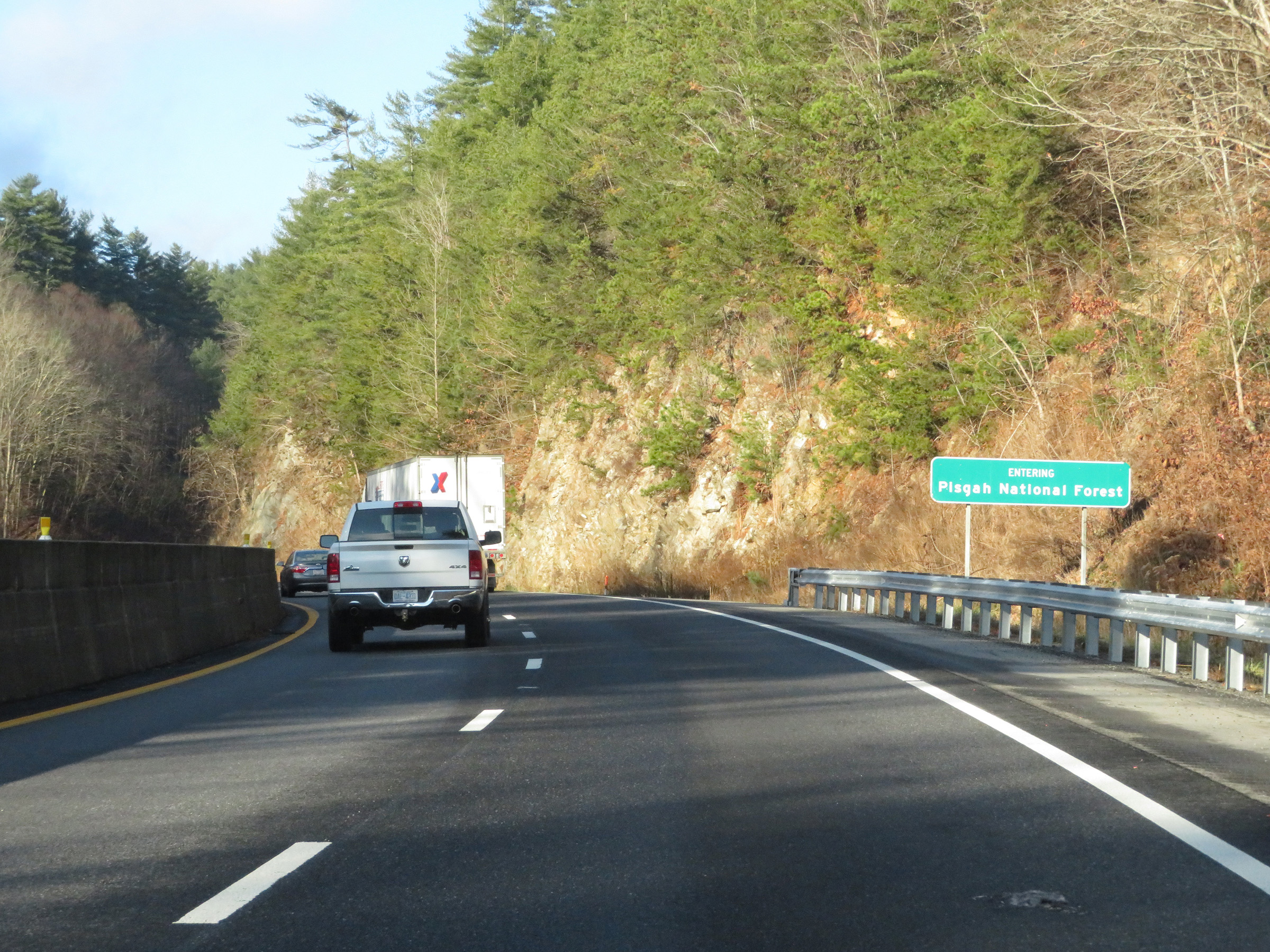
Interstate 40 West as it enters Pisgah National Forest as it climbs Old Fort Mountain. (Photo taken 12/5/20). |
 |
View on Interstate 40 West continuing up Old Fort Mountain in the Black Mountains. The climb consists of several winding curves like the one seen here. (Photo taken 12/5/20). |
 |
Another curve ahead as Interstate 40 West continues to climb Old Fort Mountain. (Photo taken 12/5/20). |
 |
View on Interstate 40 West at mile marker 70. (Photo taken 12/5/20). |
 |
As this sign reads, the truck lane restrictions remain in place to the top of Old Fort Mountain on Interstate 40 West. (Photo taken 12/5/20). |
 |
Another view on Interstate 40 West as it continues to climb Old Fort Mountain. (Photo taken 12/5/20). |
 |
More winding curves as Interstate 40 West makes its way to the summit. (Photo taken 12/5/20). |
 |
View on Interstate 40 West as it continues to traverse the winding curves as it climbs Old Fort Mountain. (Photo taken 12/5/20). |
 |
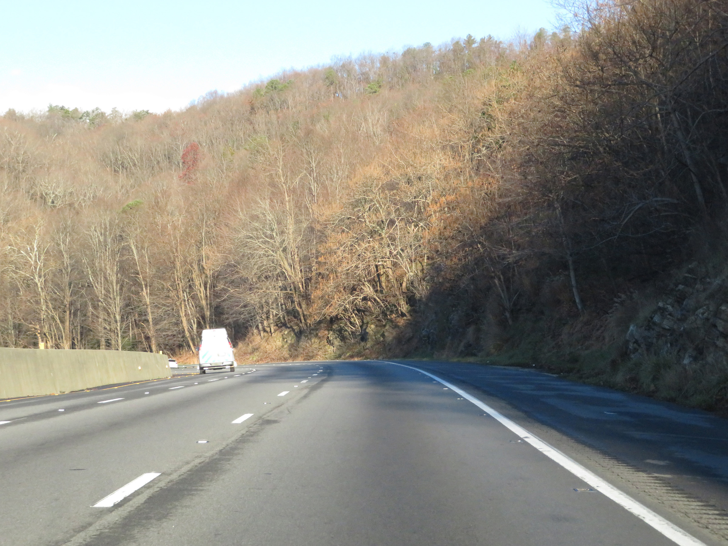
Interstate 40 West at mile marker 68. (Photo taken 12/5/20). |
 |
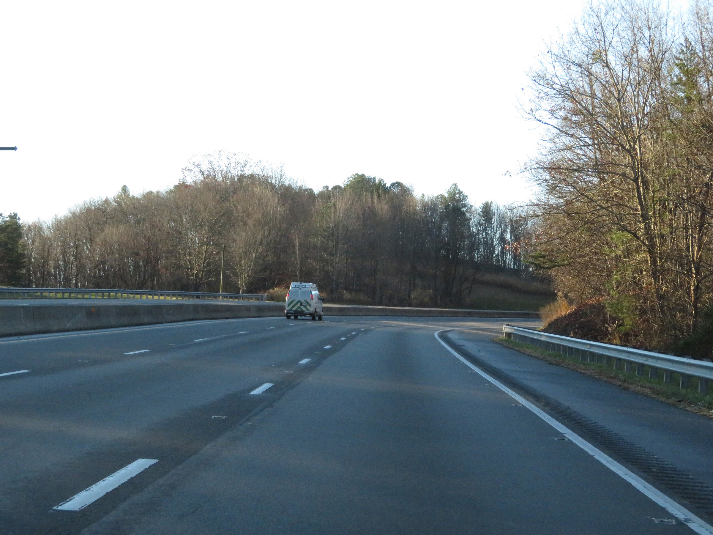
Interstate 40 West as it nears the summit of Old Fort Mountain. (Photo taken 12/5/20). |
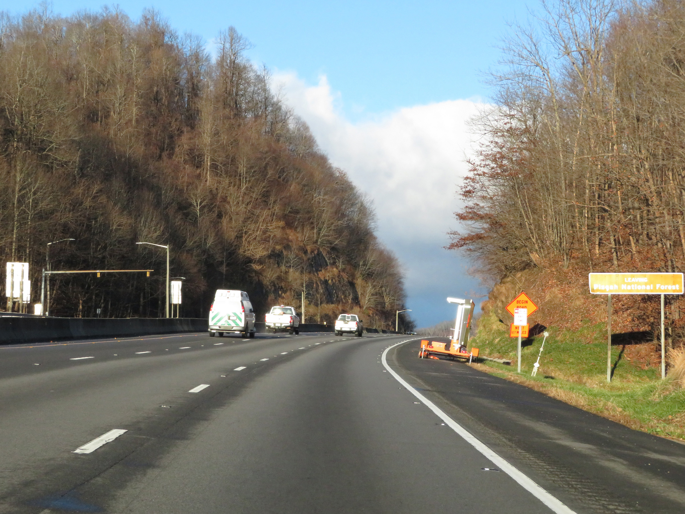 |
As it approaches the summit of Old Fort Mountain, Interstate 40 West leaves Pisgah National Forest. (Photo taken 12/5/20). |
 |
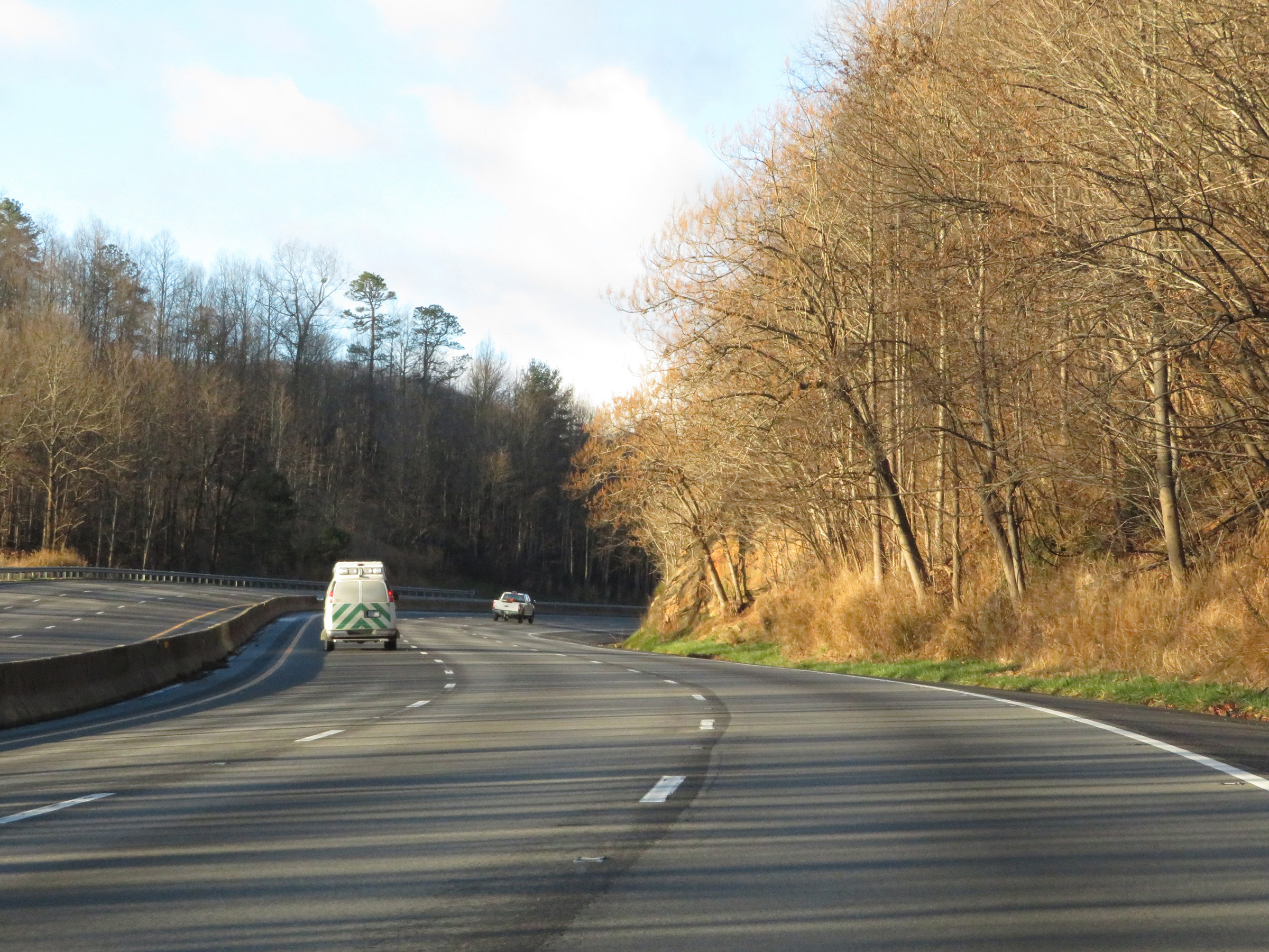
At the summit of Old Fort Mountain, Interstate 40 West crosses the Eastern Continental Divide at an elevation of 2,786 feet. (Photo taken 12/5/20). |
 |
The truck climbing lane comes to an end as Interstate 40 West begins to desend Old Fort Mountain. (Photo taken 12/5/20). |
 |
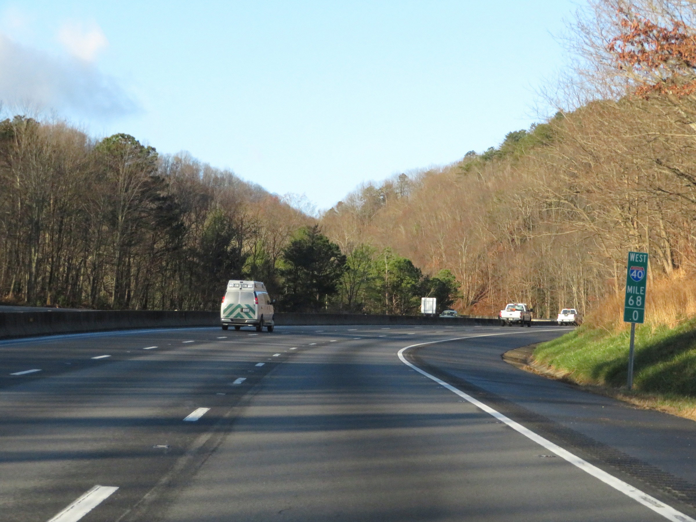
View on Interstate 40 West at mile marker 67 as the truck climbing lane ends and I-40 West descends from the summit of Old Fort Mountain. The descent is much shorter and milder than the climb was. (Photo taken 12/5/20). |
 |
Interstate 40 West enters Buncombe County as it begins to descend Old Fort Mountain. (Photo taken 12/5/20). |
 |
The speed limit remains 55 mph on Interstate 40 West as it descends from the summit of Old Fort Mountain. (Photo taken 12/5/20). |
 |
View on Interstate 40 West at mile marker 66.5. (Photo taken 12/5/20). |
 |
As Interstate 40 West reaches the bottom of Old Fort Mountain, this sign states that the truck lane restrictions come to an end. (Photo taken 12/5/20). |
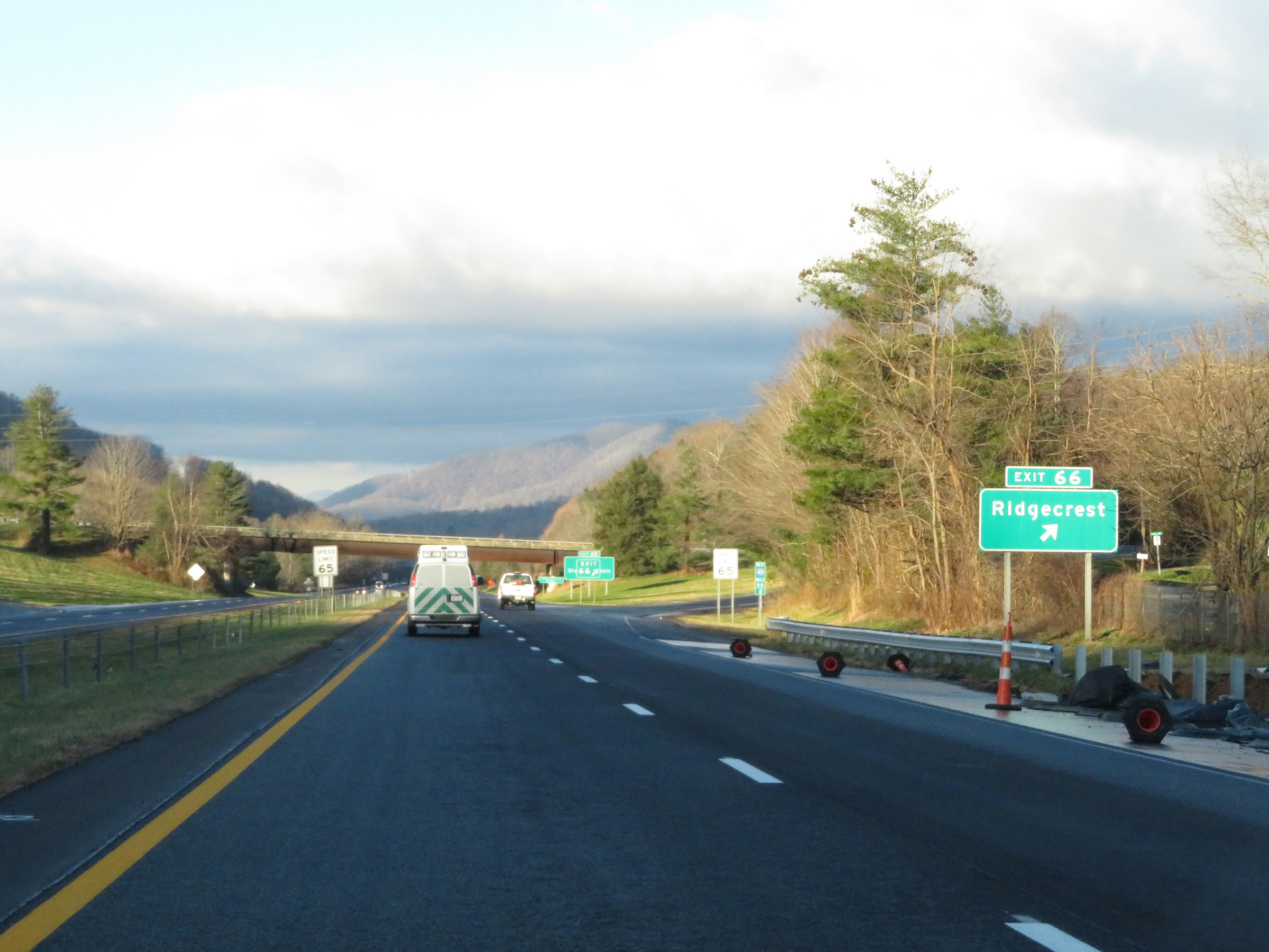 |
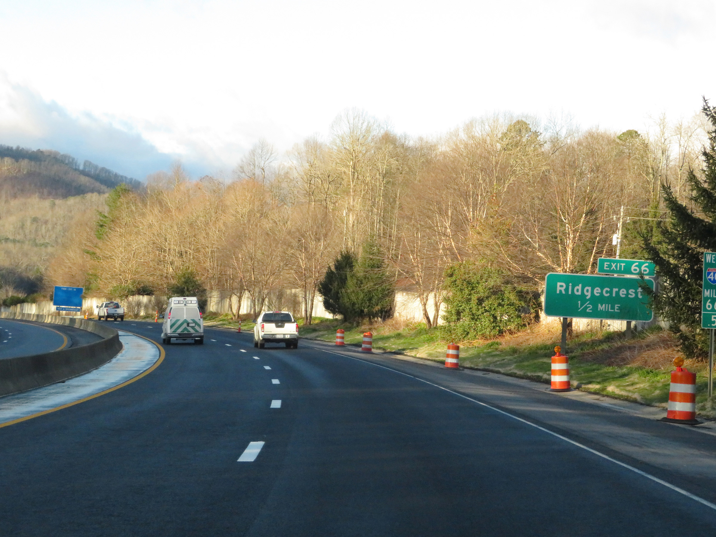
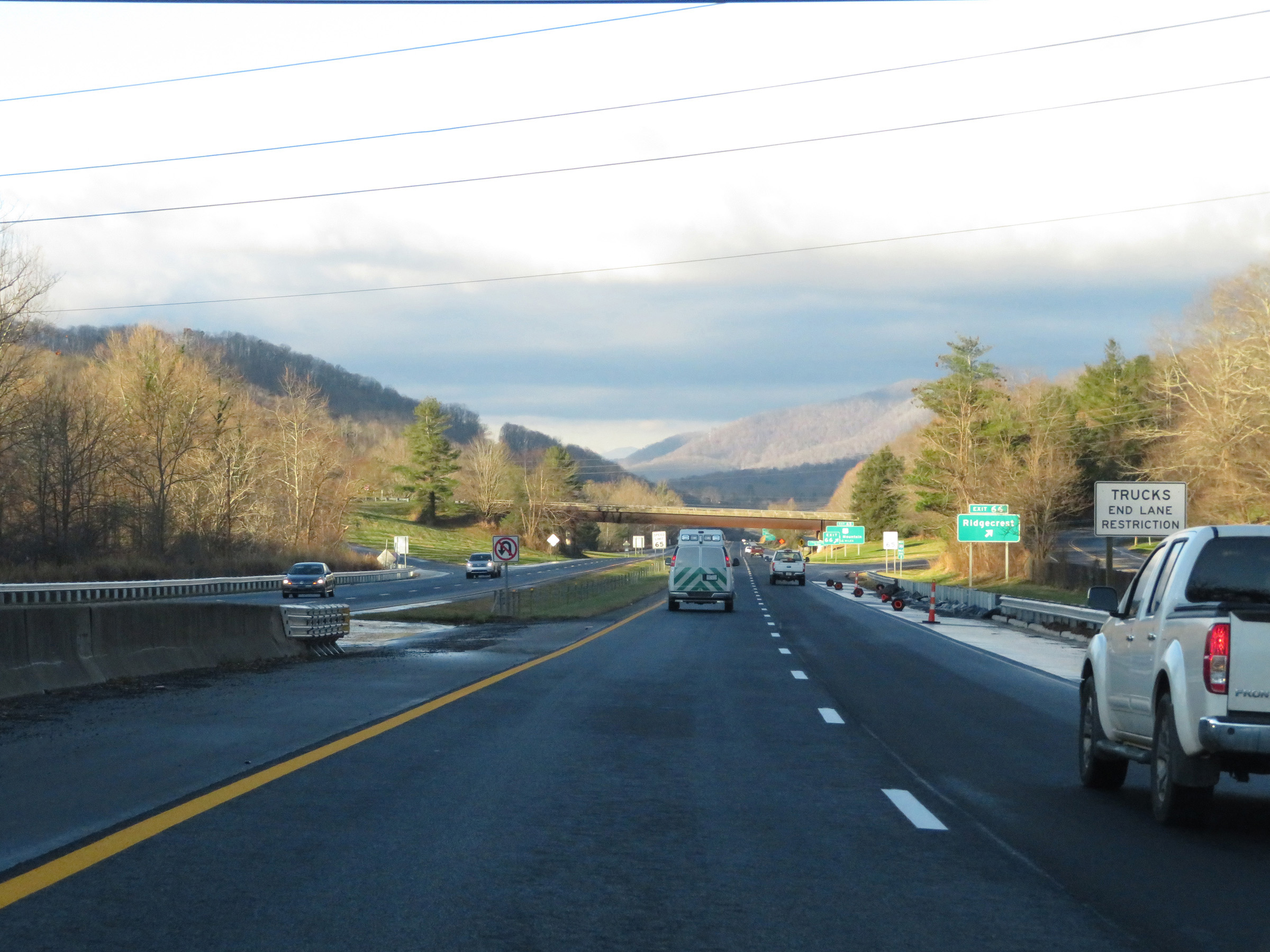
Interstate 40 West at Exit 66: Ridgecrest (Photo taken 12/5/20). |
 |
At Exit 66, the speed limit increases to 65 mph on Interstate 40 West. (Photo taken 12/5/20). |
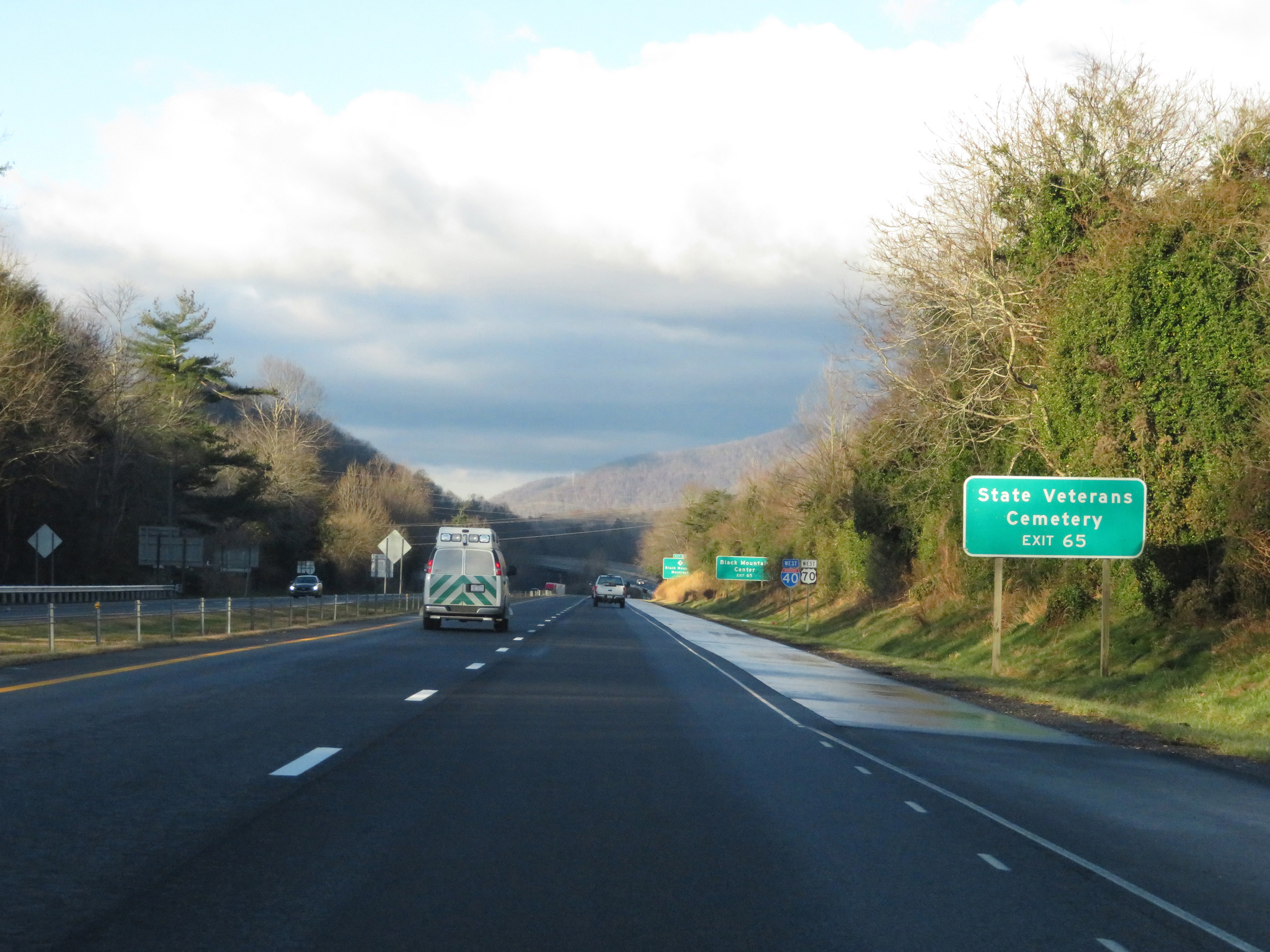 |
Take Exit 65 to the State Veterans Cemetery. (Photo taken 12/5/20). |
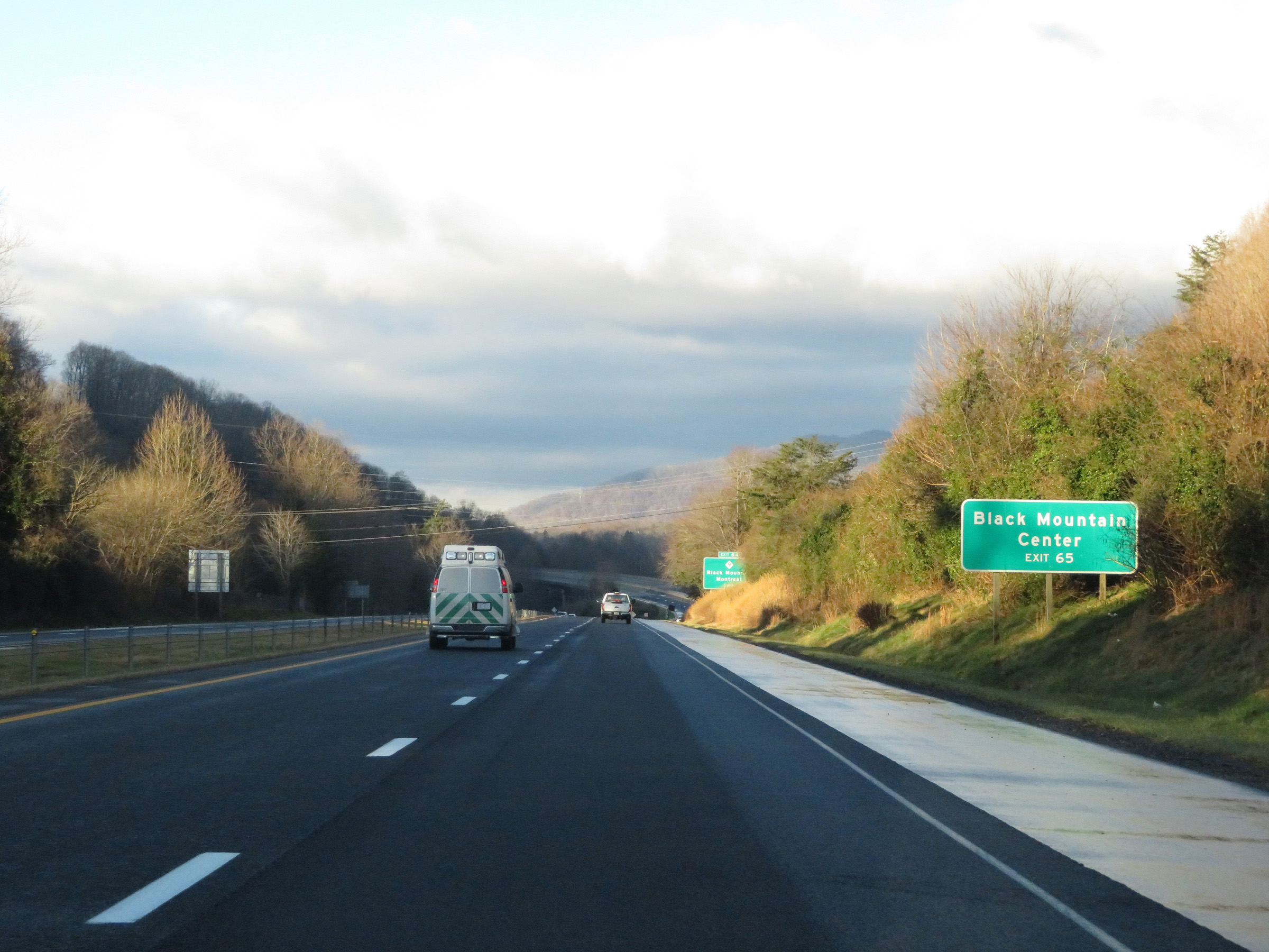 |
Also take Exit 65 to Black Mountain Center. (Photo taken 12/5/20). |
 |
Interstate 40 West at Exit 65: US 70 - Black Mountain (Photo taken 12/5/20). |
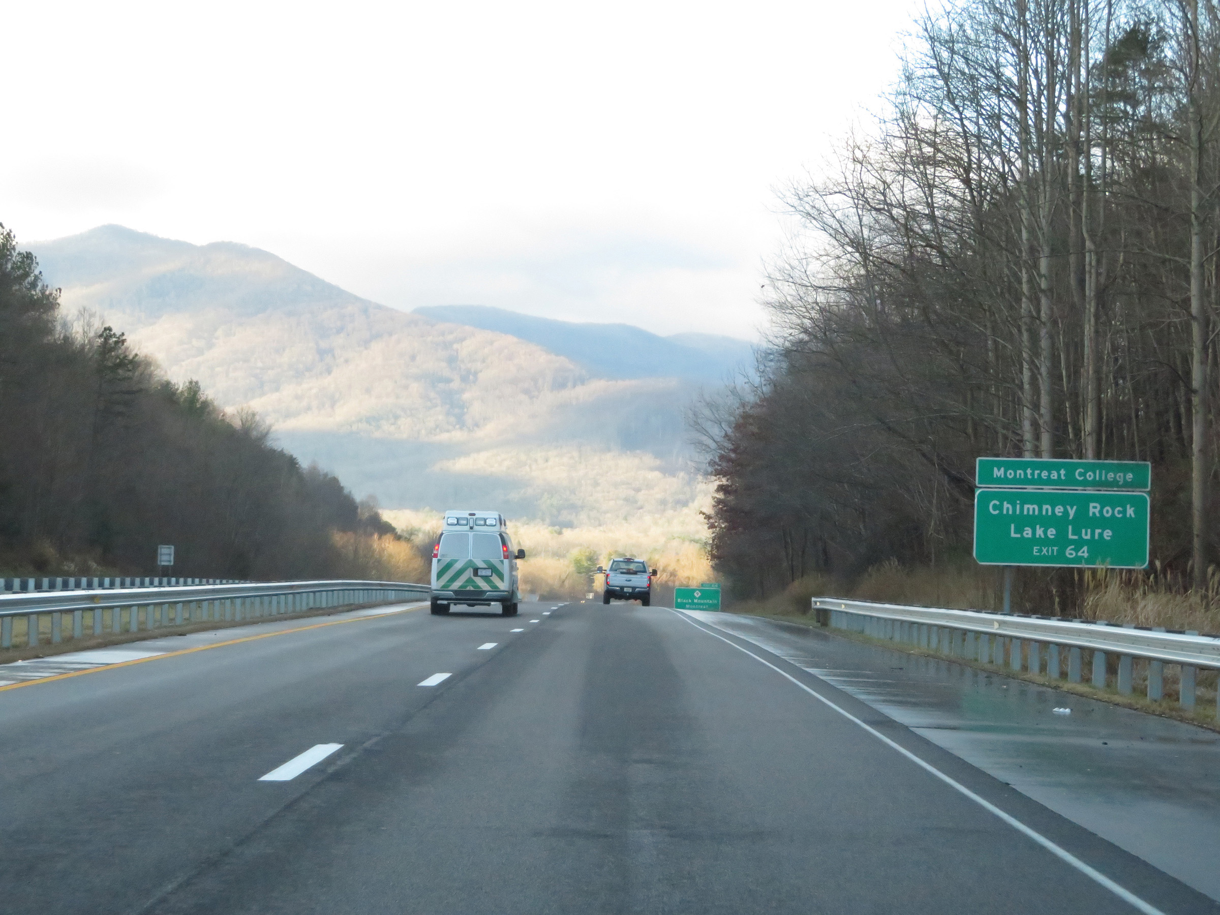 |
Take Exit 64 to Montreat College, Chimney Rock, and Lake Lure. (Photo taken 12/5/20). |
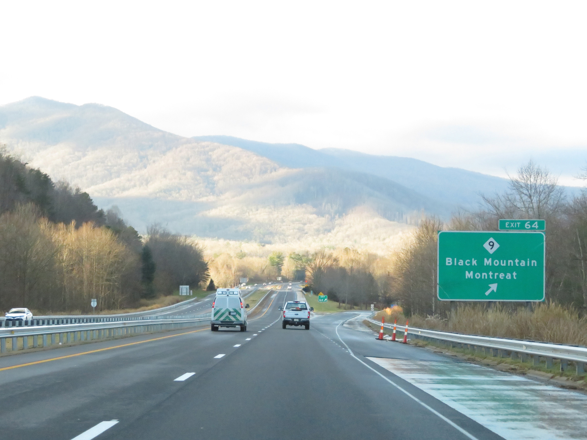 |
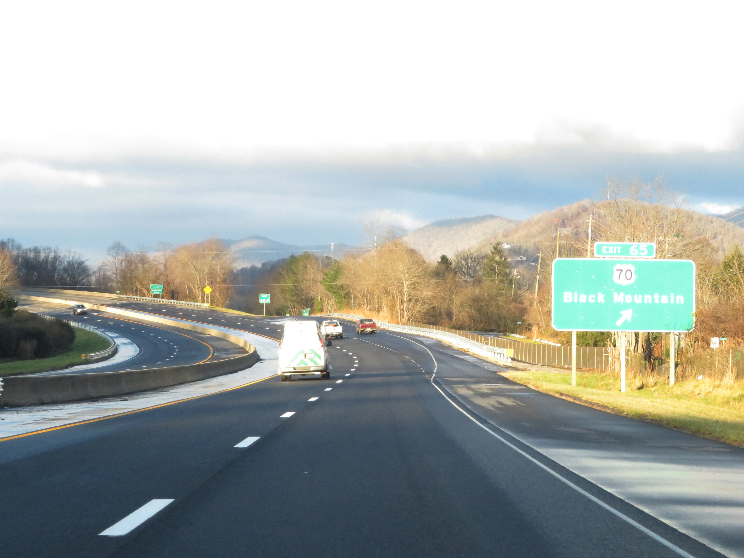
Interstate 40 West at Exit 64: NC 9 - Black Mountain / Montreat (Photo taken 12/5/20). |
Section 3: Black Mountain (Exit 64) to Canton (Exit 31)
 |
Mileage sign at mile marker 63. It's 16 miles to Asheville and 128 miles to Knoxville. (Photo taken 12/5/20). |
 |
View on Interstate 40 West at mile marker 61. (Photo taken 12/5/20). |
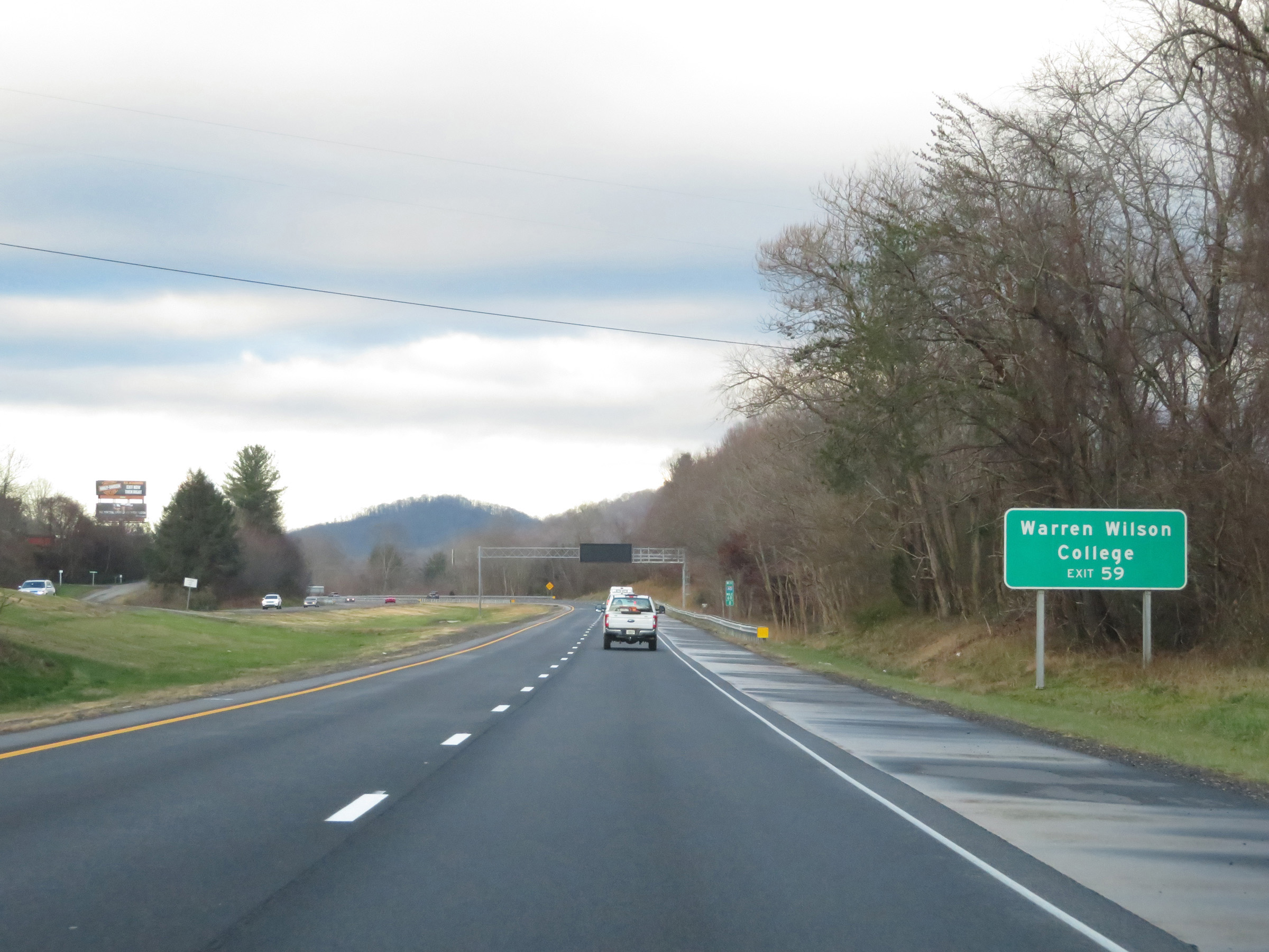 |
Take Exit 59 to Warren Wilson College. (Photo taken 12/5/20). |
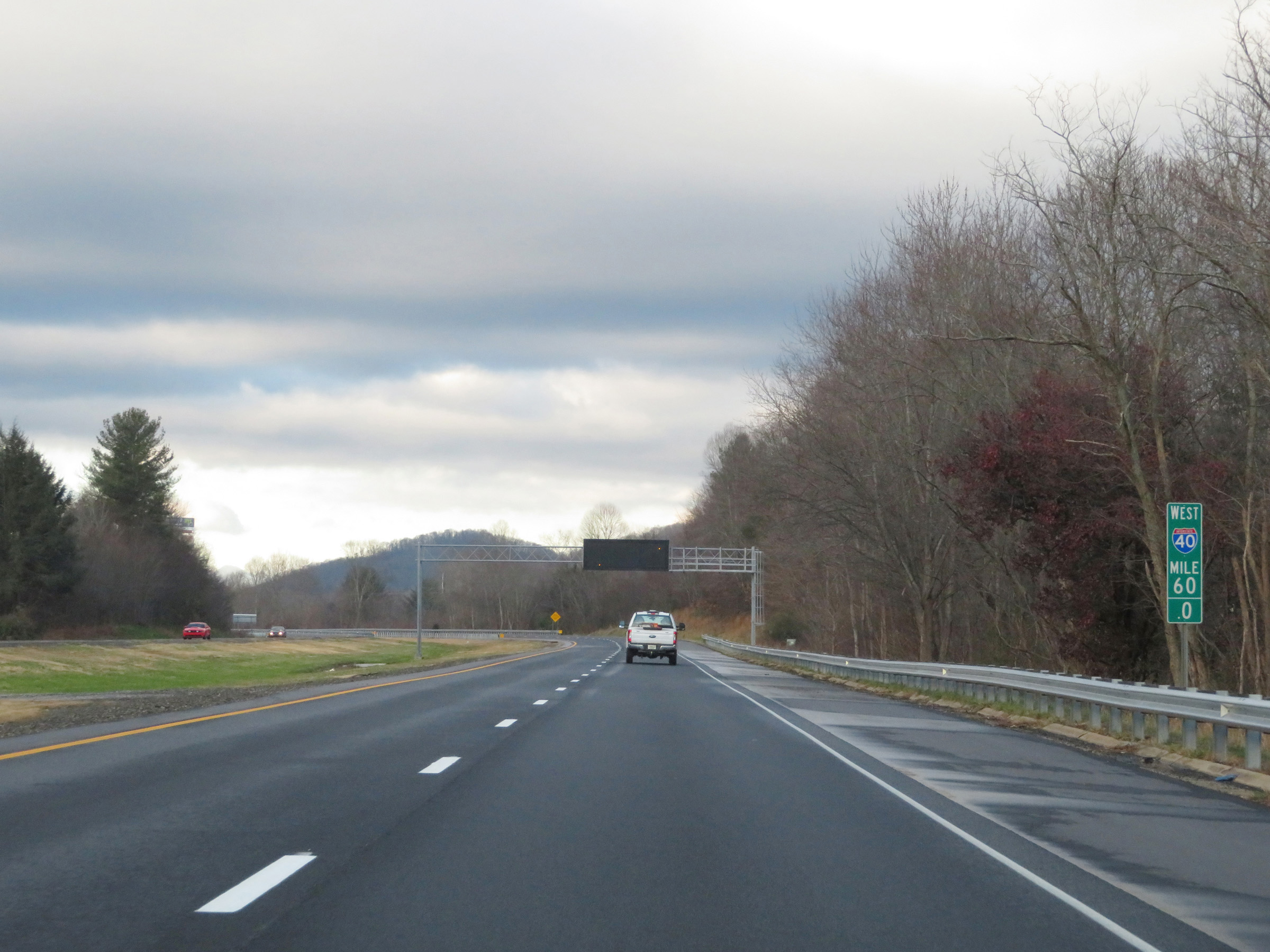 |
Mile marker 60 on Interstate 40 West in Buncombe County. (Photo taken 12/5/20). |
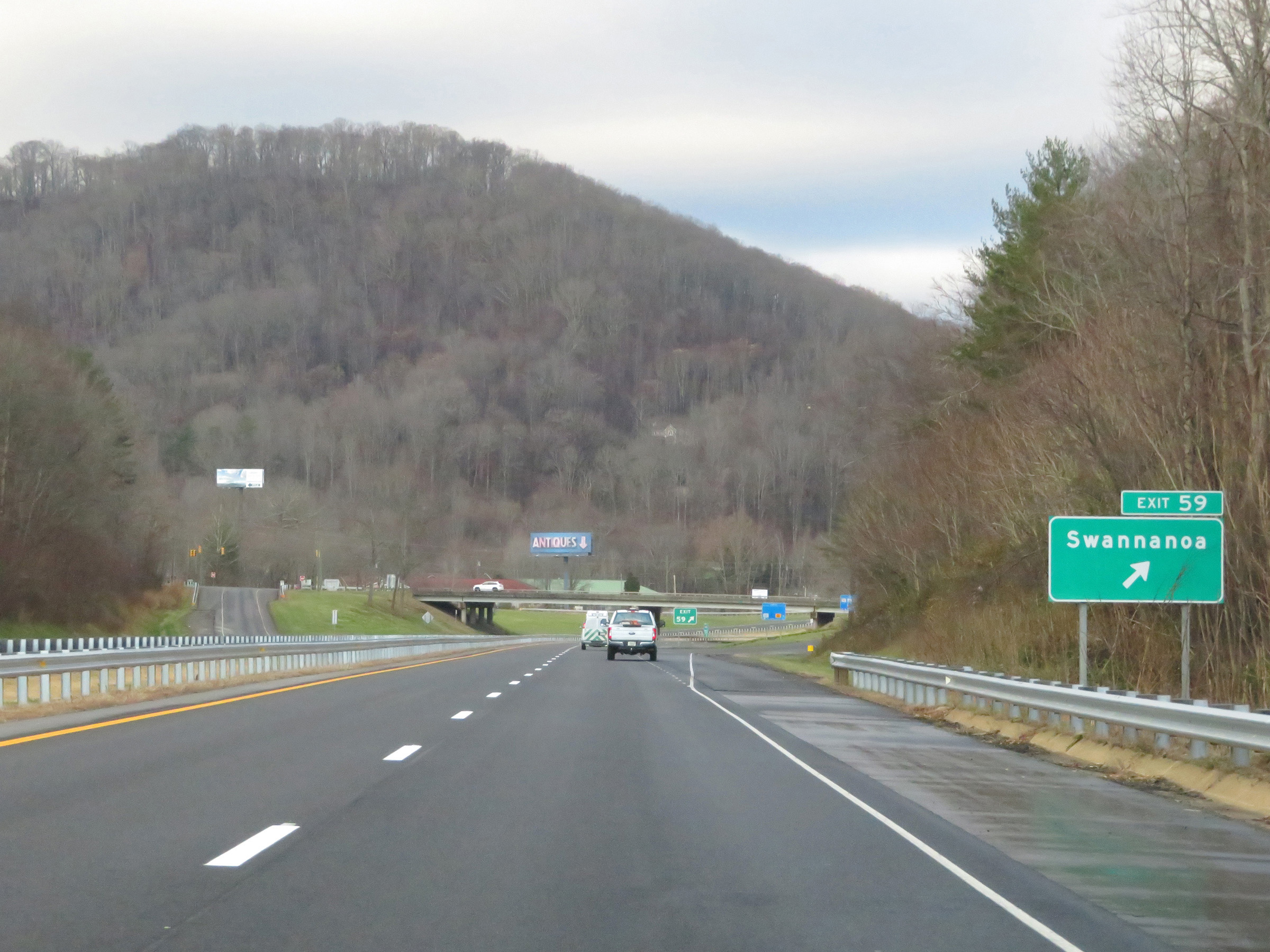 |
Interstate 40 West at Exit 59: Swannanoa (Photo taken 12/5/20). |
 |
The speed limit remains 65 mph on Interstate 40 West. (Photo taken 12/5/20). |
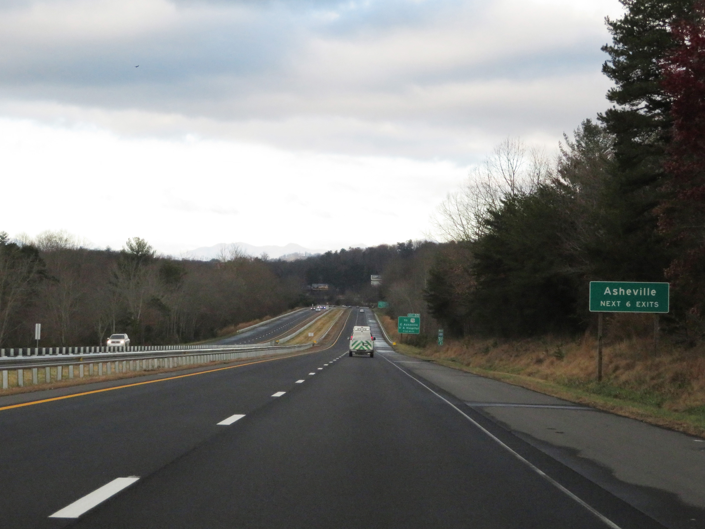 |
Take any of the next 6 exits to Asheville. (Photo taken 12/5/20). |
 |
Take Exit 55 to Billy Graham Training Center at The Cove. (Photo taken 12/5/20). |
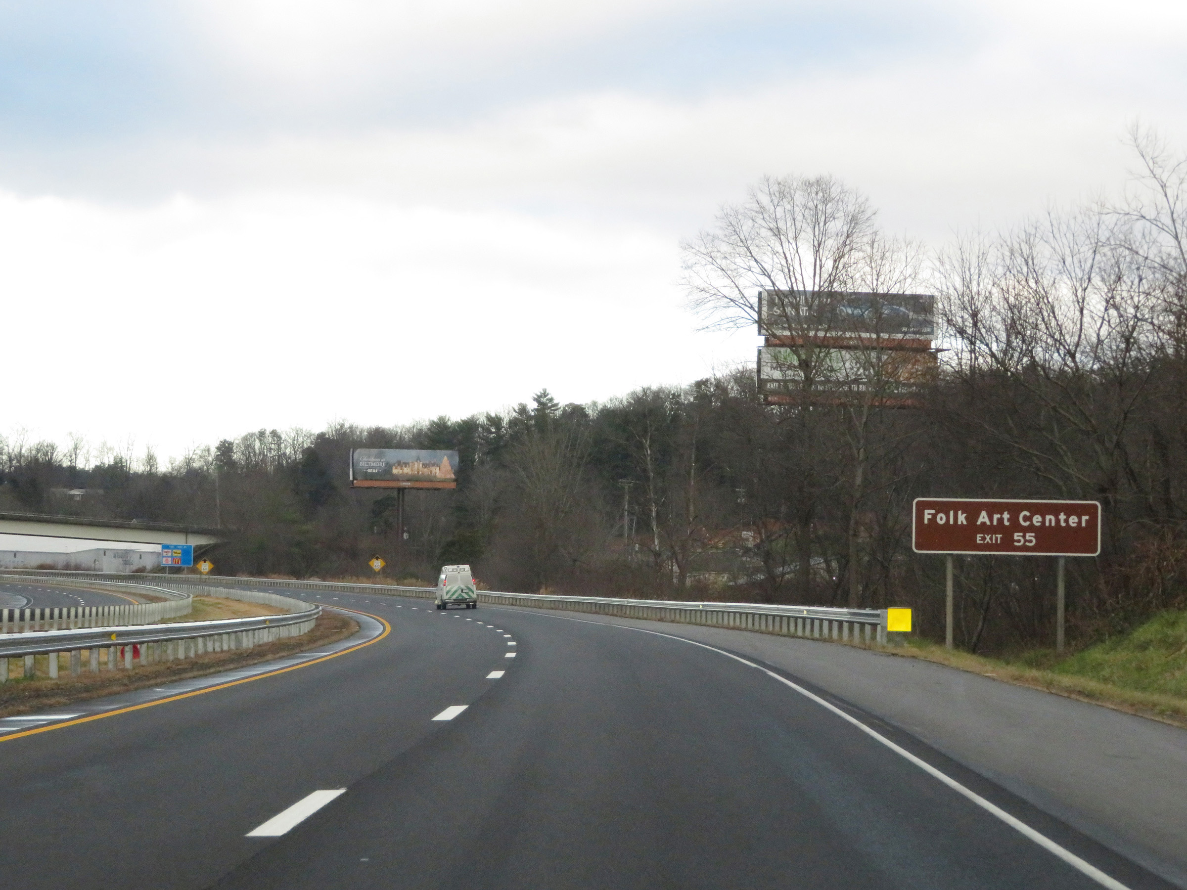 |
Also take Exit 55 to the Folk Art Center. (Photo taken 12/5/20). |
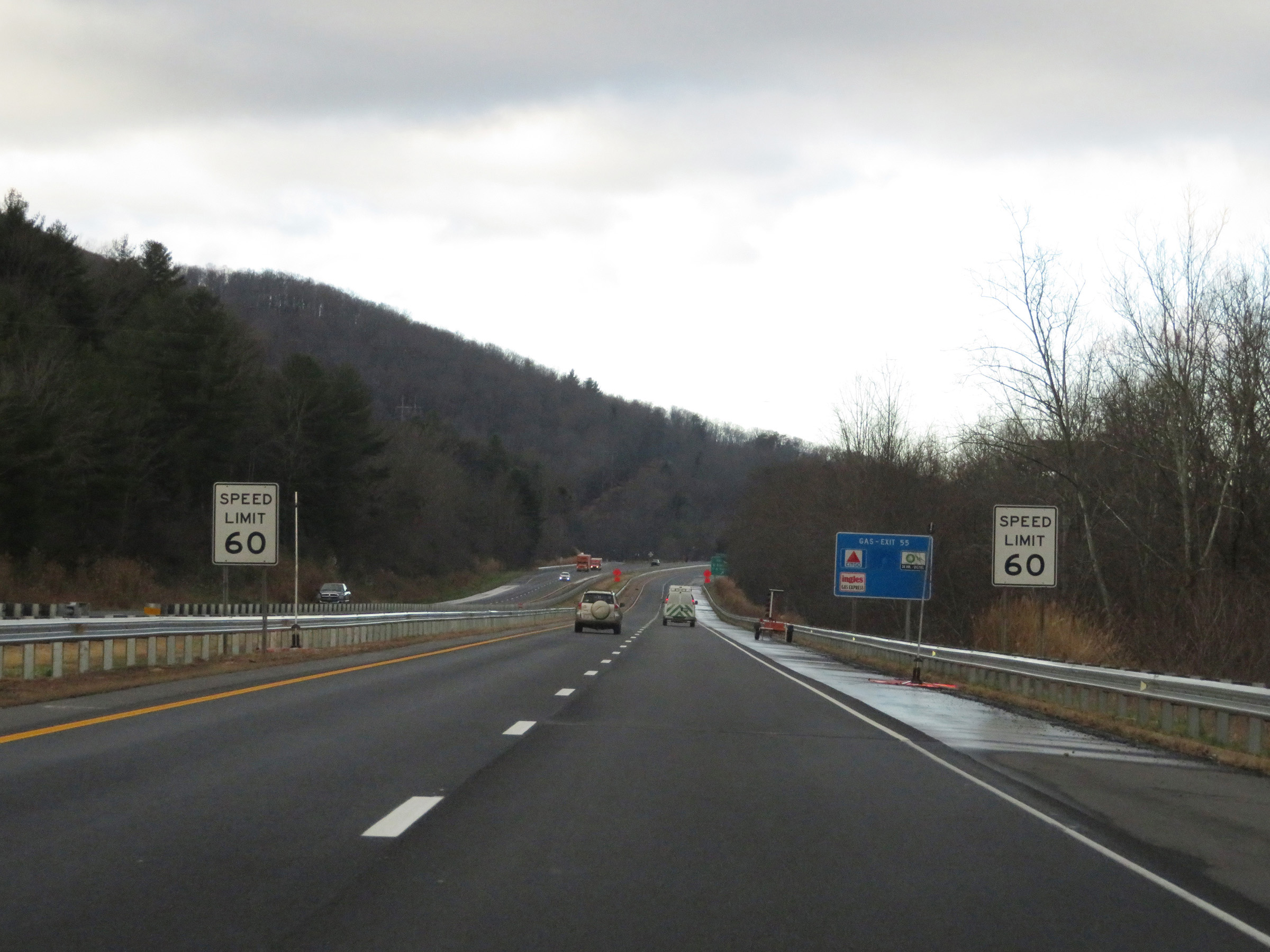 |
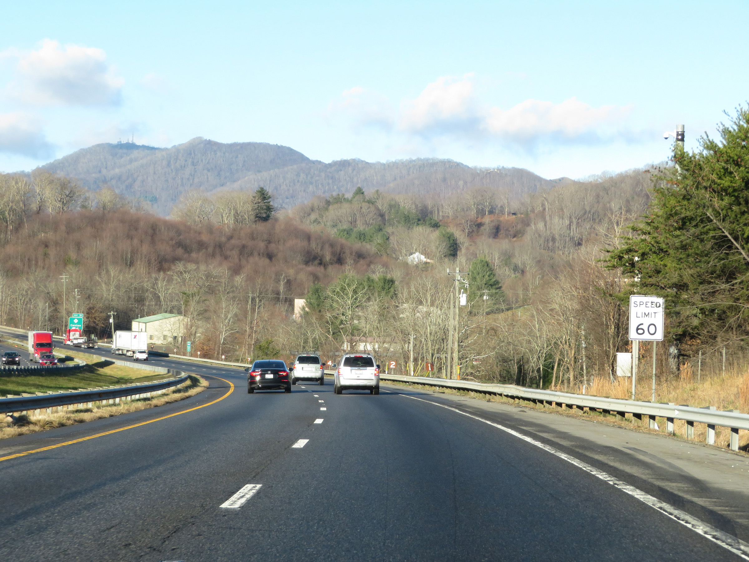
Entering the Asheville area, the speed limit decreases to 60 mph on Interstate 40 West. (Photo taken 12/5/20). |
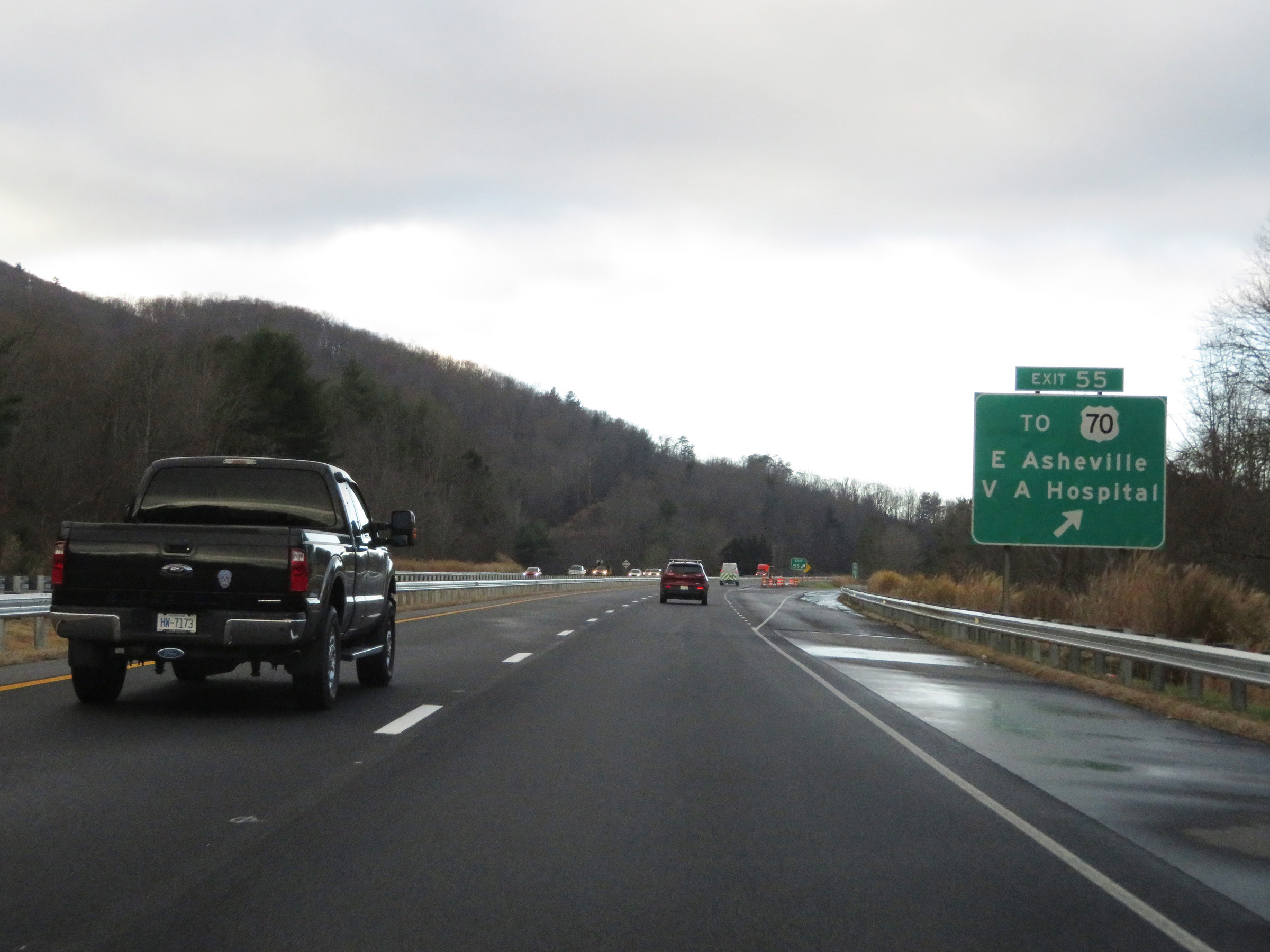 |
Interstate 40 West at Exit 55: To US 70 - East Asheville / VA Hospital (Photo taken 12/5/20). |
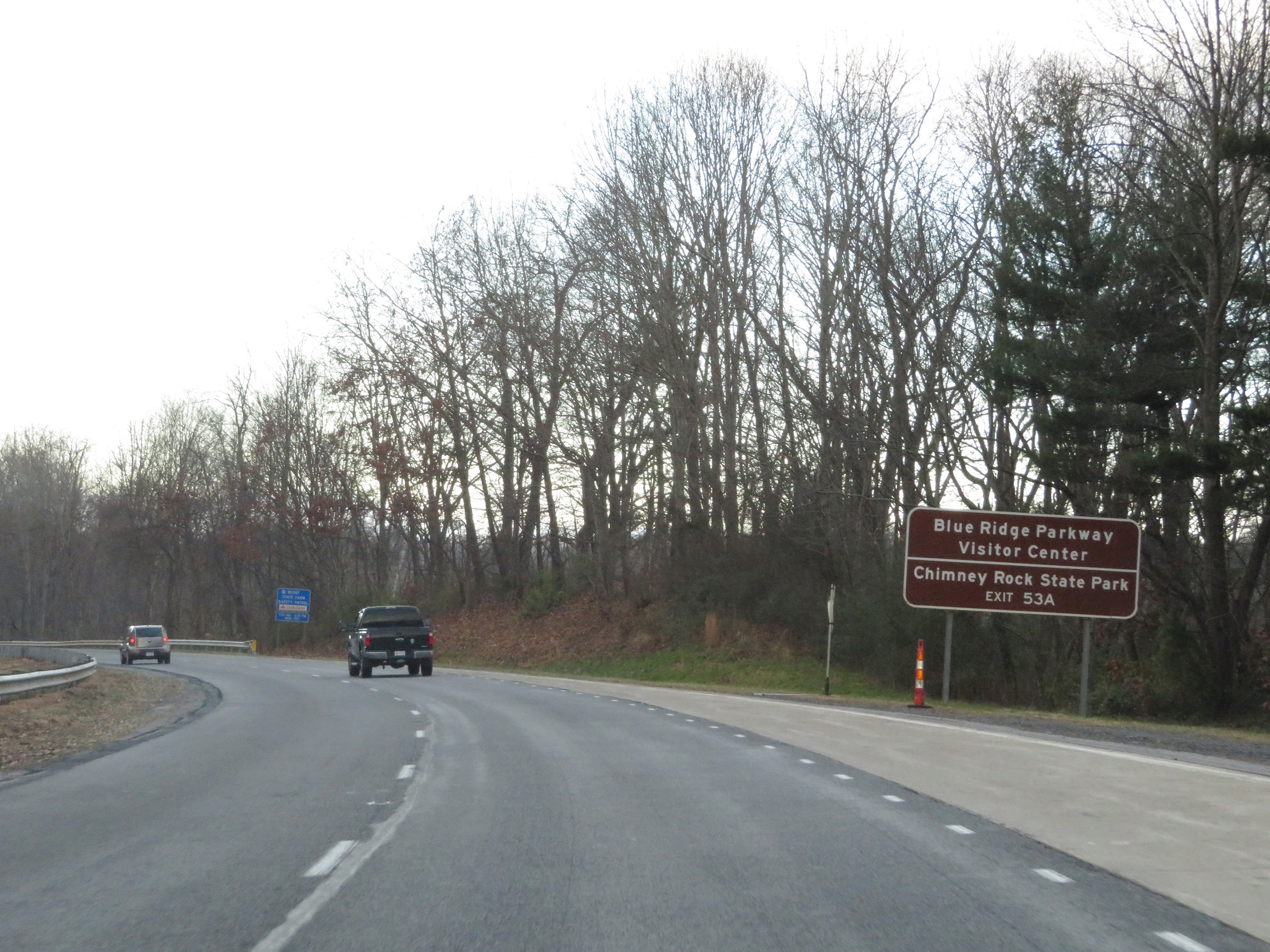 |
Take Exit 53A to the Blue Ridge Parkway Visitor Center and Chimney Rock State Park. (Photo taken 12/5/20). |
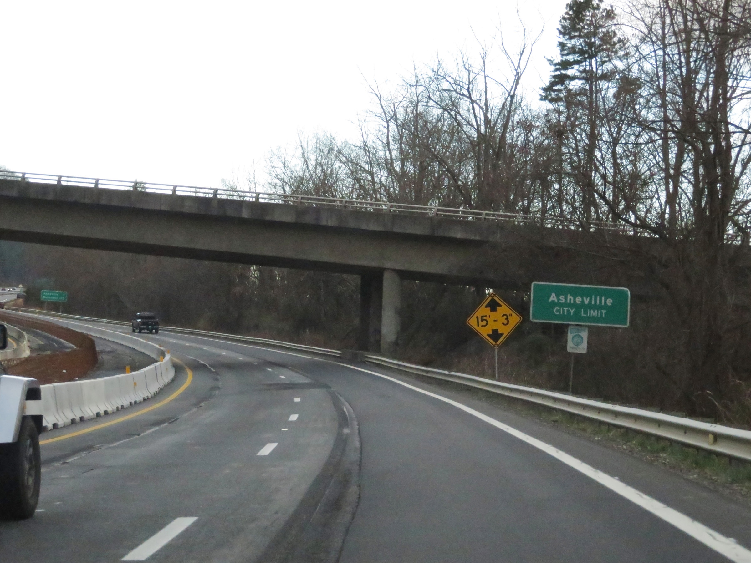 |
Interstate 40 West as it enters the Asheville city limits. (Photo taken 12/5/20). |
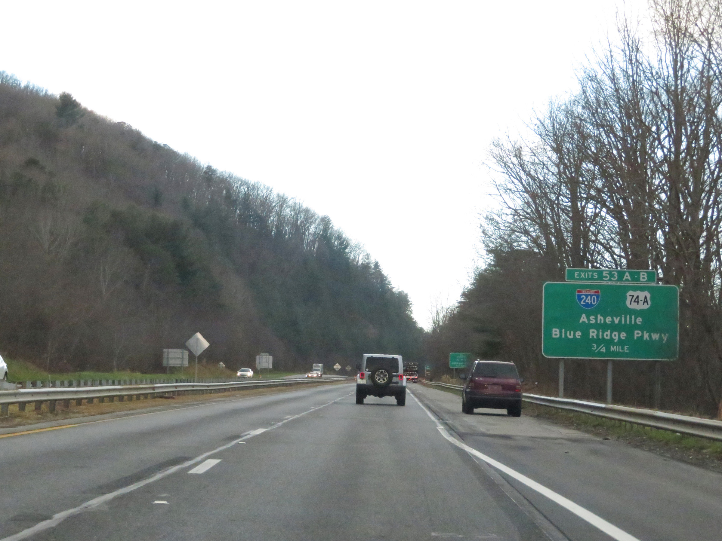 |
Interstate 40 West approaching Exits 53A-B - 3/4 mile. (Photo taken 12/5/20). |
 |
Take Exit 53B (Interstate 240 West) to Future Interstate 26 East toward Johnson City. (Photo taken 12/5/20). |
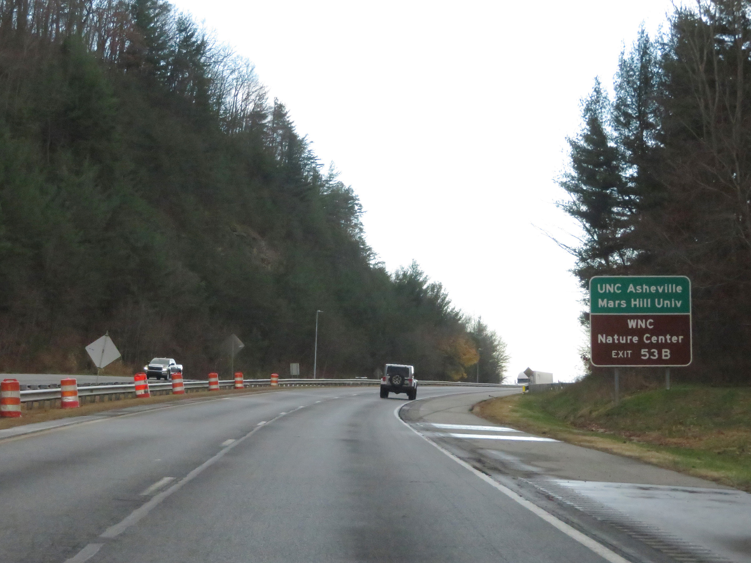 |
Also take Exit 53B (Interstate 240 West) to UNC Asheville, Mars Hill University, and WNC Nature Center. (Photo taken 12/5/20). |
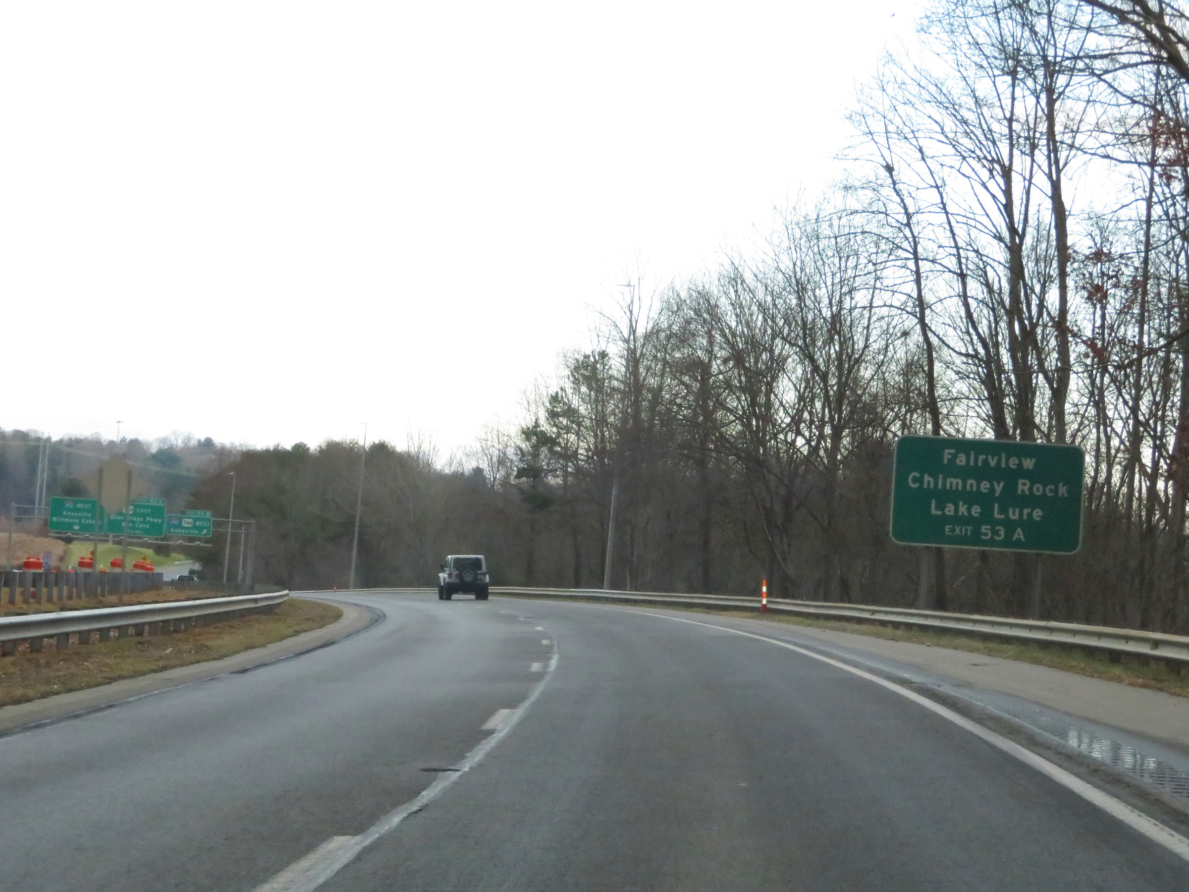 |
Take Exit 53A to Fairview, Chimney Rock, and Lake Lure. (Photo taken 12/5/20). |
 |
Interstate 40 West at Exit 53B: Interstate 240 West / US 74A West - Asheville (Photo taken 12/5/20). |
 |
Interstate 40 West at Exit 53A: US 74A East - Blue Ridge Pkwy / Bat Cave (Photo taken 12/5/20). |
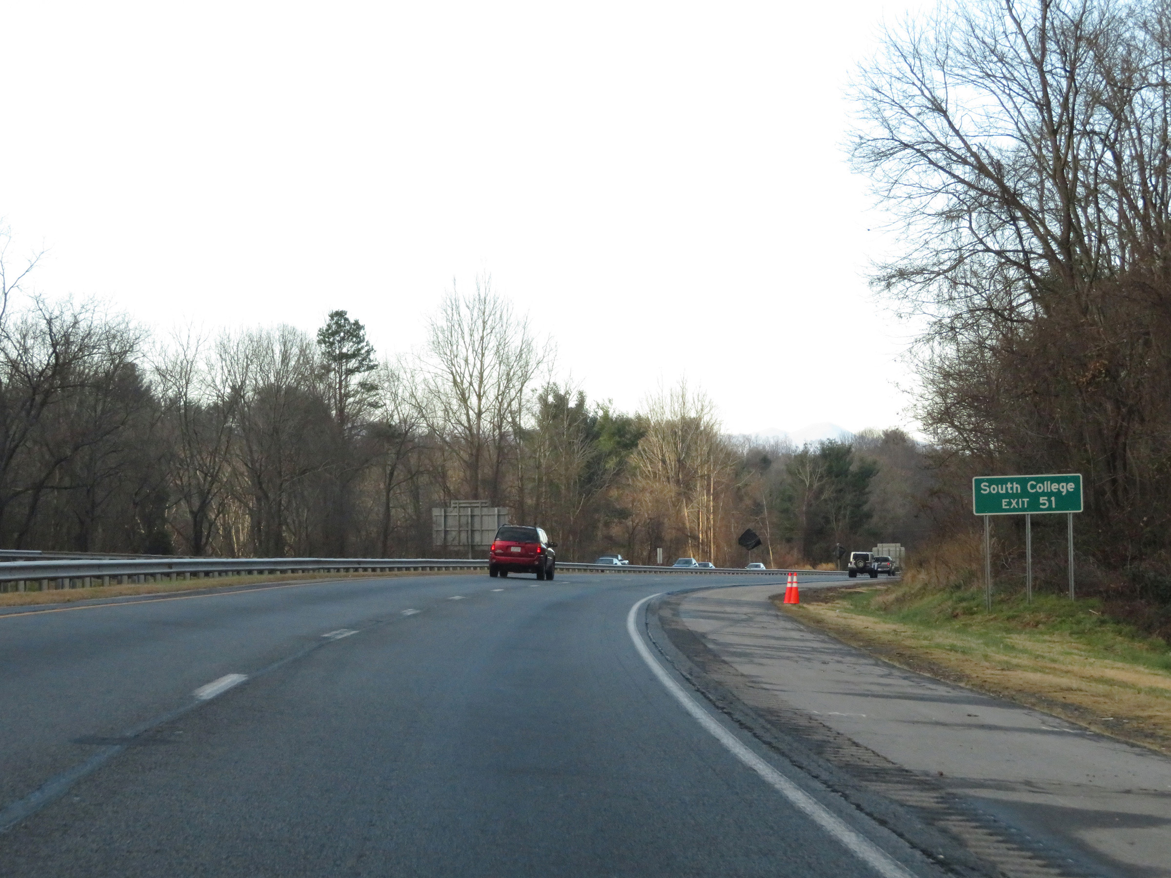 |
Take Exit 51 to South College. (Photo taken 12/5/20). |
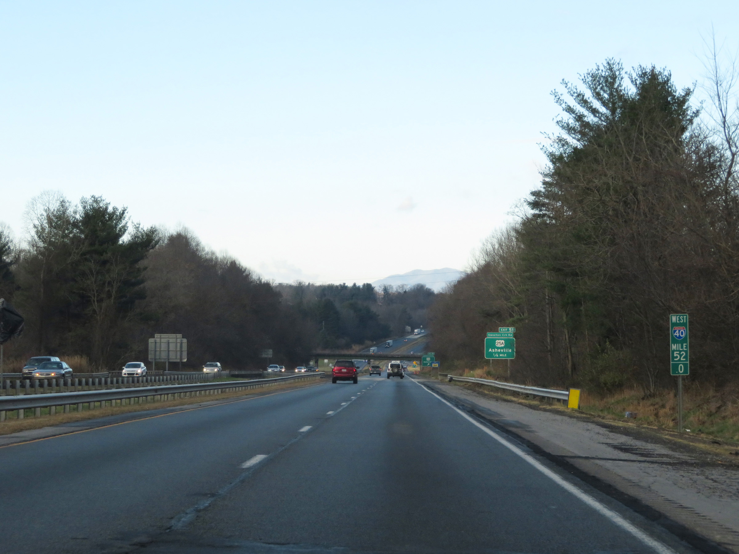 |
View on Interstate 40 West at mile marker 52. (Photo taken 12/5/20). |
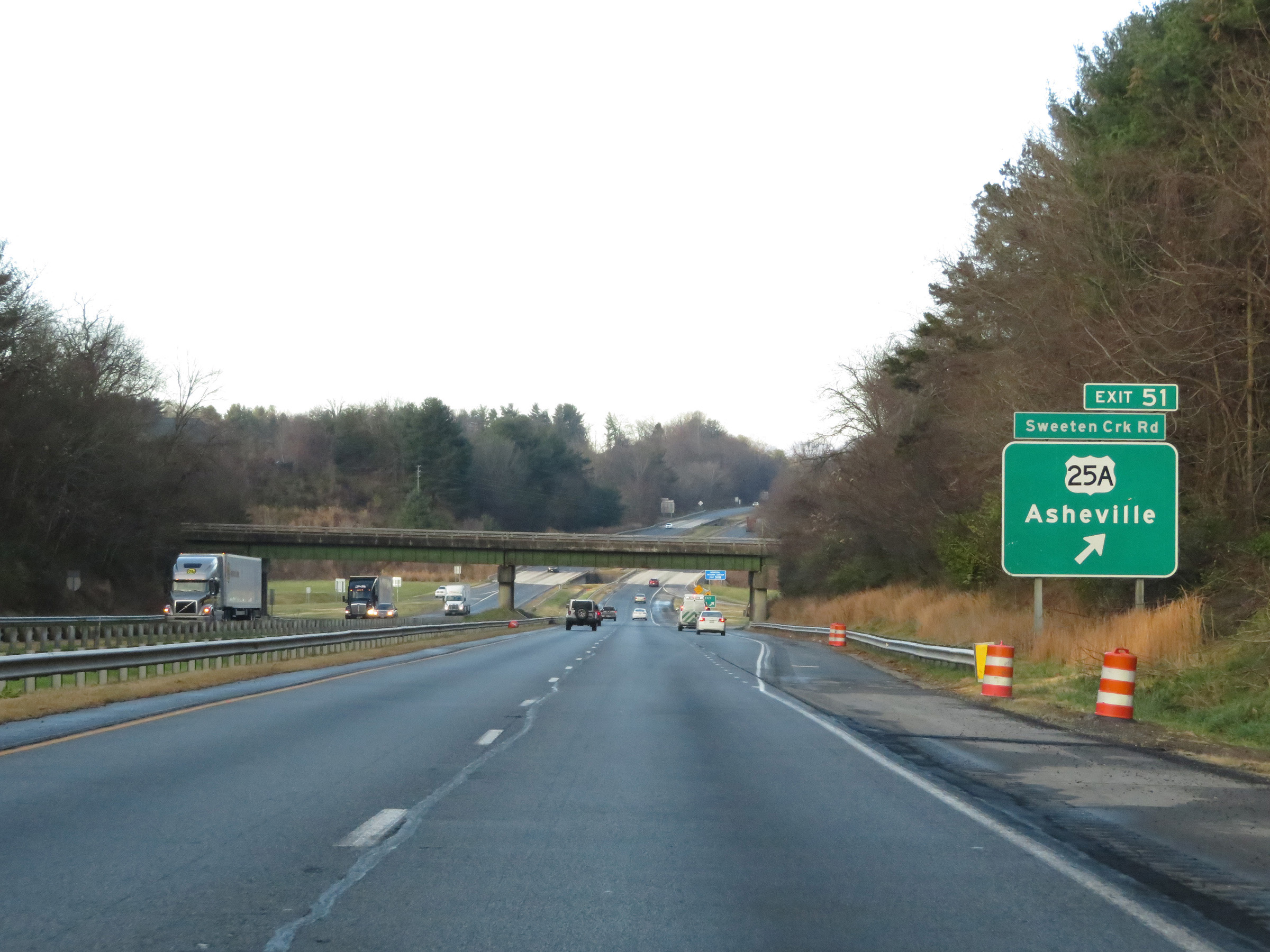 |
Interstate 40 West at Exit 51: US 25A - Asheville (Photo taken 12/5/20). |
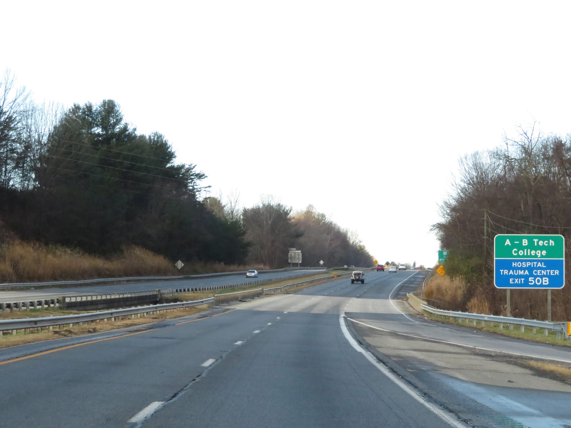 |
Take Exit 50B to Asheville-Buncombe Technical College. (Photo taken 12/5/20). |
 |
Interstate 40 West at Exit 50B: US 25 North - Asheville / Biltmore Estate (Photo taken 12/5/20). |
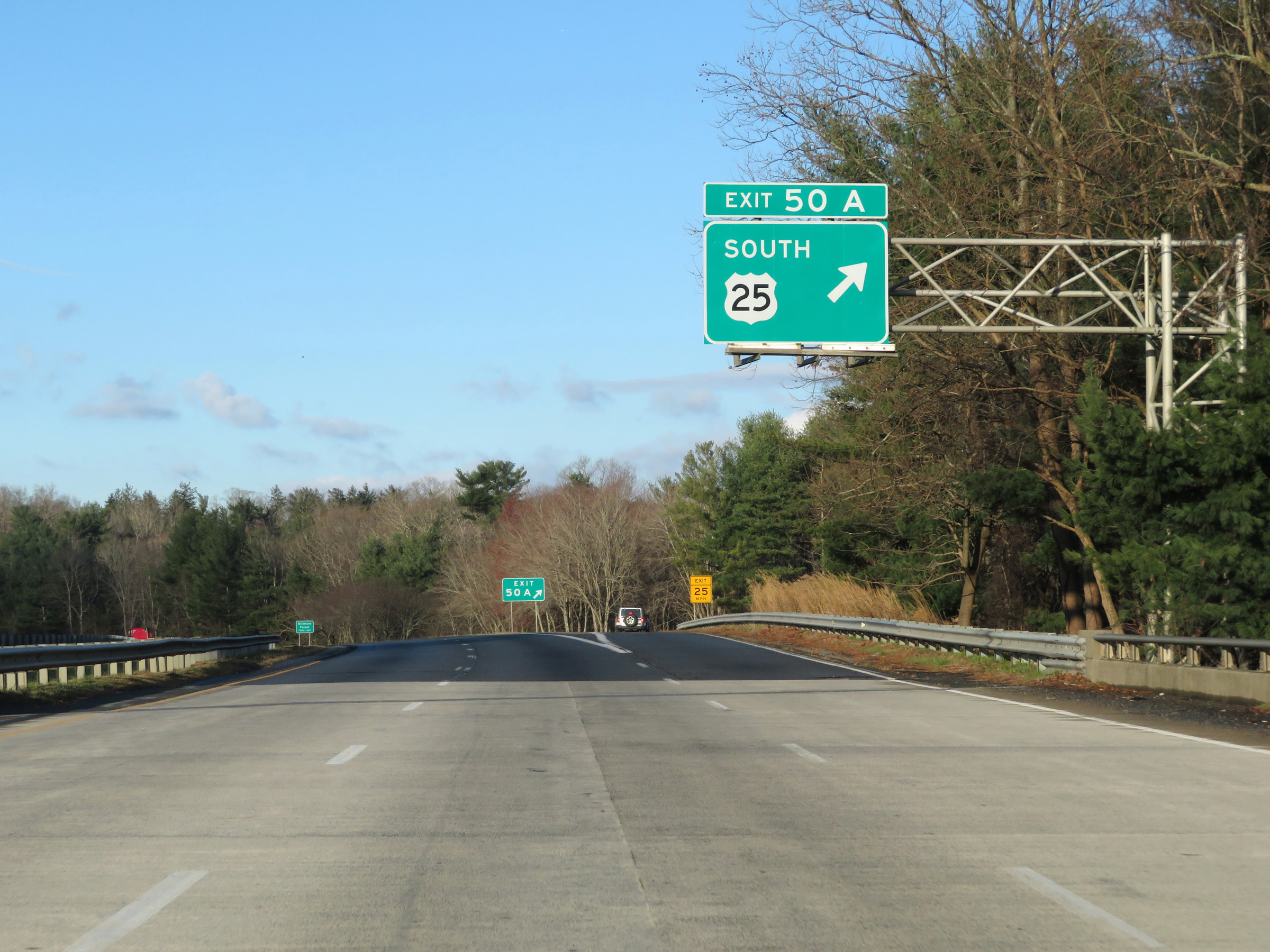 |
Interstate 40 West at Exit 50A: US 25 South (Photo taken 12/5/20). |
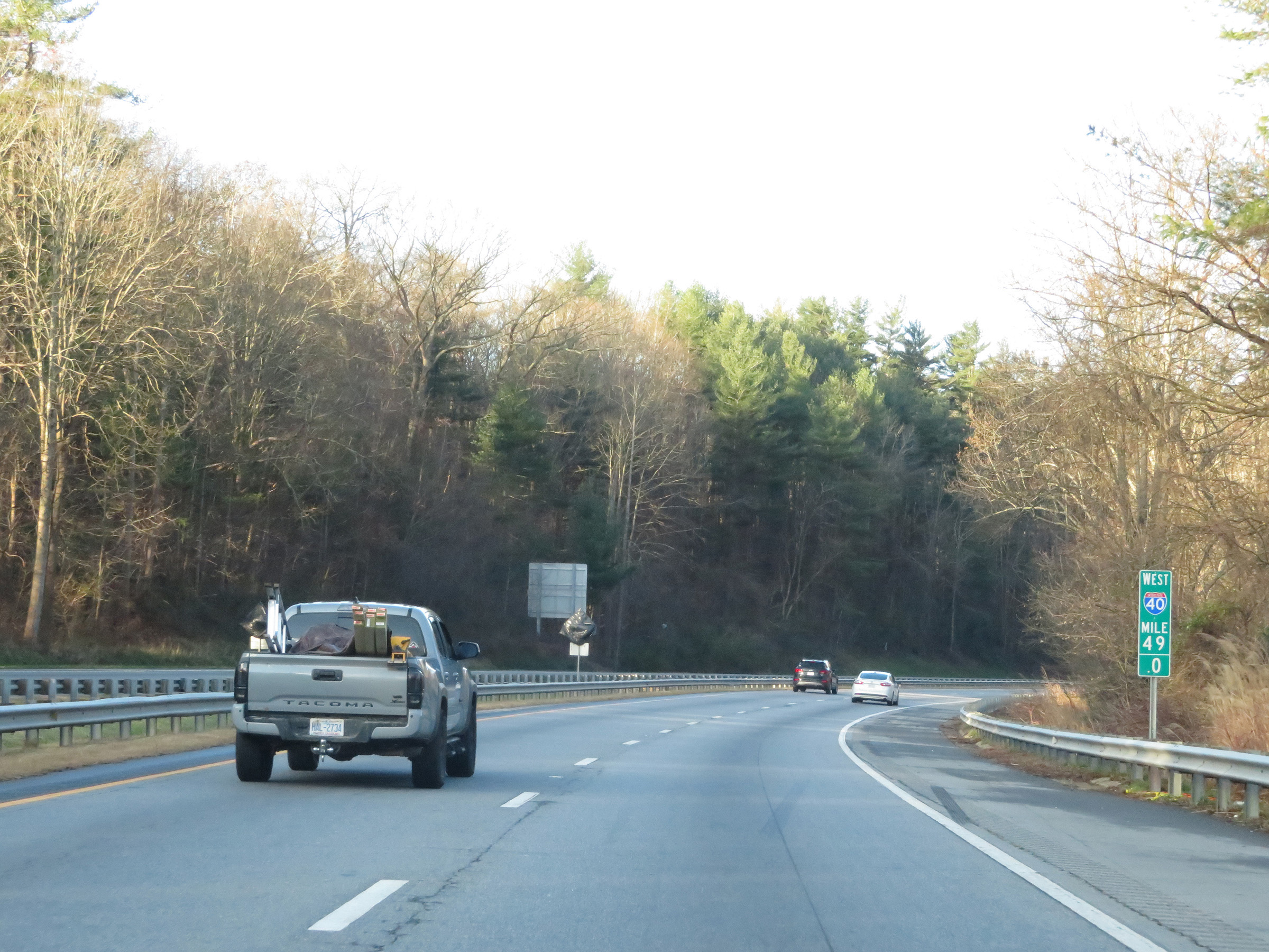 |
View on Interstate 40 West at mile marker 49. (Photo taken 12/5/20). |
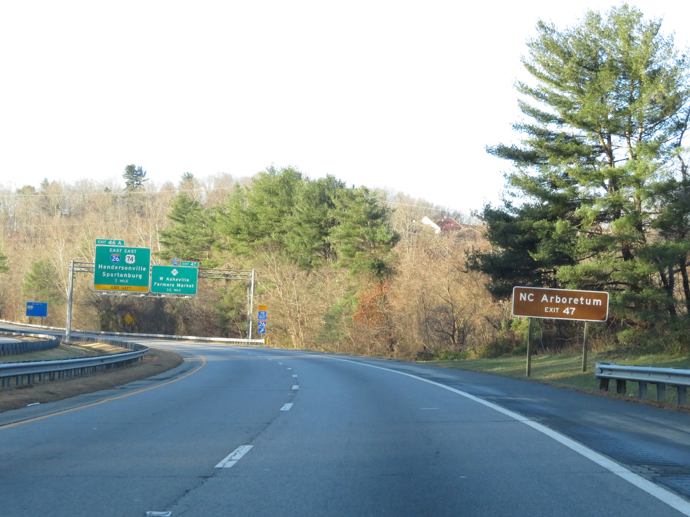 |
Take Exit 47 to North Carolina Arboretum. (Photo taken 12/5/20). |
 |
Interstate 40 West approaching Exit 46A - 1 mile on the left. (Photo taken 12/5/20). |
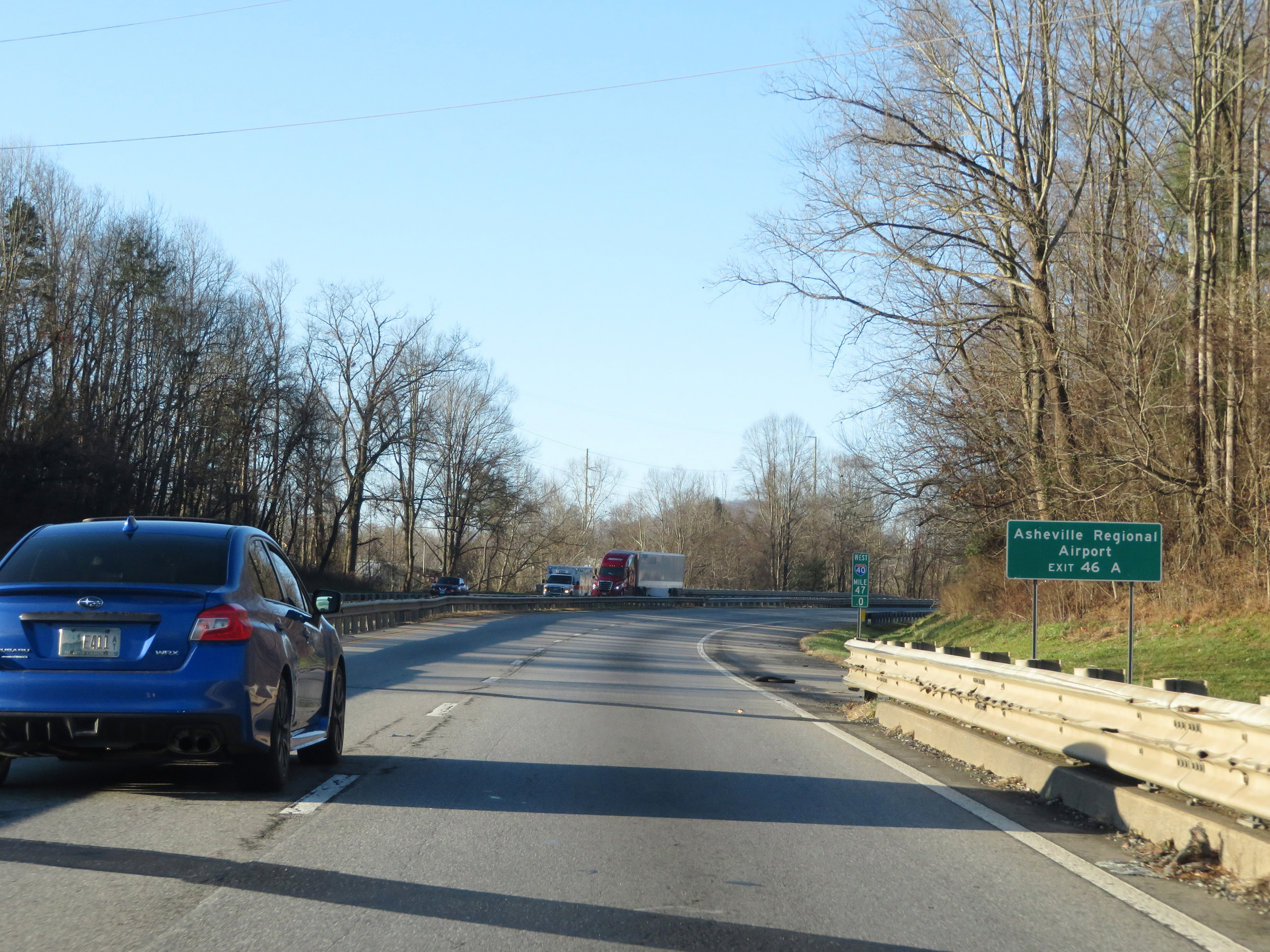 |
Take Exit 46A (Interstate 26 East) to Asheville Regional Airport. (Photo taken 12/5/20). |
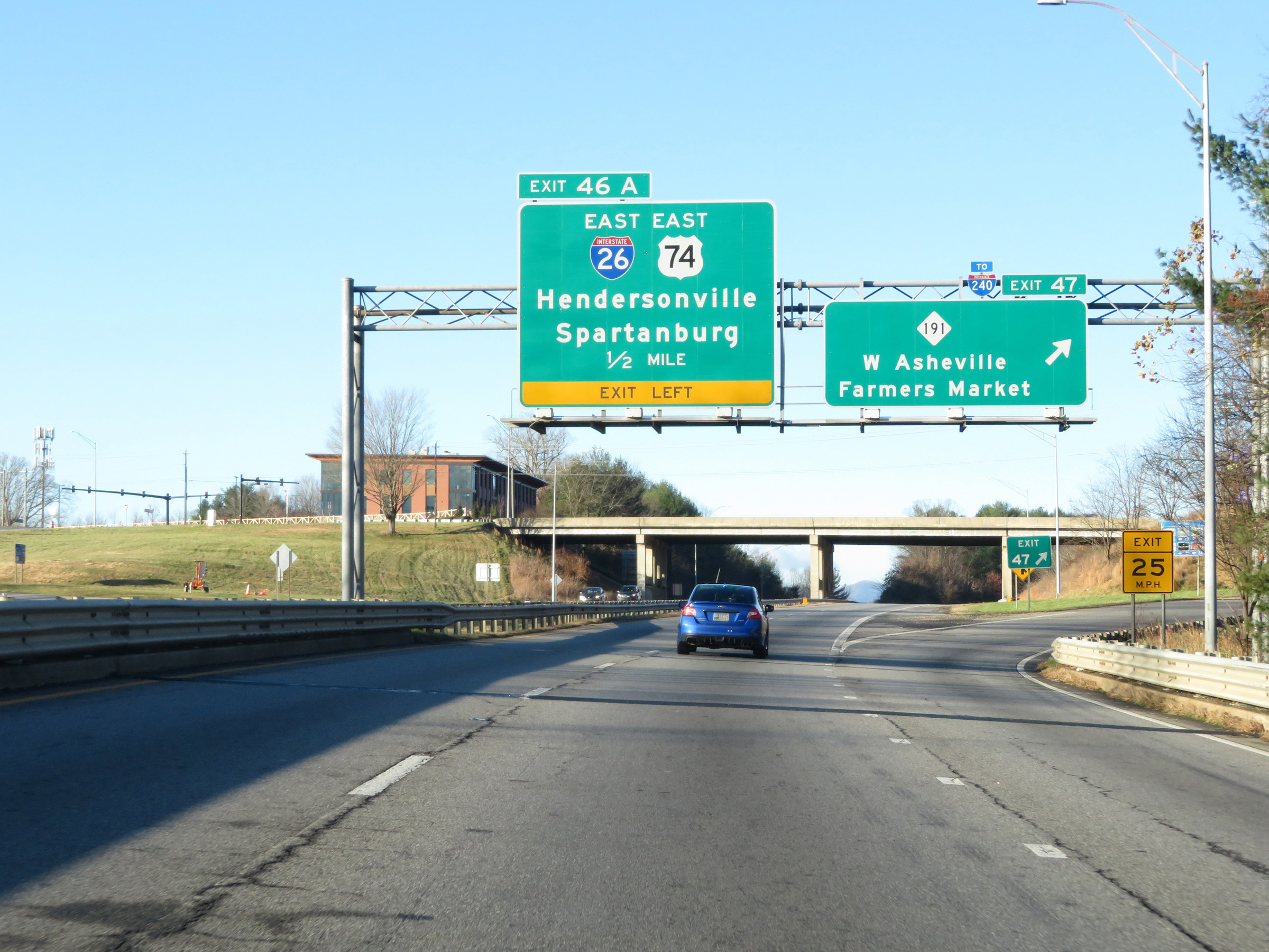 |
Interstate 40 West at Exit 47: NC 191 - West Asheville / Farmers Market (Photo taken 12/5/20). |
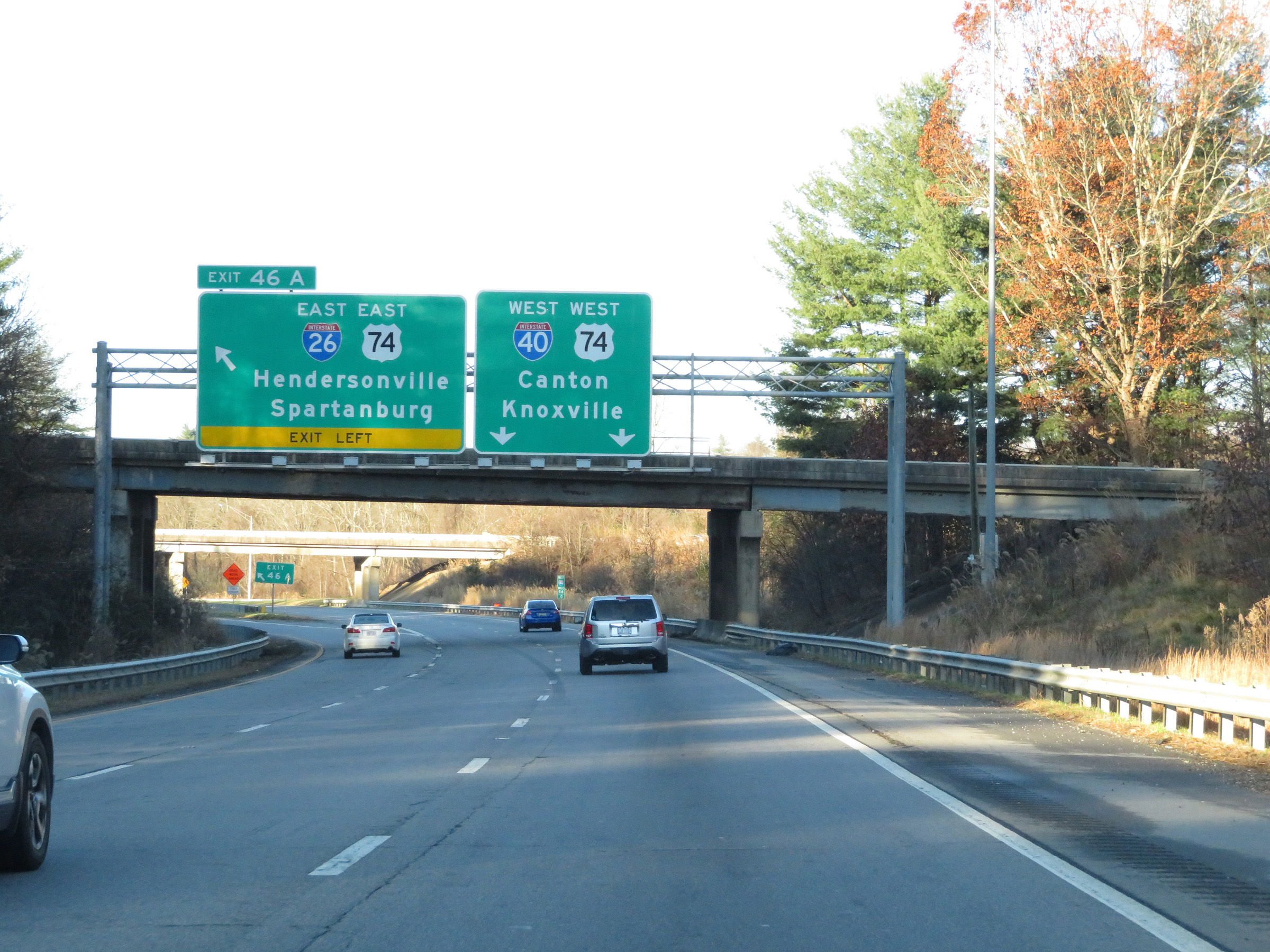 |
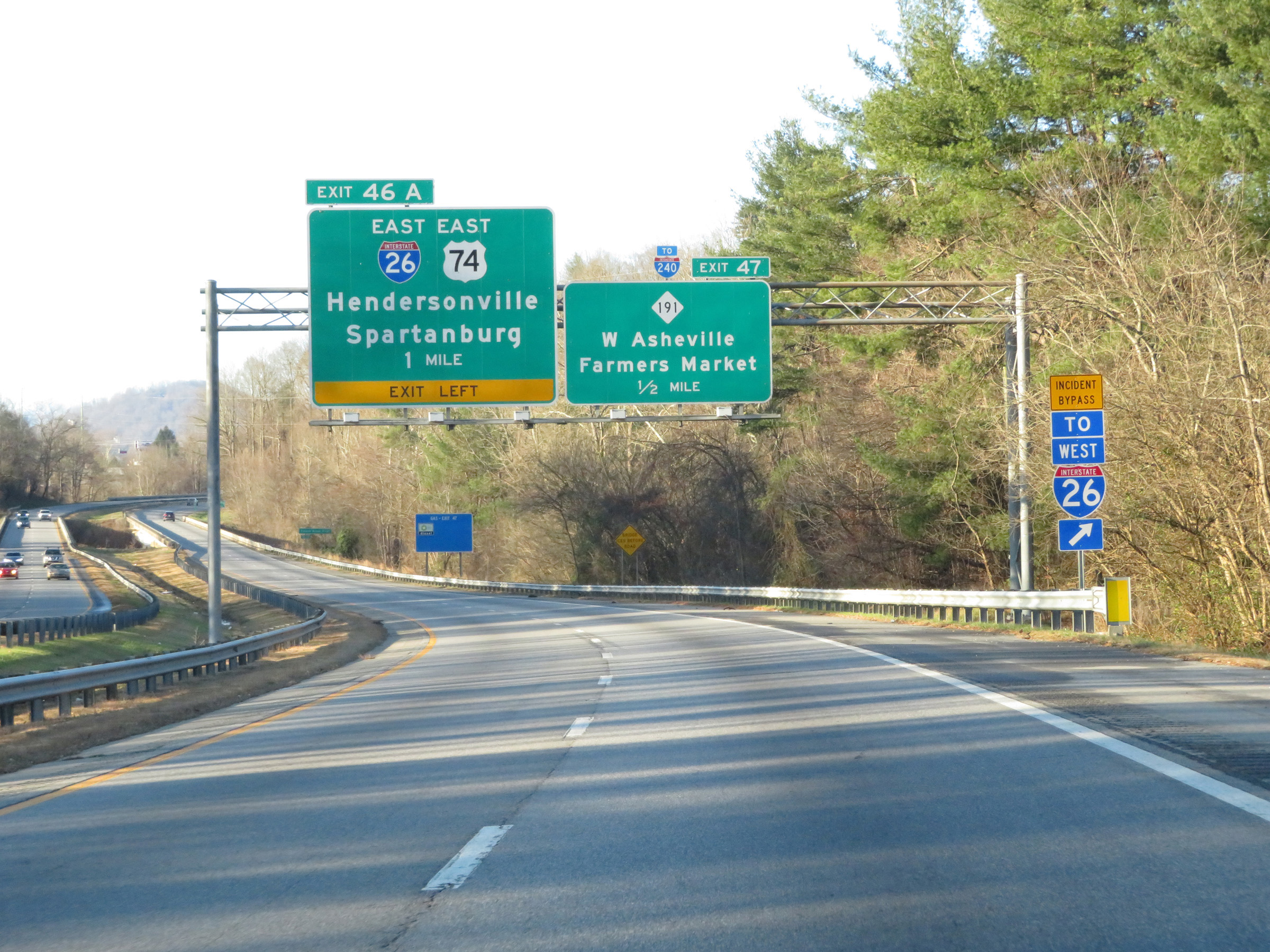
Interstate 40 West at Exit 46A: Interstate 26 East / US 74 East - Hendersonville / Spartanburg (Photo taken 12/5/20). |
 |
A closer view of the ramp to Interstate 26 East via Exit 46A. (Photo taken 12/5/20). |
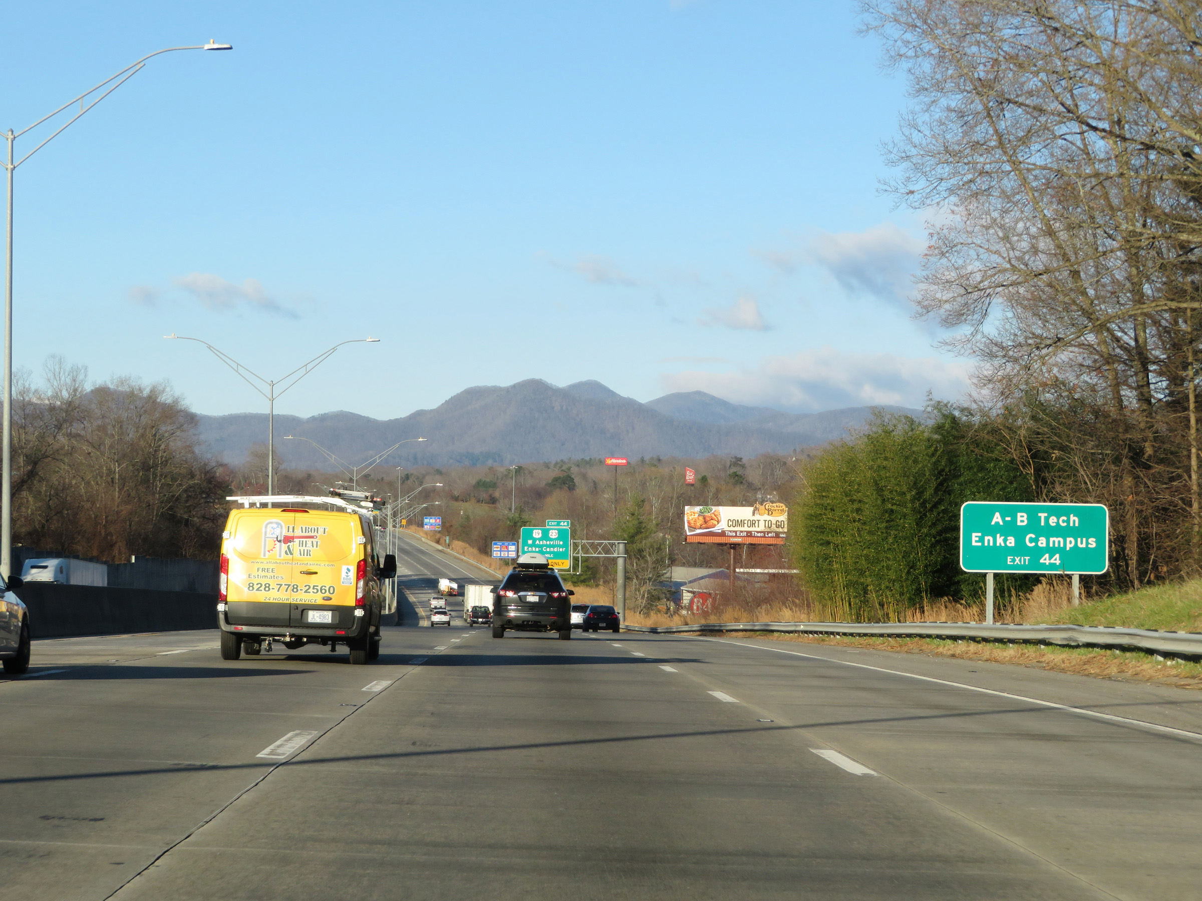 |
Take Exit 44 to Asheville-Buncombe Technical College Enka Campus. (Photo taken 12/5/20). |
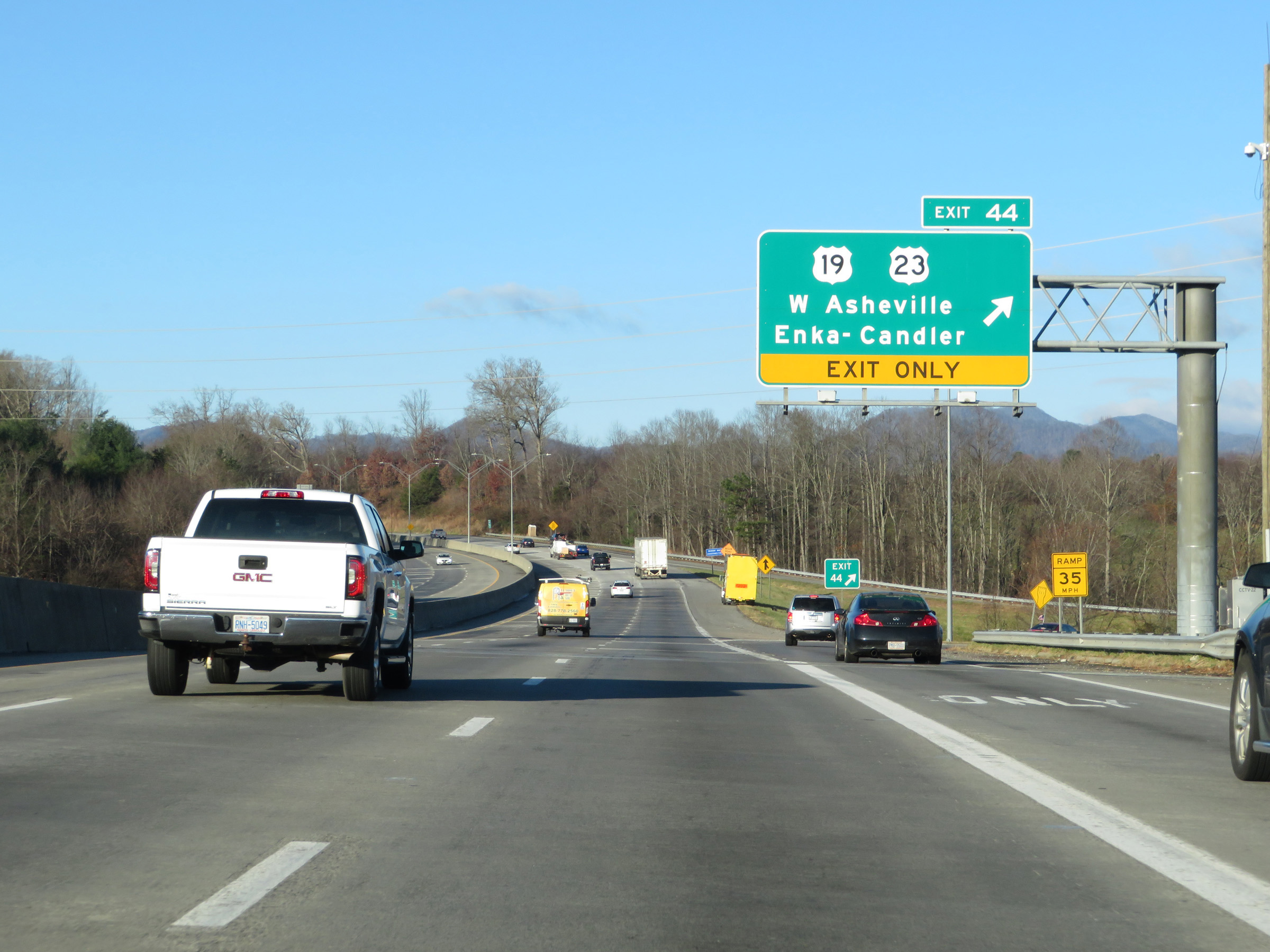 |
Interstate 40 West at Exit 44: US 19 / US 23 - West Asheville / Enka / Candler (Photo taken 12/5/20). |
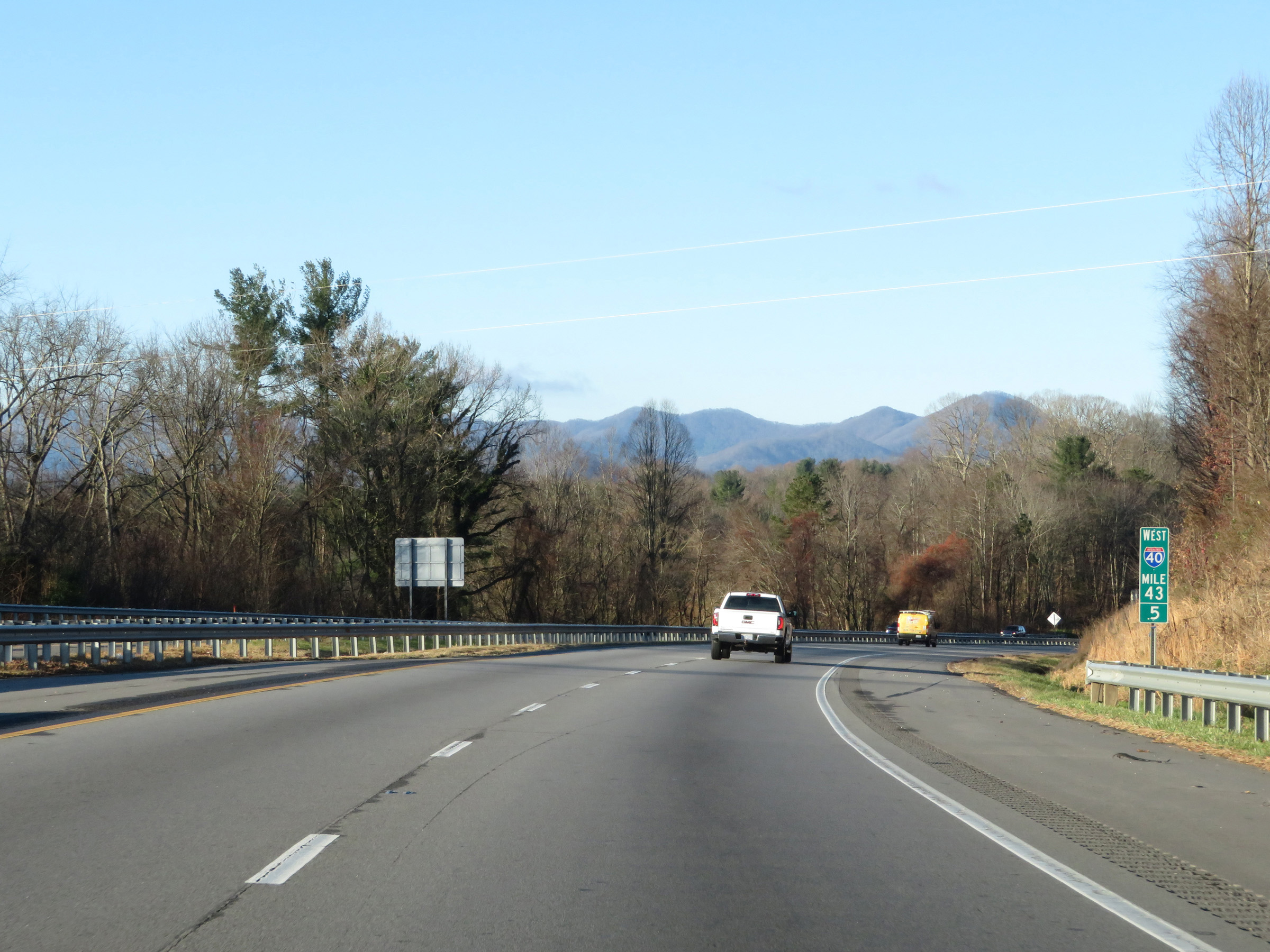 |
View on Interstate 40 West at mile marker 43.5. (Photo taken 12/5/20). |
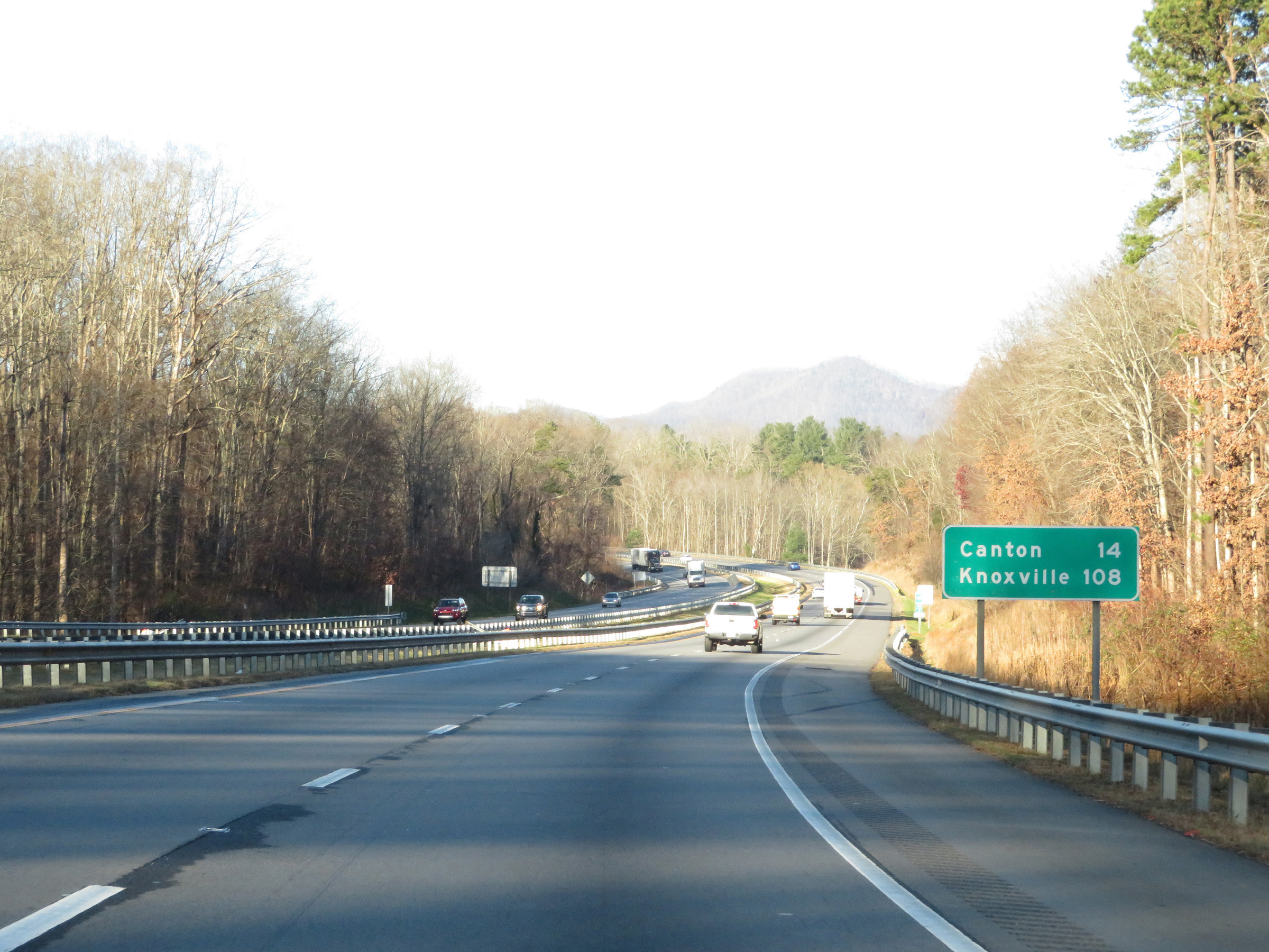 |
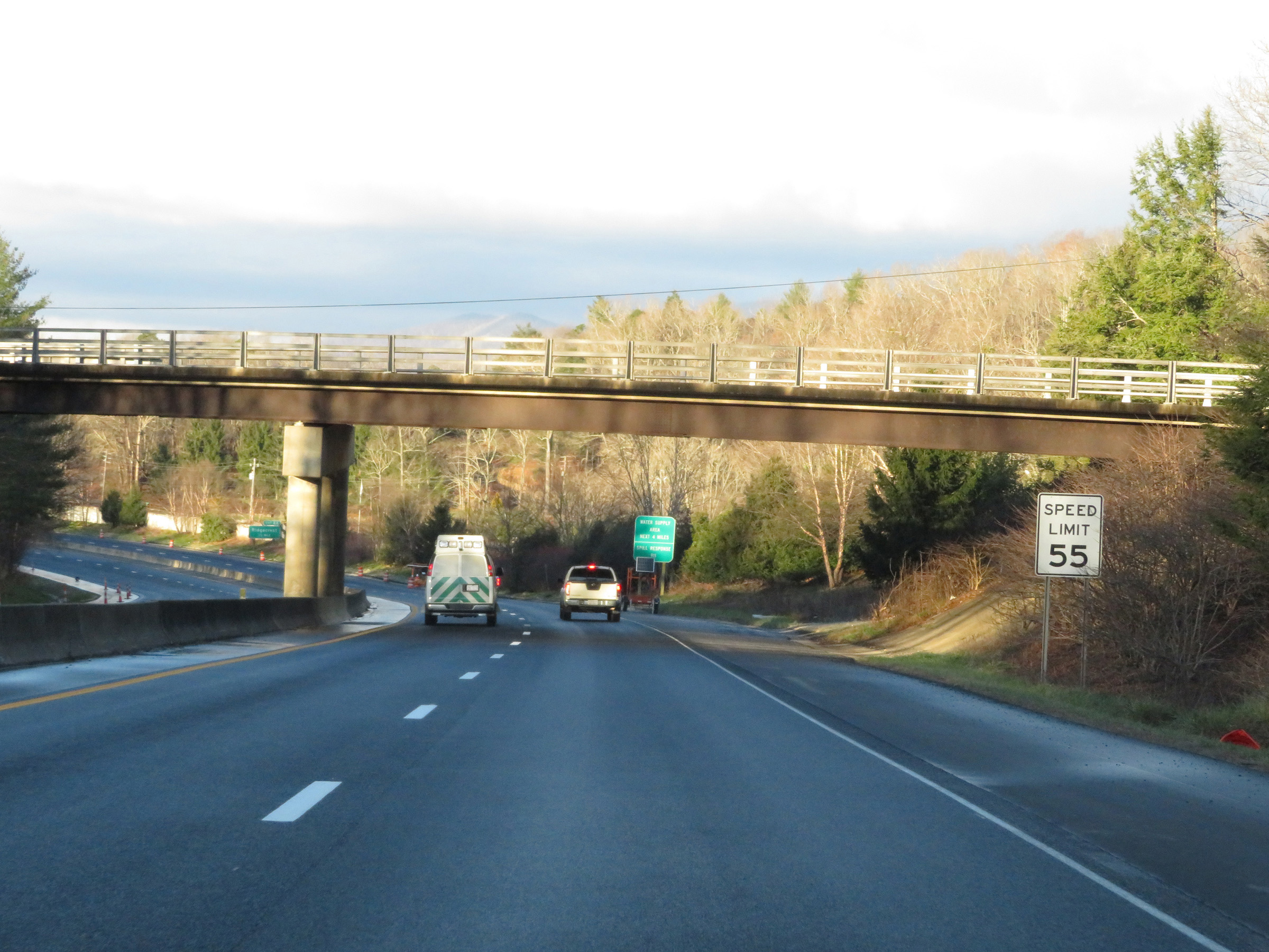
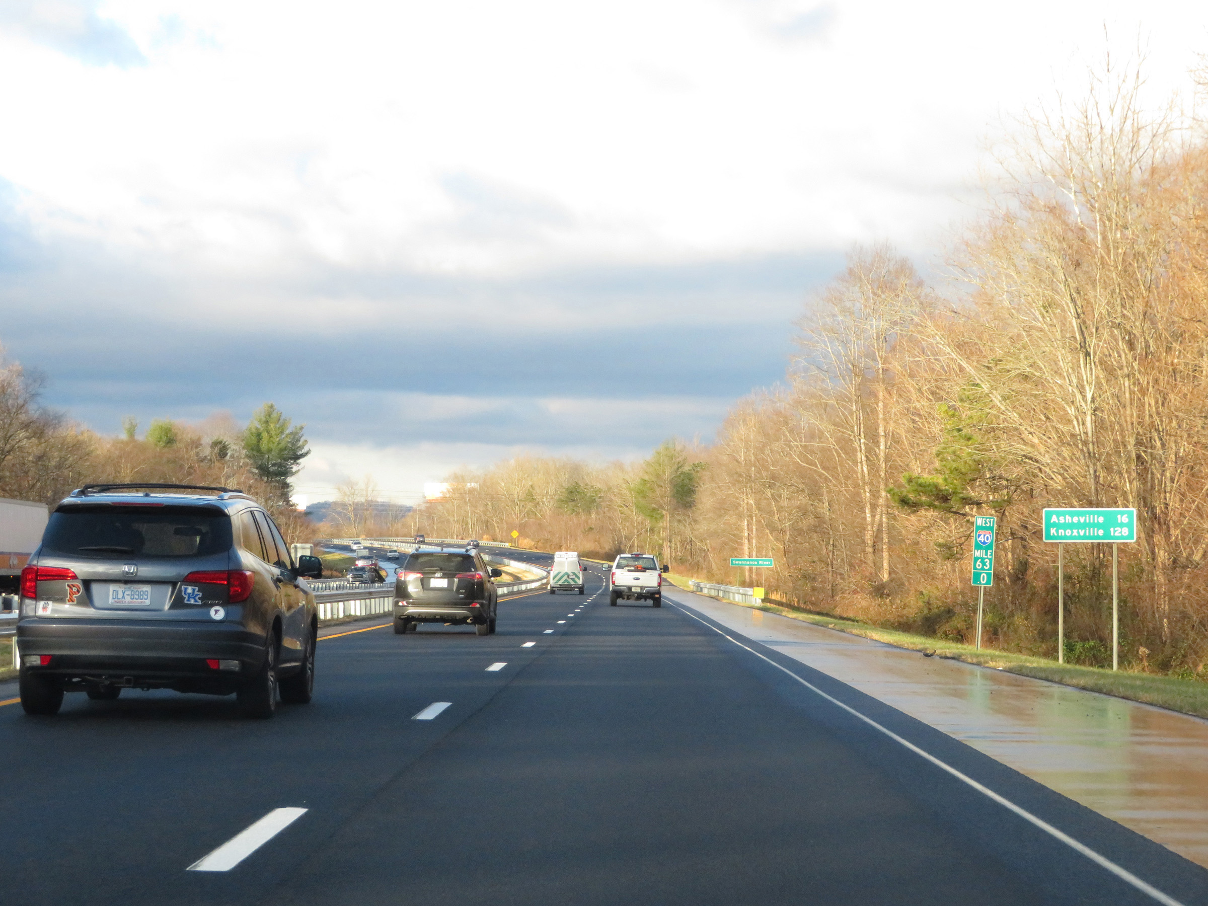
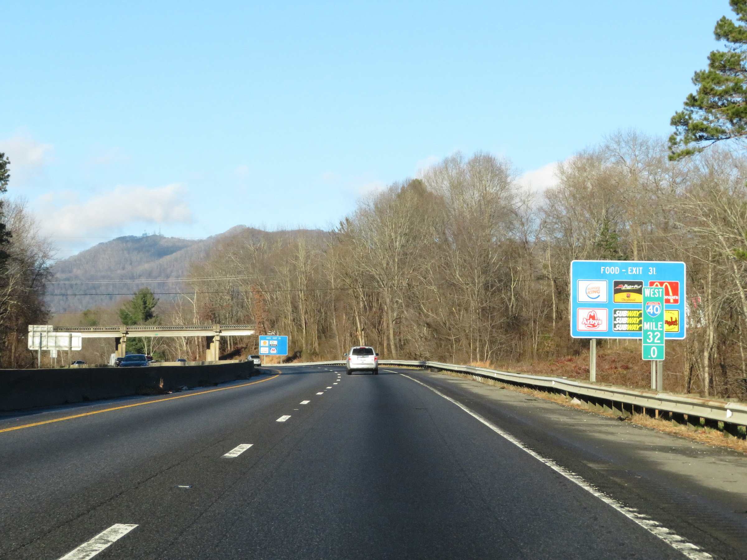
Mileage sign on Interstate 40 West. It's 14 miles to Canton and 108 miles to Knoxville. (Photo taken 12/5/20). |
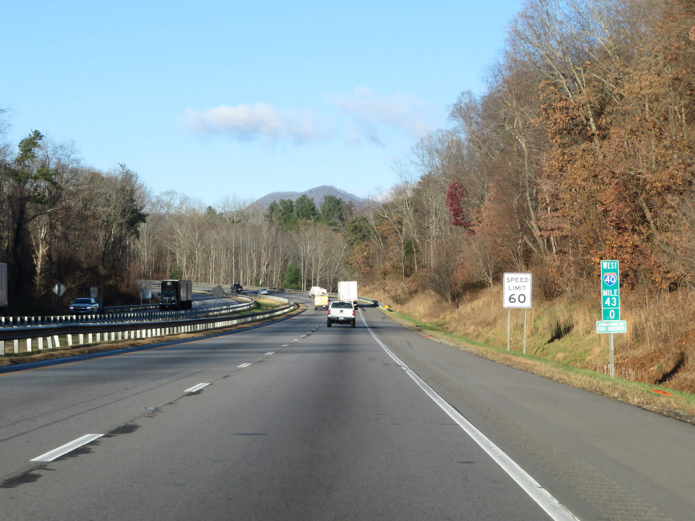 |
Mile marker 43 on Interstate 40 West in Buncombe County. The speed limit remains 60 mph. (Photo taken 12/5/20). |
 |
View on Interstate 40 West at mile marker 42. (Photo taken 12/5/20). |
 |
Weigh Station on Interstate 40 West in Buncombe County. (Photo taken 12/5/20). |
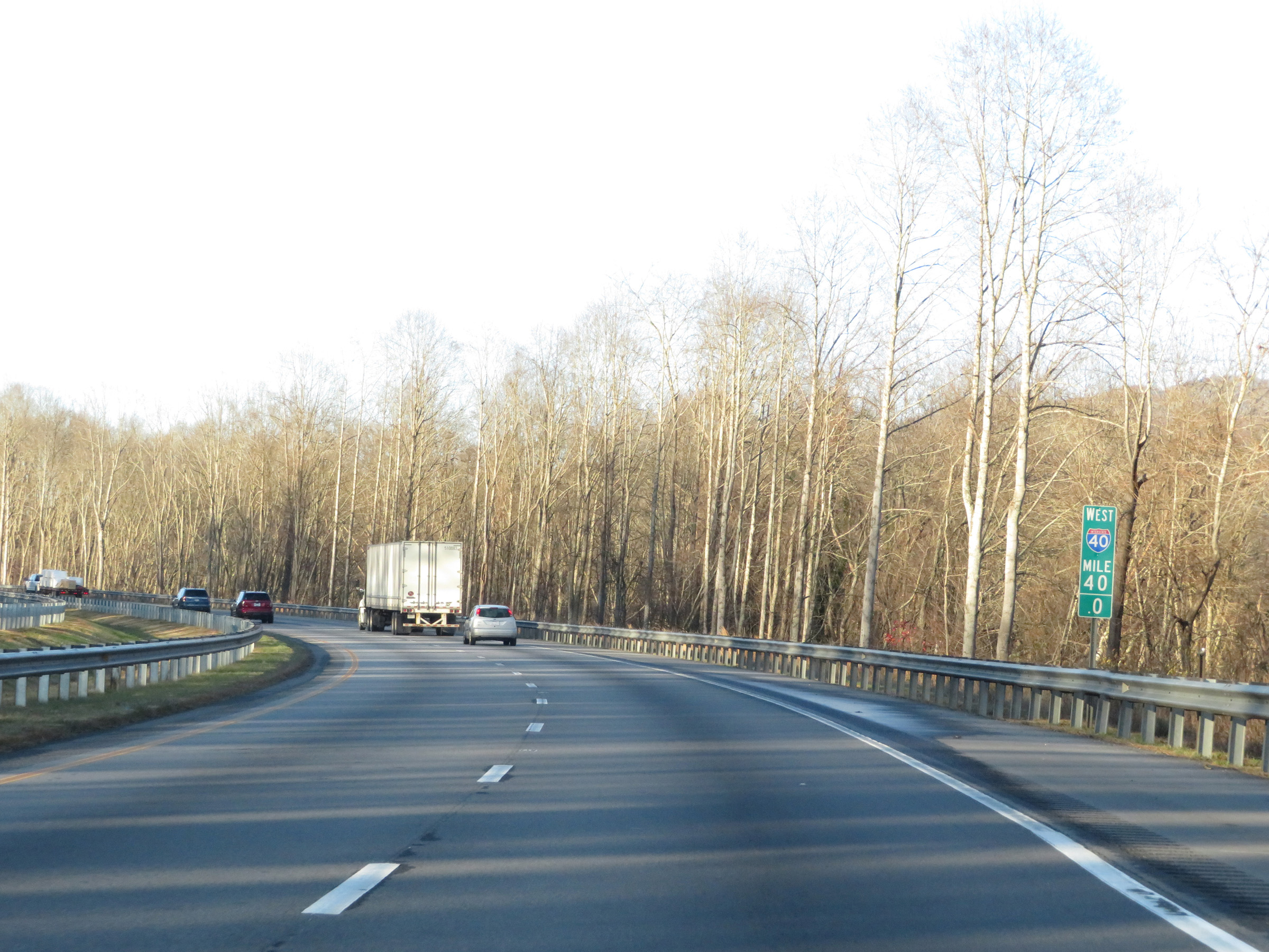 |
Interstate 40 West at mile marker 40. (Photo taken 12/5/20). |
 |
View on Interstate 40 West at mile marker 38. (Photo taken 12/5/20). |
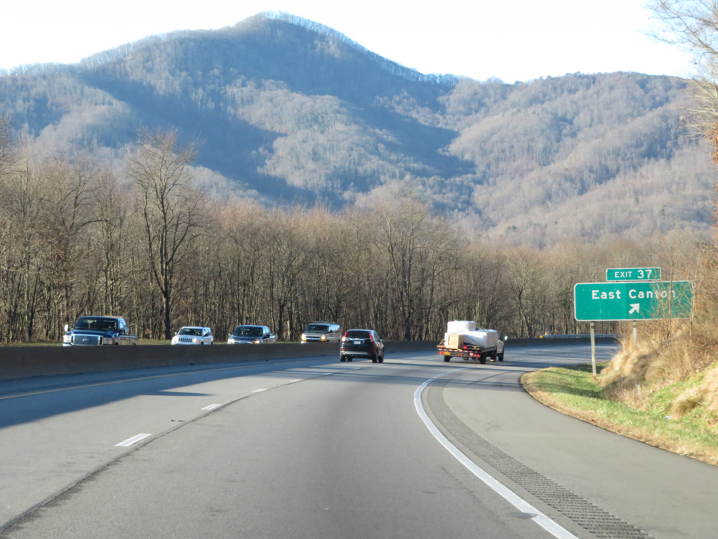 |
Interstate 40 East at Exit 37: East Canton (Photo taken 12/5/20). |
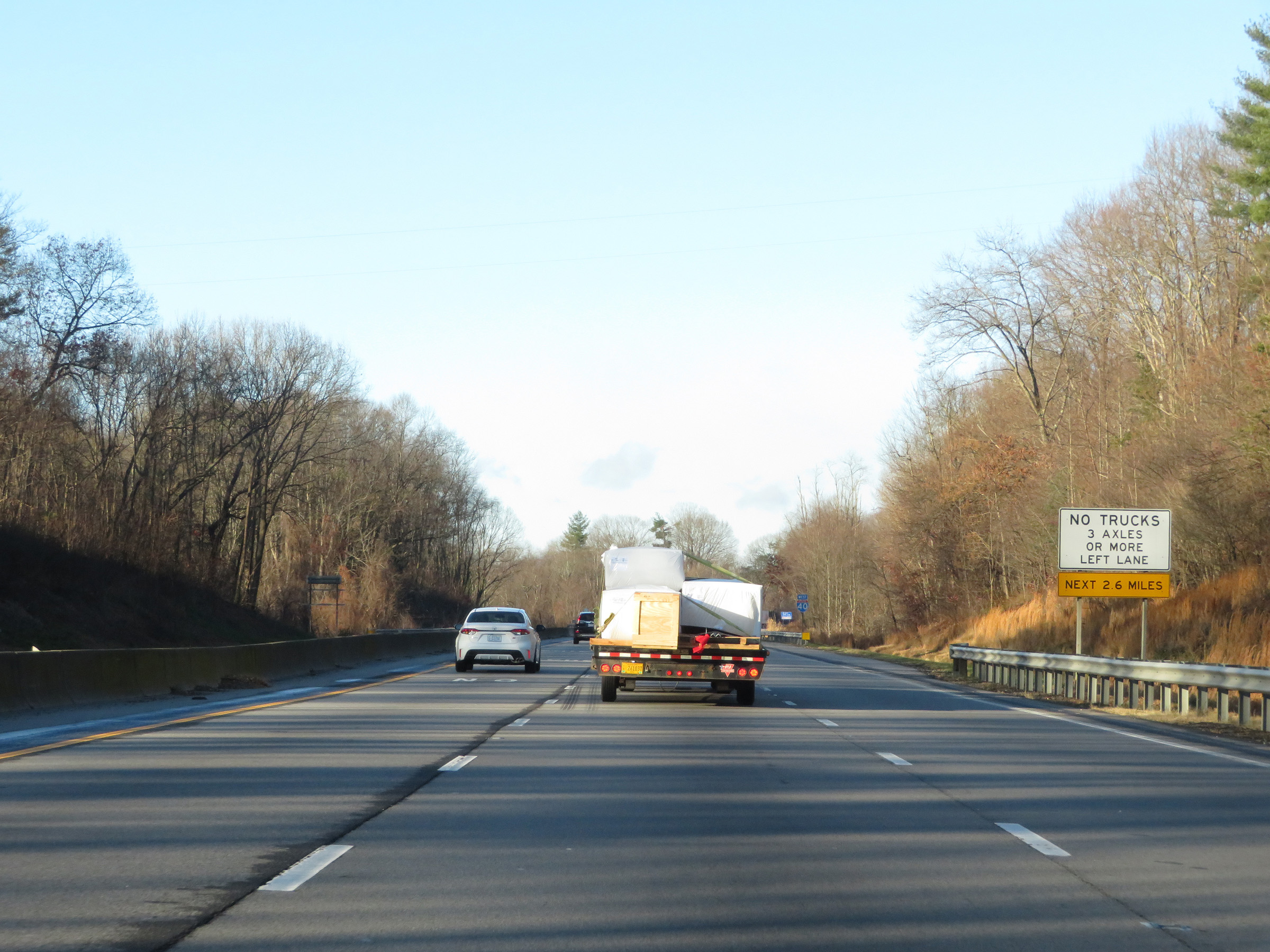 |
As Interstate 40 West prepares to climb another grade, this sign warns that trucks of 3 or more axles are prohibited in the left lane for the next 2.6 miles. (Photo taken 12/5/20). |
 |
Another Interstate 40 West reassurance shield. (Photo taken 12/5/20). |
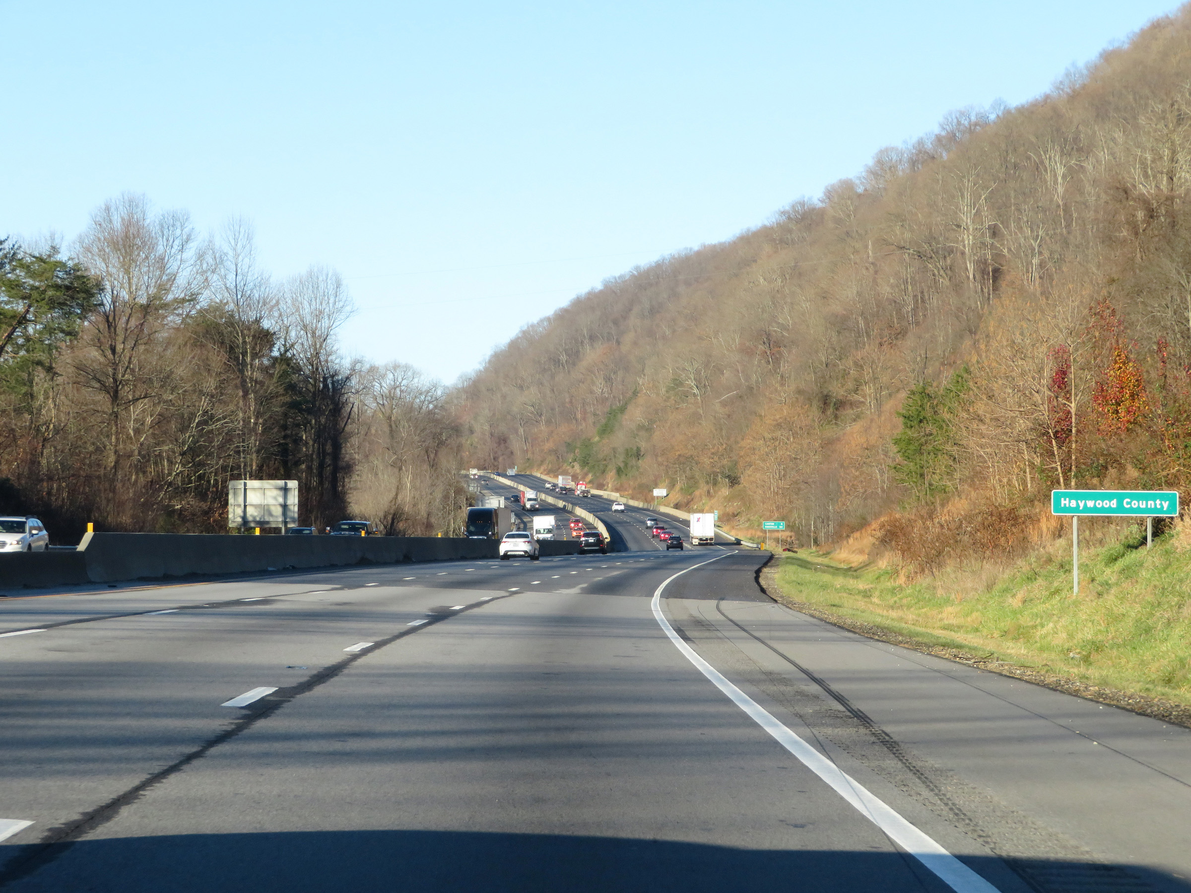 |
Interstate 40 West as it enters Haywood County. (Photo taken 12/5/20). |
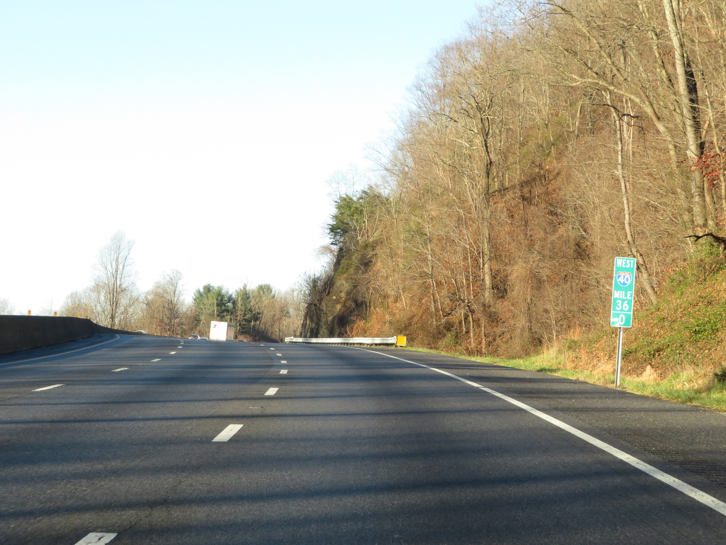 |
View on Interstate 40 West at mile marker 36. (Photo taken 12/5/20). |
 |
This sign warns of winding curves ahead on Interstate 40 West. (Photo taken 12/5/20). |
 |
Mile marker 35 on Interstate 40 West in Haywood County. (Photo taken 12/5/20). |
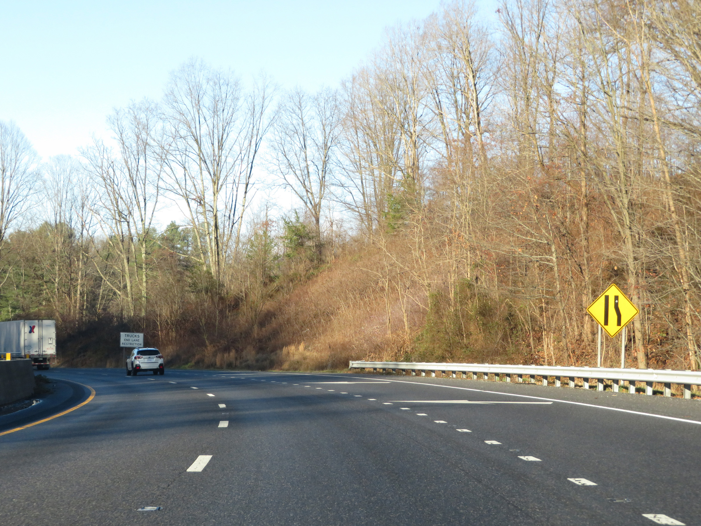 |
Interstate 40 West as the truck climbing lane comes to an end. (Photo taken 12/5/20). |
 |
Take Exit 33 to Leicester. (Photo taken 12/5/20). |
 |
Interstate 40 West at Exit 33: Newfound Rd (Photo taken 12/5/20). |
 |
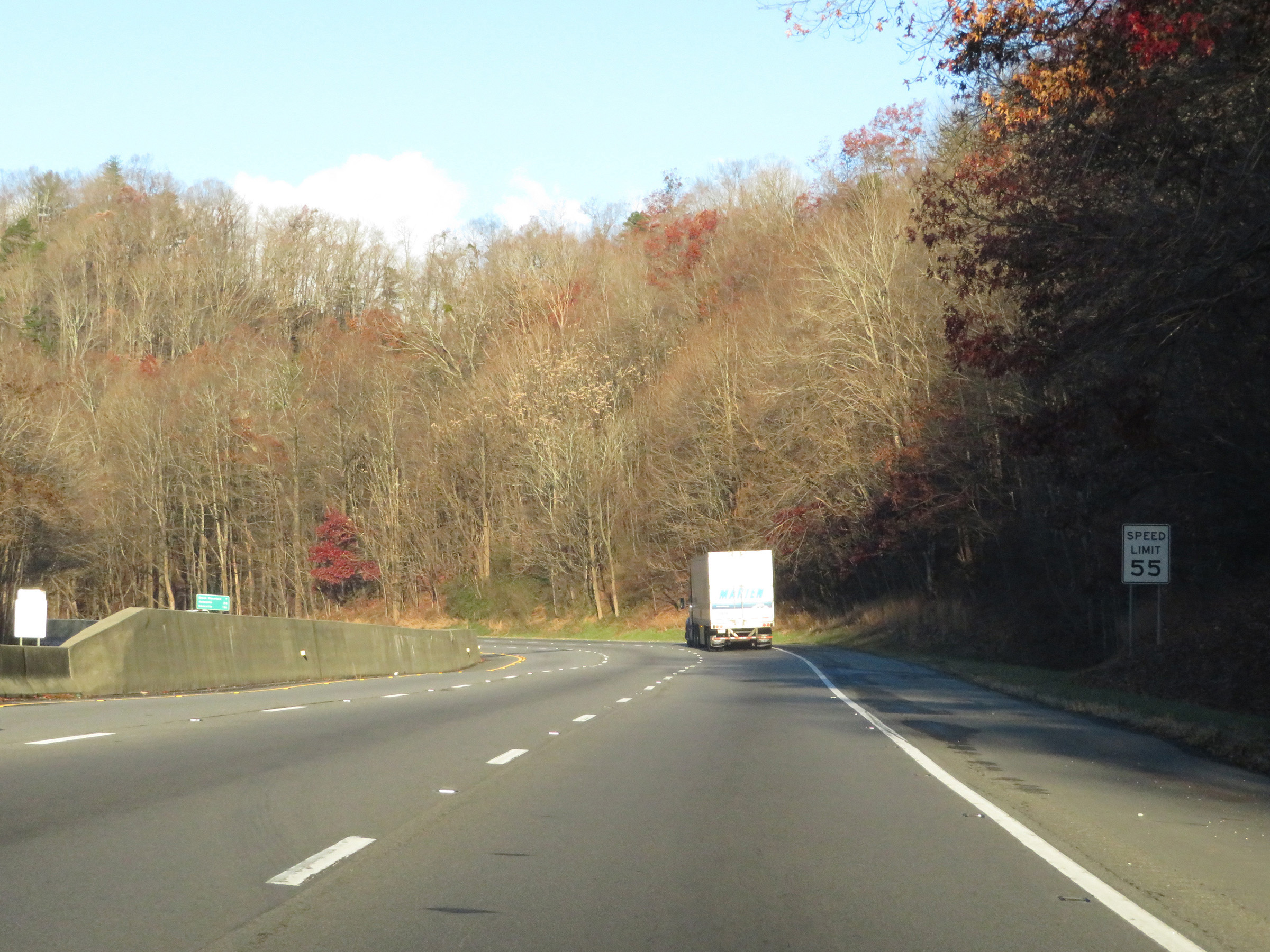
West of Exit 33, the speed limit decreases to 60 mph once again on Interstate 40 West. (Photo taken 12/5/20). |
 |
View on Interstate 40 West at mile marker 32. (Photo taken 12/5/20). |
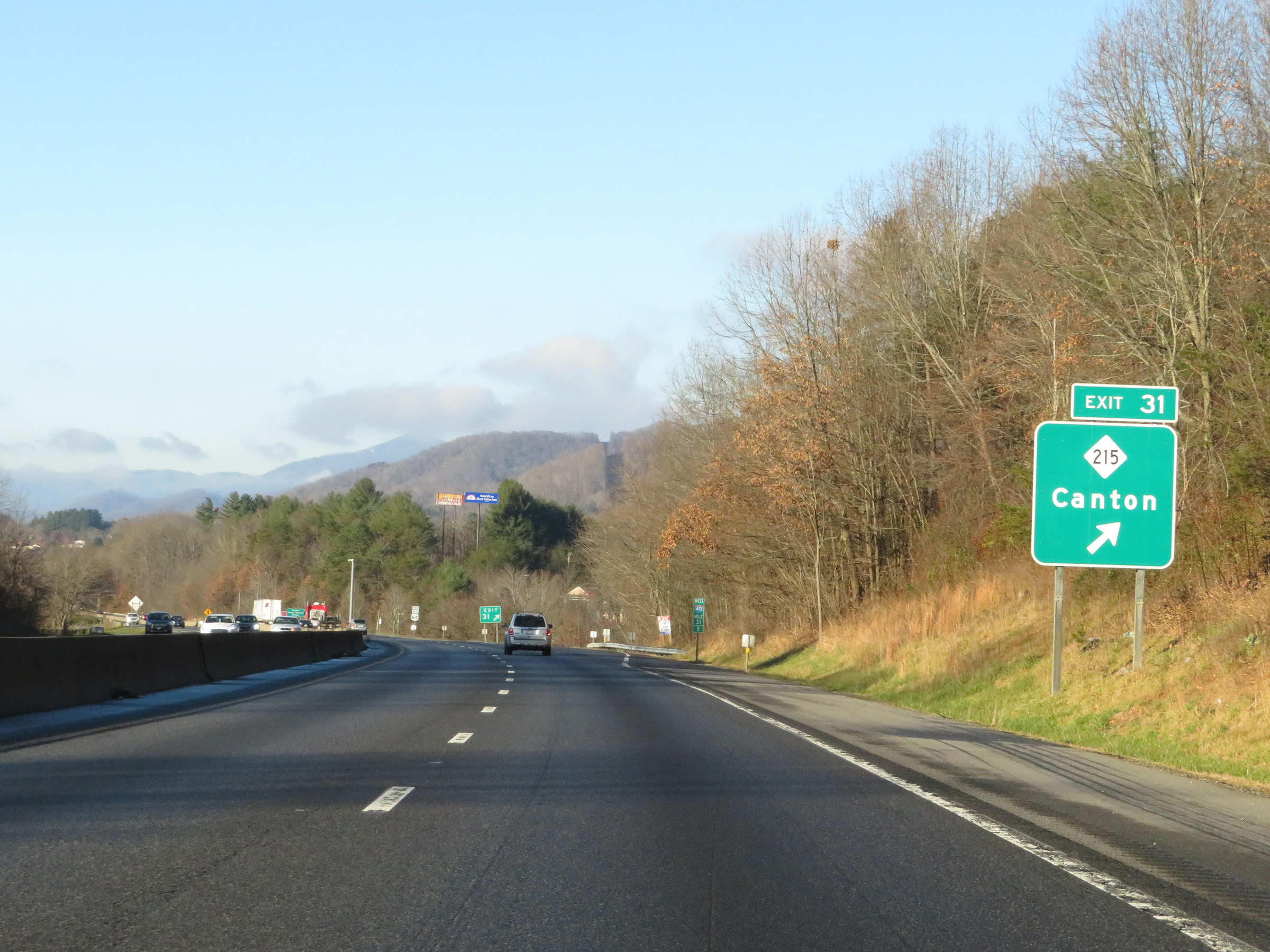 |
Interstate 40 West at Exit 31: NC 215 - Canton (Photo taken 12/5/20). |
Section 4: Canton (Exit 31) to Tennessee Border
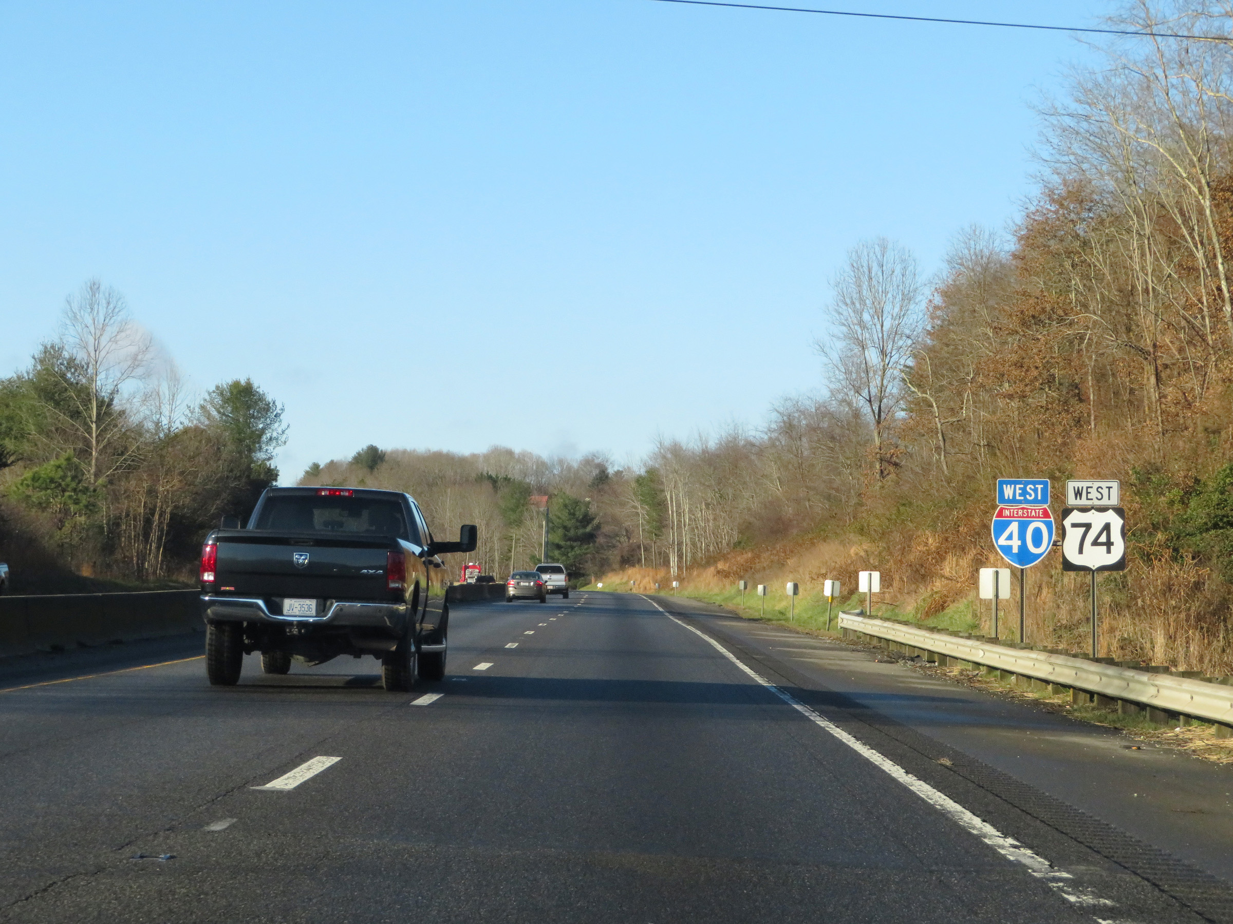 |
Another Interstate 40 West reassurance shield. (Photo taken 12/5/20). |
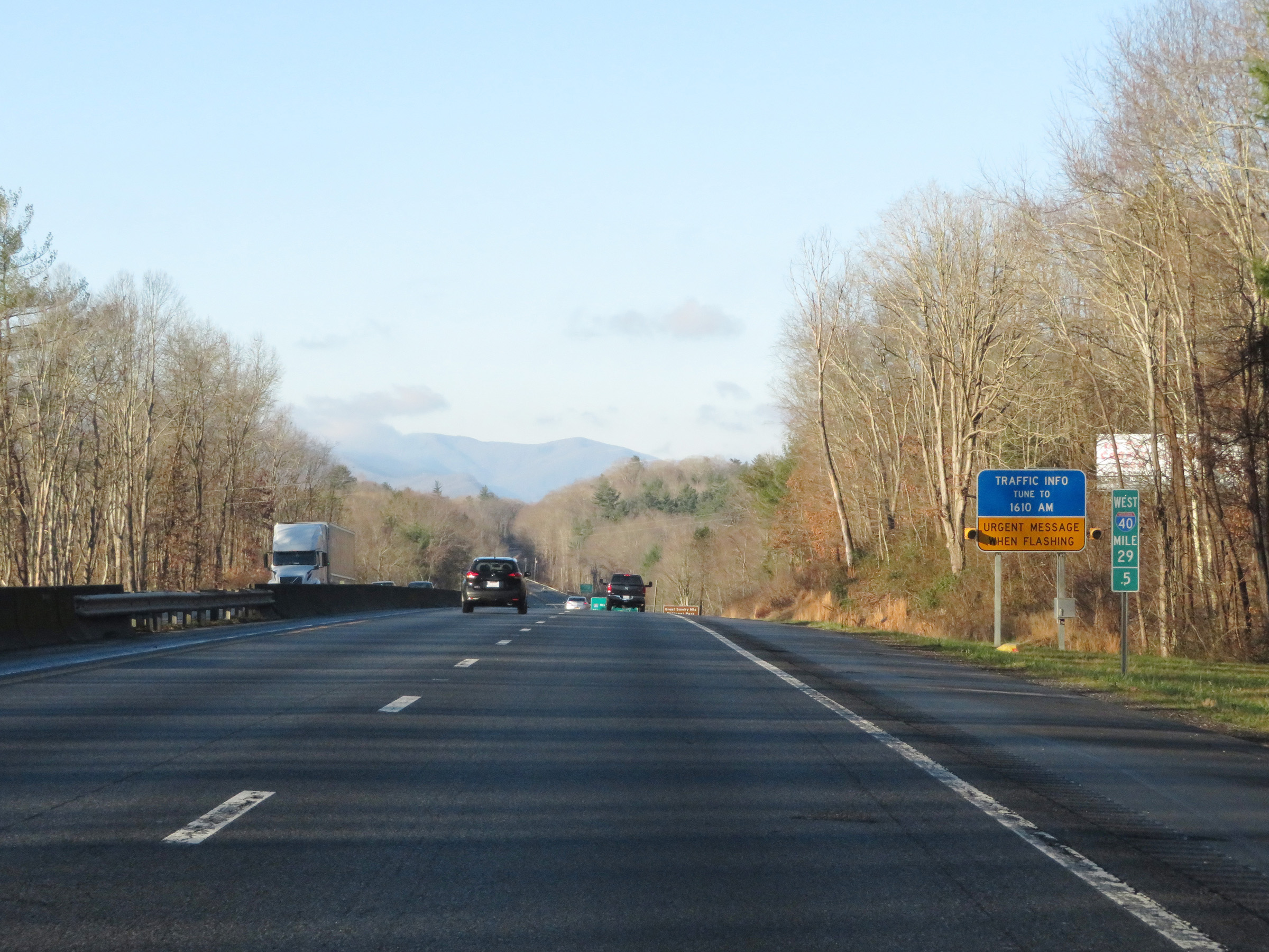 |
View on Interstate 40 West at mile marker 29.5. (Photo taken 12/5/20). |
 |
Take Exit 27 to Great Smoky Mountains National Park. (Photo taken 12/5/20). |
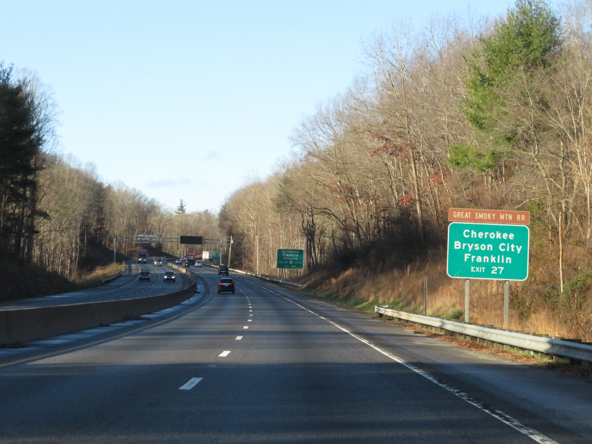 |
Also take Exit 27 to Cherokee, Bryson City, and Franklin. (Photo taken 12/5/20). |
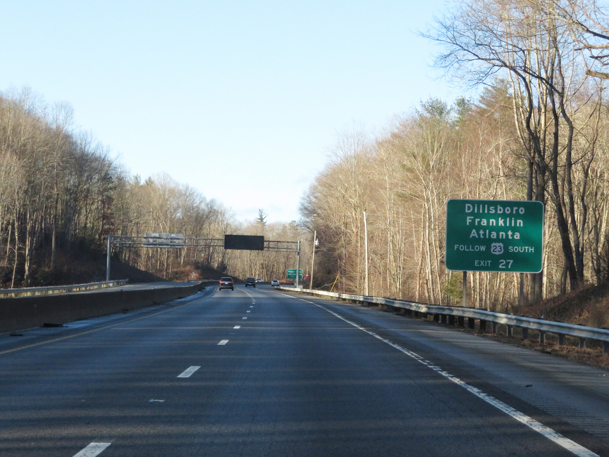 |
Take Exit 27 to US 23 South toward Dillsboro, Franklin, and Atlanta as well. (Photo taken 12/5/20). |
 |
Maggie Valley and Lake Junaluska can also be accessed via Exit 27. (Photo taken 12/5/20). |
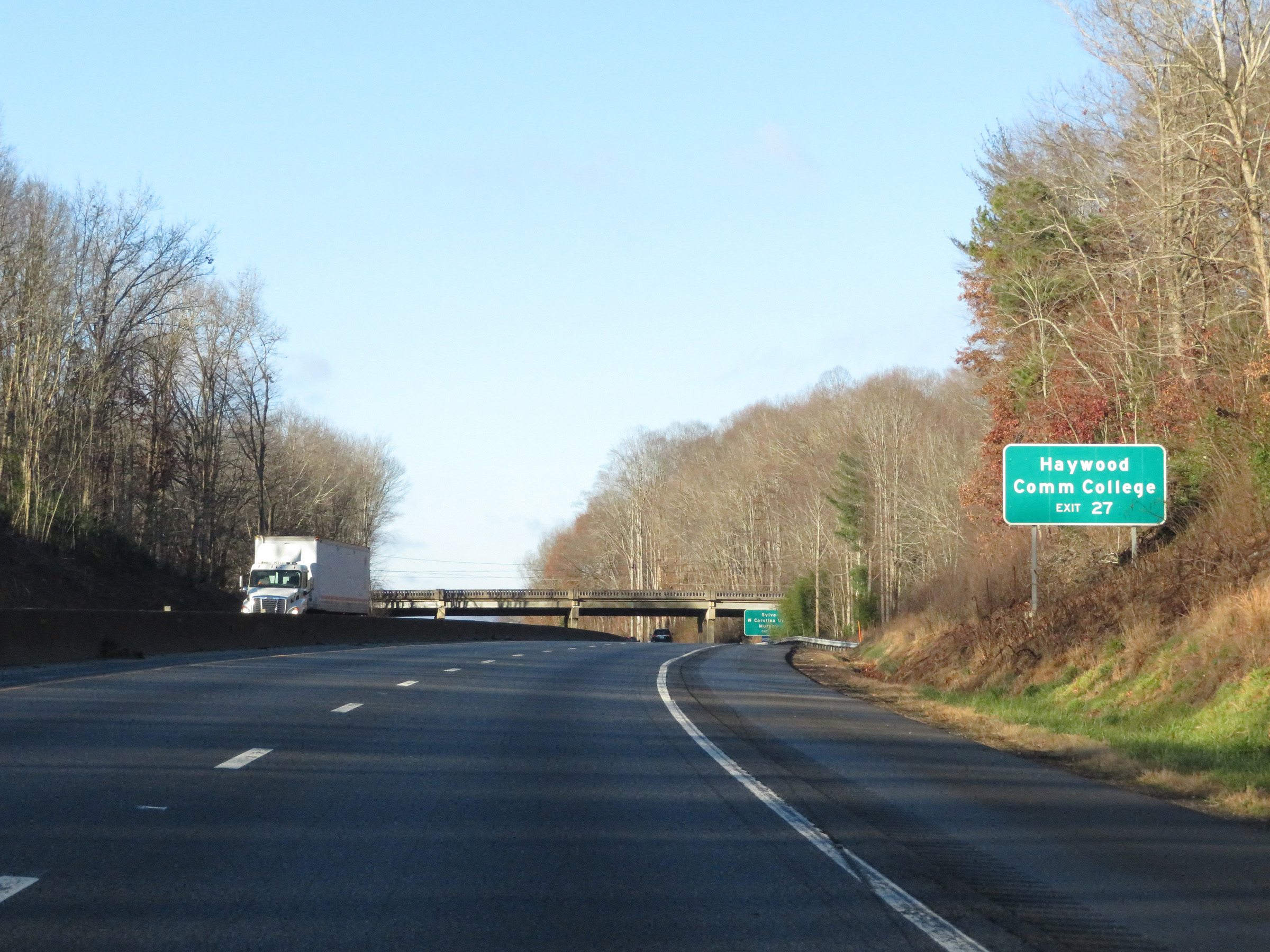 |
Also take Exit 27 to Haywood Community College. (Photo taken 12/5/20). |
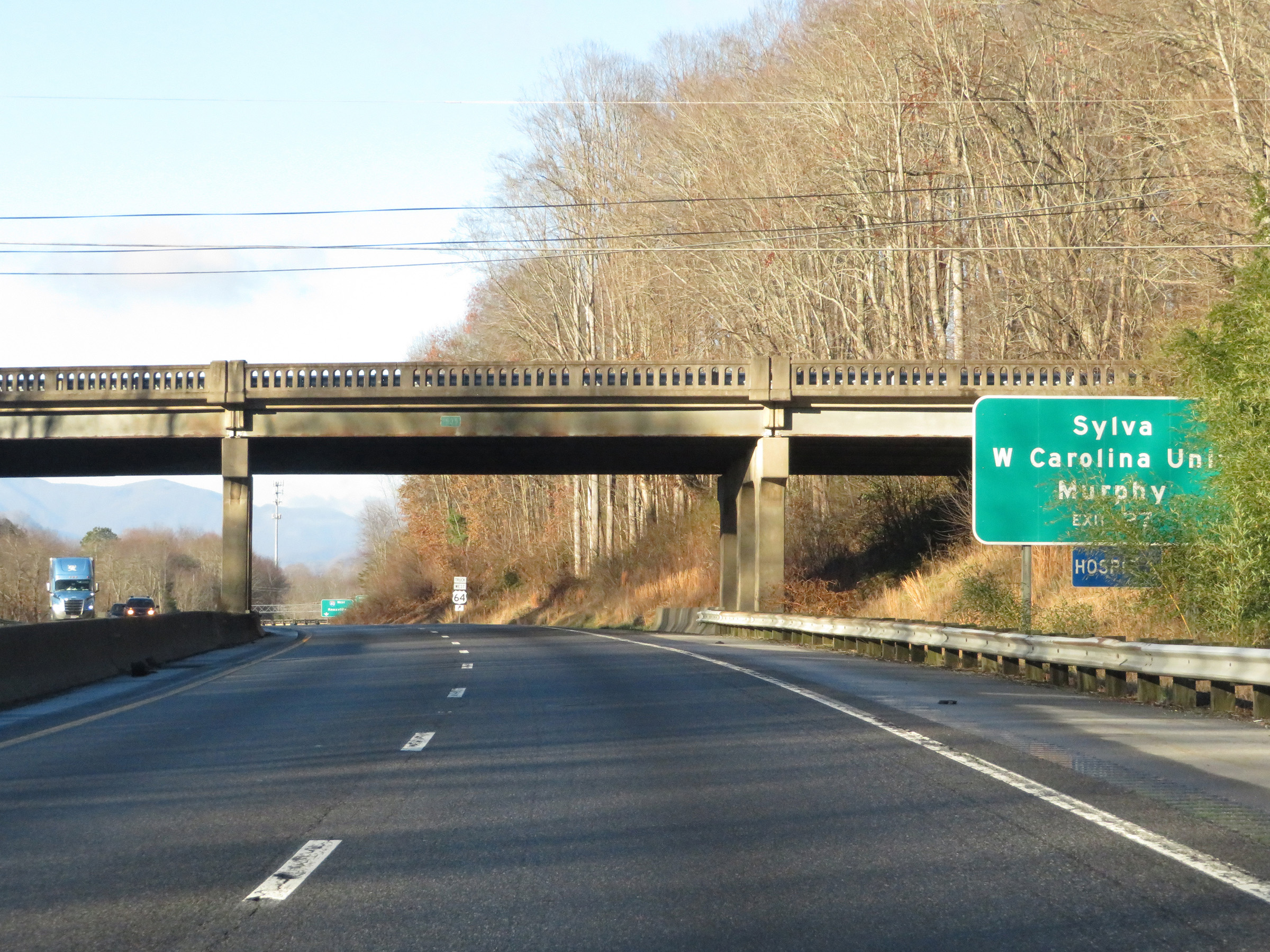 |
Traffic to Sylva, West Carolina University, and Murphy should also use Exit 27. (Photo taken 12/5/20). |
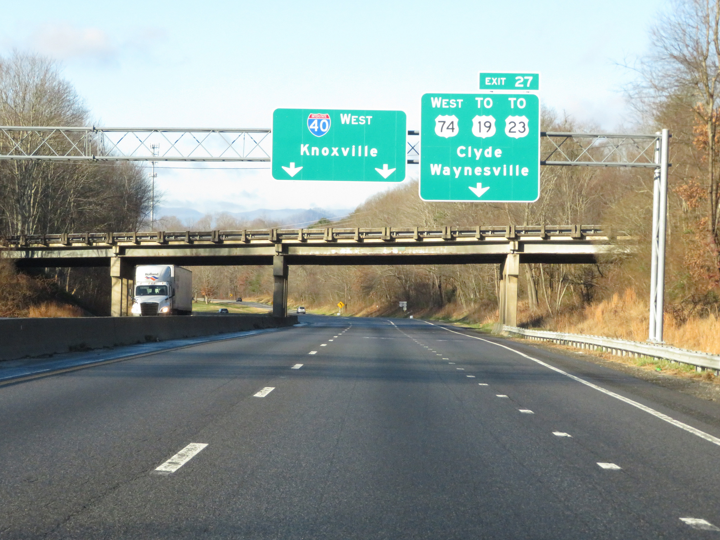 |
Interstate 40 West at Exit 27: US 74 West / To US 19 / To US 23 - Clyde / Waynesville (Photo taken 12/5/20). |
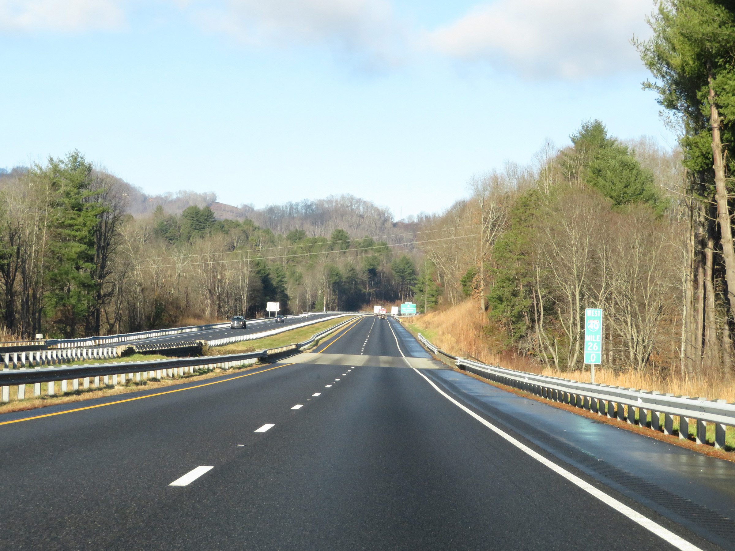 |
View on Interstate 40 West at mile marker 26. (Photo taken 12/5/20). |
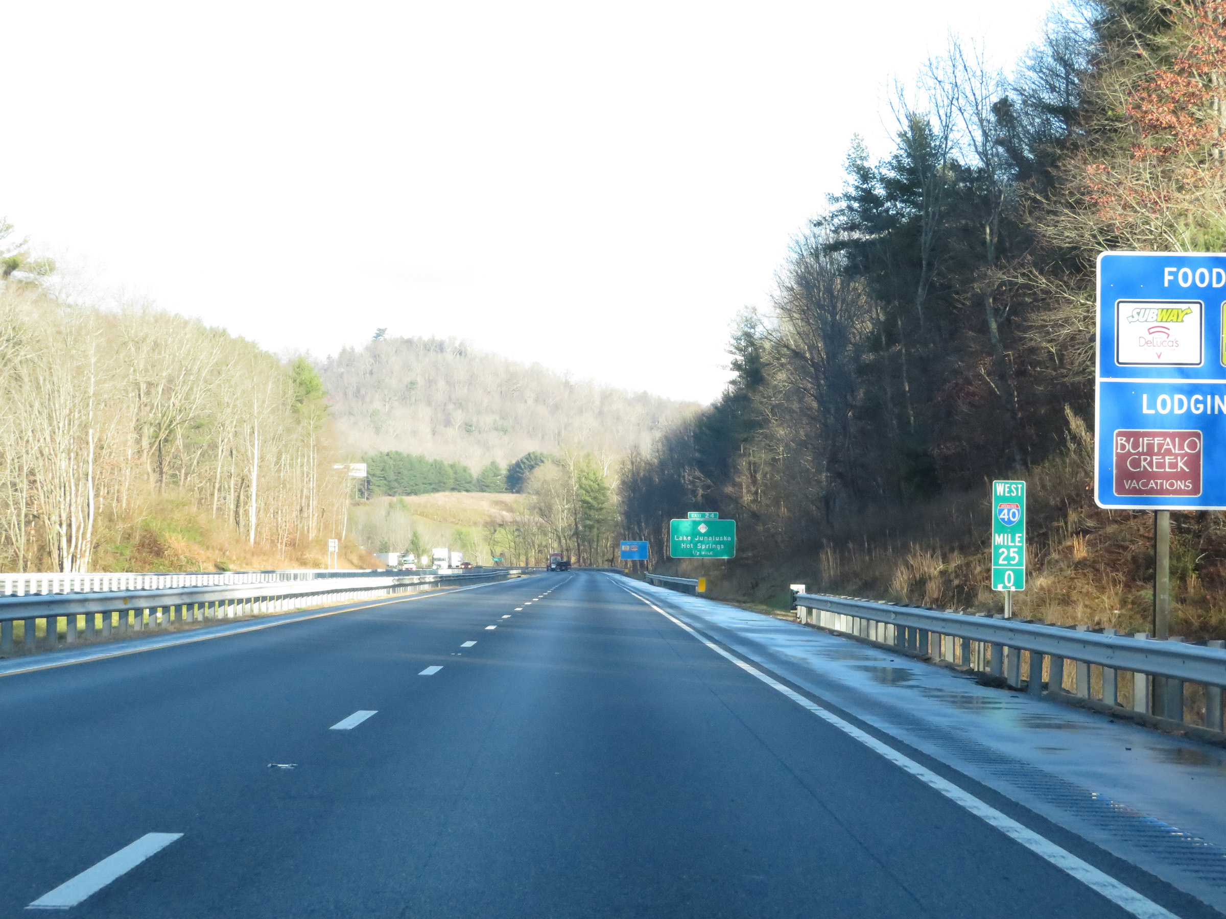 |
Interstate 40 West at mile marker 25. (Photo taken 12/5/20). |
 |
Interstate 40 West at Exit 24: NC 209 - Lake Junaluska / Hot Springs (Photo taken 12/5/20). |
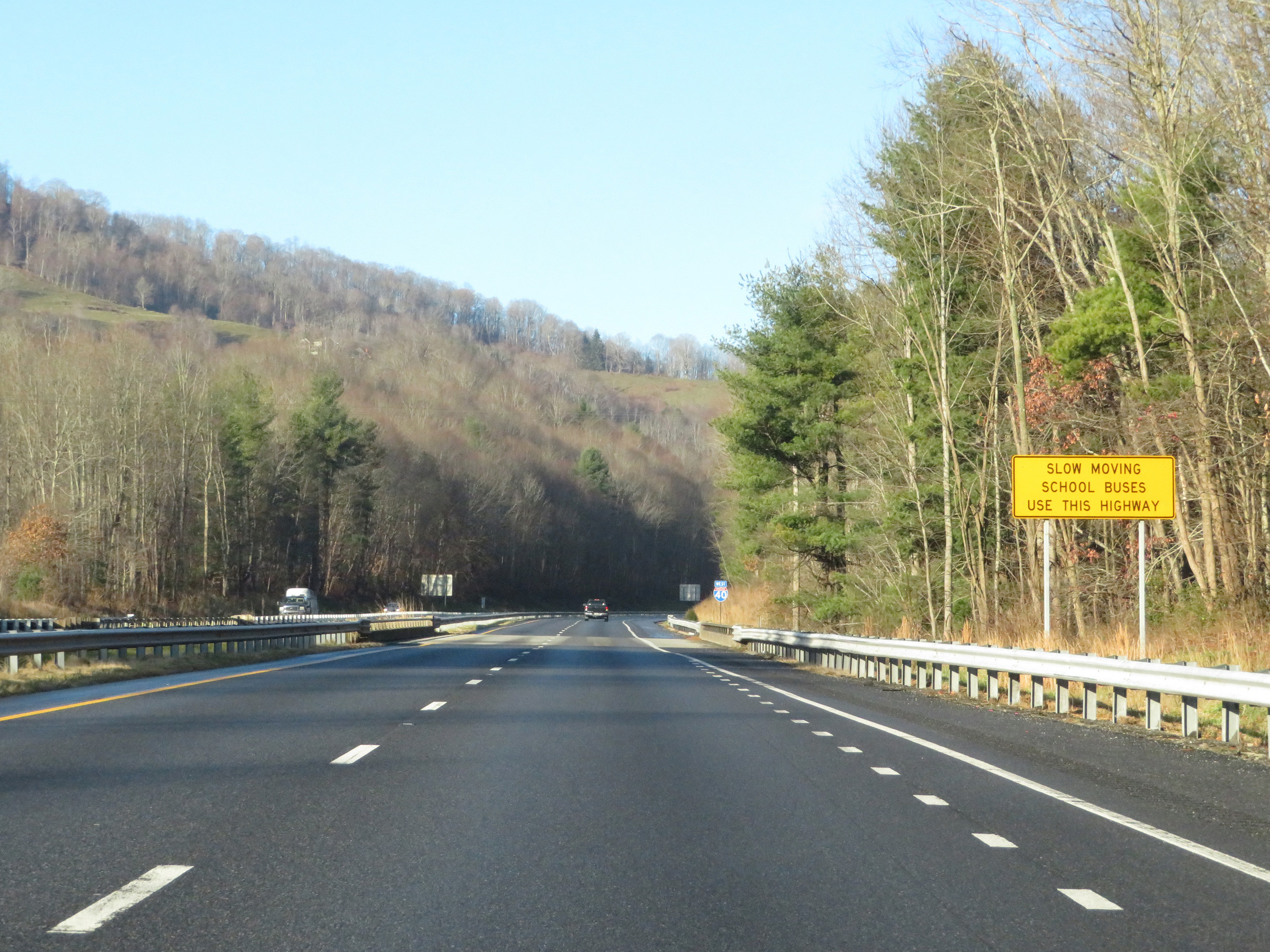 |
West of Exit 24, this sign warns to be alert for slow moving school buses, which apparently use this stretch of Interstate 40. (Photo taken 12/5/20). |
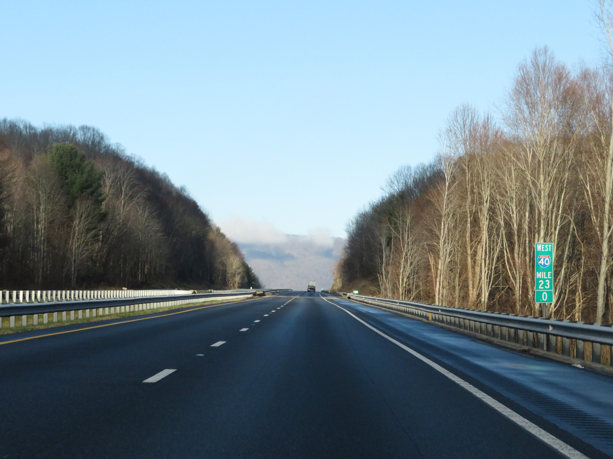 |
Mile marker 23 on Interstate 40 West in Haywood County. (Photo taken 12/5/20). |
 |
View on Interstate 40 West at mile marker 21.5. (Photo taken 12/5/20). |
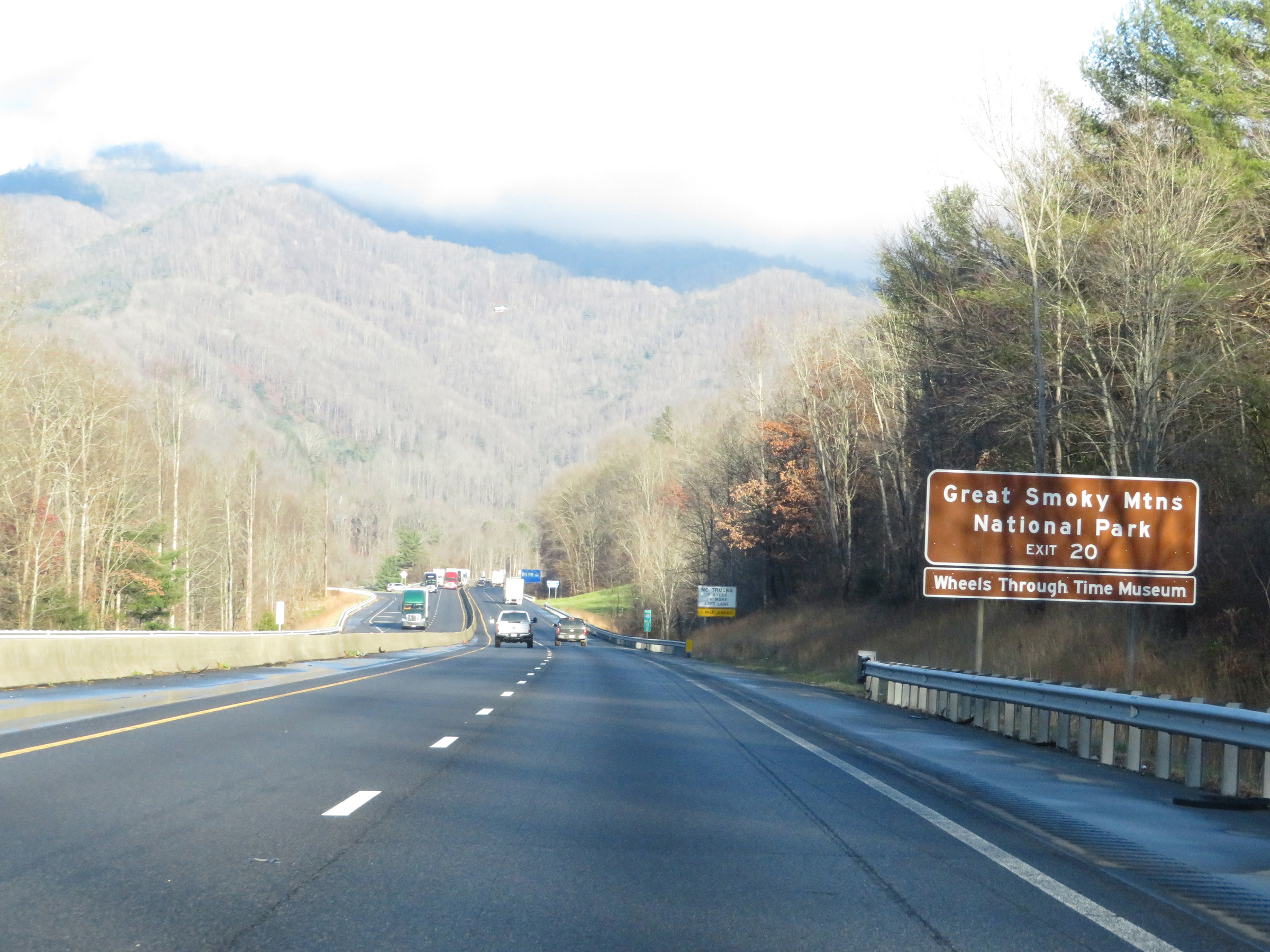 |
Take Exit 20 to Great Smoky Mountains National Park and the Wheels Through Time Museum. (Photo taken 12/5/20). |
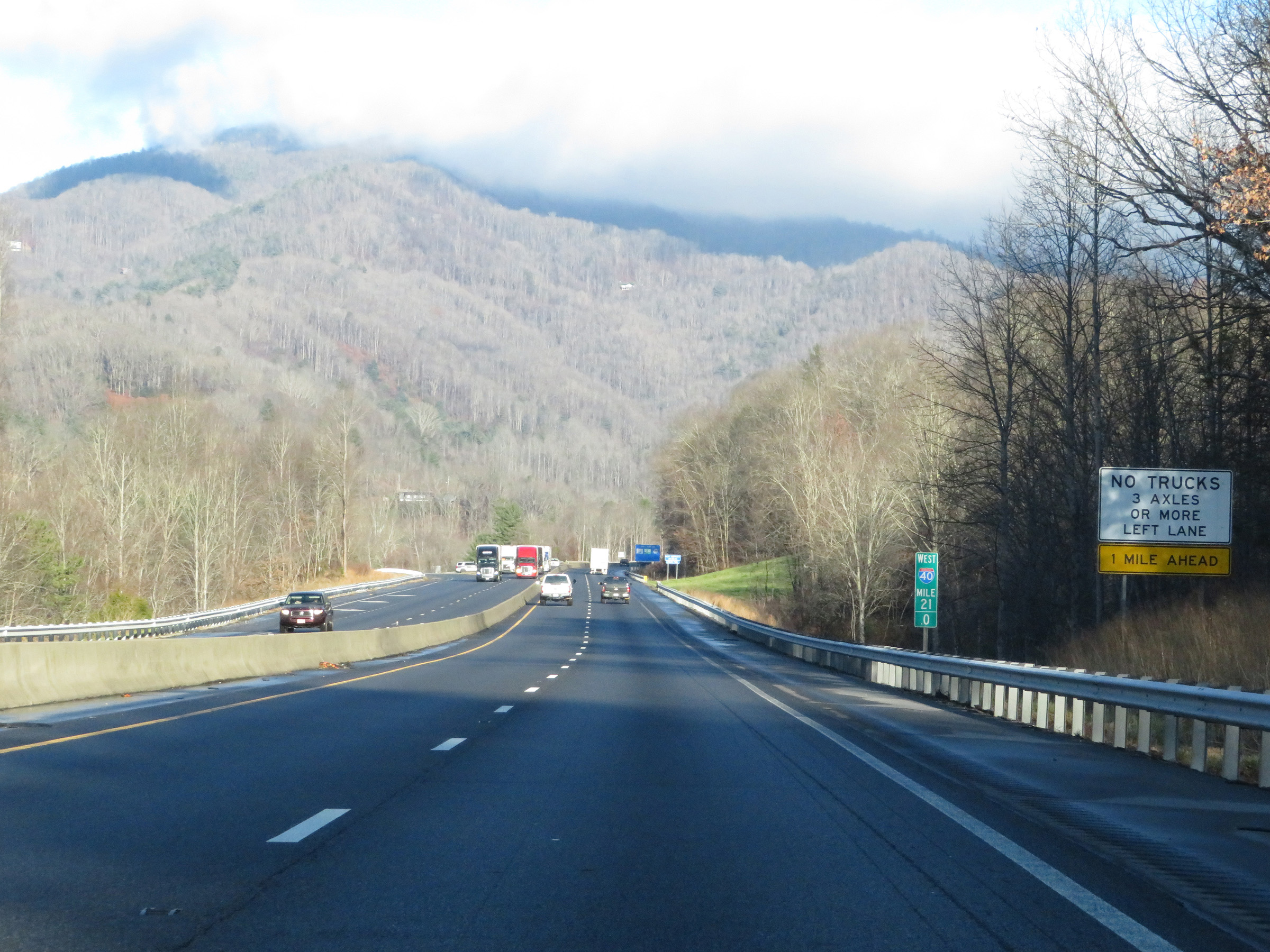 |
At mile marker 21, this sign warns of truck lane restrictions beginning once again 1 mile ahead. (Photo taken 12/5/20). |
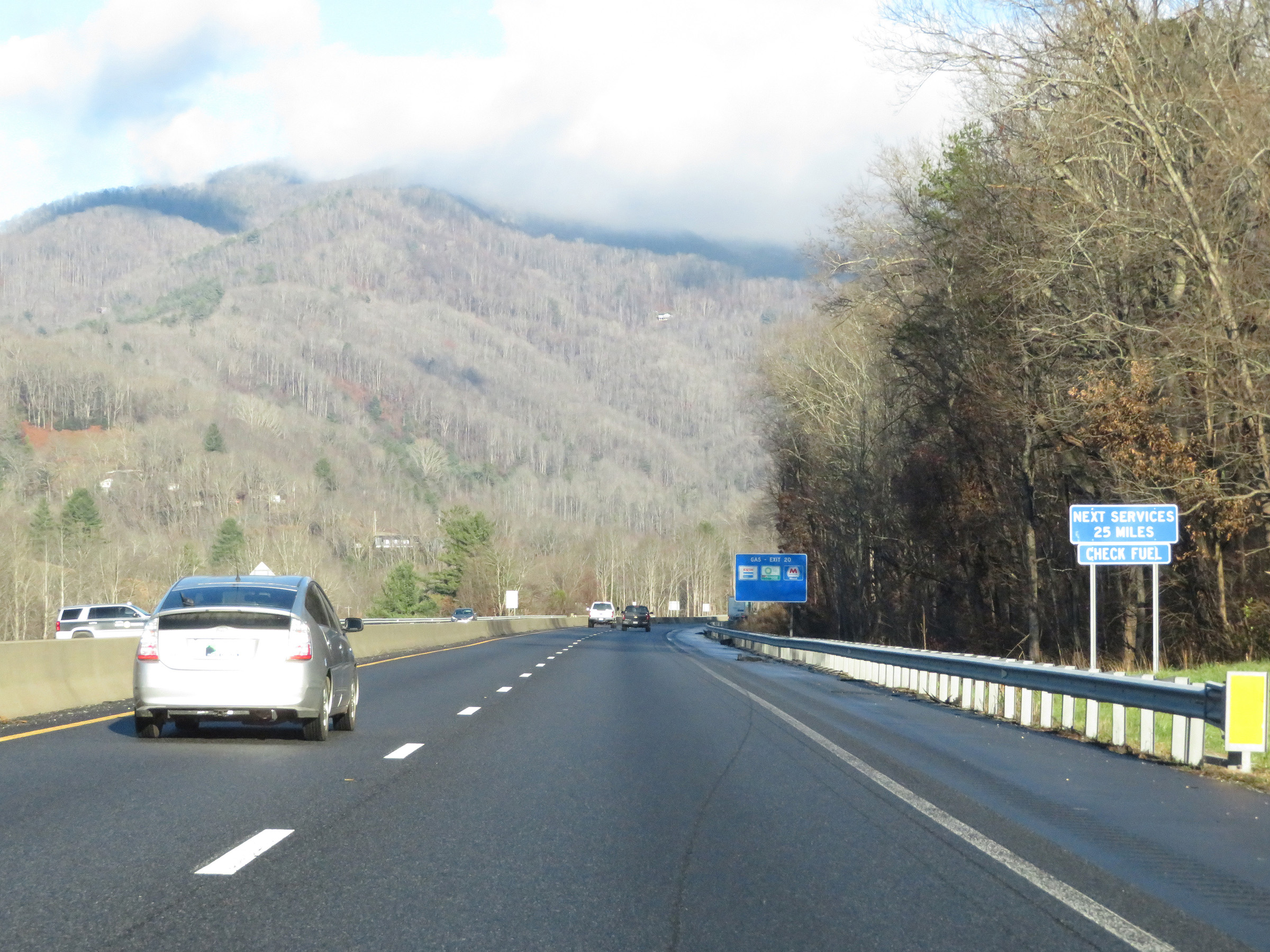 |
The next services beyond the upcoming exit (Exit 20) are 25 miles ahead, in Tennessee. (Photo taken 12/5/20). |
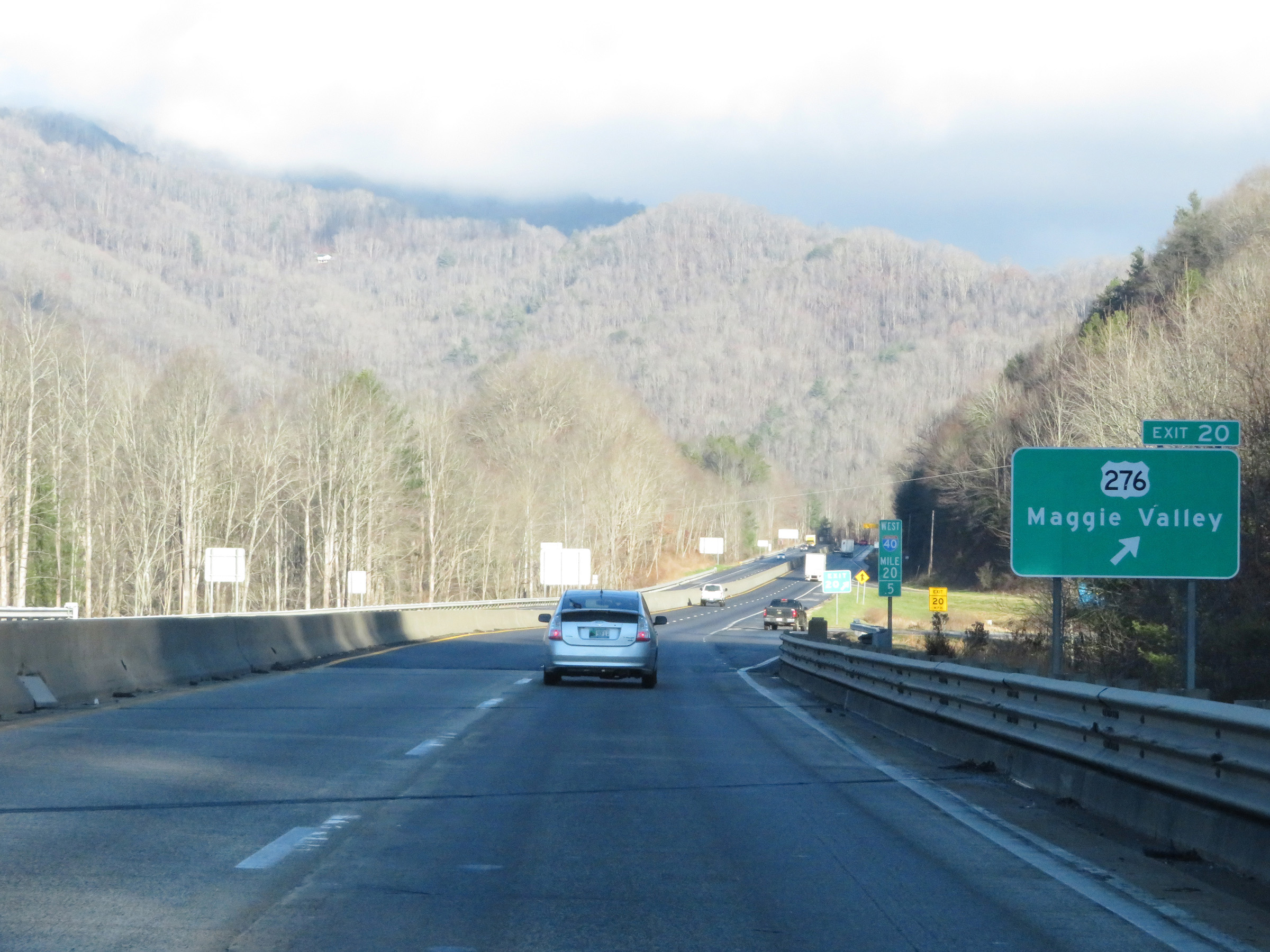 |
Interstate 40 West at Exit 20: US 276 - Maggie Valley (Photo taken 12/5/20). |
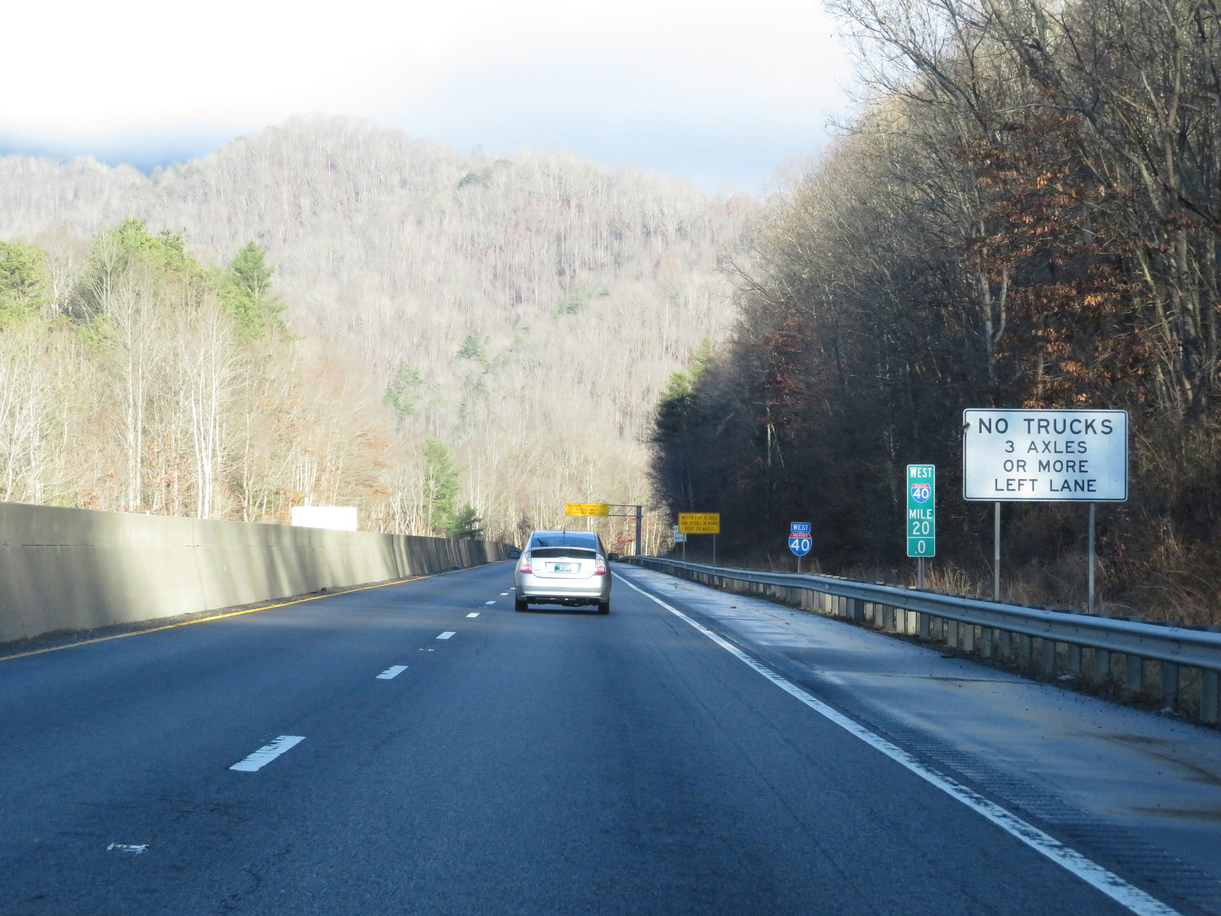 |
At mile marker 20, truck lane restrictions begin. Trucks of 3 or more axles are prohibited in the left lane from this point to the Tennessee border as Interstate 40 West winds through the Smoky Mountains. (Photo taken 12/5/20). |
 |
This sign warns motorists to watch for slides and rocks in the roadway for the next 20 miles to the Tennessee border. (Photo taken 12/5/20). |
 |
Trucks are alerted by this overhead sign that Interstate 40 will traverse several winding curves for the next 20 miles to the Tennessee border. 50 mph is the stated maximum safe speed. (Photo taken 12/5/20). |
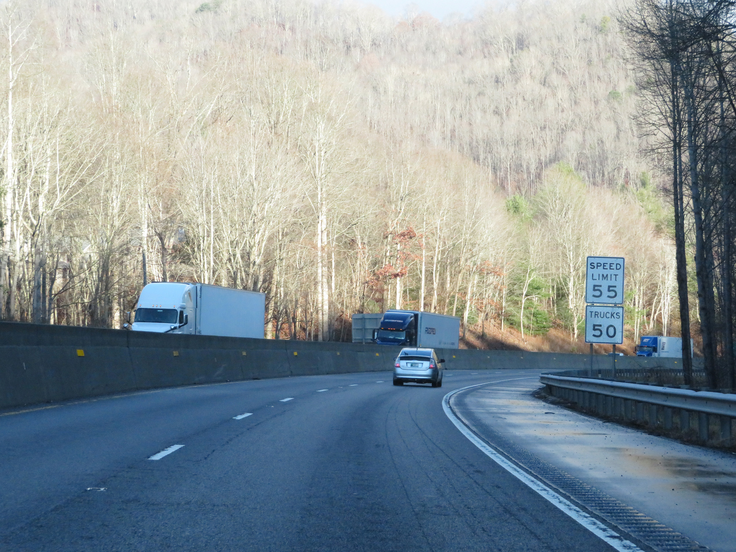 |
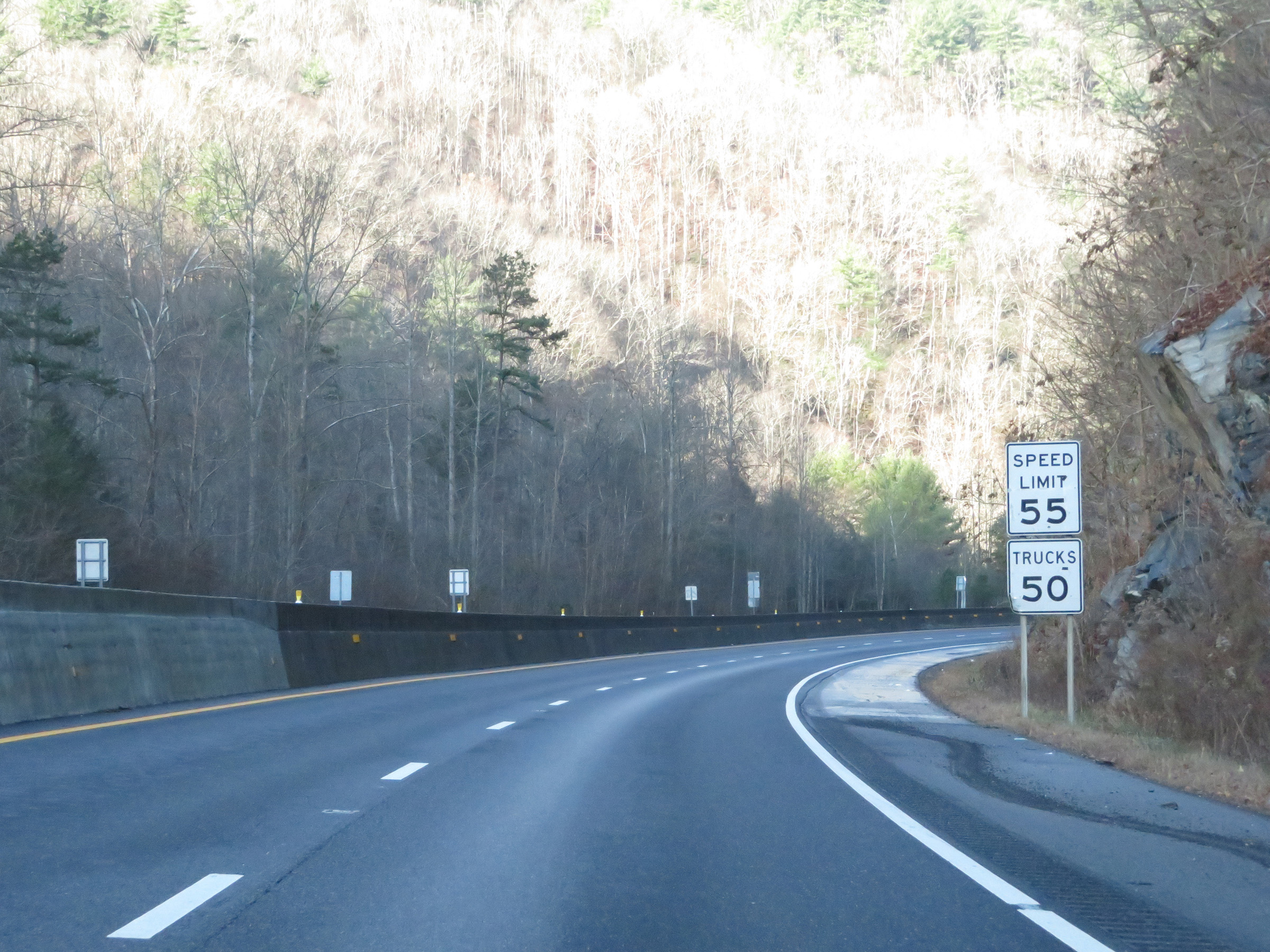
As Interstate 40 West begins its trek through the Smoky Mountains in western North Carolina, the speed limits decrease to 55 mph for cars and 50 mph for trucks. (Photo taken 12/5/20). |
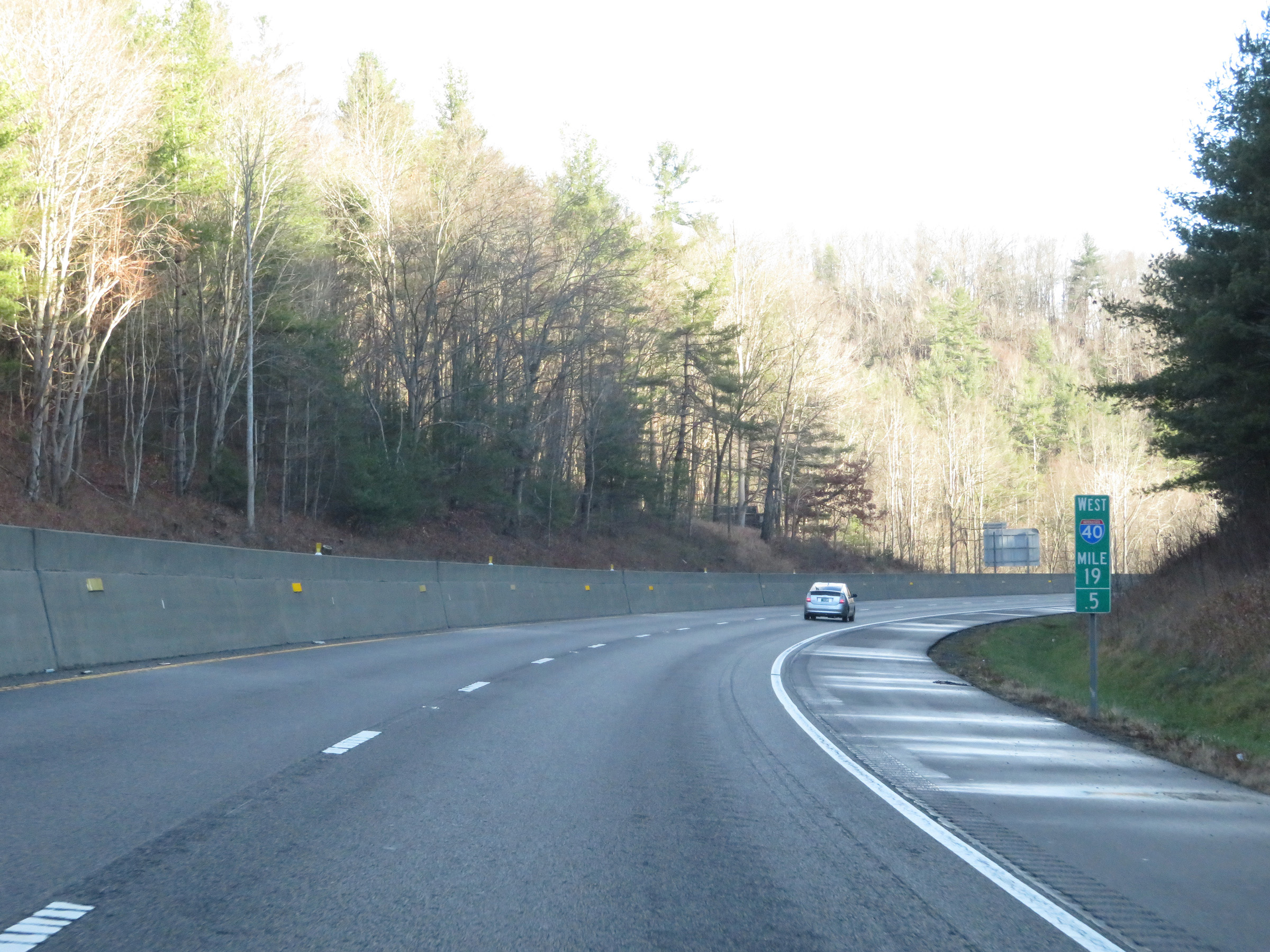 |
View on Interstate 40 West at mile marker 19.5. (Photo taken 12/5/20). |
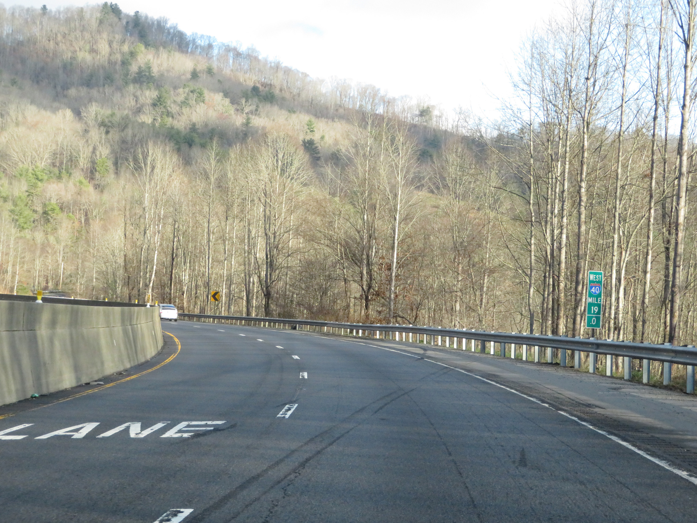 |
Interstate 40 West at mile marker 19. (Photo taken 12/5/20). |
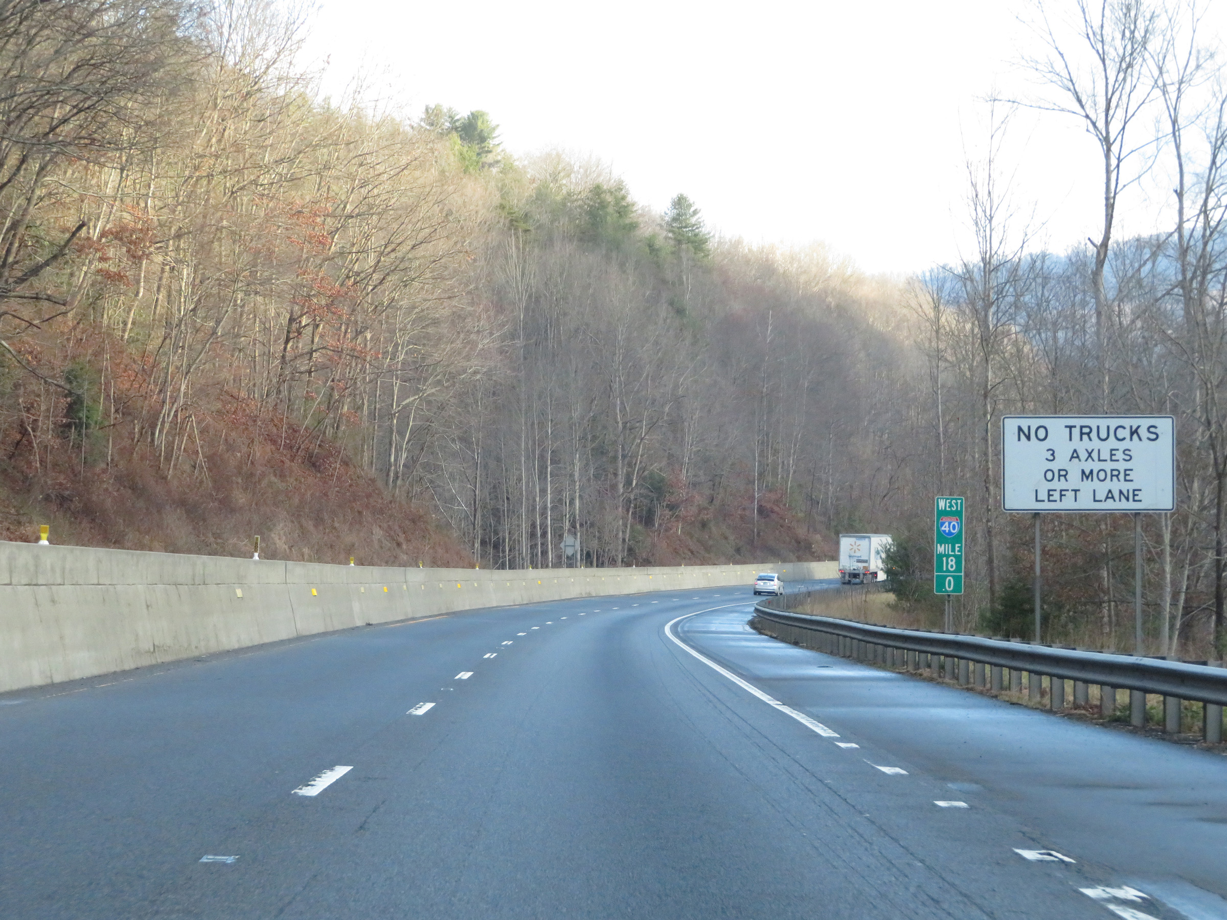 |
Mile marker 18 on Interstate 40 West in Haywood County, as it winds through the Smoky Mountains. (Photo taken 12/5/20). |
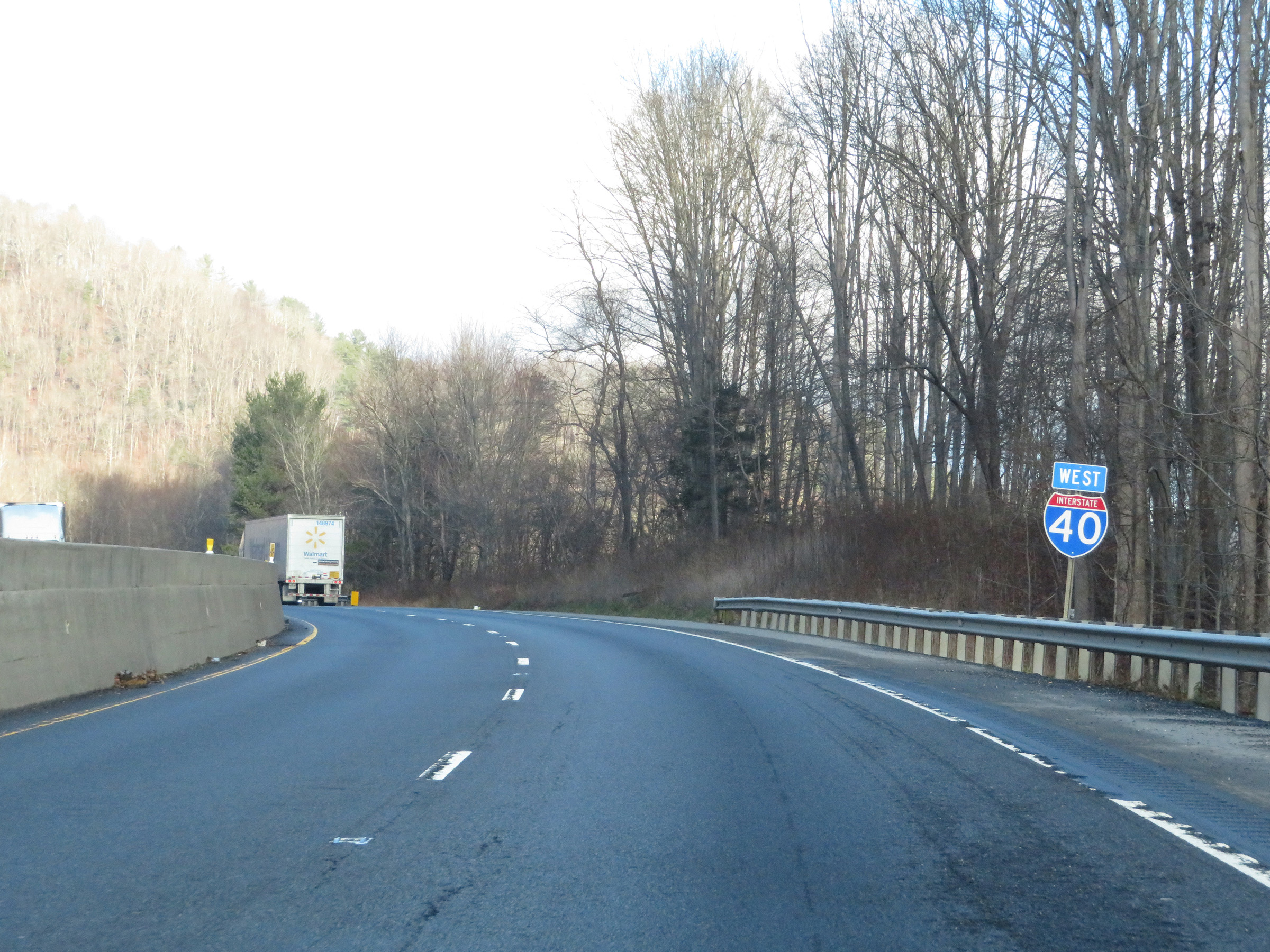 |
Interstate 40 West reassurance shield. (Photo taken 12/5/20). |
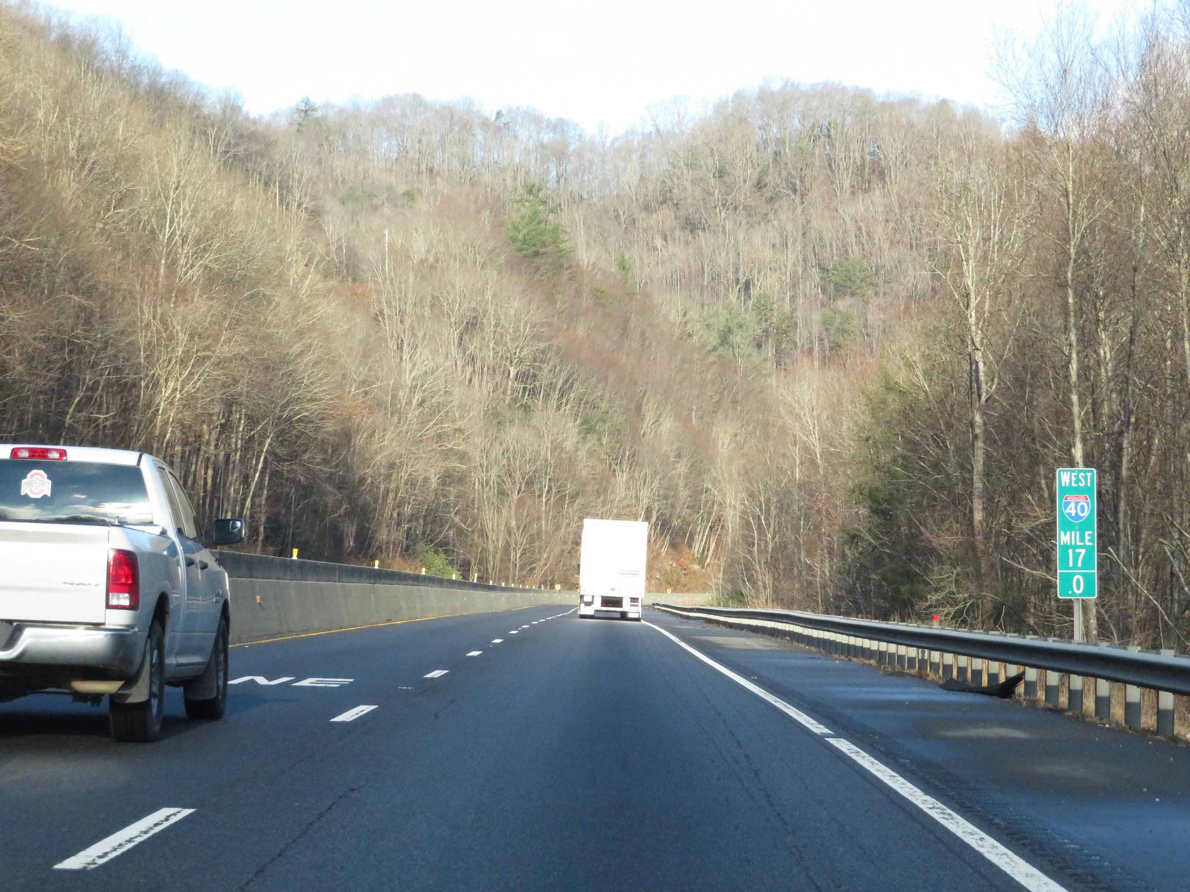 |
View on Interstate 40 West at mile marker 17. (Photo taken 12/5/20). |
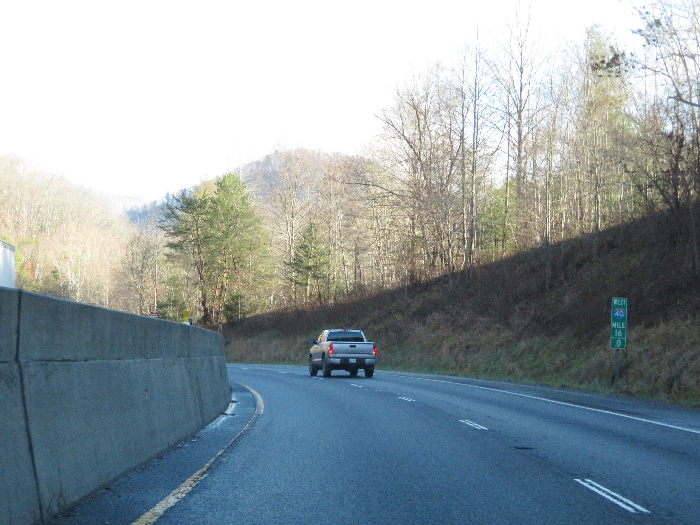 |
Interstate 40 West at mile marker 16. (Photo taken 12/5/20). |
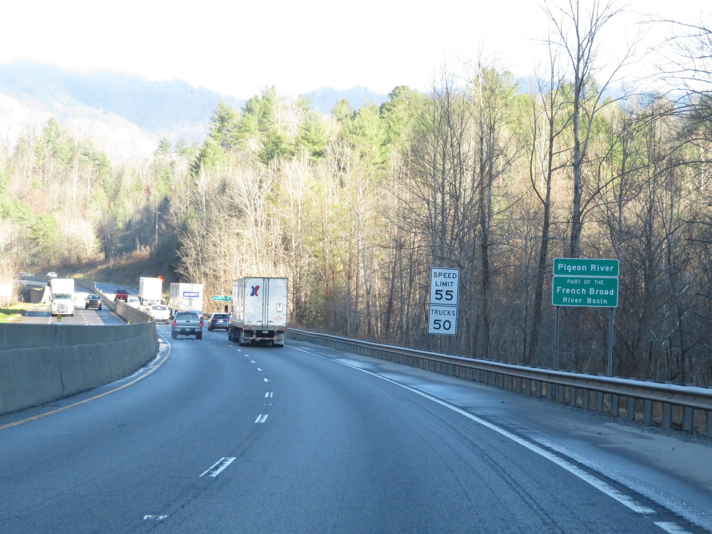 |
Interstate 40 West as it crosses the Pigeon River in the Smoky Mountains. (Photo taken 12/5/20). |
 |
Interstate 40 West at Exit 15: Fines Creek (Photo taken 12/5/20). |
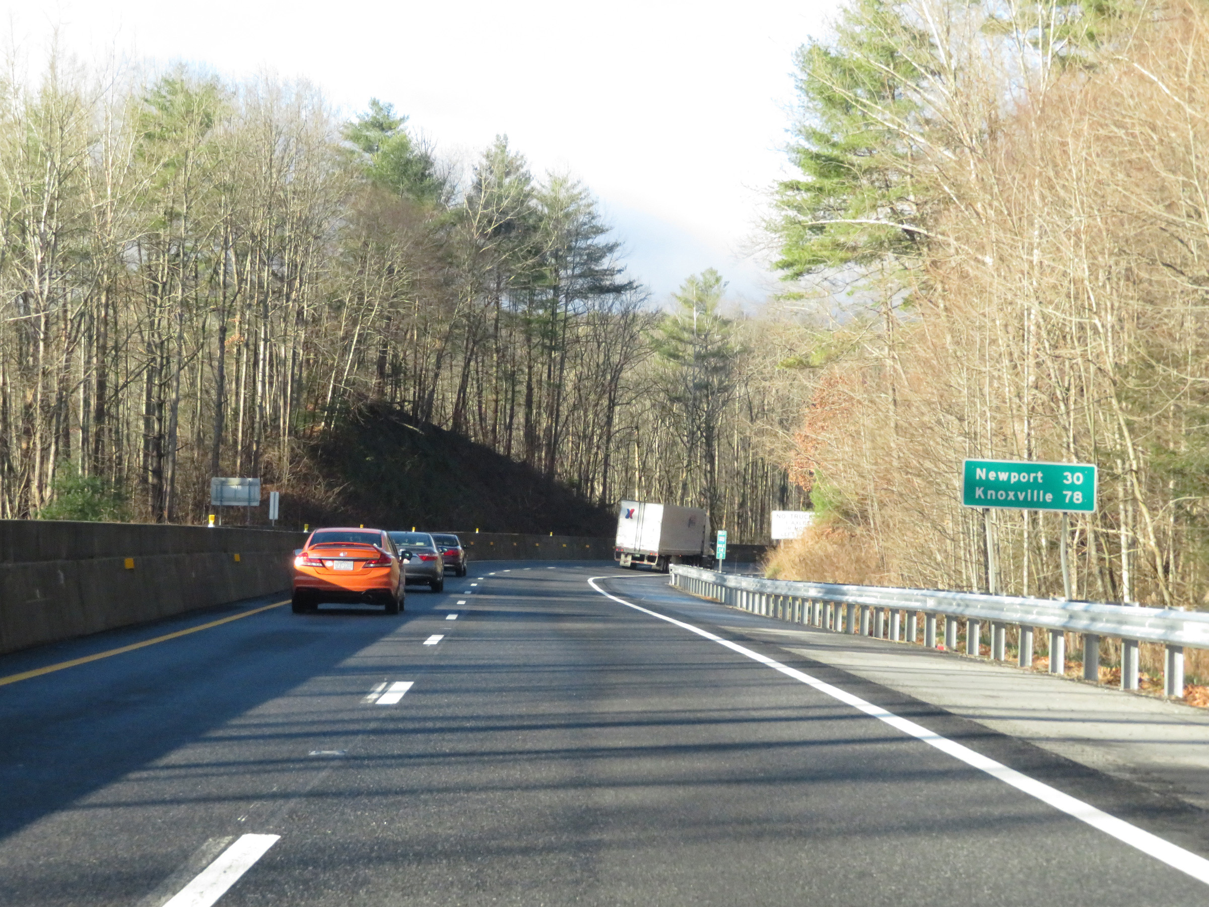 |
Mileage sign on Interstate 40 West. It's 30 miles to Newport and 78 miles to Knoxville. (Photo taken 12/5/20). |
 |
Interstate 40 West as it enters Pisgah National Forest once again. (Photo taken 12/5/20). |
 |
The speed limits remain 55 mph for cars and 50 mph for trucks. (Photo taken 12/5/20). |
 |
Mile marker 11.5 on Interstate 40 West in the Smoky Mountains. (Photo taken 12/5/20). |
 |
Rest Area on Interstate 40 West in Haywood County. (Photo taken 12/5/20). |
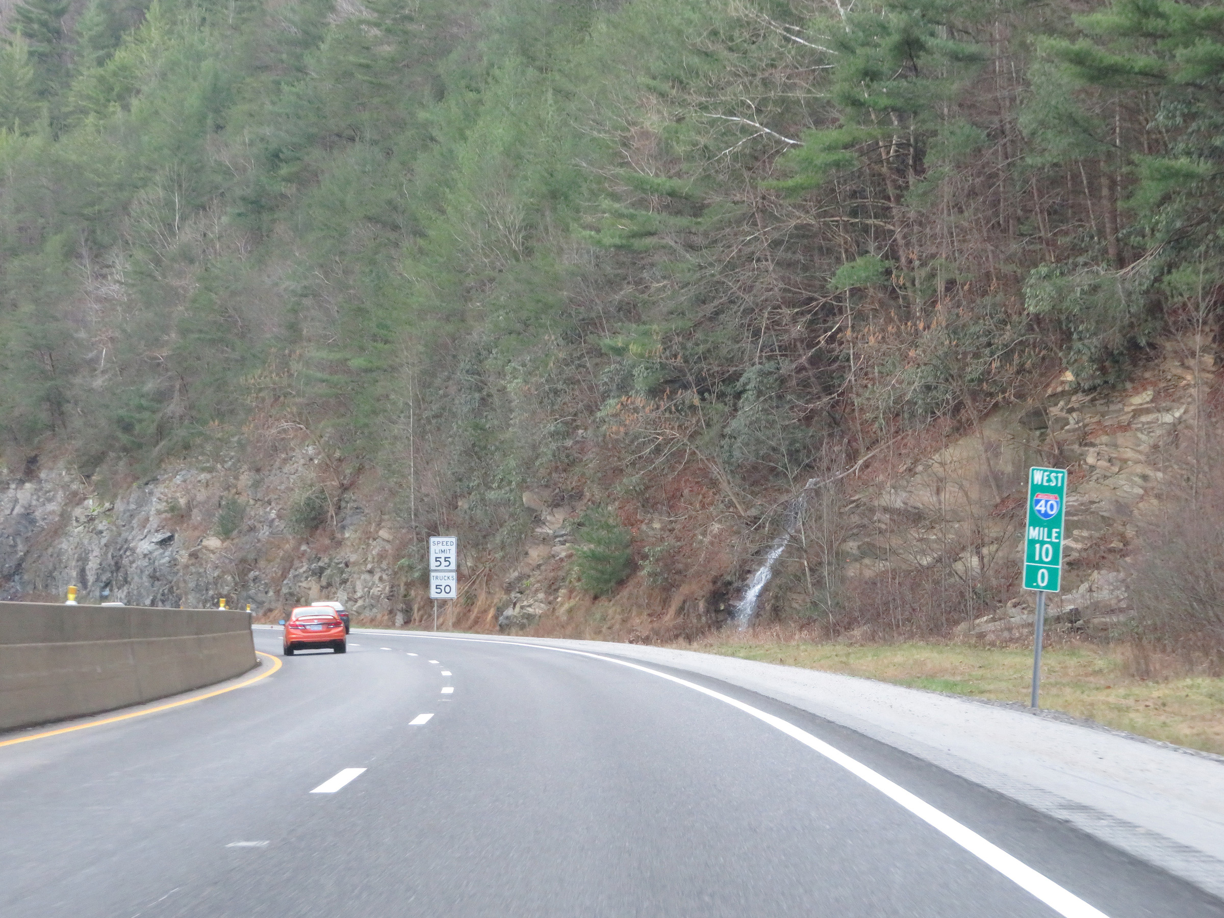 |
View on Interstate 40 West at mile marker 10. (Photo taken 12/5/20). |
 |
Remain alert for falling rock through this stretch of Interstate 40 West through the Smoky Mountains. (Photo taken 12/5/20). |
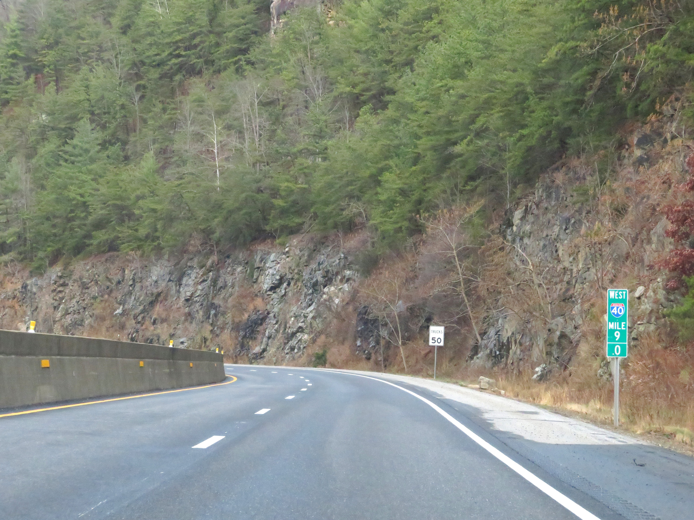 |
Interstate 40 West at mile marker 9. (Photo taken 12/5/20). |
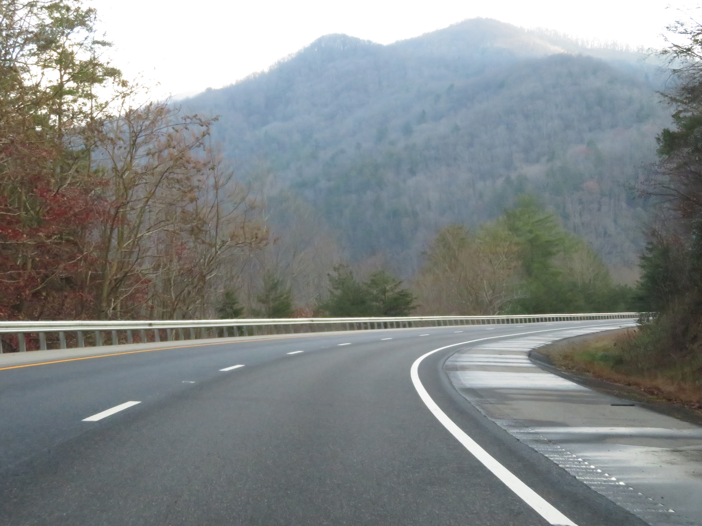 |
View on Interstate 40 West in the Smoky Mountains. (Photo taken 12/5/20). |
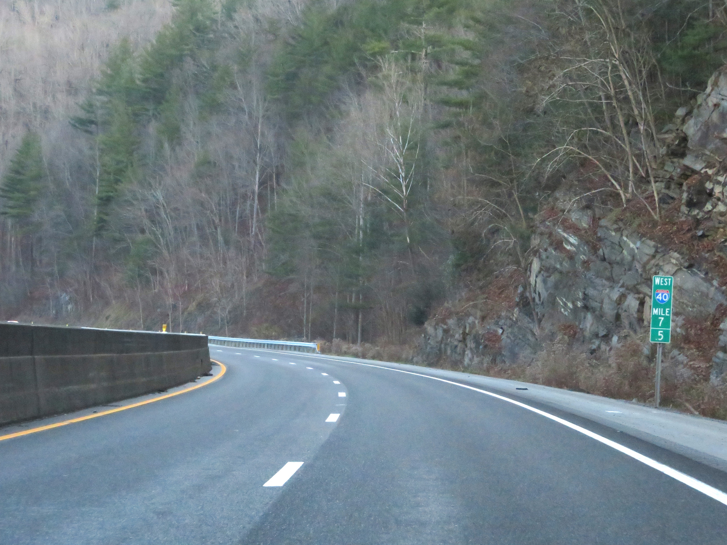 |
Interstate 40 West at mile marker 7.5. (Photo taken 12/5/20). |
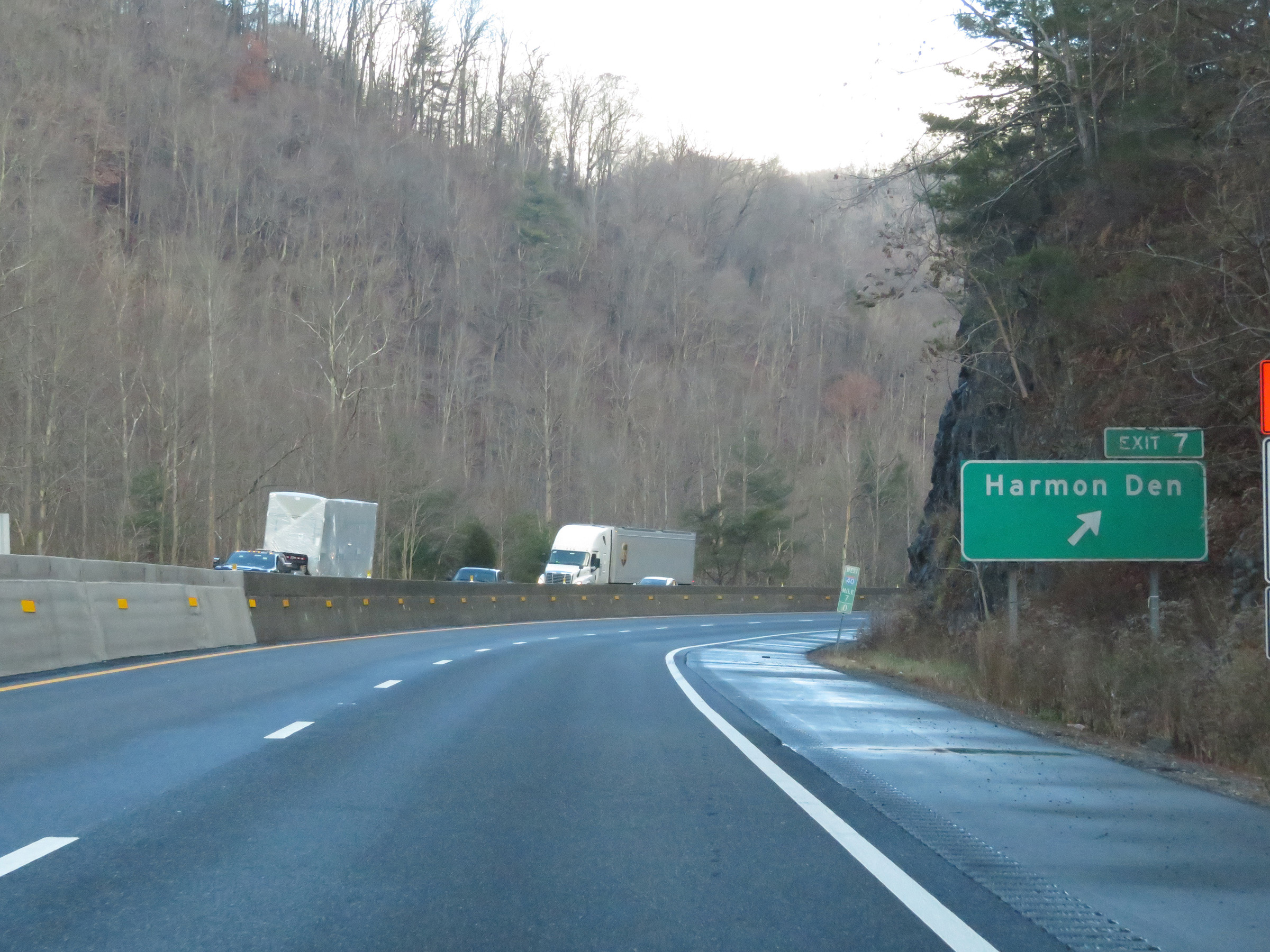 |
Interstate 40 West at Exit 7: Harmon Den (Photo taken 12/5/20). |
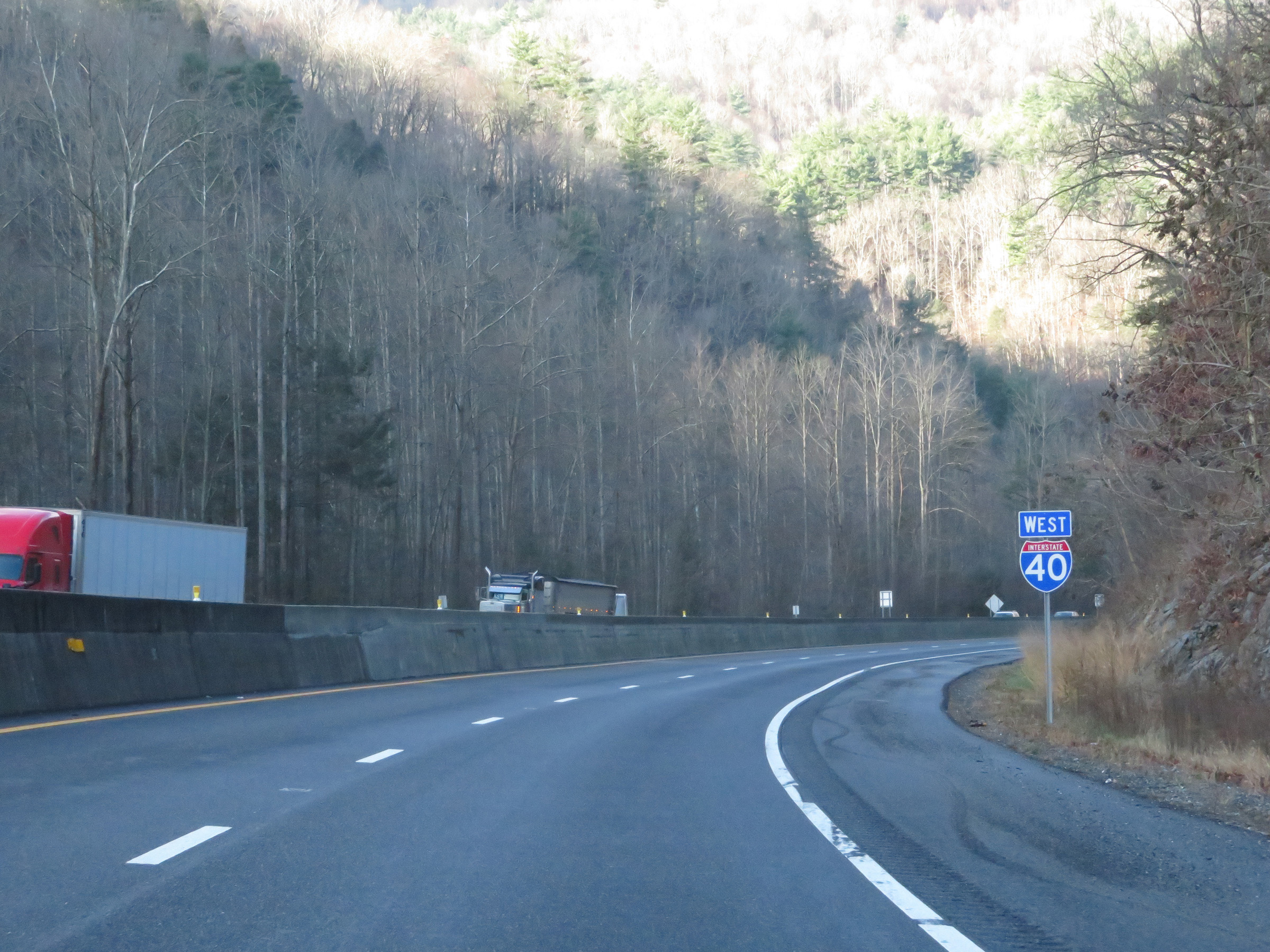 |
Another Interstate 40 West reassurance shield. (Photo taken 12/5/20). |
 |
The speed limits remain 55 mph for automobiles and 50 mph for trucks on Interstate 40 West through the Smoky Mountains. (Photo taken 12/5/20). |
 |
View on Interstate 40 West at mile marker 5. (Photo taken 12/5/20). |
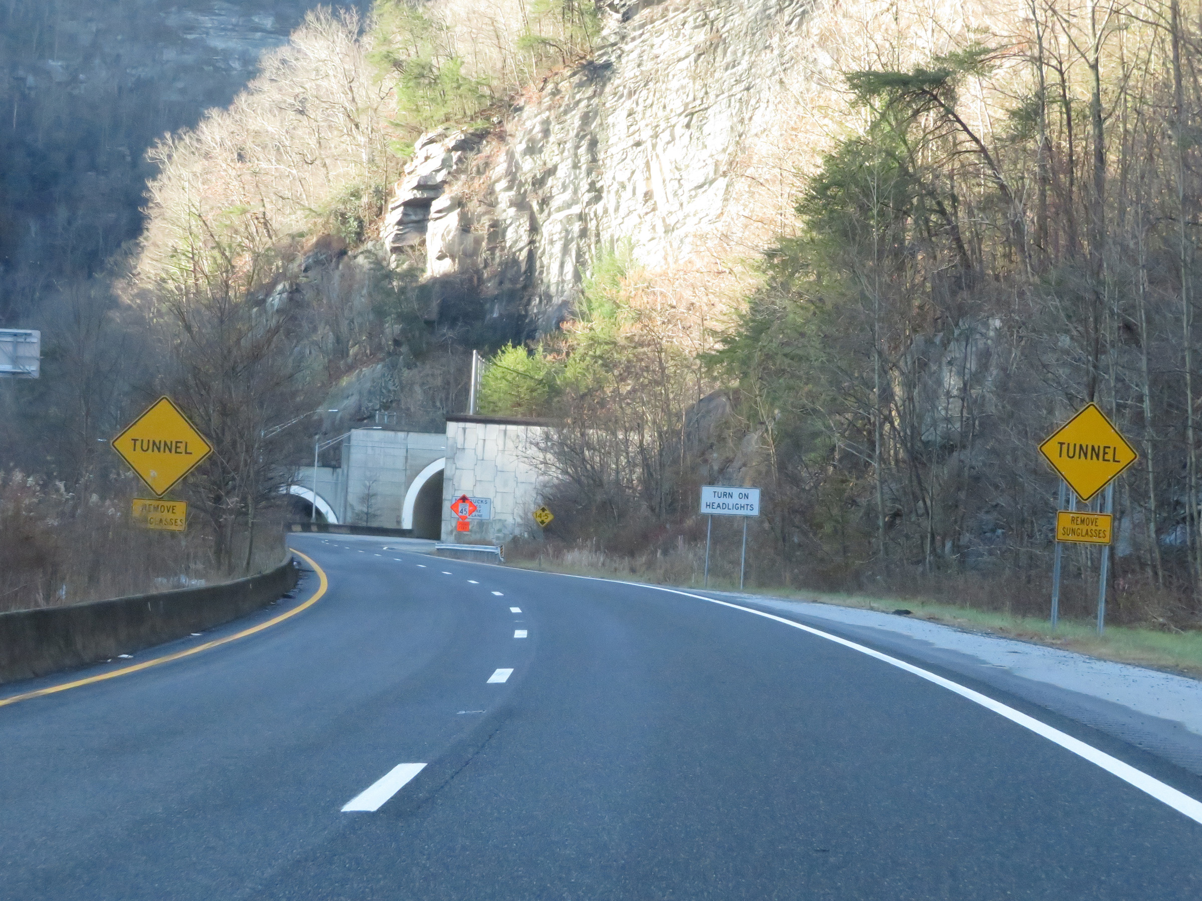 |
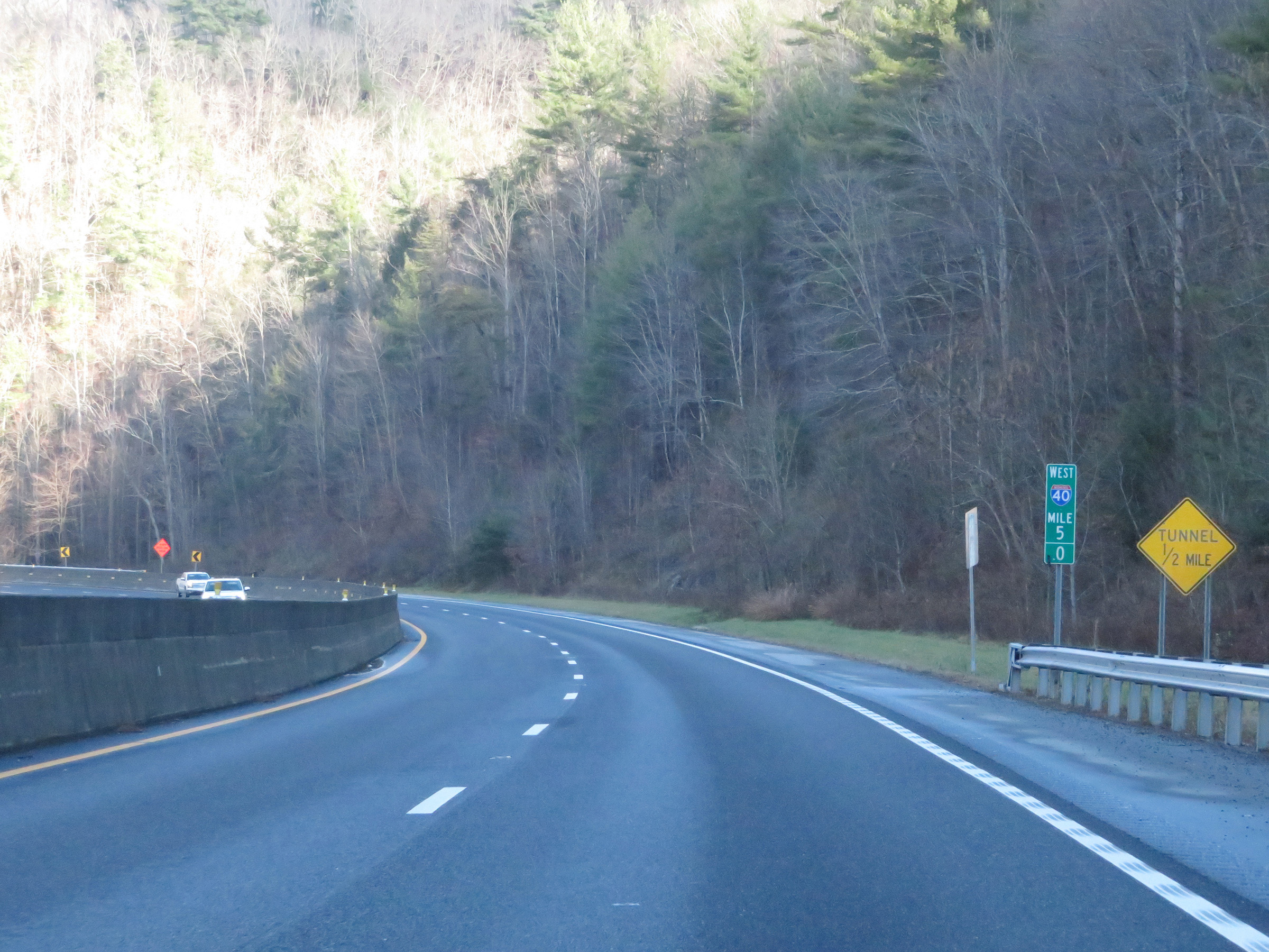
Ahead, Interstate 40 West will pass through a short tunnel. These signs remind drivers to remove their sunglasses through the tunnel. (Photo taken 12/5/20). |
 |
Interstate 40 West as it approaches the twin tunnels in the Great Smoky Mountains. (Photo taken 12/5/20). |
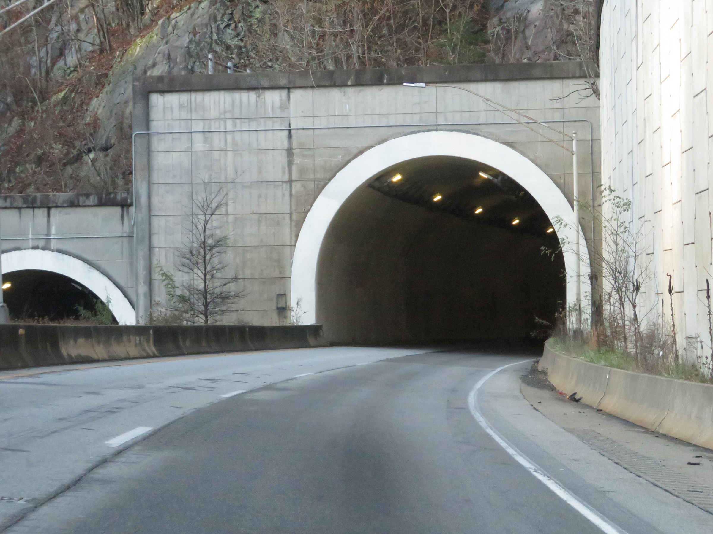 |
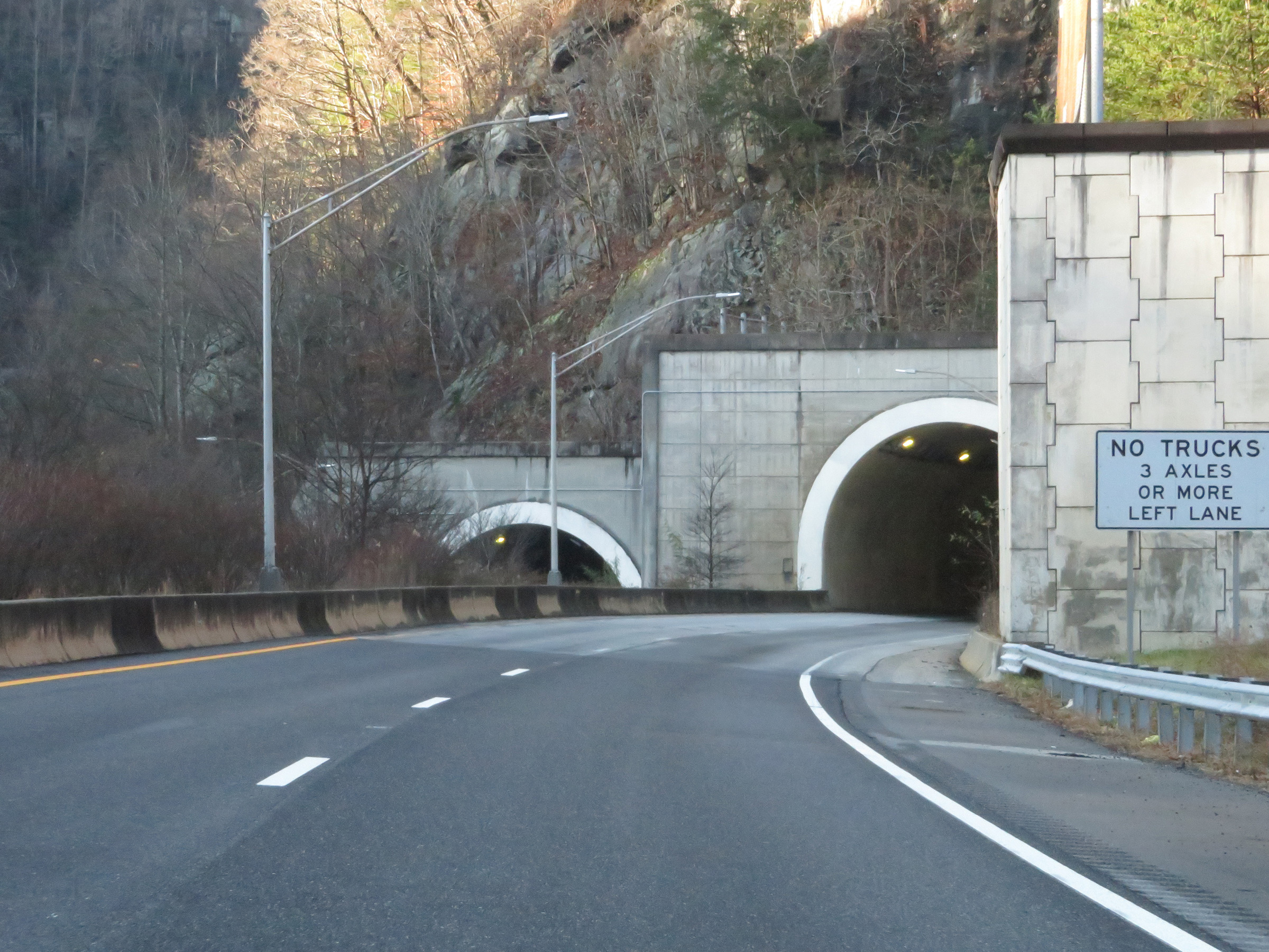
Interstate 40 as it prepares to enter the westbound twin tunnel. (Photo taken 12/5/20). |
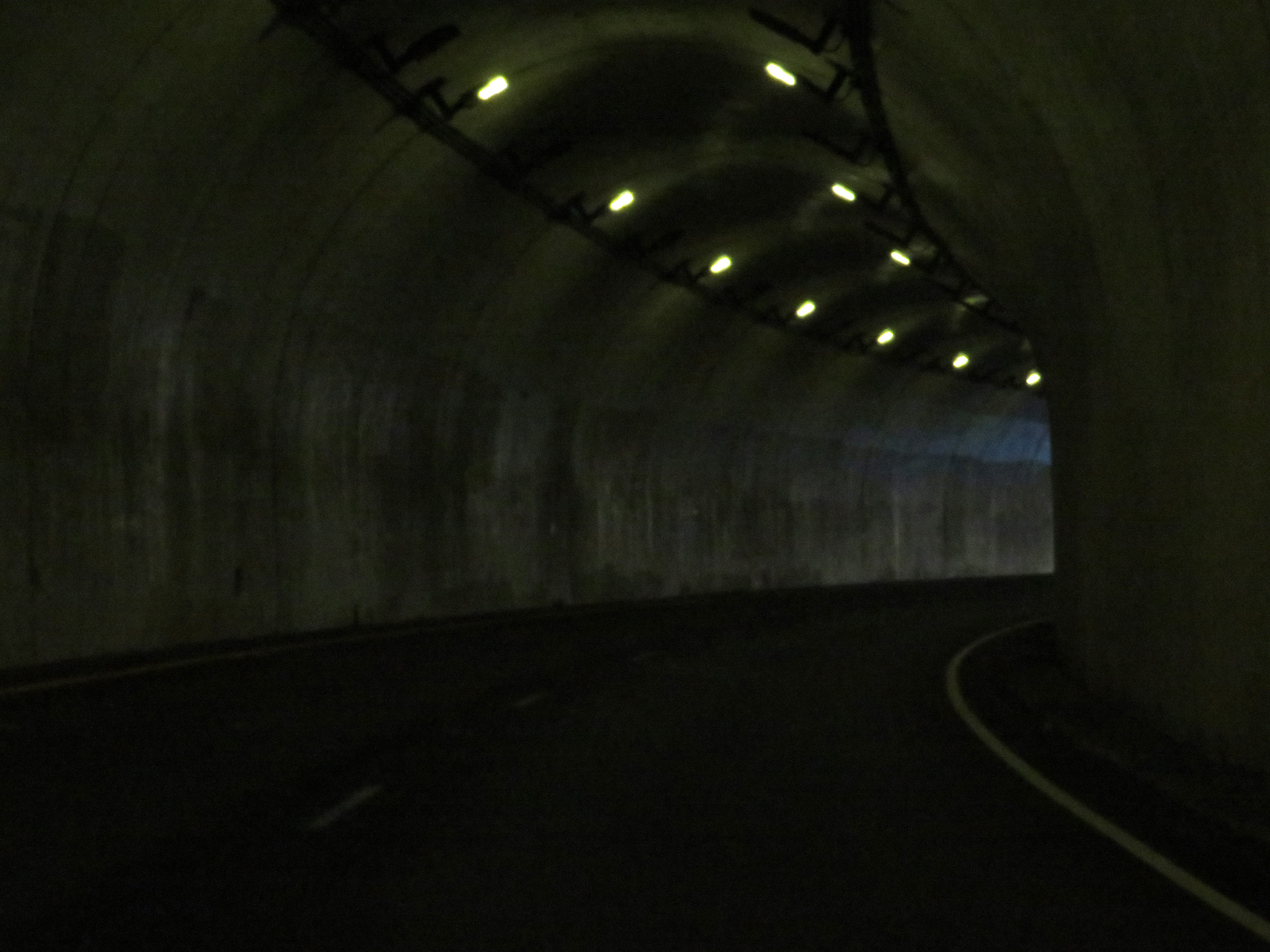 |
Interstate 40 West inside the tunnel. (Photo taken 12/5/20). |
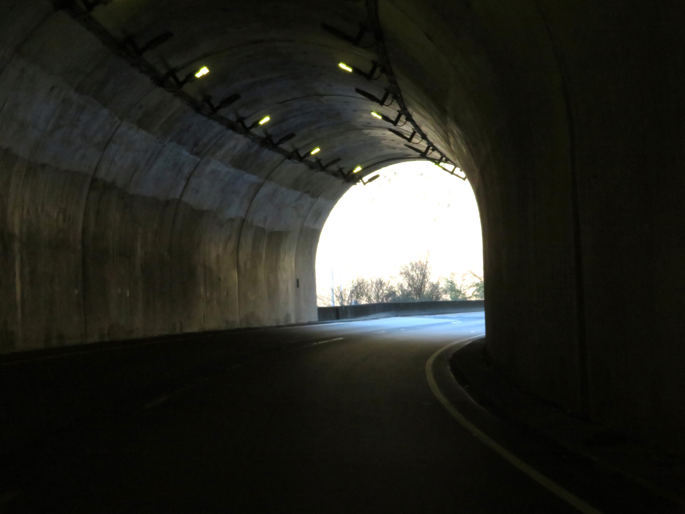 |
View on Interstate 40 West as the western end of the tunnel comes into view. (Photo taken 12/5/20). |
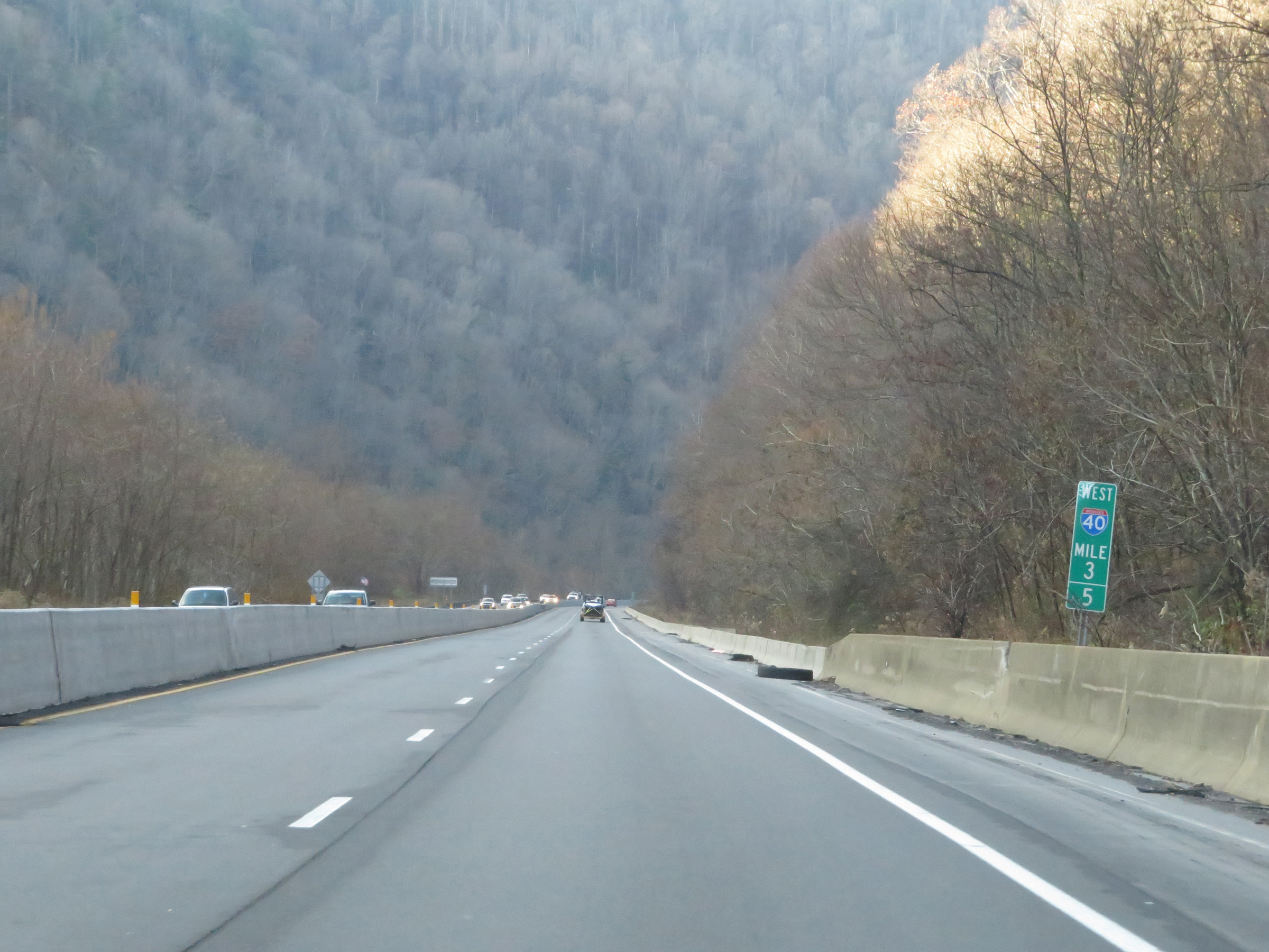 |
Mile marker 3.5 on Interstate 40 West in Haywood County and the Great Smoky Mountains. (Photo taken 12/5/20). |
 |
View on Interstate 40 West at mile marker 3. (Photo taken 12/5/20). |
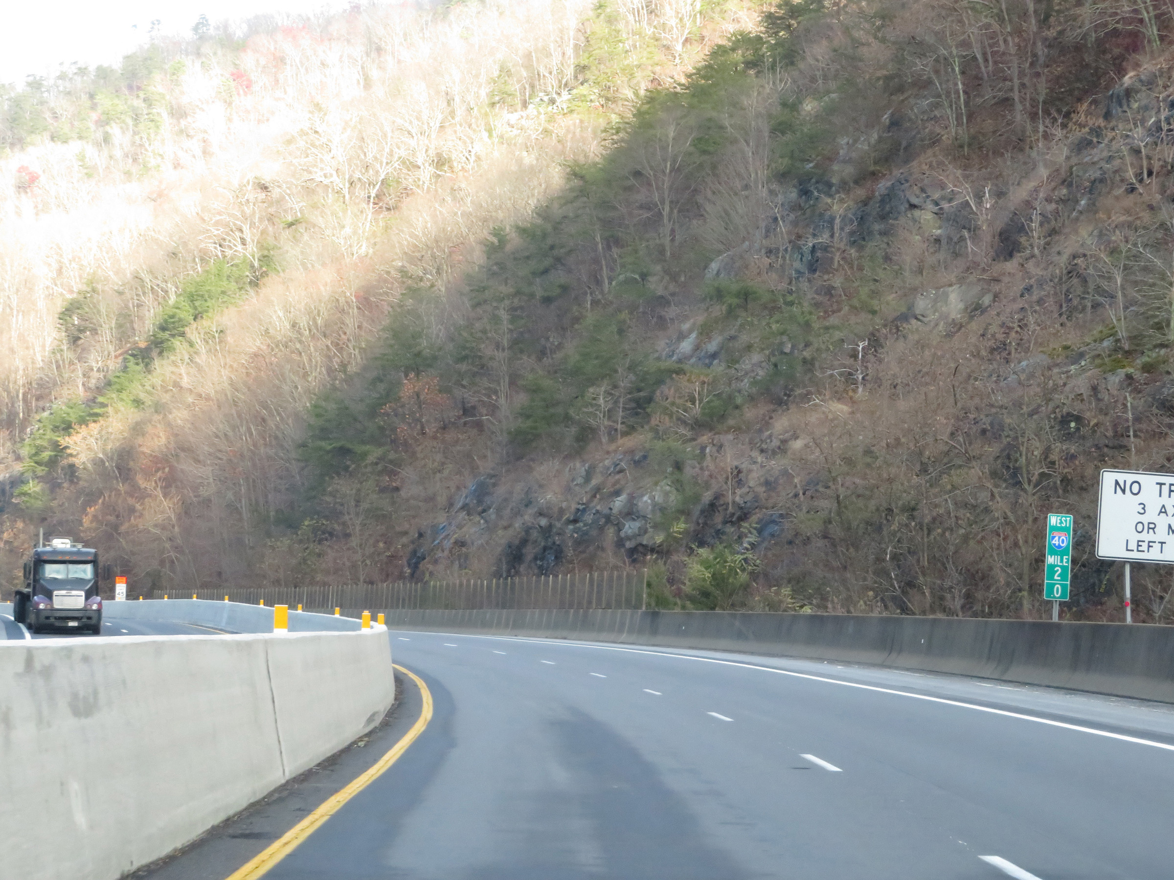 |
Interstate 40 West at mile marker 2. The truck lane restrictions remain in effect. (Photo taken 12/5/20). |
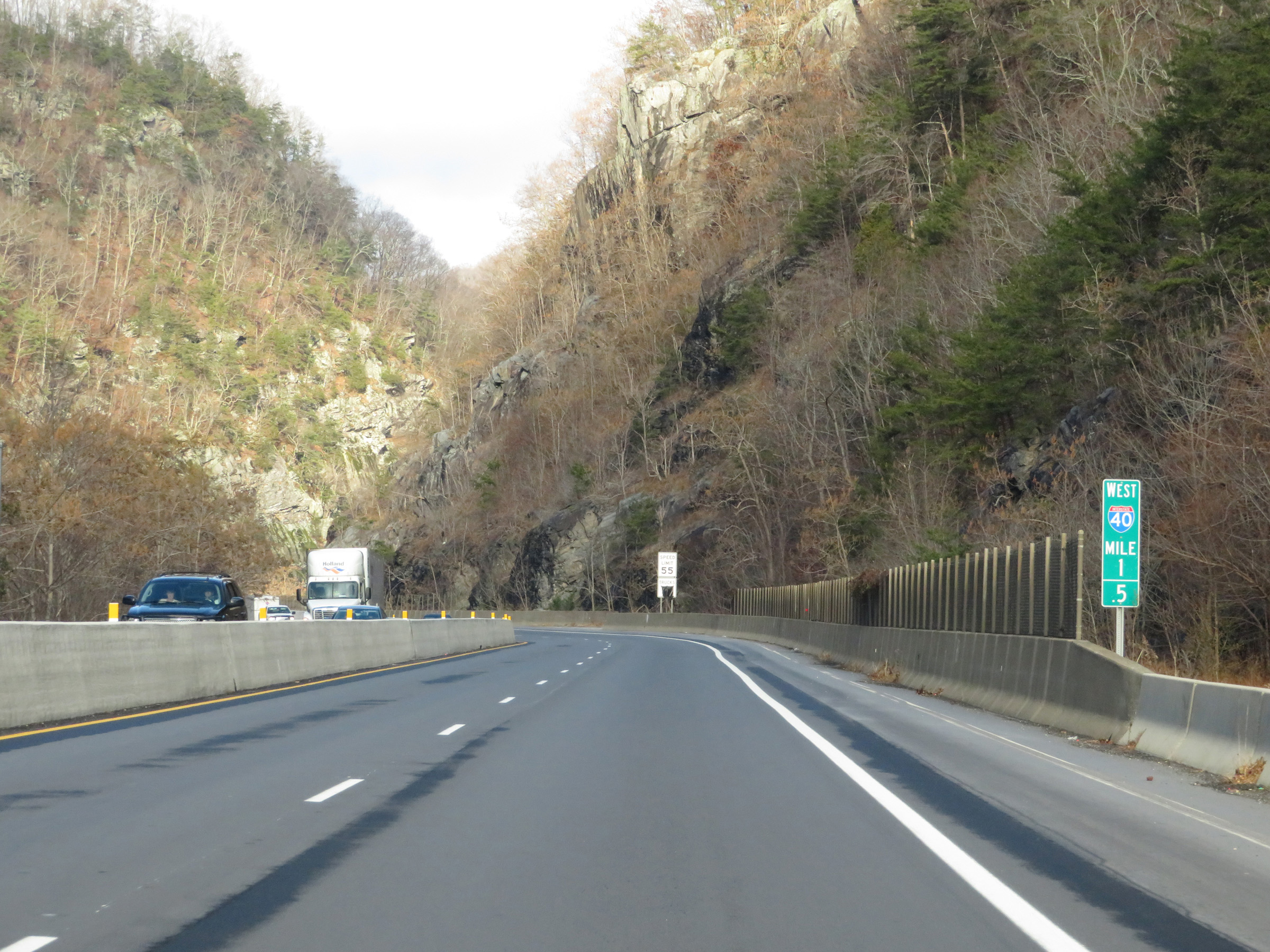 |
Mile marker 1.5 on Interstate 40 West in the Smoky Mountains. (Photo taken 12/5/20). |
 |
View on Interstate 40 West at mile marker 1. (Photo taken 12/5/20). |
 |
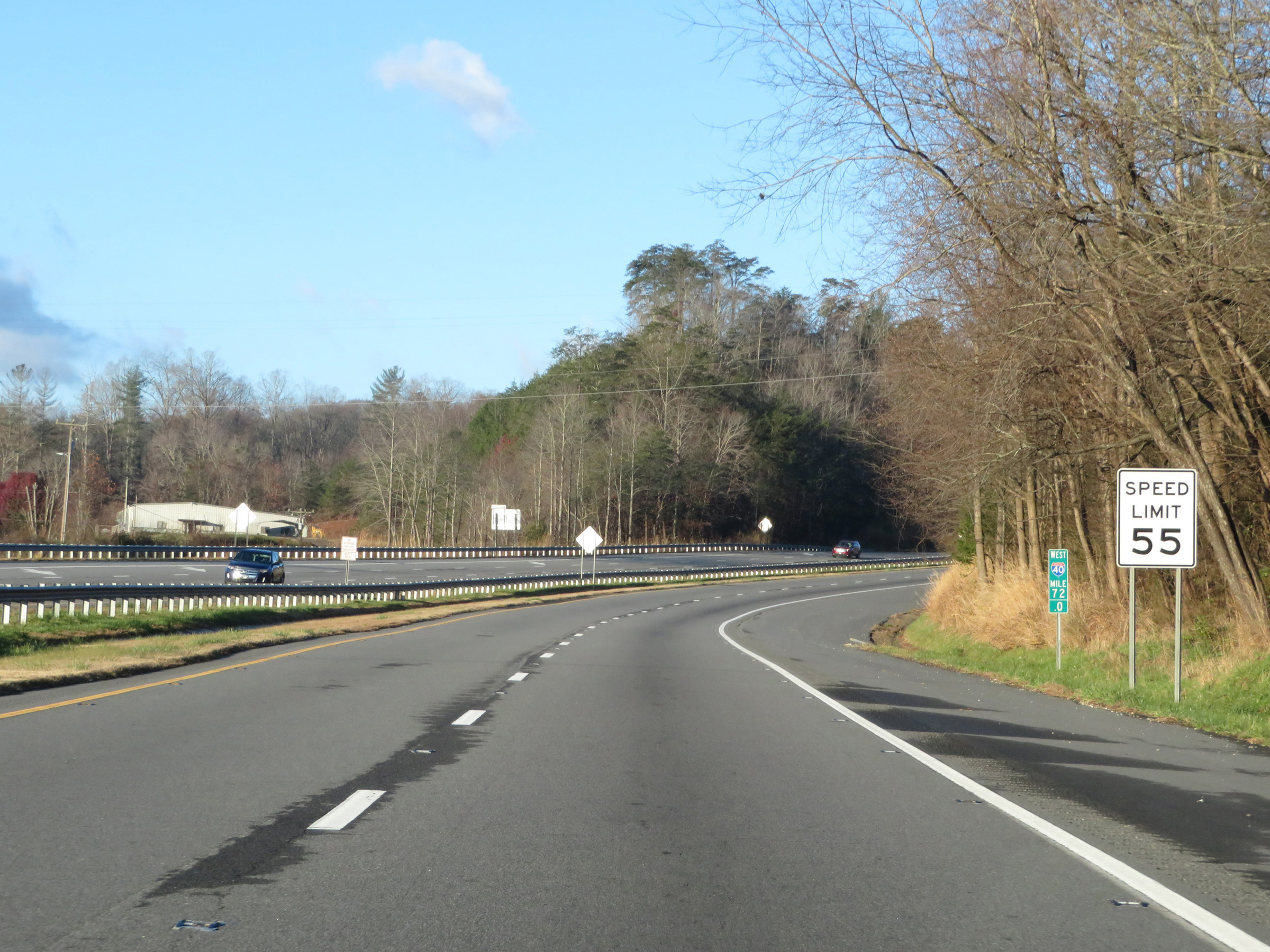
Approaching the Tennessee border, the truck speed limit comes to an end. The speed limit is 55 mph for all traffic at this point. (Photo taken 12/5/20). |
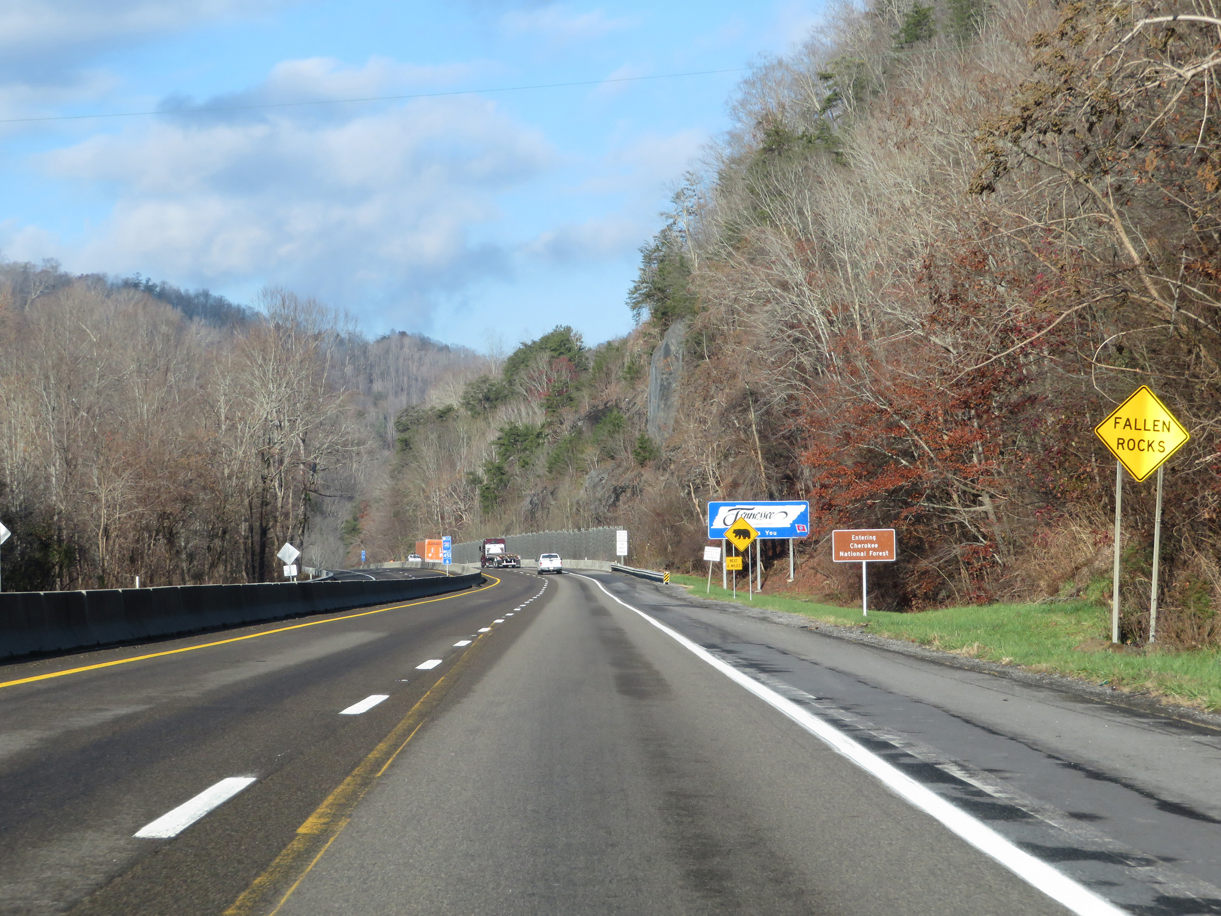 |
Interstate 40 West as the Tennessee border and welcome sign come into view. (Photo taken 12/5/20). |
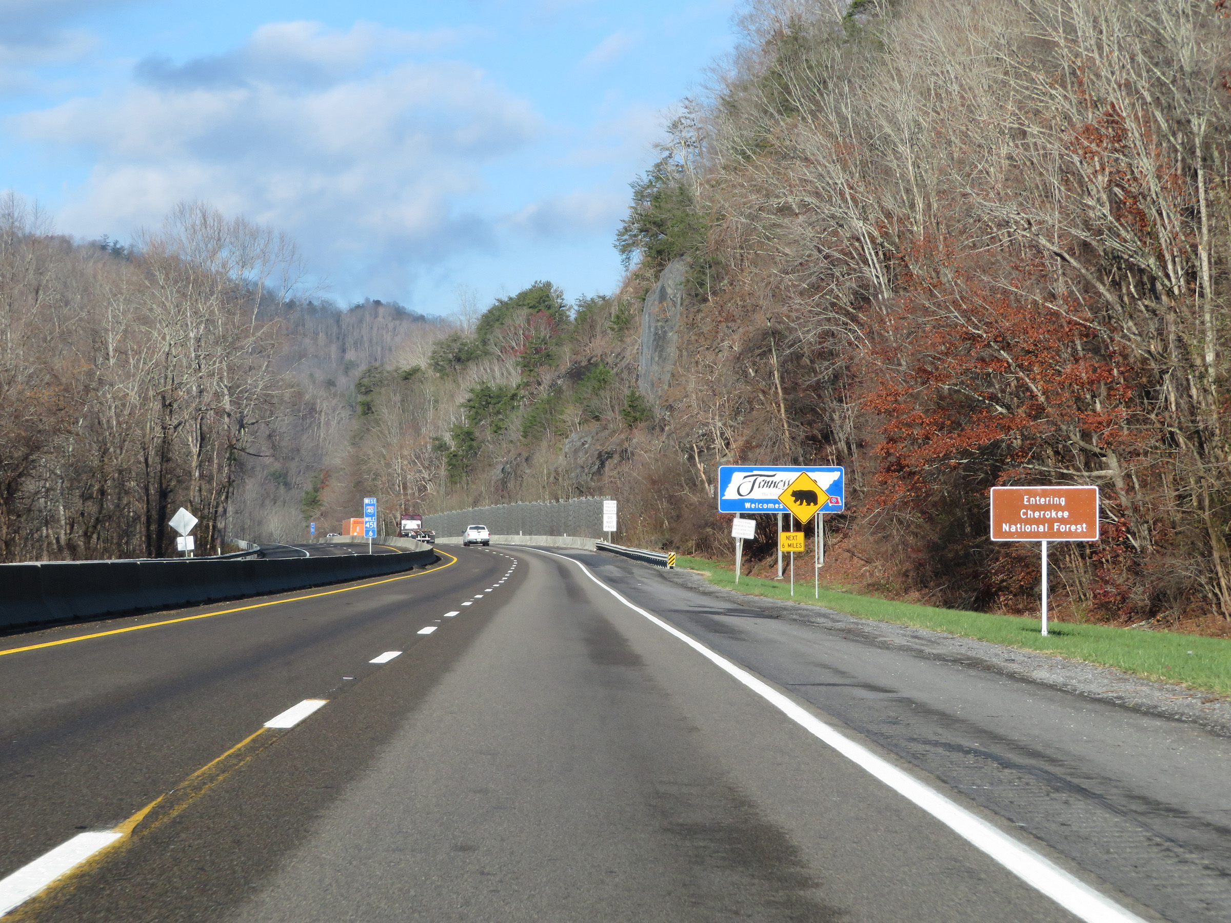 |
As Interstate 40 West enters Tennessee, it also enters Cherokee National Forest. (Photo taken 12/5/20). |