Road Information |
||
 |
||
| Total Mileage in State: | 3.5 miles | |
| Eastern End: | At I-80, near Big Springs | |
| Western End: | At Colorado state line | |
| Mileage covered in Photos: | 3.5 miles | |
| Counties covered in Photos: | Deuel | |
| Major Junctions in Photos: | I-80, near Big Springs | |
| Control Cities in Photos: | Big Springs | |
Eastbound
 |
Nebraska welcome sign on Interstate 76 East as it enters the state from Colorado. (Photo taken 8/18/22). |
 |
This sign shows the maximum legal weight limits for commercial vehicles on Interstate highways in Nebraska. (Photo taken 8/18/22). |
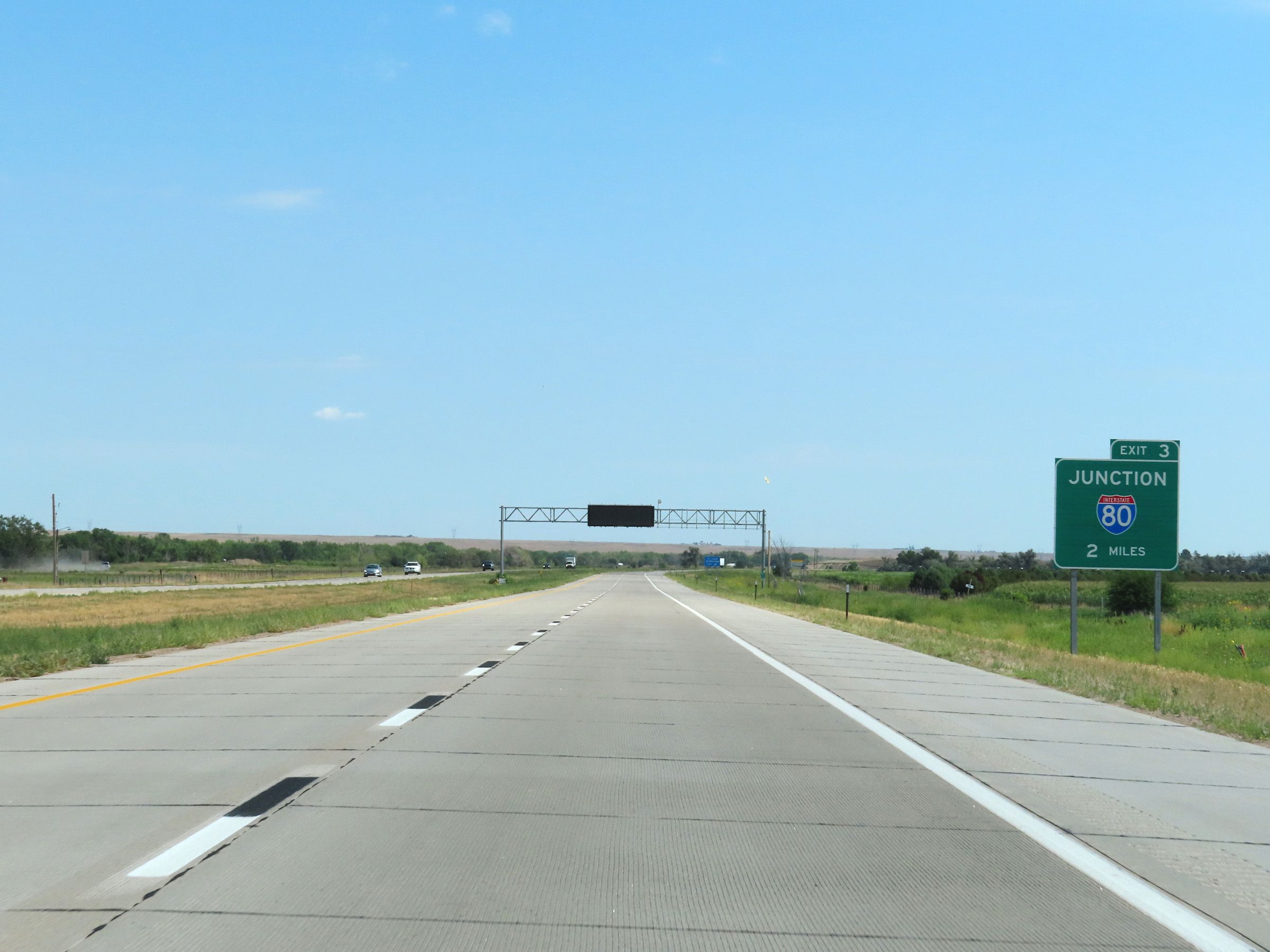 |
The junction of Interstate 80, which will be the eastern terminus of the western segment of Interstate 76, is 2 miles ahead. (Photo taken 8/18/22). |
 |
Mile marker 0.56 on Interstate 76 East in Deuel County. (Photo taken 8/18/22). |
 |
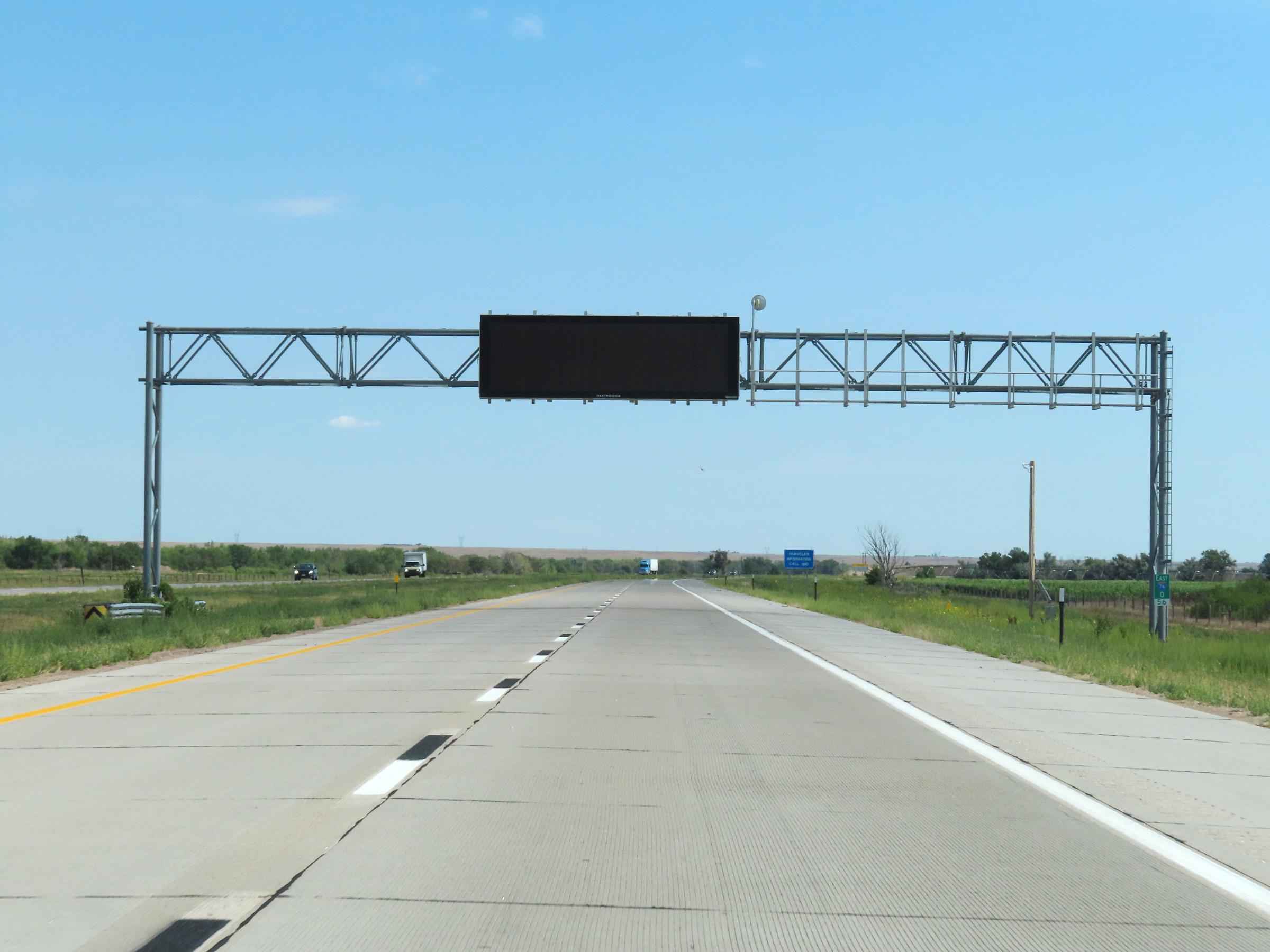
View on Interstate 76 East in Deuel County. (Photo taken 8/18/22). |
 |
Interstate 76 East approaching Exit 3 - 1 mile. (Photo taken 8/18/22). |
 |
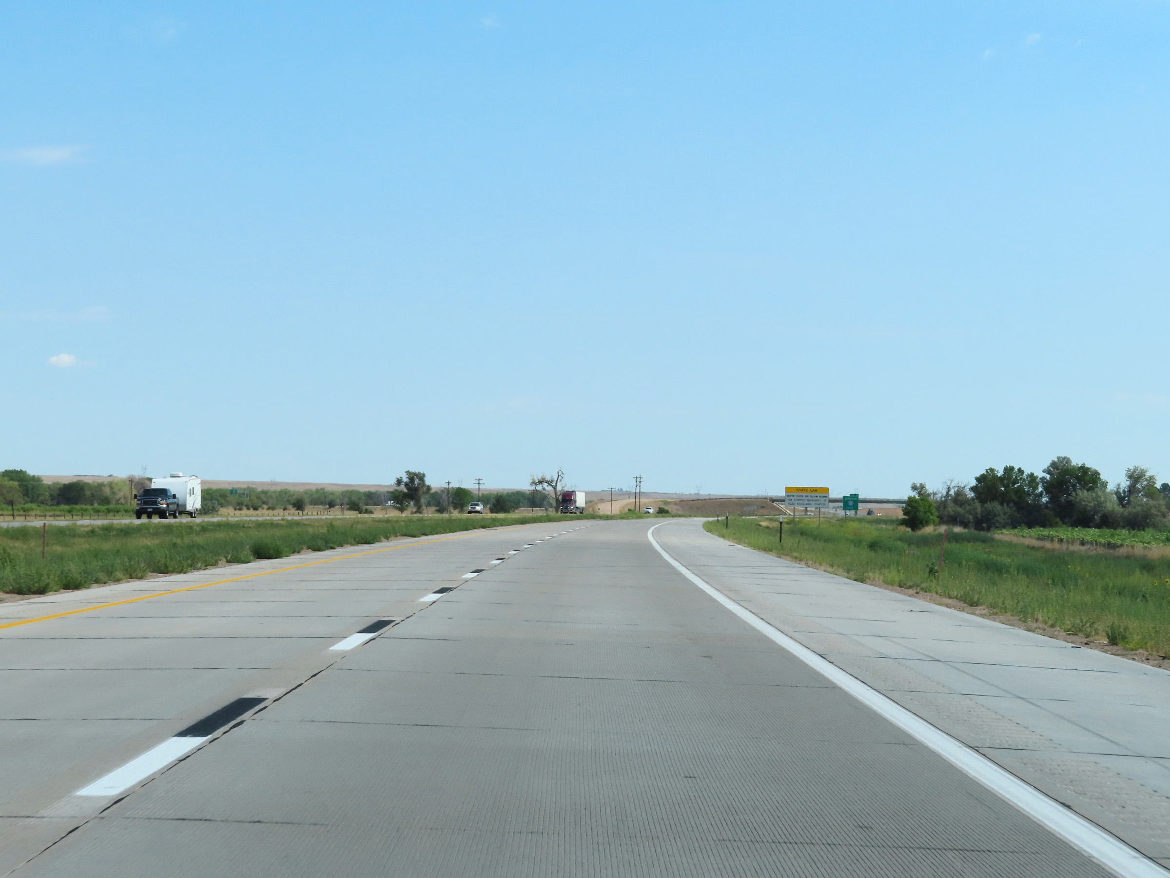
View on Interstate 76 East at mile marker 1.5. The speed limits on I-76 in Nebraska are 75 mph maximum and 40 mph minimum. These are the standard speed limits on most stretches of rural Interstate in Nebraska. (Photo taken 8/18/22). |
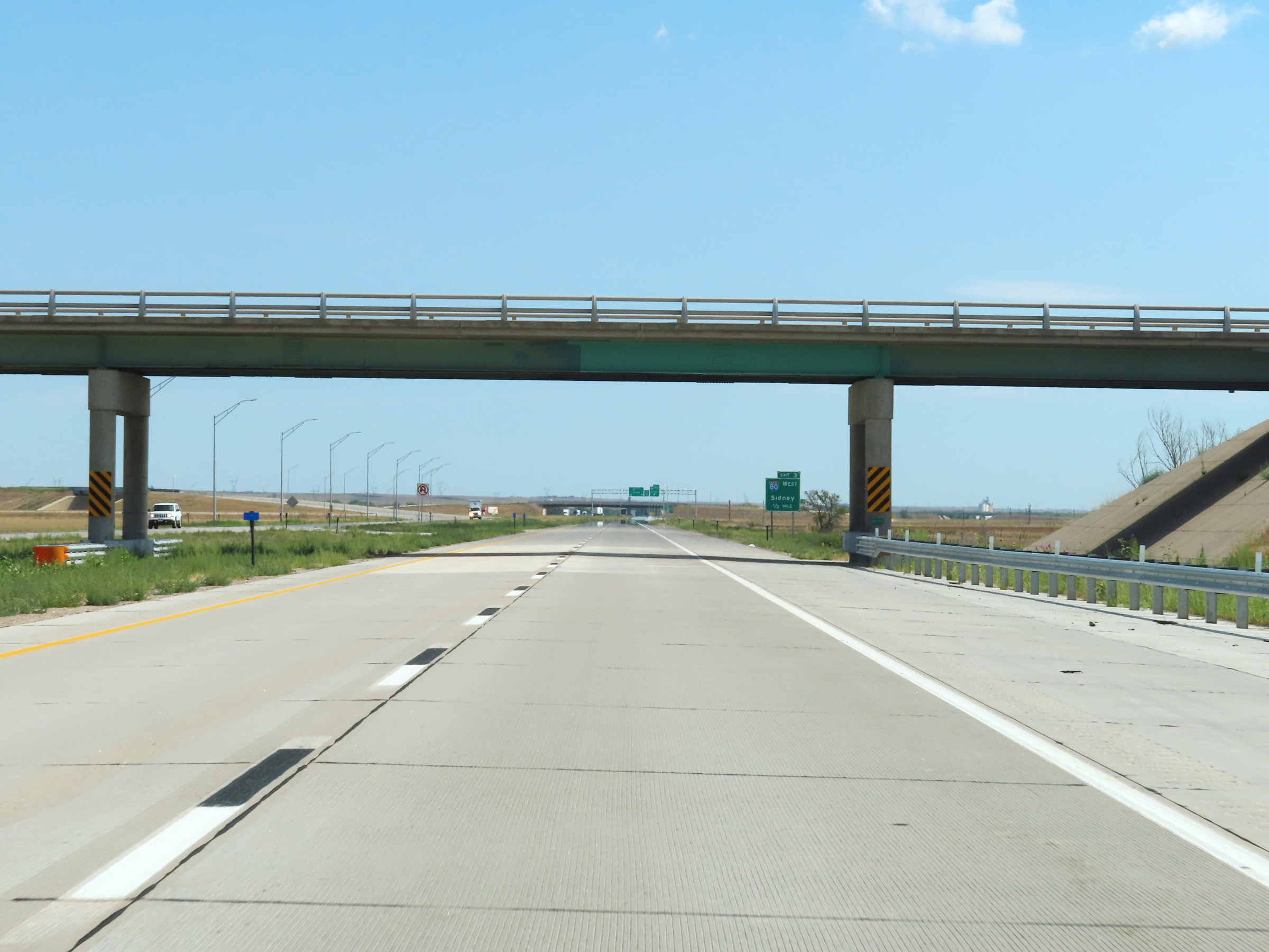 |
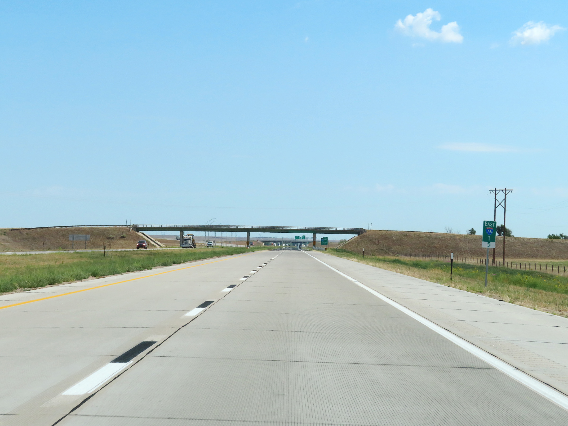
Interstate 76 East as it passes under a county road in Deuel County. (Photo taken 8/18/22). |
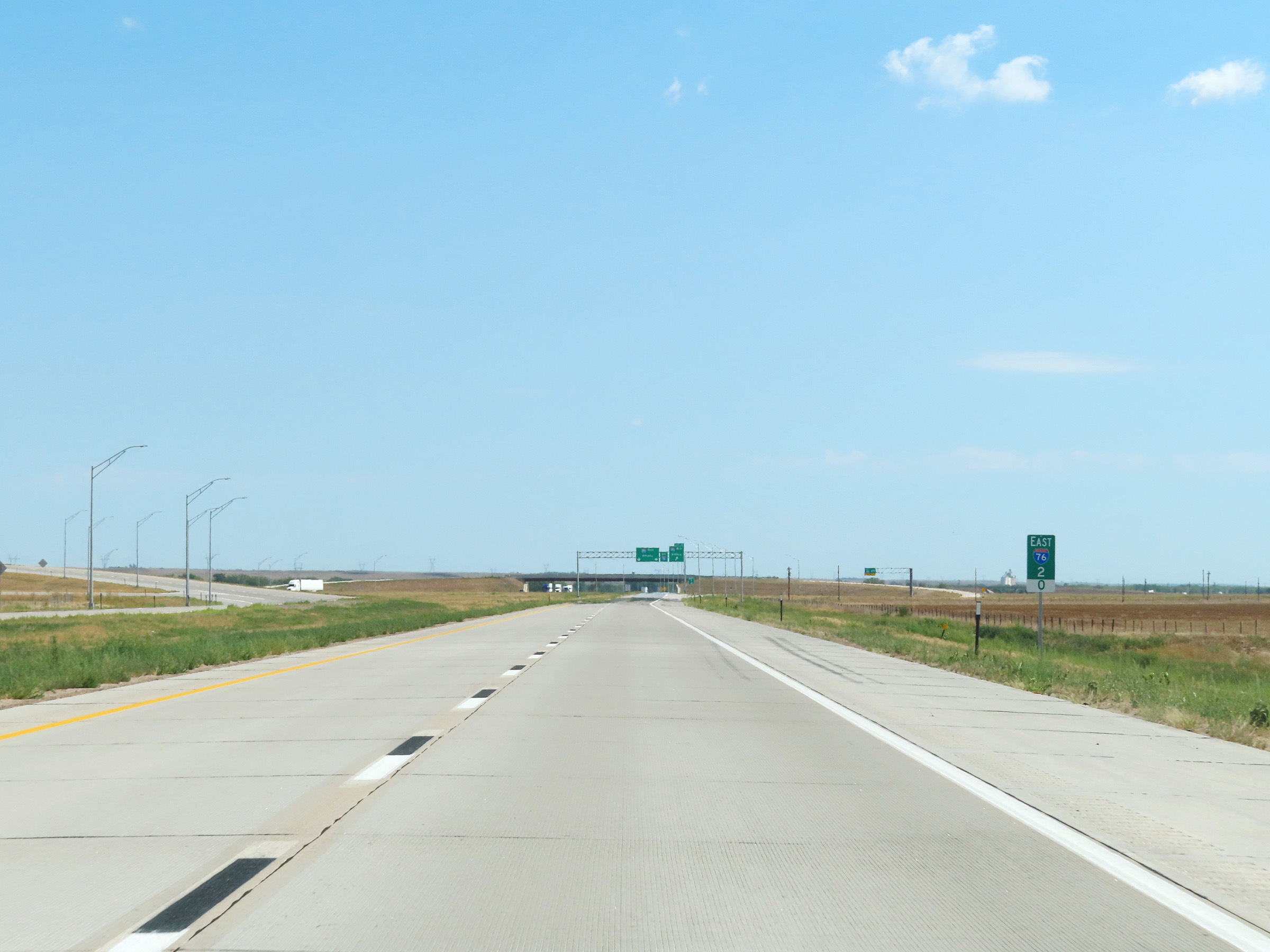 |
View on Interstate 76 East at mile marker 2. (Photo taken 8/18/22). |
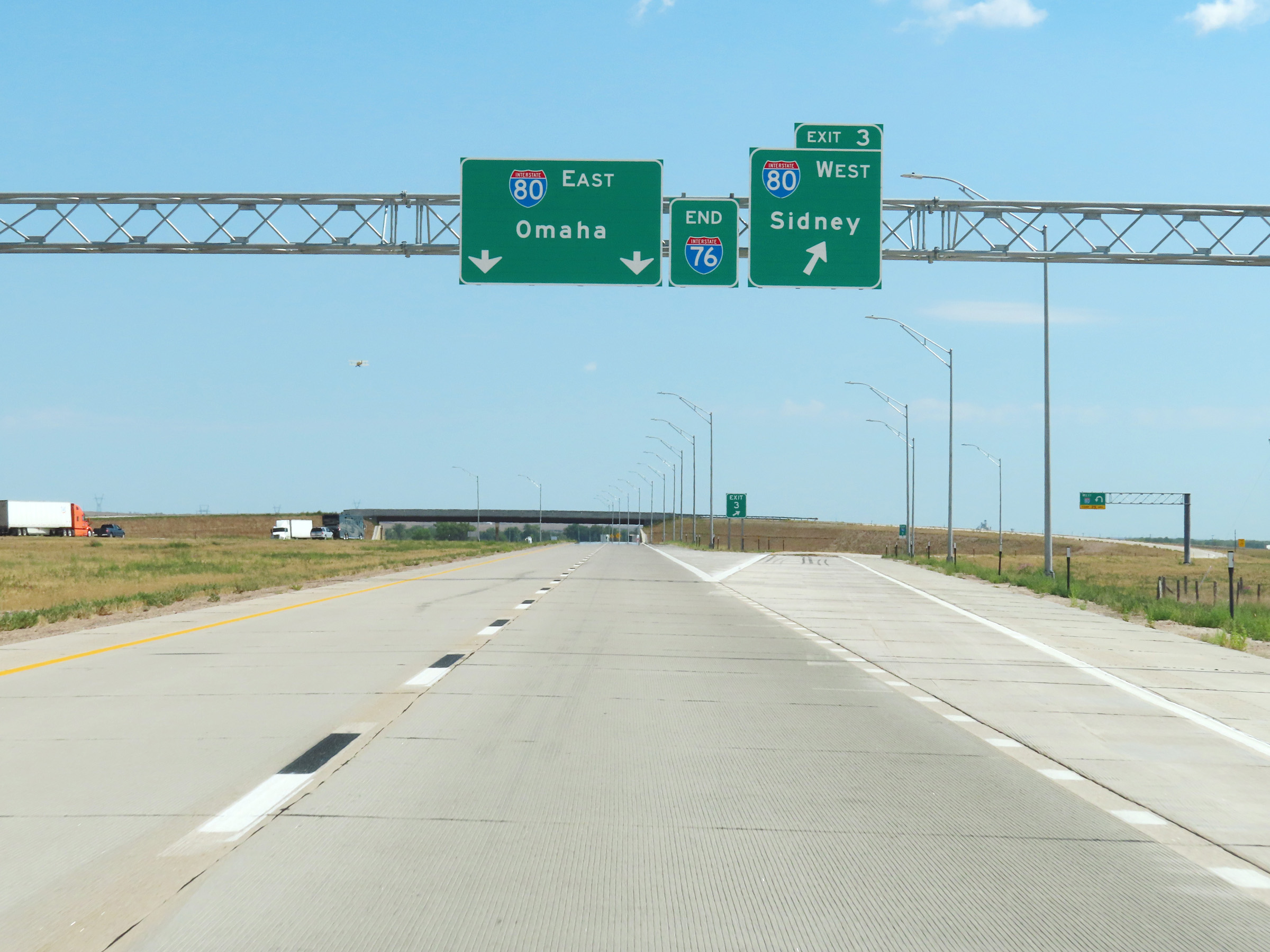 |
Interstate 76 East at Exit 3: Interstate 80 West - Sidney. We also see an overhead Interstate 76 END marker here. (Photo taken 8/18/22). |
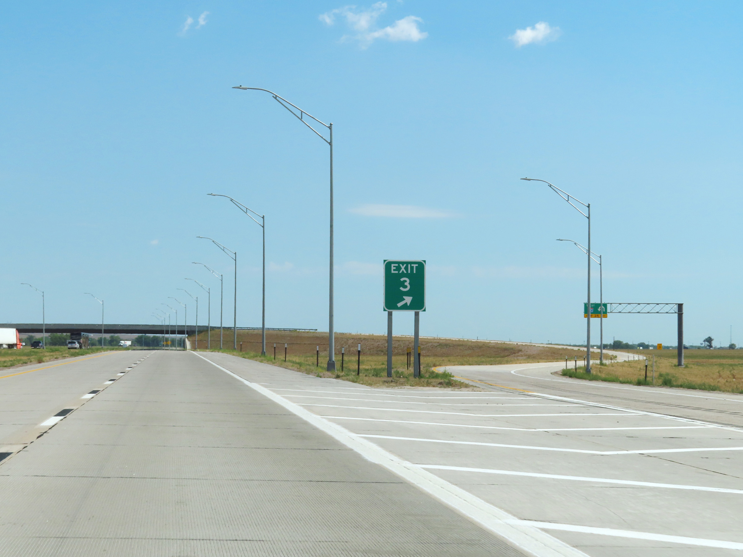 |
A closer view of the ramp to Interstate 80 West via Exit 3. (Photo taken 8/18/22). |
 |
The two remaining thru lanes of Interstate 76 East become the ramp to Interstate 80 East, as they prepare to pass under the ramp to I-80 West. (Photo taken 8/18/22). |
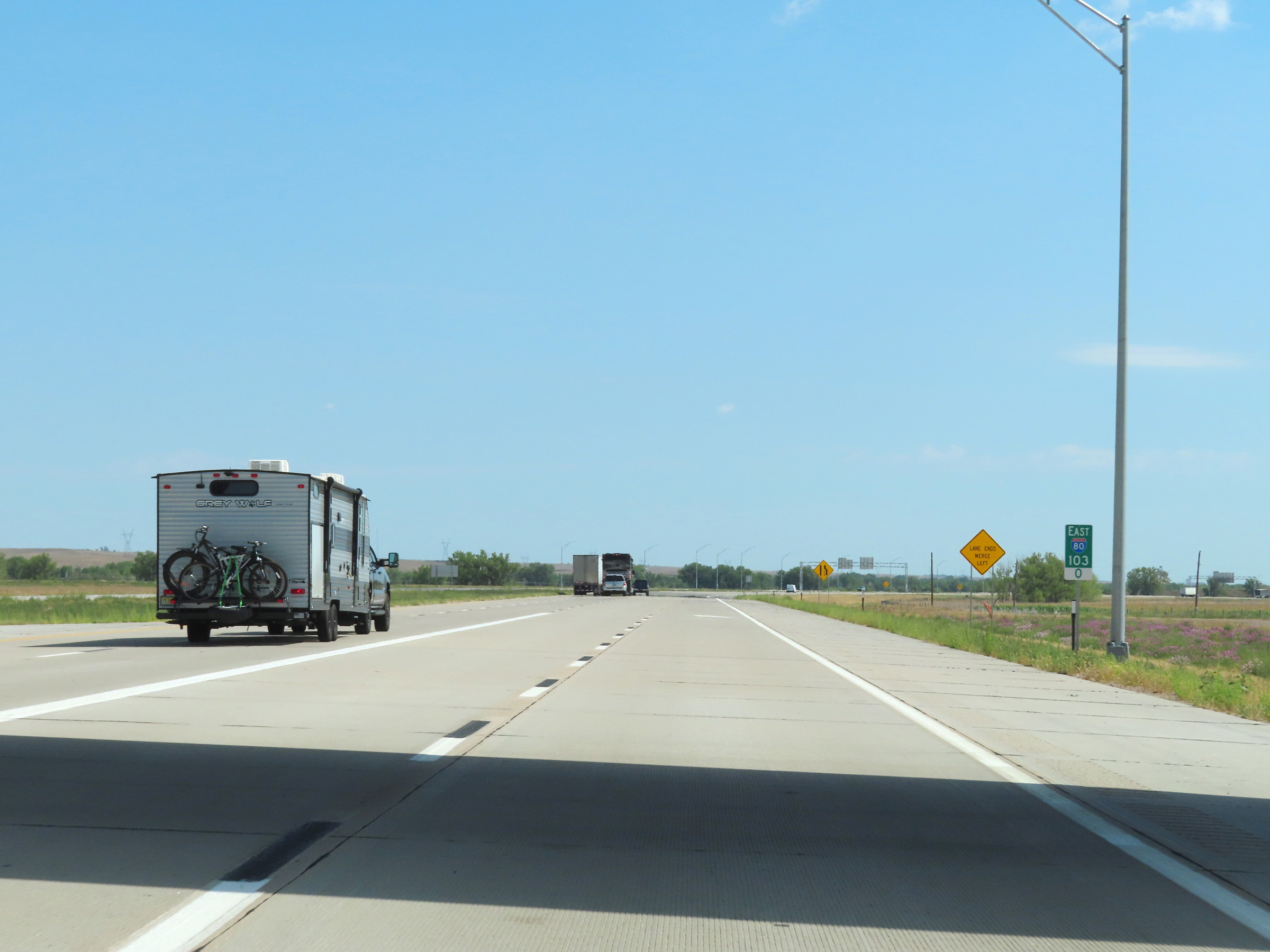 |
The two lanes of Interstate 76 East are reduced to a single lane as the ramp joins Interstate 80 East at mile marker 103. (Photo taken 8/18/22). |
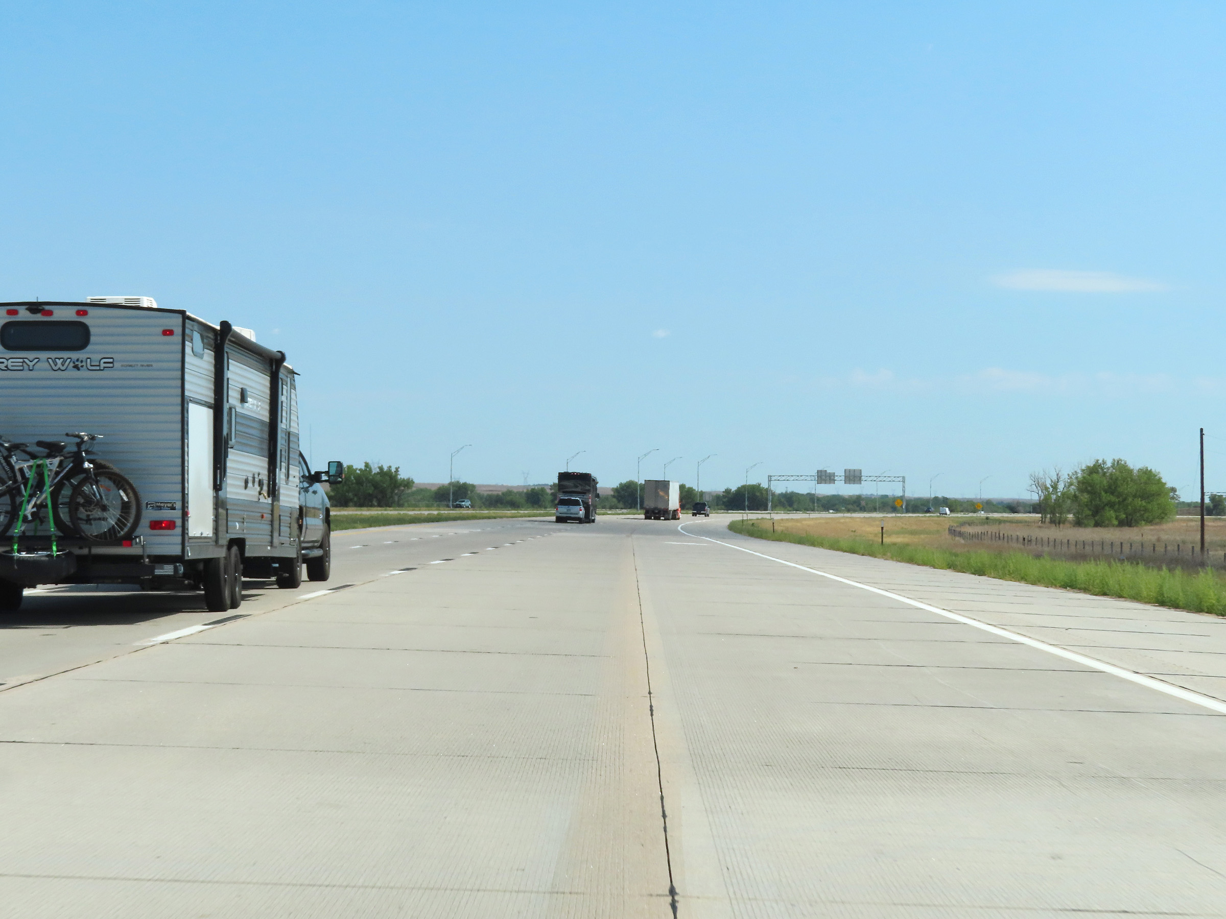 |
Interstate 76 East traffic merges into Interstate 80 East here near Big Springs, and its remaining lane will come to an end ahead. (Photo taken 8/18/22). |