Road Information |
||
 |
||
| Total Mileage in State: | 13 miles | |
| Northern/Eastern End: | At Iowa state line | |
| Western/Southern End: | At I-80, in Omaha | |
| Mileage covered in Photos: | 13 miles | |
| Counties covered in Photos: | Douglas | |
| Major Junctions in Photos: | US 6, in Omaha US 75, in Omaha |
|
| Control Cities in Photos: | Omaha | |
Northbound/Eastbound
 |
Merging onto Interstate 680 North from Interstate 80 East, to the west of downtown Omaha. (Photo taken 5/29/16). |
 |
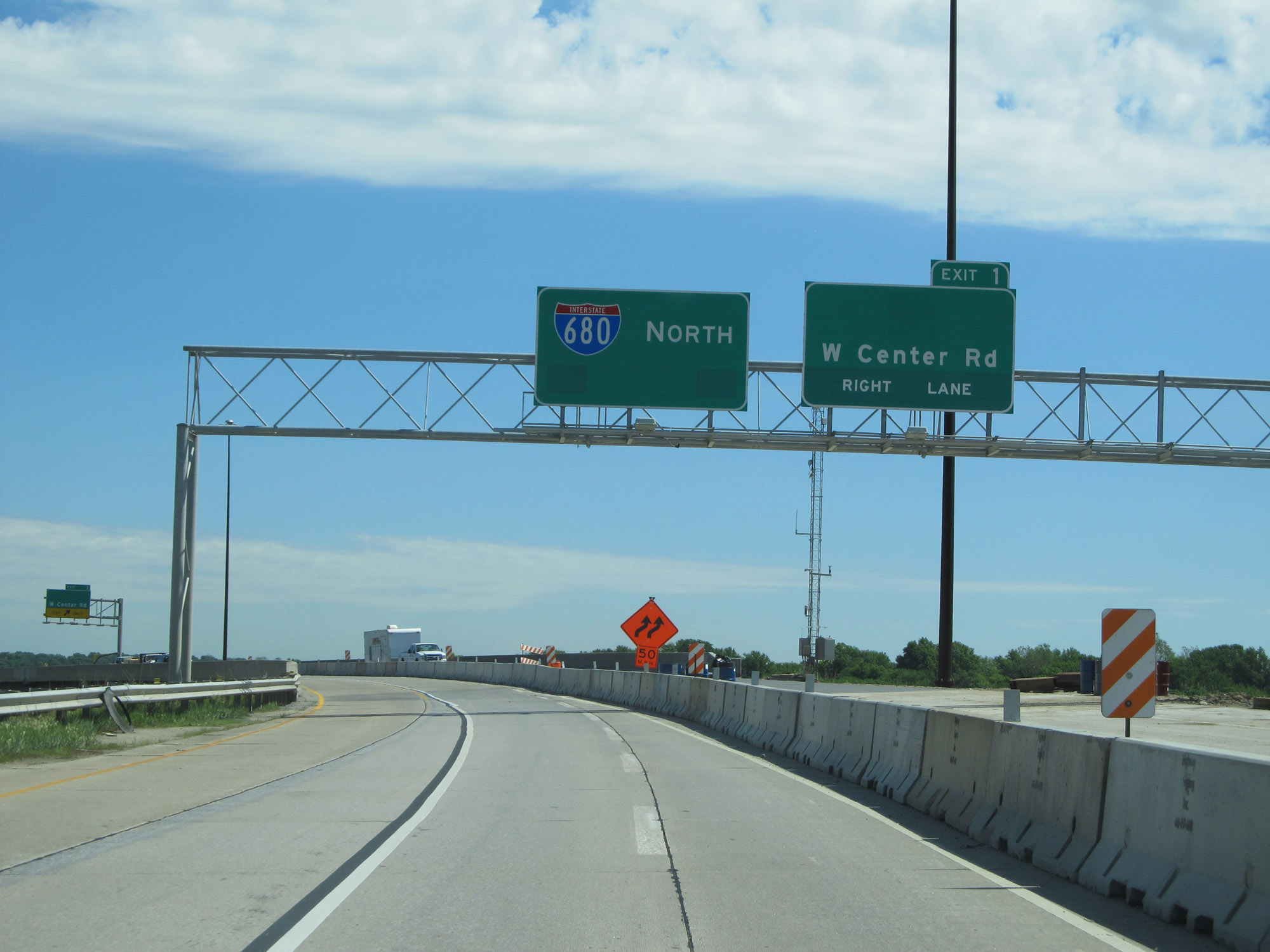
Interstate 680 North at Exit 1: W Center Rd (Photo taken 5/29/16). |
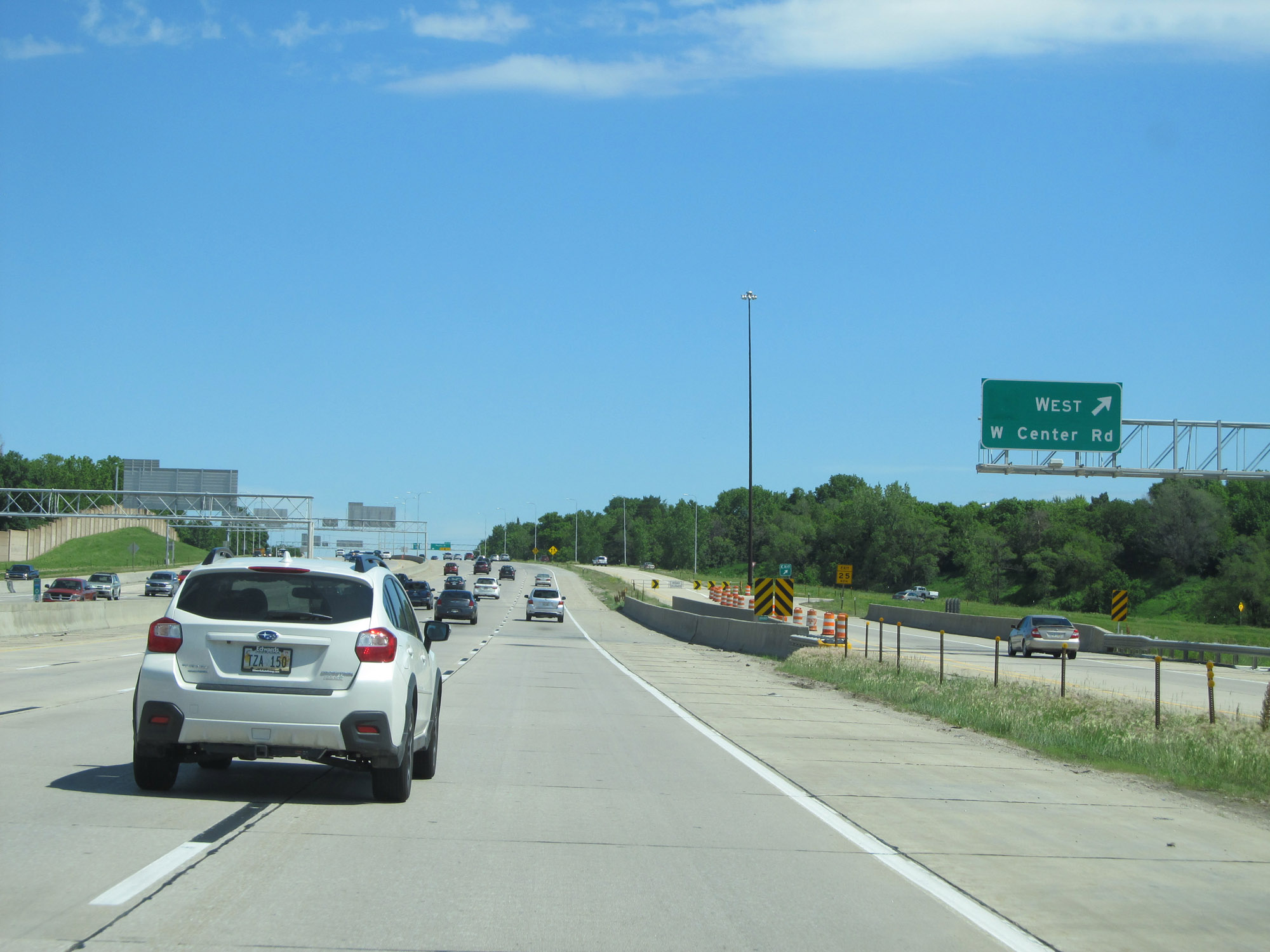 |
The ramp for Exit 1 splits into two separate exits, one for each direction of W Center Rd. This photo shows the ramp to W Center Rd West. (Photo taken 5/29/16). |
 |
Interstate 680 North at Exit 2: Pacific St (Photo taken 5/29/16). |
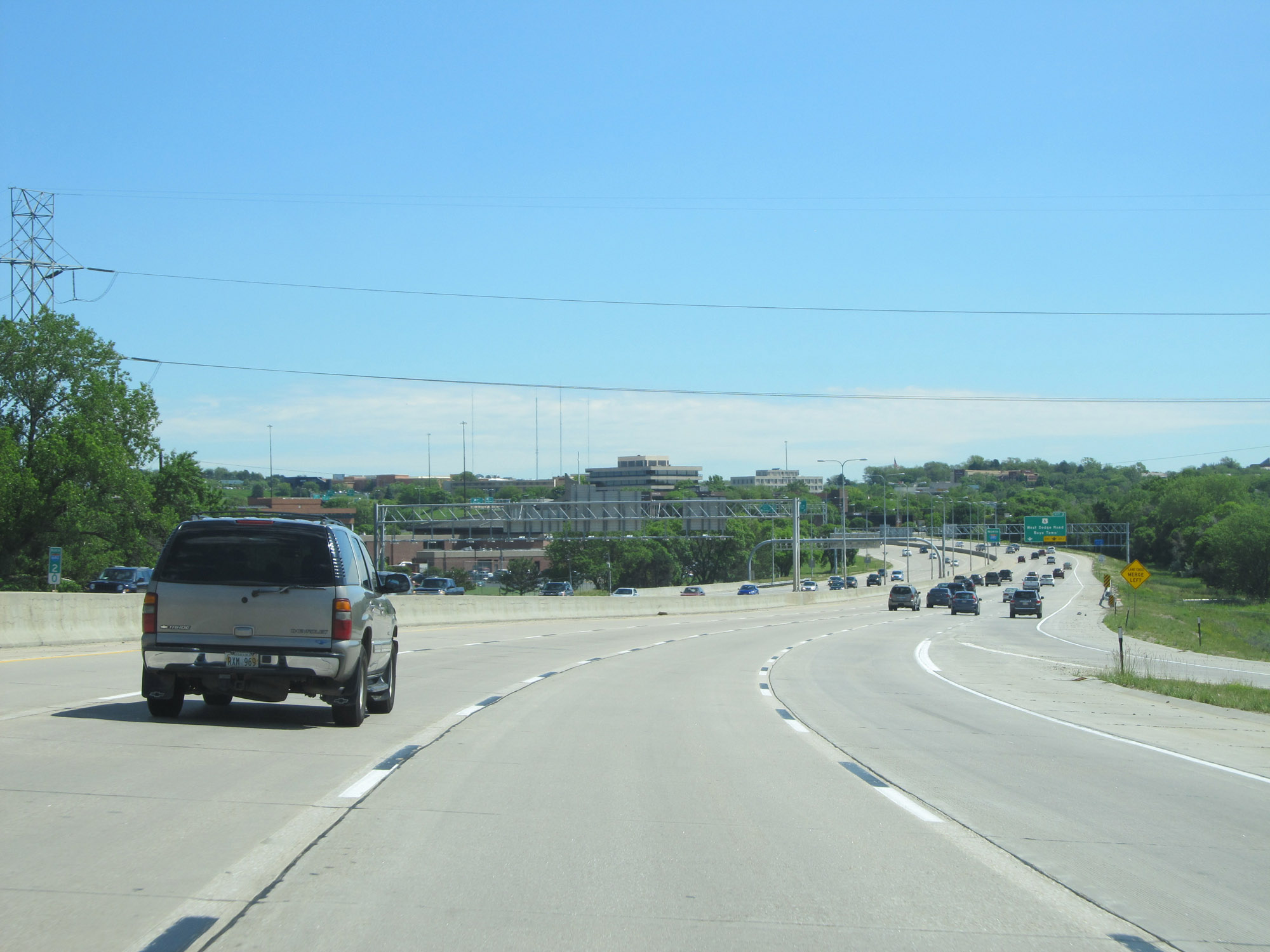 |
View on Interstate 680 North at mile marker 2. (Photo taken 5/29/16). |
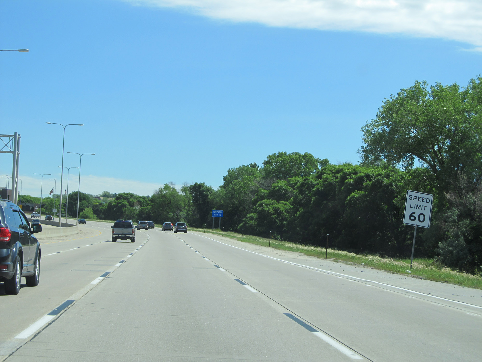 |
The speed limit on Interstate 680 North starts out at 60 mph and remains that way for its entire duration in Nebraska. (Photo taken 5/29/16). |
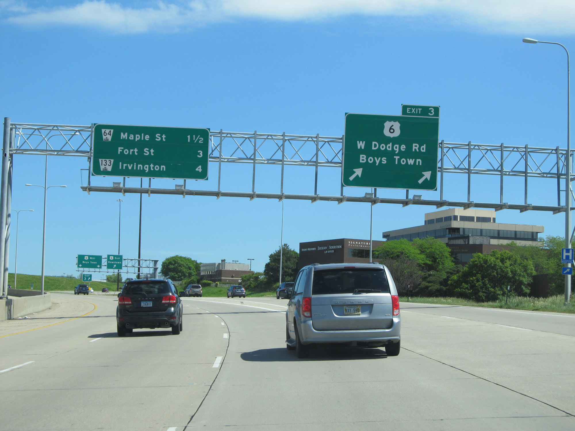 |
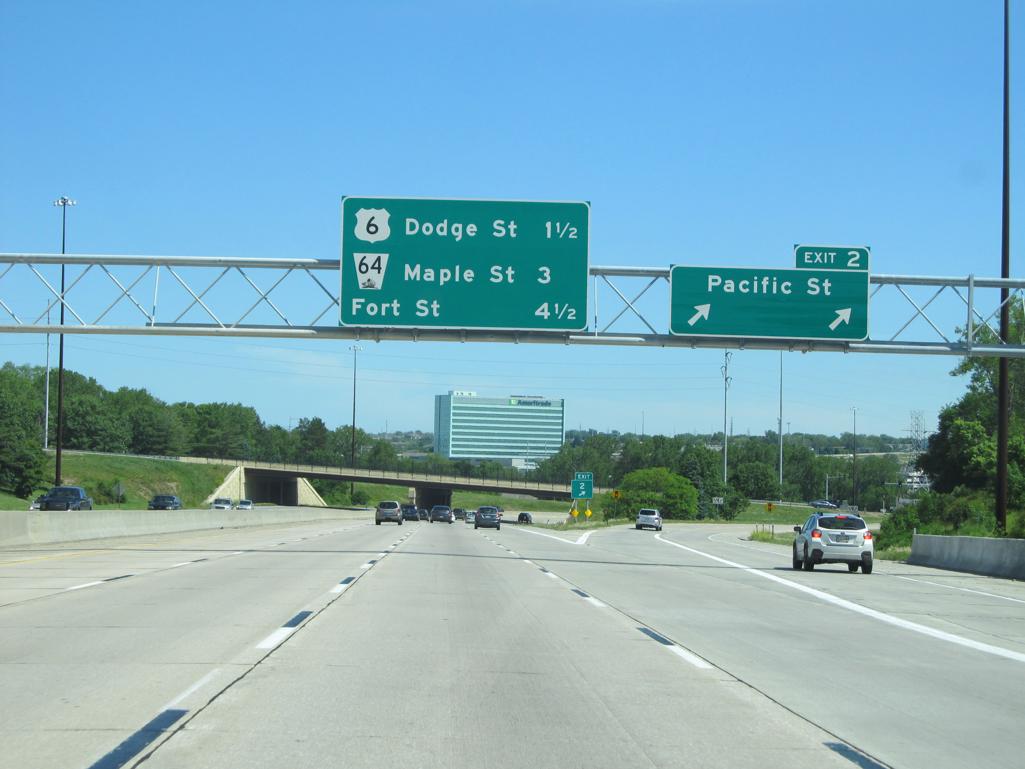
Interstate 680 North at Exit 3: US 6 - W Dodge Rd / Boys Town (Photo taken 5/29/16). |
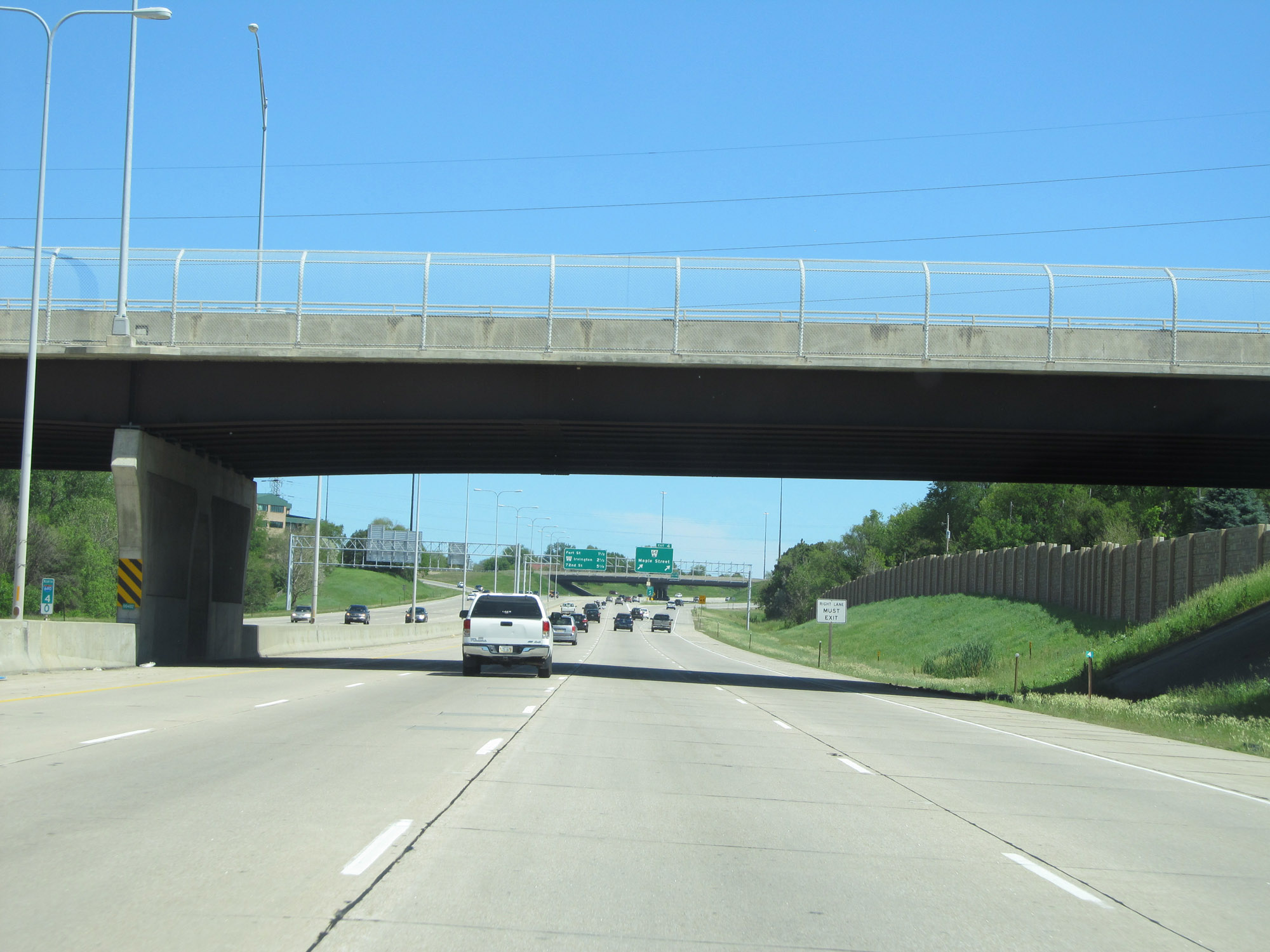 |
Interstate 680 North at mile marker 4. (Photo taken 5/29/16). |
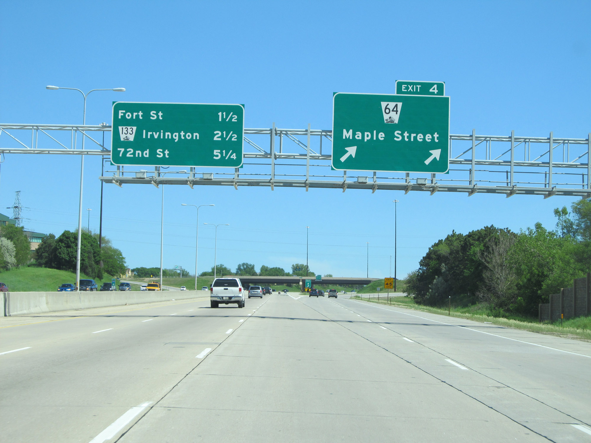 |
Interstate 680 North at Exit 4: NE 64 - Maple Street (Photo taken 5/29/16). |
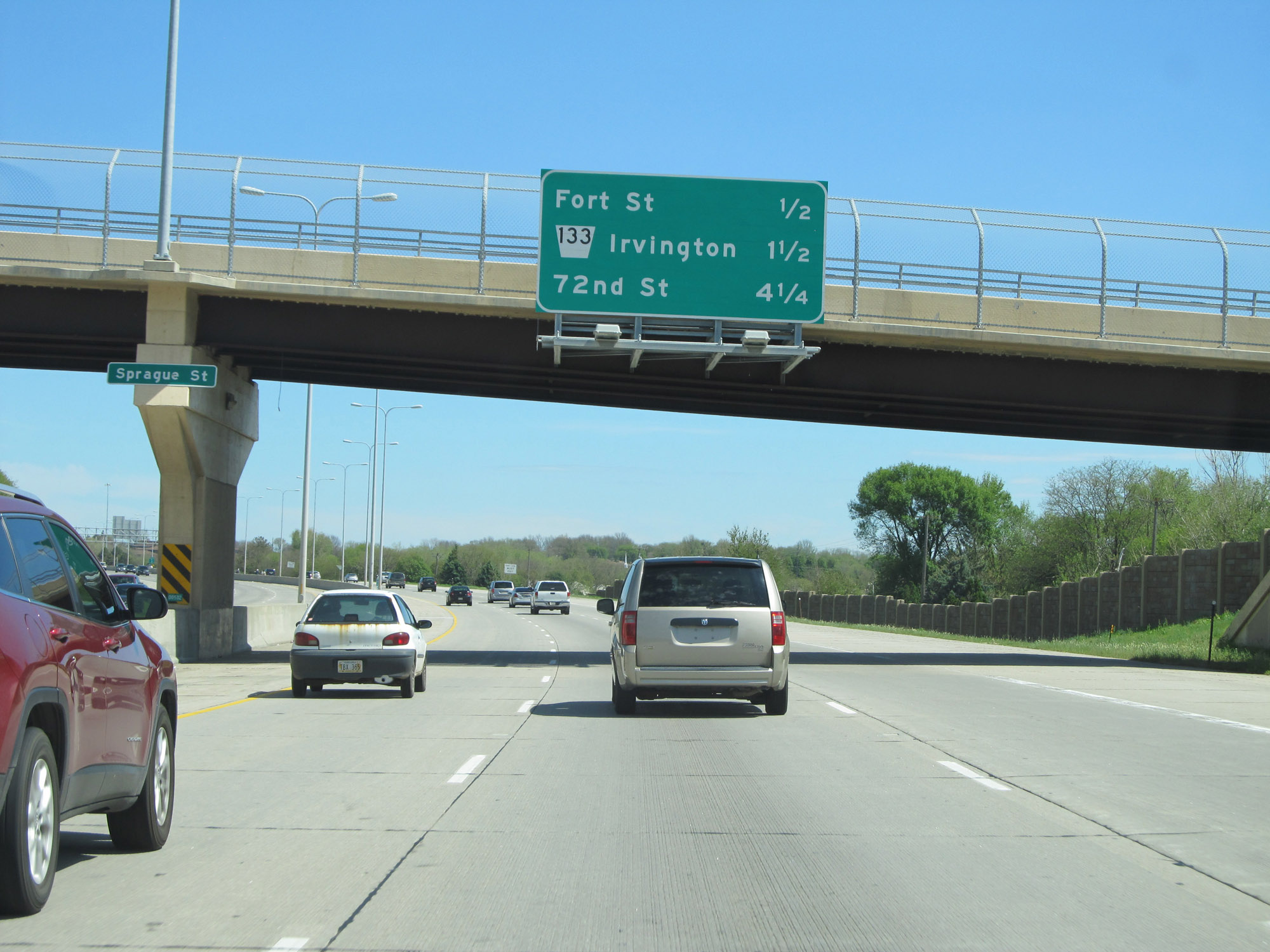 |
Overhead mileage sign listing the distances to the next three interchanges on Interstate 680. (Photo taken 5/29/16). |
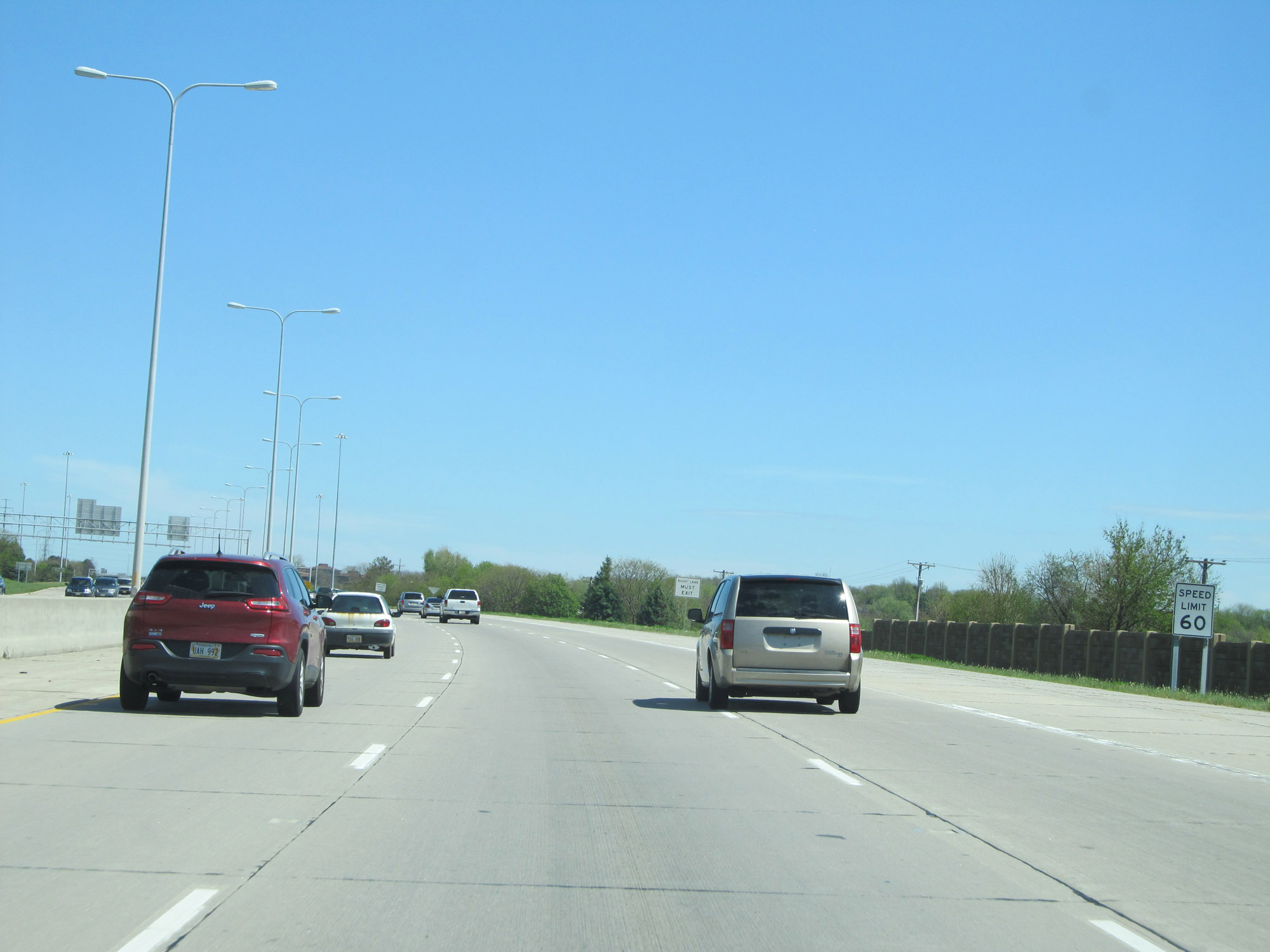 |
The speed limit remains 60 mph. (Photo taken 5/29/16). |
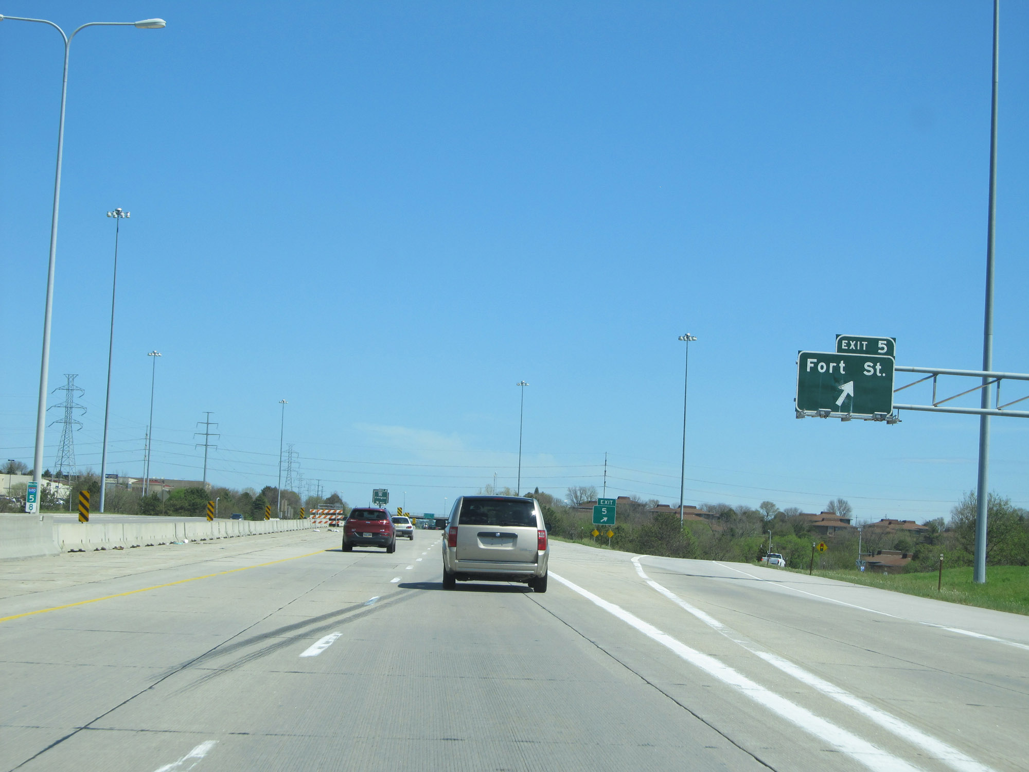 |
Interstate 680 North at Exit 5: Fort St (Photo taken 5/29/16). |
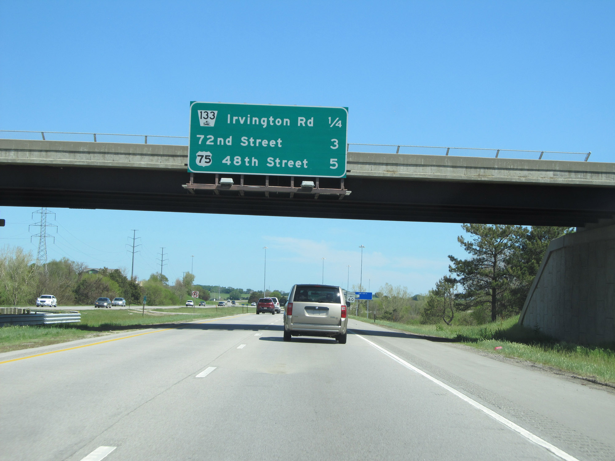 |
Another overhead mileage sign on Interstate 680 North. (Photo taken 5/29/16). |
 |
Interstate 680 North at Exit 6: NE 133 - Irvington / Blair (Photo taken 5/29/16). |
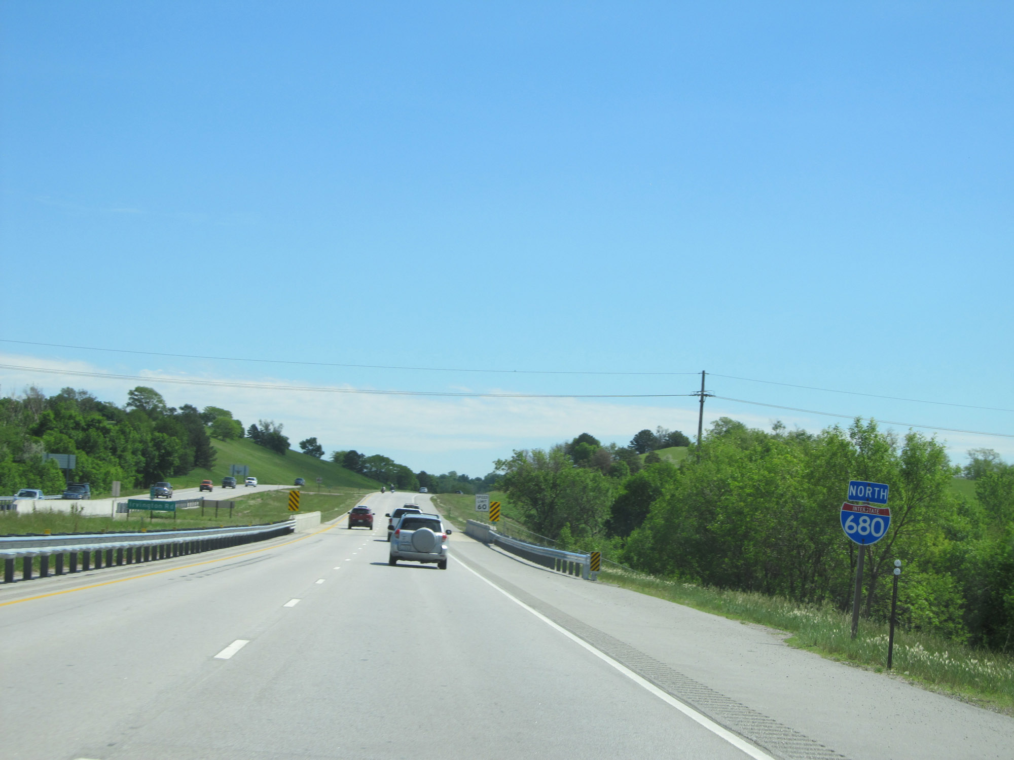 |
Interstate 680 North reassurance shield. (Photo taken 5/29/16). |
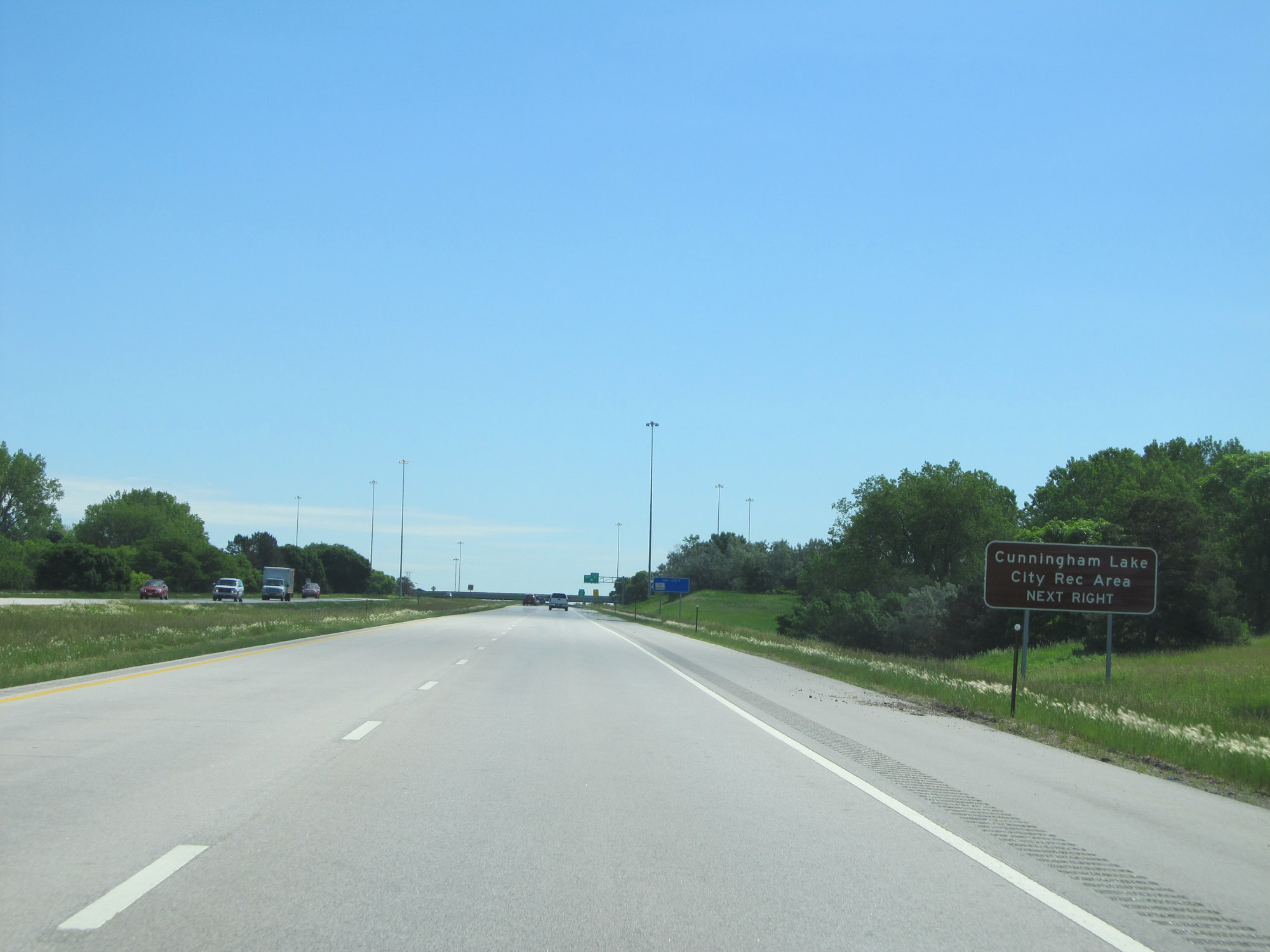 |
Take Exit 9 to Cunningham Lake City Recreation Area. (Photo taken 5/29/16). |
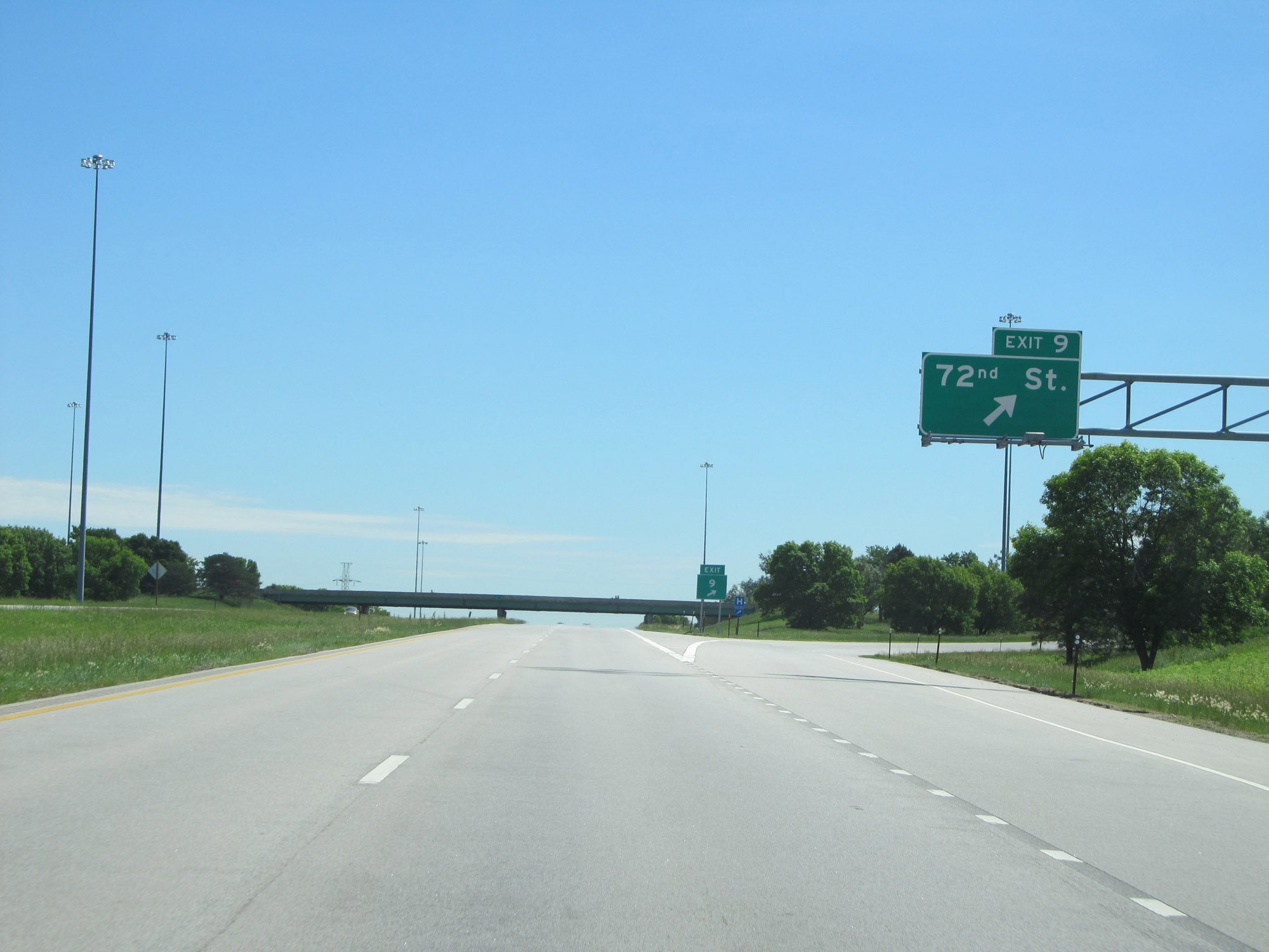 |
Interstate 680 North at Exit 9: 72nd St (Photo taken 5/29/16). |
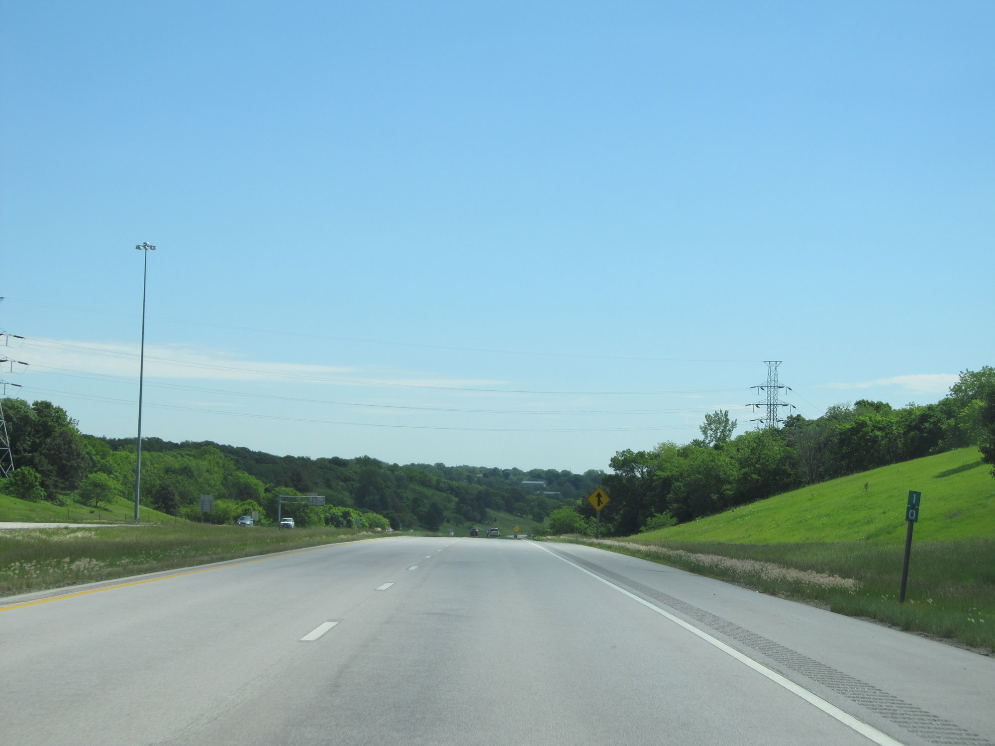 |
Interstate 680 North at mile marker 10, as it prepares to curve to the east. (Photo taken 5/29/16). |
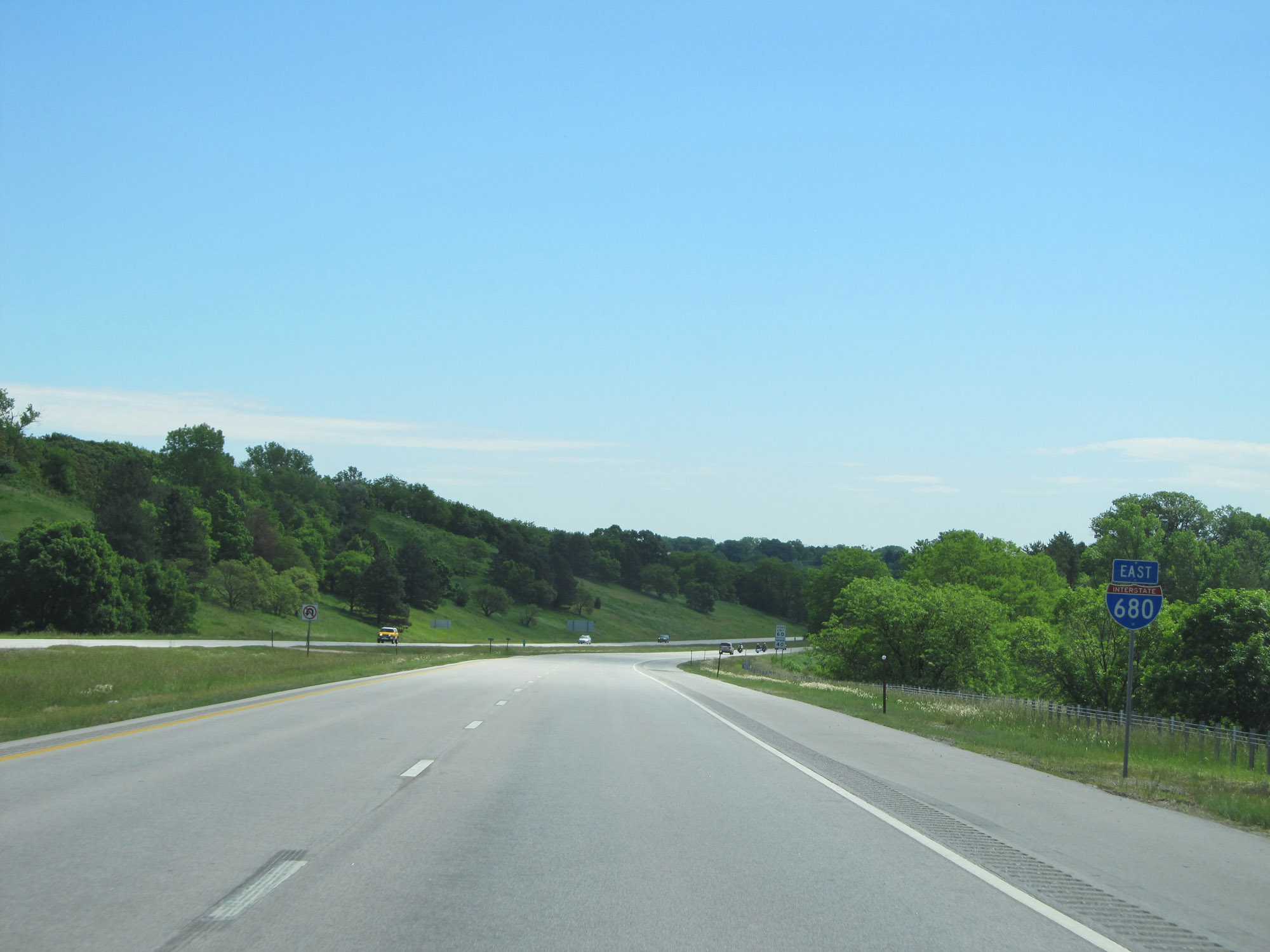 |
Interstate 680 East reassurance shield, as it curves to the east in the northwestern corner of the Omaha area. (Photo taken 5/29/16). |
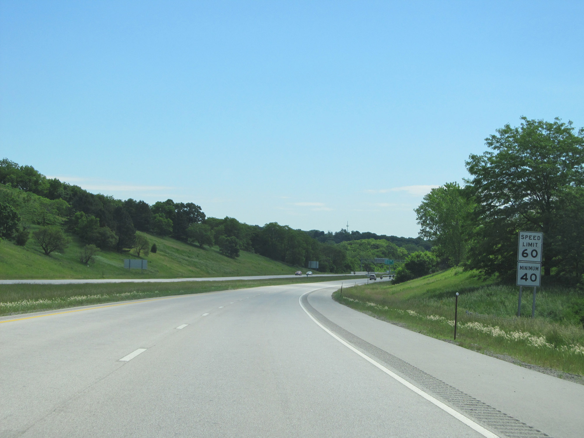 |
The speed limit remains 60 mph. The standard 40 mph minimum speed limit also applies. (Photo taken 5/29/16). |
 |
Take Exit 12 to Fort Atkinson State Historical Park and Boyer Chute National Wildlife Refuge. (Photo taken 5/29/16). |
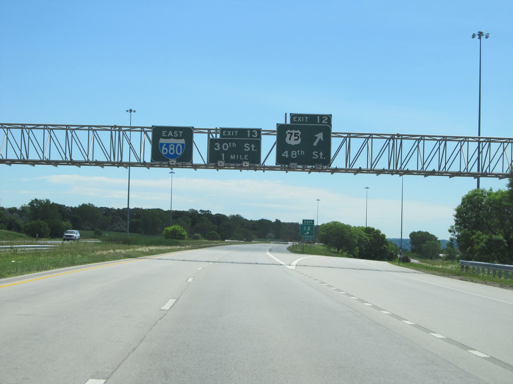 |
Interstate 680 East at Exit 12: US 75 - 48th St (Photo taken 5/29/16). |
 |
Take Exit 13 to Eppley Airfield. (Photo taken 5/29/16). |
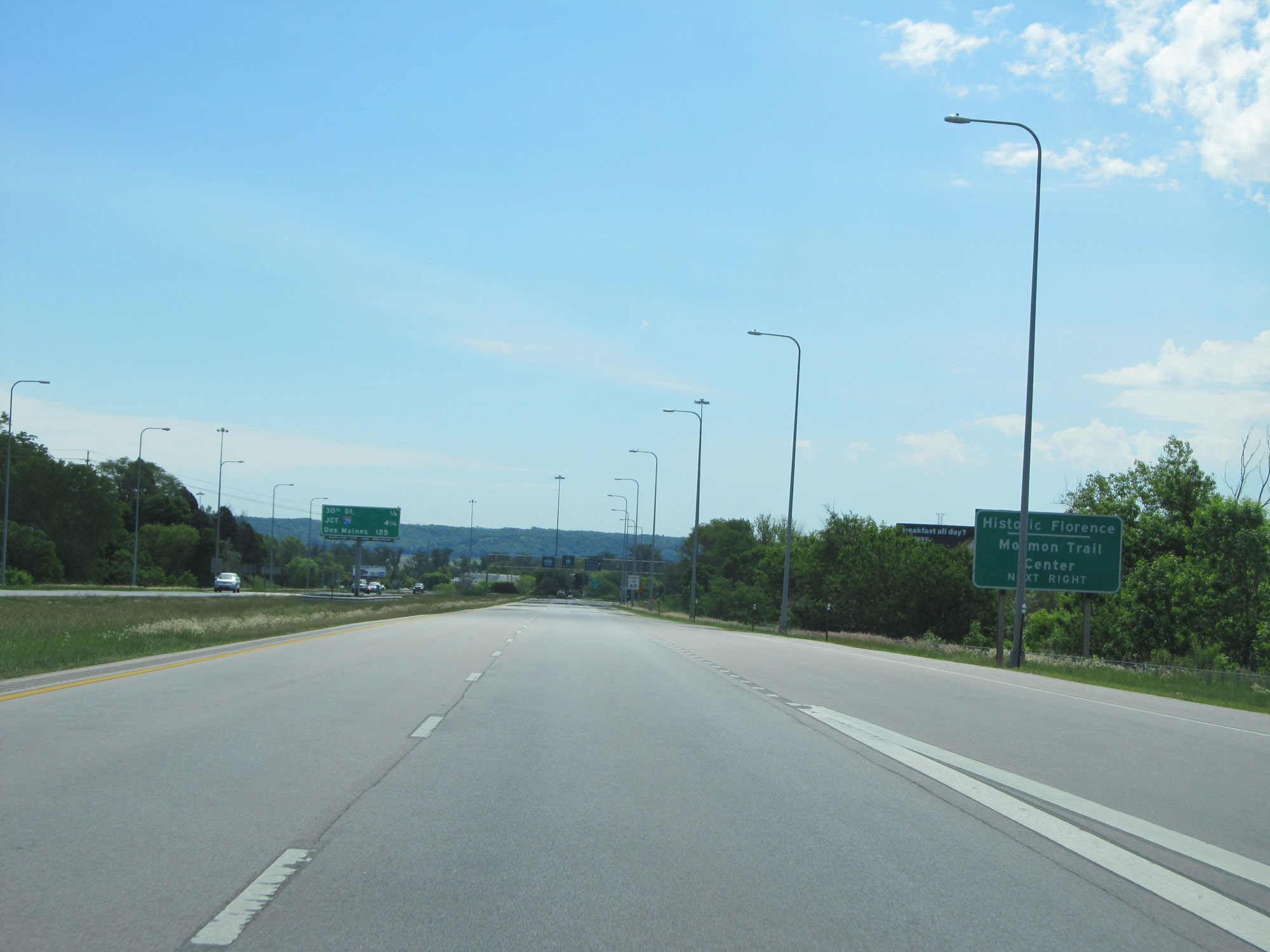 |
Also take Exit 13 to Historic Florence and Mormon Trail Center. (Photo taken 5/29/16). |
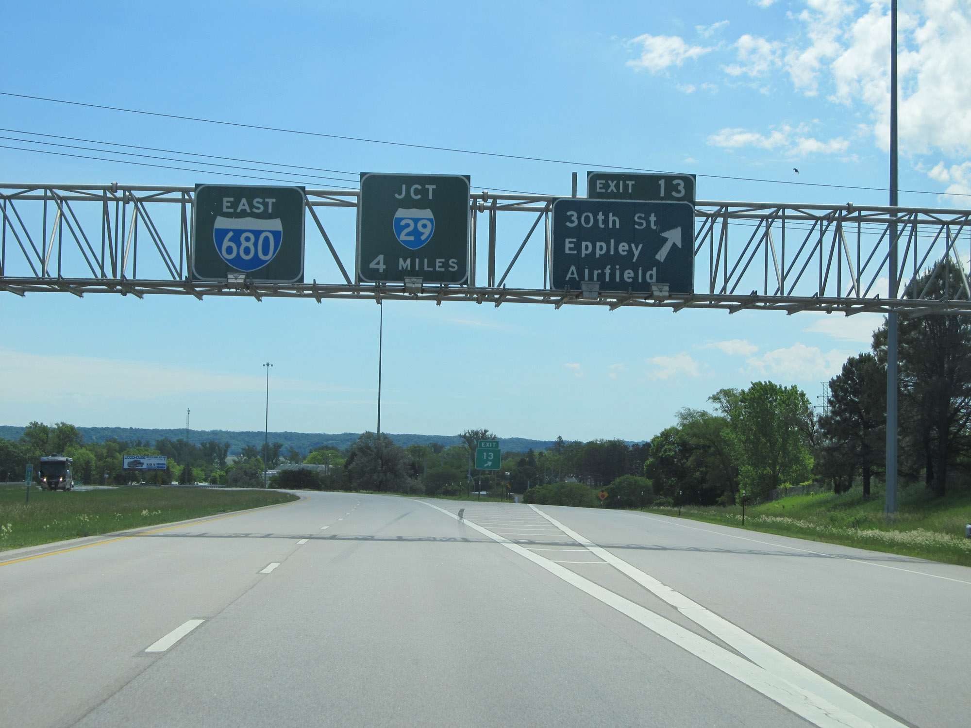 |
Interstate 680 East at Exit 13: 30th St / Eppley Airfield (Photo taken 5/29/16). |
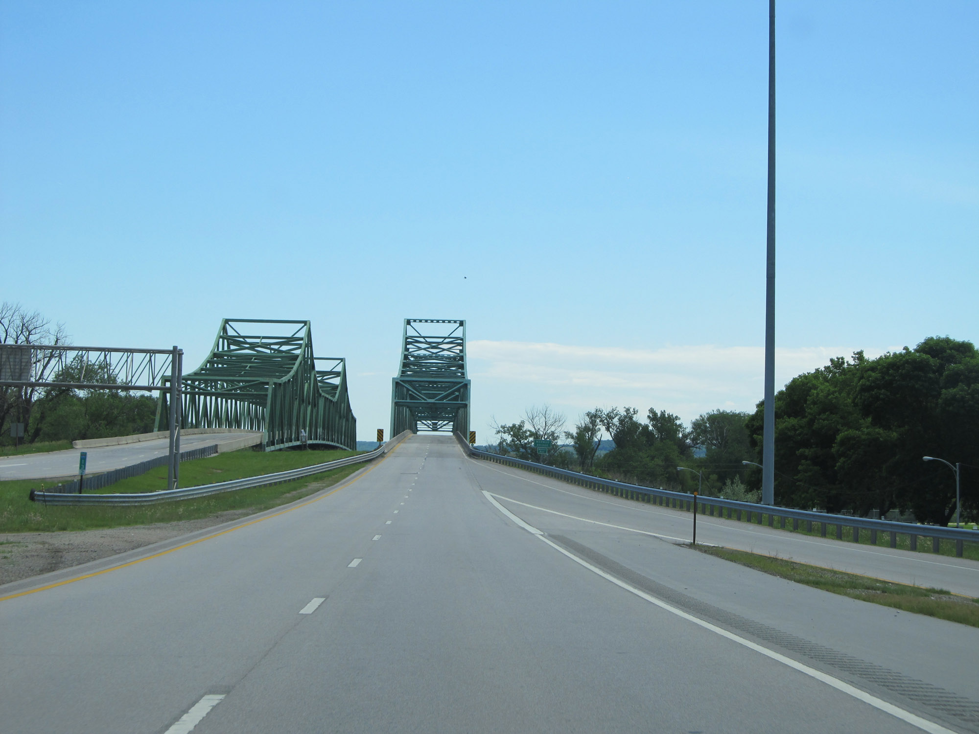 |
Interstate 680 East at mile marker 13.2, as the Mormon Bridge over the Missouri River comes into clear view. (Photo taken 5/29/16). |
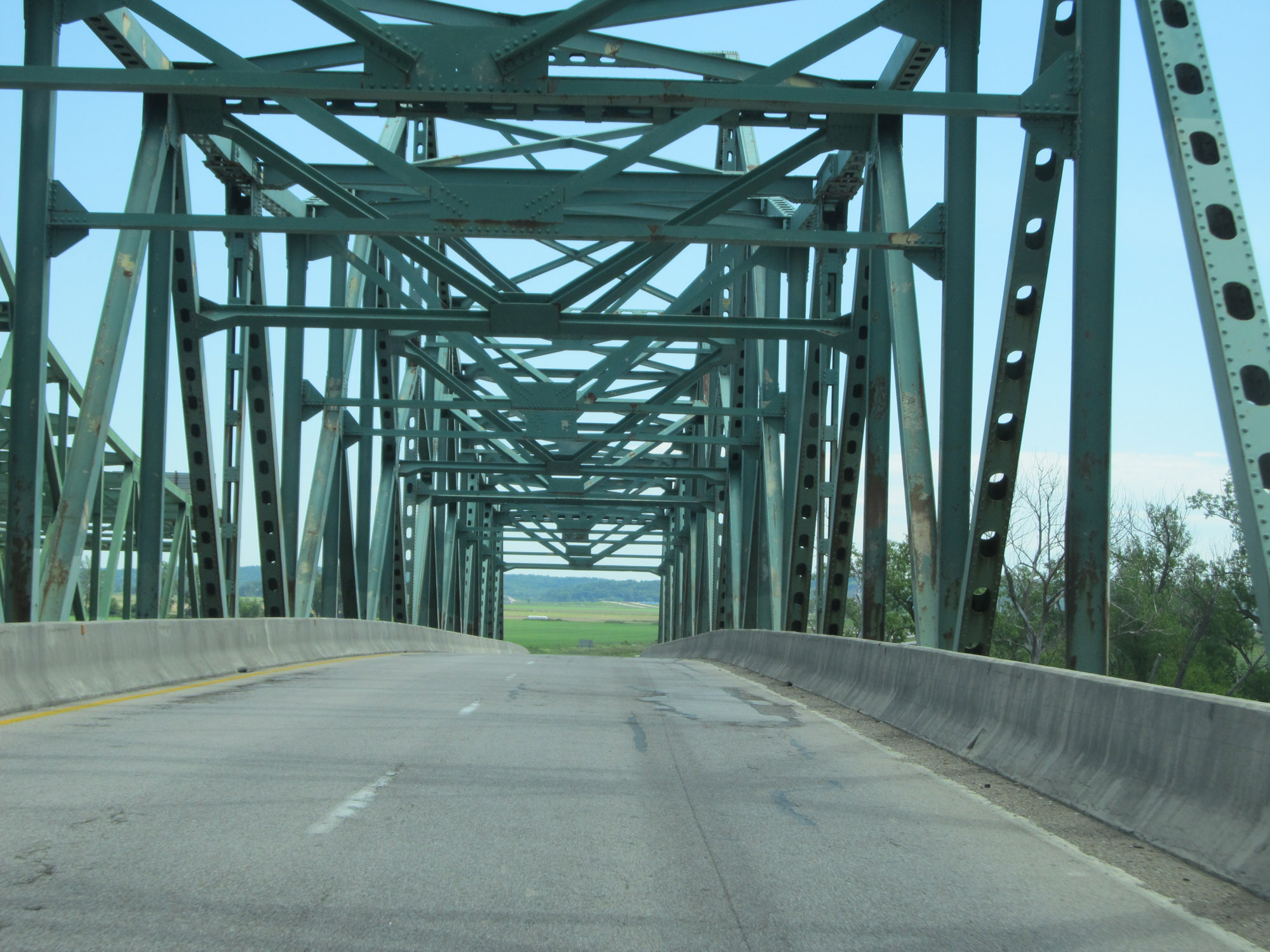 |
Interstate 680 East as it crosses the Missouri River on the Mormon Bridge and prepares to enter Iowa. (Photo taken 5/29/16). |