Road Information |
||
 |
||
| Total Mileage in State: | 397 miles | |
| Northern End: | At Canadian border | |
| Southern End: | At Idaho state line | |
| Mileage covered in Photos: | 270 miles | |
| Counties covered in Photos: | Silver Bow, Jefferson, Lewis and Clark, Cascade, Teton, Pondera, Toole | |
| Major Junctions in Photos: | I-90 East, in Butte US 12/287, in Helena US 89, in Great Falls US 2, in Shelby |
|
| Control Cities in Photos: | Butte, Helena, Great Falls, Shelby | |
Northbound
- Section 1: Butte (Exit 127B) to Helena (Exit 190)
- Section 2: Helena (Exit 190) to Great Falls (Exit 277)
- Section 3: Great Falls (Exit 277) to Shelby (Exit 363)
- Section 4: Shelby (Exit 363) to Canadian Border
Section 1: Butte (Exit 127B) to Helena (Exit 190)
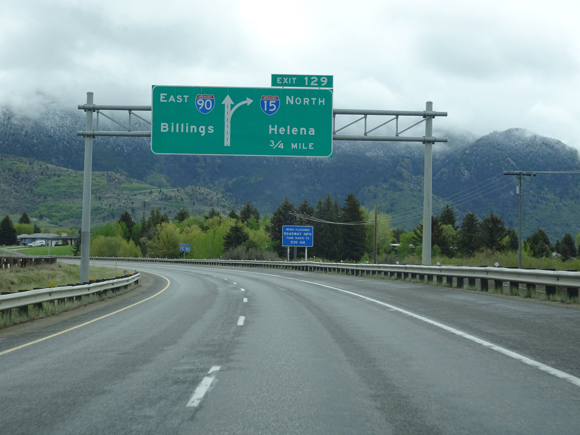 |
Interstate 15 North / Interstate 90 East approaching Exit 129 - 3/4 mile. (Photo taken 5/24/16). |
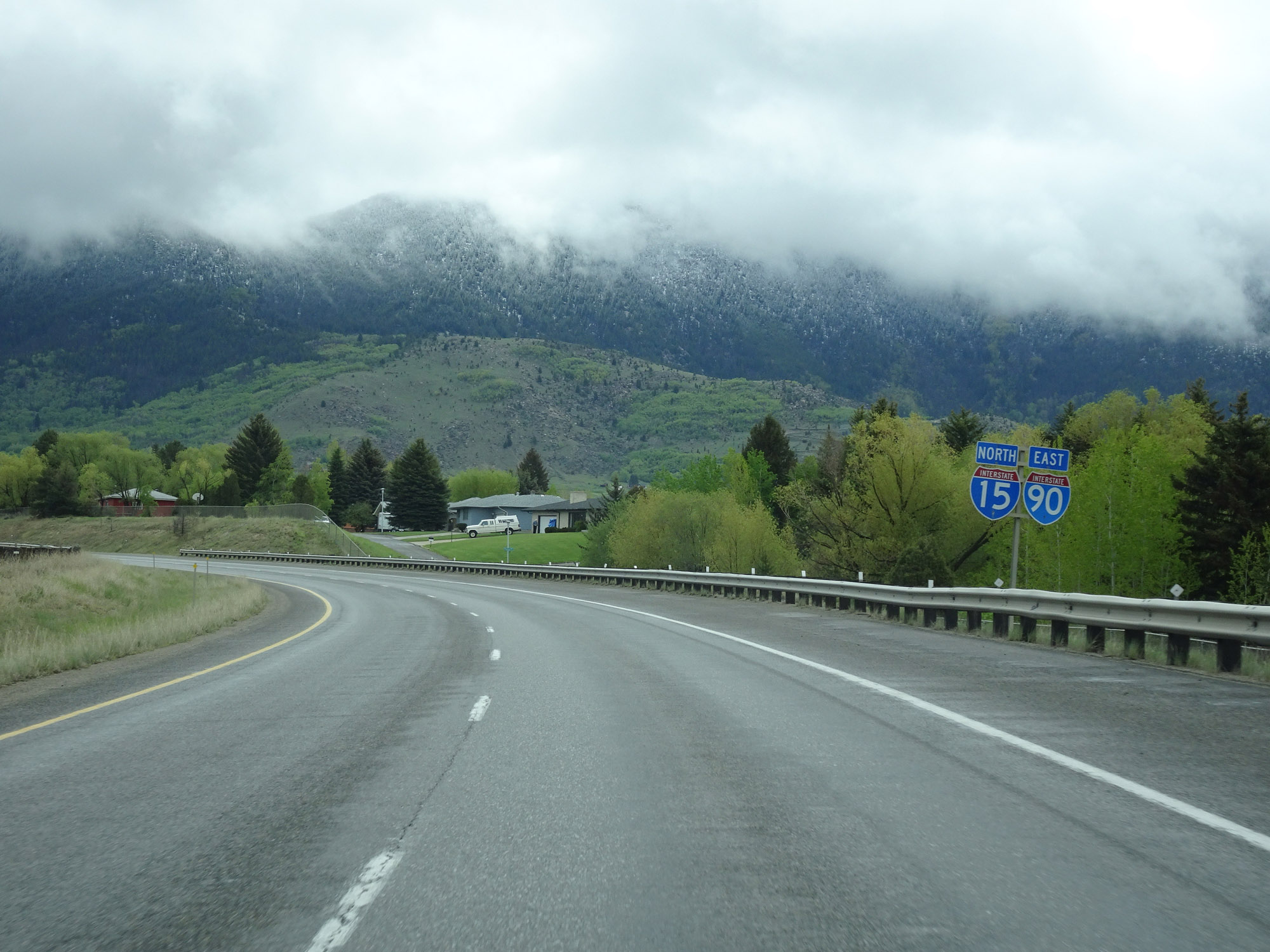 |
Interstate 15 North / Interstate 90 East reassurance shields. (Photo taken 5/24/16). |
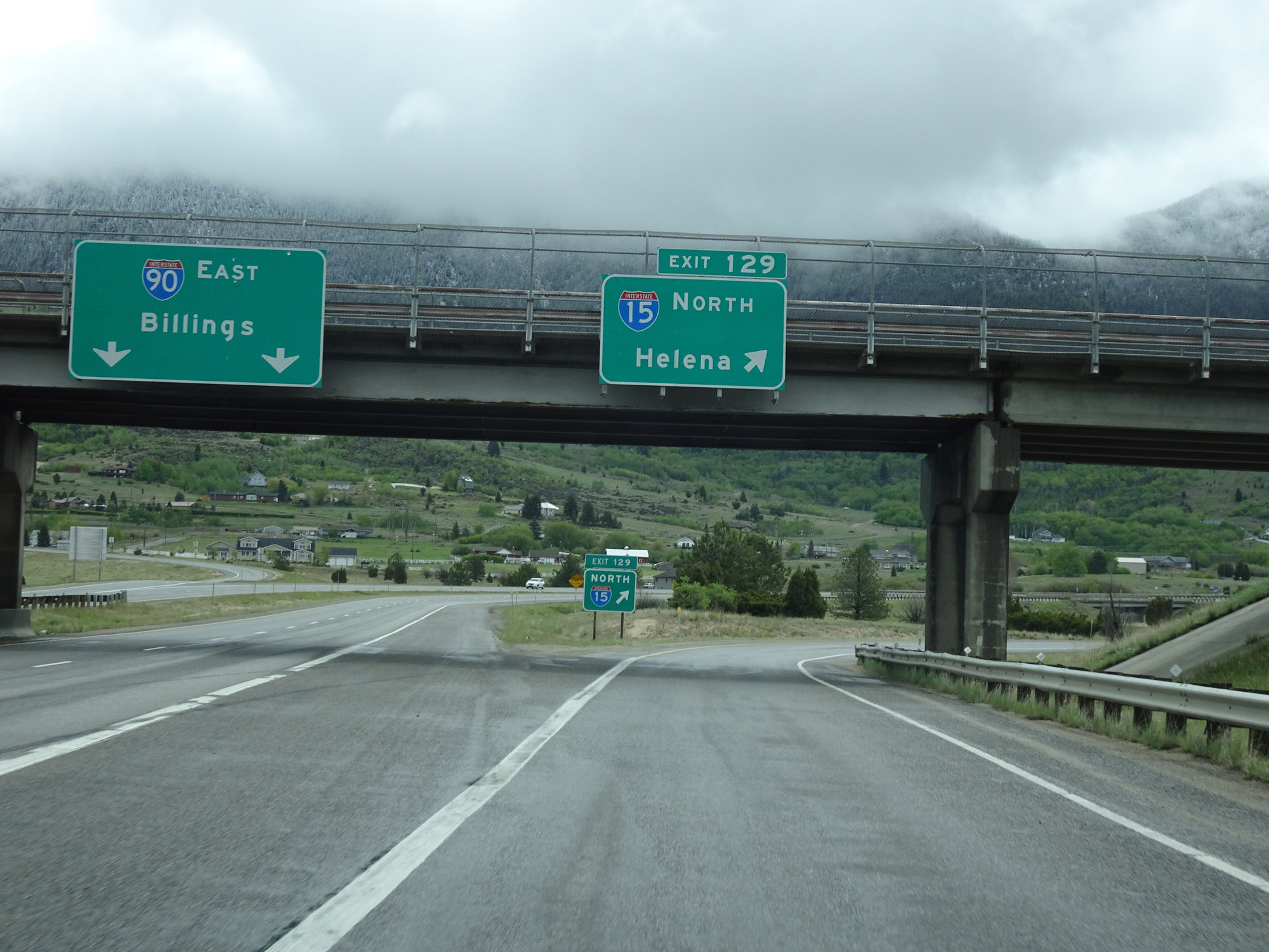 |
Interstate 15 North / Interstate 90 East at Exit 129: Interstate 15 North - Helena (Photo taken 5/24/16). |
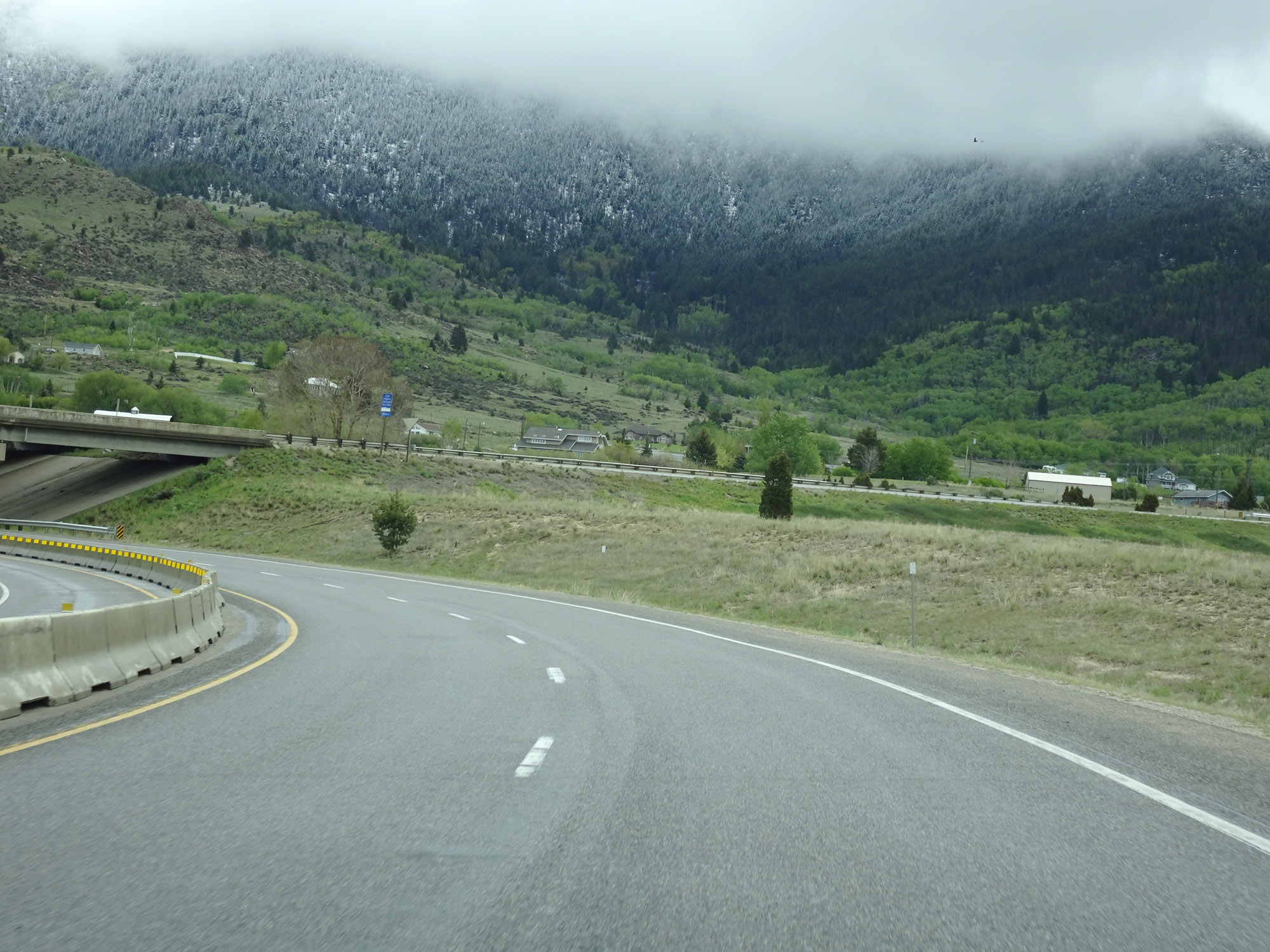 |
View on Interstate 15 North as it departs from Interstate 90 to the east of Butte, preparing to pass under I-90. (Photo taken 5/24/16). |
 |
Now heading north once again, this overhead sign states that it is 63 miles on Interstate 15 North to Helena and the Montana State Capitol. (Photo taken 5/24/16). |
 |
Interstate 15 North reassurance shield. (Photo taken 5/24/16). |
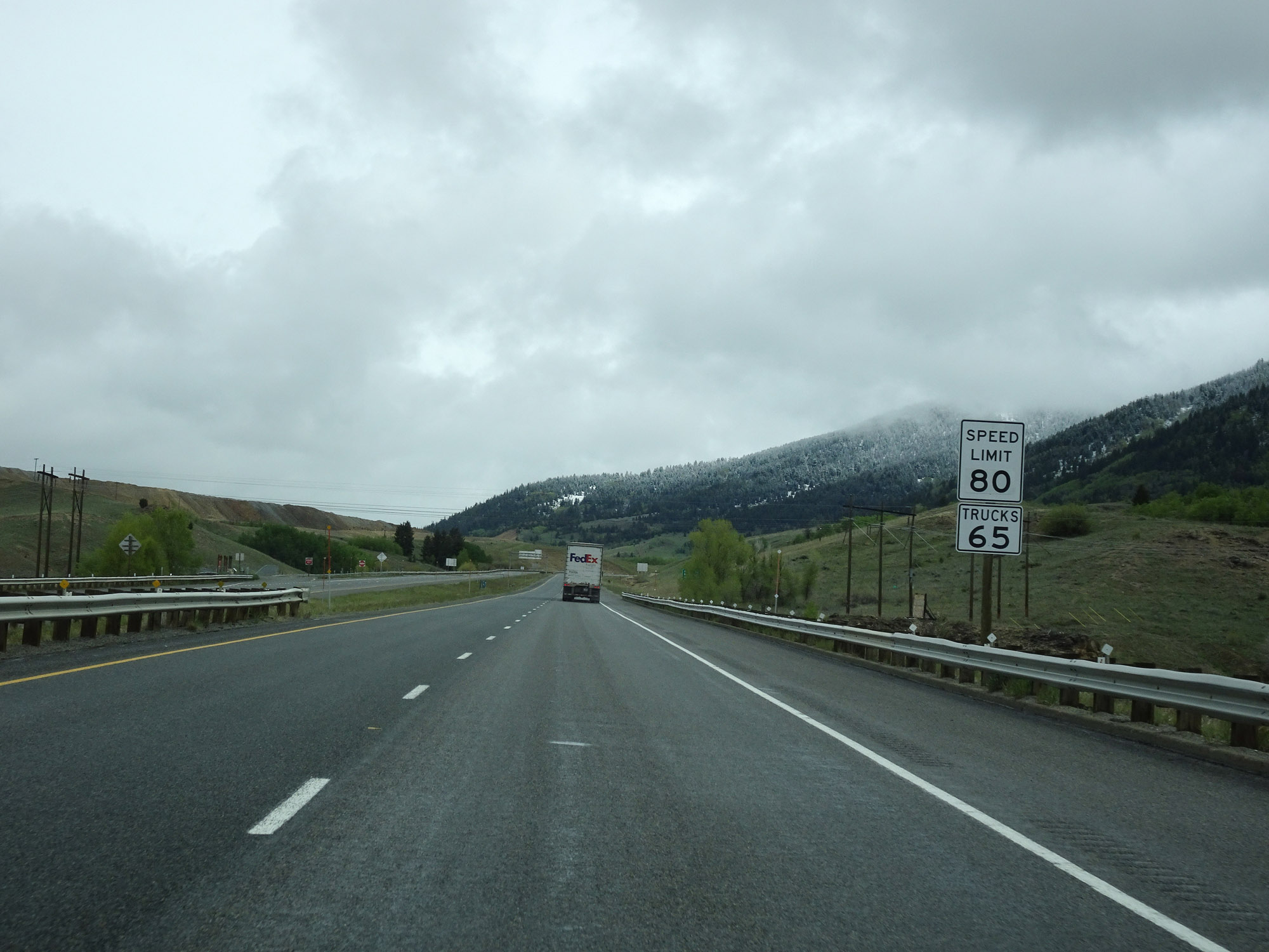 |
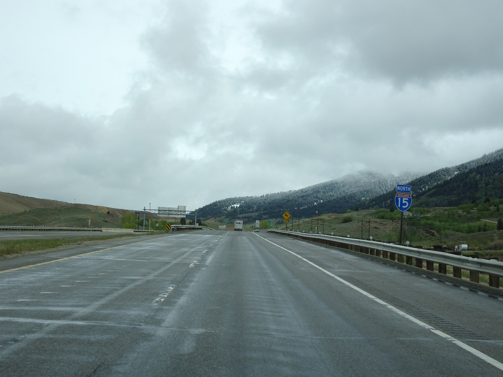
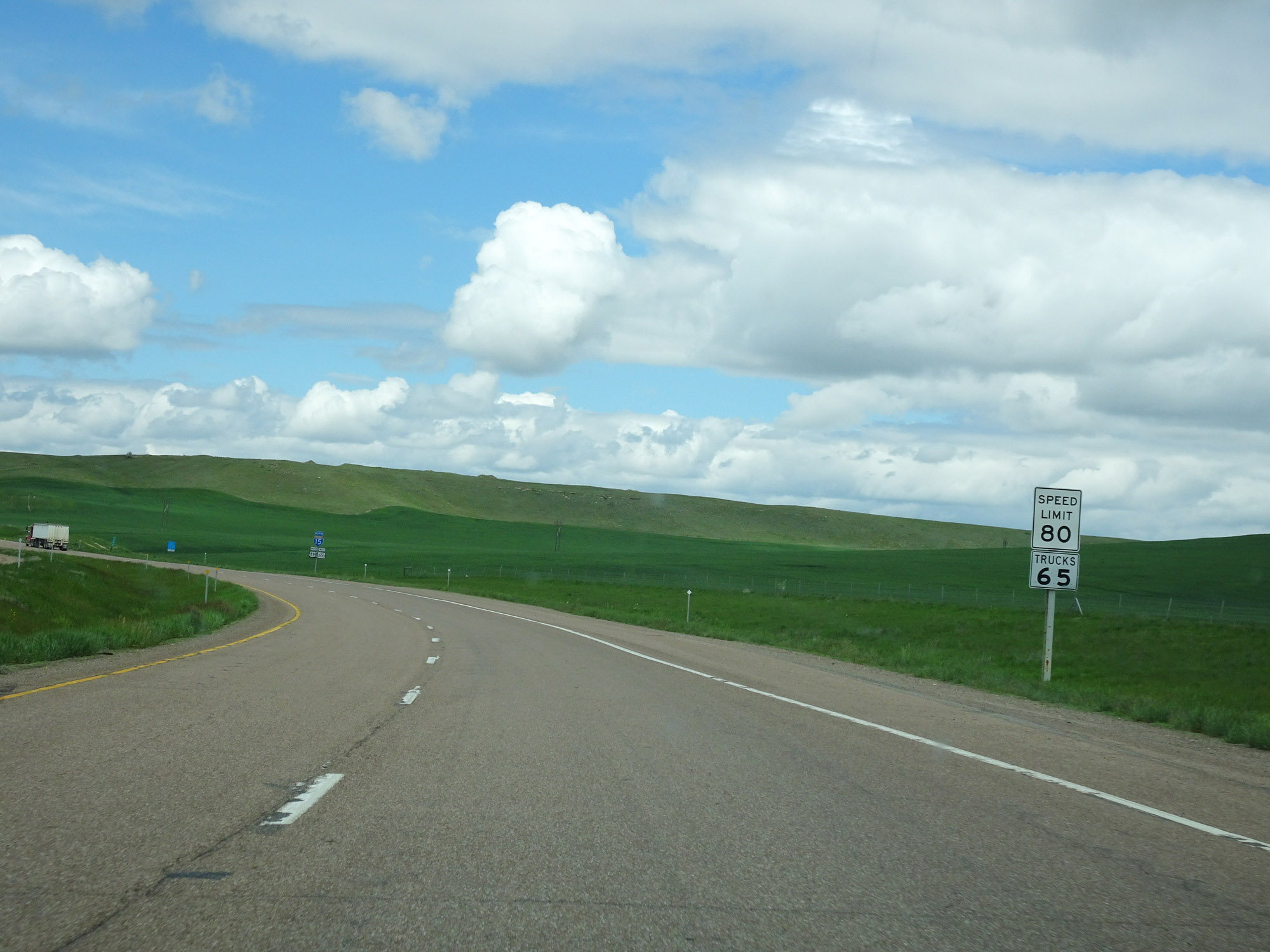
Now that Interstate 15 North has departed from Interstate 90 to head north toward Helena and Great Falls, the standard rural speed limits of 80 mph for cars and 65 mph for trucks resume. (Photo taken 5/24/16). |
 |
Mileage sign on Interstate 15 North. It's 26 miles to Basin, 34 miles to Boulder, and 63 miles to Helena. (Photo taken 5/24/16). |
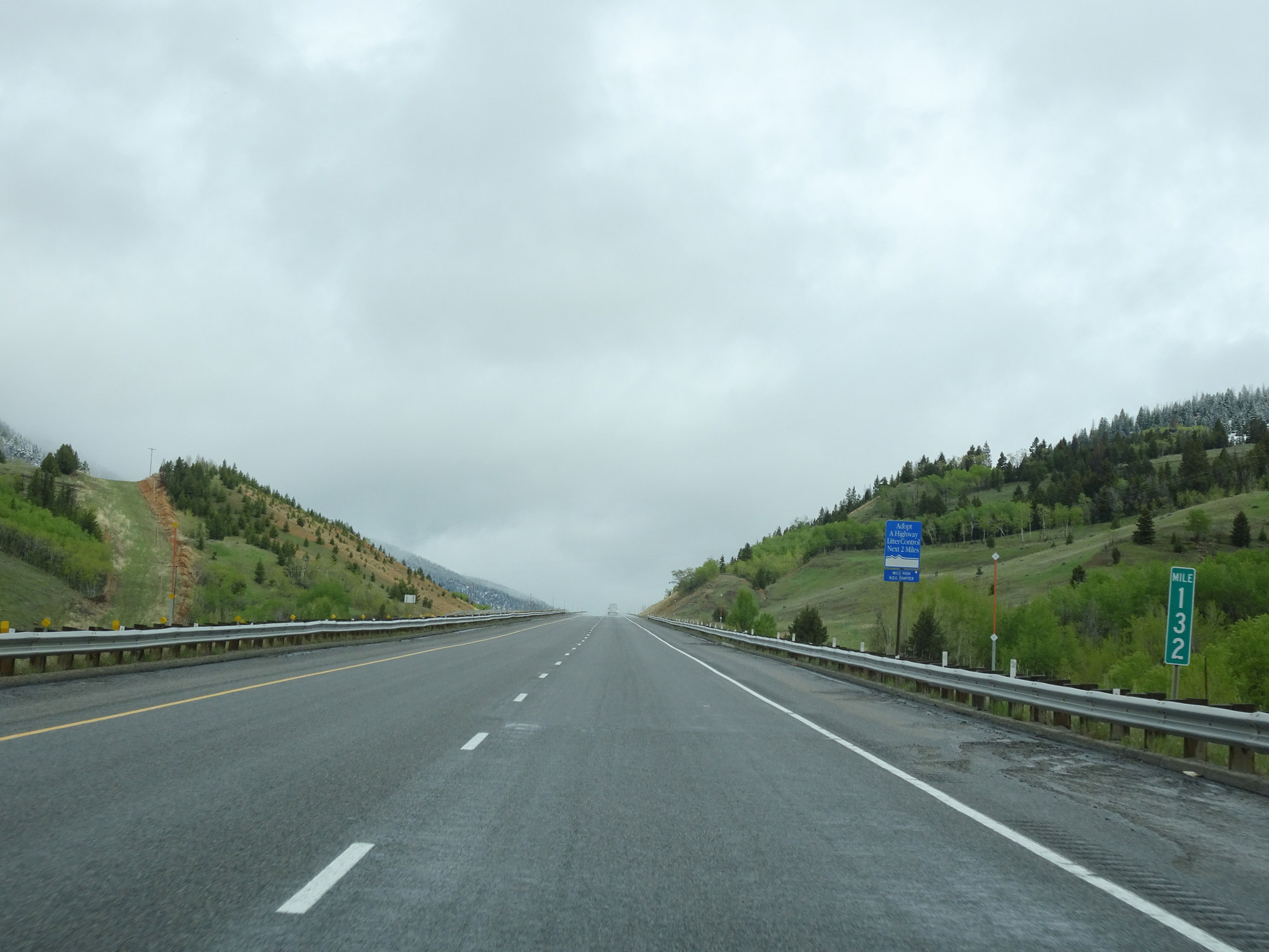 |
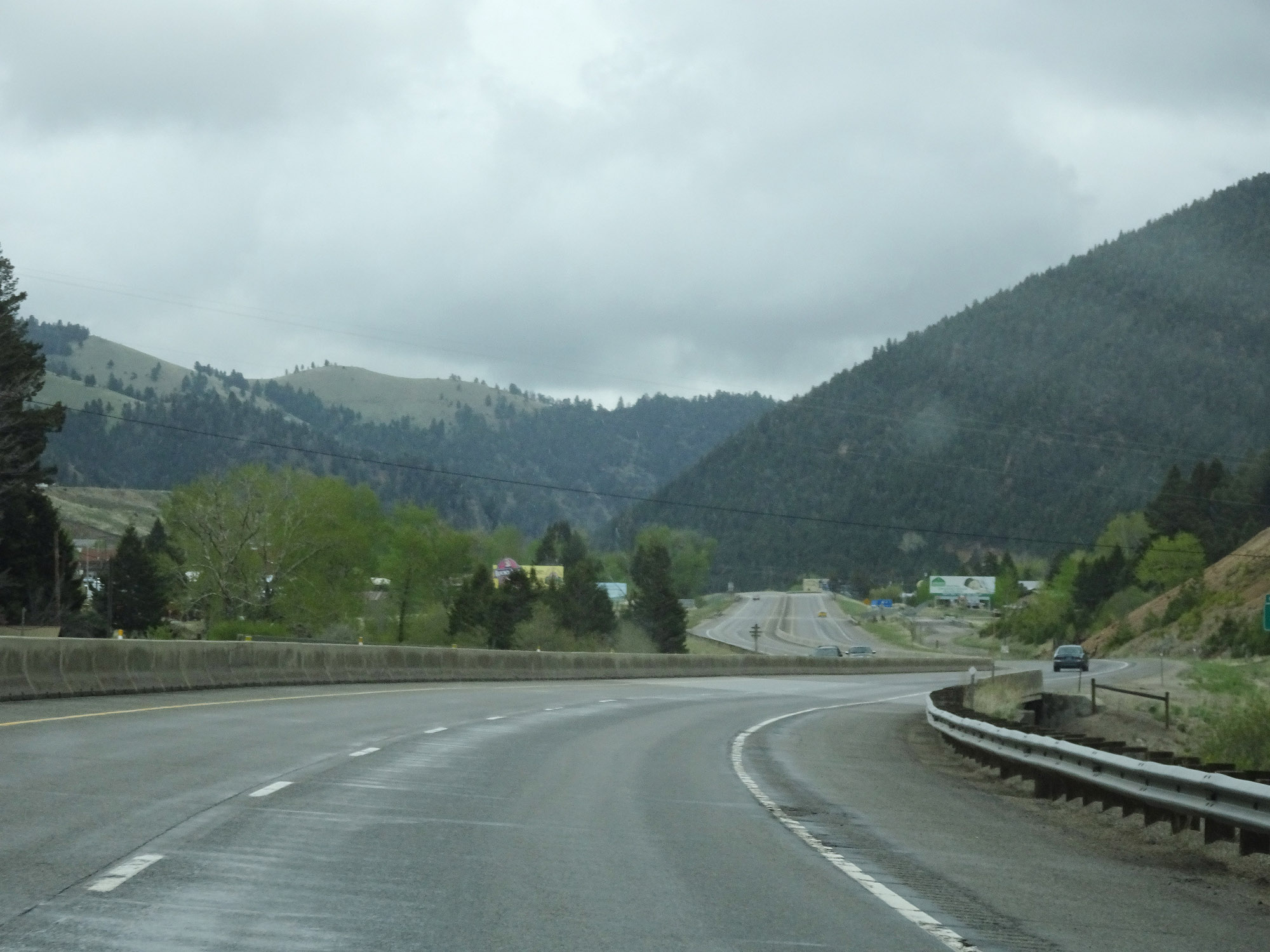
View on Interstate 15 North at mile marker 132, as it climbs up toward the Continental Divide. (Photo taken 5/24/16). |
 |
Interstate 15 North at mile marker 133, nearing the Continental Divide. (Photo taken 5/24/16). |
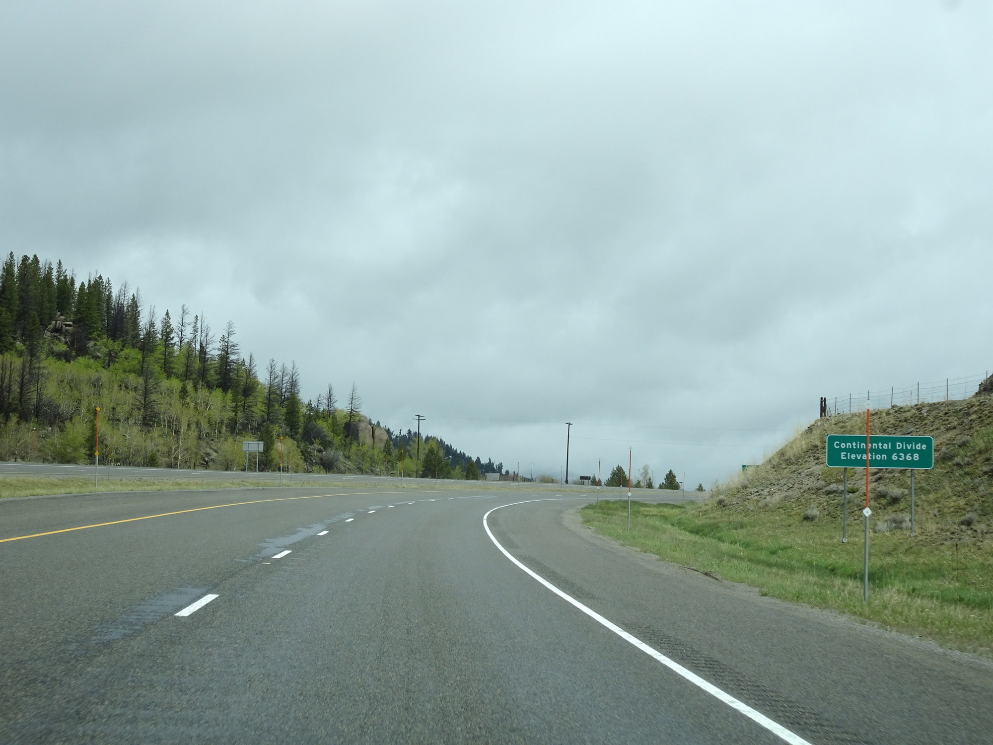 |
Interstate 15 North as it crosses the Continental Divide at an elevation of 6,368 feet above sea level. (Photo taken 5/24/16). |
 |
Just after crossing the Continental Divide, Interstate 15 North enters Jefferson County. (Photo taken 5/24/16). |
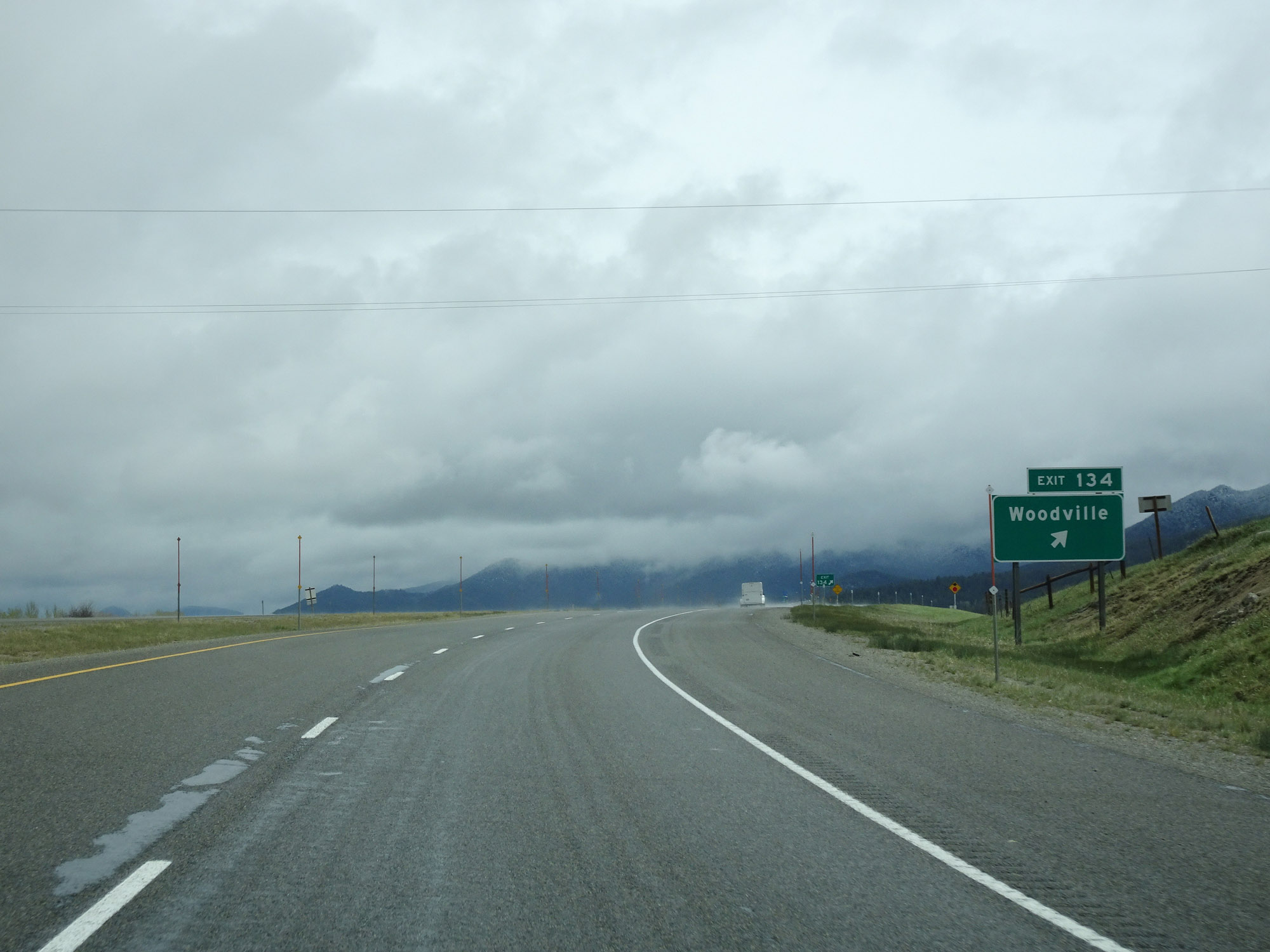 |
Interstate 15 North at Exit 134: Woodville (Photo taken 5/24/16). |
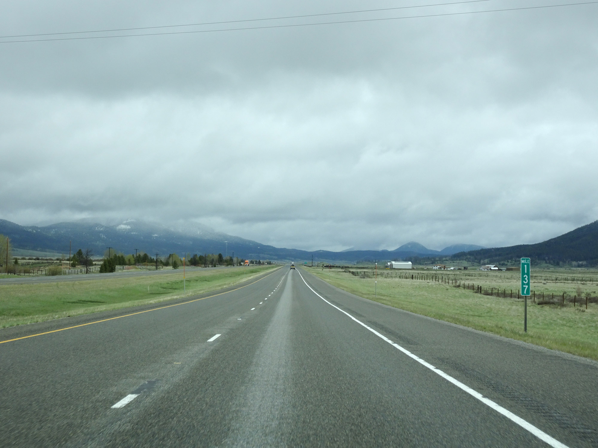 |
View on Interstate 15 North at mile marker 137. (Photo taken 5/24/16). |
 |
Interstate 15 North approaching Exit 138 - 1/2 mile. (Photo taken 5/24/16). |
 |
Interstate 15 North at Exit 138: Elk Park (Photo taken 5/24/16). |
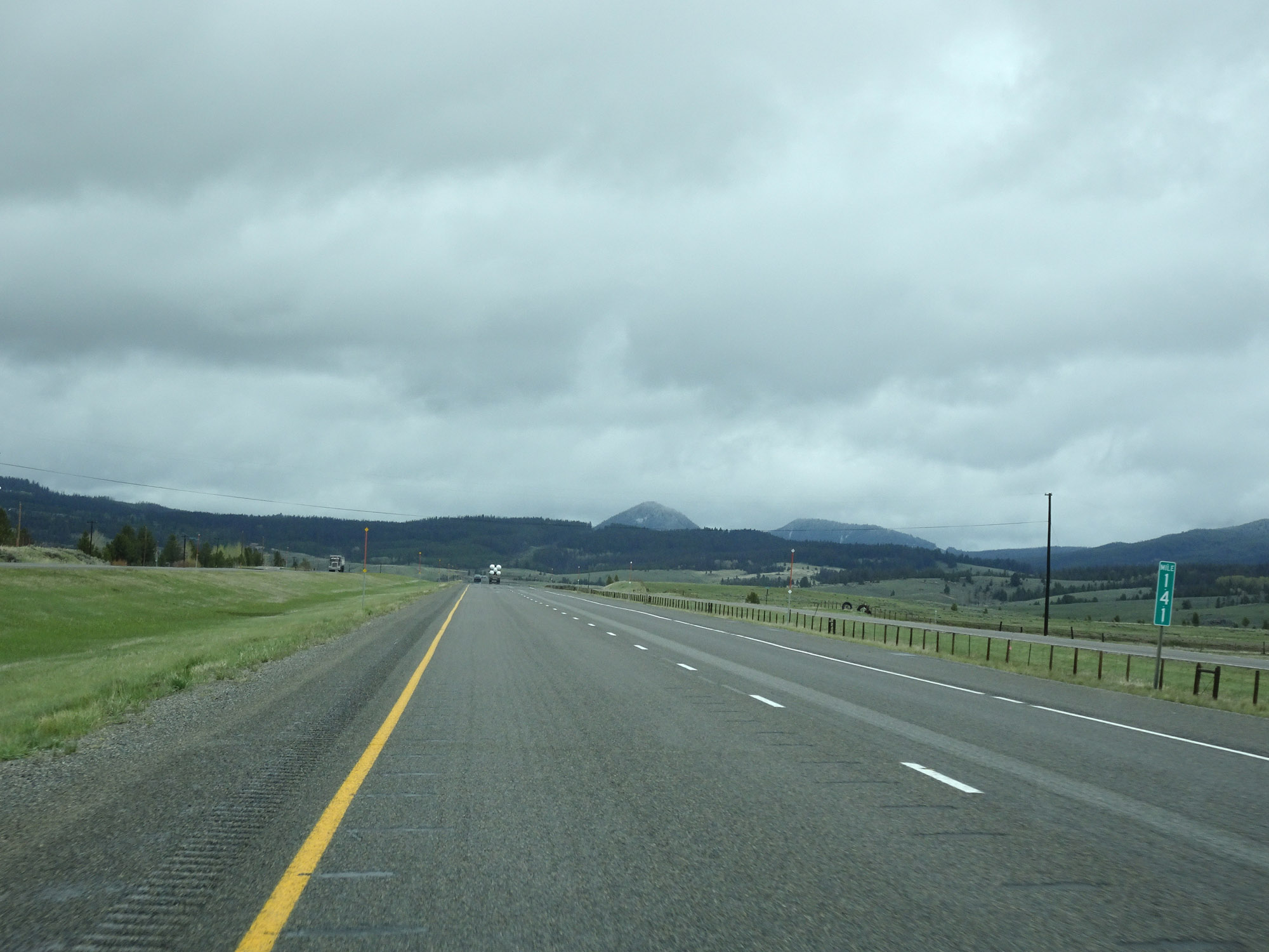 |
View on Interstate 15 North at mile marker 141. (Photo taken 5/24/16). |
 |
Interstate 15 North at mile marker 142. (Photo taken 5/24/16). |
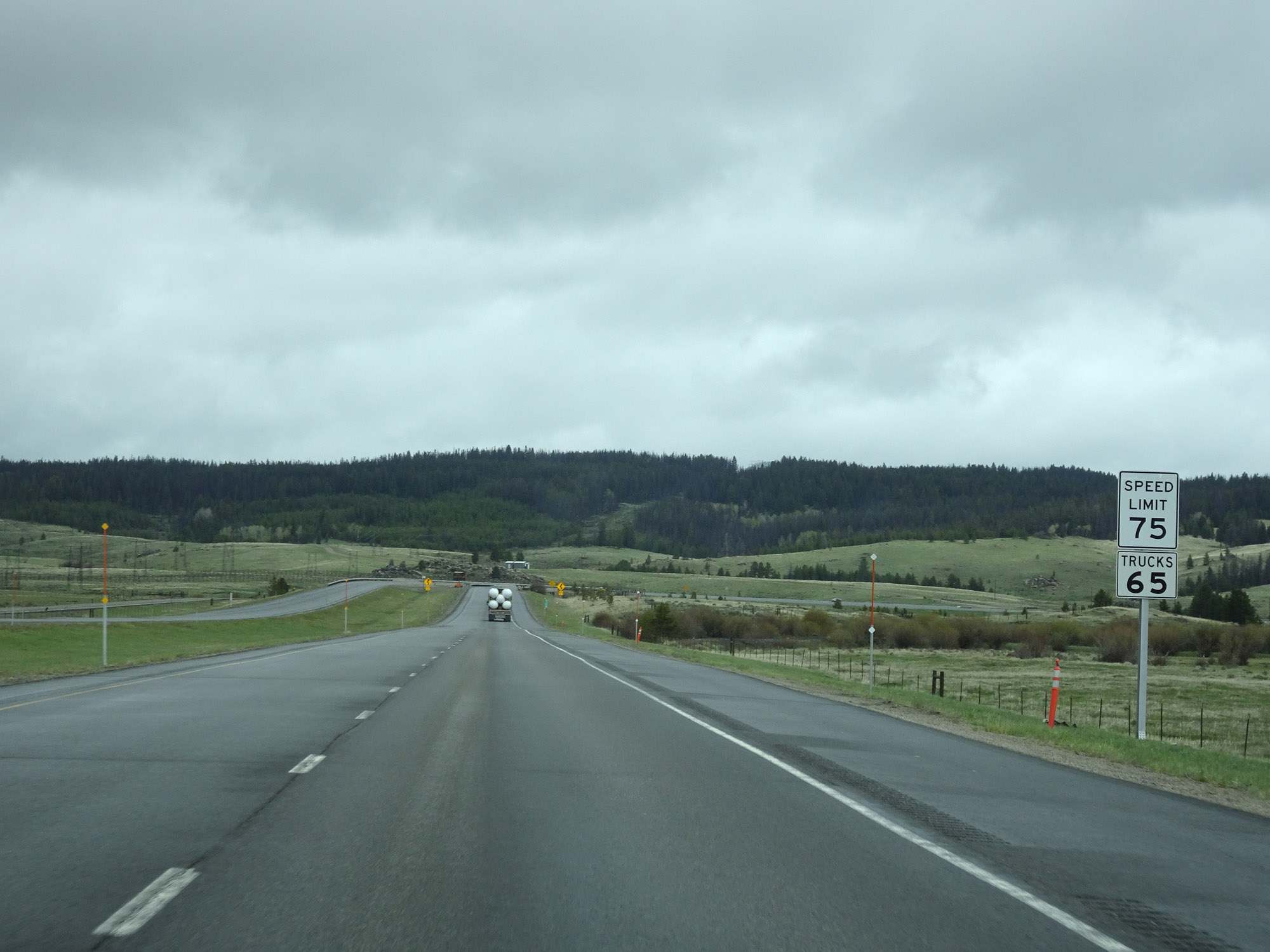 |
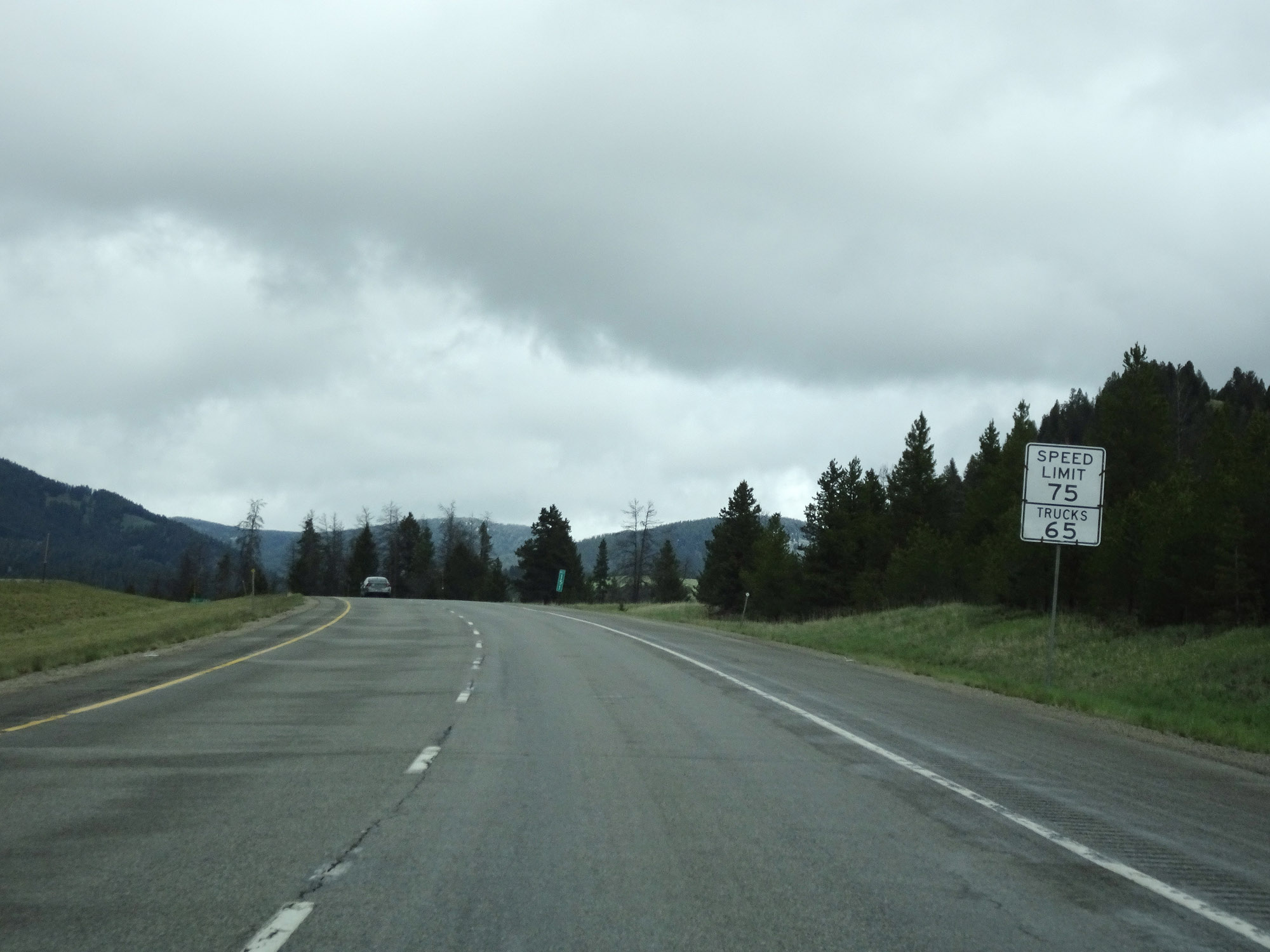
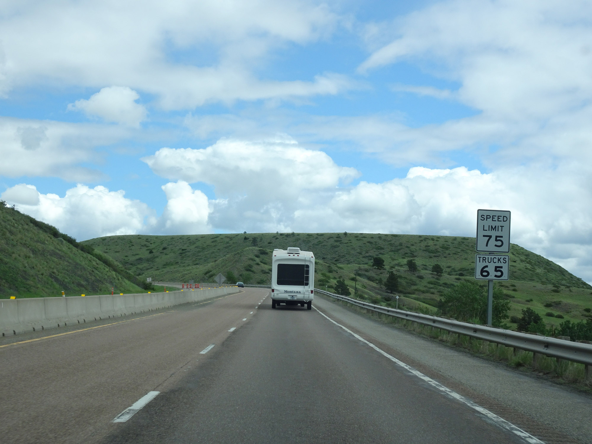
Approaching a stretch of Interstate 15 North at which it will wind along Bison Creek, the speed limit for cars is reduced to 75 mph. Interstate 15 North at mile marker 142. (Photo taken 5/24/16). |
 |
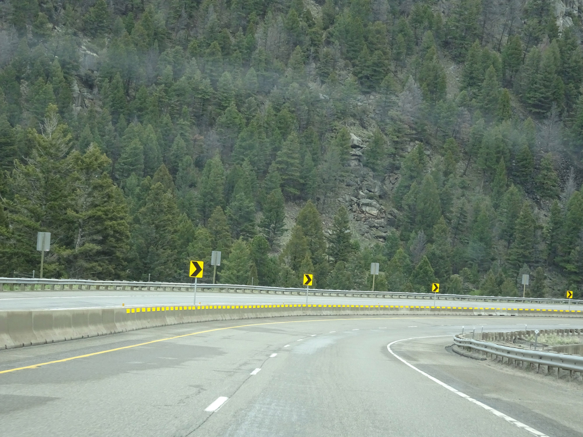
Several winding curves exist ahead, and these warning signs advise a 60 mph speed through the curves (despite the speed limit for cars being 75 mph). (Photo taken 5/24/16). |
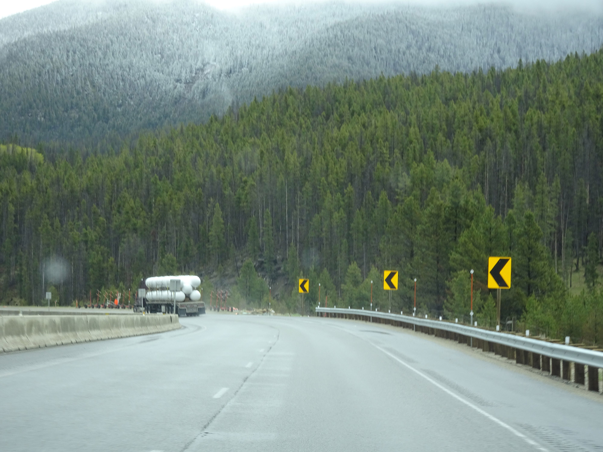 |
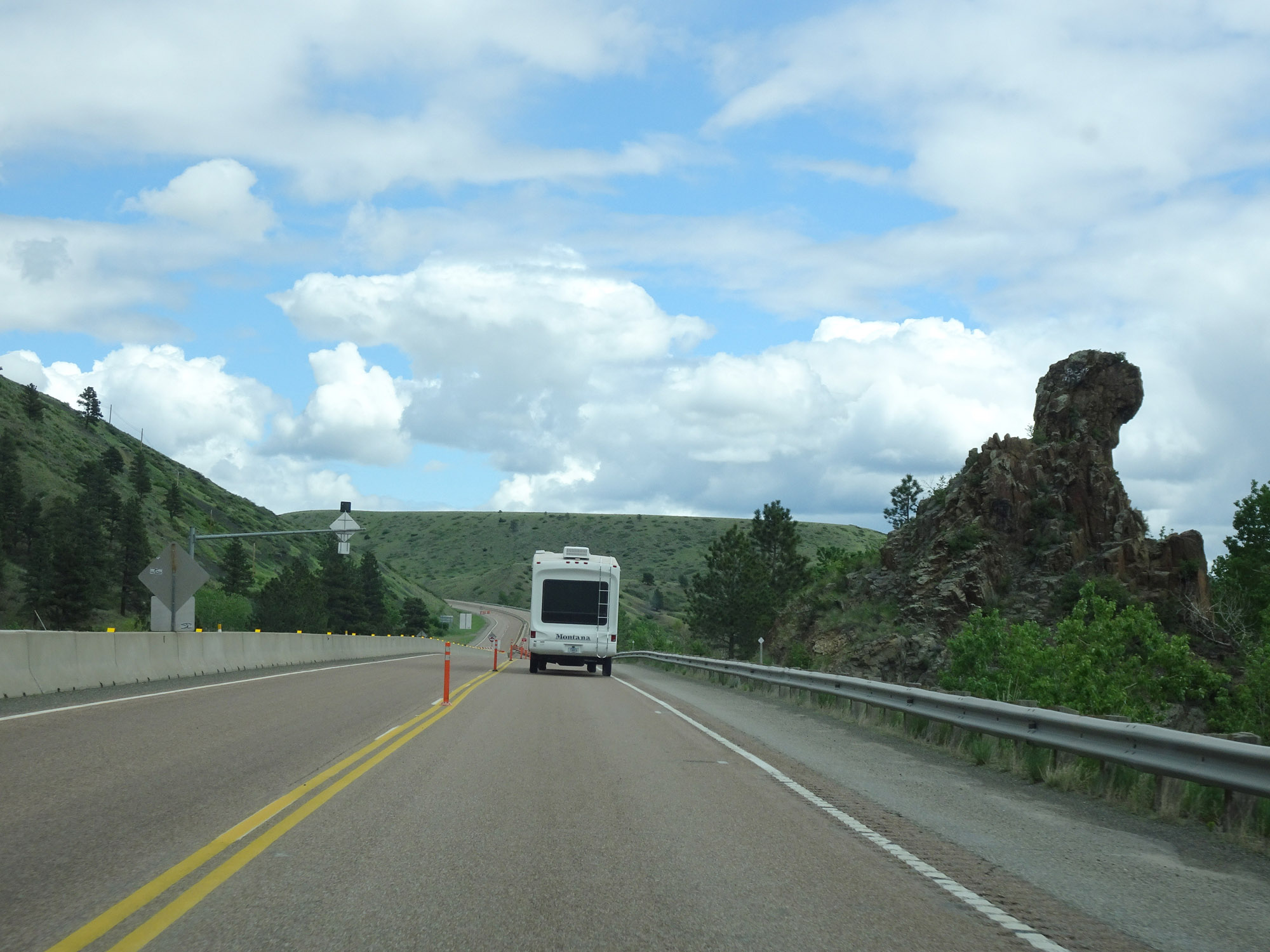
View on Interstate 15 North as it begins to traverse this stretch of winding road. (Photo taken 5/24/16). |
 |
Another view on Interstate 15 North in Jefferson County. (Photo taken 5/24/16). |
 |
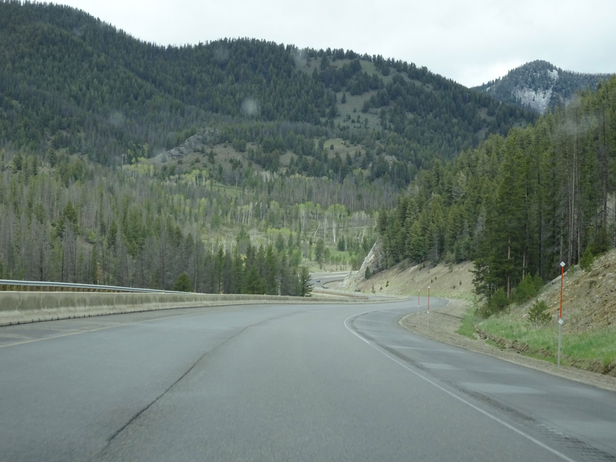
View on Interstate 15 North, continuing through the curvy stretch. (Photo taken 5/24/16). |
 |
Another view on Interstate 15 North. (Photo taken 5/24/16). |
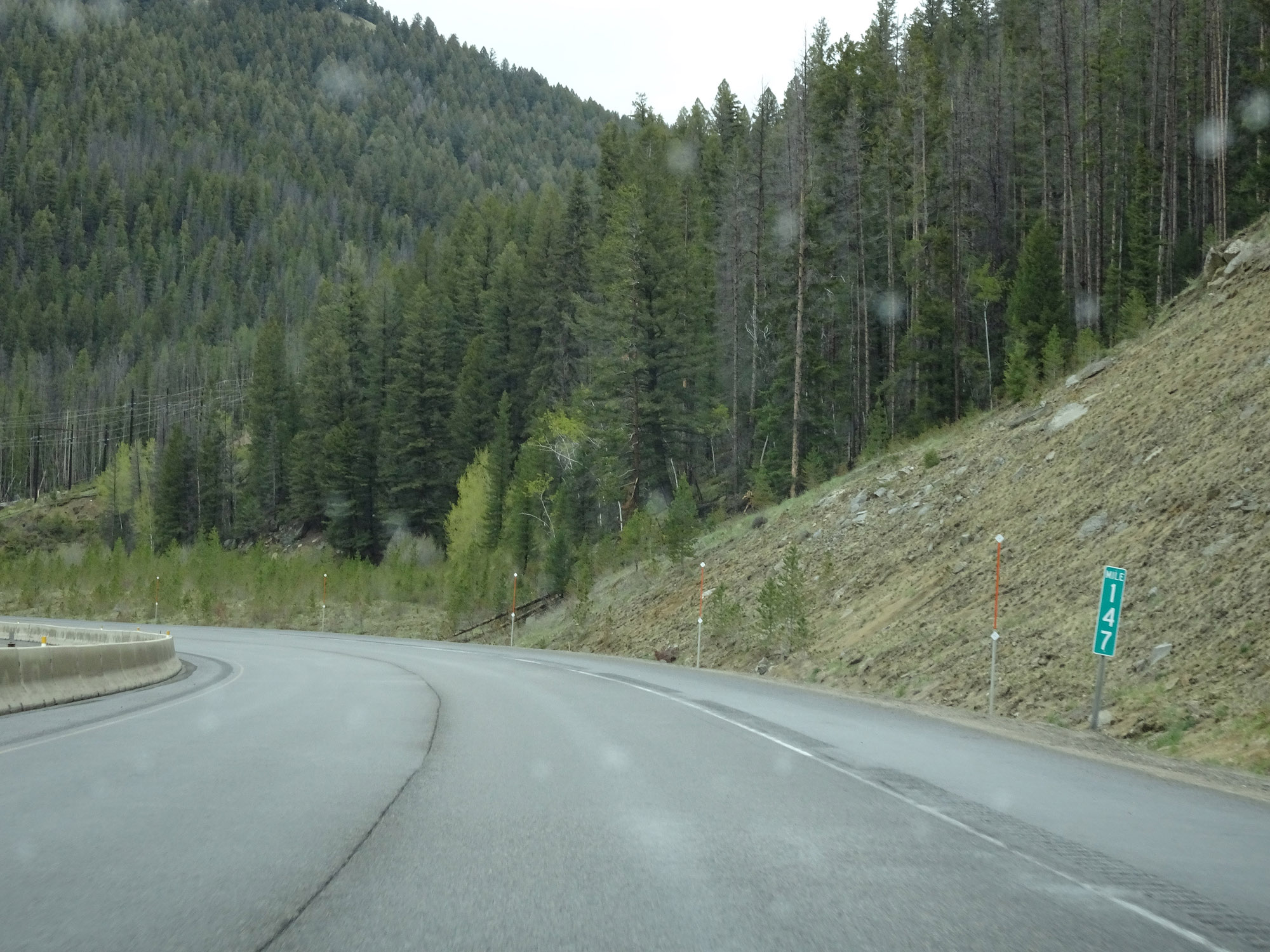 |
Interstate 15 North at mile marker 147. (Photo taken 5/24/16). |
 |
View on Interstate 15 North in Jefferson County. (Photo taken 5/24/16). |
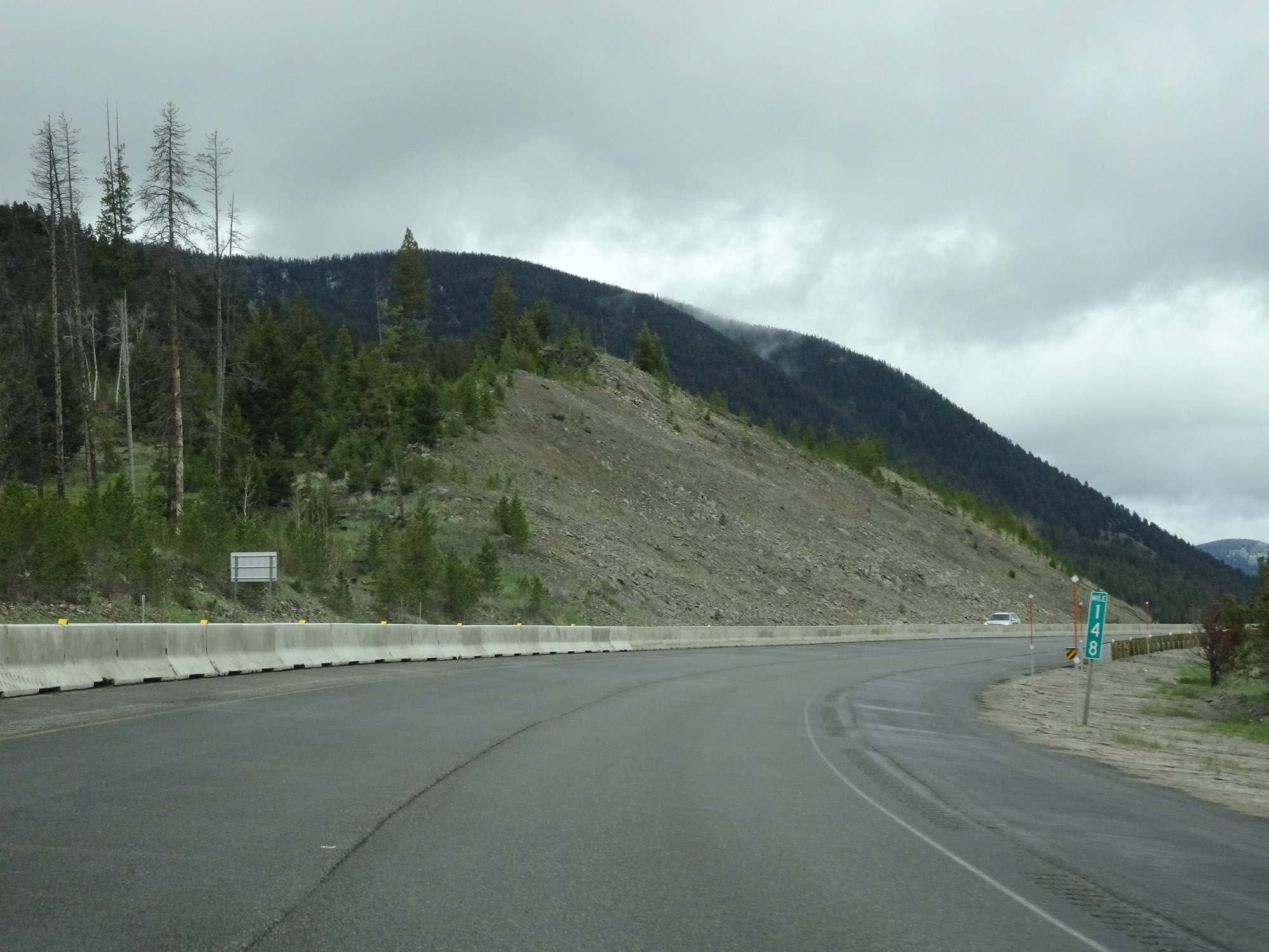 |
At mile marker 148, Interstate 15 North begins to straighten out a bit. (Photo taken 5/24/16). |
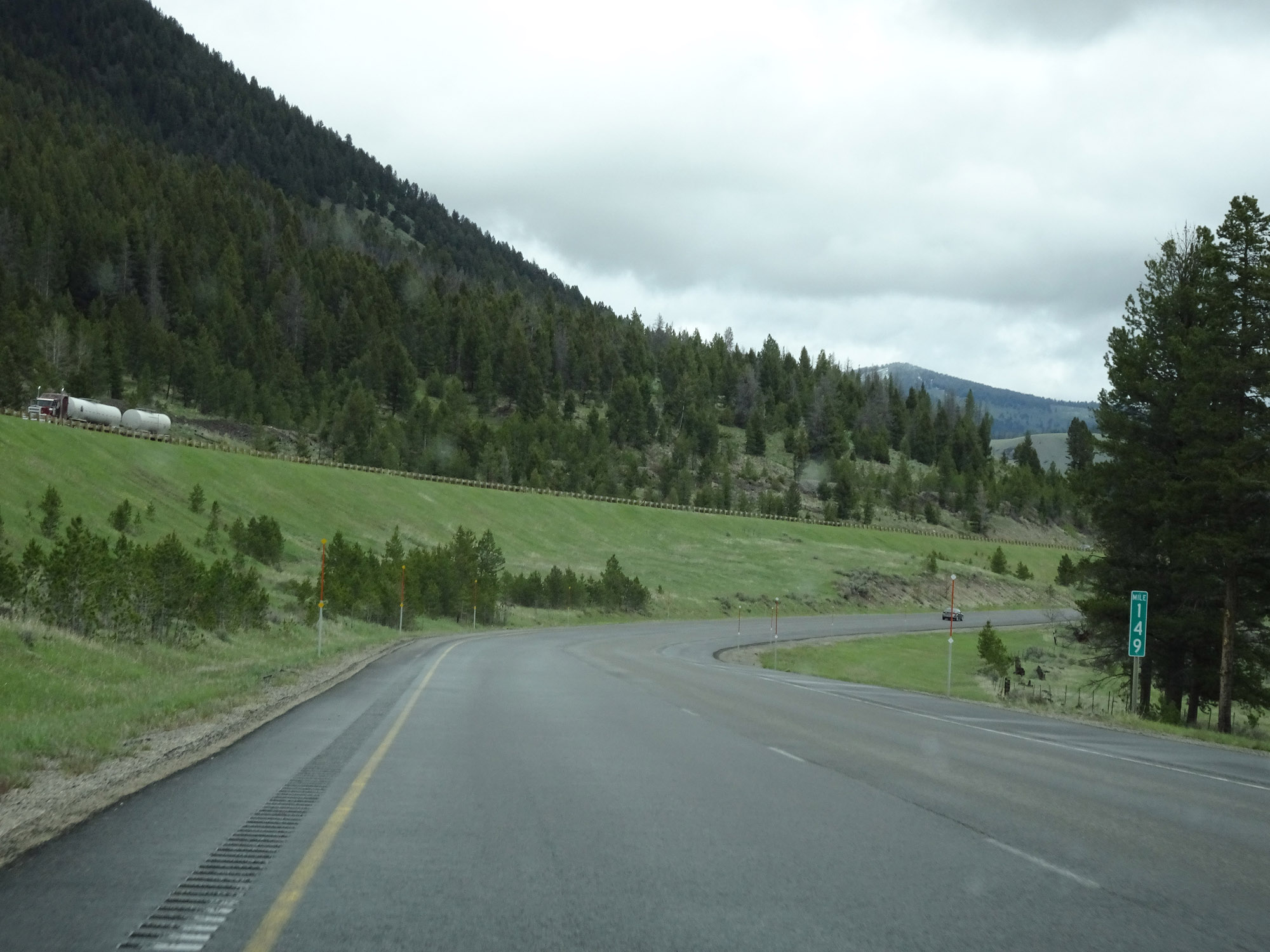 |
Interstate 15 North at mile marker 149. (Photo taken 5/24/16). |
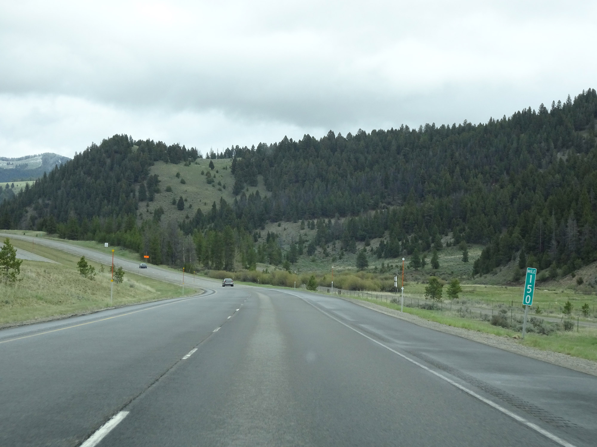 |
View on Interstate 15 North at mile marker 150. (Photo taken 5/24/16). |
 |
Although Interstate 15 North has slightly straightened out for the time being, the speed limit for cars remains 75 mph. (Photo taken 5/24/16). |
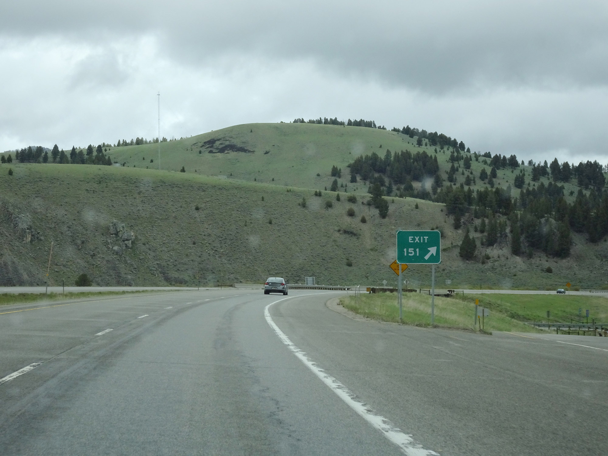 |
Interstate 15 North at Exit 151: Bernice (Photo taken 5/24/16). |
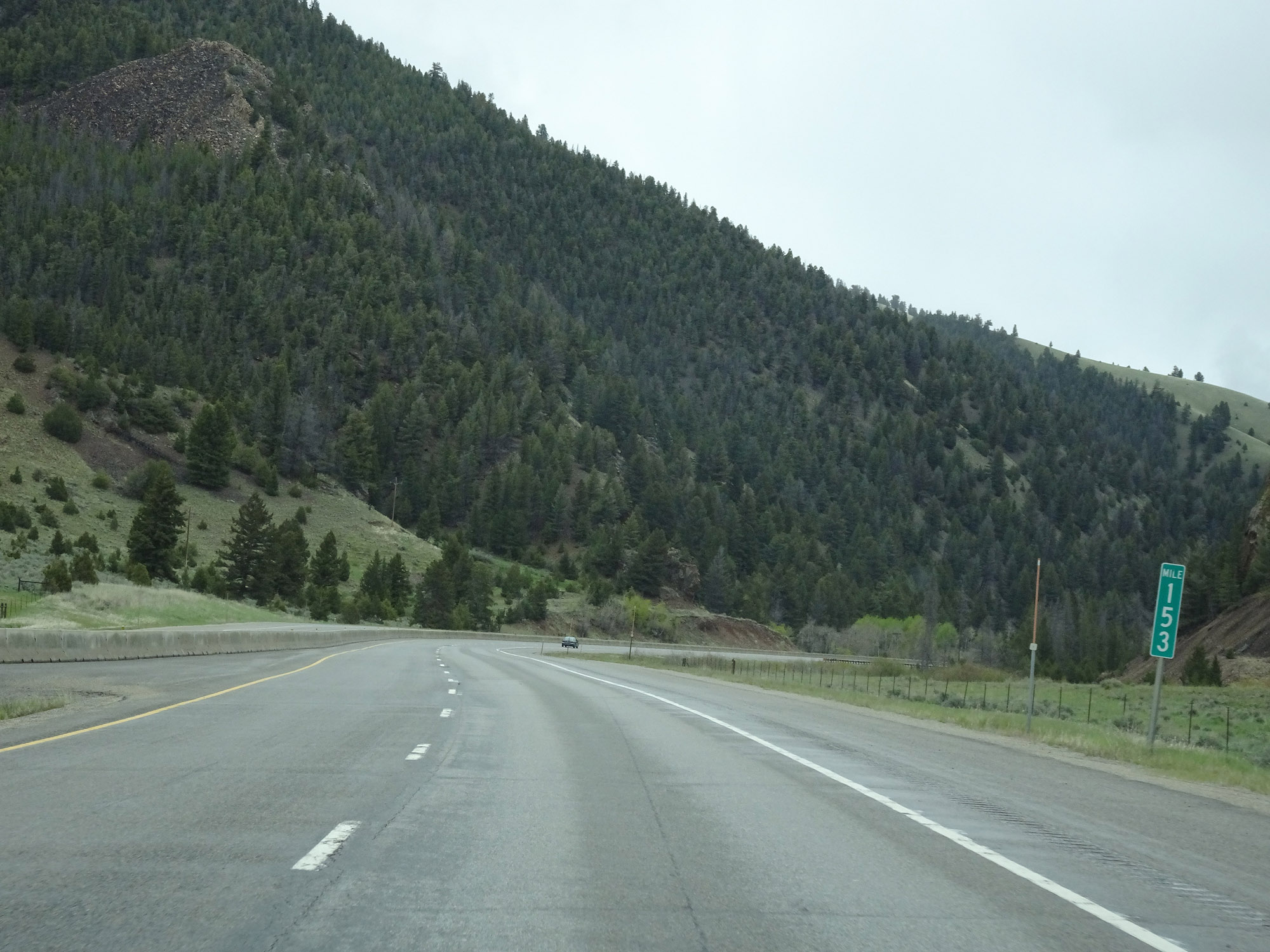 |
View on Interstate 15 North at mile marker 153. (Photo taken 5/24/16). |
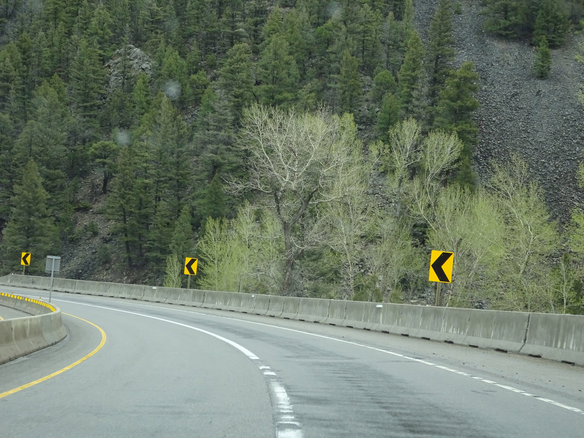 |
More winding curves on Interstate 15 North. (Photo taken 5/24/16). |
 |
Another view on Interstate 15 North. (Photo taken 5/24/16). |
 |
Another brief break in the winding curves on Interstate 15 North. (Photo taken 5/24/16). |
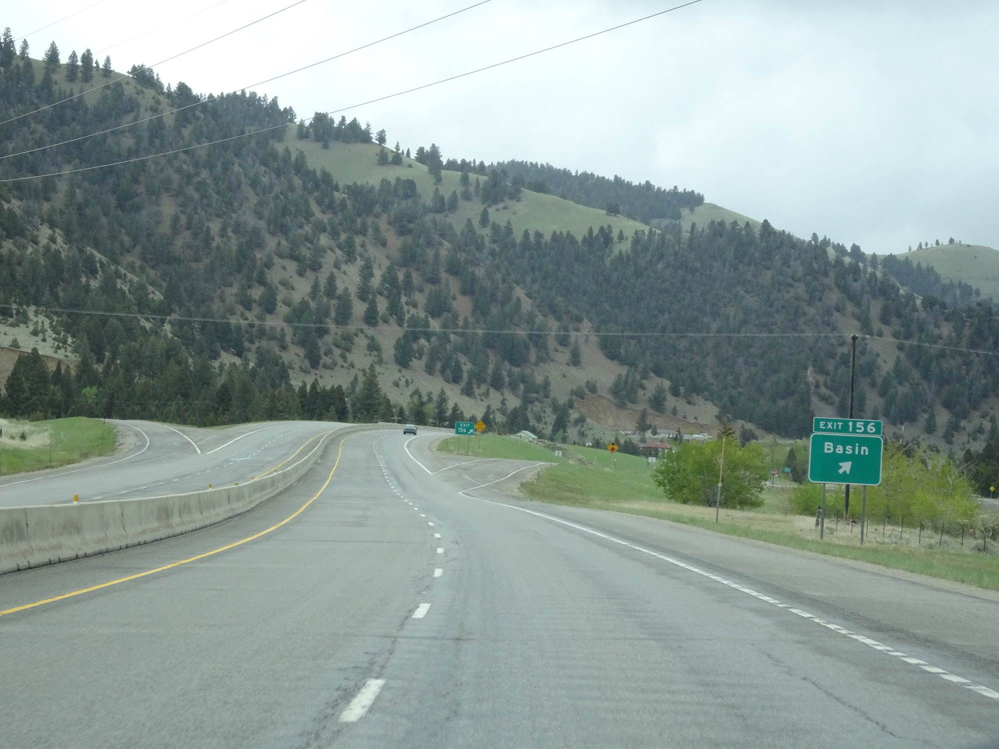 |
Interstate 15 North at Exit 156: Basin (Photo taken 5/24/16). |
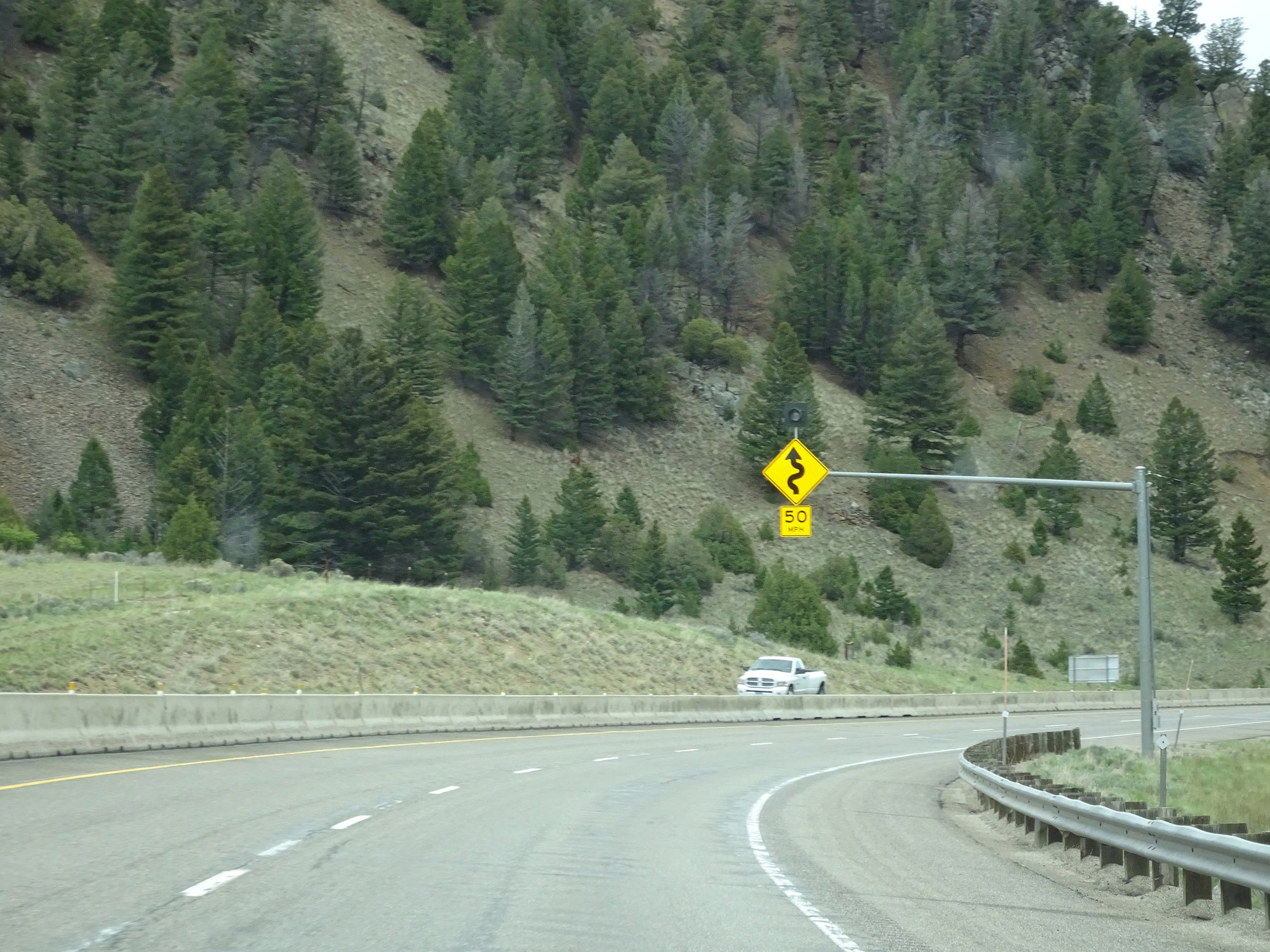 |
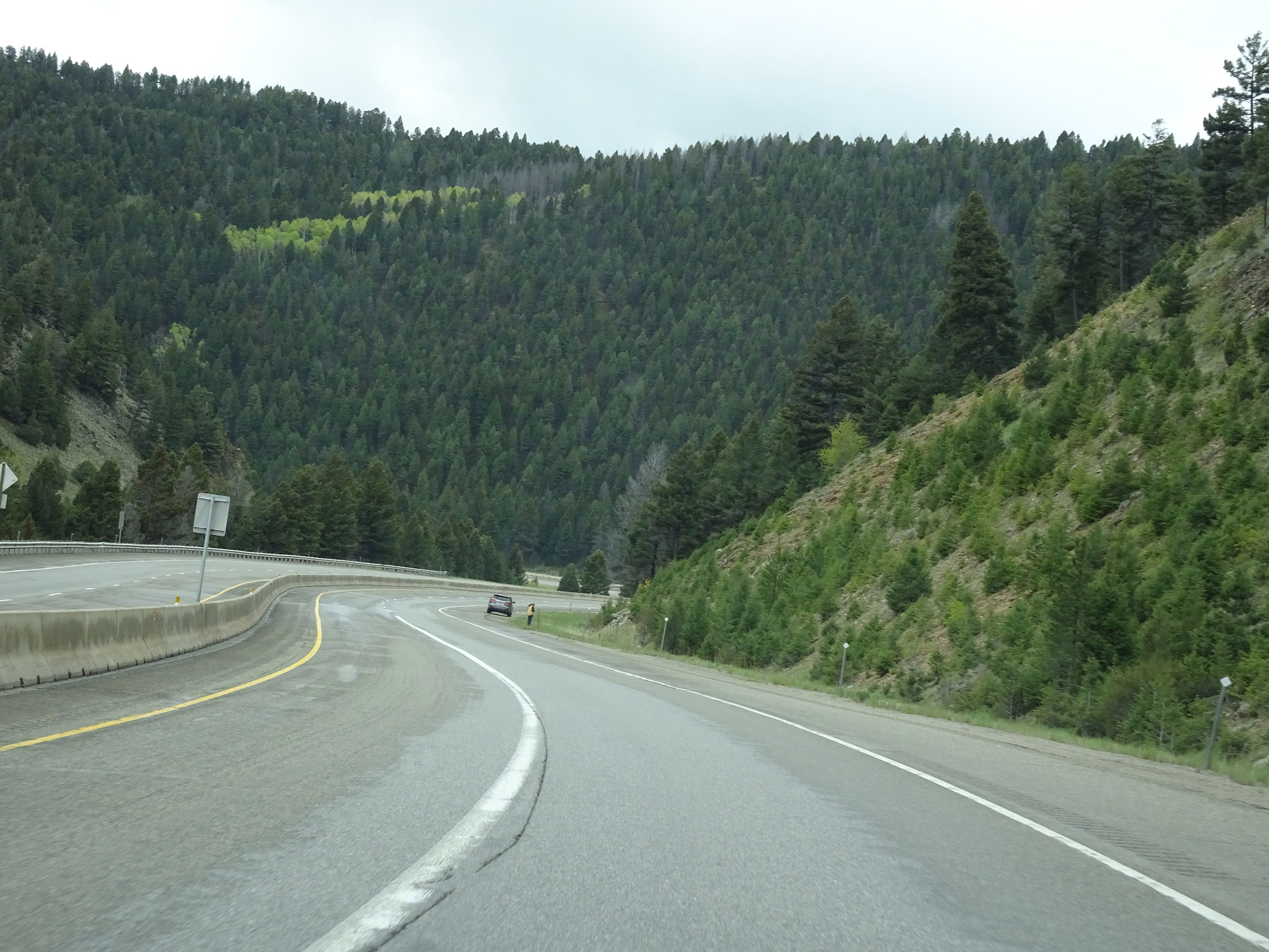
North of Exit 156 exists more curves. This series will be a little sharper than before, and as such, a speed of 50 mph is advised. (Photo taken 5/24/16). |
 |
View on Interstate 15 North. (Photo taken 5/24/16). |
 |
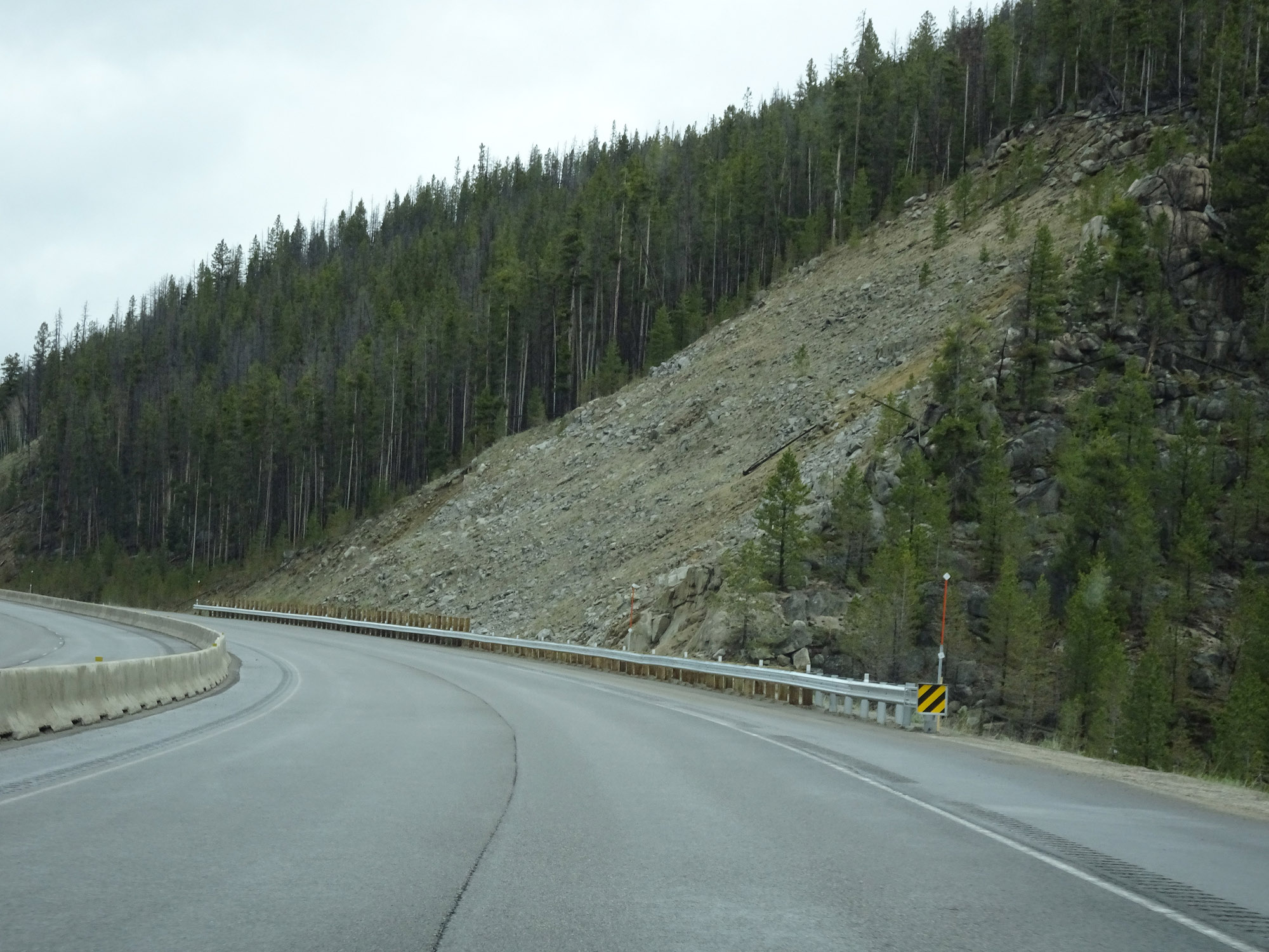
Another view of the curviness of this section of Interstate 15 North in Jefferson County. (Photo taken 5/24/16). |
 |
View on Interstate 15 North. (Photo taken 5/24/16). |
 |
Interstate 15 North near mile marker 159. (Photo taken 5/24/16). |
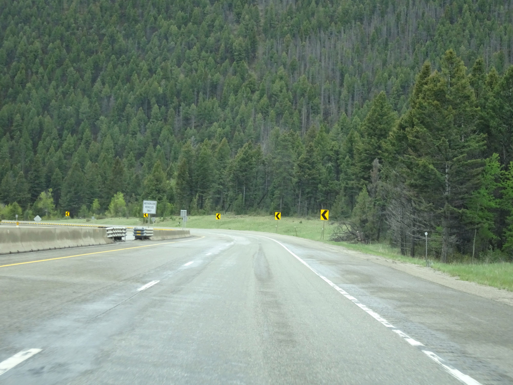 |
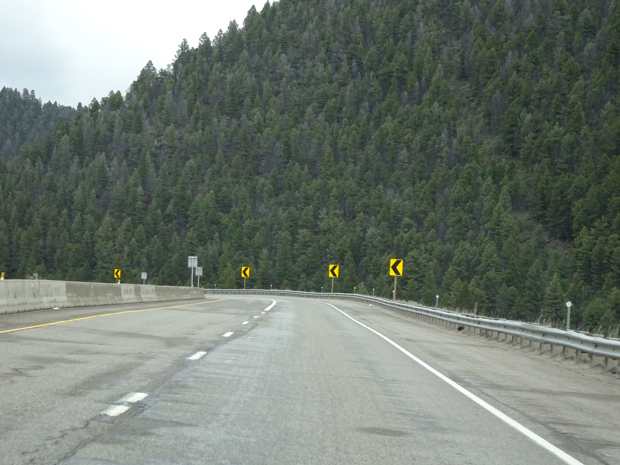
The sharp curves continue. (Photo taken 5/24/16). |
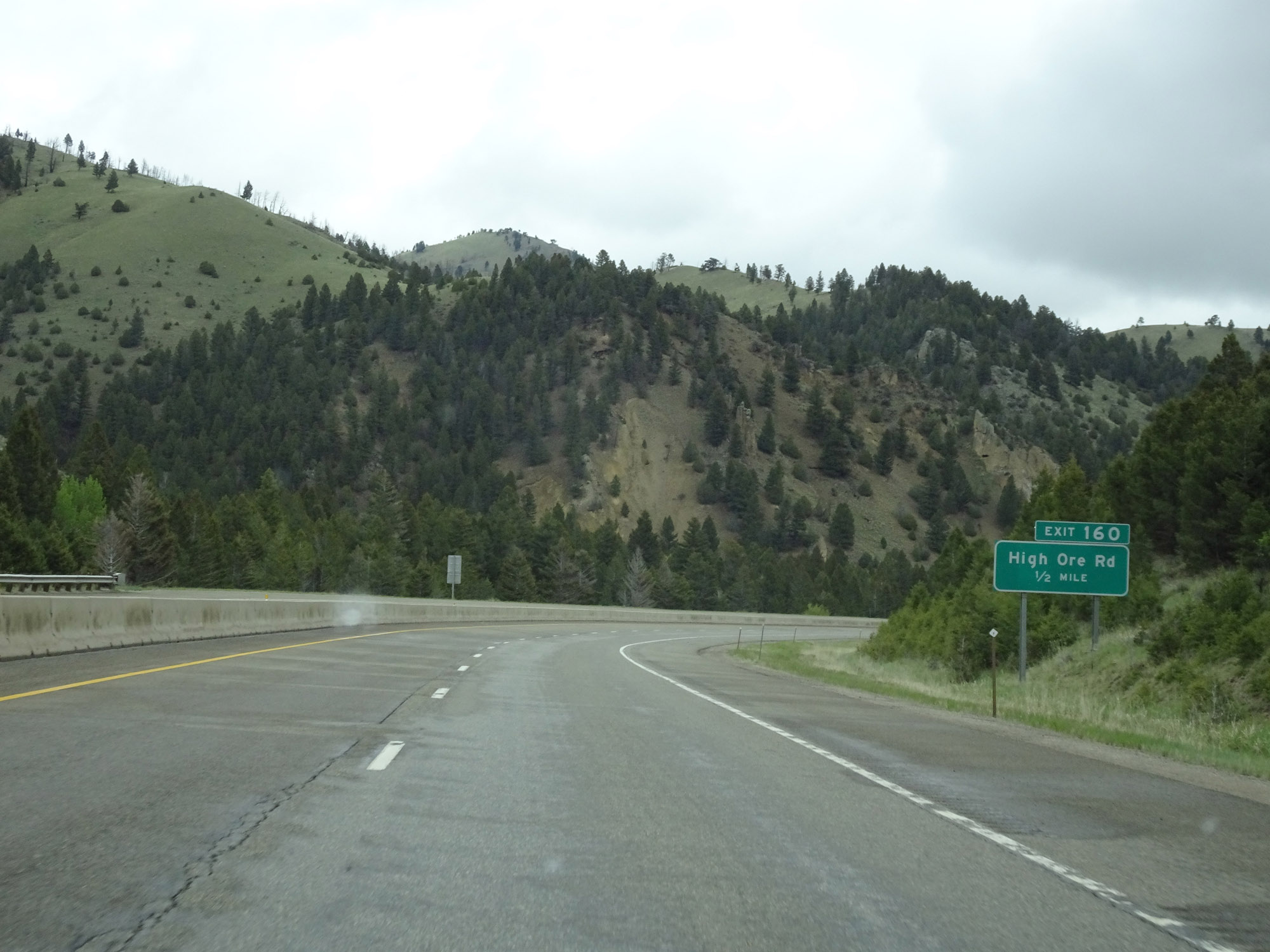 |
Interstate 15 North approaching Exit 160 - 1/2 mile. (Photo taken 5/24/16). |
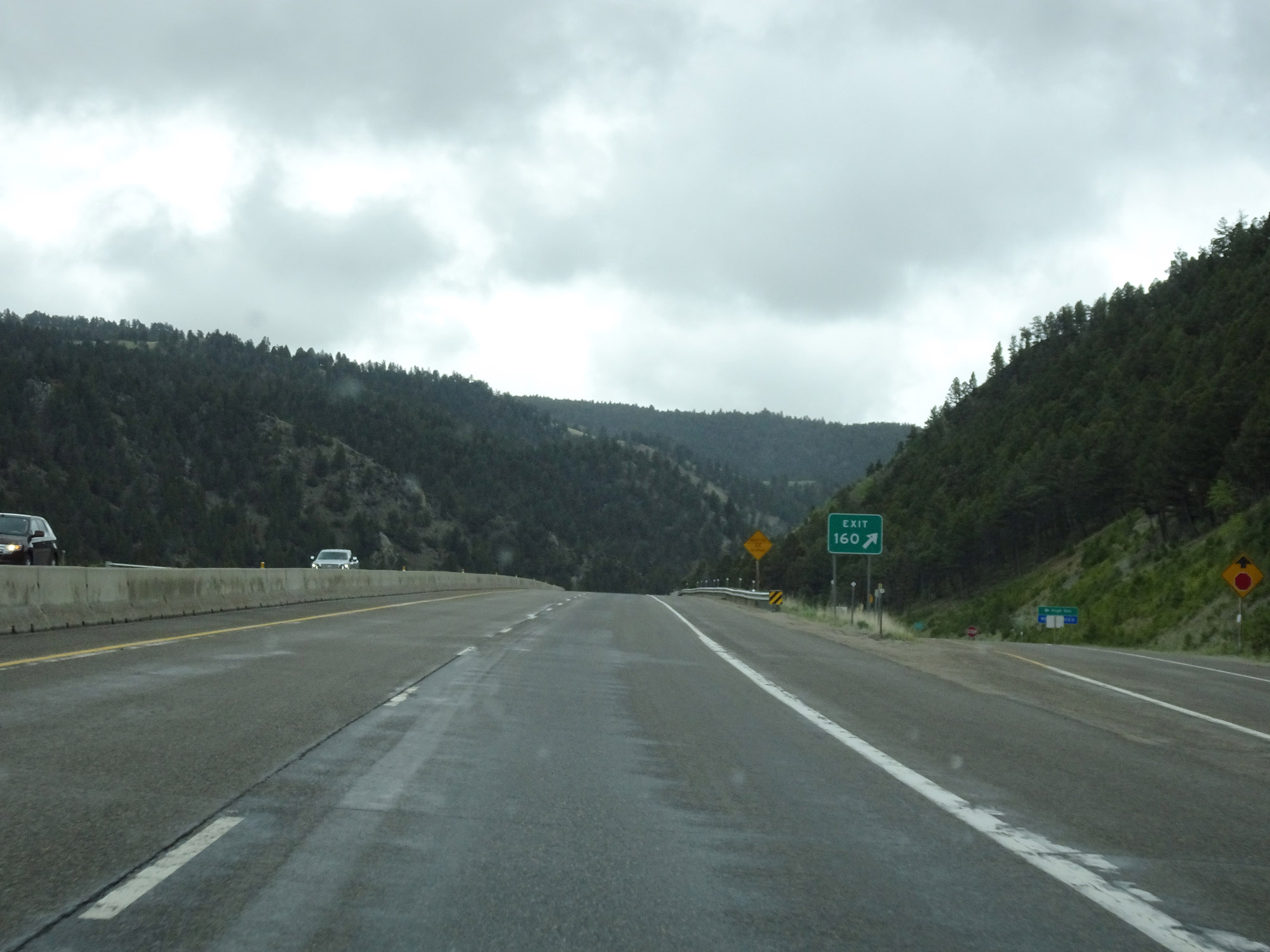 |
Interstate 15 North at Exit 160: High Ore Rd (Photo taken 5/24/16). |
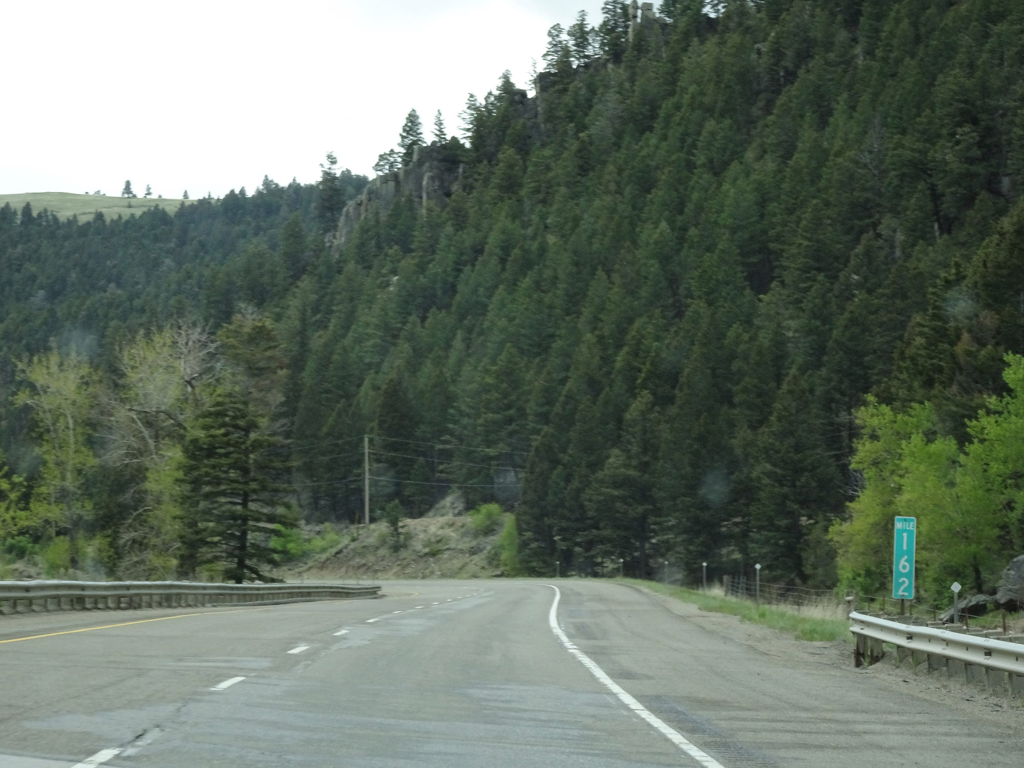 |
View on Interstate 15 North at mile marker 162. (Photo taken 5/24/16). |
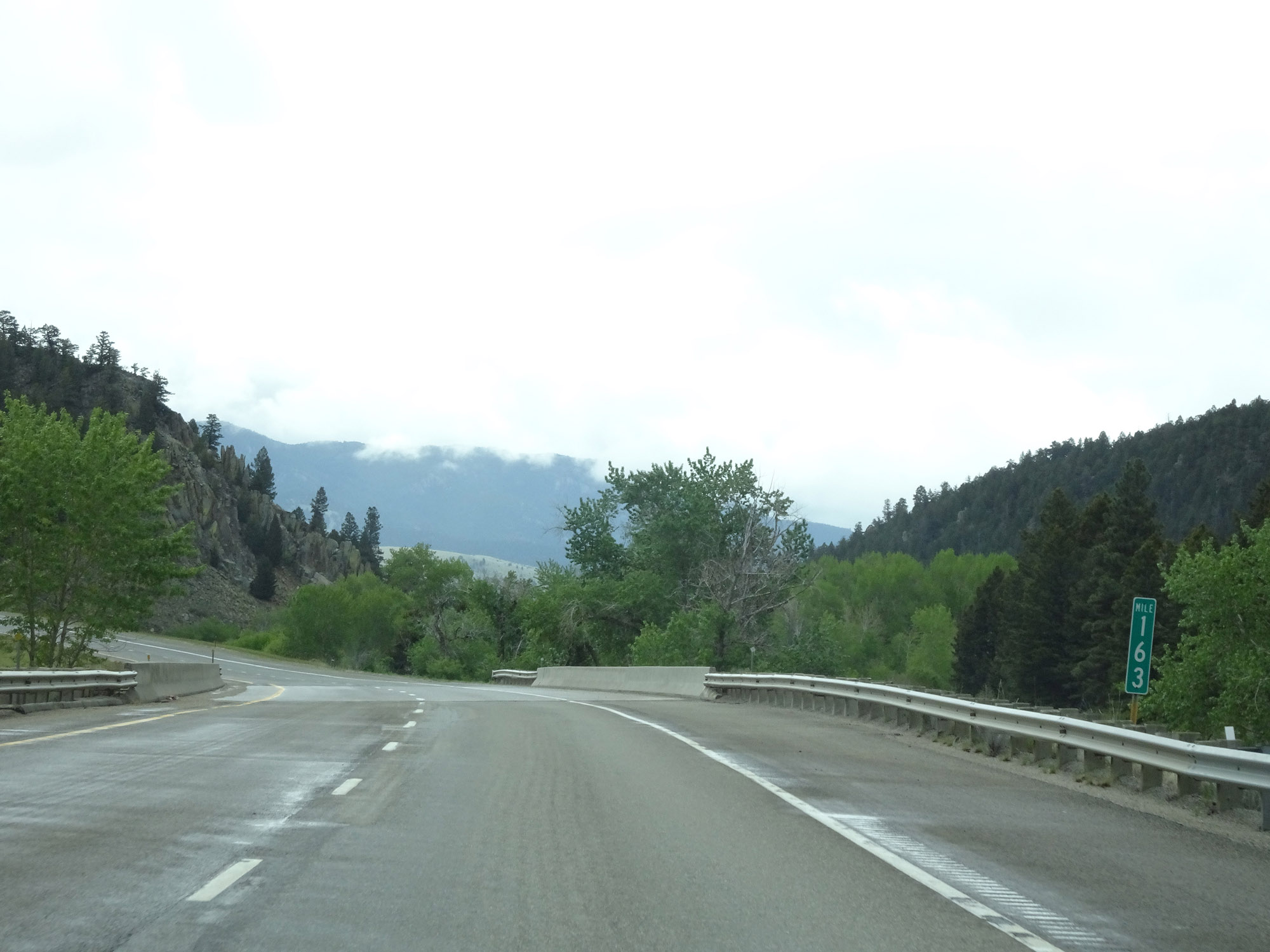 |
Interstate 15 North at mile marker 163. (Photo taken 5/24/16). |
 |
Interstate 15 North at Exit 164: MT 69 - Boulder (Photo taken 5/24/16). |
 |
Another Interstate 15 North reassurance shield. (Photo taken 5/24/16). |
 |
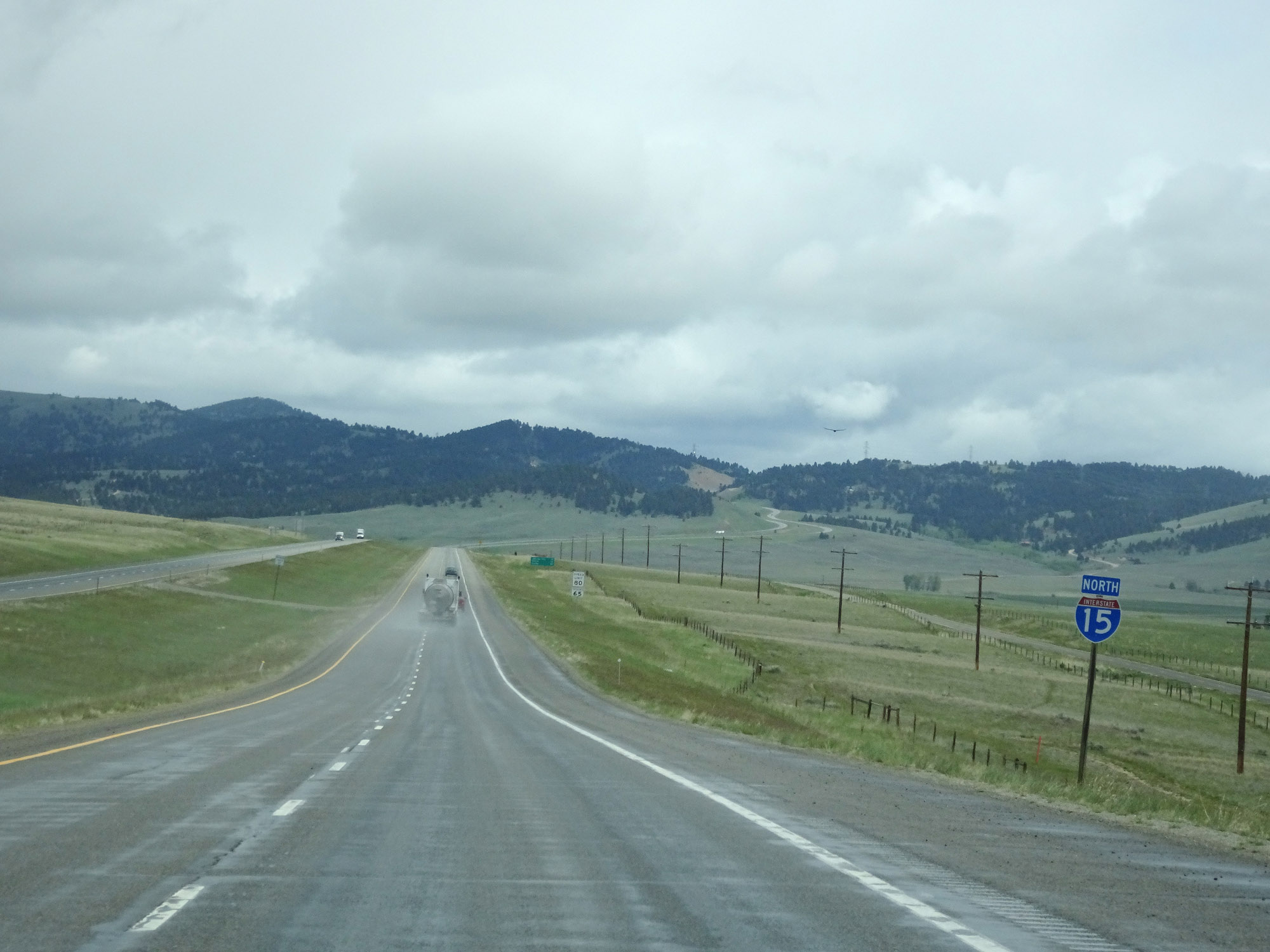
As Interstate 15 North finally straightens out for the next several miles, the standard rural speed limits of 80 mph for cars and 65 mph for trucks resume. (Photo taken 5/24/16). |
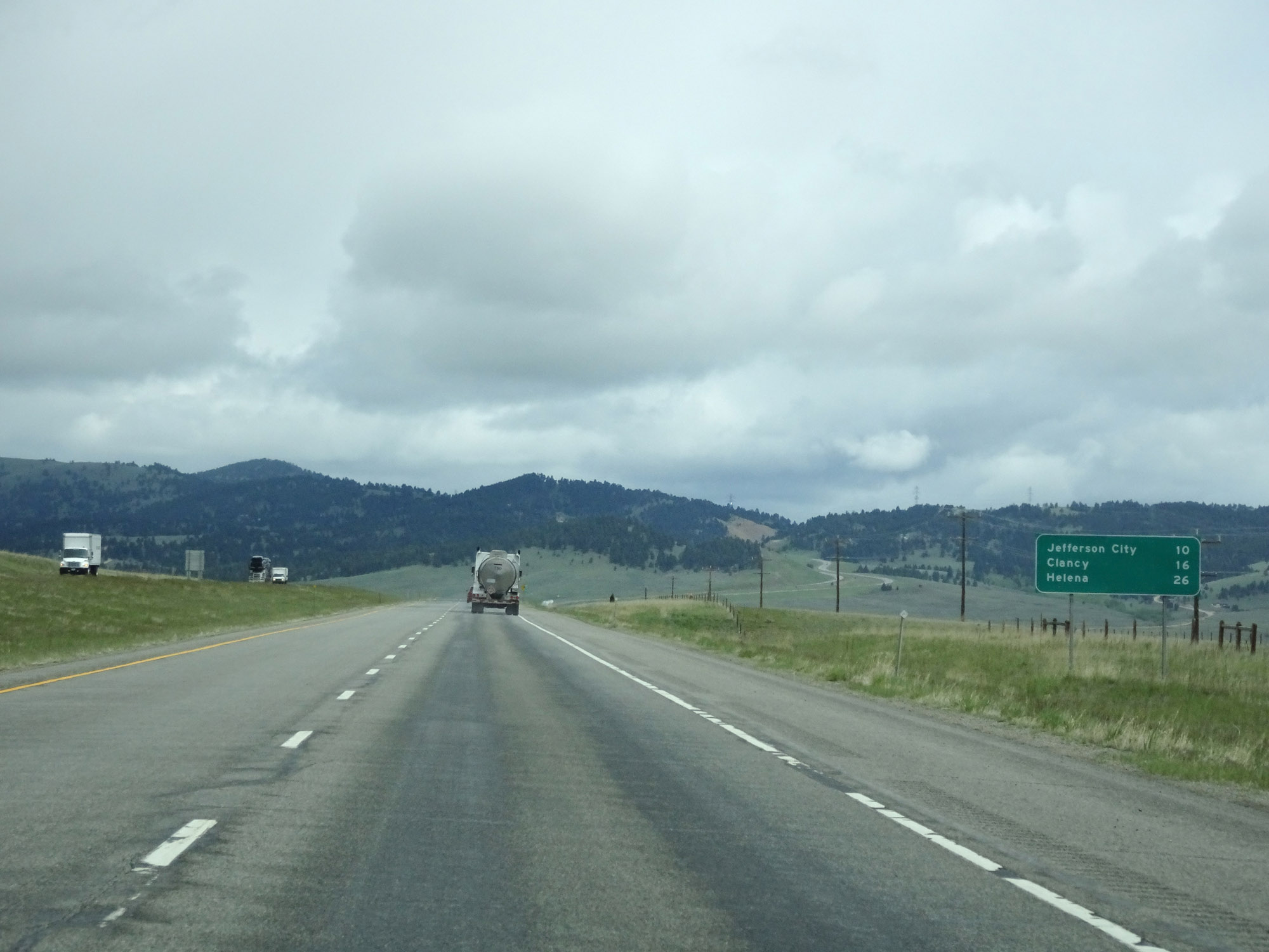 |
Mileage sign on Interstate 15 North. It's 10 miles to Jefferson City, 16 miles to Clancy, and 26 miles to Helena. (Photo taken 5/24/16). |
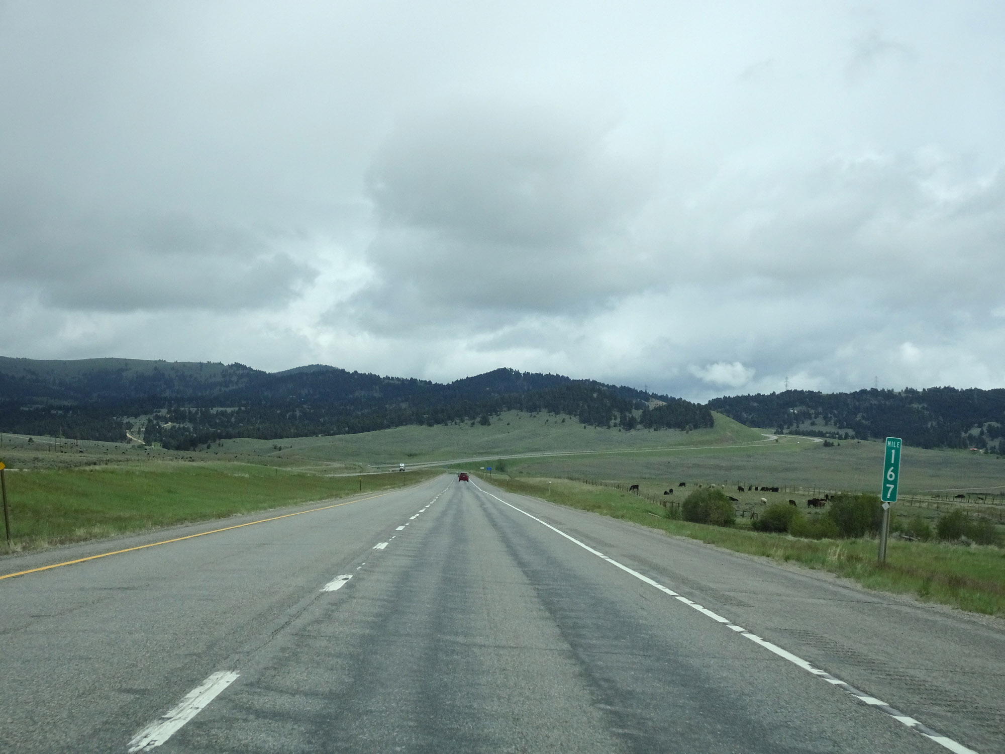 |
View on Interstate 15 North at mile marker 167. (Photo taken 5/24/16). |
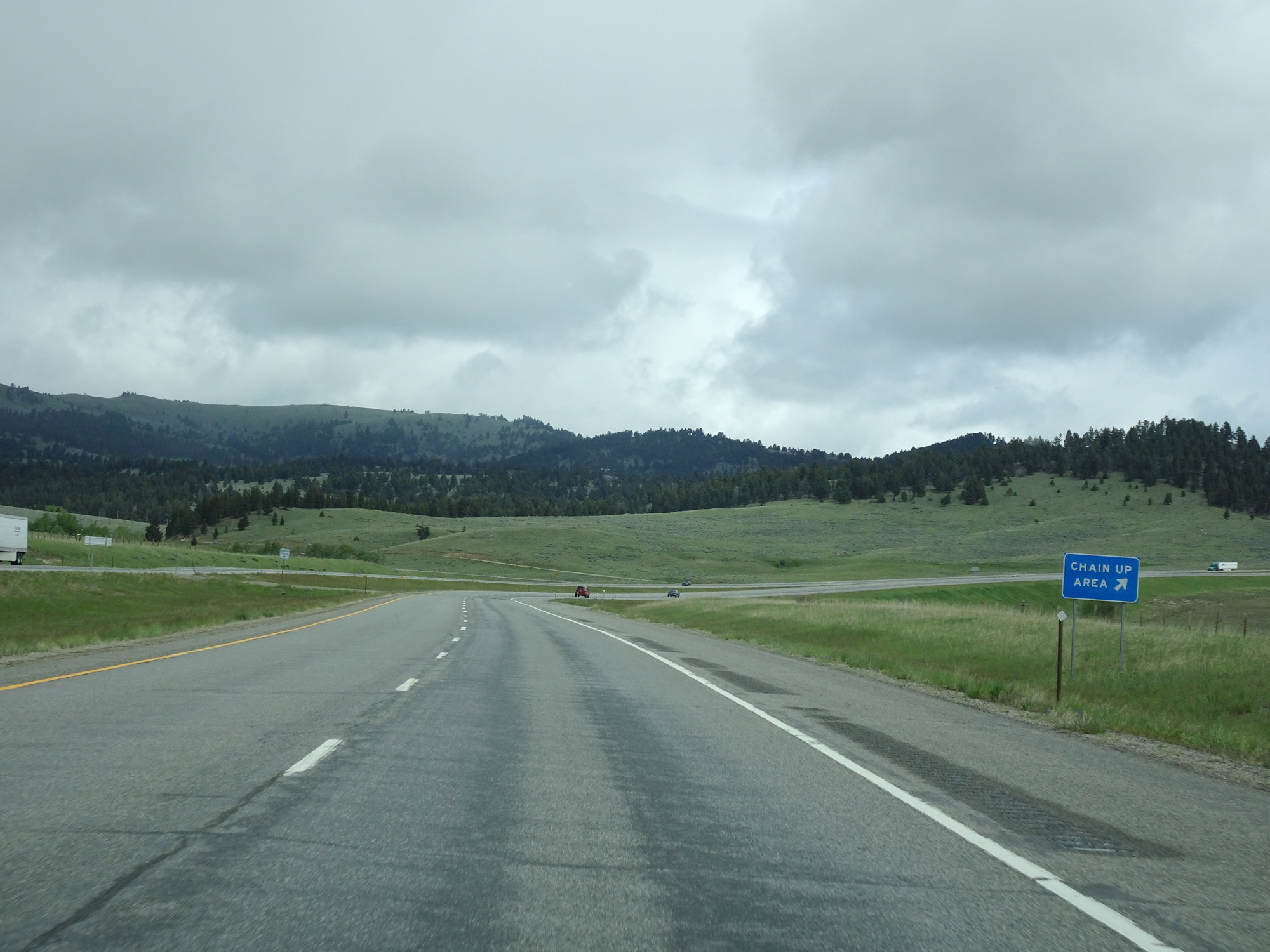 |
Chain Up Area on Interstate 15 North, just before it begins to climb a steep grade to the north of Boulder. (Photo taken 5/24/16). |
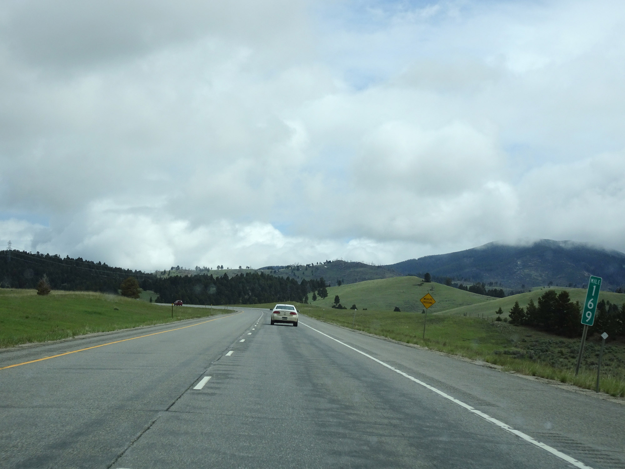 |
Interstate 15 North at mile marker 169 as it starts up the grade. (Photo taken 5/24/16). |
 |
View on Interstate 15 North at mile marker 170, continuing the climb. (Photo taken 5/24/16). |
 |
Interstate 15 North at mile marker 171, nearing the top of the grade. (Photo taken 5/24/16). |
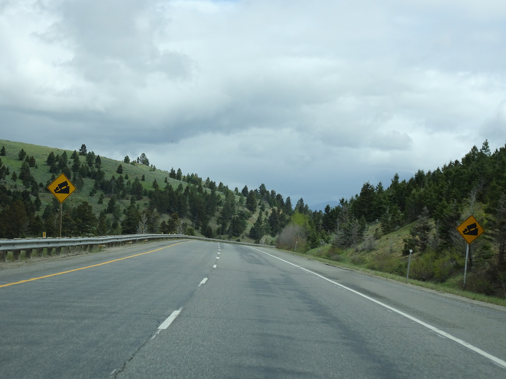 |
As soon as Interstate 15 North reaches the top of the grade, it prepares to go down it on the north side as these warning signs point out. (Photo taken 5/24/16). |
 |
View on Interstate 15 North as it descends the grade. (Photo taken 5/24/16). |
 |
Another view on Interstate 15 North as it continues to make its way down. (Photo taken 5/24/16). |
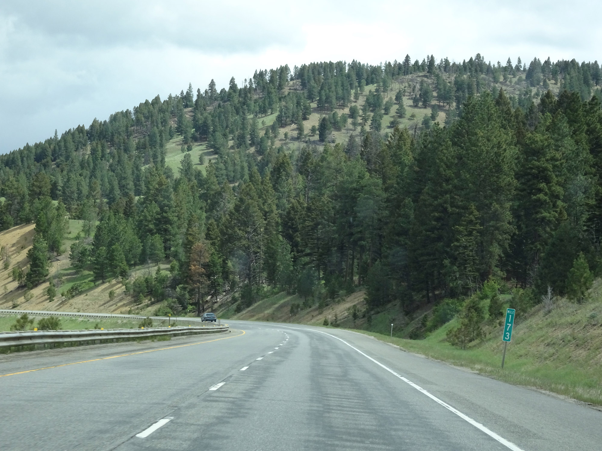 |
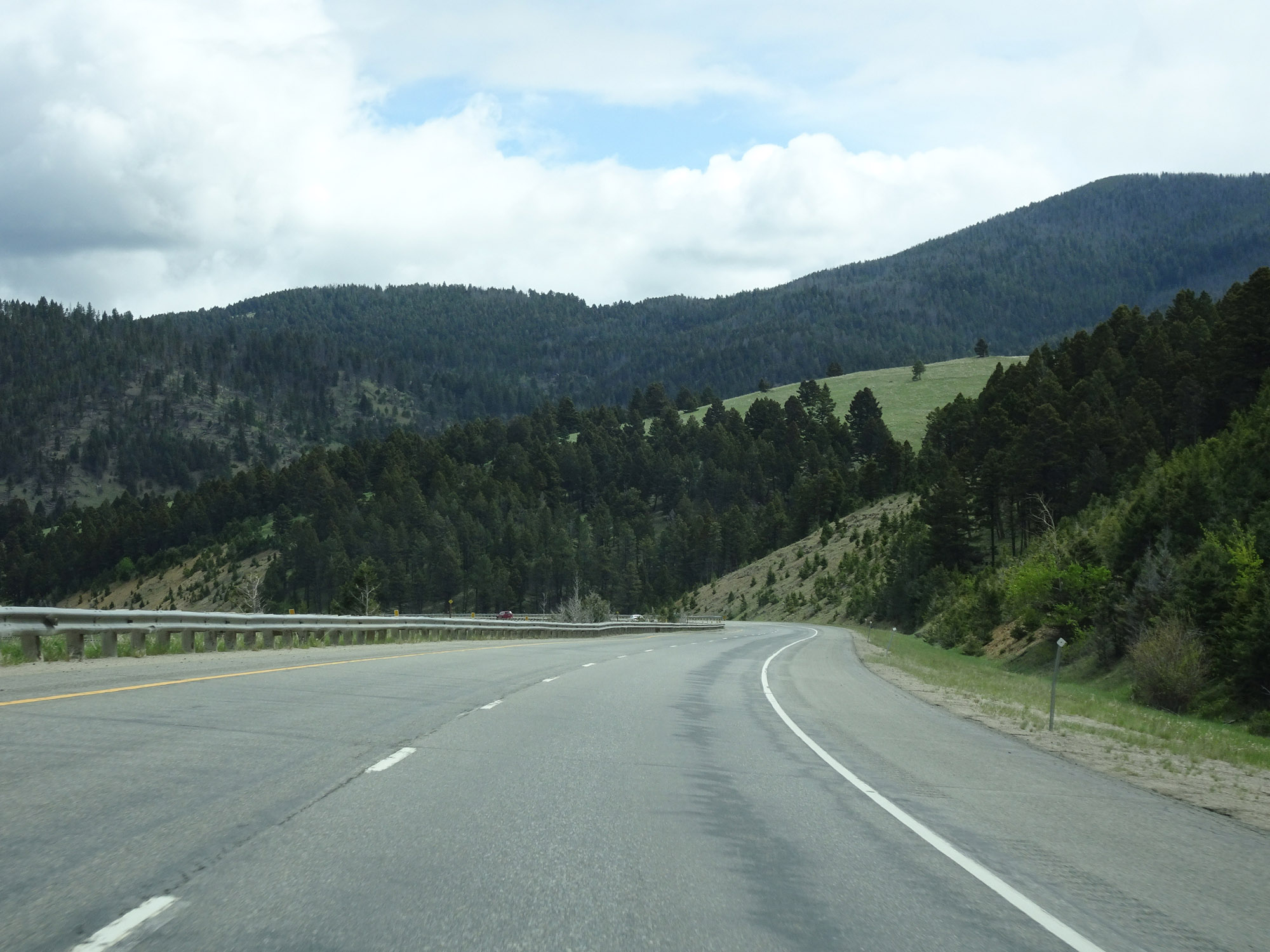
Interstate 15 North at mile marker 173, continuing to go down. (Photo taken 5/24/16). |
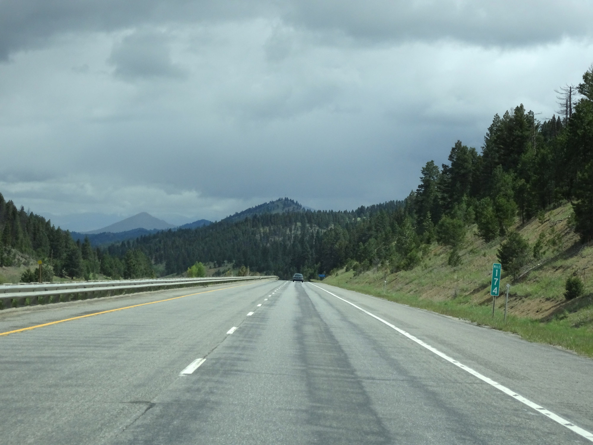 |
Interstate 15 North at mile marker 174, nearing the bottom of the grade. (Photo taken 5/24/16). |
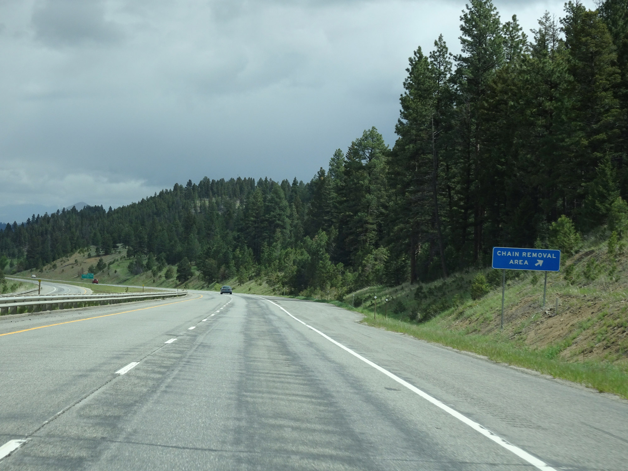 |
Chain Removal Area on Interstate 15 North at the bottom of the downgrade. (Photo taken 5/24/16). |
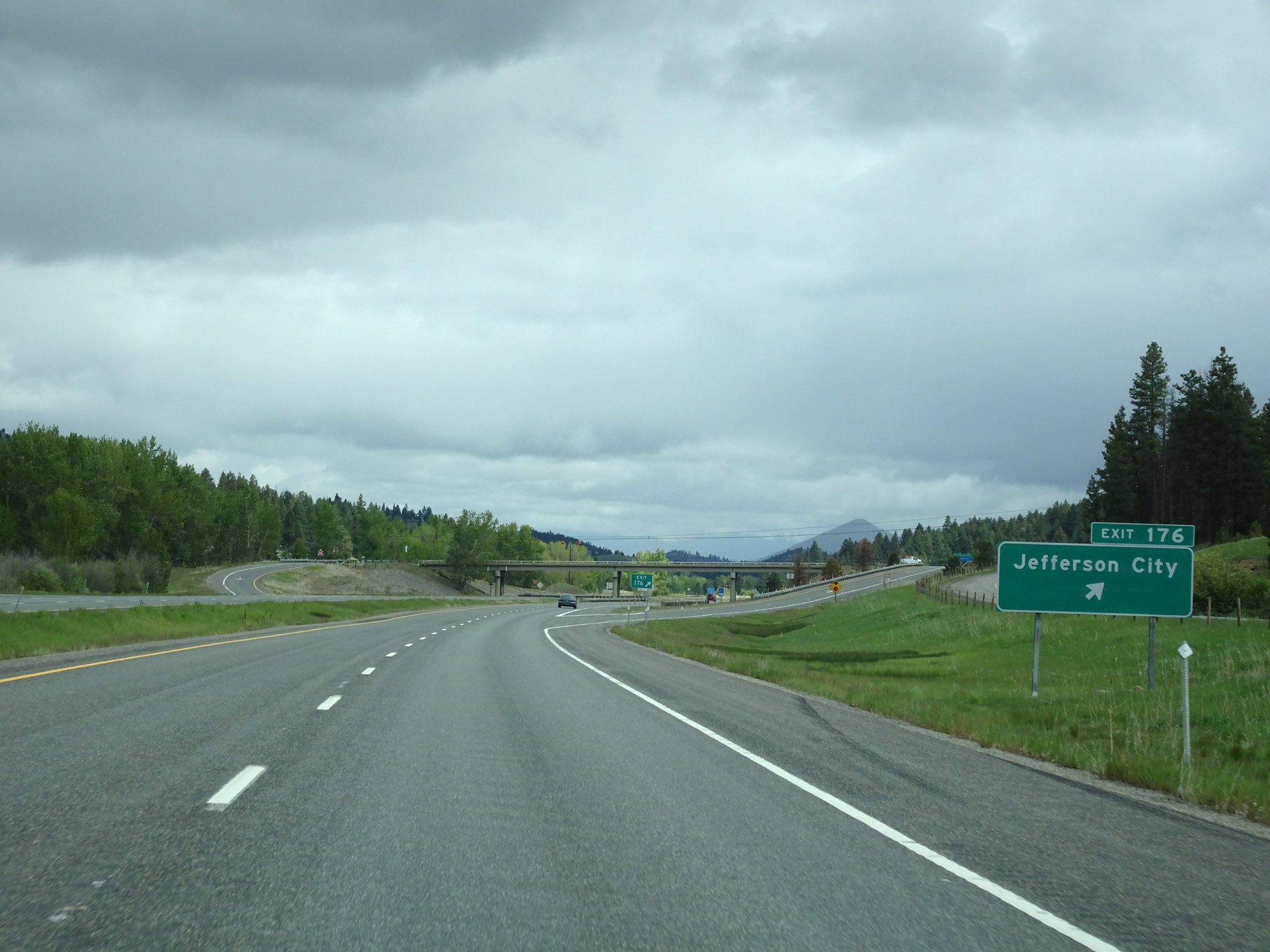 |
Interstate 15 North at Exit 176: Jefferson City (Photo taken 5/24/16). |
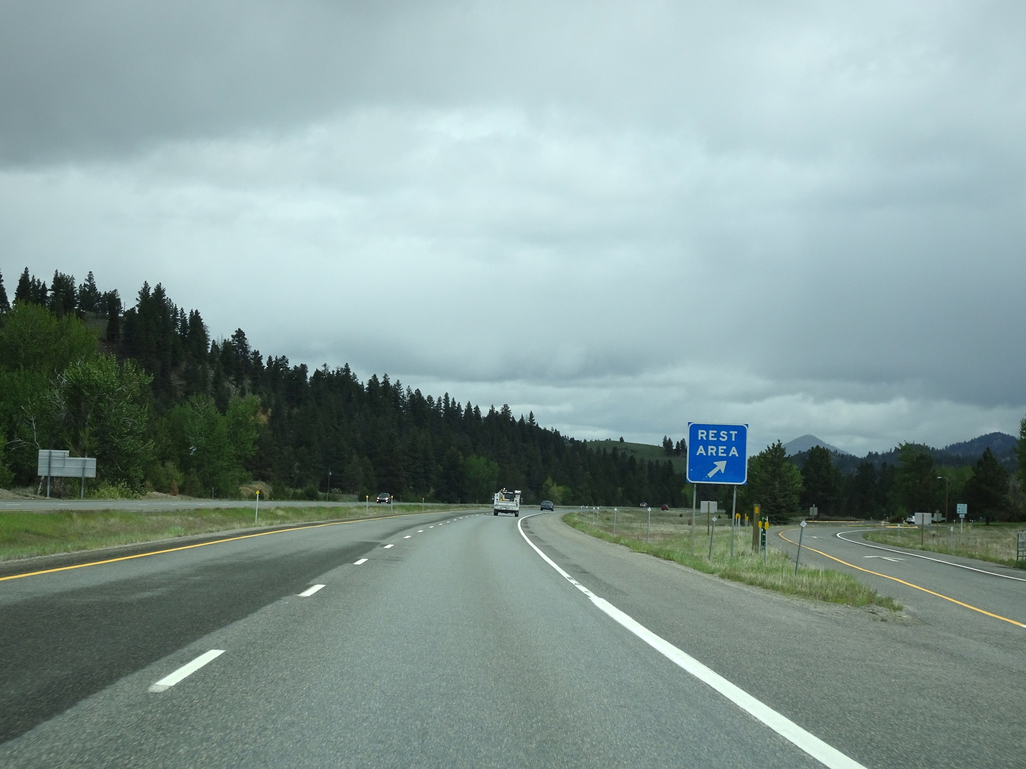 |
Rest Area on Interstate 15 North in Jefferson County. (Photo taken 5/24/16). |
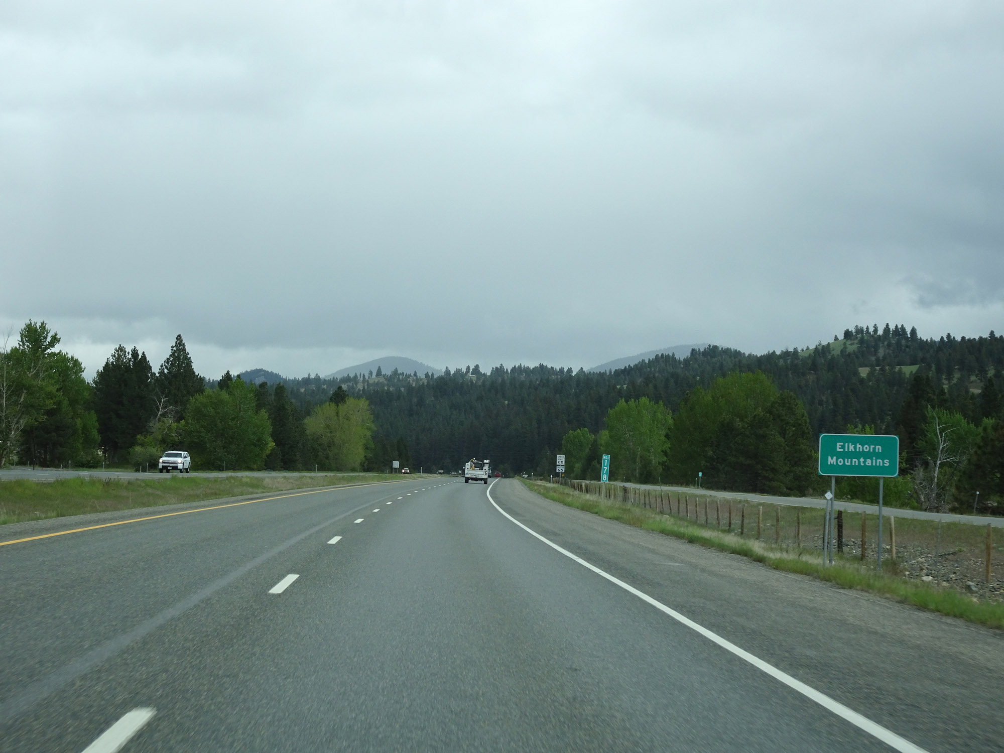 |
At mile marker 178, Interstate 15 North enters the Elkhorn Mountains to the south of Helena. (Photo taken 5/24/16). |
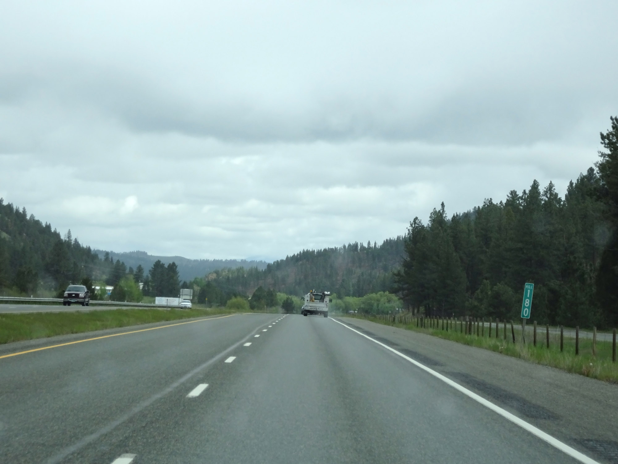 |
View on Interstate 15 North at mile marker 180. (Photo taken 5/24/16). |
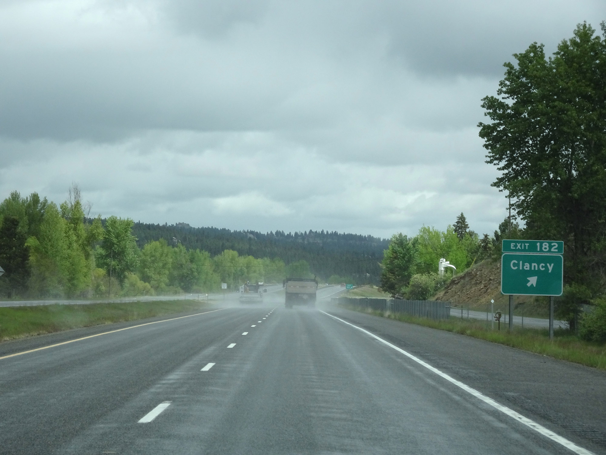 |
Interstate 15 North at Exit 182: Clancy (Photo taken 5/24/16). |
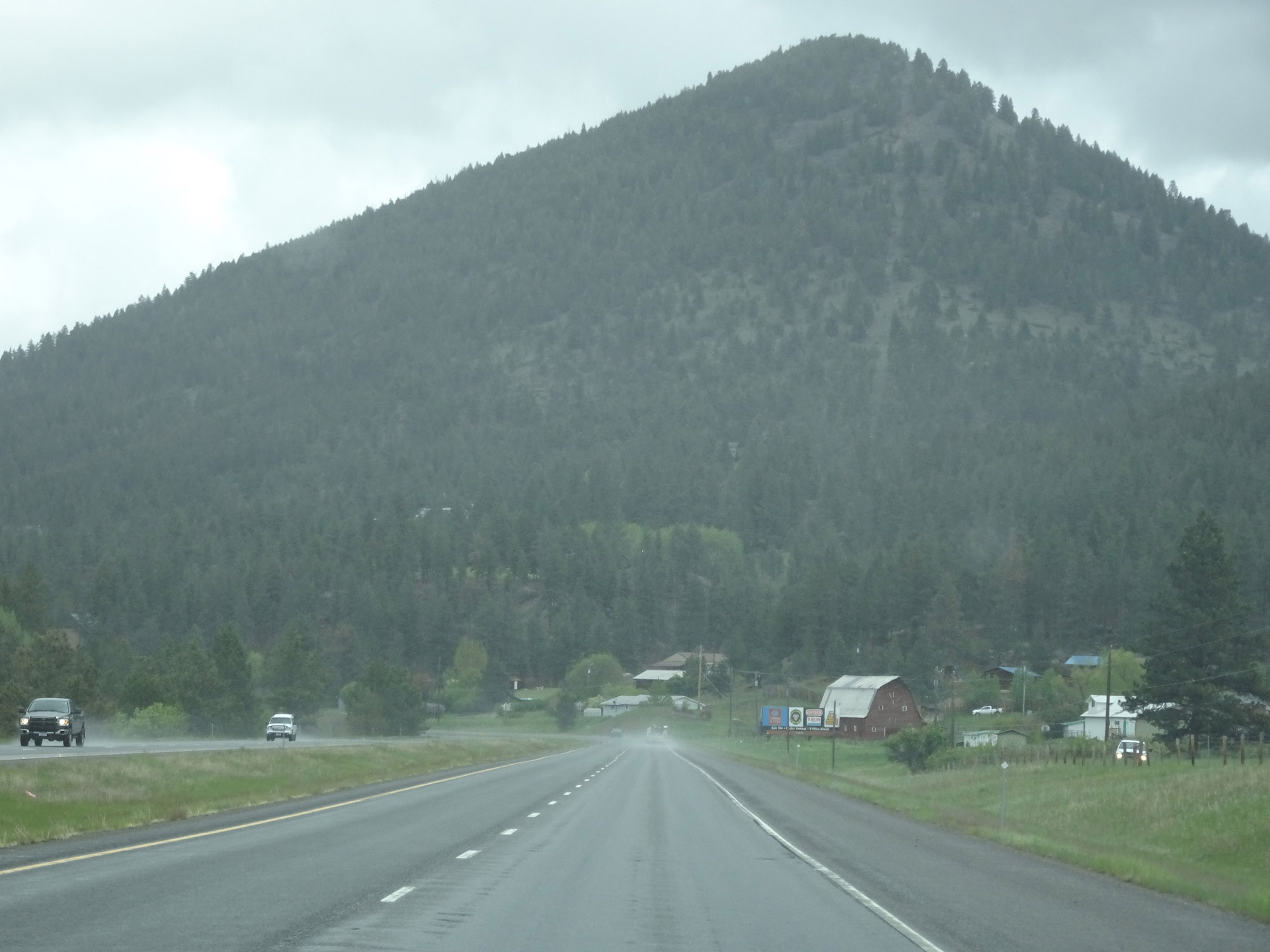 |
View on Interstate 15 North near Clancy. (Photo taken 5/24/16). |
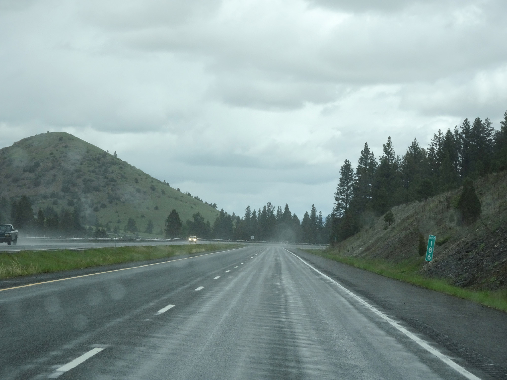 |
Interstate 15 North at mile marker 186. (Photo taken 5/24/16). |
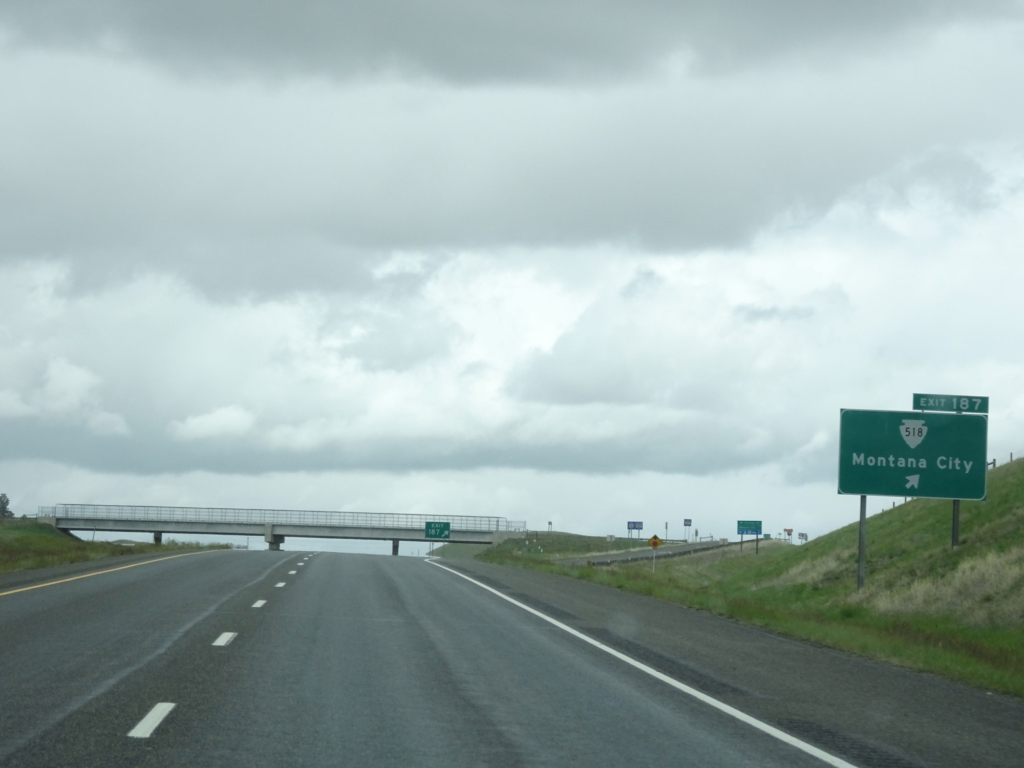 |
Interstate 15 North at Exit 187: S-518 - Montana City (Photo taken 5/24/16). |
 |
Take any of the next 4 exits to Helena. (Photo taken 5/24/16). |
 |
Approaching Exit 190, Interstate 15 North enters Lewis & Clark County. (Photo taken 5/24/16). |
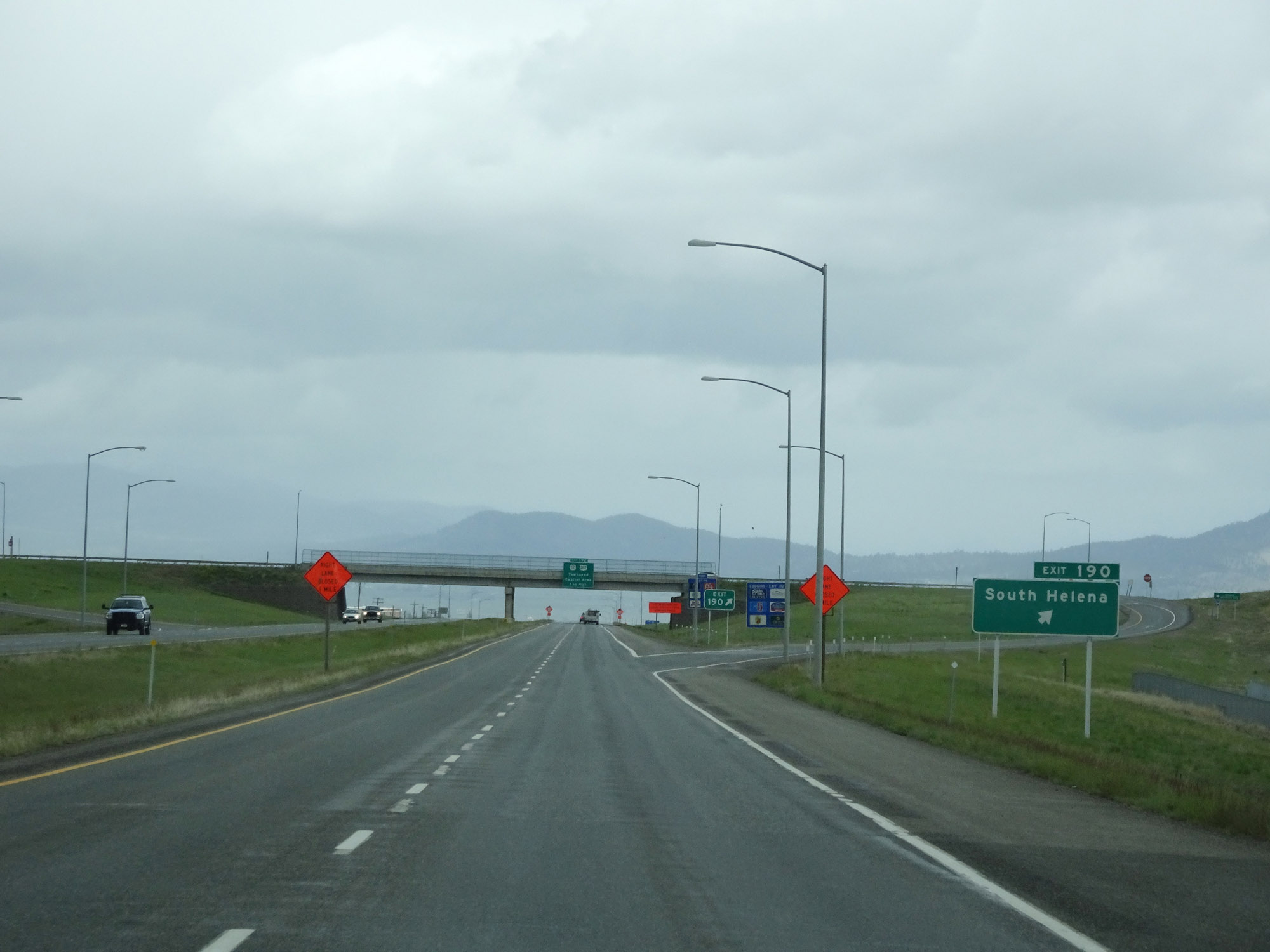 |
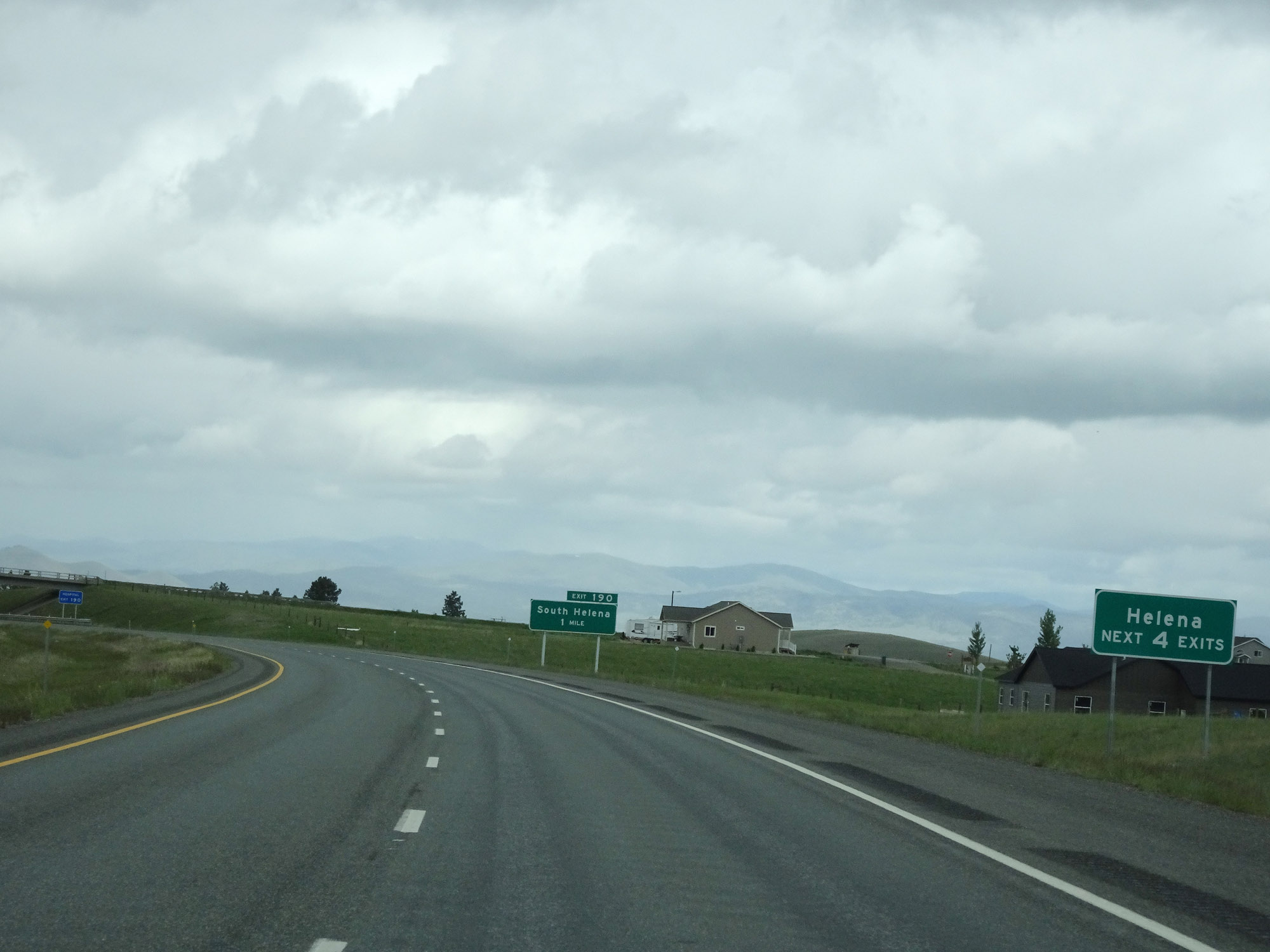
Interstate 15 North at Exit 190: South Helena (Photo taken 5/24/16). |
Section 2: Helena (Exit 190) to Great Falls (Exit 277)
 |
Interstate 15 North approaching Exit 192 - 3/4 mile. (Photo taken 5/24/16). |
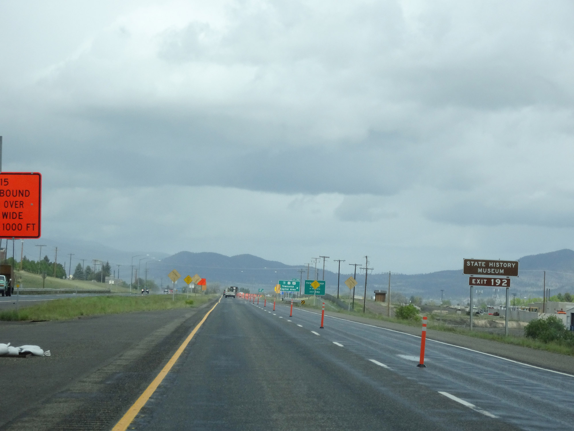 |
Take Exit 192 to the State History Museum. (Photo taken 5/24/16). |
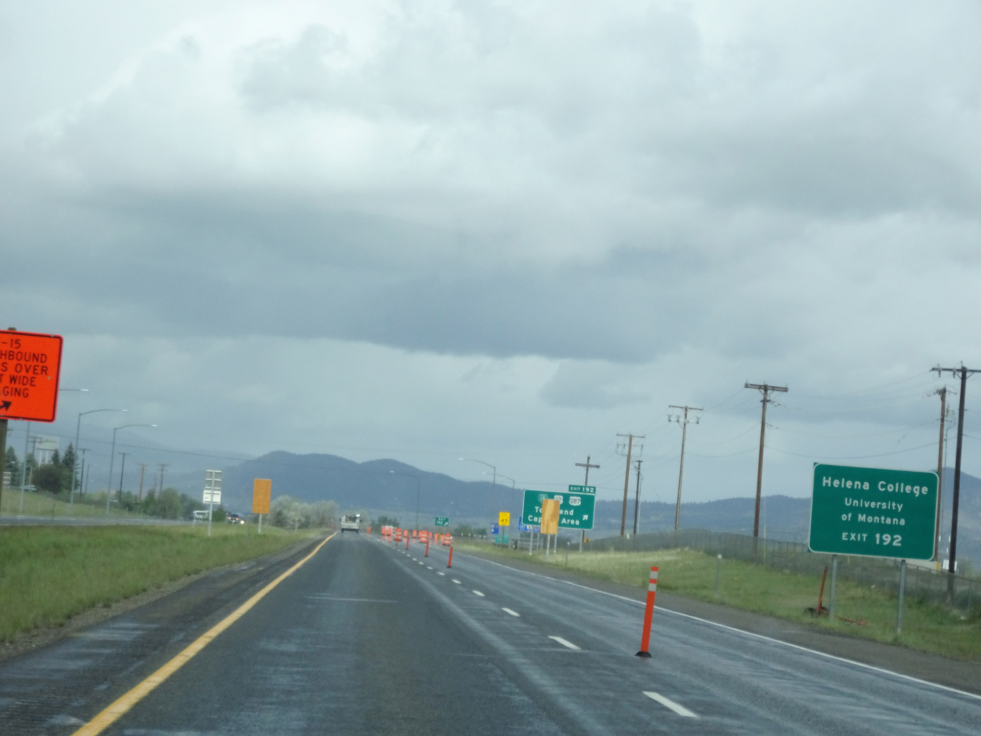 |
Also take Exit 192 to Helena College. (Photo taken 5/24/16). |
 |
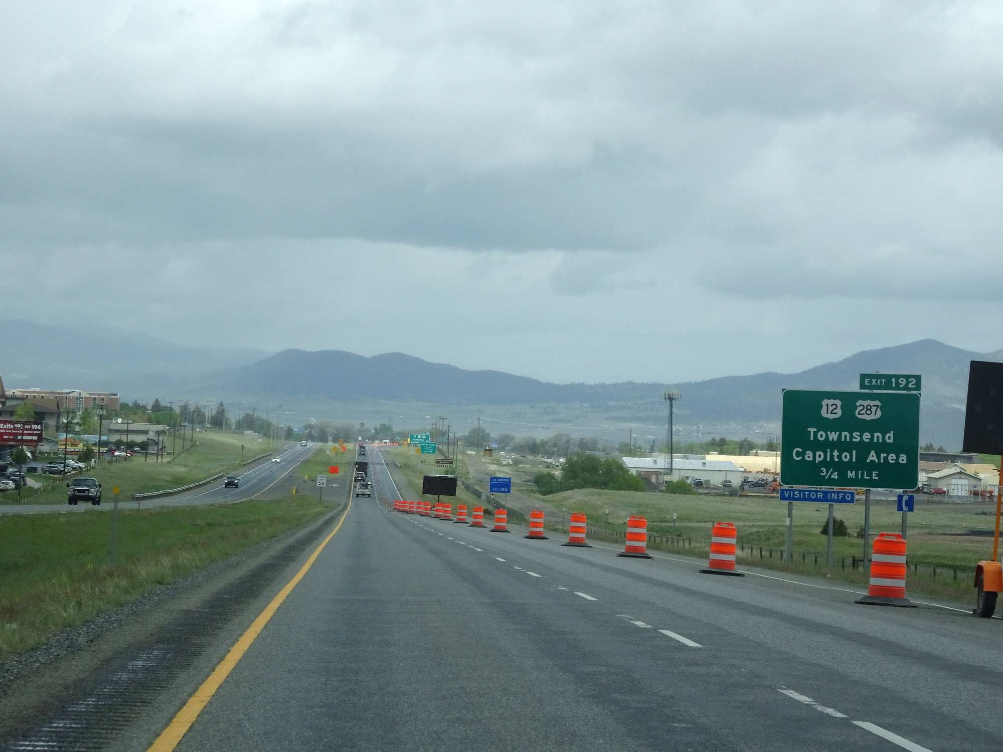
Interstate 15 North at Exit 192: Interstate 15 Business Loop / US 12 / US 287 - Townsend / Capitol Area (Photo taken 5/24/16). |
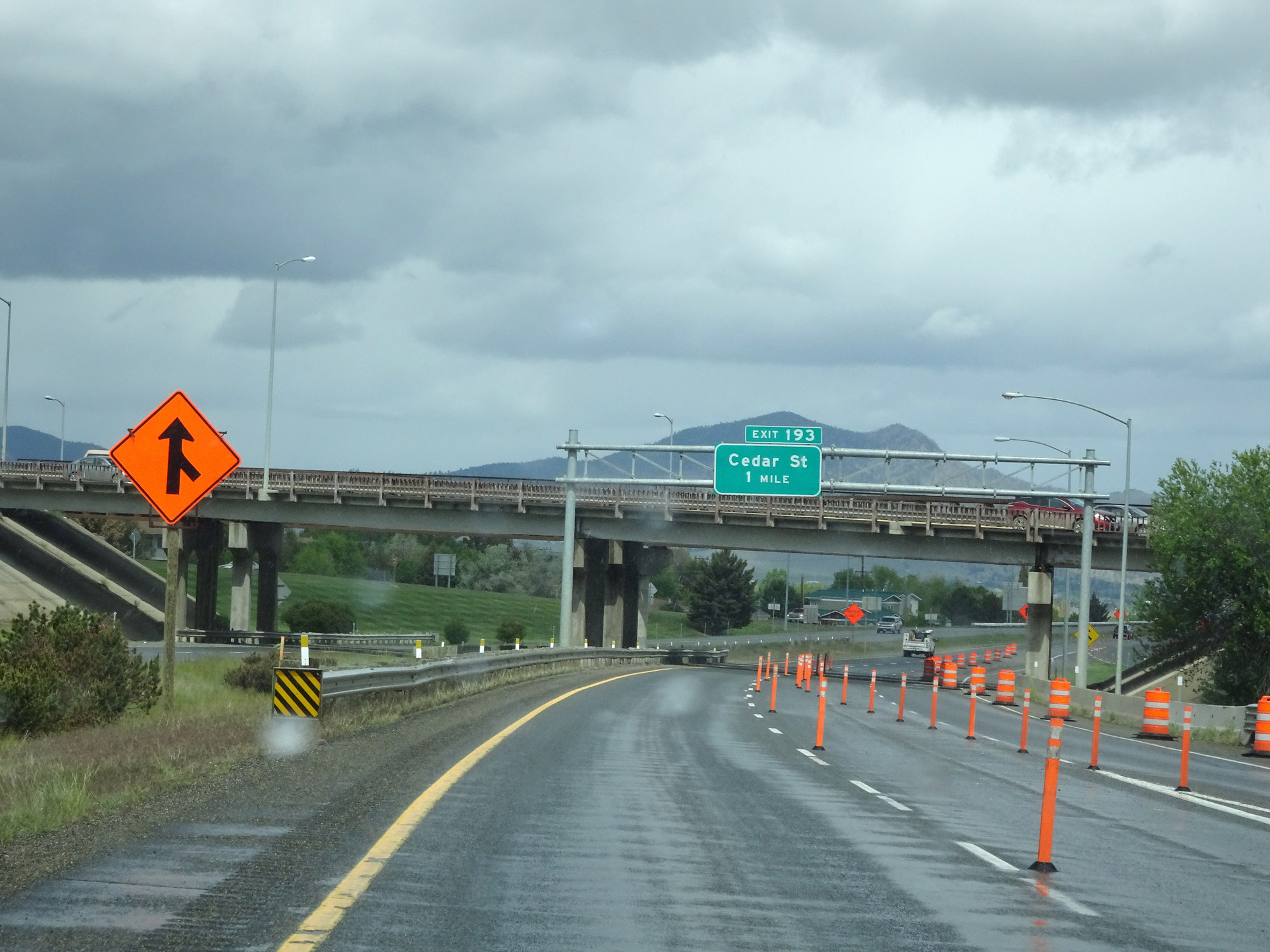 |
Interstate 15 North approaching Exit 193 - 1 mile. (Photo taken 5/24/16). |
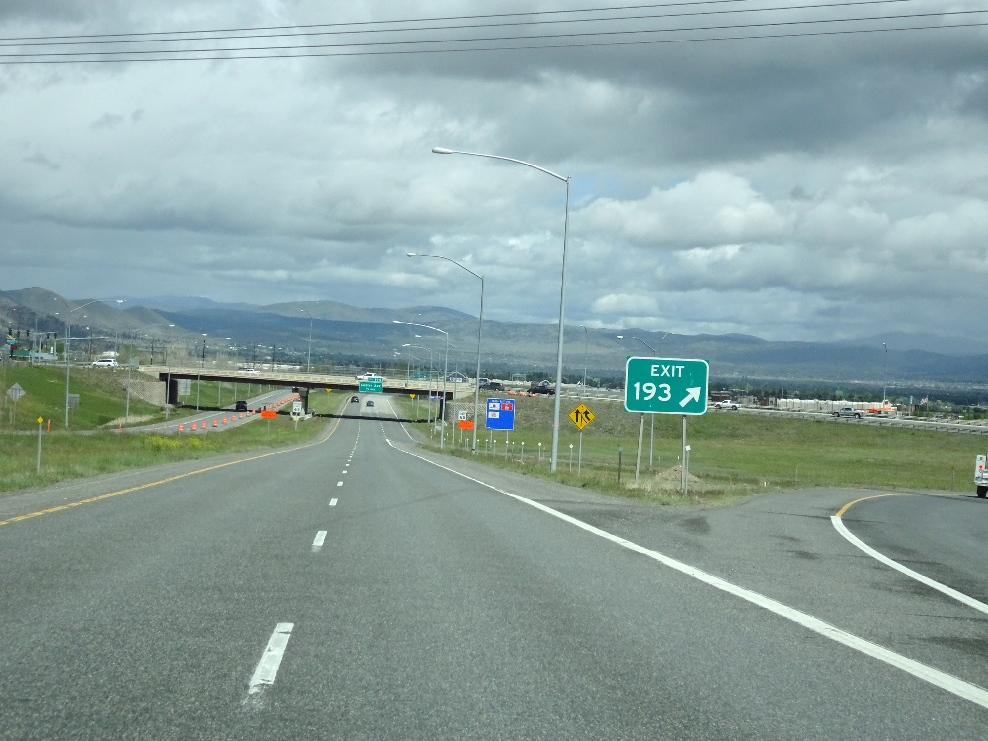 |
Interstate 15 North at Exit 193: Cedar St (Photo taken 5/24/16). |
 |
The speed limit on Interstate 15 North decreases to 65 mph for all traffic through the Helena area. (Photo taken 5/24/16). |
 |
Interstate 15 North at Exit 194: Custer Ave (Photo taken 5/24/16). |
 |
Interstate 15 North reassurance shield as it prepares to leave Helena. (Photo taken 5/24/16). |
 |
Leaving Helena, the speed limit for cars returns to the standard rural 80 mph. The speed limit for trucks remains 65 mph as always. (Photo taken 5/24/16). |
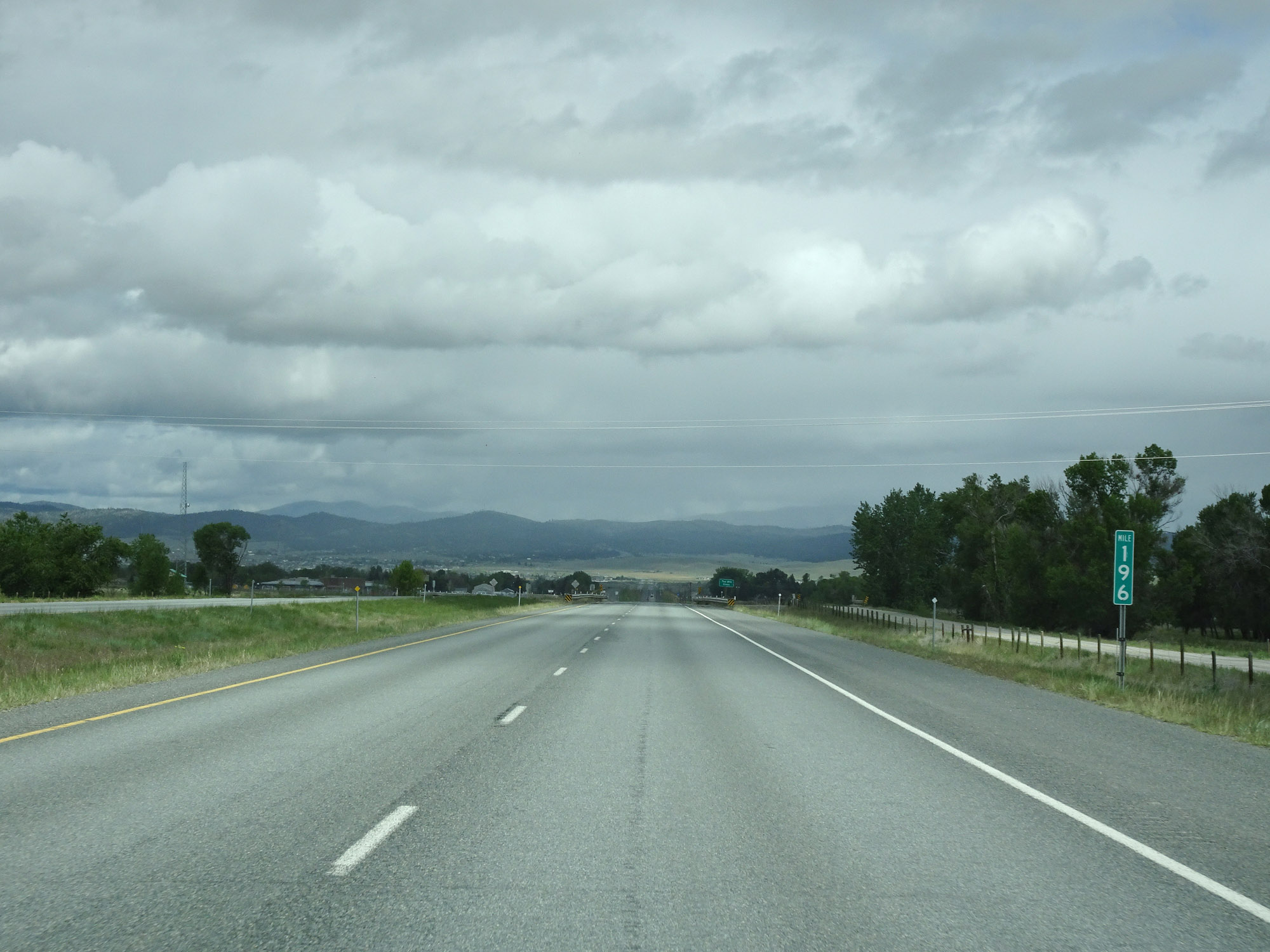 |
Interstate 15 North at mile marker 196. (Photo taken 5/24/16). |
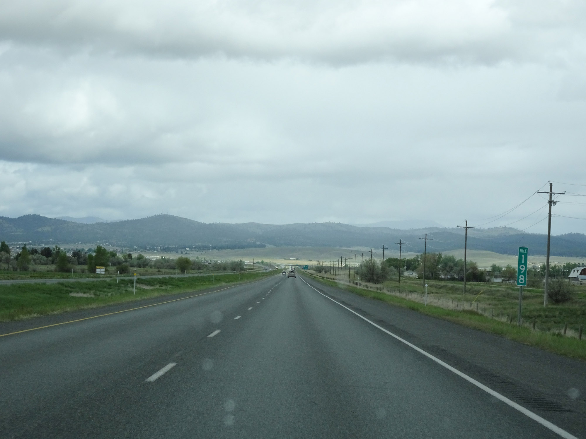 |
View on Interstate 15 North at mile marker 198. (Photo taken 5/24/16). |
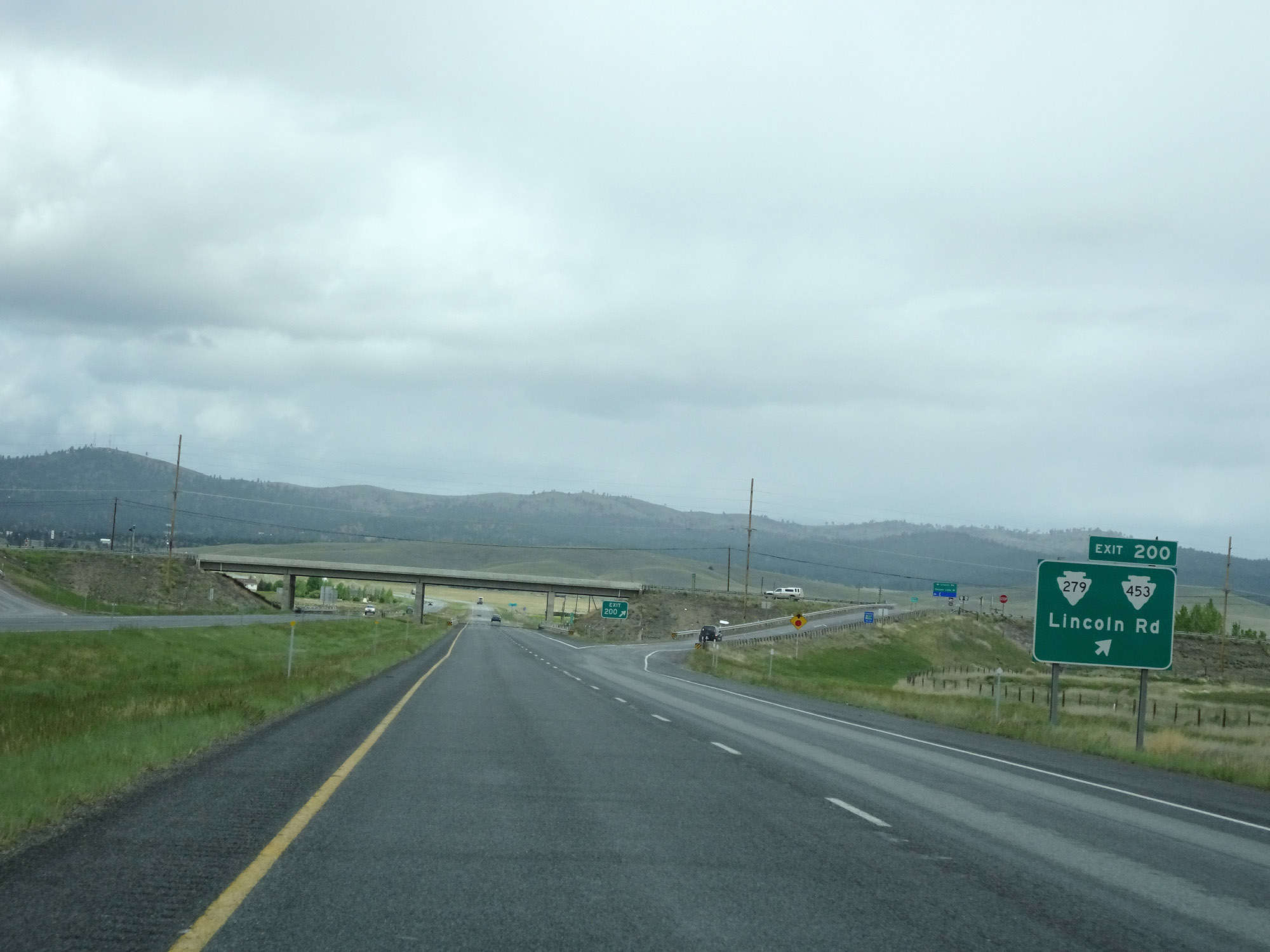 |
Interstate 15 North at Exit 200: S-279 / S-453 - Lincoln Rd (Photo taken 5/24/16). |
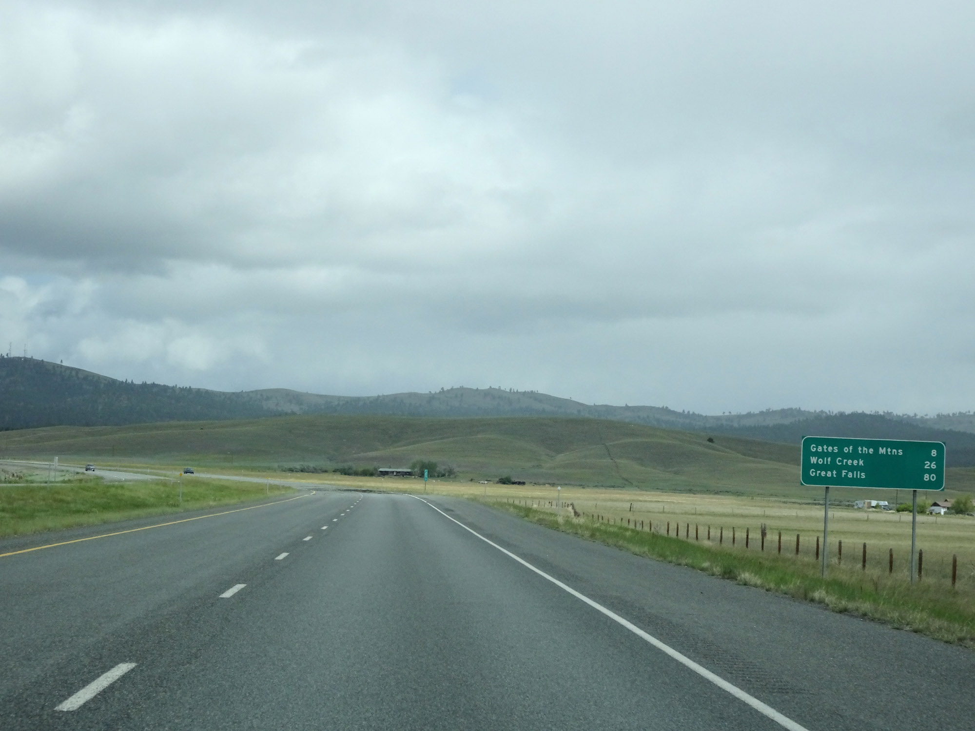 |
Mileage sign on Interstate 15 North. It's 8 miles to Gates of the Mountains, 26 miles to Wolf Creek, and 80 miles to Great Falls. (Photo taken 5/24/16). |
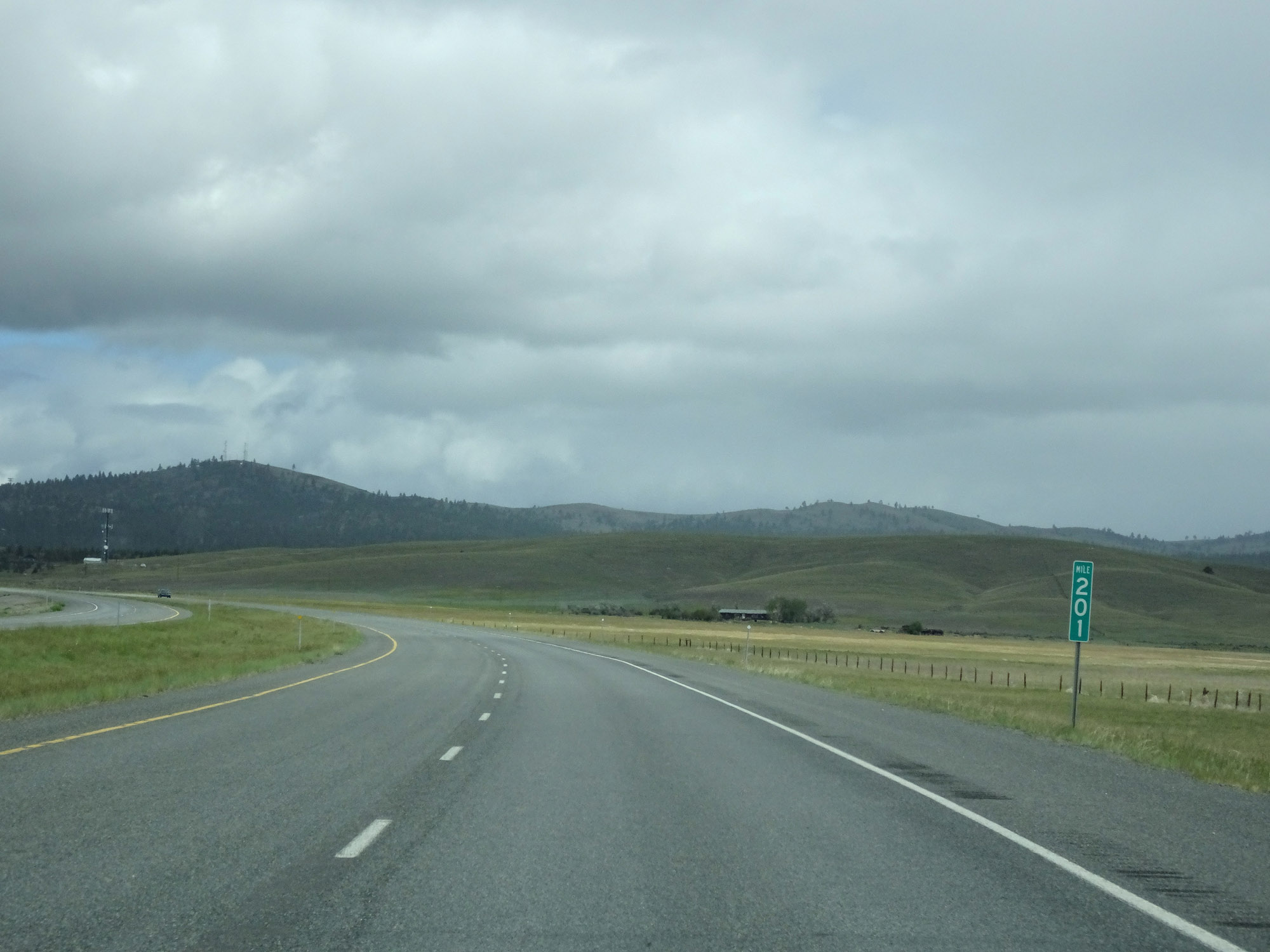 |
View on Interstate 15 North at mile marker 201. (Photo taken 5/24/16). |
 |
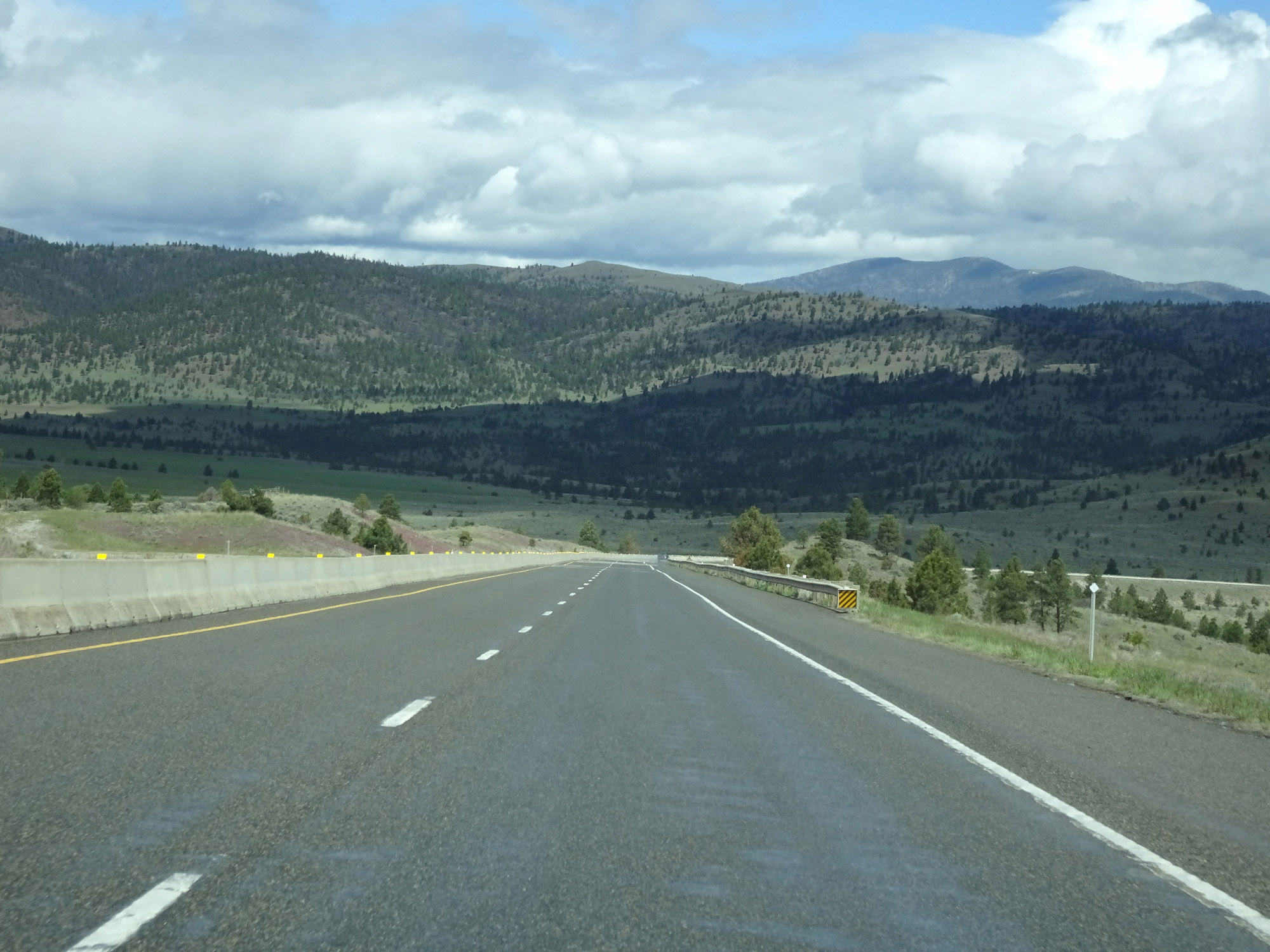
Interstate 15 North as it begins to make another climb, near mile marker 202. (Photo taken 5/24/16). |
 |
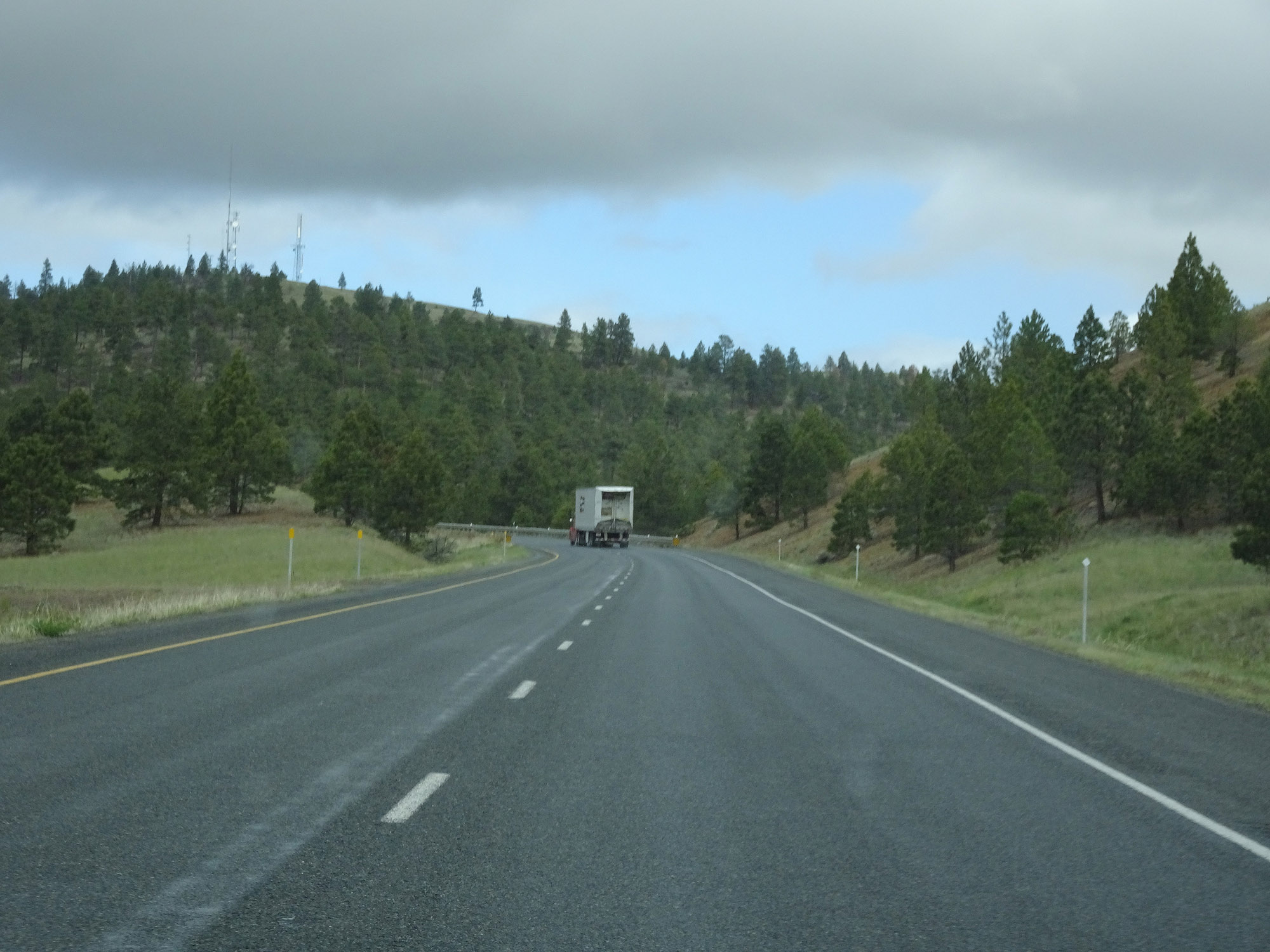
View on Interstate 15 North at mile marker 204, continuing the climb. (Photo taken 5/24/16). |
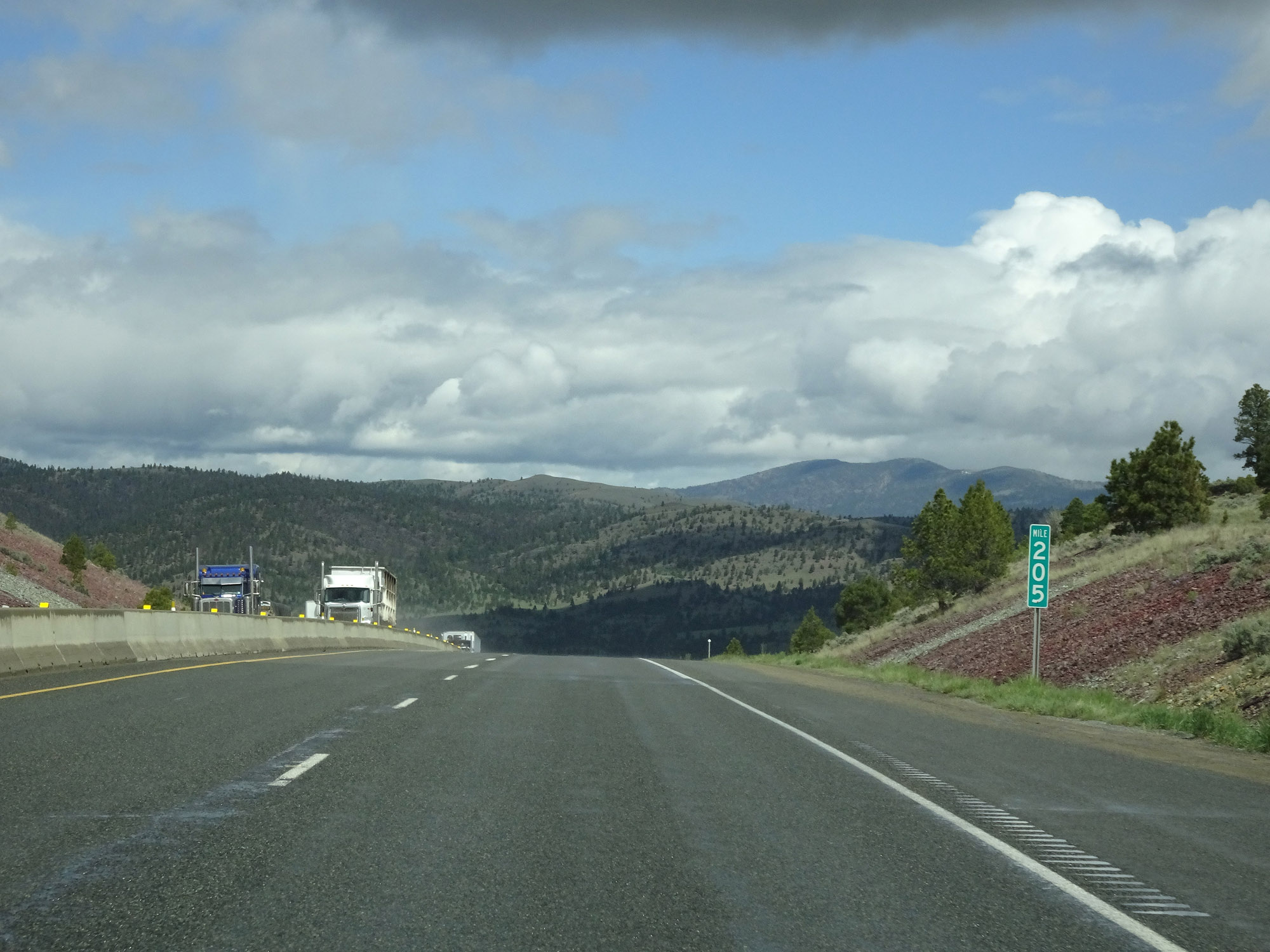 |
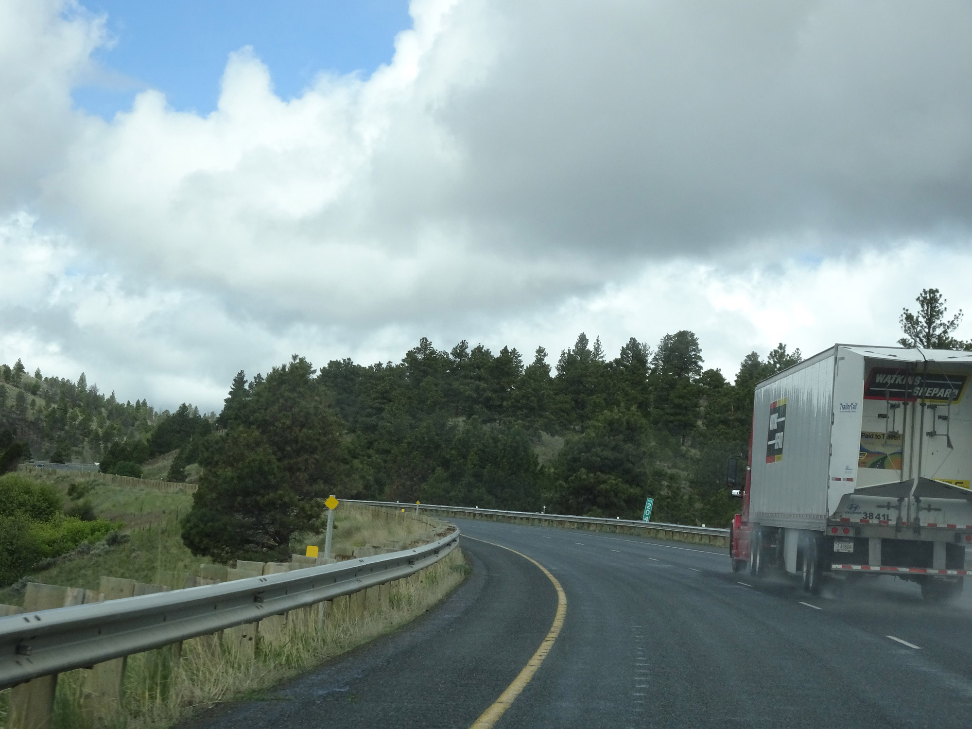
Interstate 15 North at mile marker 205, at the top of the grade. (Photo taken 5/24/16). |
 |
Interstate 15 North as it begins to descend the north side of the grade. (Photo taken 5/24/16). |
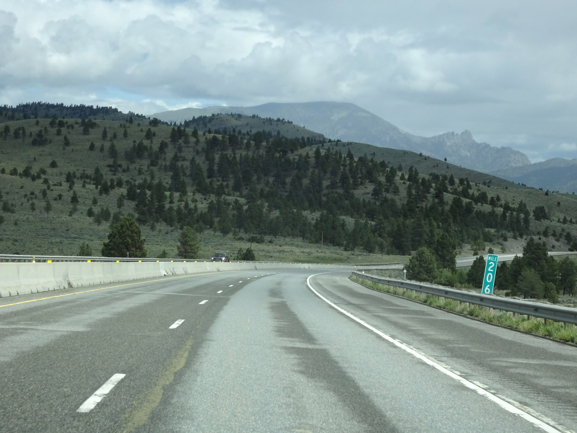 |
View on Interstate 15 North at mile marker 206. (Photo taken 5/24/16). |
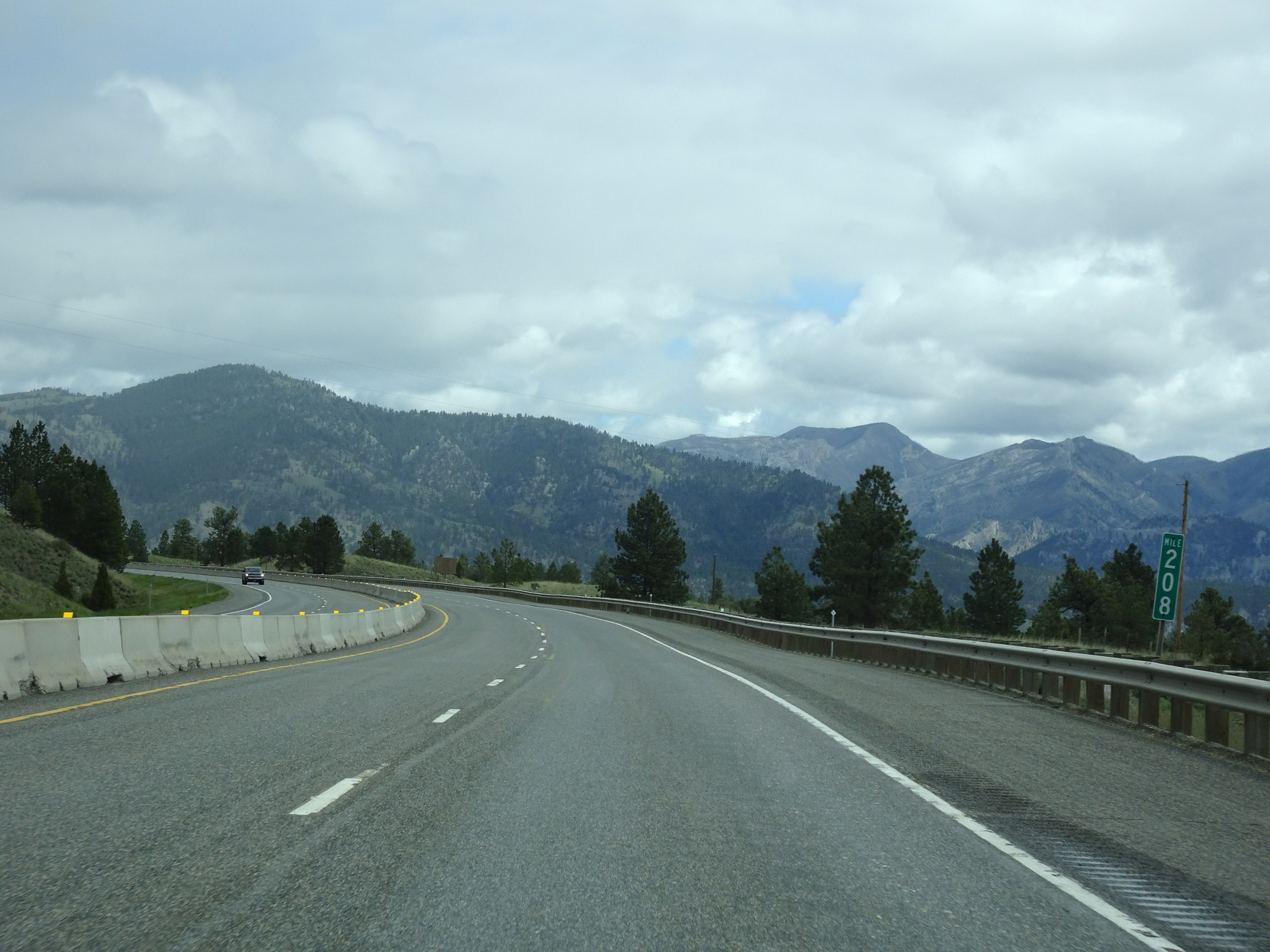 |
Interstate 15 North at mile marker 208. (Photo taken 5/24/16). |
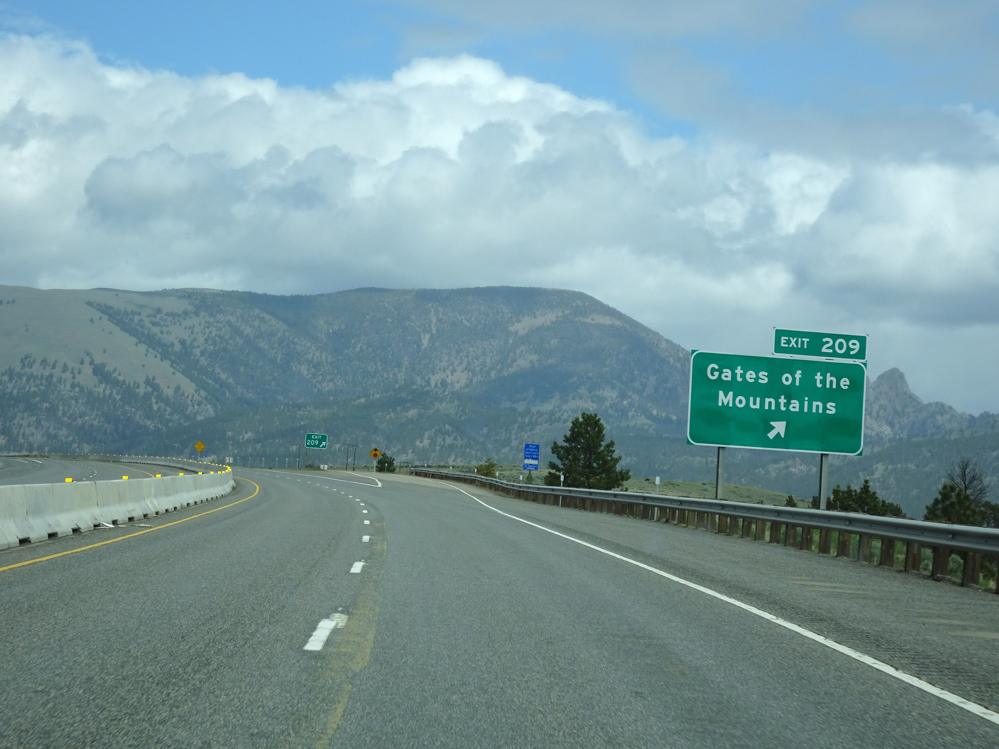 |
Interstate 15 North at Exit 209: Gates of the Mountains (Photo taken 5/24/16). |
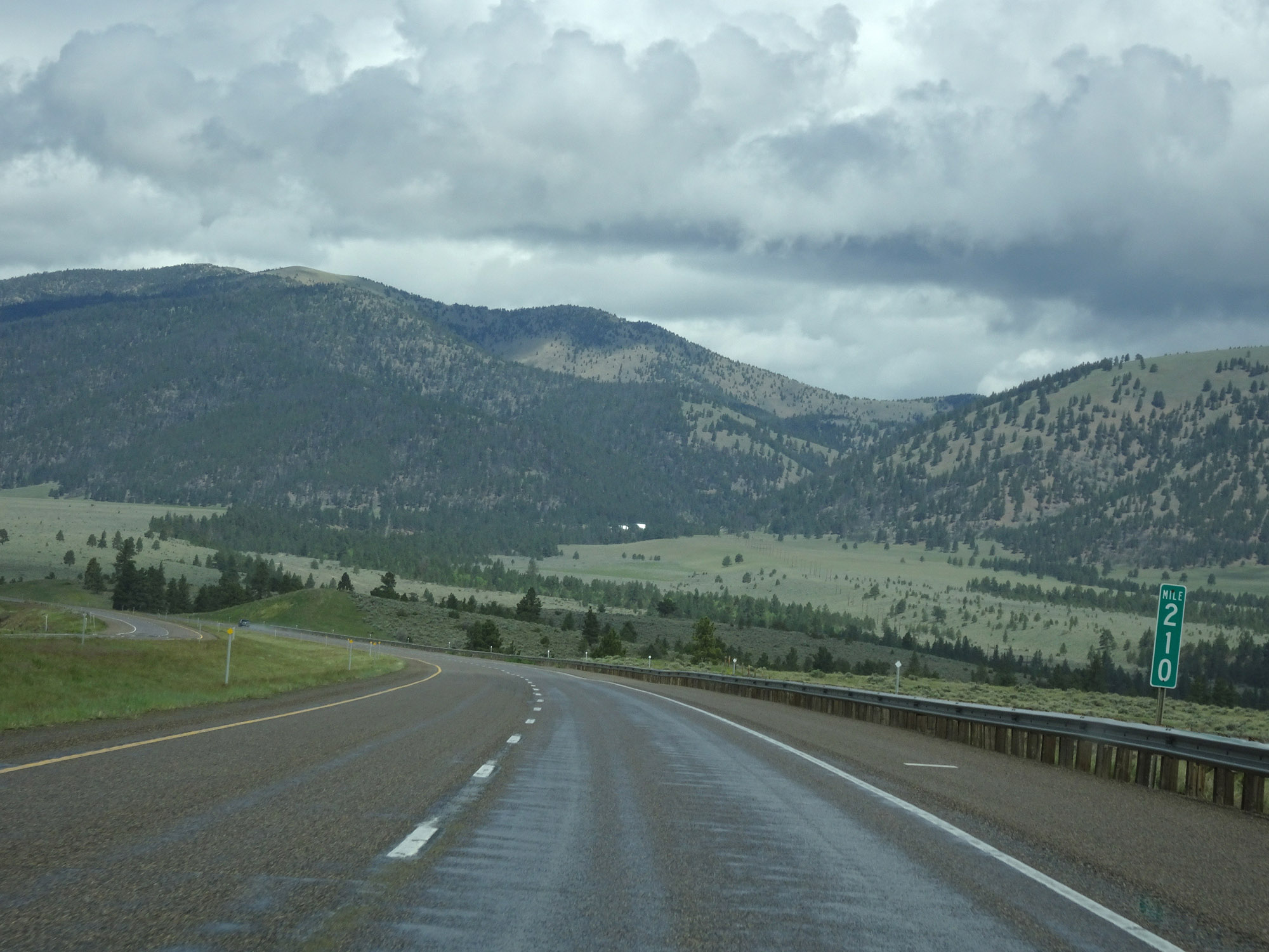 |
View on Interstate 15 North at mile marker 210. (Photo taken 5/24/16). |
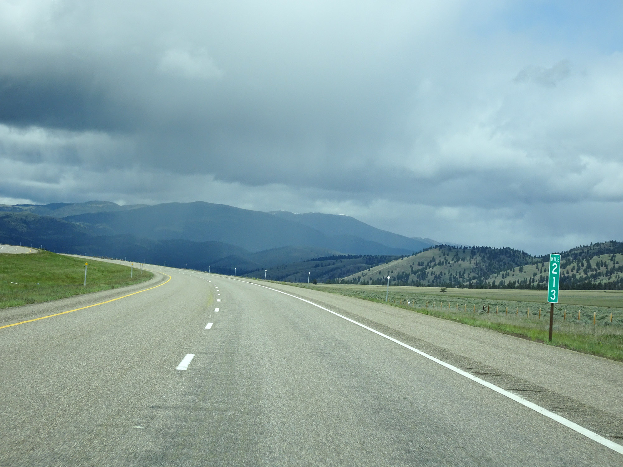 |
Interstate 15 North at mile marker 213. (Photo taken 5/24/16). |
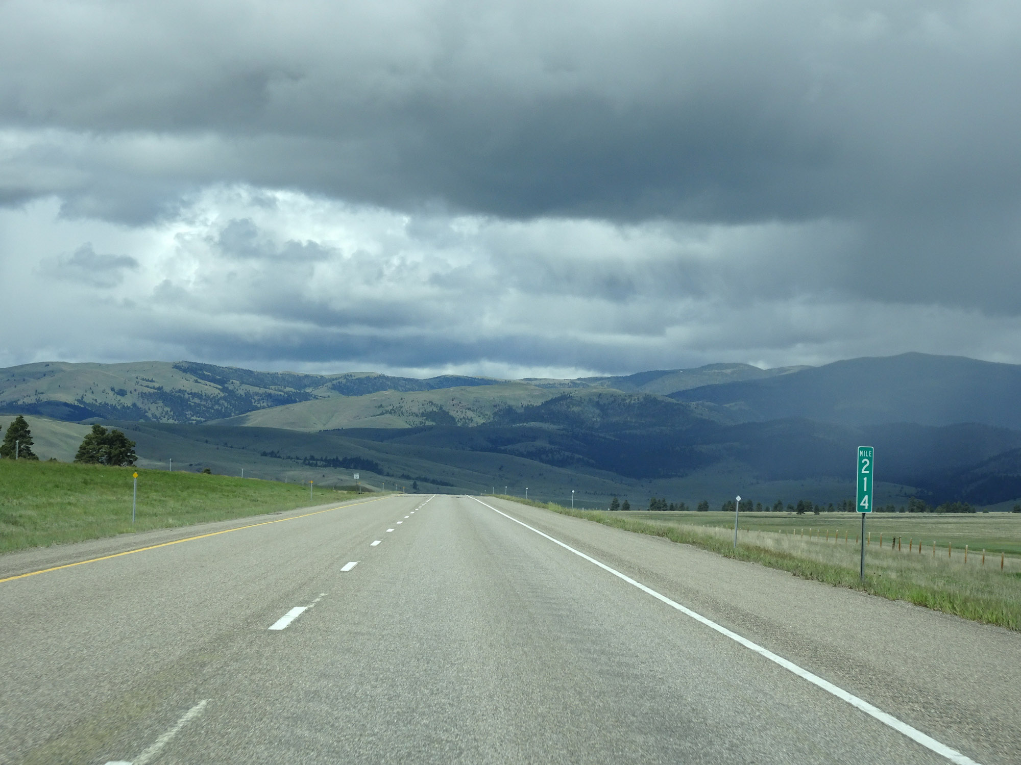 |
View on Interstate 15 North at mile marker 214. (Photo taken 5/24/16). |
 |
Interstate 15 North approaching Exit 216 - 1/2 mile. (Photo taken 5/24/16). |
 |
Interstate 15 North at Exit 216: Sieben (Photo taken 5/24/16). |
 |
Interstate 15 North at mile marker 217. (Photo taken 5/24/16). |
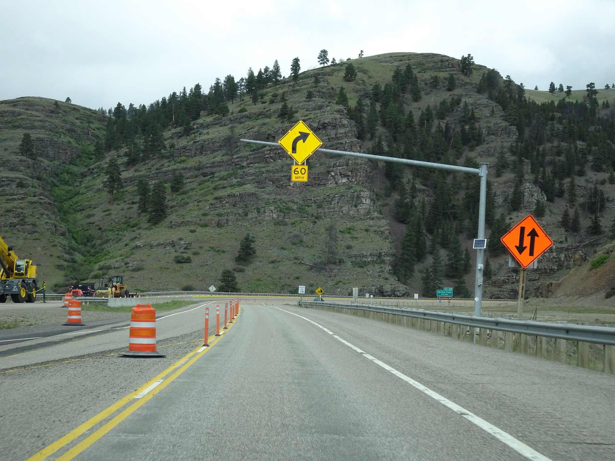 |
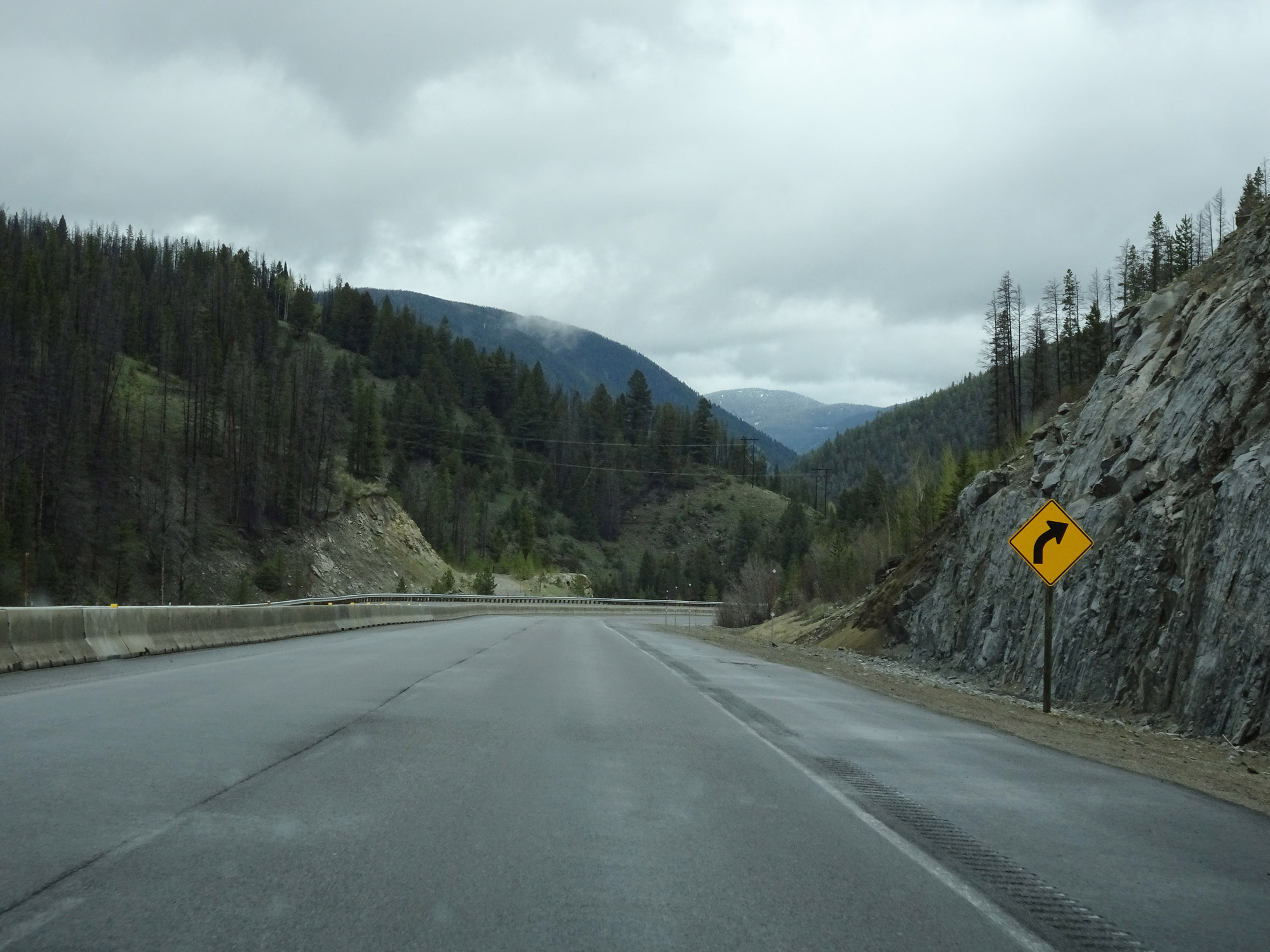
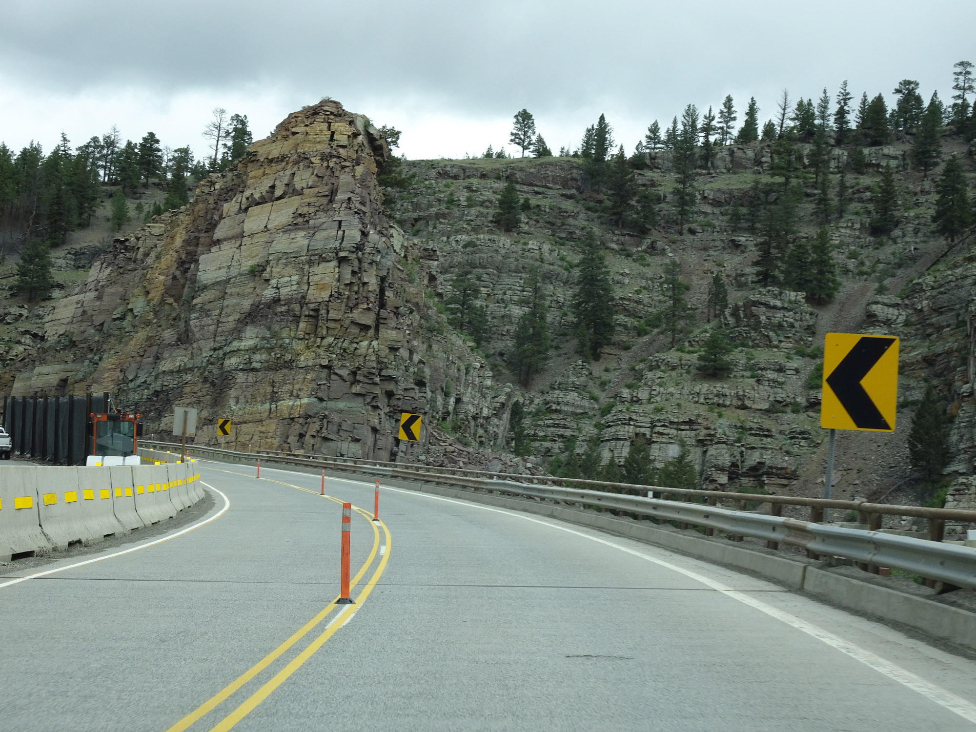
As this sign warns, more sharp curves and mountainous terrain exist ahead on Interstate 15 North. (Photo taken 5/24/16). |
 |
View on Interstate 15 North at mile marker 218. (Photo taken 5/24/16). |
 |
Another view on Interstate 15 North. (Photo taken 5/24/16). |
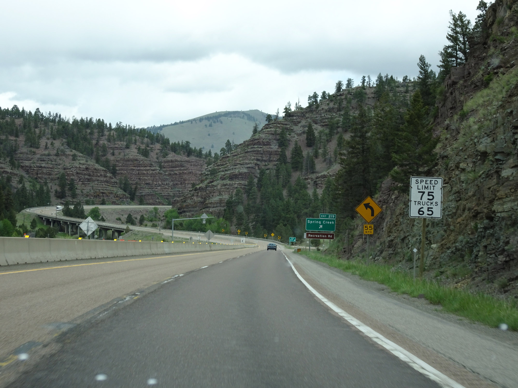 |
Due to the curvy and mountainous stretch, the speed limit for cars is decreased to 75 mph. The truck speed limit remains 65 mph as usual. (Photo taken 5/24/16). |
 |
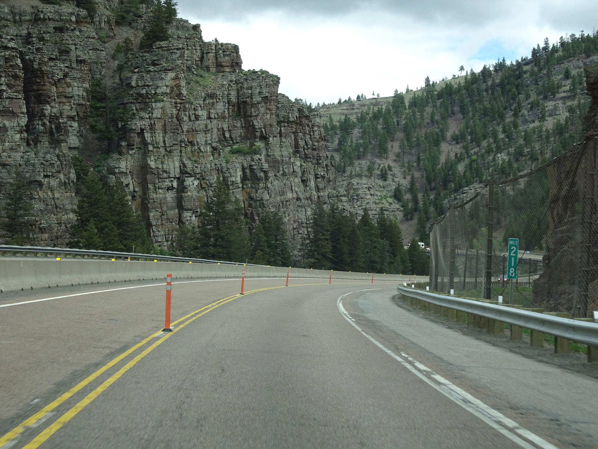
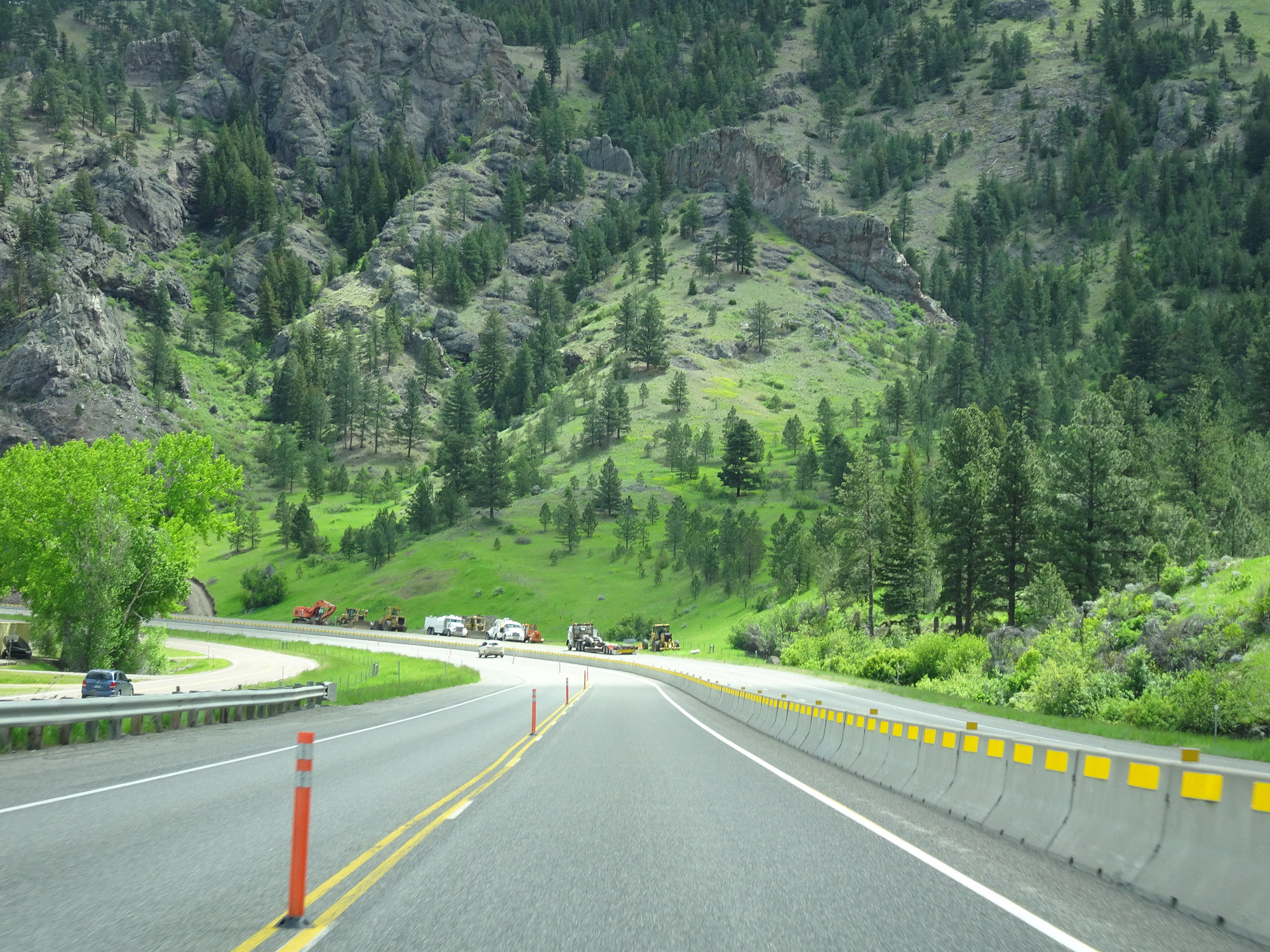
Interstate 15 North at Exit 219: Spring Creek / Recreation Rd (Photo taken 5/24/16). |
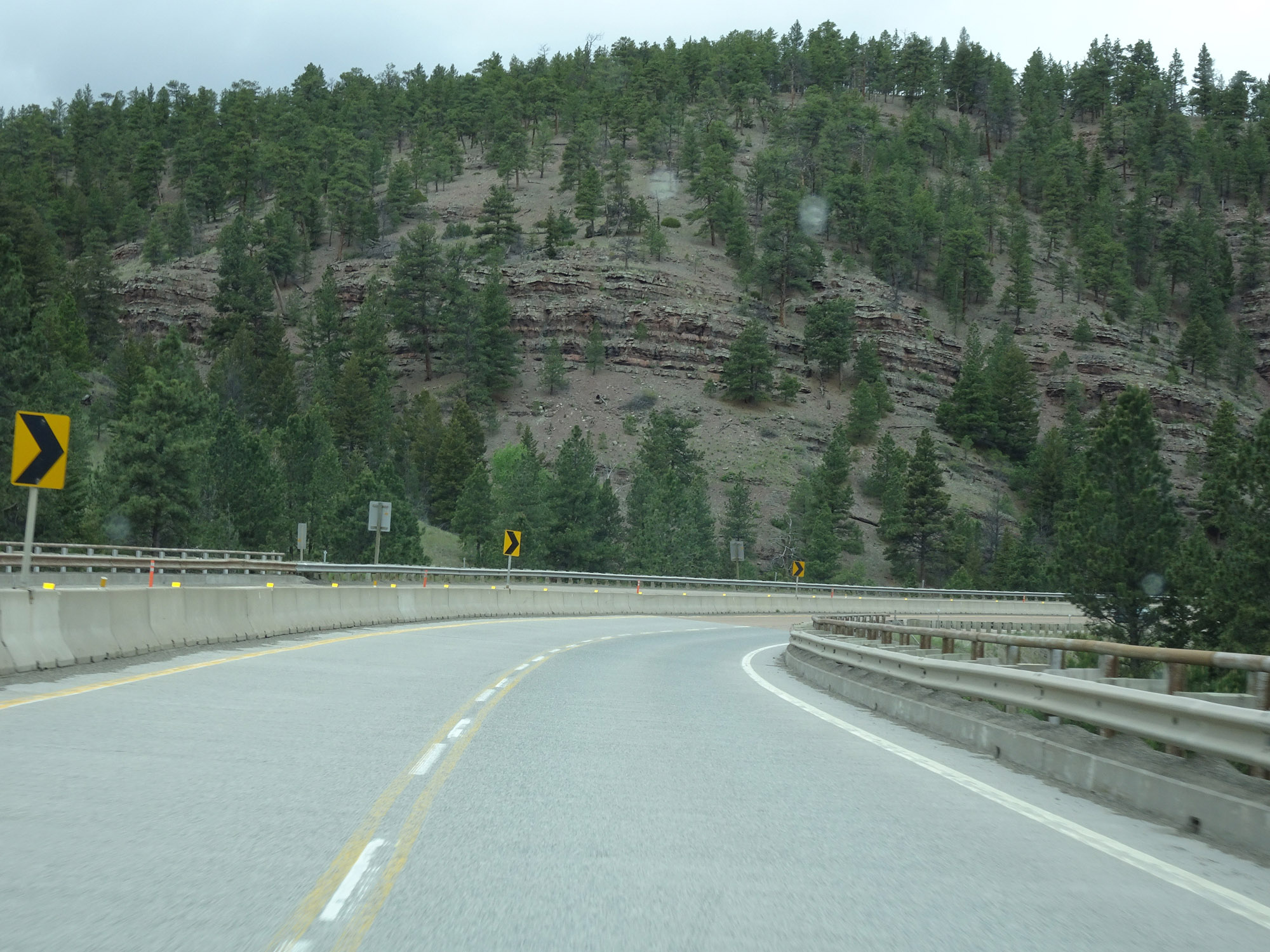 |
View on Interstate 15 North near mile marker 219. (Photo taken 5/24/16). |
 |
Another view on Interstate 15 North. (Photo taken 5/24/16). |
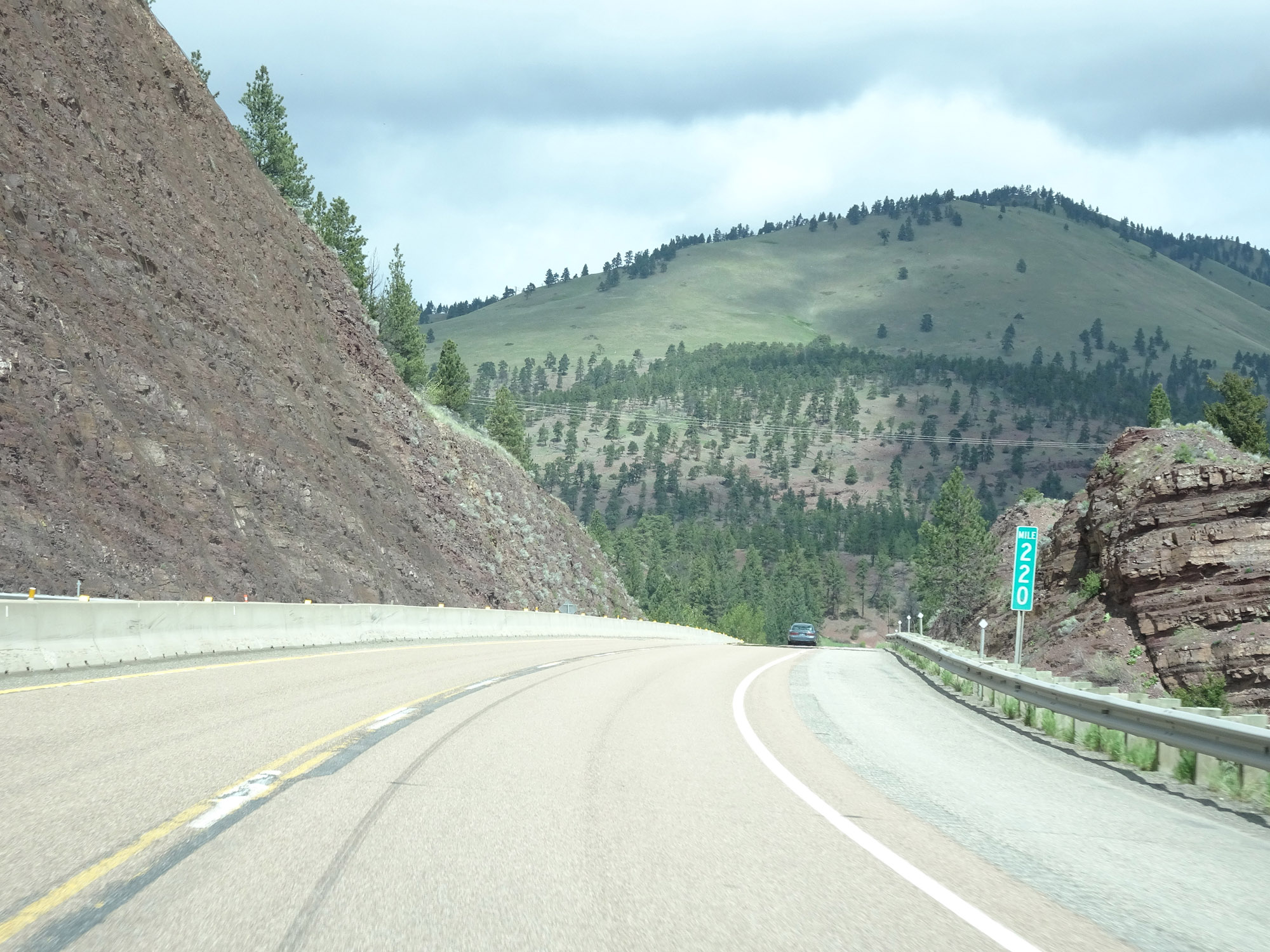 |
Interstate 15 North at mile marker 220. (Photo taken 5/24/16). |
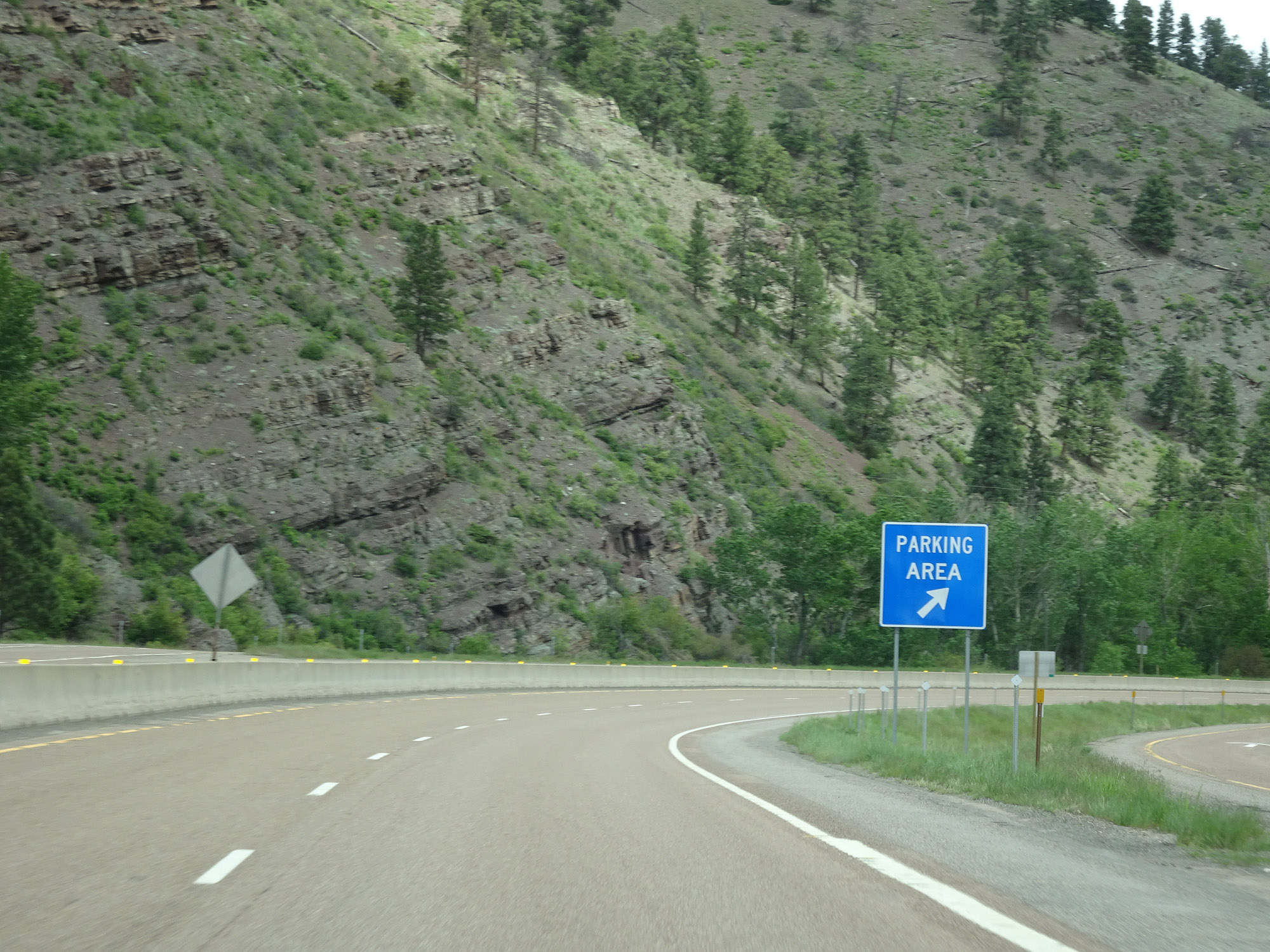 |
Parking Area on Interstate 15 North in Lewis & Clark County. (Photo taken 5/24/16). |
 |
View on Interstate 15 North at mile marker 225. (Photo taken 5/24/16). |
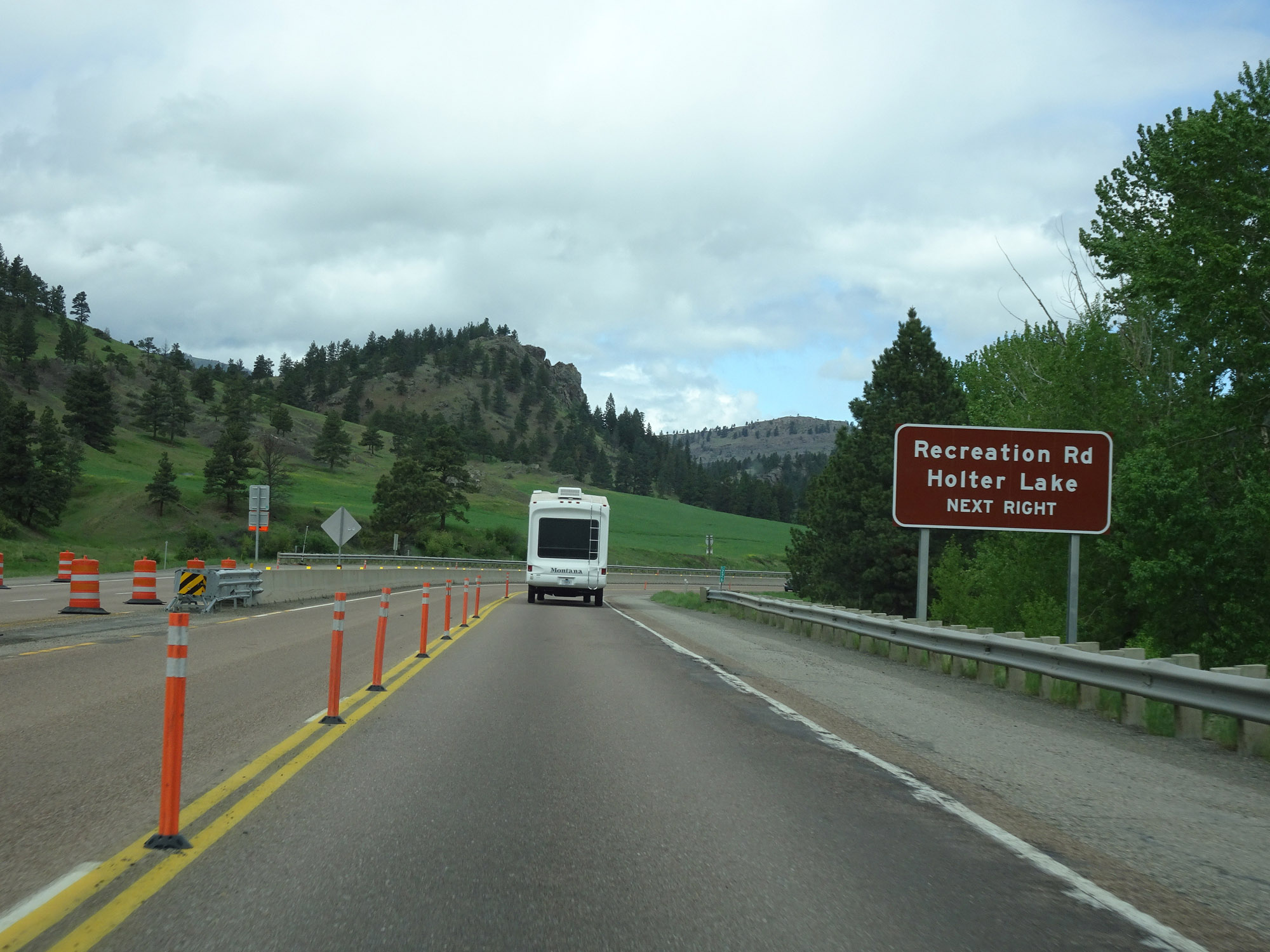 |
Take Exit 226 to Recreation Rd and Holter Lake. (Photo taken 5/24/16). |
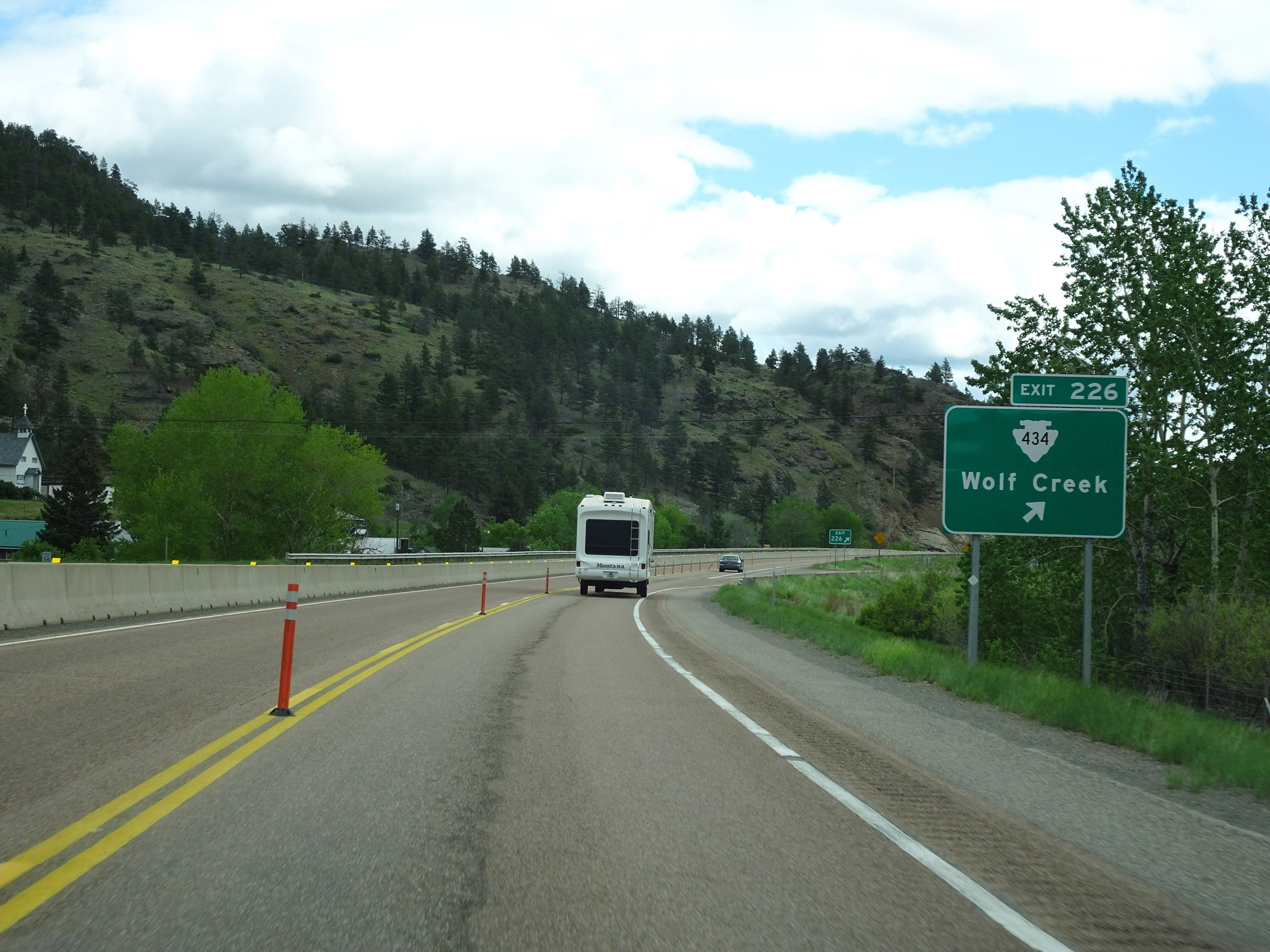 |
Interstate 15 North at Exit 226: S-434 - Wolf Creek (Photo taken 5/24/16). |
 |
View on Interstate 15 North. (Photo taken 5/24/16). |
 |
The speed limit for cars remains 75 mph. (Photo taken 5/24/16). |
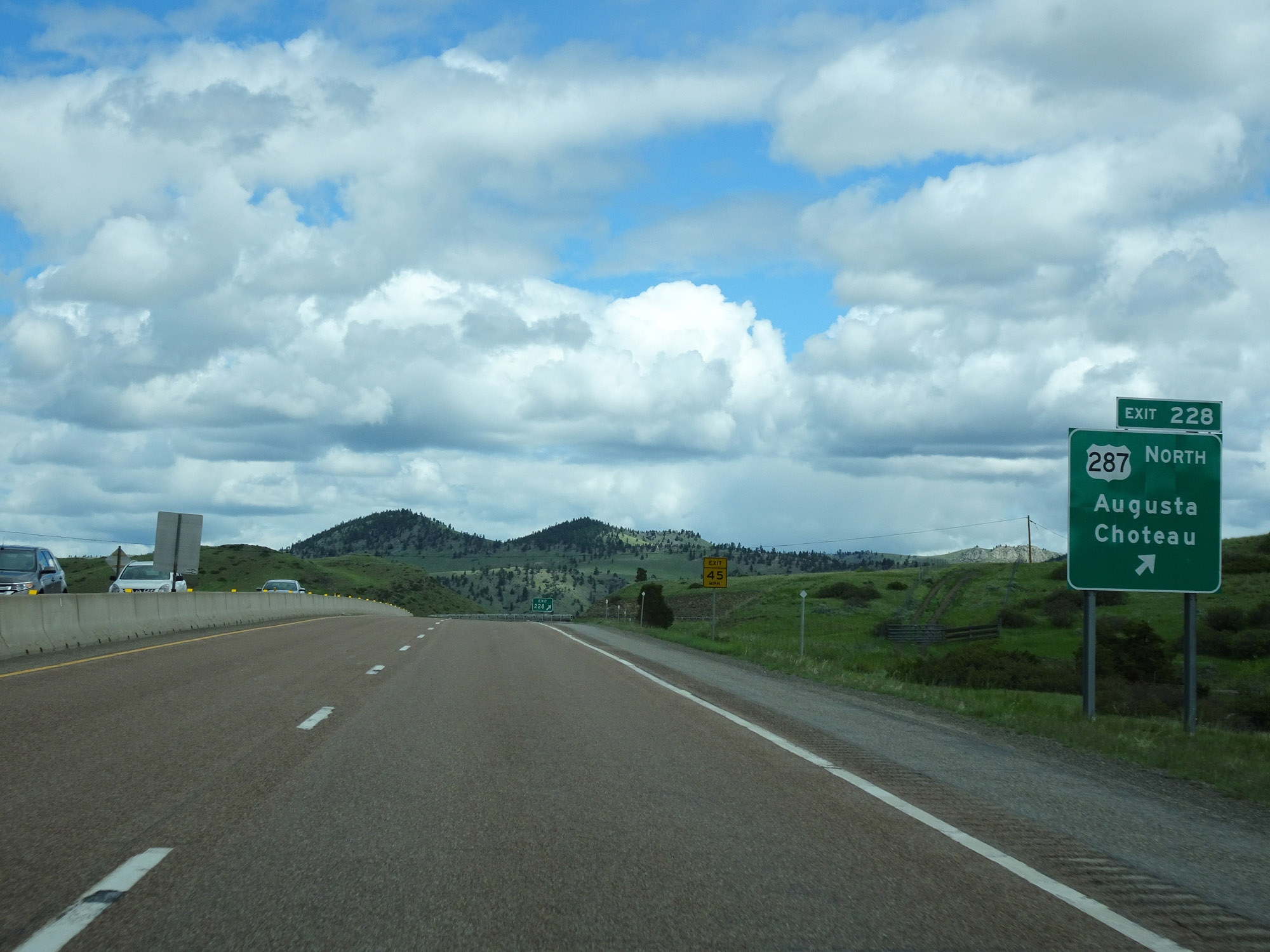 |
Interstate 15 North at Exit 228: US 287 North - Augusta / Choteau (Photo taken 5/24/16). |
 |
Interstate 15 North reassurance shield. (Photo taken 5/24/16). |
 |
Mileage sign on Interstate 15 North. It's 5 miles to Craig, 28 miles to Cascade, and 52 miles to Great Falls. (Photo taken 5/24/16). |
 |
View on Interstate 15 North at mile marker 230. (Photo taken 5/24/16). |
 |
Another view on Interstate 15 North. (Photo taken 5/24/16). |
 |
Interstate 15 North at mile marker 232. (Photo taken 5/24/16). |
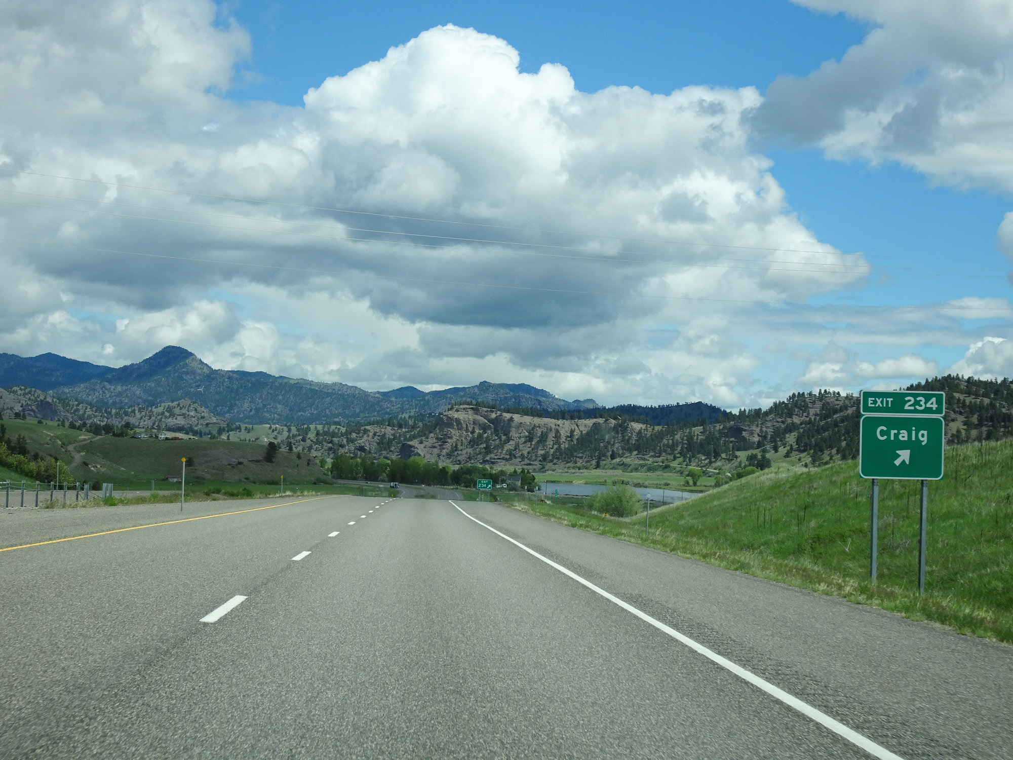 |
Interstate 15 North at Exit 234: Craig (Photo taken 5/24/16). |
 |
View on Interstate 15 North at mile marker 237. (Photo taken 5/24/16). |
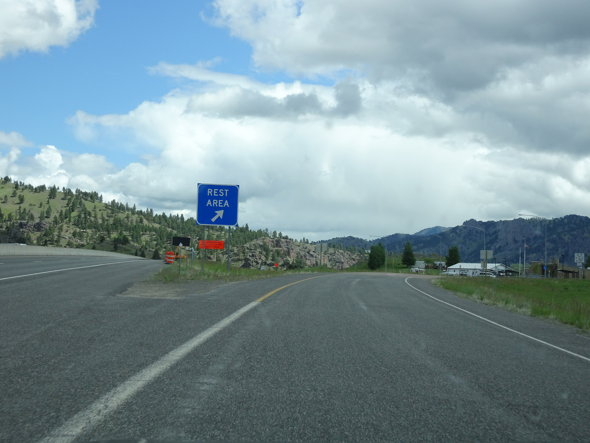 |
Rest Area on Interstate 15 North in Lewis & Clark County, approaching the county line. (Photo taken 5/24/16). |
 |
Just before Exit 240, Interstate 15 North enters Cascade County. (Photo taken 5/24/16). |
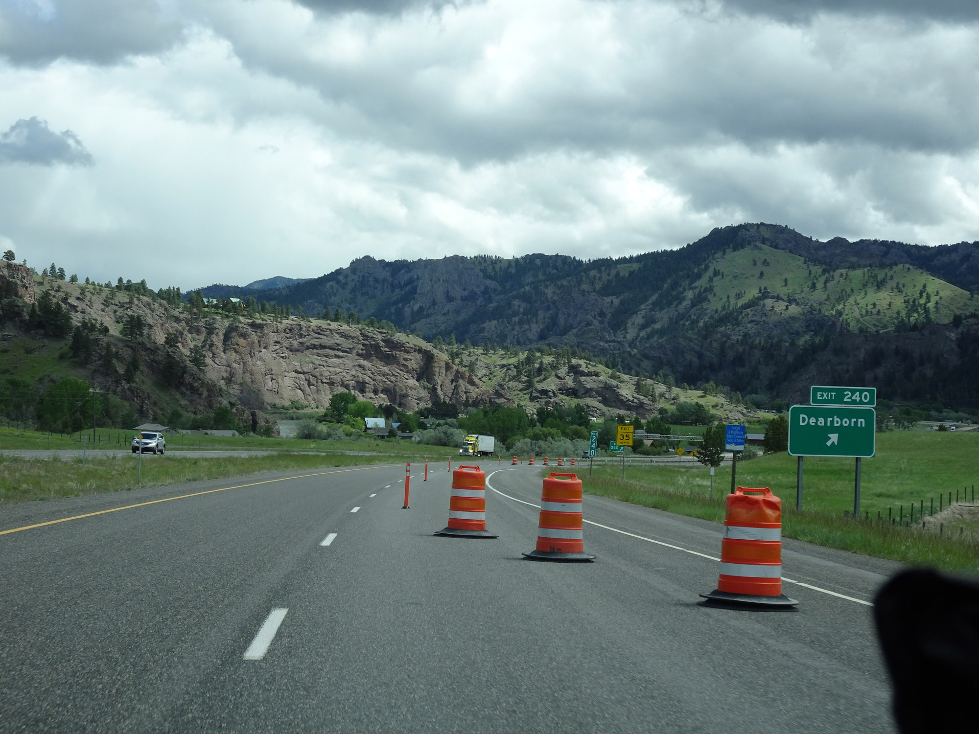 |
Interstate 15 North at Exit 240: Dearborn (Photo taken 5/24/16). |
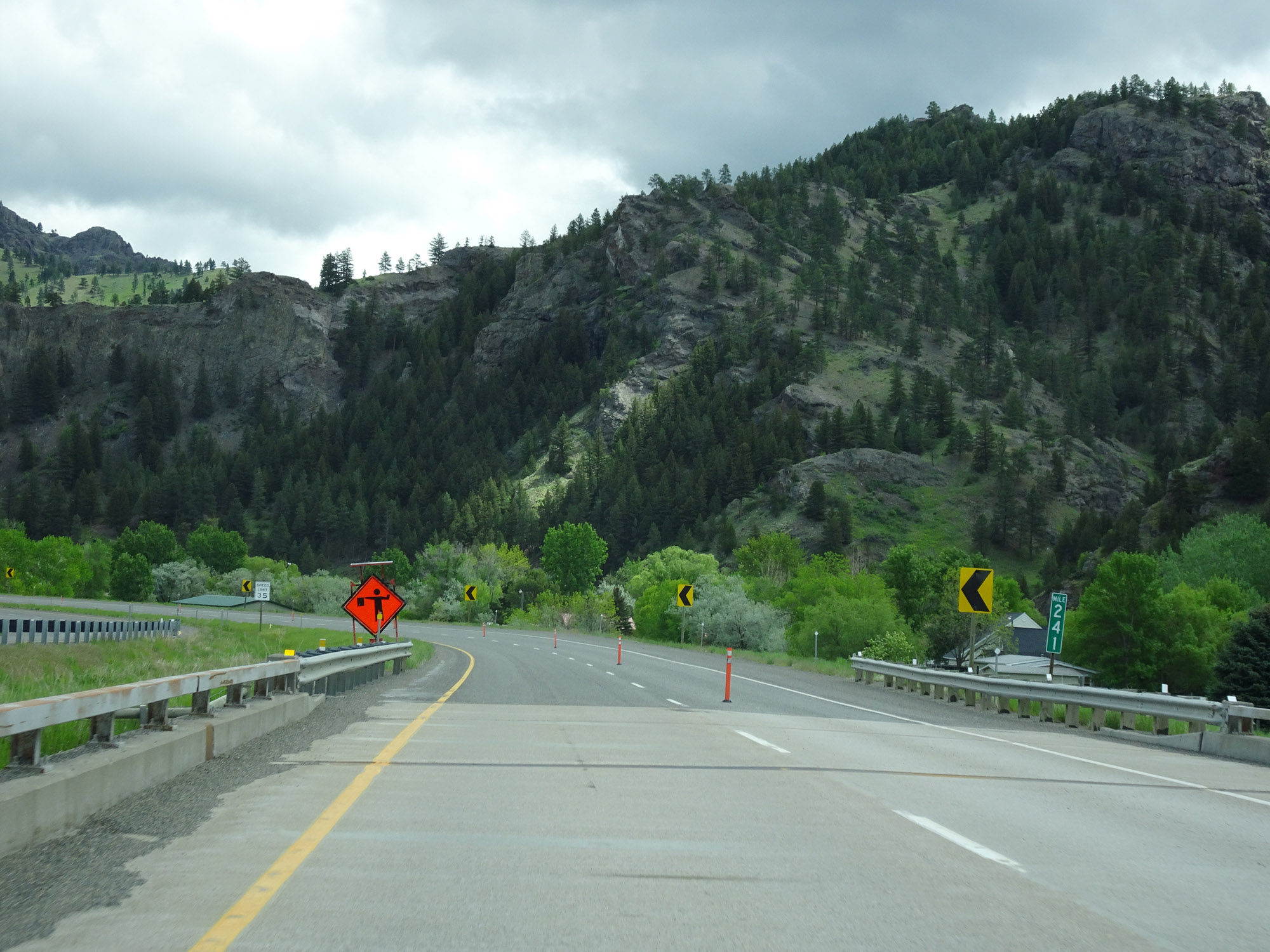 |
View on Interstate 15 North at mile marker 241. (Photo taken 5/24/16). |
 |
Interstate 15 North in Cascade County. (Photo taken 5/24/16). |
 |
Interstate 15 North at mile marker 243. (Photo taken 5/24/16). |
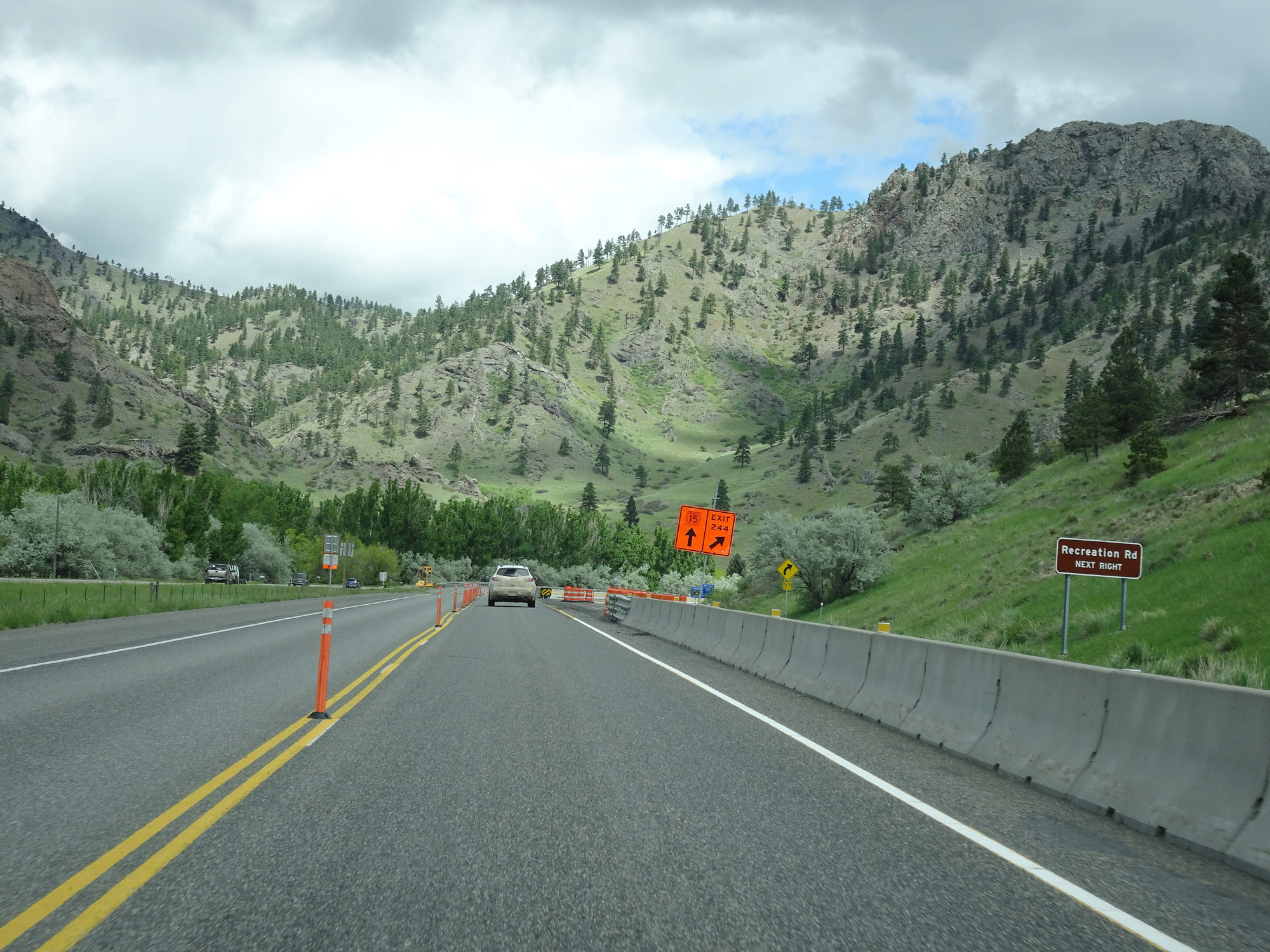 |
Take Exit 244 to Recreation Rd. (Photo taken 5/24/16). |
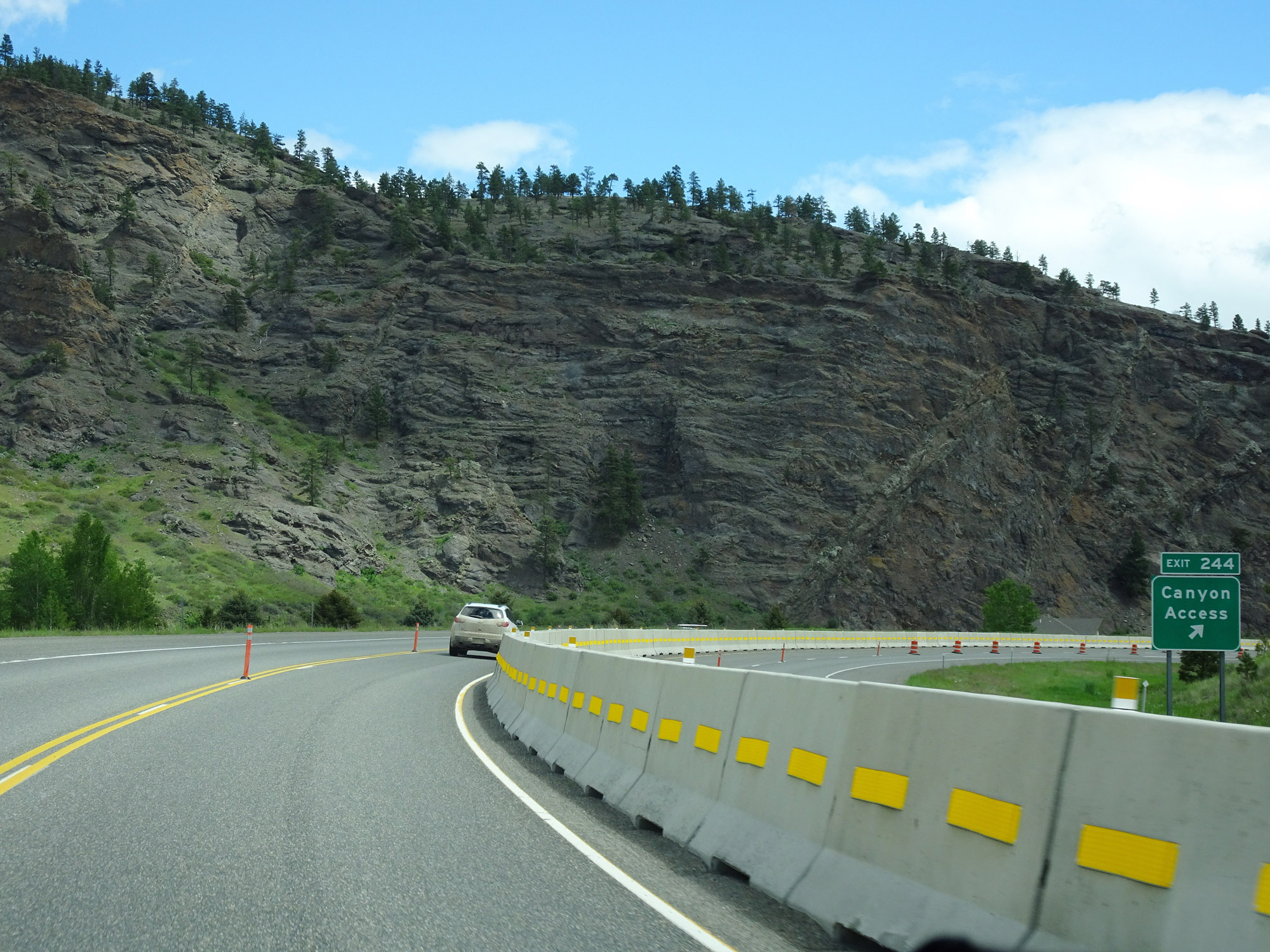 |
Interstate 15 North at Exit 244: Canyon Access (Photo taken 5/24/16). |
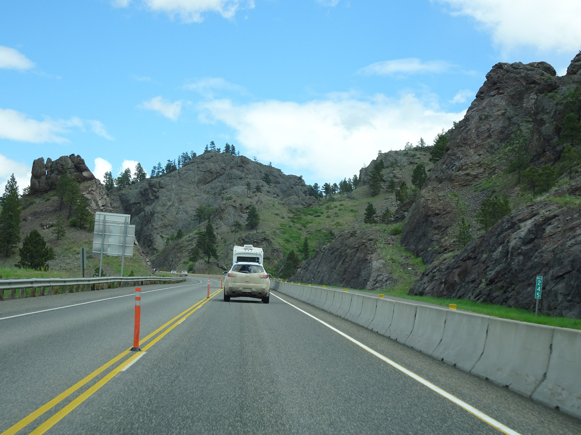 |
View on Interstate 15 North at mile marker 245. (Photo taken 5/24/16). |
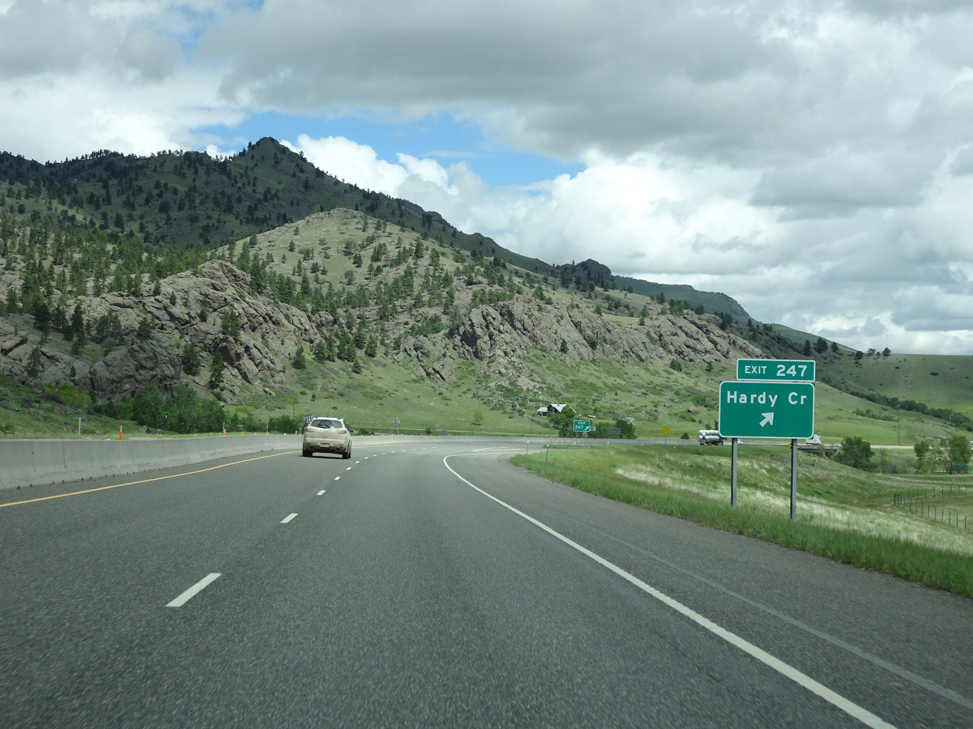 |
Interstate 15 North at Exit 247: Hardy Creek (Photo taken 5/24/16). |
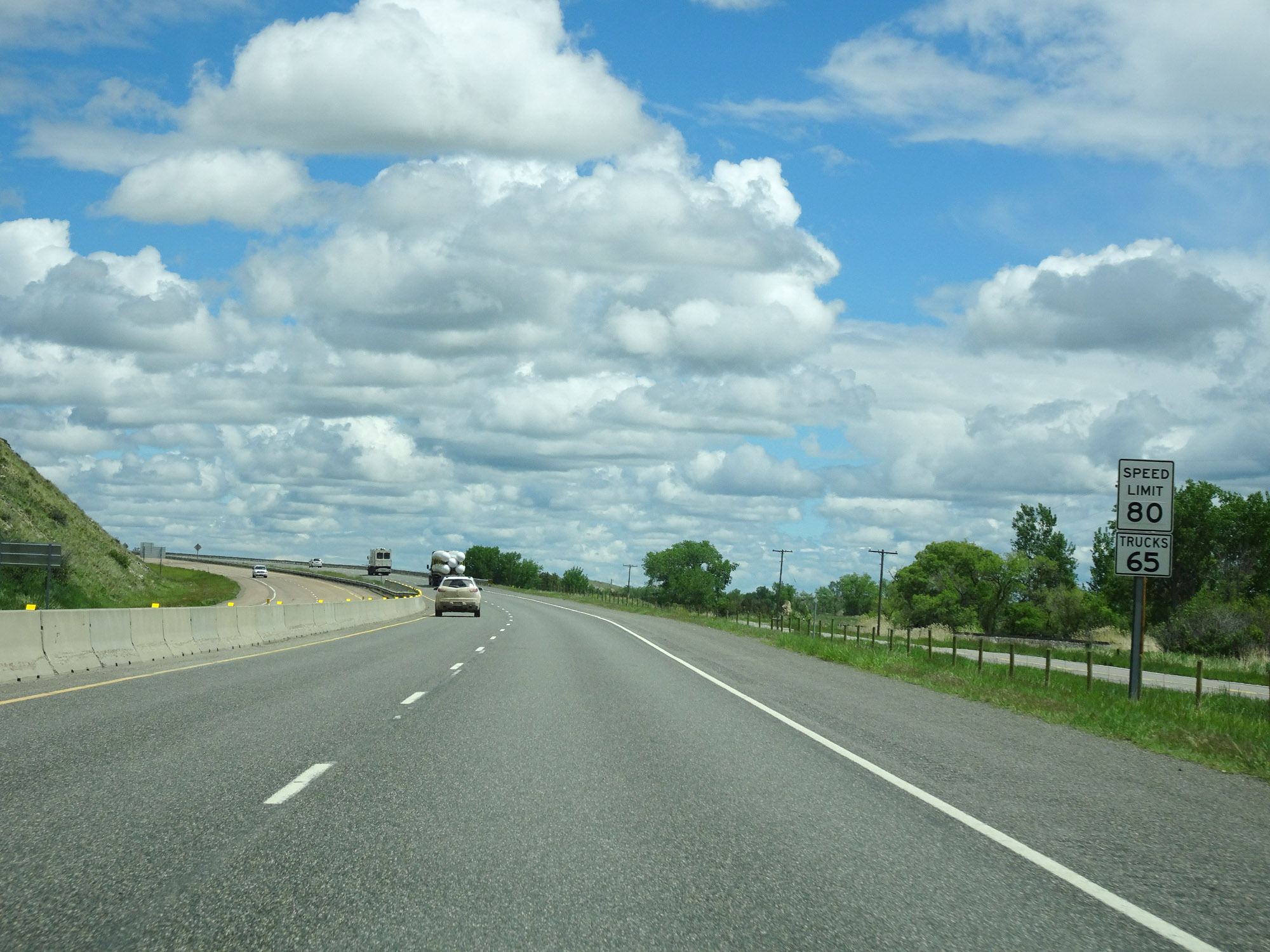 |
The speed limits remain 80 mph for cars and 65 mph for trucks. These are the standard speed limits on most rural Interstate highways in Montana. (Photo taken 5/24/16). |
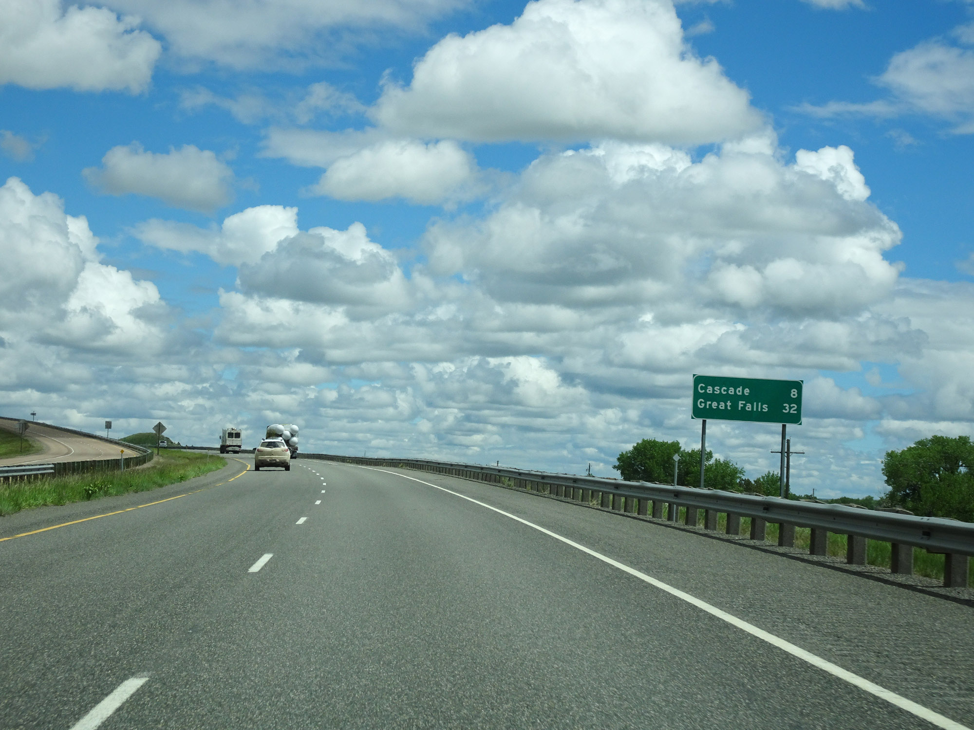 |
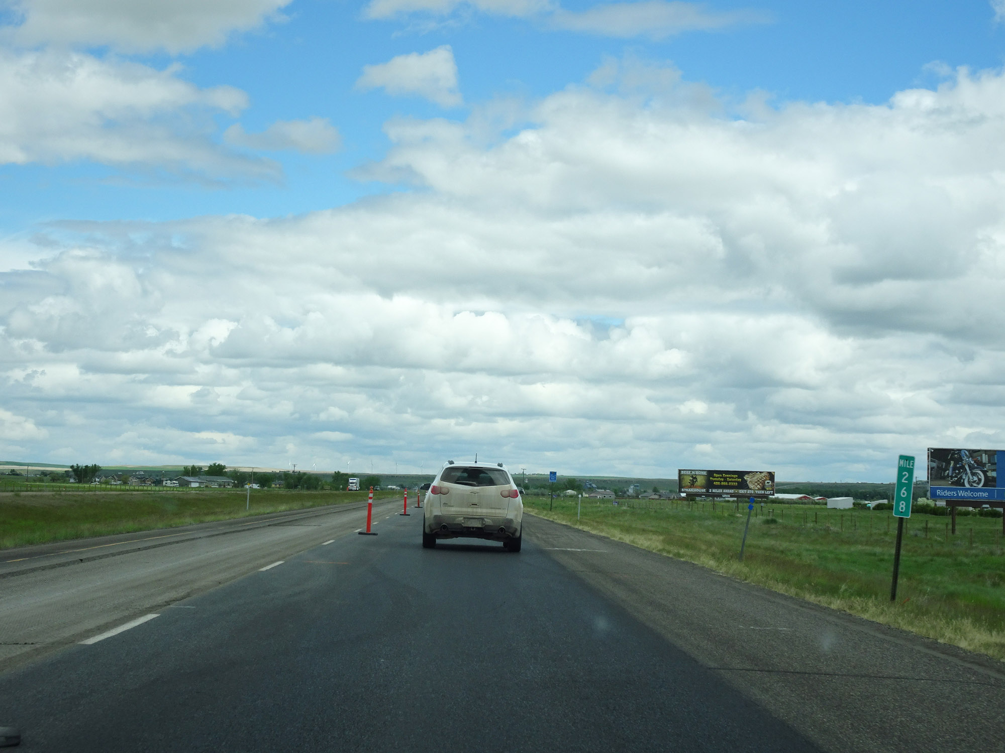
Mileage sign on Interstate 15 North. It's 8 miles to Cascade and 32 miles to Great Falls. (Photo taken 5/24/16). |
 |
Interstate 15 North approaching Exit 250 - 1/2 mile. (Photo taken 5/24/16). |
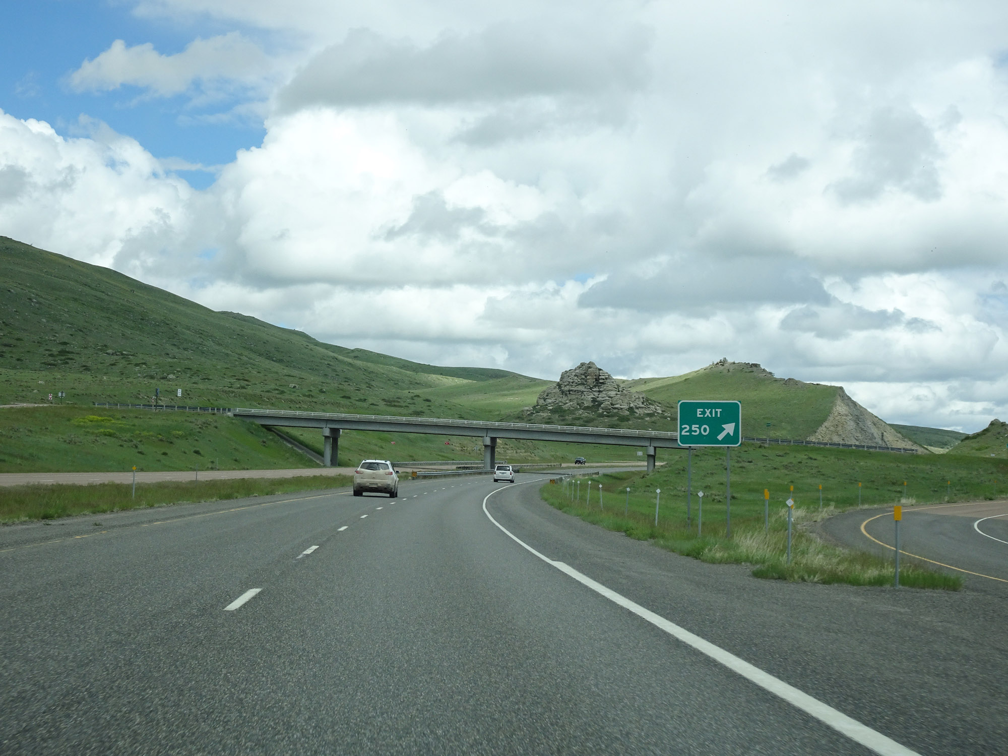 |
Interstate 15 North at Exit 250: Local Access (Photo taken 5/24/16). |
 |
View on Interstate 15 North at mile marker 252. (Photo taken 5/24/16). |
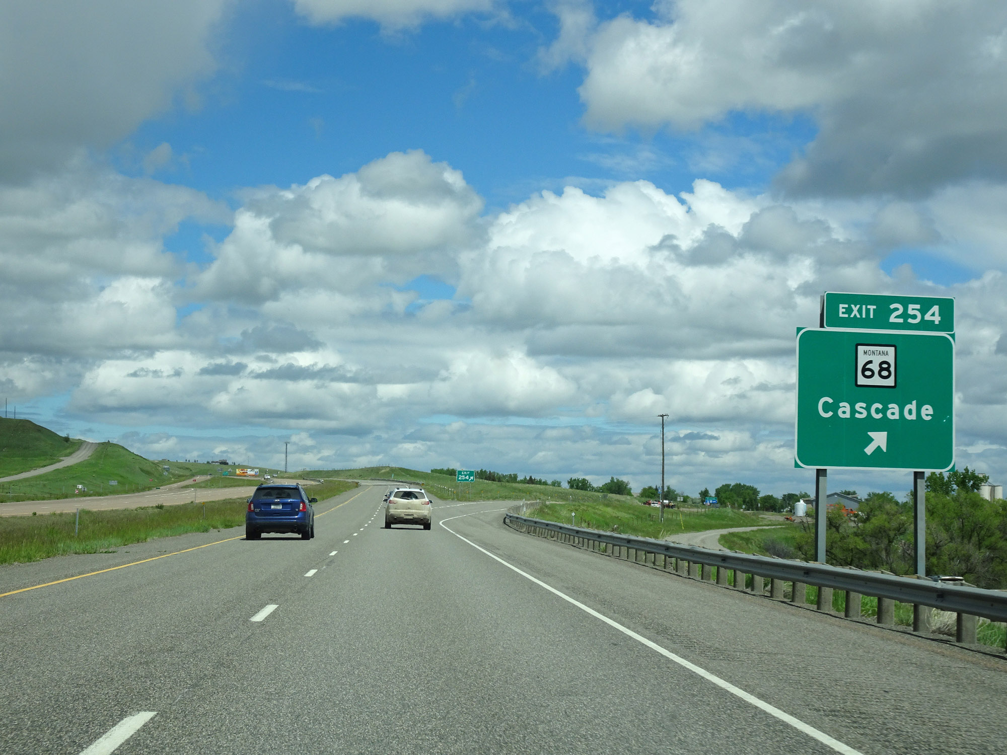 |
Interstate 15 North at Exit 254: MT 68 - Cascade (Photo taken 5/24/16). |
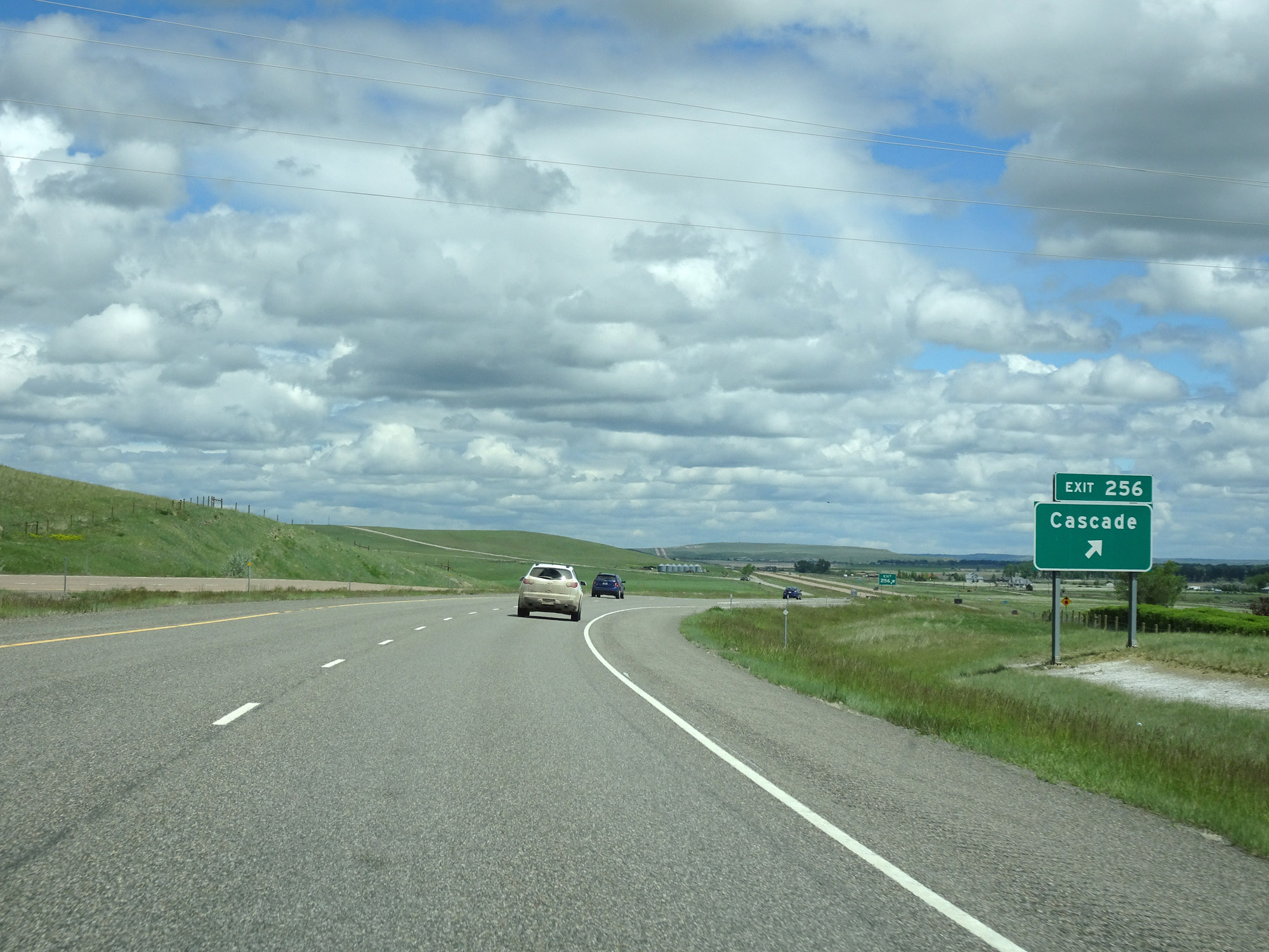 |
Interstate 15 North at Exit 256: Cascade (Photo taken 5/24/16). |
 |
Interstate 15 North at mile marker 259. (Photo taken 5/24/16). |
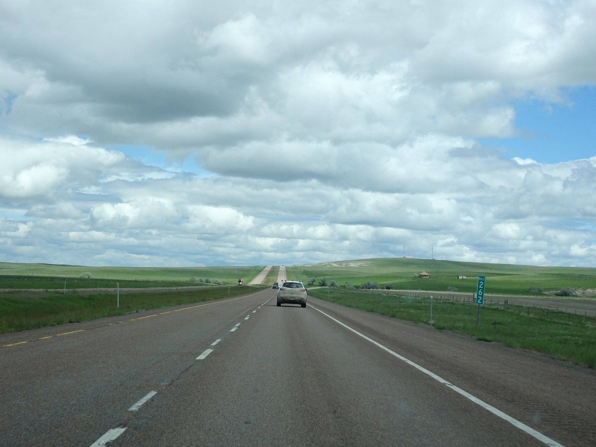 |
View on Interstate 15 North at mile marker 262. As you can see, things begin to level off quite a bit compared to the past 100 miles. (Photo taken 5/24/16). |
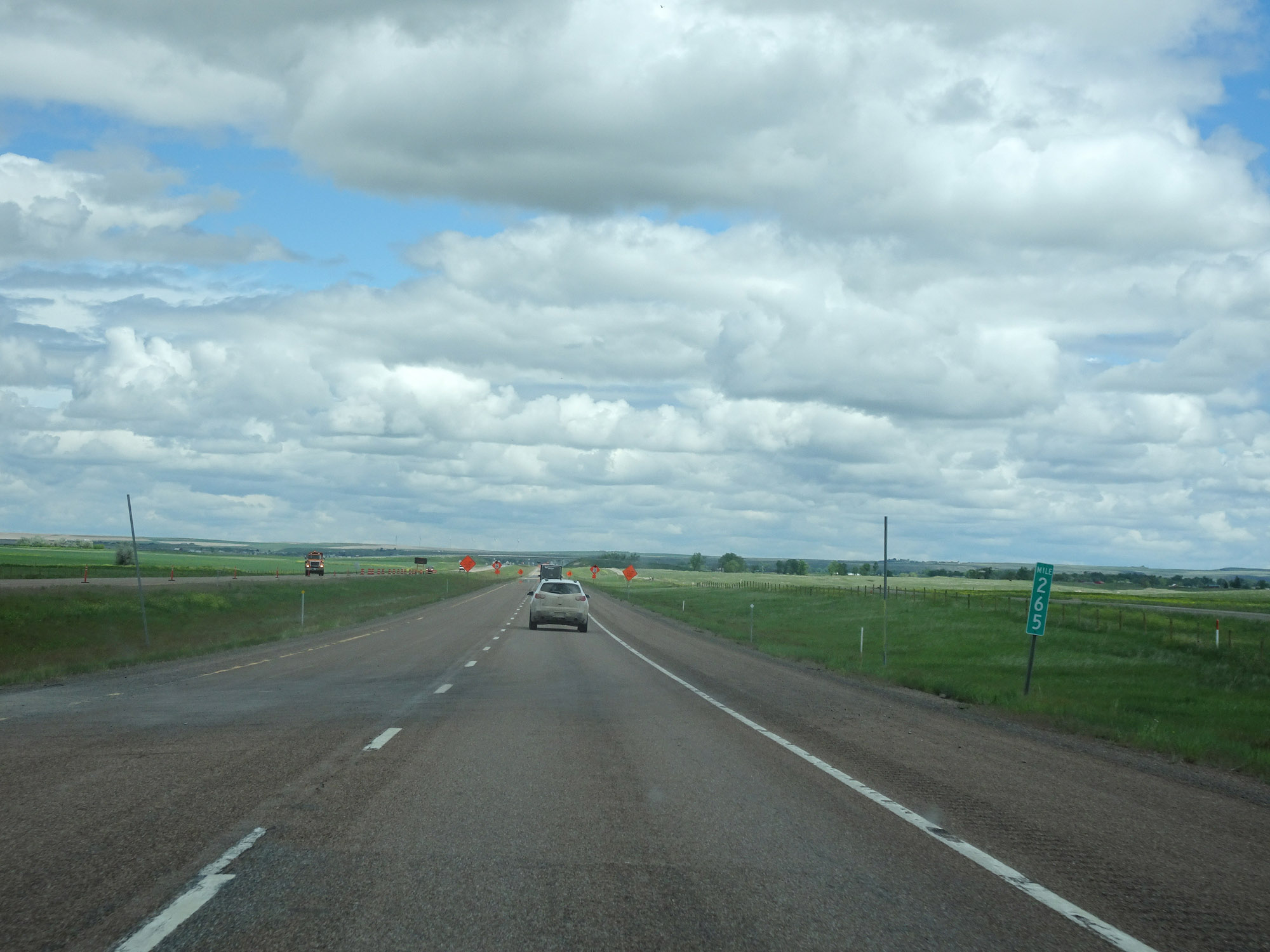 |
Interstate 15 North at mile marker 265. (Photo taken 5/24/16). |
 |
View on Interstate 15 North at mile marker 268, nearing the Great Falls area. (Photo taken 5/24/16). |
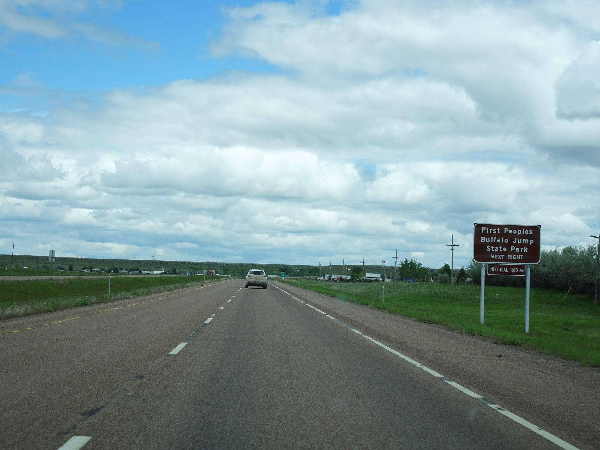 |
Take Exit 270 to First Peoples Buffalo Jump State Park. (Photo taken 5/24/16). |
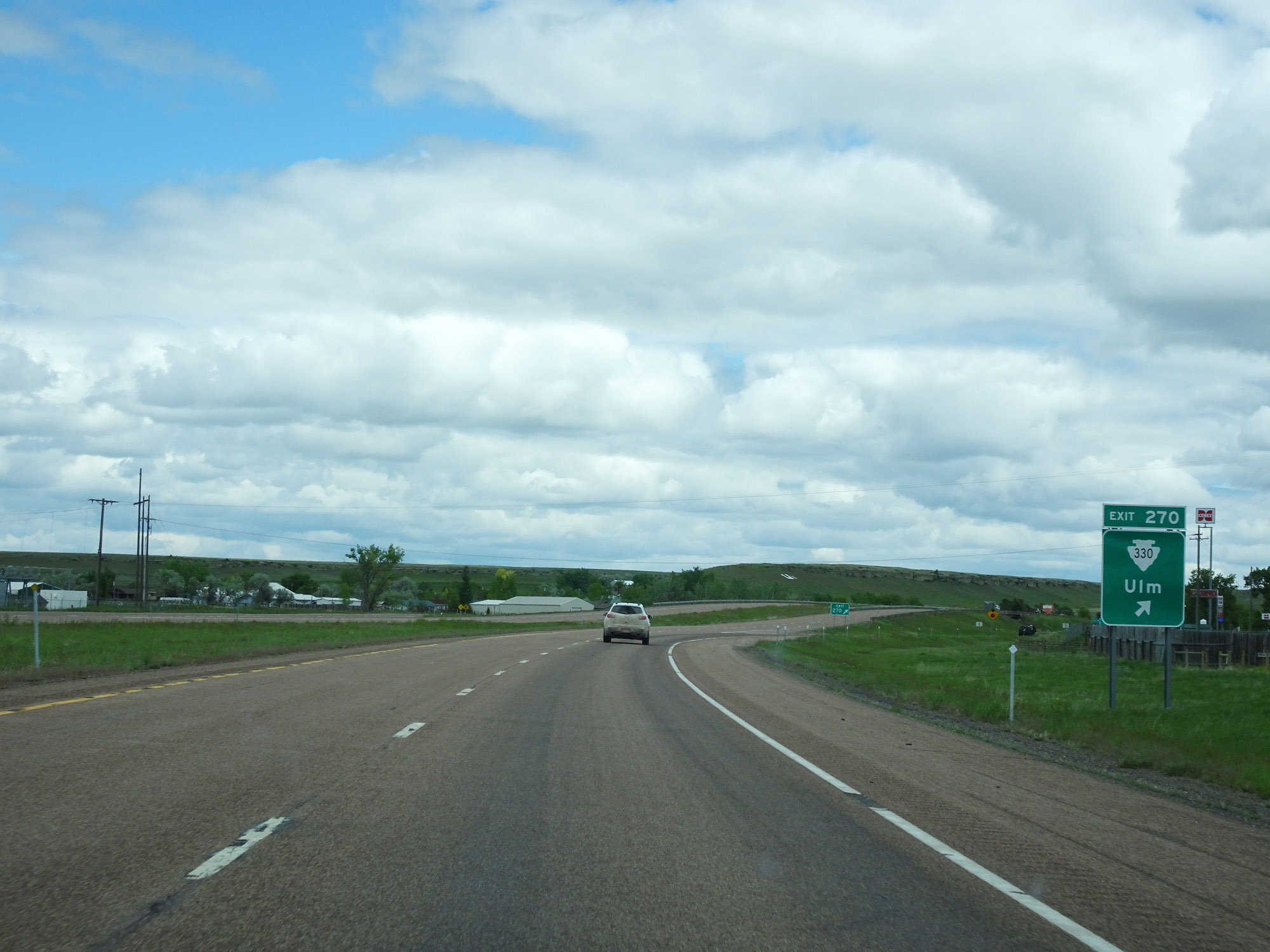 |
Interstate 15 North at Exit 270: S-330 - Ulm (Photo taken 5/24/16). |
 |
Interstate 15 North at mile marker 272. (Photo taken 5/24/16). |
 |
Weigh Station on Interstate 15 North in Cascade County. (Photo taken 5/24/16). |
 |
Entering the Great Falls area, the speed limit decreases to 65 mph for all traffic. (Photo taken 5/24/16). |
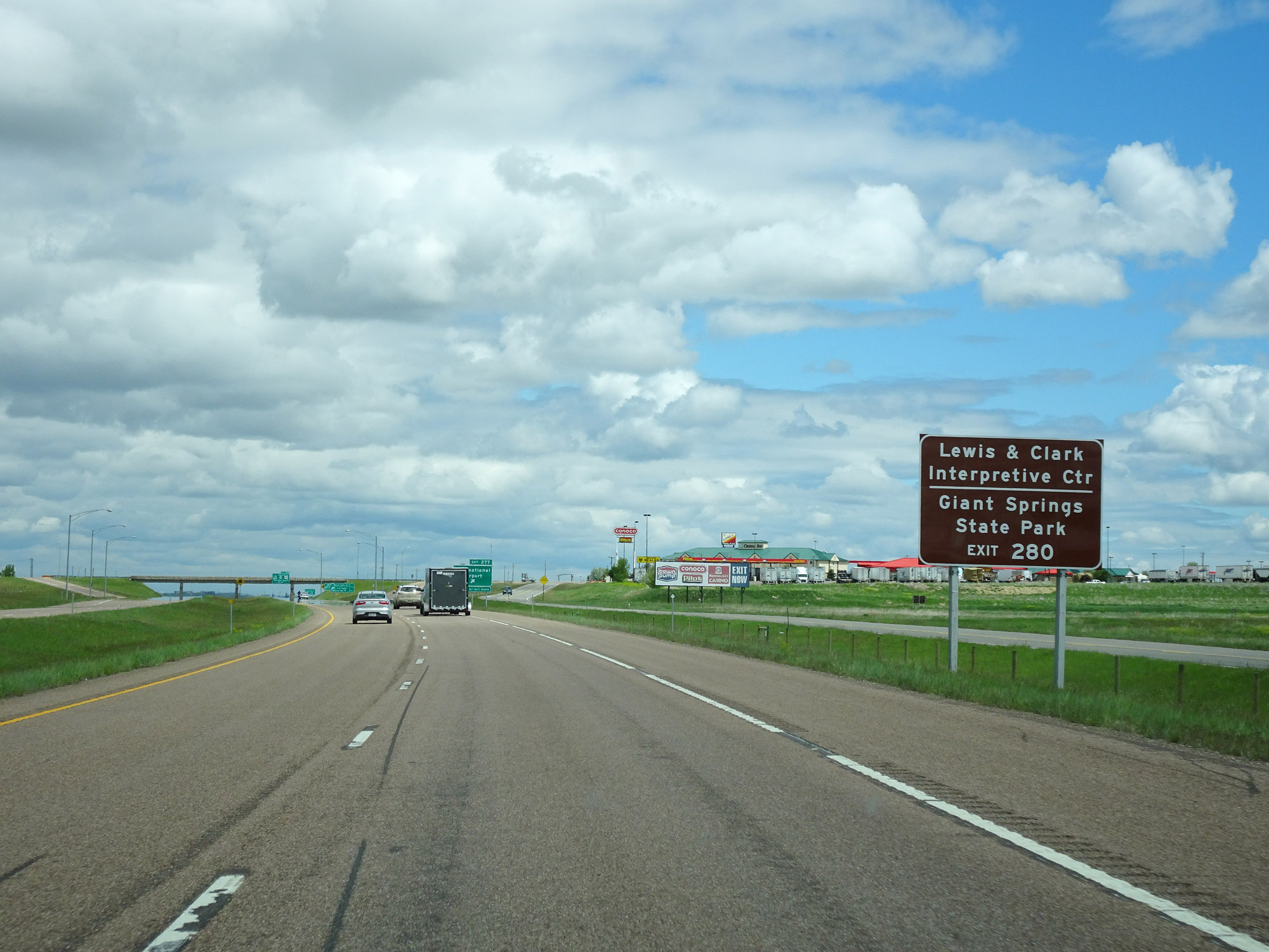 |
Take Exit 280 to Lewis & Clark Interpretive Center and Giant Springs State Park. (Photo taken 5/24/16). |
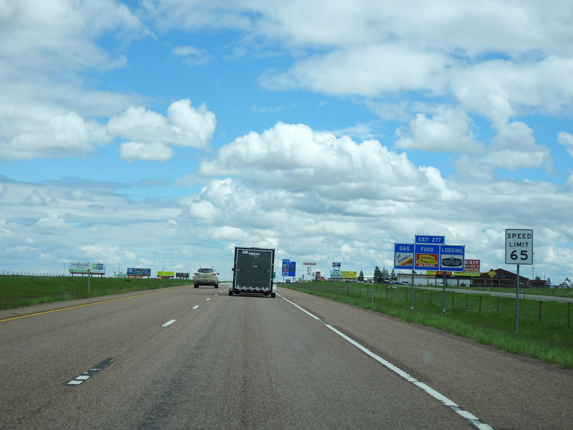
 |
Interstate 15 North at Exit 277: International Airport (Photo taken 5/24/16). |
Section 3: Great Falls (Exit 277) to Shelby (Exit 363)
 |
This sign warns that beyond Exit 277, Interstate 15 North will traverse a 5% downgrade. (Photo taken 5/24/16). |
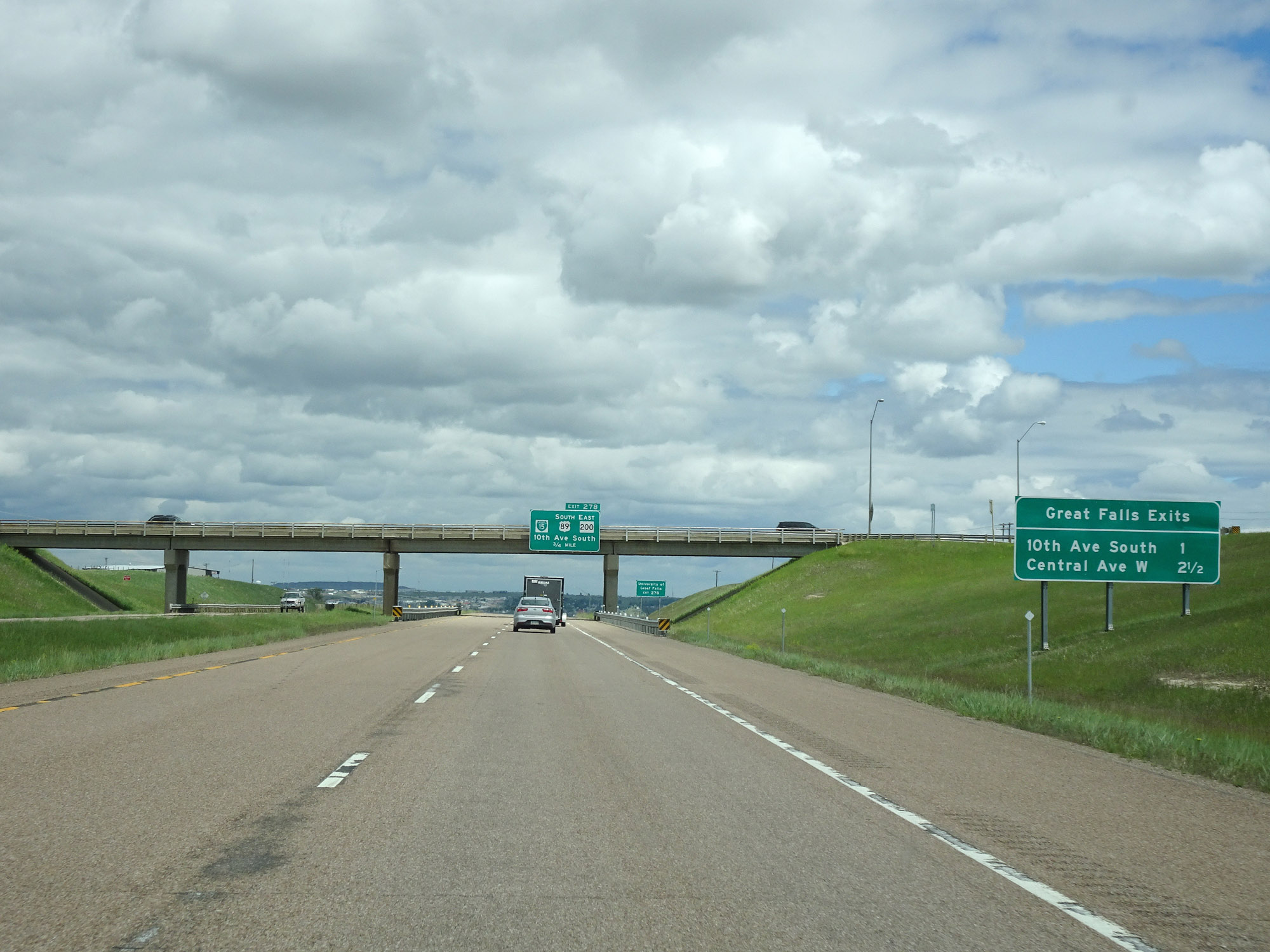 |
Mileage sign listing the distances to the two upcoming exits to Great Falls on Interstate 15 North. (Photo taken 5/24/16). |
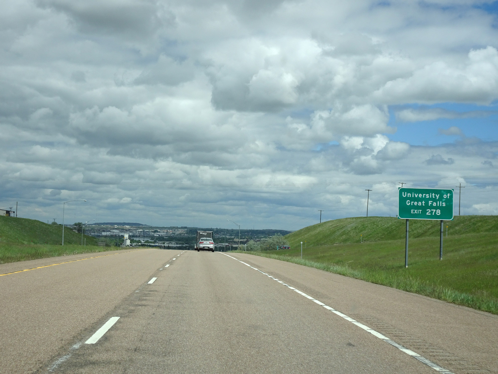 |
Take Exit 278 to the University of Great Falls. (Photo taken 5/24/16). |
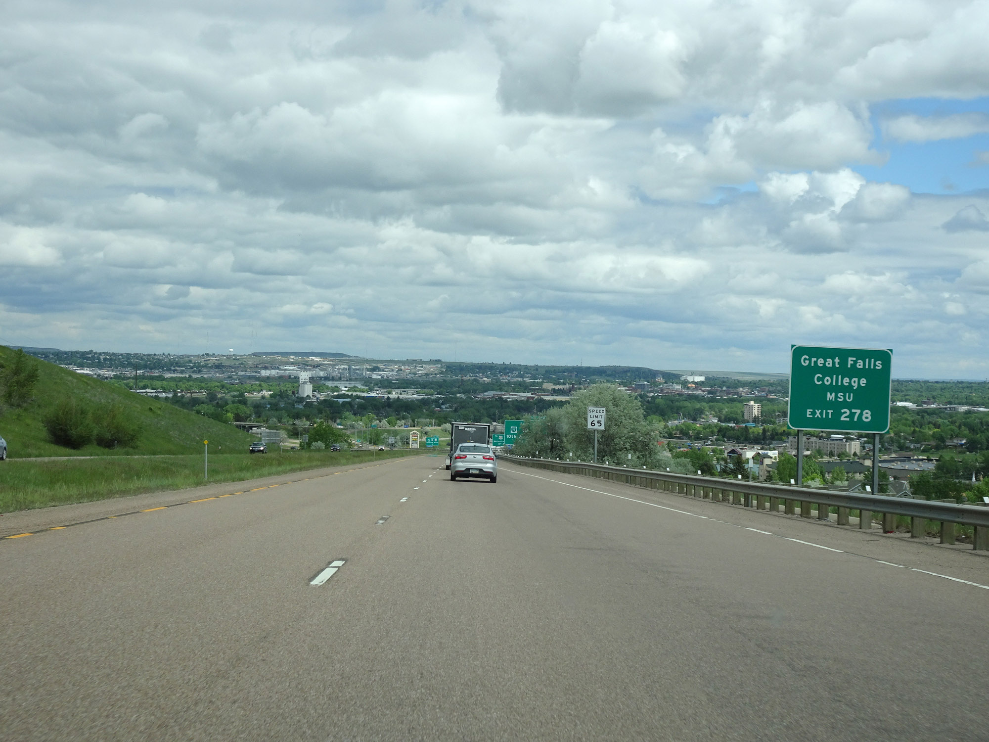 |
Also take Exit 278 to Great Falls College. (Photo taken 5/24/16). |
 |
Take Exit 278 to US 87 South toward Malmstrom AFB as well. (Photo taken 5/24/16). |
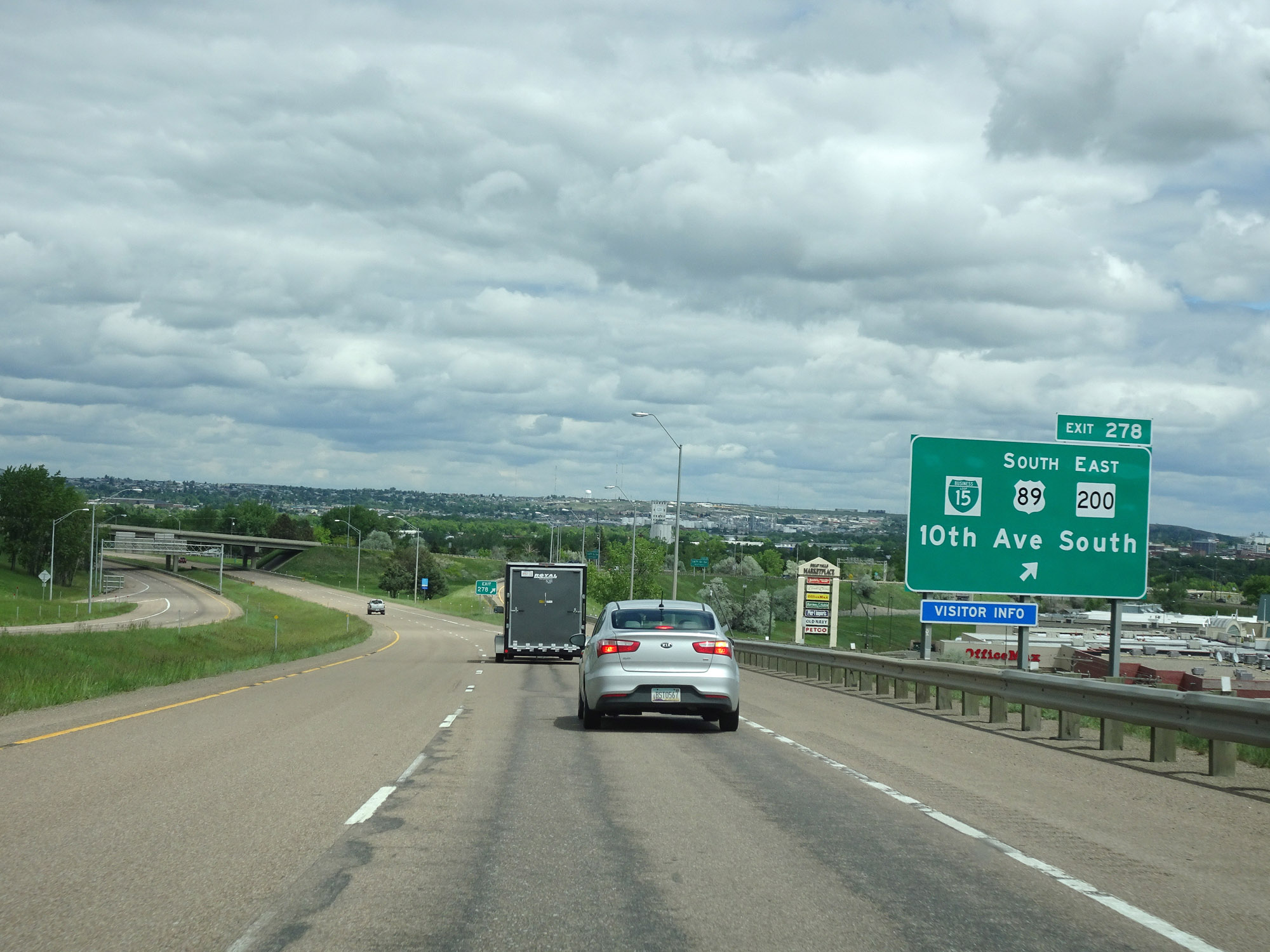 |
Interstate 15 North at Exit 278: Interstate 15 Business Loop / US 89 South / MT 200 East - 10th Ave South (Photo taken 5/24/16). |
 |
Take Exit 280 to City Center, the Fairgrounds, and Arena. (Photo taken 5/24/16). |
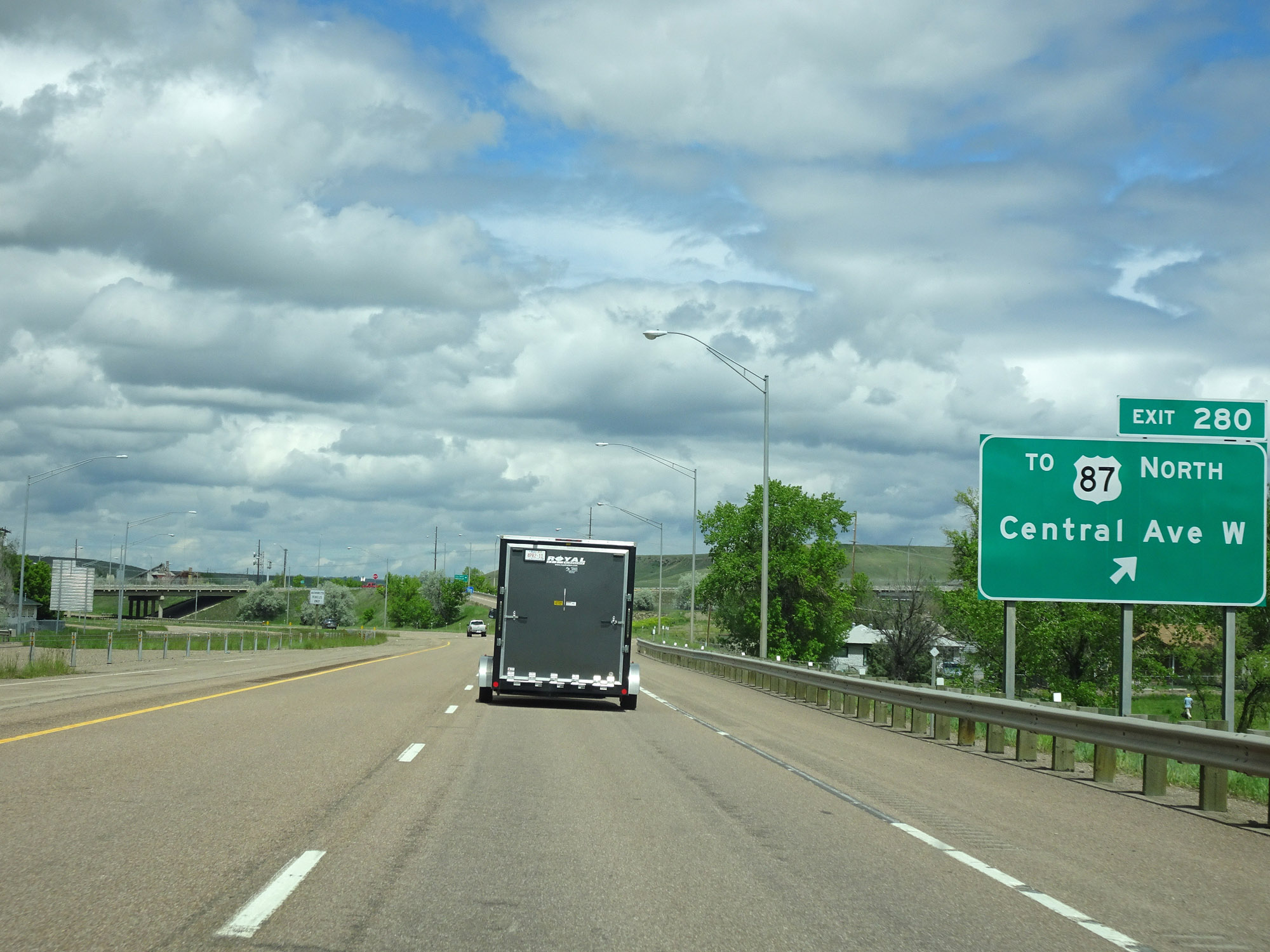 |
Interstate 15 North at Exit 280: To US 87 North - Central Ave West (Photo taken 5/24/16). |
 |
North of Exit 280, the standard car speed limit of 80 mph resumes. (Photo taken 5/24/16). |
 |
Interstate 15 North reassurance shield at mile marker 283. (Photo taken 5/24/16). |
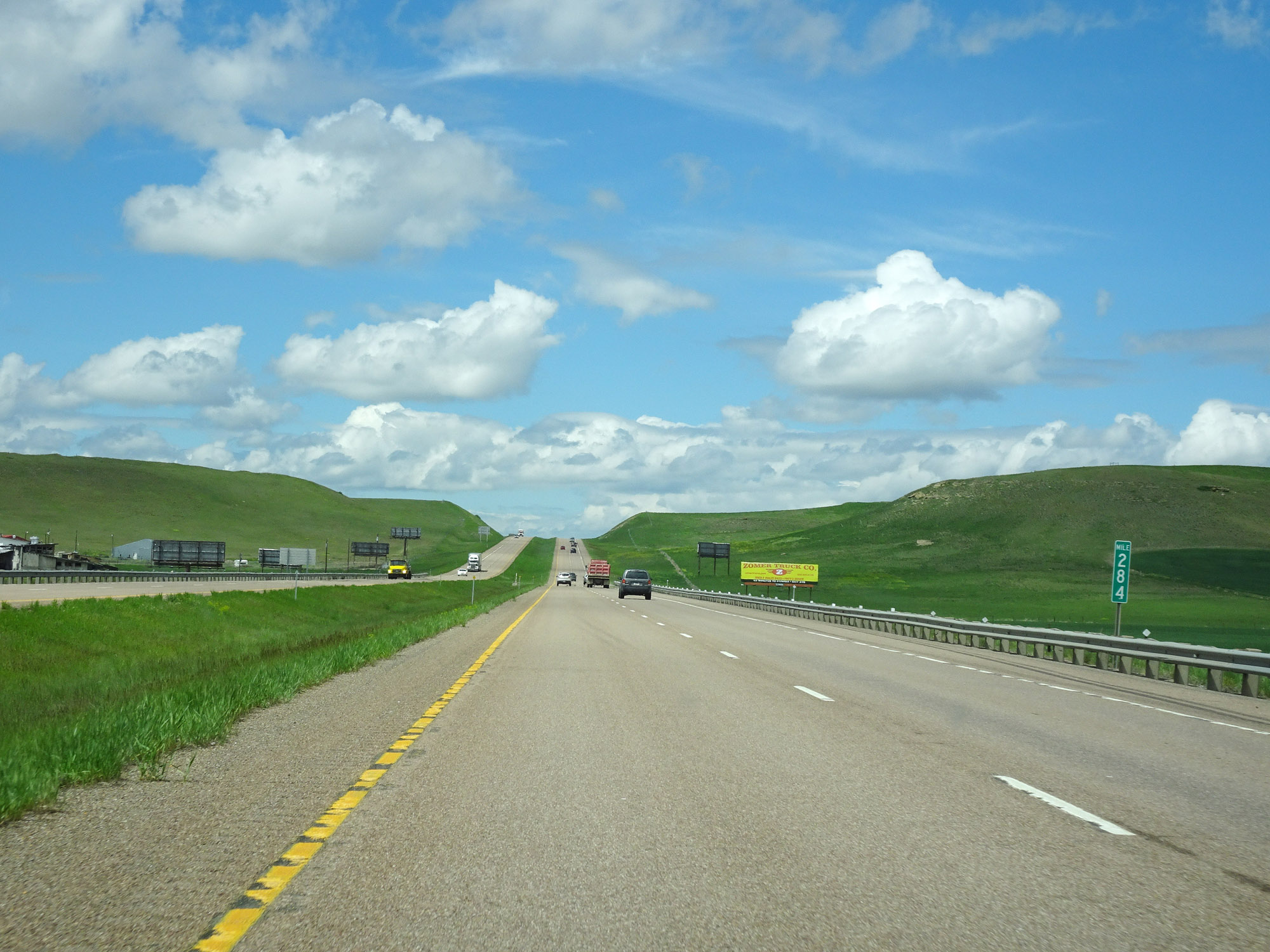 |
View on Interstate 15 North at mile marker 284. (Photo taken 5/24/16). |
 |
Interstate 15 North at mile marker 285. (Photo taken 5/24/16). |
 |
Interstate 15 North approaching Exit 286 - 1/2 mile. (Photo taken 5/24/16). |
 |
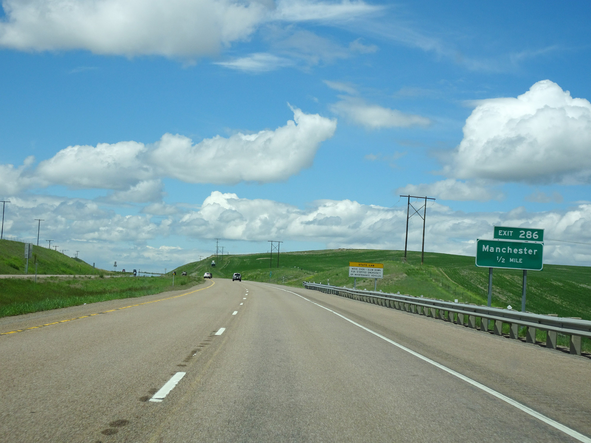
Interstate 15 North at Exit 286: Manchester (Photo taken 5/24/16). |
 |
Parking Area on Interstate 15 North in Cascade County, north of Exit 286. (Photo taken 5/24/16). |
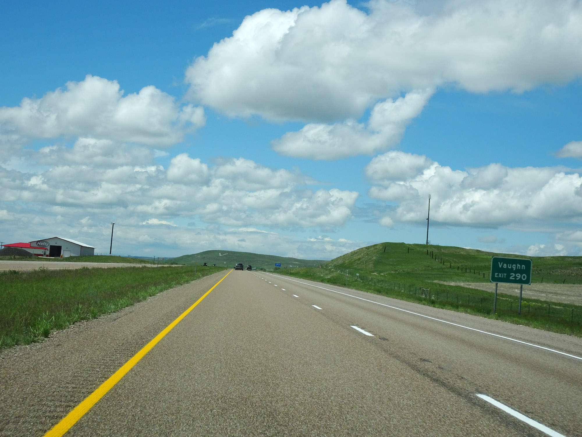 |
Take Exit 290 to Vaughn. (Photo taken 5/24/16). |
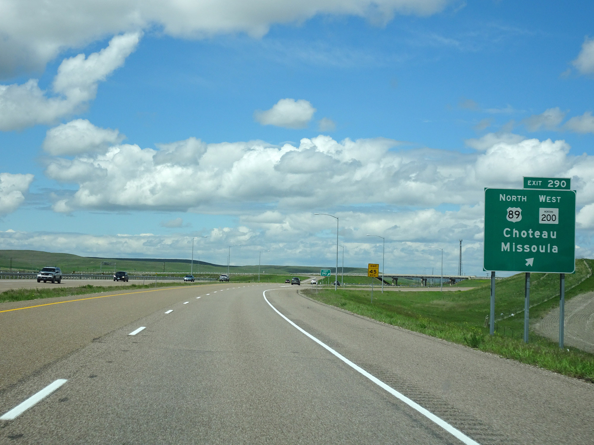 |
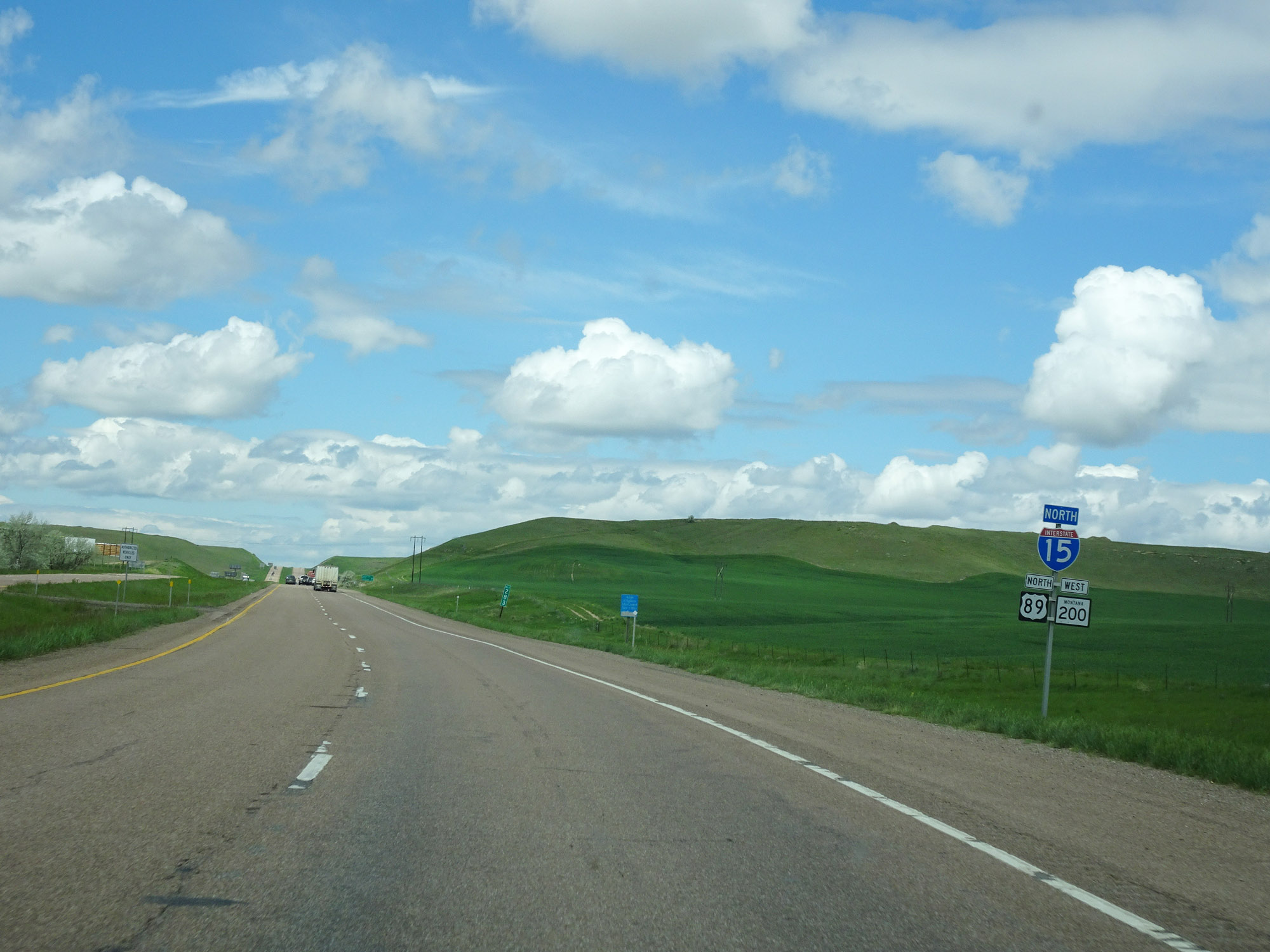
Interstate 15 North at Exit 290: US 89 North / MT 200 West - Choteau / Missoula (Photo taken 5/24/16). |
 |
Mileage sign on Interstate 15 North. It's 22 miles to Dutton, 72 miles to Shelby, and 171 miles to Lethbridge. (Photo taken 5/24/16). |
 |
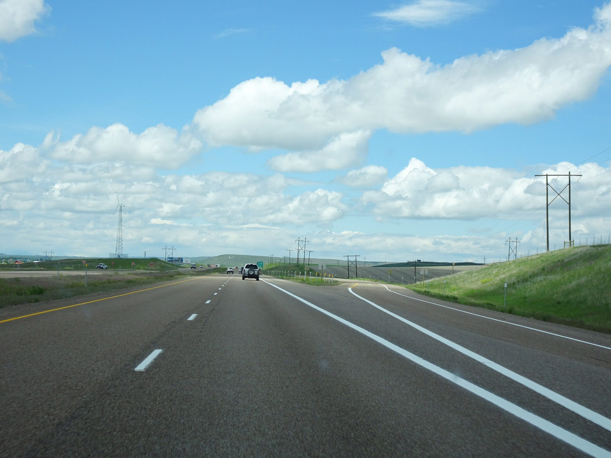
View on Interstate 15 North at mile marker 293. (Photo taken 5/24/16). |
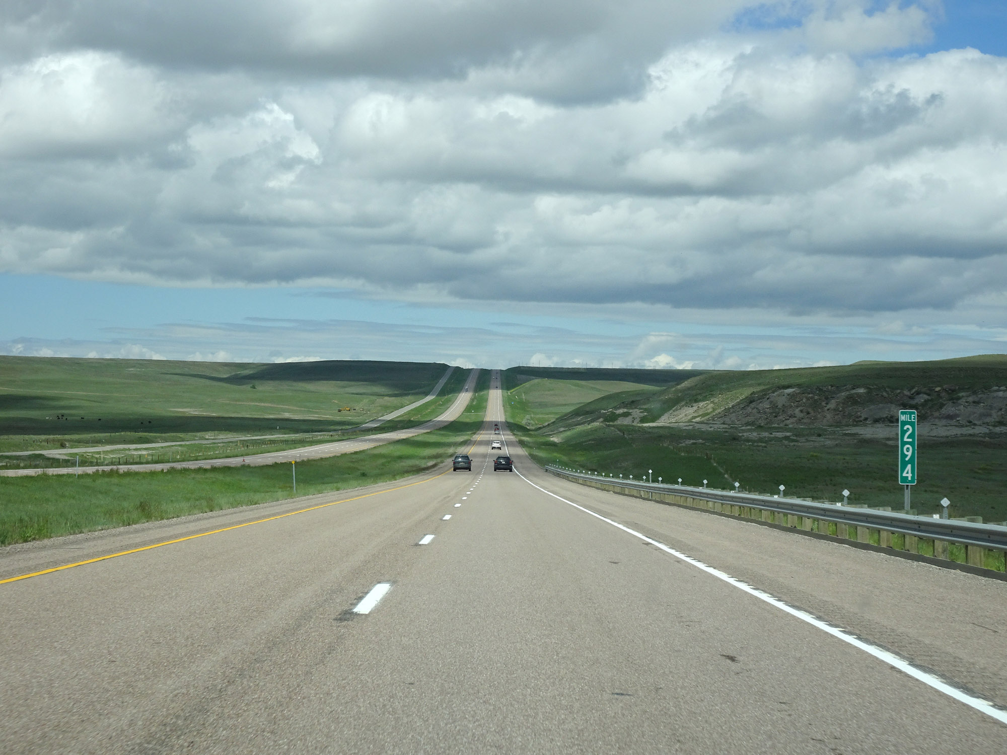 |
Interstate 15 North at mile marker 294. (Photo taken 5/24/16). |
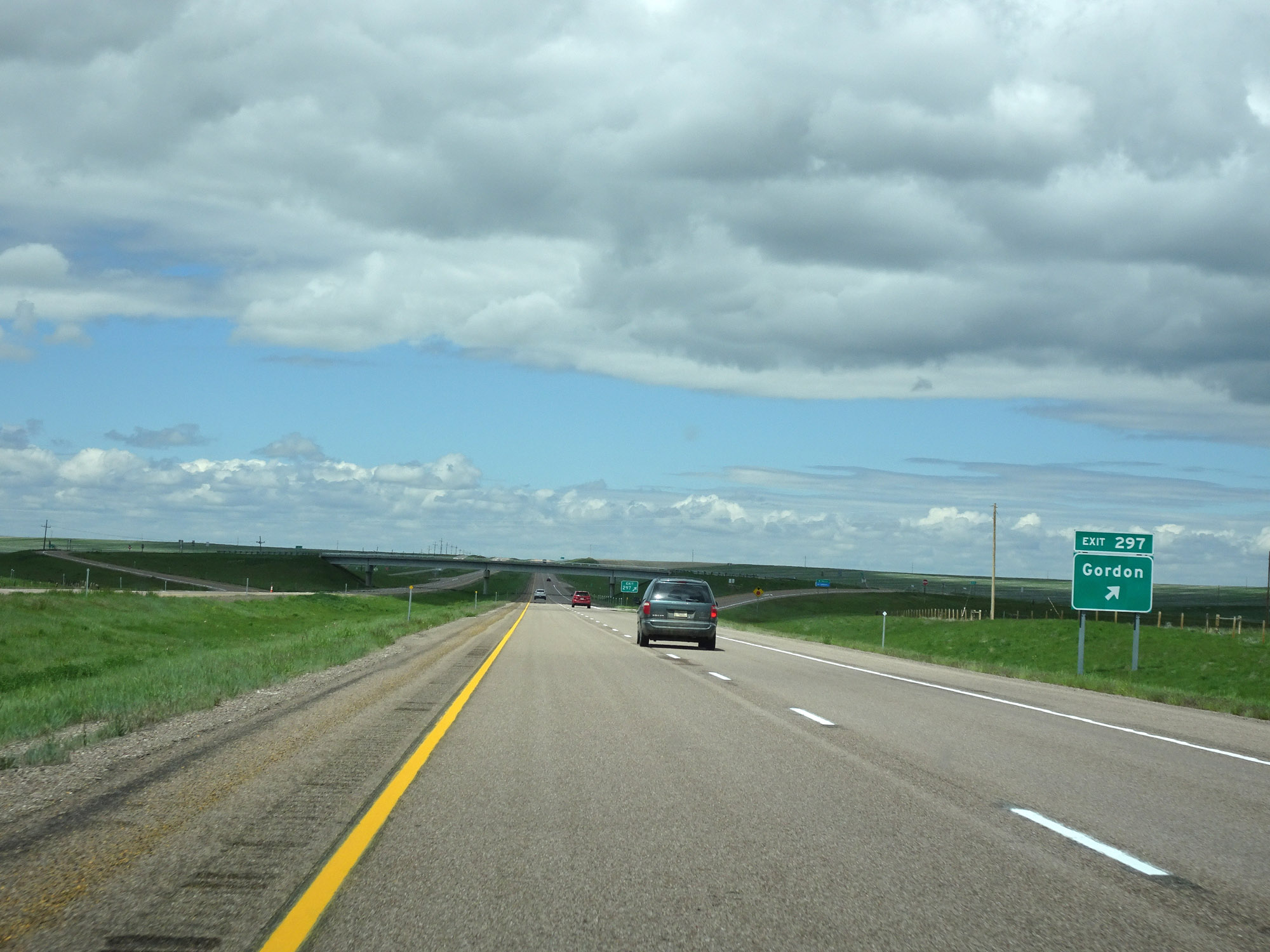 |
Interstate 15 North at Exit 297: Gordon (Photo taken 5/24/16). |
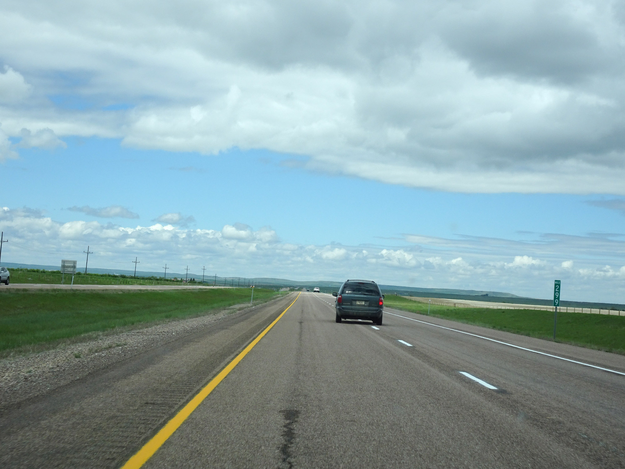 |
View on Interstate 15 North at mile marker 299. (Photo taken 5/24/16). |
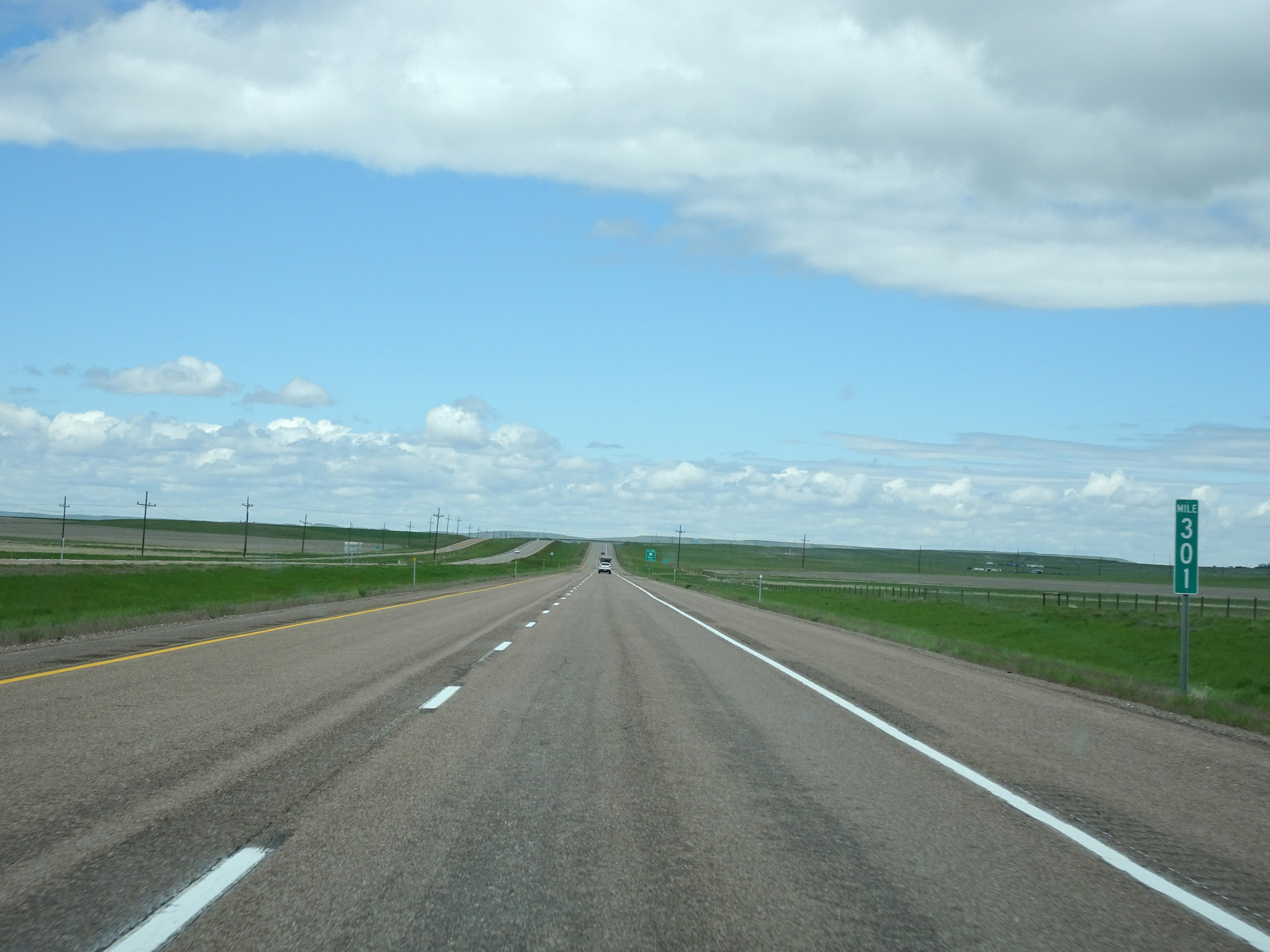 |
Interstate 15 North at mile marker 301. (Photo taken 5/24/16). |
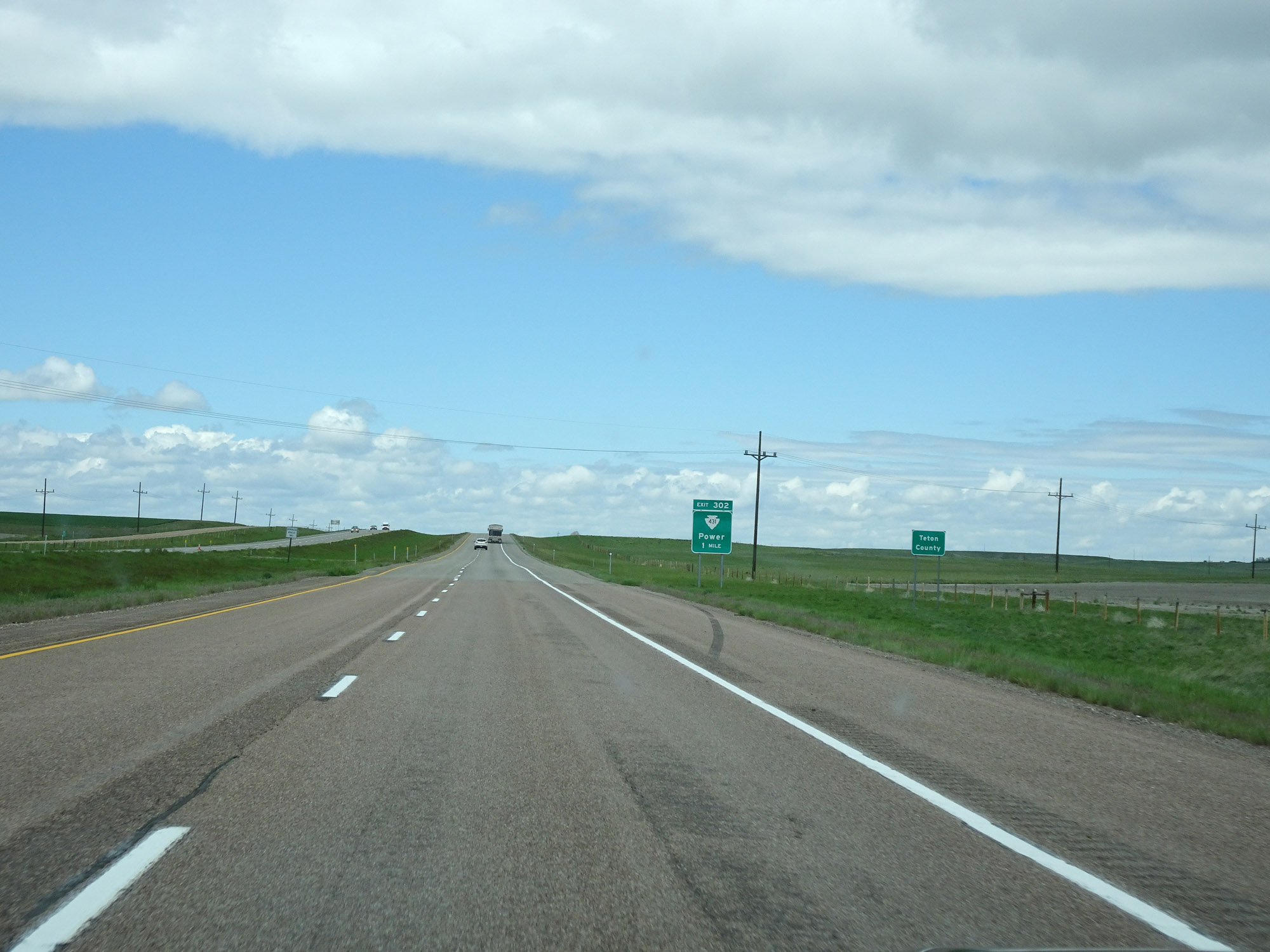 |
Approaching Exit 302, Interstate 15 North enters Teton County. (Photo taken 5/24/16). |
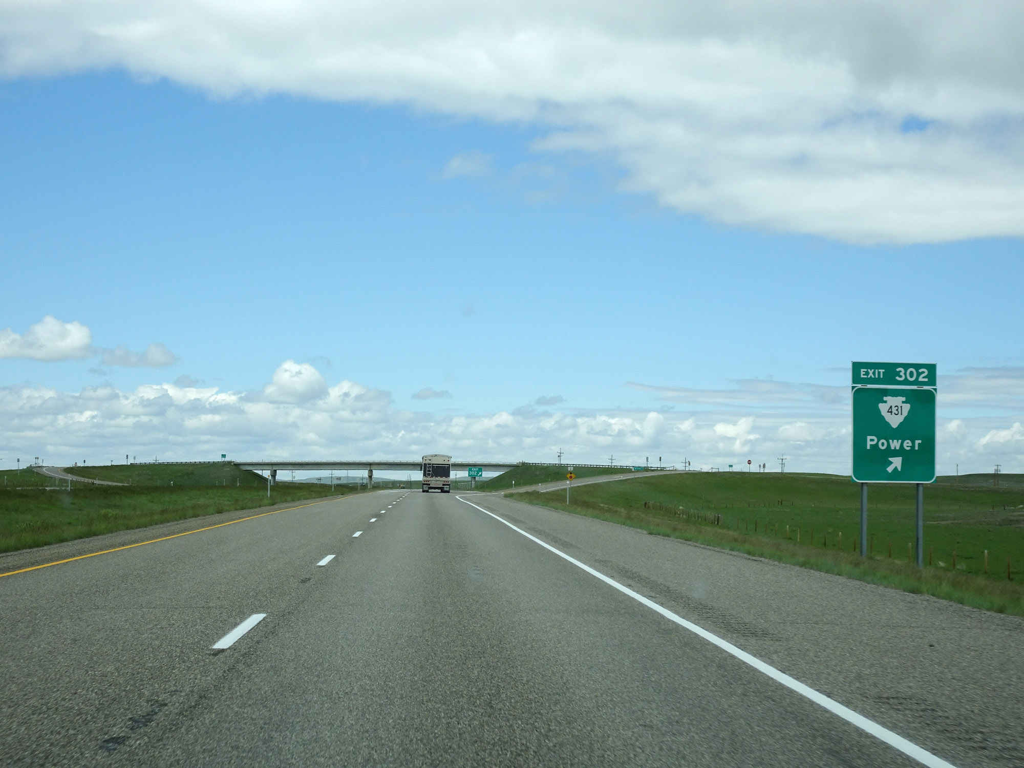 |
Interstate 15 North at Exit 302: S-431 - Power (Photo taken 5/24/16). |
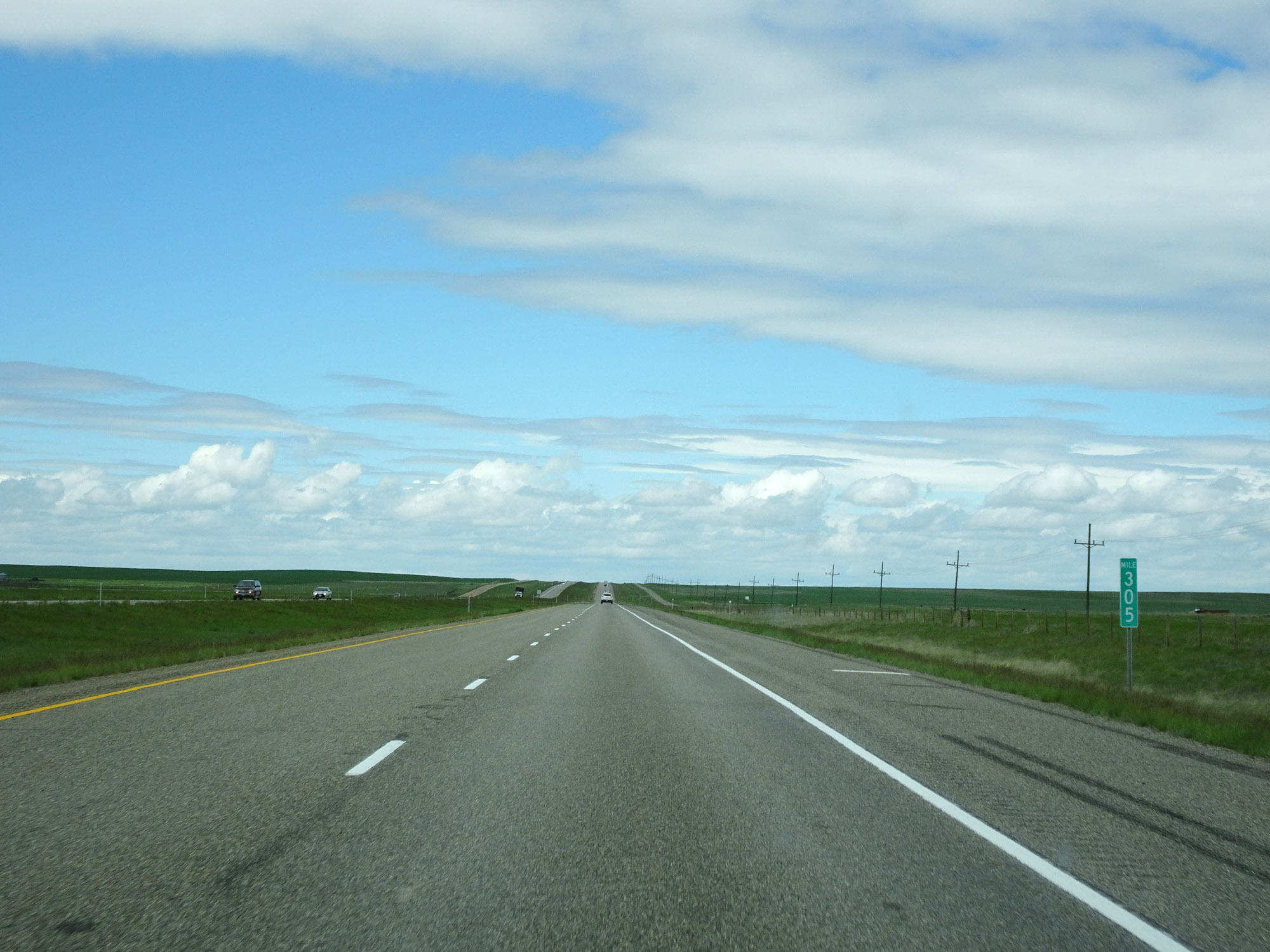 |
View on Interstate 15 North at mile marker 305. (Photo taken 5/24/16). |
 |
Interstate 15 North at mile marker 308. (Photo taken 5/24/16). |
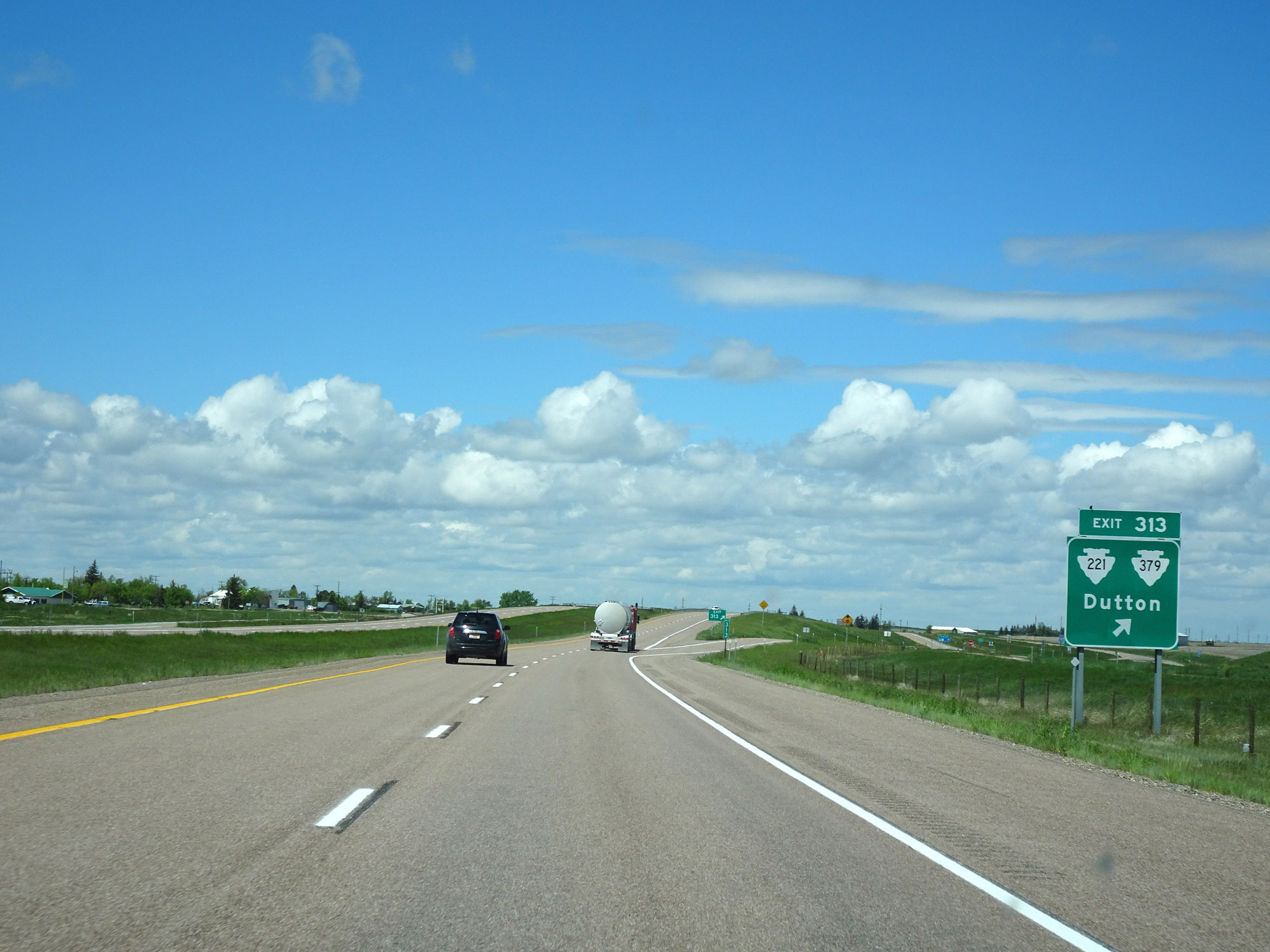 |
Interstate 15 North at Exit 313: S-221 / S-379 - Dutton (Photo taken 5/24/16). |
 |
Another mileage sign on Interstate 15 North. It's 14 miles to Brady, 25 miles to Conrad, and 148 miles to Lethbridge. (Photo taken 5/24/16). |
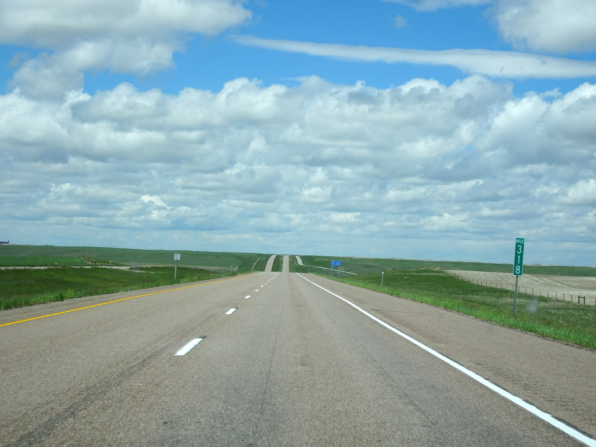 |
Interstate 15 North at mile marker 318. (Photo taken 5/24/16). |
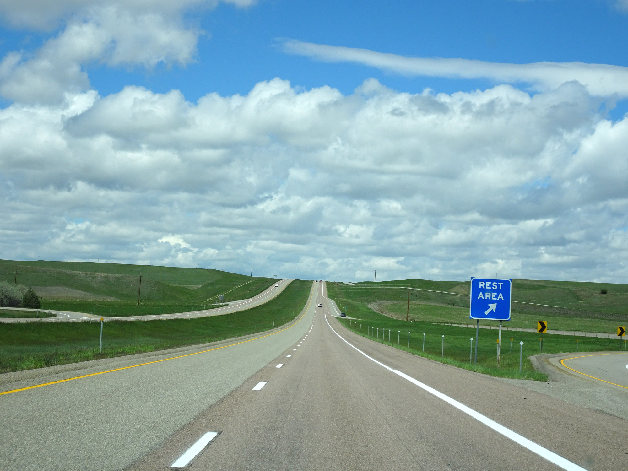 |
Rest Area on Interstate 15 North in Teton County. (Photo taken 5/24/16). |
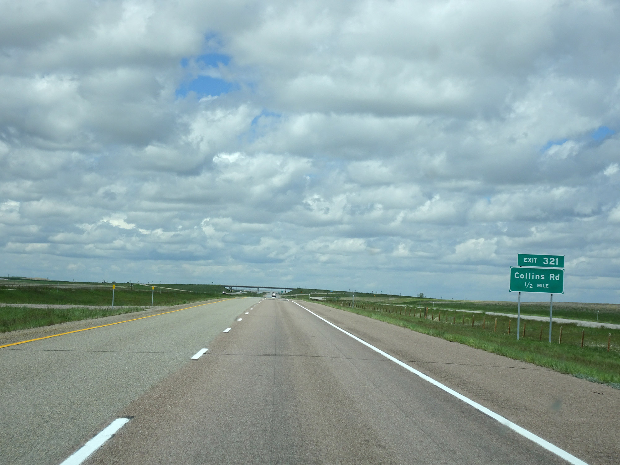 |
Interstate 15 North approaching Exit 321 - 1/2 mile. (Photo taken 5/24/16). |
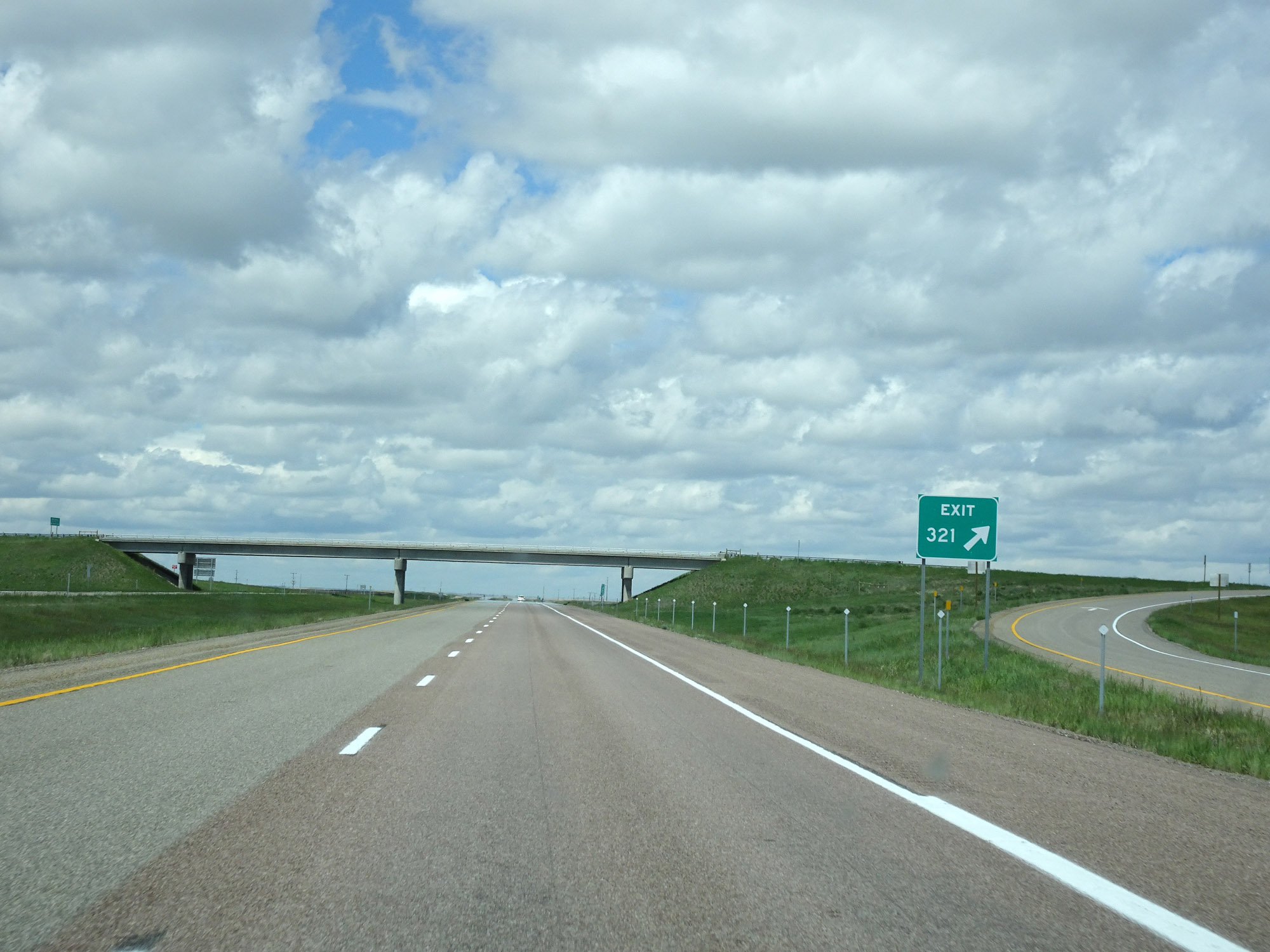 |
Interstate 15 North at Exit 321: Collins Rd (Photo taken 5/24/16). |
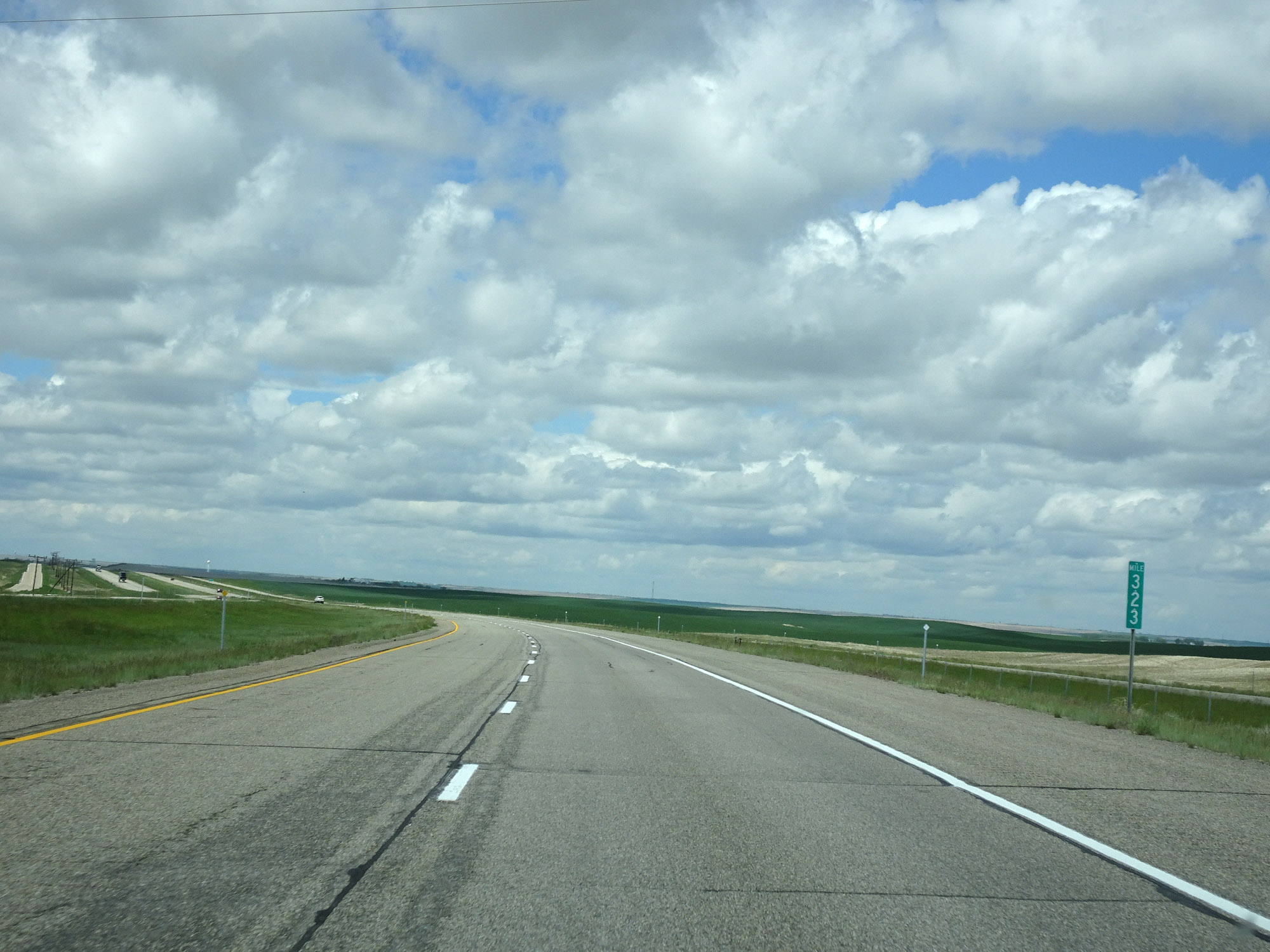 |
View on Interstate 15 North at mile marker 323. (Photo taken 5/24/16). |
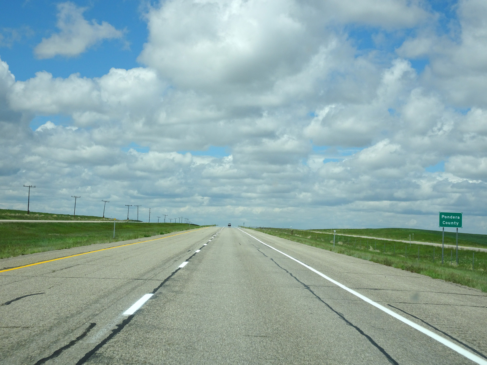 |
Entering Pondera County on Interstate 15 North. (Photo taken 5/24/16). |
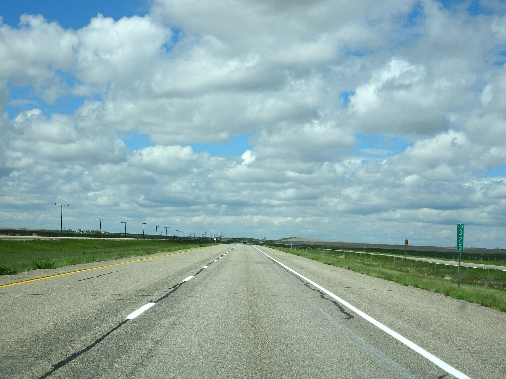 |
Interstate 15 North at mile marker 325. (Photo taken 5/24/16). |
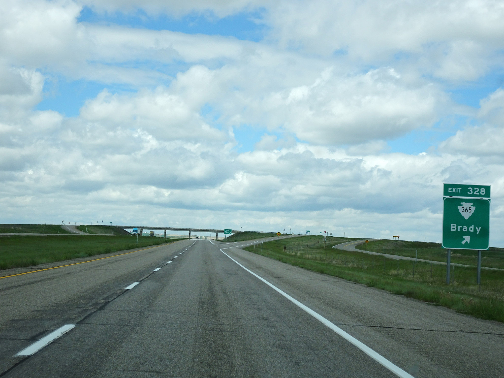 |
Interstate 15 North at Exit 328: S-365 - Brady (Photo taken 5/24/16). |
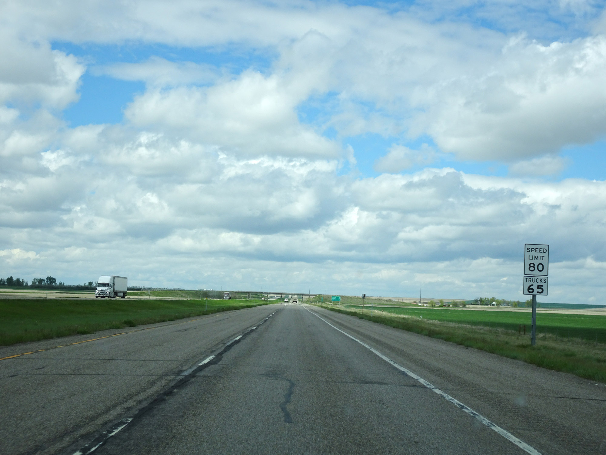 |
The speed limits remain 80 mph for cars and 65 mph for trucks. (Photo taken 5/24/16). |
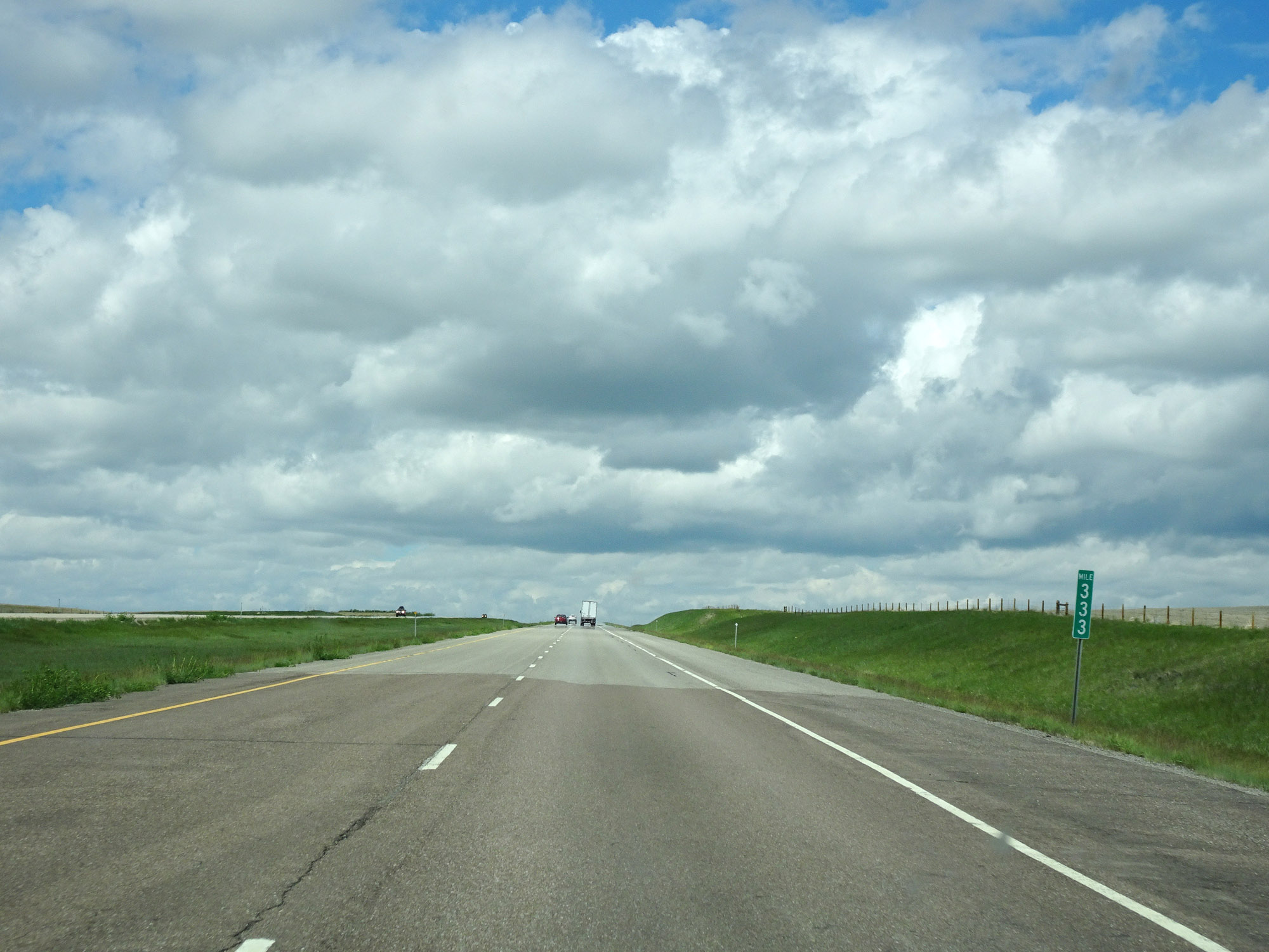 |
Interstate 15 North at mile marker 333. (Photo taken 5/24/16). |
 |
Take either of the next 2 exits to Conrad. (Photo taken 5/24/16). |
 |
Interstate 15 North at Exit 335: Interstate 15 Business Loop - Midway Rd / Conrad (Photo taken 5/24/16). |
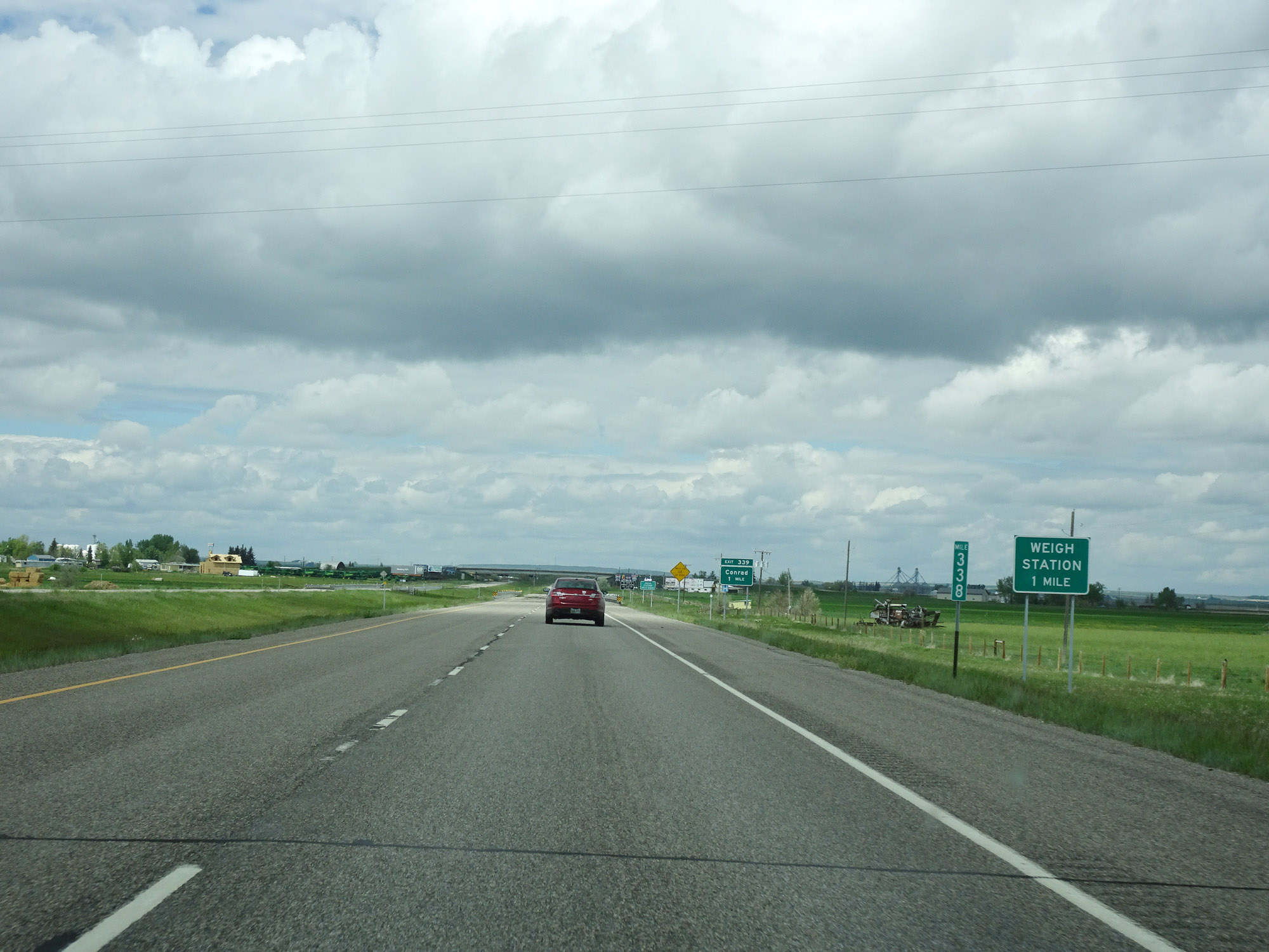 |
Interstate 15 North at mile marker 338. (Photo taken 5/24/16). |
 |
A Weigh Station exists off Exit 339 ahead. When this sign says the scales are open, all trucks must exit at Exit 339. (Photo taken 5/24/16). |
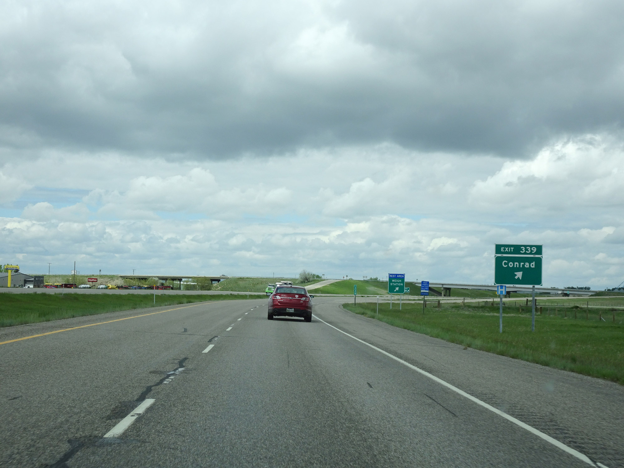 |
Interstate 15 North at Exit 339: Conrad (Photo taken 5/24/16). |
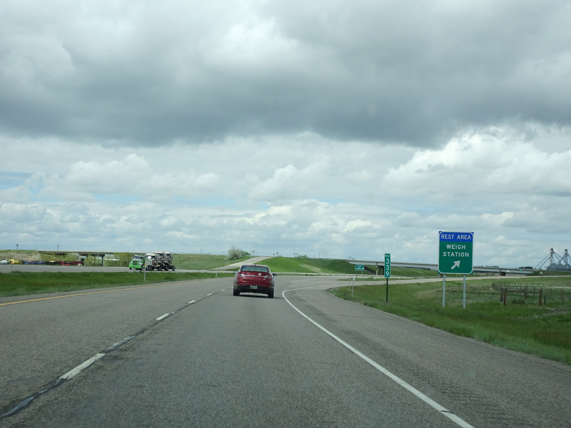 |
A Rest Area also exists at the Weigh Station off of Exit 339. (Photo taken 5/24/16). |
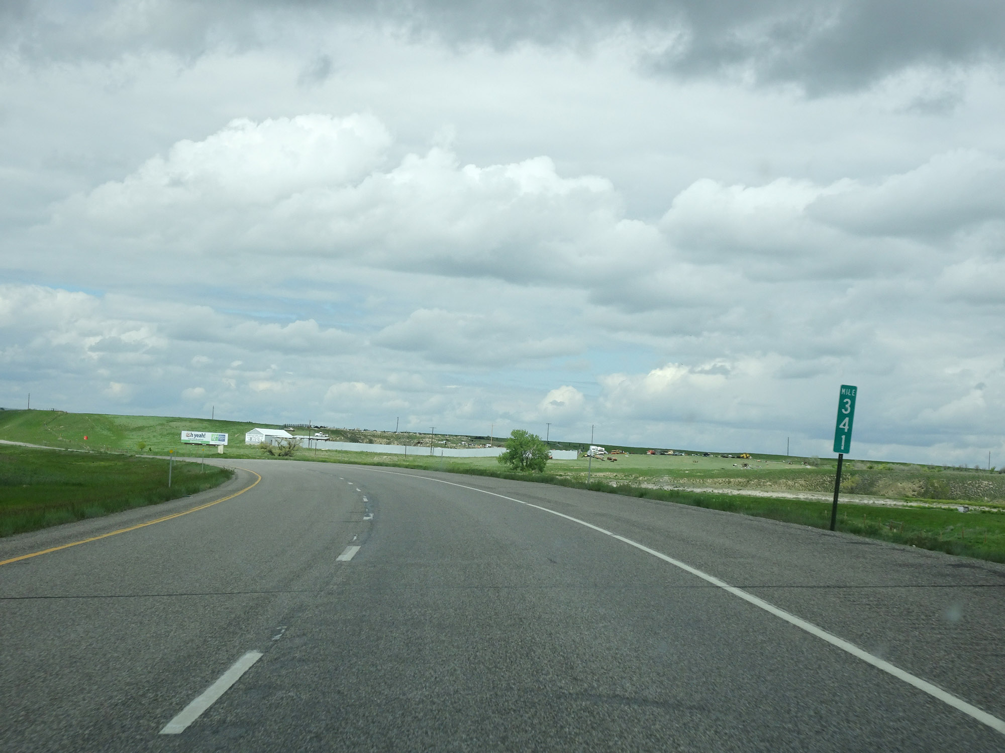 |
View on Interstate 15 North at mile marker 341. (Photo taken 5/24/16). |
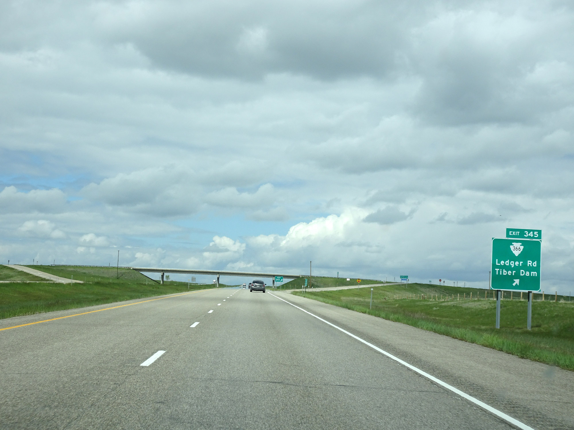 |
Interstate 15 North at Exit 345: S-366 - Ledger Rd / Tiber Dam (Photo taken 5/24/16). |
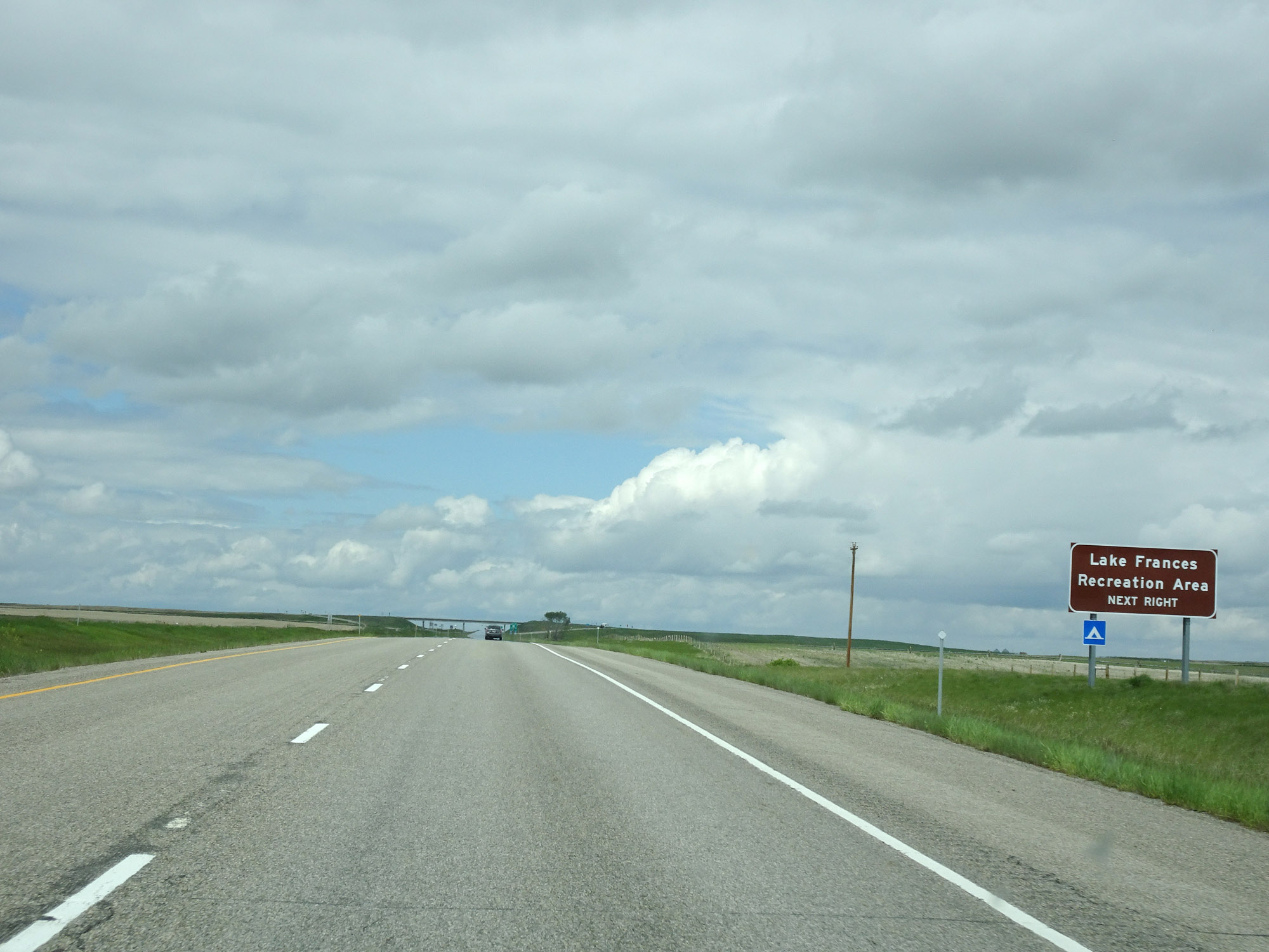 |
Take Exit 348 to Lake Frances Recreation Area. (Photo taken 5/24/16). |
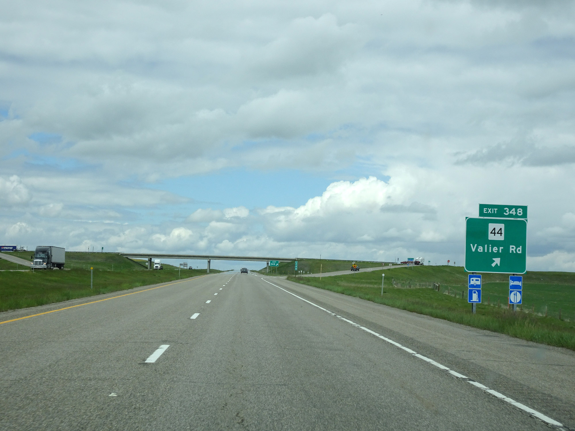 |
Interstate 15 North at Exit 348: MT 44 - Valier Rd (Photo taken 5/24/16). |
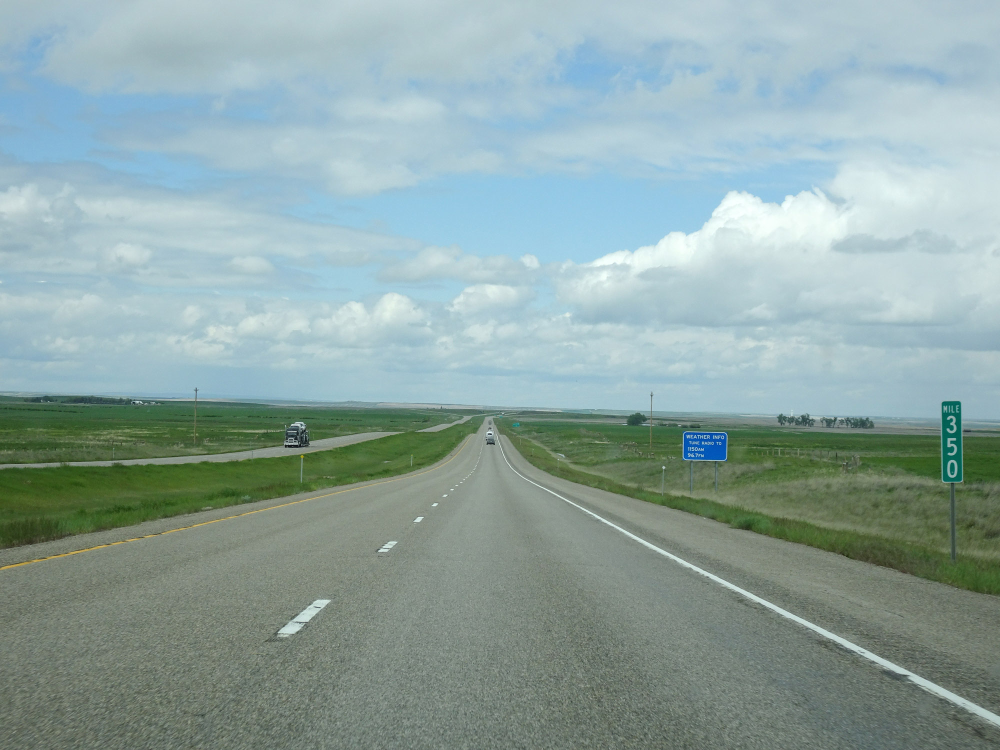 |
View on Interstate 15 North at mile marker 350. (Photo taken 5/24/16). |
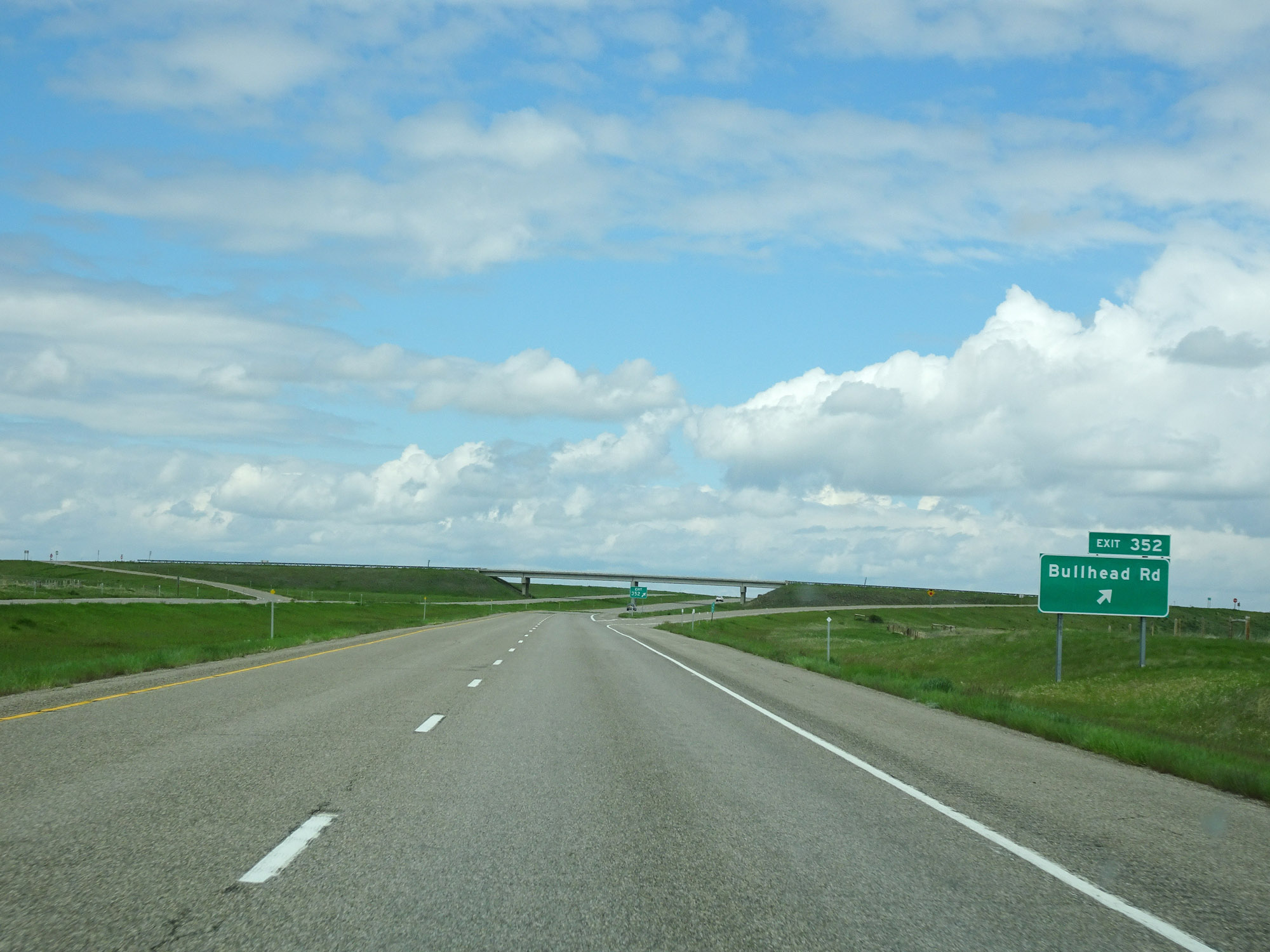 |
Interstate 15 North at Exit 352: Bullhead Rd (Photo taken 5/24/16). |
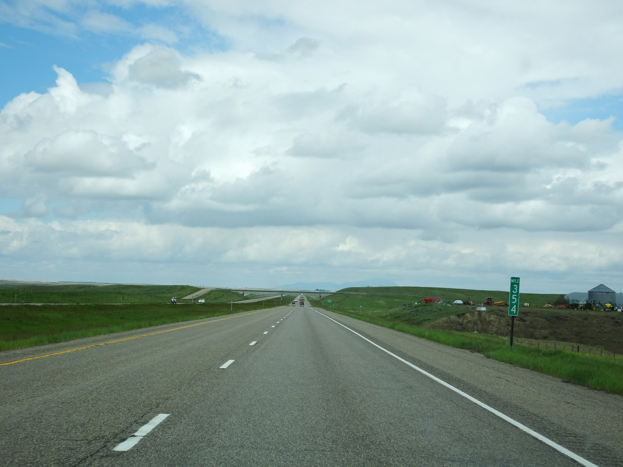 |
Interstate 15 North at mile marker 354. (Photo taken 5/24/16). |
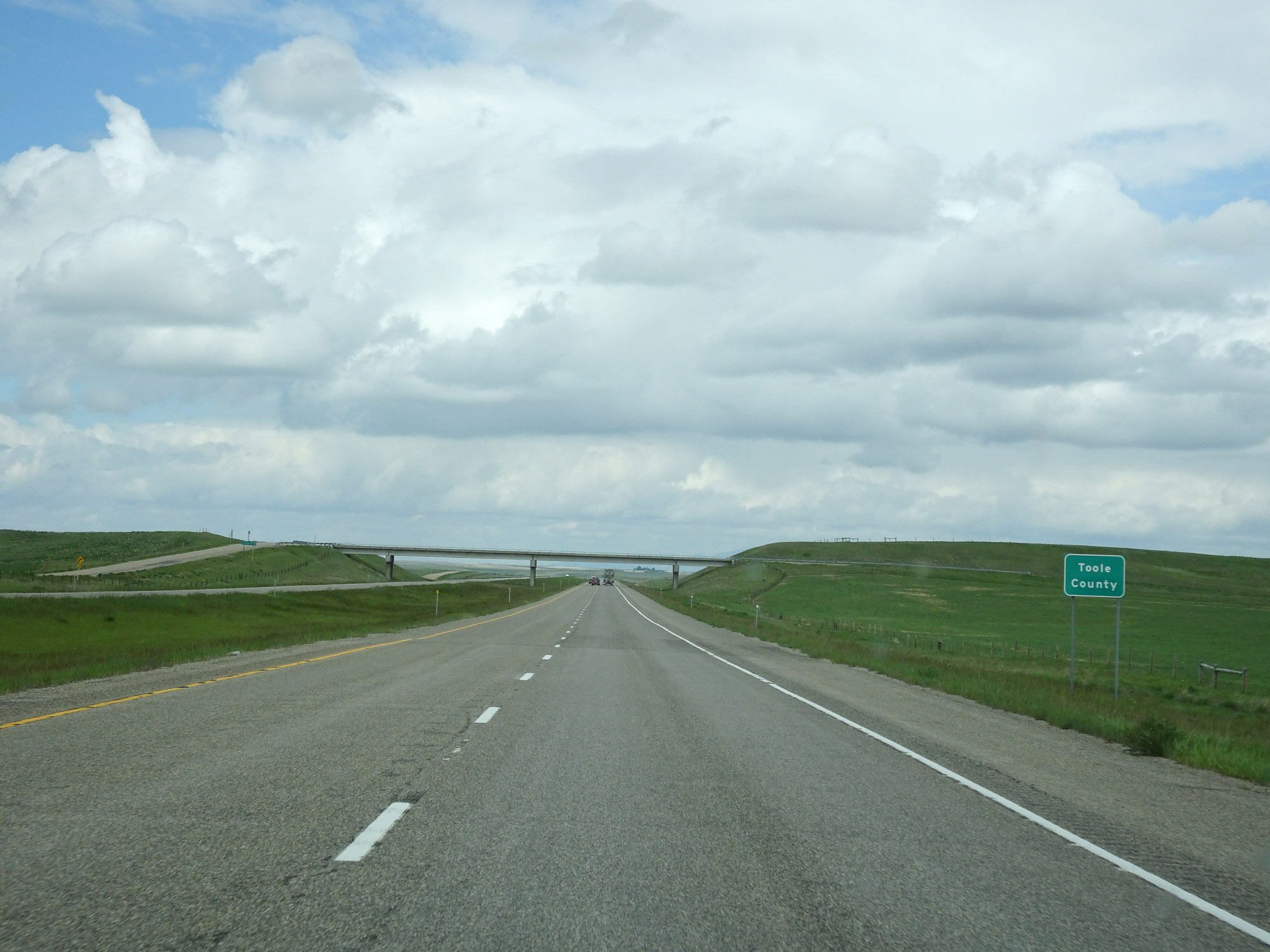 |
Interstate 15 North as it enters Toole County. (Photo taken 5/24/16). |
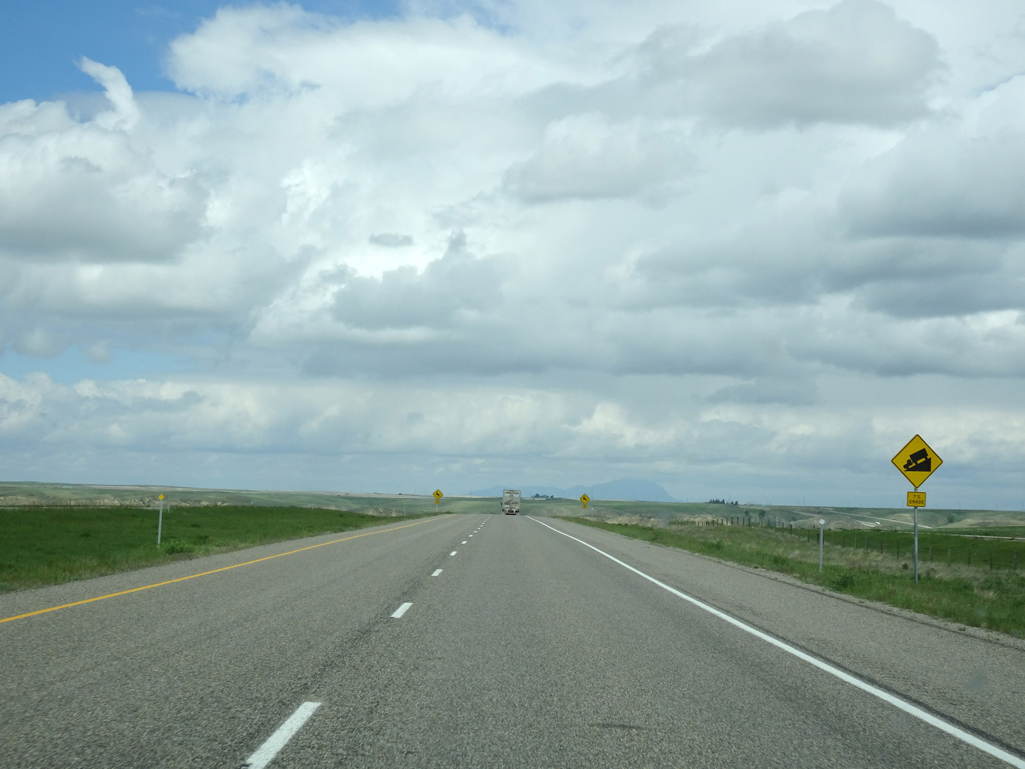 |
Seemingly out of nowhere, this sign warns that Interstate 15 North will traverse a steep 7% downgrade ahead after several miles of flat high prairie. (Photo taken 5/24/16). |
 |
View on Interstate 15 North at mile marker 356, as it starts down the steep 7% grade. (Photo taken 5/24/16). |
 |
Interstate 15 North approaching Exit 358 - 1/2 mile. (Photo taken 5/24/16). |
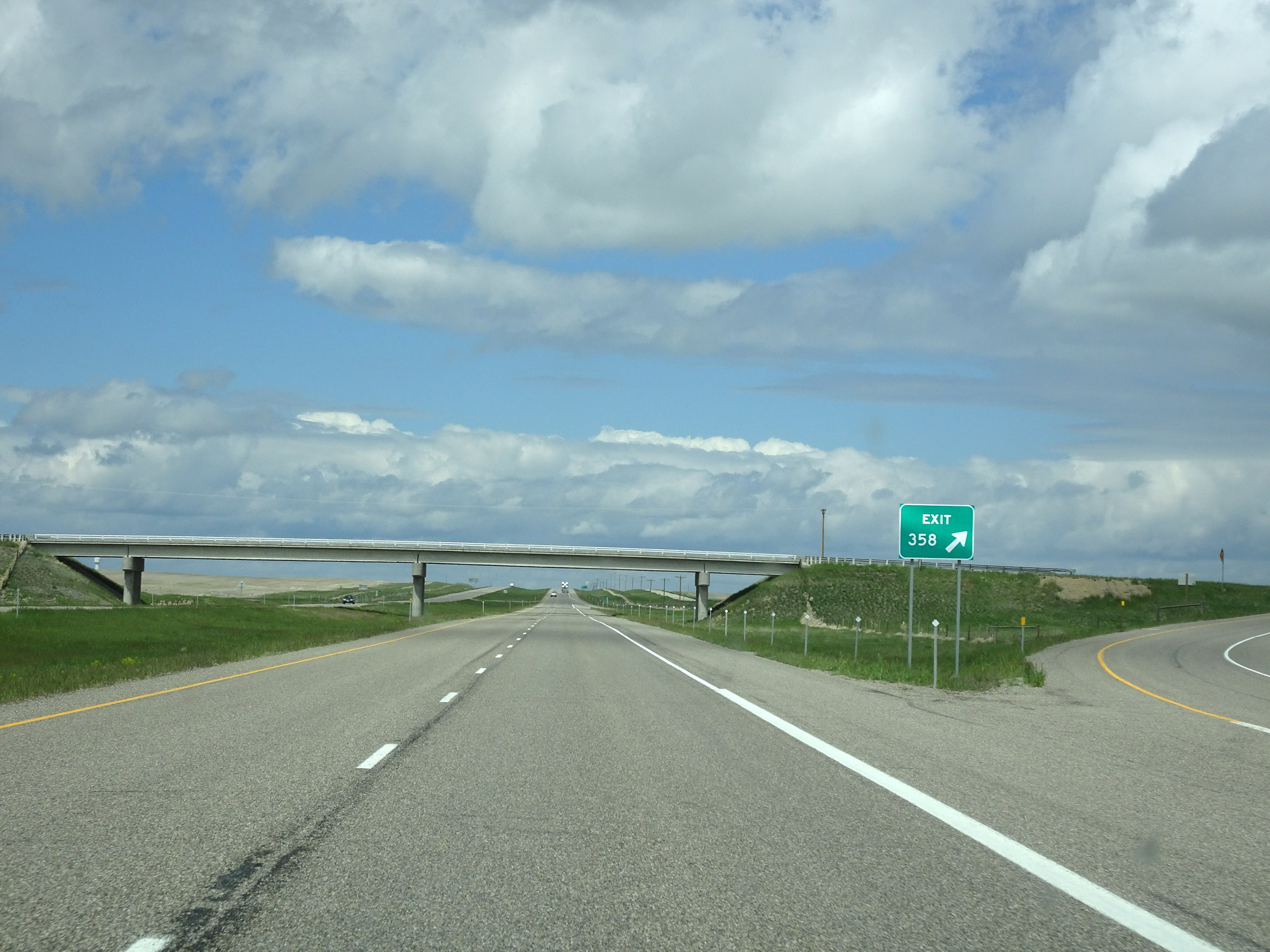 |
Interstate 15 North at Exit 358: Marias Valley Rd / Golf Course Rd (Photo taken 5/24/16). |
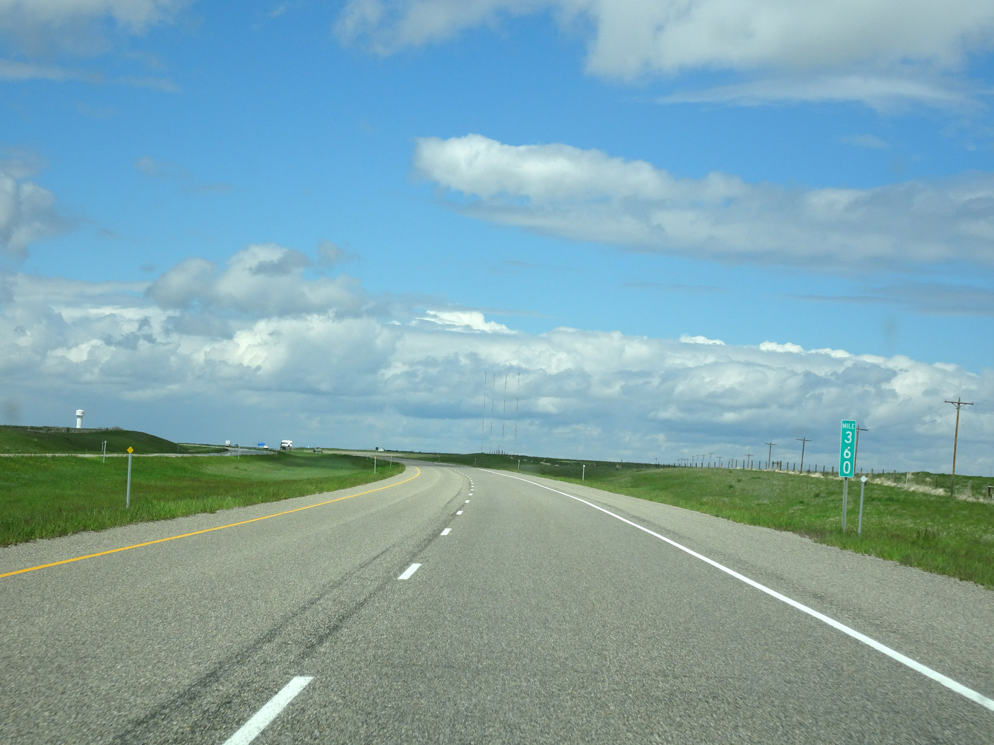 |
Interstate 15 North at mile marker 360. (Photo taken 5/24/16). |
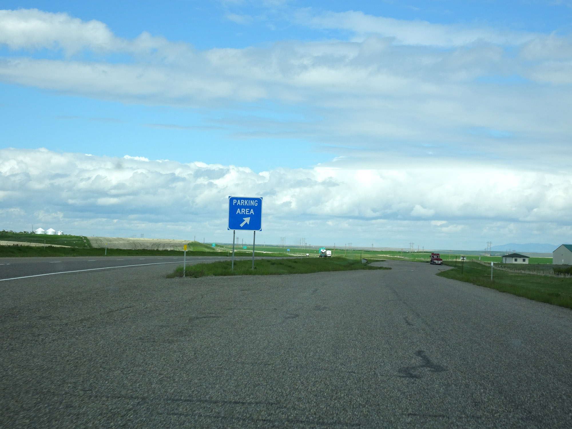 |
Parking Area on Interstate 15 North in Toole County. (Photo taken 5/24/16). |
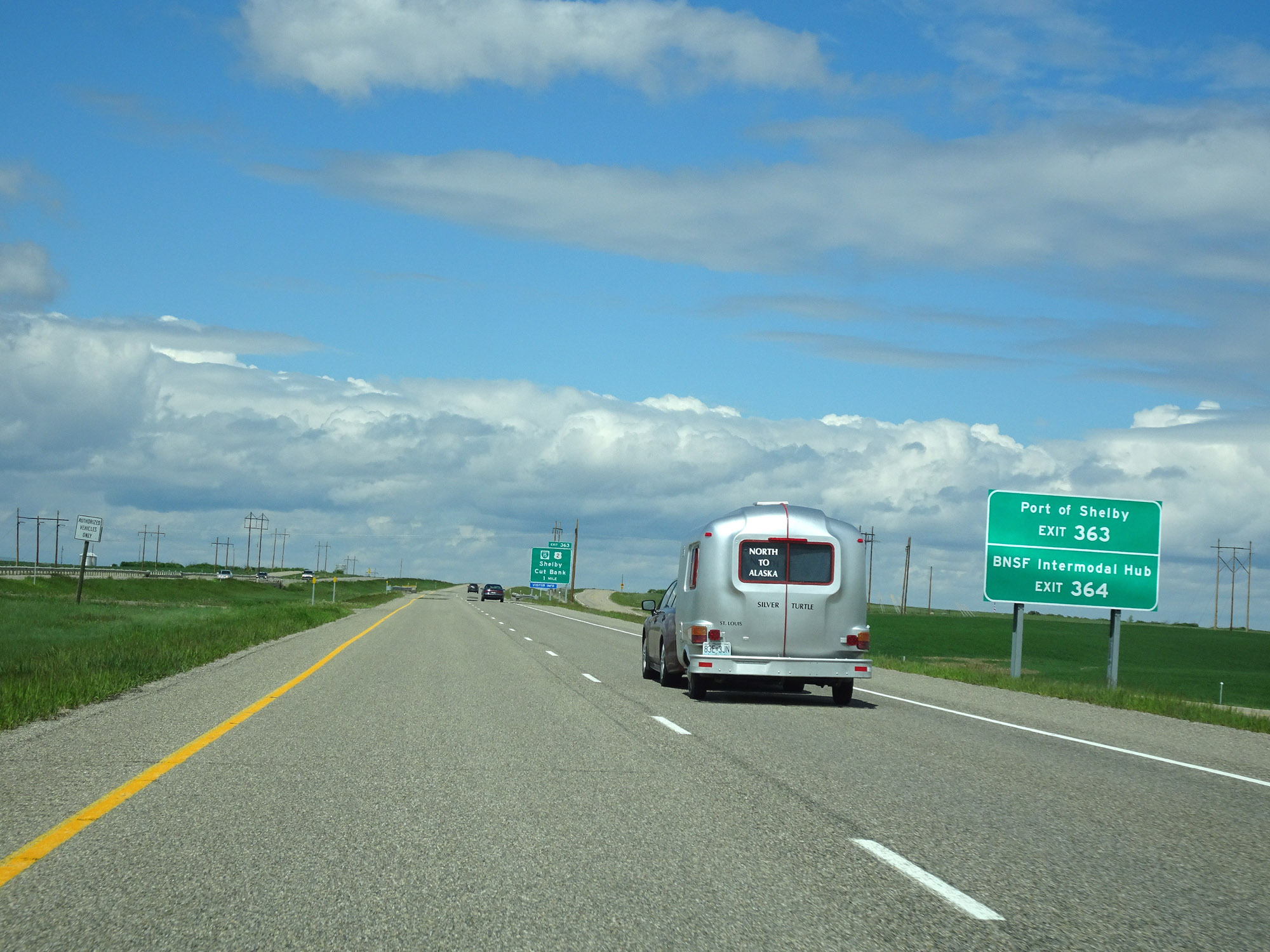 |
Take Exit 363 to Port of Shelby. Take Exit 364 to BNSF Intermodal Hub. (Photo taken 5/24/16). |
 |
Interstate 15 North approaching Exit 363 - 1 mile. (Photo taken 5/24/16). |
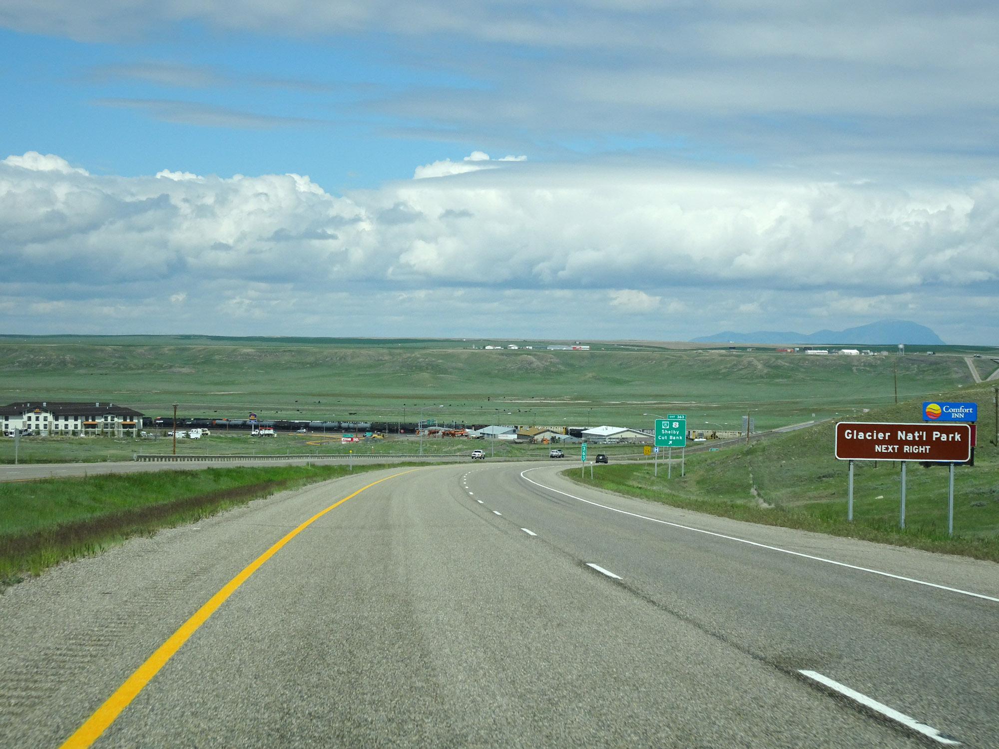 |
Take Exit 363 to Glacier National Park. (Photo taken 5/24/16). |
 |
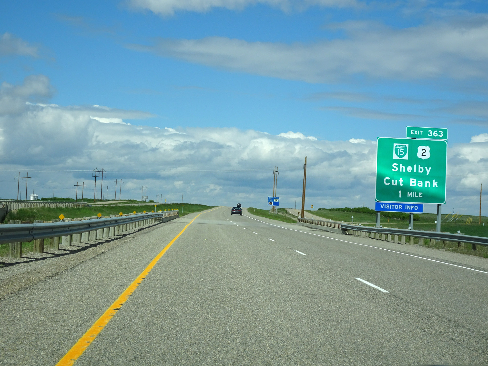
Interstate 15 North at Exit 363: Interstate 15 Business Loop / US 2 - Shelby / Cut Bank (Photo taken 5/24/16). |
Section 4: Shelby (Exit 363) to Canadian Border
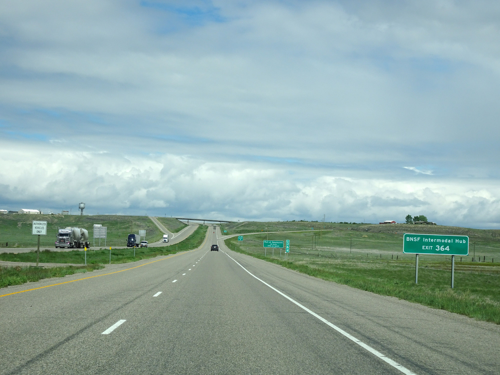 |
Take Exit 364 to the BNSF Intermodal Hub. (Photo taken 5/24/16). |
 |
The Sweetgrass Port of Entry is 34 miles ahead at the Canadian border, and is open 24 hours. (Photo taken 5/24/16). |
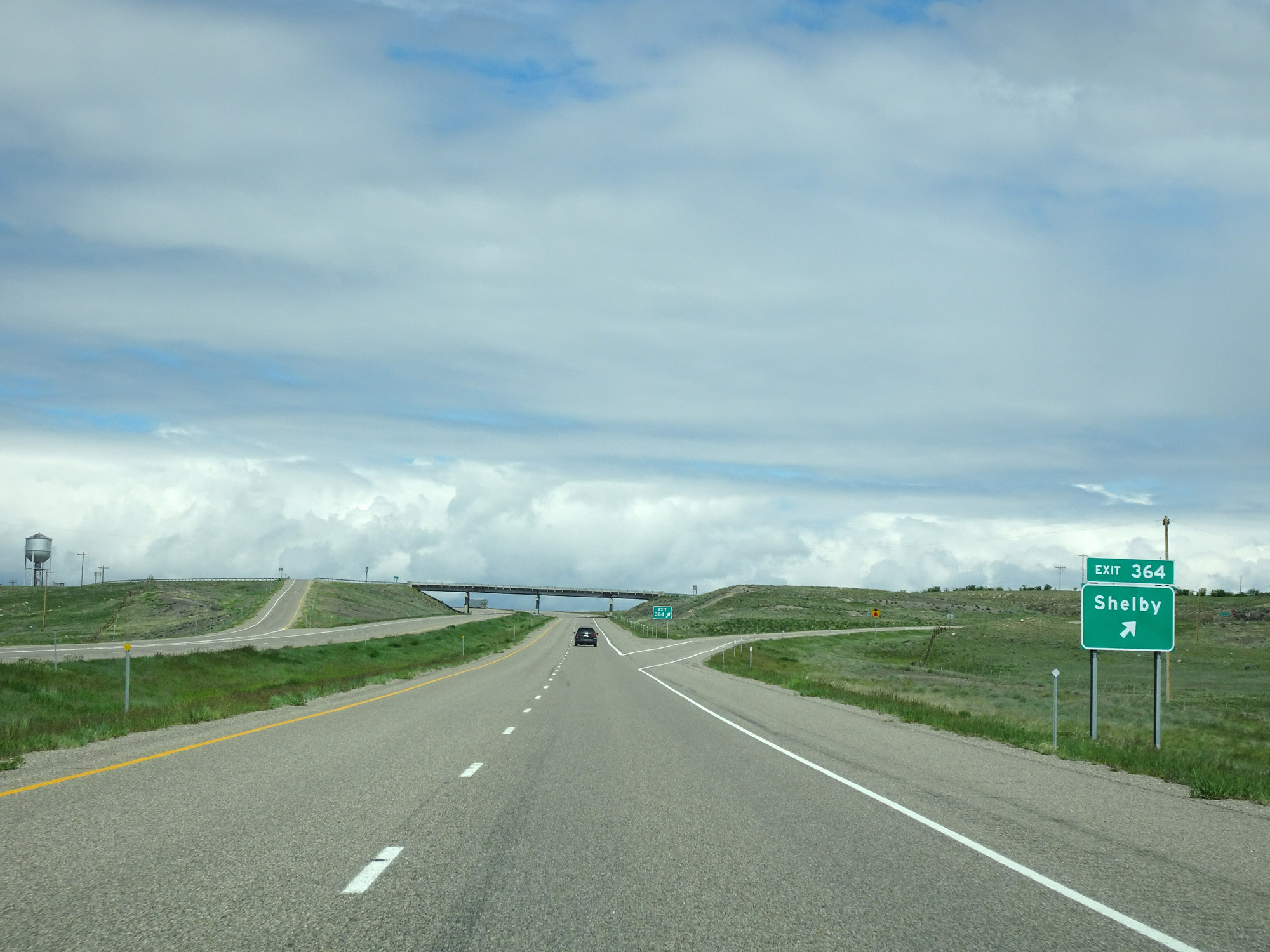 |
Interstate 15 North at Exit 364: Shelby (Photo taken 5/24/16). |
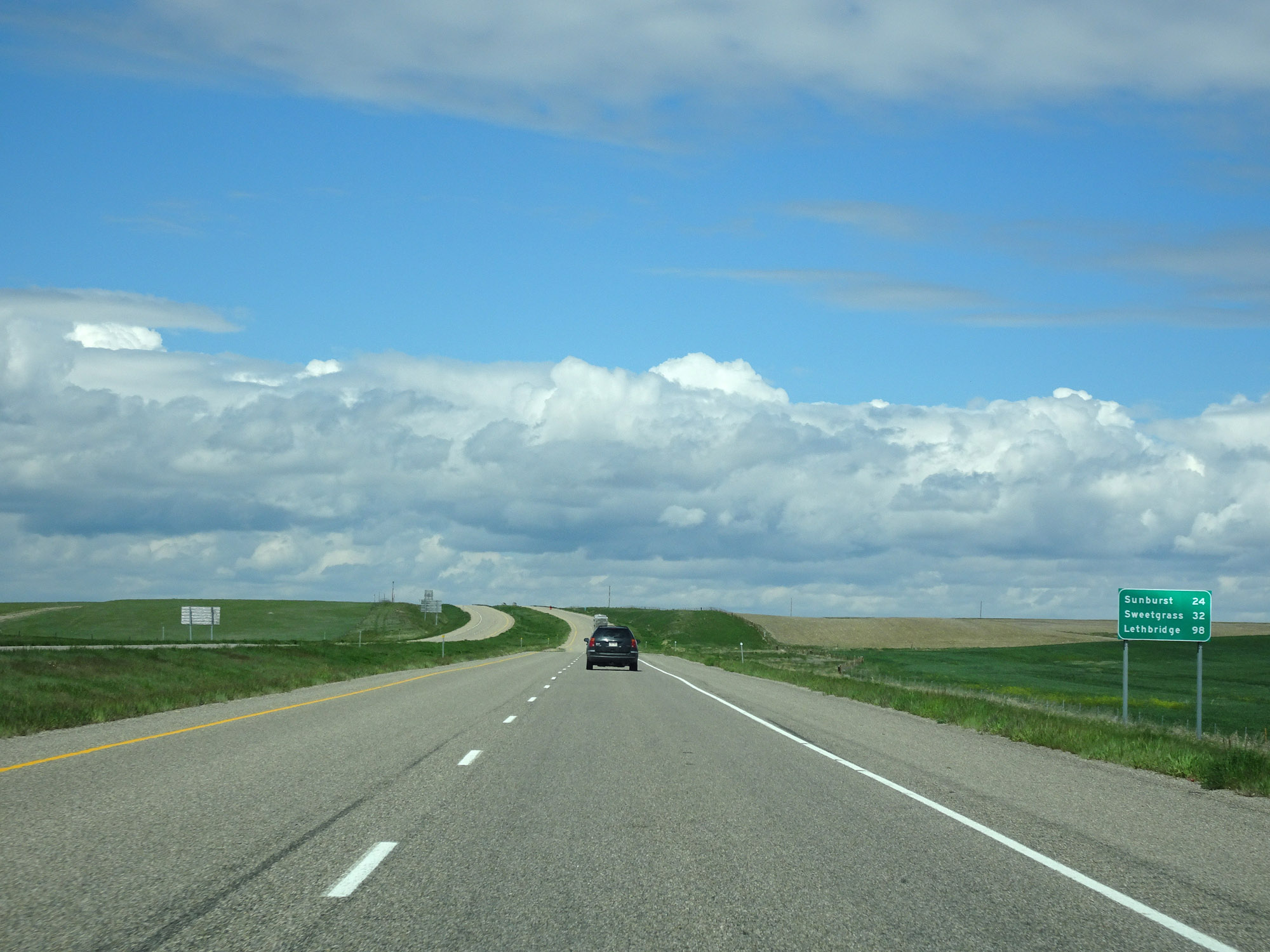 |
Mileage sign on Interstate 15 North. It's 24 miles to Sunburst, 32 miles to Sweetgrass, and 98 miles to Lethbridge. (Photo taken 5/24/16). |
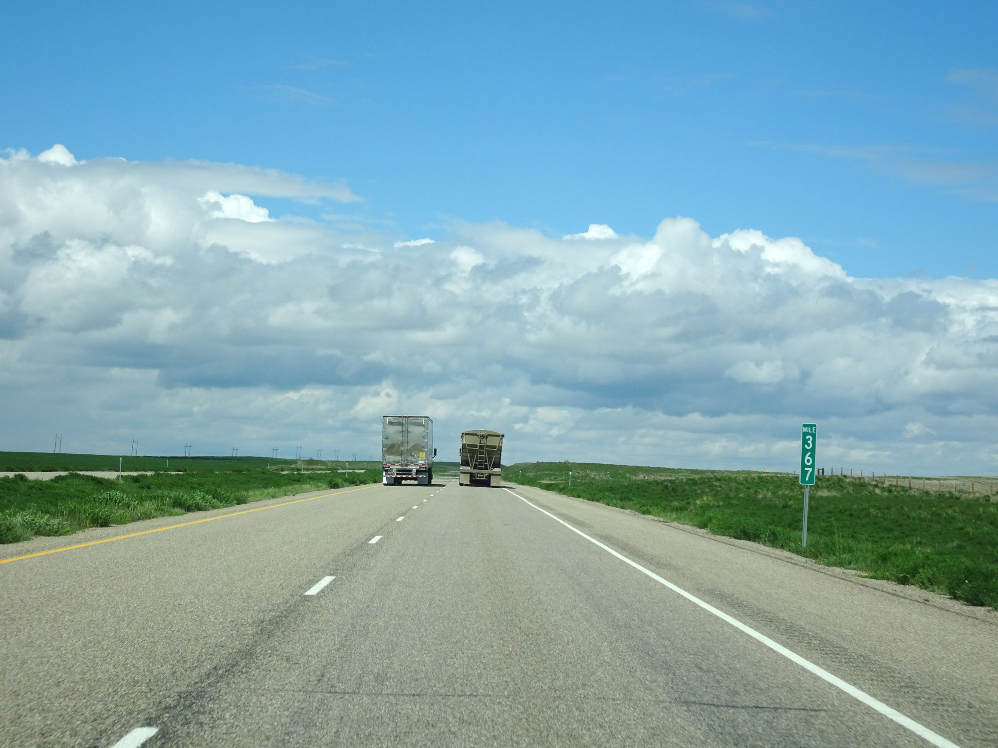 |
Interstate 15 North at mile marker 367. (Photo taken 5/24/16). |
 |
Interstate 15 North approaching Exit 369 - 1/2 mile. (Photo taken 5/24/16). |
 |
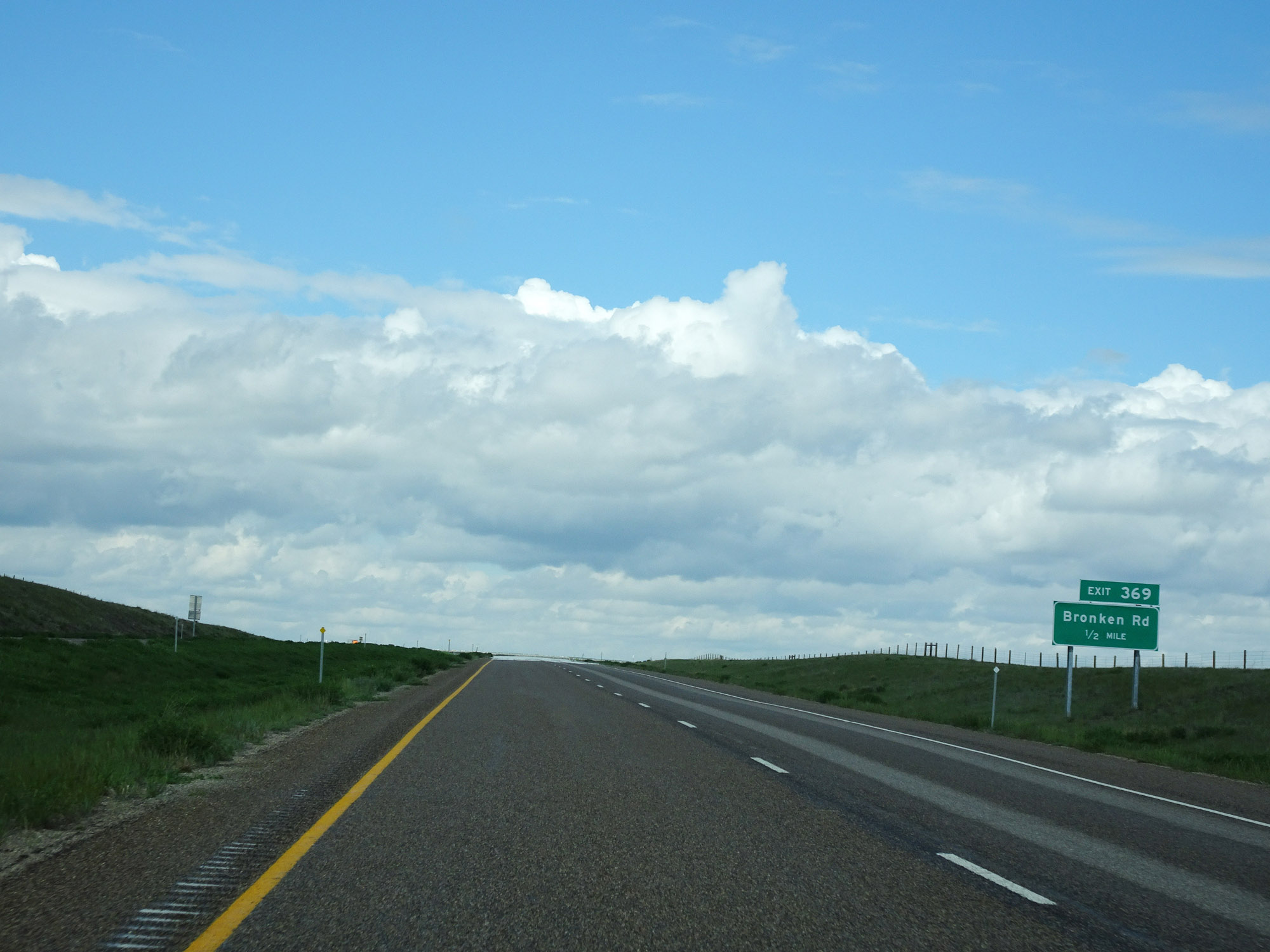
Interstate 15 North at Exit 369: Bronken Rd (Photo taken 5/24/16). |
 |
View on Interstate 15 North at mile marker 371. (Photo taken 5/24/16). |
 |
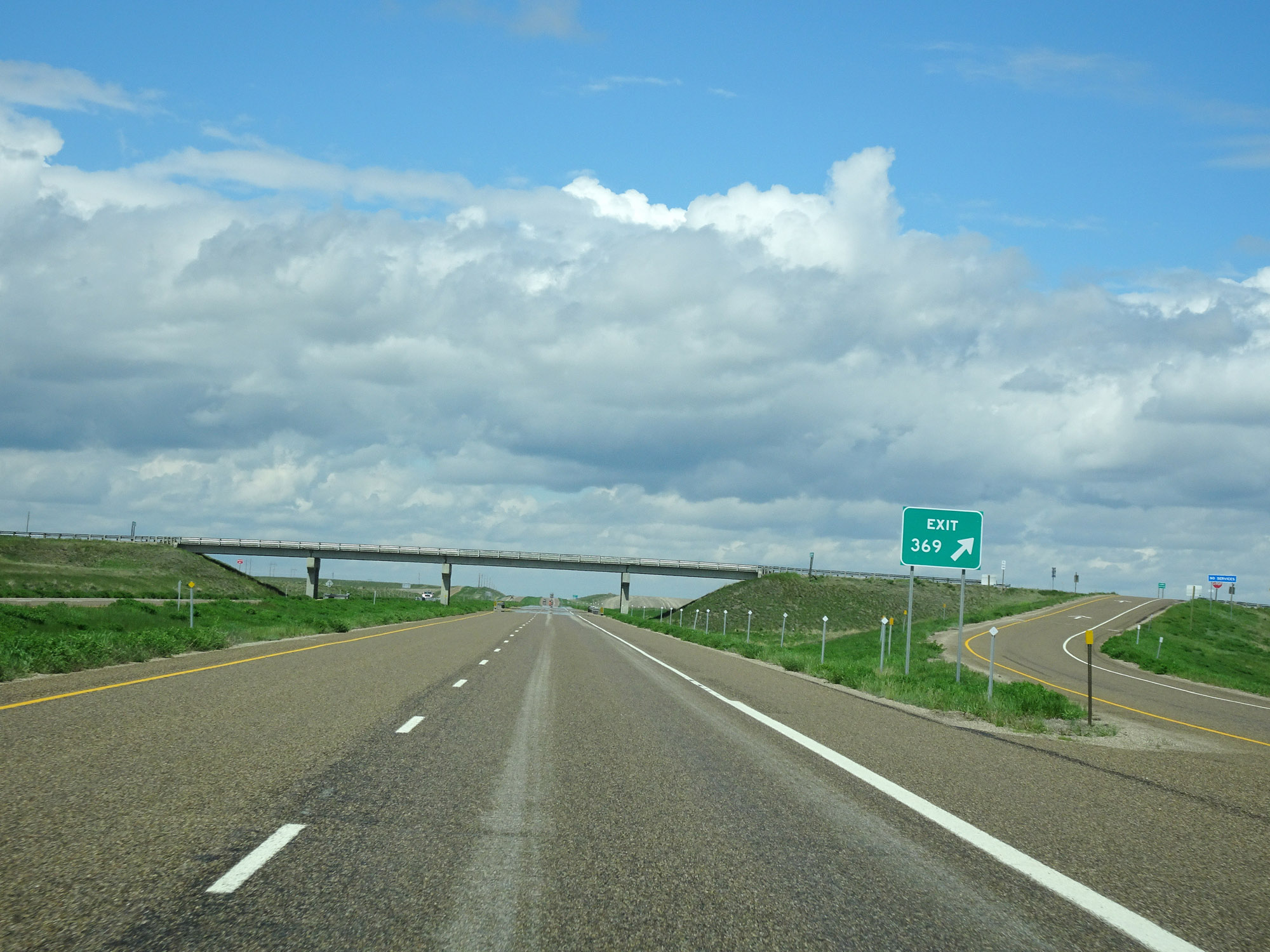
Interstate 15 North approaching Exit 373 - 1/2 mile. (Photo taken 5/24/16). |
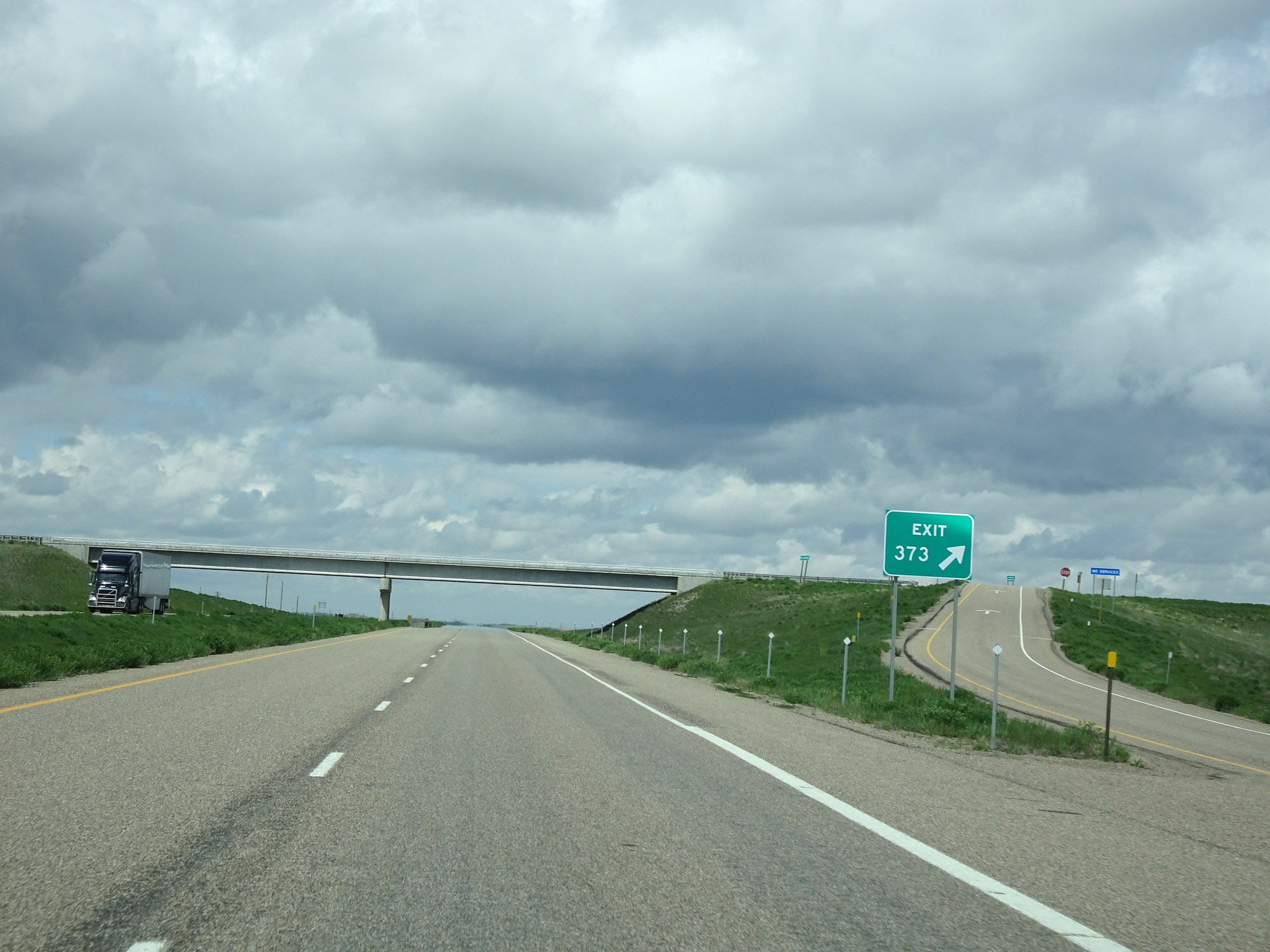 |
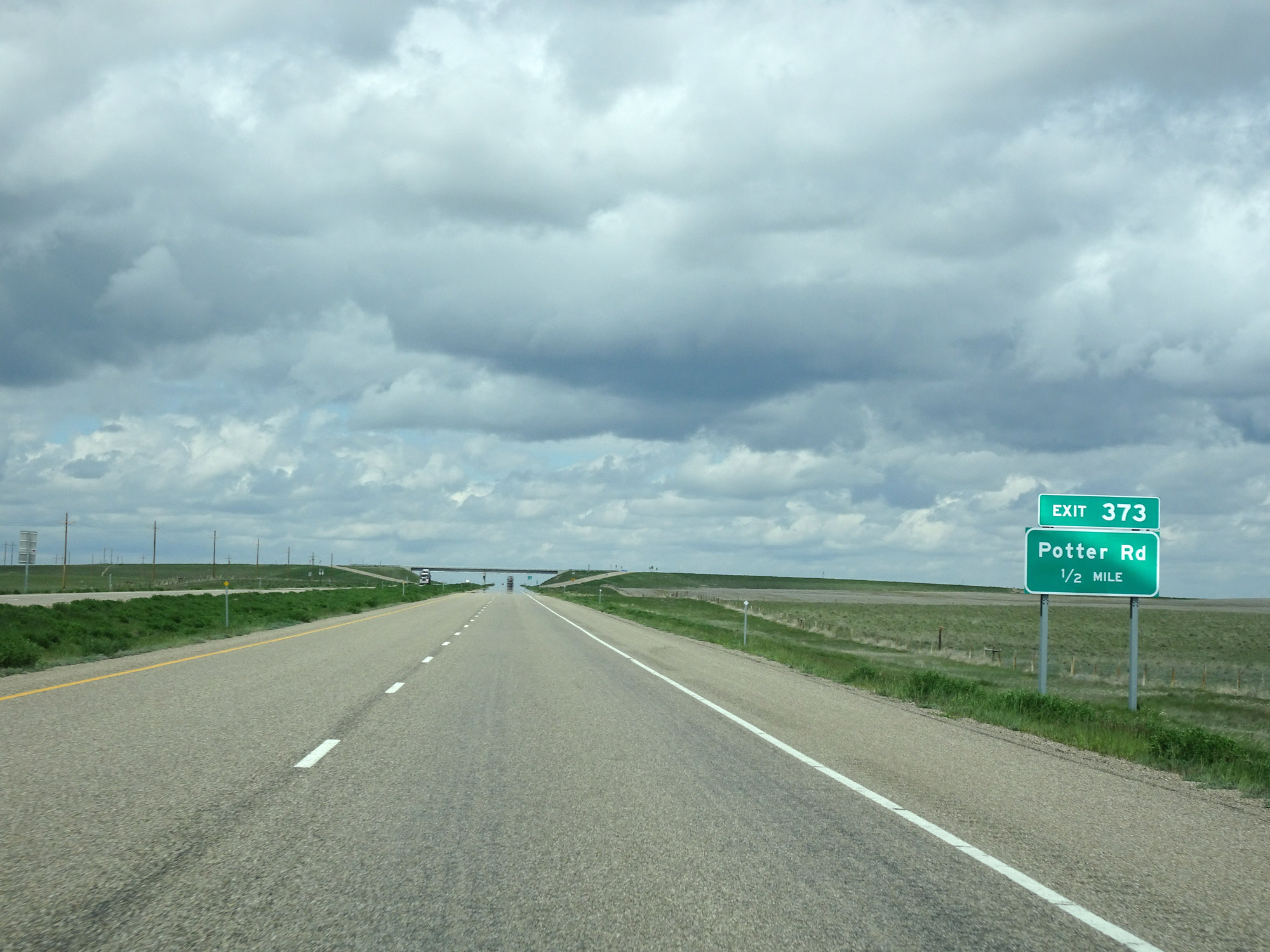
Interstate 15 North at Exit 373: Potter Rd (Photo taken 5/24/16). |
 |
View on Interstate 15 North at mile marker 377. (Photo taken 5/24/16). |
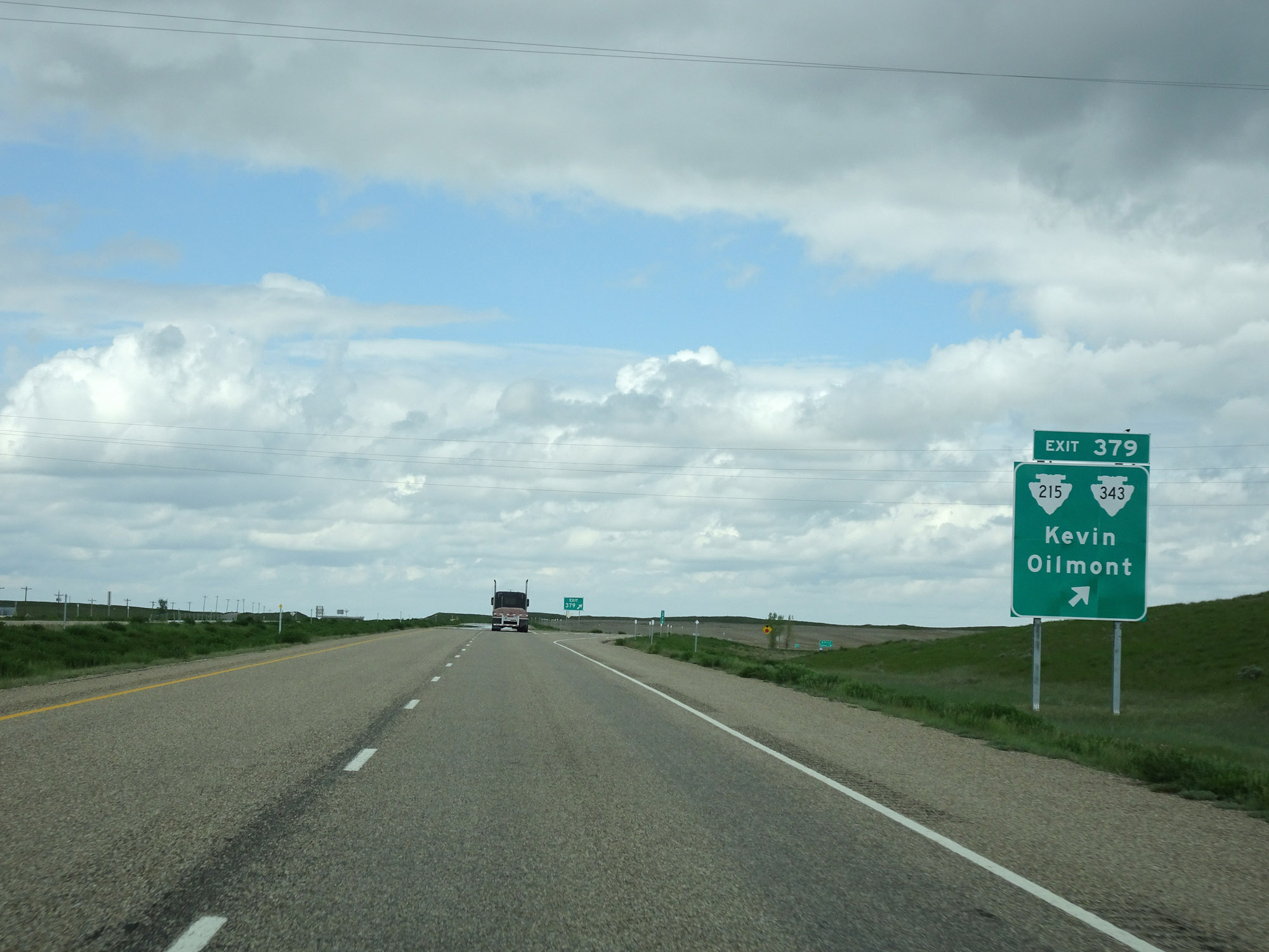 |
Interstate 15 North at Exit 379: S-215 / S-343 - Kevin / Oilmont (Photo taken 5/24/16). |
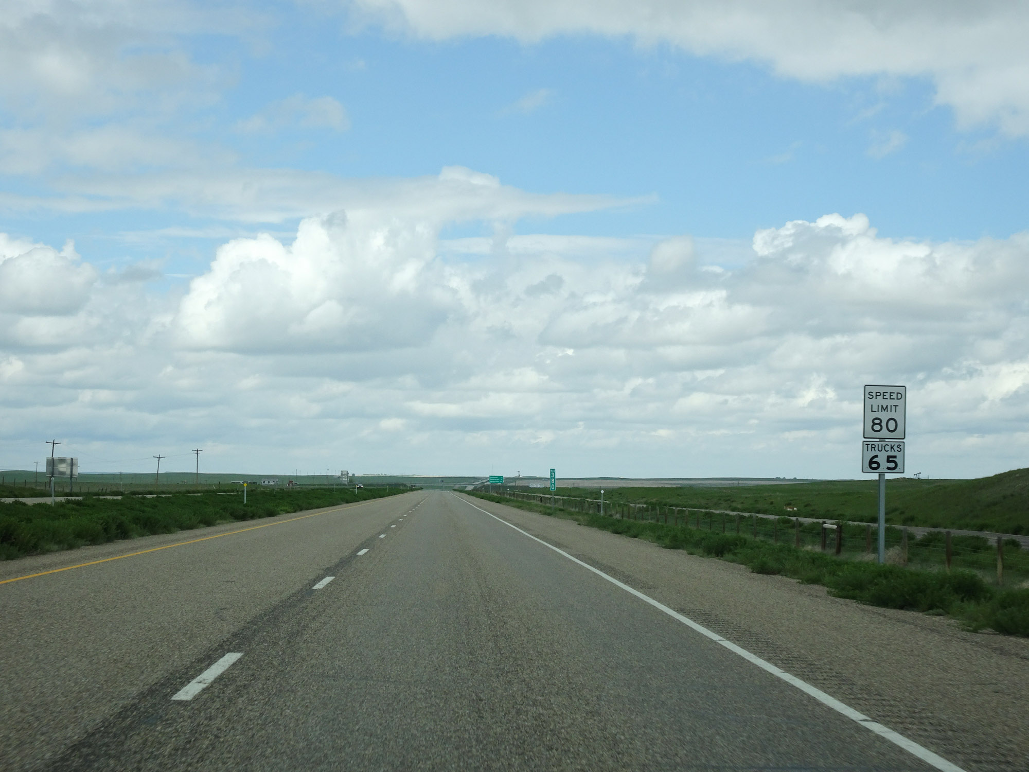 |
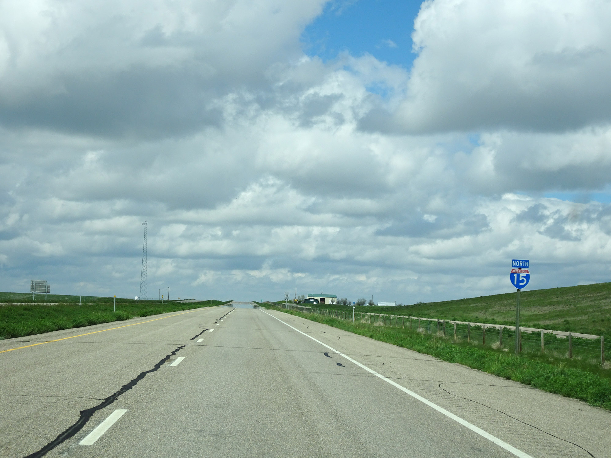
The speed limits remain the rural standard 80 mph for cars and 65 mph for trucks. (Photo taken 5/24/16). |
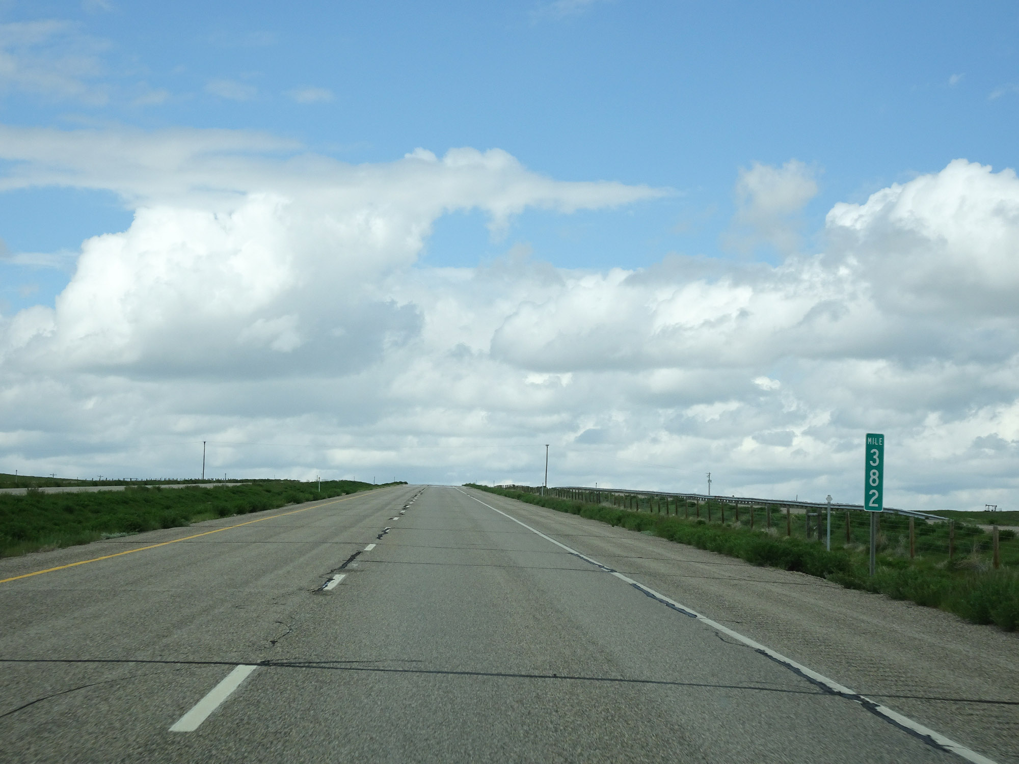 |
Interstate 15 North at mile marker 382. (Photo taken 5/24/16). |
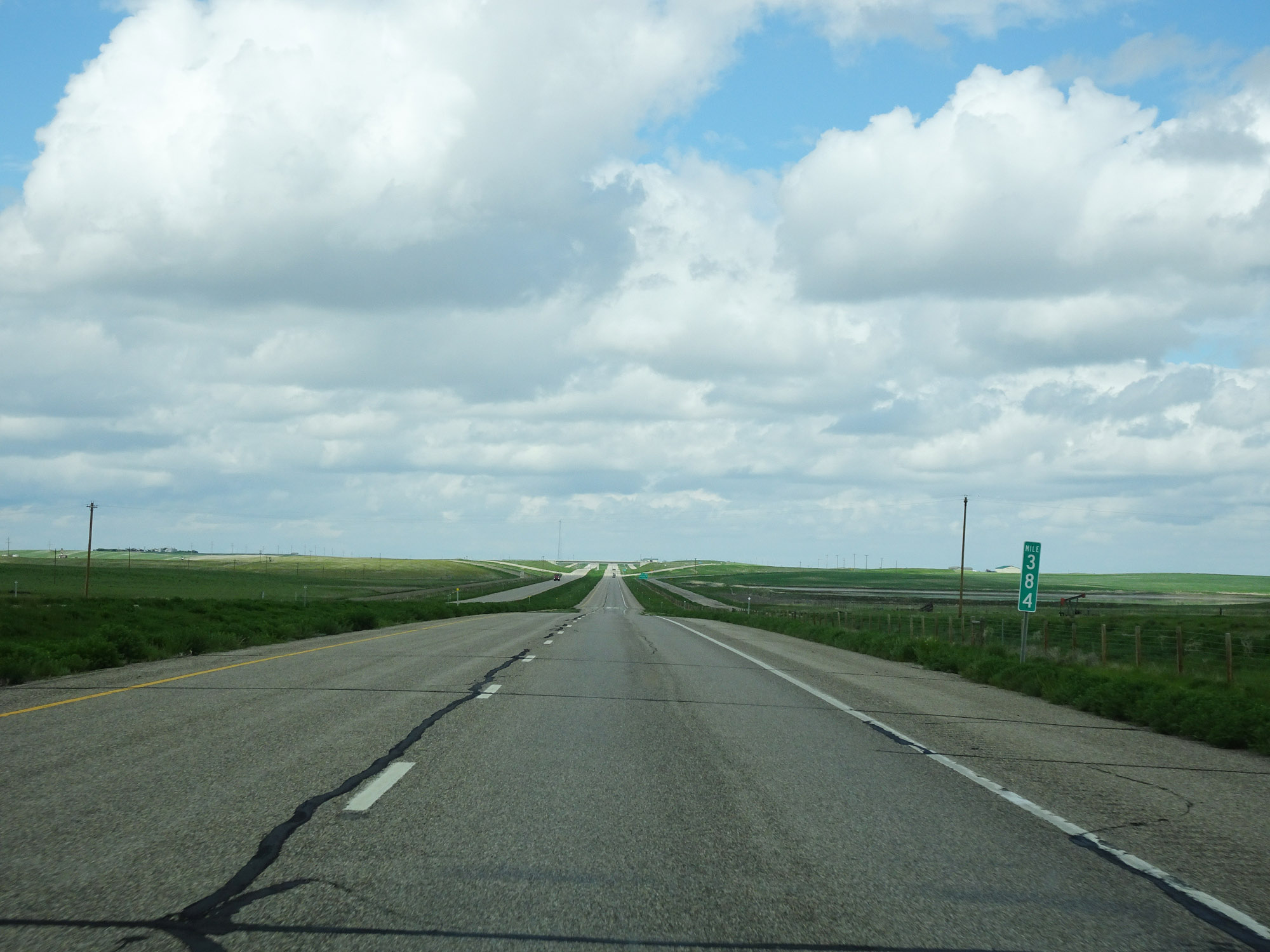 |
View on Interstate 15 North at mile marker 384. (Photo taken 5/24/16). |
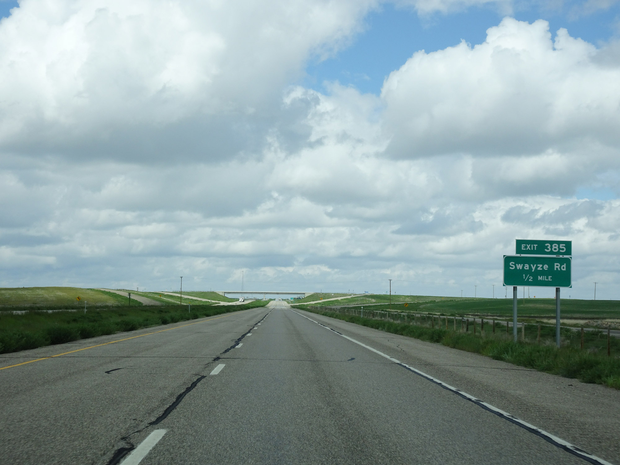 |
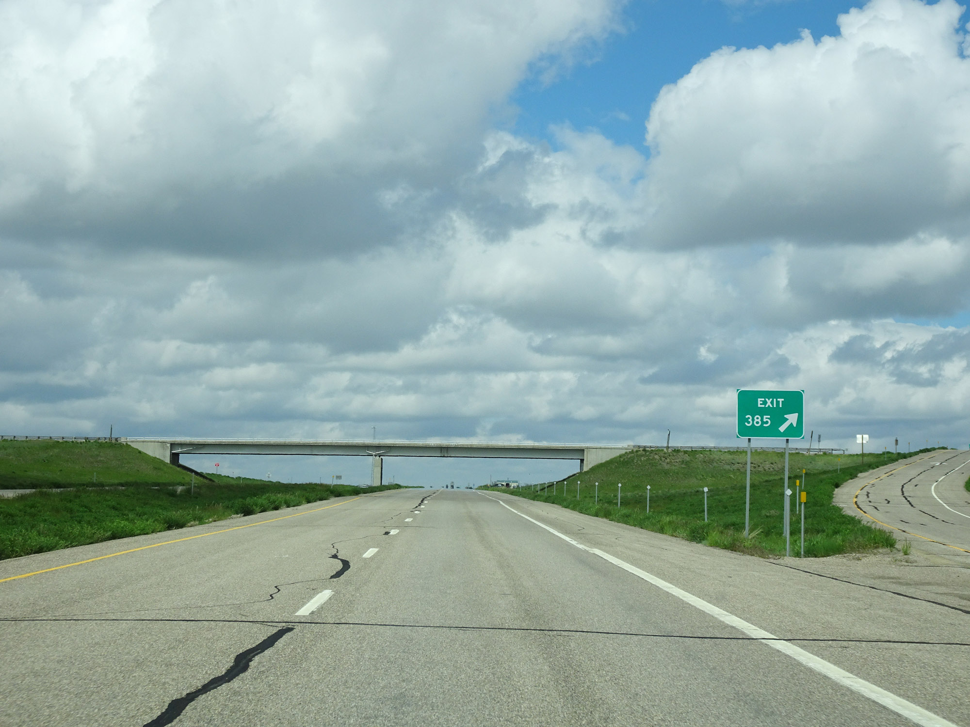
Interstate 15 North approaching Exit 385 - 1/2 mile. (Photo taken 5/24/16). |
 |
Interstate 15 North at Exit 385: Swayze Rd (Photo taken 5/24/16). |
 |
Interstate 15 North reassurance shield. (Photo taken 5/24/16). |
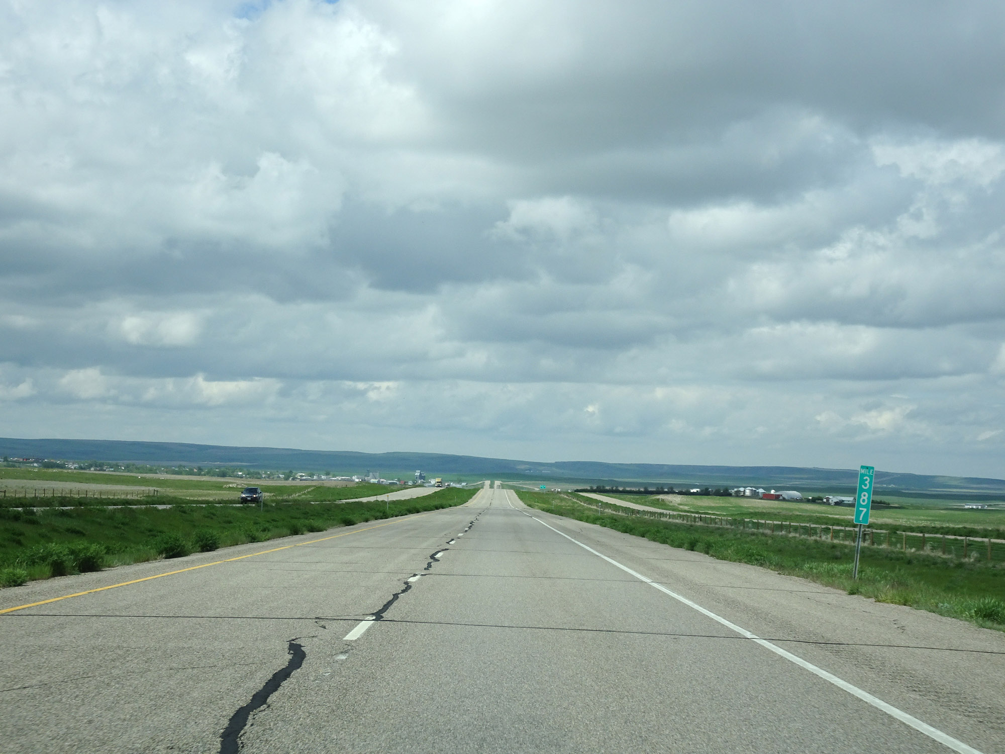 |
View on Interstate 15 North at mile marker 387. (Photo taken 5/24/16). |
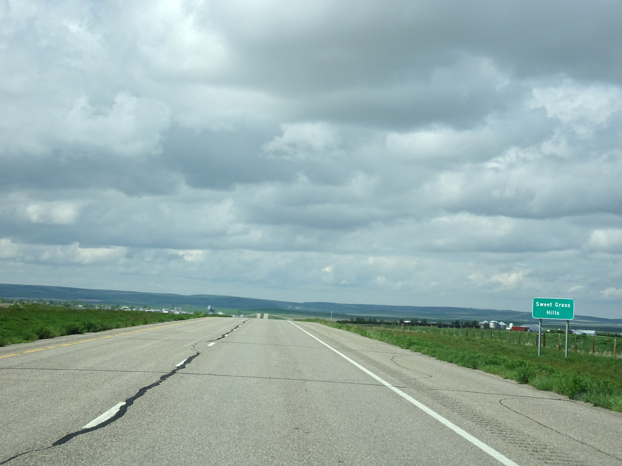 |
Entering the Sweet Grass Hills on Interstate 15 North. (Photo taken 5/24/16). |
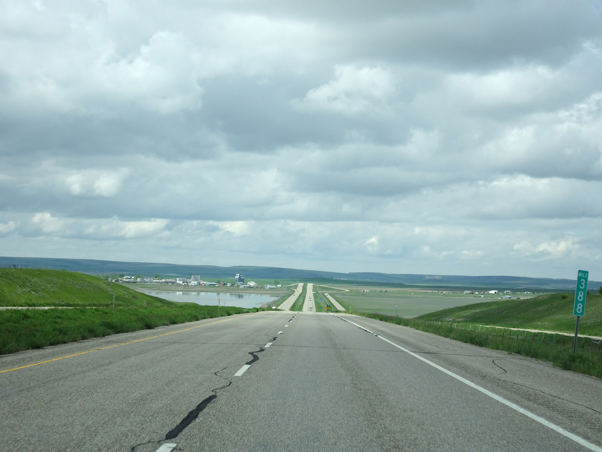 |
Interstate 15 North at mile marker 388. (Photo taken 5/24/16). |
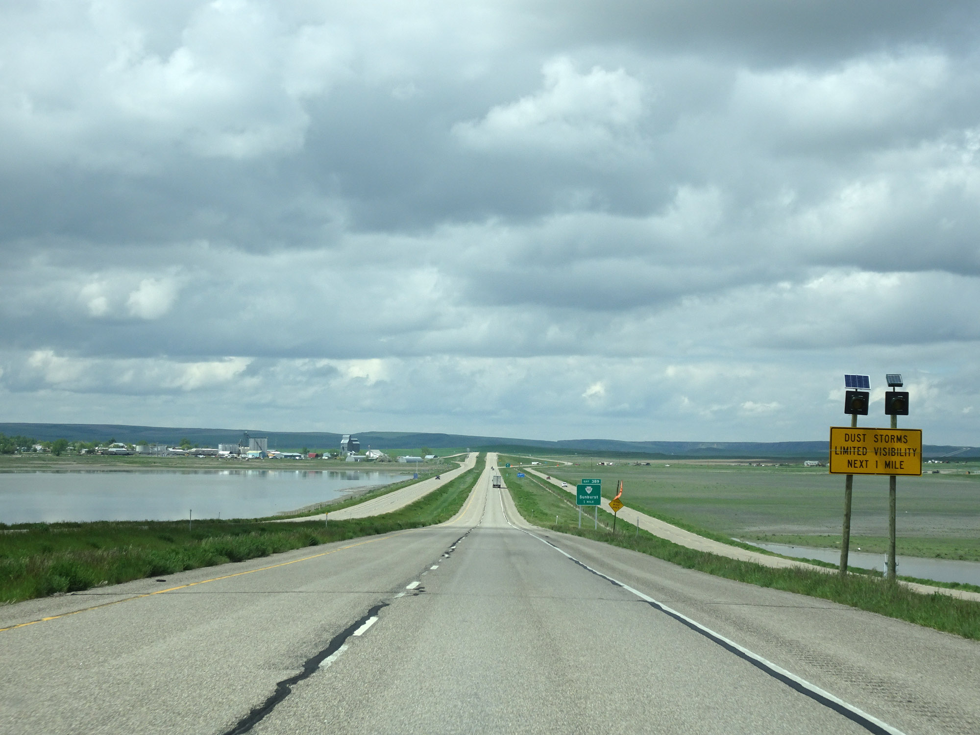 |
This sign warns that dust storms are possible for the next mile on Interstate 15 North. (Photo taken 5/24/16). |
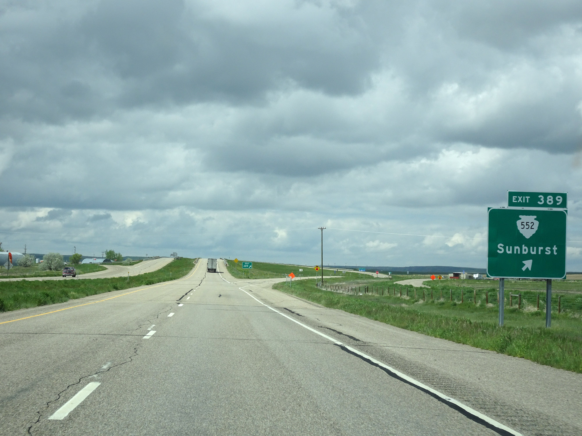 |
Interstate 15 North at Exit 389: S-552 - Sunburst (Photo taken 5/24/16). |
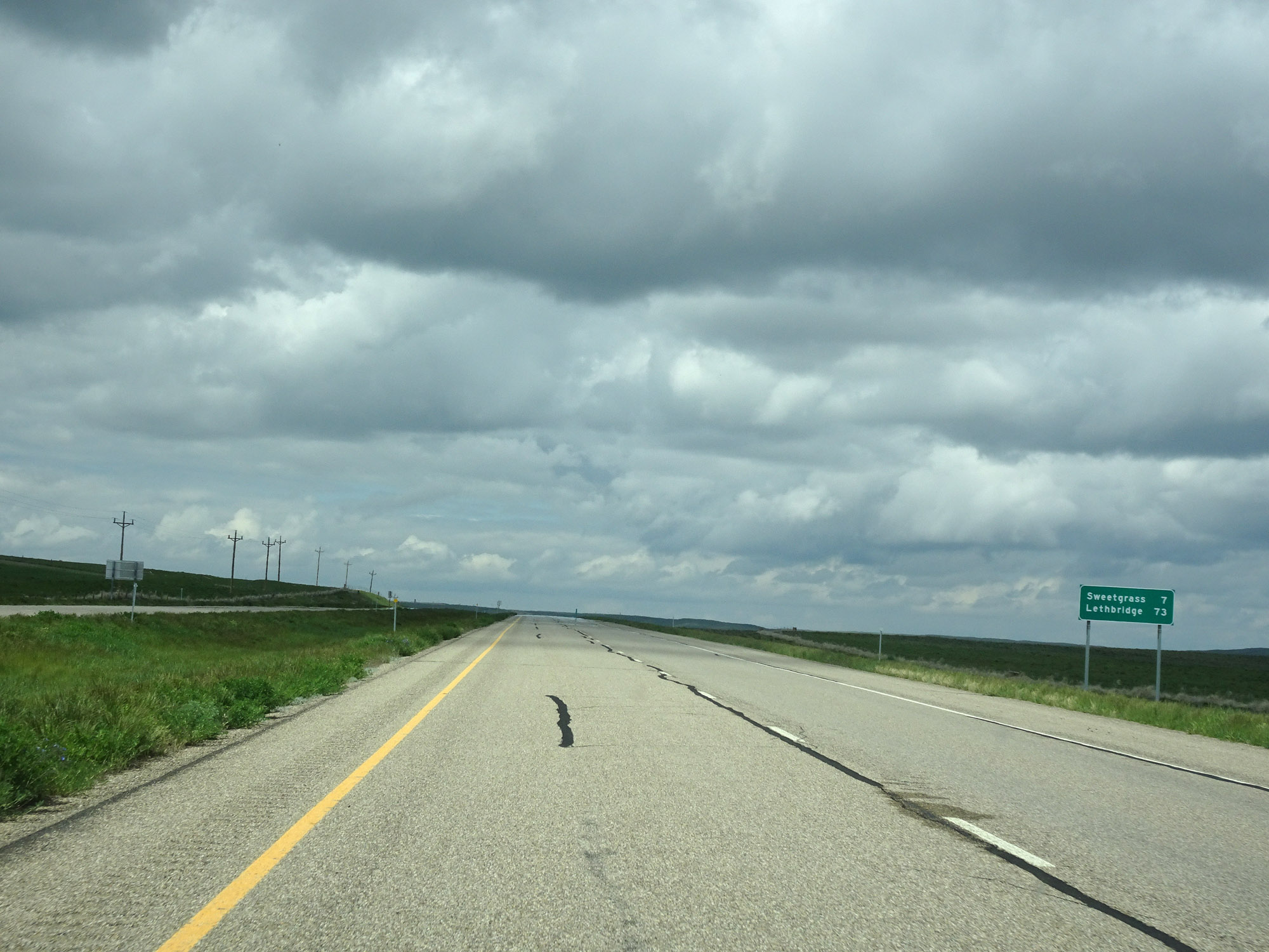 |
It's now just 7 miles to Sweetgrass and 73 miles to Lethbridge. (Photo taken 5/24/16). |
 |
View on Interstate 15 North at mile marker 391. (Photo taken 5/24/16). |
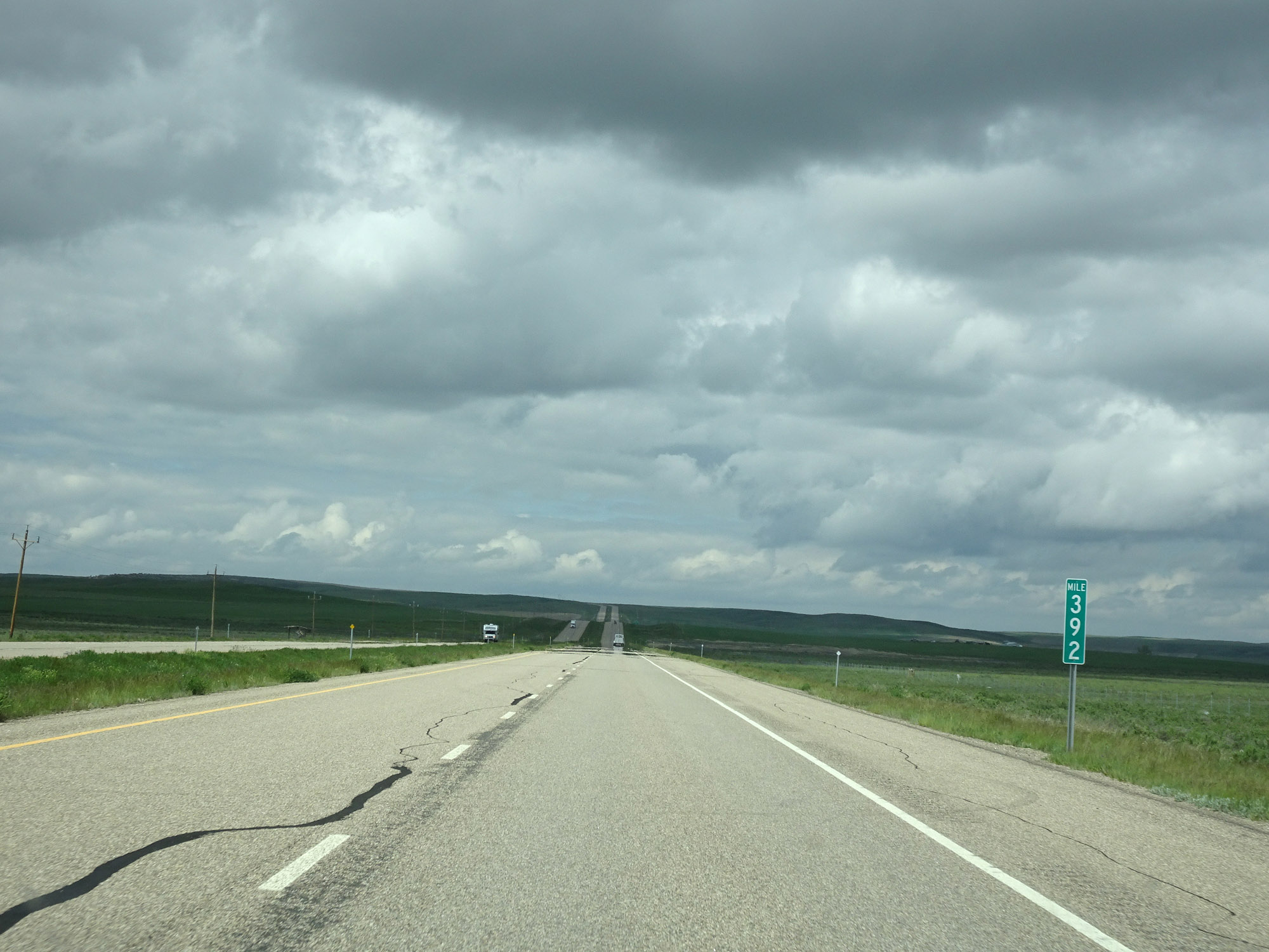 |
Interstate 15 North at mile marker 392. (Photo taken 5/24/16). |
 |
Interstate 15 North approaching Exit 394 - 1/2 mile. (Photo taken 5/24/16). |
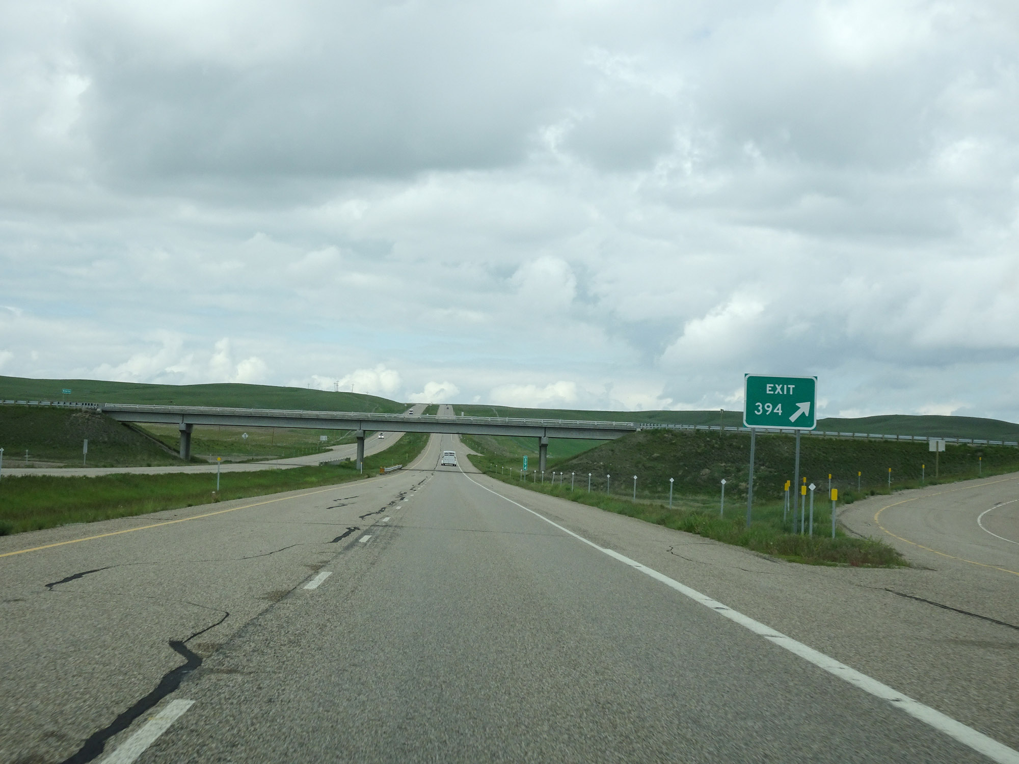 |
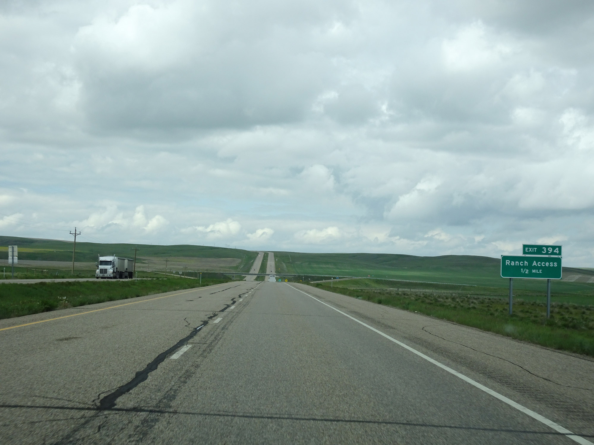
Interstate 15 North at Exit 394: Ranch Access (Photo taken 5/24/16). |
 |
View on Interstate 15 North at mile marker 396. (Photo taken 5/24/16). |
 |
Interstate 15 North approaching Exit 397 - 1 mile. (Photo taken 5/24/16). |
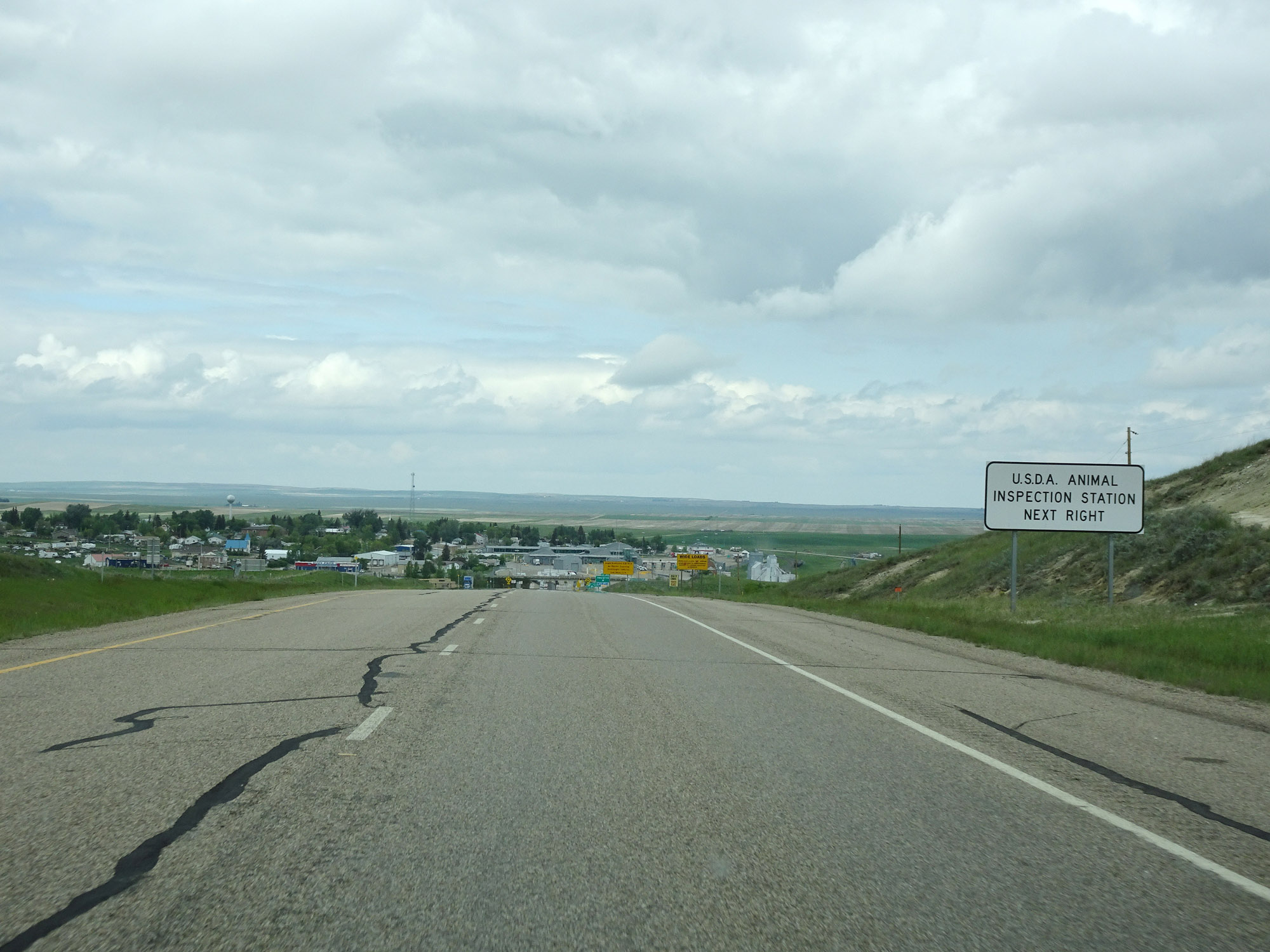 |
Take Exit 397 to the U.S.D.A. Animal Inspection Station. (Photo taken 5/24/16). |
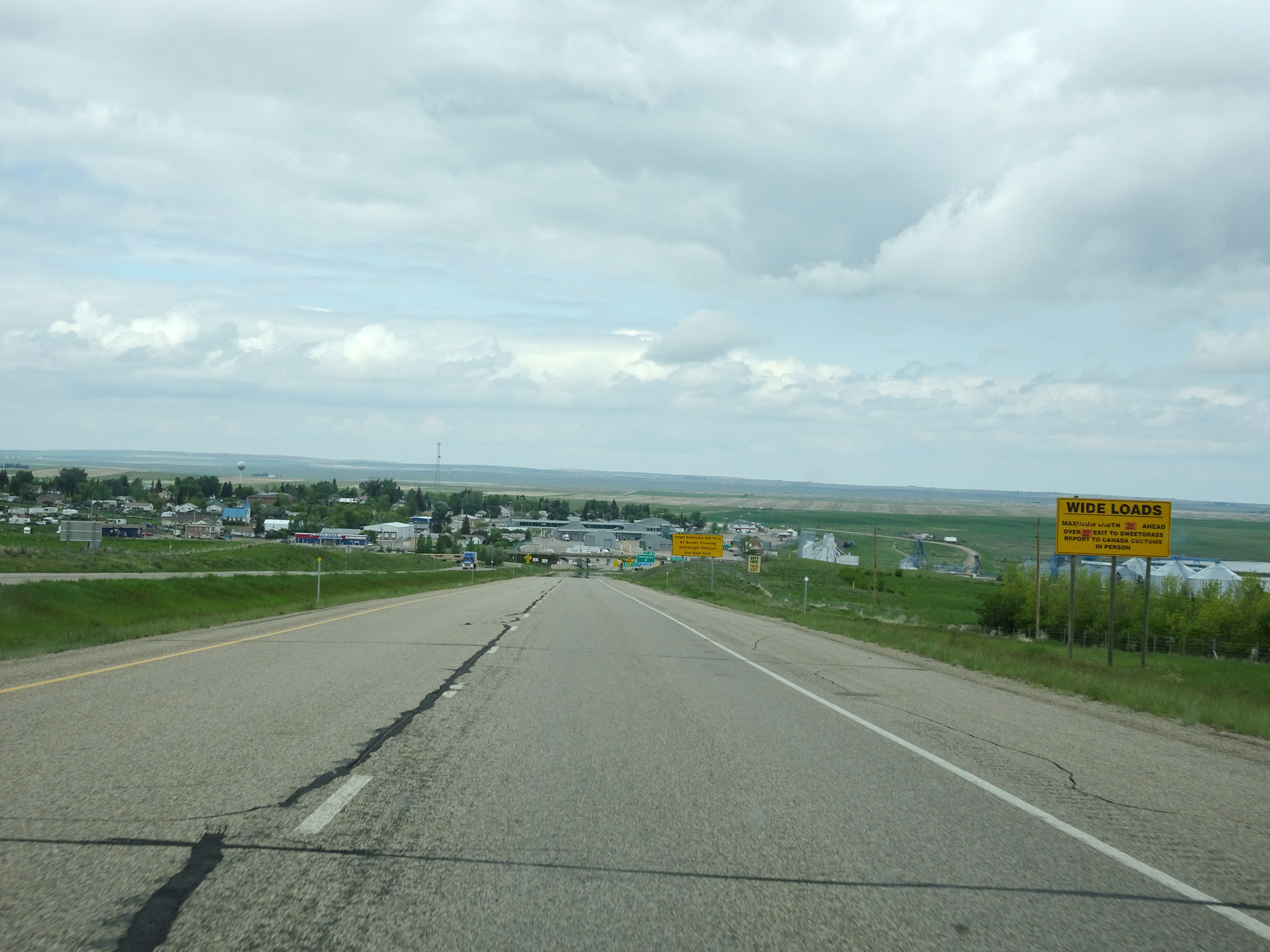 |
Wide loads over 22' must take Exit 397 and report to Canada customs in person. (Photo taken 5/24/16). |
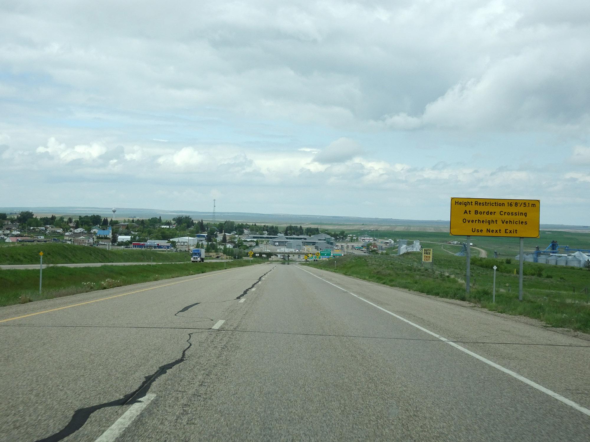 |
Likewise, vehicles over 16'8" or 5.1 meters must take Exit 397. (Photo taken 5/24/16). |
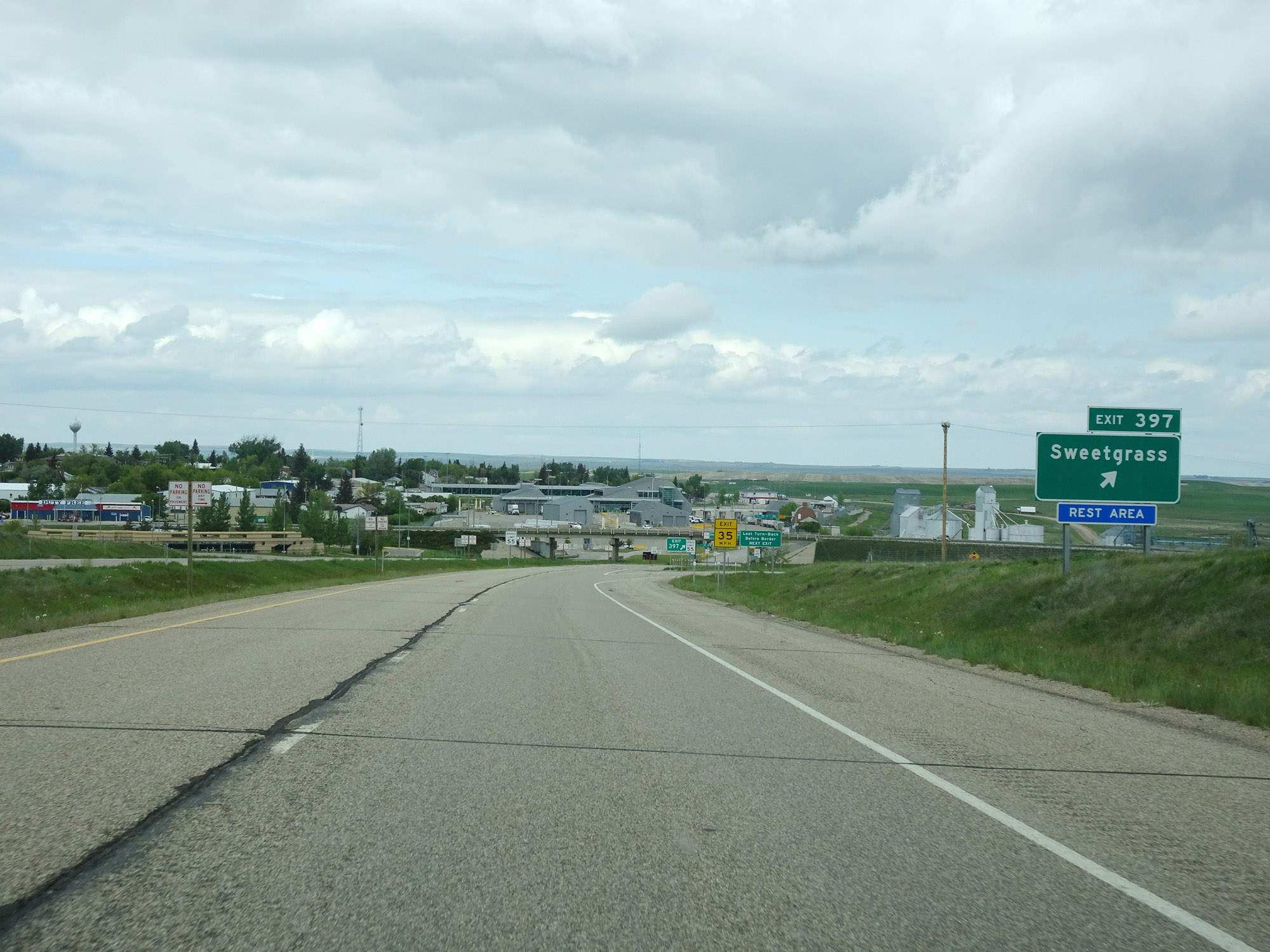 |
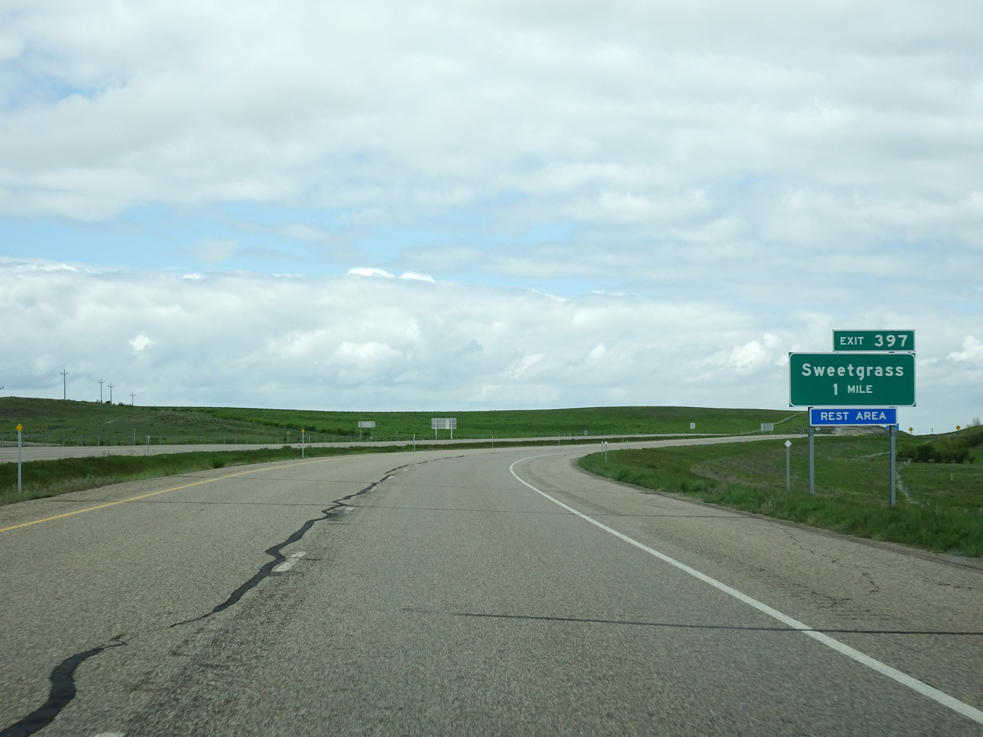
Interstate 15 North at Exit 397: Sweetgrass (Photo taken 5/24/16). |
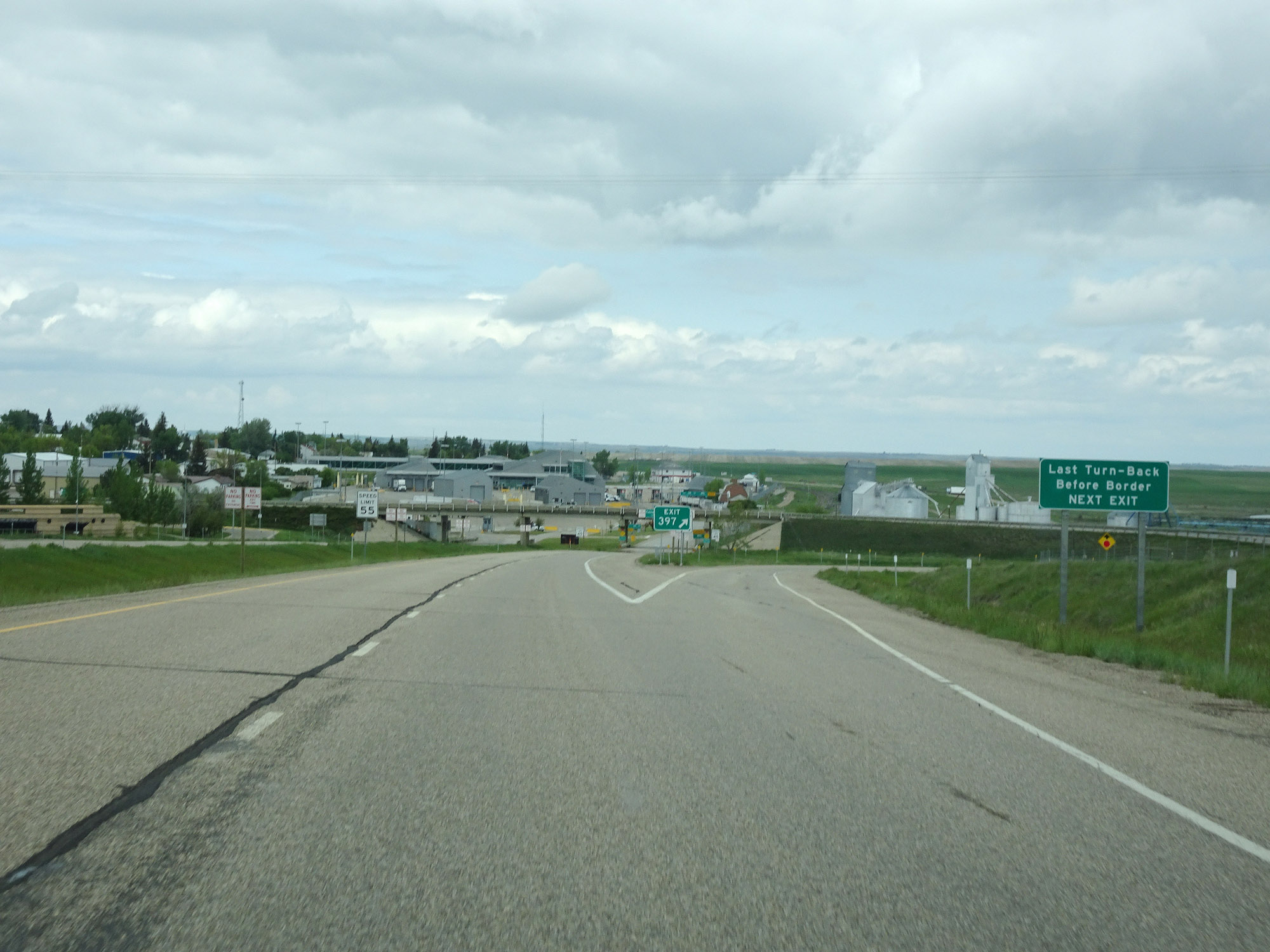 |
This sign just before the ramp to Exit 397 states that Exit 397 is the last turn-back before the border and Canada customs station. (Photo taken 5/24/16). |
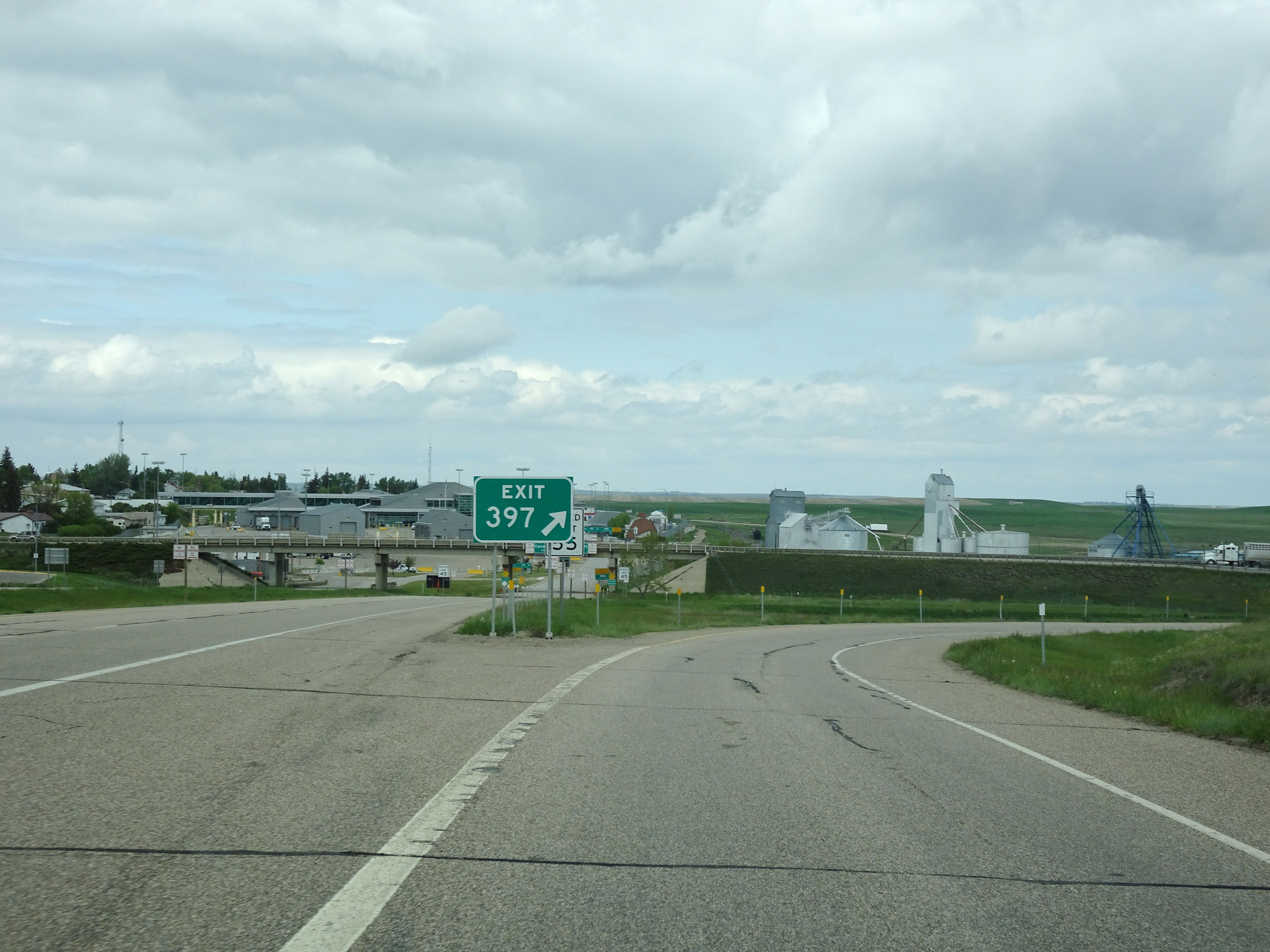 |
View on the ramp for Exit 397. (Photo taken 5/24/16). |
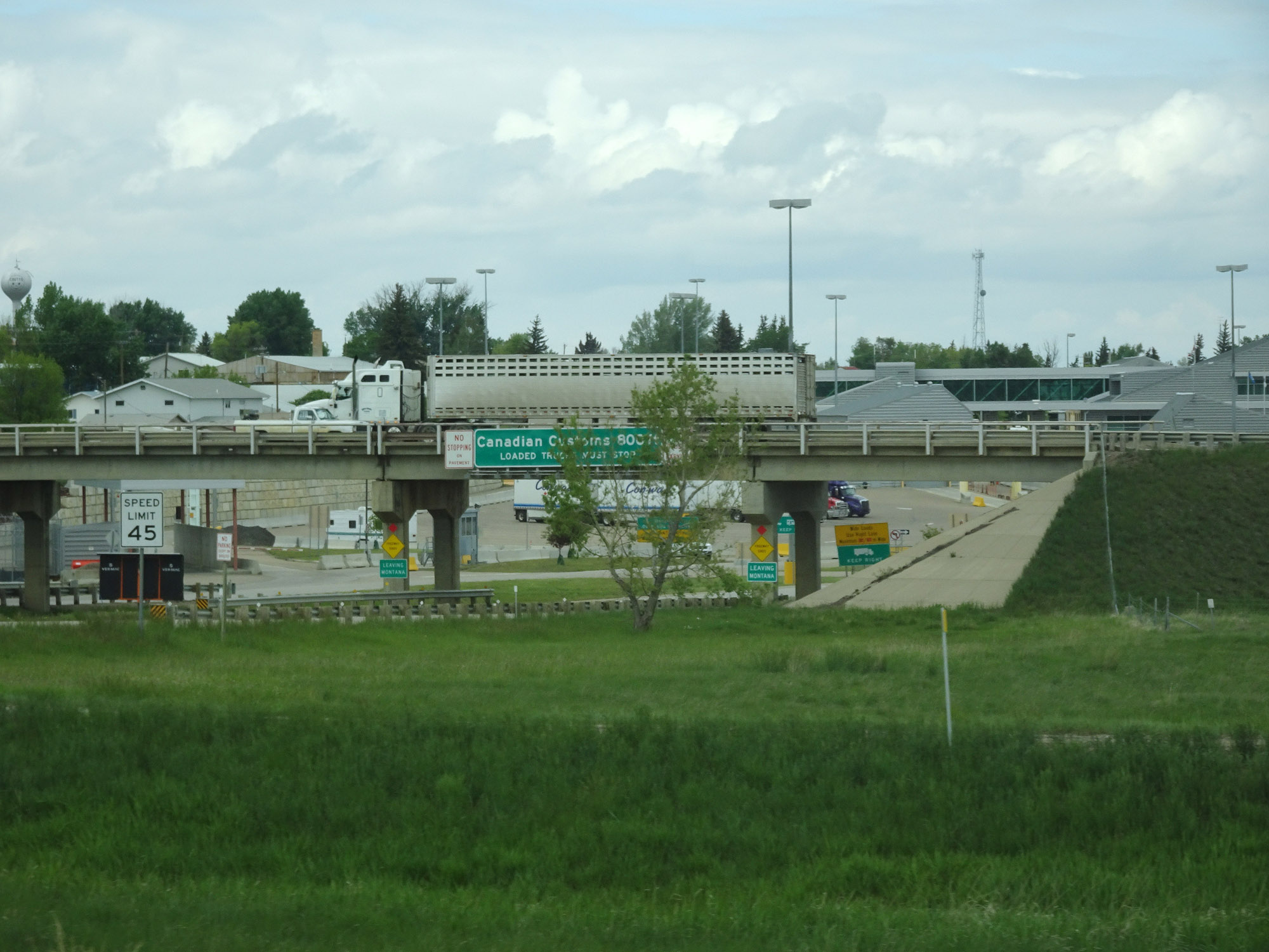 |
These signs, easily visible from the ramp for Exit 397, state that Canadian Customs is just 800 feet ahead and that you're now leaving Montana. (Photo taken 5/24/16). |
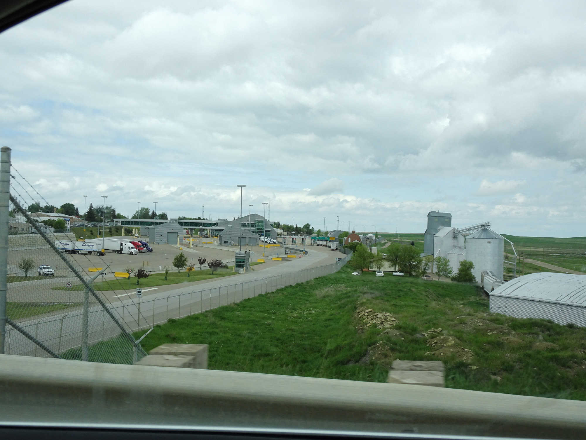 |
View of the Canadian customs station at the northern terminus of Interstate 15. (Photo taken 5/24/16). |