Road Information |
||
 |
||
| Total Mileage in State: | 210 miles | |
| Northern End: | At Illinois state line | |
| Southern End: | At Arkansas state line | |
| Mileage covered in Photos: | 210 miles | |
| Counties covered in Photos: | Pemiscot, New Madrid, Scott, Cape Girardeau, Perry, Ste. Genevieve, Jefferson, St. Louis | |
| Major Junctions in Photos: | I-155, near Hayti I-57/US 60, in Sikeston I-255/I-270, in St. Louis I-44, in St. Louis I-64, in St. Louis |
|
| Control Cities in Photos: | New Madrid, Sikeston, Cape Girardeau, St. Louis | |
Northbound
- Section 1: Arkansas Border to Sikeston (Exit 66B)
- Section 2: Sikeston (Exit 66B) to Ste. Genevieve (Exit 150)
- Section 3: Ste. Genevieve (Exit 150) to Illinois Border
Section 1: Arkansas Border to Sikeston (Exit 66B)
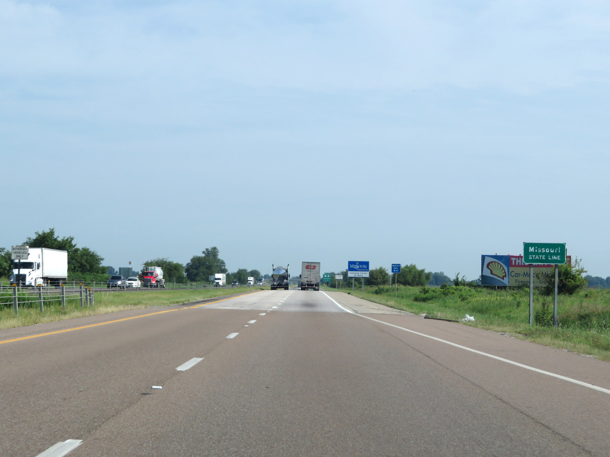 |
Entering Missouri from Arkansas on Interstate 55 North. (Photo taken 8/13/19). |
 |
Missouri welcome sign on Interstate 55 North. (Photo taken 8/13/19). |
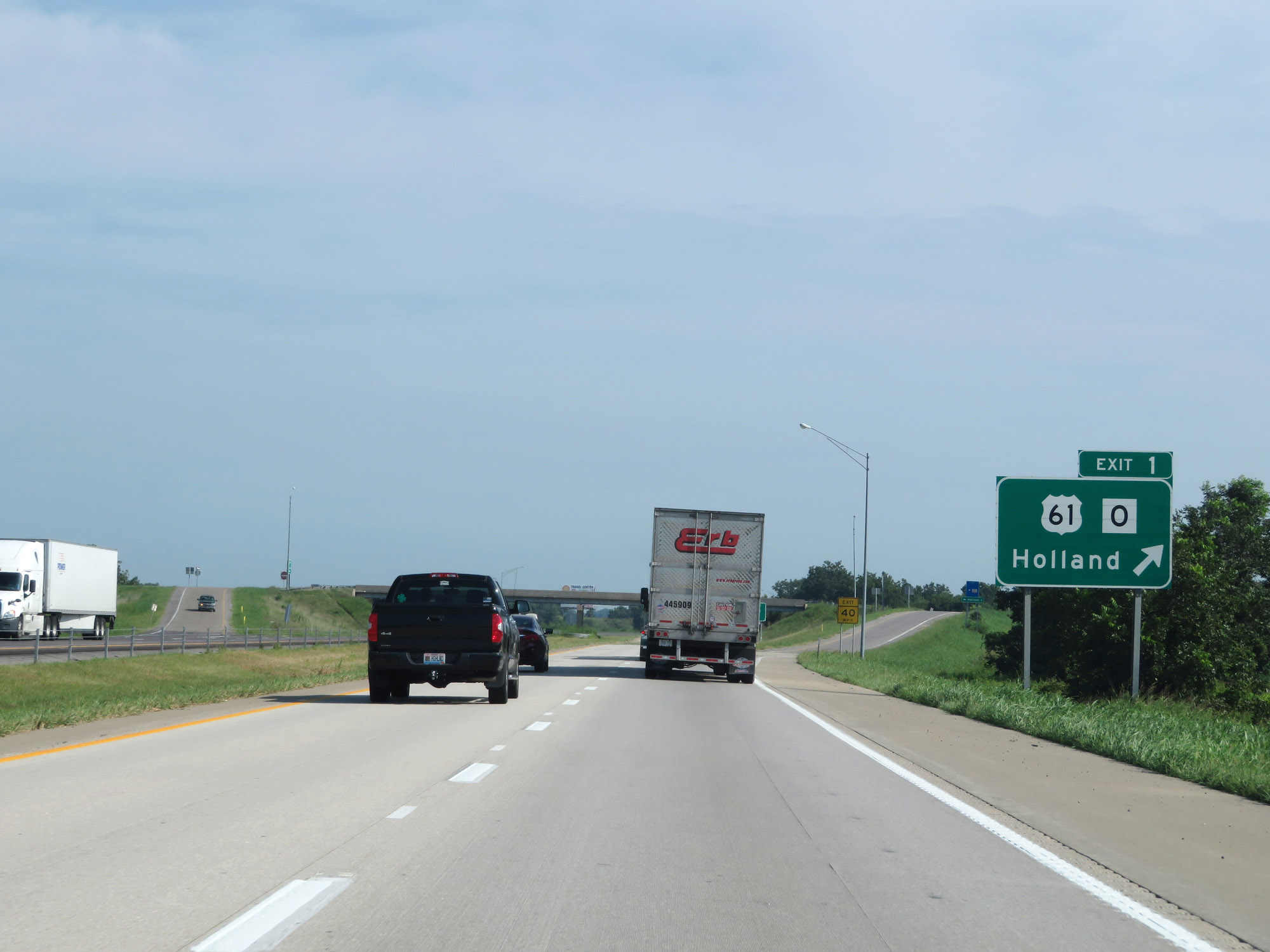 |
Interstate 55 North at Exit 1: US 61 / Route O - Holland (Photo taken 8/13/19). |
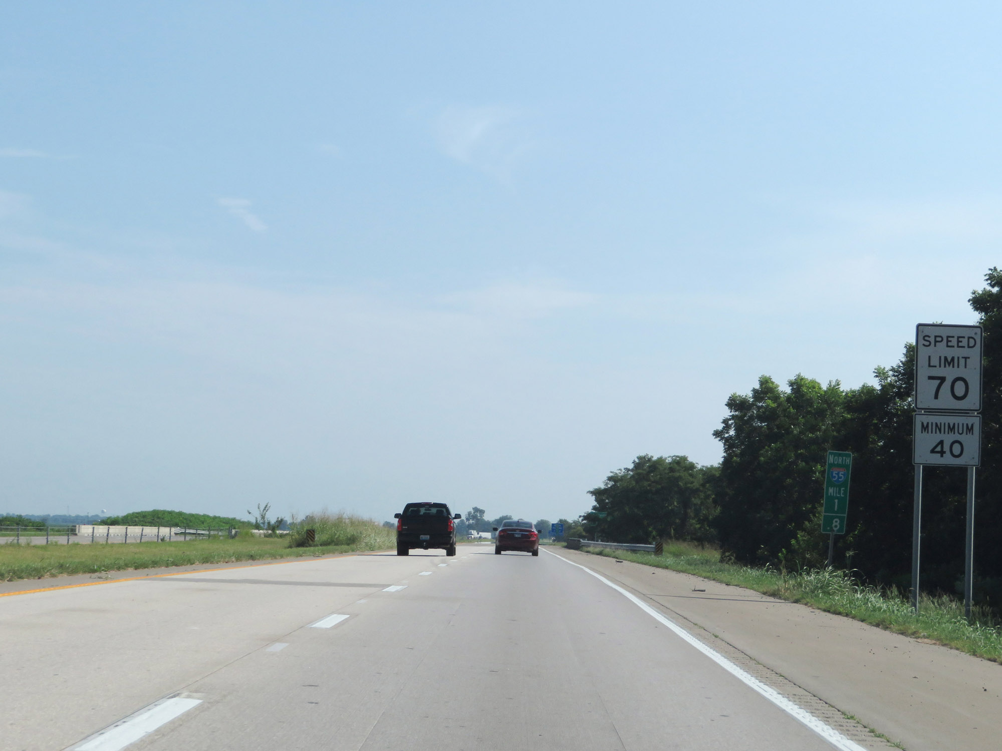 |
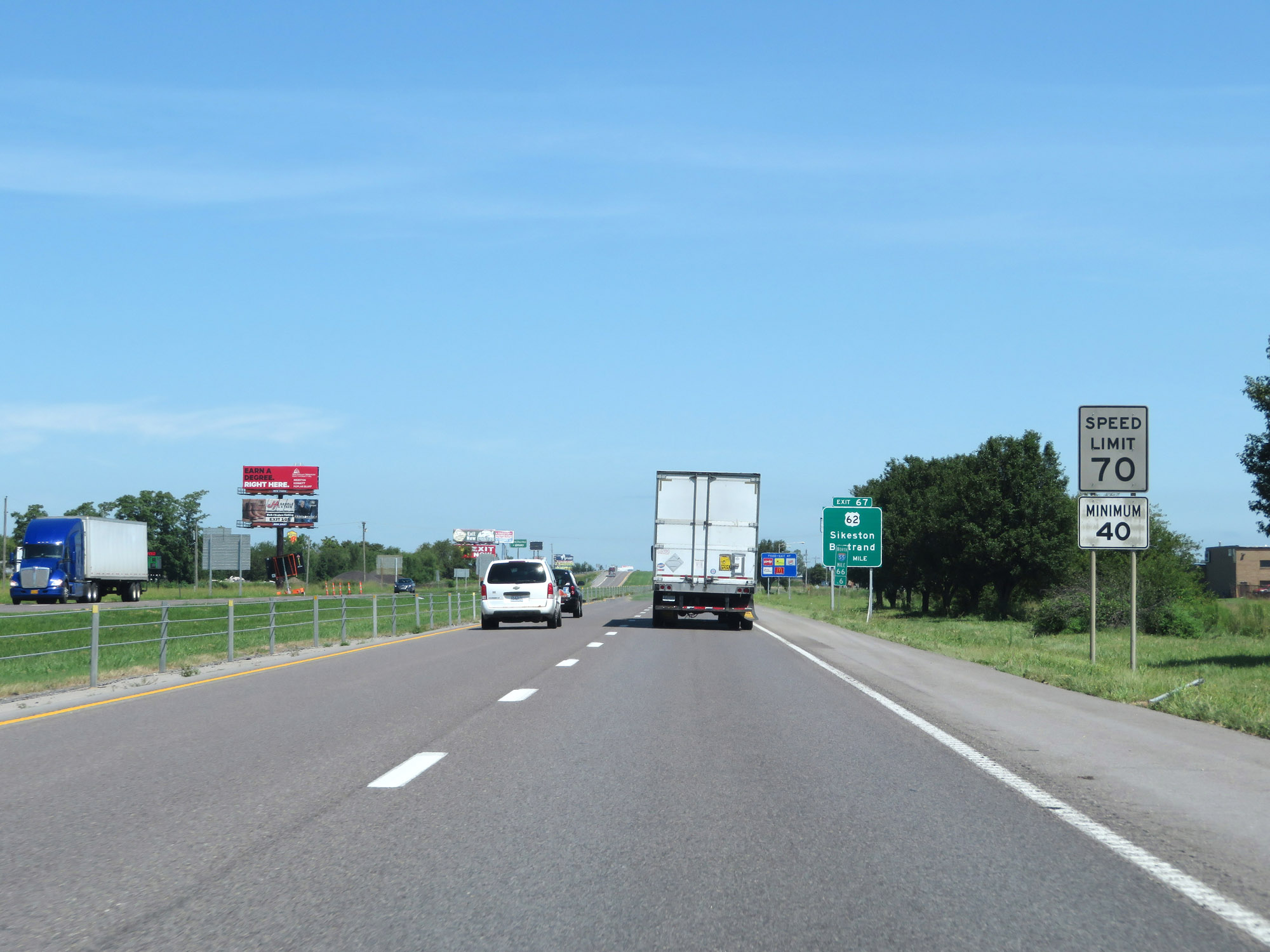
Speed limit signs at mile marker 1.8. The speed limits start out at 70 mph maximum and 40 mph minimum. These are the standard speed limits on most rural Interstate highways in Missouri. (Photo taken 8/13/19). |
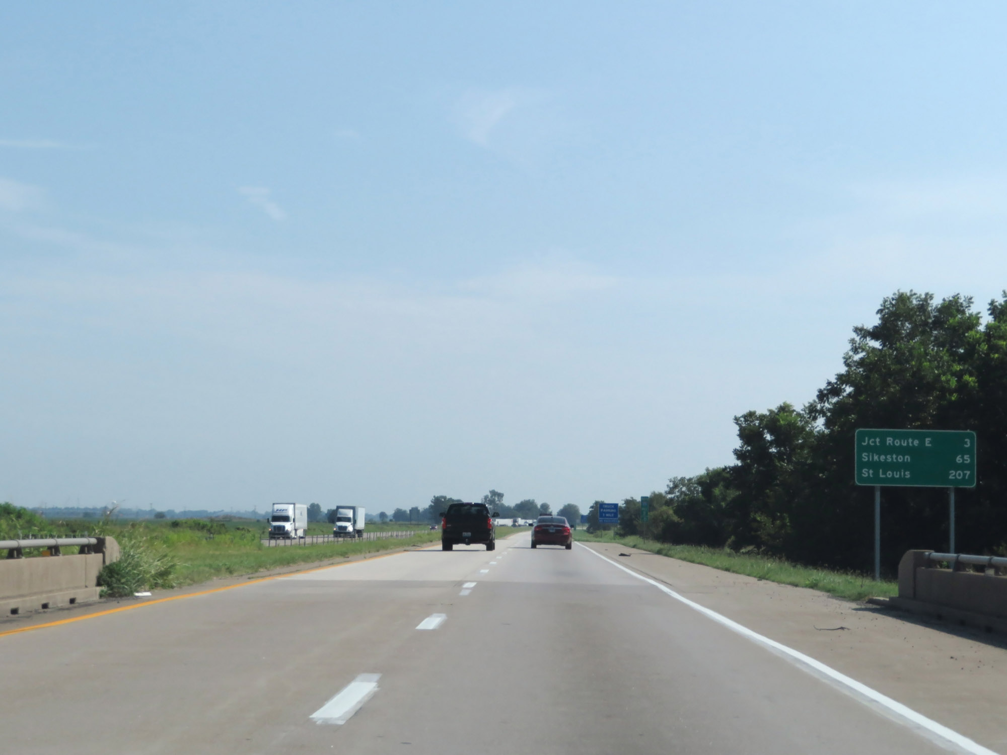 |
Mileage sign on Interstate 55 North. It's 3 miles to the next exit (junction of Route E), 65 miles to Sikeston, and 207 miles to St. Louis. (Photo taken 8/13/19). |
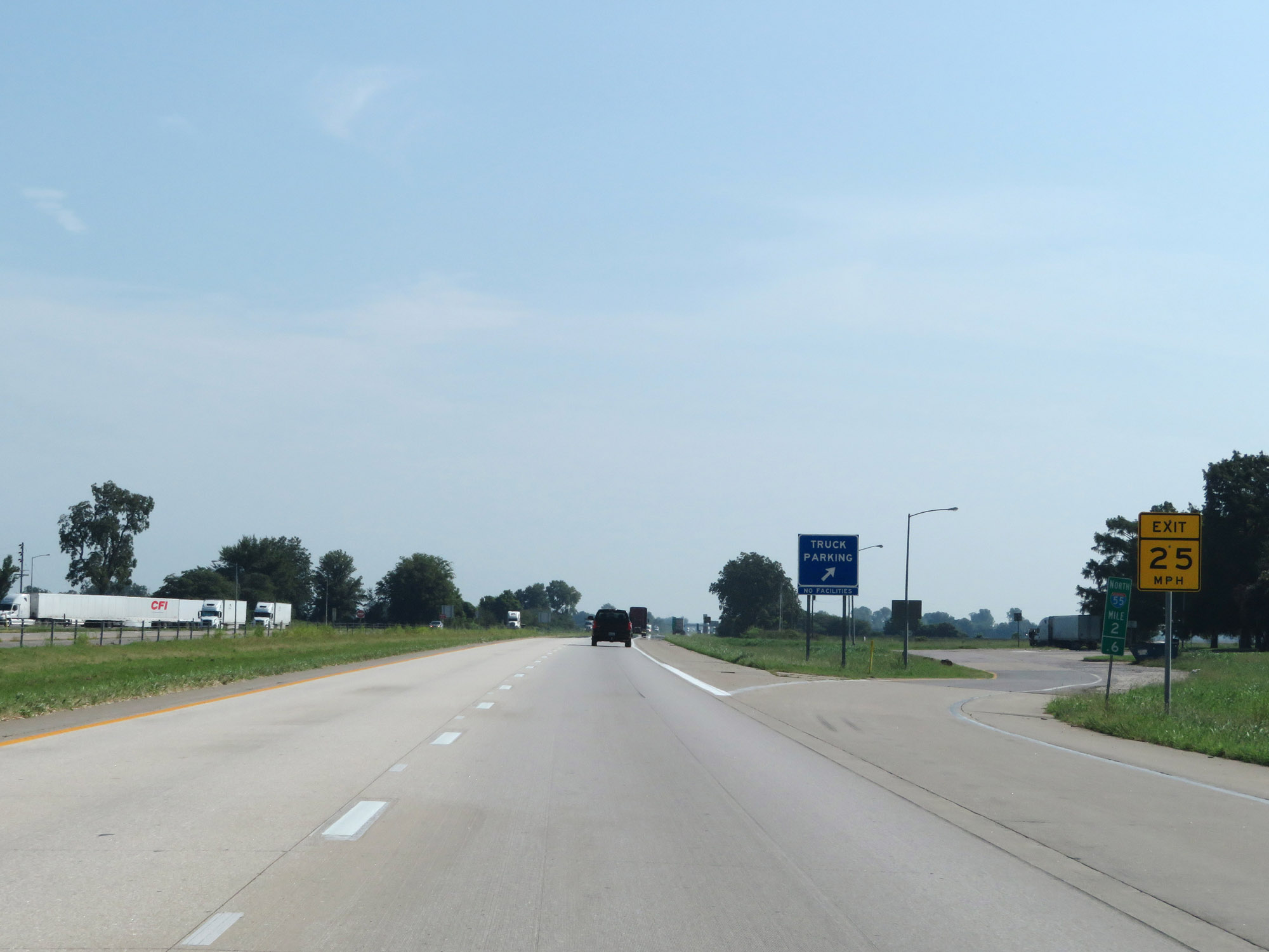 |
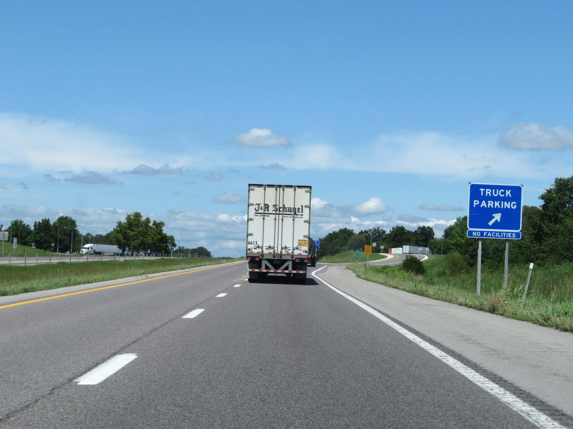
Truck Parking Area on Interstate 55 North at mile marker 2.6. (Photo taken 8/13/19). |
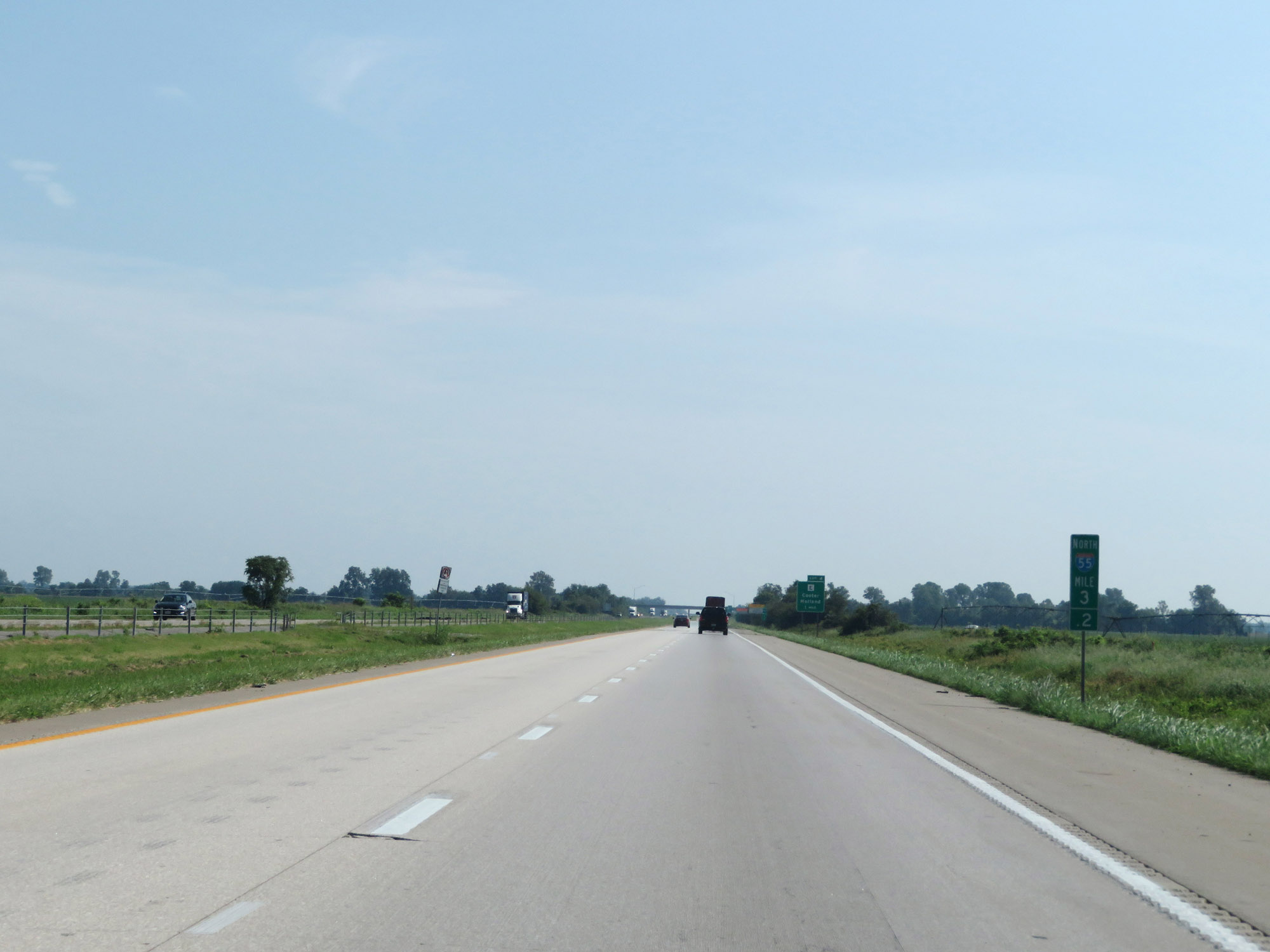 |
Interstate 55 North at mile marker 3.2. (Photo taken 8/13/19). |
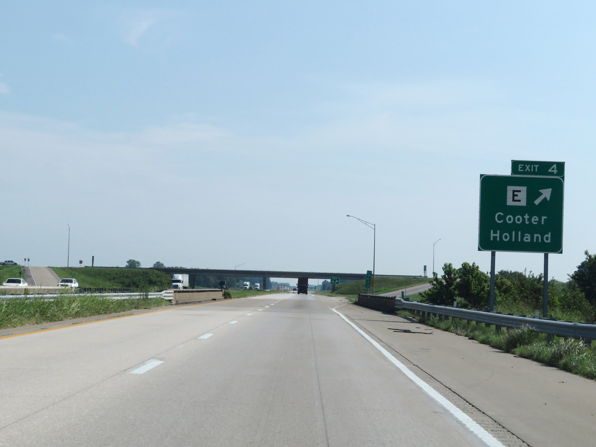 |
Interstate 55 North at Exit 4: Route E - Cooter / Holland (Photo taken 8/13/19). |
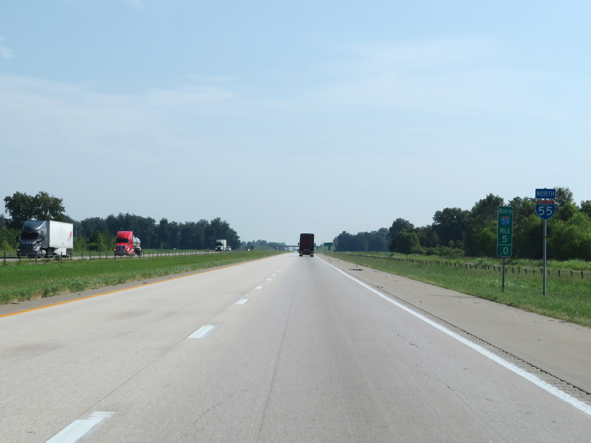 |
State-named Interstate 55 North reassurance shield at mile marker 5. (Photo taken 8/13/19). |
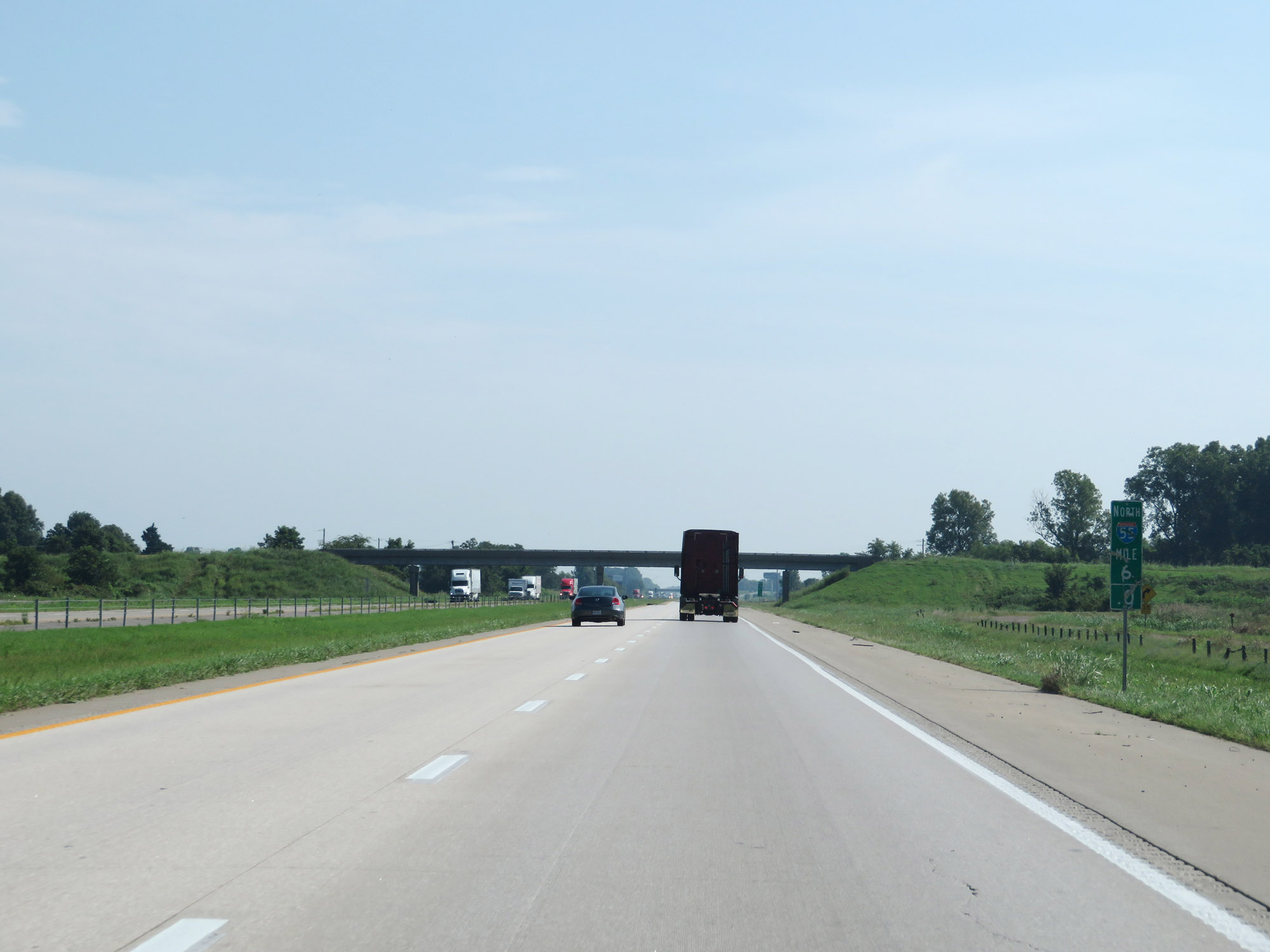 |
View on Interstate 55 North at mile marker 6. (Photo taken 8/13/19). |
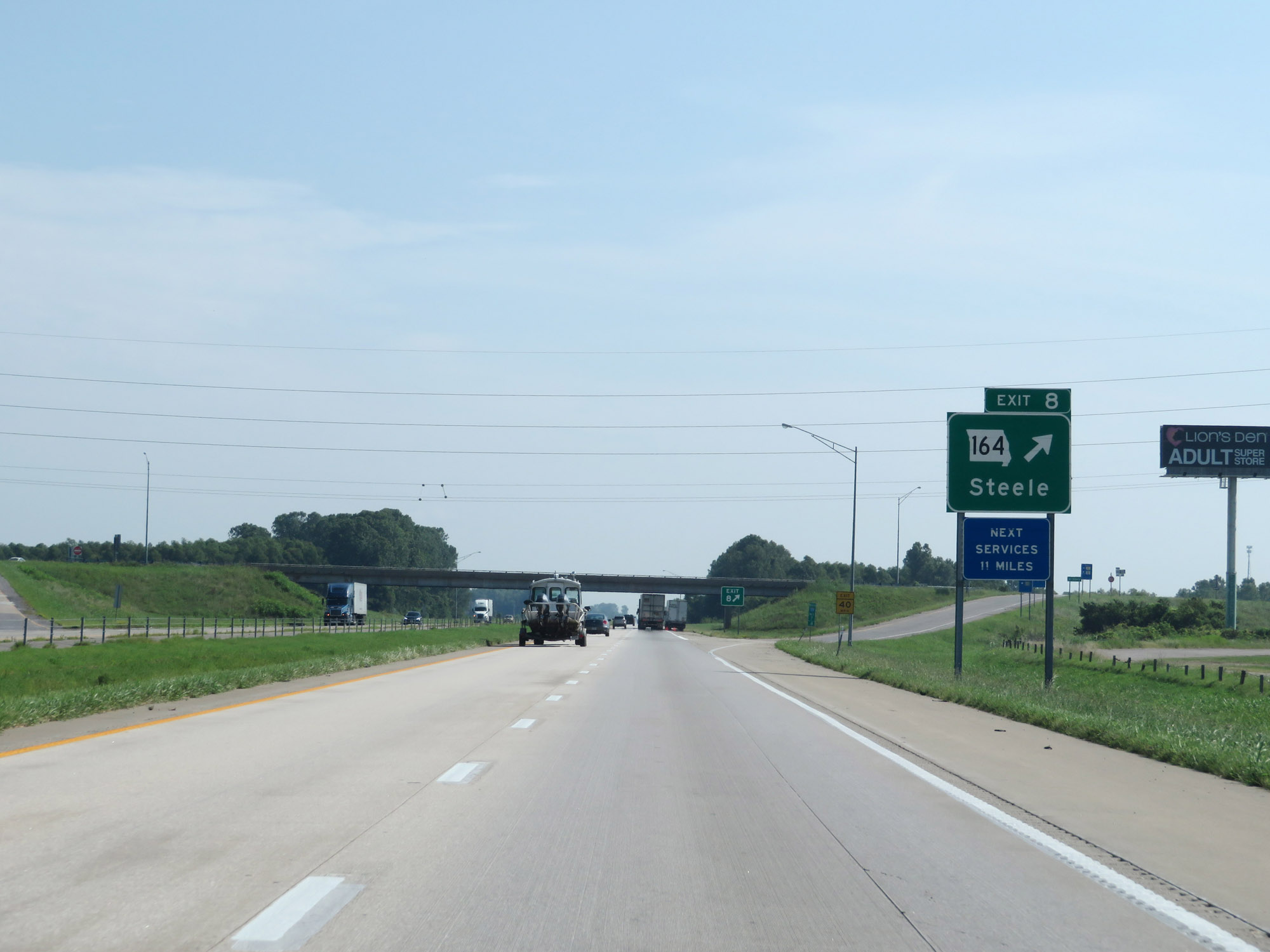 |
Interstate 55 North at Exit 8: MO 164 - Steele (Photo taken 8/13/19). |
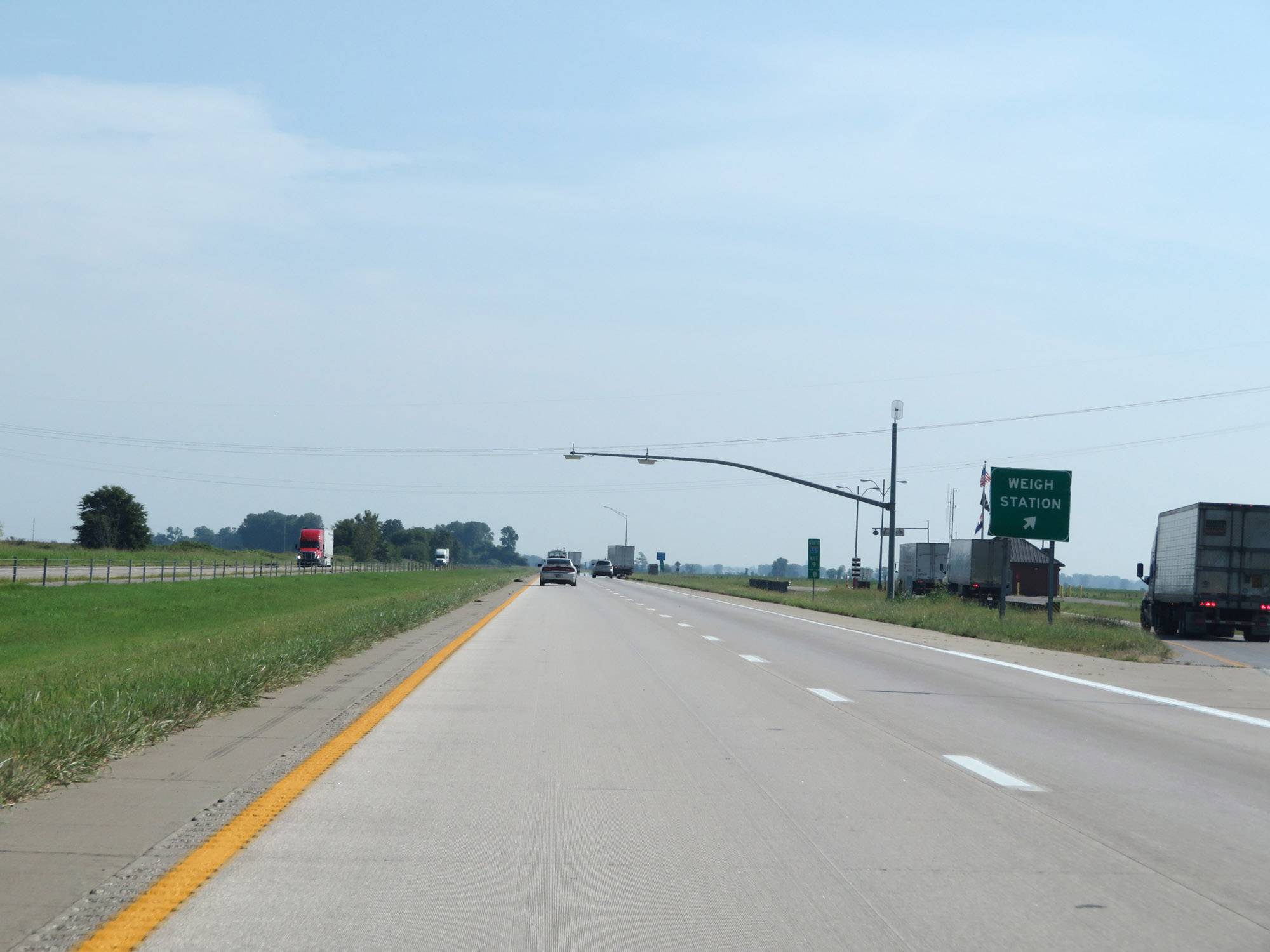 |
Weigh Station on Interstate 55 North at mile marker 9.8. (Photo taken 8/13/19). |
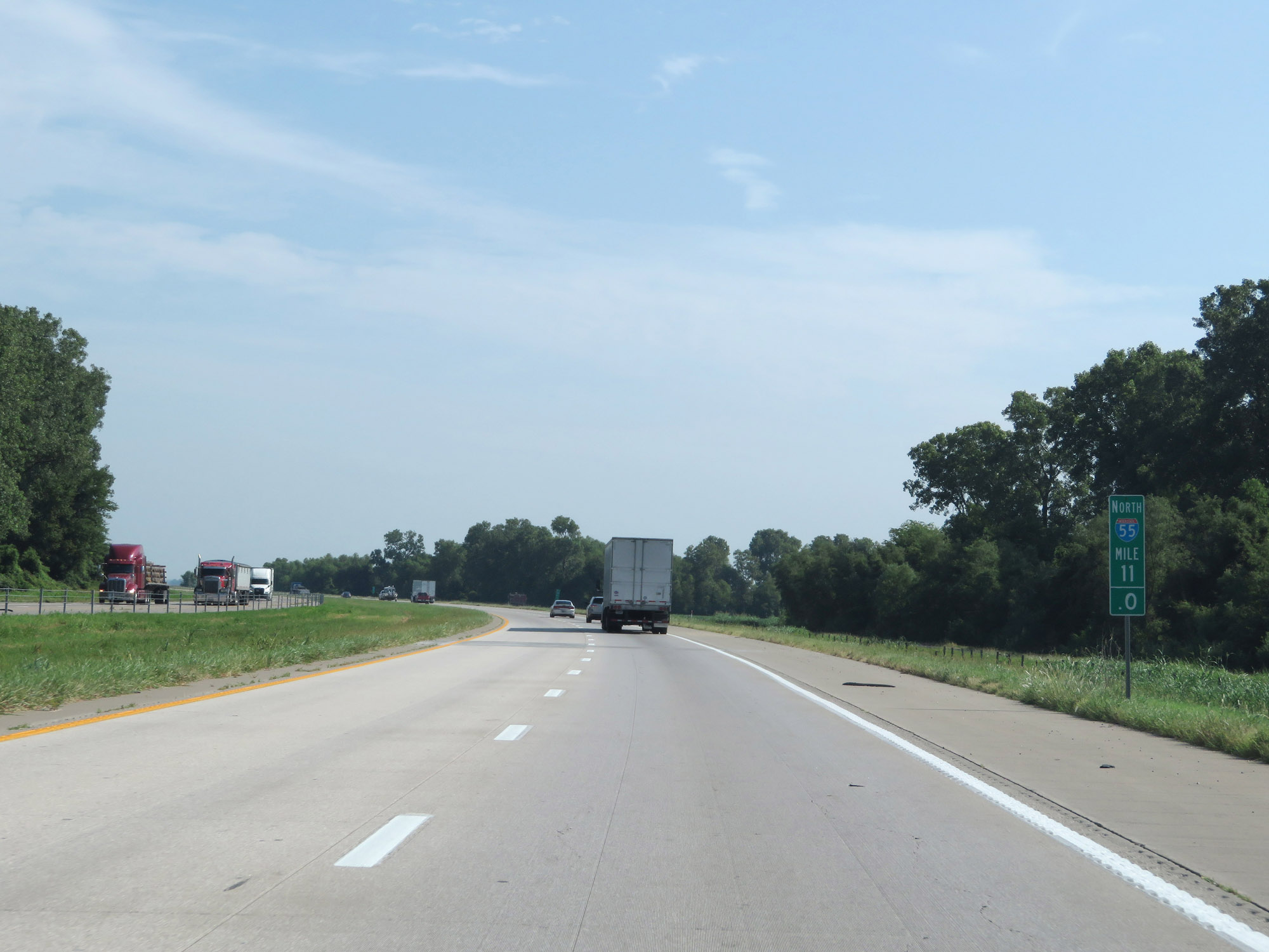 |
Interstate 55 North at mile marker 11. (Photo taken 8/13/19). |
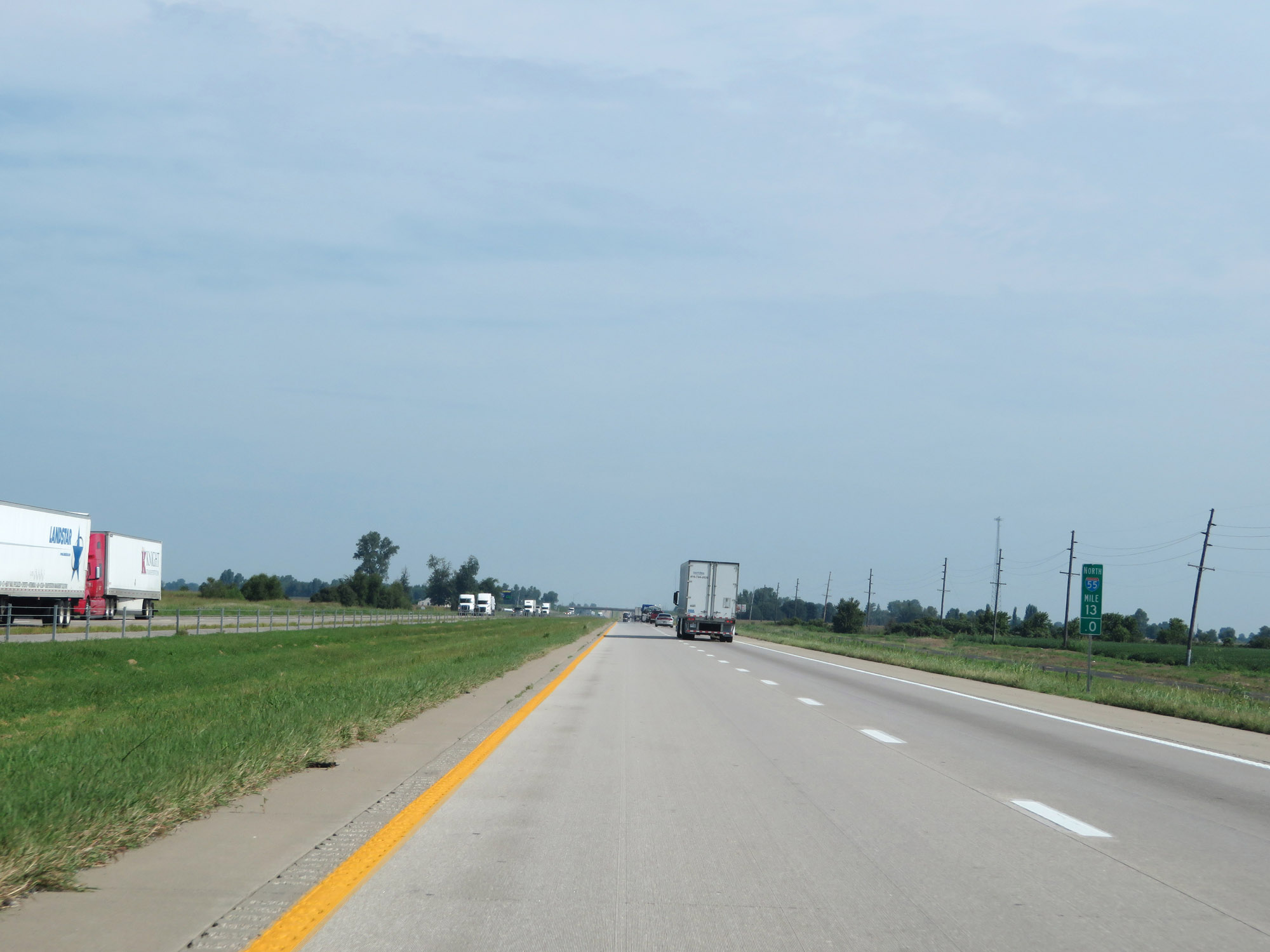 |
View on Interstate 55 North at mile marker 13. (Photo taken 8/13/19). |
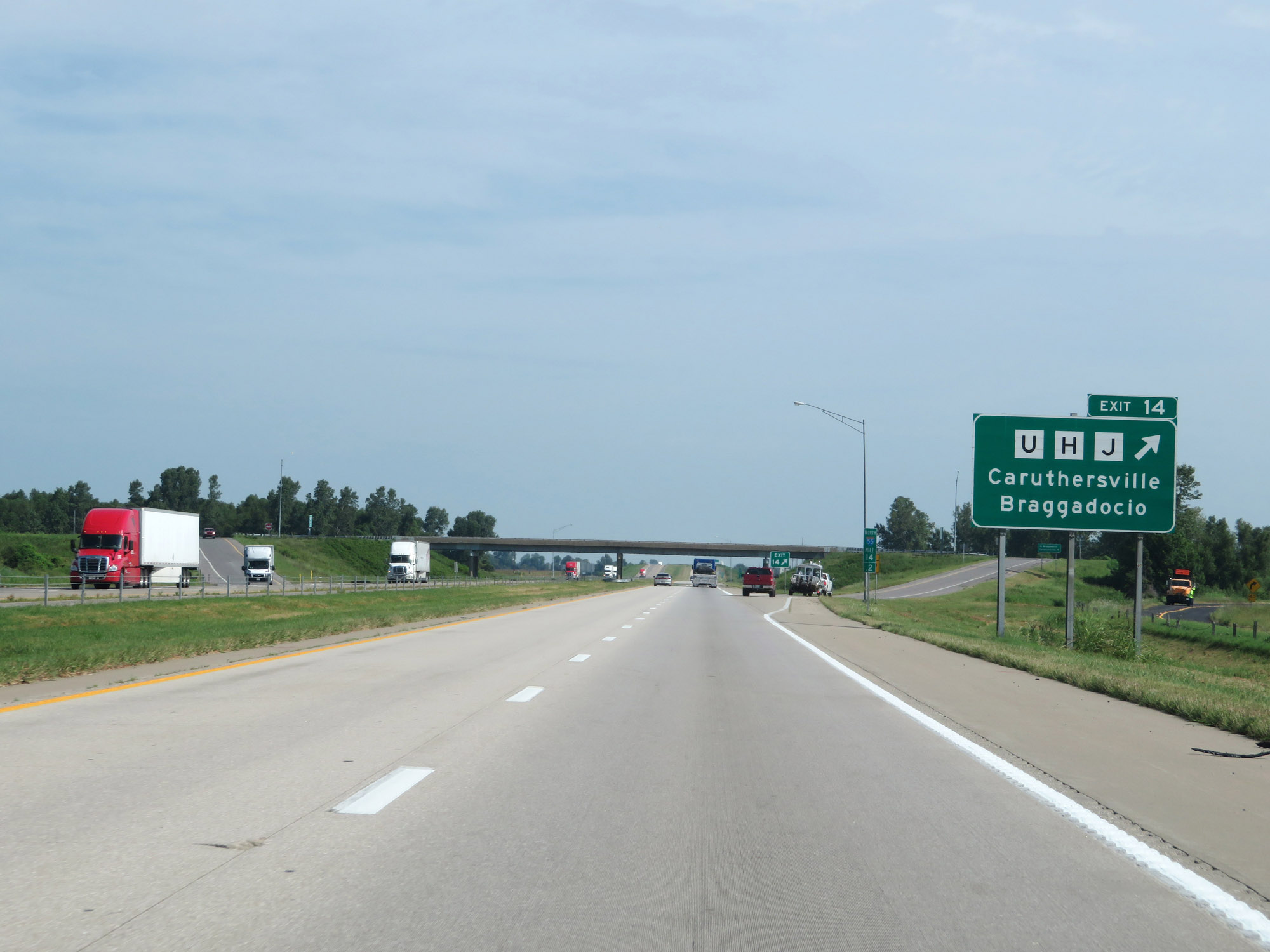 |
Interstate 55 North at Exit 14: Route U / Route H / Route J - Caruthersville / Braggadocio (Photo taken 8/13/19). |
 |
Interstate 55 North approaching Exits 17A-B - 1 mile. (Photo taken 8/13/19). |
 |
Take Exit 17A (Interstate 155 East) to Caruthersville. (Photo taken 8/13/19). |
 |
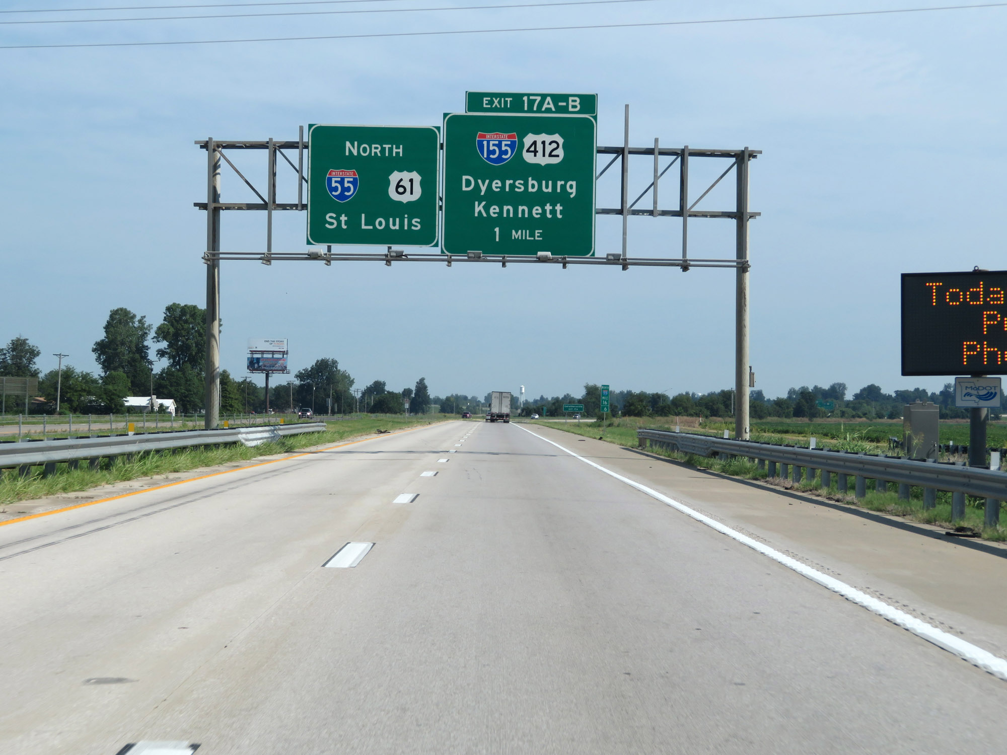
Interstate 55 North at Exit 17A: Interstate 155 East / US 412 East - Caruthersville / Dyersburg, TN (Photo taken 8/13/19). |
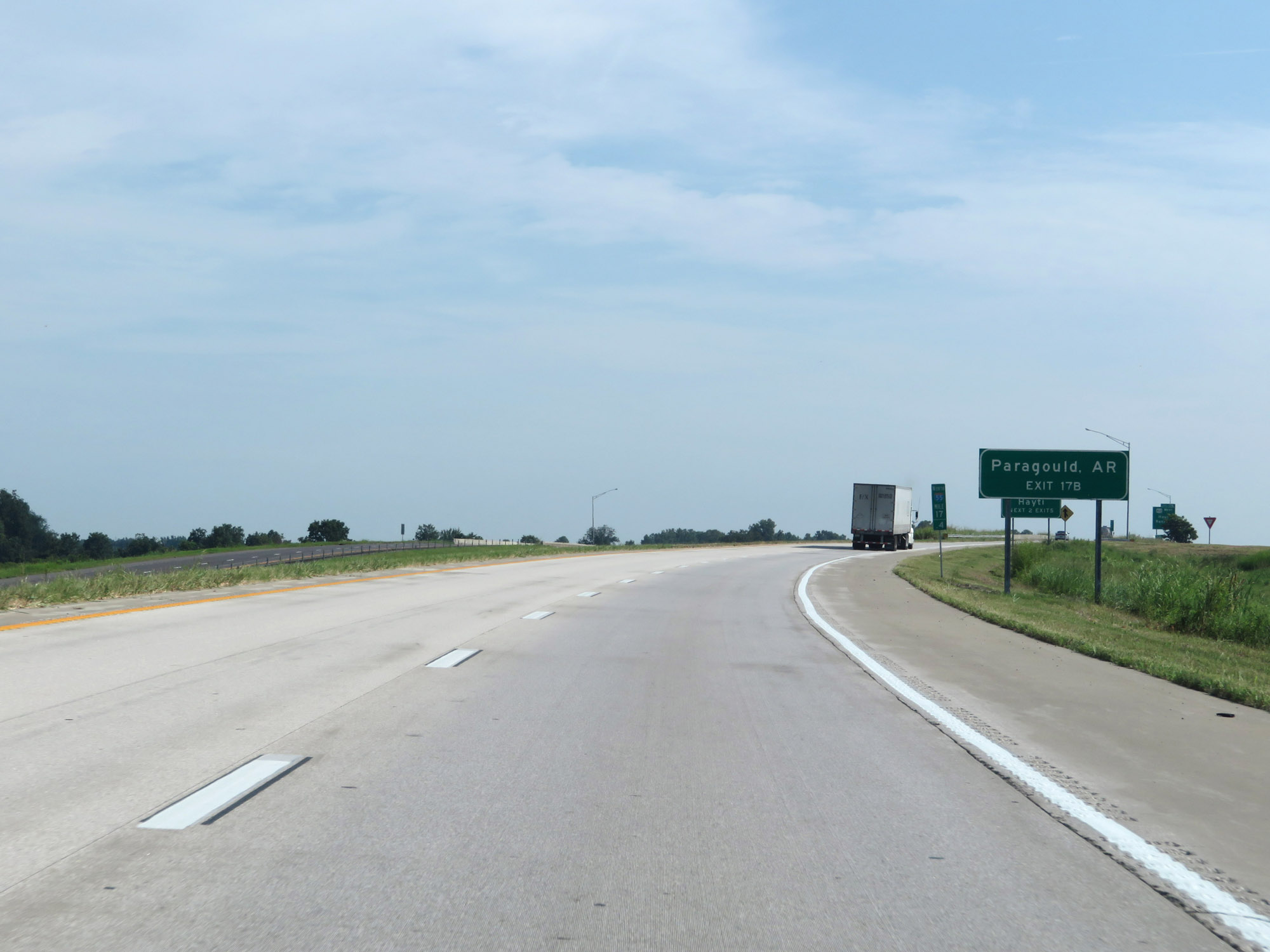 |
Take Exit 17B (US 412 West) to Paragould, AR. (Photo taken 8/13/19). |
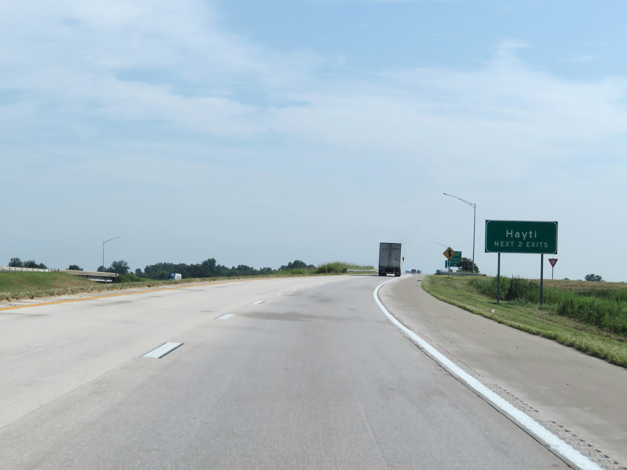 |
Take either of the next 2 exits to Hayti. (Photo taken 8/13/19). |
 |
Interstate 55 North at Exit 17B: US 412 West - Hayti / Kennett (Photo taken 8/13/19). |
 |
Take Exit 19 to Pemiscot County Port. (Photo taken 8/13/19). |
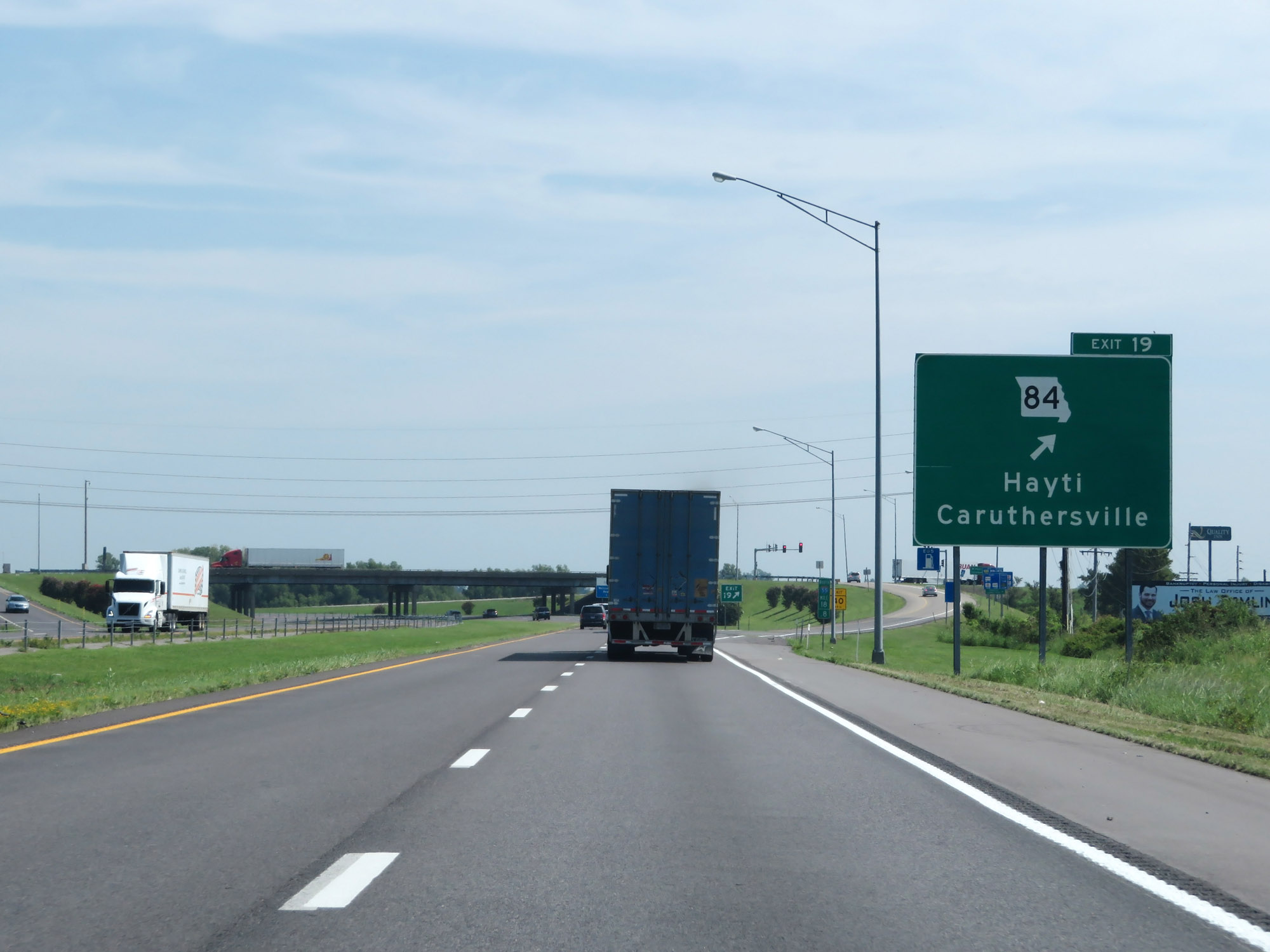 |
Interstate 55 North at Exit 19: MO 84 - Hayti / Caruthersville (Photo taken 8/13/19). |
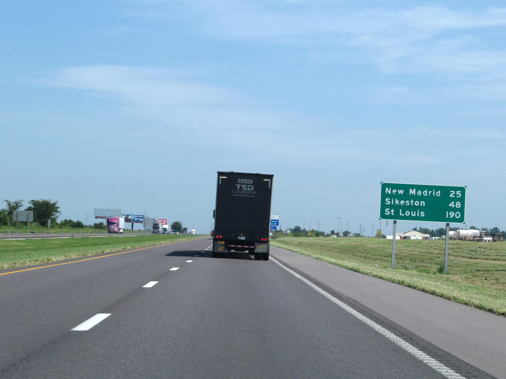 |
Mileage sign on Interstate 55 North. It's 25 miles to New Madrid, 48 miles to Sikeston, and 190 miles to St. Louis. (Photo taken 8/13/19). |
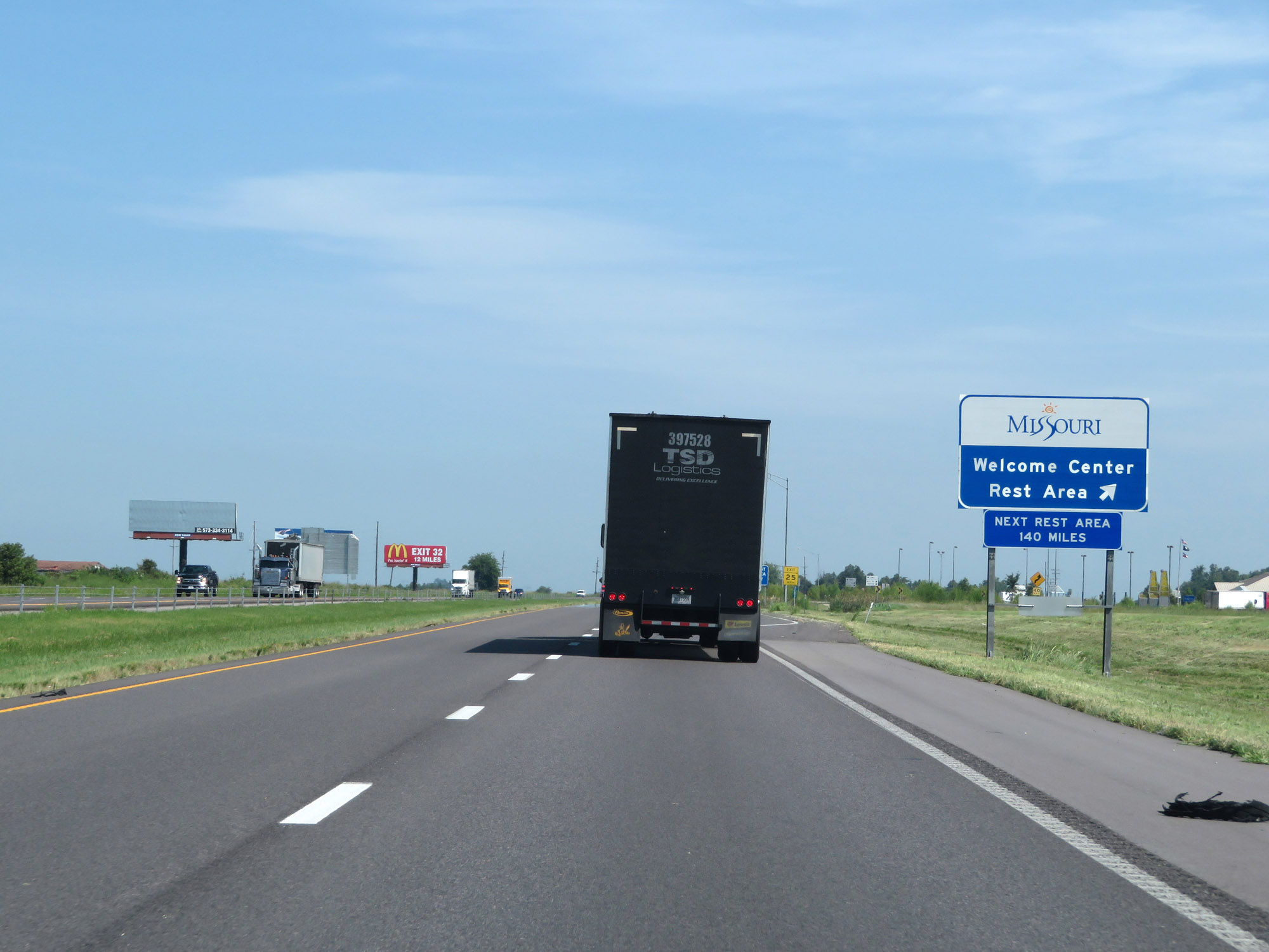 |
Rest Area / Missouri Welcome Center on Interstate 55 North in Pemiscot County. (Photo taken 8/13/19). |
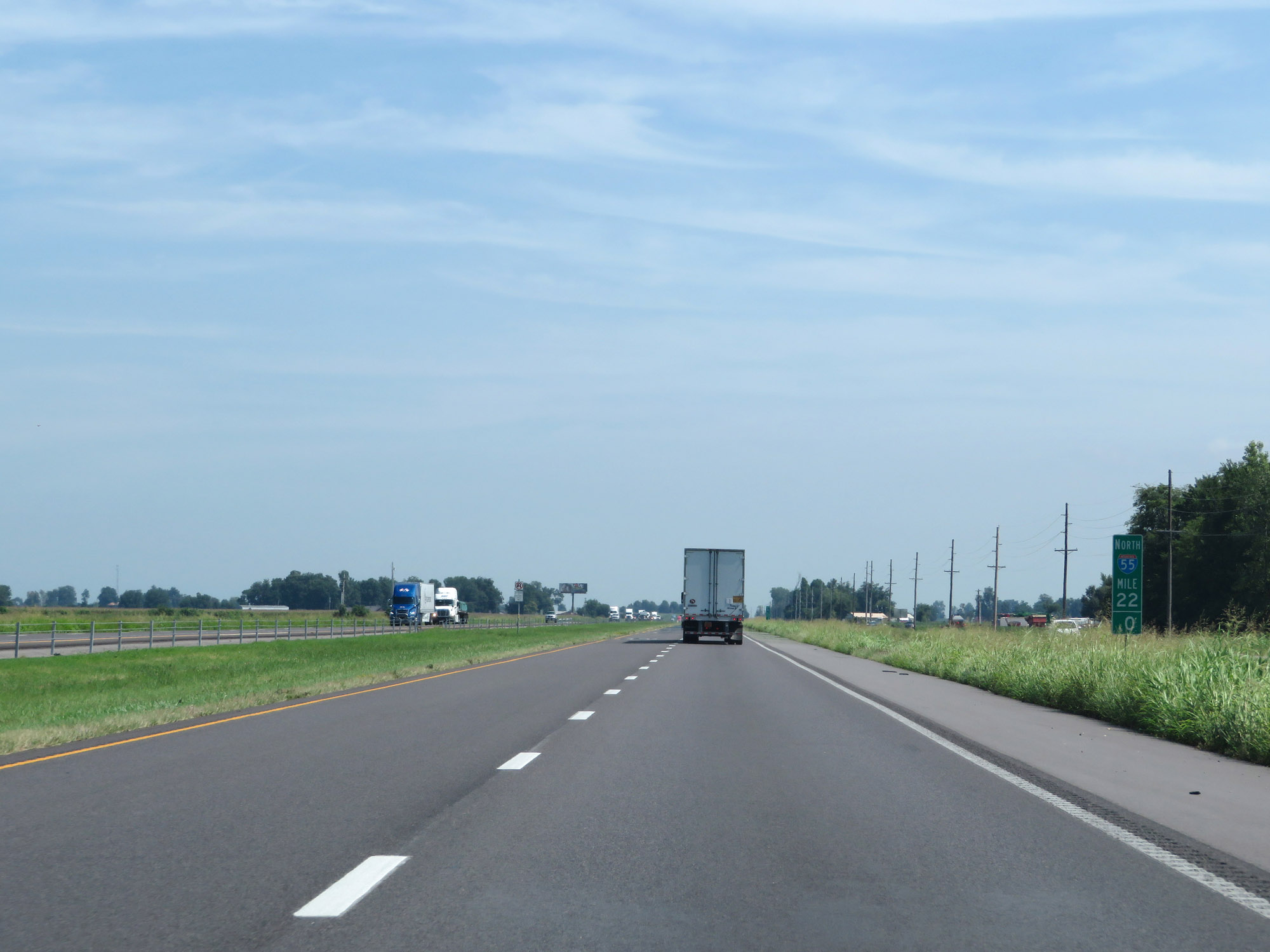 |
View on Interstate 55 North at mile marker 22. (Photo taken 8/13/19). |
 |
Interstate 55 North at mile marker 23. (Photo taken 8/13/19). |
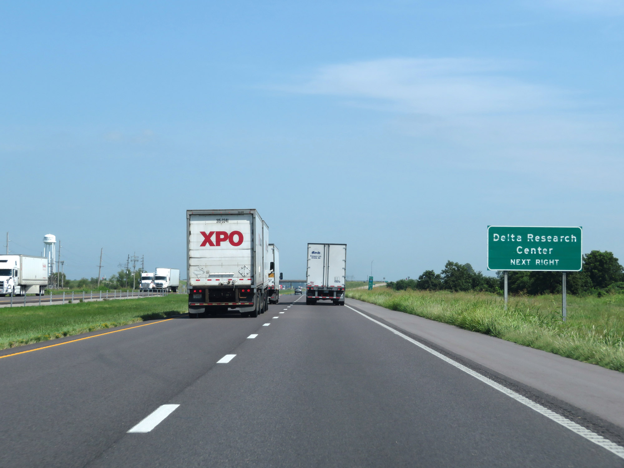 |
Take Exit 27 to Delta Research Center. (Photo taken 8/13/19). |
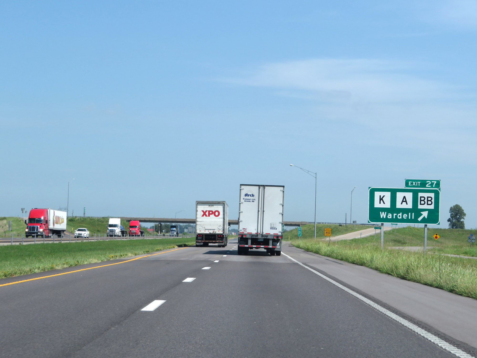 |
Interstate 55 North at Exit 27: Route K / Route A / Route BB - Wardell (Photo taken 8/13/19). |
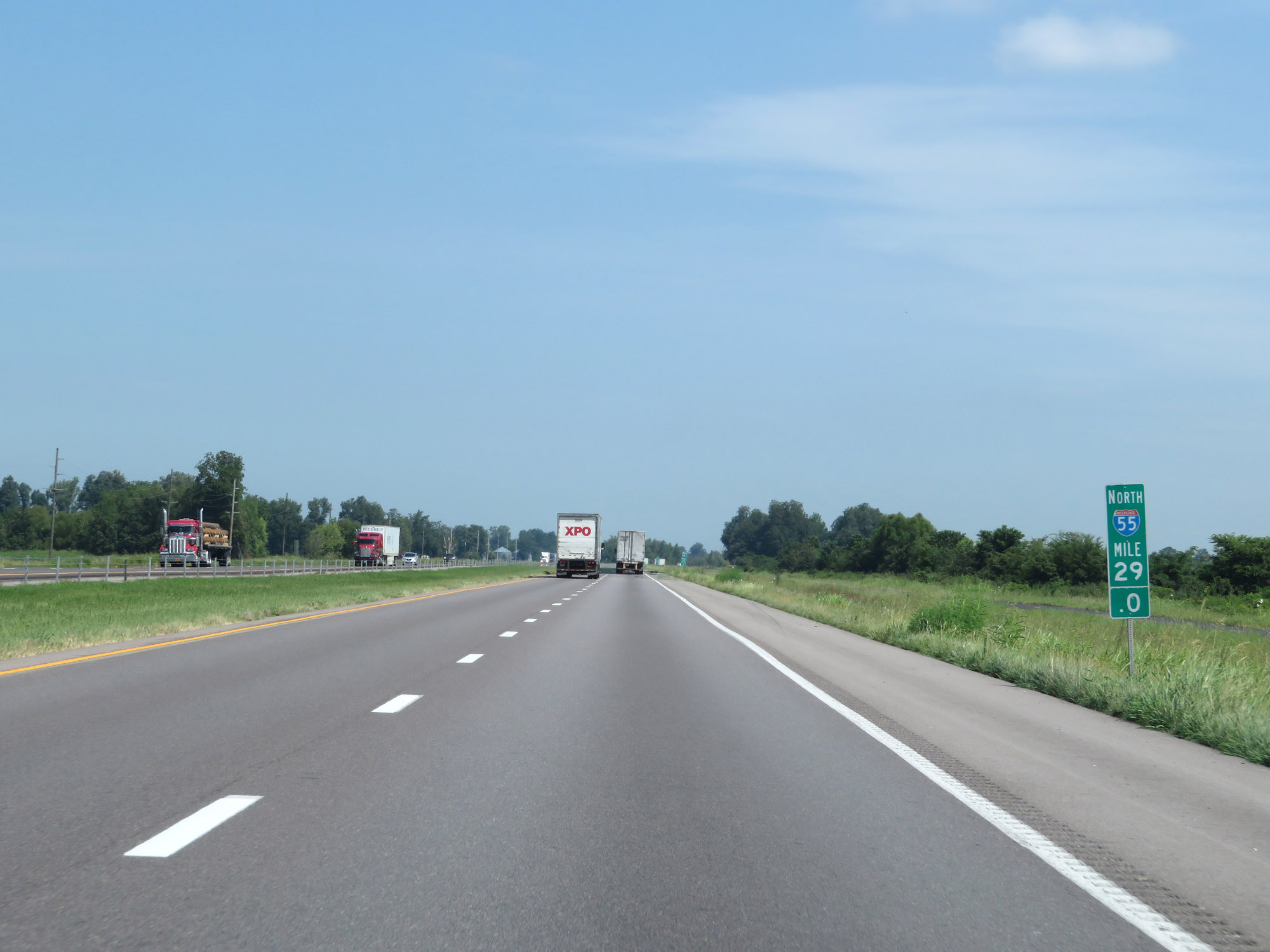 |
Interstate 55 North at mile marker 29. (Photo taken 8/13/19). |
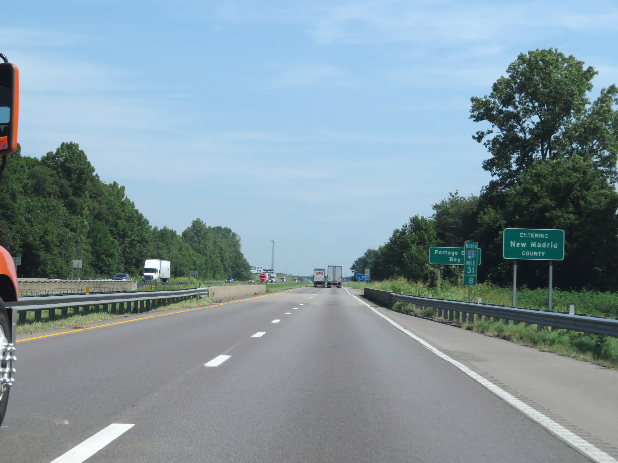 |
Interstate 55 North enters New Madrid County at mile marker 31.8. (Photo taken 8/13/19). |
 |
Interstate 55 North at Exit 32: US 61 / MO 162 - Portageville (Photo taken 8/13/19). |
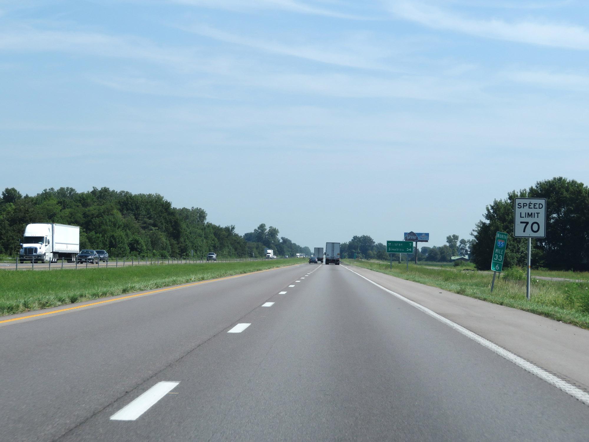 |
The maximum speed limit remains 70 mph. (Photo taken 8/13/19). |
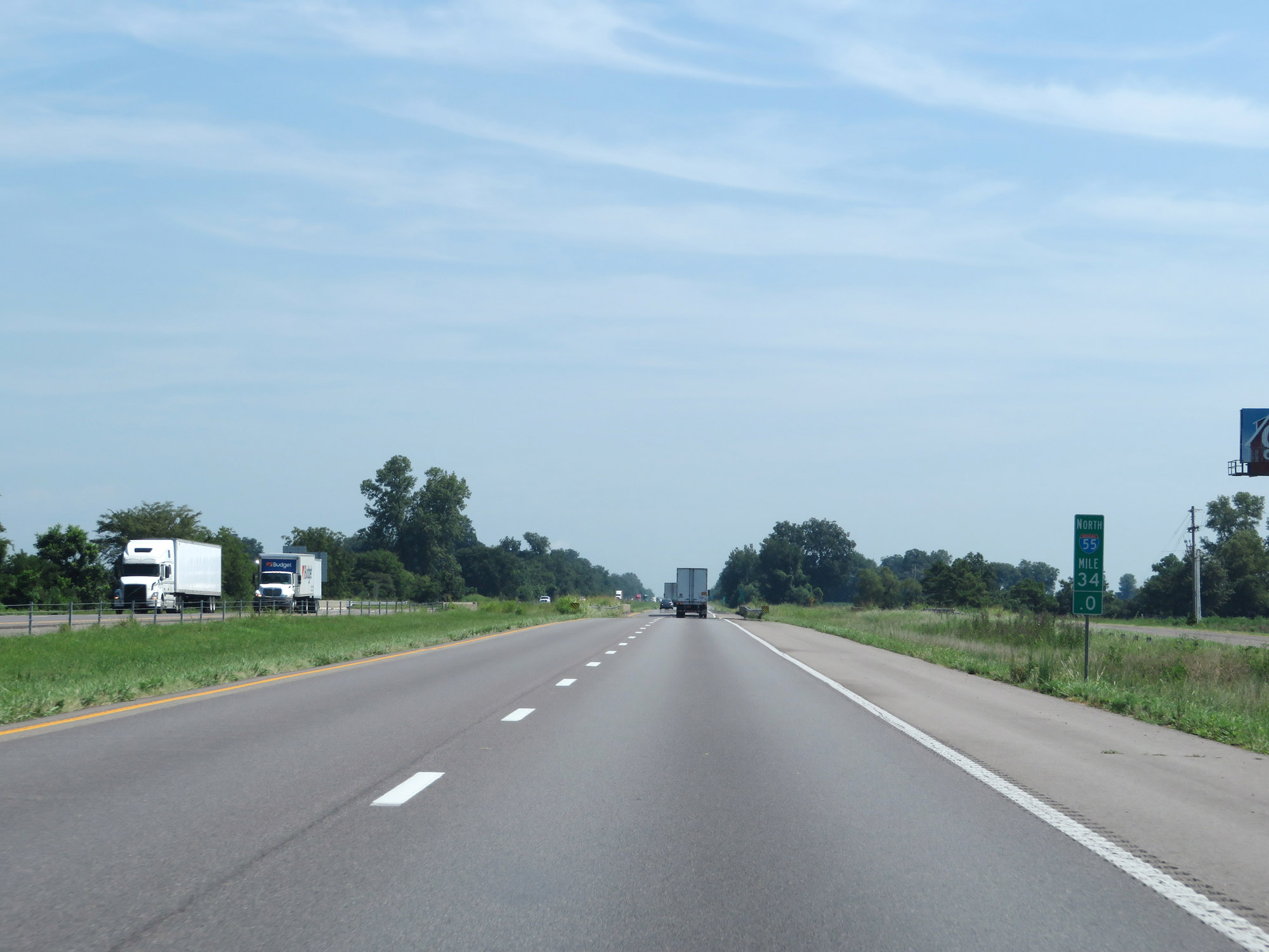 |
View on Interstate 55 North at mile marker 34. (Photo taken 8/13/19). |
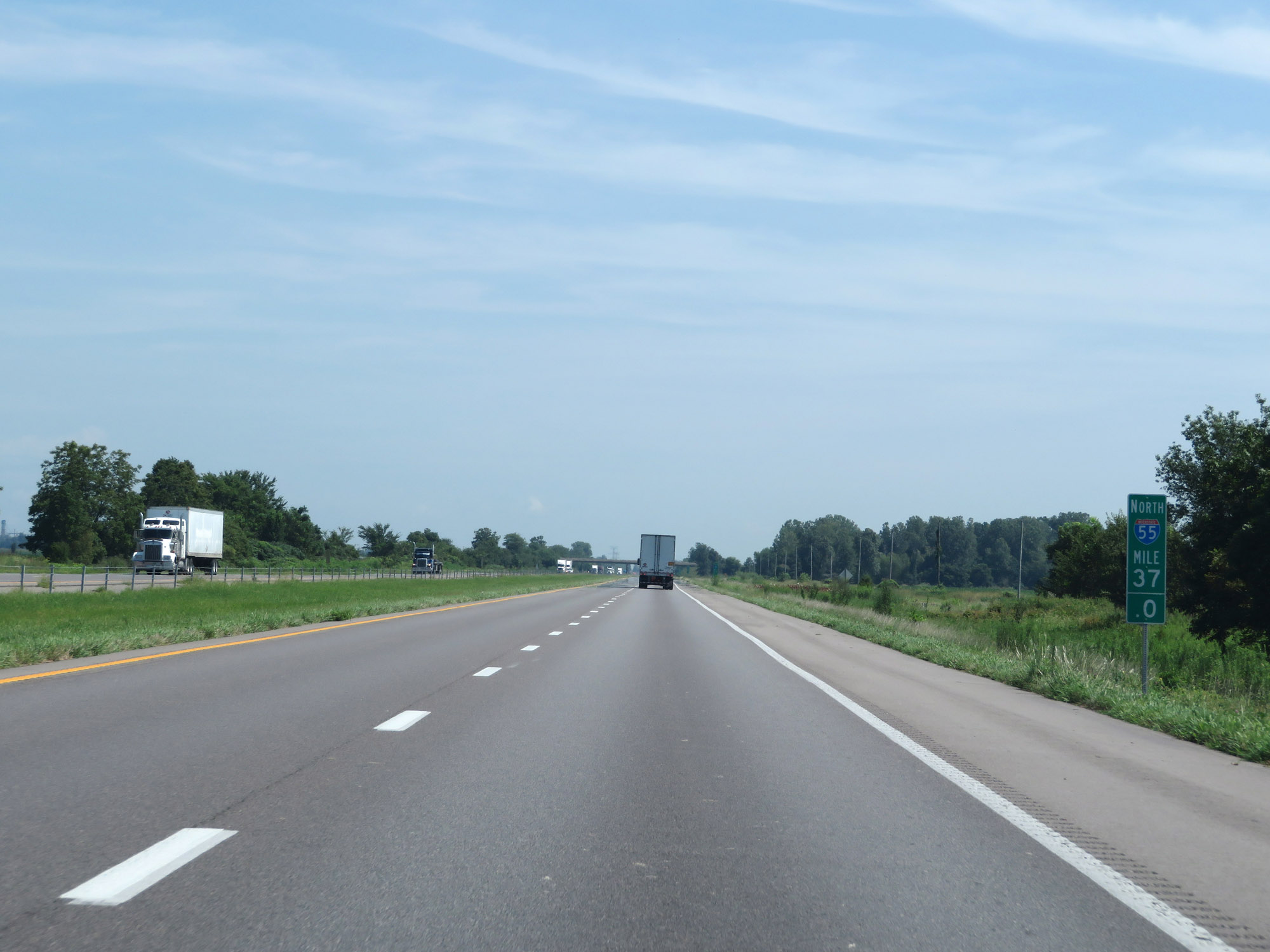 |
Interstate 55 North at mile marker 37. (Photo taken 8/13/19). |
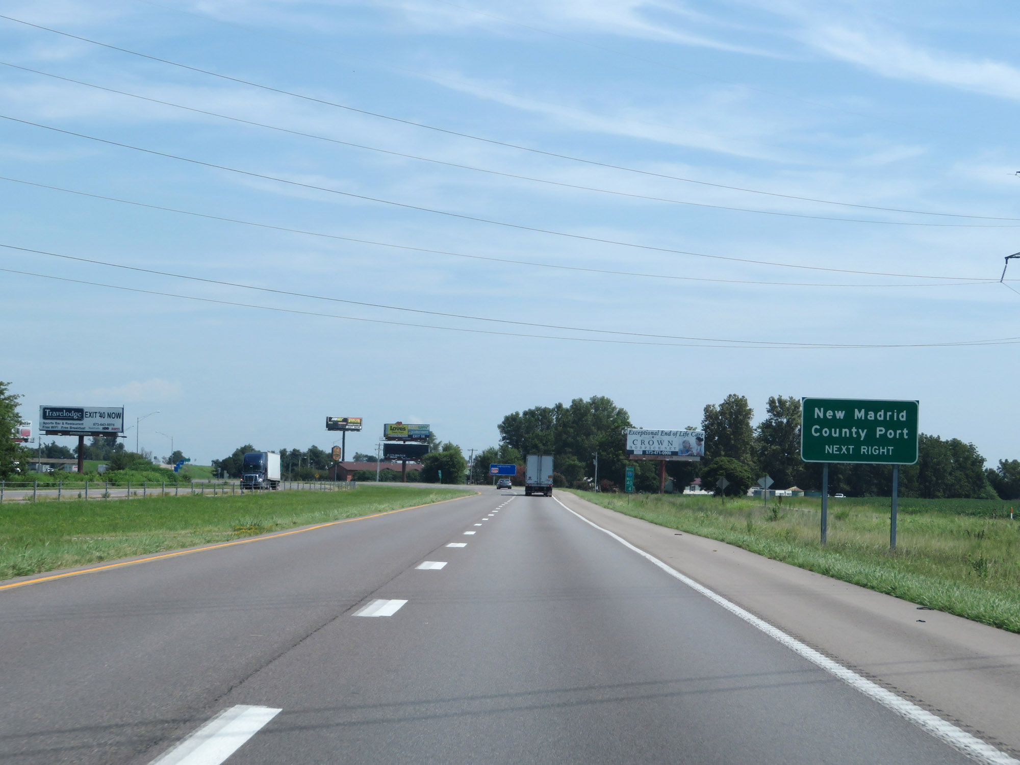 |
Take Exit 40 to New Madrid County Port. (Photo taken 8/13/19). |
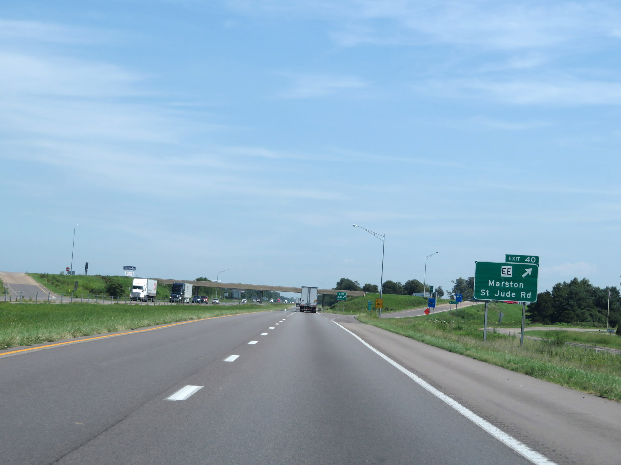 |
Interstate 55 North at Exit 40: Route EE - Marston / St Jude Rd (Photo taken 8/13/19). |
 |
Another state-named Interstate 55 North reassurance shield. (Photo taken 8/13/19). |
 |
Truck Parking Area on Interstate 55 North in New Madrid County. (Photo taken 8/13/19). |
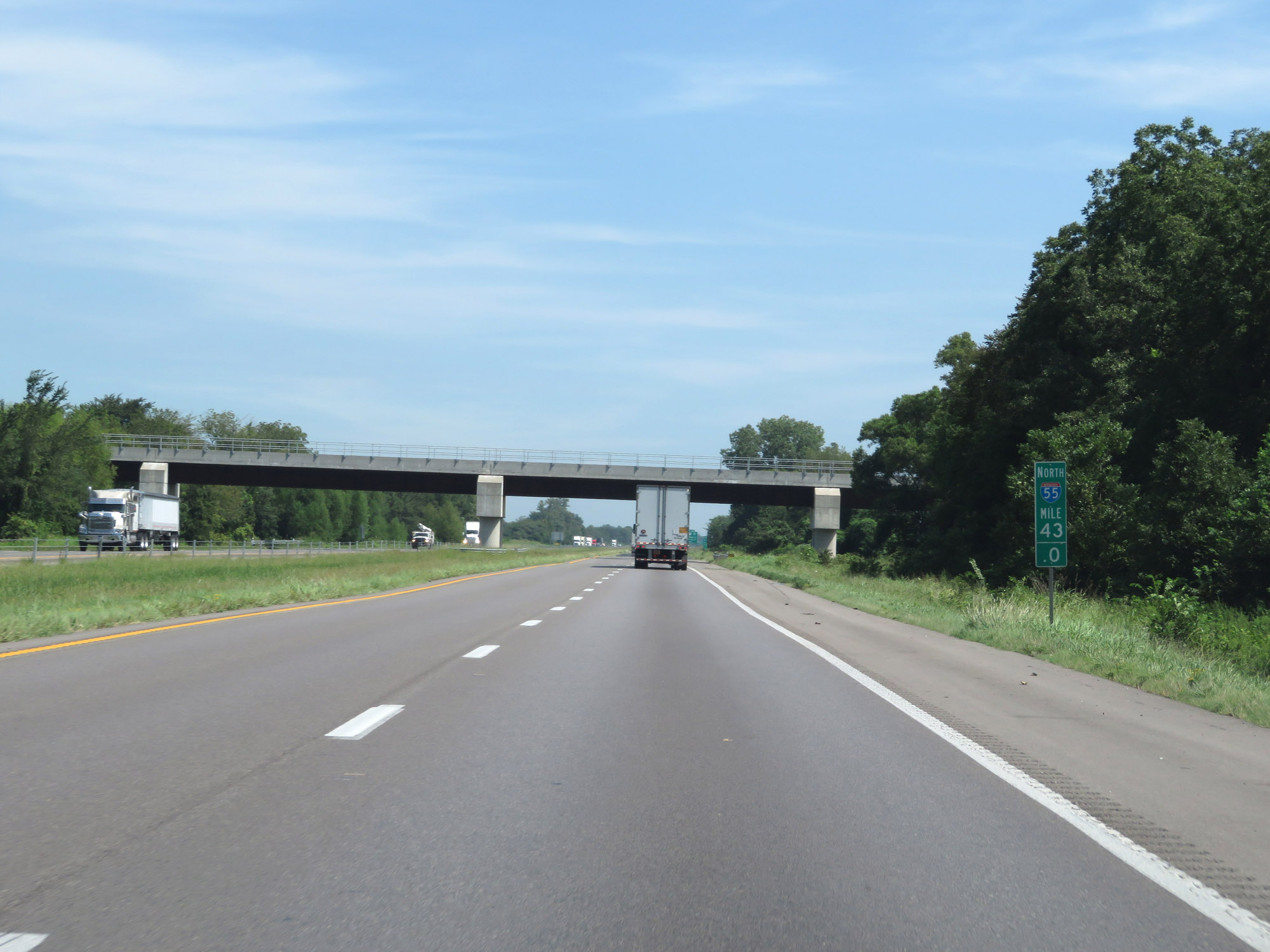 |
Interstate 55 North at mile marker 43. (Photo taken 8/13/19). |
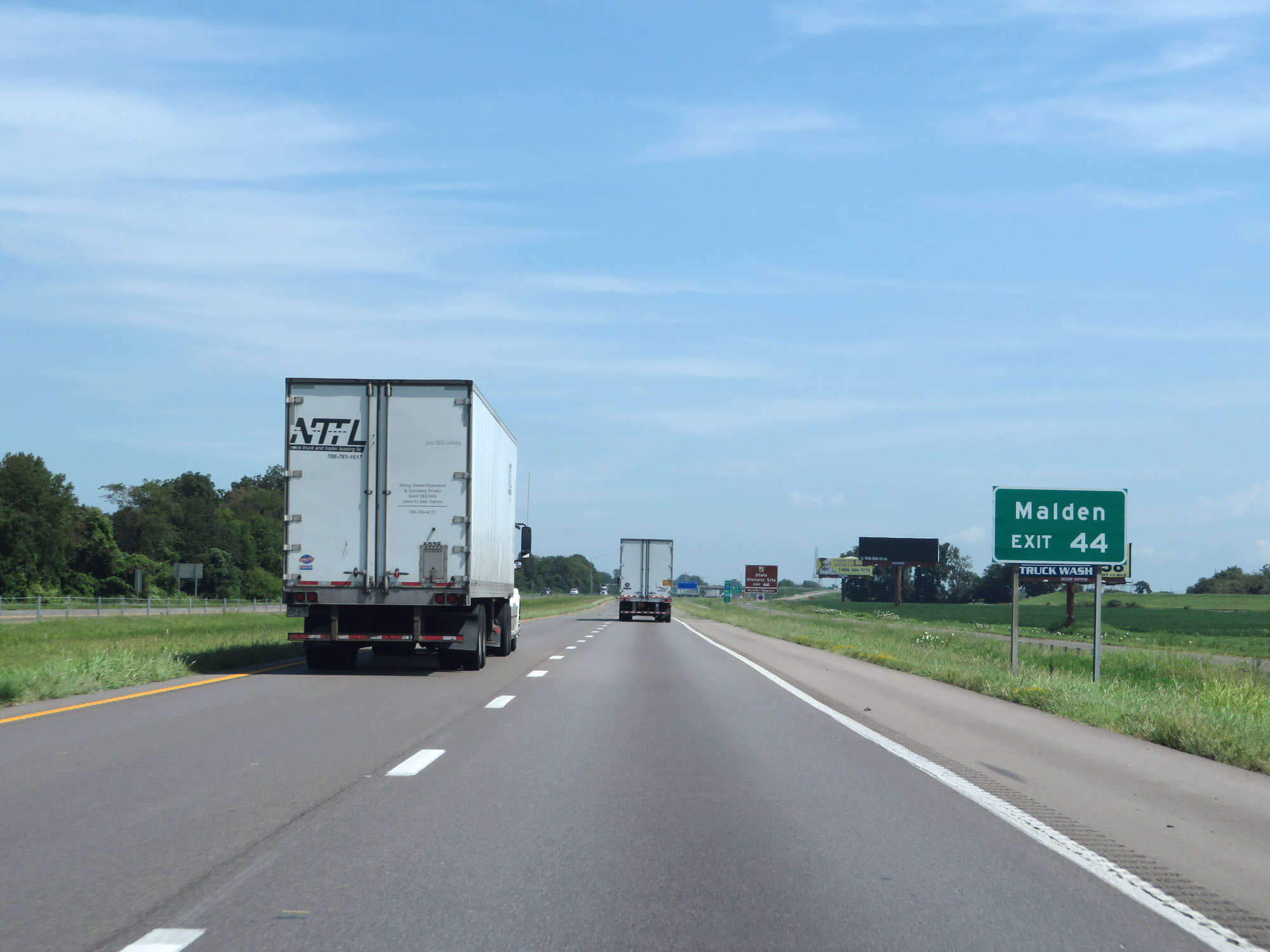 |
Take Exit 44 to Malden. (Photo taken 8/13/19). |
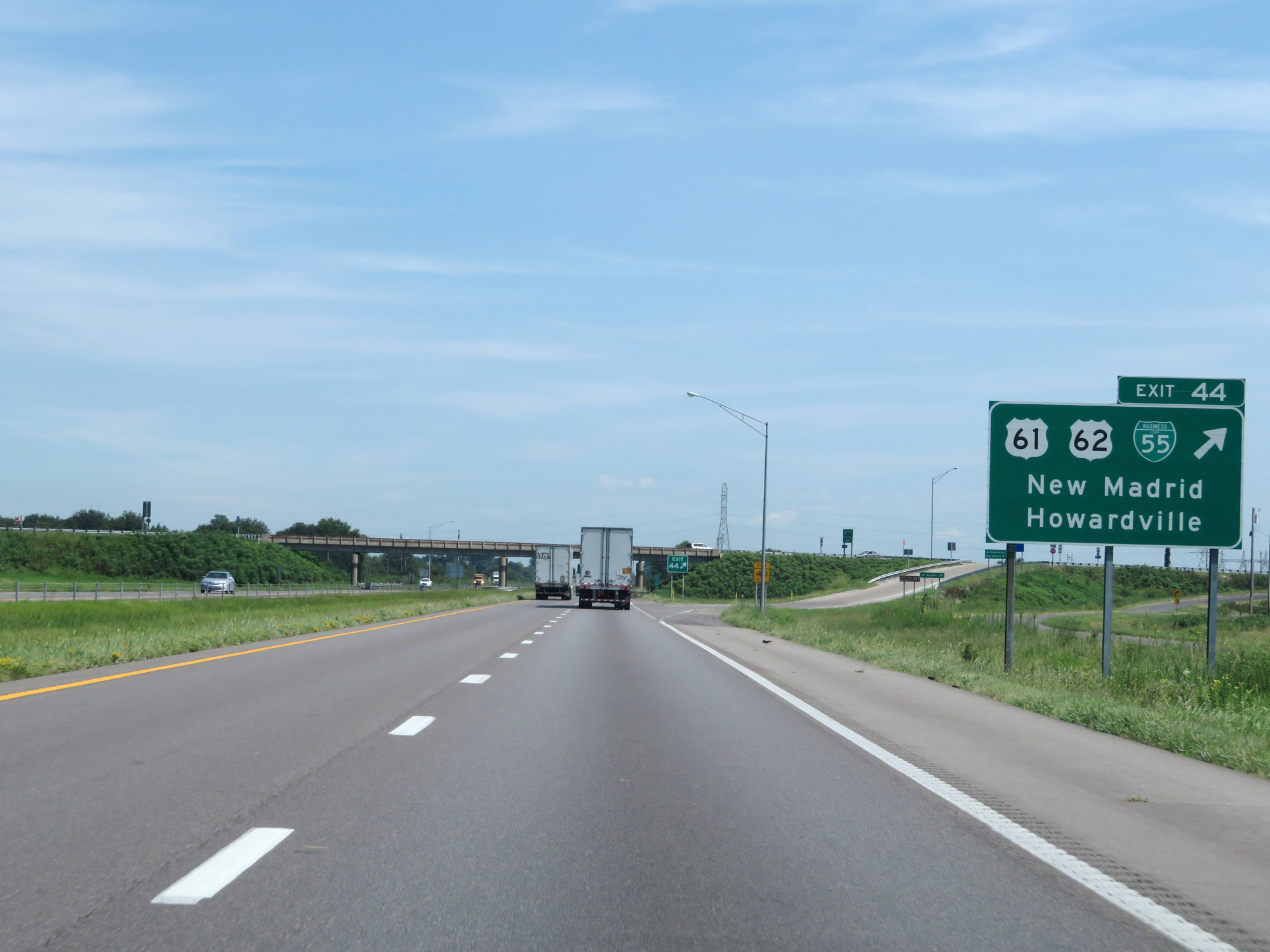 |
Interstate 55 North at Exit 44: US 61 / US 62 / Interstate 55 Business Loop - New Madrid / Howardville (Photo taken 8/13/19). |
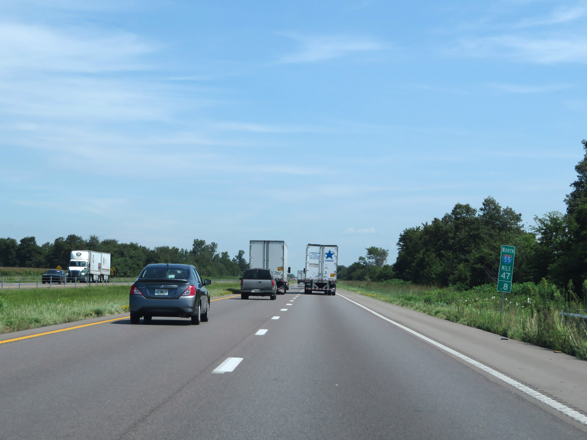 |
Interstate 55 North at mile marker 47.8. (Photo taken 8/13/19). |
 |
Interstate 55 North at Exit 49: US 61 / US 62 / Interstate 55 Business Loop - Kewanee / New Madrid (Photo taken 8/13/19). |
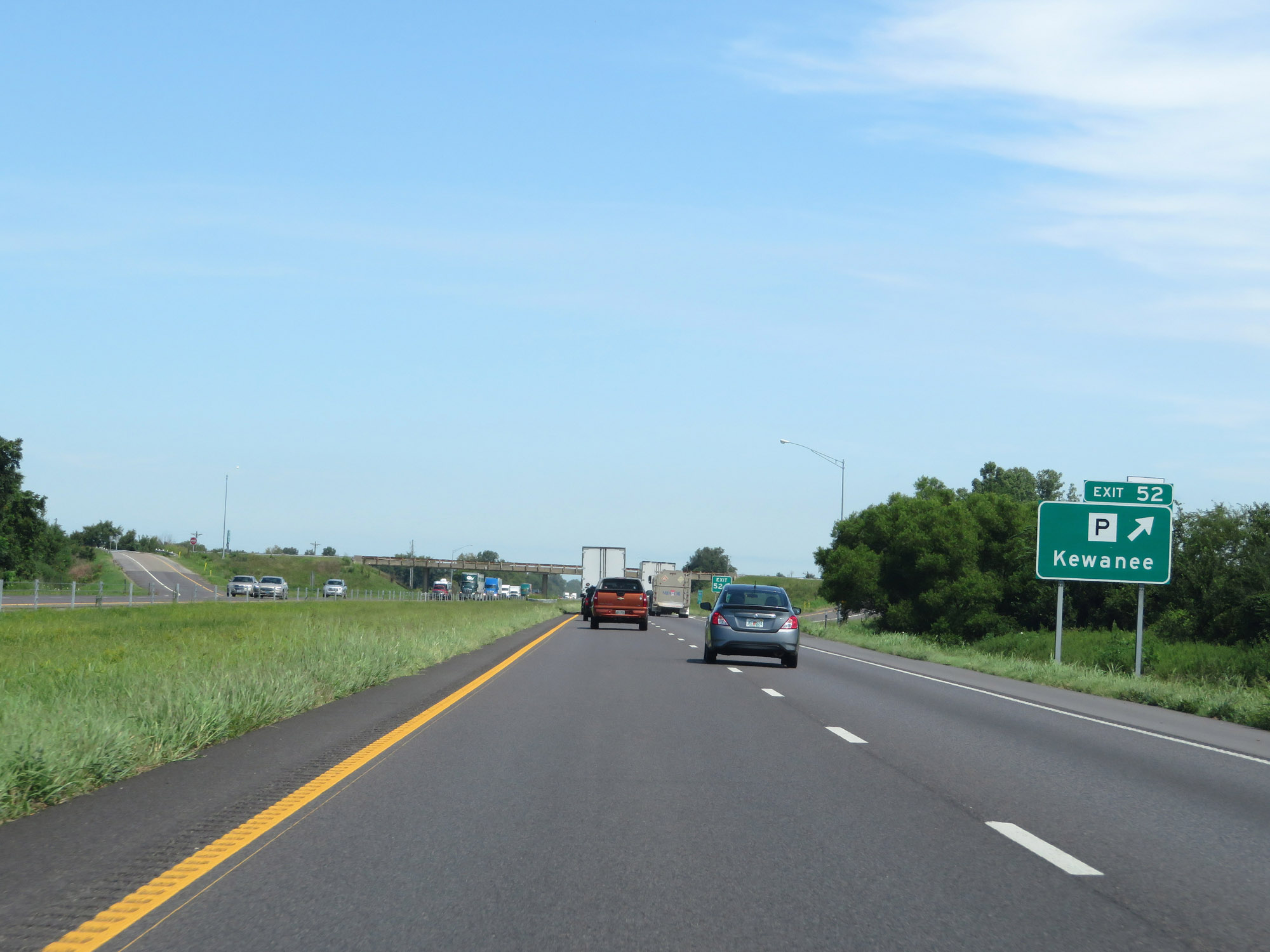 |
Interstate 55 North at Exit 52: Route P - Kewanee (Photo taken 8/13/19). |
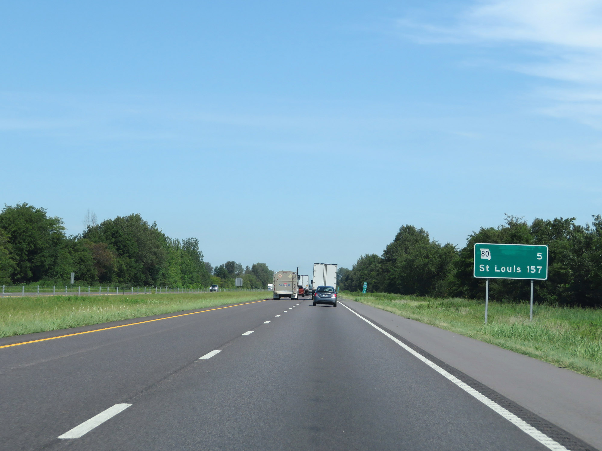 |
Mileage sign on Interstate 55 North. It's 5 miles to the junction of MO 80 and 157 miles to St. Louis. (Photo taken 8/13/19). |
 |
View on Interstate 55 North at mile marker 54. (Photo taken 8/13/19). |
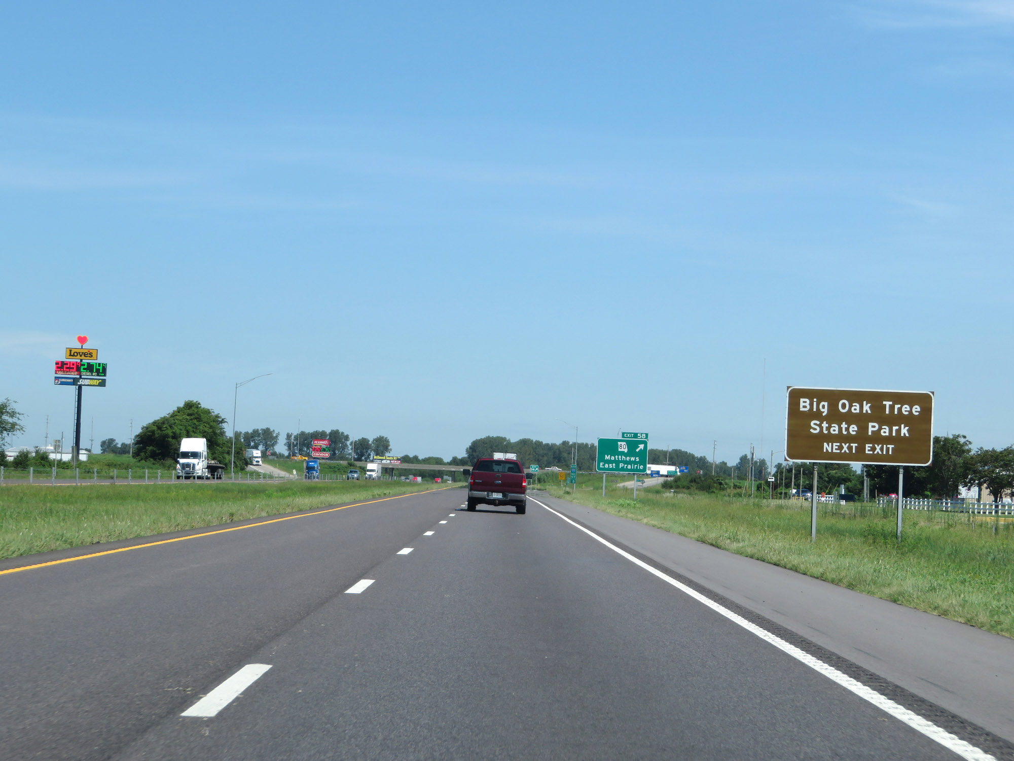 |
Take Exit 58 to Big Oak Tree State Park. (Photo taken 8/13/19). |
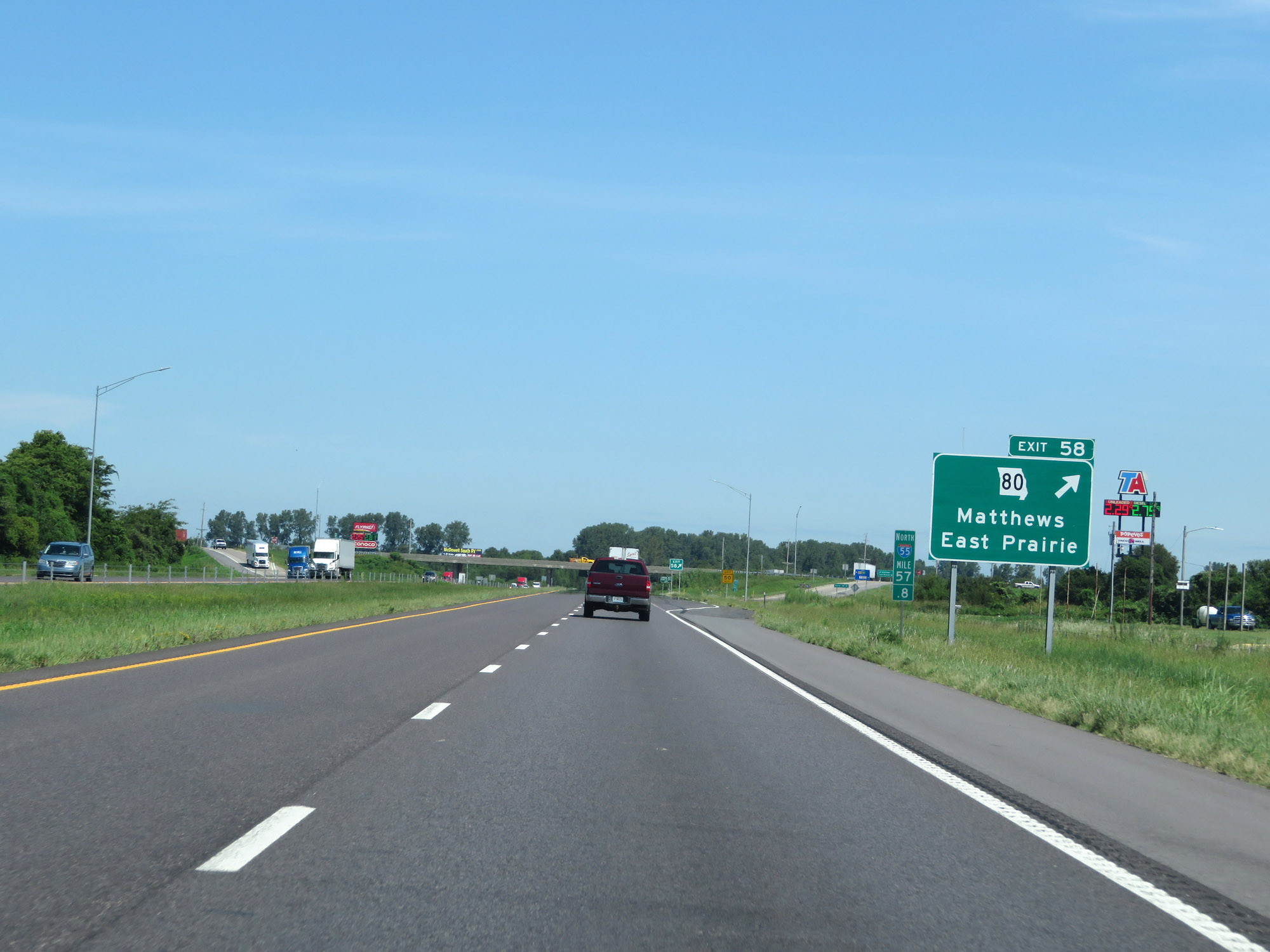 |
Interstate 55 North at Exit 58: MO 80 - Matthews / East Prairie (Photo taken 8/13/19). |
 |
State-named Interstate 55 North reassurance shield at mile marker 58.6. (Photo taken 8/13/19). |
 |
Interstate 55 North at mile marker 62. (Photo taken 8/13/19). |
 |
View on Interstate 55 North at mile marker 64. (Photo taken 8/13/19). |
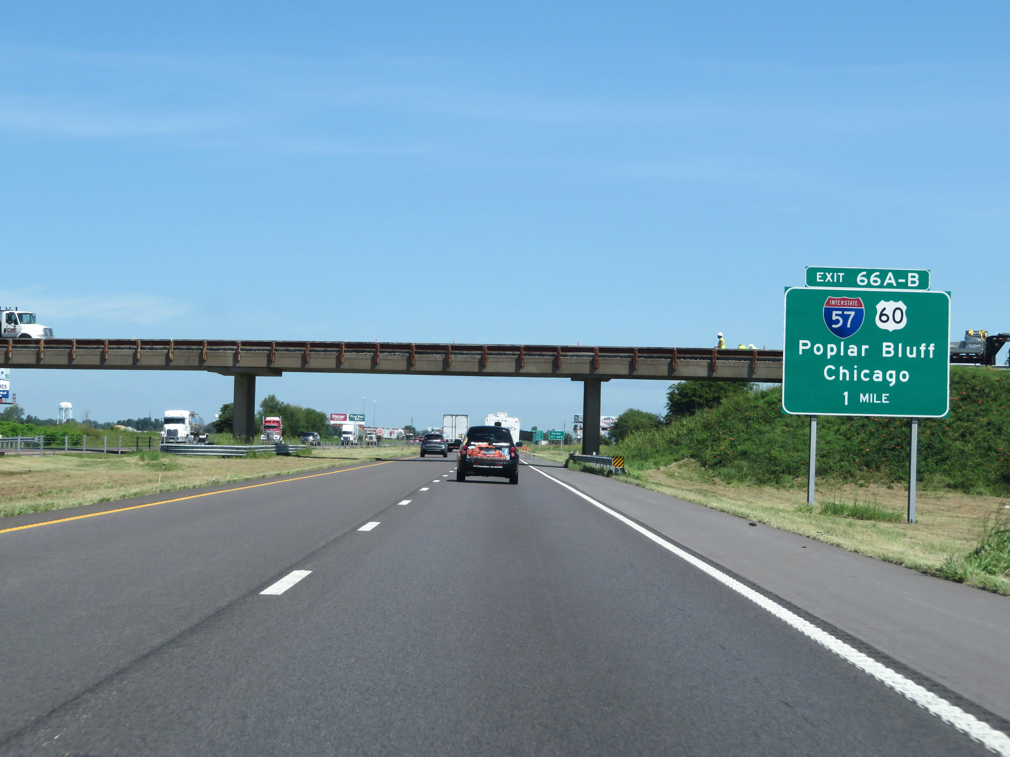 |
Interstate 55 North approaching Exits 66A-B - 1 mile. (Photo taken 8/13/19). |
 |
Take Exit 66B (US 60 West) to Dexter. (Photo taken 8/13/19). |
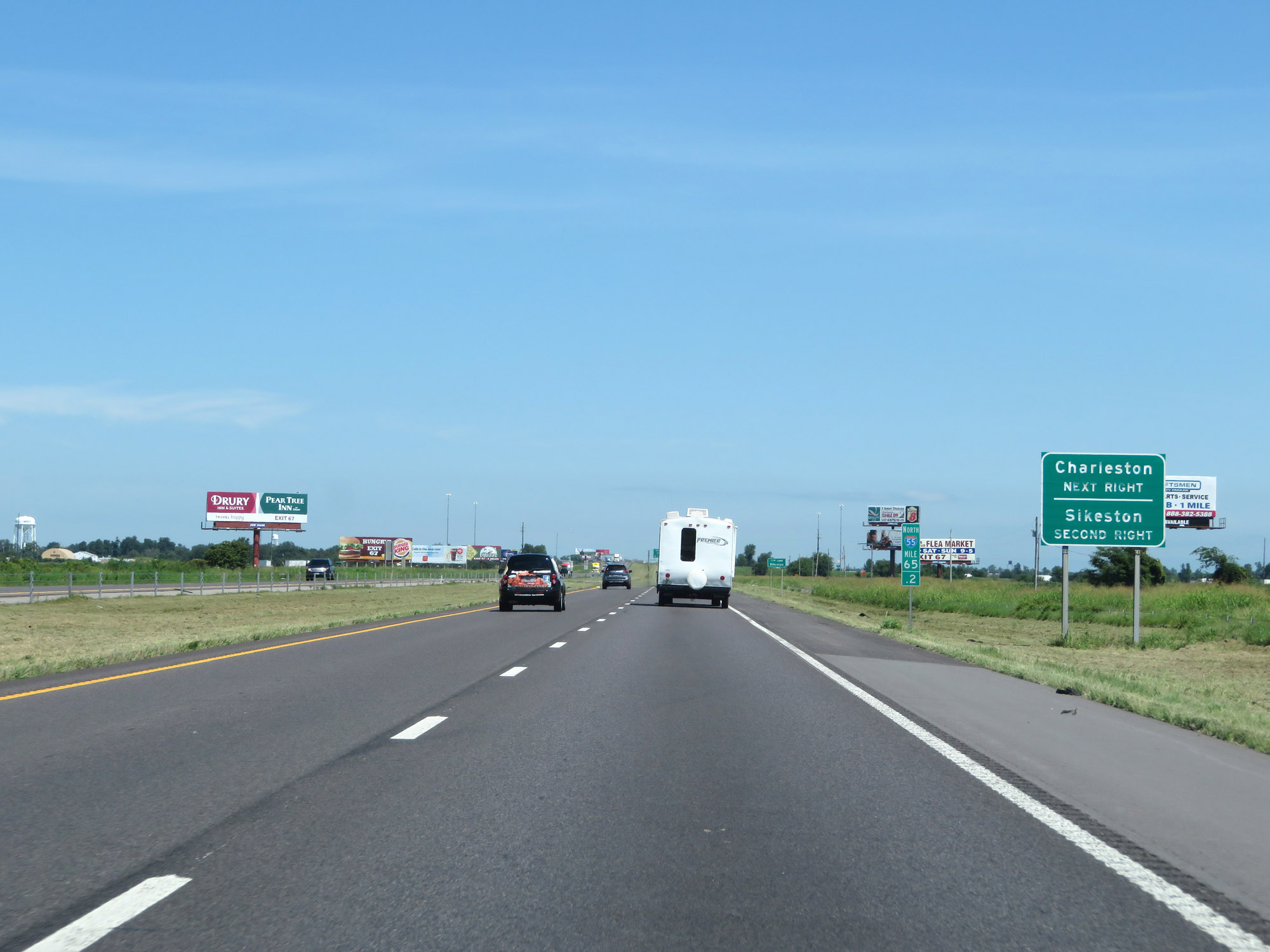 |
Take Exit 66A (Interstate 57 North) to Charleston. Take Exit 66B (US 60 West) to Sikeston. (Photo taken 8/13/19). |
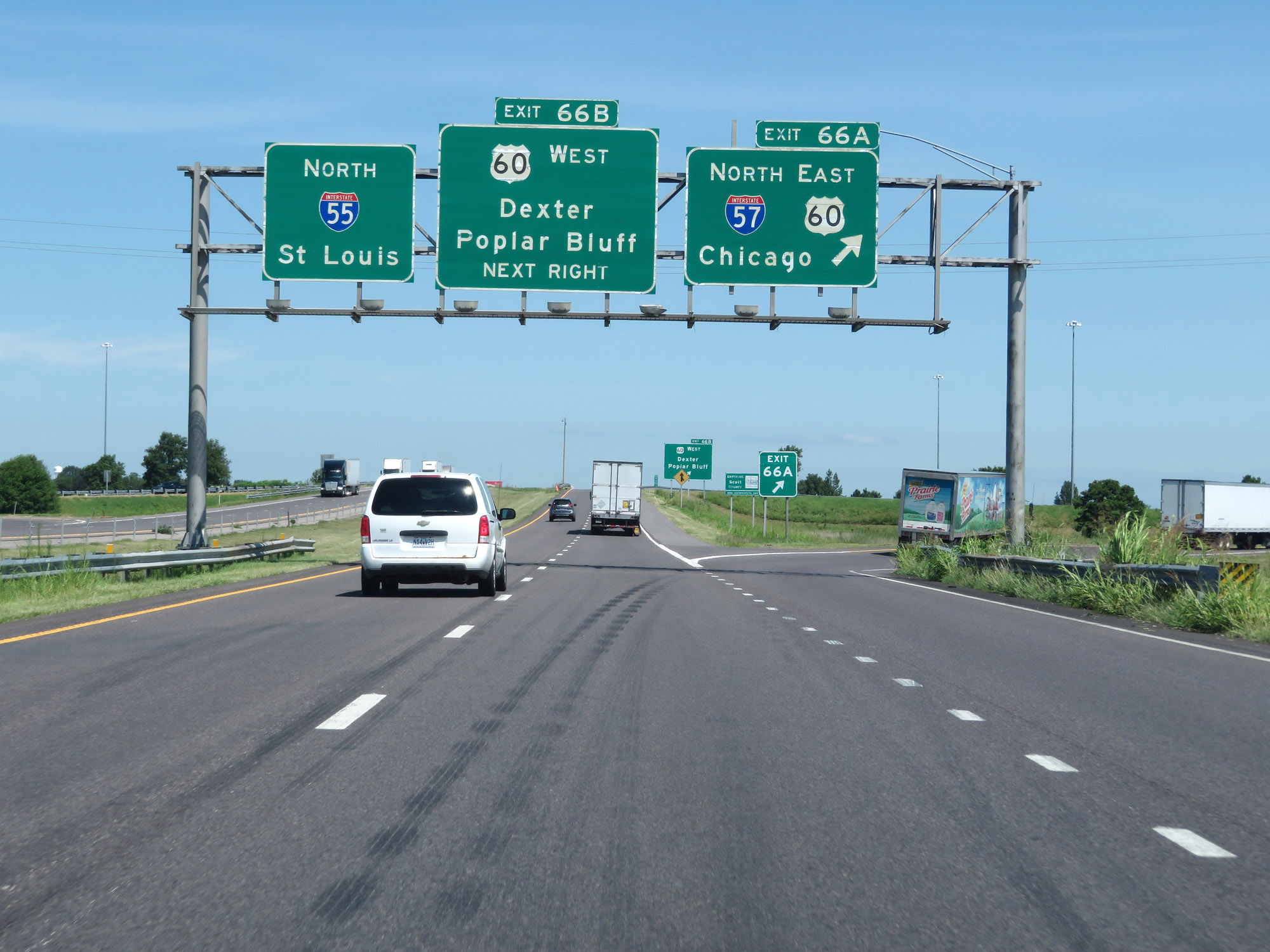 |
Interstate 55 North at Exit 66A: Interstate 57 North / US 60 East - Chicago (Photo taken 8/13/19). |
 |
Interstate 55 North as it enters Scott County, just before Exit 66B. (Photo taken 8/13/19). |
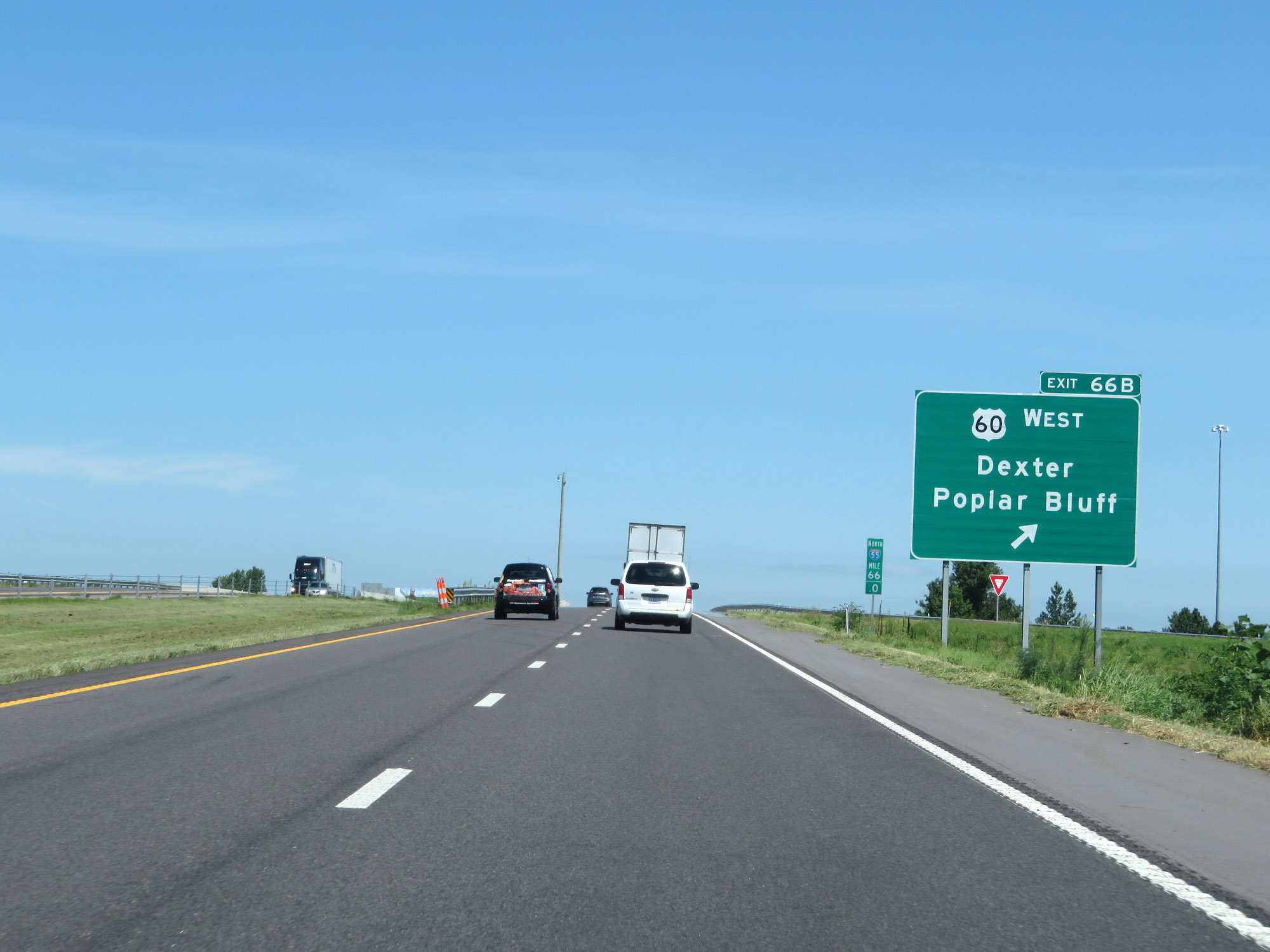 |
Interstate 55 North at Exit 66B: US 60 West - Dexter / Poplar Bluff (Photo taken 8/13/19). |
Section 2: Sikeston (Exit 66B) to Ste. Genevieve (Exit 150)
 |
The speed limits remain 70 mph maximum and 40 mph minimum. (Photo taken 8/13/19). |
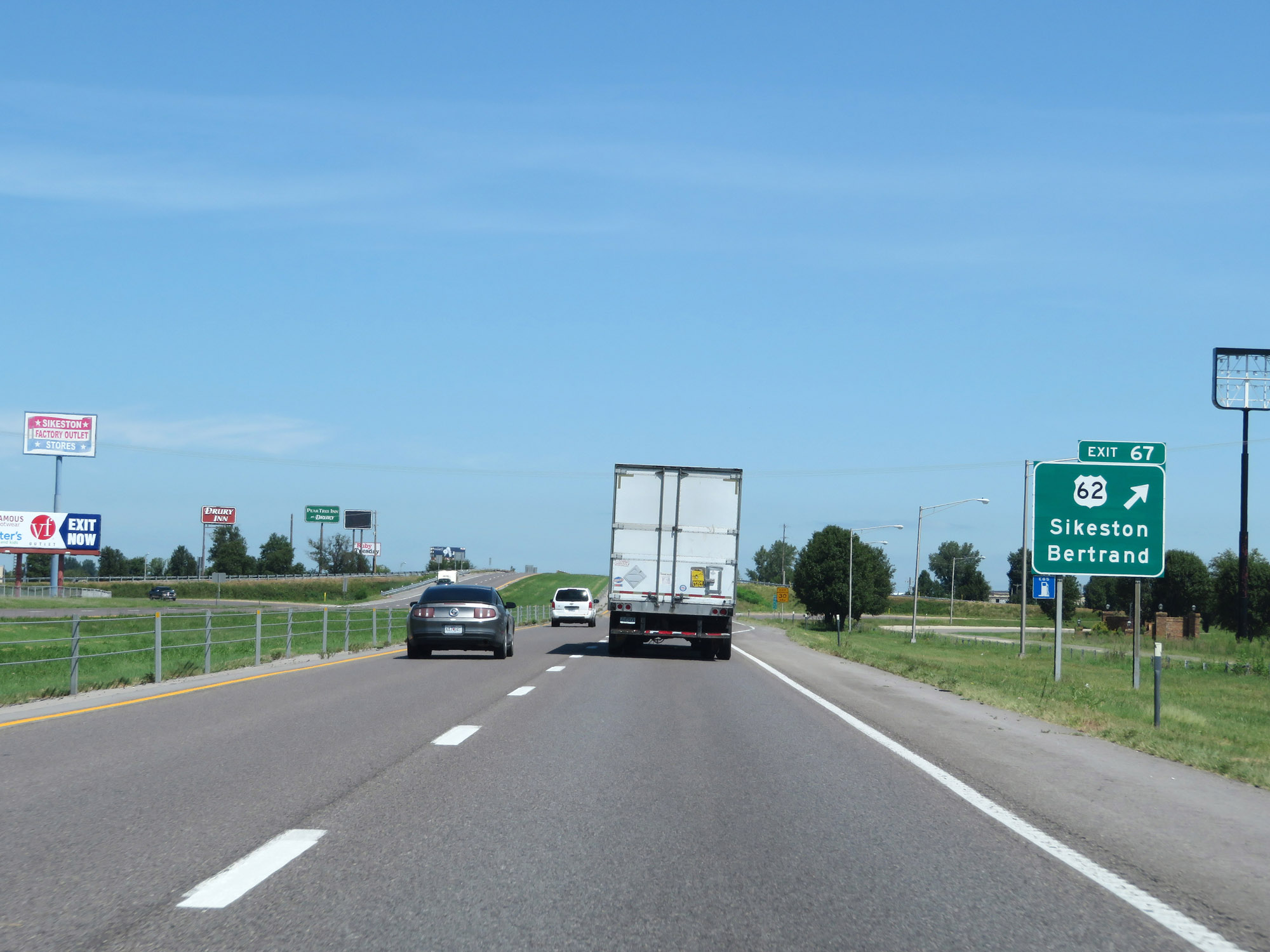 |
Interstate 55 North at Exit 67: US 62 - Sikeston / Bertrand (Photo taken 8/13/19). |
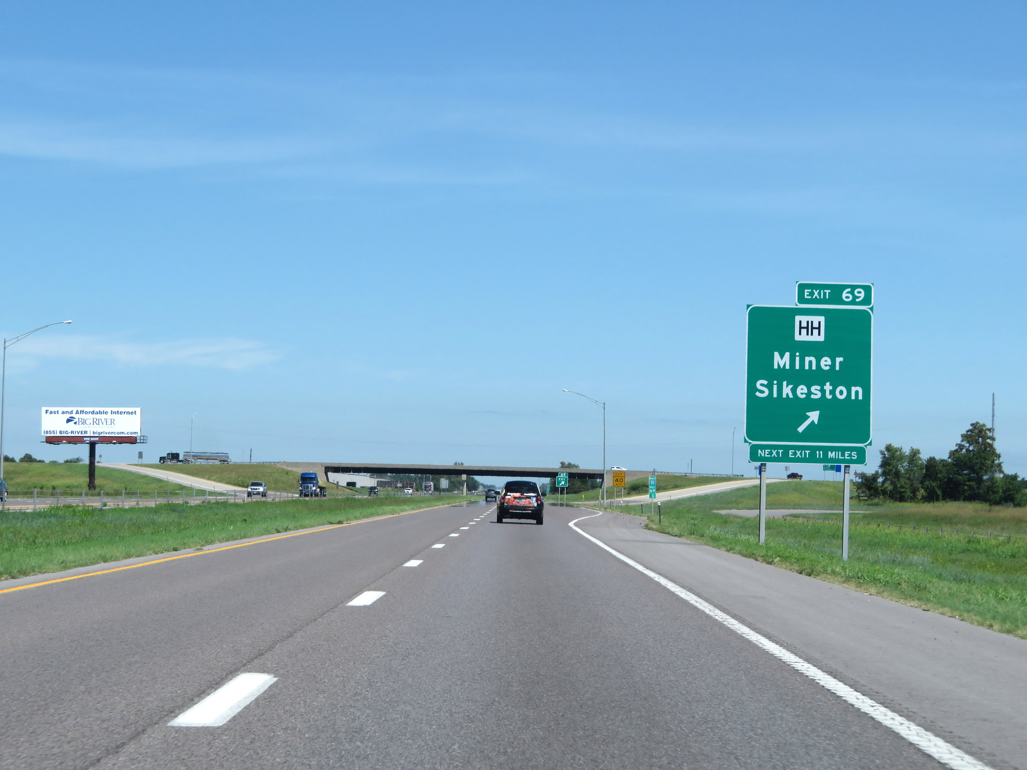 |
Interstate 55 North at Exit 69: Route HH - Miner / Sikeston (Photo taken 8/13/19). |
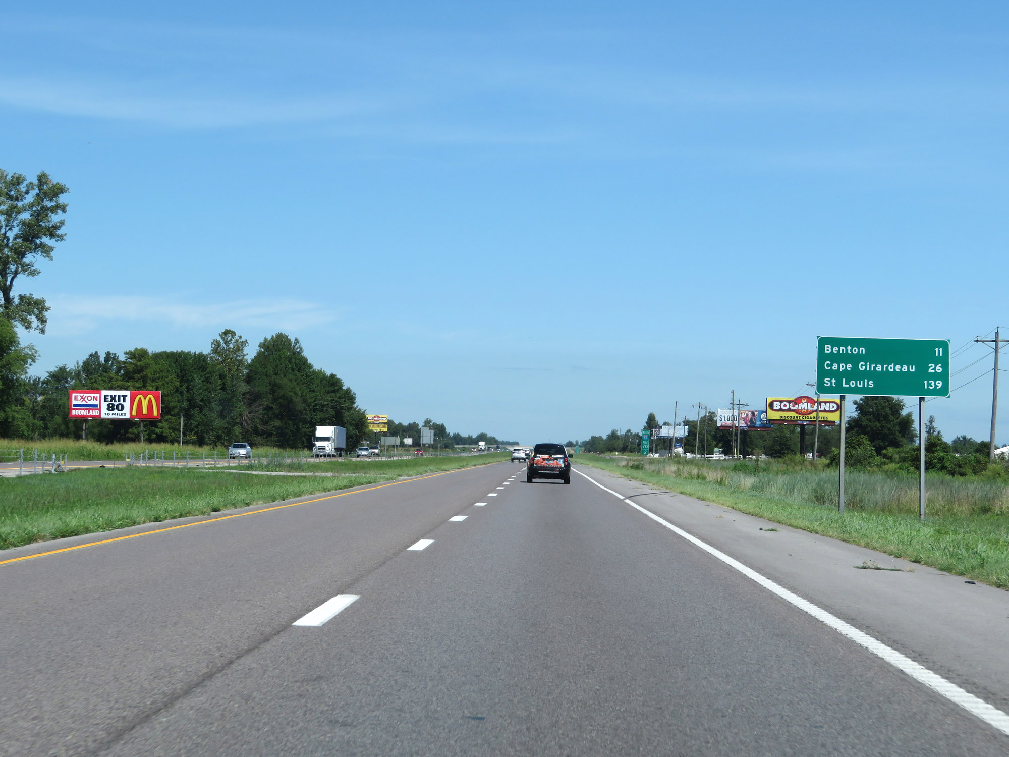 |
Mileage sign on Interstate 55 North. It's 11 miles to Benton, 26 miles to Cape Girardeau, and 139 miles to St. Louis. (Photo taken 8/13/19). |
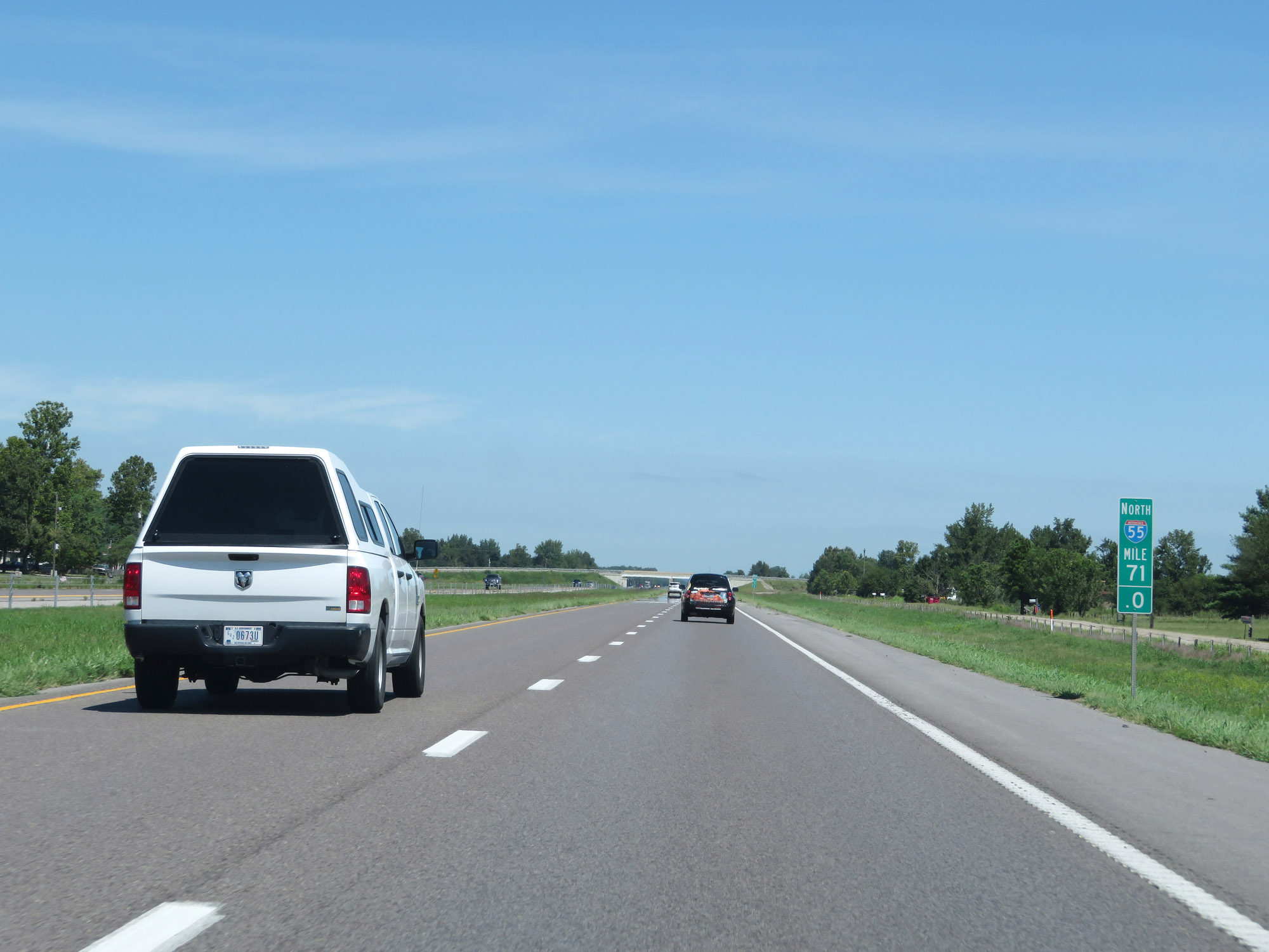 |
Interstate 55 North at mile marker 71. (Photo taken 8/13/19). |
 |
View on Interstate 55 North at mile marker 73. (Photo taken 8/13/19). |
 |
Interstate 55 North at mile marker 75. (Photo taken 8/13/19). |
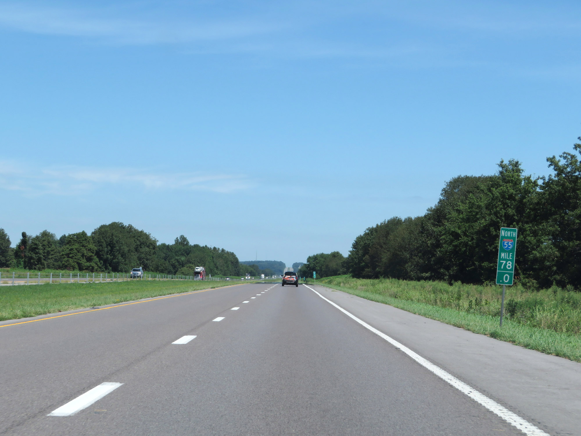 |
Interstate 55 North at mile marker 78. (Photo taken 8/13/19). |
 |
Interstate 55 North at Exit 80: MO 77 - Benton / Diehlstadt (Photo taken 8/13/19). |
 |
State-named Interstate 55 North reassurance shield. (Photo taken 8/13/19). |
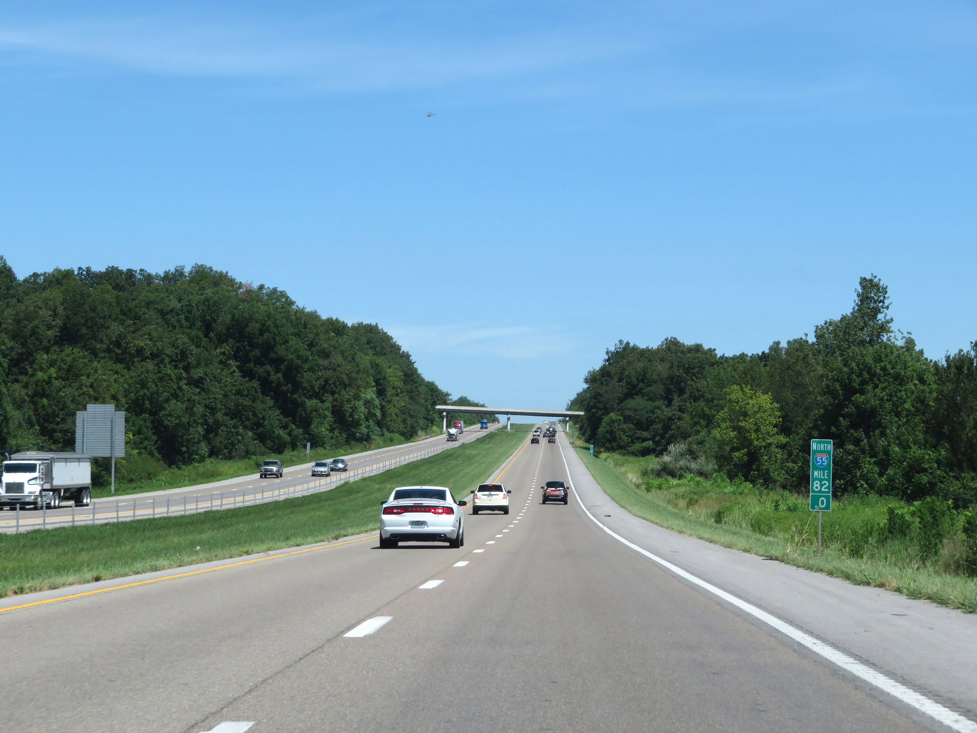 |
View on Interstate 55 North at mile marker 82. (Photo taken 8/13/19). |
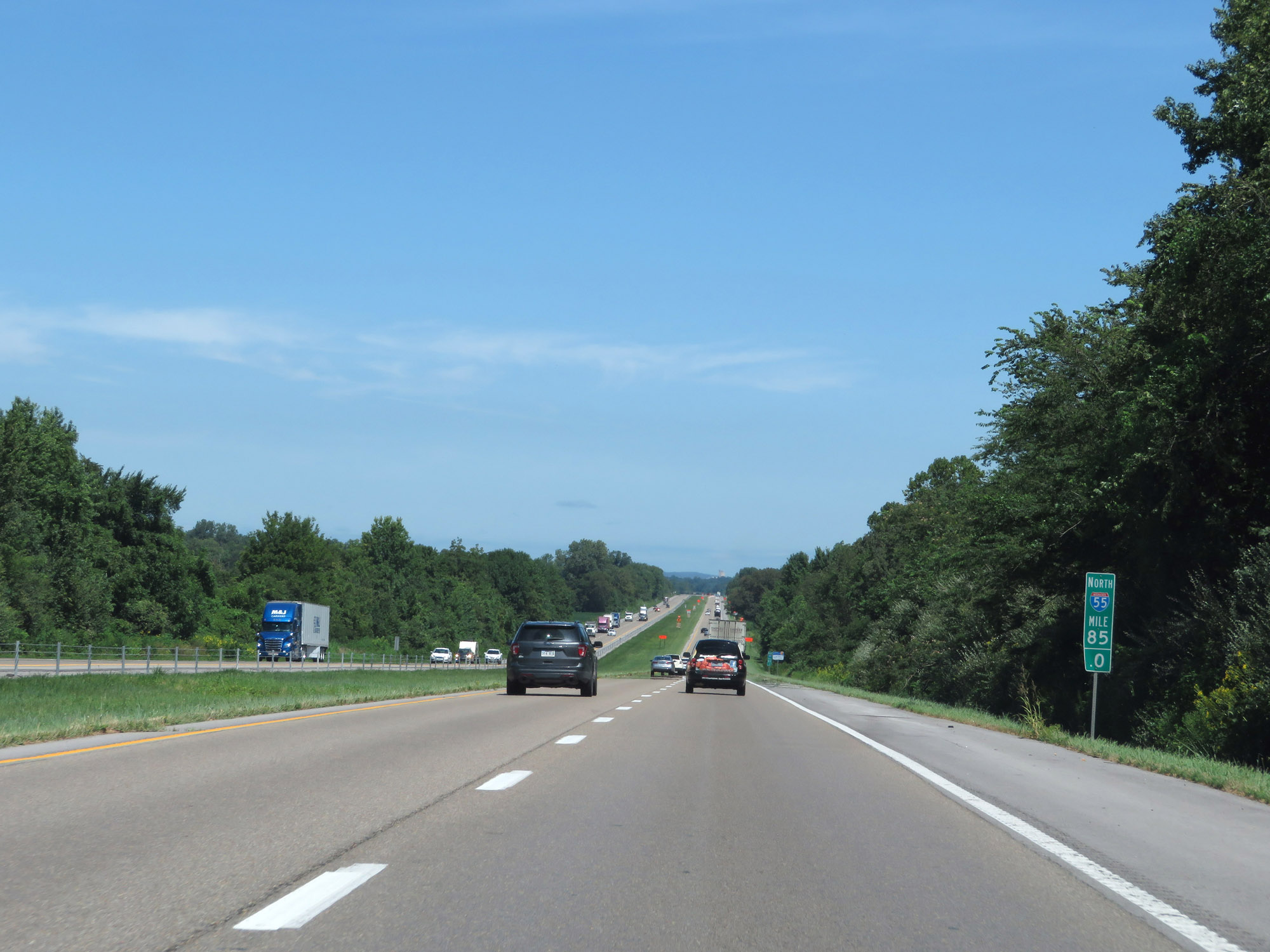 |
Interstate 55 North at mile marker 85. (Photo taken 8/13/19). |
 |
Interstate 55 North at mile marker 87. (Photo taken 8/13/19). |
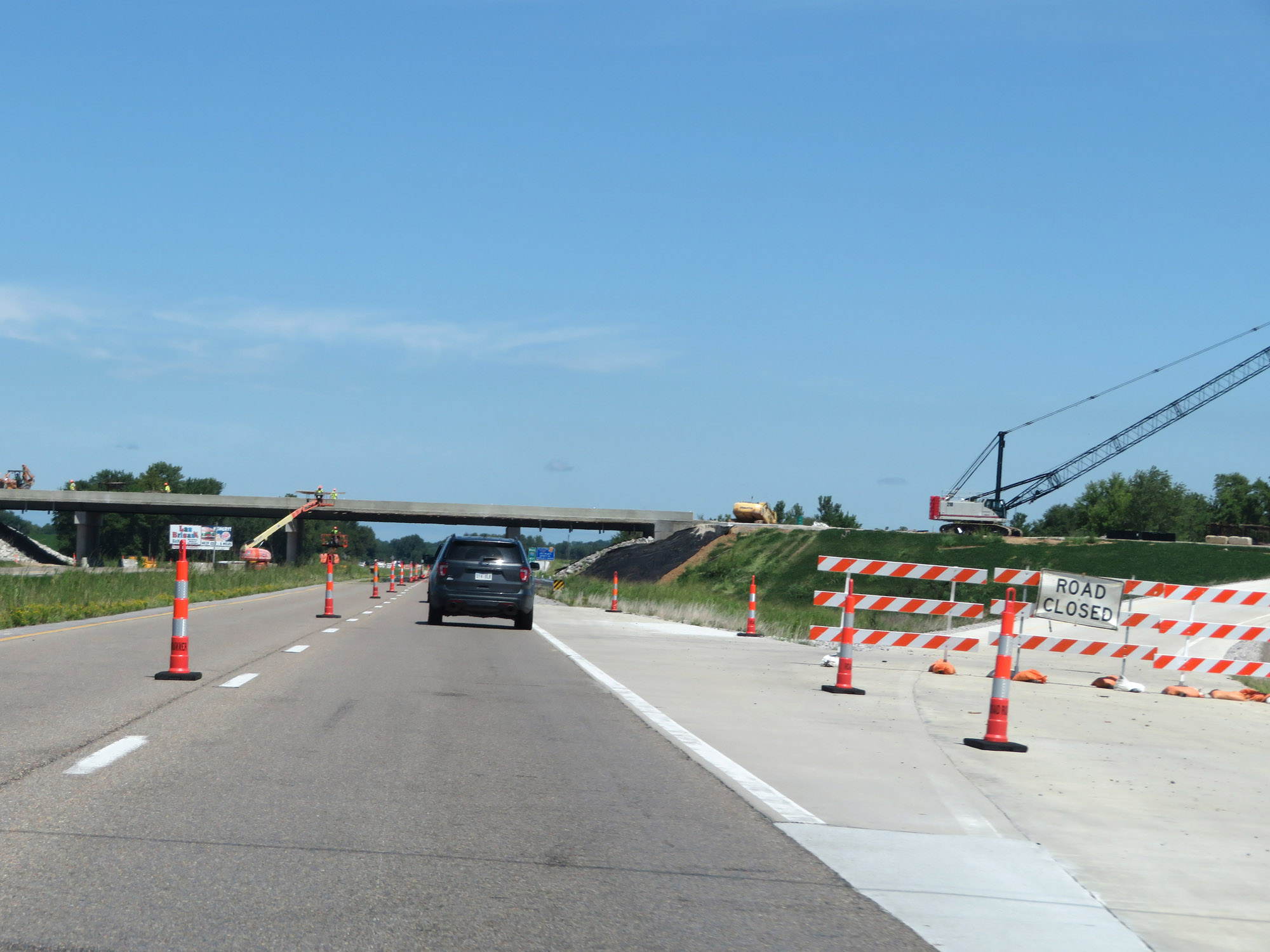 |
A future interchange under construction on Interstate 55 North. (Photo taken 8/13/19). |
 |
Interstate 55 North approaching Exit 89 - 1 mile. (Photo taken 8/13/19). |
 |
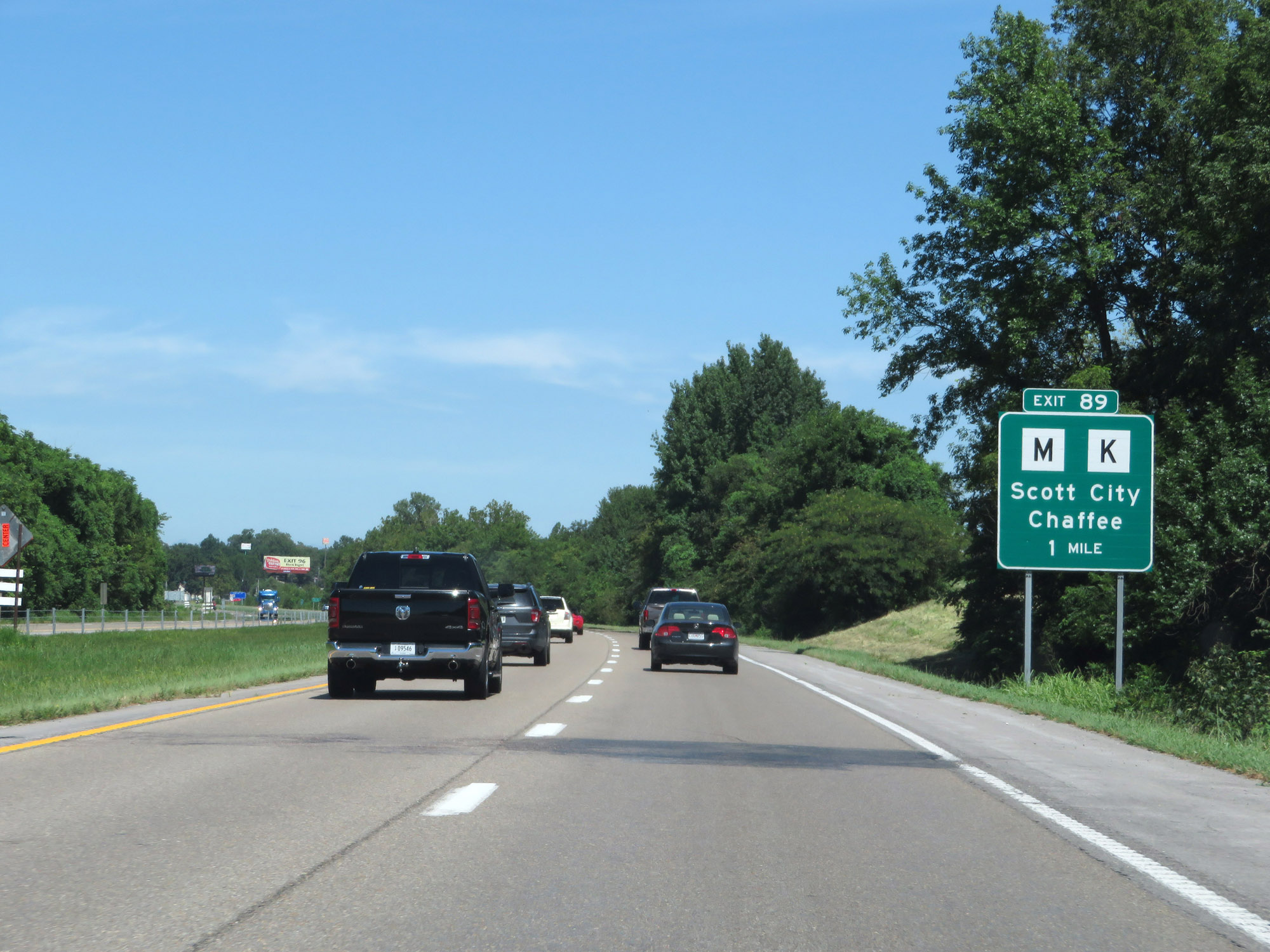
Interstate 55 North at Exit 89: Route M / Route K - Scott City / Chaffee (Photo taken 8/13/19). |
 |
Take Exit 91 to Southeastern Missouri Regional Port Authority. (Photo taken 8/13/19). |
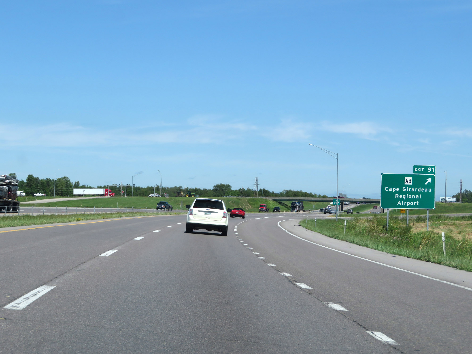 |
Interstate 55 North at Exit 91: Route AB - Cape Girardeau Regional Airport (Photo taken 8/13/19). |
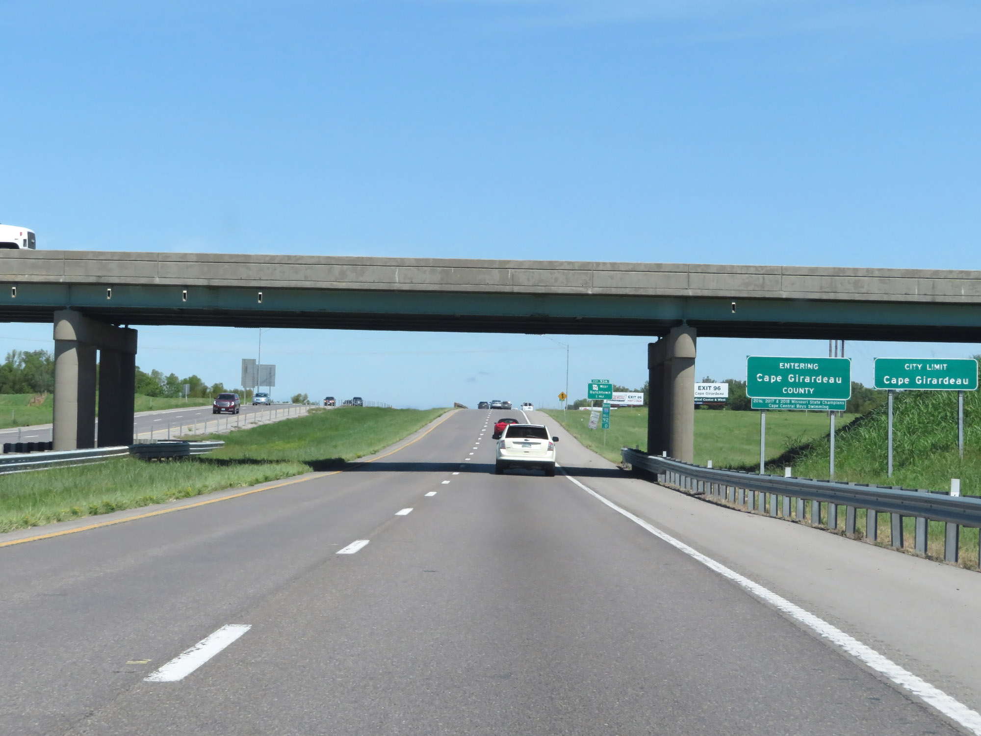 |
Entering Cape Girardeau County and the Cape Girardeau city limits on Interstate 55 North at mile marker 92. (Photo taken 8/13/19). |
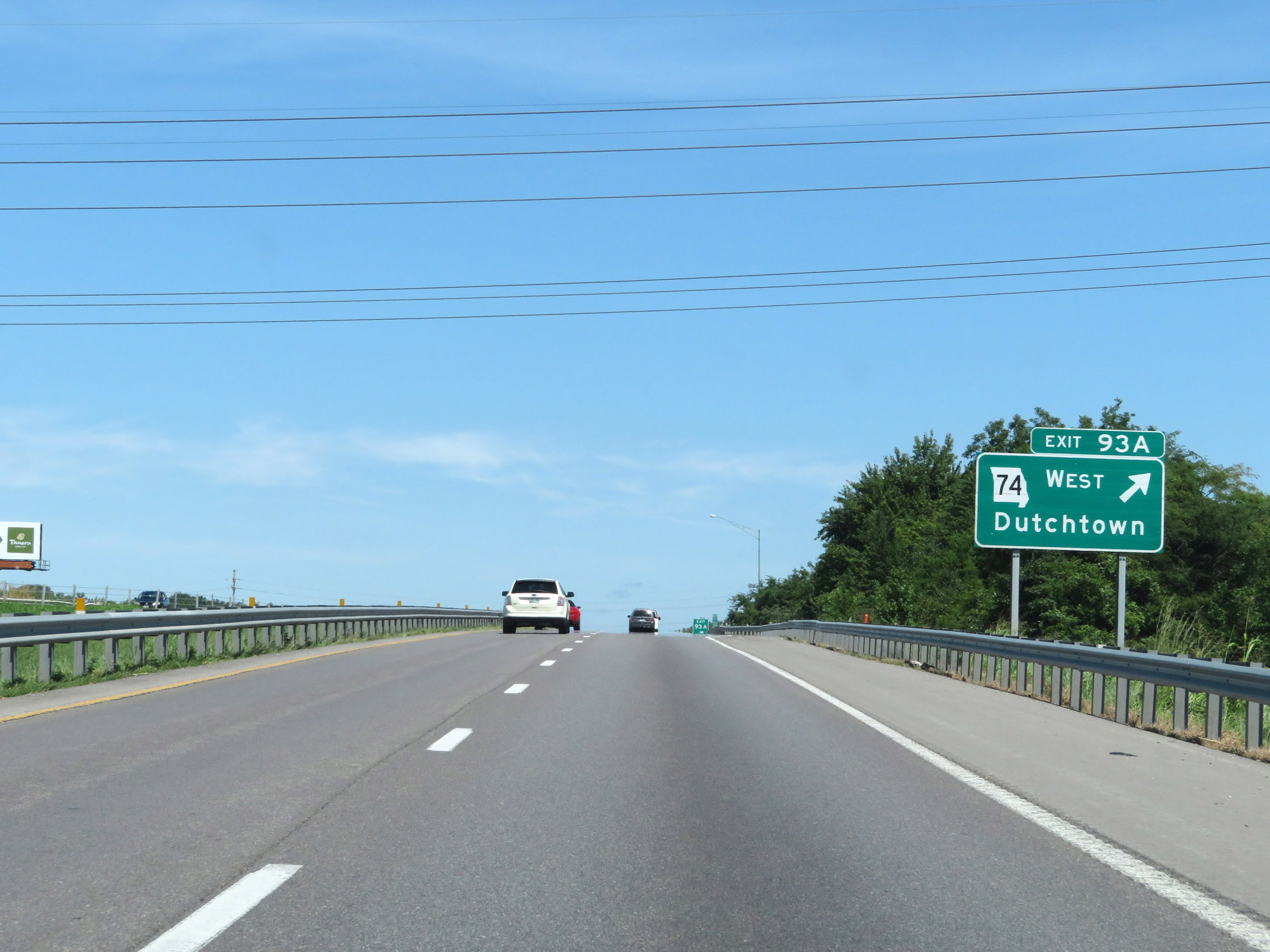 |
Interstate 55 North at Exit 93A: MO 74 West - Dutchtown (Photo taken 8/13/19). |
 |
Take any of the next 4 exits to Cape Girardeau. (Photo taken 8/13/19). |
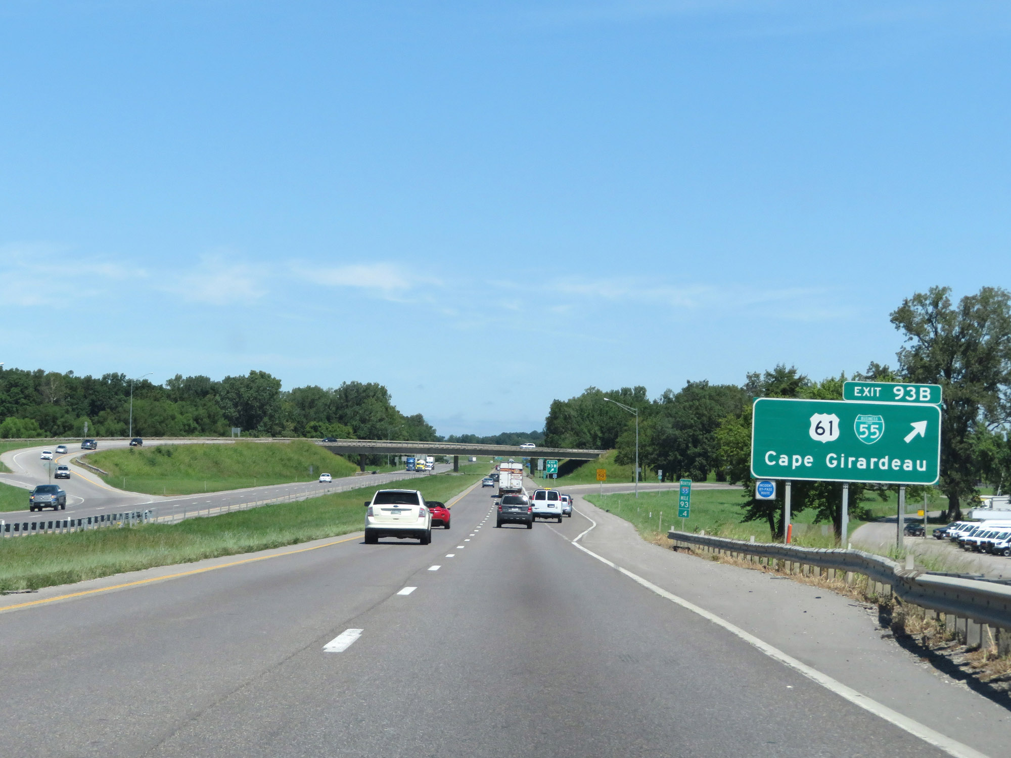 |
Interstate 55 North at Exit 93B: US 61 / Interstate 55 Business Loop - Cape Girardeau (Photo taken 8/13/19). |
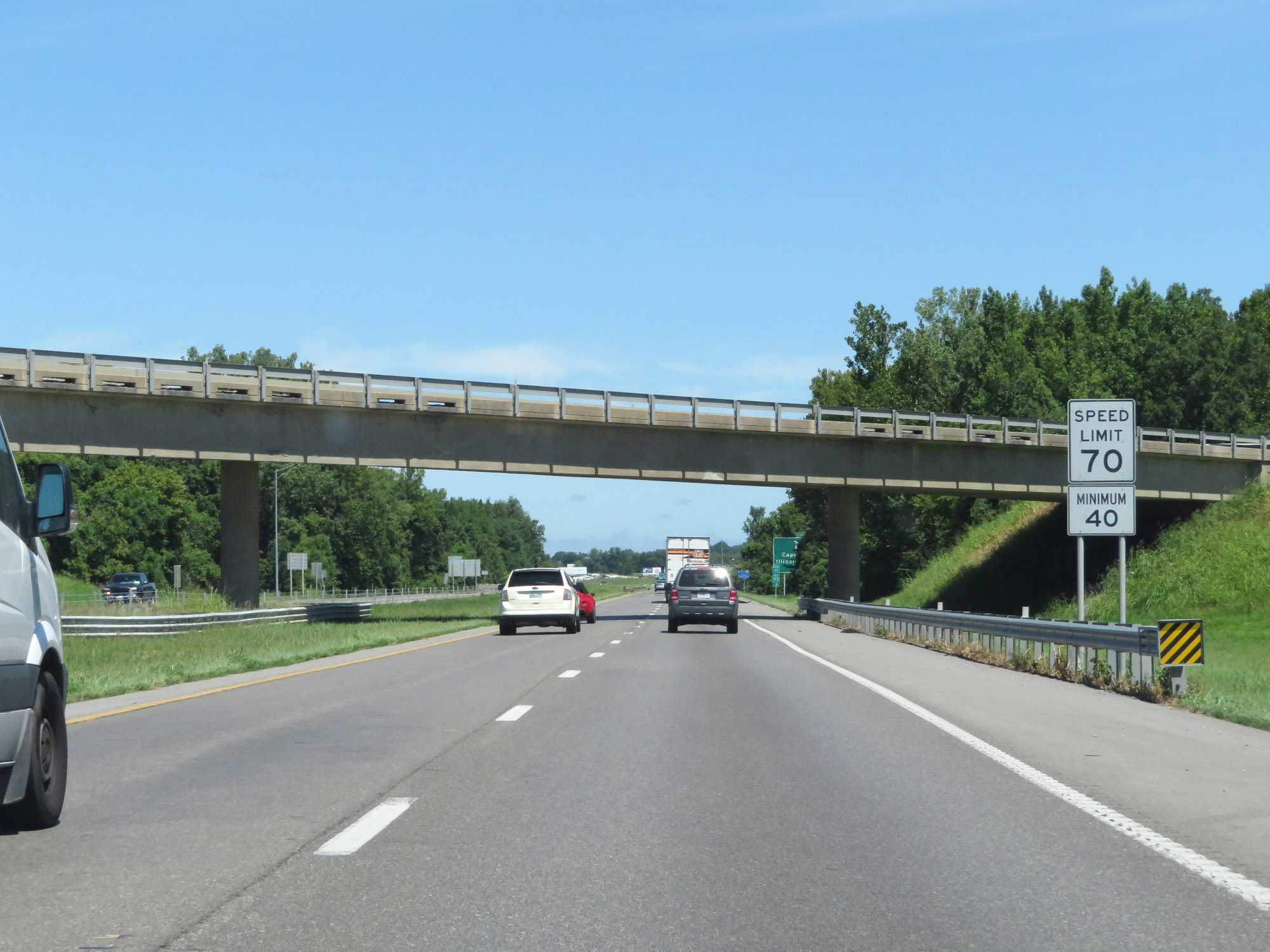 |
The speed limits remain 70 mph maximum and 40 mph minimum through the Cape Girardeau area. (Photo taken 8/13/19). |
 |
Take Exit 96 to David M. Barton Agricultural Research Center. Take Exit 95 to Southeast Missouri State University Main Campus, Show Me Center, and River Campus. (Photo taken 8/13/19). |
 |
Interstate 55 North at Exit 95: MO 74 East / To IL 146 - Cape Girardeau (Photo taken 8/13/19). |
 |
Interstate 55 North at Exit 96: Route K - Cape Girardeau / Gordonville (Photo taken 8/13/19). |
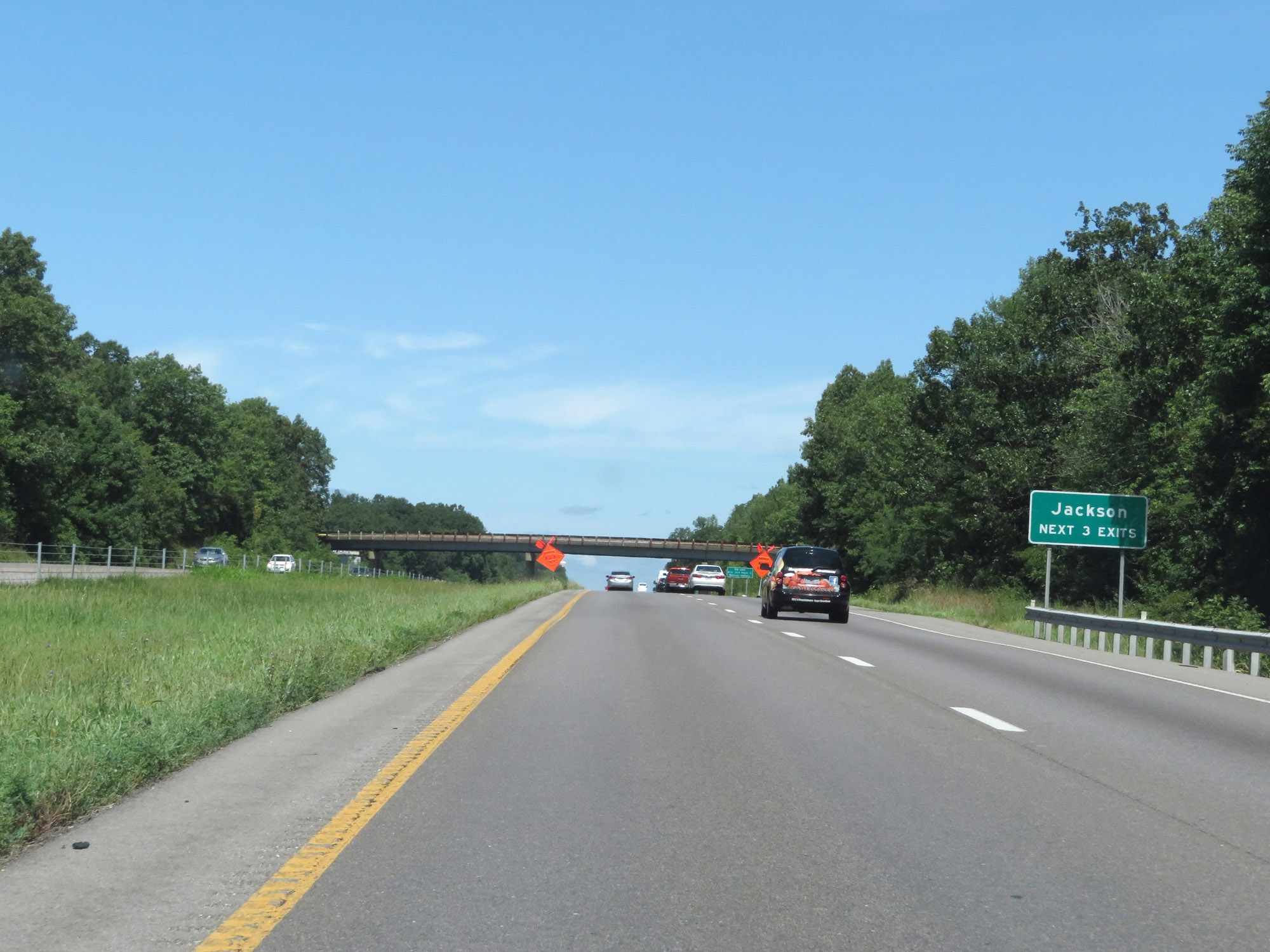 |
Take any of the next 3 exits to Jackson. (Photo taken 8/13/19). |
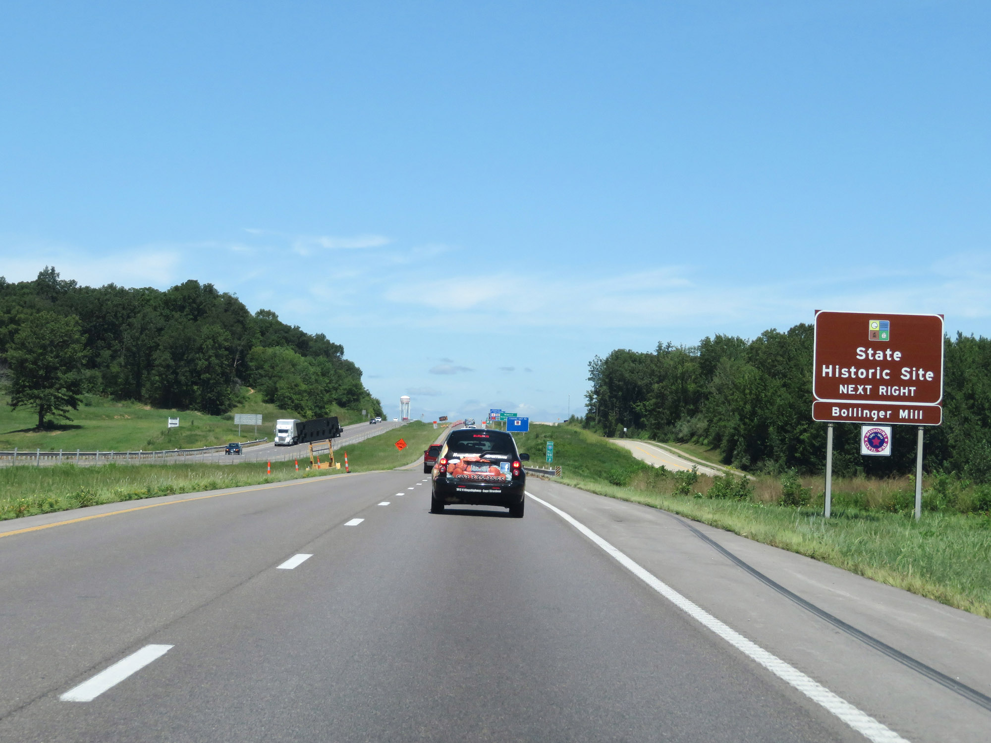 |
Take Exit 99 to Bollinger Mill State Historic Site. (Photo taken 8/13/19). |
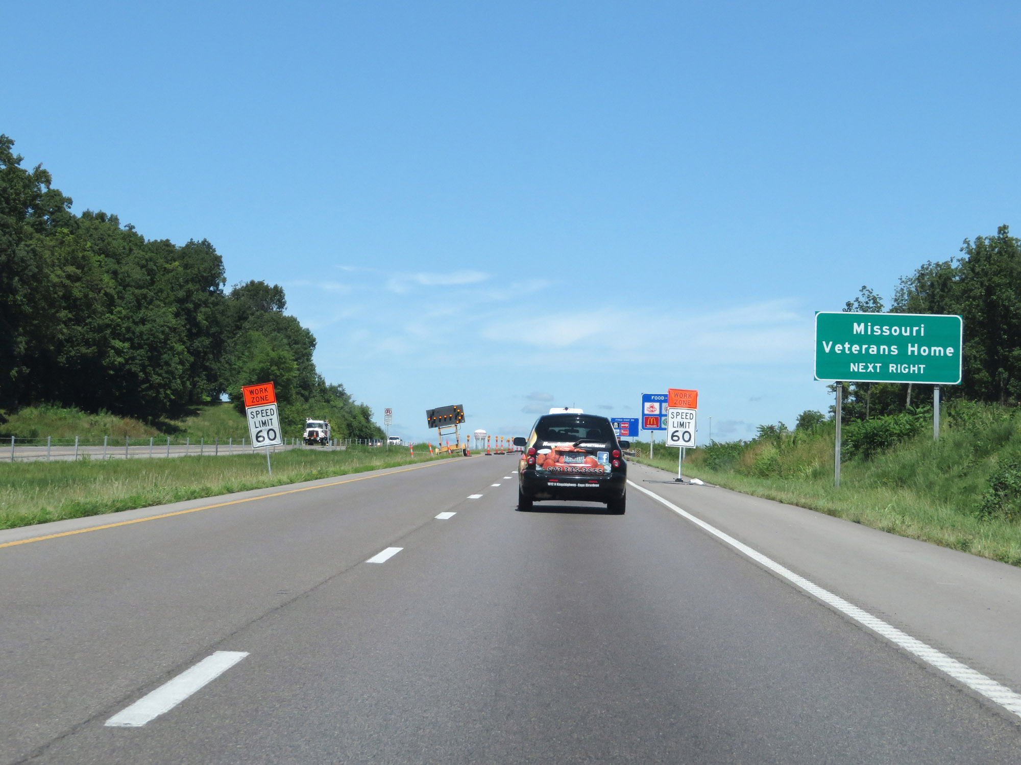 |
Access the Missouri Veterans Home via Exit 99. (Photo taken 8/13/19). |
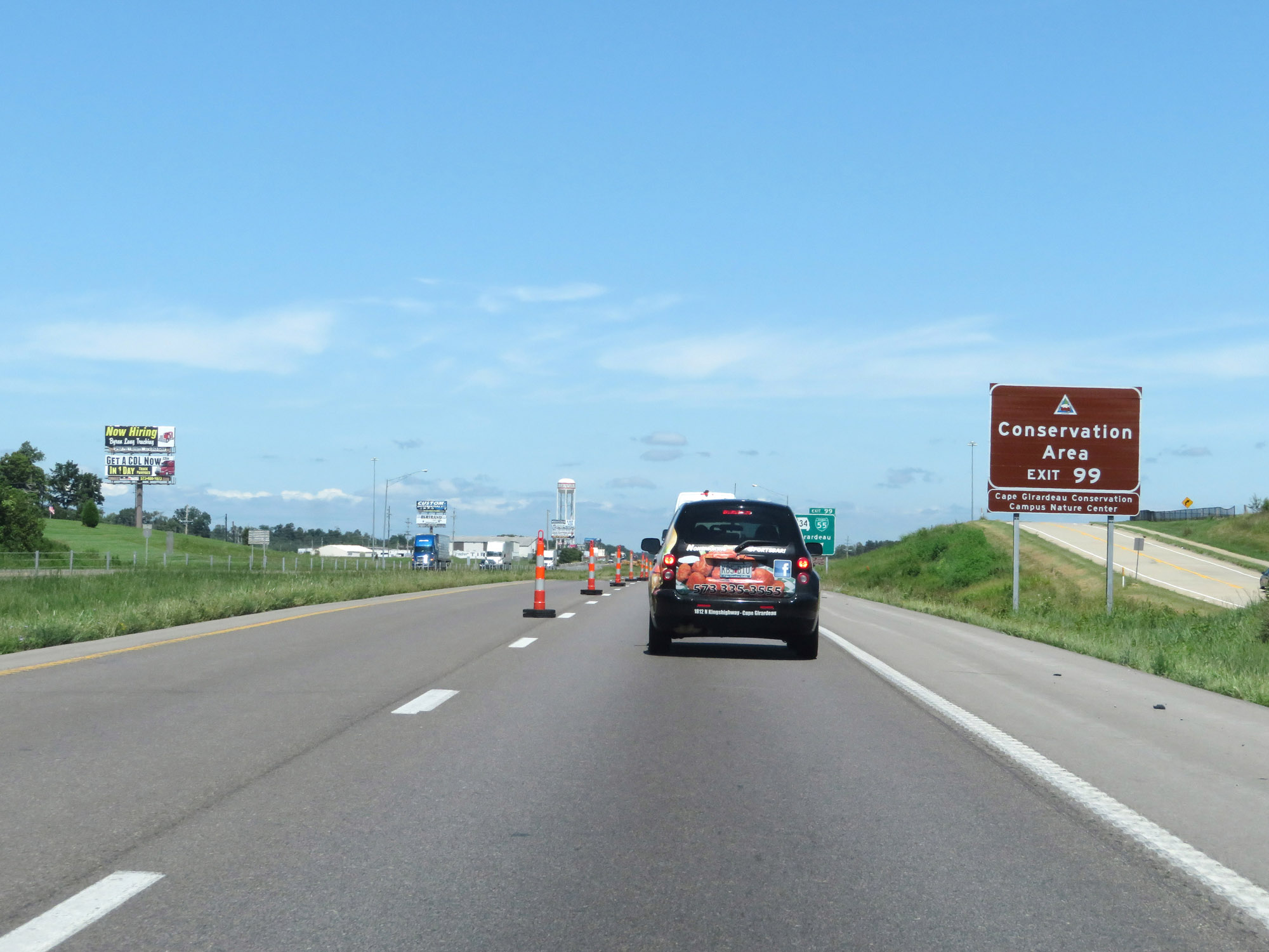 |
Also take Exit 99 to Cape Girardeau Conservation Campus Nature Center Conservation Area. (Photo taken 8/13/19). |
 |
Interstate 55 North at Exit 99: US 61 / MO 34 / Interstate 55 Business Loop - Cape Girardeau / Jackson (Photo taken 8/13/19). |
 |
Another state-named Interstate 55 North reassurance shield at mile marker 100.2. (Photo taken 8/13/19). |
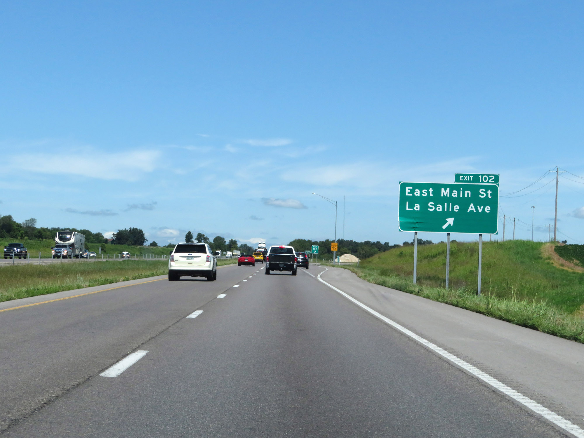 |
Interstate 55 North at Exit 102: East Main St / La Salle Ave (Photo taken 8/13/19). |
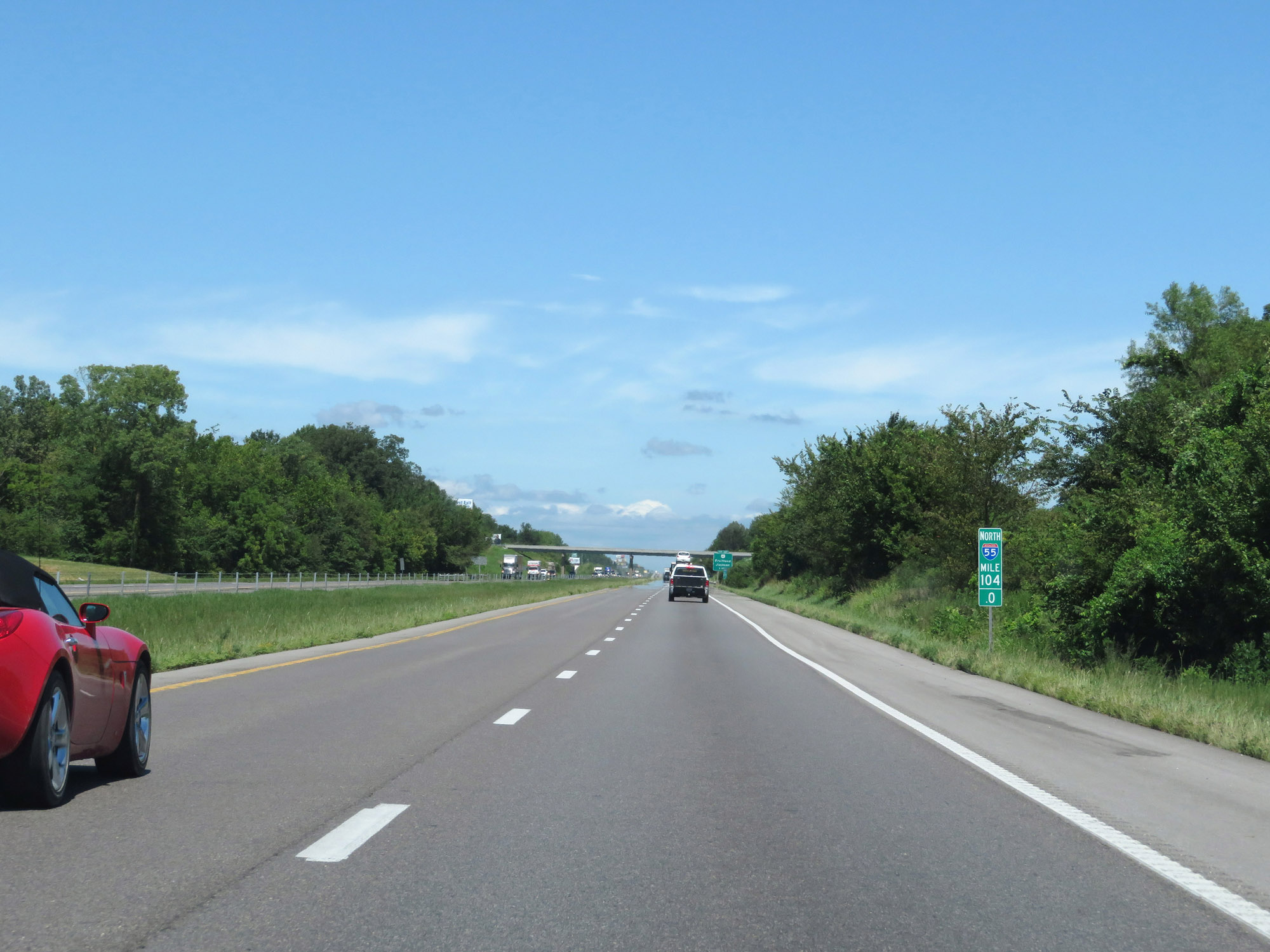 |
View on Interstate 55 North at mile marker 104. (Photo taken 8/13/19). |
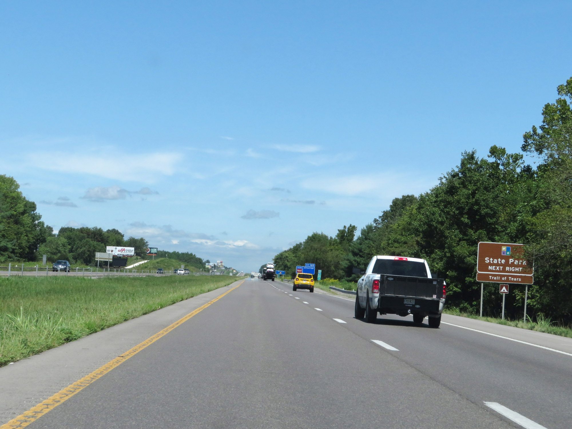 |
Take Exit 105 to Trail of Tears State Park. (Photo taken 8/13/19). |
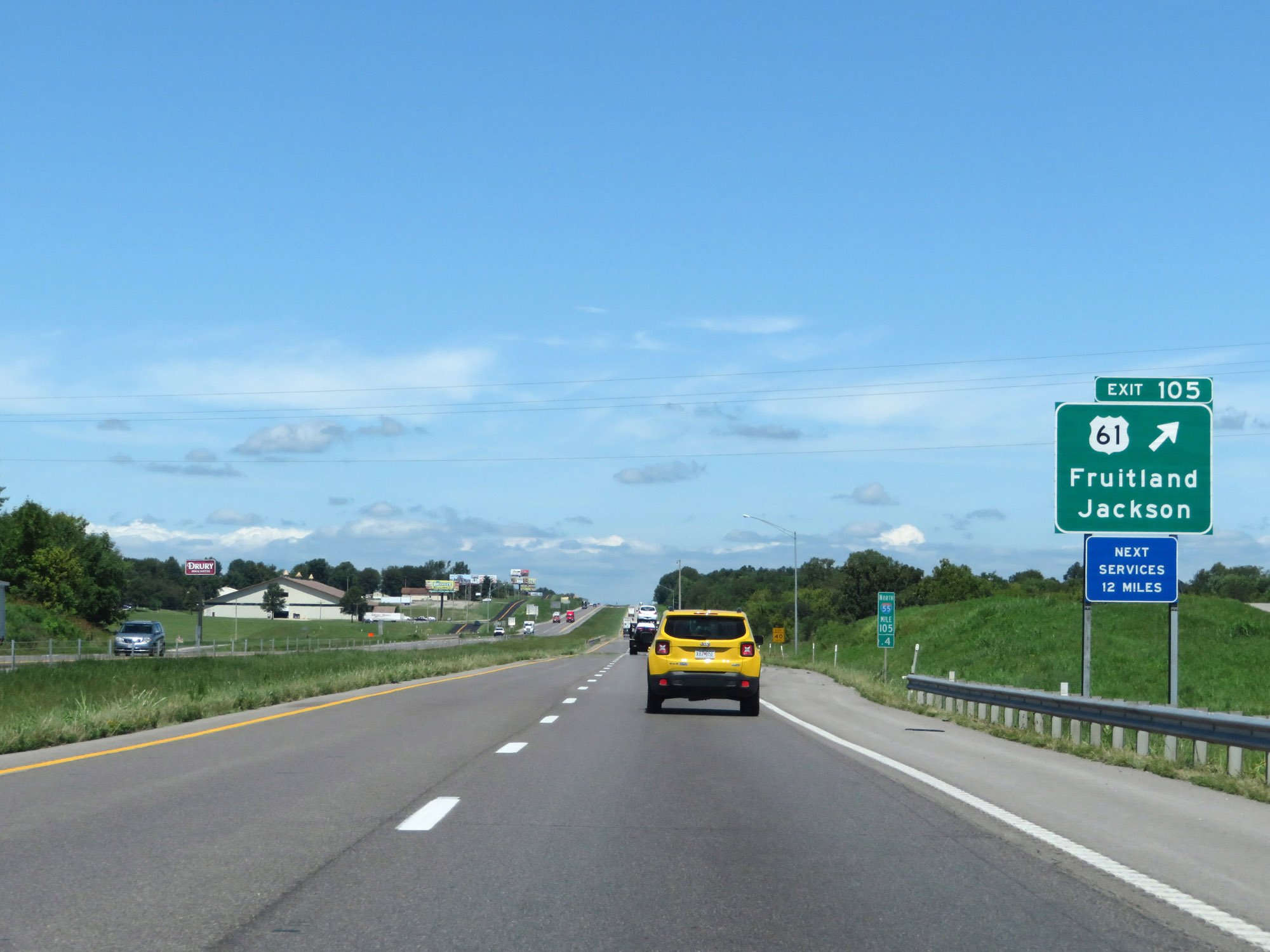 |
Interstate 55 North at Exit 105: US 61 - Fruitland / Jackson (Photo taken 8/13/19). |
 |
Interstate 55 North at mile marker 108. (Photo taken 8/13/19). |
 |
Truck Parking Area on Interstate 55 North in Cape Girardeau County. (Photo taken 8/13/19). |
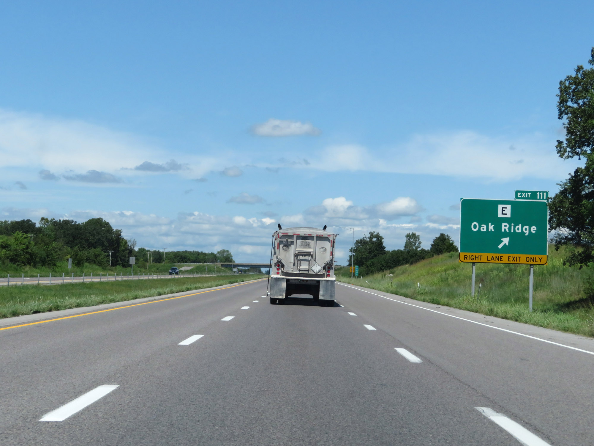 |
Interstate 55 North at Exit 111: Route E - Oak Ridge (Photo taken 8/13/19). |
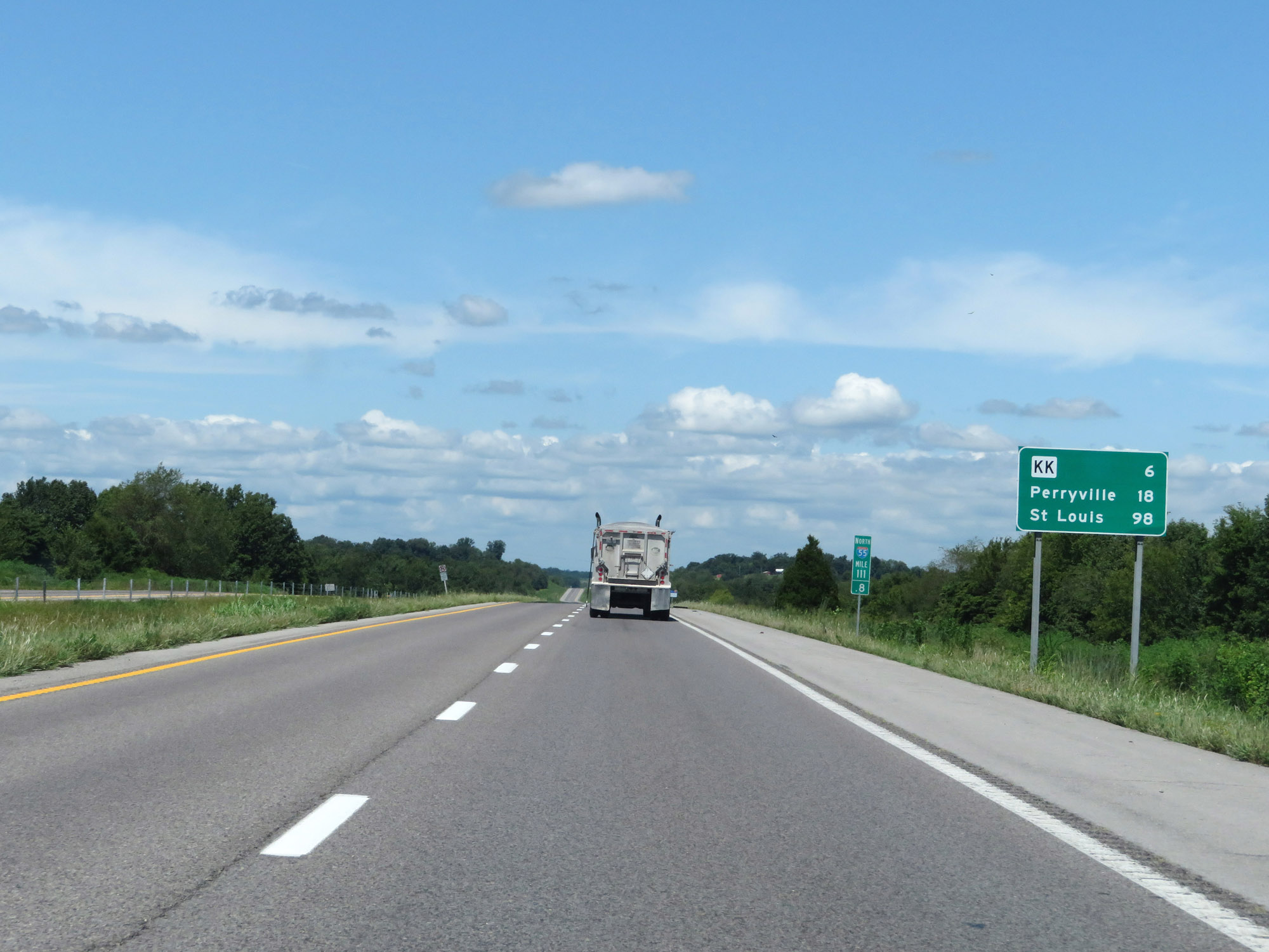 |
Mileage sign on Interstate 55 North at mile marker 111.8. It's 6 miles to the junction of Route KK, 18 miles to Perryville, and 98 miles to St. Louis. (Photo taken 8/13/19). |
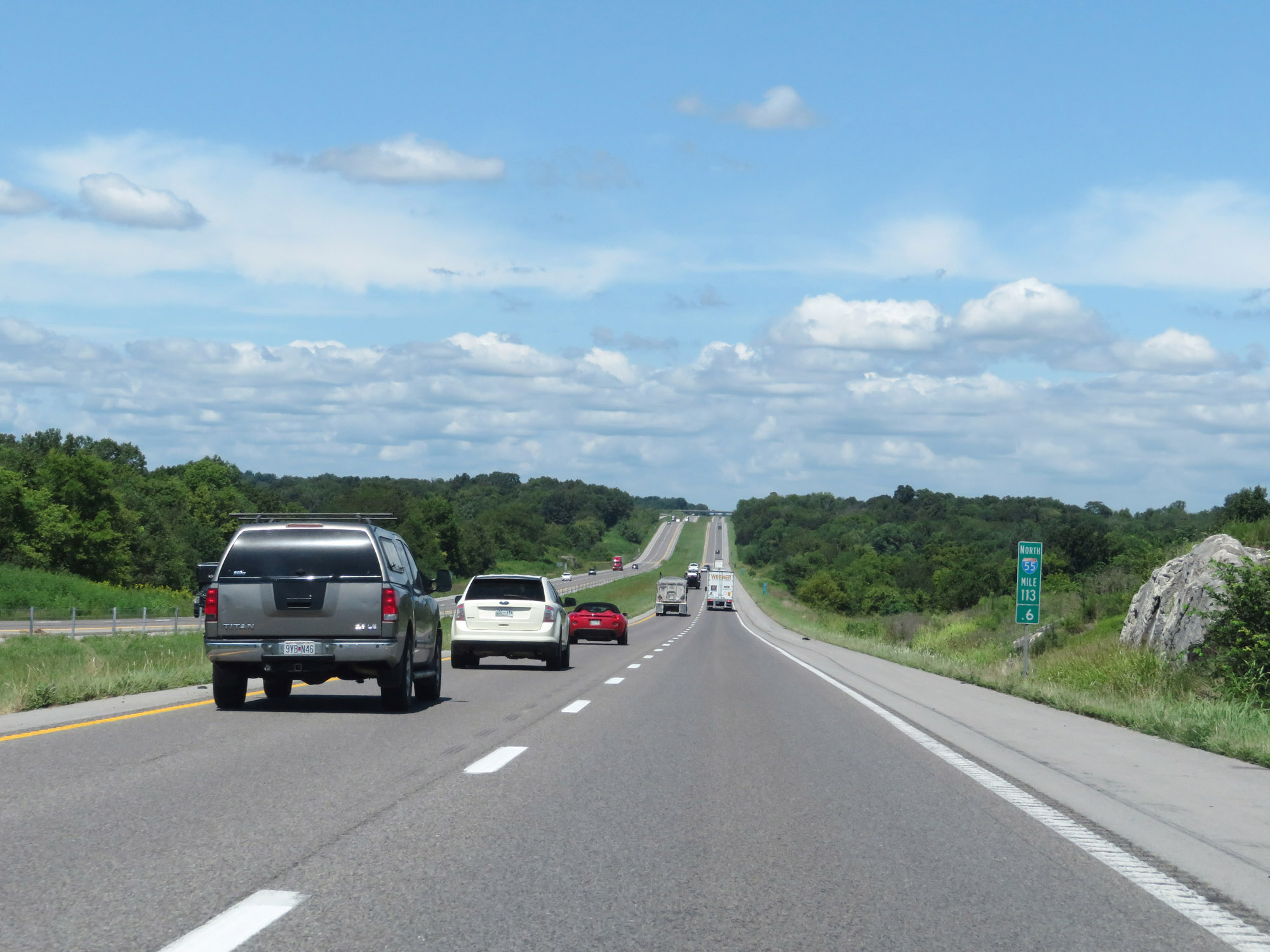 |
View on Interstate 55 North at mile marker 113.6. (Photo taken 8/13/19). |
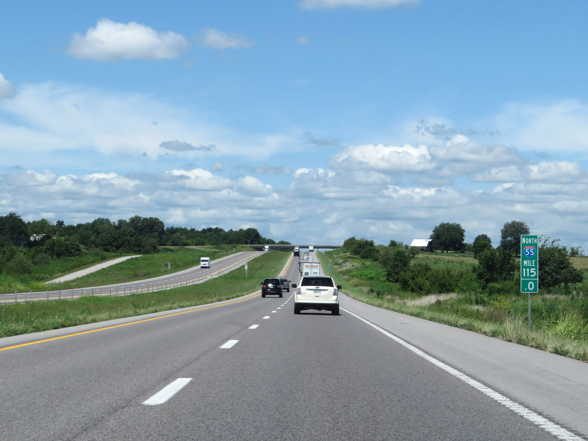 |
Interstate 55 North at mile marker 115. (Photo taken 8/13/19). |
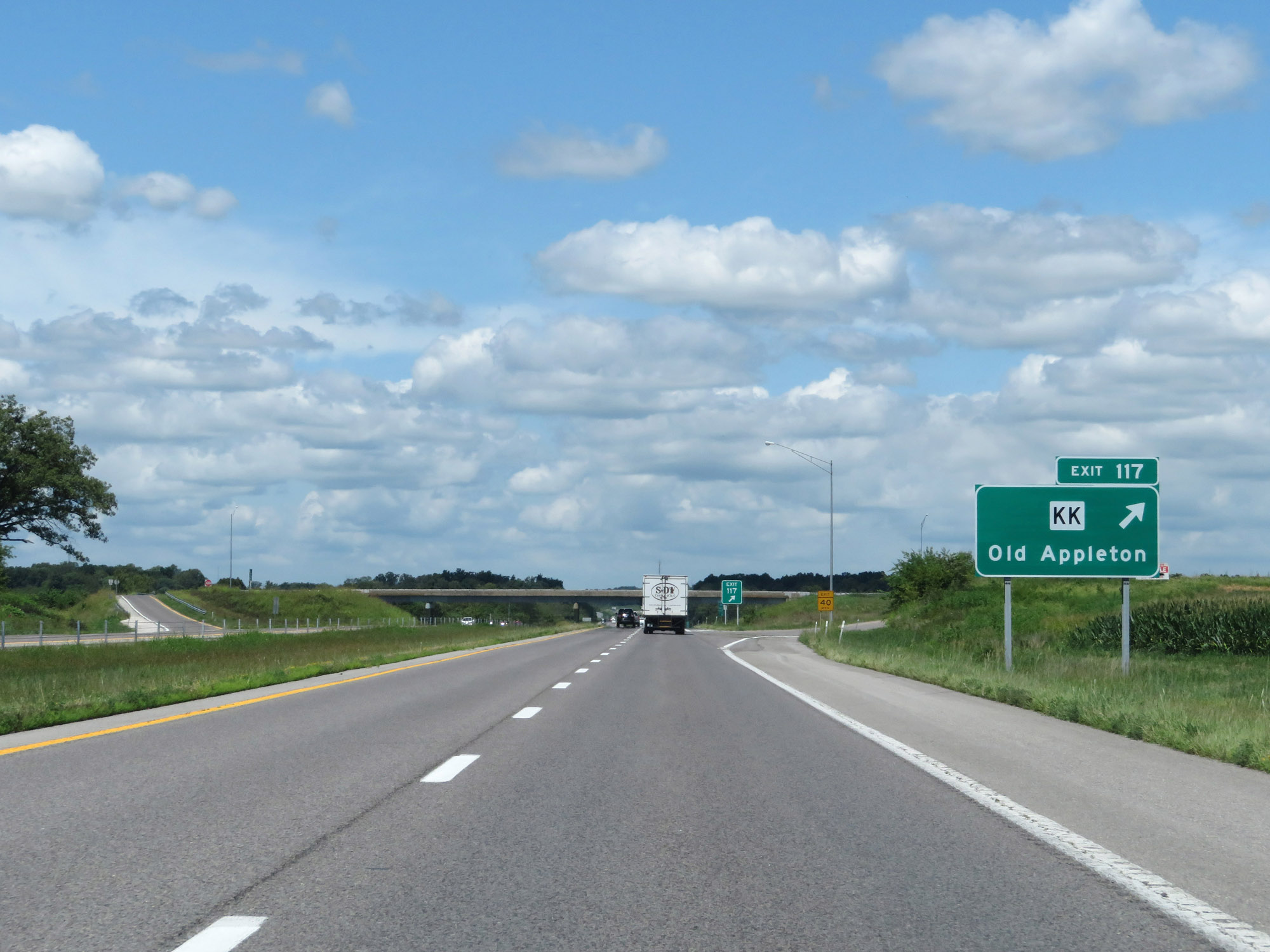 |
Interstate 55 North at Exit 117: Route KK - Old Appleton (Photo taken 8/13/19). |
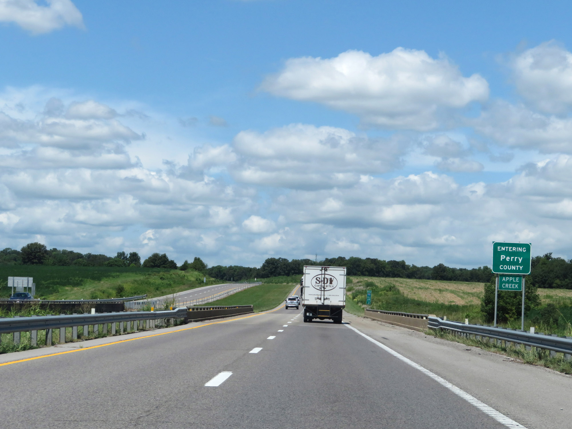 |
Entering Perry County on Interstate 55 North. (Photo taken 8/13/19). |
 |
View on Interstate 55 North at mile marker 120. (Photo taken 8/13/19). |
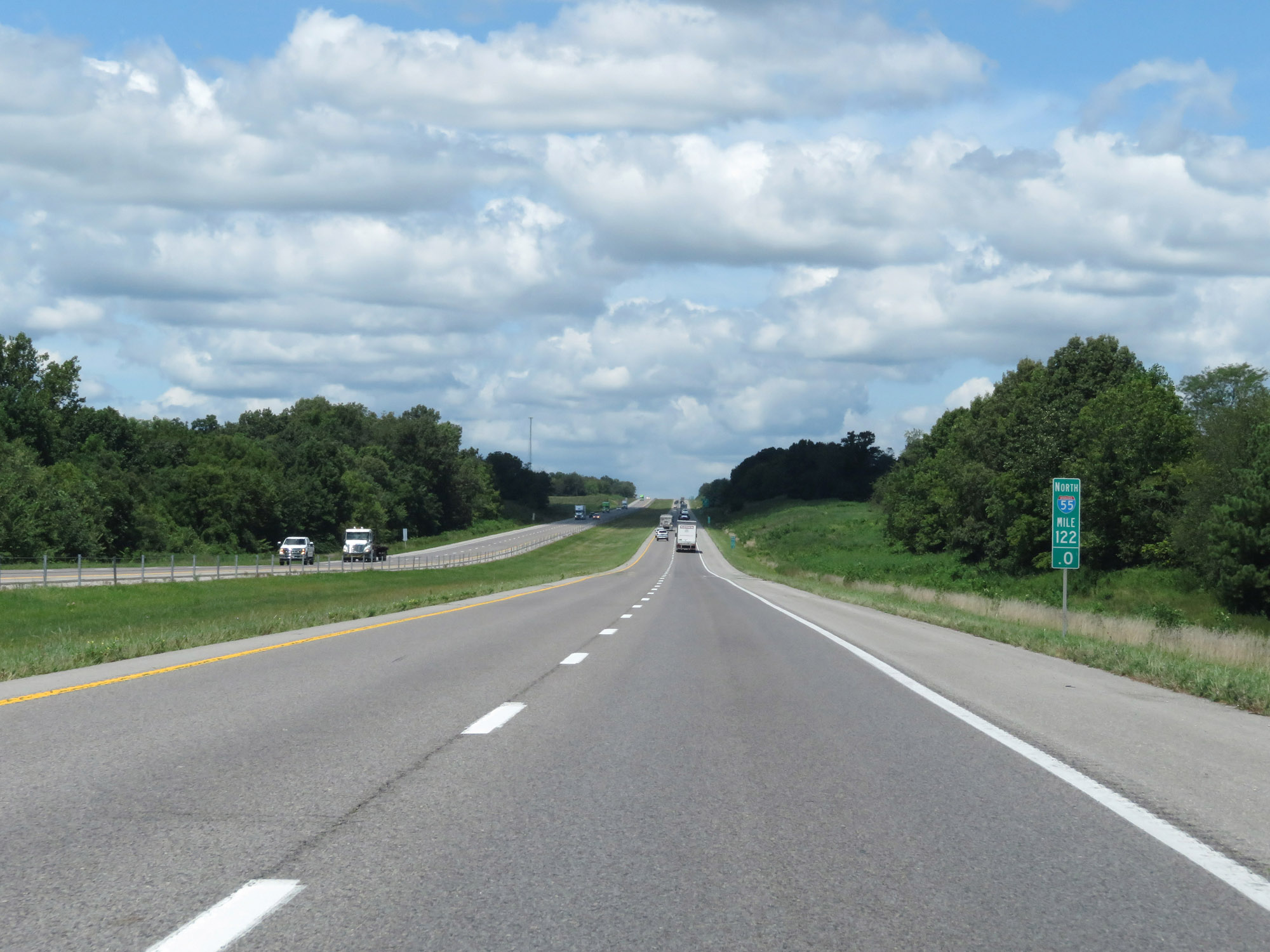 |
Interstate 55 North at mile marker 122. (Photo taken 8/13/19). |
 |
Interstate 55 North at Exit 123: Route B - Biehle (Photo taken 8/13/19). |
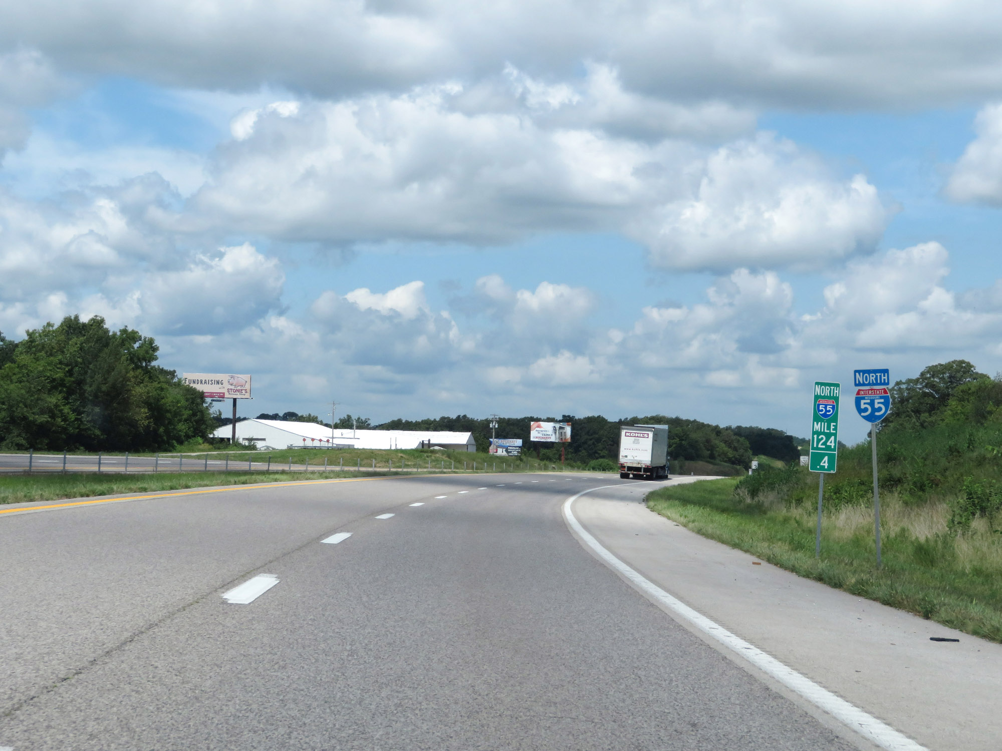 |
State-named Interstate 55 North reassurance shield at mile marker 124.4. (Photo taken 8/13/19). |
 |
View on Interstate 55 North at mile marker 126.4. (Photo taken 8/13/19). |
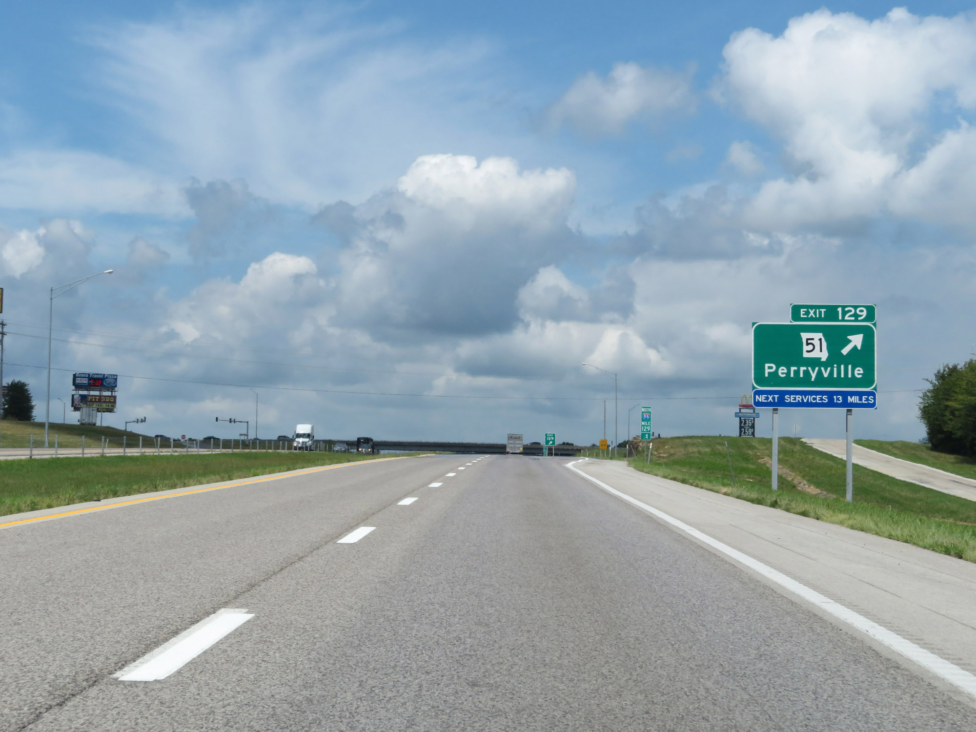 |
Interstate 55 North at Exit 129: MO 51 - Perryville (Photo taken 8/13/19). |
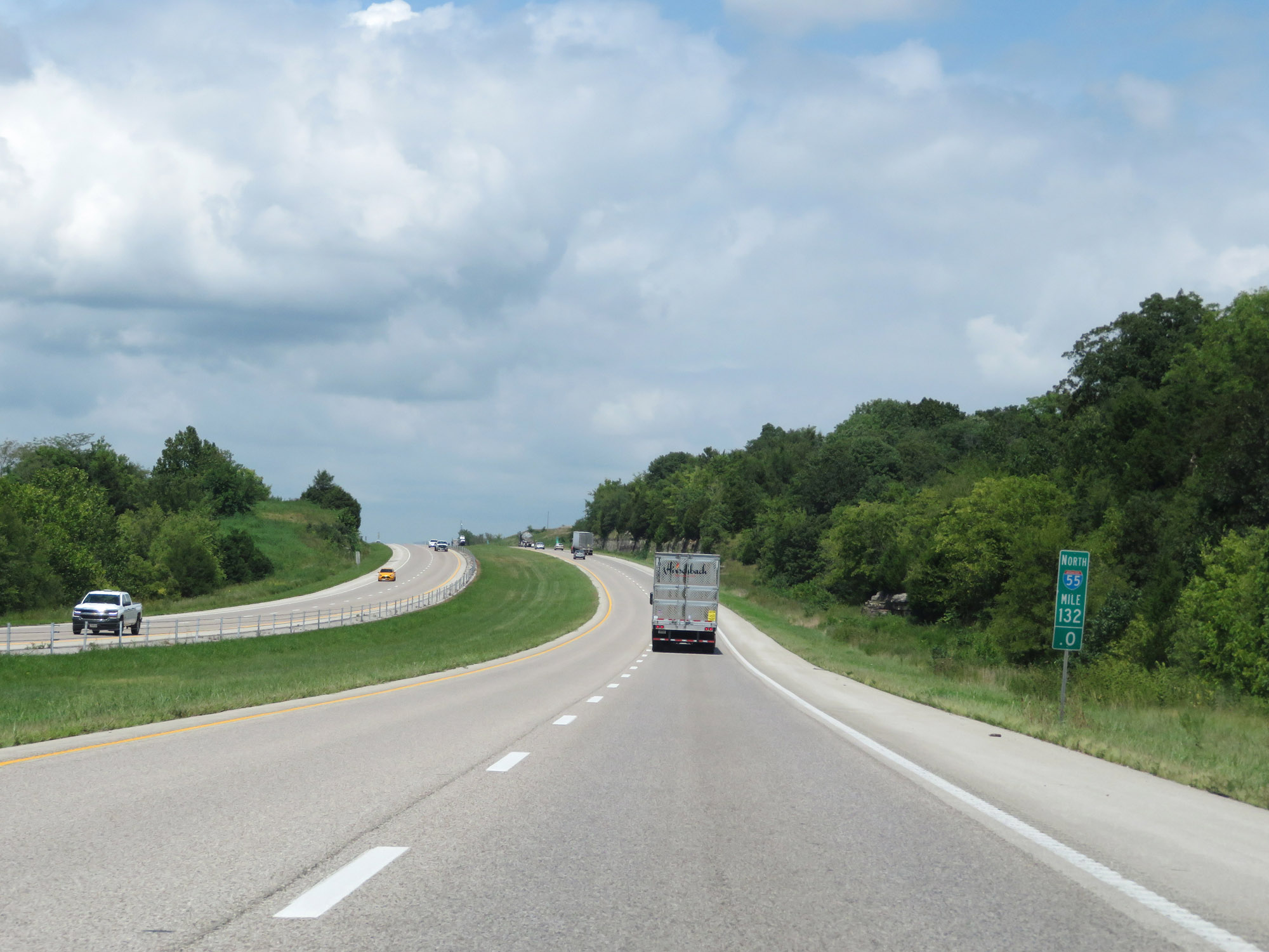 |
Interstate 55 North at mile marker 132. (Photo taken 8/13/19). |
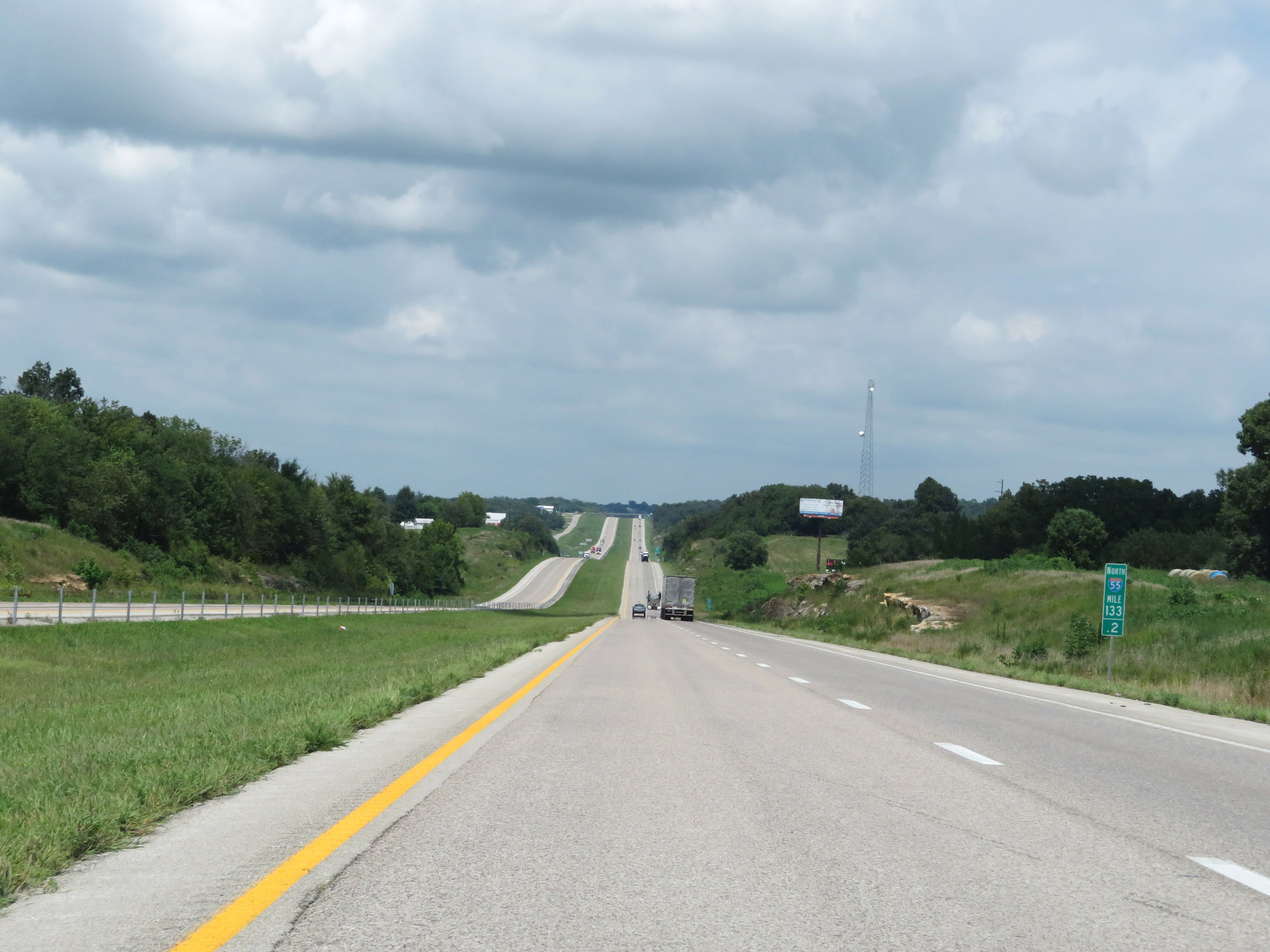 |
View on Interstate 55 North at mile marker 133.2. (Photo taken 8/13/19). |
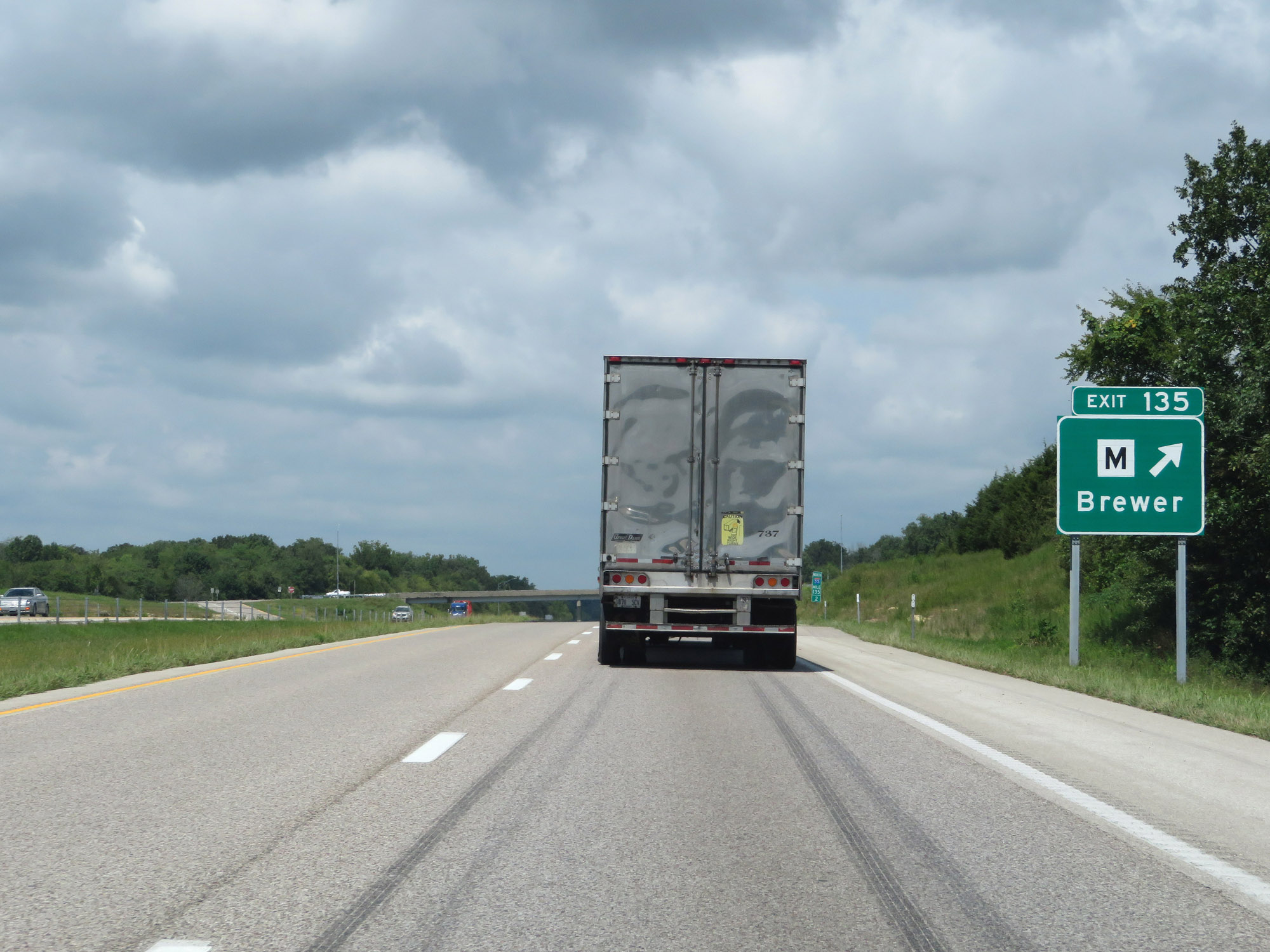 |
Interstate 55 North at Exit 135: Route M - Brewer (Photo taken 8/13/19). |
 |
Interstate 55 North at mile marker 138. (Photo taken 8/13/19). |
 |
Interstate 55 North as it enters Ste. Genevieve County at mile marker 139.8. (Photo taken 8/13/19). |
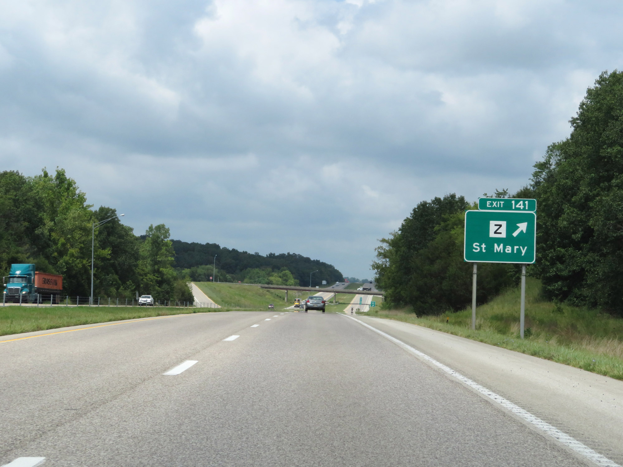 |
Interstate 55 North at Exit 141: Route Z - St Mary (Photo taken 8/13/19). |
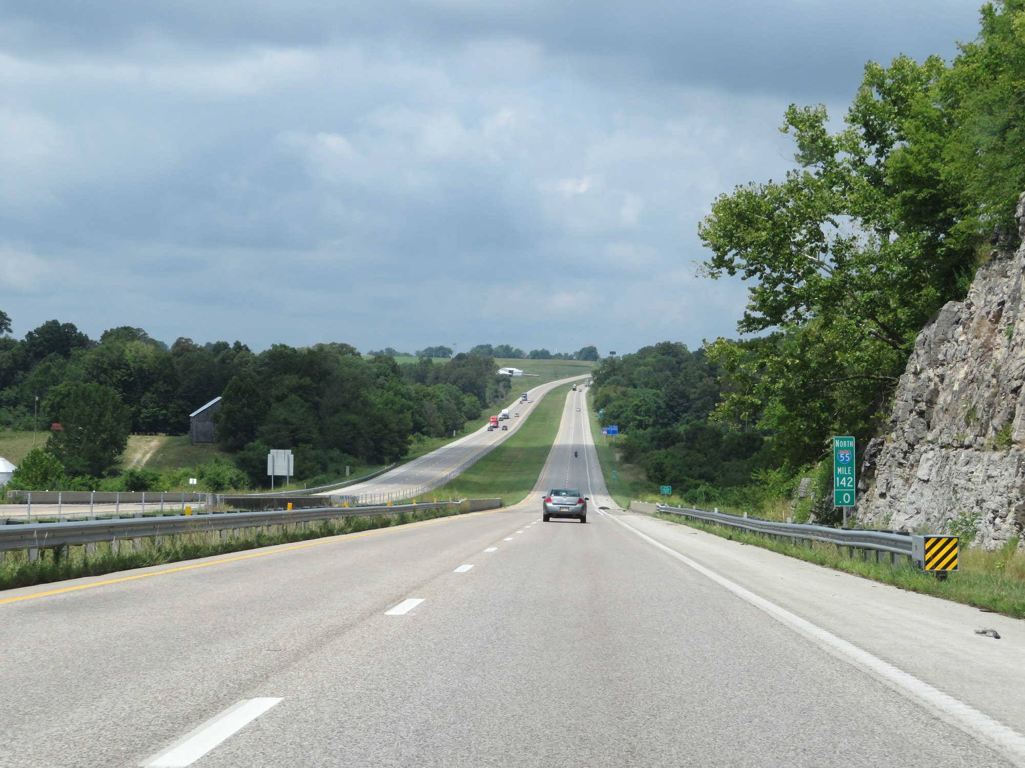 |
View on Interstate 55 North at mile marker 142. (Photo taken 8/13/19). |
 |
Interstate 55 North at Exit 143: Route N / Route J / Route M - Ozora (Photo taken 8/13/19). |
 |
Interstate 55 North at mile marker 145. (Photo taken 8/13/19). |
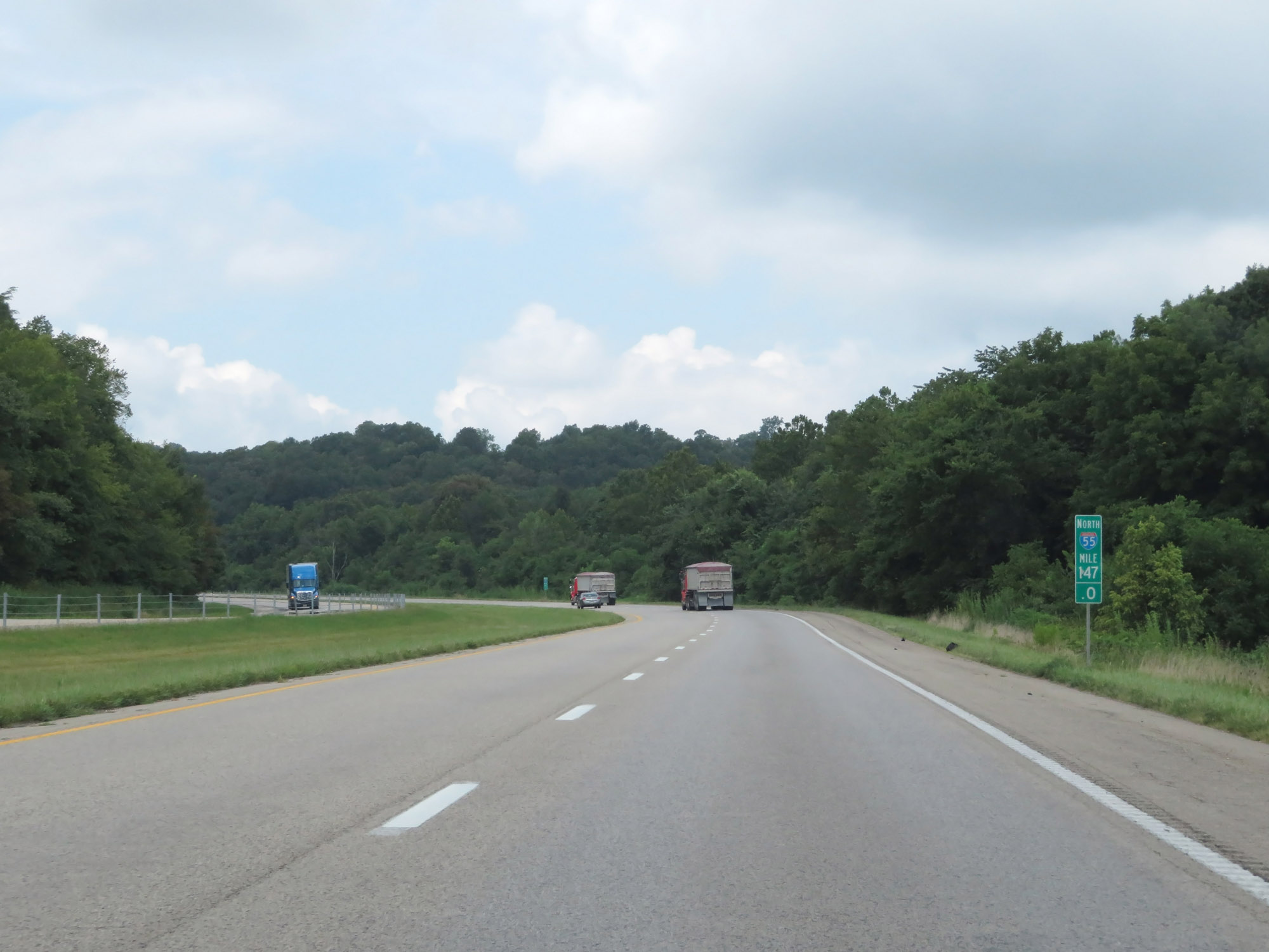 |
View on Interstate 55 North at mile marker 147. (Photo taken 8/13/19). |
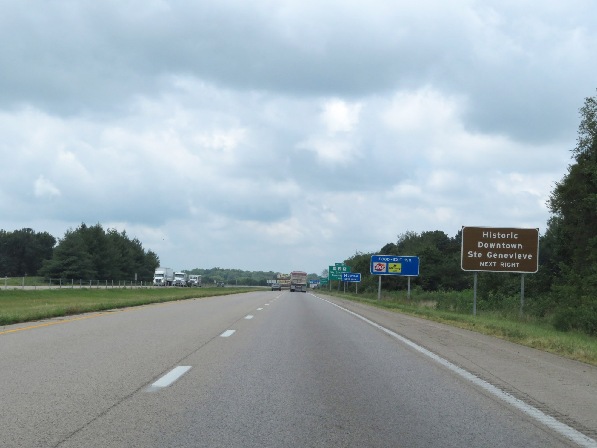 |
Take Exit 150 to Historic Downtown Ste Genevieve. (Photo taken 8/13/19). |
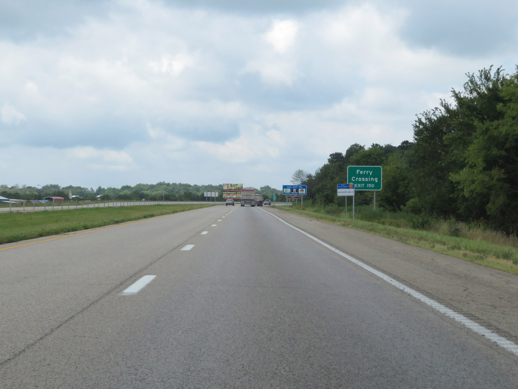 |
Also take Exit 150 to the Ferry Crossing. (Photo taken 8/13/19). |
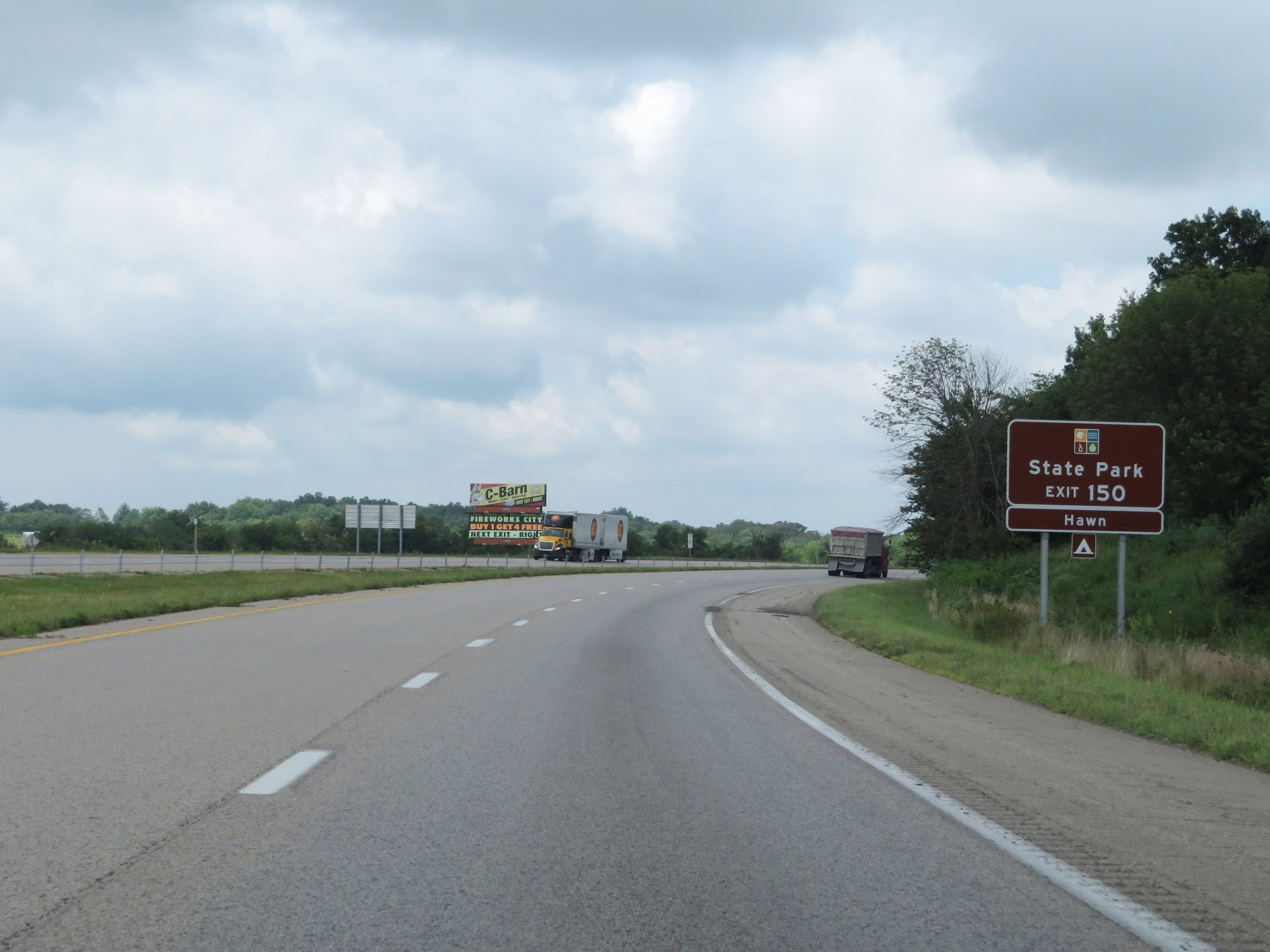 |
Access Hawn State Park via Exit 150. (Photo taken 8/13/19). |
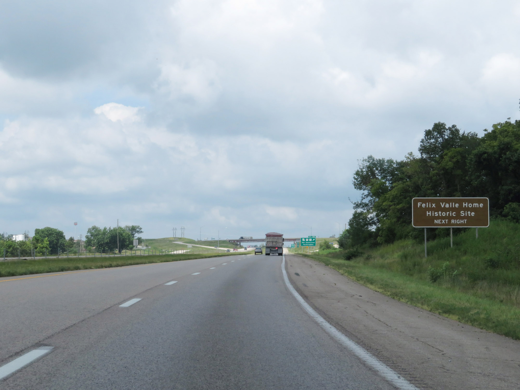 |
Take Exit 150 to Felix Valle Home Historic Site as well. (Photo taken 8/13/19). |
 |
Interstate 55 North at Exit 150: MO 32 / Route B / Route A - Ste Genevieve / Farmington (Photo taken 8/13/19). |
Section 3: Ste. Genevieve (Exit 150) to Illinois Border
 |
Interstate 55 North at mile marker 152. (Photo taken 8/13/19). |
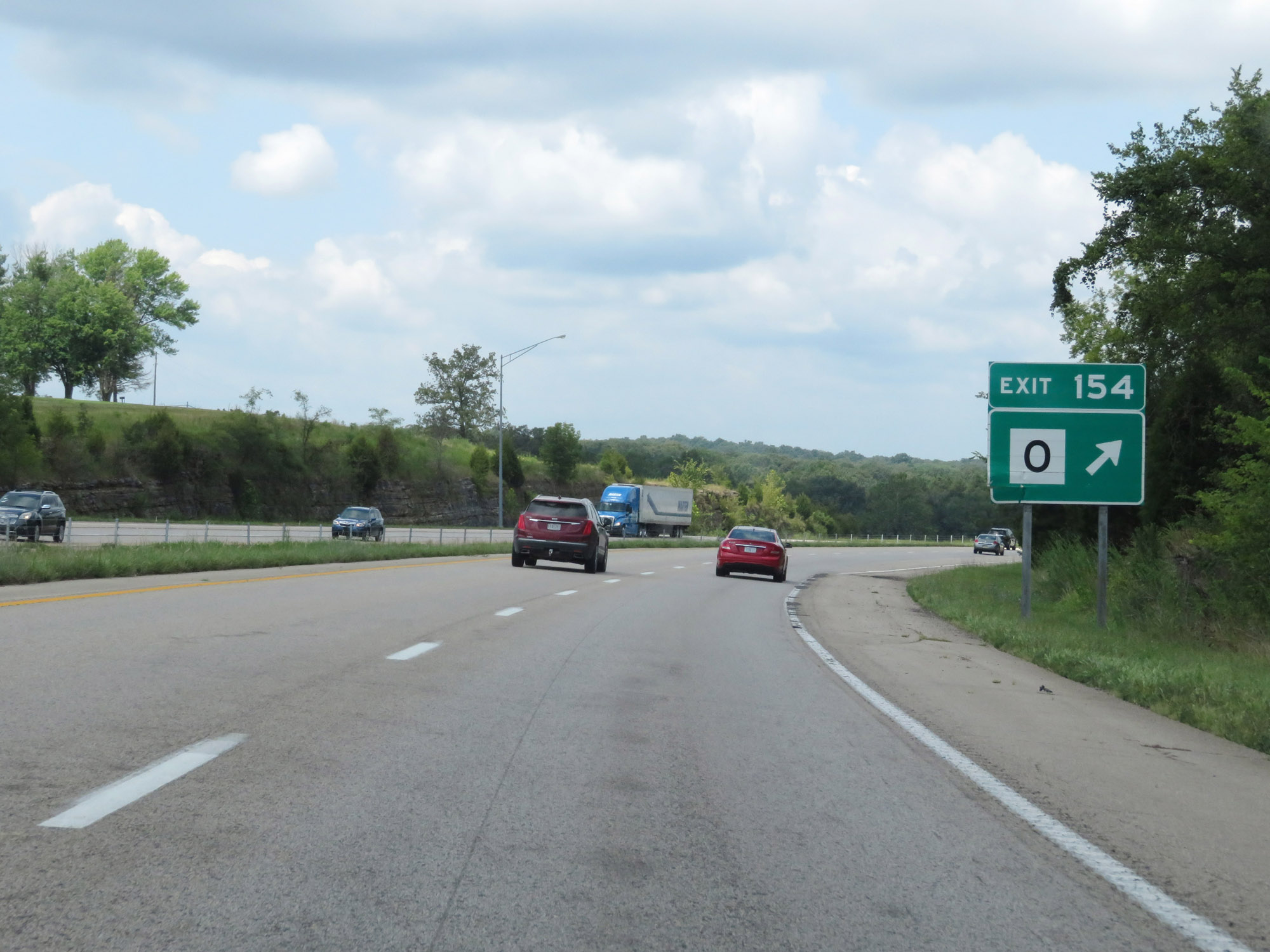 |
Interstate 55 North at Exit 154: Route O (Photo taken 8/13/19). |
 |
State-named Interstate 55 North reassurance shield at mile marker 155.4. (Photo taken 8/13/19). |
 |
Interstate 55 North at Exit 157: Route Y - Bloomsdale (Photo taken 8/13/19). |
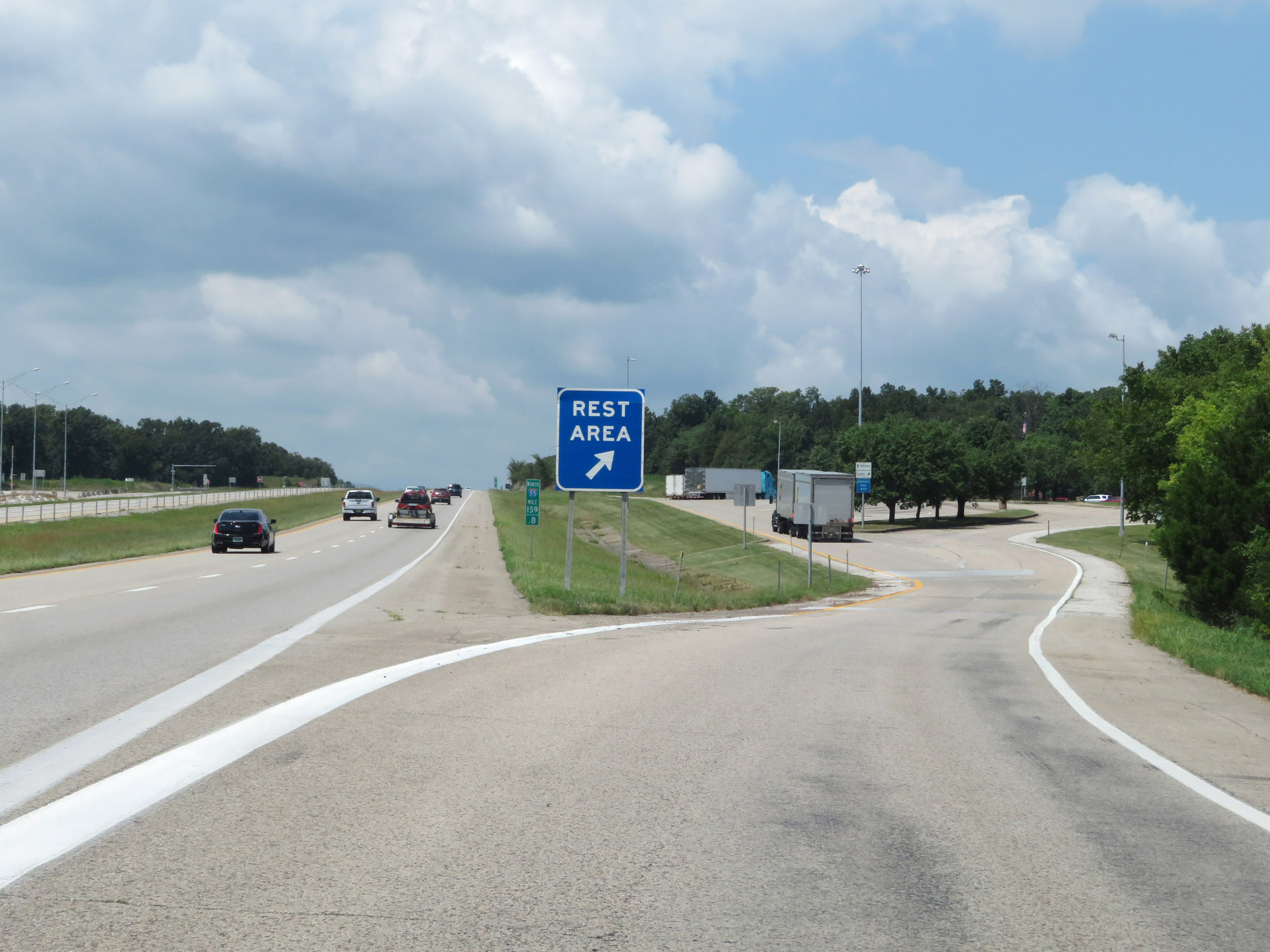 |
Rest Area on Interstate 55 North at mile marker 159.8 in Ste. Genevieve County. (Photo taken 8/13/19). |
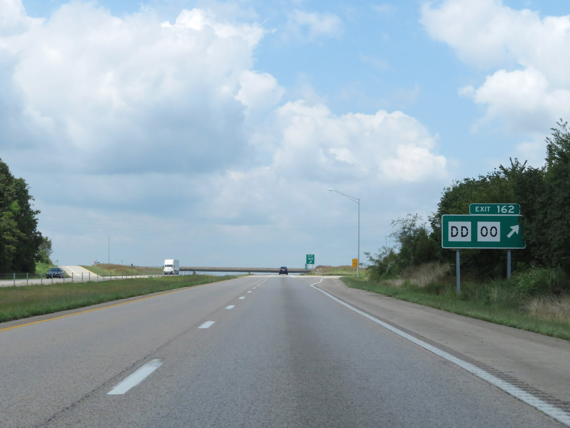 |
Interstate 55 North at Exit 162: Route DD / Route OO (Photo taken 8/13/19). |
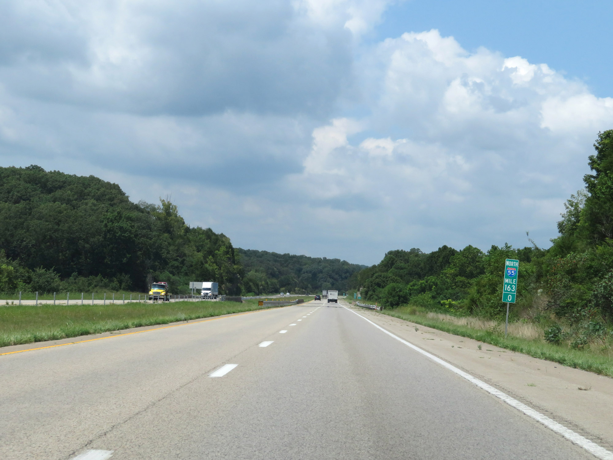 |
Interstate 55 North at mile marker 163. (Photo taken 8/13/19). |
 |
Entering Jefferson County on Interstate 55 North. (Photo taken 8/13/19). |
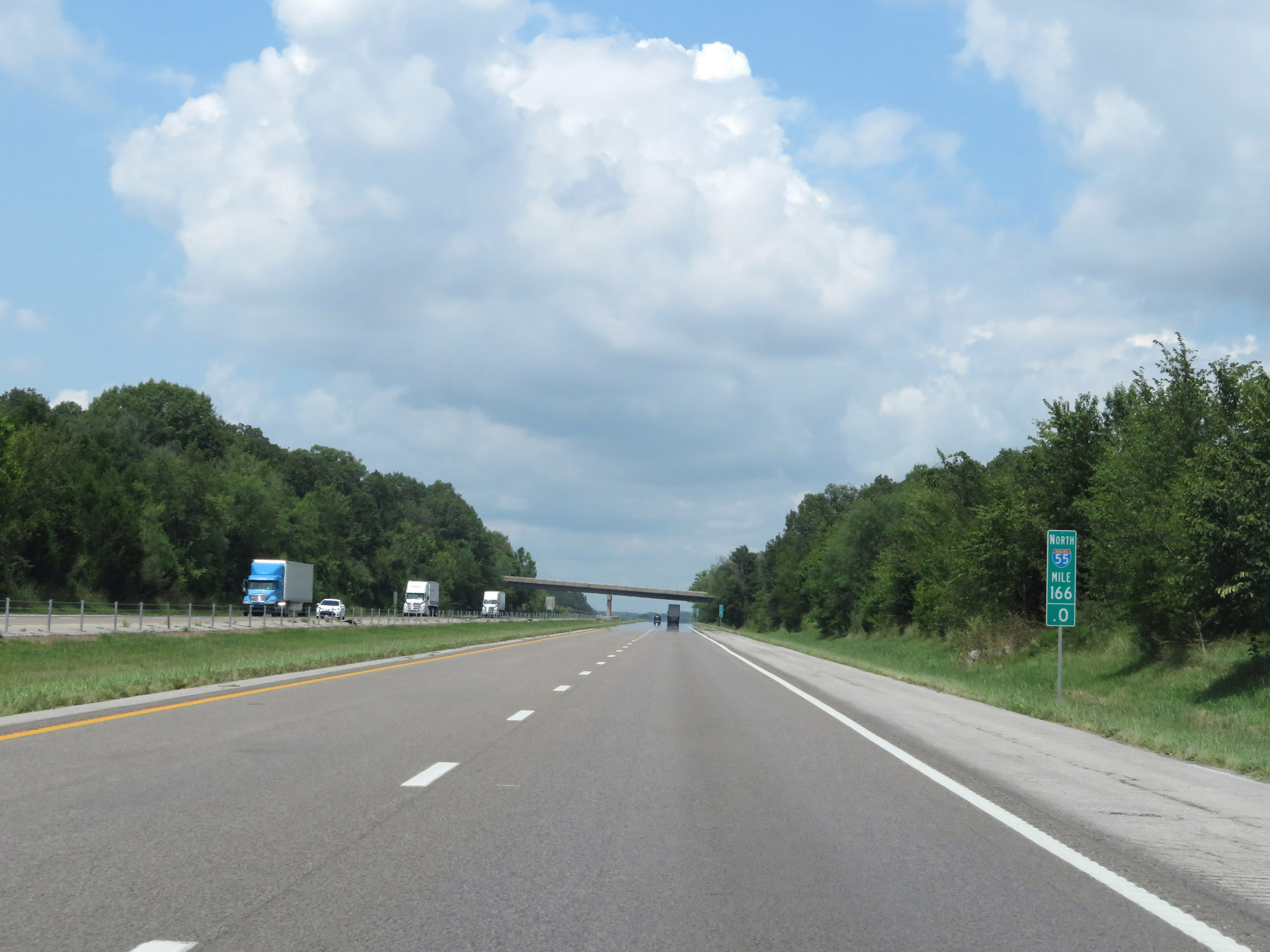 |
View on Interstate 55 North at mile marker 166. (Photo taken 8/13/19). |
 |
Interstate 55 North at mile marker 167.8 (Photo taken 8/13/19). |
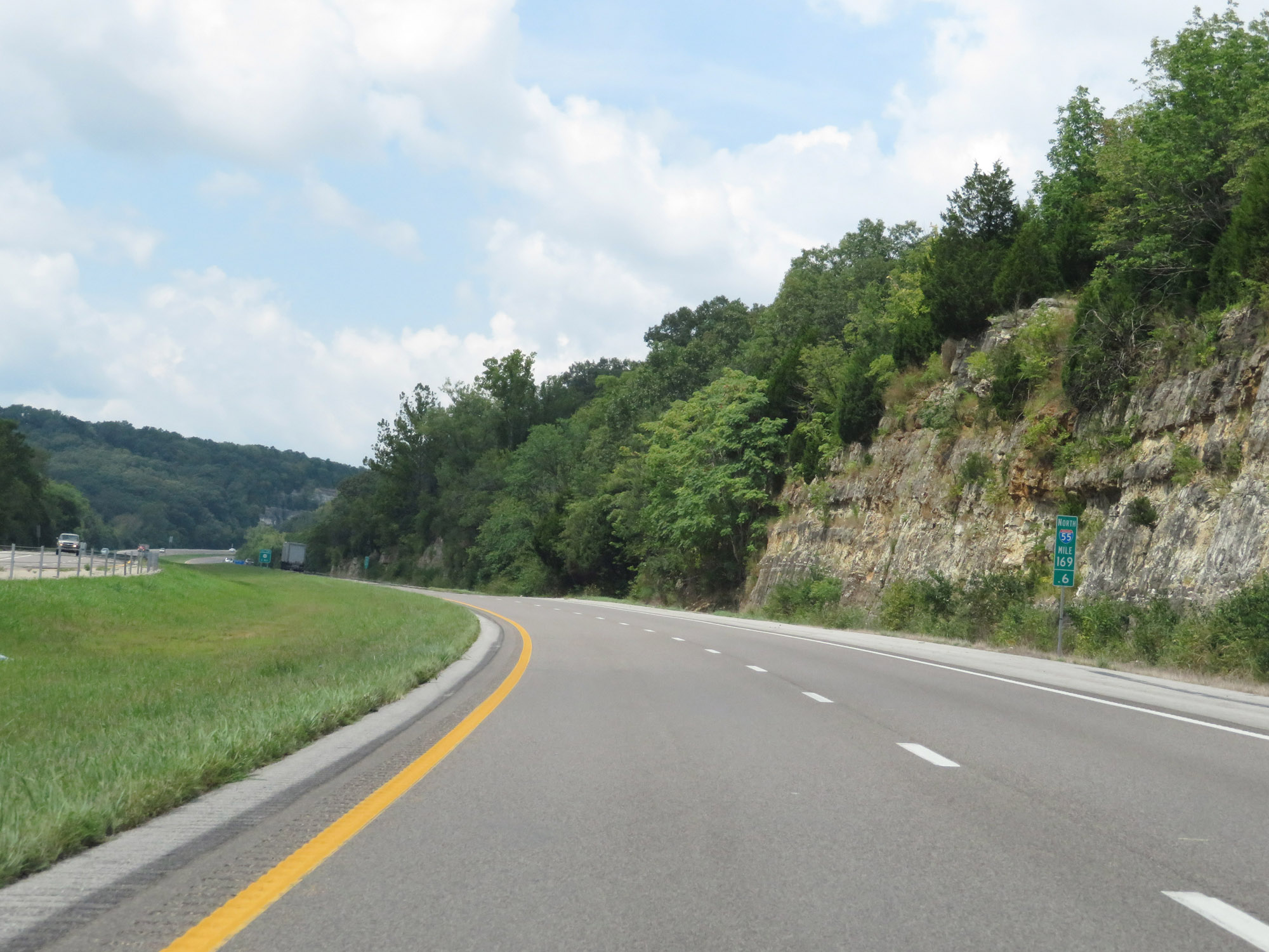 |
Interstate 55 North at mile marker 169.6. (Photo taken 8/13/19). |
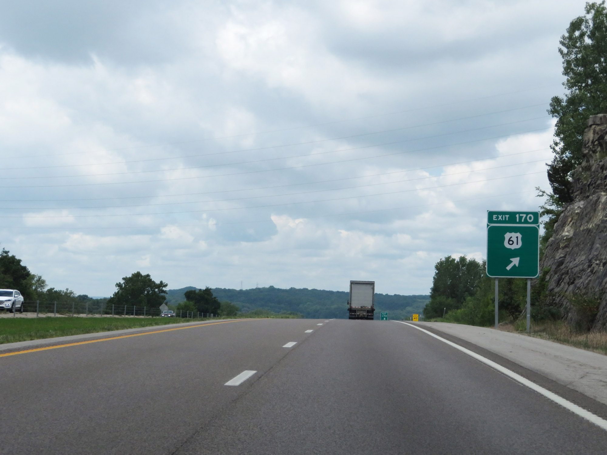 |
Interstate 55 North at Exit 170: US 61 (Photo taken 8/13/19). |
 |
Mileage sign on Interstate 55 North at mile marker 171.8. It's 3 miles to Crystal City, 4 miles to Festus, and 38 miles to St. Louis. (Photo taken 8/13/19). |
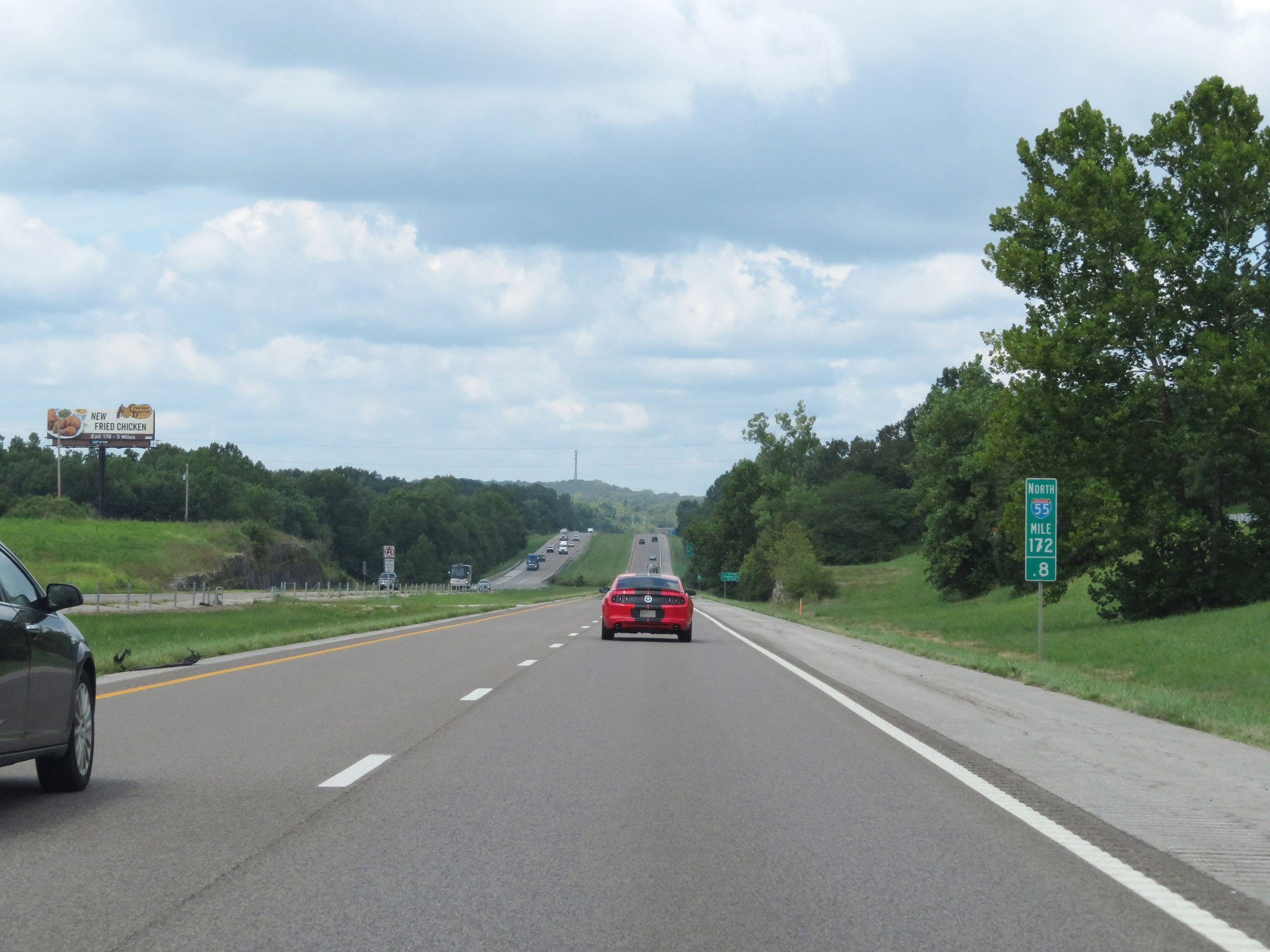 |
View on Interstate 55 North at mile marker 172.8. (Photo taken 8/13/19). |
 |
Take Exit 174B to Bonne Terre, Desloge, and Park Hills. (Photo taken 8/13/19). |
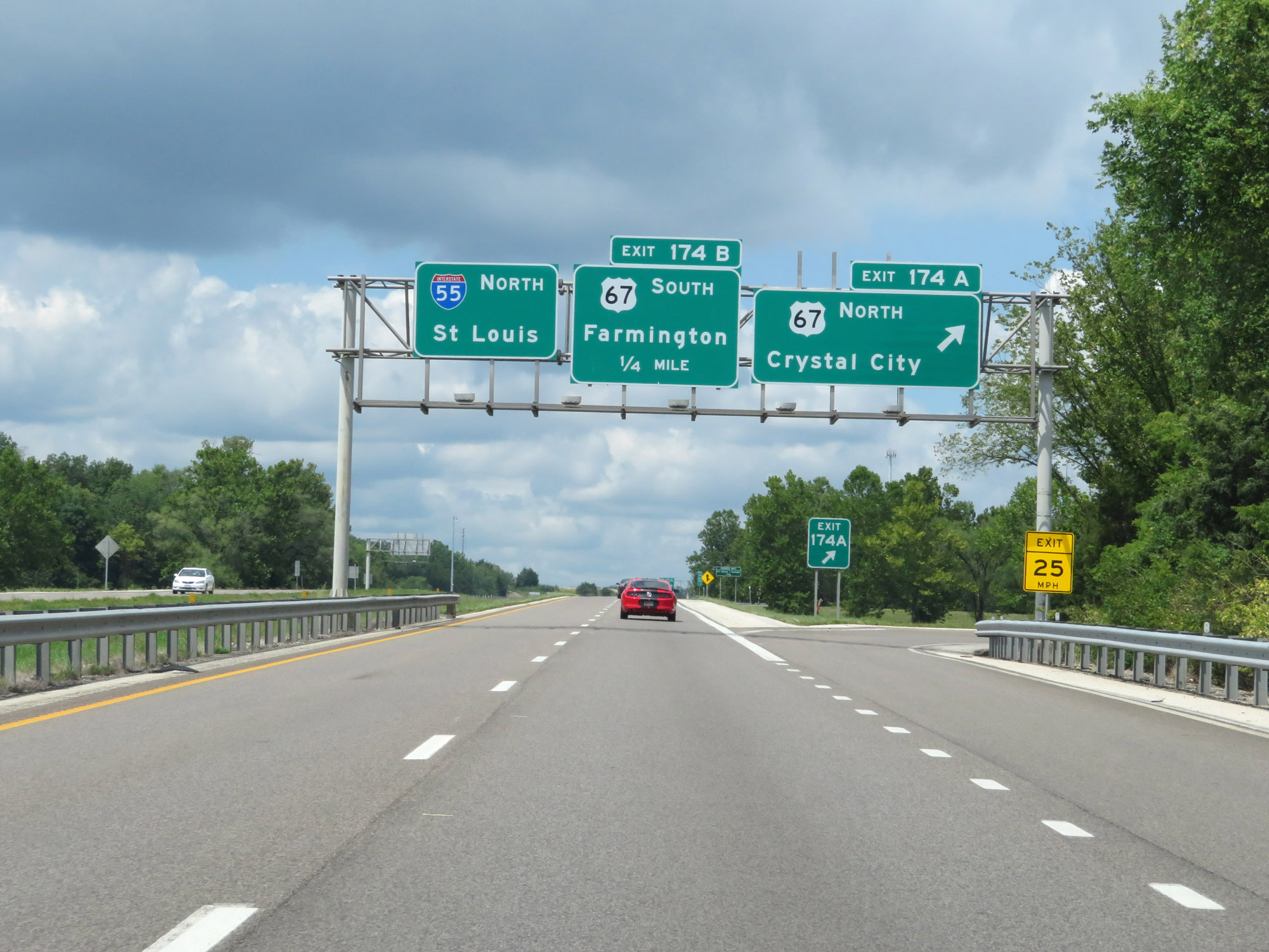 |
Interstate 55 North at Exit 174A: US 67 North - Crystal City (Photo taken 8/13/19). |
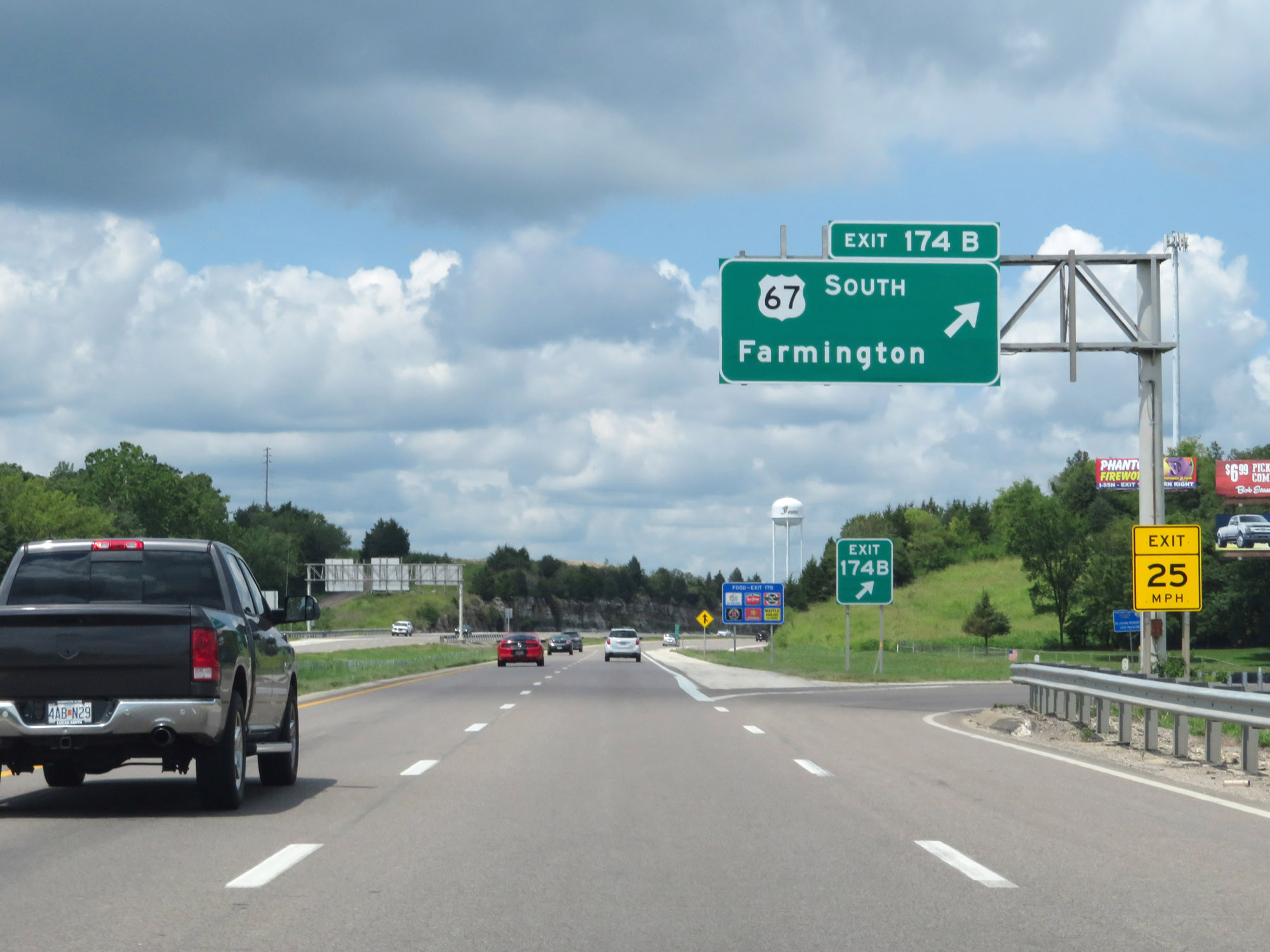 |
Interstate 55 North at Exit 174B: US 67 South - Farmington (Photo taken 8/13/19). |
 |
Interstate 55 North at Exit 175: Route A - Hillsboro / Festus (Photo taken 8/13/19). |
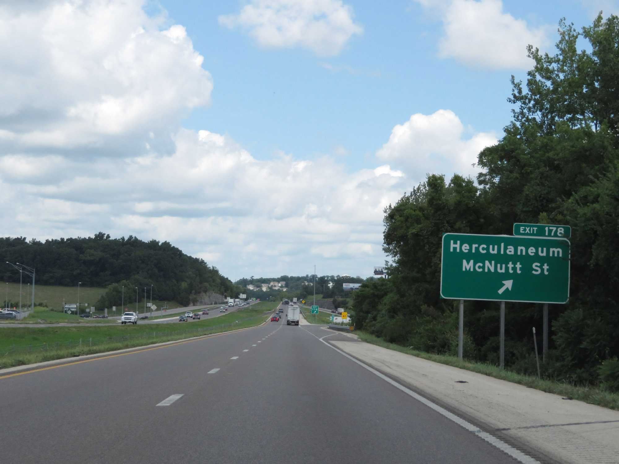 |
Interstate 55 North at Exit 178: Herculaneum / McNutt St (Photo taken 8/13/19). |
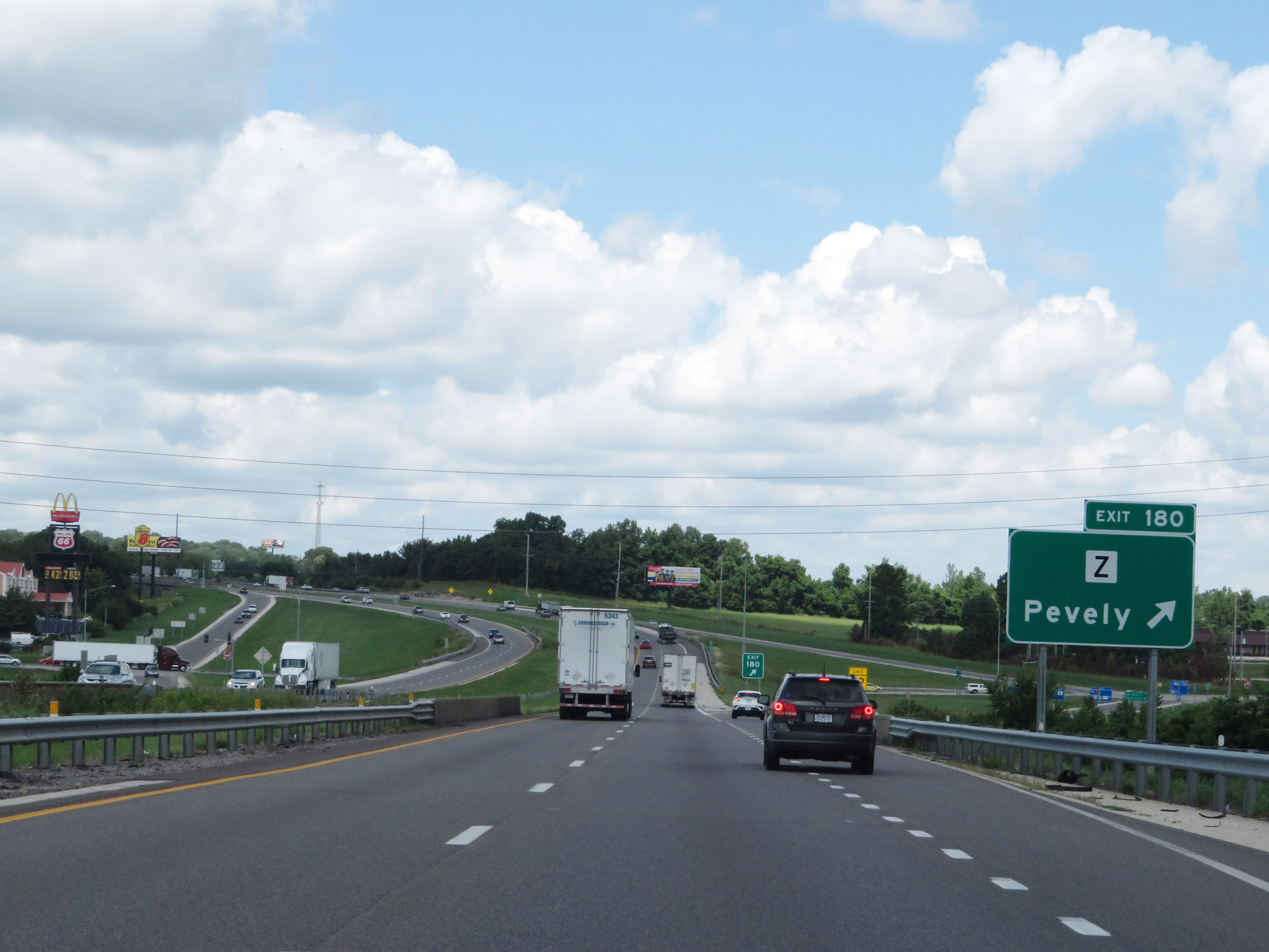 |
Interstate 55 North at Exit 180: Route Z - Pevely (Photo taken 8/13/19). |
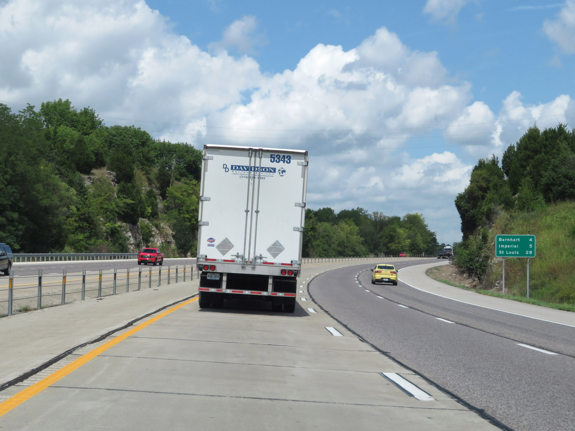 |
Mileage sign on Interstate 55 North. It's 4 miles to Barnhart, 5 miles to Imperial, and 28 miles to St. Louis. (Photo taken 8/13/19). |
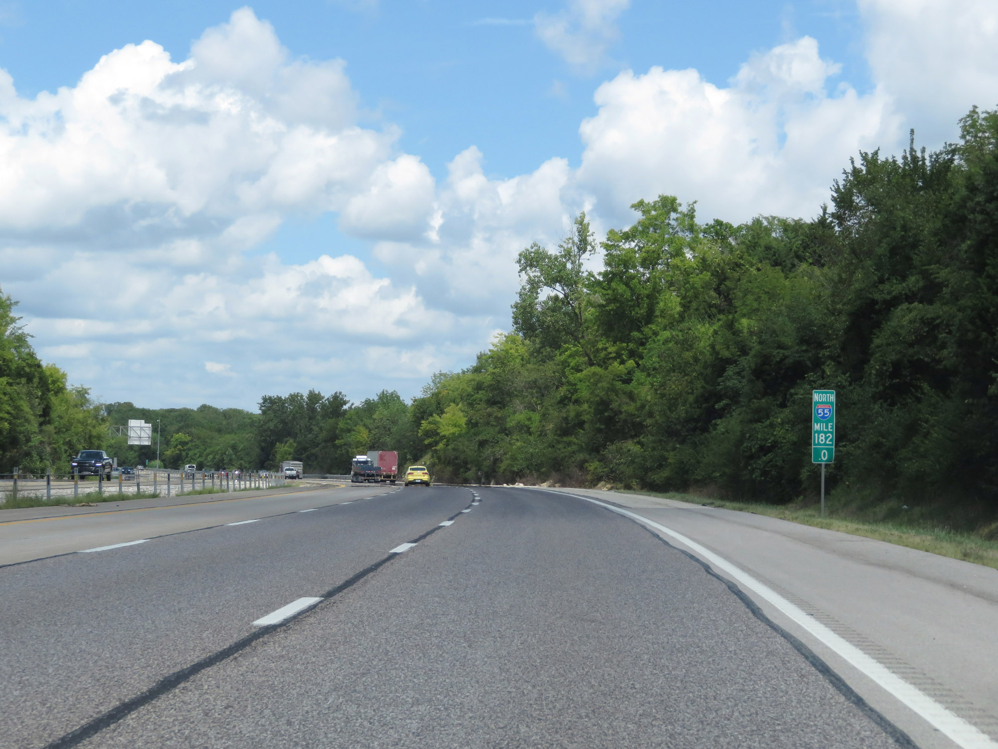 |
Interstate 55 North at mile marker 182. (Photo taken 8/13/19). |
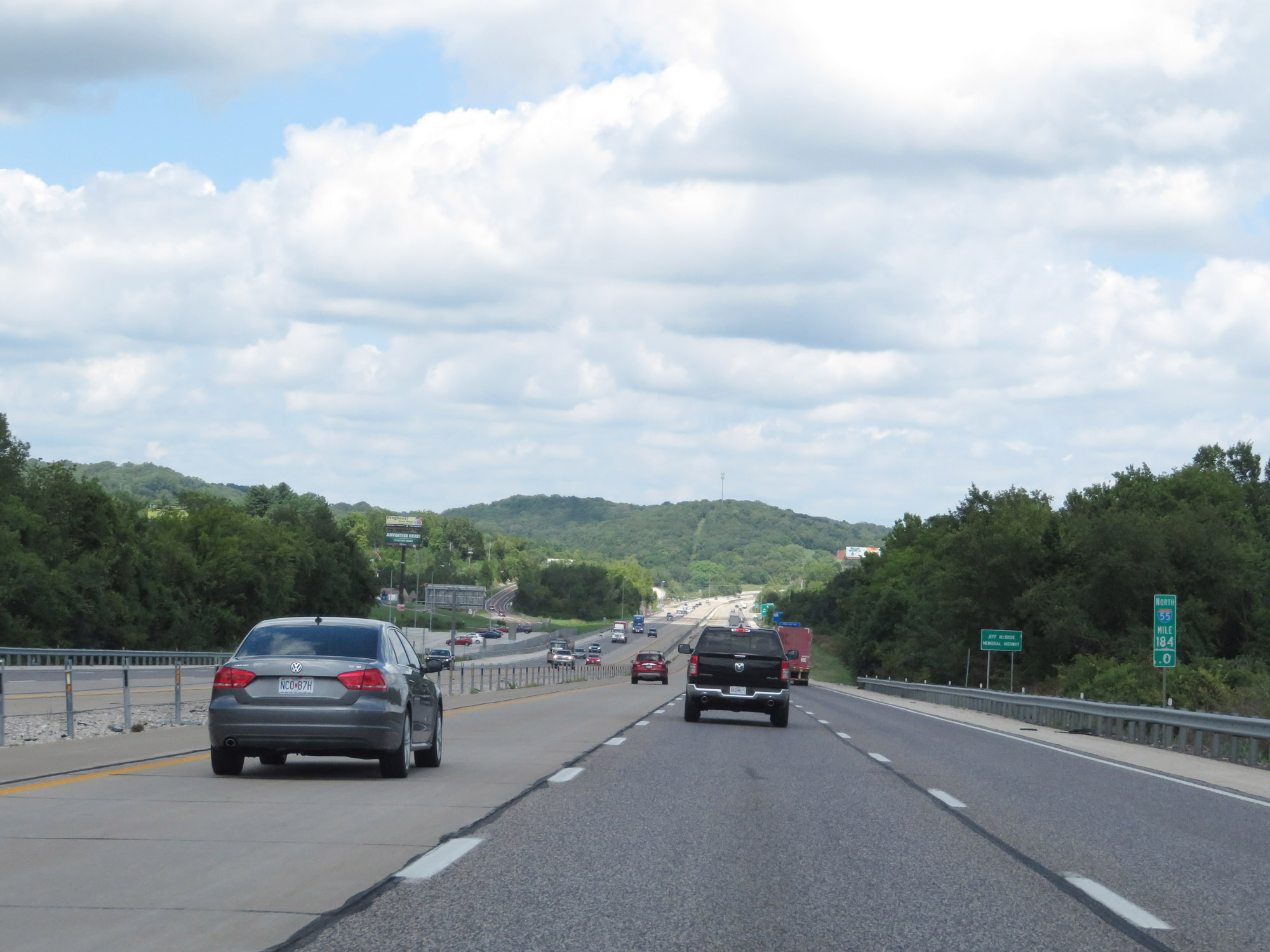 |
View on Interstate 55 North at mile marker 184. (Photo taken 8/13/19). |
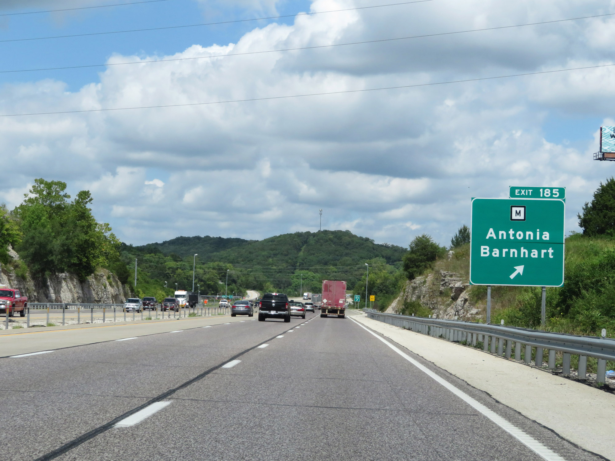 |
Interstate 55 North at Exit 185: Route M - Antonia / Barnhart (Photo taken 8/13/19). |
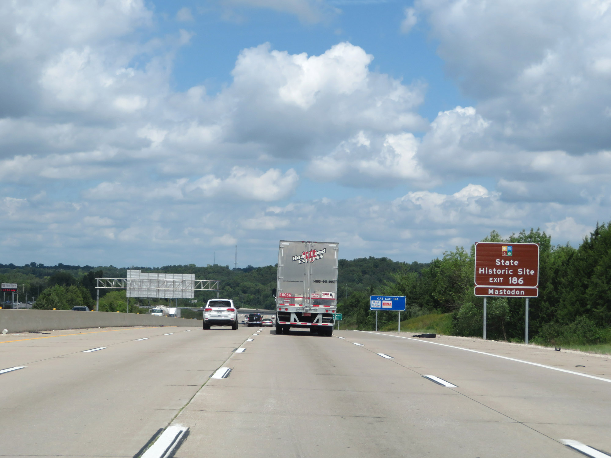 |
Take Exit 186 to Mastodon State Historic Site. (Photo taken 8/13/19). |
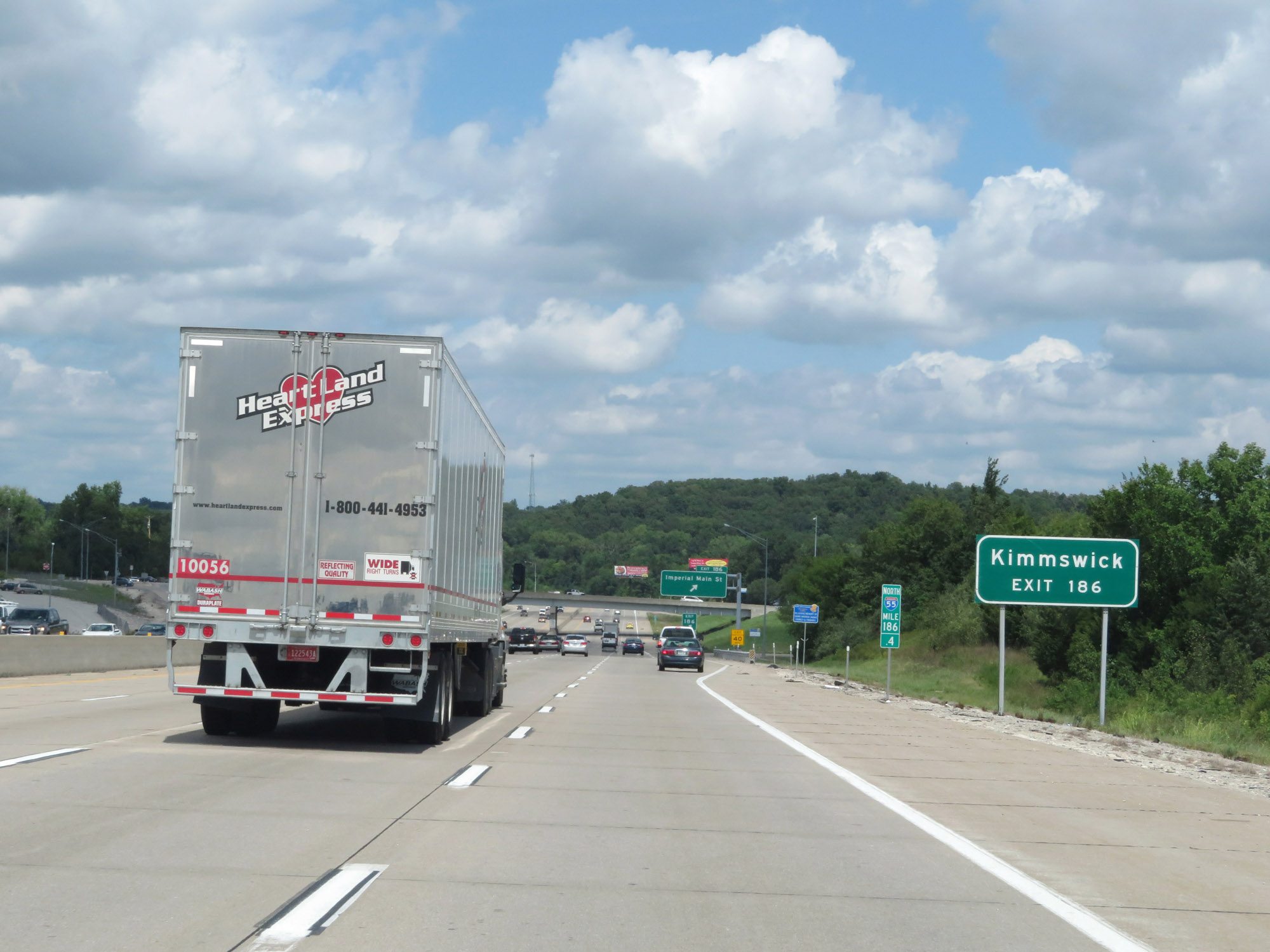 |
Also take Exit 186 to Kimmswick. (Photo taken 8/13/19). |
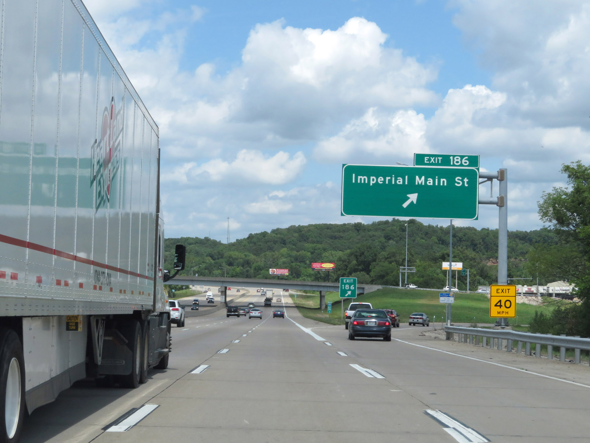 |
Interstate 55 North at Exit 186: Imperial Main St (Photo taken 8/13/19). |
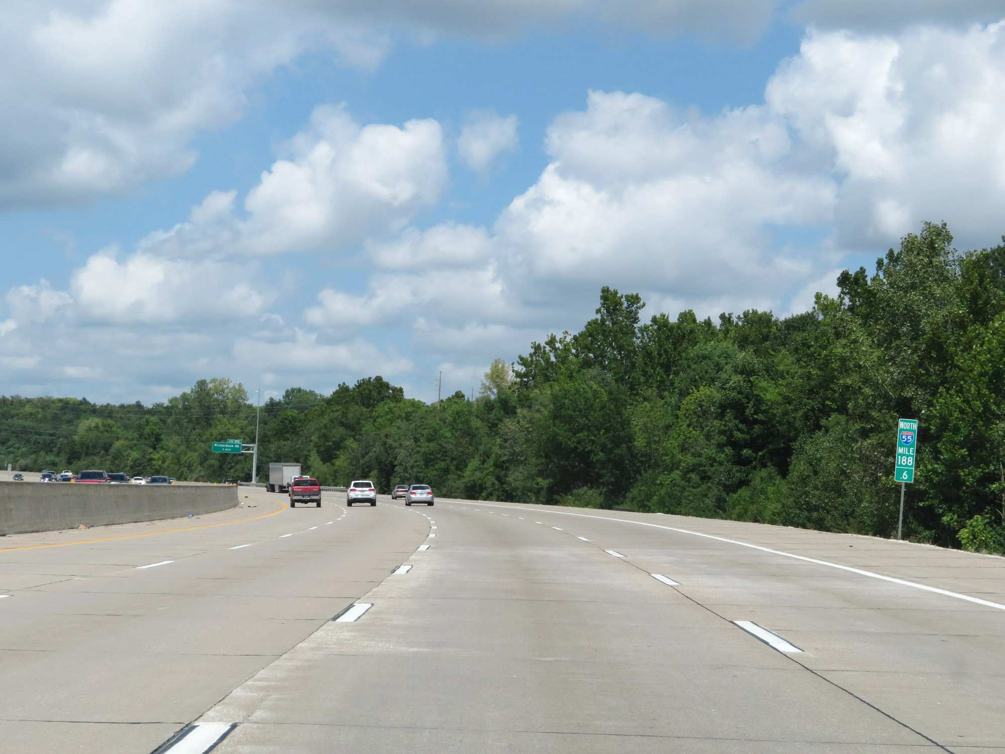 |
View on Interstate 55 North at mile marker 188.6. (Photo taken 8/13/19). |
 |
Interstate 55 North at Exit 190: Richardson Rd (Photo taken 8/13/19). |
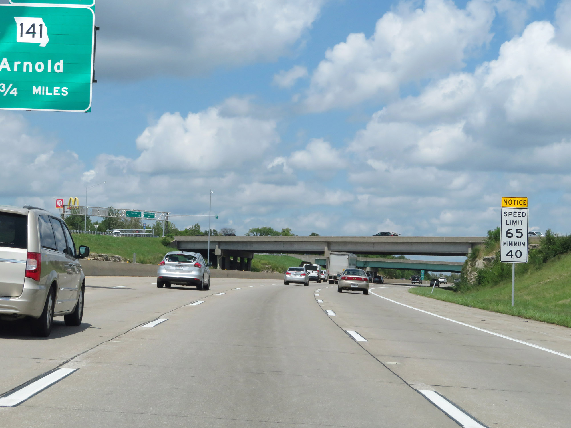 |
North of Exit 190, the maximum speed limit decreases to 65 mph. The minimum speed limit remains 40 mph. (Photo taken 8/13/19). |
 |
Interstate 55 North at Exit 191: MO 141 - Arnold (Photo taken 8/13/19). |
 |
Interstate 55 North at mile marker 192. (Photo taken 8/13/19). |
 |
Overhead mileage sign listing the distances to the three upcoming interchanges on Interstate 55 North. (Photo taken 8/13/19). |
 |
Interstate 55 North as it enters St. Louis County. (Photo taken 8/13/19). |
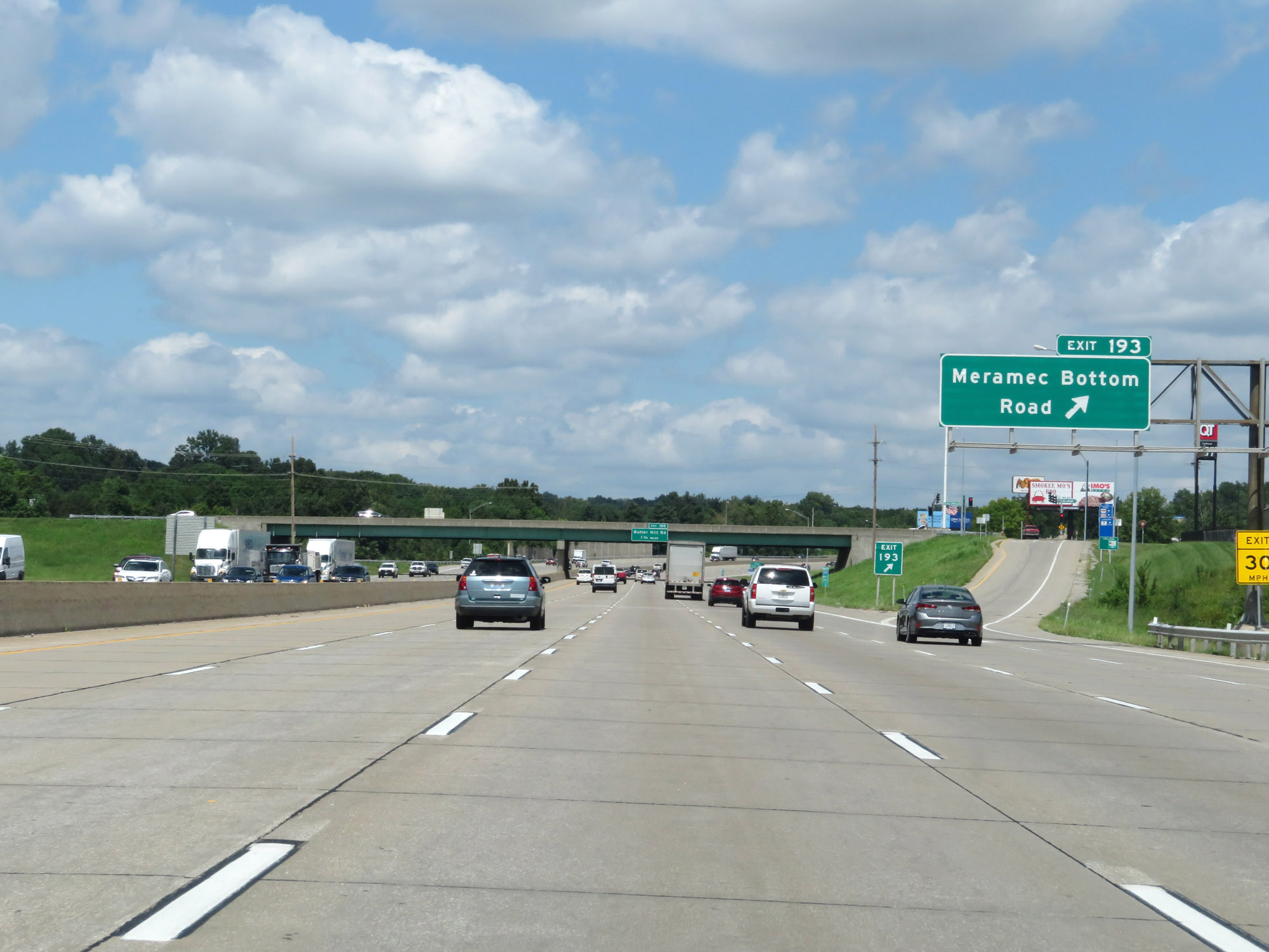 |
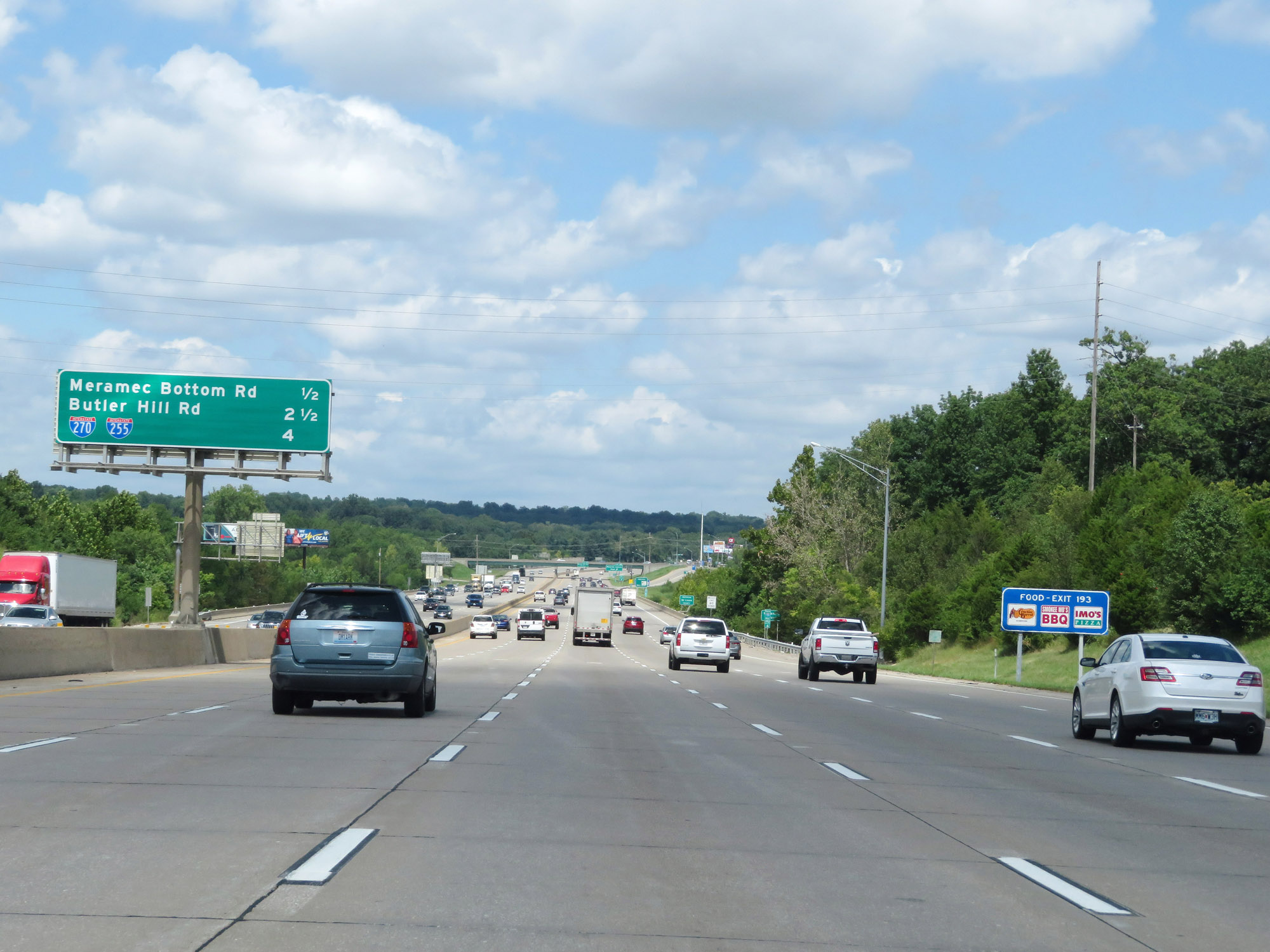
Interstate 55 North at Exit 193: Meramec Bottom Road (Photo taken 8/13/19). |
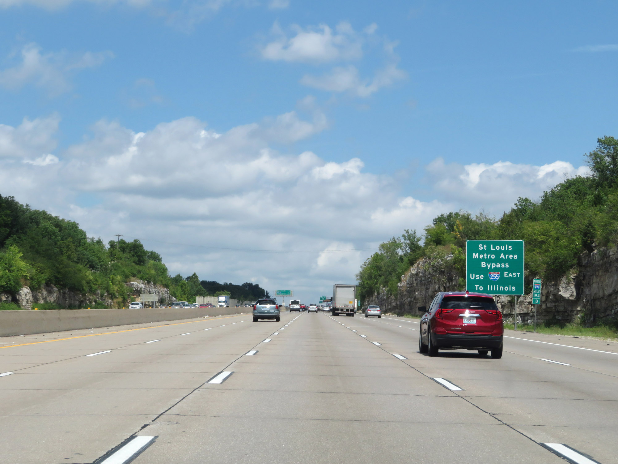 |
Traffic headed to Illinois has the option to bypass the St. Louis metro area by taking Interstate 255 East across the Mississippi River into Illinois, as this sign reads. (Photo taken 8/13/19). |
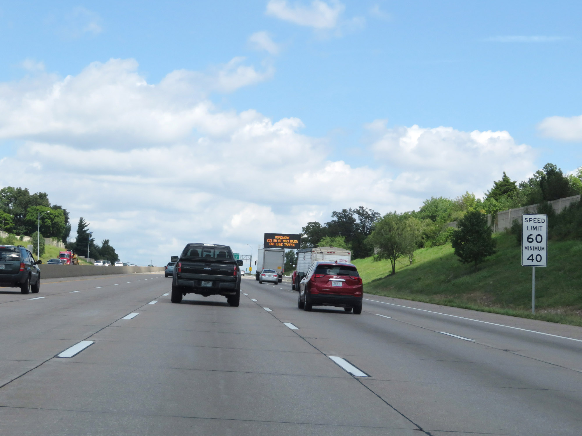 |
Nearing Exit 195, the maximum speed limit decreases to 60 mph. The minimum speed limit remains 40 mph. (Photo taken 8/13/19). |
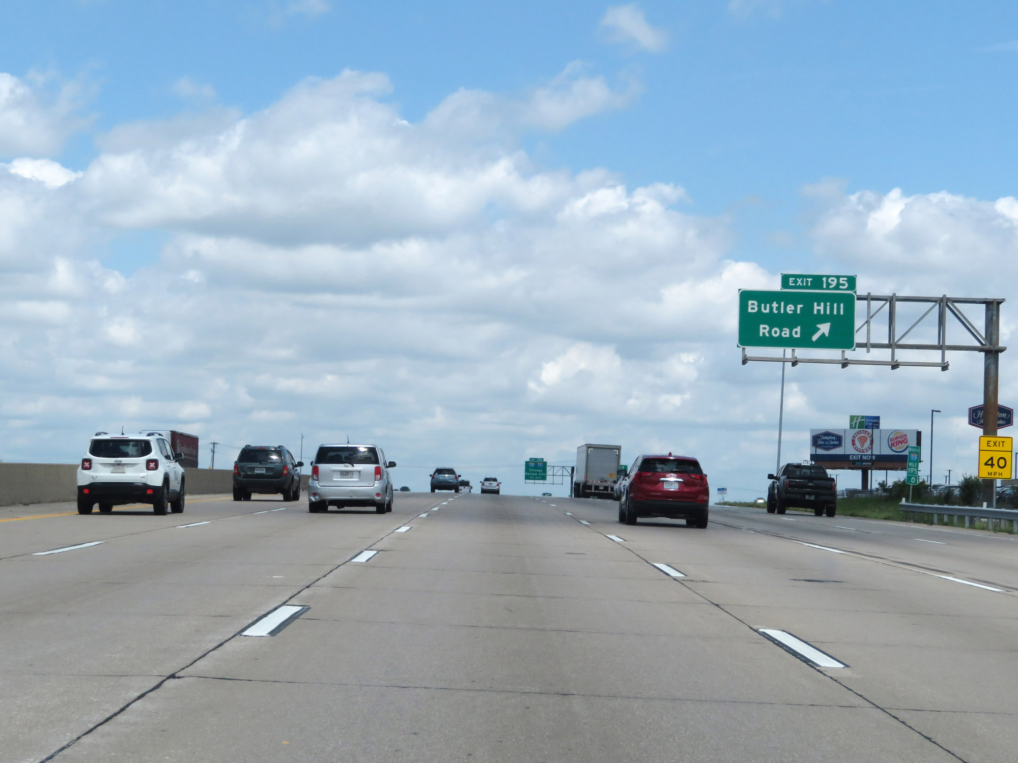 |
Interstate 55 North at Exit 195: Bulter Hill Road (Photo taken 8/13/19). |
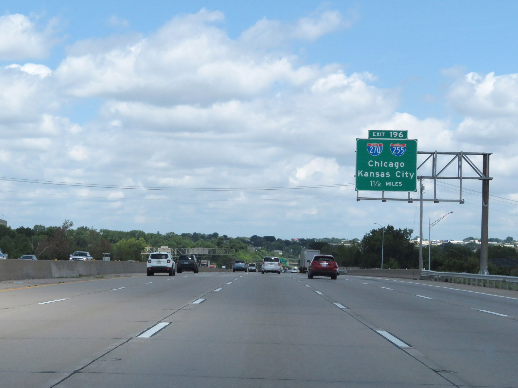 |
Interstate 55 North approaching Exit 196 - 1 1/2 miles. (Photo taken 8/13/19). |
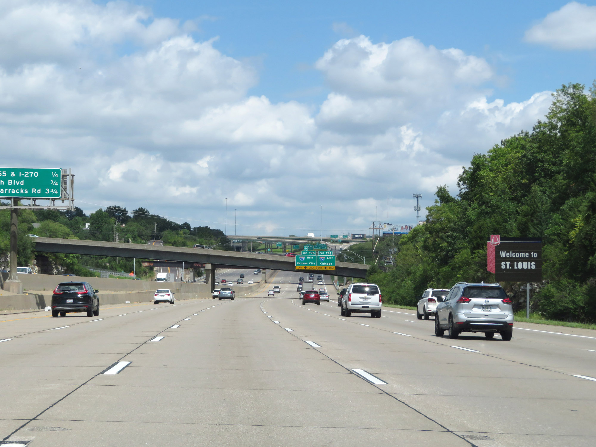 |
This sign welcomes you to the St. Louis metro area. (Photo taken 8/13/19). |
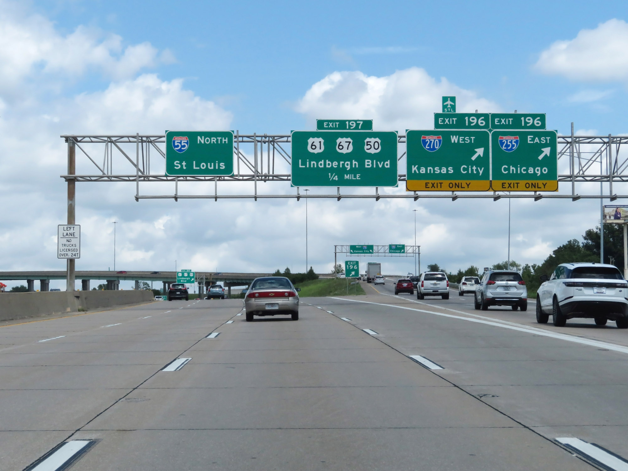 |
Interstate 55 North at Exit 196: Interstate 270 West - Kansas City; Interstate 255 East - Chicago (Photo taken 8/13/19). |
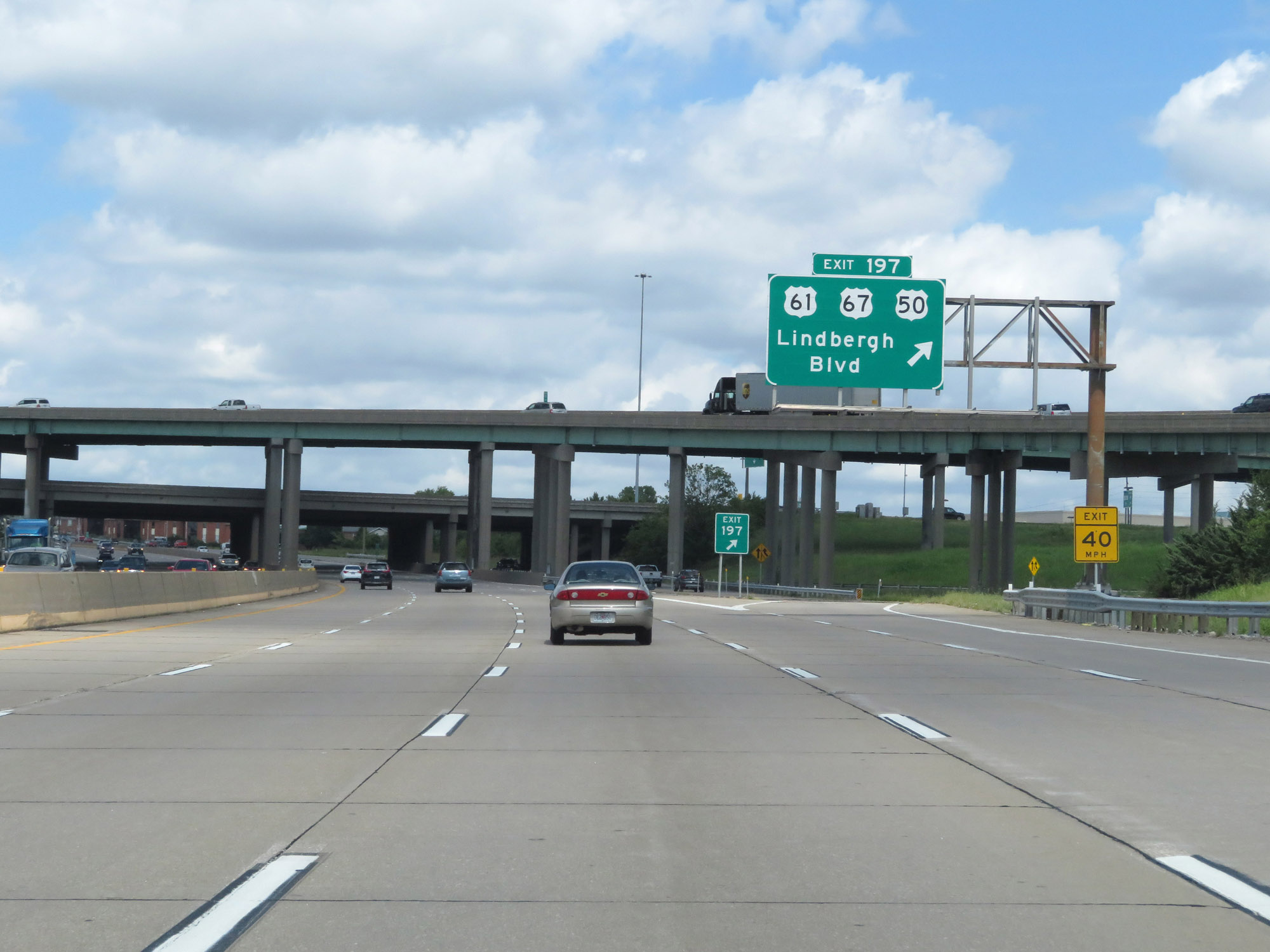 |
Interstate 55 North at Exit 197: US 61 / US 67 / US 50 - Lindbergh Blvd (Photo taken 8/13/19). |
 |
View on Interstate 55 North at mile marker 197. (Photo taken 8/13/19). |
 |
Interstate 55 North at mile marker 198. (Photo taken 8/13/19). |
 |
Overhead mileage sign listing the distances to the three upcoming exits on Interstate 55 North. (Photo taken 8/13/19). |
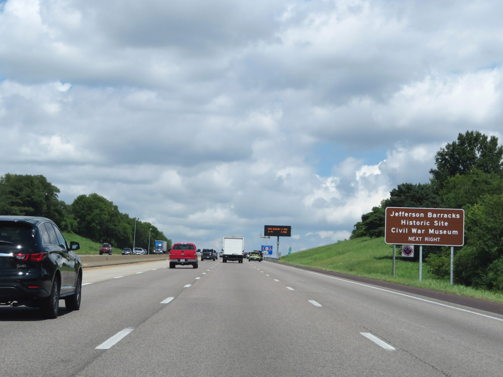 |
Take Exit 199 to Jefferson Barracks Historic Site and the Civil War Museum. (Photo taken 8/13/19). |
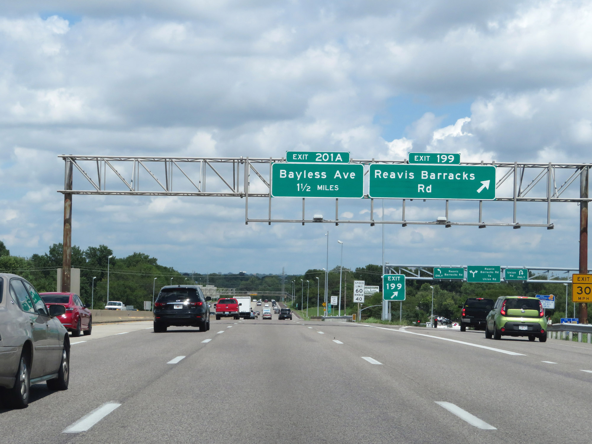 |
Interstate 55 North at Exit 199: Reavis Barracks Rd (Photo taken 8/13/19). |
 |
View on Interstate 55 North at mile marker 200. (Photo taken 8/13/19). |
 |
Interstate 55 North at Exit 201A: Bayless Ave (Photo taken 8/13/19). |
 |
Interstate 55 North reassurance shield. (Photo taken 8/13/19). |
 |
This sign marks the St. Louis city limits on Interstate 55 North. (Photo taken 8/13/19). |
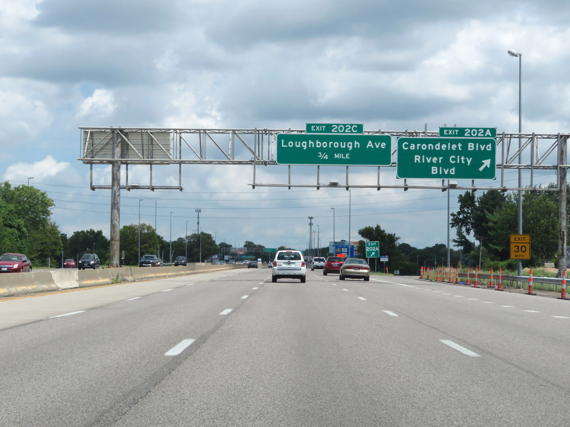 |
Interstate 55 North at Exit 202A: Carondelet Blvd / River City Blvd (Photo taken 8/13/19). |
 |
Interstate 55 North at Exit 202C: Loughborough Ave (Photo taken 8/13/19). |
 |
The speed limits remain 60 mph maximum and 40 mph minimum. (Photo taken 8/13/19). |
 |
Interstate 55 North at Exit 203: Virginia Ave (Photo taken 8/13/19). |
 |
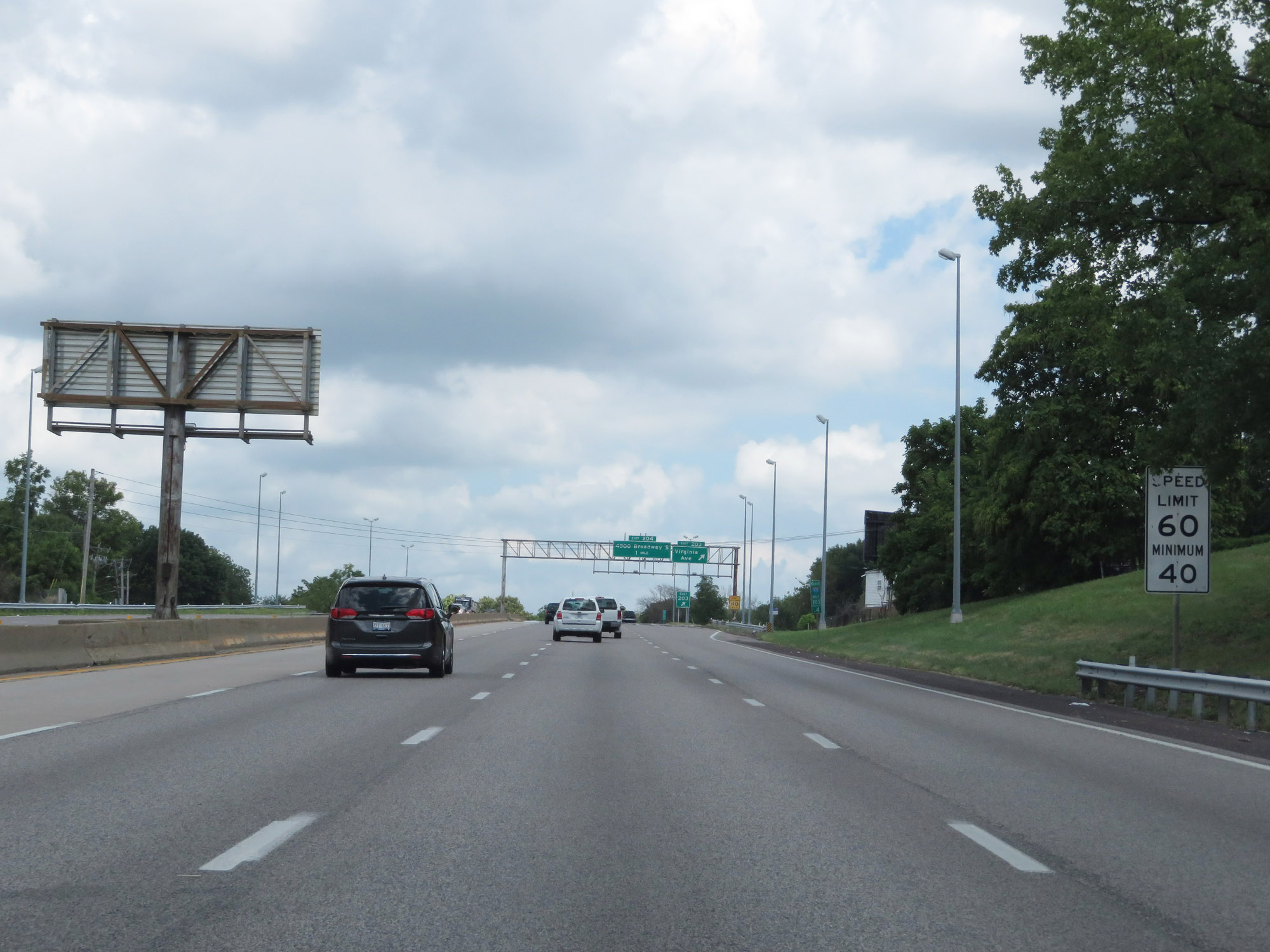
Interstate 55 North at Exit 204: 4500 S Broadway (Photo taken 8/13/19). |
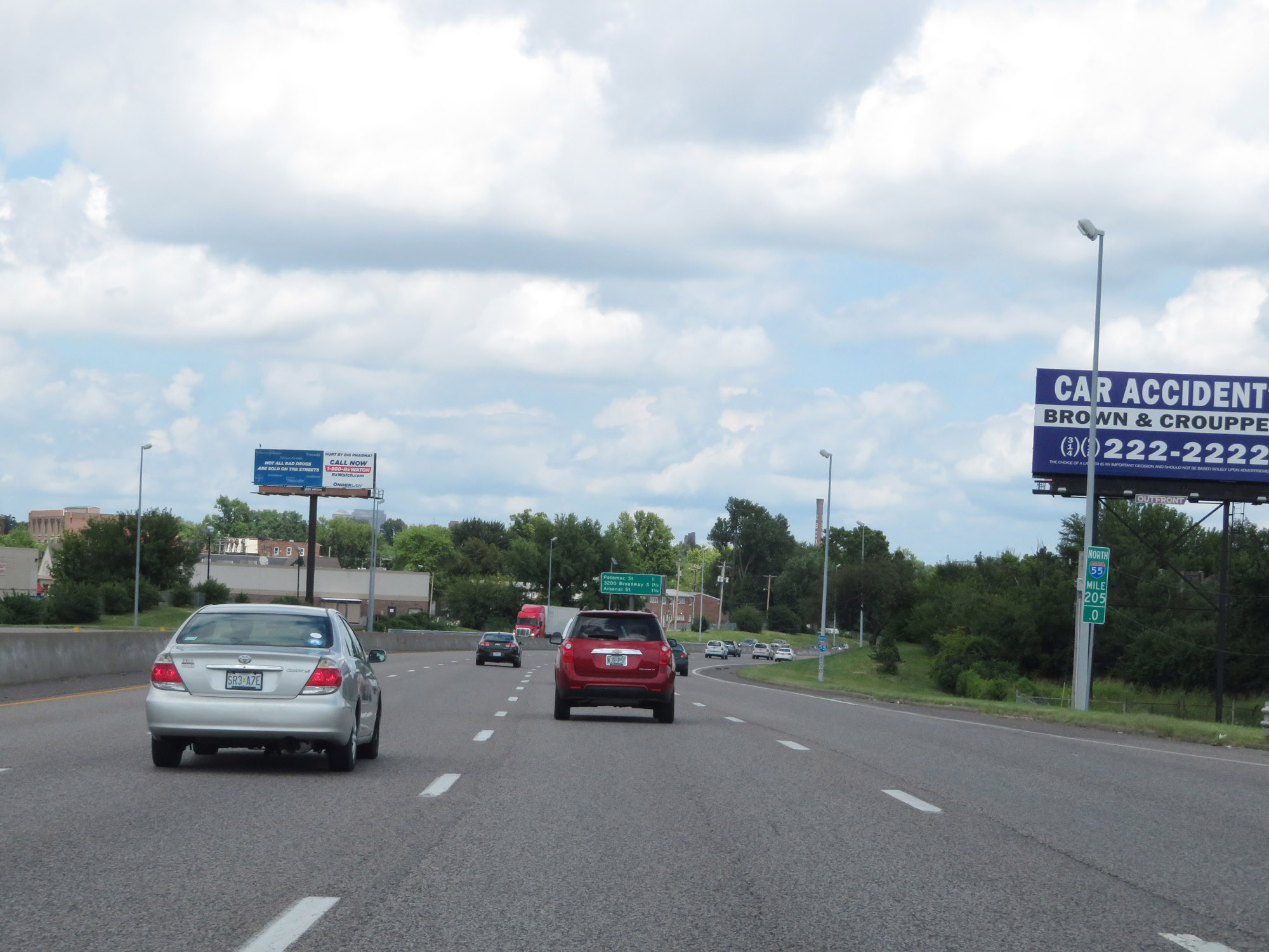 |
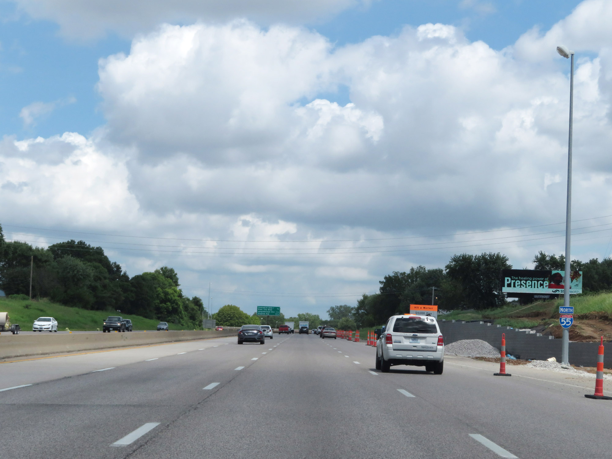
View on Interstate 55 North at mile marker 205. (Photo taken 8/13/19). |
 |
Interstate 55 North as it nears Exit 207B - 2 miles on the left. (Photo taken 8/13/19). |
 |
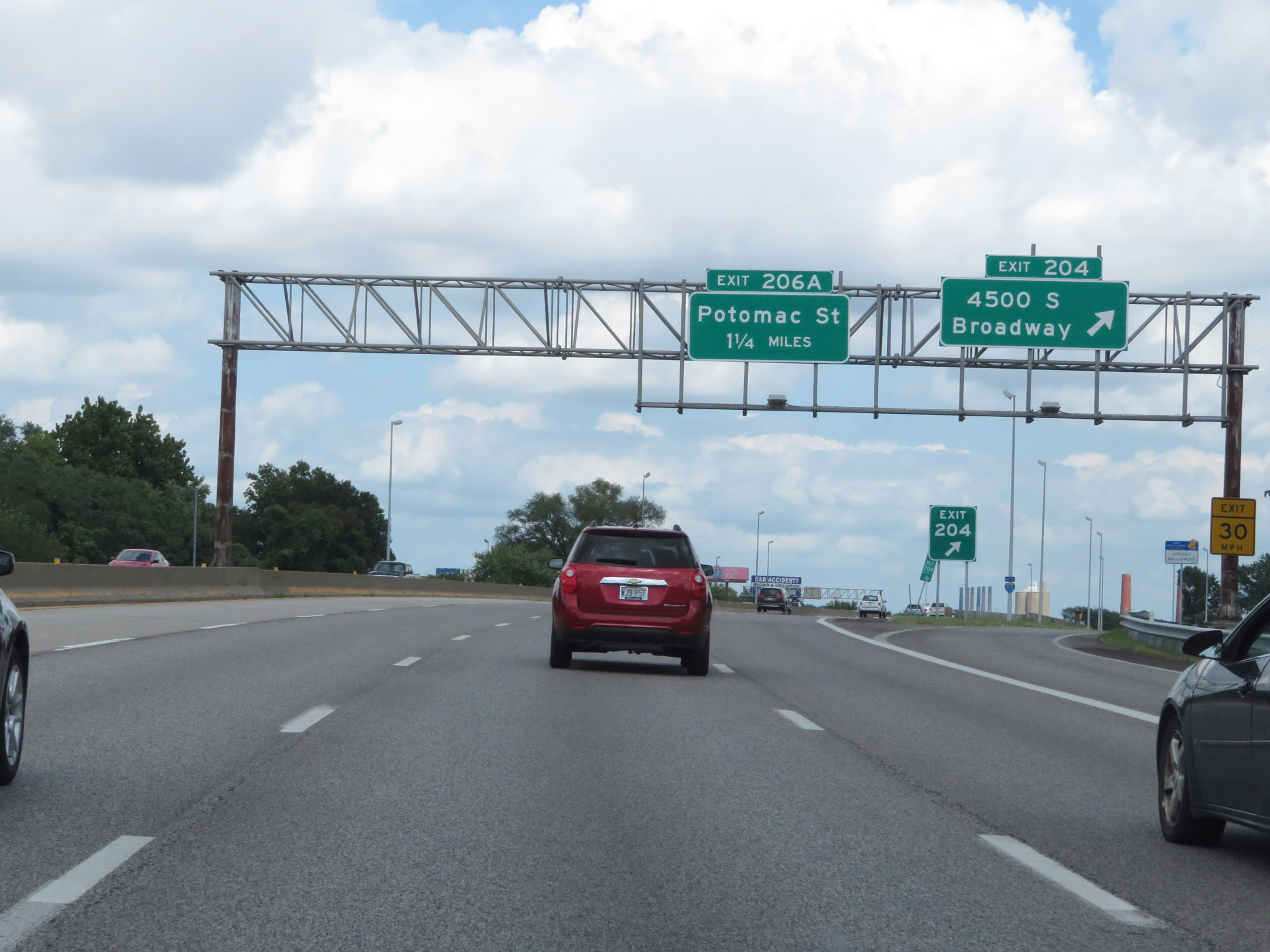
Interstate 55 North at Exit 206A: Potomac St (Photo taken 8/13/19). |
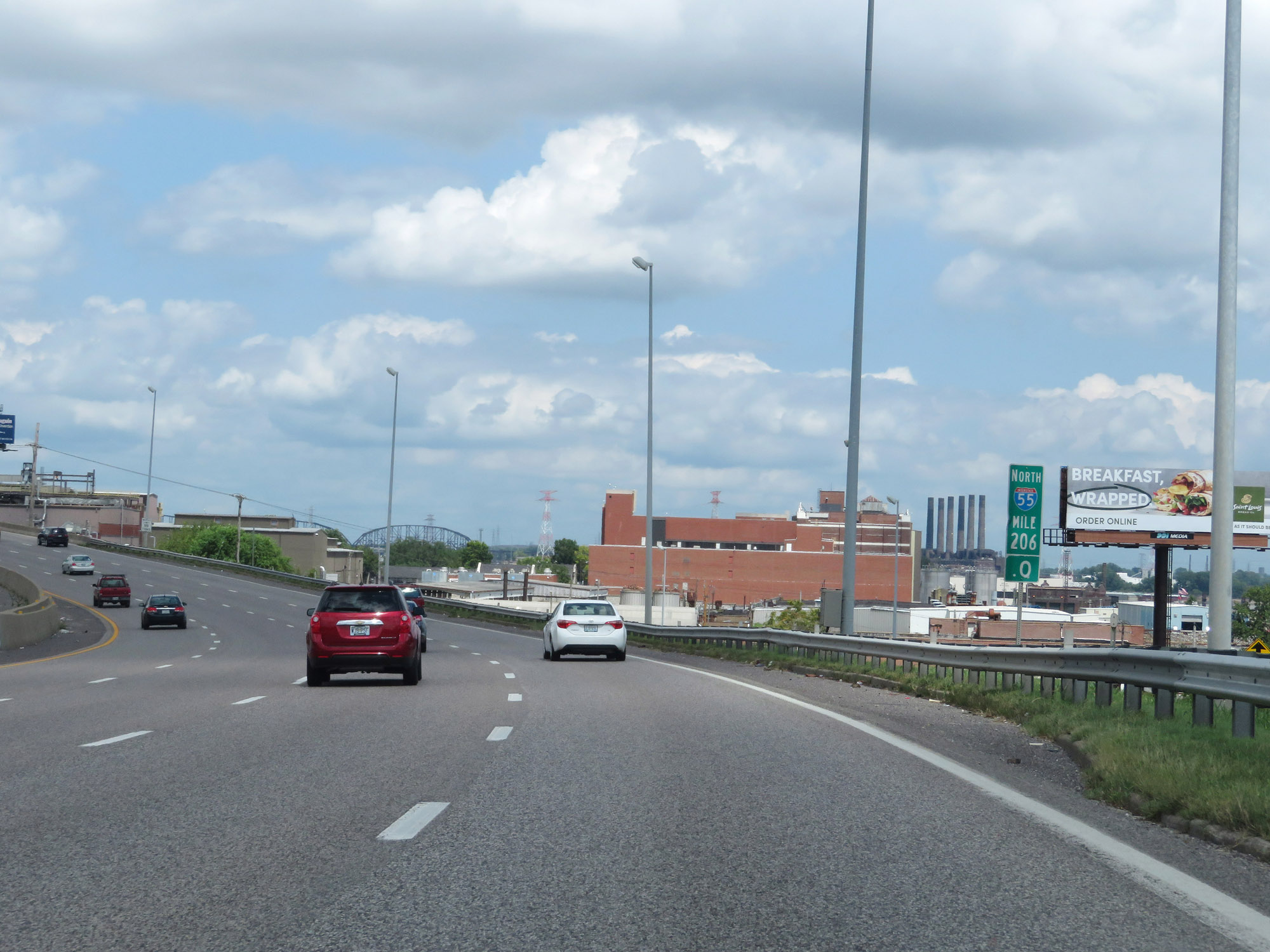 |
View on Interstate 55 North at mile marker 206. (Photo taken 8/13/19). |
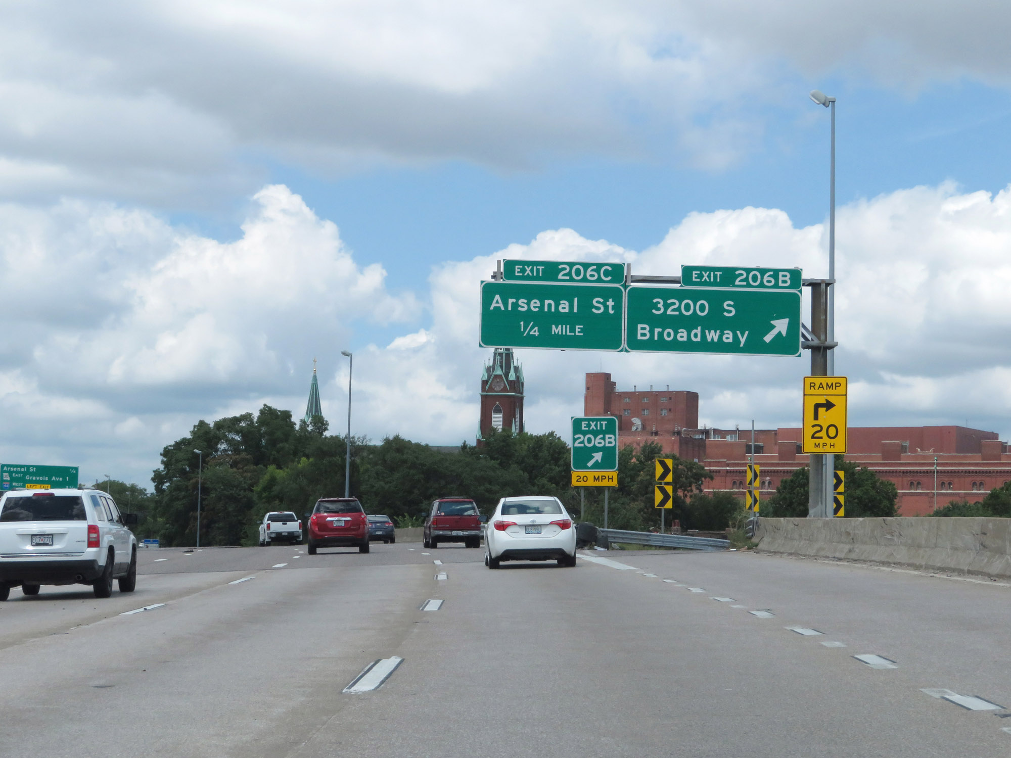 |
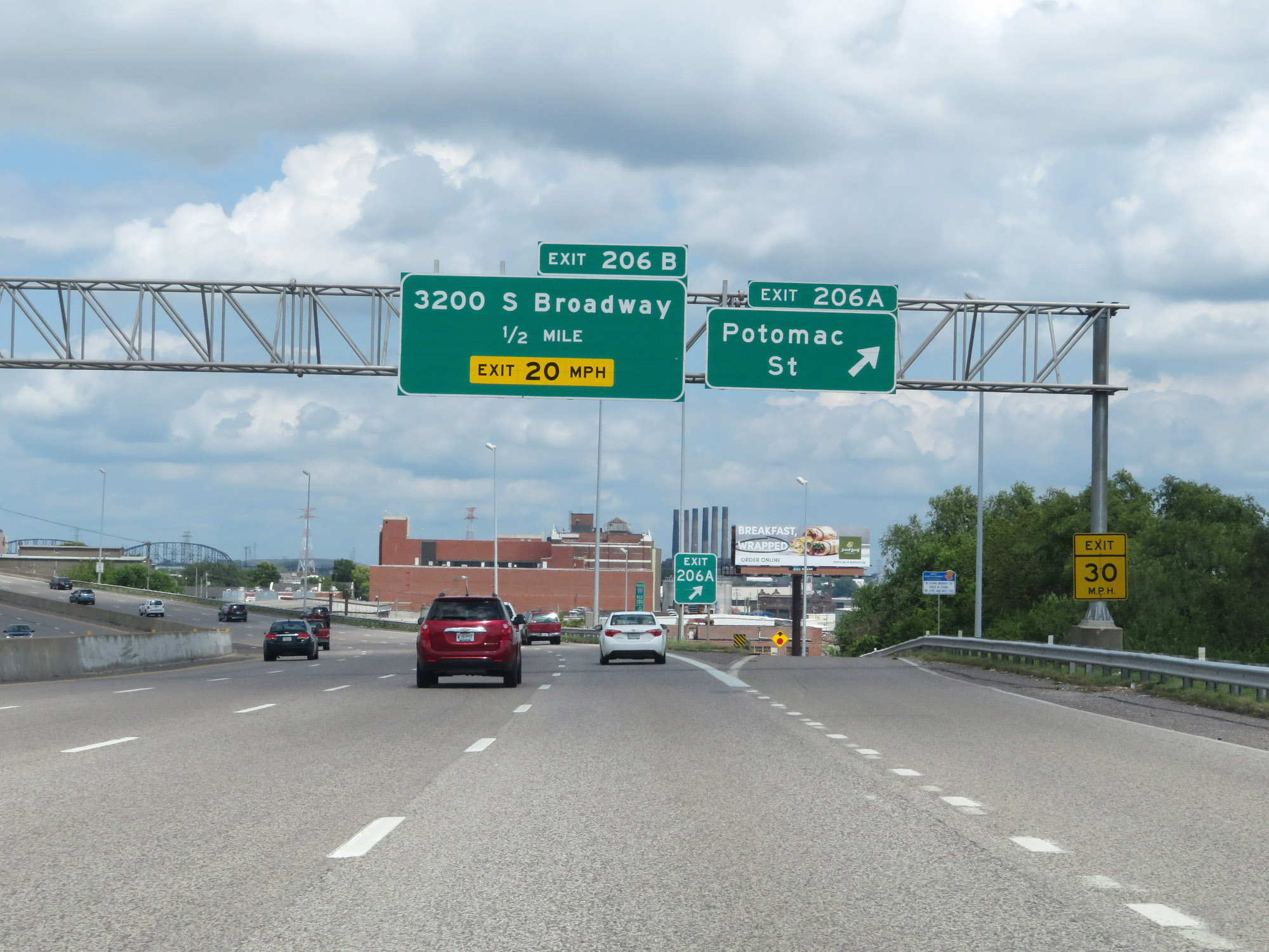
Interstate 55 North at Exit 206B: 3200 St Broadway (Photo taken 8/13/19). |
 |
Interstate 55 North at Exit 206C: Arsenal St (Photo taken 8/13/19). |
 |
Interstate 55 North approaching Exit 207B - 1/2 mile on the left. (Photo taken 8/13/19). |
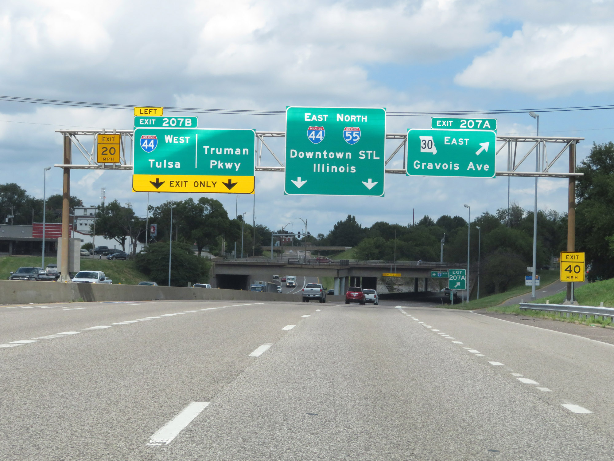 |
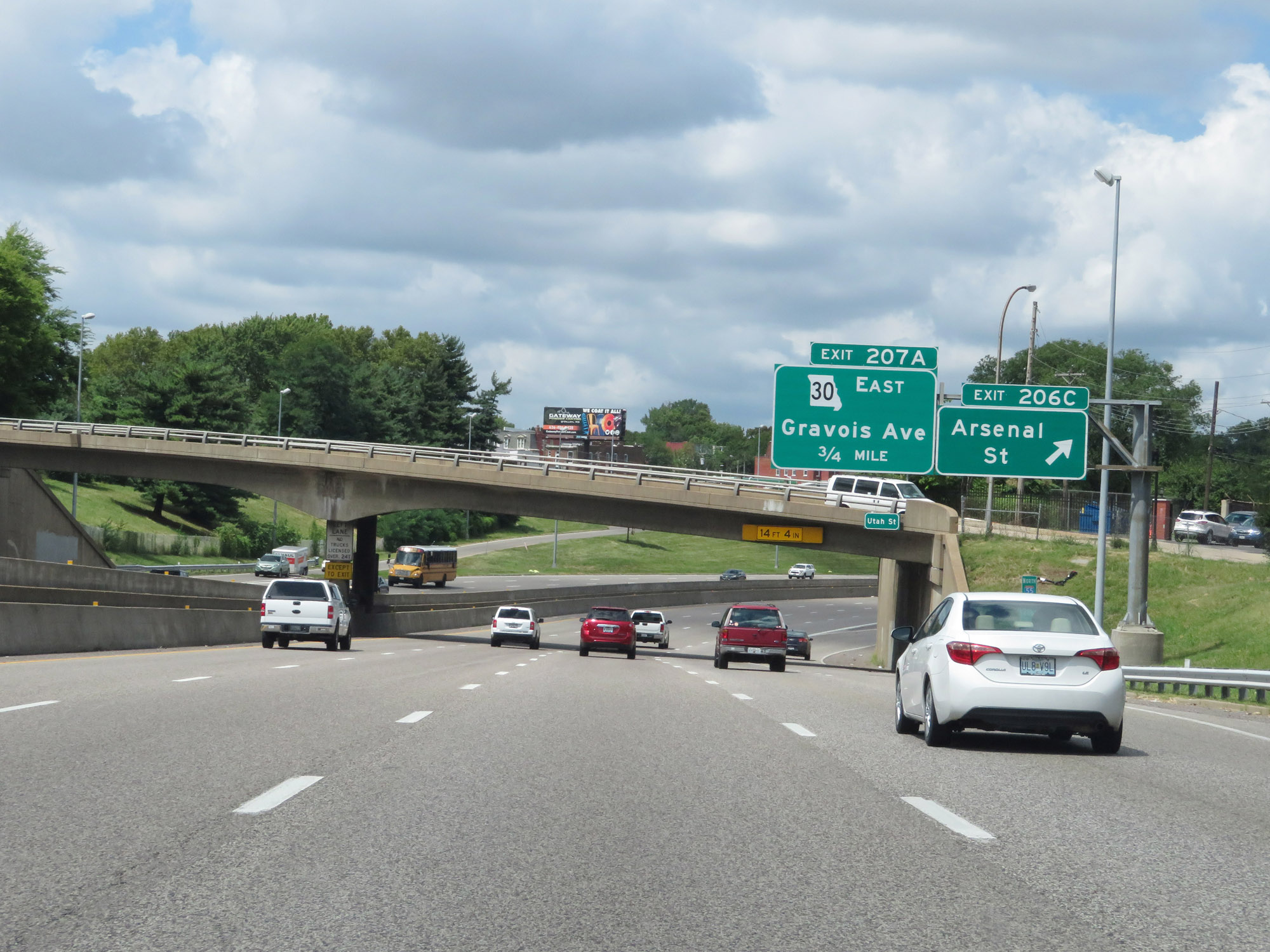
Interstate 55 North at Exit 207A: MO 30 East - Gravois Ave (Photo taken 8/13/19). |
 |
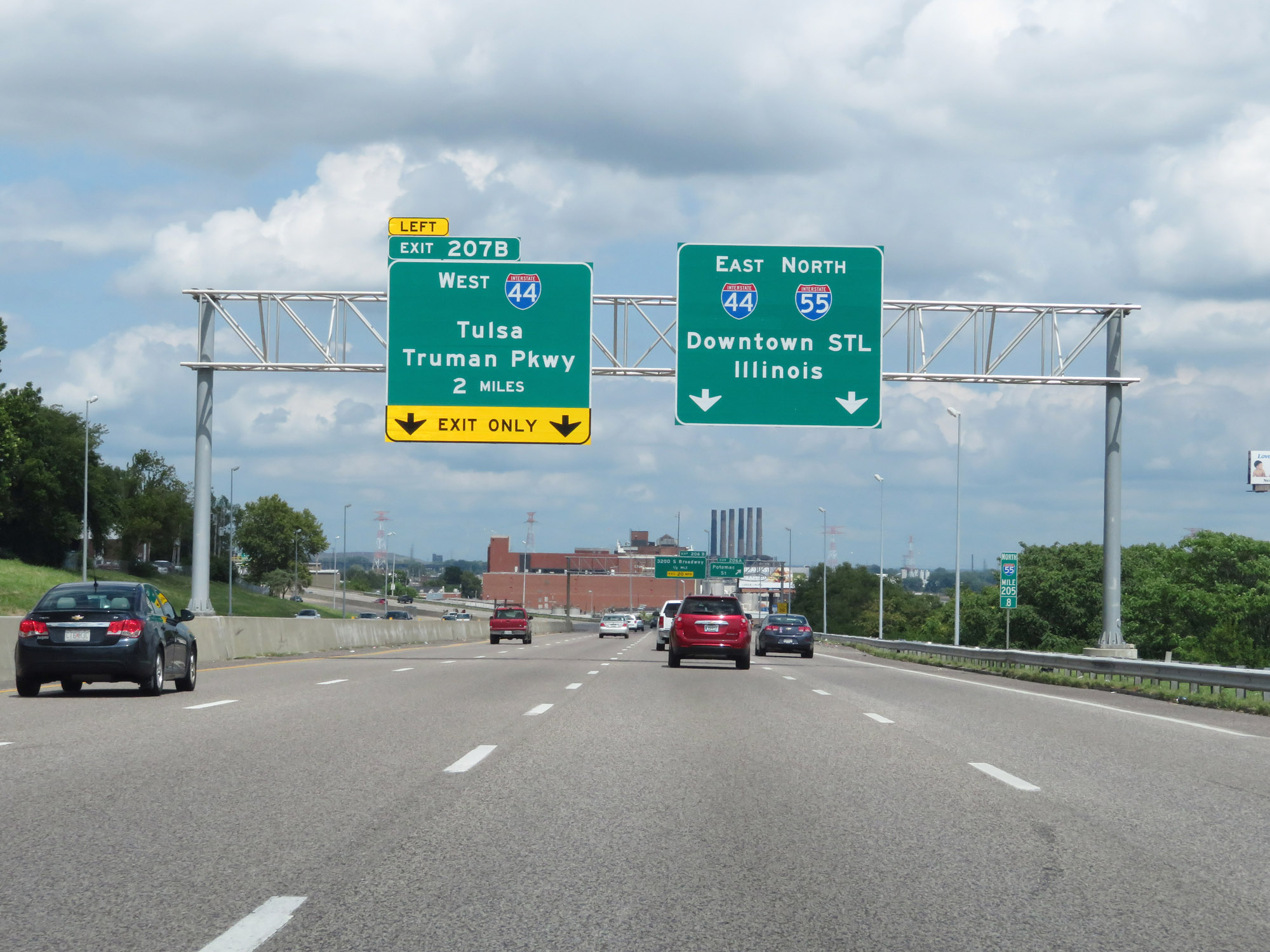
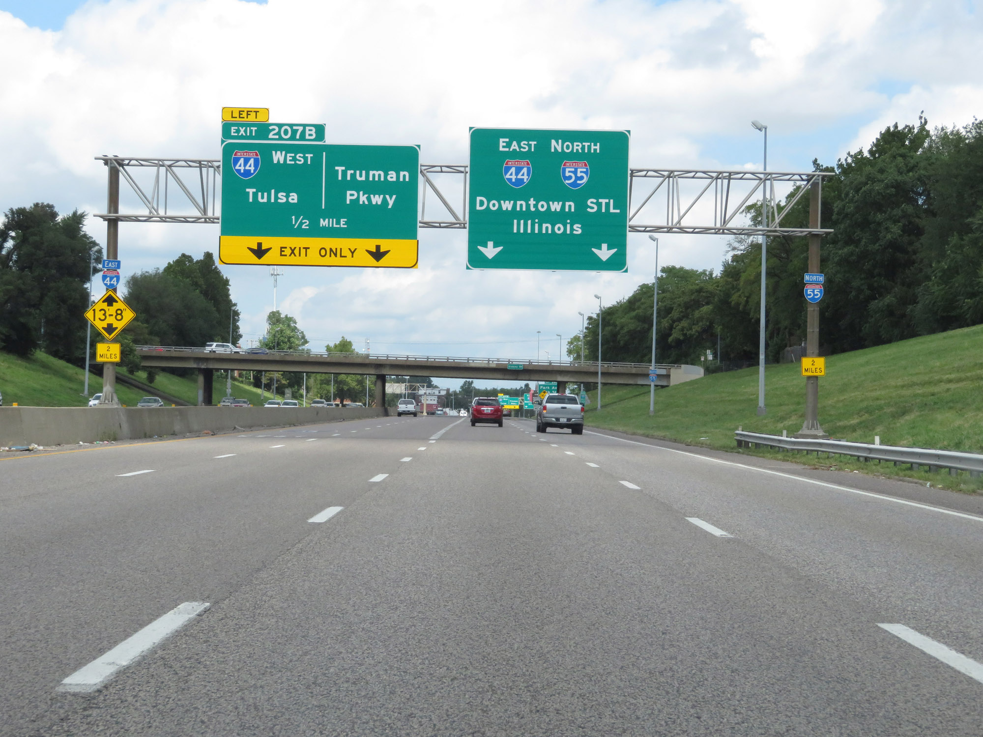
Interstate 55 North at Exit 207B: Interstate 44 West - Tulsa; Truman Pkwy (Photo taken 8/13/19). |
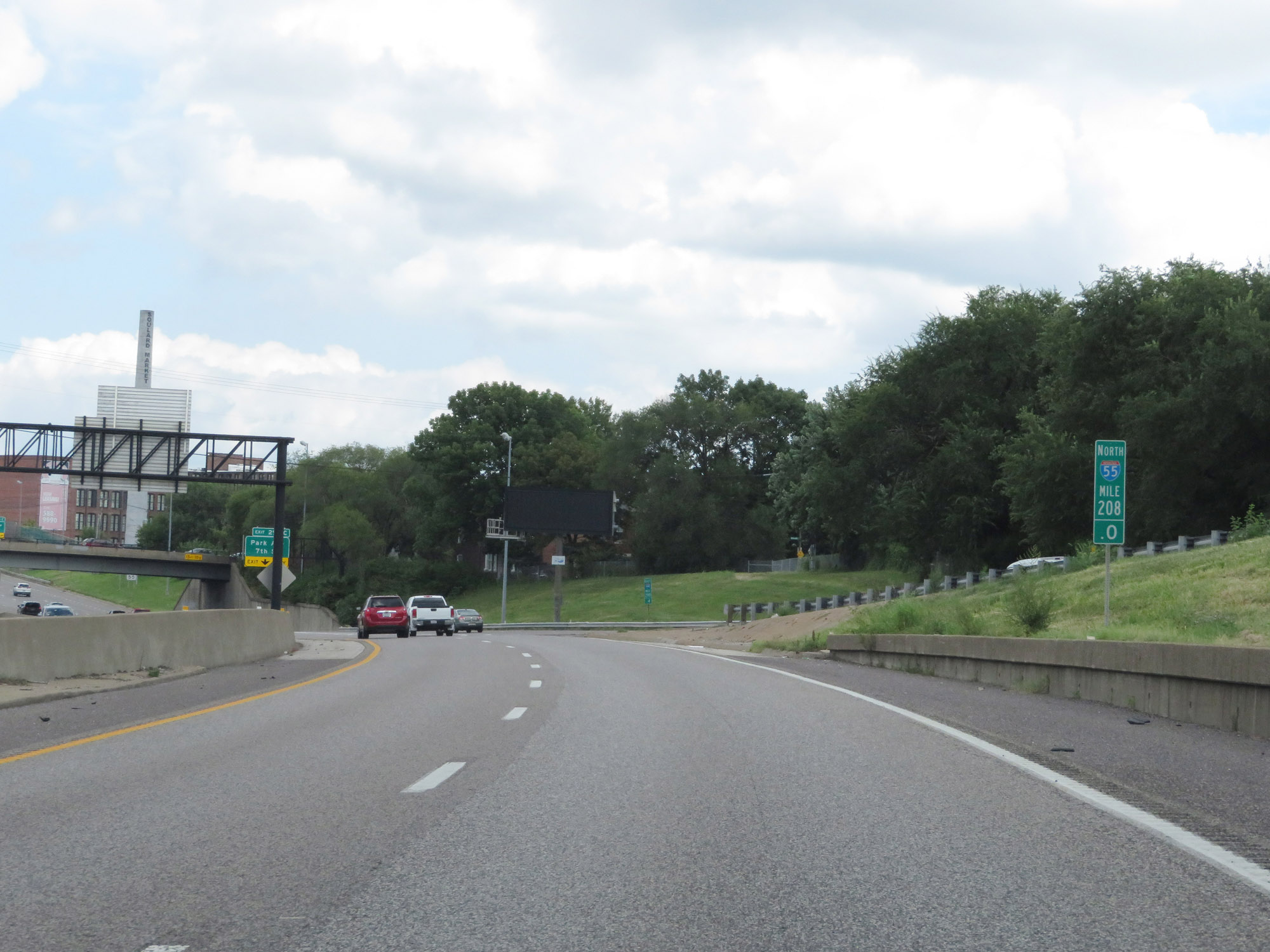 |
View on Interstate 55 North at mile marker 208. Ahead, the northbound lanes of Interstate 55 will merge with the eastbound lanes of Interstate 44. During this concurrency, the exit numbers and mileage are based on that of Interstate 44. (Photo taken 8/13/19). |
 |
Interstate 55 North / Interstate 44 East at Exit 290C: Park Ave / 7th St (Photo taken 8/13/19). |
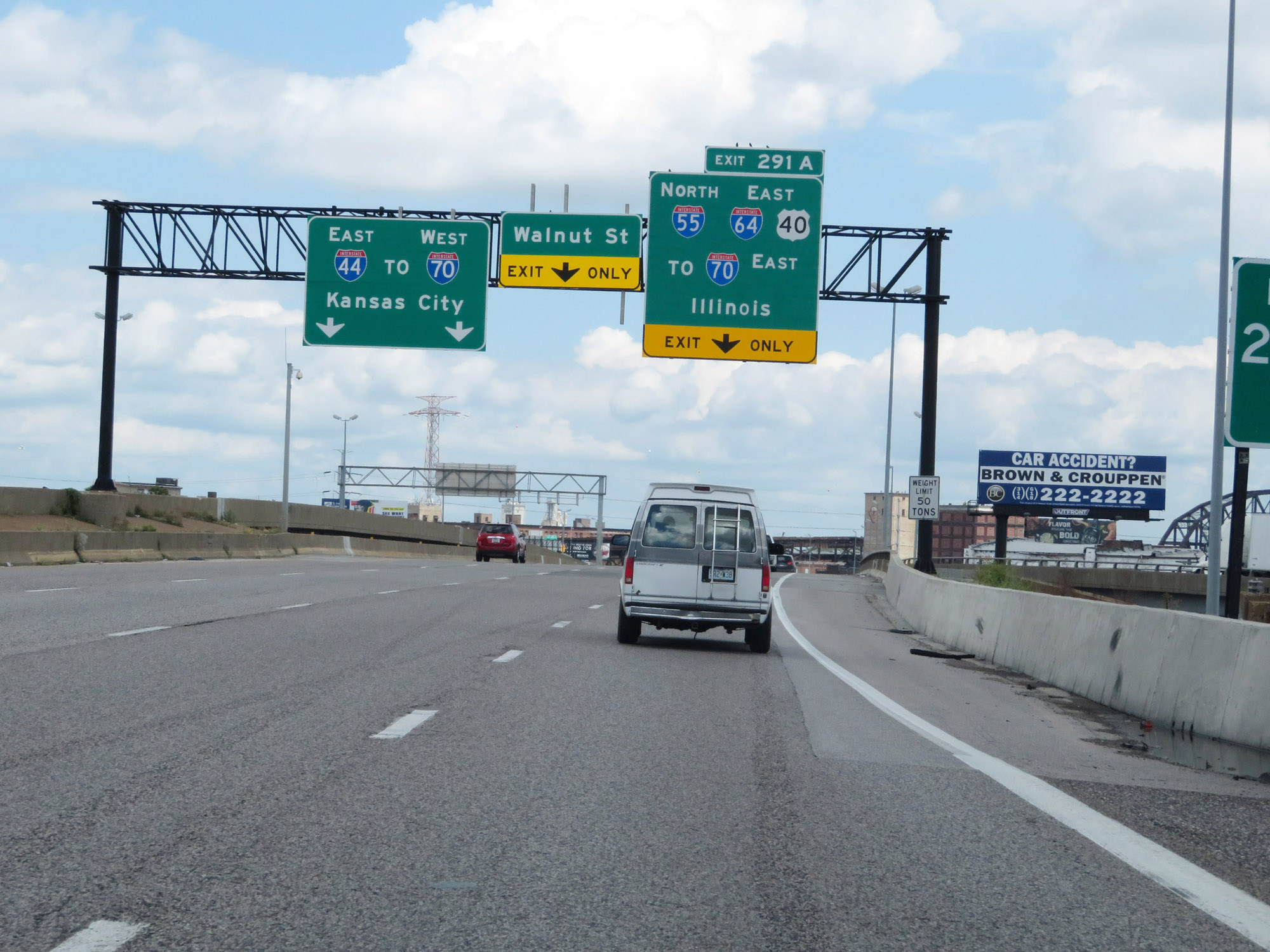 |
Interstate 55 North / Interstate 44 East approaching Exit 291A. Interstate 44 East thru traffic should move to the left at this time. Any traffic headed to Illinois and the East St. Louis area should keep right and follow Interstate 55 North. I-55 North will connect with both Interstate 64 and Interstate 70 East. (Photo taken 8/13/19). |
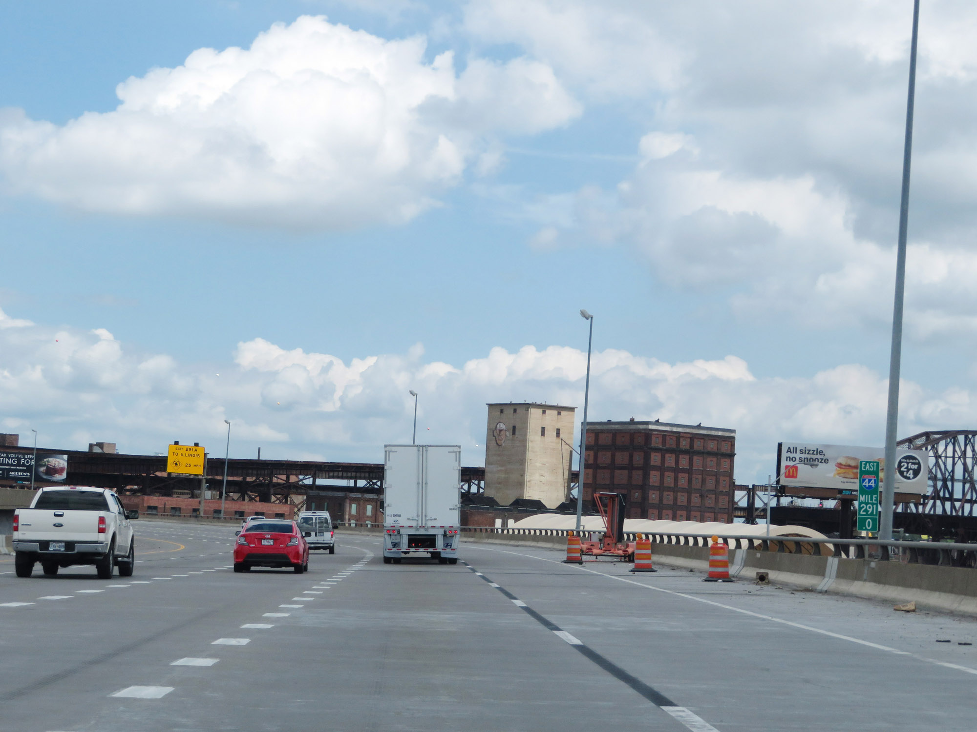 |
Interstate 55 North / Interstate 44 East at mile marker 291. (Photo taken 8/13/19). |
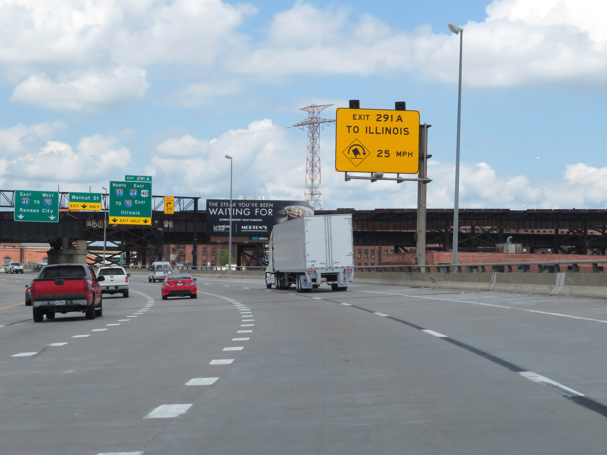 |
This sign warns of a sharp curve on the ramp on Exit 291A, which carries the mainline of Interstate 55 North into Illinois. I-55 North traffic should keep to the right and slow down in preparation for the sharp curve. (Photo taken 8/13/19). |
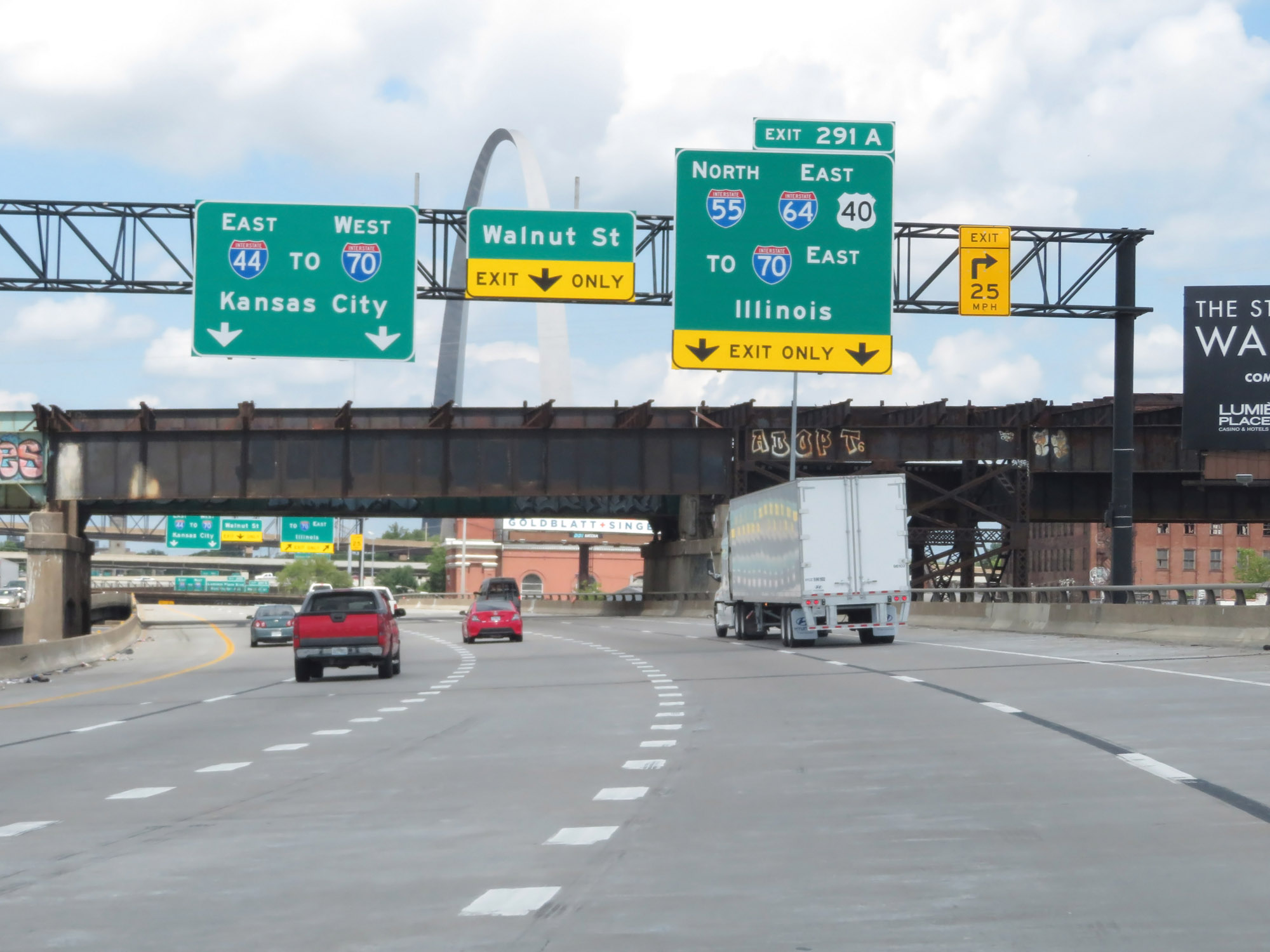 |
Interstate 55 North / Interstate 44 East nearing Exit 291A. (Photo taken 8/13/19). |
 |
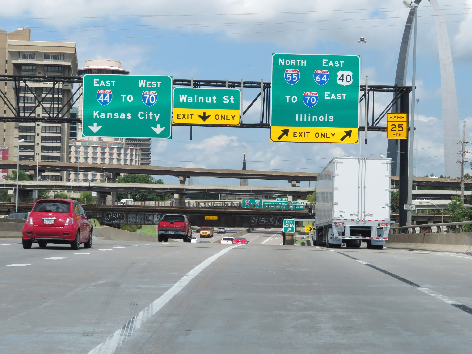
View of the Gateway Arch just before Interstate 55 North departs from Interstate 44 in downtown St. Louis. (Photo taken 8/13/19). |
 |
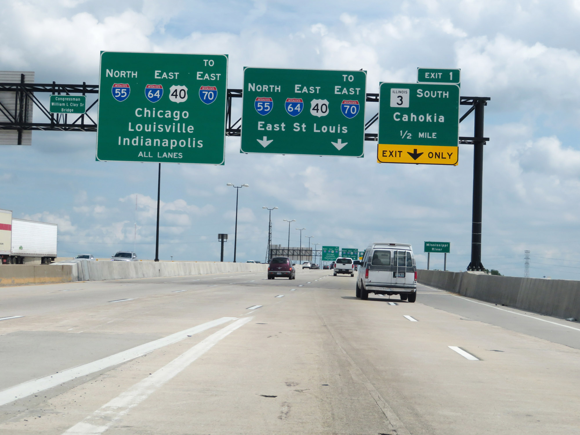
Interstate 55 North / Interstate 44 East at Exit 291A: Interstate 55 North / Interstate 64 East / US 40 East / To Interstate 70 East - Illinois (Photo taken 8/13/19). |
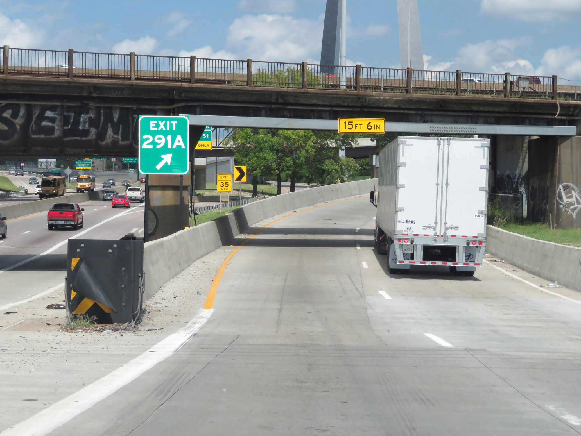 |
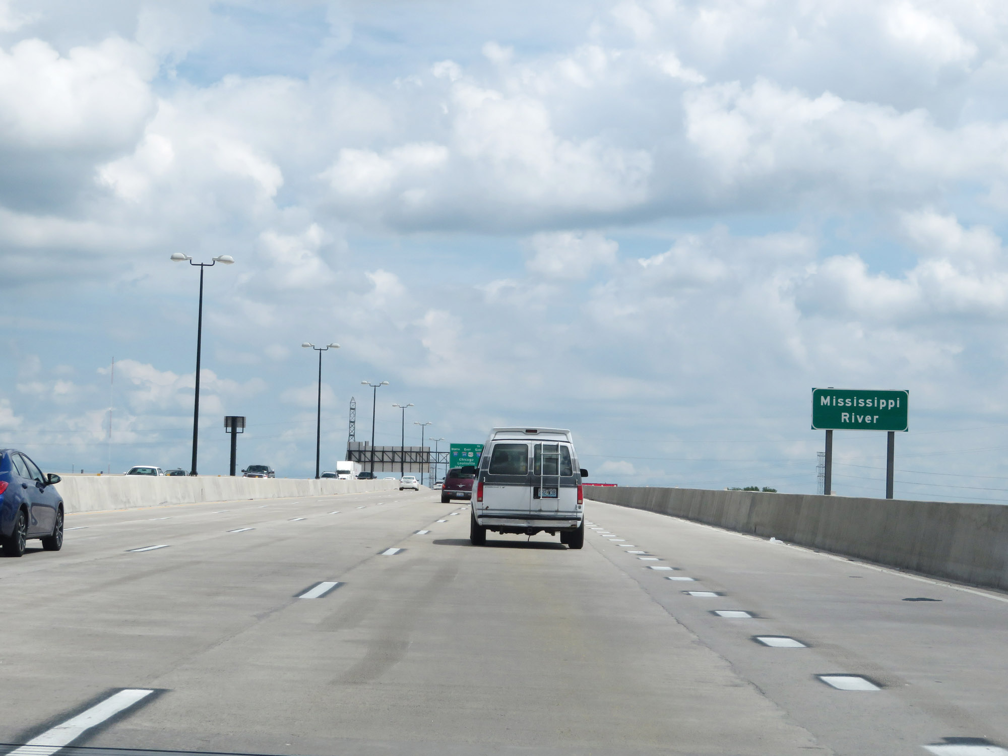
View on the ramp for Exit 291A, to remain on Interstate 55 North. Ahead, I-55 North will curve to the east to join Interstate 64 East, at which point the duplex will cross the Mississippi River into Illinois. (Photo taken 8/13/19). |
 |
Now facing east, Interstate 64 East traffic prepares to merge into Interstate 55 North on the left. (Photo taken 8/13/19). |
 |
Interstate 55 North as traffic from Interstate 64 East joins it on the left. Together, they will cross the Mississippi River ahead. (Photo taken 8/13/19). |
 |
Interstate 55 North / Interstate 64 East as they cross the Mississippi River into Illinois. (Photo taken 8/13/19). |