Road Information |
||
 |
||
| Total Mileage in State: | 15 miles | |
| Northern End: | At I-29/US 59/US 71, near St. Joseph | |
| Southern End: | At I-29/US 71, in St. Joseph | |
| Mileage covered in Photos: | 15 miles | |
| Counties covered in Photos: | Andrew, Buchanan | |
| Major Junctions in Photos: | I-29/US 71, near St. Joseph US 36, in St. Joseph I-29/US 71, in St. Joseph |
|
| Control Cities in Photos: | St. Joseph | |
Southbound
 |
US 71 South at Exit: Interstate 29 North - Council Bluffs. Interstate 229 South will begin 1/4 mile ahead, as it passes under Interstate 29. (Photo taken 8/10/20). |
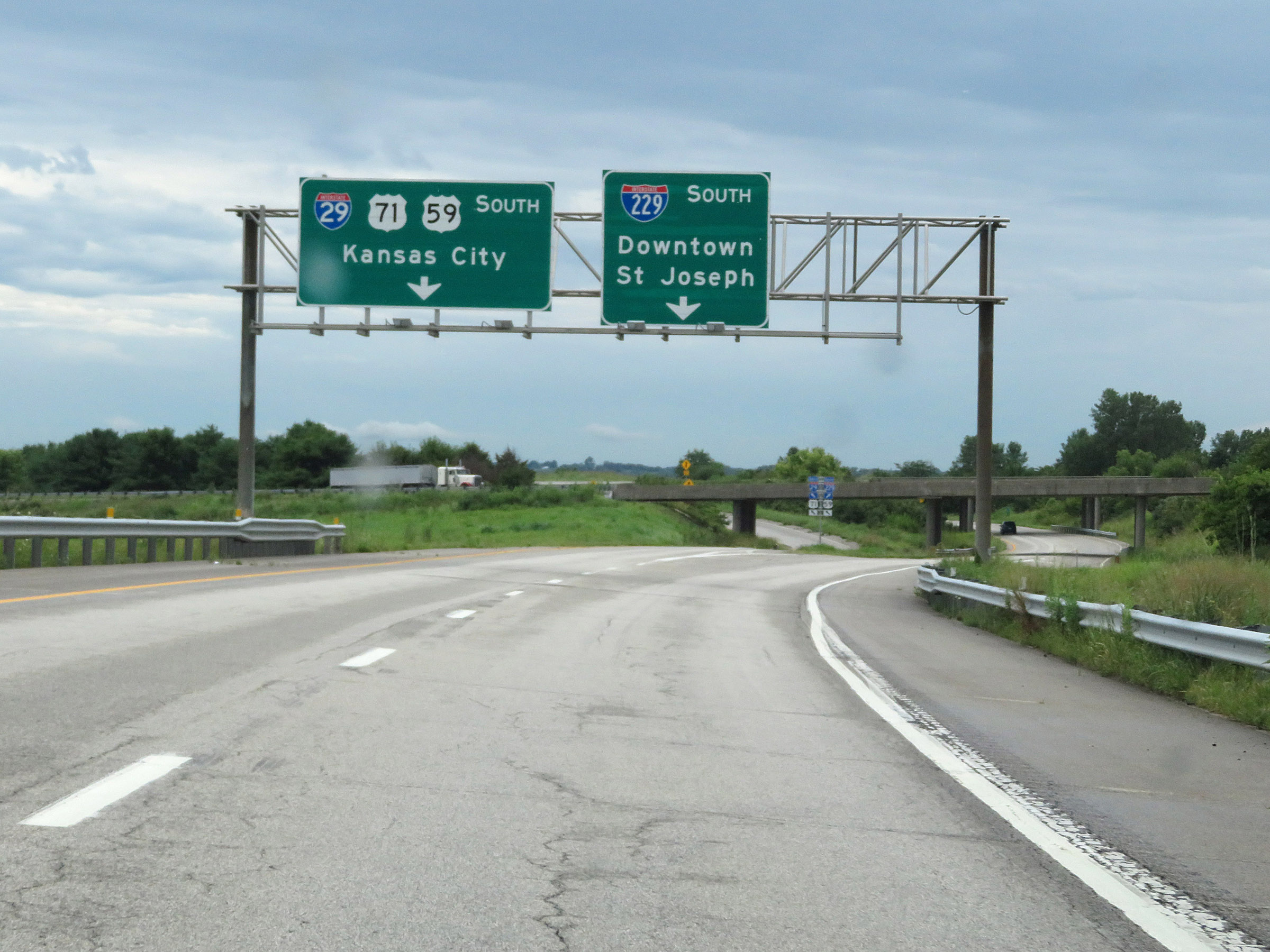 |
US 71 South at Exit: Interstate 29 South / US 71 South / US 59 South - Kansas City (Photo taken 8/10/20). |
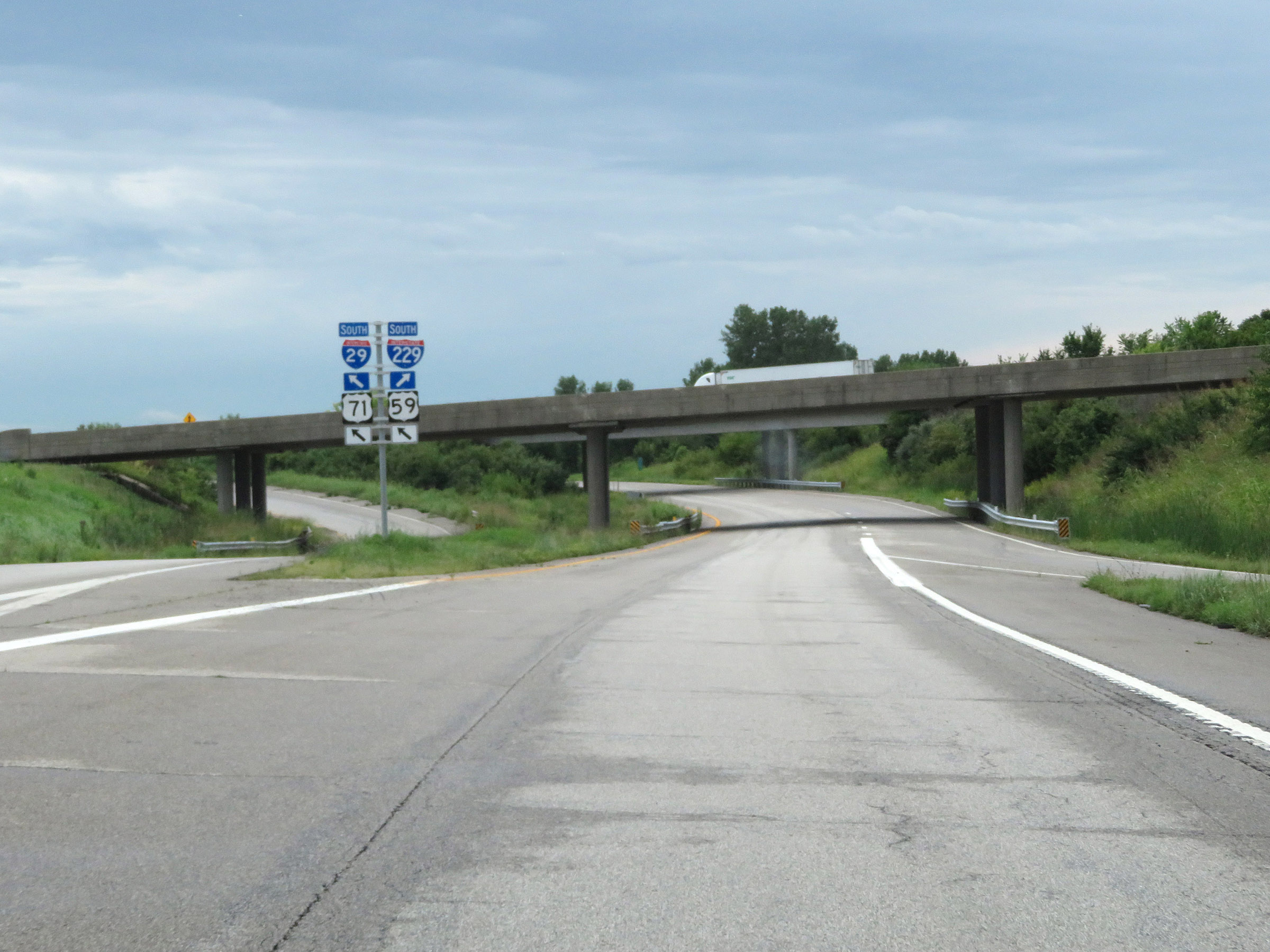 |
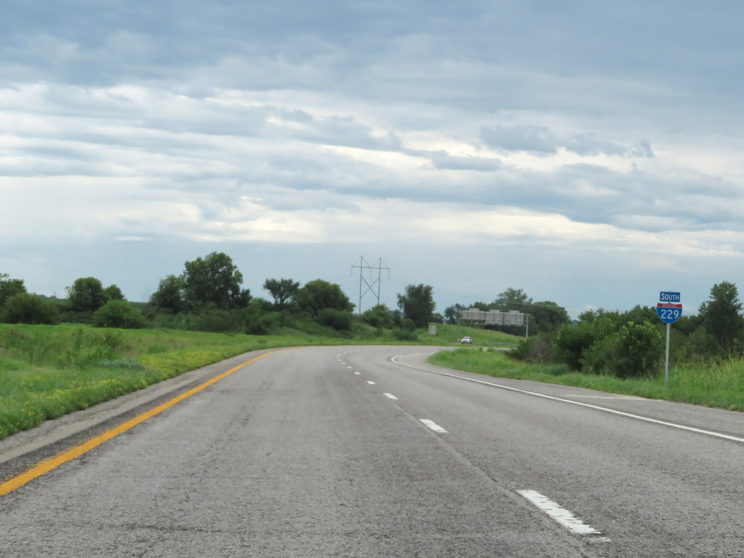
Interstate 229 South as it begins just before passing underneath Interstate 29 ahead. (Photo taken 8/10/20). |
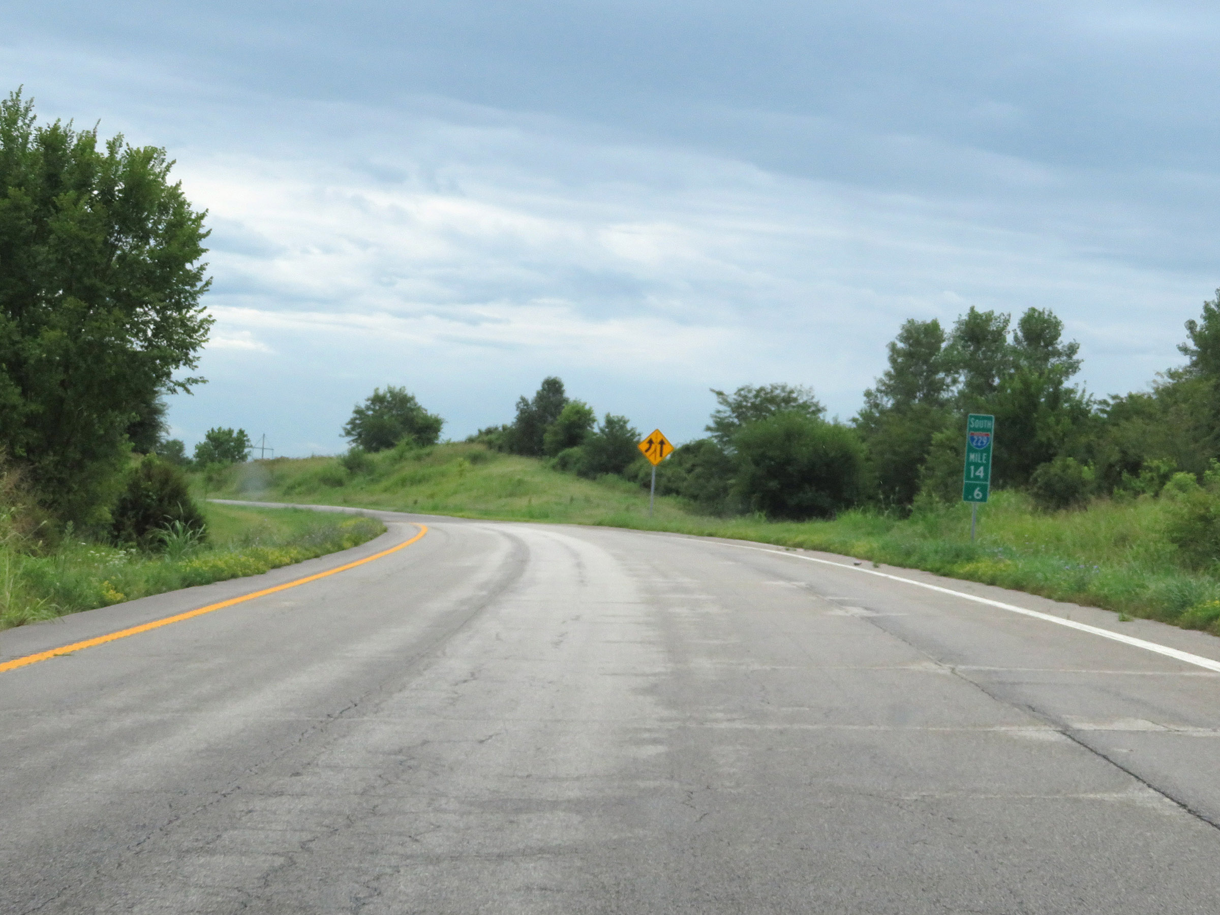 |
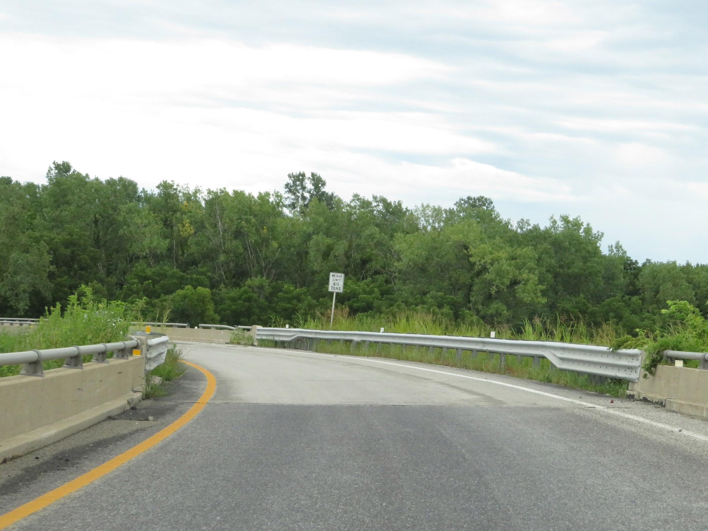
View on Interstate 229 South at mile marker 14.6. (Photo taken 8/10/20). |
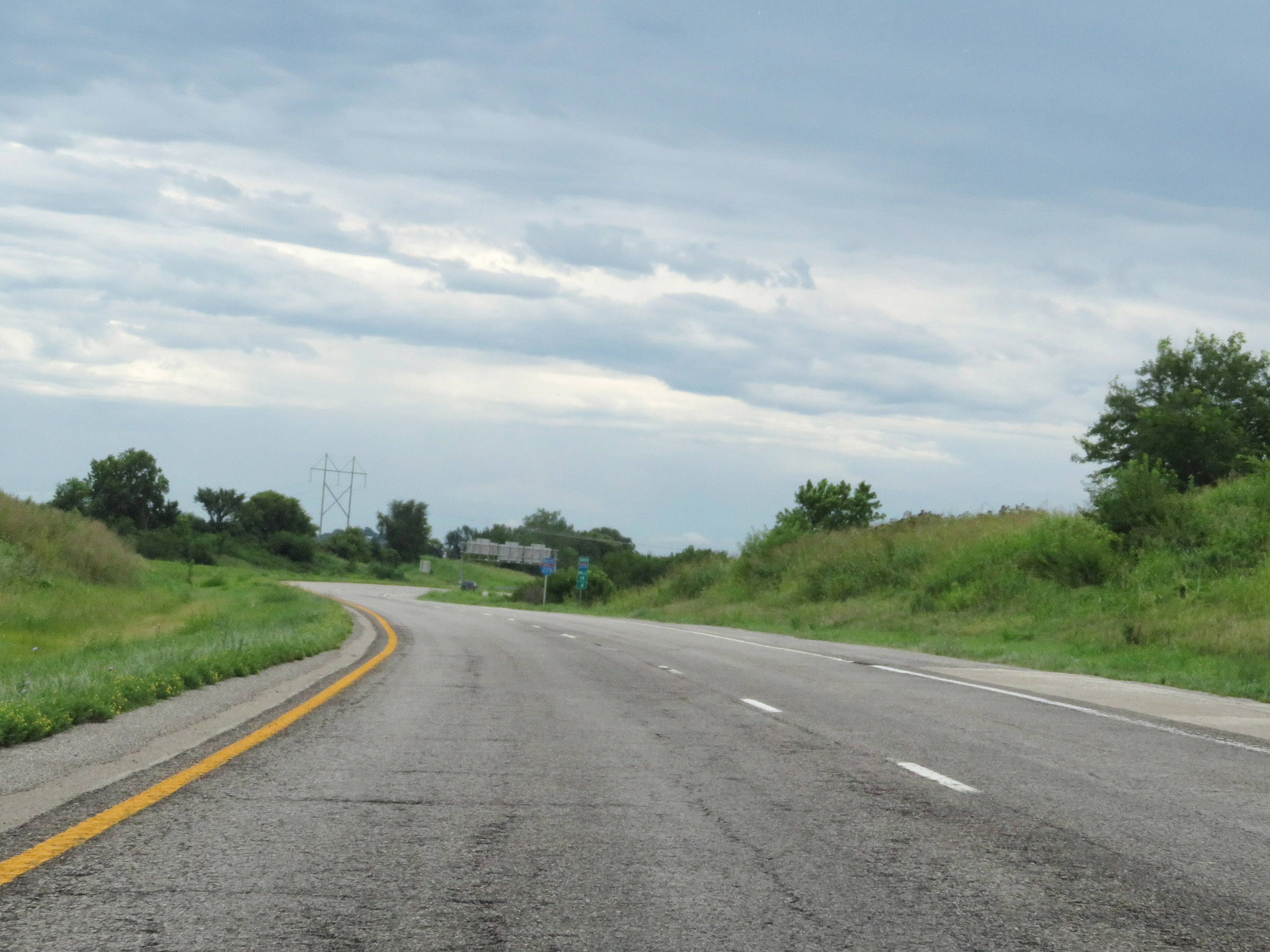 |
Interstate 229 South as traffic from Interstate 29 South joins on the right, forming two southbound lanes. (Photo taken 8/10/20). |
 |
Interstate 229 South reassurance shield in Andrew County. (Photo taken 8/10/20). |
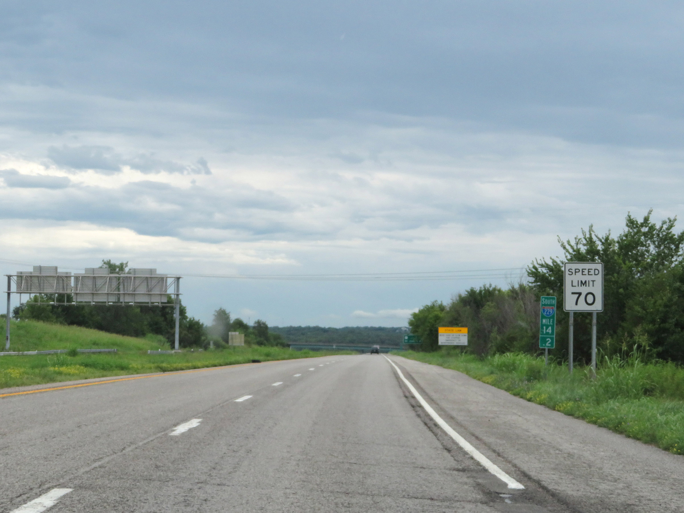 |
Speed limit sign at mile marker 14.2. The speed limit on Interstate 229 South starts out at 70 mph. (Photo taken 8/10/20). |
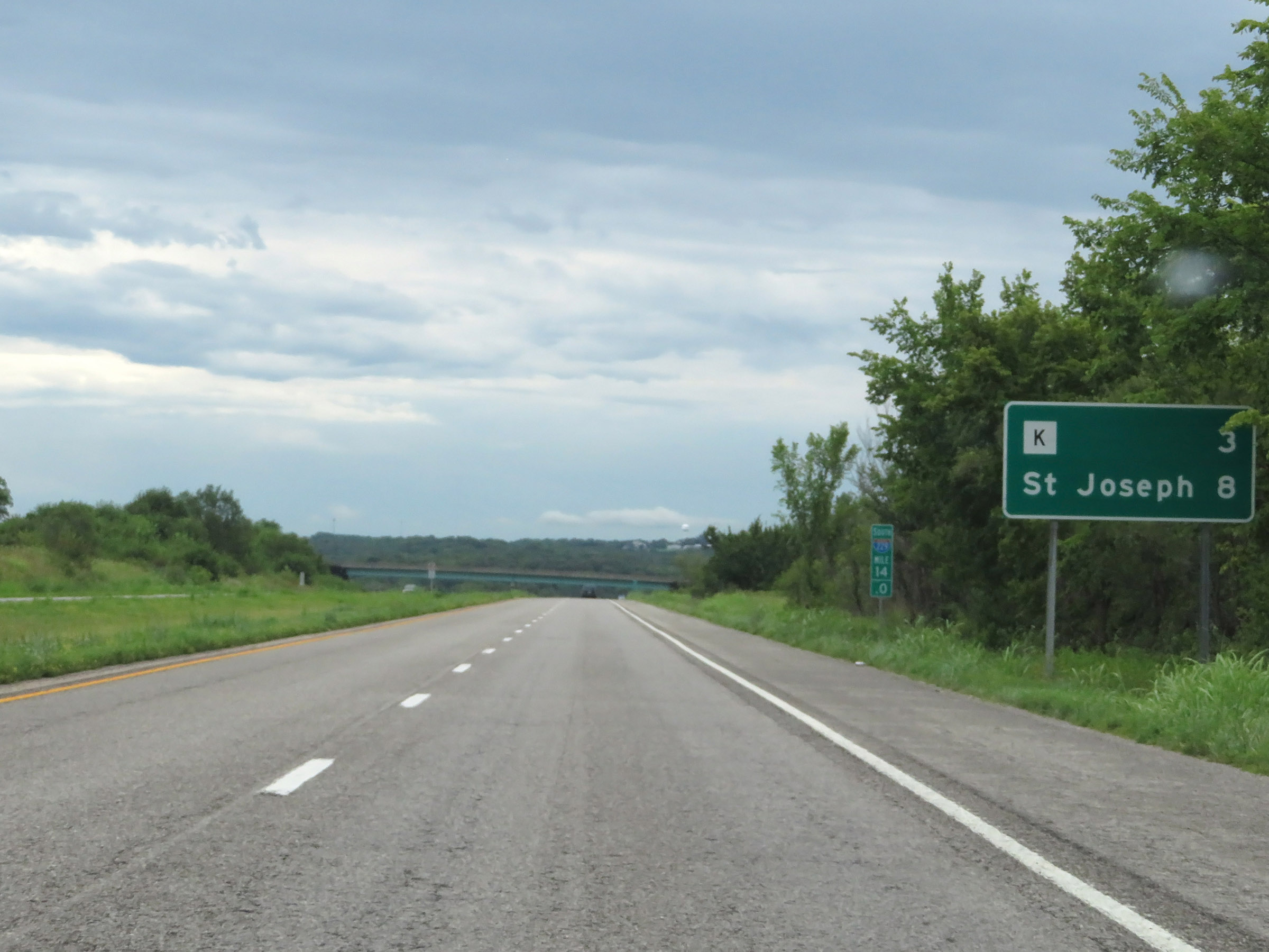 |
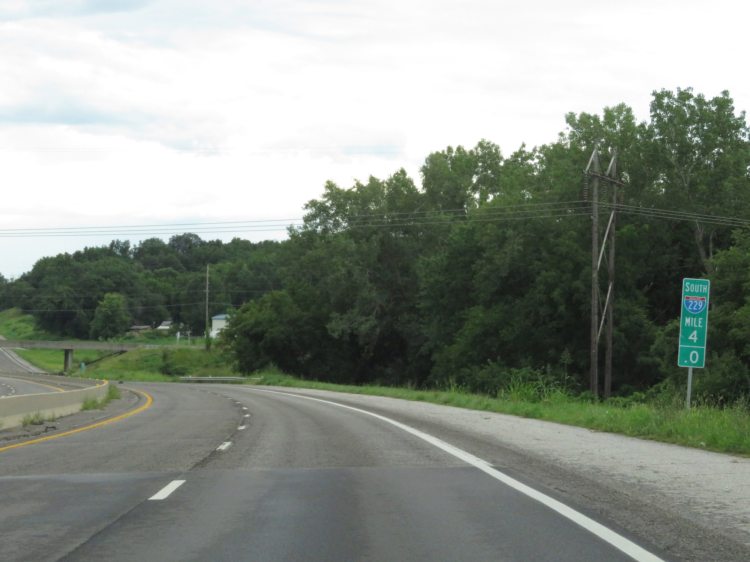
Mileage sign on Interstate 229 South at mile marker 14. It's 3 miles to the junction of Route K and 8 miles to St. Joseph. (Photo taken 8/10/20). |
 |
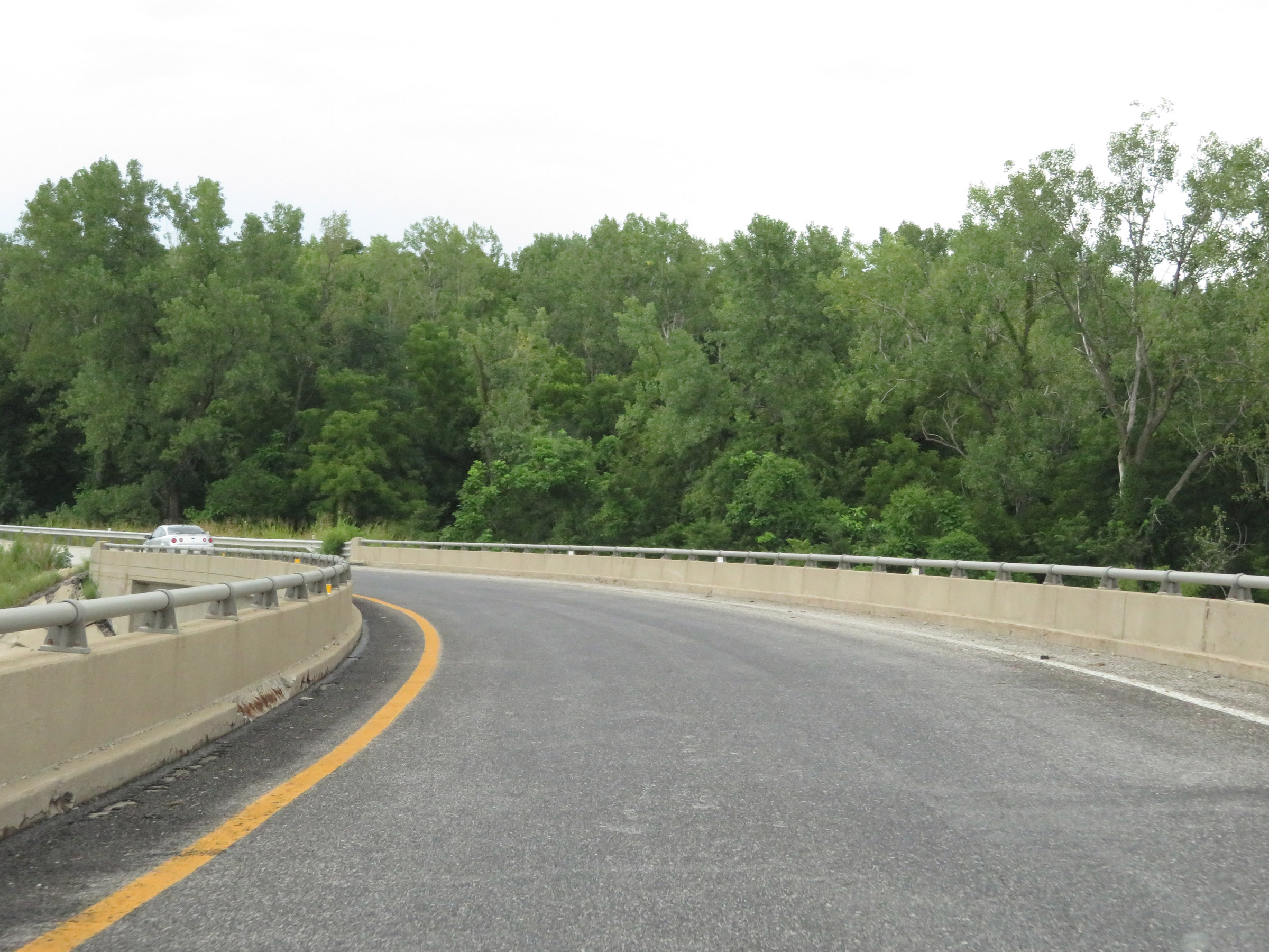
View on Interstate 229 South at mile marker 13.6. (Photo taken 8/10/20). |
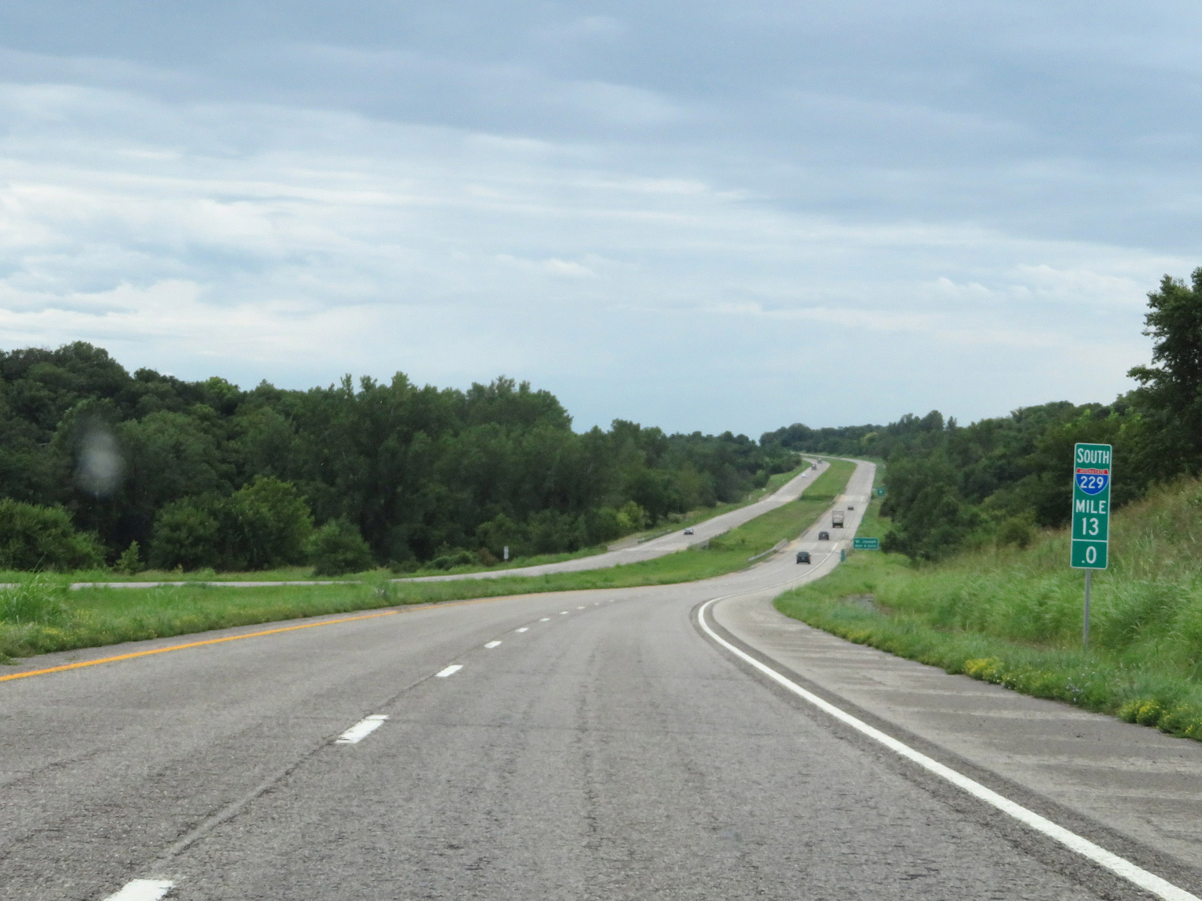 |
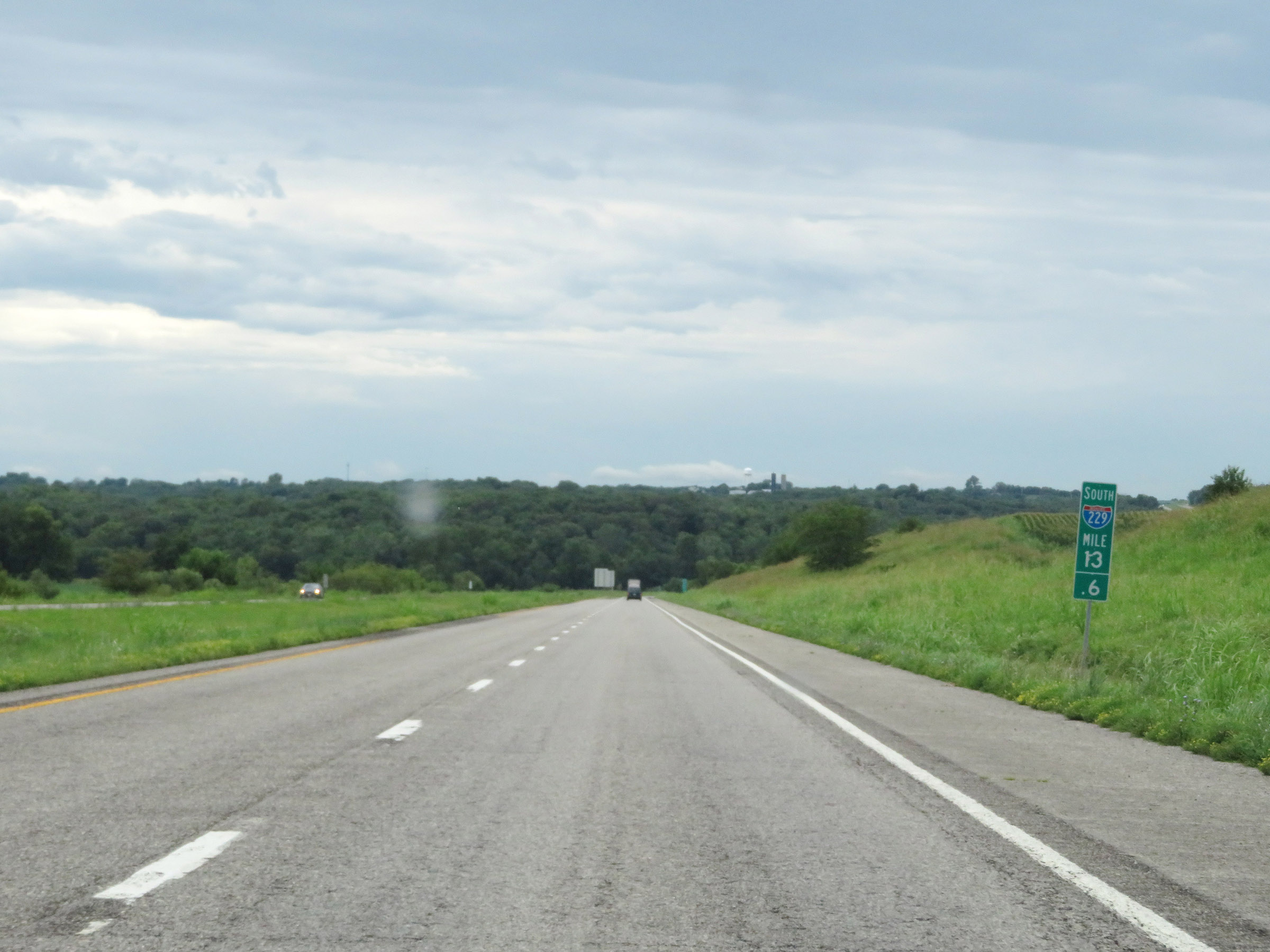
Interstate 229 South at mile marker 13. (Photo taken 8/10/20). |
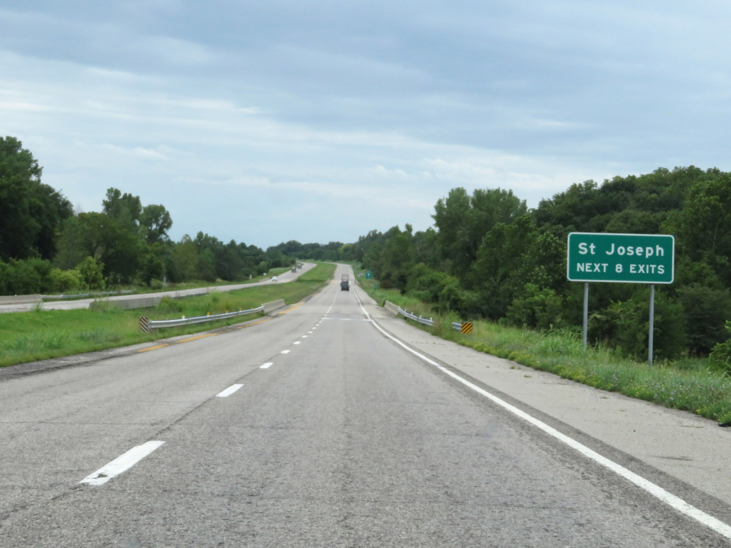 |
Take any of the next 8 exits (or in other words, any of the remaining exits on Interstate 229 South) to St. Joseph. (Photo taken 8/10/20). |
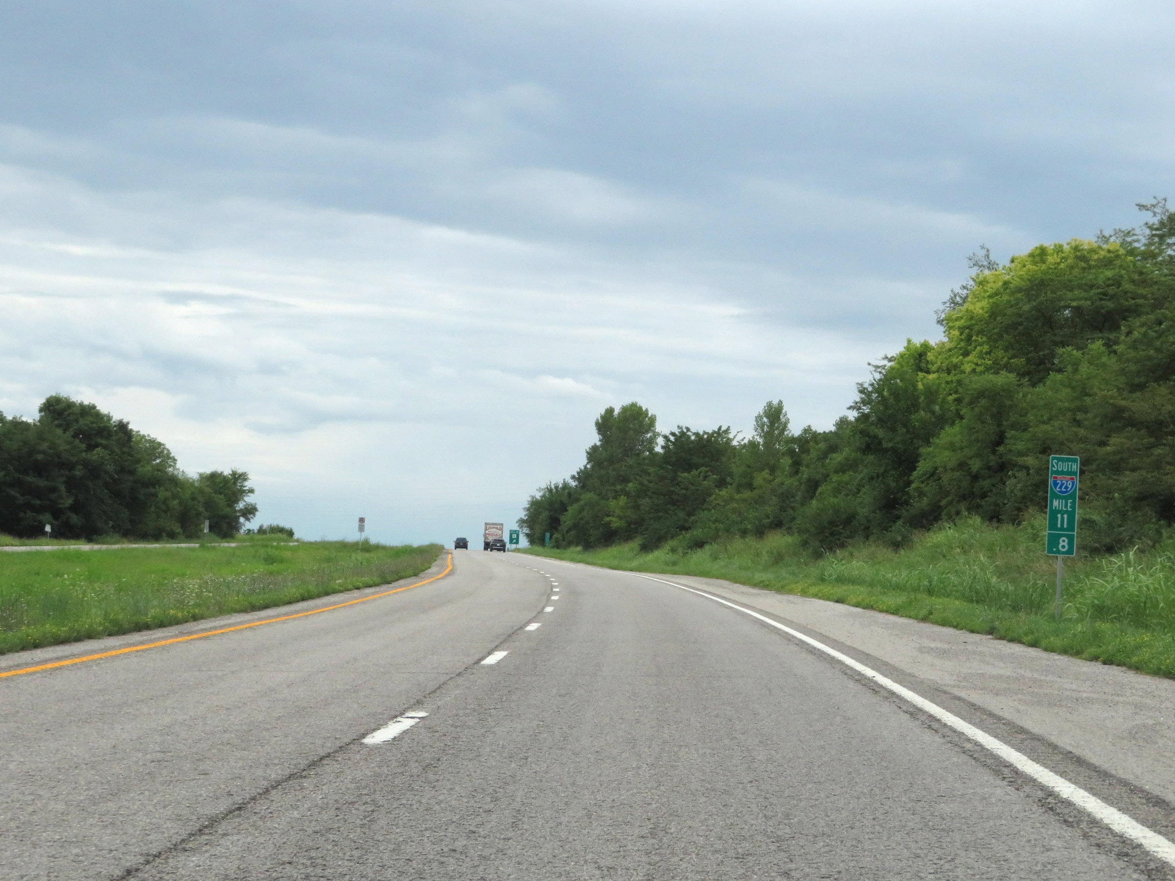 |
View on Interstate 229 South at mile marker 11.8. (Photo taken 8/10/20). |
 |
Interstate 229 South at Exit 11: Route K - Amazonia (Photo taken 8/10/20). |
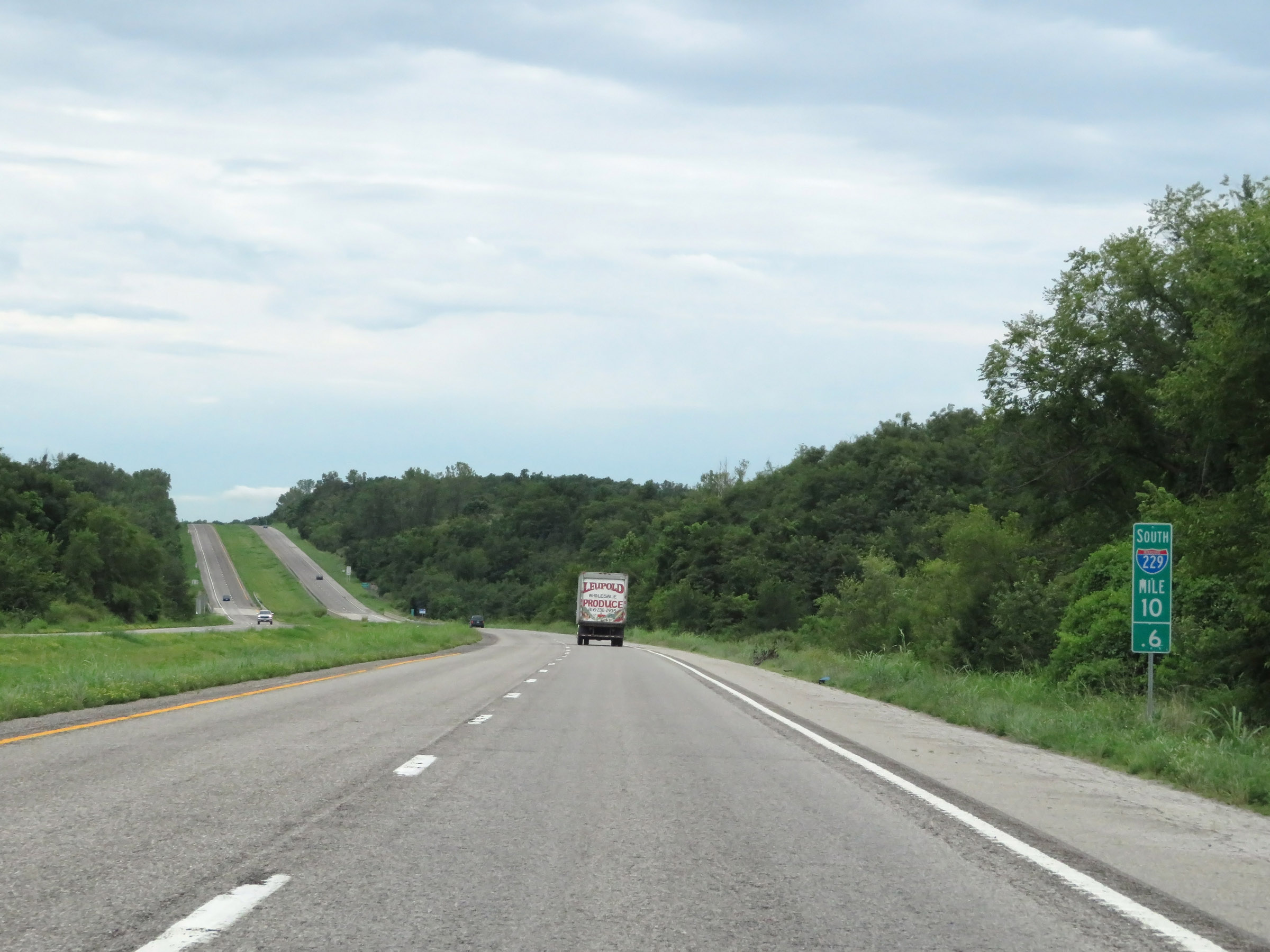 |
Interstate 229 South at mile marker 10.6. (Photo taken 8/10/20). |
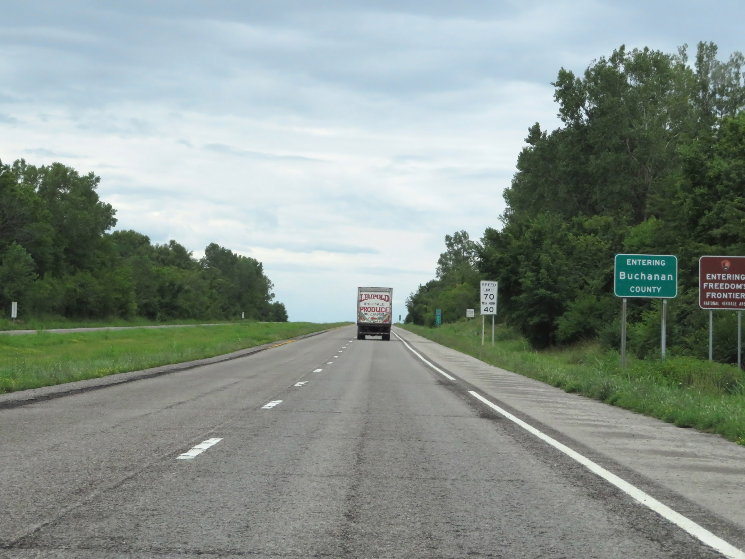 |
Interstate 229 South as it enters Buchanan County. (Photo taken 8/10/20). |
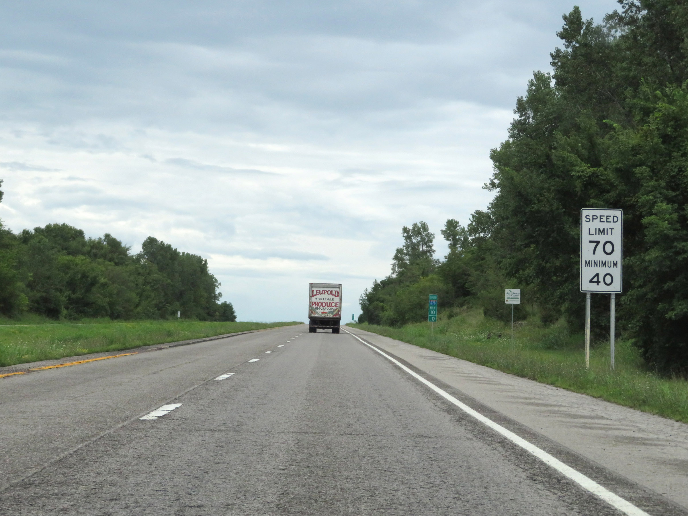 |
The speed limts remain the rural standard 70 mph maximum and 40 mph minimum at mile marker 10. (Photo taken 8/10/20). |
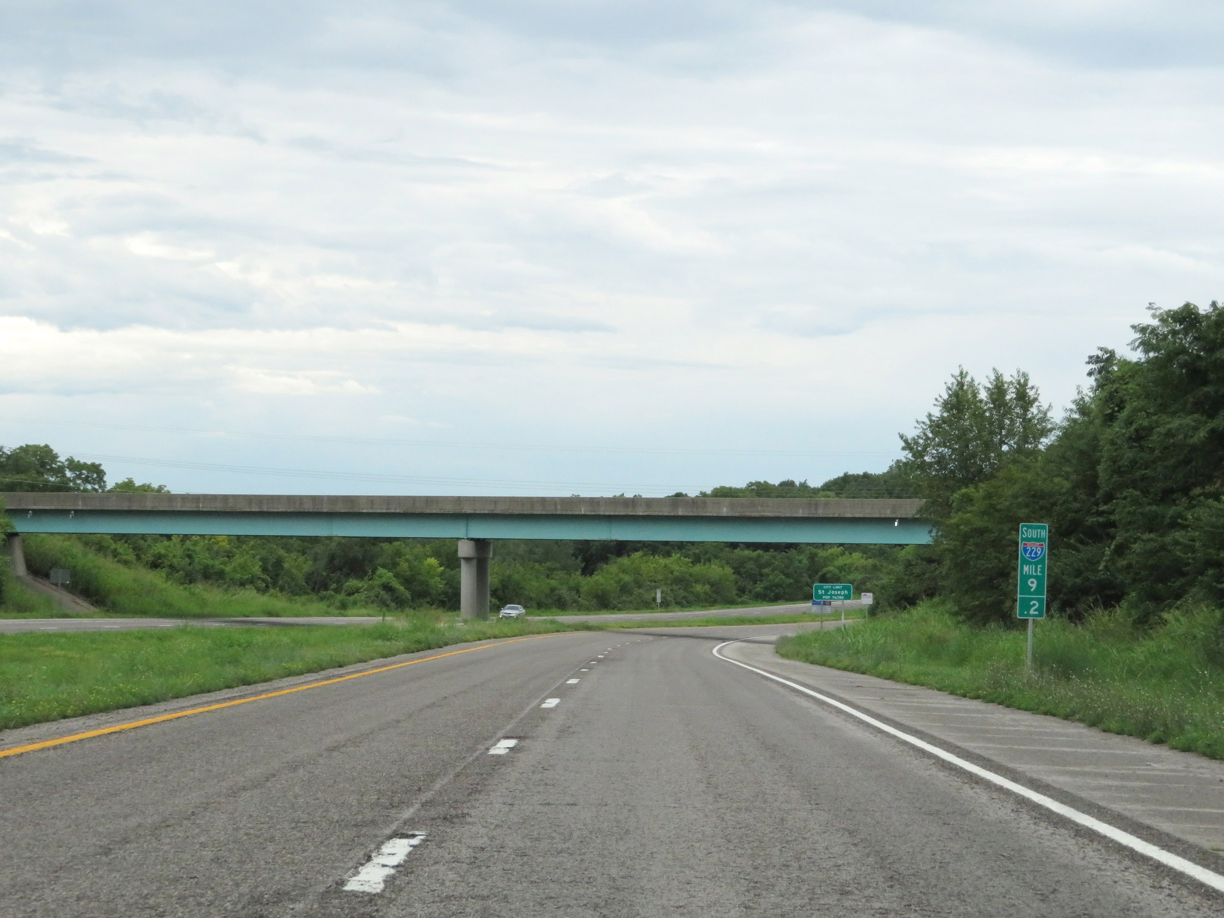 |
View on Interstate 229 South at mile marker 9.2. (Photo taken 8/10/20). |
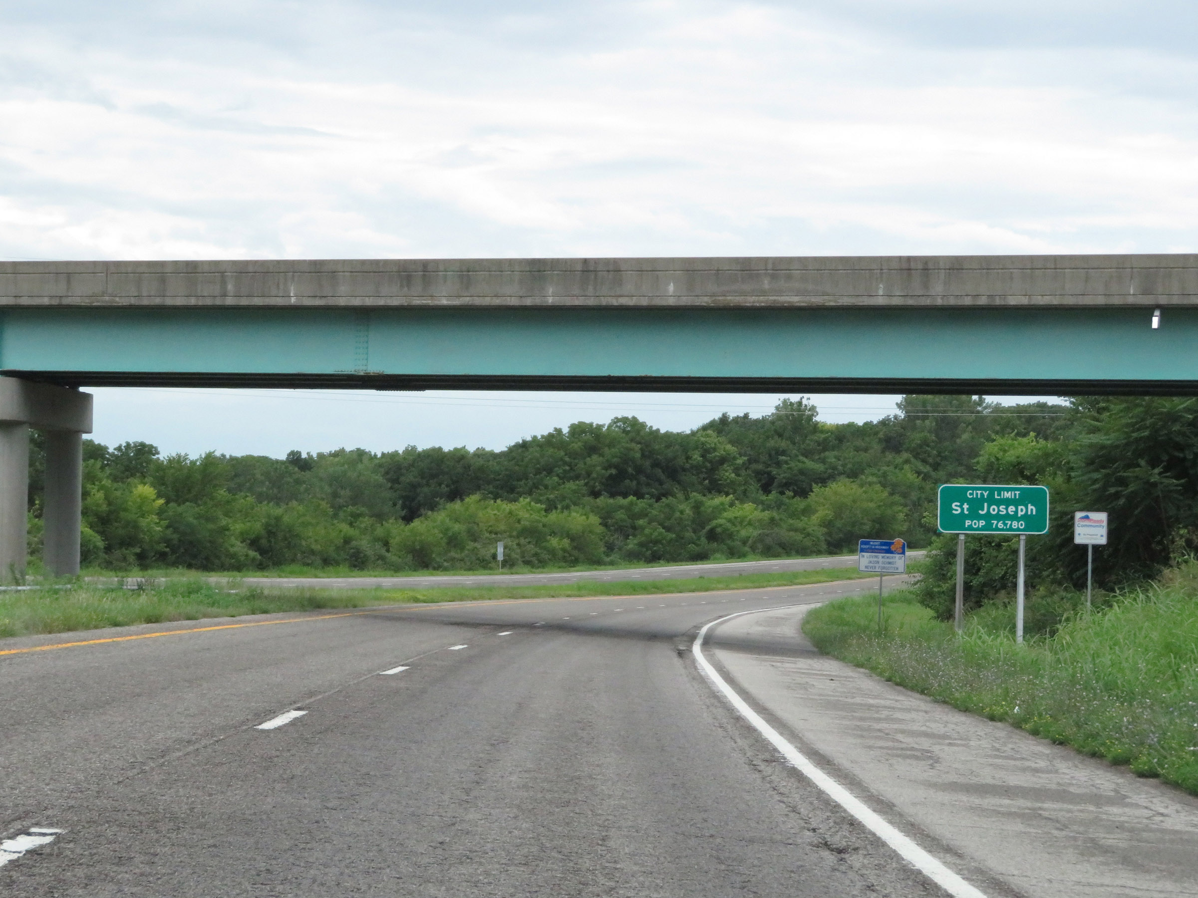 |
Near mile marker 9, Interstate 229 South enters the St. Joseph city limits. (Photo taken 8/10/20). |
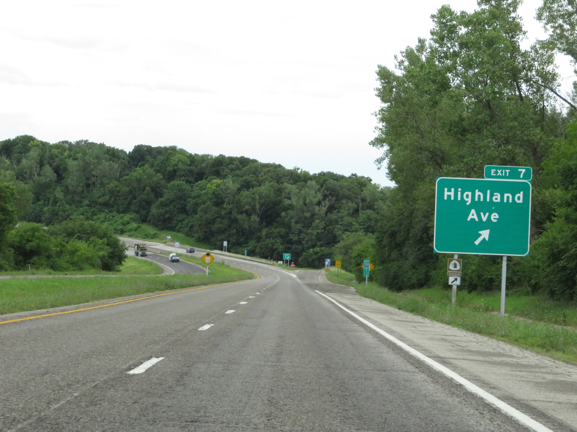 |
Interstate 229 South at Exit 7: Highland Ave (Photo taken 8/10/20). |
 |
A closer view of the ramp for Exit 7. (Photo taken 8/10/20). |
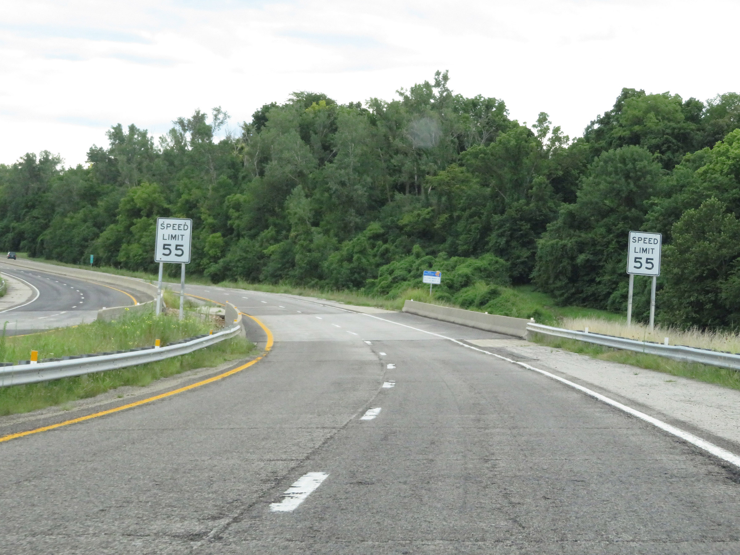 |
Immediately south of Exit 7, the speed limit decreases to 55 mph as Interstate 229 South prepares to approach downtown St. Joseph. (Photo taken 8/10/20). |
 |
State-named Interstate 229 South reassurance shield as downtown St. Joseph comes into view. (Photo taken 8/10/20). |
 |
View on Interstate 229 South at mile marker 6.6, nearing downtown St. Joseph. (Photo taken 8/10/20). |
 |
Here we see the northbound lanes of Interstate 229 on the left emerging from their position on top of the southbound lanes. Ahead, I-229 will be double decked over the eastern edge of the Missouri River with the southbound lanes running on the bottom deck of the viaduct. (Photo taken 8/10/20). |
 |
Interstate 229 South at Exit 6: Felix St / Central Business District (Photo taken 8/10/20). |
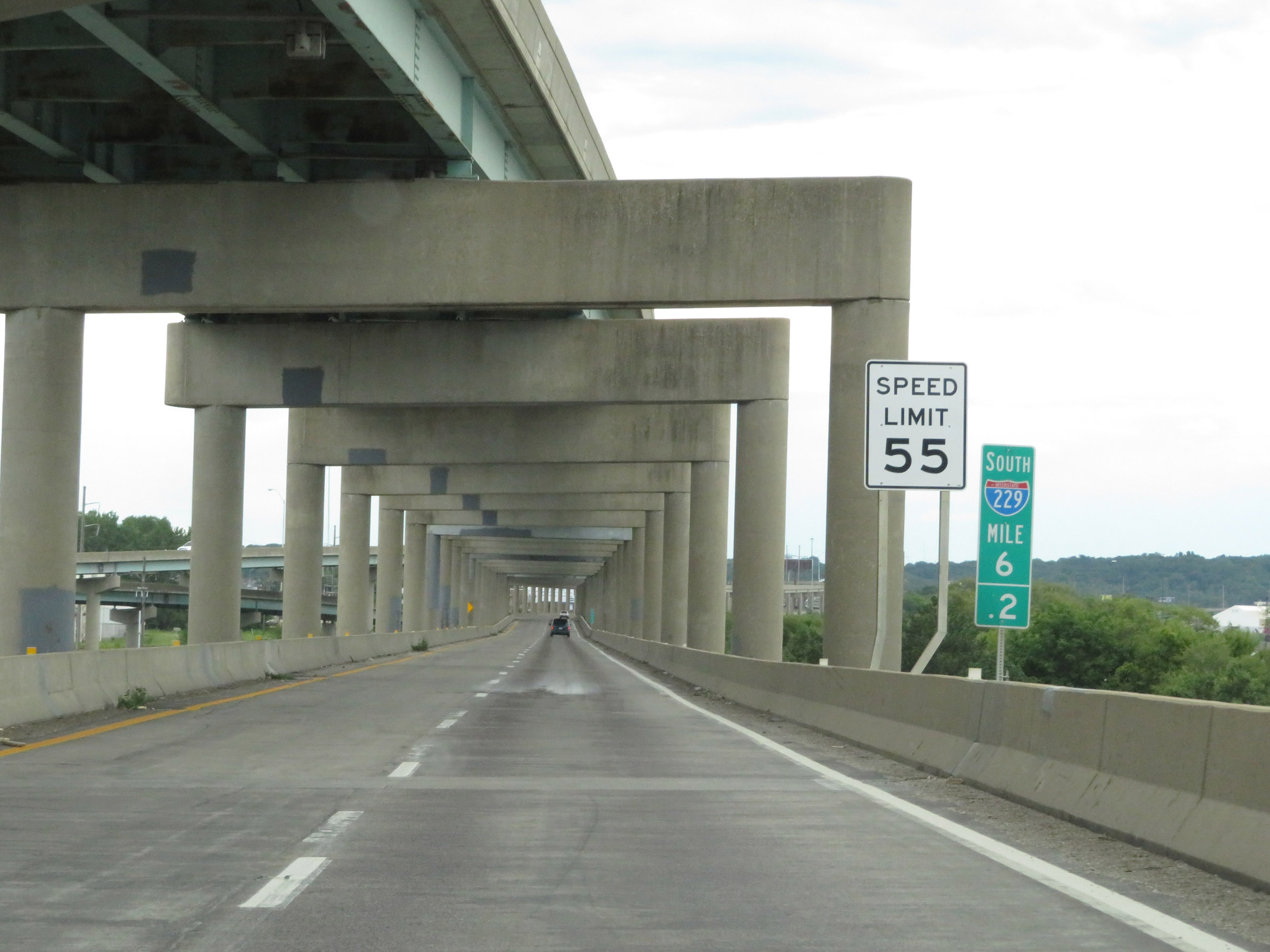 |
At mile marker 6.2, the double decking of Interstate 229 begins. The speed limit remains 55 mph as I-229 South travels along the lower deck of the viaduct along the eastern bank of the Missouri River. (Photo taken 8/10/20). |
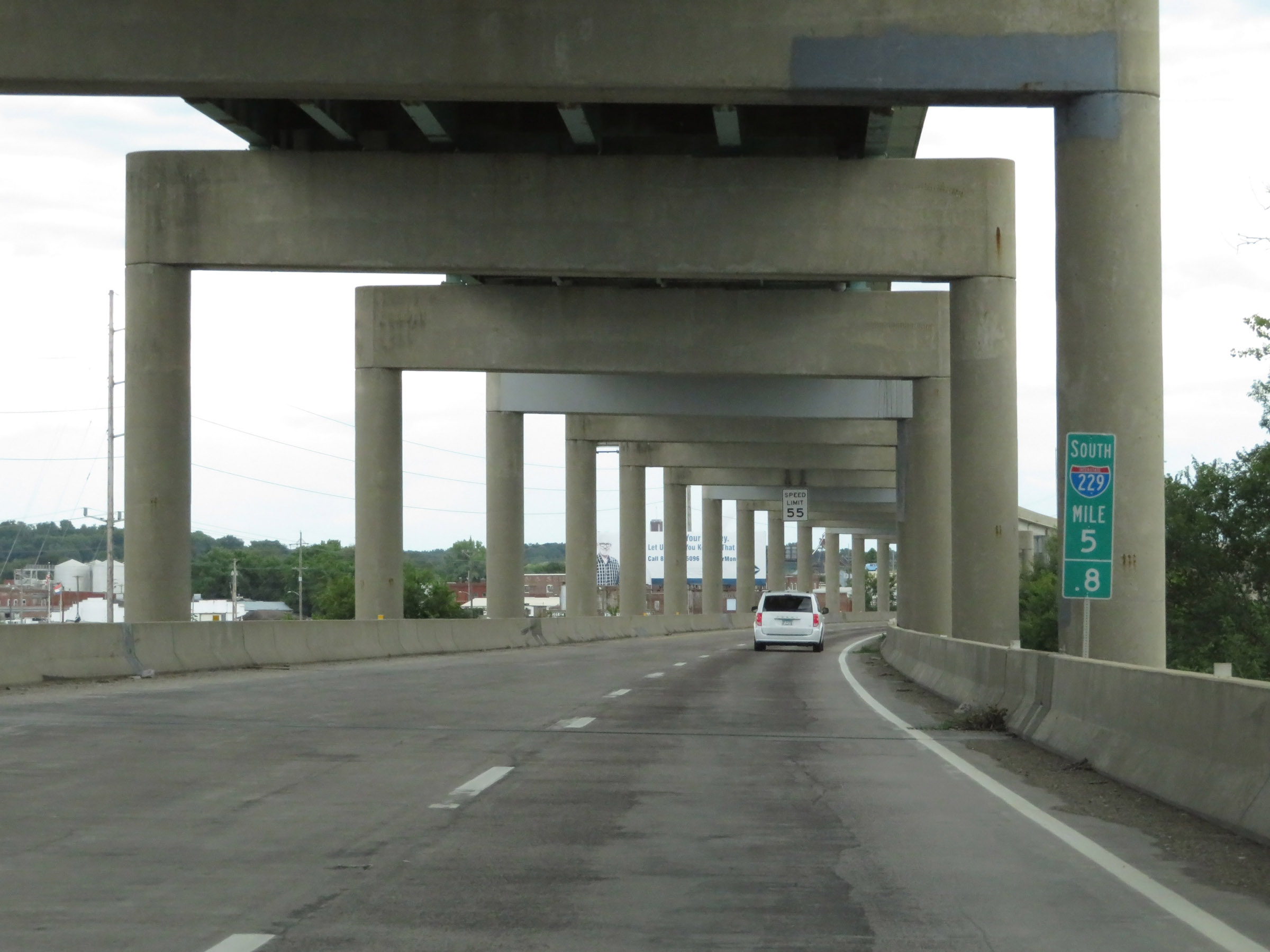 |
View on Interstate 229 South at mile marker 5.8. (Photo taken 8/10/20). |
 |
Interstate 229 South approaching Exit 5 - 1/4 mile. (Photo taken 8/10/20). |
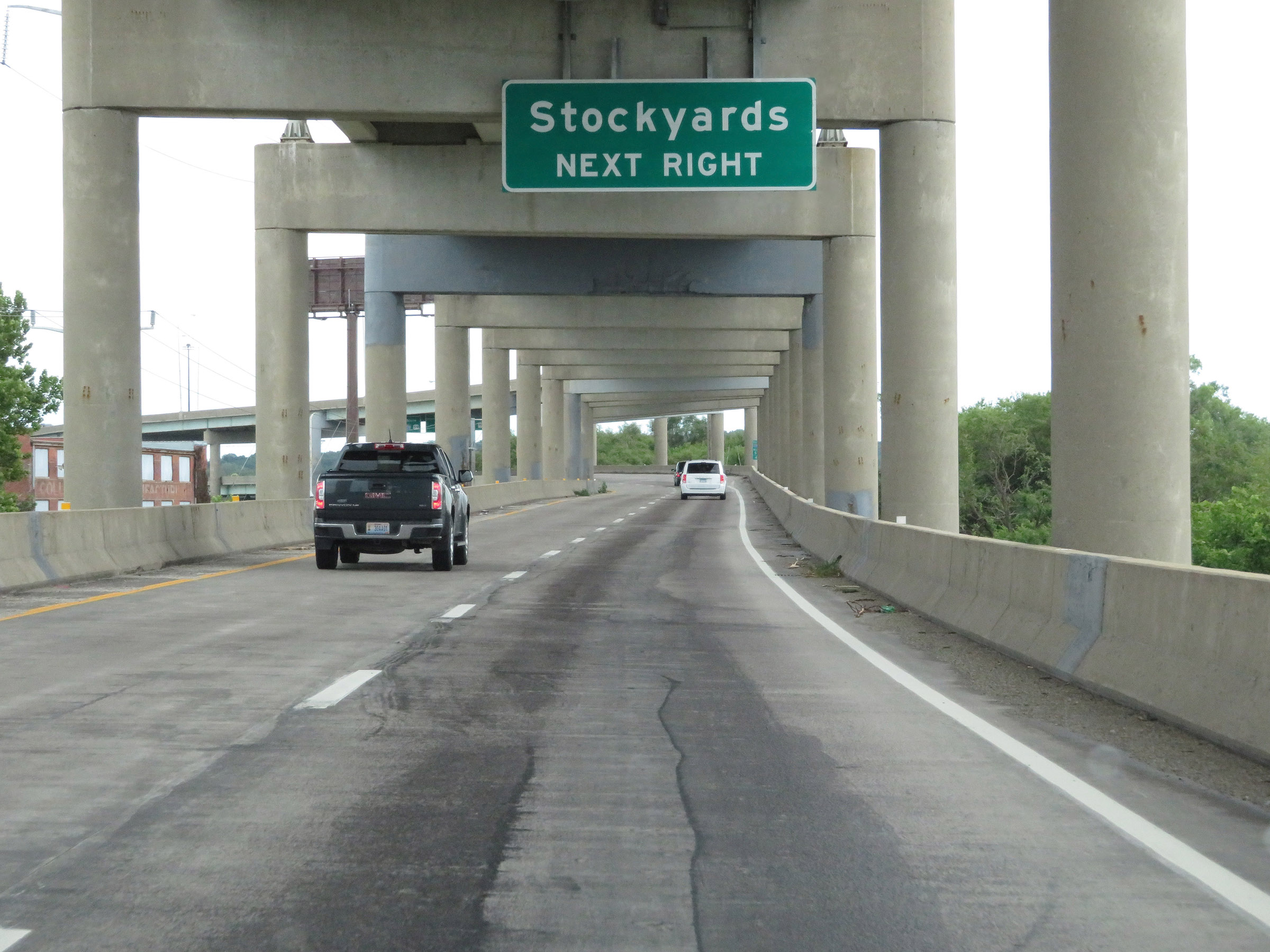 |
Take Exit 5 to the Stockyards. (Photo taken 8/10/20). |
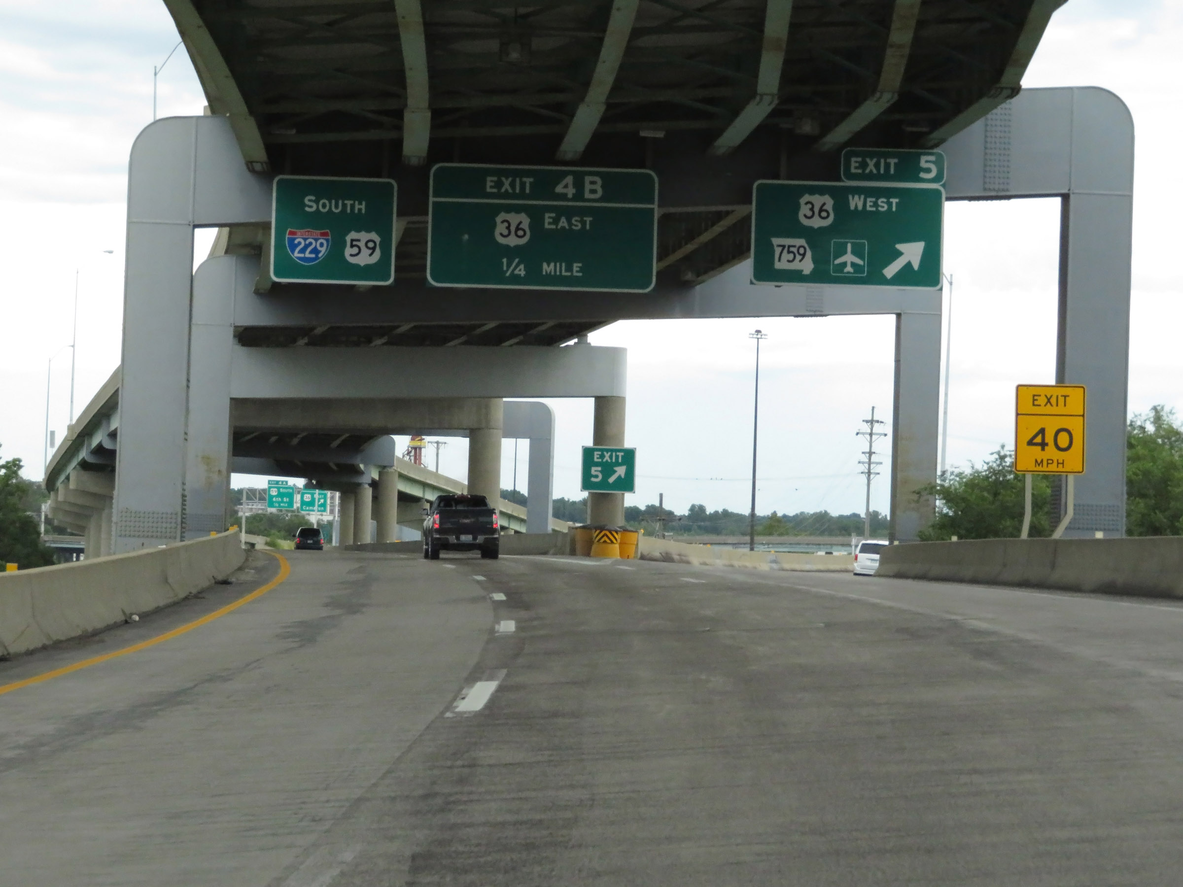 |
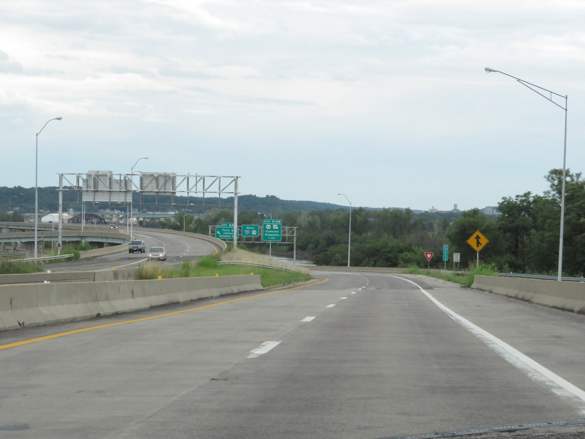
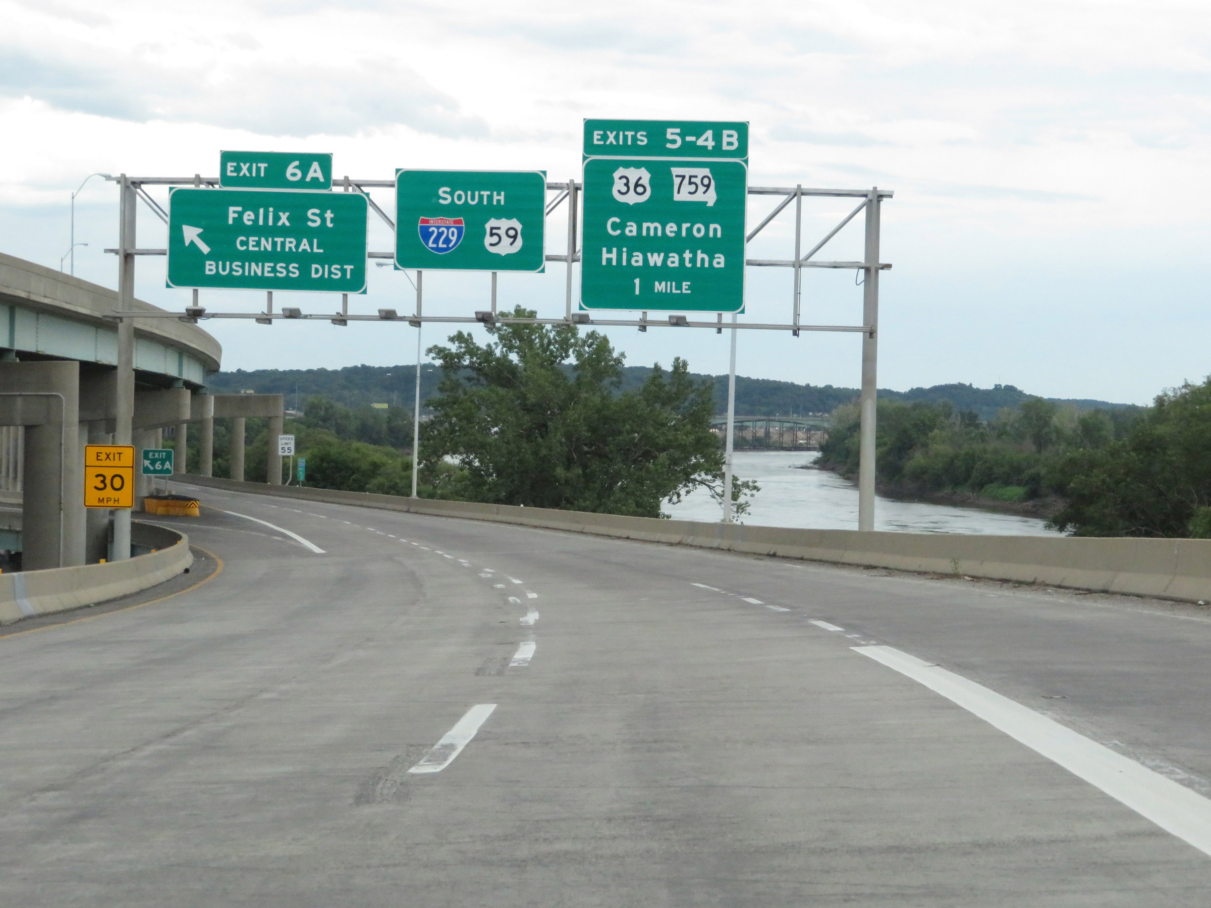
Interstate 229 South at Exit 5: US 36 West / MO 759 - Hiawatha (Photo taken 8/10/20). |
 |
At mile marker 5.2, the double decked configuration of Interstate 229 comes to an end. (Photo taken 8/10/20). |
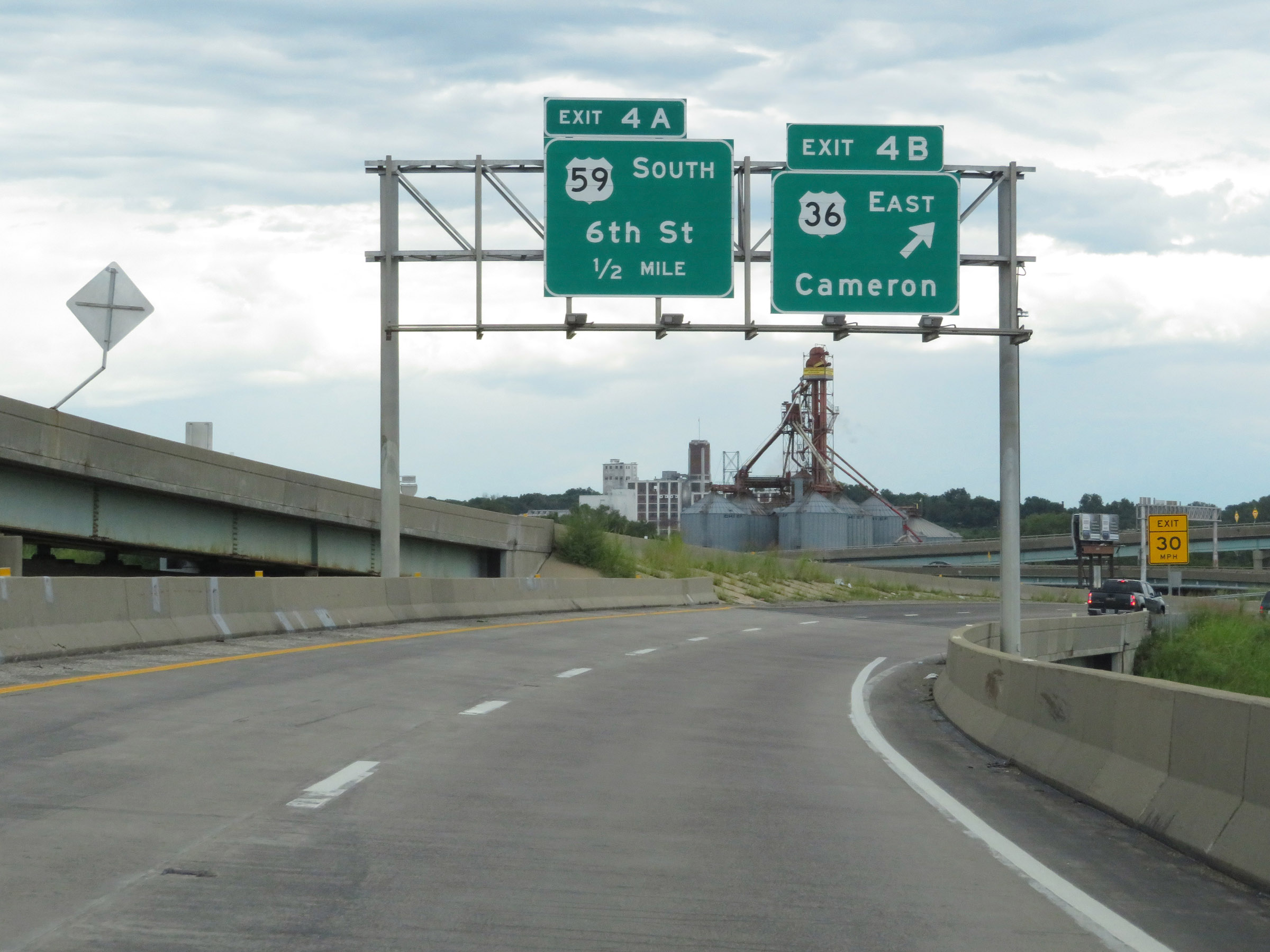 |
Interstate 229 South at Exit 4B: US 36 East - Cameron (Photo taken 8/10/20). |
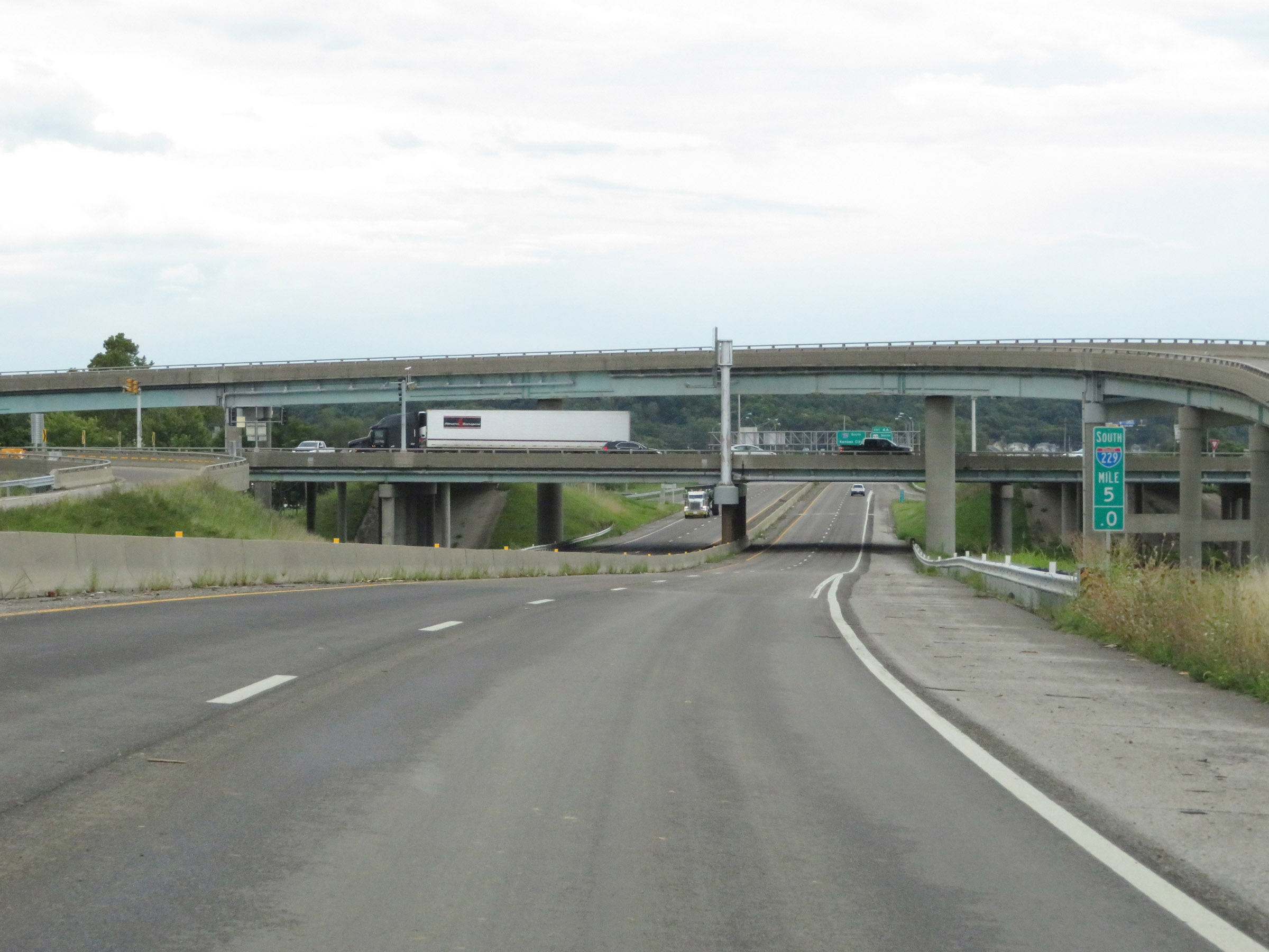 |
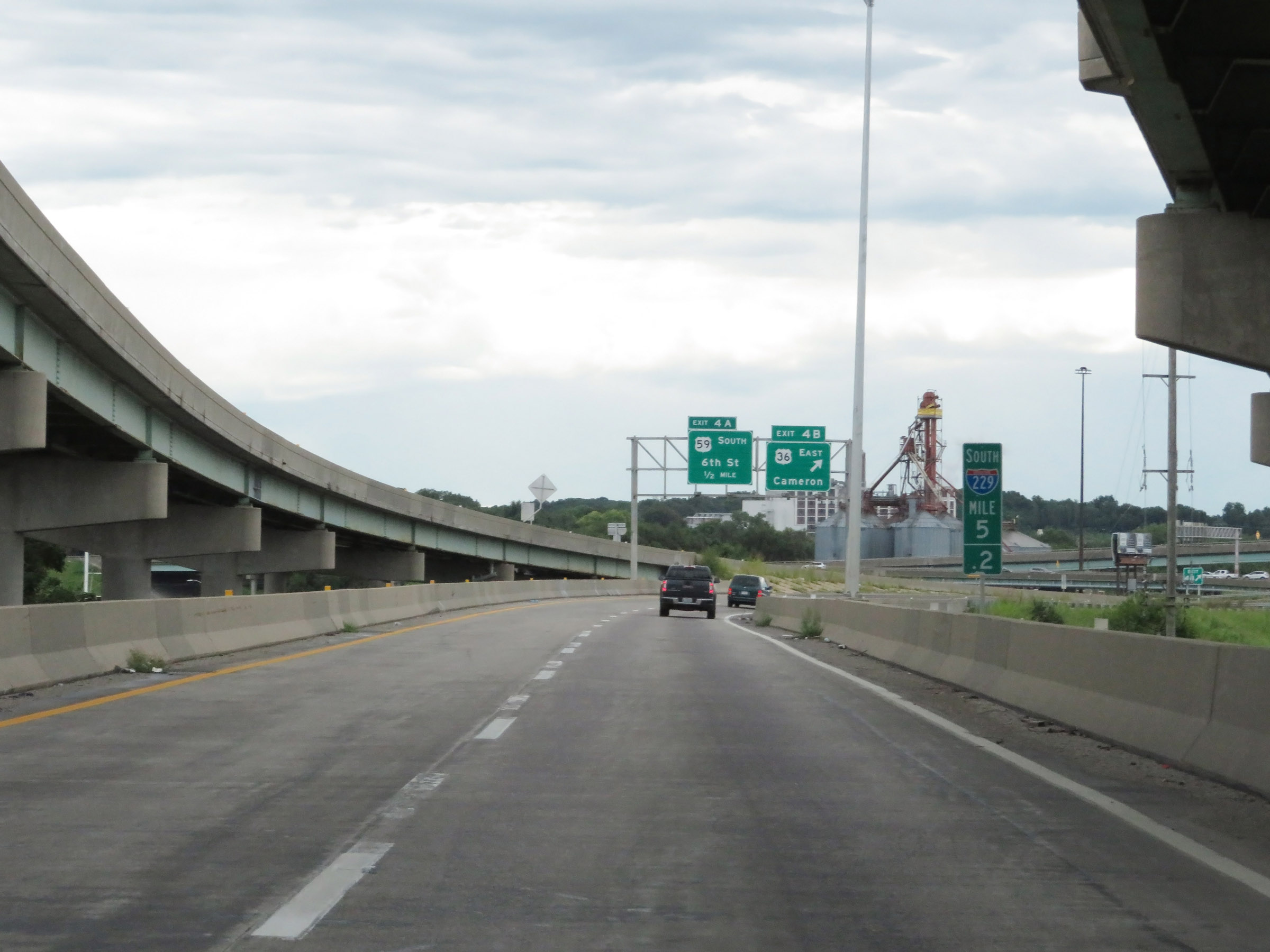
View on Interstate 229 South at mile marker 5, as it prepares to pass under US 36 and the ramps to and from it. (Photo taken 8/10/20). |
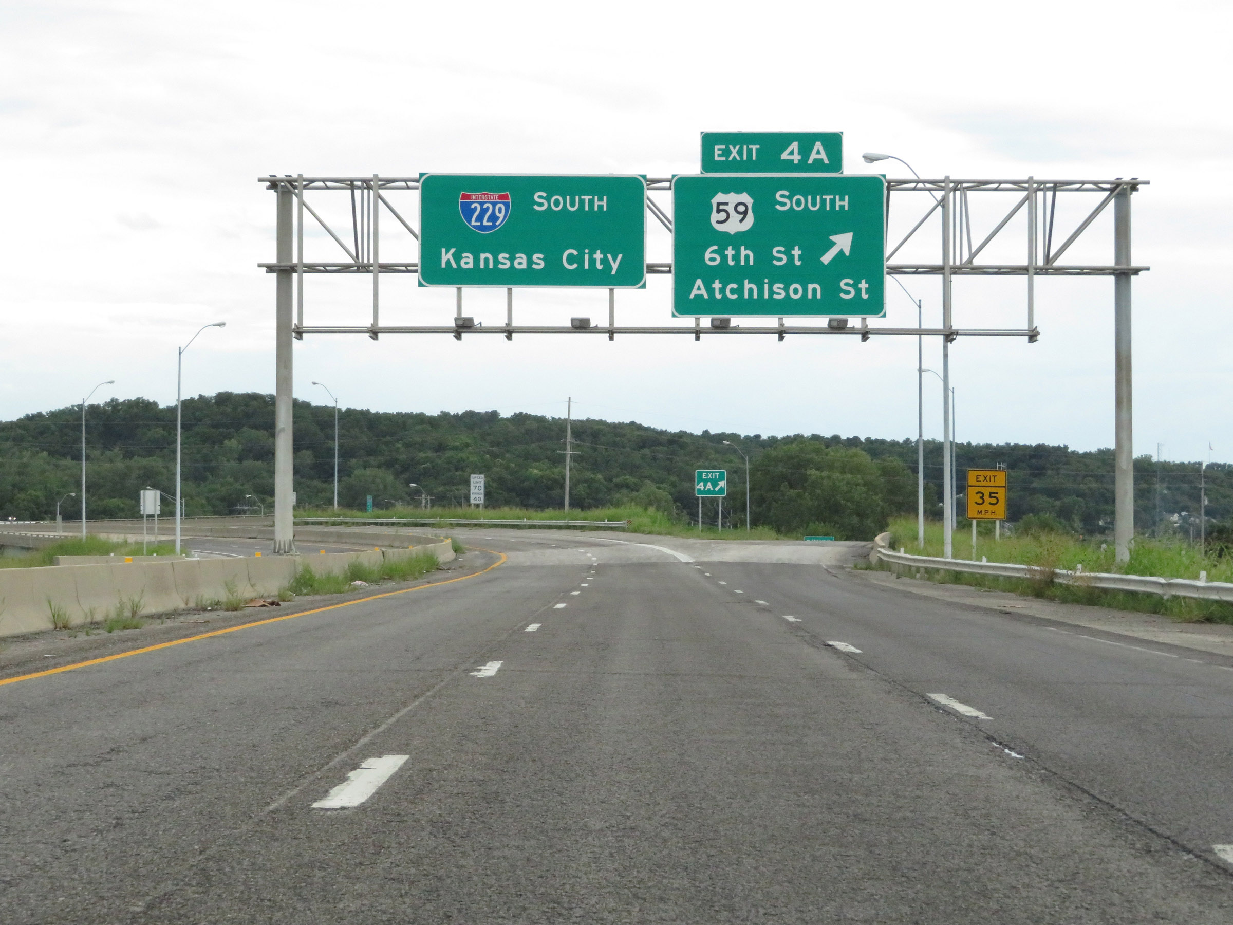 |
Interstate 229 South at Exit 4A: US 59 South - 6th St / Atchison St (Photo taken 8/10/20). |
 |
South of Exit 4A, the maximum speed limit increases to 70 mph once again. The minimum speed limit remains 40 mph as usual. These are the standard speed limits on most rural Interstate highways in Missouri. (Photo taken 8/10/20). |
 |
View on Interstate 229 South at mile marker 4, as it begins to curve to the east to head straight for the junction of Interstate 29 (and in turn, the southern terminus of I-229). (Photo taken 8/10/20). |
 |
Another state-named Interstate 229 South reassurance shield as I-229 continues to curve to the east. (Photo taken 8/10/20). |
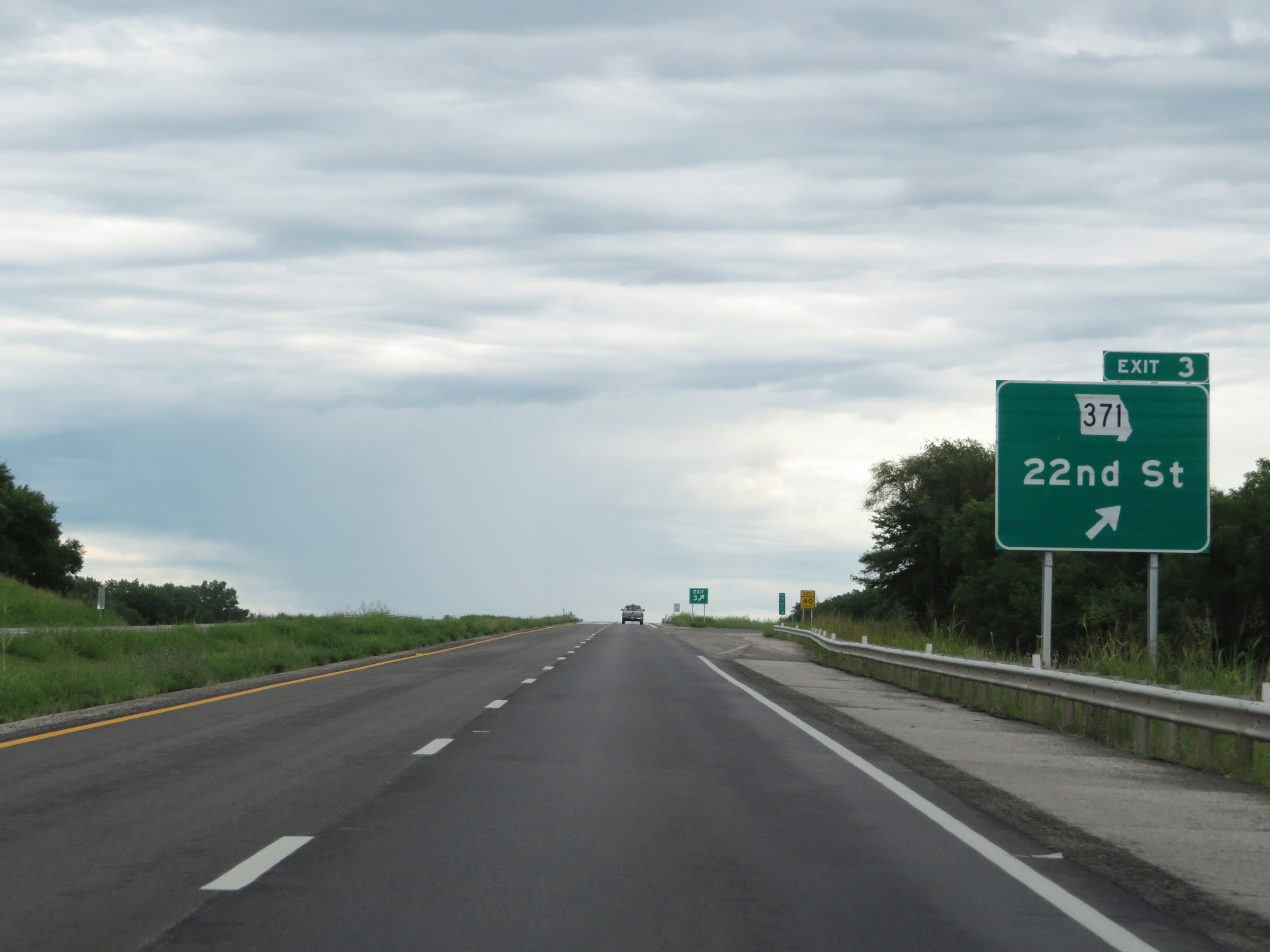 |
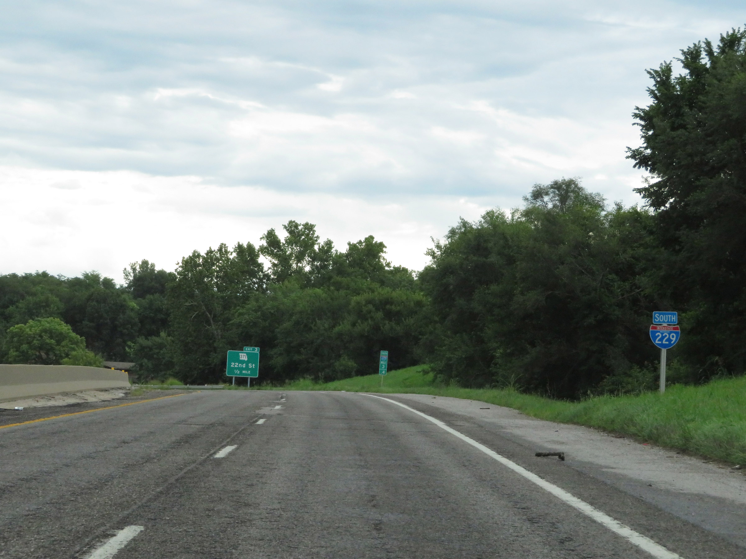
Interstate 229 South at Exit 3: MO 371 - 22nd St (Photo taken 8/10/20). |
 |
View on Interstate 229 South at mile marker 2.2. (Photo taken 8/10/20). |
 |
Interstate 229 South at mile marker 1.8. (Photo taken 8/10/20). |
 |
Interstate 229 South at mile marker 1. (Photo taken 8/10/20). |
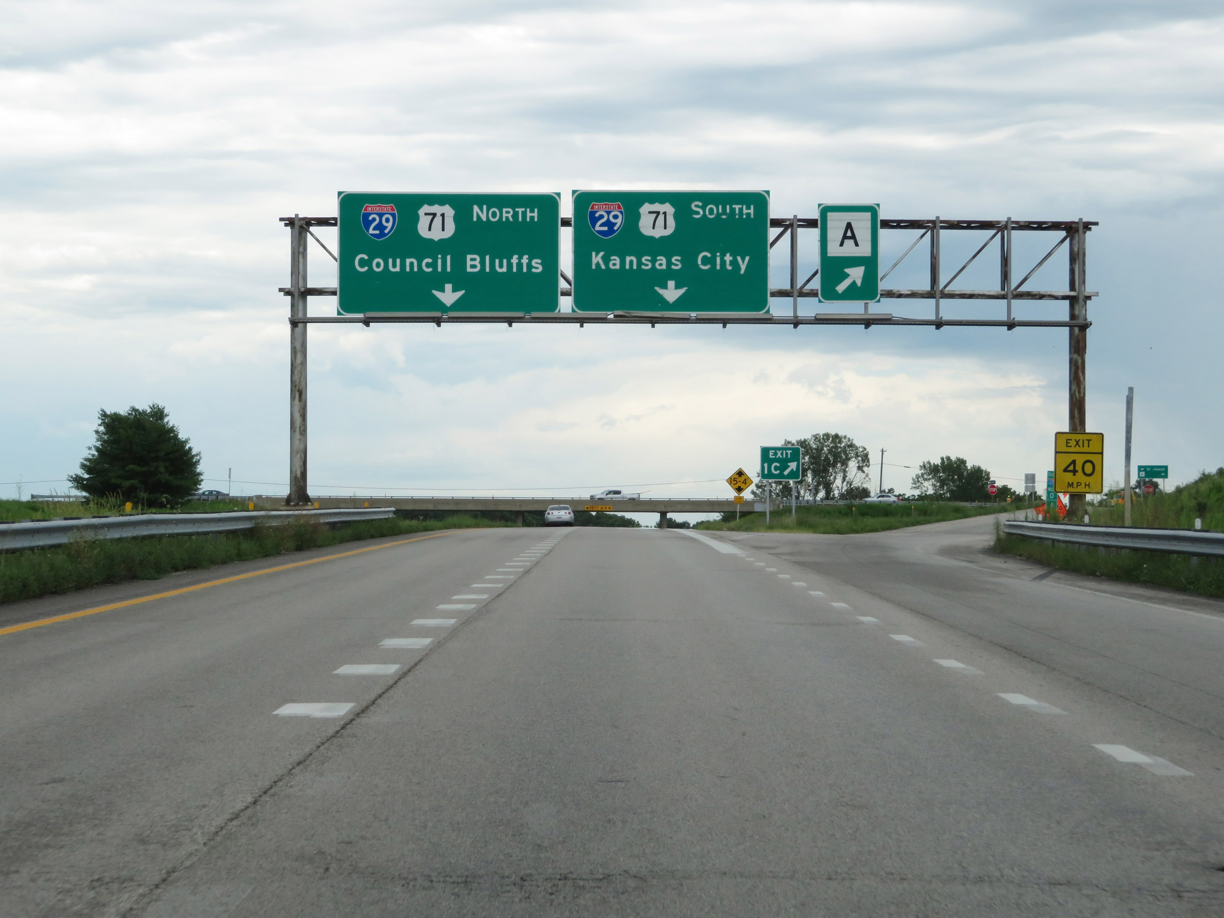 |
Interstate 229 South at Exit 1C: Route A (Photo taken 8/10/20). |
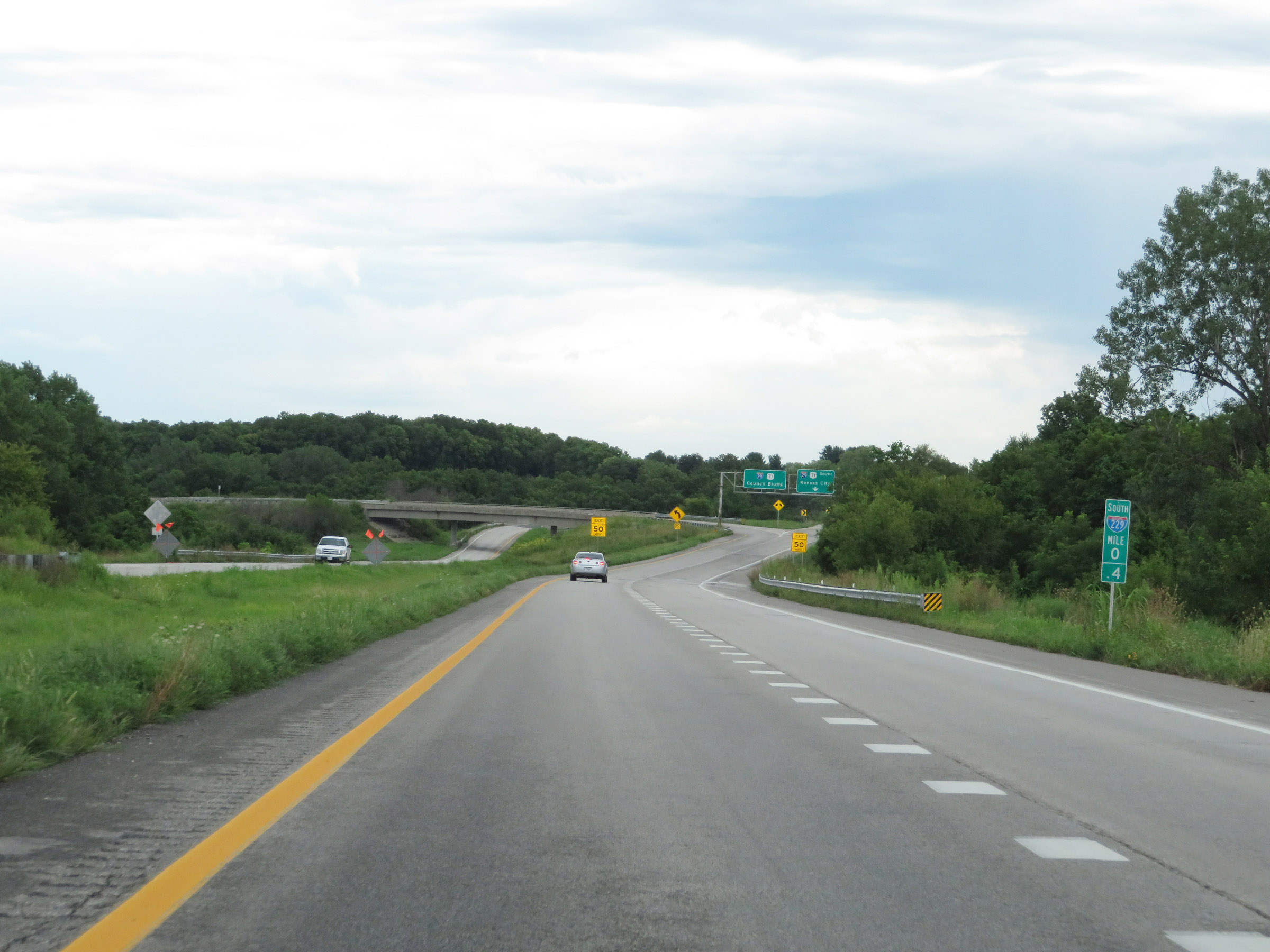 |
View on Interstate 229 South at mile marker 0.4, as it approaches the junction of Interstate 29 and the southern terminus of I-229. Traffic to I-29 North should use the left lane, and traffic to I-29 South must be in the right lane. (Photo taken 8/10/20). |
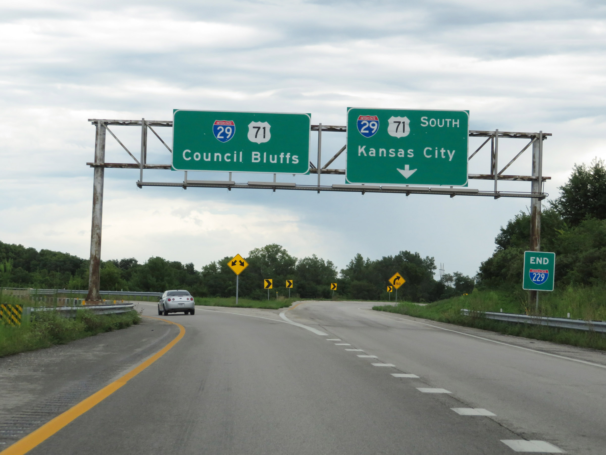 |
Interstate 229 South at its southern terminus at the junction of Interstate 29 to the southeast of downtown St. Joseph. (Photo taken 8/10/20). |
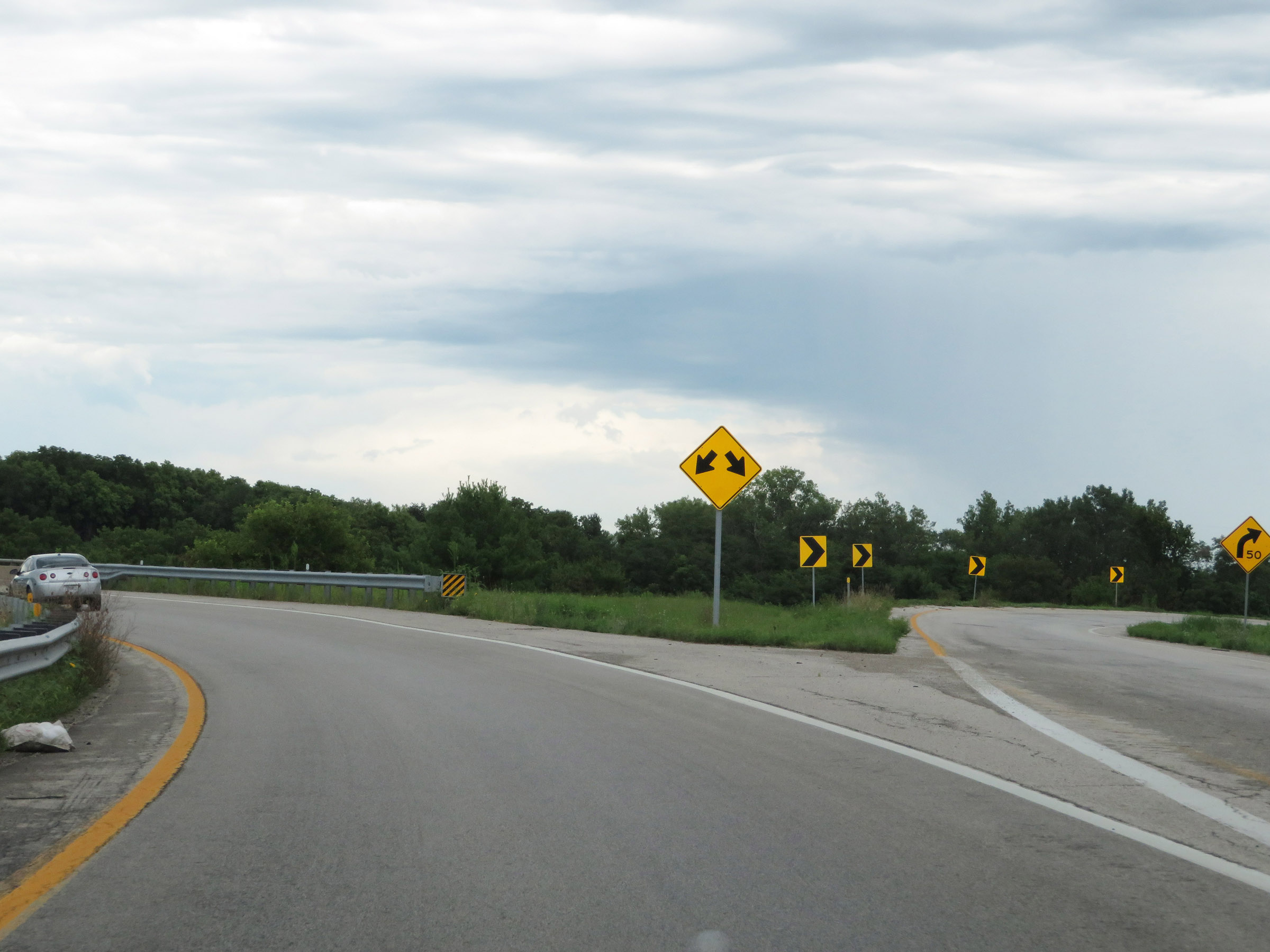 |
A closer view as the two southbound lanes of Interstate 229 split into ramps to Interstate 29 North and South. (Photo taken 8/10/20). |
 |
View on the ramp to Interstate 29 North as it crosses over Interstate 29. (Photo taken 8/10/20). |
 |
Another view on the ramp to Interstate 29 North from Interstate 229 South. (Photo taken 8/10/20). |
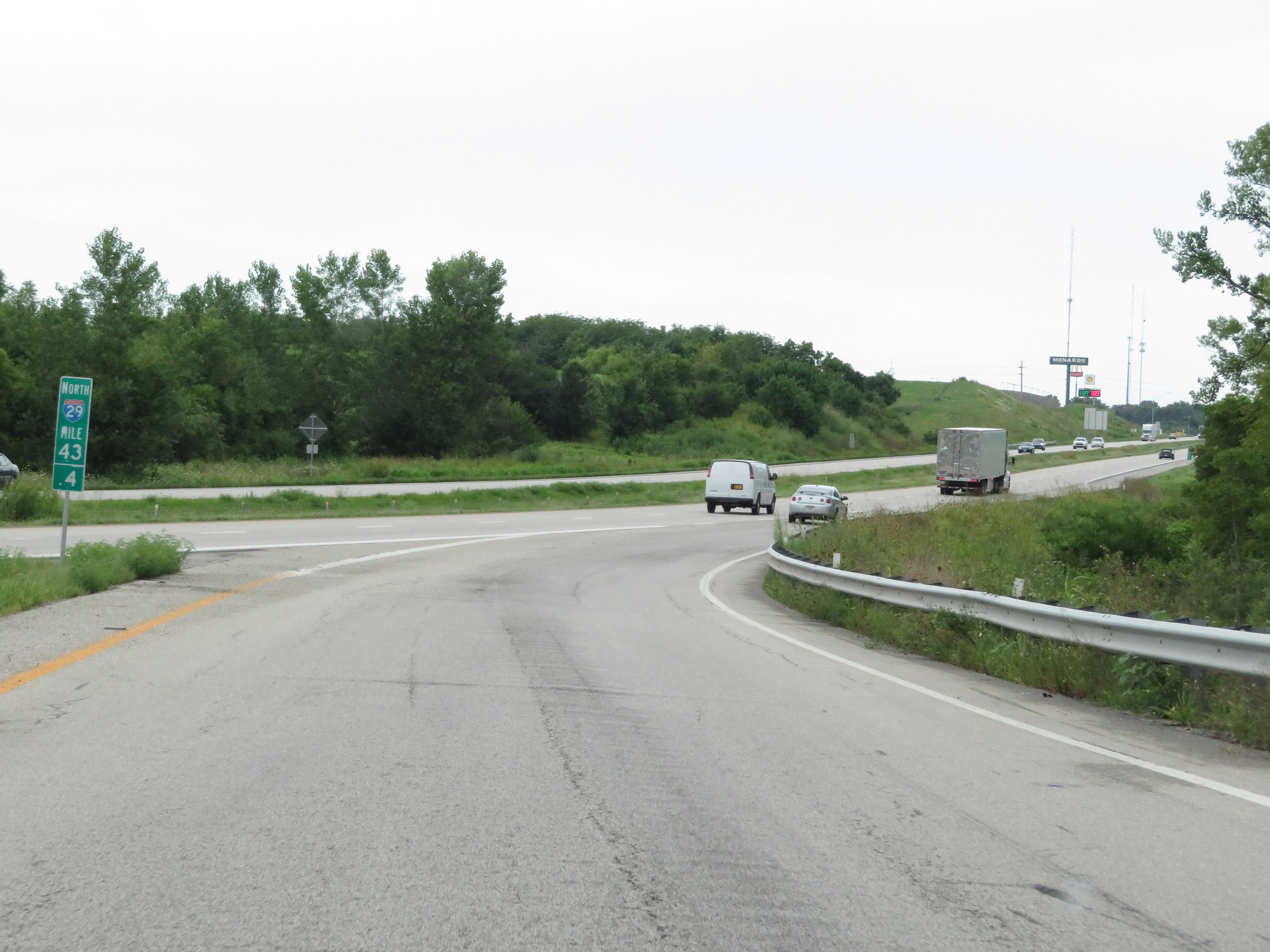 |
The ramp to Interstate 29 North merges into it at mile marker 43.4. (Photo taken 8/10/20). |