Road Information |
||
 |
||
| Total Mileage in State: | 81 miles | |
| Northern/Eastern End: | At I-96, in Grand Rapids | |
| Western/Southern End: | At I-94, near Benton Harbor | |
| Mileage covered in Photos: | 81 miles | |
| Counties covered in Photos: | Kent, Ottawa, Allegan, Van Buren, Berrien | |
| Major Junctions in Photos: | Unsigned I-296/US 131, in Grand Rapids I-94, near Benton Harbor |
|
| Control Cities in Photos: | Grand Rapids, Holland, Benton Harbor | |
Westbound/Southbound
- Section 1: Interstate 96 to Holland (Exit 52)
- Section 2: Holland (Exit 52) to Interstate 94
Section 1: Interstate 96 to Holland (Exit 52)
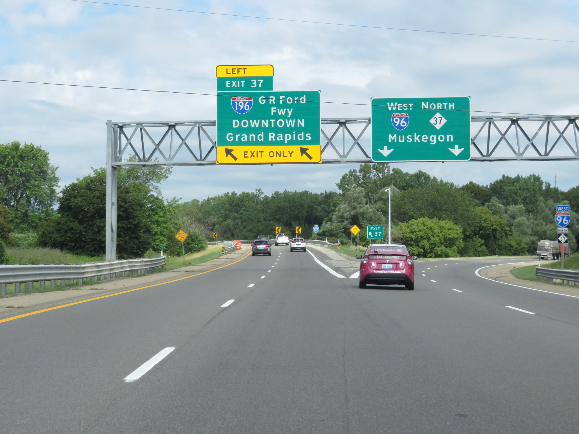 |
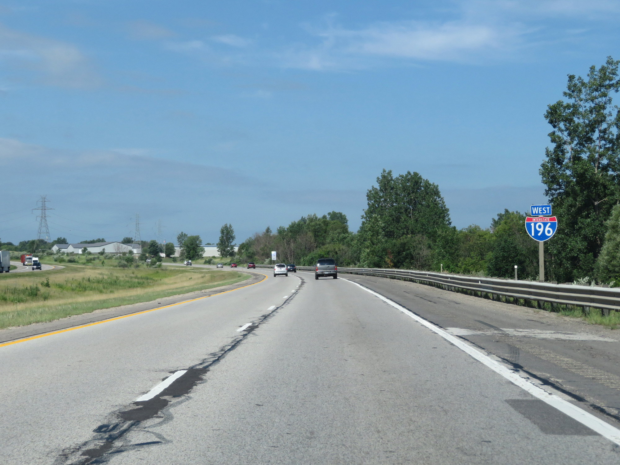
Interstate 196 West begins at Exit 37 off Interstate 96 West. (Photo taken 7/17/17). |
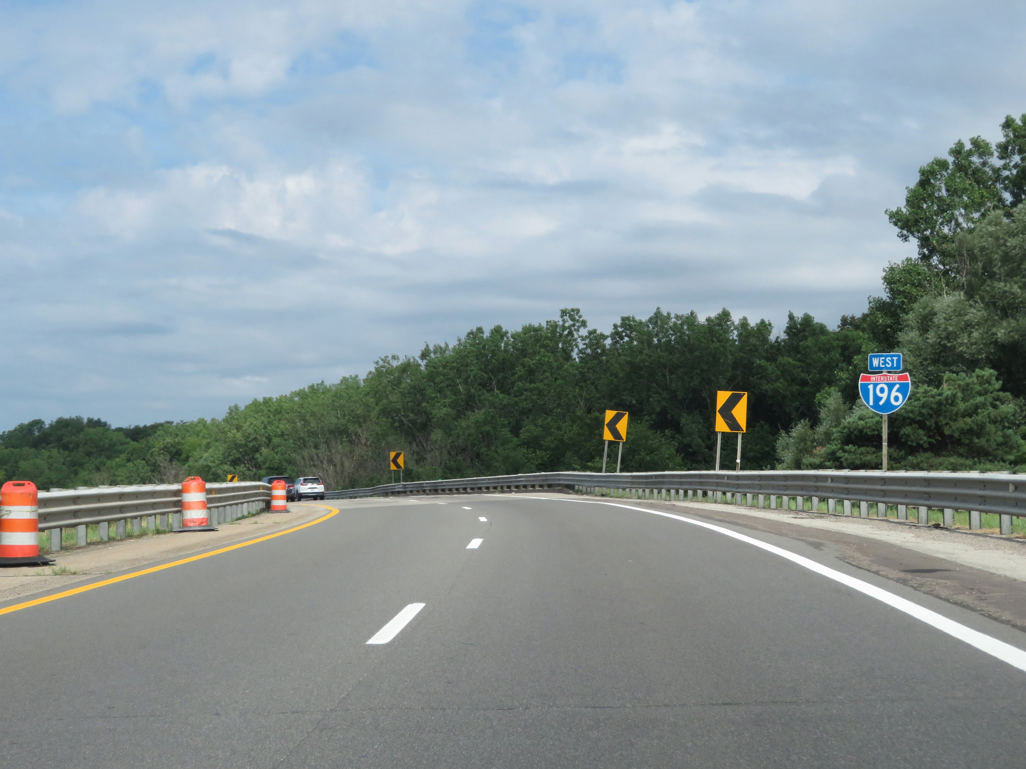 |
Interstate 196 West reassurance shield. (Photo taken 7/17/17). |
 |
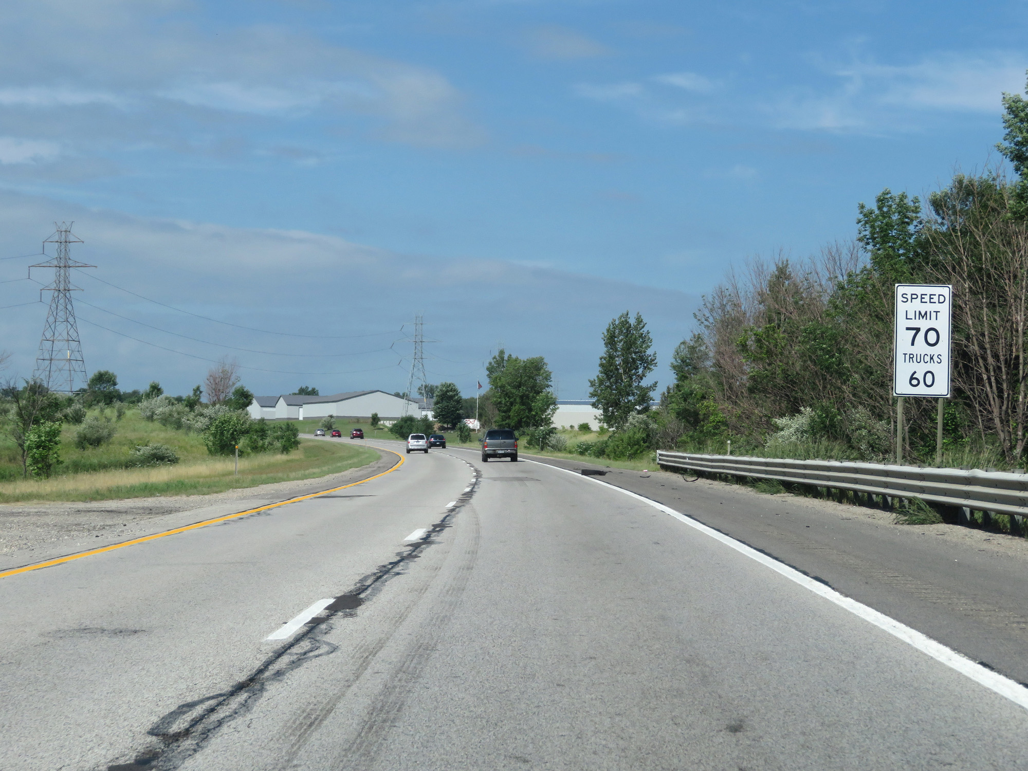
The speed limits on Interstate 196 West starts out at 70 mph for cars and 60 mph for trucks. These are the standard speed limits on most (but not all) rural Interstate highways in Michigan. (Photo taken 7/17/17). |
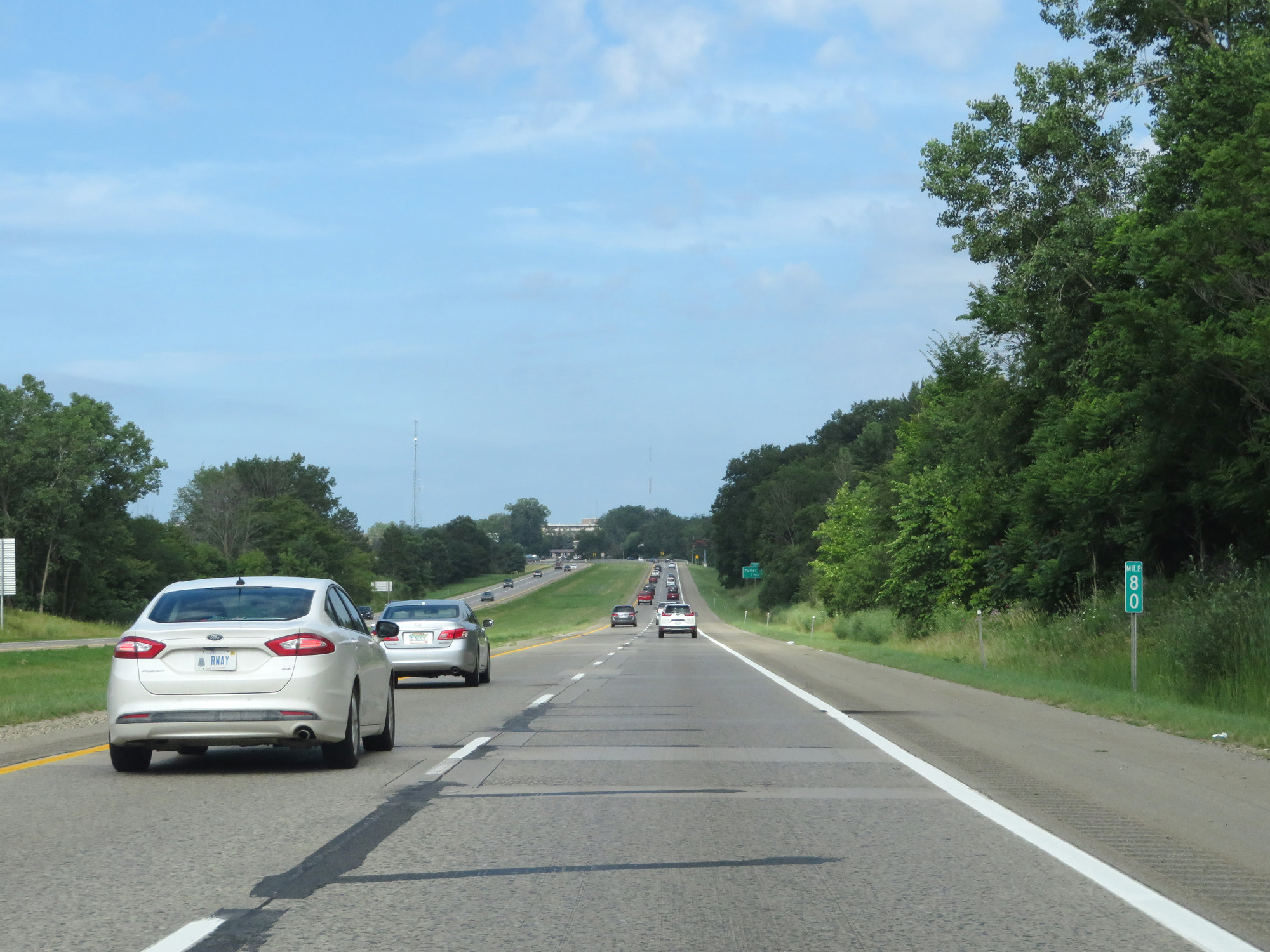 |
Interstate 196 West at mile marker 80. (Photo taken 7/17/17). |
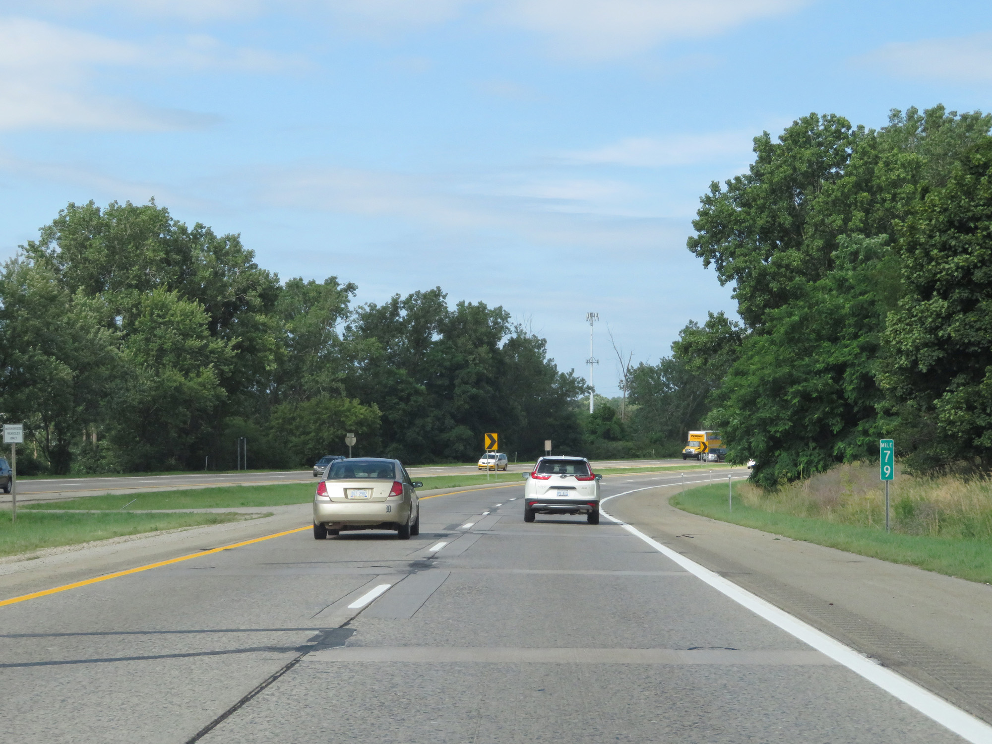 |
Interstate 196 West at mile marker 79. (Photo taken 7/17/17). |
 |
Interstate 196 West at Exit 79: Fuller Ave (Photo taken 7/17/17). |
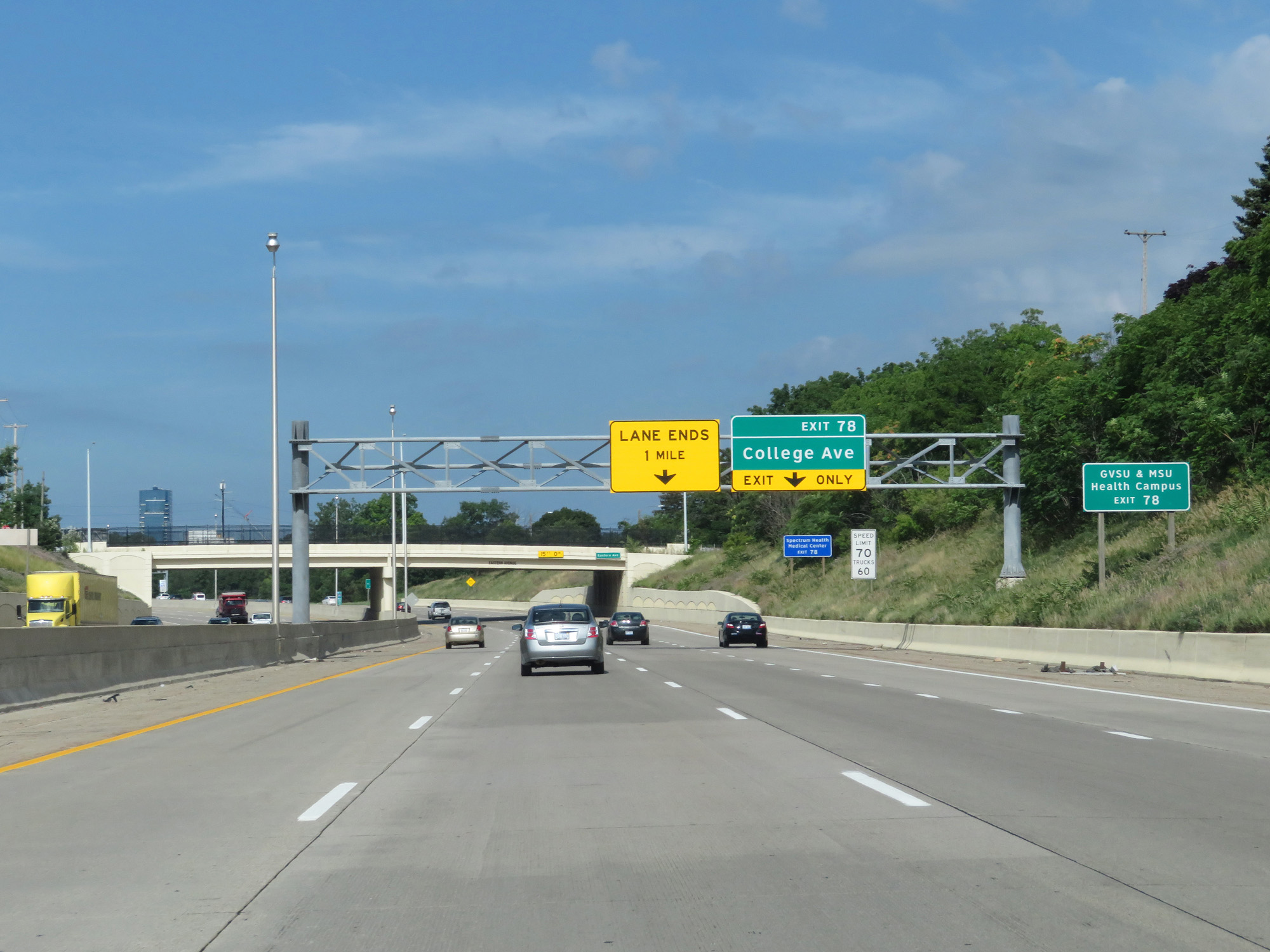 |
Take Exit 78 to GVSU & MSU Health Campus. (Photo taken 7/17/17). |
 |
Take Exit 78 to Grand Rapids Community College and KCAD of FSU. (Photo taken 7/17/17). |
 |
Interstate 196 West at Exit 78: College Ave (Photo taken 7/17/17). |
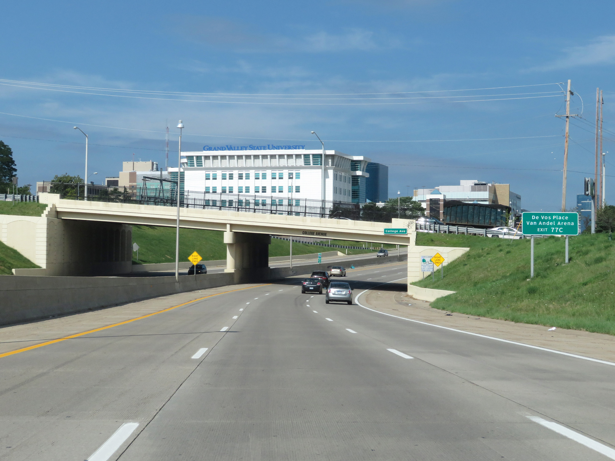 |
Take Exit 77C to De Vos Place and Van Andel Arena. (Photo taken 7/17/17). |
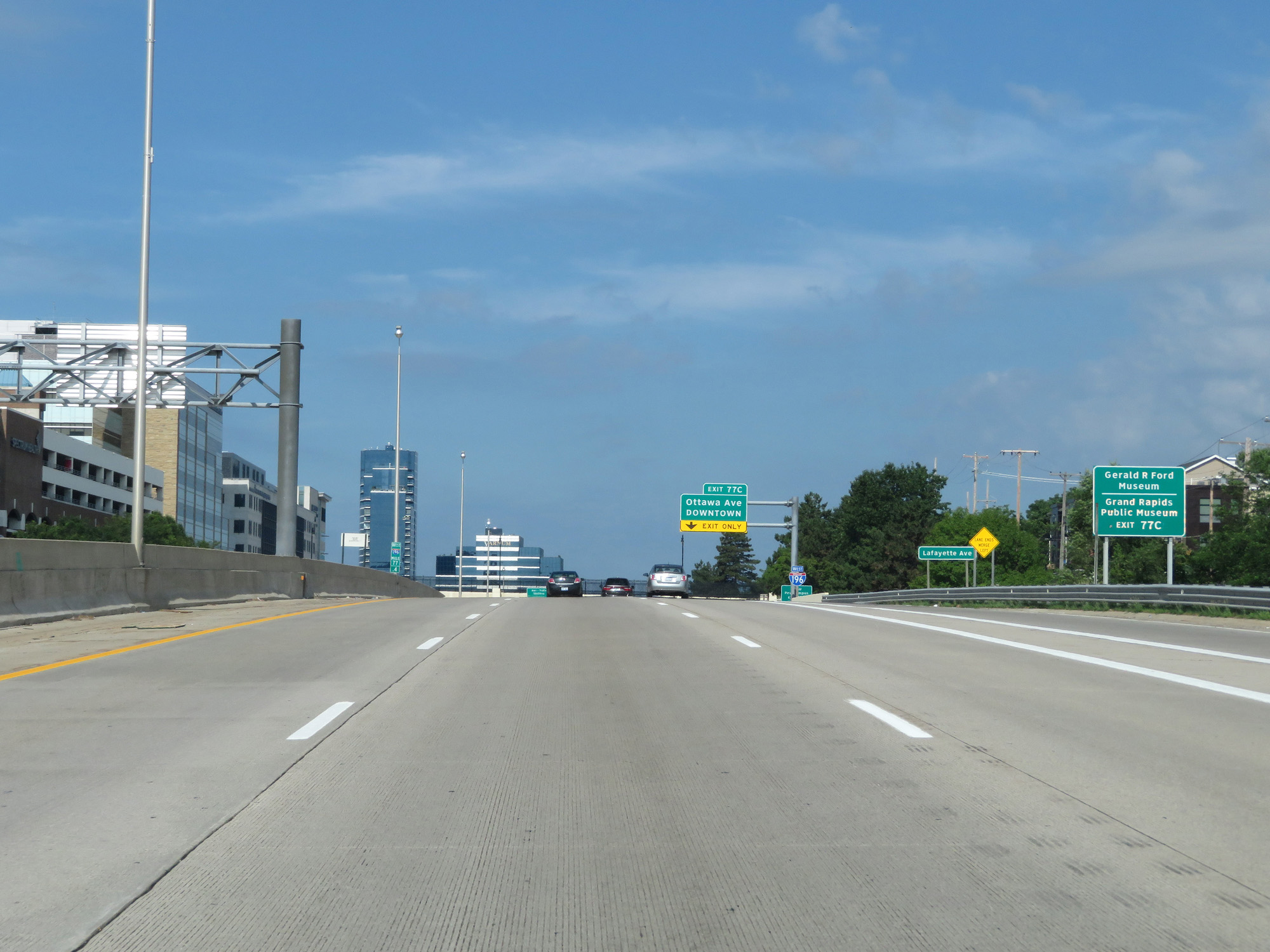 |
Also take Exit 77C to the Gerald R. Ford Museum and Grand Rapids Public Museum. (Photo taken 7/17/17). |
 |
Take Exit 77C to Grand Valley State University Pew Campus as well. (Photo taken 7/17/17). |
 |
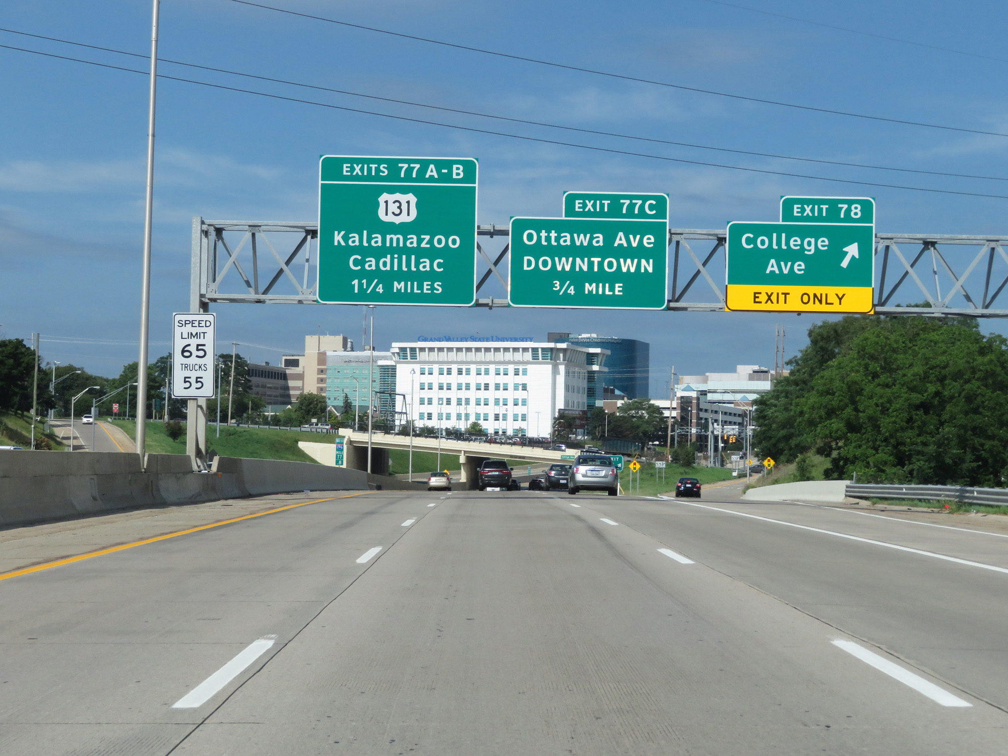
Approaching Exit 77C in downtown Grand Rapids, the speed limits decrease to 65 mph for cars and 55 mph for trucks. (Photo taken 7/17/17). |
 |
Interstate 196 West at Exit 77C: Ottawa Ave / Downtown (Photo taken 7/17/17). |
 |
Interstate 196 West at mile marker 77 in downtown Grand Rapids. (Photo taken 7/17/17). |
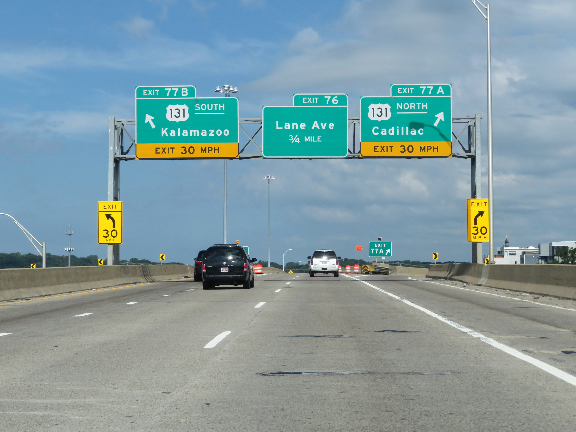 |
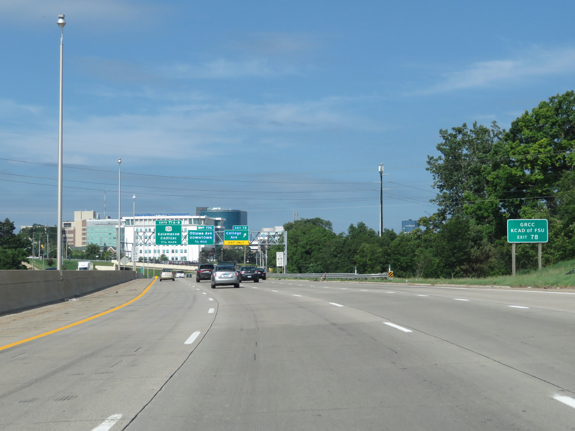
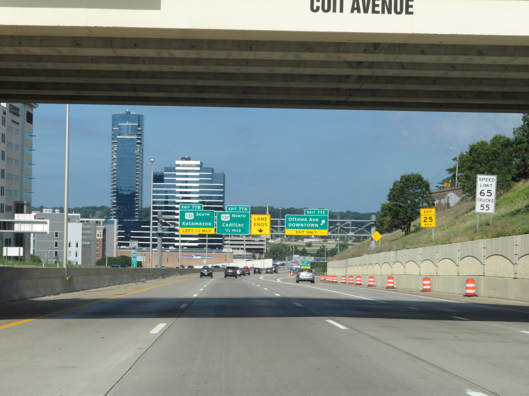
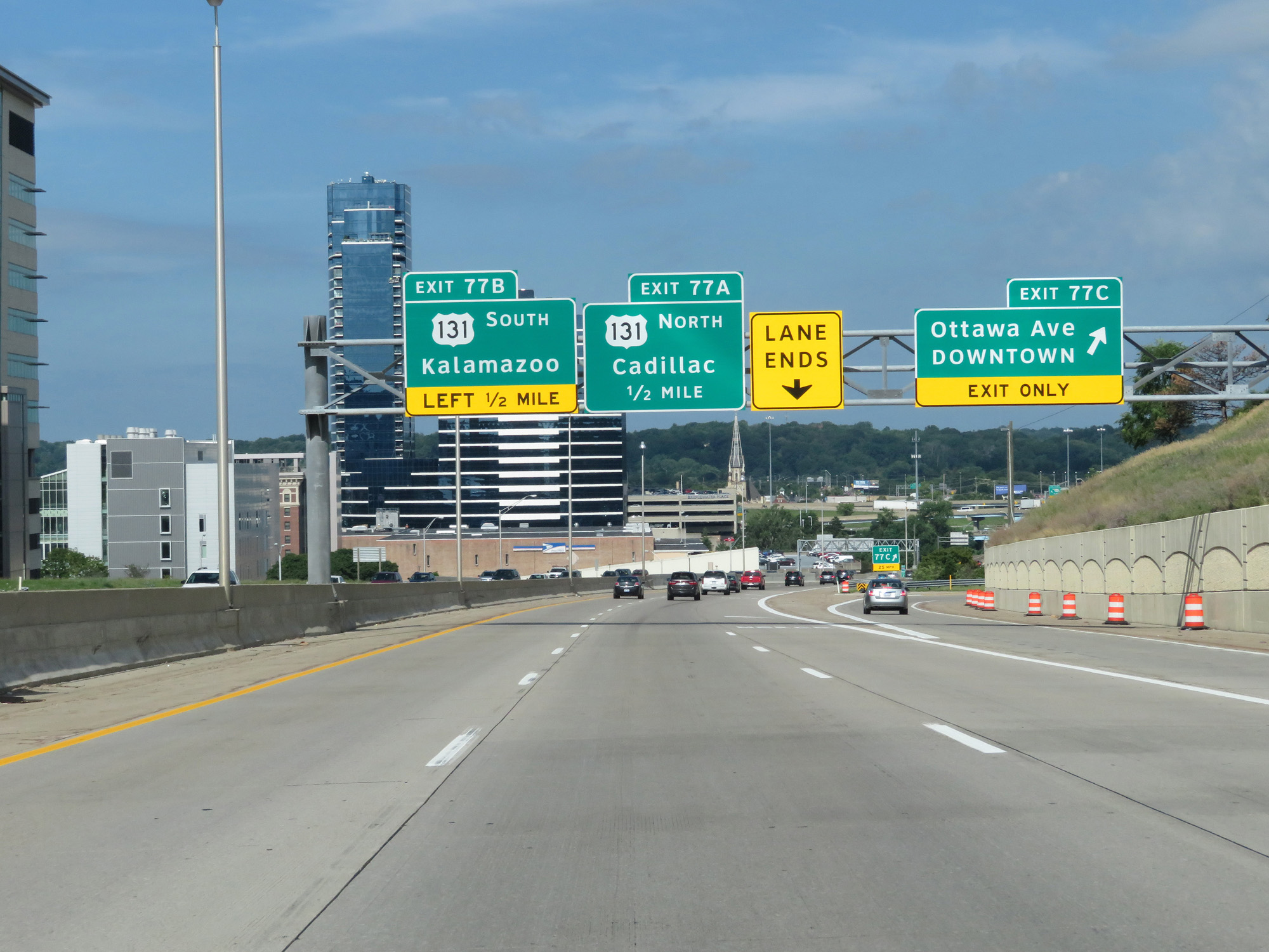
Interstate 196 West at Exit 77B: US 131 South - Kalamazoo; Exit 77A: US 131 North - Cadillac (Photo taken 7/17/17). |
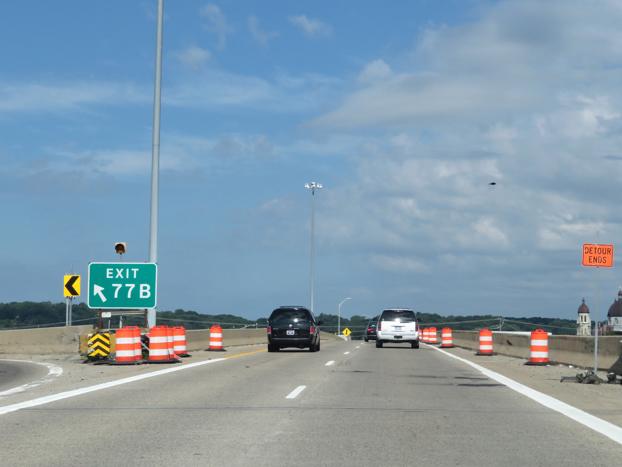 |
Gore point signage for Exit 77B on the left. (Photo taken 7/17/17). |
 |
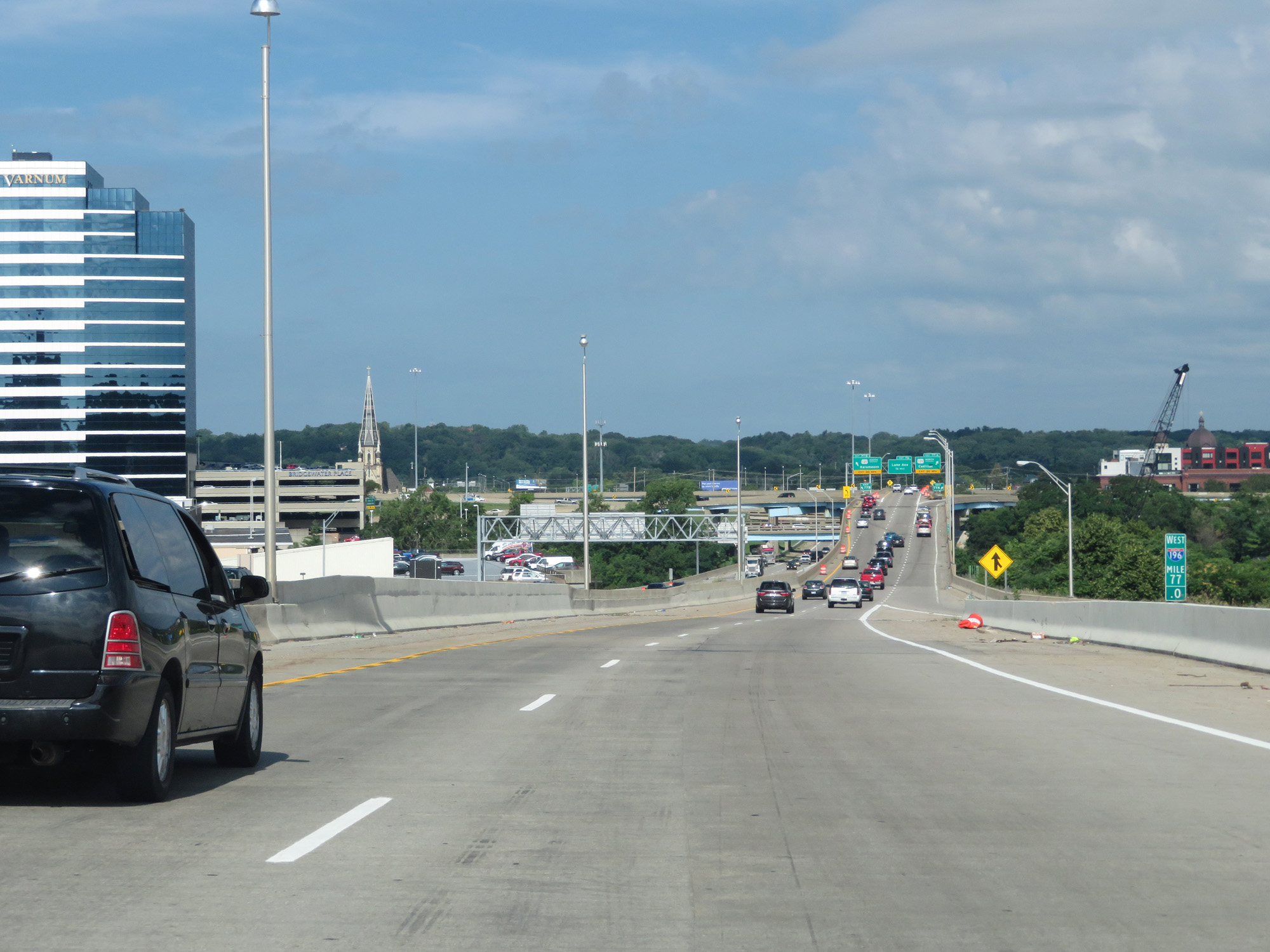
Interstate 196 West at a rather hectic and dangerous interchange, as traffic from both US 131 South and US 131 North merge into I-196 West nearly simultaneously on both sides. (Photo taken 7/17/17). |
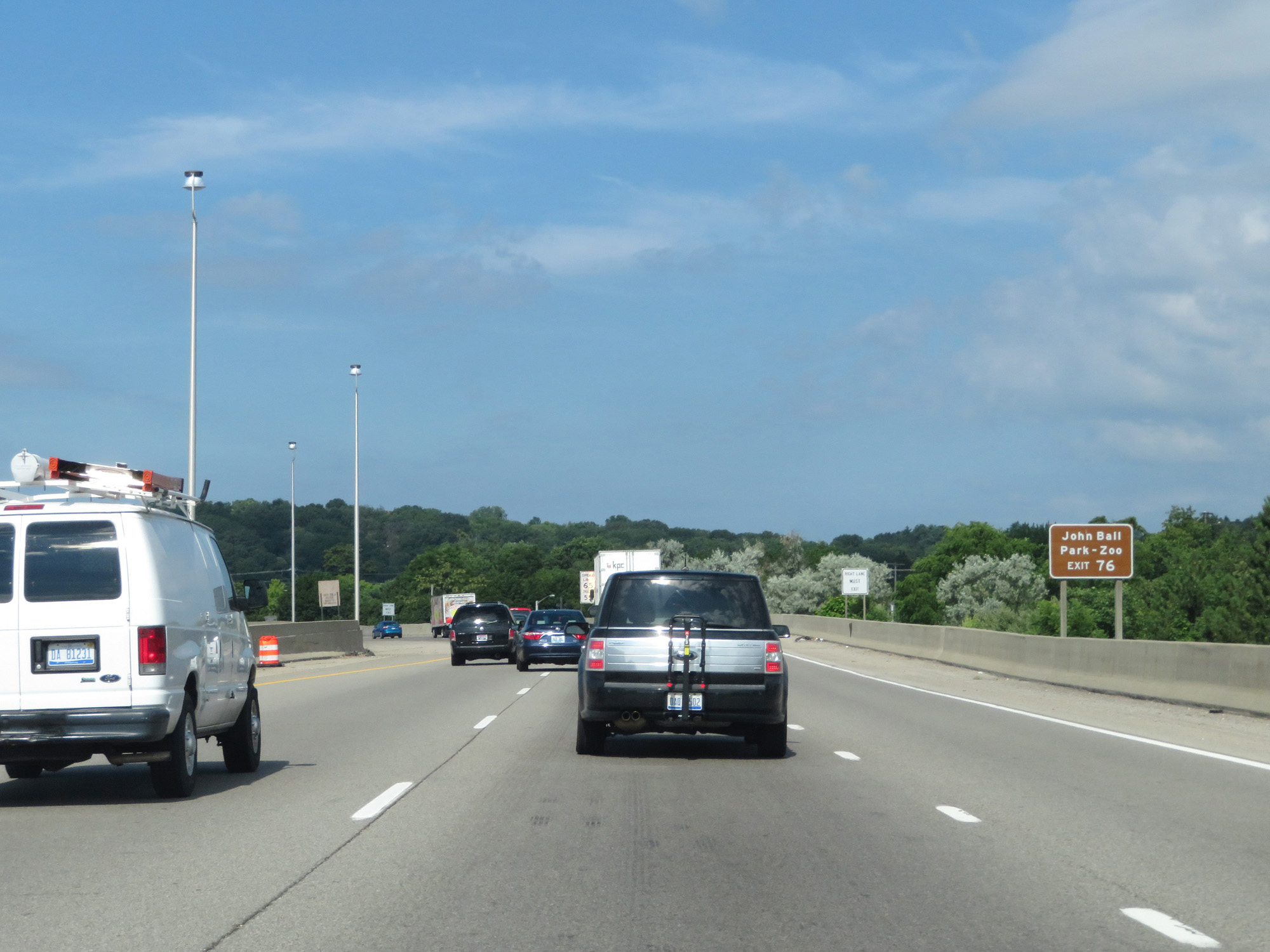 |
Take Exit 76 to John Ball Park and Zoo. (Photo taken 7/17/17). |
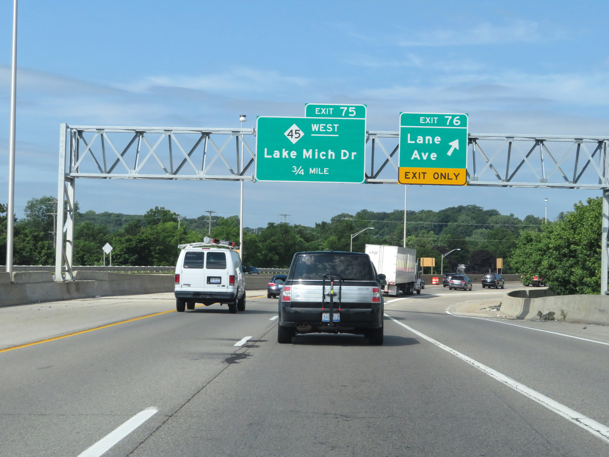 |
Interstate 196 West at Exit 76: Lane Ave (Photo taken 7/17/17). |
 |
A narrow Interstate 196 West reassurance shield as I-196 curves to the south, leaving downtown Grand Rapids. (Photo taken 7/17/17). |
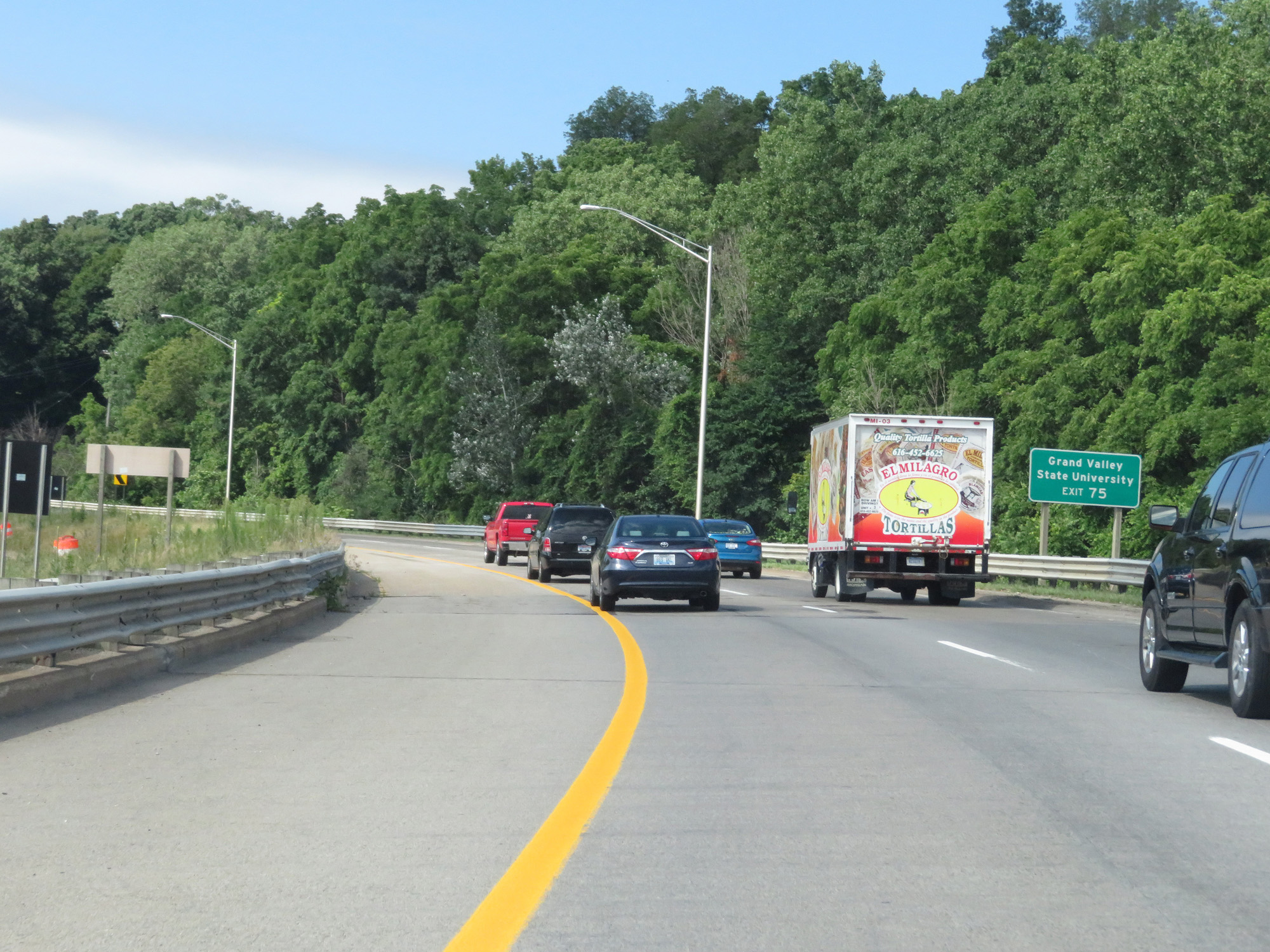 |
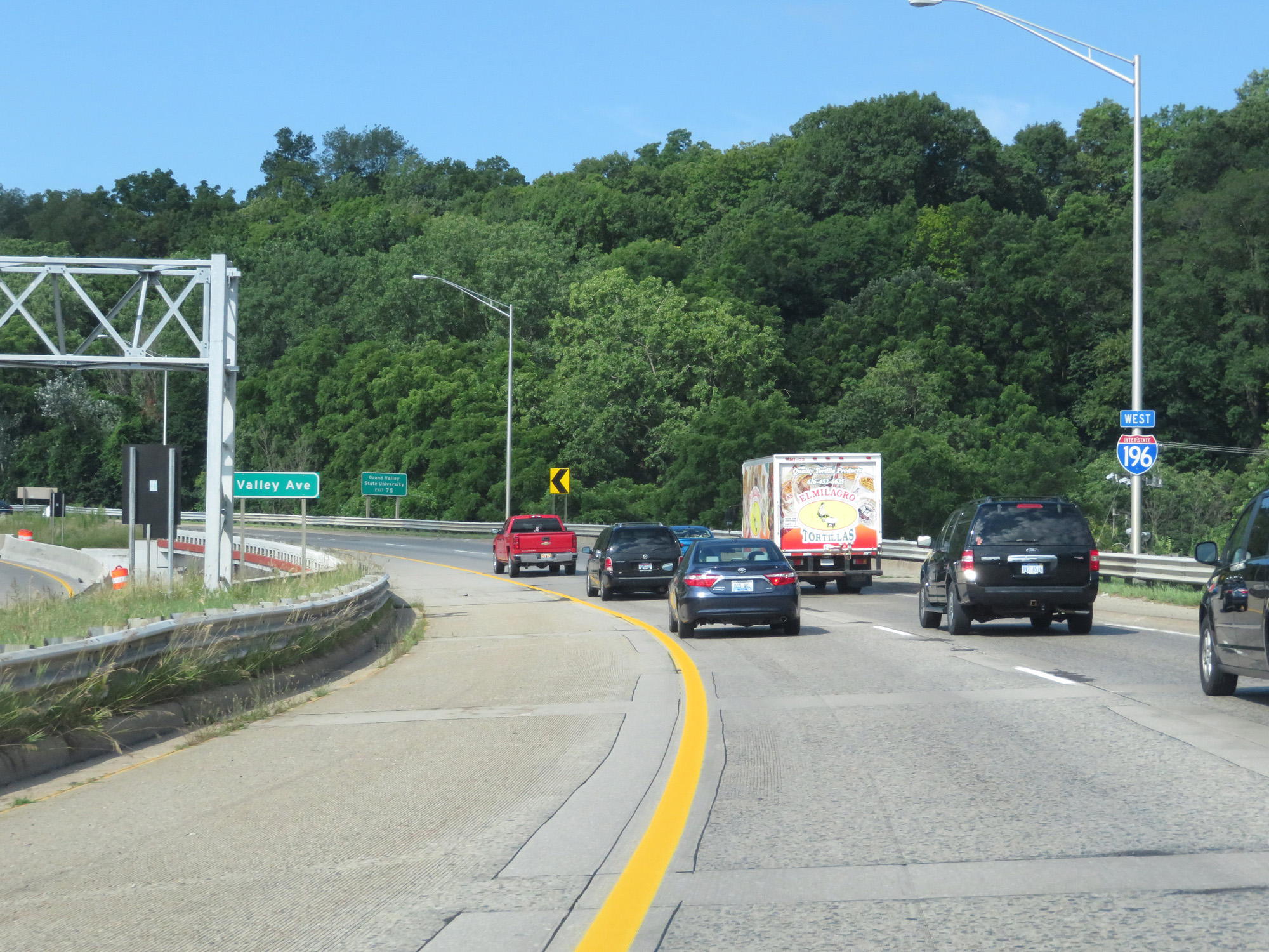
Take Exit 75 to Grand Valley State University. (Photo taken 7/17/17). |
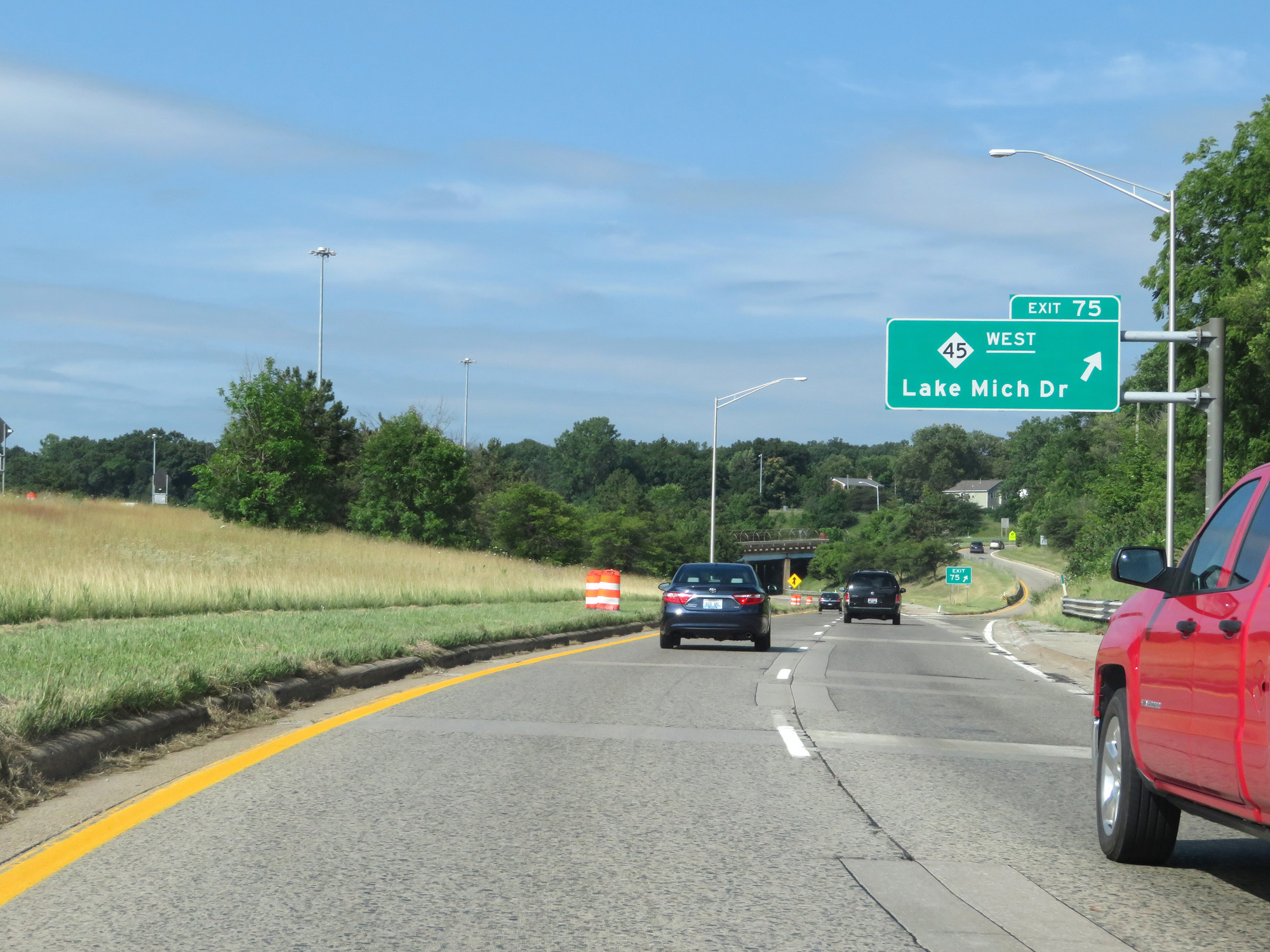 |
Interstate 196 West at Exit 75: M-45 West - Lake Michigan Dr (Photo taken 7/17/17). |
 |
West of Exit 75, the standard rural speed limits of 70 mph for cars and 60 mph for trucks resume. (Photo taken 7/17/17). |
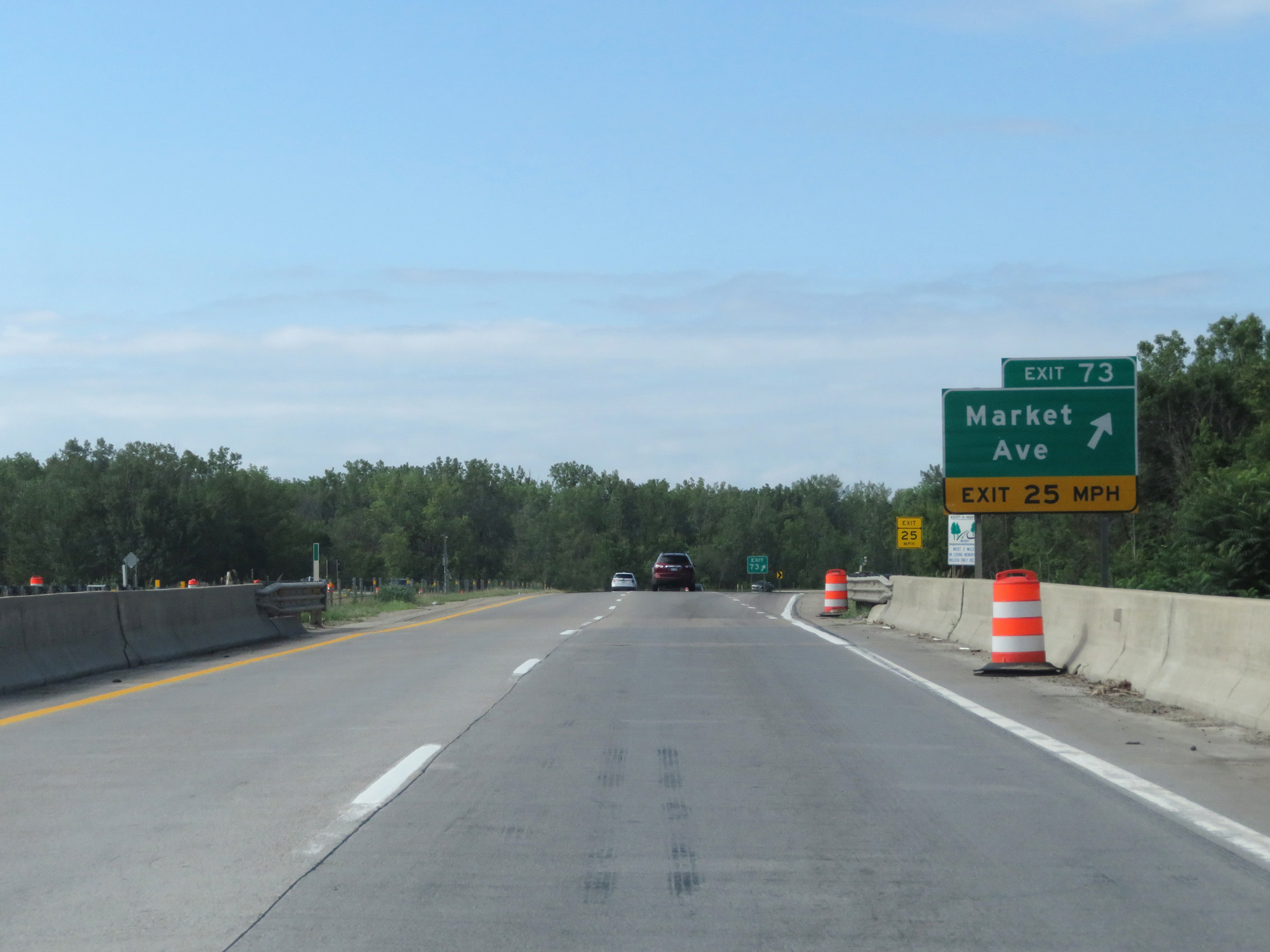 |
Interstate 196 West at Exit 73: Market Ave (Photo taken 7/17/17). |
 |
Interstate 196 West entering the Wyoming city limits. (Photo taken 7/17/17). |
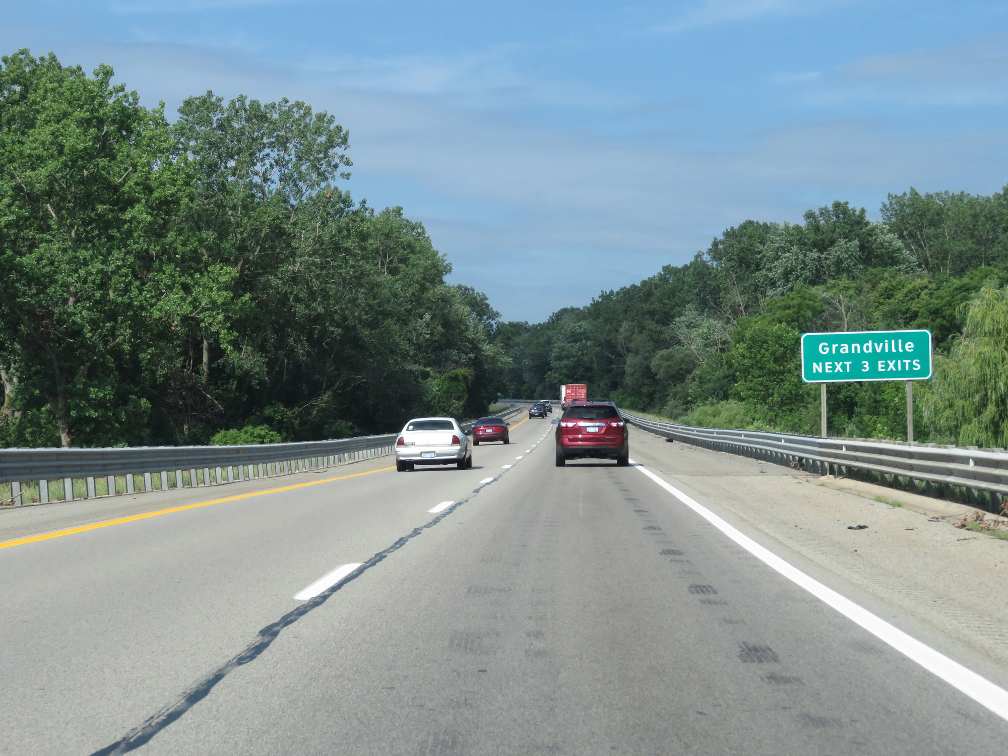 |
Take any of the next 3 exits to Grandville. (Photo taken 7/17/17). |
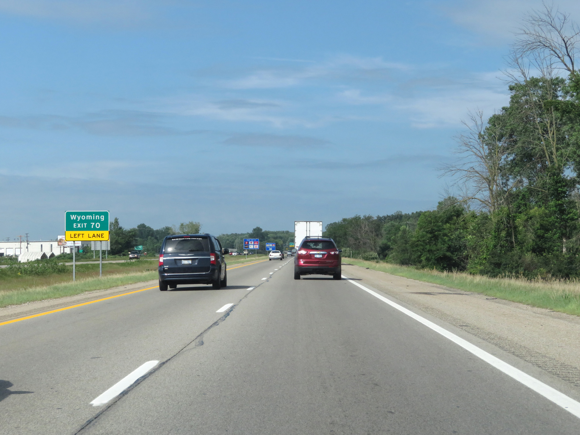 |
Take Exit 70 (on the left) to Wyoming. (Photo taken 7/17/17). |
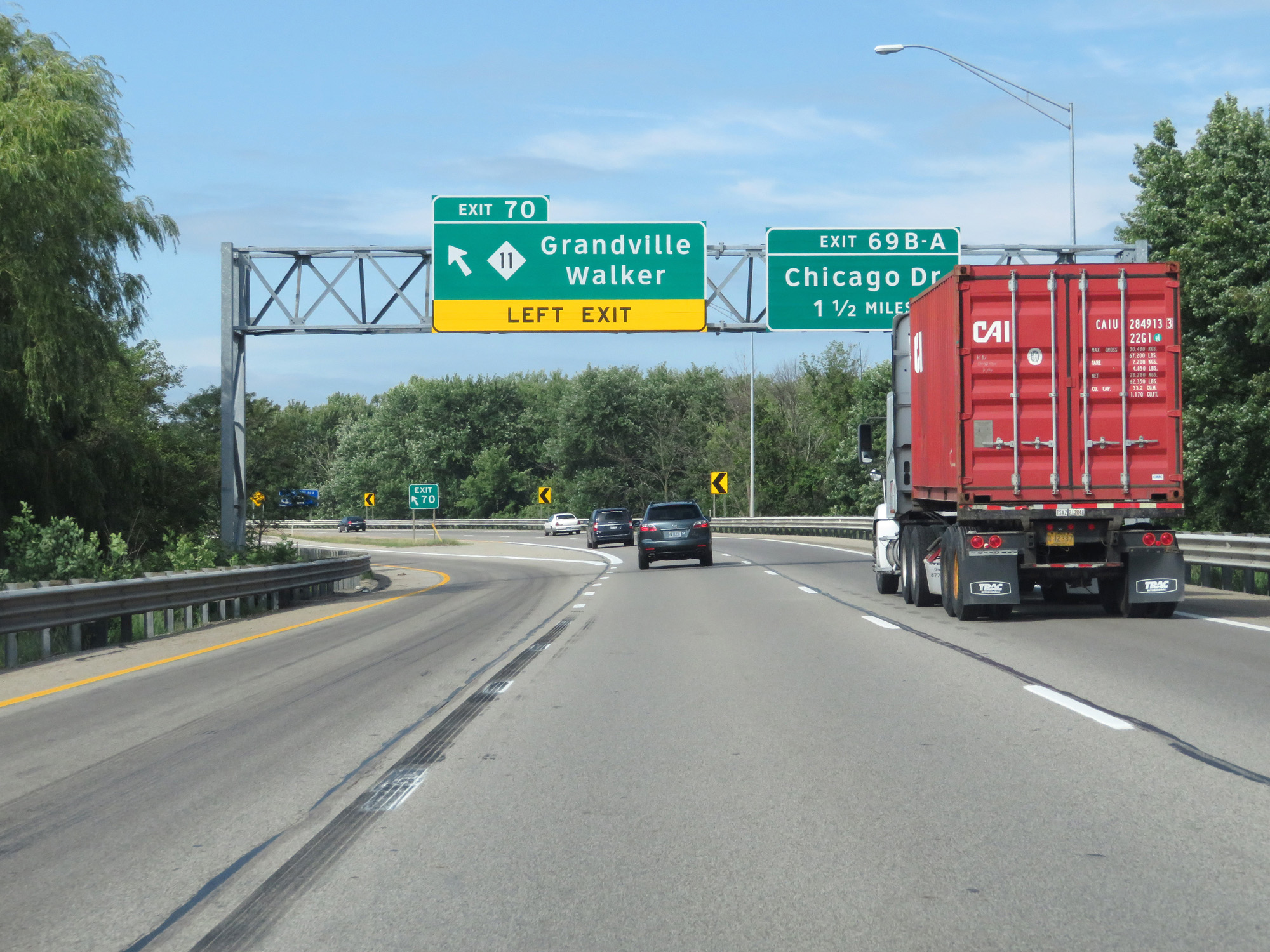 |
Interstate 196 West at Exit 70: M-11 - Grandville / Walker (Photo taken 7/17/17). |
 |
Interstate 196 West at mile marker 70. (Photo taken 7/17/17). |
 |
Take Exit 69B to Jenison. (Photo taken 7/17/17). |
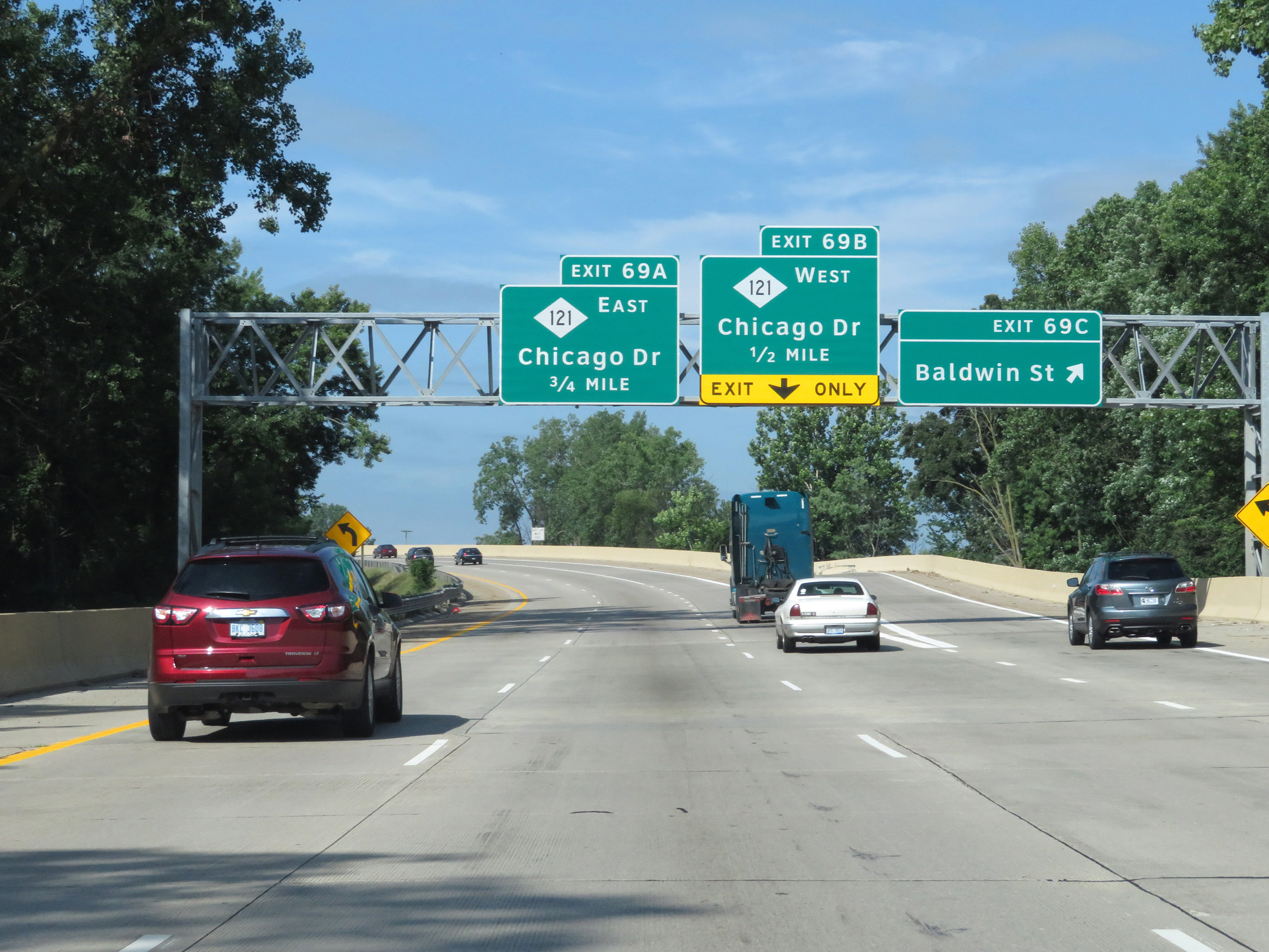 |
Interstate 196 West at Exit 69C: Baldwin St (Photo taken 7/17/17). |
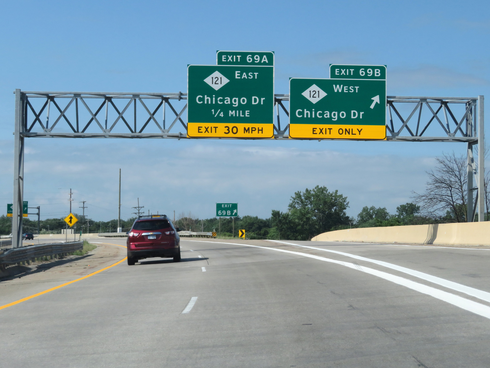 |
Interstate 196 West at Exit 69B: M-121 West - Chicago Dr (Photo taken 7/17/17). |
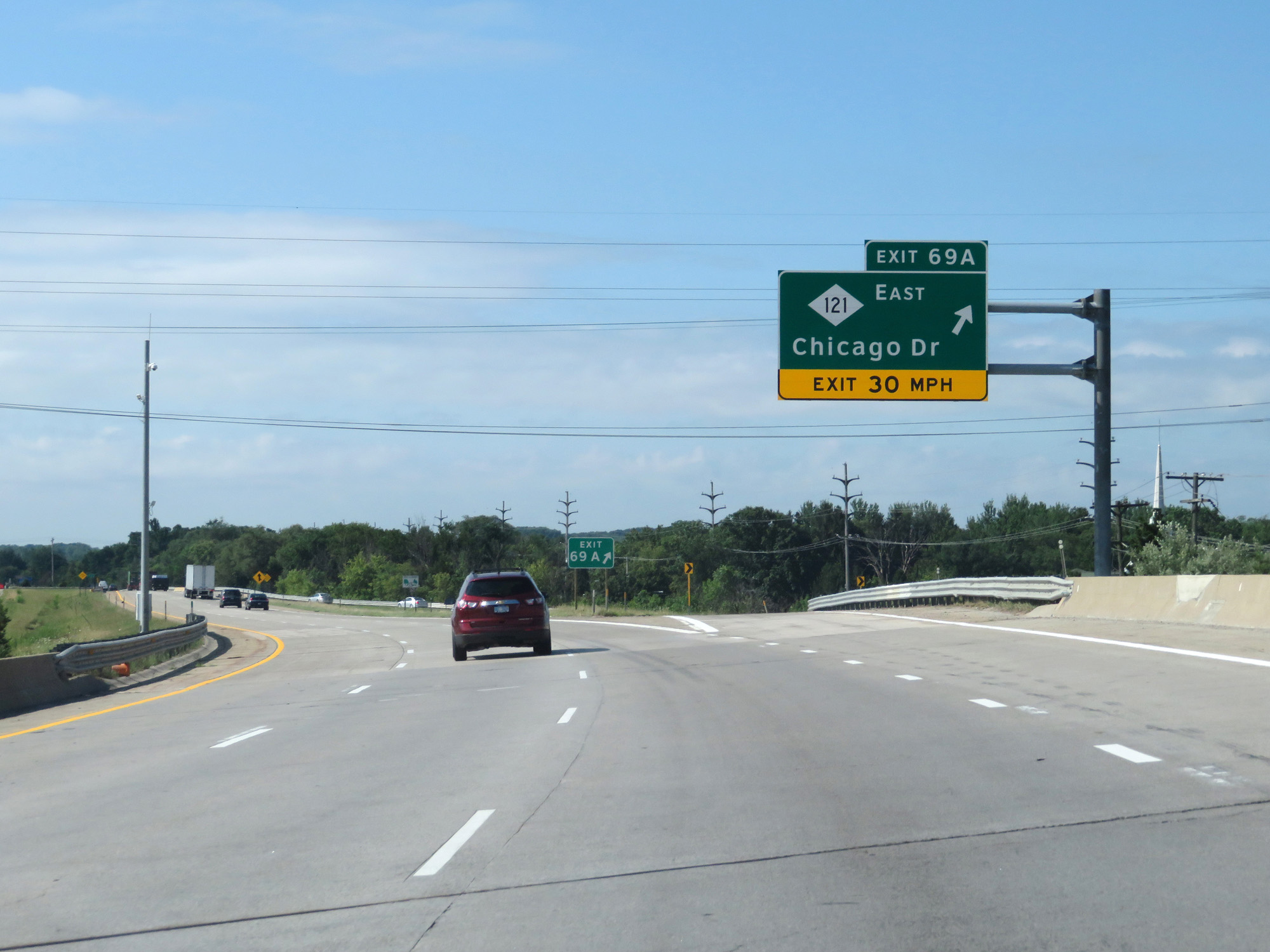 |
Interstate 196 West at Exit 69A: M-121 East - Chicago Dr (Photo taken 7/17/17). |
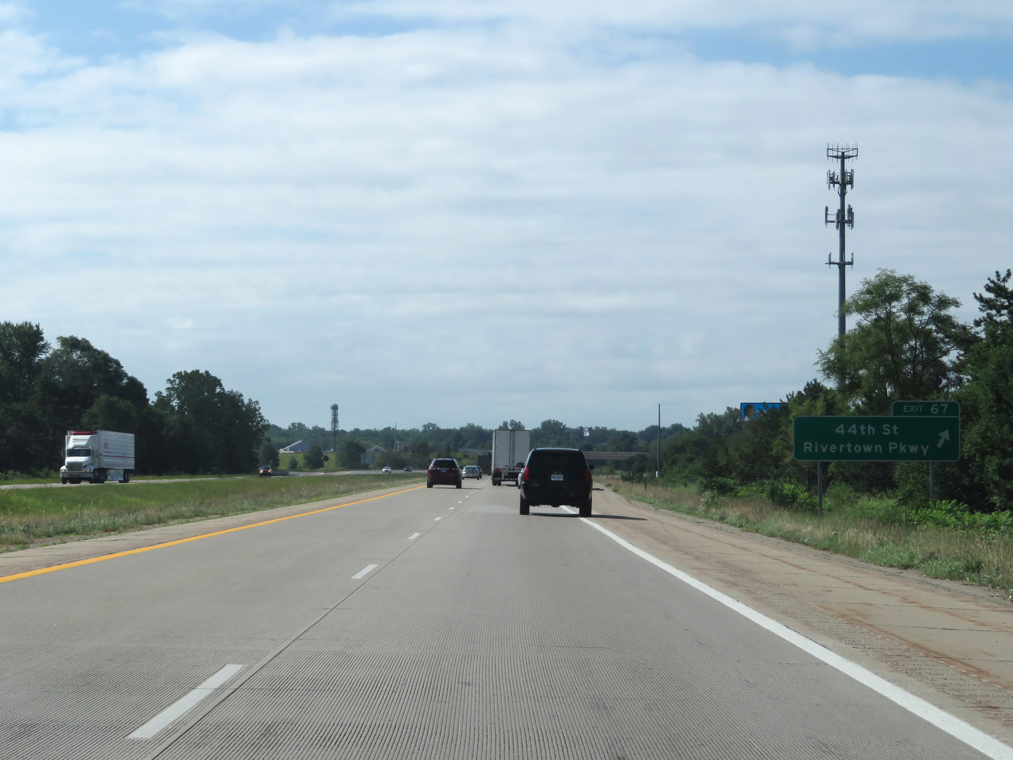 |
Interstate 196 West at Exit 67: 44th St / Rivertown Pkwy (Photo taken 7/17/17). |
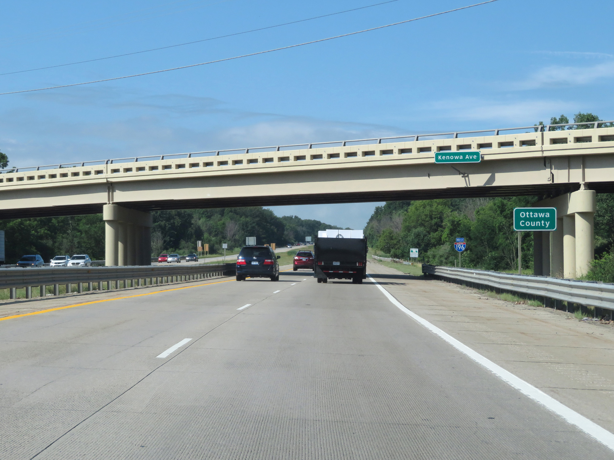 |
Interstate 196 West entering Ottawa County. (Photo taken 7/17/17). |
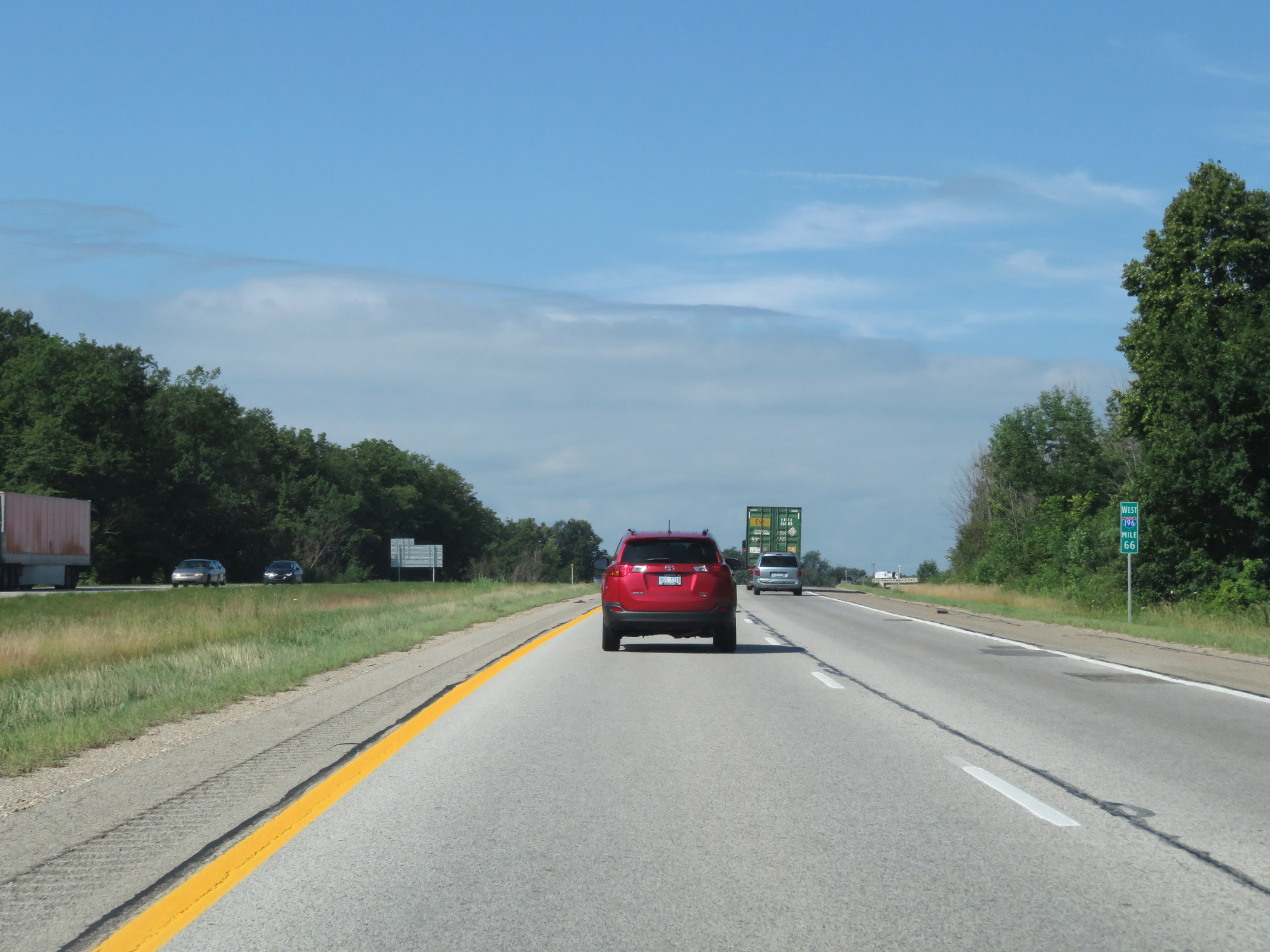 |
Interstate 196 West at mile marker 66. (Photo taken 7/17/17). |
 |
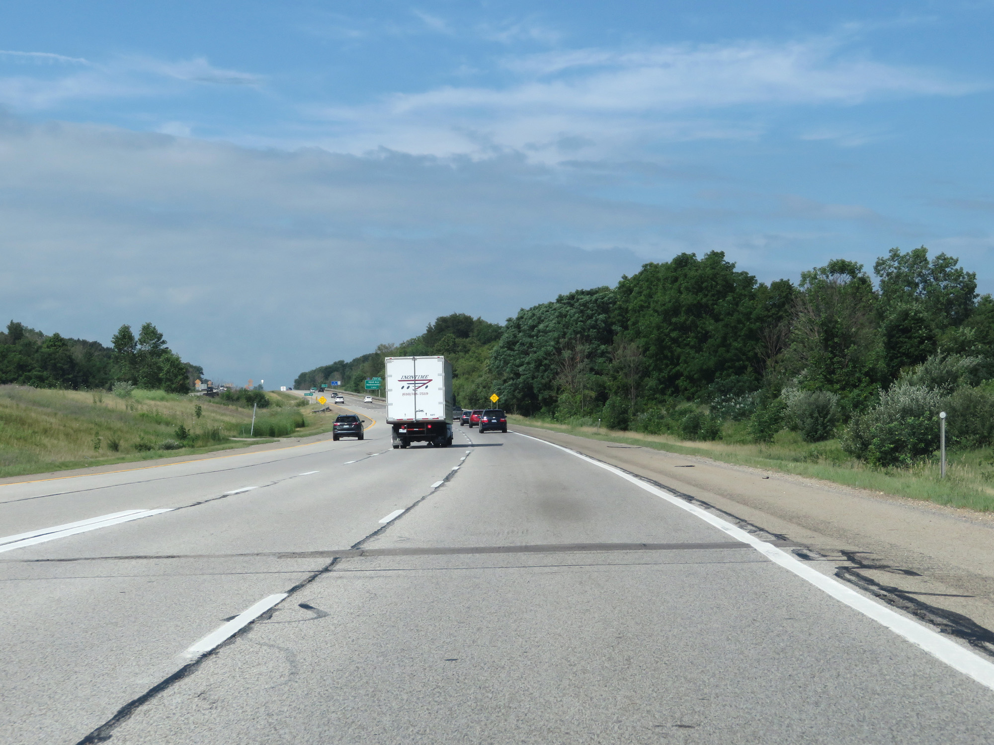
Interstate 196 West at Exit 64: M-6 East - Lansing (Photo taken 7/17/17). |
 |
View on Interstate 196 West as traffic from M-6 West merges into it on the left. (Photo taken 7/17/17). |
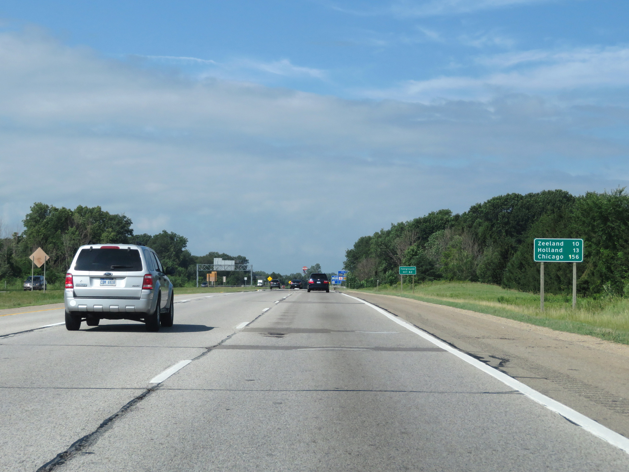 |
Mileage sign on Interstate 196 West. It's 10 miles to Zeeland, 13 miles to Holland, and 156 miles to Chicago. (Photo taken 7/17/17). |
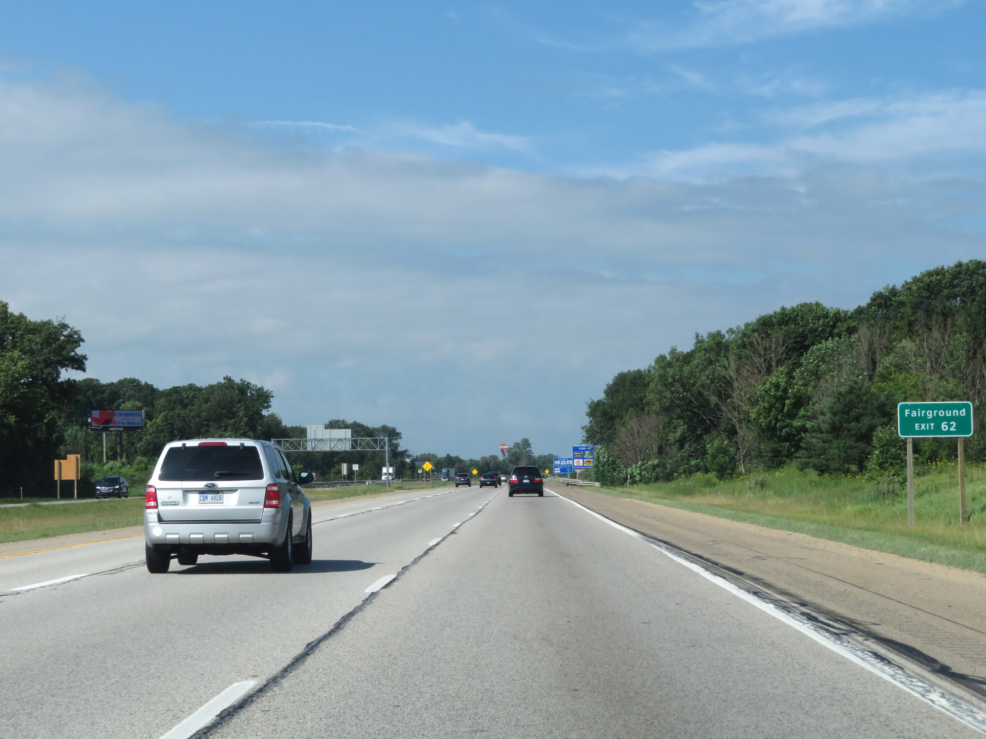 |
Take Exit 62 to the Fairgrounds. (Photo taken 7/17/17). |
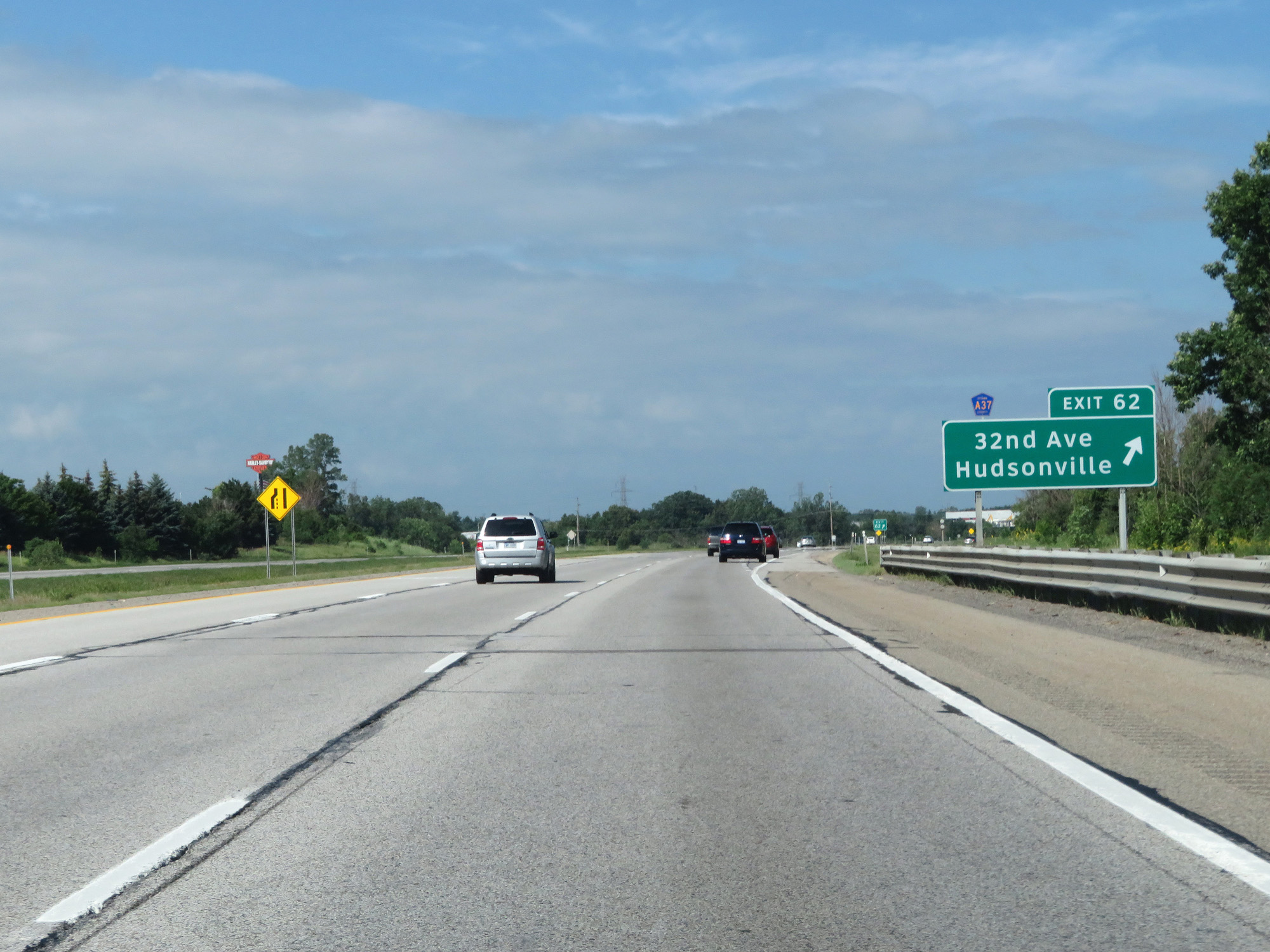 |
Interstate 196 West at Exit 62: CR A37 - 32nd Ave / Hudsonville (Photo taken 7/17/17). |
 |
Interstate 196 West reassurance shield. (Photo taken 7/17/17). |
 |
The speed limits remain 70 mph for cars and 60 mph for trucks. (Photo taken 7/17/17). |
 |
Interstate 196 West at mile marker 60. (Photo taken 7/17/17). |
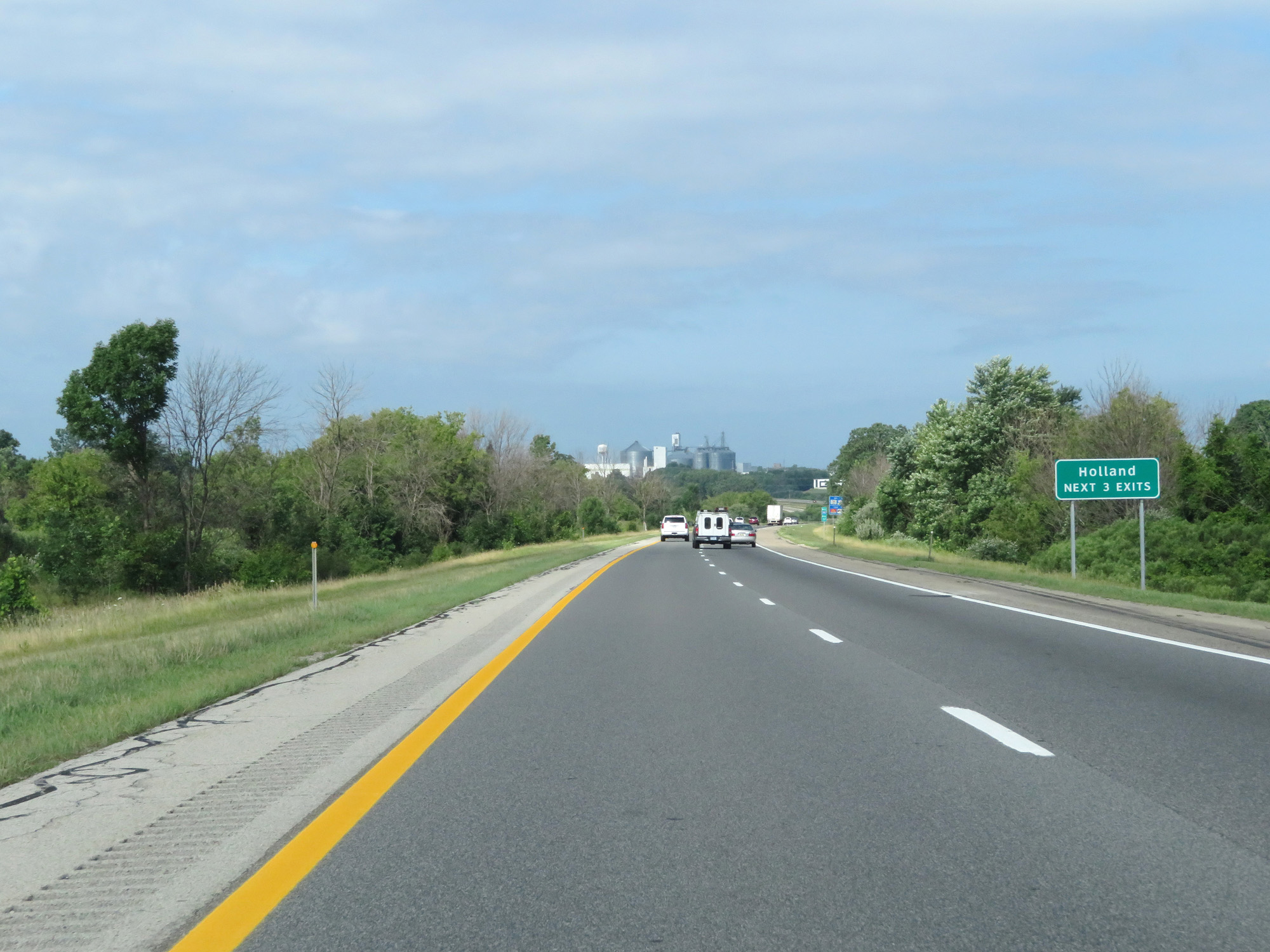 |
Take any of the next 3 exits to Holland. (Photo taken 7/17/17). |
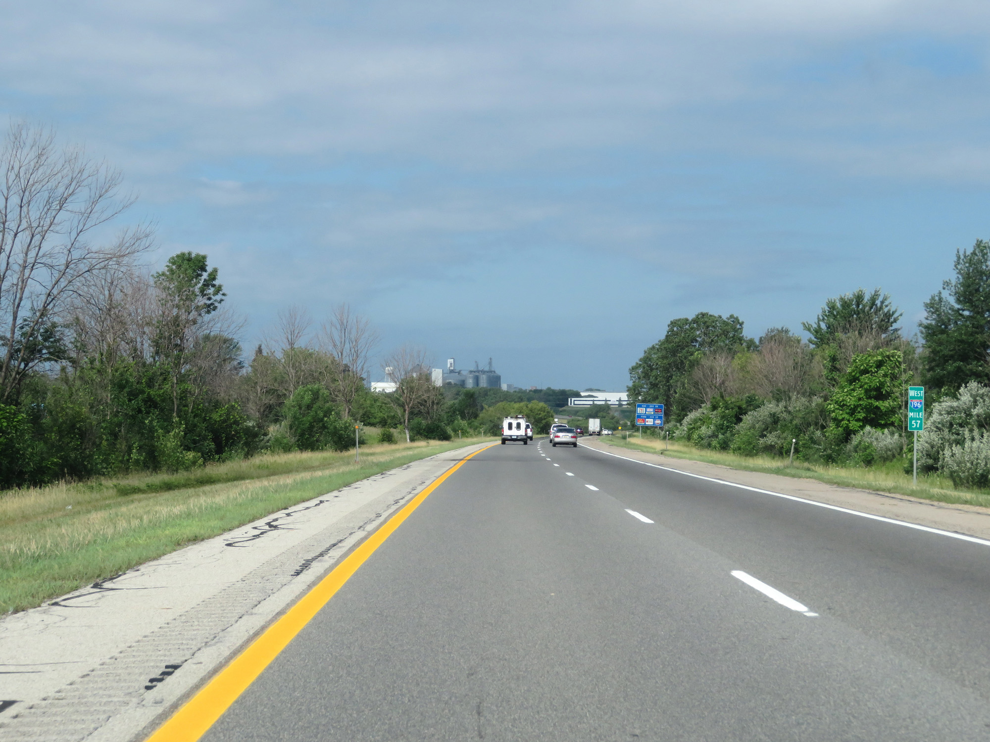 |
Interstate 196 West at mile marker 57. (Photo taken 7/17/17). |
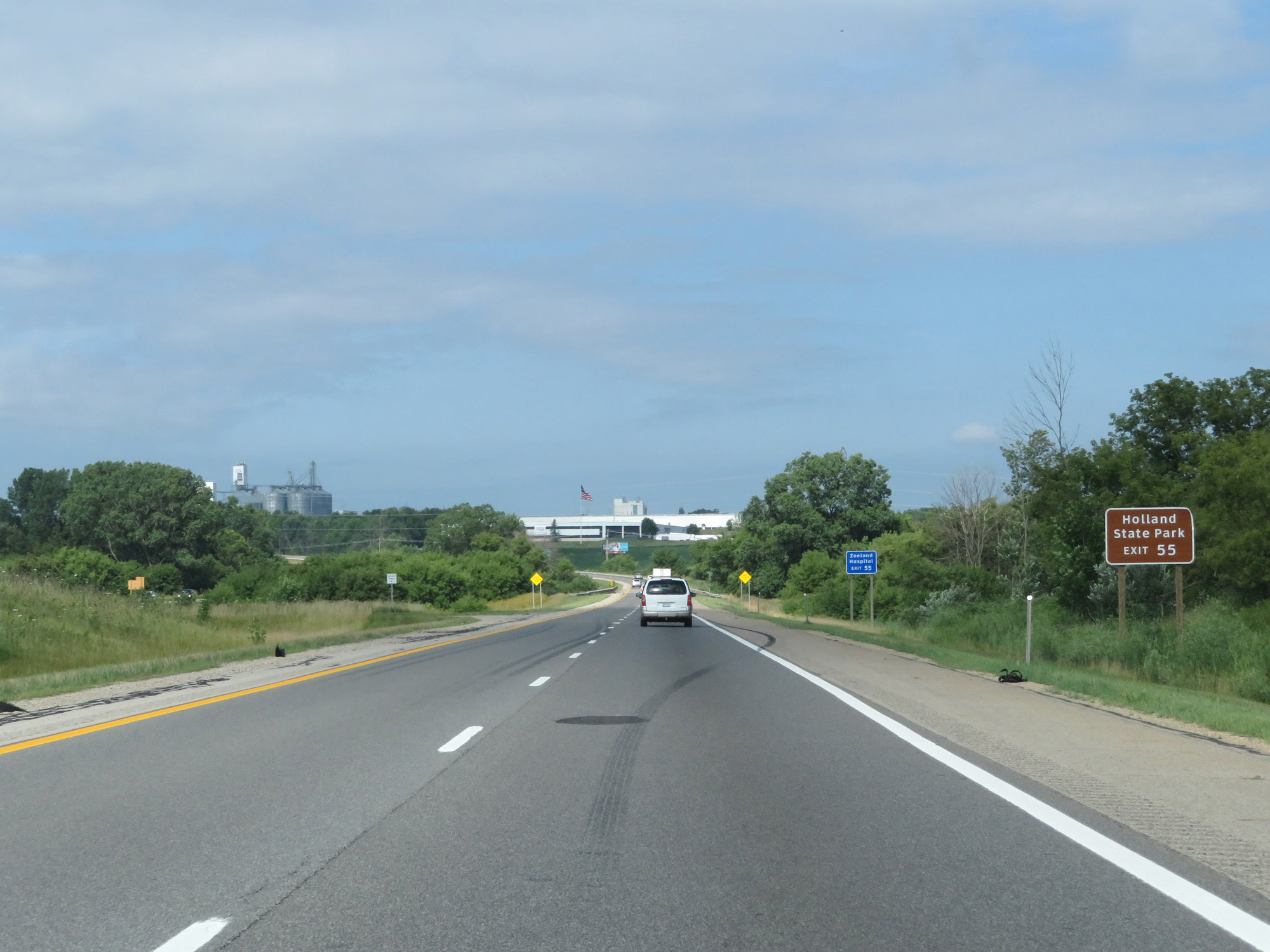 |
Take Exit 55 to Holland State Park. (Photo taken 7/17/17). |
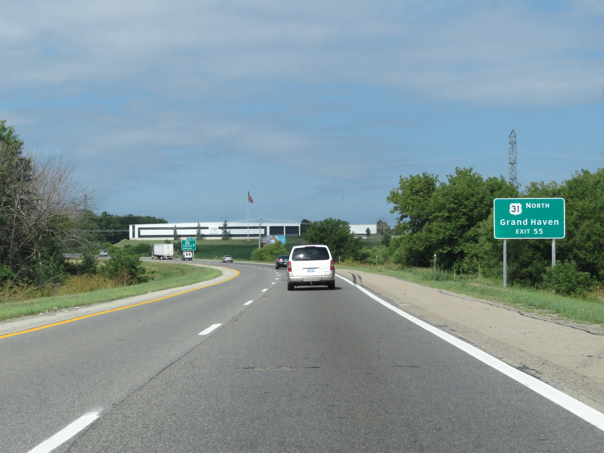 |
Take Exit 55 to US 31 North toward Grand Haven. (Photo taken 7/17/17). |
 |
Interstate 196 West at Exit 55: Interstate 196 Business Loop - Zeeland / Holland (Photo taken 7/17/17). |
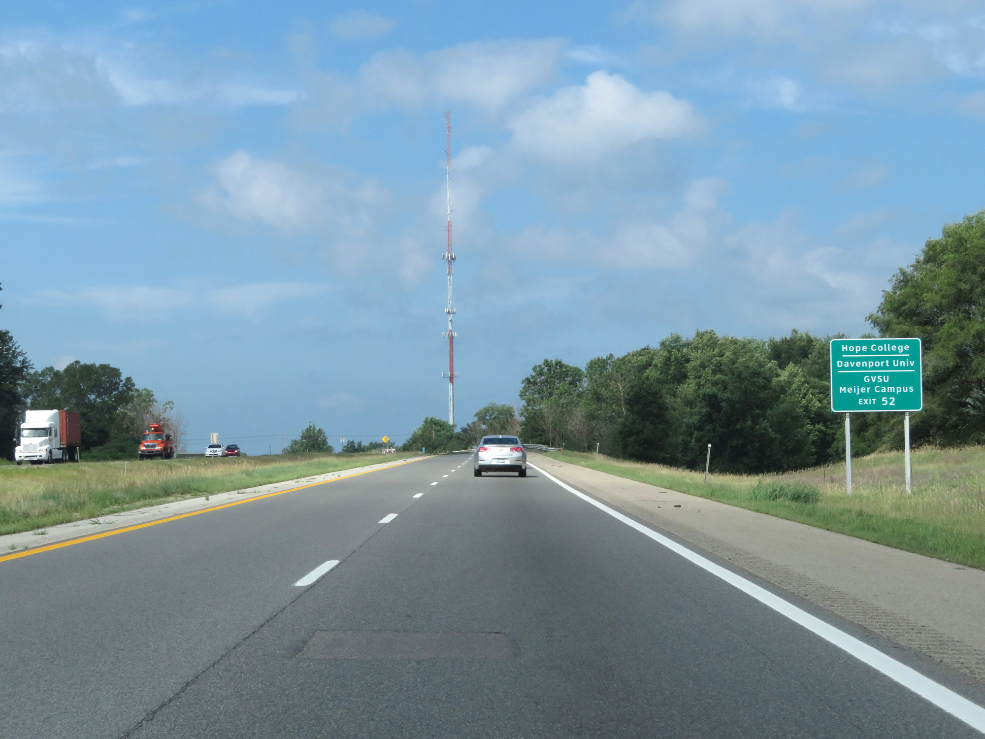 |
Take Exit 52 to Hope College, Davenport University, and Grand Valley State University Meijer Campus. (Photo taken 7/17/17). |
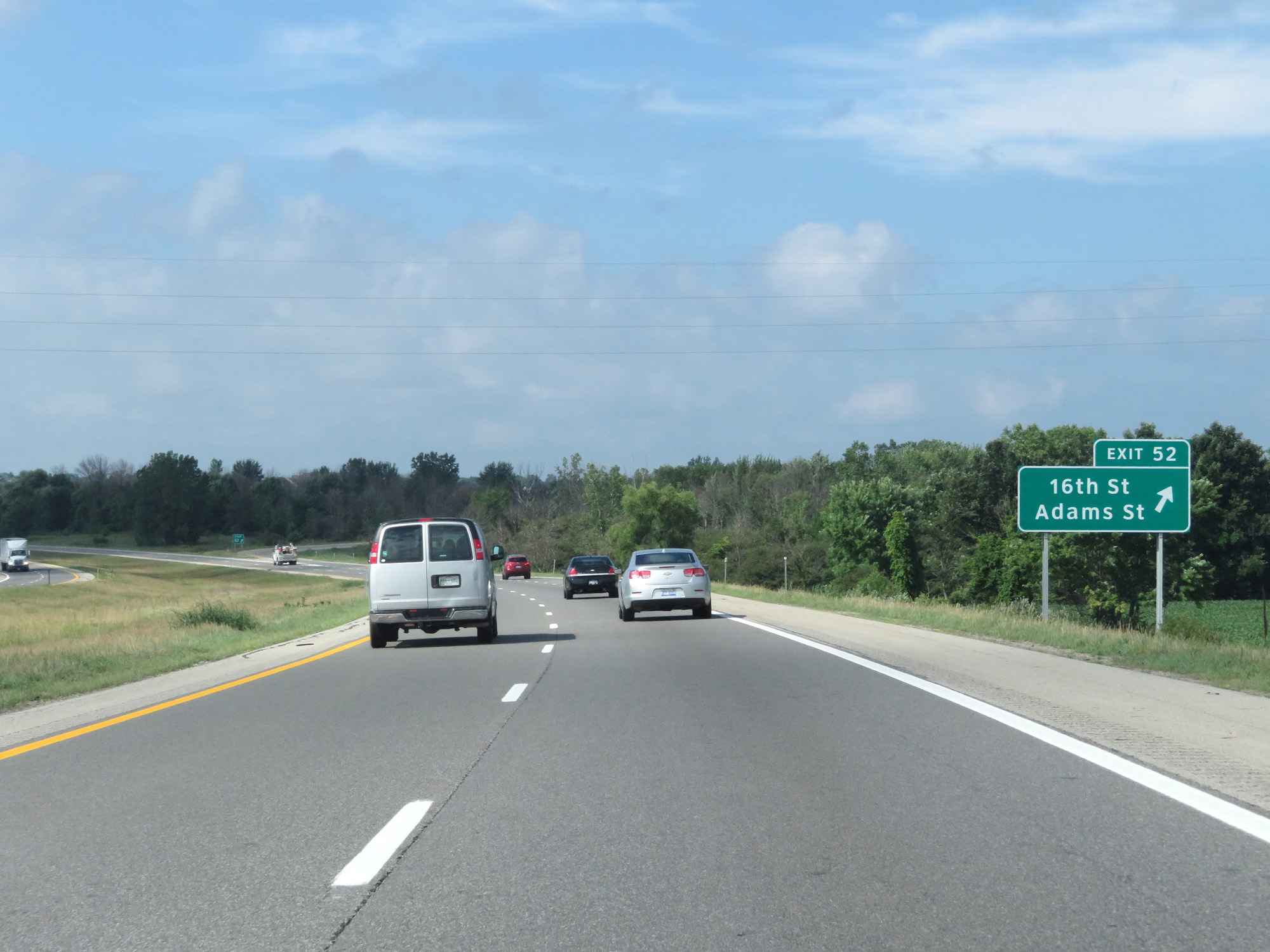 |
Interstate 196 West at Exit 52: 16th St / Adams St (Photo taken 7/17/17). |
Section 2: Holland (Exit 52) to Interstate 94
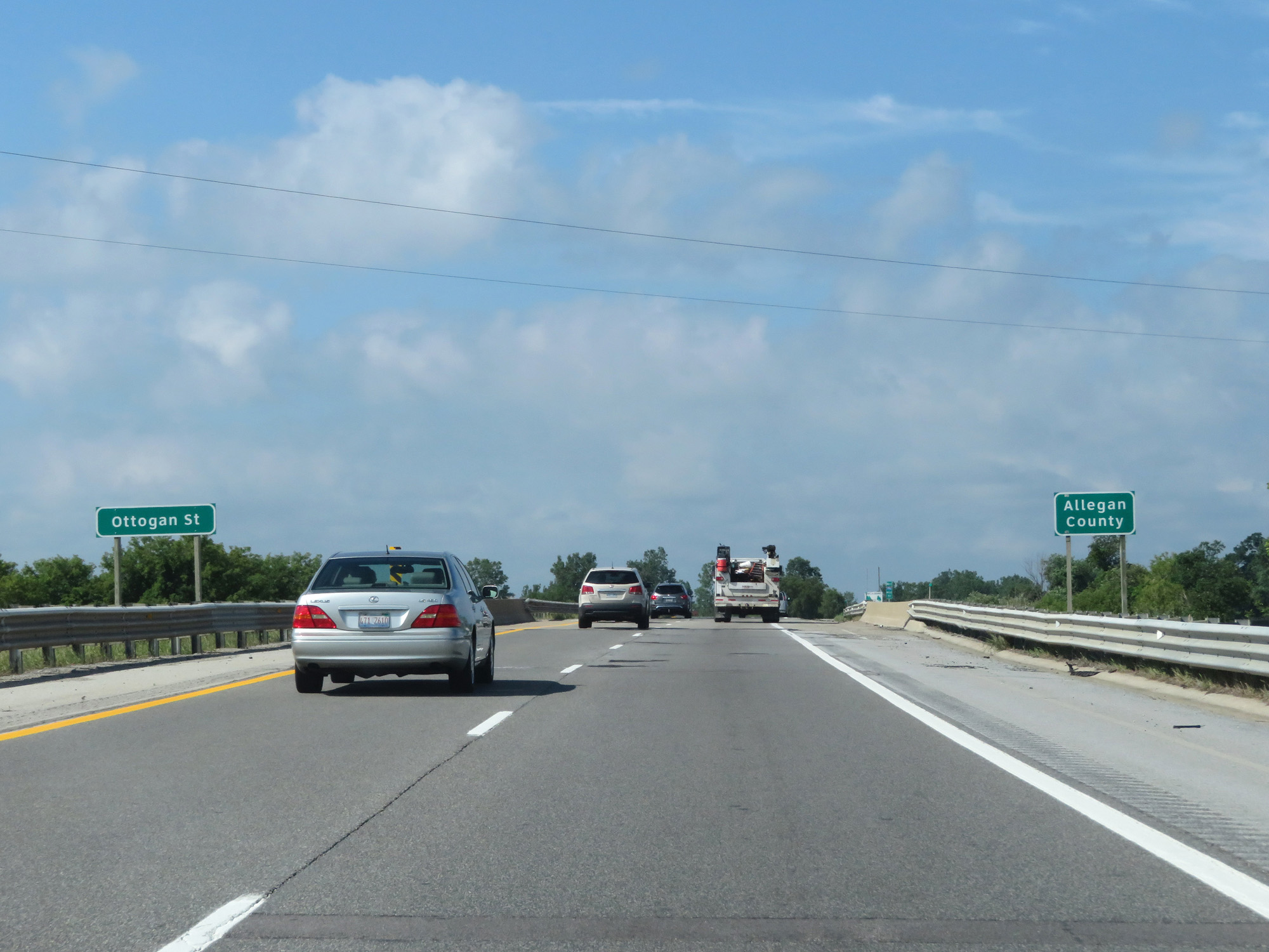 |
Interstate 196 West entering Allegan County. (Photo taken 7/17/17). |
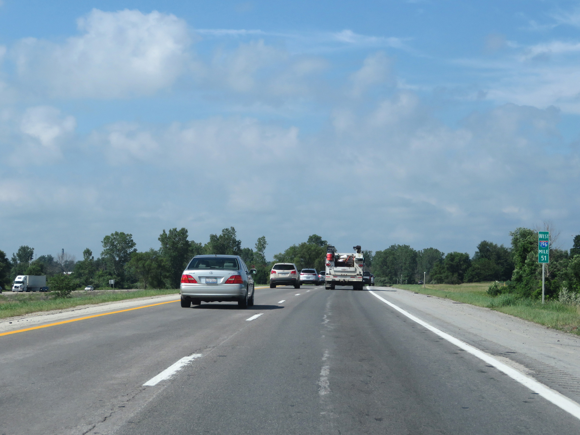 |
Interstate 196 West at mile marker 51. (Photo taken 7/17/17). |
 |
Interstate 196 West at Exit 49: M-40 - Allegan (Photo taken 7/17/17). |
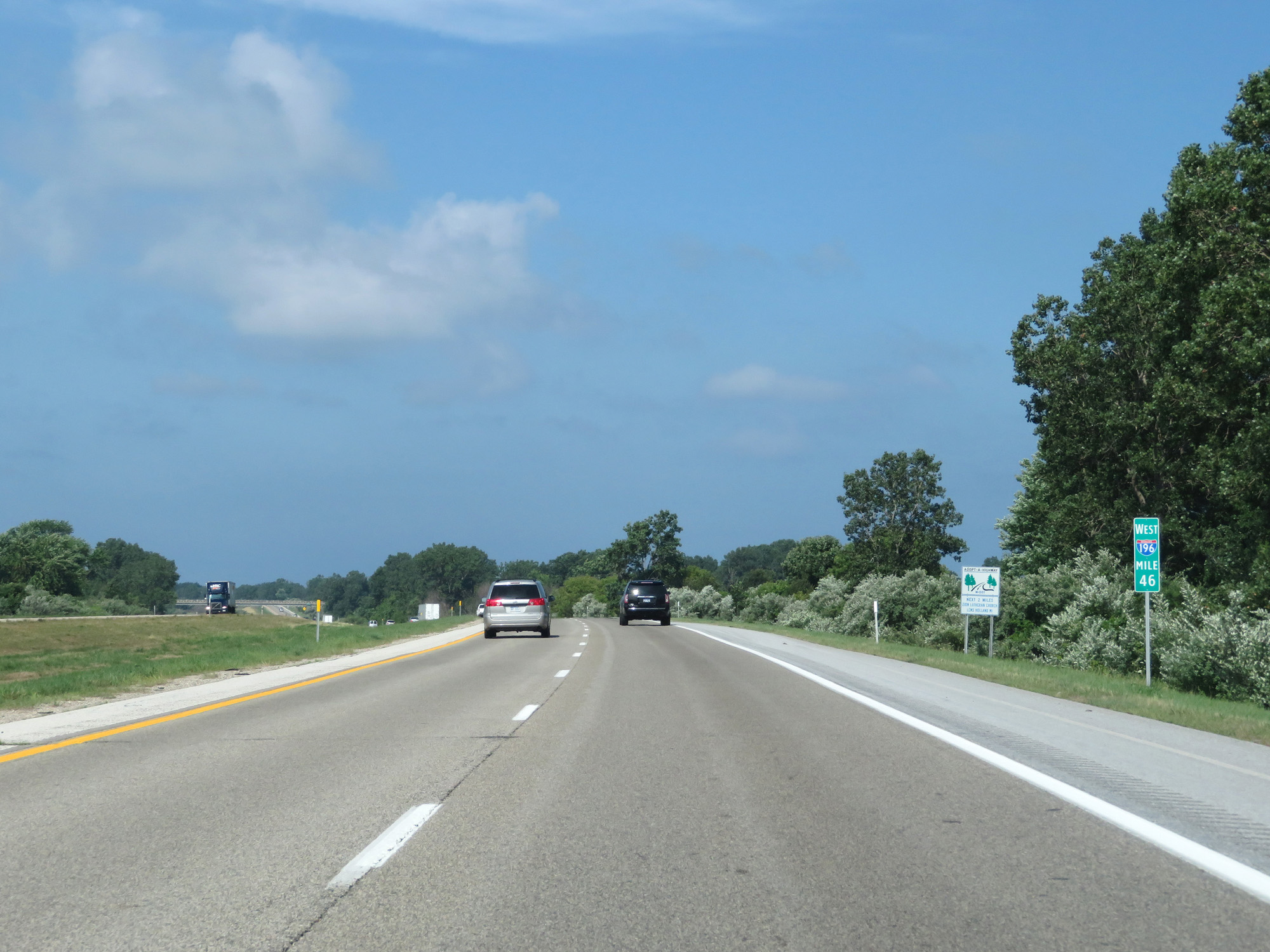 |
Interstate 196 West at mile marker 46. (Photo taken 7/17/17). |
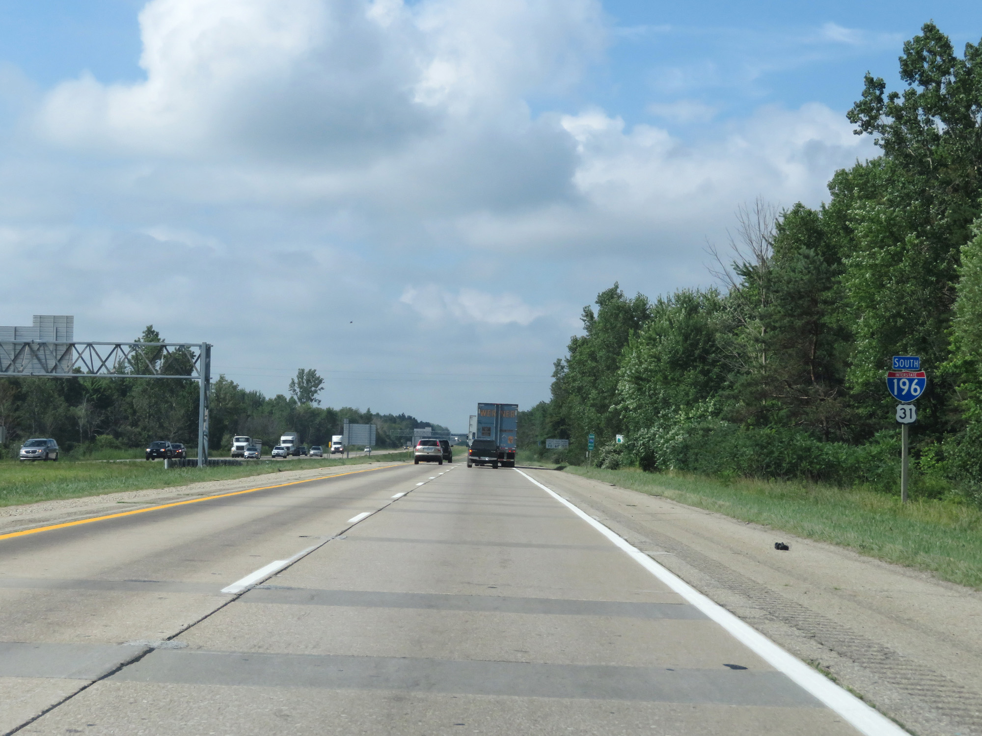 |
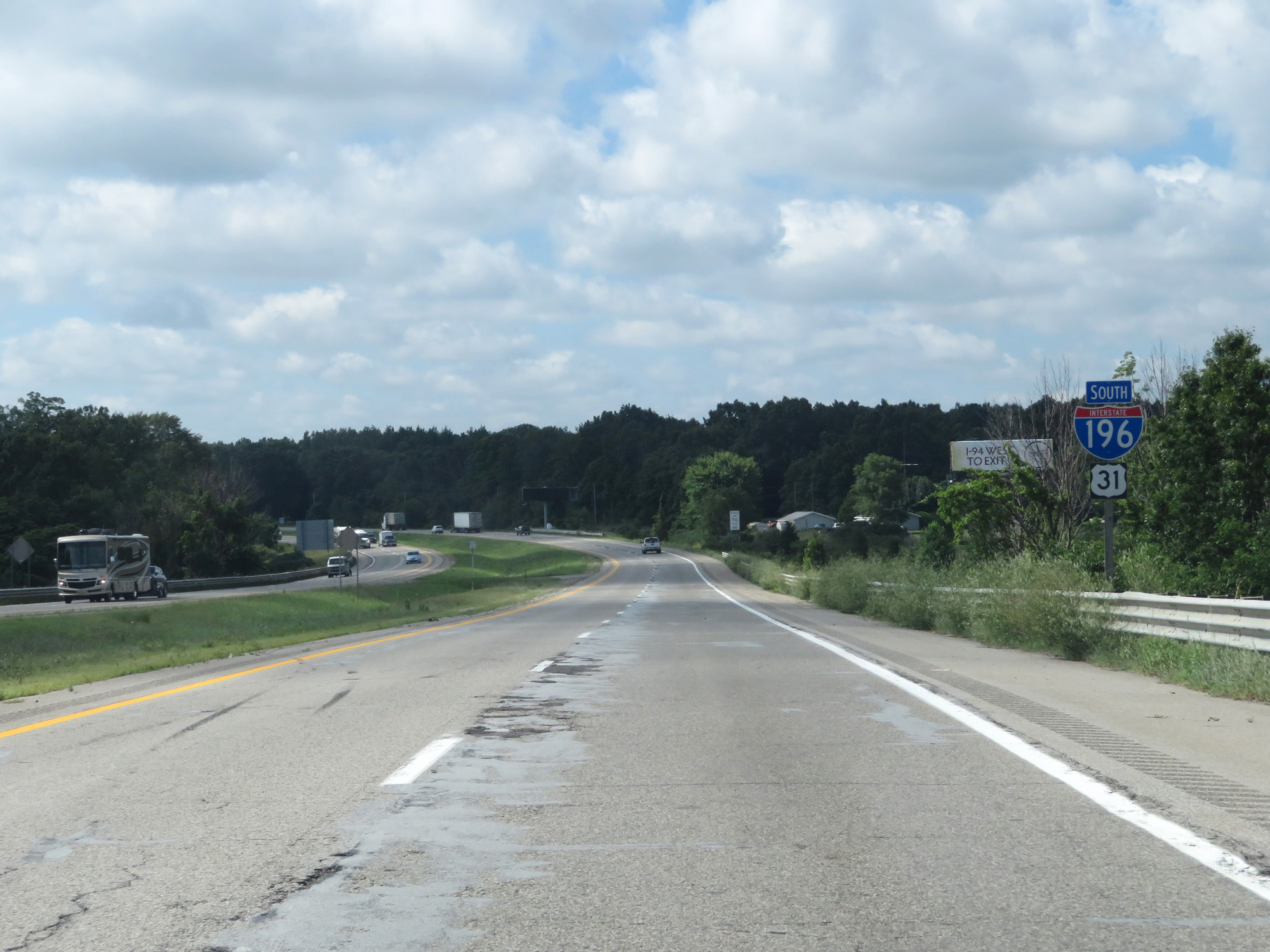
At mile marker 44, Interstate 196 becomes signed as South instead of West. It is signed I-196 South for its remaining 44 miles. (Photo taken 7/17/17). |
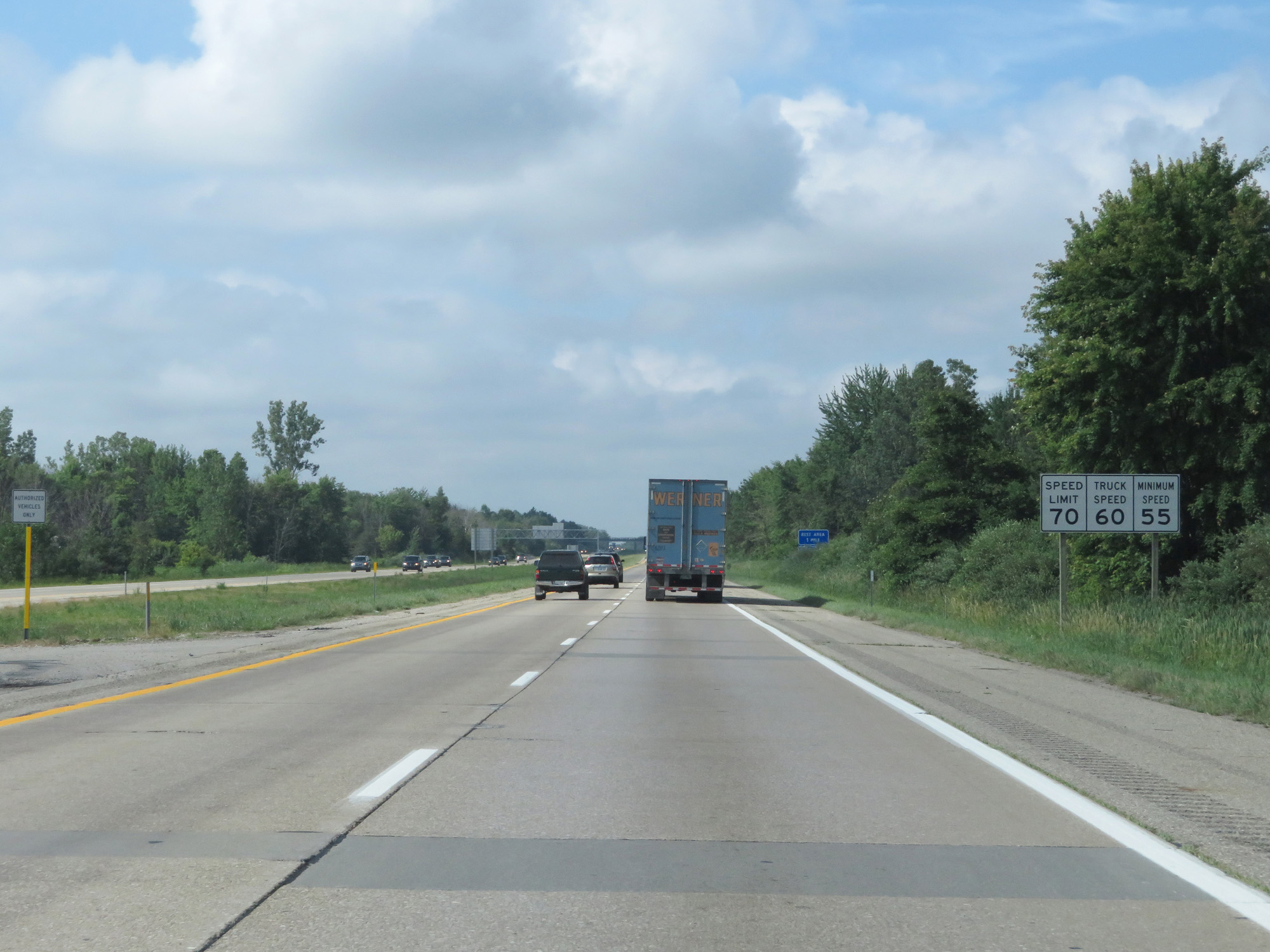 |
Speed limit signs on Interstate 196 South. The speed limits remain 70 mph for cars and 60 mph for trucks, with a minimum speed limit of 55 mph. (Photo taken 7/17/17). |
 |
Interstate 196 South at the Rest Area in Allegan County. (Photo taken 7/17/17). |
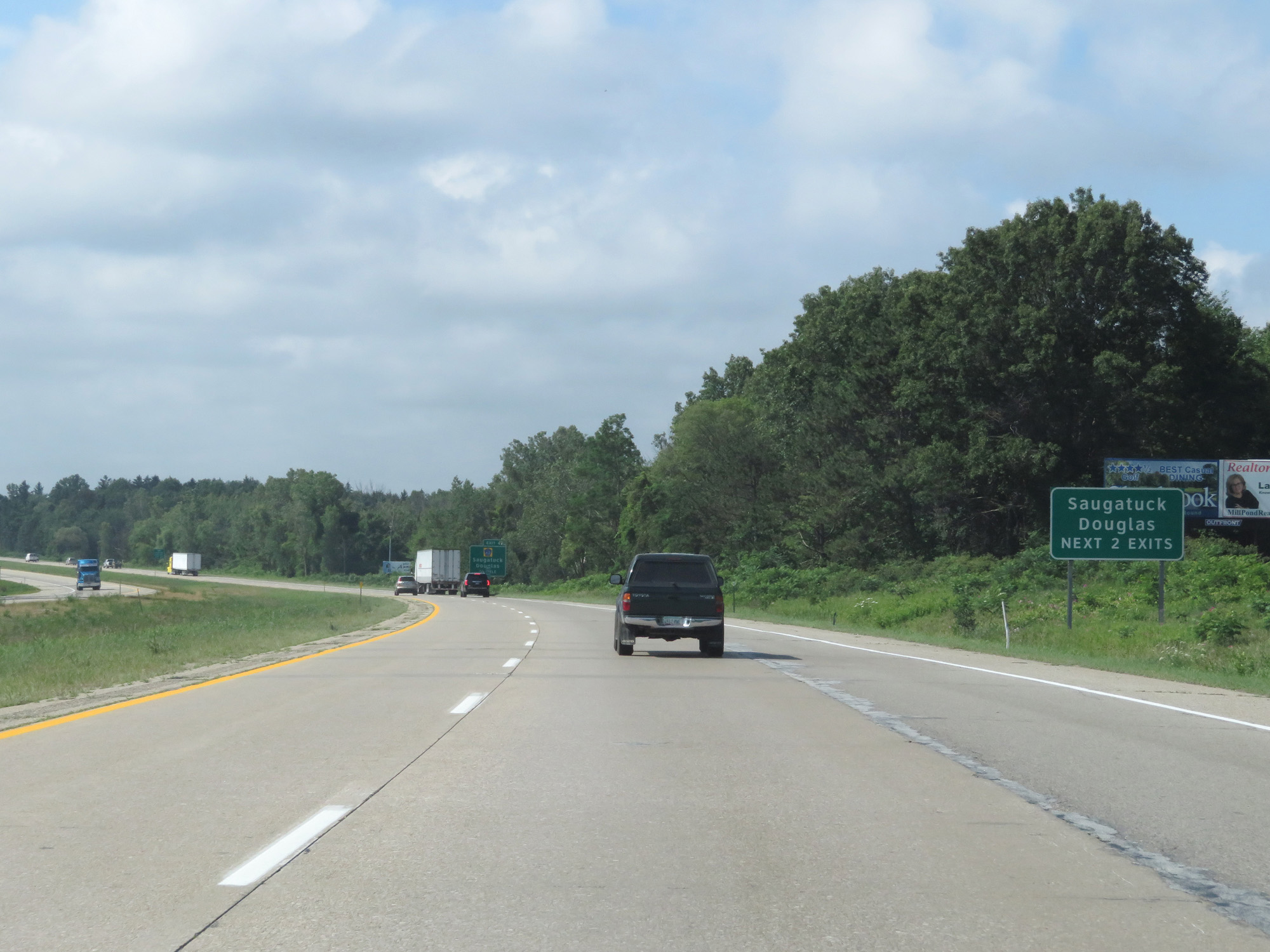 |
Take either of the next 2 exits to Saugatuck and Douglas. (Photo taken 7/17/17). |
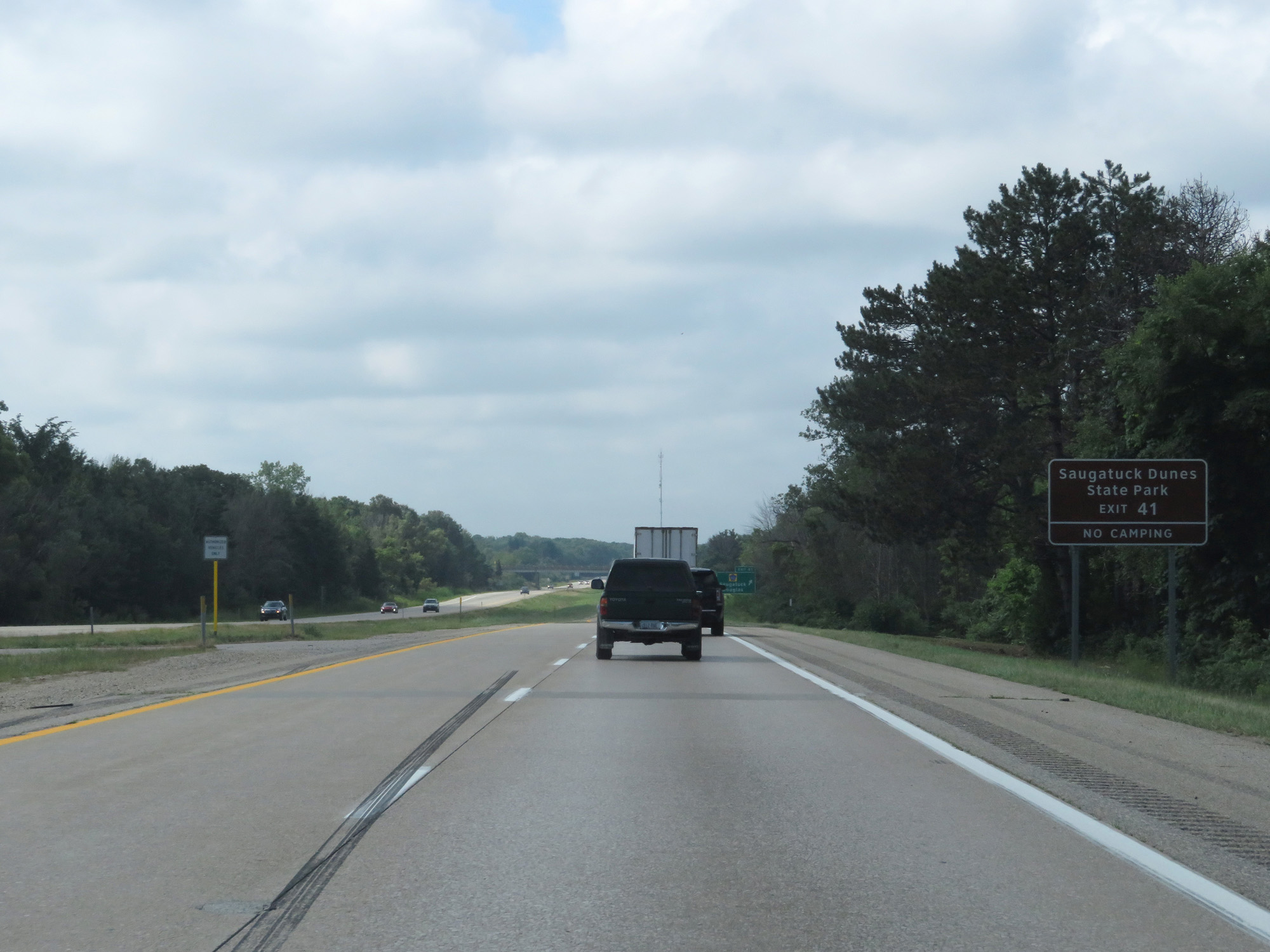 |
Take Exit 41 to Saugatuck Dunes State Park. (Photo taken 7/17/17). |
 |
Interstate 196 South at Exit 41: CR A2 - Saugatuck / Douglas (Photo taken 7/17/17). |
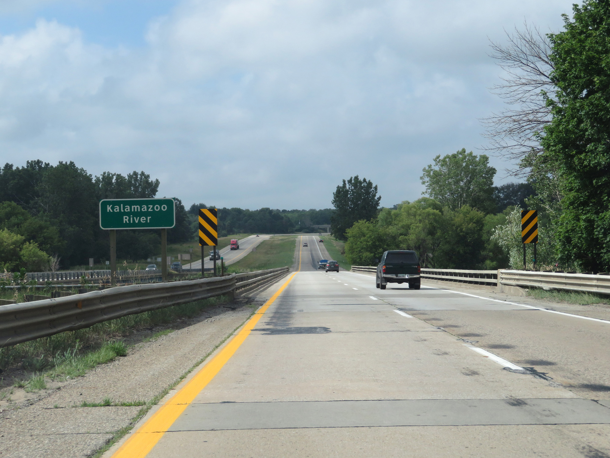 |
Interstate 196 South crossing the Kalamazoo River. (Photo taken 7/17/17). |
 |
Interstate 196 South at mile marker 38. That's a rough patch of road. (Photo taken 7/17/17). |
 |
Interstate 196 South at Exit 36: CR A2 - Ganges (Photo taken 7/17/17). |
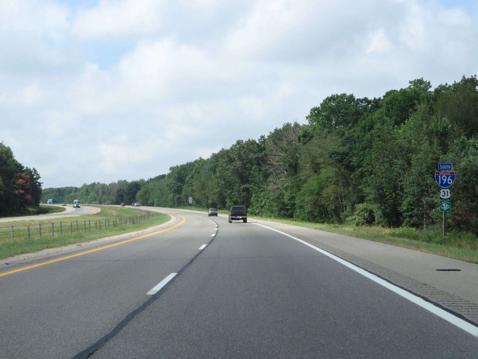 |
Interstate 196 South / US 31 South reassurance shields. (Photo taken 7/17/17). |
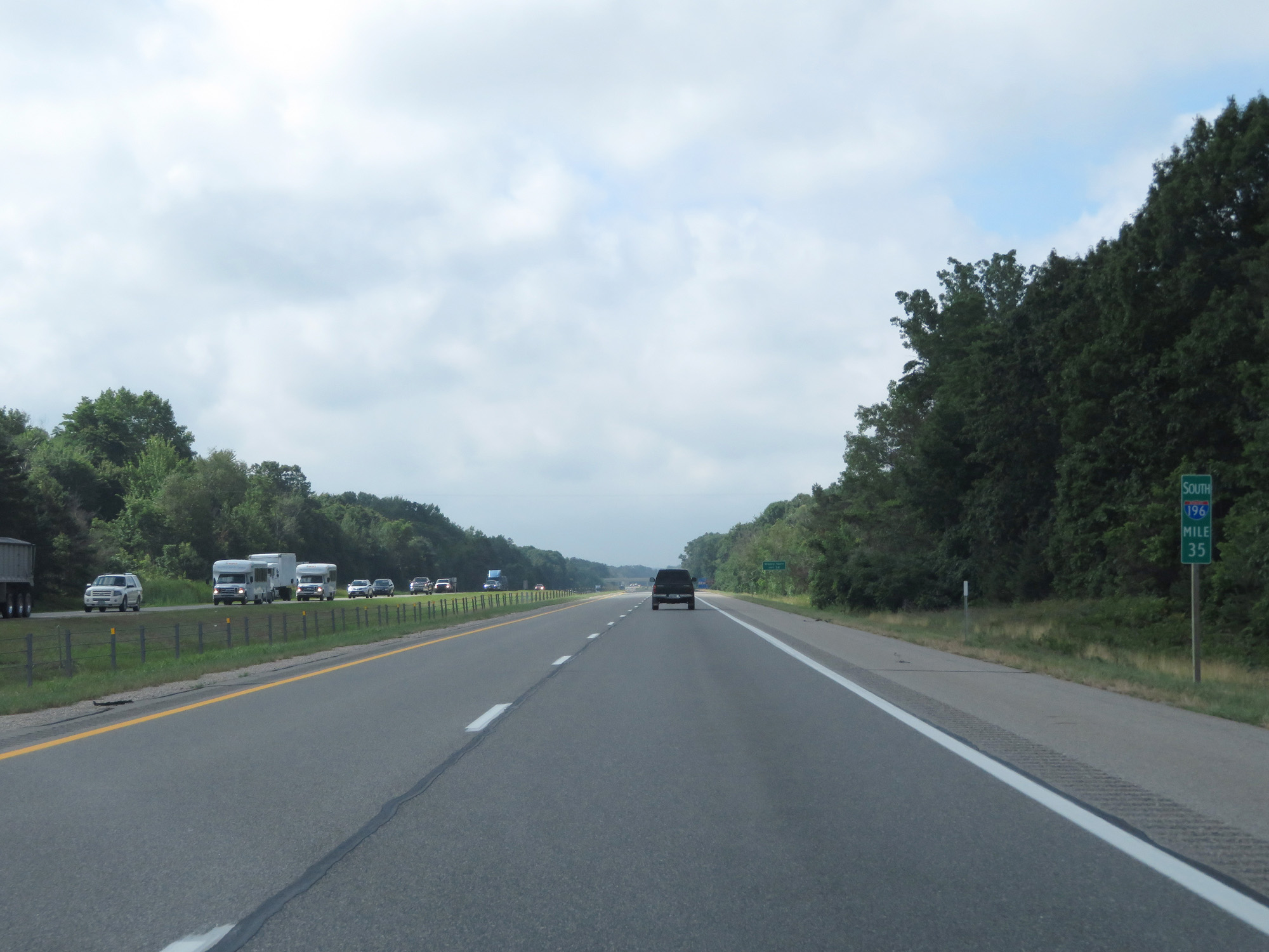 |
Interstate 196 South at mile marker 35. (Photo taken 7/17/17). |
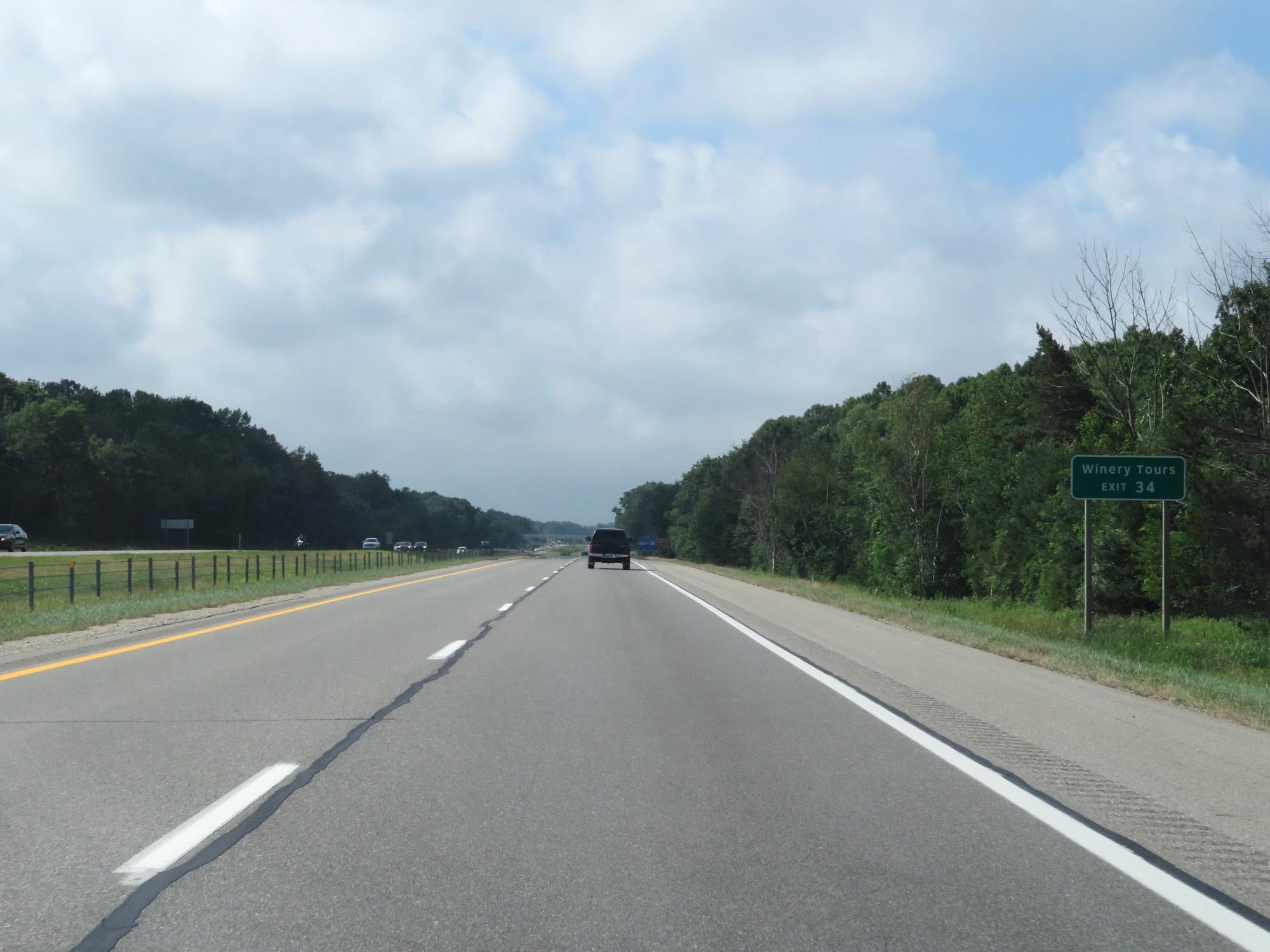 |
Take Exit 34 to Winery Tours. (Photo taken 7/17/17). |
 |
Also take Exit 34 to West Side County Park. (Photo taken 7/17/17). |
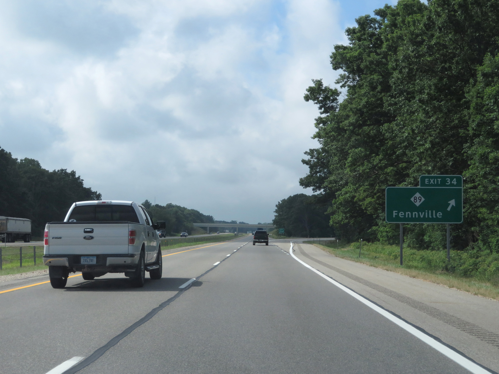 |
Interstate 196 South at Exit 34: M-89 - Fennville (Photo taken 7/17/17). |
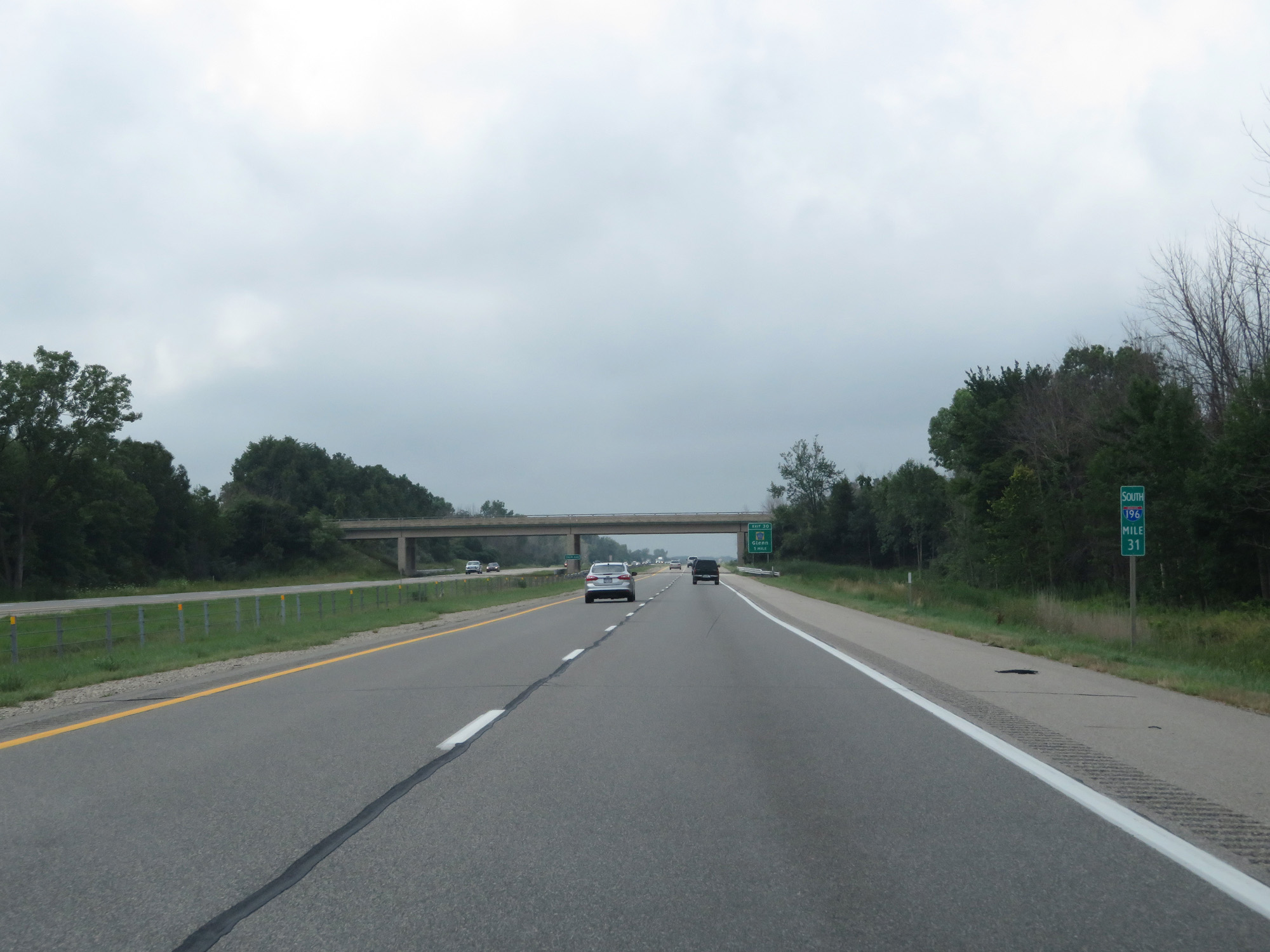 |
Interstate 196 South at mile marker 31. (Photo taken 7/17/17). |
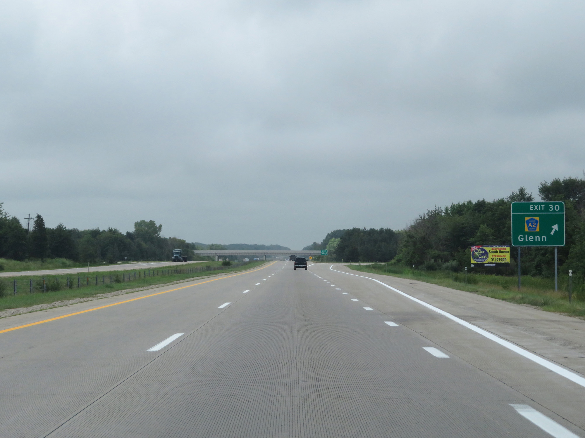 |
Interstate 196 South at Exit 30: CR A2 - Glenn (Photo taken 7/17/17). |
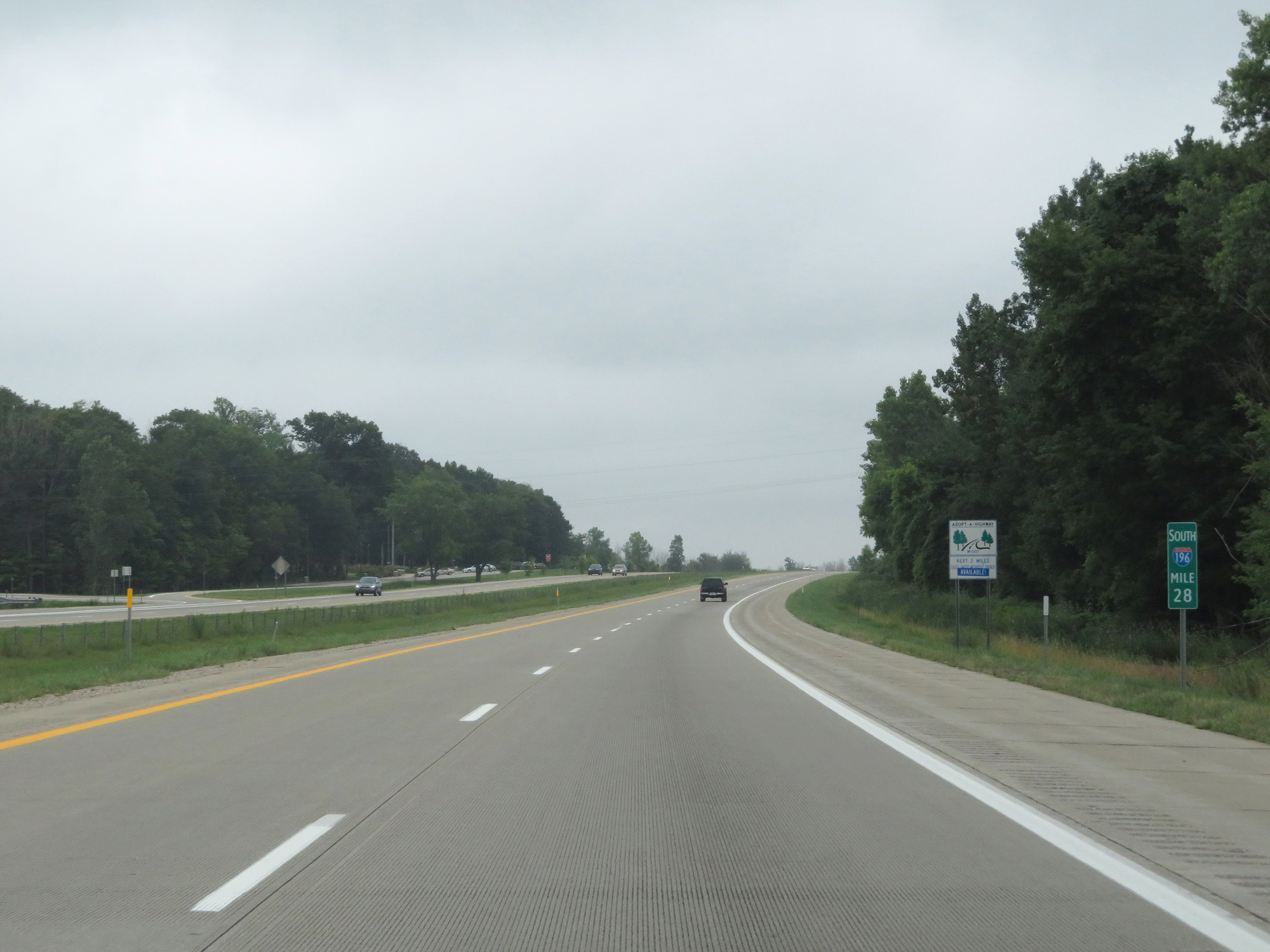 |
Interstate 196 South at mile marker 28. (Photo taken 7/17/17). |
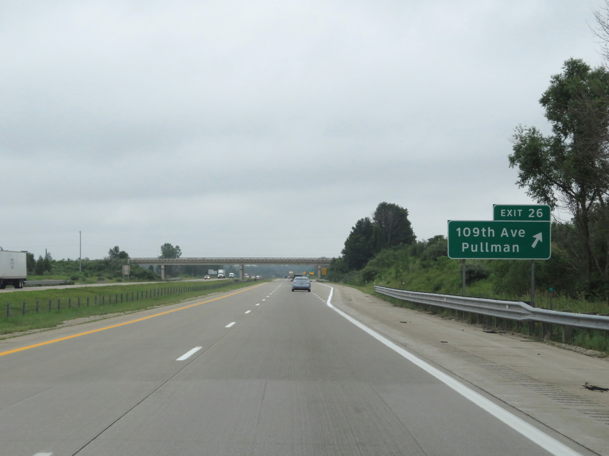 |
Interstate 196 South at Exit 26: 109th Ave / Pullman (Photo taken 7/17/17). |
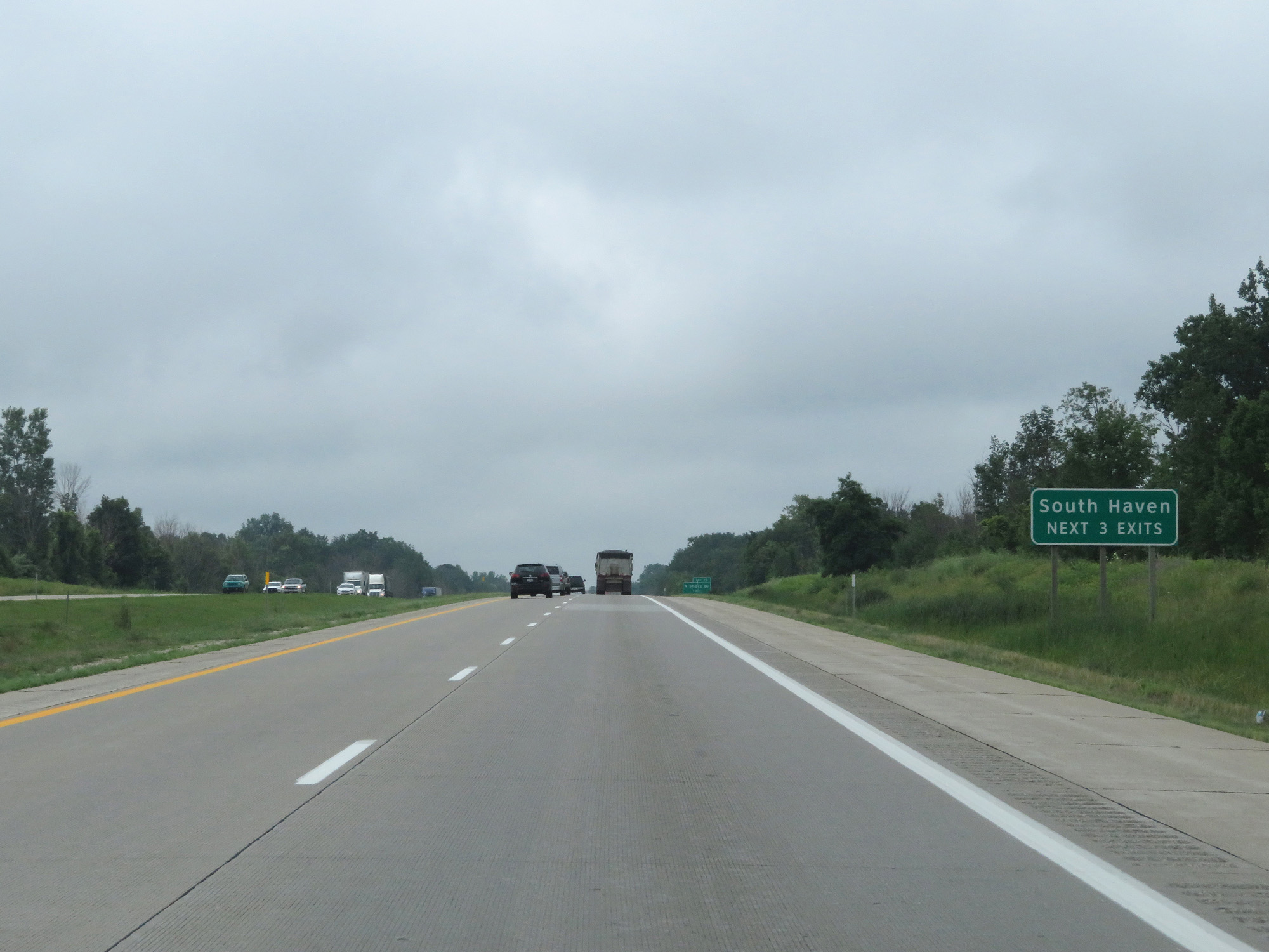 |
Take any of the next 3 exits to South Haven. (Photo taken 7/17/17). |
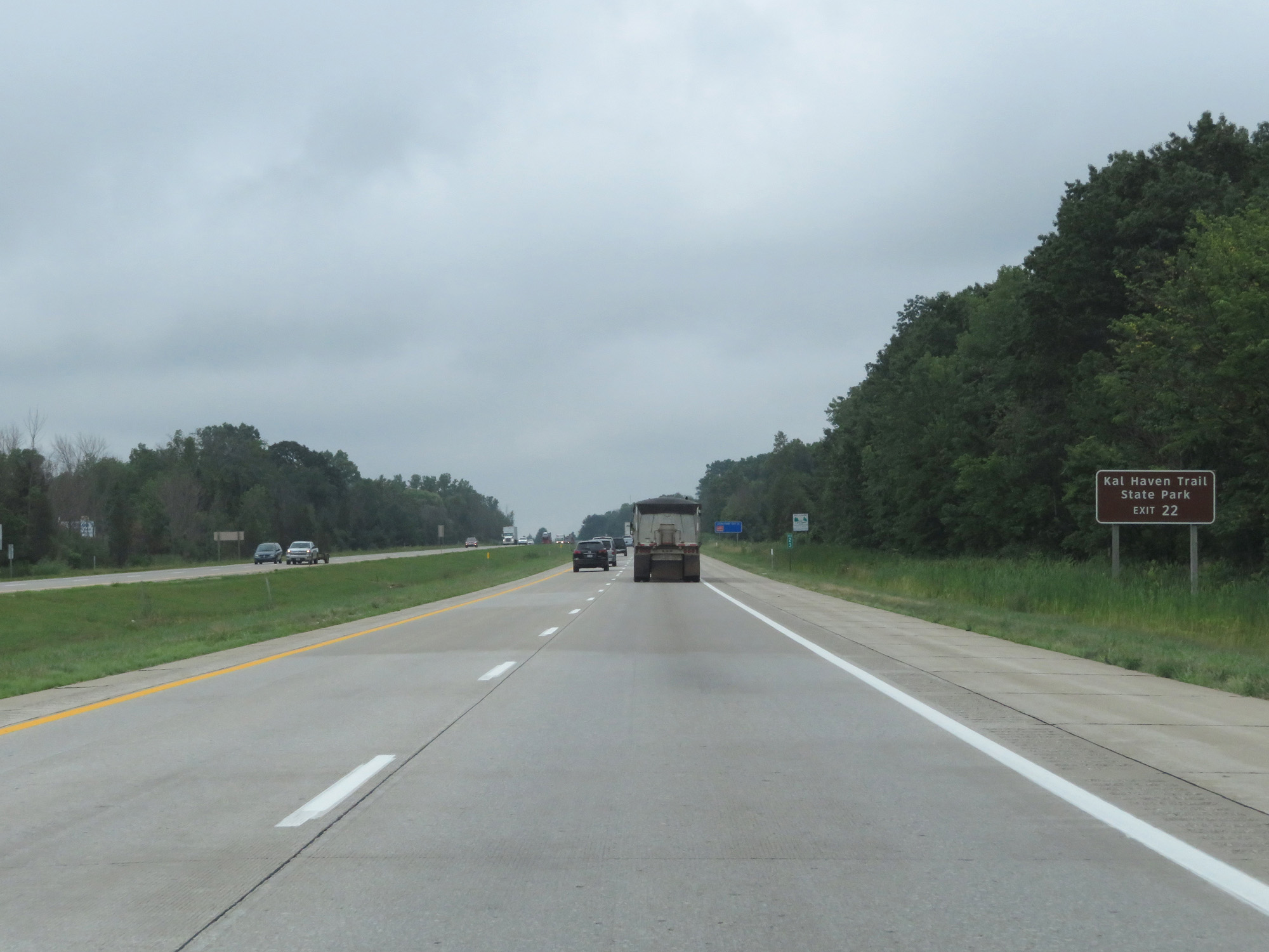 |
Take Exit 22 to Kal Haven Trail State Park. (Photo taken 7/17/17). |
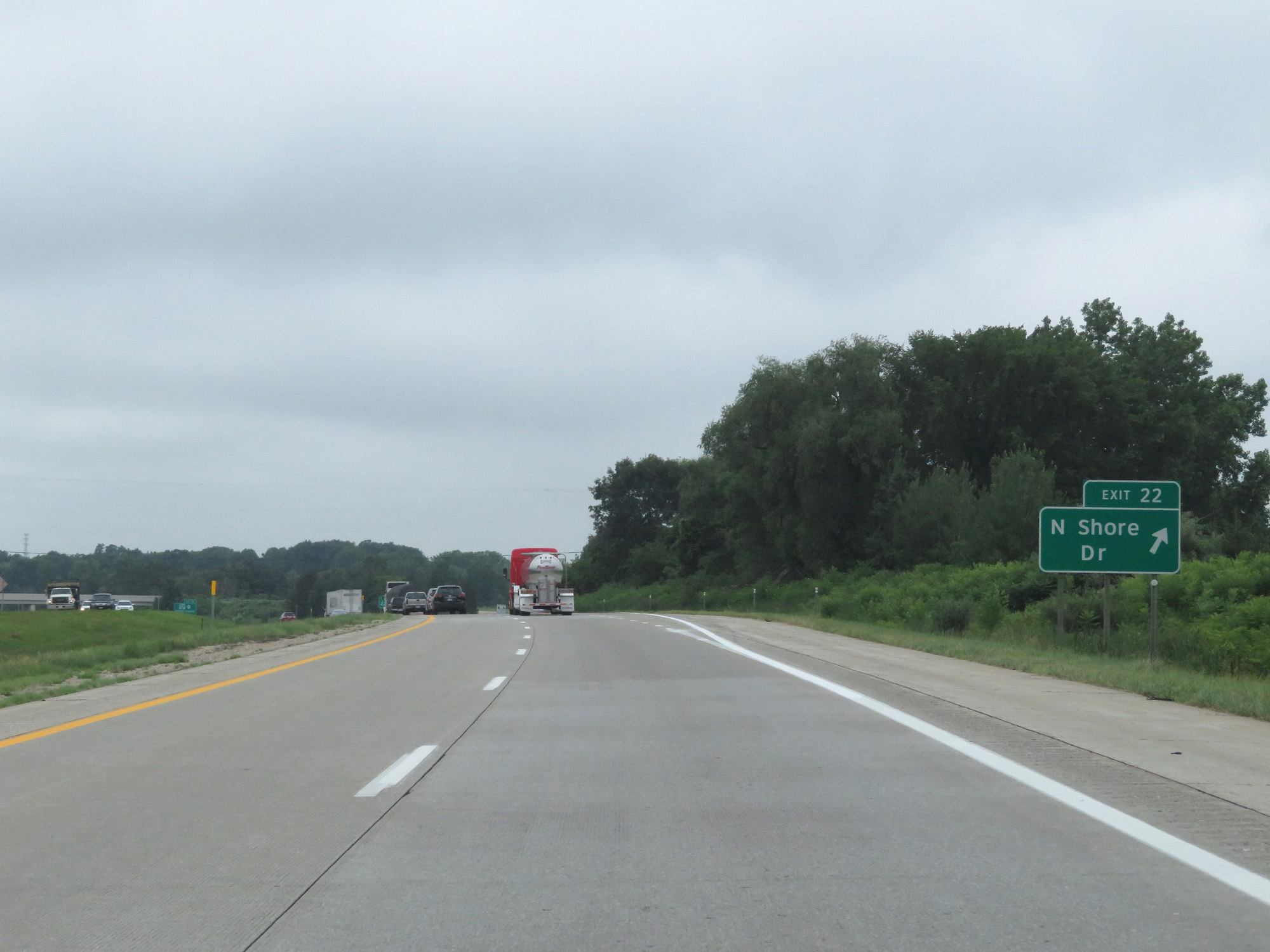 |
Interstate 196 South at Exit 22: N Shore Dr (Photo taken 7/17/17). |
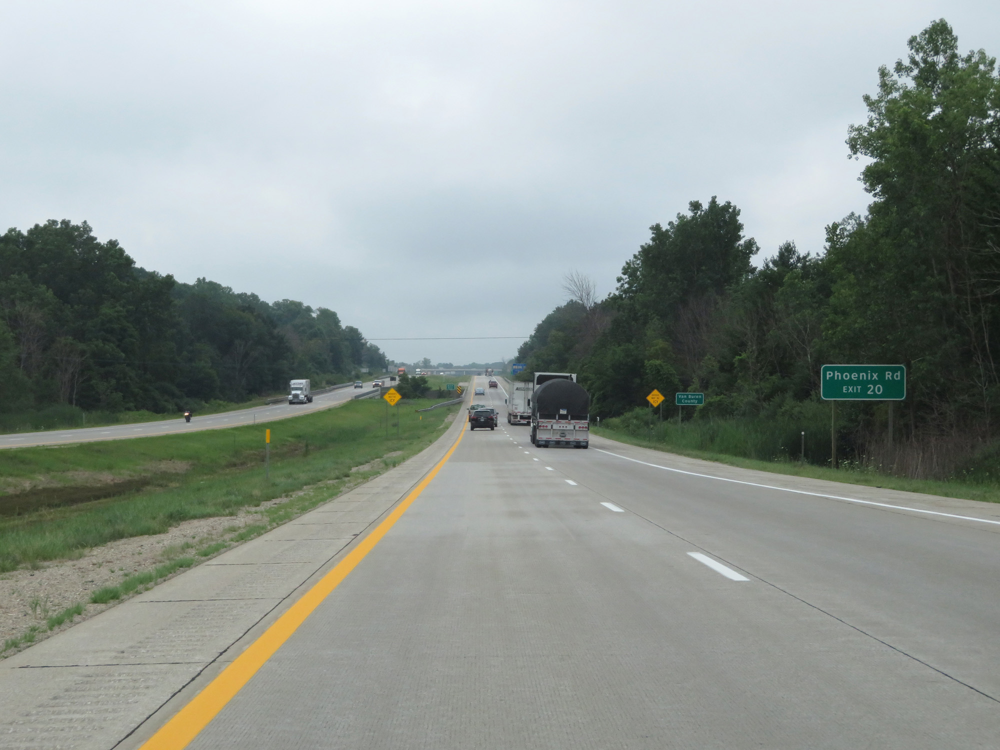 |
Take Exit 20 to Phoenix Rd. (Photo taken 7/17/17). |
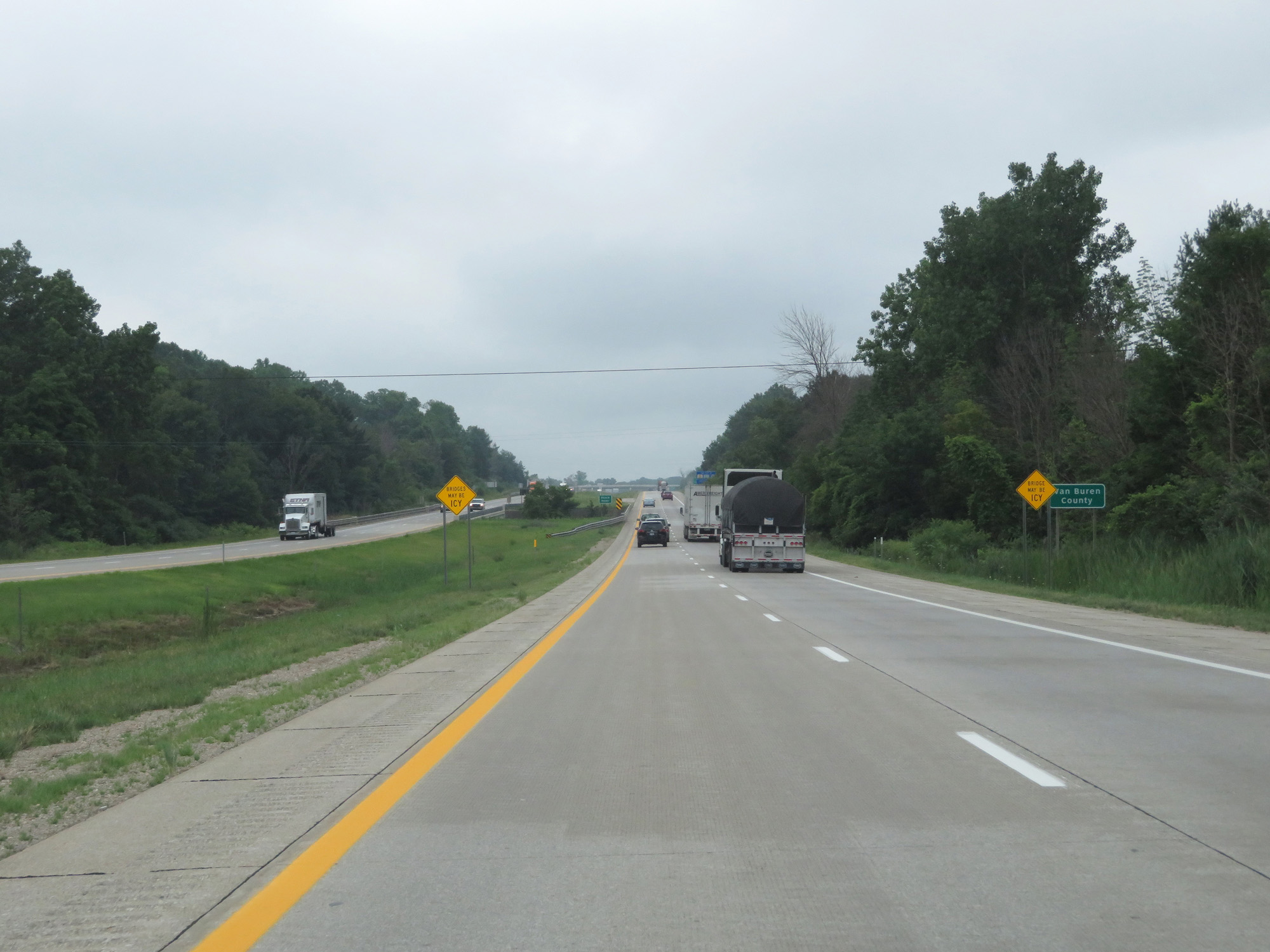 |
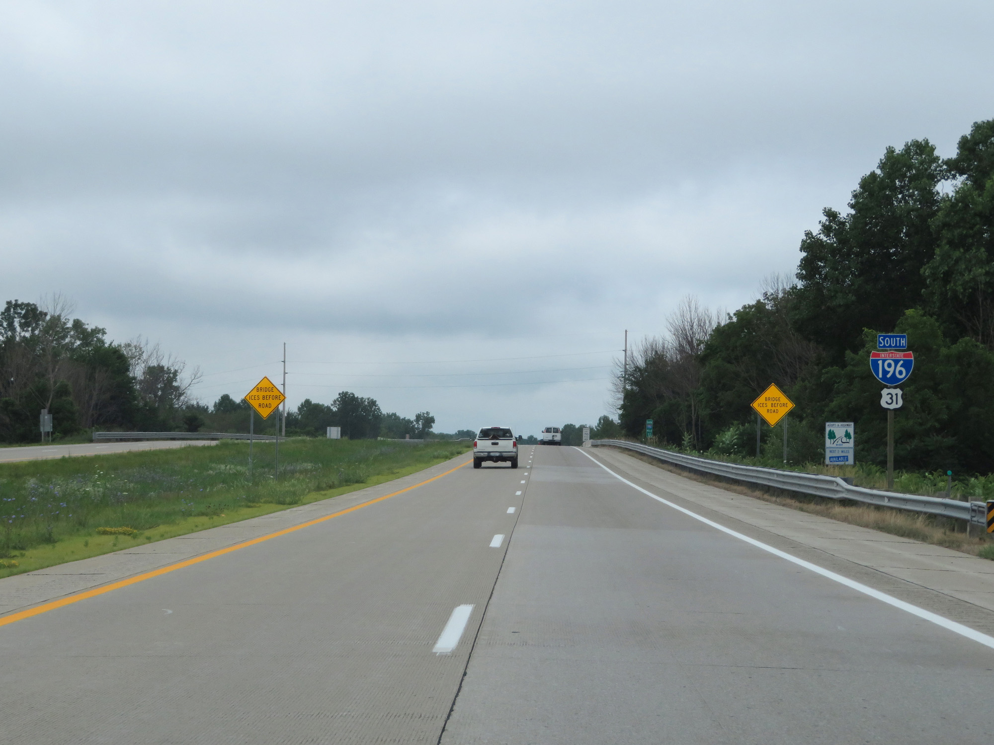
Interstate 196 South entering Van Buren County. (Photo taken 7/17/17). |
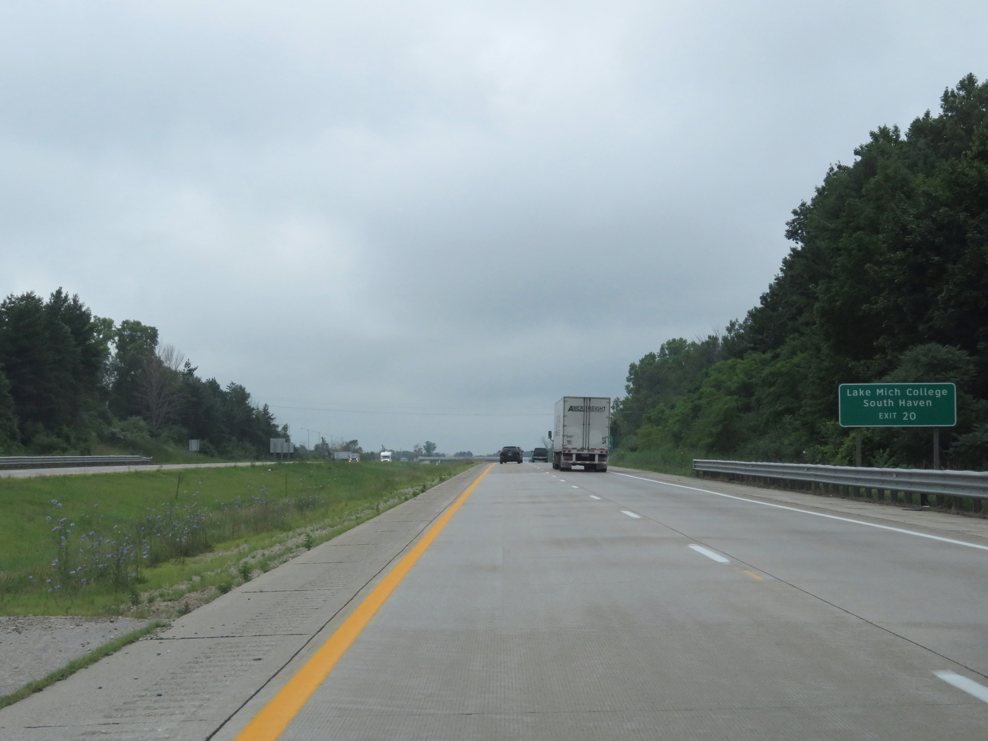 |
Also take Exit 20 to Lake Michigan College and South Haven. (Photo taken 7/17/17). |
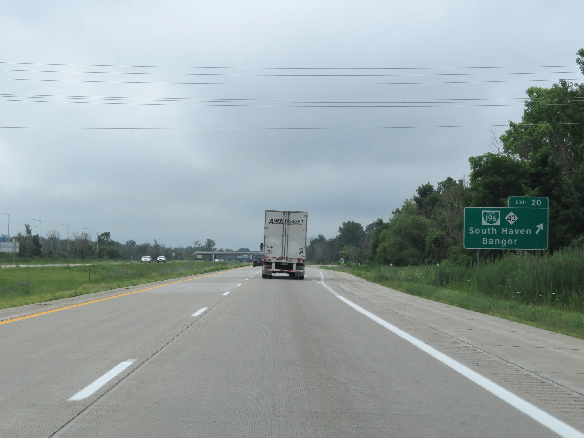 |
Interstate 196 South at Exit 20: Interstate 196 Business Loop / M-43 - South Haven / Bangor (Photo taken 7/17/17). |
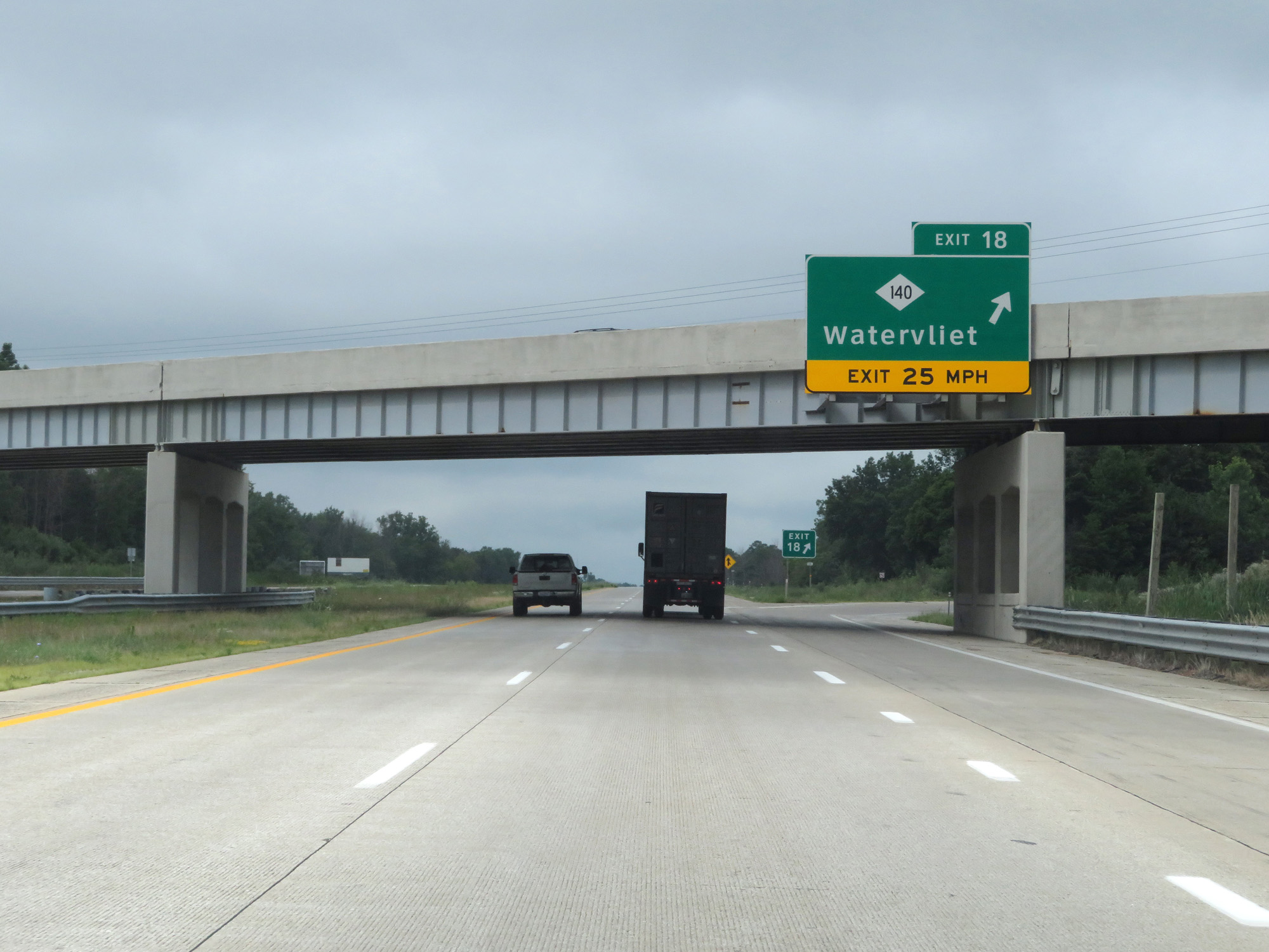 |
Interstate 196 South at Exit 18: M-140 - Watervliet (Photo taken 7/17/17). |
 |
Interstate 196 South / US 31 South reassurance markers. (Photo taken 7/17/17). |
 |
Interstate 196 South at mile marker 15. (Photo taken 7/17/17). |
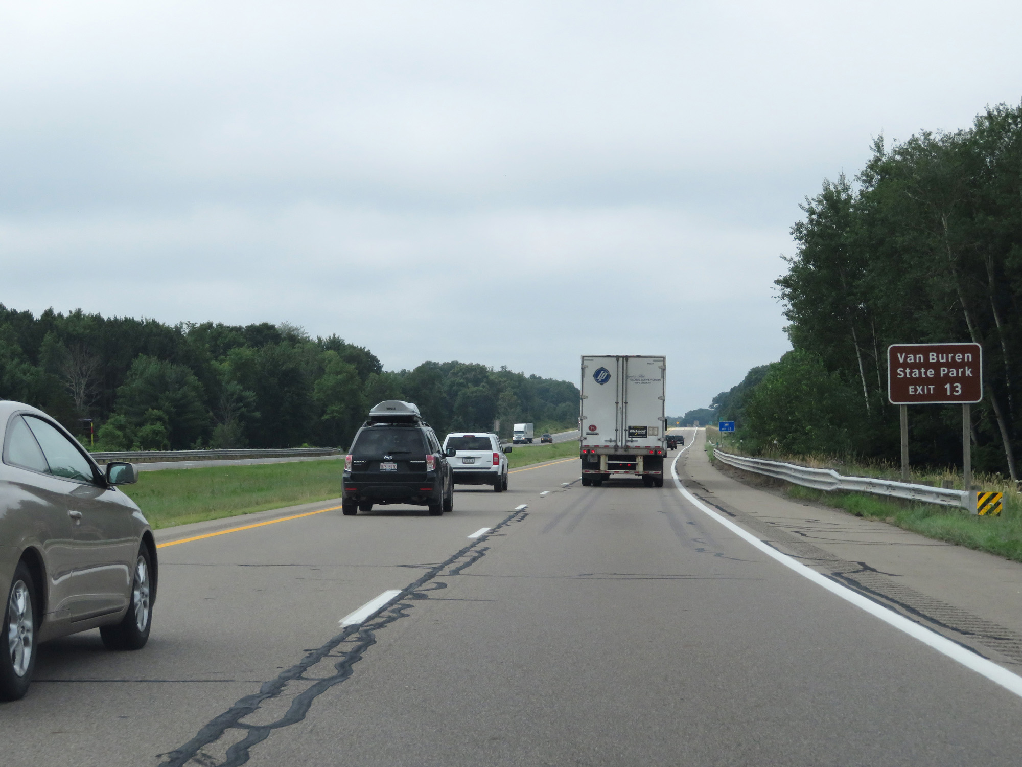 |
Take Exit 13 to Van Buren State Park. (Photo taken 7/17/17). |
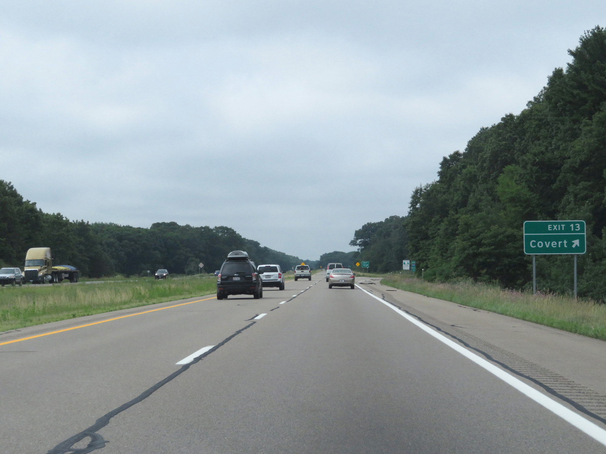 |
Interstate 196 South at Exit 13: Covert (Photo taken 7/17/17). |
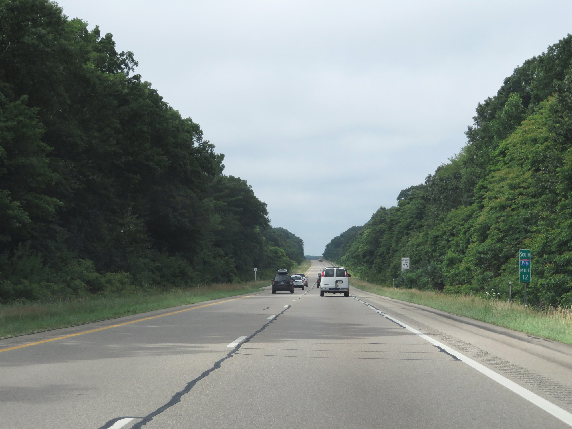 |
Interstate 196 South at mile marker 12. (Photo taken 7/17/17). |
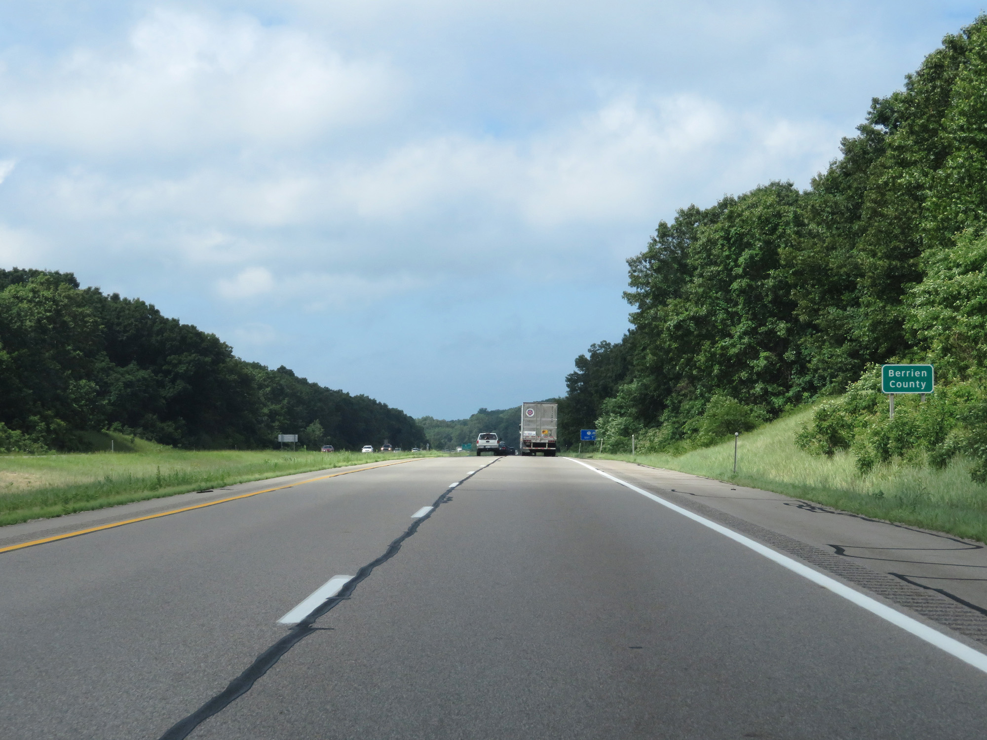 |
Interstate 196 South entering Berrien County. (Photo taken 7/17/17). |
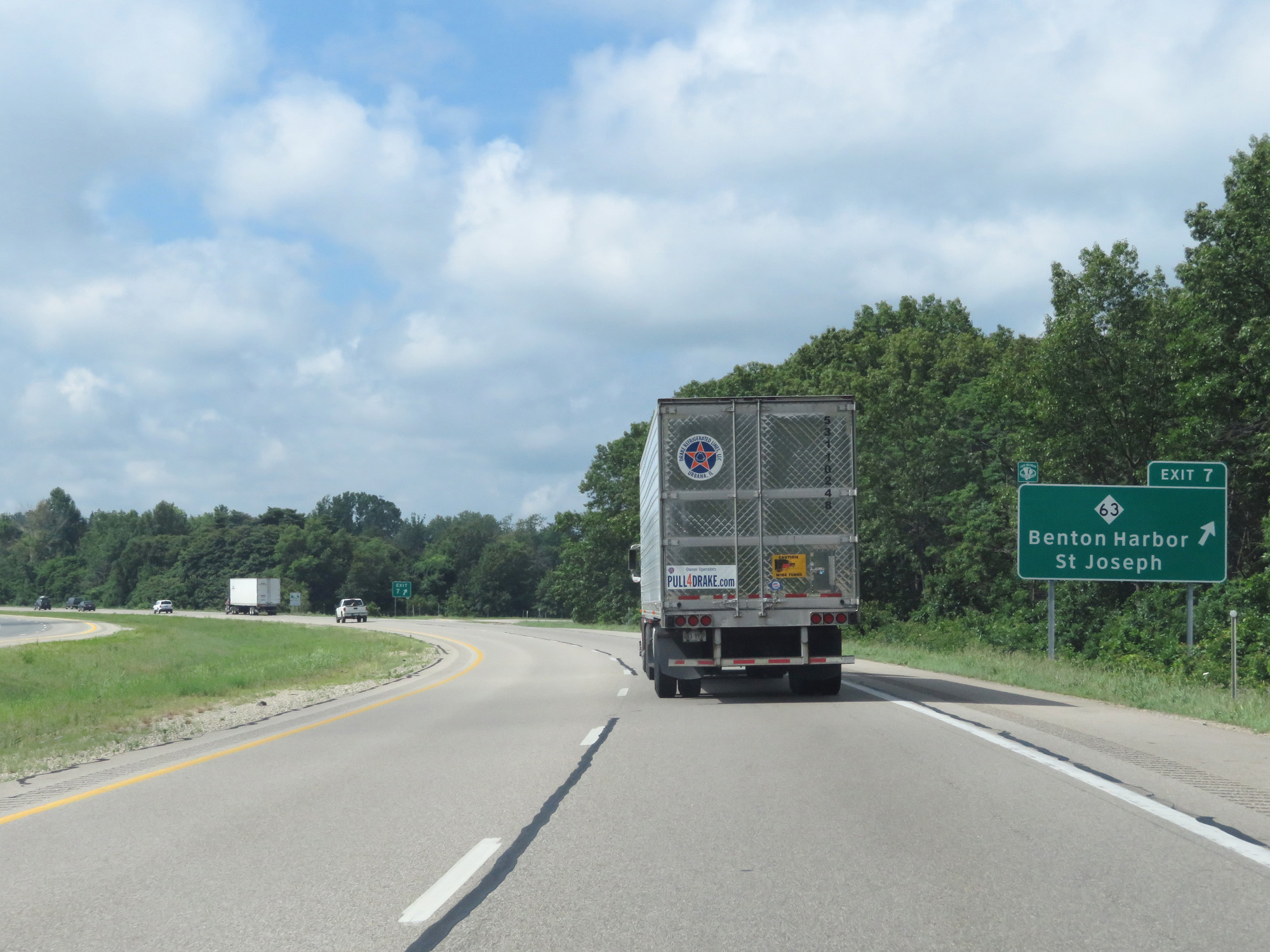 |
Interstate 196 South at Exit 7: M-63 - Benton Harbor / St Joseph (Photo taken 7/17/17). |
 |
Mileage sign on Interstate 196 South. It's 11 miles to Benton Harbor, 33 miles to Niles, and 99 miles to Chicago. (Photo taken 7/17/17). |
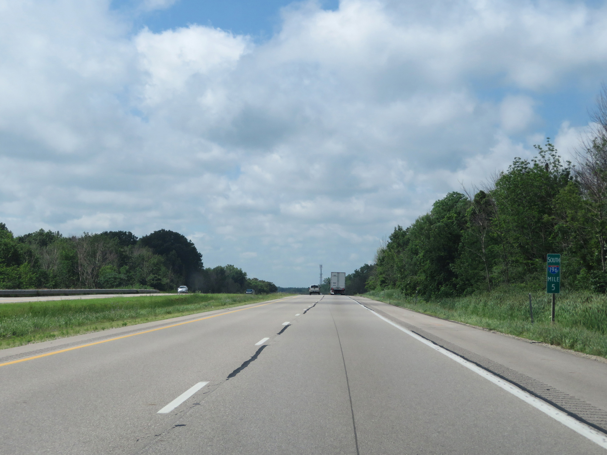 |
Interstate 196 South at mile marker 5. (Photo taken 7/17/17). |
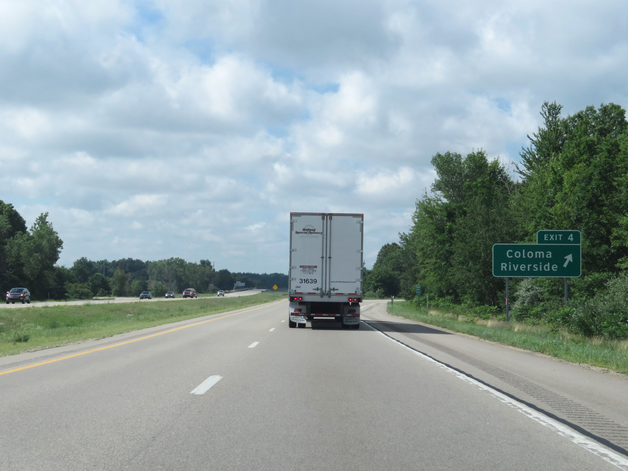 |
Interstate 196 South at Exit 4: Coloma / Riverside (Photo taken 7/17/17). |
 |
Interstate 196 South / US 31 South reassurance shields. (Photo taken 7/17/17). |
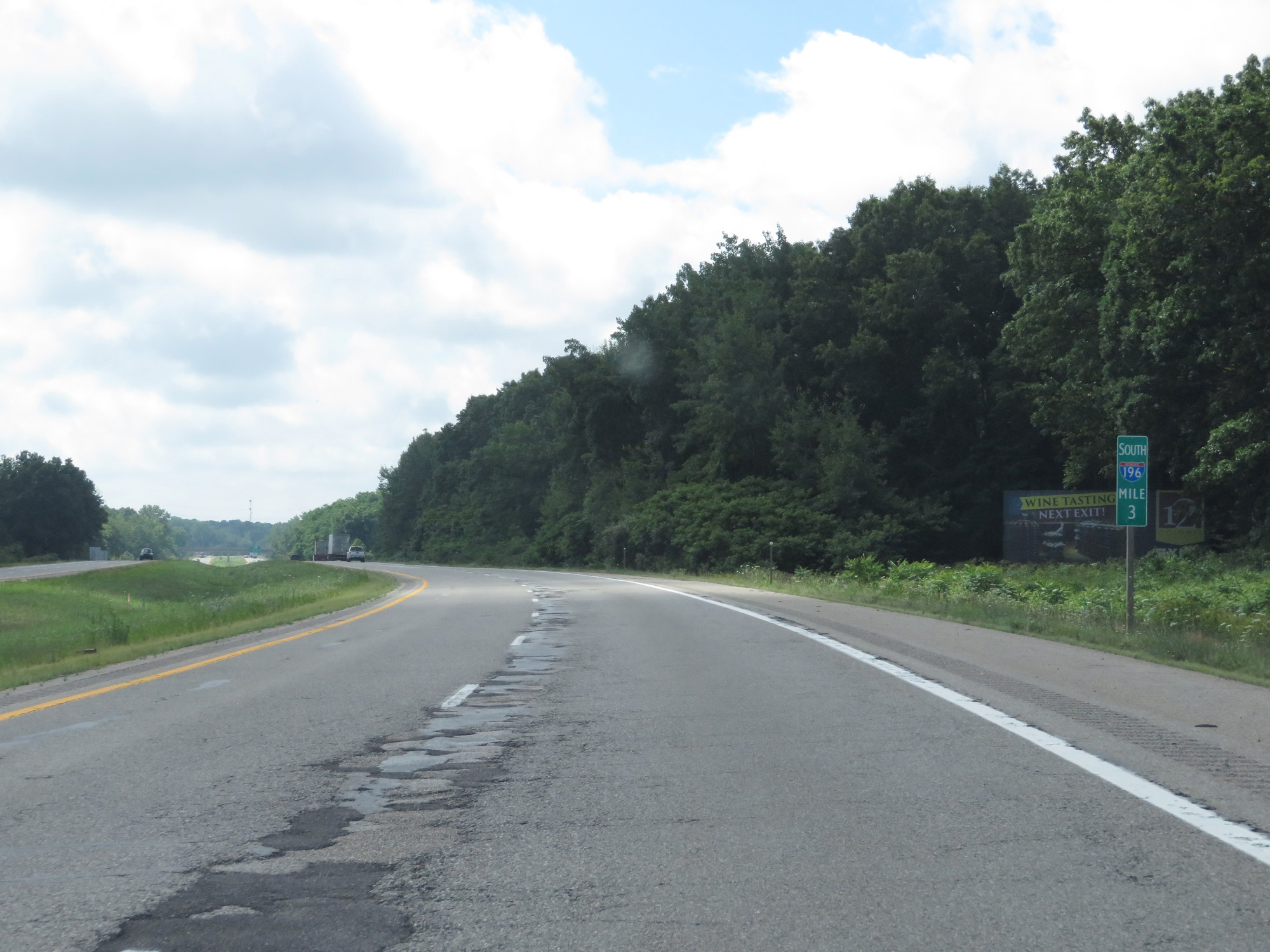 |
Interstate 196 South at mile marker 3. (Photo taken 7/17/17). |
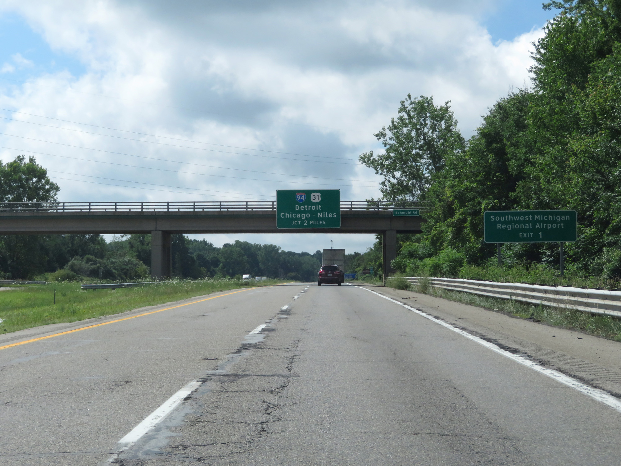 |
Take Exit 1 to Southwest Michigan Regional Airport. (Photo taken 7/17/17). |
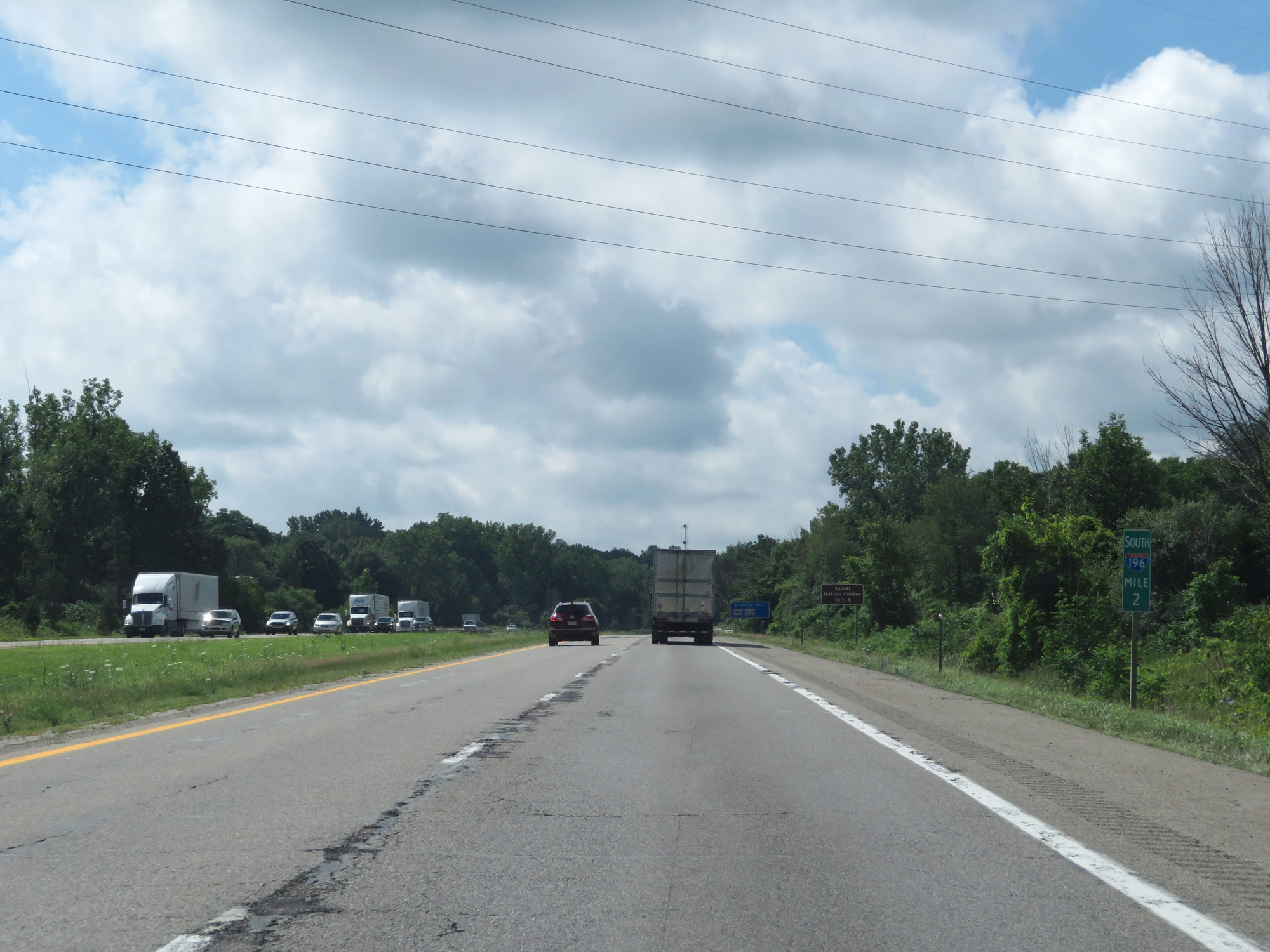 |
Interstate 196 South at mile marker 2. (Photo taken 7/17/17). |
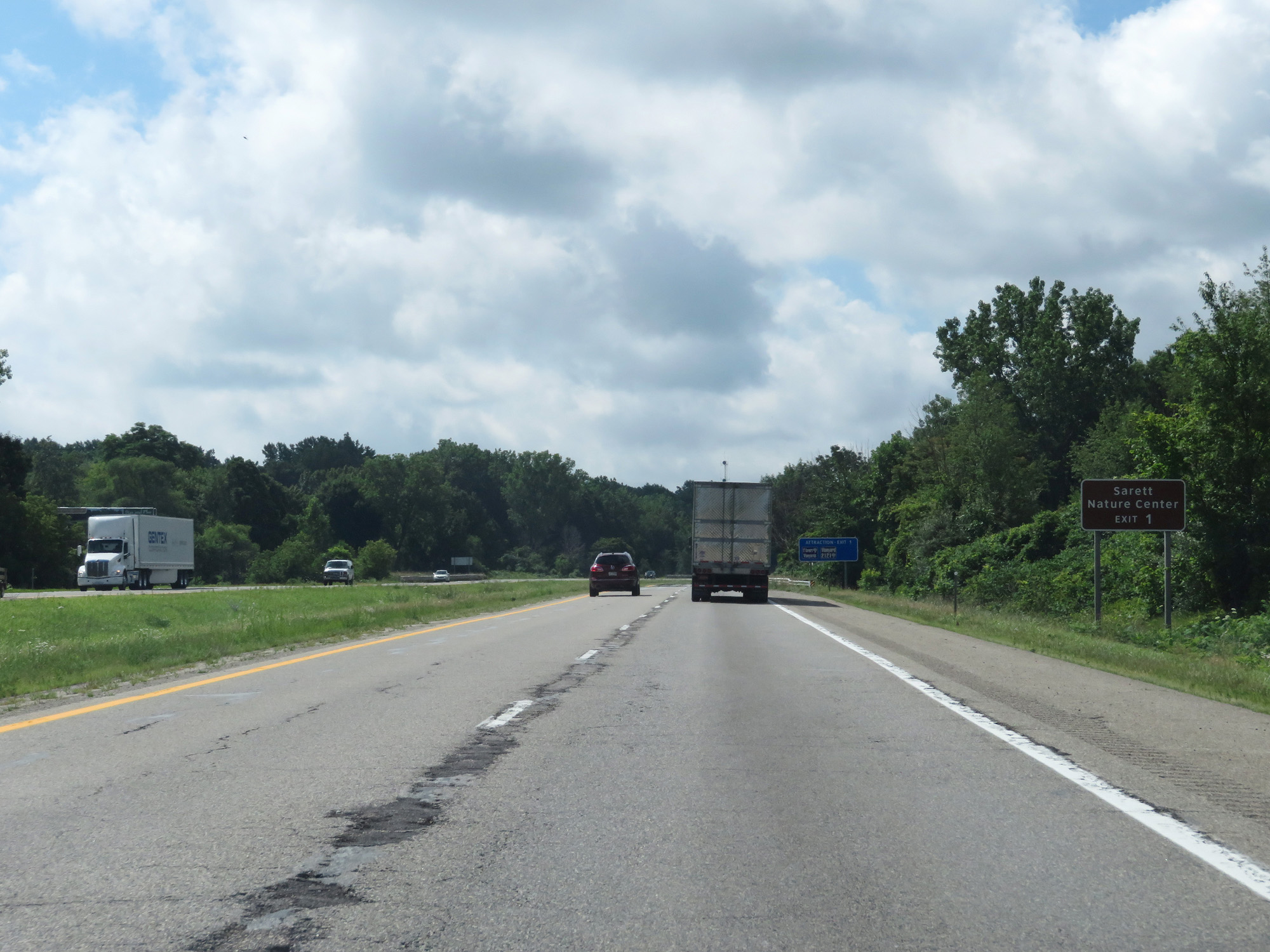 |
Also take Exit 1 to Sarett Nature Center. (Photo taken 7/17/17). |
 |
Interstate 196 South at Exit 1: Red Arrow Hwy (Photo taken 7/17/17). |
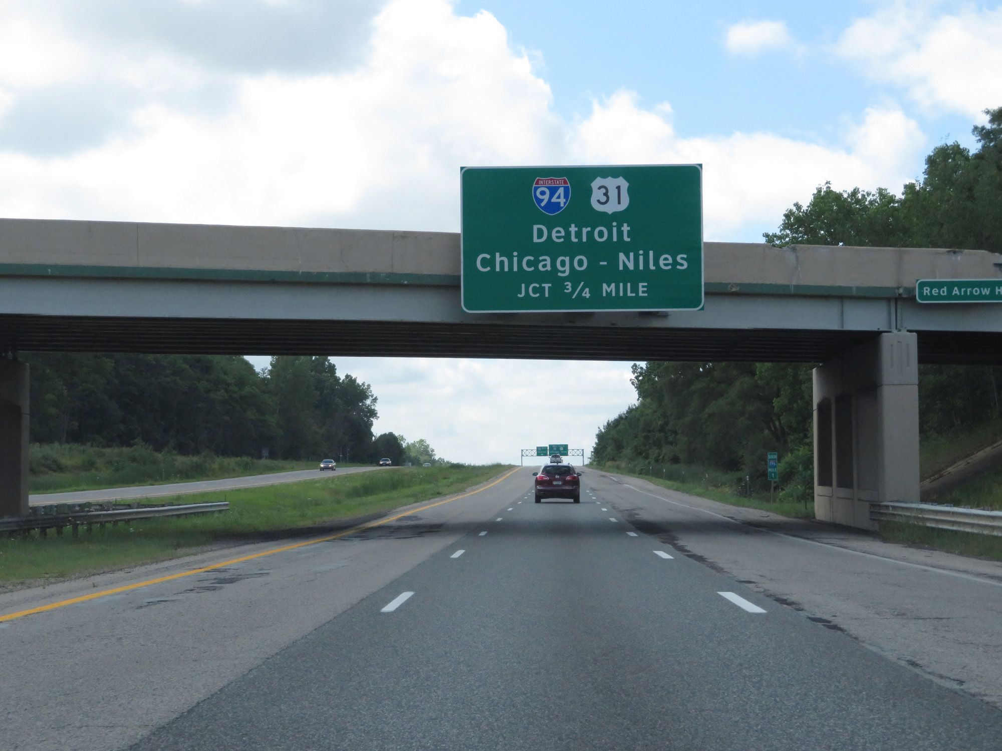 |
Interstate 196 South approaching its southern terminus at the junction of Interstate 94 - 3/4 mile. (Photo taken 7/17/17). |
 |
Use the left lane to go onto Interstate 94 East toward Detroit. Stay in the right lane to go onto Interstate 94 West toward Chicago and Niles. (Photo taken 7/17/17). |
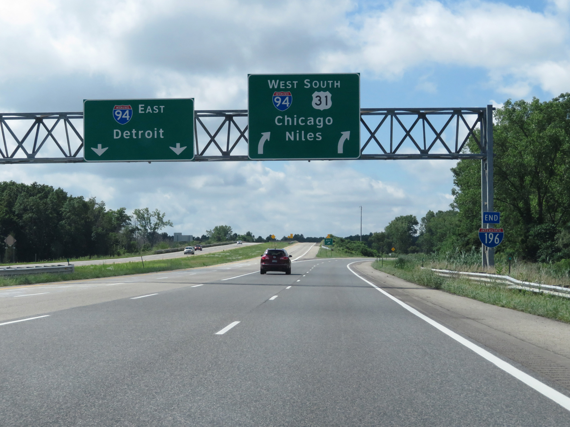 |
Interstate 196 END shield at the junction of Interstate 94. (Photo taken 7/17/17). |
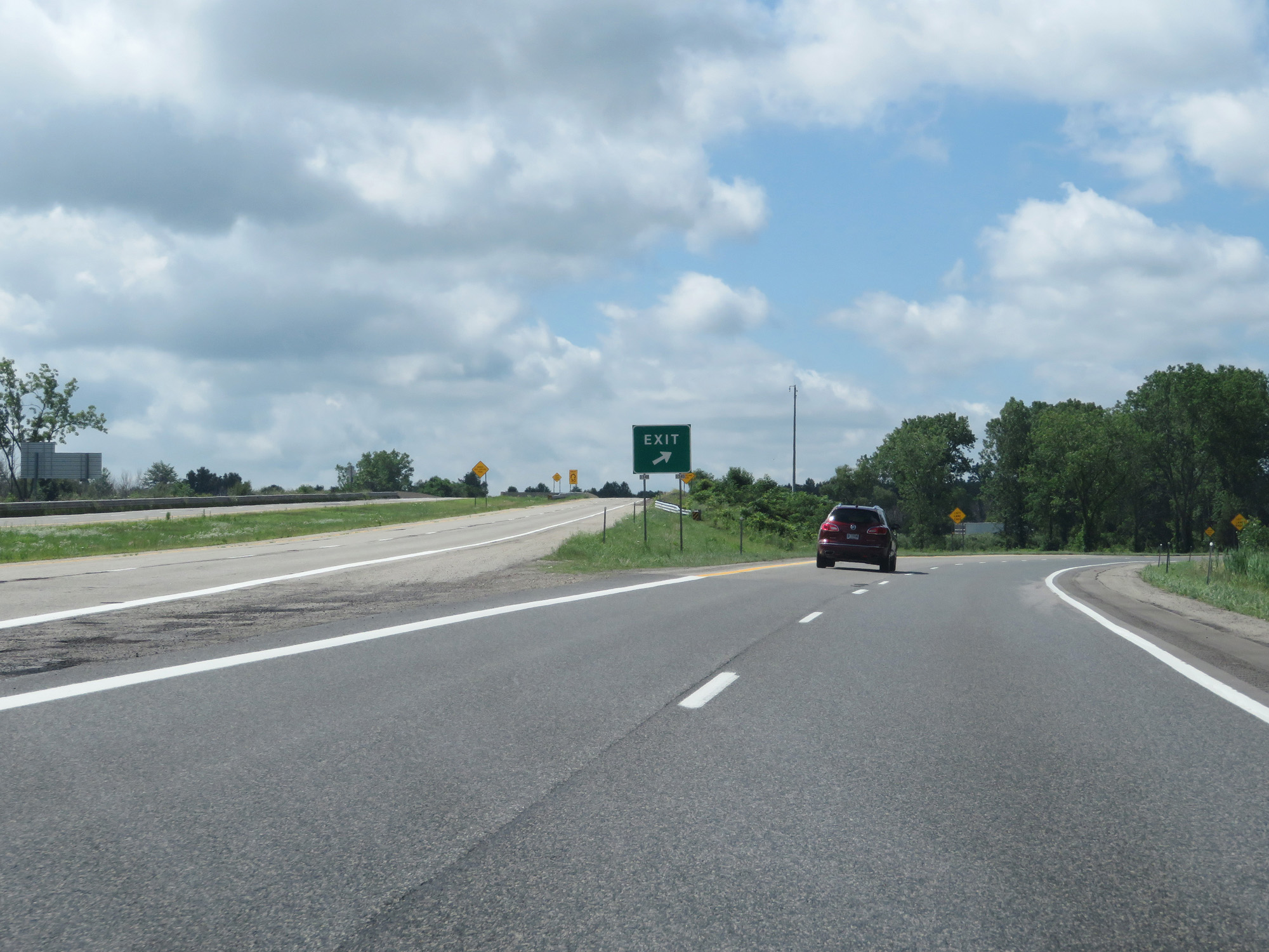 |
View of the ramp split for Interstate 94. (Photo taken 7/17/17). |
 |
View on the ramp to Interstate 94 West. (Photo taken 7/17/17). |
 |
The ramp to Interstate 94 West is reduced to a single lane just ahead. (Photo taken 7/17/17). |
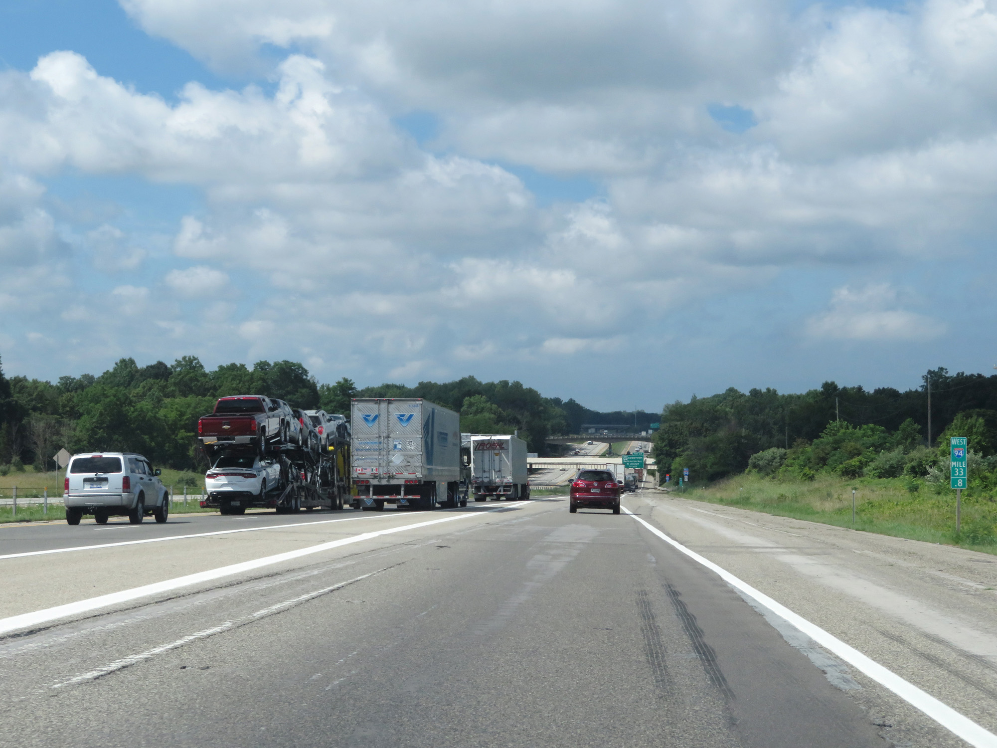 |
The ramp from Interstate 196 South to Interstate 94 West joins I-94 at mile marker 33.8. (Photo taken 7/17/17). |