Road Information |
||
 |
||
| Total Mileage in State: | 247 miles | |
| Northern End: | At Arkansas state line | |
| Southern End: | At I-10, in Lafayette | |
| Mileage covered in Photos: | 206 miles | |
| Parishes covered in Photos: | Caddo, DeSoto, Natchitoches, Rapides, Avoyelles, Evangeline, St. Landry, Lafayette | |
| Major Junctions in Photos: | US 71/US 165, in Alexandria I-10, in Lafayette |
|
| Control Cities in Photos: | Shreveport, Alexandria, Opelousas, Lafayette | |
Southbound
- Section 1: Shreveport (Interstate 20) to Natchitoches (Exit 138)
- Section 2: Natchitoches (Exit 138) to Alexandria (Exit 80)
- Section 3: Alexandria (Exit 80) to Lafayette (Interstate 10)
Section 1: Shreveport (Interstate 20) to Natchitoches (Exit 138)
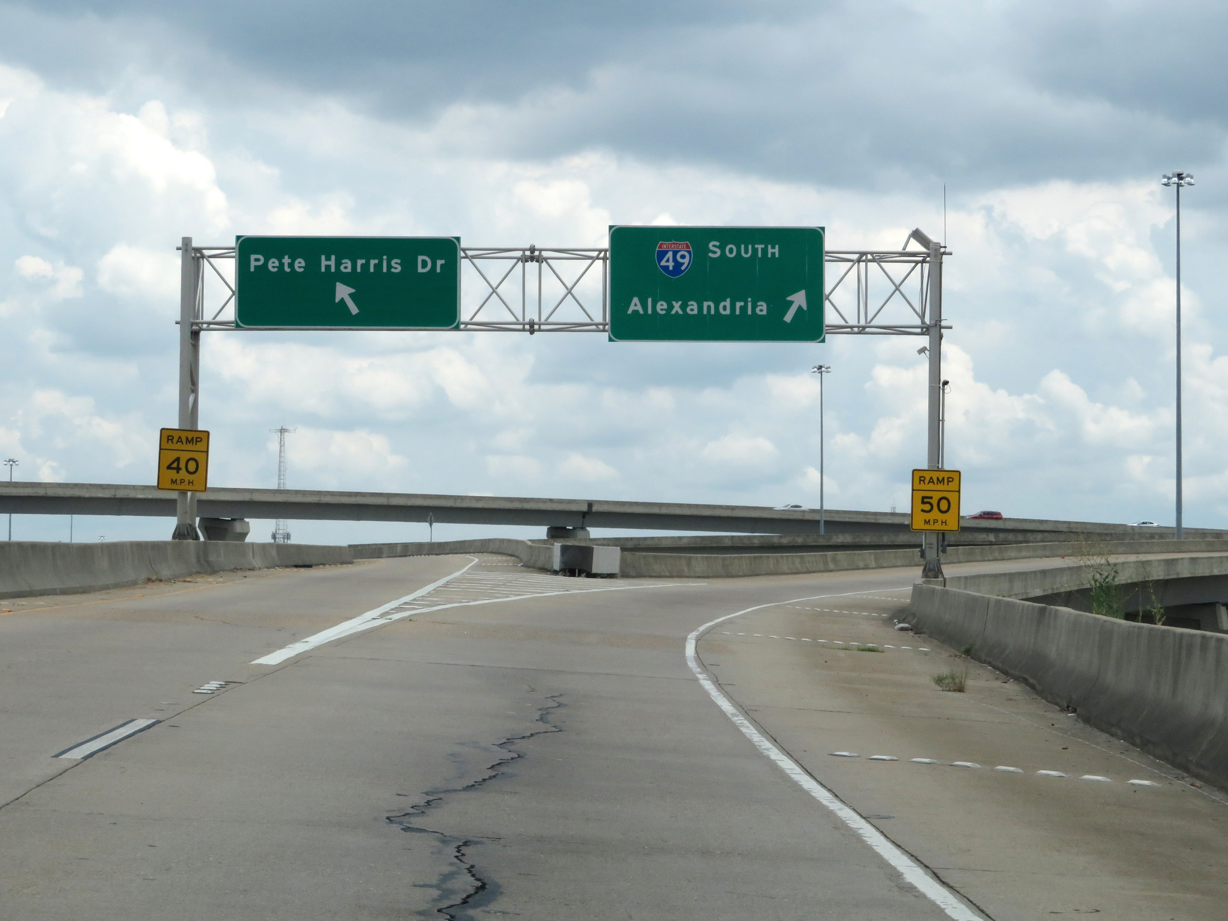 |
Merging onto the southern segment of Interstate 49 South via Exit 17B from Interstate 20 East in Shreveport. It is at this point that a gap currently exists in the I-49 designation through downtown Shreveport. This ramp also provides access to Pete Harris Dr, on the left. (Photo taken 5/22/18). |
 |
View on the ramp to Interstate 49 South from Interstate 20 East as it curves to the south, just south of downtown Shreveport. (Photo taken 5/22/18). |
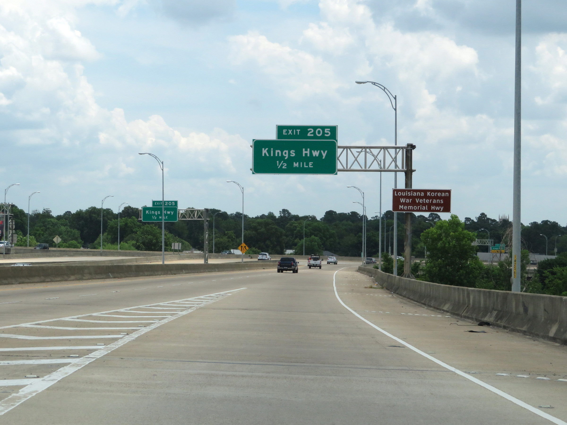 |
Advance signage for Exit 205, which will be the first exit on the southern segment of Interstate 49 South. (Photo taken 5/22/18). |
 |
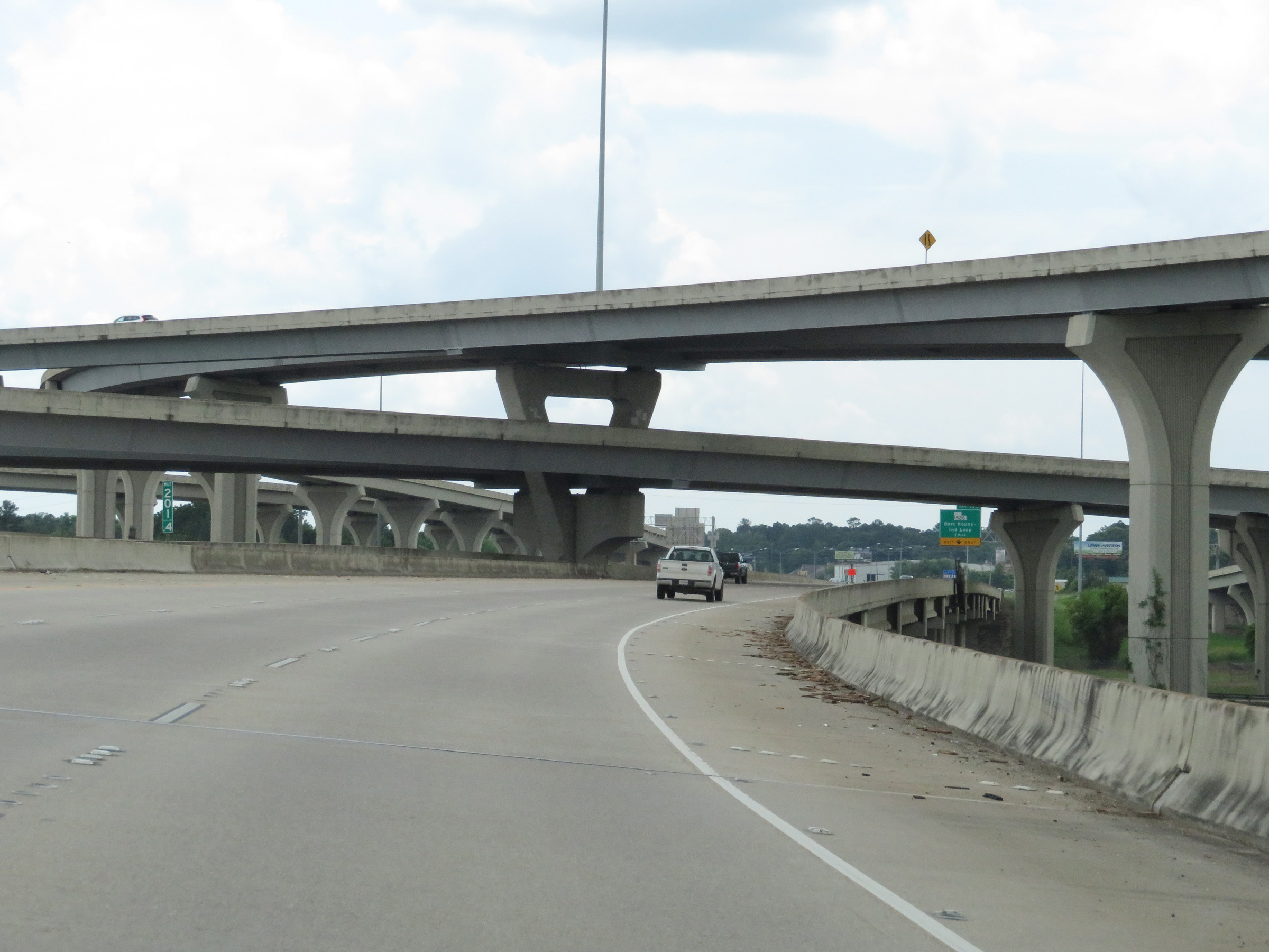
At mile marker 206.4, ramps from Interstate 20 West and Murphy St join the ramp from Interstate 20 East to form the mainline of Interstate 49 South. (Photo taken 5/22/18). |
 |
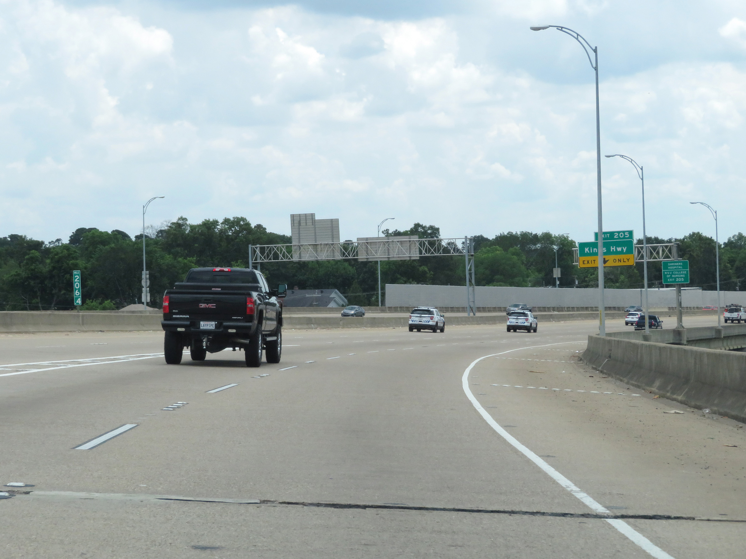
Take Exit 205 to the Shriners Hospital and NSU College of Nursing. (Photo taken 5/22/18). |
 |
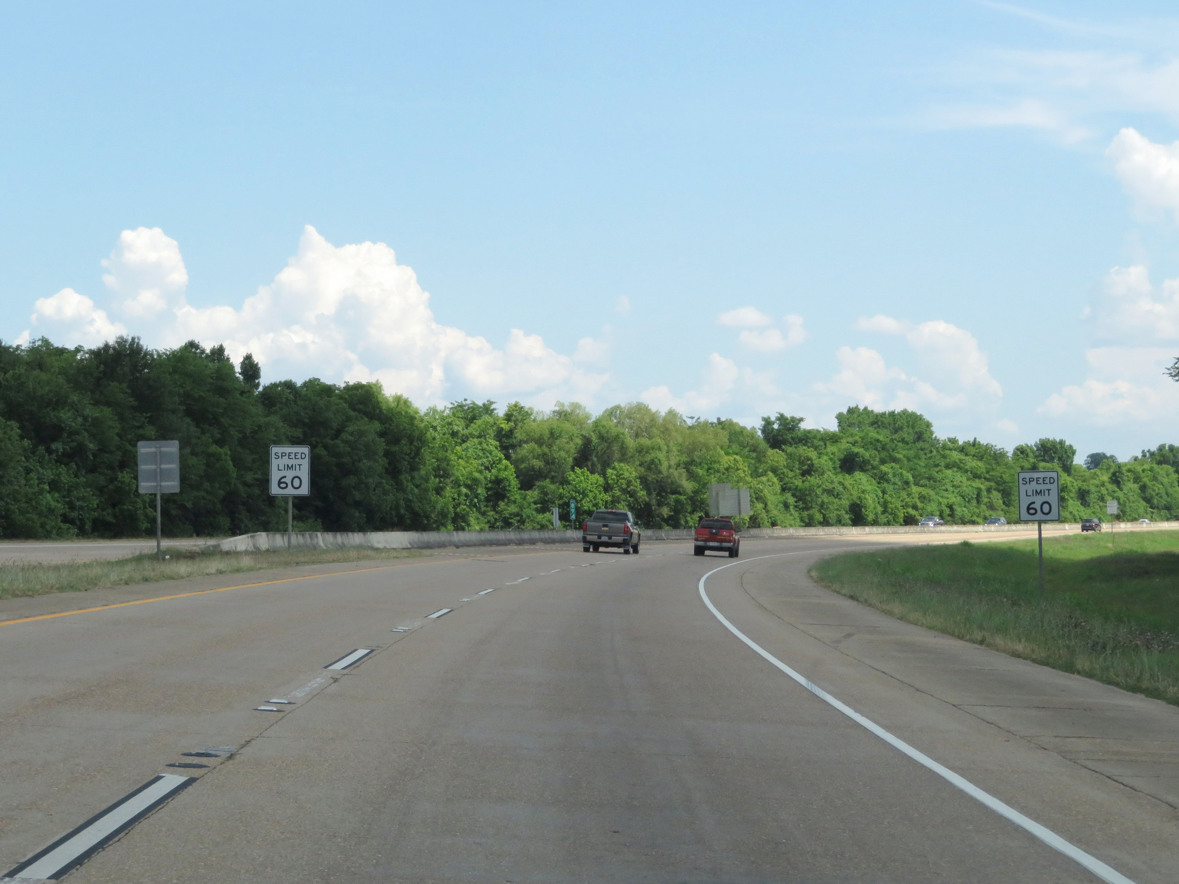
The speed limit on the southern segment of Interstate 49 South in Shreveport starts out at 60 mph. (Photo taken 5/22/18). |
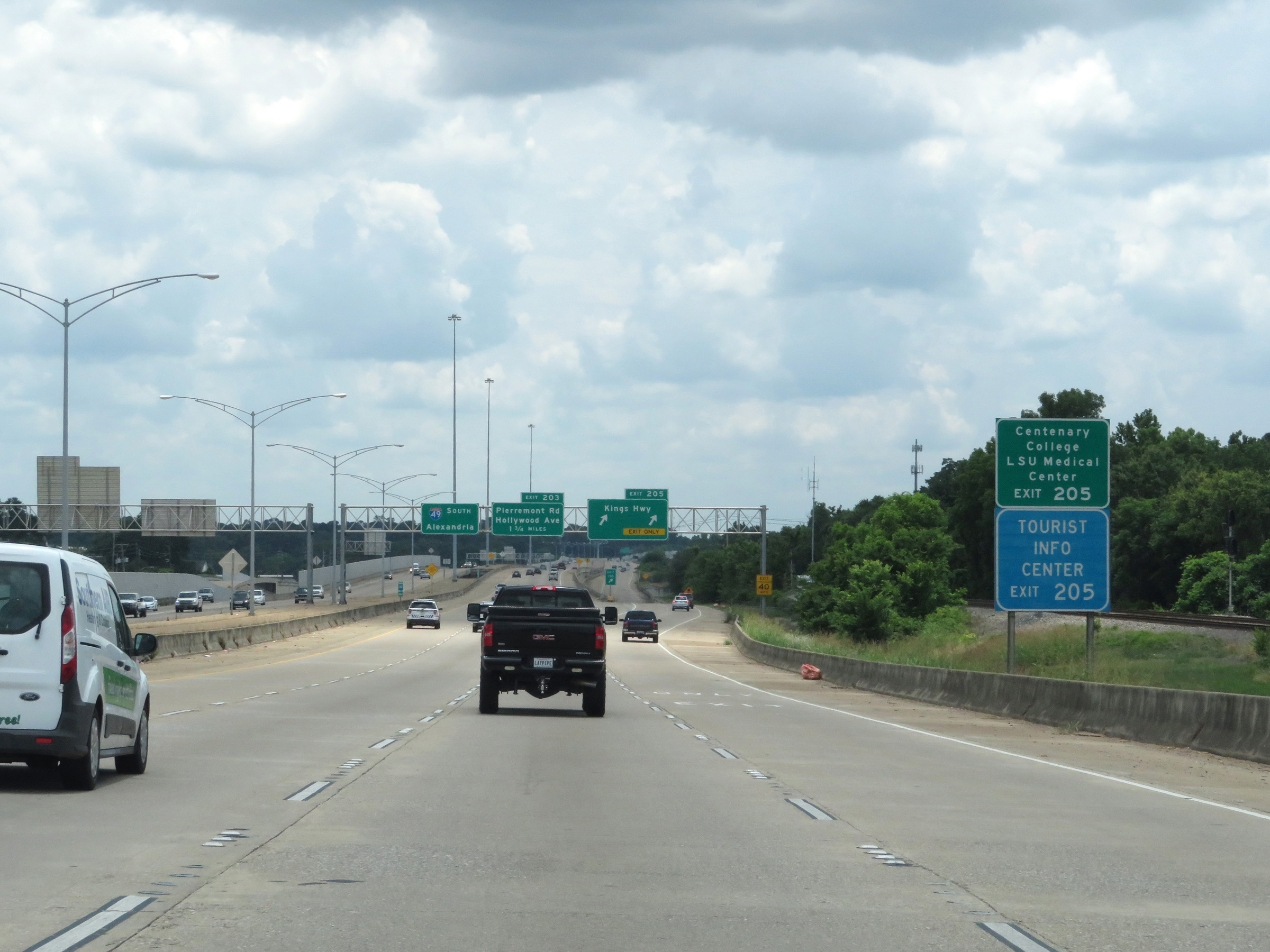 |
Also take Exit 205 to Centenary College, LSU Medical Center, and a Tourist Information Center. (Photo taken 5/22/18). |
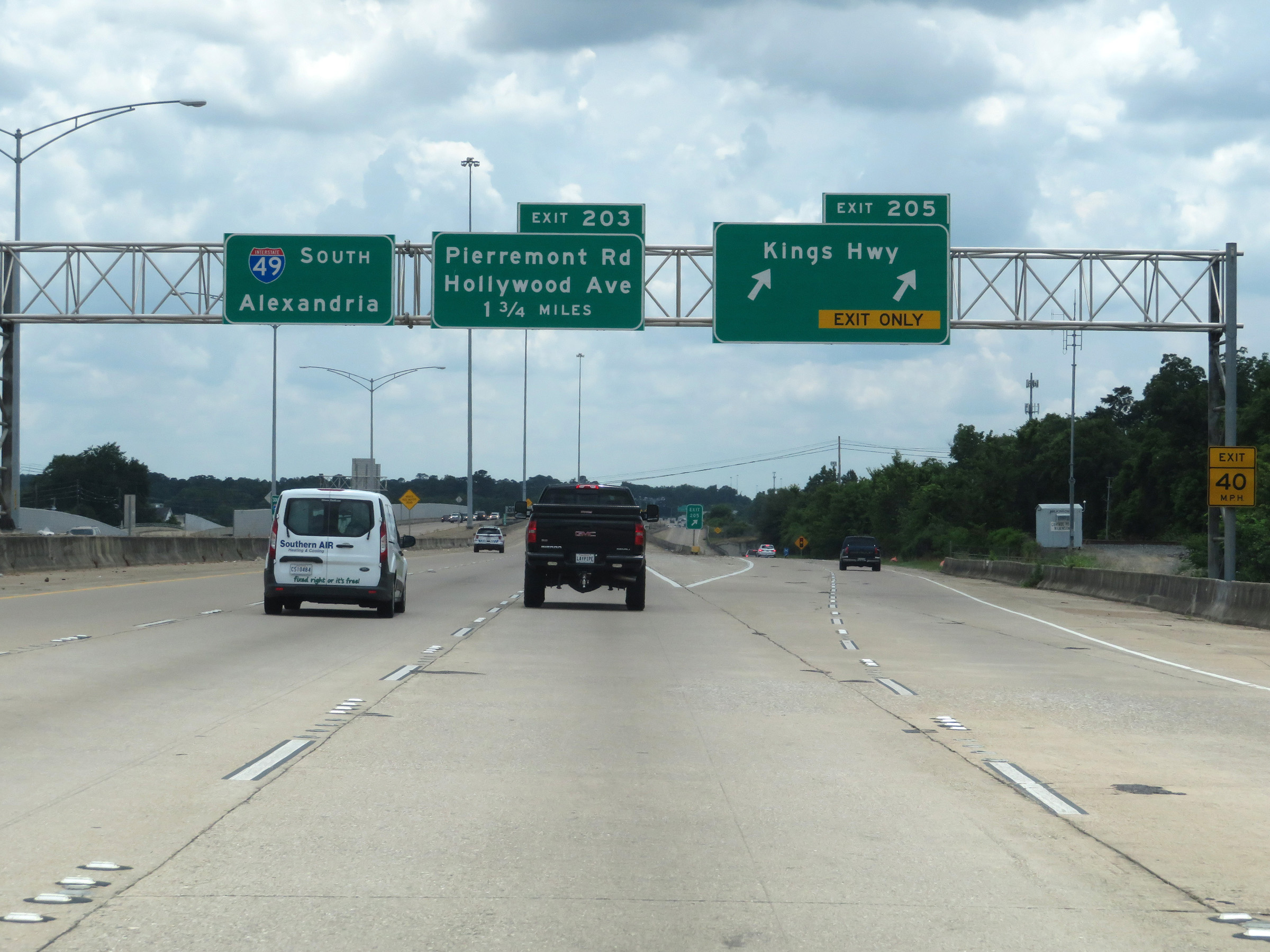 |
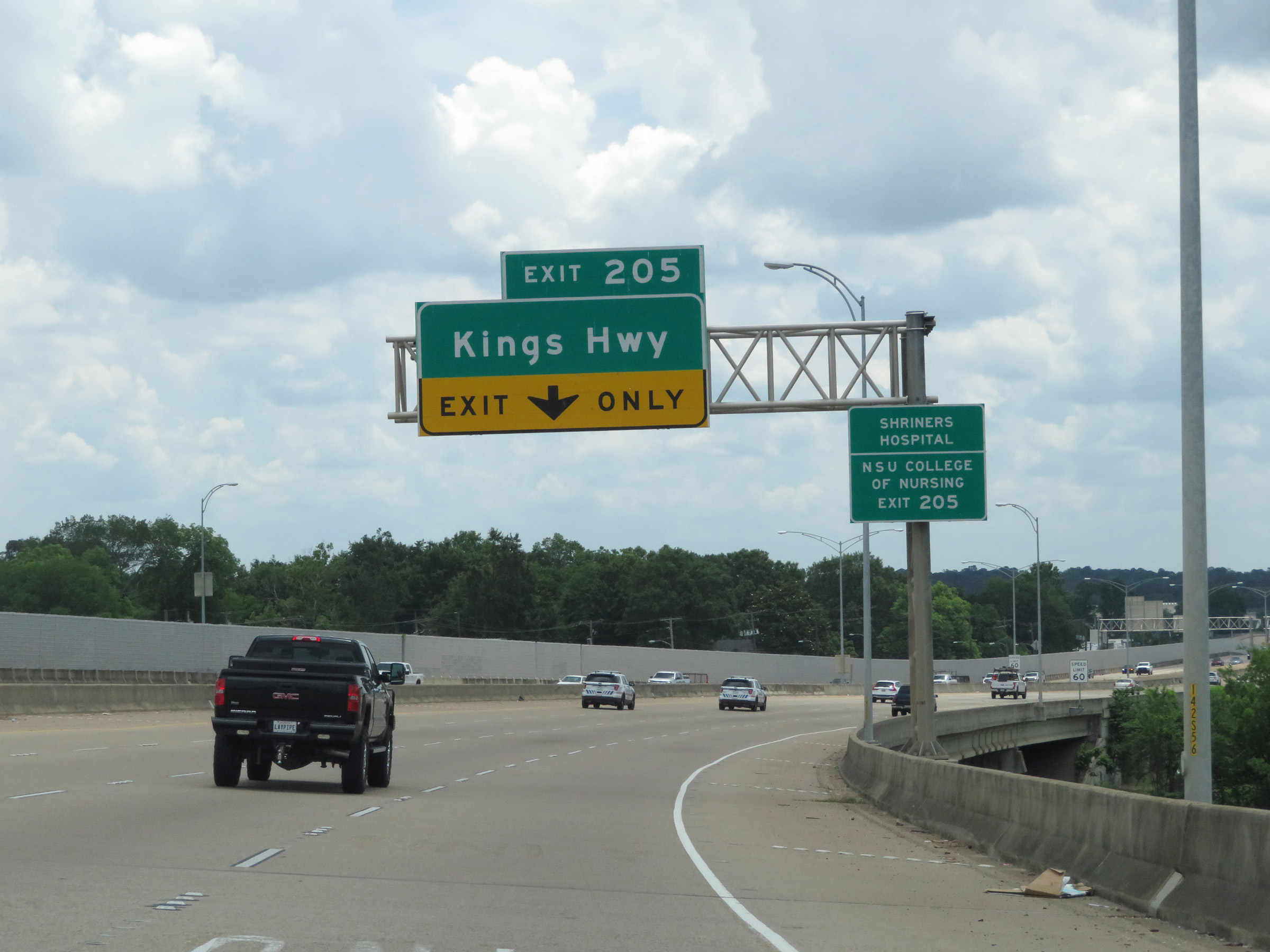
Interstate 49 South at Exit 205: Kings Hwy (Photo taken 5/22/18). |
 |
View on Interstate 49 South at mile marker 205. (Photo taken 5/22/18). |
 |
Interstate 49 South at Exit 203: Pierremont Rd / Hollywood Ave (Photo taken 5/22/18). |
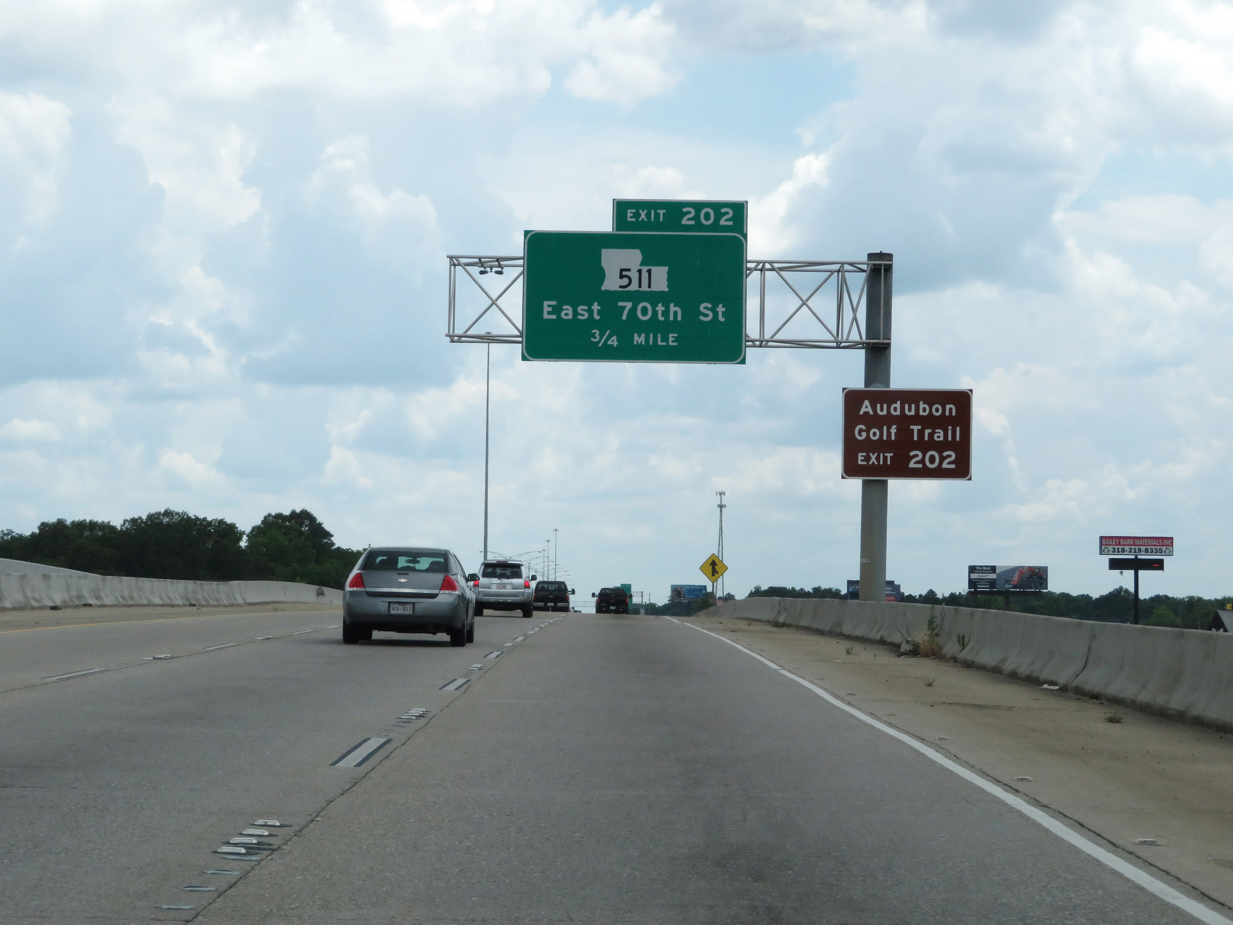 |
Take Exit 202 to Audubon Golf Trail. (Photo taken 5/22/18). |
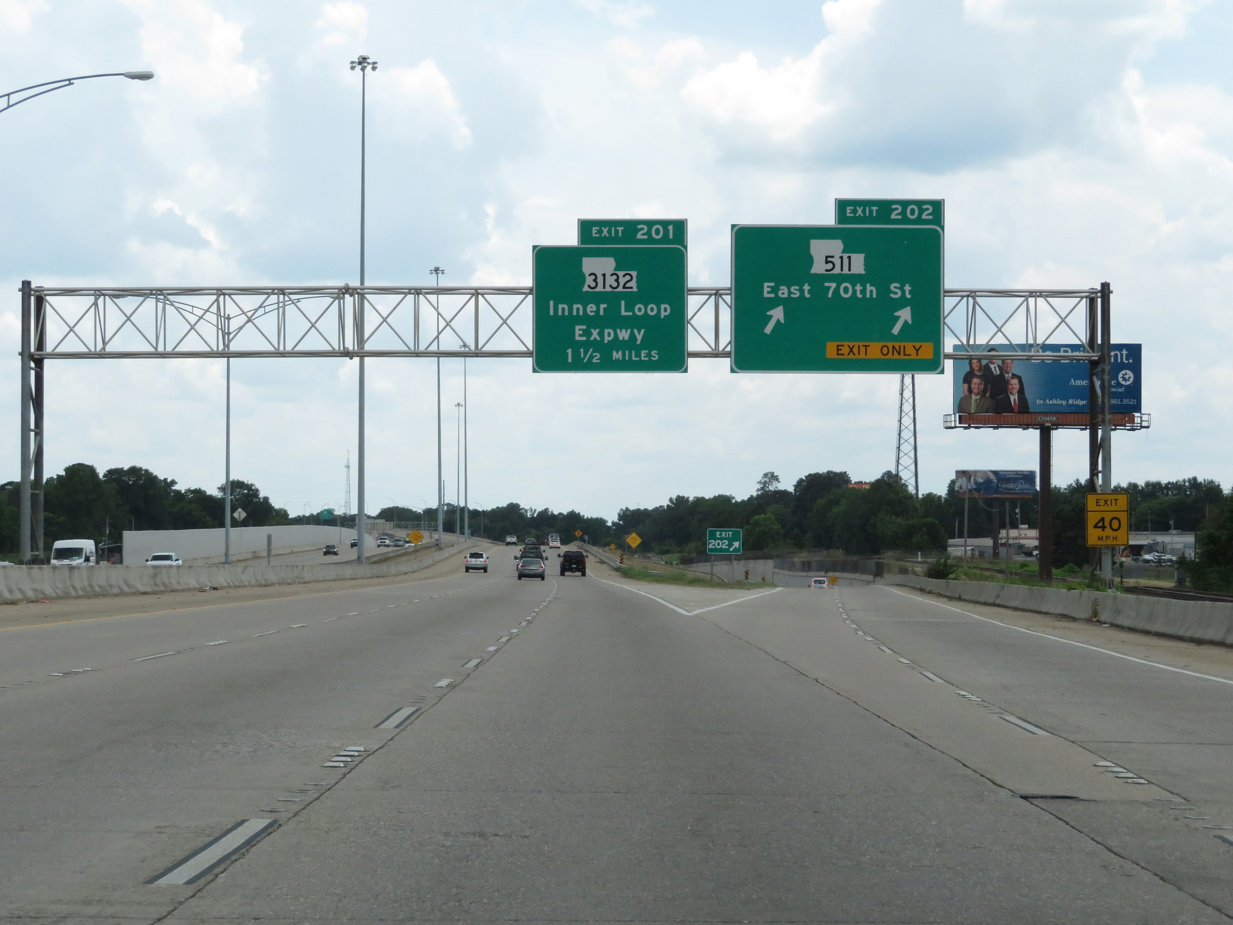 |
Interstate 49 South at Exit 202: LA 511 - East 70th St (Photo taken 5/22/18). |
 |
Interstate 49 South at mile marker 203. (Photo taken 5/22/18). |
 |
Interstate 49 South at Exit 201: LA 3132 - Inner Loop Expwy (Photo taken 5/22/18). |
 |
View on Interstate 49 Southat mile marker 201.4, as it prepares to pass under the ramps to and from LA 3132. (Photo taken 5/22/18). |
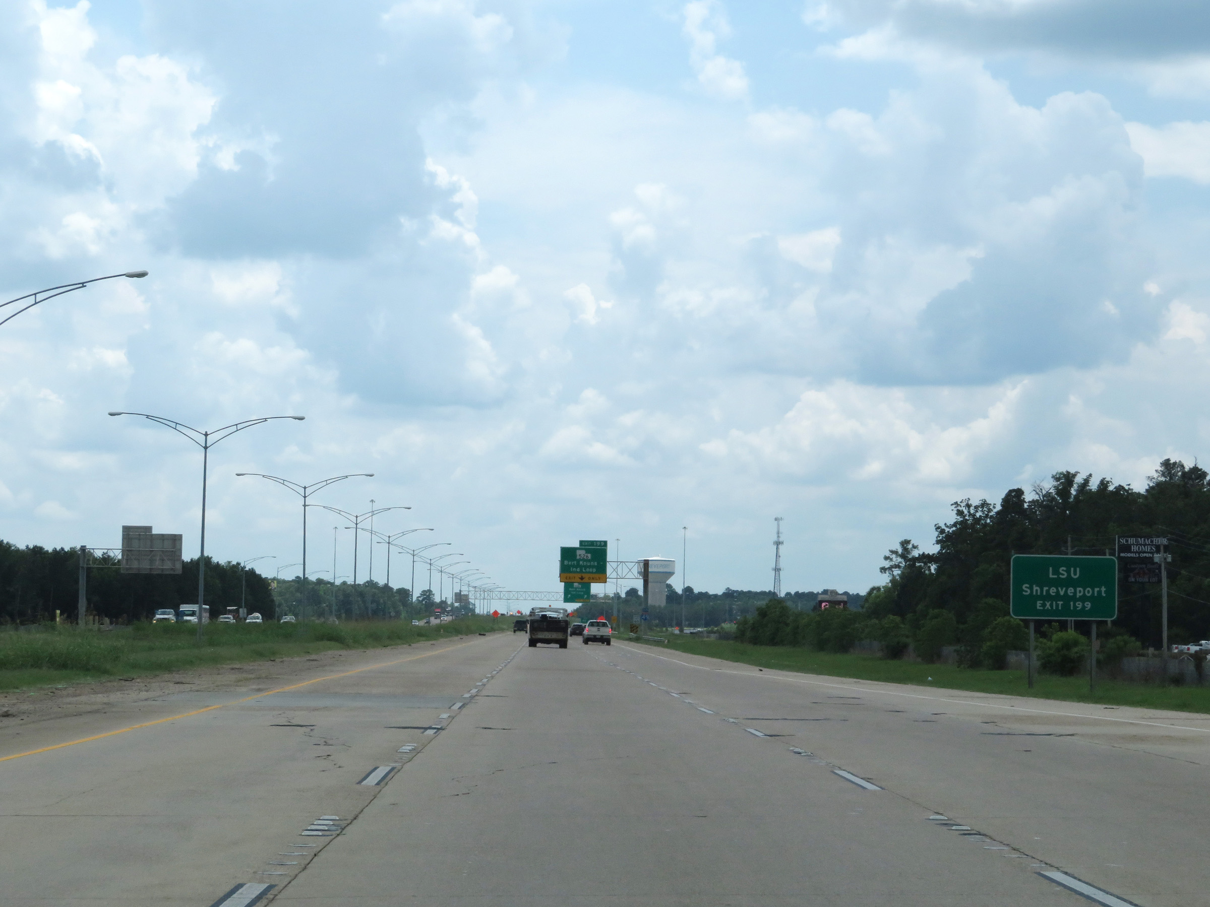 |
Take Exit 199 to LSU Shreveport. (Photo taken 5/22/18). |
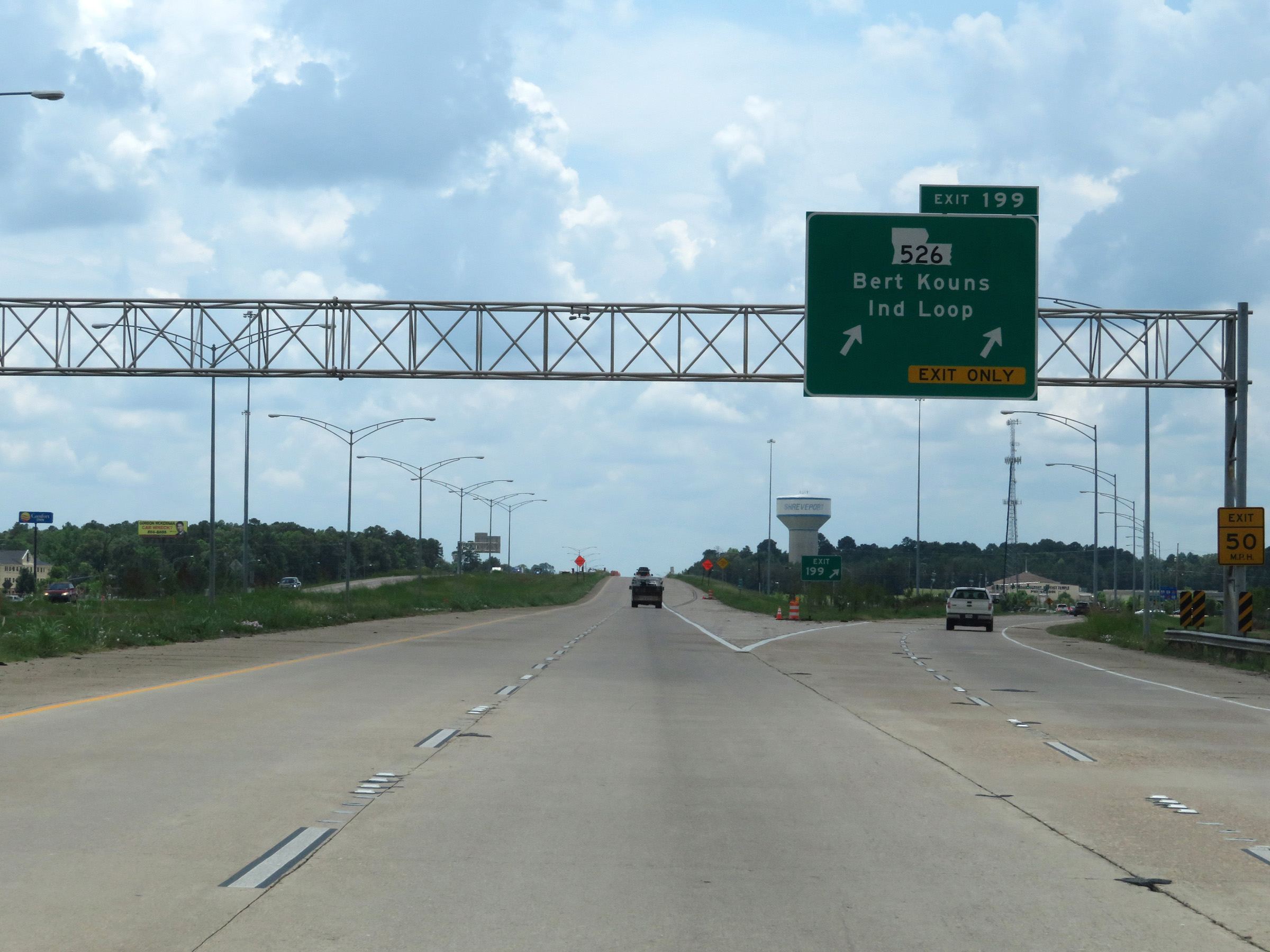 |
Interstate 49 South at Exit 199: LA 526 - Bert Kouns Industrial Loop (Photo taken 5/22/18). |
 |
Interstate 49 South reassurance shield. (Photo taken 5/22/18). |
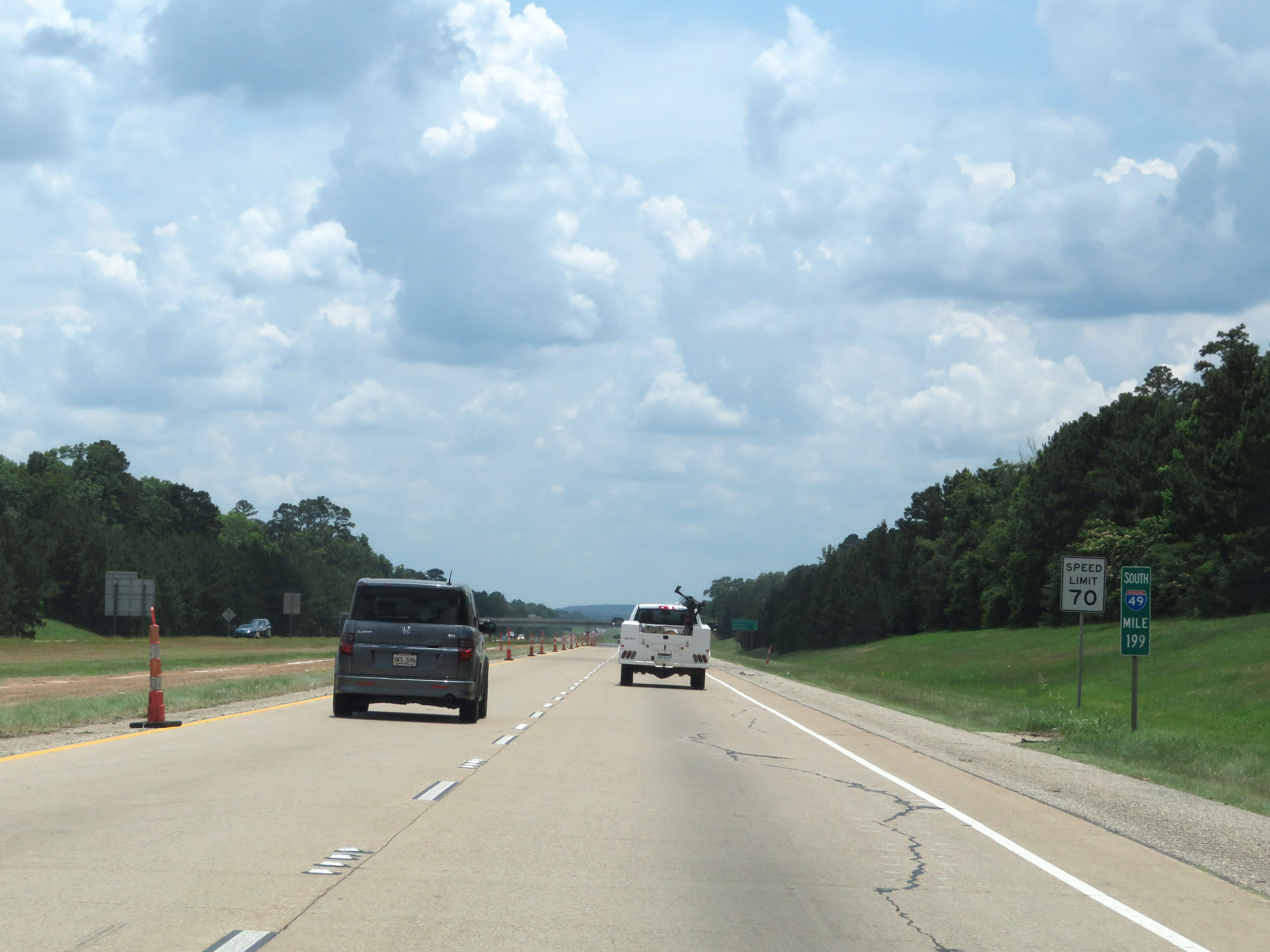 |
At mile marker 199, the speed limit increases to 70 mph on Interstate 49 South. (Photo taken 5/22/18). |
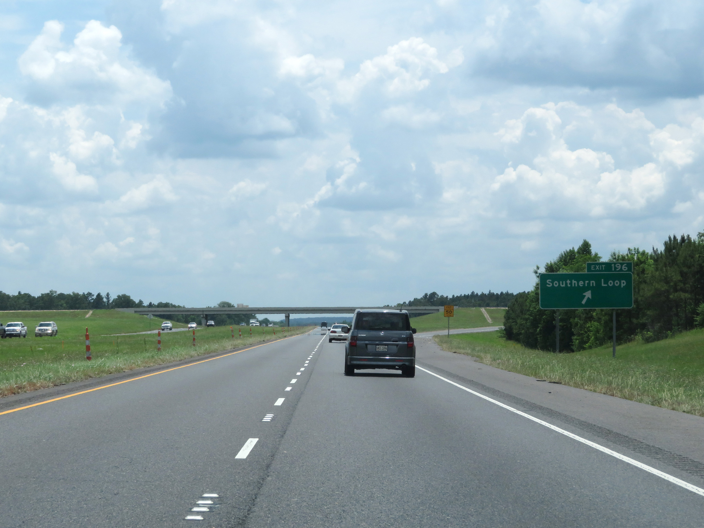 |
Interstate 49 South at Exit 196: Southern Loop (Photo taken 5/22/18). |
 |
Mileage sign on Interstate 49 South. It's 4 miles to the junction of LA 3276, 58 miles to Natchitoches, and 110 miles to Alexandria. (Photo taken 5/22/18). |
 |
Interstate 49 South as it enters DeSoto Parish. (Photo taken 5/22/18). |
 |
View on Interstate 49 South at mile marker 194. (Photo taken 5/22/18). |
 |
Mile marker 193 on Interstate 49 South in DeSoto Parish. (Photo taken 5/22/18). |
 |
Interstate 49 South at Exit 191: PR 16 / LA 3276 - Stonewall (Photo taken 5/22/18). |
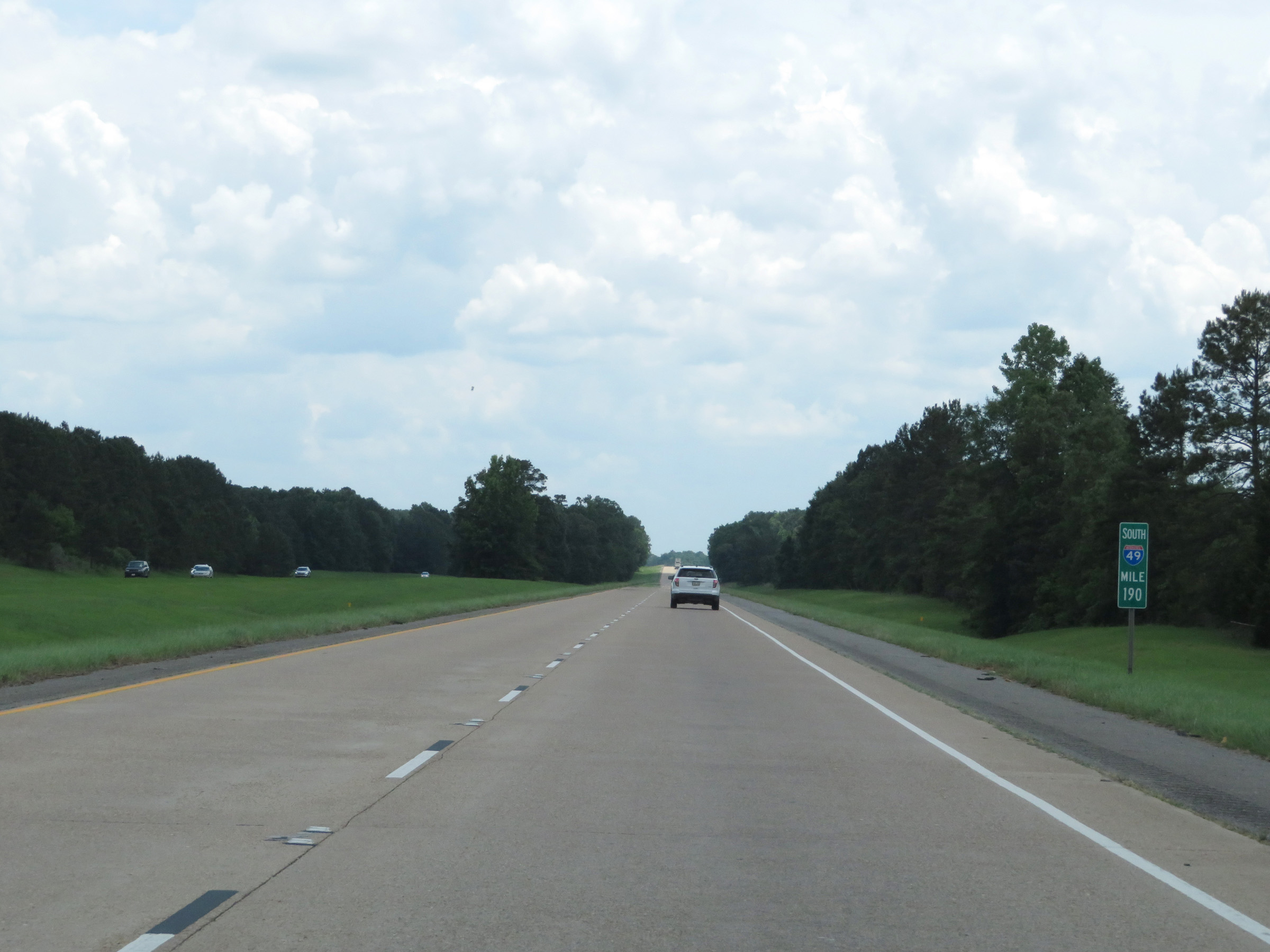 |
View on Interstate 49 South at mile marker 190. (Photo taken 5/22/18). |
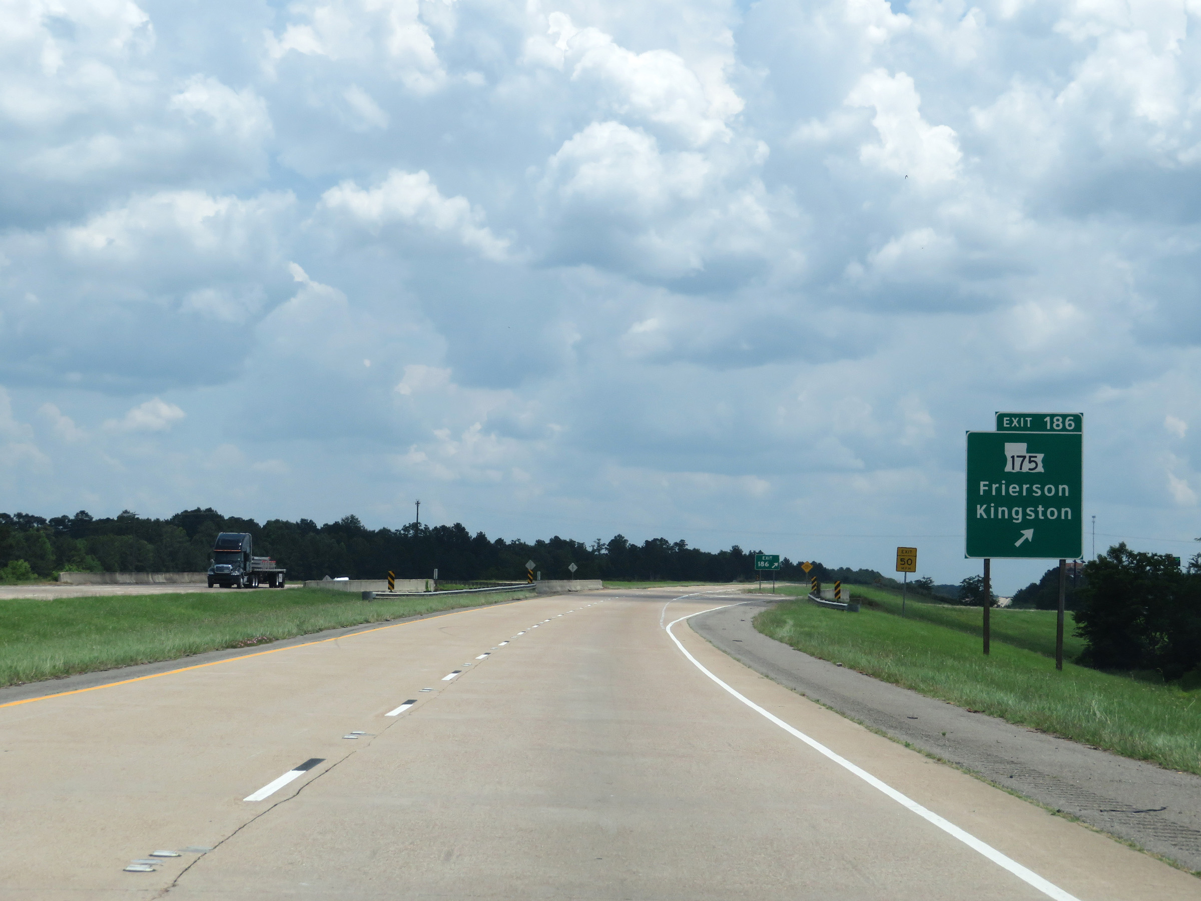 |
Interstate 49 South at Exit 186: LA 175 - Frierson / Kingston (Photo taken 5/22/18). |
 |
Another Interstate 49 South reassurance shield. (Photo taken 5/22/18). |
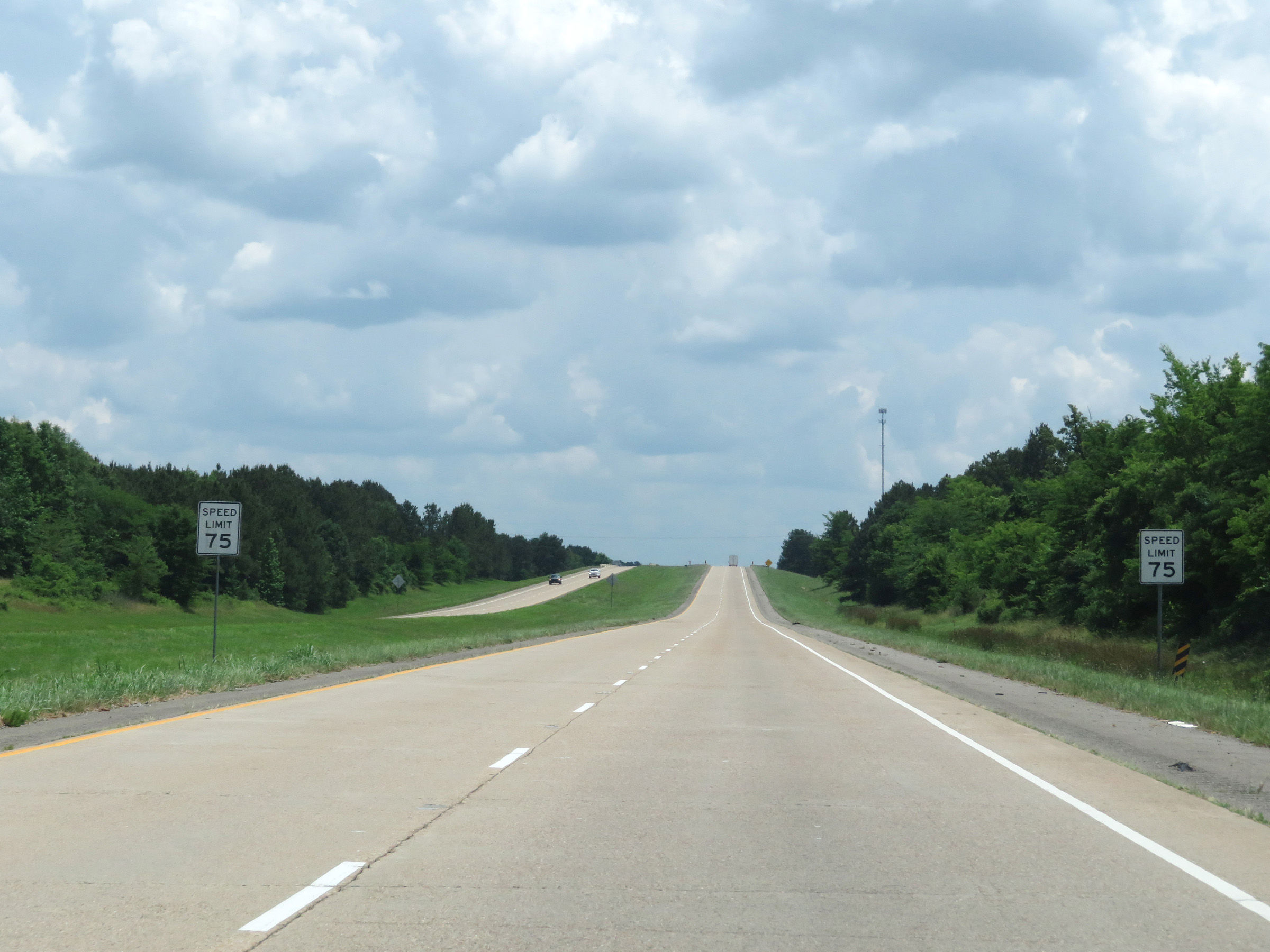 |
South of Exit 186, the speed limit increases to 75 mph on Interstate 49 South. (Photo taken 5/22/18). |
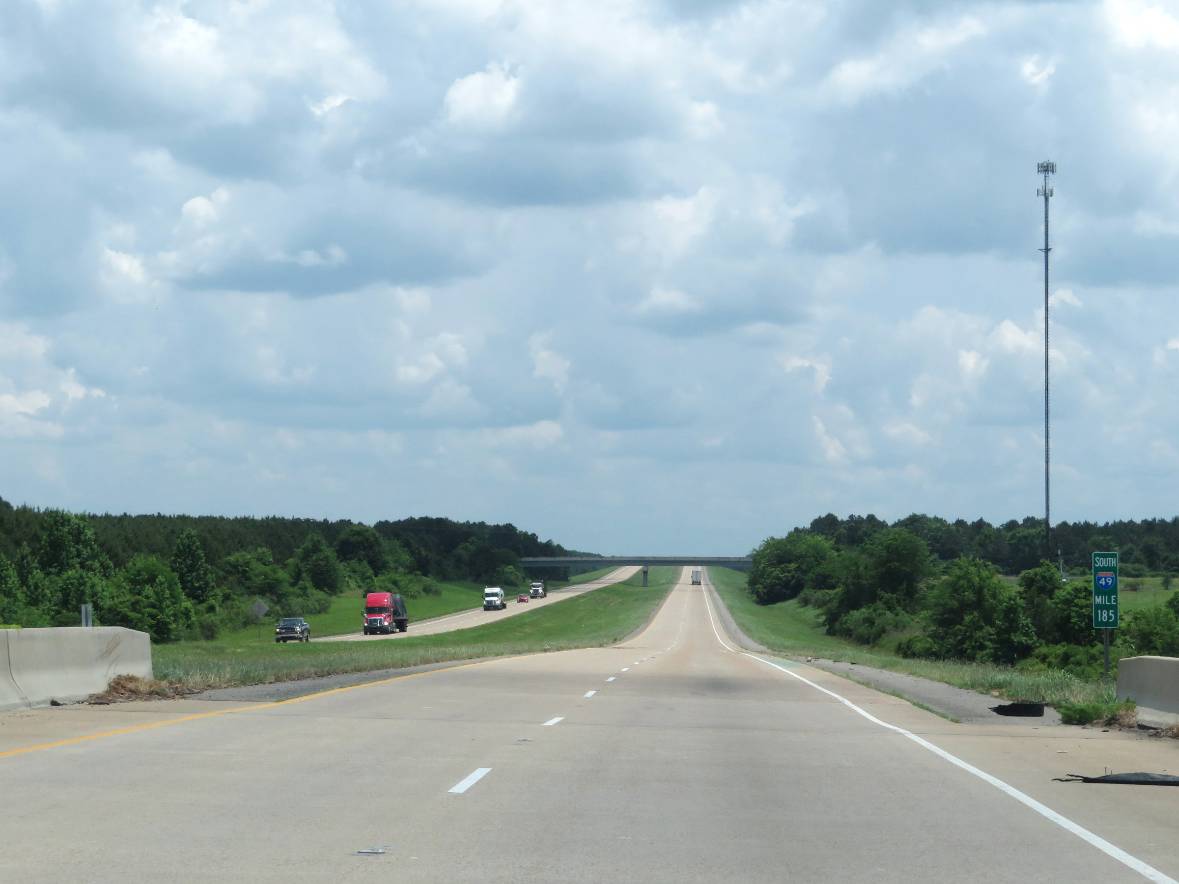 |
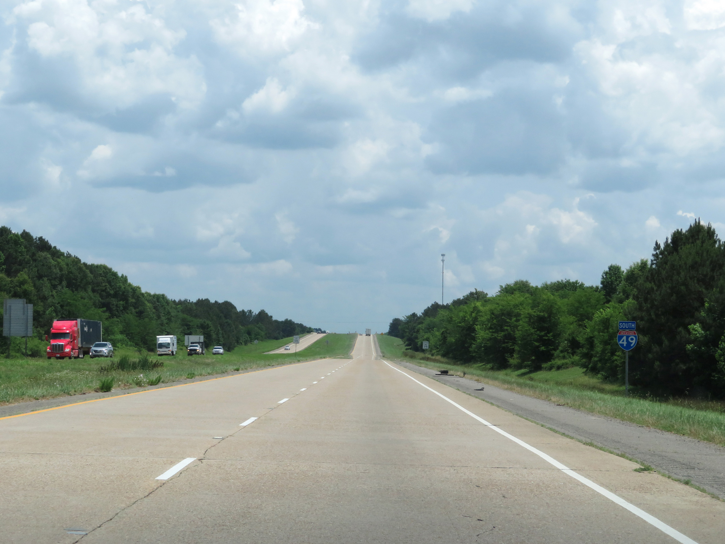
View on Interstate 49 South at mile marker 185. (Photo taken 5/22/18). |
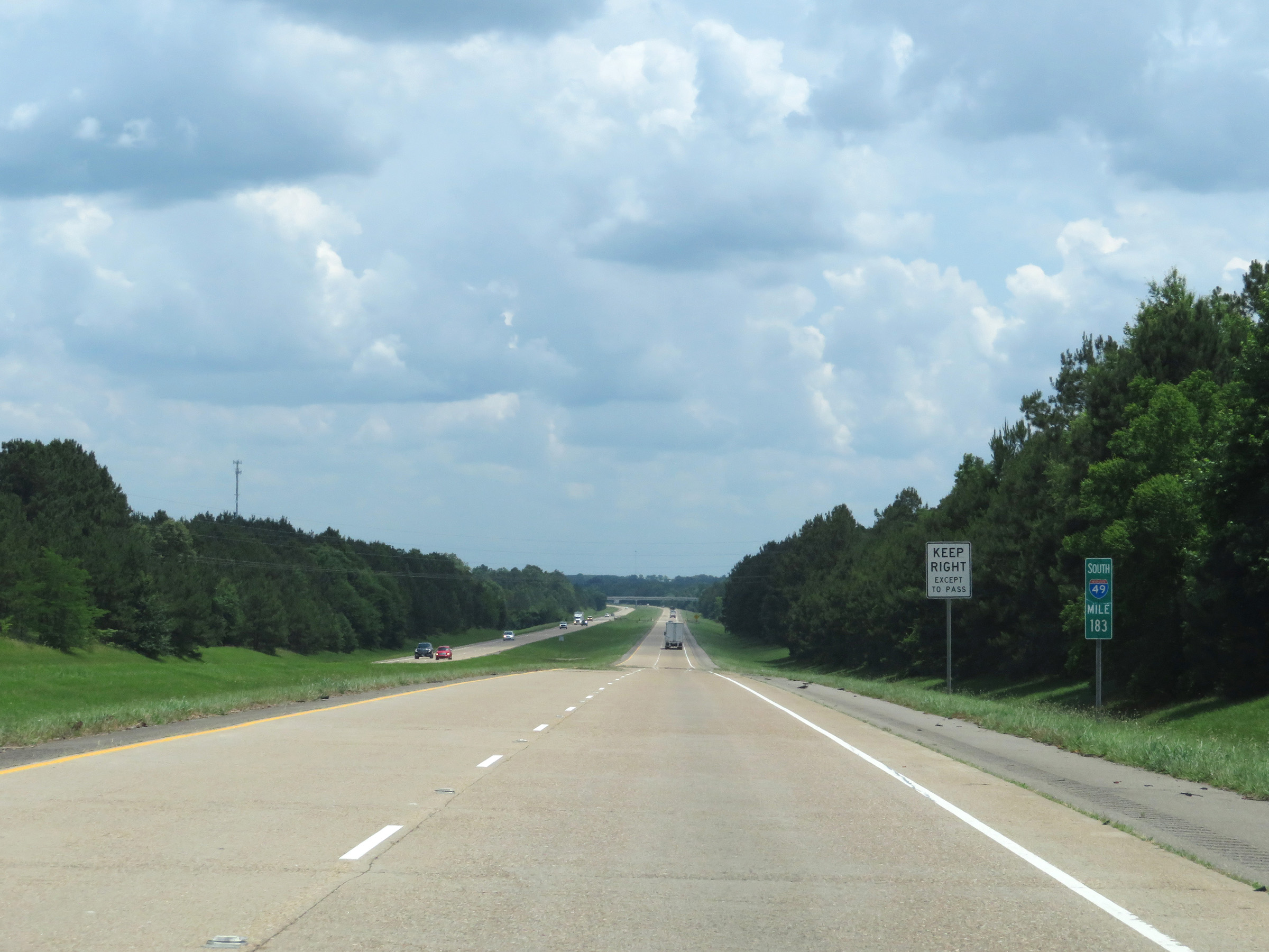 |
Interstate 49 South at mile marker 183. (Photo taken 5/22/18). |
 |
Mile marker 181 on Interstate 49 South in DeSoto Parish. (Photo taken 5/22/18). |
 |
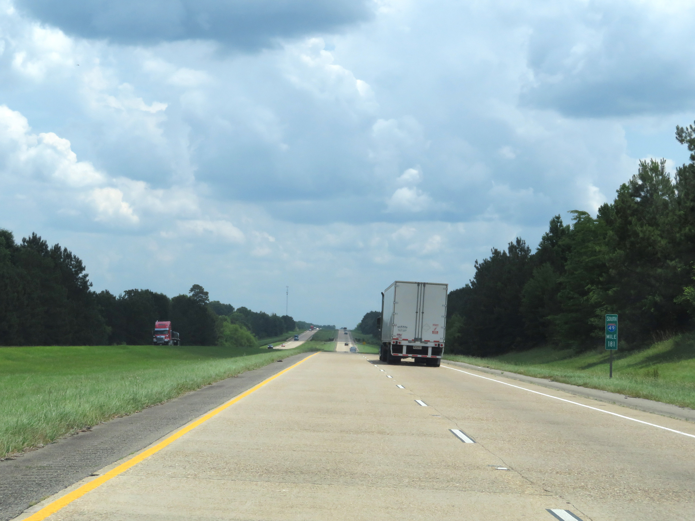
View on Interstate 49 South at mile marker 179. (Photo taken 5/22/18). |
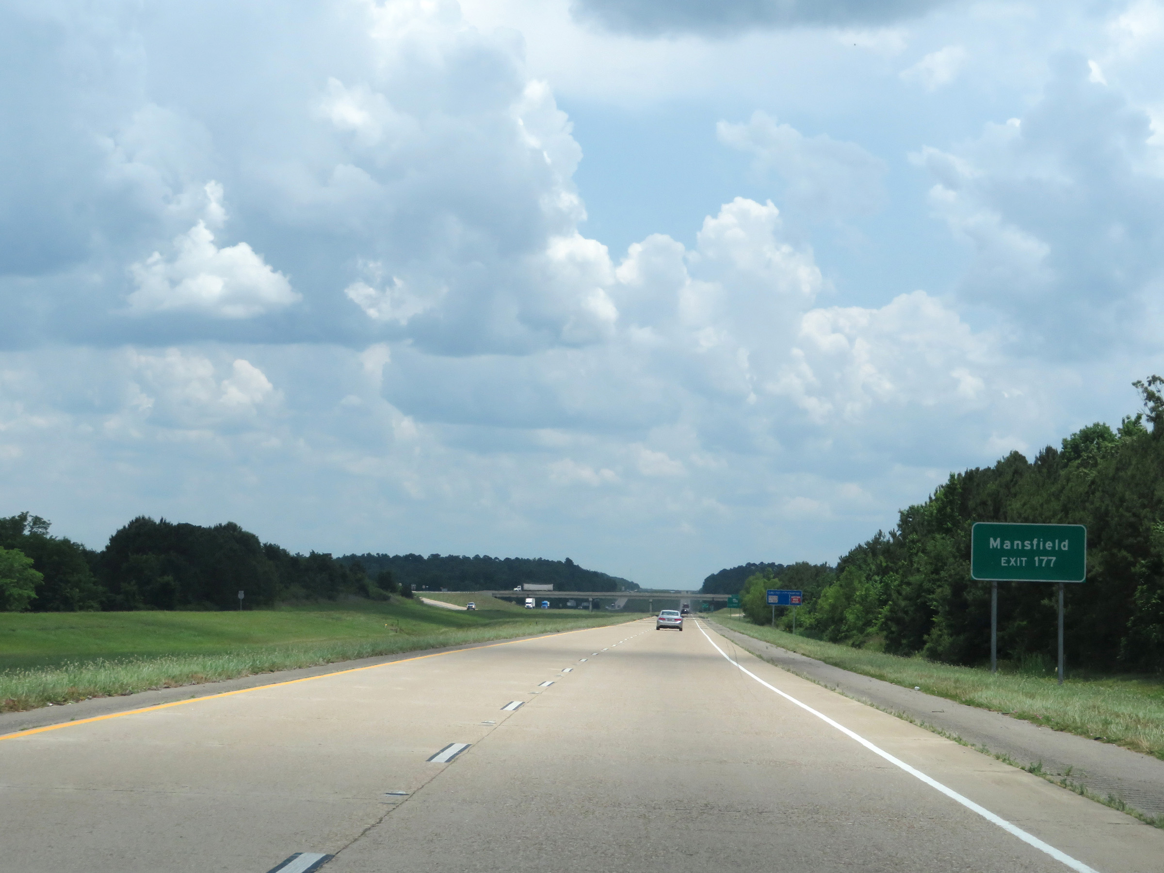 |
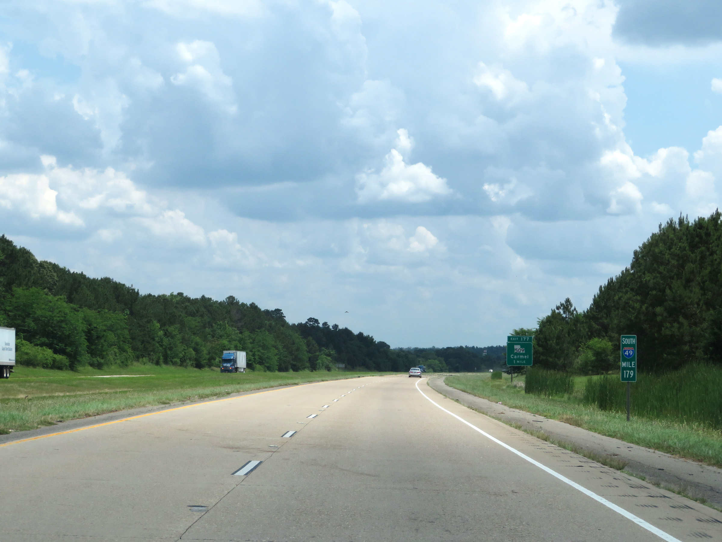
Take Exit 177 to Mansfield. (Photo taken 5/22/18). |
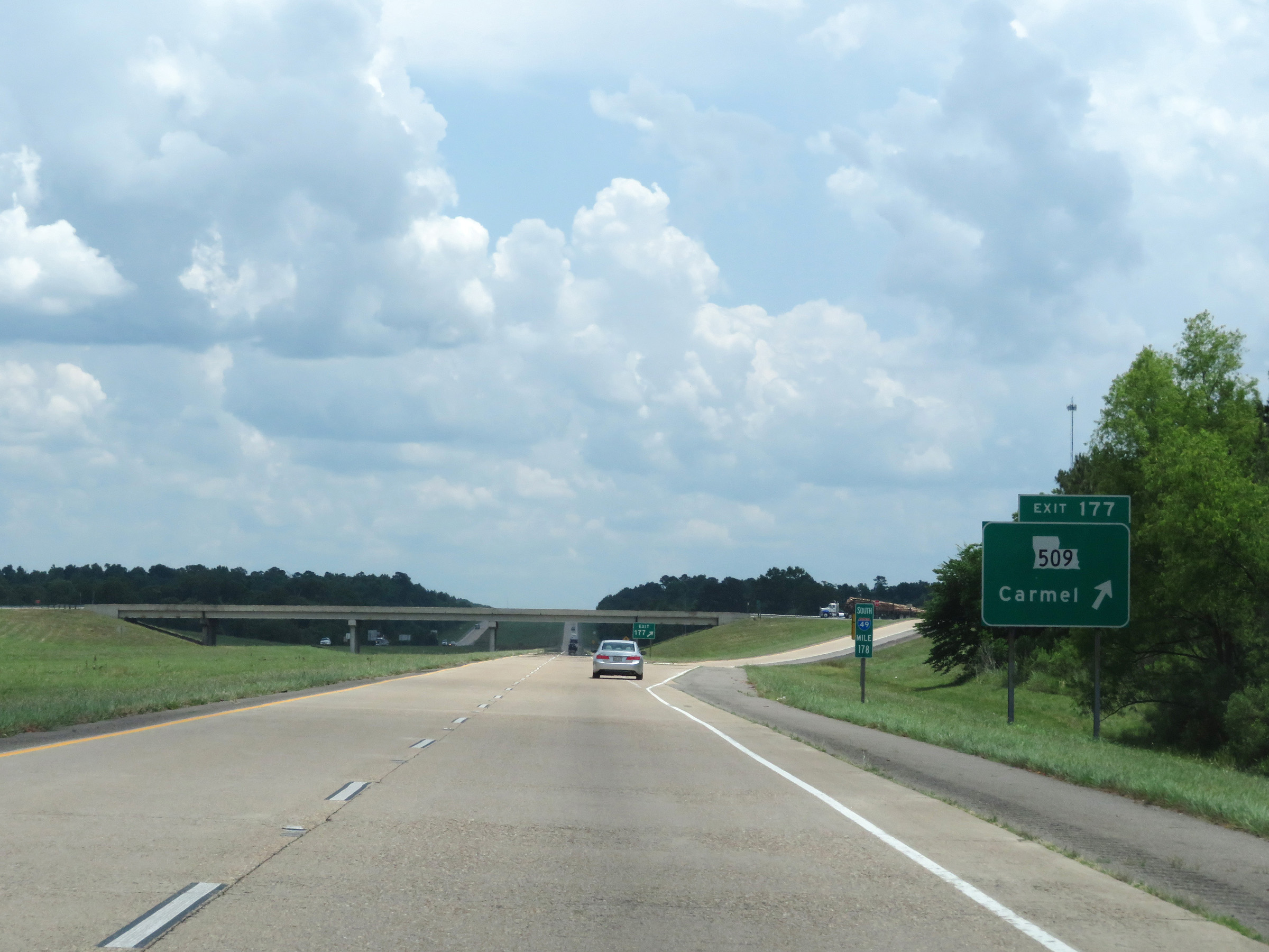 |
Interstate 49 South at Exit 177: LA 509 - Carmel (Photo taken 5/22/18). |
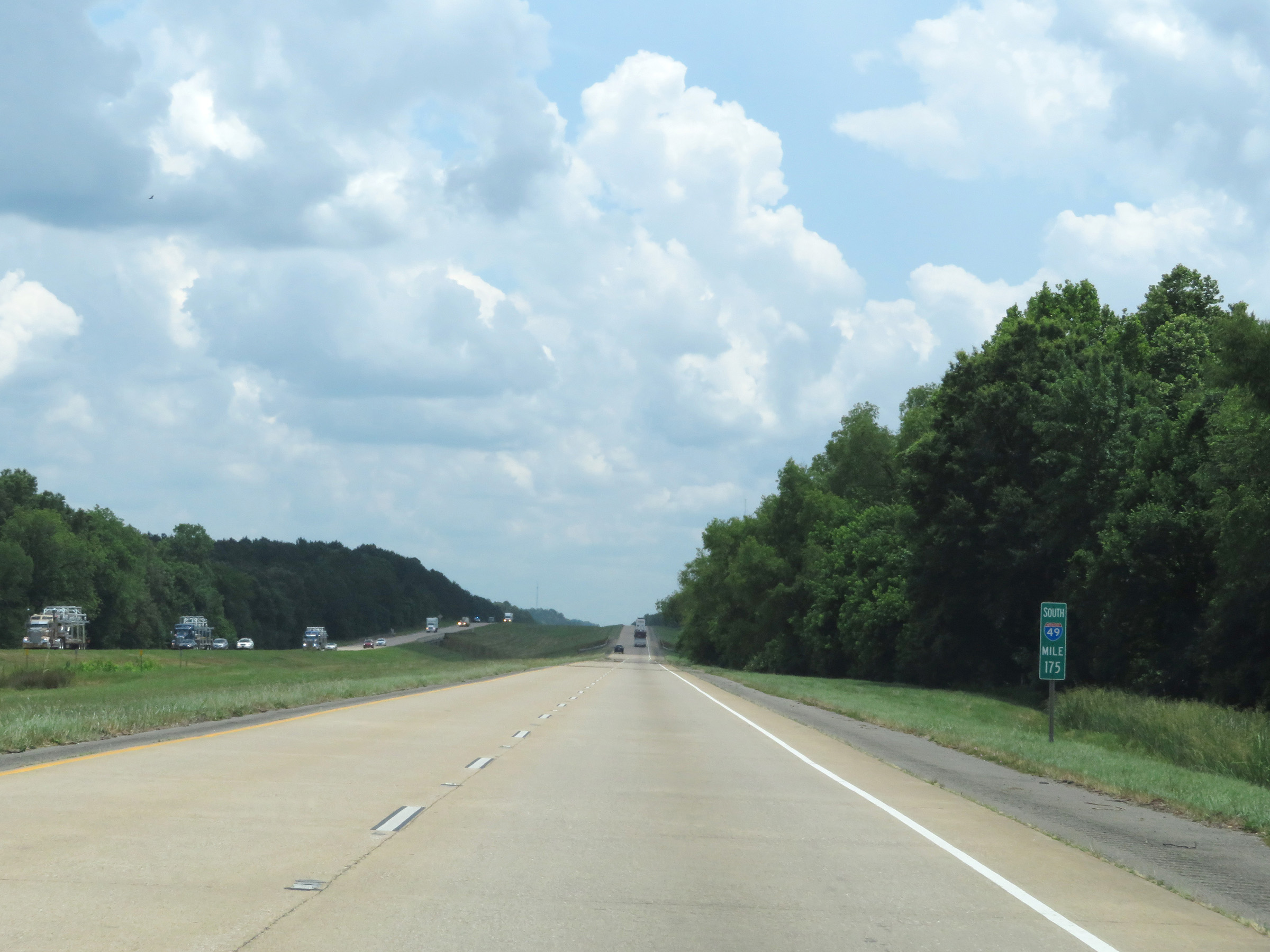 |
View on Interstate 49 South at mile marker 175. (Photo taken 5/22/18). |
 |
Take Exit 172 to Toledo Bend Reservoir and Mansfield State Historic Site / Civil War Battlefield. (Photo taken 5/22/18). |
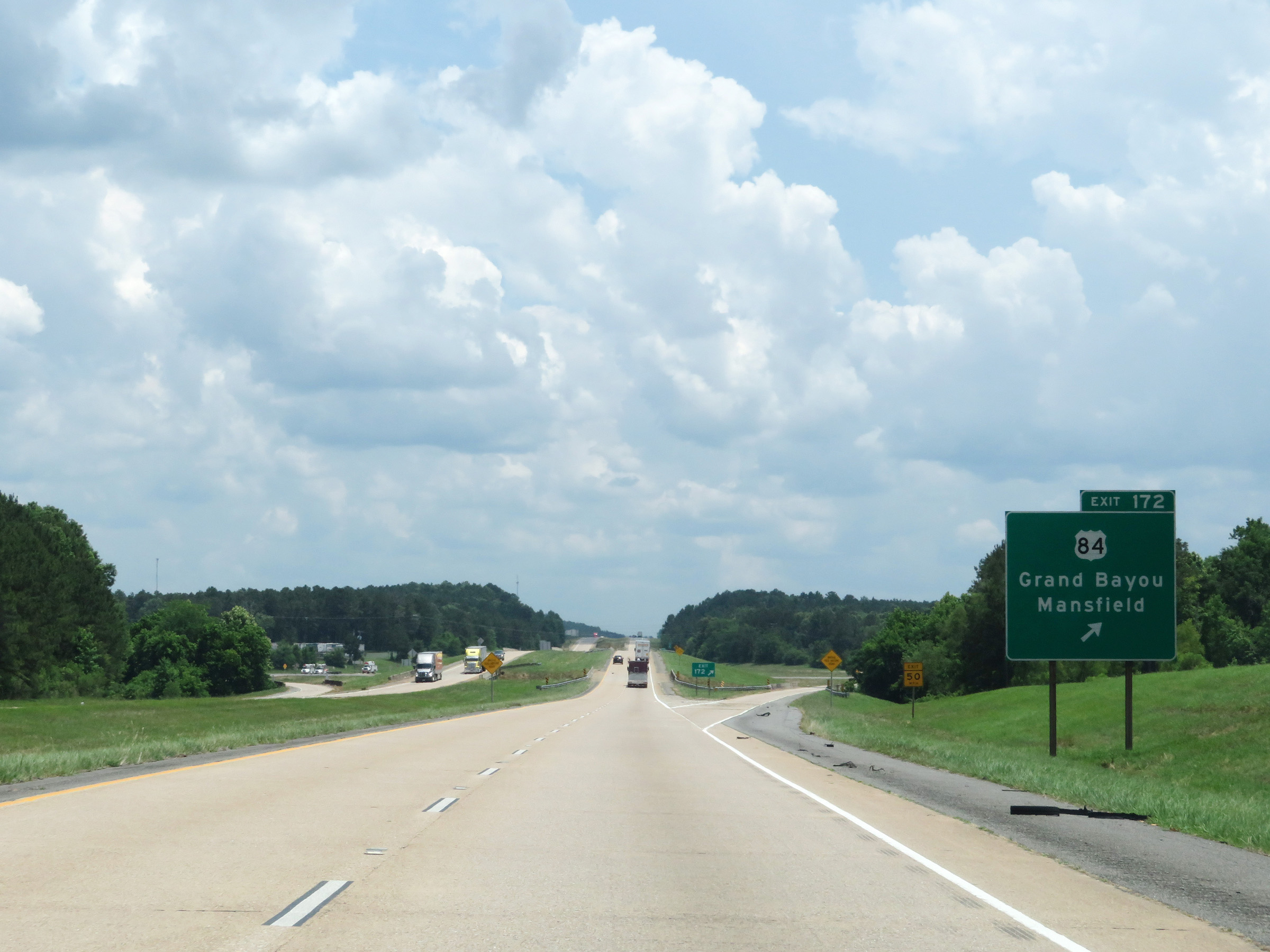 |
Interstate 49 South at Exit 172: US 84 - Grand Bayou / Mansfield (Photo taken 5/22/18). |
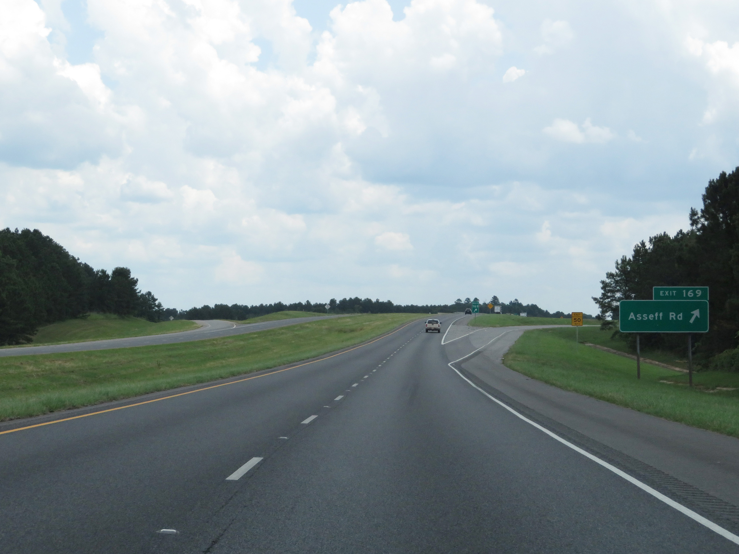 |
Interstate 49 South at Exit 169: Asseff Rd (Photo taken 5/22/18). |
 |
The speed limit remains 75 mph. (Photo taken 5/22/18). |
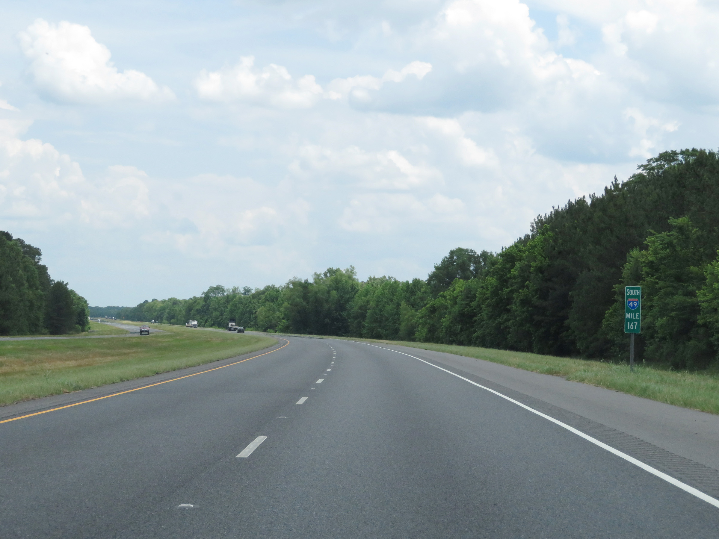 |
Mile marker 167 on Interstate 49 South in DeSoto Parish. (Photo taken 5/22/18). |
 |
View on Interstate 49 South at mile marker 166. (Photo taken 5/22/18). |
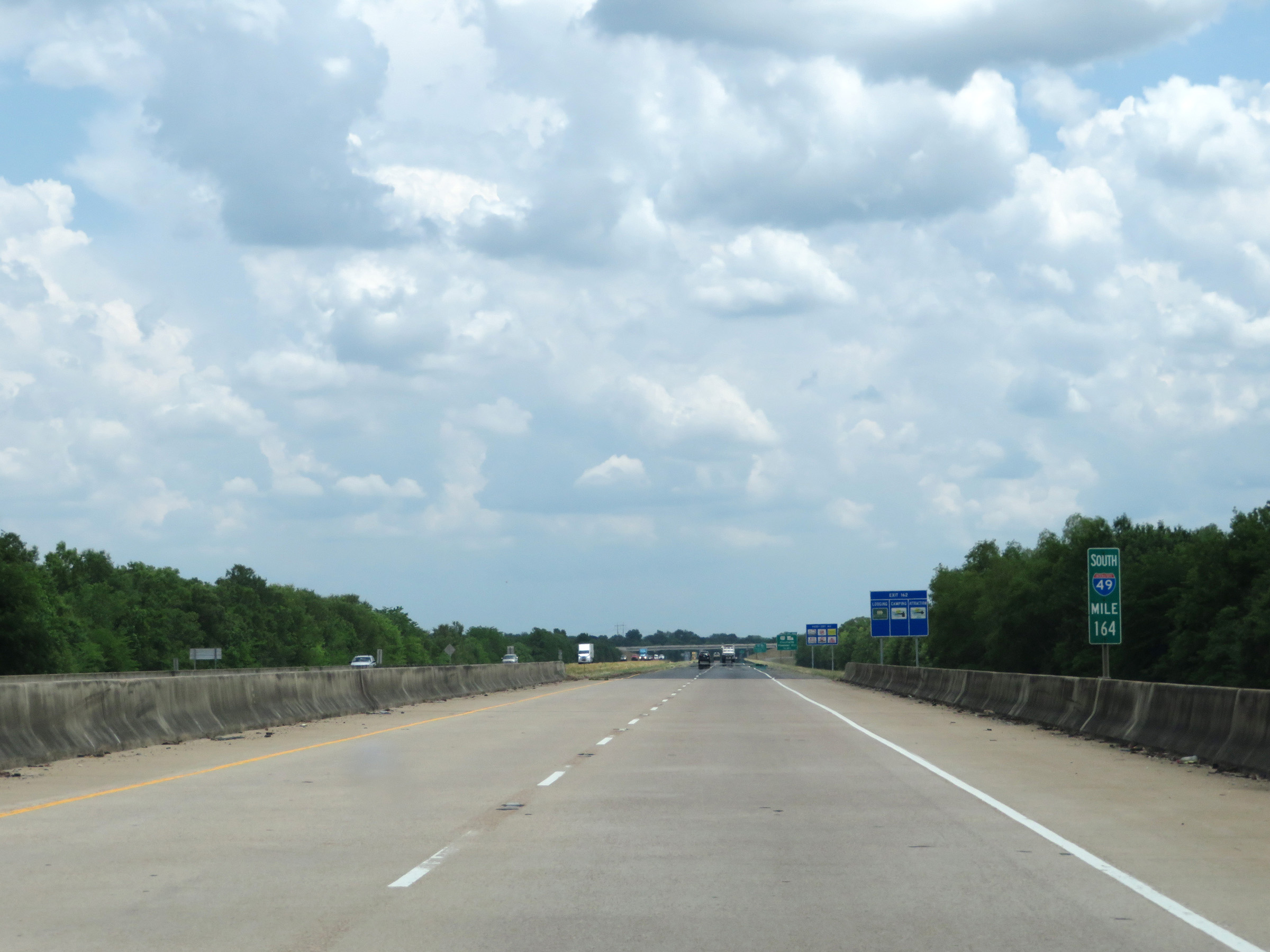 |
Interstate 49 South at mile marker 164. (Photo taken 5/22/18). |
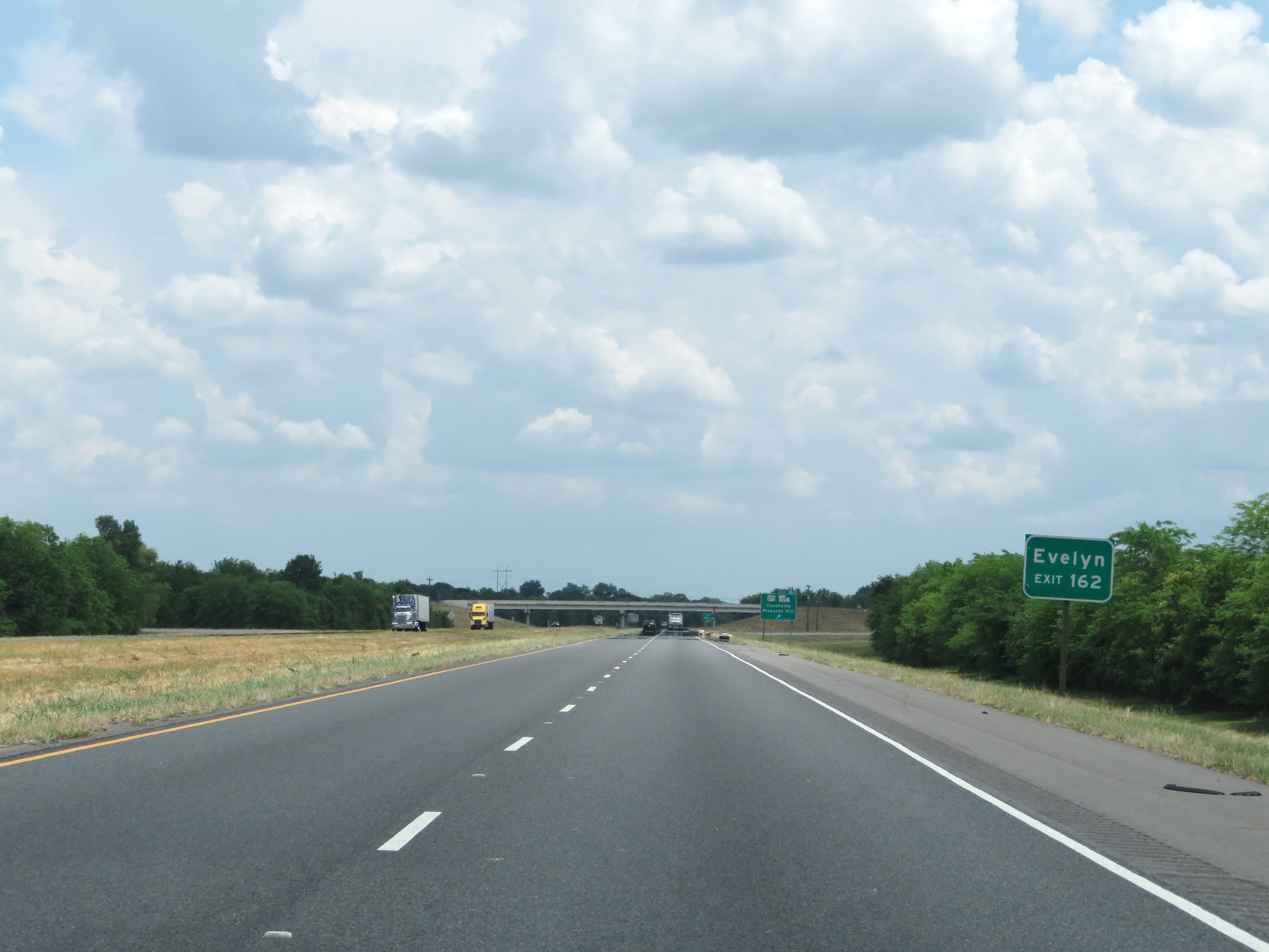 |
Take Exit 162 to Evelyn. (Photo taken 5/22/18). |
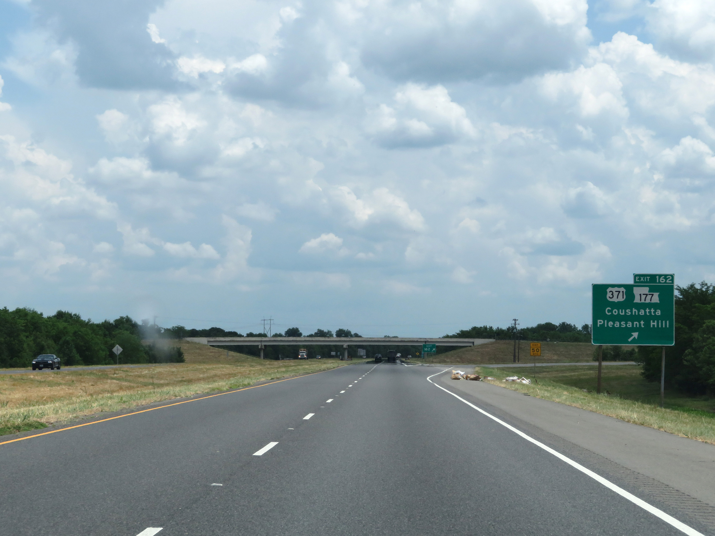 |
Interstate 49 South at Exit 162: US 371 / LA 177 - Coushatta / Pleasant Hill (Photo taken 5/22/18). |
 |
Interstate 49 South reassurance shield. (Photo taken 5/22/18). |
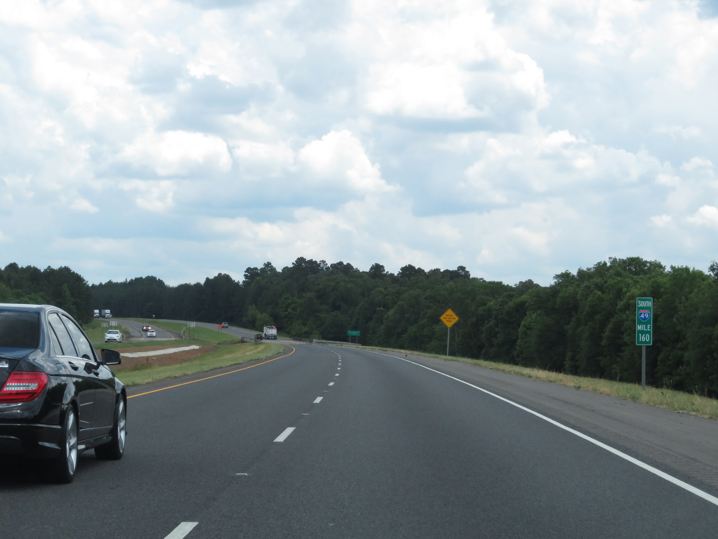 |
View on Interstate 49 South at mile marker 160. (Photo taken 5/22/18). |
 |
Interstate 49 South at mile marker 158. (Photo taken 5/22/18). |
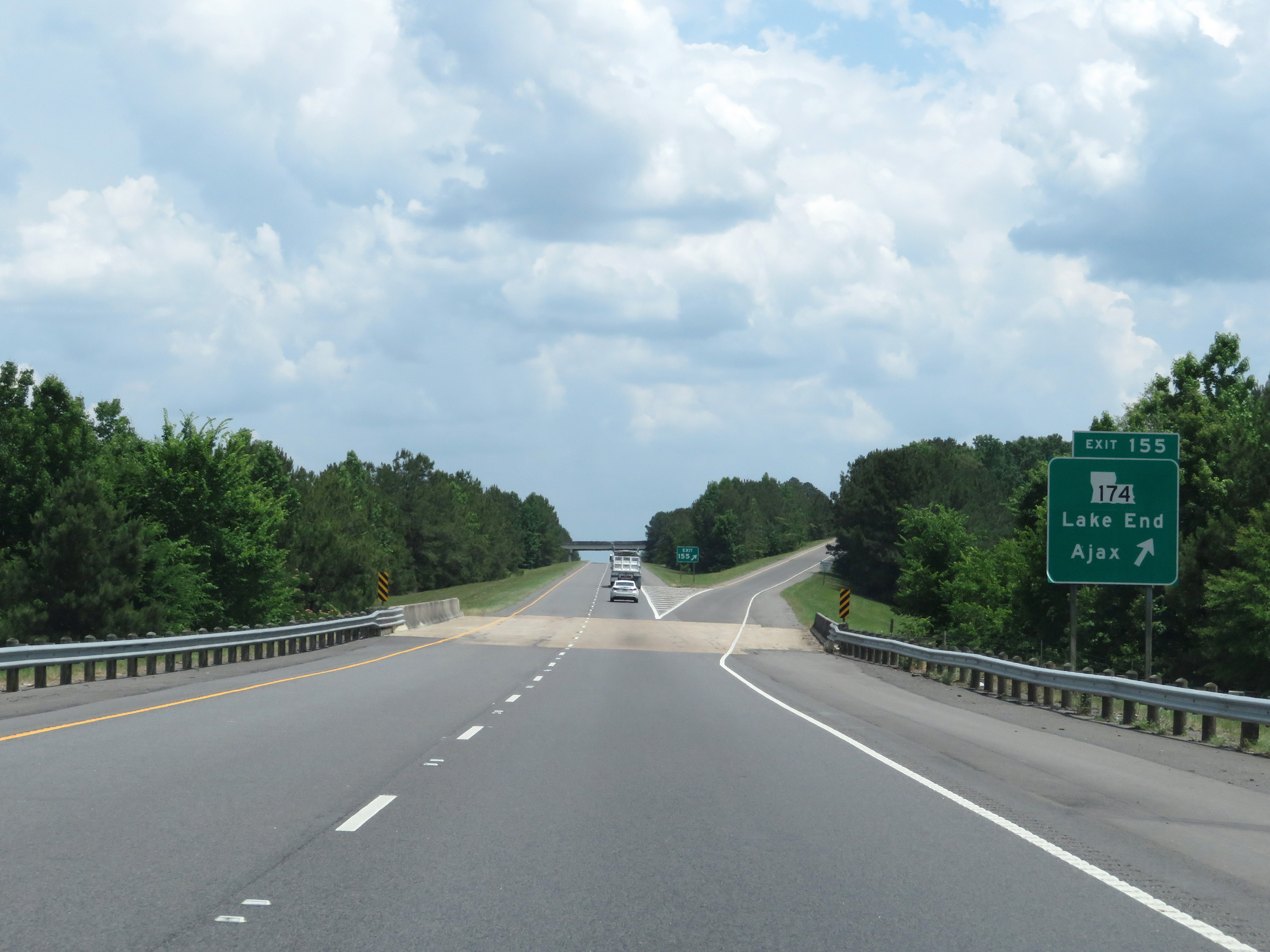 |
Interstate 49 South at Exit 155: LA 174 - Lake End / Ajax (Photo taken 5/22/18). |
 |
Speed limit sign on Interstate 49 South. Speed limit - 75 mph. (Photo taken 5/22/18). |
 |
View on Interstate 49 South at mile marker 154. (Photo taken 5/22/18). |
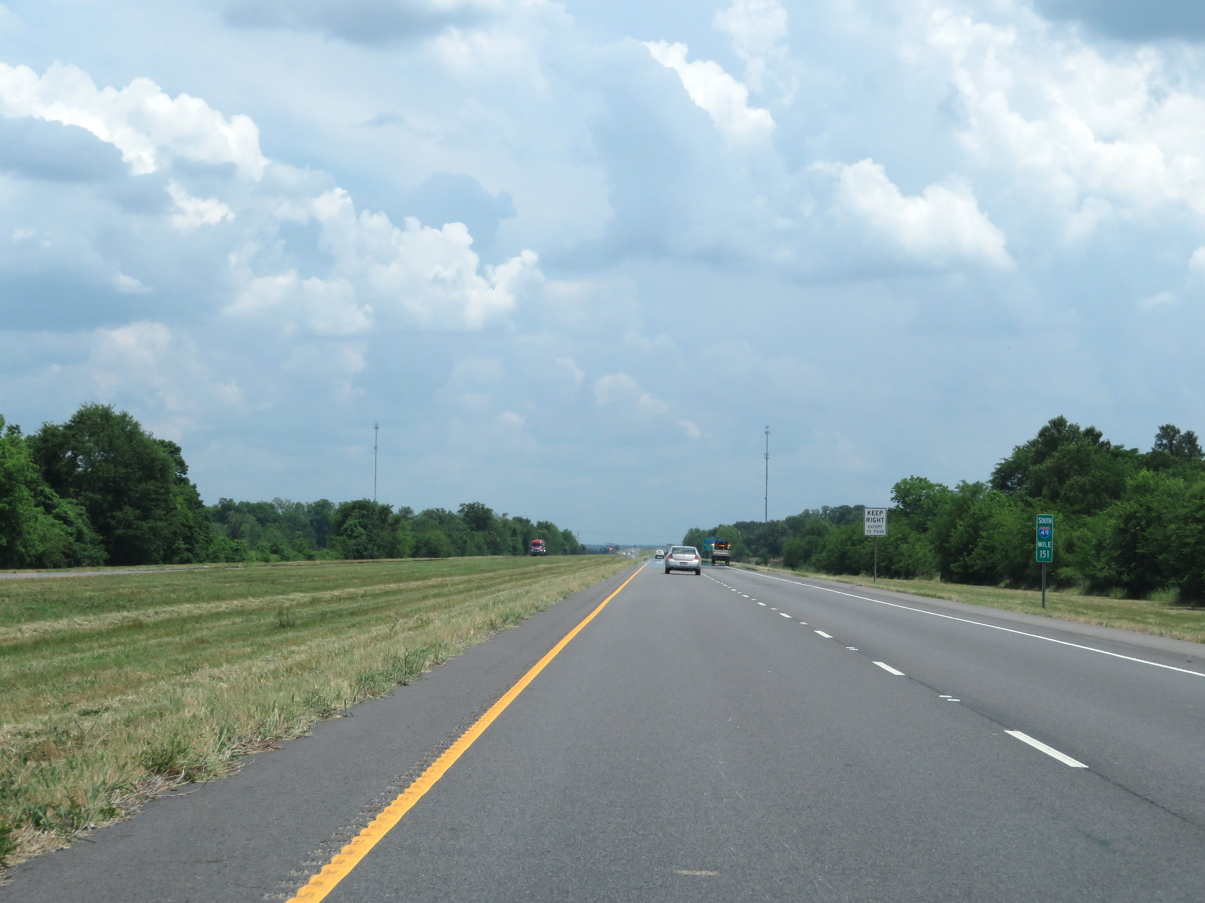 |
Mile marker 151 on Interstate 49 South in Natchitoches Parish. (Photo taken 5/22/18). |
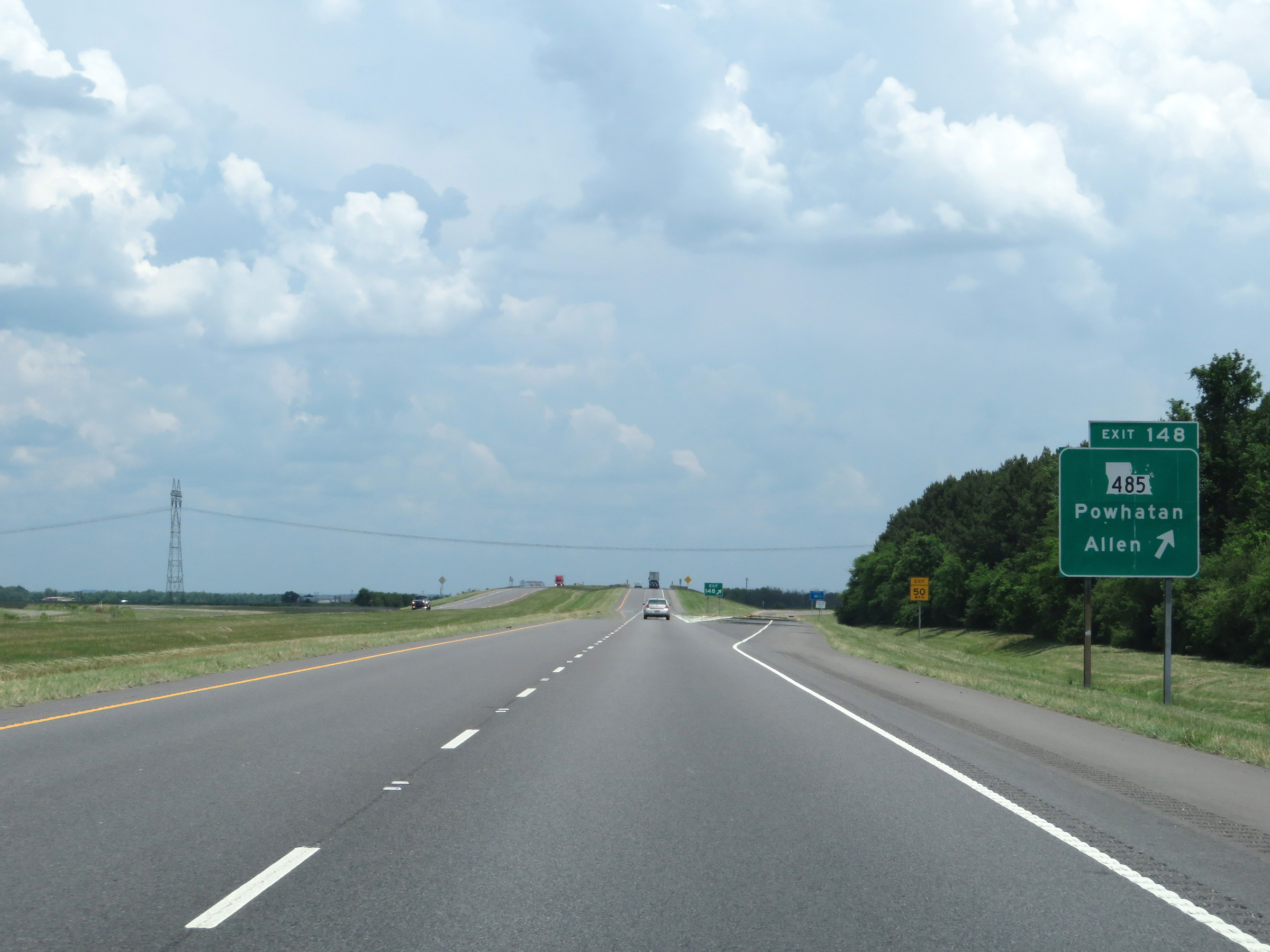 |
Interstate 49 South at Exit 148: LA 485 - Powhatan / Allen (Photo taken 5/22/18). |
 |
View on Interstate 49 South at mile marker 145. (Photo taken 5/22/18). |
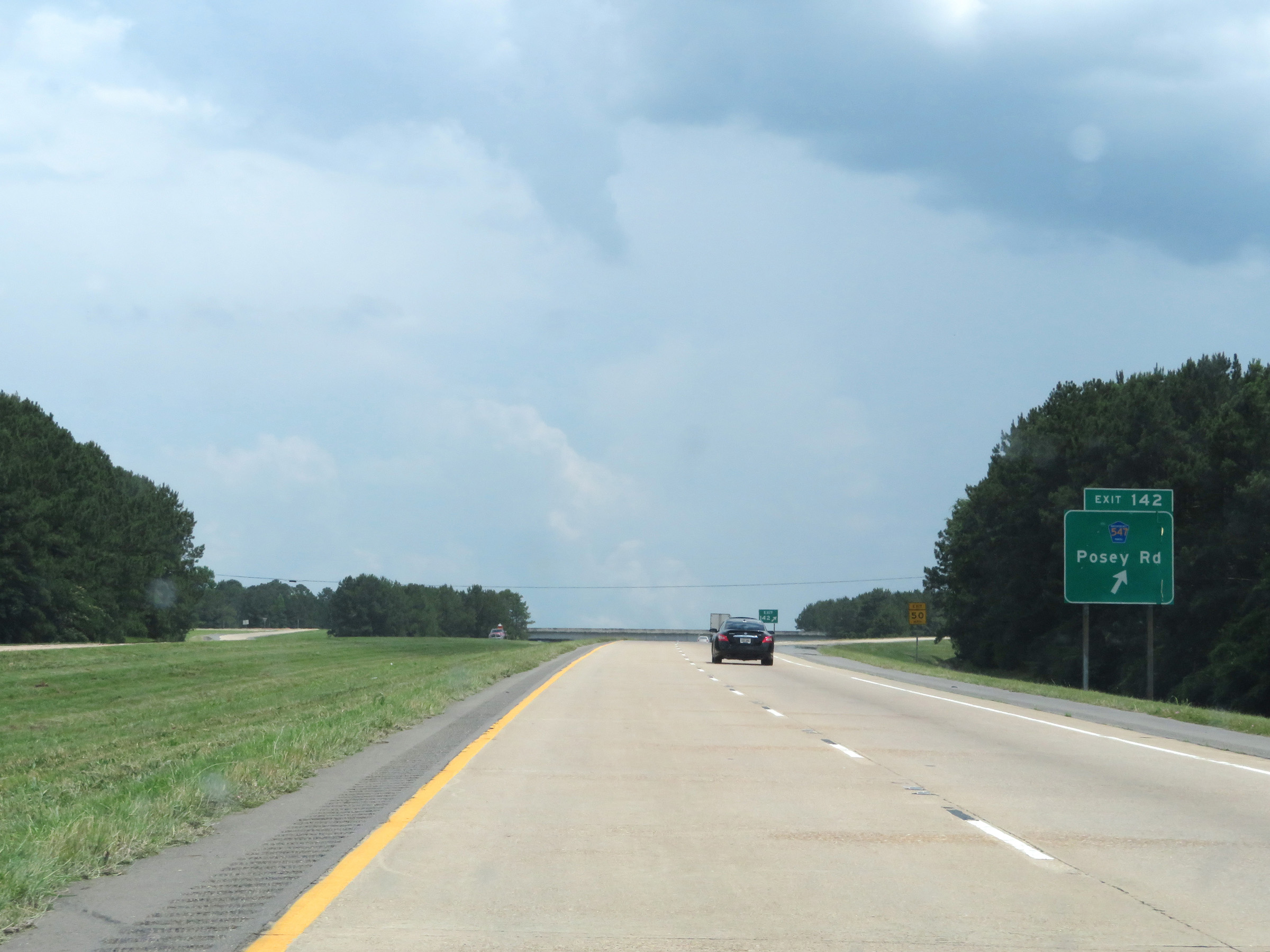 |
Interstate 49 South at Exit 142: PR 547 - Posey Rd (Photo taken 5/22/18). |
 |
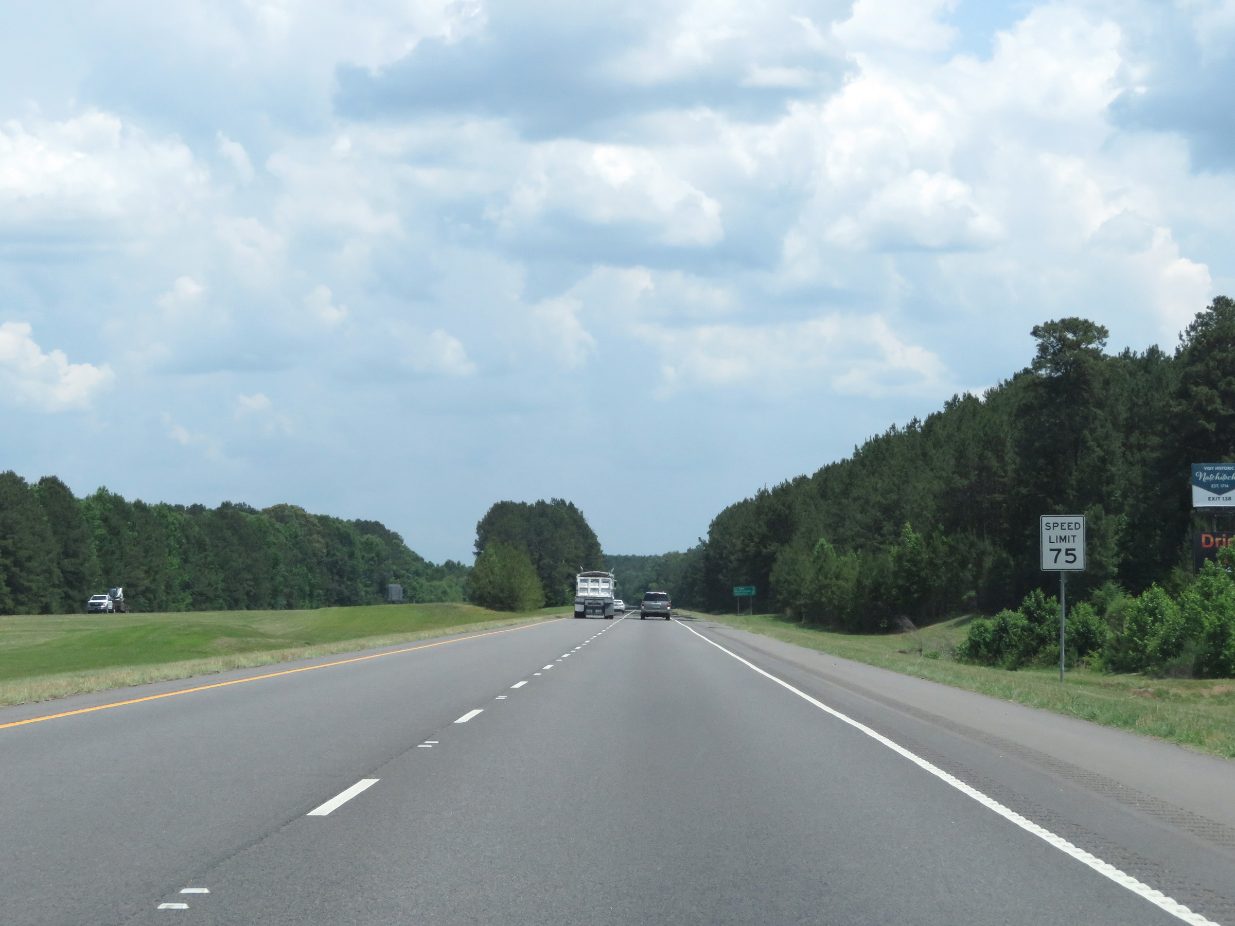
Take Exit 138 to Northwestern State University and Toledo Bend Reservoir. (Photo taken 5/22/18). |
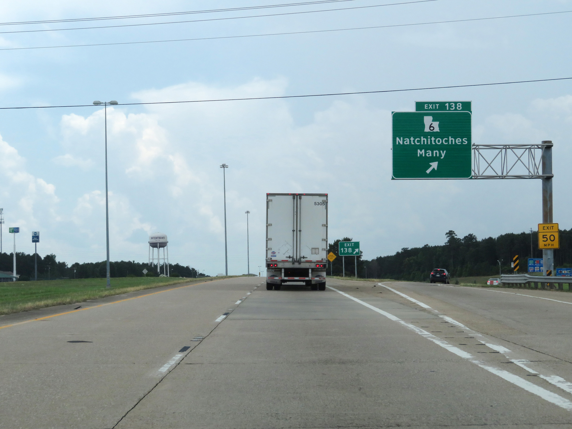 |
Interstate 49 South at Exit 138: LA 6 - Natchitoches / Many (Photo taken 5/22/18). |
Section 2: Natchitoches (Exit 138) to Alexandria (Exit 80)
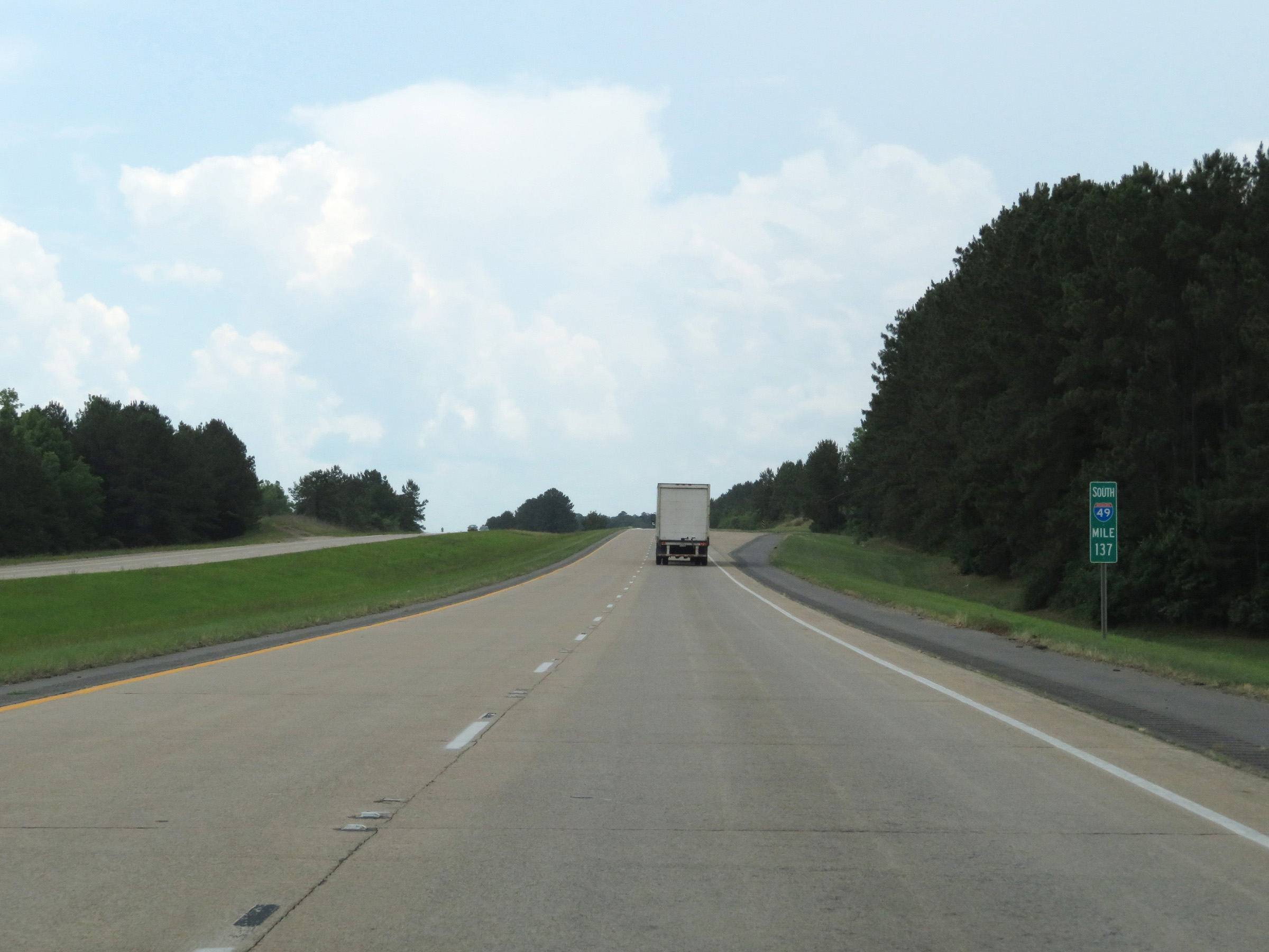 |
Mile marker 137 on Interstate 49 South in Natchitoches Parish. (Photo taken 5/22/18). |
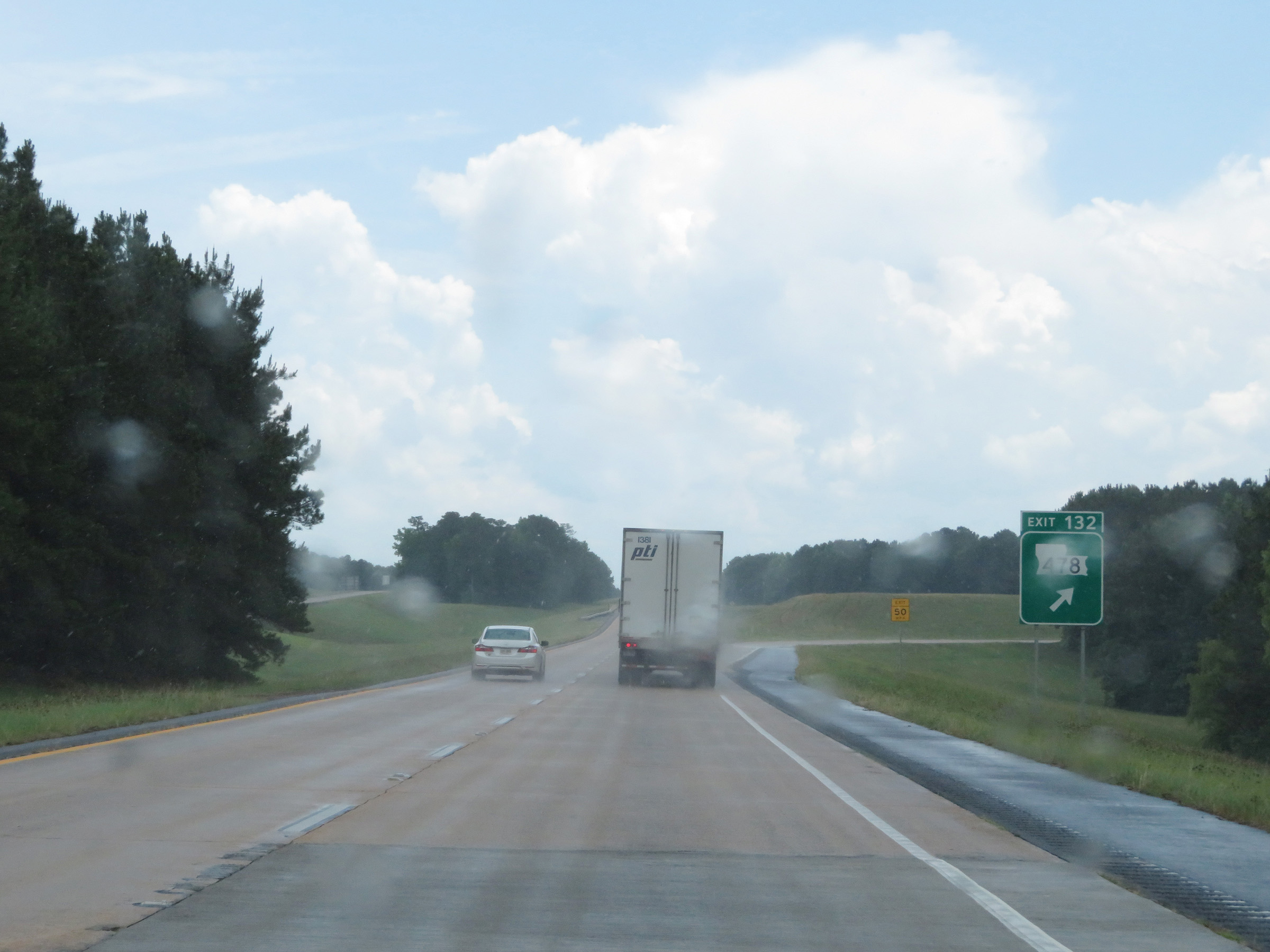 |
Interstate 49 South at Exit 132: LA 478 (Photo taken 5/22/18). |
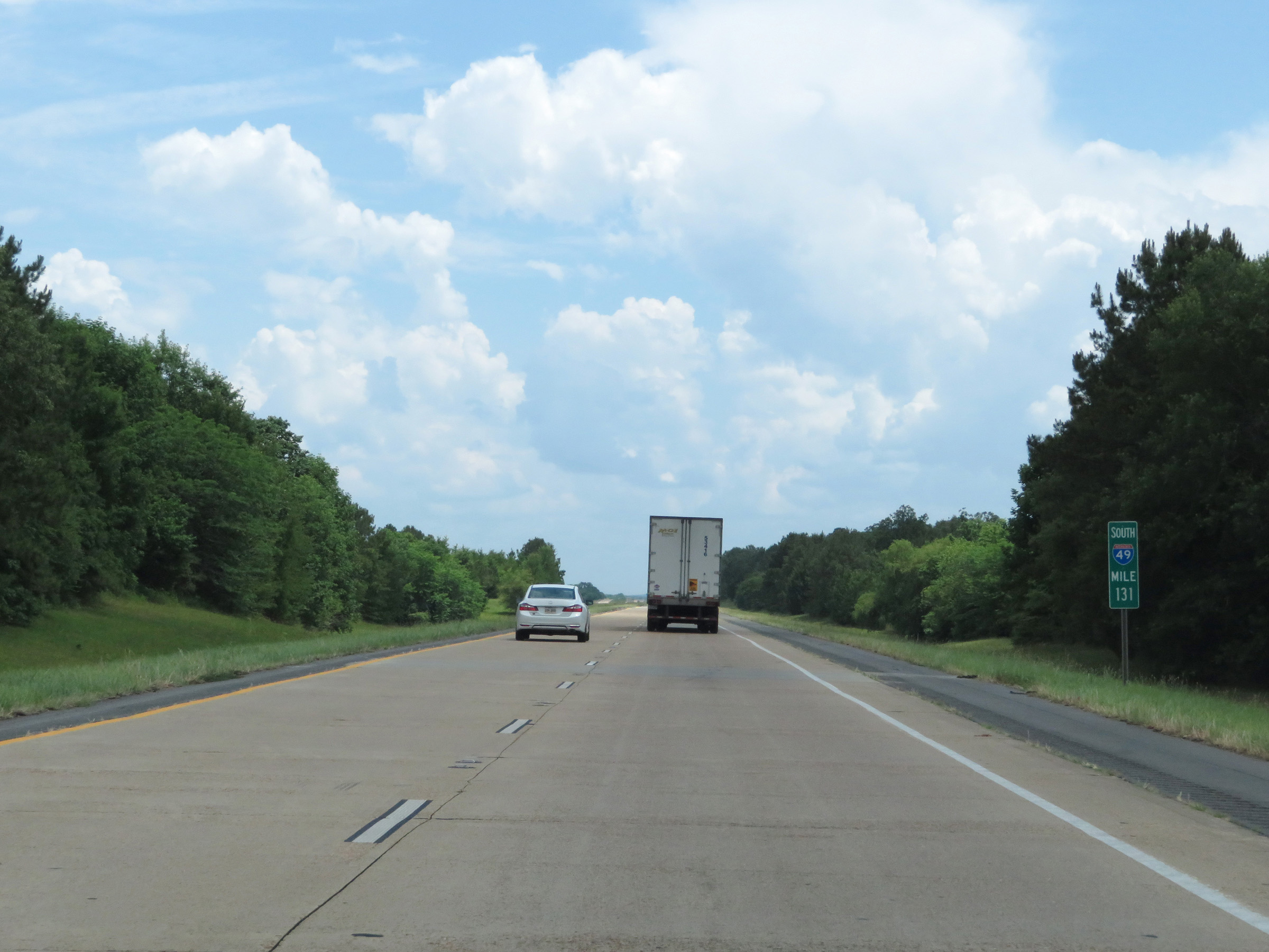 |
Interstate 49 South at mile marker 131. (Photo taken 5/22/18). |
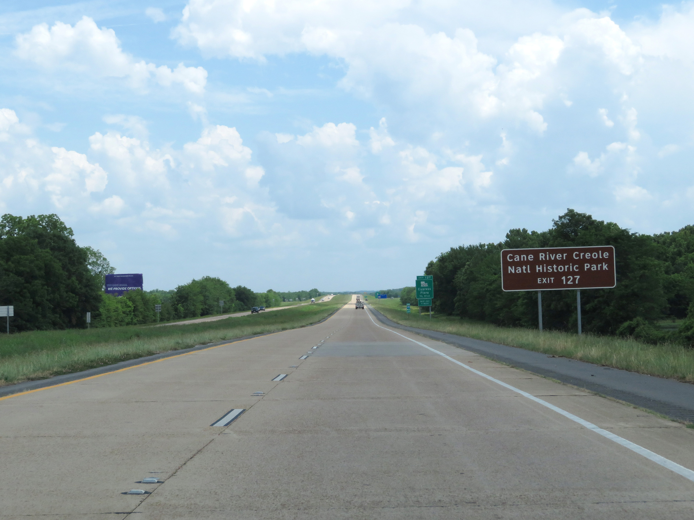 |
Take Exit 127 to Cane River Creole National Historic Park. (Photo taken 5/22/18). |
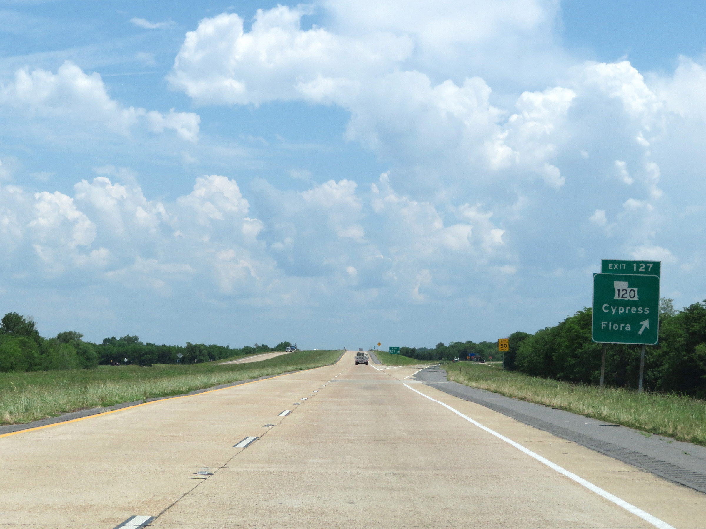 |
Interstate 49 South at Exit 127: LA 120 - Cypress / Flora (Photo taken 5/22/18). |
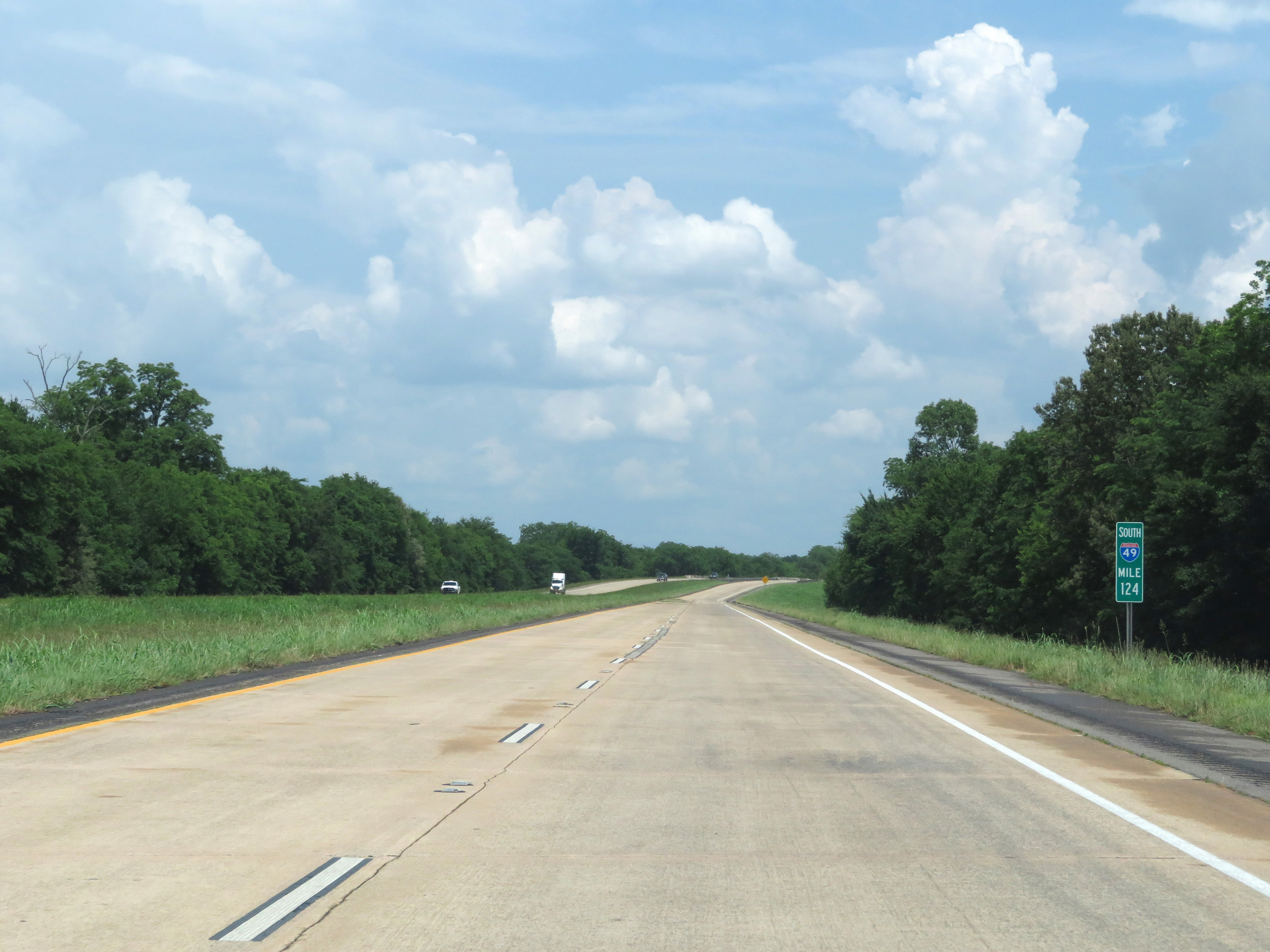 |
View on Interstate 49 South at mile marker 124. (Photo taken 5/22/18). |
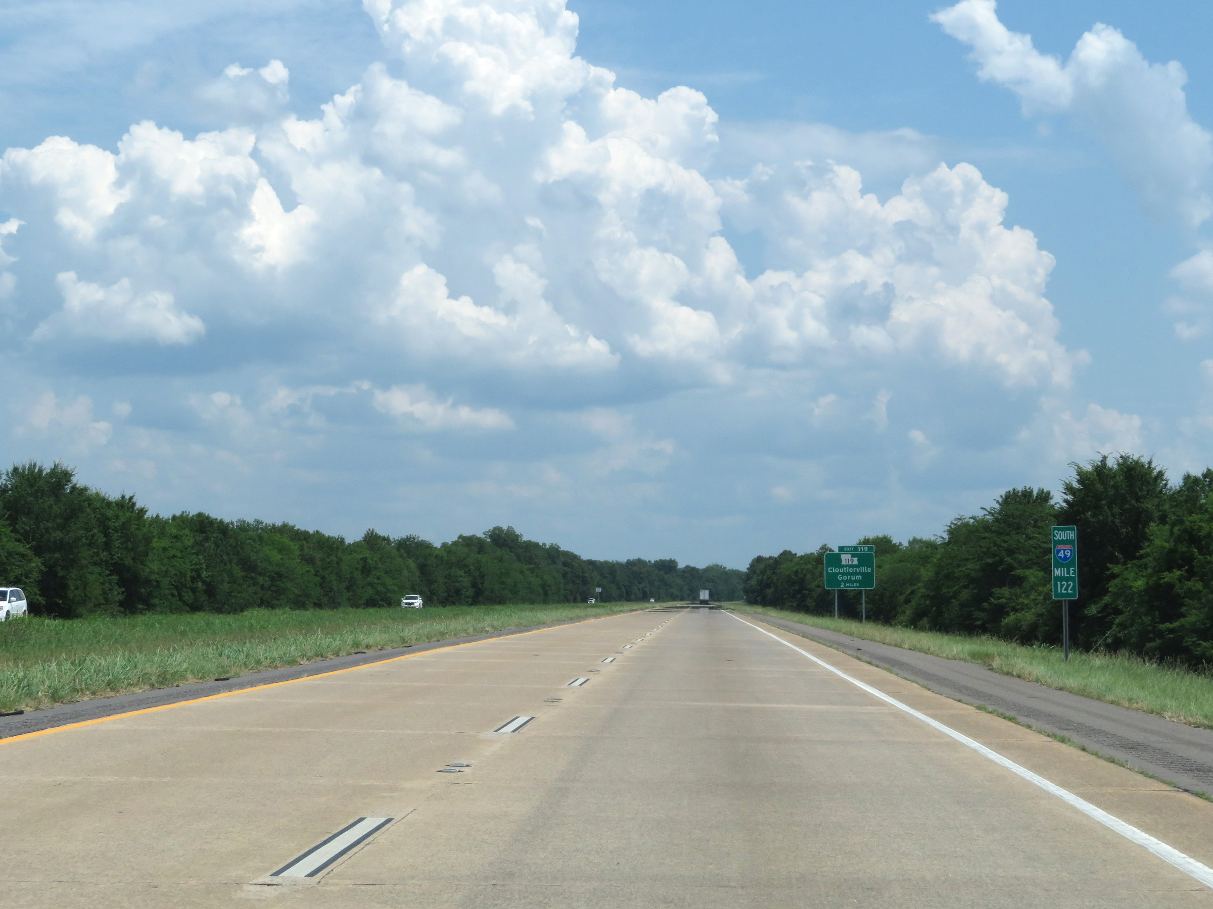 |
Interstate 49 South at mile marker 122. (Photo taken 5/22/18). |
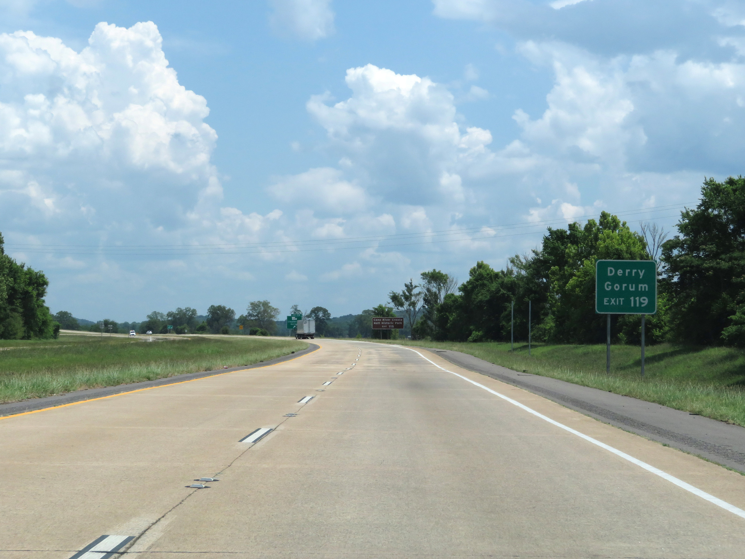 |
Take Exit 119 to Derry and Gorum. (Photo taken 5/22/18). |
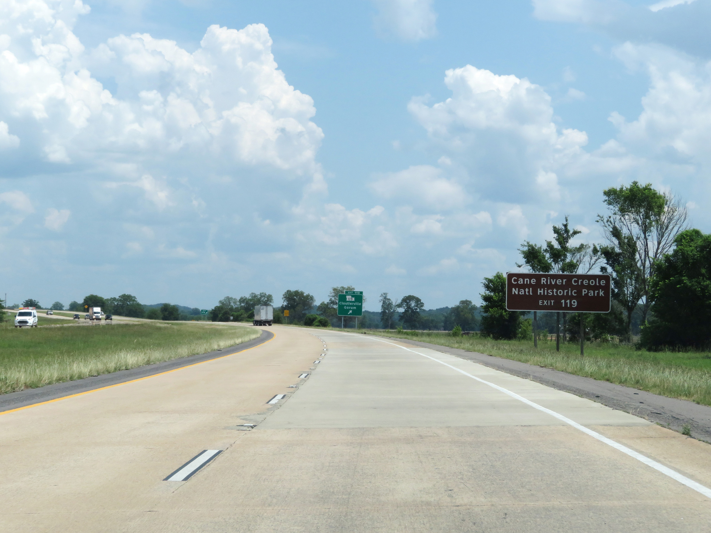 |
Also take Exit 119 to Cane River Creole National Historic Park. (Photo taken 5/22/18). |
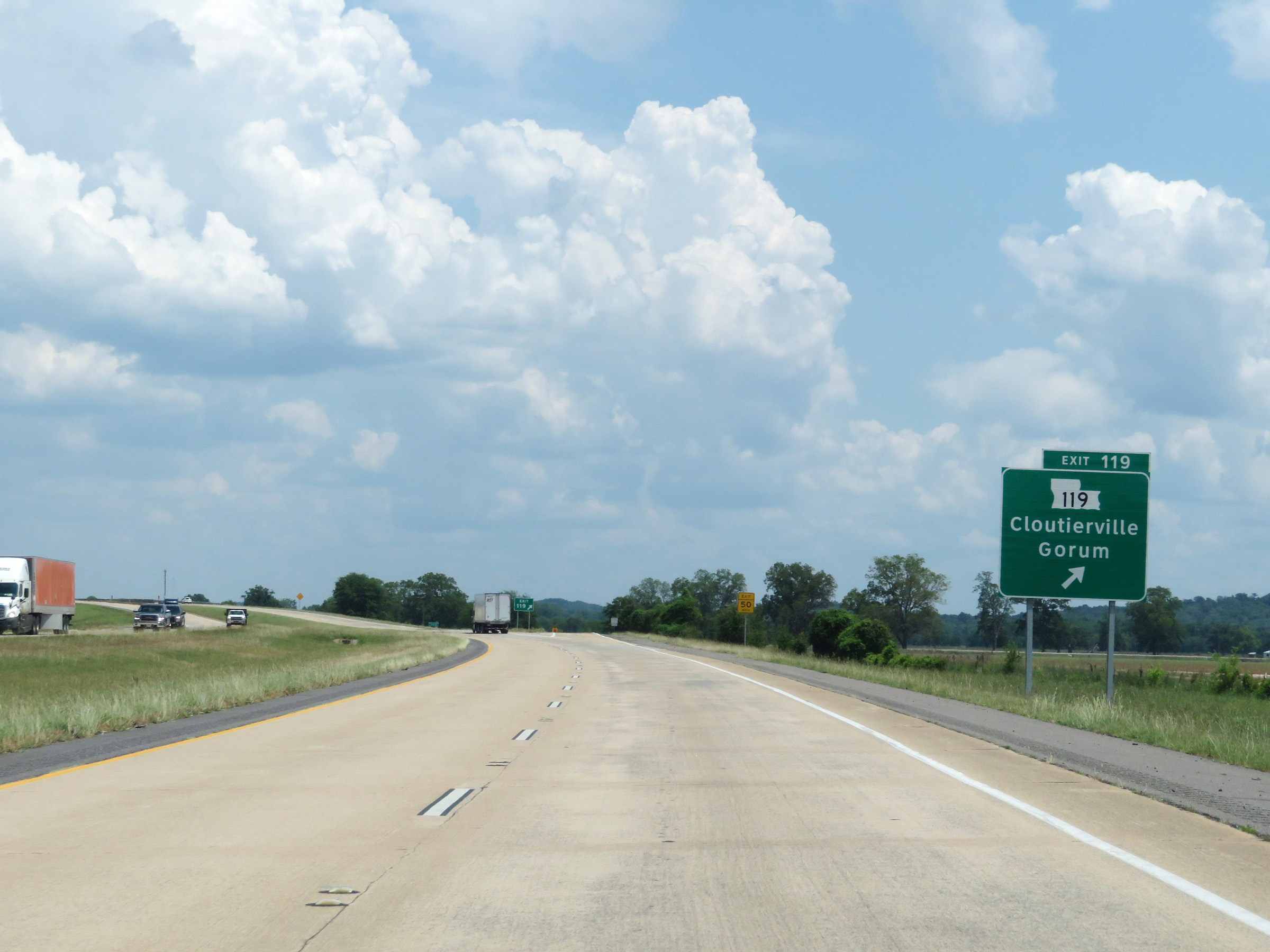 |
Interstate 49 South at Exit 119: LA 119 - Cloutierville / Gorum (Photo taken 5/22/18). |
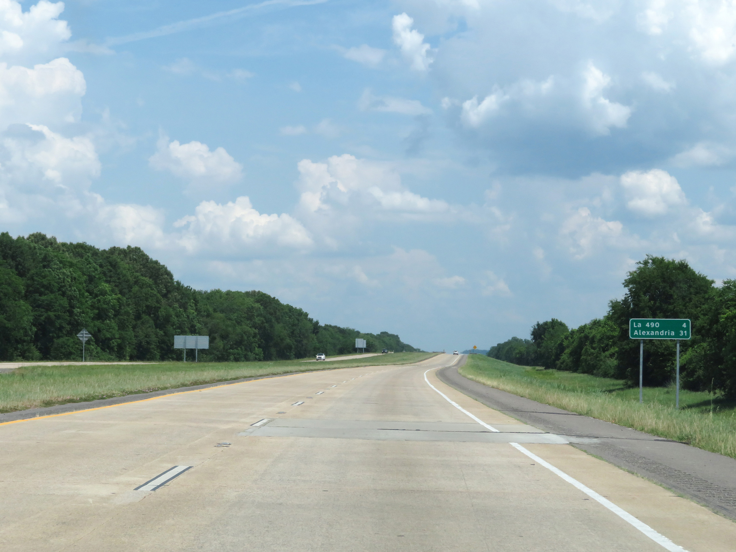 |
Another mileage sign on Interstate 49 South. It's 4 miles to the junction of LA 490 and 31 miles to Alexandria. (Photo taken 5/22/18). |
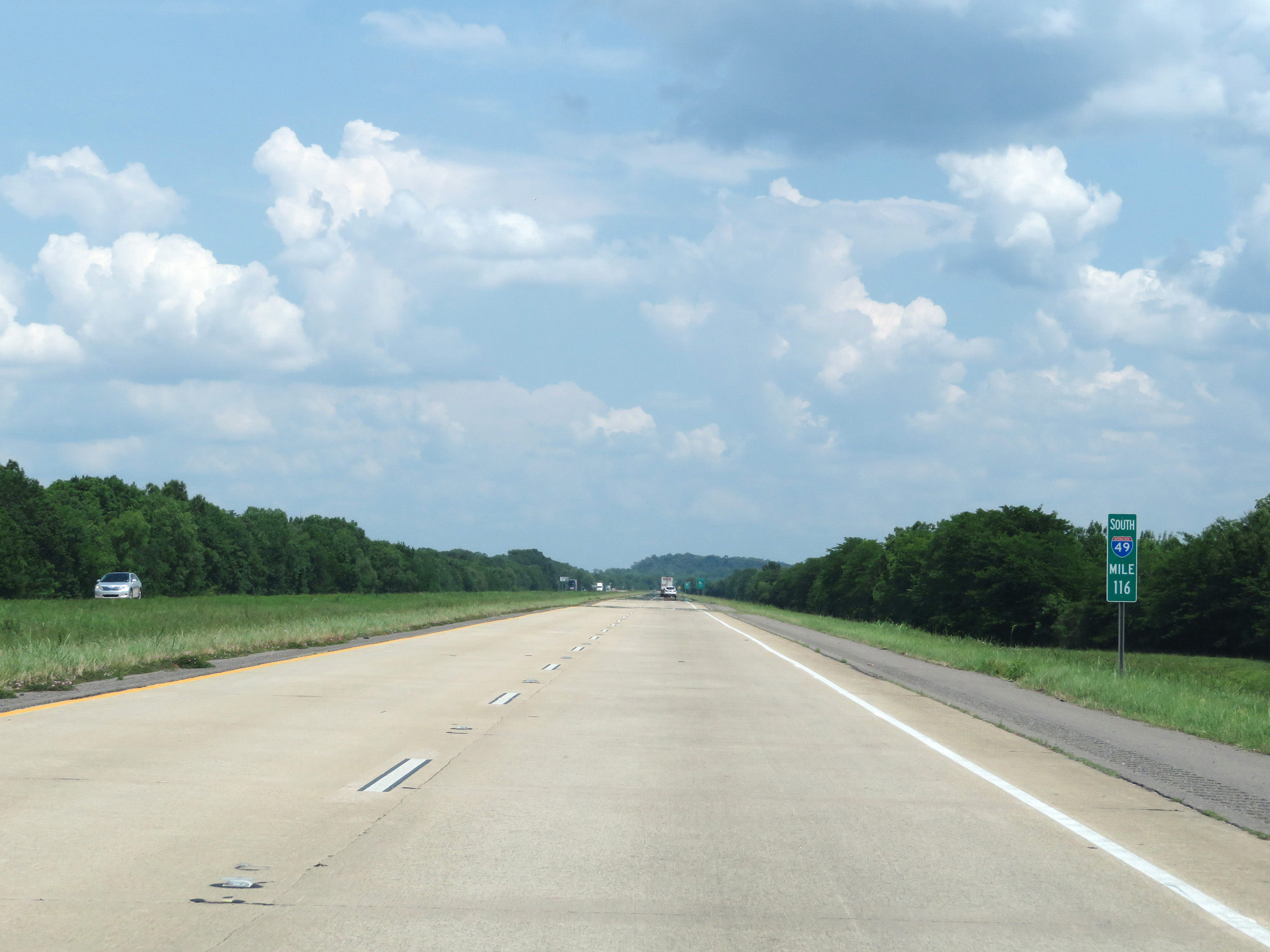 |
View on Interstate 49 South at mile marker 116. (Photo taken 5/22/18). |
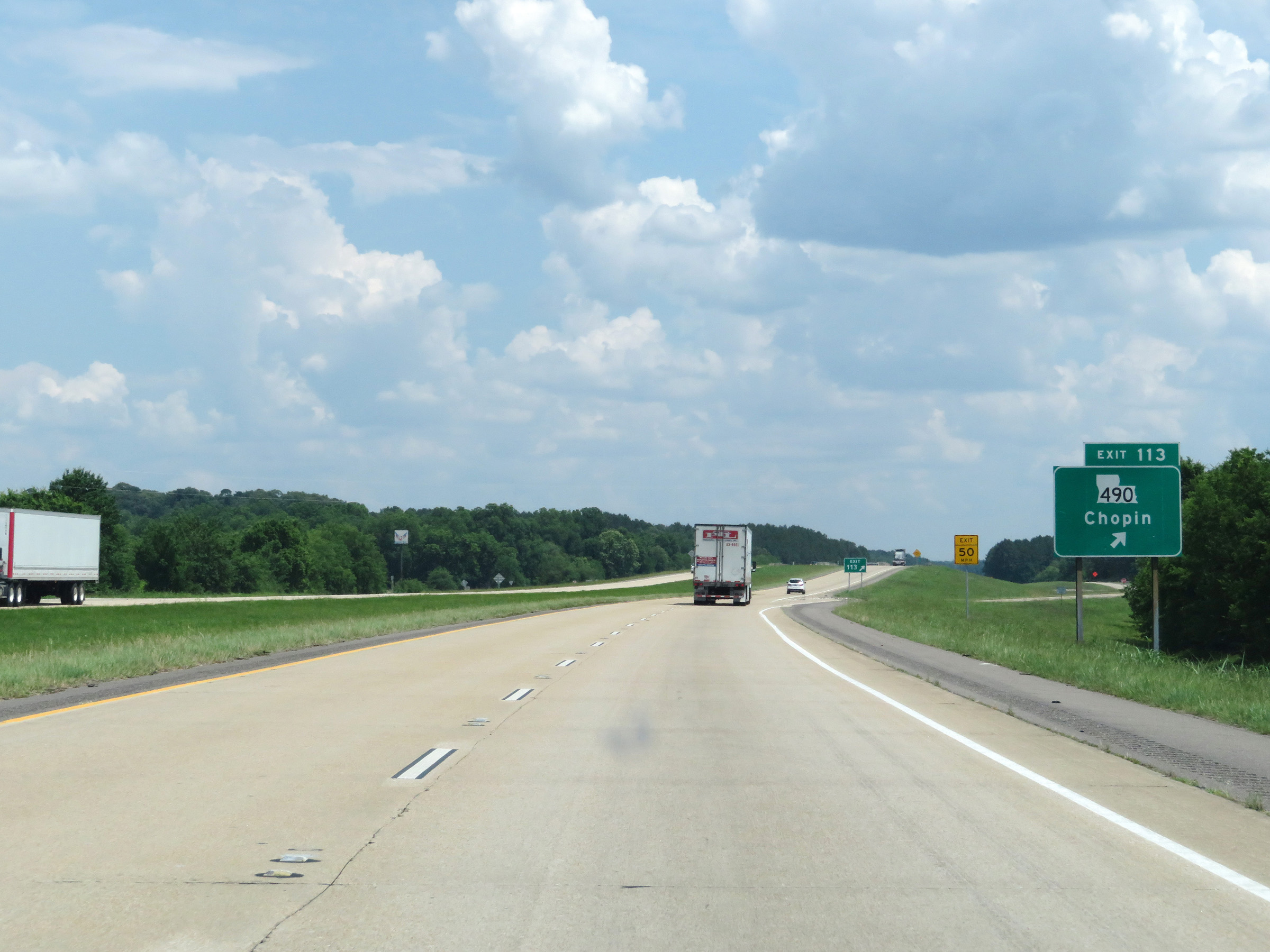 |
Interstate 49 South at Exit 113: LA 490 - Chopin (Photo taken 5/22/18). |
 |
Interstate 49 South reassurance shield. (Photo taken 5/22/18). |
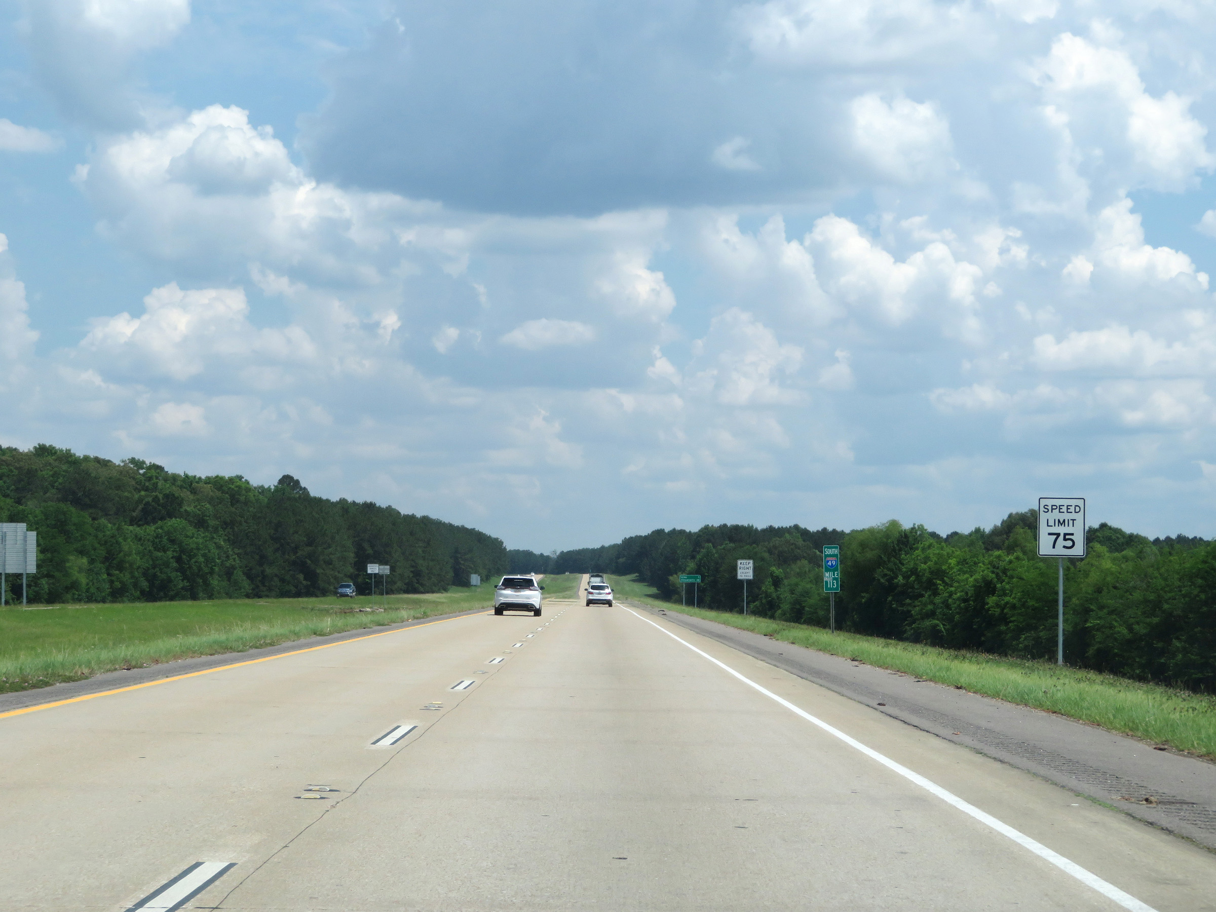 |
Speed limit sign at mile marker 113. The speed limit remains 75 mph. (Photo taken 5/22/18). |
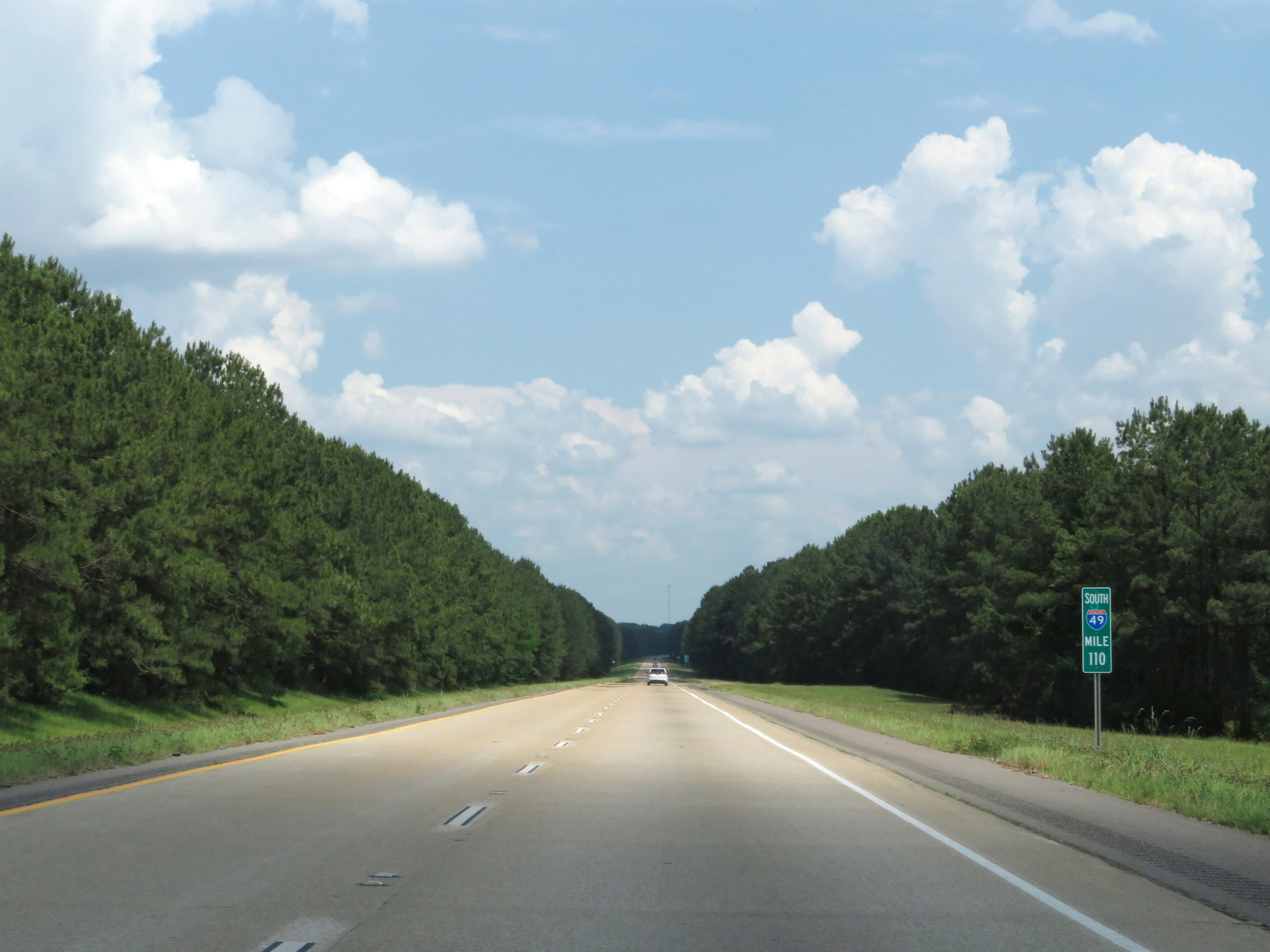 |
View on Interstate 49 South at mile marker 110. (Photo taken 5/22/18). |
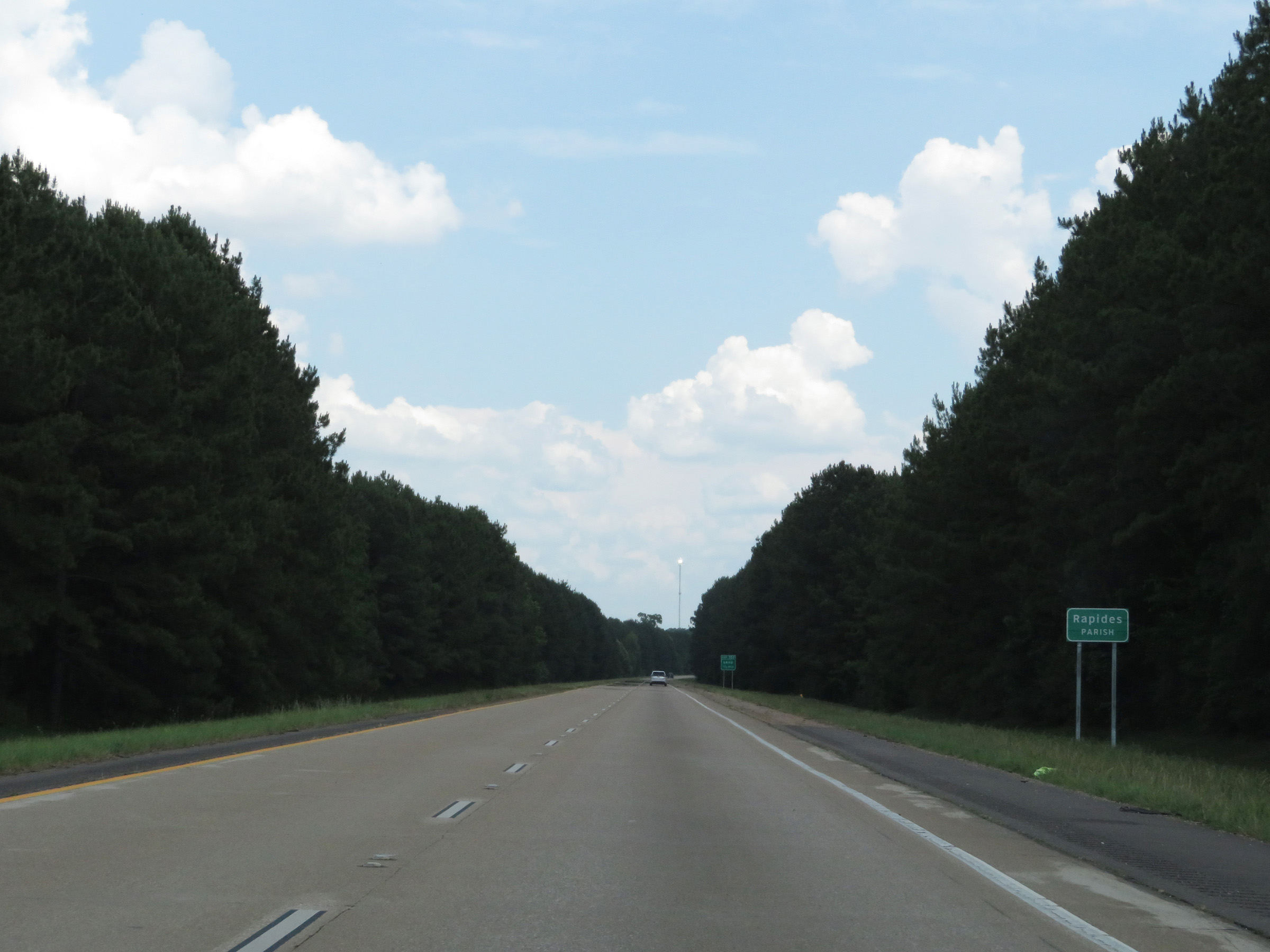 |
Entering Rapides Parish on Interstate 49 South. (Photo taken 5/22/18). |
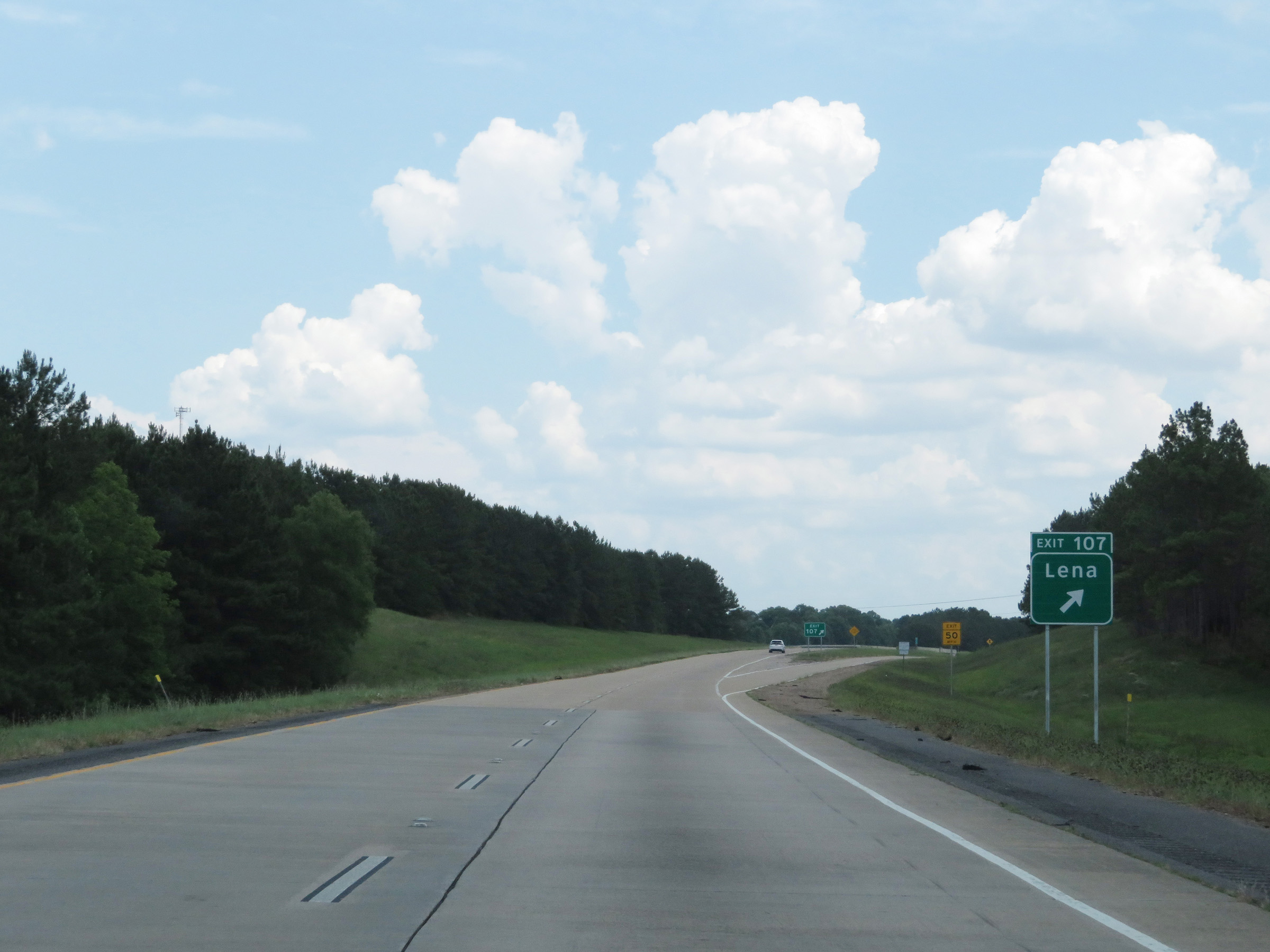 |
Interstate 49 South at Exit 107: Lena (Photo taken 5/22/18). |
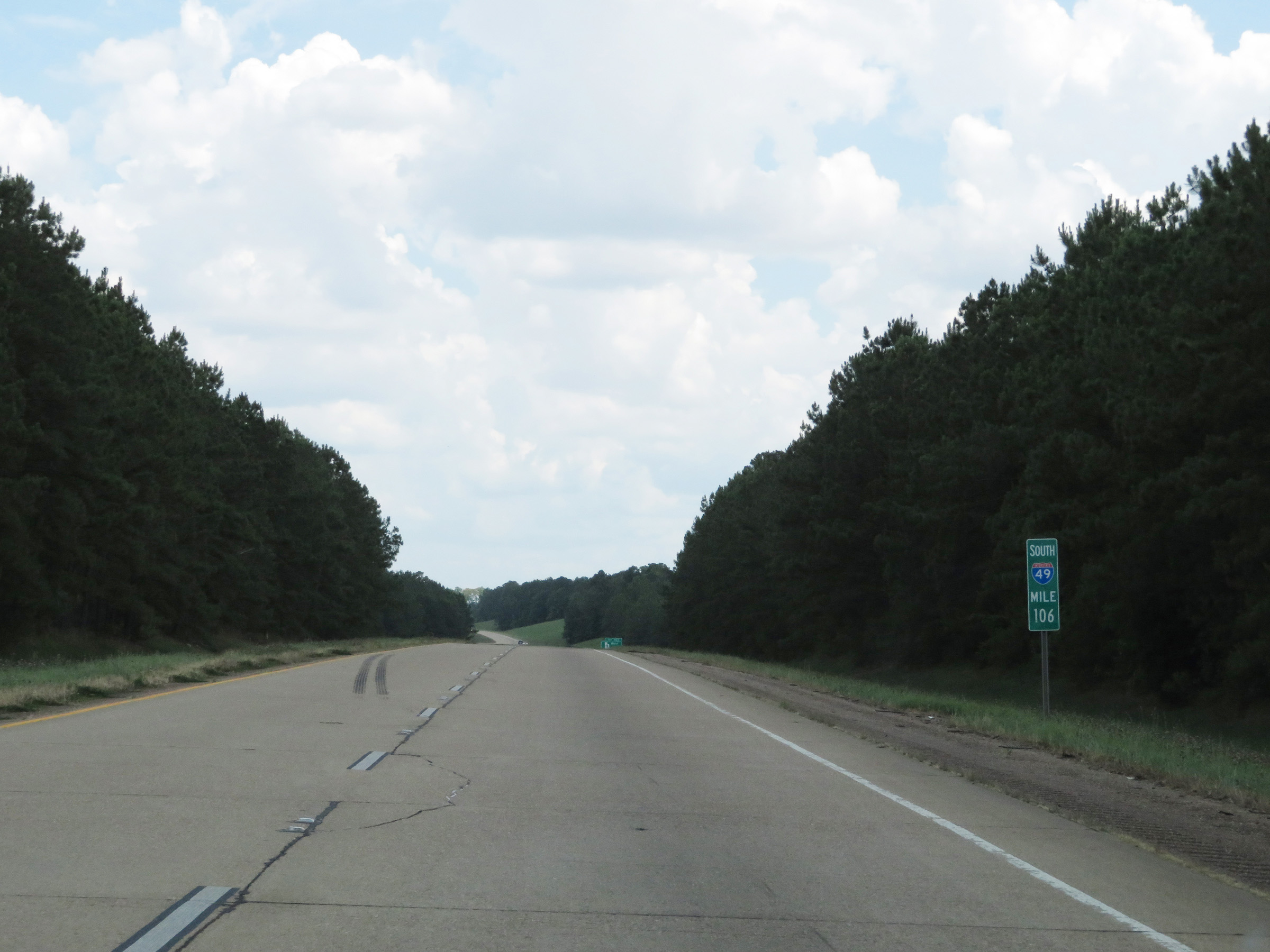 |
Interstate 49 South at mile marker 106. (Photo taken 5/22/18). |
 |
Interstate 49 South at Exit 103: LA 8 West - Flatwoods (Photo taken 5/22/18). |
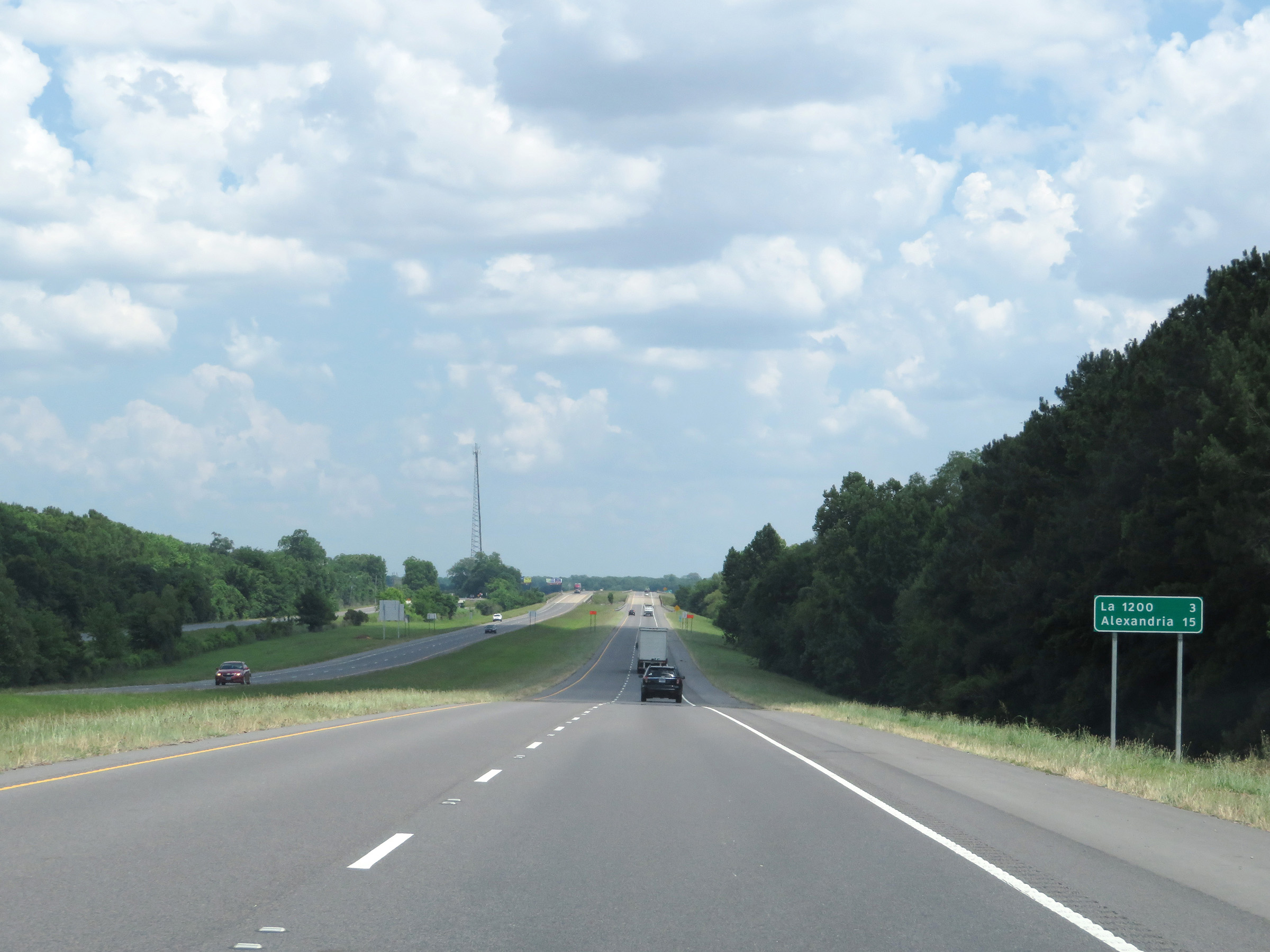 |
Mileage sign on Interstate 49 South. It's 3 miles to the junction of LA 1200 and 15 miles to Alexandria. (Photo taken 5/22/18). |
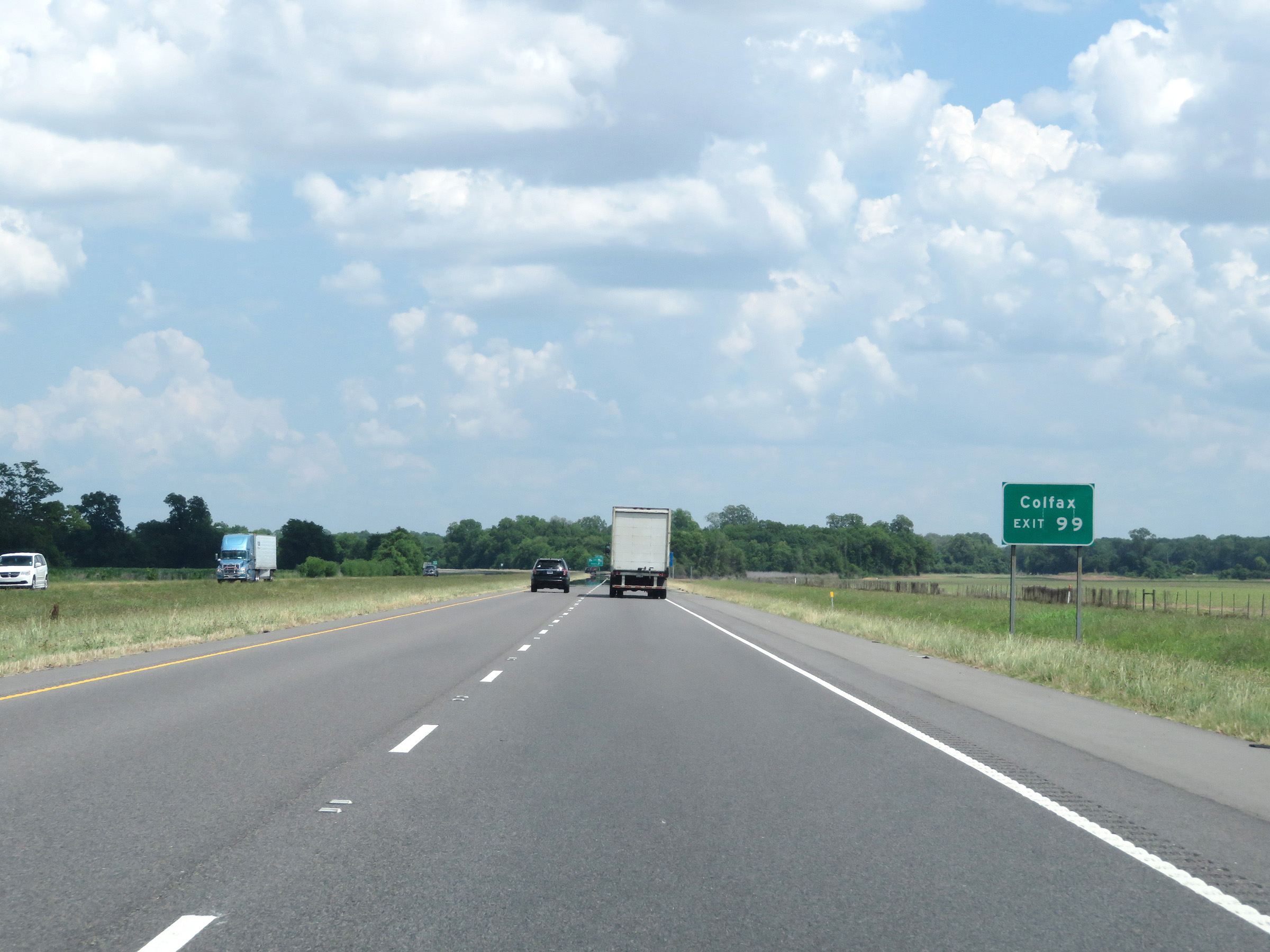 |
Take Exit 99 to Colfax. (Photo taken 5/22/18). |
 |
Interstate 49 South at Exit 99: LA 8 East / LA 1200 - Boyce (Photo taken 5/22/18). |
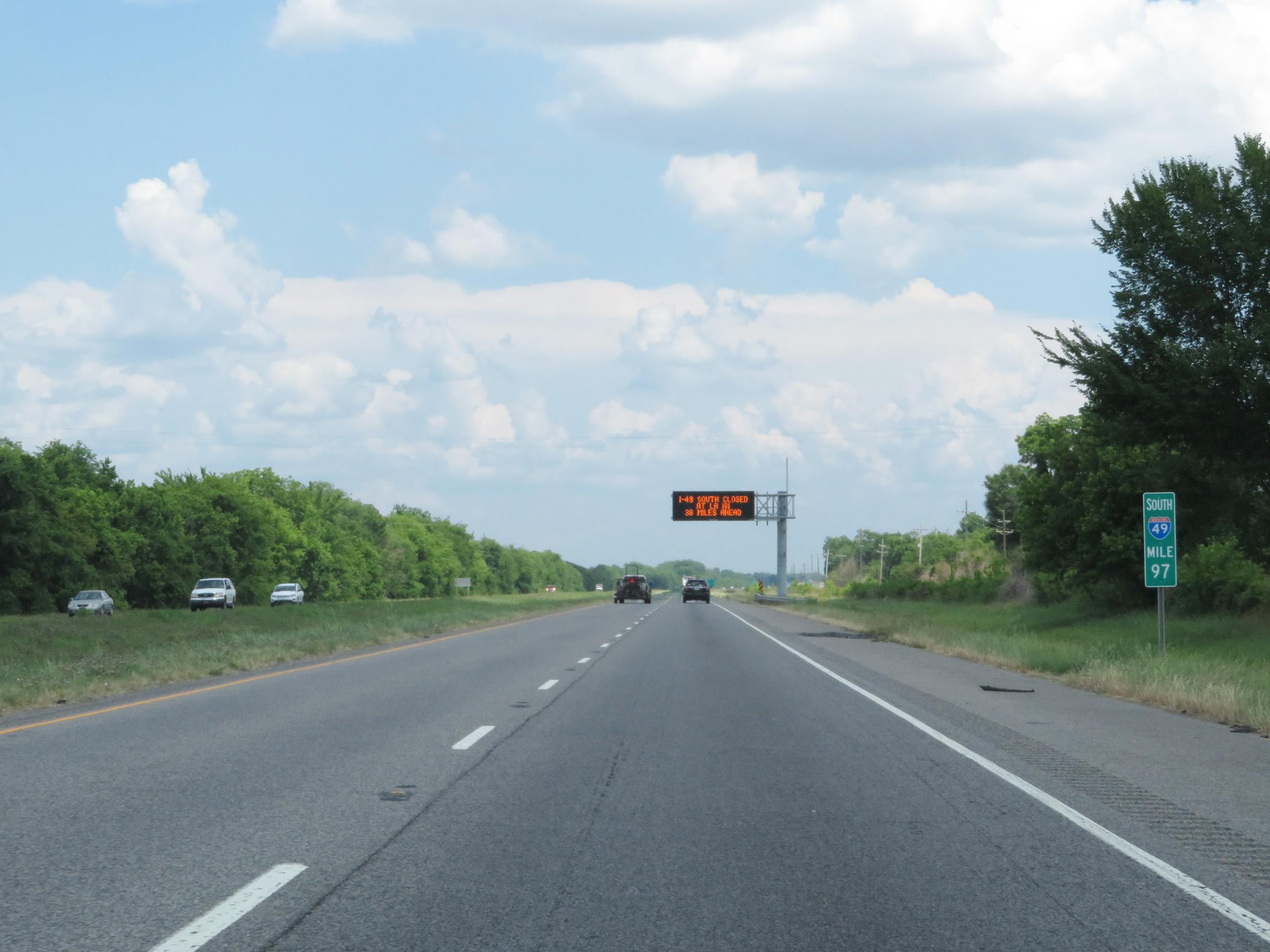 |
View on Interstate 49 South at mile marker 97. (Photo taken 5/22/18). |
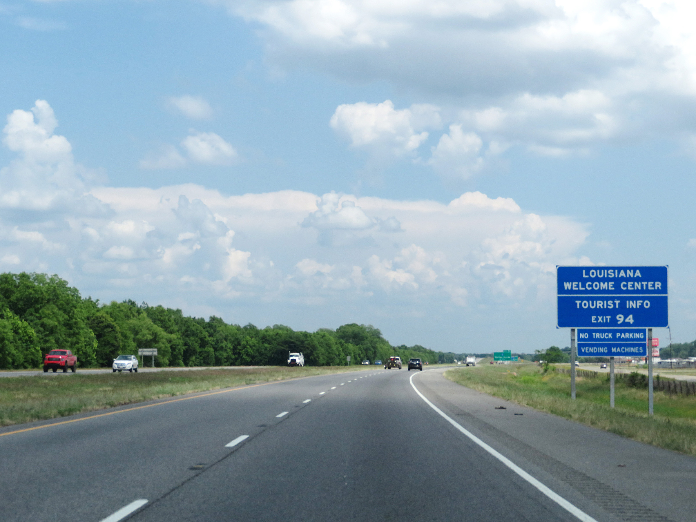 |
A Louisiana Welcome Center and Tourist Info Center exists off Exit 94 ahead. (Photo taken 5/22/18). |
 |
Interstate 49 South at Exit 94: PR 23 - Rapides Station Rd (Photo taken 5/22/18). |
 |
Another Interstate 49 South reassurance shield. (Photo taken 5/22/18). |
 |
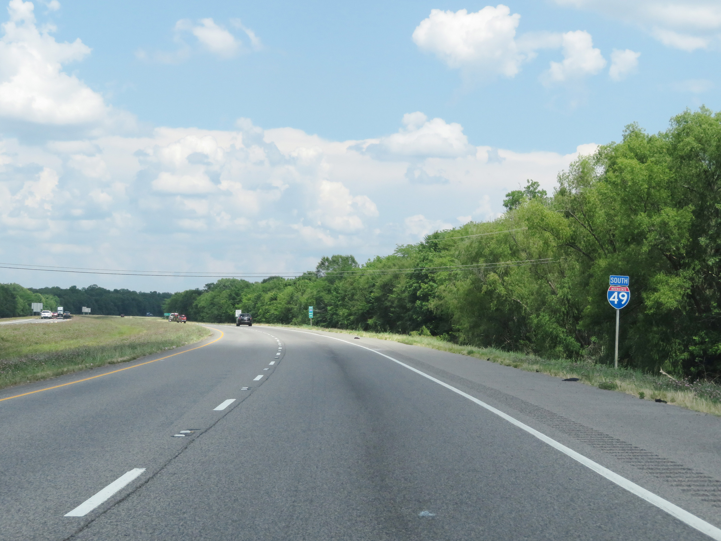
Interstate 49 South as it enters the Alexandria city limits. (Photo taken 5/22/18). |
 |
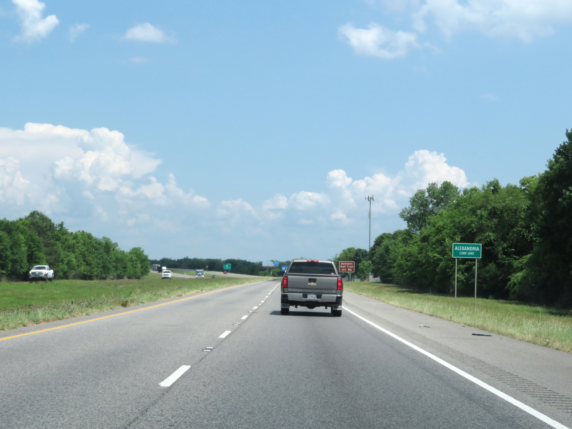
Take Exit 90 to Audubon Golf Trail. (Photo taken 5/22/18). |
 |
Also take Exit 90 to Alexandria International Airport and England Airpark. (Photo taken 5/22/18). |
 |
Interstate 49 South at Exit 90: LA 498 - Air Base Rd (Photo taken 5/22/18). |
 |
South of Exit 90, the speed limit decreases to 60 mph as Interstate 49 South approaches downtown Alexandria. (Photo taken 5/22/18). |
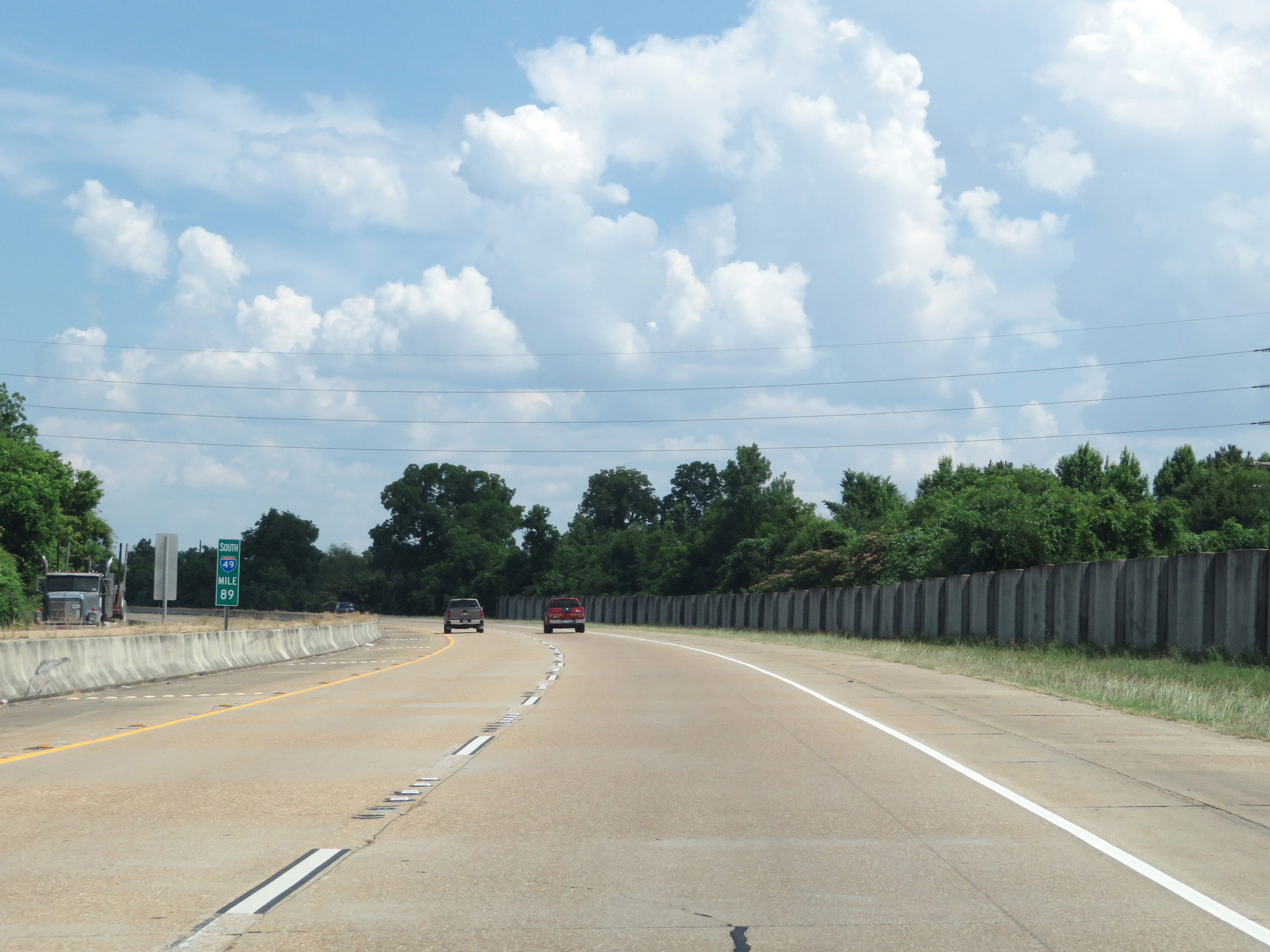 |
View on Interstate 49 South at mile marker 89. (Photo taken 5/22/18). |
 |
Take Exit 86 to LA 28 West toward Fort Polk and Leesville. (Photo taken 5/22/18). |
 |
Interstate 49 South at Exit 86: US 71 / US 165 - MacArthur Dr (Photo taken 5/22/18). |
 |
Take Exit 85A to Alexandria Riverfront Center. (Photo taken 5/22/18). |
 |
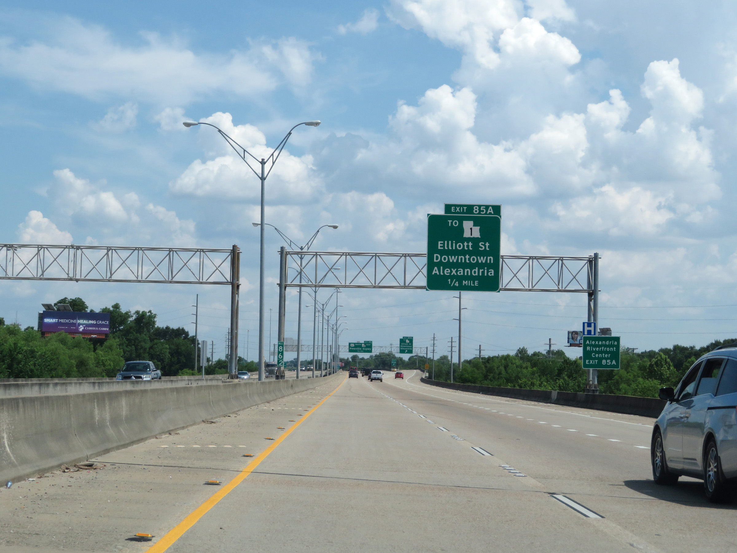
Interstate 49 South at Exit 85A: To LA 1 - Elliott St / Downtown Alexandria (Photo taken 5/22/18). |
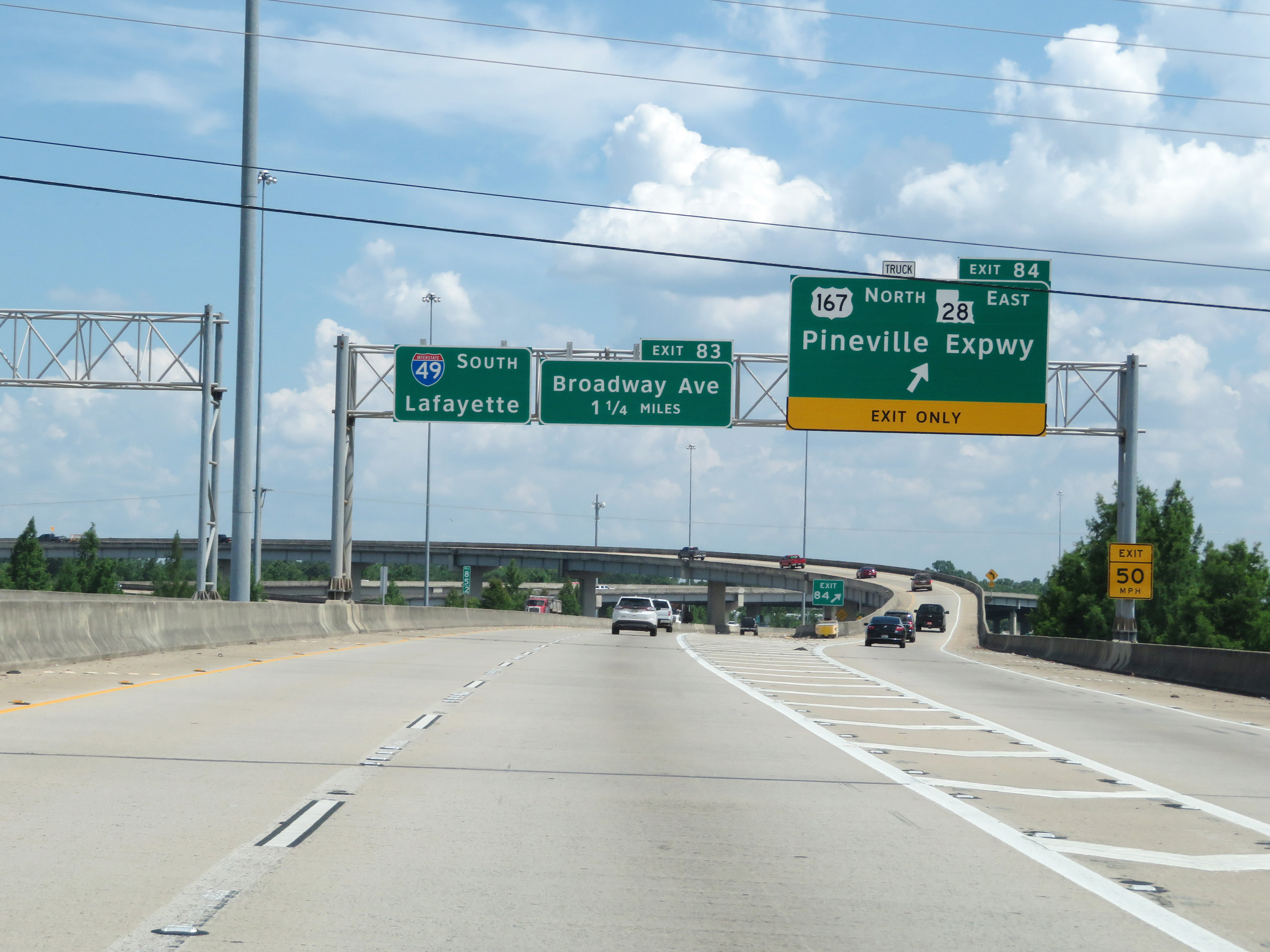 |
Interstate 49 South at Exit 84: US 167 North / LA 28 East - Pineville Expwy (Photo taken 5/22/18). |
 |
View on Interstate 49 South at mile marker 85. (Photo taken 5/22/18). |
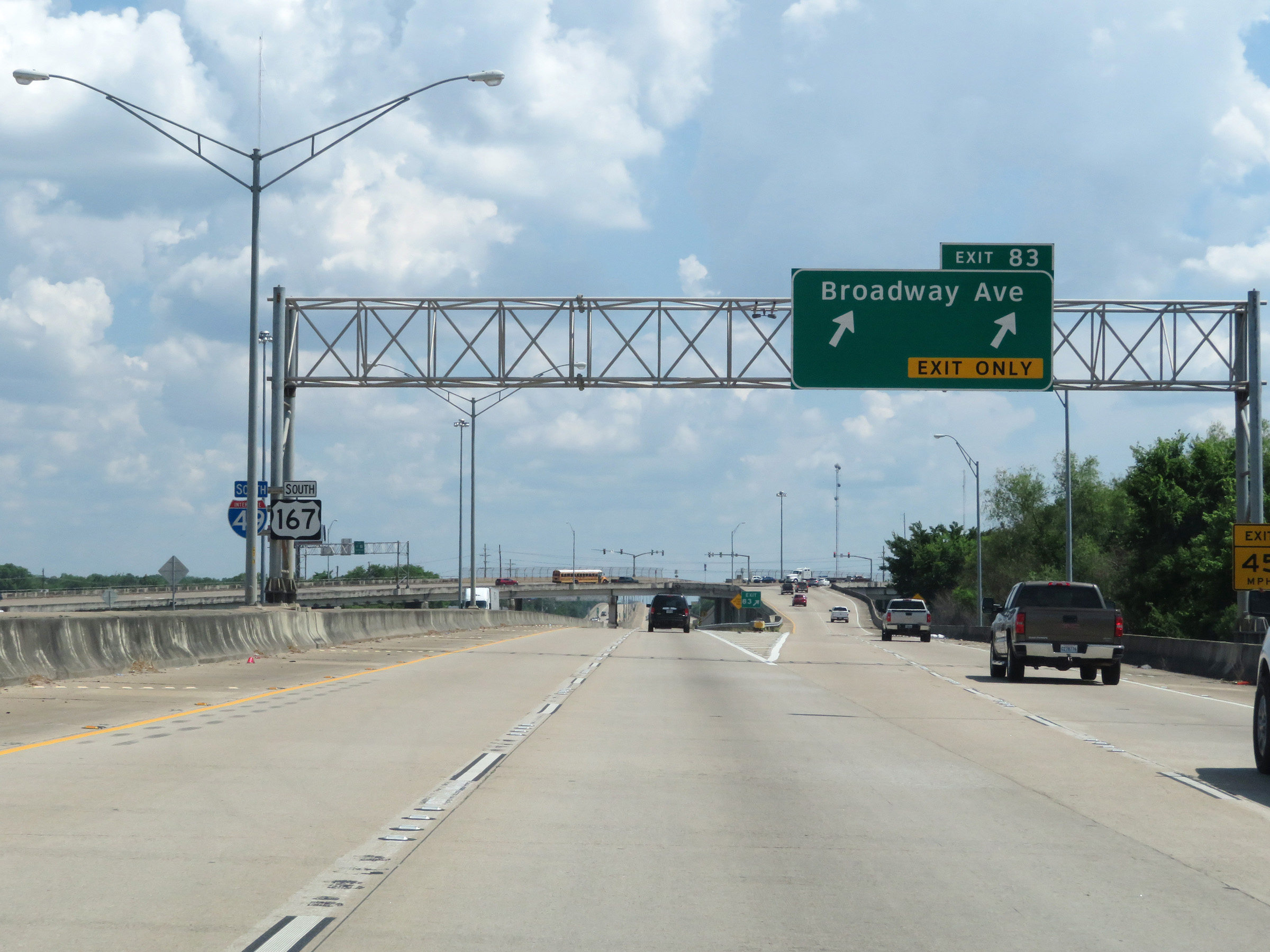 |
Interstate 49 South at Exit 83: Broadway Ave (Photo taken 5/22/18). |
 |
Interstate 49 South reassurance shield in Alexandria. (Photo taken 5/22/18). |
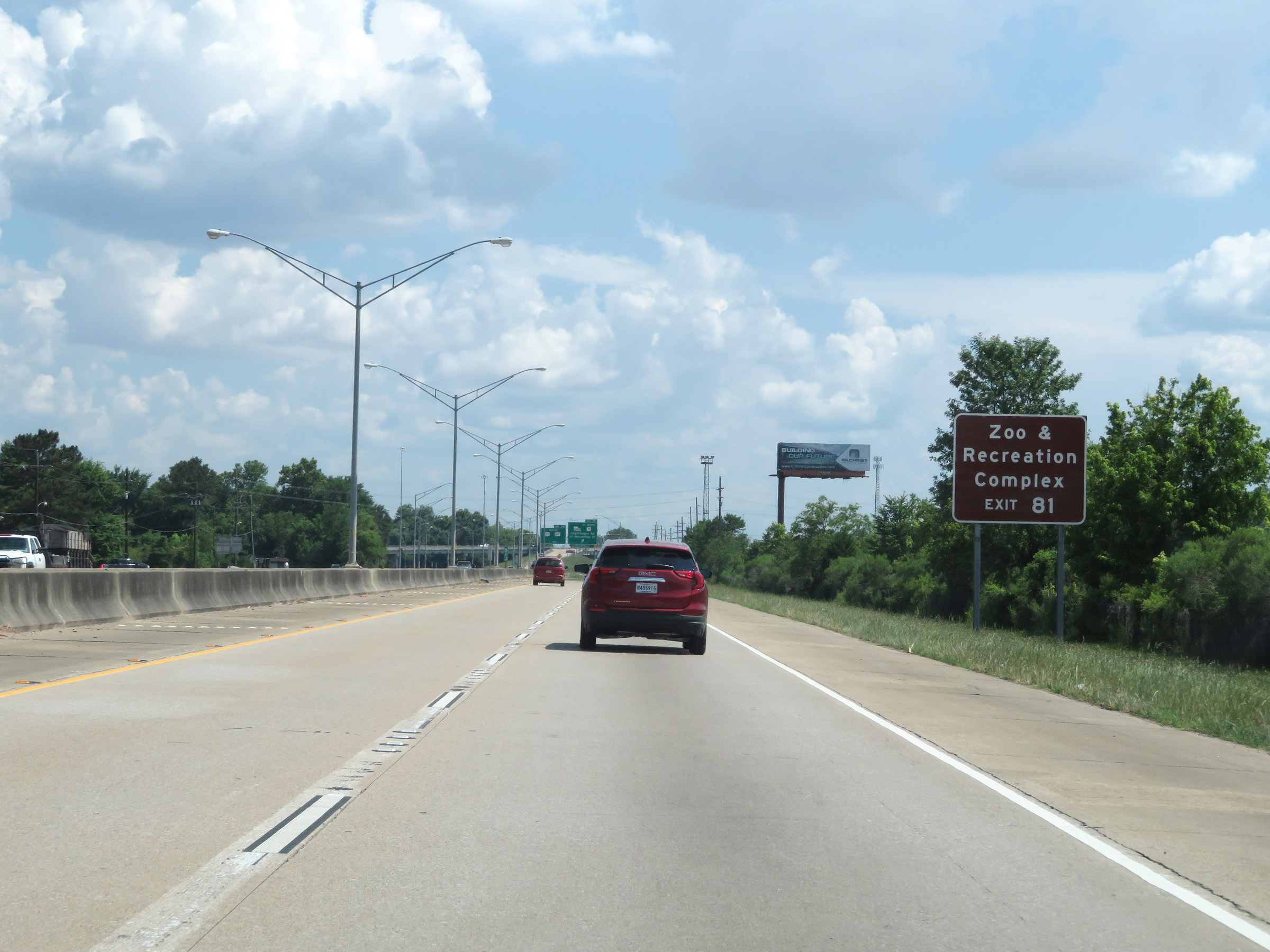 |
Take Exit 81 to the Zoo & Recreation Complex. (Photo taken 5/22/18). |
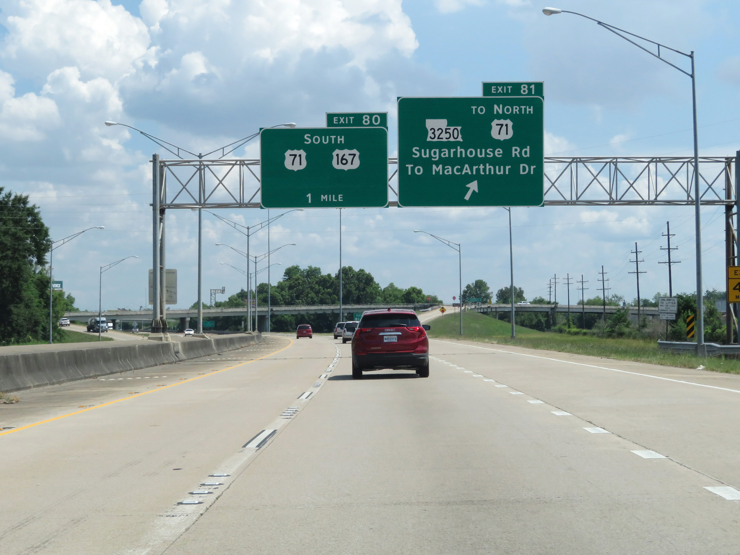 |
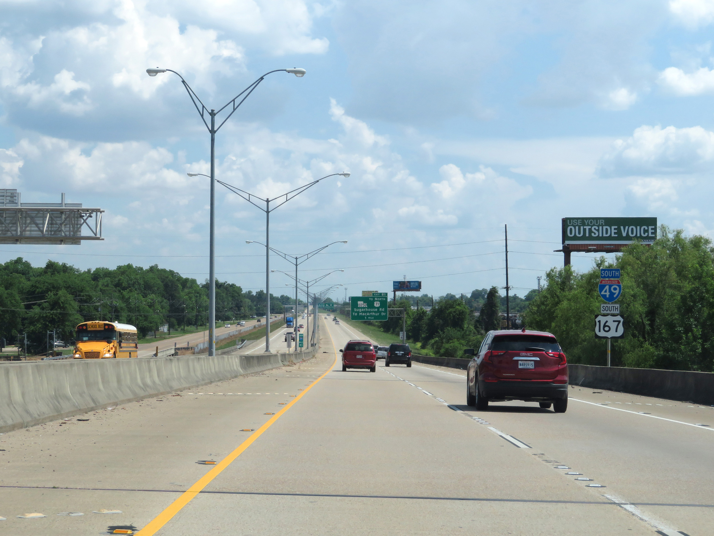
Interstate 49 South at Exit 81: LA 3250 / To US 71 North - Sugarhouse Rd / To MacArthur Dr (Photo taken 5/22/18). |
 |
Take Exit 80 to LSU At Alexandria. (Photo taken 5/22/18). |
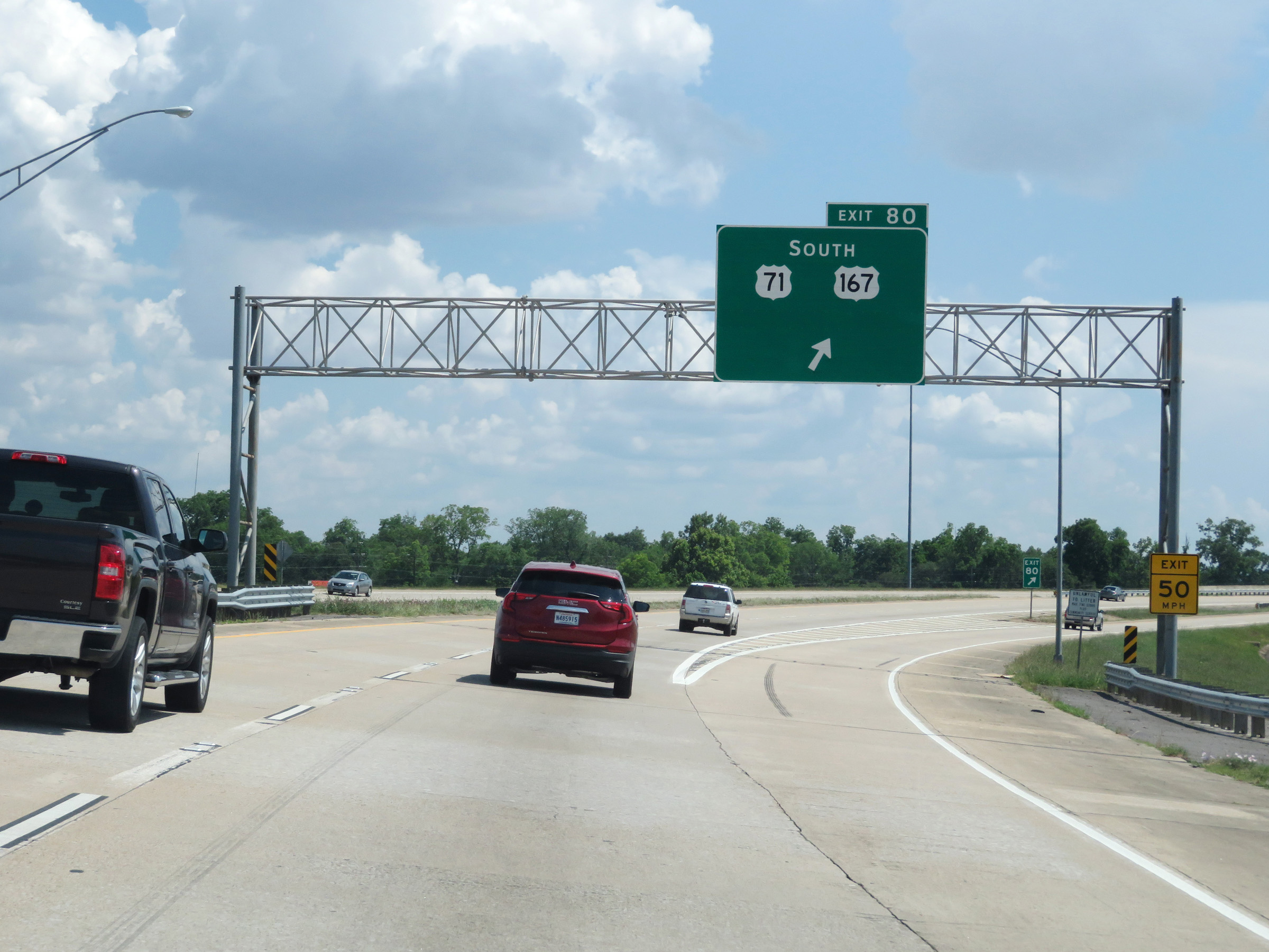 |
Interstate 49 South at Exit 80: US 71 South / US 167 South (Photo taken 5/22/18). |
Section 3: Alexandria (Exit 80) to Lafayette (Interstate 10)
 |
South of Exit 80, the speed limit increases to 75 mph once again. (Photo taken 5/22/18). |
 |
Mileage sign on Interstate 49 South. It's 5 miles to the junction of PR 22, 60 miles to Opelousas, and 78 miles to Lafayette. (Photo taken 5/22/18). |
 |
View on Interstate 49 South at mile marker 78. (Photo taken 5/22/18). |
 |
Mile marker 75 on Interstate 49 South in Rapides Parish. (Photo taken 5/22/18). |
 |
Take Exit 73 to LDWF Outdoor Education Center and LDAF Indian Creek Recreation Area. (Photo taken 5/22/18). |
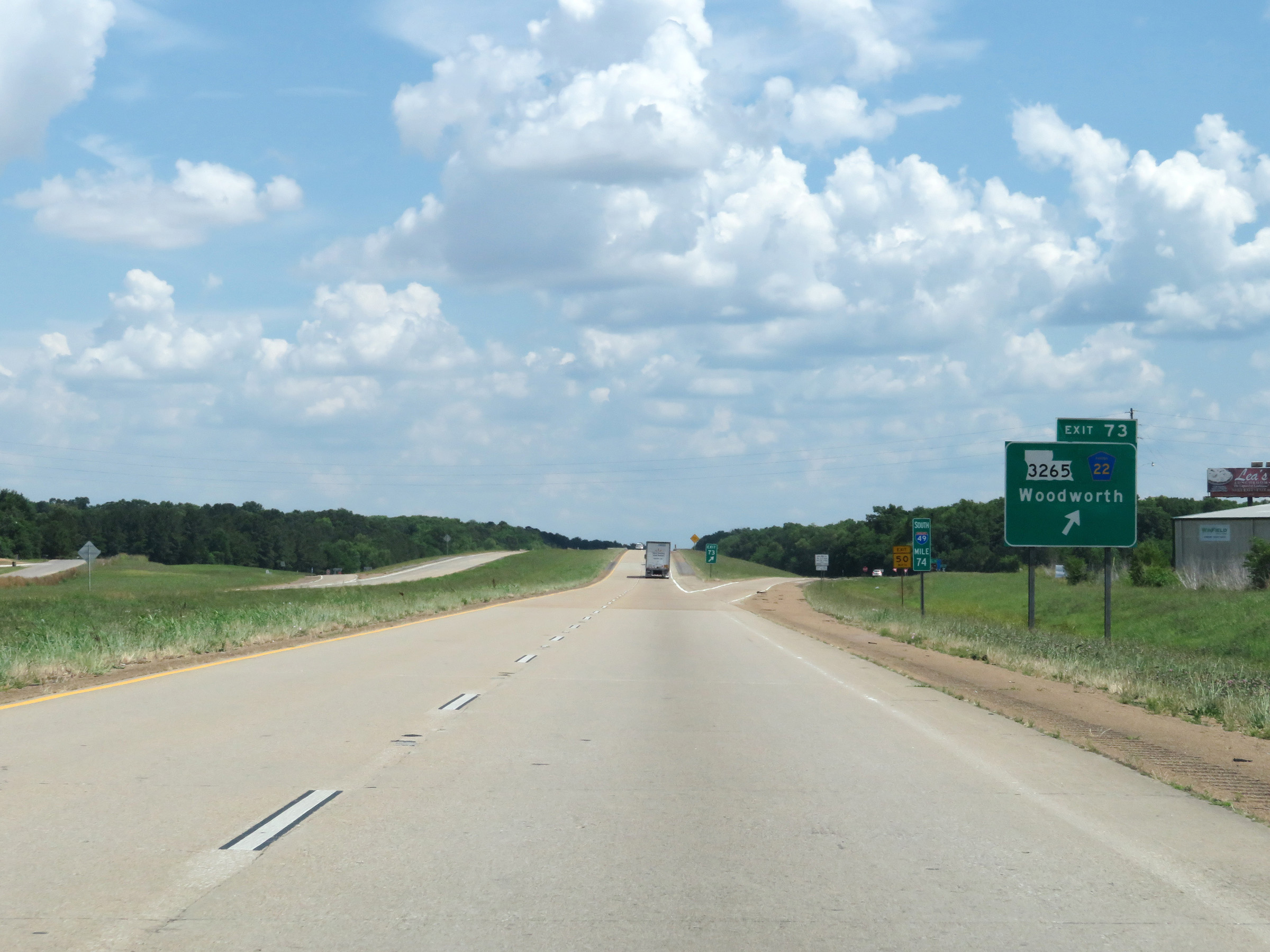 |
Interstate 49 South at Exit 73: LA 3265 / PR 22 - Woodworth (Photo taken 5/22/18). |
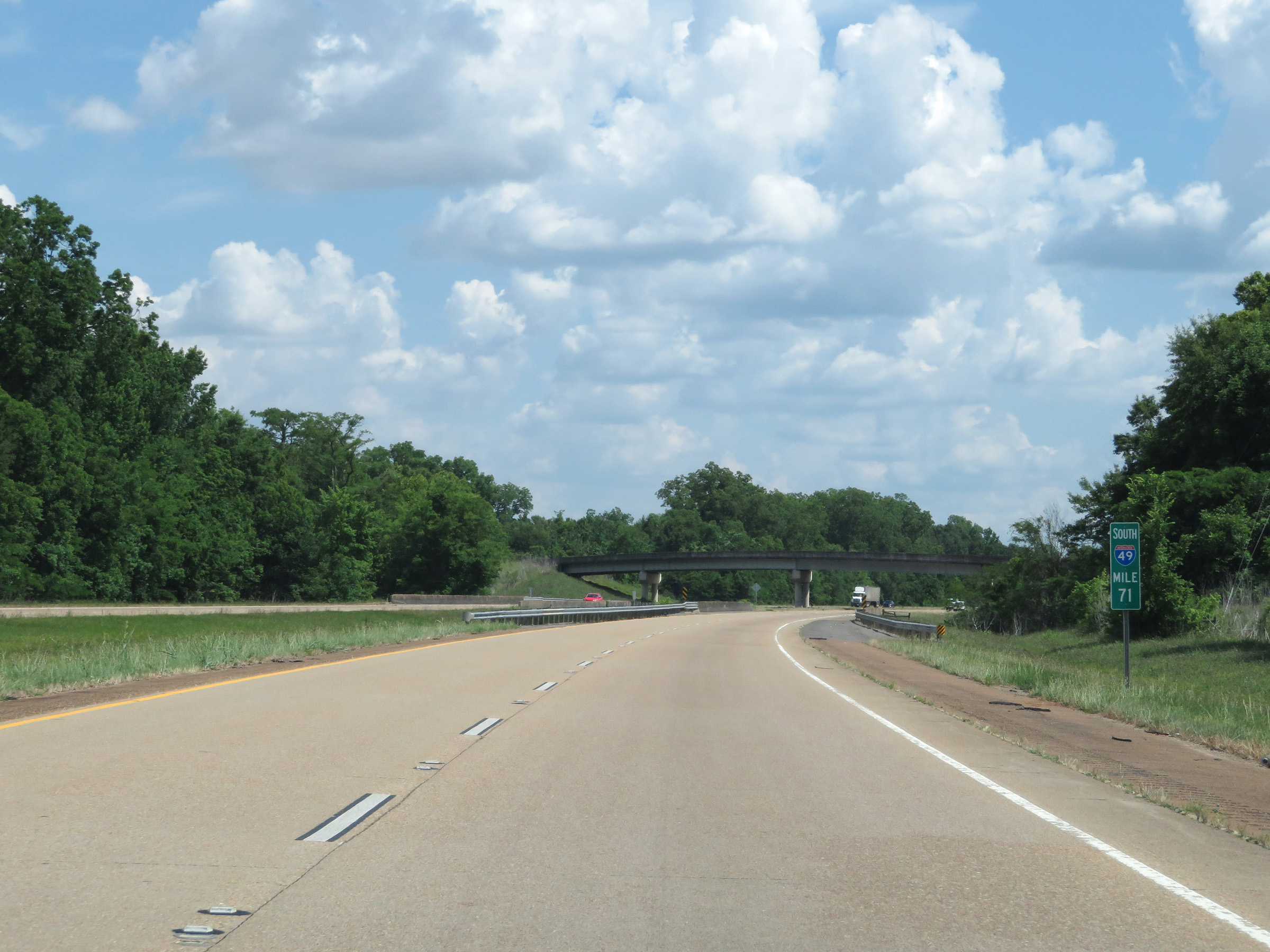 |
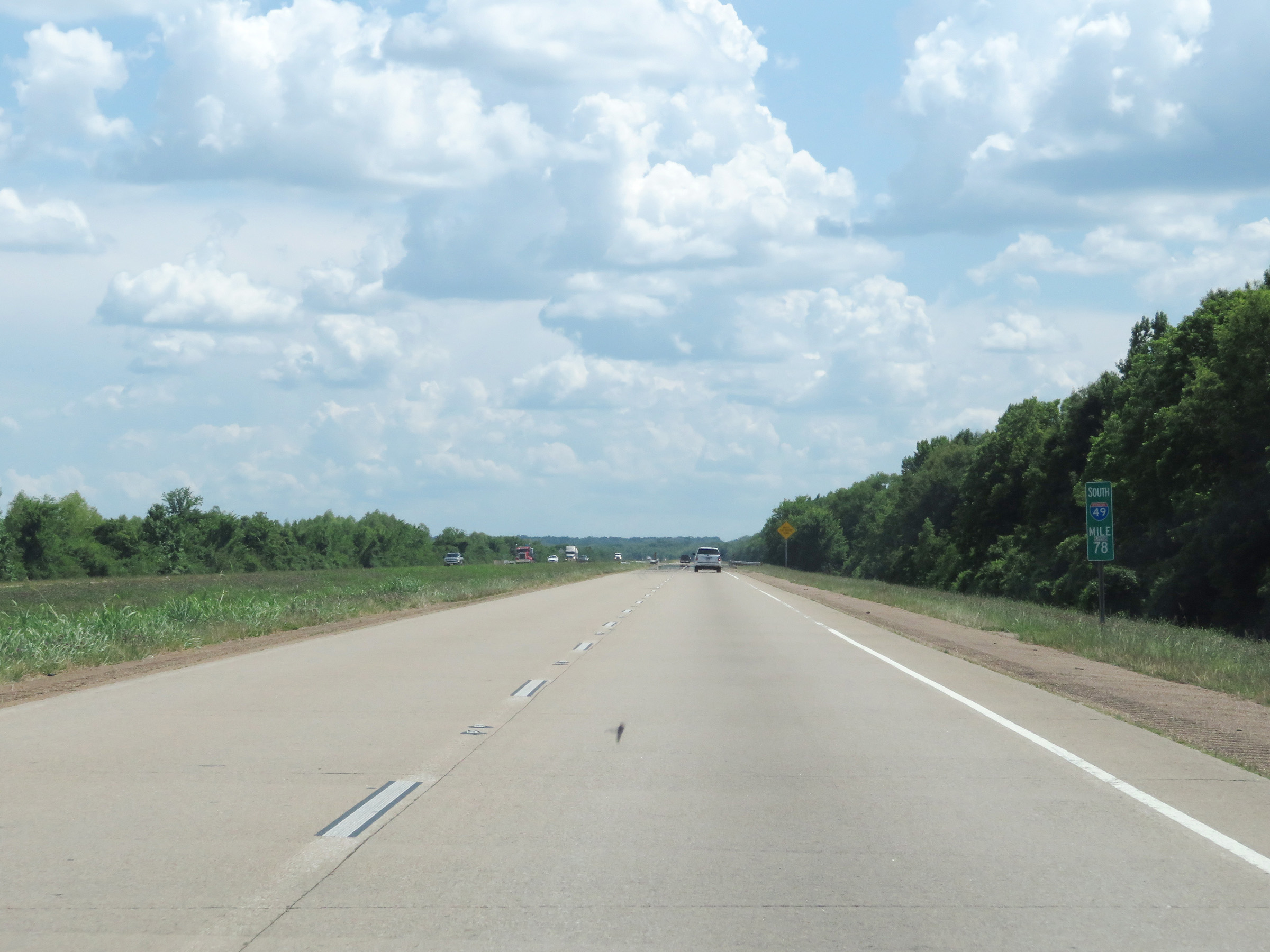
View on Interstate 49 South at mile marker 71. (Photo taken 5/22/18). |
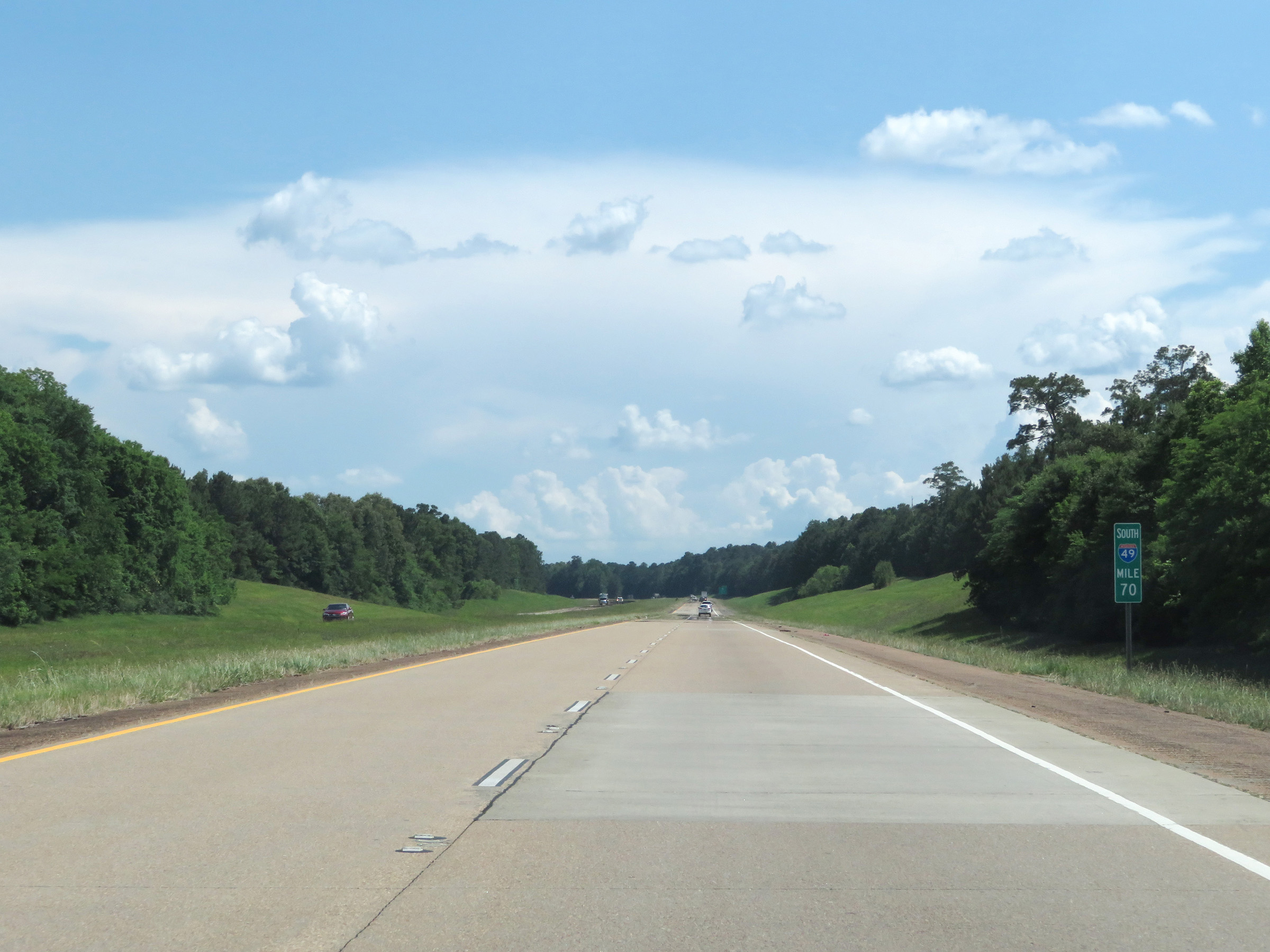 |
Interstate 49 South at mile marker 70. (Photo taken 5/22/18). |
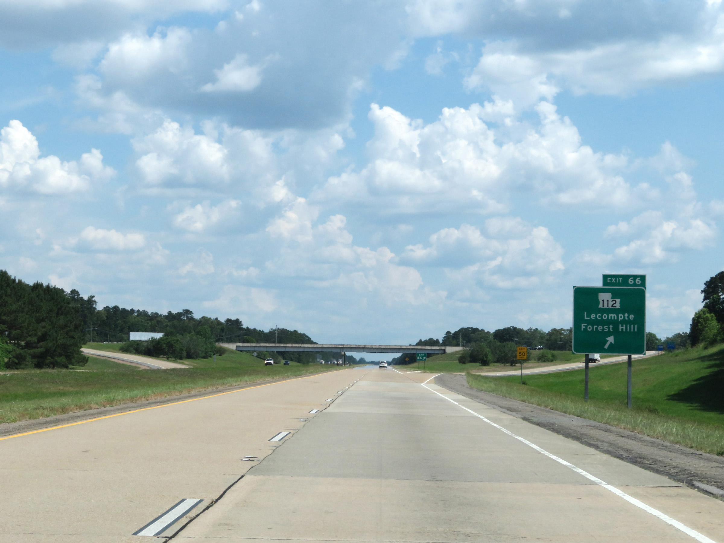 |
Interstate 49 South at Exit 66: LA 112 - Lecompte / Forest Hill (Photo taken 5/22/18). |
 |
Another Interstate 49 South reassurance shield. (Photo taken 5/22/18). |
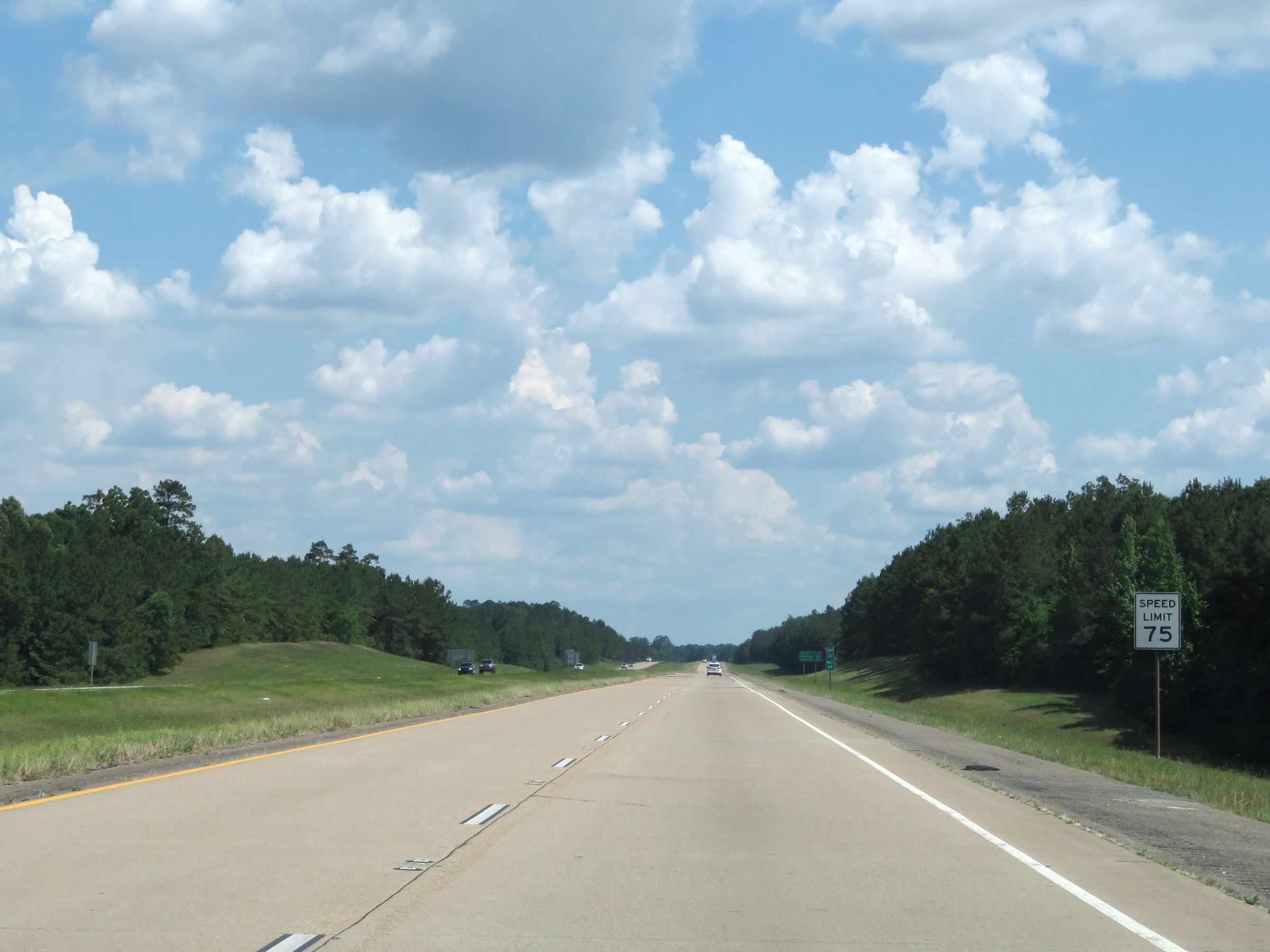 |
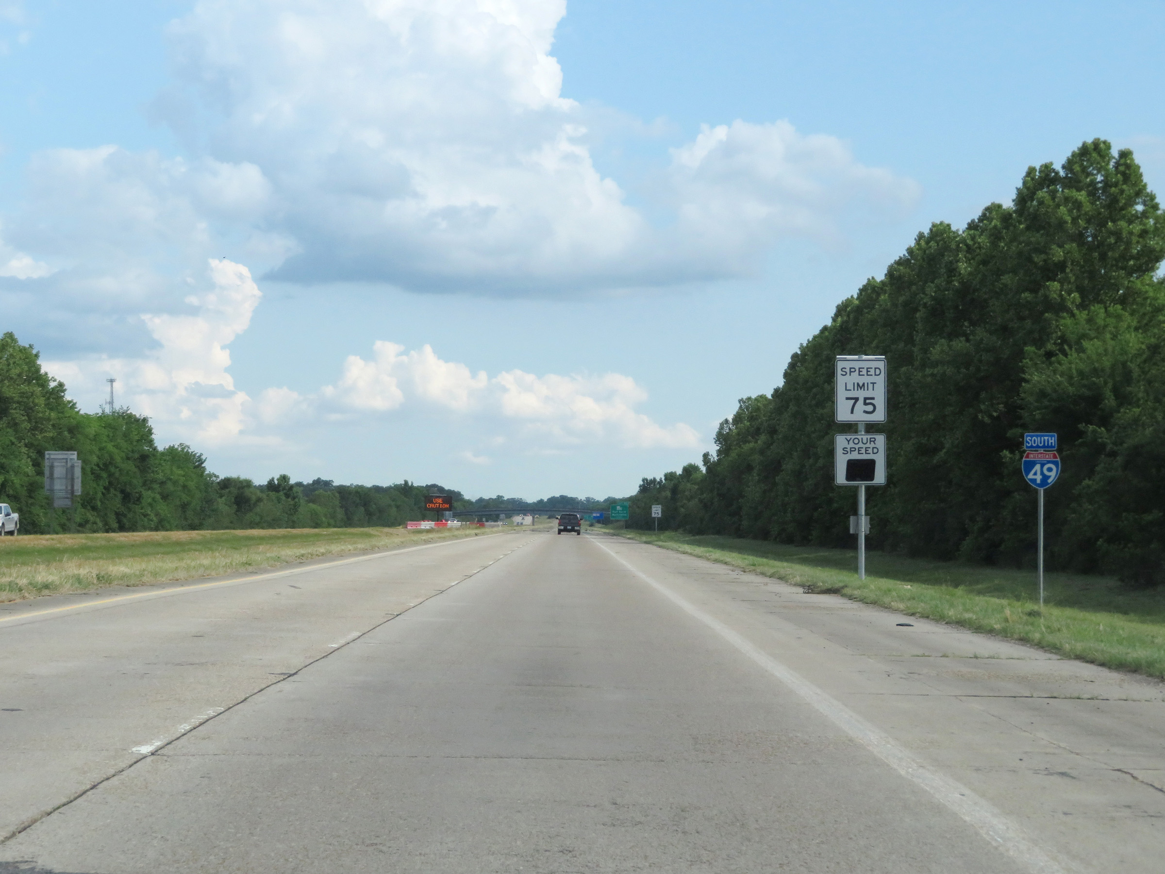
The speed limit remains 75 mph on Interstate 49 South. (Photo taken 5/22/18). |
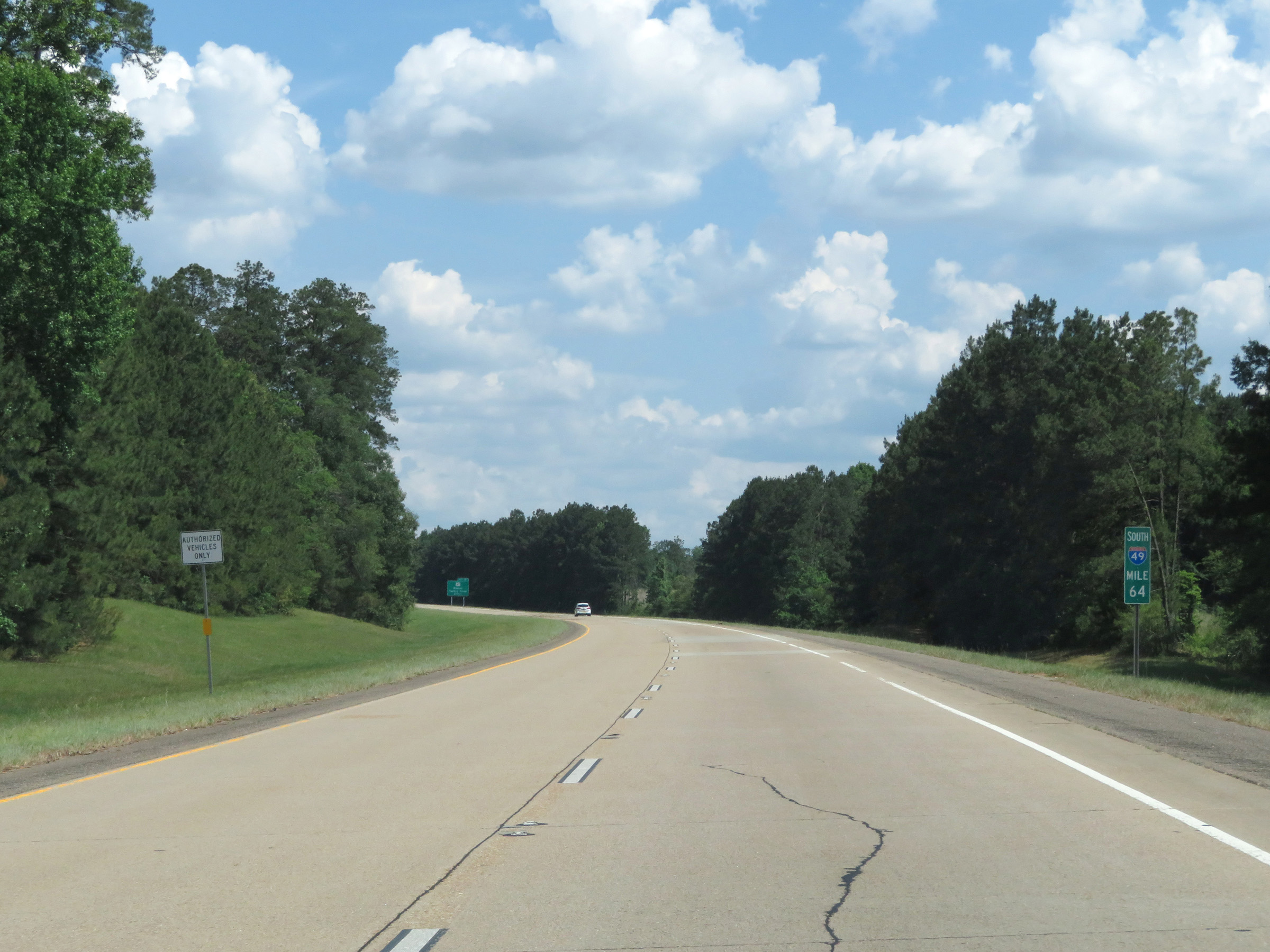 |
View on Interstate 49 South at mile marker 64. (Photo taken 5/22/18). |
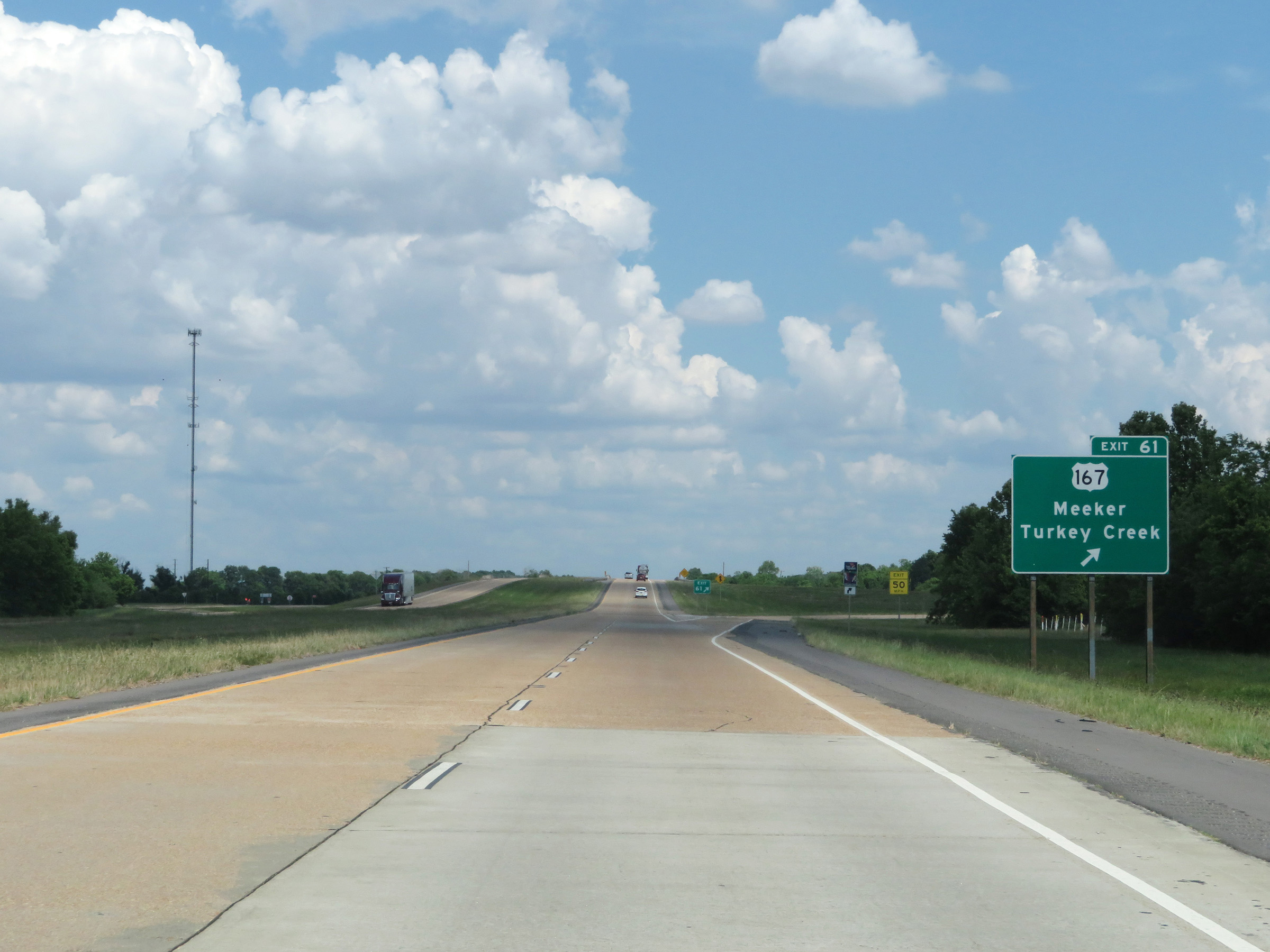 |
Interstate 49 South at Exit 61: US 167 - Meeker / Turkey Creek (Photo taken 5/22/18). |
 |
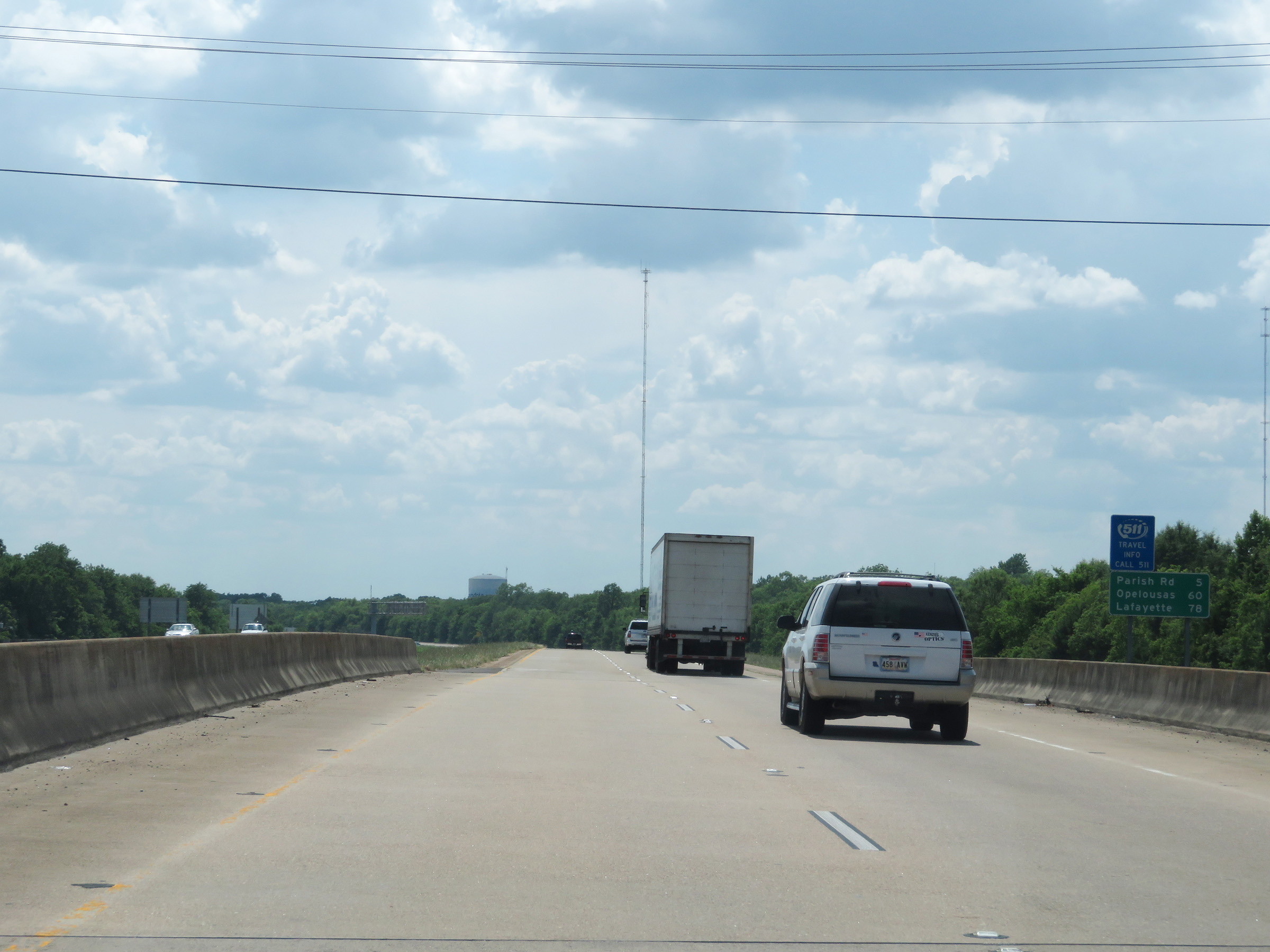
Another mileage sign on Interstate 49 South. It's 3 miles to the junction of LA 181, 40 miles to Opelousas, and 58 miles to Lafayette. (Photo taken 5/22/18). |
 |
View on Interstate 49 South at mile marker 59. (Photo taken 5/22/18). |
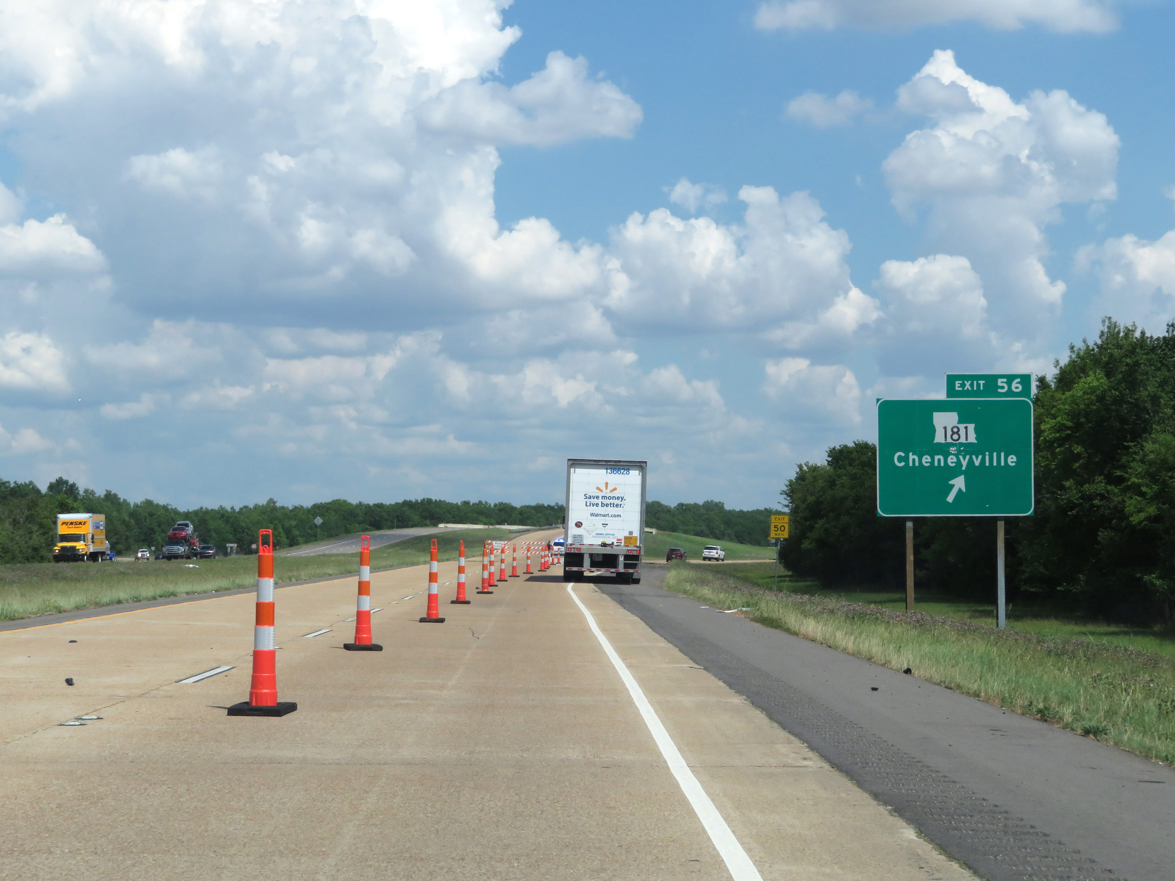 |
Interstate 49 South at Exit 56: LA 181 - Cheneyville (Photo taken 5/22/18). |
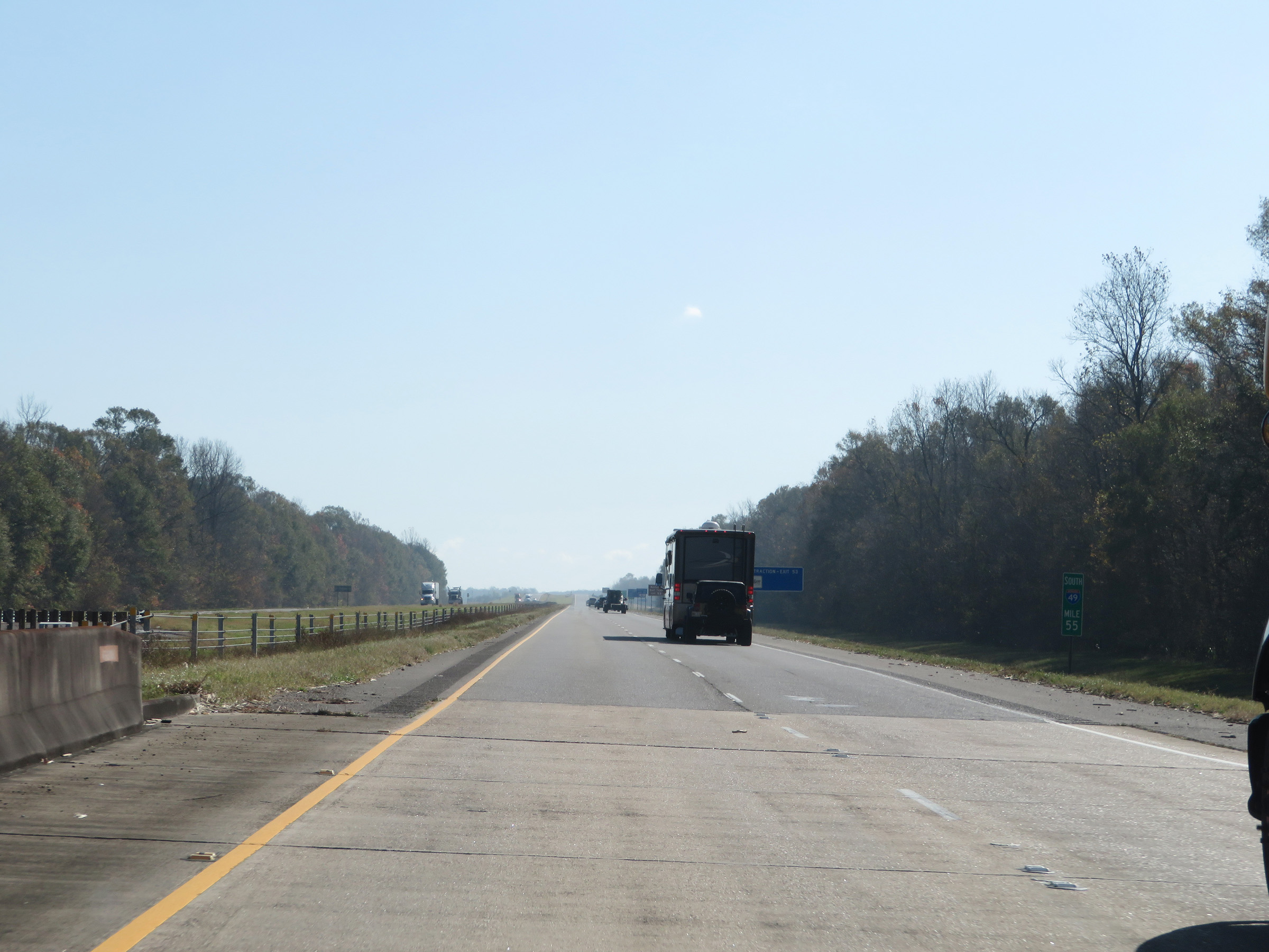 |
Interstate 49 South at mile marker 55. (Photo taken 12/10/20). |
 |
Approaching Exit 53, Interstate 49 South enters Avoyelles Parish. (Photo taken 12/10/20). |
 |
Interstate 49 South at Exit 53: LA 115 - Bunkie (Photo taken 12/10/20). |
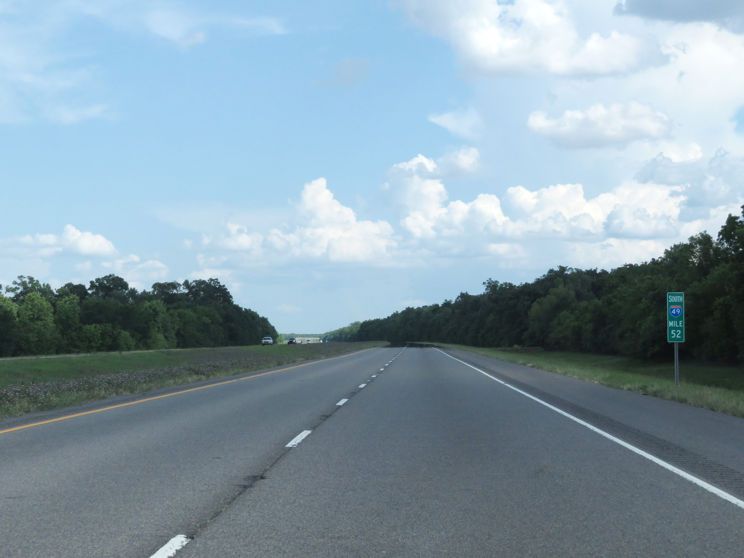 |
View on Interstate 49 South at mile marker 52. (Photo taken 5/22/18). |
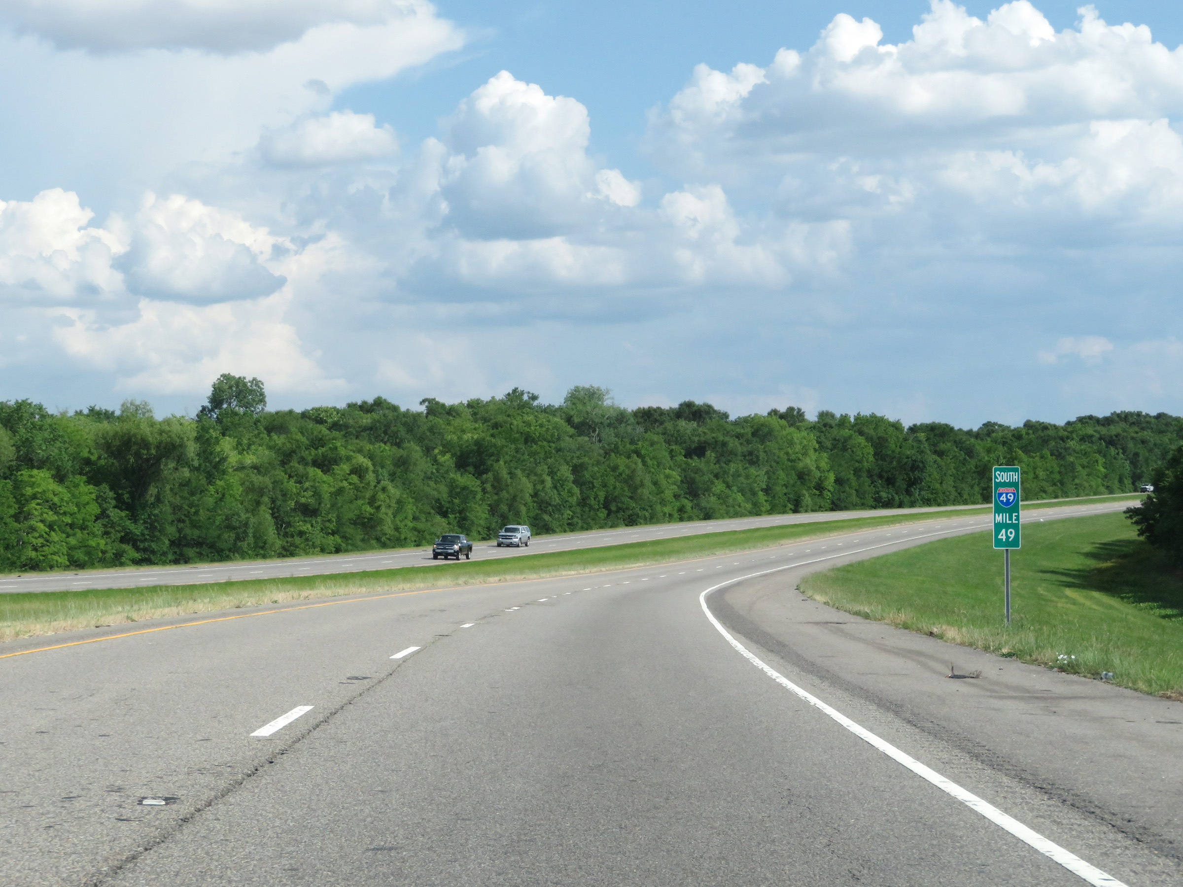 |
Mile marker 49 on Interstate 49 South in Avoyelles Parish. (Photo taken 5/22/18). |
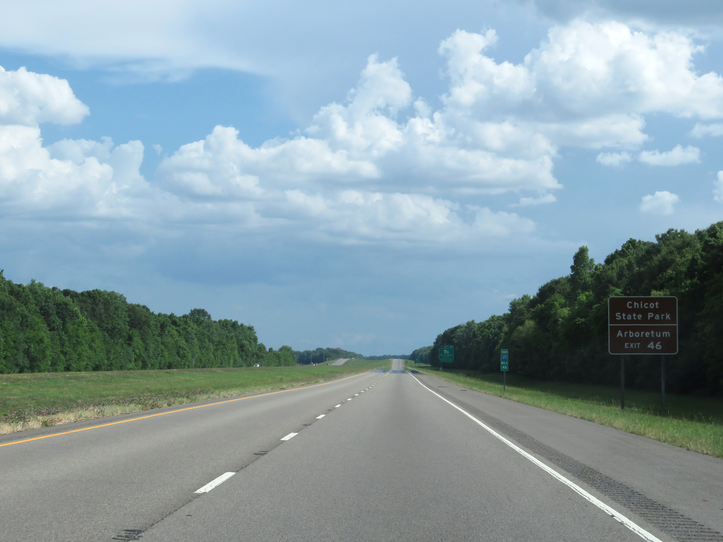 |
Take Exit 46 to Chicot State Park and the Arboretum. (Photo taken 5/22/18). |
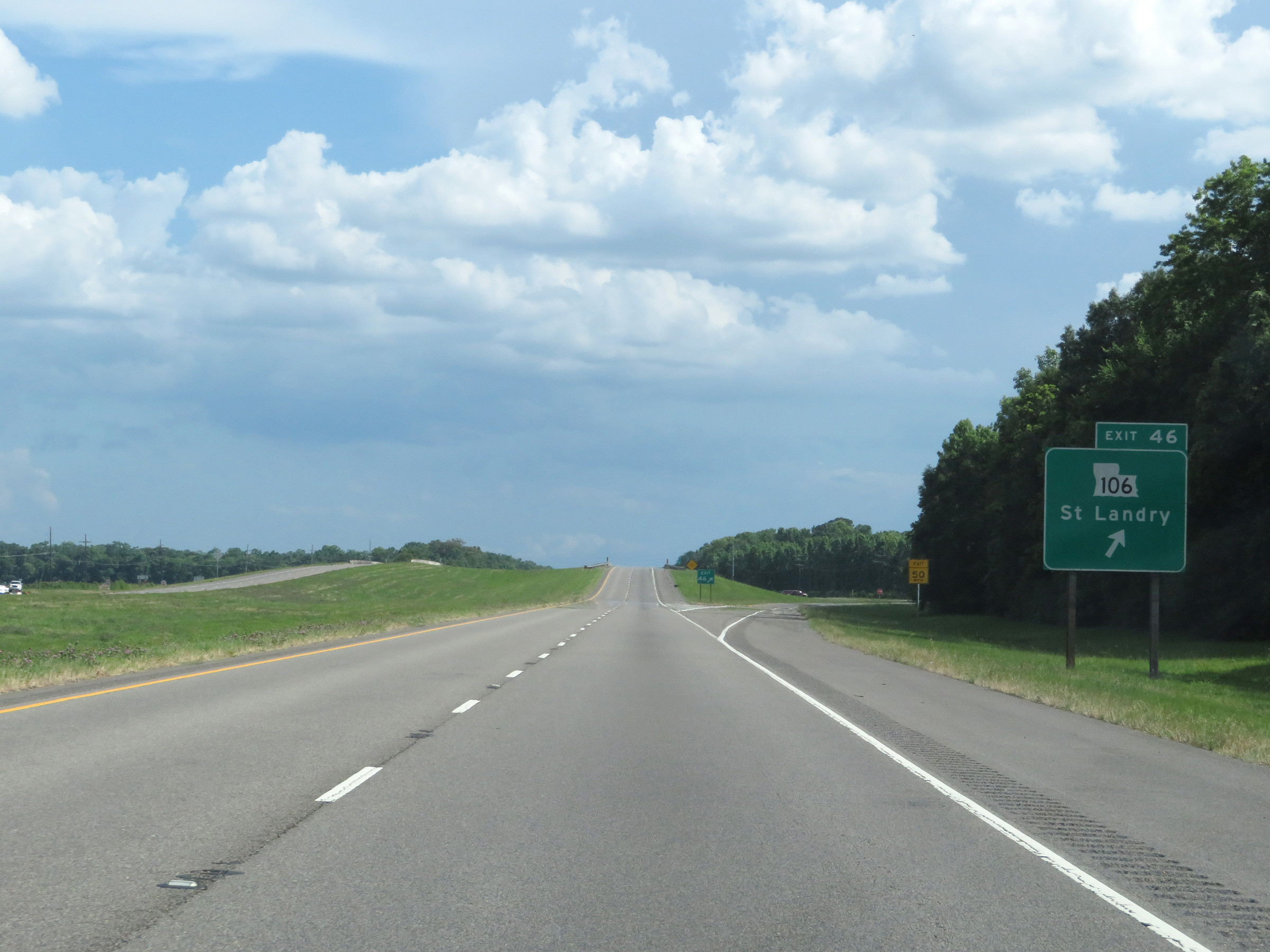 |
Interstate 49 South at Exit 46: LA 106 - St. Landry (Photo taken 5/22/18). |
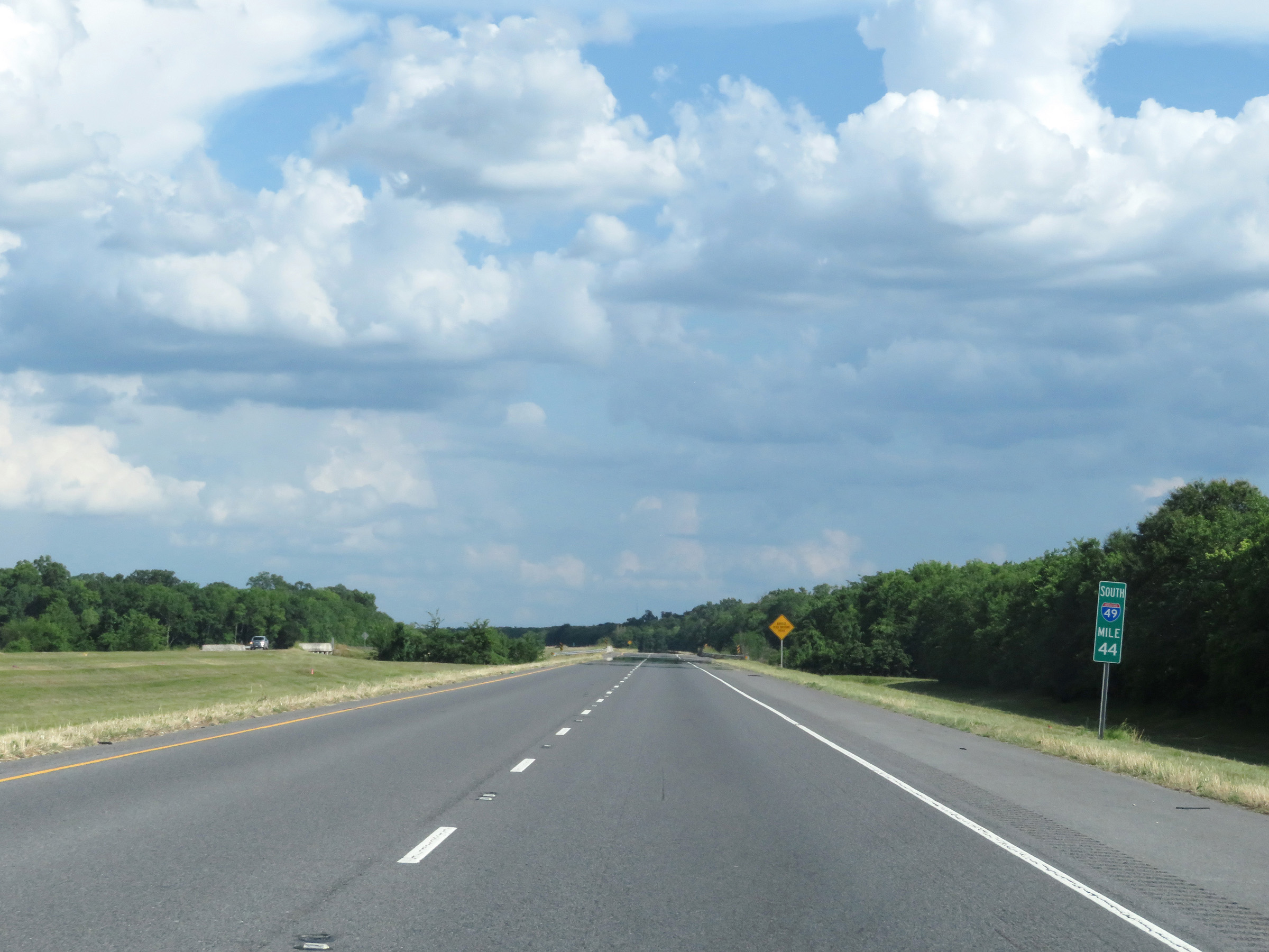 |
View on Interstate 49 South at mile marker 44. (Photo taken 5/22/18). |
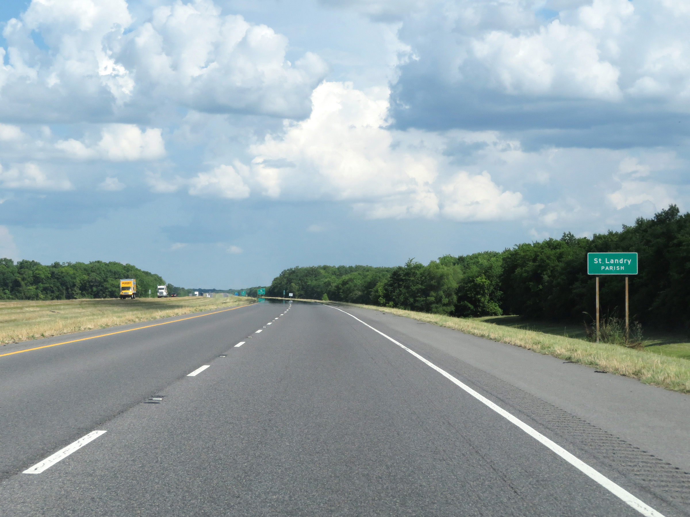 |
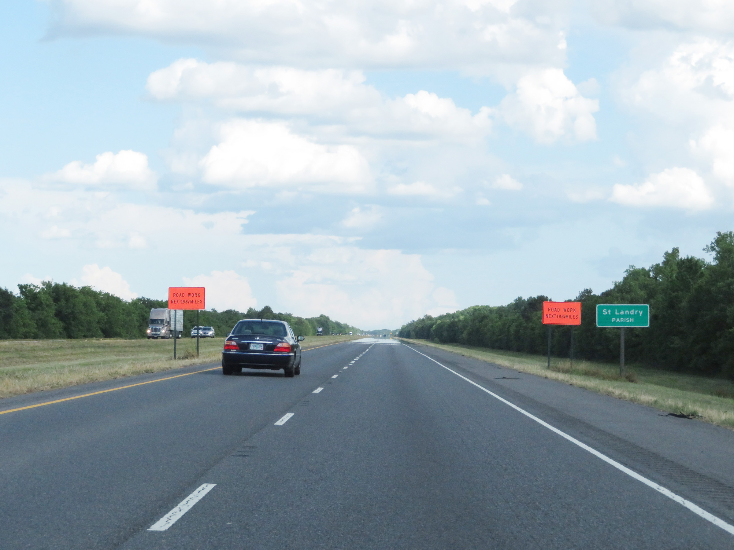
Interstate 49 South as it enters St. Landry Parish. (Photo taken 5/22/18). |
 |
Interstate 49 South at mile marker 42. (Photo taken 5/22/18). |
 |
Interstate 49 South at Exit 40: LA 29 - Ville Platte (Photo taken 5/22/18). |
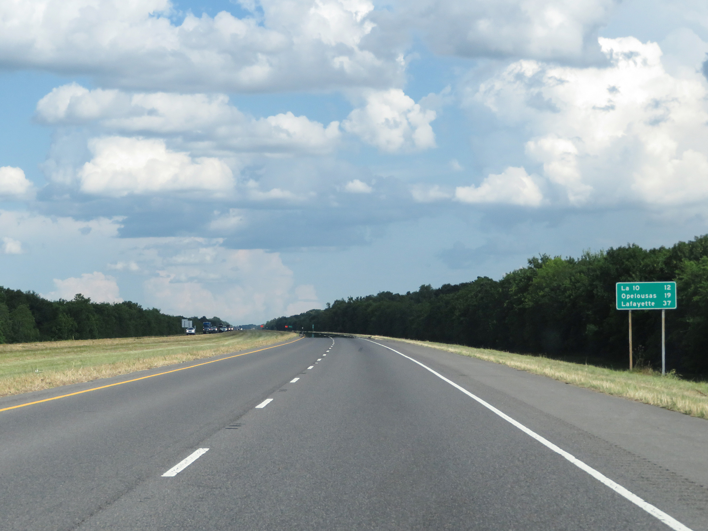 |
Mileage sign on Interstate 49 South. It's 12 miles to the junction of LA 12, 19 miles to Opelousas, and 37 miles to Lafayette. (Photo taken 5/22/18). |
 |
After briefly dipping into Evangeline Parish, Interstate 49 South re-enters St. Landry Parish at this point. (Photo taken 5/22/18). |
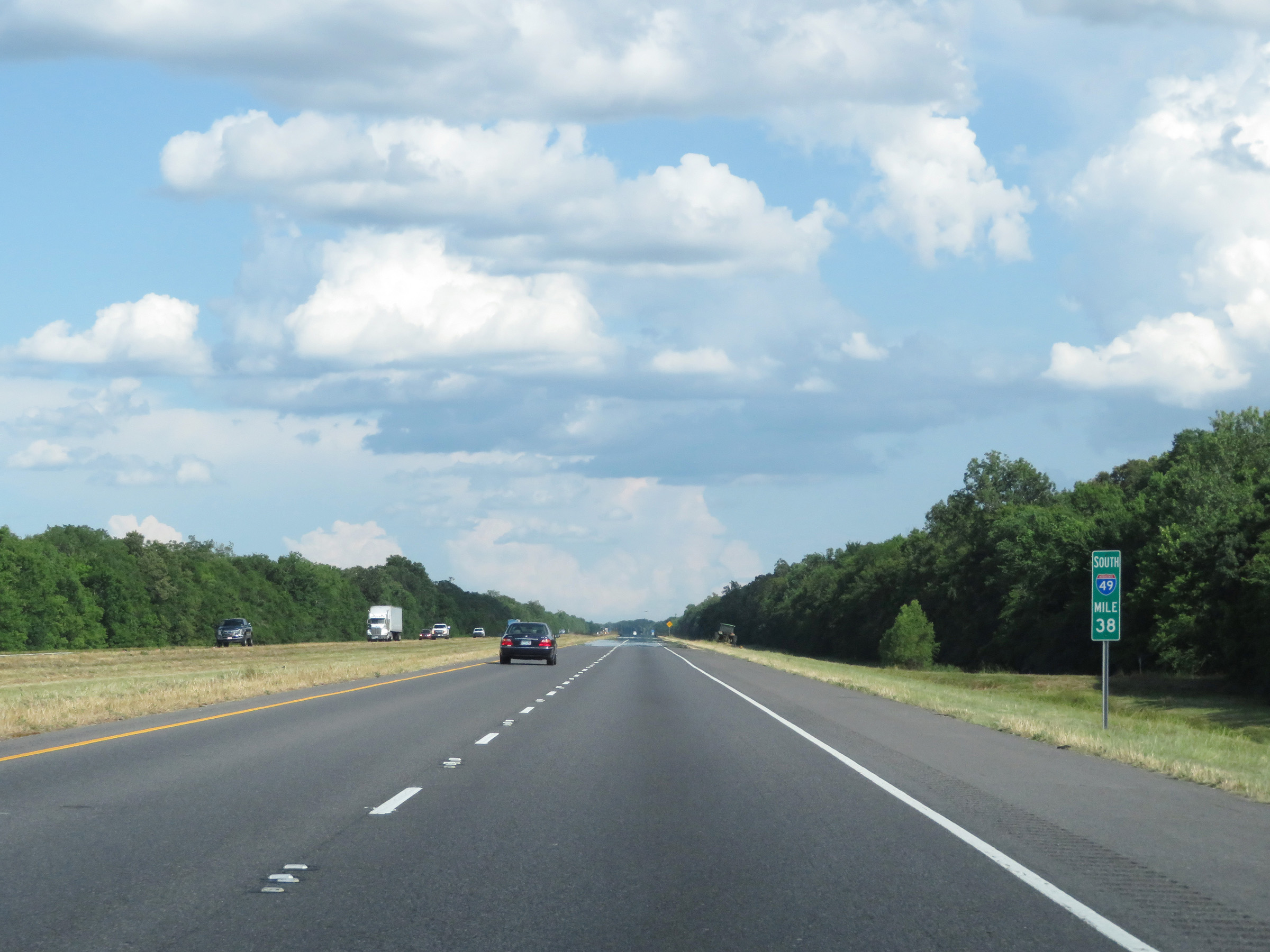 |
View on Interstate 49 South at mile marker 38. (Photo taken 5/22/18). |
 |
Interstate 49 South at mile marker 36. (Photo taken 5/22/18). |
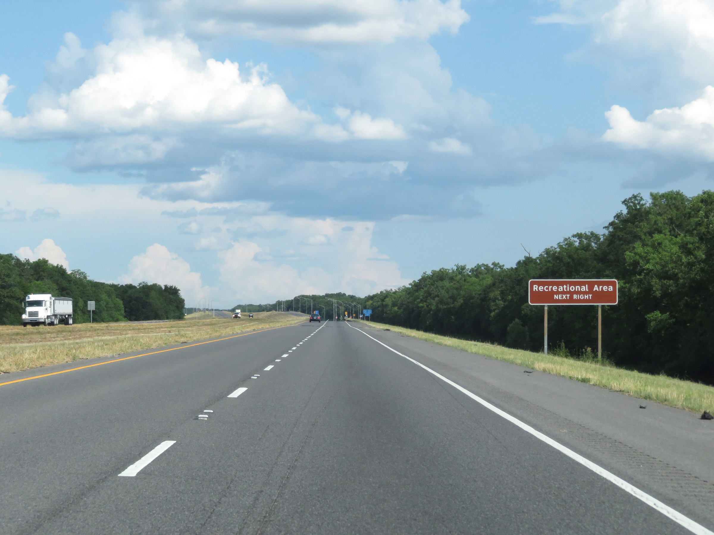 |
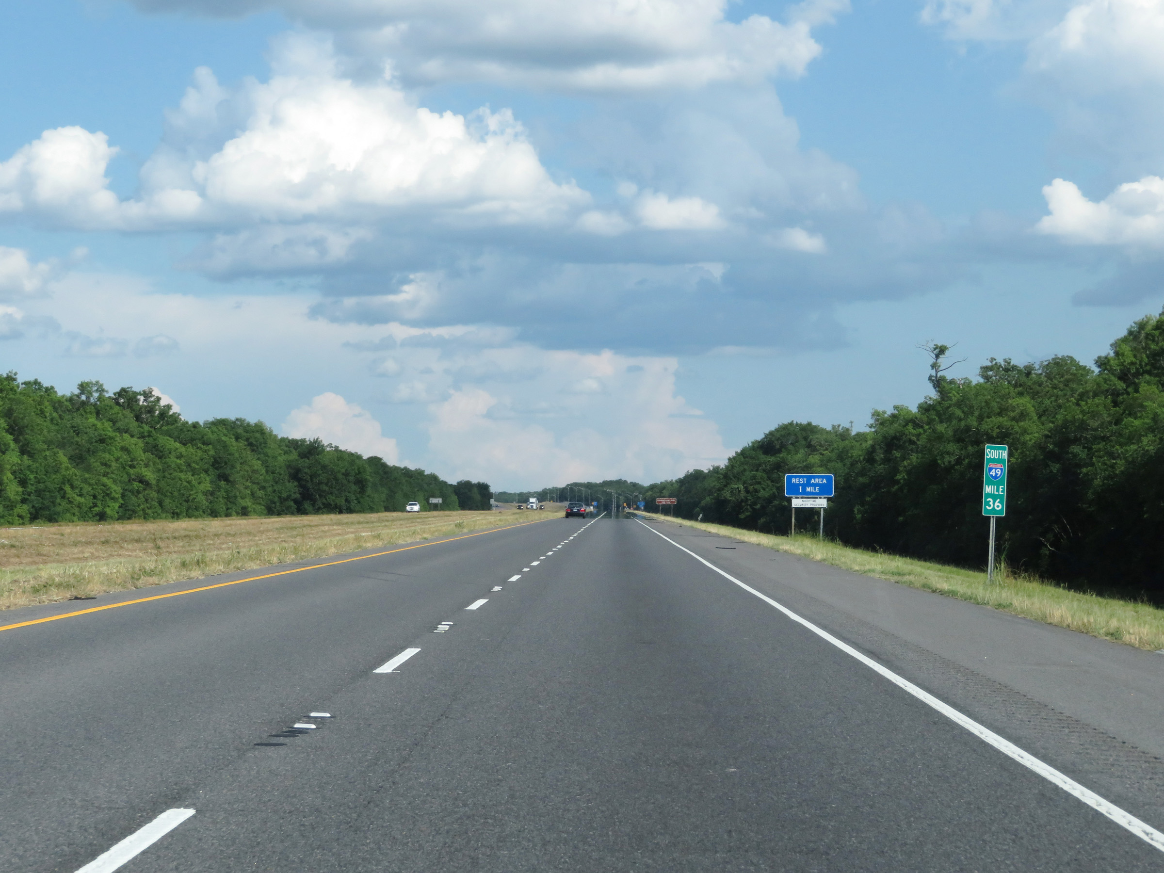
A Recreational Area exists at the Rest Area ahead. (Photo taken 5/22/18). |
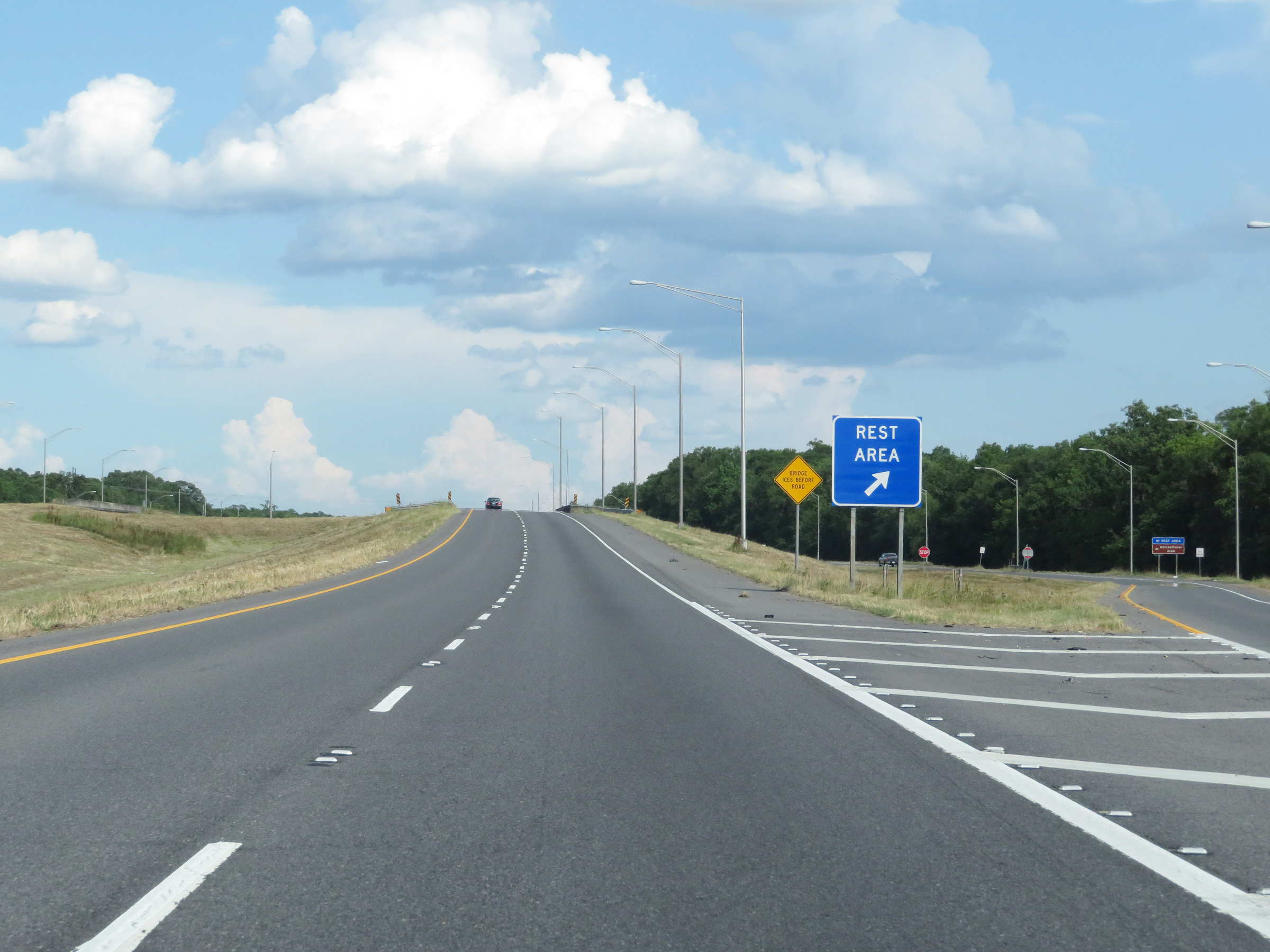 |
Rest Area on Interstate 49 South in St. Landry Parish. (Photo taken 5/22/18). |
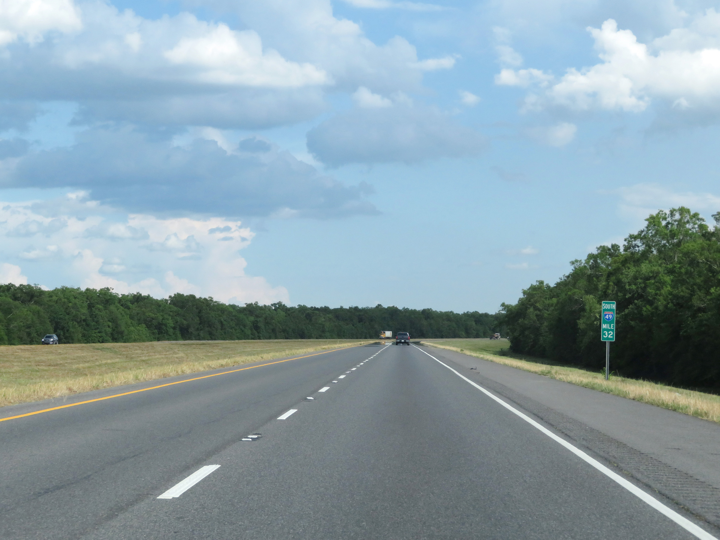 |
Mile marker 32 on Interstate 49 South in St. Landry Parish. (Photo taken 5/22/18). |
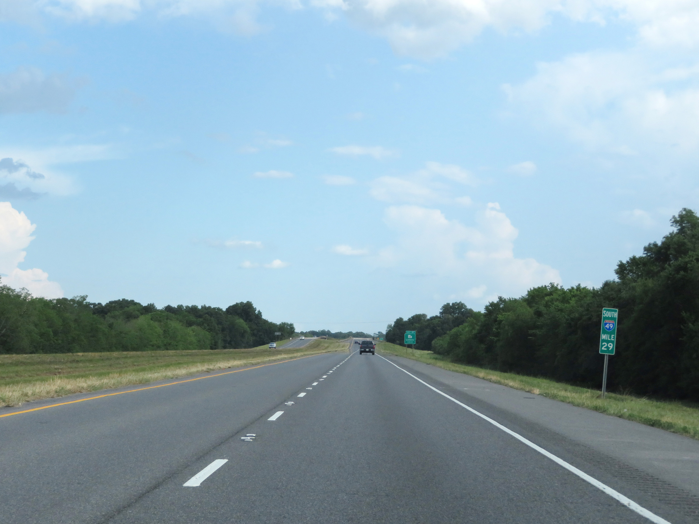 |
View on Interstate 49 South at mile marker 29. (Photo taken 5/22/18). |
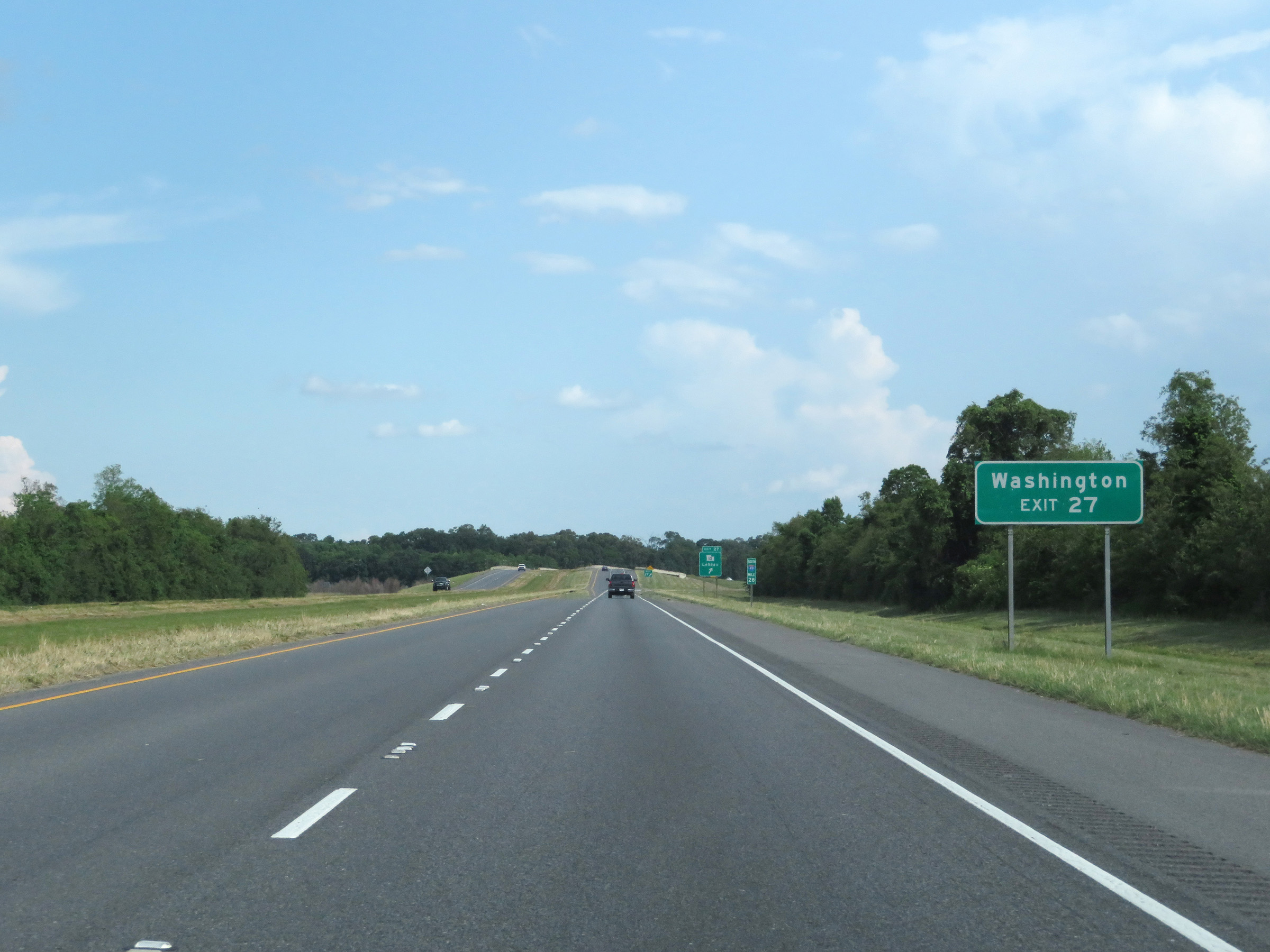 |
Take Exit 27 to Washington. (Photo taken 5/22/18). |
 |
Interstate 49 South at Exit 27: LA 10 - Lebeau (Photo taken 5/22/18). |
 |
State-named Interstate 49 South reassurance shield. The speed limit remains 75 mph. (Photo taken 5/22/18). |
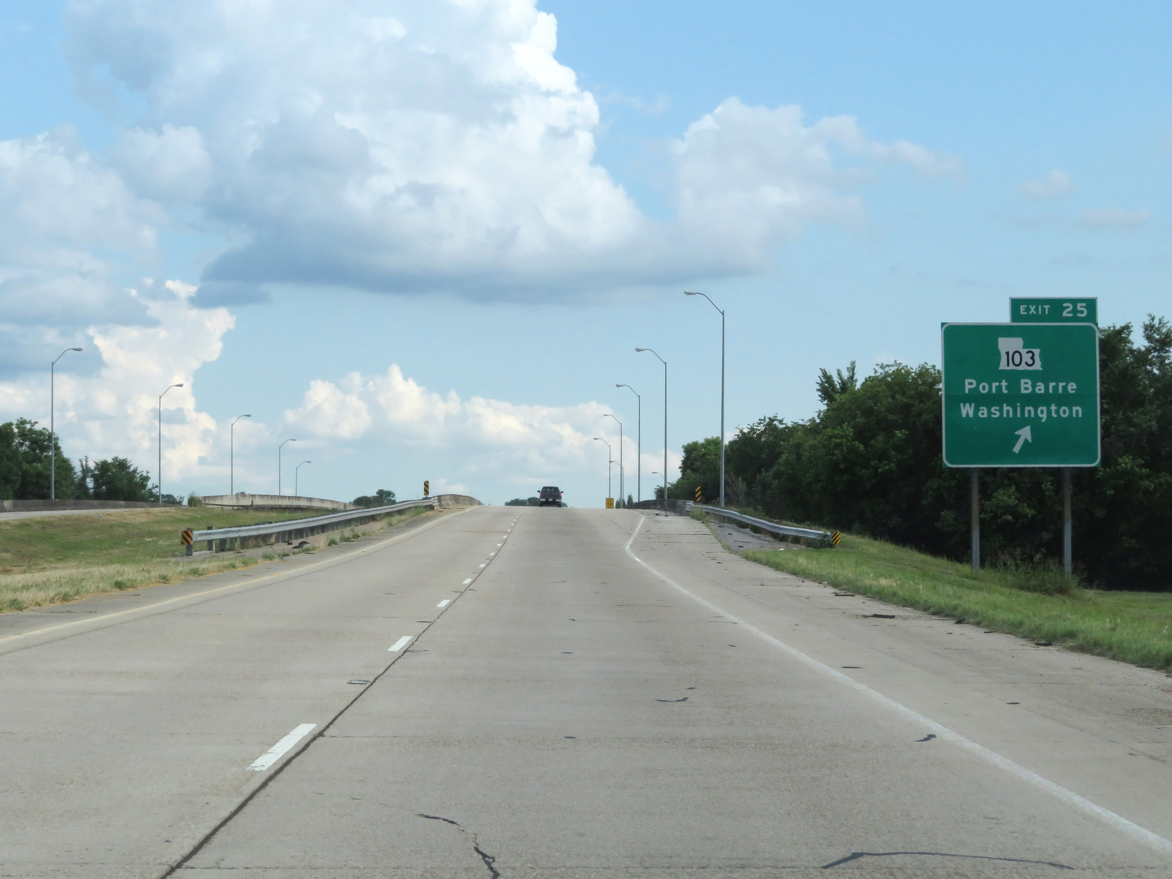 |
Interstate 49 South at Exit 25: LA 103 - Port Barre / Washington (Photo taken 5/22/18). |
 |
Interstate 49 South at Exit 23: US 167 North / LA 744 - Ville Platte (Photo taken 5/22/18). |
 |
South of Exit 23, the speed limit decreases to 70 mph as Interstate 49 South nears Opelousas. (Photo taken 5/22/18). |
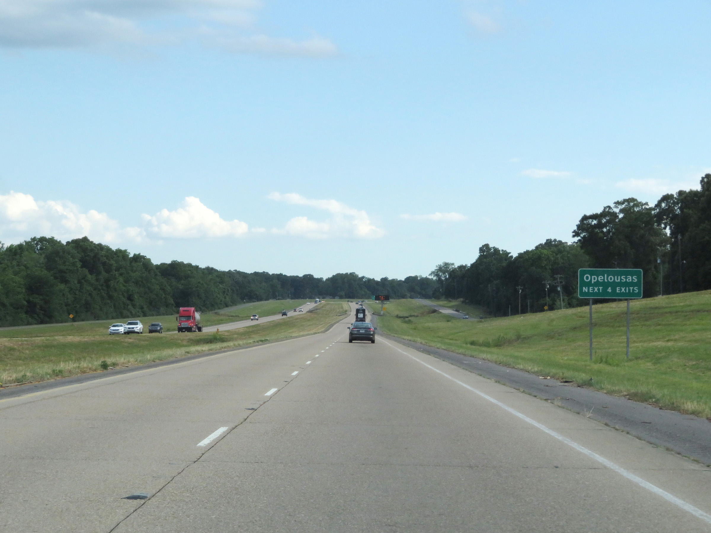 |
Take any of the next 4 exits to Opelousas. (Photo taken 5/22/18). |
 |
Interstate 49 South at Exit 19: US 190 - Baton Rouge / Opelousas (Photo taken 5/22/18). |
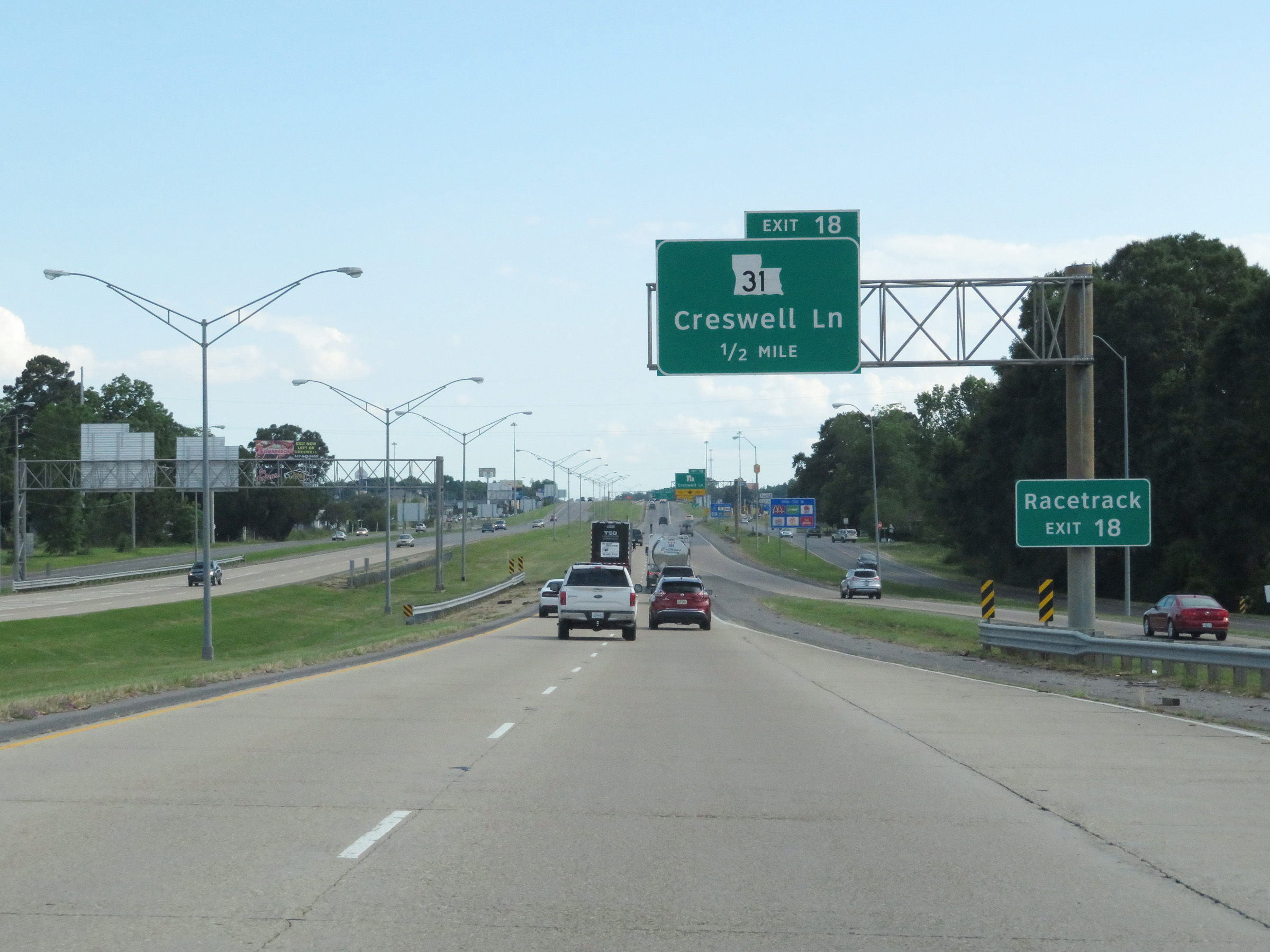 |
Take Exit 18 to the Racetrack. (Photo taken 5/22/18). |
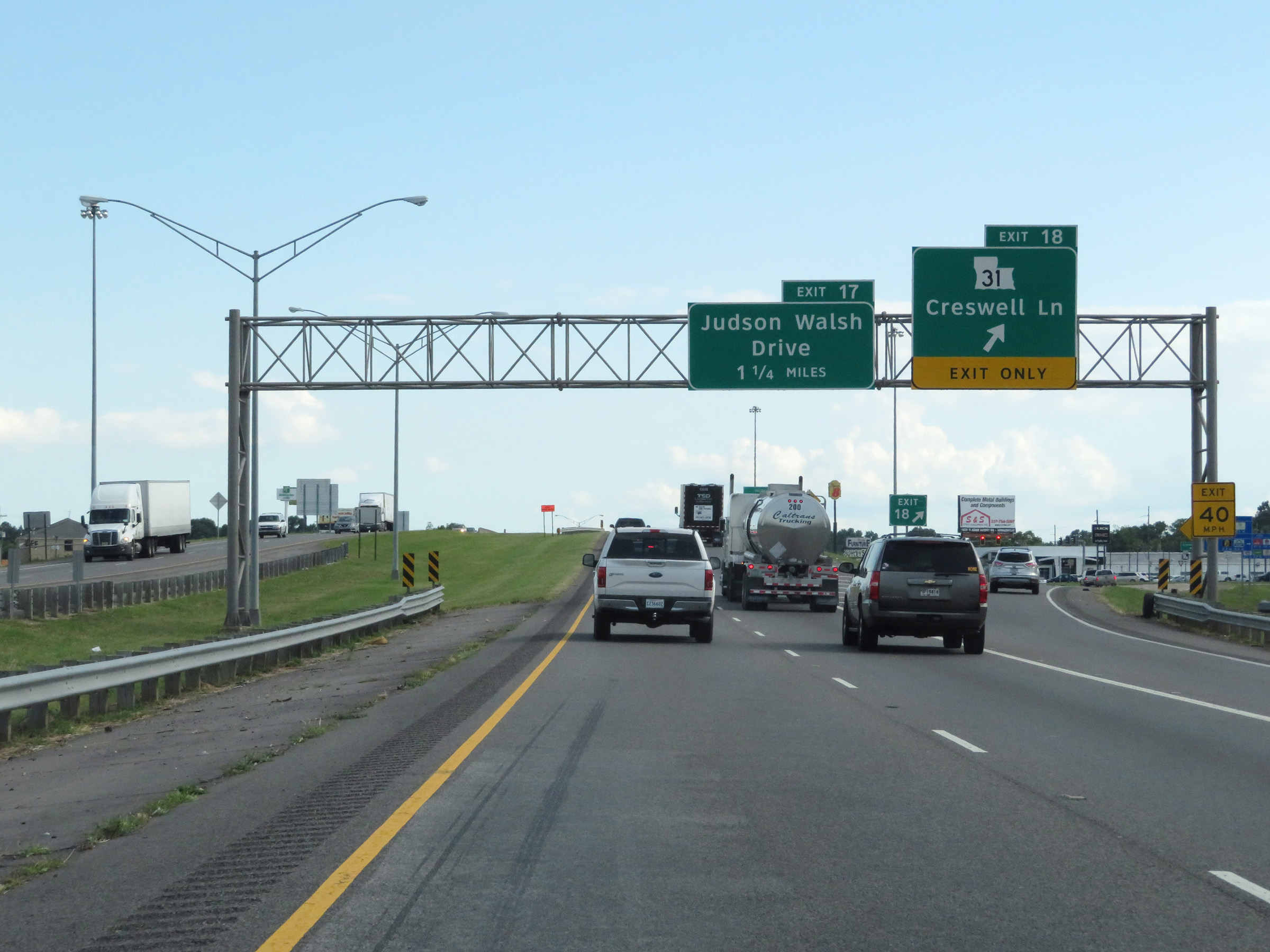 |
Interstate 49 South at Exit 18: LA 31 - Creswell Ln (Photo taken 5/22/18). |
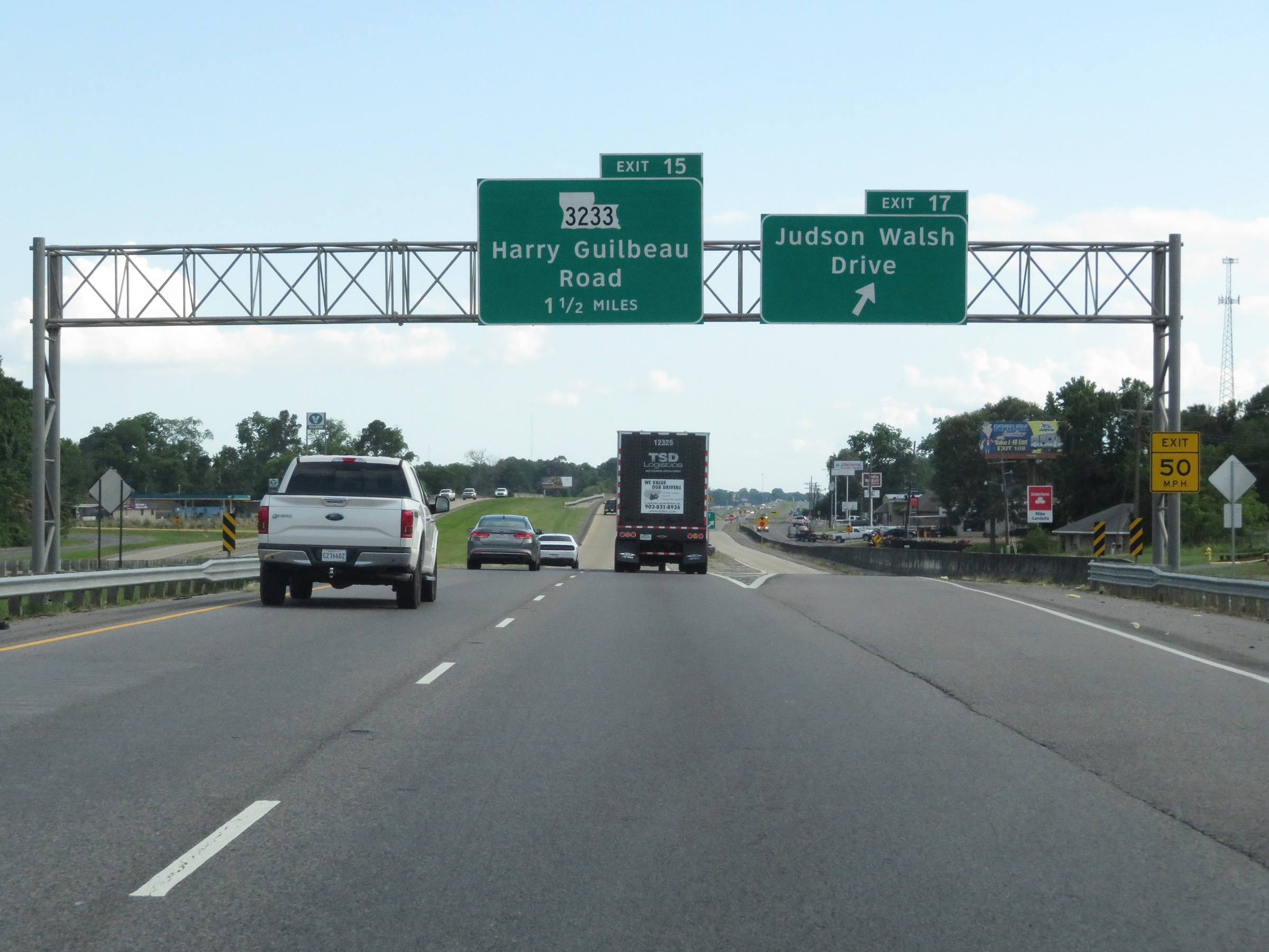 |
Interstate 49 South at Exit 17: Judson Walsh Drive (Photo taken 5/22/18). |
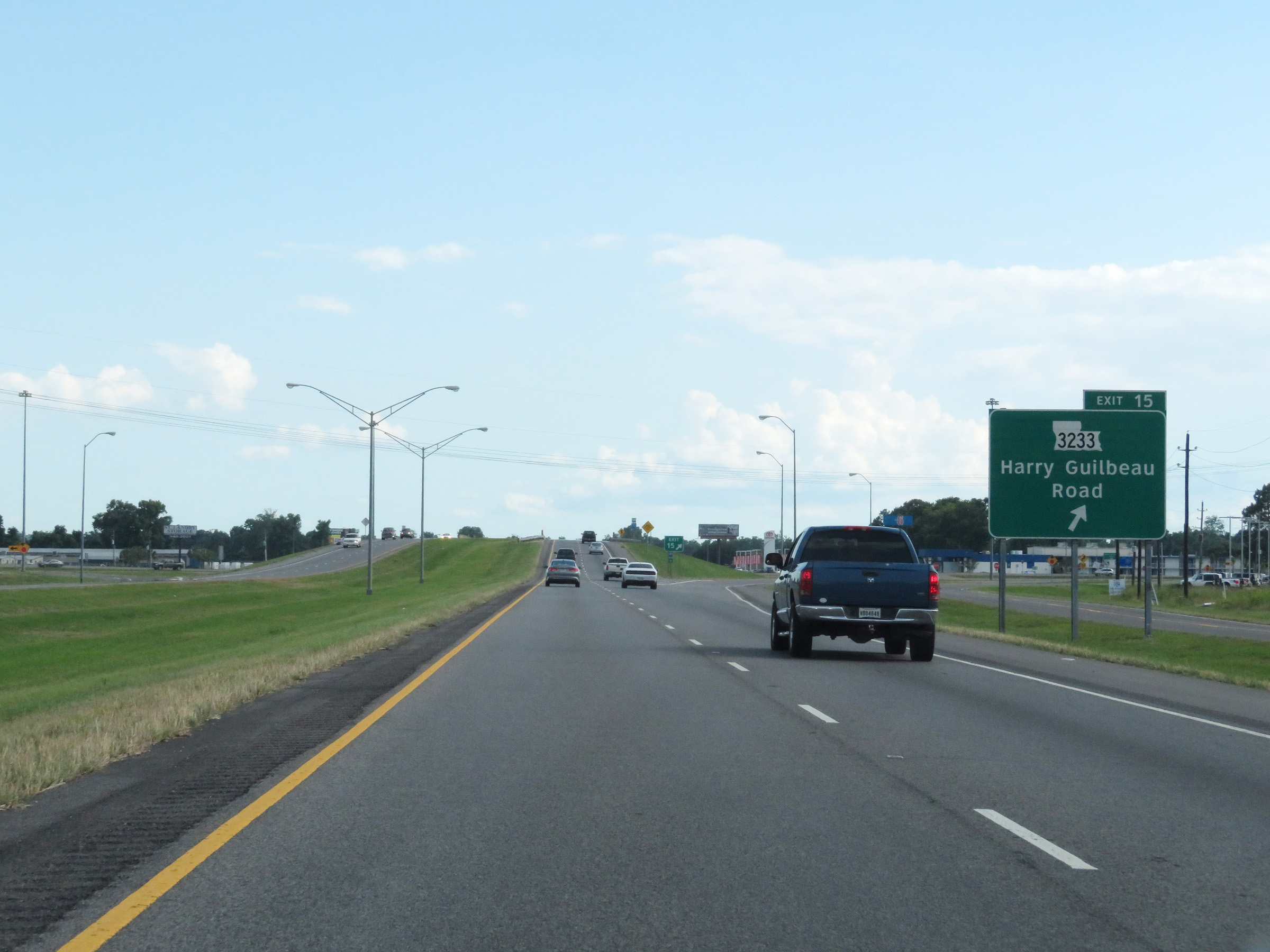 |
Interstate 49 South at Exit 15: LA 3233 - Harry Guilbeau Road (Photo taken 5/22/18). |
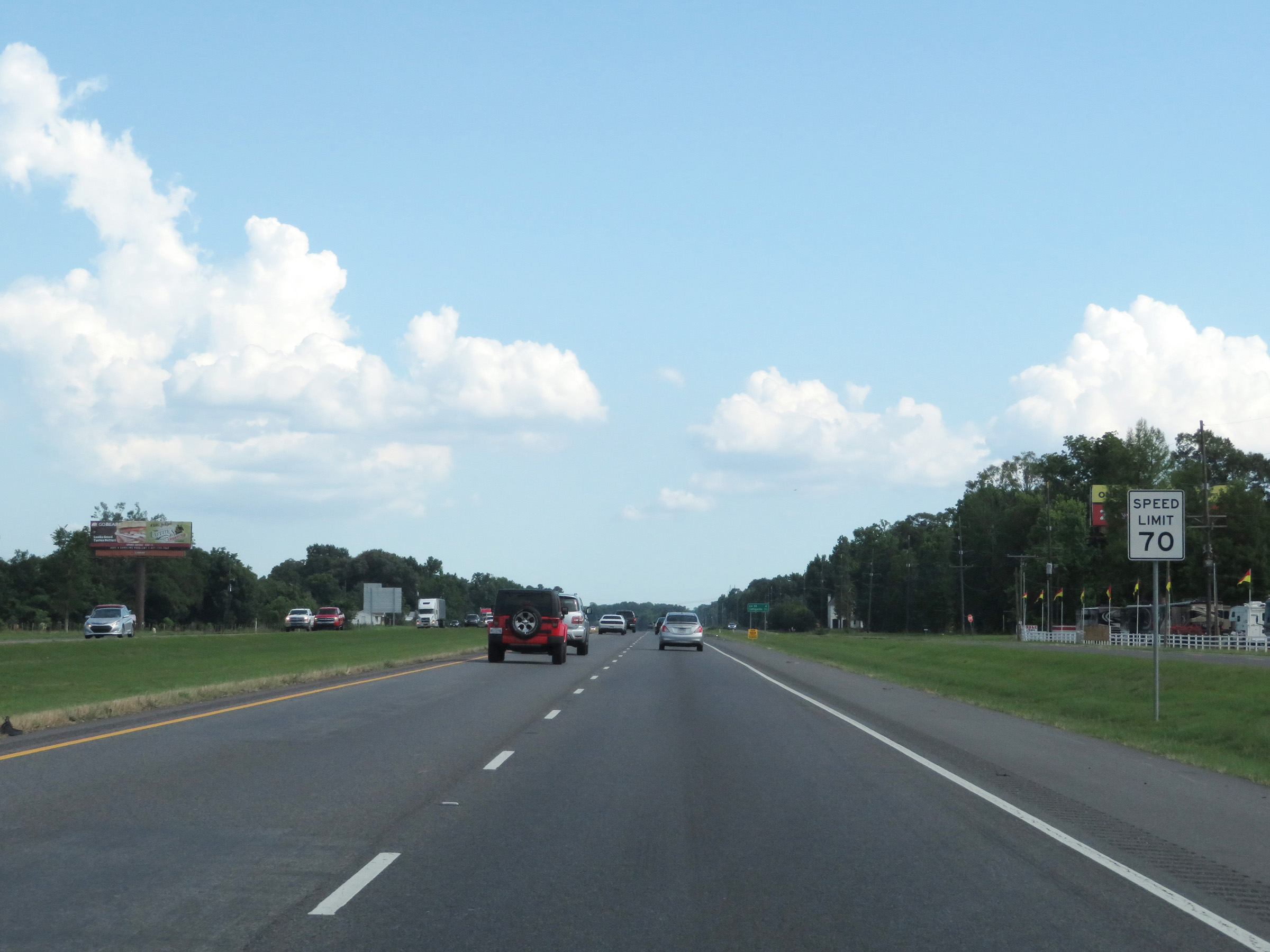 |
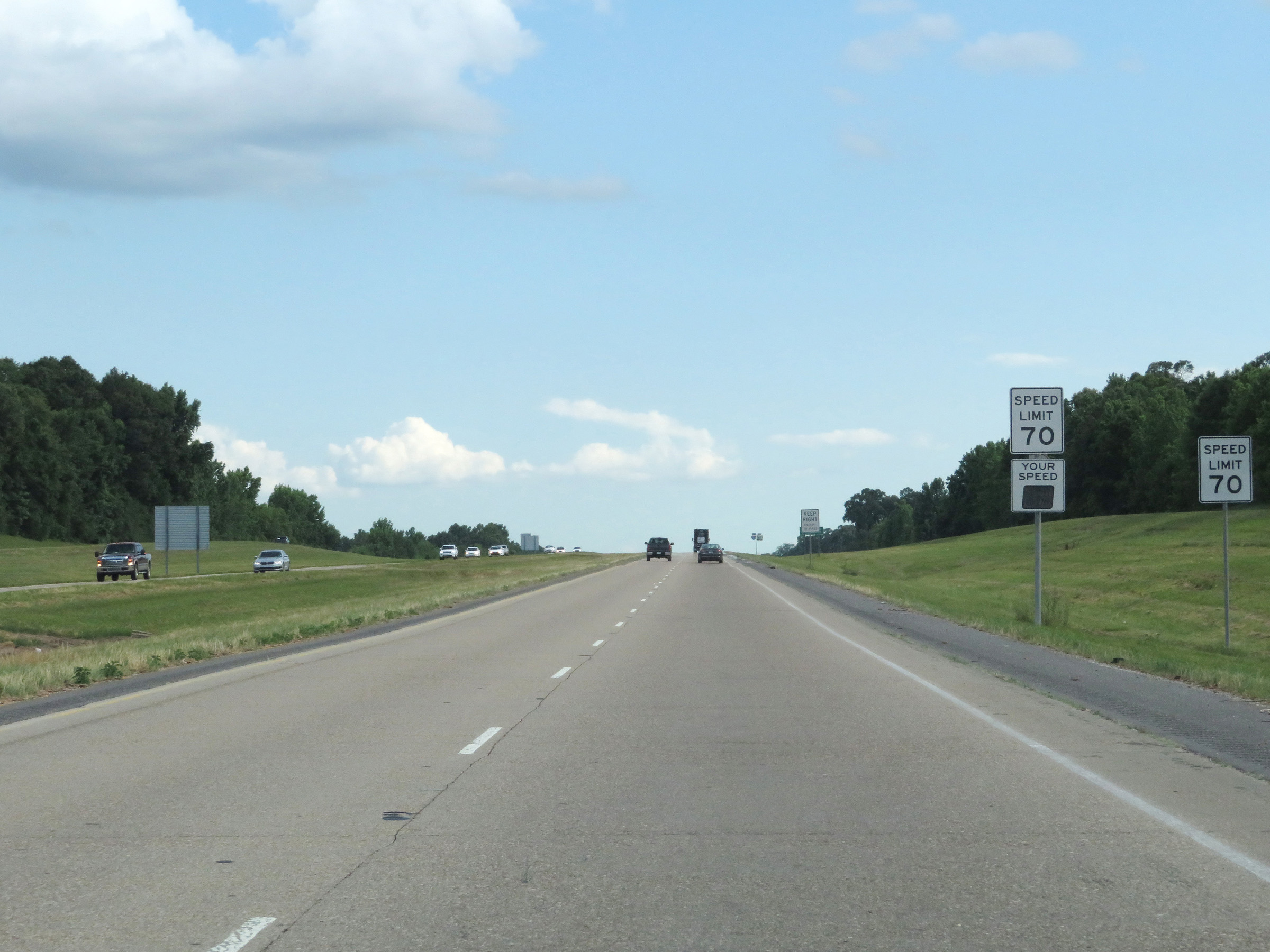
The speed limit remains 70 mph through the Opelousas area. (Photo taken 5/22/18). |
 |
Mileage sign on Interstate 49 South. It's 4 miles to the junction of LA 93 and 12 miles to Lafayette. (Photo taken 5/22/18). |
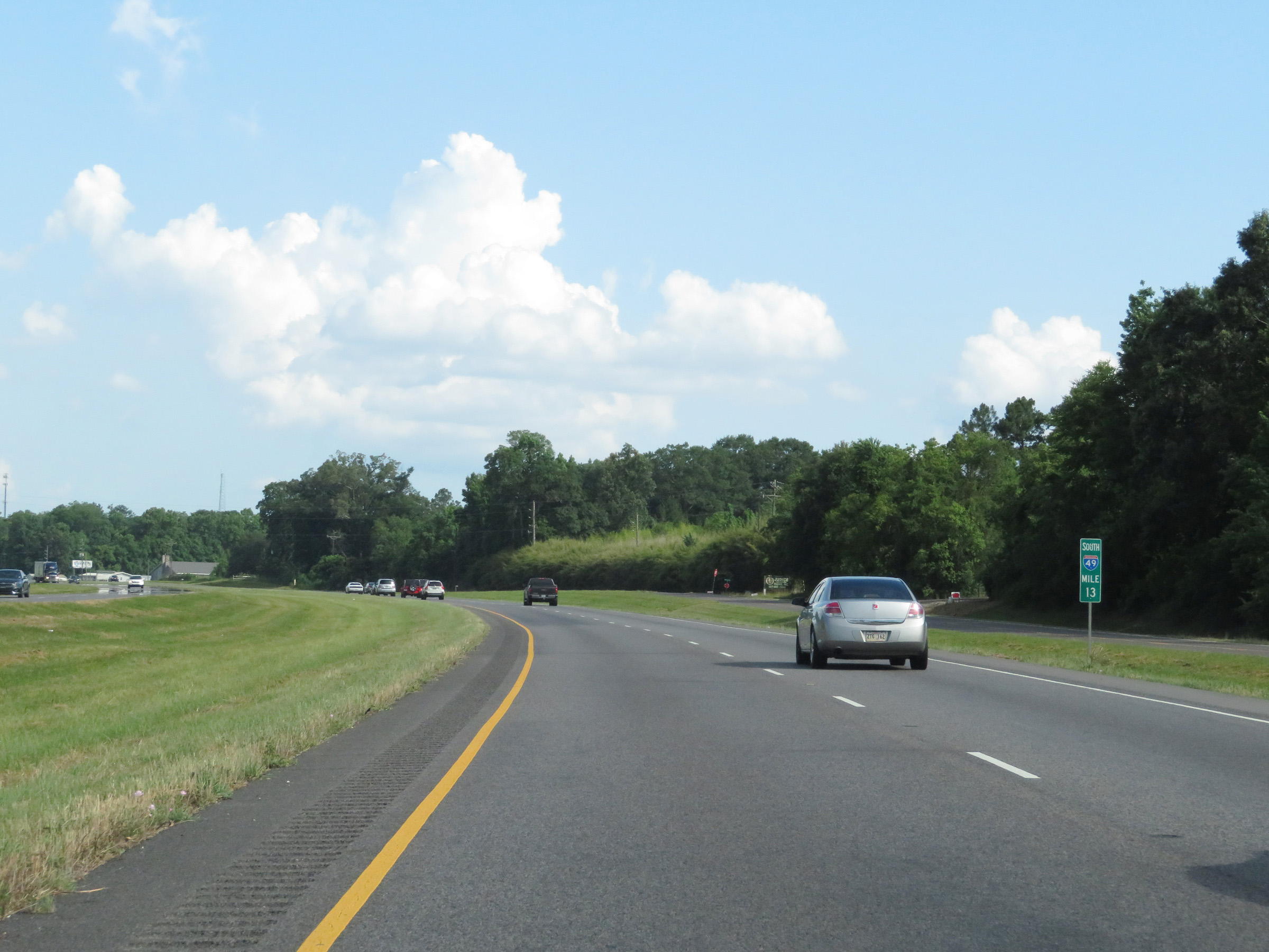 |
View on Interstate 49 South at mile marker 13. (Photo taken 5/22/18). |
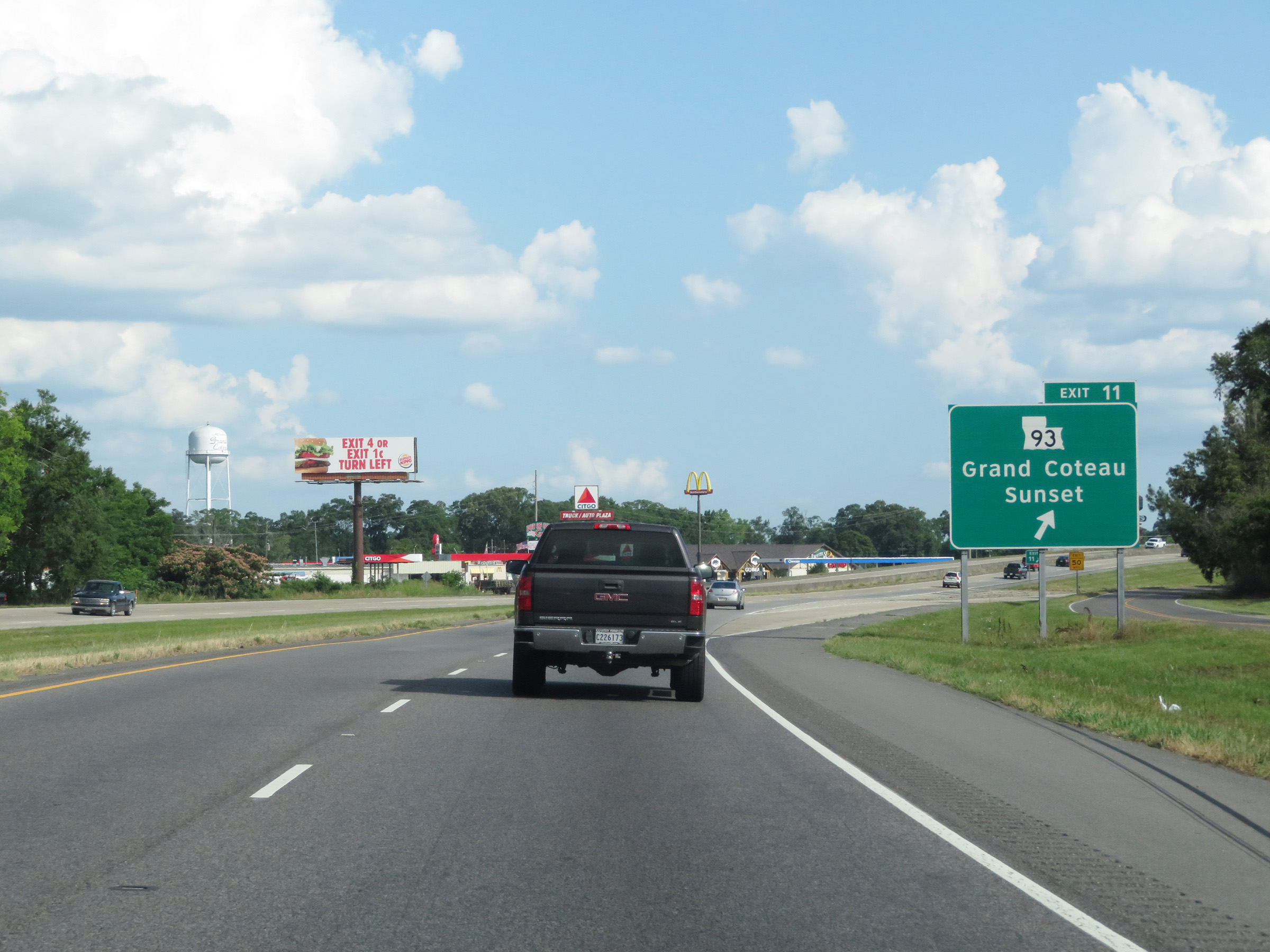 |
Interstate 49 South at Exit 11: LA 93 - Grand Coteau / Sunset (Photo taken 5/22/18). |
 |
Interstate 49 South / US 167 South reassurance shields in Opelousas. (Photo taken 5/22/18). |
 |
View on Interstate 49 South at mile marker 10. (Photo taken 5/22/18). |
 |
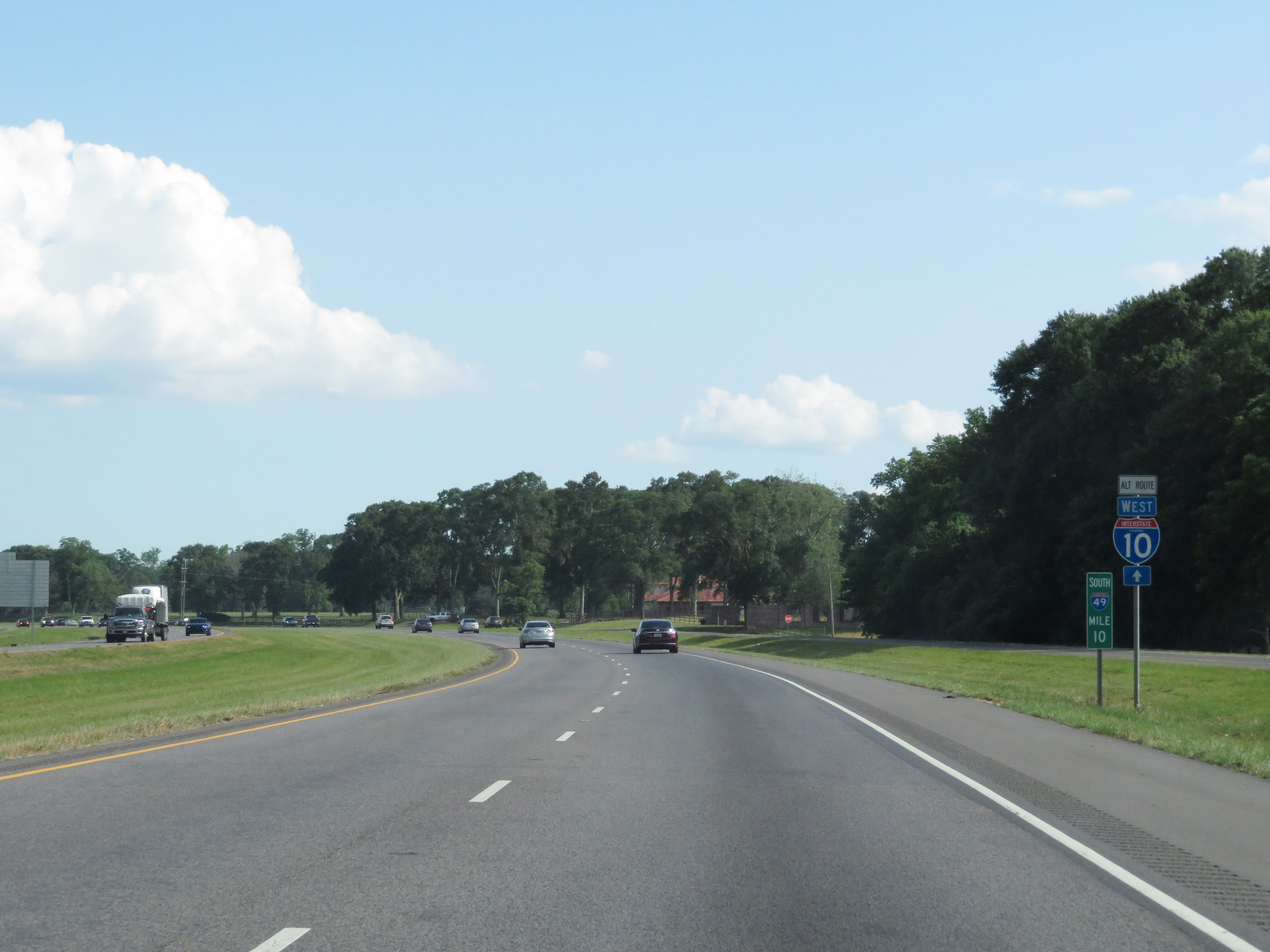
Interstate 49 South as it enters Lafayette Parish. (Photo taken 5/22/18). |
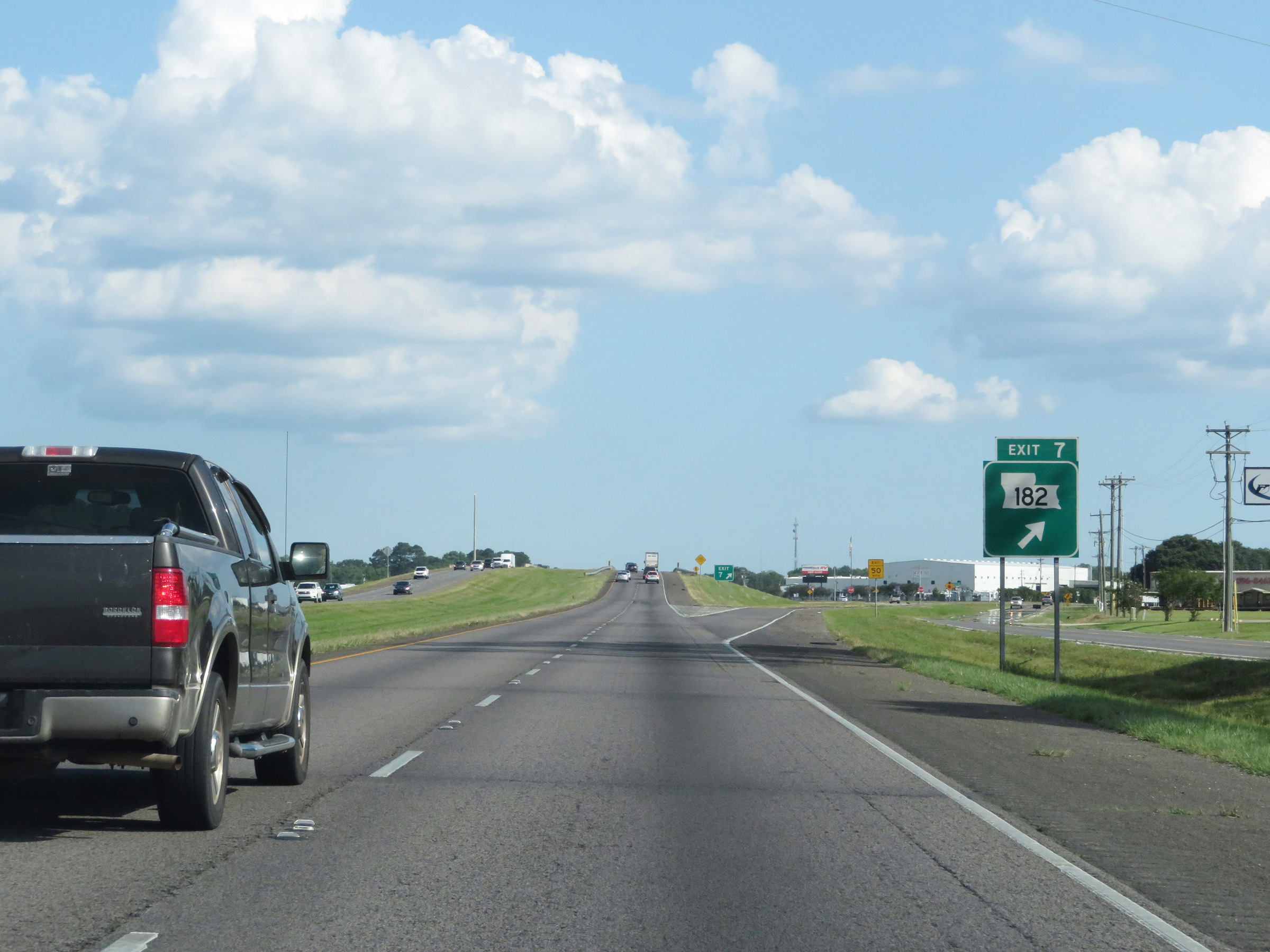 |
Interstate 49 South at Exit 7: LA 182 (Photo taken 5/22/18). |
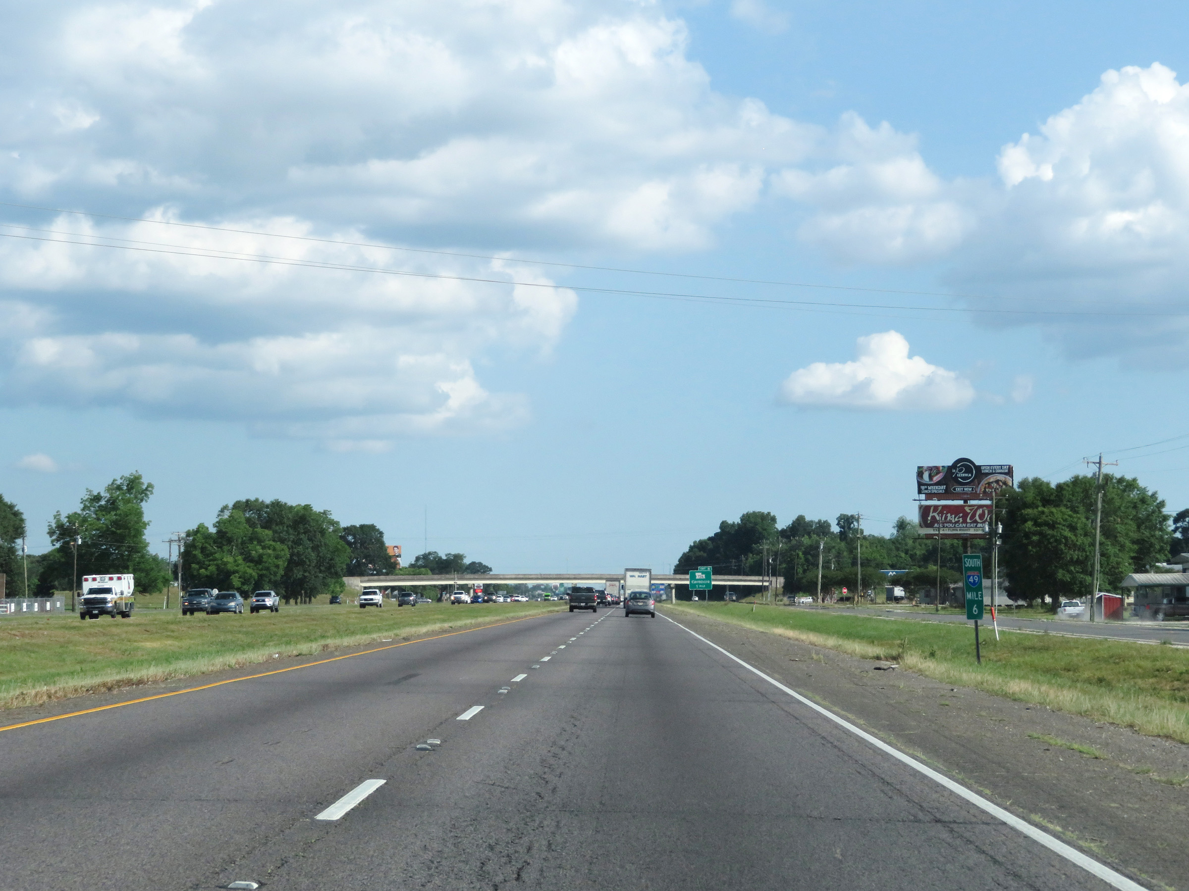 |
View on Interstate 49 South at mile marker 6. (Photo taken 5/22/18). |
 |
Interstate 49 South at Exit 4: LA 726 - Carencro (Photo taken 5/22/18). |
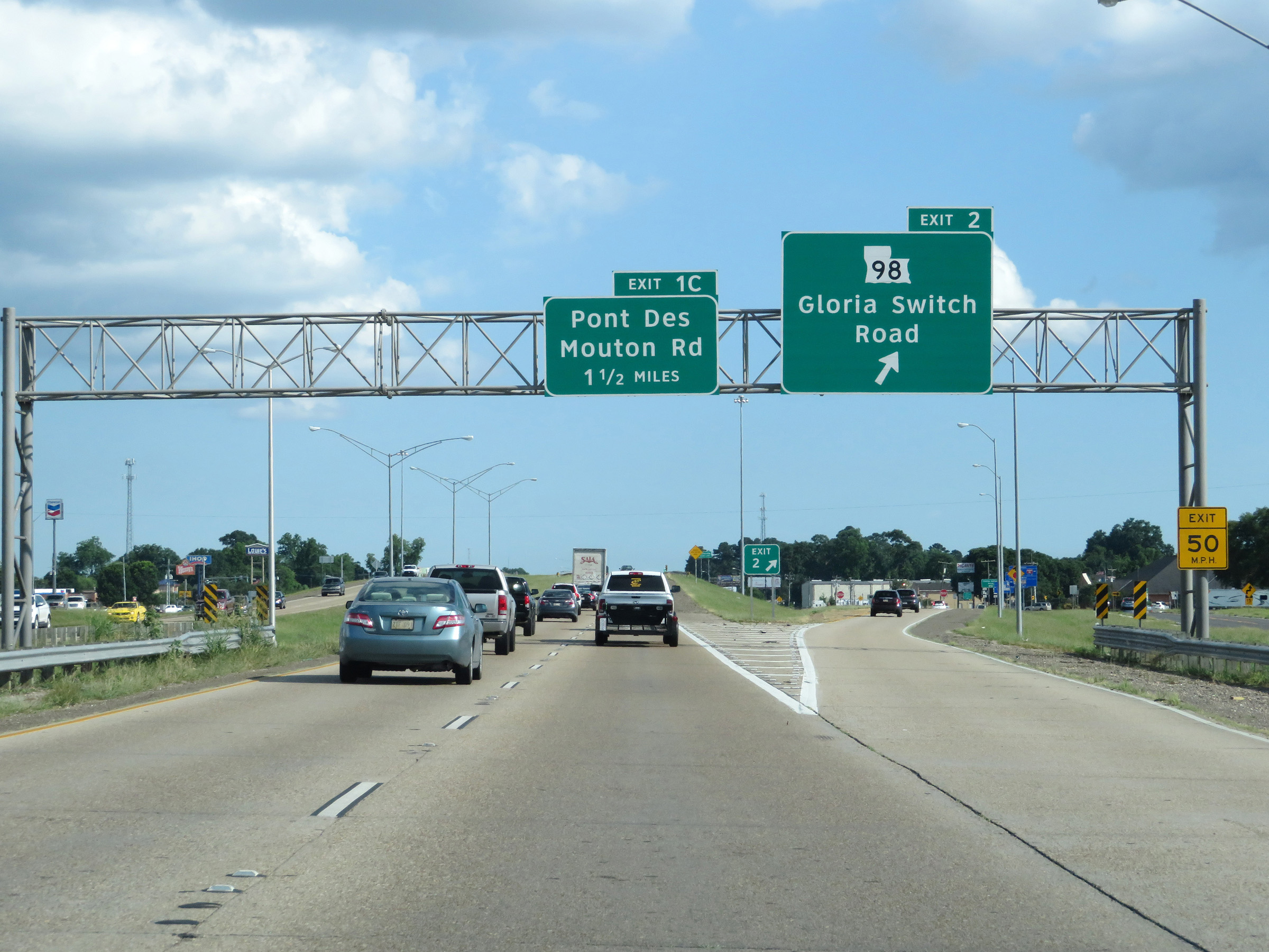 |
Interstate 49 South at Exit 2: LA 98 - Gloria Switch Road (Photo taken 5/22/18). |
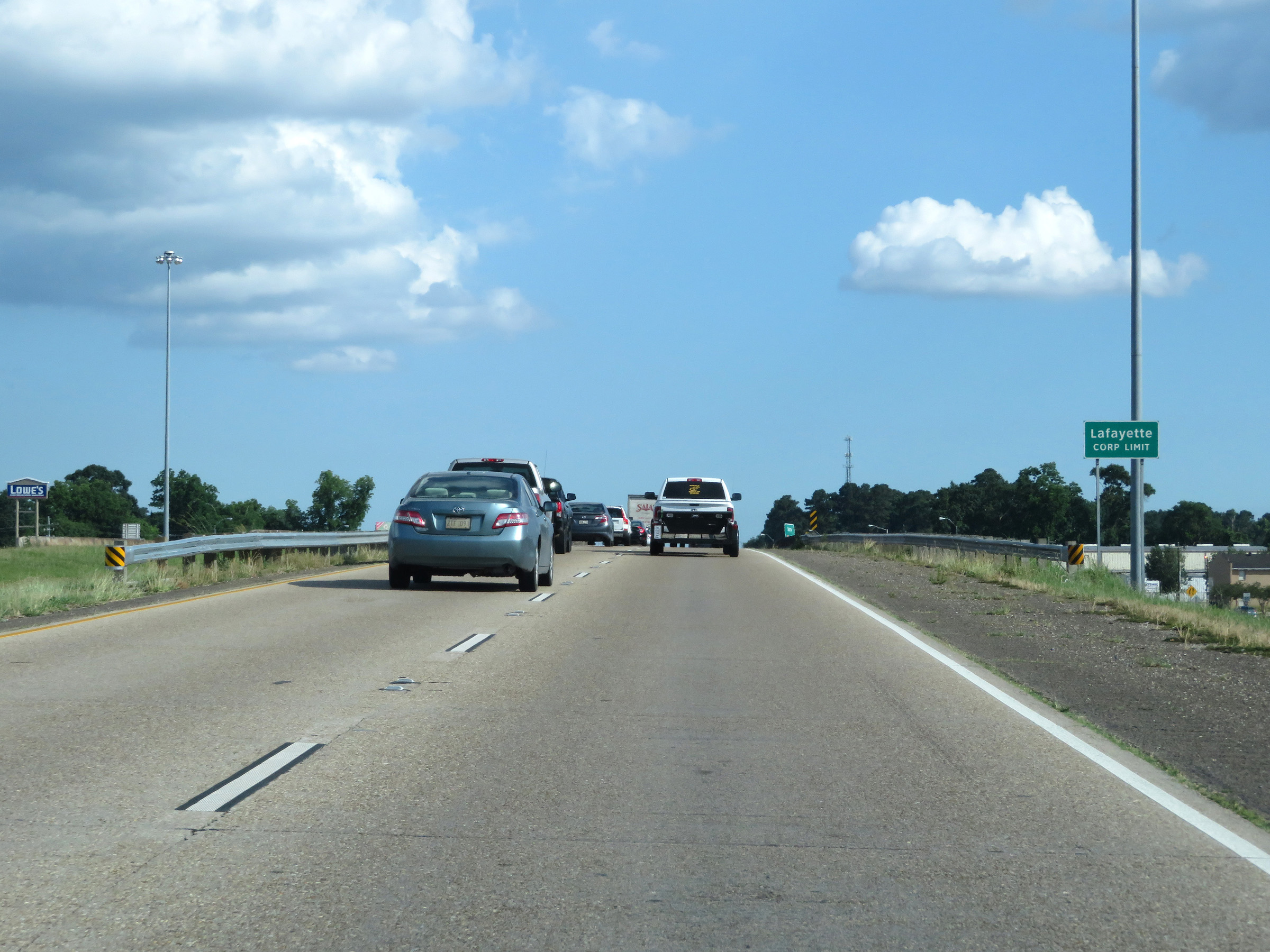 |
Interstate 49 South as it enters the Lafayette city limits. (Photo taken 5/22/18). |
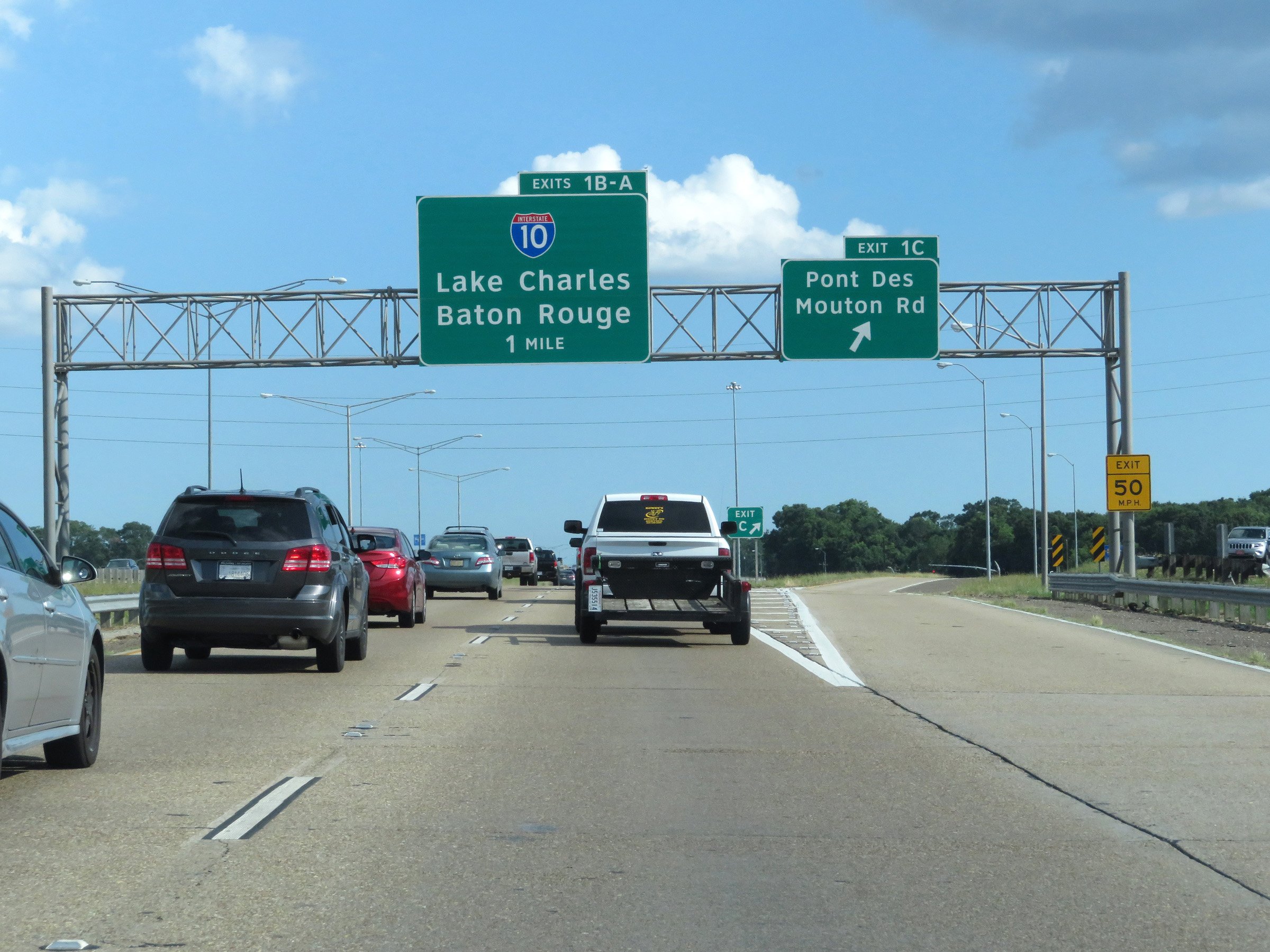 |
Interstate 49 South at Exit 1C: Pont Des Mouton Rd (Photo taken 5/22/18). |
 |
Interstate 49 South at Exit 1B: Interstate 10 West - Lake Charles (Photo taken 5/22/18). |
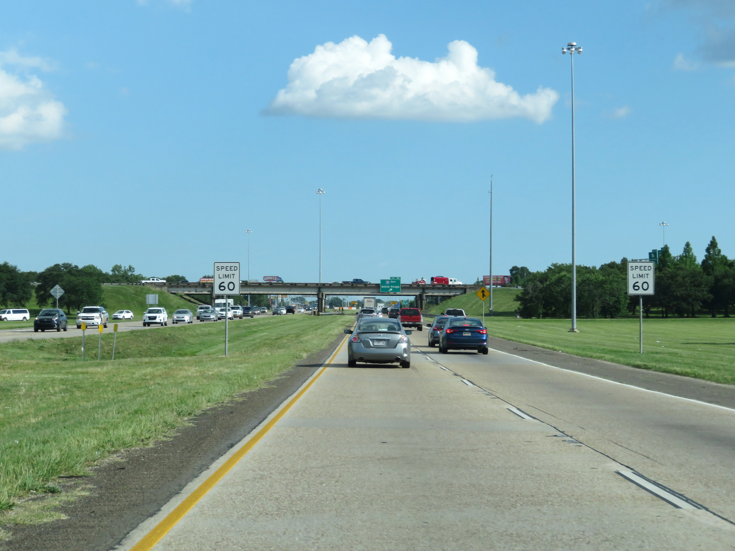 |
Approaching the southern terminus of Interstate 49, the speed limit decreases to 60 mph. (Photo taken 5/22/18). |
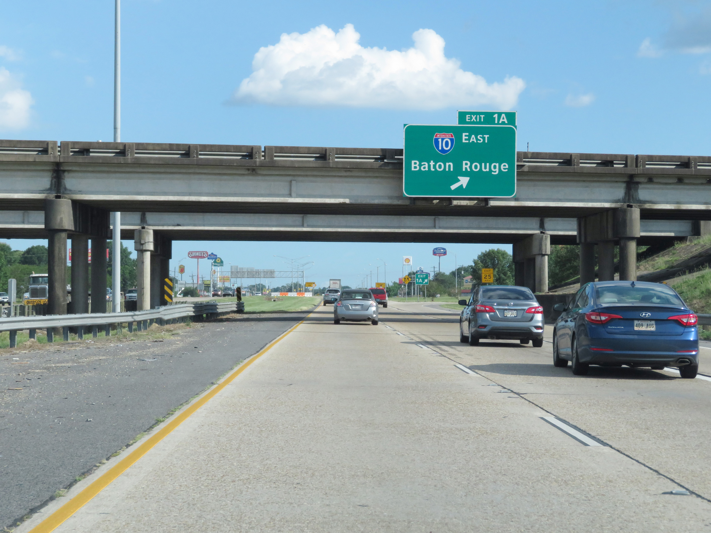 |
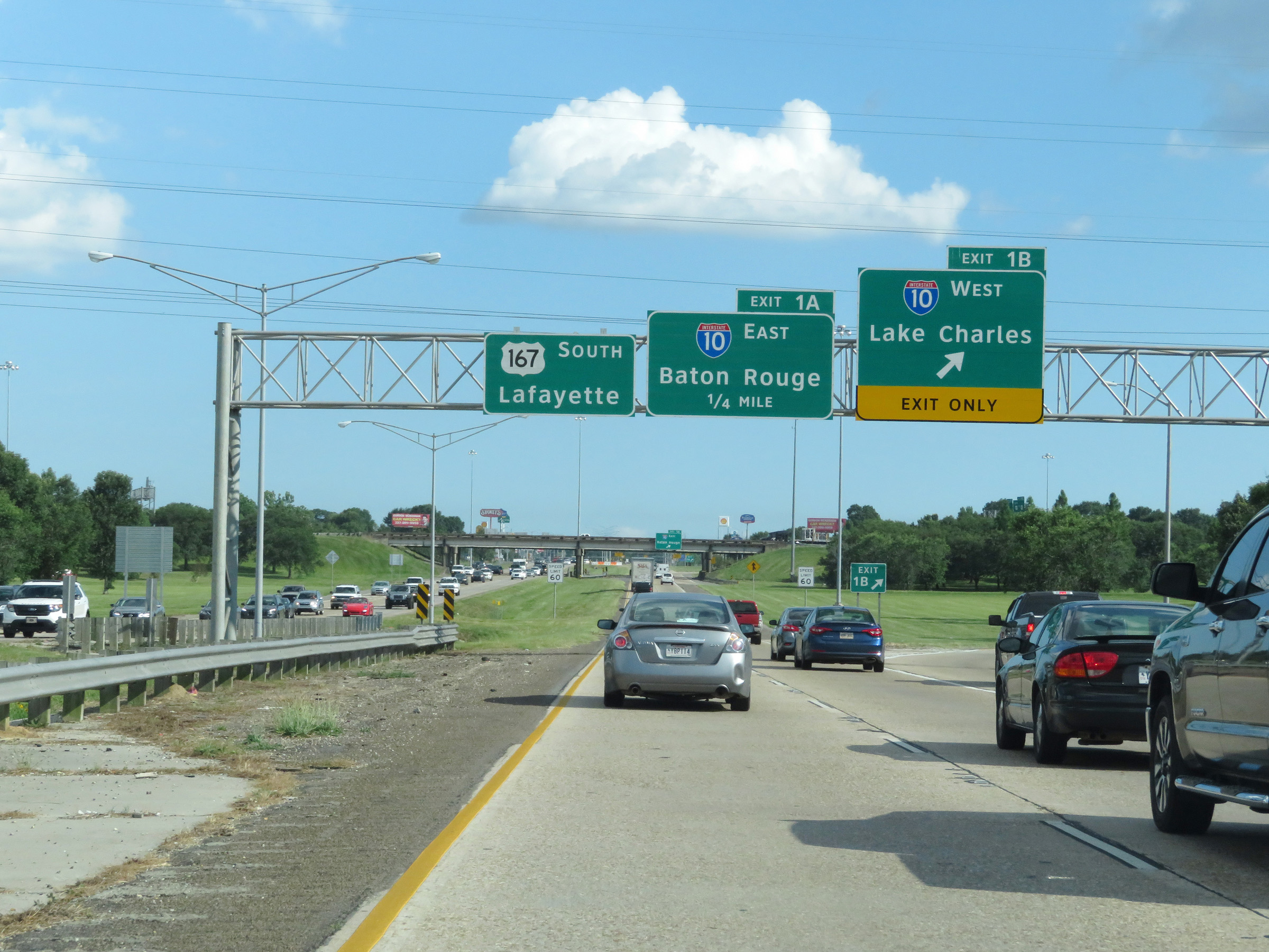
Interstate 49 South at Exit 1A: Interstate 10 East - Baton Rouge (Photo taken 5/22/18). |
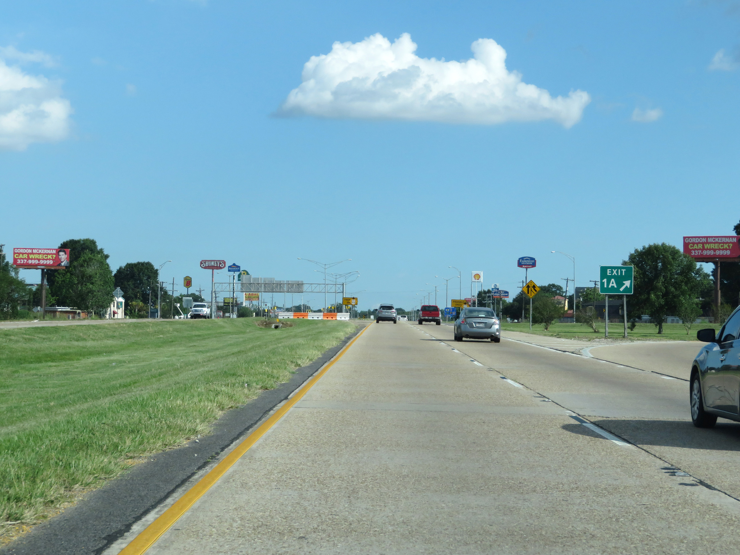 |
Gore point signage for Exit 1A as Interstate 49 reaches its southern terminus in Lafayette. (Photo taken 5/22/18). |
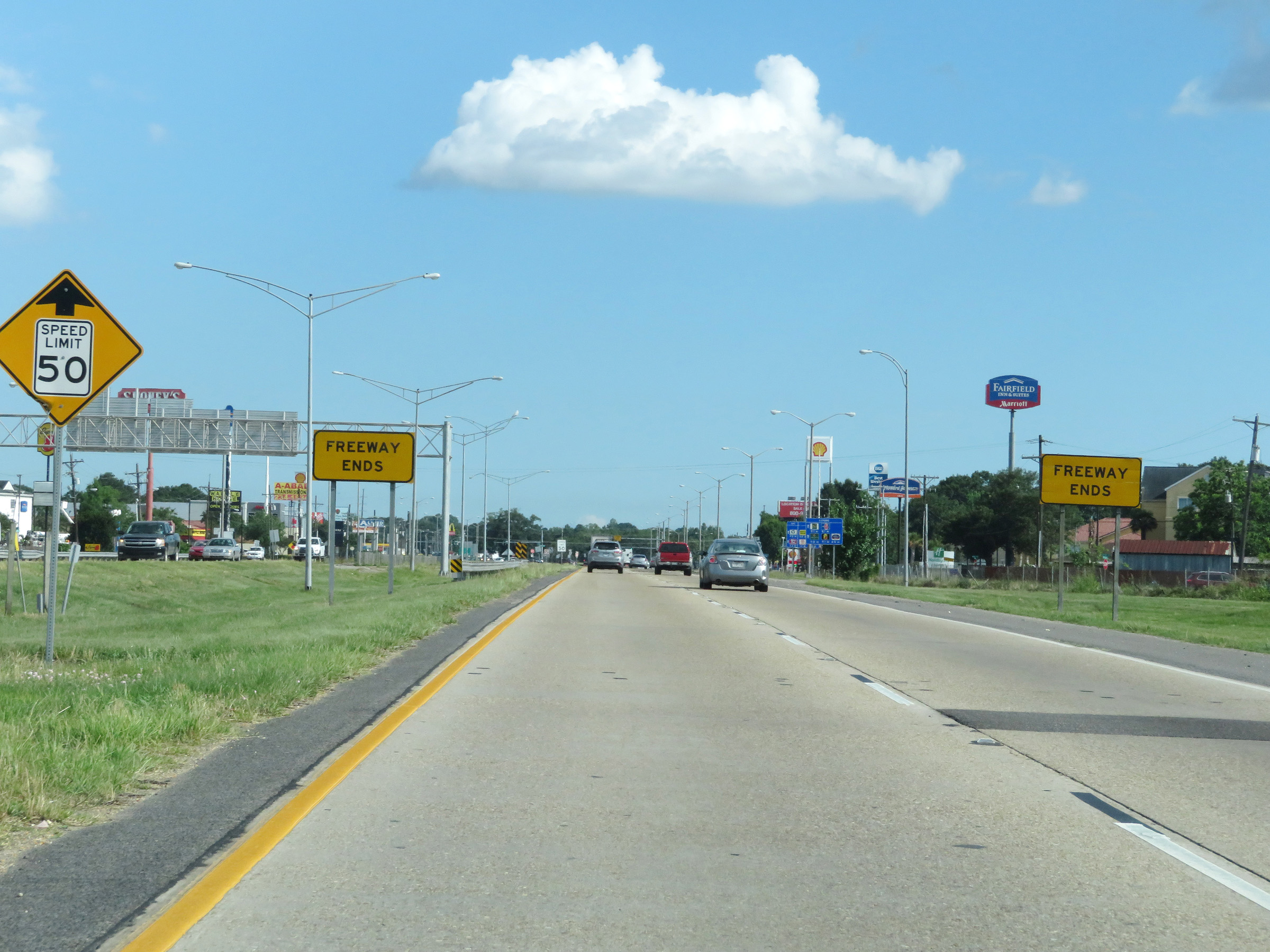 |
As these signs read, the limited access freeway ends as Interstate 49 reaches its southern terminus. (Photo taken 5/22/18). |
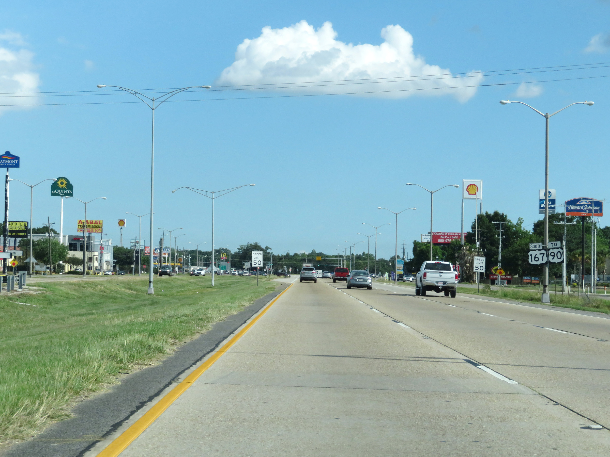 |
The two southbound lanes of Interstate 49 South / US 167 South continue as US 167 South into Lafayette. (Photo taken 5/22/18). |