Road Information |
||
 |
||
| Total Mileage in State: | 171 miles | |
| Eastern End: | At Ohio state line | |
| Western End: | At Illinois state line | |
| Mileage covered in Photos: | 171 miles | |
| Counties covered in Photos: | Vermillion, Fountain, Montgomery, Boone, Hendricks, Marion, Shelby, Decatur, Franklin, Ripley, Dearborn | |
| Major Junctions in Photos: | I-465, in Indianapolis I-70, in Indianapolis I-65, in Indianapolis |
|
| Control Cities in Photos: | Crawfordsville, Brownsburg, Indianapolis, Shelbyville, Greensburg | |
Eastbound
- Section 1: Illinois Border to Indianapolis (Exit 73)
- Section 2: Indianapolis (Exit 73) to Acton (Exit 99)
- Section 3: Action (Exit 99) to Greensburg (Exit 132)
- Section 4: Greensburg (Exit 132) to Ohio Border
Section 1: Illinois Border to Indianapolis (Exit 73)
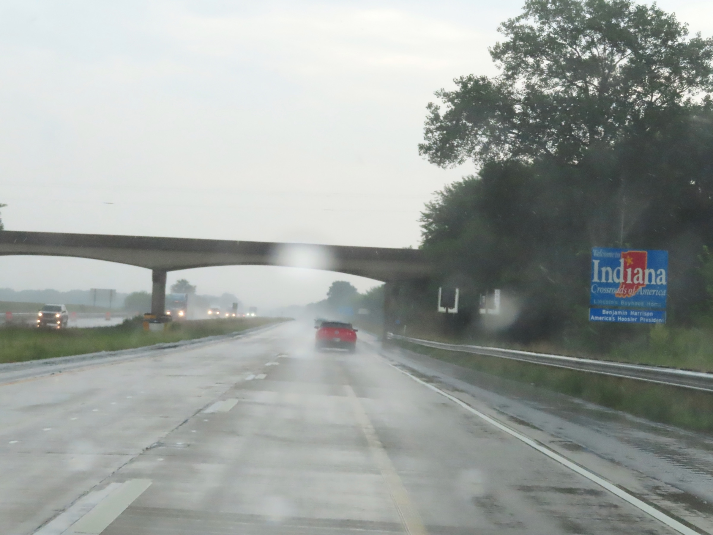 |
Indiana welcome sign on Interstate 74 East as it enters the Hoosier State and Vermillion County from Illinois. (Photo taken 8/20/22). |
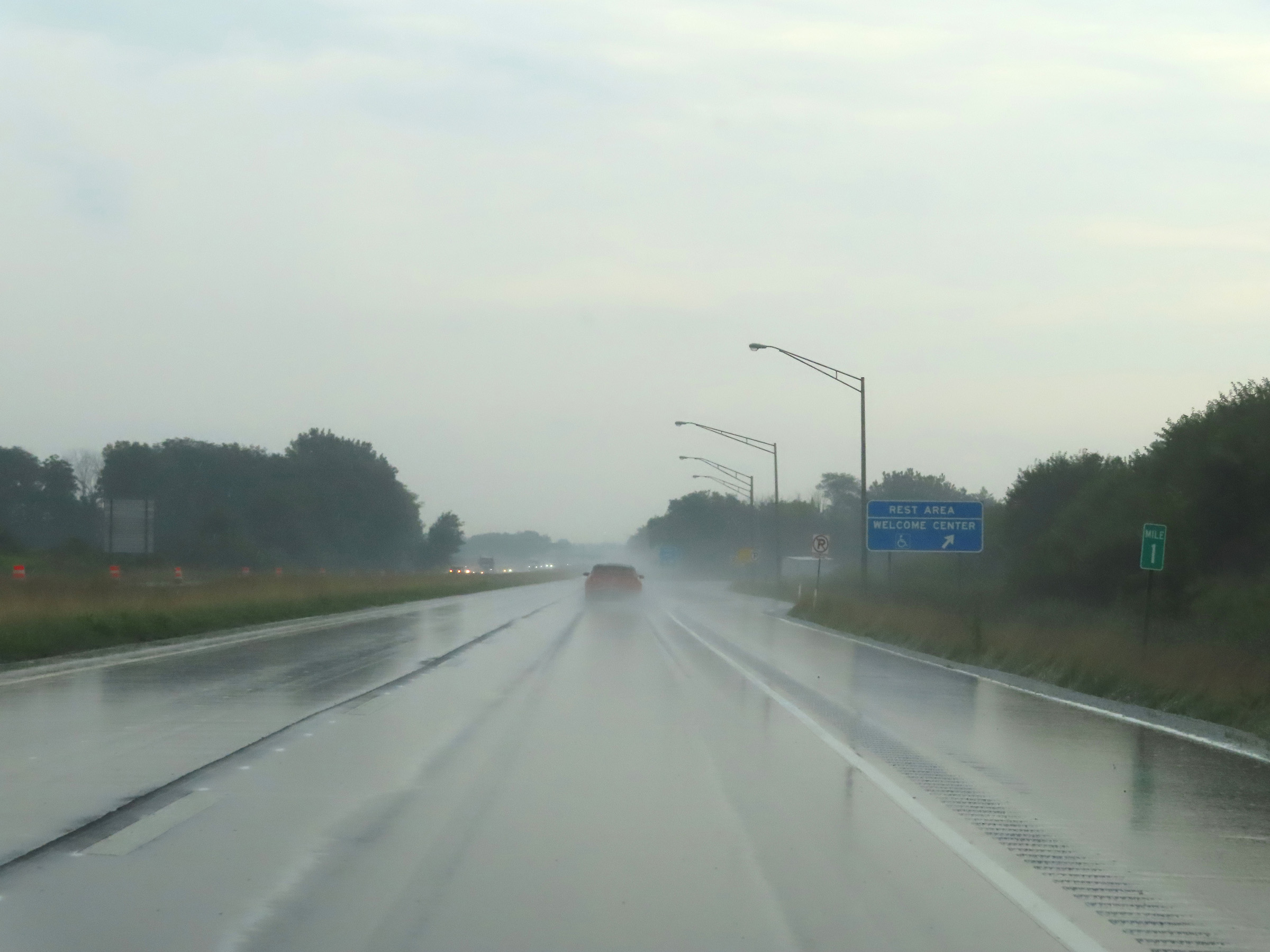 |
Rest Area / Welcome Center on Interstate 74 East at mile marker 1 in Vermillion County. (Photo taken 8/20/22). |
 |
Interstate 74 East reassurance shield. (Photo taken 8/20/22). |
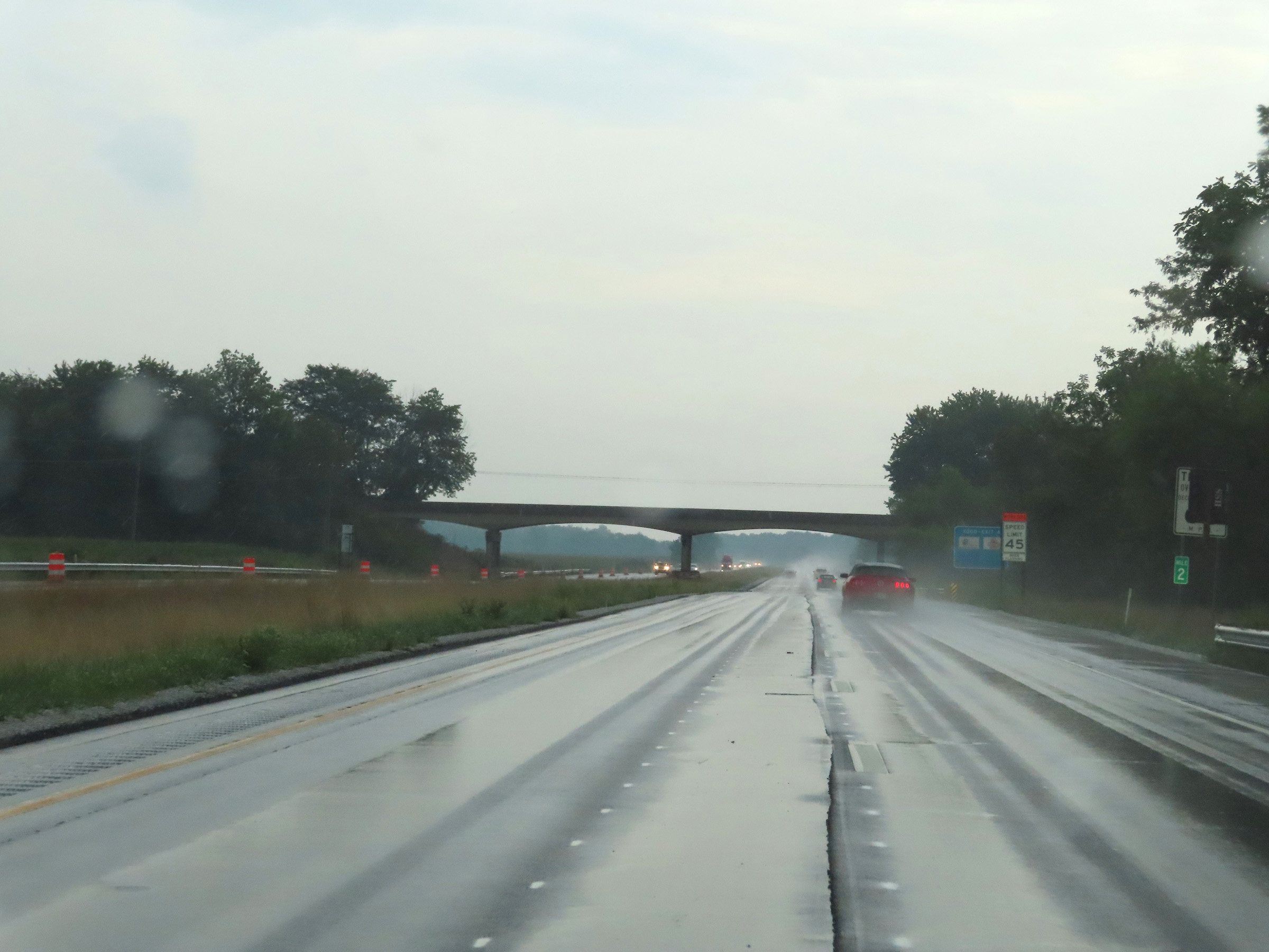 |
View on Interstate 74 East at mile marker 2. (Photo taken 8/20/22). |
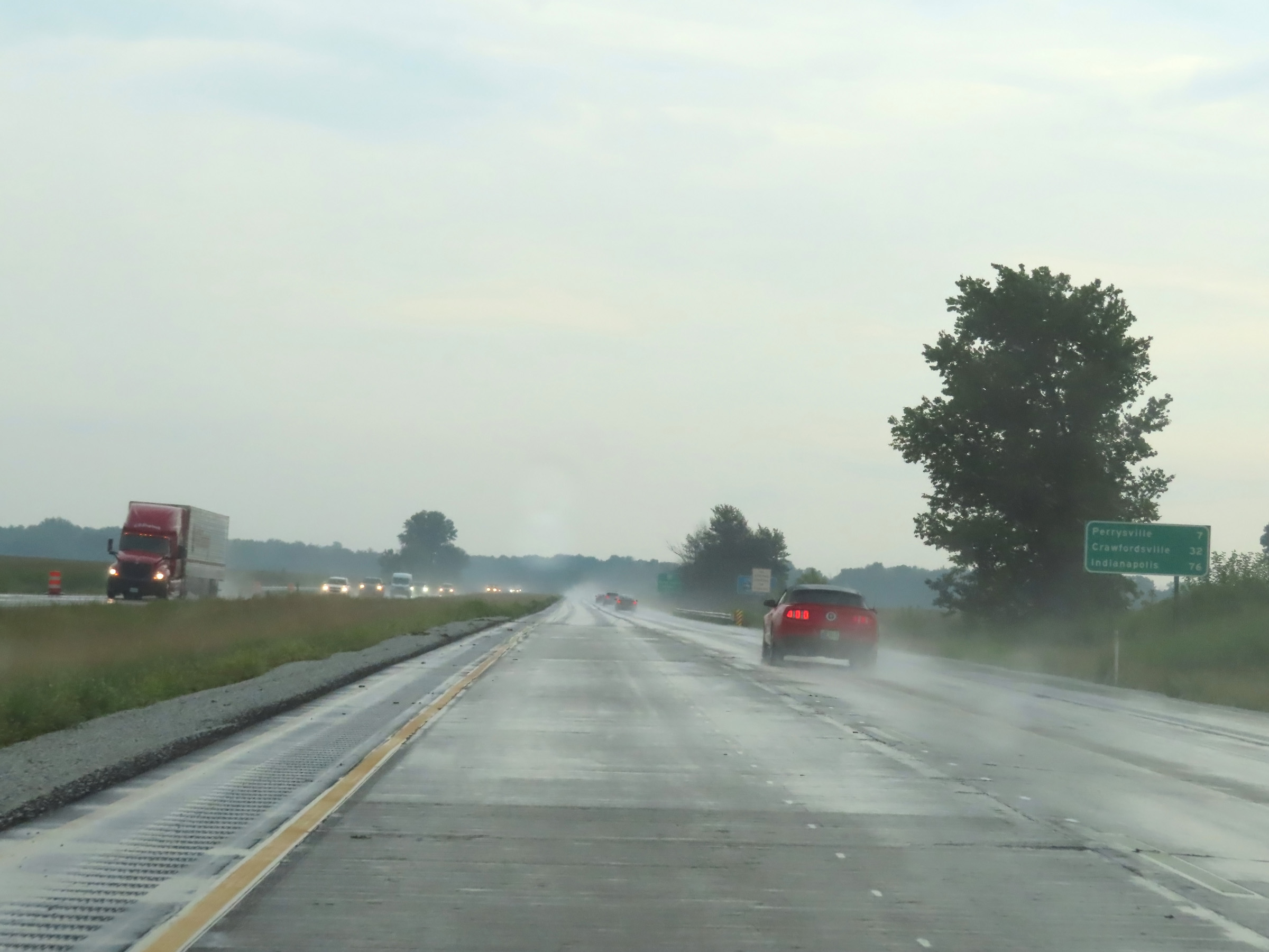 |
Mileage sign on Interstate 74 East. It's 7 miles to Perrysville, 32 miles to Crawfordsville, and 76 miles to Indianapolis. (Photo taken 8/20/22). |
 |
Interstate 74 East at Exit 4: IN 63 - Terre Haute / Newport (Photo taken 8/20/22). |
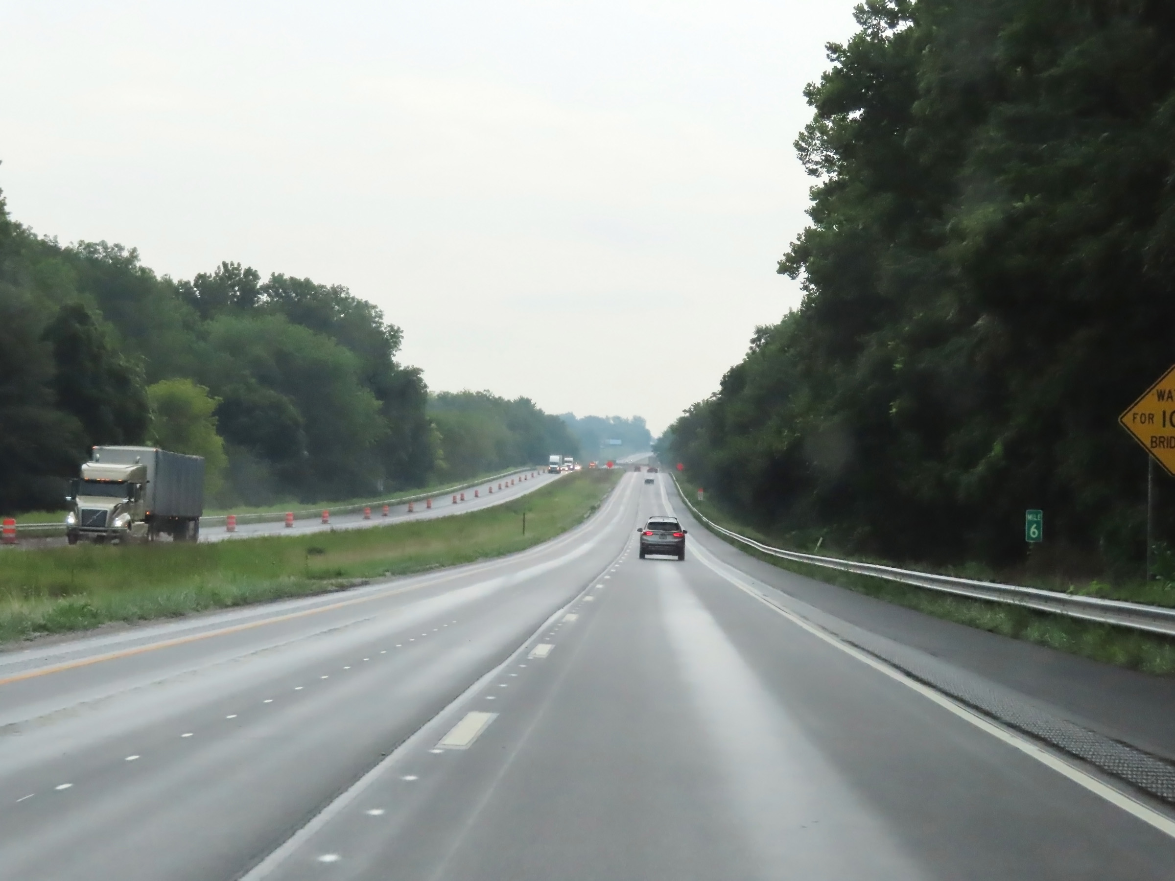 |
View on Interstate 74 East at mile marker 6. (Photo taken 8/20/22). |
 |
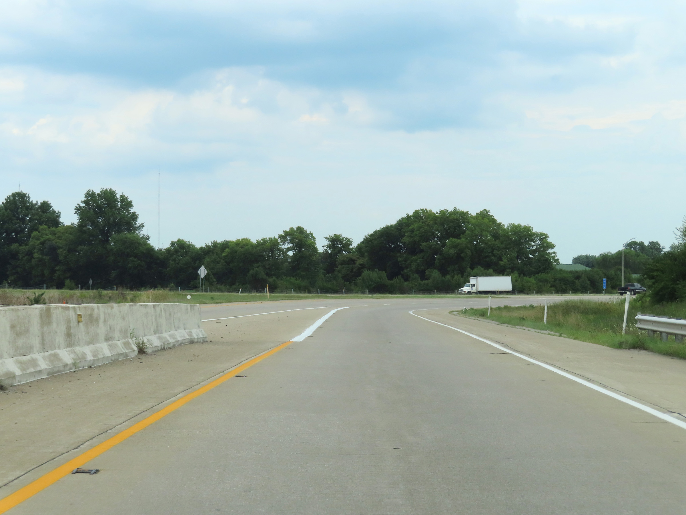
Interstate 74 East as it prepares to cross the Wasbash River and enter Fountain County. (Photo taken 8/20/22). |
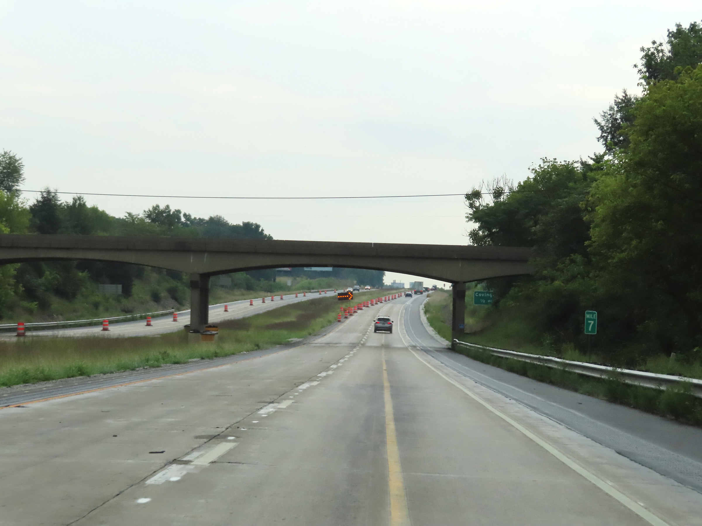 |
Interstate 74 East at mile marker 7. (Photo taken 8/20/22). |
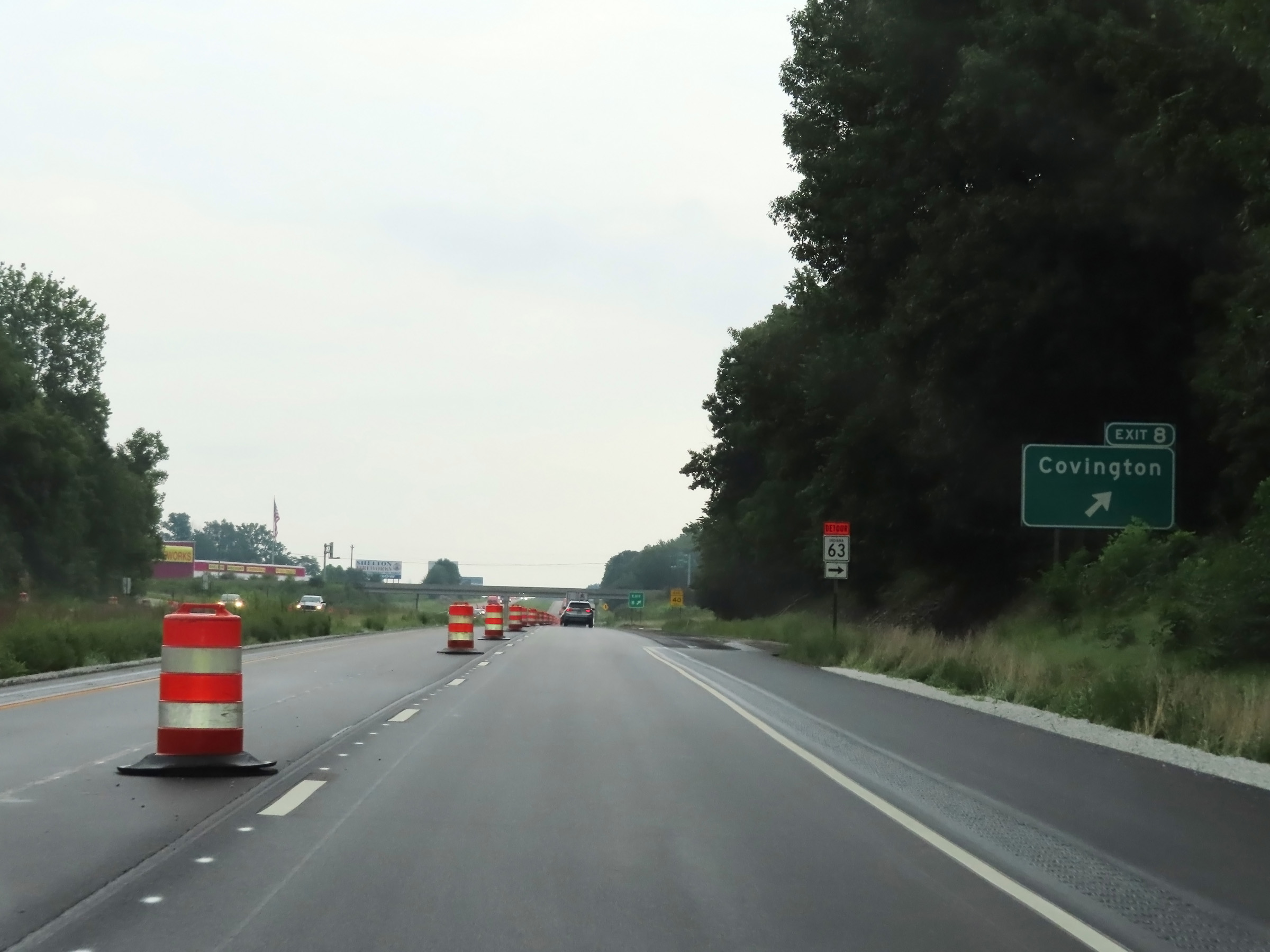 |
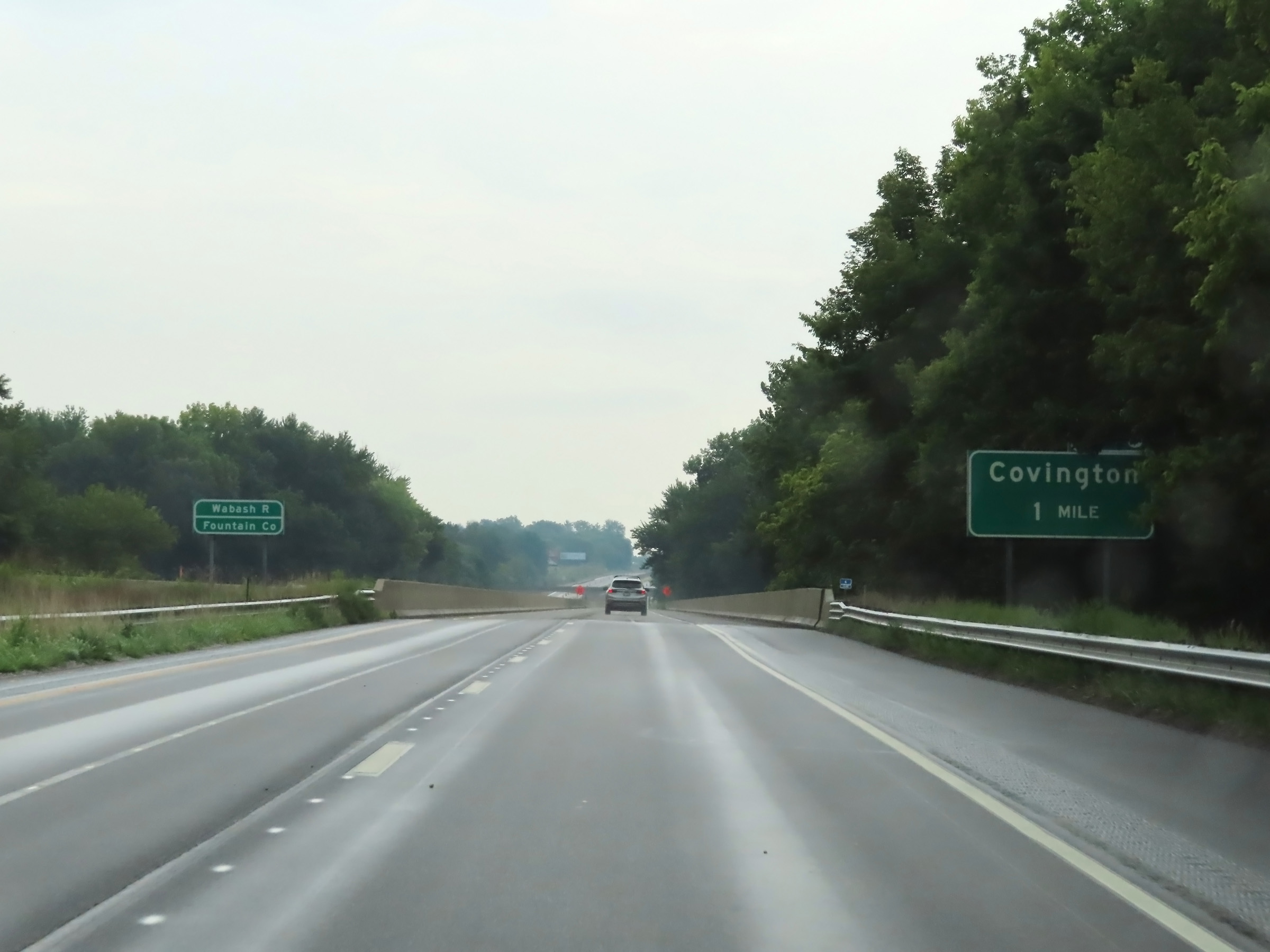
Interstate 74 East at Exit 8: Covington (Photo taken 8/20/22). |
 |
Another Interstate 74 East reassurance shield. (Photo taken 8/20/22). |
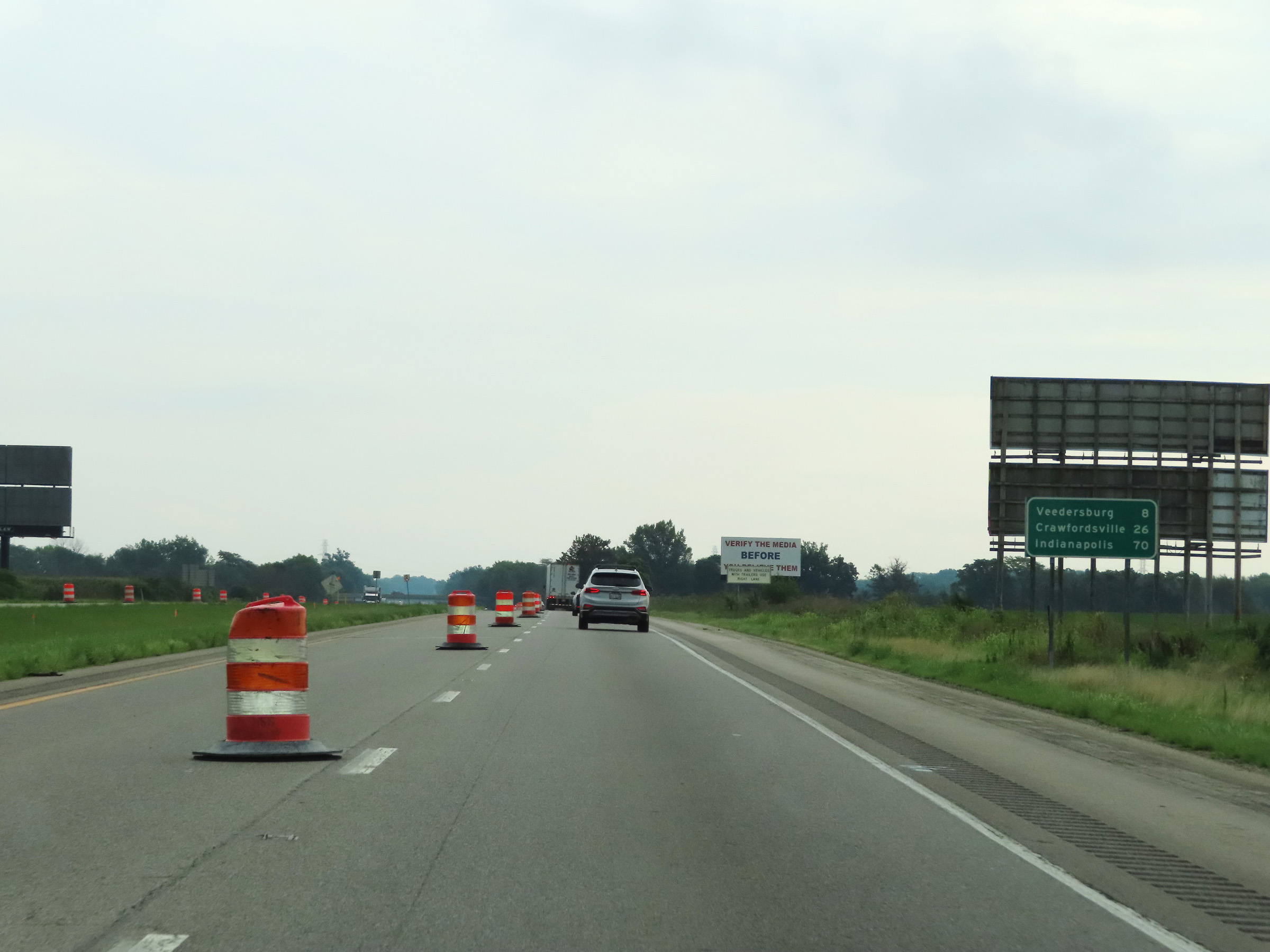 |
Mileage sign on Interstate 74 East. It's 8 miles to Veedersburg, 26 miles to Crawfordsville, and 70 miles to Indianapolis. (Photo taken 8/20/22). |
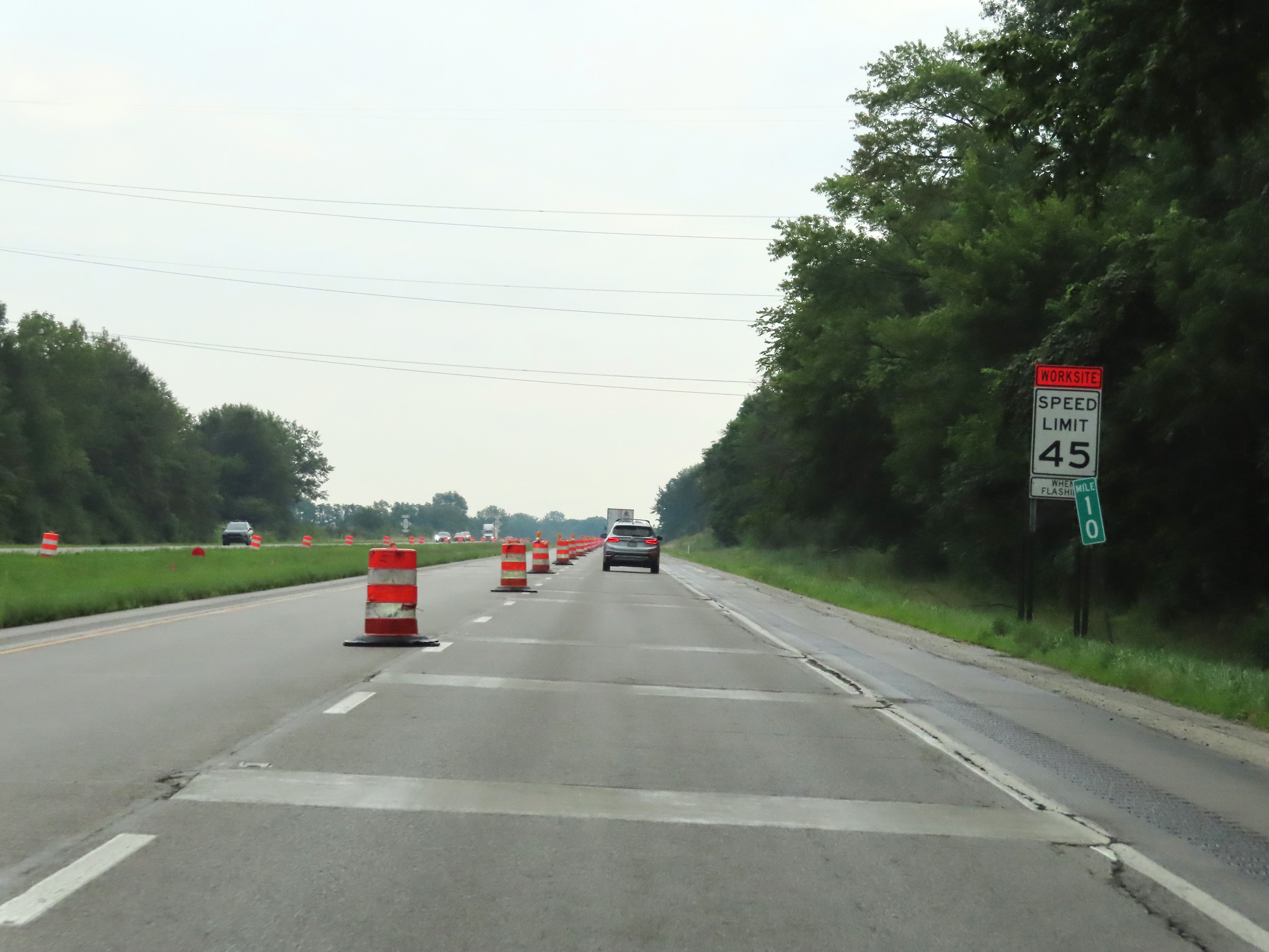 |
Mile marker 10 on Interstate 74 East in Fountain County. (Photo taken 8/20/22). |
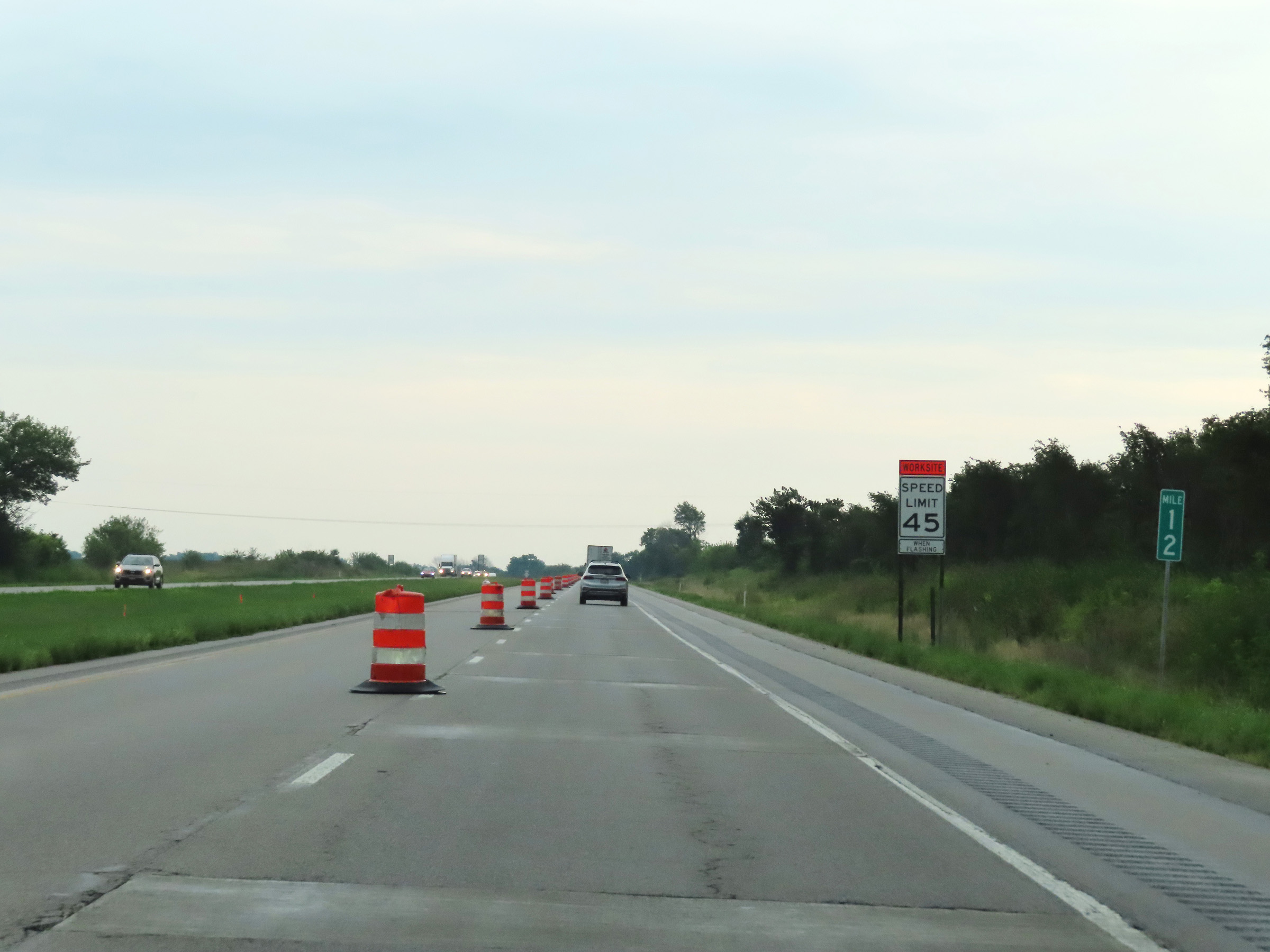 |
View on Interstate 74 East at mile marker 12. (Photo taken 8/20/22). |
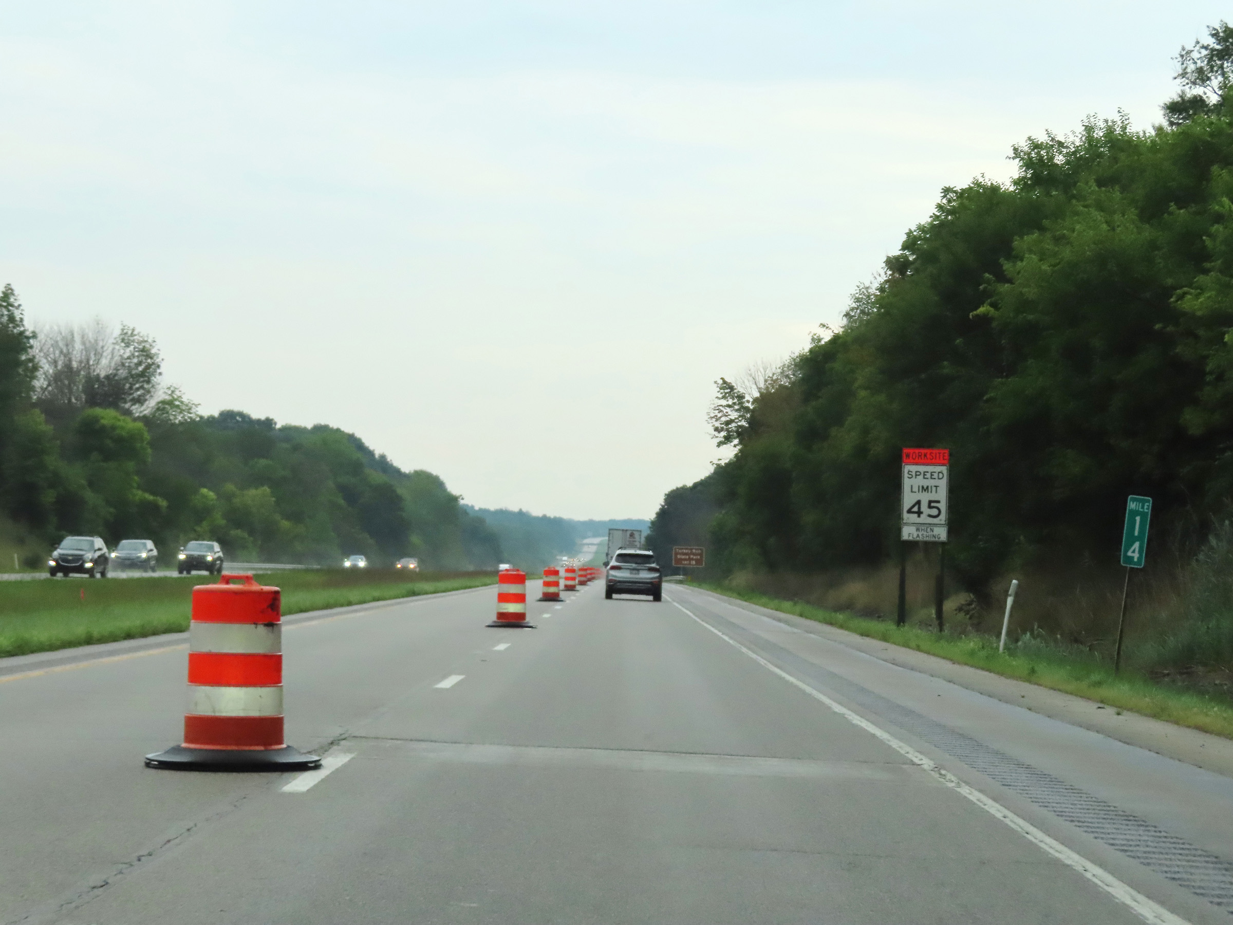 |
Interstate 74 East at mile marker 14. (Photo taken 8/20/22). |
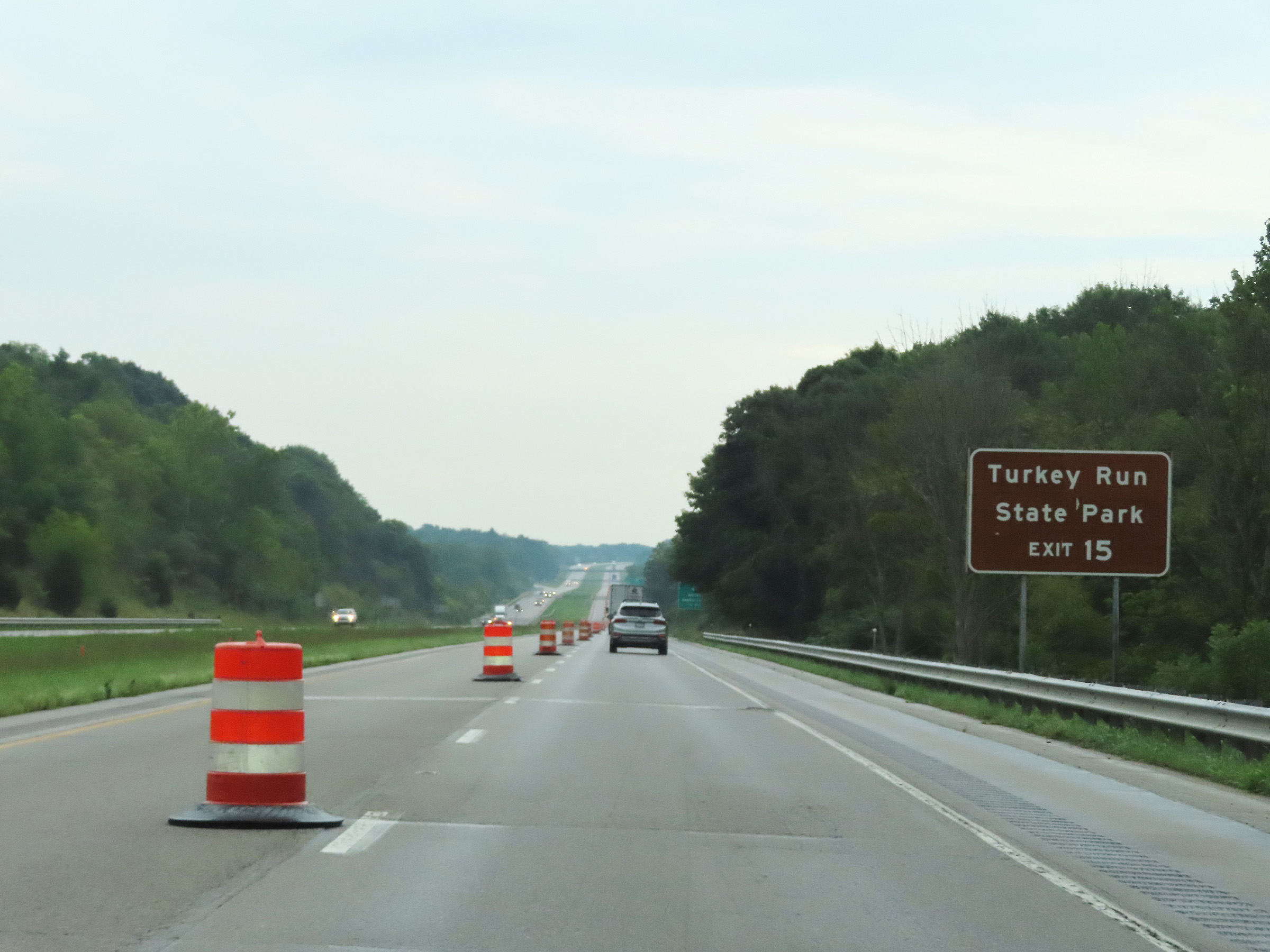 |
Take Exit 15 to Turkey Run State Park. (Photo taken 8/20/22). |
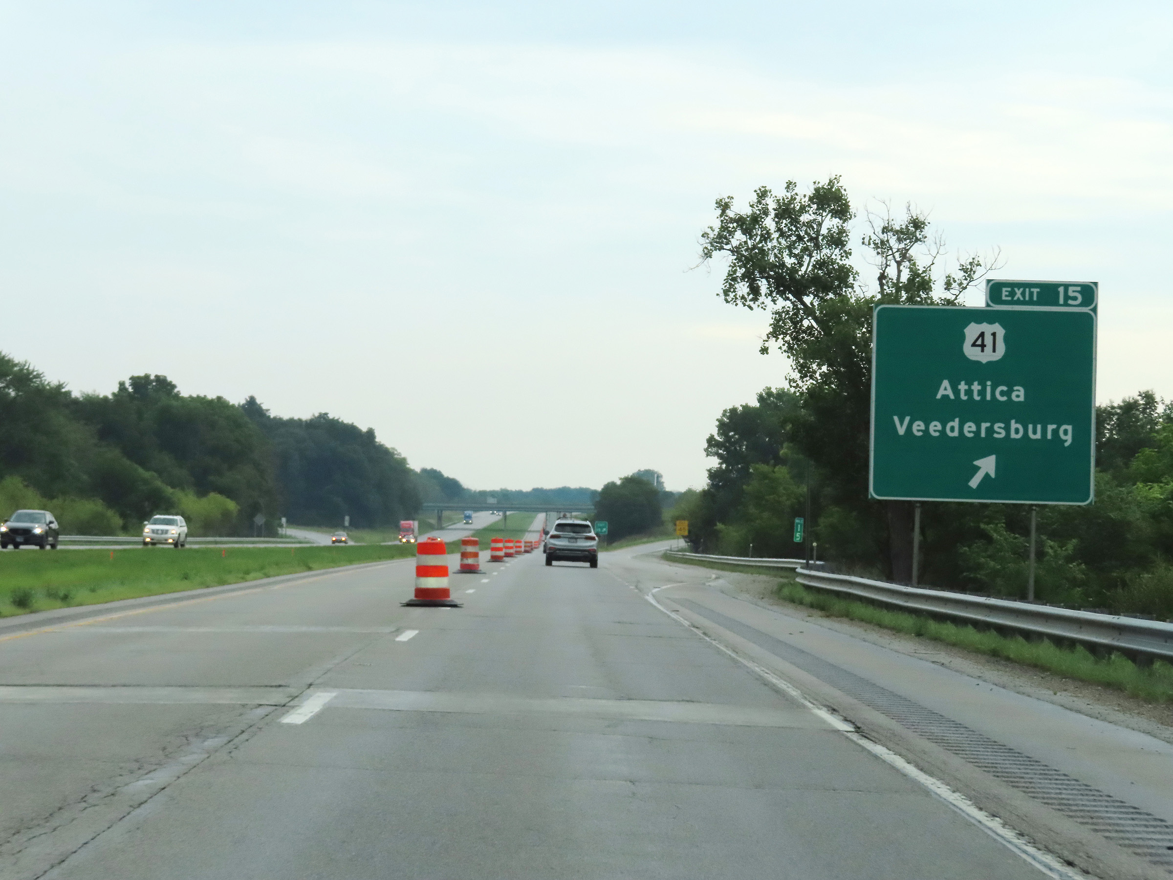 |
Interstate 74 East at Exit 15: US 41 - Attica / Veedersburg (Photo taken 8/20/22). |
 |
View on Interstate 74 East at mile marker 17. (Photo taken 8/20/22). |
 |
Abandoned Weigh Station on Interstate 74 East in Fountain County. (Photo taken 8/20/22). |
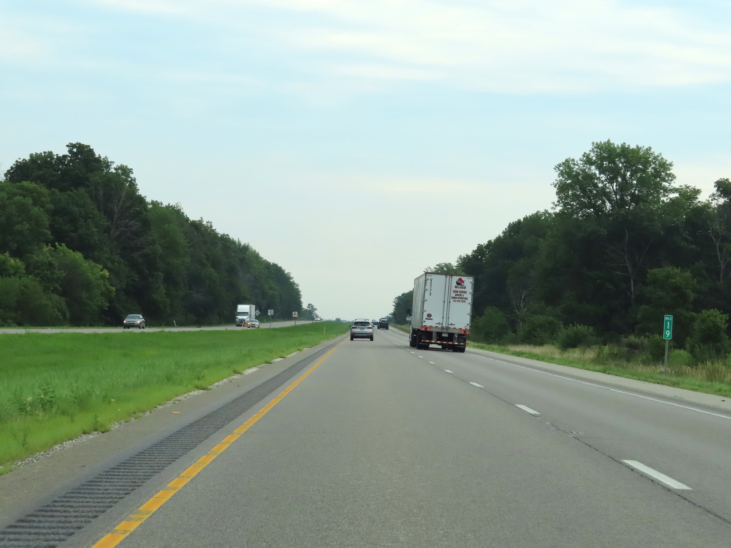 |
Interstate 74 East at mile marker 19. (Photo taken 8/20/22). |
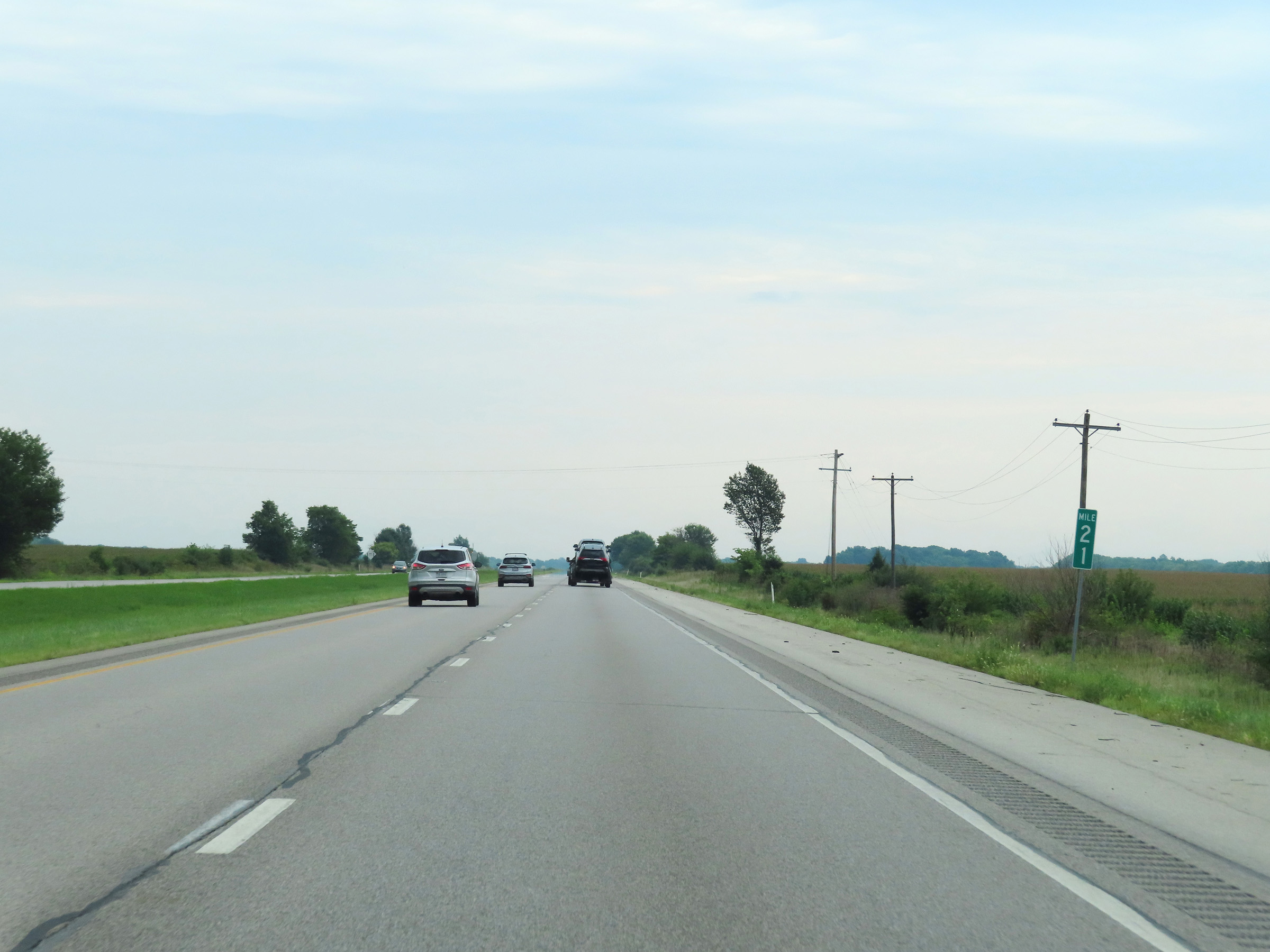 |
View on Interstate 74 East at mile marker 21. (Photo taken 8/20/22). |
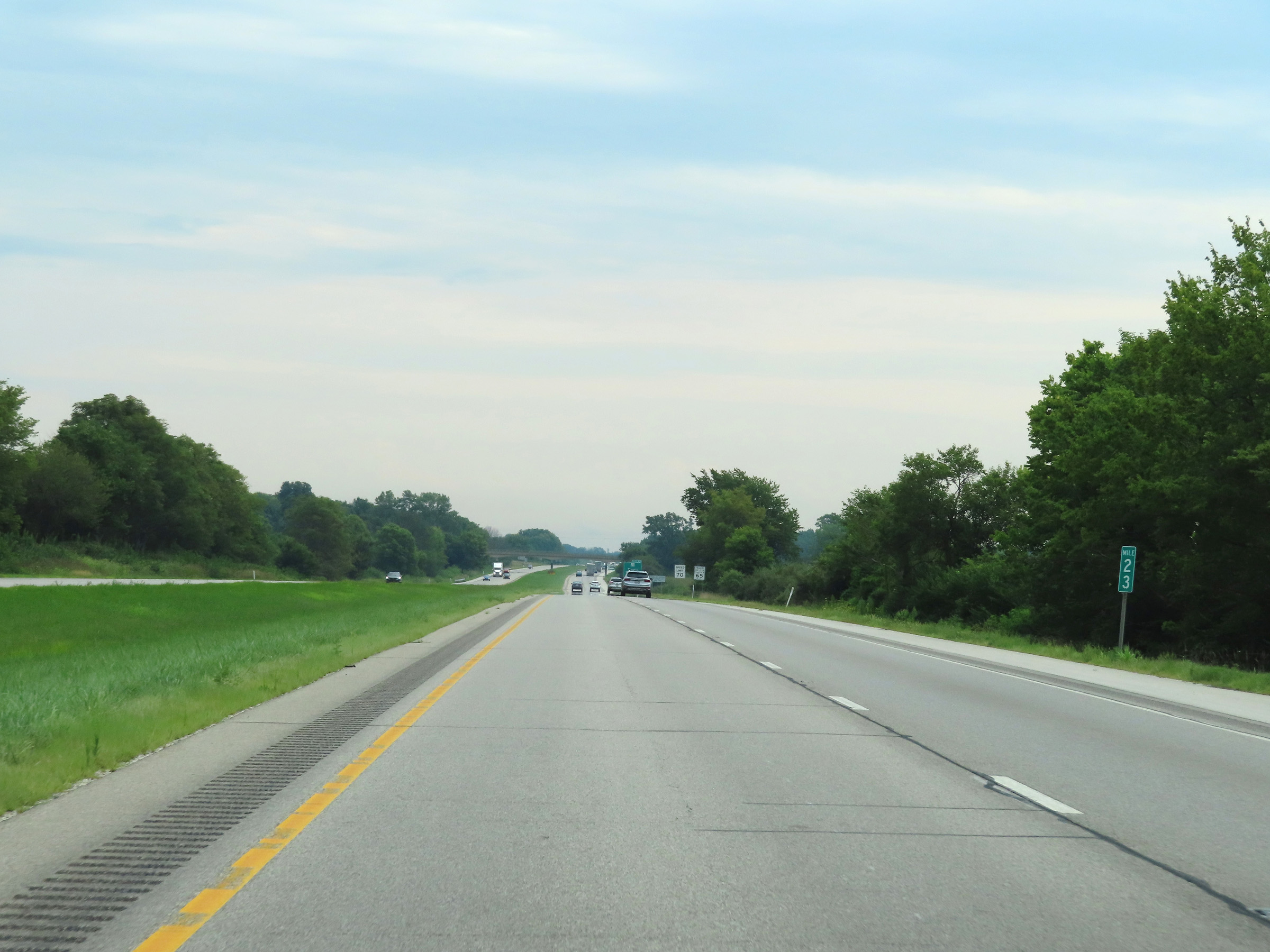 |
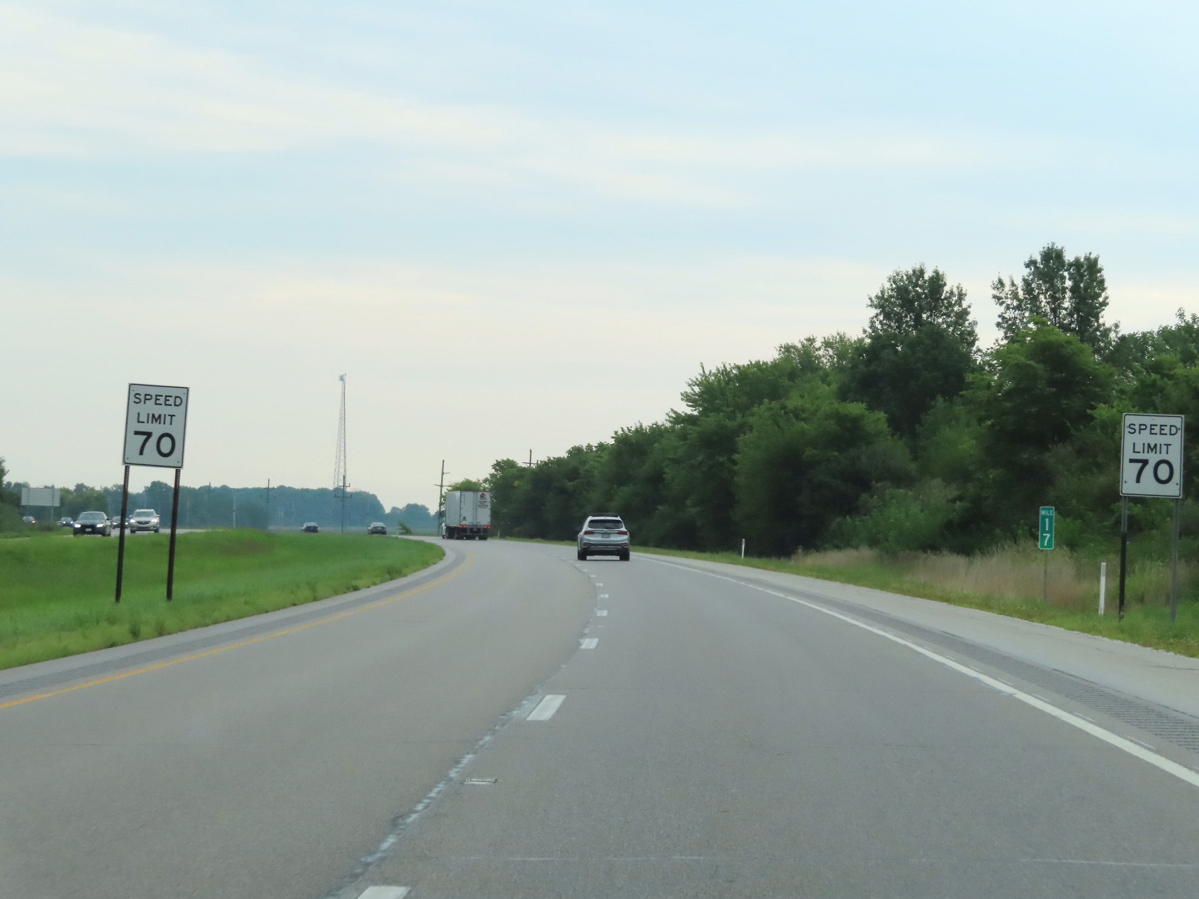
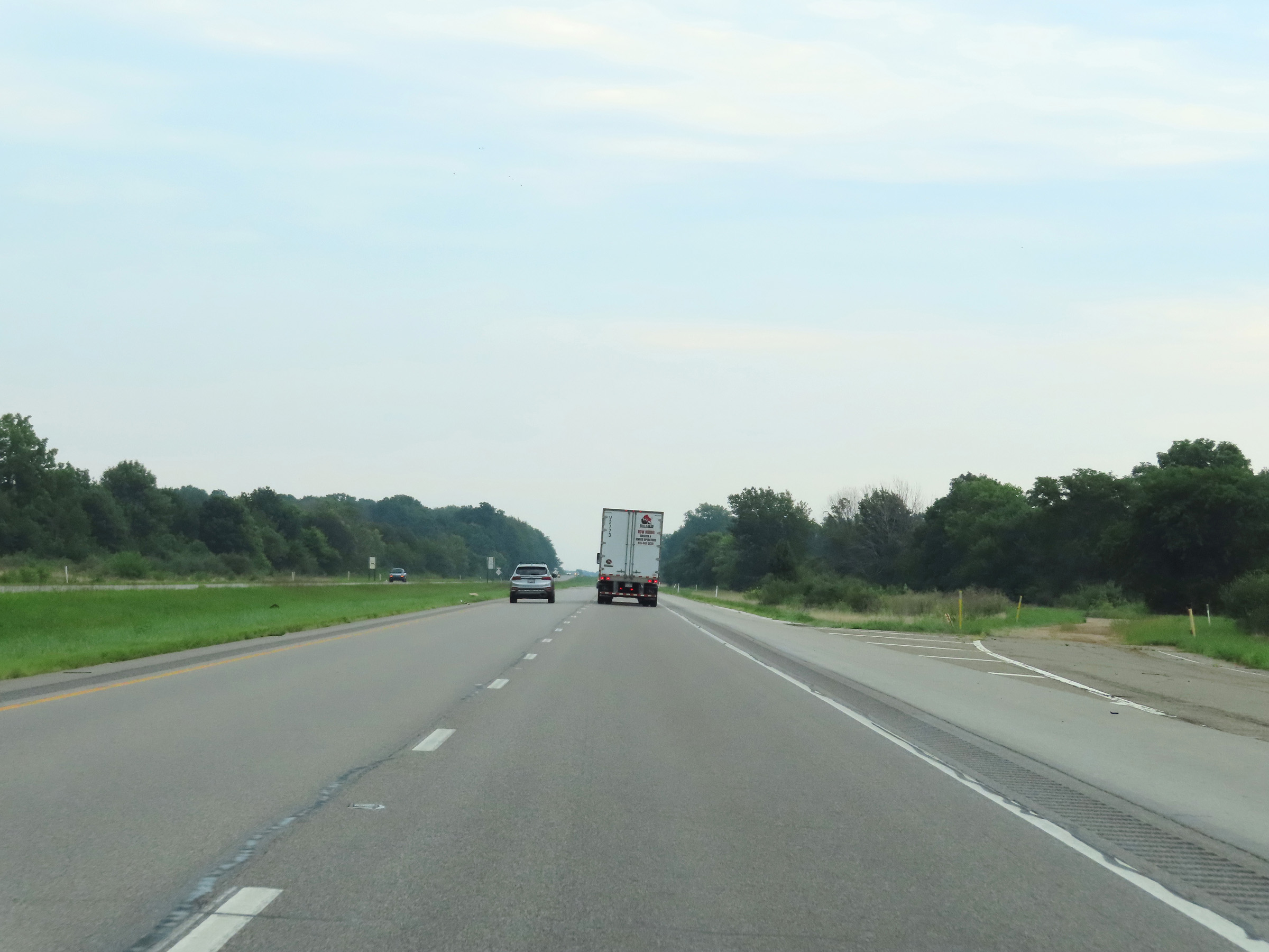
Mile marker 23 on Interstate 74 East in Fountain County. (Photo taken 8/20/22). |
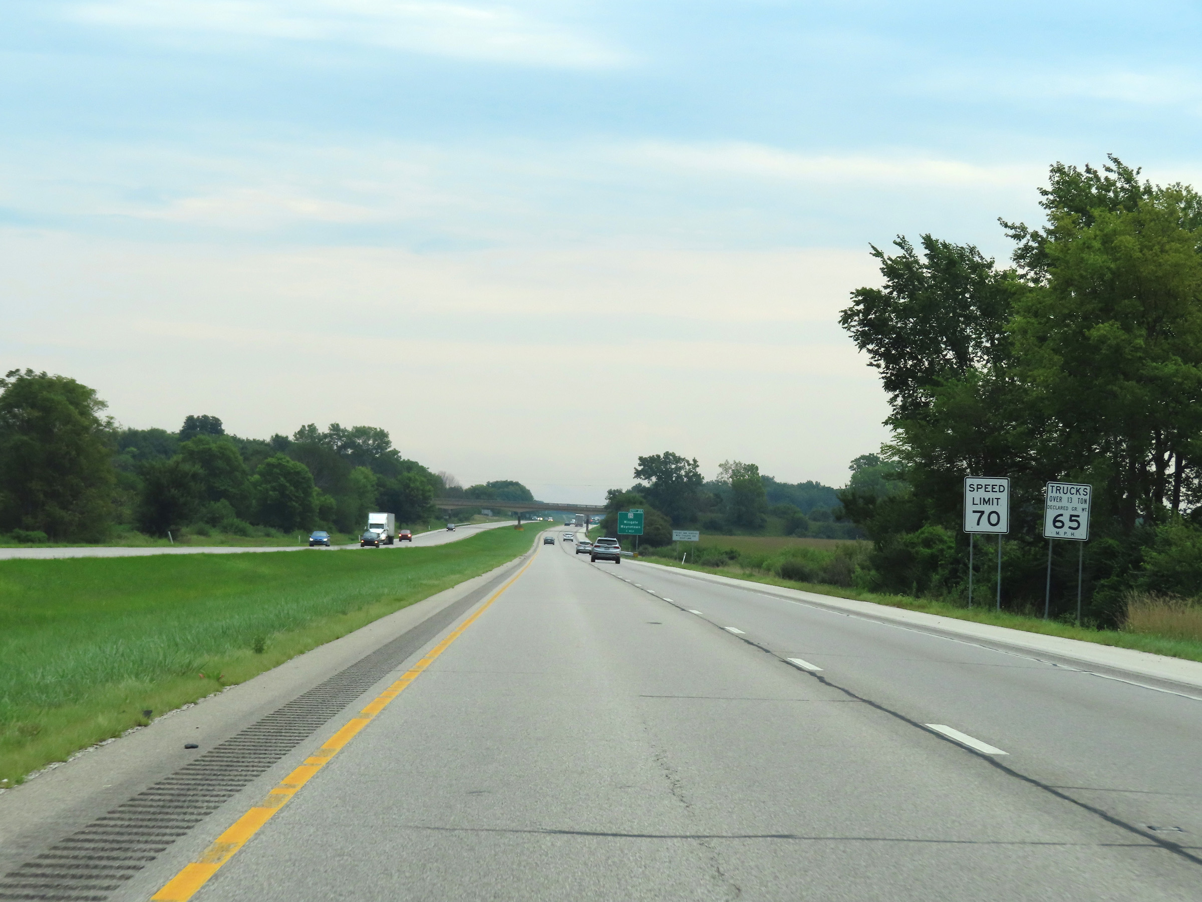 |
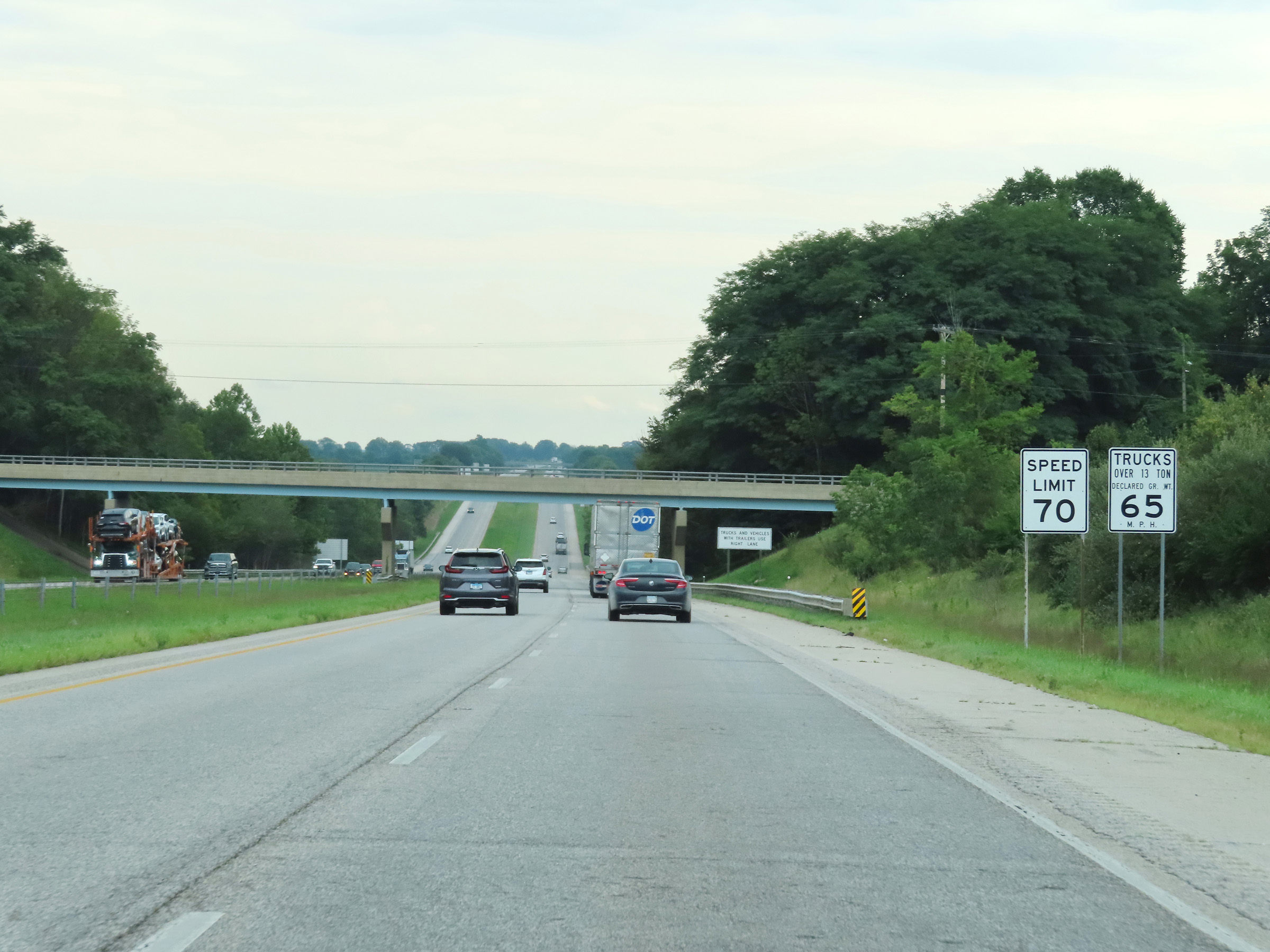
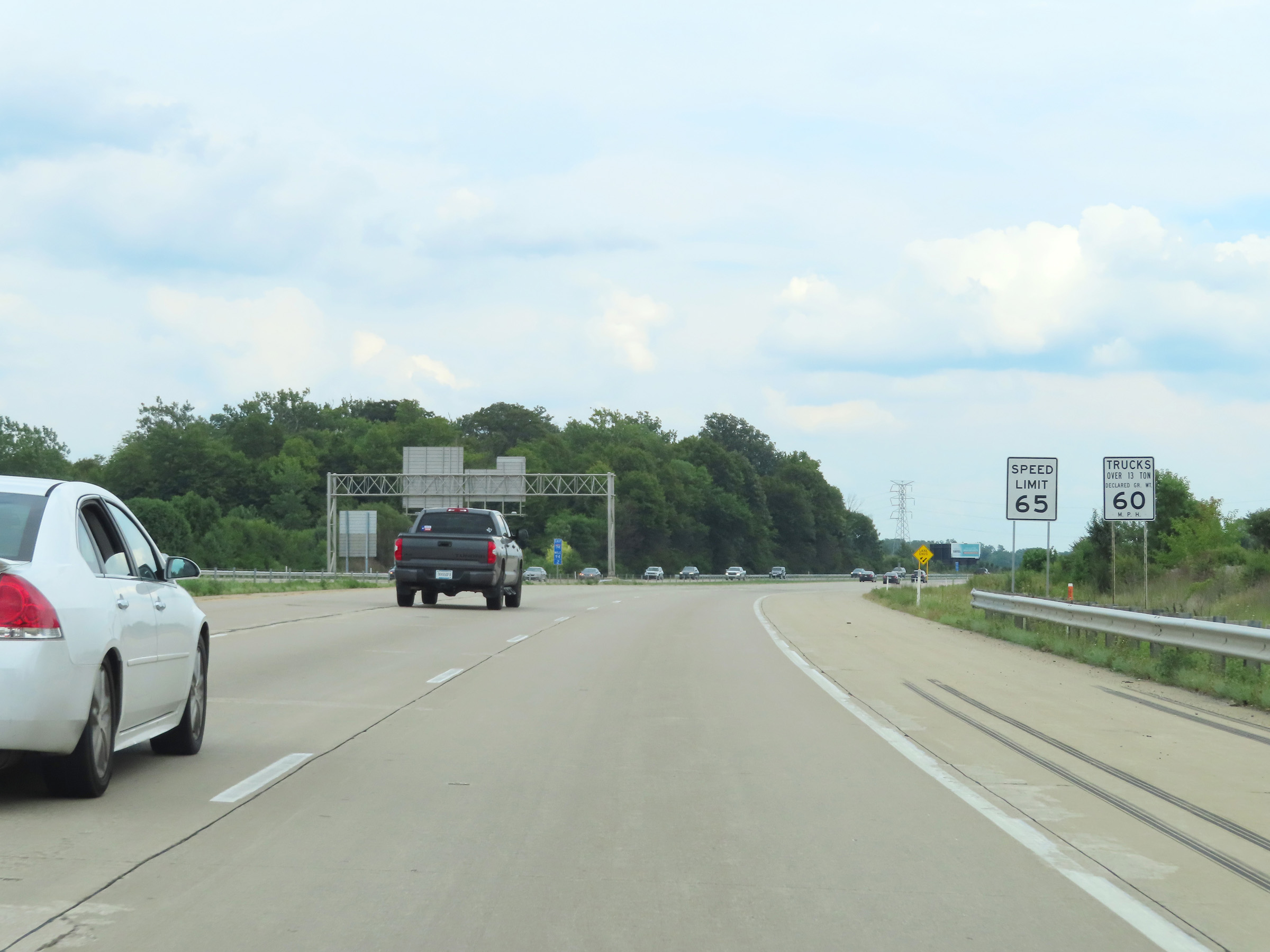
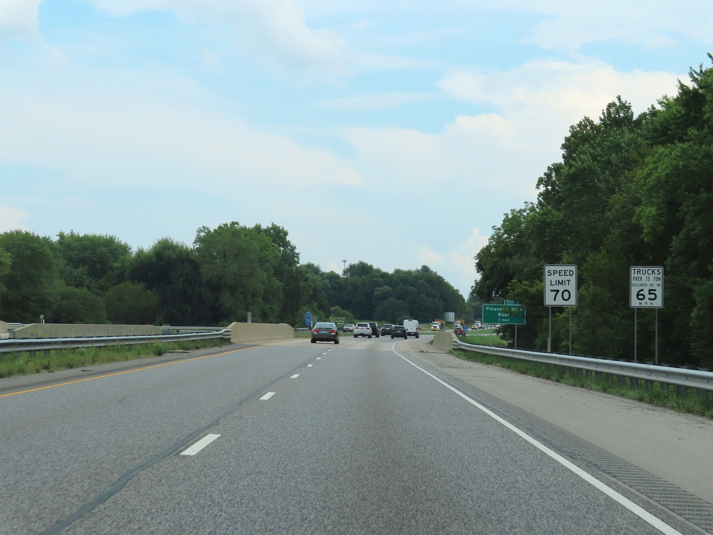
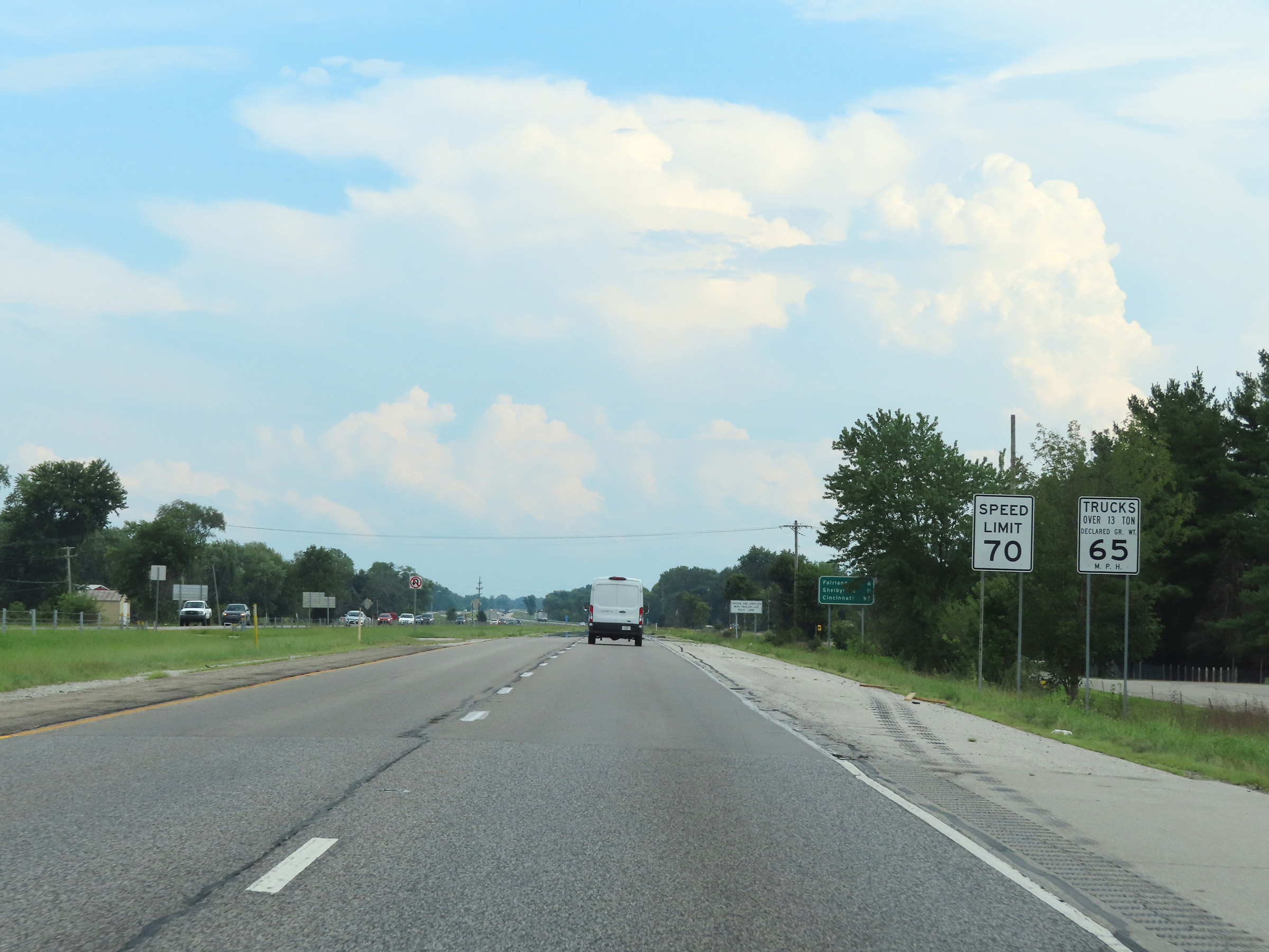
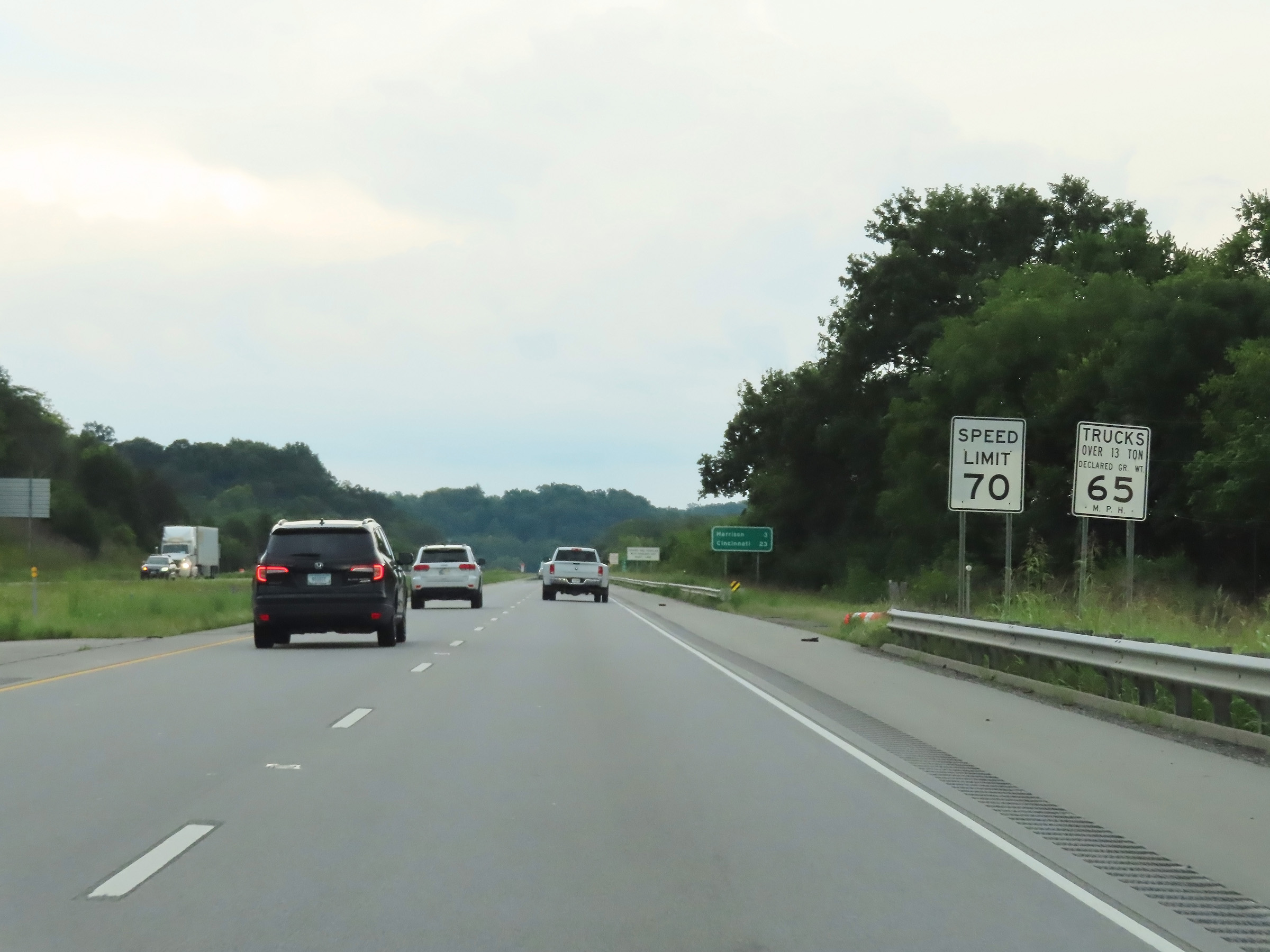
Speed limit signs on Interstate 74 East. The speed limits are 70 mph for automobiles and 65 mph for trucks over 13 tons. These are the standard speed limits on most rural Interstate highways in Indiana. (Photo taken 8/20/22). |
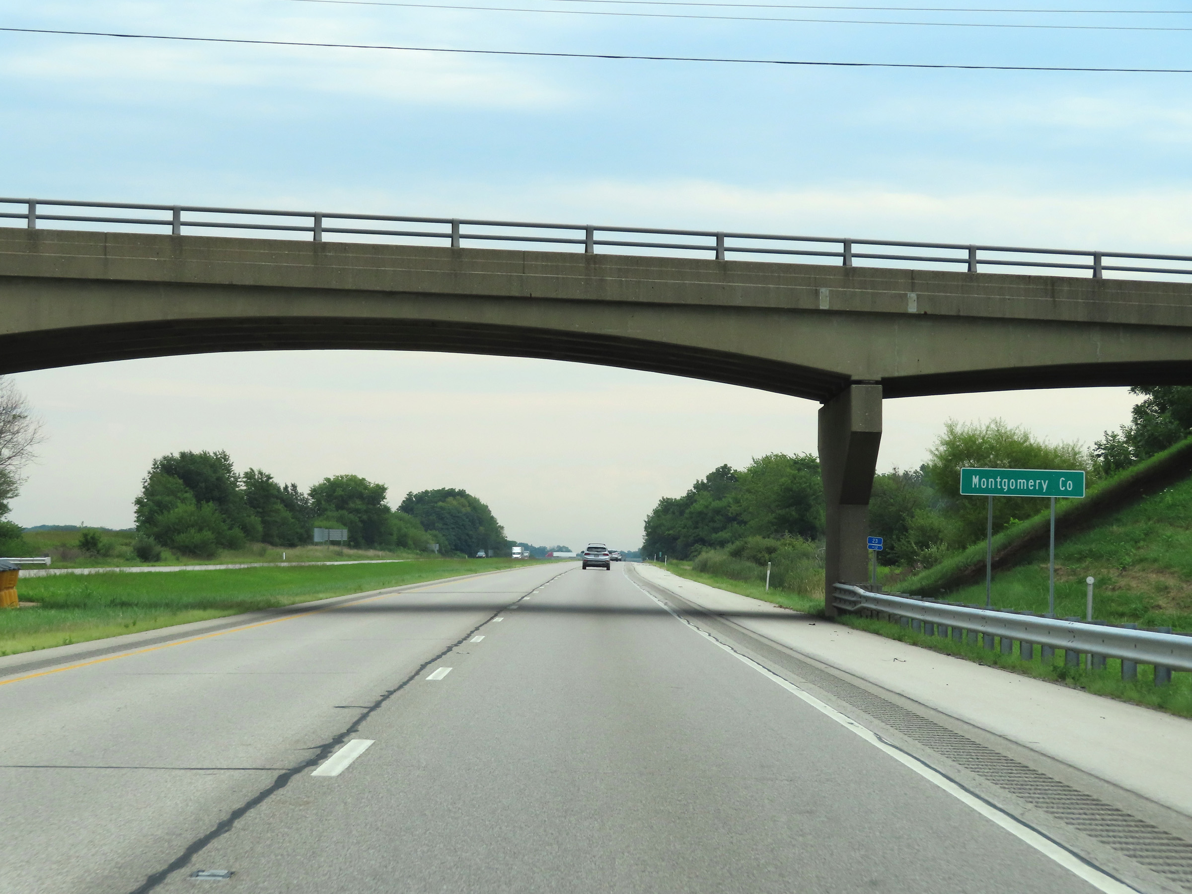 |
Interstate 74 East as it enters Montgomery County. (Photo taken 8/20/22). |
 |
View on Interstate 74 East at mile marker 24. (Photo taken 8/20/22). |
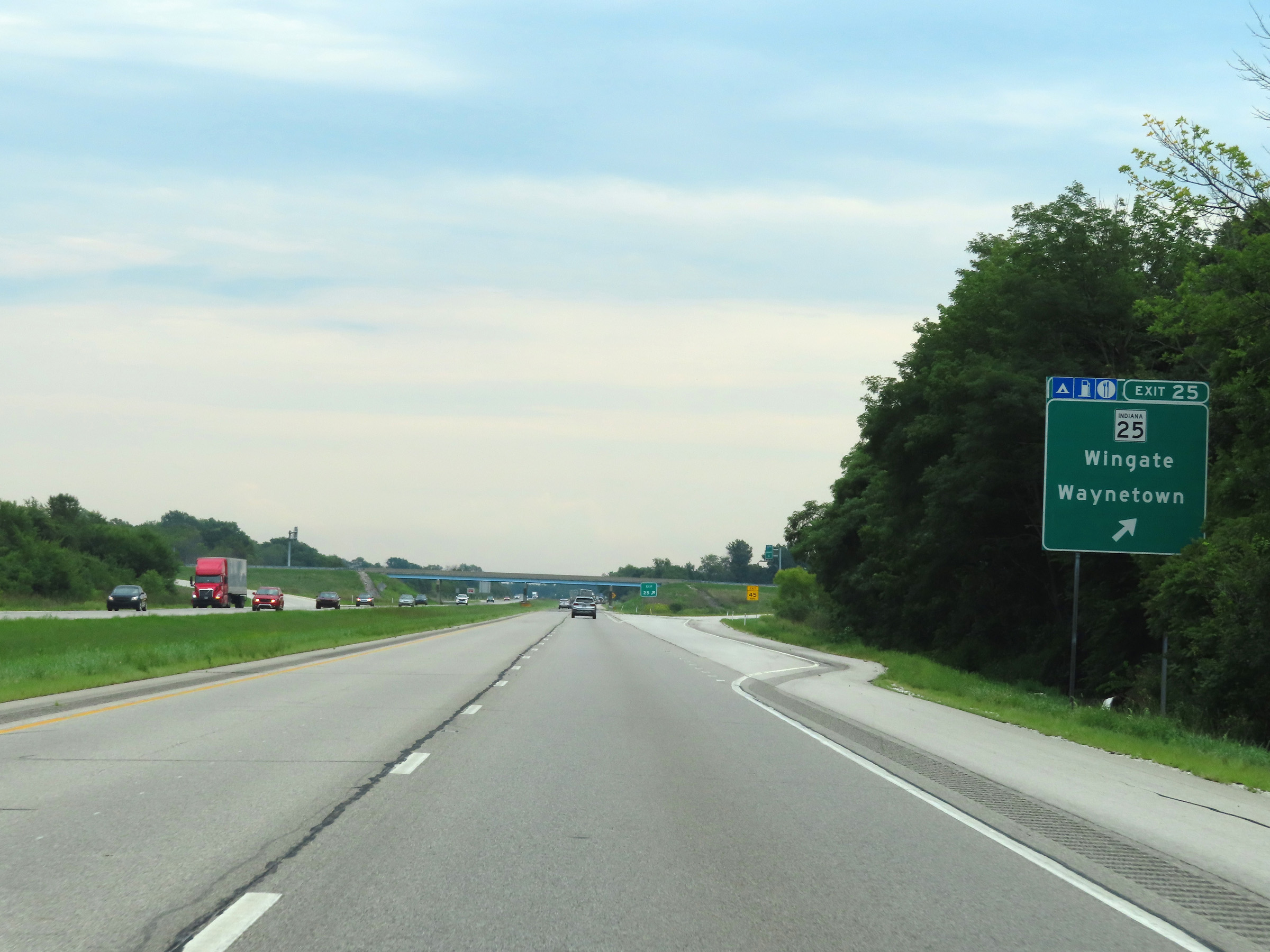 |
Interstate 74 East at Exit 25: IN 25 - Wingate / Waynetown (Photo taken 8/20/22). |
 |
Another mileage sign on Interstate 74 East. It's 10 miles to Crawfordsville, 26 miles to Jamestown, and 54 miles to Indianapolis. (Photo taken 8/20/22). |
 |
Mile marker 26 on Interstate 74 East in Montgomery County. (Photo taken 8/20/22). |
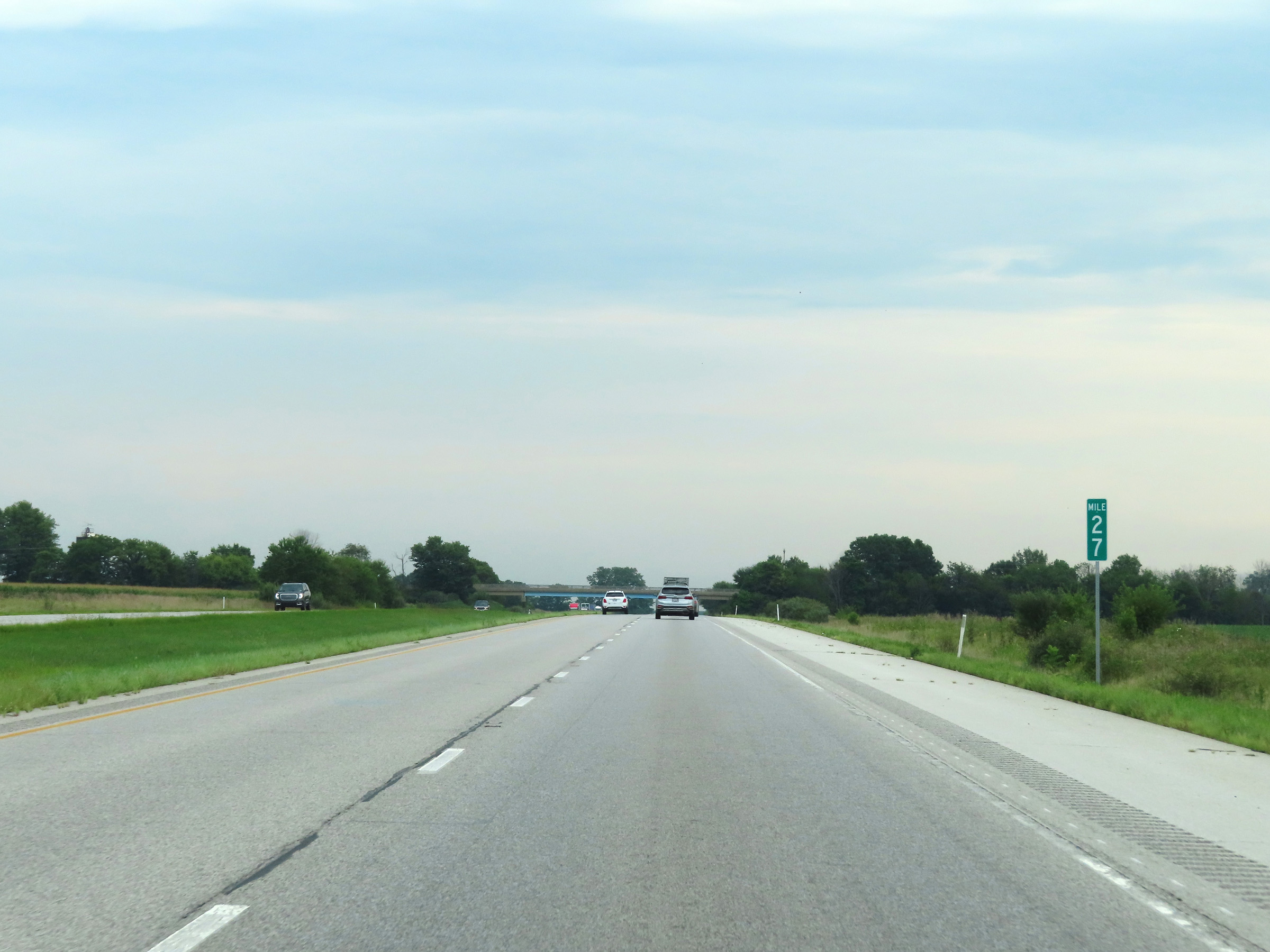 |
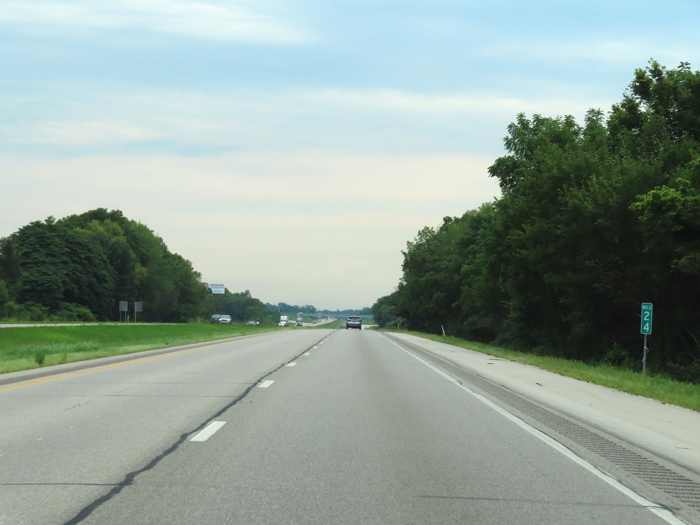
View on Interstate 74 East at mile marker 27. (Photo taken 8/20/22). |
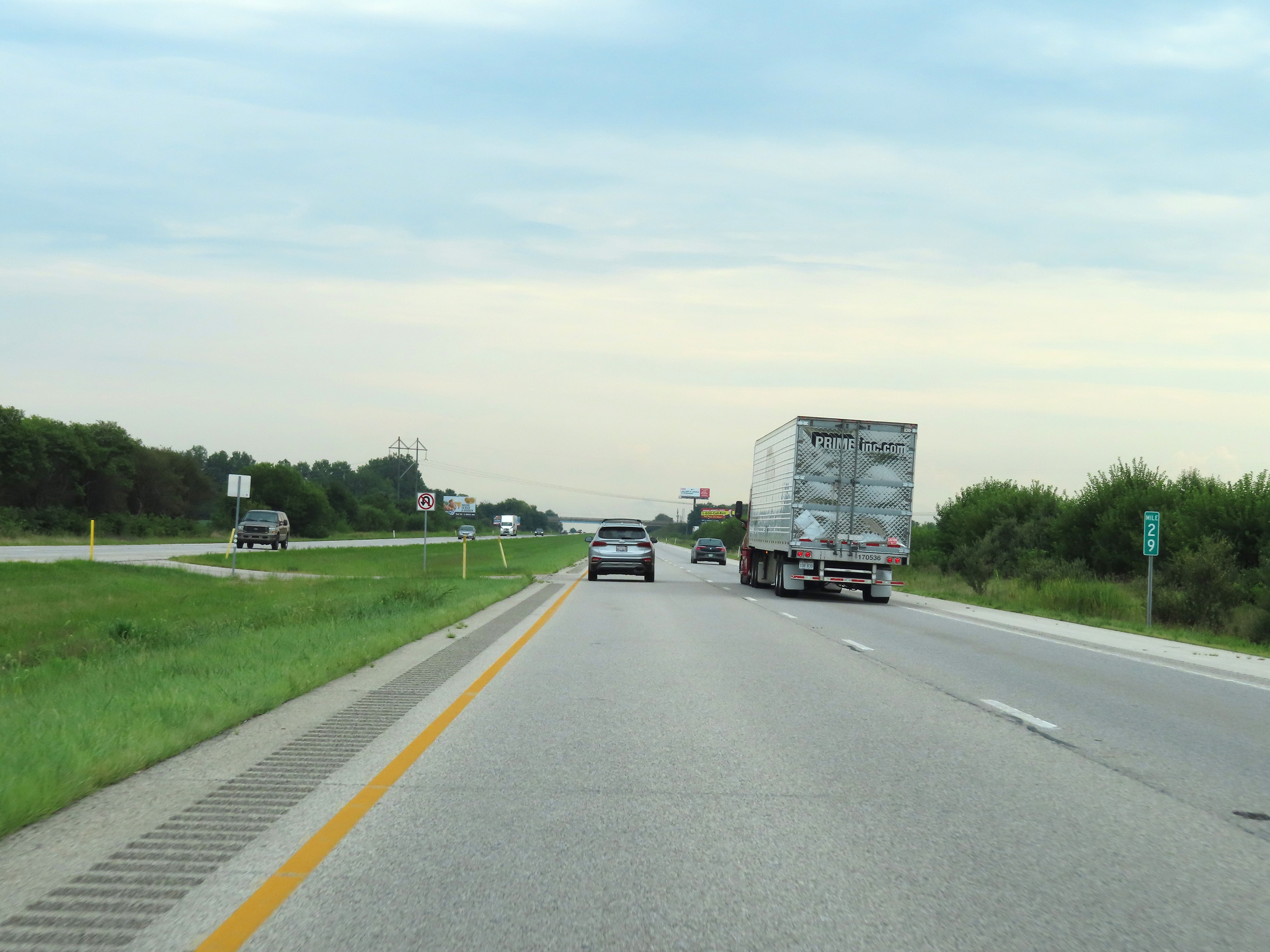 |
Interstate 74 East at mile marker 29. (Photo taken 8/20/22). |
 |
Mile marker 31 on Interstate 74 East in Montgomery County. (Photo taken 8/20/22). |
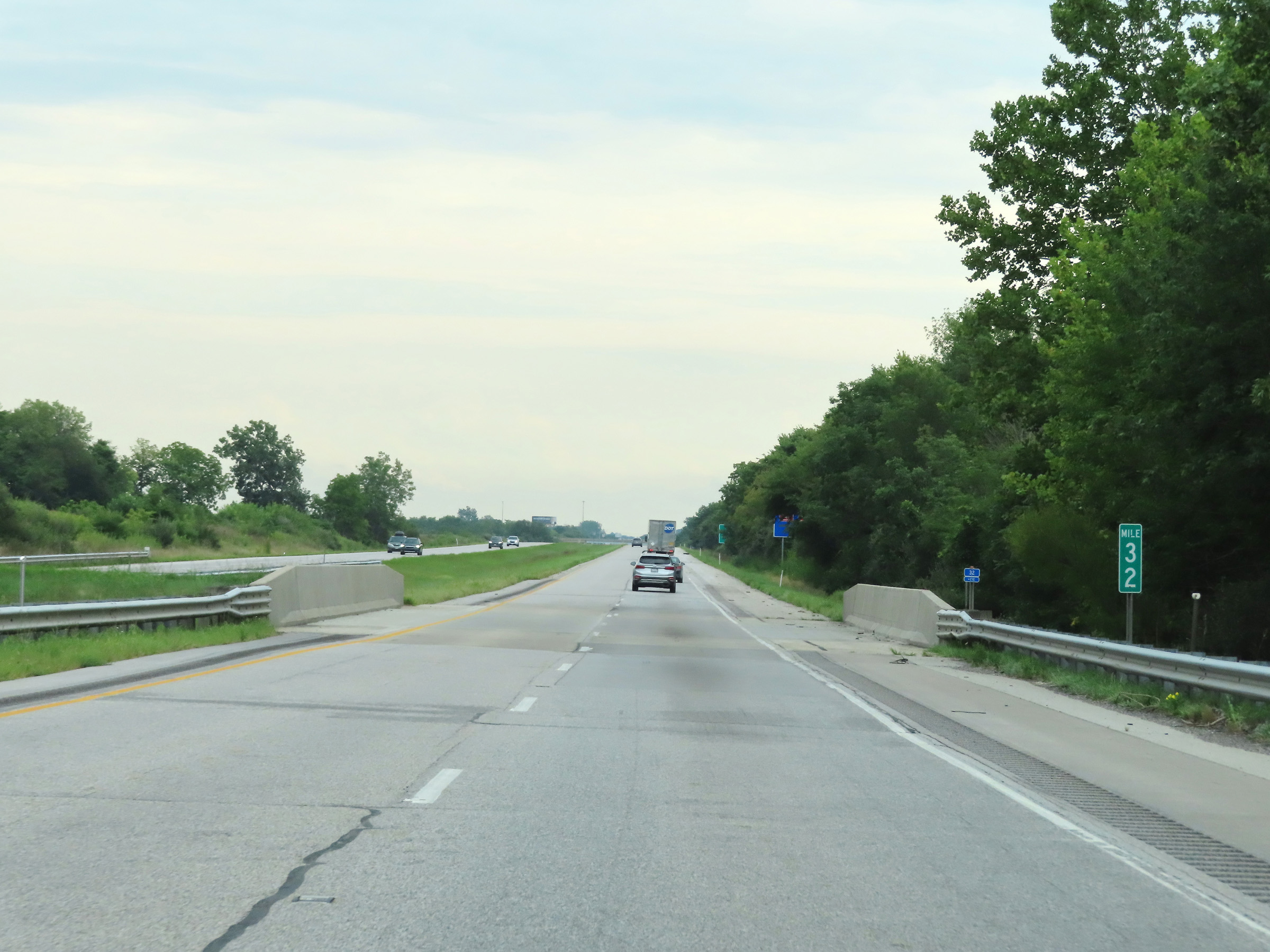 |
View on Interstate 74 East at mile marker 32. (Photo taken 8/20/22). |
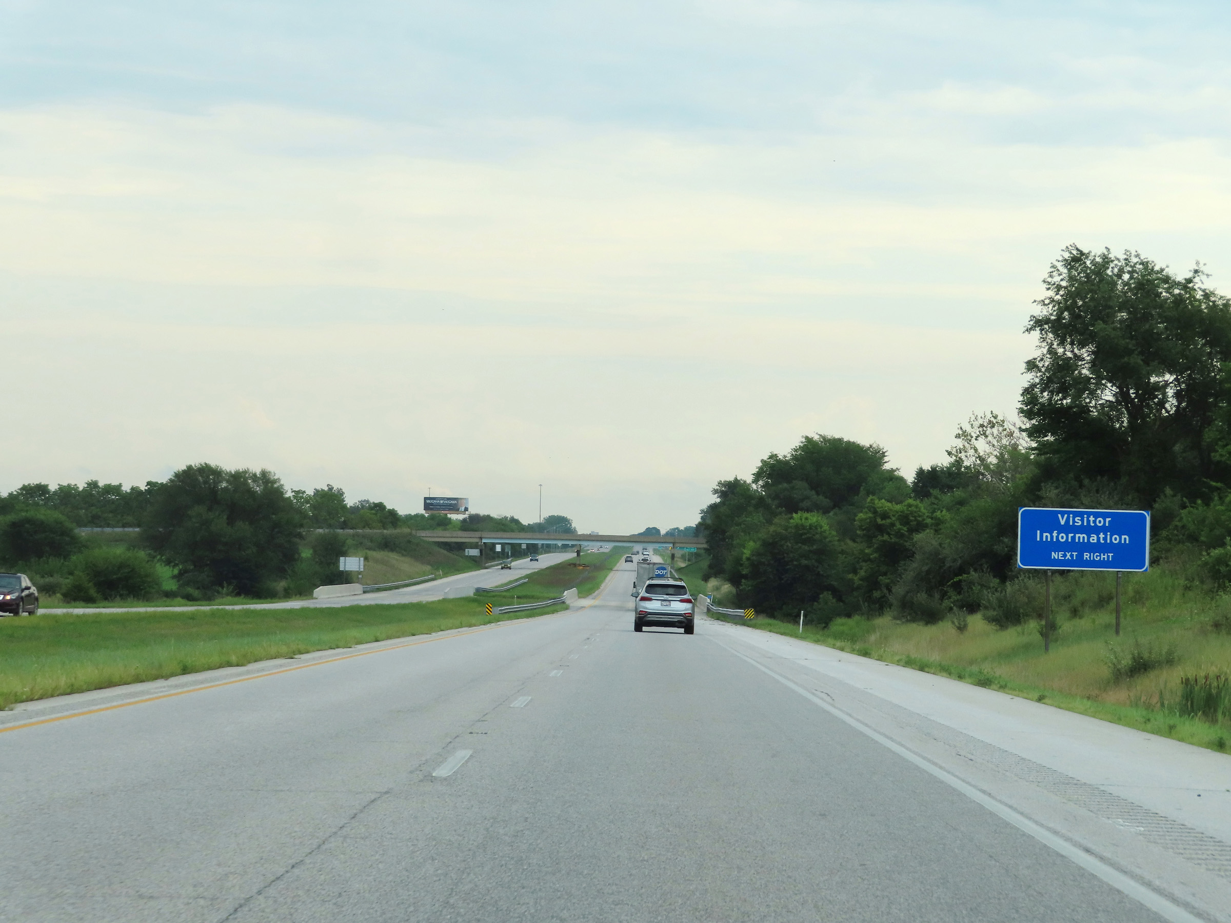 |
Visitor Information is available at Exit 34 ahead. (Photo taken 8/20/22). |
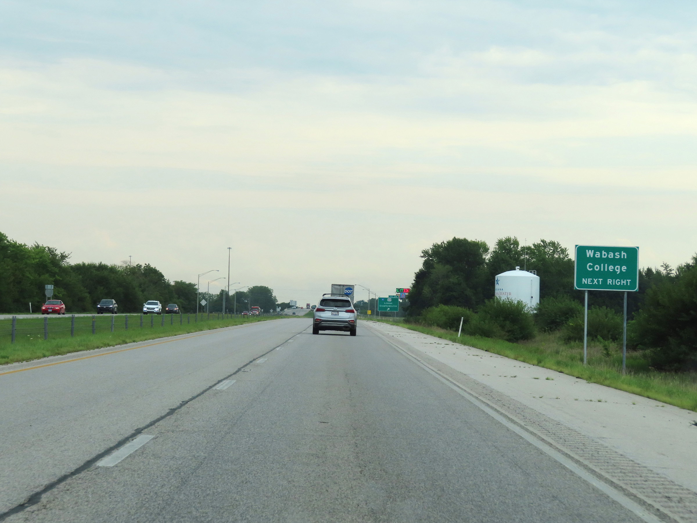 |
Also take Exit 34 to Wabash College. (Photo taken 8/20/22). |
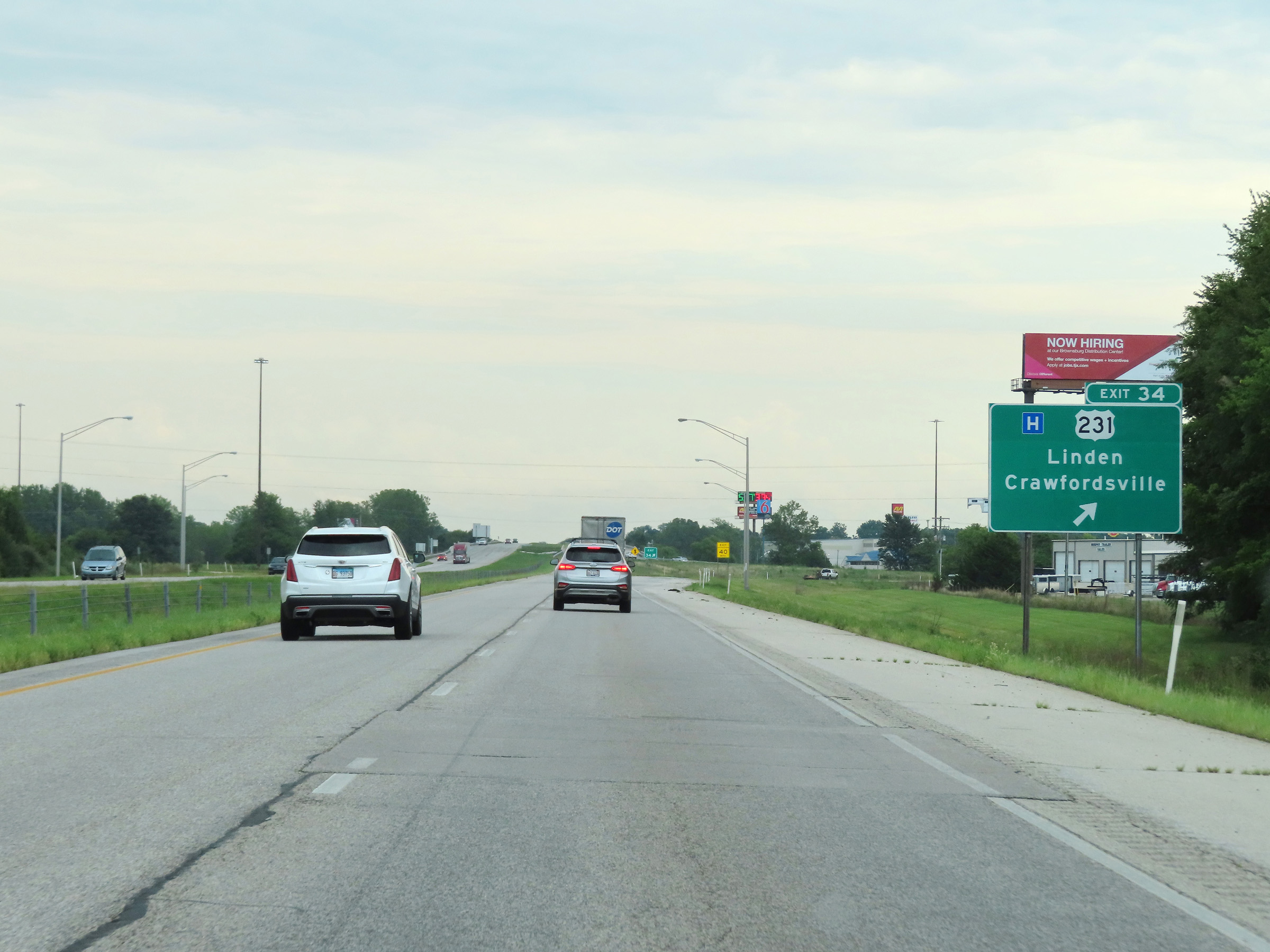 |
Interstate 74 East at Exit 34: US 231 - Linden / Crawfordsville (Photo taken 8/20/22). |
 |
The speed limits remain 70 mph for automobiles and 65 mph for trucks. (Photo taken 8/20/22). |
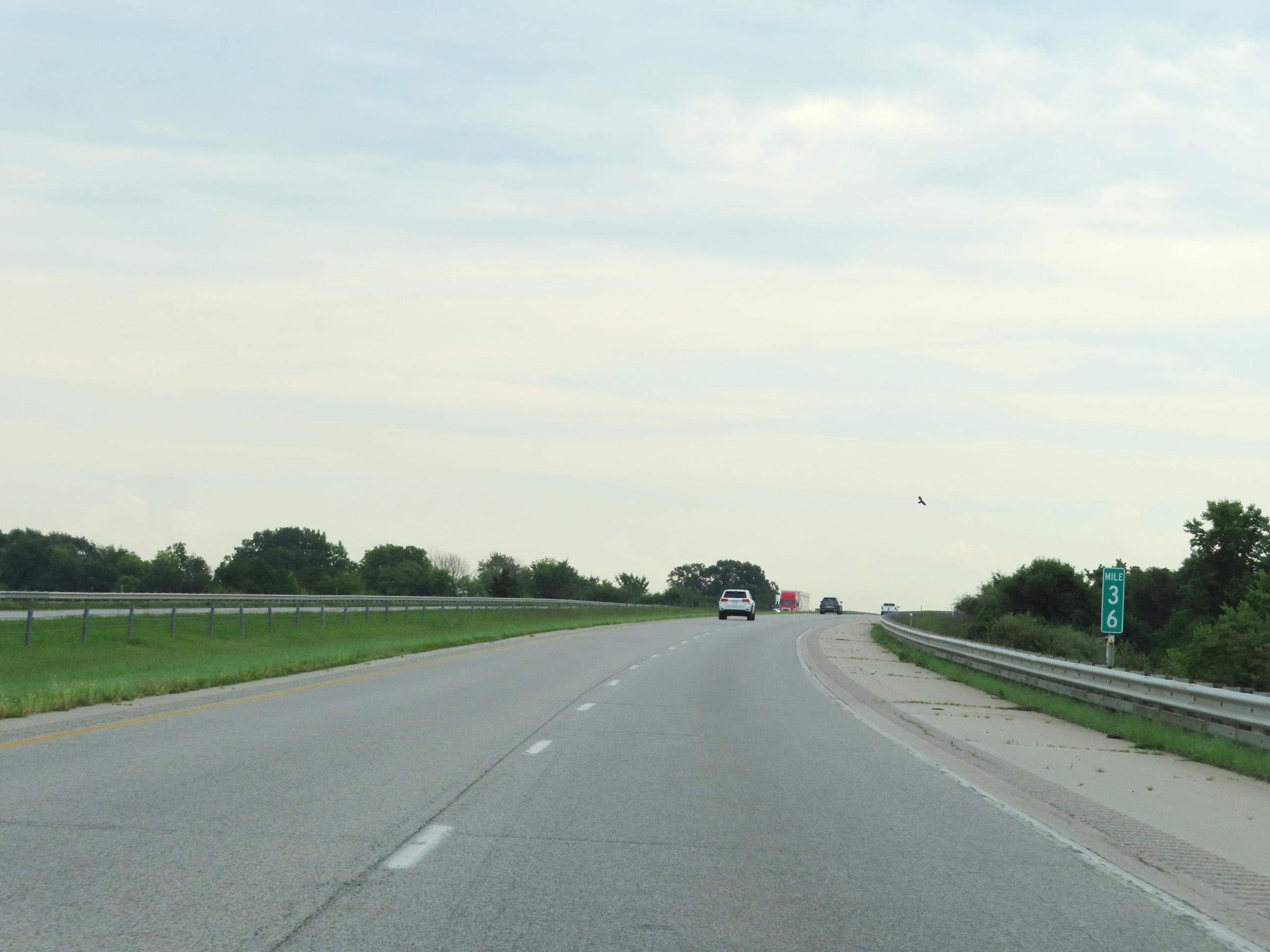 |
Interstate 74 East at mile marker 36. (Photo taken 8/20/22). |
 |
View on Interstate 74 East at mile marker 37. (Photo taken 8/20/22). |
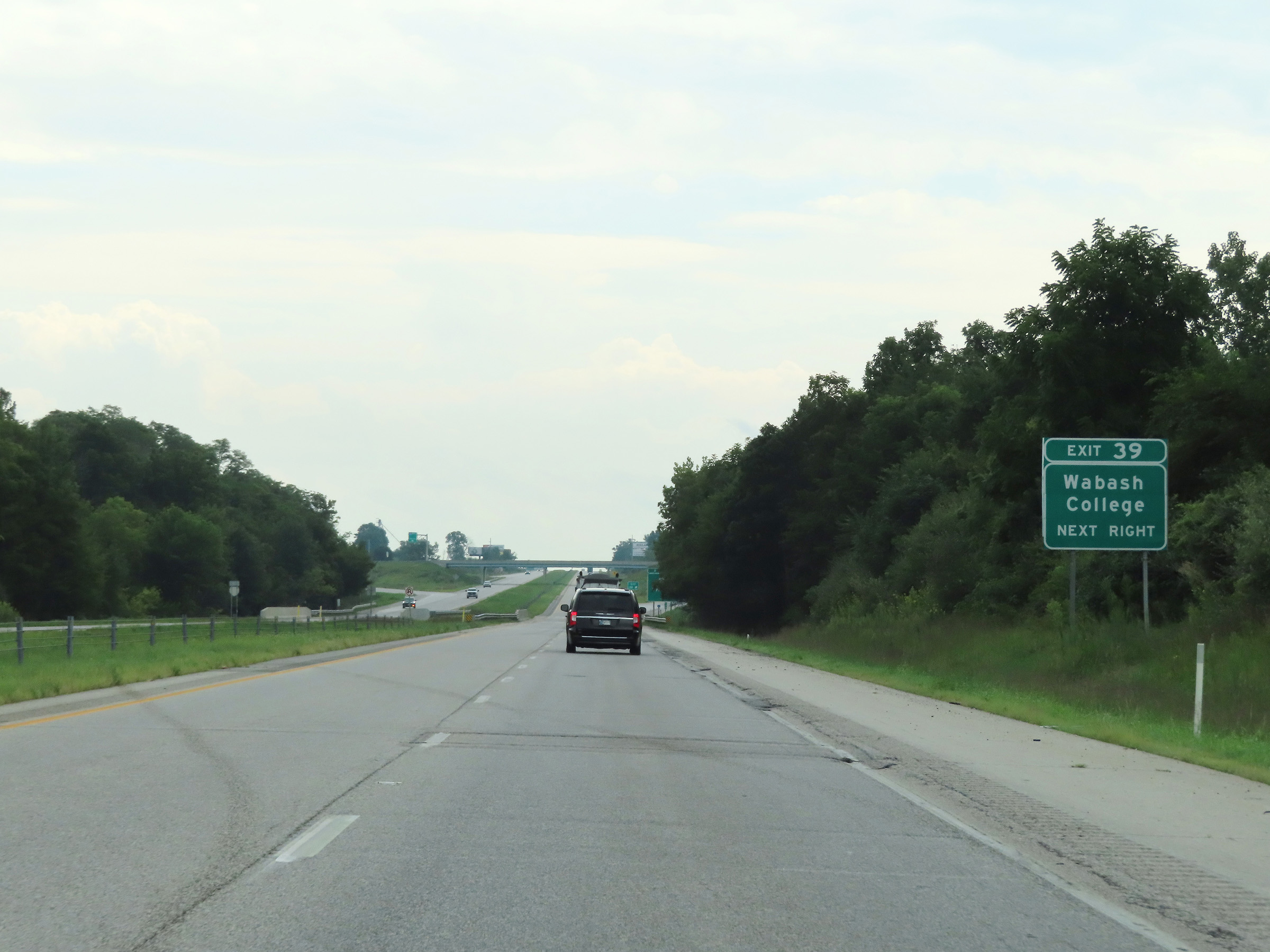 |
Take Exit 39 to Wabash College. (Photo taken 8/20/22). |
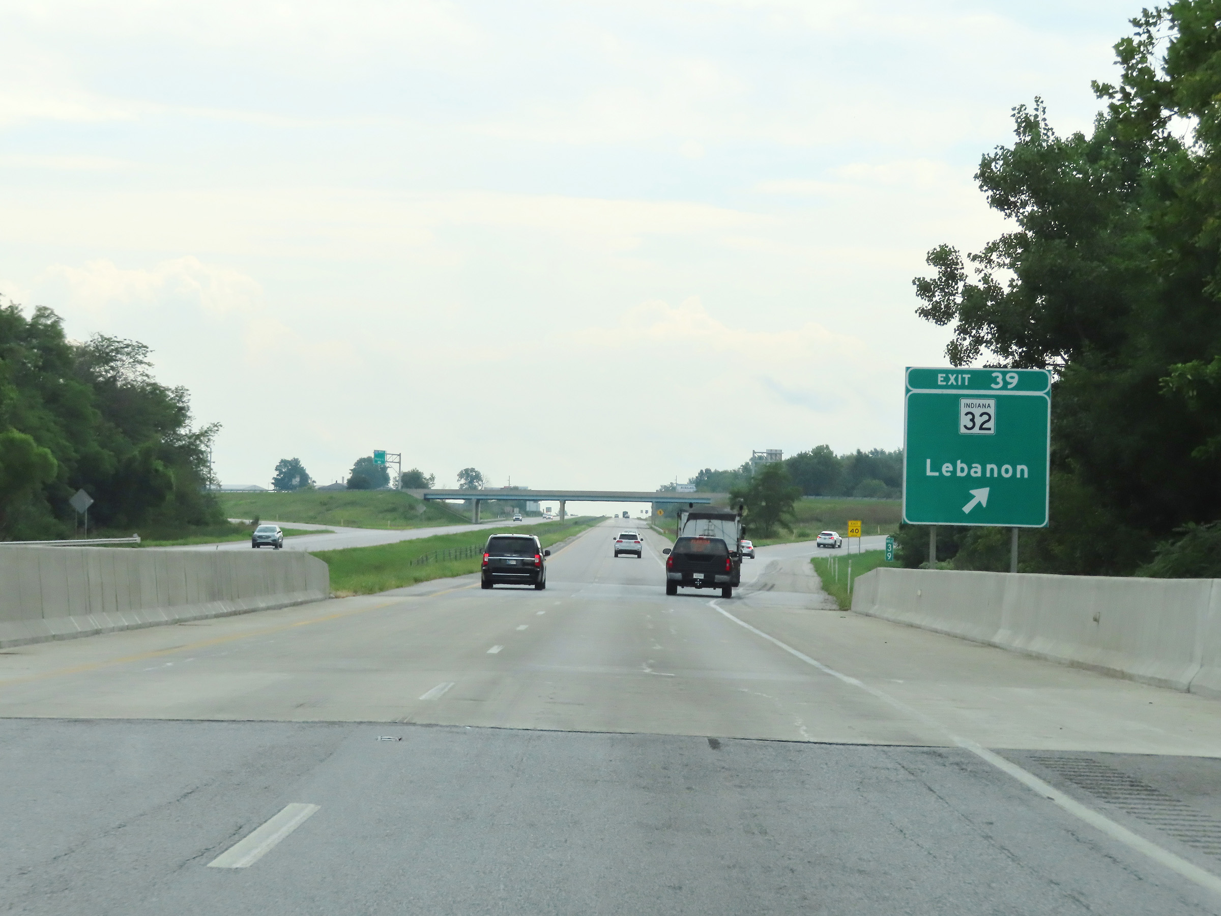 |
Interstate 74 East at Exit 39: IN 32 - Lebanon (Photo taken 8/20/22). |
 |
Interstate 74 East reassurance shield. (Photo taken 8/20/22). |
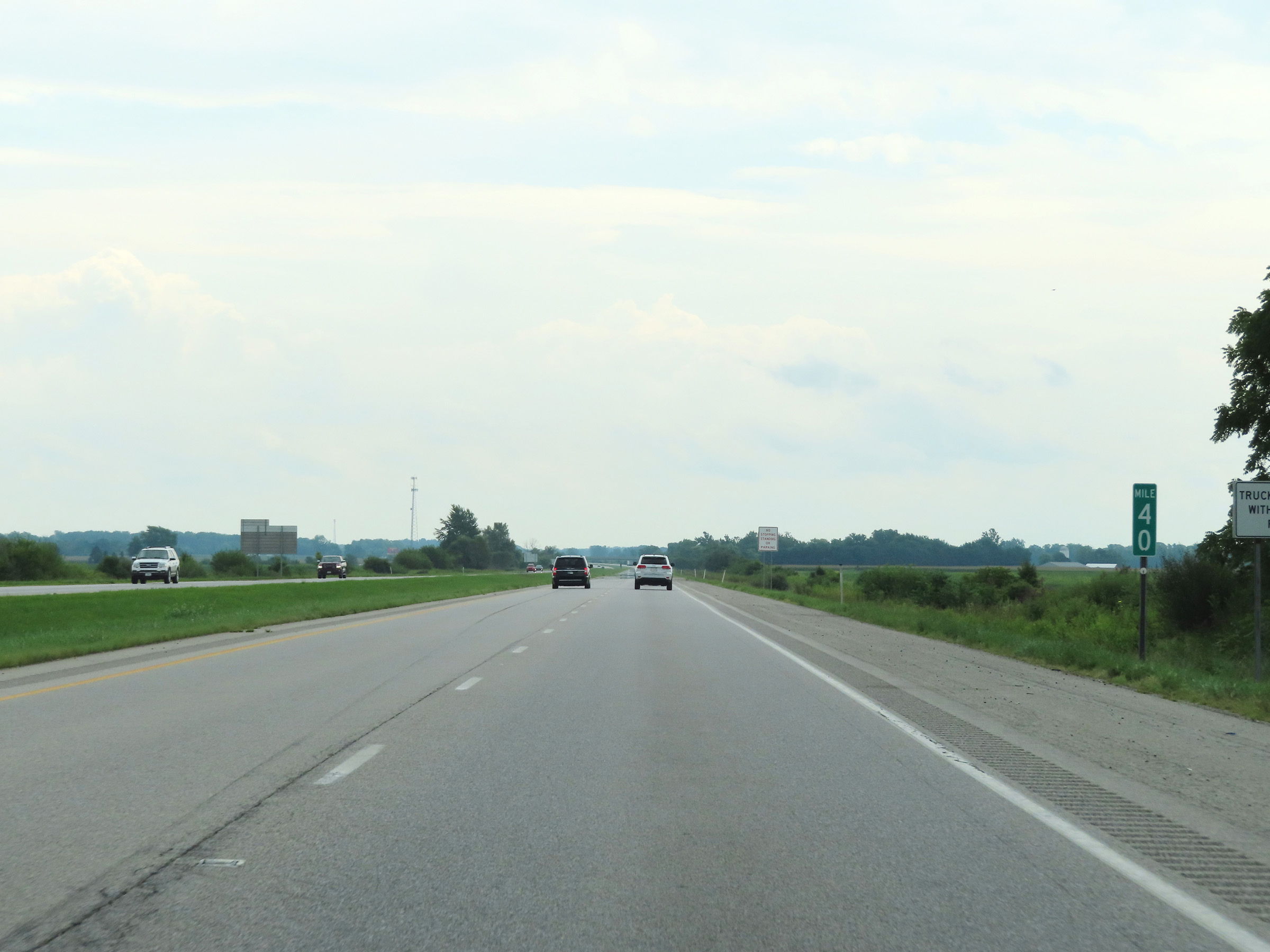 |
Mile marker 40 on Interstate 74 East in Montgomery County. (Photo taken 8/20/22). |
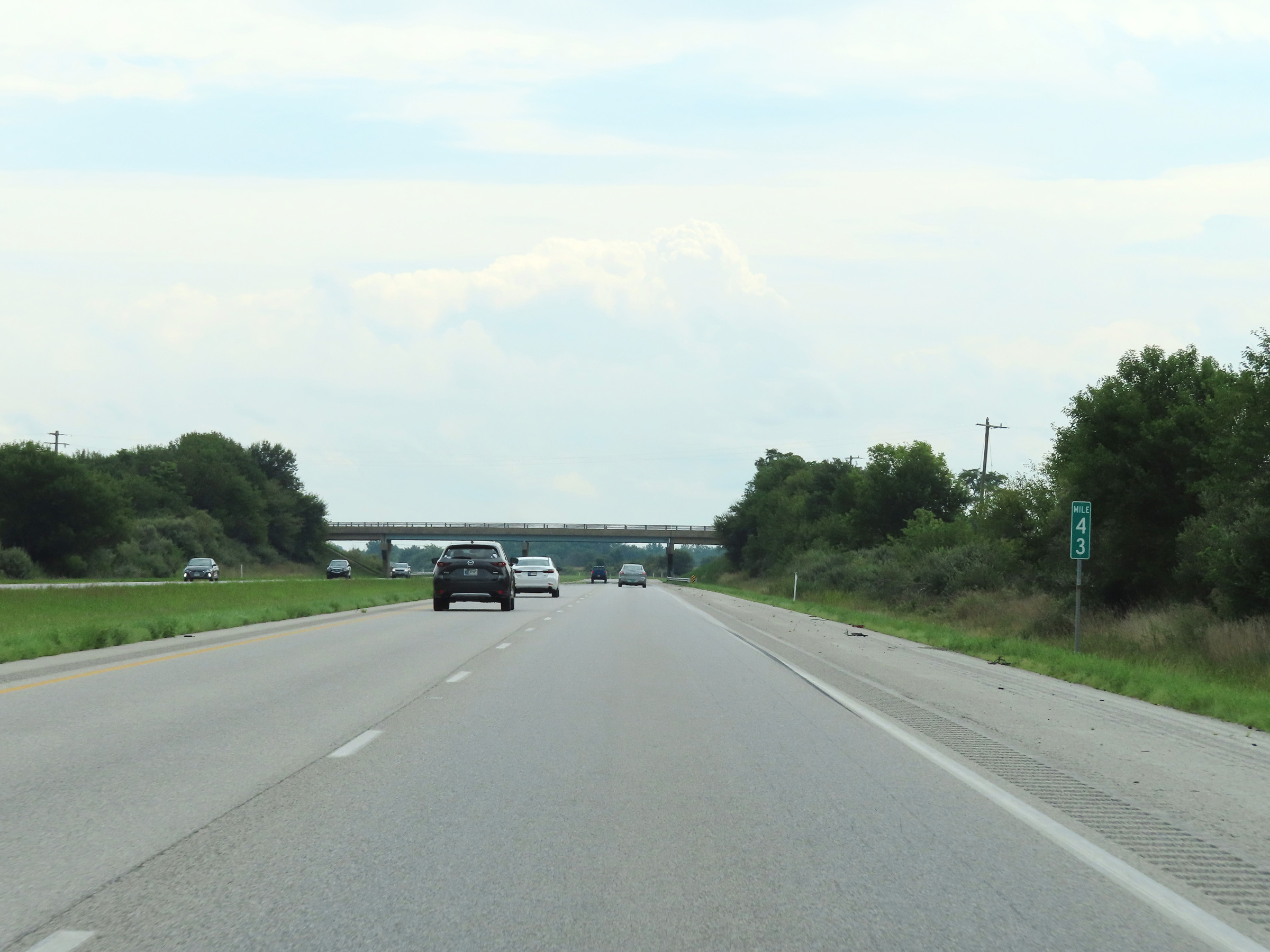 |
View on Interstate 74 East at mile marker 43. (Photo taken 8/20/22). |
 |
Interstate 74 East at mile marker 45. (Photo taken 8/20/22). |
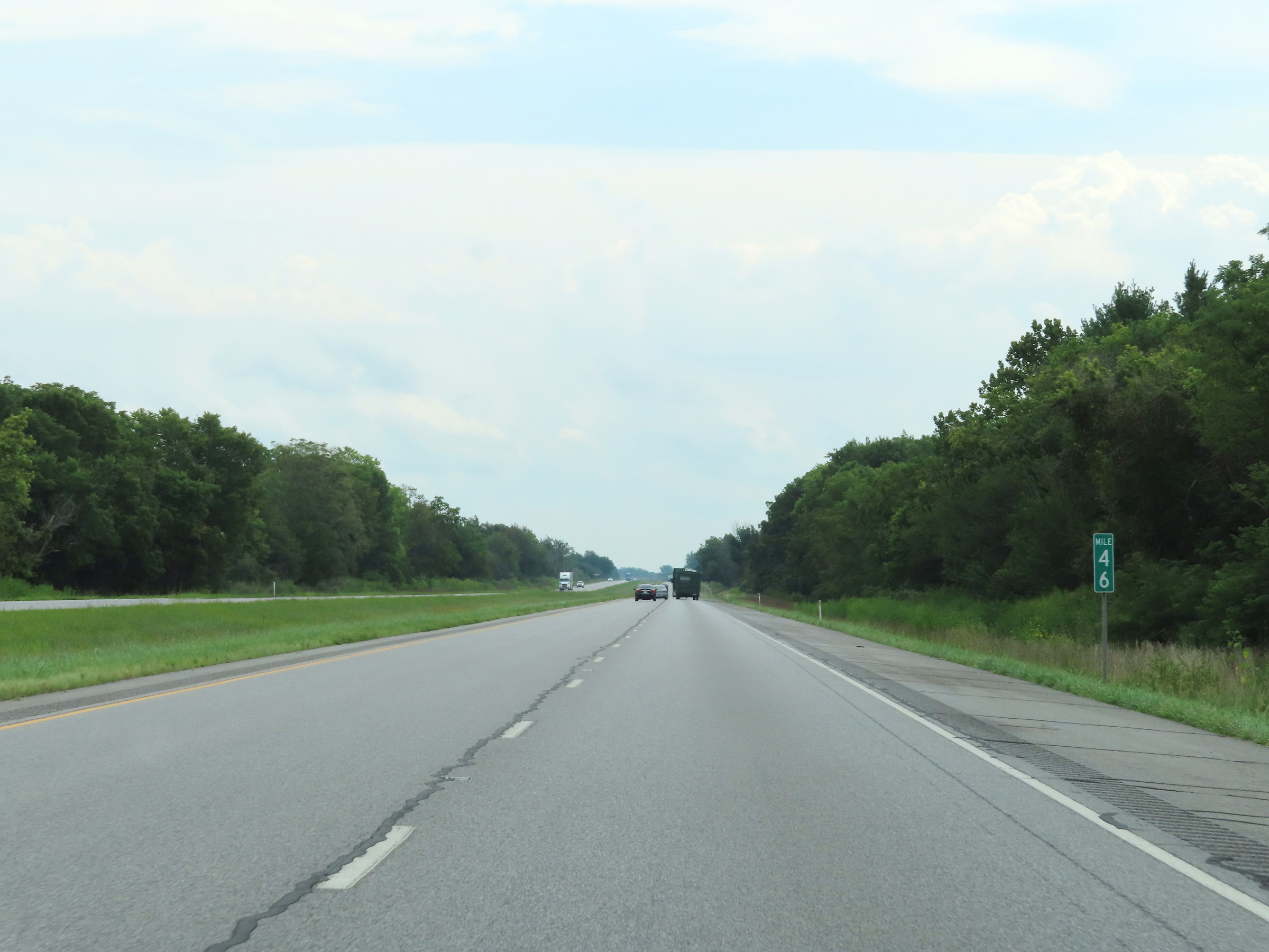 |
Mile marker 46 on Interstate 74 East in Montgomery County. (Photo taken 8/20/22). |
 |
Interstate 74 East as it enters Boone County. (Photo taken 8/20/22). |
 |
Interstate 74 East at mile marker 47. (Photo taken 8/20/22). |
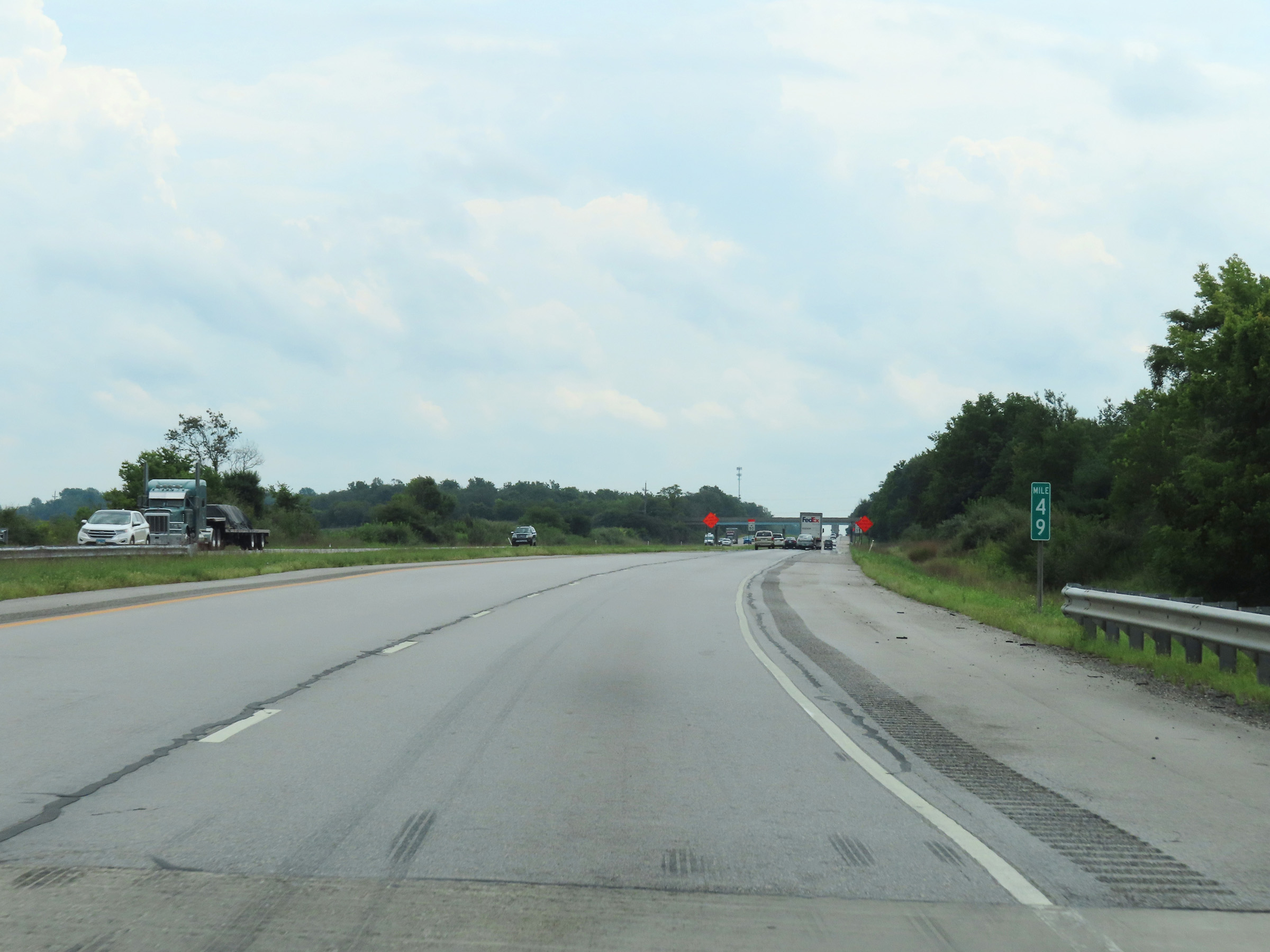 |
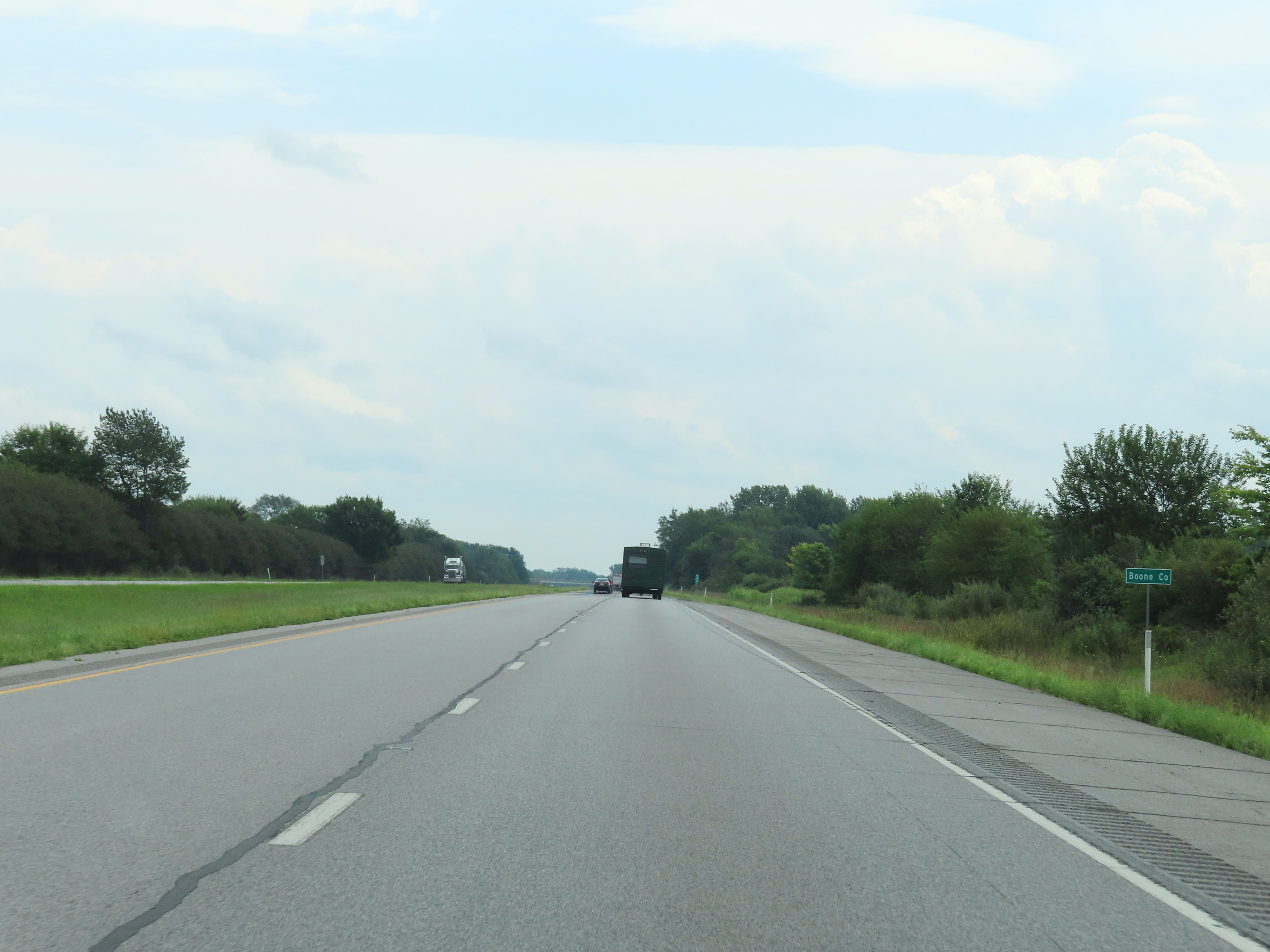
View on Interstate 74 East at mile marker 49. (Photo taken 8/20/22). |
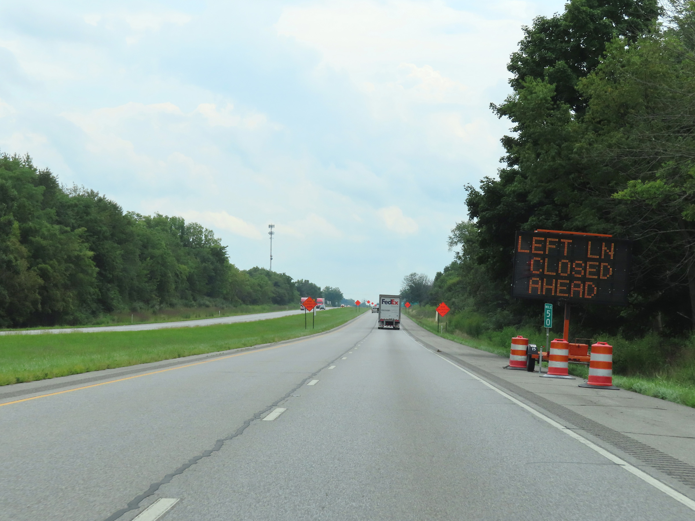 |
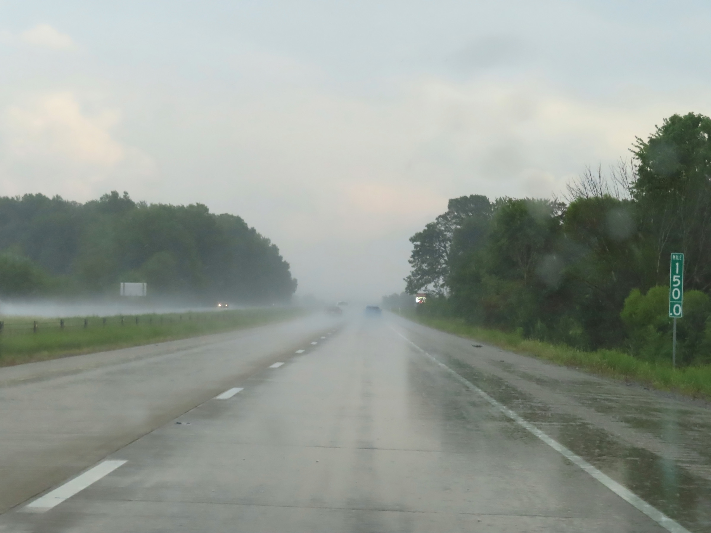
Mile marker 50 on Interstate 74 East in Boone County. (Photo taken 8/20/22). |
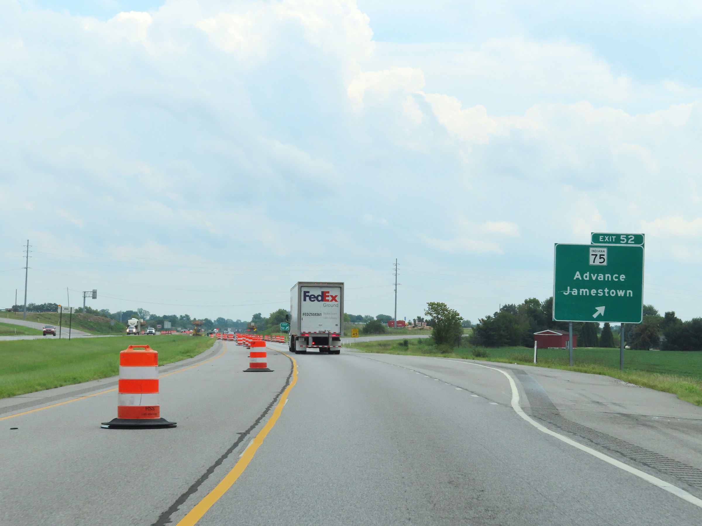 |
Interstate 74 East at Exit 52: IN 75 - Advance / Jamestown (Photo taken 8/20/22). |
 |
Another Interstate 74 East reassurance shield. (Photo taken 8/20/22). |
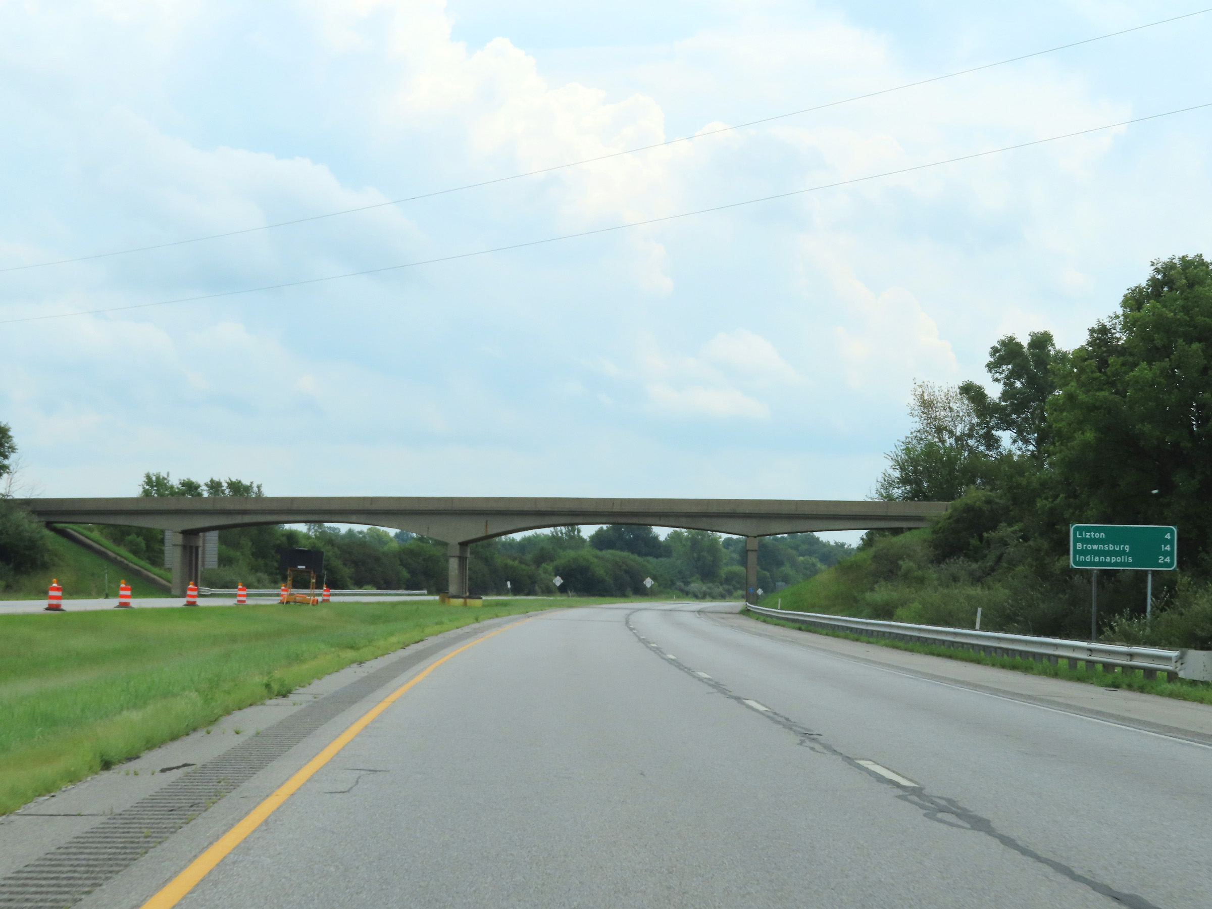 |
Mileage sign on Interstate 74 East. It's 4 miles to Lizton, 14 miles to Brownsburg, and 24 miles to Indianapolis. (Photo taken 8/20/22). |
 |
View on Interstate 74 East at mile marker 53. (Photo taken 8/20/22). |
 |
Interstate 74 East as it enters Hendricks County. (Photo taken 8/20/22). |
 |
Interstate 74 East at mile marker 55. (Photo taken 8/20/22). |
 |
Rest Area on Interstate 74 East in Hendricks County. (Photo taken 8/20/22). |
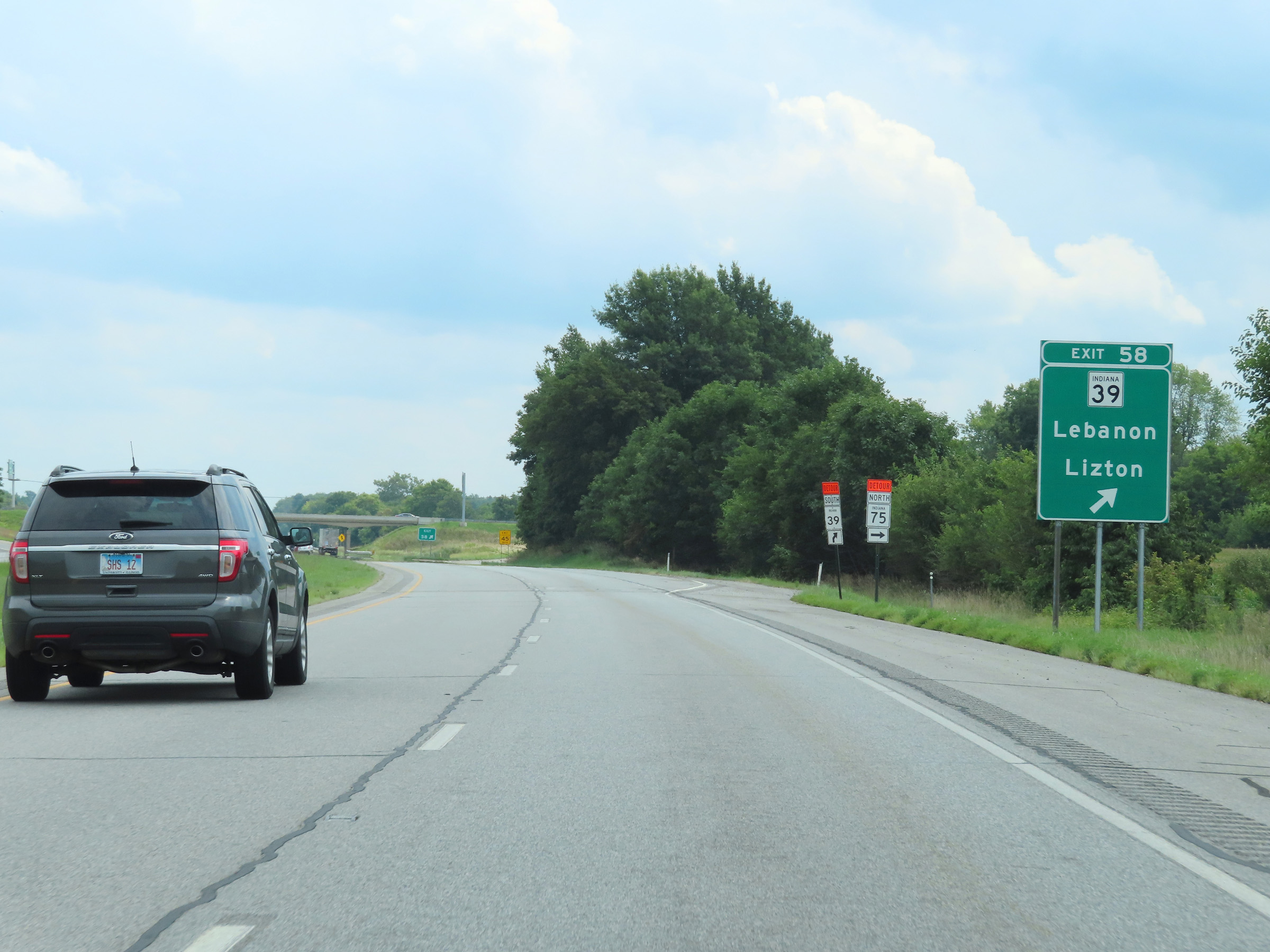 |
Interstate 74 East at Exit 58: IN 39 - Lebanon / Lizton (Photo taken 8/20/22). |
 |
Another set of speed limit signs on Interstate 74 East. The speed limits remain 70 mph for automobiles and 65 mph for trucks. (Photo taken 8/20/22). |
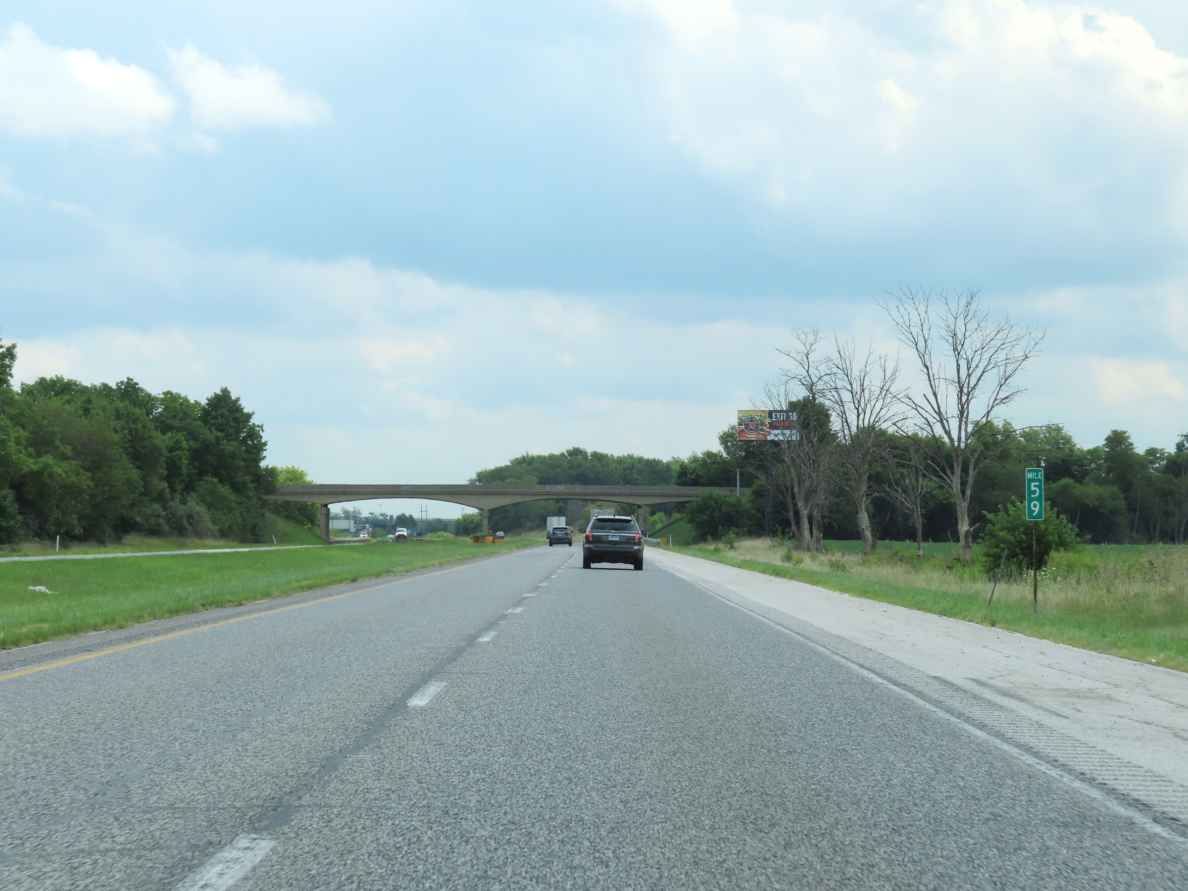 |
View on Interstate 74 East at mile marker 59. (Photo taken 8/20/22). |
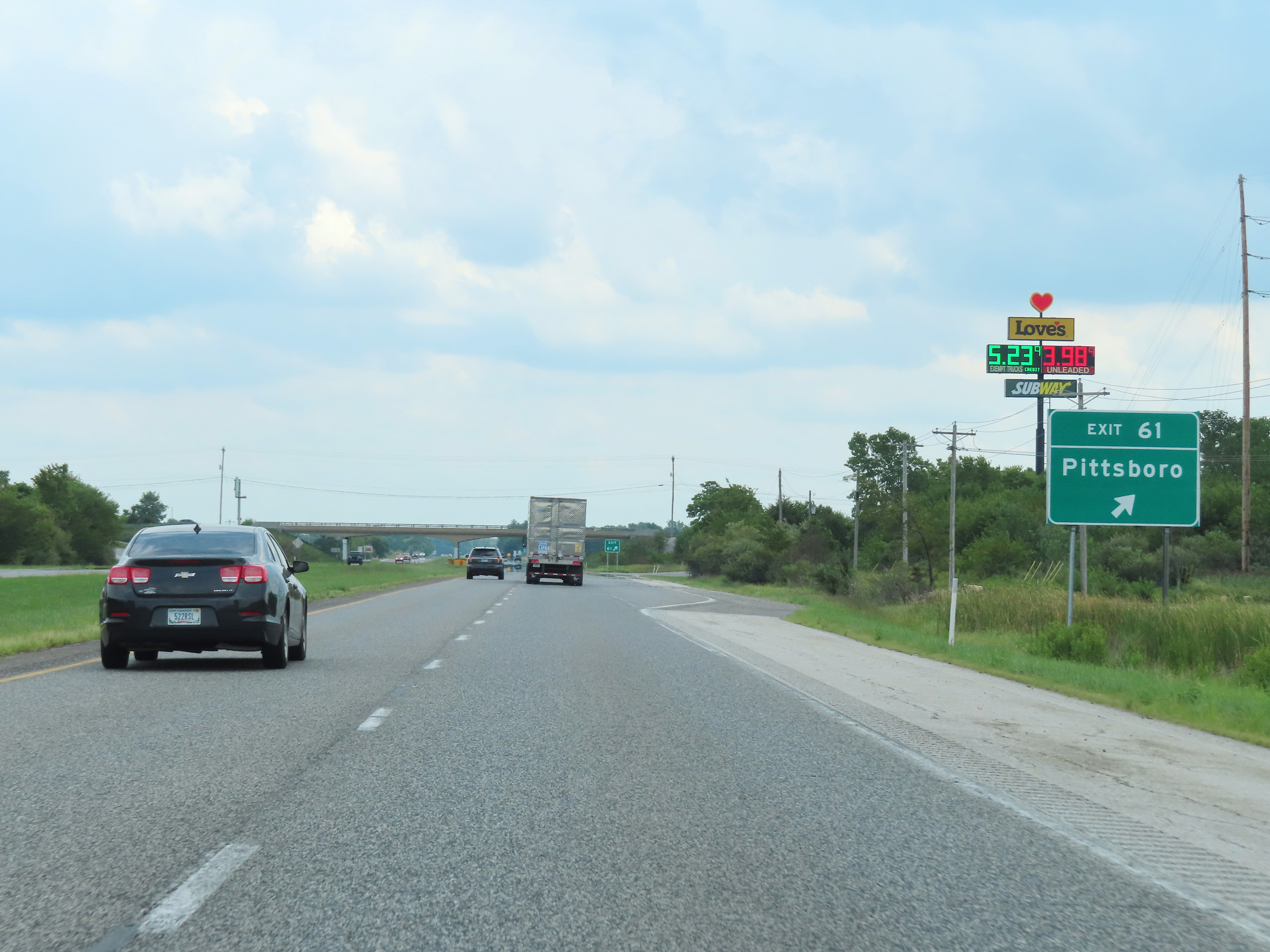 |
Interstate 74 East at Exit 61: Pittsboro (Photo taken 8/20/22). |
 |
Mile marker 64 on Interstate 74 East in Hendricks County. (Photo taken 8/20/22). |
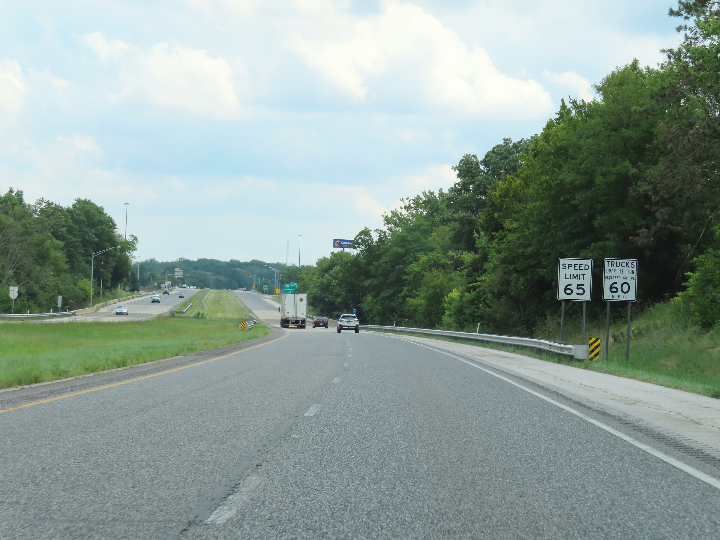 |
Approaching Exit 66, the speed limits on Interstate 74 East decrease to 65 mph for automobiles and 60 mph for trucks. (Photo taken 8/20/22). |
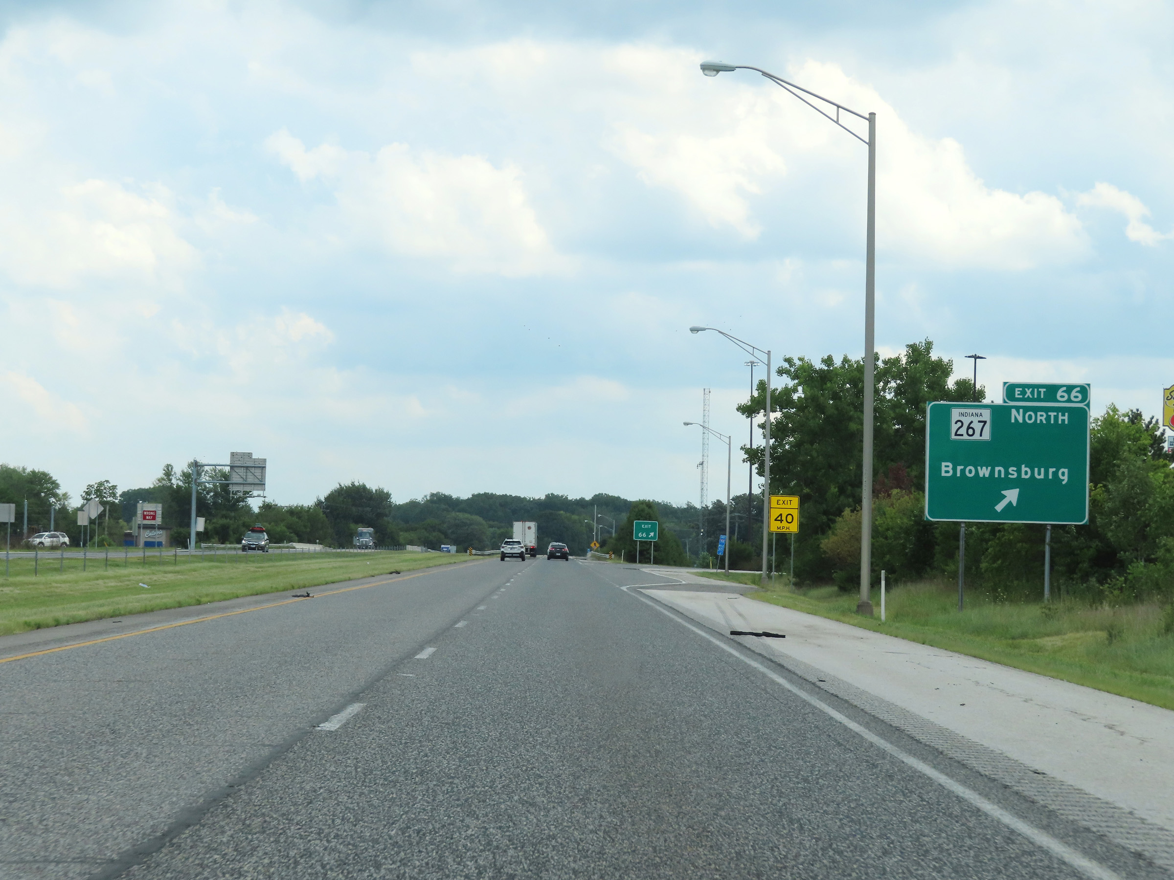 |
Interstate 74 East at Exit 66: IN 267 North - Brownsburg (Photo taken 8/20/22). |
 |
Interstate 74 East reassurance shield at mile marker 66.1. (Photo taken 8/20/22). |
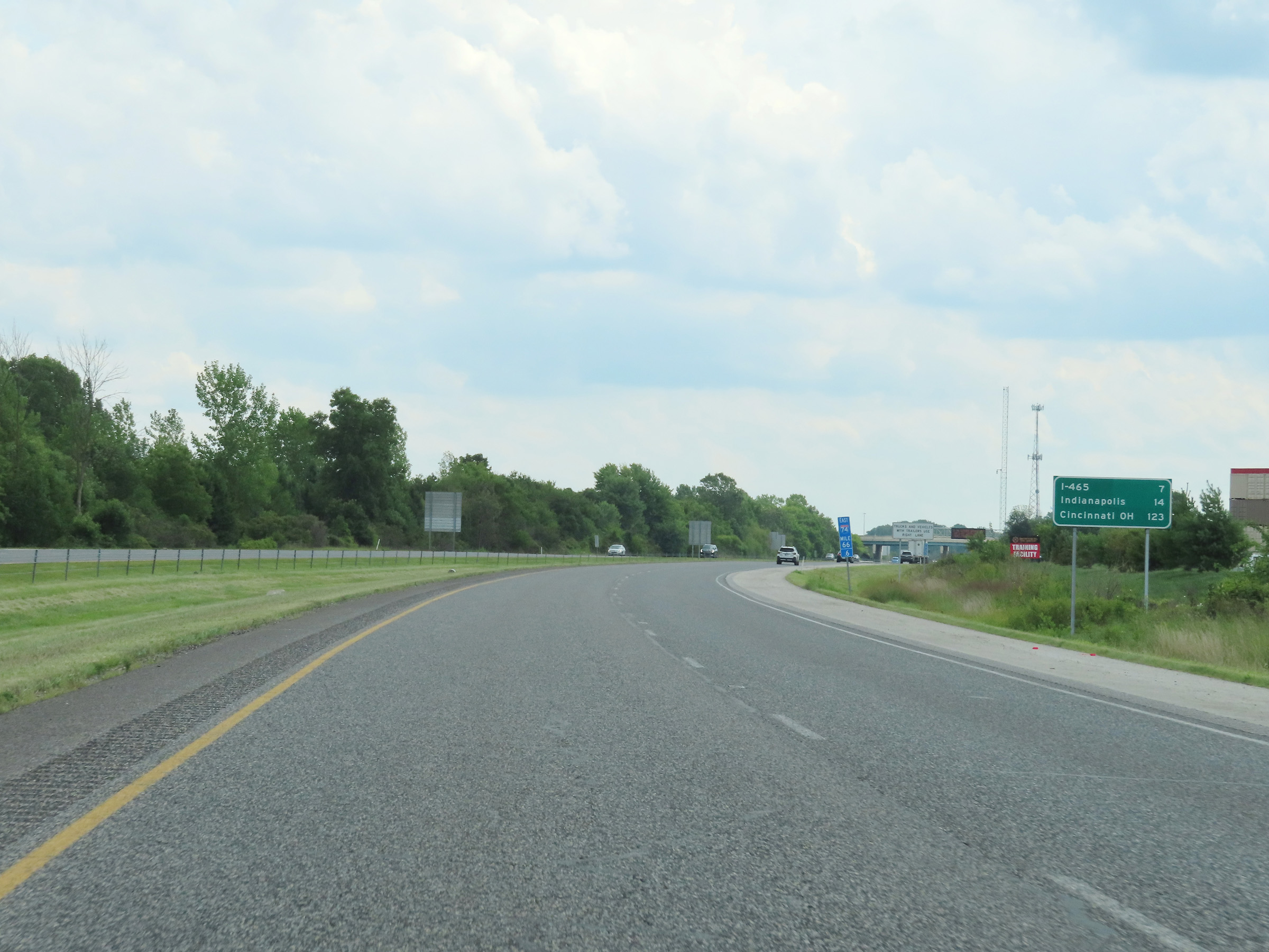 |
Mileage sign at mile marker 66.6. It's 7 miles to the junction of Interstate 465, 14 miles to Indianapolis, and 123 miles to Cincinnati, OH. (Photo taken 8/20/22). |
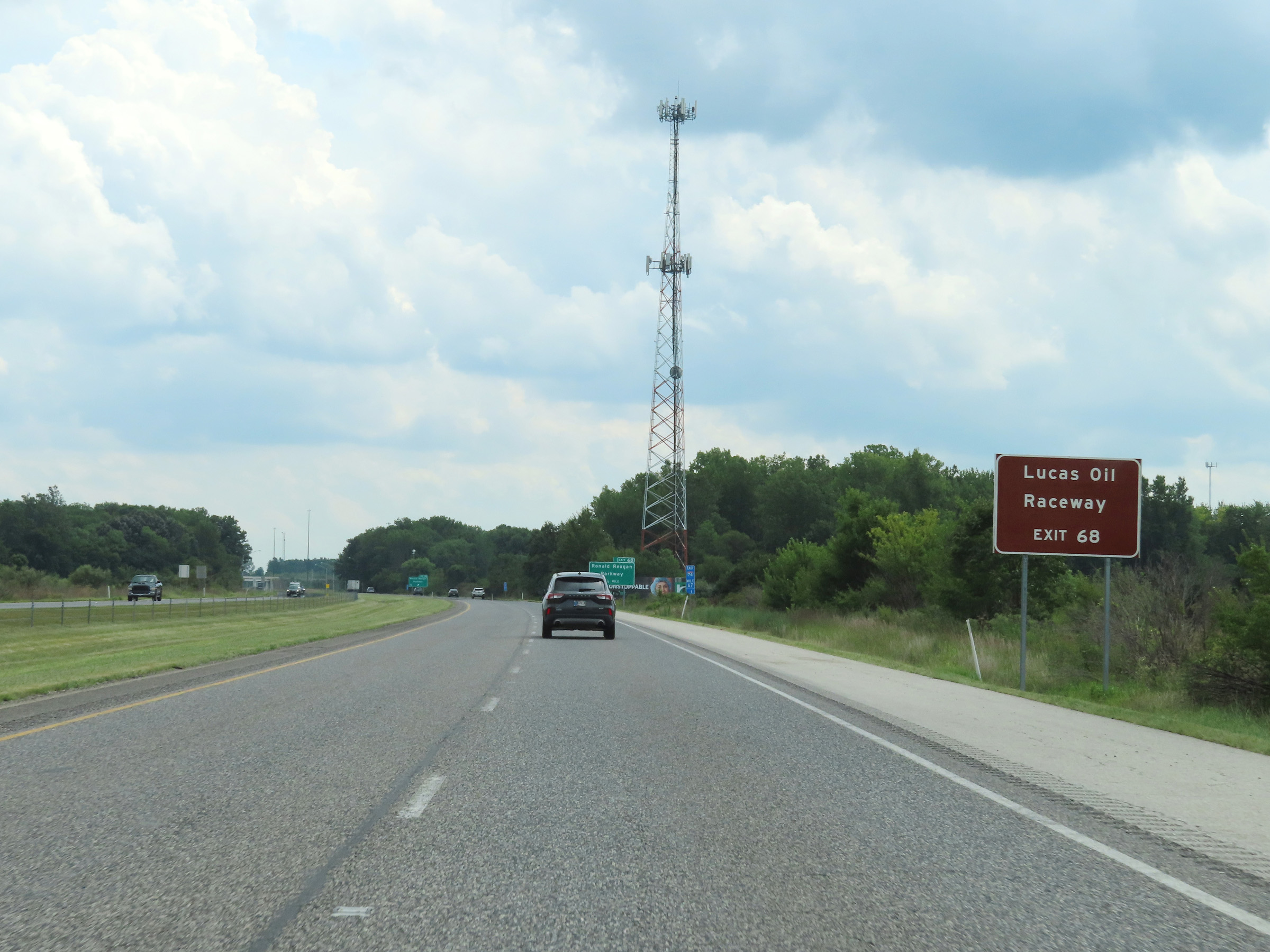 |
Take Exit 68 to Lucas Oil Raceway. (Photo taken 8/20/22). |
 |
Interstate 74 East at Exit 68: Ronald Reagan Parkway (Photo taken 8/20/22). |
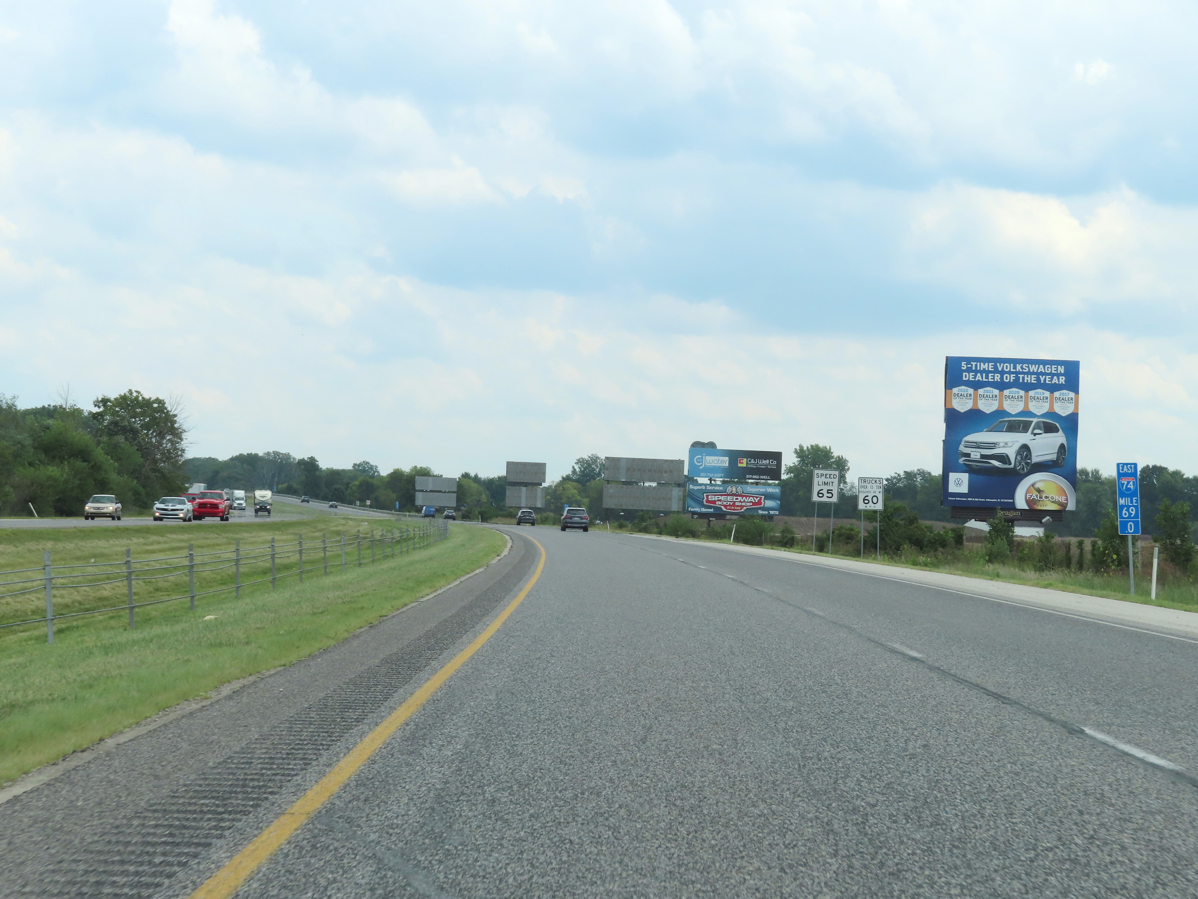 |
View on Interstate 74 East at mile marker 69. (Photo taken 8/20/22). |
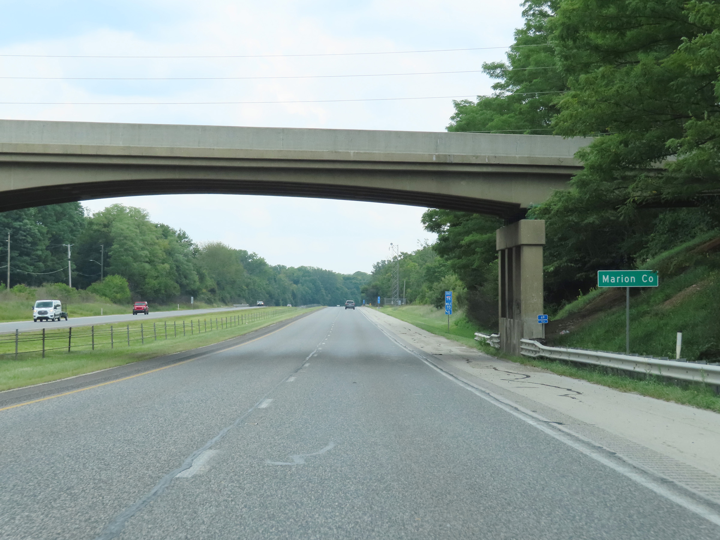 |
Interstate 74 East as it enters Marion County. (Photo taken 8/20/22). |
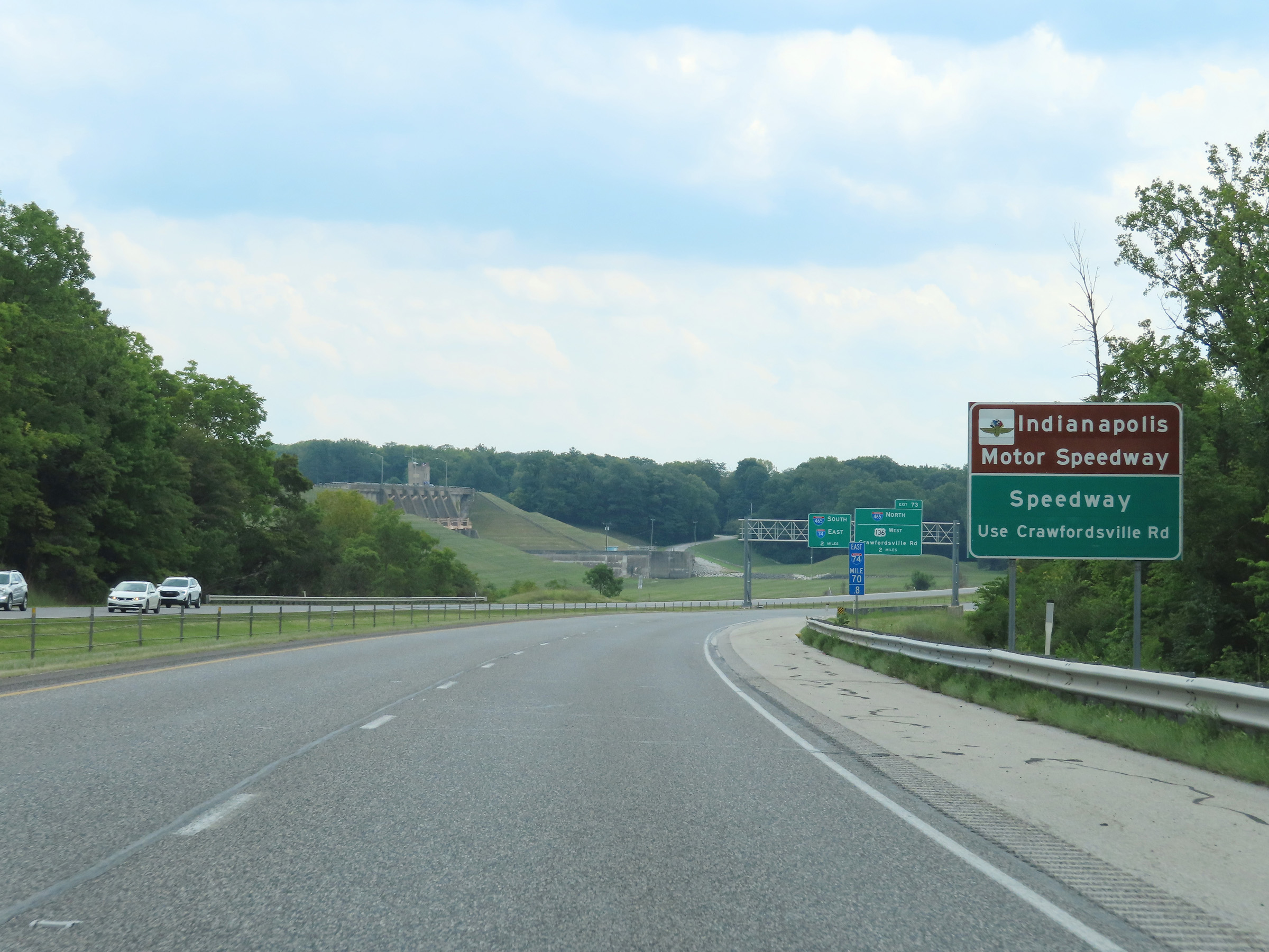 |
Follow Crawfordsville Rd via Exit 73 to Indianapolis Motor Speedway and Speedway. (Photo taken 8/20/22). |
 |
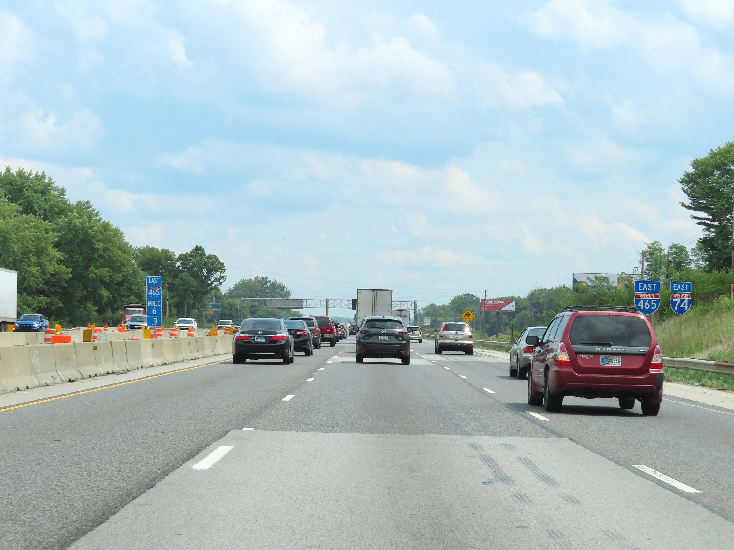
Advance signage for Exit 73, which is the junction of Interstate 465 - 2 miles ahead. (Photo taken 8/20/22). |
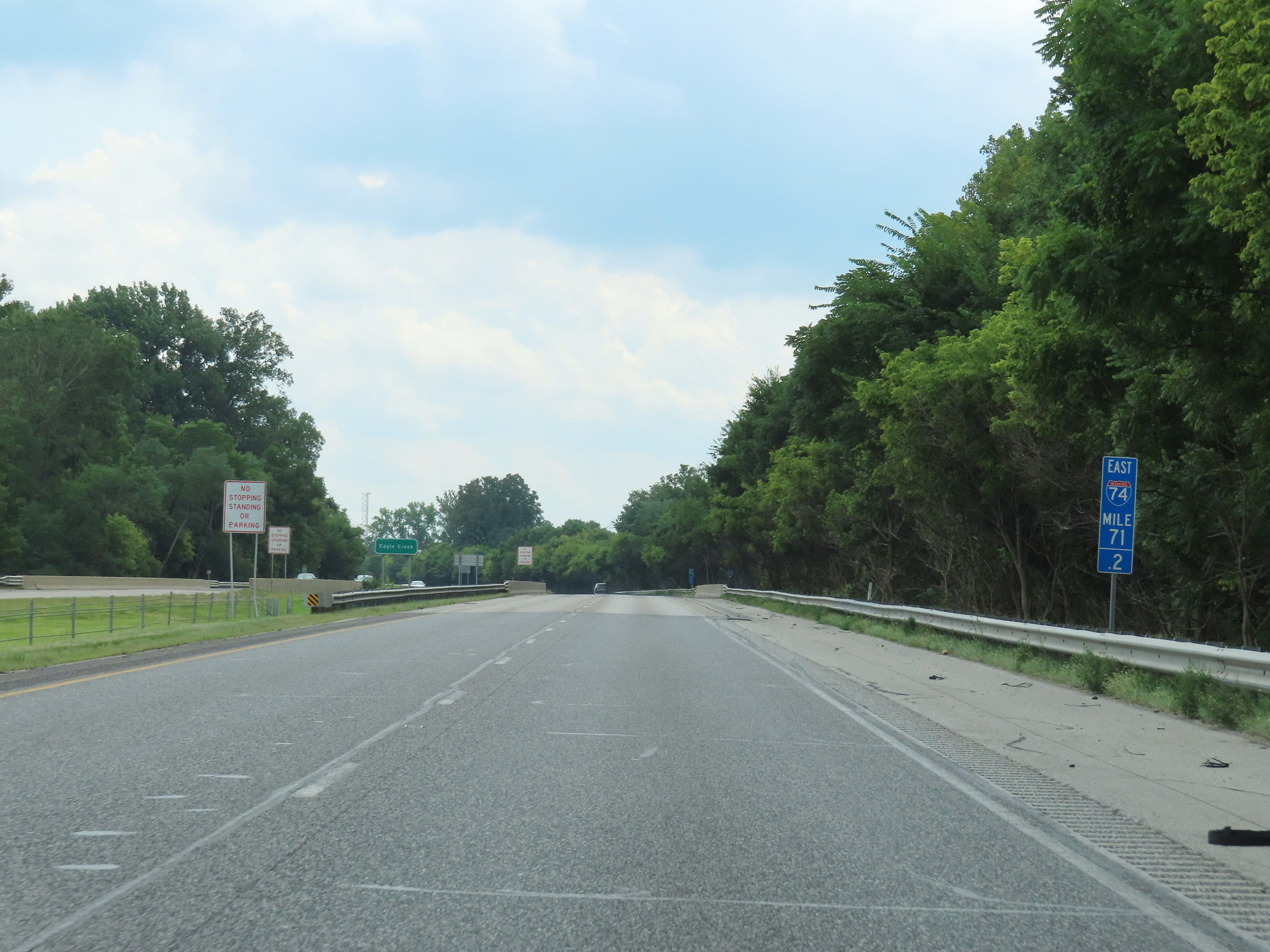 |
View on Interstate 74 East at mile marker 71.2. (Photo taken 8/20/22). |
 |
Interstate 74 East approaching Exit 73 - 1 mile. (Photo taken 8/20/22). |
 |
Traffic to Indianapolis International Airport is urged to keep left and follow Interstate 74 East / Interstate 465 South. (Photo taken 8/20/22). |
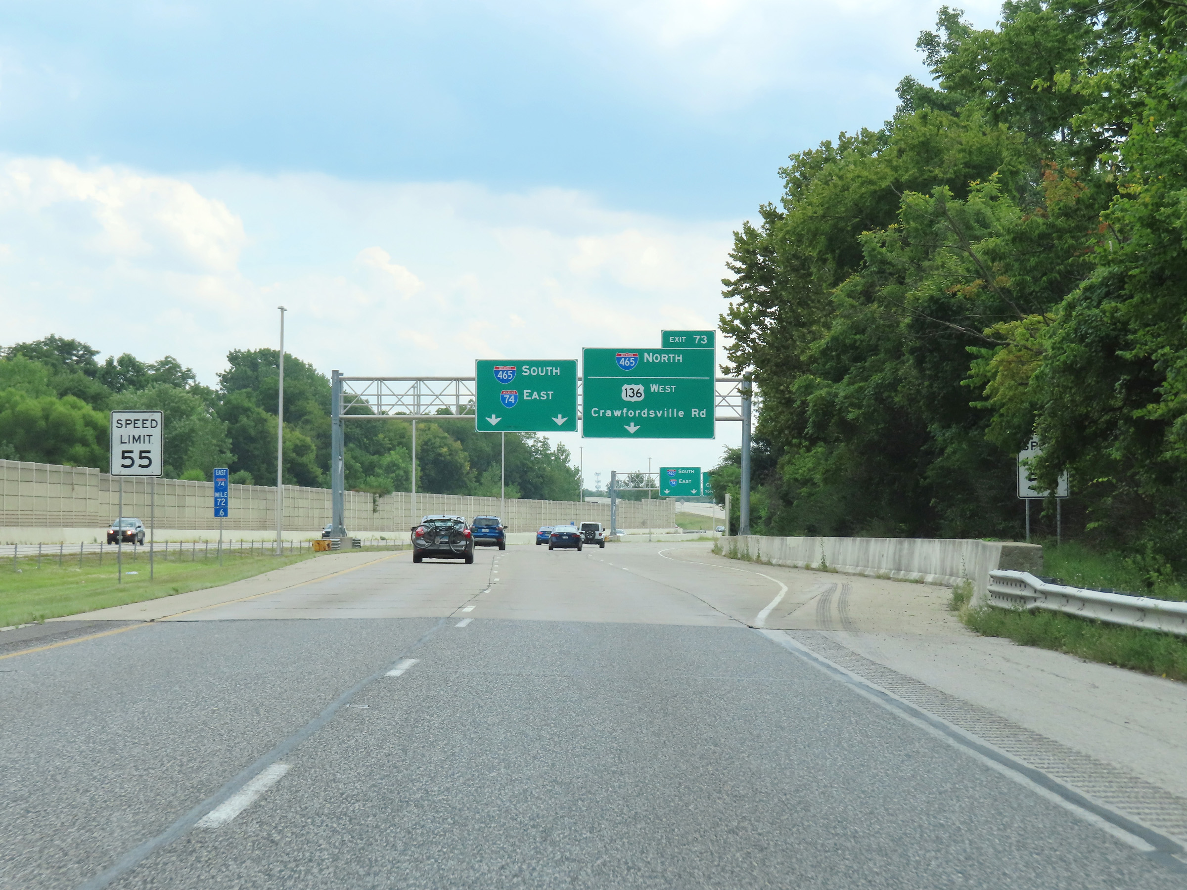 |
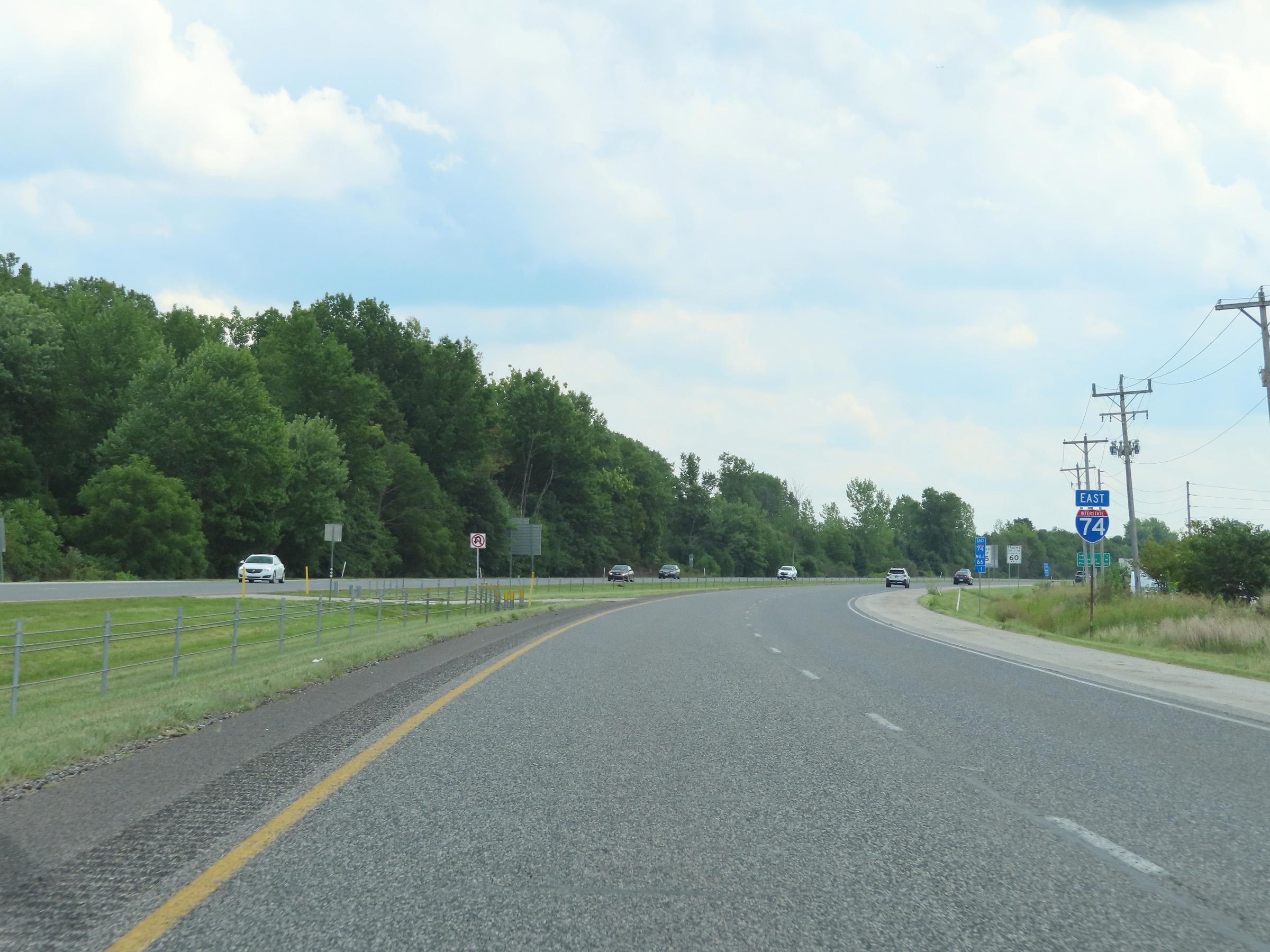
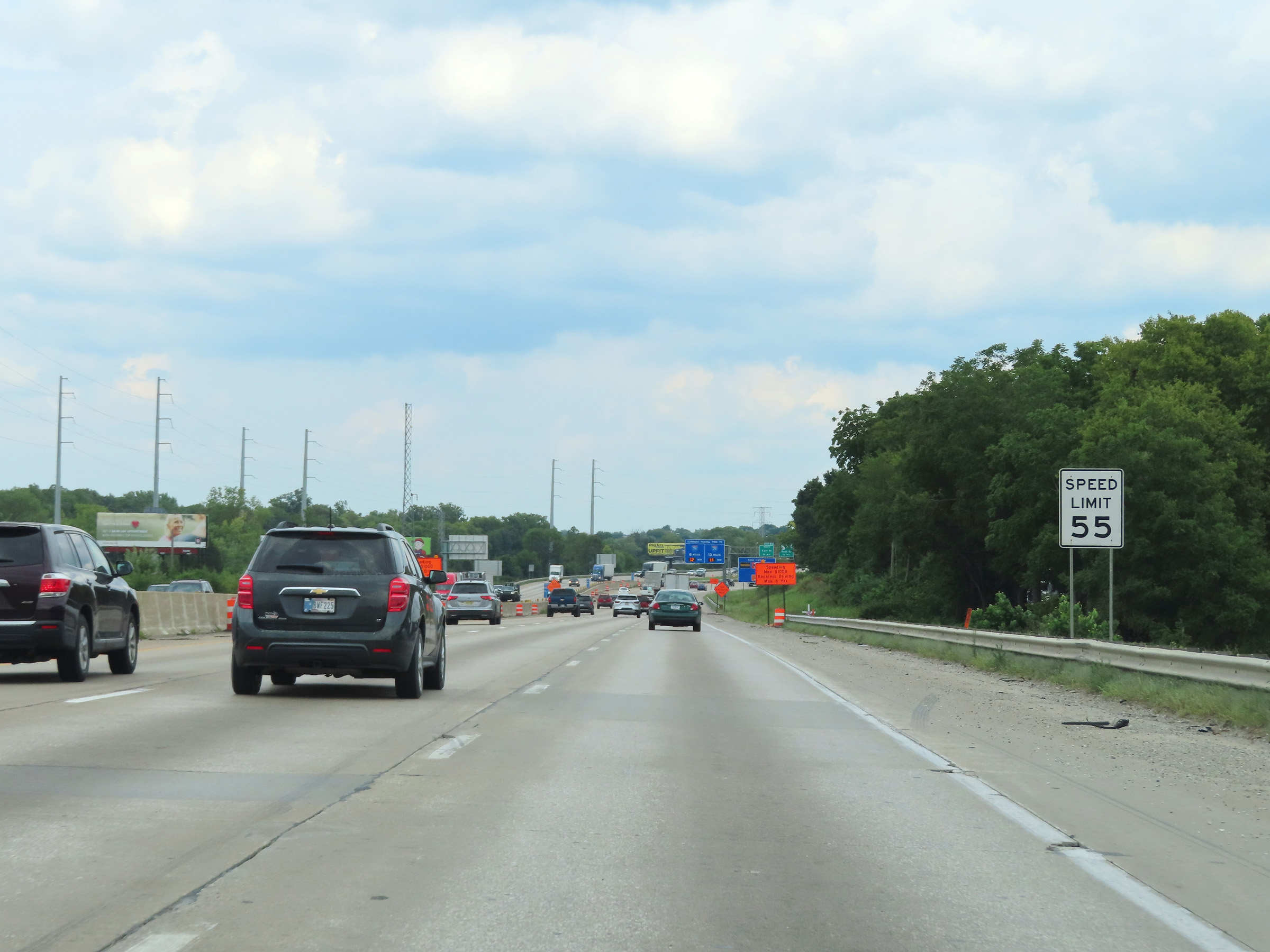
Approaching Exit 73, the speed limit decreases to 55 mph on Interstate 74 East for all traffic. (Photo taken 8/20/22). |
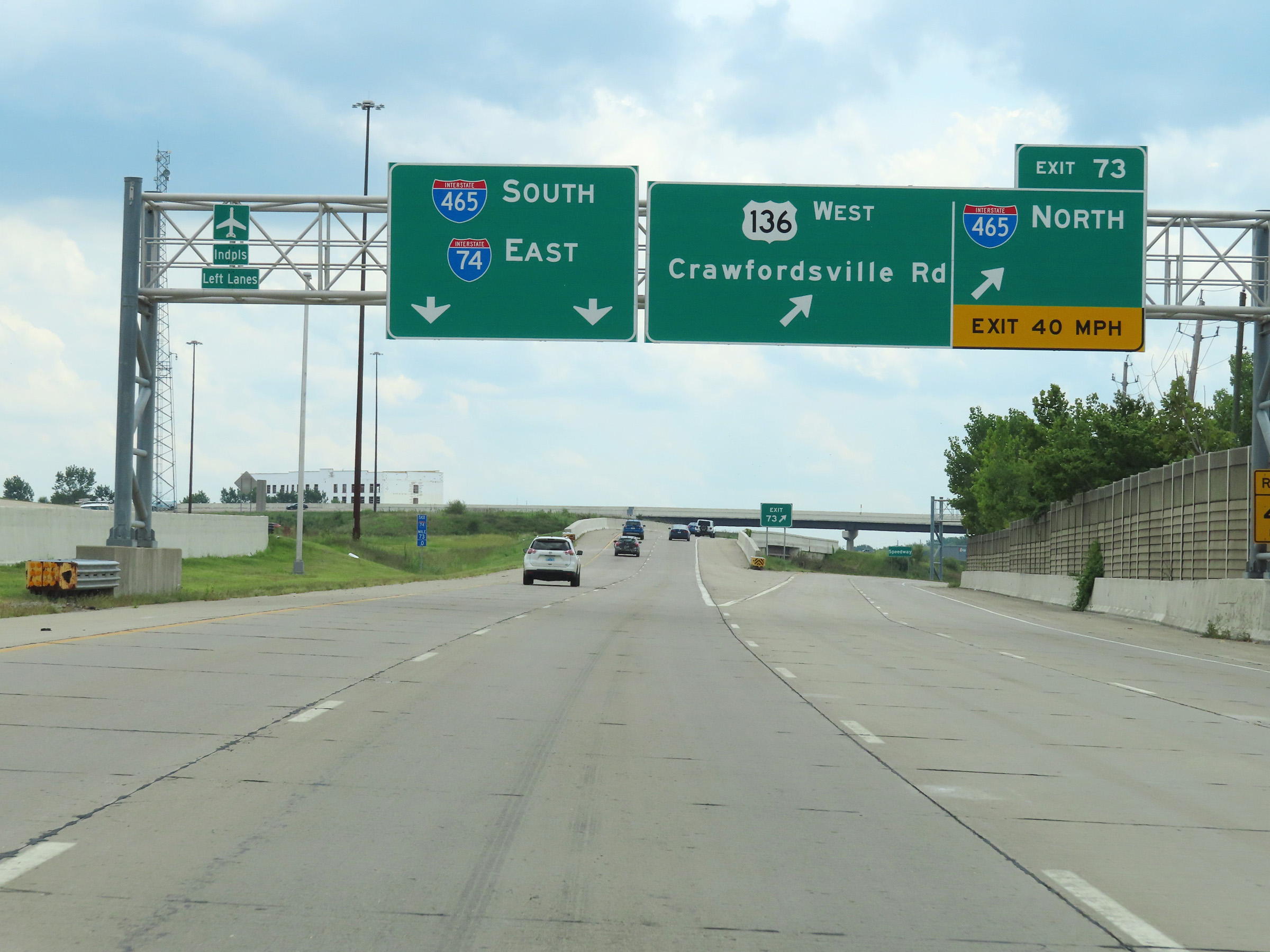 |
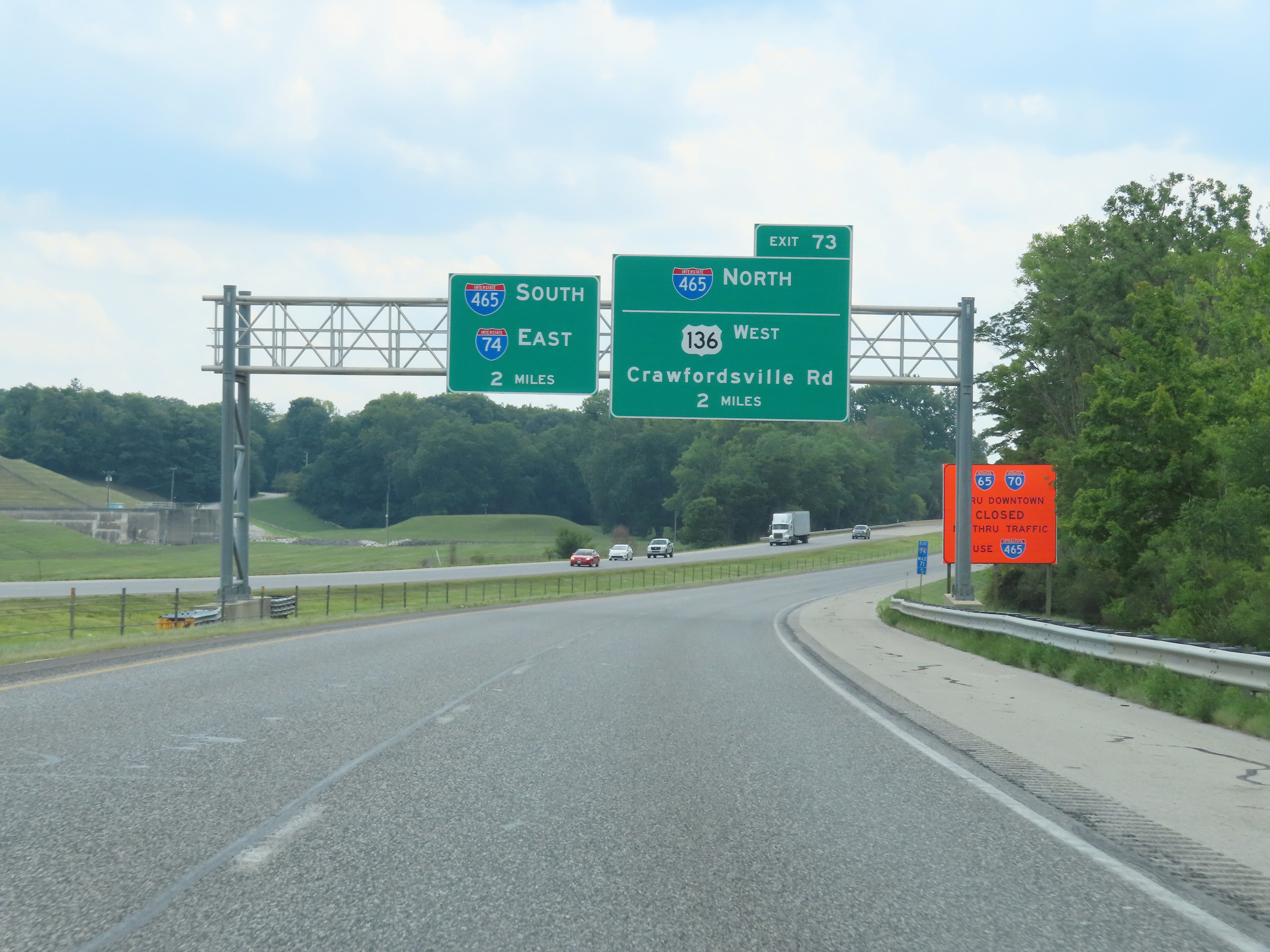
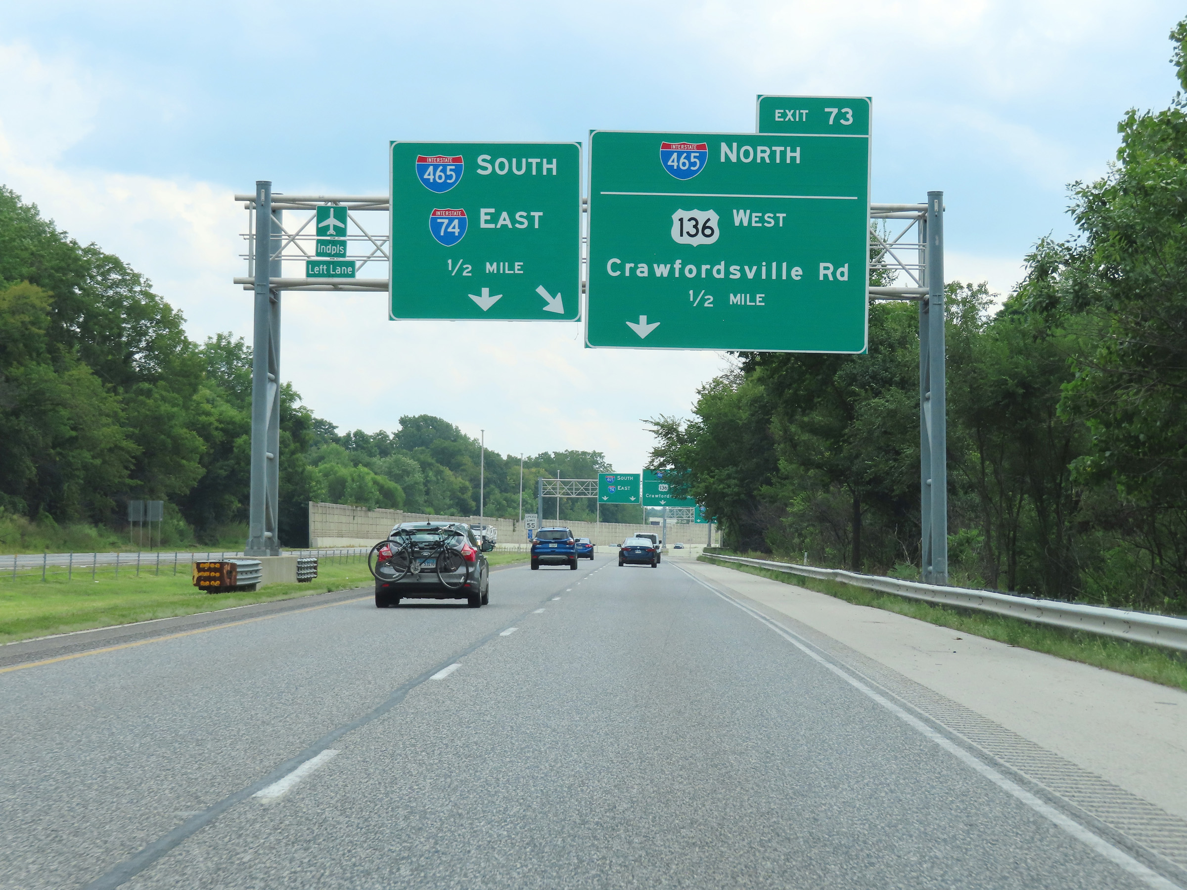
Interstate 74 East at Exit 73: Interstate 465 North / US 136 West - Crawfordsville Rd (Photo taken 8/20/22). |
Section 2: Indianapolis (Exit 73) to Acton (Exit 99)
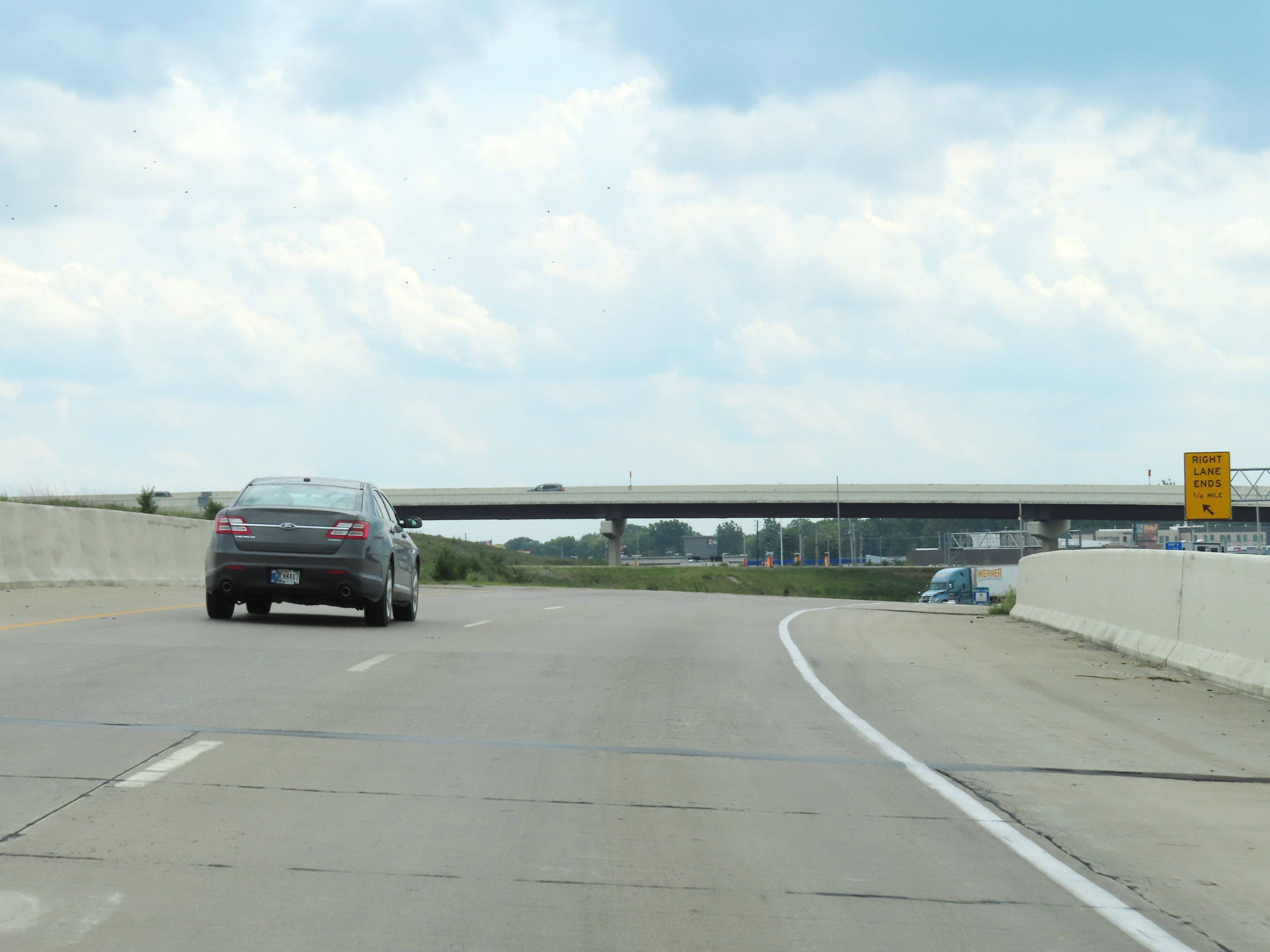 |
Ahead, the two thru lanes of Interstate 74 East will merge into the outer loop of Interstate 465 on the west side of the Indianapolis area. (Photo taken 8/20/22). |
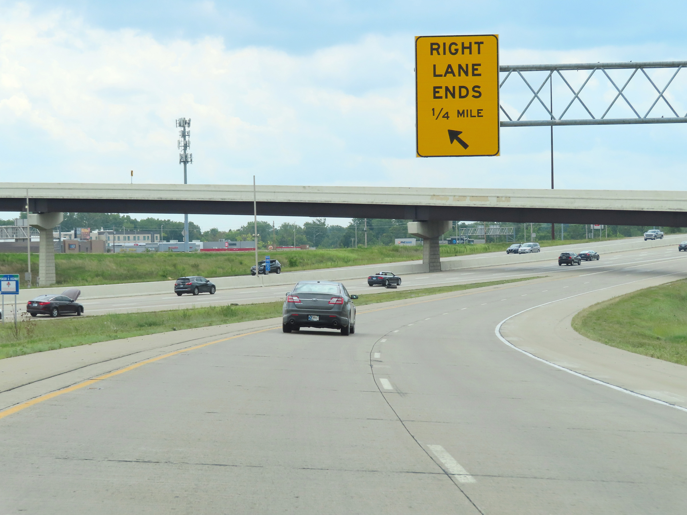 |
The right lane of the two thru lanes of Interstate 74 East will come to an end 1/4 mile ahead, as I-74 East prepares to merge into the southbound (outer loop) lanes of Interstate 465. (Photo taken 8/20/22). |
 |
View on Interstate 74 East as it prepares to merge into the southbound lanes of Interstate 465 ahead. (Photo taken 8/20/22). |
 |
Interstate 74 East / Interstate 465 South reassurance shields as their concurrency begins. I-74 East and I-465 Outer Loop will run concurrently for the next 19.5 miles. (Photo taken 8/20/22). |
 |
Interstate 74 East / Interstate 465 Outer Loop (South) at mile marker 15.1. During this concurrency, the mileage and exit numbers are based on the total mileage of I-465. (Photo taken 8/20/22). |
 |
The speed limit remains 55 mph for all traffic on Interstate 74 East / Interstate 465 Outer Loop (South). (Photo taken 8/20/22). |
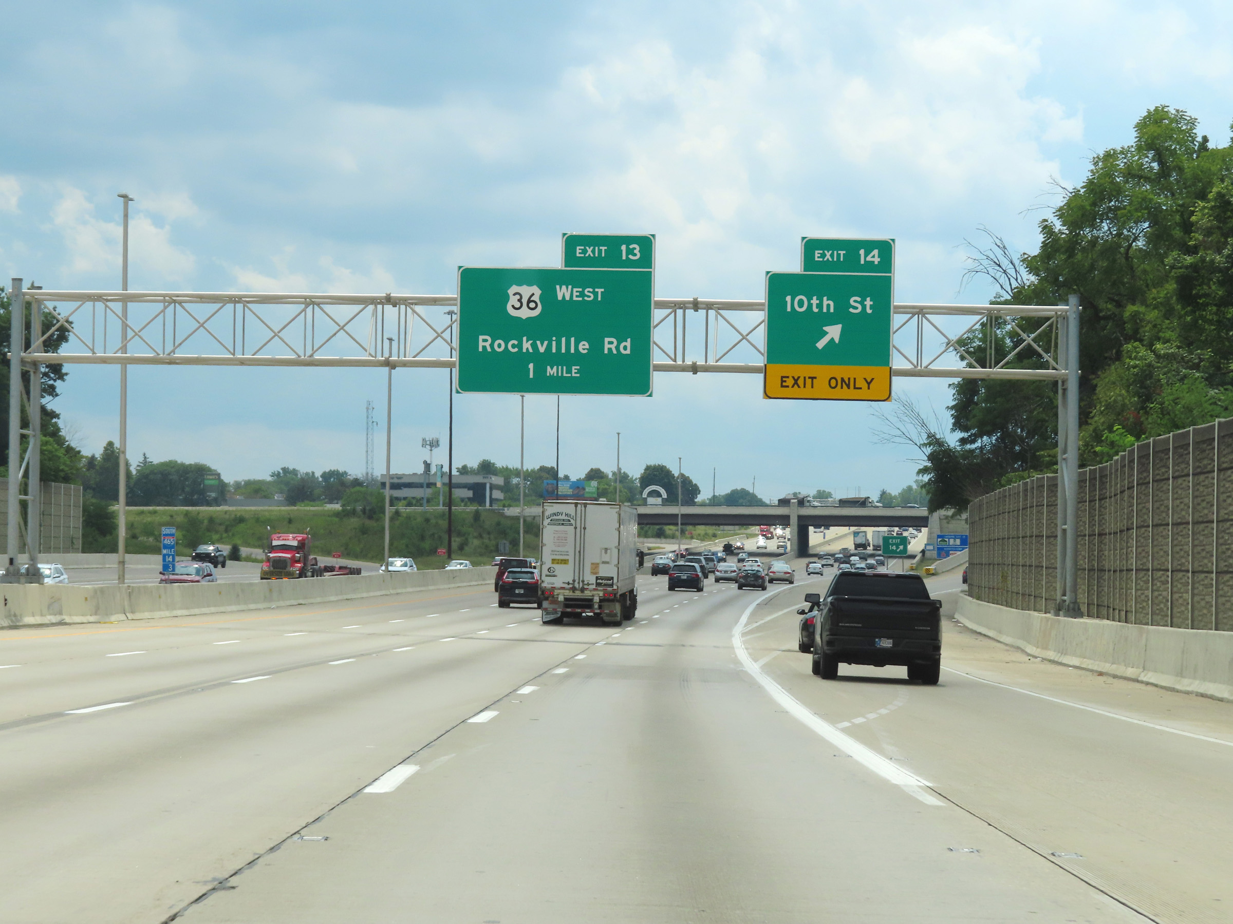 |
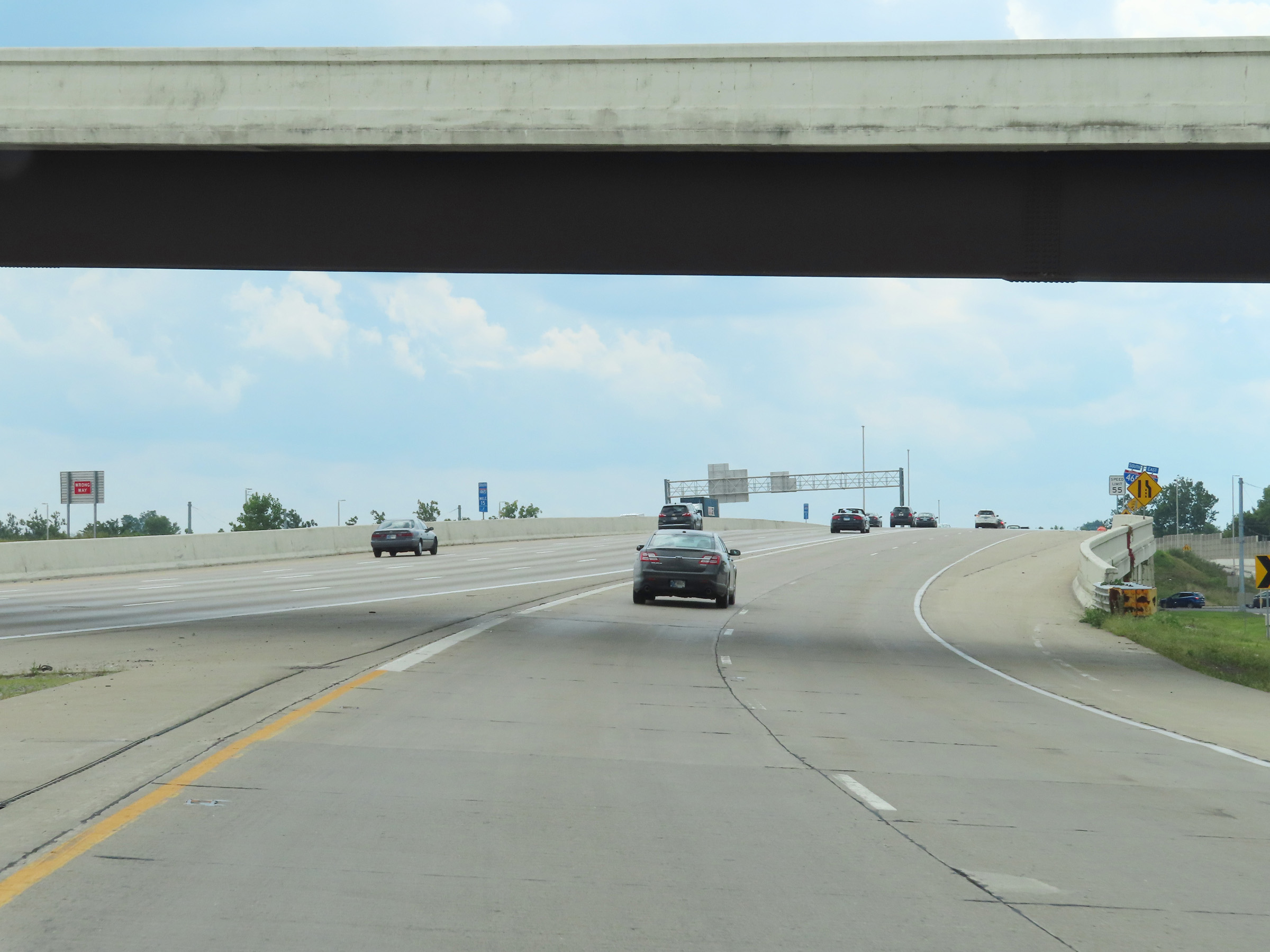
Interstate 74 East / Interstate 465 Outer Loop (South) at Exit 14: 10th St (Photo taken 8/20/22). |
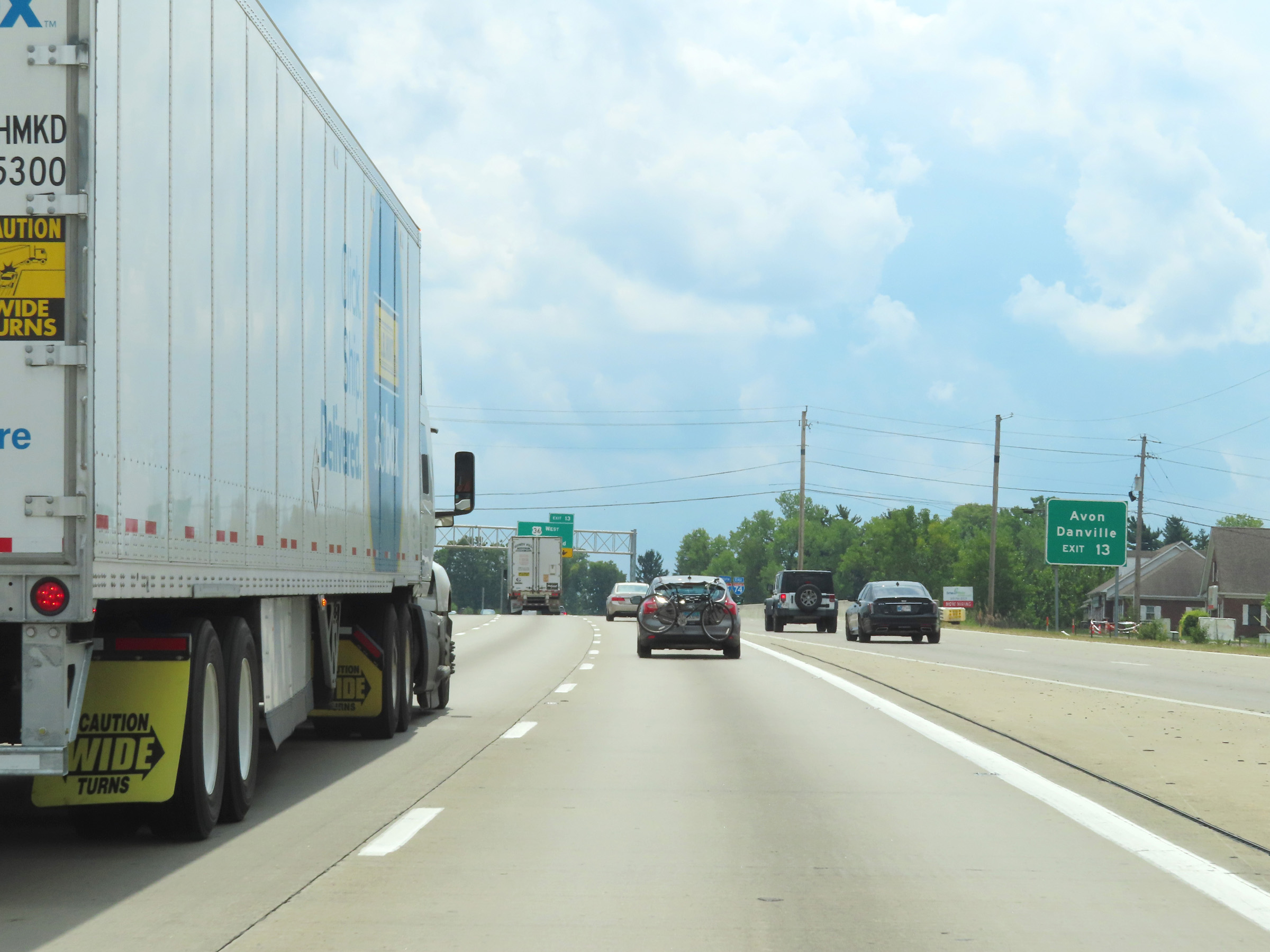 |
Take Exit 13 to Avon and Danville. (Photo taken 8/20/22). |
 |
Interstate 74 East / Interstate 465 Outer Loop (South) at Exit 13: US 36 West - Rockville Rd (Photo taken 8/20/22). |
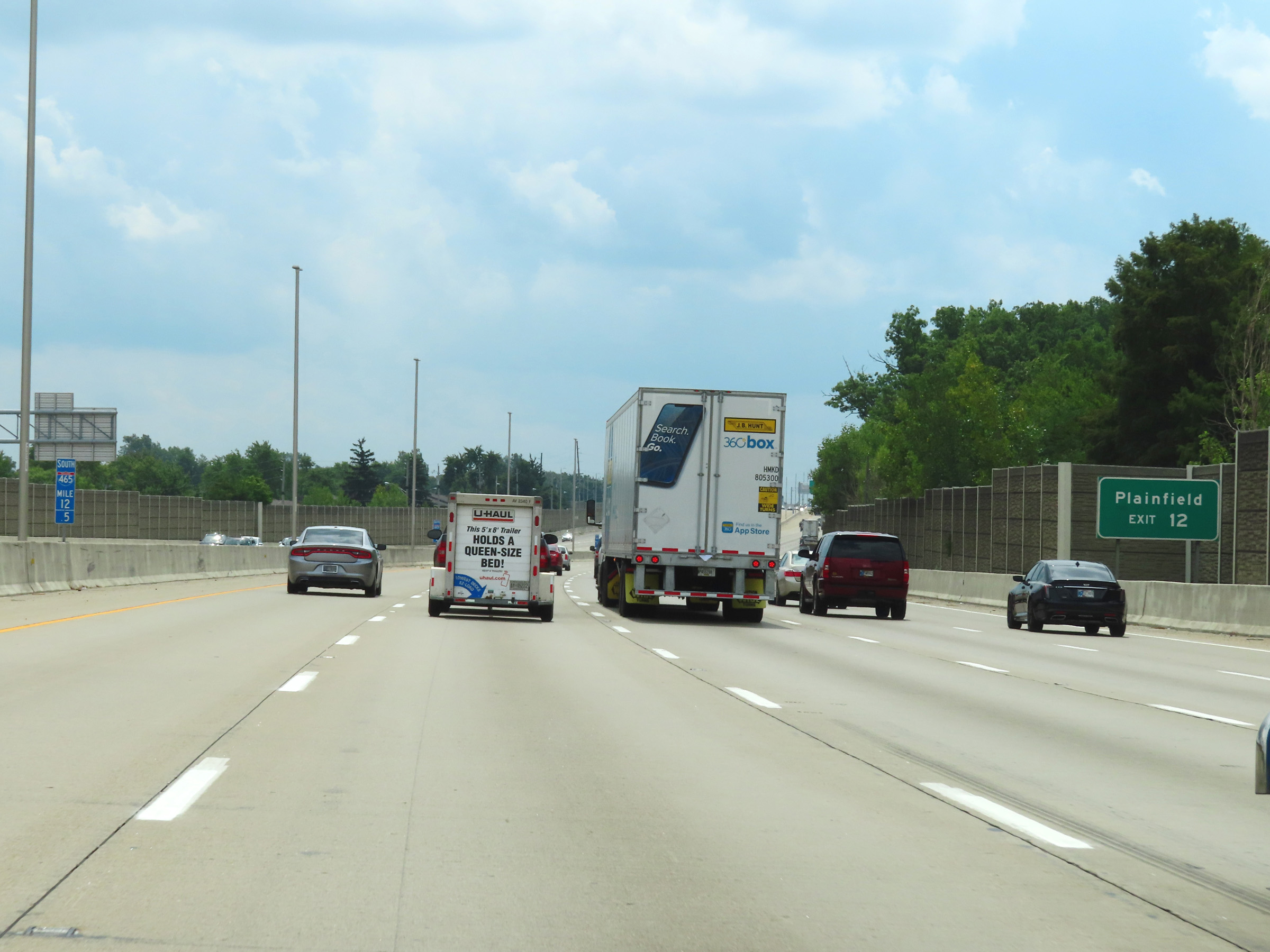 |
Take Exit 12 to Plainfield. (Photo taken 8/20/22). |
 |
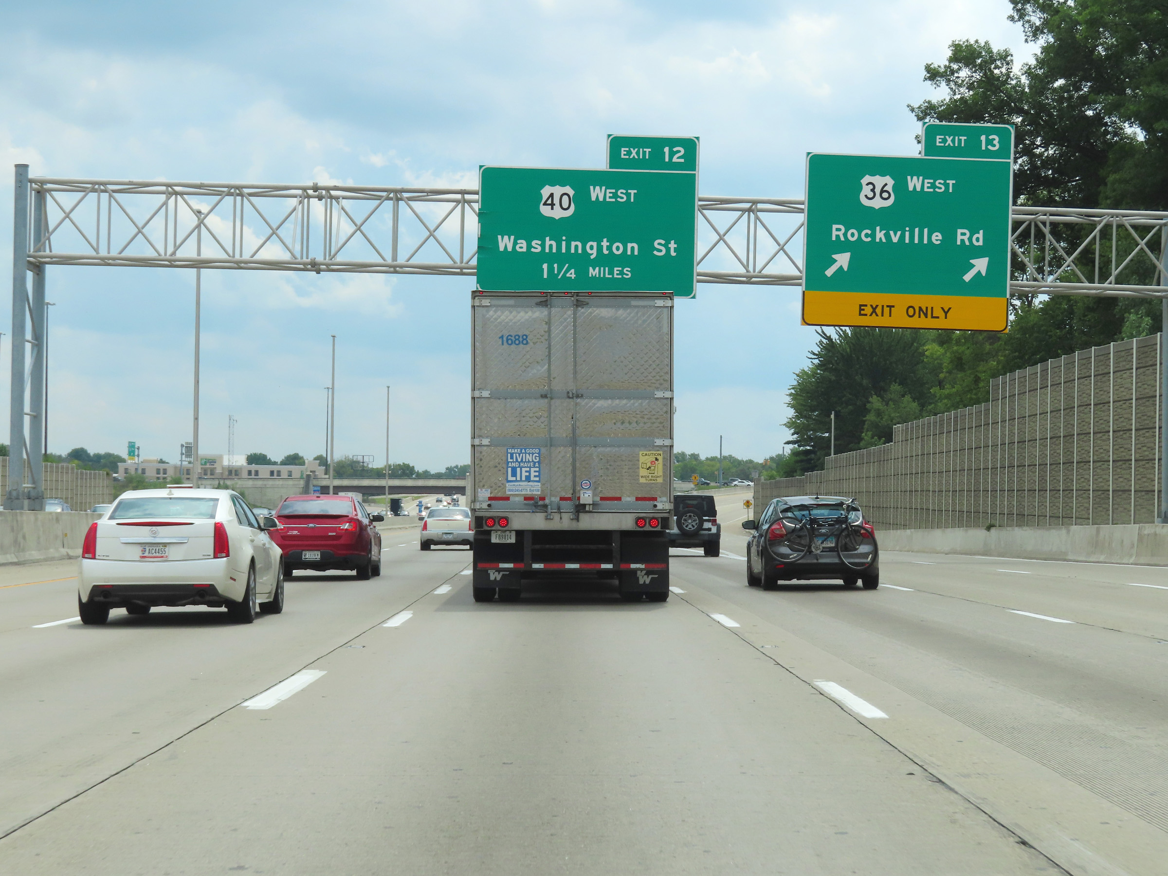
Interstate 74 East / Interstate 465 Outer Loop (South) at Exit 12: US 40 West - Washington St (Photo taken 8/20/22). |
 |
View on Interstate 74 East / Interstate 465 Outer Loop (South) at mile marker 11.2. (Photo taken 8/20/22). |
 |
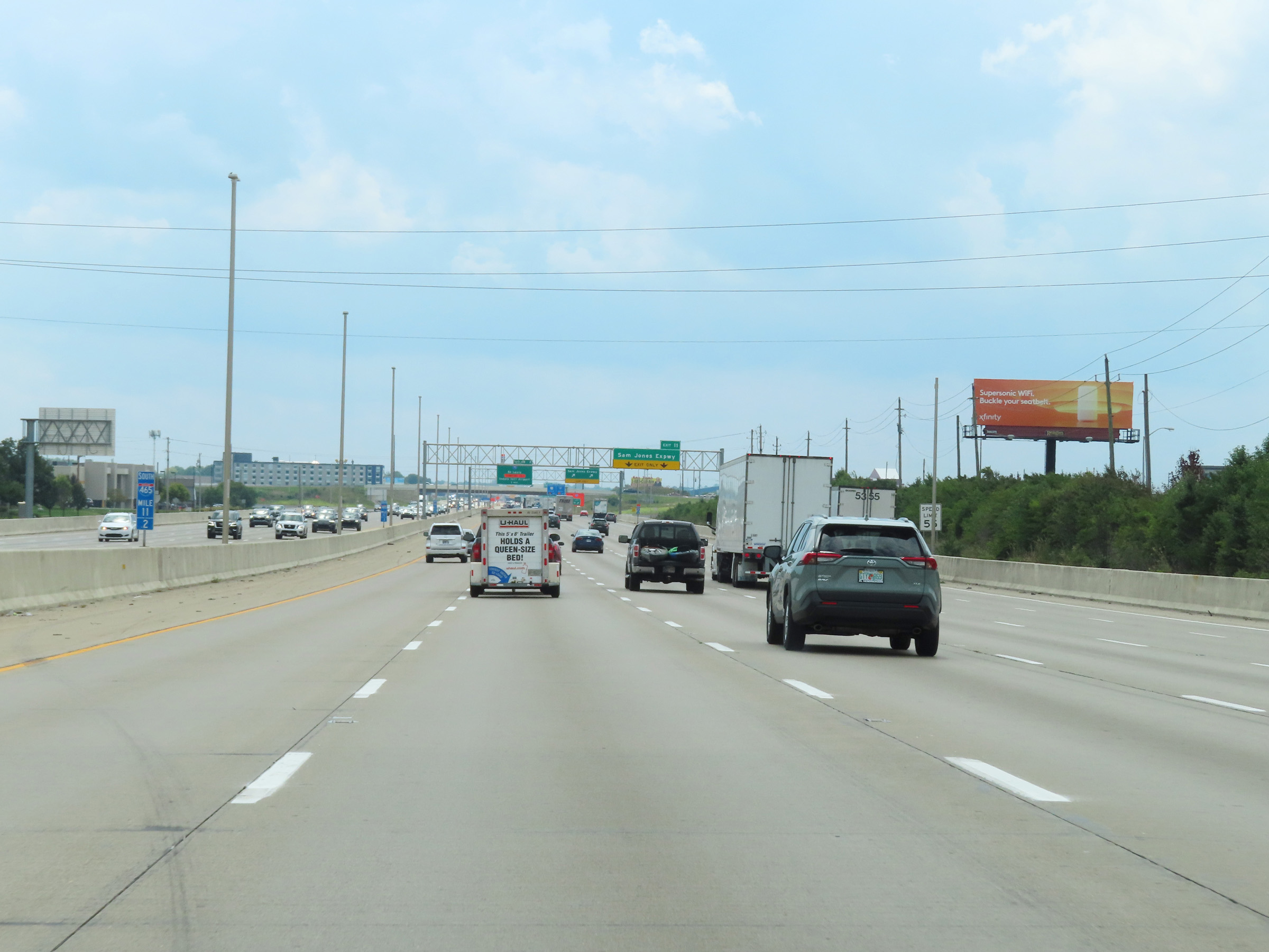
Interstate 74 East / Interstate 465 Outer Loop (South) at Exit 11: Sam Jones Expwy (Photo taken 8/20/22). |
 |
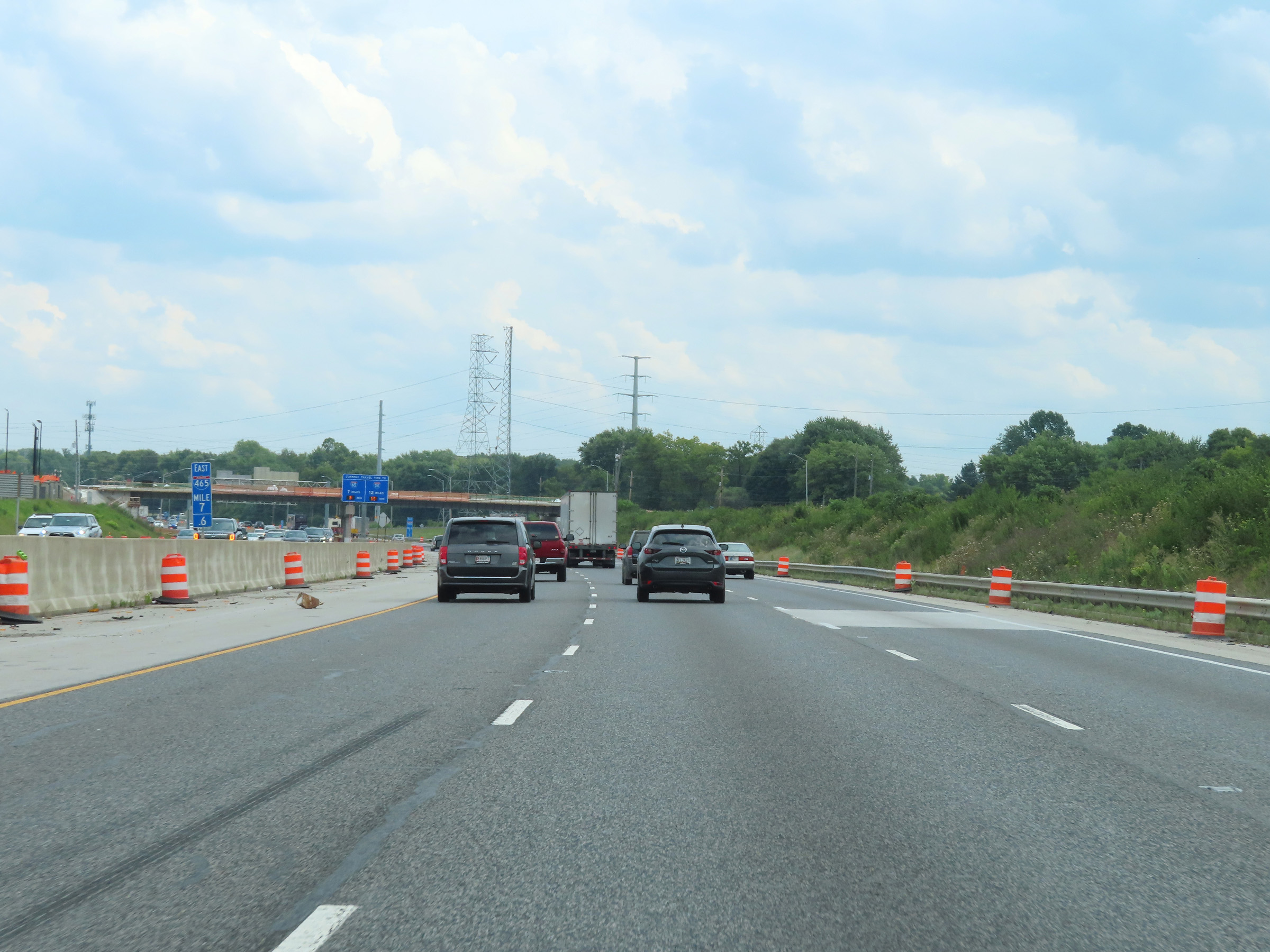
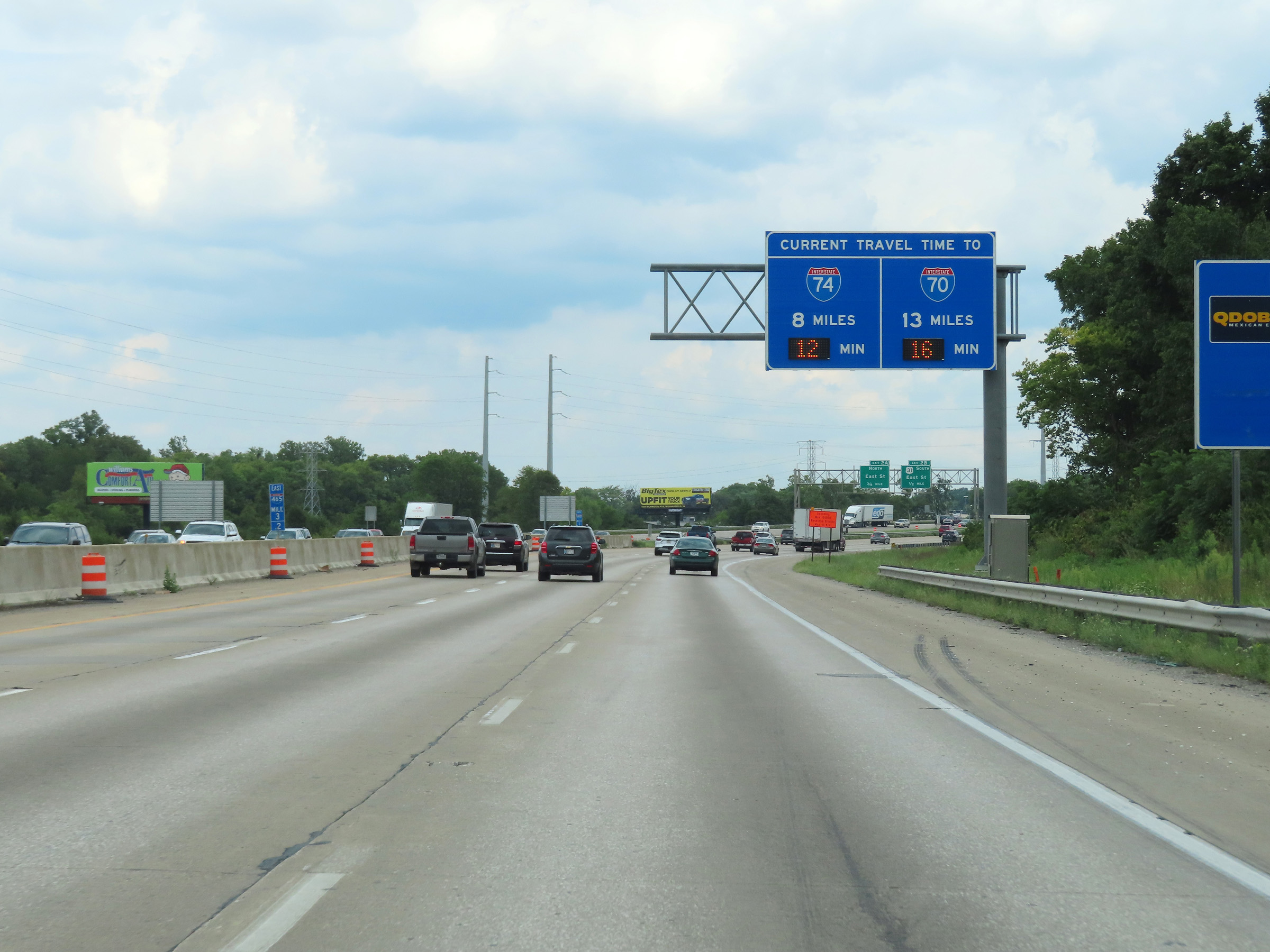
This overhead sign dynamically displays the current estimated travel times to the junctions of IN 37 and Interstate 65, 6 miles ahead and 11 miles ahead, respectively. (Photo taken 8/20/22). |
 |
Interstate 74 East / Interstate 465 Outer Loop (South) approaching Exits 9A-B - 1/4 mile. (Photo taken 8/20/22). |
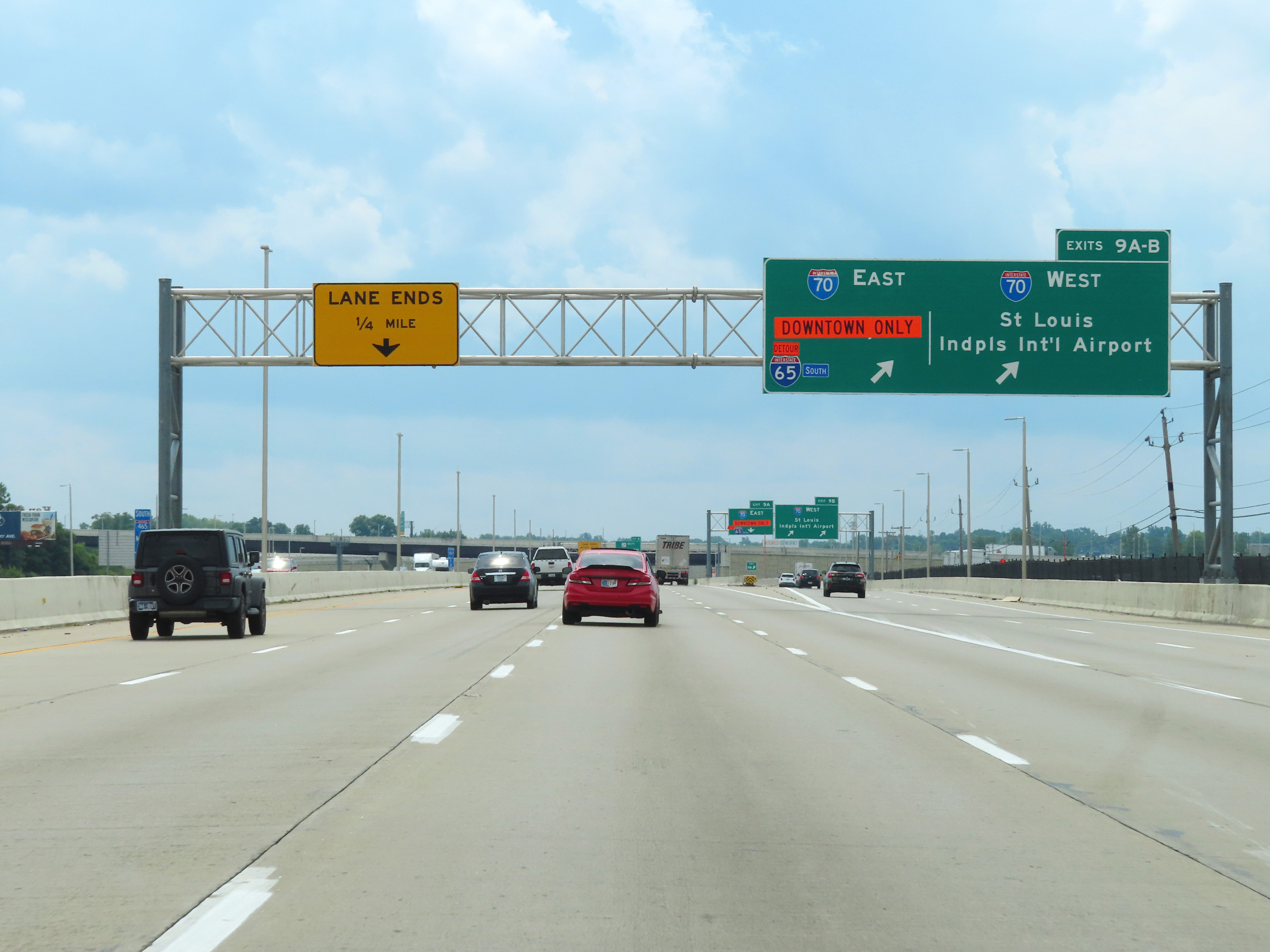 |
Interstate 74 East / Interstate 465 Outer Loop (South) at Exits 9A-B: Interstate 70 - St. Louis / Indianapolis International Airport / Indianapolis (Photo taken 8/20/22). |
 |
View of the ramp for Exit 9B: Interstate 70 West - St. Louis / Indianpolis International Airport (Photo taken 8/20/22). |
 |
At mile marker 9.5, the left lane on Interstate 74 East / Interstate 465 Outer Loop (South) comes to an end, leaving the duplex with three thru lanes. (Photo taken 8/20/22). |
 |
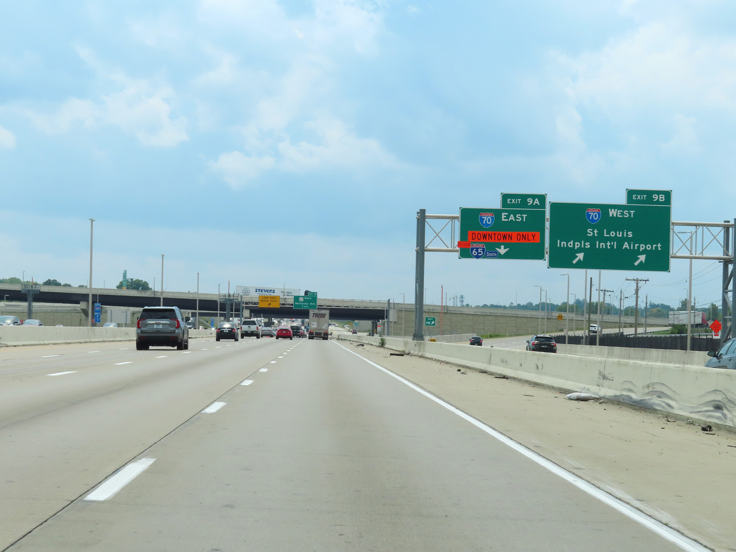
Interstate 74 East / Interstate 465 Outer Loop (South) at Exit 9A: Interstate 70 East - Indianapolis (Photo taken 8/20/22). |
 |
At mile marker 8.9, Interstate 74 East / Interstate 465 Outer Loop (South) curves to the east and as a result, the directional signage for I-465 on the milepost reflects that change in direction. (Photo taken 8/20/22). |
 |
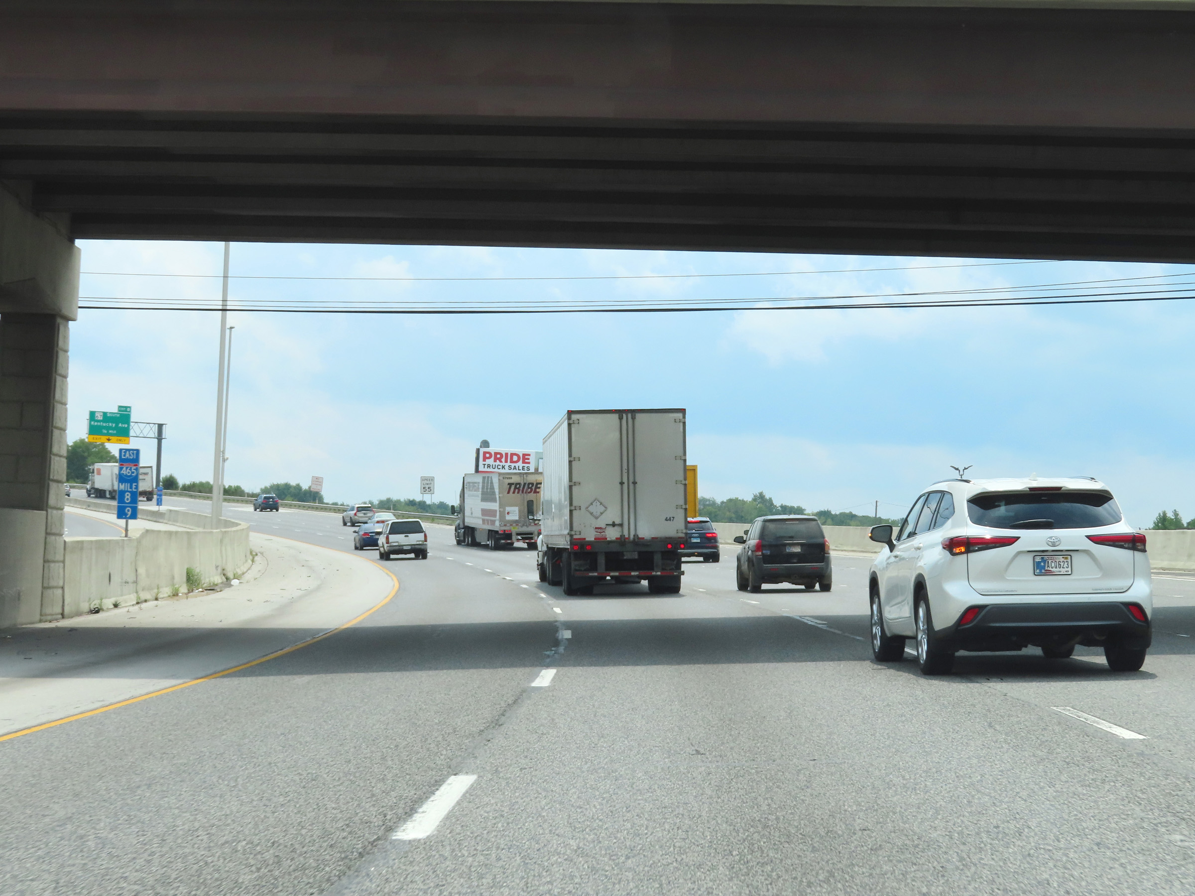
Advance signage for Exit 8 on Interstate 74 East / Interstate 465 Outer Loop (East), as they continue to curve to the east at the southwestern corner of the Indianapolis area. (Photo taken 8/20/22). |
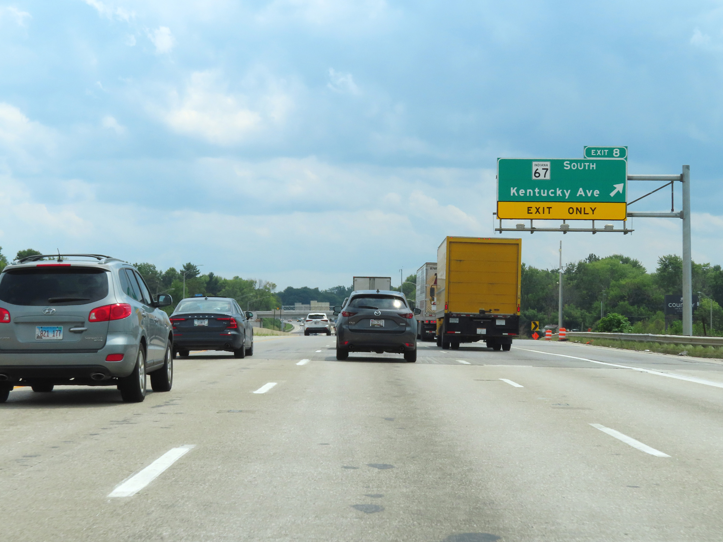 |
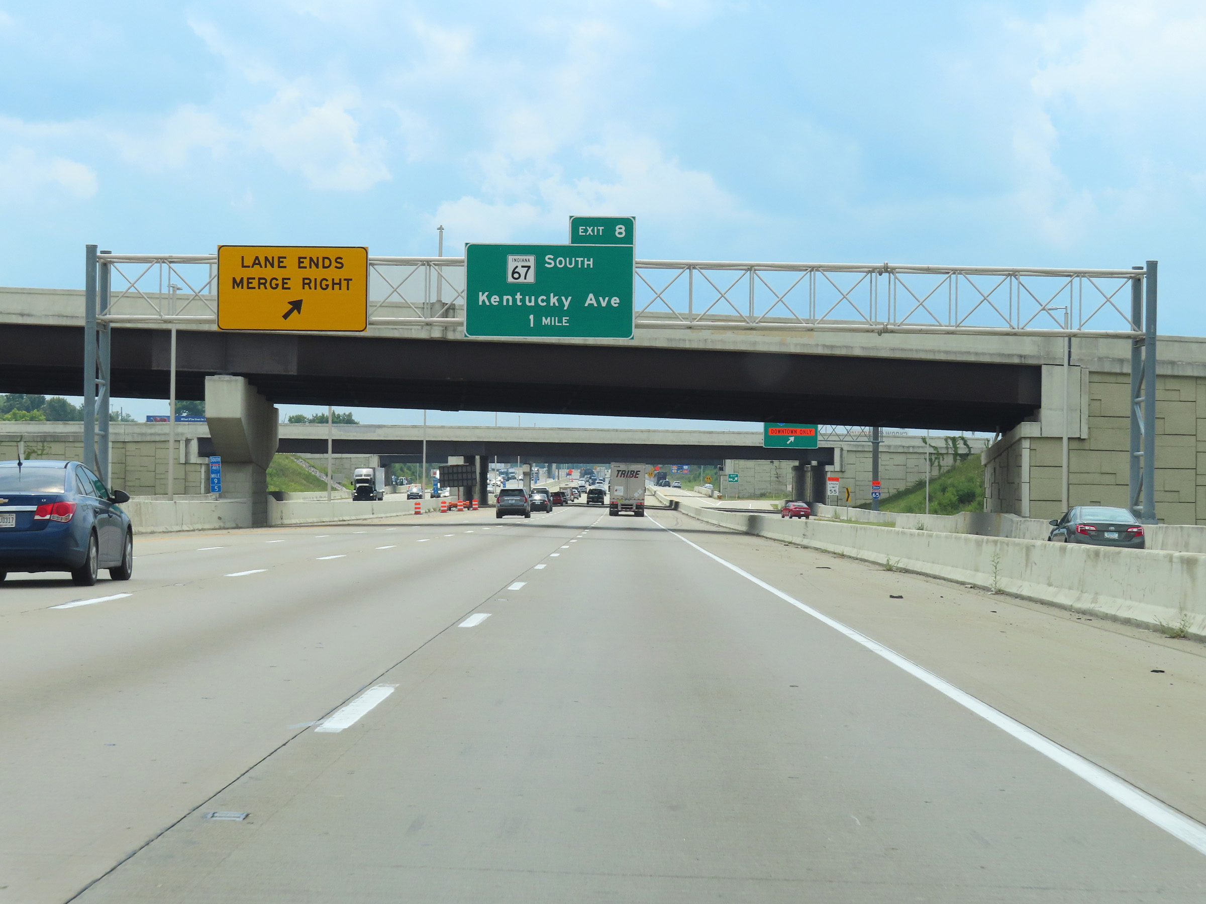
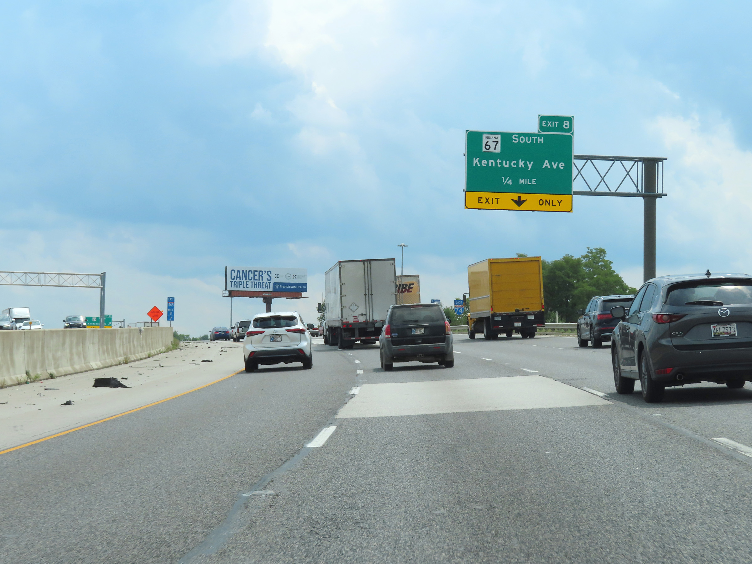
Interstate 74 East / Interstate 465 Outer Loop (East) at Exit 8: IN 67 South - Kentucky Ave (Photo taken 8/20/22). |
 |
View on Interstate 74 East / Interstate 465 Outer Loop (East) at mile marker 7.6. (Photo taken 8/20/22). |
 |
Interstate 74 East / Interstate 465 East reassurance shields at mile marker 6.9. (Photo taken 8/20/22). |
 |
View on Interstate 74 East / Interstate 465 Outer Loop (East) at mile marker 5.6. (Photo taken 8/20/22). |
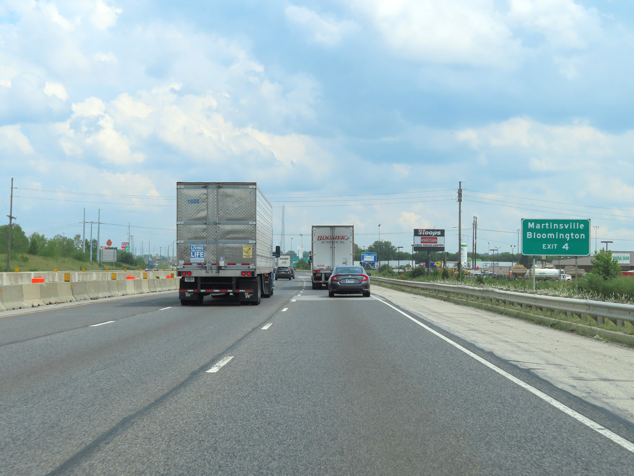 |
Take Exit 4 to Martinsville and Bloomington. (Photo taken 8/20/22). |
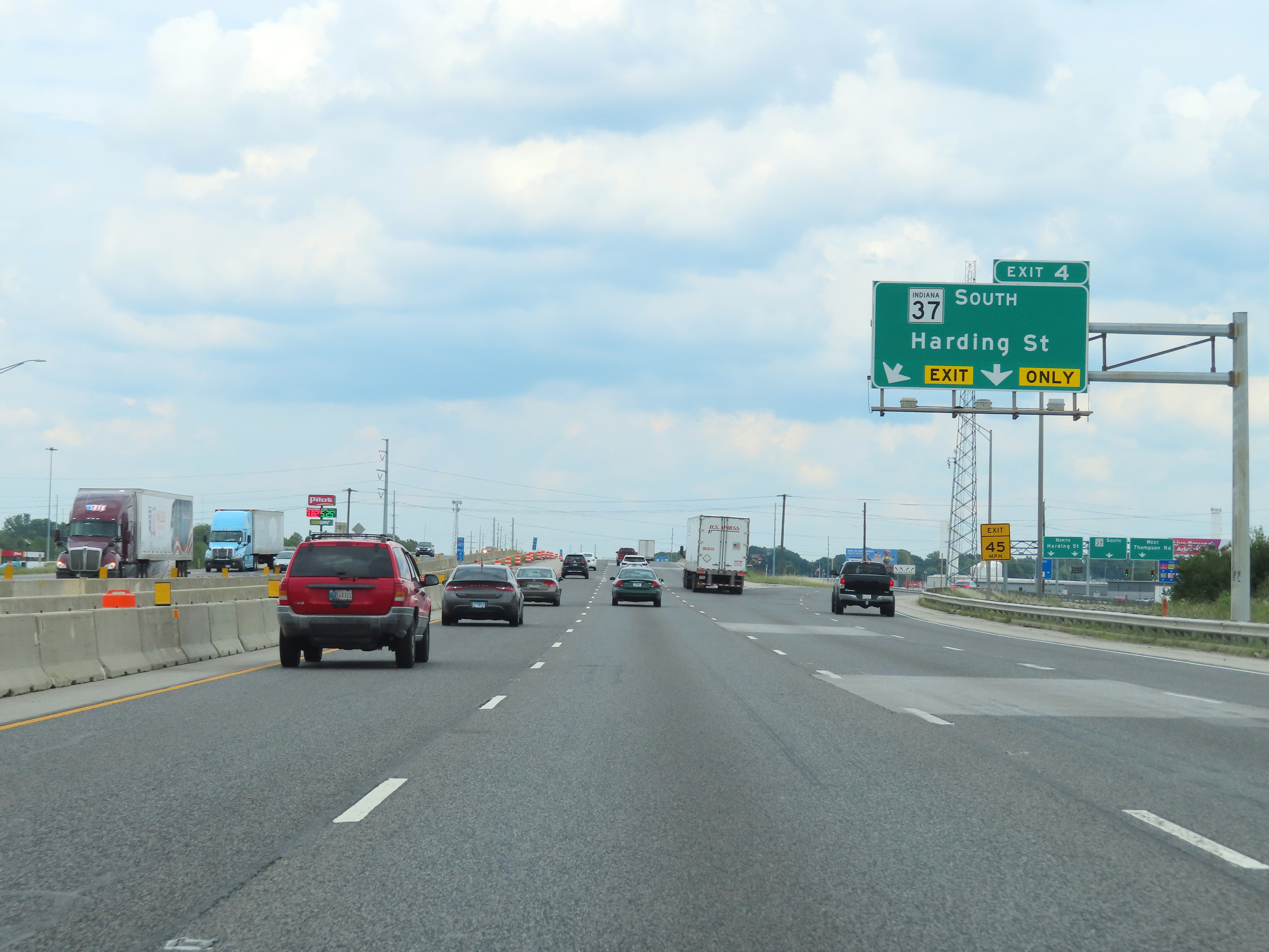 |
Interstate 74 East / Interstate 465 Outer Loop (East) at Exit 4: IN 37 South - Harding St (Photo taken 8/20/22). |
 |
View on Interstate 74 East / Interstate 465 Outer Loop (East) at mile marker 4.1. (Photo taken 8/20/22). |
 |
The speed limit remains 55 mph for all traffic on Interstate 74 East / Interstate 465 Outer Loop (East). (Photo taken 8/20/22). |
 |
Another overhead mileage sign at mile marker 3.2, dynamically displaying the current estimated travel times and distances to the departure of Interstate 74 and the junction of Interstate 70 on the east side of Indianapolis. (Photo taken 8/20/22). |
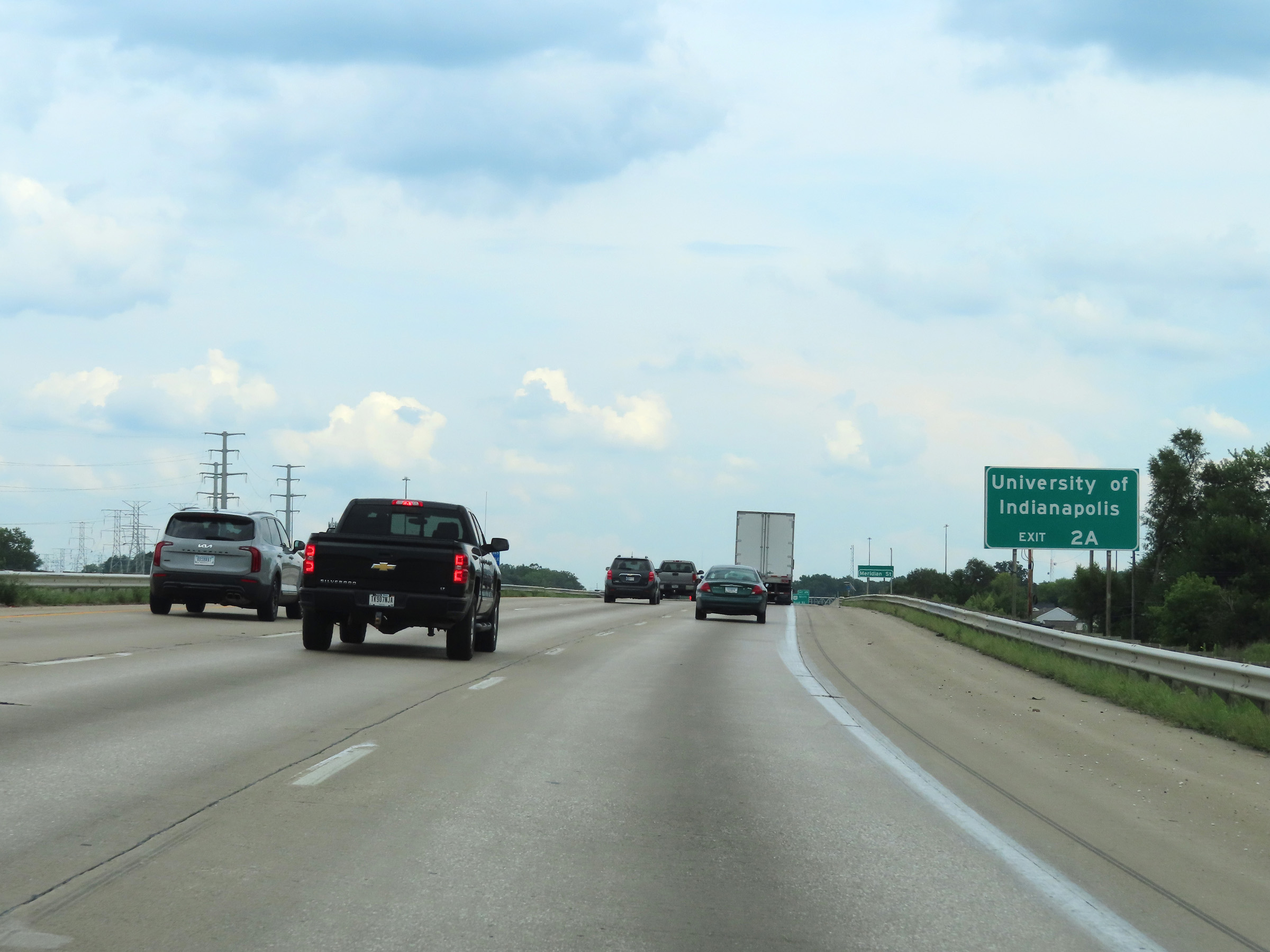 |
Take Exit 2A to the University of Indianapolis. (Photo taken 8/20/22). |
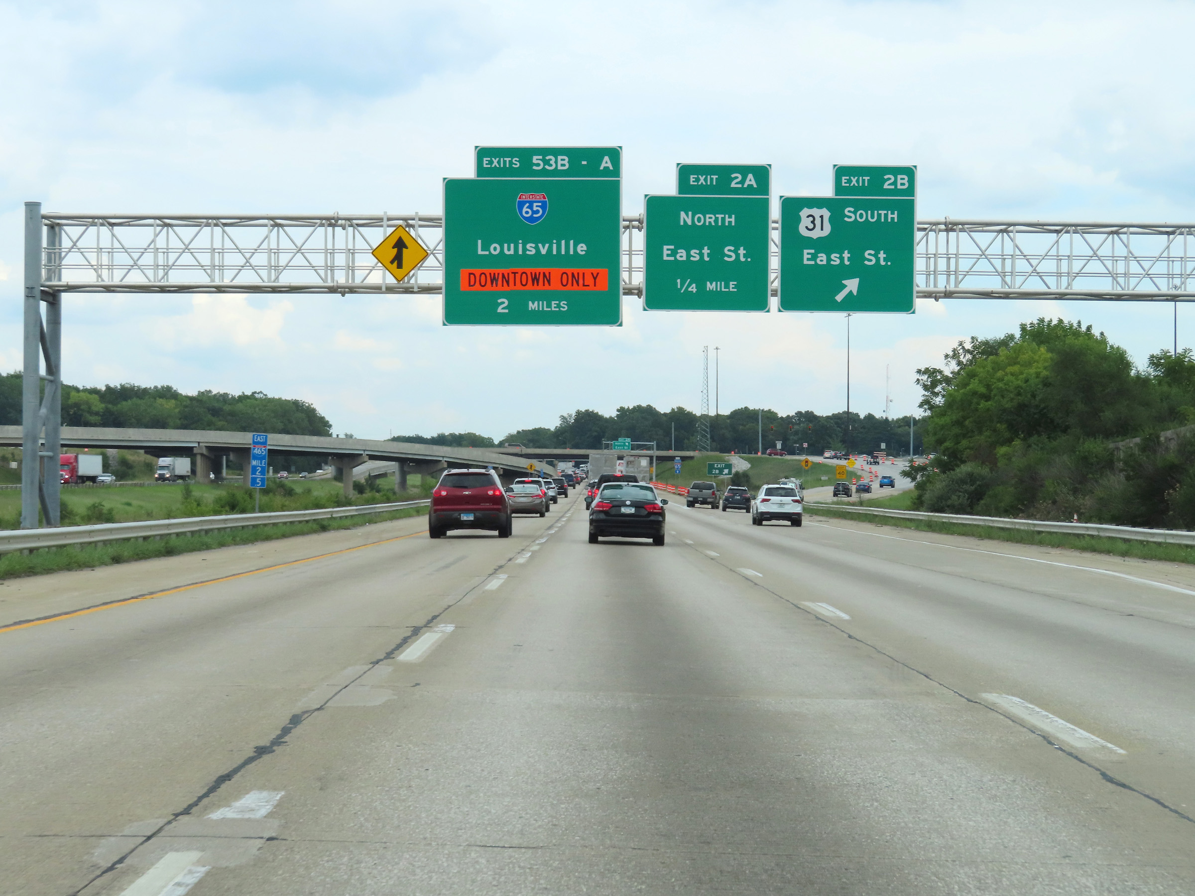 |
Interstate 74 East / Interstate 465 Outer Loop (East) at Exit 2B: US 31 South - East St (Photo taken 8/20/22). |
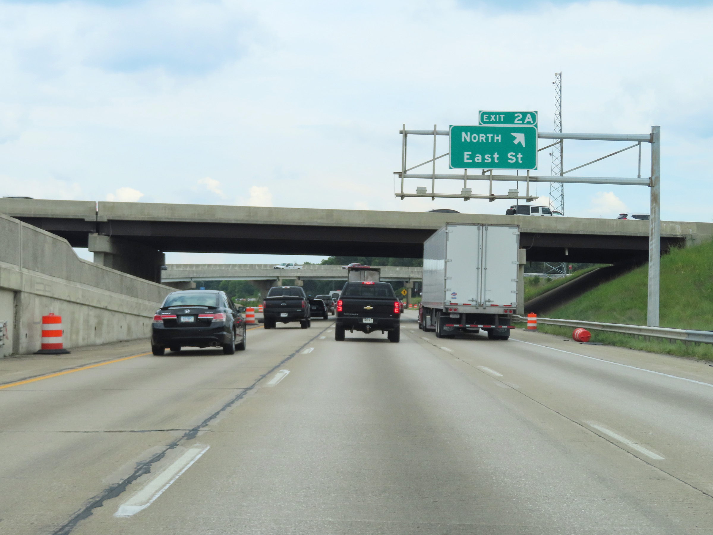 |
Interstate 74 East / Interstate 465 Outer Loop (East) at Exit 2A: East St North (Photo taken 8/20/22). |
 |
Mile marker 1.4 on Interstate 74 East / Interstate 465 Outer Loop (East). (Photo taken 8/20/22). |
 |
Interstate 74 East / Interstate 465 Outer Loop (East) approaching Exits 53B-A - 1 mile and 1 1/4 miles, respectively. (Photo taken 8/20/22). |
 |
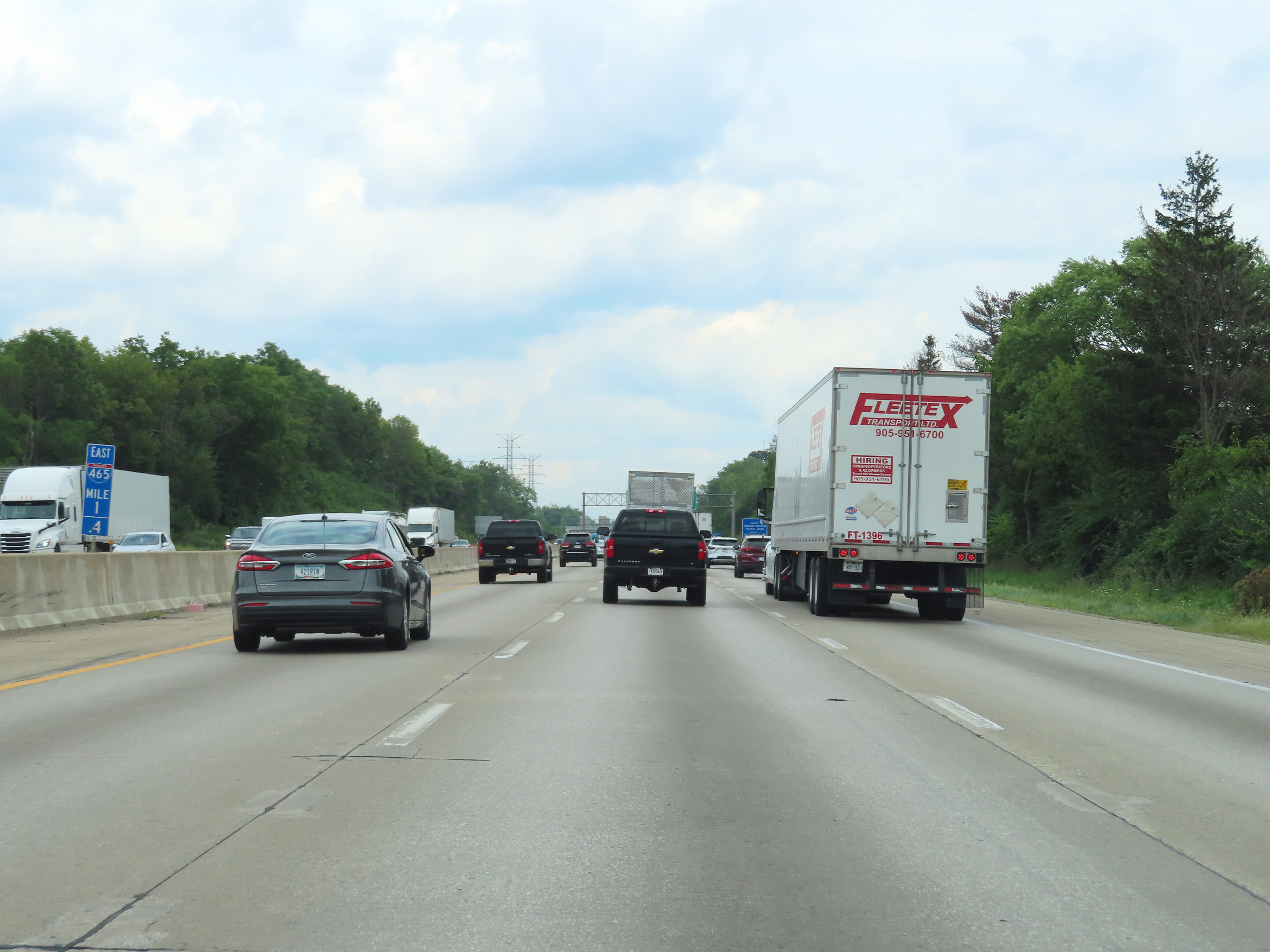
Interstate 74 East / Interstate 465 Outer Loop (East) at mile marker 1. (Photo taken 8/20/22). |
 |
View on Interstate 74 East / Interstate 465 Outer Loop (East) at mile marker 0.5. Ahead, at the junction of Interstate 65 on the south side of Indianapolis, the mileage of I-465 will reset. (Photo taken 8/20/22). |
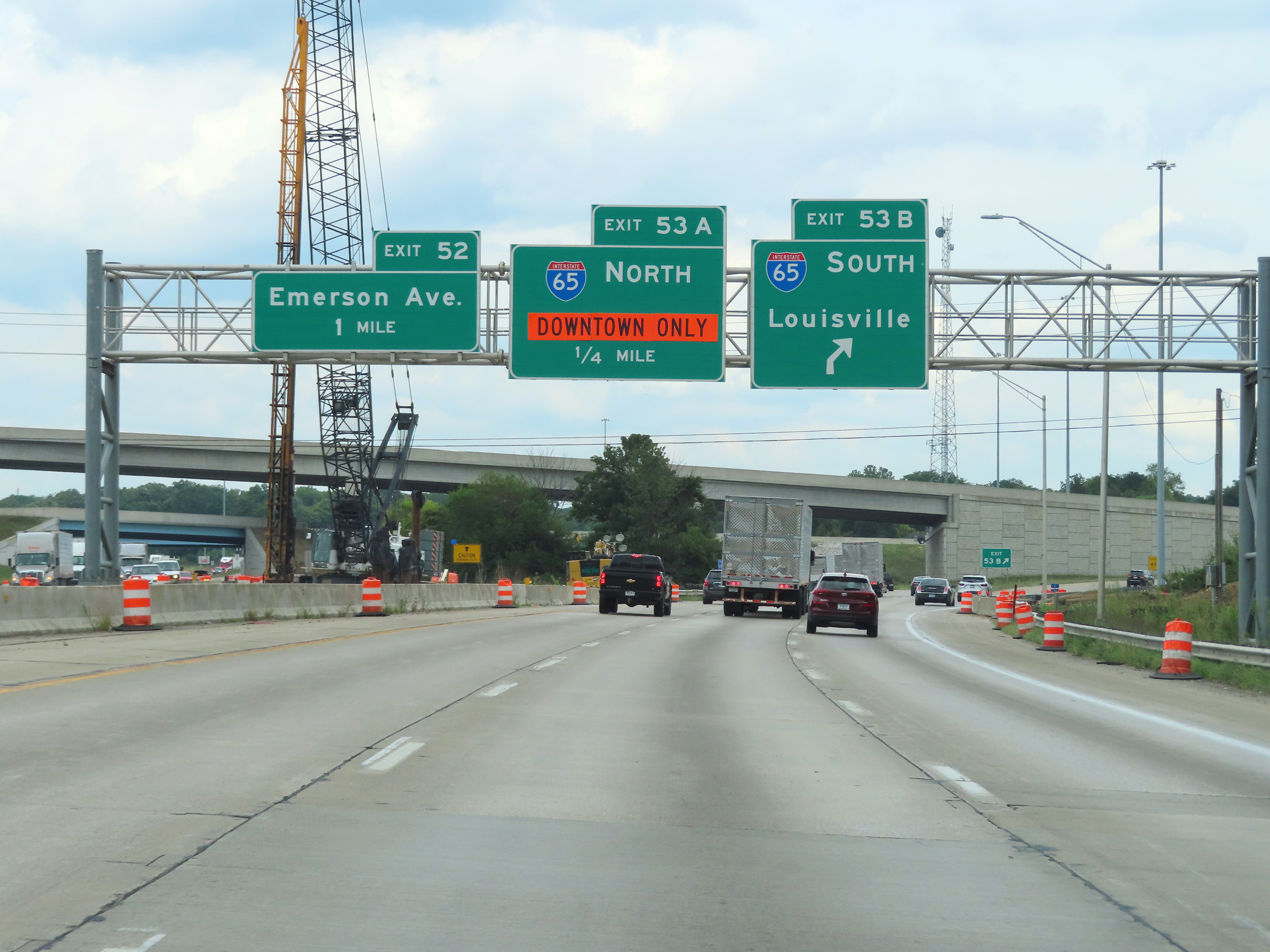 |
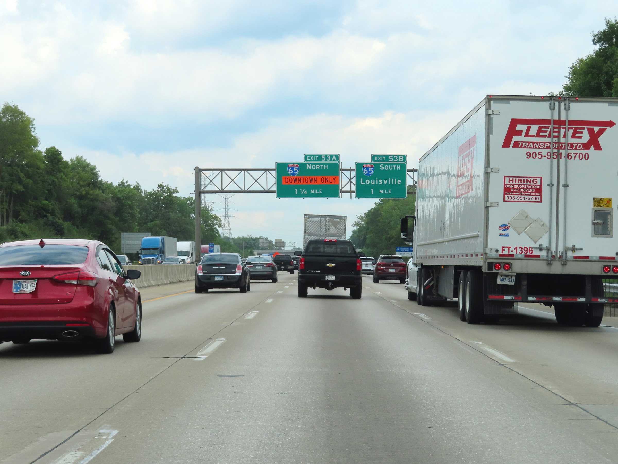
Interstate 74 East / Interstate 465 Outer Loop (East) at Exit 53B: Interstate 65 South - Louisville (Photo taken 8/20/22). |
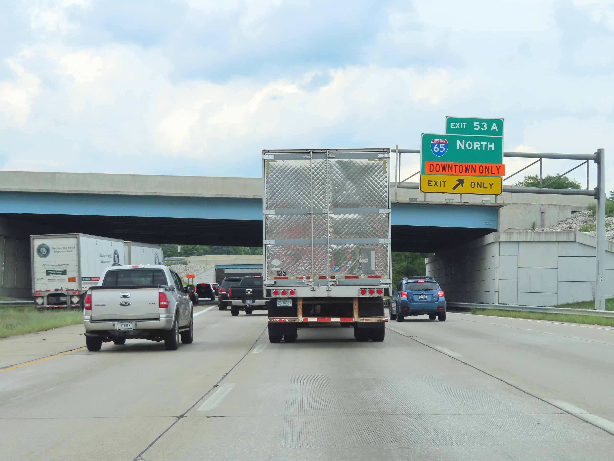 |
Interstate 74 East / Interstate 465 Outer Loop (East) at Exit 53A- Interstate 65 North - Indianapolis (Photo taken 8/20/22). |
 |
Gore point signage for Exit 53A on Interstate 74 East / Interstate 465 Outer Loop (East). It's at this point that the mileage on Interstate 465 resets, since it is a complete loop around the Indianapolis area. (Photo taken 8/20/22). |
 |
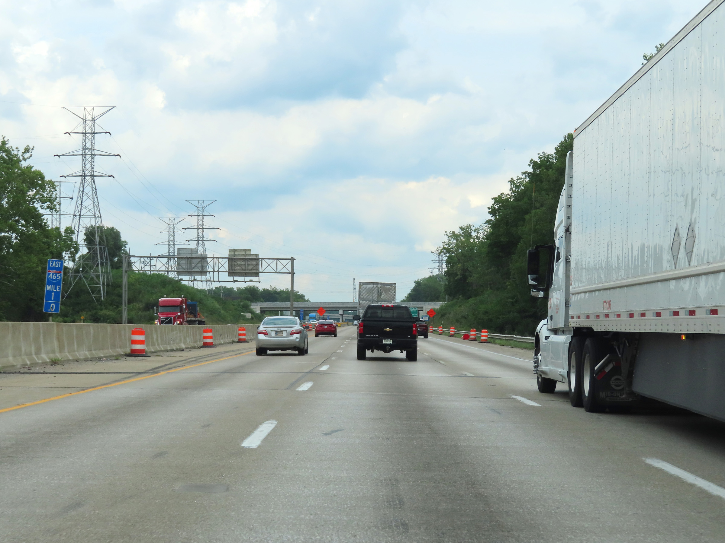
View on Interstate 74 East / Interstate 465 Outer Loop (East) at mile marker 53. (Photo taken 8/20/22). |
 |
At mile marker 52.9, we see traffic from Interstate 65 North merging into Interstate 74 East / Interstate 465 Outer Loop (East) from the right. (Photo taken 8/20/22). |
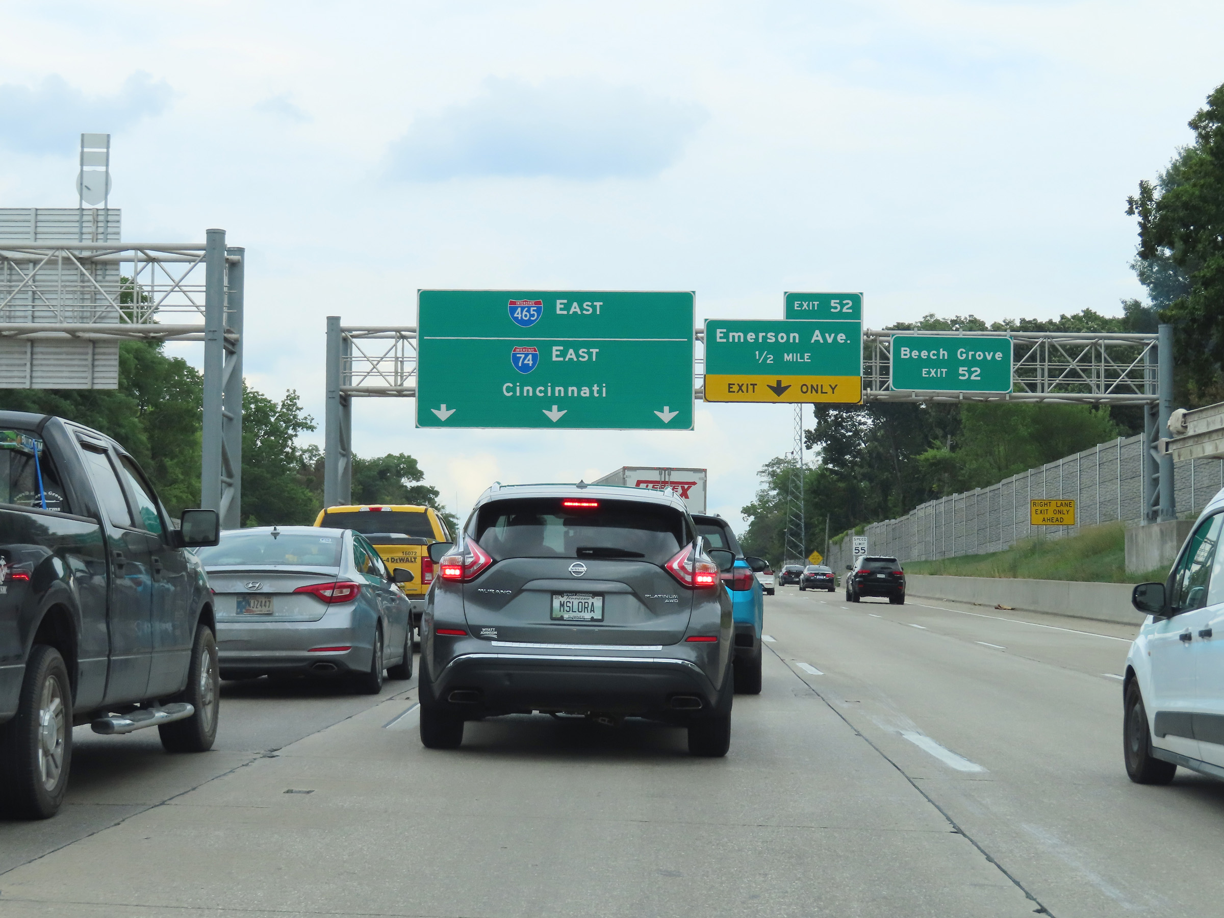 |
Take Exit 52 to Beech Grove. (Photo taken 8/20/22). |
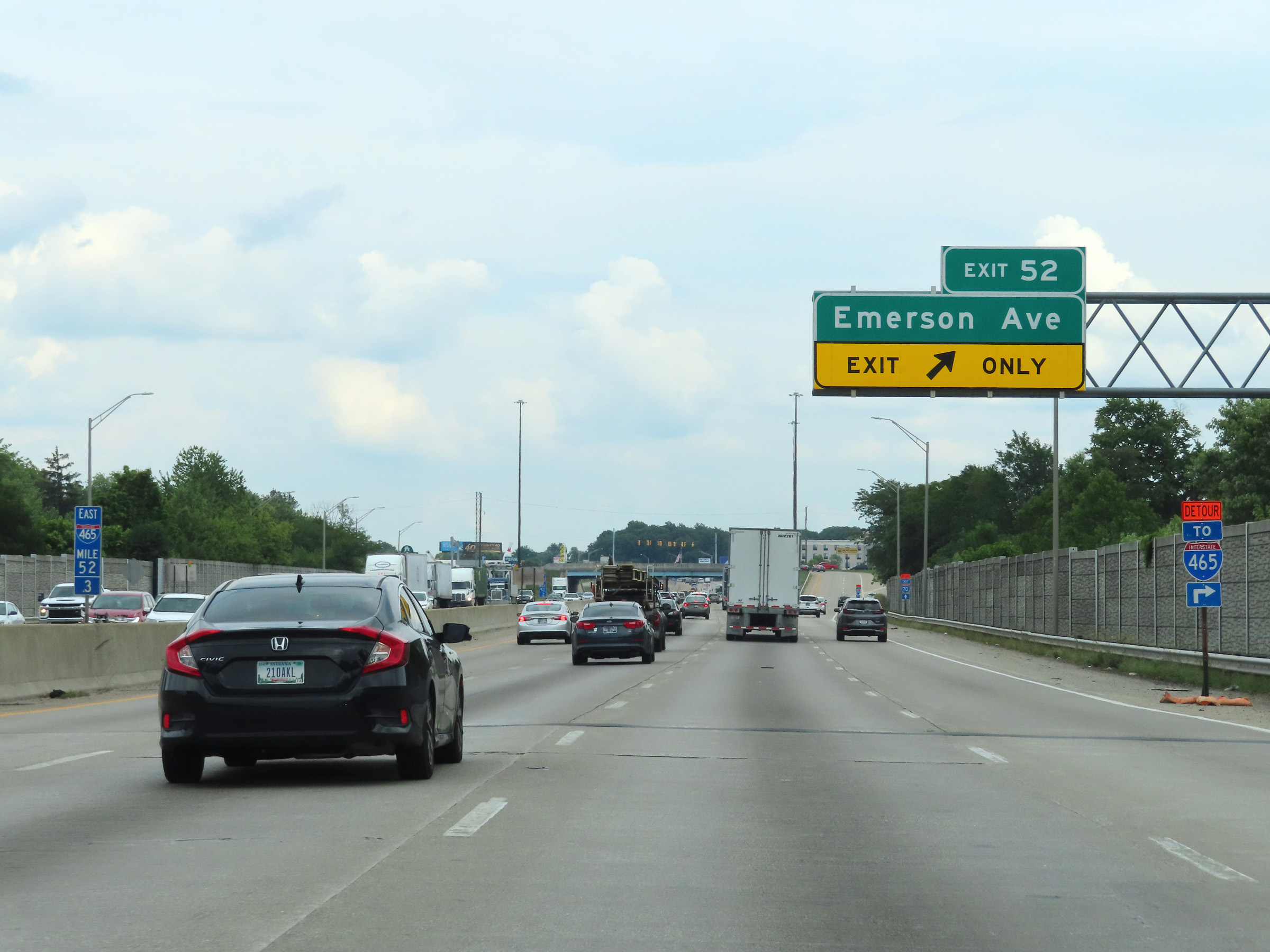 |
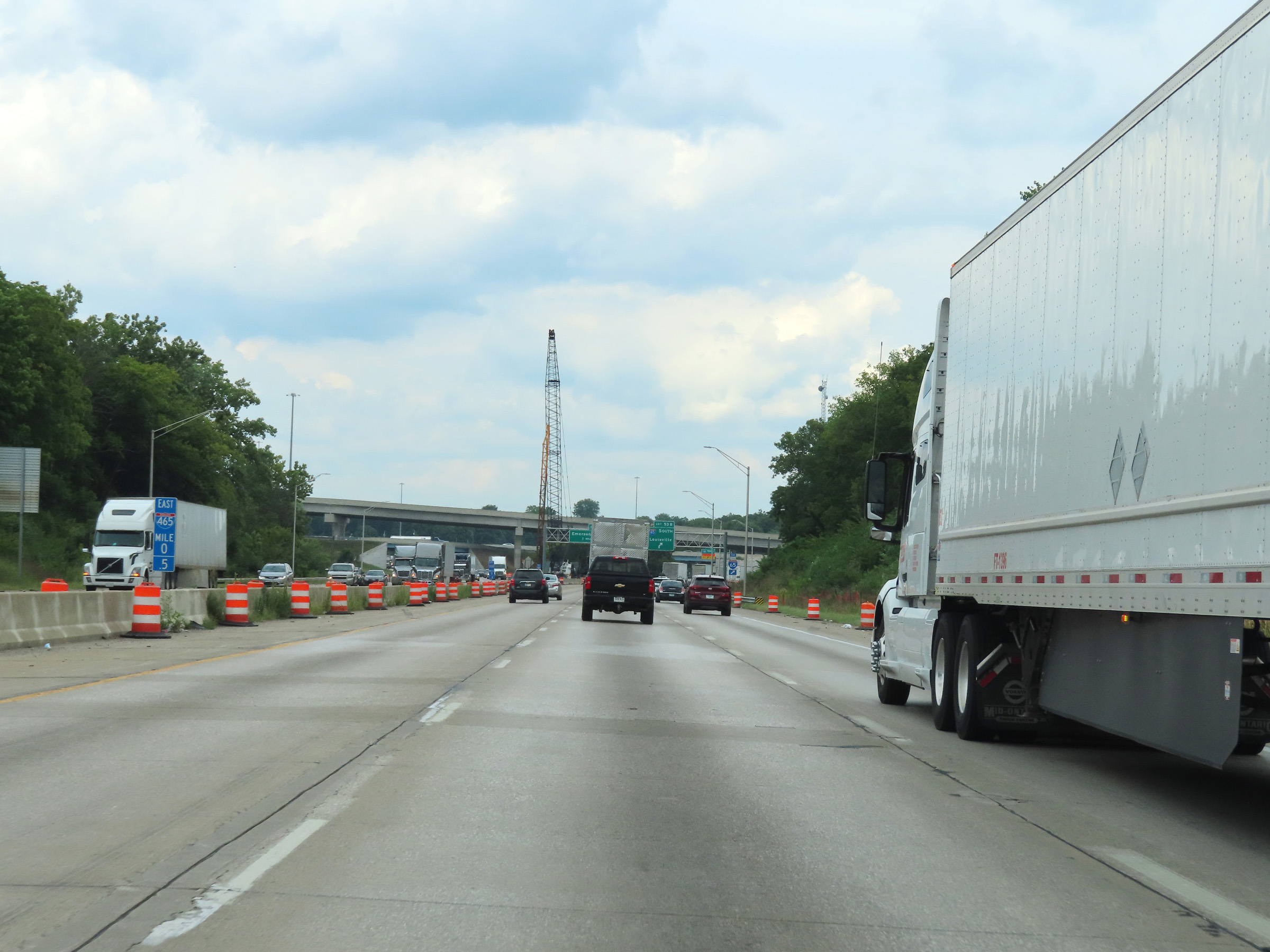
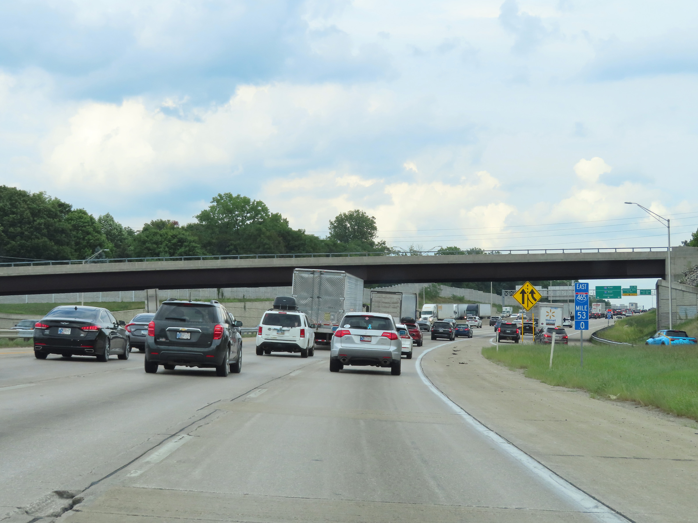
Interstate 74 East / Interstate 465 Outer Loop (East) at Exit 52: Emerson Ave (Photo taken 8/20/22). |
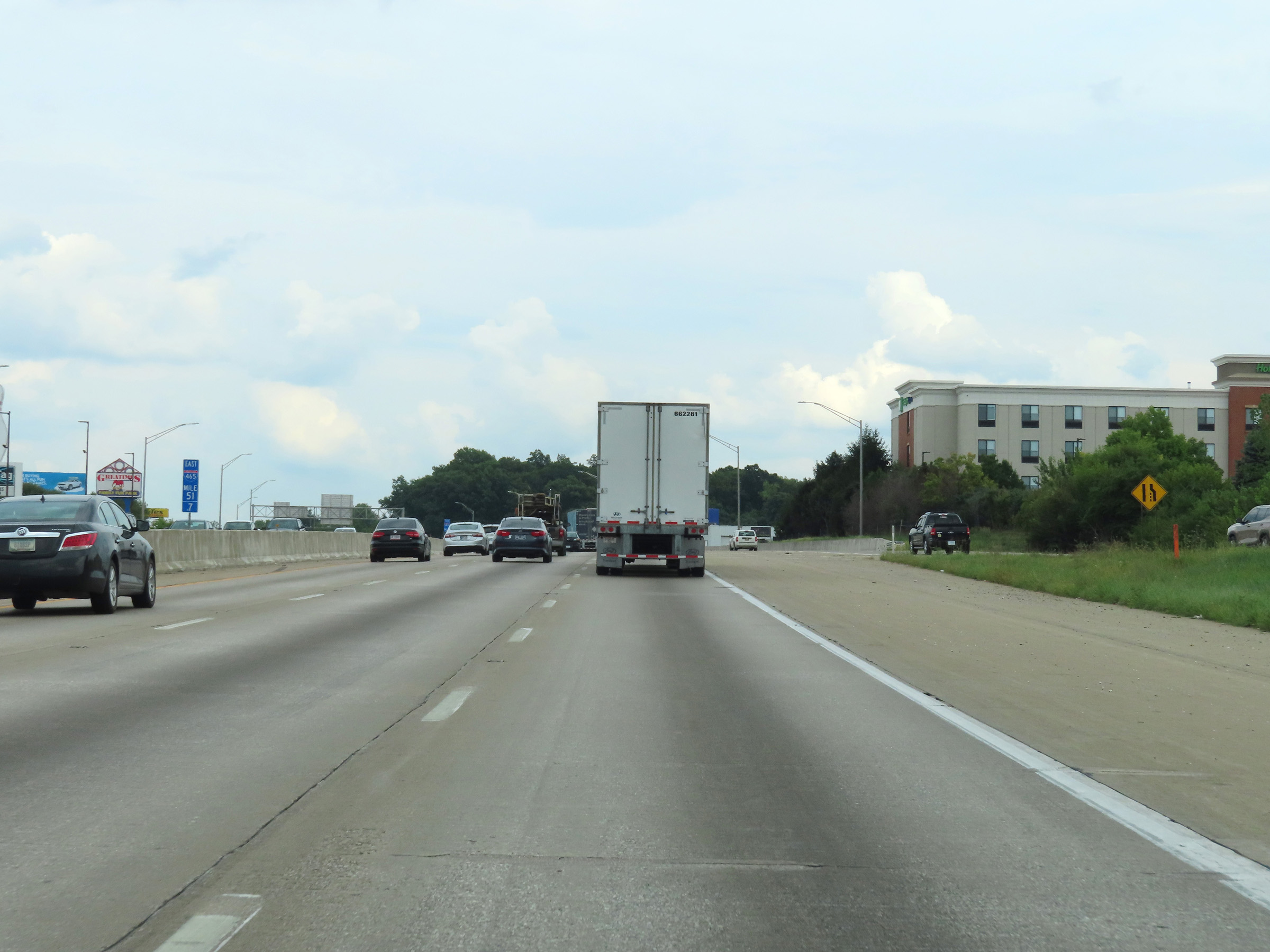 |
View on Interstate 74 East / Interstate 465 Outer Loop (East) at mile marker 51.7. (Photo taken 8/20/22). |
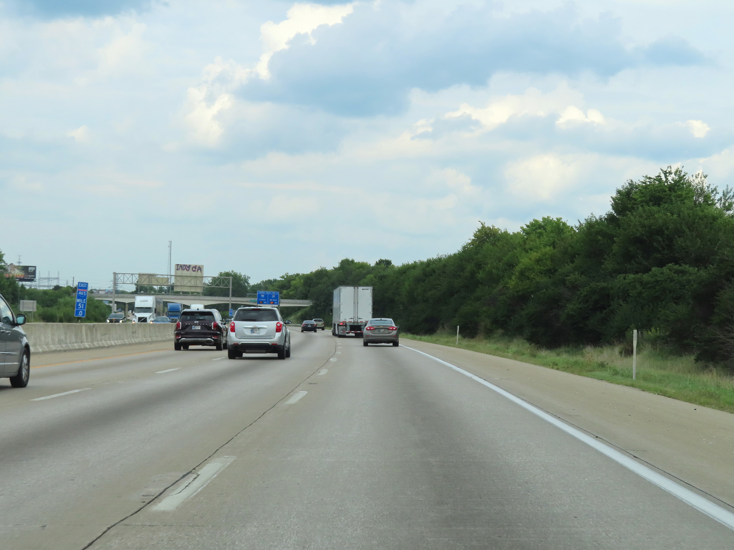 |
Interstate 74 East / Interstate 465 Outer Loop (East) at mile marker 51. (Photo taken 8/20/22). |
 |
Interstate 74 East / Interstate 465 Outer Loop (East) approaching the departure of Interstate 74 East via Exit 49 - 1 mile. (Photo taken 8/20/22). |
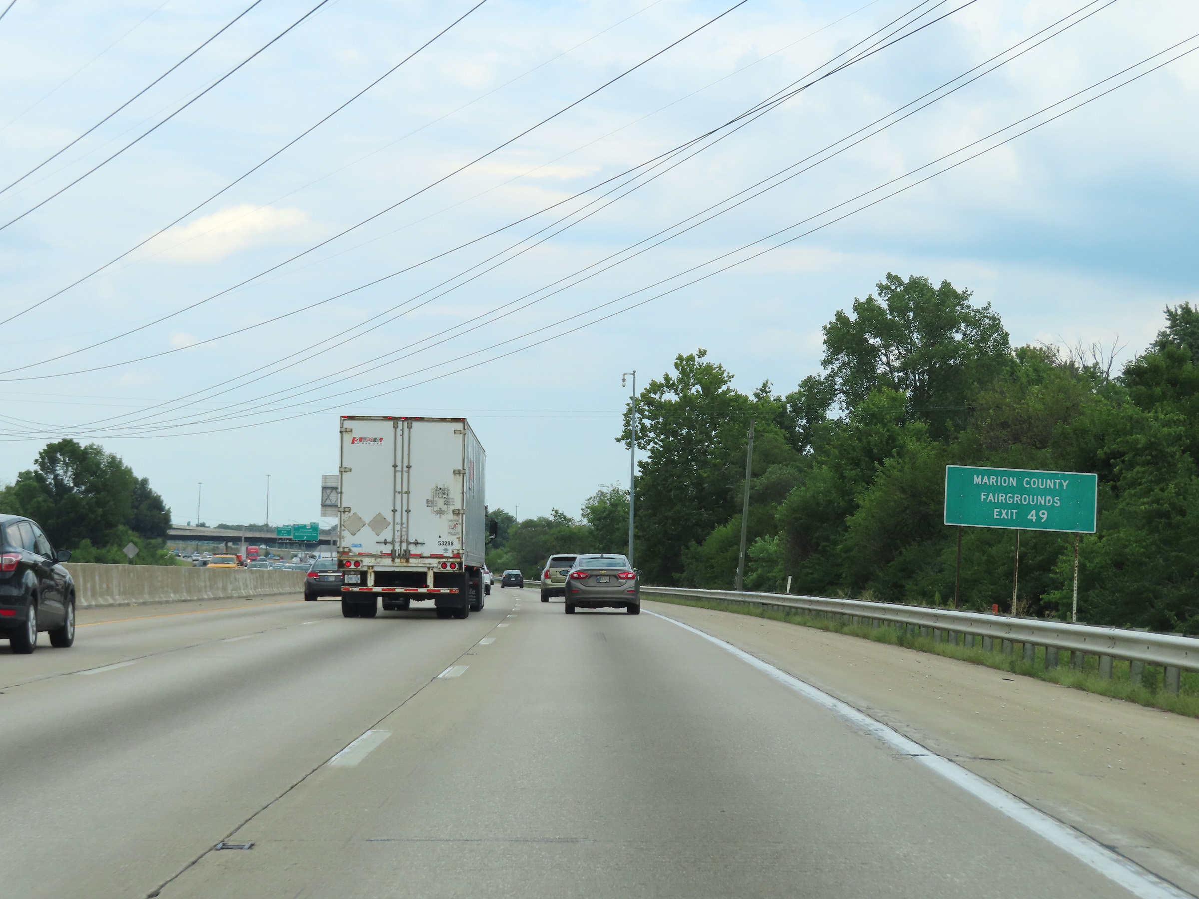 |
Take Exit 49 and follow Interstate 74 East to the Marion County Fairgrounds. (Photo taken 8/20/22). |
 |
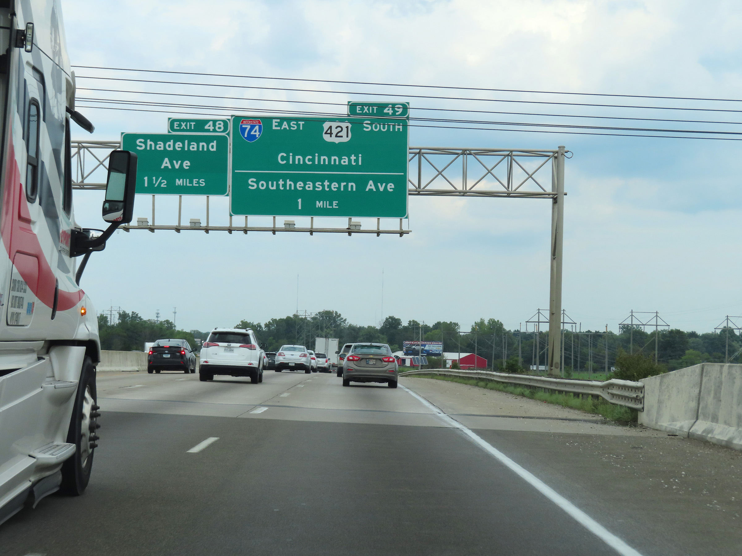
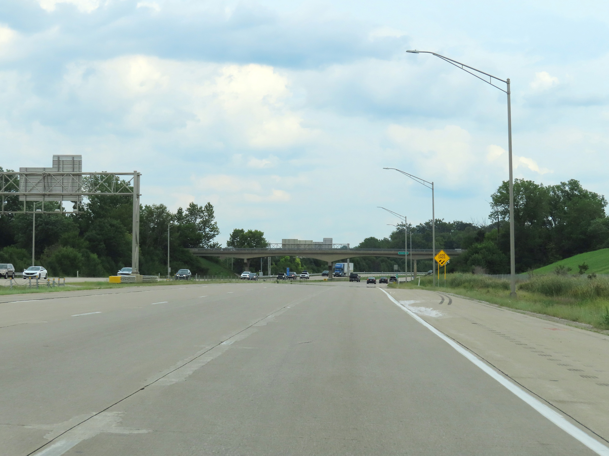
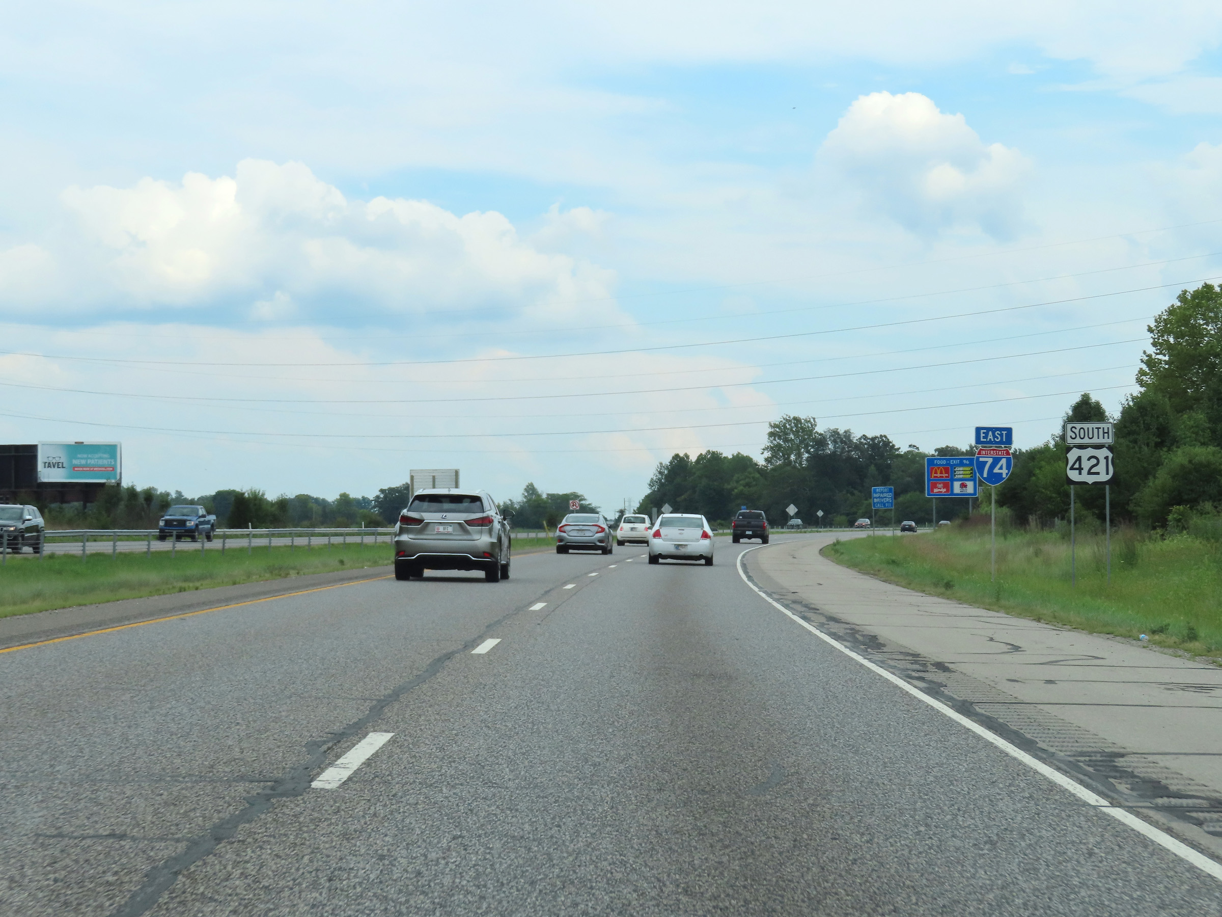
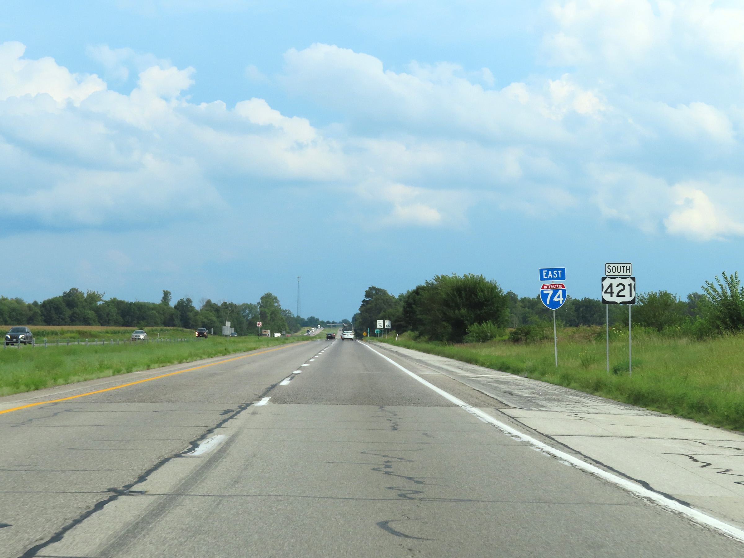
Interstate 74 East / Interstate 465 Outer Loop (East) at Exit 49: Interstate 74 East / US 421 South - Cincinnati / Southeastern Ave (Photo taken 8/20/22). |
 |
The ramp for Exit 49 splits into two separate ramps ahead. Interstate 74 East thru traffic should use the right lane. (Photo taken 8/20/22). |
 |
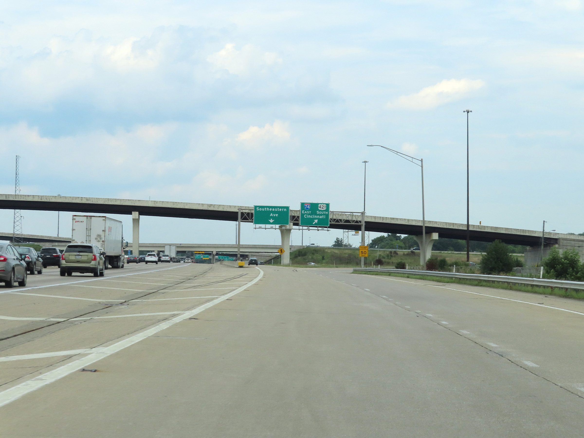
View of the split of the ramp for Exit 49. The left lane is the ramp to Southeastern Ave, while Interstate 74 East thru traffic must use the right lane. (Photo taken 8/20/22). |
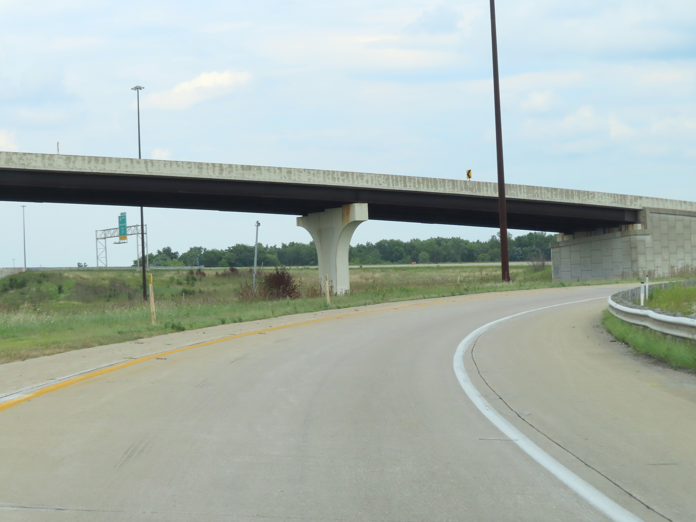 |
Interstate 74 East is briefly reduced to a single lane here, as it curves to the east after its departure from Interstate 465 Outer Loop (East). (Photo taken 8/20/22). |
 |
Ahead, traffic from Interstate 465 Inner Loop (West) will join the thru lane of Interstate 74 East, giving it two thru lanes once again. (Photo taken 8/20/22). |
 |
The right lane will come to an end ahead on Interstate 74 East, as two lanes from Interstate 465 Inner Loop (West) and US 421 South become the two thru lanes of I-74 East. (Photo taken 8/20/22). |
 |
View on Interstate 74 East at mile marker 94, as the aforementioned right lane comes to an end. (Photo taken 8/20/22). |
 |
The speed limits on Interstate 74 East after its departure from Interstate 465 are 65 mph for automobiles and 60 mph for trucks. (Photo taken 8/20/22). |
 |
Once again, the right lane comes to an end here on Interstate 74 East, leaving it with just two thru lanes at mile marker 94.4. (Photo taken 8/20/22). |
 |
Interstate 74 East reassurance shield. (Photo taken 8/20/22). |
 |
Mileage sign on Interstate 74 East. It's 20 miles to Shelbyville and 102 miles to Cincinnati. (Photo taken 8/20/22). |
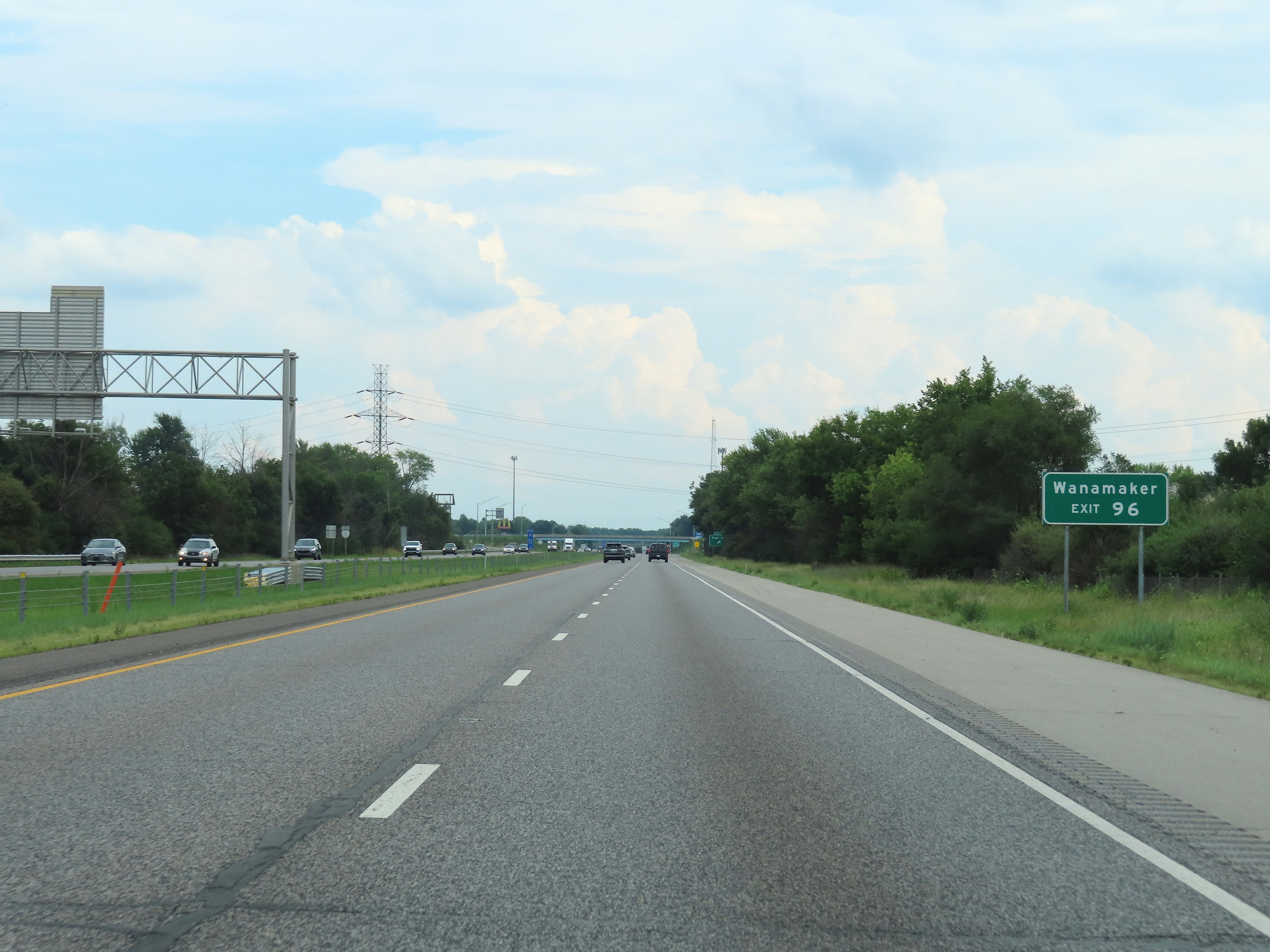 |
Take Exit 96 to Wanamaker. (Photo taken 8/20/22). |
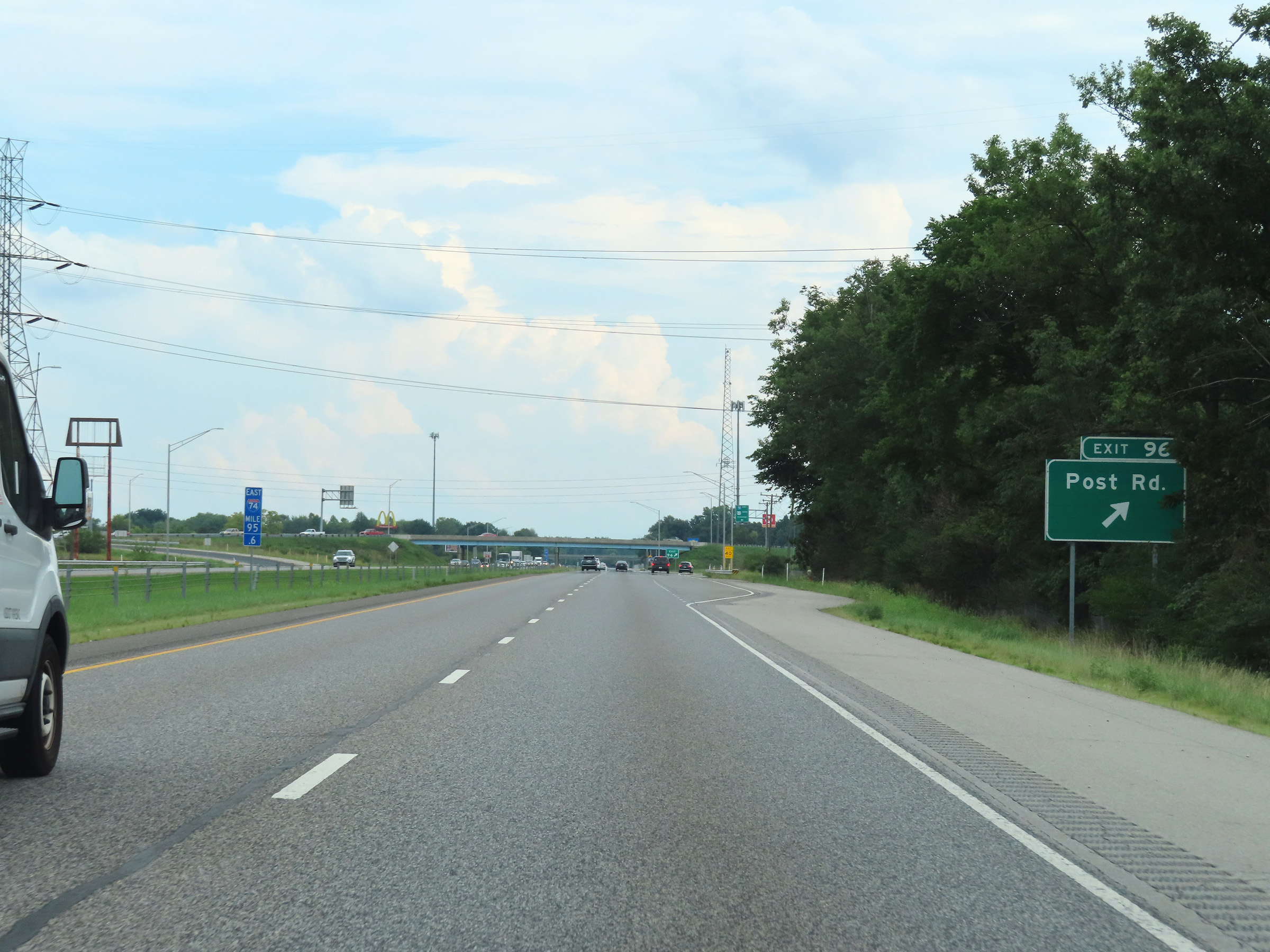 |
Interstate 74 East at Exit 96: Post Rd (Photo taken 8/20/22). |
 |
View on Interstate 74 East at mile marker 98. (Photo taken 8/20/22). |
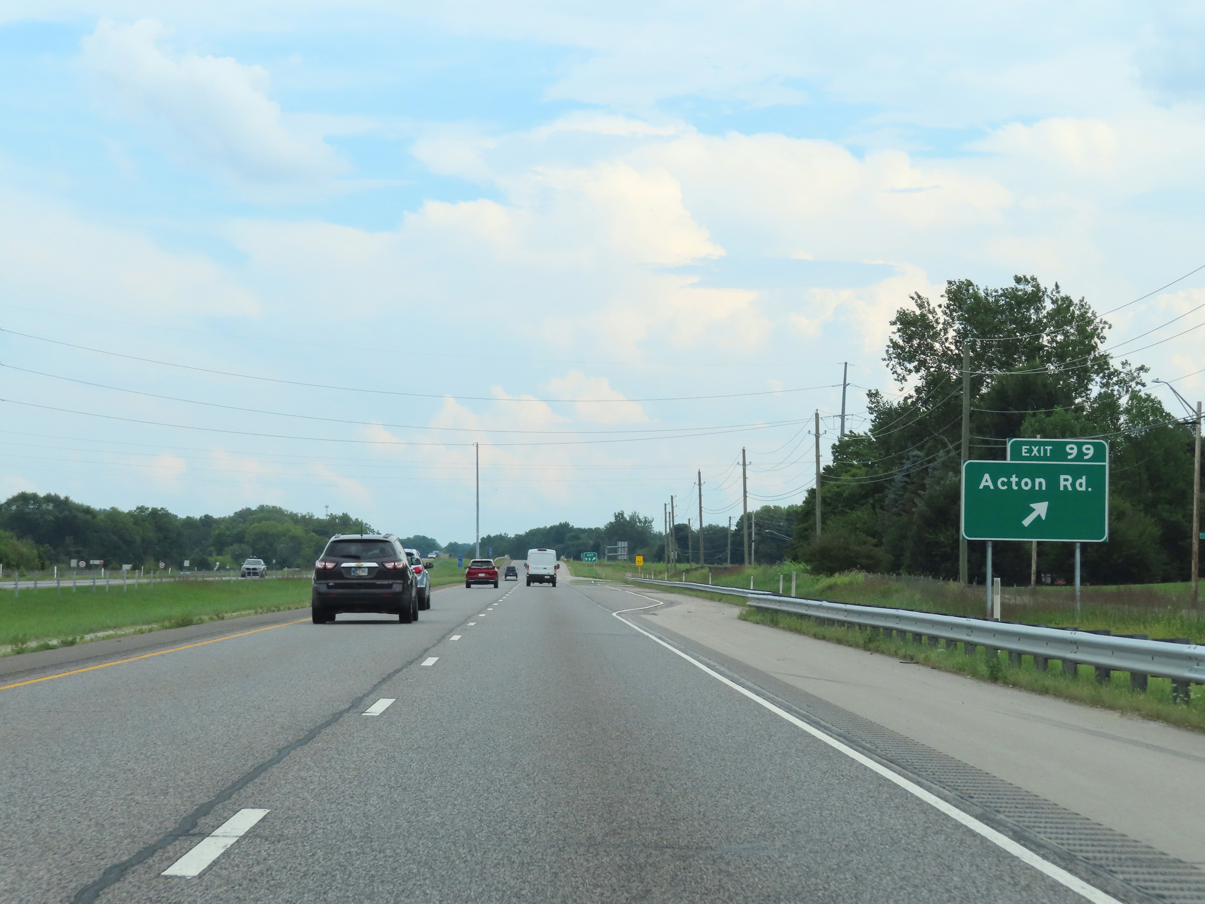 |
Interstate 74 East at Exit 99: Acton Rd (Photo taken 8/20/22). |
Section 3: Acton (Exit 99) to Greensburg (Exit 132)
 |
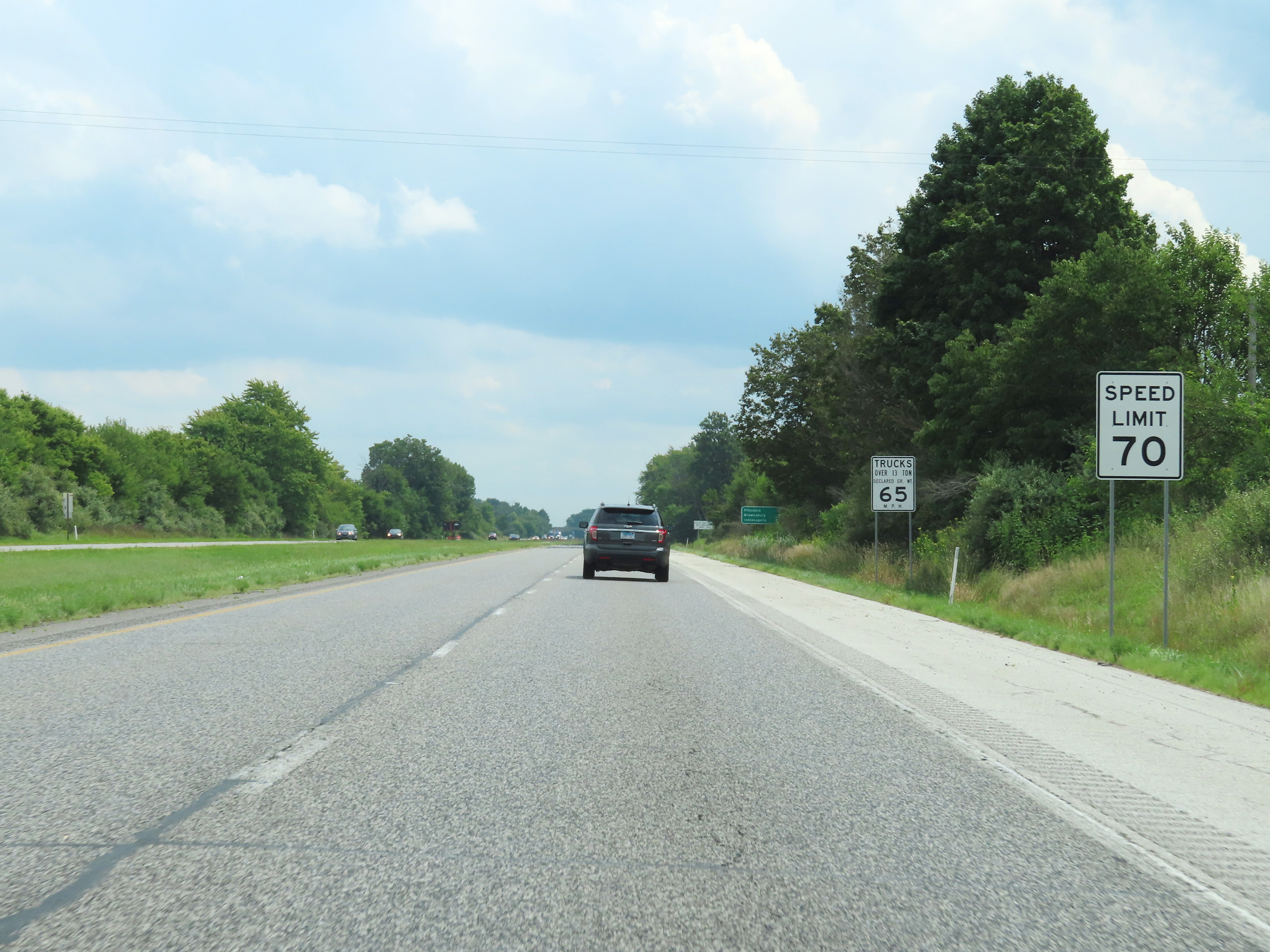
East of Exit 99, the speed limits on Interstate 74 East increase to the rural standard 70 mph for automobiles and 65 mph for trucks. (Photo taken 8/20/22). |
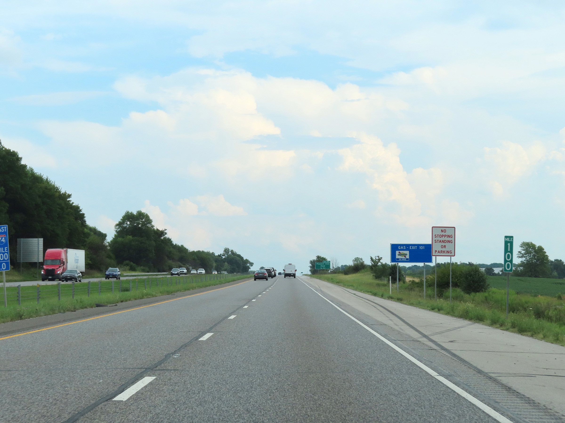 |
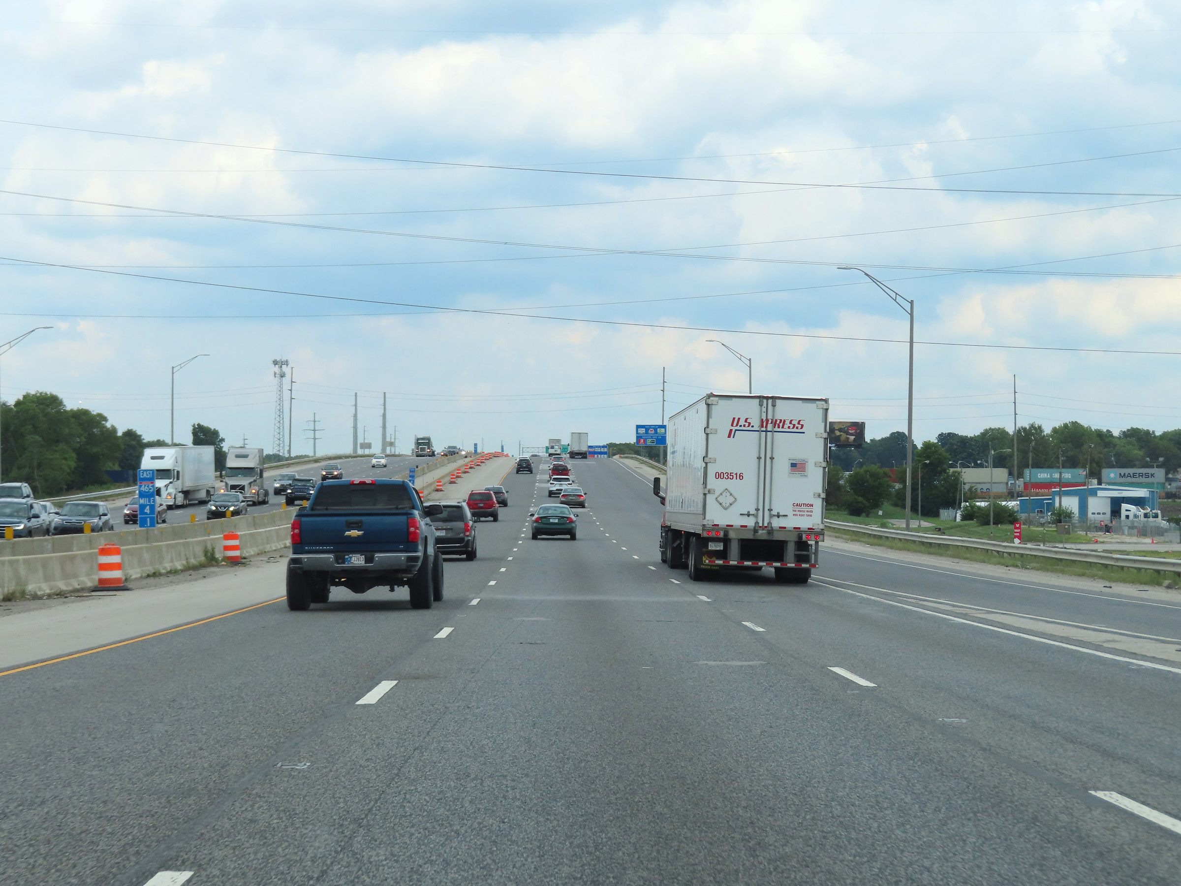
View on Interstate 74 East at mile marker 100. (Photo taken 8/20/22). |
 |
Interstate 74 East as it enters Shelby County. (Photo taken 8/20/22). |
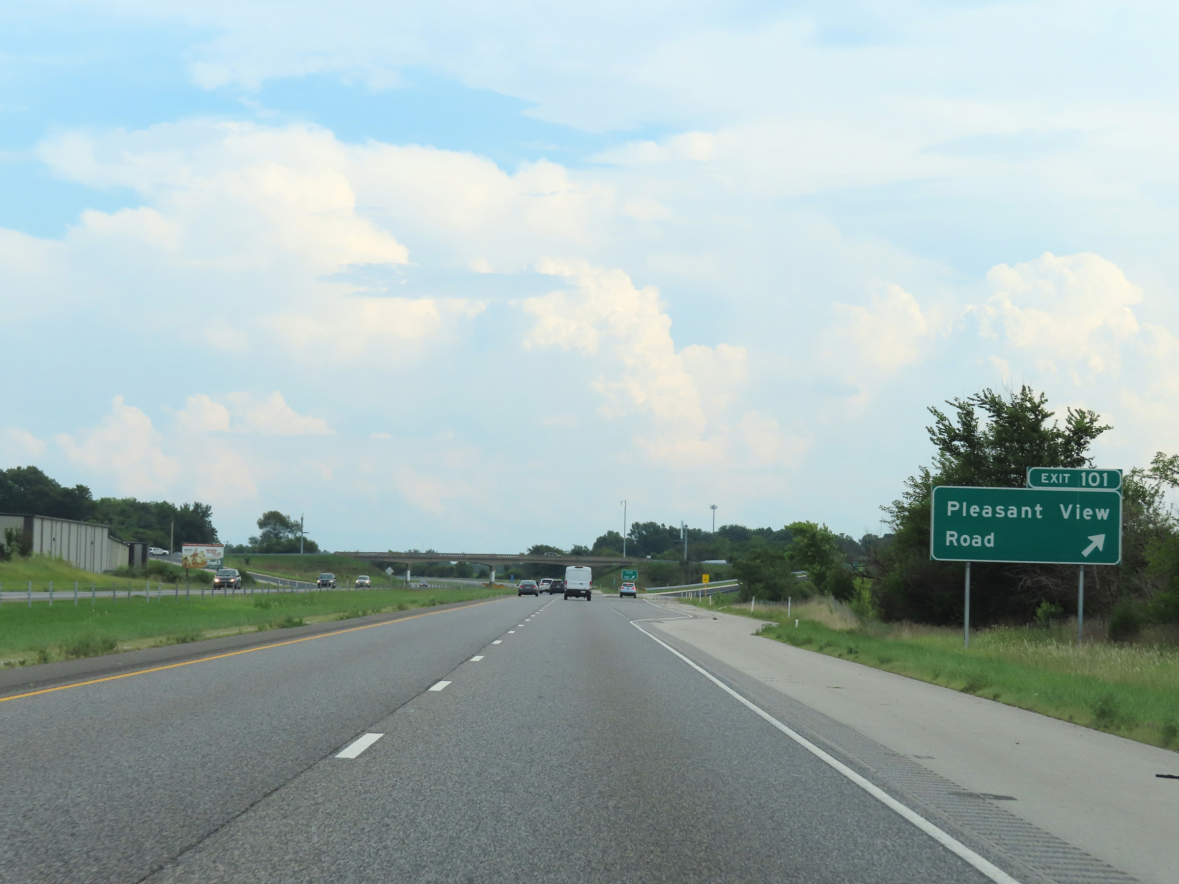 |
Interstate 74 East at Exit 101: Pleasant View Road (Photo taken 8/20/22). |
 |
Another Interstate 74 East reassurance shield. (Photo taken 8/20/22). |
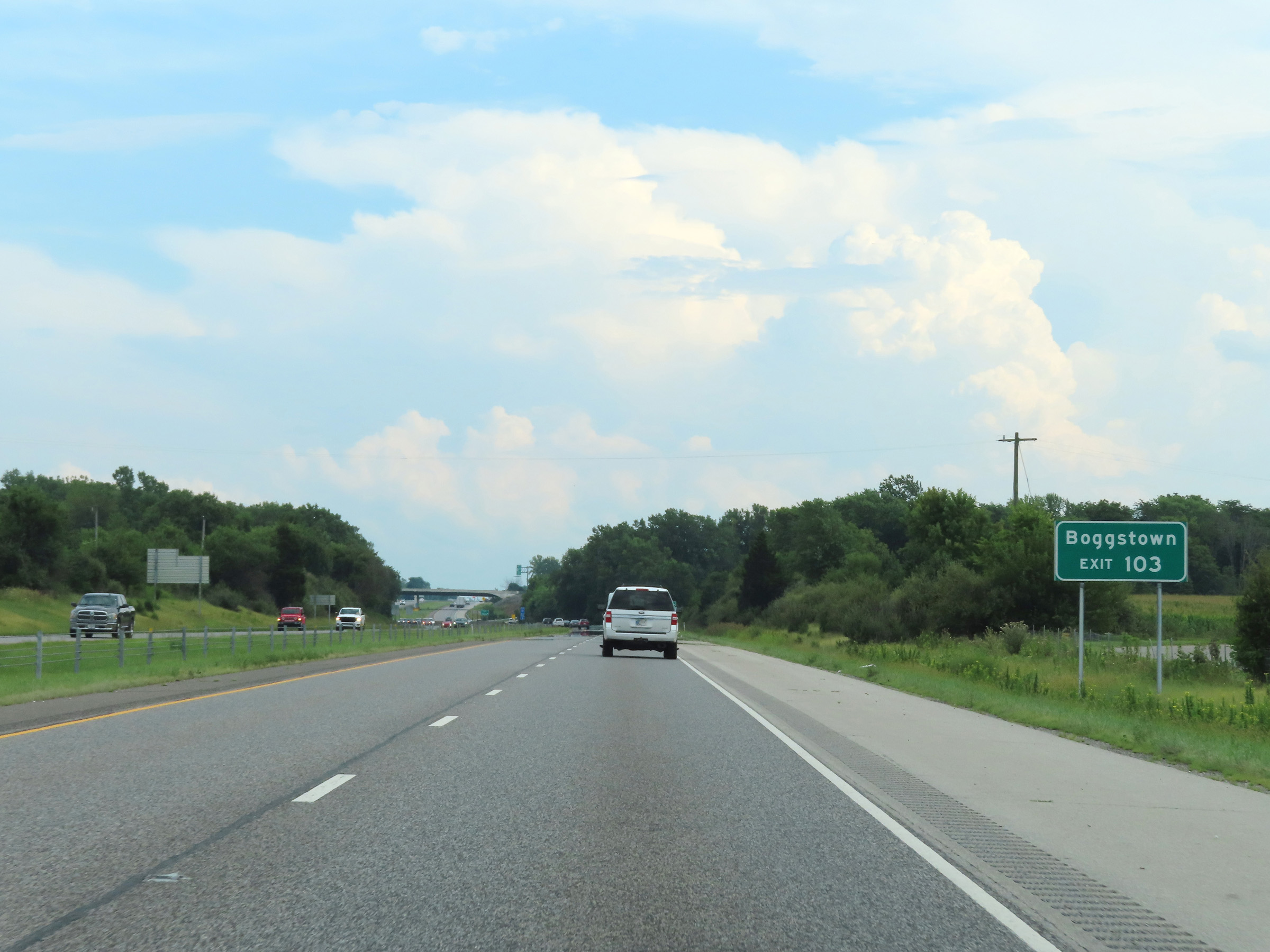 |
Take Exit 103 to Boggstown. (Photo taken 8/20/22). |
 |
Interstate 74 East at Exit 103: London Rd (Photo taken 8/20/22). |
 |
The speed limits remain the rural standard 70 mph for automobiles and 65 mph for trucks. (Photo taken 8/20/22). |
 |
Mile marker 104 on Interstate 74 East in Shelby County. (Photo taken 8/20/22). |
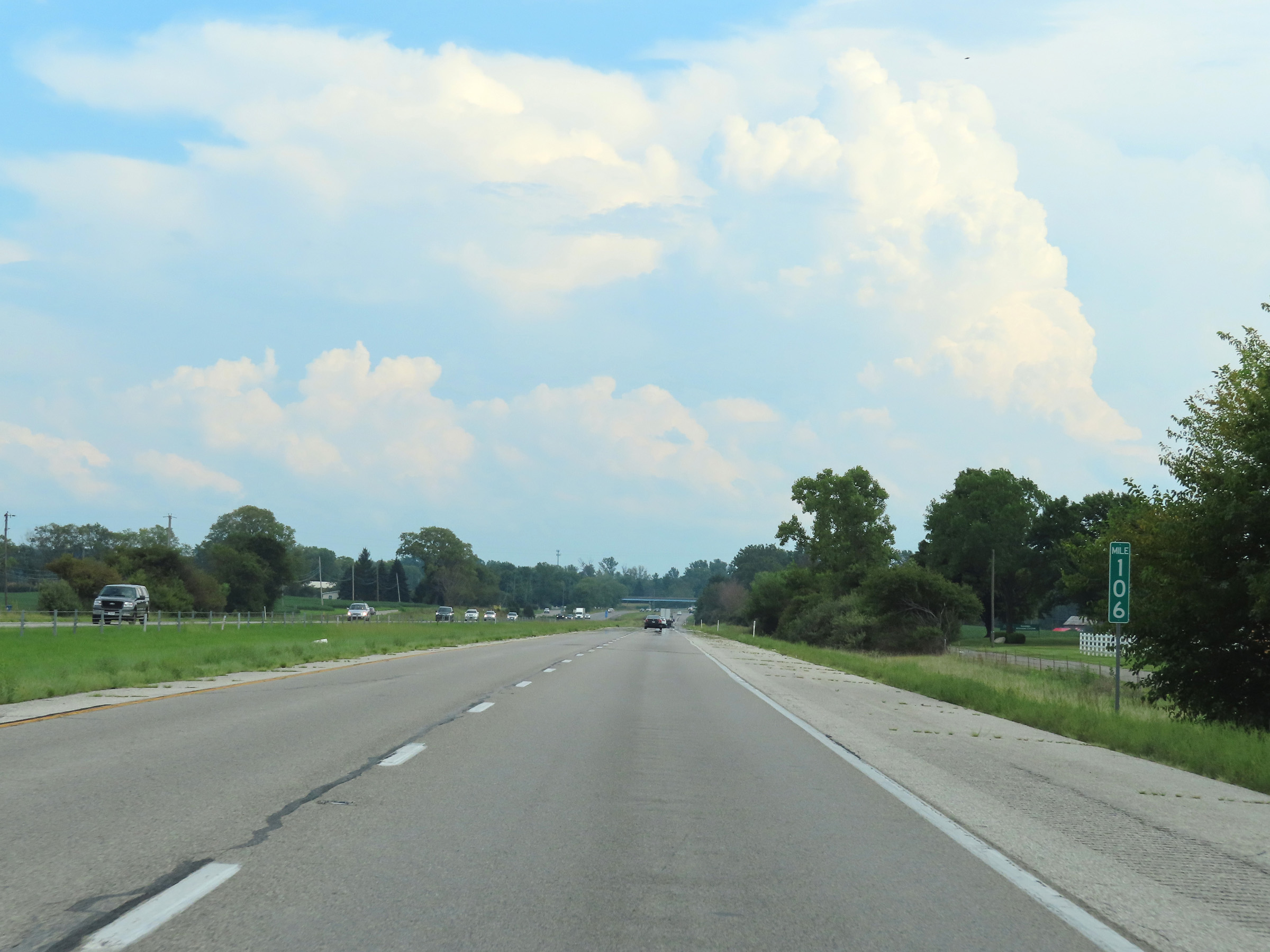 |
View on Interstate 74 East at mile marker 106. (Photo taken 8/20/22). |
 |
Interstate 74 East at mile marker 108. (Photo taken 8/20/22). |
 |
Take Exit 109 to Shelbyville Municipal Airport. (Photo taken 8/20/22). |
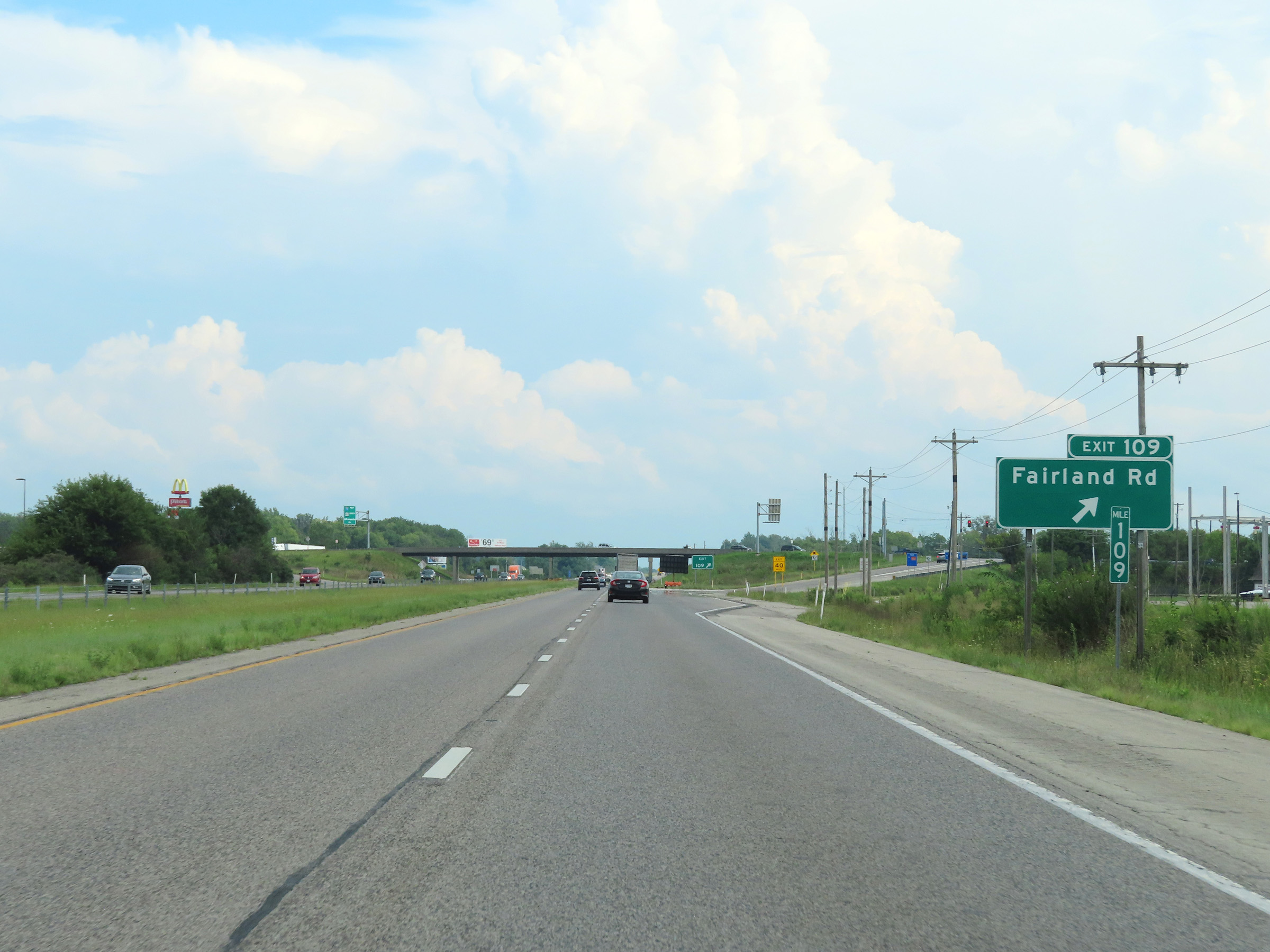 |
Interstate 74 East at Exit 109: Fairland Rd (Photo taken 8/20/22). |
 |
Another mileage sign on Interstate 74 East. It's 5 miles to Shelbyville, 23 miles to Rushville, and 87 miles to Cincinnati. (Photo taken 8/20/22). |
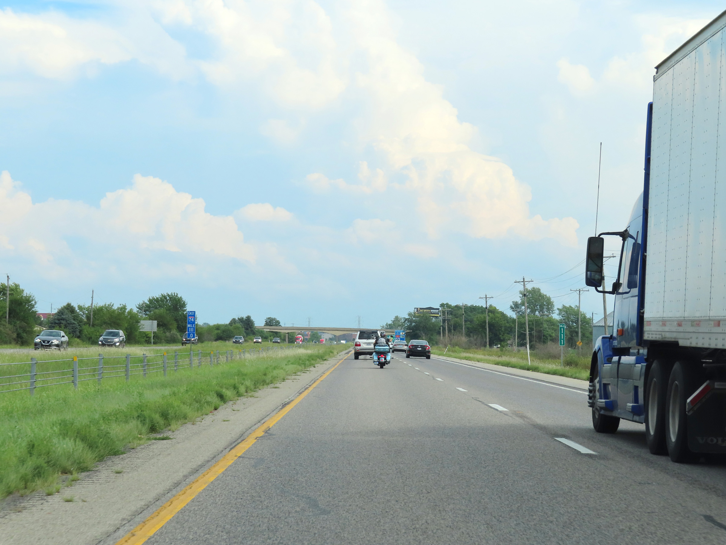 |
Interstate 74 East at mile marker 111. (Photo taken 8/20/22). |
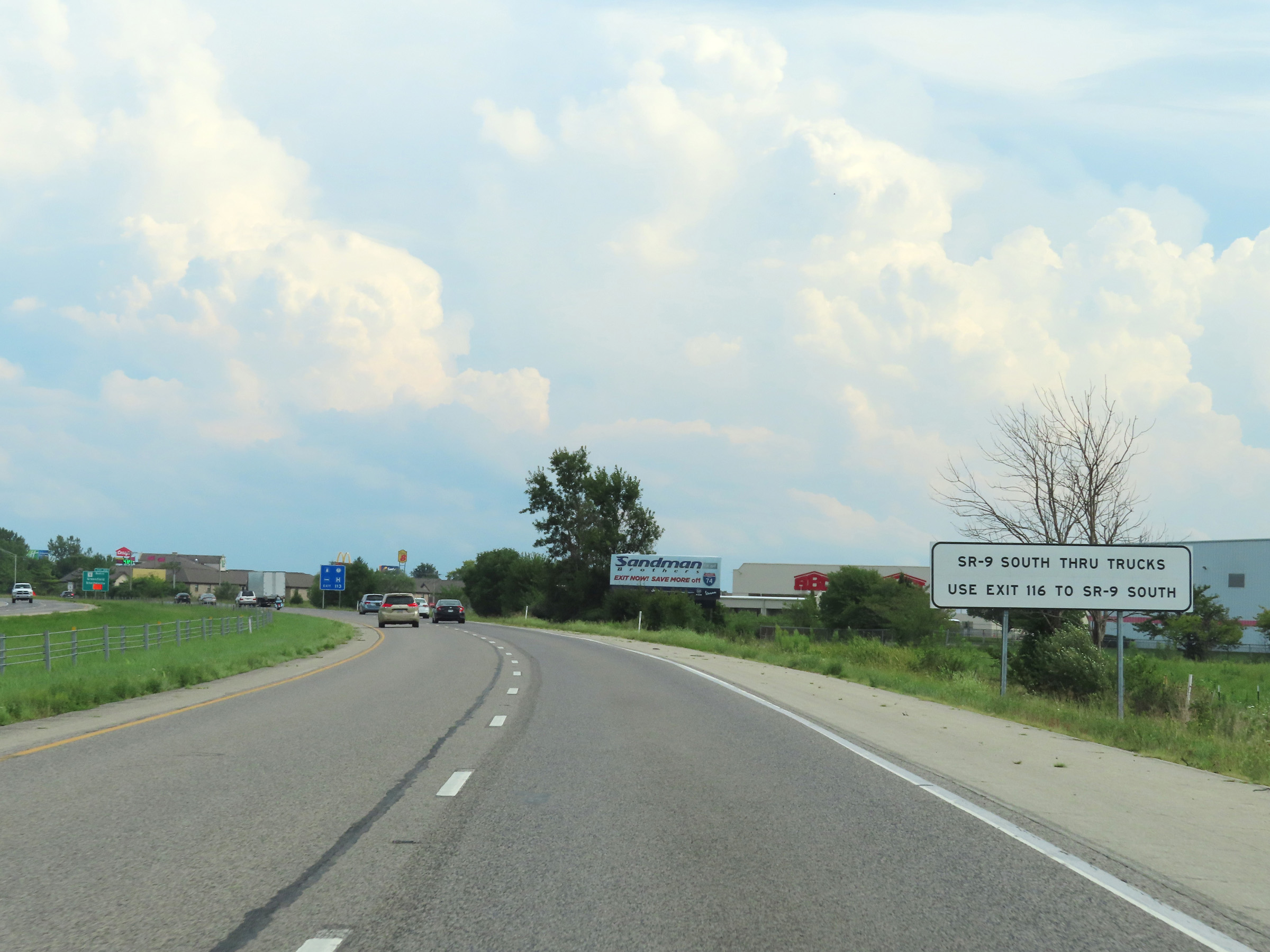 |
Trucks to IN 9 South should use Exit 116. (Photo taken 8/20/22). |
 |
Interstate 74 East at Exit 113: IN 9 North - Greenfield / Shelbyville (Photo taken 8/20/22). |
 |
Mile marker 114 on Interstate 74 East in Shelby County. (Photo taken 8/20/22). |
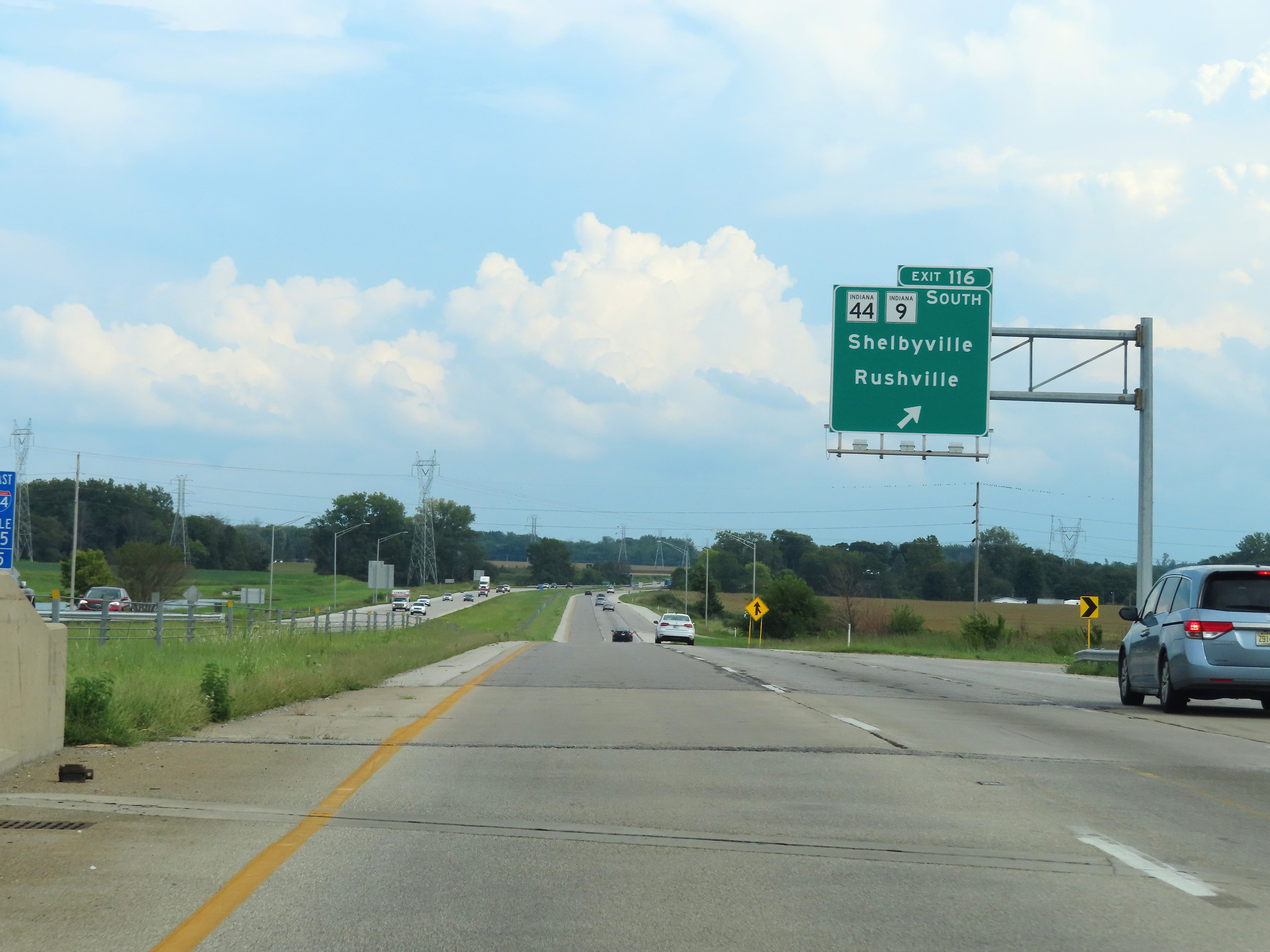 |
Interstate 74 East at Exit 116: IN 44 / IN 9 South - Shelbyville / Rushville (Photo taken 8/20/22). |
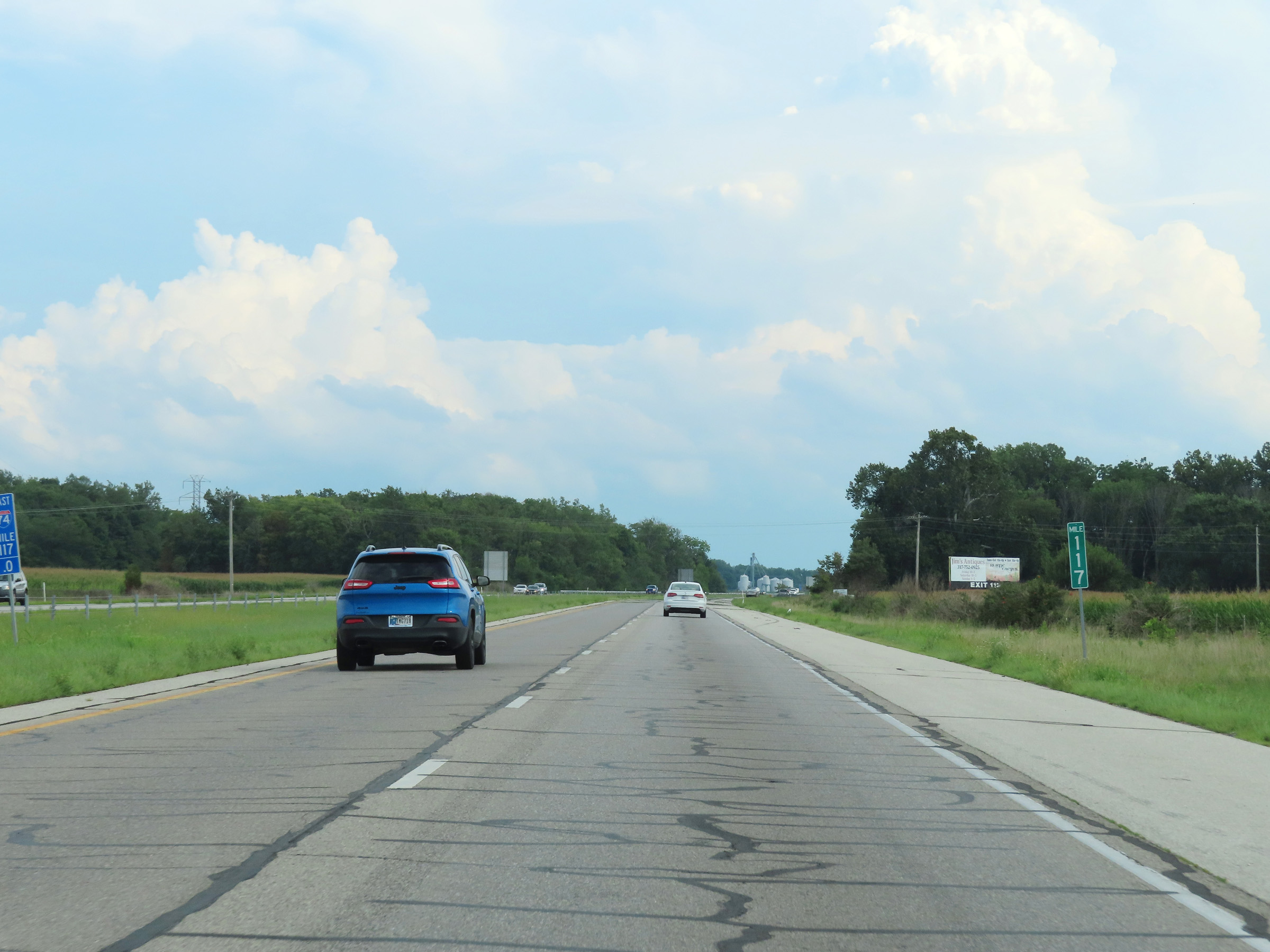 |
View on Interstate 74 East at mile marker 117. (Photo taken 8/20/22). |
 |
Interstate 74 East at Exit 119: IN 244 East - Milroy / Andersonville (Photo taken 8/20/22). |
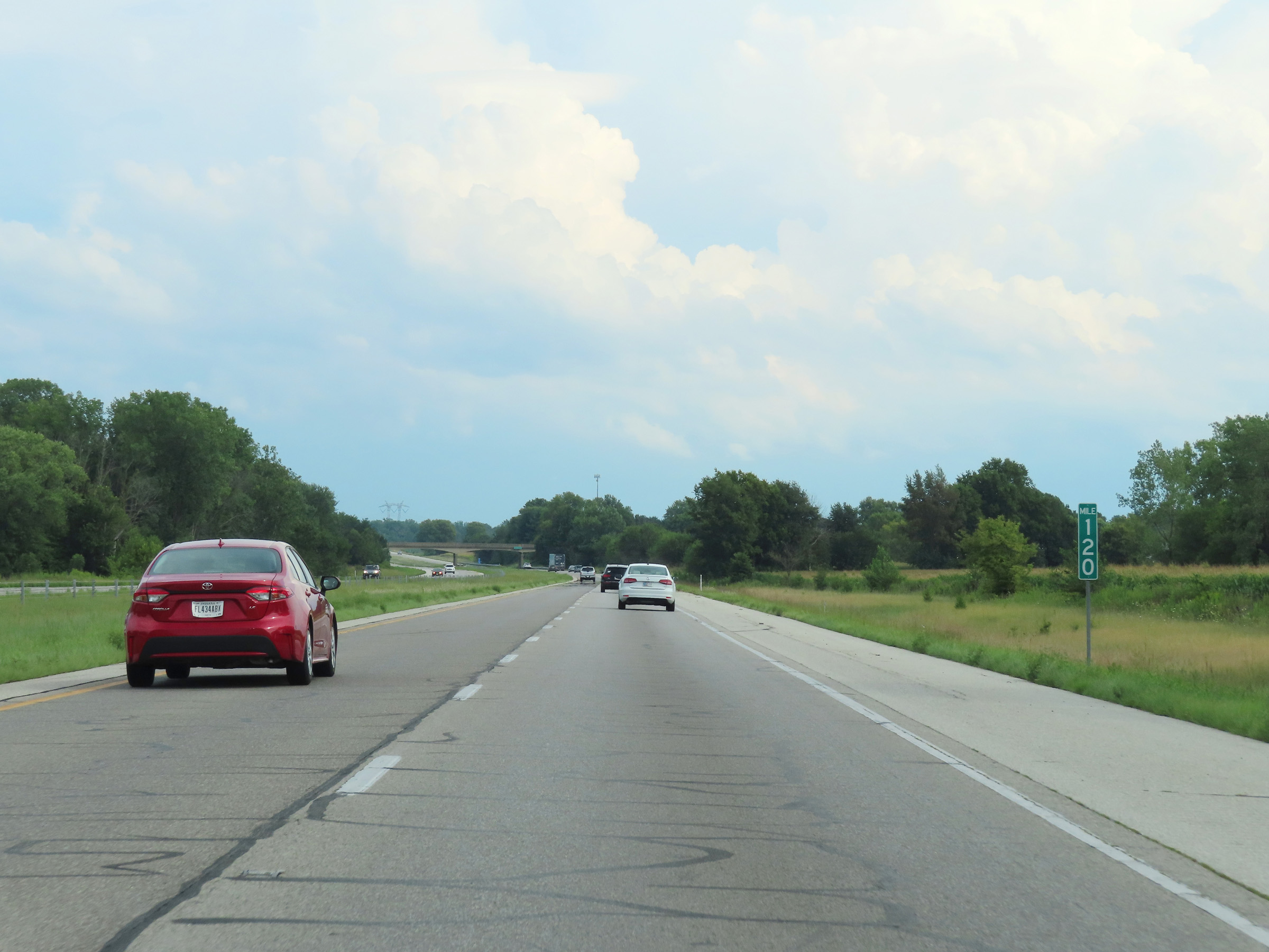 |
Mile marker 120 on Interstate 74 East in Shelby County. (Photo taken 8/20/22). |
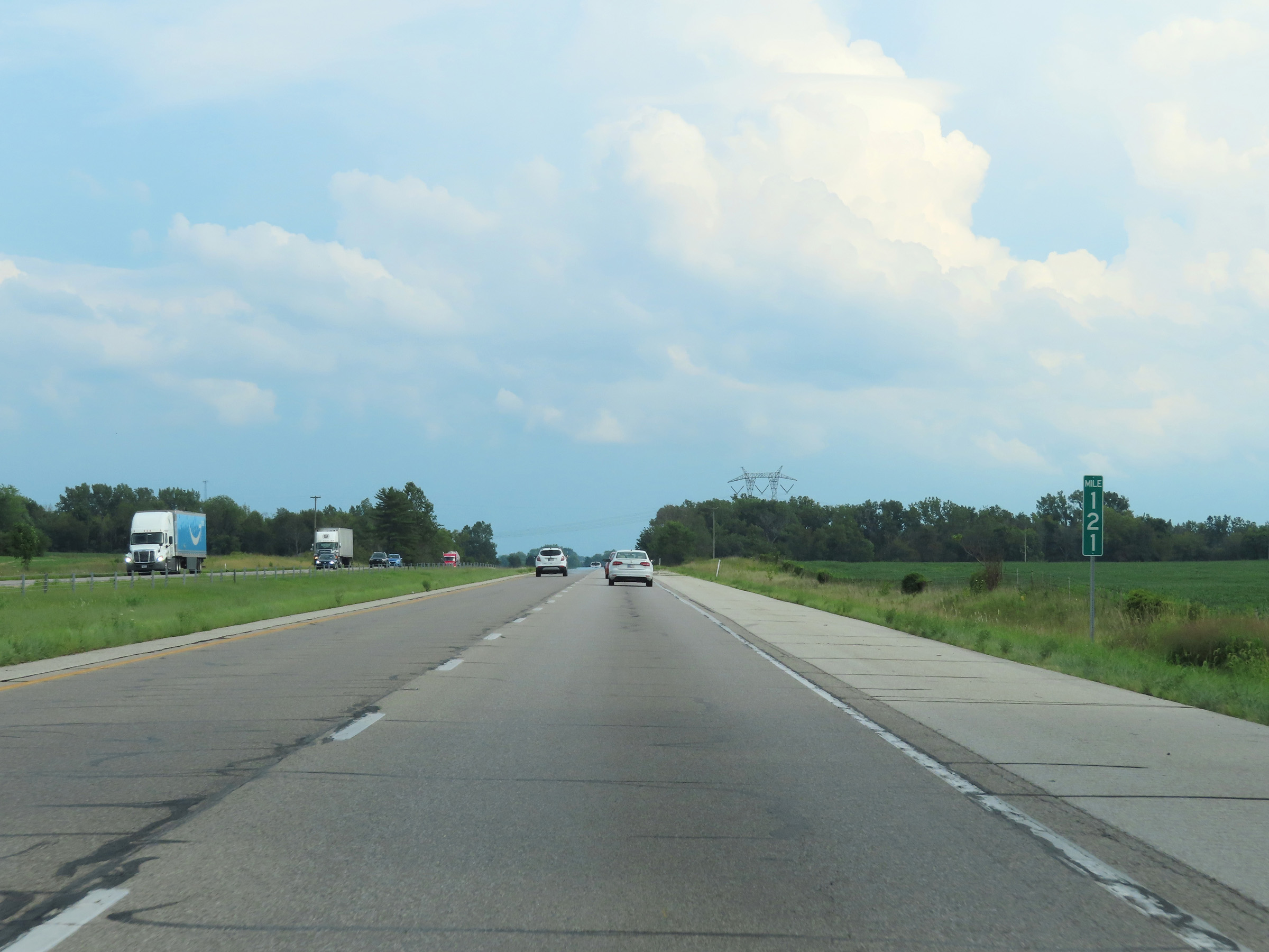 |
View on Interstate 74 East at mile marker 121. (Photo taken 8/20/22). |
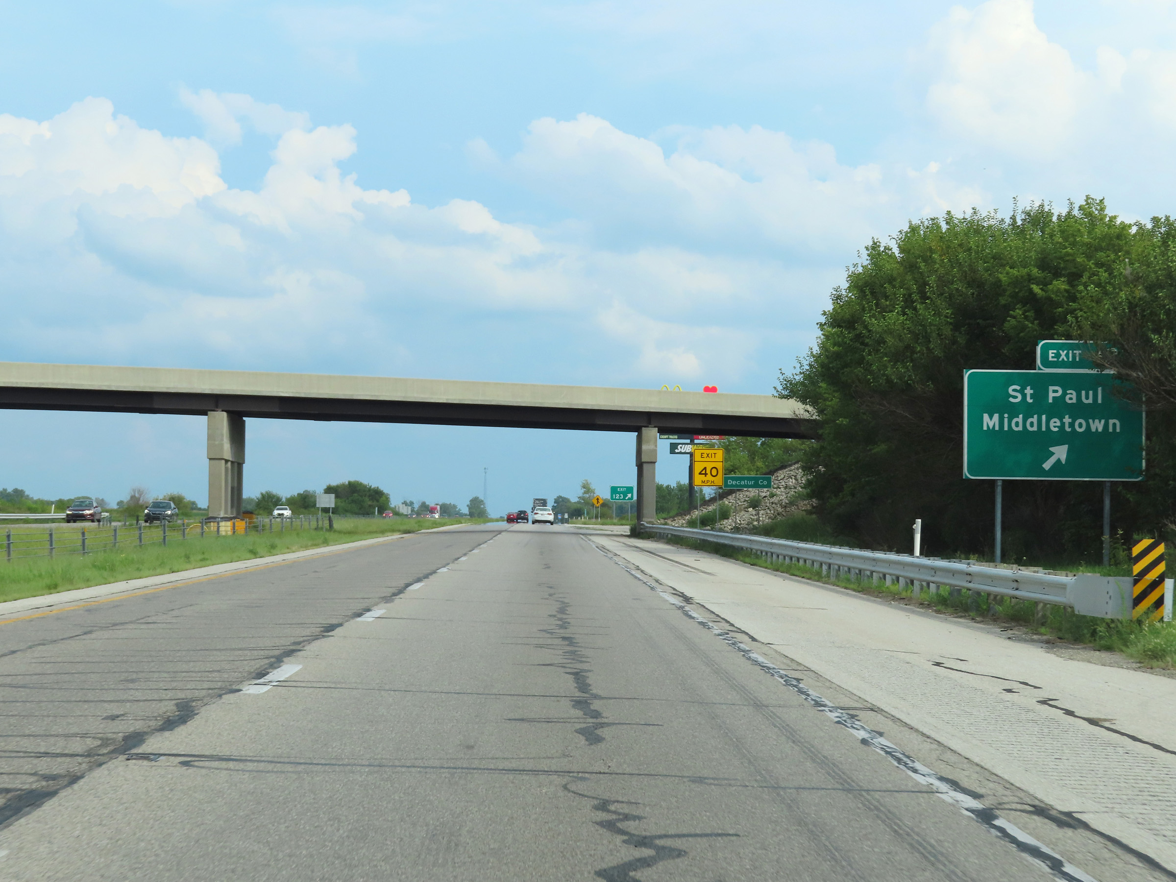 |
Interstate 74 East at Exit 123: St. Paul / Middletown (Photo taken 8/20/22). |
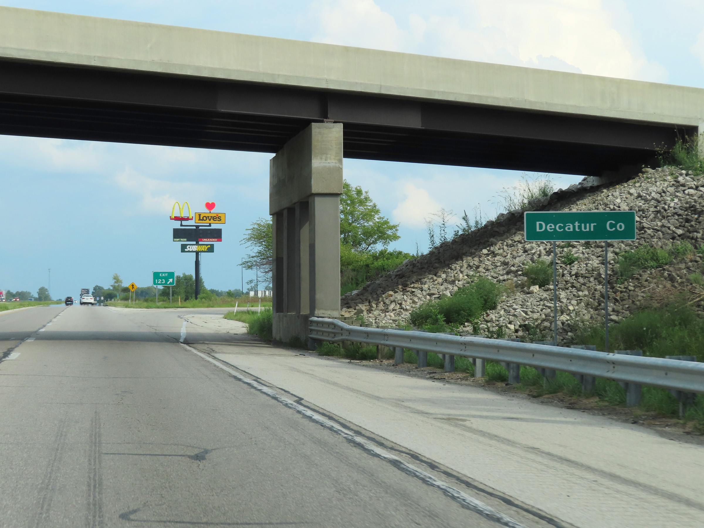 |
At Exit 123, Interstate 74 East enters Decatur County. (Photo taken 8/20/22). |
 |
Interstate 74 East reassurance shield upon entering Decatur County. (Photo taken 8/20/22). |
 |
The speed limits on Interstate 74 East remain 70 mph for automobiles and 65 mph for trucks over 13 tons declared gross weight. (Photo taken 8/20/22). |
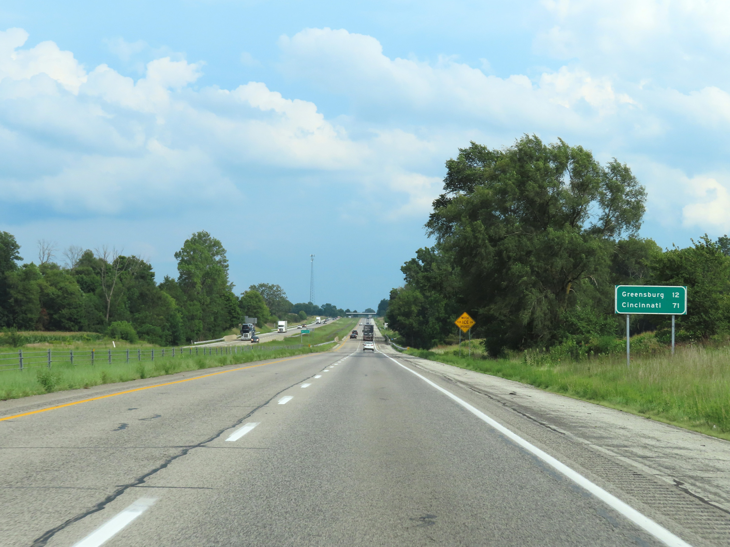 |
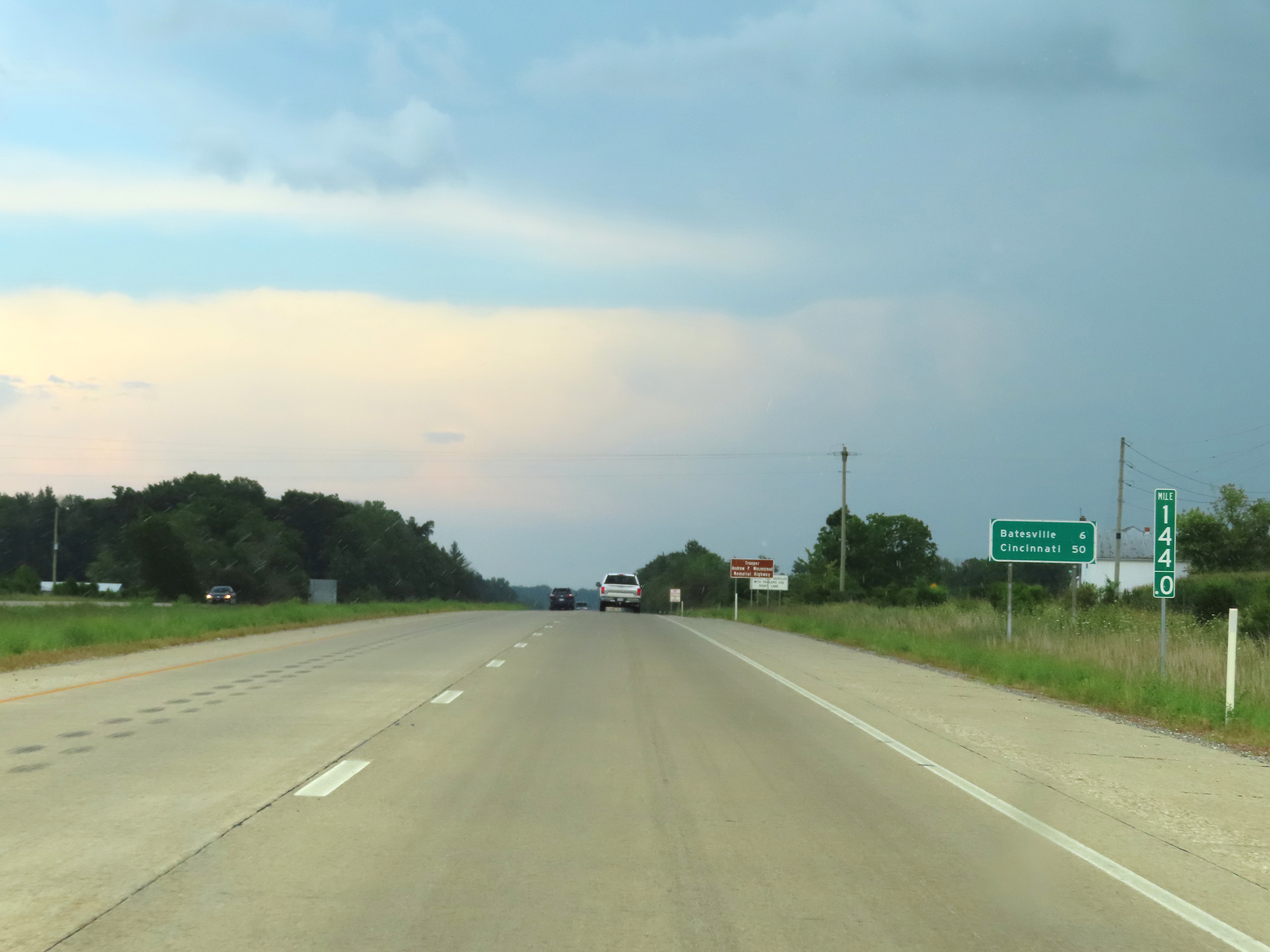
Another mileage sign on Interstate 74 East. It's 12 miles to Greensburg and 71 miles to Cincinnati. (Photo taken 8/20/22). |
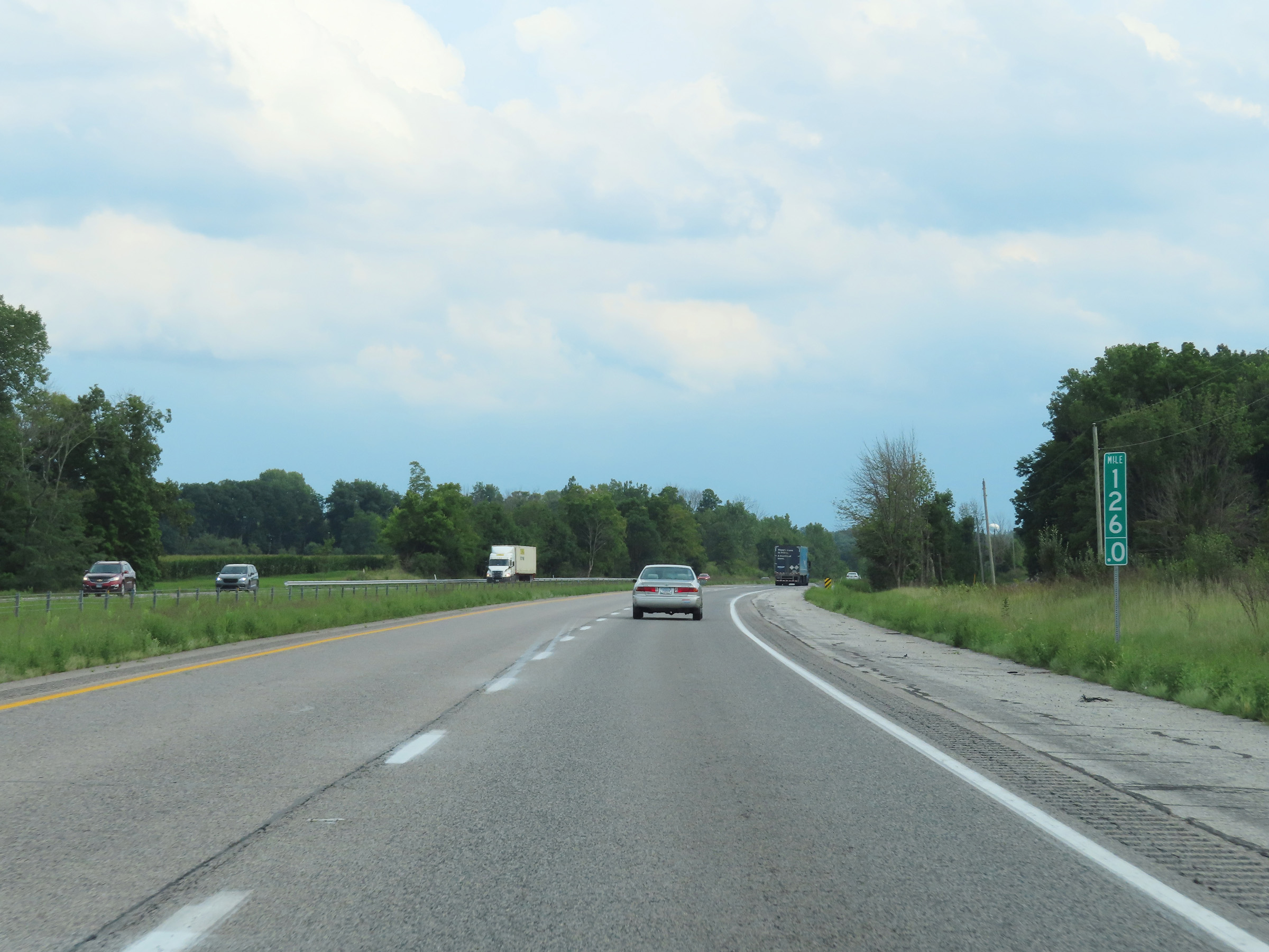 |
Interstate 74 East at mile marker 126. (Photo taken 8/20/22). |
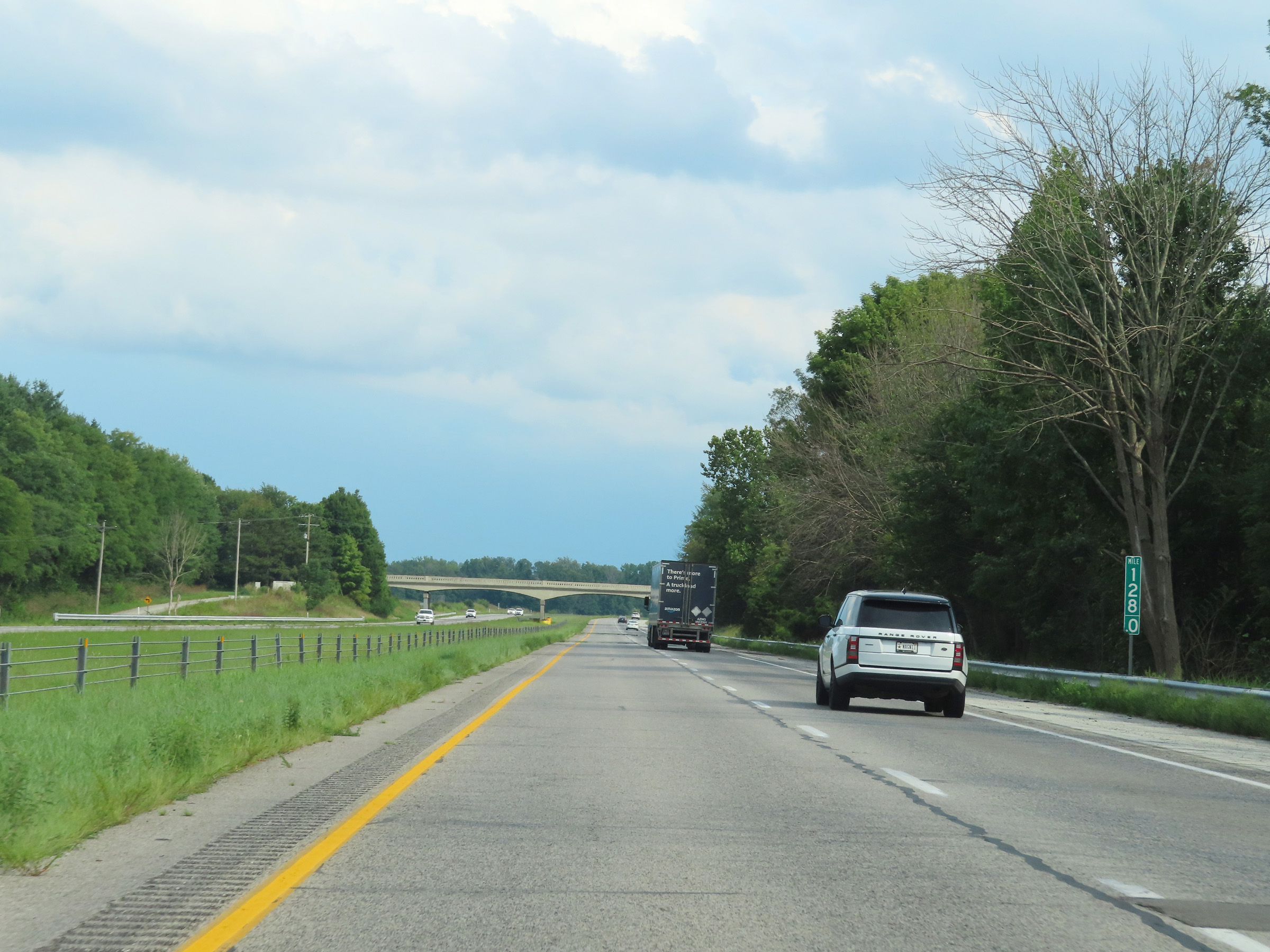 |
View on Interstate 74 East at mile marker 128. (Photo taken 8/20/22). |
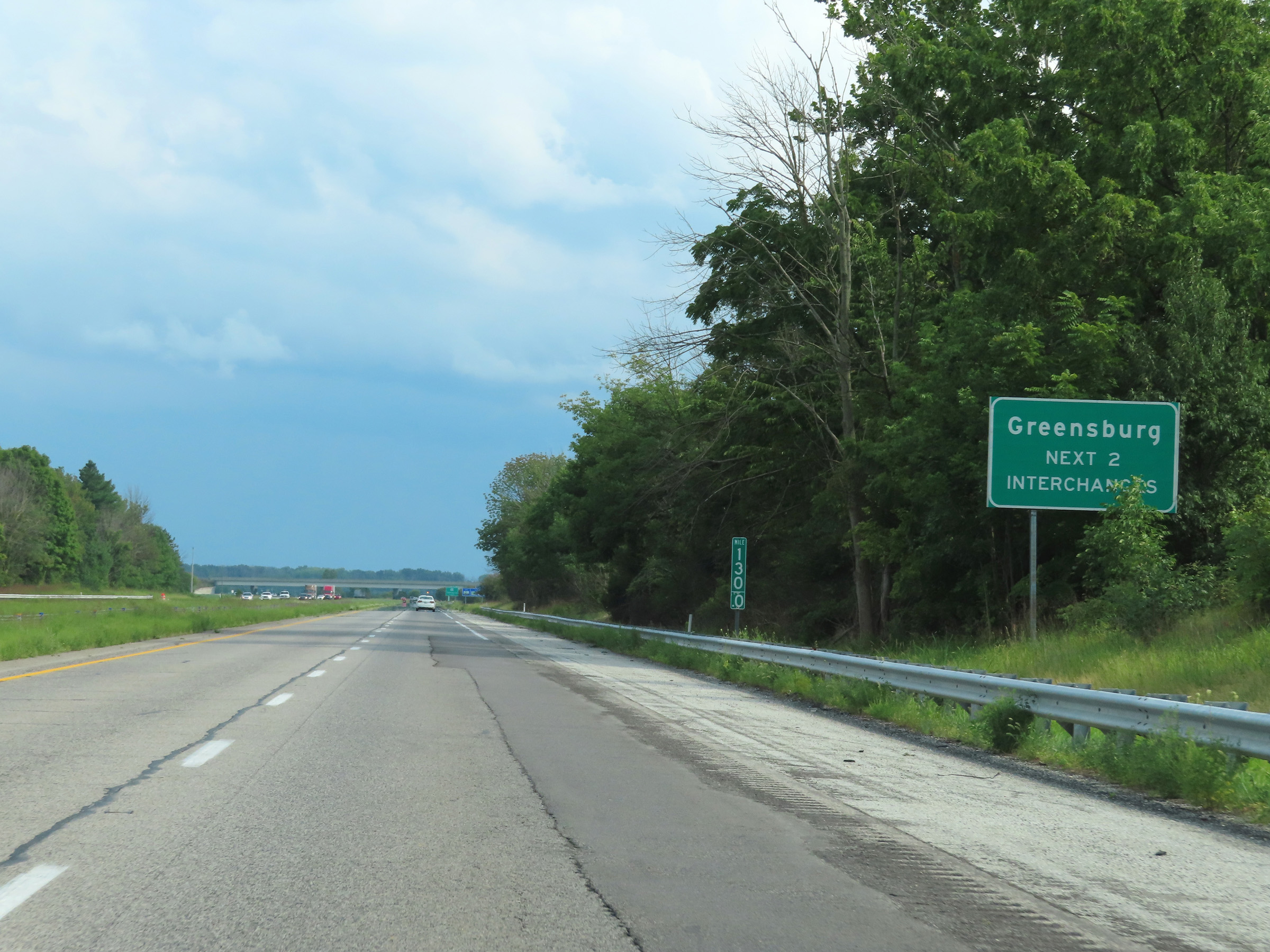 |
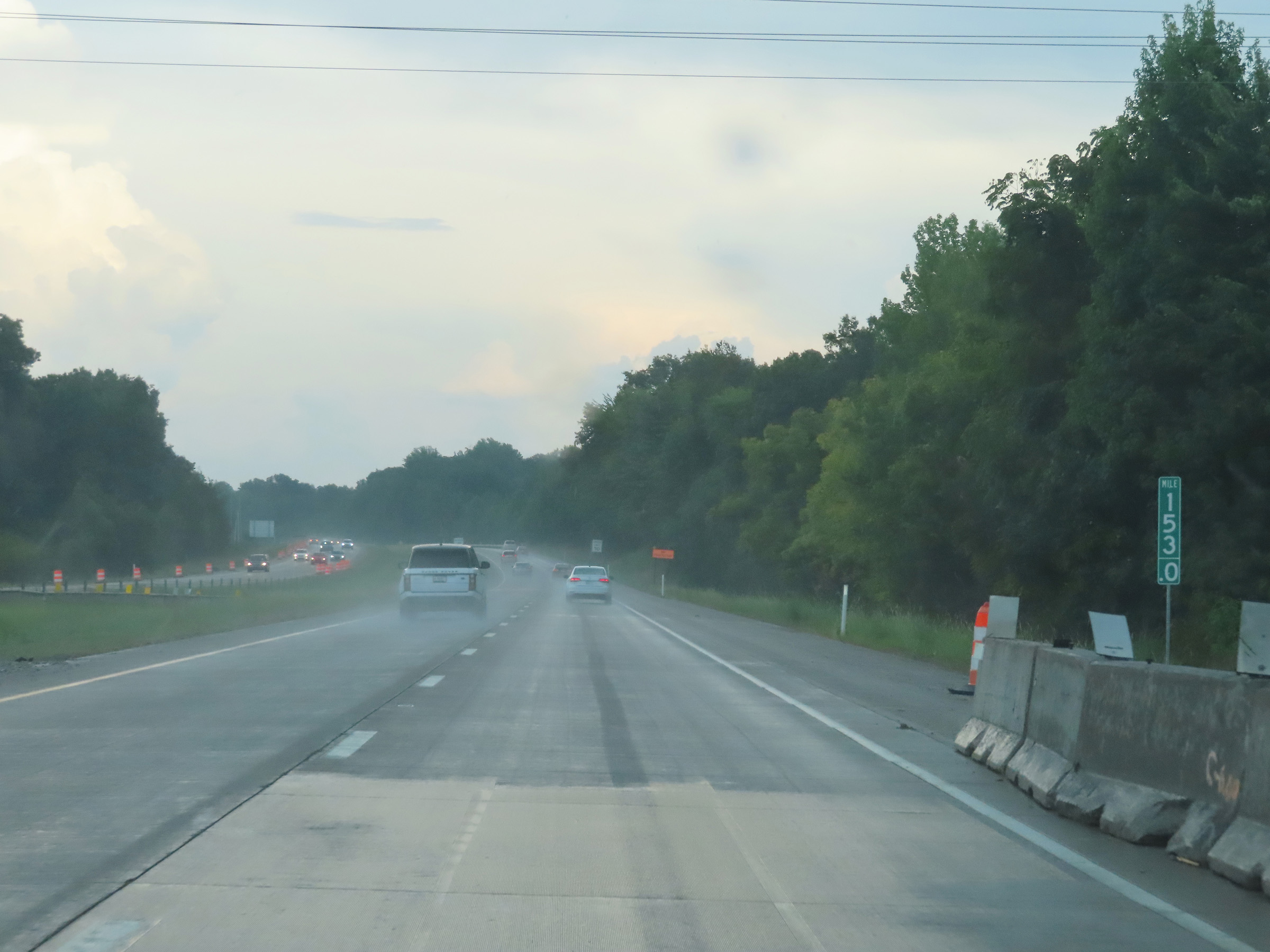
Take either of the next 2 exits to Greensburg. (Photo taken 8/20/22). |
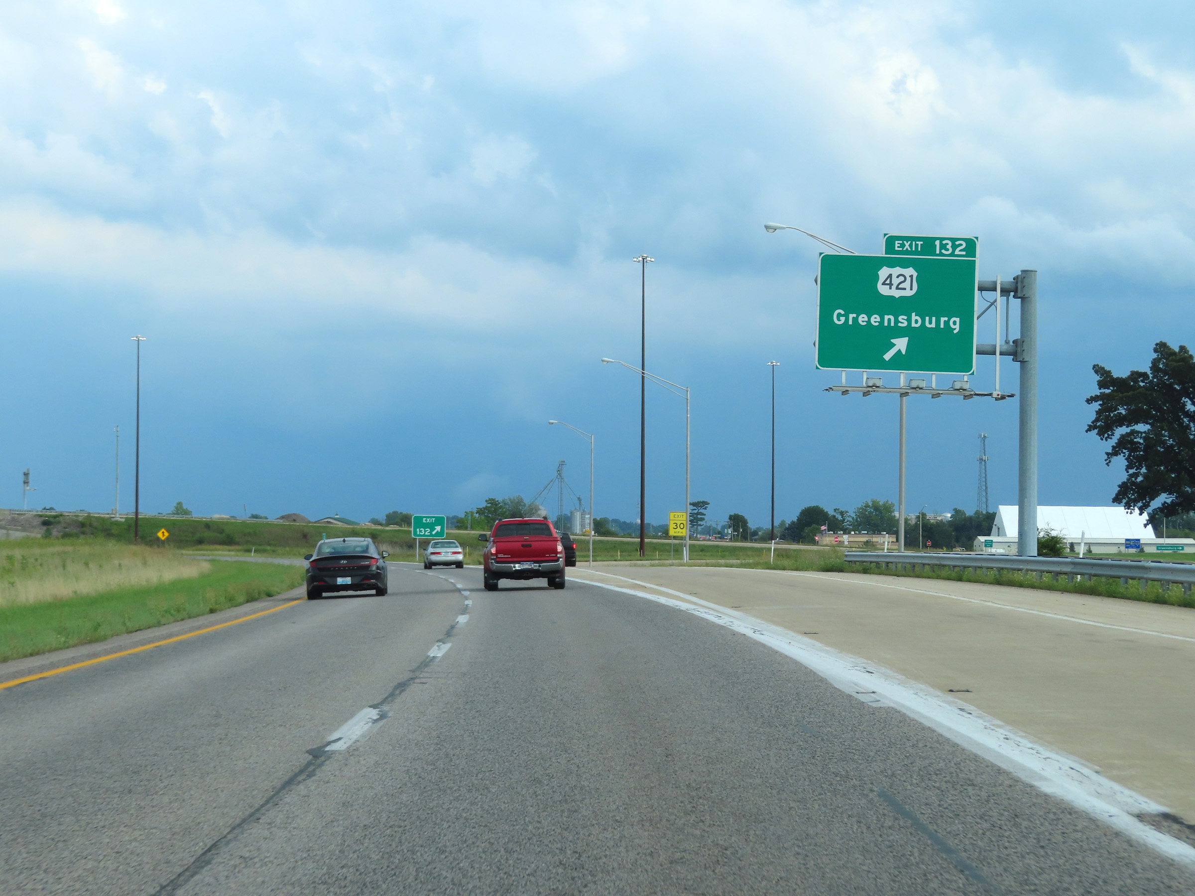 |
Interstate 74 East at Exit 132: US 421 - Greensburg (Photo taken 8/20/22). |
Section 4: Greensburg (Exit 132) to Ohio Border
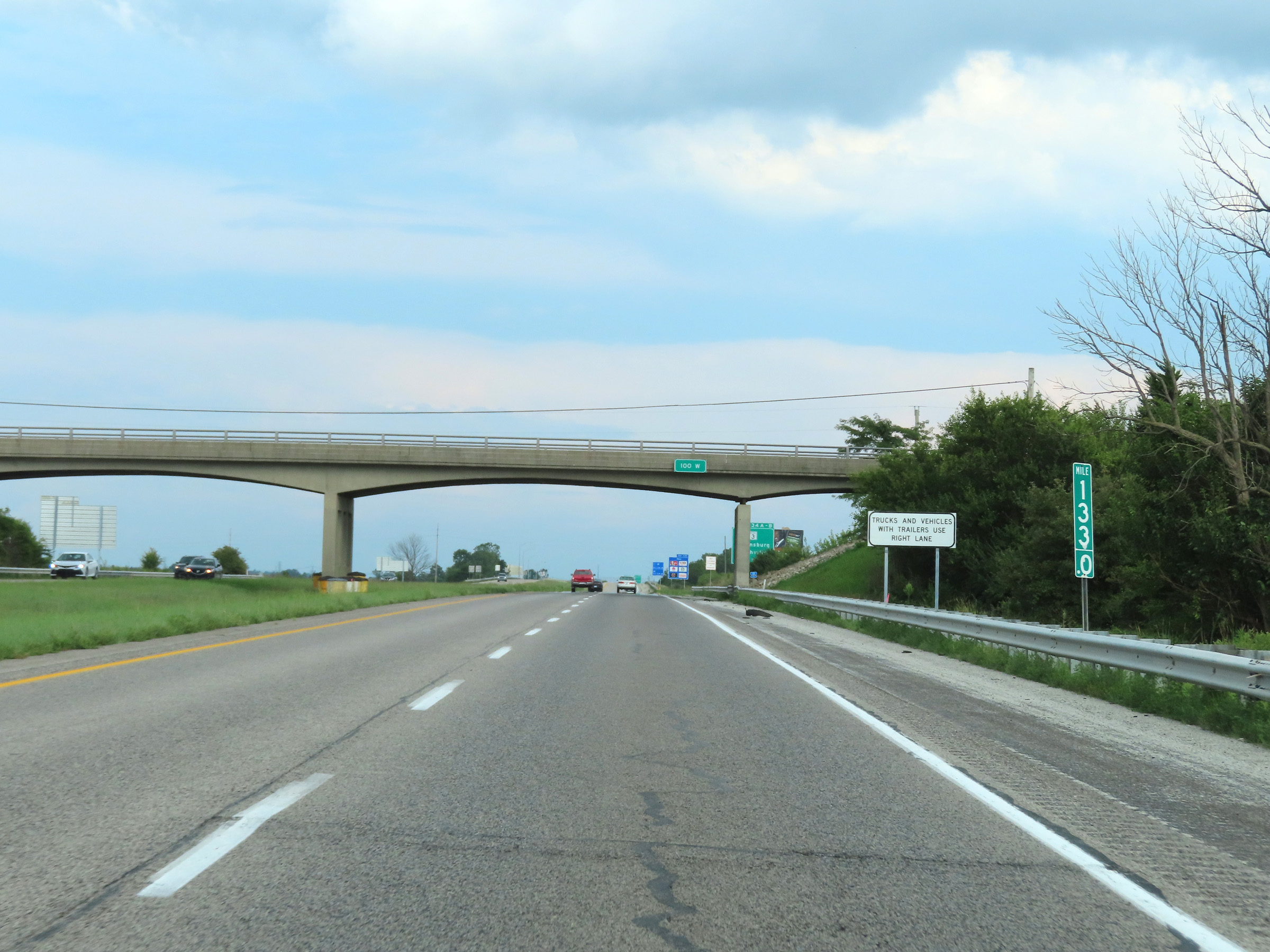 |
Mile marker 133 on Interstate 74 East in Decatur County. (Photo taken 8/20/22). |
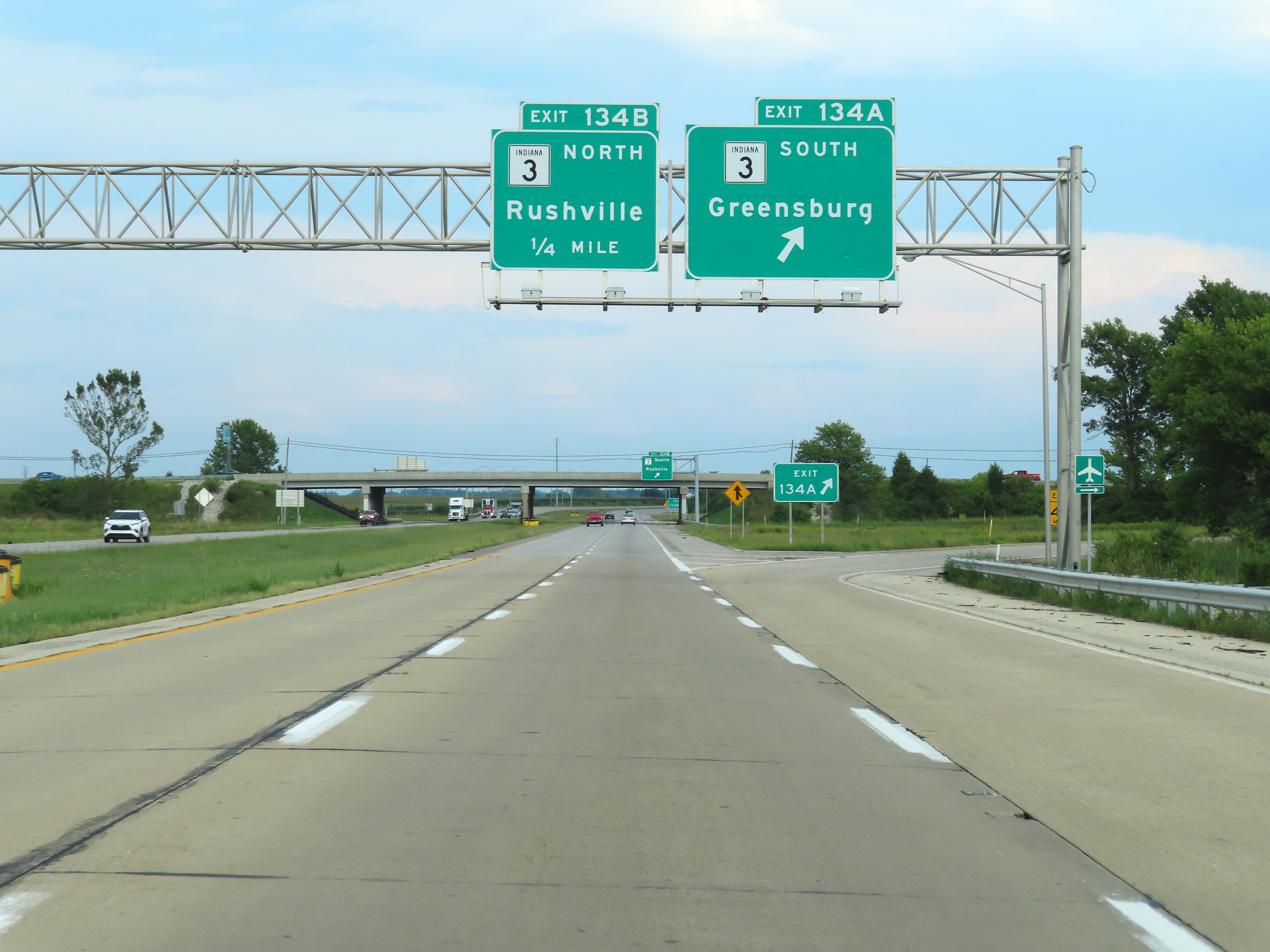 |
Interstate 74 East at Exit 134A: IN 3 South - Greensburg (Photo taken 8/20/22). |
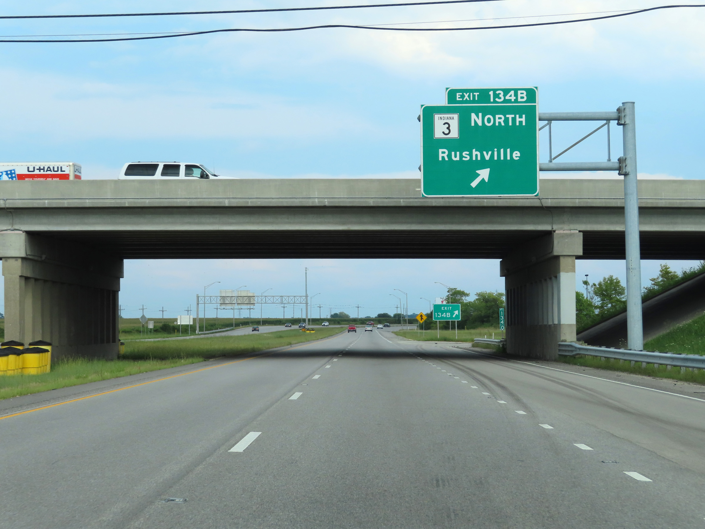 |
Interstate 74 East at Exit 134B: IN 3 North - Rushville (Photo taken 8/20/22). |
 |
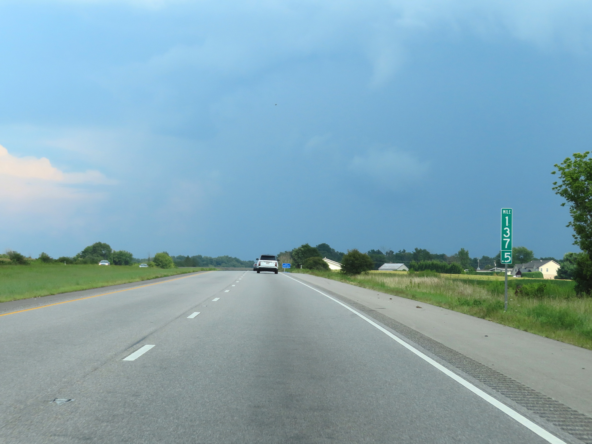
Mile marker 136.5 on Interstate 74 East in Decatur County. (Photo taken 8/20/22). |
 |
View on Interstate 74 East at mile marker 137.5. (Photo taken 8/20/22). |
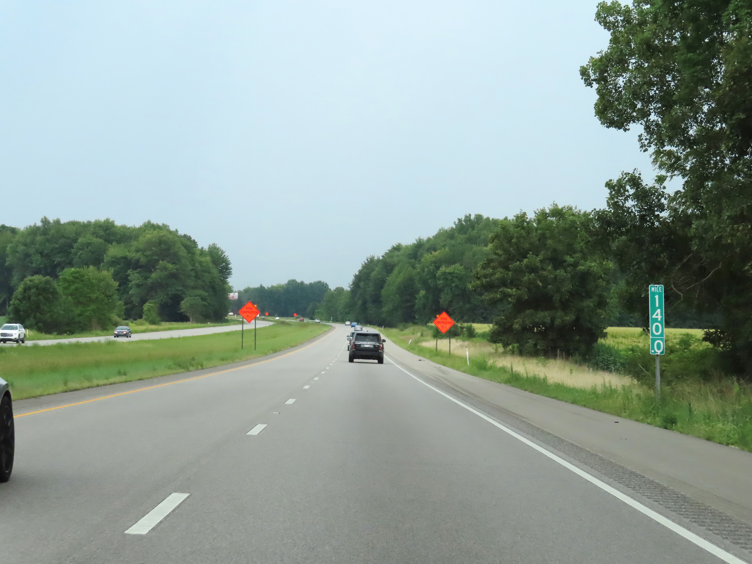 |
Interstate 74 East at mile marker 140. (Photo taken 8/20/22). |
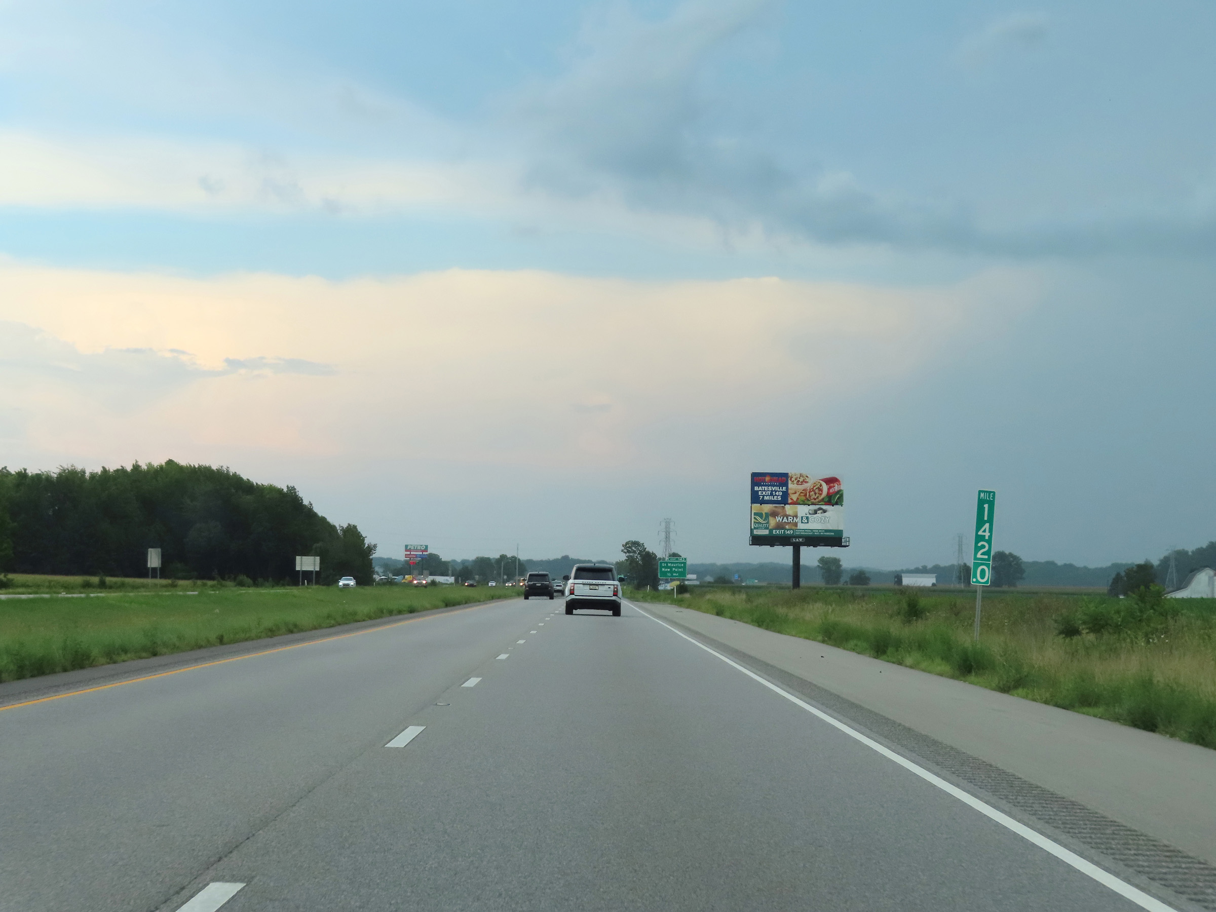 |
Mile marker 142 on Interstate 74 East in Decatur County. (Photo taken 8/20/22). |
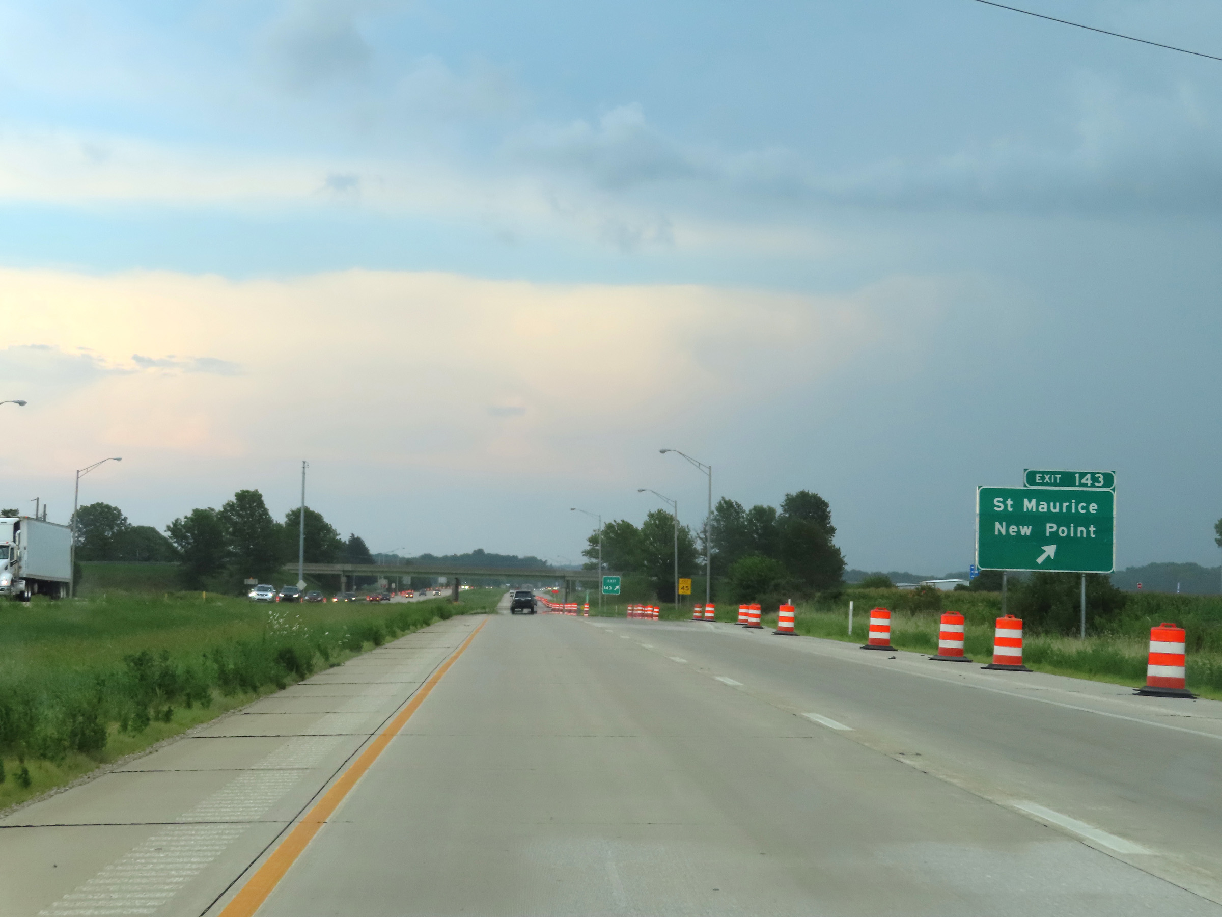 |
Interstate 74 East at Exit 143: St. Maurice / New Point (Photo taken 8/20/22). |
 |
View on Interstate 74 East at mile marker 144. (Photo taken 8/20/22). |
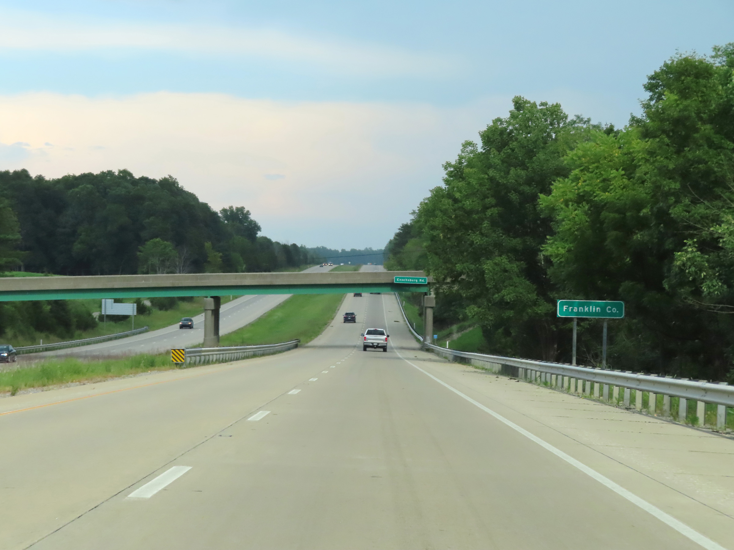 |
Interstate 74 East as it enters Franklin County. (Photo taken 8/20/22). |
 |
Interstate 74 East at mile marker 145. (Photo taken 8/20/22). |
 |
View on Interstate 74 East at mile marker 146. (Photo taken 8/20/22). |
 |
Advance signage for Exit 149 - 1 mile ahead. (Photo taken 8/20/22). |
 |
Take Exit 149 to Ivy Tech State College. (Photo taken 8/20/22). |
 |
Mile marker 148 on Interstate 74 East in Franklin County. (Photo taken 8/20/22). |
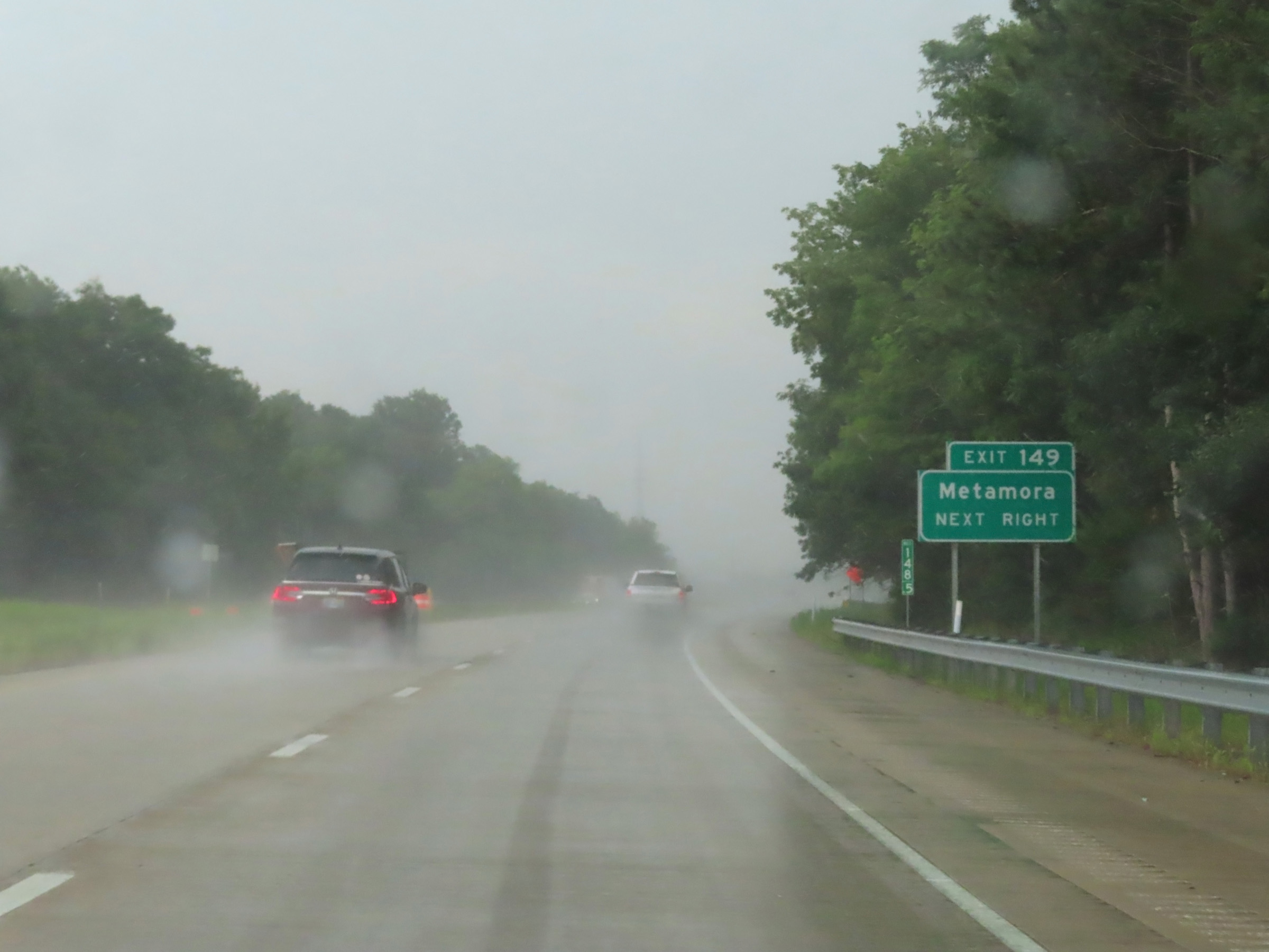 |
Also take Exit 149 to Metamora. (Photo taken 8/20/22). |
 |
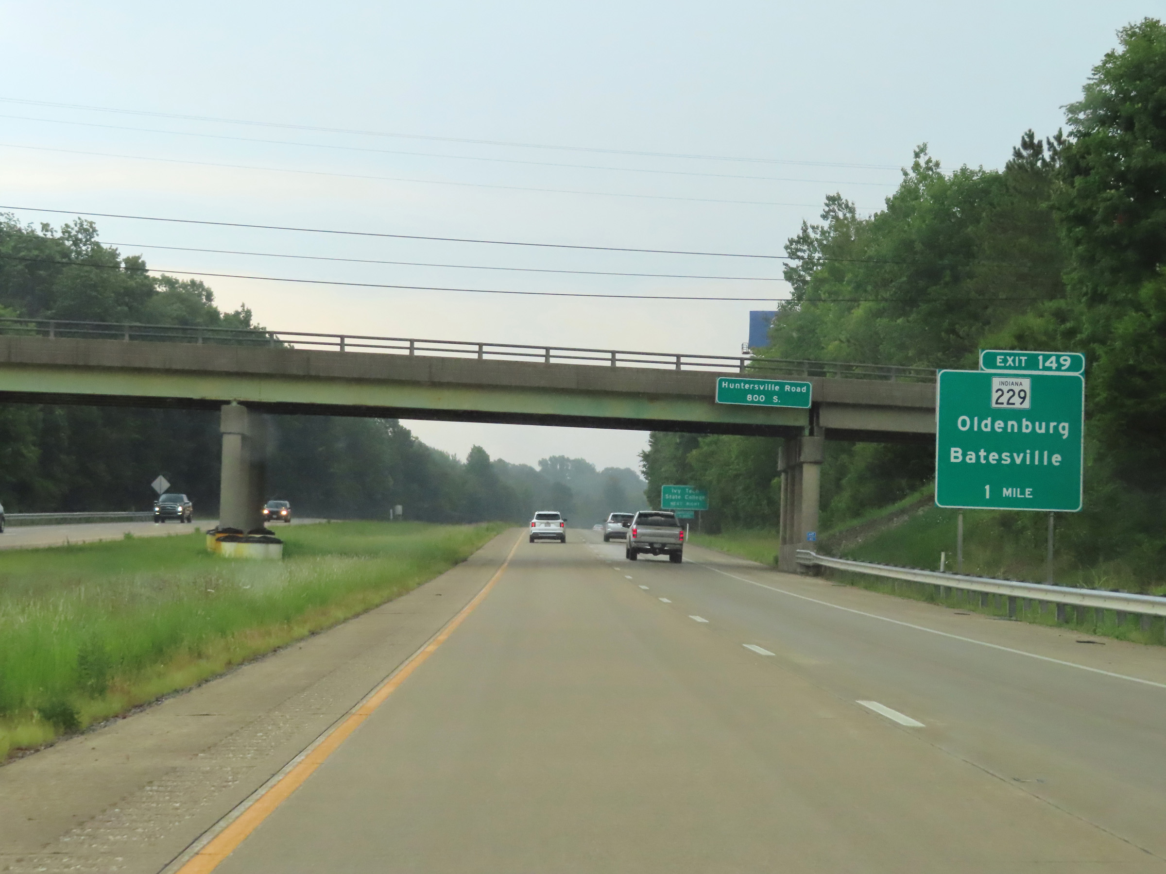
Interstate 74 East at Exit 149: IN 229 - Oldenburg / Batesville (Photo taken 8/20/22). |
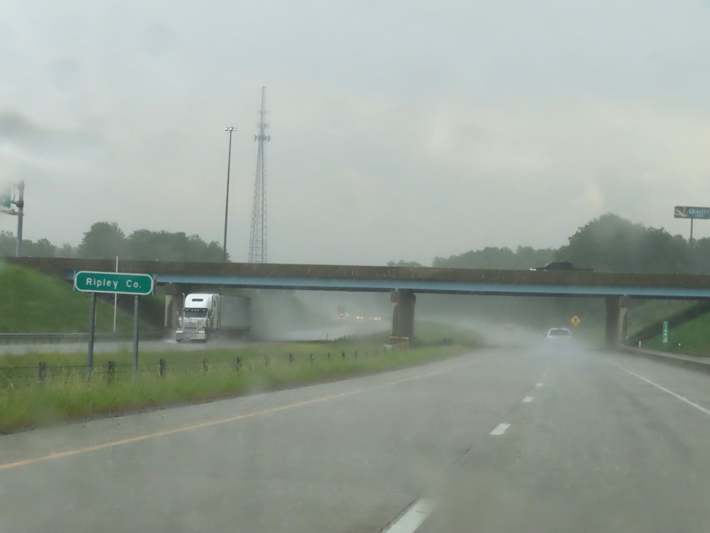 |
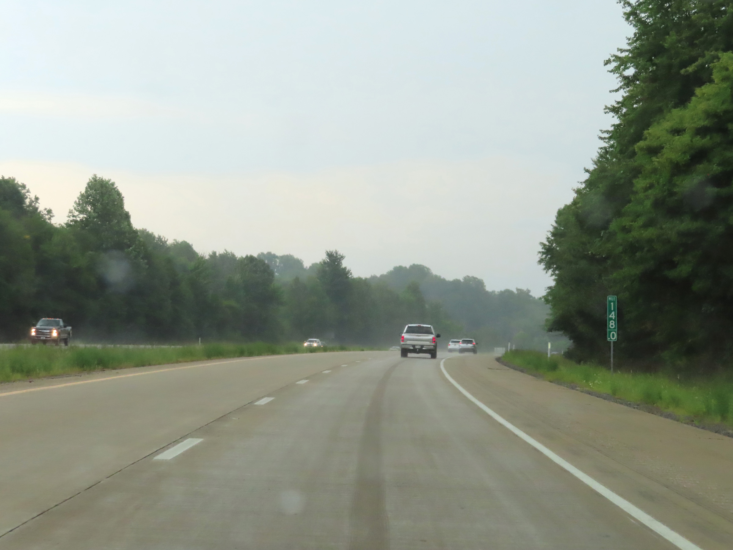
At mile marker 149, Interstate 74 East enters Ripley County. (Photo taken 8/20/22). |
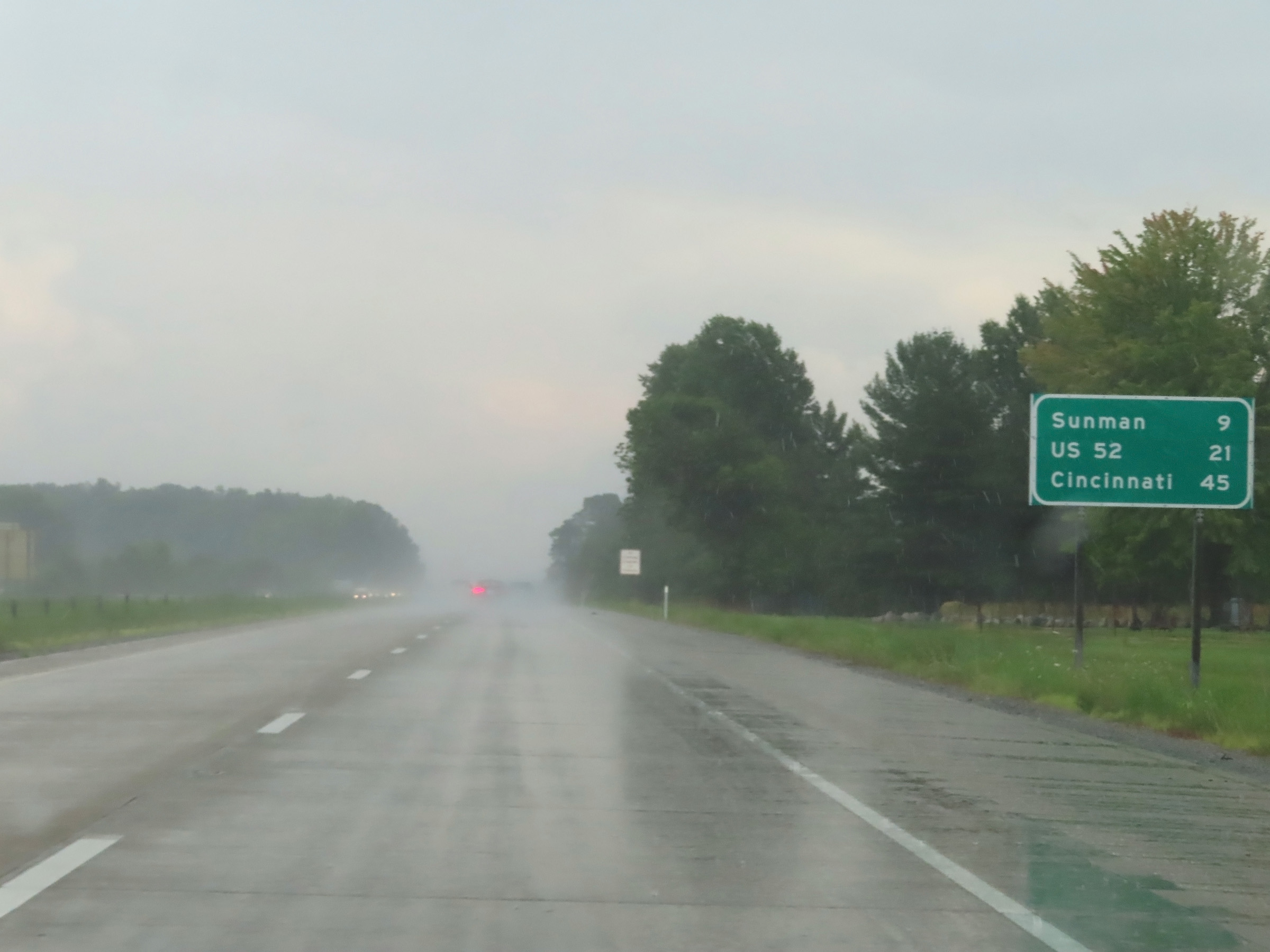 |
Mileage sign on Interstate 74 East. It's 9 miles to Sunman, 21 miles to the junction of US 52, and 45 miles to Cincinnati. (Photo taken 8/20/22). |
 |
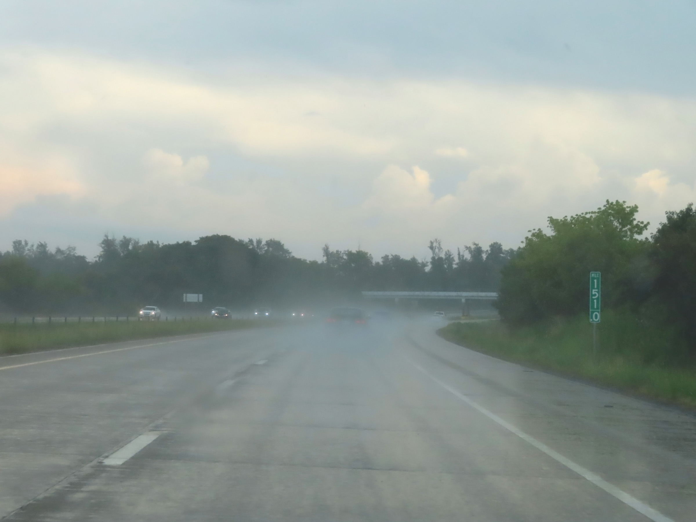
Interstate 74 East at mile marker 150. (Photo taken 8/20/22). |
 |
Mile marker 151 on Interstate 74 East in Ripley County. (Photo taken 8/20/22). |
 |
Interstate 74 East reassurance shield. (Photo taken 8/20/22). |
 |
View on Interstate 74 East at mile marker 153. (Photo taken 8/20/22). |
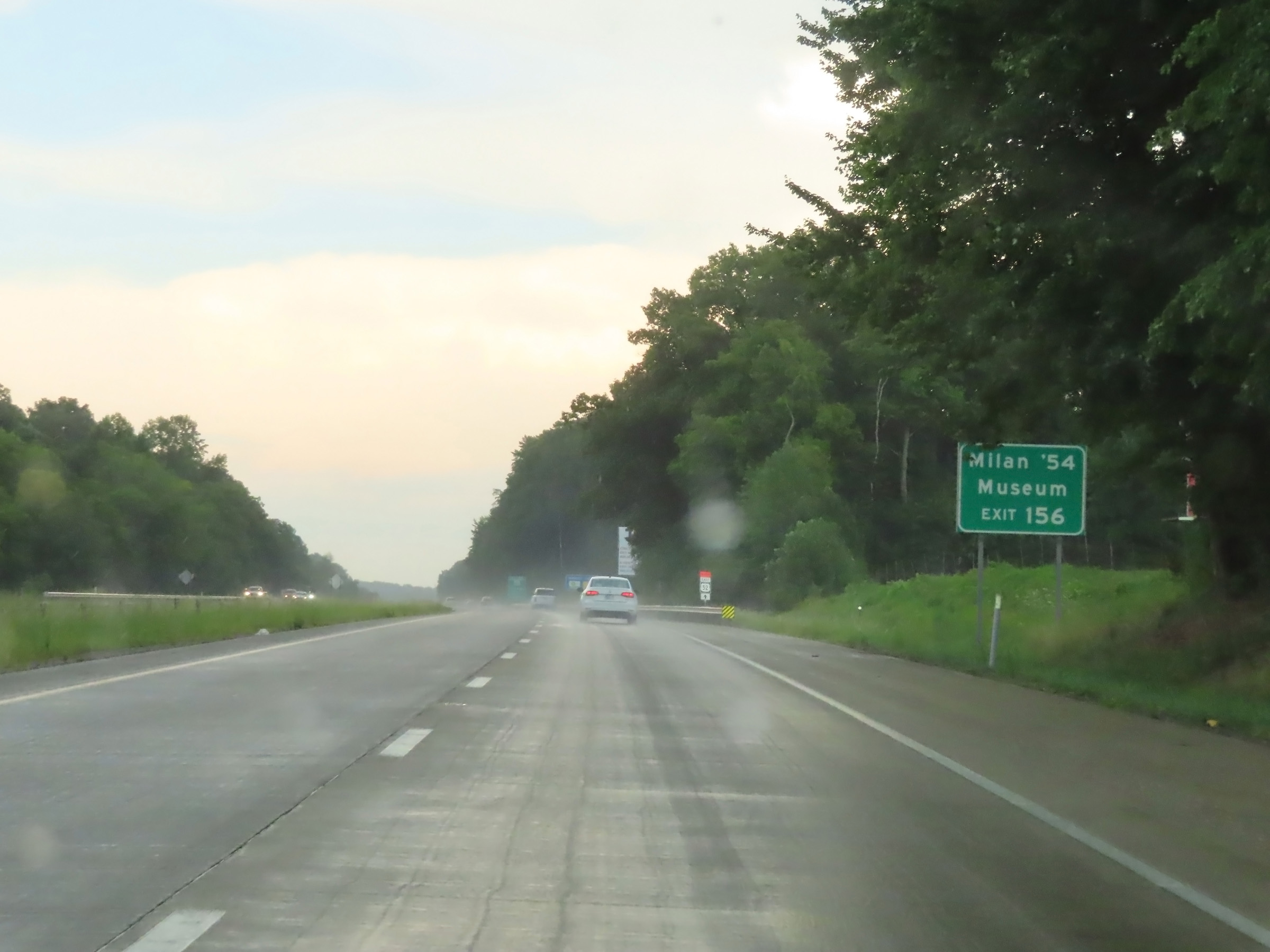 |
Take Exit 156 to the Milan '54 Museum. (Photo taken 8/20/22). |
 |
View on Interstate 74 East at mile marker 155. (Photo taken 8/20/22). |
 |
Interstate 74 East at Exit 156: IN 101 - Sunman / Milan (Photo taken 8/20/22). |
 |
Interstate 74 East as it enters Dearborn County. (Photo taken 8/20/22). |
 |
View on Interstate 74 East at mile marker 158. (Photo taken 8/20/22). |
 |
Interstate 74 East at mile marker 160.5. (Photo taken 8/20/22). |
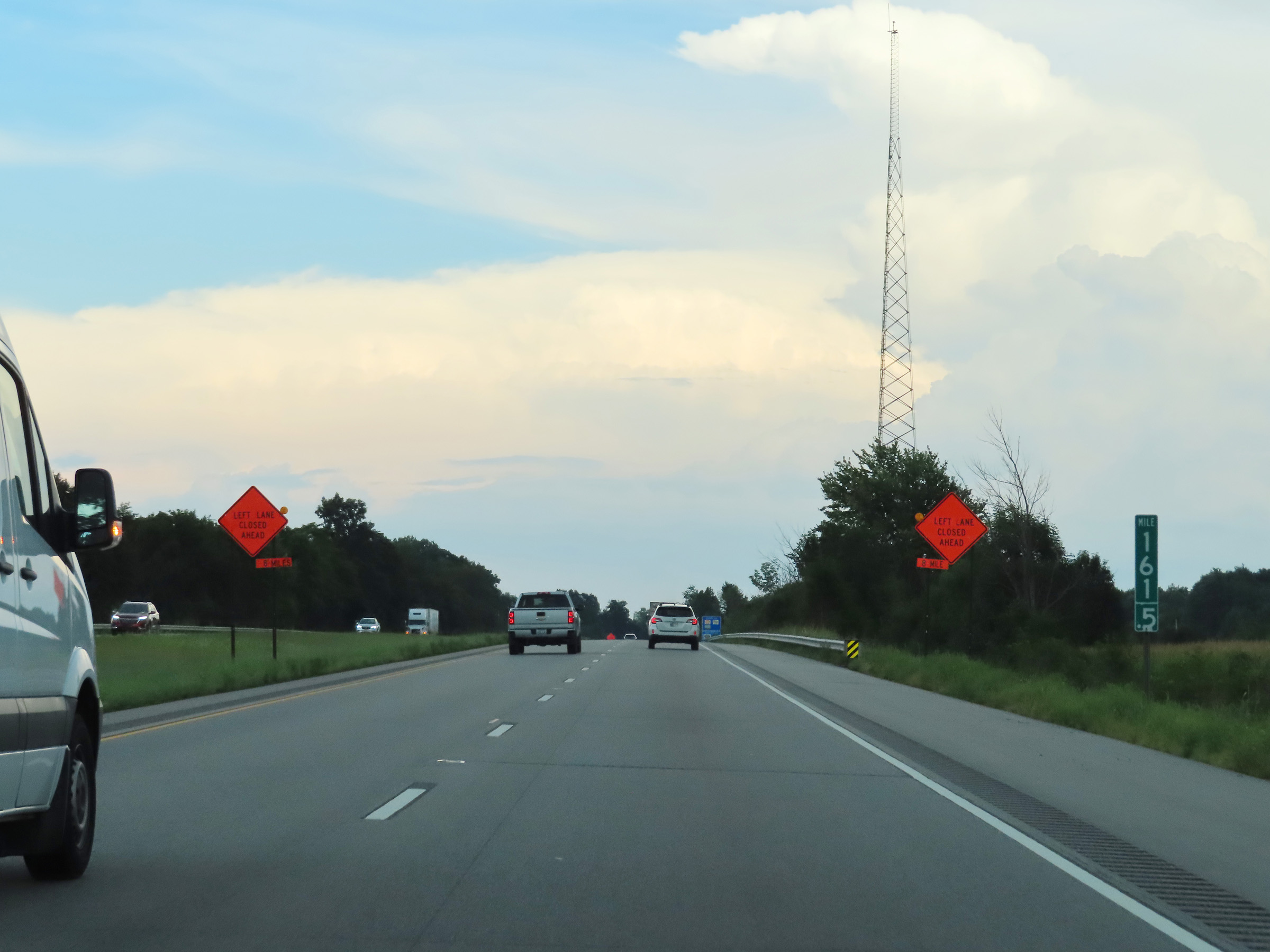 |
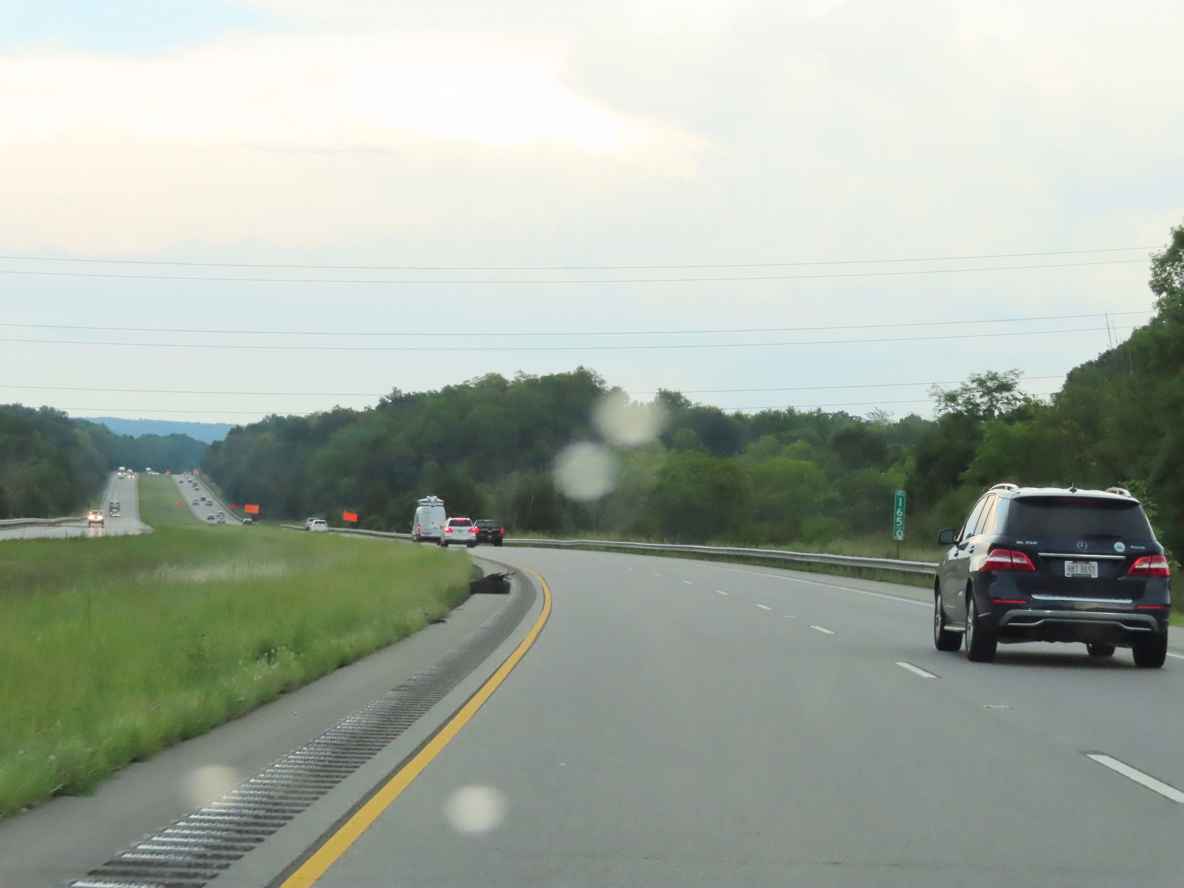
Mile marker 161.5 on Interstate 74 East in Dearborn County. (Photo taken 8/20/22). |
 |
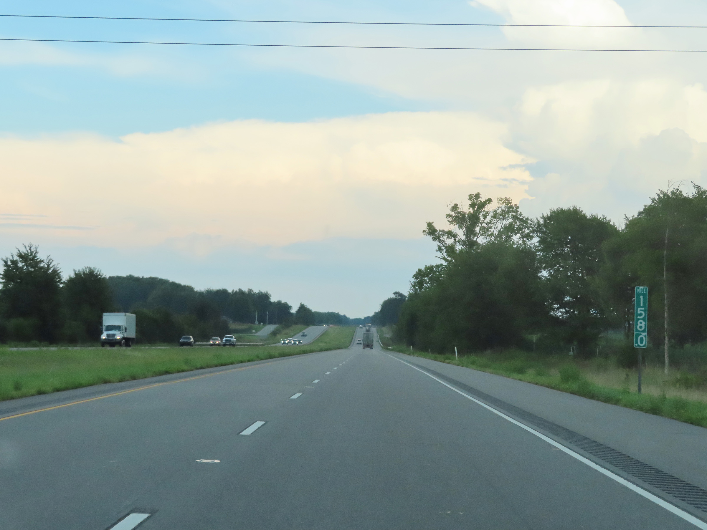
View on Interstate 74 East at mile marker 162.5. (Photo taken 8/20/22). |
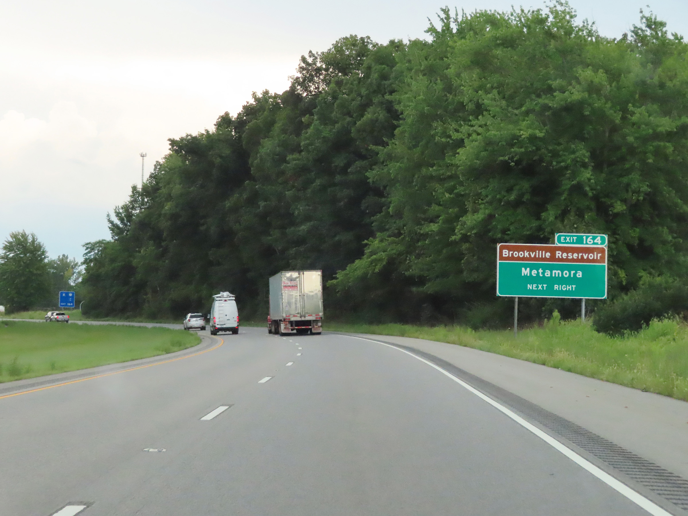 |
Take Exit 164 to Brookville Reservoir and Metamora. (Photo taken 8/20/22). |
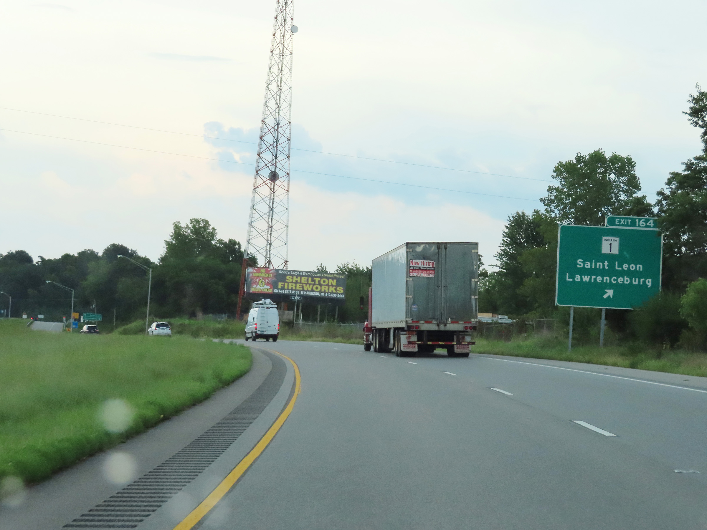 |
Interstate 74 East at Exit 164: IN 1 - Saint Leon / Lawrenceburg (Photo taken 8/20/22). |
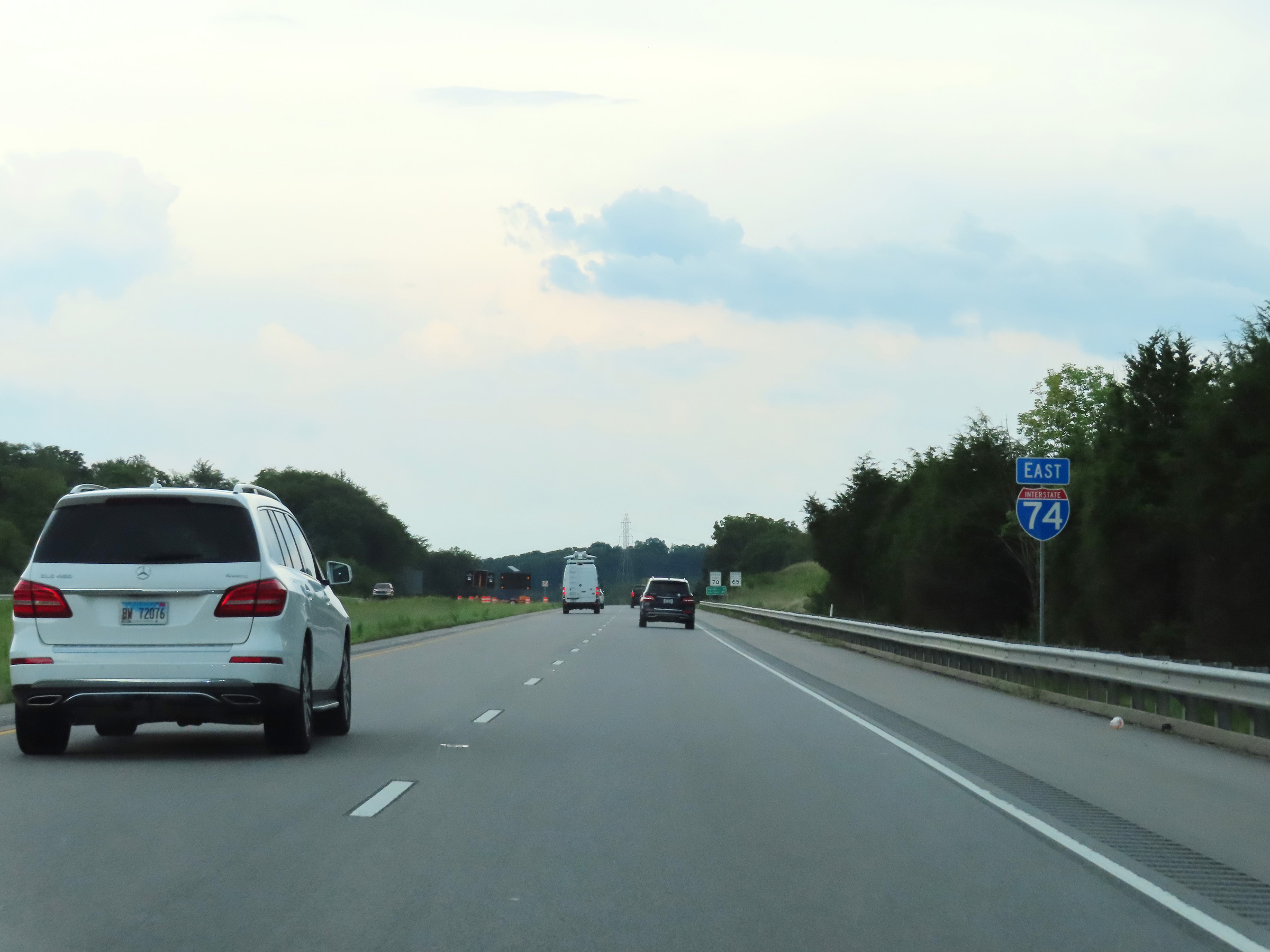 |
Another Interstate 74 East reassurance shield. (Photo taken 8/20/22). |
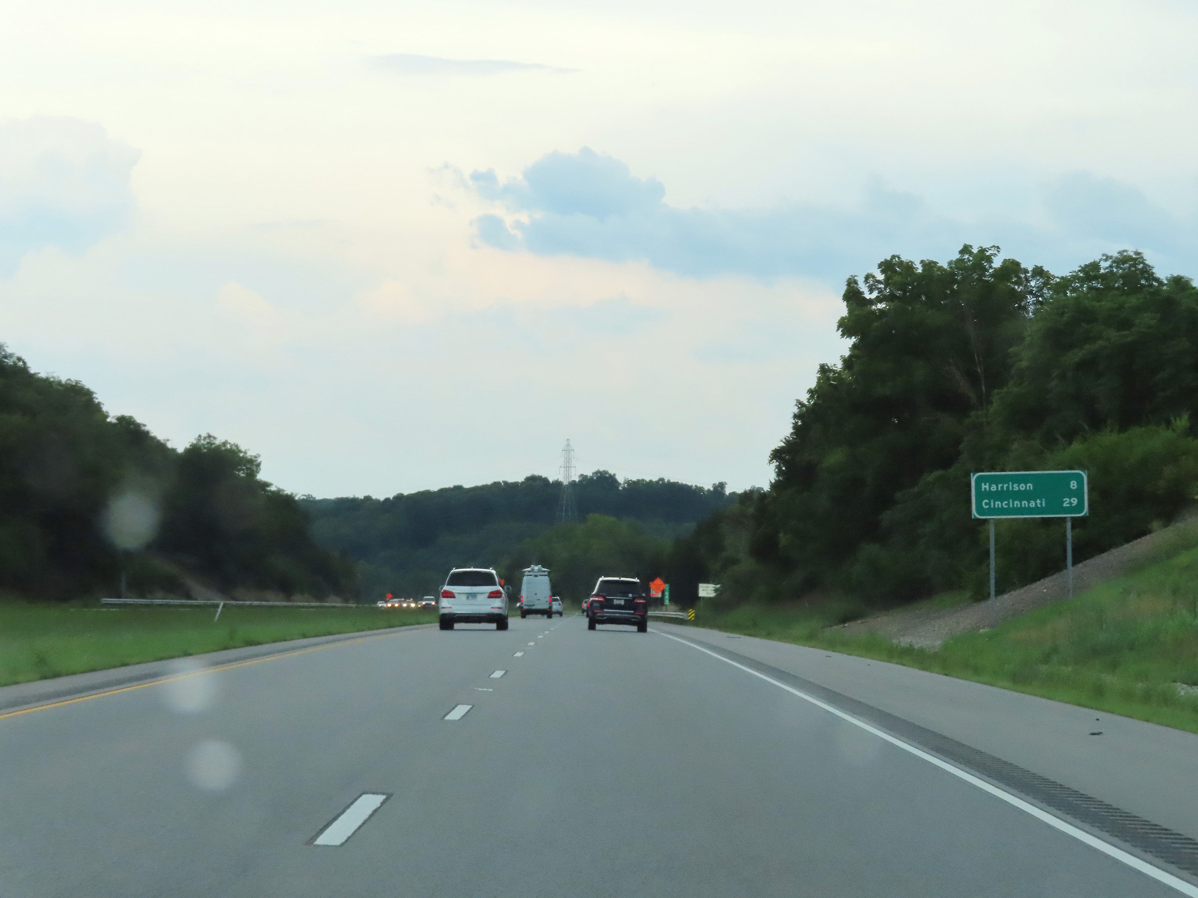 |
Mileage sign on Interstate 74 East. It's 8 miles to Harrison and 29 miles to Cincinnati. (Photo taken 8/20/22). |
 |
View on Interstate 74 East at mile marker 165. (Photo taken 8/20/22). |
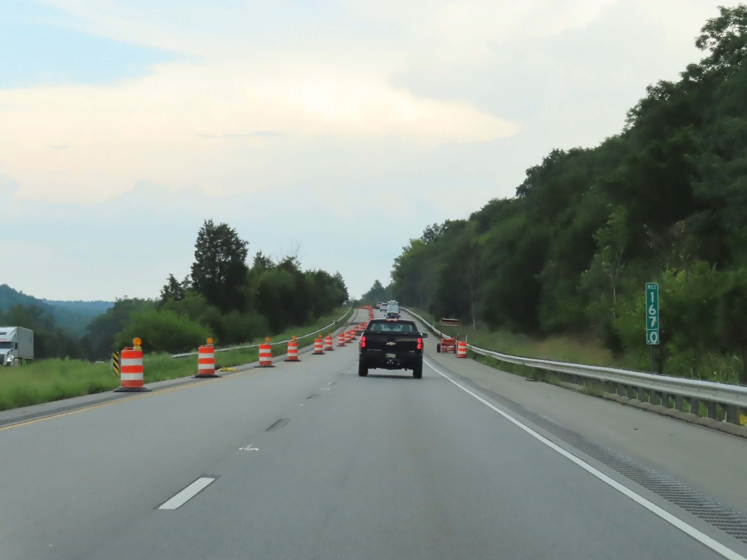 |
Interstate 74 East at mile marker 167. (Photo taken 8/20/22). |
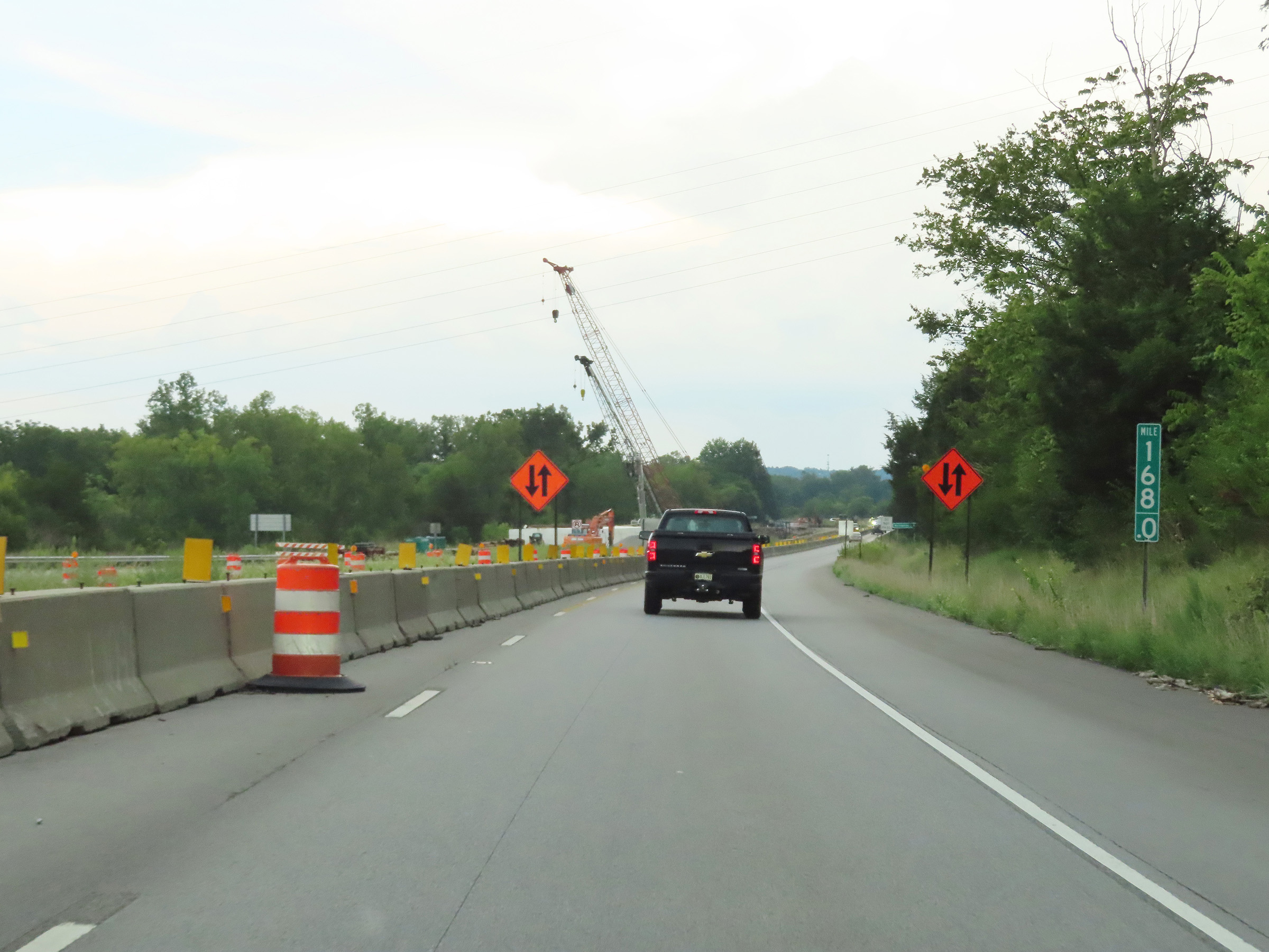 |
Mile marker 168 on Interstate 74 East in Dearborn County. (Photo taken 8/20/22). |
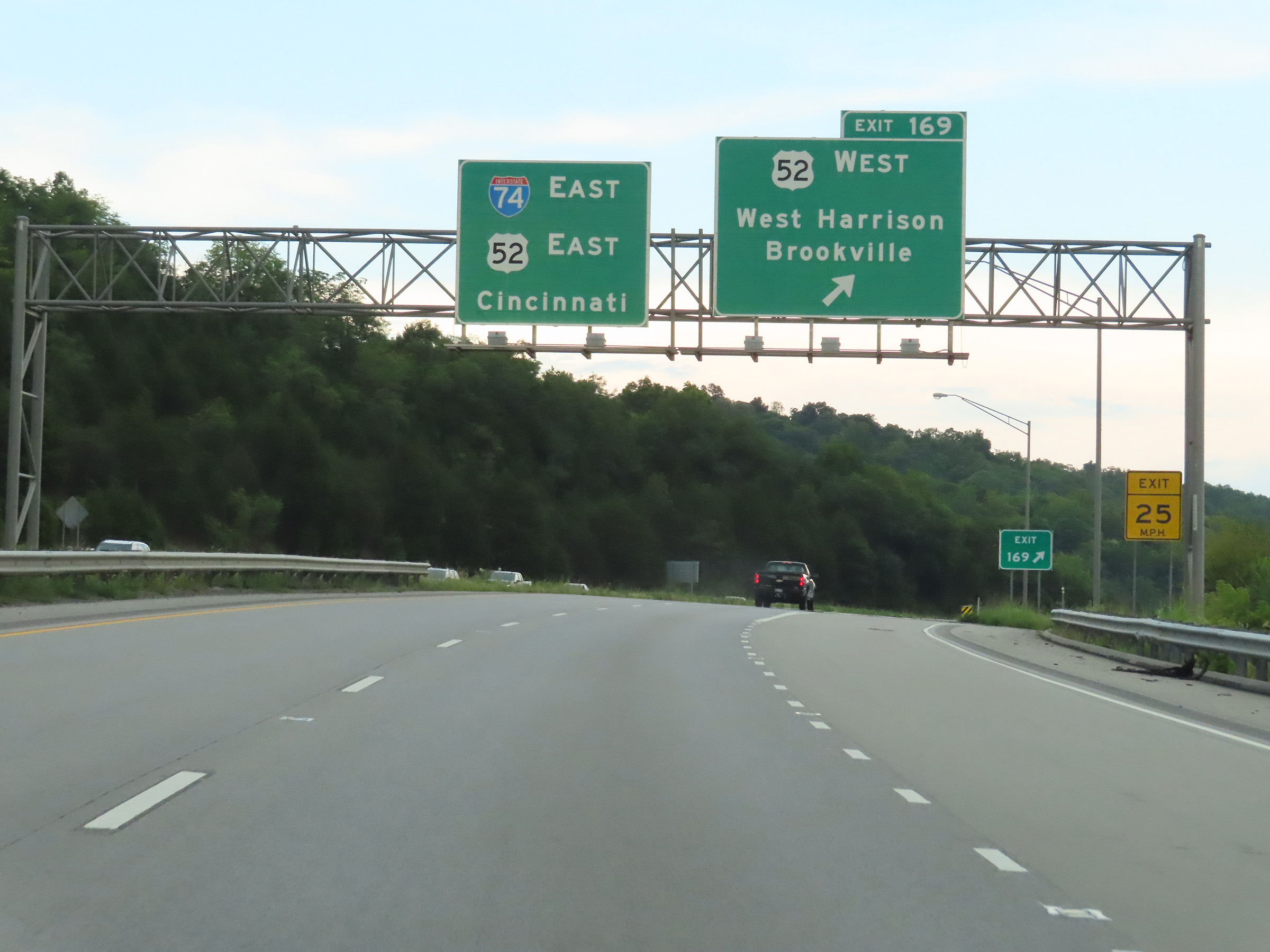 |
Interstate 74 East at Exit 169: US 52 West - West Harrison / Brookville (Photo taken 8/20/22). |
 |
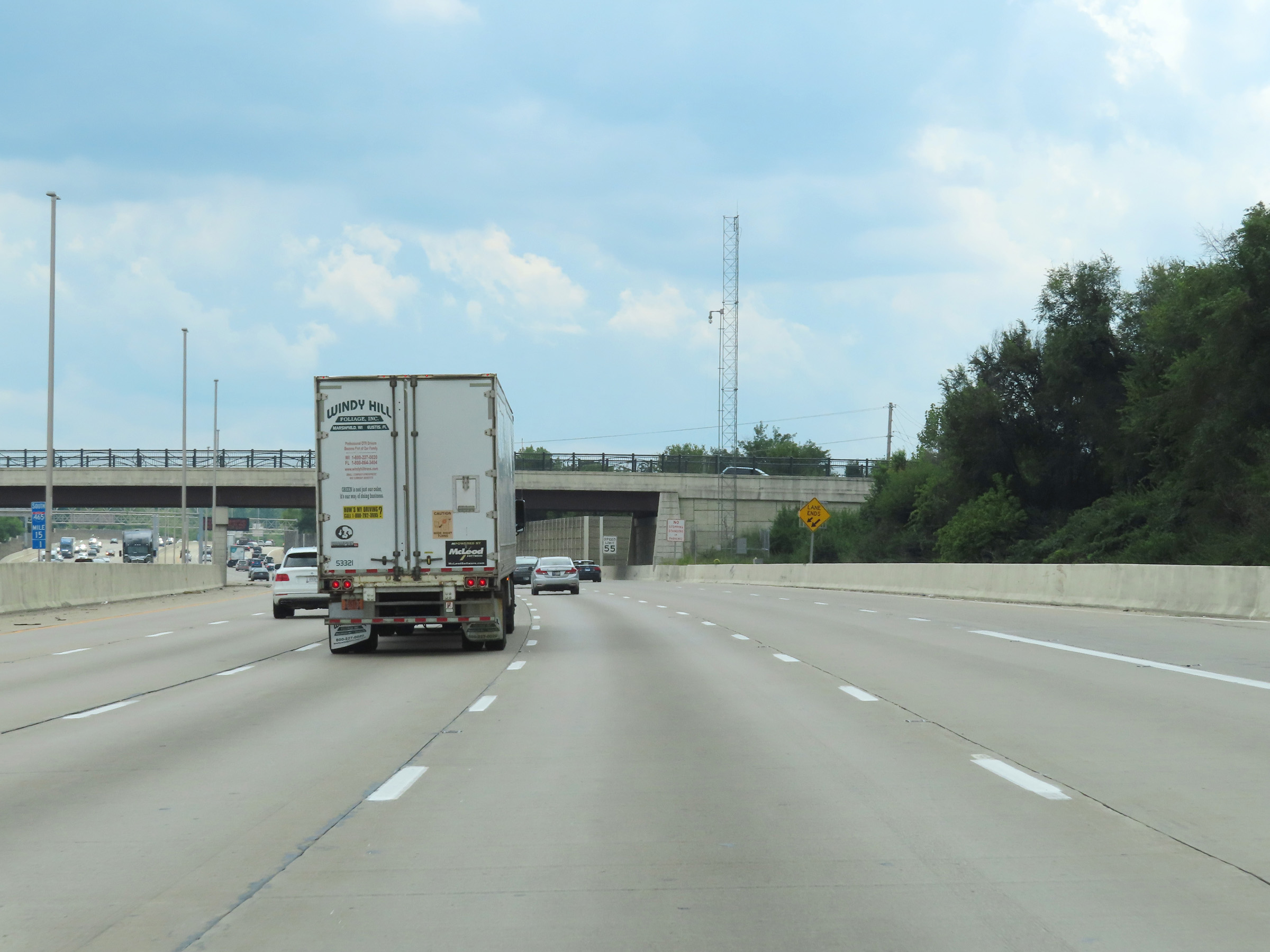
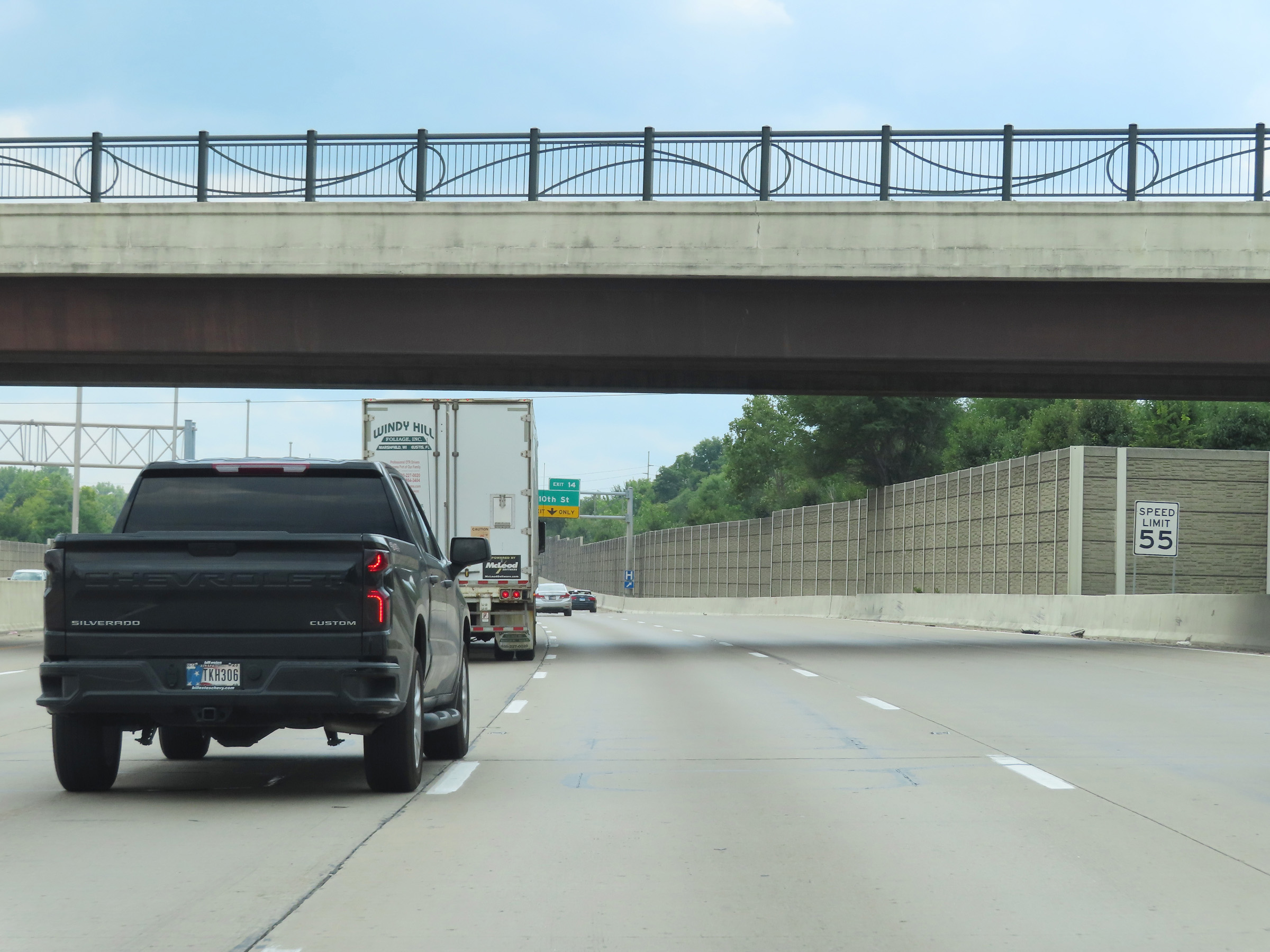
The speed limits remain the rural standard 70 mph for automobiles and 65 mph for trucks. (Photo taken 8/20/22). |
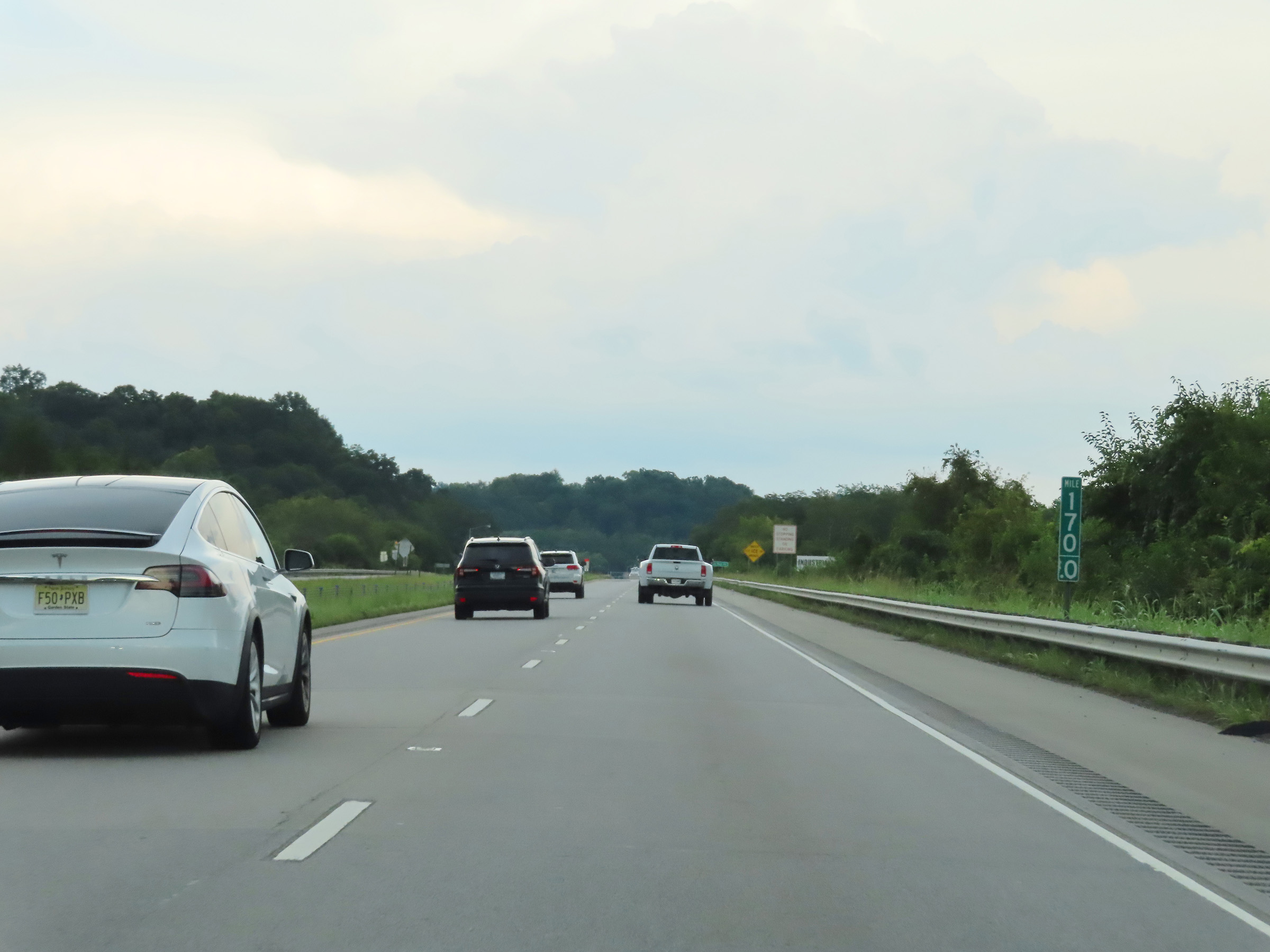 |
View on Interstate 74 East at mile marker 170, as it begins to near the Ohio border. (Photo taken 8/20/22). |
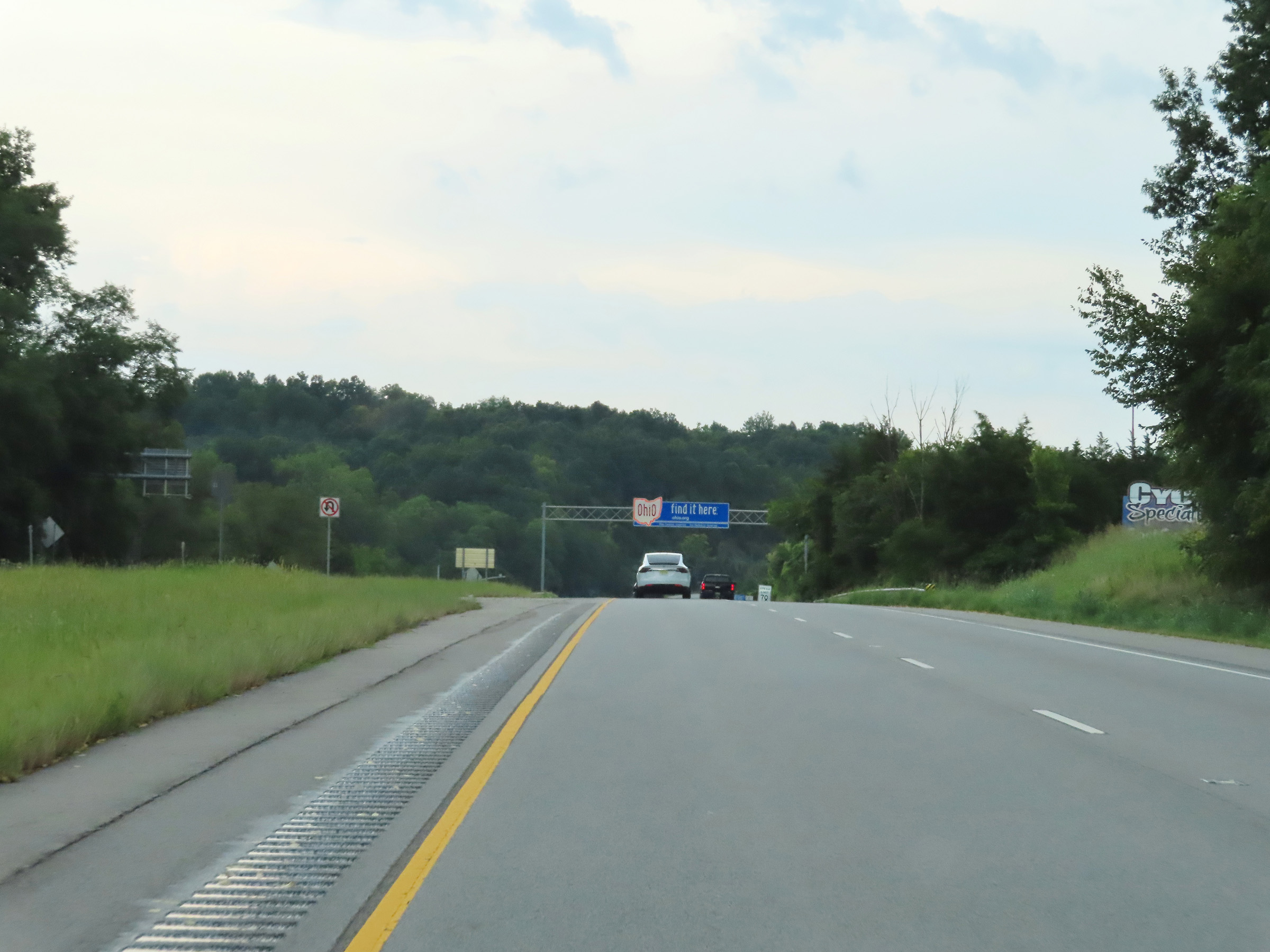 |
Interstate 74 East as it prepares to leave Indiana to enter Ohio. (Photo taken 8/20/22). |