Road Information |
||
 |
||
| Total Mileage in State: | 311 miles | |
| Northern End: | At Michigan state line | |
| Southern End: | At US 41, in Evansville | |
| Mileage covered in Photos: | 311 miles | |
| Counties covered in Photos: | Vanderburgh, Warrick, Vanderburgh, Gibson, Pike, Daviess, Greene, Monroe, Morgan, Marion, Hamilton, Madison, Delaware, Grant, Huntington, Allen, DeKalb, Steuben | |
| Major Junctions in Photos: | I-64, in Elberfeld I-469, in Fort Wayne US 30, in Fort Wayne I-80/I-90 (Indiana Toll Road), in Angola |
|
| Control Cities in Photos: | Evansville, Bloomington, Indianapolis, Fishers, Anderson, Fort Wayne, Angola | |
Northbound
- Section 1: US 41 to Elnora (Exit 76)
- Section 2: Elnora (Exit 76) to Martinsville (Exit 134)
- Section 3: Martinsville (Exit 134) to Johnson County
- Section 4: Indianapolis to Fort Wayne (Exit 296A)
- Section 5: Fort Wayne (Exit 296A) to Michigan Border
Section 1: US 41 to Elnora (Exit 76)
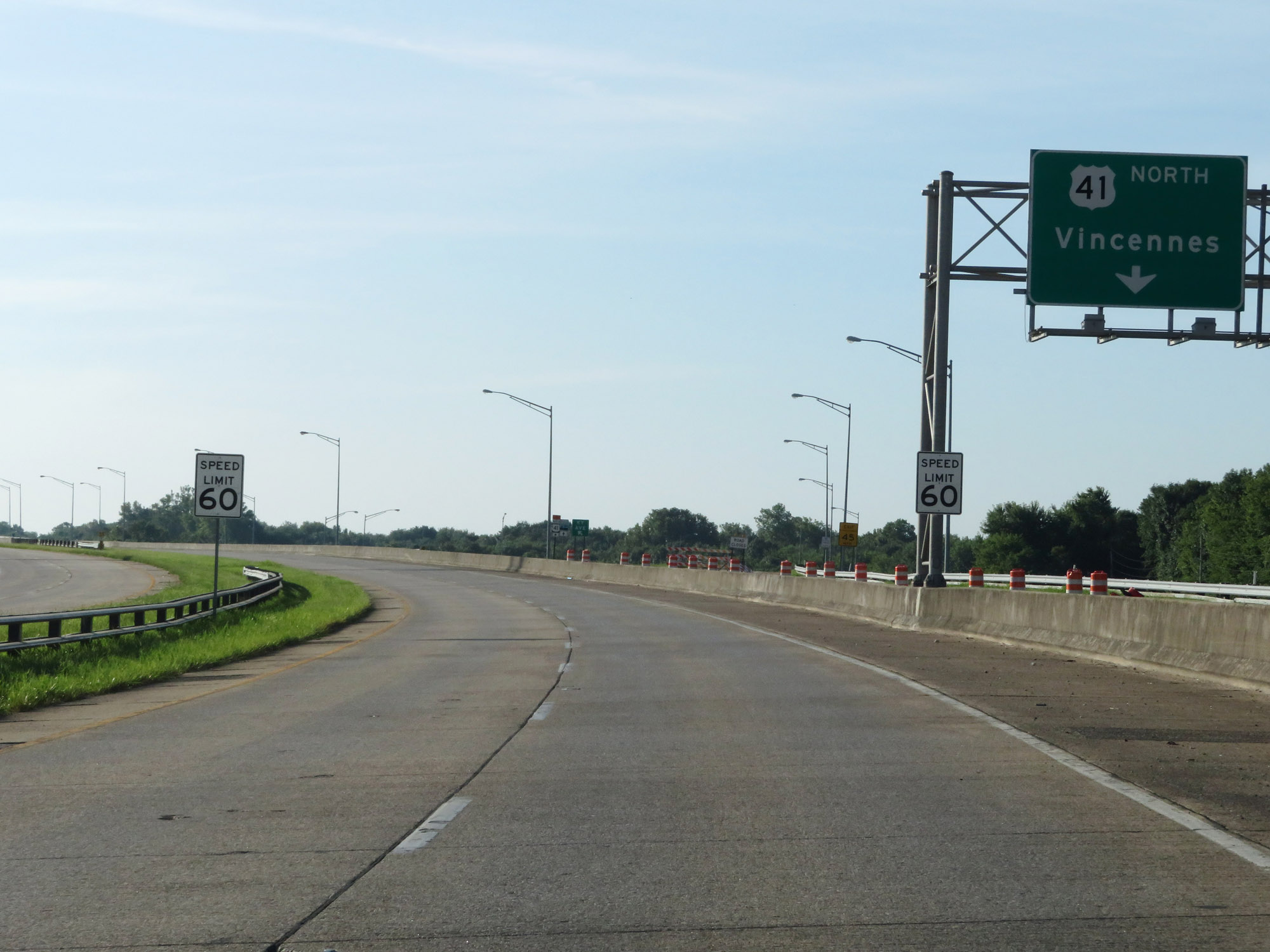 |
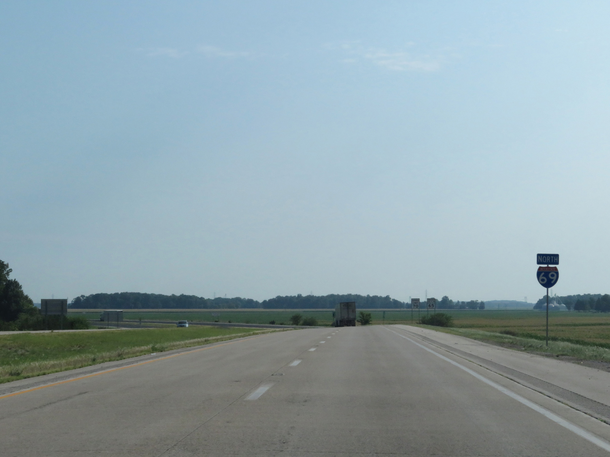
The speed limit on Interstate 69 North starts out at 60 mph as it begins at US 41 to the south of Evansville. (Photo taken 8/11/19). |
 |
Interstate 69 North is first acknowledged here, at the ramp to US 41 North. (Photo taken 8/11/19). |
 |
View on Interstate 69 North as the frontage road for access to US 41 comes to an end ahead. (Photo taken 8/11/19). |
 |
Take any of the next 5 exits to Evansville. Interstate 69 North will bypass downtown Evansville to the south and east. (Photo taken 8/11/19). |
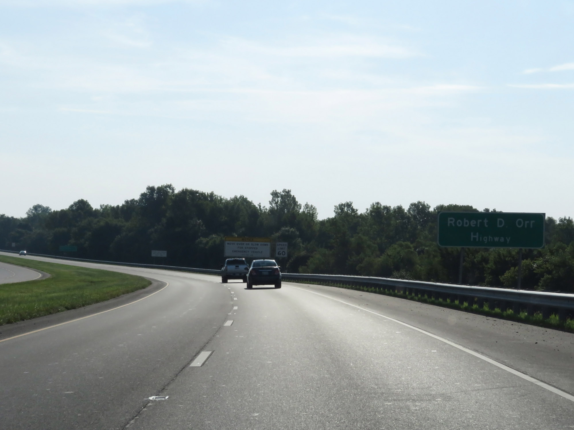 |
Interstate 69 in the Evansville area is also known as Robert D. Orr Highway, as this sign reads. (Photo taken 8/11/19). |
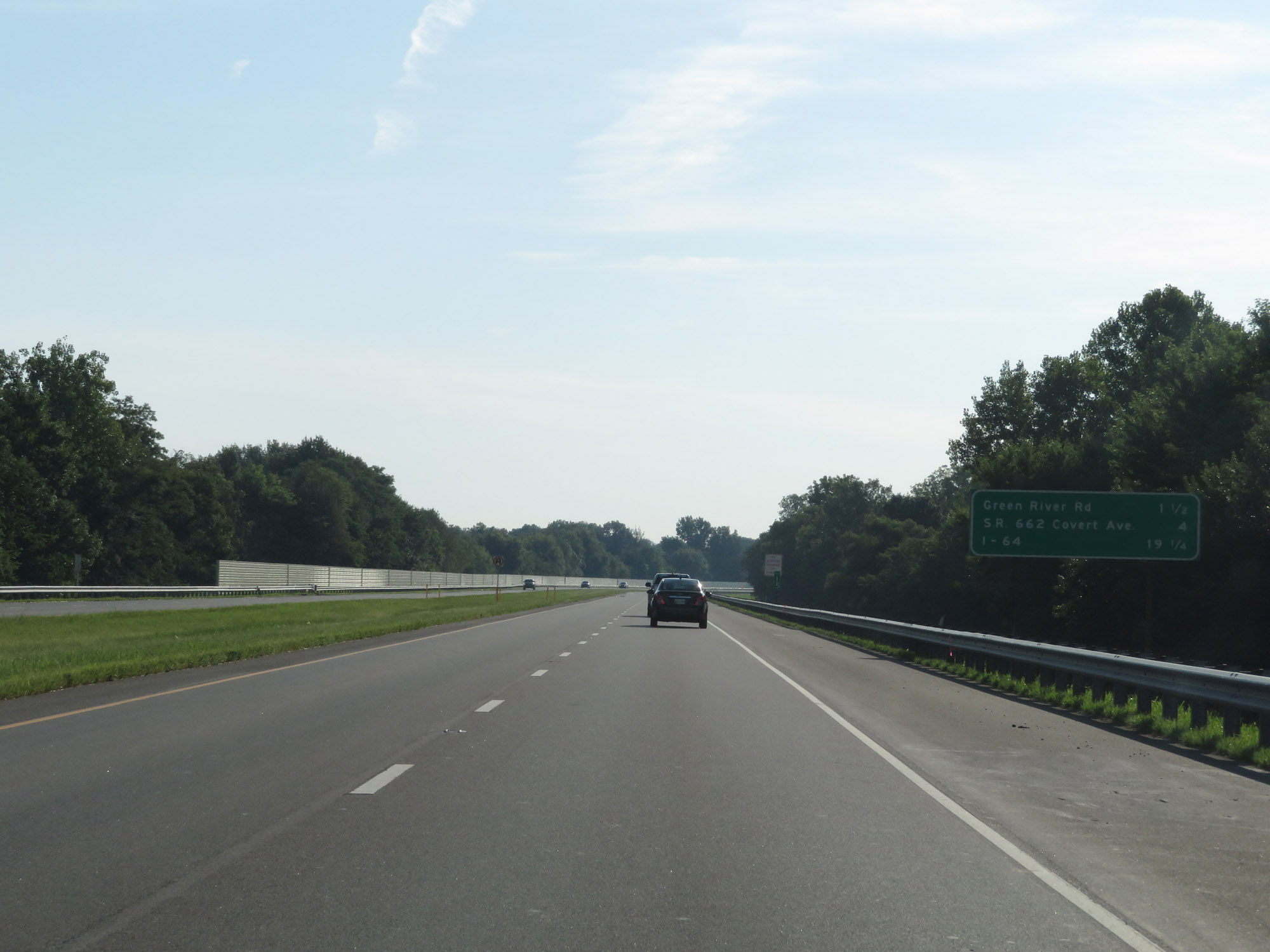 |
Mileage sign on Interstate 69 North at mile marker 1.5. It's 1 1/2 miles to Green River Rd (Exit 3), 4 miles to IN 662 (Exit 5), and 19 1/4 miles to the junction of Interstate 64. (Photo taken 8/11/19). |
 |
Interstate 69 North at mile marker 2. (Photo taken 8/11/19). |
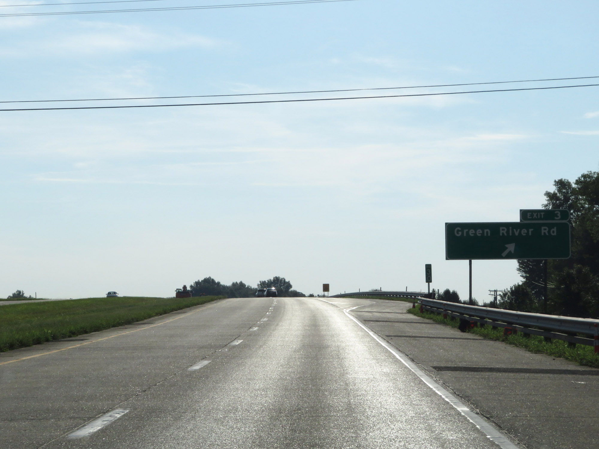 |
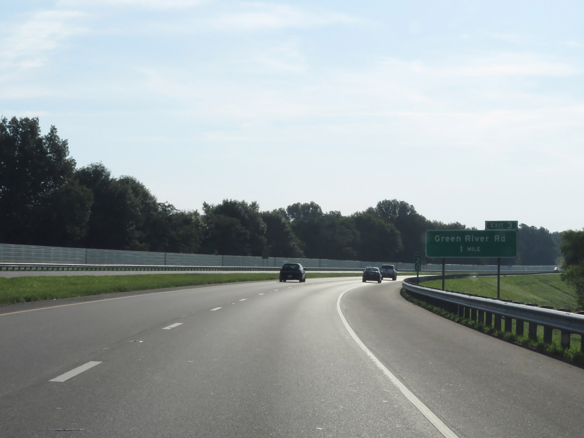
Interstate 69 North at Exit 3: Green River Rd (Photo taken 8/11/19). |
 |
Interstate 69 North reassurance shield. (Photo taken 8/11/19). |
 |
View on Interstate 69 North at mile marker 4. (Photo taken 8/11/19). |
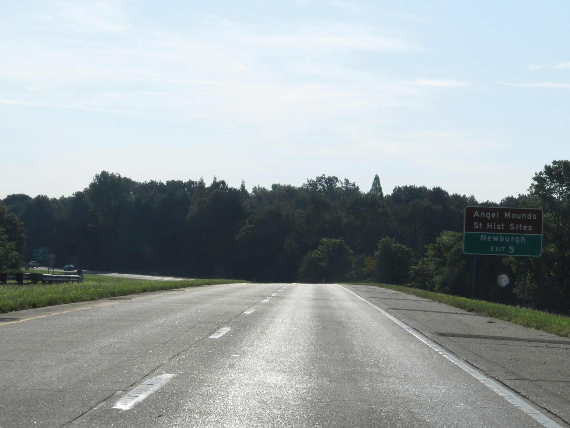 |
Take Exit 5 to Angel Mounds State Historic Sites and Newburgh. (Photo taken 8/11/19). |
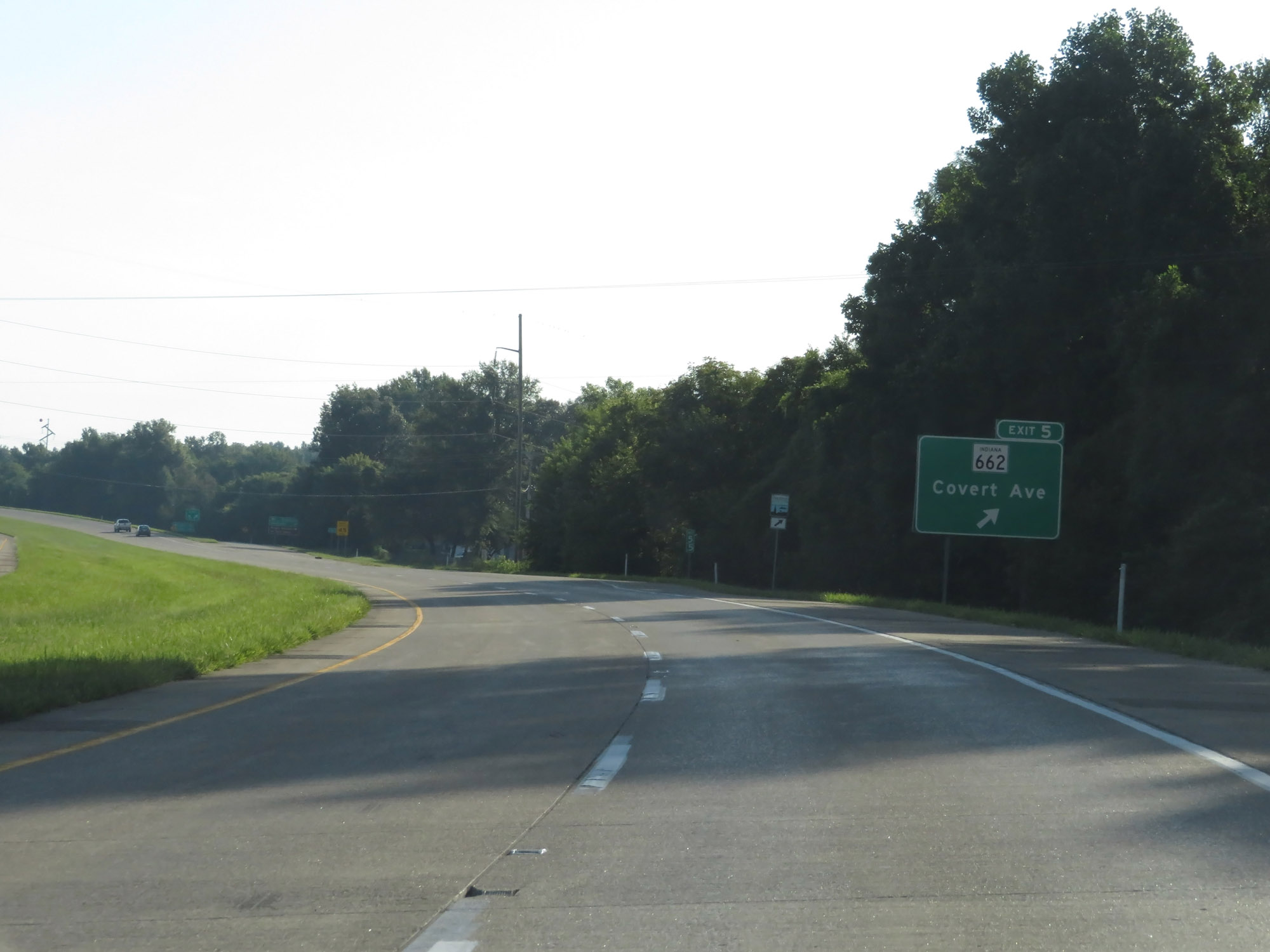 |
Interstate 69 North at Exit 5: IN 662 - Covert Ave (Photo taken 8/11/19). |
 |
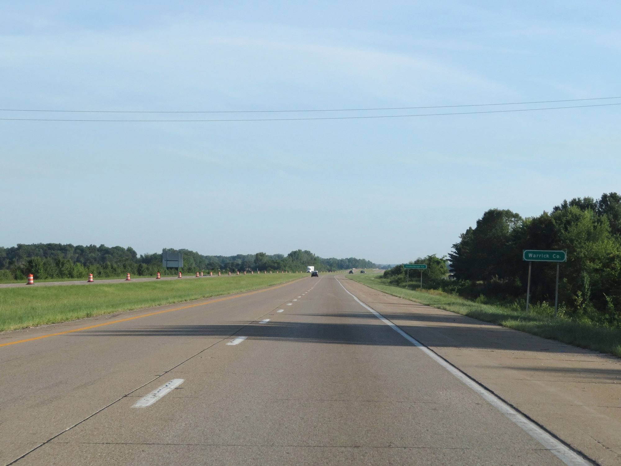
At Exit 5, Interstate 69 North briefly dips into Warrick County. (Photo taken 8/11/19). |
 |
Interstate 69 North as it curves to the north at the southeastern corner of the Evansville area. (Photo taken 8/11/19). |
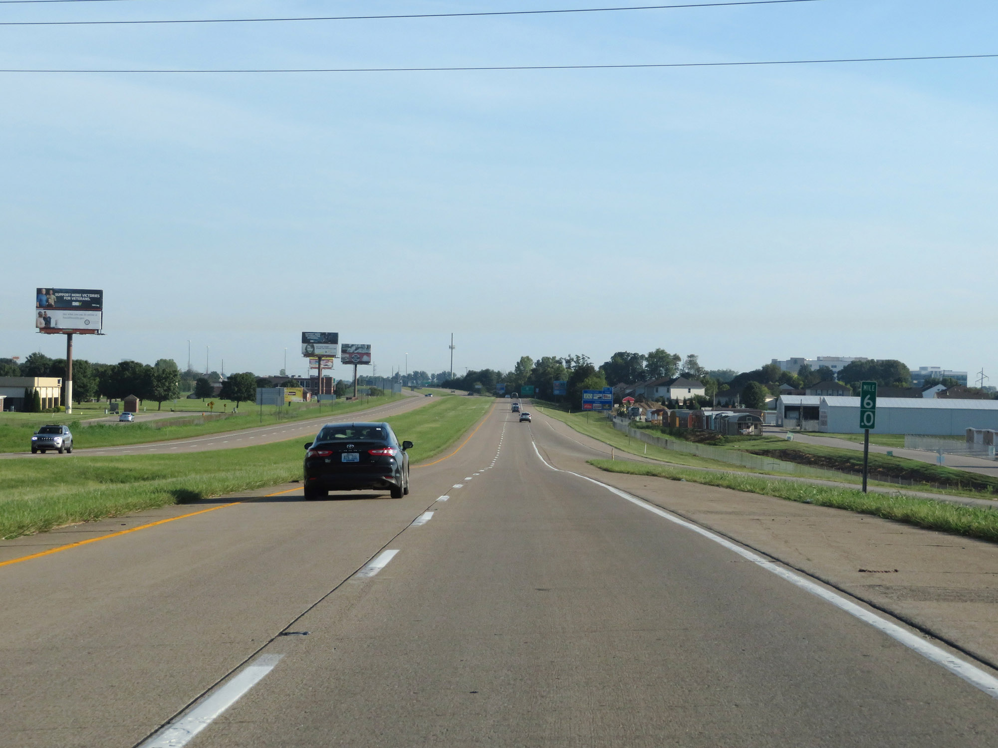 |
Interstate 69 North at mile marker 6. (Photo taken 8/11/19). |
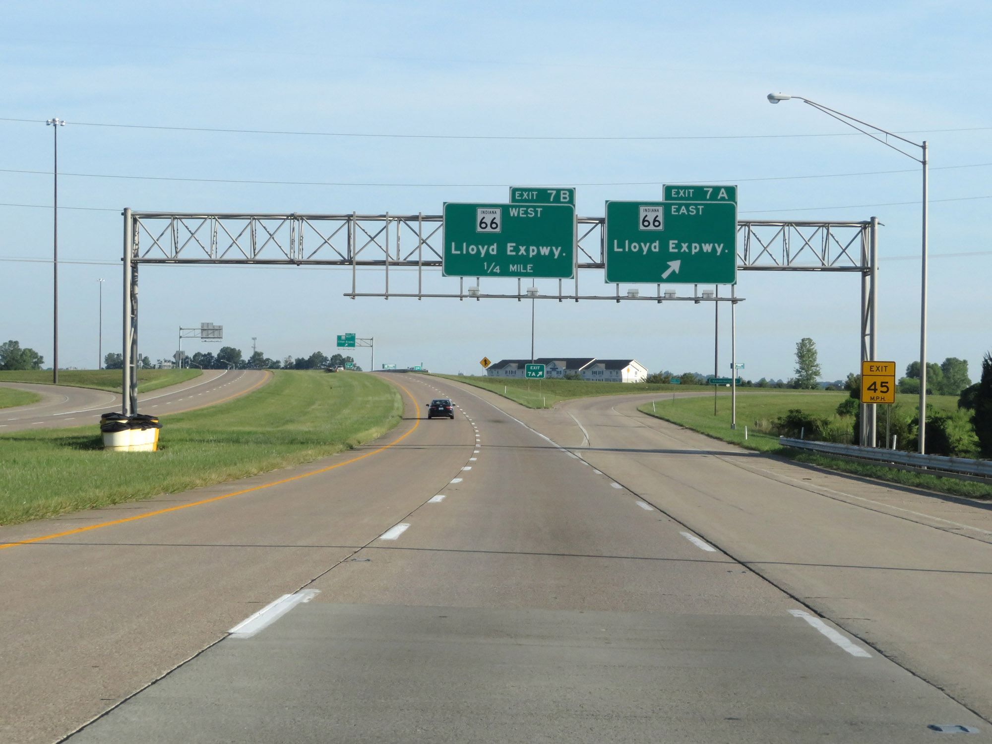 |
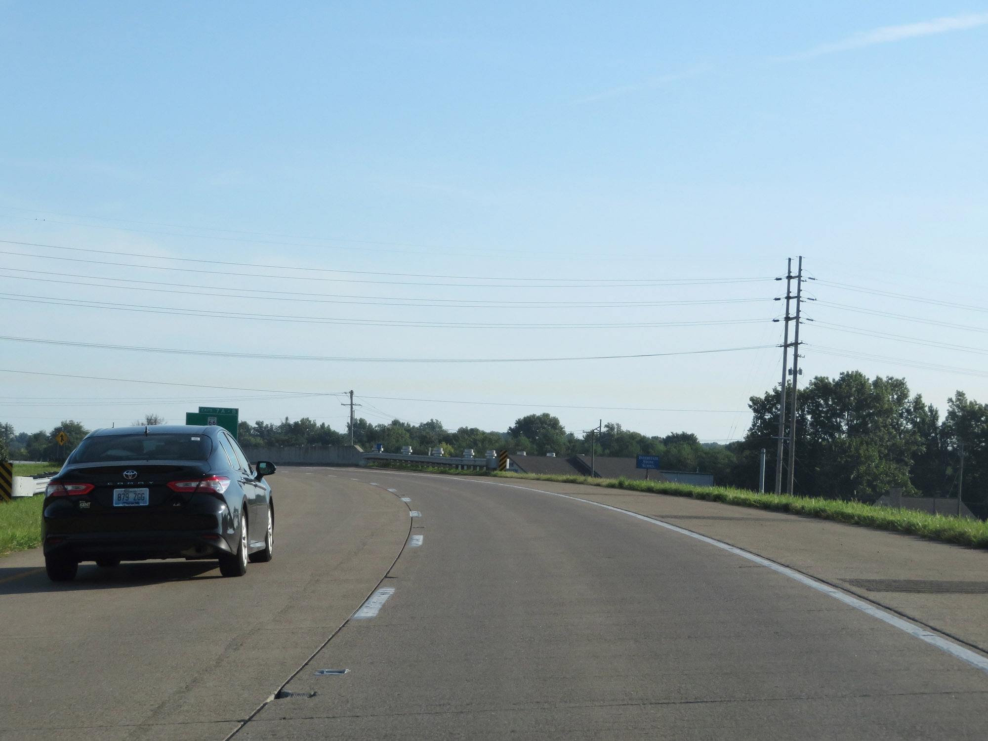
Interstate 69 North at Exit 7A: IN 66 East - Lloyd Expressway (Photo taken 8/11/19). |
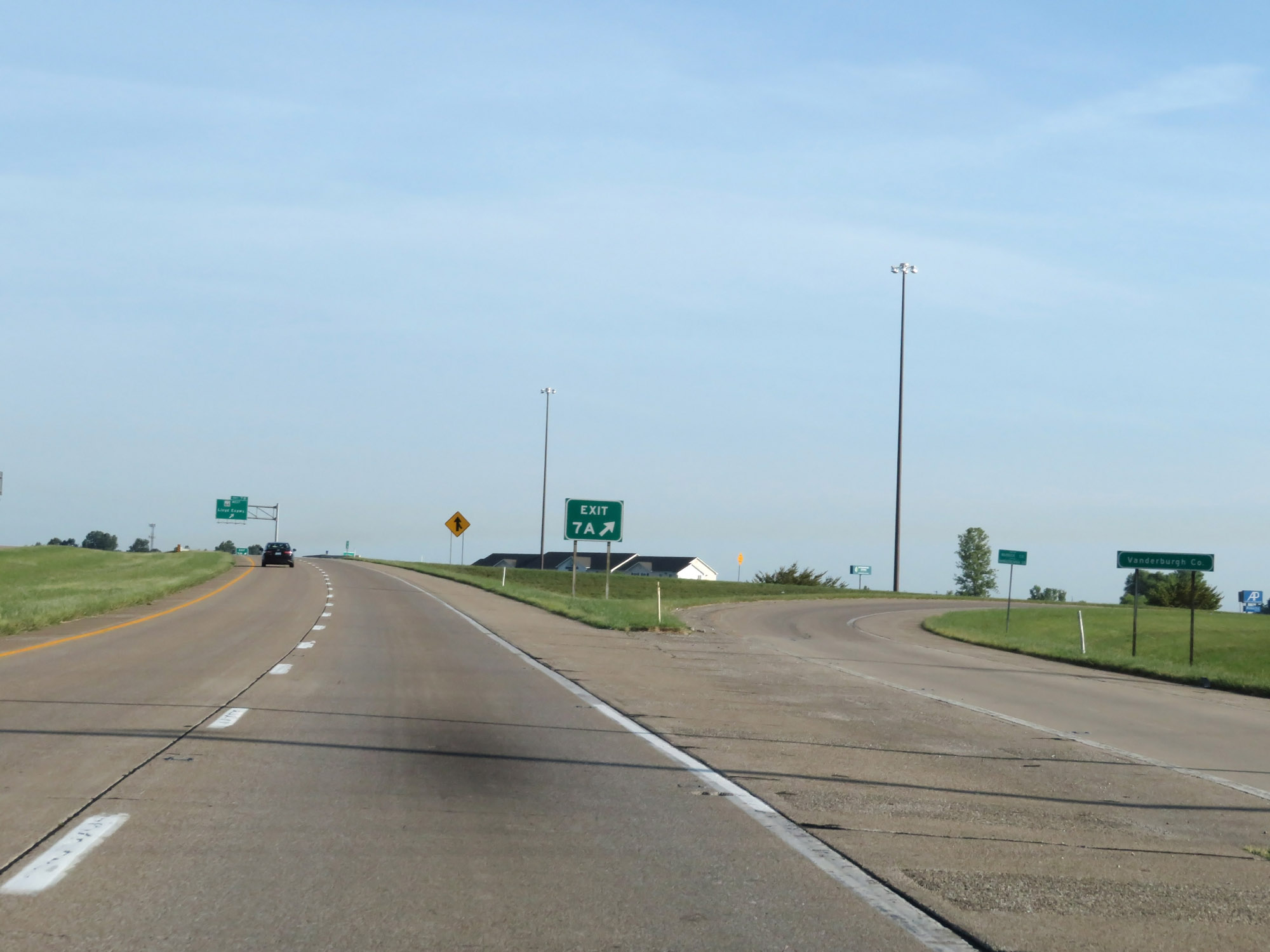 |
At the ramp for Exit 7A, Interstate 69 North re-enters Vanderburgh County. (Photo taken 8/11/19). |
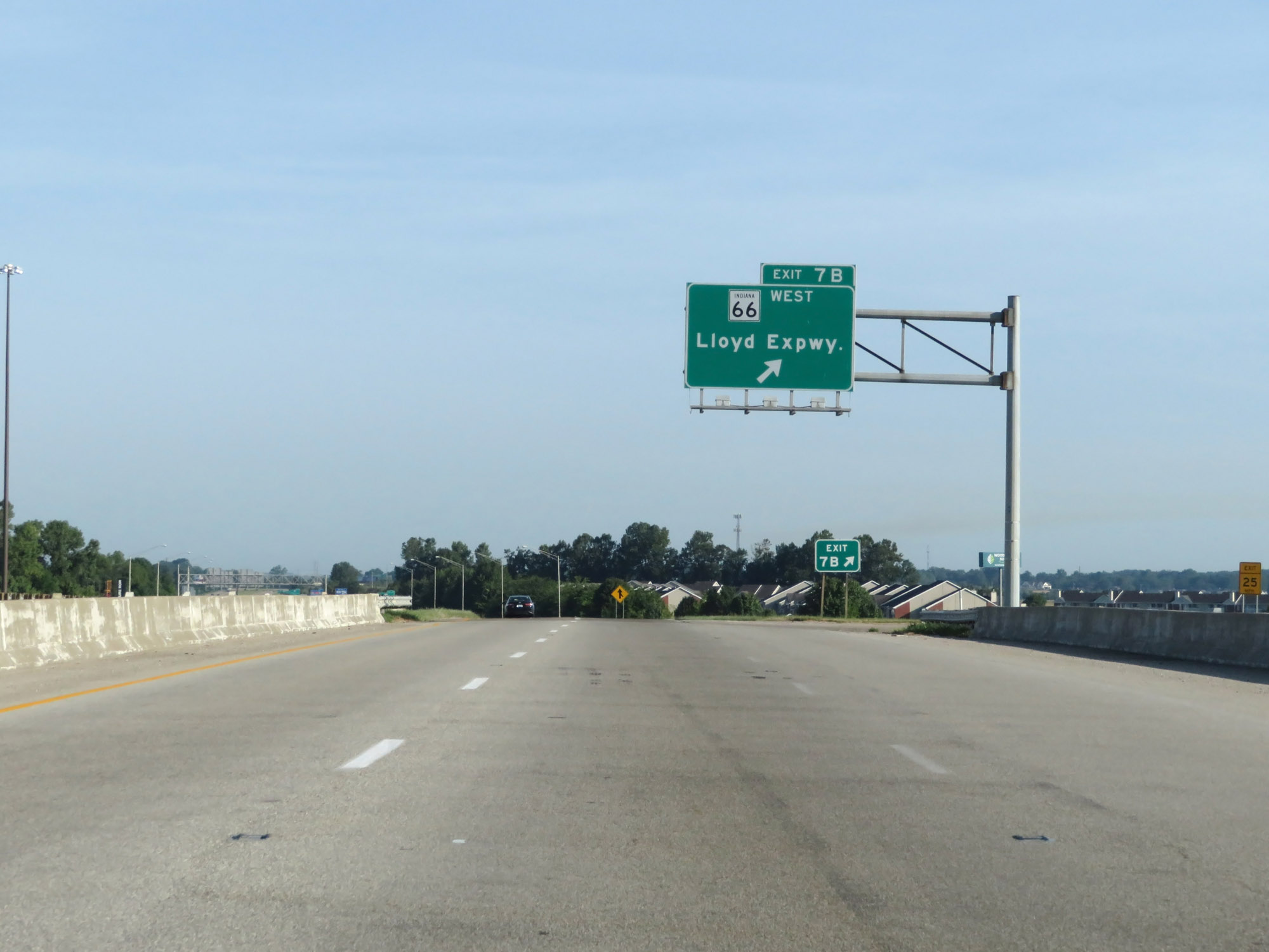 |
Interstate 69 North at Exit 7B: IN 66 West - Lloyd Expressway (Photo taken 8/11/19). |
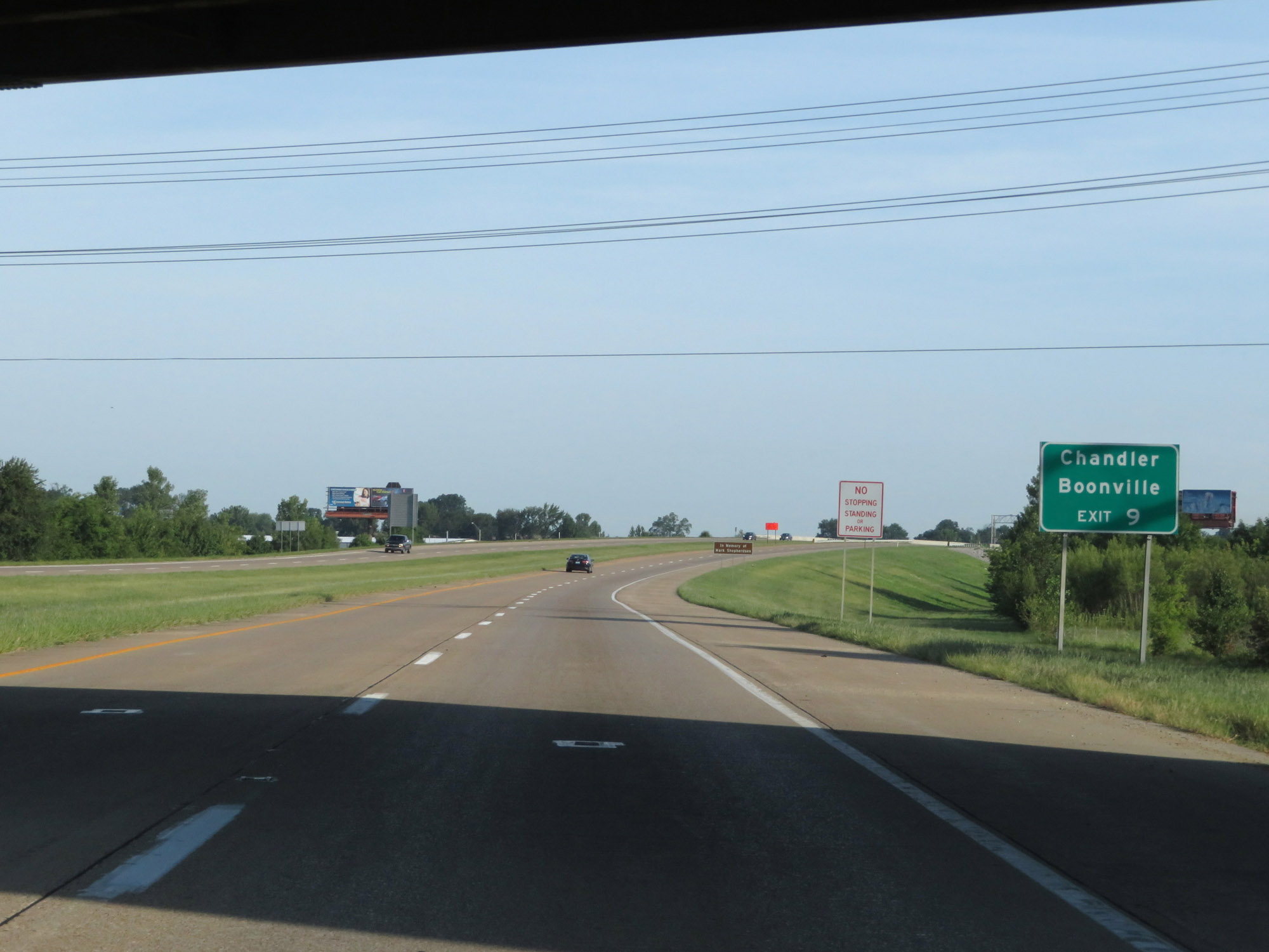 |
Take Exit 9 to Chandler and Boonville. (Photo taken 8/11/19). |
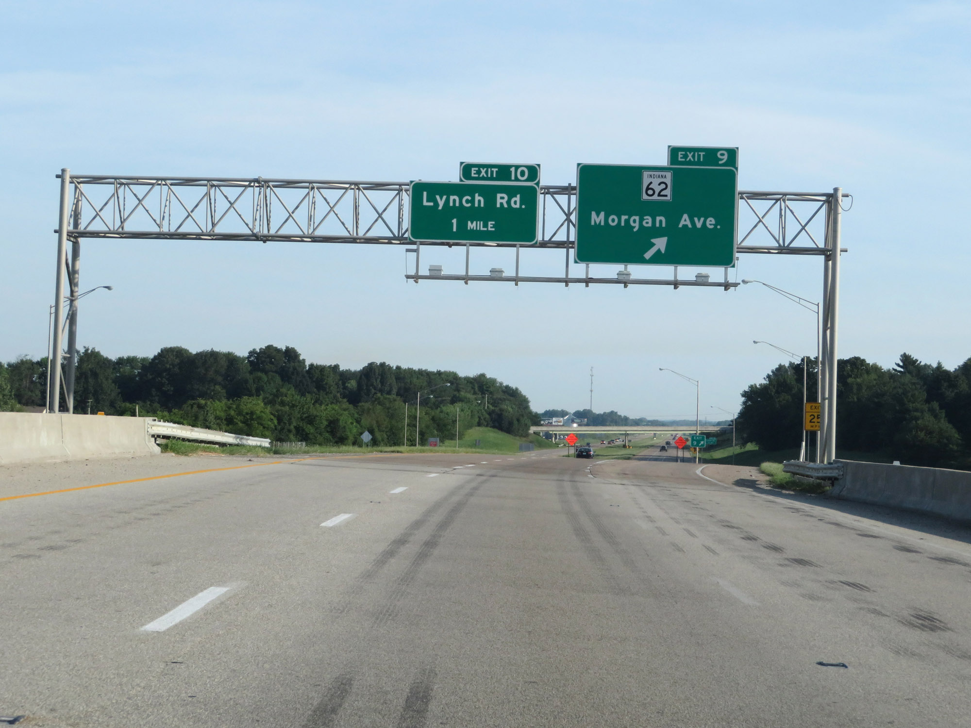 |
Interstate 69 North at Exit 9: IN 62 - Morgan Ave (Photo taken 8/11/19). |
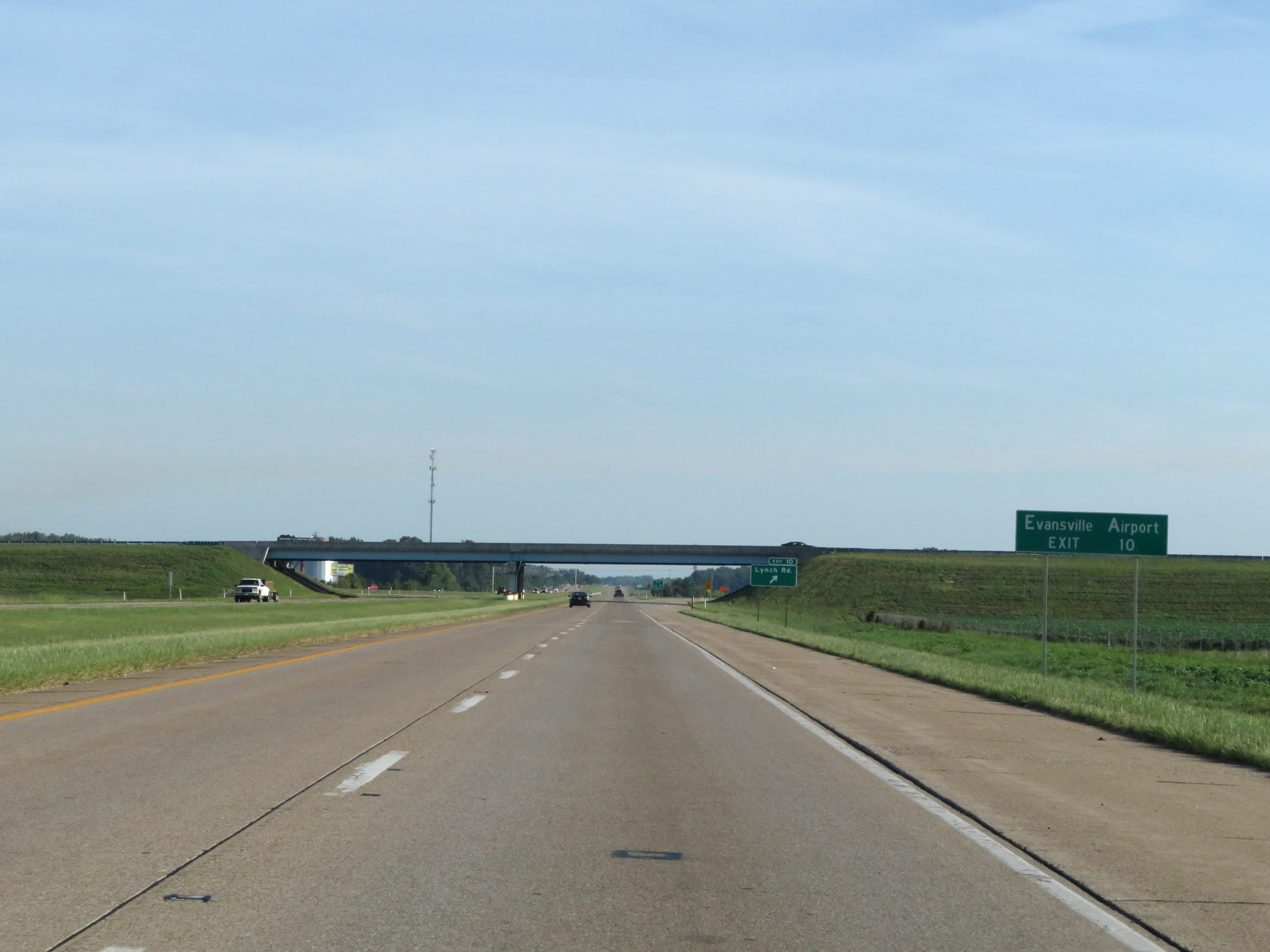 |
Take Exit 10 to Evansville Airport. (Photo taken 8/11/19). |
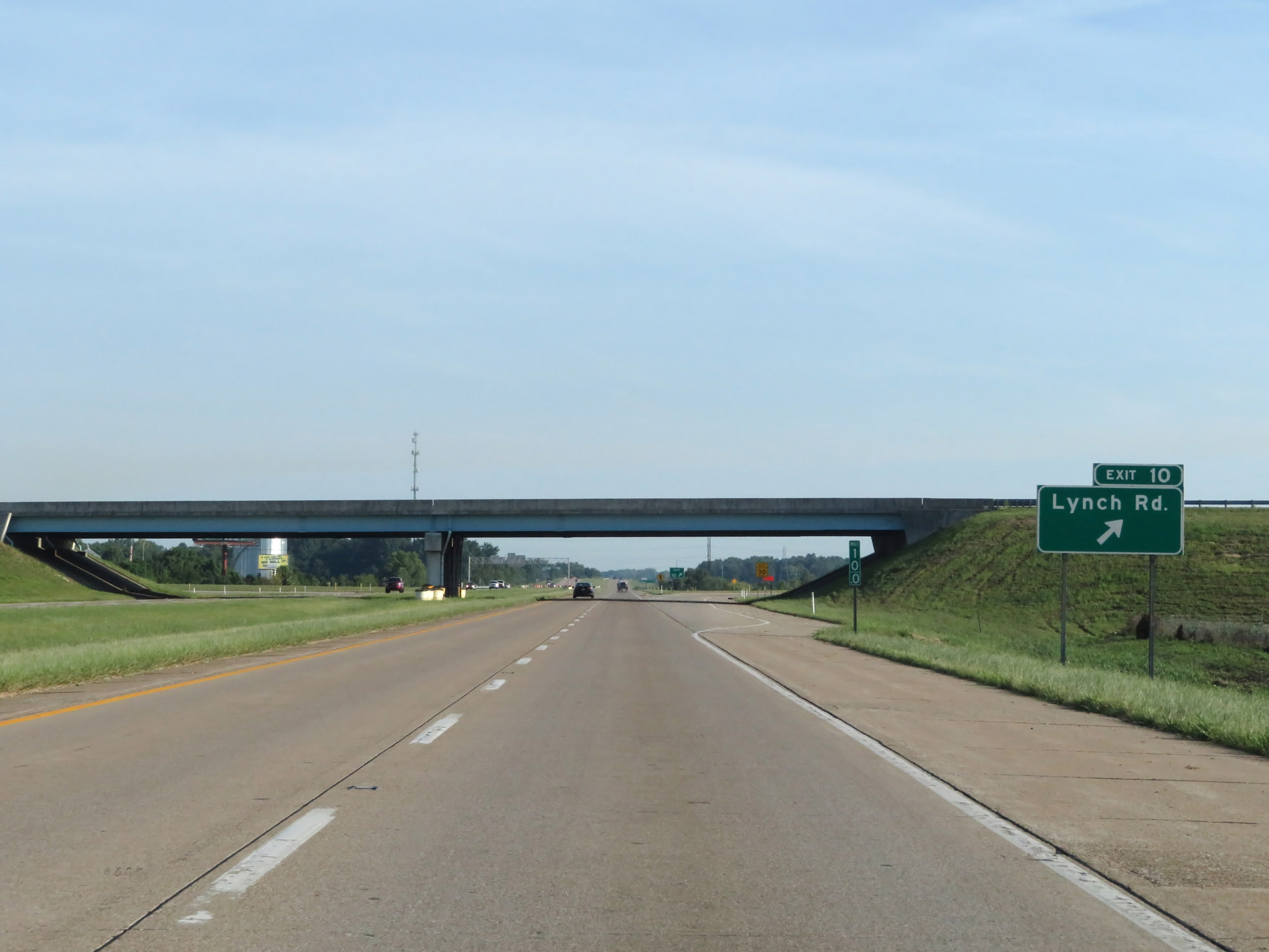 |
Interstate 69 North at Exit 10: Lynch Rd (Photo taken 8/11/19). |
 |
Another Interstate 69 North reassurance shield. (Photo taken 8/11/19). |
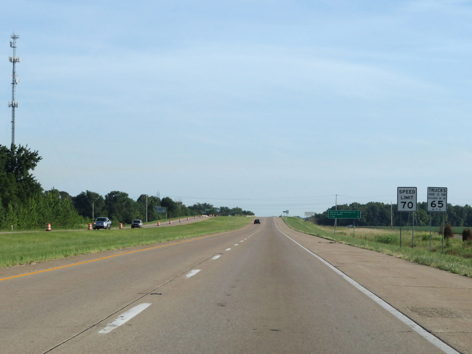 |
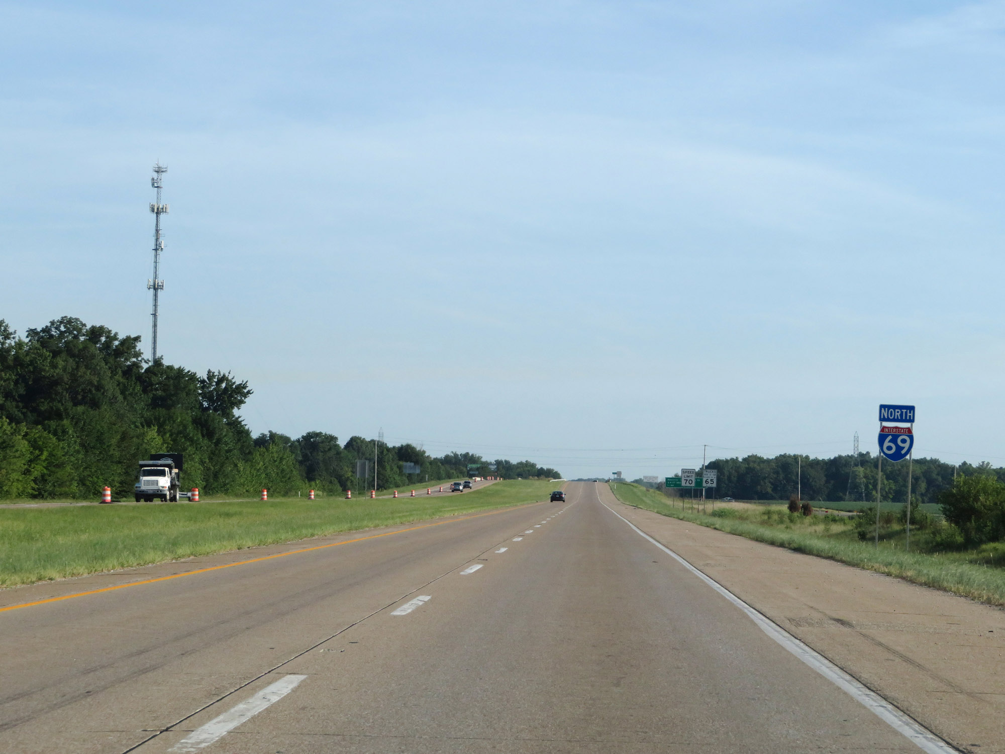
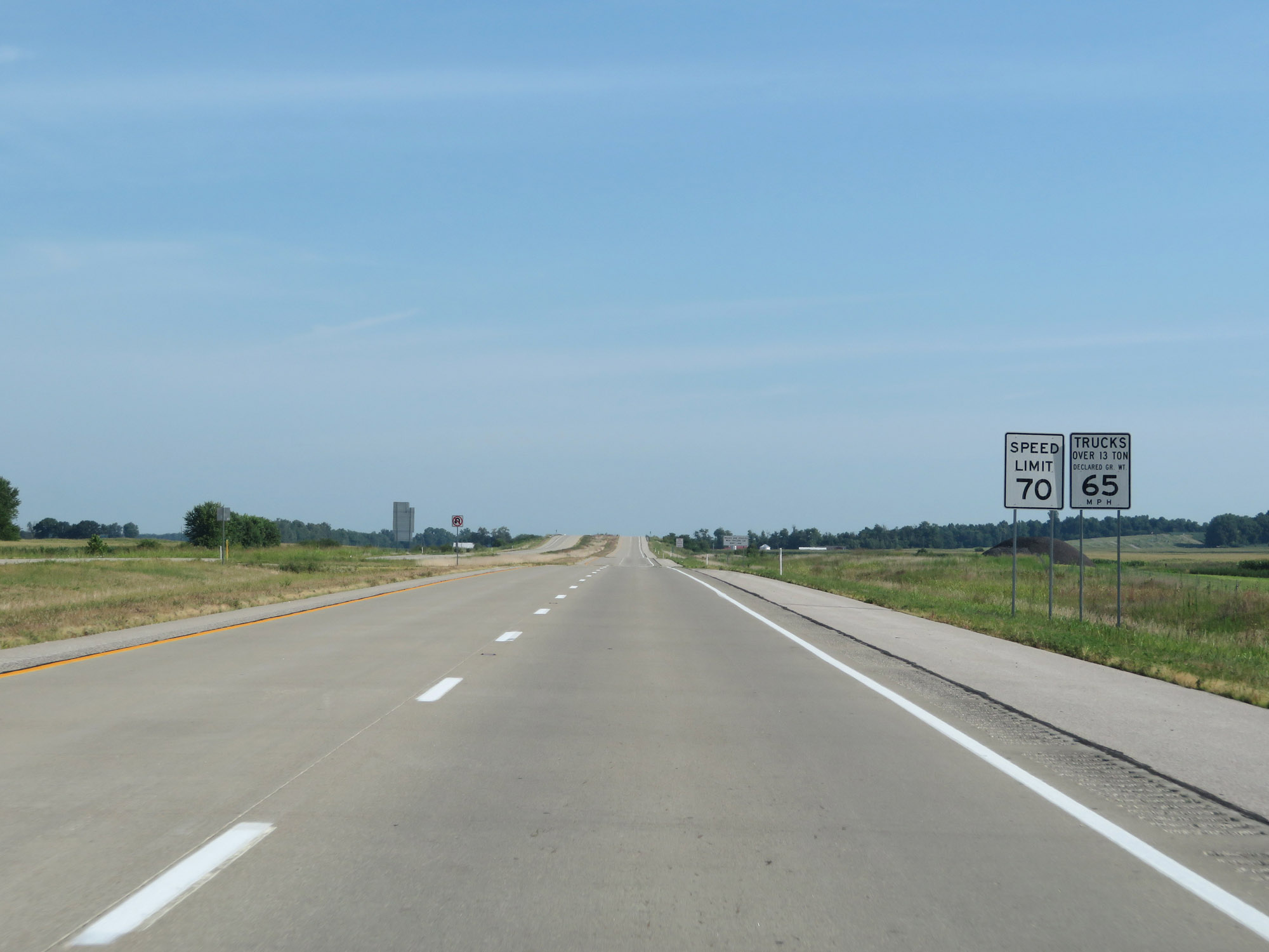
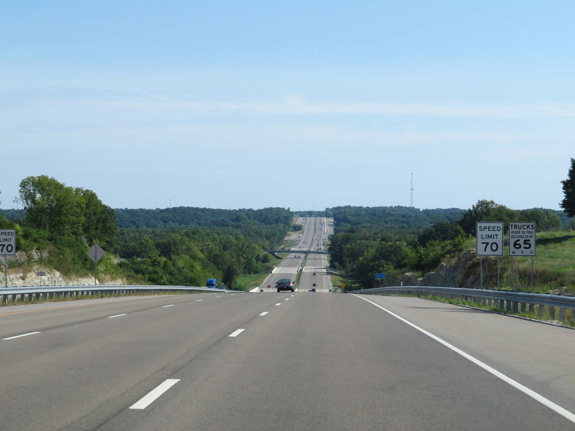
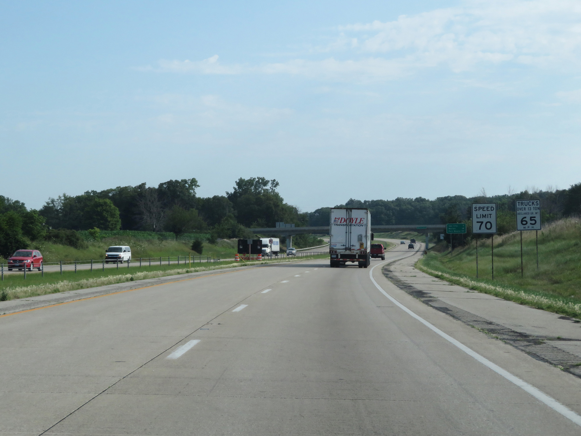
North of Exit 10, the speed limits increase to 70 mph for cars and 65 mph for trucks. These are the standard speed limits on most rural Interstate highways in Indiana. (Photo taken 8/11/19). |
 |
Interstate 69 North as it once again touches into Warrick County, this time for a whole 100 feet or so. (Photo taken 8/11/19). |
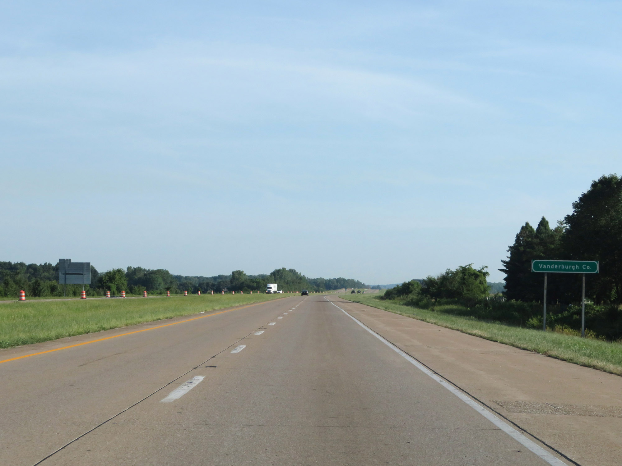 |
It then re-enters Vanderburgh County immediately after. (Photo taken 8/11/19). |
 |
Interstate 69 North at mile marker 13. (Photo taken 8/11/19). |
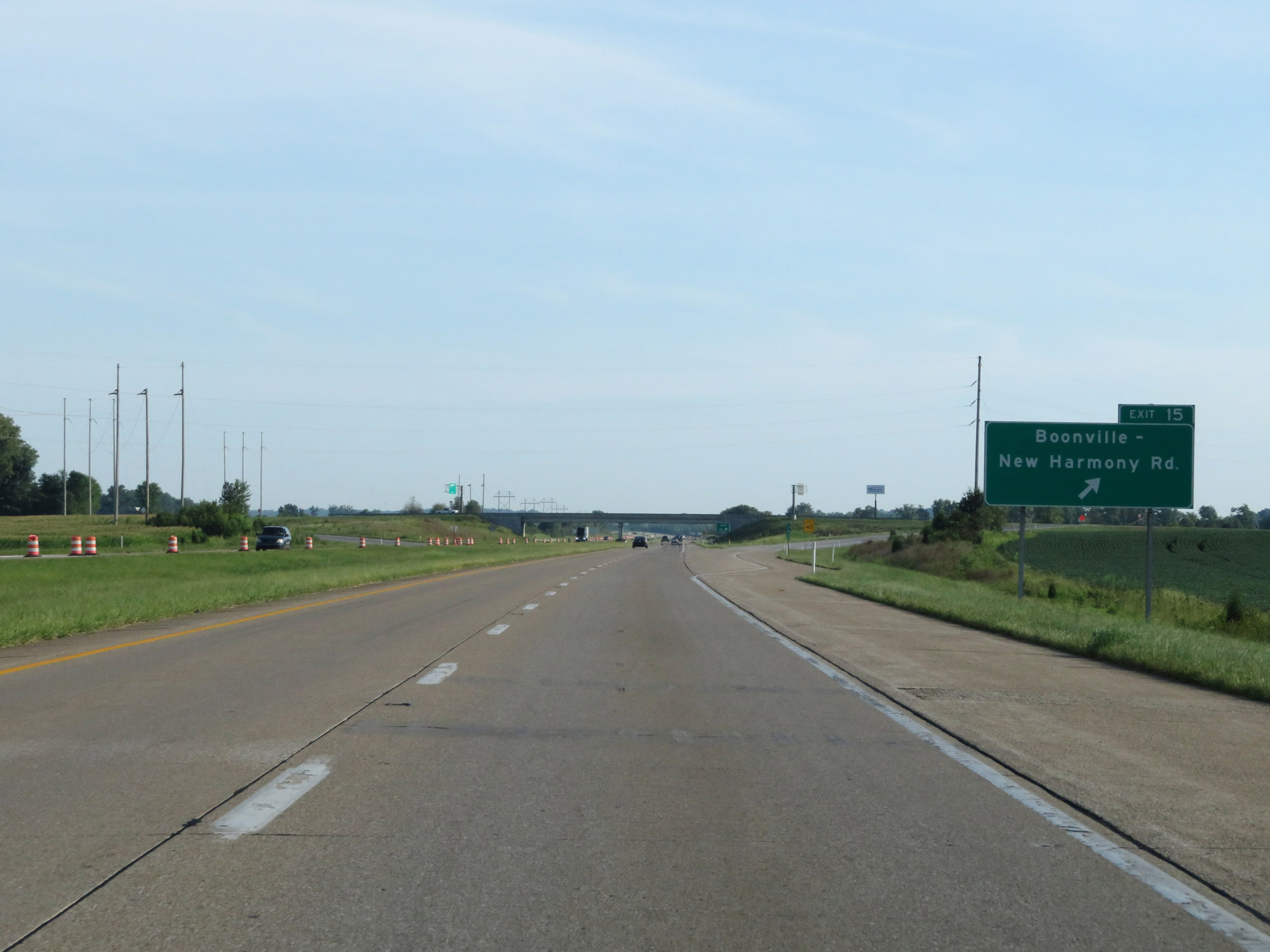 |
Interstate 69 North at Exit 15: Boonville-New Harmony Rd (Photo taken 8/11/19). |
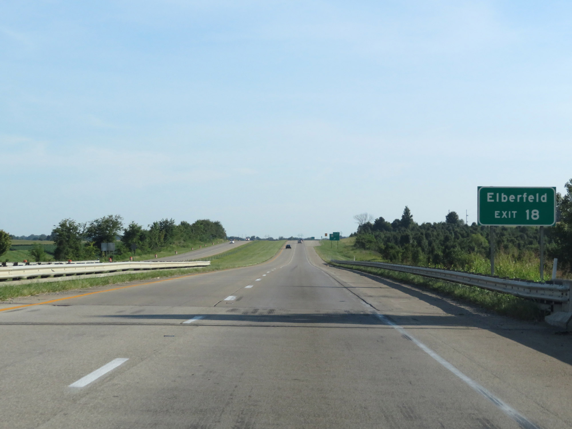 |
Take Exit 18 to Elberfeld. (Photo taken 8/11/19). |
 |
Interstate 69 North at Exit 18: IN 57 South (Photo taken 8/11/19). |
 |
Interstate 69 North approaching Exit 21A - 1 mile. (Photo taken 8/11/19). |
 |
View on Interstate 69 North at mile marker 20. (Photo taken 8/11/19). |
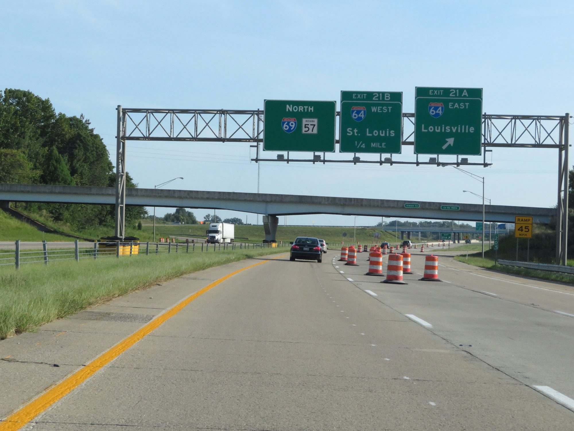 |
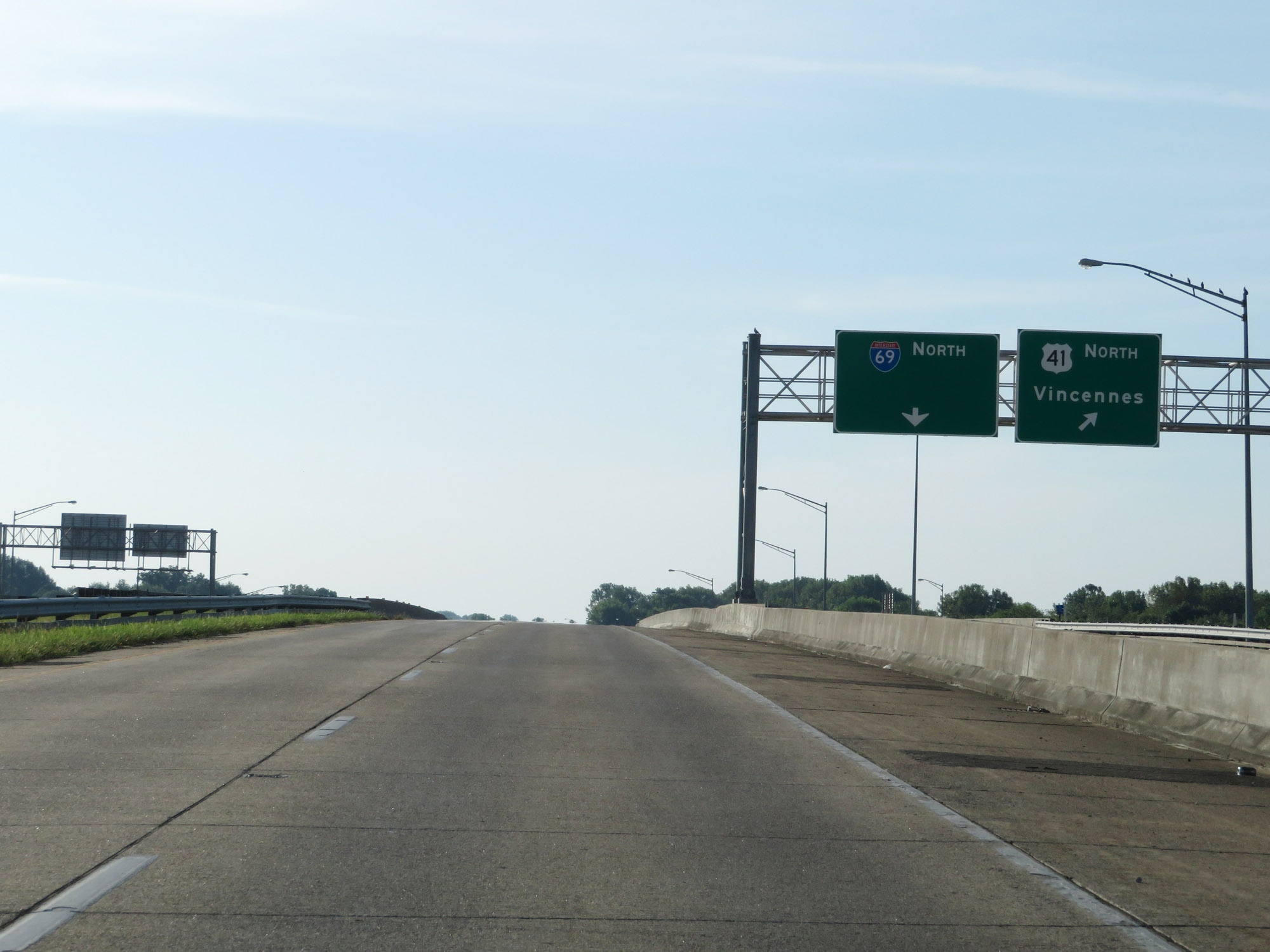
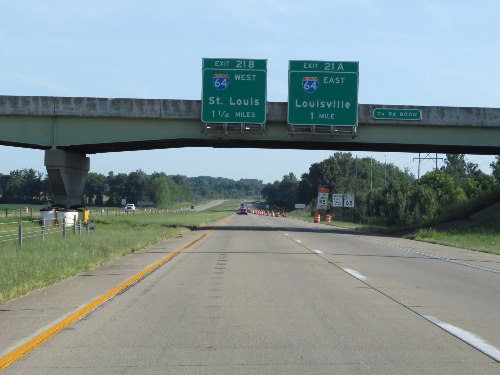
Interstate 69 North at Exit 21A: Interstate 64 East - Louisville (Photo taken 8/11/19). |
 |
At the ramp for Exit 21A, Interstate 69 North enters Gibson County. (Photo taken 8/11/19). |
 |
Interstate 69 North at Exit 21B: Interstate 64 West - St. Louis (Photo taken 8/11/19). |
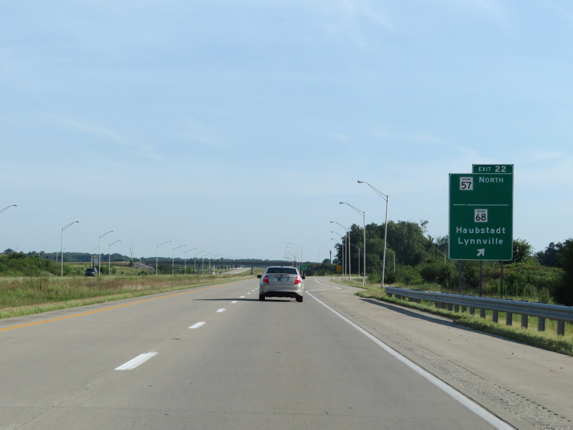 |
Interstate 69 North at Exit 22: IN 57 North / IN 68 - Haubstadt / Lynnville (Photo taken 8/11/19). |
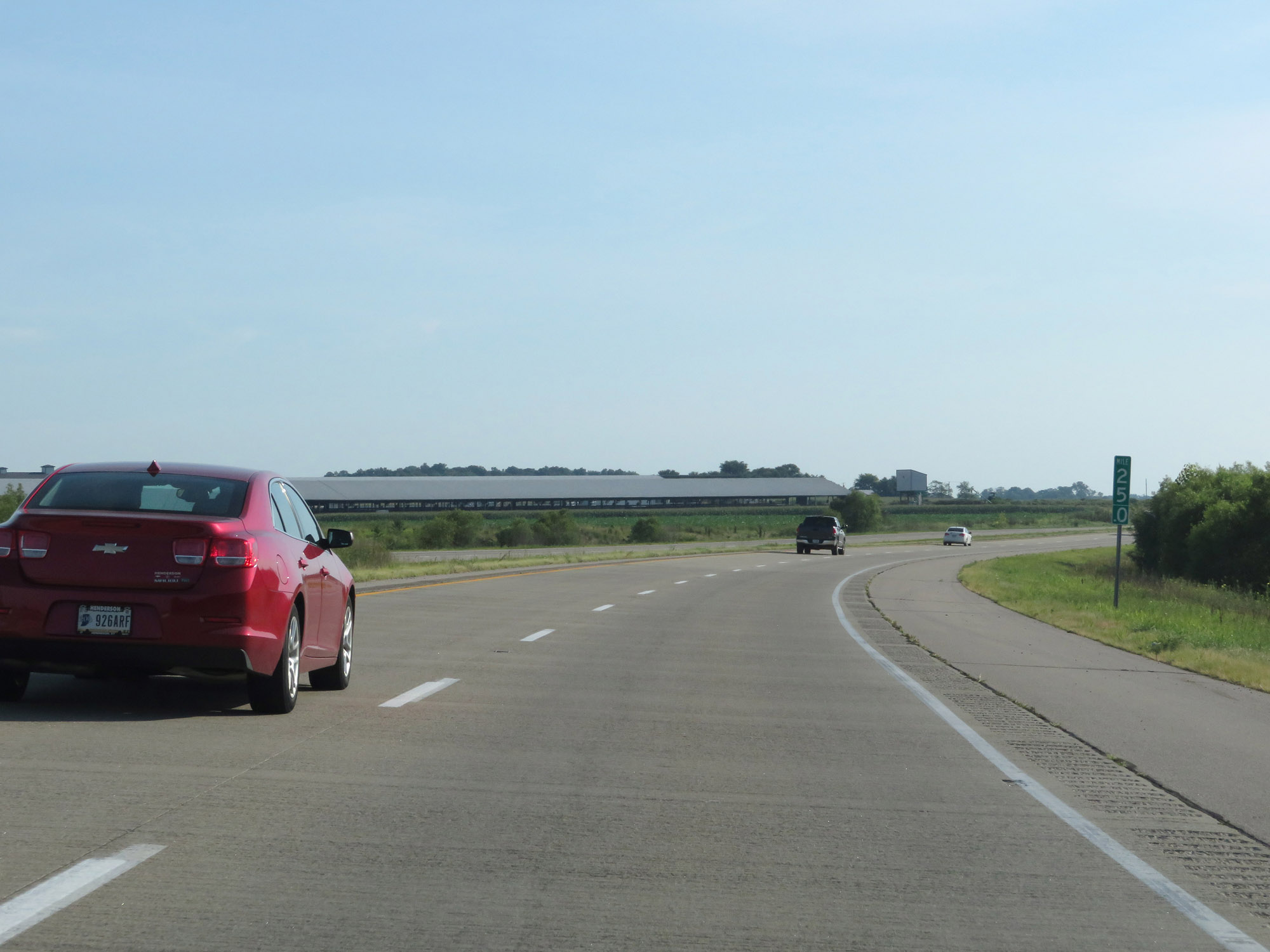 |
Interstate 69 North at mile marker 25. (Photo taken 8/11/19). |
 |
Interstate 69 North at Exit 27: IN 168 - Fort Branch / Mackey (Photo taken 8/11/19). |
 |
Interstate 69 North reassurance shield. (Photo taken 8/11/19). |
 |
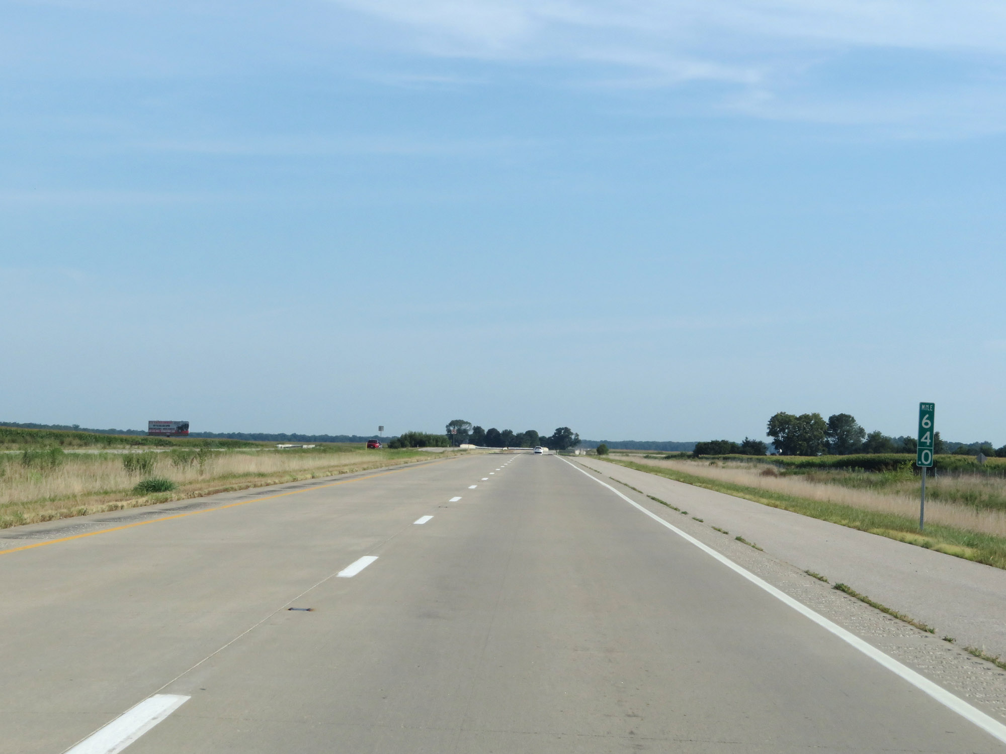
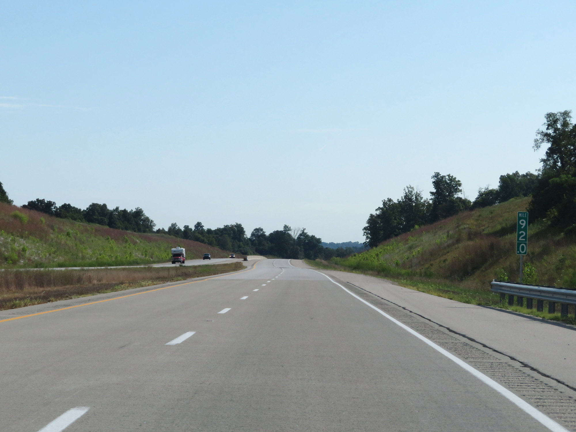
View on Interstate 69 North at mile marker 29. (Photo taken 8/11/19). |
 |
Interstate 69 North at mile marker 31. (Photo taken 8/11/19). |
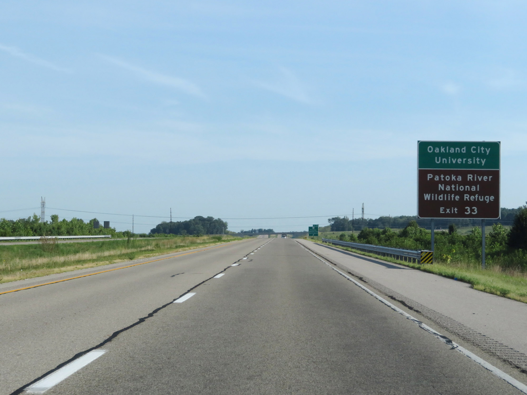 |
Take Exit 33 to Oakland City University and Patoka River National Wildlife Refuge. (Photo taken 8/11/19). |
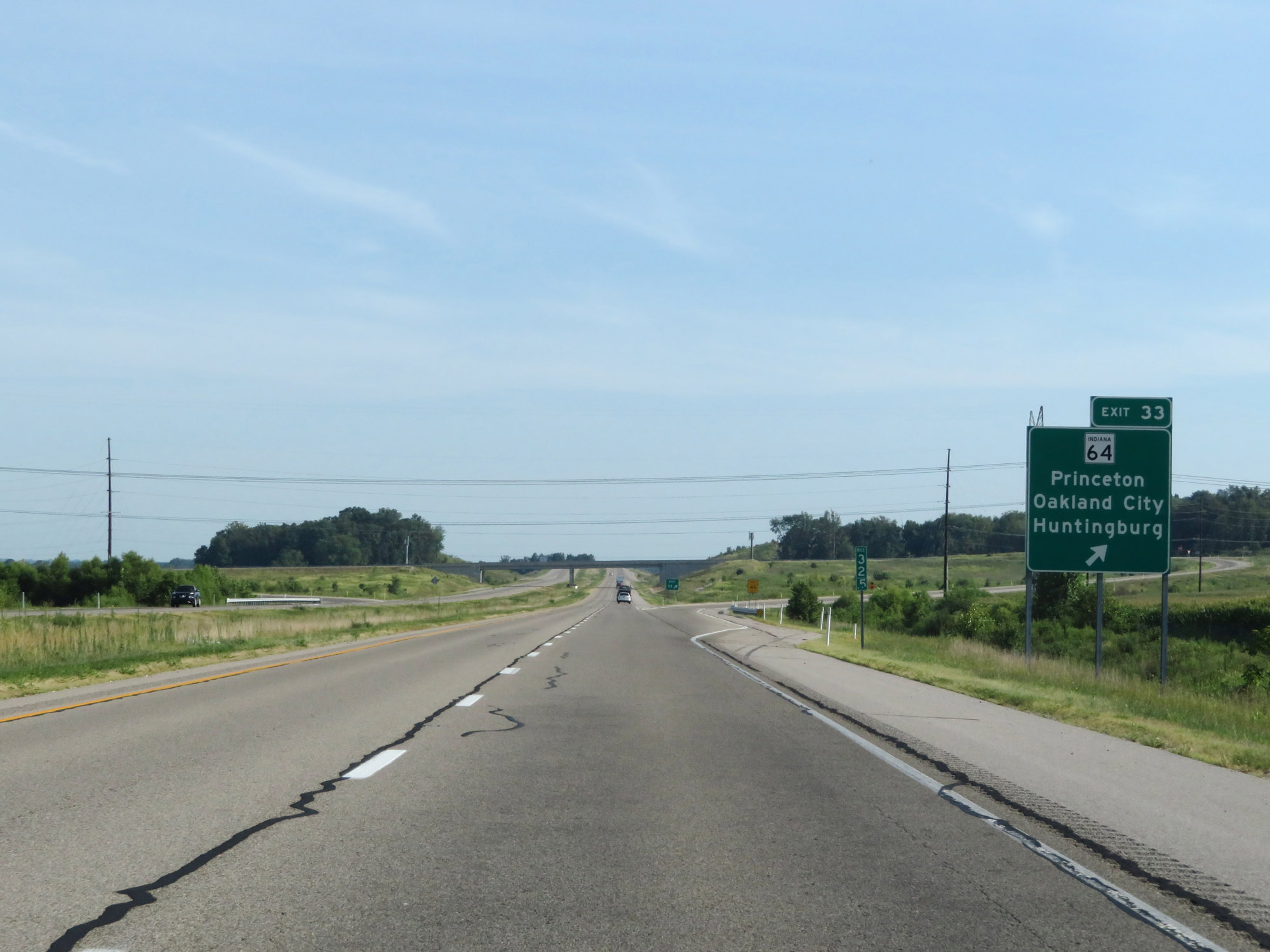 |
Interstate 69 North at Exit 33: IN 64 - Princeton / Oakland City / Huntingburg (Photo taken 8/11/19). |
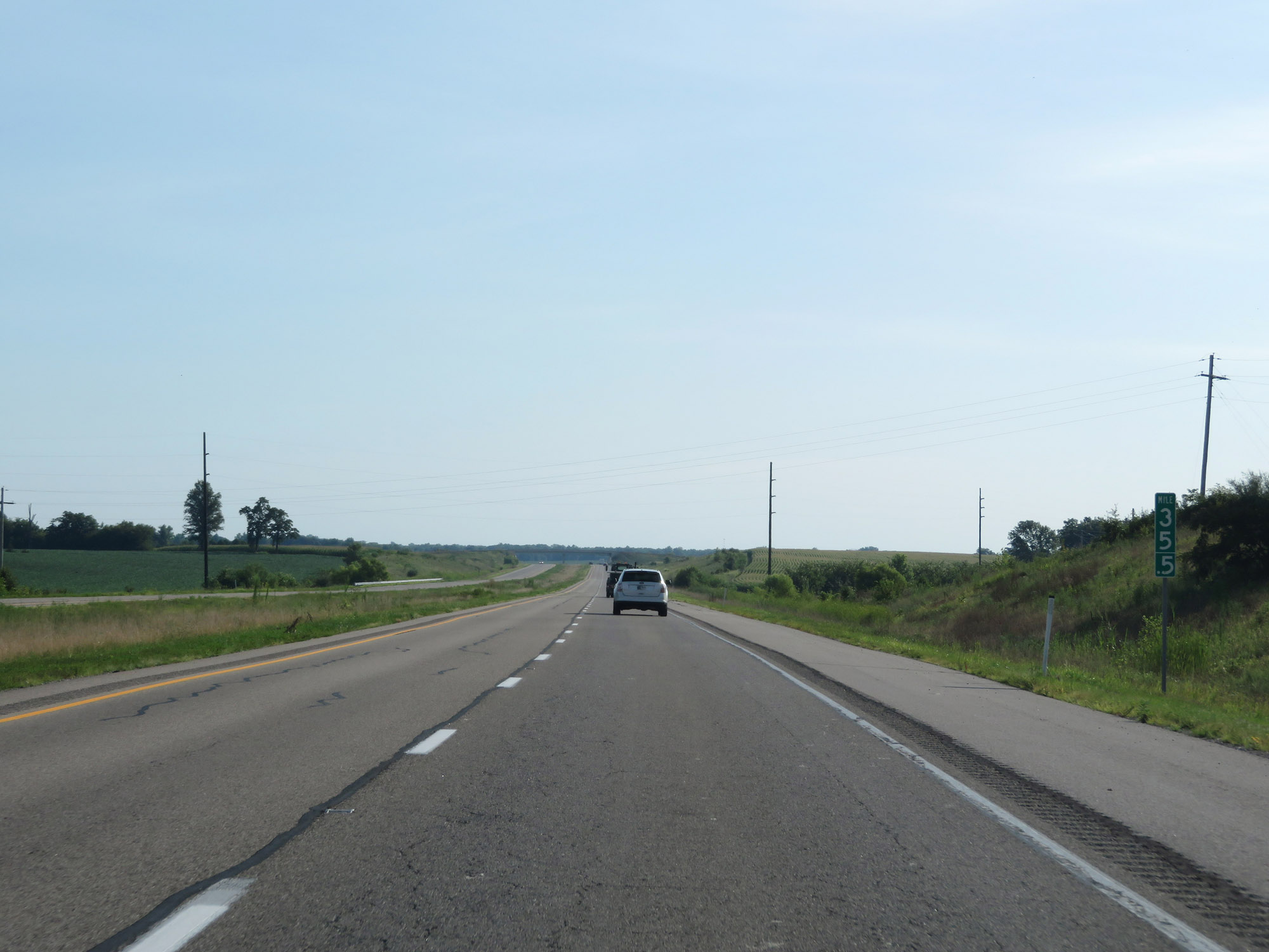 |
Interstate 69 North at mile marker 35.5. (Photo taken 8/11/19). |
 |
Entering Pike County on Interstate 69 North. (Photo taken 8/11/19). |
 |
Interstate 69 North at mile marker 40. (Photo taken 8/11/19). |
 |
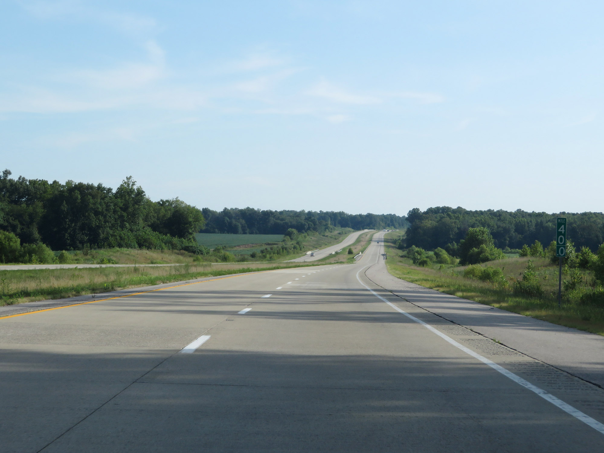
View on Interstate 69 North at mile marker 44. (Photo taken 8/11/19). |
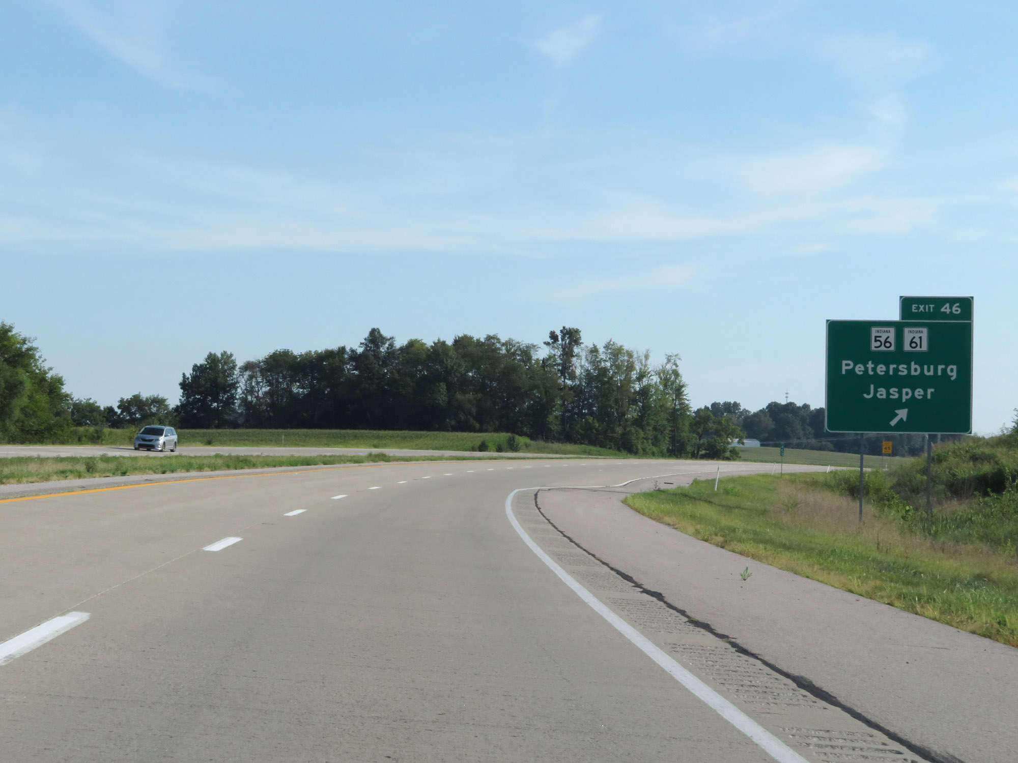 |
Interstate 69 North at Exit 46: IN 45 / IN 61 - Petersburg / Jasper (Photo taken 8/11/19). |
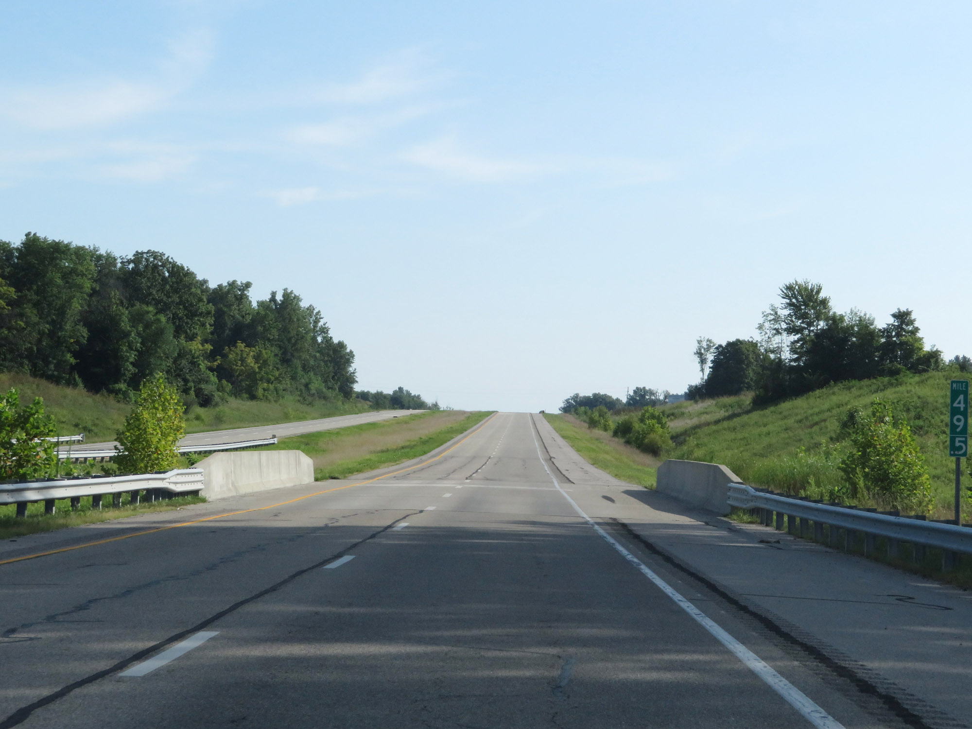 |
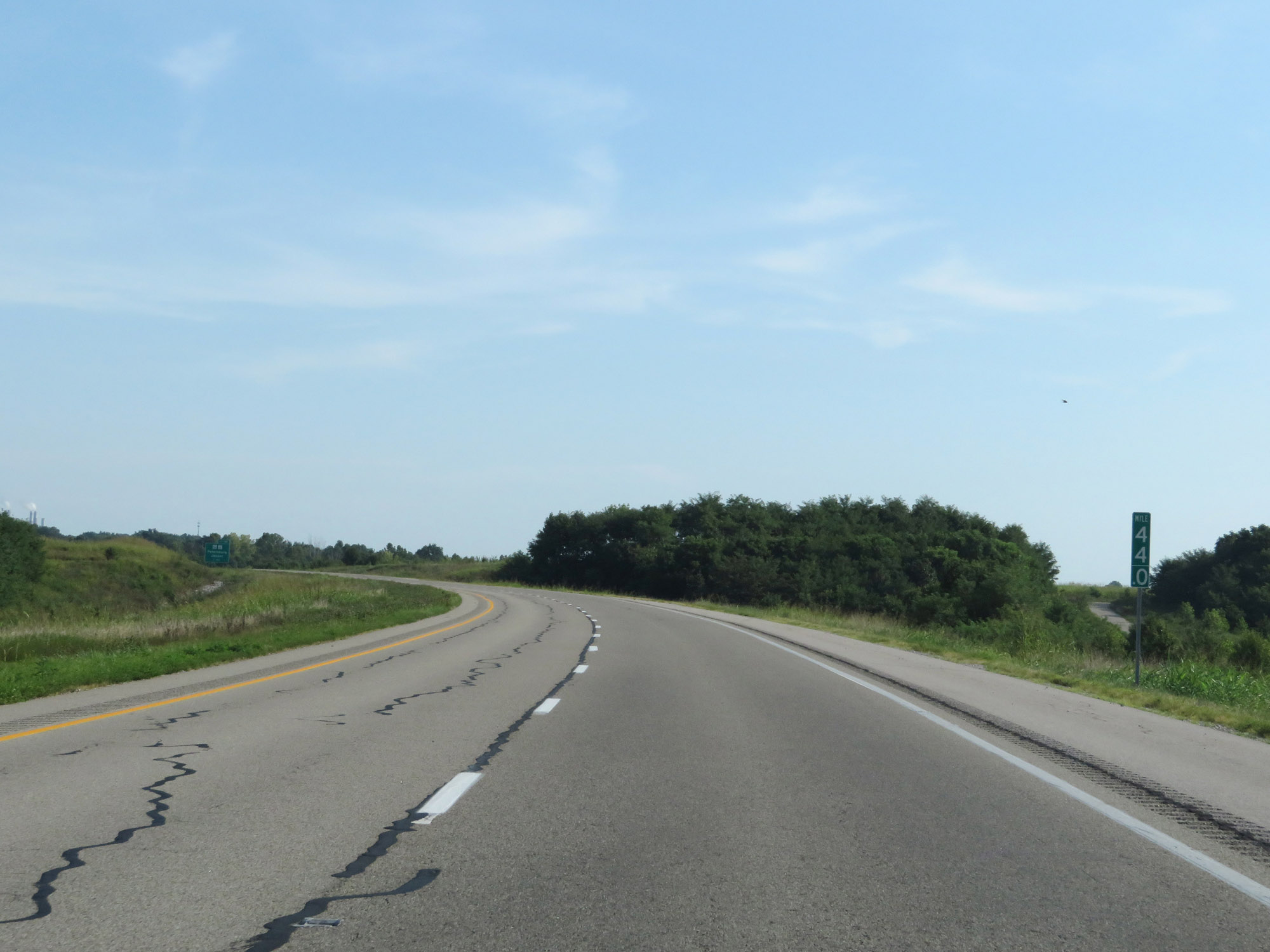
Interstate 69 North at mile marker 49.5. (Photo taken 8/11/19). |
 |
View on Interstate 69 North at mile marker 52. (Photo taken 8/11/19). |
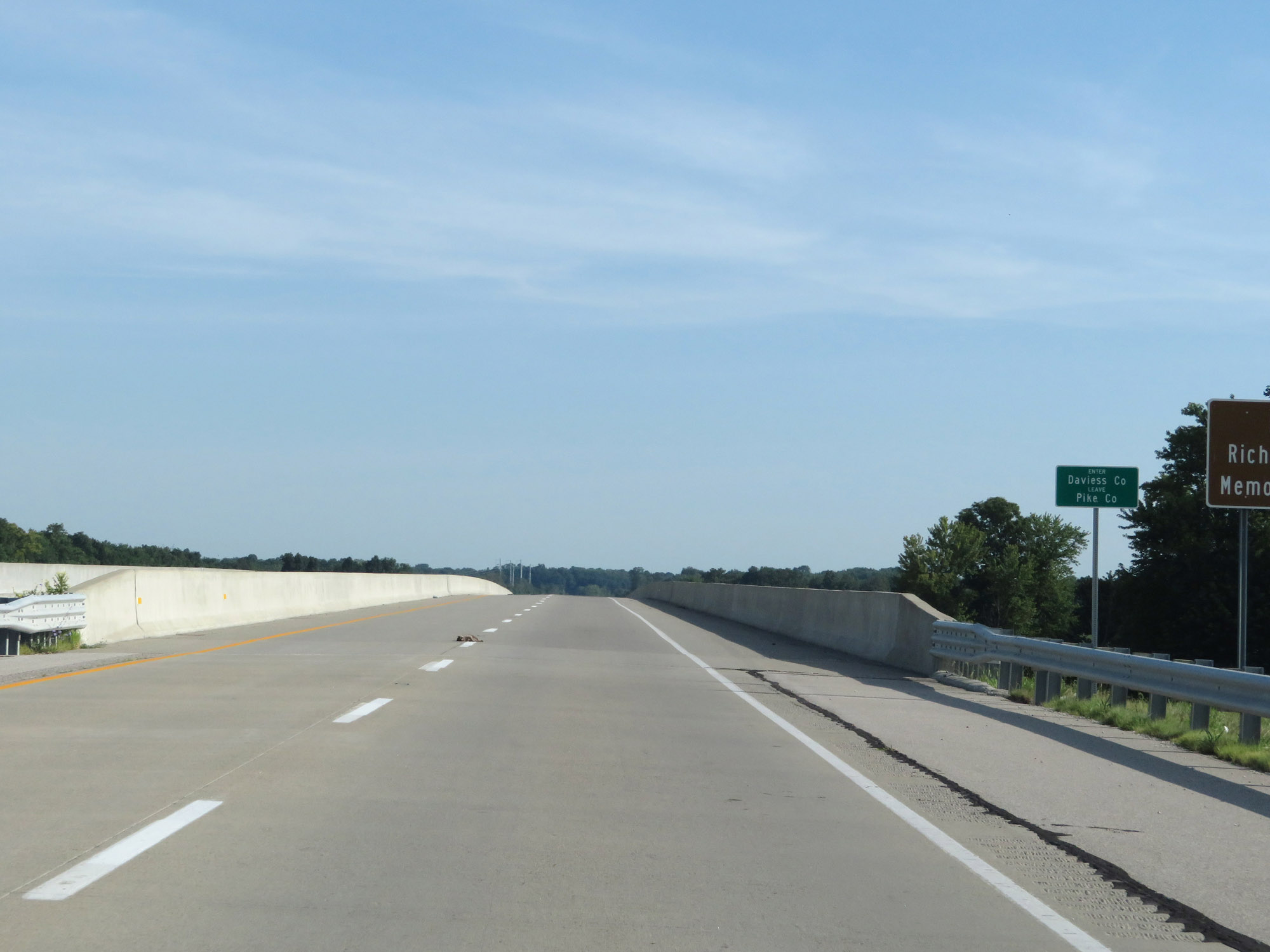 |
Entering Daviess County on Interstate 69 North. (Photo taken 8/11/19). |
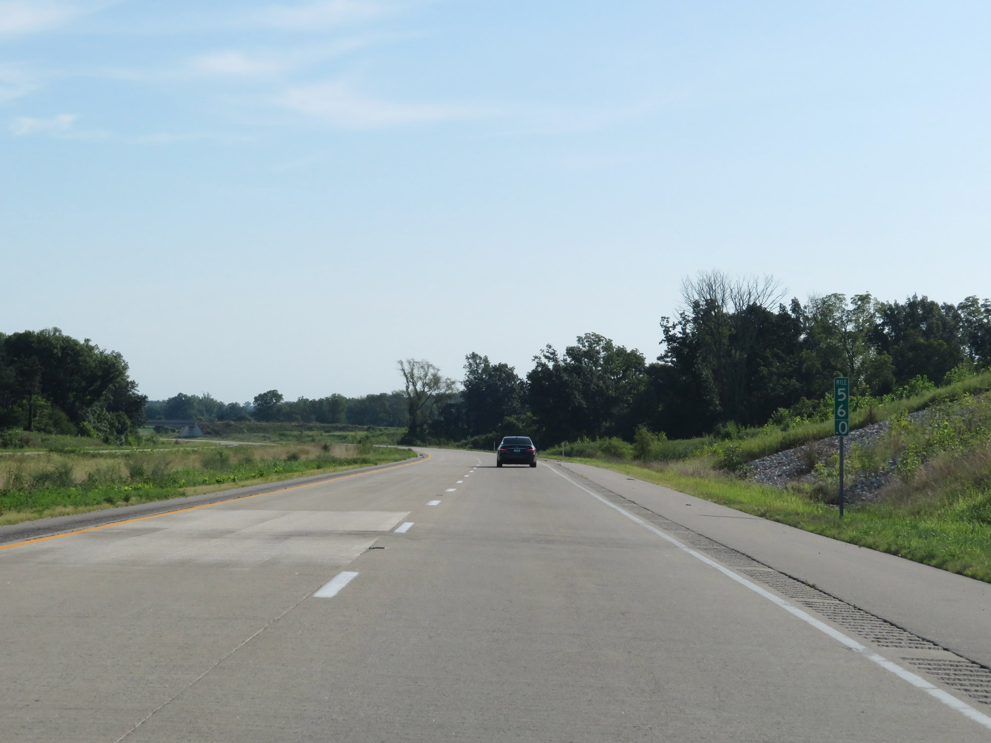 |
Interstate 69 North at mile marker 56. (Photo taken 8/11/19). |
 |
View on Interstate 69 North at mile marker 57. (Photo taken 8/11/19). |
 |
Interstate 69 North at mile marker 60. (Photo taken 8/11/19). |
 |
Interstate 69 North at Exit 62: US 50 / US 150 - Washington / Vincennes (Photo taken 8/11/19). |
 |
View on Interstate 69 North at mile marker 64. (Photo taken 8/11/19). |
 |
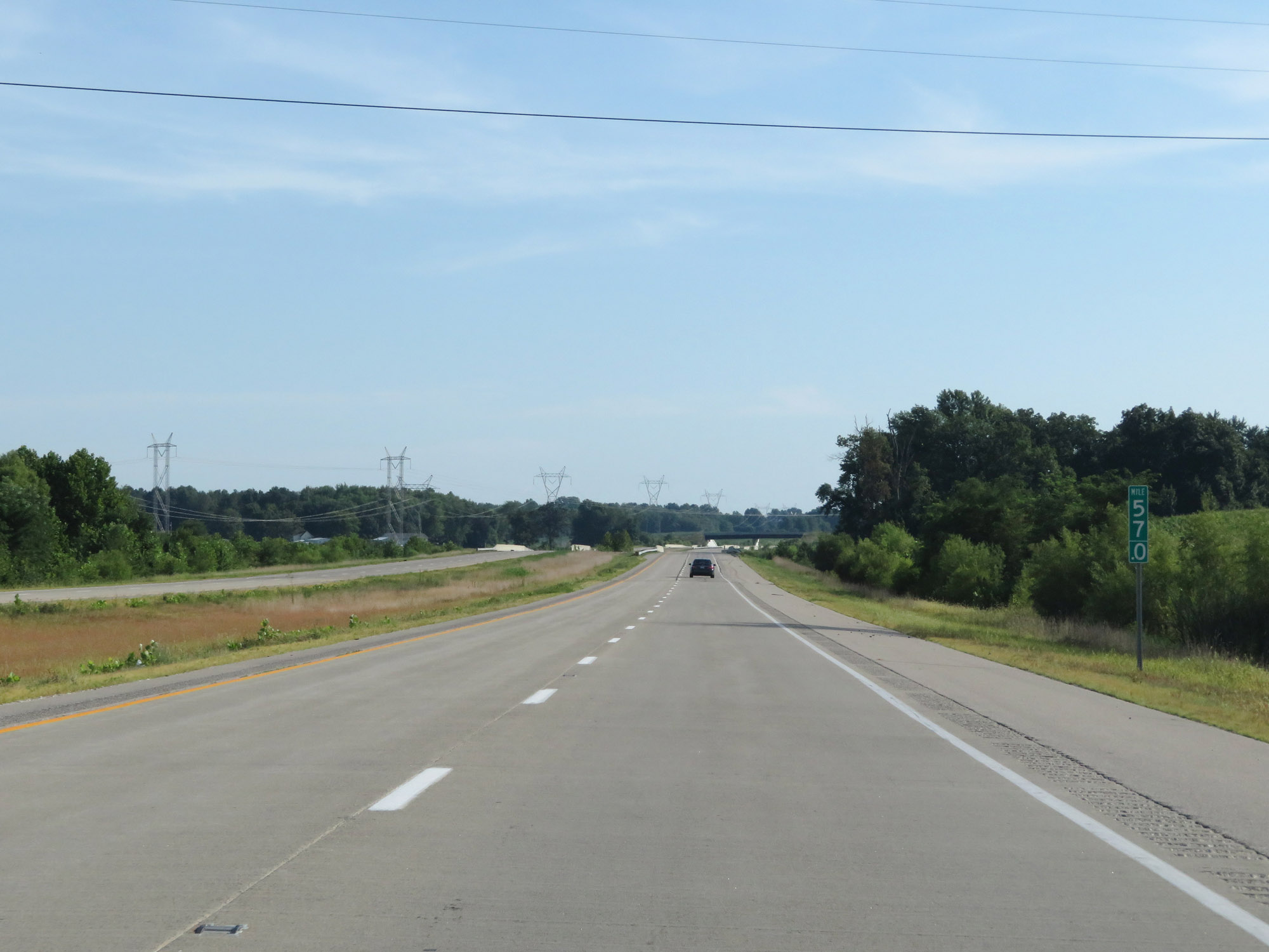
Interstate 69 North at mile marker 66.5. (Photo taken 8/11/19). |
 |
Interstate 69 North at mile marker 69. (Photo taken 8/11/19). |
 |
View on Interstate 69 North at mile marker 70.5. (Photo taken 8/11/19). |
 |
Interstate 69 North at mile marker 73. (Photo taken 8/11/19). |
 |
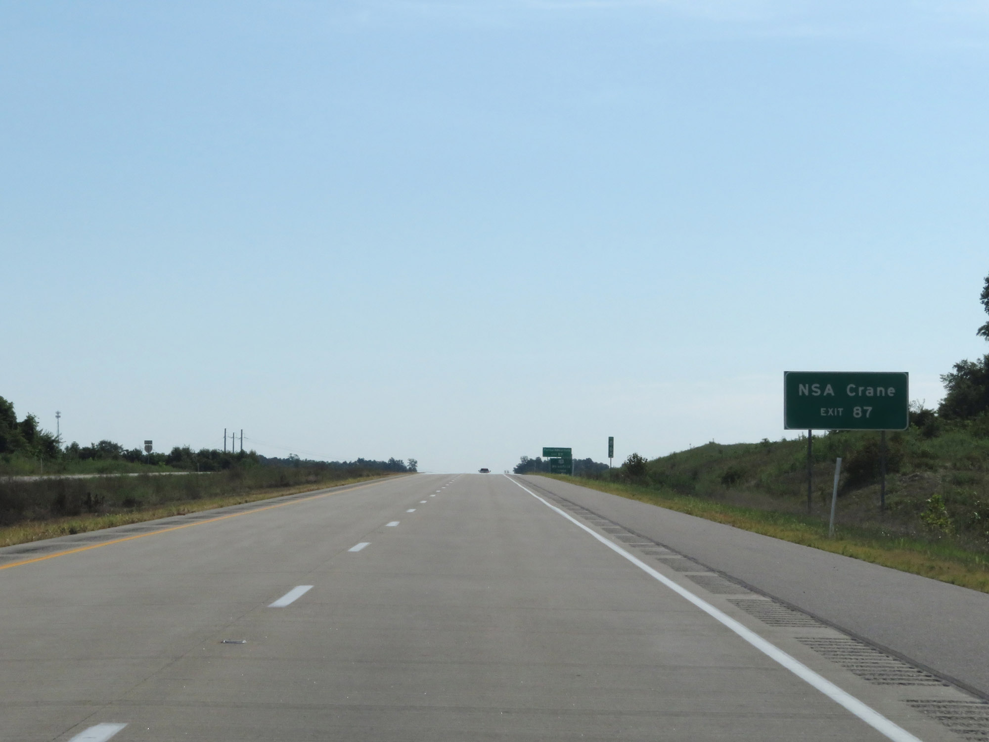
Use Exit 87 (11 miles ahead) to NSA Crane. (Photo taken 8/11/19). |
 |
Interstate 69 North at Exit 76: IN 58 - Elnora / Odon (Photo taken 8/11/19). |
Section 2: Elnora (Exit 76) to Martinsville (Exit 134)
 |
Interstate 69 North reassurance shield. (Photo taken 8/11/19). |
 |
The speed limits remain 70 mph for cars and 65 mph for trucks. (Photo taken 8/11/19). |
 |
Interstate 69 North at mile marker 80. (Photo taken 8/11/19). |
 |
View on Interstate 69 North at mile marker 83.5. (Photo taken 8/11/19). |
 |
At mile marker 84, Interstate 69 North enters Greene County. (Photo taken 8/11/19). |
 |
Take Exit 87 to NSA Crane. (Photo taken 8/11/19). |
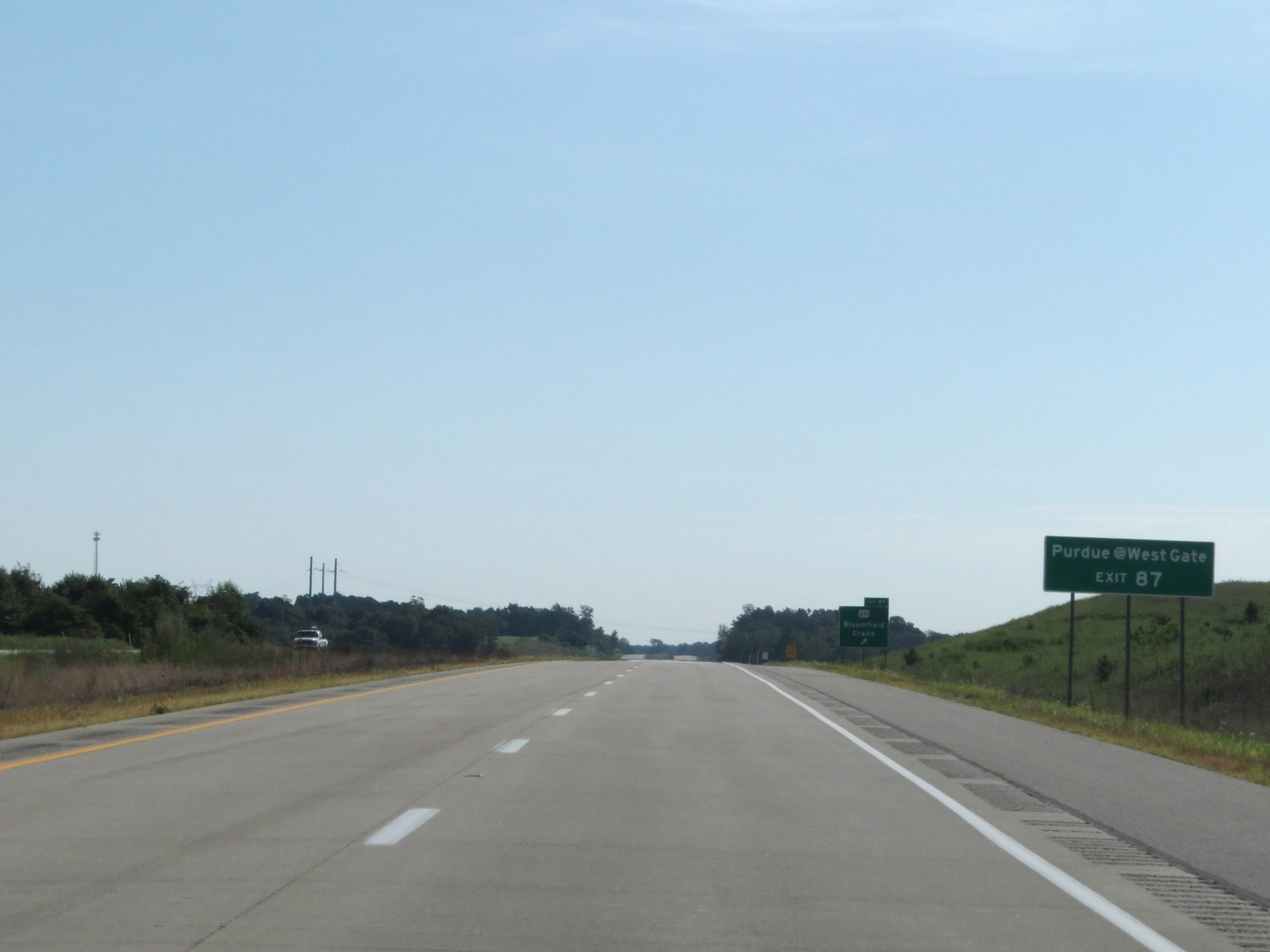 |
Also take Exit 87 to Purdue @ West Gate. (Photo taken 8/11/19). |
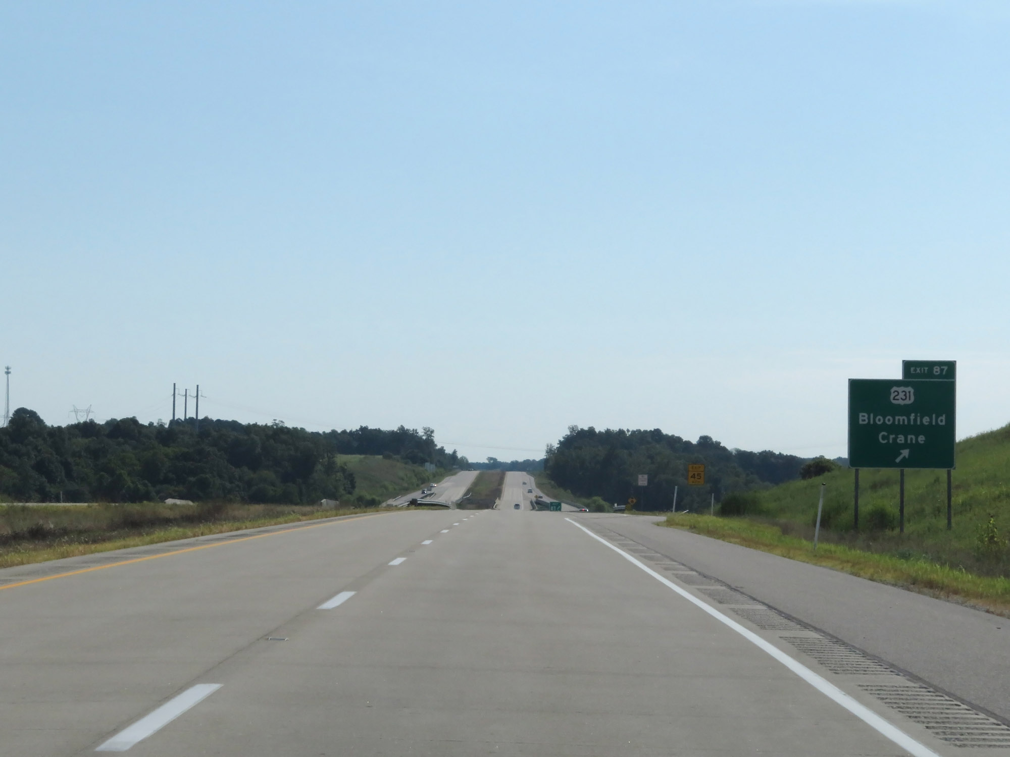 |
Interstate 69 North at Exit 87: US 231 - Bloomfield / Crane (Photo taken 8/11/19). |
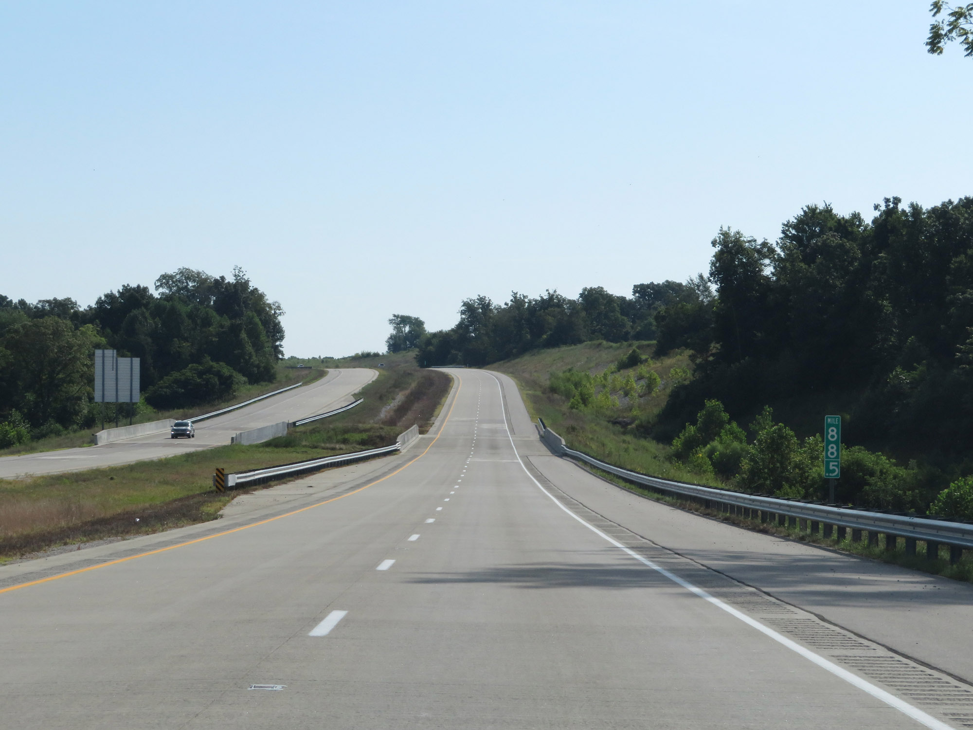 |
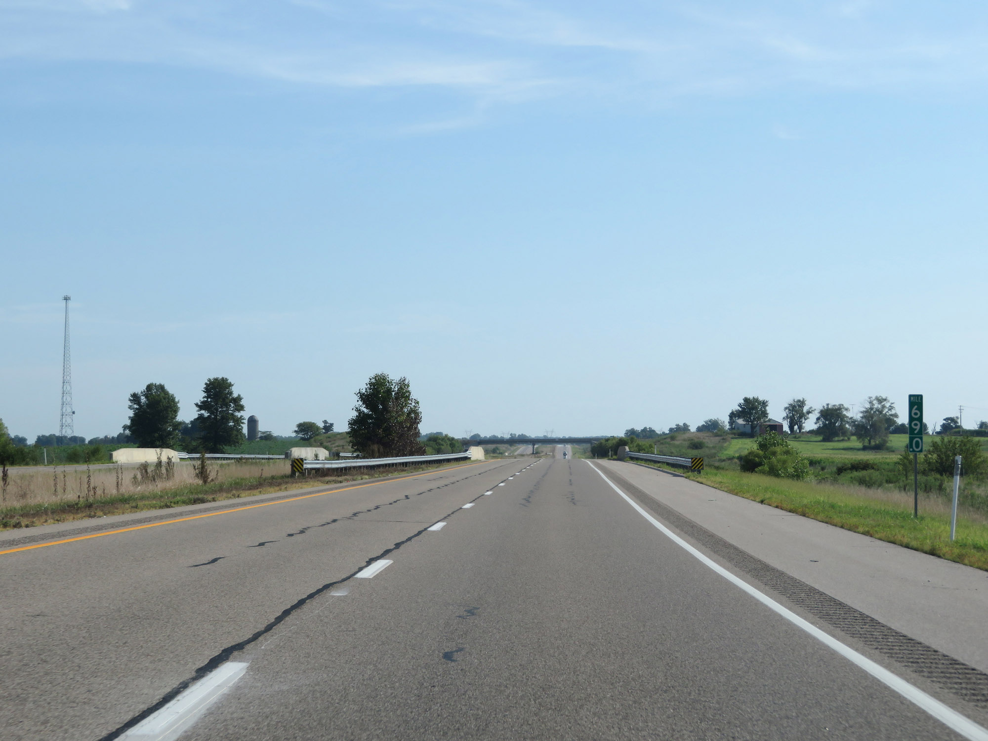
Interstate 69 North at mile marker 88.5. (Photo taken 8/11/19). |
 |
View on Interstate 69 North at mile marker 92. (Photo taken 8/11/19). |
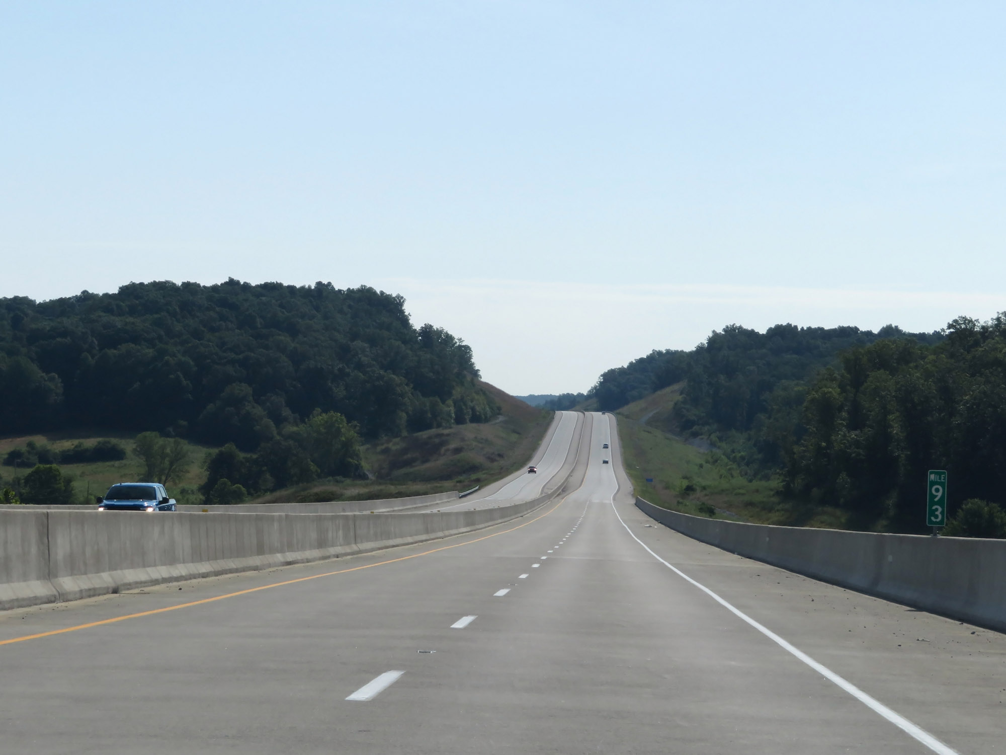 |
Interstate 69 North at mile marker 93. (Photo taken 8/11/19). |
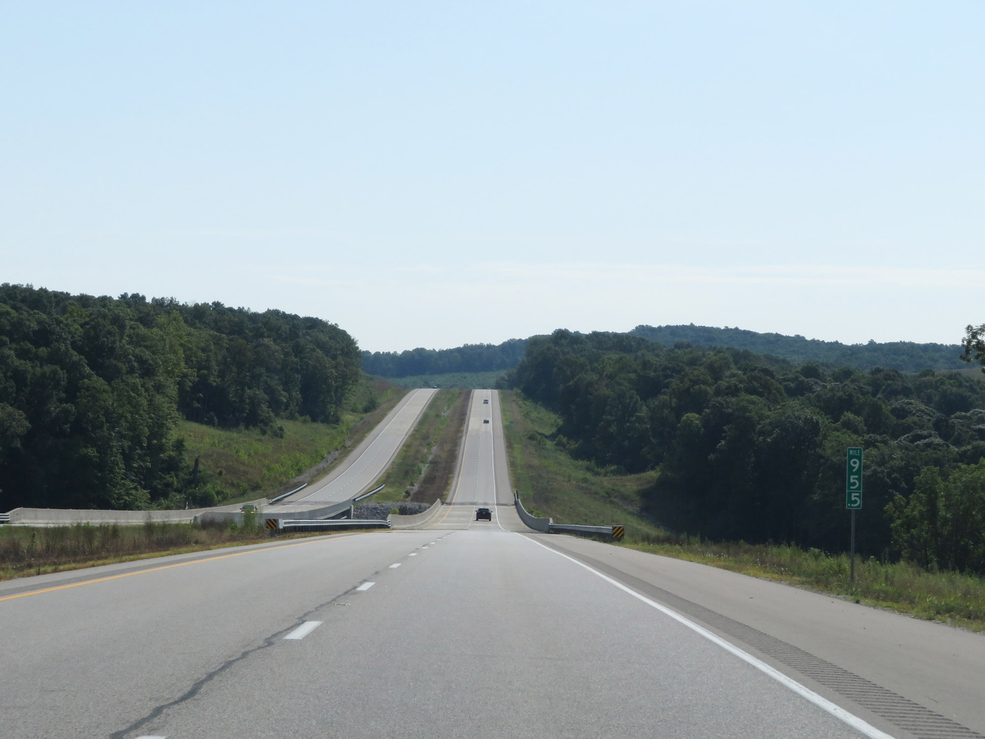 |
Interstate 69 North at mile marker 95.5. (Photo taken 8/11/19). |
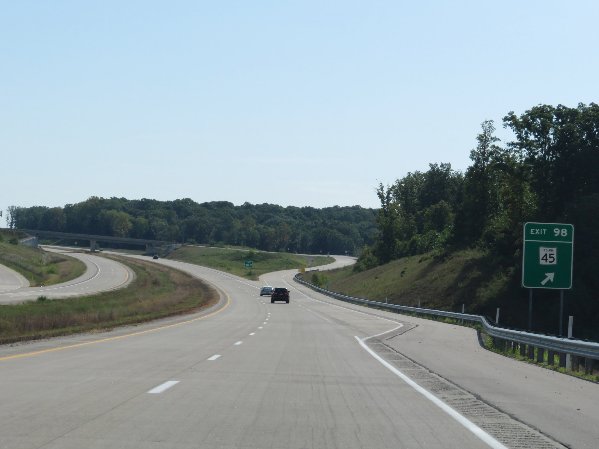 |
Interstate 69 North at Exit 98: IN 45 (Photo taken 8/11/19). |
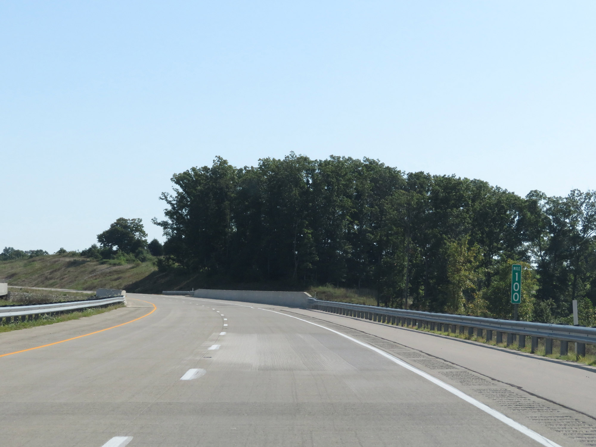 |
View on Interstate 69 North at mile marker 100. (Photo taken 8/11/19). |
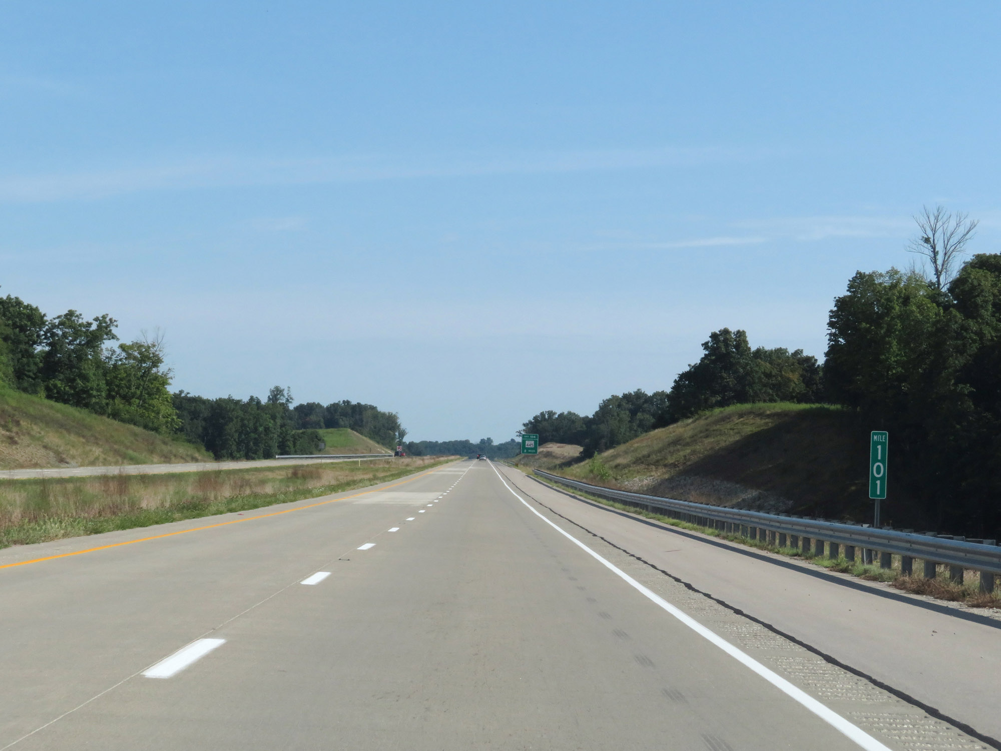 |
Interstate 69 North at mile marker 101. (Photo taken 8/11/19). |
 |
Interstate 69 North at Exit 104: IN 445 (Photo taken 8/11/19). |
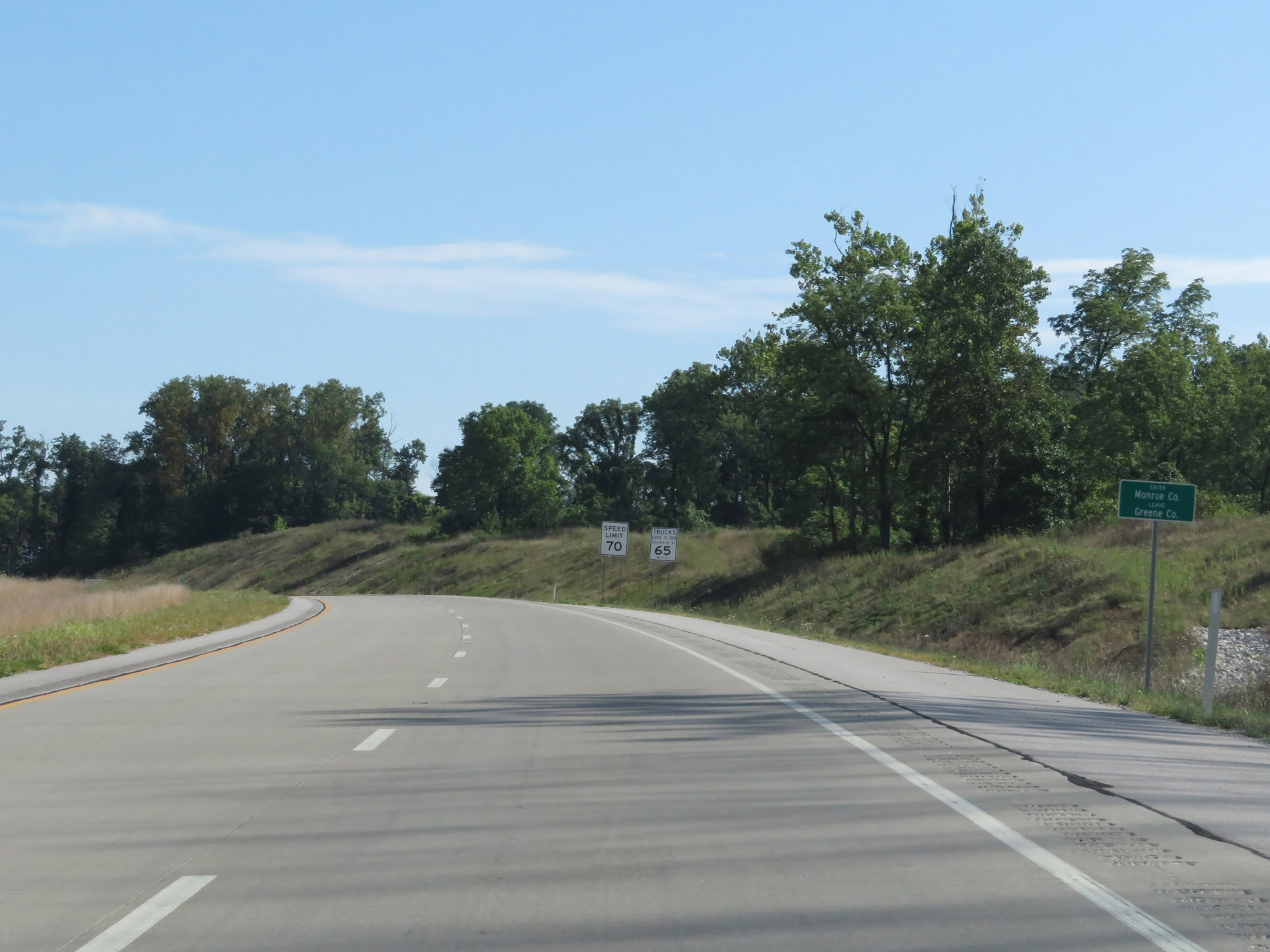 |
Entering Monroe County on Interstate 69 North. (Photo taken 8/11/19). |
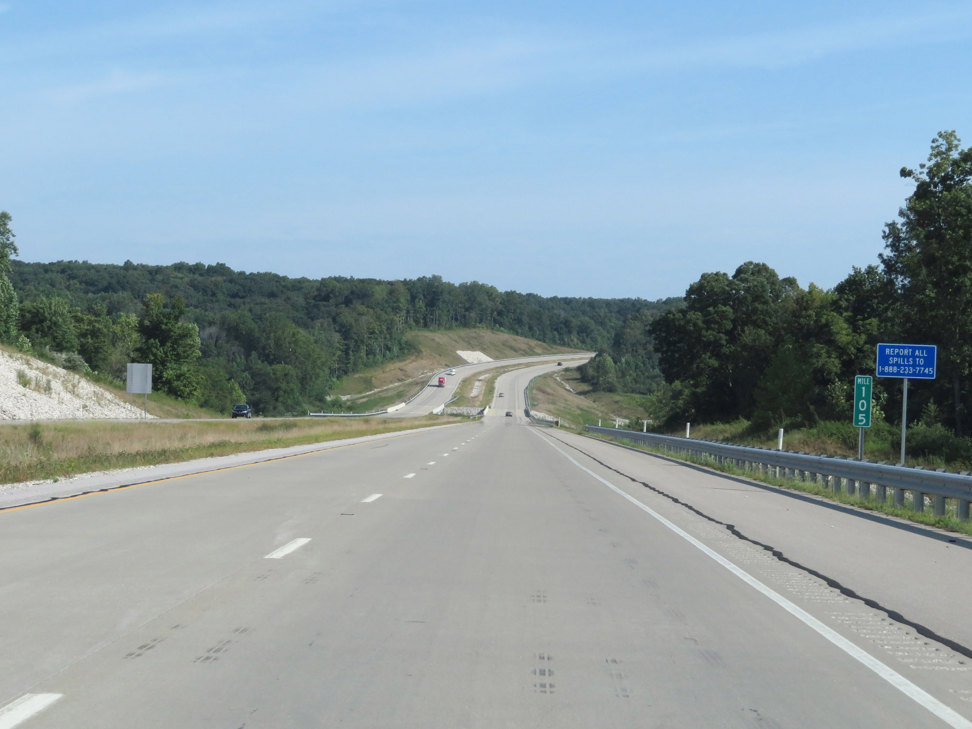 |
Interstate 69 North at mile marker 105. (Photo taken 8/11/19). |
 |
Interstate 69 North at mile marker 108. (Photo taken 8/11/19). |
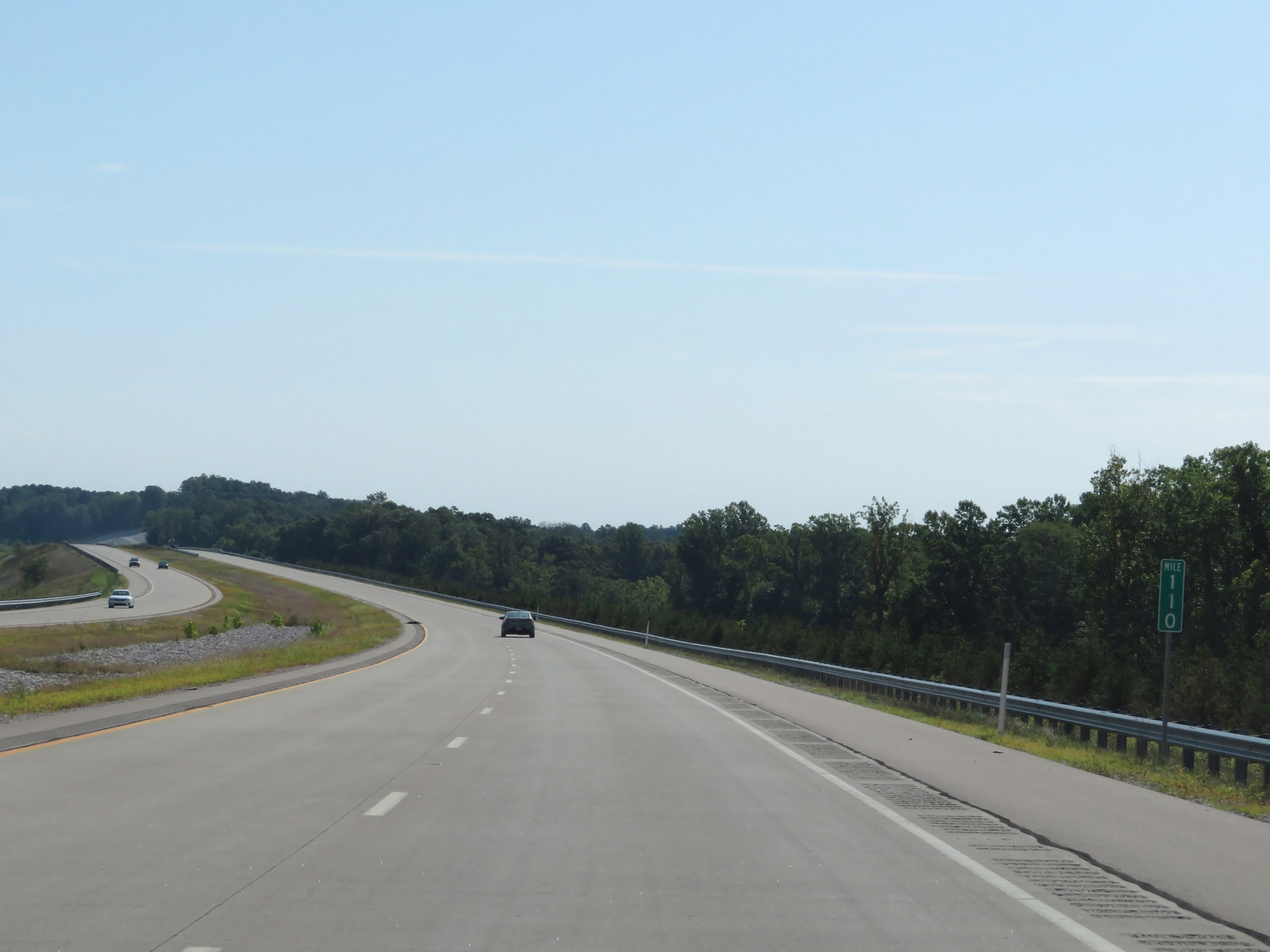 |
View on Interstate 69 North at mile marker 110. (Photo taken 8/11/19). |
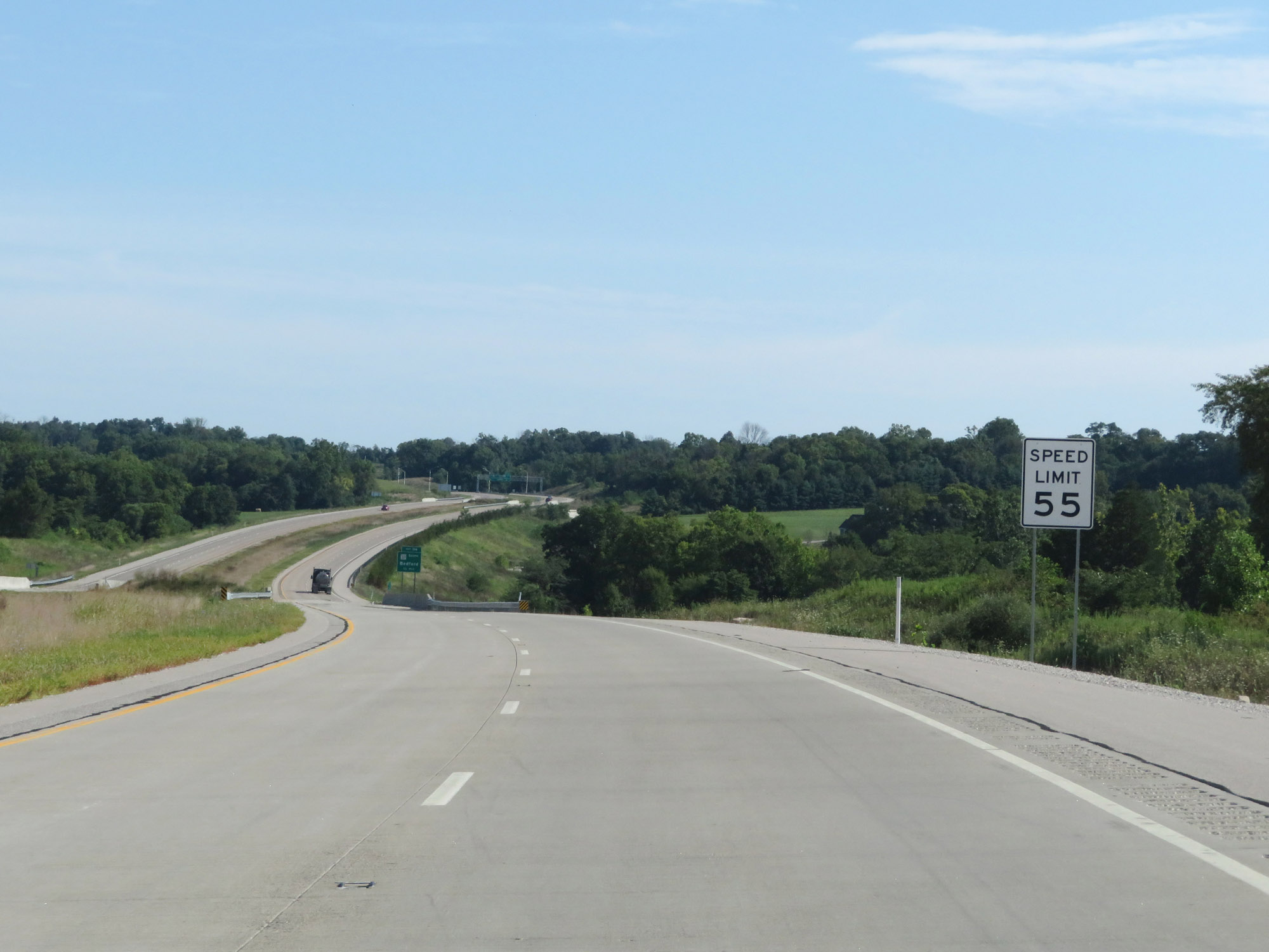 |
Entering the Bloomington area, the speed limit decreases to 55 mph. (Photo taken 8/11/19). |
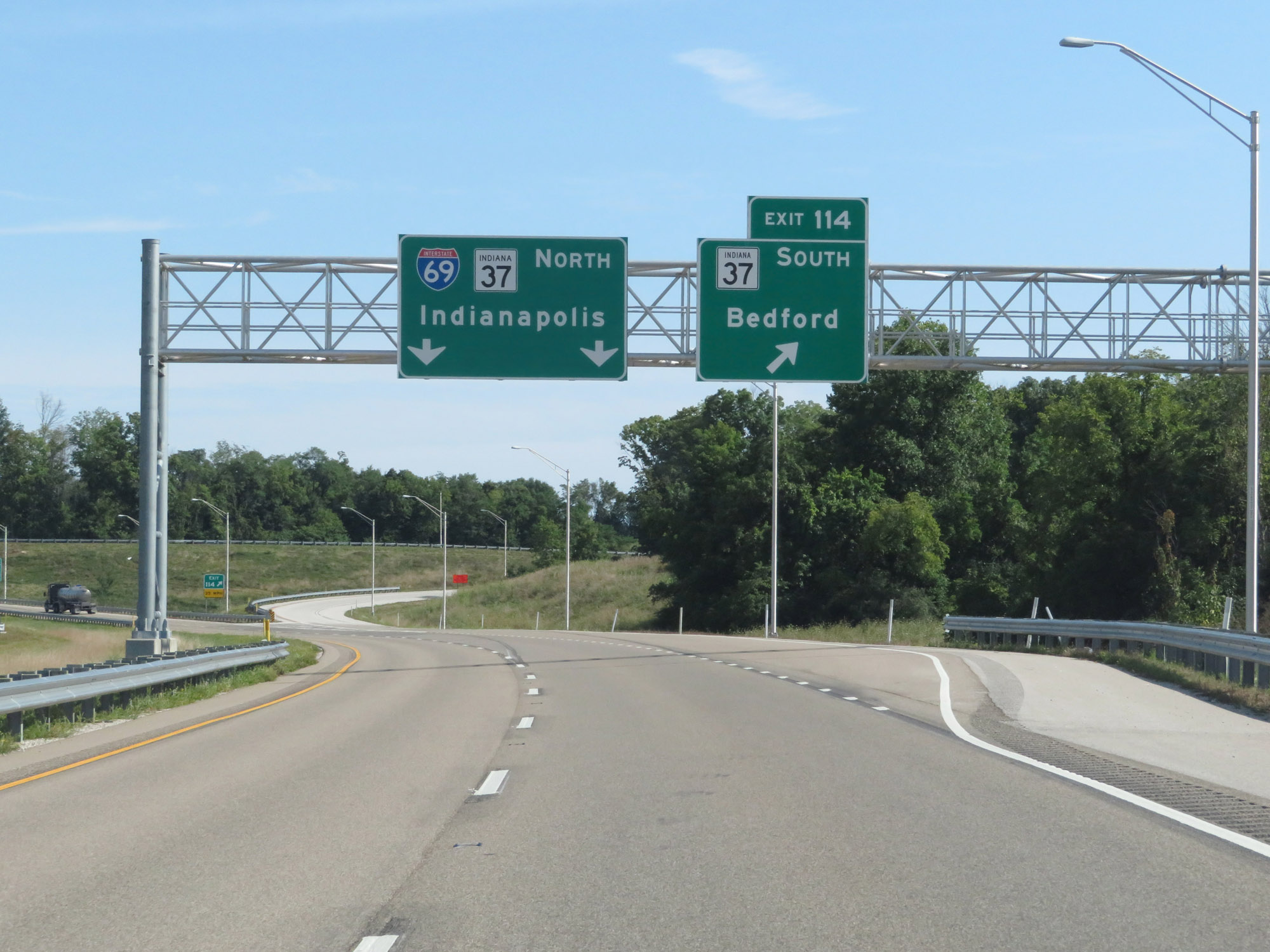 |
Interstate 69 North at Exit 114: IN 37 South - Bedford (Photo taken 8/11/19). |
 |
Take any of the next 5 exits to Bloomington. (Photo taken 8/11/19). |
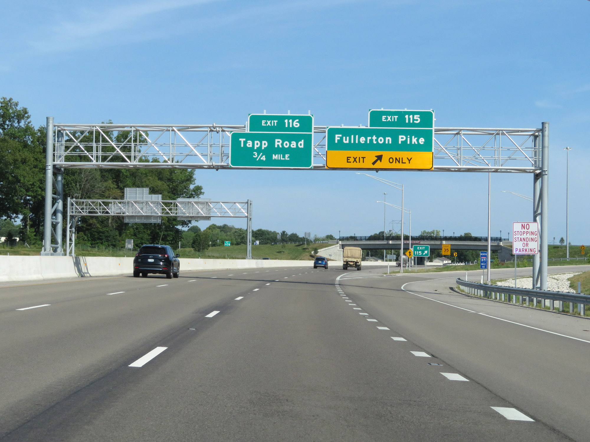 |
Interstate 69 North at Exit 115: Fullerton Pike (Photo taken 8/11/19). |
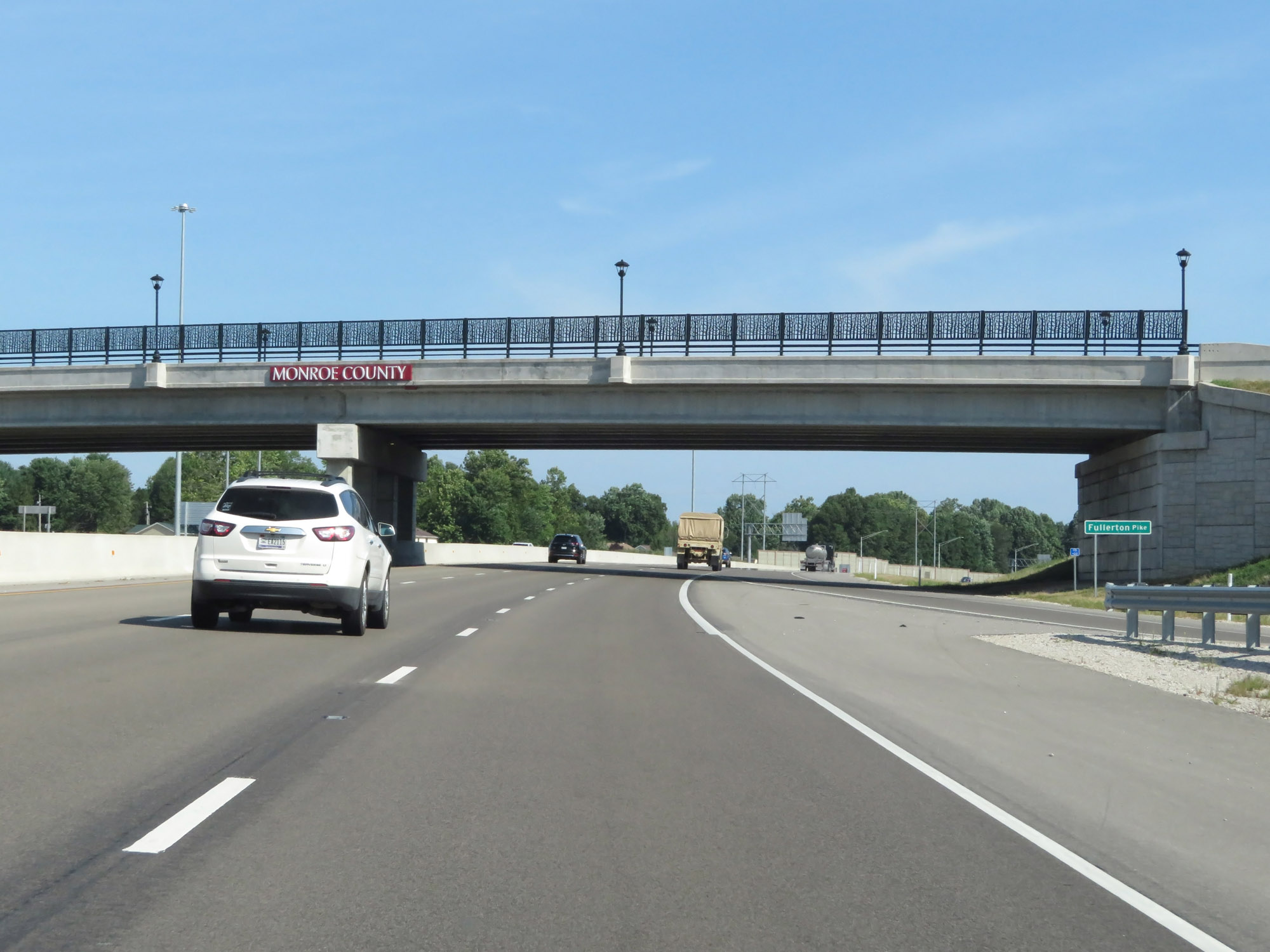 |
Interstate 69 North as it passes under Fullerton Pike in Bloomington. (Photo taken 8/11/19). |
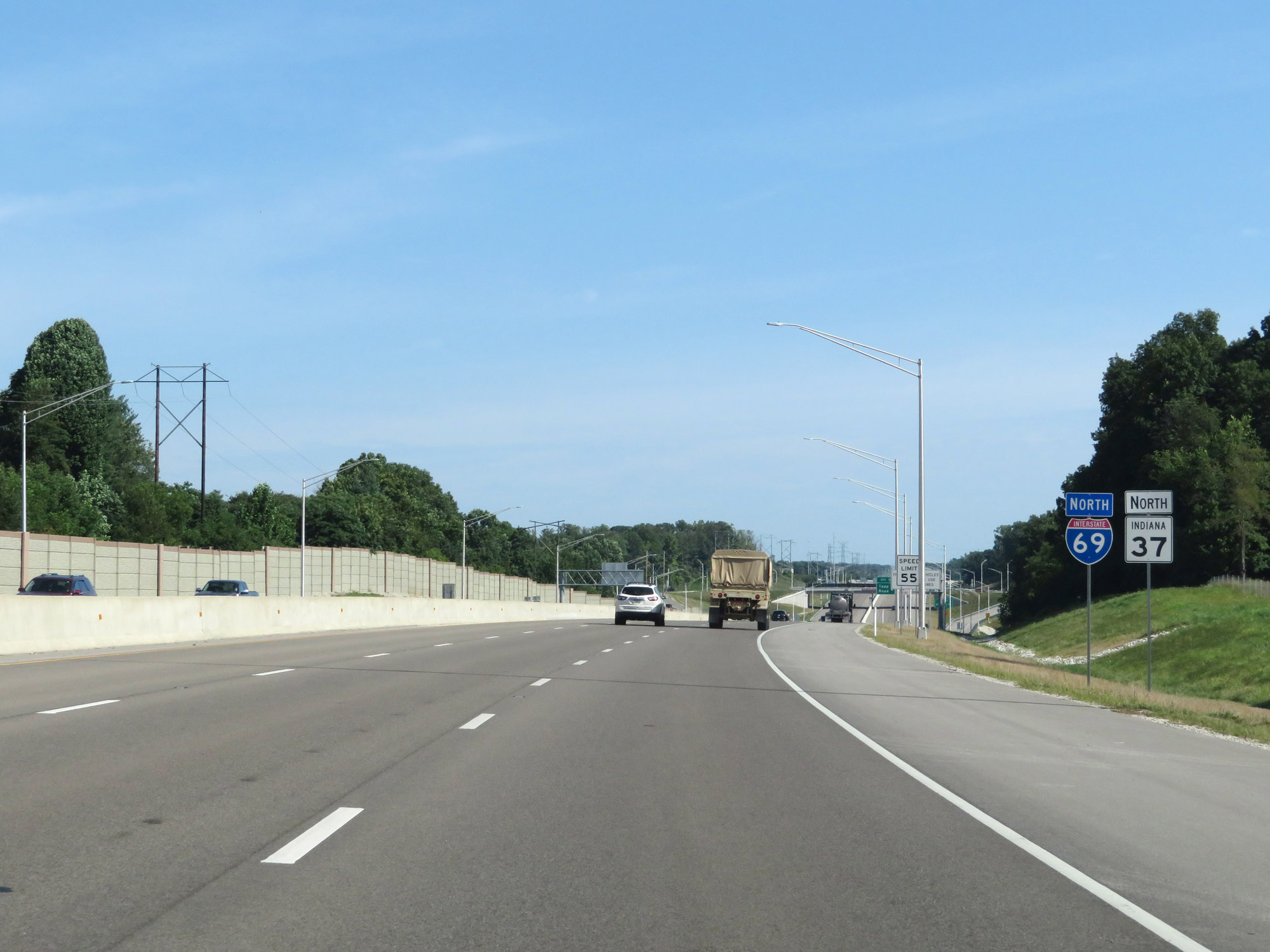 |
Interstate 69 North reassurance shield. IN 37 will run concurrently with I-69 for the remainder of the current length of its southern segment, which will end in Martinsville. (Photo taken 8/11/19). |
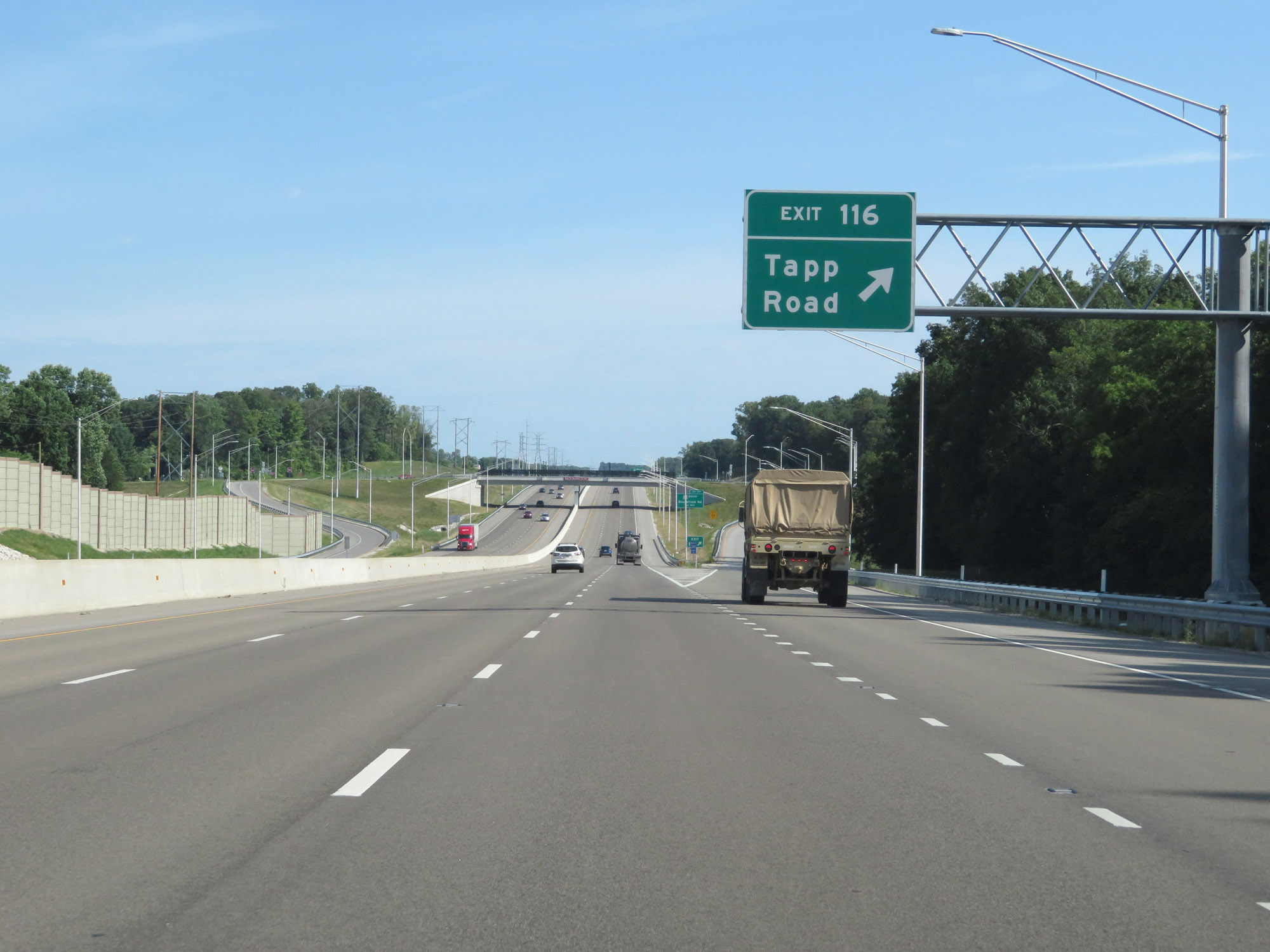 |
Interstate 69 North at Exit 116: Tapp Road (Photo taken 8/11/19). |
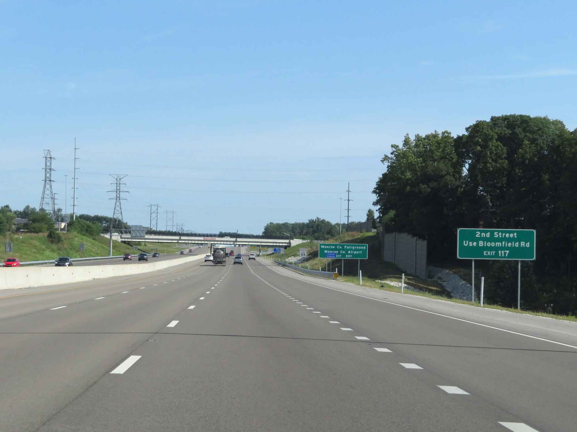 |
Take Exit 117 to 2nd Street via Bloomfield Rd. (Photo taken 8/11/19). |
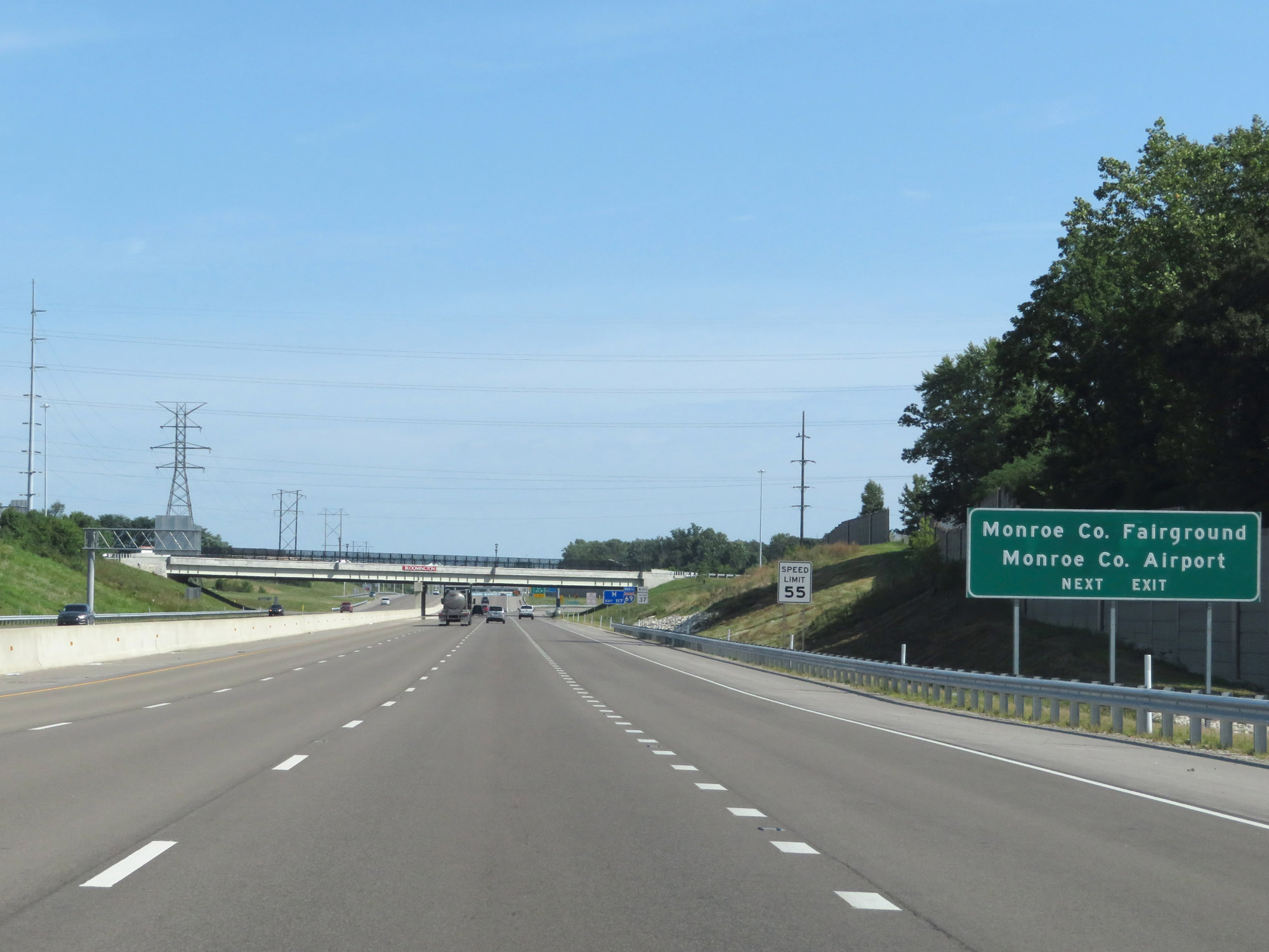 |
Also take Exit 117 to the Monroe County Fairgrounds and the Monroe County Airport. (Photo taken 8/11/19). |
 |
Interstate 69 North at Exit 117: IN 45 South - Bloomfield Rd (Photo taken 8/11/19). |
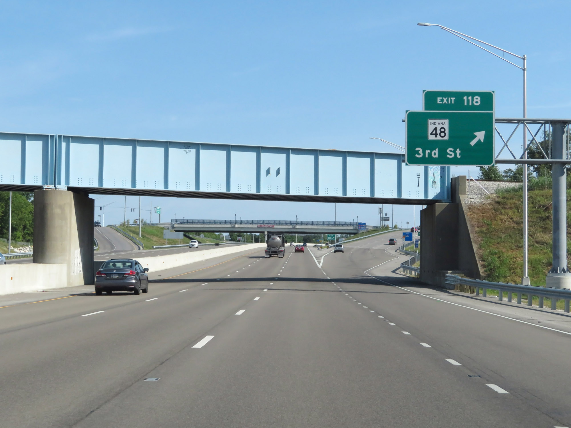 |
Interstate 69 North at Exit 118: IN 48 - 3rd St (Photo taken 8/11/19). |
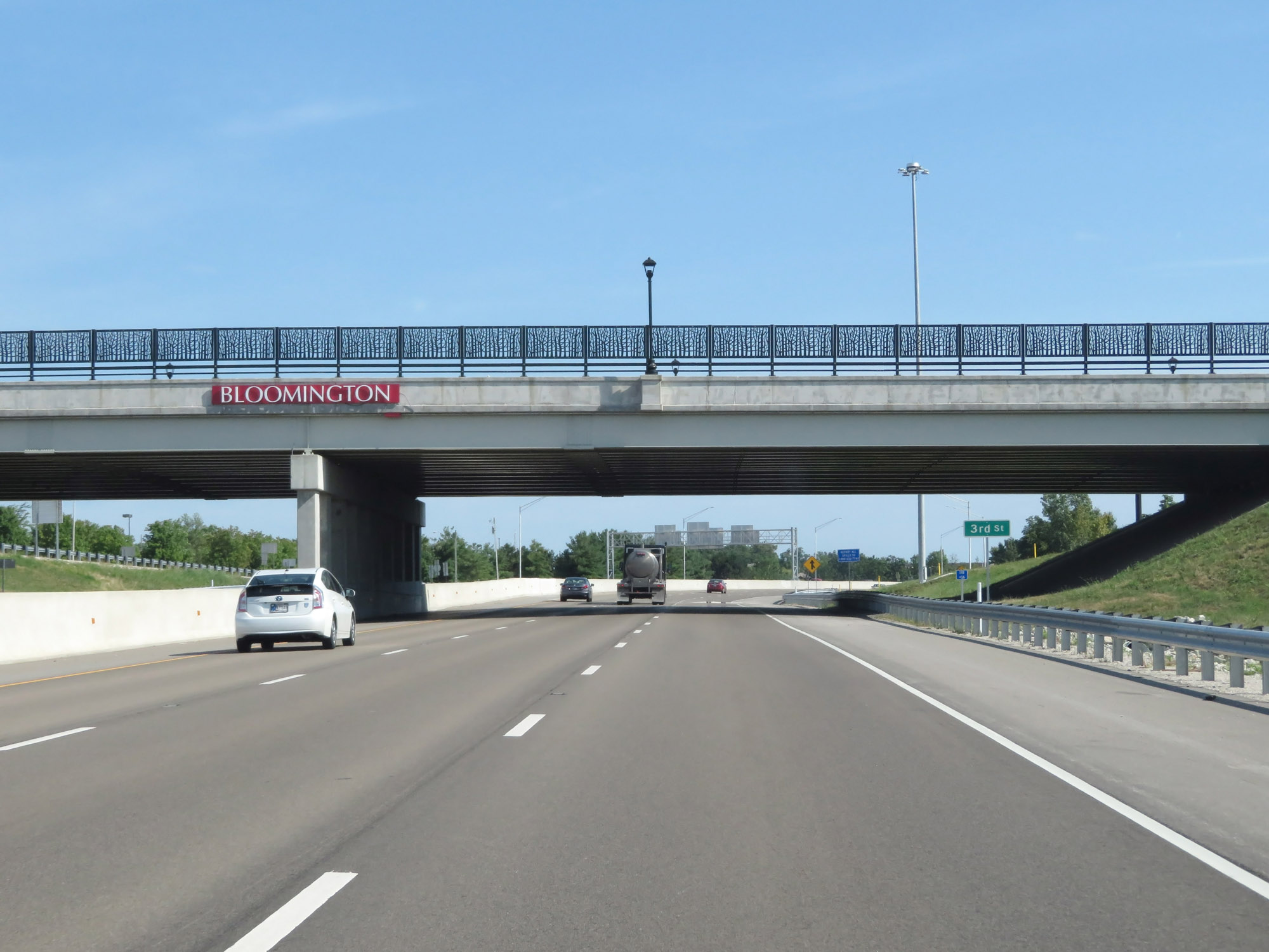 |
Interstate 69 North as it passes under 3rd St in Bloomington. (Photo taken 8/11/19). |
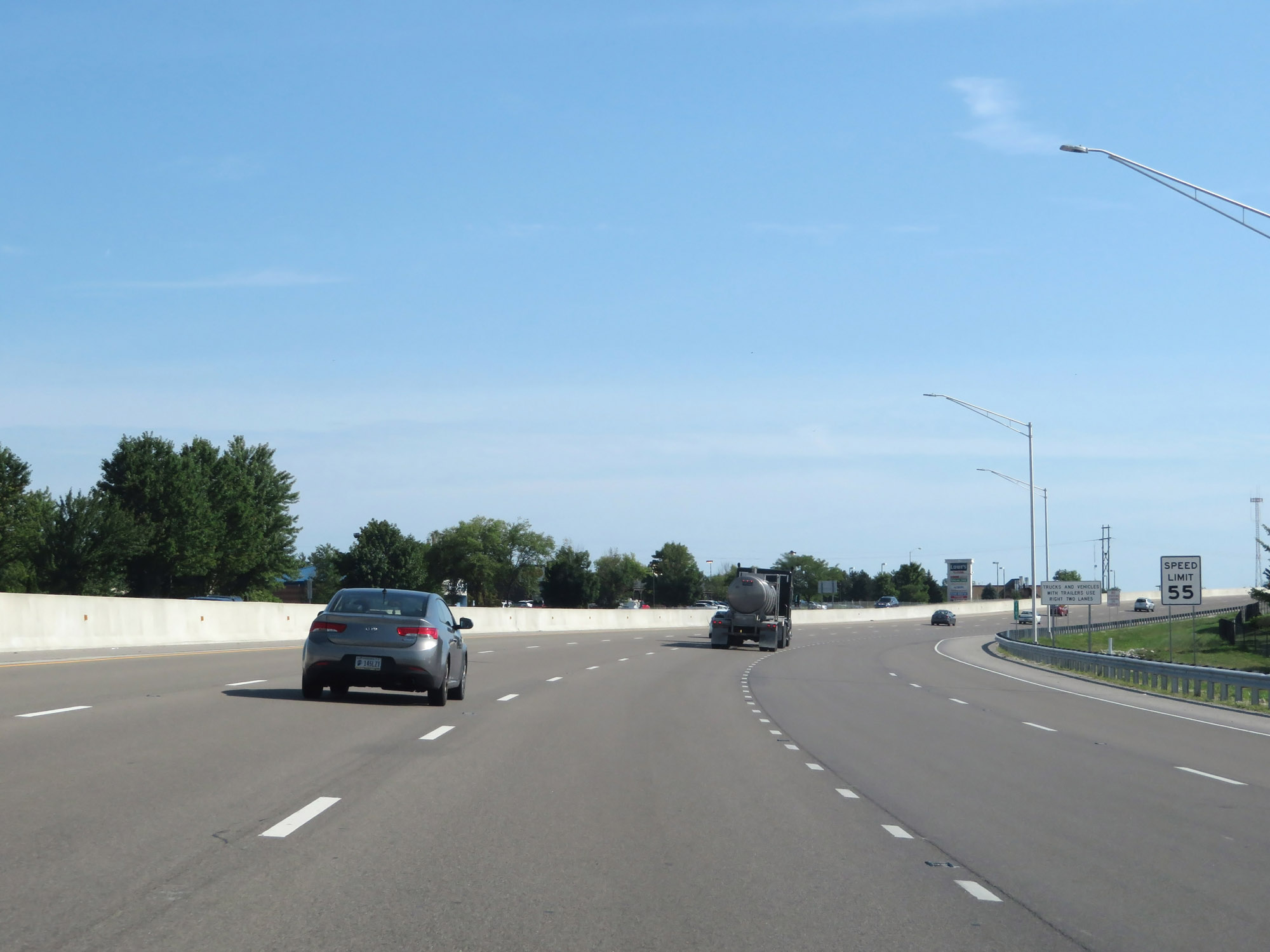 |
The speed limit remains 55 mph. (Photo taken 8/11/19). |
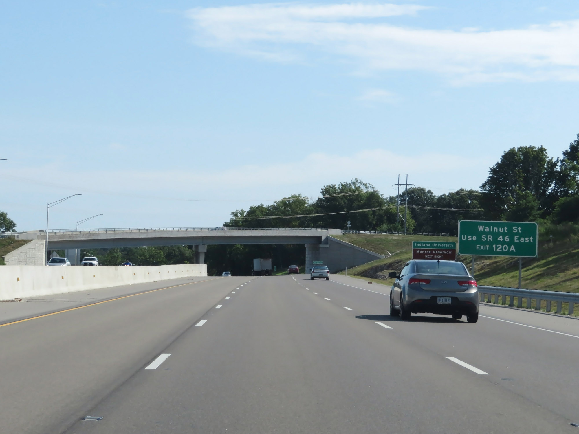 |
Take Exit 120A to Walnut St via IN 46 East. (Photo taken 8/11/19). |
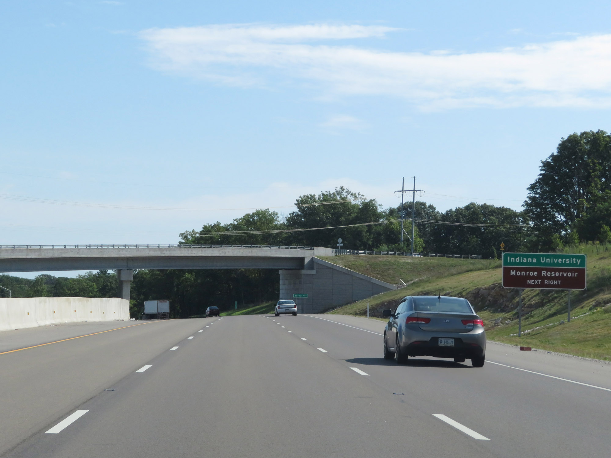 |
Also take Exit 120A to Indiana University and Monroe Reservoir. (Photo taken 8/11/19). |
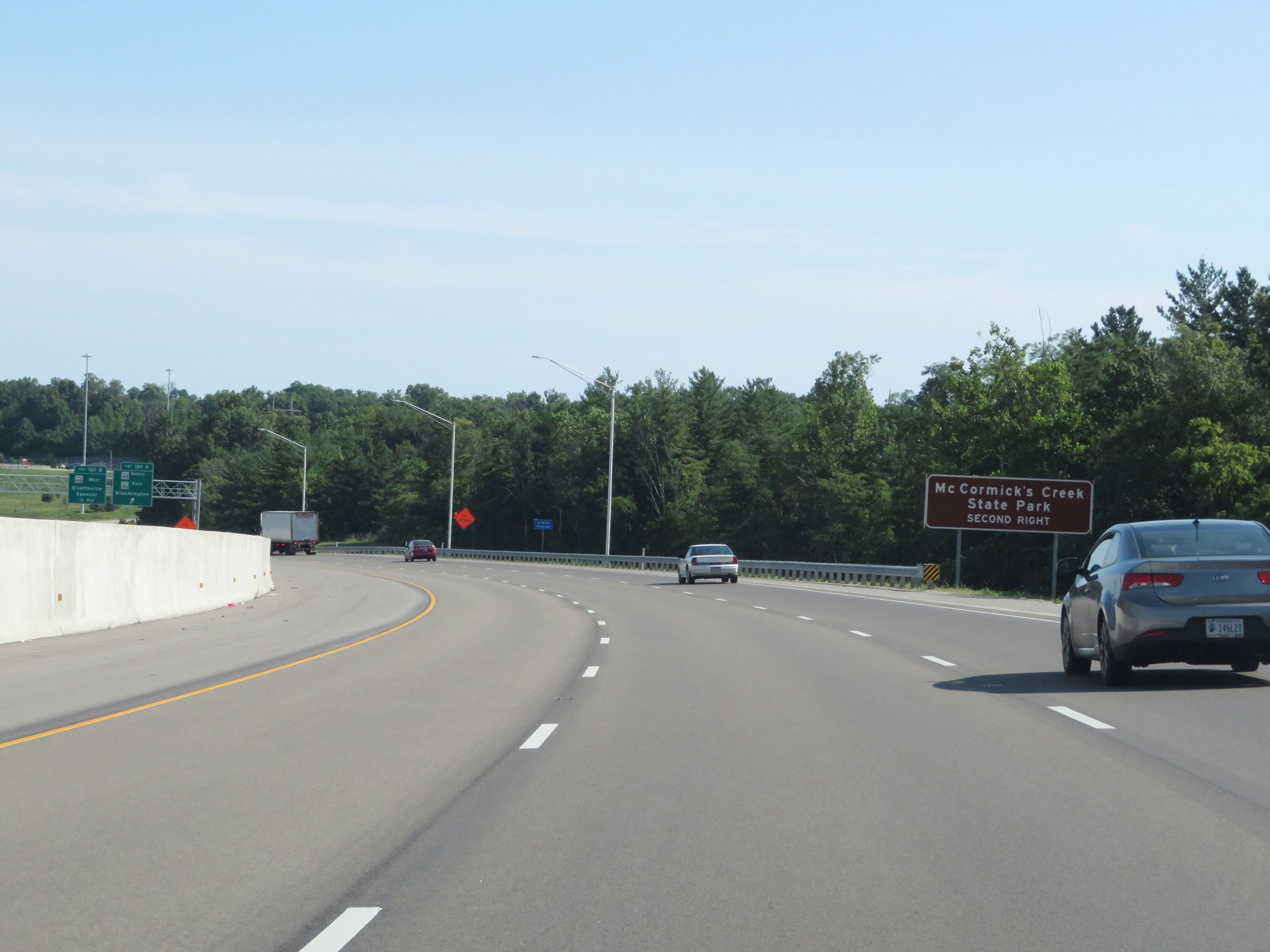 |
Take Exit 120B to McCormick's Creek State Park. (Photo taken 8/11/19). |
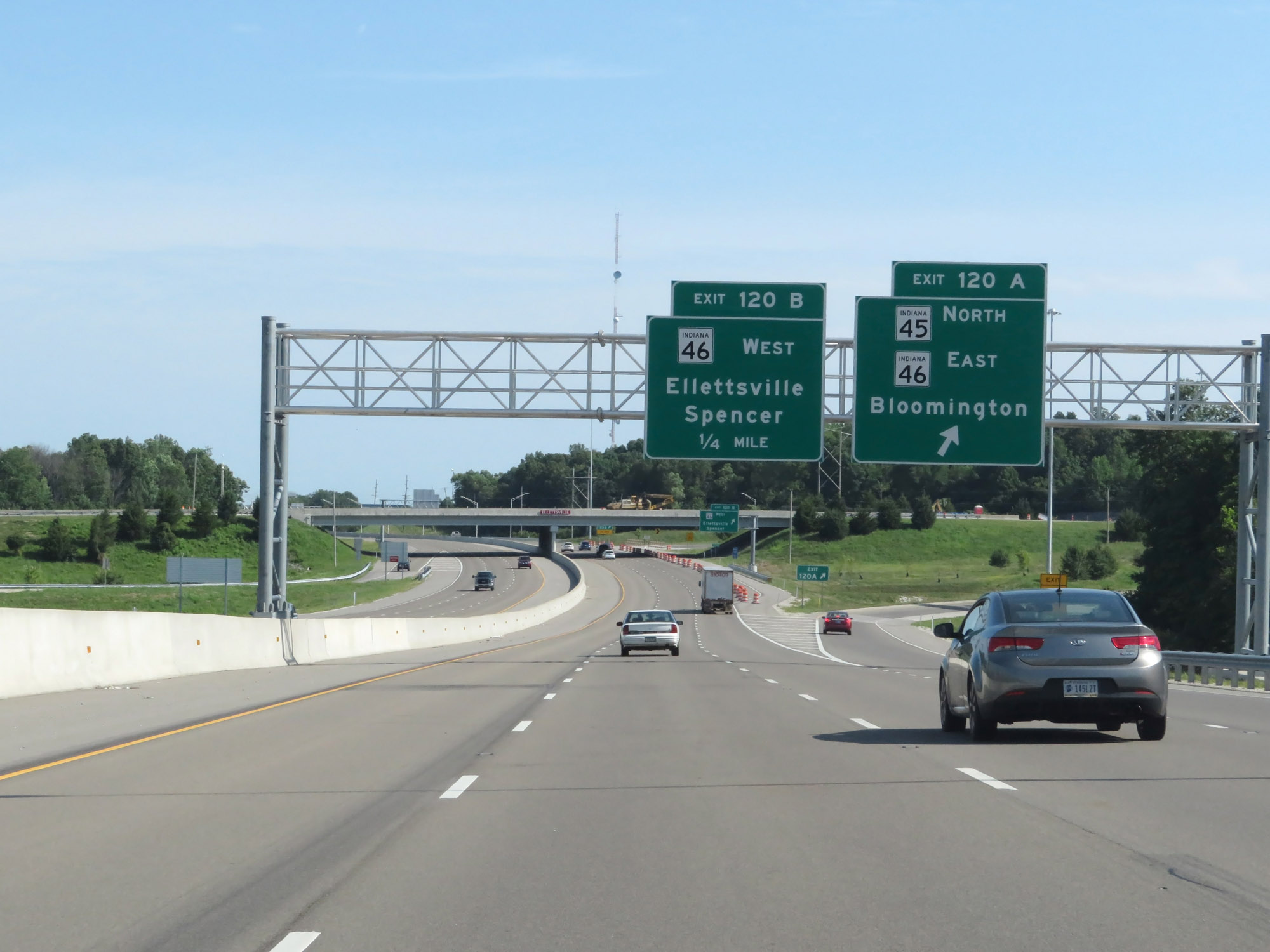 |
Interstate 69 North at Exit 120A: IN 45 North / IN 46 East - Bloomington (Photo taken 8/11/19). |
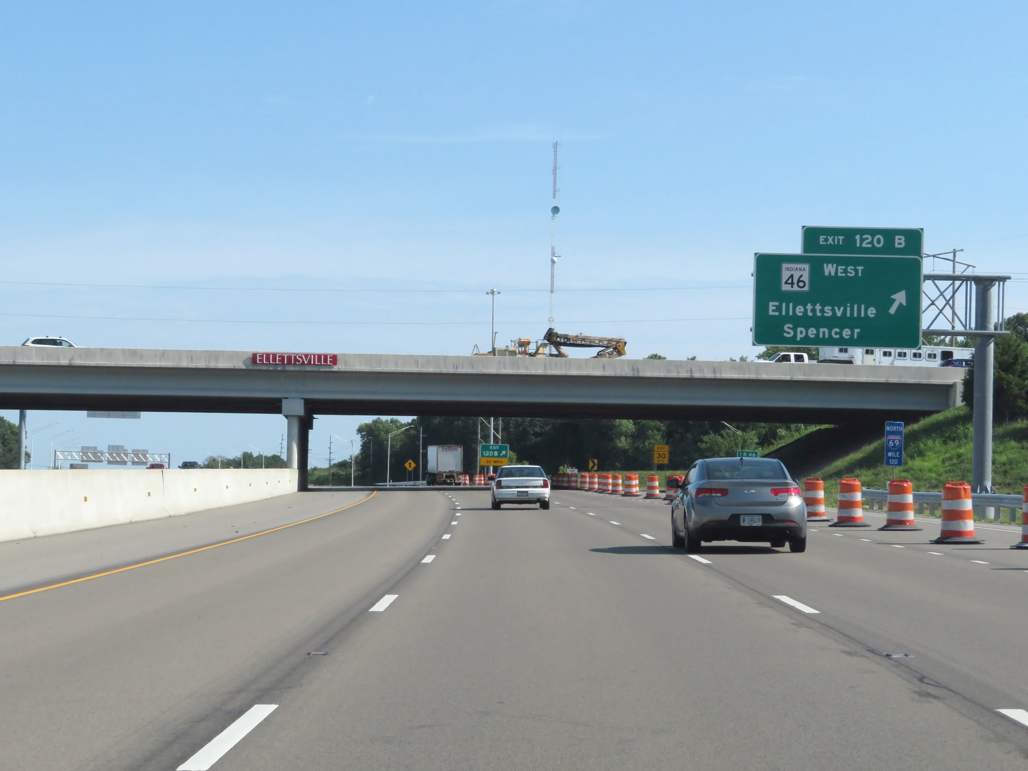 |
Interstate 69 North at Exit 120B: IN 46 West - Ellettsville / Spencer (Photo taken 8/11/19). |
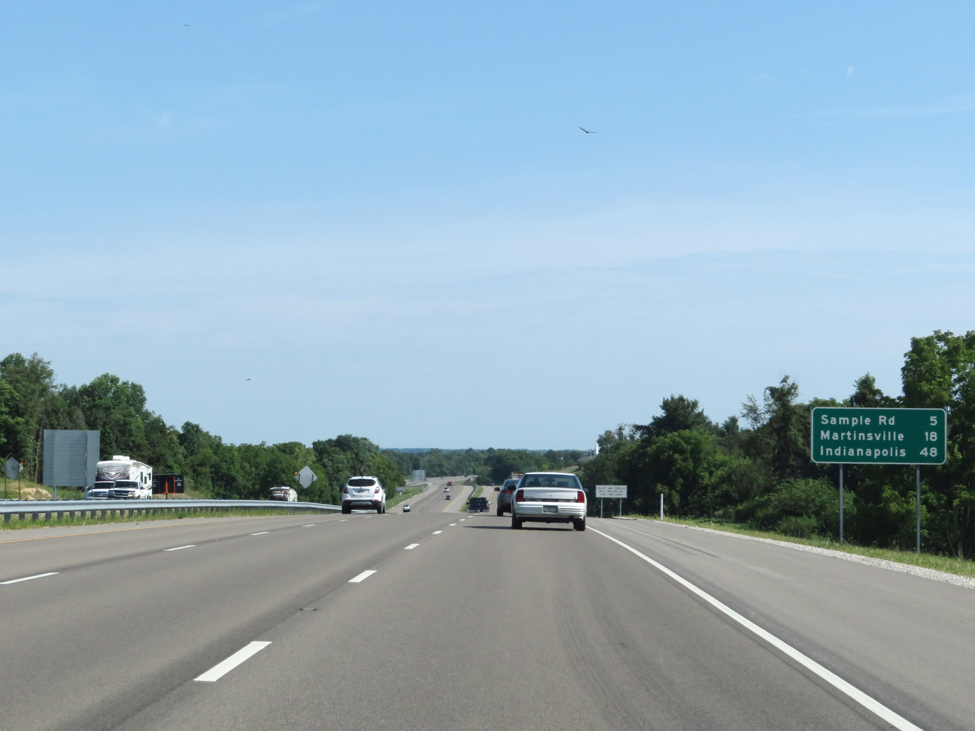 |
Mileage sign on Interstate 69 North. It's 5 miles to the Sample Rd interchange (Exit 125), 18 miles to Martinsville, and 48 miles to Indianapolis. (Photo taken 8/11/19). |
 |
Interstate 69 North at mile marker 122.5. (Photo taken 8/11/19). |
 |
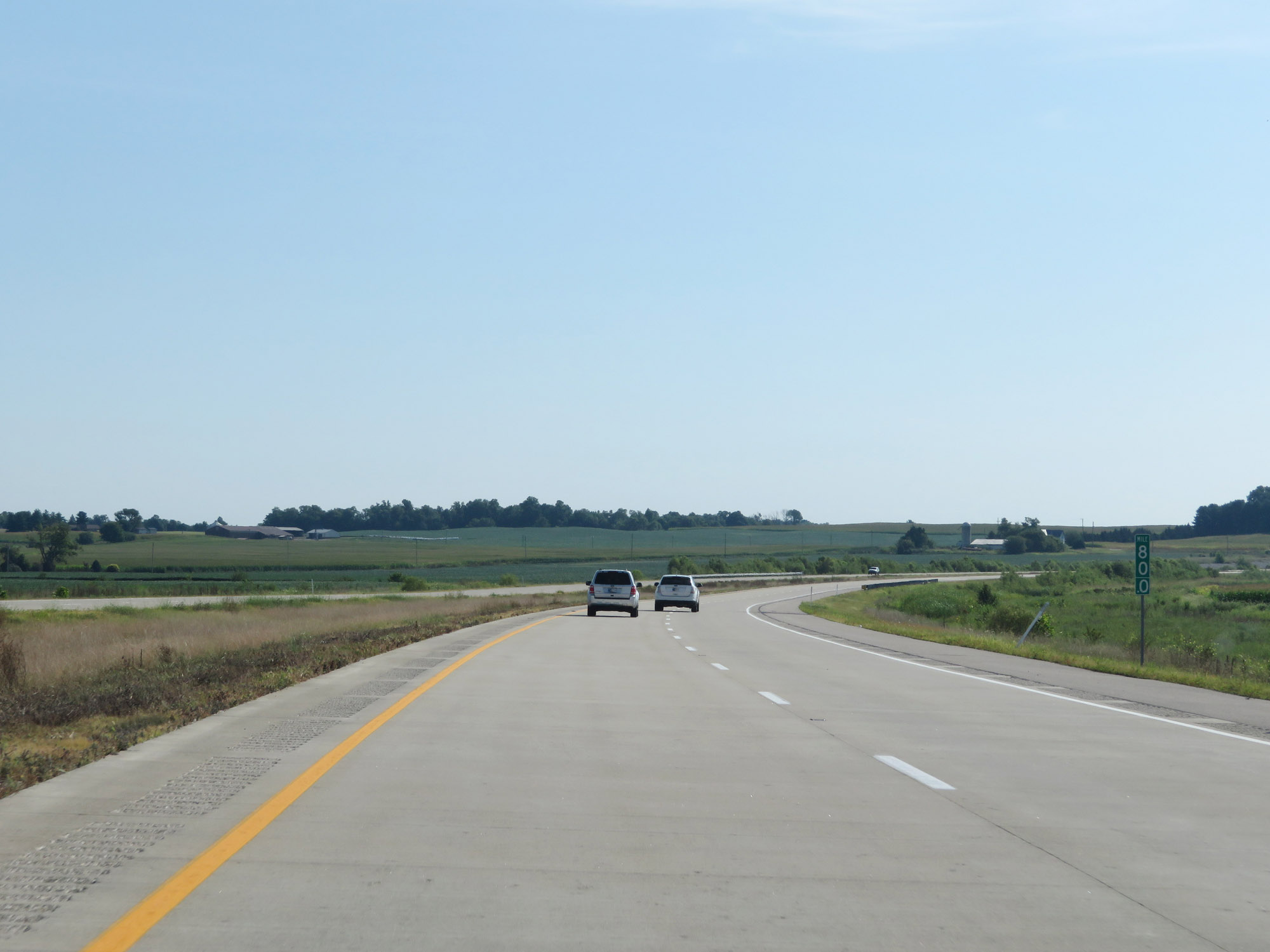
Just north of mile marker 122.5, the standard rural speed limits of 70 mph for cars and 65 mph for trucks finally resume. (Photo taken 8/11/19). |
 |
Interstate 69 North at mile marker 124.5. (Photo taken 8/11/19). |
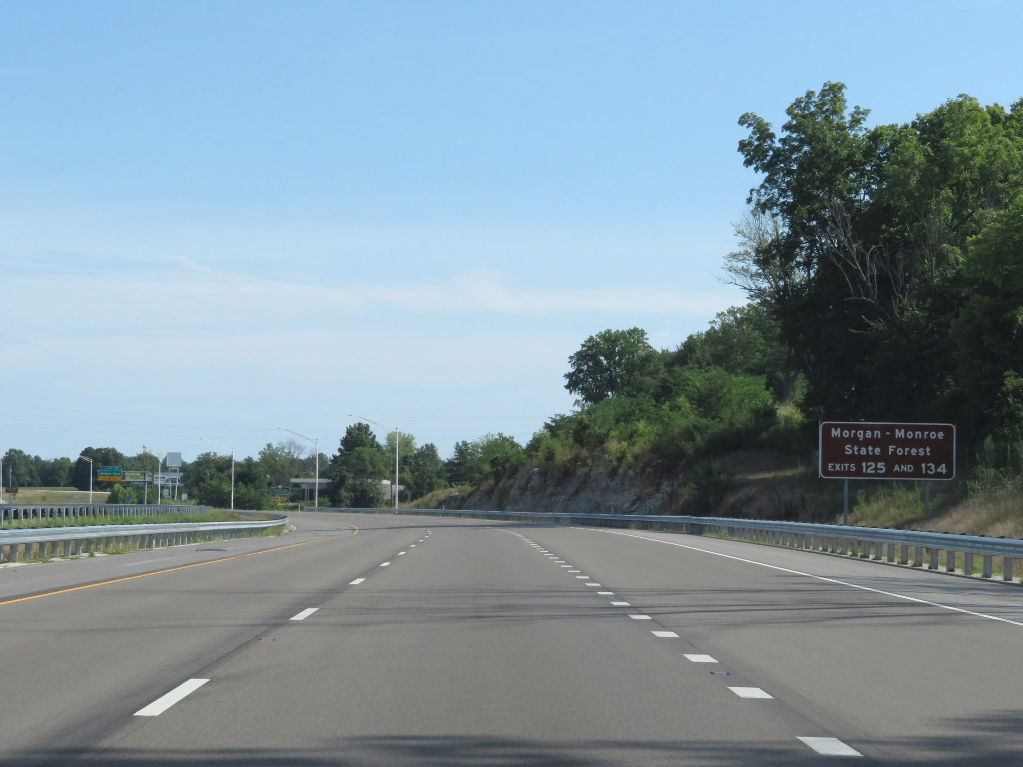 |
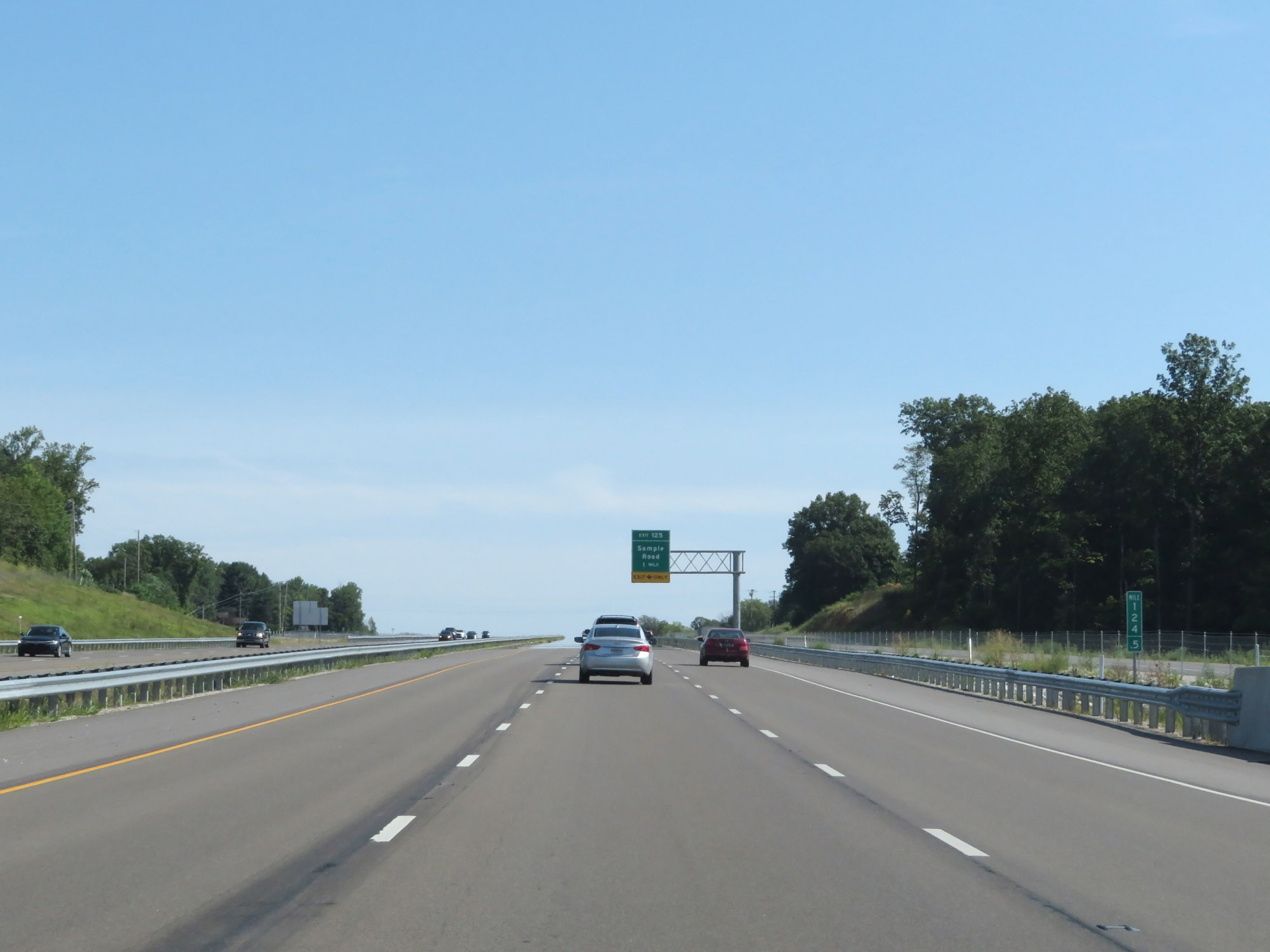
Take Exit 125 or Exit 134 to Morgan-Monroe State Forest. (Photo taken 8/11/19). |
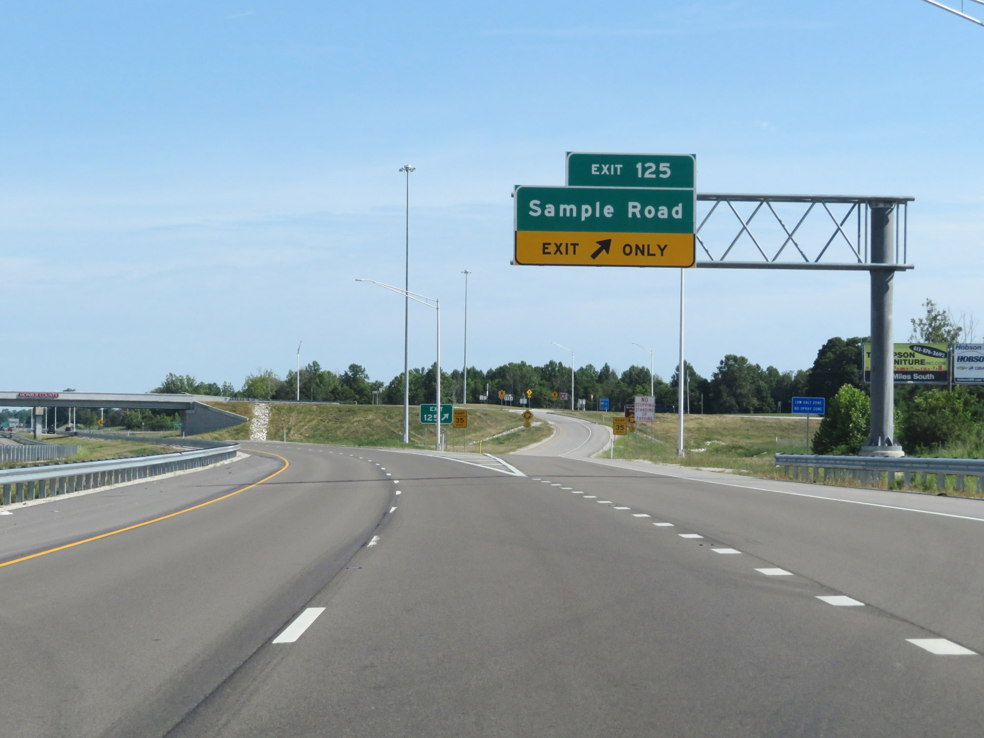 |
Interstate 69 North at Exit 125: Sample Road (Photo taken 8/11/19). |
 |
Another Interstate 69 North reassurance shield. (Photo taken 8/11/19). |
 |
Interstate 69 North at mile marker 128. (Photo taken 8/11/19). |
 |
View on Interstate 69 North at mile marker 129.5. (Photo taken 8/11/19). |
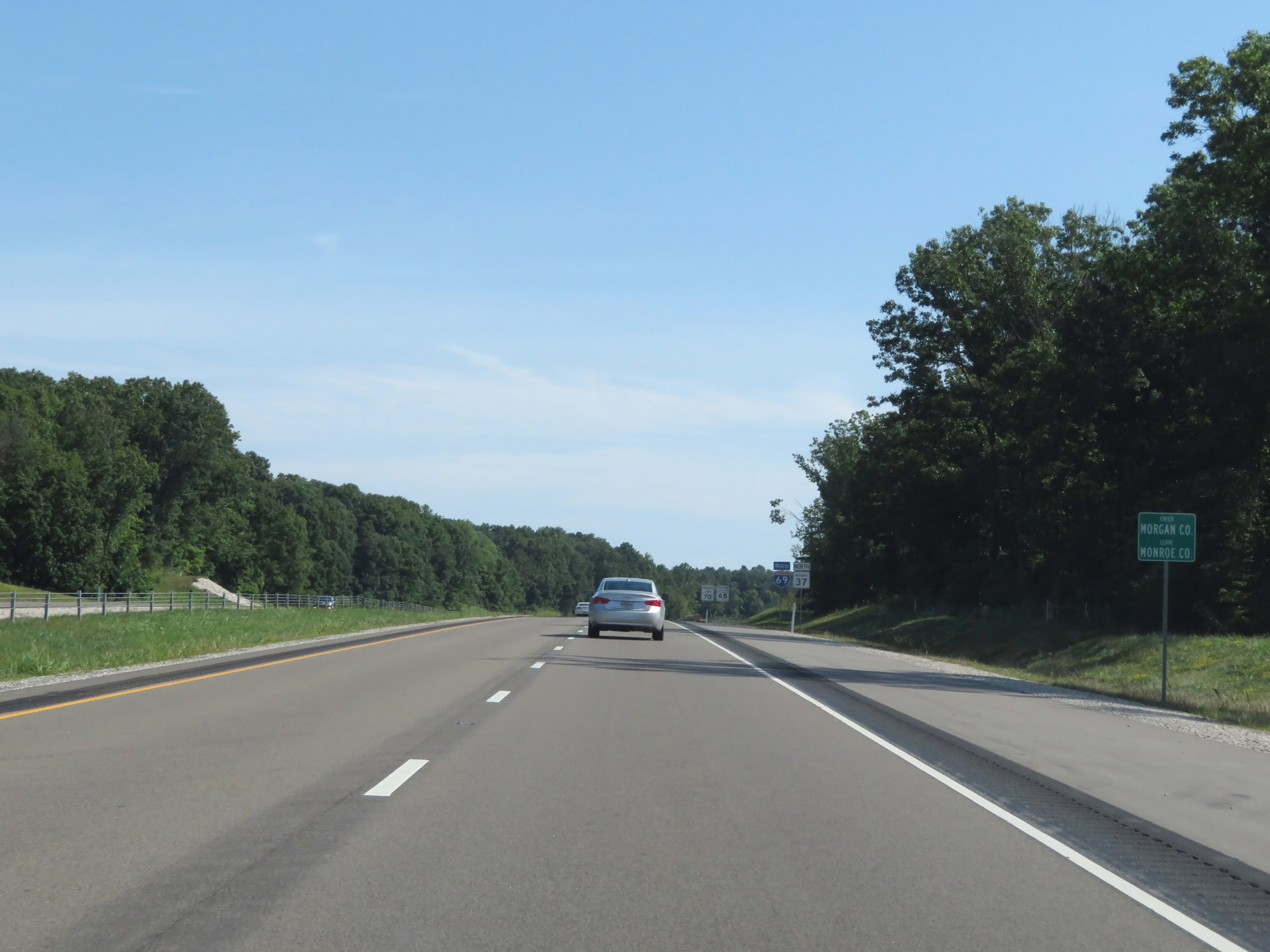 |
Entering Morgan County on Interstate 69 North. (Photo taken 8/11/19). |
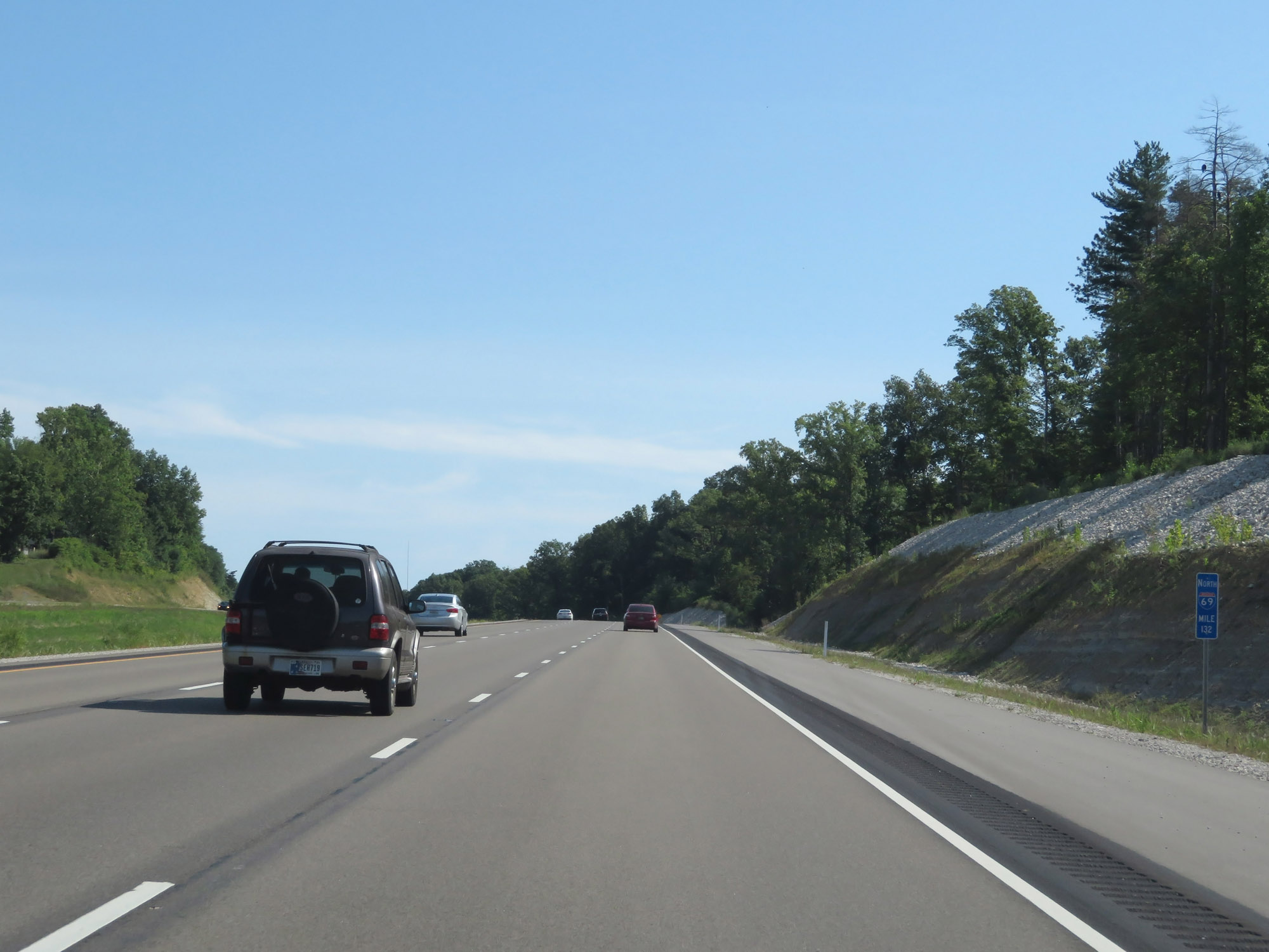 |
Interstate 69 North at mile marker 132. (Photo taken 8/11/19). |
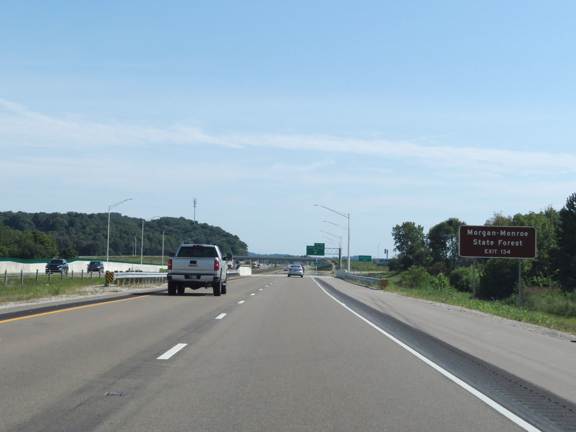 |
Take Exit 134 to Morgan-Monroe State Forest. (Photo taken 8/11/19). |
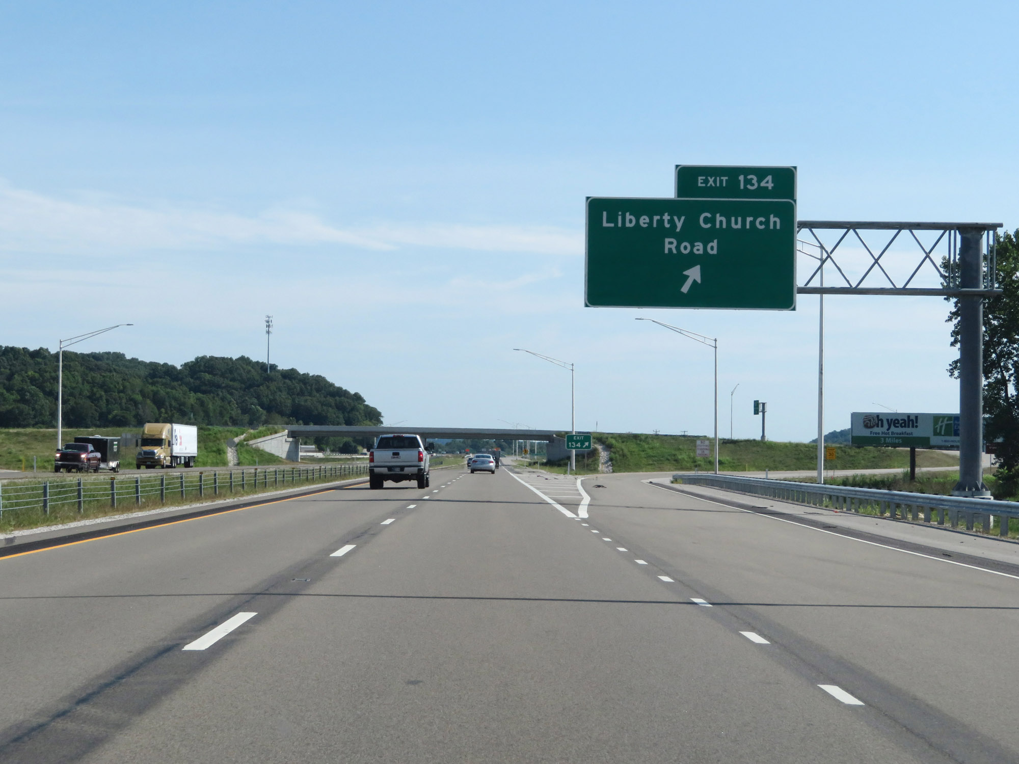 |
Interstate 69 North at Exit 134: Liberty Church Road (Photo taken 8/11/19). |
Section 3: Martinsville (Exit 134) to Johnson County
 |
Interstate 69 North reassurance shield to the north of Exit 134, approaching Martinsville. (Photo taken 8/20/22). |
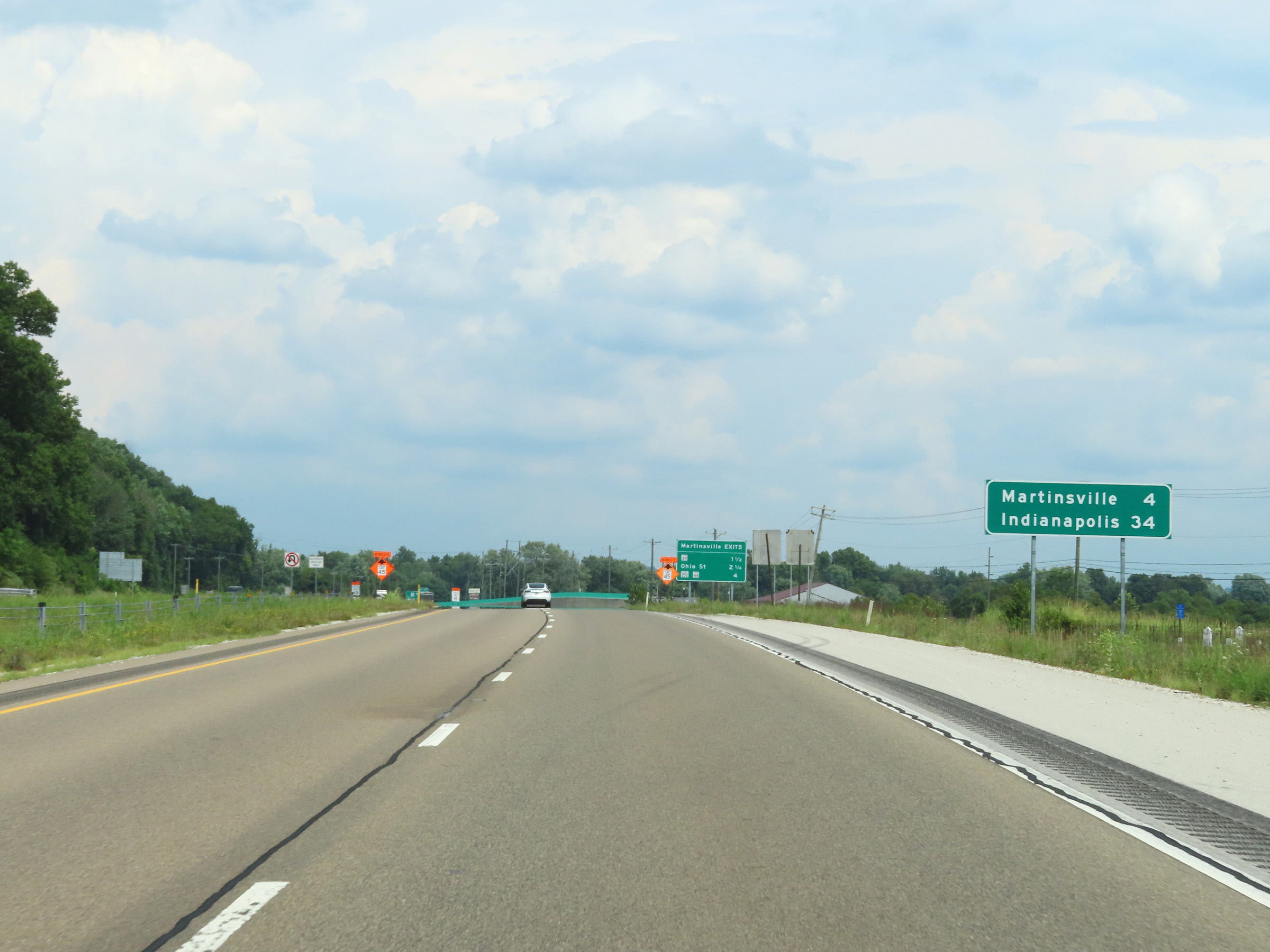 |
Mileage sign on Interstate 69 North. It's 4 miles to Martinsville and 34 miles to Indianapolis. (Photo taken 8/20/22). |
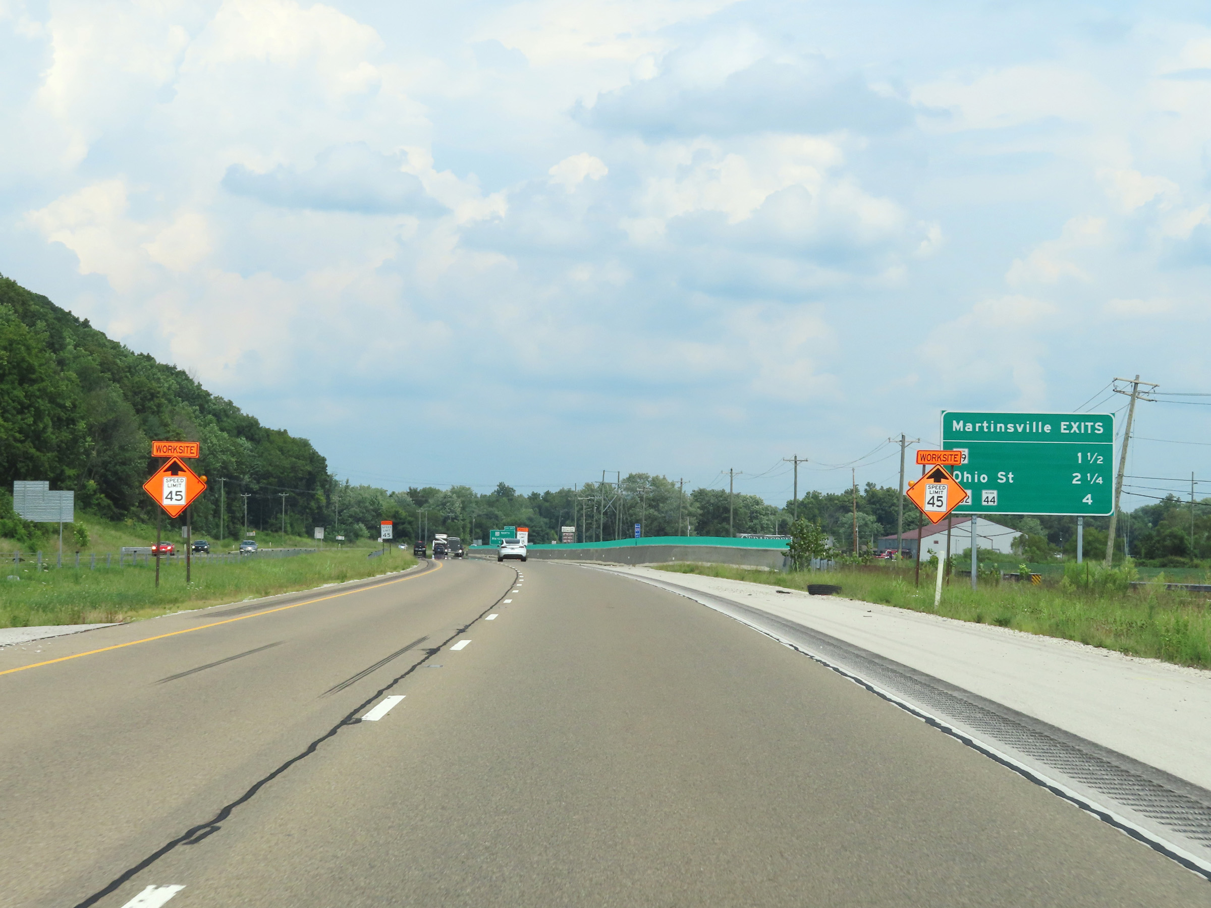 |
This mileage sign lists the distances to the three upcoming Martinsville exits on Interstate 69 North. (Photo taken 8/20/22). |
 |
View on Interstate 69 North at mile marker 135.5. (Photo taken 8/20/22). |
 |
Interstate 69 North at Exit 137: IN 39 North - Martinsville (Photo taken 8/20/22). |
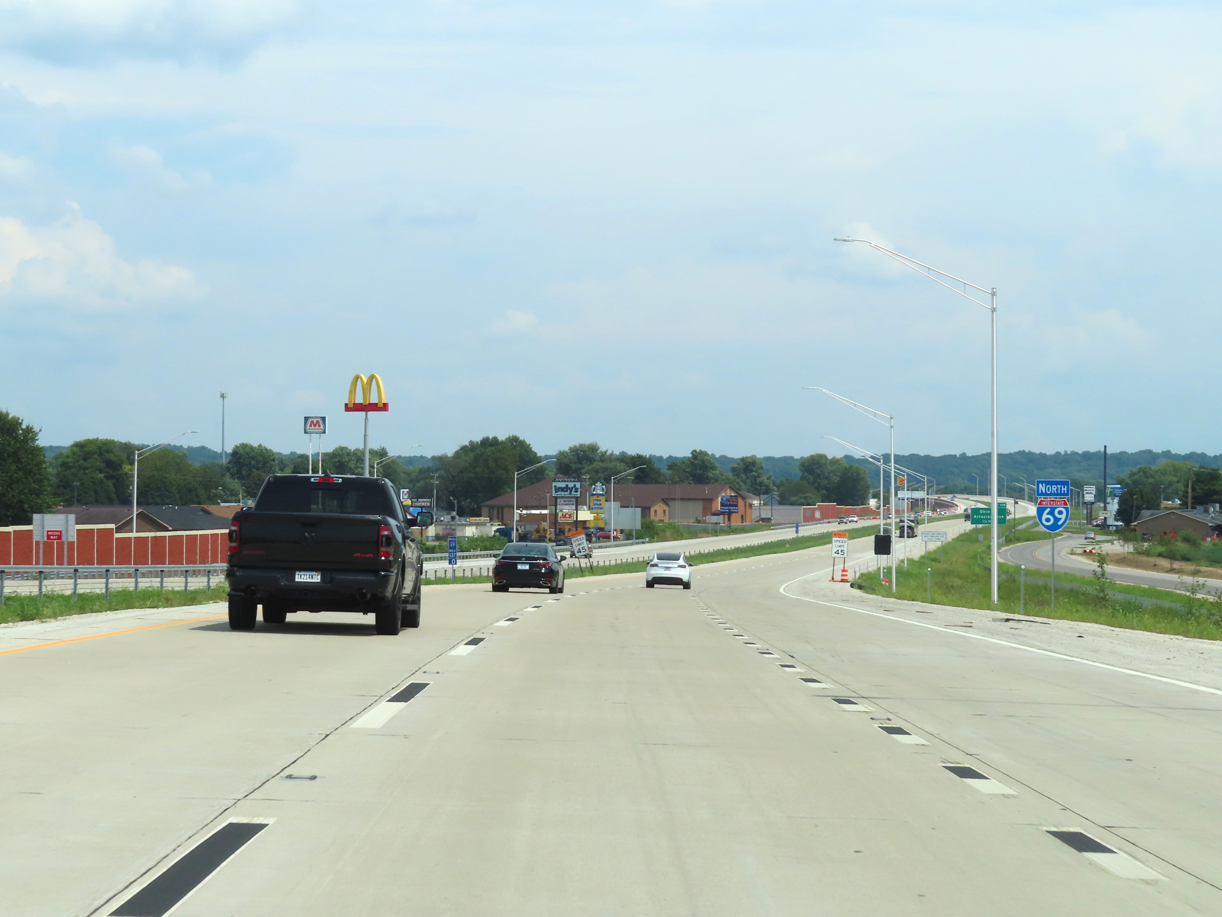 |
Another Interstate 69 North reassurance shield in Martinsville. This marks the beginning of the newest section of Interstate 69, which will extend about 15 miles to the north from this point. (Photo taken 8/20/22). |
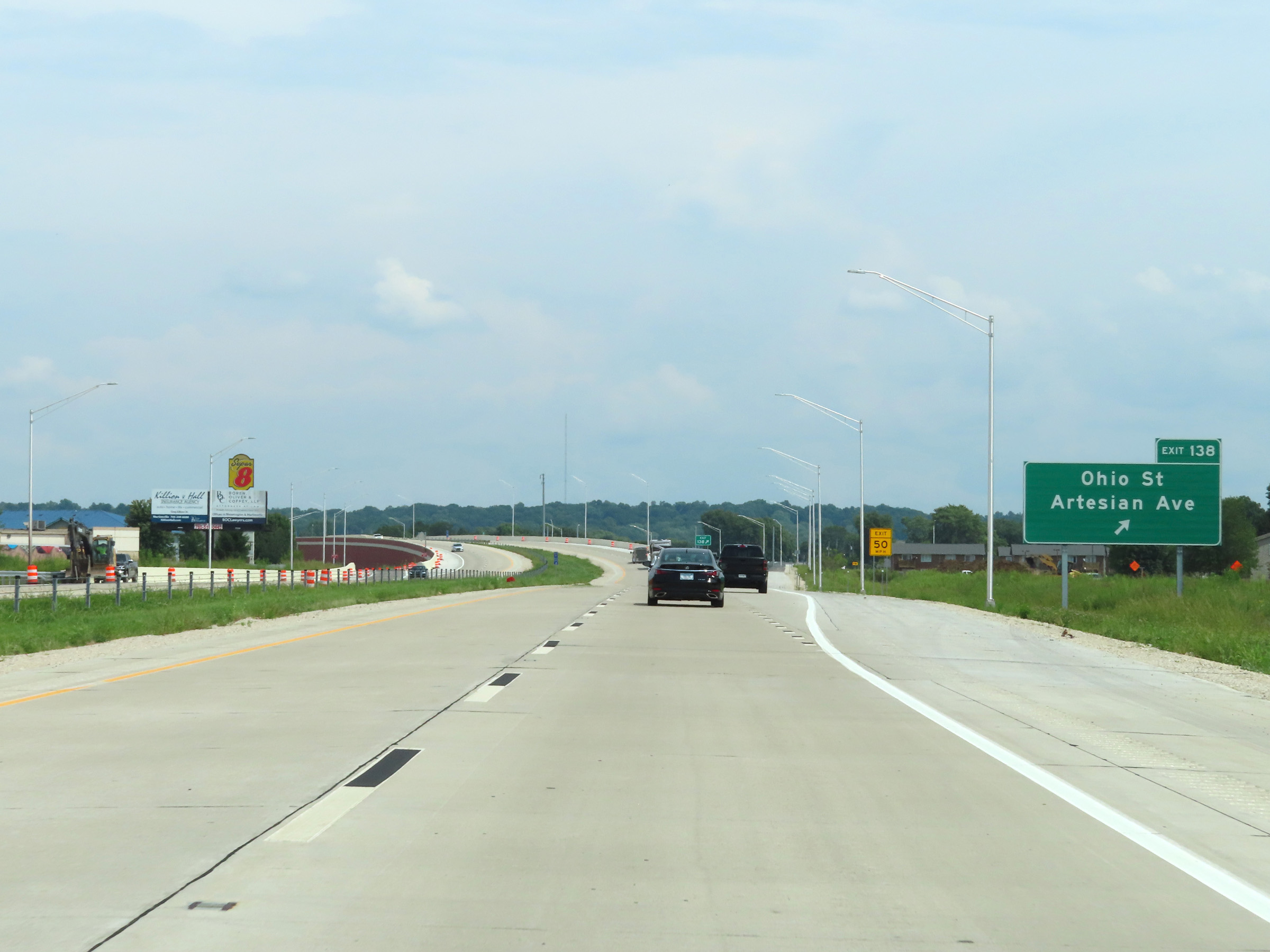 |
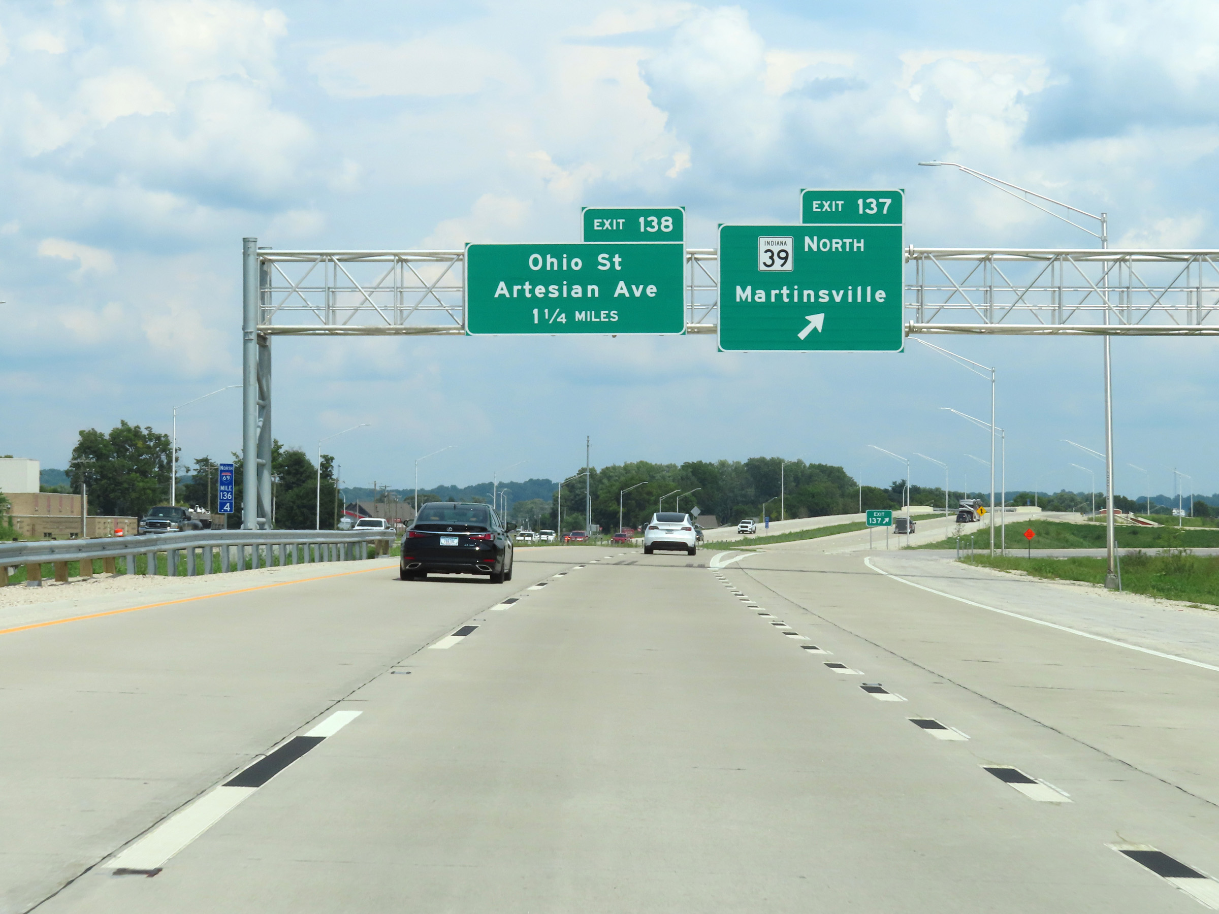
Interstate 69 North at Exit 138: Ohio St / Artisian Ave (Photo taken 8/20/22). |
 |
View on Interstate 69 North at mile marker 138.2. (Photo taken 8/20/22). |
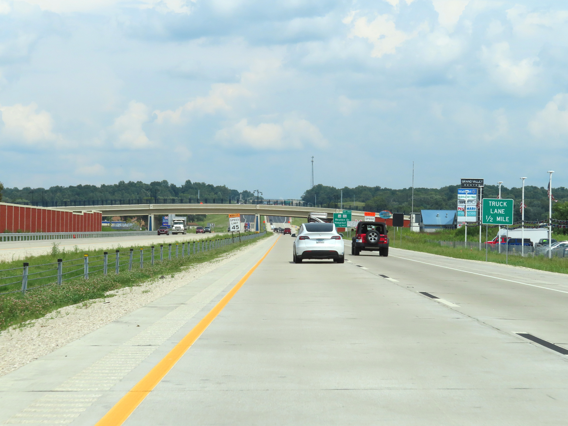 |
A truck climbing lane will appear on Interstate 69 North 1/2 mile ahead. (Photo taken 8/20/22). |
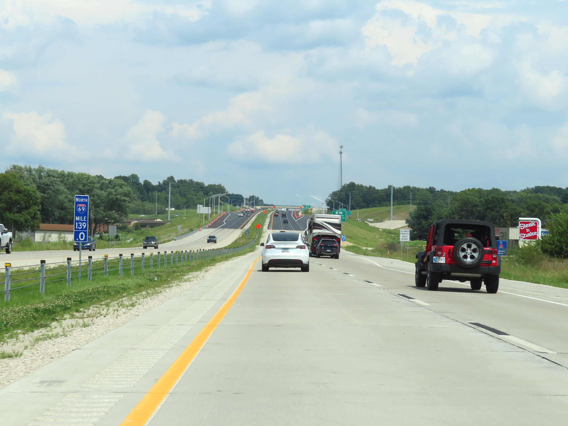 |
Interstate 69 North at mile marker 139. (Photo taken 8/20/22). |
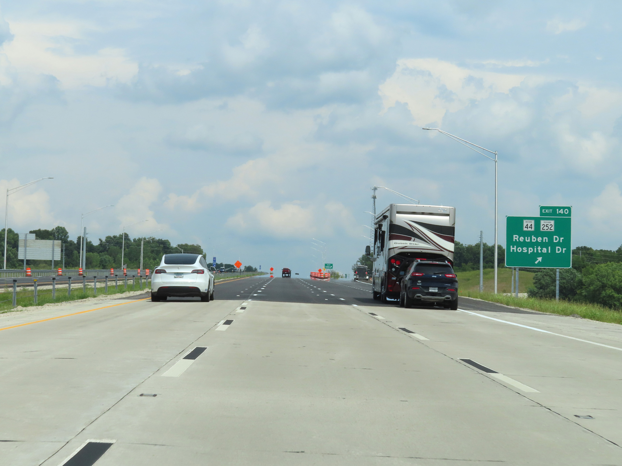 |
Interstate 69 North at Exit 140: IN 44 / IN 252 - Reuben Dr / Hospital Dr (Photo taken 8/20/22). |
 |
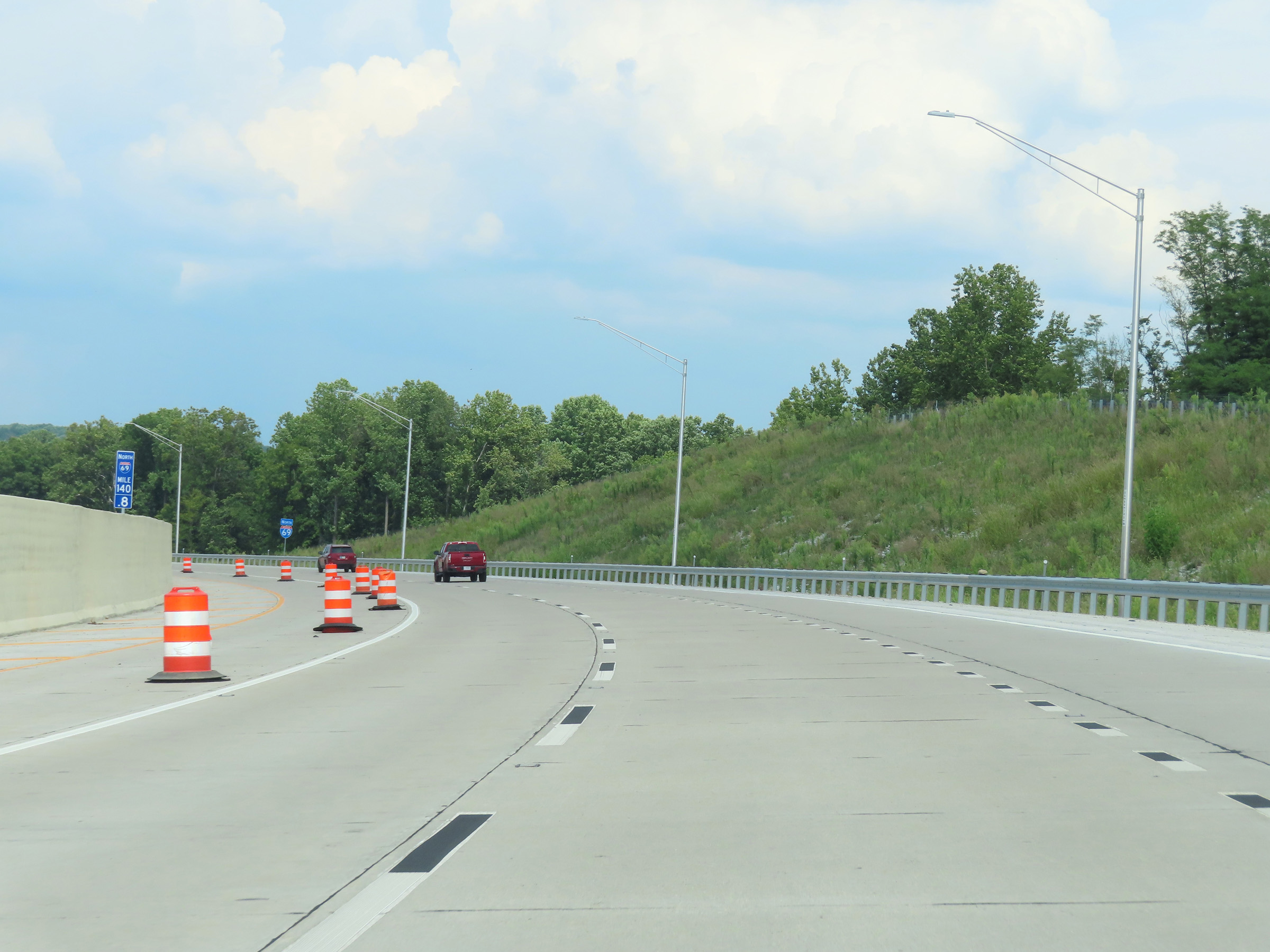
Interstate 69 North at mile marker 139.8. From this point north to near the Johnson County line, I-69 is up to Interstate standards and has all mileposts installed. However, it still had yet to have speed limit signs installed and reassurance shields were few. (Photo taken 8/20/22). |
 |
View on Interstate 69 North at mile marker 140.8, as the truck climbing lane comes to an end. (Photo taken 8/20/22). |
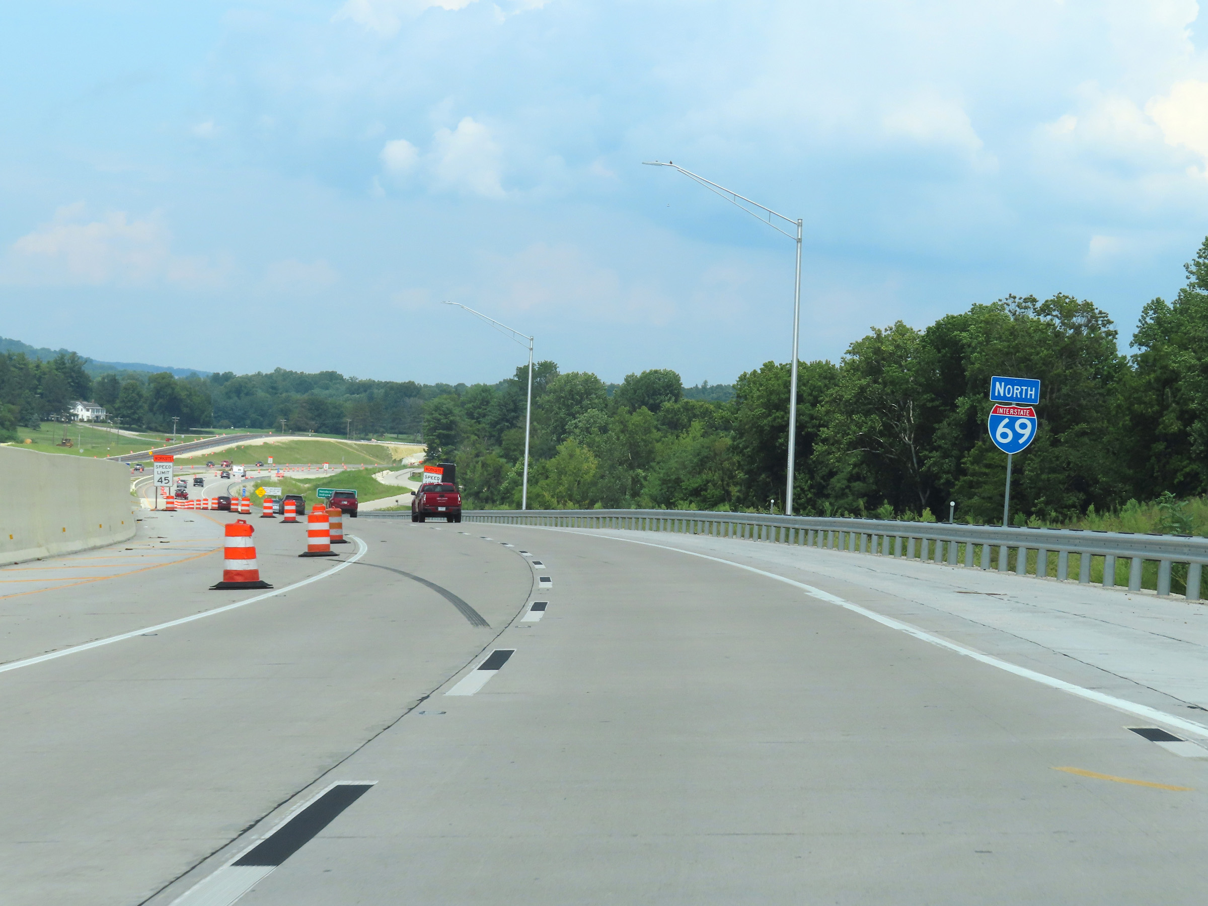 |
Interstate 69 North reassurance shield to the north of Martinsville. (Photo taken 8/20/22). |
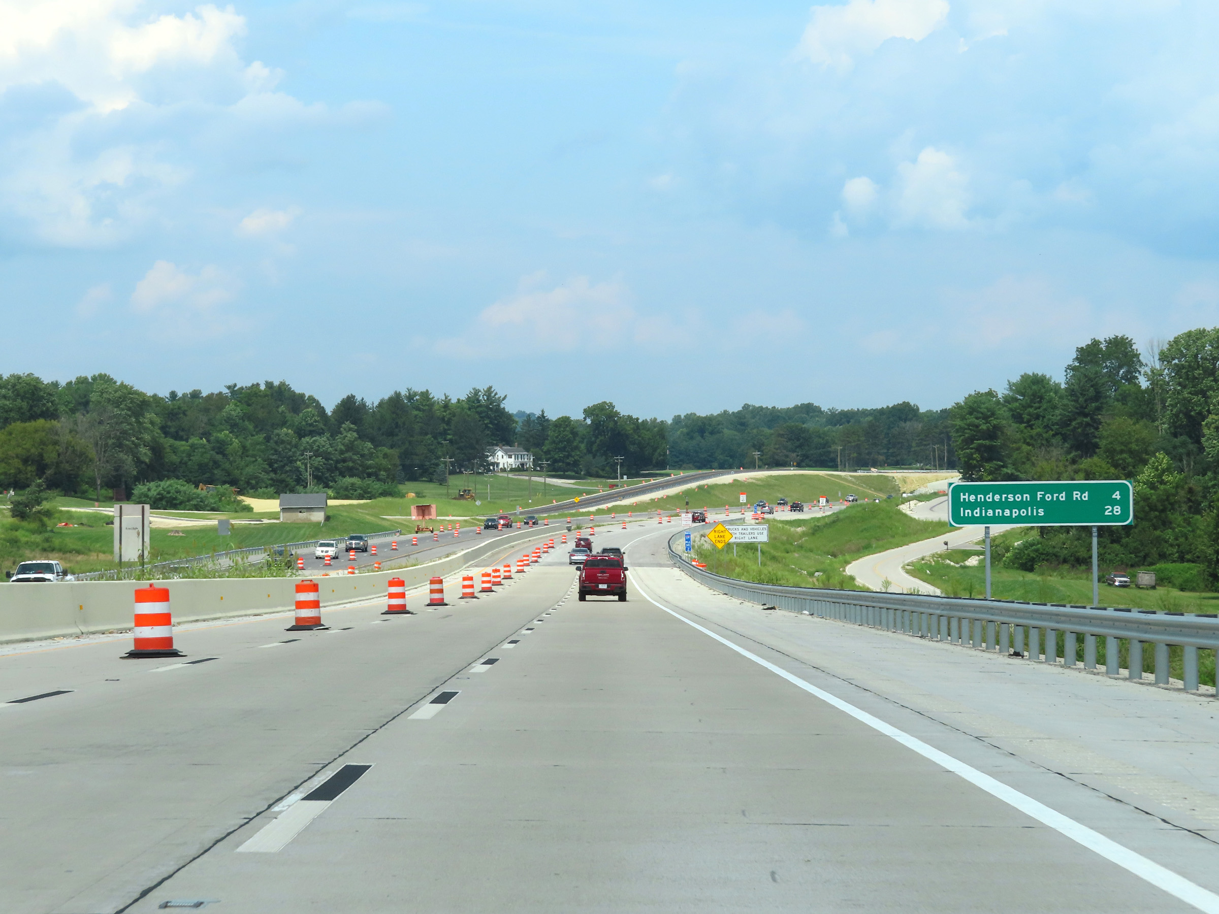 |
Mileage sign on Interstate 69 North as it leaves Martinsville to the north. It's 4 miles to the next exit (Henderson Ford Rd) and 28 miles to Indianapolis. (Photo taken 8/20/22). |
 |
View on Interstate 69 North at mile marker 141.2. (Photo taken 8/20/22). |
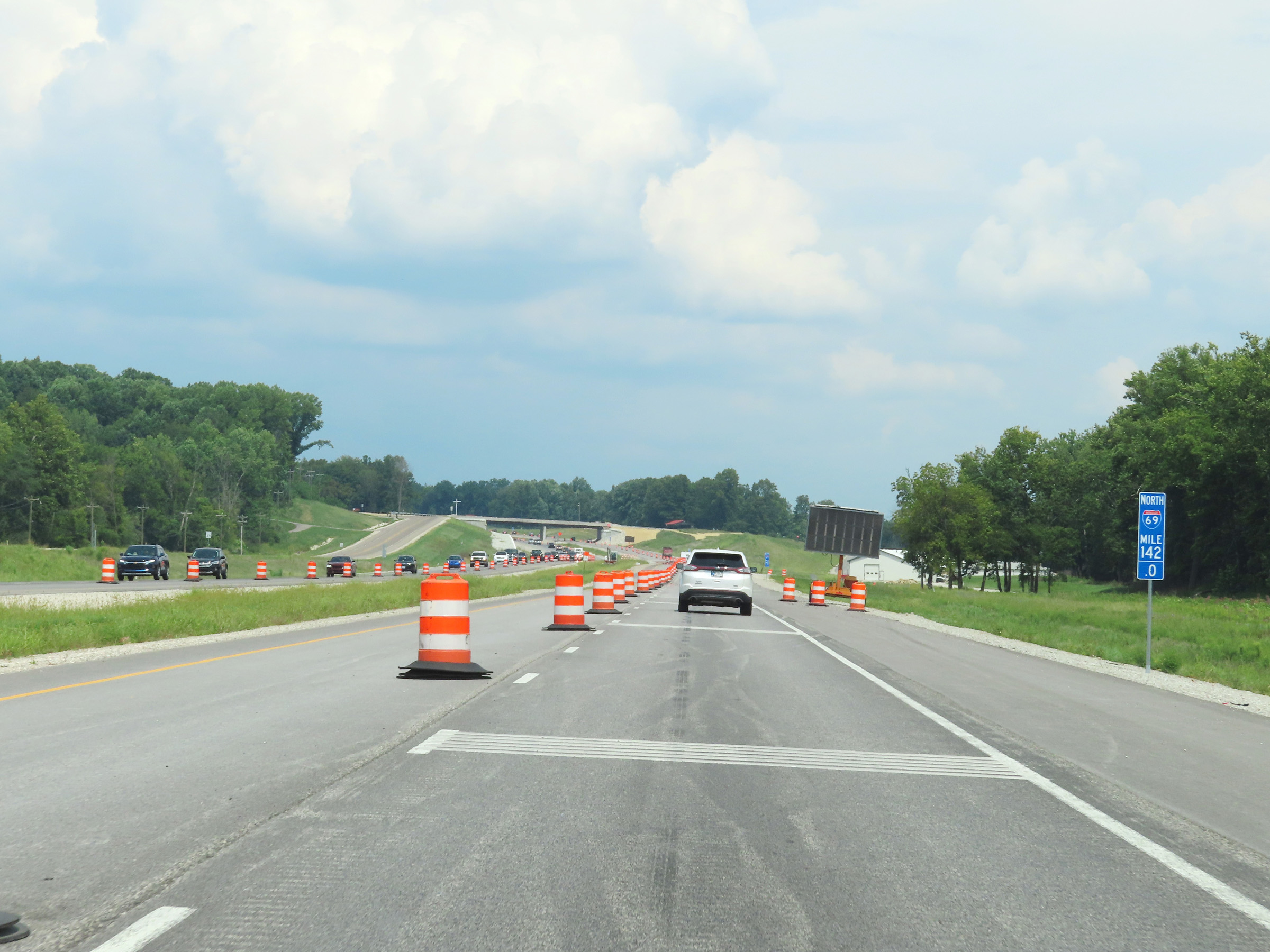 |
Interstate 69 North at mile marker 142. (Photo taken 8/20/22). |
 |
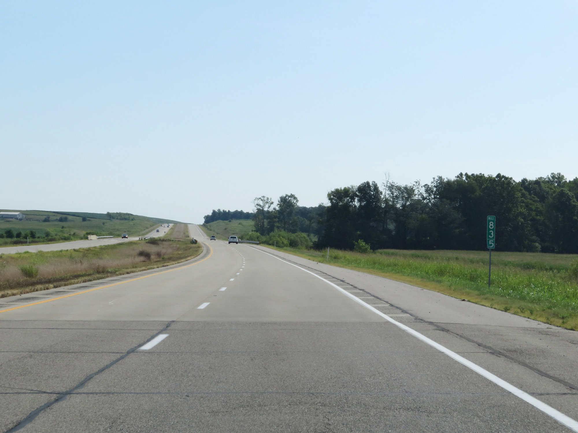
Mile marker 143 on Interstate 69 North in Morgan County. (Photo taken 8/20/22). |
 |
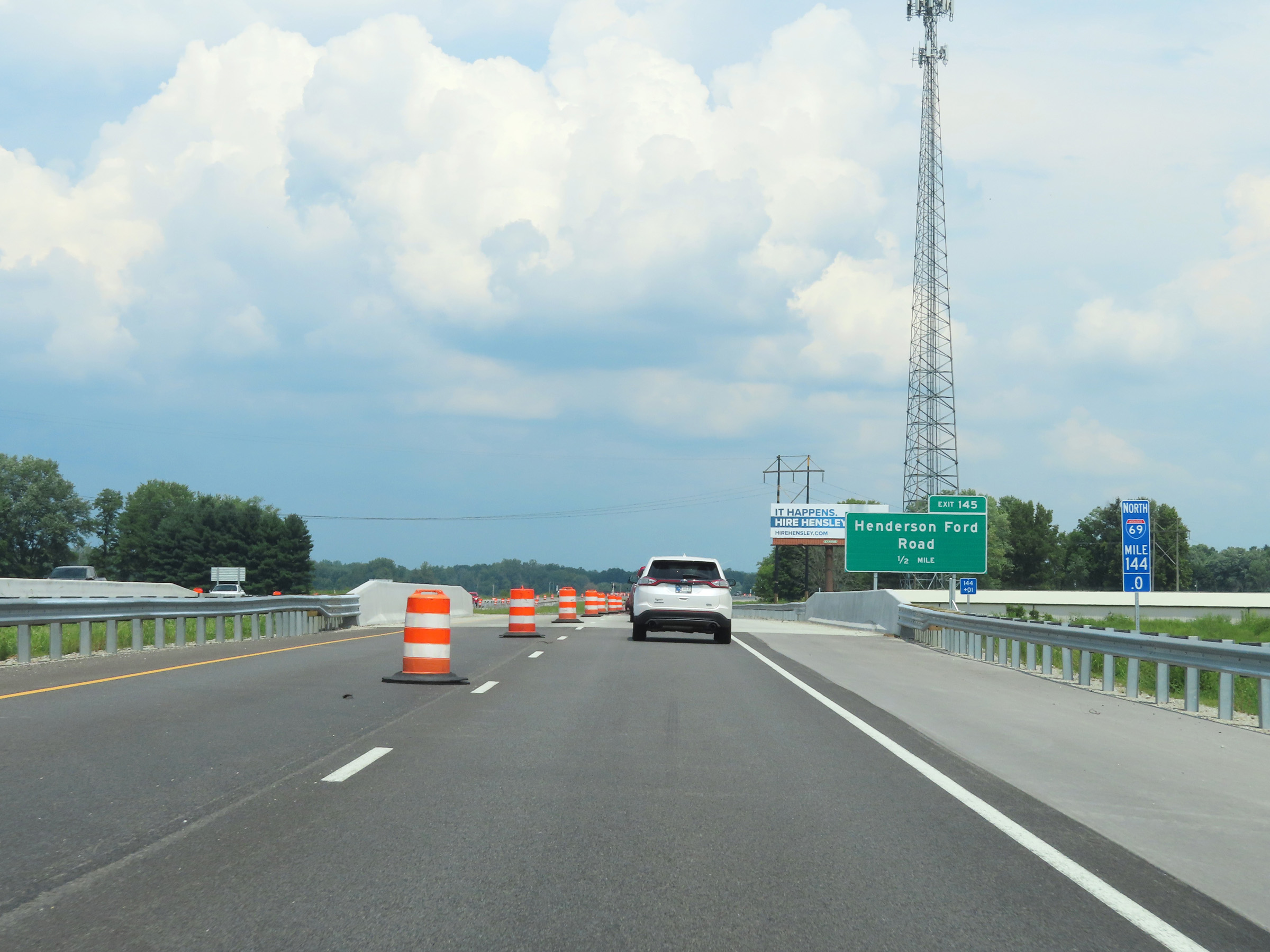
Interstate 69 North approaching Exit 145 - 1 mile. (Photo taken 8/20/22). |
 |
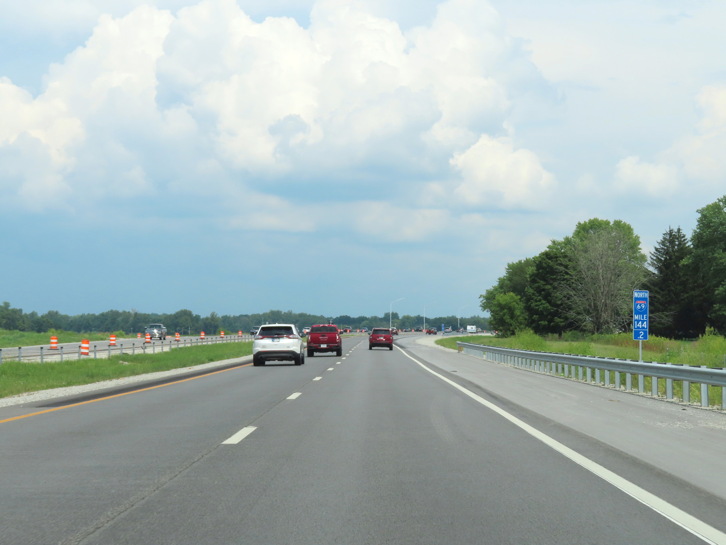
View on Interstate 69 North at mile marker 144. (Photo taken 8/20/22). |
 |
Interstate 69 North at mile marker 144.2. (Photo taken 8/20/22). |
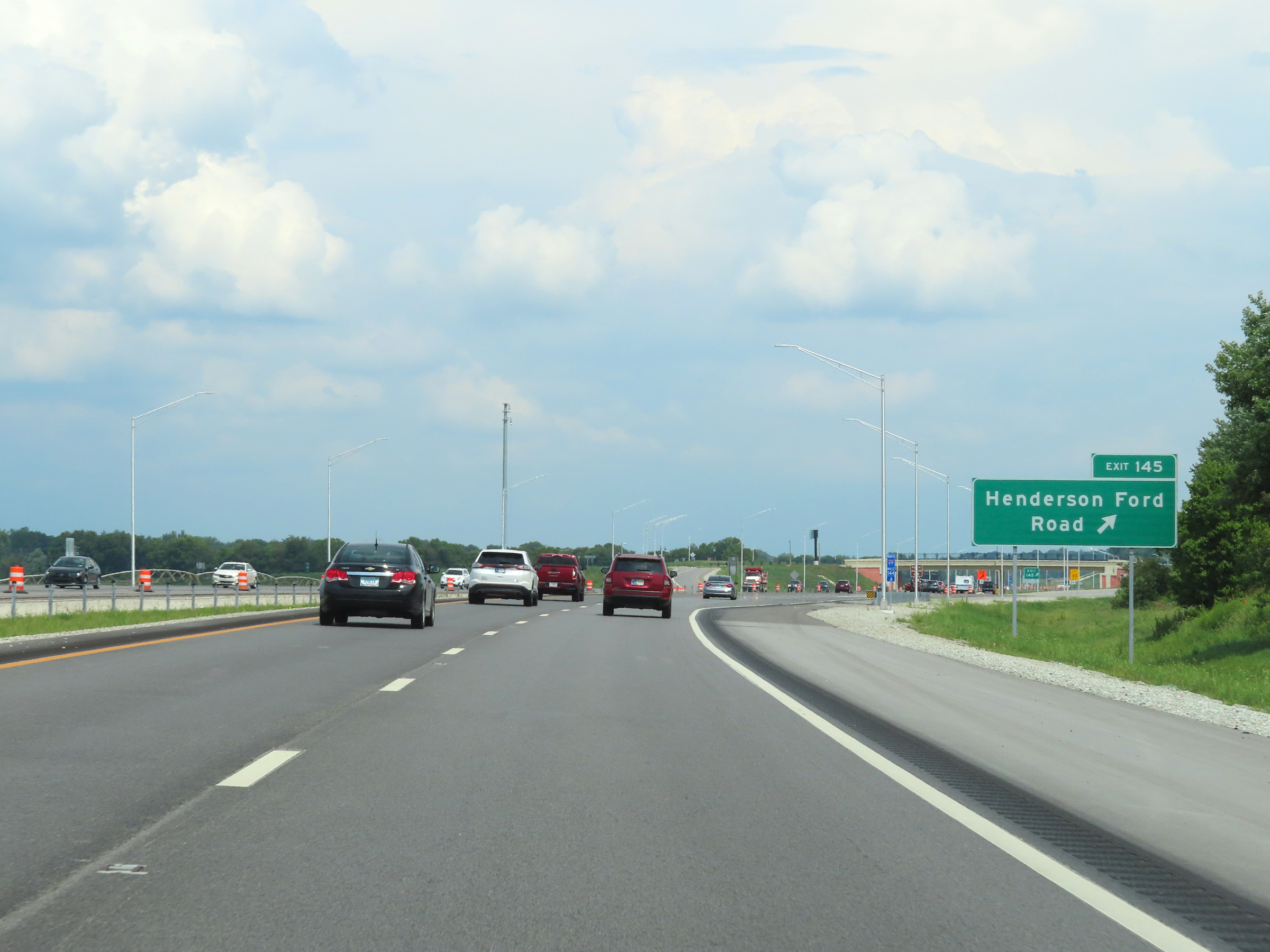 |
Interstate 69 North at Exit 145: Henderson Ford Road (Photo taken 8/20/22). |
 |
Mile marker 145.4 on Interstate 69 North in Morgan County. (Photo taken 8/20/22). |
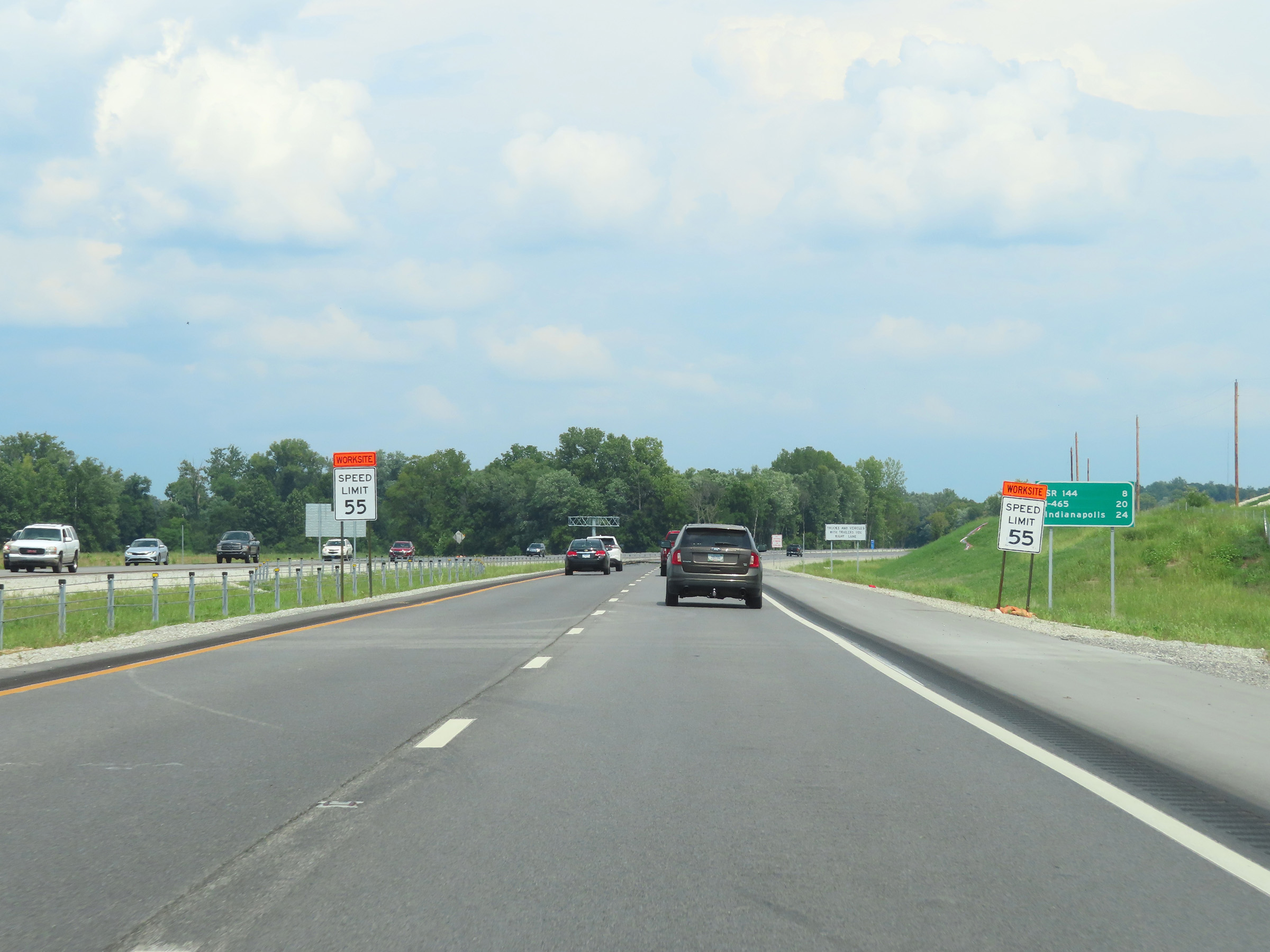 |
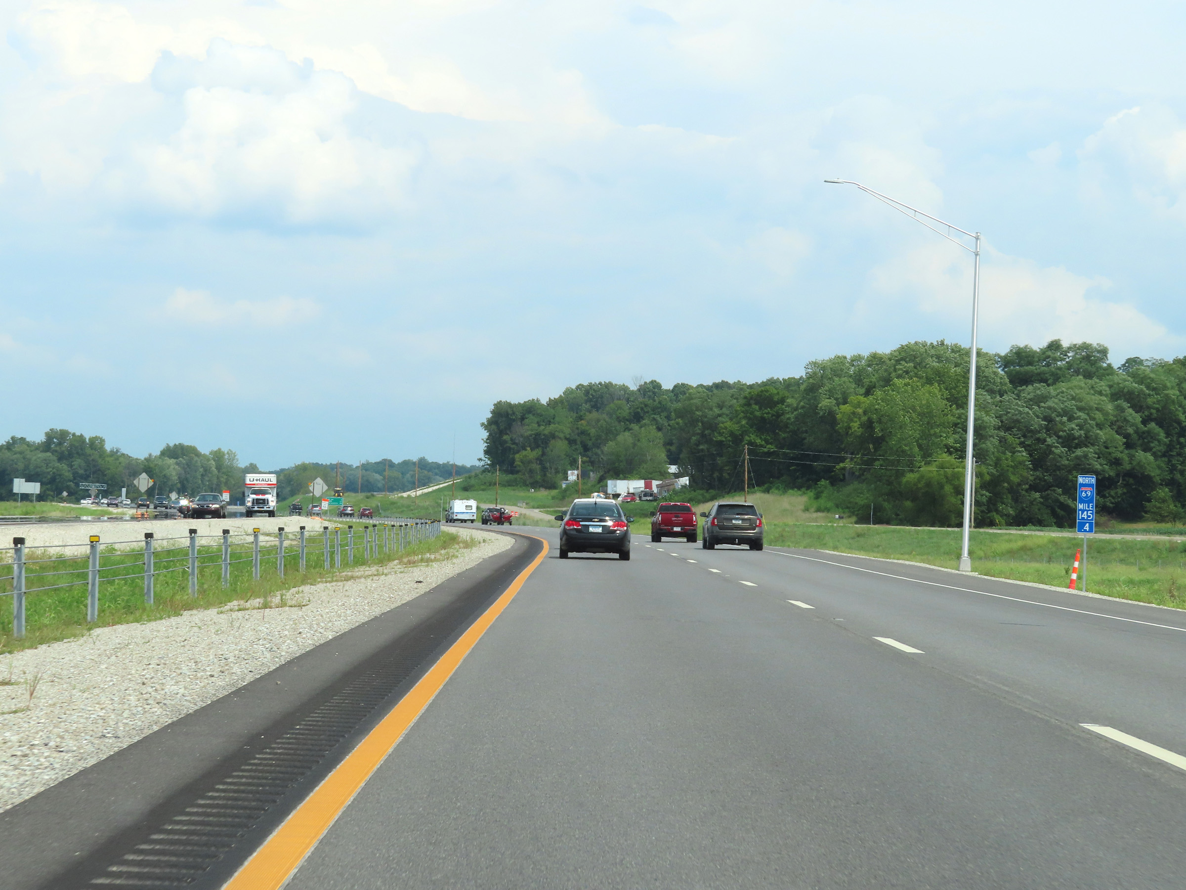
Mileage sign on Interstate 69 North. It's 8 miles to the junction of IN 144, 20 miles to the junction of Interstate 465, and 24 miles to Indianapolis. (Photo taken 8/20/22). |
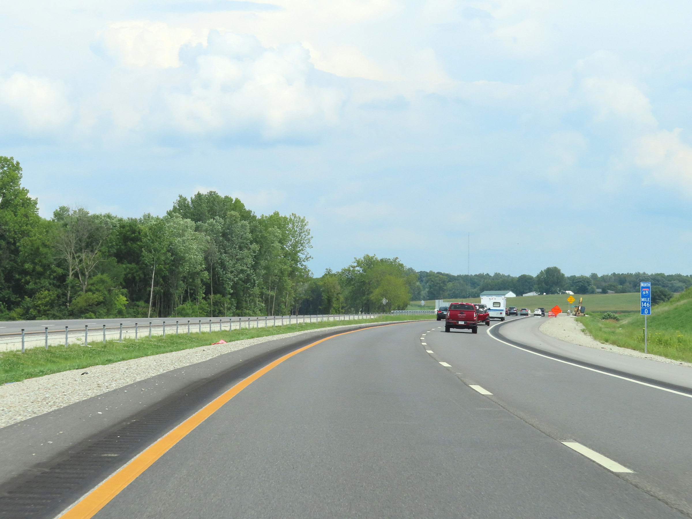 |
View on Interstate 69 North at mile marker 146. (Photo taken 8/20/22). |
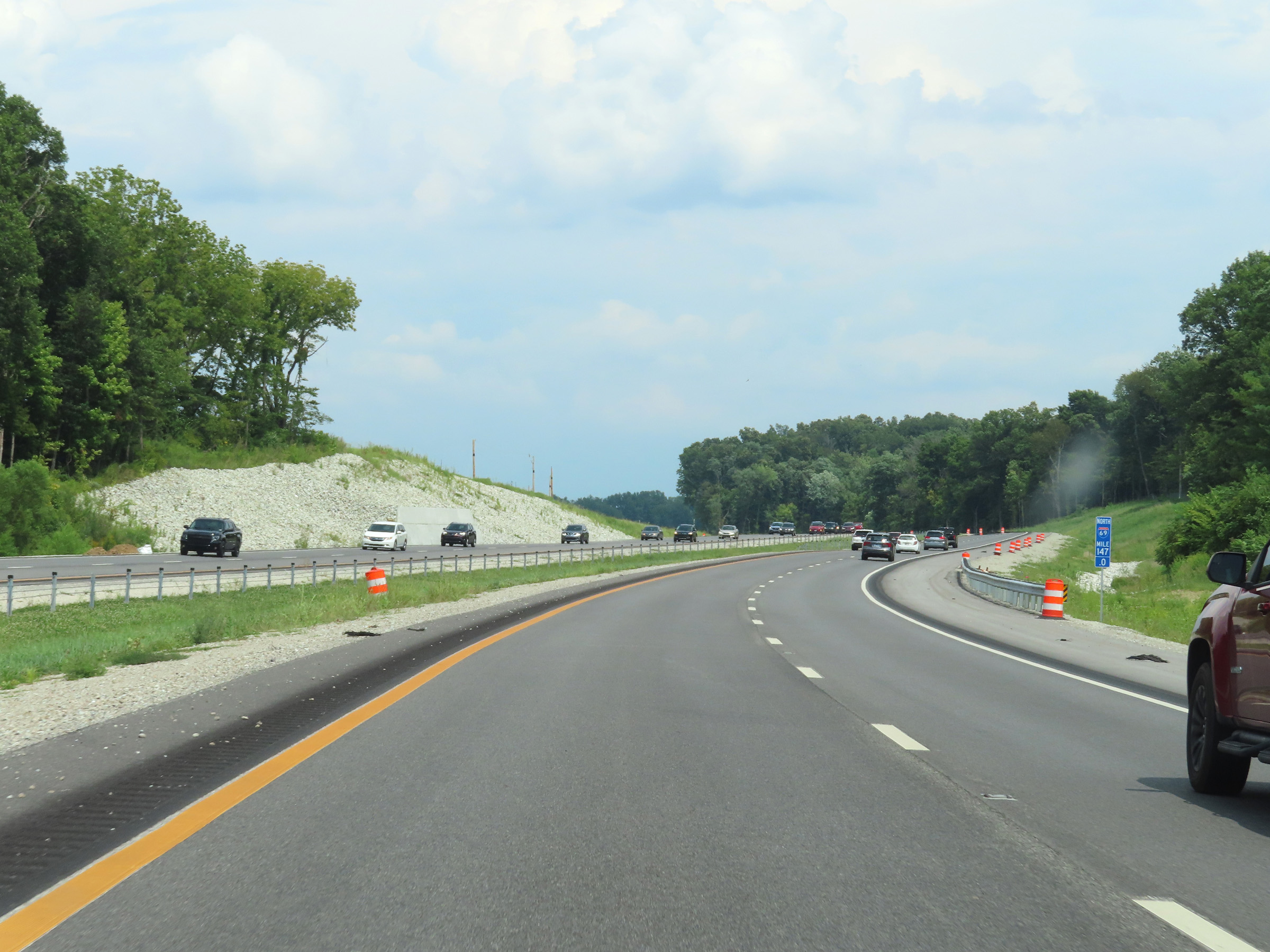 |
Interstate 69 North at mile marker 147. (Photo taken 8/20/22). |
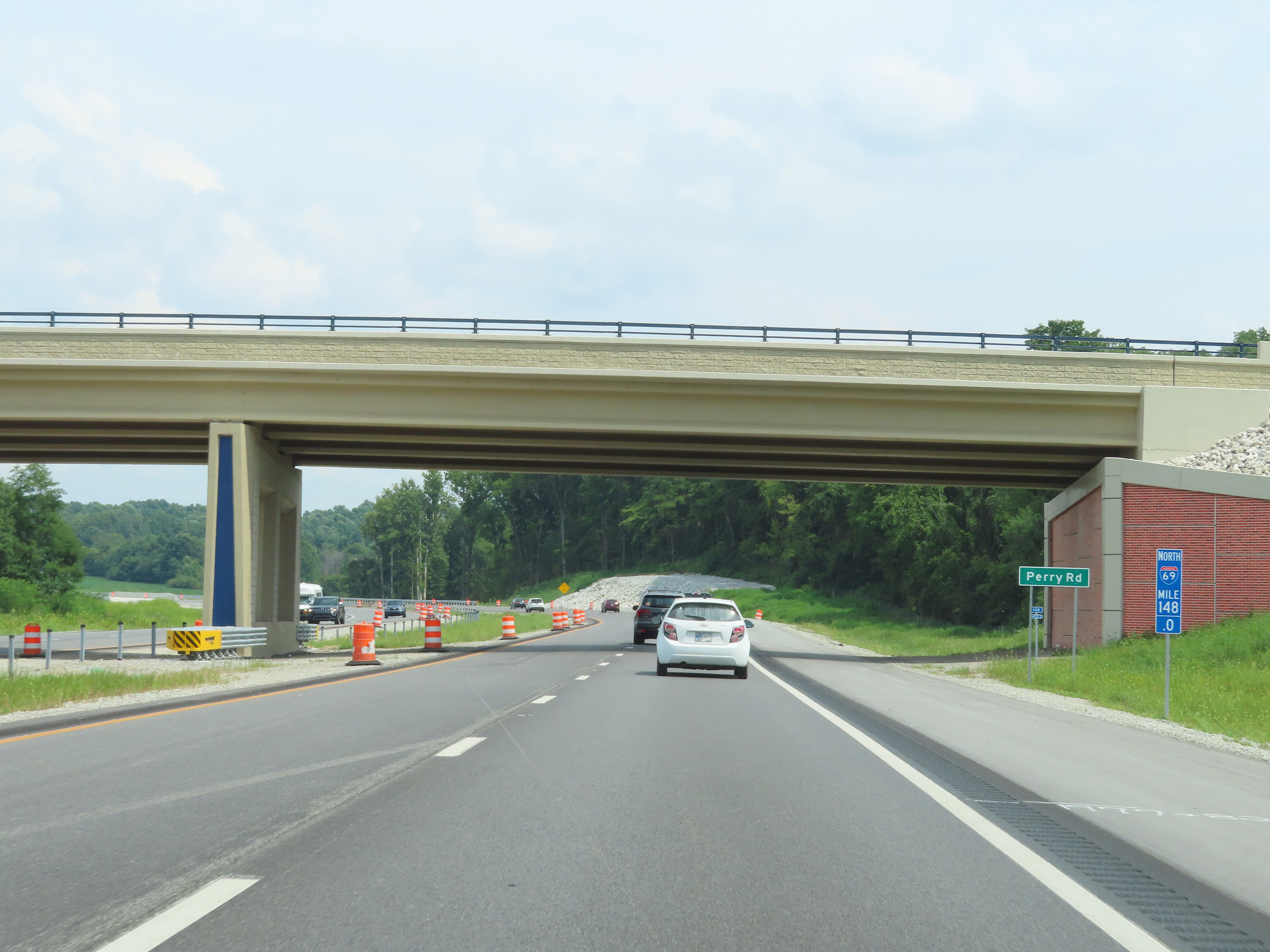 |
Mile marker 148 on Interstate 69 North, as it crosses under Perry Rd in Morgan County. (Photo taken 8/20/22). |
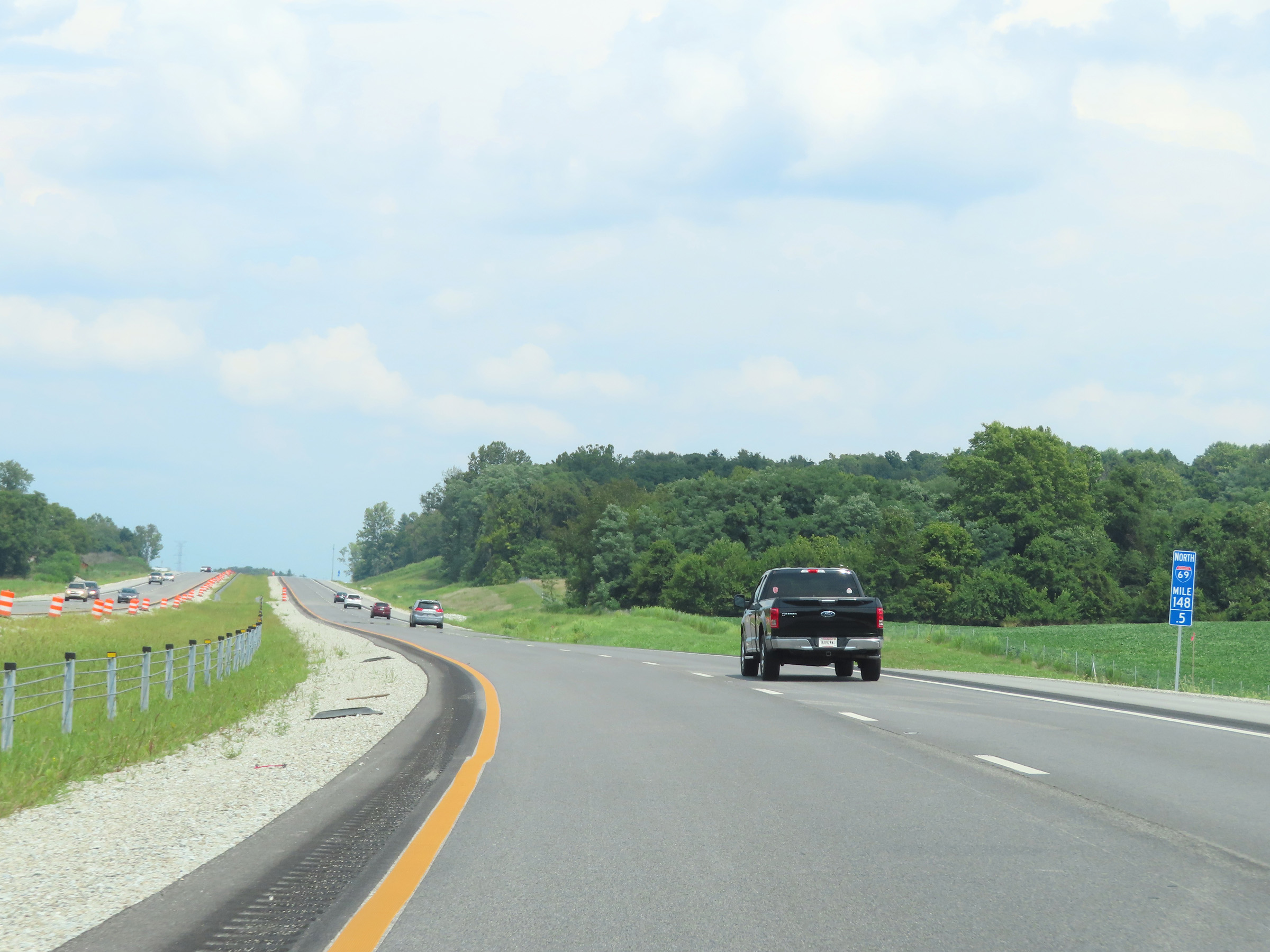 |
View on Interstate 69 North at mile marker 148.5. (Photo taken 8/20/22). |
 |
Interstate 69 North at mile marker 149.5. (Photo taken 8/20/22). |
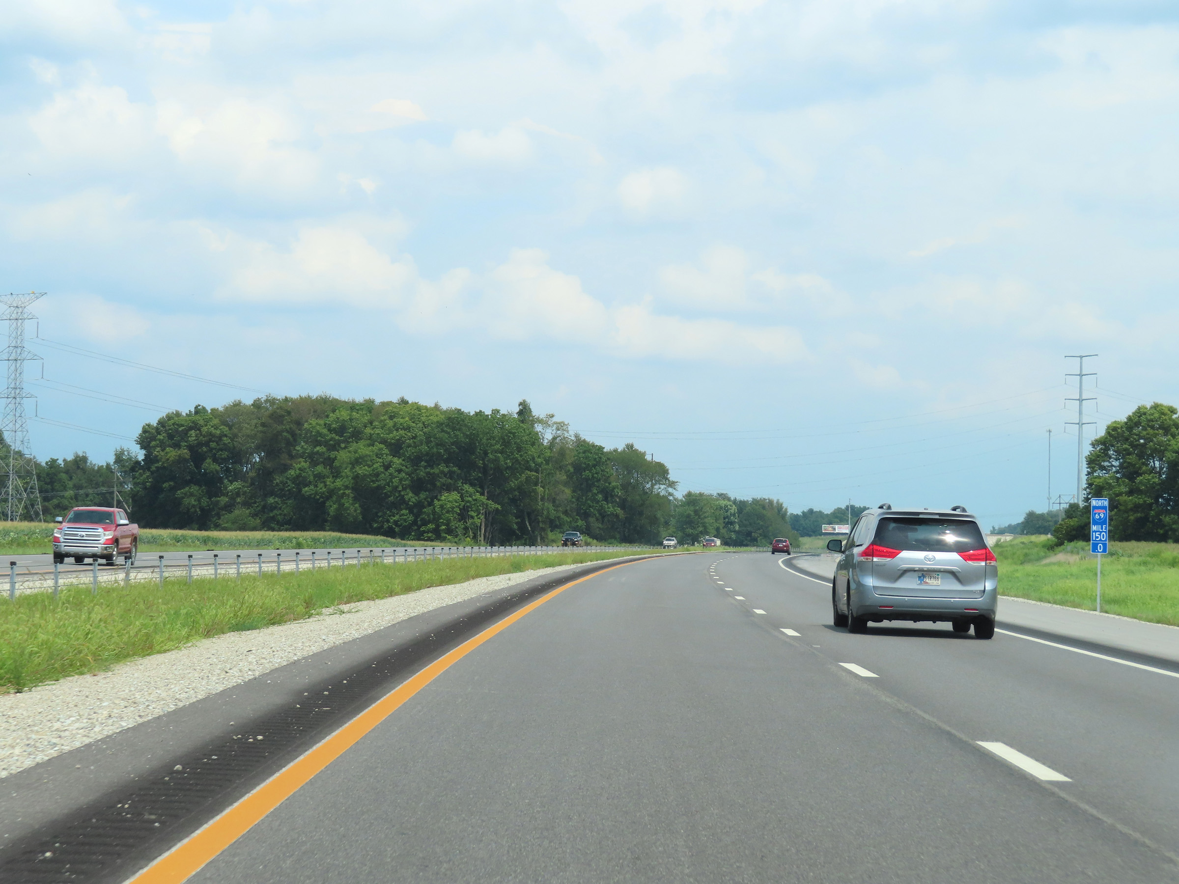 |
Interstate 69 North at mile marker 150. (Photo taken 8/20/22). |
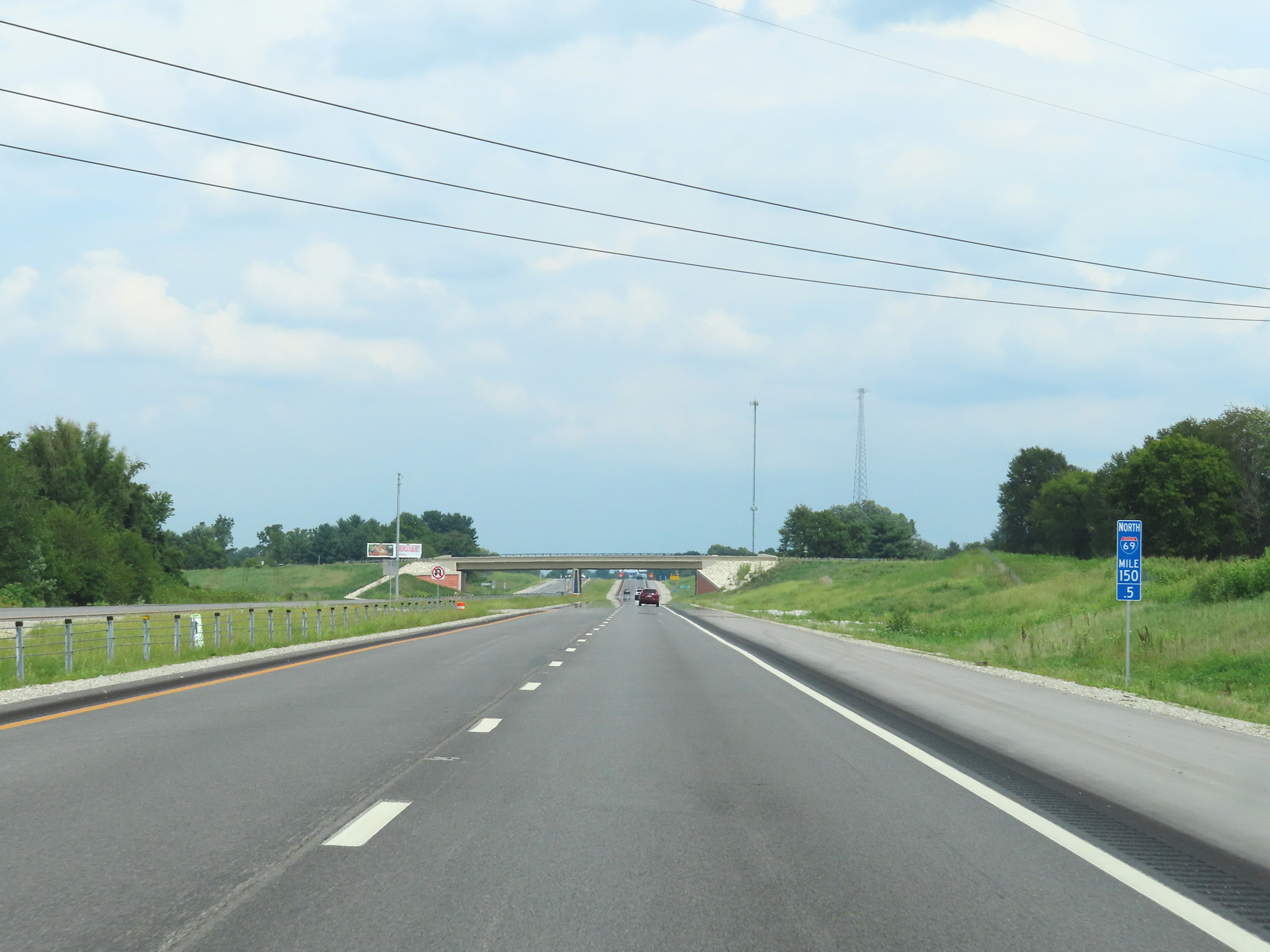 |
View on Interstate 69 North at mile marker 150.5. (Photo taken 8/20/22). |
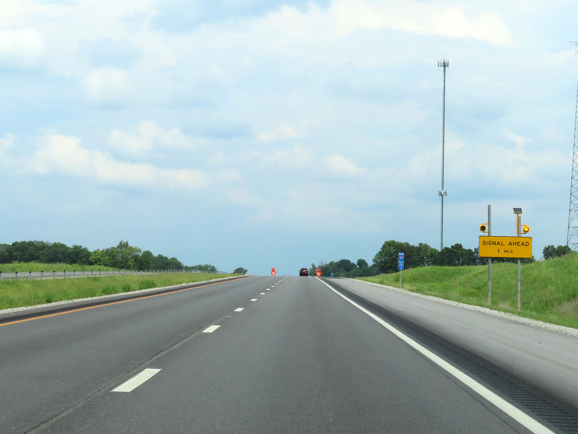 |
This warning sign at mile marker 151.2 shows that there is a traffic signal 1 mile ahead, which means Interstate 69 North will no longer be up to Interstate standards. (Photo taken 8/20/22). |
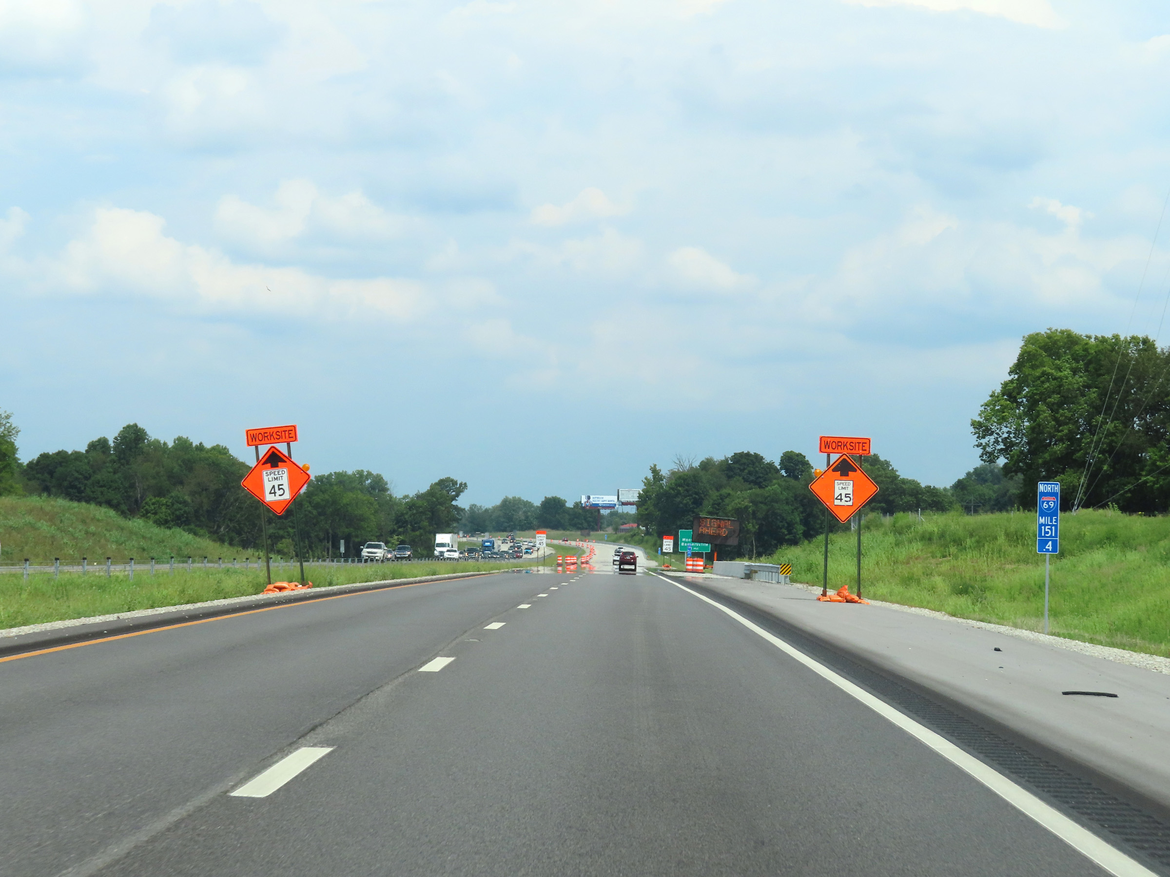 |
Interstate 69 North at mile marker 151.4. (Photo taken 8/20/22). |
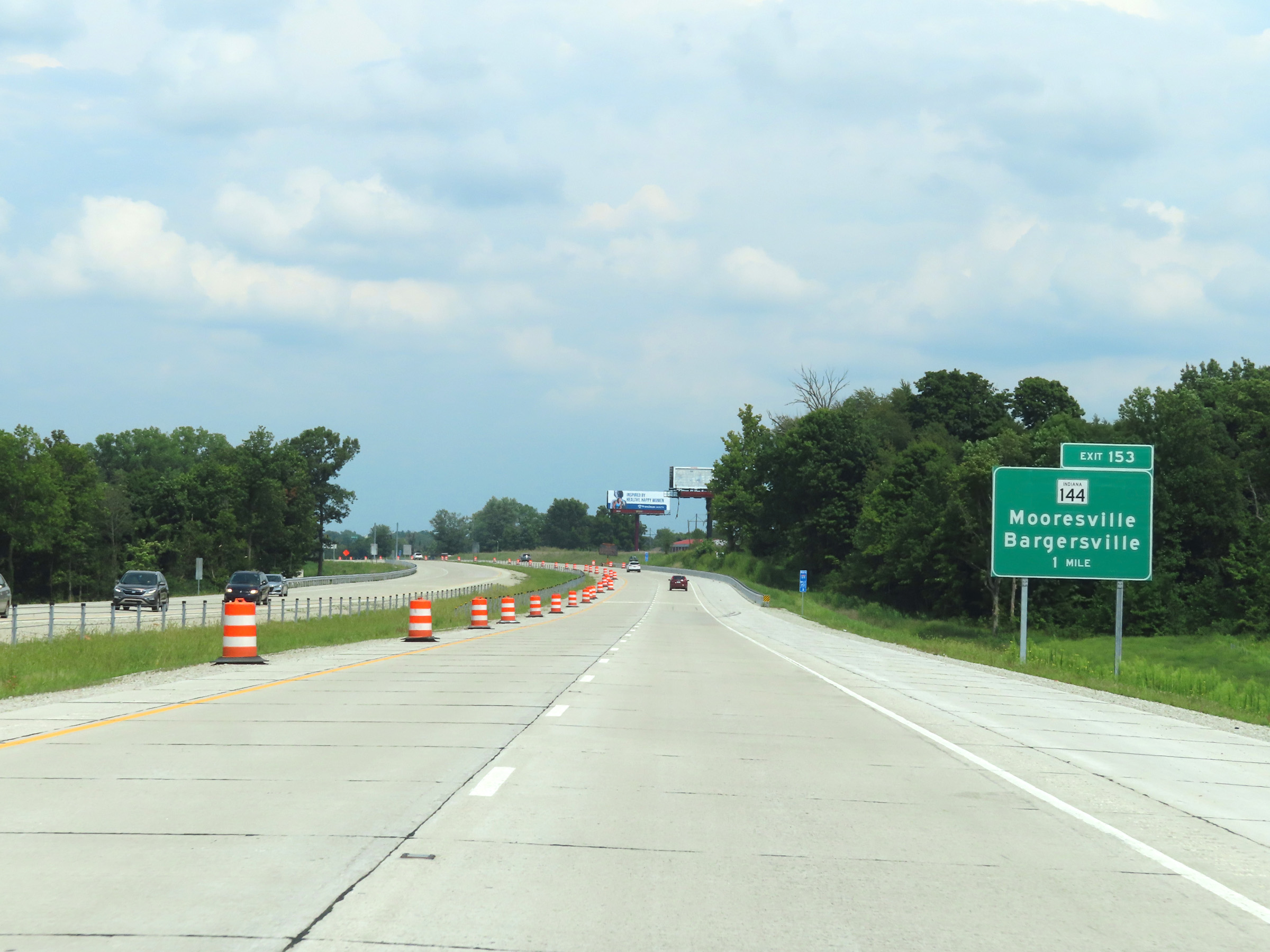 |
Advance signage for Exit 153, which will be the first exit on Interstate 69 North after it crosses into Johnson County. However, the exit was not yet open at the time as you will see. I-69 North currently ends about 1/2 mile before where this interchange is under construction. (Photo taken 8/20/22). |
 |
View on Interstate 69 North at mile marker 151.8, as it approaches the current (at the time) northern terminus of its southern segment. (Photo taken 8/20/22). |
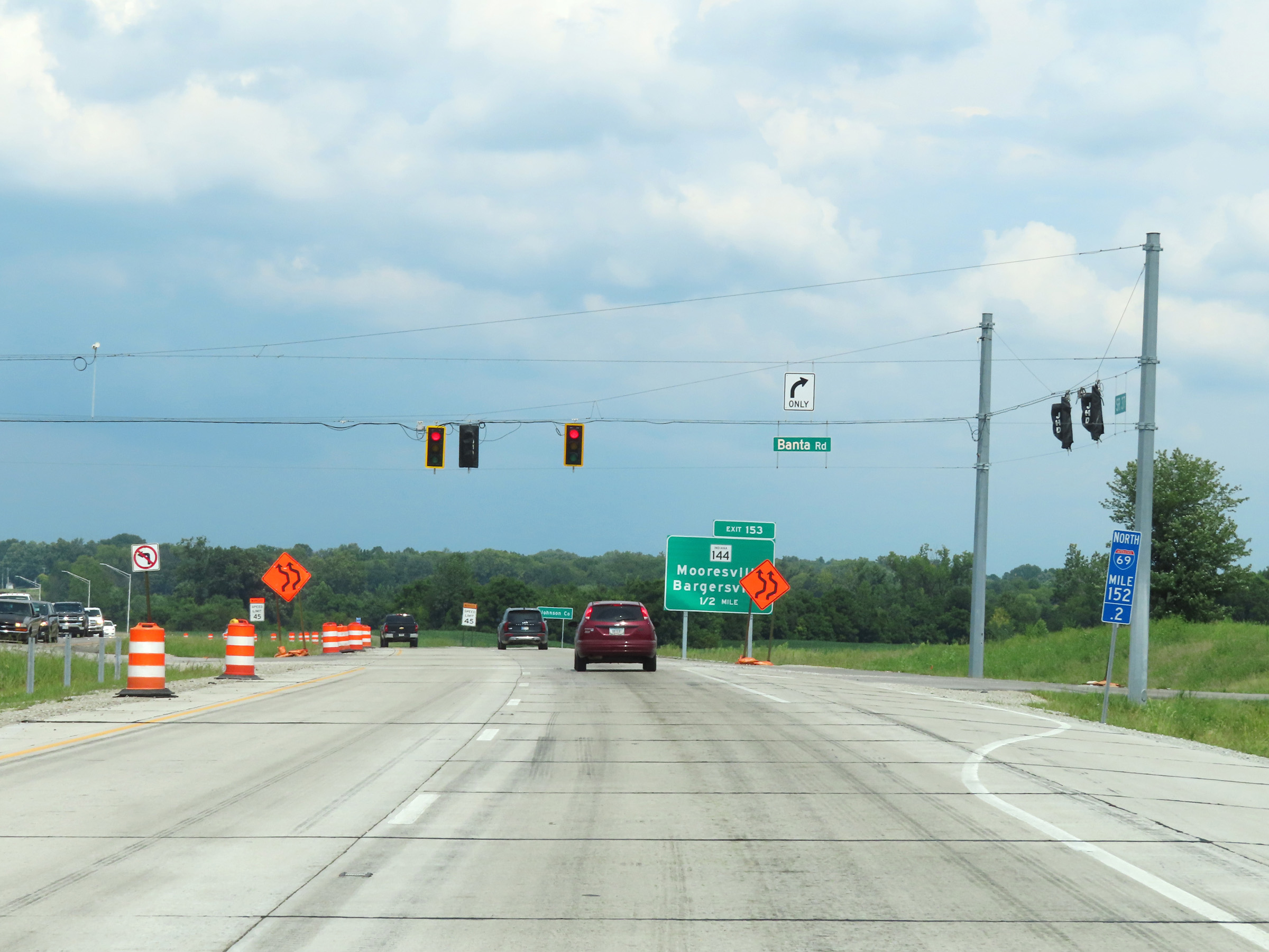 |
At mile marker 152.2, Interstate 69 North reaches the current (as of 8-20-22) northern terminus of its southern segment at this traffic signal at the intersection of Banta Road. With this signal, the alignment's Interstate standards are finished despite mileposts being posted to the north of it. (Photo taken 8/20/22). |
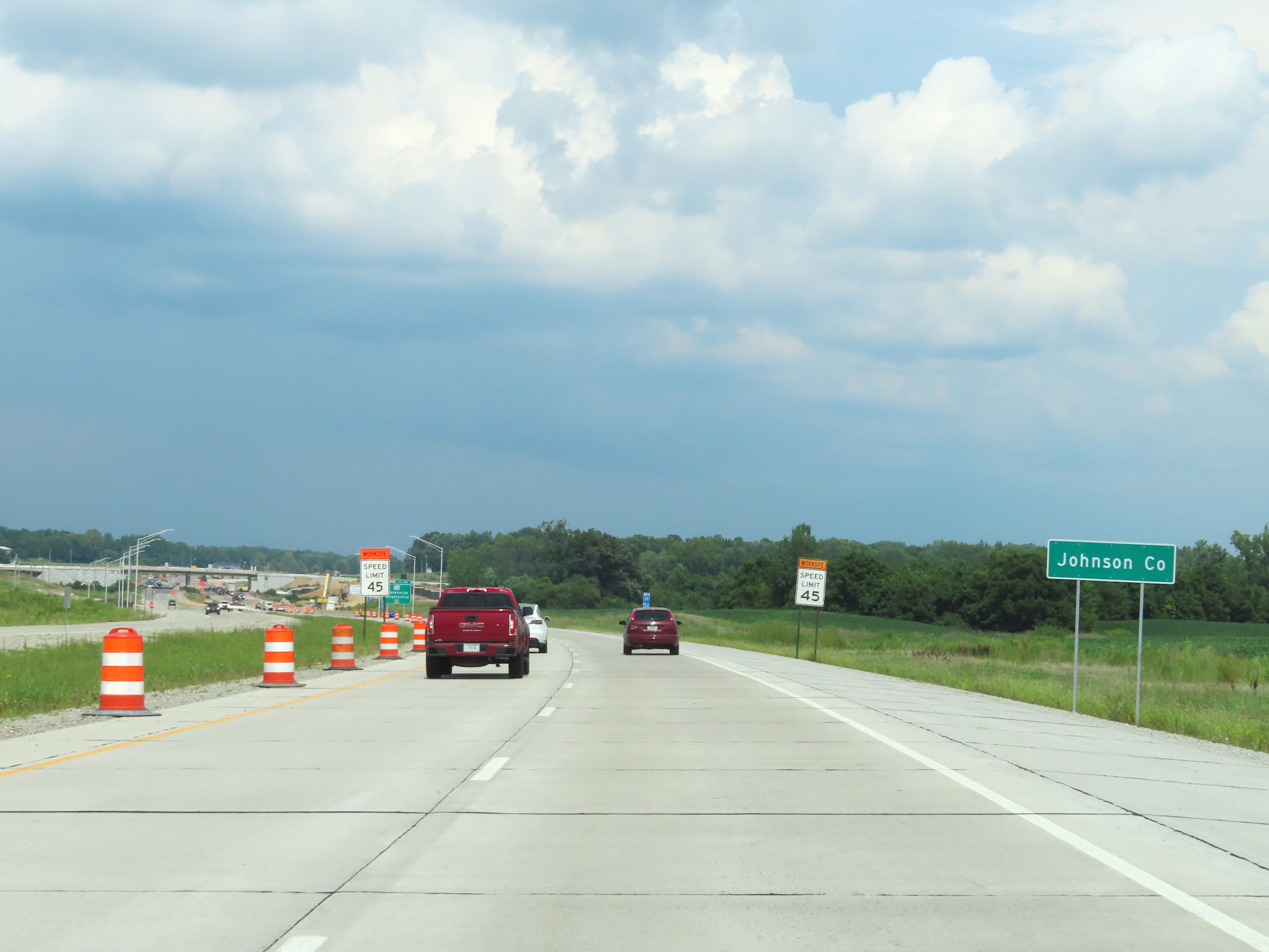 |
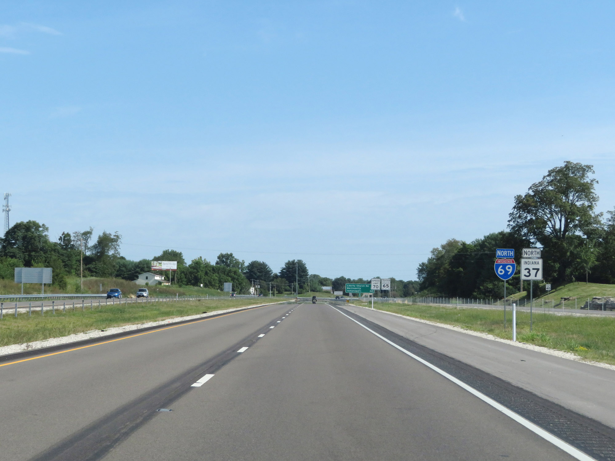
After Interstate 69 North reached its current (once again, as of 8-20-22) northern terminus at the signal for Banta Road, its two lanes continue northbound as IN 37 for the time being until the rest of its southern segment is finished. It is expected to be finished in the first half of 2024. IN 37 North enters Johnson County at this point. (Photo taken 8/20/22). |
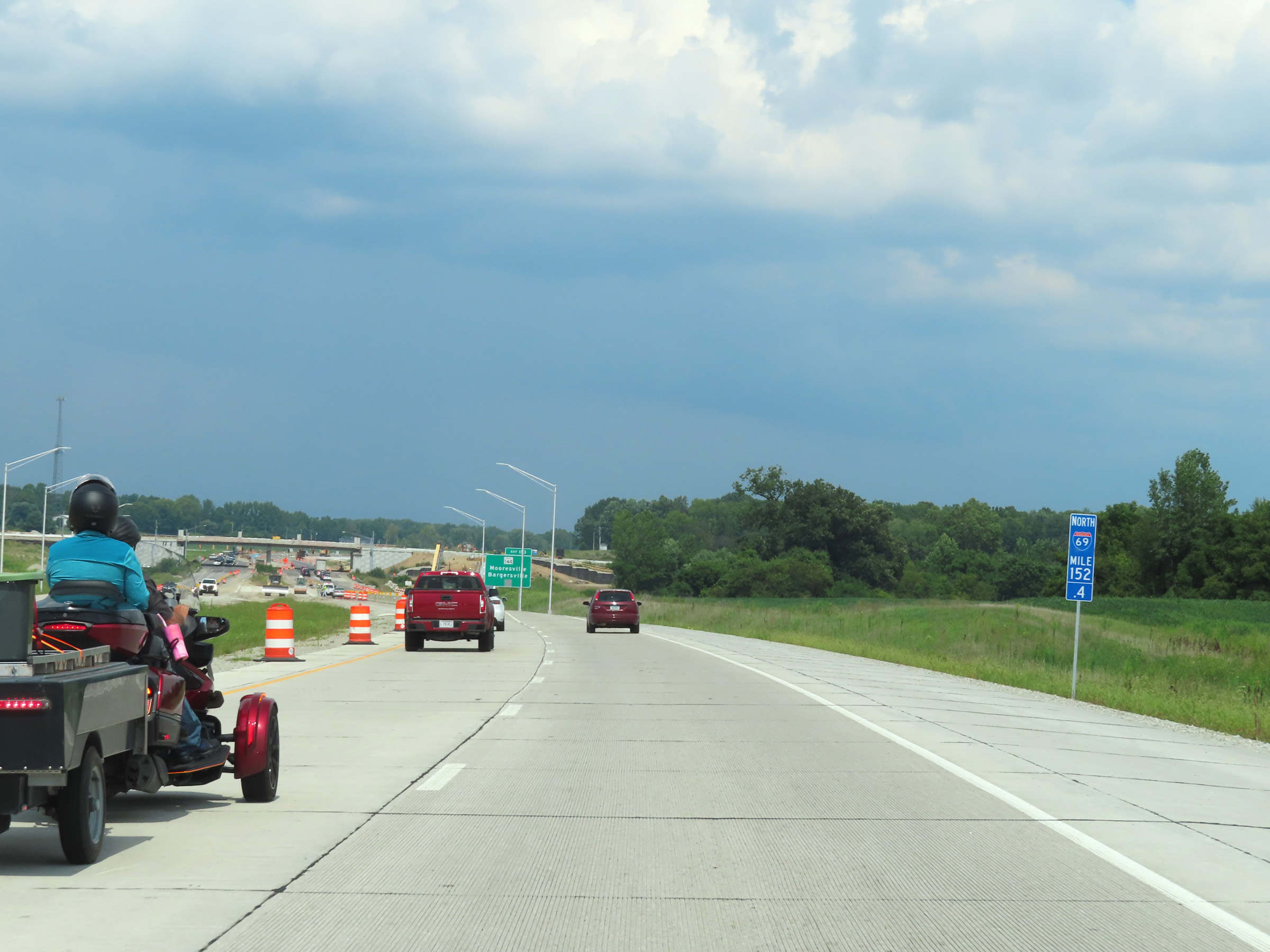 |
Mile marker 152.4 is posted for Interstate 69 North on IN 37 North approaching what will be Exit 153 ahead. (Photo taken 8/20/22). |
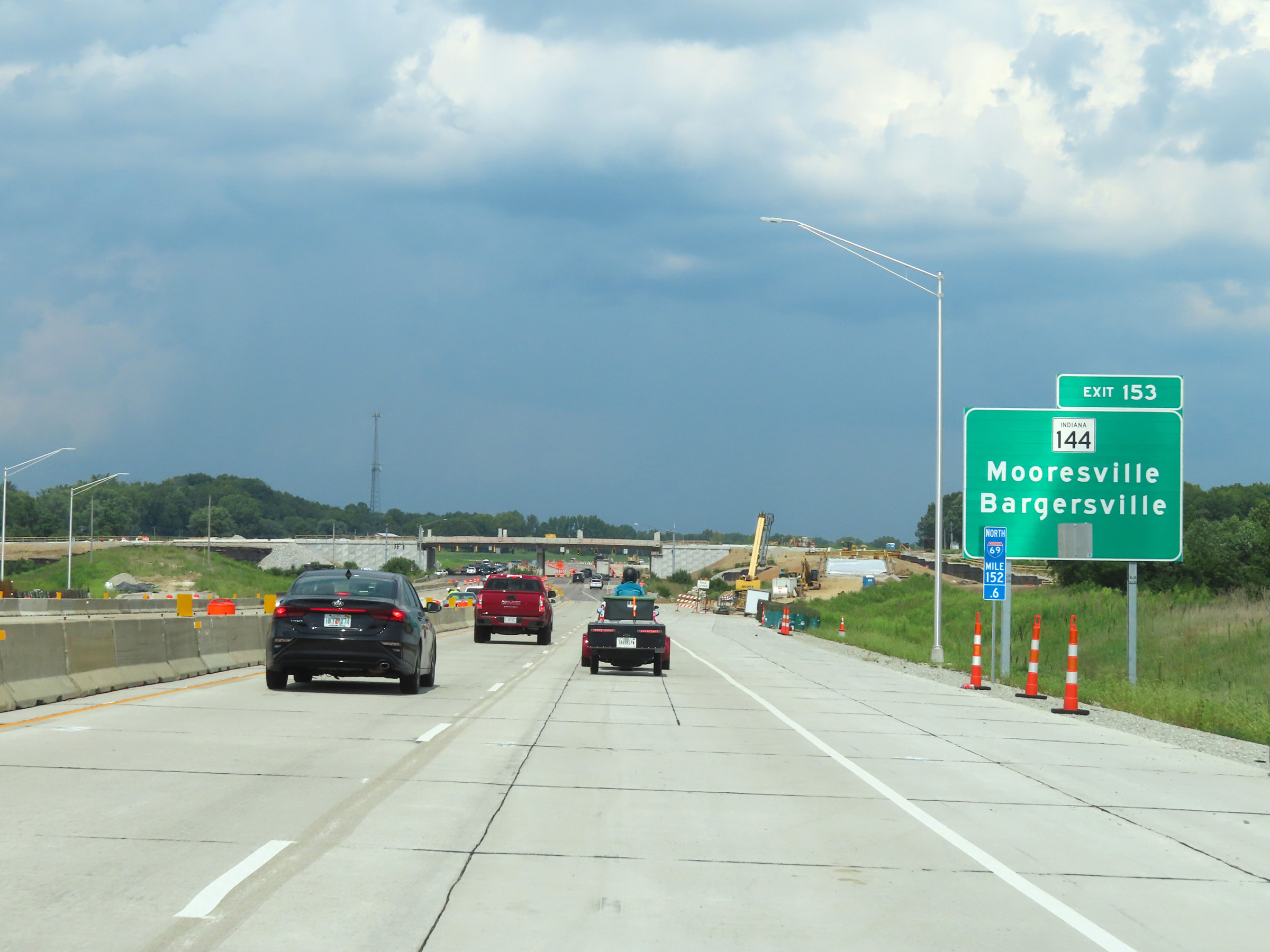 |
Signage for Exit 153 was installed at the time, as you can see here. (Photo taken 8/20/22). |
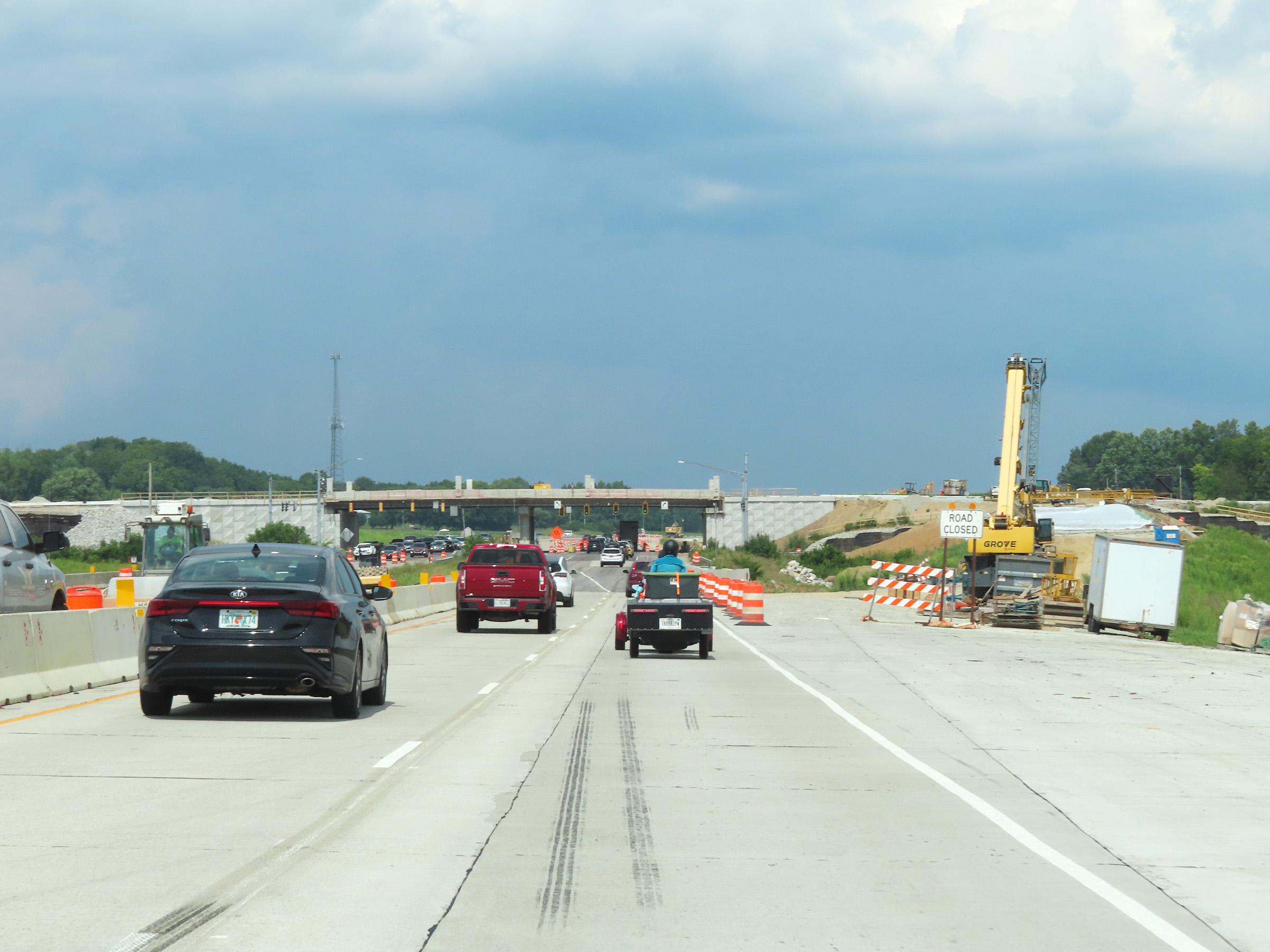 |
Here you can see the progress of the construction of the interchange for Exit 153 at the time. (Photo taken 8/20/22). |
 |
IN 37 North reaches a second traffic signal at what will become the interchange for IN 144 at Exit 153. (Photo taken 8/20/22). |
Section 4: Indianapolis to Fort Wayne (Exit 296A)
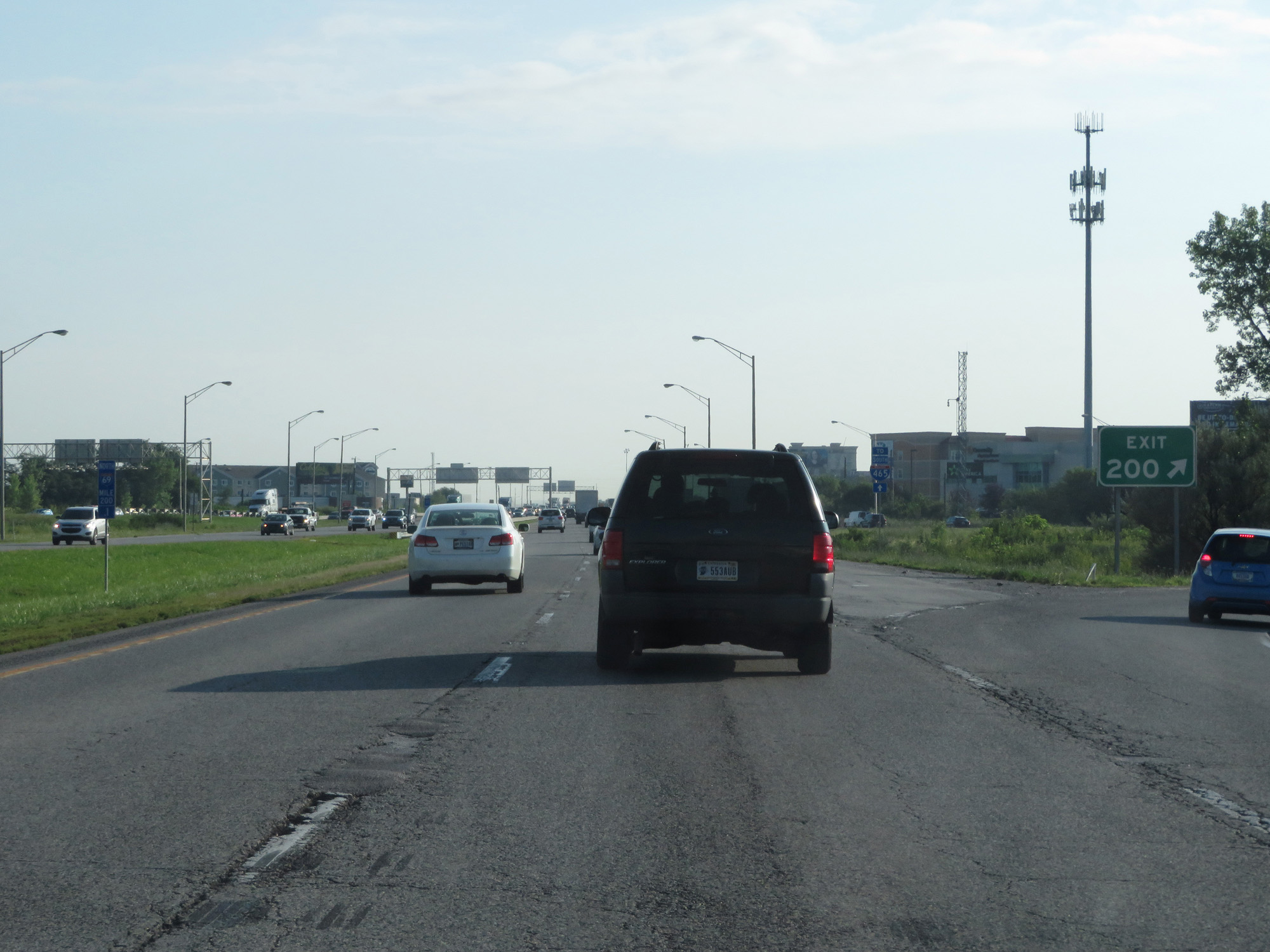 |
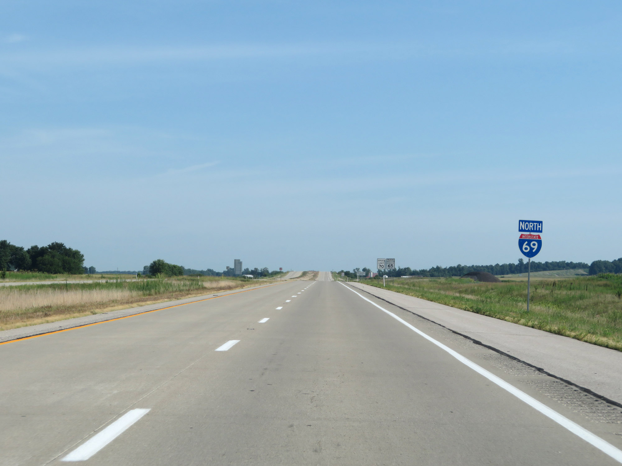
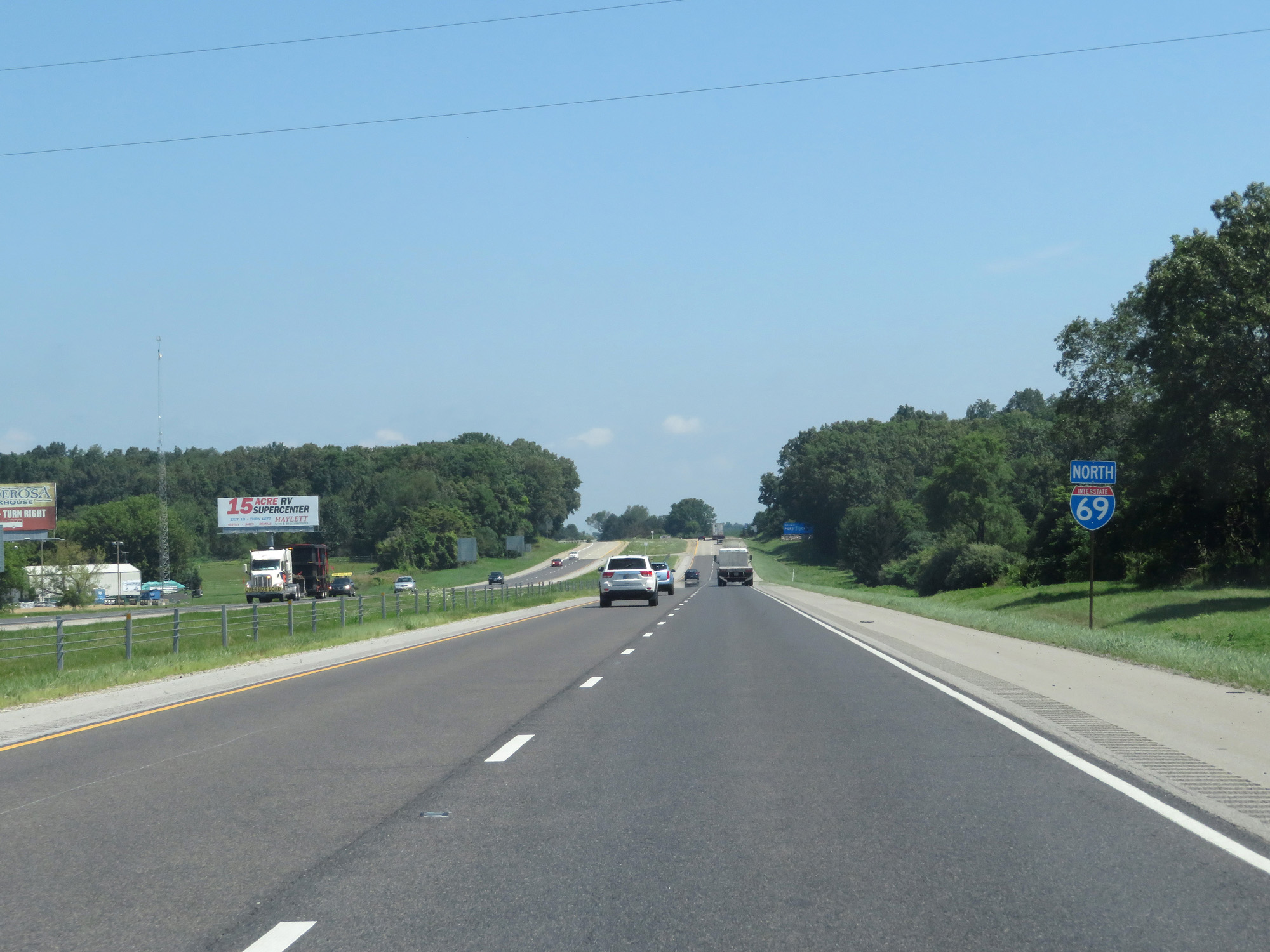
Interstate 69 North as its northern segment begins at Exit 200 just northeast of Interstate 465 to the northeast of downtown Indianapolis. (Photo taken 7/19/17). |
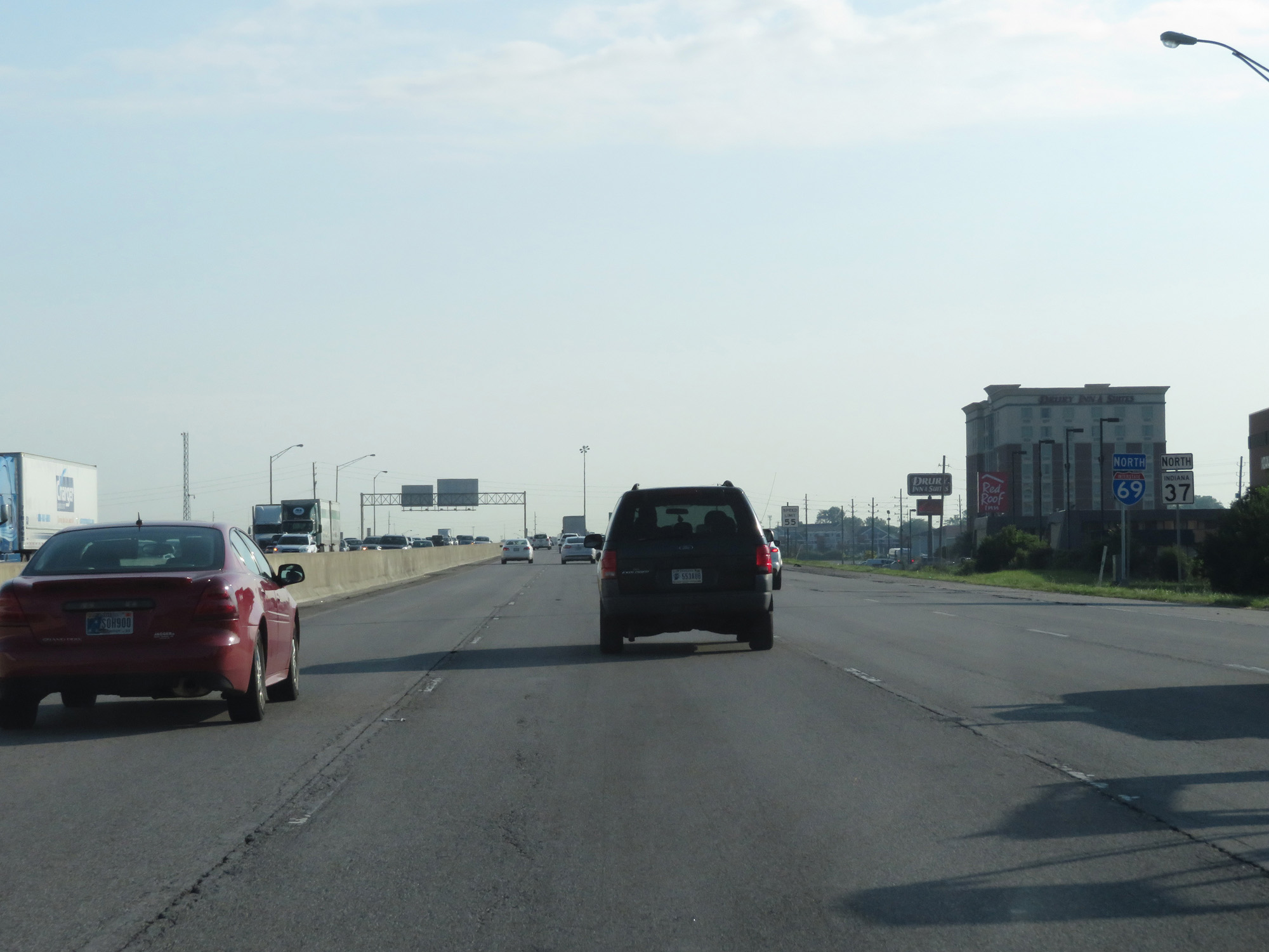 |
Dual Interstate 69 North / IN 37 North reassurance markers. (Photo taken 7/19/17). |
 |
The speed limit on Interstate 69 North's northern segment starts out at 55 mph. (Photo taken 7/19/17). |
 |
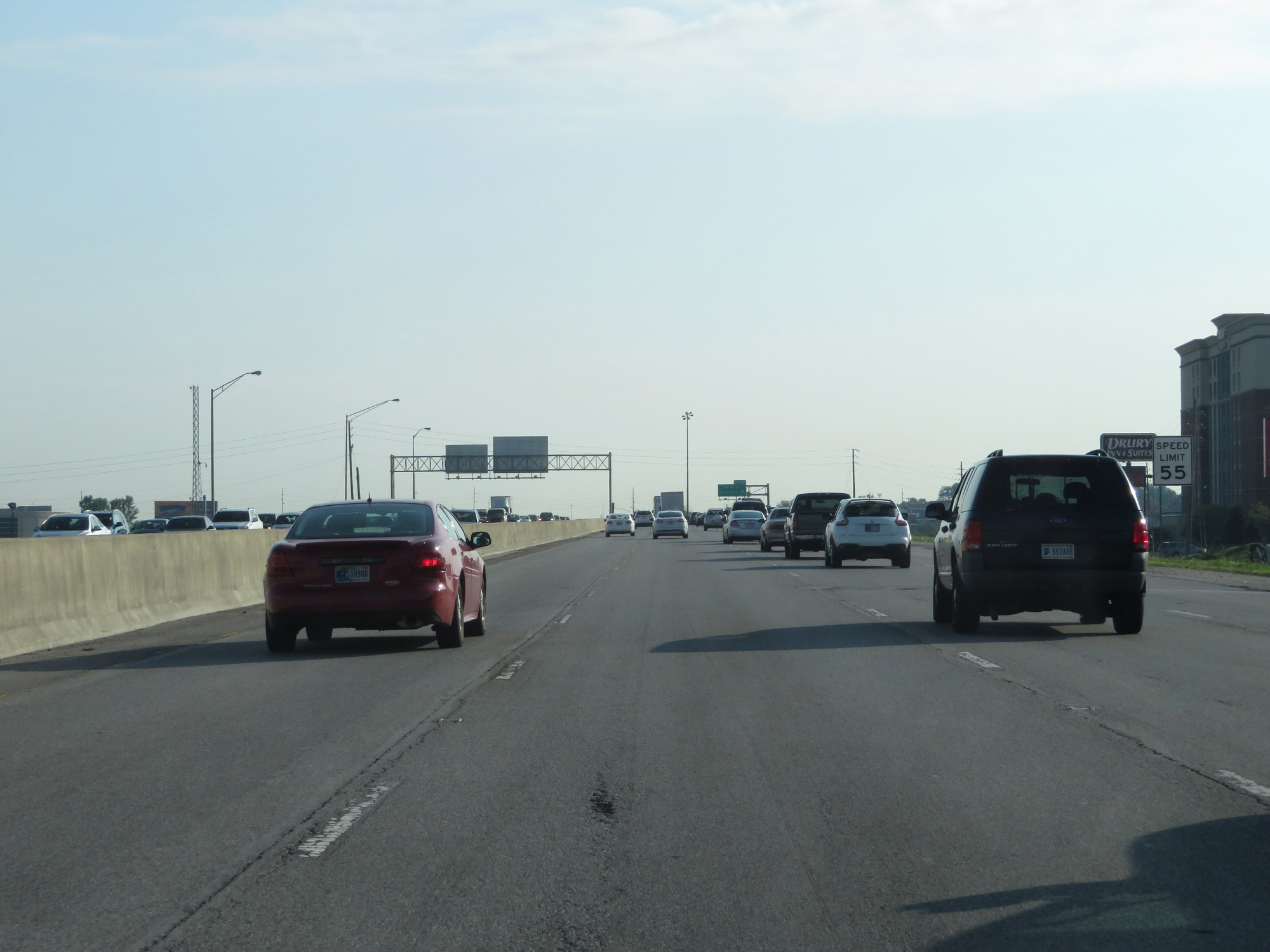
Interstate 69 North at Exit 201: 82nd St / Castleton (Photo taken 7/19/17). |
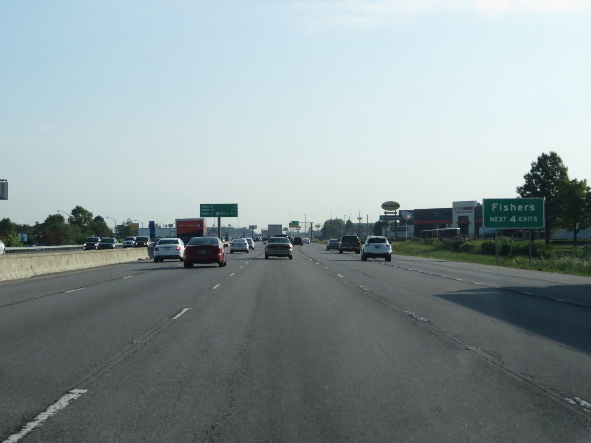 |
Take any of the next 4 exits to Fishers. (Photo taken 7/19/17). |
 |
Interstate 69 North at mile marker 202. (Photo taken 7/19/17). |
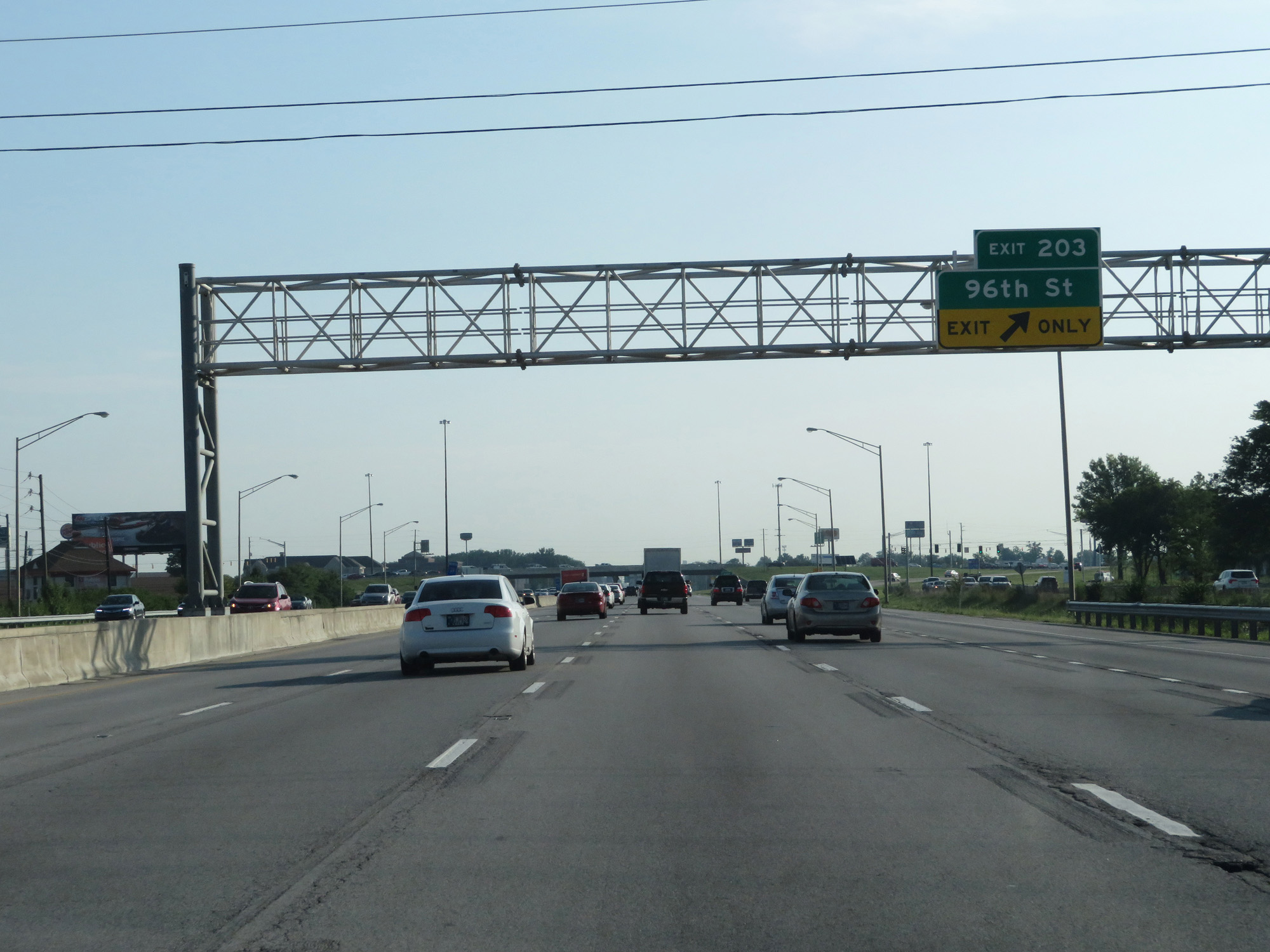 |
Interstate 69 North at Exit 203: 96th St (Photo taken 7/19/17). |
 |
Interstate 69 North entering Hamilton County. (Photo taken 7/19/17). |
 |
Upon entering Hamilton County, the speed limit increases to 65 mph for all traffic. (Photo taken 7/19/17). |
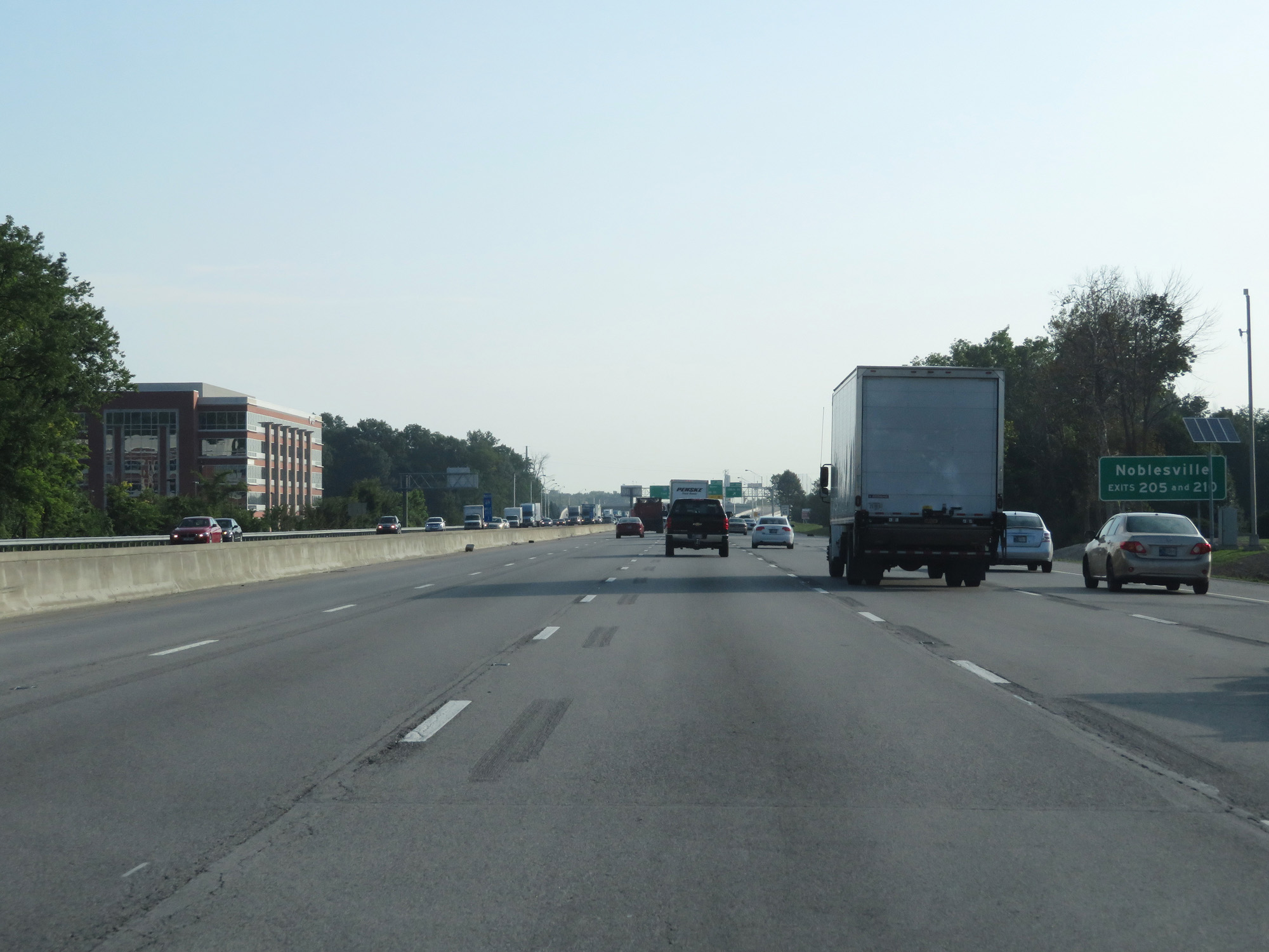 |
Take Exits 205 and 210 to Noblesville. (Photo taken 7/19/17). |
 |
Interstate 69 North at Exit 204: 106th St (Photo taken 7/19/17). |
 |
Take Exit 205 to Connor Prairie Museum. (Photo taken 7/19/17). |
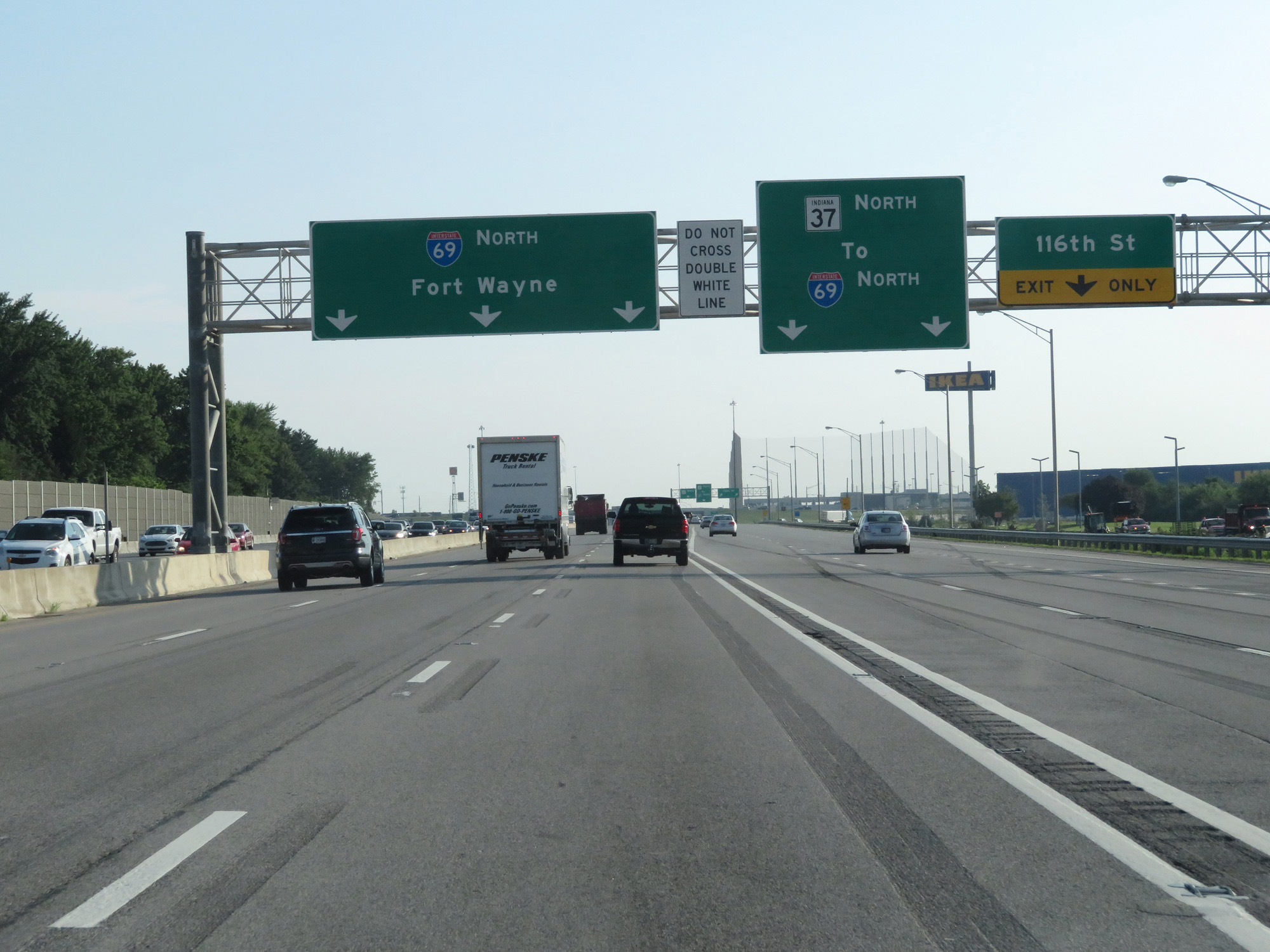 |
Interstate 69 North at Exit 205: IN 37 North - 116th St (Photo taken 7/19/17). |
 |
Interstate 69 North at mile marker 205. (Photo taken 7/19/17). |
 |
North of mile marker 235, the left lane comes to an end and Interstate 69 North is reduced to two lanes. (Photo taken 7/19/17). |
 |
Interstate 69 North reassurance shield. (Photo taken 7/19/17). |
 |
Take Exit 210 to Noblesville and Fishers. (Photo taken 7/19/17). |
 |
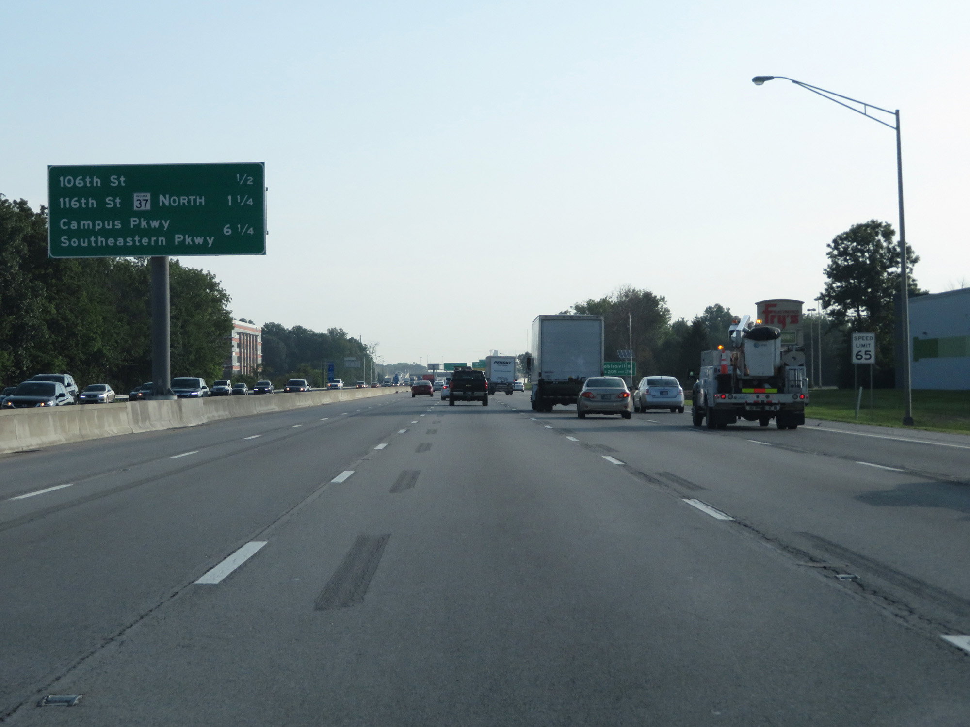
Interstate 69 North at Exit 210: Southeastern Pkwy / Campus Pkwy (Photo taken 7/19/17). |
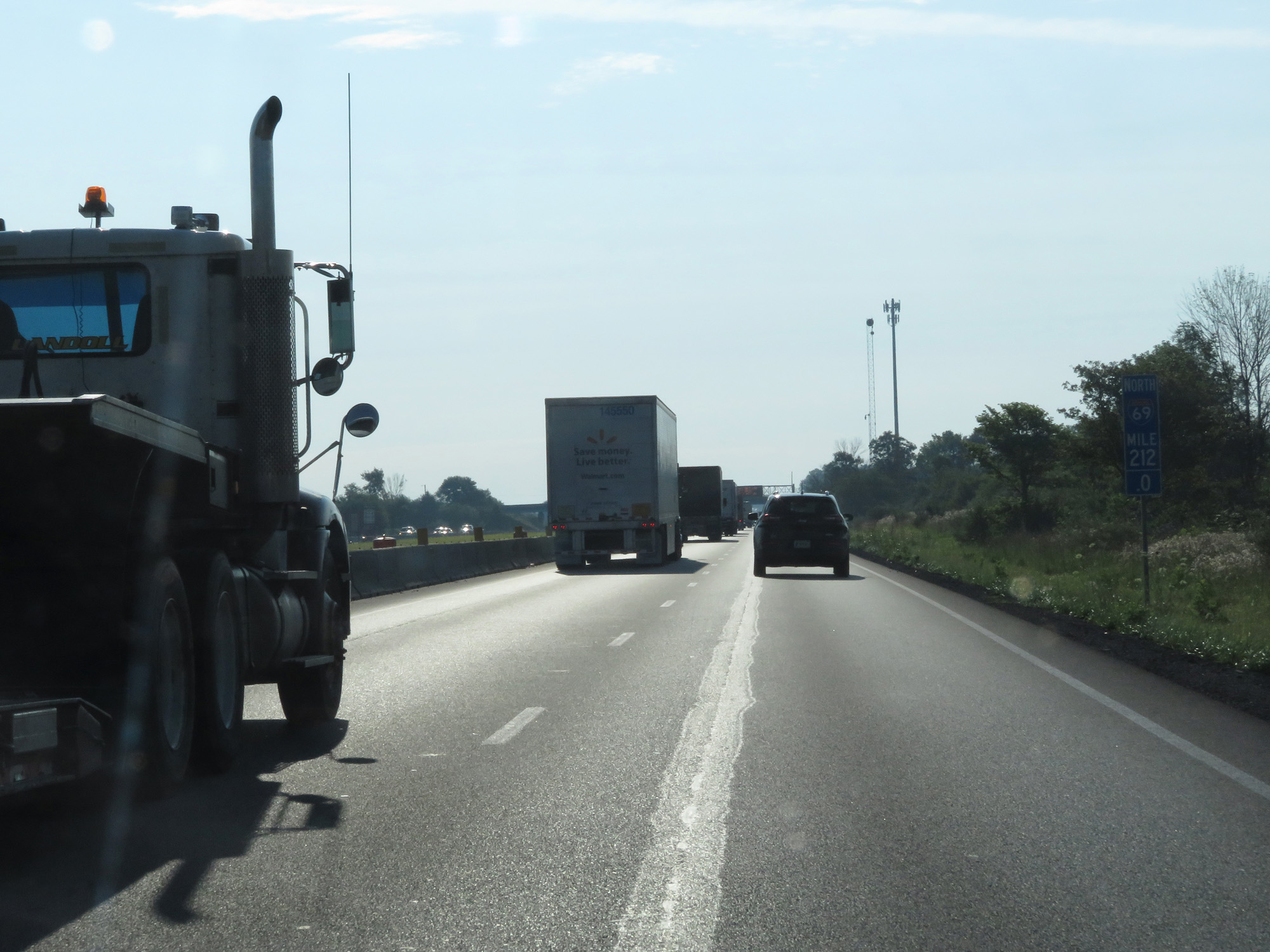 |
Interstate 69 North at mile marker 212. (Photo taken 7/19/17). |
 |
Interstate 69 North entering Madison County. (Photo taken 7/19/17). |
 |
Interstate 69 North at Exit 214: IN 13 - Lapel / Fortville (Photo taken 7/19/17). |
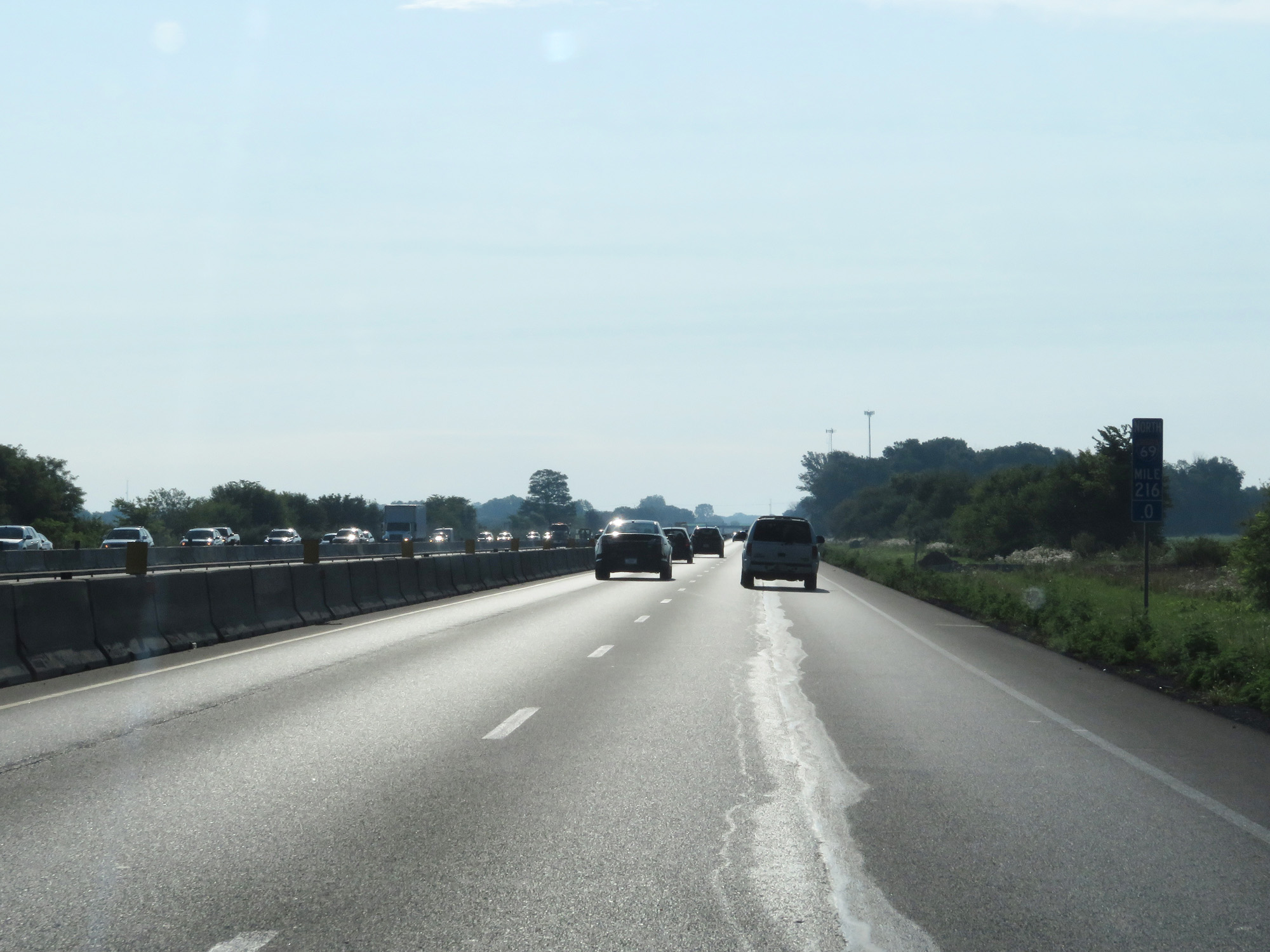 |
Interstate 69 North at mile marker 216. (Photo taken 7/19/17). |
 |
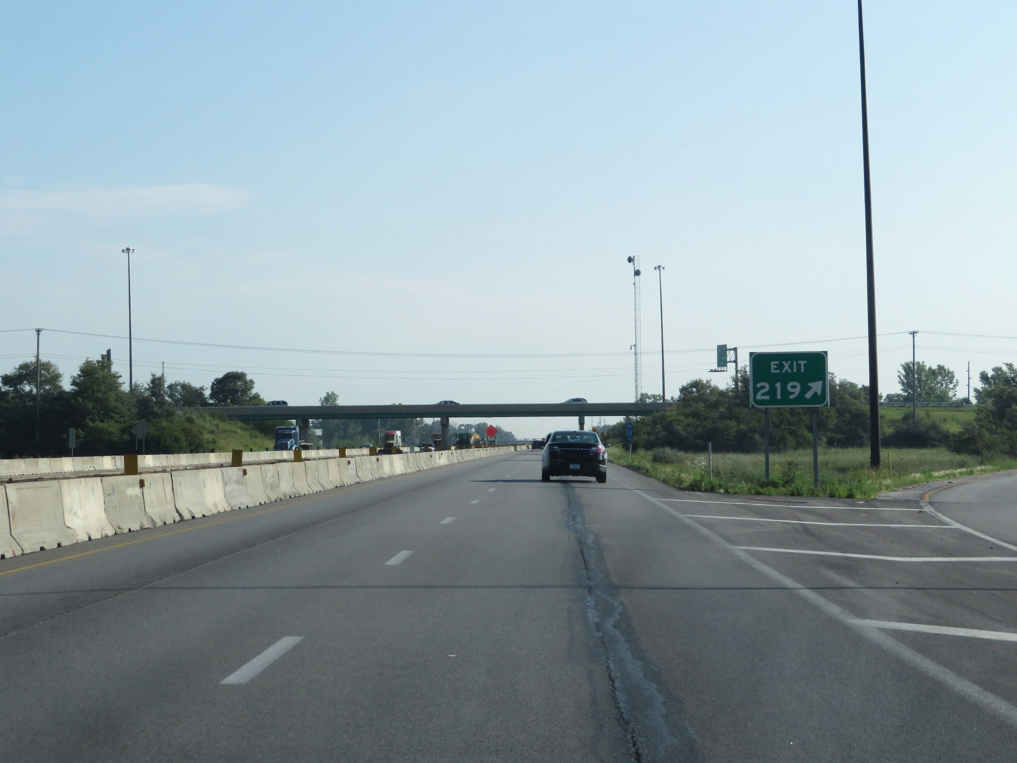
Interstate 69 North approaching Exit 219 - 1/2 mile. (Photo taken 7/19/17). |
 |
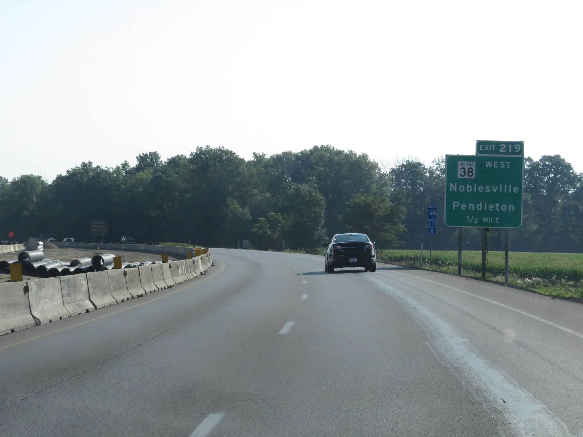
Take Exit 219 to Historic Pendleton and Falls Park. (Photo taken 7/19/17). |
 |
Interstate 69 North at Exit 219: IN 38 West - Noblesville / Pendleton (Photo taken 7/19/17). |
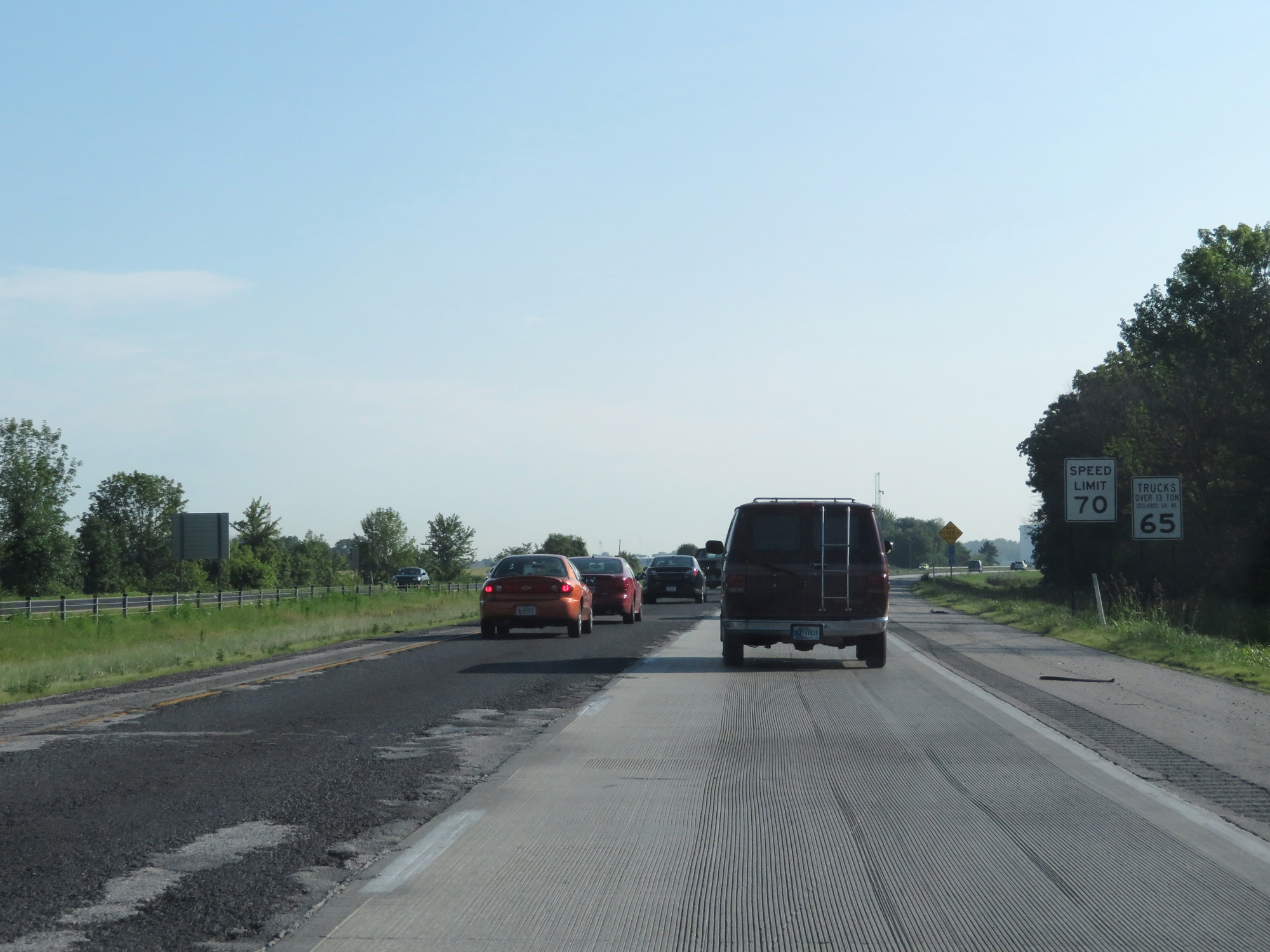 |
Speed limit signs north of Exit 219. The standard speed limits on most rural Interstate highways in Indiana are 70 mph for cars and 65 mph for trucks. (Photo taken 7/19/17). |
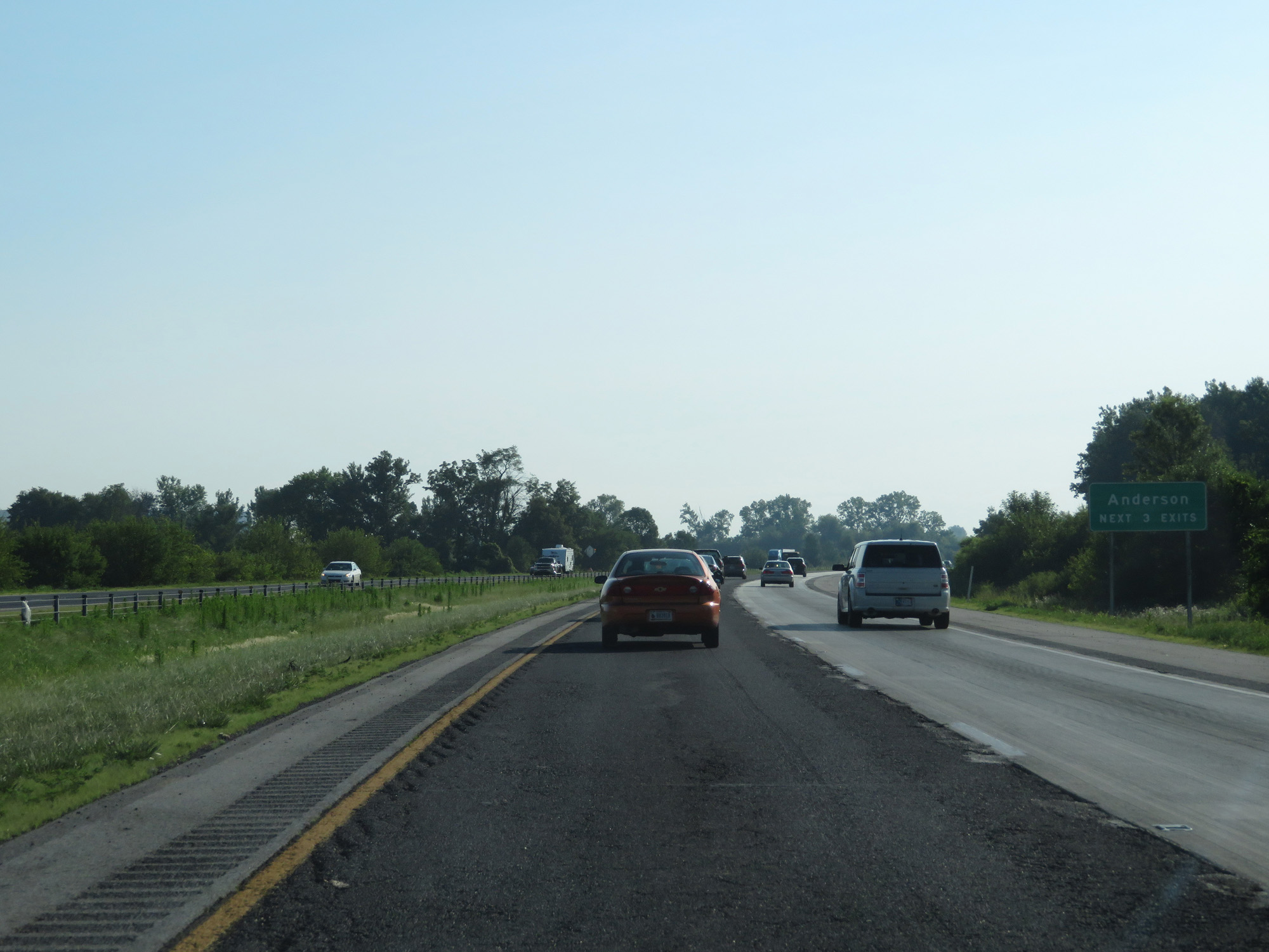 |
Take any of the next 3 exits to Anderson. (Photo taken 7/19/17). |
 |
Interstate 69 North at Exit 222: IN 9 South / IN 67 South - Anderson (Photo taken 7/19/17). |
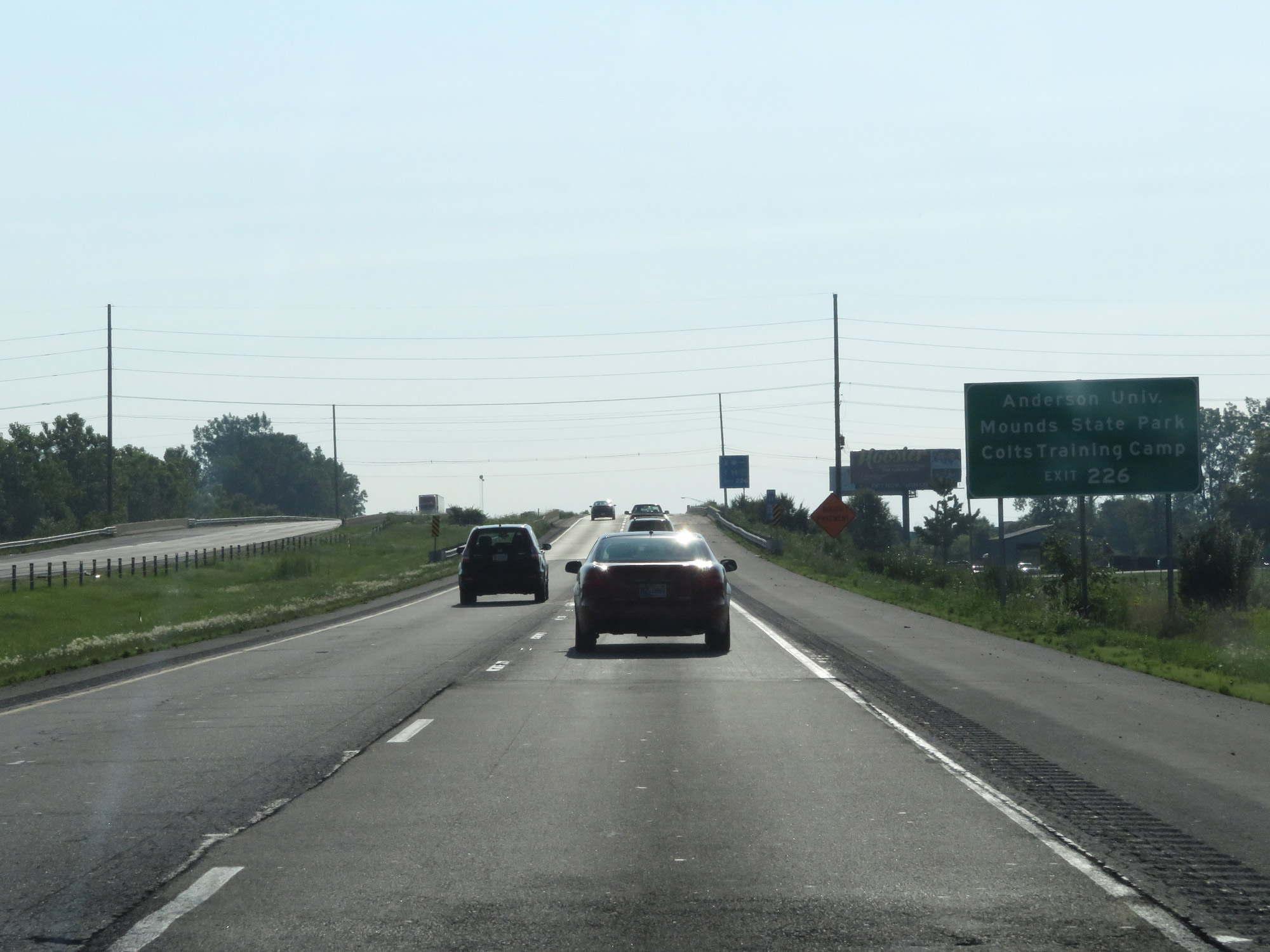 |
Take Exit 226 to Anderson University, Mounds State Park, and Colts Training Camp. (Photo taken 7/19/17). |
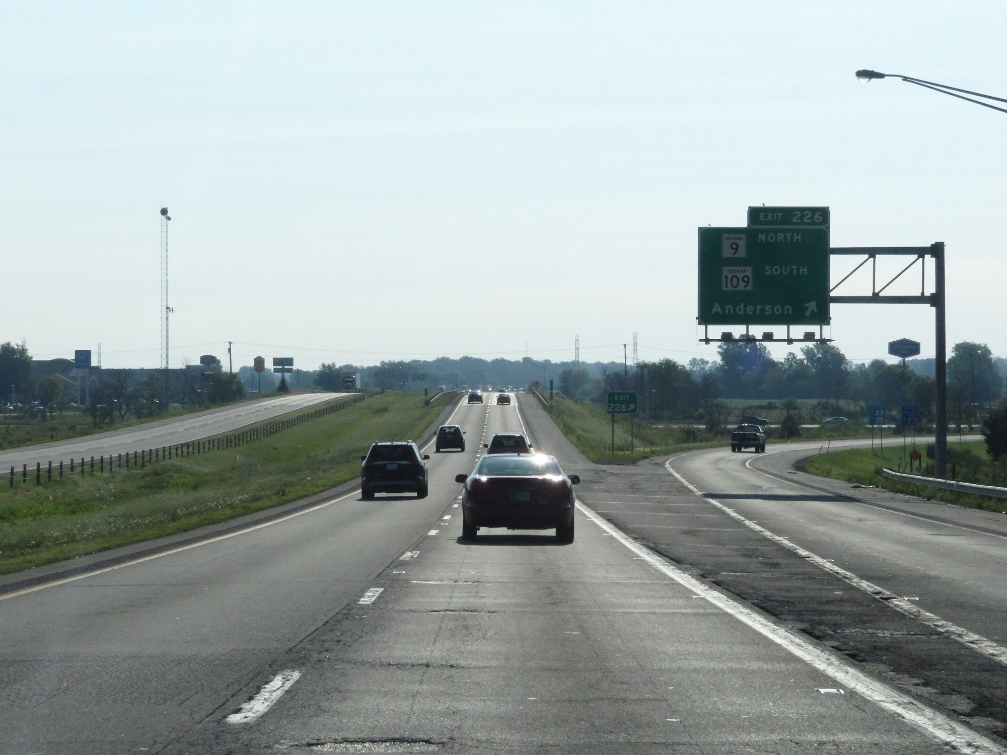 |
Interstate 69 North at Exit 226: IN 9 North / IN 109 South - Anderson (Photo taken 7/19/17). |
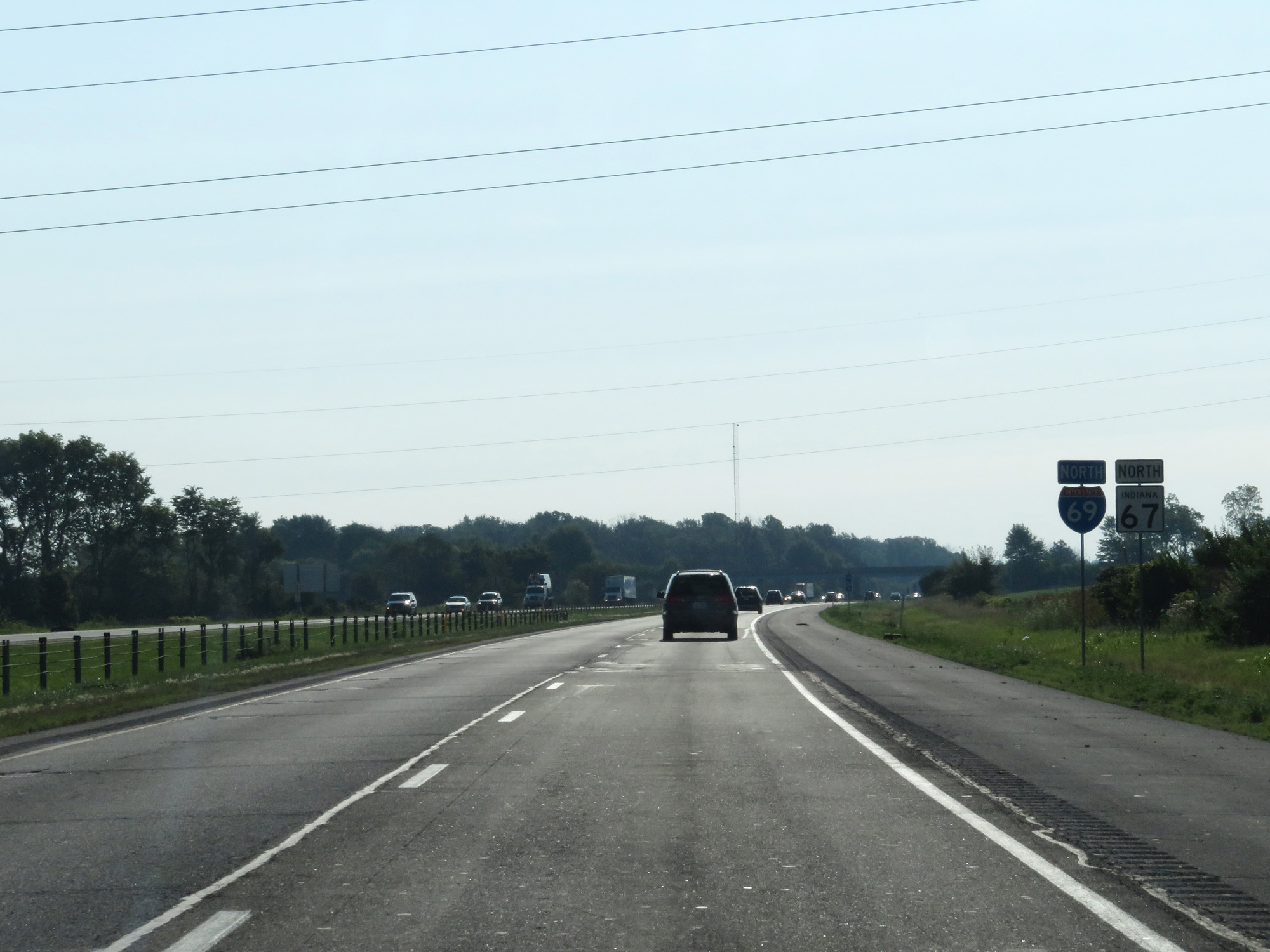 |
Interstate 69 North / IN 67 North reassurance markers. (Photo taken 7/19/17). |
 |
Interstate 69 North at mile marker 228.4. (Photo taken 7/19/17). |
 |
Interstate 69 North at mile marker 231. (Photo taken 7/19/17). |
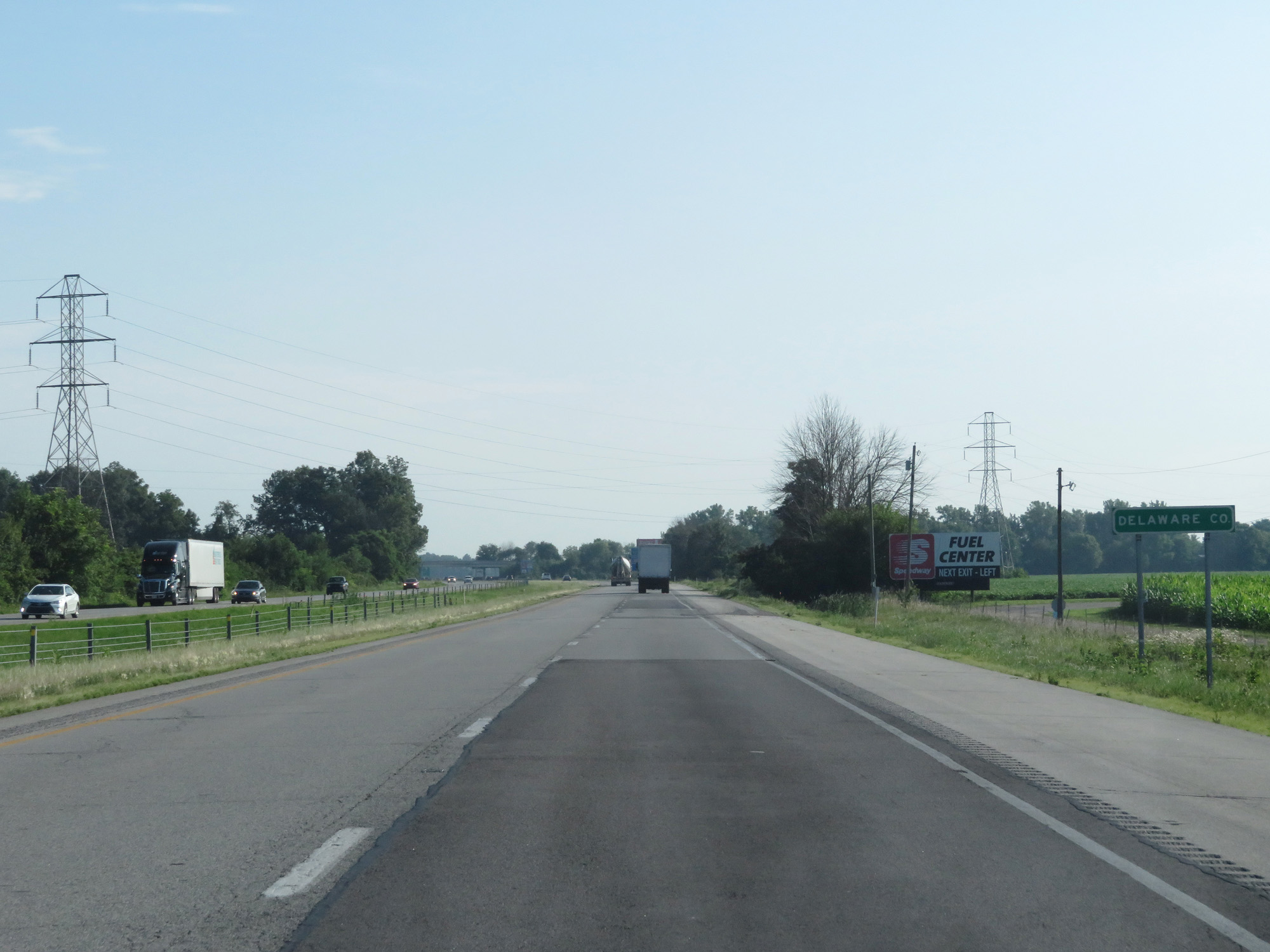 |
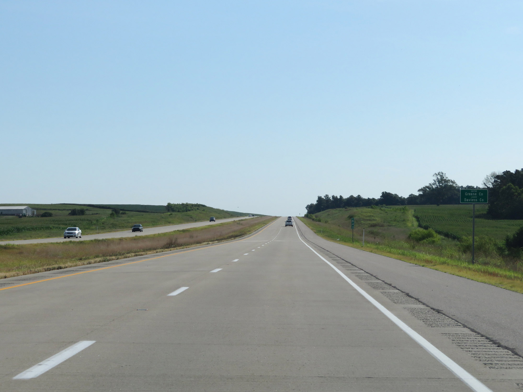
Interstate 69 North entering Delaware County. (Photo taken 7/19/17). |
 |
Take either of the next 2 exits to Muncie. (Photo taken 7/19/17). |
 |
Interstate 69 North at Exit 234: IN 67 North / To IN 32 - Anderson / Muncie (Photo taken 7/19/17). |
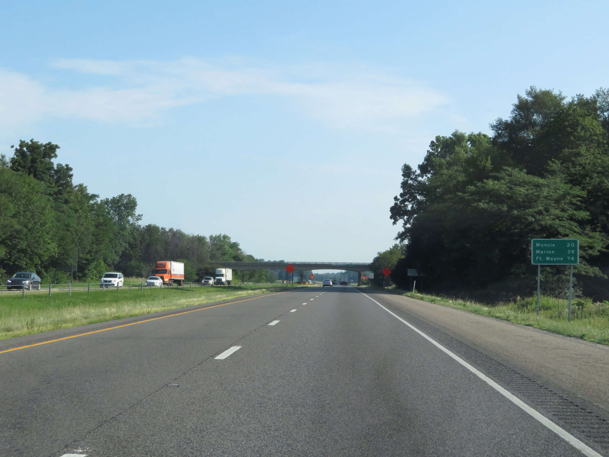 |
Mileage sign on Interstate 69 North. It's 20 miles to Muncie, 39 miles to Marion, and 74 miles to Fort Wayne. (Photo taken 7/19/17). |
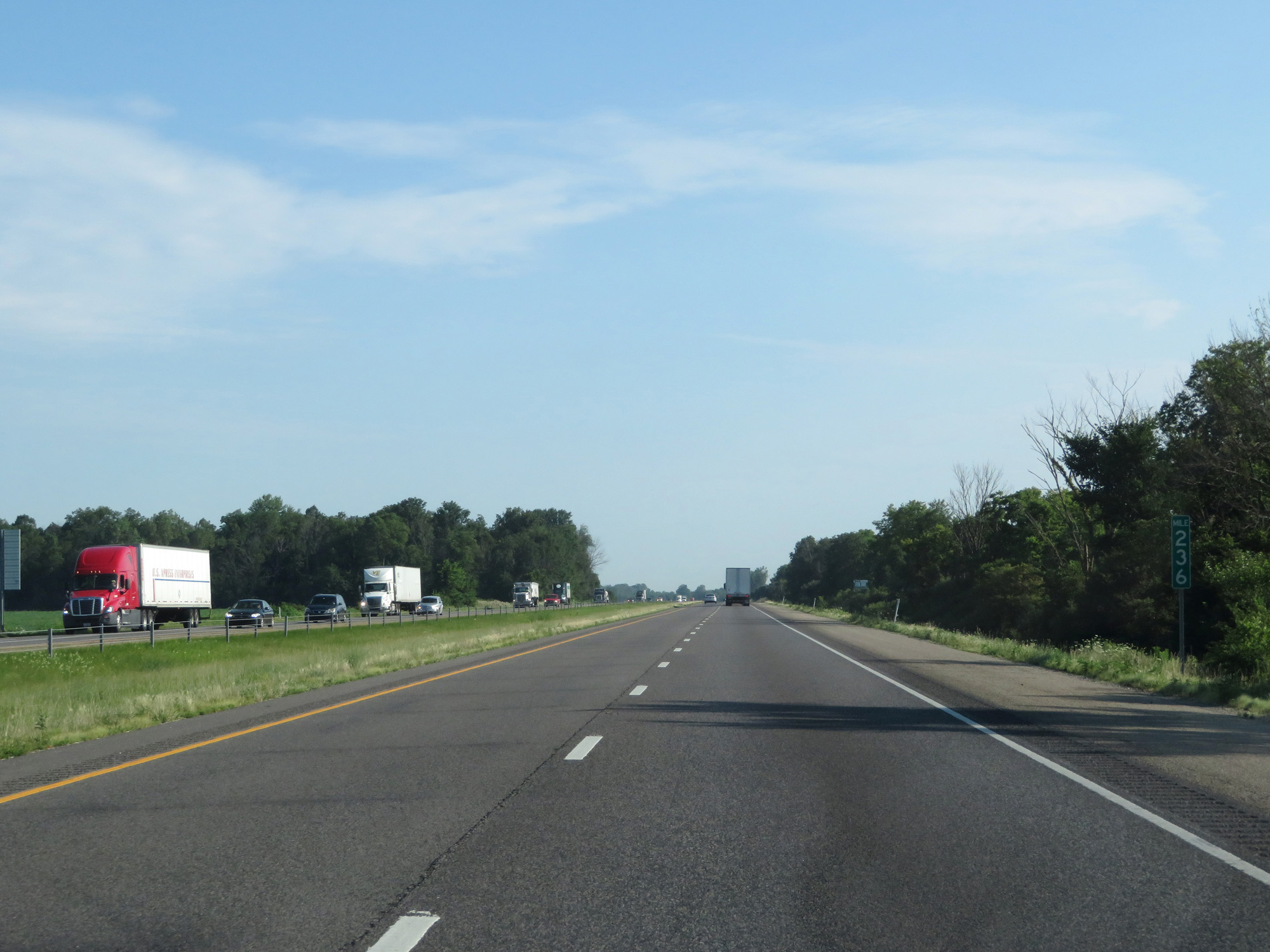 |
Interstate 69 North at mile marker 236. (Photo taken 7/19/17). |
 |
Interstate 69 North at mile marker 239. (Photo taken 7/19/17). |
 |
Interstate 69 North approaching Exit 241 - 1 mile. (Photo taken 7/19/17). |
 |
Take Exit 241 to Ball State University. (Photo taken 7/19/17). |
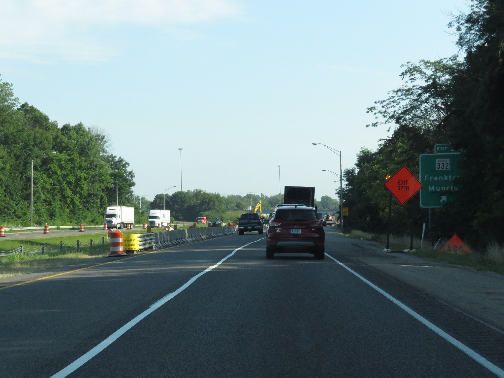 |
Interstate 69 North at Exit 241: IN 332 - Frankton / Muncie (Photo taken 7/19/17). |
 |
Interstate 69 North reassurance shield. (Photo taken 7/19/17). |
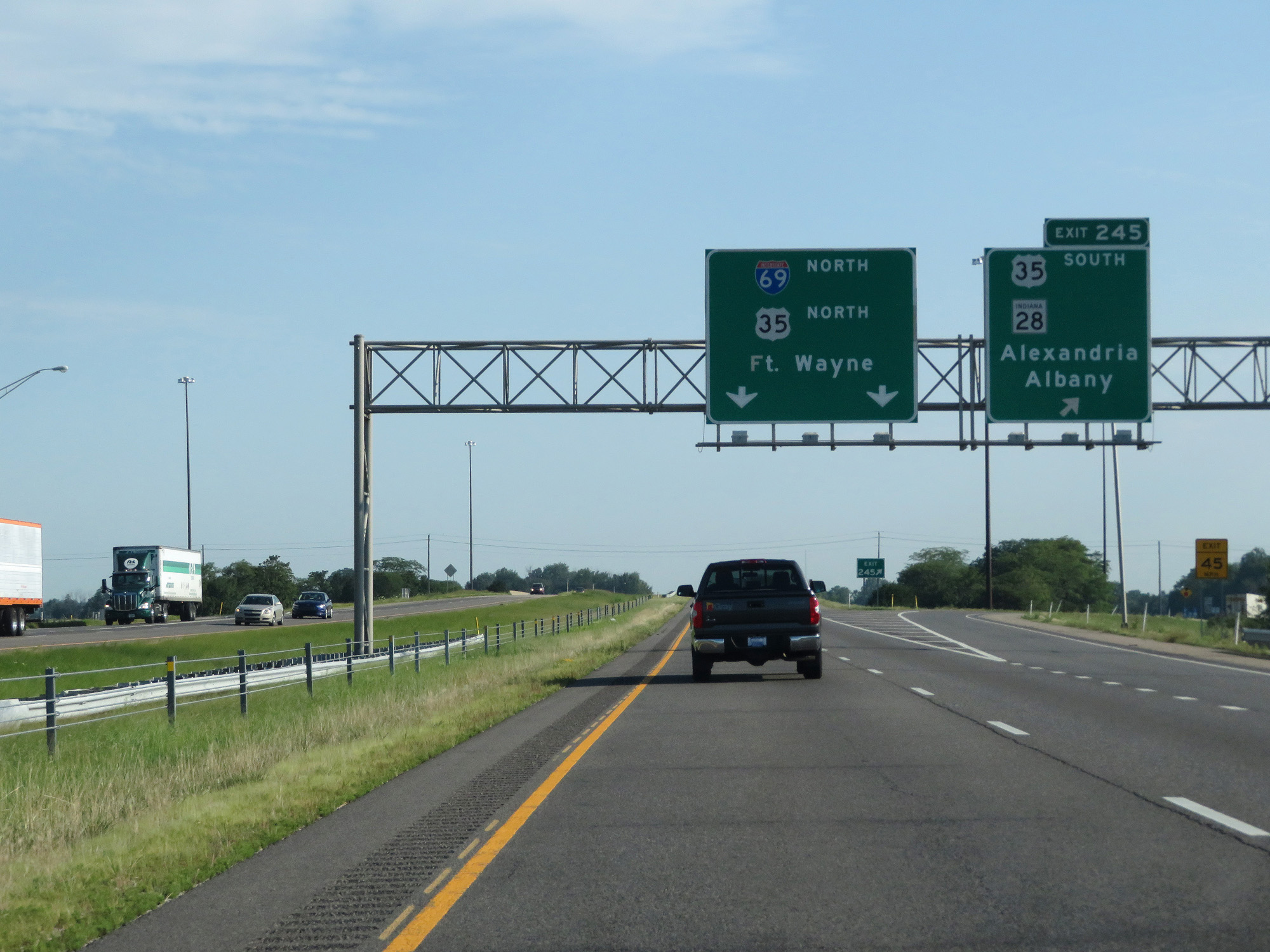 |
Interstate 69 North at Exit 245: US 35 South / IN 28 - Alexandria / Albany (Photo taken 7/19/17). |
 |
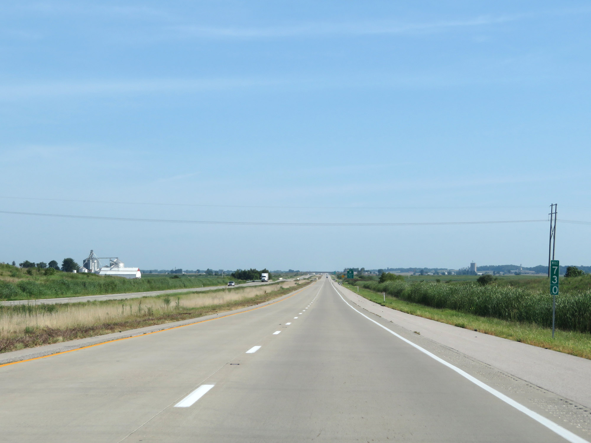
Mileage sign on Interstate 69 North. It's 16 miles to Fairmount, 18 miles to Gas City, and 63 miles to Fort Wayne. (Photo taken 7/19/17). |
 |
Interstate 69 North at mile marker 247. (Photo taken 7/19/17). |
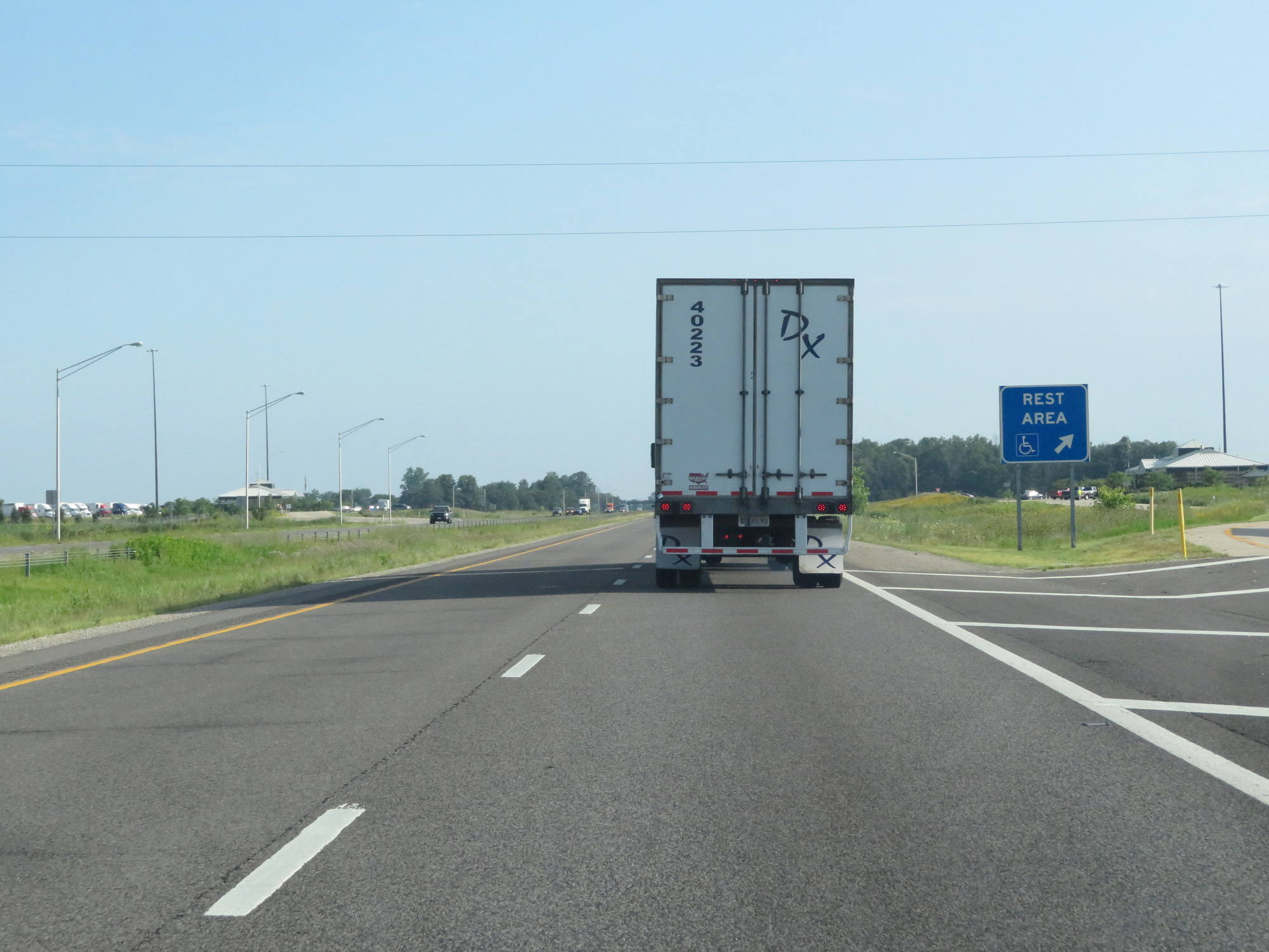 |
Interstate 69 North at the Rest Area in Delaware County. (Photo taken 7/19/17). |
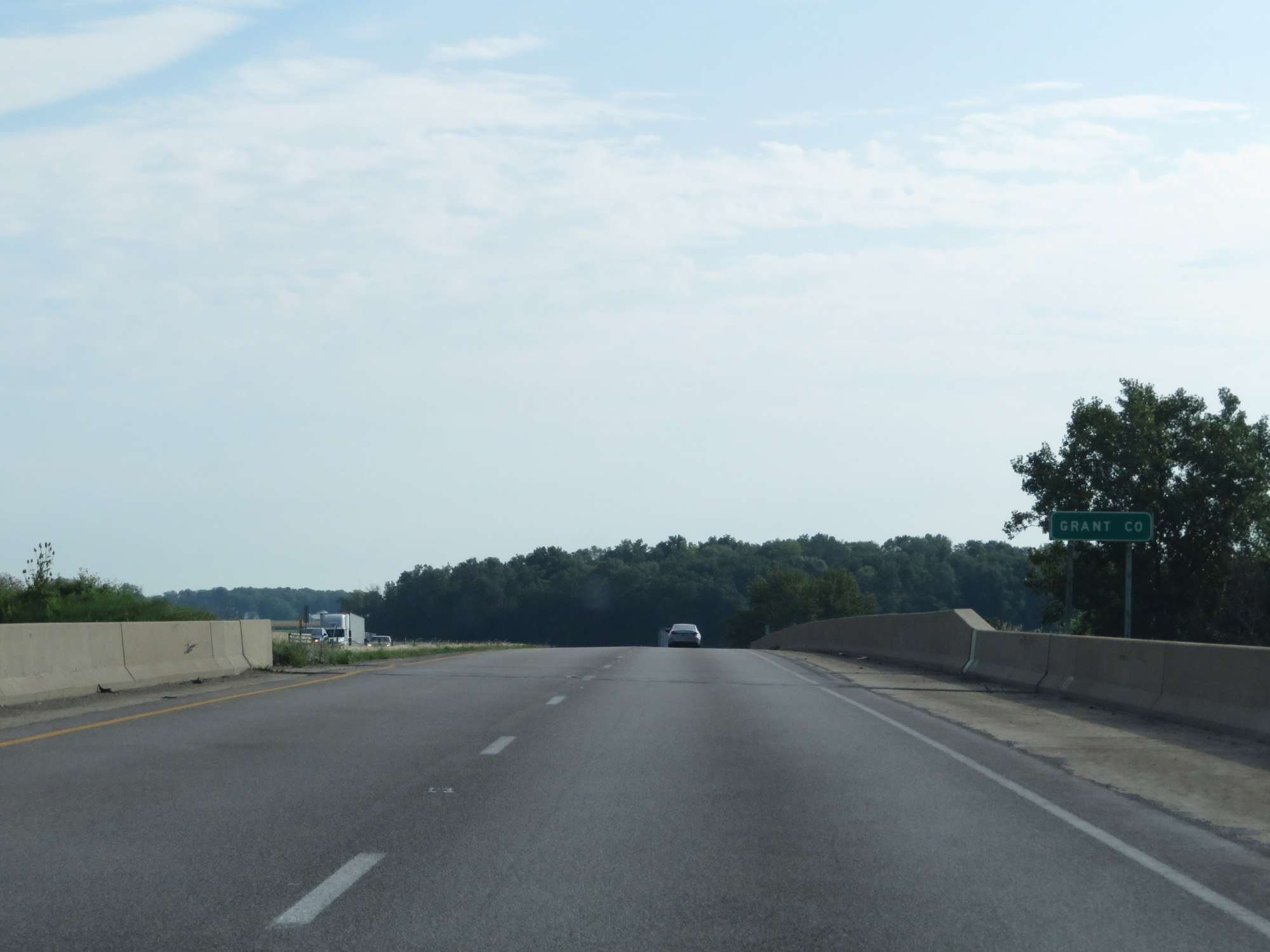 |
Interstate 69 North entering Grant County. (Photo taken 7/19/17). |
 |
Interstate 69 North at mile marker 252. (Photo taken 7/19/17). |
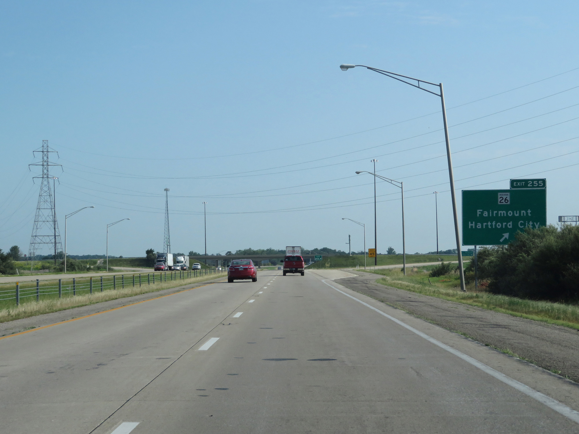 |
Interstate 69 North at Exit 255: IN 26 - Fairmount / Hartford City (Photo taken 7/19/17). |
 |
Speed limit signs on Interstate 69 North. The speed limits remain 70 mph for cars and 65 mph for trucks. (Photo taken 7/19/17). |
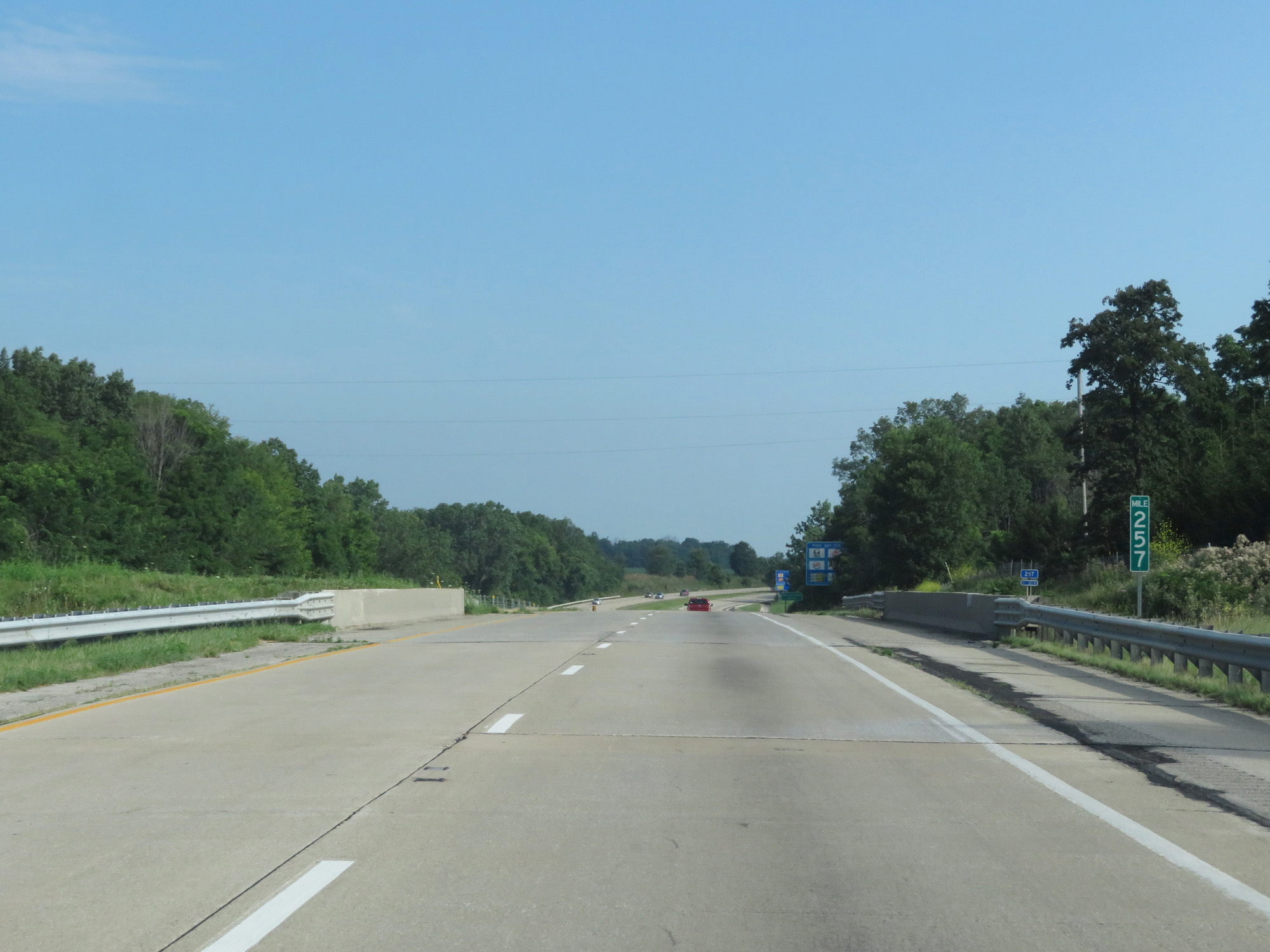 |
Interstate 69 North at mile marker 257. (Photo taken 7/19/17). |
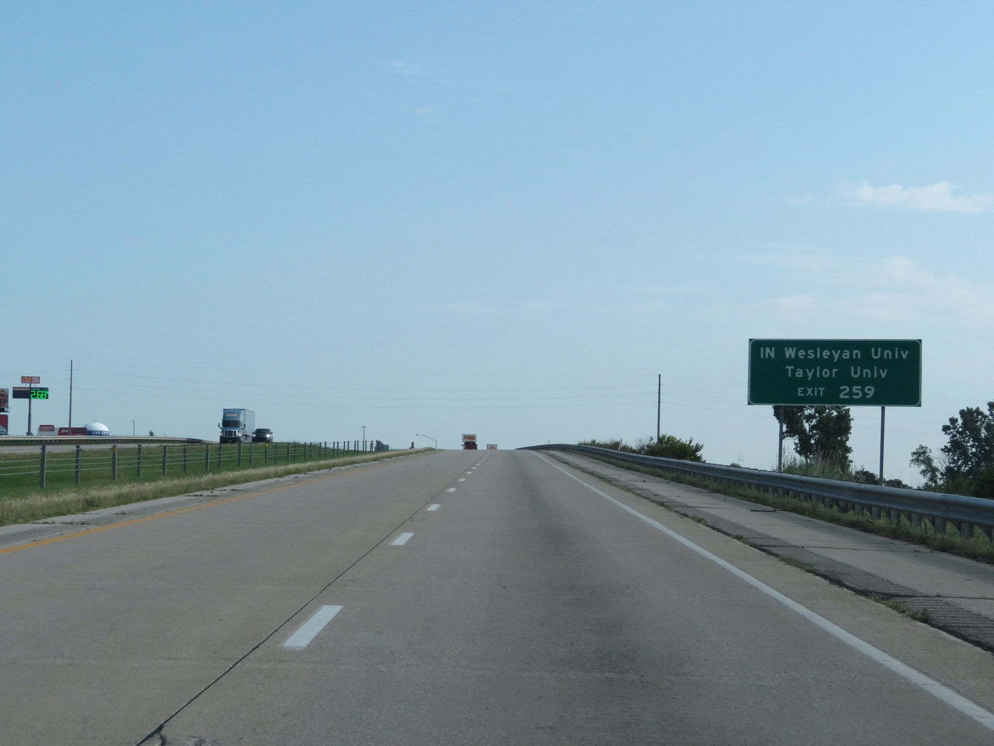 |
Take Exit 259 to Indiana Wesleyan University and Taylor University. (Photo taken 7/19/17). |
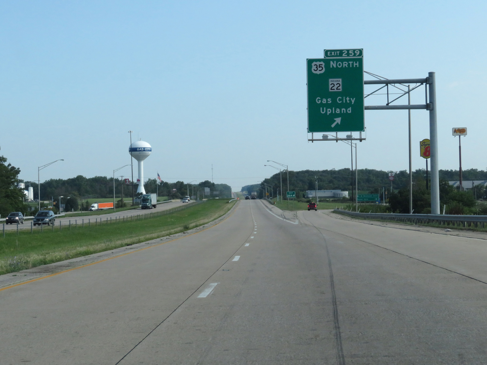 |
Interstate 69 North at Exit 259: US 35 North / IN 22 - Gas City / Upland (Photo taken 7/19/17). |
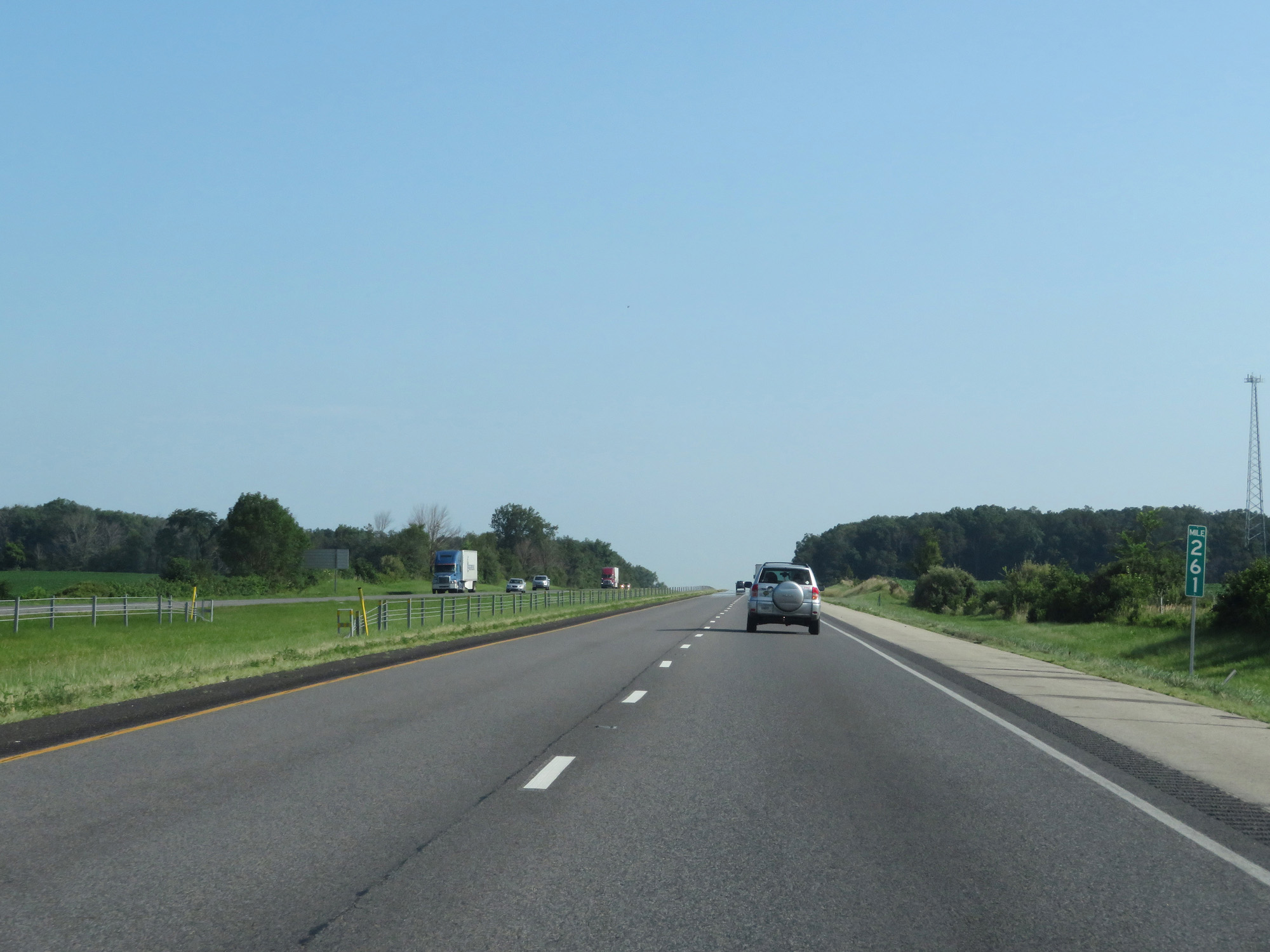 |
Interstate 69 North at mile marker 261. (Photo taken 7/19/17). |
 |
Take Exit 264 to Ivy Tech Community College. (Photo taken 7/19/17). |
 |
Interstate 69 North at Exit 264: IN 18 - Marion / Montpelier (Photo taken 7/19/17). |
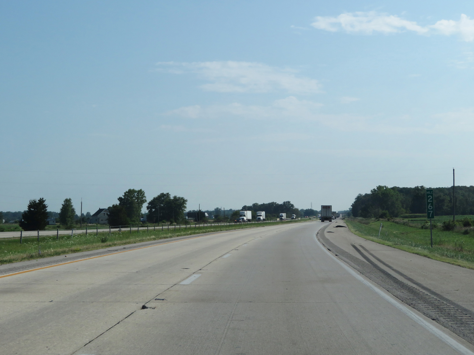 |
Interstate 69 North at mile marker 267. (Photo taken 7/19/17). |
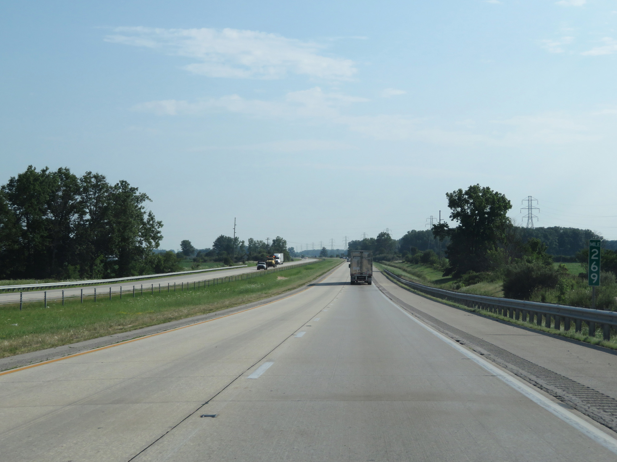 |
Interstate 69 North at mile marker 269. (Photo taken 7/19/17). |
 |
Interstate 69 North at mile marker 271. (Photo taken 7/19/17). |
 |
Interstate 69 North entering Huntington County. (Photo taken 7/19/17). |
 |
Interstate 69 North approaching Exit 273 - 1/2 mile. (Photo taken 7/19/17). |
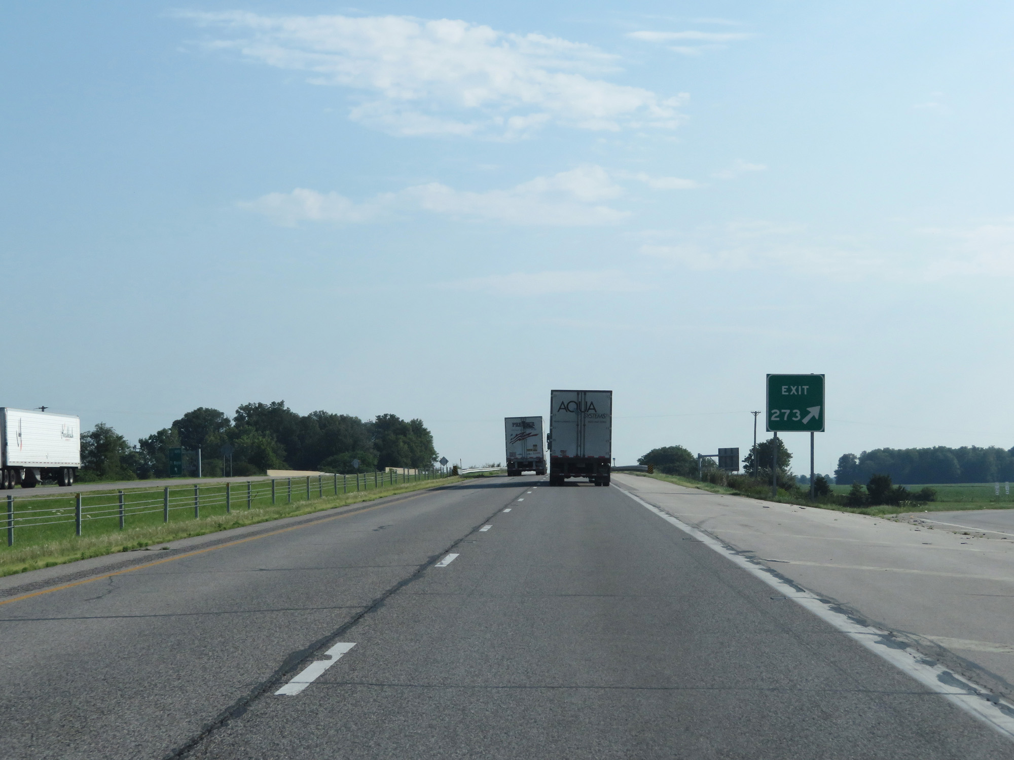 |
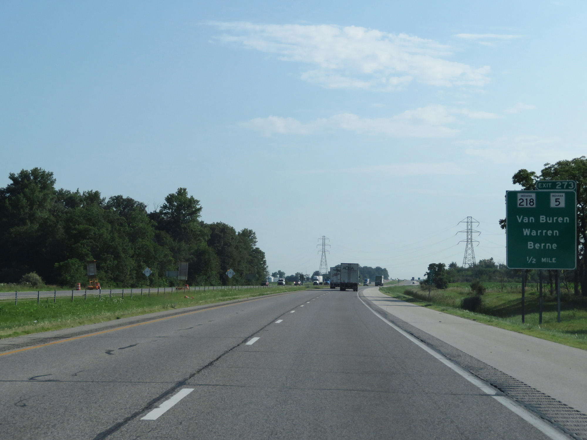
Interstate 69 North at Exit 273: IN 218 / IN 5 - Van Buren / Warren / Berne (Photo taken 7/19/17). |
 |
Take Exit 278 to Bluffton and Huntington University. (Photo taken 7/19/17). |
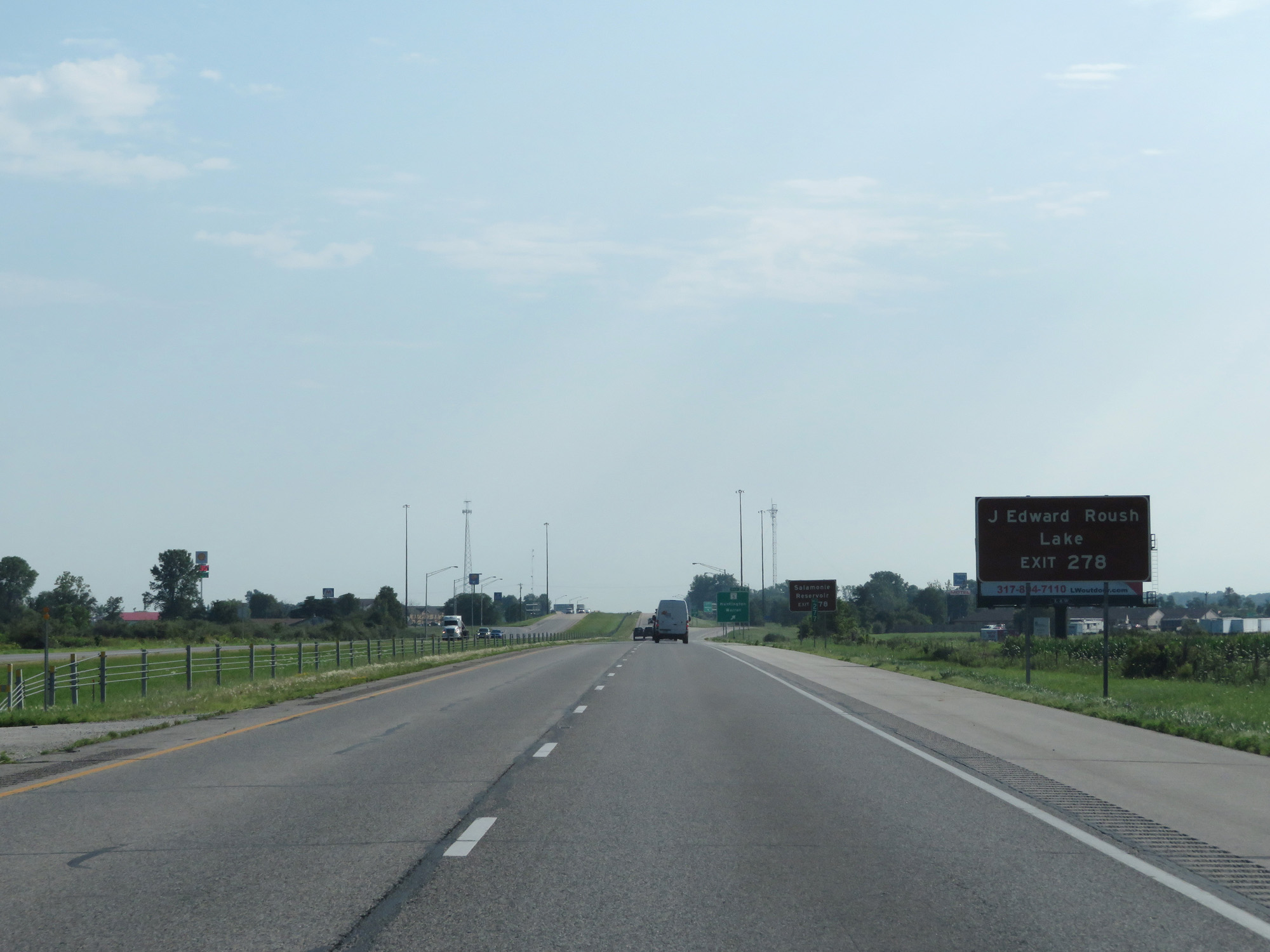 |
Also take Exit 278 to J Edward Roush Lake. (Photo taken 7/19/17). |
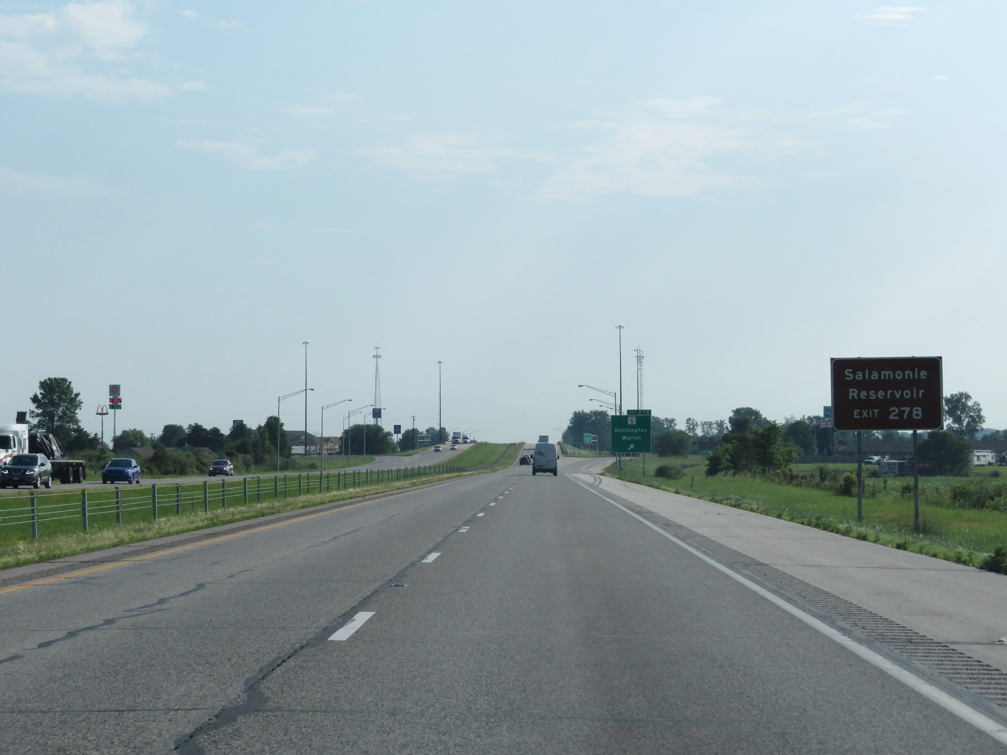 |
Take Exit 278 to Salamonie Reservoir as well. (Photo taken 7/19/17). |
 |
Interstate 69 North at Exit 278: IN 5 - Huntington / Warren (Photo taken 7/19/17). |
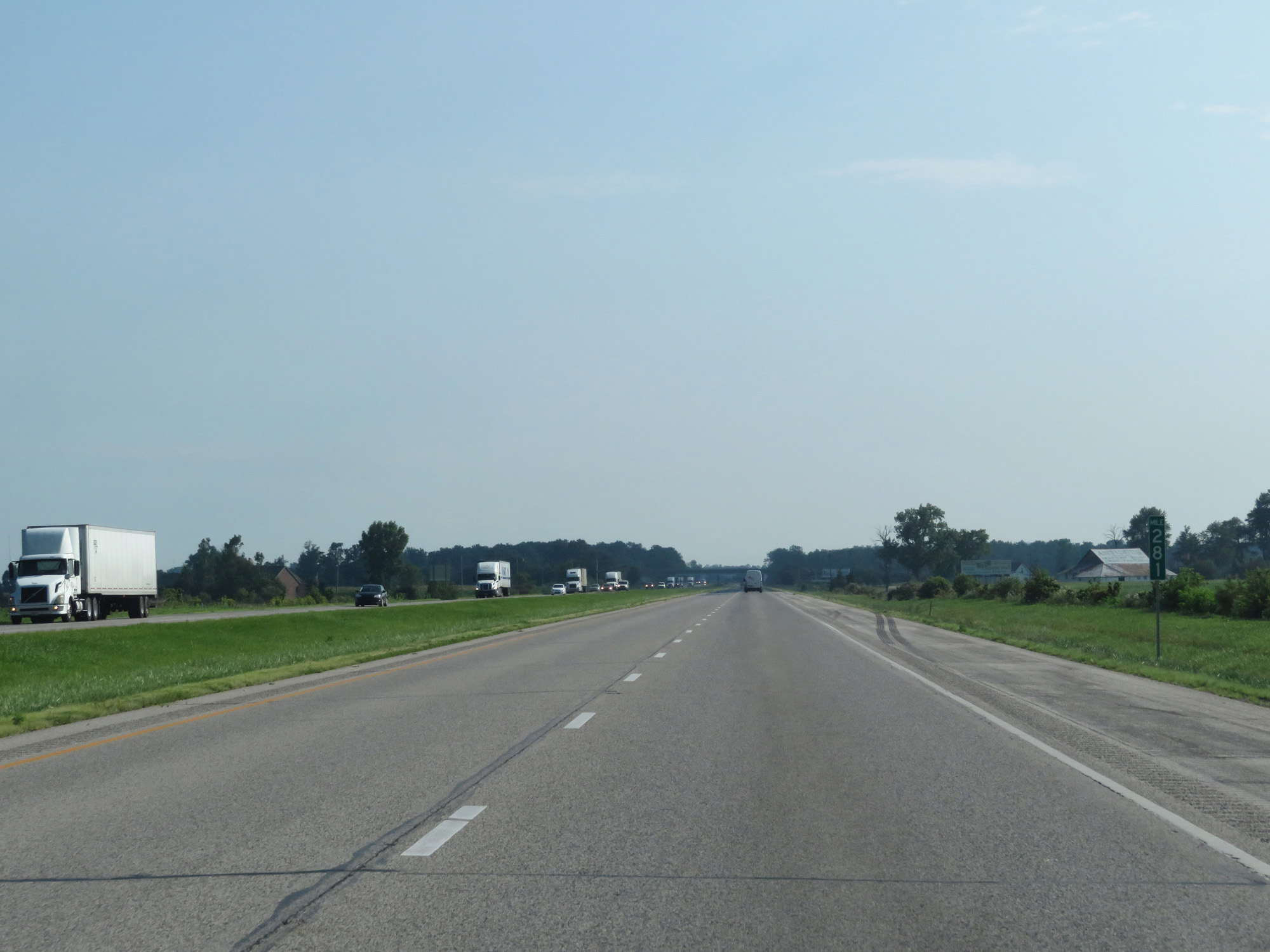 |
Interstate 69 North at mile marker 281. (Photo taken 7/19/17). |
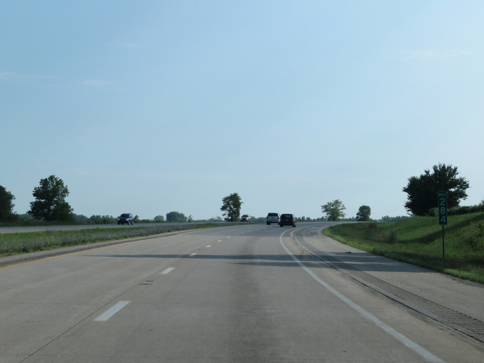 |
Interstate 69 North at mile marker 284. (Photo taken 7/19/17). |
 |
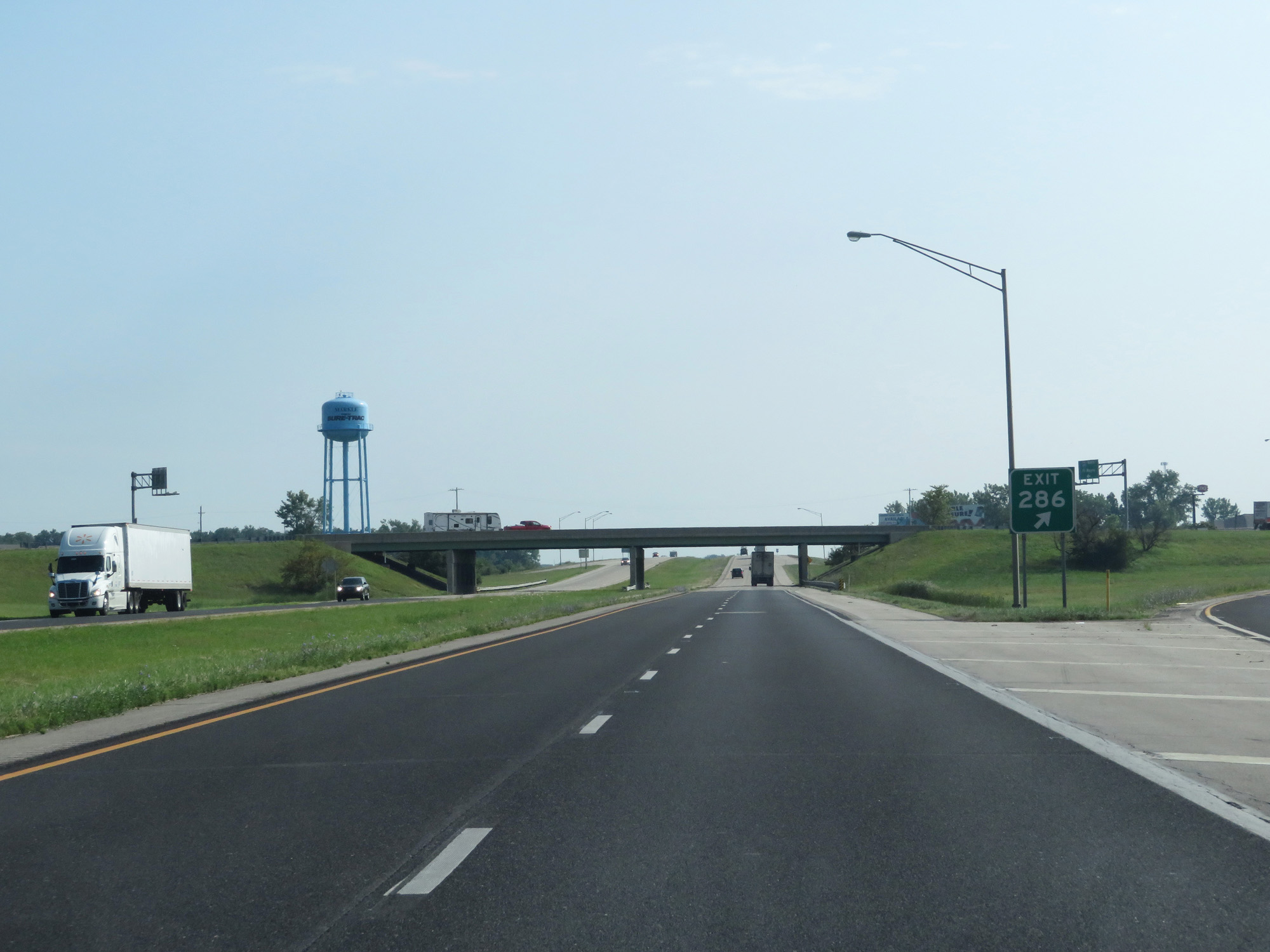
Interstate 69 North approaching Exit 286 - 1 mile. (Photo taken 7/19/17). |
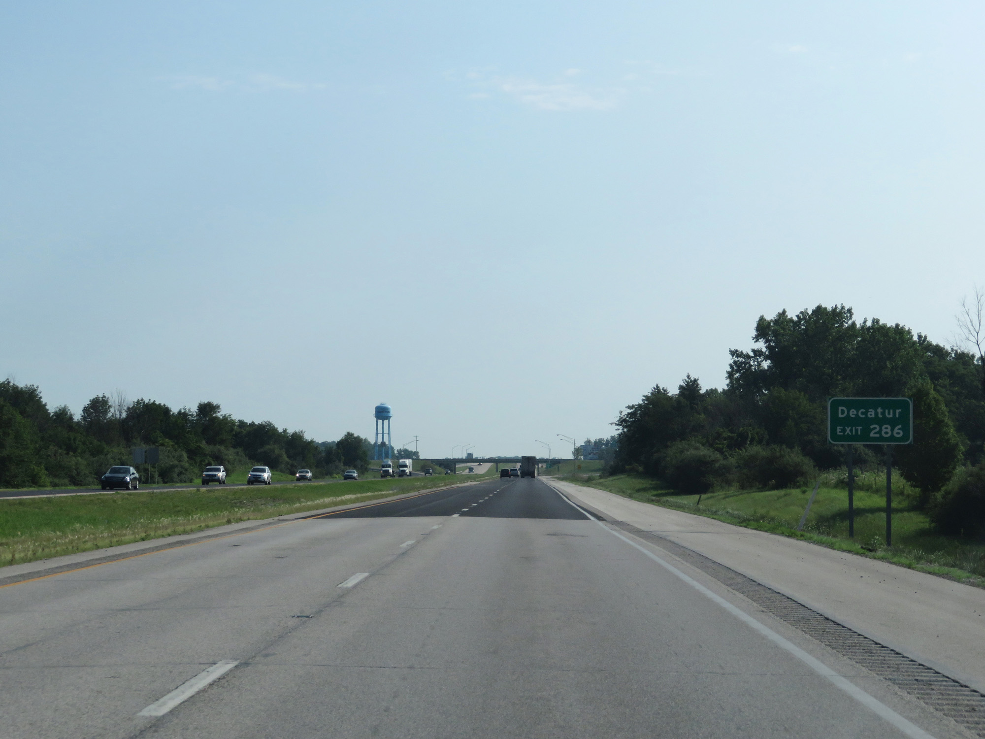 |
Take Exit 286 to Decatur. (Photo taken 7/19/17). |
 |
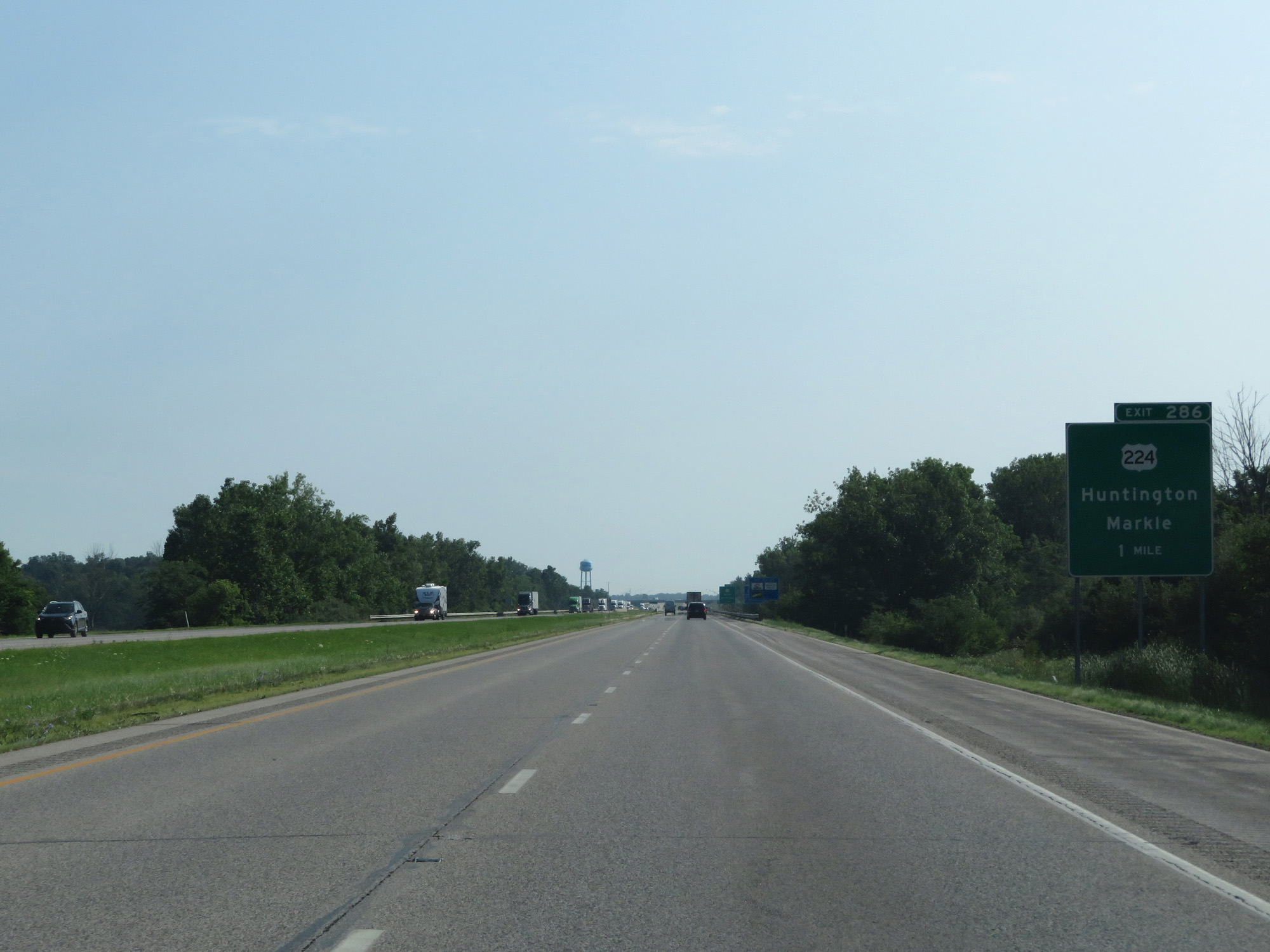
Interstate 69 North at Exit 286: US 224 - Huntington / Markle (Photo taken 7/19/17). |
 |
Interstate 69 North reassurance shield. (Photo taken 7/19/17). |
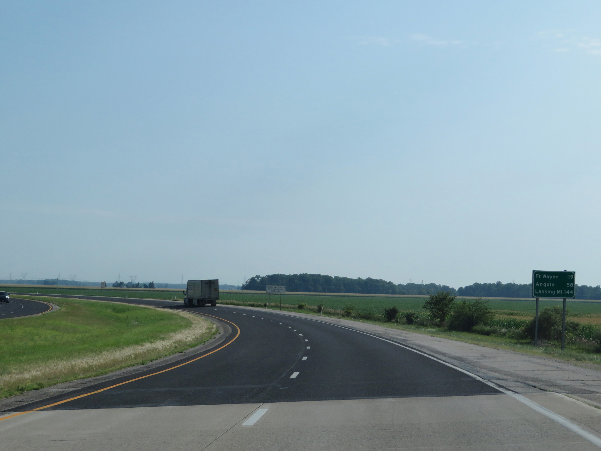 |
Mileage sign on Interstate 69 North. It's 19 miles to Fort Wayne, 58 miles to Angola, and 144 miles to Lansing, MI. (Photo taken 7/19/17). |
 |
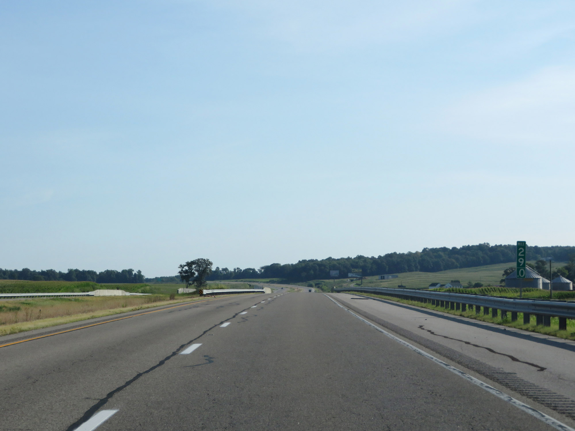
Interstate 69 North at mile marker 290. (Photo taken 7/19/17). |
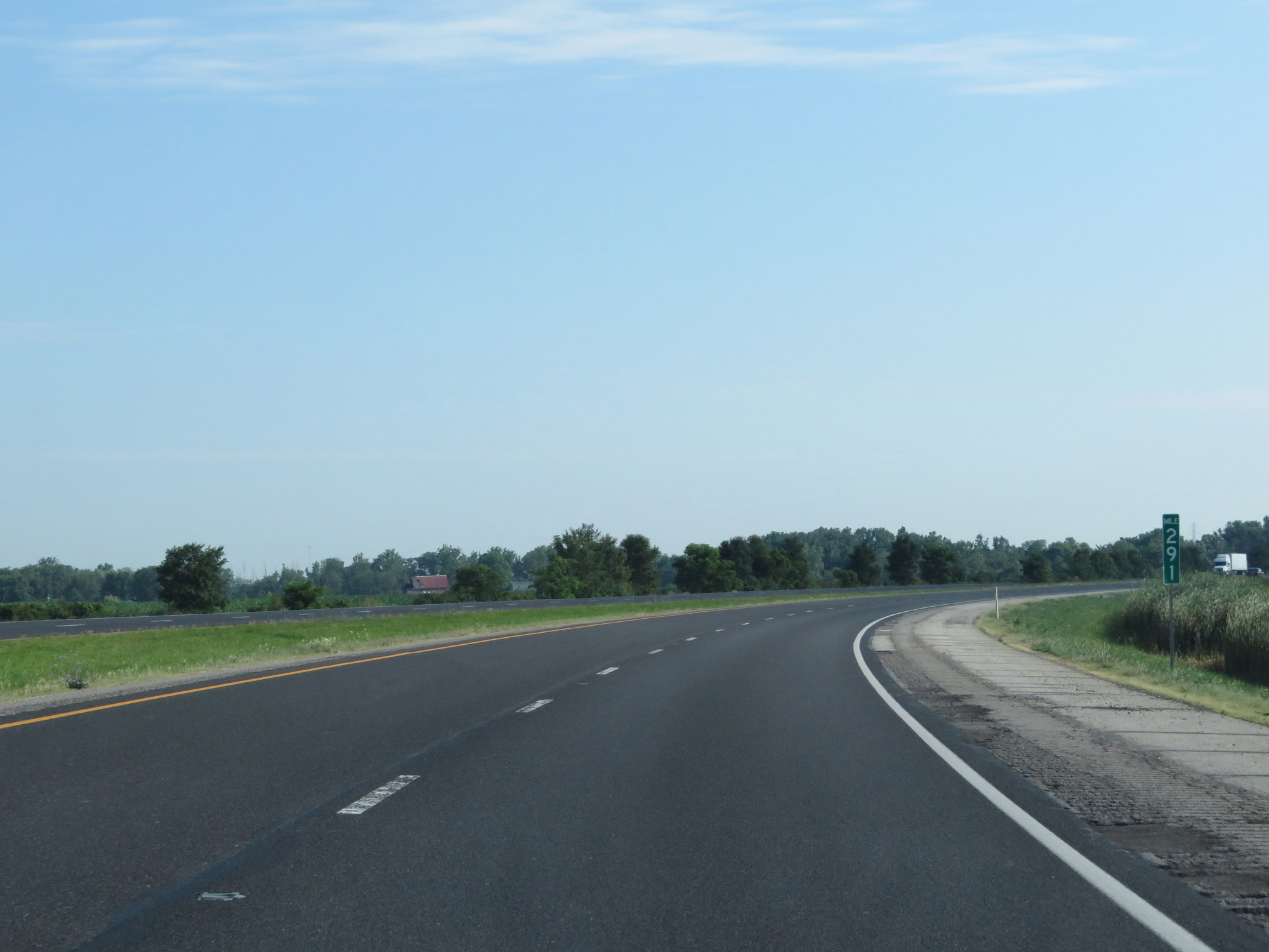 |
Interstate 69 North at mile marker 291. (Photo taken 7/19/17). |
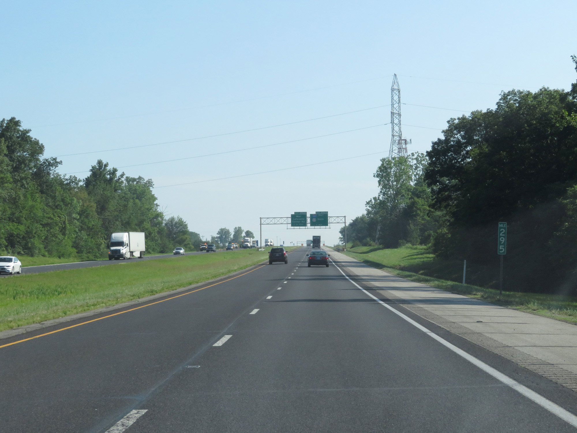 |
Interstate 69 North at mile marker 295. (Photo taken 7/19/17). |
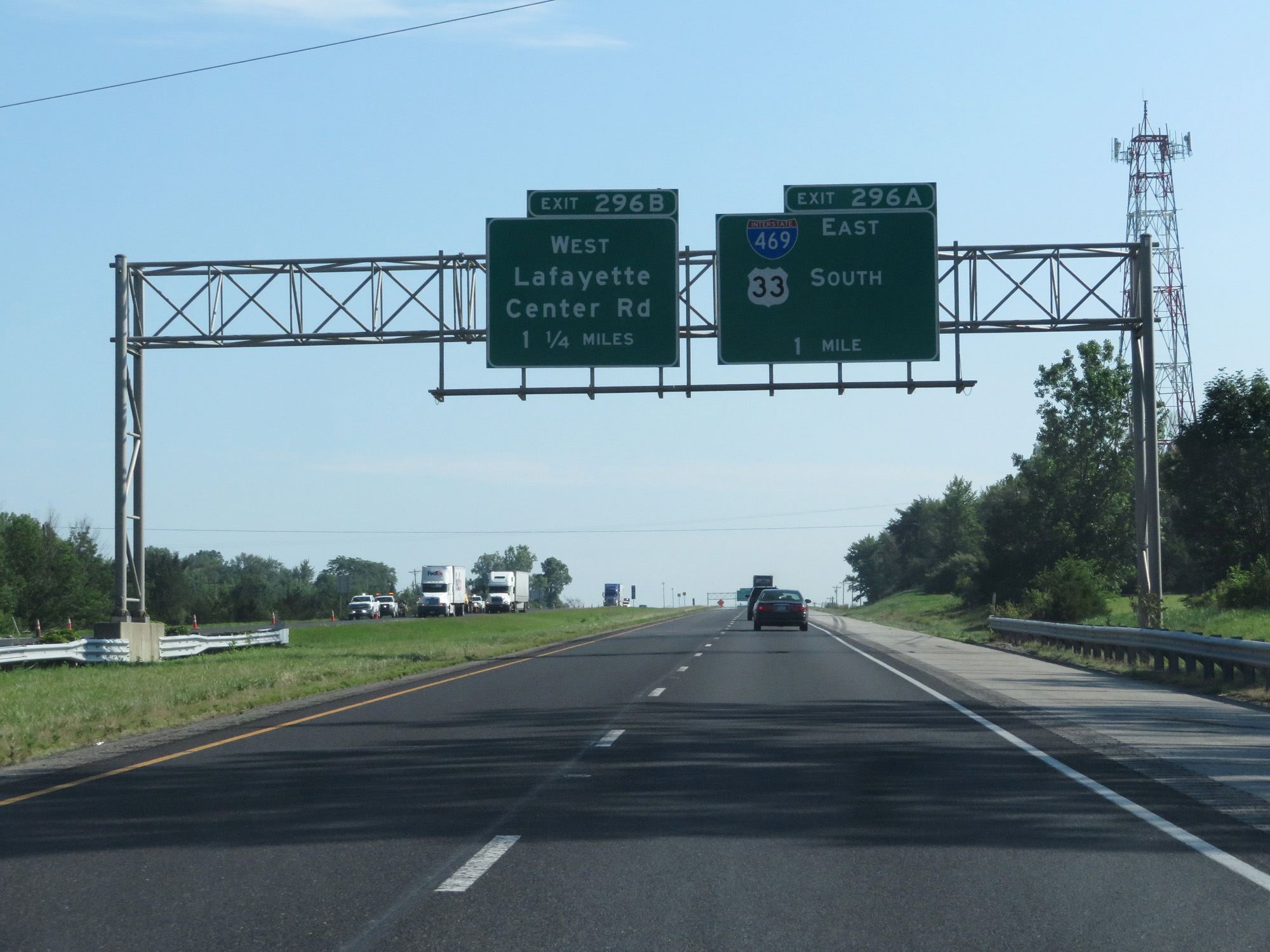 |
Interstate 69 North approaching Exit 296A - 1 mile. (Photo taken 7/19/17). |
 |
Take Exit 296B to Roanoke. (Photo taken 7/19/17). |
 |
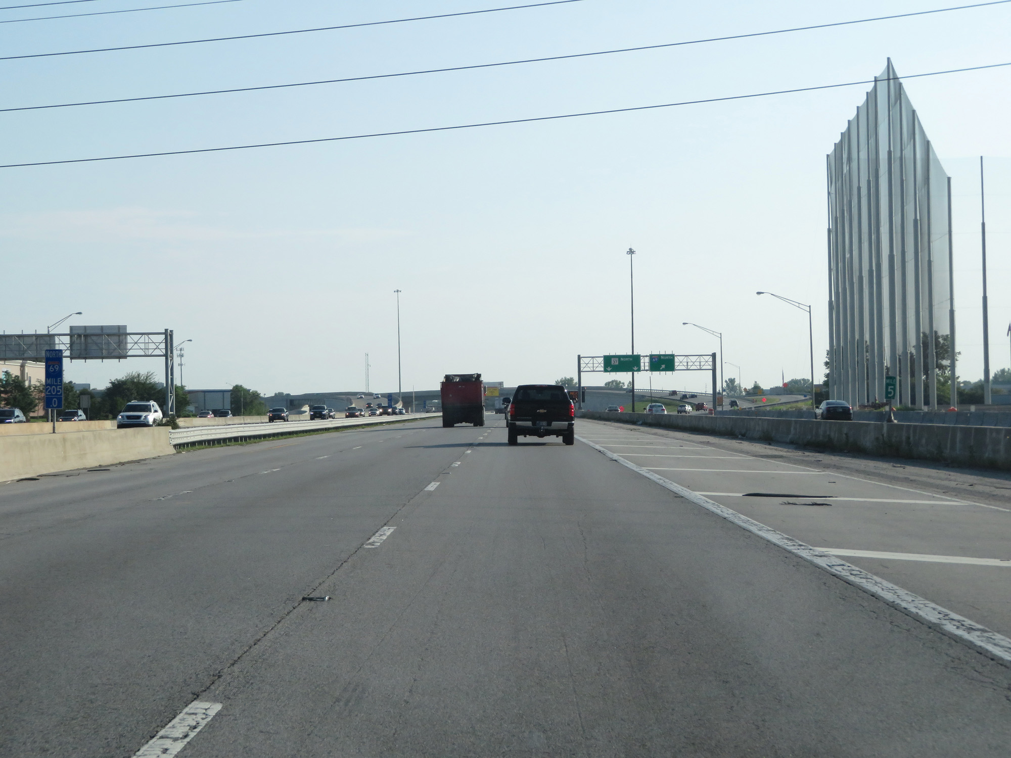
Interstate 69 North at Exit 296A: Interstate 469 East / US 33 South (Photo taken 7/19/17). |
Section 5: Fort Wayne (Exit 296A) to Michigan Border
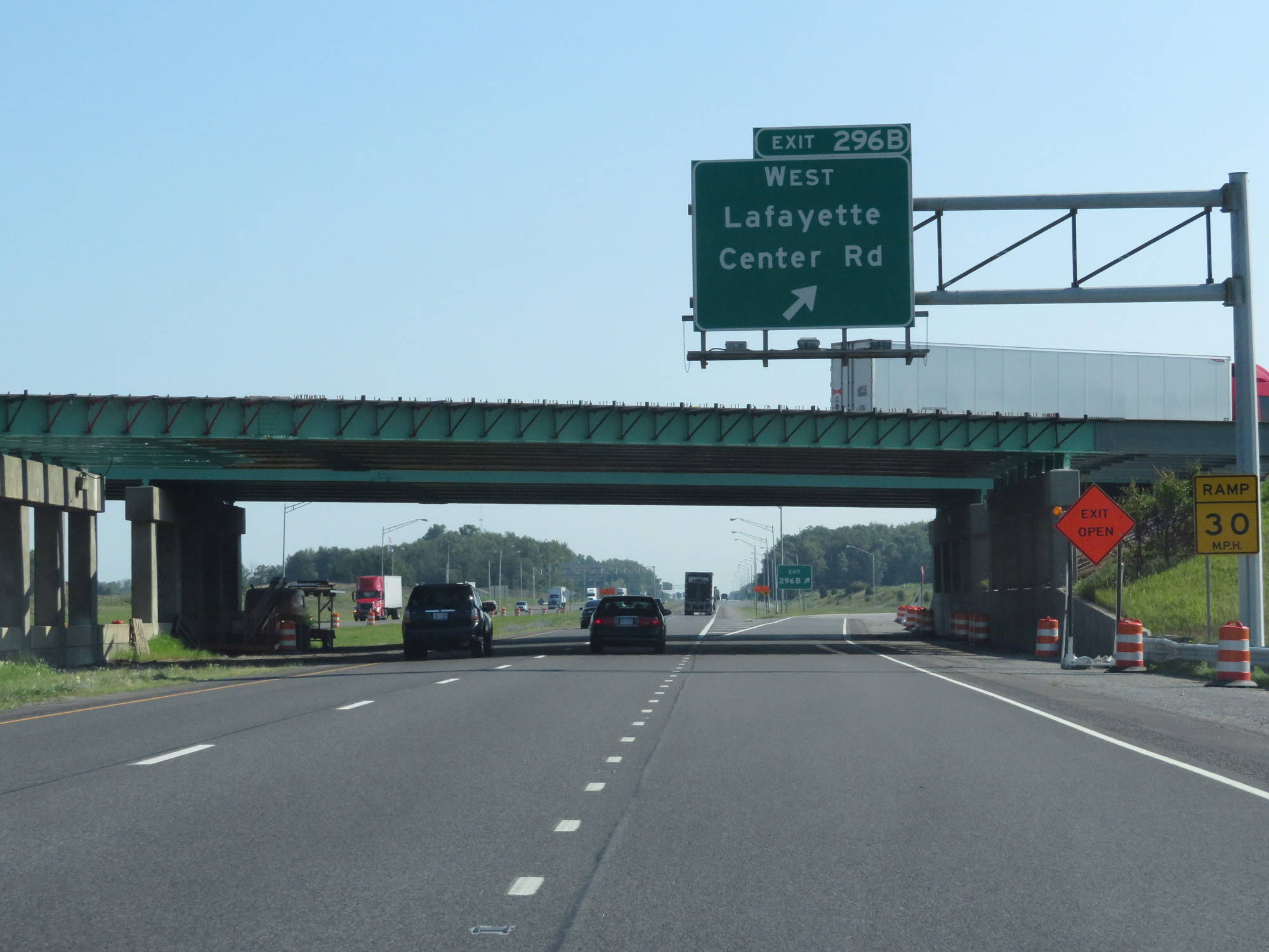 |
Interstate 69 North at Exit 296B: Lafayette Center Rd West (Photo taken 7/19/17). |
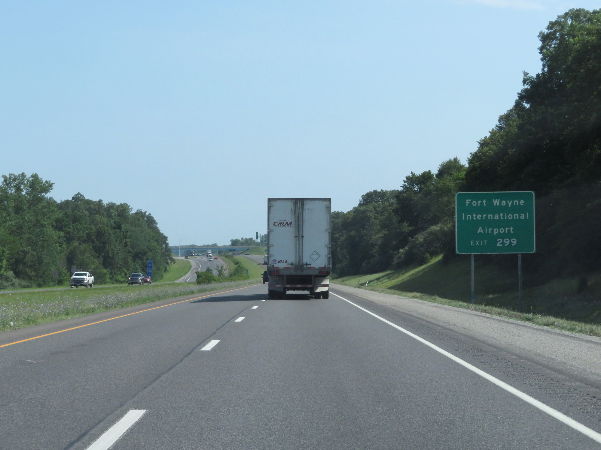 |
Take Exit 299 to Fort Wayne International Airport. (Photo taken 7/19/17). |
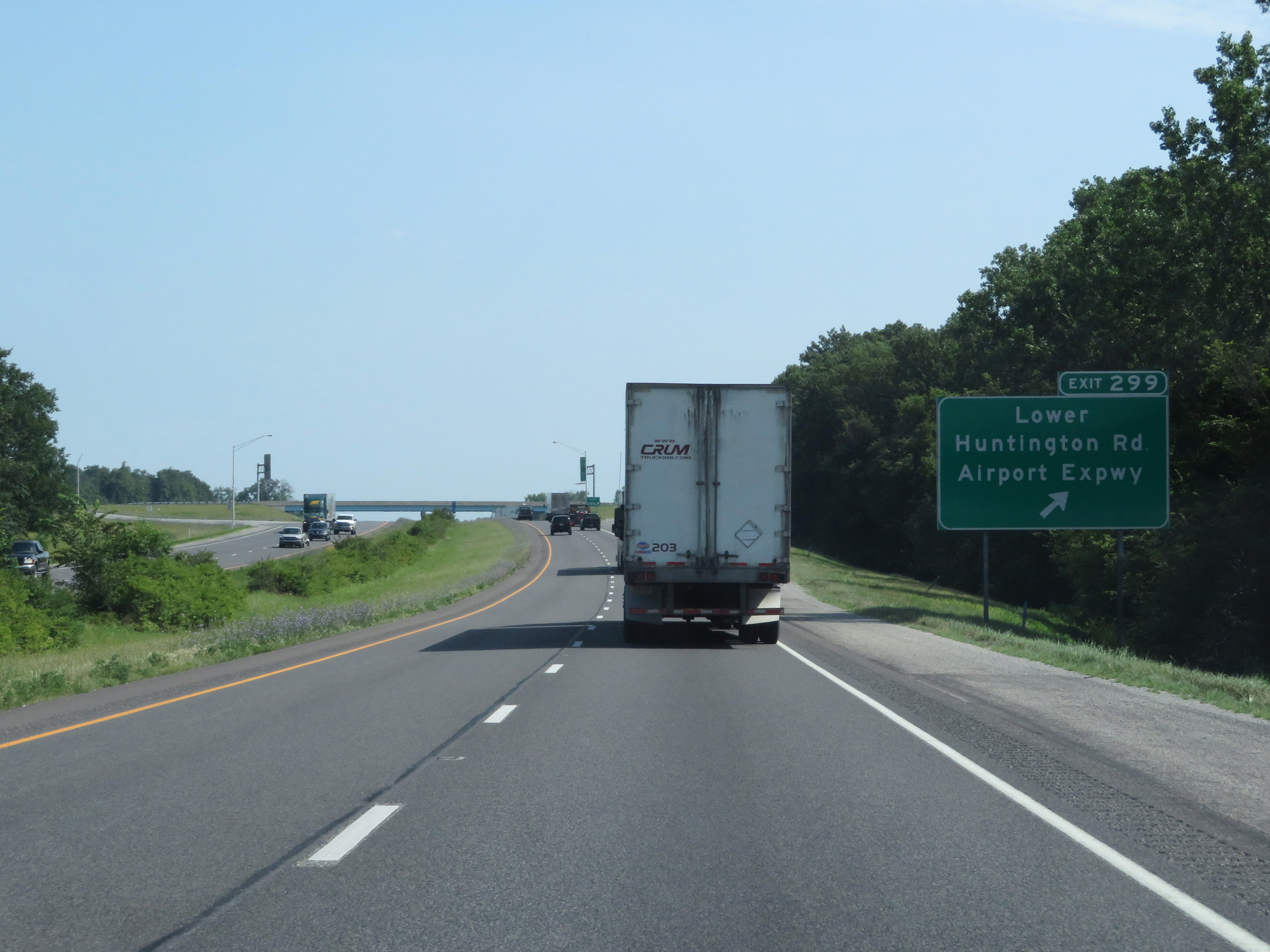 |
Interstate 69 North at Exit 299: Lower Huntington Rd / Airport Expwy (Photo taken 7/19/17). |
 |
Interstate 69 North at mile marker 300. (Photo taken 7/19/17). |
 |
The speed limit through the Fort Wayne area on Interstate 69 is 65 mph for all traffic. (Photo taken 7/19/17). |
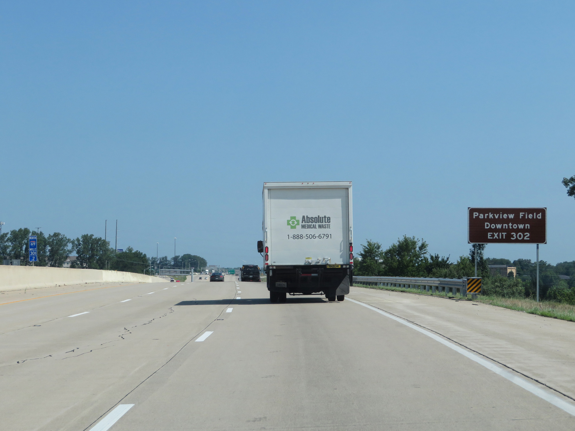 |
Take Exit 302 to Parkview Field and Downtown. (Photo taken 7/19/17). |
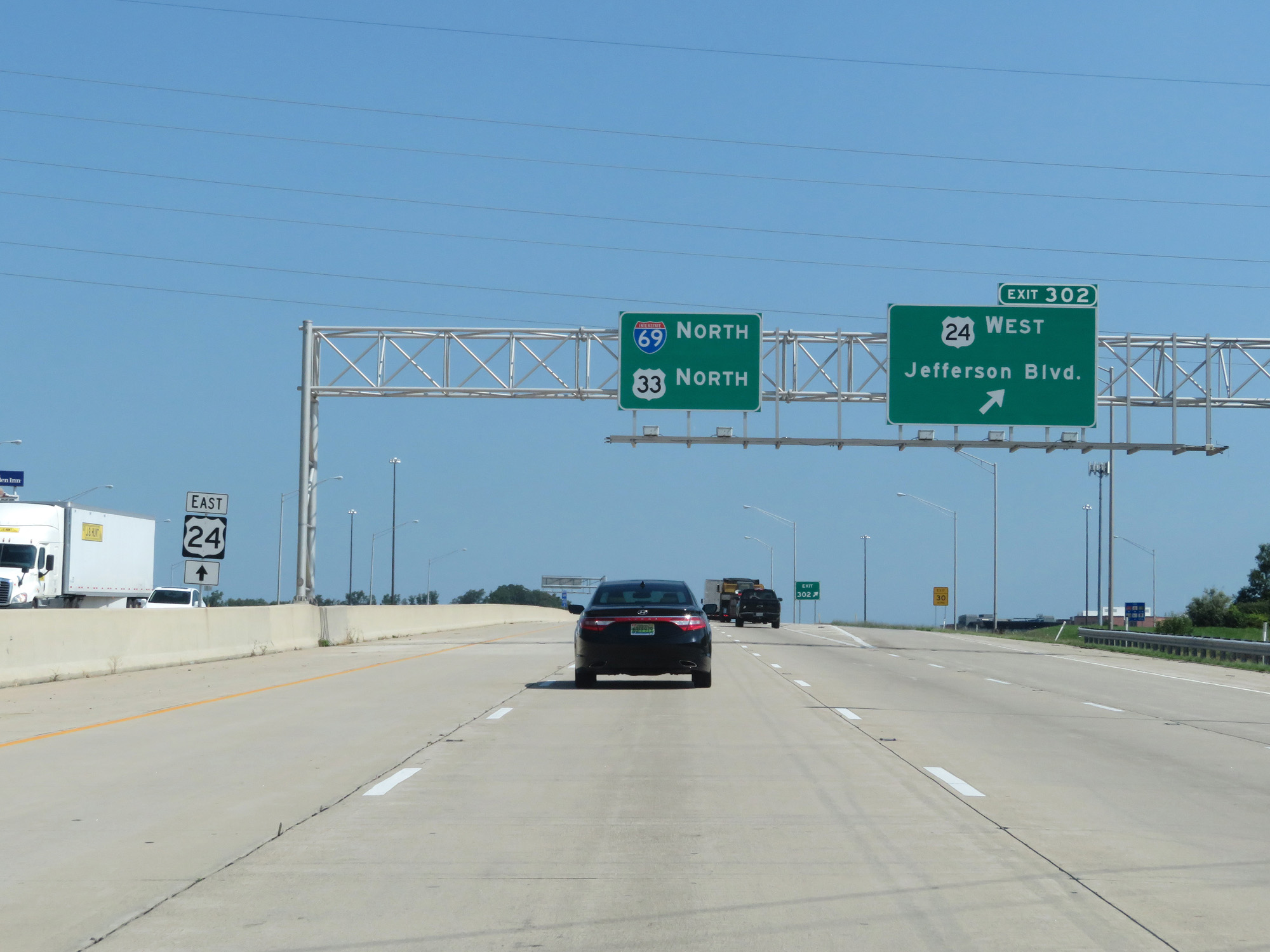 |
Interstate 69 North at Exit 302: US 24 West - Jefferson Blvd (Photo taken 7/19/17). |
 |
Interstate 69 North / US 33 North / US 24 East reassurance markers. (Photo taken 7/19/17). |
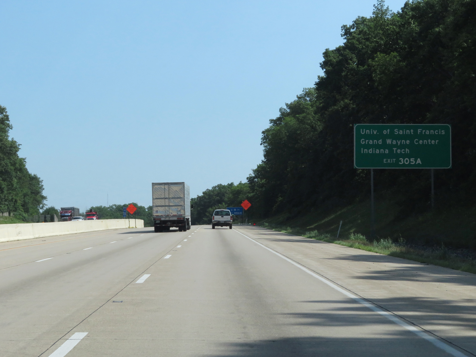 |
Take Exit 305A to University of Saint Francis, Grand Wayne Center, and Indiana Tech. (Photo taken 7/19/17). |
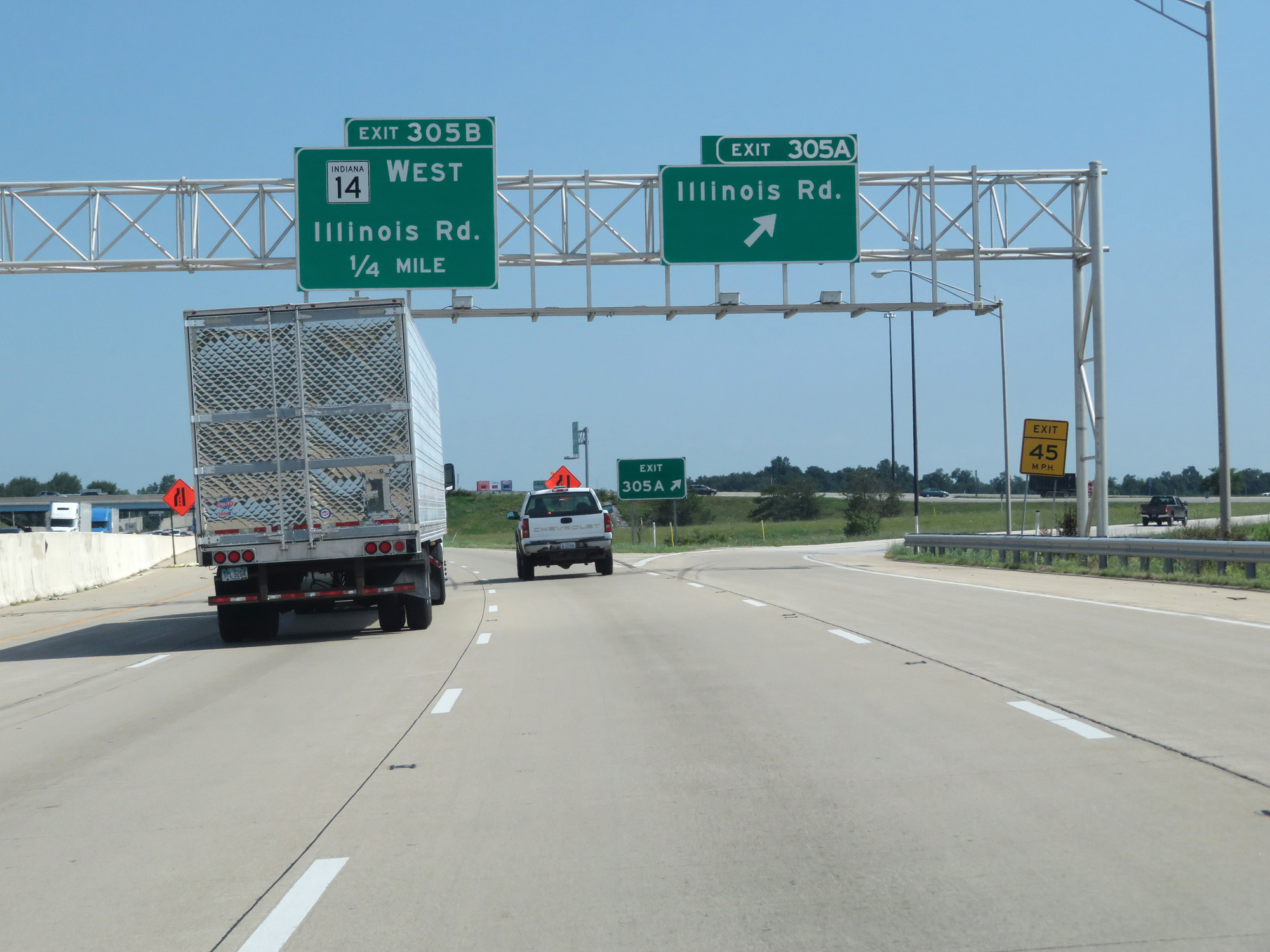 |
Interstate 69 North at Exit 305A: Illinois Rd (Photo taken 7/19/17). |
 |
Interstate 69 North at Exit 305B: IN 14 West - Illinois Rd (Photo taken 7/19/17). |
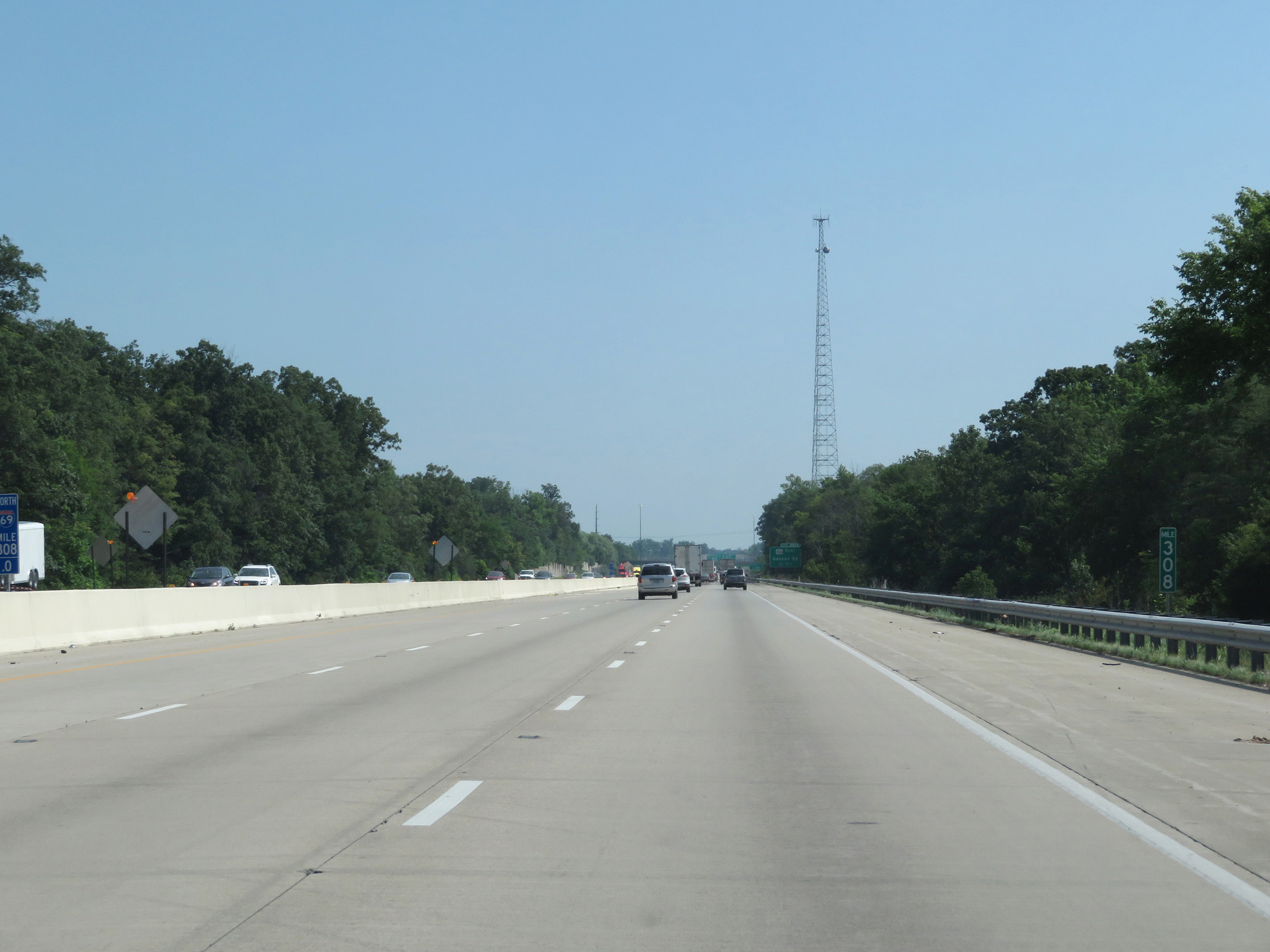 |
Interstate 69 North at mile marker 308. (Photo taken 7/19/17). |
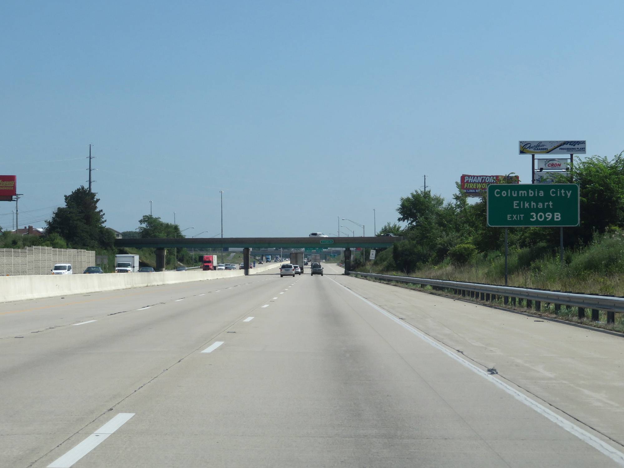 |
Take Exit 309B to Columbia City and Elkhart. (Photo taken 7/19/17). |
 |
Interstate 69 North at Exit 309A: IN 930 East - Goshen Rd (Photo taken 7/19/17). |
 |
Interstate 69 North at Exit 309B: US 30 West / US 33 North - Goshen Rd (Photo taken 7/19/17). |
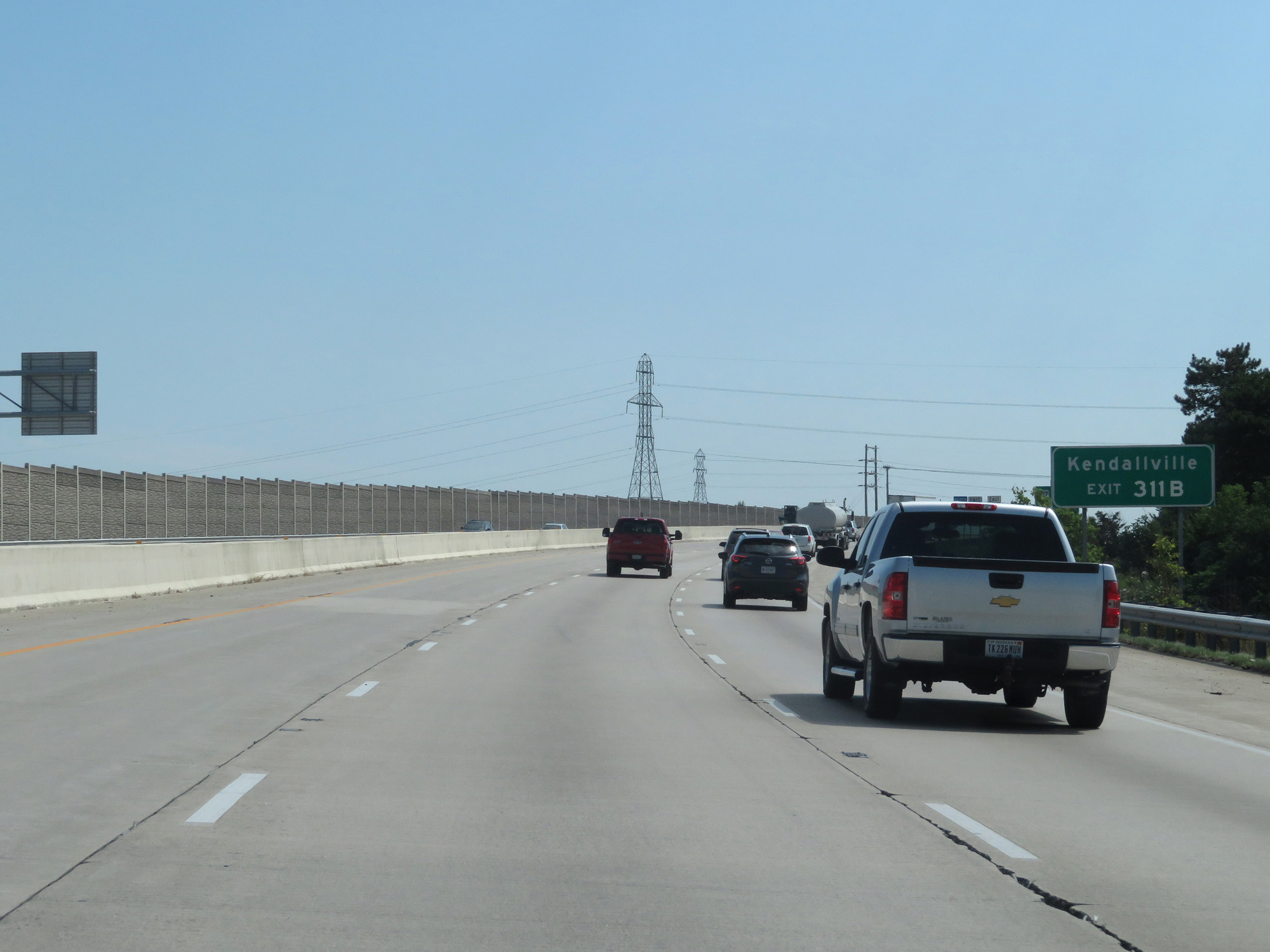 |
Take Exit 311B to Kendallville. (Photo taken 7/19/17). |
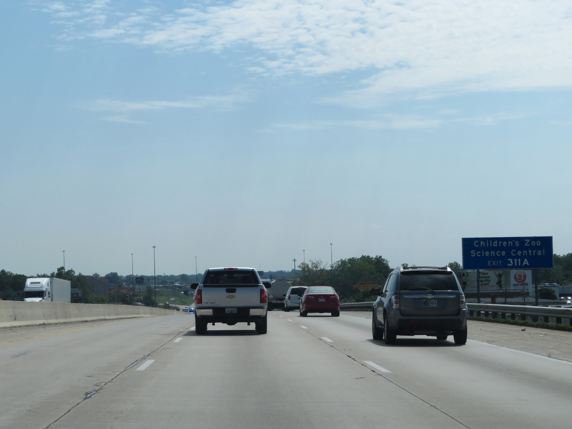 |
Take Exit 311A to the Children's Zoo and Science Central. (Photo taken 7/19/17). |
 |
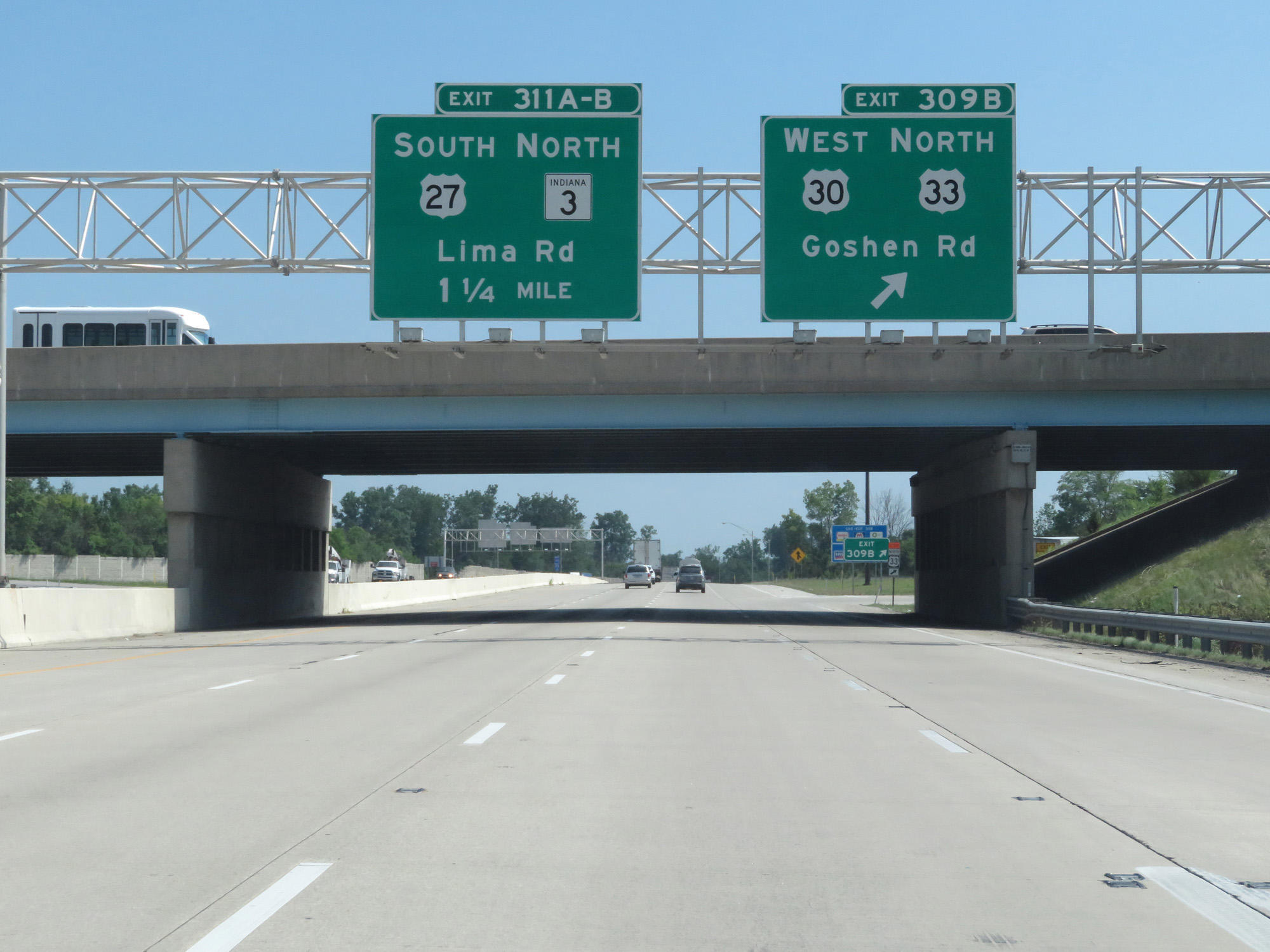
Interstate 69 North at Exit 311A: US 27 South - Lima Rd (Photo taken 7/19/17). |
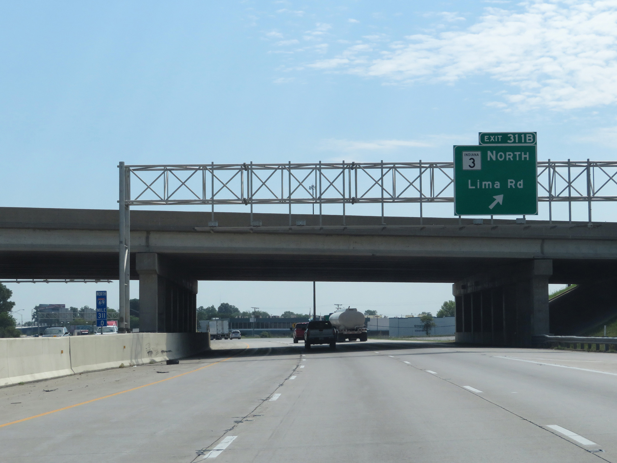 |
Interstate 69 North at Exit 311B: IN 3 North - Lima Rd (Photo taken 7/19/17). |
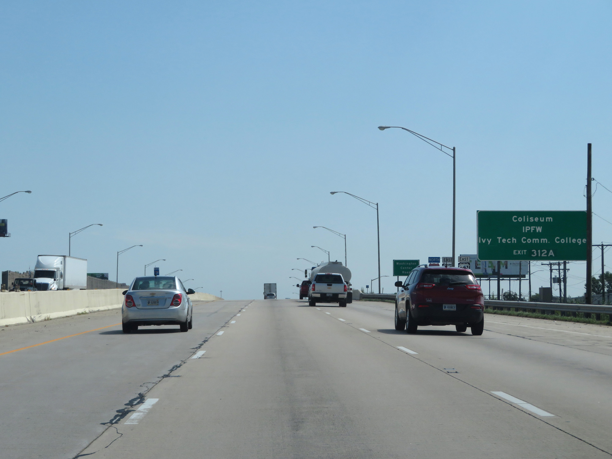 |
Take Exit 312A to the Coliseum, IPFW, and Ivy Tech Community College. (Photo taken 7/19/17). |
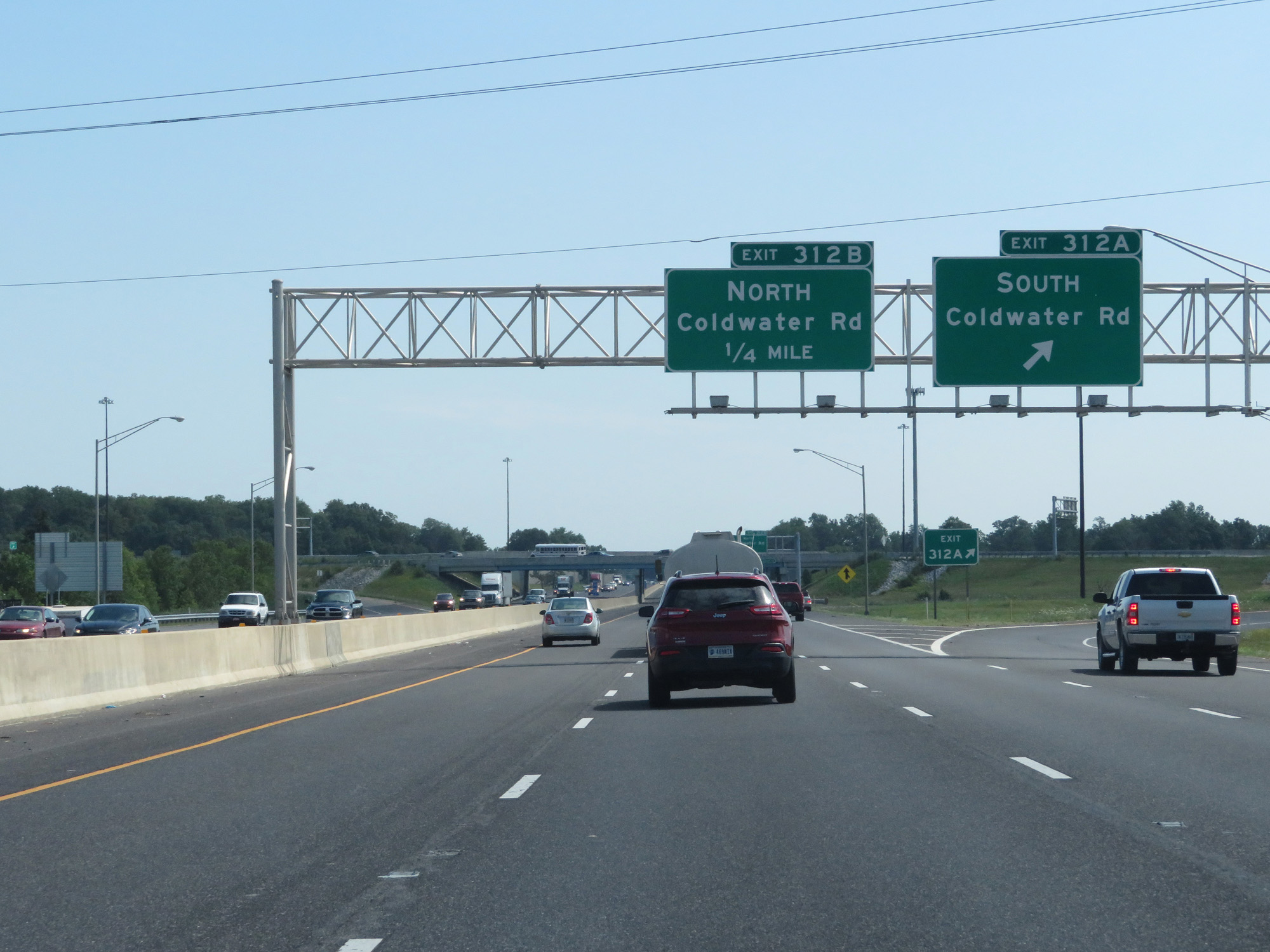 |
Interstate 69 North at Exit 312A: Coldwater Rd South (Photo taken 7/19/17). |
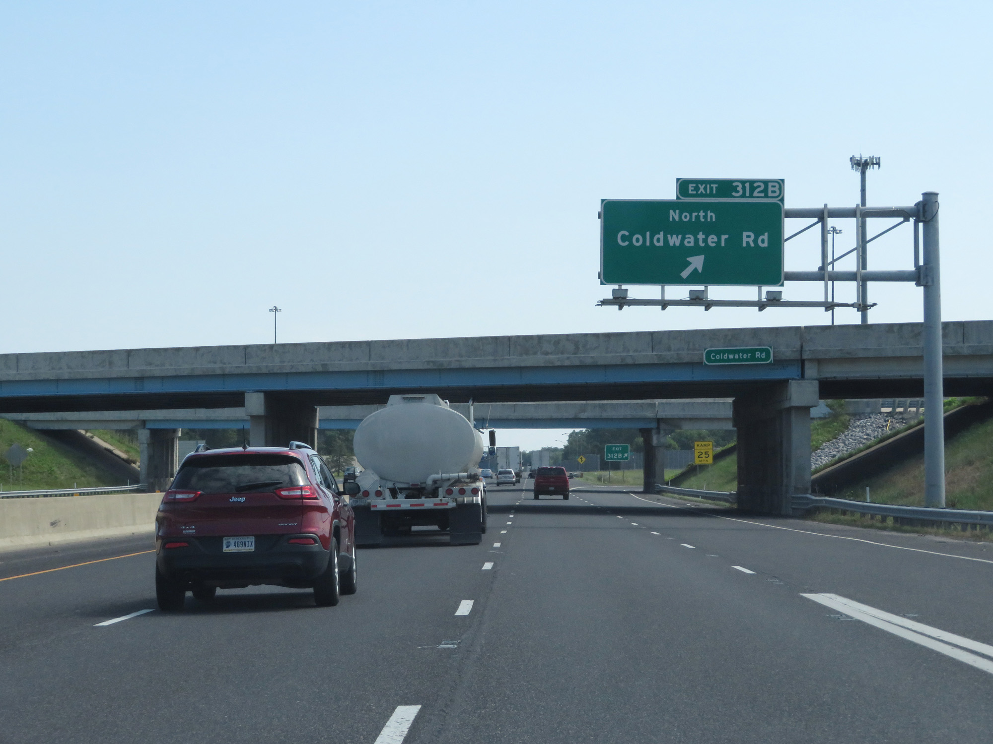 |
Interstate 69 North at Exit 312B: Coldwater Rd North (Photo taken 7/19/17). |
 |
Interstate 69 North at mile marker 313. (Photo taken 7/19/17). |
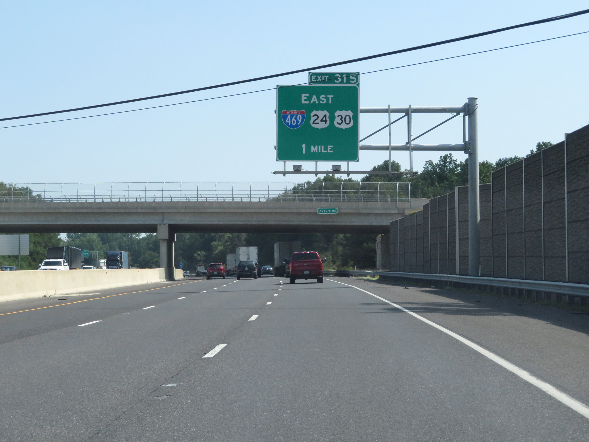 |
Interstate 69 North approaching Exit 315 - 1 mile. (Photo taken 7/19/17). |
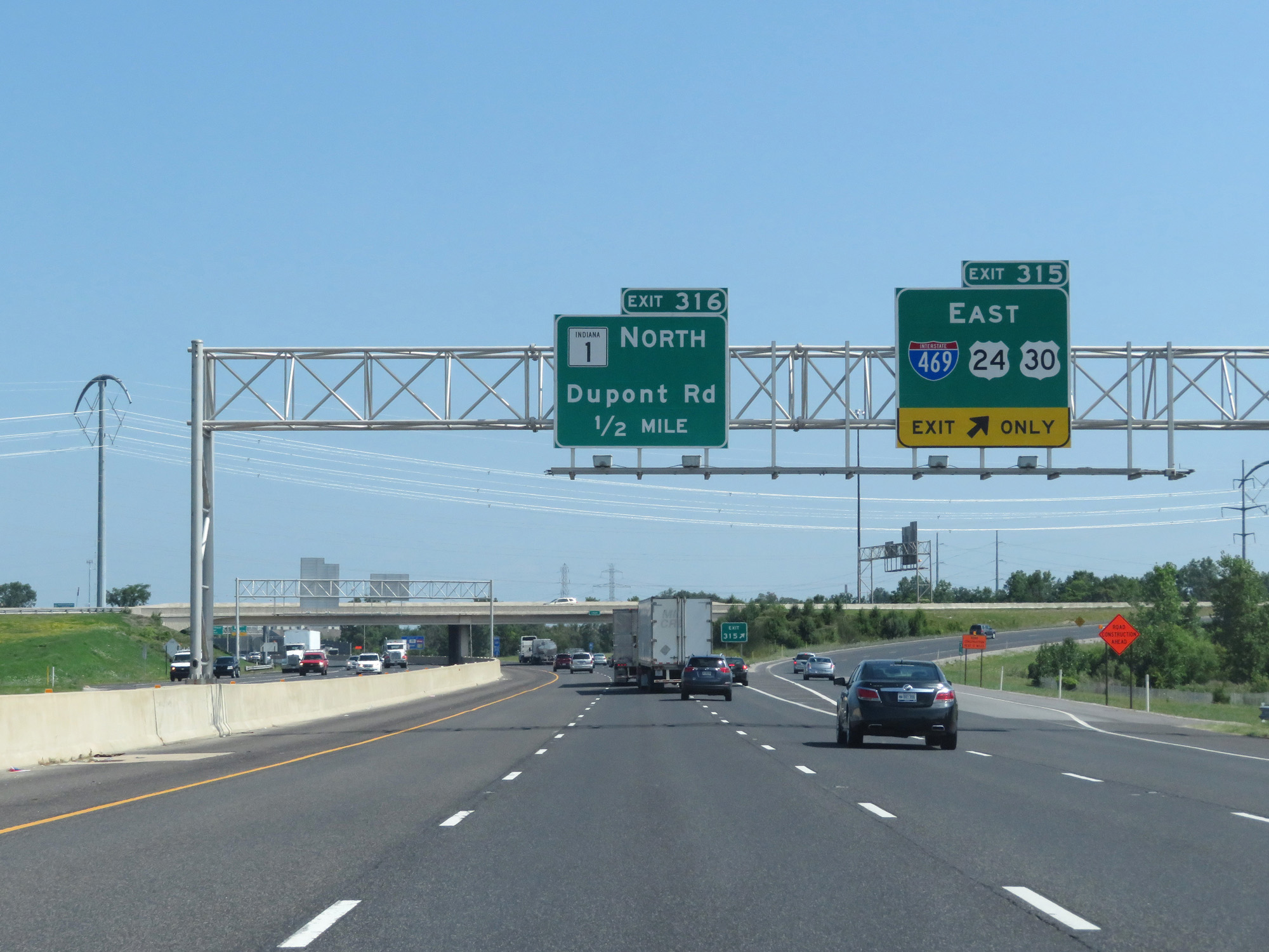 |
Interstate 69 North at Exit 315: Interstate 469 East / US 24 East / US 30 East (Photo taken 7/19/17). |
 |
Interstate 69 North at Exit 316: IN 1 North - Dupont Rd (Photo taken 7/19/17). |
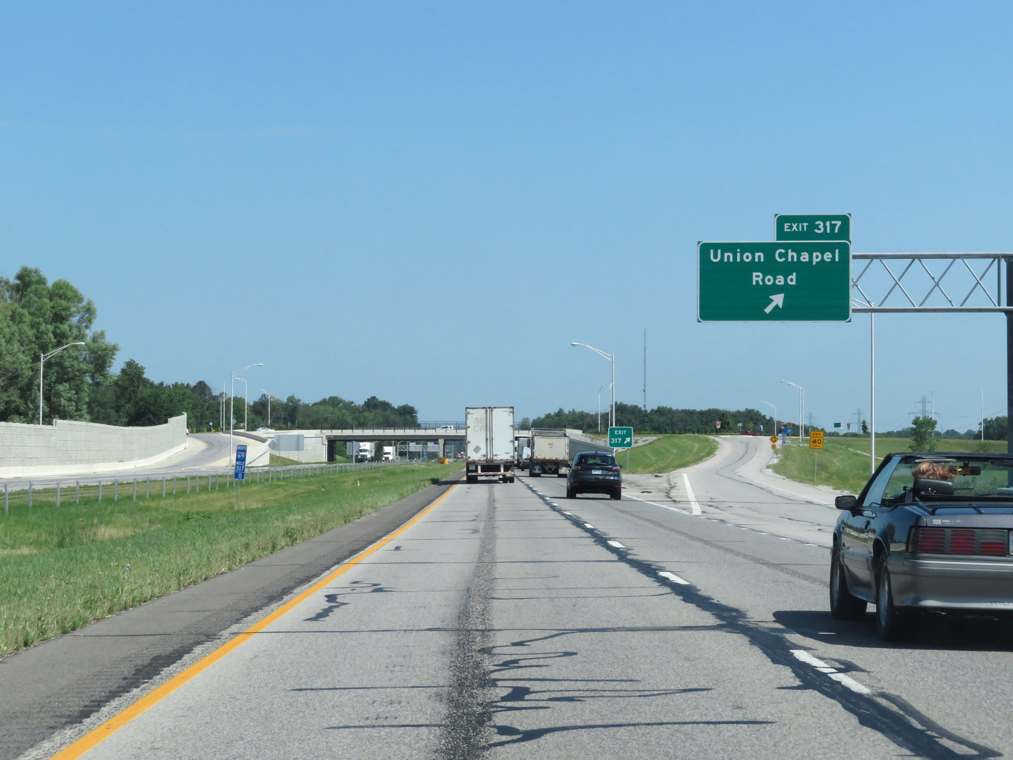 |
Interstate 69 North at Exit 317: Union Chapel Road (Photo taken 7/19/17). |
 |
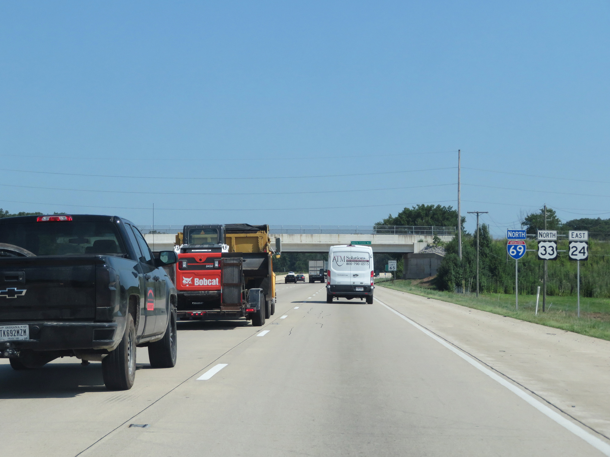
North of Exit 317, the standard rural speed limits of 70 mph for cars and 65 mph for trucks resume. (Photo taken 7/19/17). |
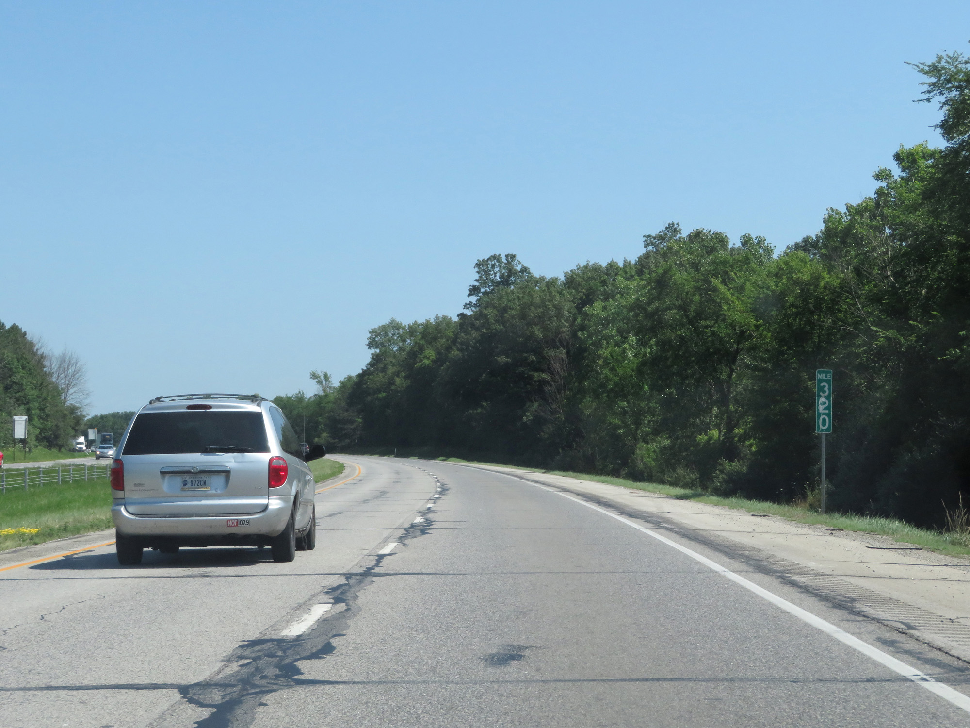 |
Interstate 69 North at mile marker 320. (Photo taken 7/19/17). |
 |
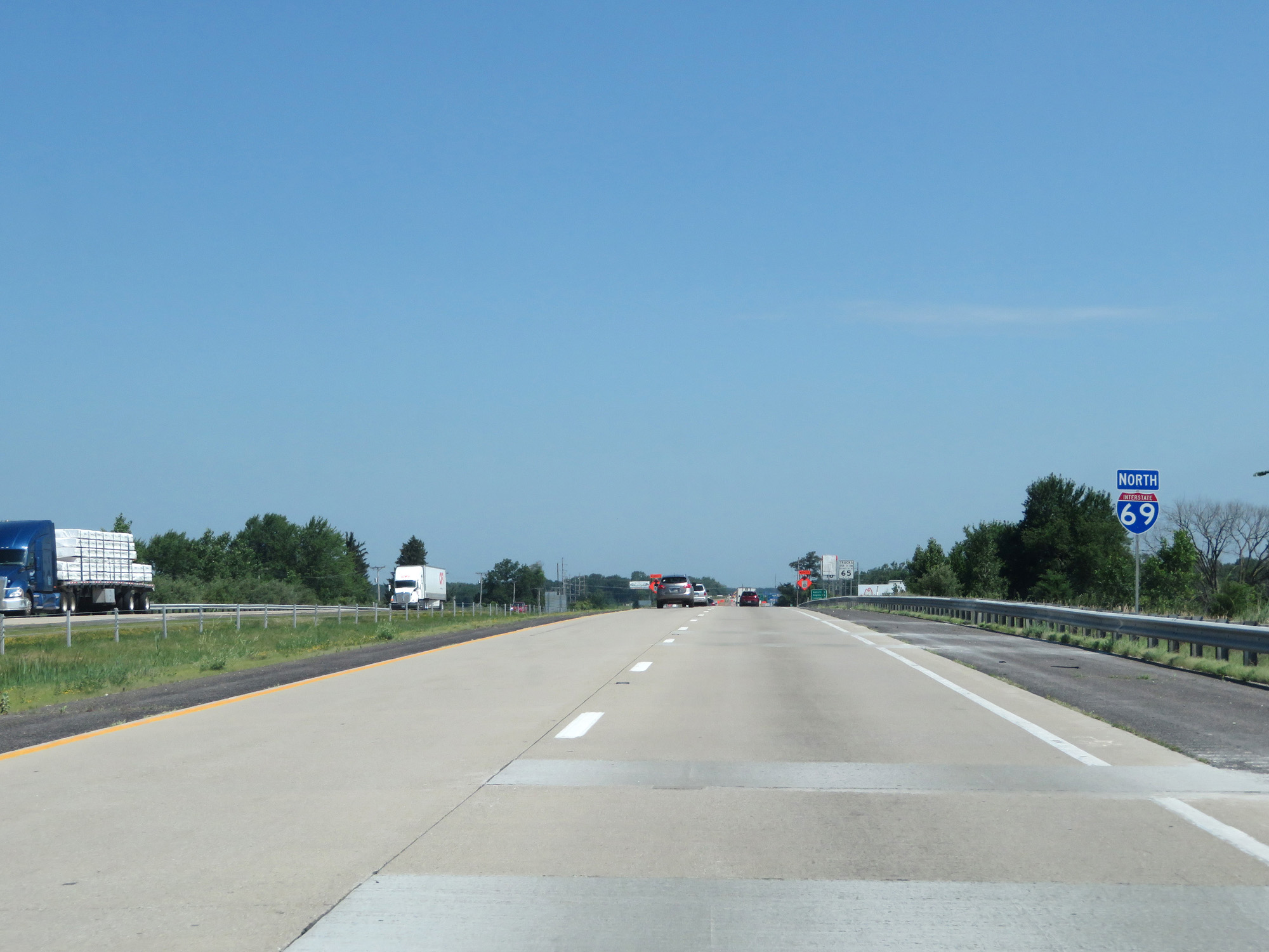
Interstate 69 North entering Dekalb County. (Photo taken 7/19/17). |
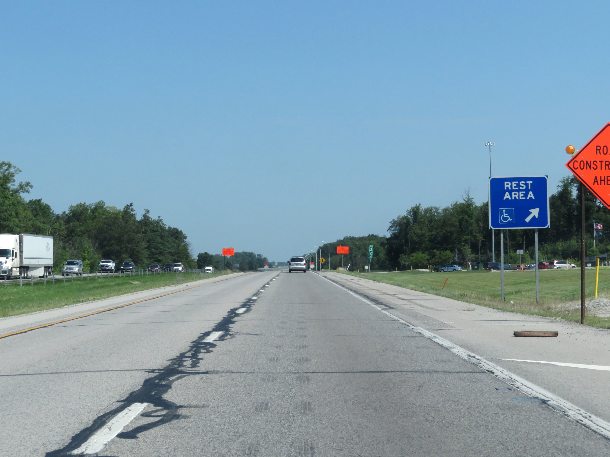 |
Interstate 69 North at the Rest Area in Dekalb County. (Photo taken 7/19/17). |
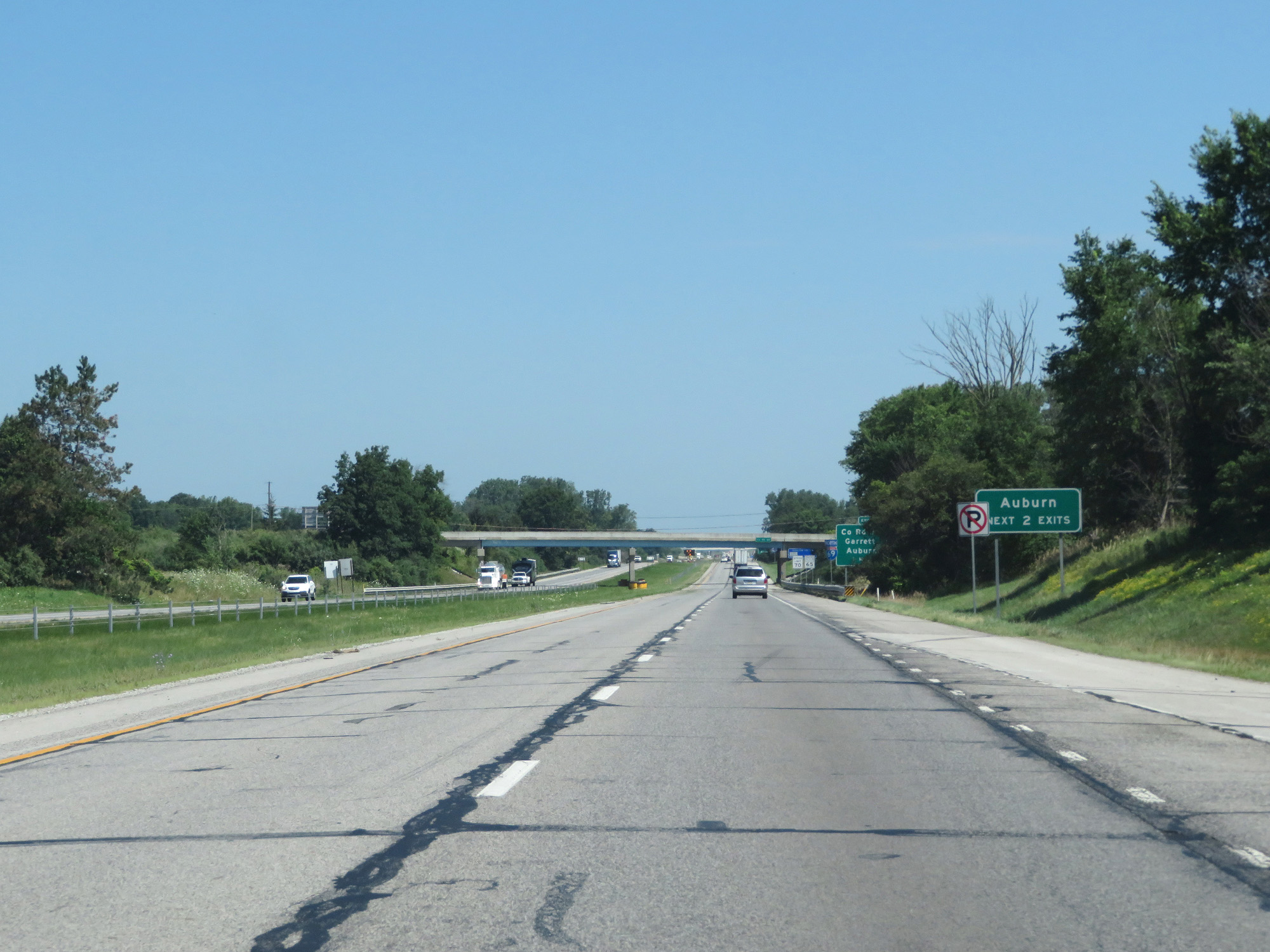 |
Take either of the next 2 exits to Auburn. (Photo taken 7/19/17). |
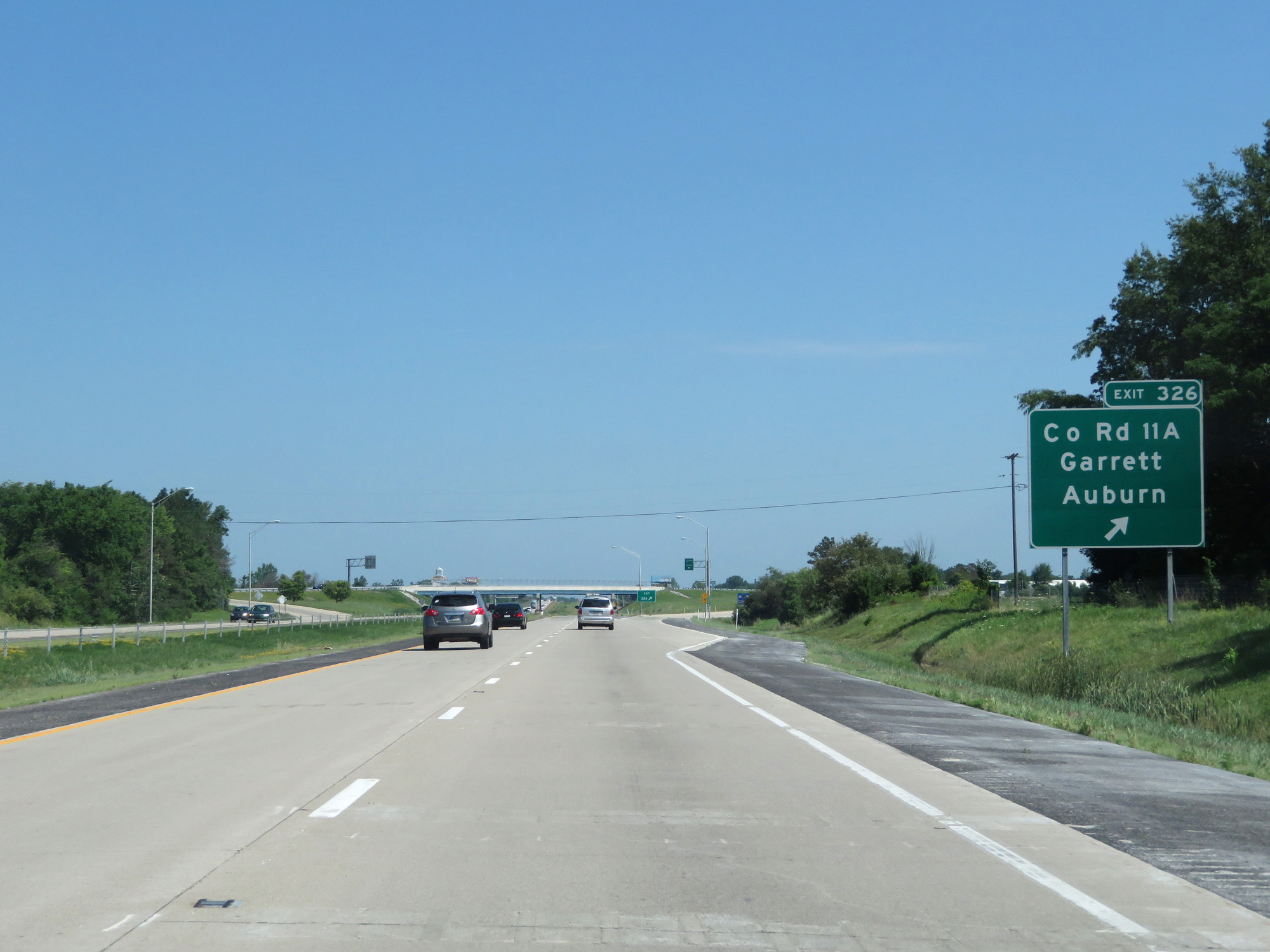 |
Interstate 69 North at Exit 326: County Rd 11A / Garrett / Auburn (Photo taken 7/19/17). |
 |
Interstate 69 North reassurance shield. (Photo taken 7/19/17). |
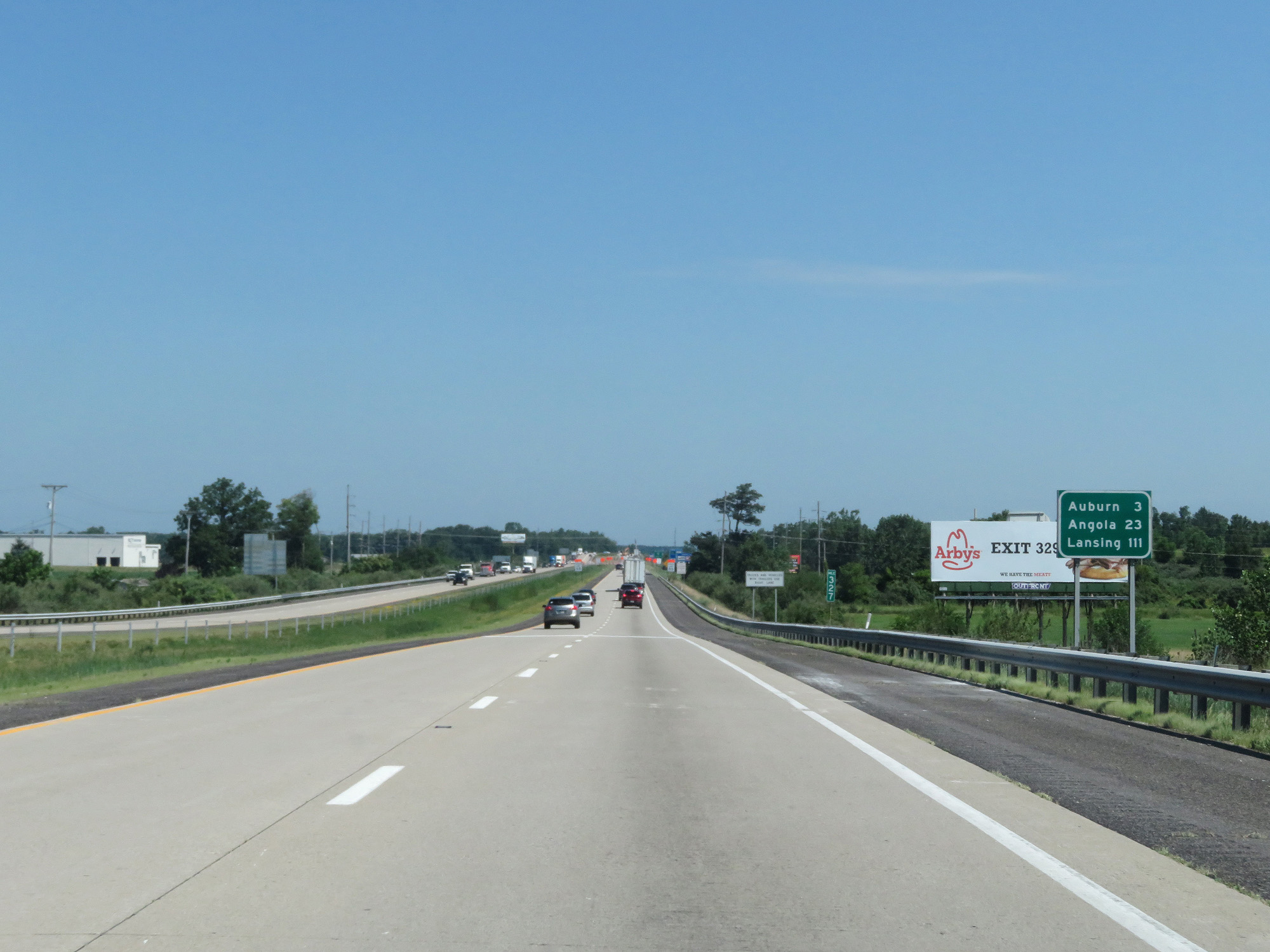 |
Mileage sign on Interstate 69 North. It's 3 miles to Auburn, 23 miles to Angola, and 111 miles to Lansing. (Photo taken 7/19/17). |
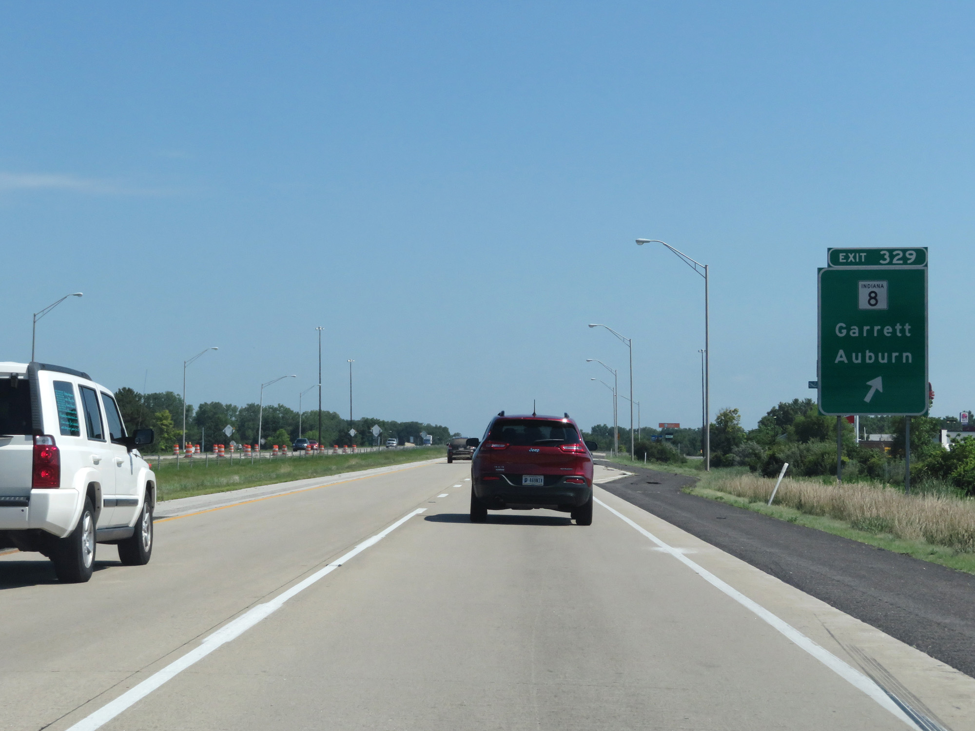 |
Interstate 69 North at Exit 329: IN 8 - Garrett / Auburn (Photo taken 7/19/17). |
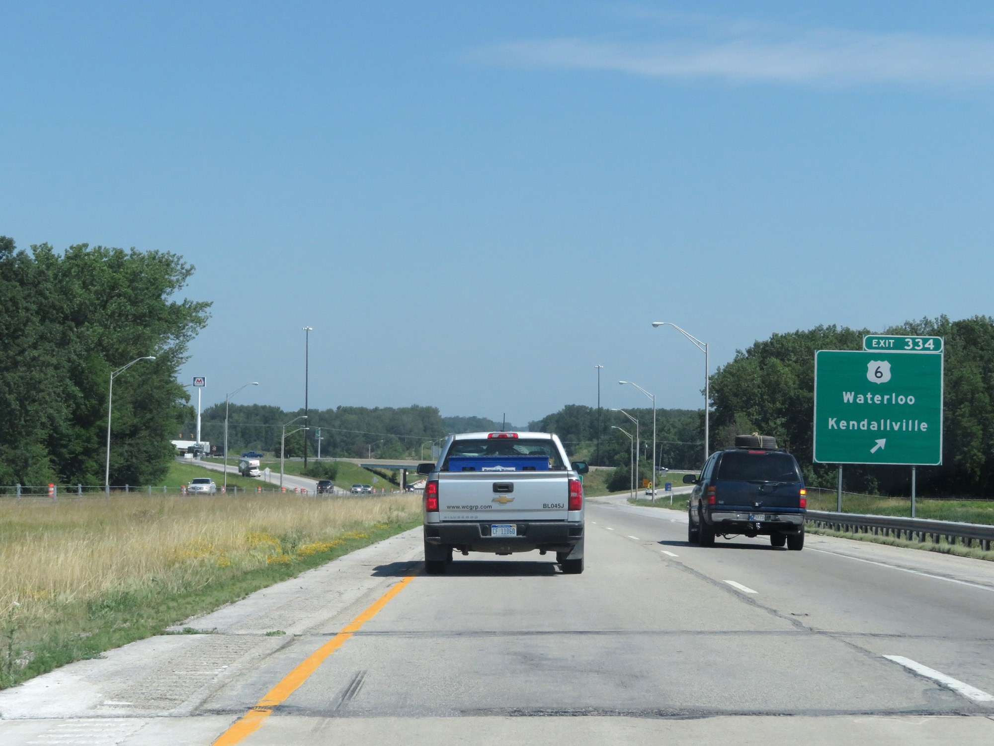 |
Interstate 69 North at Exit 334: US 6 - Waterloo / Kendallville (Photo taken 7/19/17). |
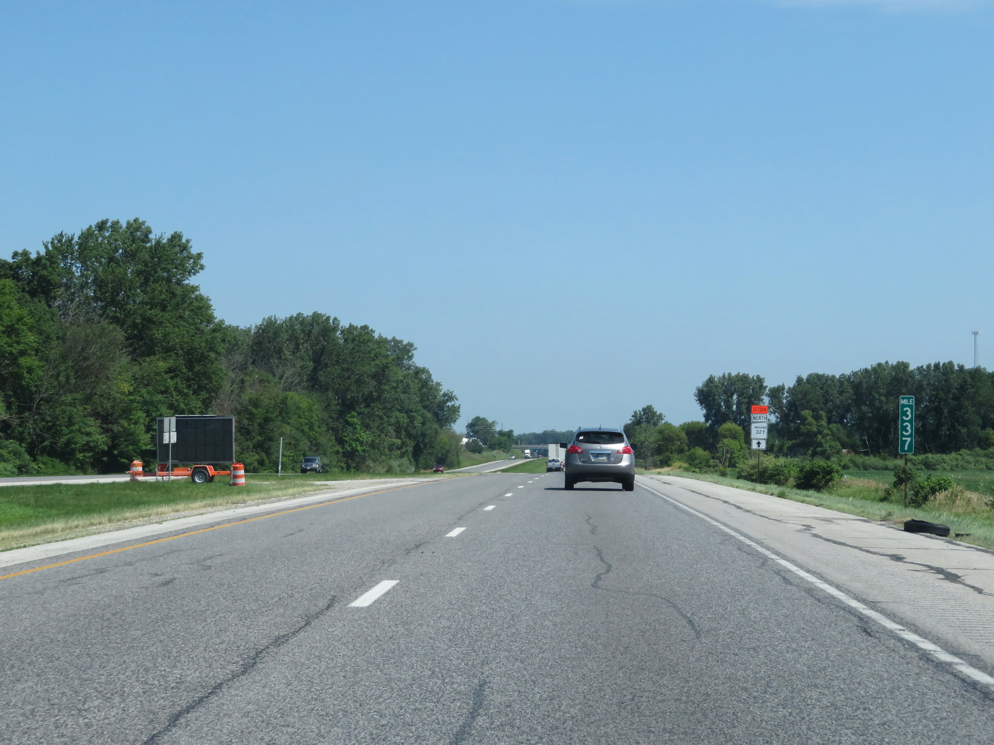 |
Interstate 69 North at mile marker 337. (Photo taken 7/19/17). |
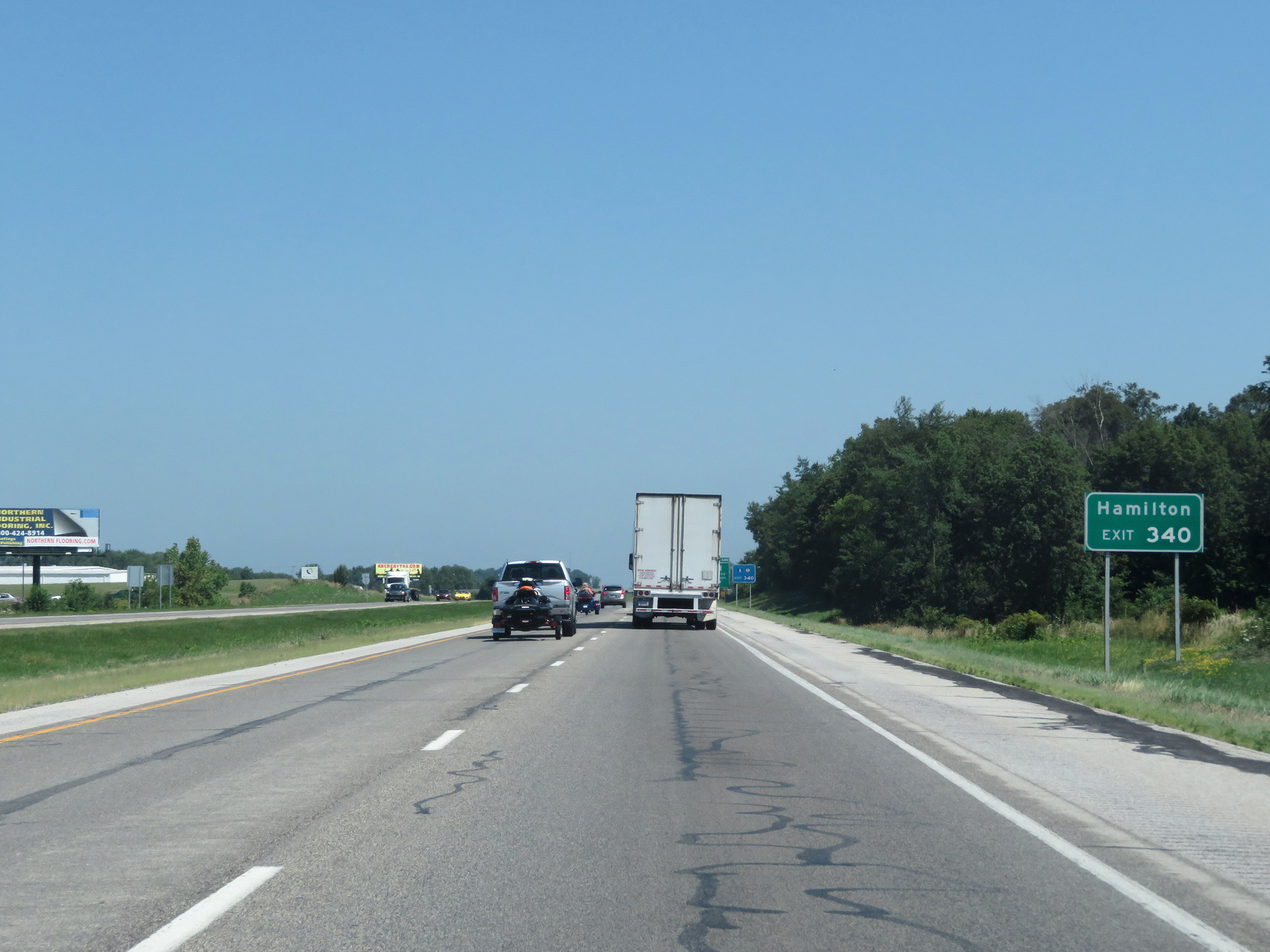 |
Take Exit 340 to Hamilton. (Photo taken 7/19/17). |
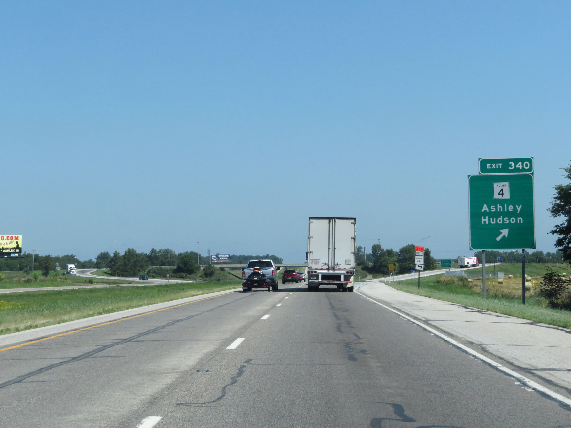 |
Interstate 69 North at Exit 340: IN 4 - Ashley / Hudson (Photo taken 7/19/17). |
 |
Interstate 69 North entering Steuben County. (Photo taken 7/19/17). |
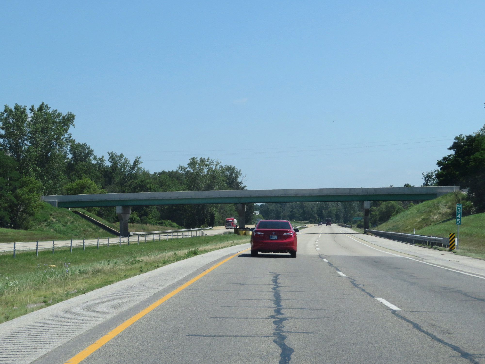 |
Interstate 69 North at mile marker 345. (Photo taken 7/19/17). |
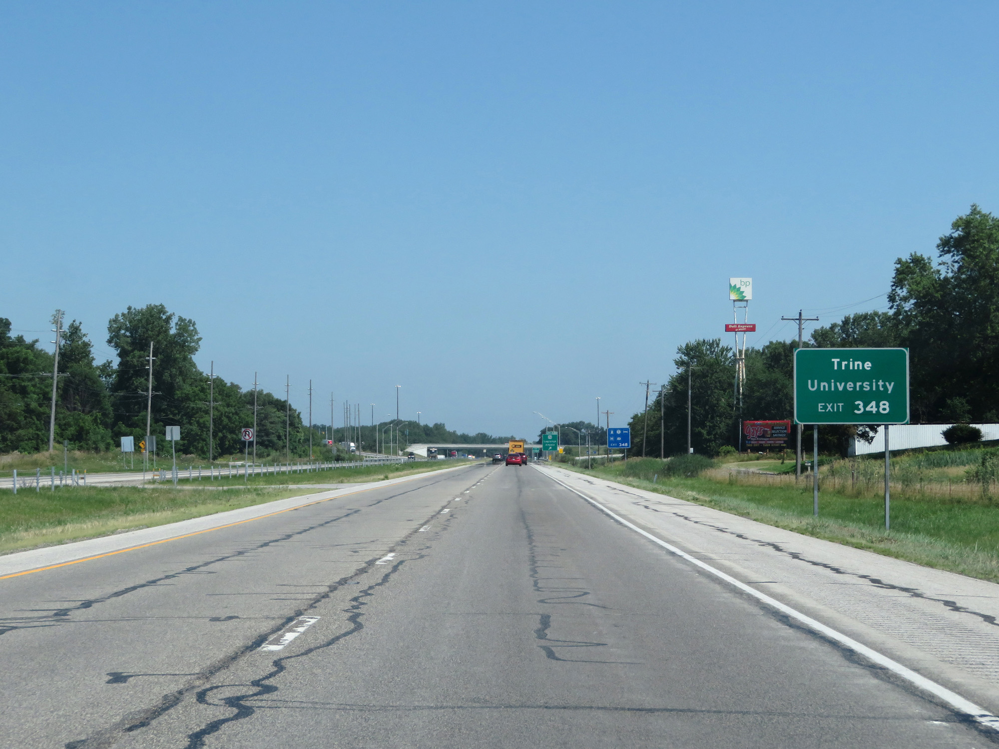 |
Take Exit 348 to Trine University. (Photo taken 7/19/17). |
 |
Interstate 69 North at Exit 348: US 20 - Lagrange / Angola (Photo taken 7/19/17). |
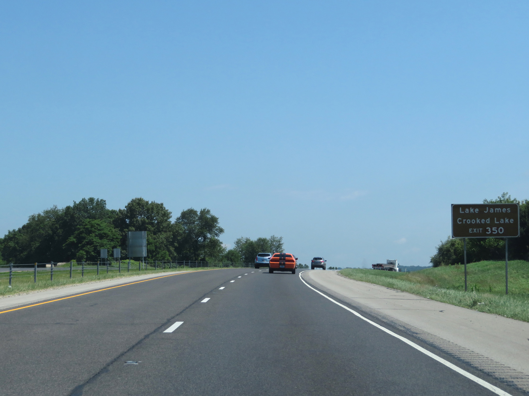 |
Take Exit 350 to Lake James and Crooked Lake. (Photo taken 7/19/17). |
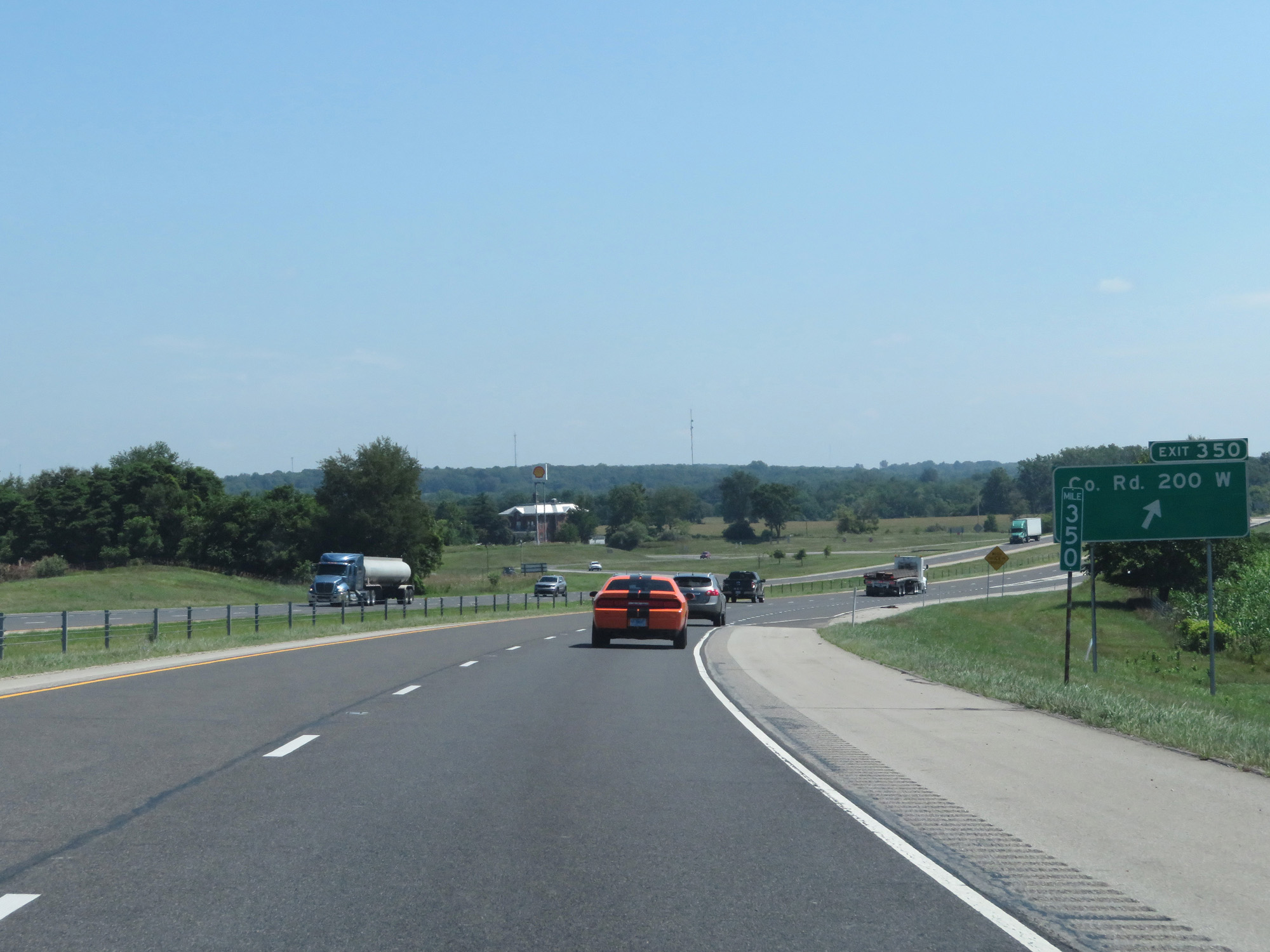 |
Interstate 69 North at Exit 350: County Rd 200 W (Photo taken 7/19/17). |
 |
Interstate 69 North at mile marker 352. (Photo taken 7/19/17). |
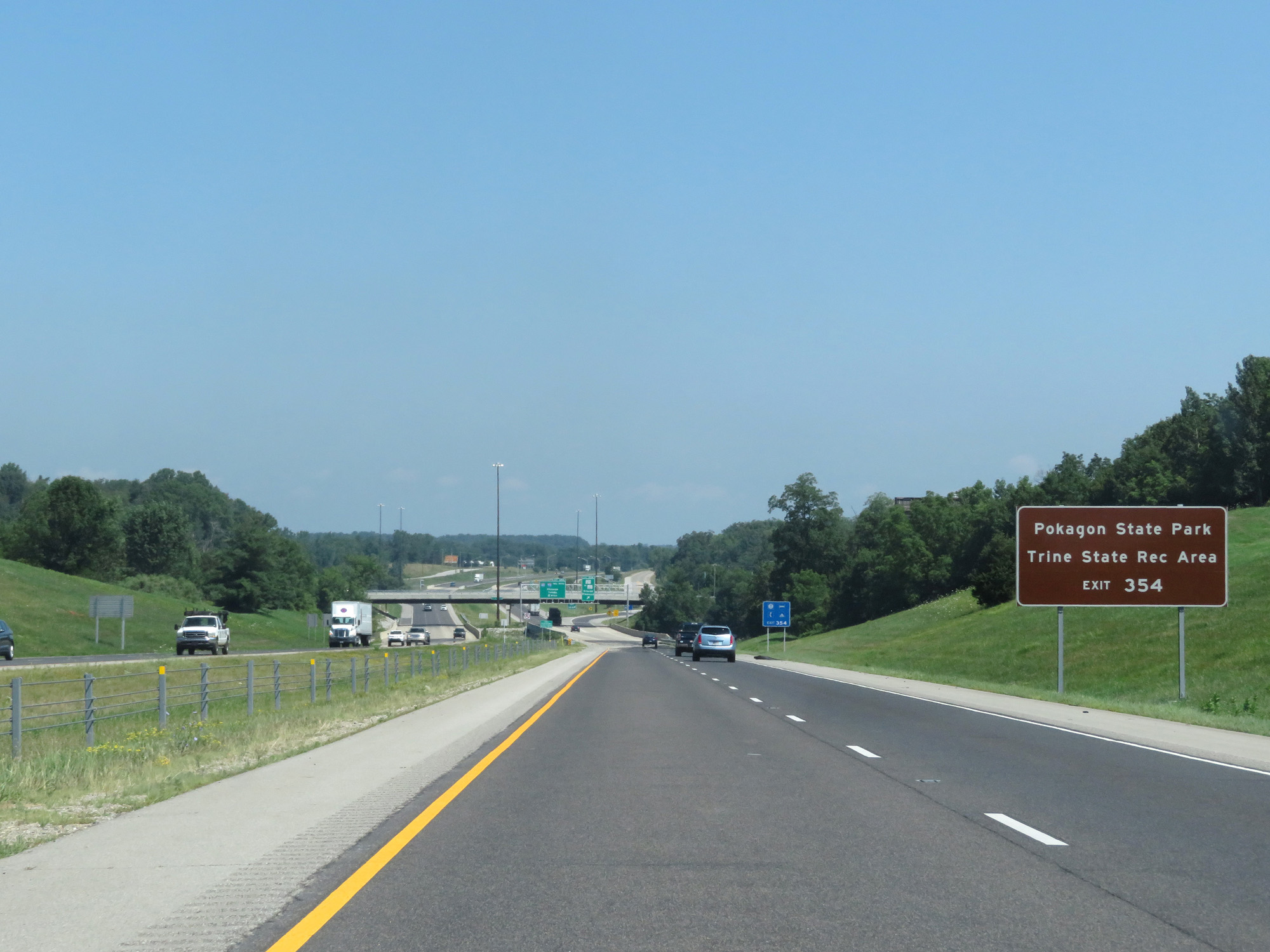 |
Take Exit 354 to Pokagon State Park and Trine State Recreation Area. (Photo taken 7/19/17). |
 |
Interstate 69 North at Exit 354: IN 127 / To IN 120 - Orland / Fremont (Photo taken 7/19/17). |
 |
Interstate 69 North reassurance shield. (Photo taken 7/19/17). |
 |
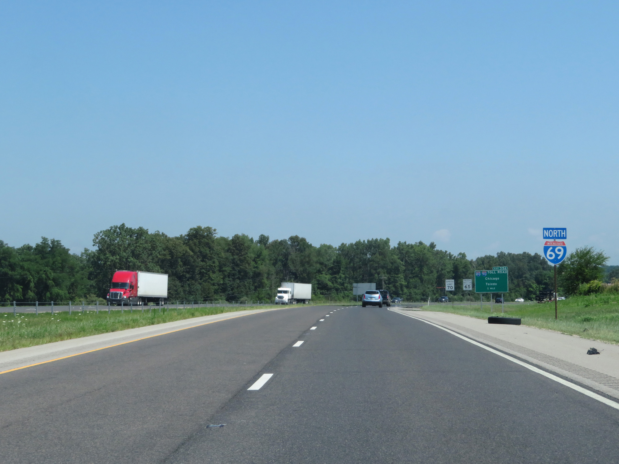
Interstate 69 North approaching Exit 356 - 1 mile. (Photo taken 7/19/17). |
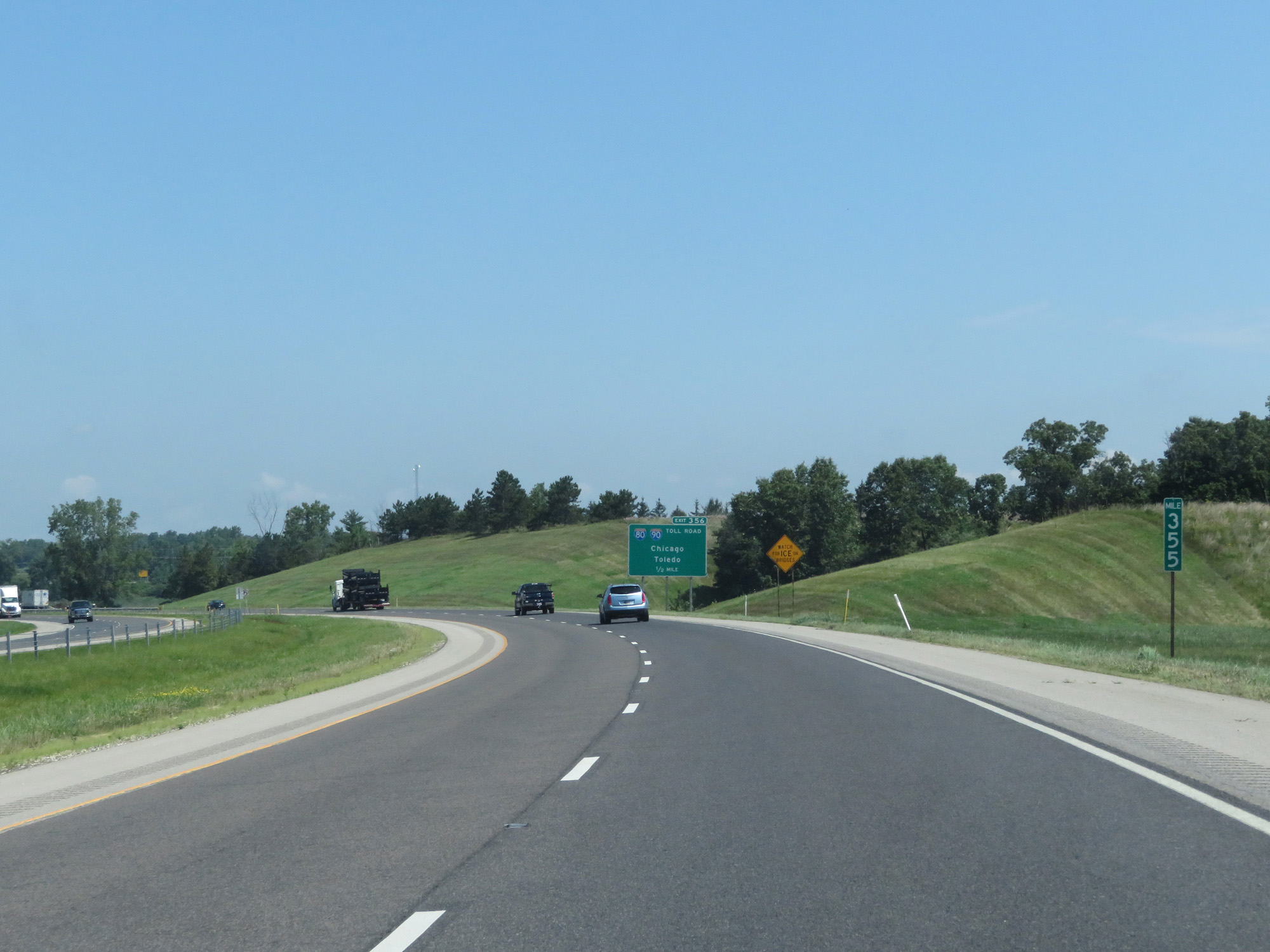 |
Interstate 69 North at mile marker 355. (Photo taken 7/19/17). |
 |
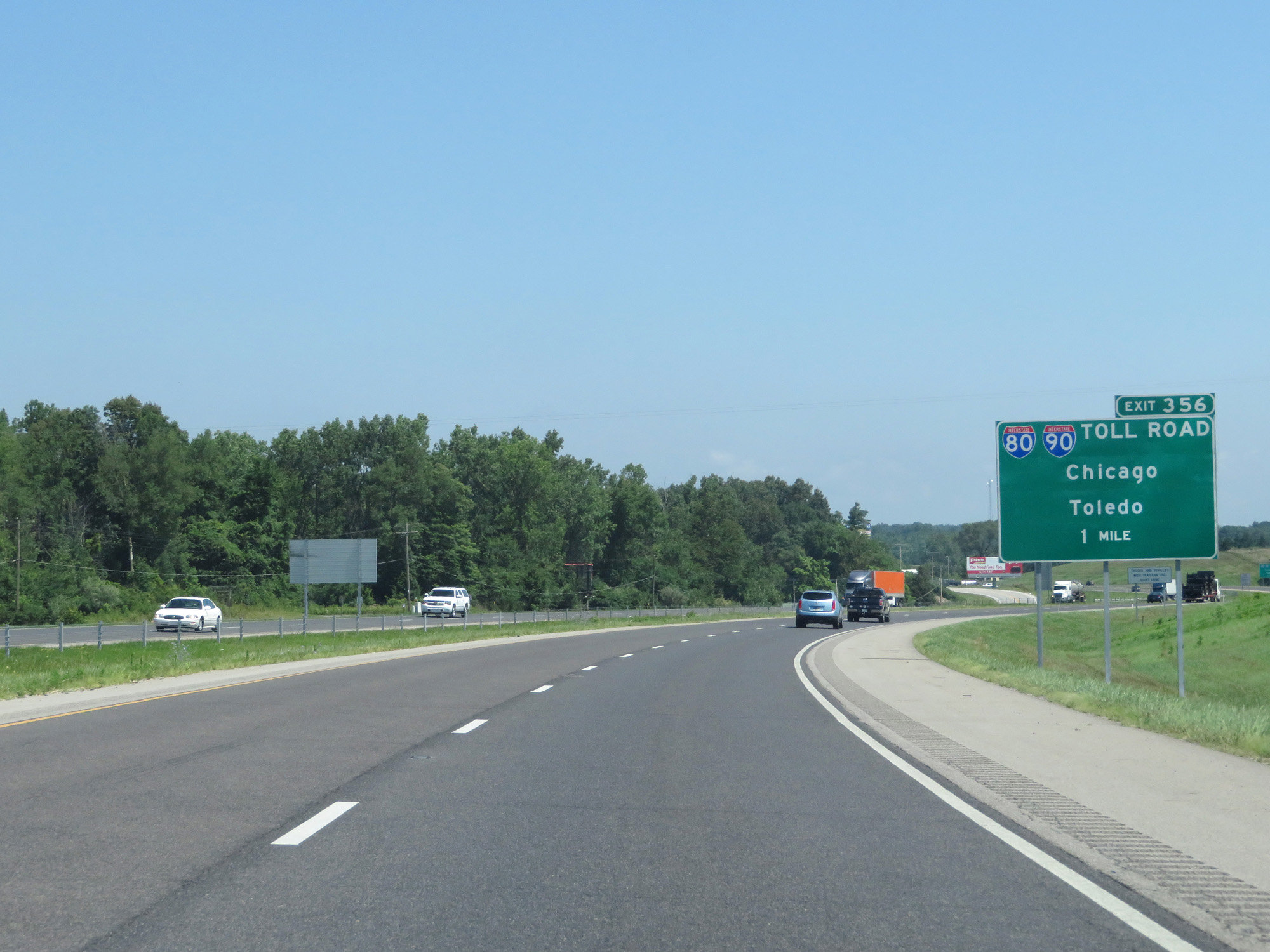
Interstate 69 North at Exit 356: Interstate 80 / Interstate 90 (Indiana Toll Road) - Chicago / Toledo (Photo taken 7/19/17). |
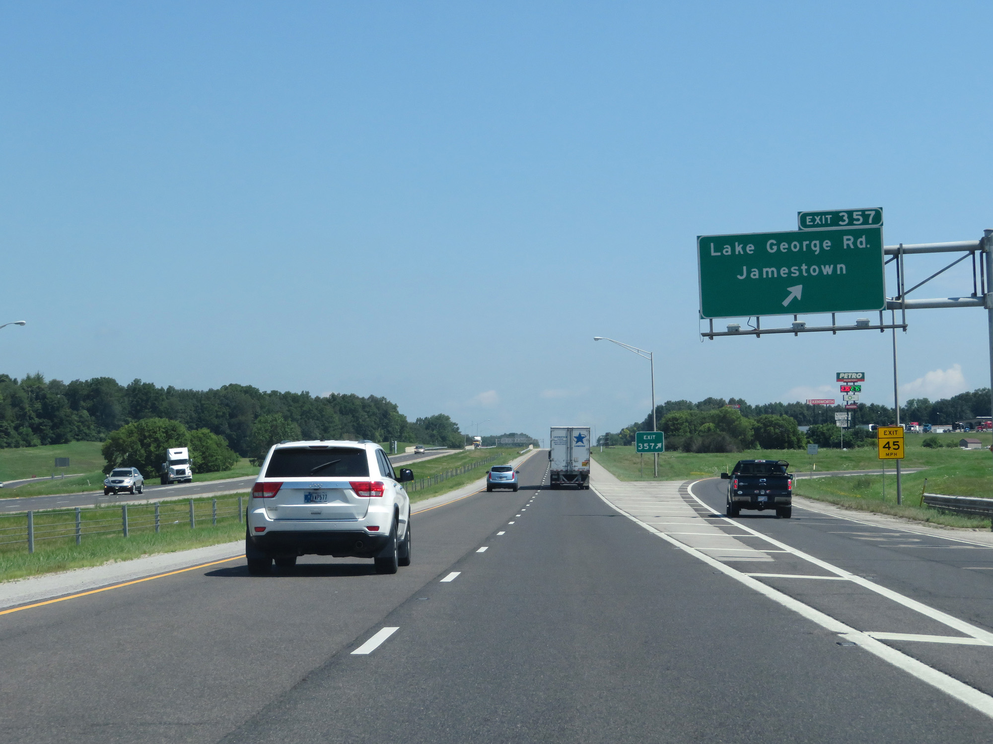 |
Interstate 69 North at Exit 357: Lake George Rd / Jamestown (Photo taken 7/19/17). |
 |
One final Interstate 69 North reassurance shield. (Photo taken 7/19/17). |
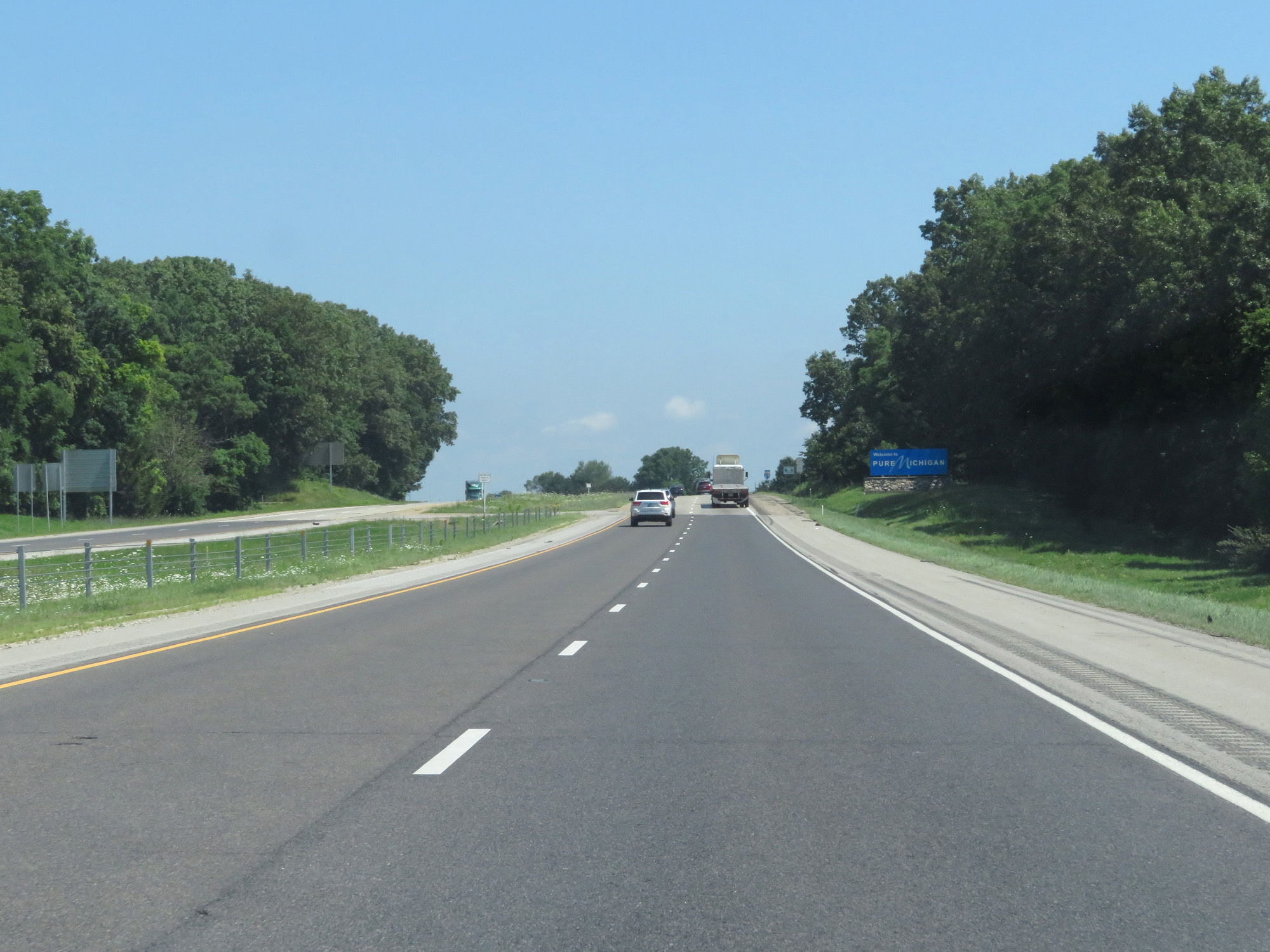 |
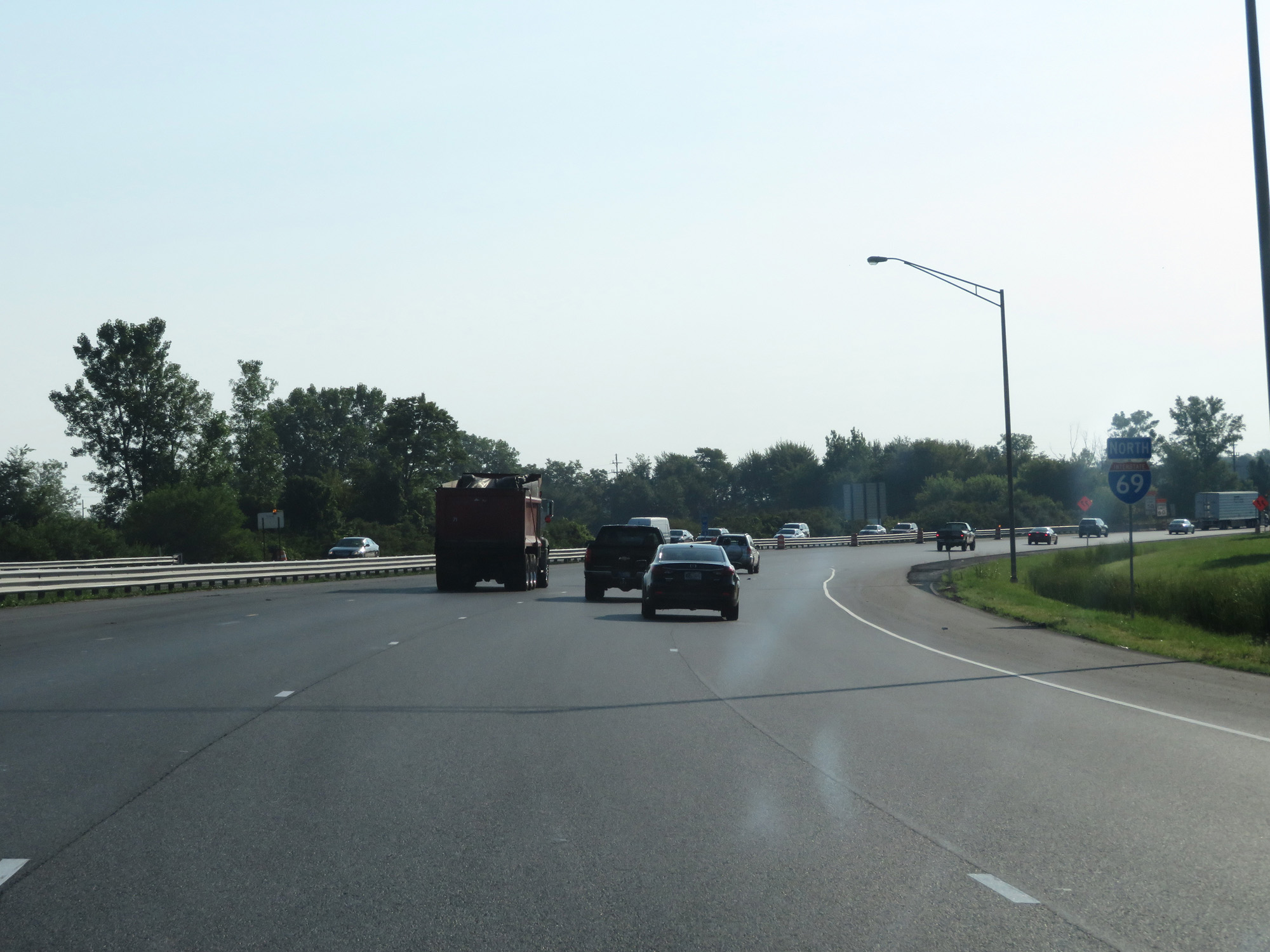
Interstate 69 North at the Michigan state line. (Photo taken 7/19/17). |