Road Information |
||
 |
||
| Total Mileage in State: | 261 miles | |
| Northern End: | At US 20/US 12, in Gary | |
| Southern End: | At Kentucky state line | |
| Mileage covered in Photos: | 261 miles | |
| Counties covered in Photos: | Lake, Newton, Jasper, White, Tippecanoe, Clinton, Boone, Hendricks, Marion, Johnson, Shelby, Bartholomew, Jackson, Scott, Clark | |
| Major Junctions in Photos: | I-80/I-94, in Gary I-865, in Indianapolis I-465, in Indianapolis I-70, in Indianapolis I-74/I-465, in Indianapolis I-265, in Jeffersonville |
|
| Control Cities in Photos: | Gary, Lafayette, Indianapolis, Columbus, Seymour, Jeffersonville | |
Southbound
- Section 1: Gary to Lafayette (Exit 172)
- Section 2: Layfayette (Exit 172) to Indianapolis (Exit 110A)
- Section 3: Indianapolis (Exit 110A) to Seymour (Exit 50A)
- Section 4: Seymour (Exit 50A) to Kentucky Border
Section 1: Gary to Lafayette (Exit 172)
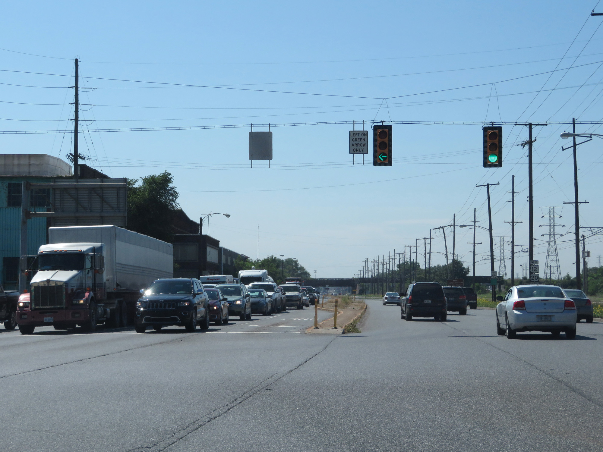 |
View on US 20 West / US 12 West in Gary, where making a left turn at this signal puts you on the northern beginning of Interstate 65 South. (Photo taken 7/18/17). |
 |
View on Interstate 65 South as it begins just to the south of US 20 / US 12 in Gary. The speed limit starts out at 50 mph. (Photo taken 7/18/17). |
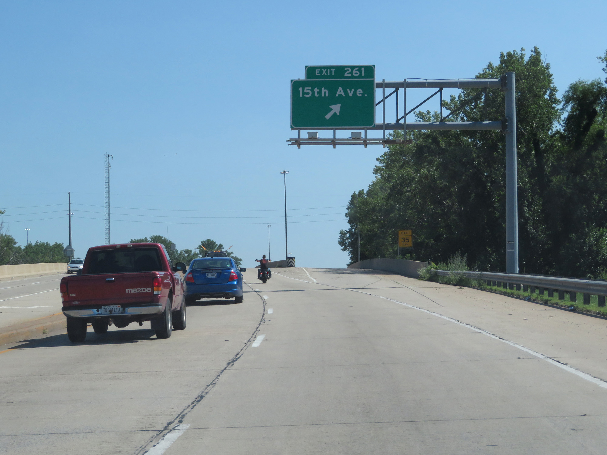 |
Interstate 65 South at Exit 261: 15th Ave (Photo taken 7/18/17). |
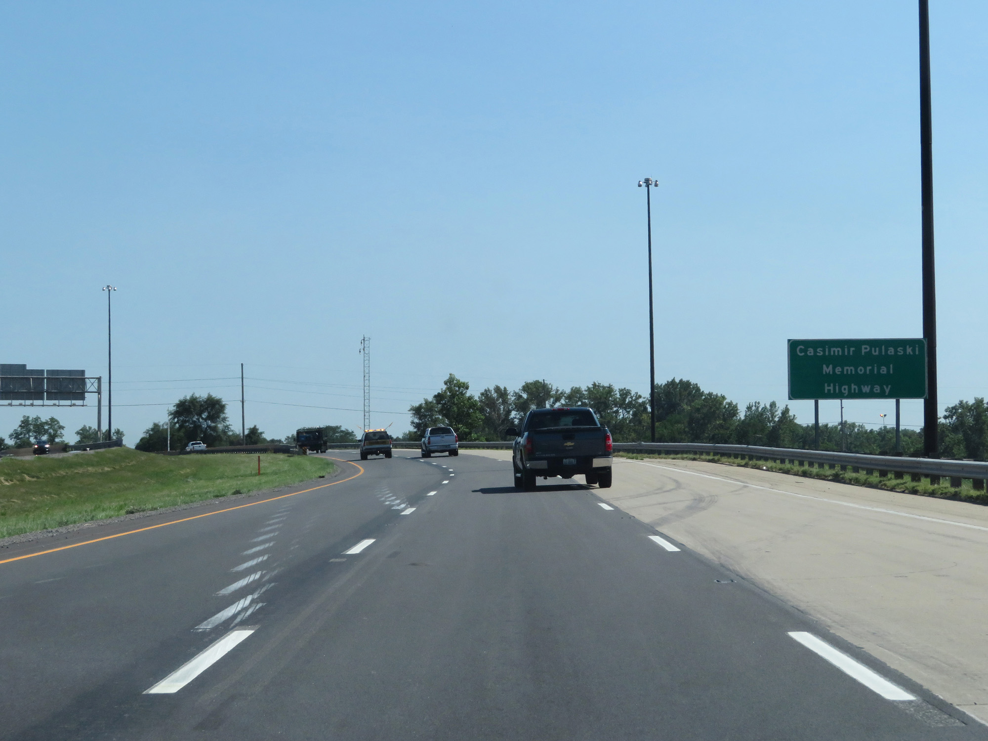 |
As this sign reads, Interstate 65 is also known as Casimir Pulaski Memorial Highway. (Photo taken 7/18/17). |
 |
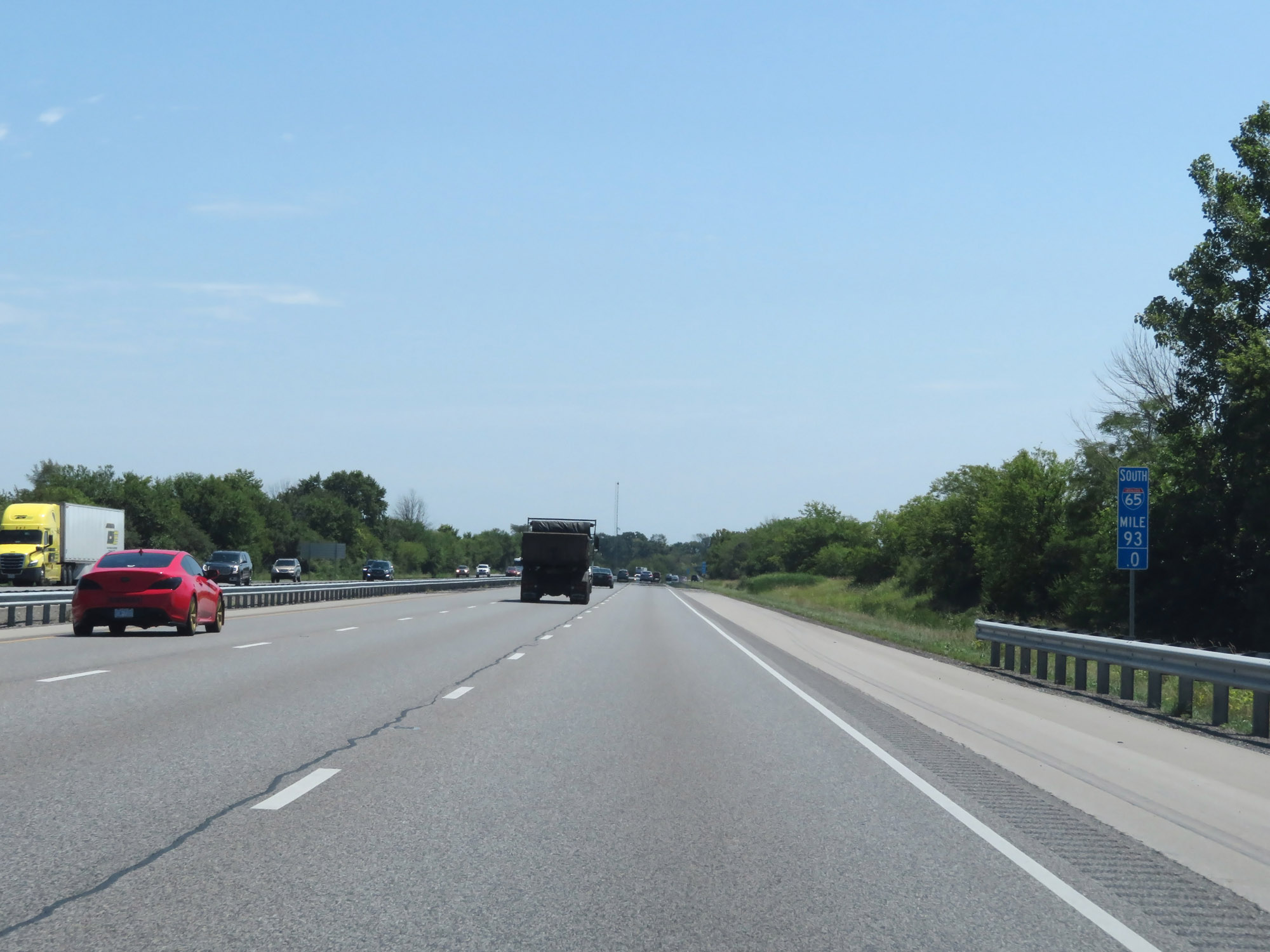
Interstate 65 South at mile marker 261. (Photo taken 7/18/17). |
 |
A mile from Exits 259A-B, the speed limit gets a slight bump up to 55 mph. (Photo taken 7/18/17). |
 |
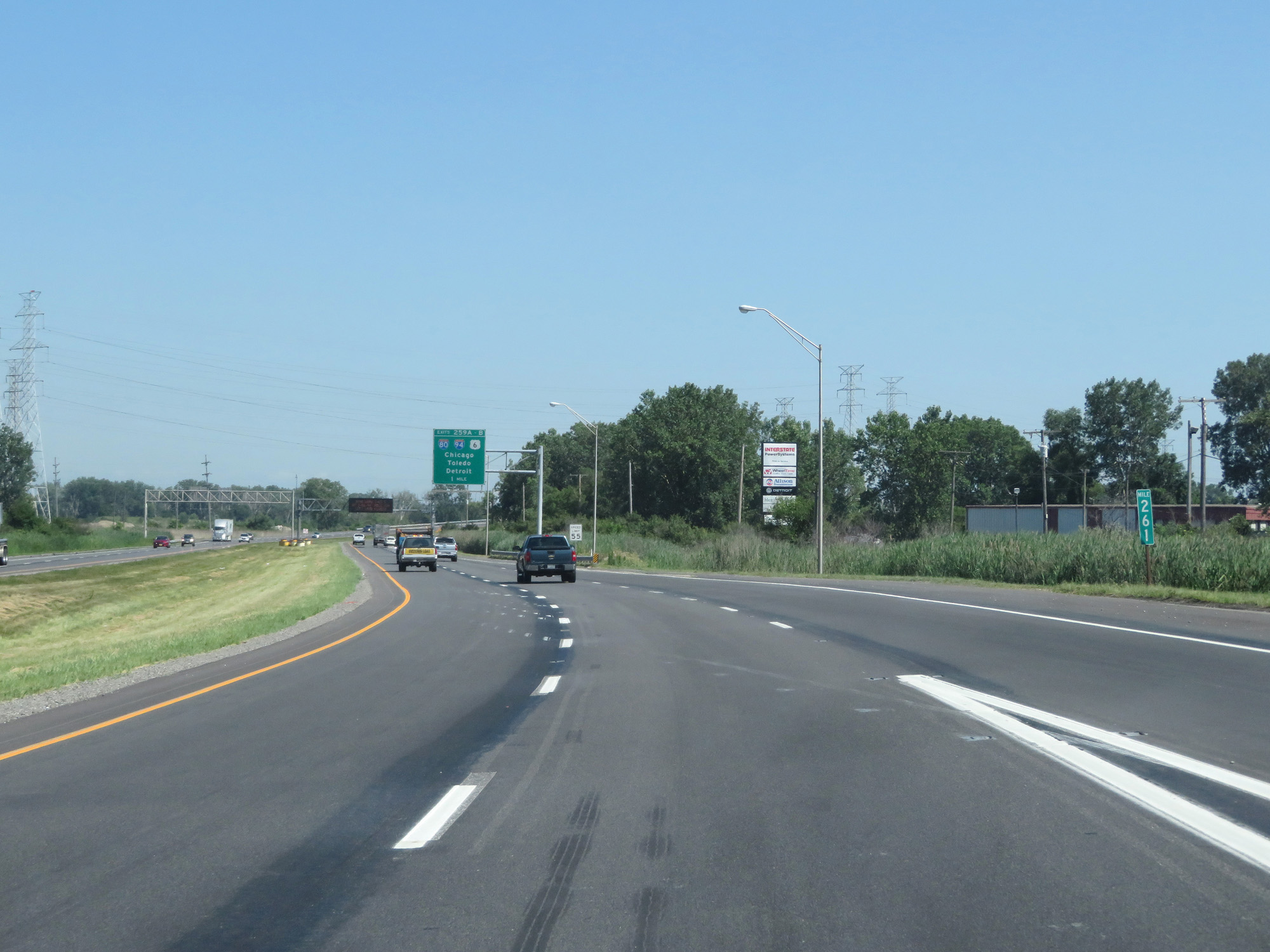
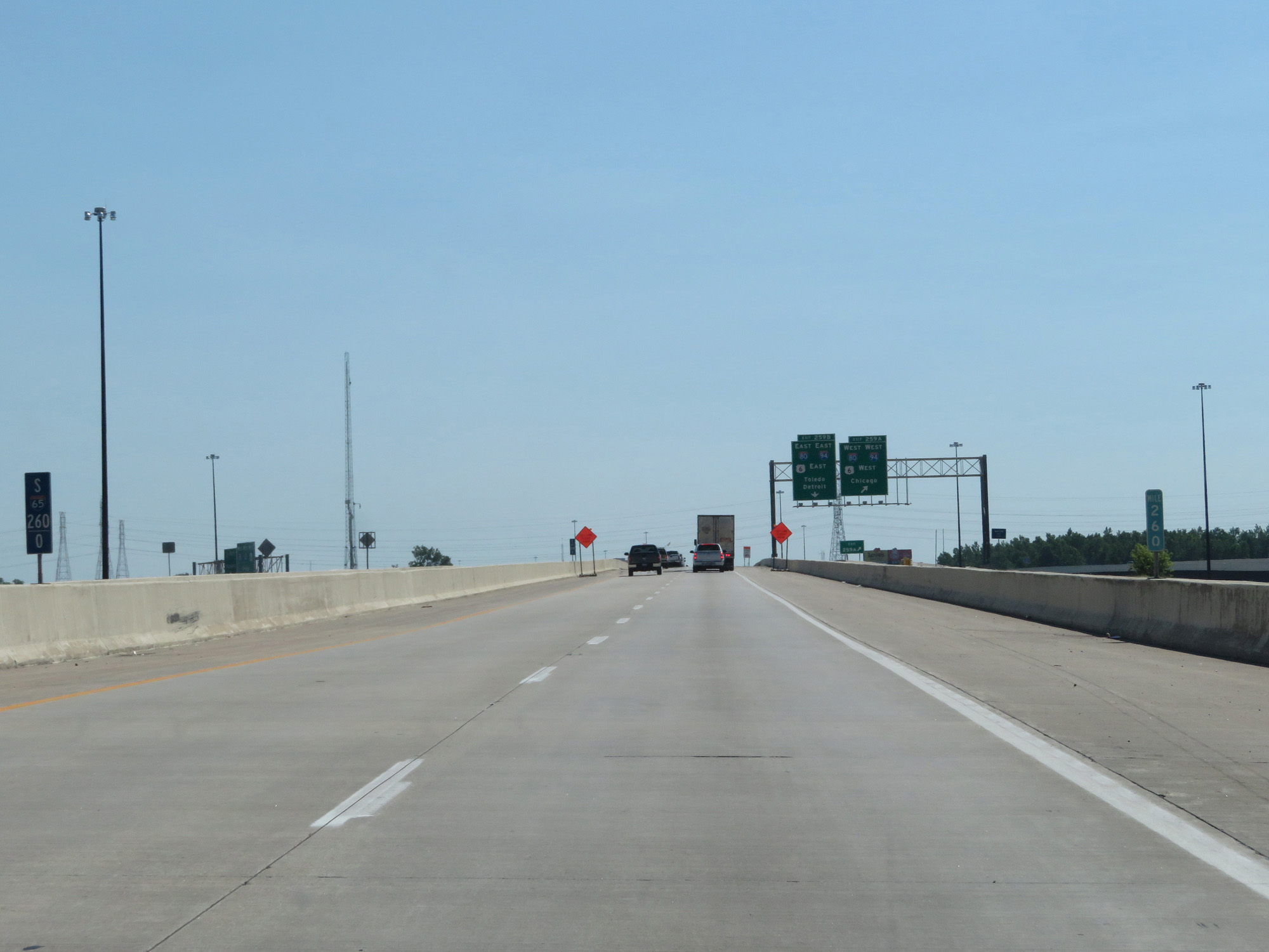
Interstate 65 South at Exits 259A-B: Interstate 80 / Interstate 94 / US 6 - Chicago / Toledo / Detroit (Photo taken 7/18/17). |
 |
Interstate 65 South at mile marker 260. (Photo taken 7/18/17). |
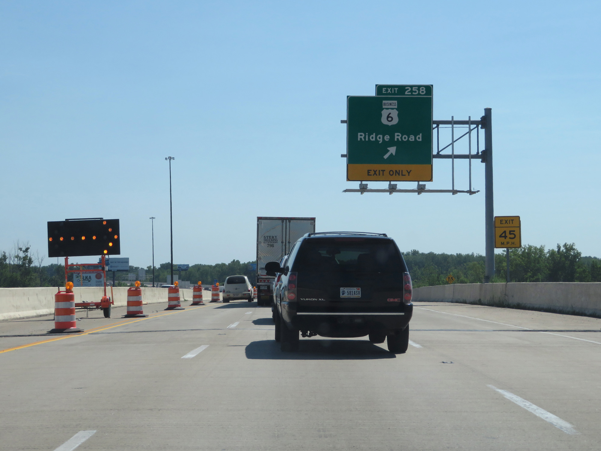 |
Interstate 65 South at Exit 258: US 6 Business - Ridge Road (Photo taken 7/18/17). |
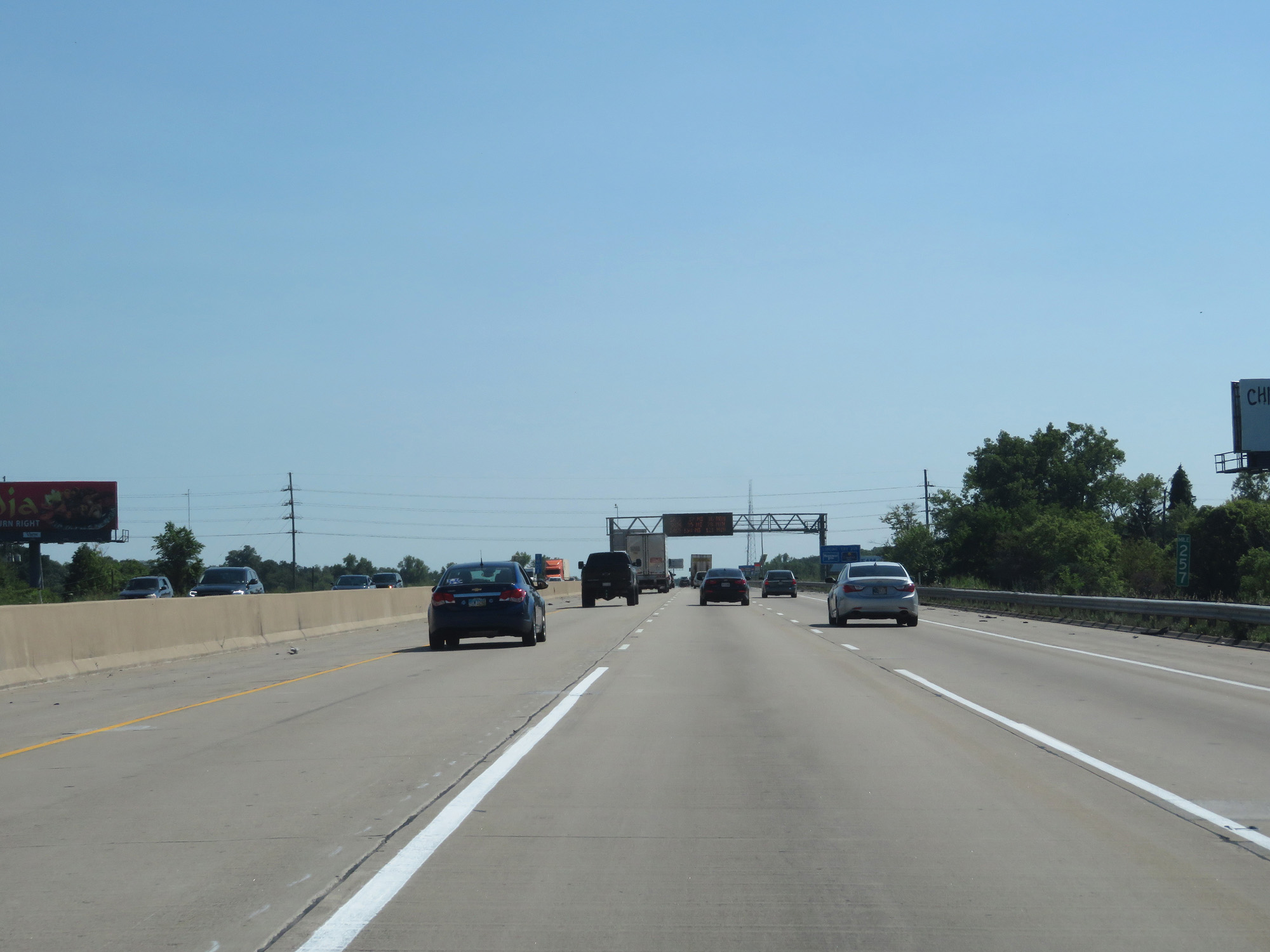 |
Interstate 65 South at mile marker 257. (Photo taken 7/18/17). |
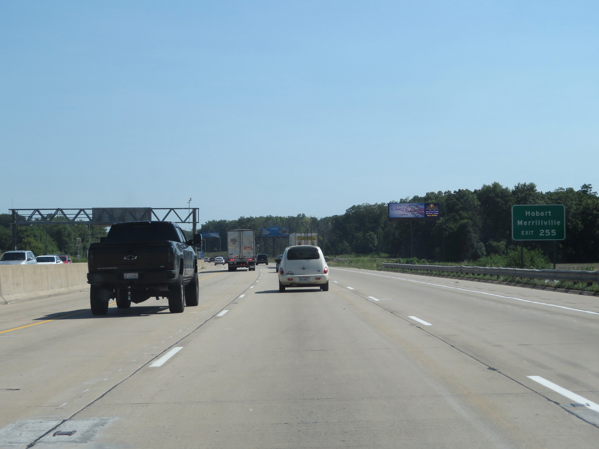 |
Take Exit 255 to Hobart and Merrillville. (Photo taken 7/18/17). |
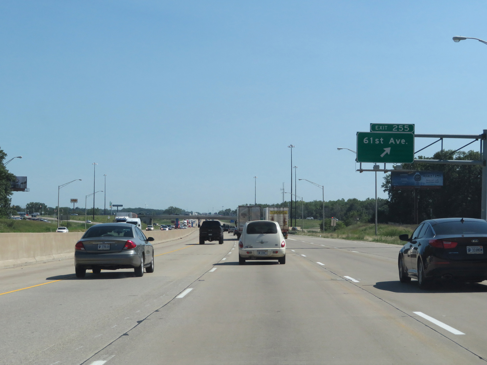 |
Interstate 65 South at Exit 255: 61st Ave (Photo taken 7/18/17). |
 |
Interstate 65 South approaching Exit 253 - 1 mile. (Photo taken 7/18/17). |
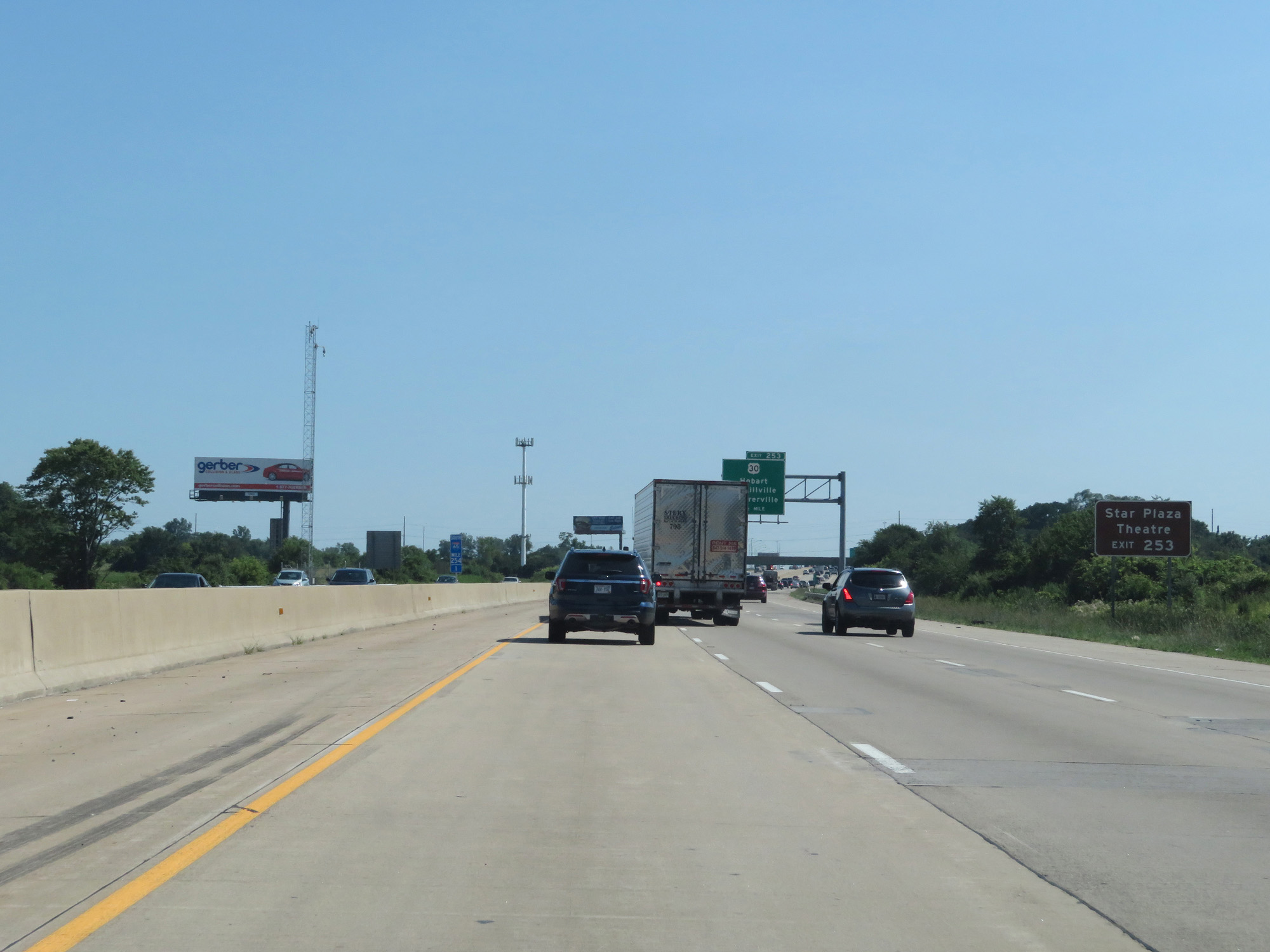 |
Take Exit 253 to Star Plaza Theatre. (Photo taken 7/18/17). |
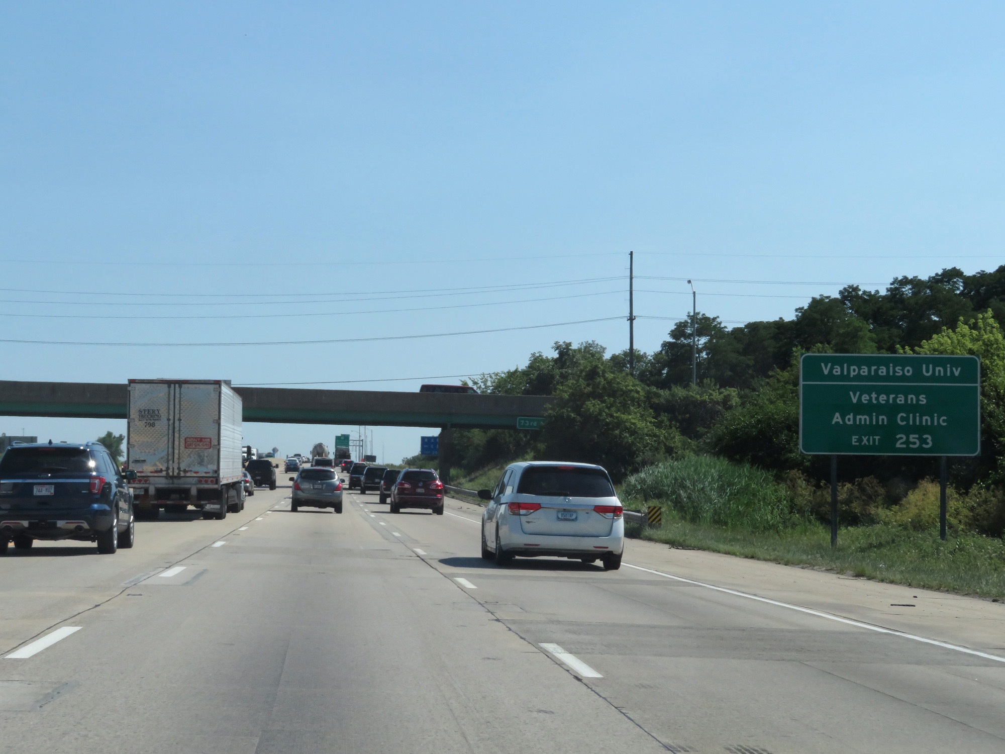 |
Take Exit 253 to Valparaiso University and the Veterans Admin Clinic. (Photo taken 7/18/17). |
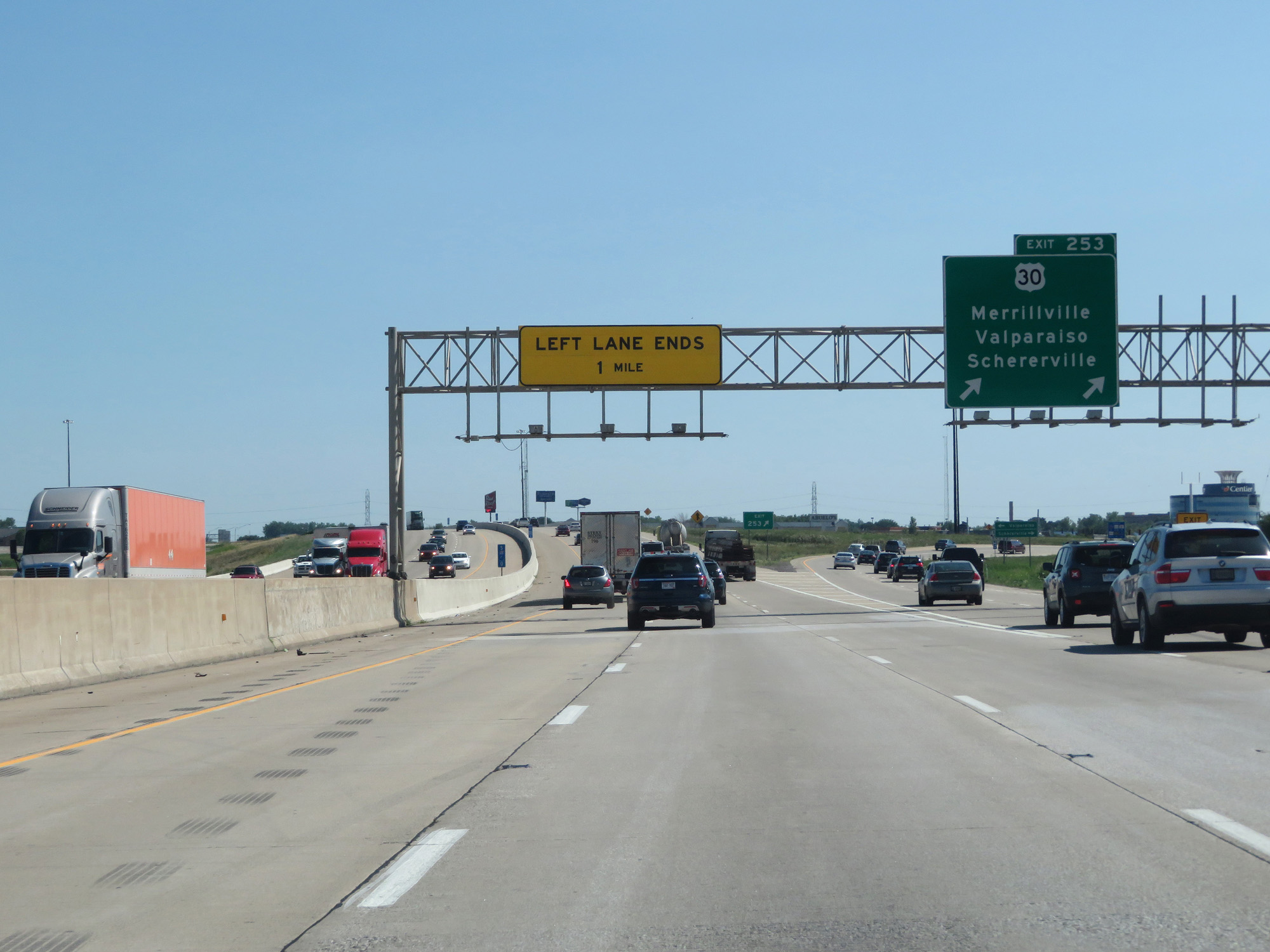 |
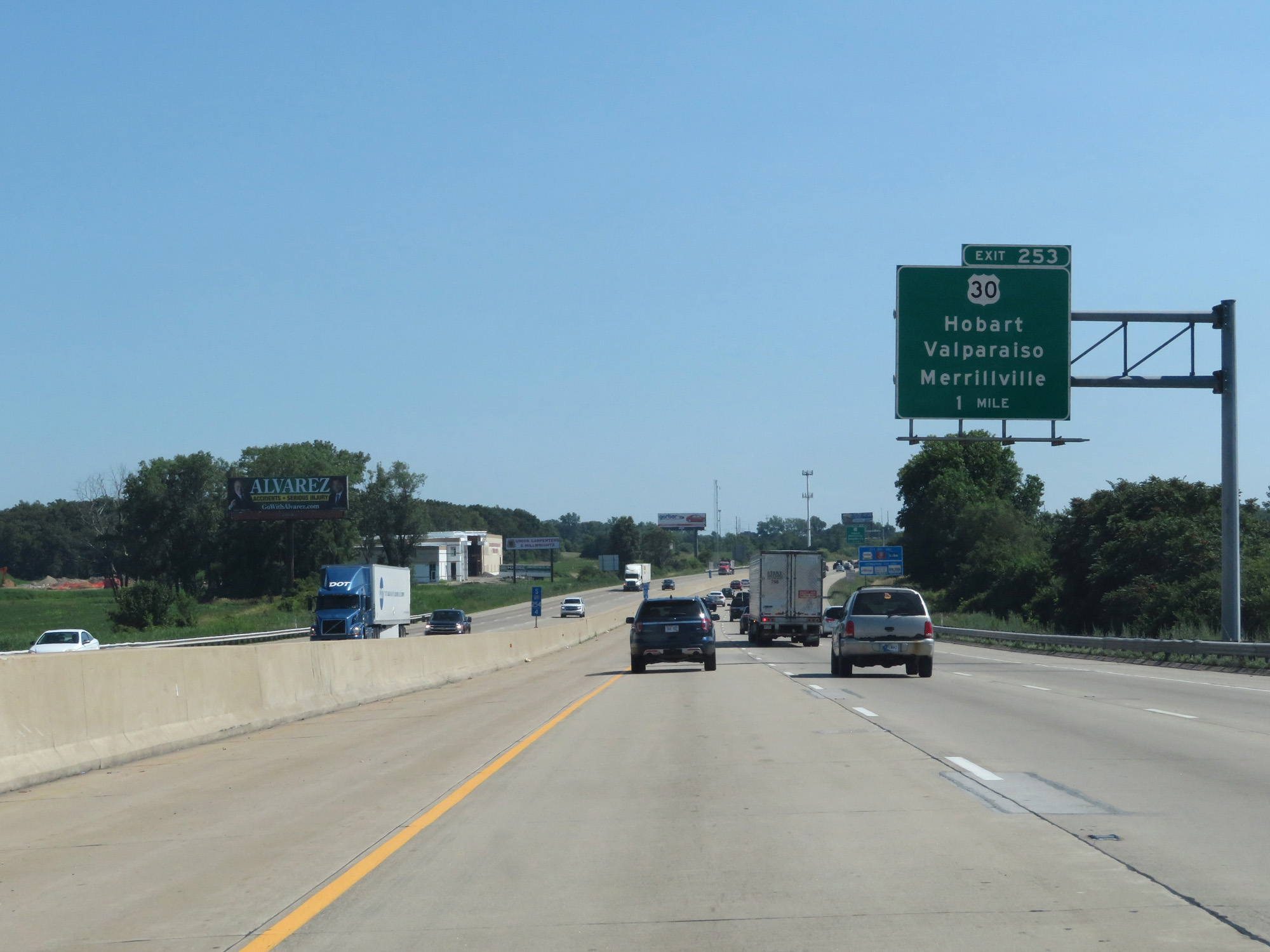
Interstate 65 South at Exit 253: US 30 - Merrillville / Valparaiso / Schererville (Photo taken 7/18/17). |
 |
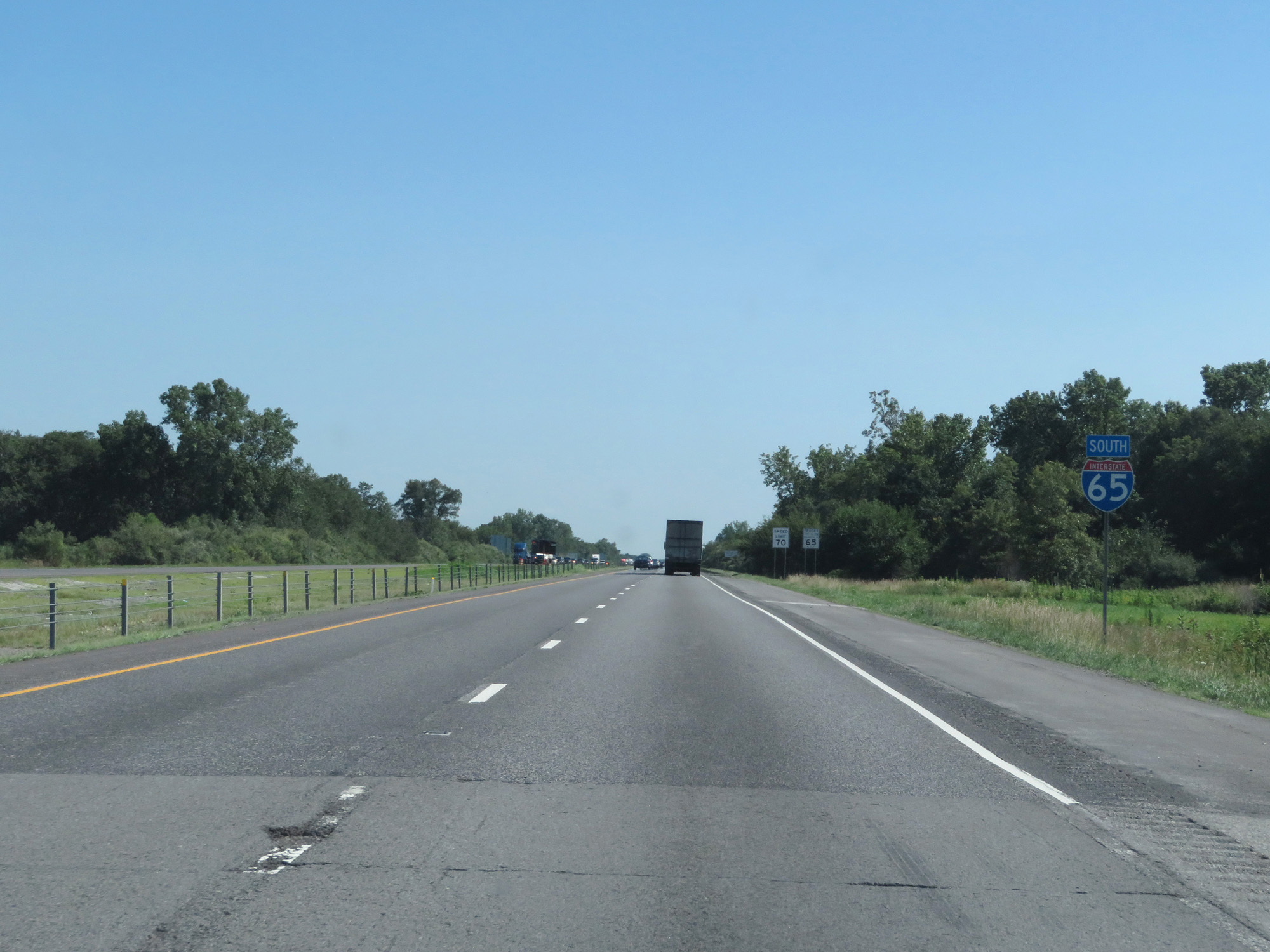
South of Exit 253, the speed limit increases to 70 mph for cars and 65 mph for trucks. These are the standard speed limits on most rural Interstate highways in Indiana. (Photo taken 7/18/17). |
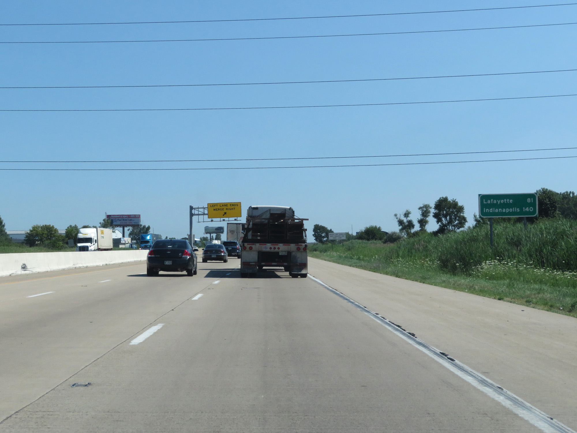 |
Mileage sign on Interstate 65 South. It's 81 miles to Lafayette and 140 miles to Indianapolis. (Photo taken 7/18/17). |
 |
Interstate 65 South is reduced to two lanes approaching Exit 249 as the left lane comes to an end. (Photo taken 7/18/17). |
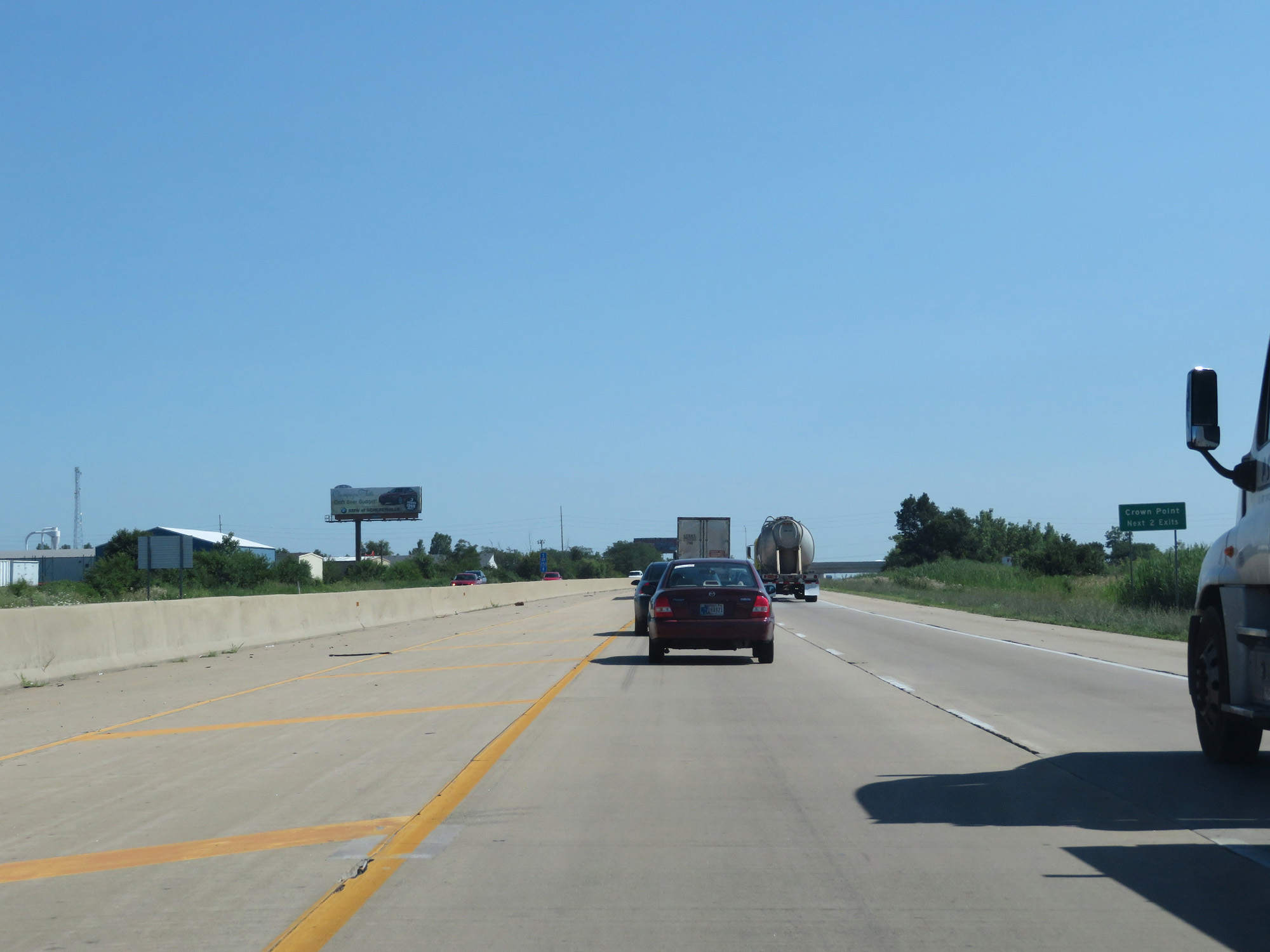 |
Take either of the next 2 exits to Crown Point. (Photo taken 7/18/17). |
 |
Take Exit 249 to Crown Point and Winfield. (Photo taken 7/18/17). |
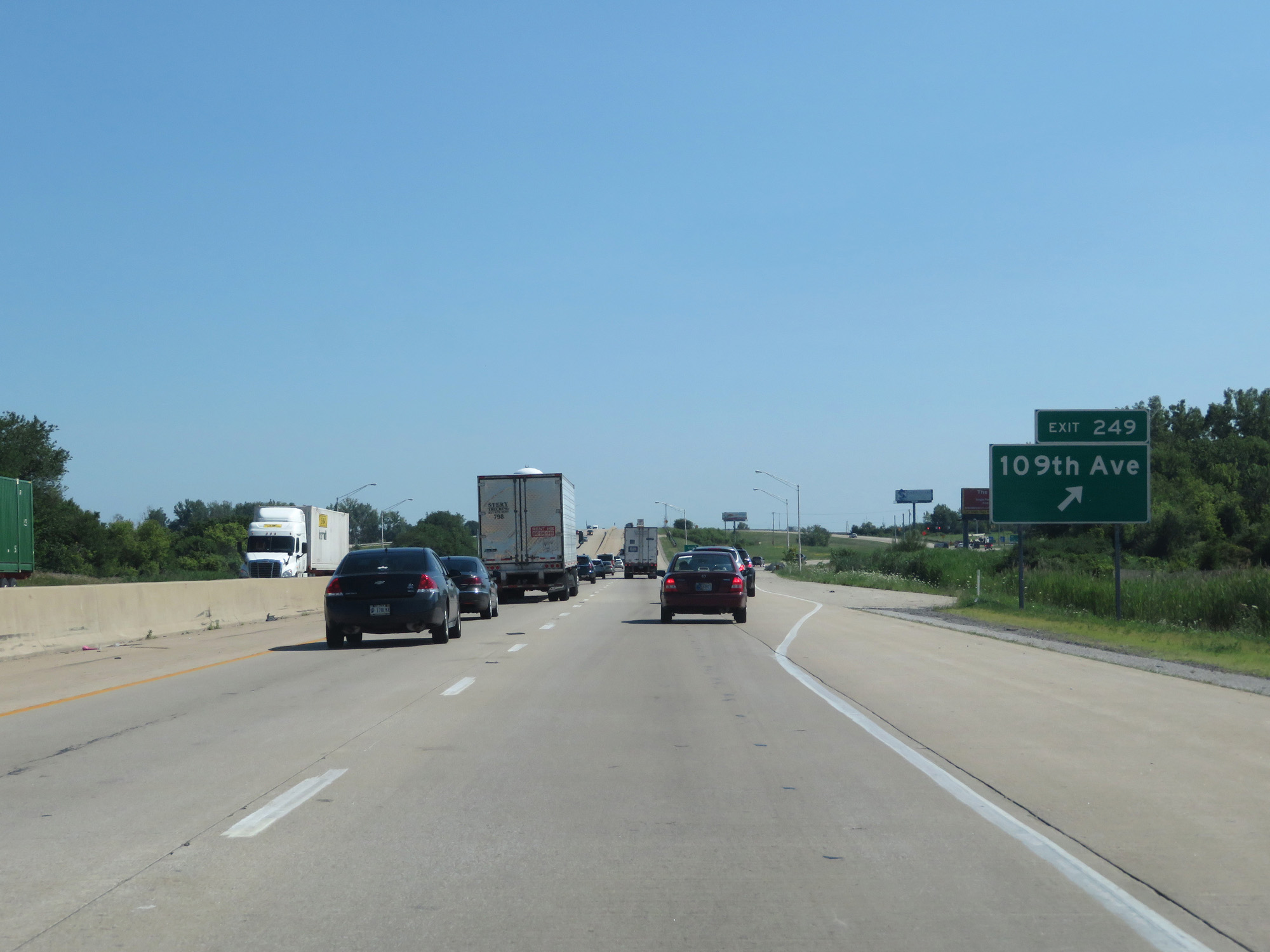 |
Interstate 65 South at Exit 249: 109th Ave (Photo taken 7/18/17). |
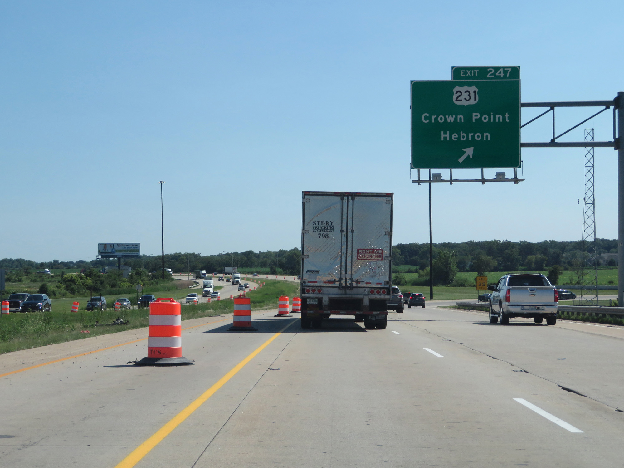 |
Interstate 65 South at Exit 247: US 231 - Crown Point / Hebron (Photo taken 7/18/17). |
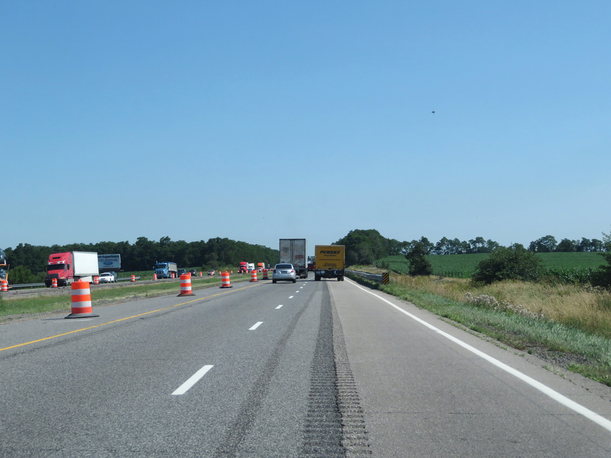 |
View on Interstate 65 South. (Photo taken 7/18/17). |
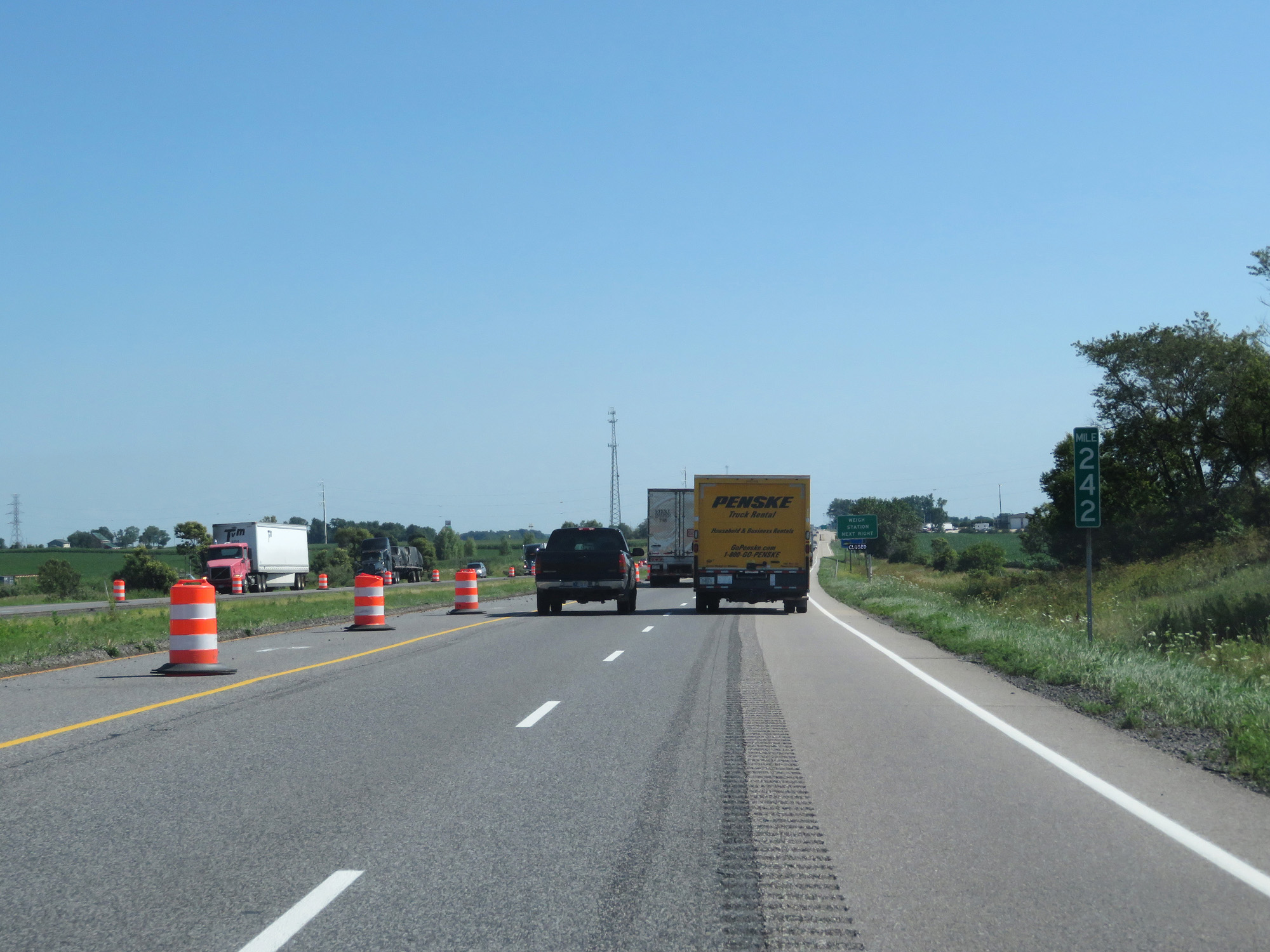 |
Interstate 65 South at mile marker 242. (Photo taken 7/18/17). |
 |
Interstate 65 South at the Weigh Station in Lake County. (Photo taken 7/18/17). |
 |
Interstate 65 South at Exit 240: IN 2 - Lowell (Photo taken 7/18/17). |
 |
Interstate 65 South at mile marker 237. (Photo taken 7/18/17). |
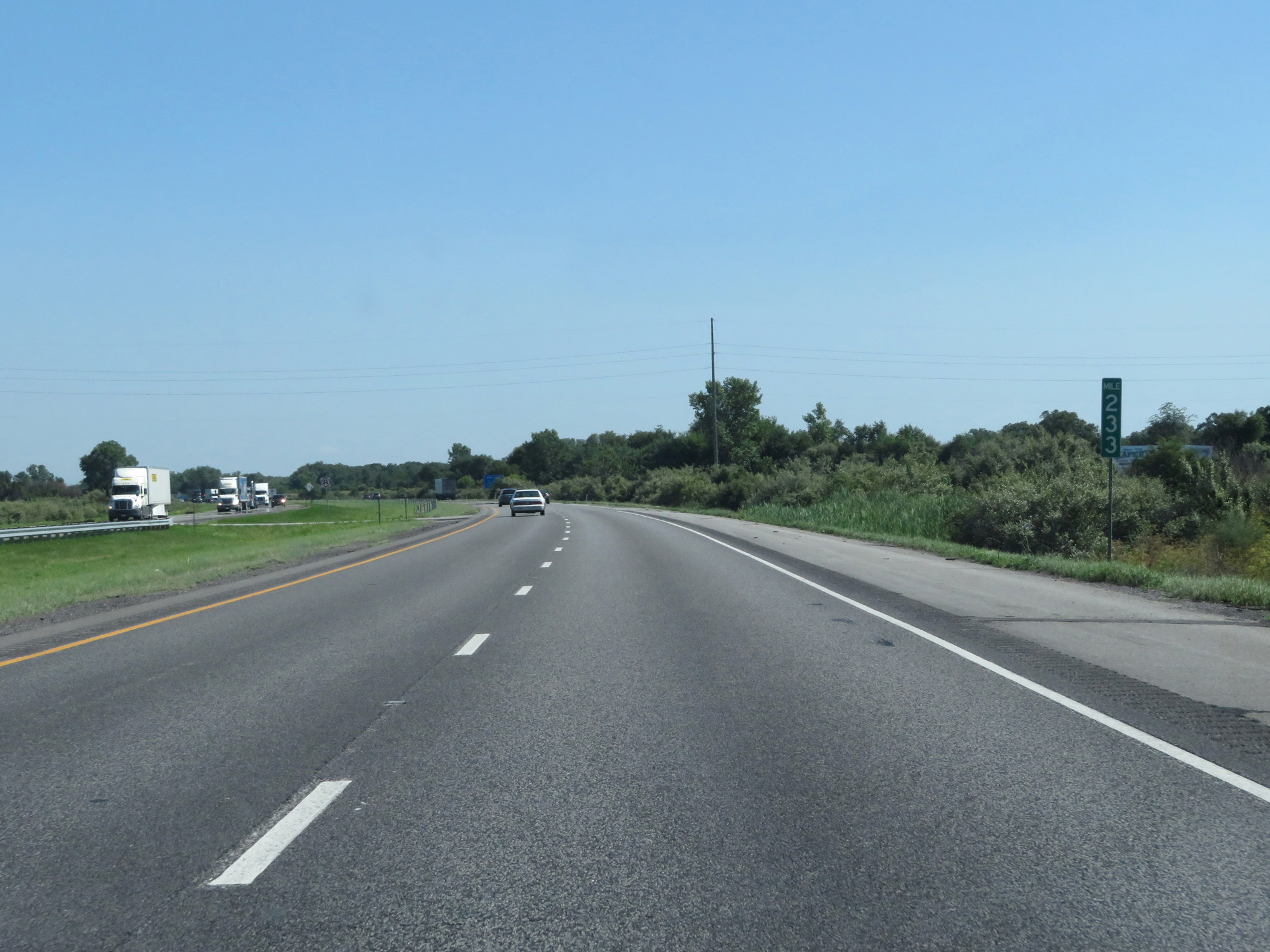 |
Interstate 65 South at mile marker 233. (Photo taken 7/18/17). |
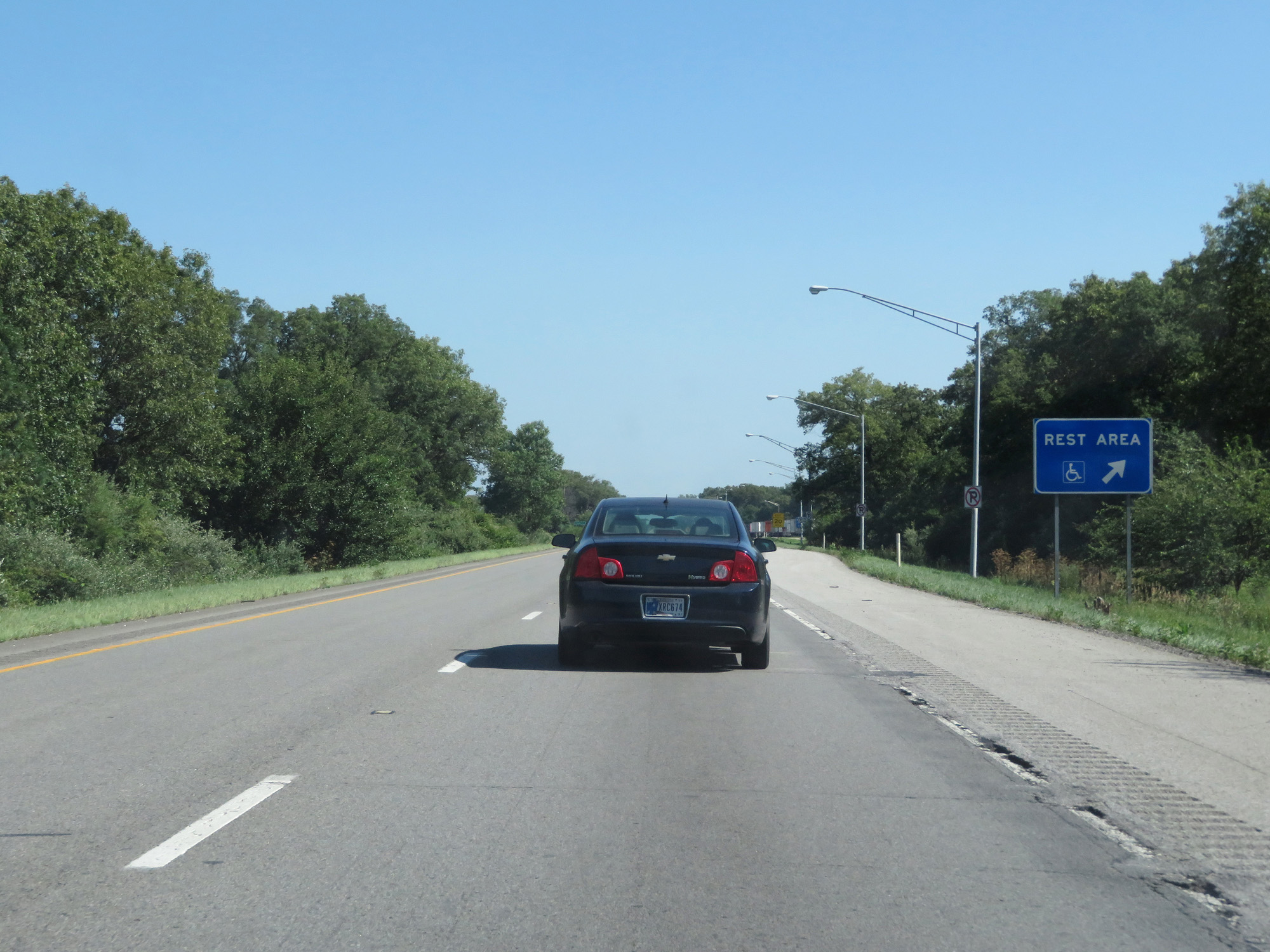 |
Interstate 65 South at the Rest Area in Jasper County. (Photo taken 7/18/17). |
 |
View of the ramp to the Rest Area at the Jasper County line. (Photo taken 7/18/17). |
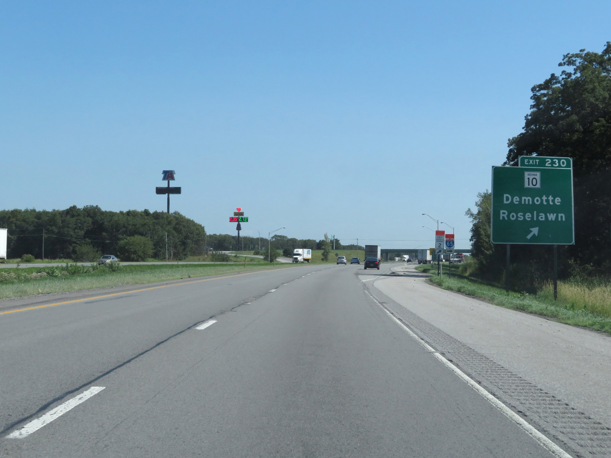 |
Interstate 65 South at Exit 230: IN 10 - Demotte / Roselawn (Photo taken 7/18/17). |
 |
Interstate 65 South reassurance shield. (Photo taken 7/18/17). |
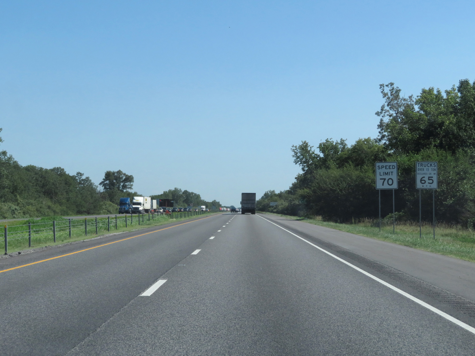 |
The speed limits remain 70 mph for cars and 65 mph for trucks. (Photo taken 7/18/17). |
 |
Interstate 65 South at mile marker 226. (Photo taken 7/18/17). |
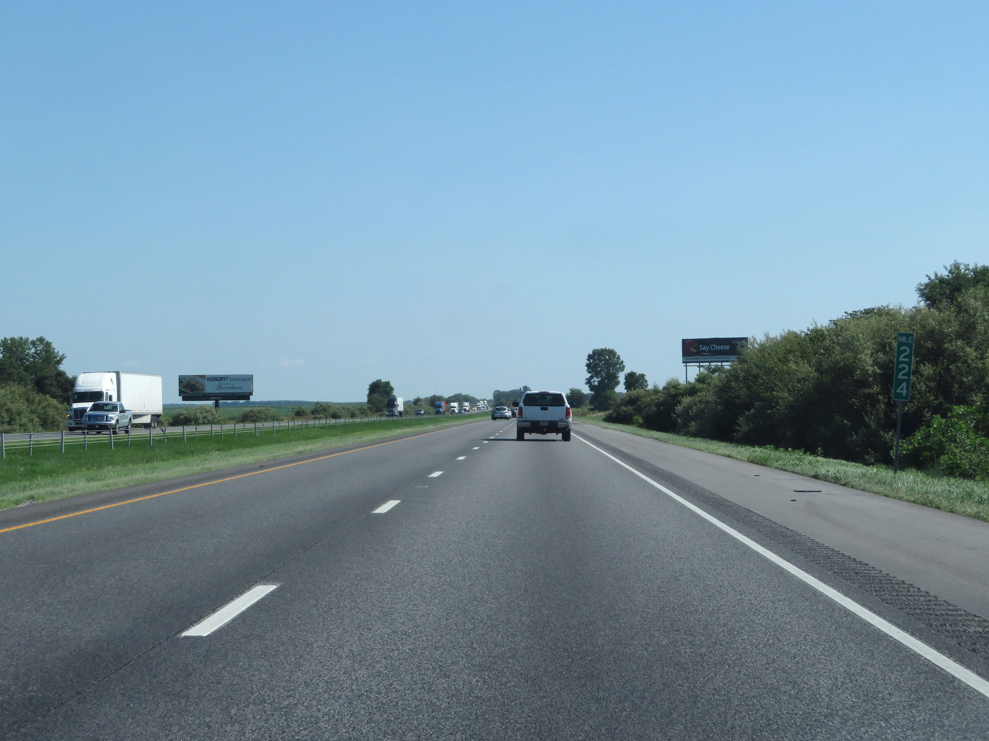 |
Interstate 65 South at mile marker 224. (Photo taken 7/18/17). |
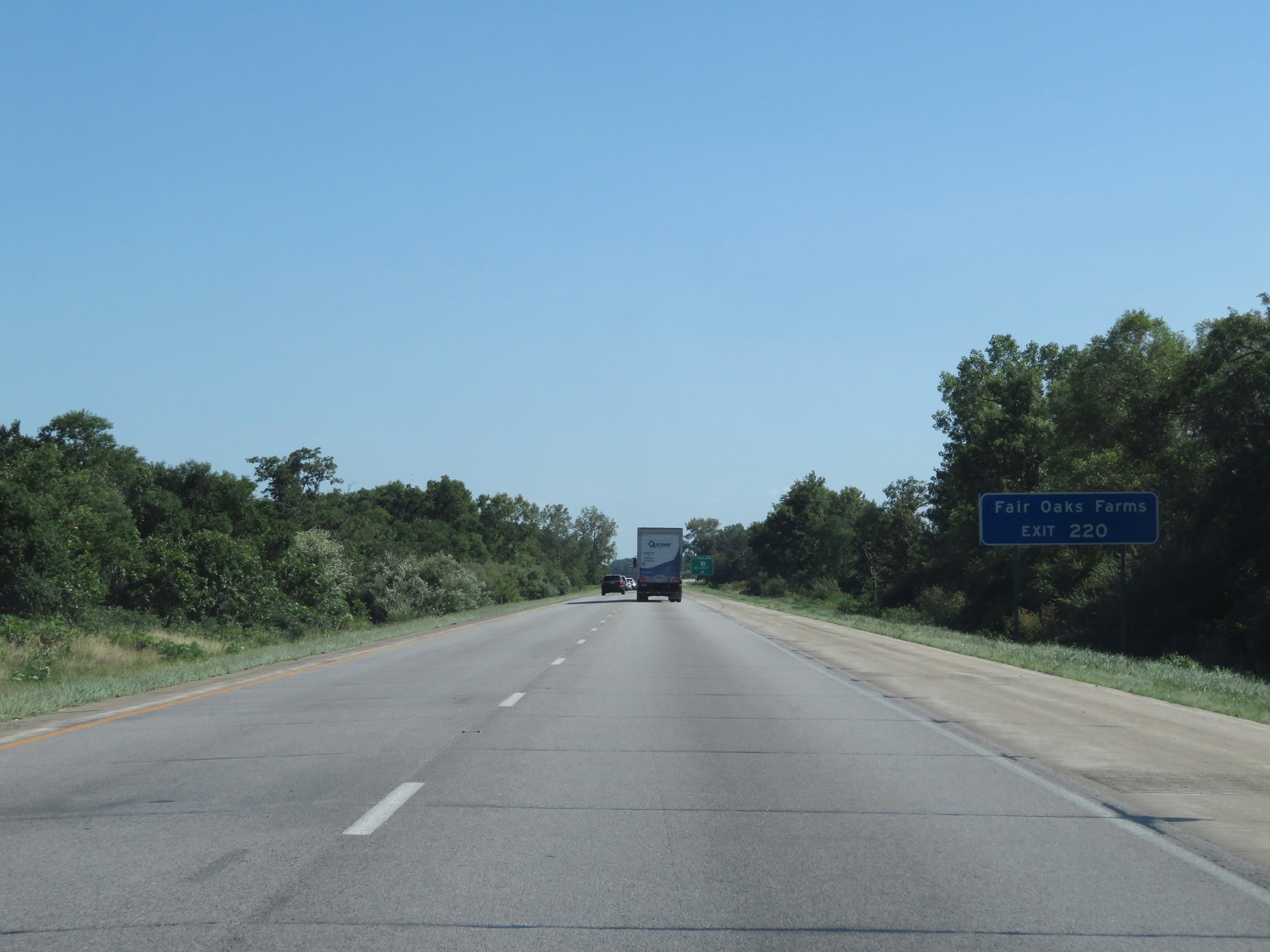 |
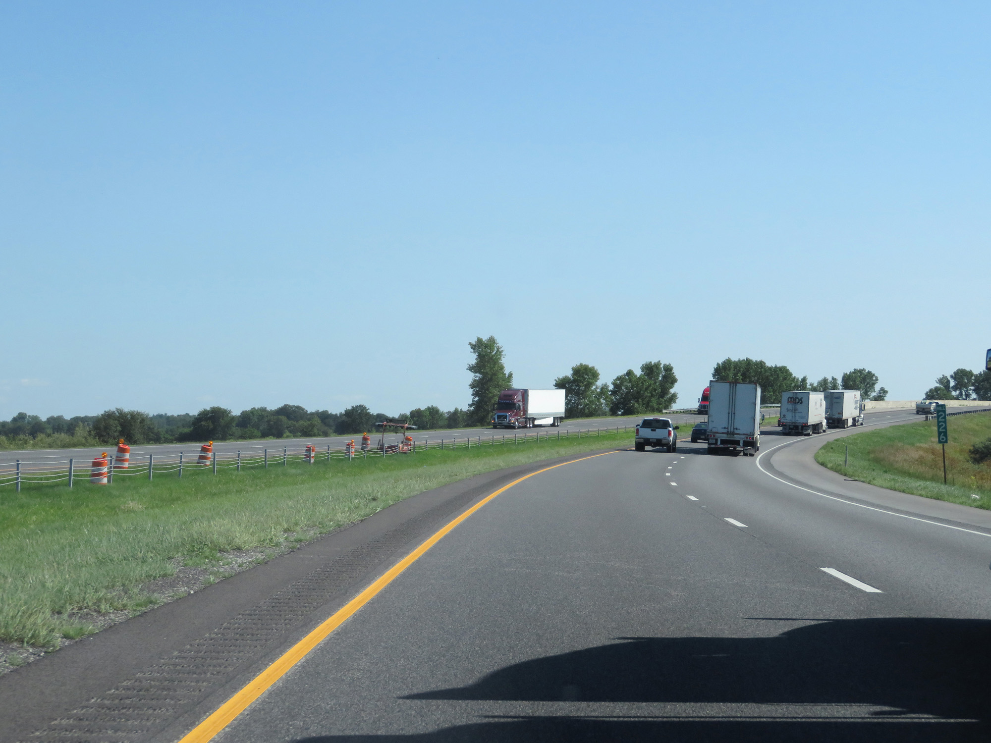
Take Exit 220 to Fair Oaks Farms. (Photo taken 7/18/17). |
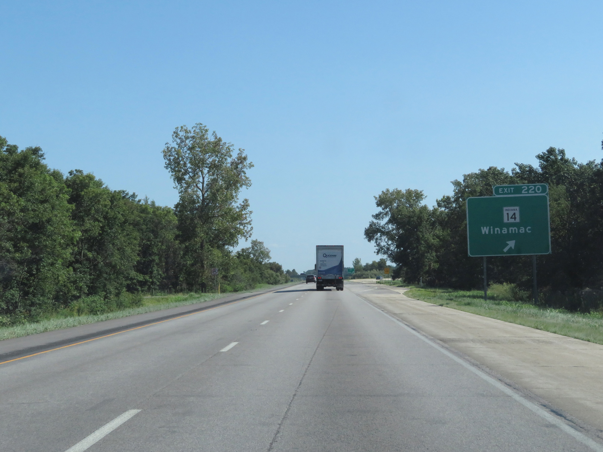 |
Interstate 65 South at Exit 220: IN 14 - Winamac (Photo taken 7/18/17). |
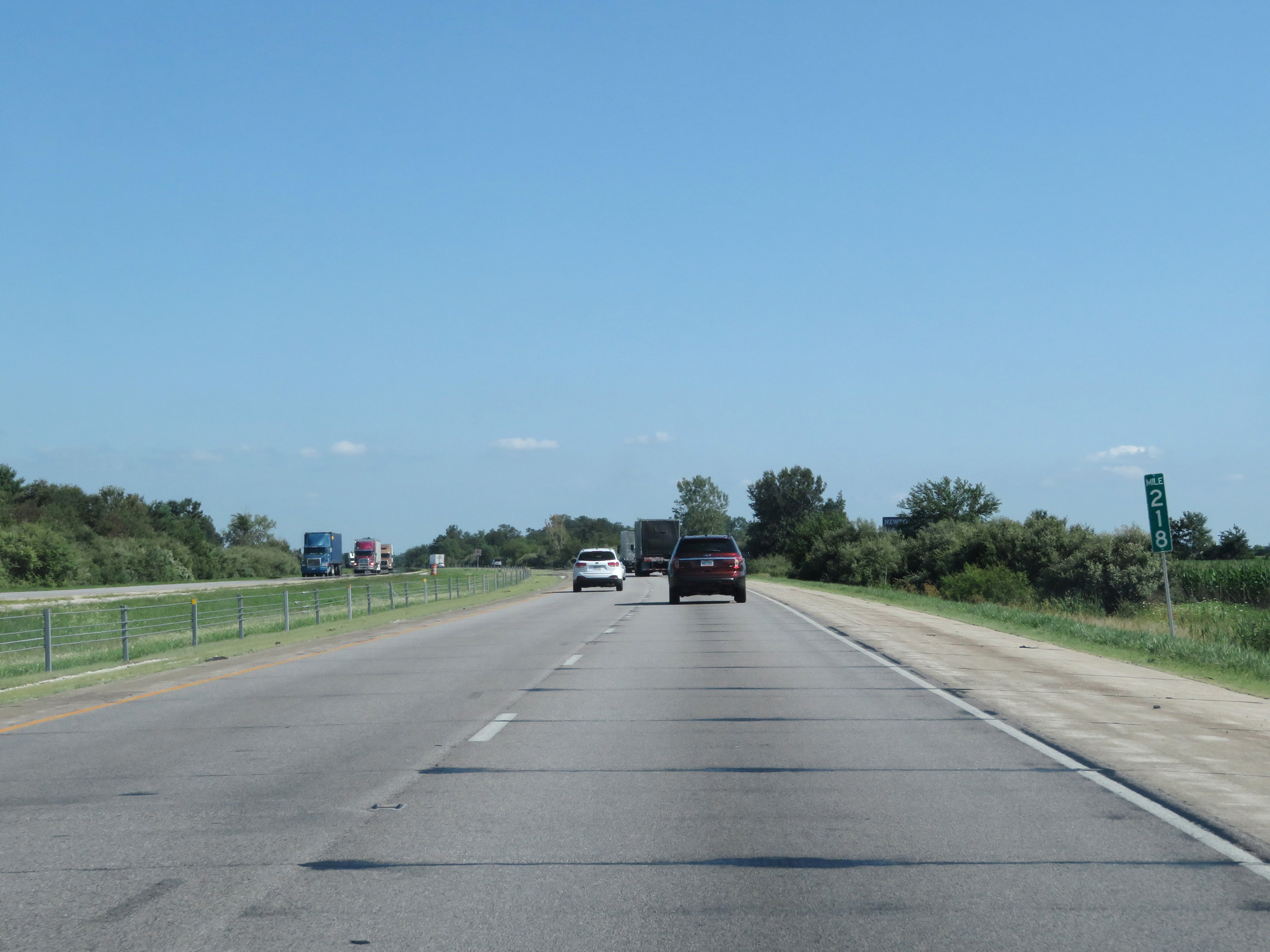 |
Interstate 65 South at mile marker 218. (Photo taken 7/18/17). |
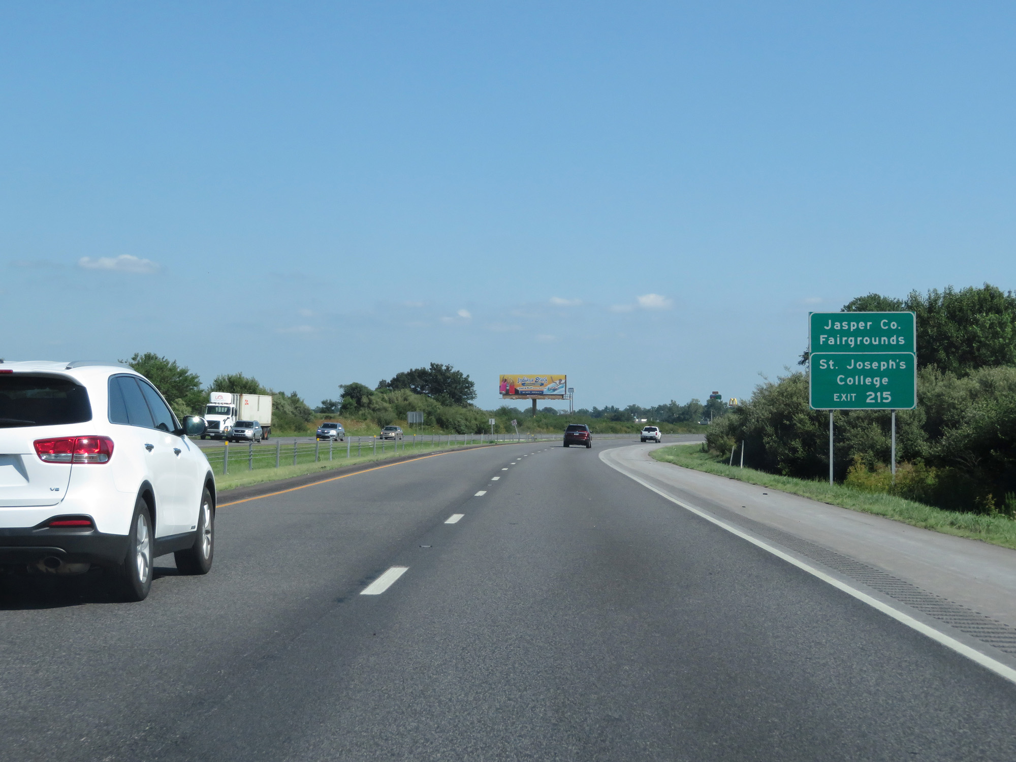 |
Take Exit 215 to the Jasper County Fairgrounds and St Joseph's College. (Photo taken 7/18/17). |
 |
Interstate 65 South at Exit 215: IN 114 - Rensselaer / Morocco (Photo taken 7/18/17). |
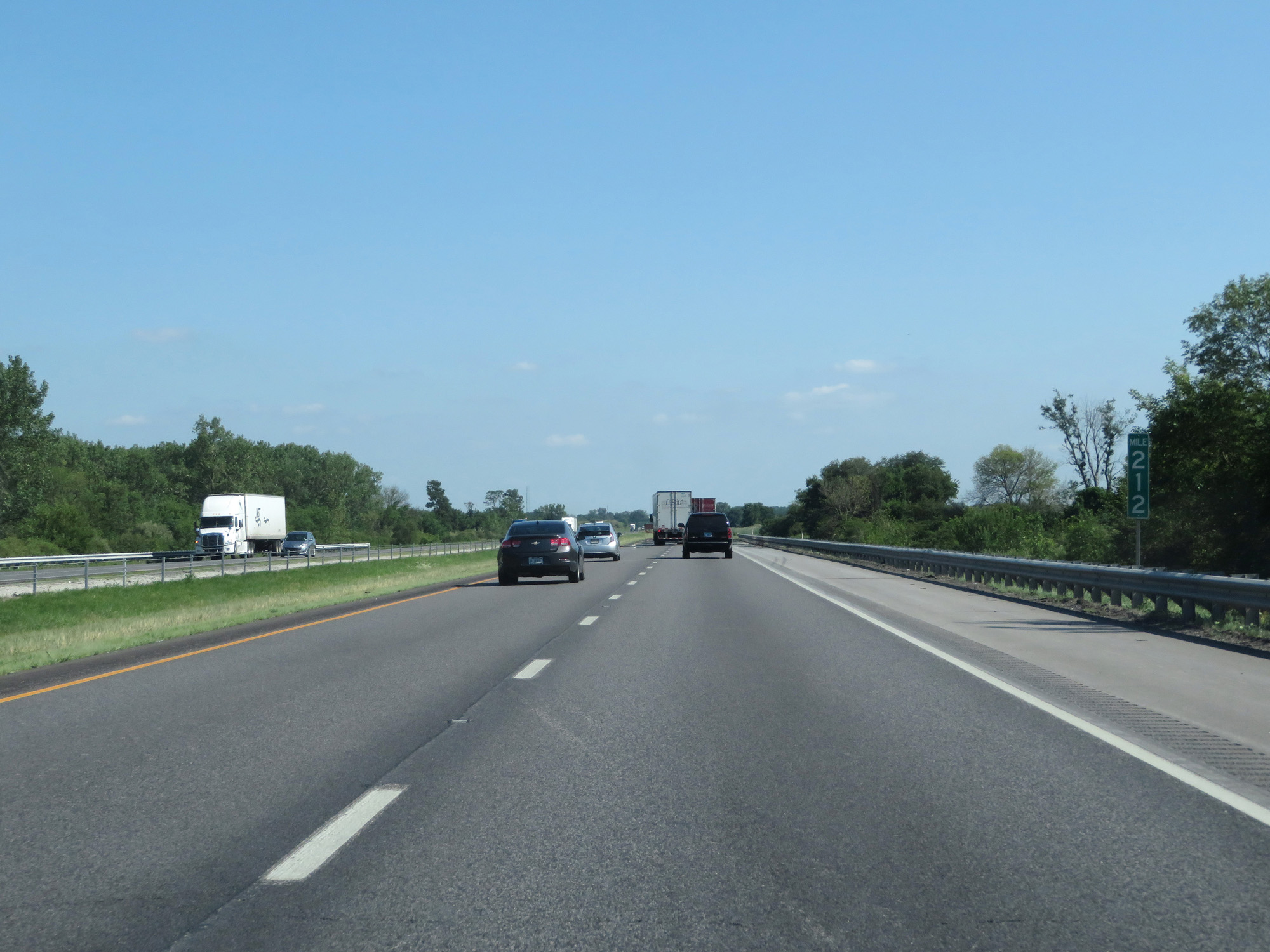 |
Interstate 65 South at mile marker 212. (Photo taken 7/18/17). |
 |
Interstate 65 South at mile marker 208. (Photo taken 7/18/17). |
 |
Interstate 65 South at mile marker 207. (Photo taken 7/18/17). |
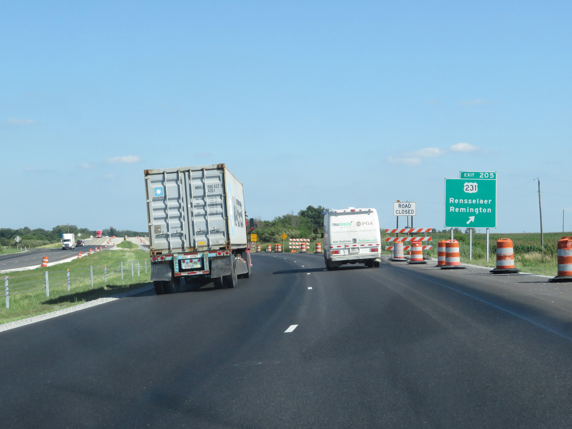 |
Interstate 65 South at Exit 205: US 231 - Rensselaer / Remington (Photo taken 7/18/17). |
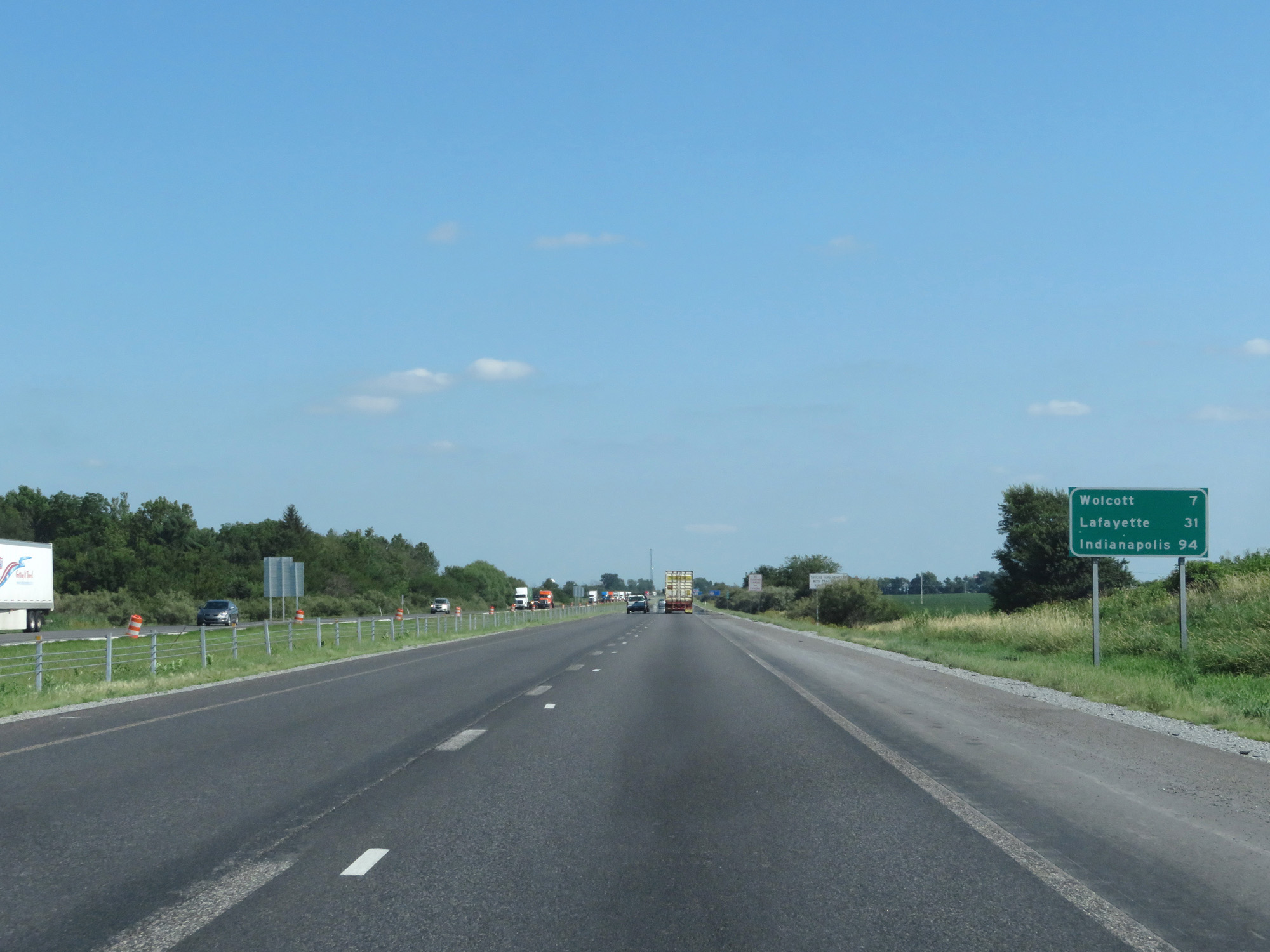 |
Mileage sign on Interstate 65 South. It's 7 miles to Wolcott, 31 miles to Lafayette, and 94 miles to Indianapolis. (Photo taken 7/18/17). |
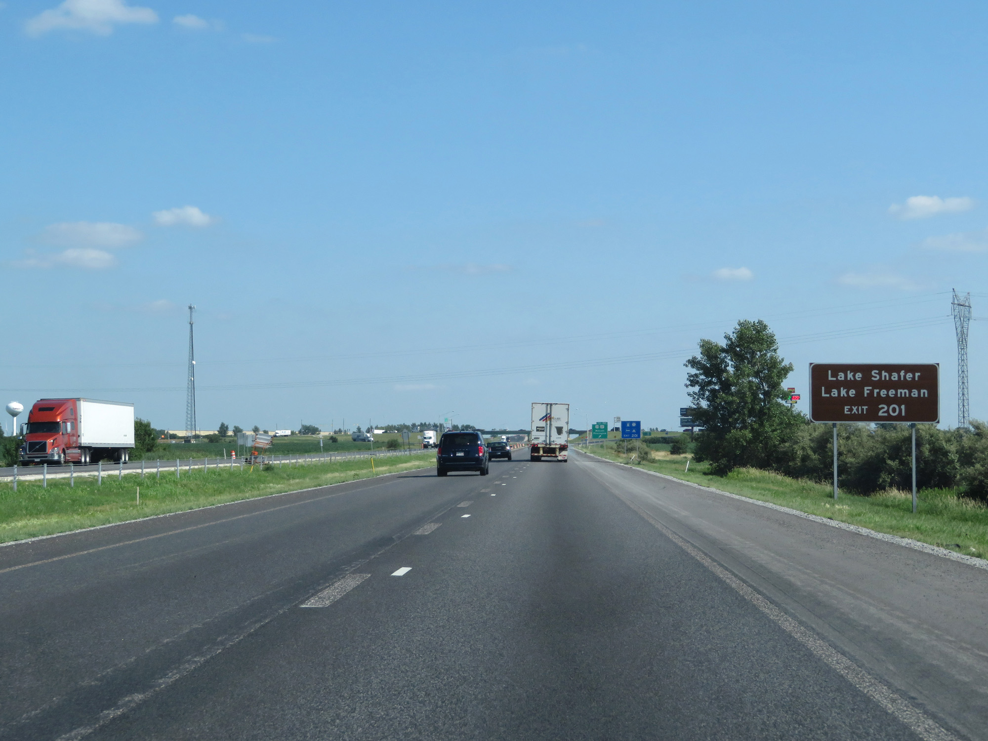 |
Take Exit 201 to Lake Shafer and Lake Freeman. (Photo taken 7/18/17). |
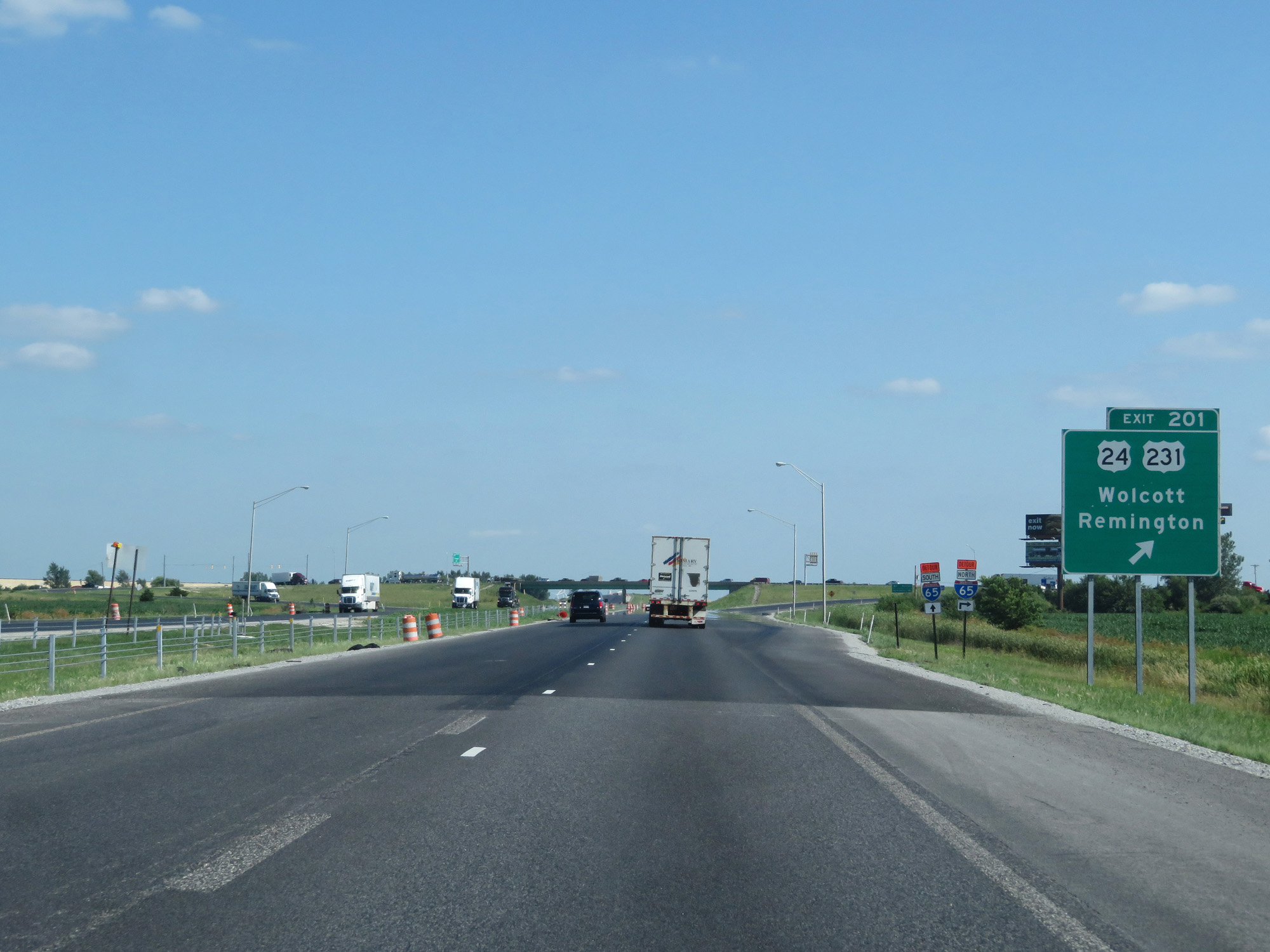 |
Interstate 65 South at Exit 201: US 24 / US 231 - Wolcott / Remington (Photo taken 7/18/17). |
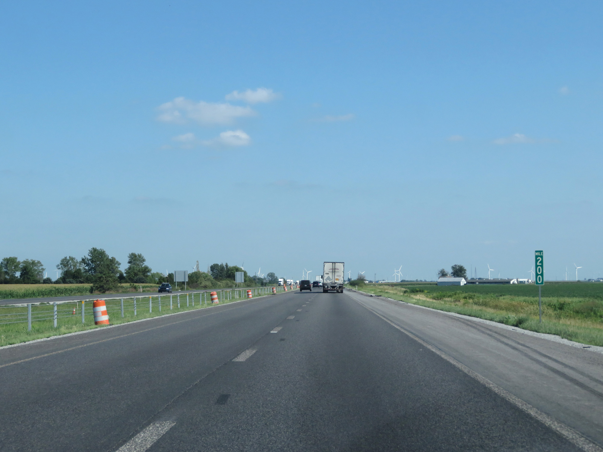 |
Interstate 65 South at mile marker 200. (Photo taken 7/18/17). |
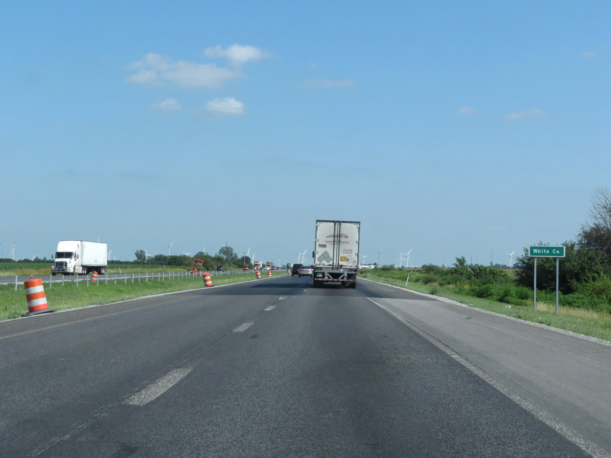 |
Interstate 65 South entering White County. (Photo taken 7/18/17). |
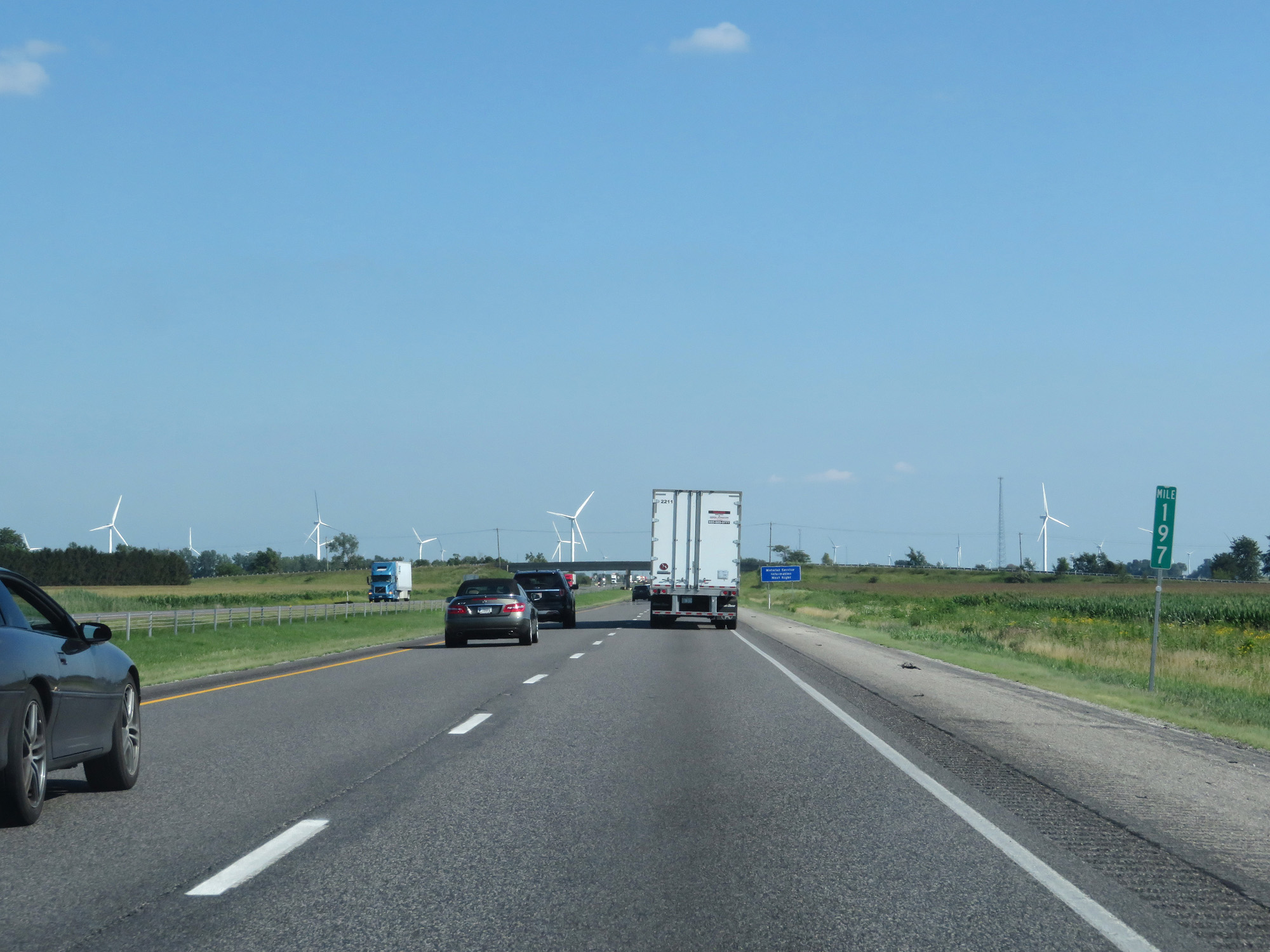 |
Interstate 65 South at mile marker 197. (Photo taken 7/18/17). |
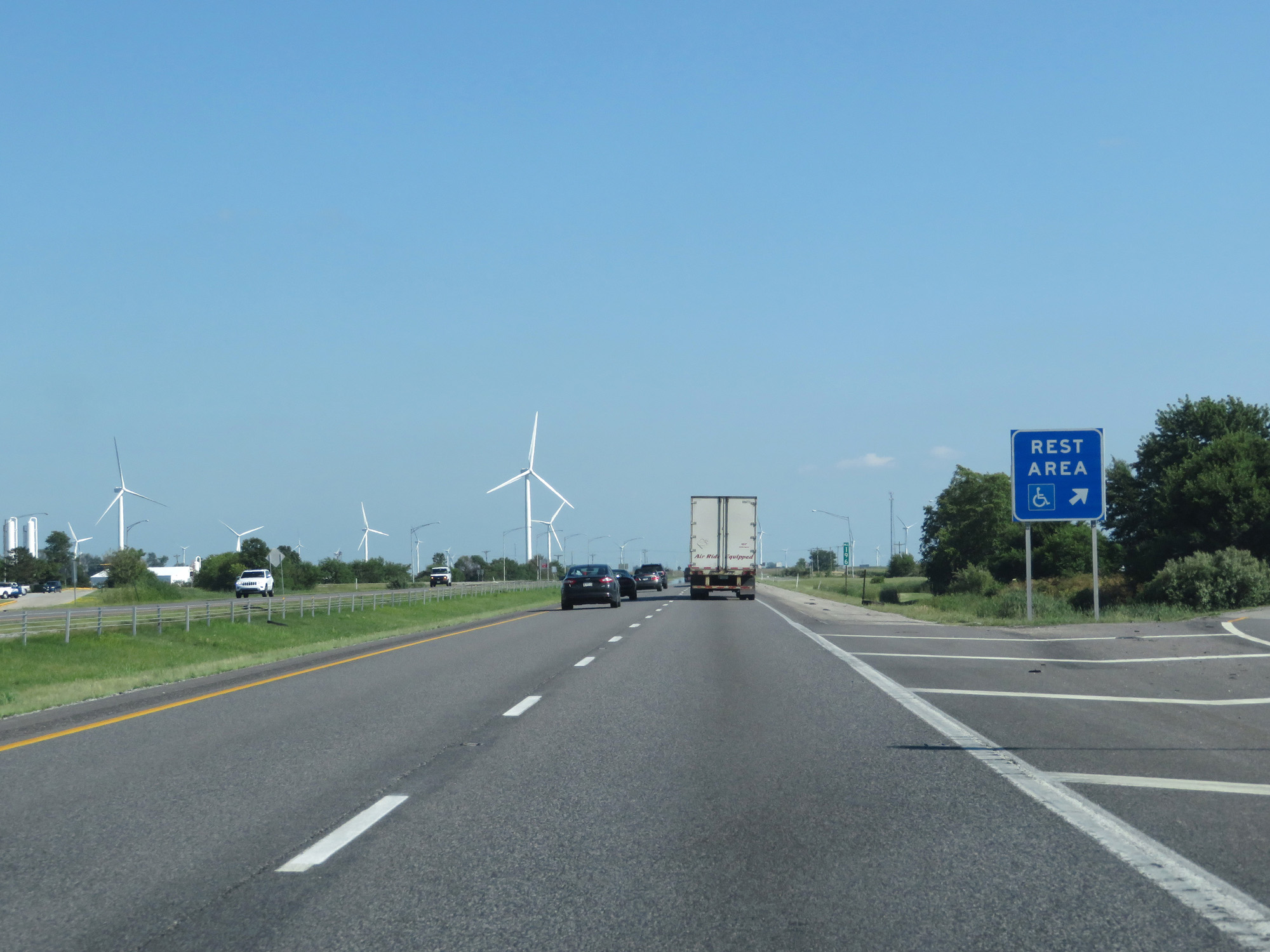 |
Interstate 65 South at the Rest Area in White County. (Photo taken 7/18/17). |
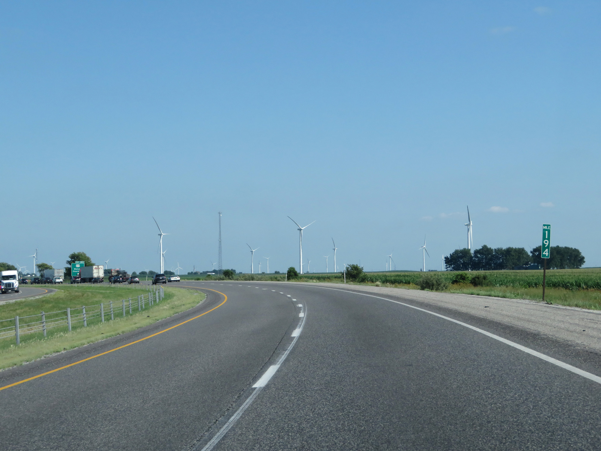 |
Interstate 65 South at mile marker 194. (Photo taken 7/18/17). |
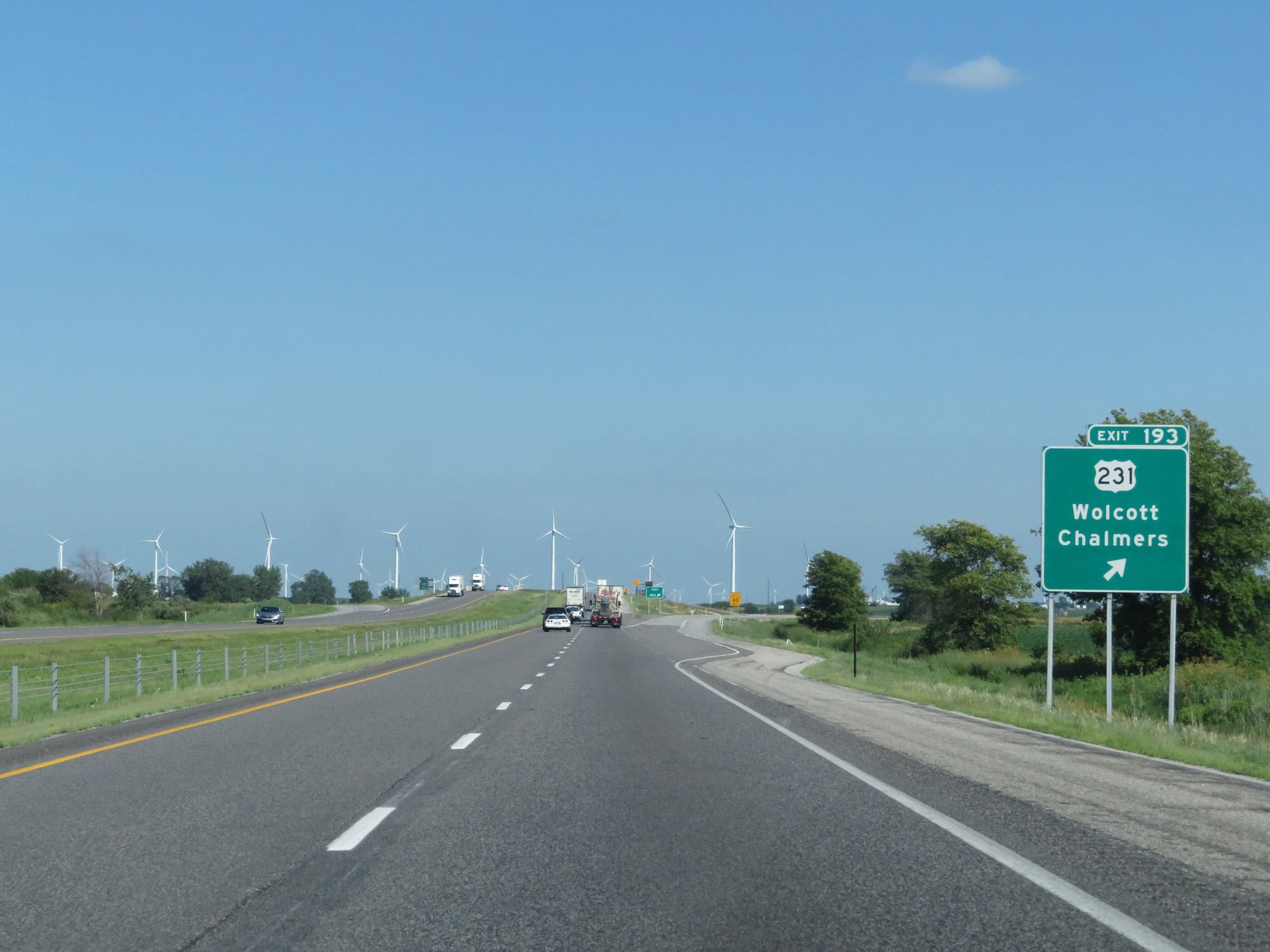 |
Interstate 65 South at Exit 193: US 231 - Wolcott / Chalmers (Photo taken 7/18/17). |
 |
Interstate 65 South reassurance shield. (Photo taken 7/18/17). |
 |
Interstate 65 South at mile marker 190. (Photo taken 7/18/17). |
 |
Interstate 65 South at Exit 188: IN 18 - Brookston / Fowler (Photo taken 7/18/17). |
 |
Interstate 65 South at mile marker 186. (Photo taken 7/18/17). |
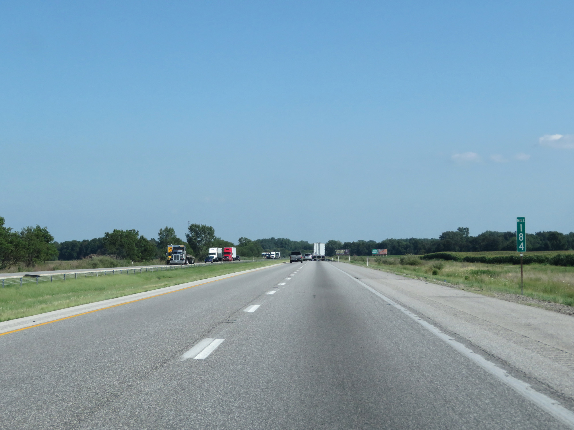 |
Interstate 65 South at mile marker 184. (Photo taken 7/18/17). |
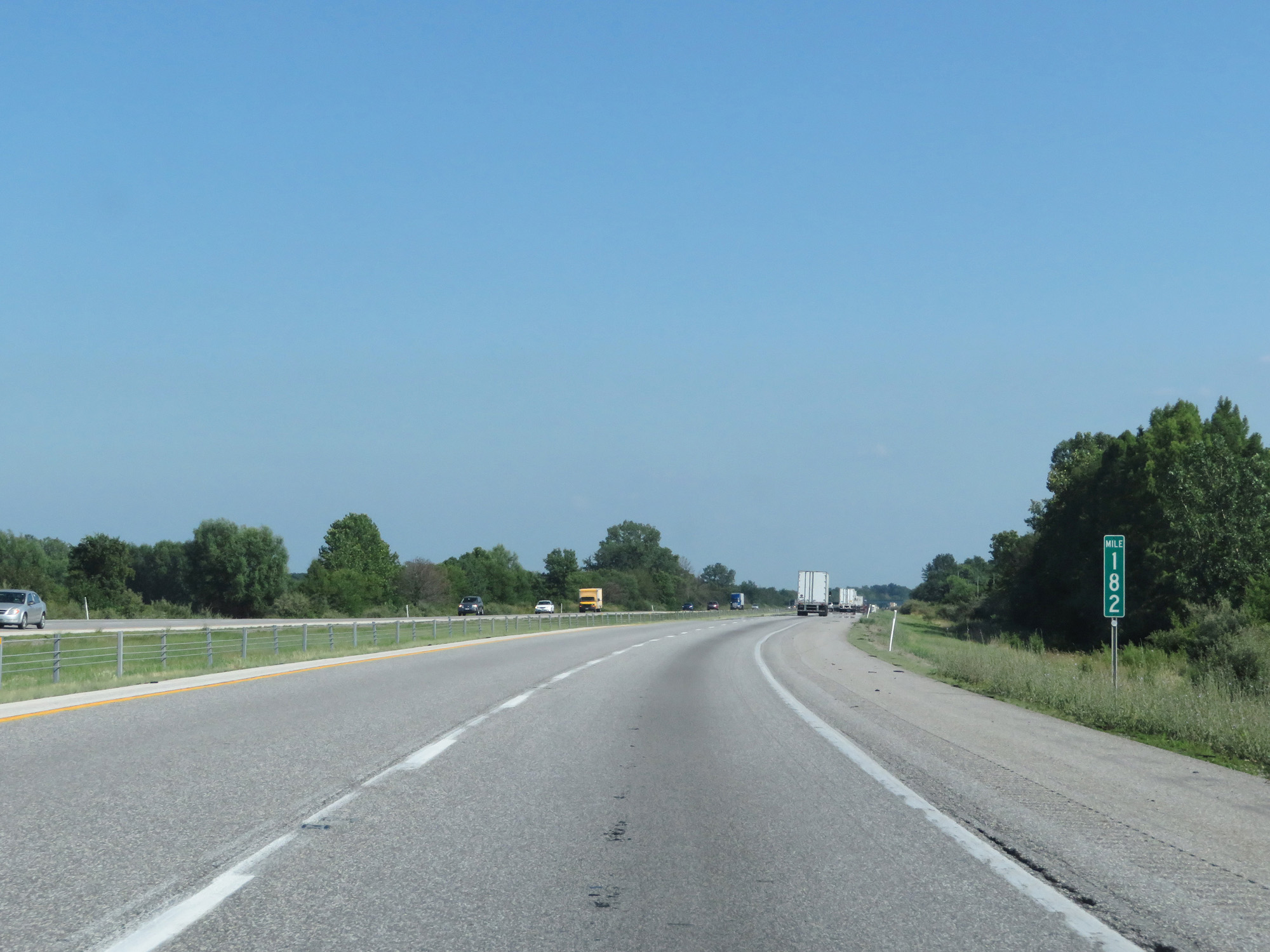 |
Interstate 65 South at mile marker 182. (Photo taken 7/18/17). |
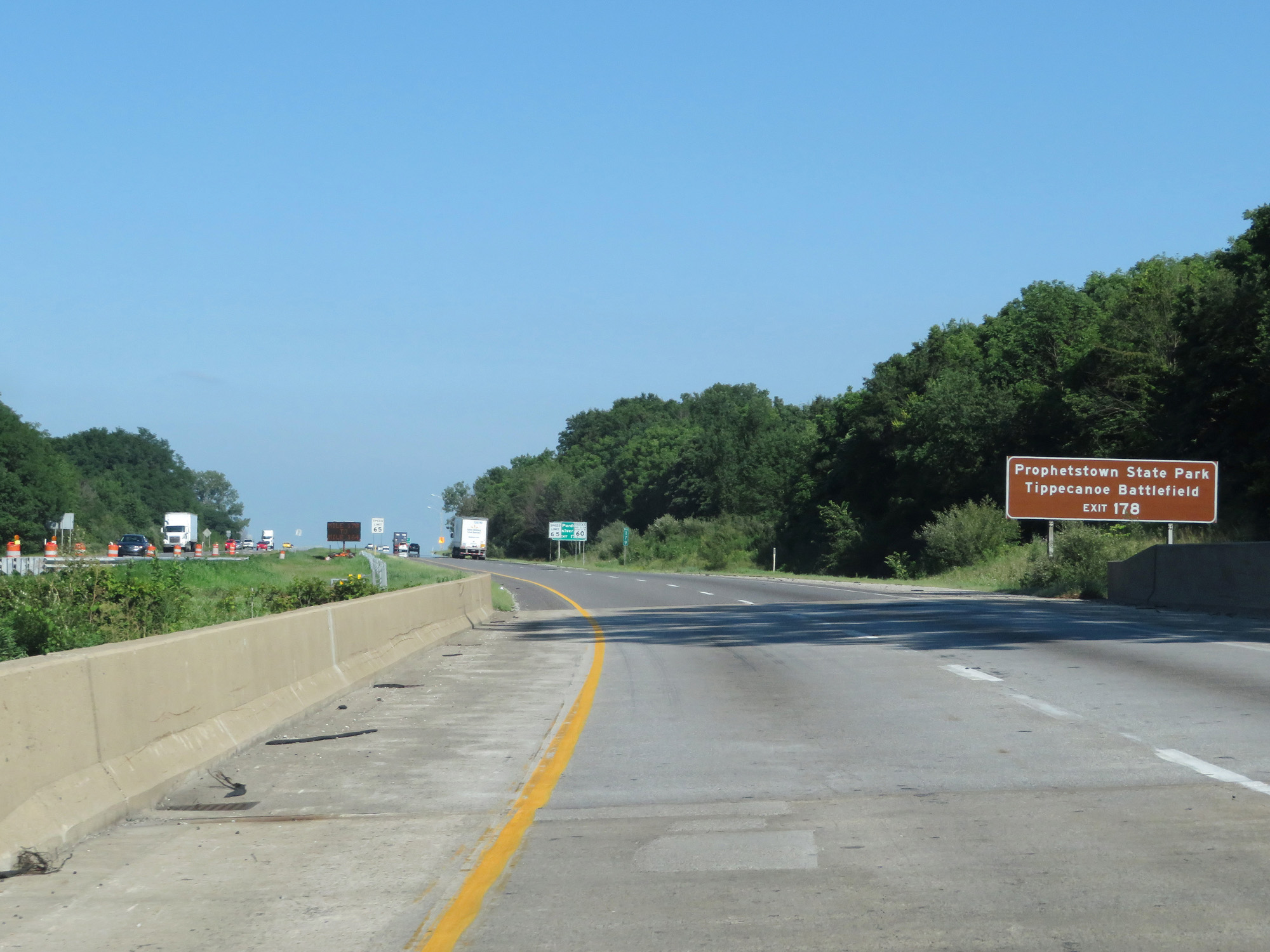 |
Take Exit 178 to Prophetstown State Park and Tippecanoe Battlefield. (Photo taken 7/18/17). |
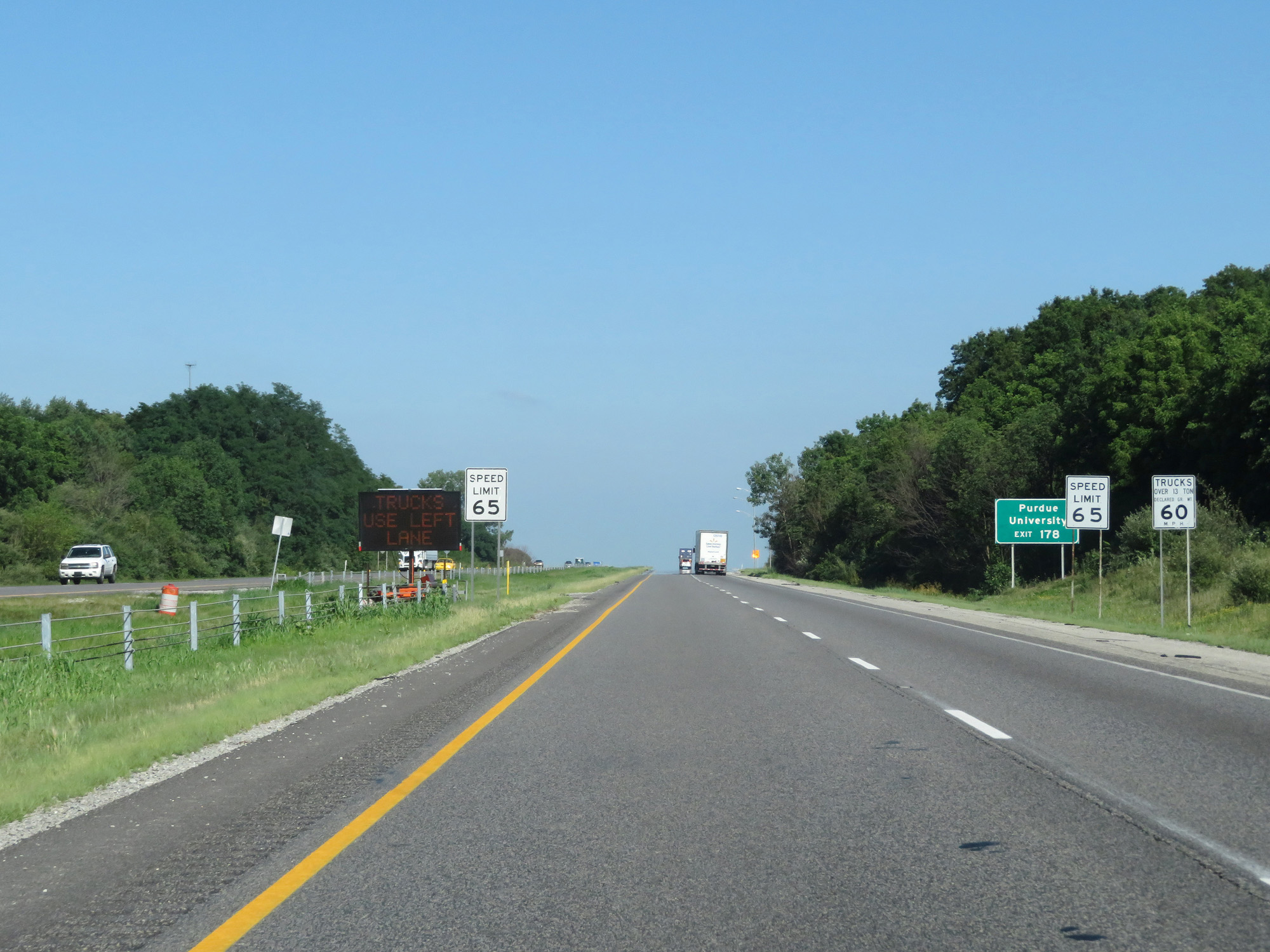 |
Approaching the Lafayette area, the speed limits decrease to 65 mph for cars and 60 mph for trucks. (Photo taken 7/18/17). |
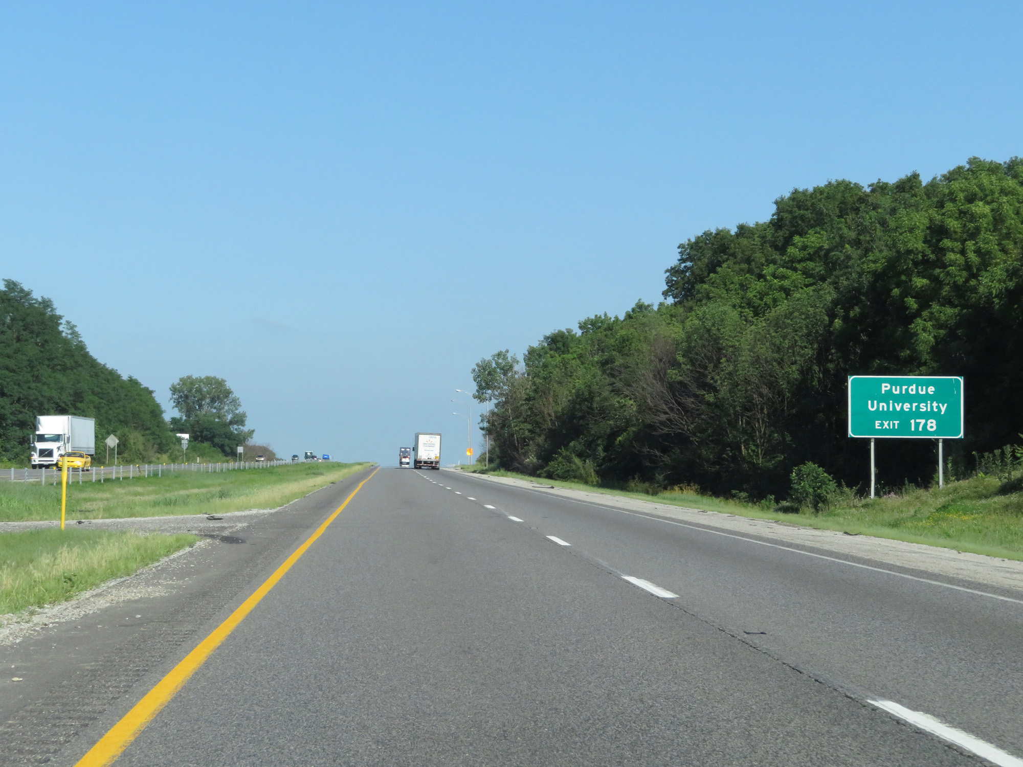 |
Take Exit 178 to Purdue University. (Photo taken 7/18/17). |
 |
Interstate 65 South at Exit 178: IN 43 - Brookston / West Lafayette (Photo taken 7/18/17). |
 |
Mileage sign on Interstate 65 South. It's 12 miles to Lafayette, 38 miles to Lebanon, and 69 miles to Indianapolis. (Photo taken 7/18/17). |
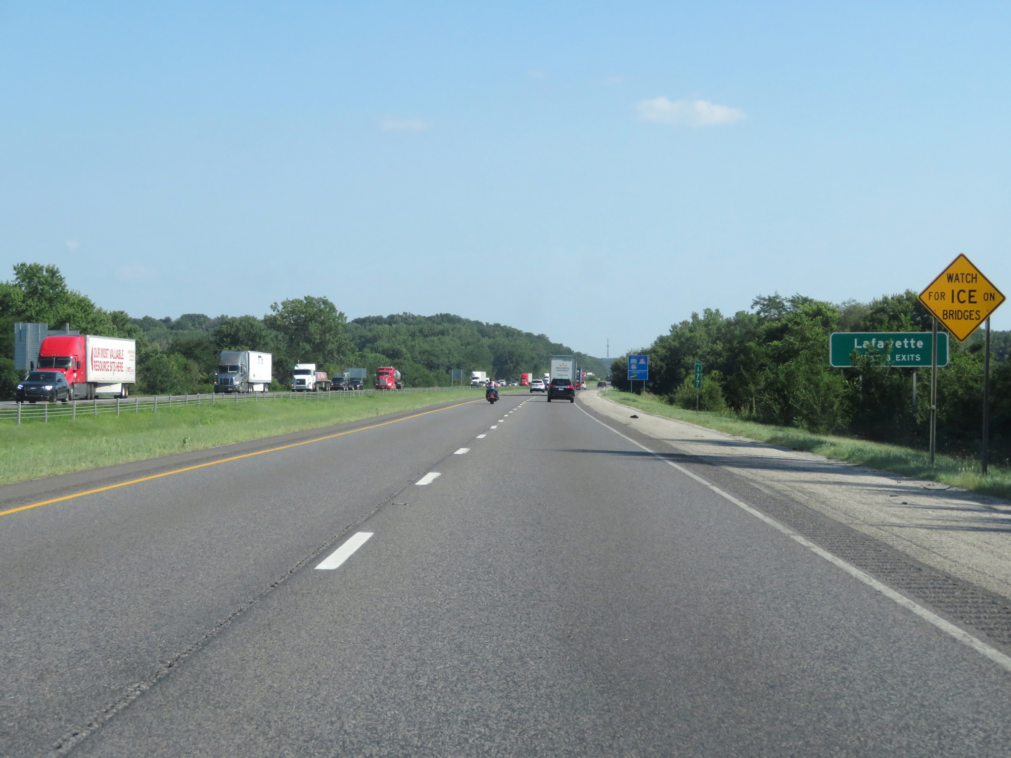 |
Take any of the next 3 exits to Lafayette. (Photo taken 7/18/17). |
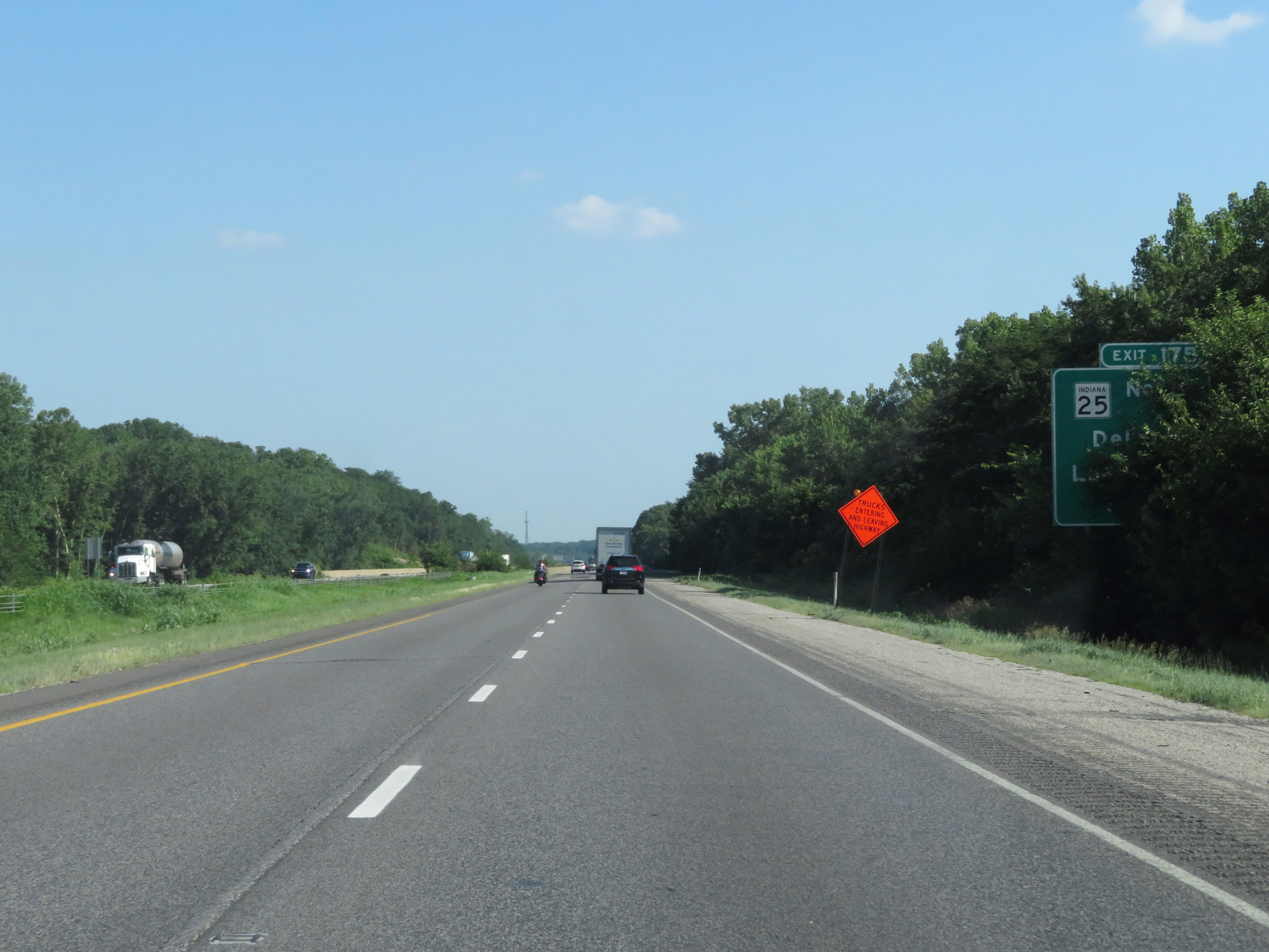 |
Interstate 65 South approaching Exit 175 - 1 mile. (Photo taken 7/18/17). |
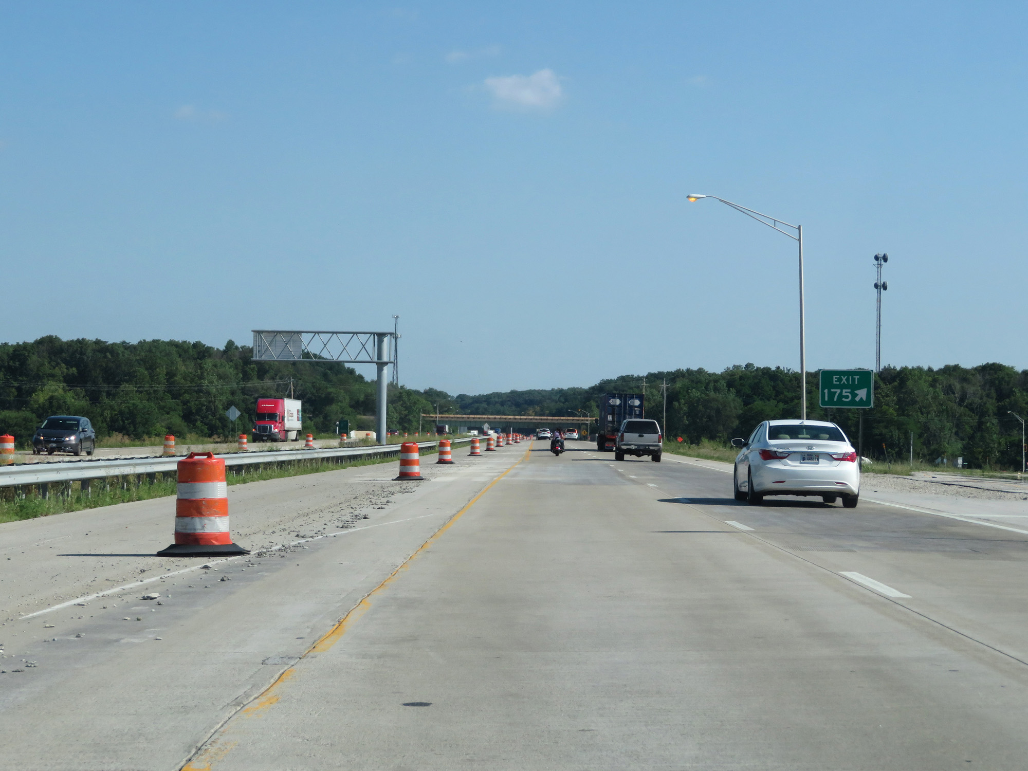 |
Interstate 65 South at Exit 175: IN 25 - Delphi / Lafayette (Photo taken 7/18/17). |
 |
Interstate 65 South at Exit 172: IN 26 - Rossville / Lafayette (Photo taken 7/18/17). |
Section 2: Lafayette (Exit 172) to Indianapolis (Exit 110A)
 |
Interstate 65 South reassurance shield. (Photo taken 7/18/17). |
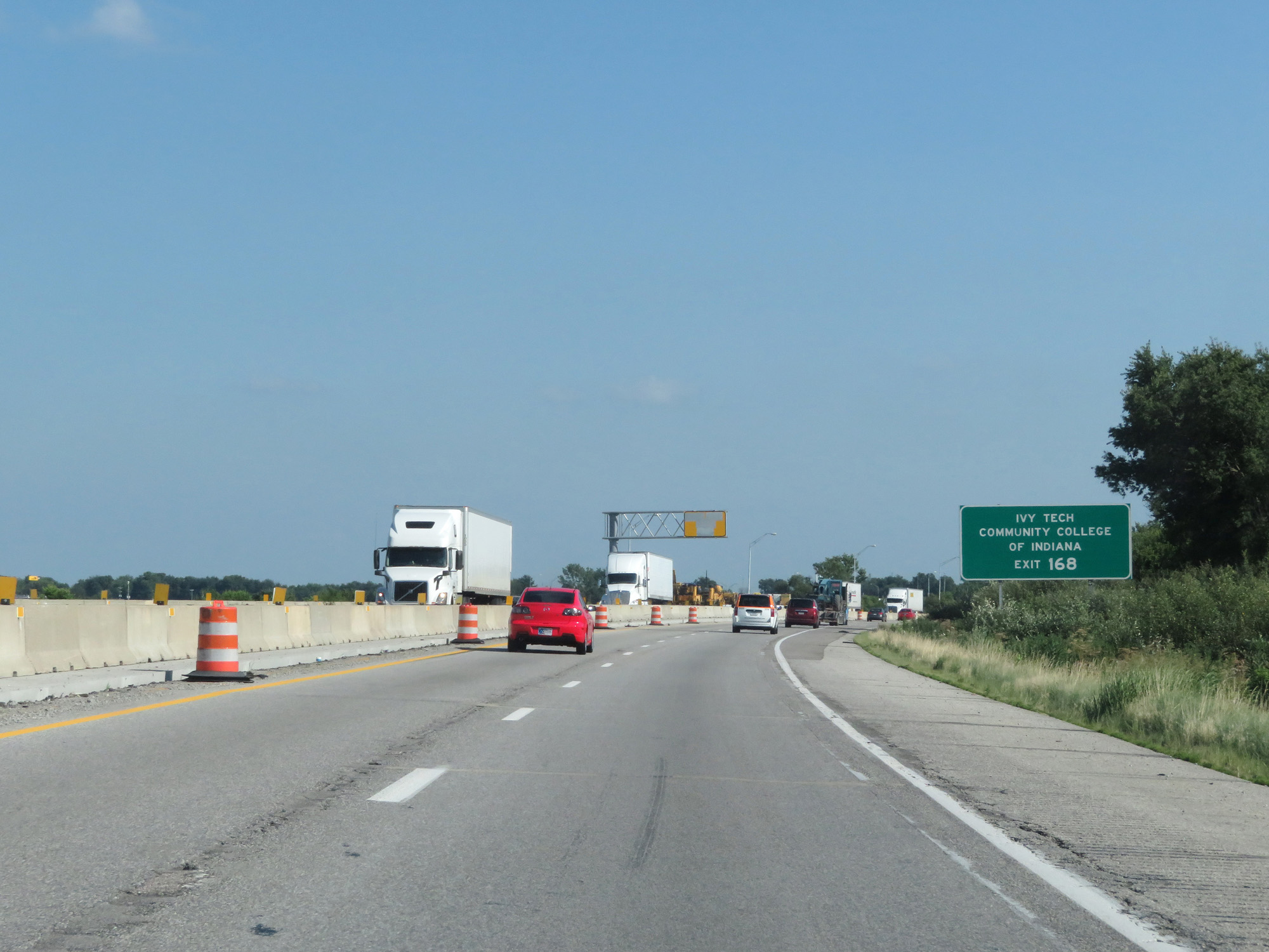 |
Take Exit 168 to Ivy Tech Community College of Indiana. (Photo taken 7/18/17). |
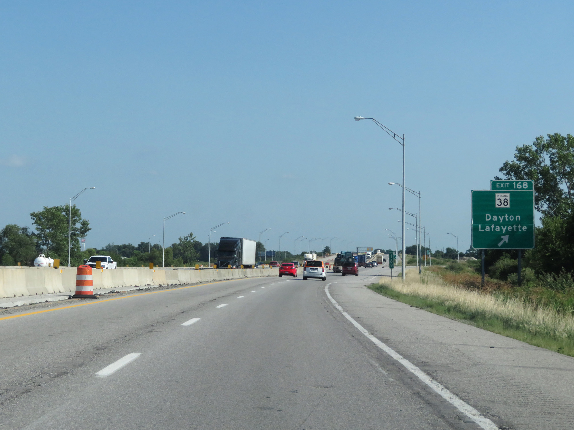 |
Interstate 65 South at Exit 168: IN 38 - Dayton / Lafayette (Photo taken 7/18/17). |
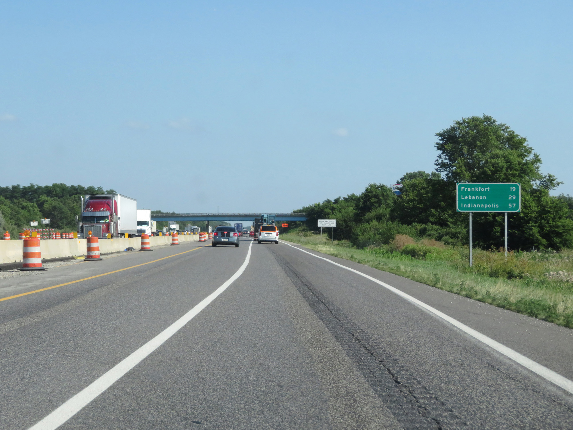 |
Mileage sign on Interstate 65 South. It's 19 miles to Frankfort, 29 miles to Lebanon, and 57 miles to Indianapolis. (Photo taken 7/18/17). |
 |
Interstate 65 South at mile marker 166. (Photo taken 7/18/17). |
 |
Interstate 65 South at mile marker 161. (Photo taken 7/18/17). |
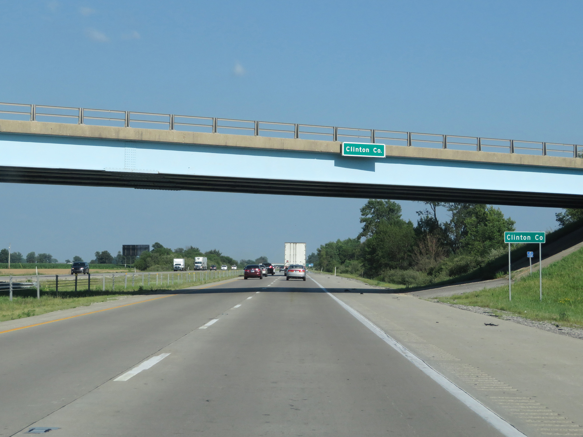 |
Interstate 65 South entering Clinton County. (Photo taken 7/18/17). |
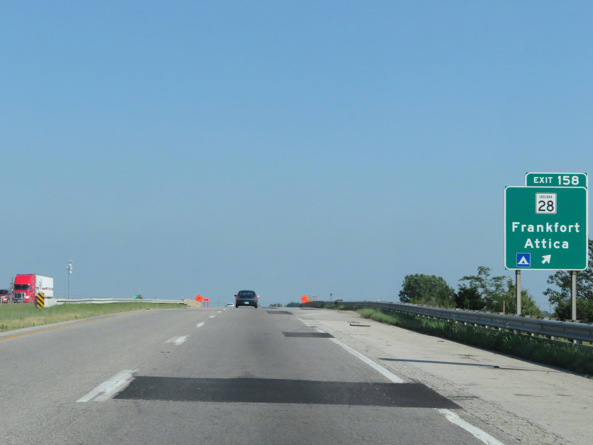 |
Interstate 65 South at Exit 158: IN 28 - Frankfort / Attica (Photo taken 7/18/17). |
 |
Interstate 65 South at mile marker 155. (Photo taken 7/18/17). |
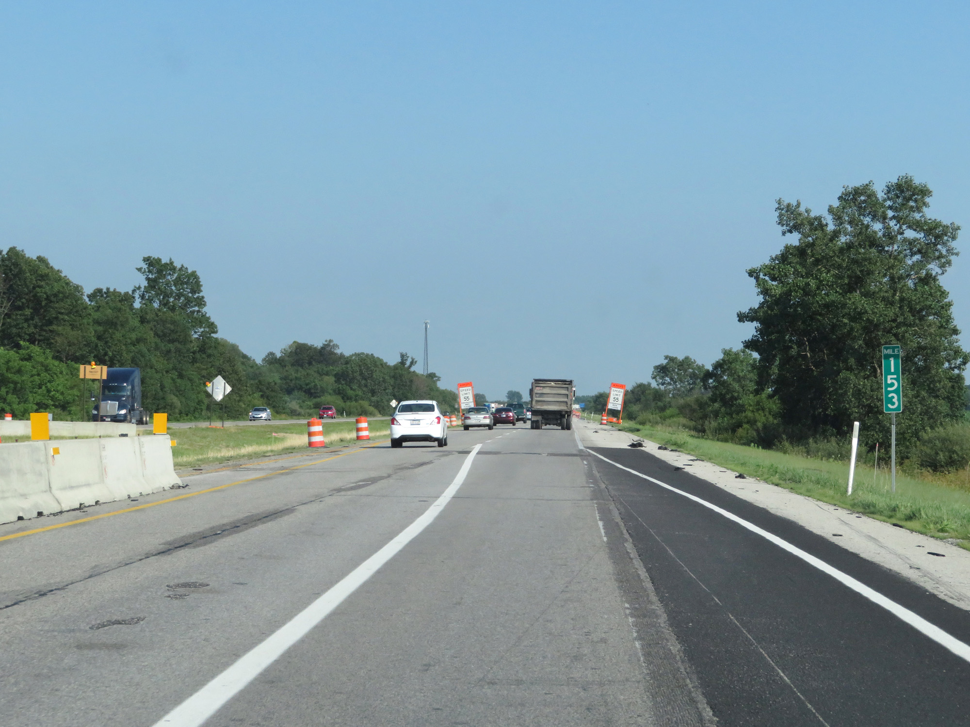 |
Interstate 65 South at mile marker 153. (Photo taken 7/18/17). |
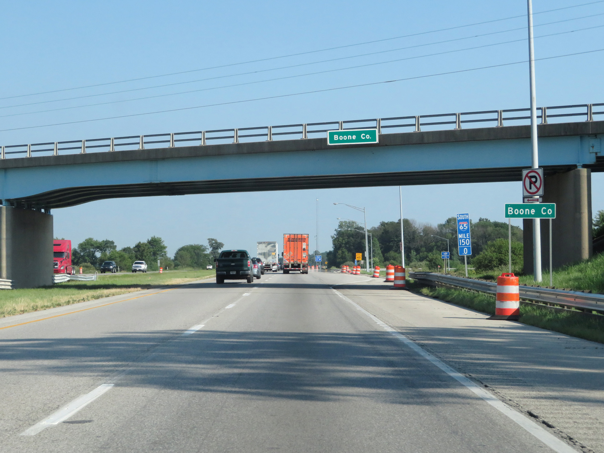 |
Interstate 65 South entering Boone County. (Photo taken 7/18/17). |
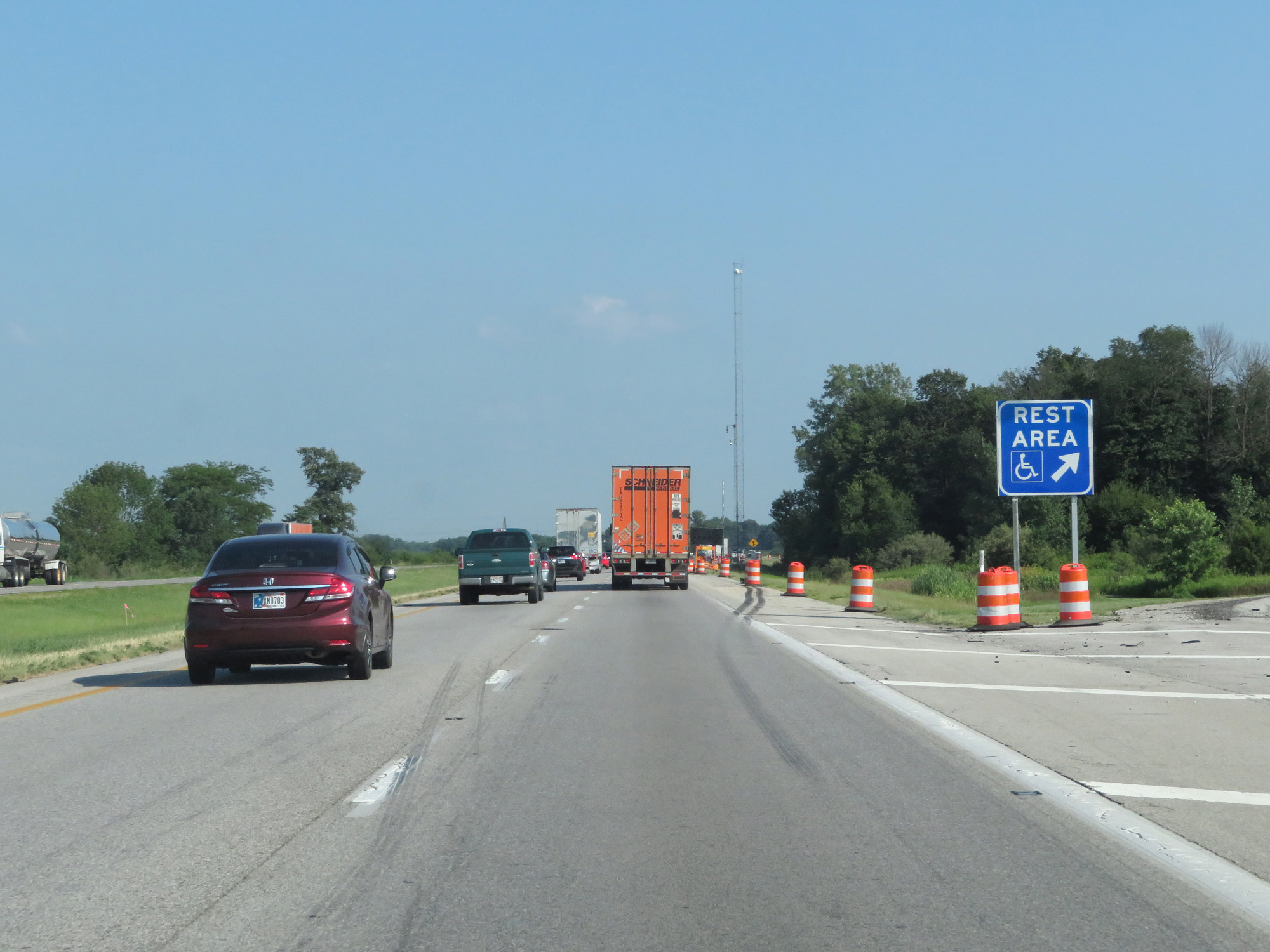 |
Interstate 65 South at the Rest Area in Boone County. (Photo taken 7/18/17). |
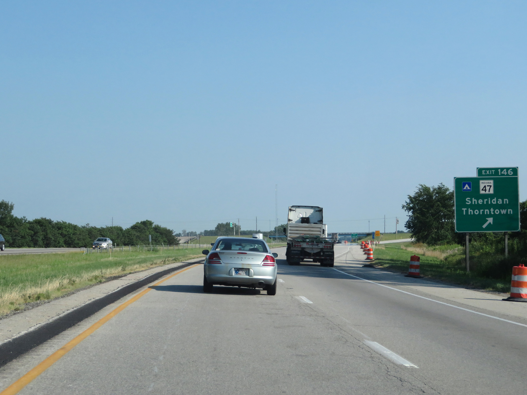 |
Interstate 65 South at Exit 146: IN 47 - Sheridan / Thorntown (Photo taken 7/18/17). |
 |
Mileage sign on Interstate 65 South. It's 5 miles to the junction of US 52, 7 miles to Lebanon, and 35 miles to Indianapolis. (Photo taken 7/18/17). |
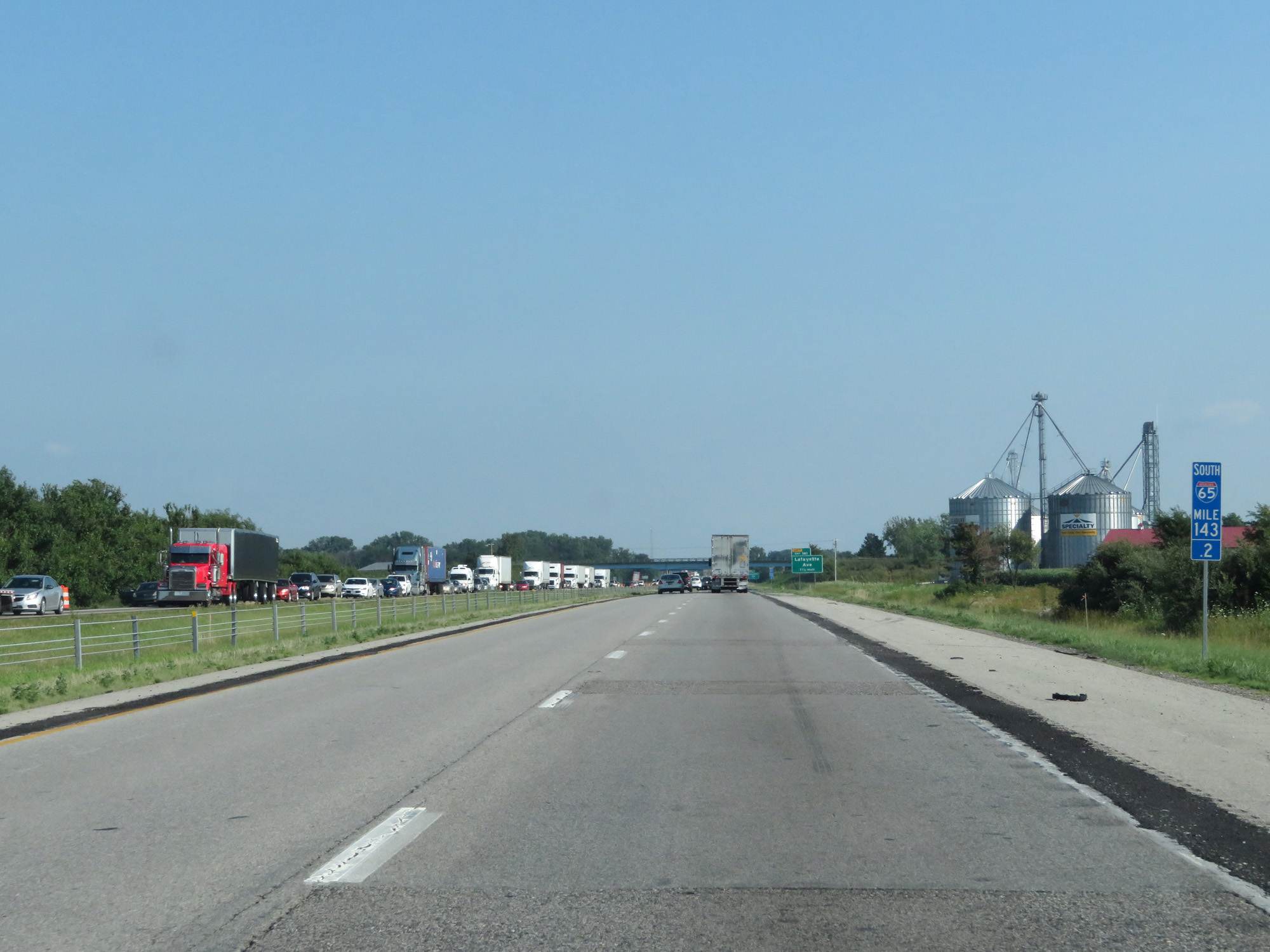 |
Interstate 65 South at mile marker 143.2. (Photo taken 7/18/17). |
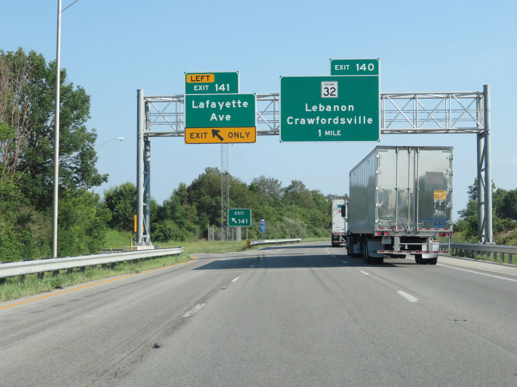 |
Interstate 65 South at Exit 141: Lafayette Ave (Photo taken 7/18/17). |
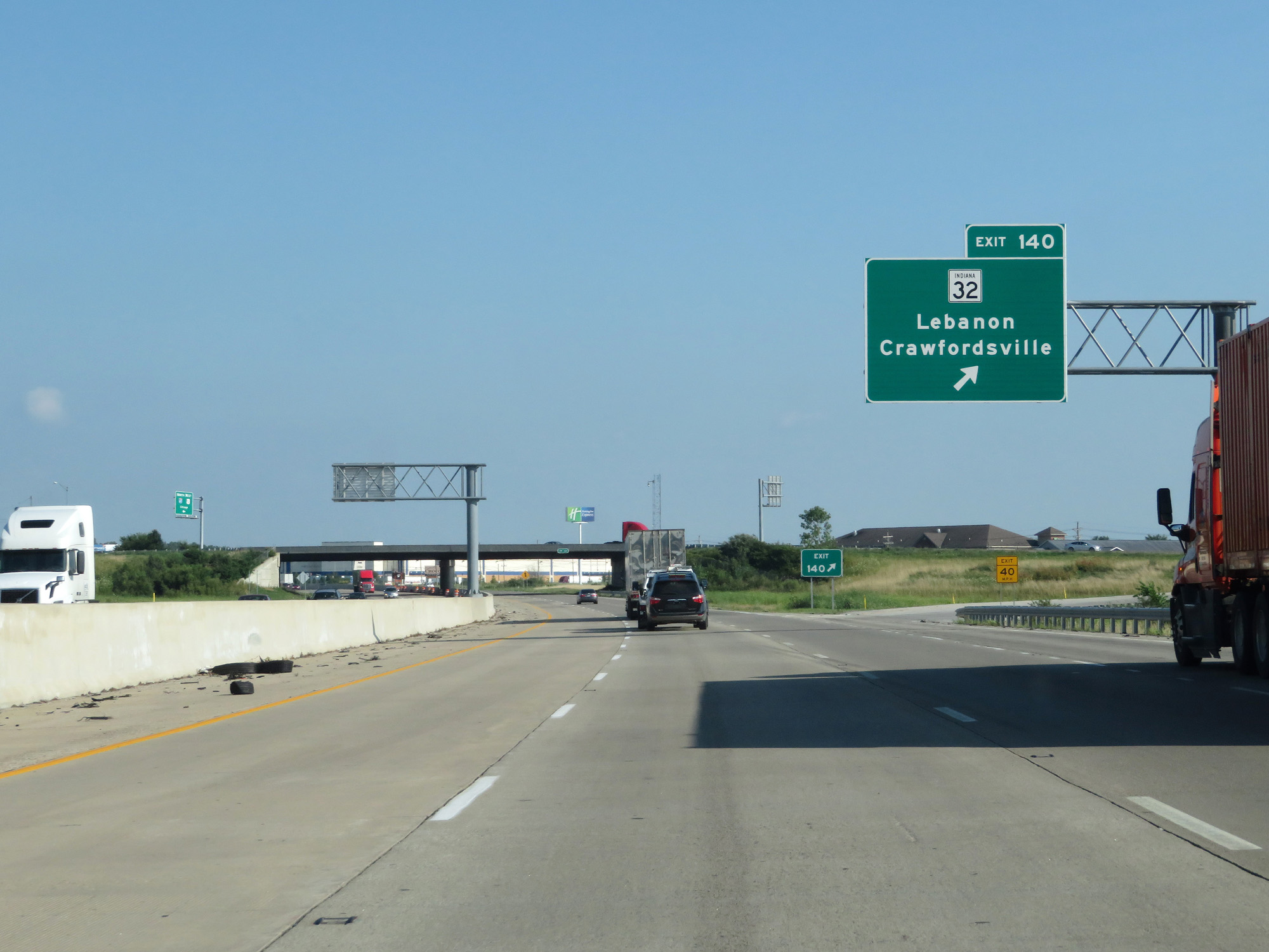 |
Interstate 65 South at Exit 140: IN 32 - Lebanon / Crawfordsville (Photo taken 7/18/17). |
 |
Interstate 65 South at Exit 139: IN 39 - Lebanon / Lizton (Photo taken 7/18/17). |
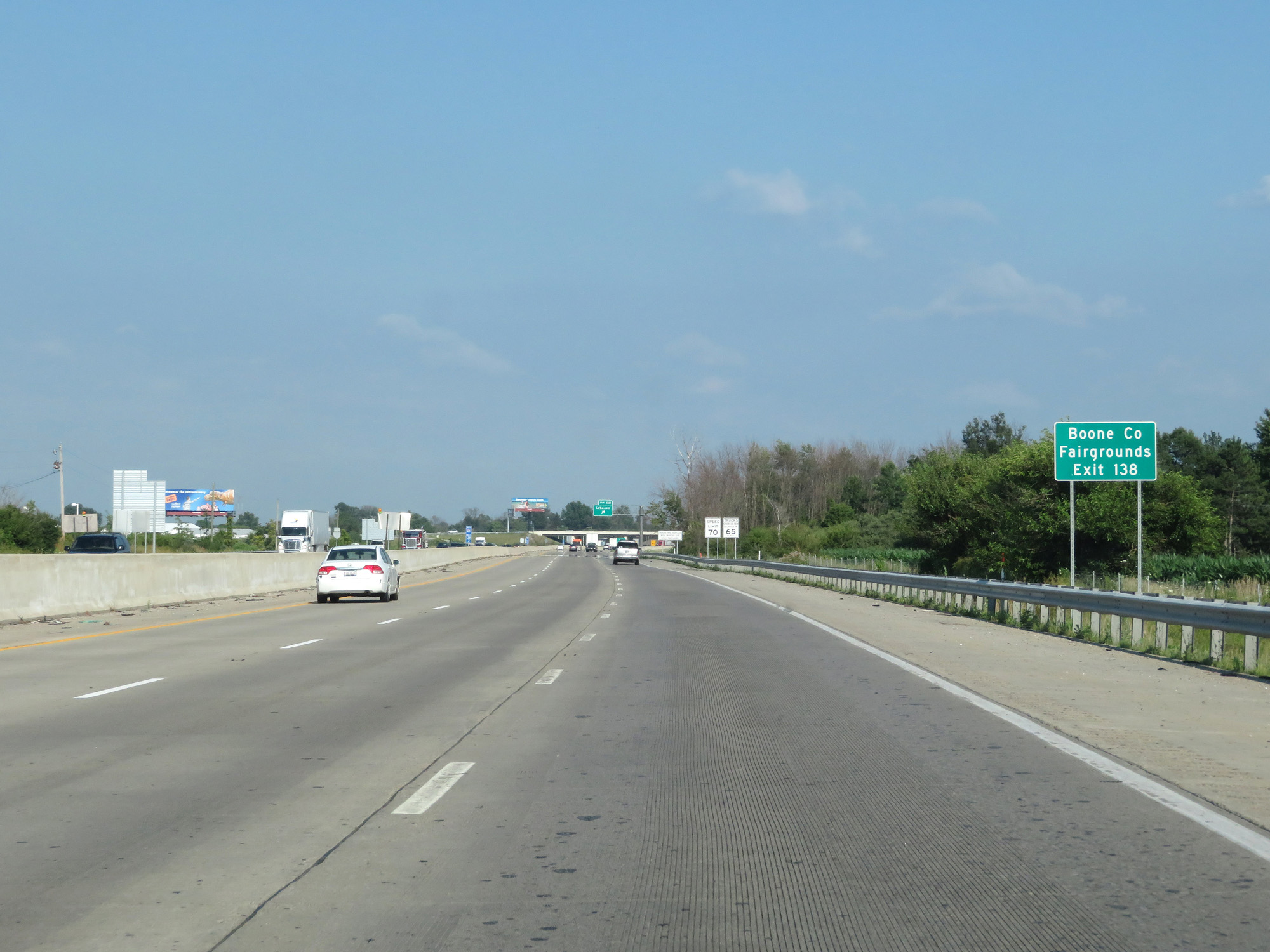 |
Take Exit 138 to the Boone County Fairgrounds. (Photo taken 7/18/17). |
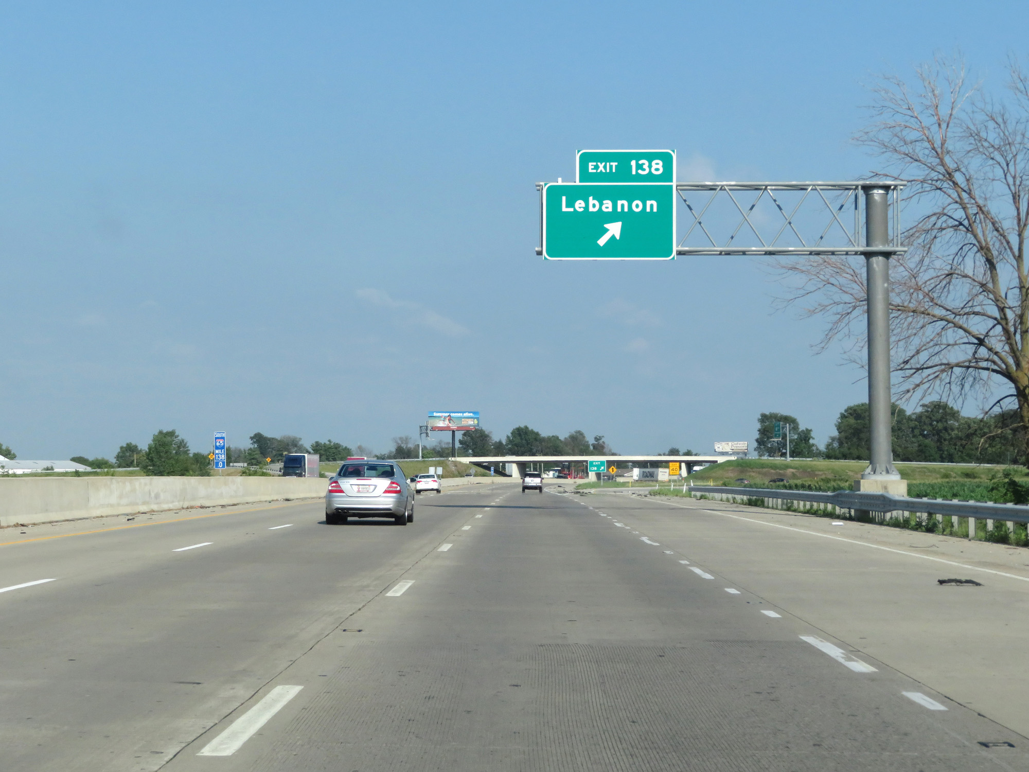 |
Interstate 65 South at Exit 138: Lebanon (Photo taken 7/18/17). |
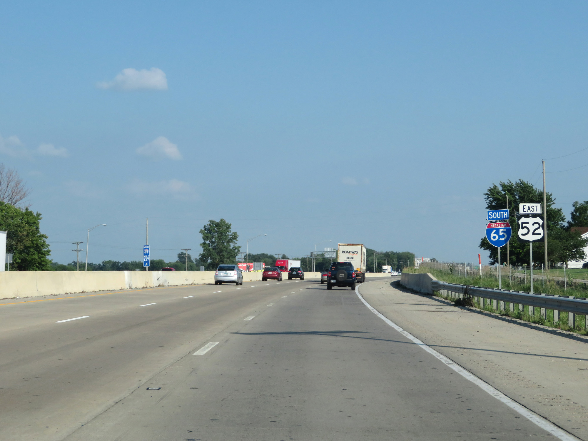 |
Interstate 65 South / US 52 East reassurance markers. (Photo taken 7/18/17). |
 |
Interstate 65 South at mile marker 136. (Photo taken 7/18/17). |
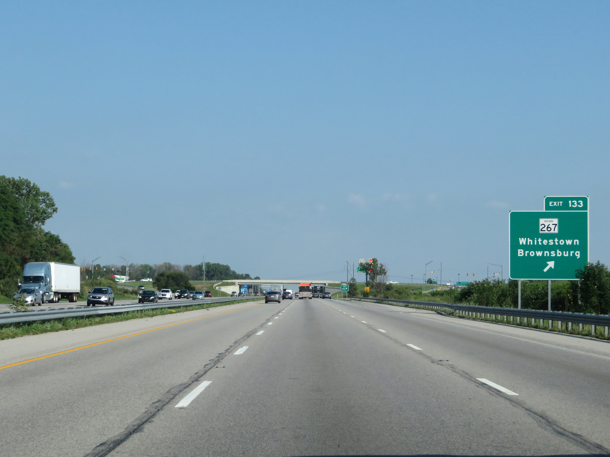 |
Interstate 65 South at Exit 133: IN 267 - Whitestown / Brownsburg (Photo taken 7/18/17). |
 |
Mileage sign on Interstate 65 South. It's 3 miles to the junction of Interstate 865 East, 9 miles to Zionsville, and 22 miles to Indianapolis. (Photo taken 7/18/17). |
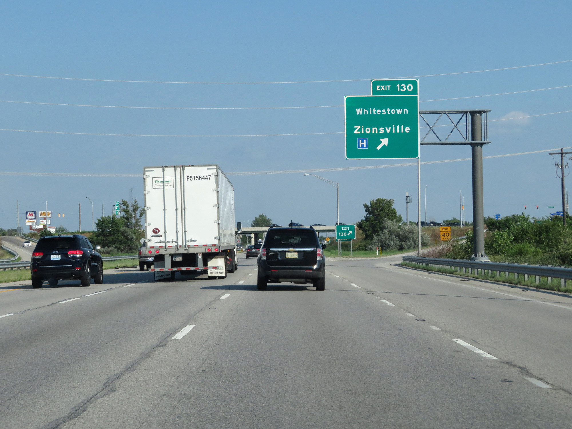 |
Interstate 65 South at Exit 130: Whitestown / Zionsville (Photo taken 7/18/17). |
 |
Interstate 65 South approaching Exit 129 - 3/4 mile. (Photo taken 7/18/17). |
 |
Approaching the Indianapolis metro area, the speed limits once again decrease to 65 mph for cars and 60 mph for trucks. (Photo taken 7/18/17). |
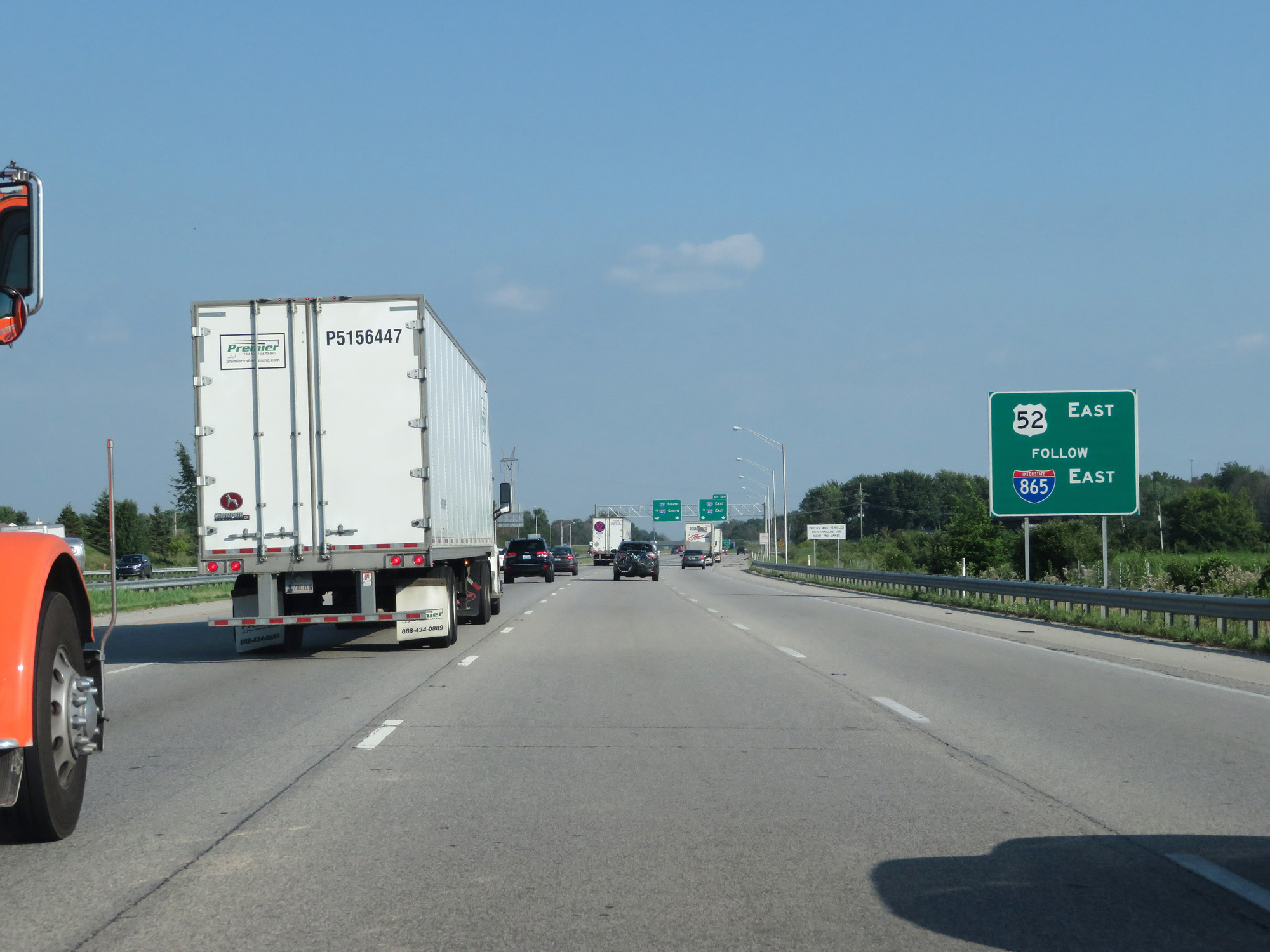 |
US 52 East traffic should follow Interstate 865 East. (Photo taken 7/18/17). |
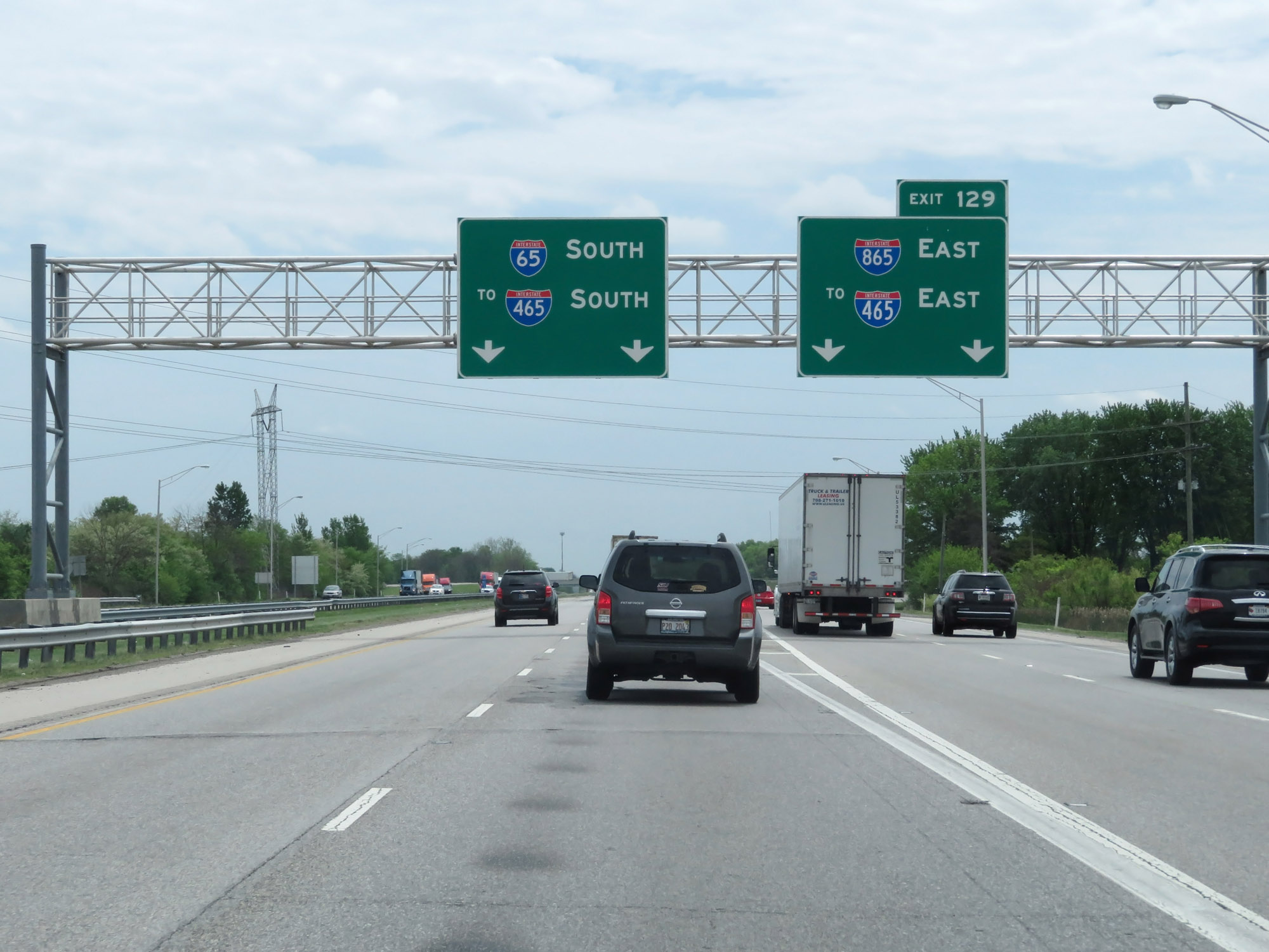 |
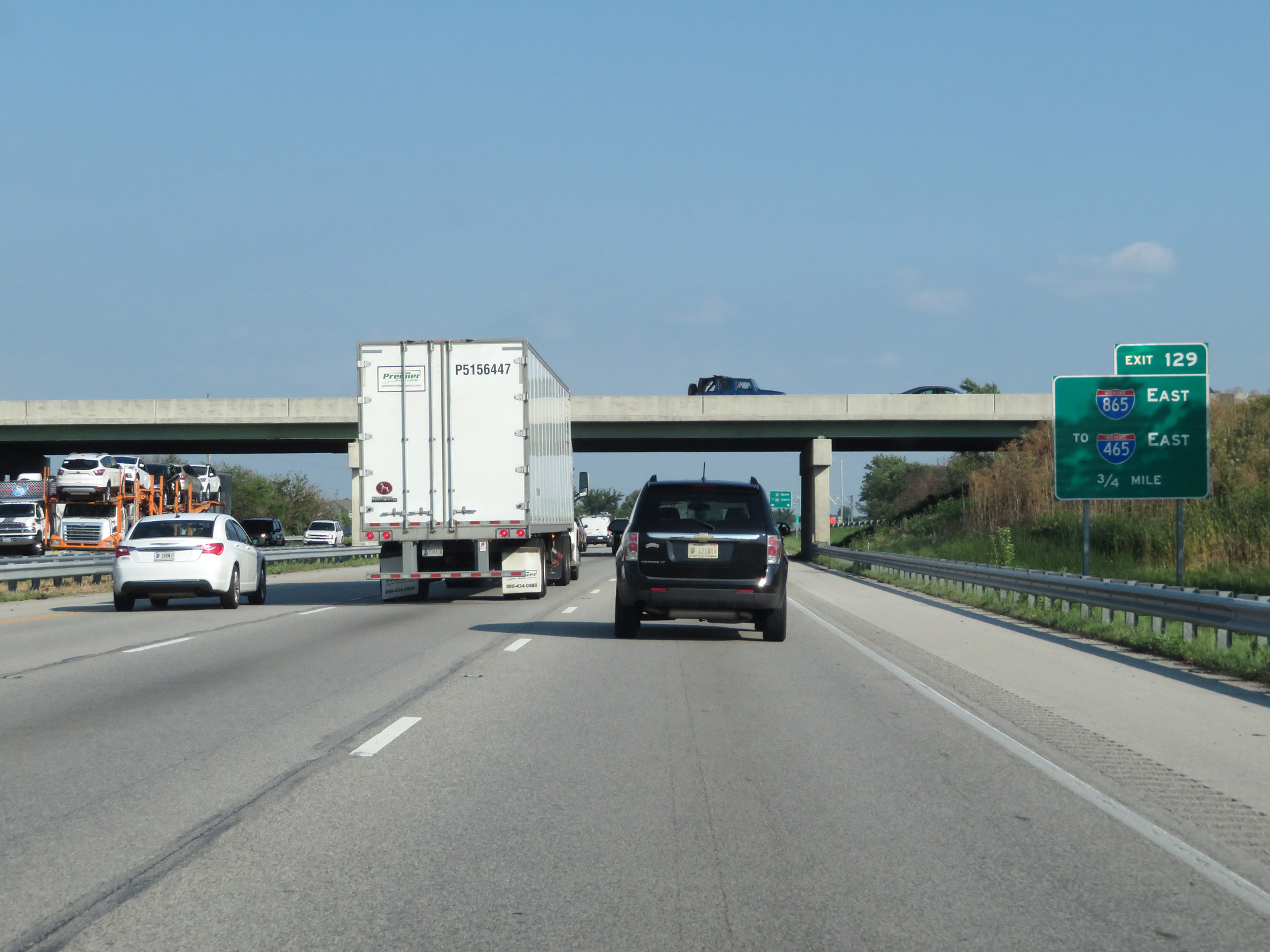
Interstate 65 South at Exit 129: Interstate 865 East / To Interstate 465 East (Photo taken 5/15/18). |
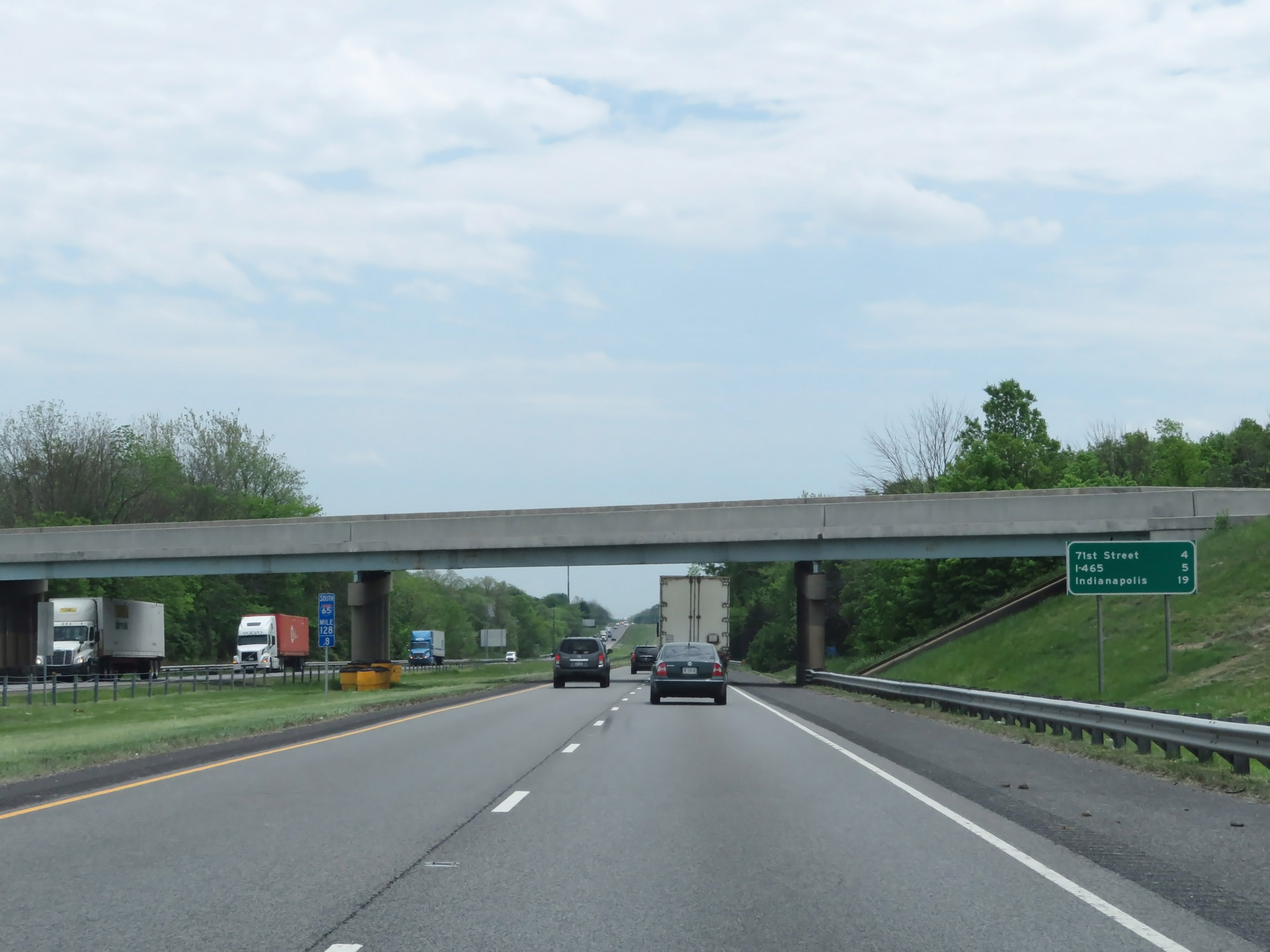 |
Mileage sign at mile marker 128.8. It's 4 miles to the 71st Street interchange (Exit 124), 5 miles to the junction of Interstate 465, and 19 miles to downtown Indianapolis. (Photo taken 5/15/18). |
 |
Interstate 65 South as the speed limits decrease to 65 mph for cars and 60 mph for trucks, approaching the Hendricks County line. (Photo taken 5/15/18). |
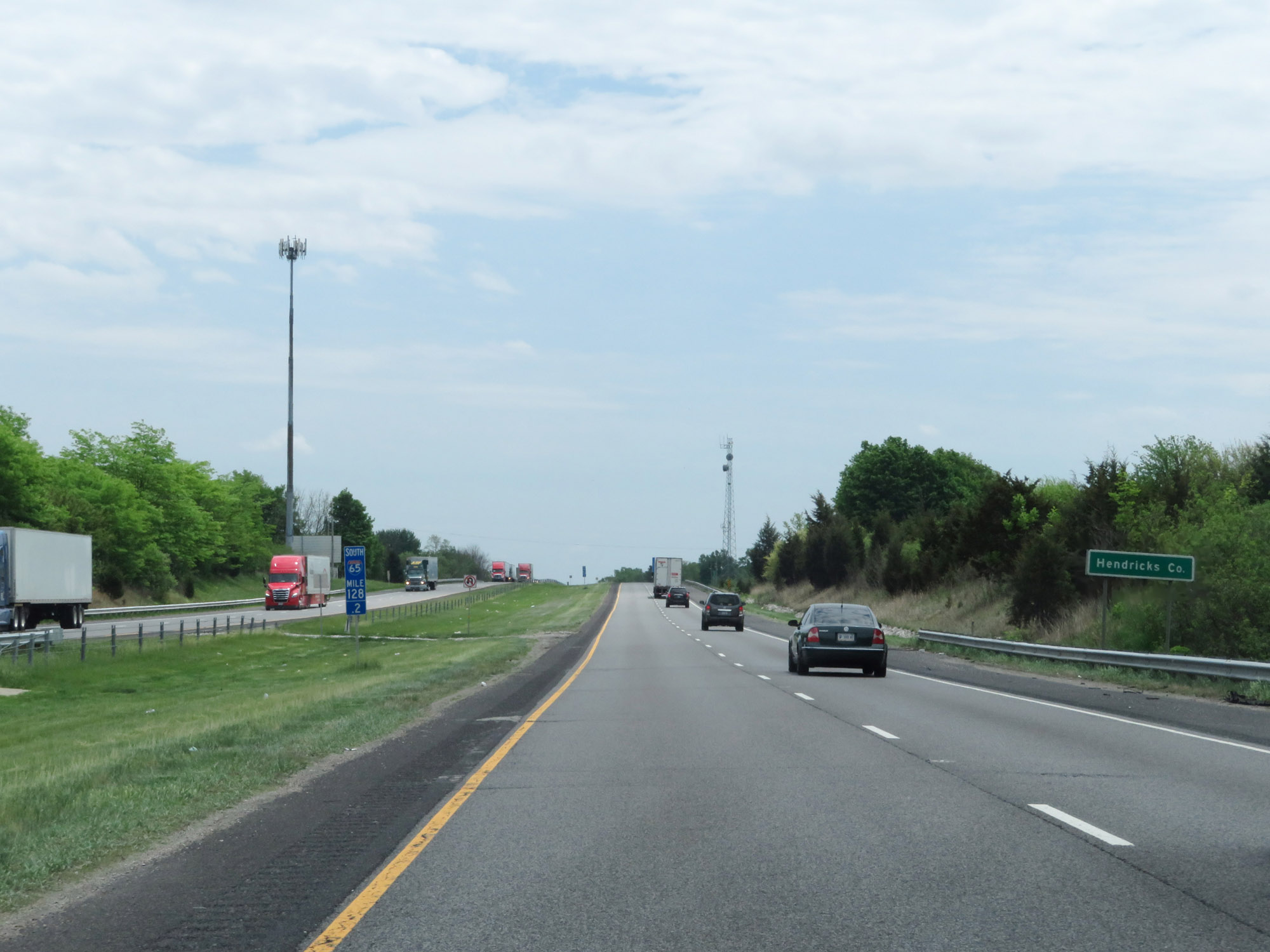 |
Interstate 65 South enters Hendricks County at mile marker 128.2. (Photo taken 5/15/18). |
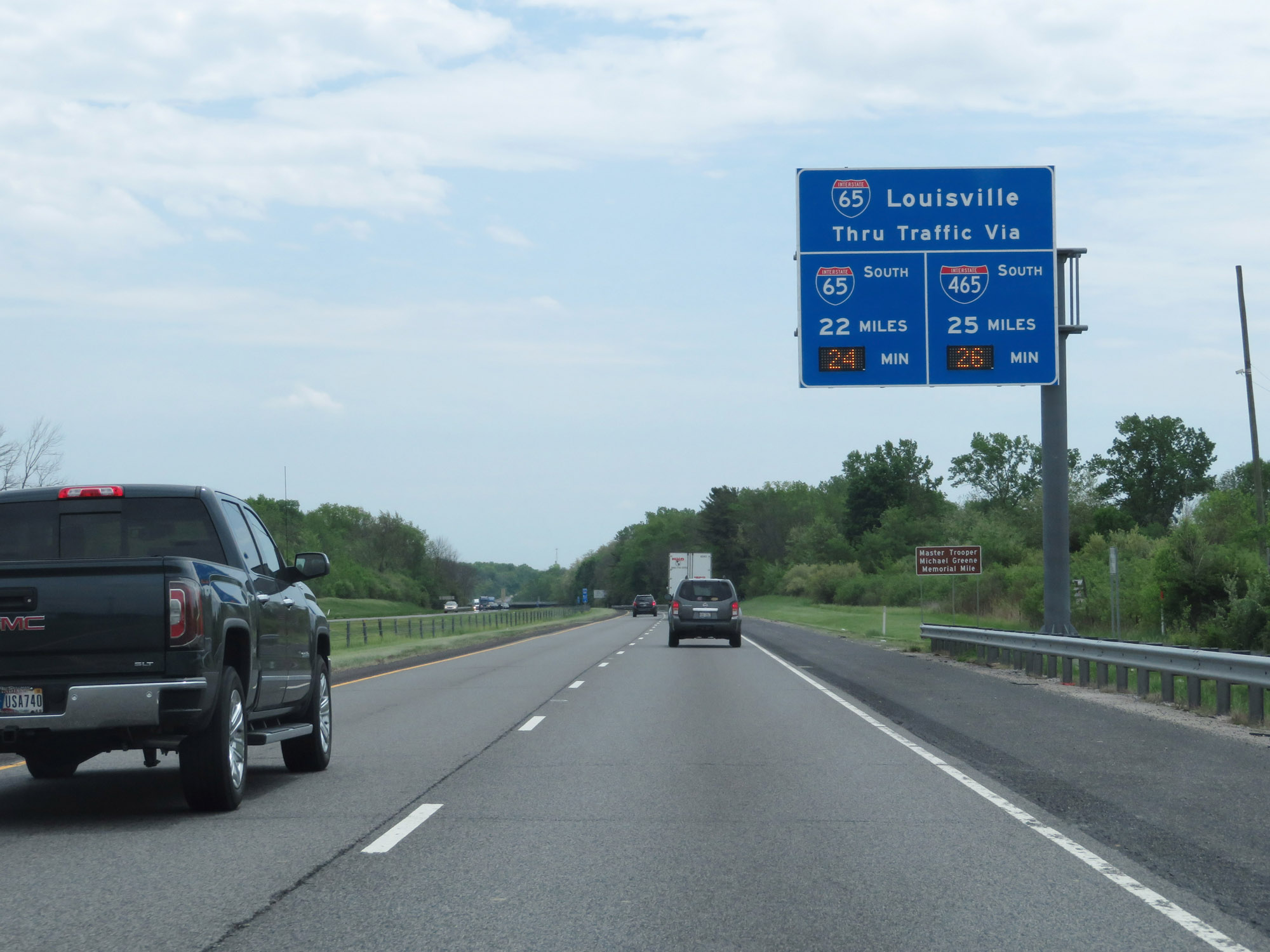 |
Overhead dynamic sign showing the current travel times to Interstate 65 on the south side of Indianapolis via I-65 and Interstate 465. (Photo taken 5/15/18). |
 |
Thru trucks with hazardous materials requiring placards must use Interstate 465. (Photo taken 5/15/18). |
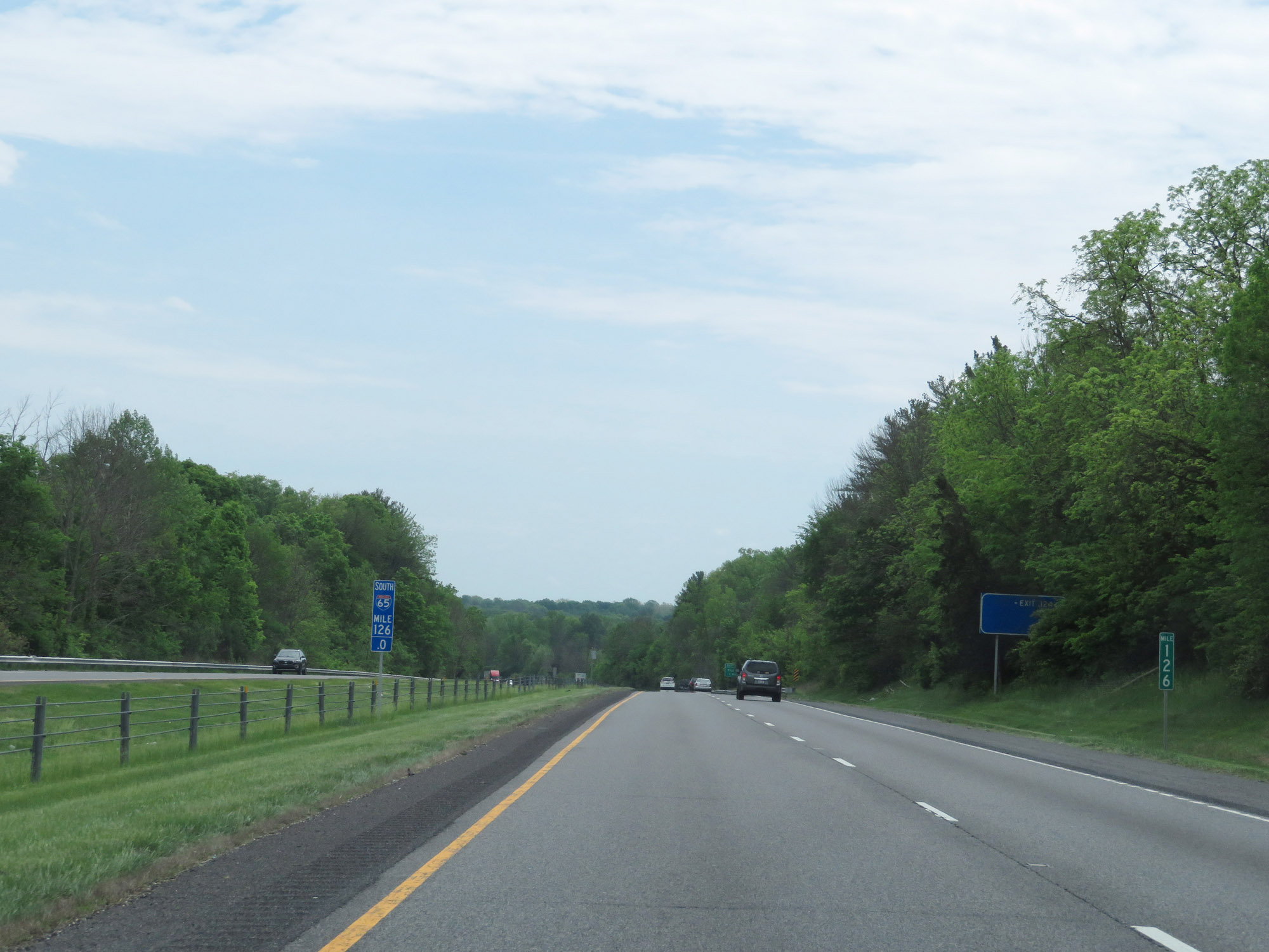 |
Interstate 65 South at mile marker 126. (Photo taken 5/15/18). |
 |
Take Exit 124 to Eagle Creek Park. (Photo taken 5/15/18). |
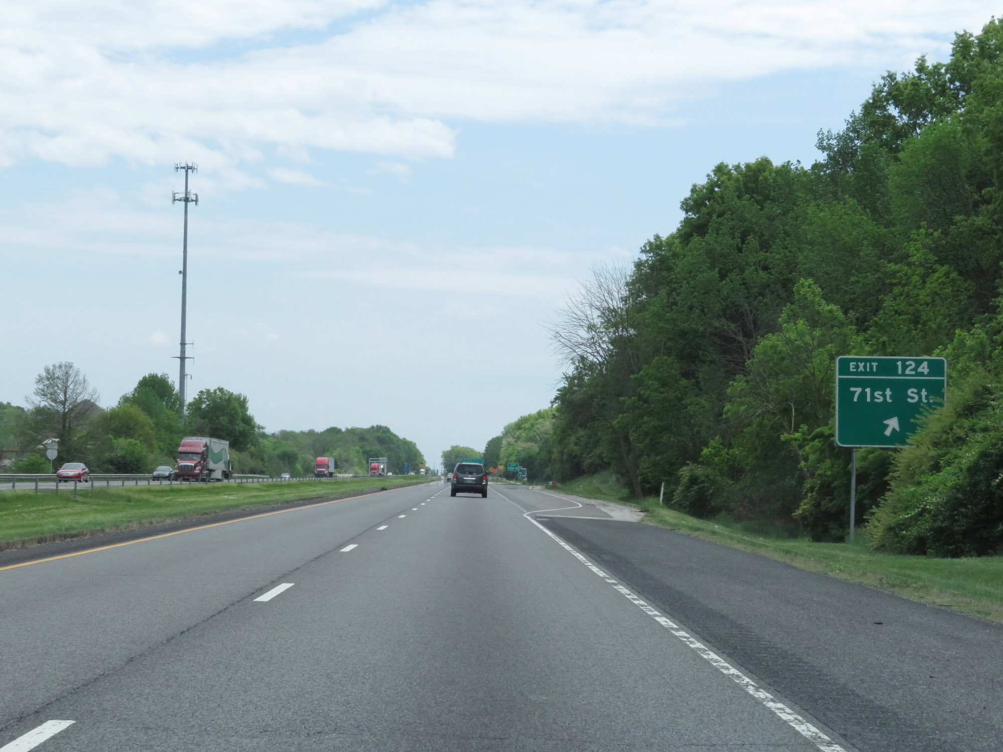 |
Interstate 65 South at Exit 124: 71st St. It's also near this point that I-65 South enters Marion County. (Photo taken 5/15/18). |
 |
Interstate 65 South approaching Exit 123 - 1/2 mile. Also at this point, the speed limit decreases to 55 mph. (Photo taken 5/15/18). |
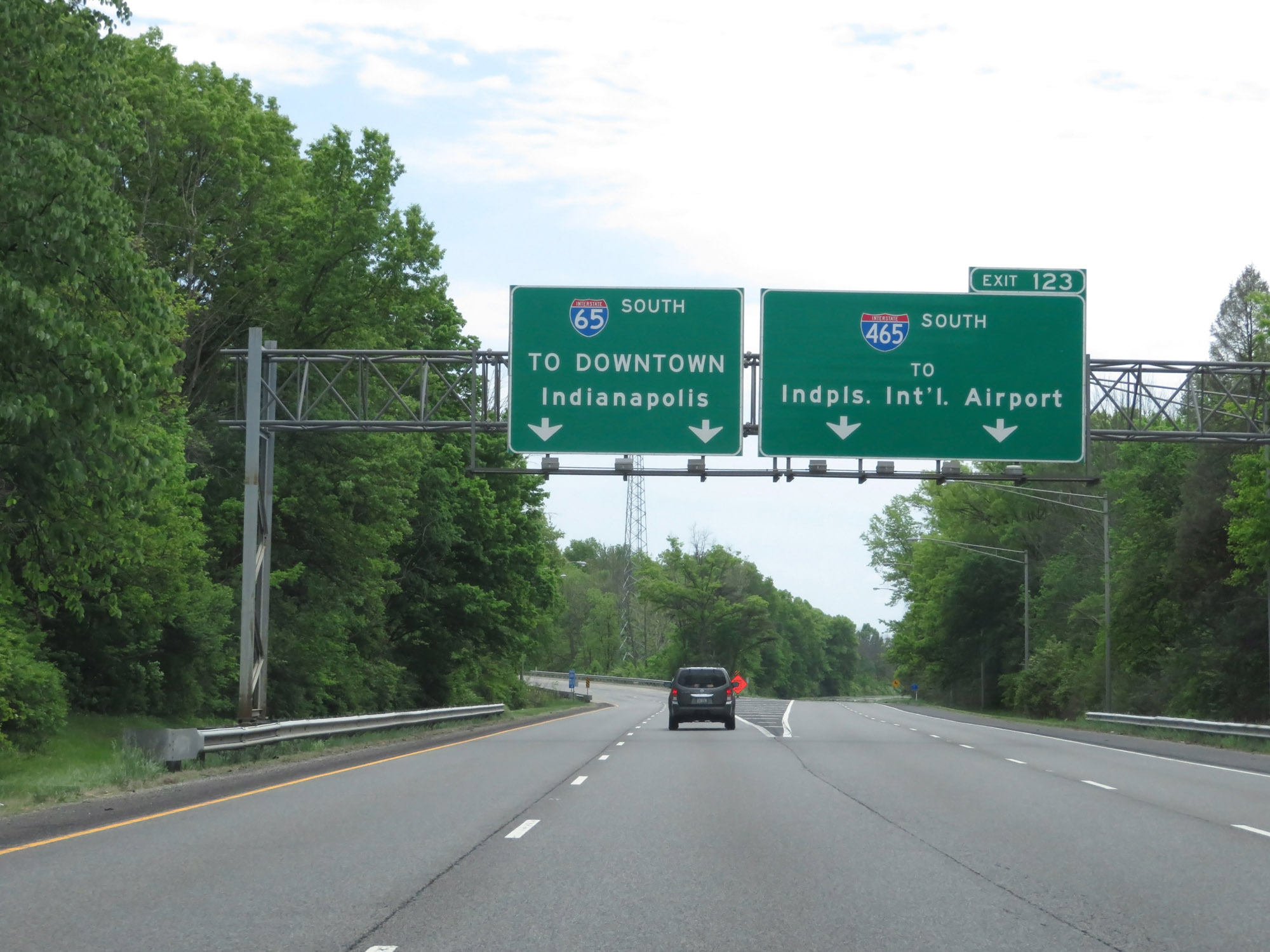 |
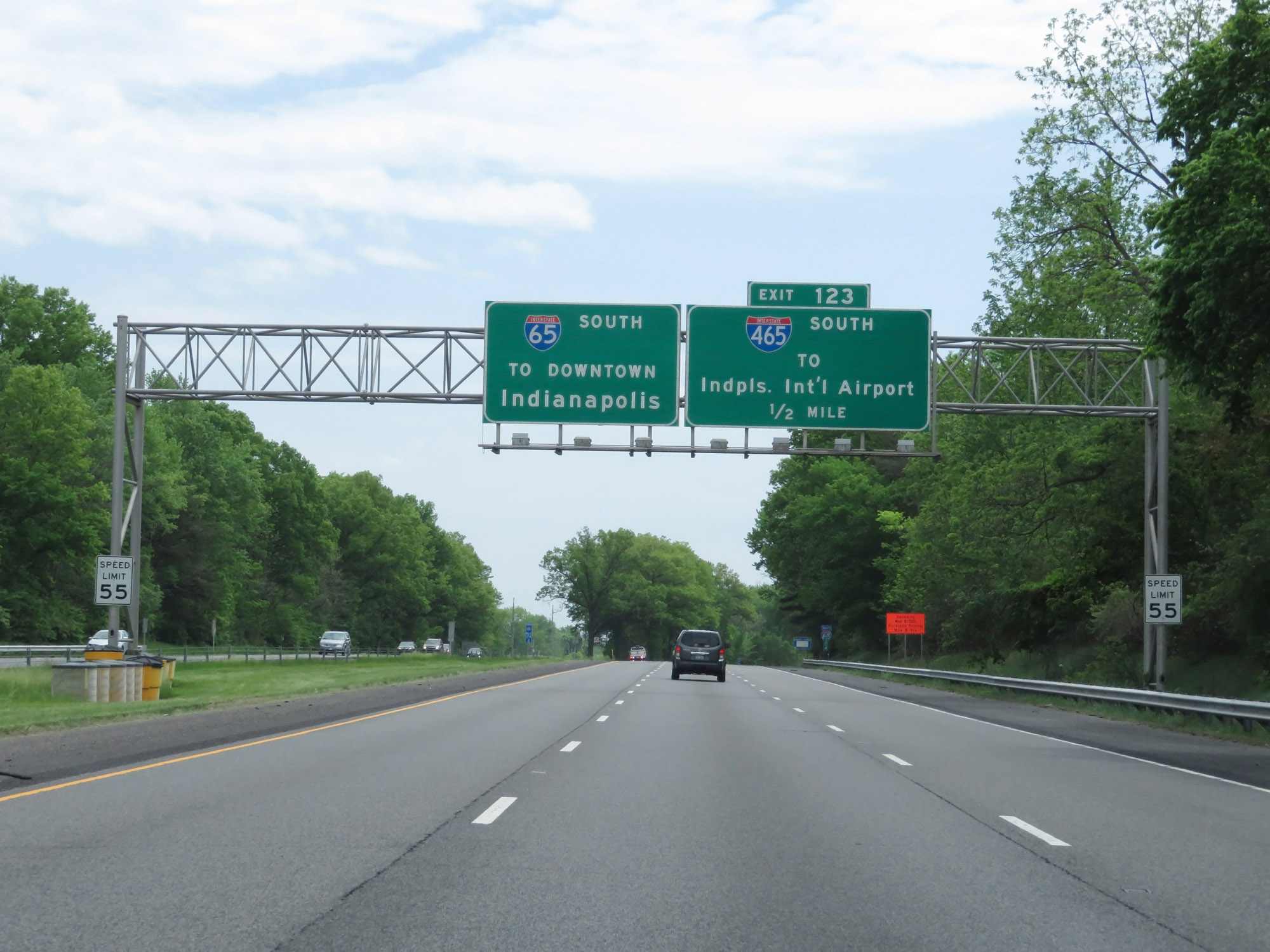
Interstate 65 South at Exit 123: Interstate 465 South - Indianapolis International Airport (Photo taken 5/15/18). |
 |
Interstate 65 South reassurance shield. (Photo taken 5/15/18). |
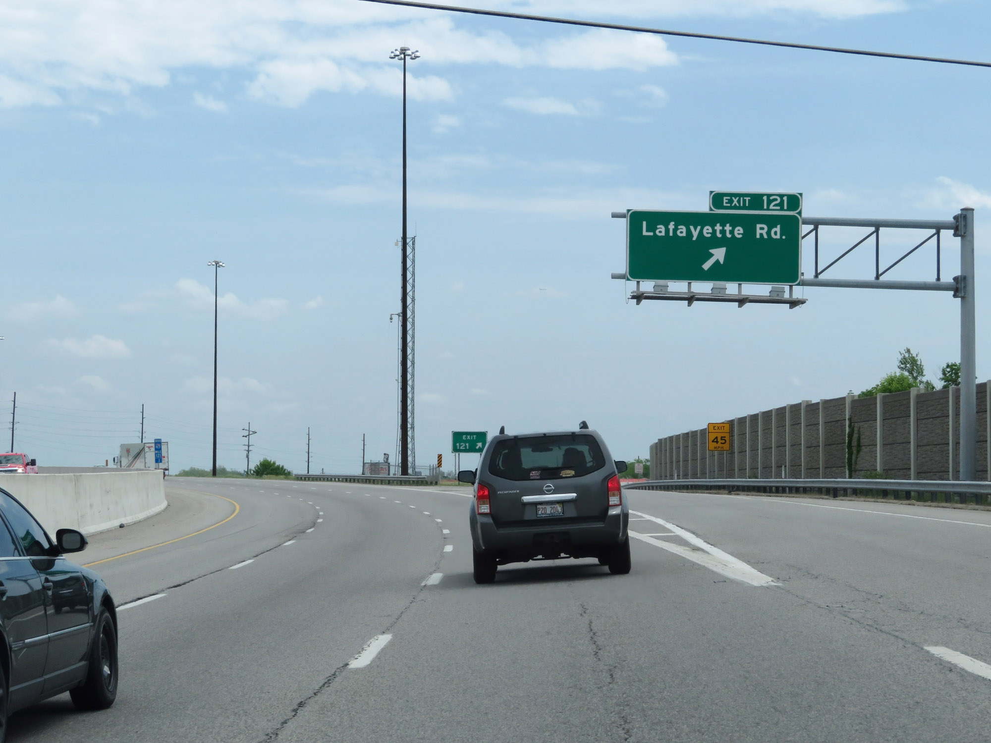 |
Interstate 65 South at Exit 121: Lafayette Rd (Photo taken 5/15/18). |
 |
View on Interstate 65 South at mile marker 120. (Photo taken 5/15/18). |
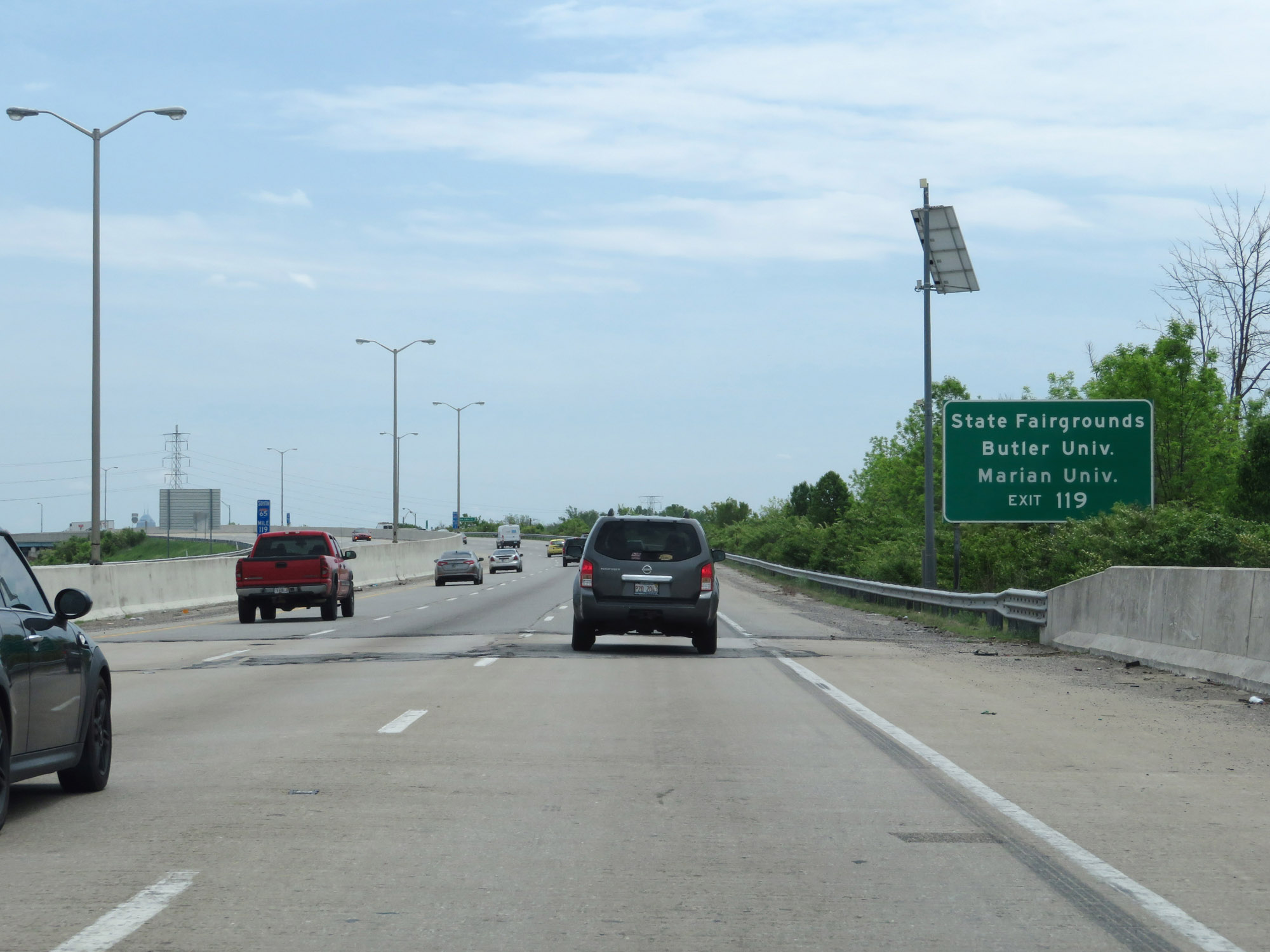 |
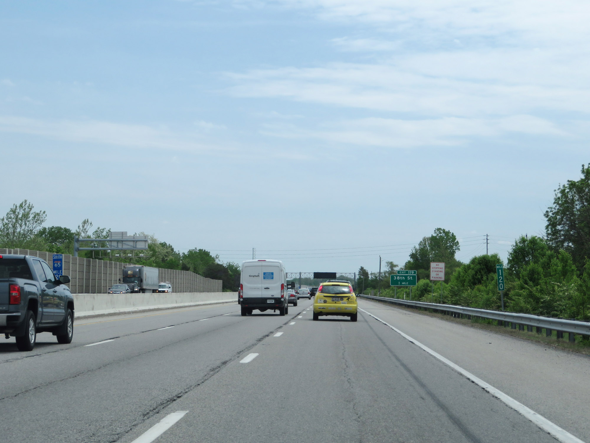
Take Exit 119 to the State Fairgrounds, Butler University, and Marian University. (Photo taken 5/15/18). |
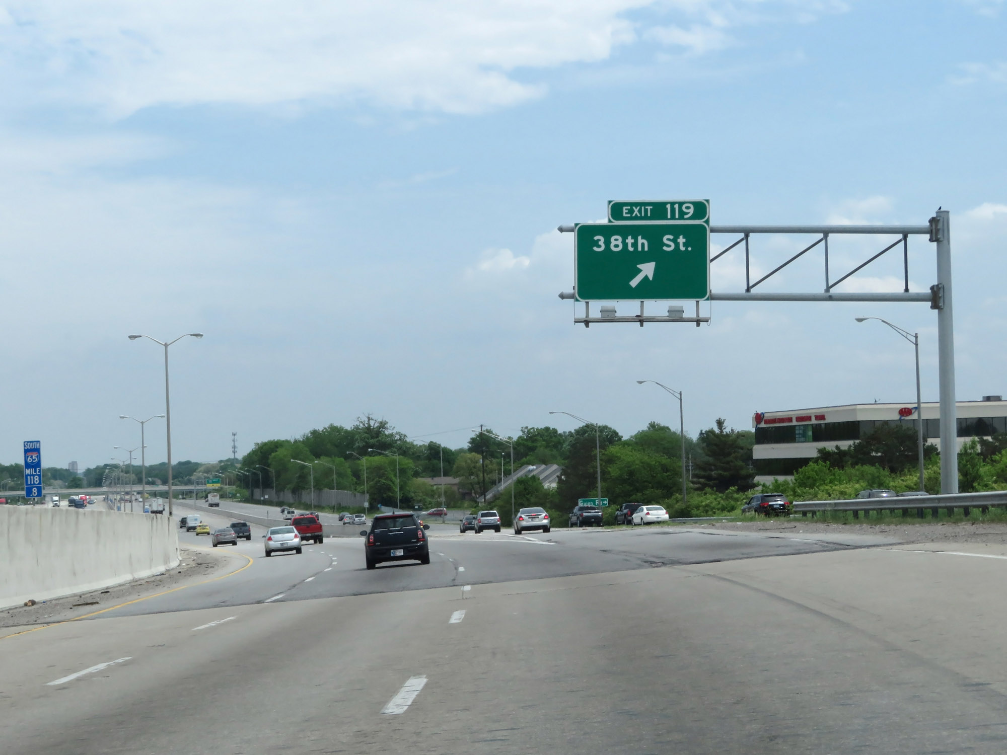 |
Interstate 65 South at Exit 119: 38th St (Photo taken 5/15/18). |
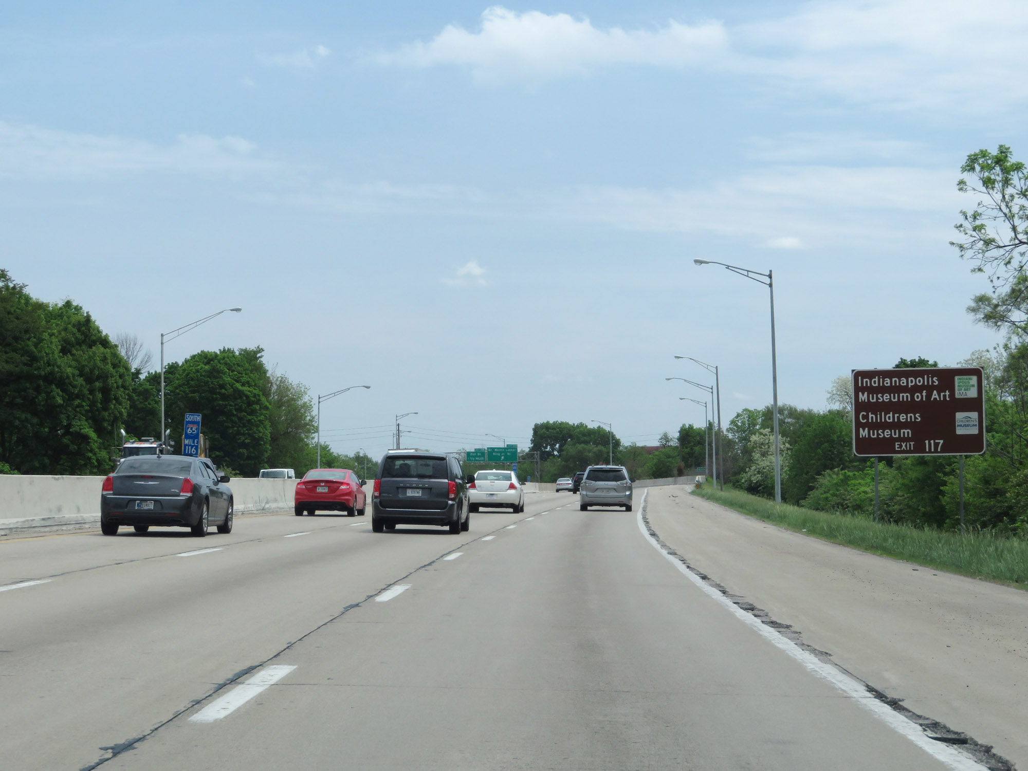 |
Take Exit 117 to the Indianapolis Museum of Art and the Childrens Museum. (Photo taken 5/15/18). |
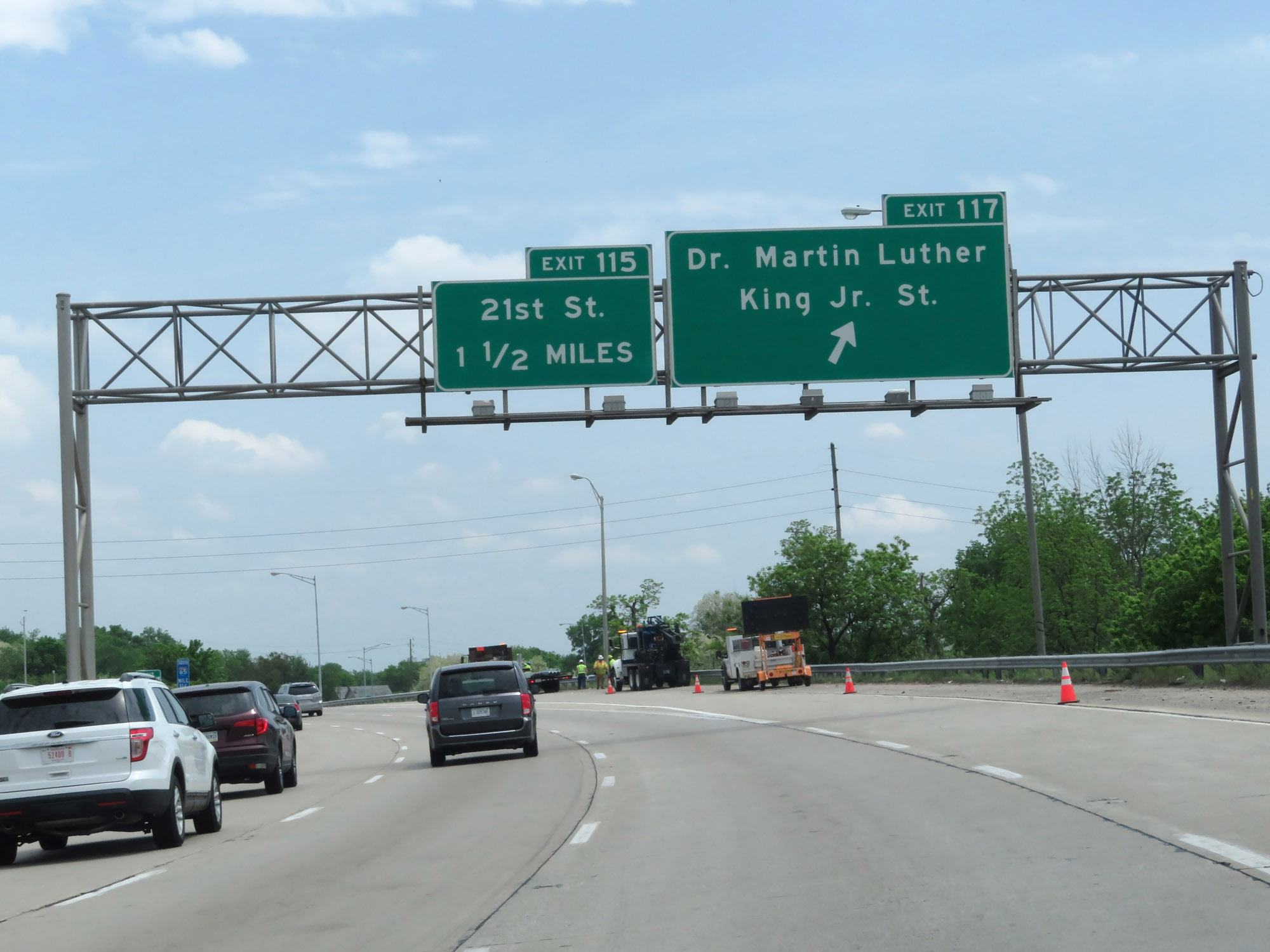 |
Interstate 65 South at Exit 117: Dr. Martin Luther King Jr. St (Photo taken 5/15/18). |
 |
View on Interstate 65 South at mile marker 115.3. (Photo taken 5/15/18). |
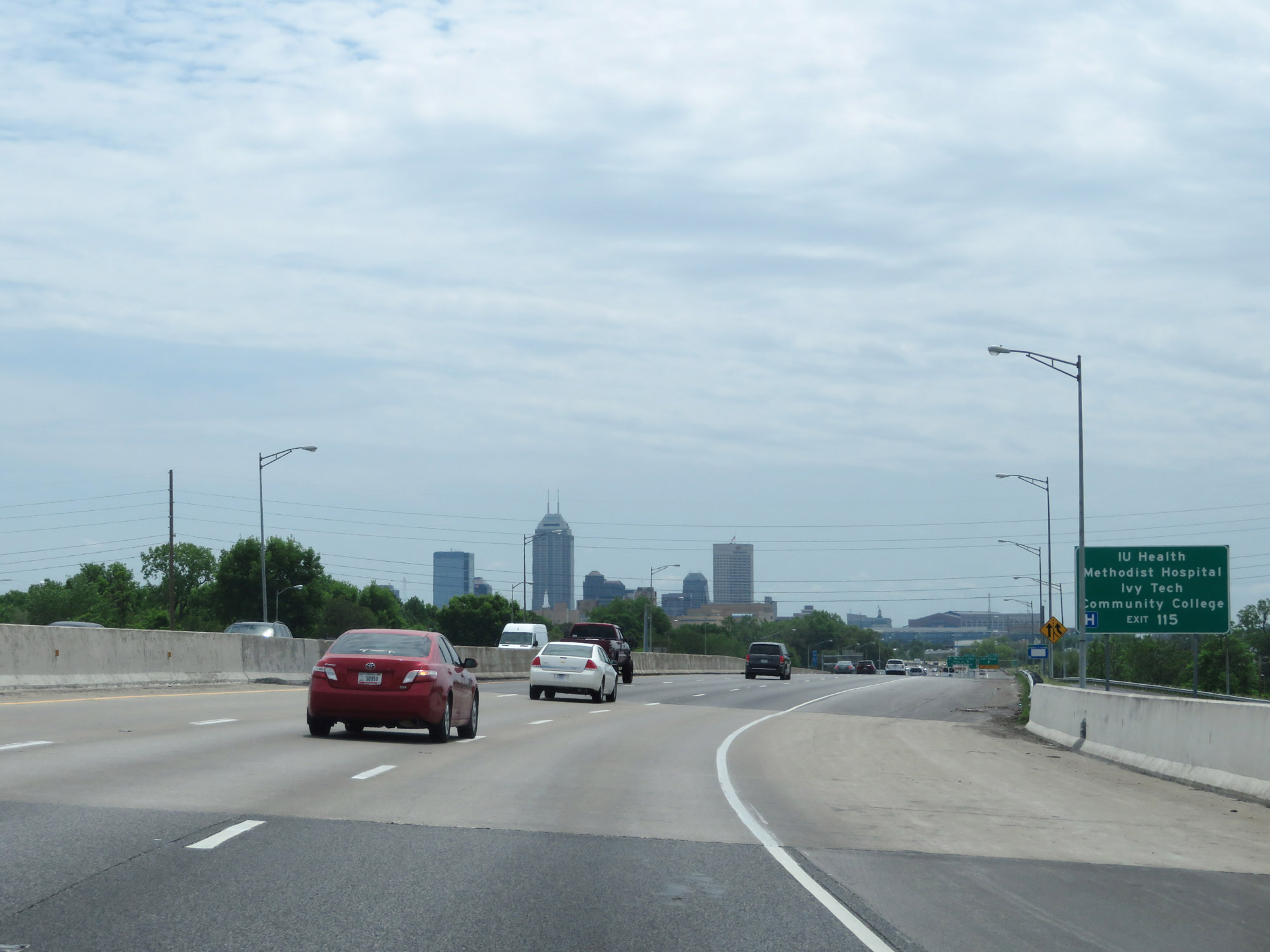 |
Take Exit 115 to IU Health Methodist Hospital and Ivy Tech Community College. (Photo taken 5/15/18). |
 |
Interstate 65 South at Exit 115: 21st Street (Photo taken 5/15/18). |
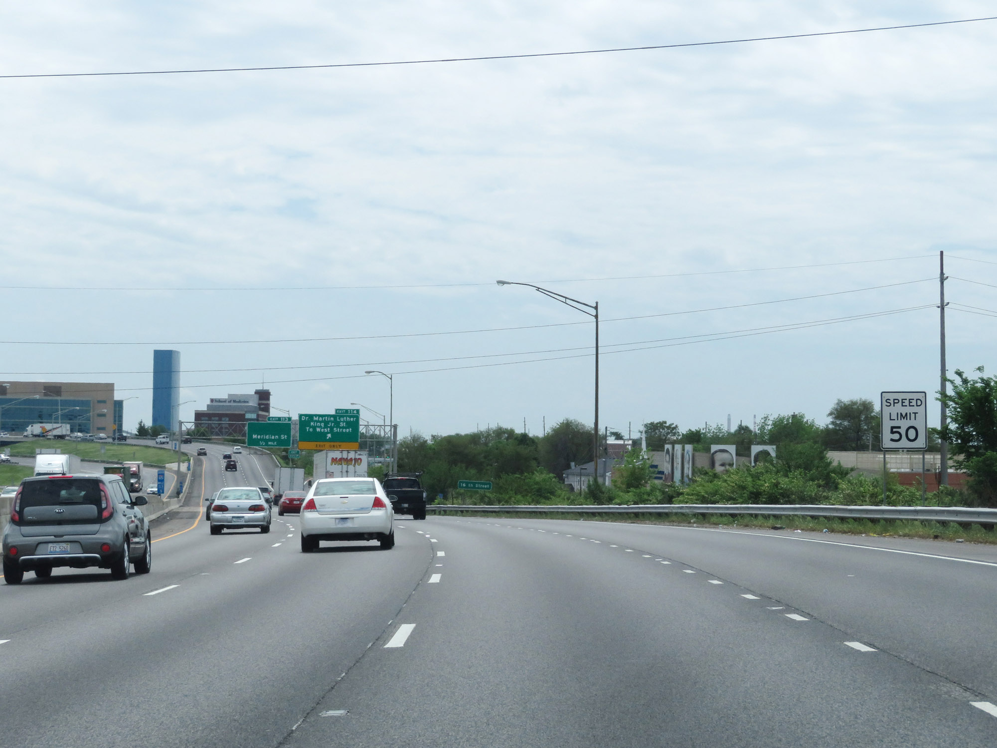 |
Nearing downtown Indianapolis, the speed limit decreases to 50 mph. (Photo taken 5/15/18). |
 |
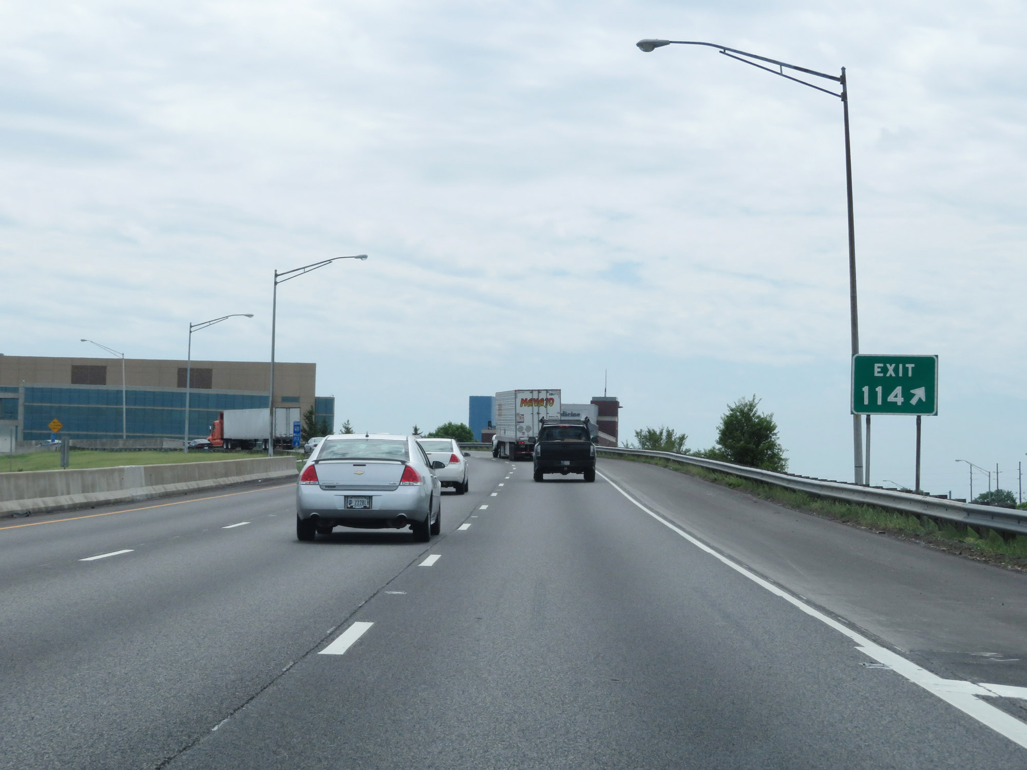
Interstate 65 South at Exit 114: Dr. Martin Luther King Jr. St / To West Street (Photo taken 5/15/18). |
 |
Just beyond Exit 114, Interstate 65 South prepares to curve sharply to the east for a brief time. (Photo taken 5/15/18). |
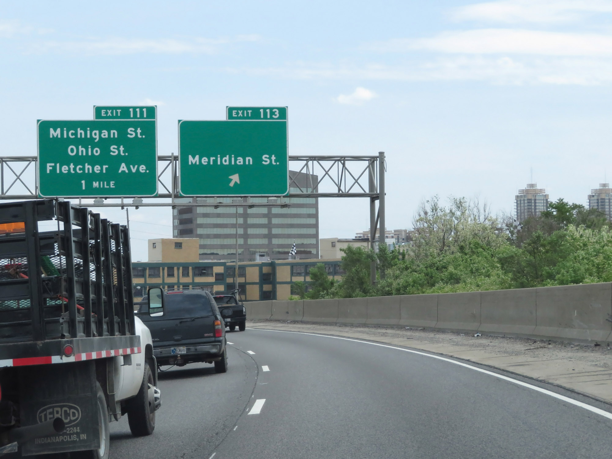 |
Interstate 65 South at Exit 113: Meridian St (Photo taken 5/15/18). |
 |
As Interstate 65 South draws close to its junction with Interstate 70 in downtown Indianapolis, traffic looking to stay on I-65 South should use the right lane. I-70 East traffic (via Exit 112A) should use the left two lanes. (Photo taken 5/15/18). |
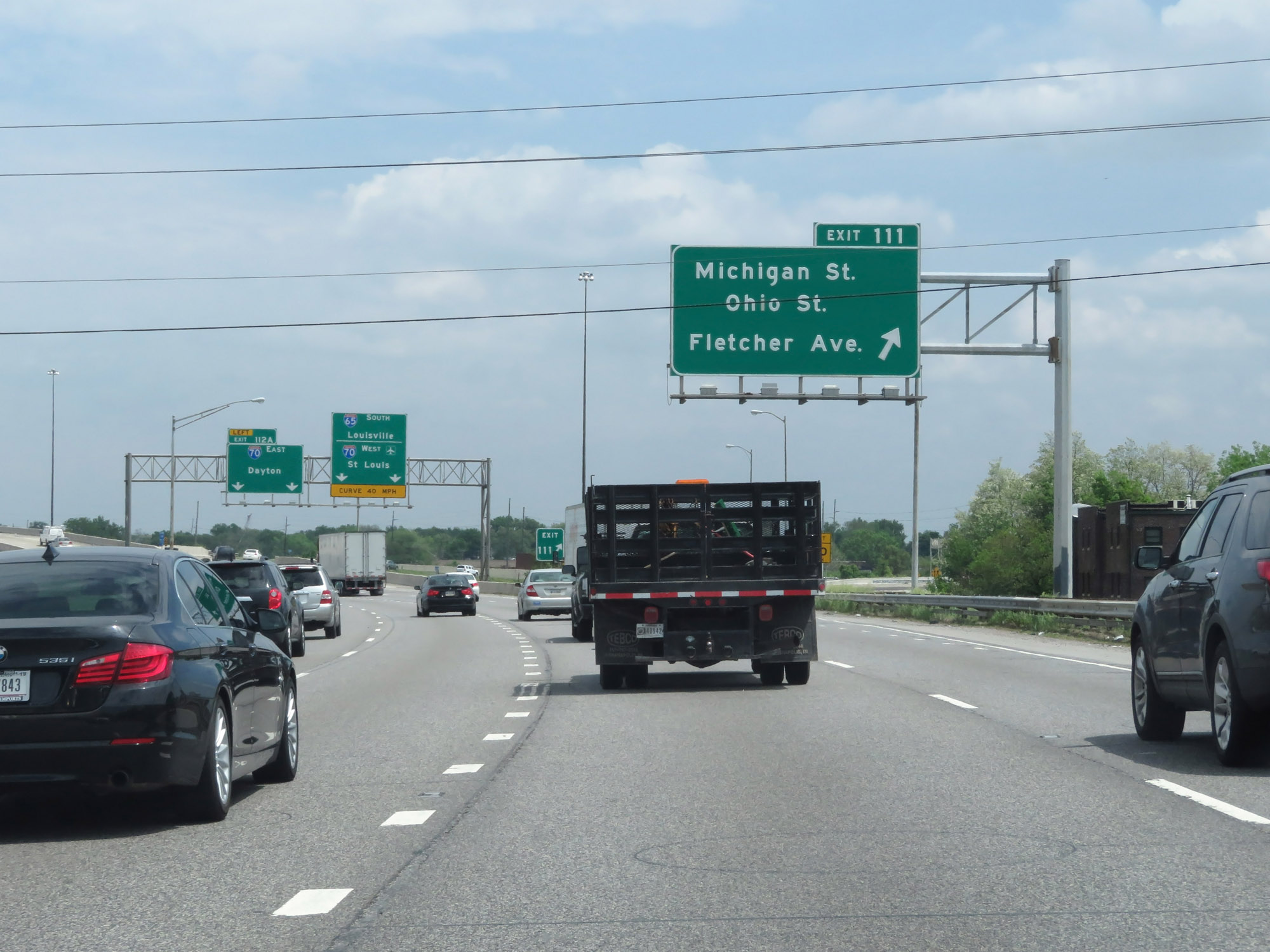 |
Interstate 65 South at Exit 111: Michigan St / Ohio St / Fletcher Ave (Photo taken 5/15/18). |
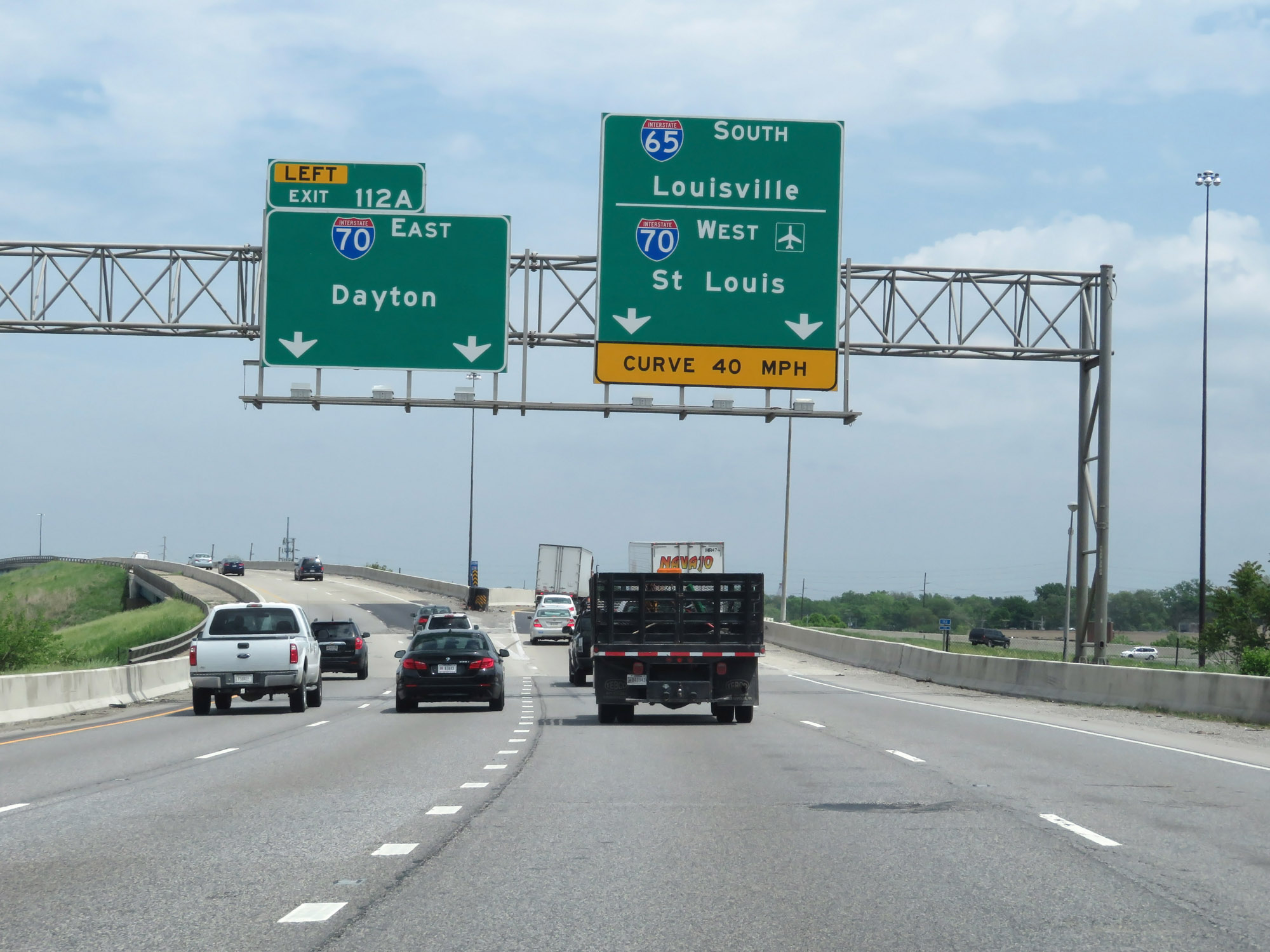 |
Interstate 65 South at Exit 112A: Interstate 70 East - Dayton. Ahead, Interstate 65 South will curve sharply to the south to meet Interstate 70's westbound lanes. At that point, I-65 South and I-70 West will run concurrently for about 2 miles in downtown. (Photo taken 5/15/18). |
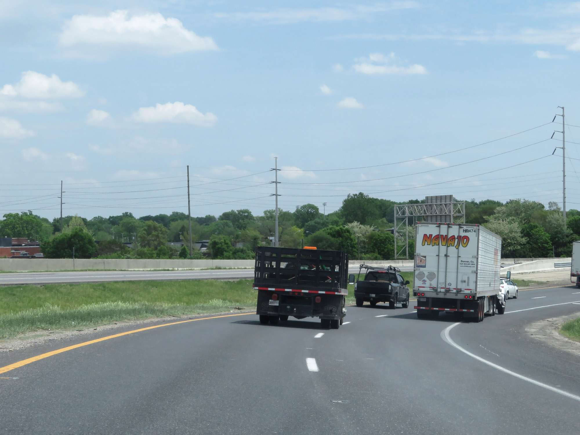 |
Interstate 65 South as it curves to the south to meet the westbound lanes of Interstate 70 in Indianapolis. I-70 West traffic will merge in on the right ahead. (Photo taken 5/15/18). |
 |
Dual Interstate 65 South / Interstate 70 West reassurance shields in downtown Indianapolis. I-65 and I-70 will run concurrently for roughly the next 2 miles. (Photo taken 5/15/18). |
 |
Interstate 65 South / Interstate 70 West approaching Exit 110B - 3/4 mile. (Photo taken 5/15/18). |
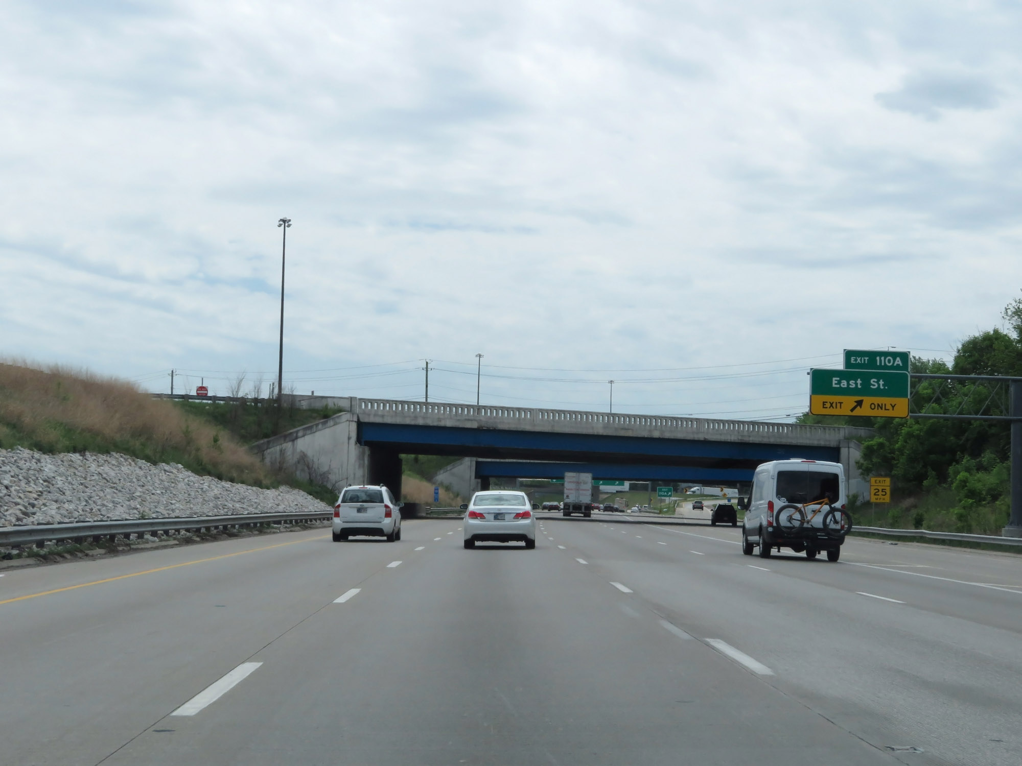 |
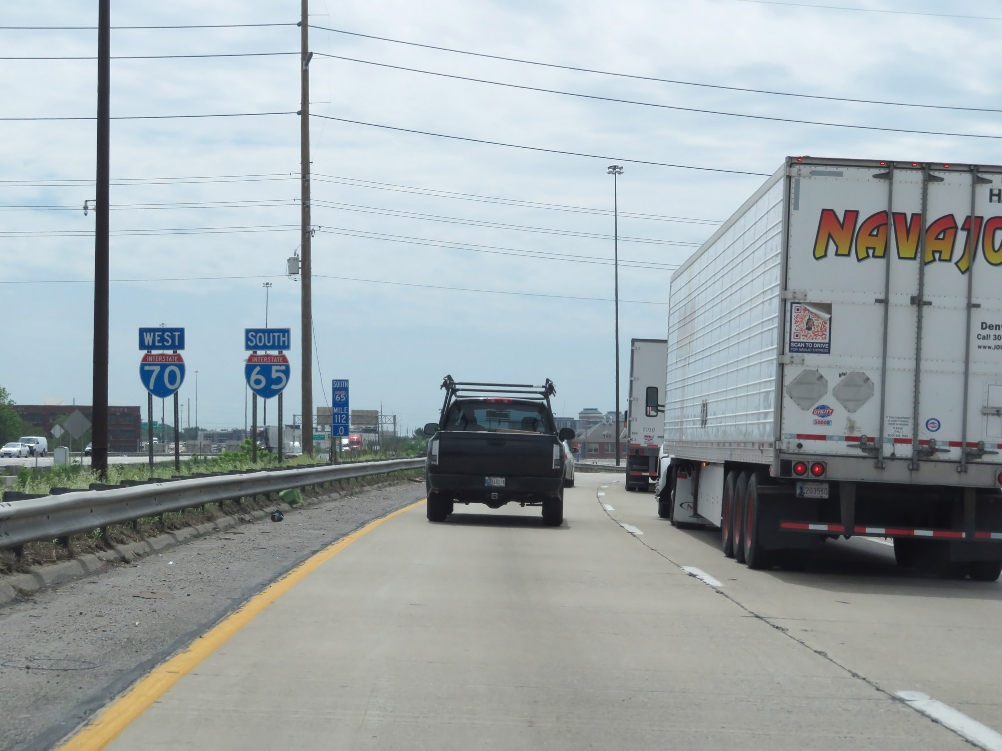
Interstate 65 South / Interstate 70 West at Exit 110A: East St (Photo taken 5/15/18). |
Section 3: Indianapolis (Exit 110A) to Seymour (Exit 50A)
 |
Interstate 65 South / Interstate 70 West at Exit 110B: Interstate 70 West - St Louis / Indianapolis International Airport (Photo taken 5/15/18). |
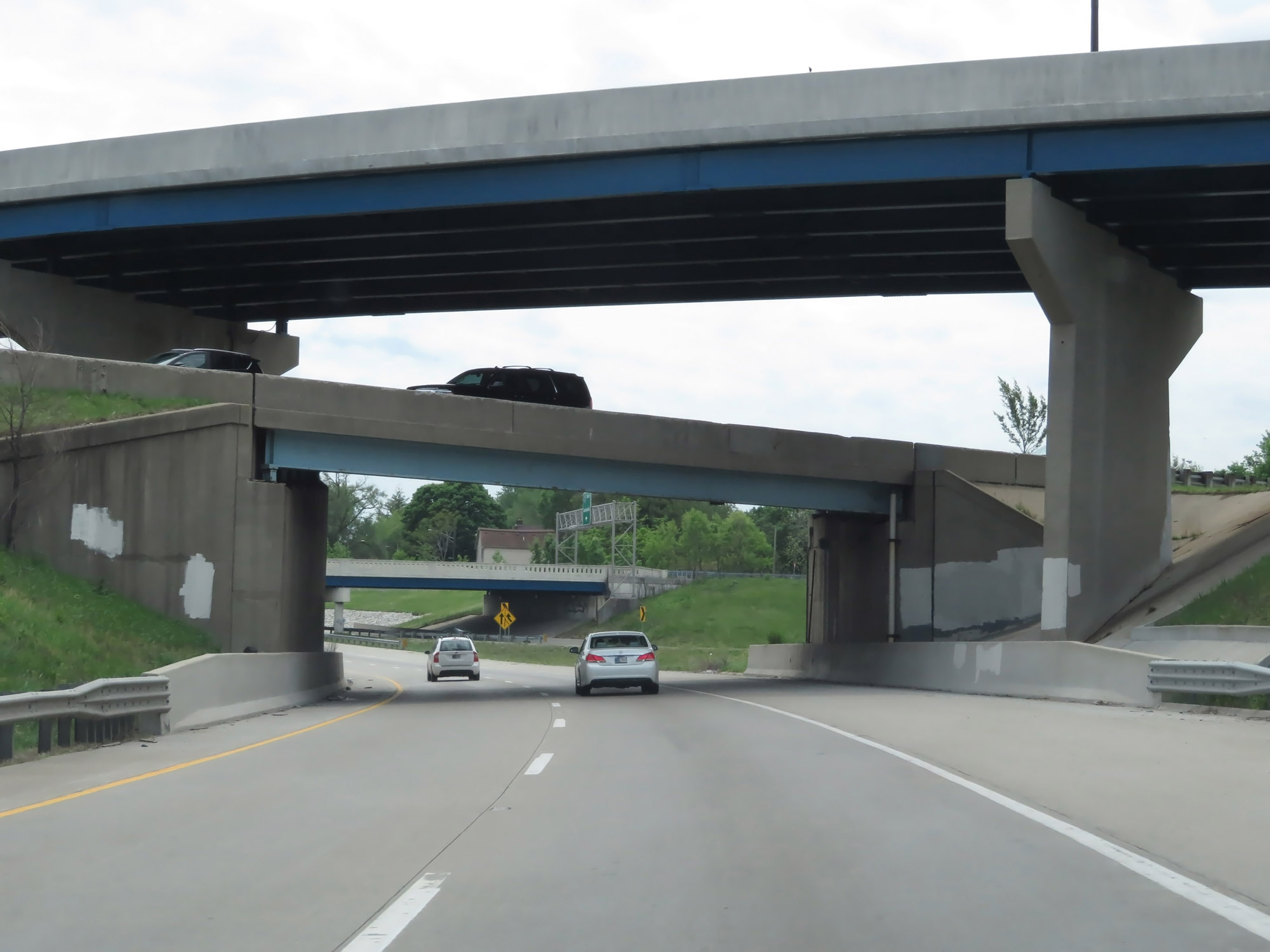 |
Interstate 65 South as it prepares to pass under the eastbound lanes of Interstate 70 as well as the ramp from I-65 North to I-70 West. (Photo taken 5/15/18). |
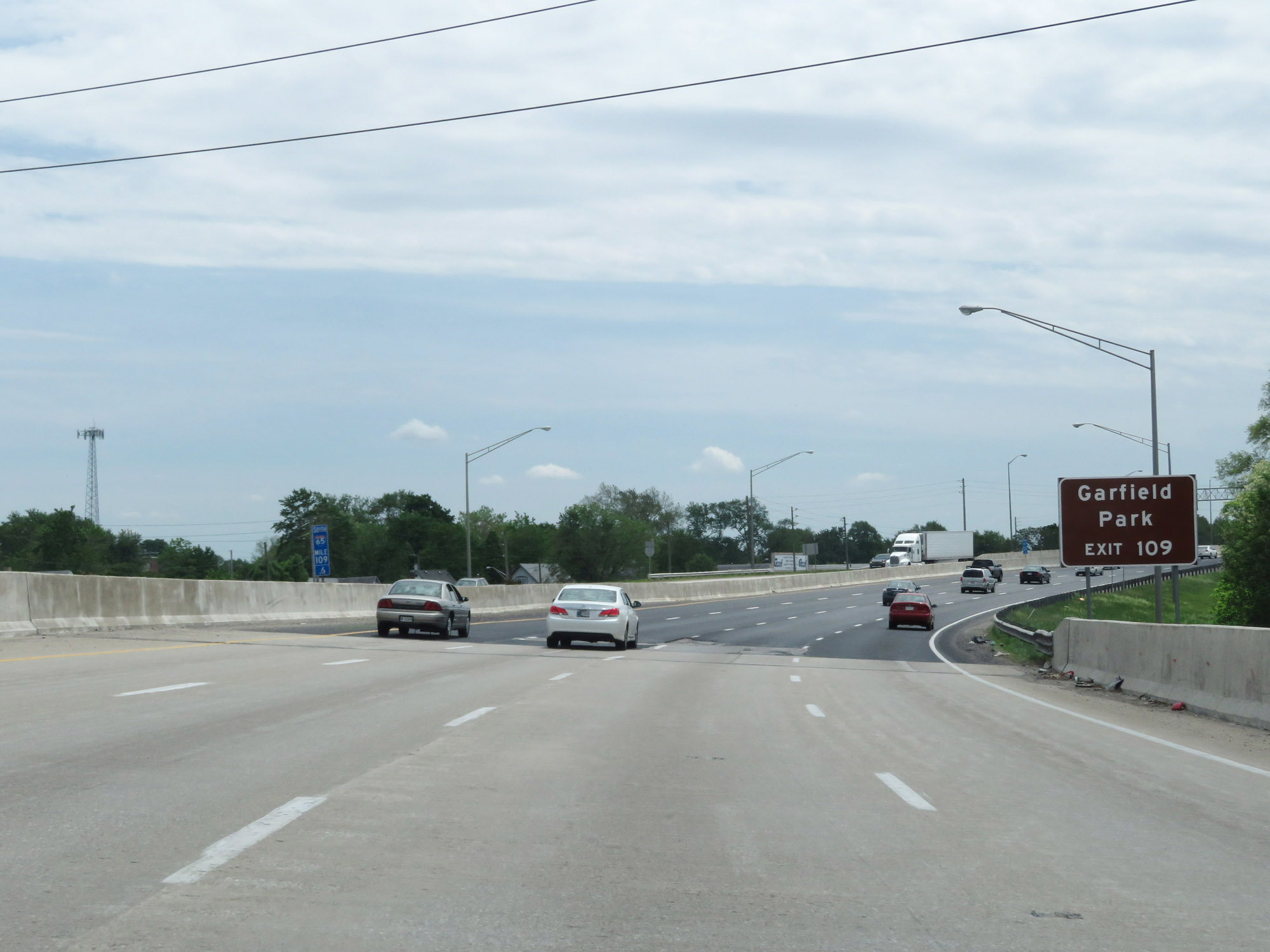 |
Take Exit 109 to Garfield Park. (Photo taken 5/15/18). |
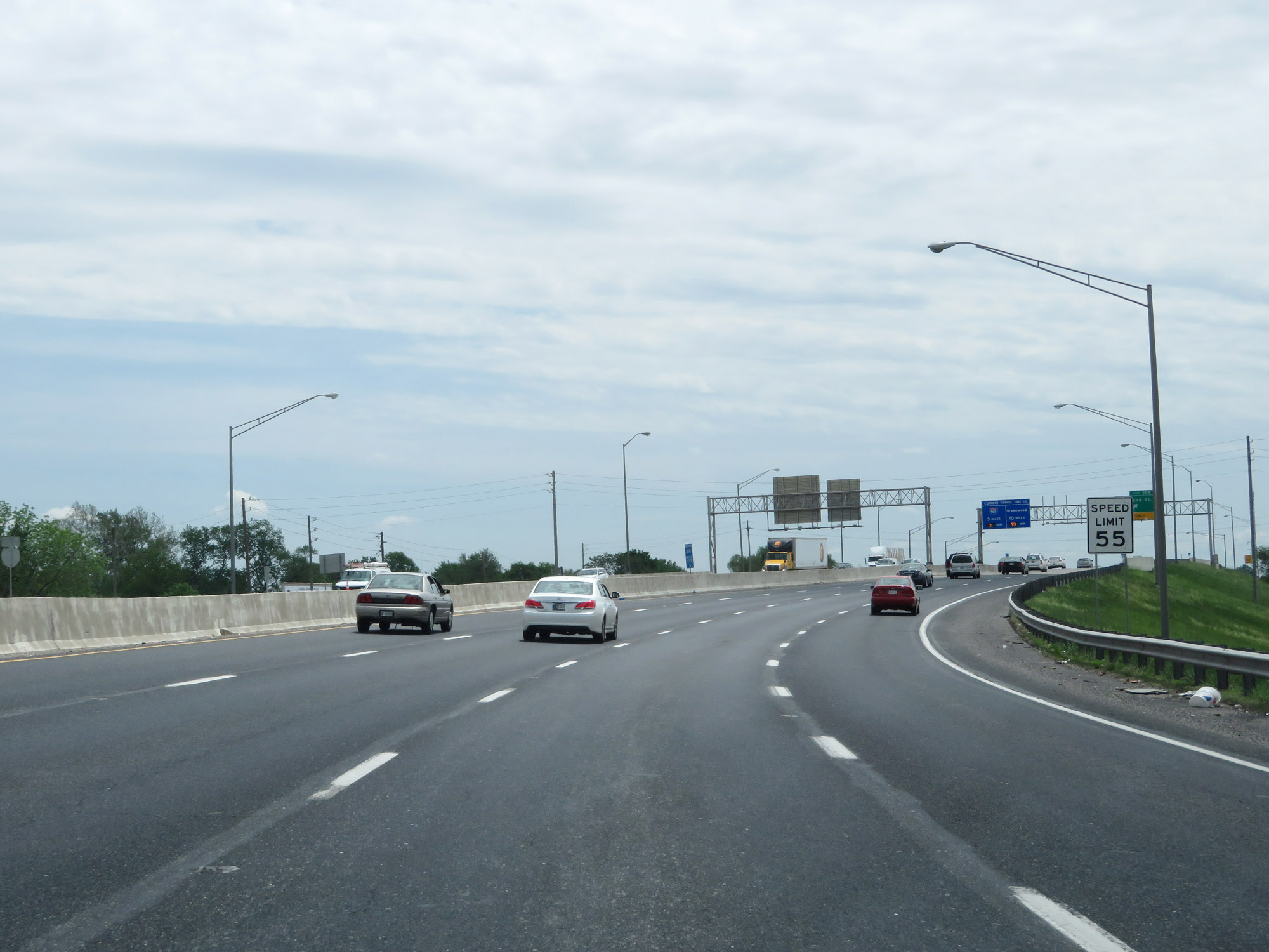 |
Approaching Exit 109, the speed limit slightly increases to 55 mph once again. (Photo taken 5/15/18). |
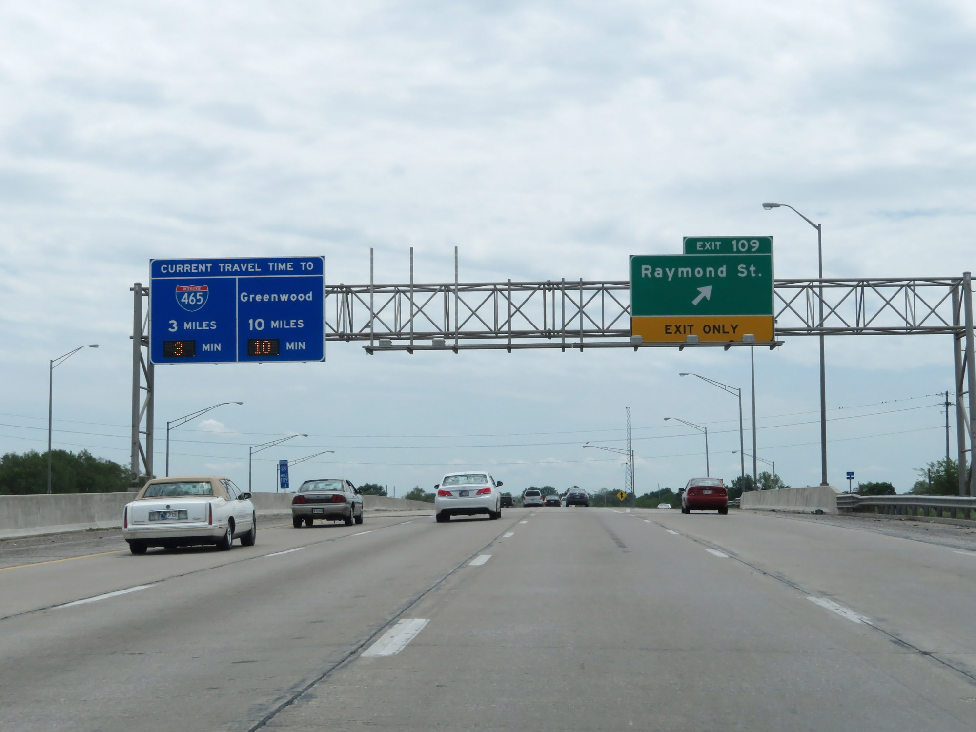 |
Interstate 65 South at Exit 109: Raymond St (Photo taken 5/15/18). |
 |
Interstate 65 South reassurance shield at mile marker 108.7. (Photo taken 5/15/18). |
 |
View on Interstate 65 South at mile marker 108. (Photo taken 5/15/18). |
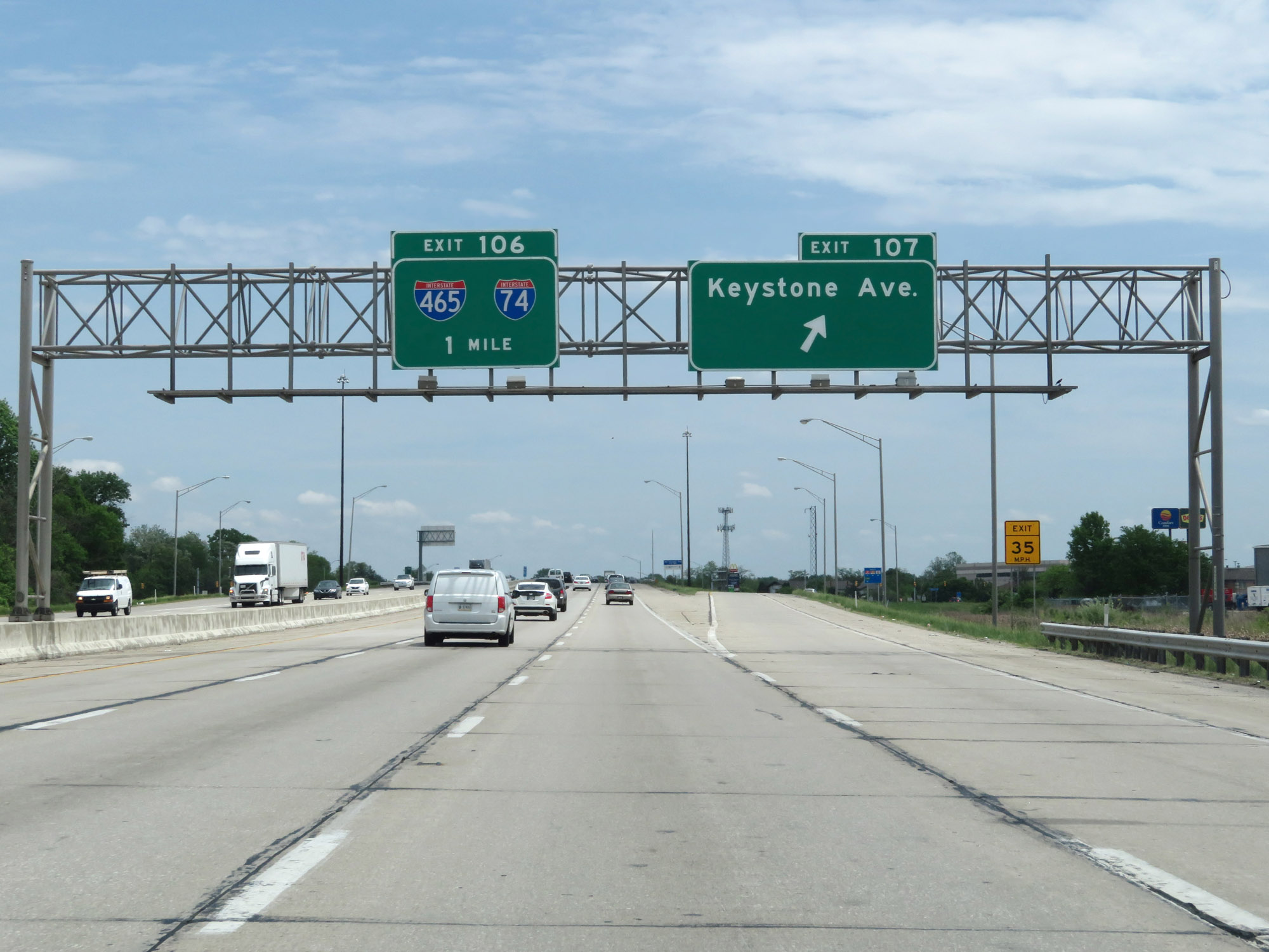 |
Interstate 65 South at Exit 107: Keystone Ave (Photo taken 5/15/18). |
 |
Interstate 65 South approaching Exit 106 - 1/4 mile. (Photo taken 5/15/18). |
 |
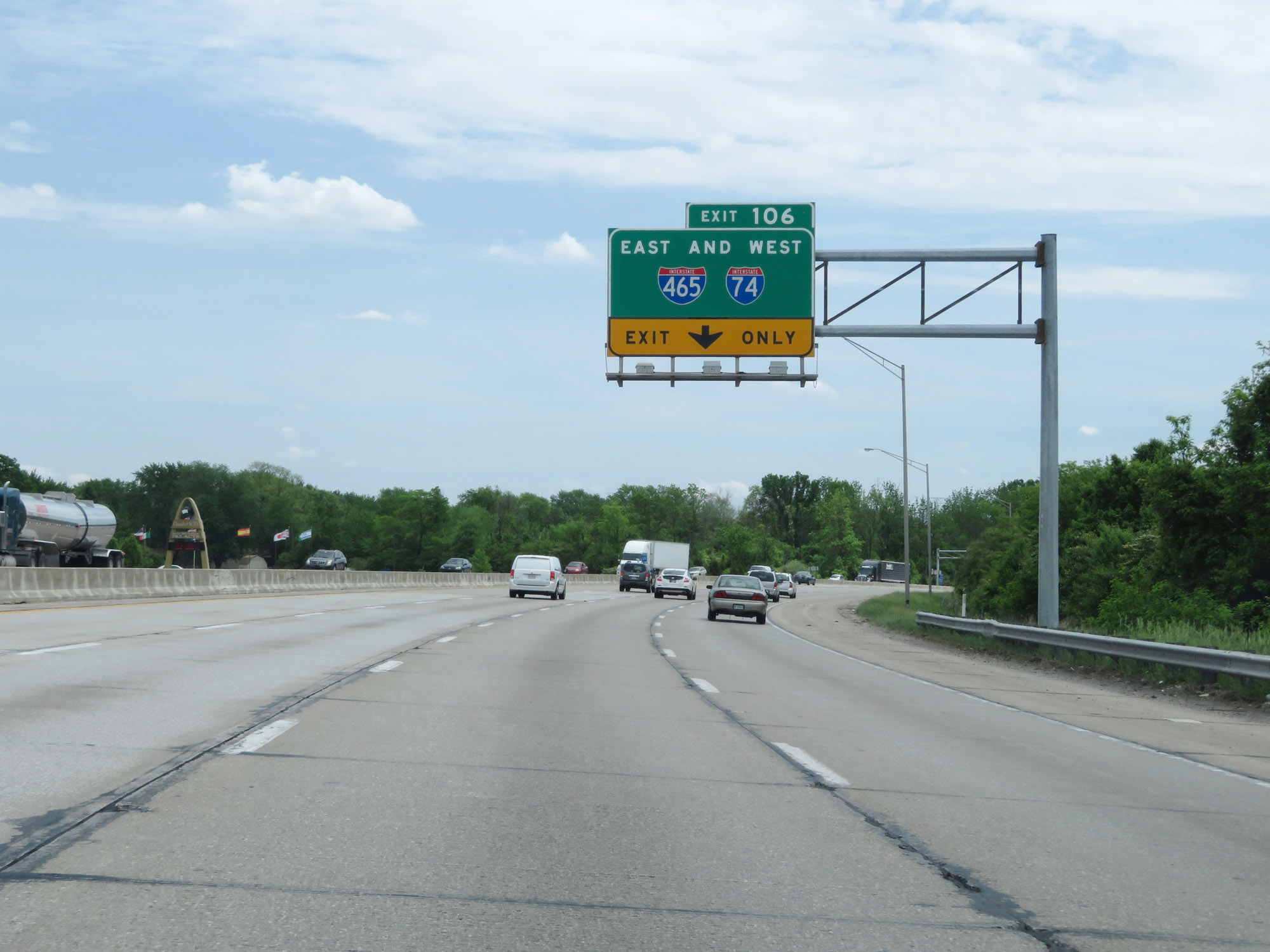
Interstate 65 South at Exit 106: Interstate 74 / Interstate 465 (Photo taken 5/15/18). |
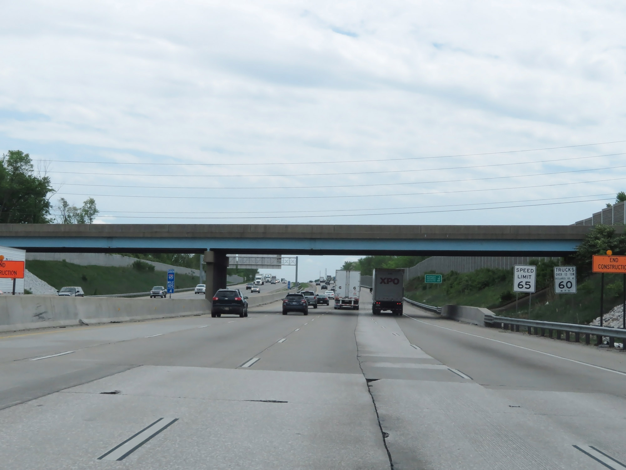 |
South of Interstate 74 / Interstate 465, the speed limits increase to 65 mph for cars and 60 mph for trucks at mile marker 105.4. (Photo taken 5/15/18). |
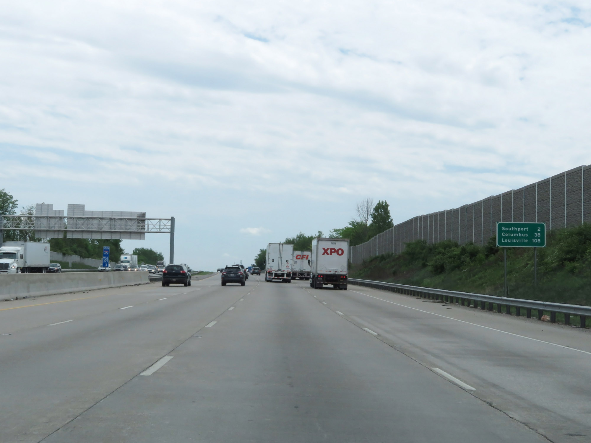 |
Mileage sign on Interstate 65 South at mile marker 105.3. It's 2 miles to Southport, 38 miles to Columbus, and 108 miles to Louisville. (Photo taken 5/15/18). |
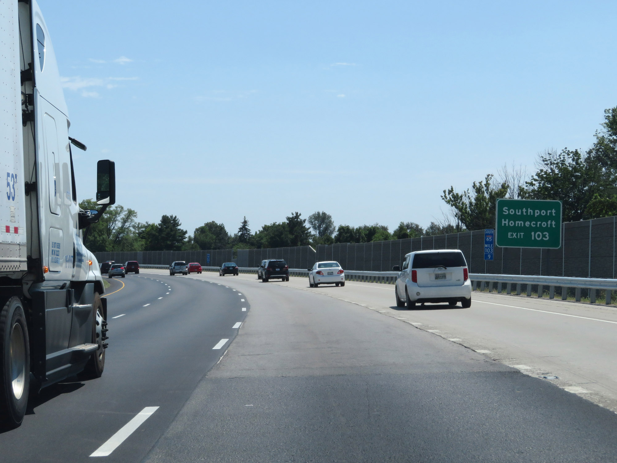 |
Take Exit 103 to Southport and Homecroft. (Photo taken 8/10/19). |
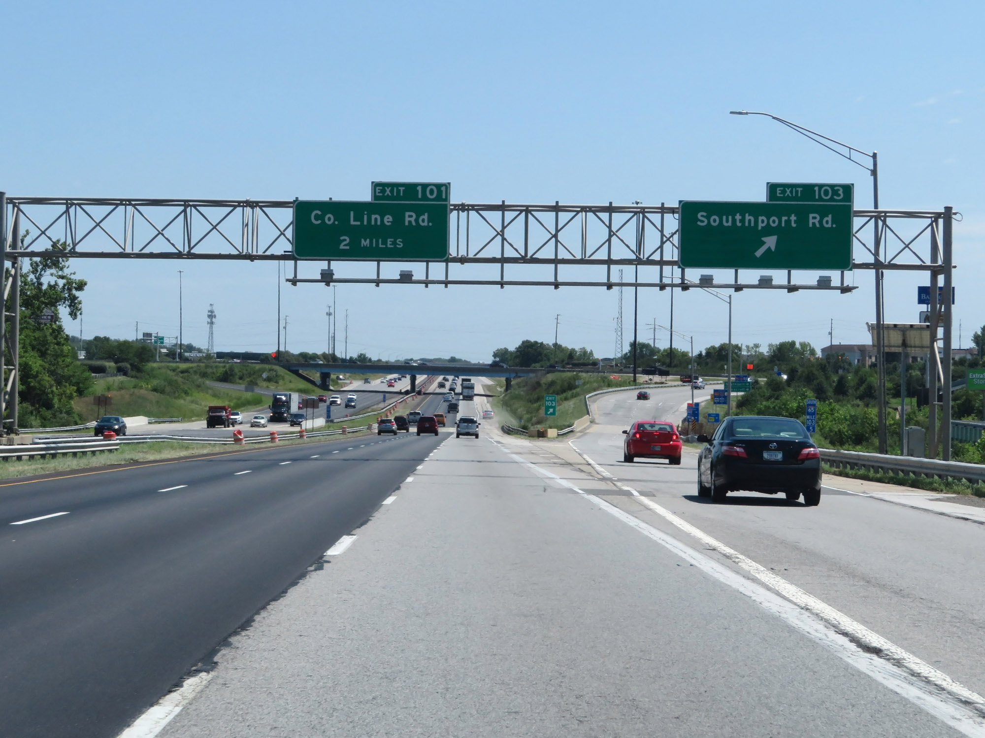 |
Interstate 65 South at Exit 103: Southport Rd (Photo taken 8/10/19). |
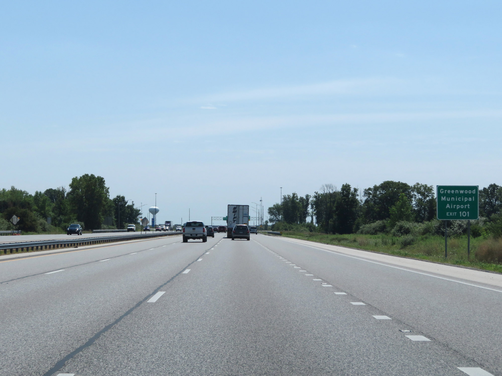 |
Take Exit 101 to Greenwood Municipal Airport. (Photo taken 8/10/19). |
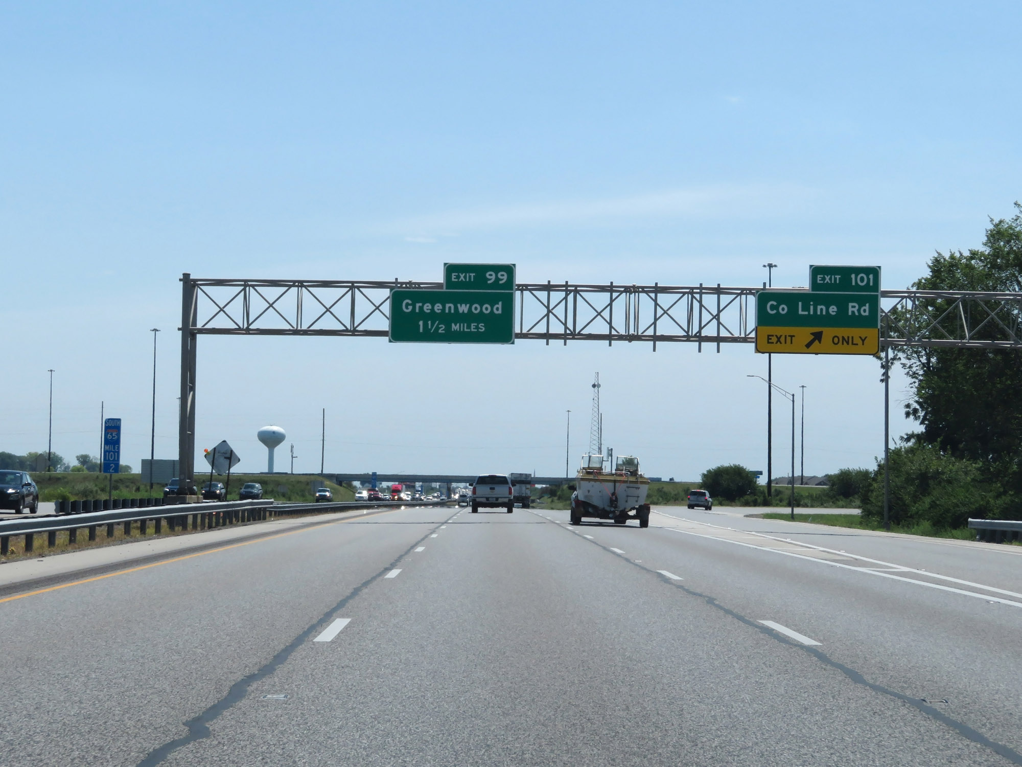 |
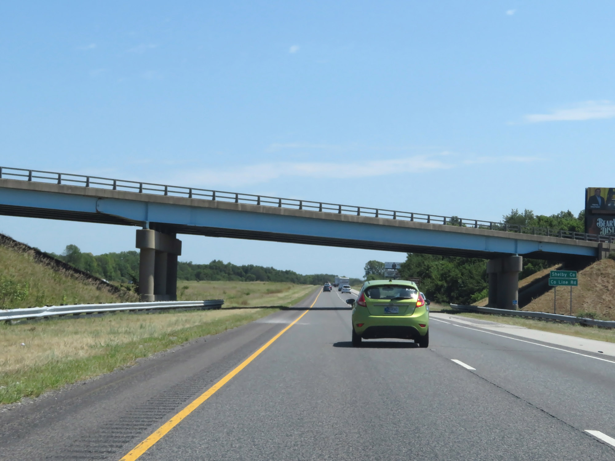
Interstate 65 South at Exit 101: County Line Rd (Photo taken 8/10/19). |
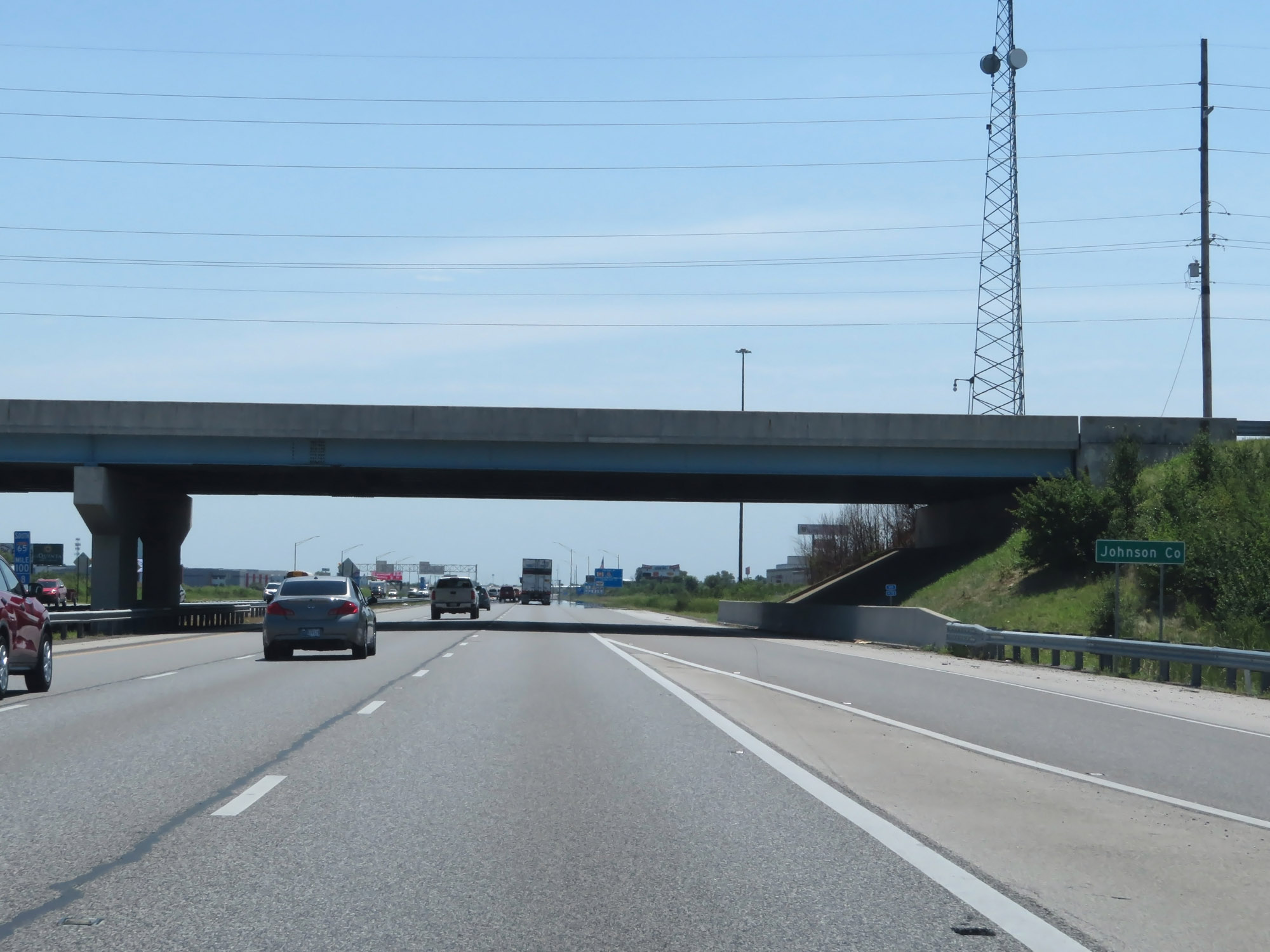 |
Entering Johnson County on Interstate 65 South. (Photo taken 8/10/19). |
 |
Interstate 65 South at Exit 99: Greenwood (Photo taken 8/10/19). |
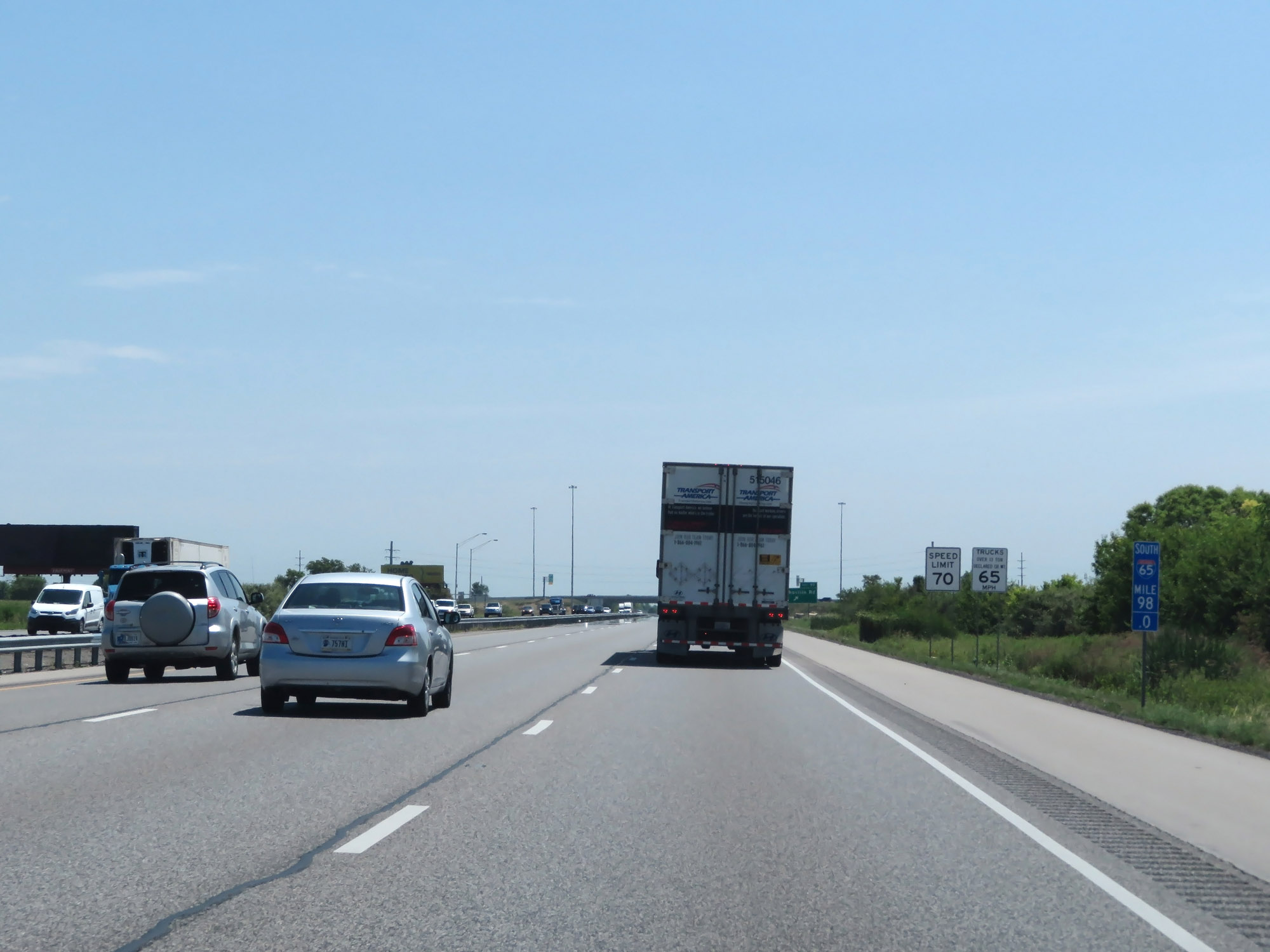 |
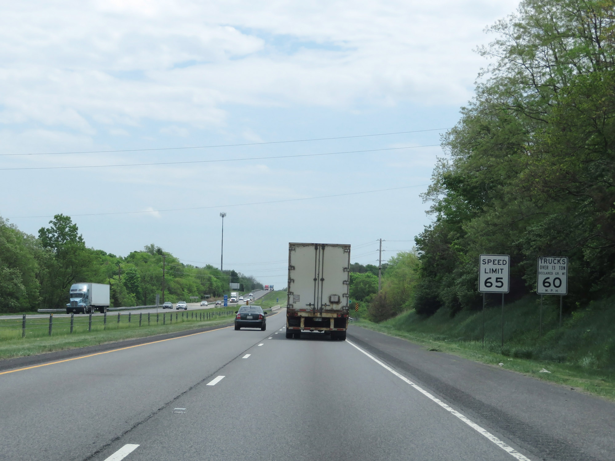
At mile marker 98, the speed limits increase to 70 mph for cars and 65 mph for trucks once again. These are the standard speed limits on most rural Interstate highways in Indiana. (Photo taken 8/10/19). |
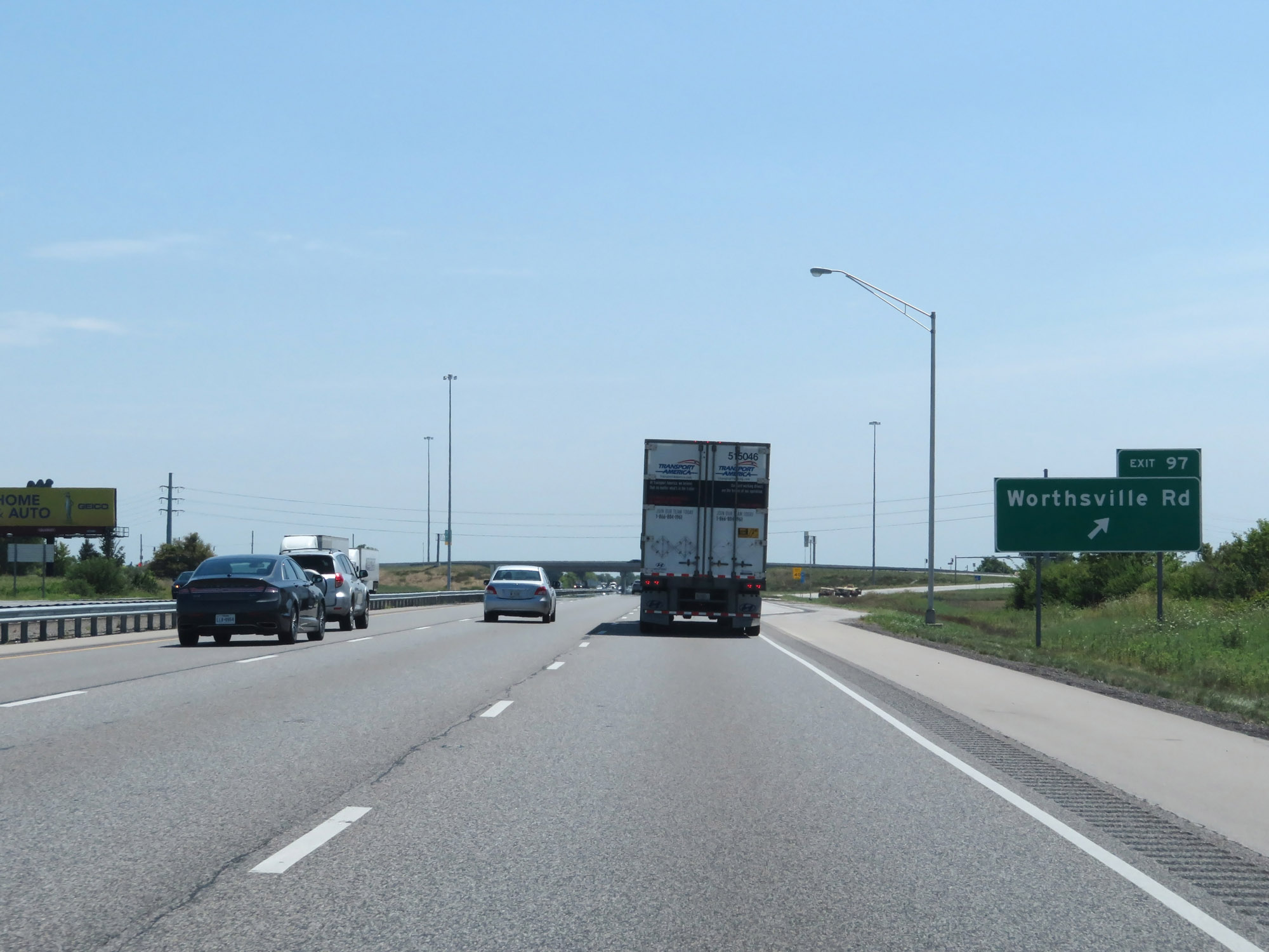 |
Interstate 65 South at Exit 97: Worthsville Rd (Photo taken 8/10/19). |
 |
Another Interstate 65 South reassurance shield. (Photo taken 8/10/19). |
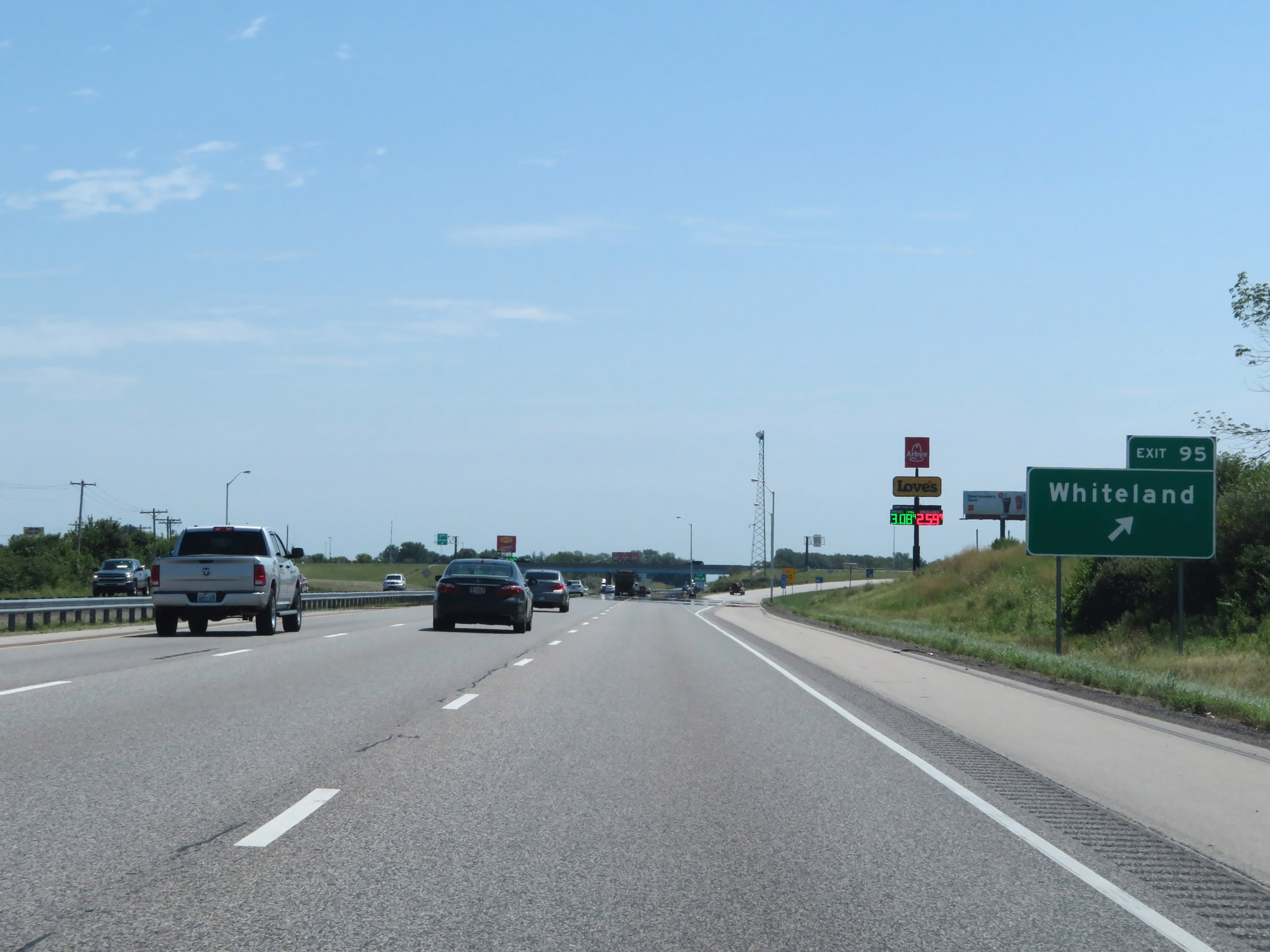 |
Interstate 65 South at Exit 95: Whiteland (Photo taken 8/10/19). |
 |
Mileage sign on Interstate 65 South. It's 6 miles to Franklin, 26 miles to Columbus, and 96 miles to Louisville. (Photo taken 8/10/19). |
 |
Interstate 65 South at mile marker 93. (Photo taken 8/10/19). |
 |
Take Exit 90 to Franklin College. (Photo taken 8/10/19). |
 |
Interstate 65 South at Exit 90: IN 44 - Shelbyville / Franklin (Photo taken 8/10/19). |
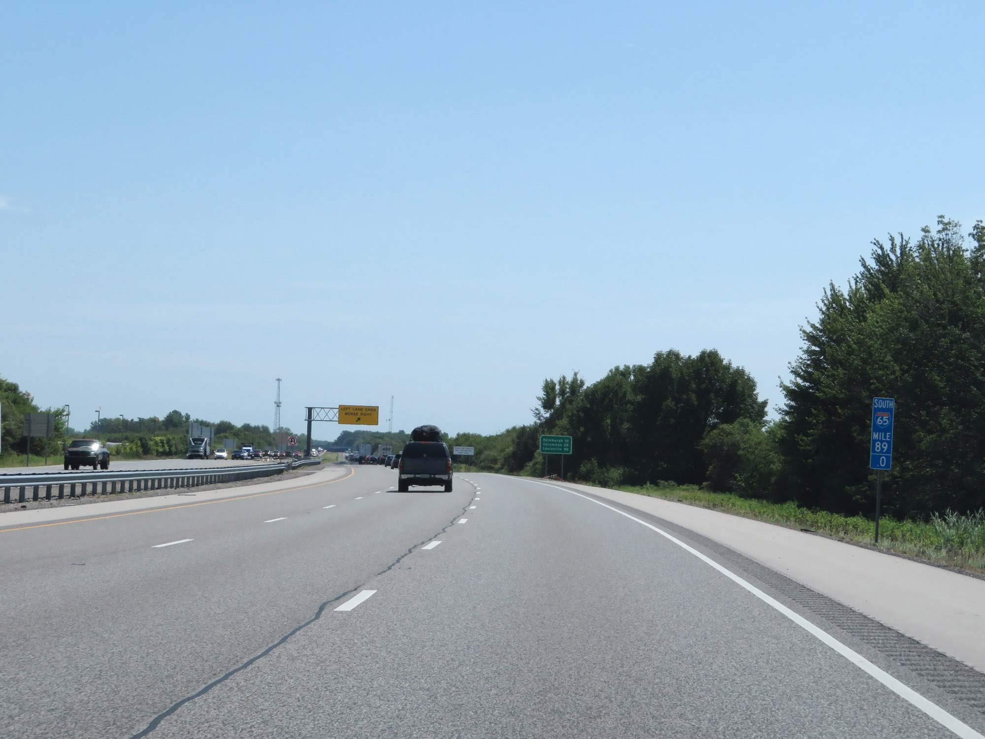 |
Interstate 65 South at mile marker 89. (Photo taken 8/10/19). |
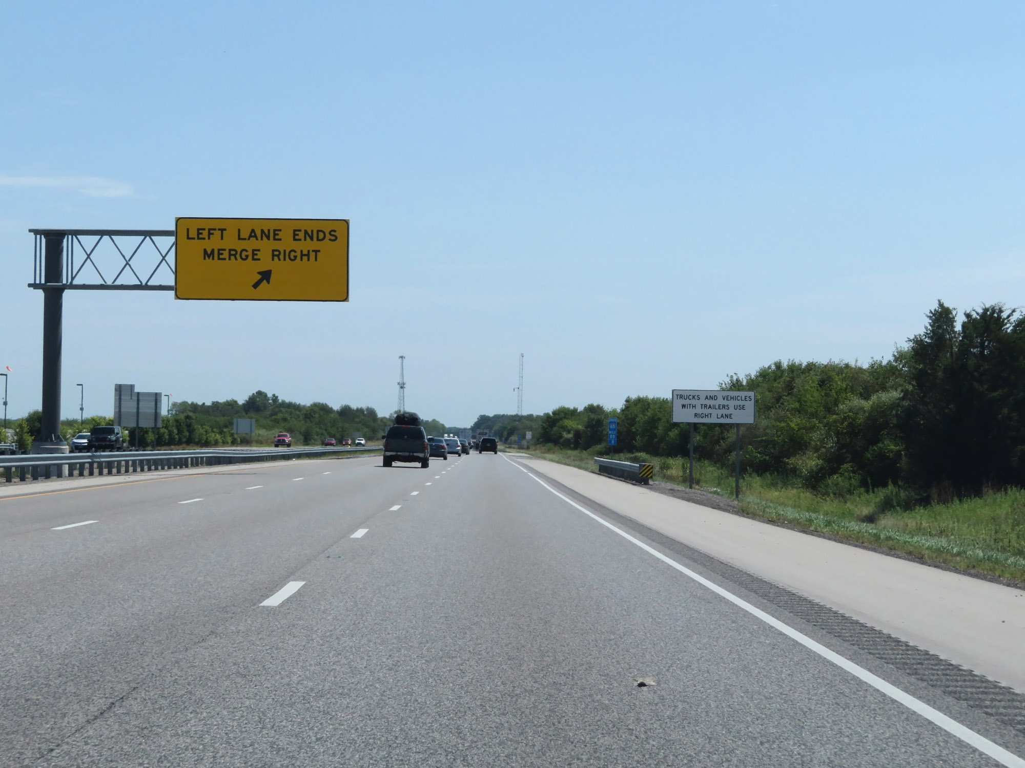 |
At mile marker 88.8, the leftmost lane comes to an end and Interstate 65 South is reduced to two lanes. (Photo taken 8/10/19). |
 |
View on Interstate 65 South at mile marker 85. (Photo taken 8/10/19). |
 |
Interstate 65 South as it enters Shelby County. (Photo taken 8/10/19). |
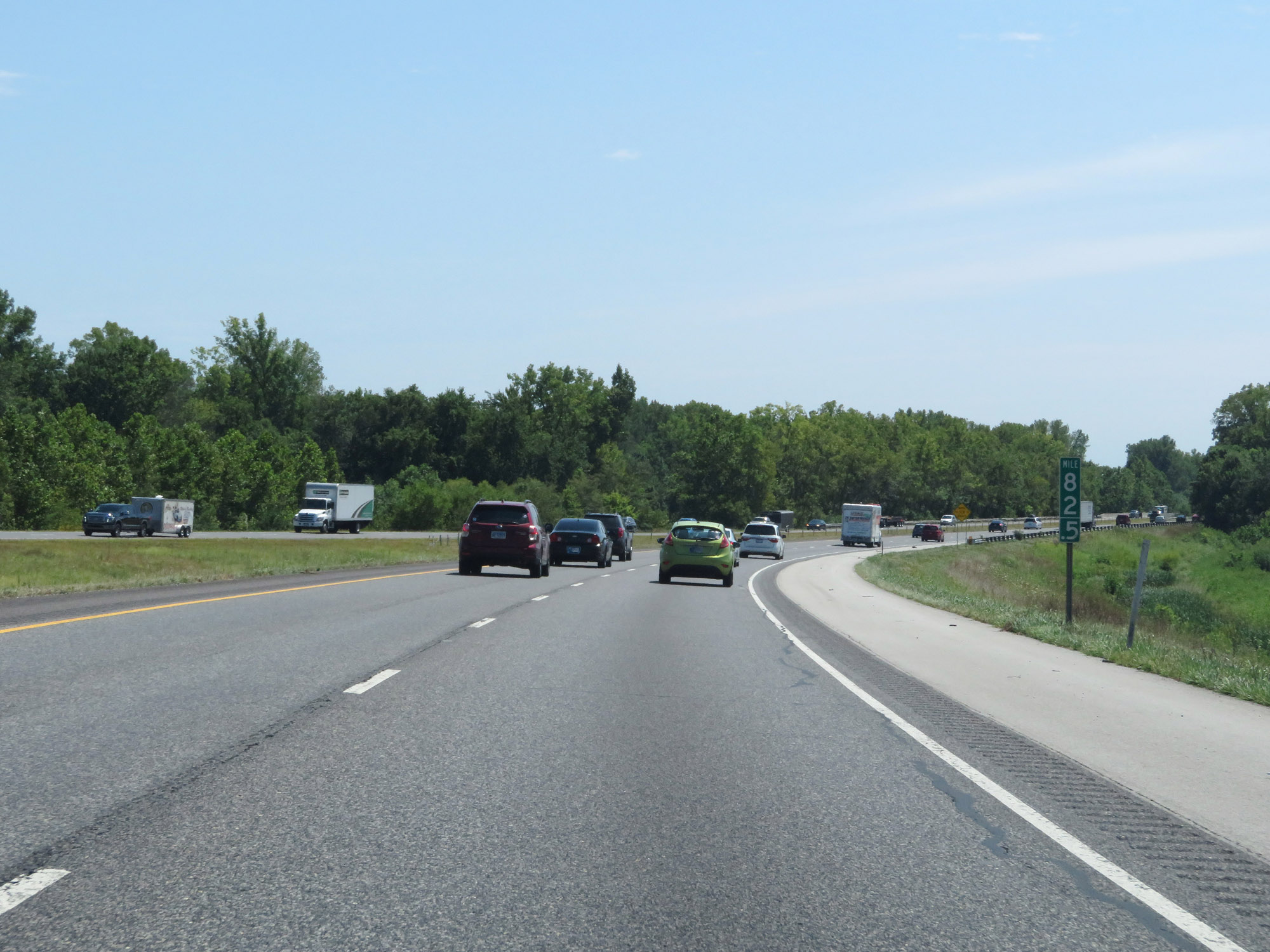 |
Interstate 65 South at mile marker 82.5. (Photo taken 8/10/19). |
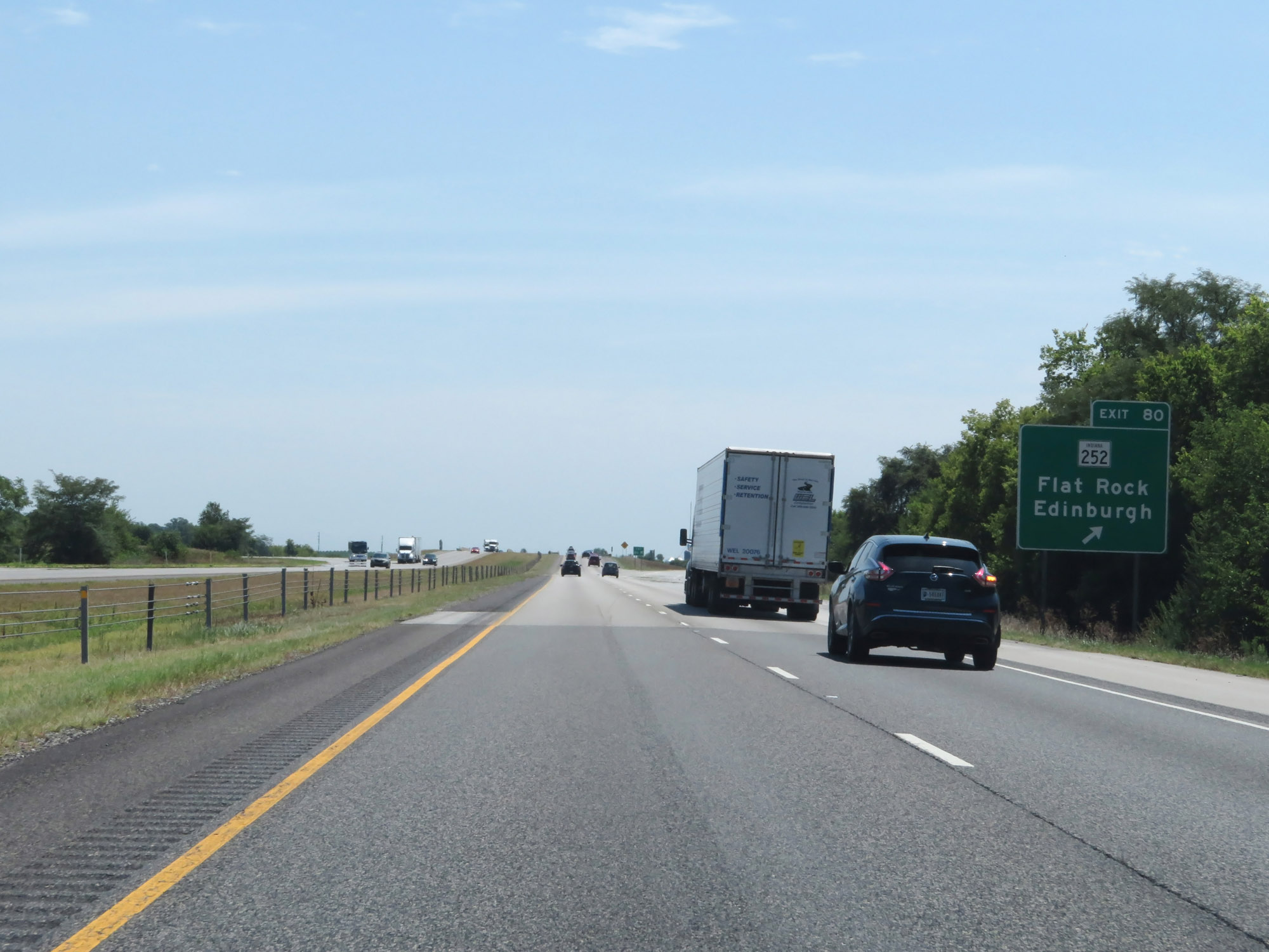 |
Interstate 65 South at Exit 80: IN 252 - Flat Rock / Edinburgh (Photo taken 8/10/19). |
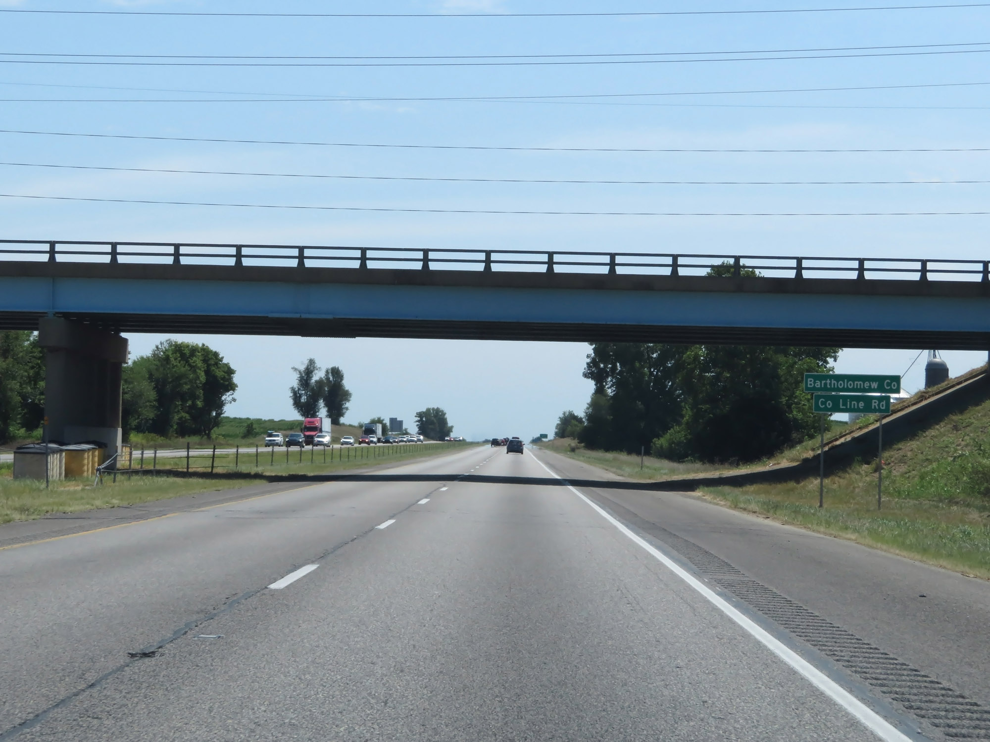 |
Entering Bartholomew County on Interstate 65 South. (Photo taken 8/10/19). |
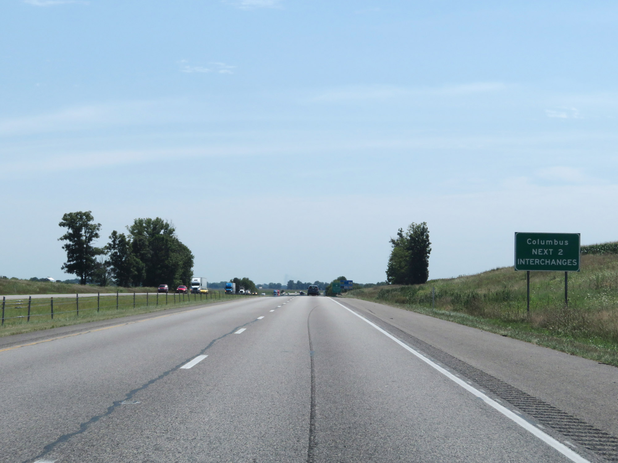 |
Take either of the next 2 exits to Columbus. (Photo taken 8/10/19). |
 |
View on Interstate 65 South at mile marker 77.5. (Photo taken 8/10/19). |
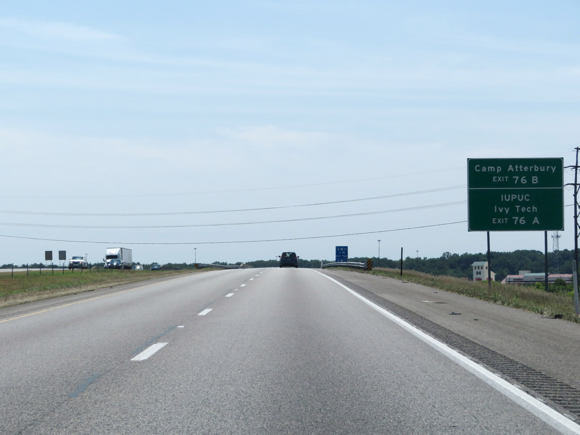 |
Take Exit 76B to Camp Atterbury. Take Exit 76A to IUPUC and Ivy Tech. (Photo taken 8/10/19). |
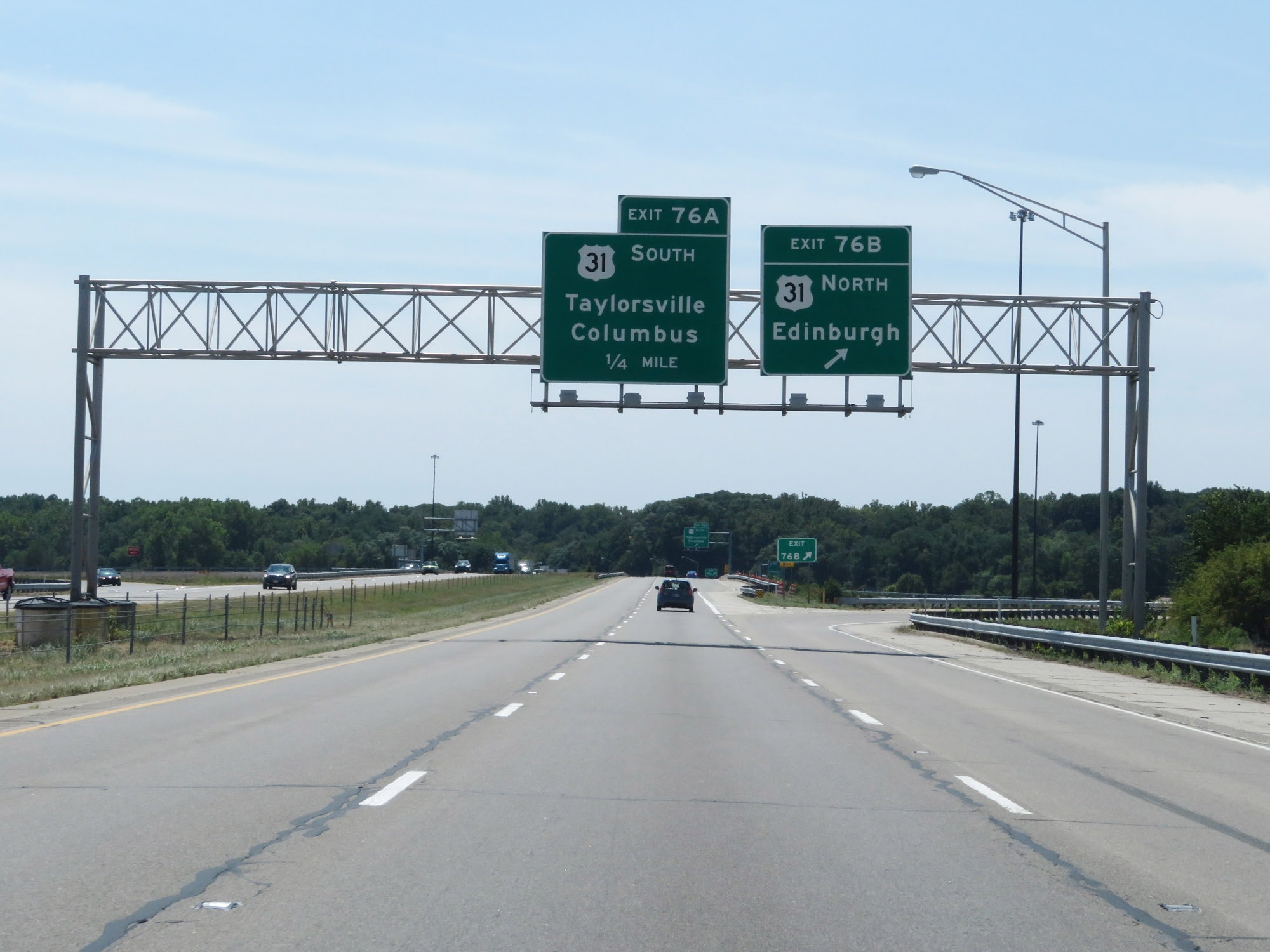 |
Interstate 65 South at Exit 76B: US 31 North - Edinburgh (Photo taken 8/10/19). |
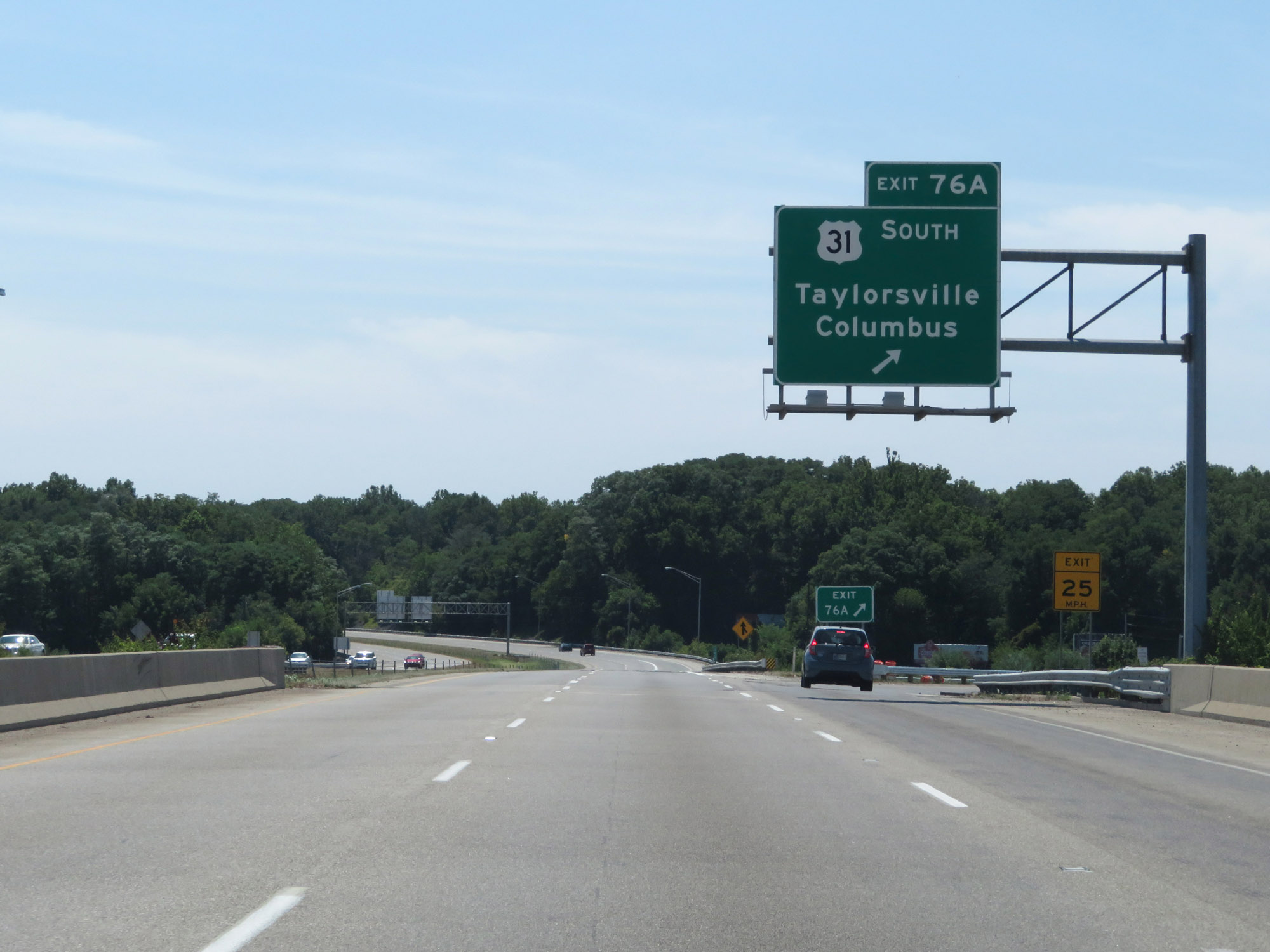 |
Interstate 65 South at Exit 76A: US 31 South - Taylorsville / Columbus (Photo taken 8/10/19). |
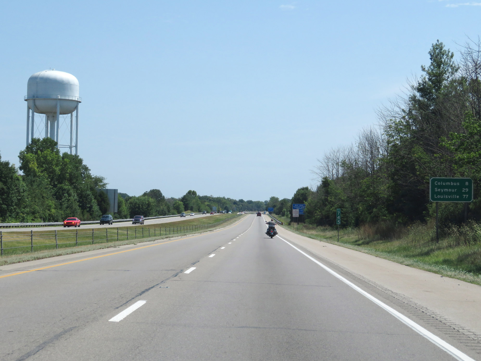 |
Mileage sign at mile marker 74.5. It's 8 miles to Columbus, 29 miles to Seymour, and 77 miles to Louisville. (Photo taken 8/10/19). |
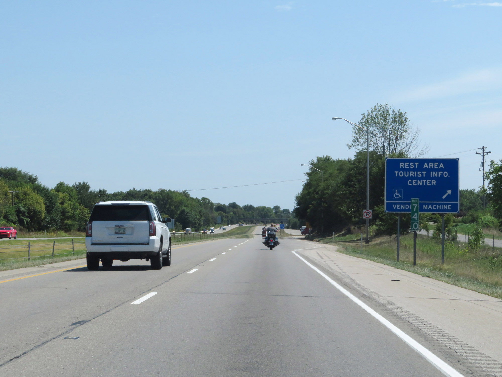 |
Rest Area / Tourist Info Center on Interstate 65 South at mile marker 74 in Bartholomew County. (Photo taken 8/10/19). |
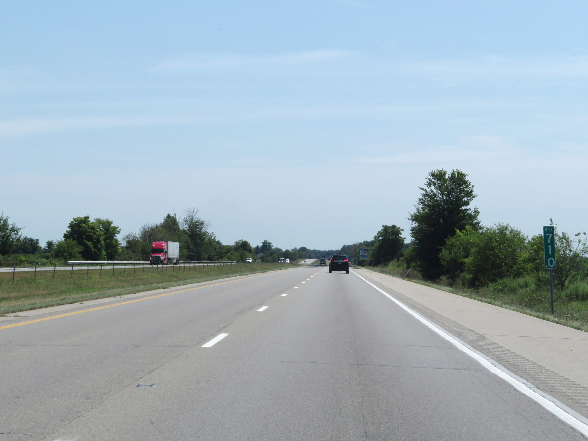 |
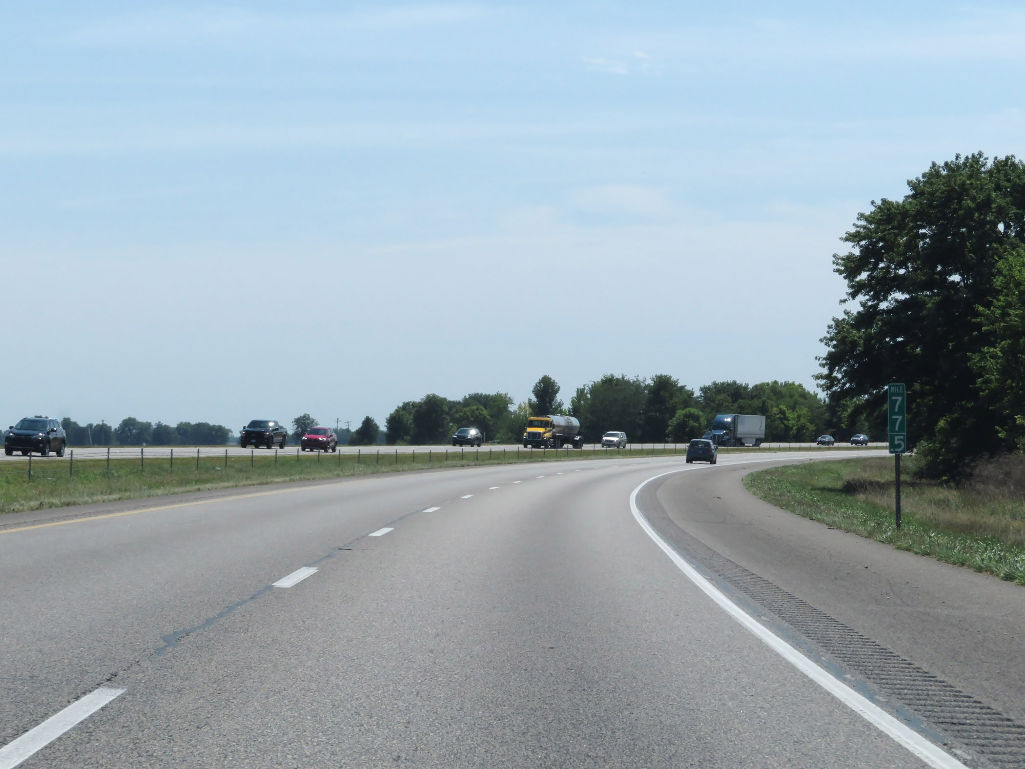
Interstate 65 South at mile marker 71. (Photo taken 8/10/19). |
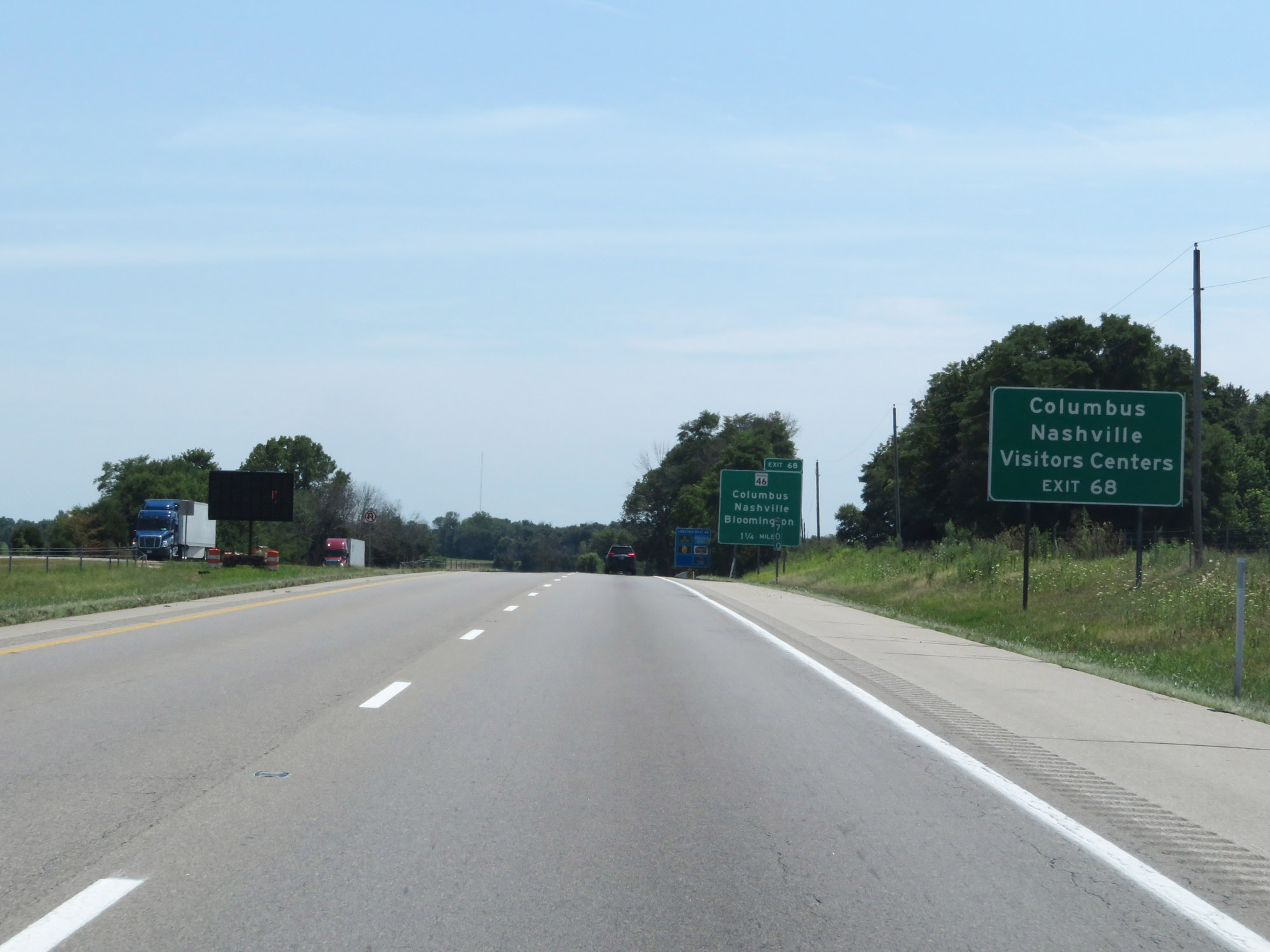 |
Take Exit 68 to the Columbus and Nashville Visitor Centers. (Photo taken 8/10/19). |
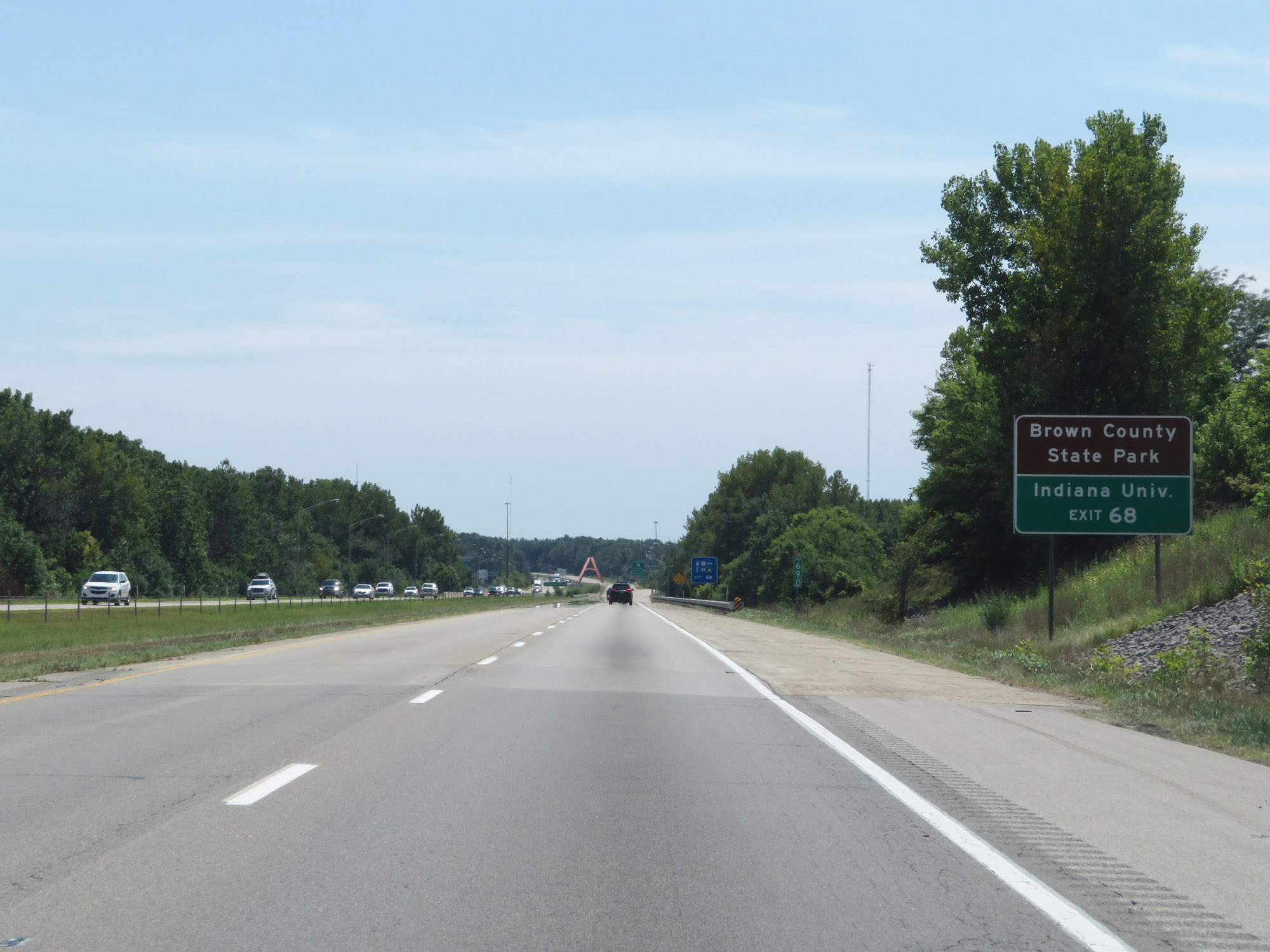 |
Also take Exit 68 to Brown County State Park and Indiana University. (Photo taken 8/10/19). |
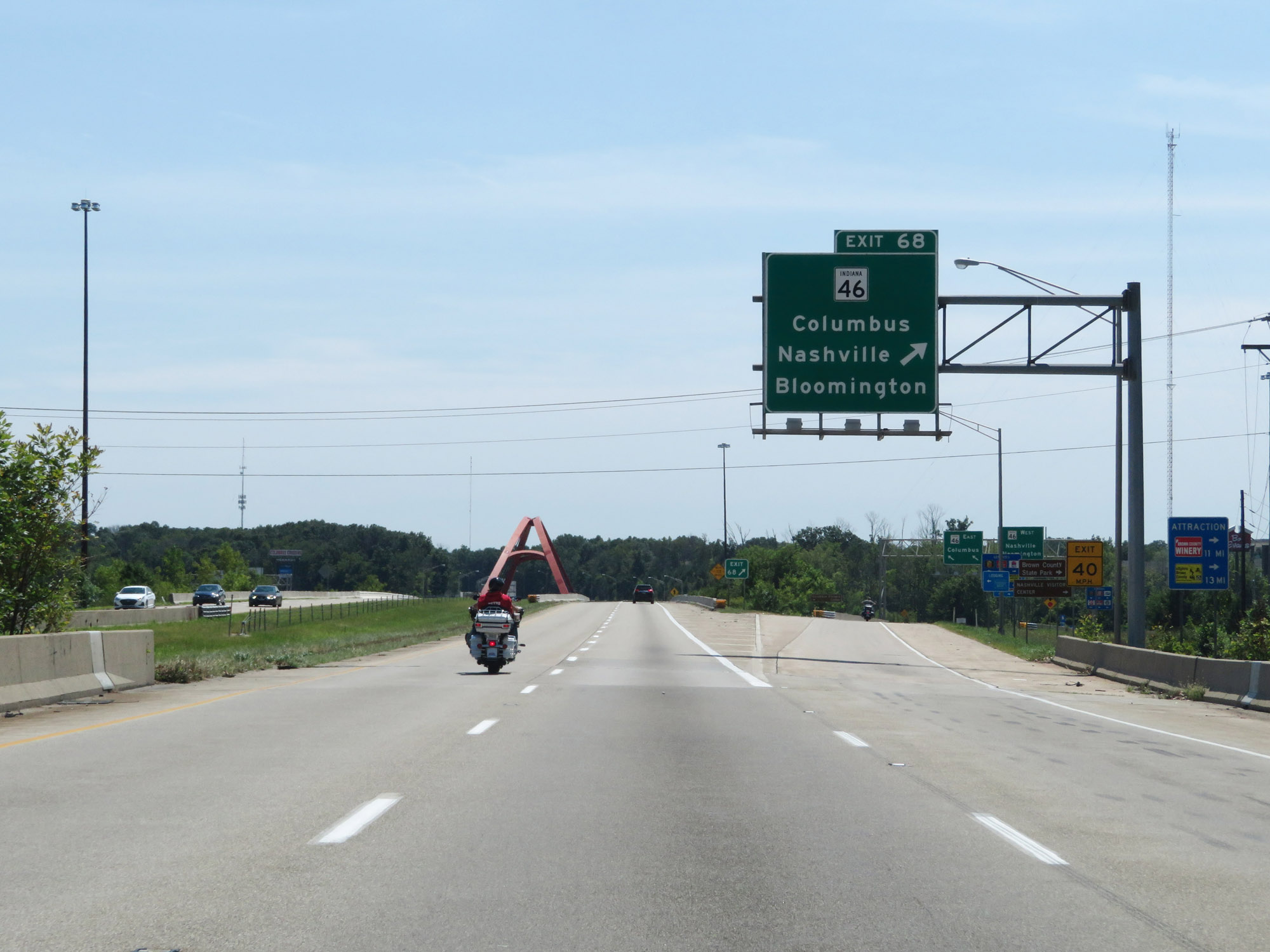 |
Interstate 65 South at Exit 68: IN 46 - Columbus / Nashville / Bloomington (Photo taken 8/10/19). |
 |
View on Interstate 65 South at mile marker 66. (Photo taken 8/10/19). |
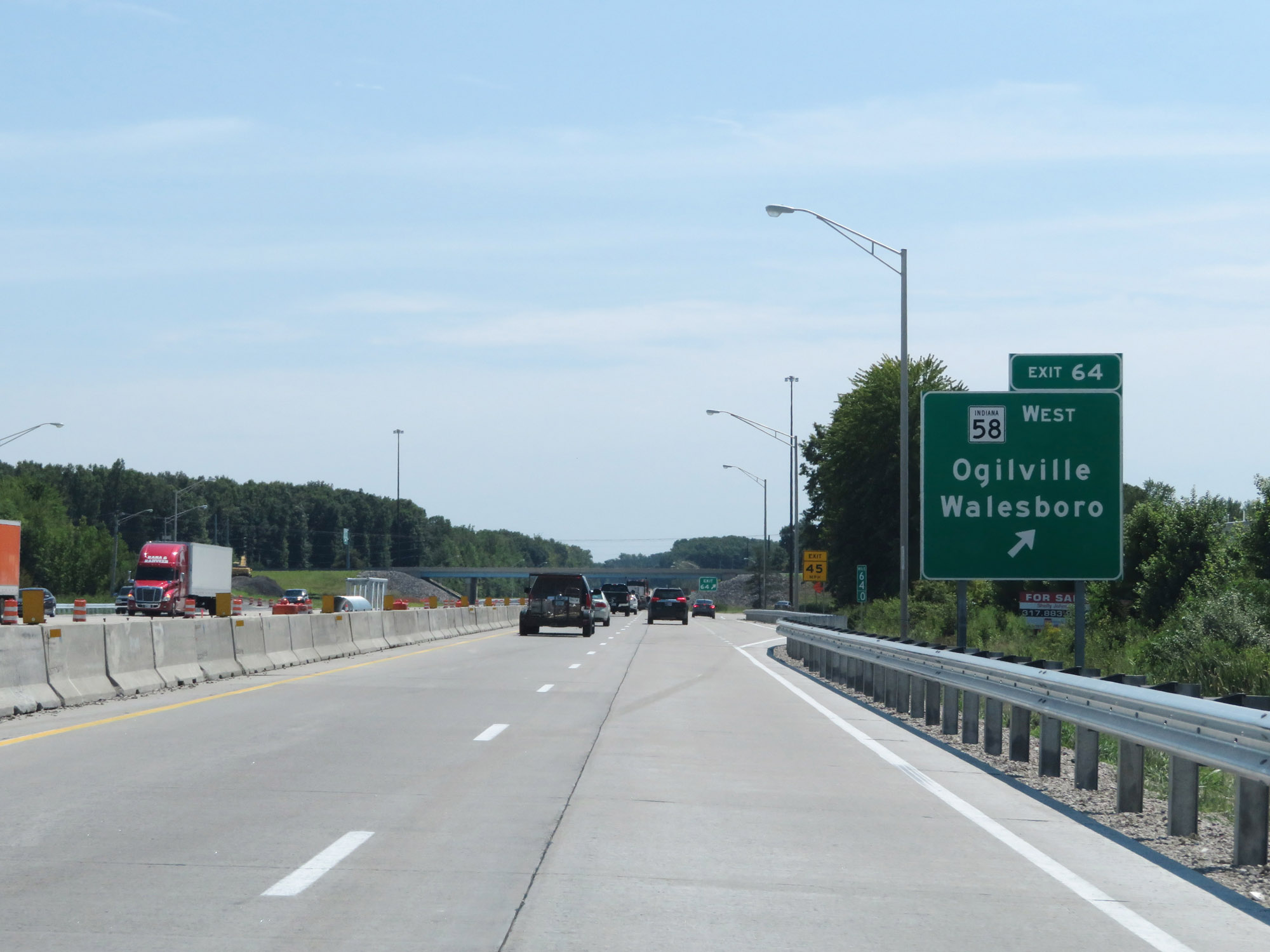 |
Interstate 65 South at Exit 64: IN 58 West - Ogilville / Walesboro (Photo taken 8/10/19). |
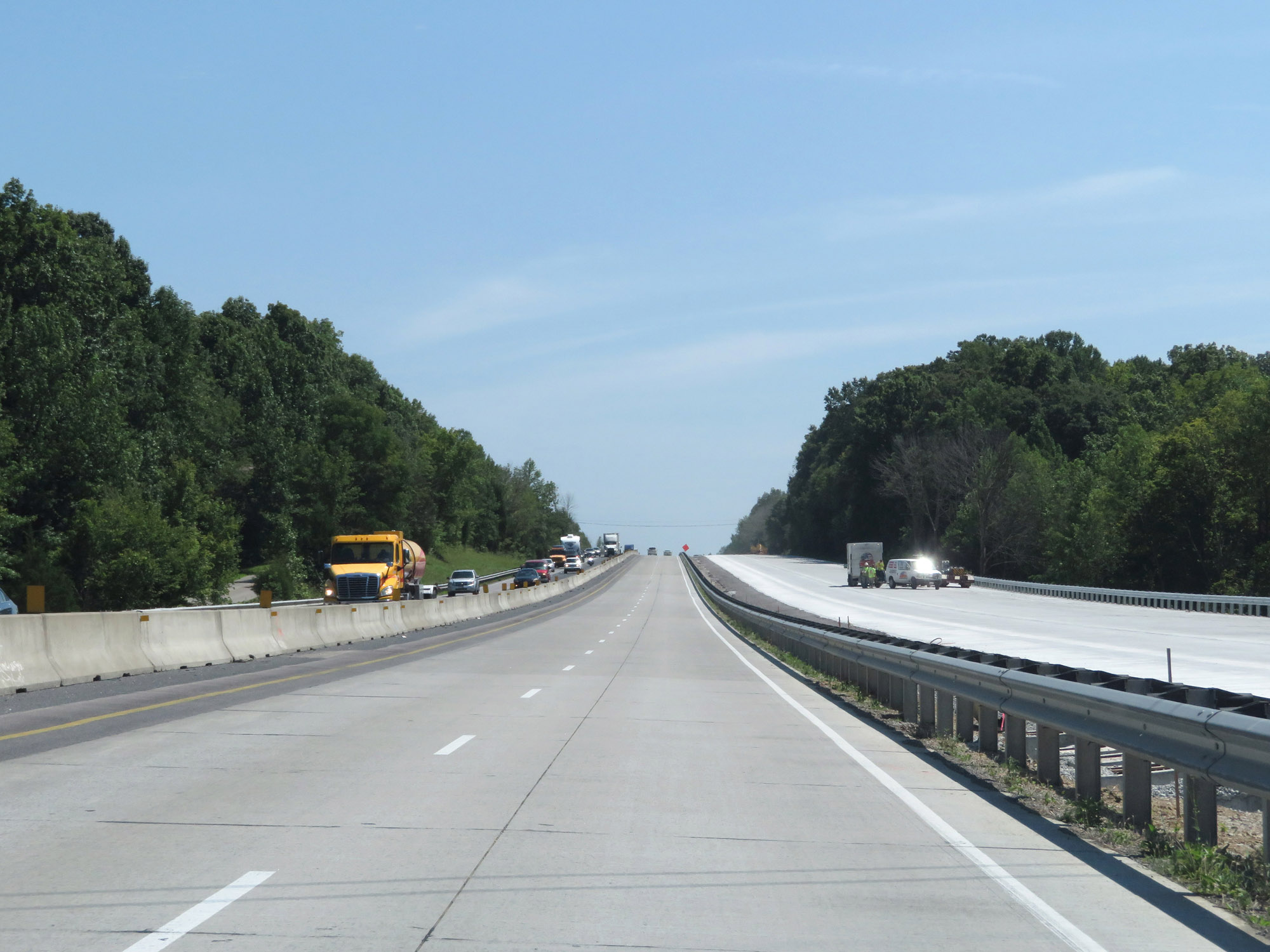 |
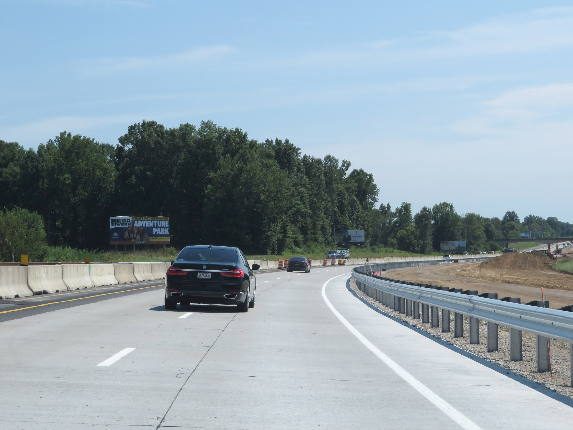
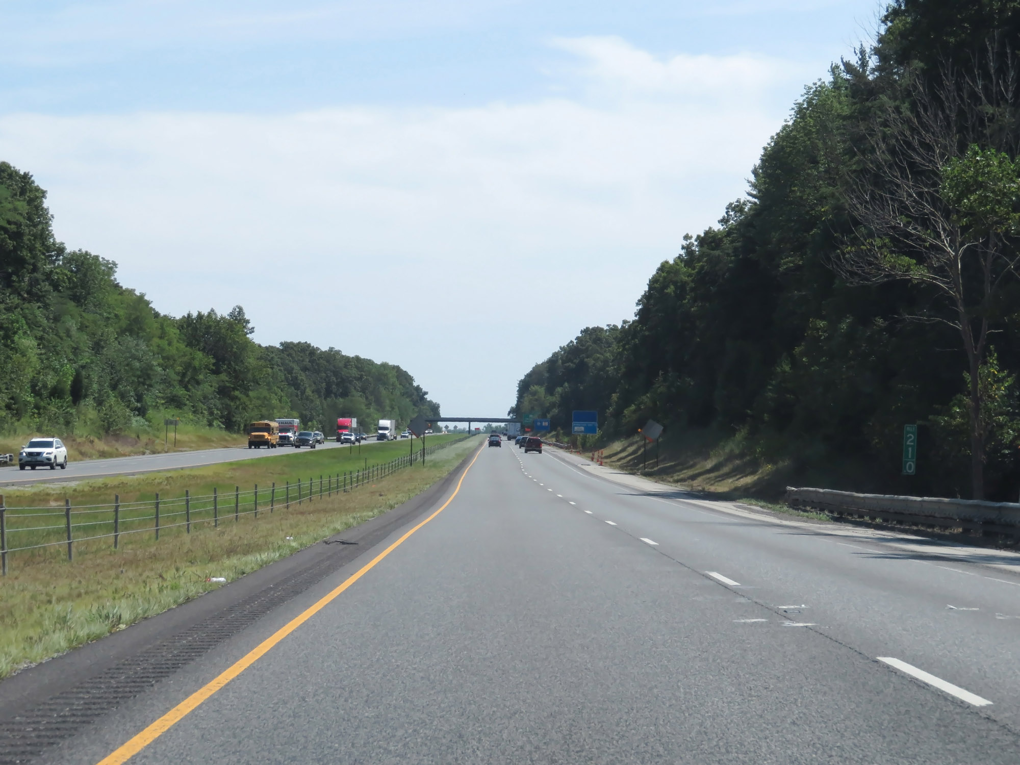
View on Interstate 65 South, in a lengthy construction zone. (Photo taken 8/10/19). |
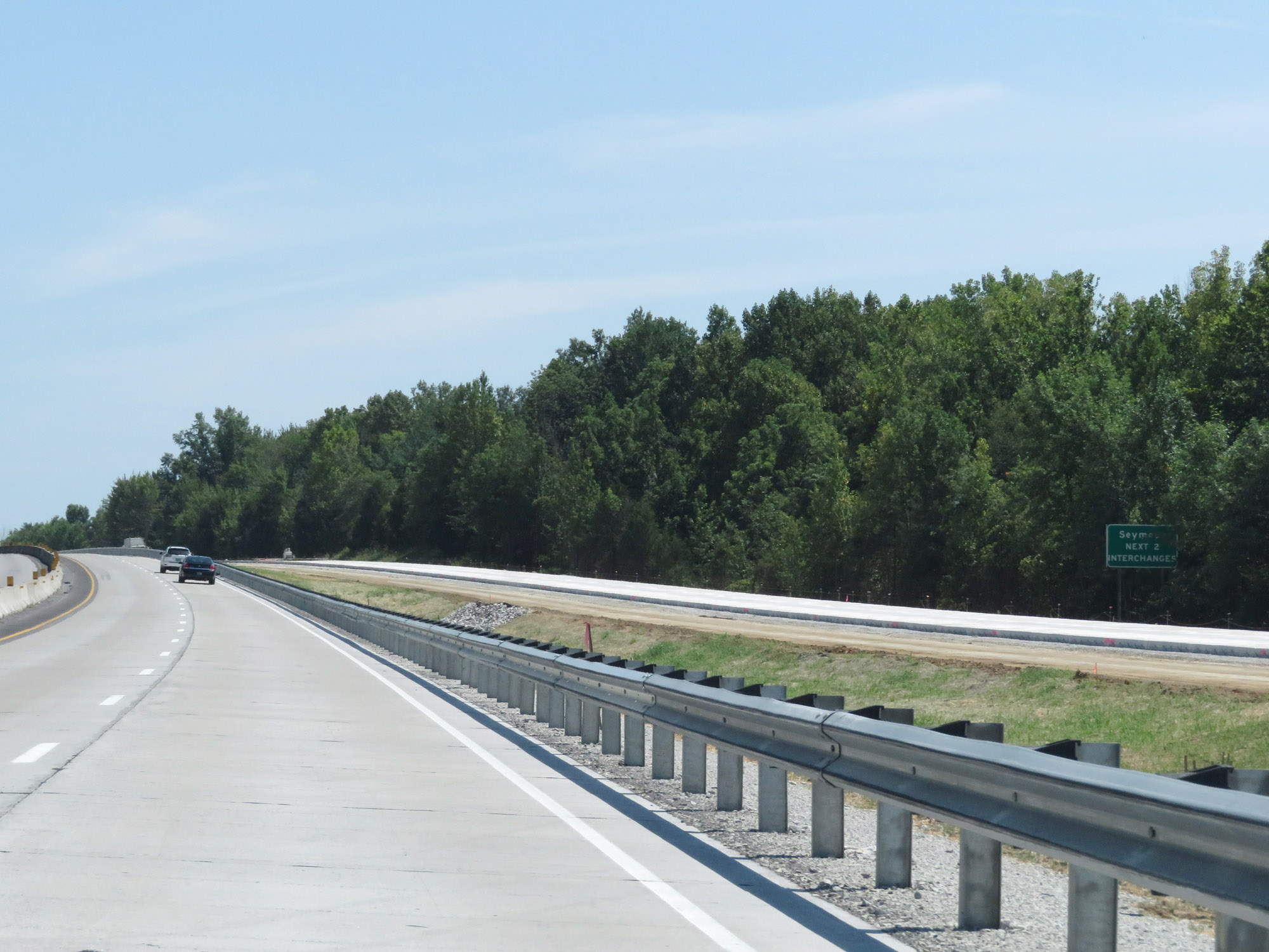 |
Take either of the next 2 exits to Seymour. (Photo taken 8/10/19). |
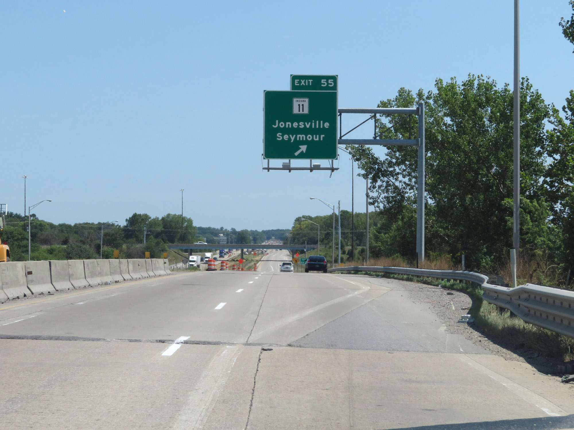 |
Interstate 65 South at Exit 55: IN 11 - Jonesville / Seymour (Photo taken 8/10/19). |
 |
Interstate 65 South reassurance shield. (Photo taken 8/10/19). |
 |
Another view on Interstate 65 South in Seymour. (Photo taken 8/10/19). |
 |
Interstate 65 South at Exit 50B: US 50 West - Seymour / Brownstown (Photo taken 8/10/19). |
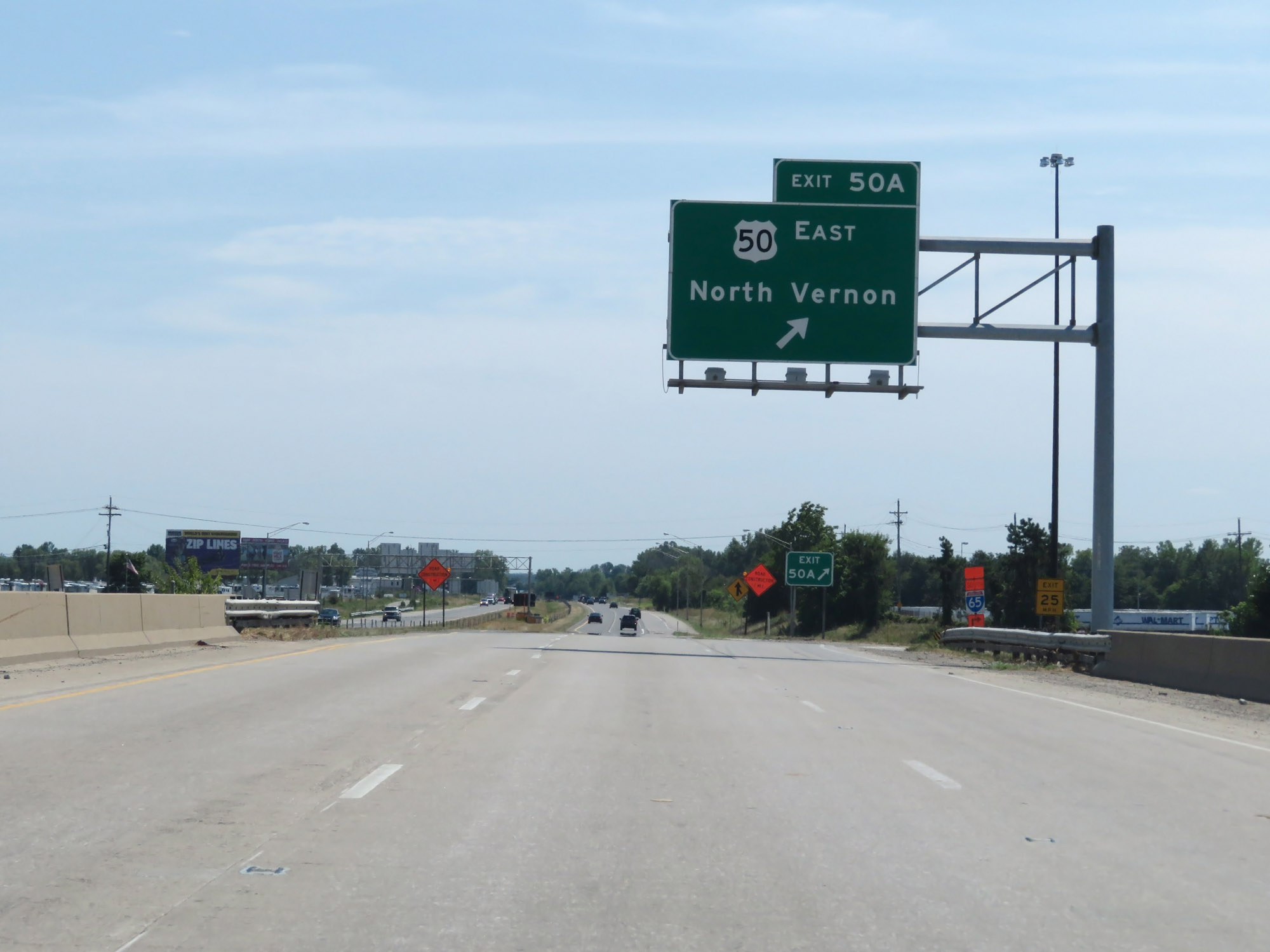 |
Interstate 65 South at Exit 50A: US 50 East - North Vernon (Photo taken 8/10/19). |
Section 4: Seymour (Exit 50A) to Kentucky Border
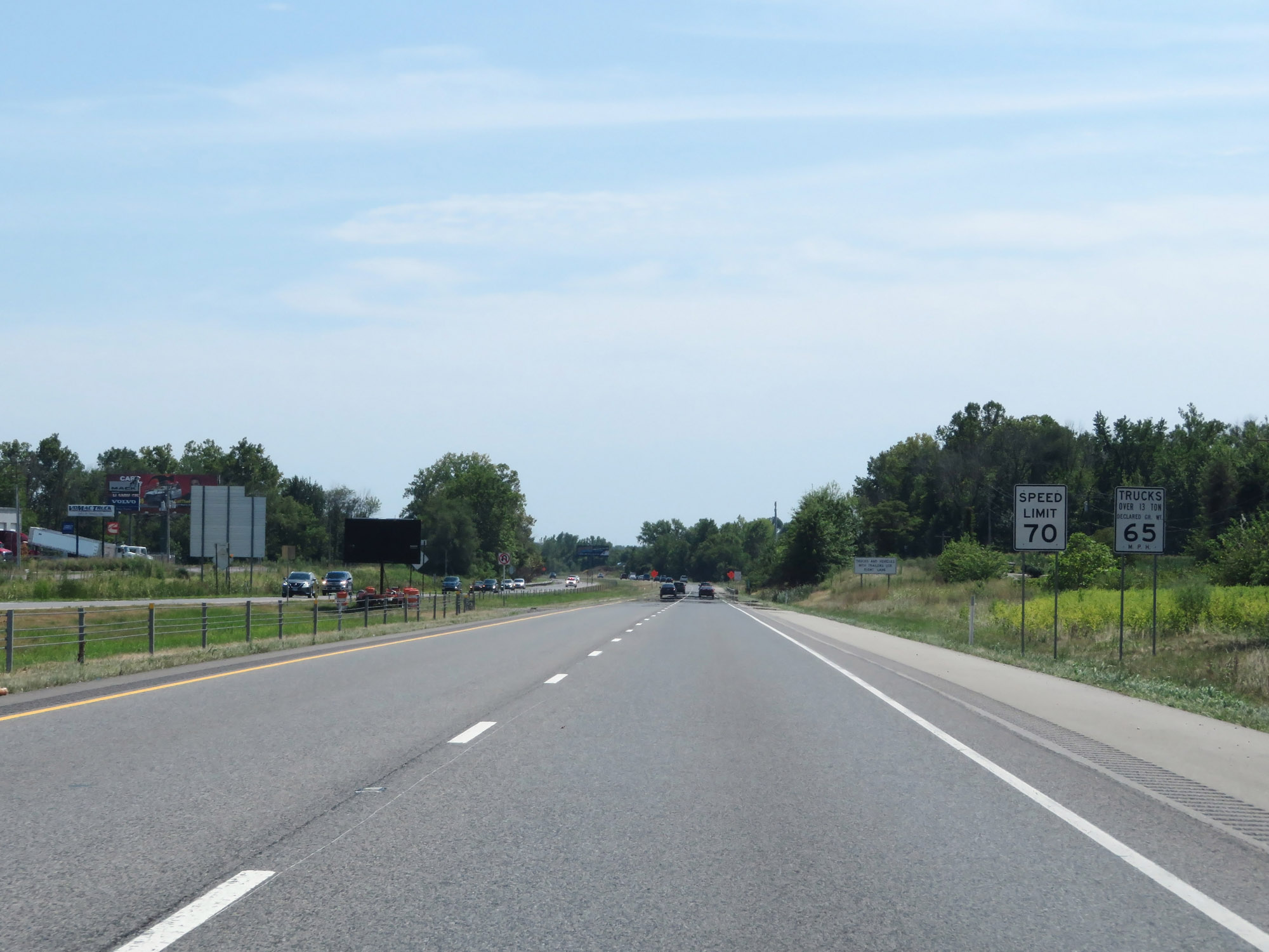 |
The speed limits remain 70 mph for automobiles and 65 mph for trucks. (Photo taken 8/10/19). |
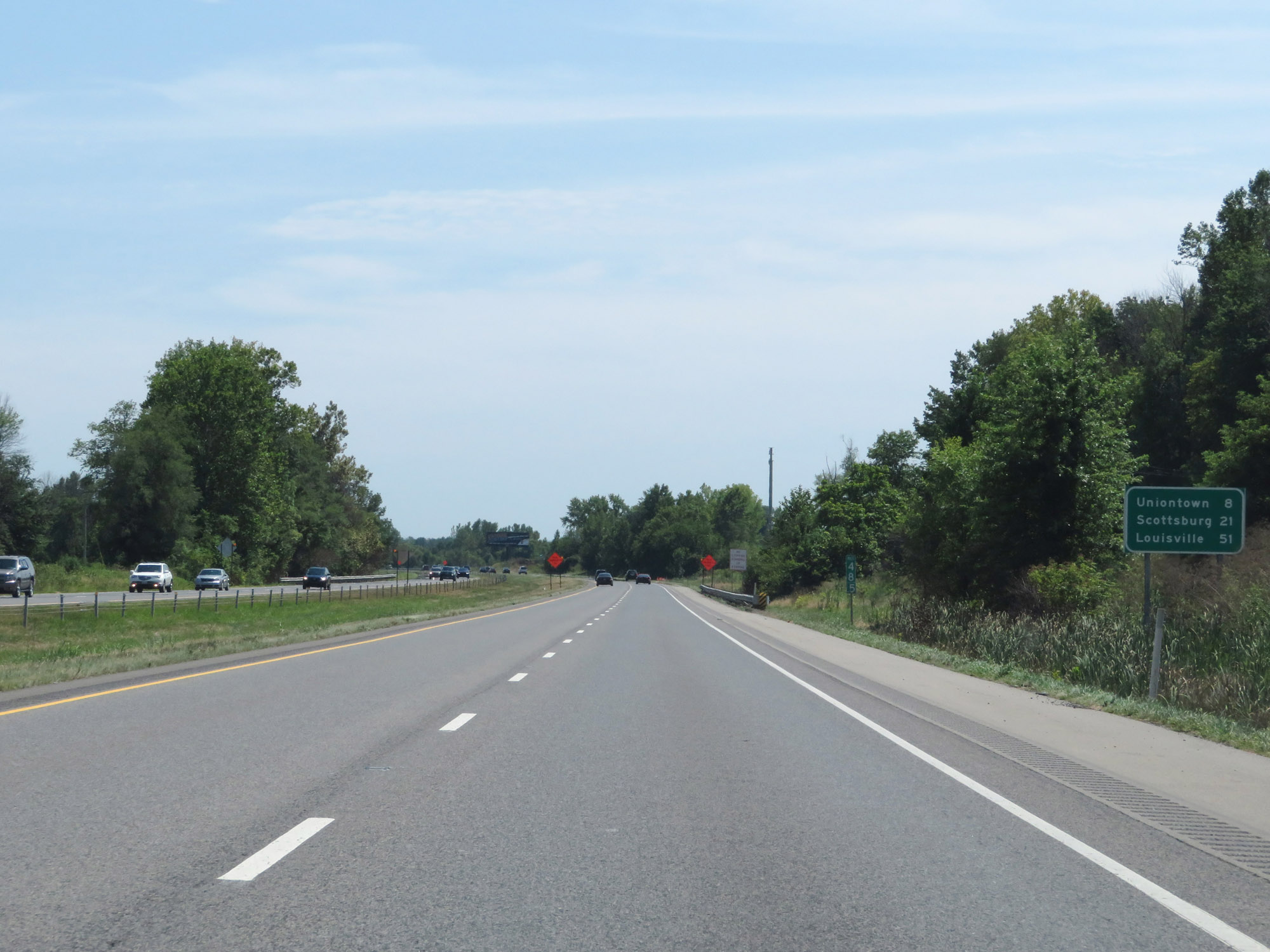 |
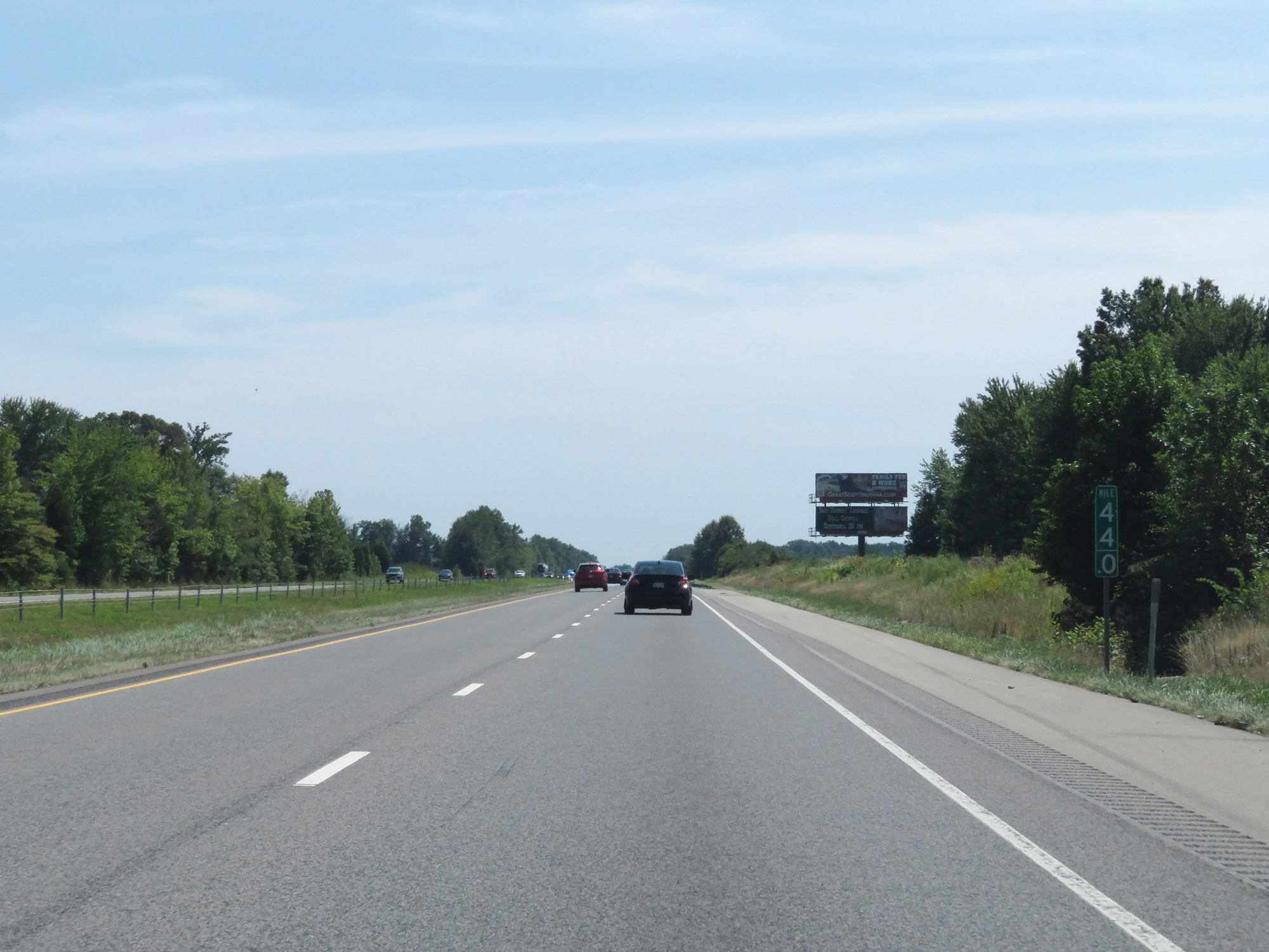
Mileage sign at mile marker 48.5. It's 8 miles to Uniontown, 21 miles to Scottsburg, and 51 miles to Louisville. (Photo taken 8/10/19). |
 |
Interstate 65 South at mile marker 44. (Photo taken 8/10/19). |
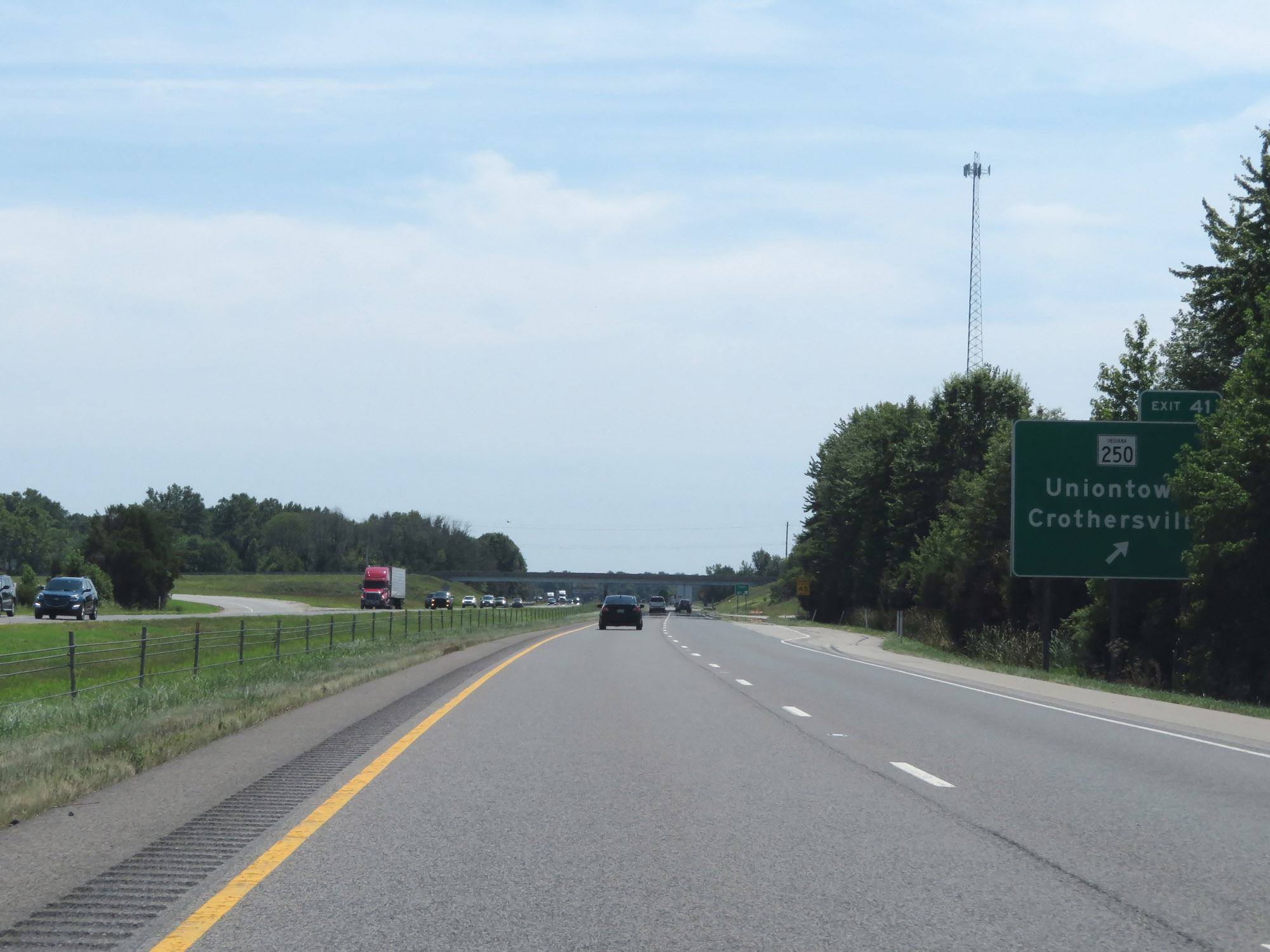 |
Interstate 65 South at Exit 41: IN 250 - Uniontown / Crothersville (Photo taken 8/10/19). |
 |
View on Interstate 65 South at mile marker 39. (Photo taken 8/10/19). |
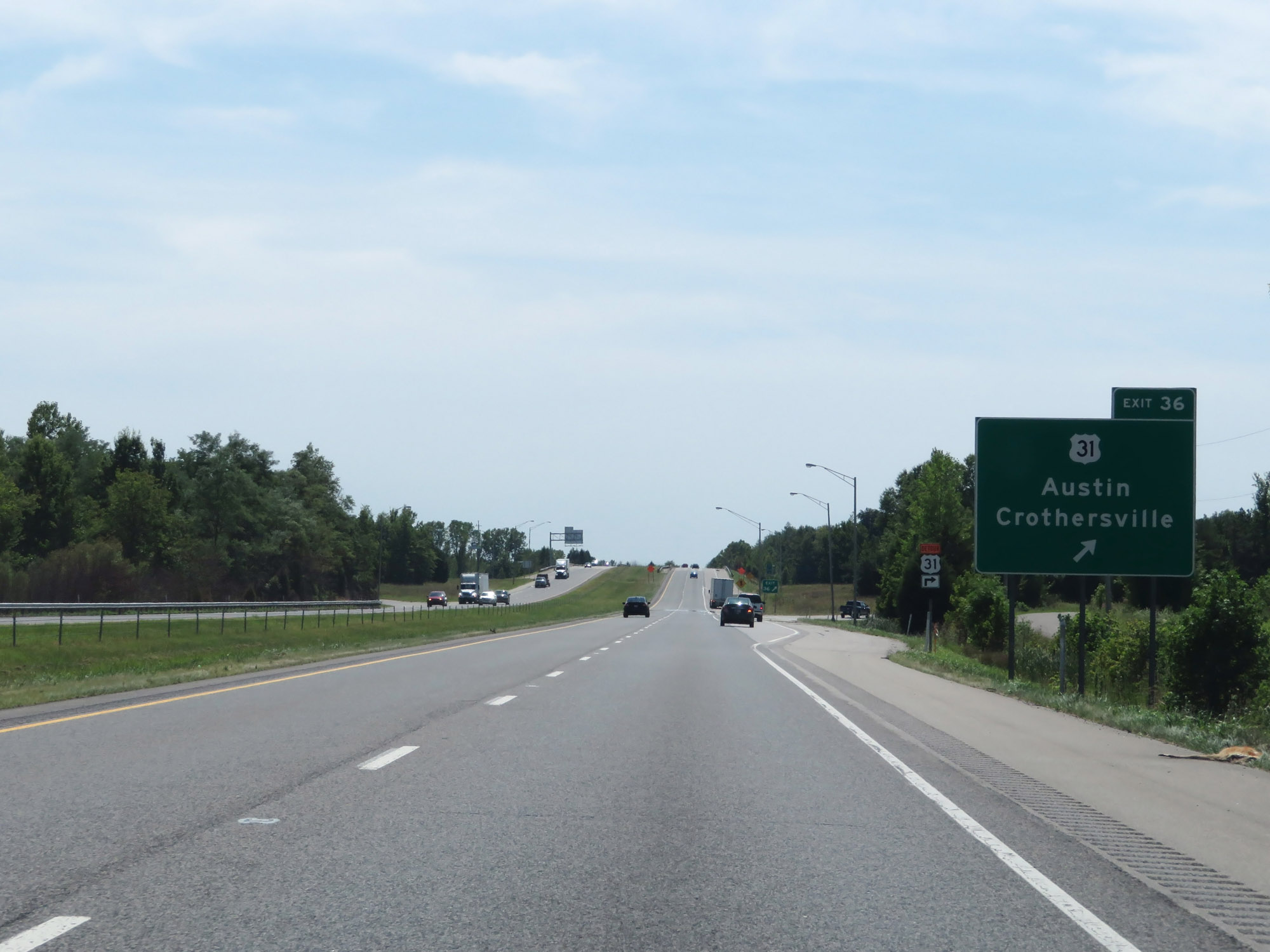 |
Interstate 65 South at Exit 36: US 31 - Austin / Crothersville (Photo taken 8/10/19). |
 |
Interstate 65 South entering Scott County. (Photo taken 8/10/19). |
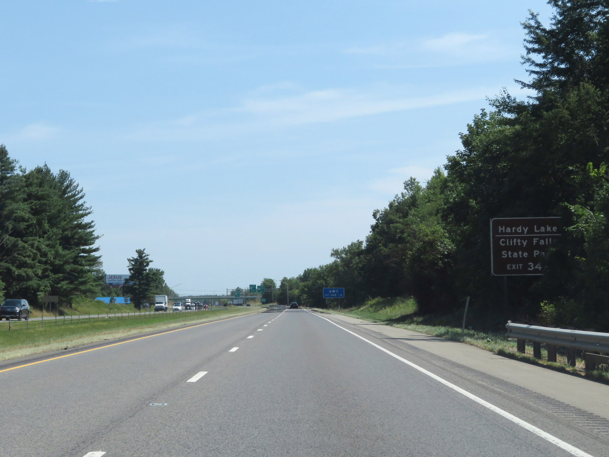 |
Take Exit 34A to Hardy Lake and Clifty Falls State Park. (Photo taken 8/10/19). |
 |
Interstate 65 South at Exit 34B: IN 256 West (Photo taken 8/10/19). |
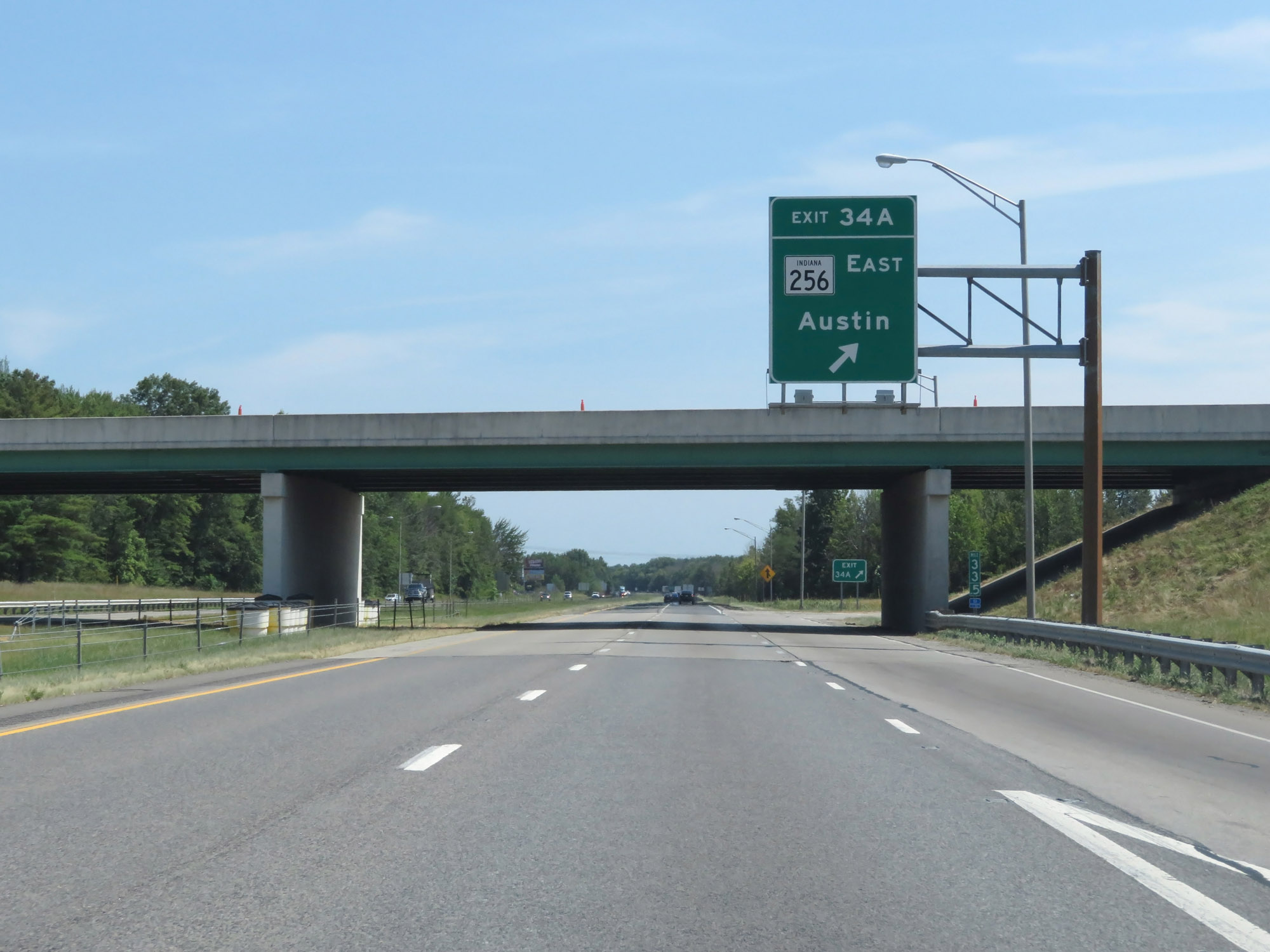 |
Interstate 65 South at Exit 34A: IN 256 East - Austin (Photo taken 8/10/19). |
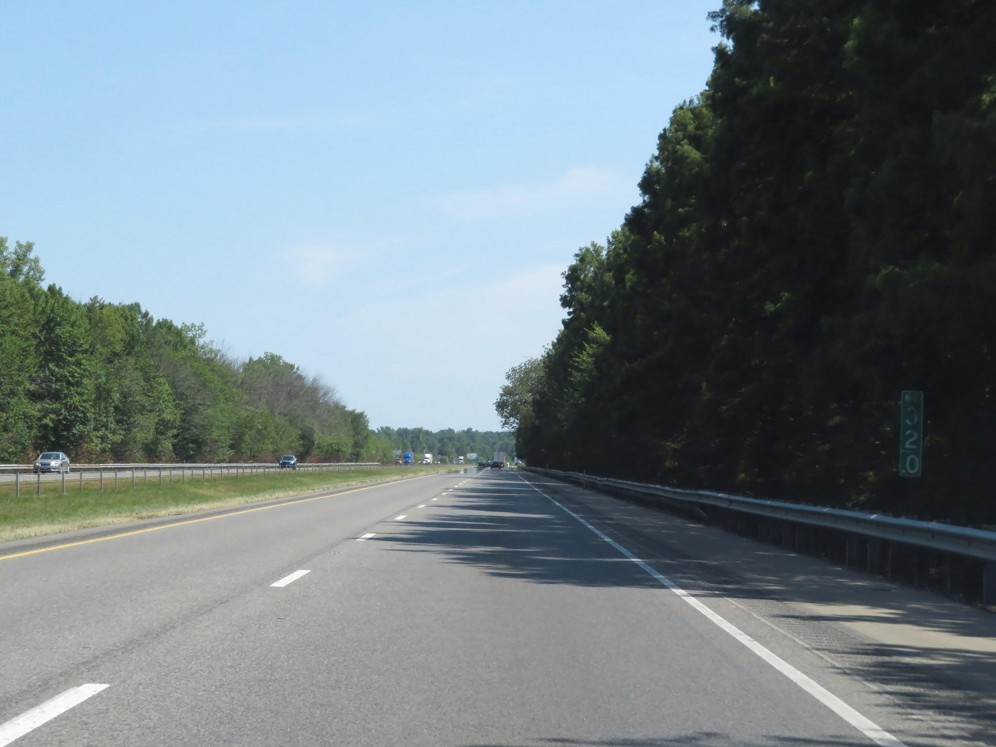 |
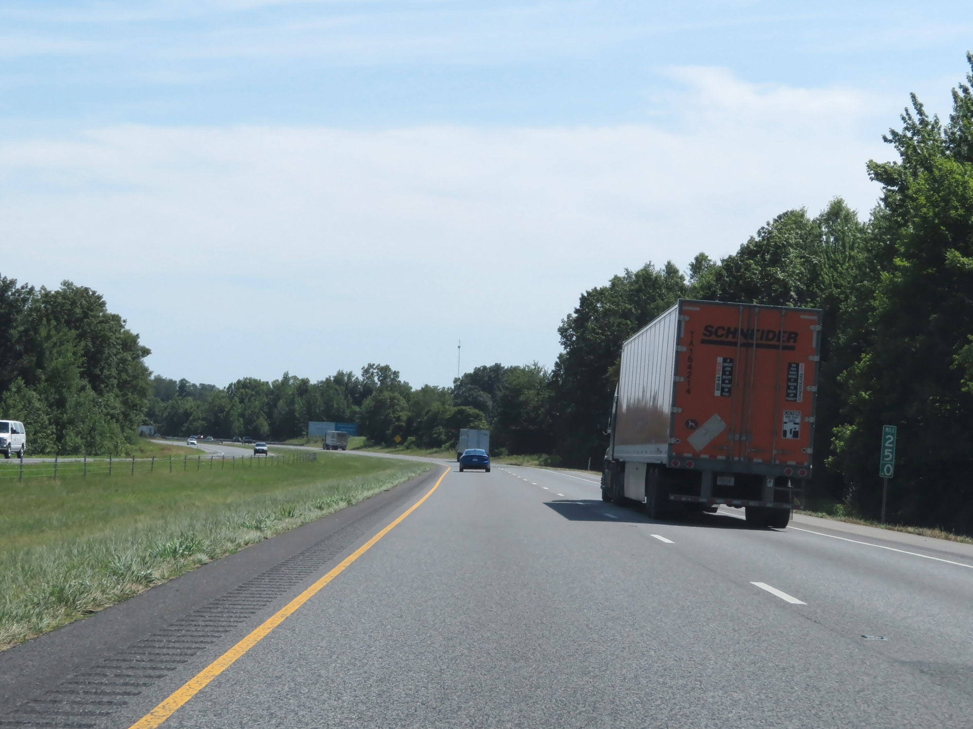
View on Interstate 65 South at mile marker 32. (Photo taken 8/10/19). |
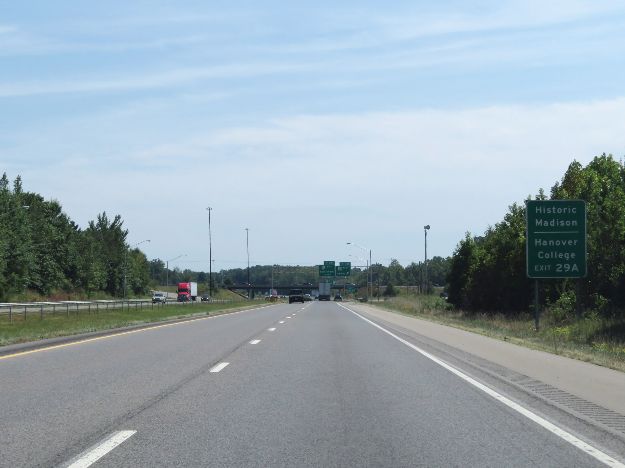 |
Take Exit 29A to Historic Madison and Hanover College. (Photo taken 8/10/19). |
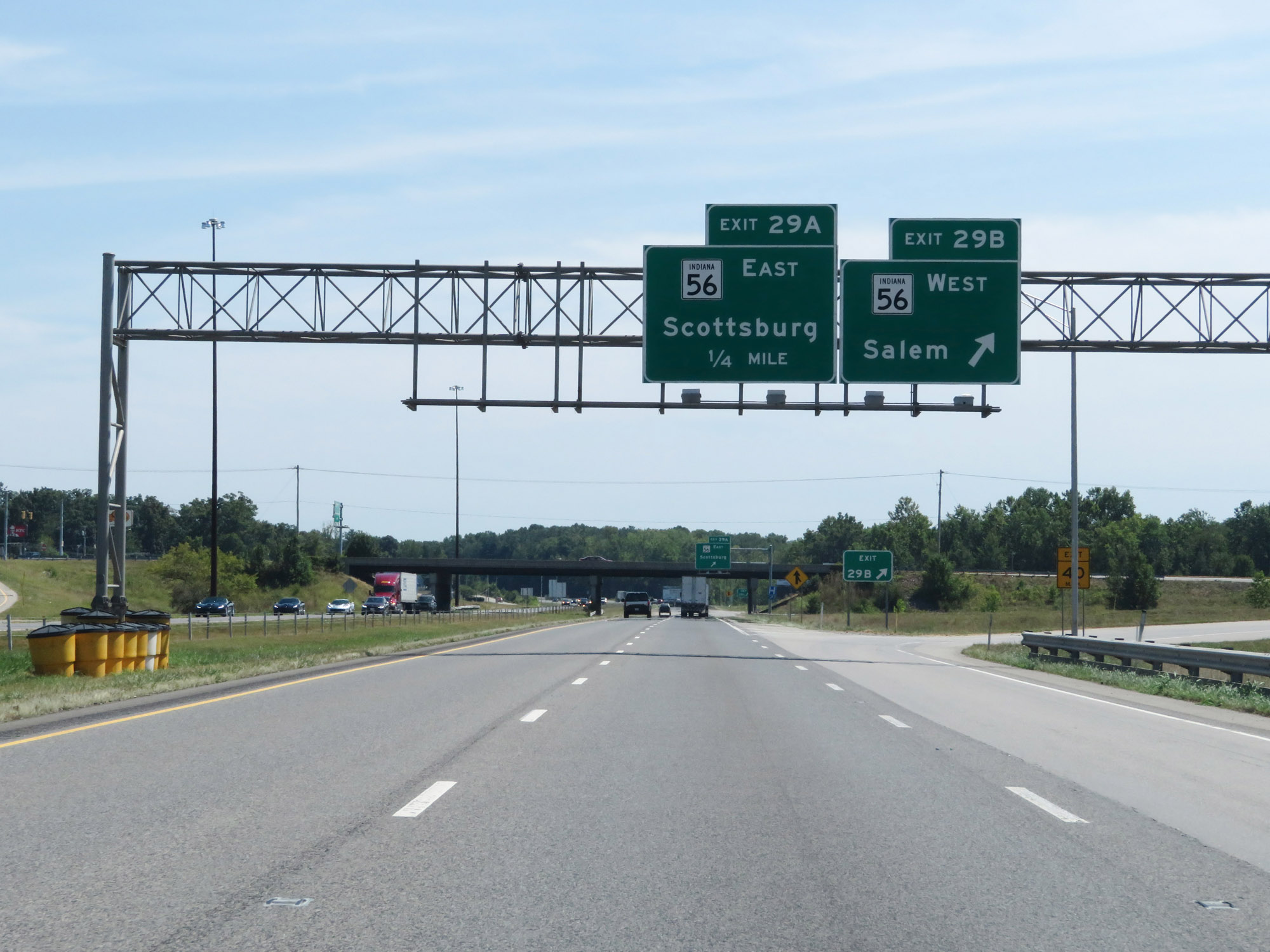 |
Interstate 65 South at Exit 29B: IN 56 West - Salem (Photo taken 8/10/19). |
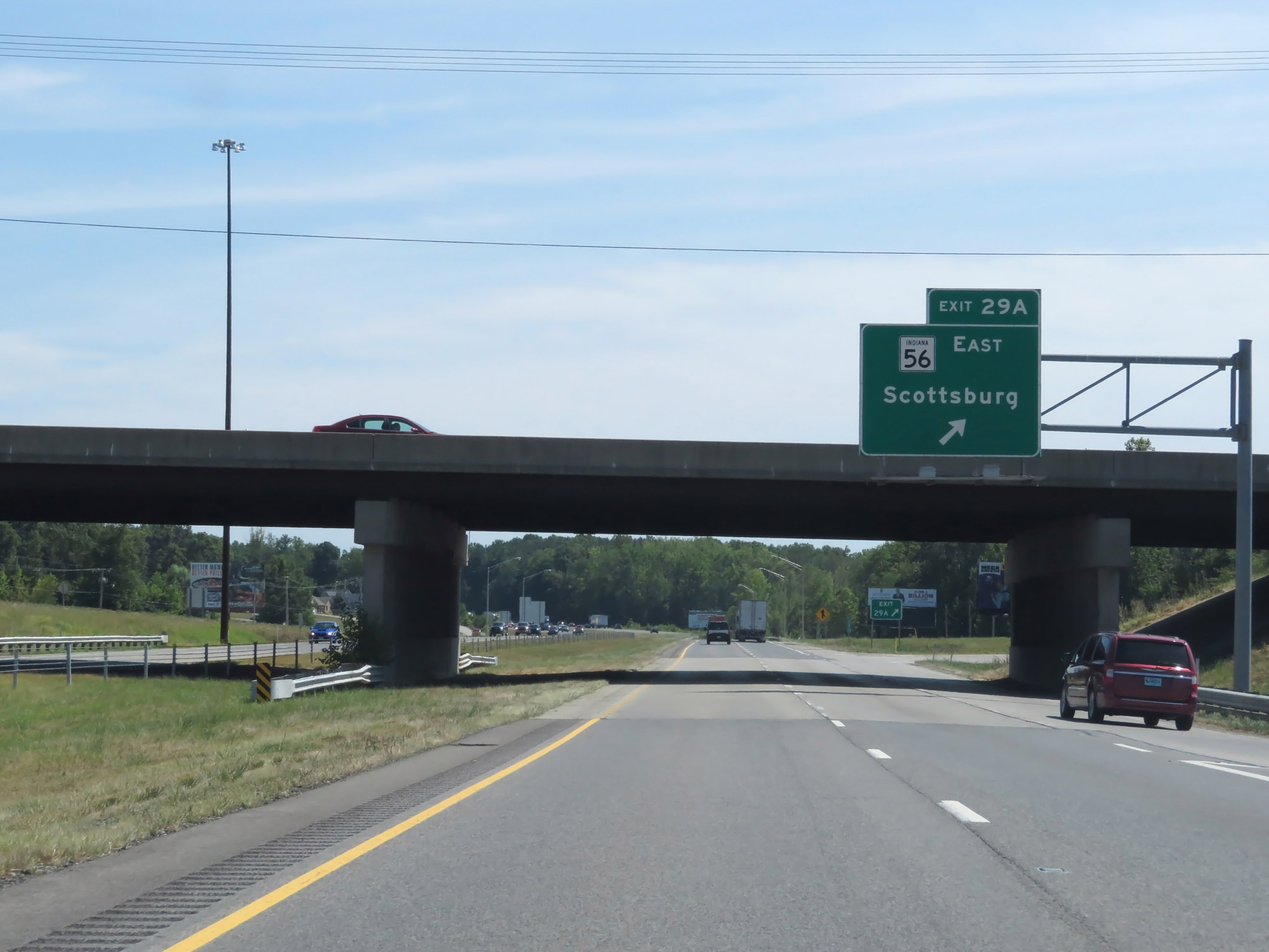 |
Interstate 65 South at Exit 29A: IN 56 East - Scottsburg (Photo taken 8/10/19). |
 |
Mileage sign on Interstate 65 South. It's 10 miles to Henryville, 30 miles to Jeffersonville, and 31 miles to Louisville. (Photo taken 8/10/19). |
 |
Interstate 65 South at mile marker 25. (Photo taken 8/10/19). |
 |
Interstate 65 South entering Clark County. (Photo taken 8/10/19). |
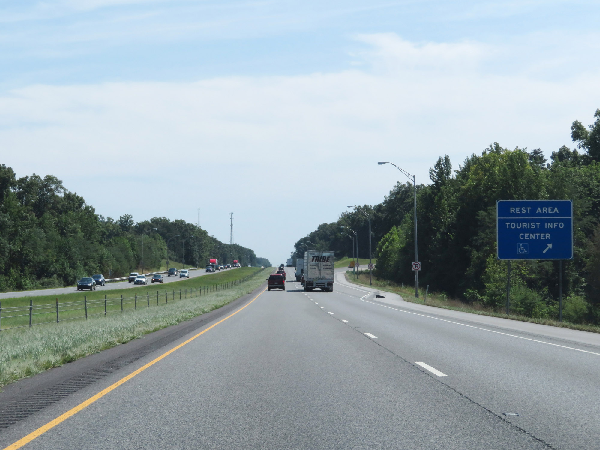 |
Rest Area / Tourist Info Center on Interstate 65 South in Clark County near the town of Underwood. (Photo taken 8/10/19). |
 |
Interstate 65 South at mile marker 21. (Photo taken 8/10/19). |
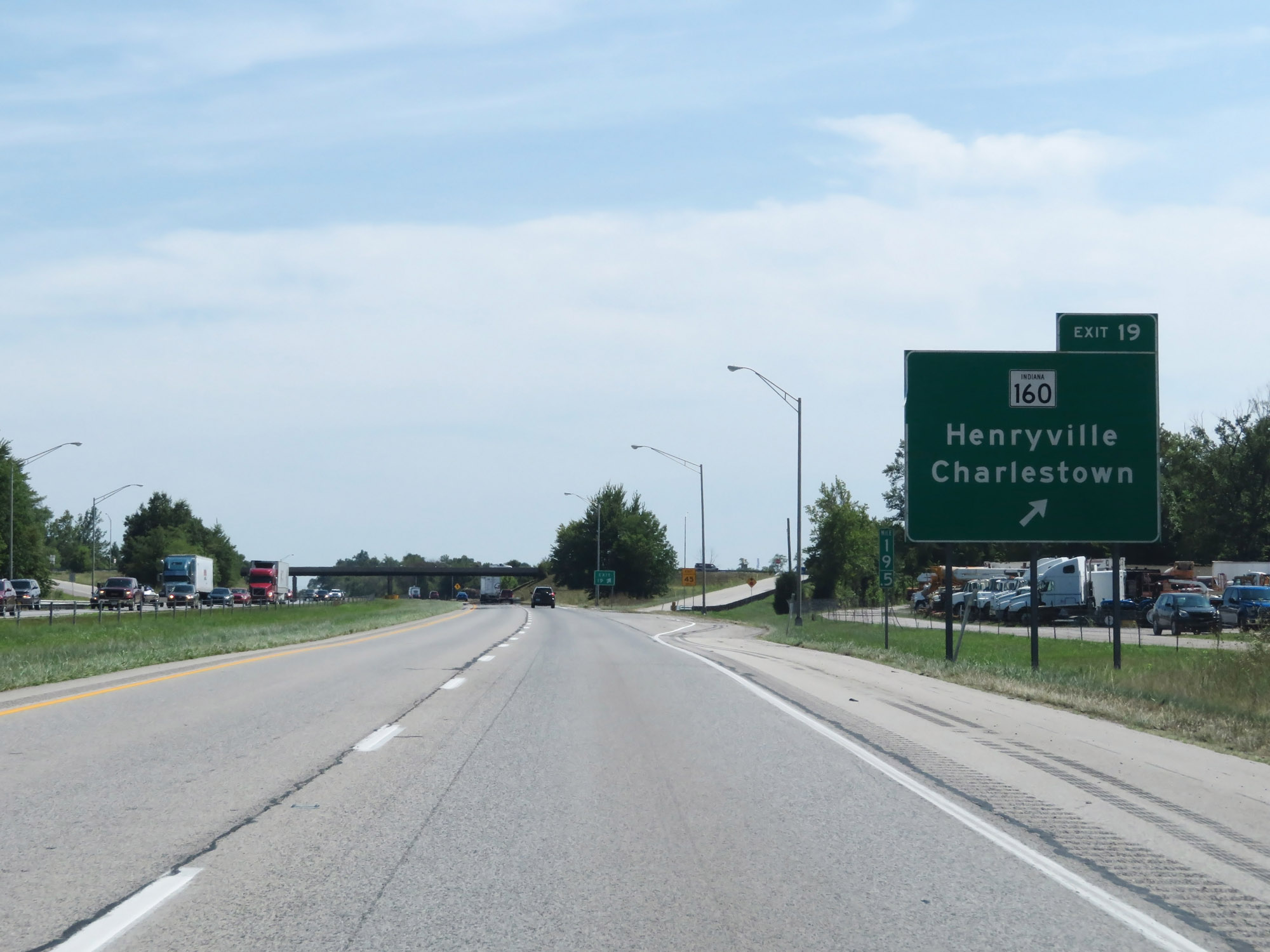 |
Interstate 65 South at Exit 19: IN 160 - Henryville / Charlestown (Photo taken 8/10/19). |
 |
Take Exit 16 to Fuzzy Zoeller's Champions Pointe Golf Course. (Photo taken 8/10/19). |
 |
Interstate 65 South at Exit 16: Memphis Rd (Photo taken 8/10/19). |
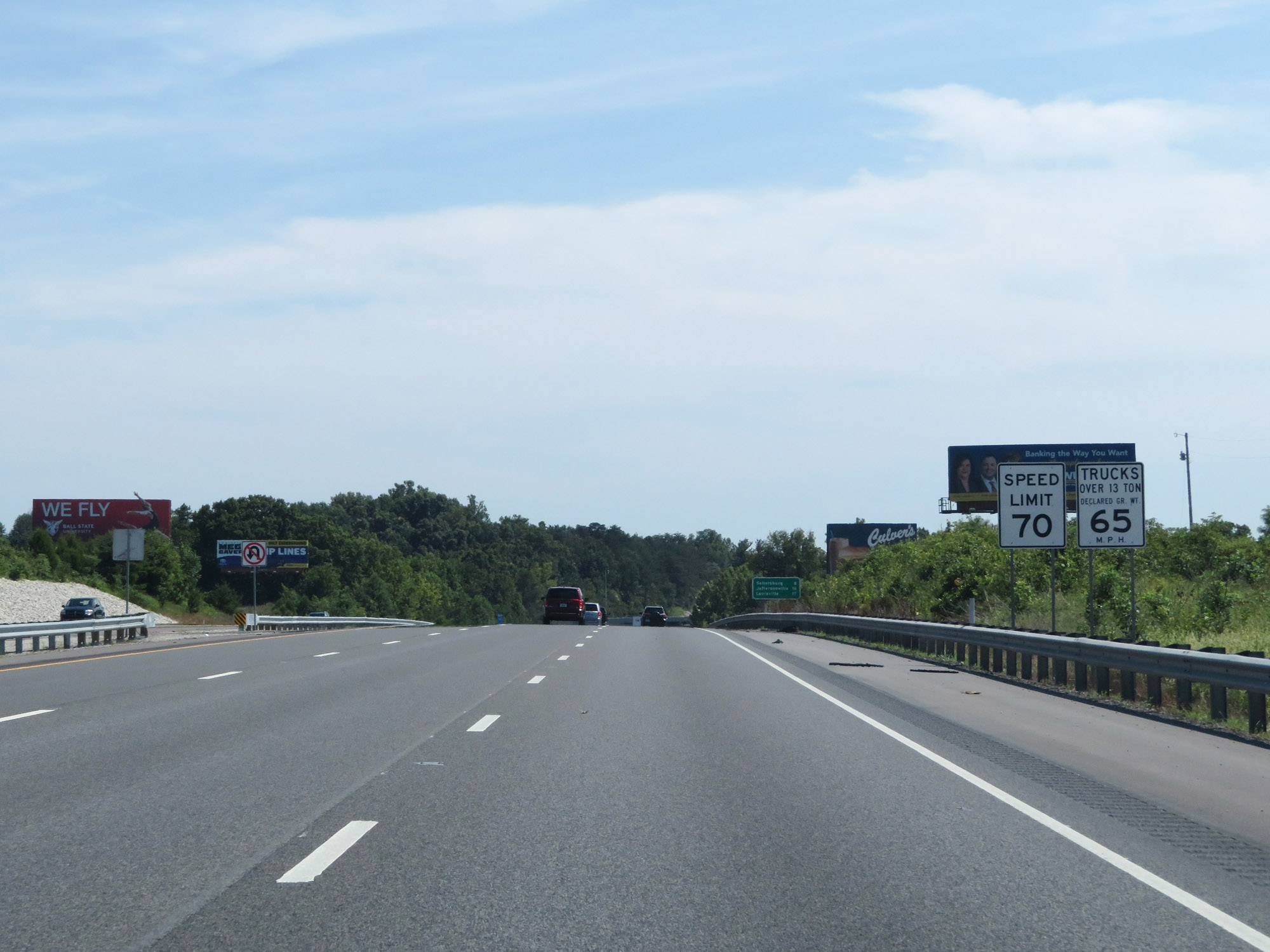 |
The speed limits remain 70 mph for cars and 65 mph for trucks. (Photo taken 8/10/19). |
 |
Interstate 65 South at mile marker 14. (Photo taken 8/10/19). |
 |
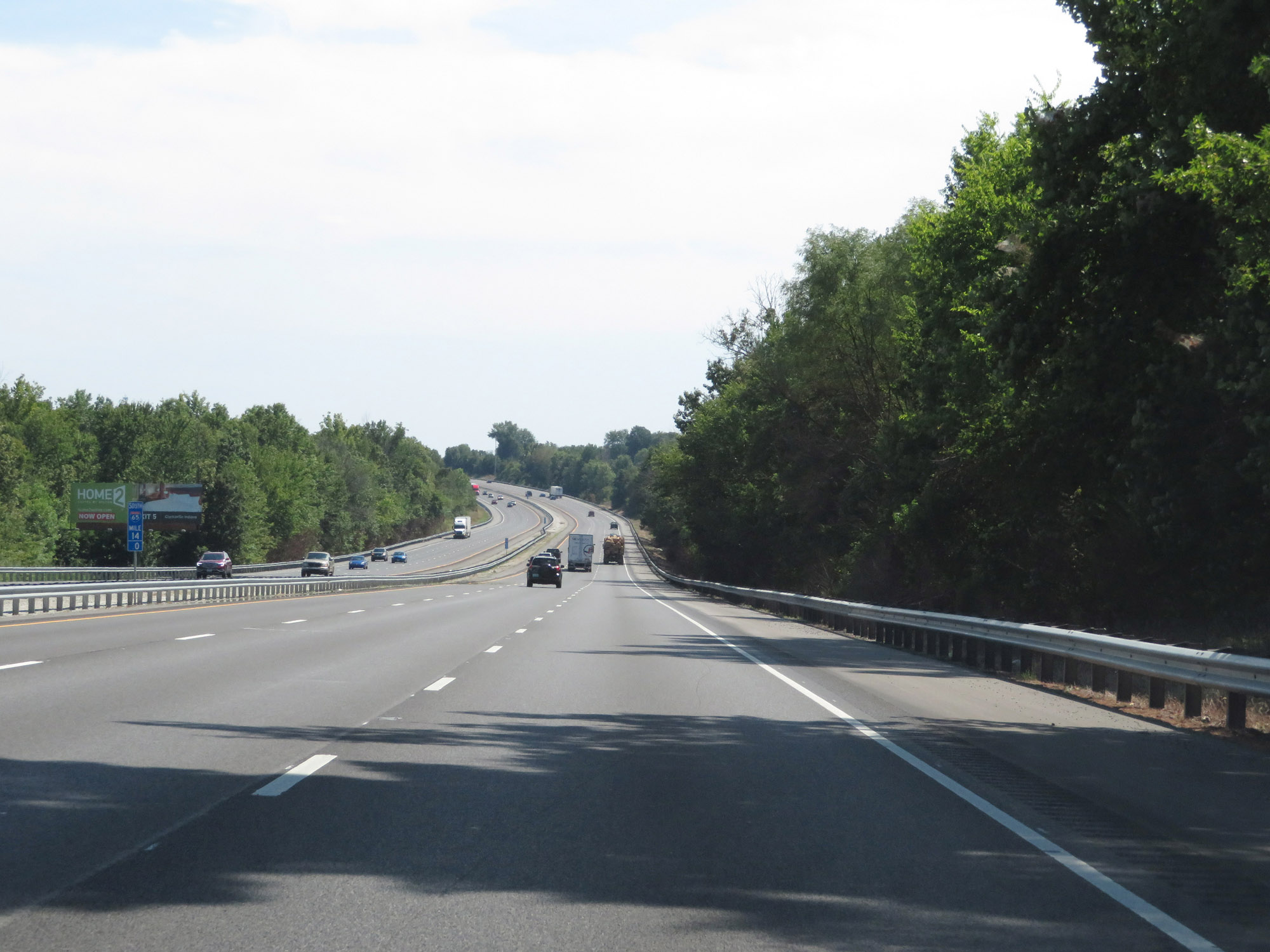
View on Interstate 65 South at mile marker 12. (Photo taken 8/10/19). |
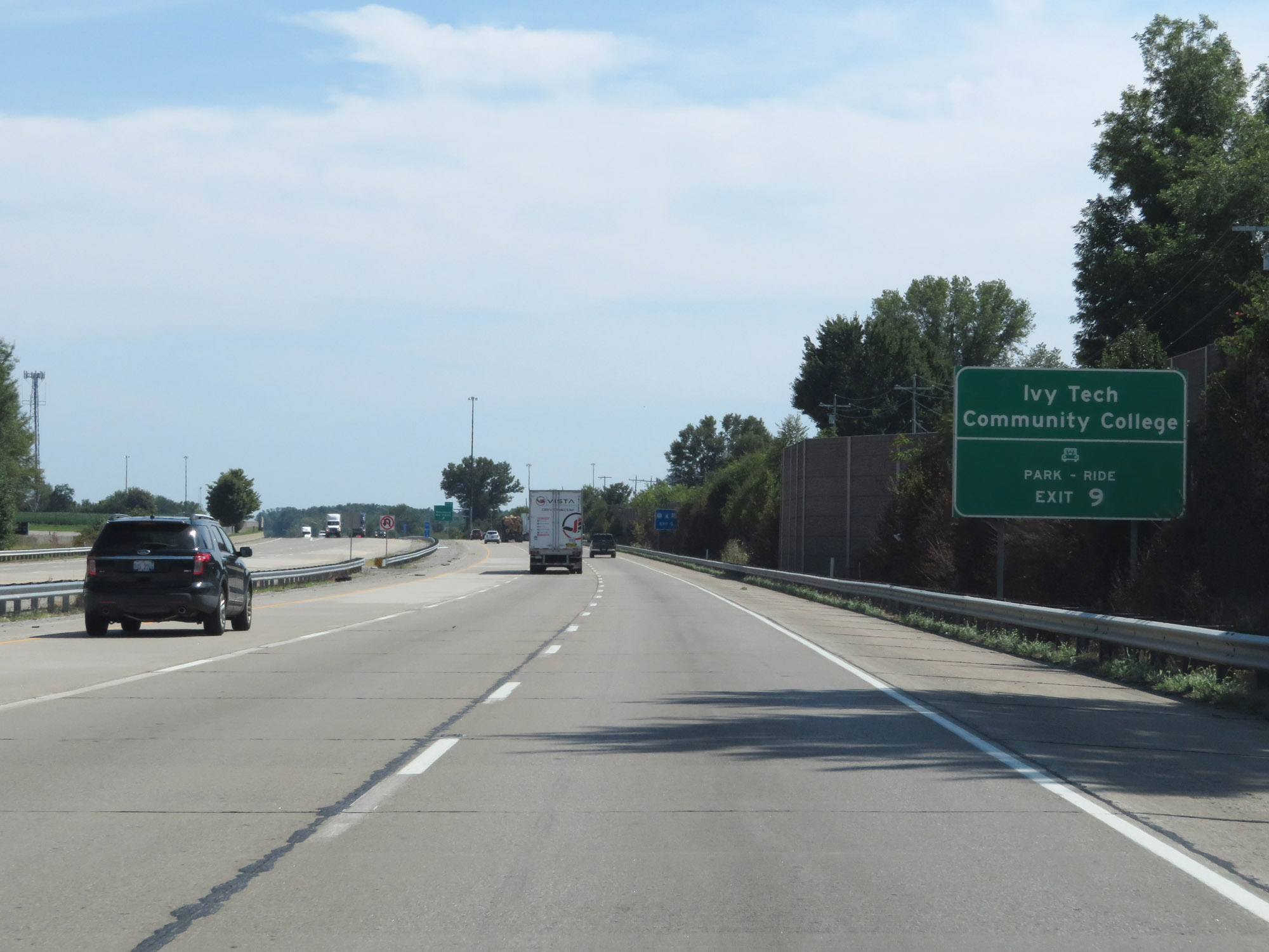 |
Take Exit 9 to Ivy Tech Community College and the Park & Ride lot. (Photo taken 8/10/19). |
 |
Interstate 65 South at Exit 9: Sellersburg / New Albany (Photo taken 8/10/19). |
 |
At mile marker 8, the speed limit decreases to 65 mph for all traffic. (Photo taken 8/10/19). |
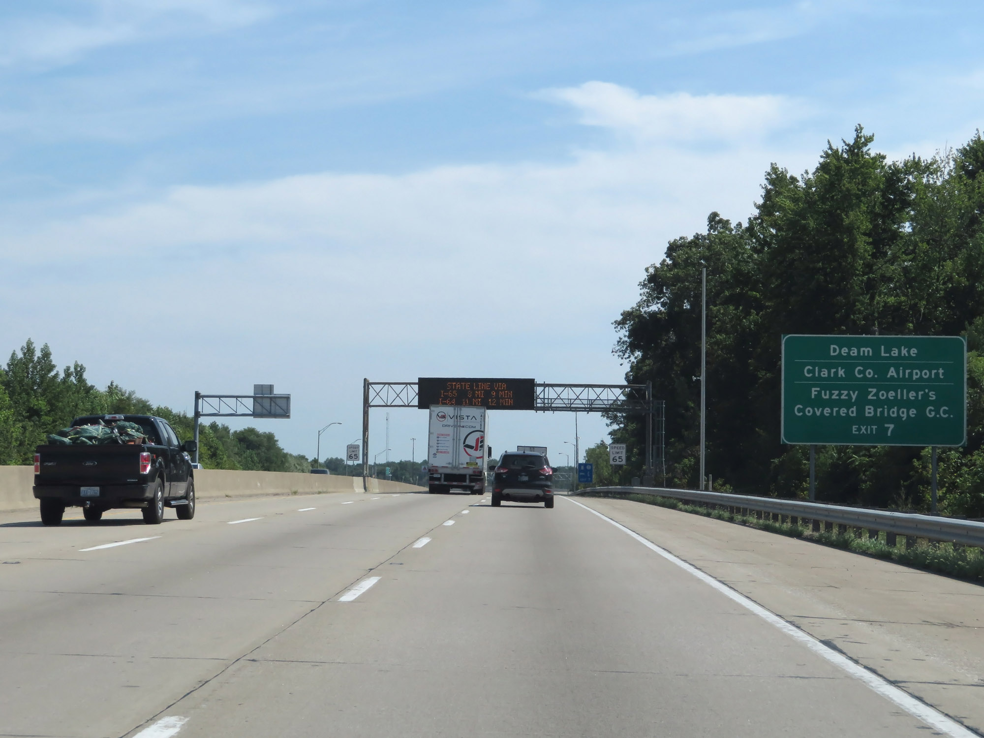 |
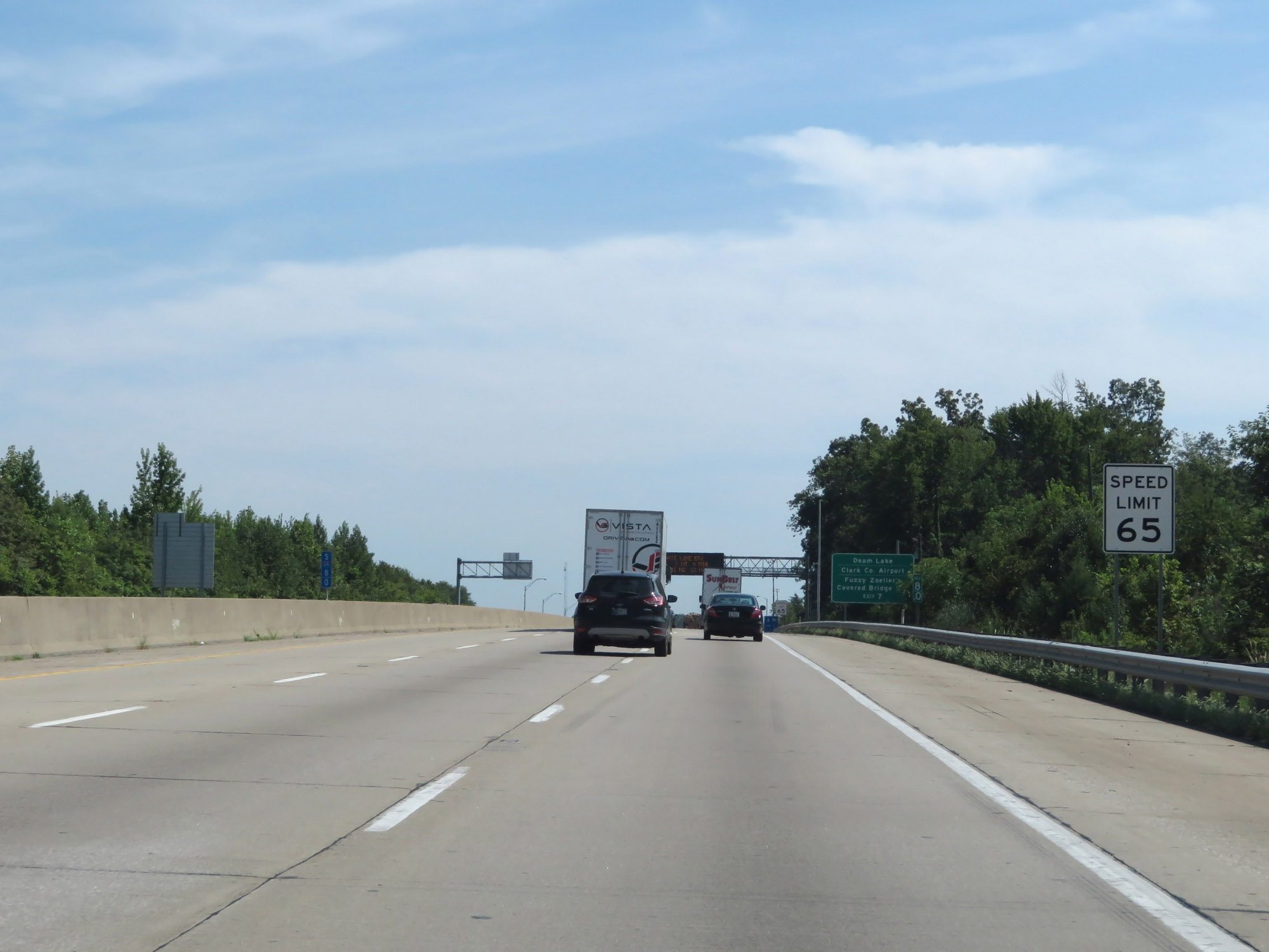
Take Exit 7 to Deam Lake, Clark County Airport, and Fuzzy Zoeller's Covered Bridge Golf Course. (Photo taken 8/10/19). |
 |
Interstate 65 South at Exit 7: IN 60 - Salem (Photo taken 8/10/19). |
 |
Interstate 65 South approaching Exit 6B - 1/2 mile. (Photo taken 8/10/19). |
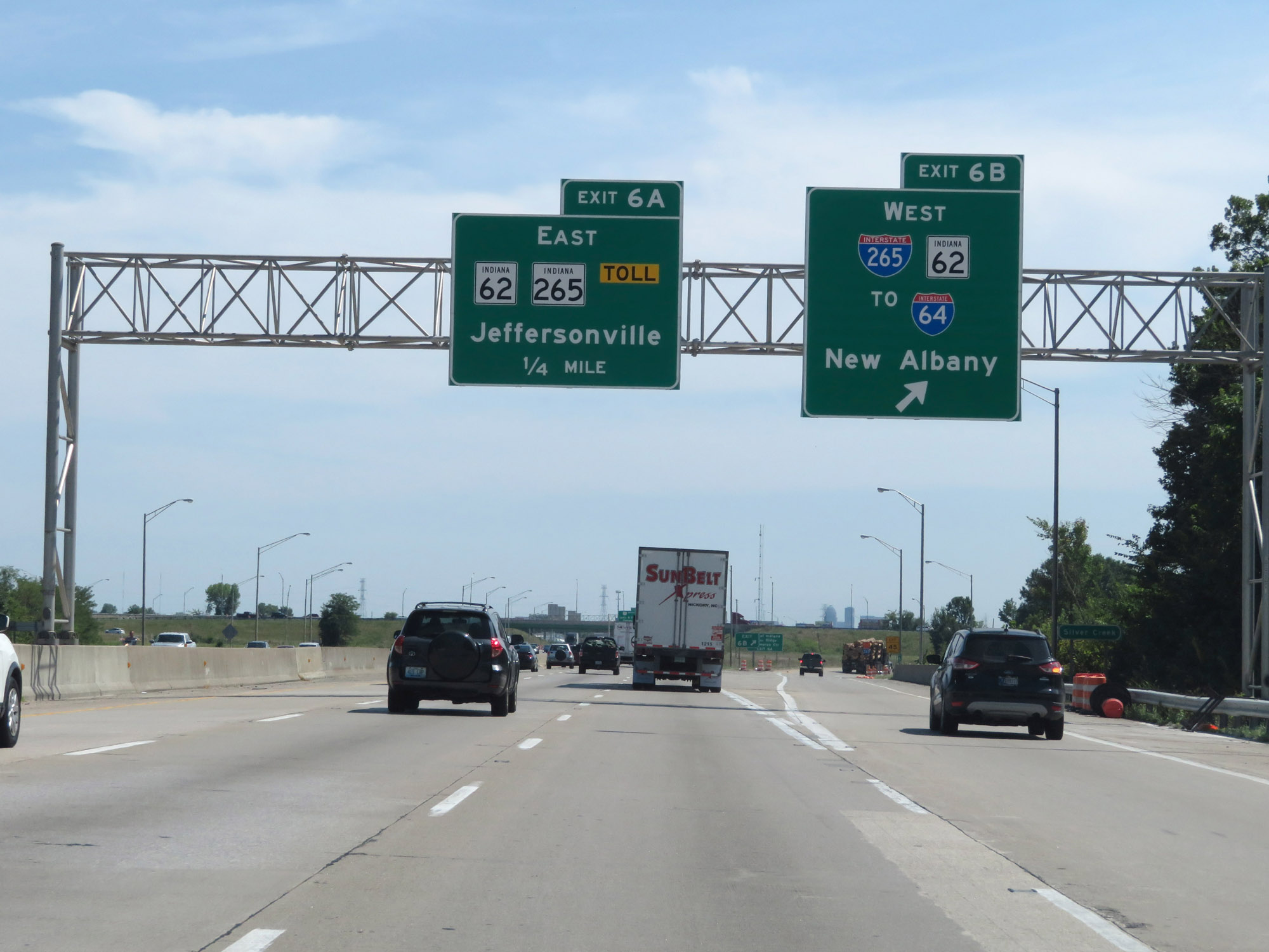 |
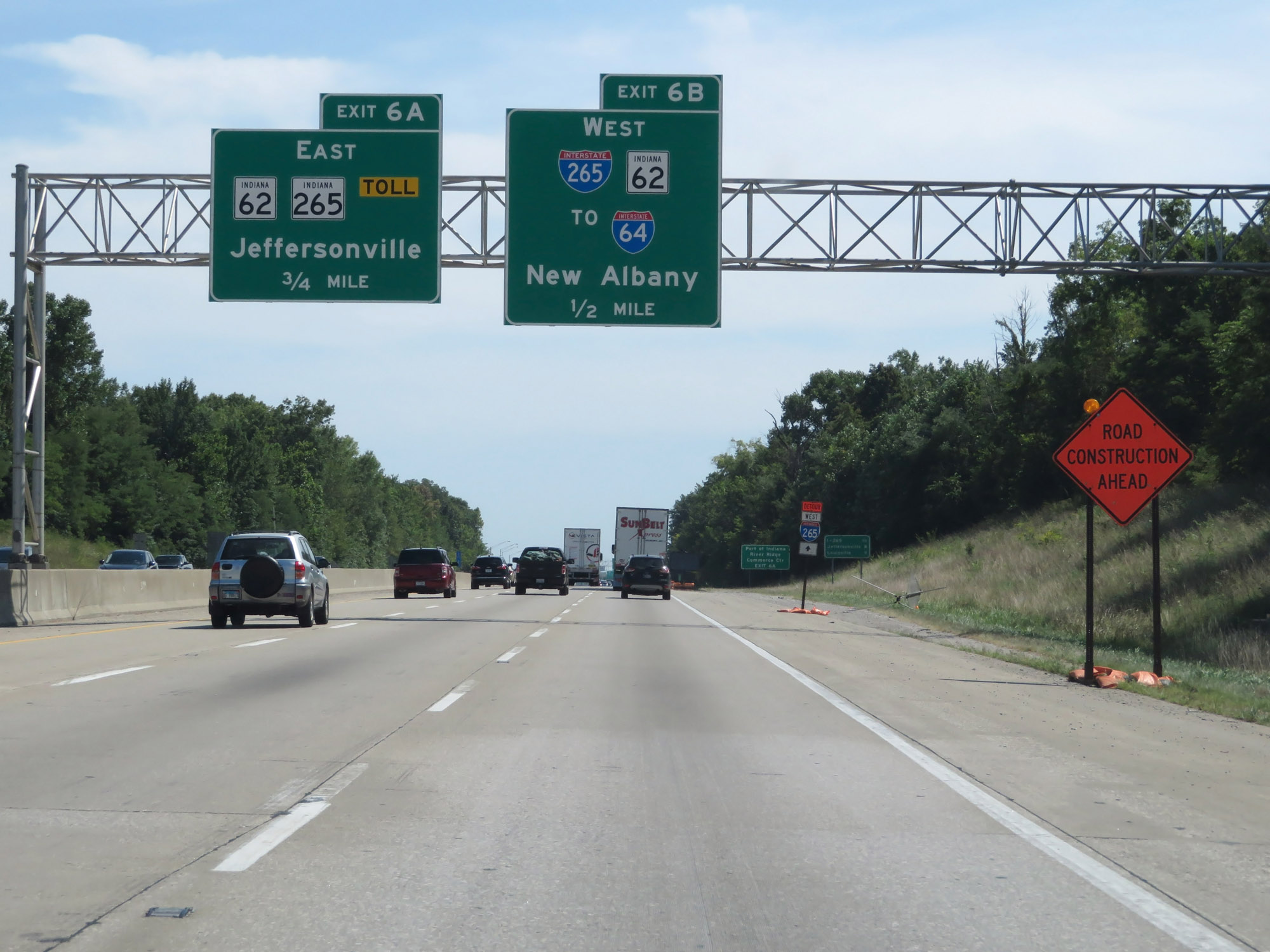
Interstate 65 South at Exit 6B: Interstate 265 West / IN 62 West / To Interstate 64 - New Albany (Photo taken 8/10/19). |
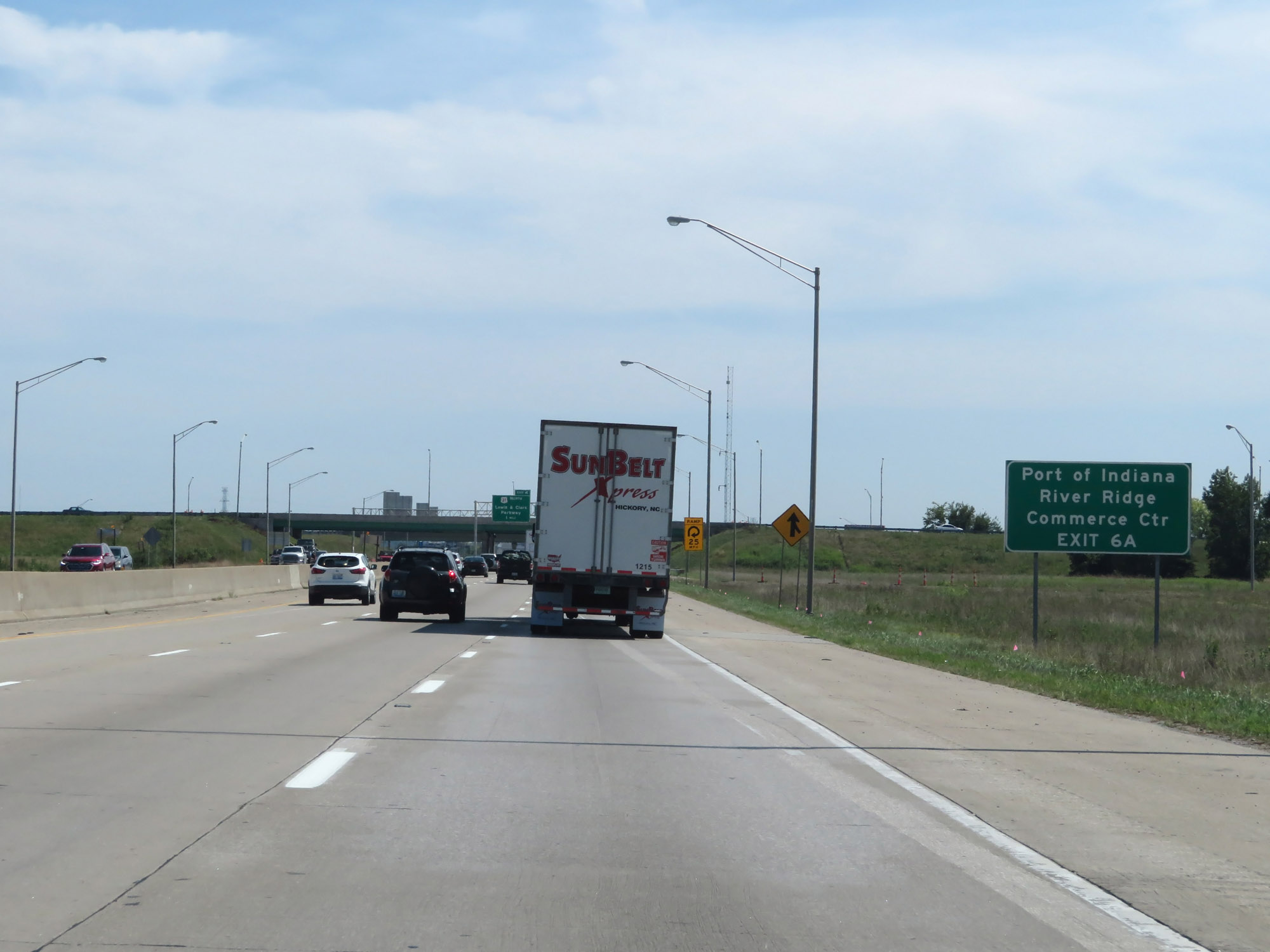 |
Take Exit 6A to the Port of Indiana and River Ridge Commerce Center. (Photo taken 8/10/19). |
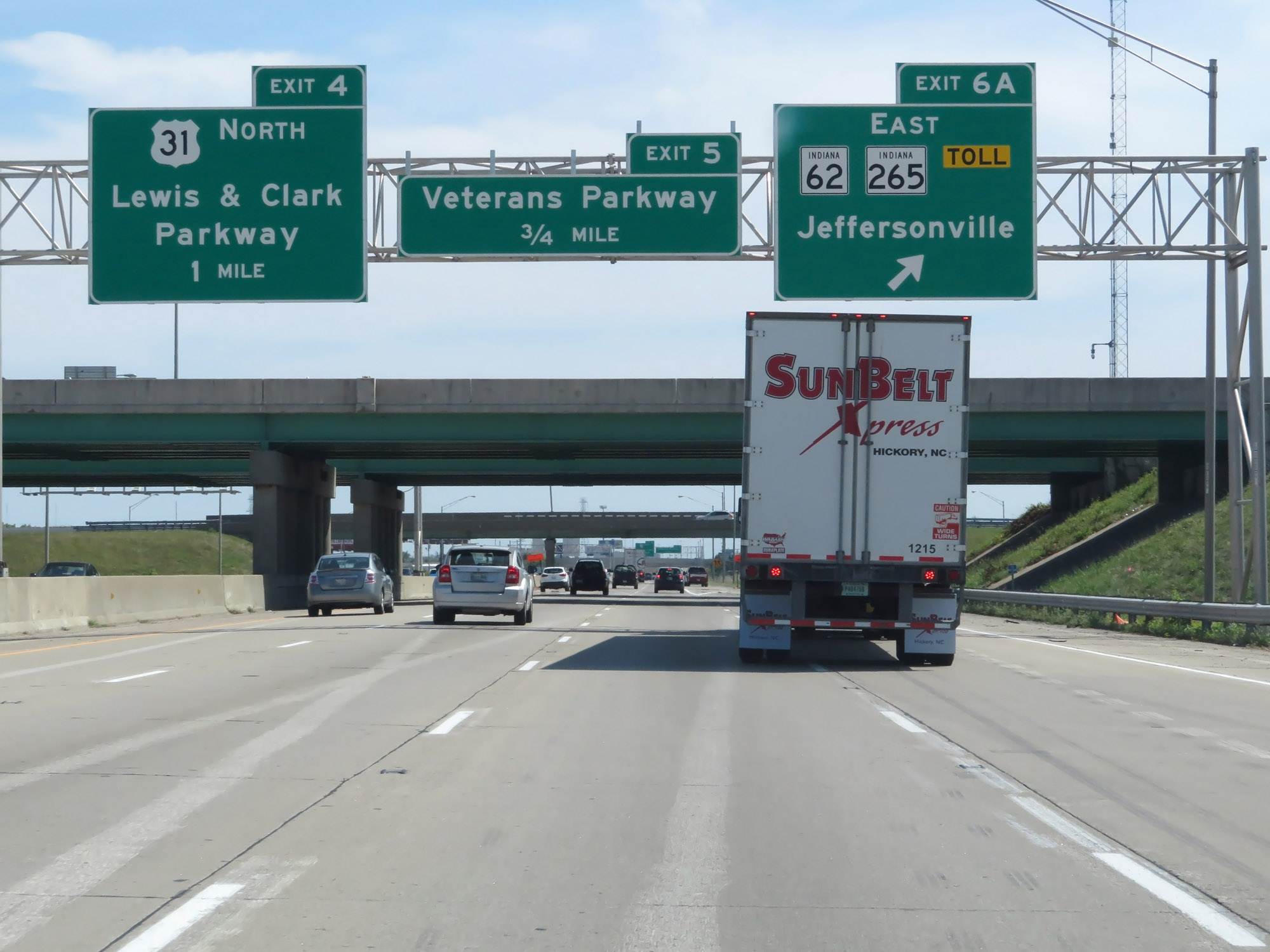 |
Interstate 65 South at Exit 6A: Interstate 265 East / IN 265 East / IN 62 East - Jeffersonville (Photo taken 8/10/19). |
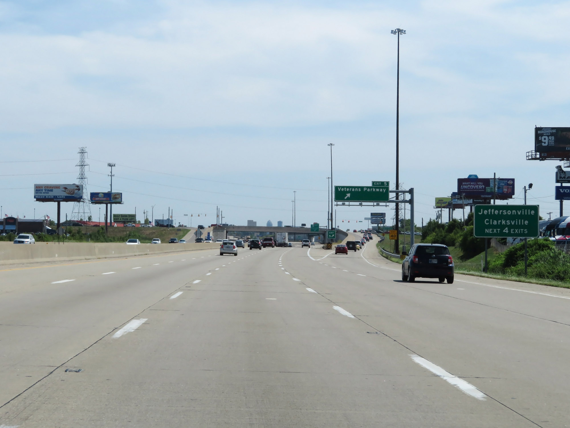 |
Take any of the next 4 exits to Jeffersonville and Clarksville. (Photo taken 8/10/19). |
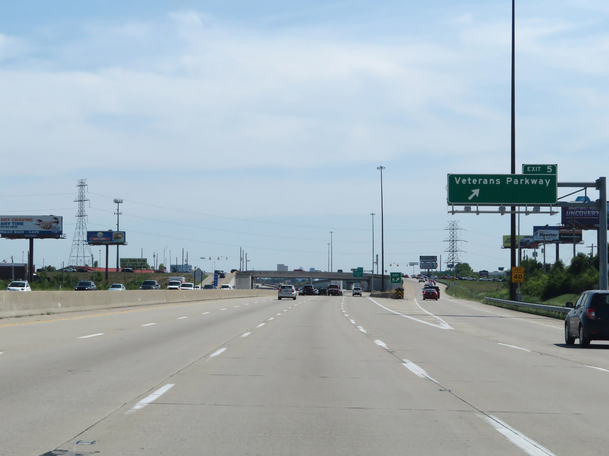 |
Interstate 65 South at Exit 5: Veterans Parkway (Photo taken 8/10/19). |
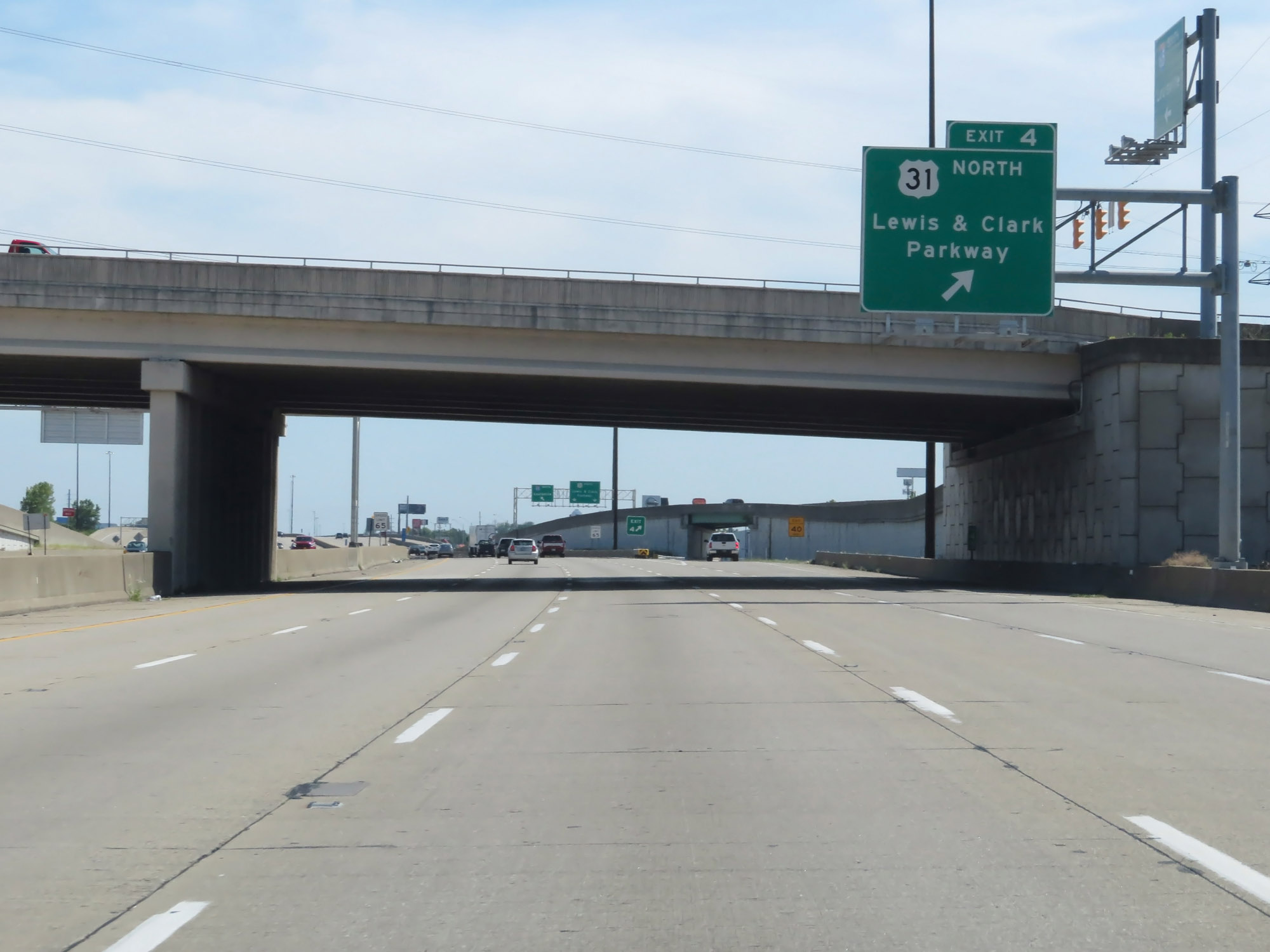 |
Interstate 65 South at Exit 4: US 31 North - Lewis & Clark Parkway (Photo taken 8/10/19). |
 |
The speed limit remains 65 mph. (Photo taken 8/10/19). |
 |
Interstate 65 South reassurance shield. (Photo taken 8/10/19). |
 |
At mile marker 3, the Louisville skyline comes into view in the distance. (Photo taken 8/10/19). |
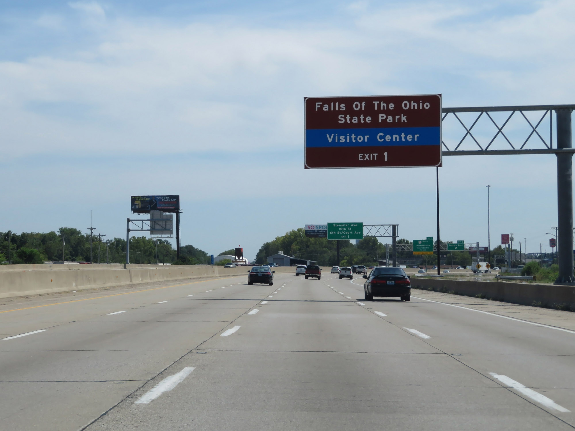 |
Take Exit 1 to Falls Of The Ohio State Park. (Photo taken 8/10/19). |
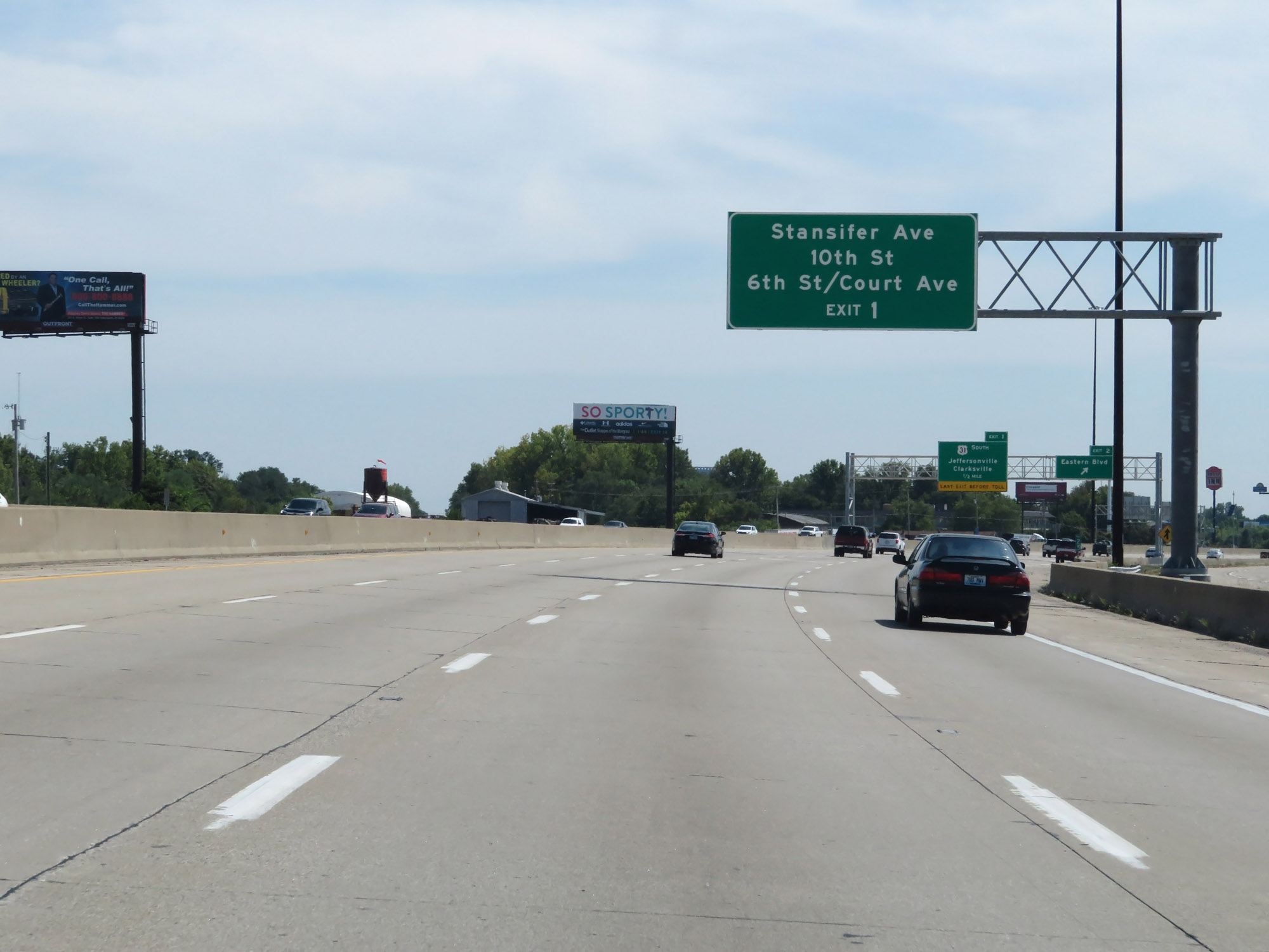 |
Also take Exit 1 to Stansifer Ave, 10th St, 6th St, and Court Ave. (Photo taken 8/10/19). |
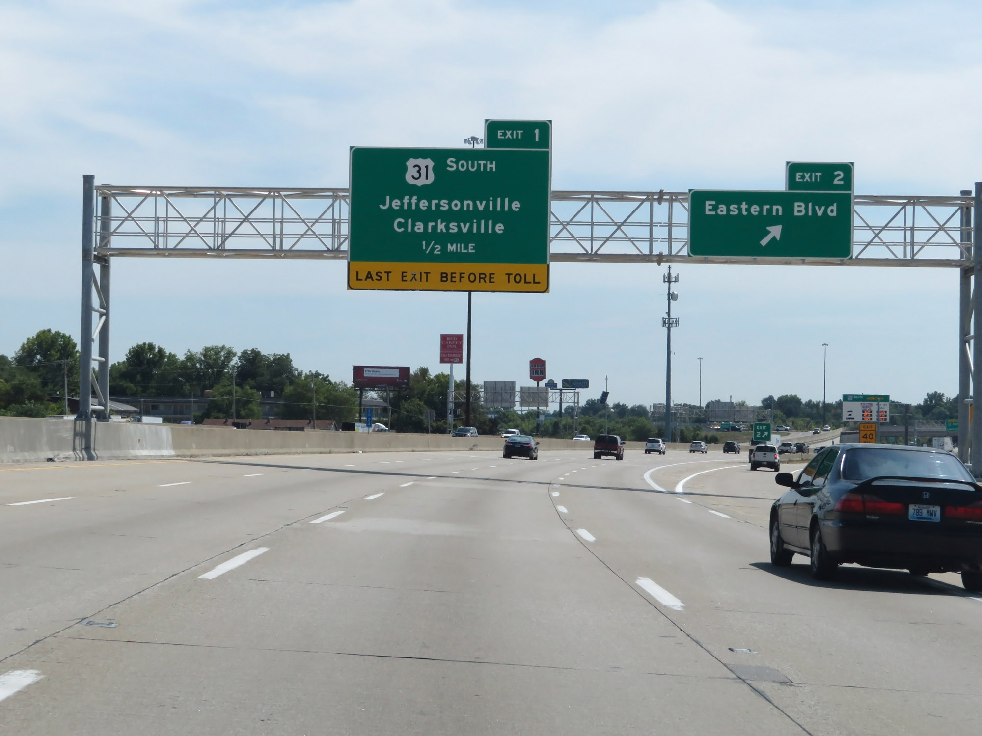 |
Interstate 65 South at Exit 2: Eastern Blvd (Photo taken 8/10/19). |
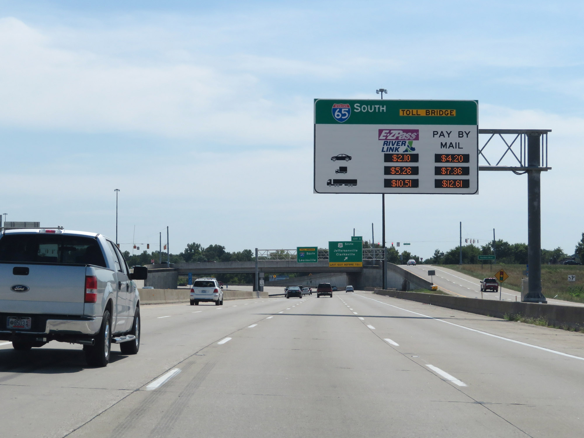 |
The John F. Kennedy Memorial Bridge, which will carry Interstate 65 South over the Ohio River from Indiana into Kentucky, is electronically tolled. This overhead sign dynamically shows the current toll rates for the different vehicle classes and payment methods. (Photo taken 8/10/19). |
 |
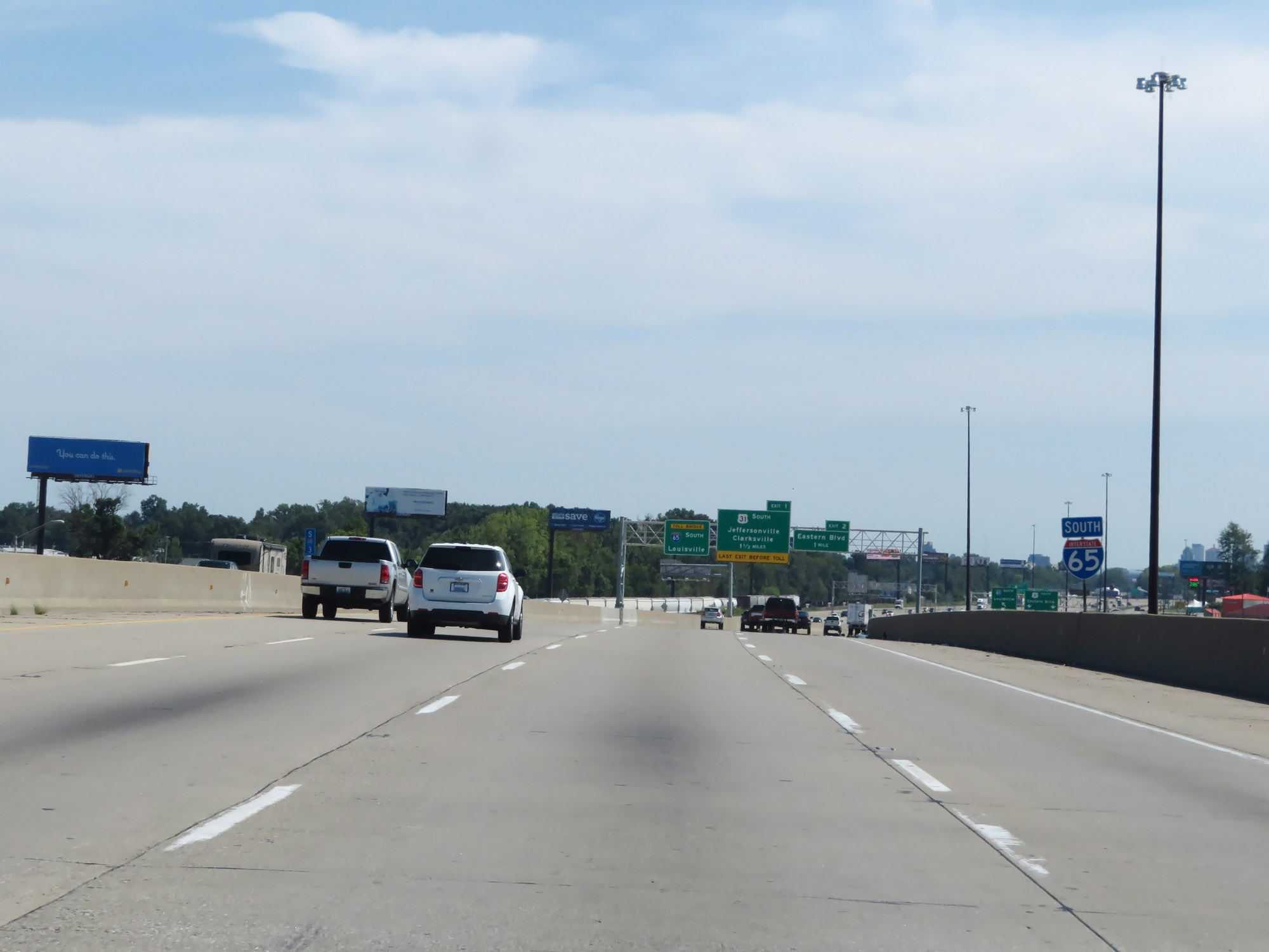
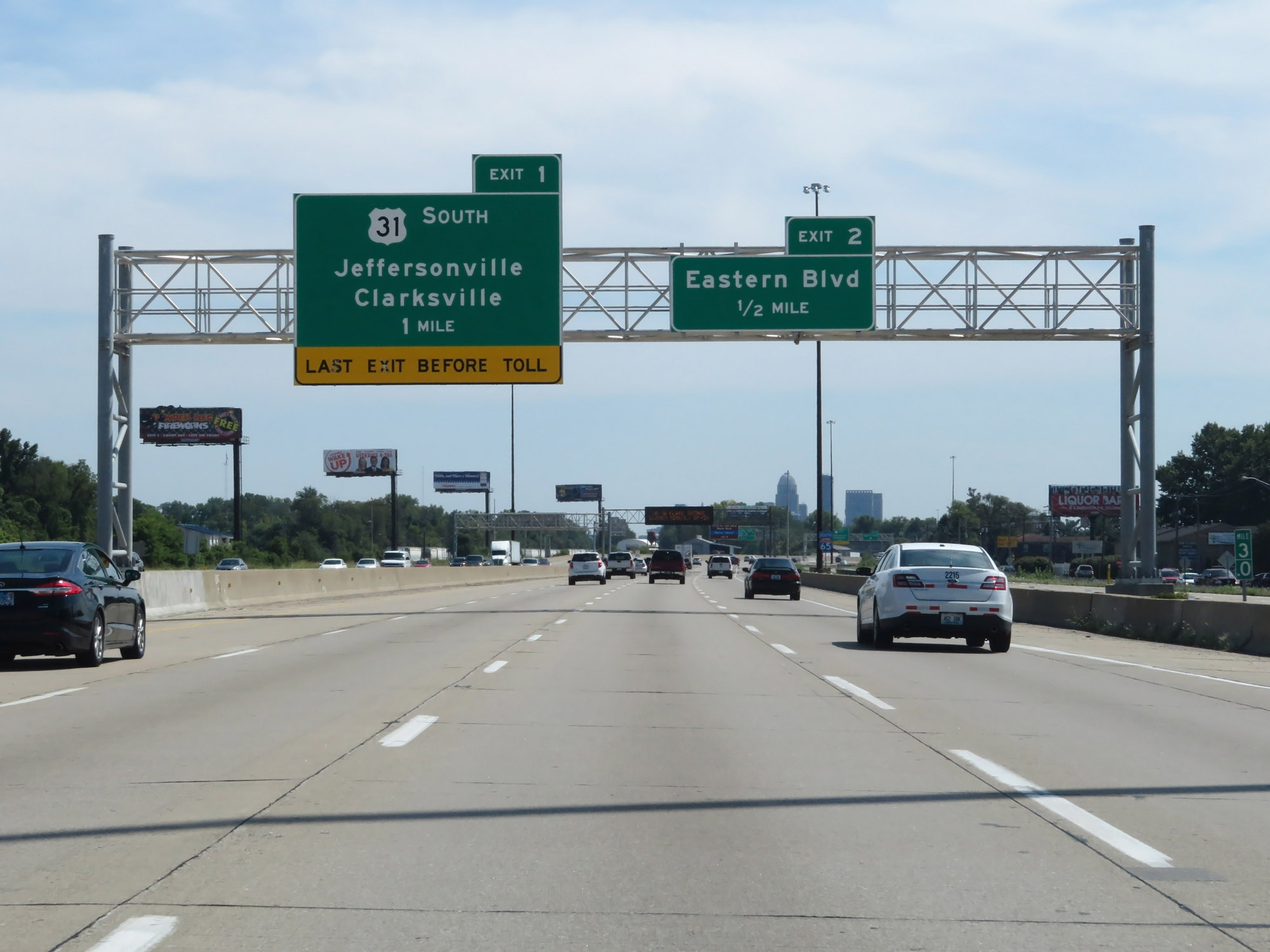
Interstate 65 South at Exit 1: US 31 South - Jeffersonville / Clarksville (Photo taken 8/10/19). |
 |
One final Interstate 65 South reassurance shield at mile marker 1.2. (Photo taken 8/10/19). |
 |
Interstate 65 South at mile marker 1. (Photo taken 8/10/19). |
 |
Another overhead sign showing current toll rates for the John F. Kennedy Memorial Bridge, which lies just ahead. (Photo taken 8/10/19). |
 |
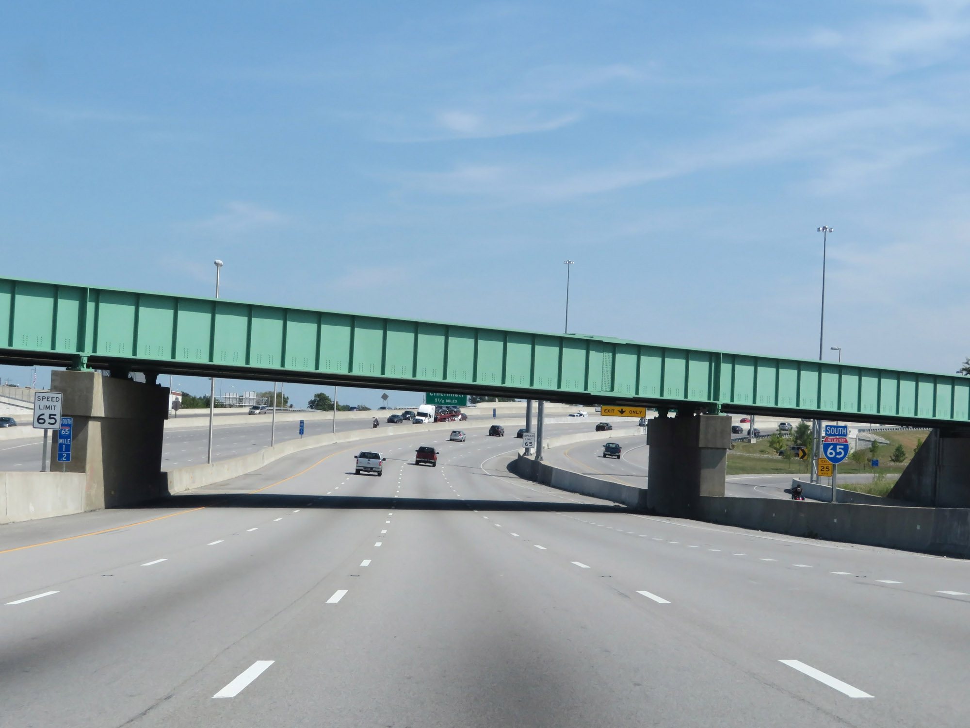
The junctions of Interstate 71 and Interstate 64 are just 1 mile ahead, shortly after crossing the John F. Kennedy Memorial Bridge into downtown Louisville. Also at this point, the speed limit decreases to 60 mph. (Photo taken 8/10/19). |
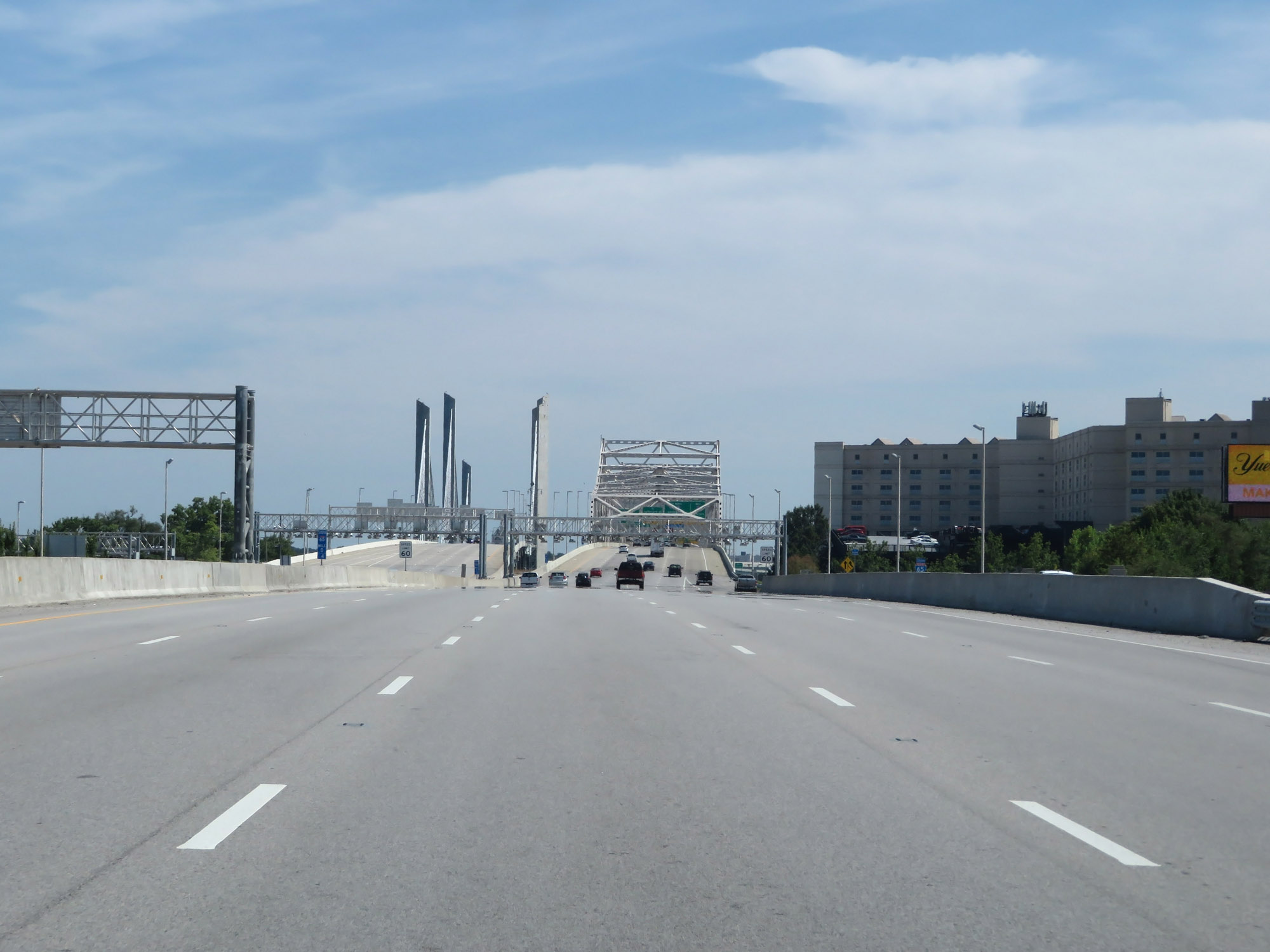 |
View on Interstate 65 South as the John F. Kennedy Memorial Bridge and its northbound counterpart, the Abraham Lincoln Bridge, come into view. (Photo taken 8/10/19). |
 |
Electronic toll gantry approaching the John F. Kennedy Memorial Bridge on Interstate 65 South. (Photo taken 8/10/19). |
 |
Starting across the John F. Kennedy Memorial Bridge on Interstate 65 South. (Photo taken 8/10/19). |
 |
Interstate 65 South at mile marker 0 on the John F. Kennedy Memorial Bridge, as I-65 South crosses the Ohio River from Indiana into Kentucky and downtown Louisville. (Photo taken 8/10/19). |