Road Information |
||
 |
||
| Total Mileage in State: | 38 miles | |
| Eastern End: | At Kentucky state line | |
| Western End: | At I-57, near Marion | |
| Mileage covered in Photos: | 38 miles | |
| Counties covered in Photos: | Williamson, Johnson, Massac | |
| Major Junctions in Photos: | US 45, in Metropolis | |
| Control Cities in Photos: | Vienna, Metropolis | |
Eastbound
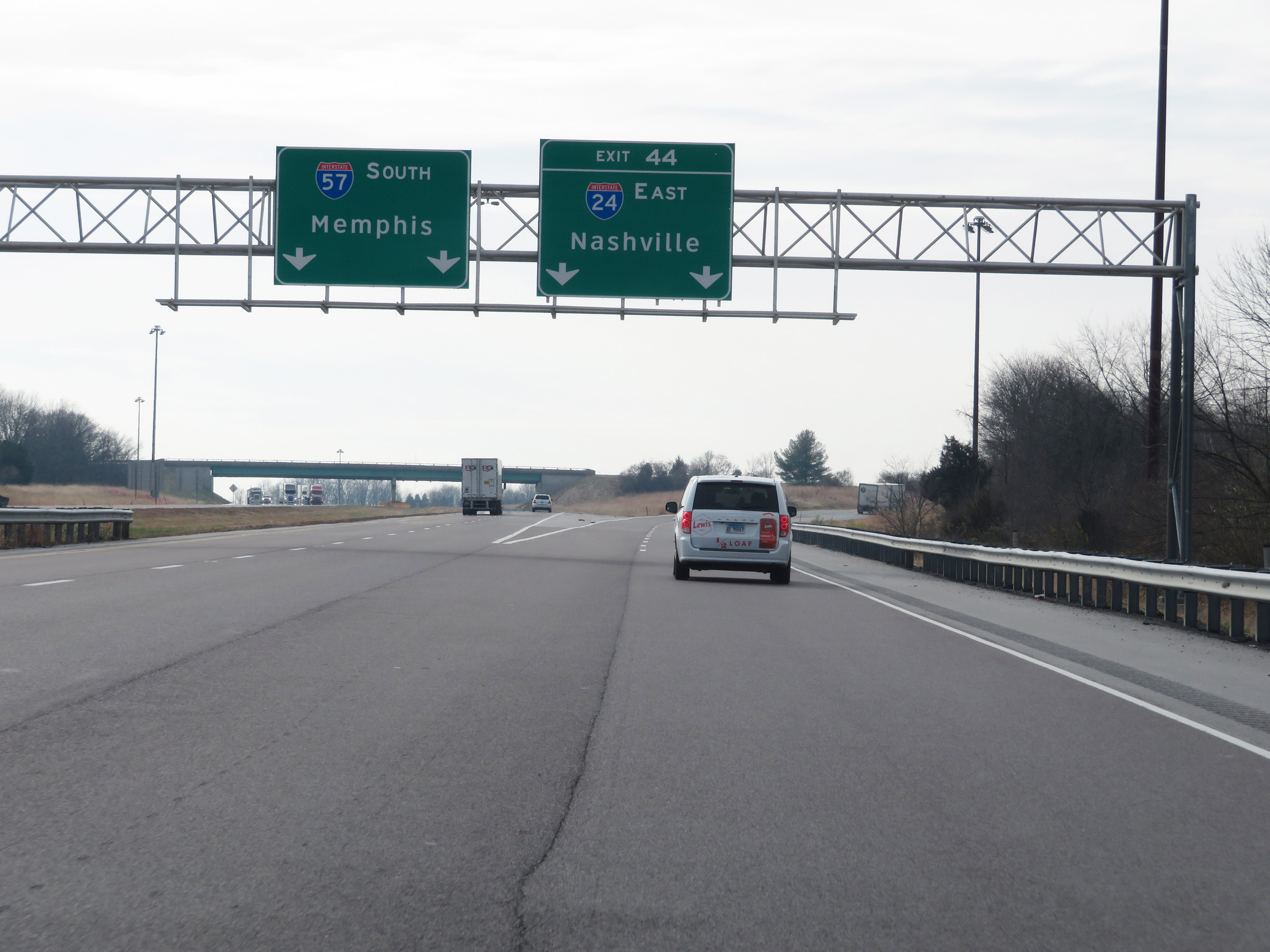 |
Merging onto Interstate 24 East from Interstate 57 South via Exit 44, near Marion and Goreville. This is one of the more rural Interstate junctions in the country. (Photo taken 12/15/20). |
 |
The ramp to Interstate 24 starts out at 2 lanes. I-24's measured mile begins immediately after Exit 44 on Interstate 57. (Photo taken 12/15/20). |
 |
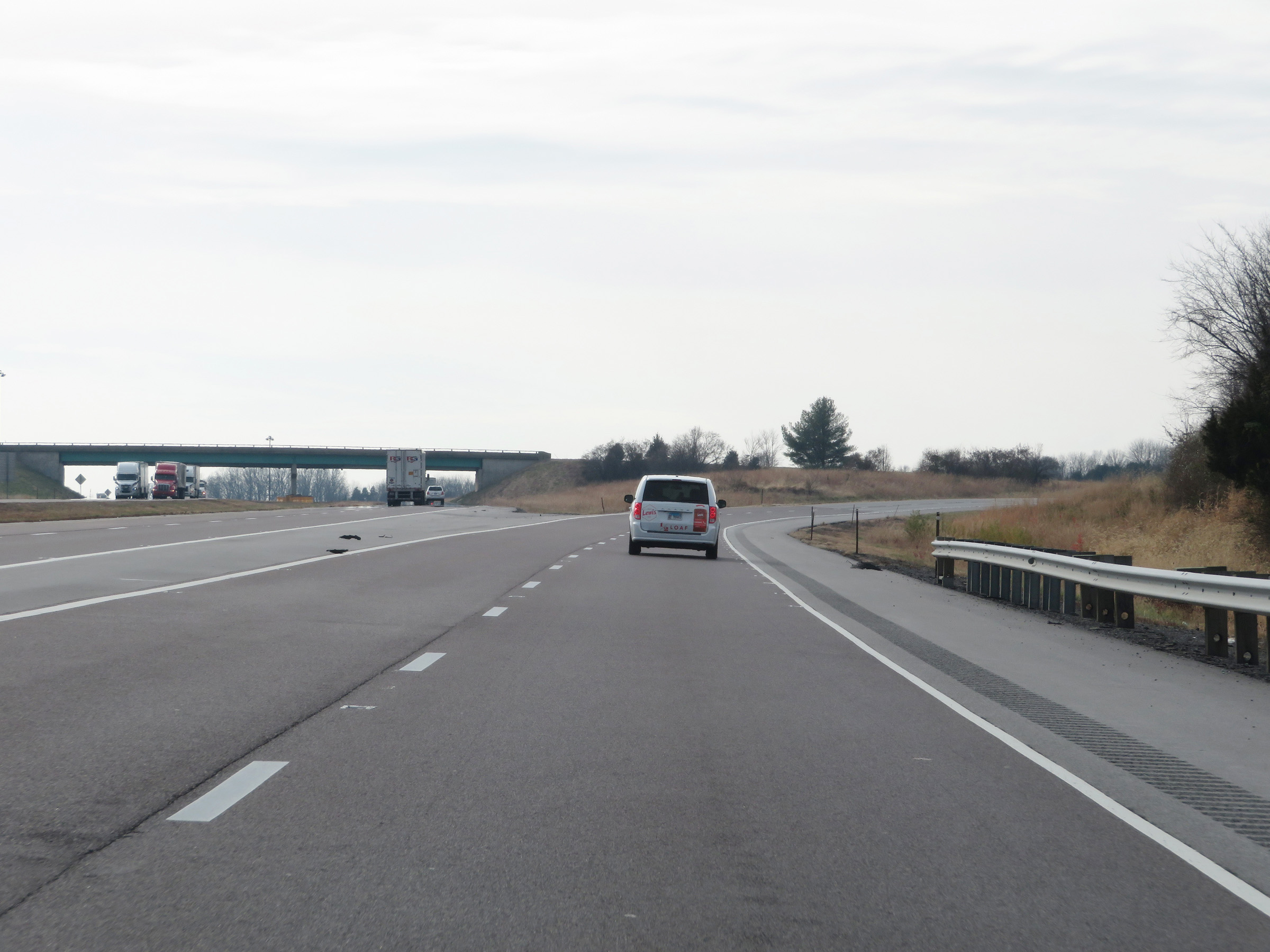
View on Interstate 24 East as it begins to curve to the southeast. (Photo taken 12/15/20). |
 |
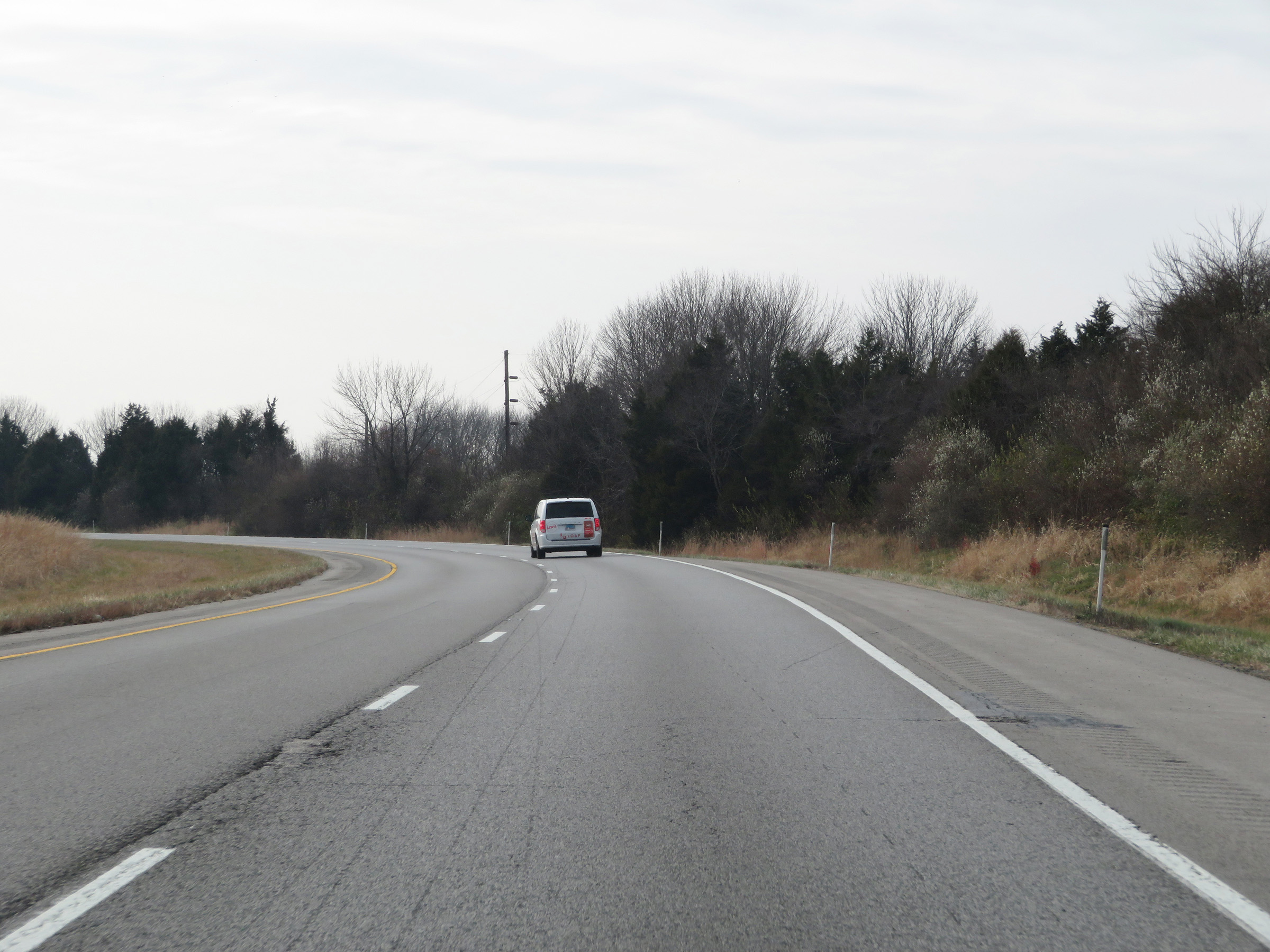
Interstate 24 East at mile marker 1. (Photo taken 12/15/20). |
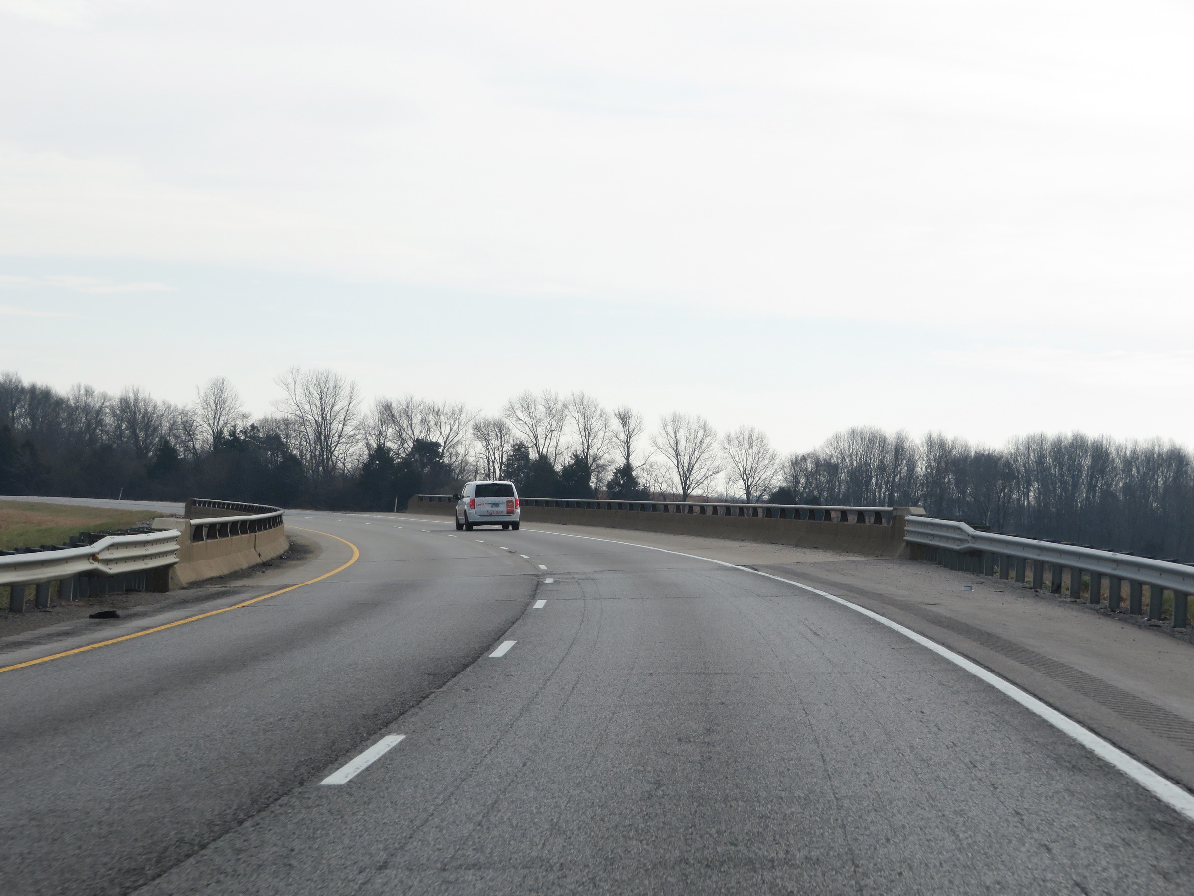 |
Interstate 24 East as it prepares to pass over Interstate 57. (Photo taken 12/15/20). |
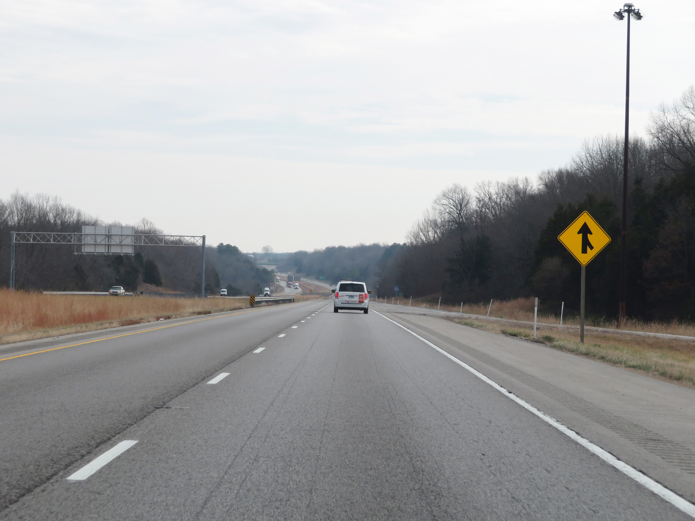 |
Interstate 24 East as traffic from Interstate 57 North prepares to merge into it ahead on the right. (Photo taken 12/15/20). |
 |
Interstate 24 East reassurance shield. (Photo taken 12/15/20). |
 |
Interstate 24 East as it enters Johnson County. (Photo taken 12/15/20). |
 |
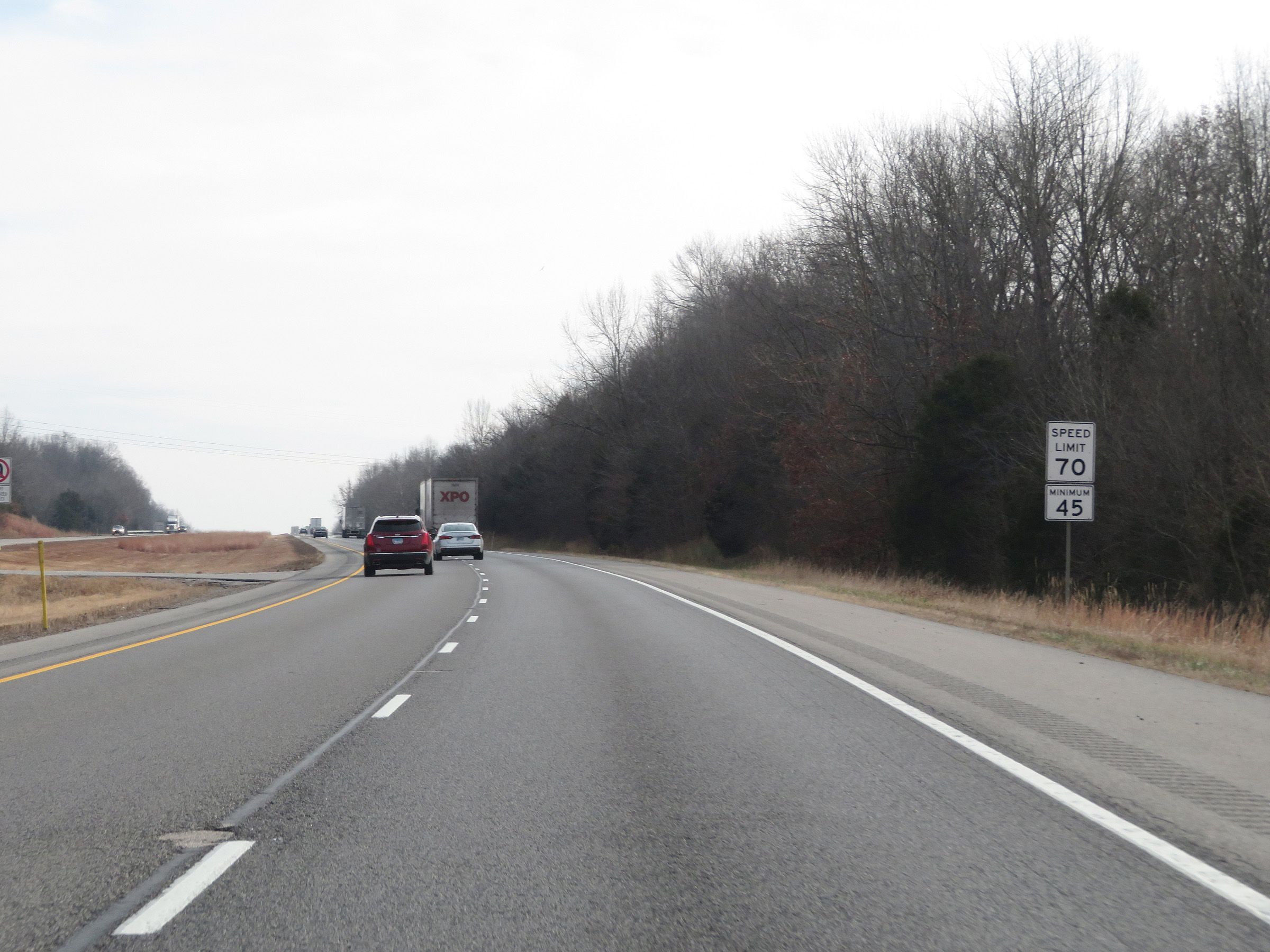
Speed limit signs at mile marker 2. The speed limits on Interstate 24 East start out at 70 mph maximum and 45 mph minimum. These are the standard speed limits on most rural Interstate highways in Illinois. (Photo taken 12/15/20). |
 |
View on Interstate 24 East at mile marker 4. (Photo taken 12/15/20). |
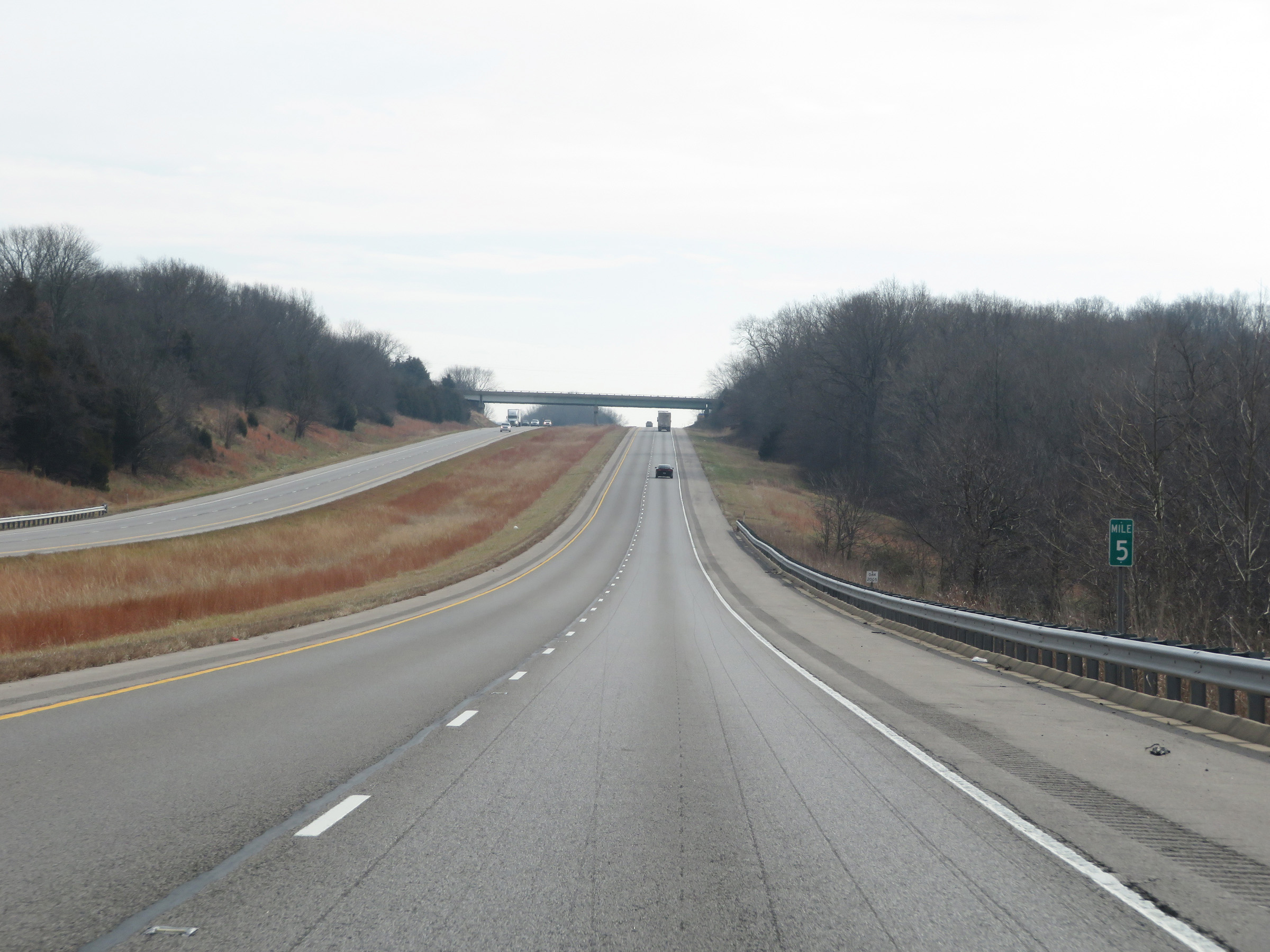 |
Mile marker 5 on Interstate 24 East in Johnson County. (Photo taken 12/15/20). |
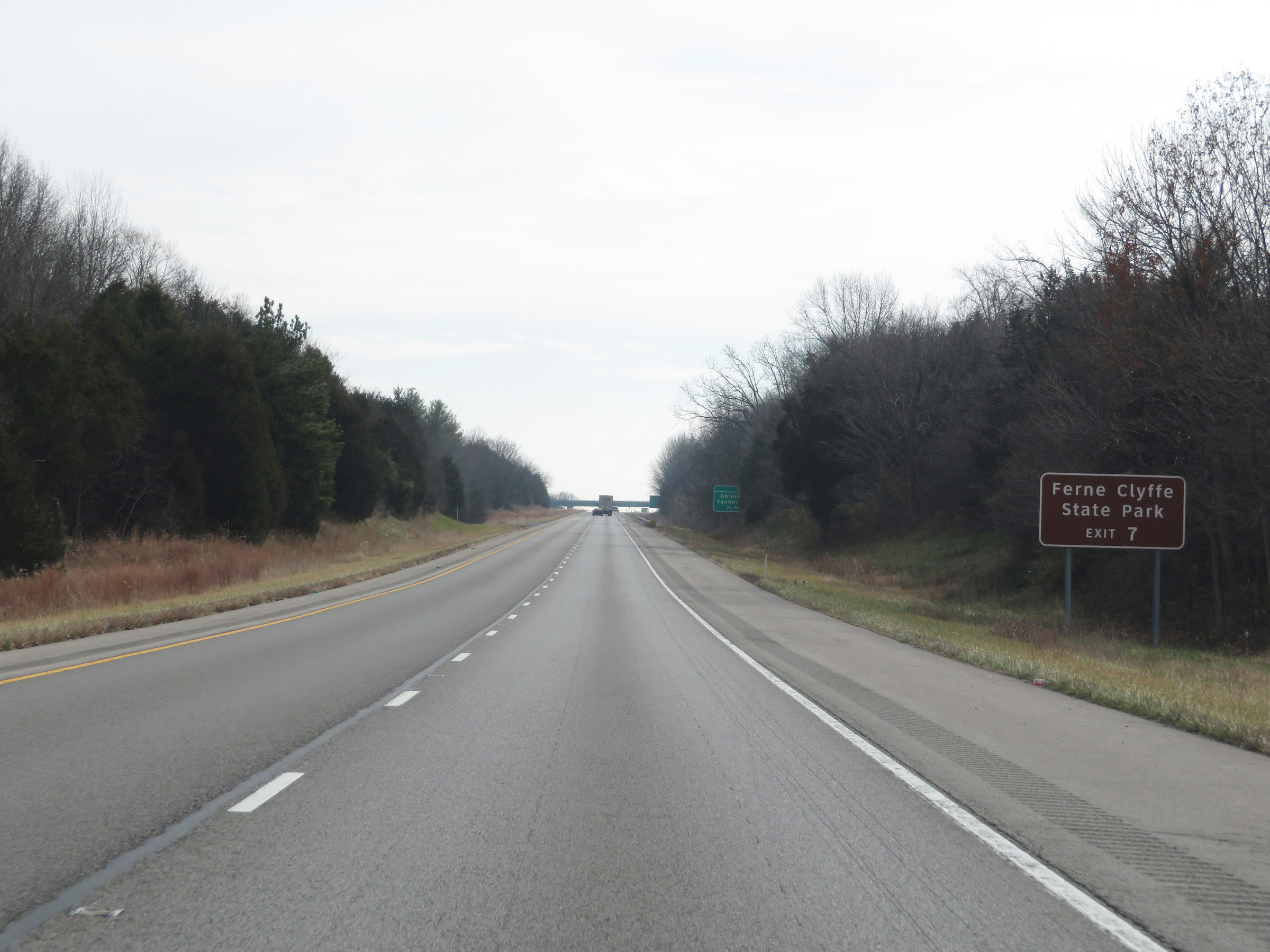 |
Take Exit 7 to Ferne Clyffe State Park. (Photo taken 12/15/20). |
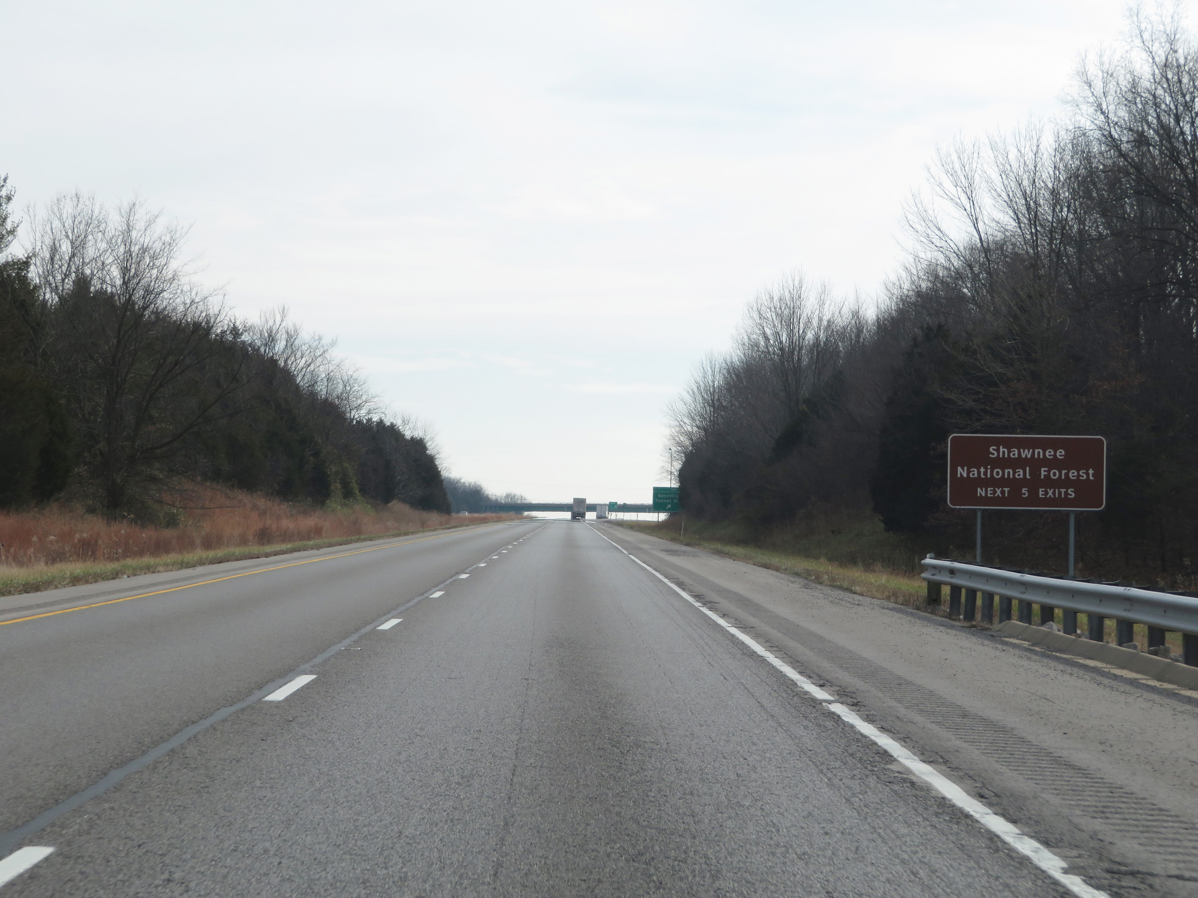 |
Take any of the next 5 exits to Shawnee National Forest. (Photo taken 12/15/20). |
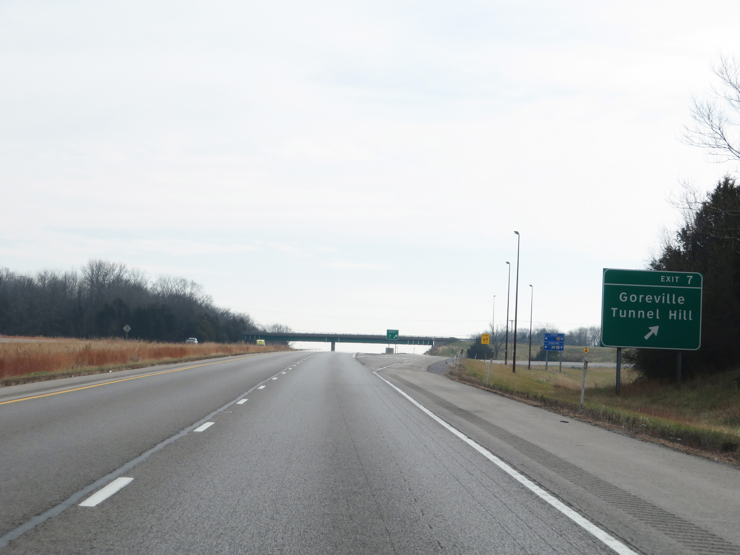 |
Interstate 24 East at Exit 7: Goreville / Tunnel Hill (Photo taken 12/15/20). |
 |
View on Interstate 24 East at mile marker 8. (Photo taken 12/15/20). |
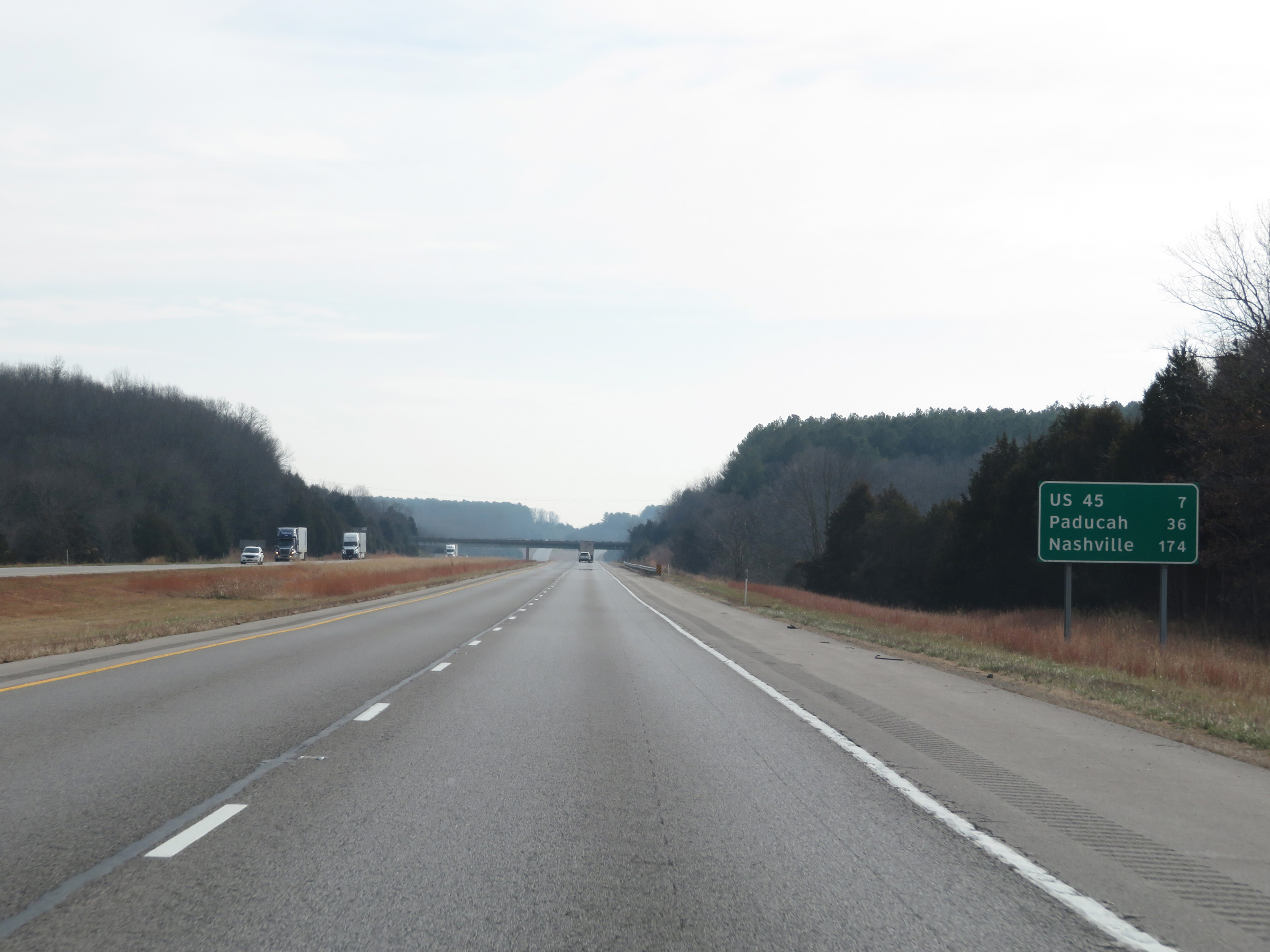 |
Mileage sign on Interstate 24 East. It's 7 miles to the junction of US 45, 36 miles to Paducah, and 174 miles to Nashville. (Photo taken 12/15/20). |
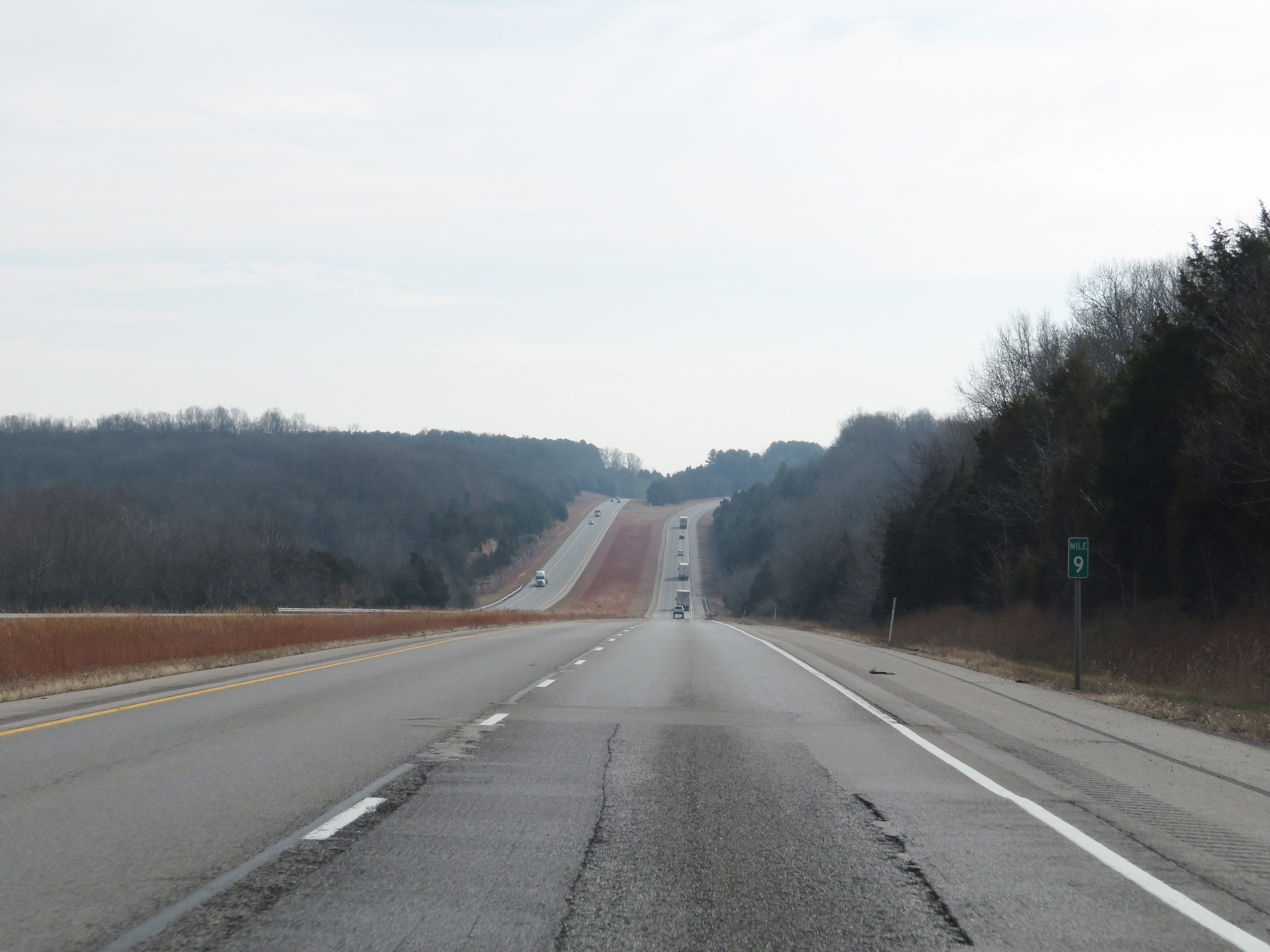 |
Interstate 24 East at mile marker 9. (Photo taken 12/15/20). |
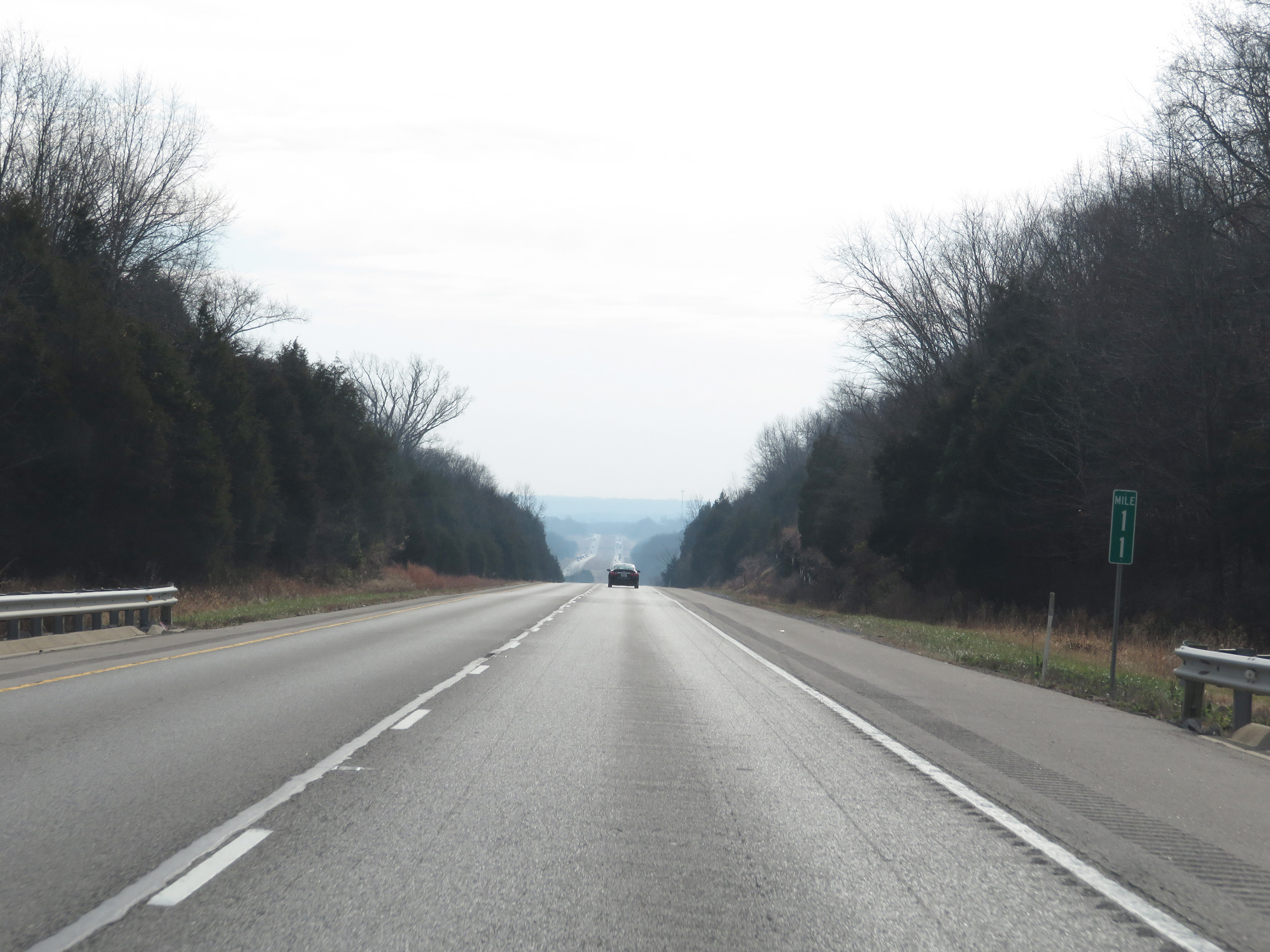 |
Mile marker 11 on Interstate 24 East in Johnson County. (Photo taken 12/15/20). |
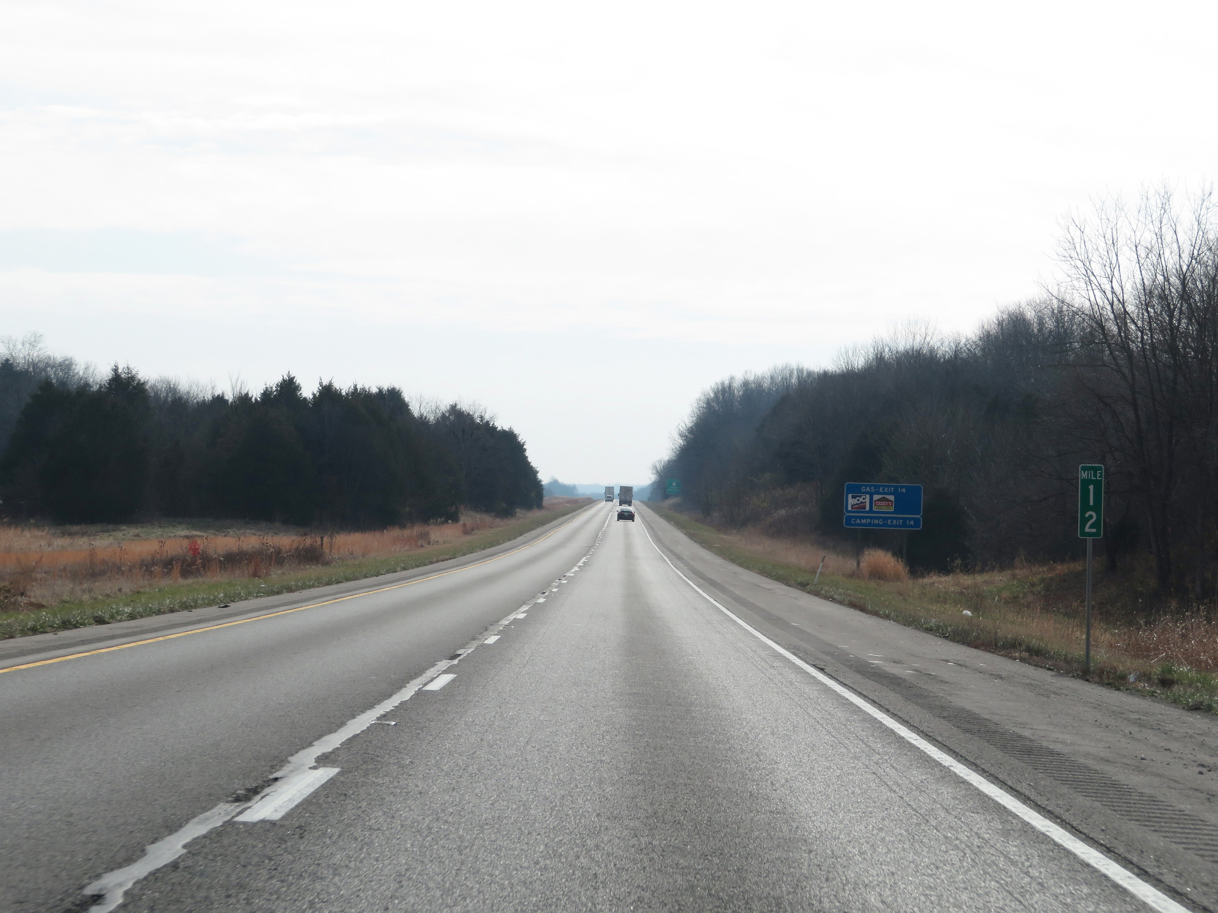 |
View on Interstate 24 East at mile marker 12. (Photo taken 12/15/20). |
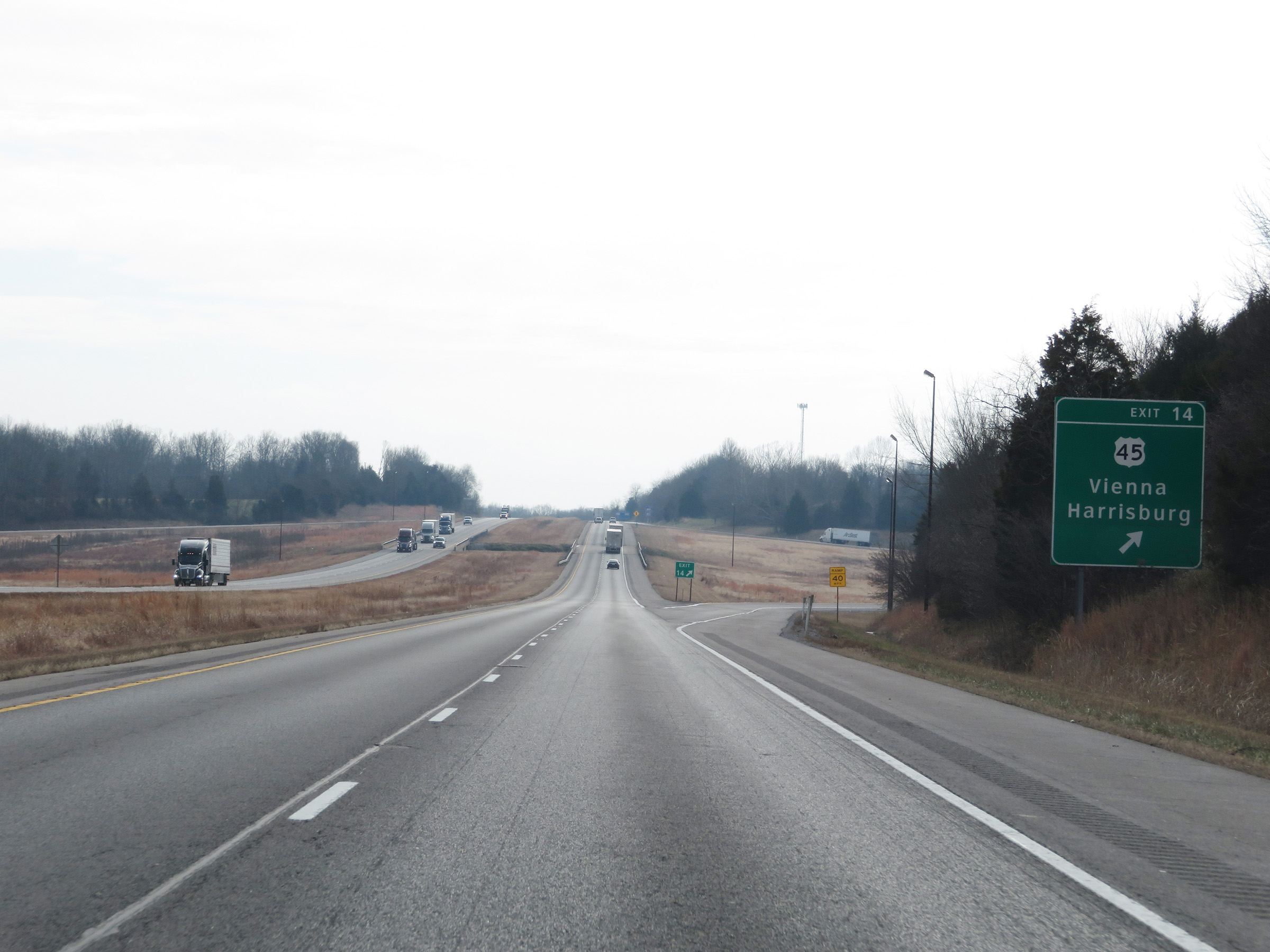 |
Interstate 24 East at Exit 14: US 45 - Vienna / Harrisburg (Photo taken 12/15/20). |
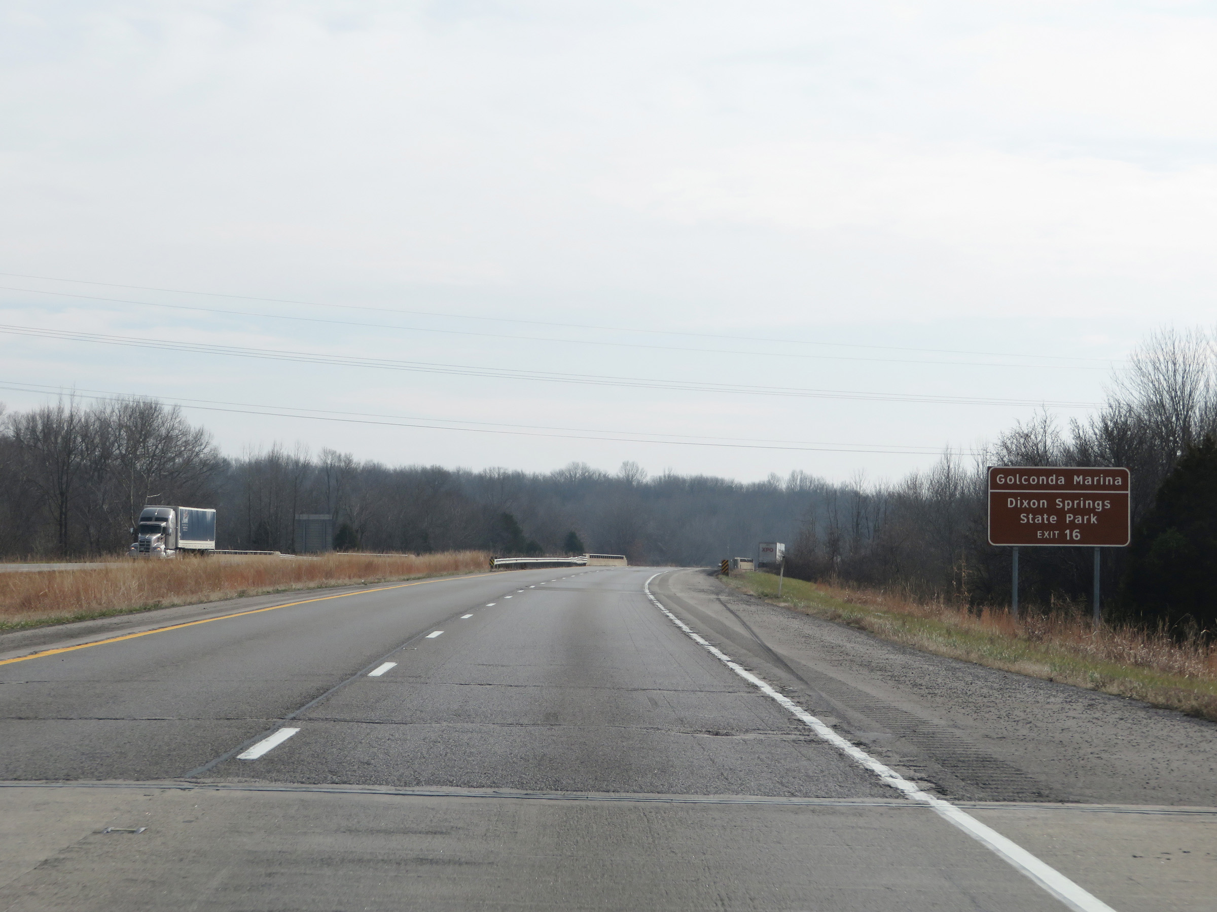 |
Take Exit 16 to Golconda Marina and Dixon Springs State Park. (Photo taken 12/15/20). |
 |
Interstate 24 East at Exit 16: IL 146 - Vienna / Golconda (Photo taken 12/15/20). |
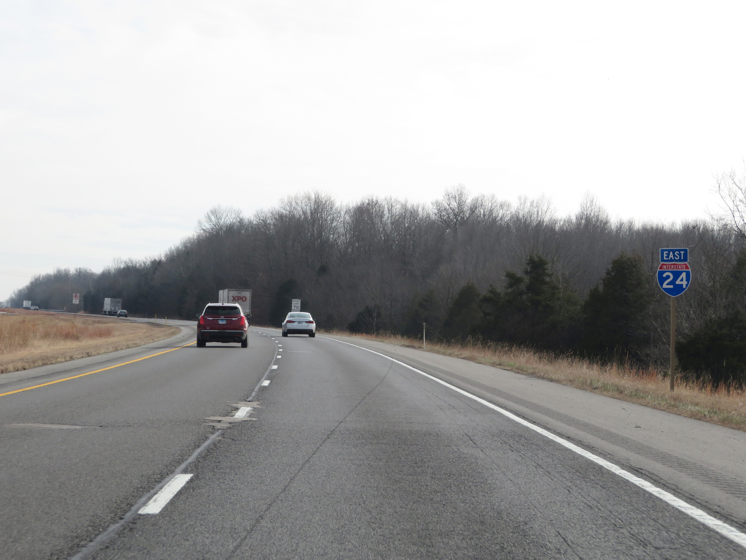 |
Another Interstate 24 East reassurance shield. (Photo taken 12/15/20). |
 |
The speed limits remain 70 mph maximum and 45 mph minimum. (Photo taken 12/15/20). |
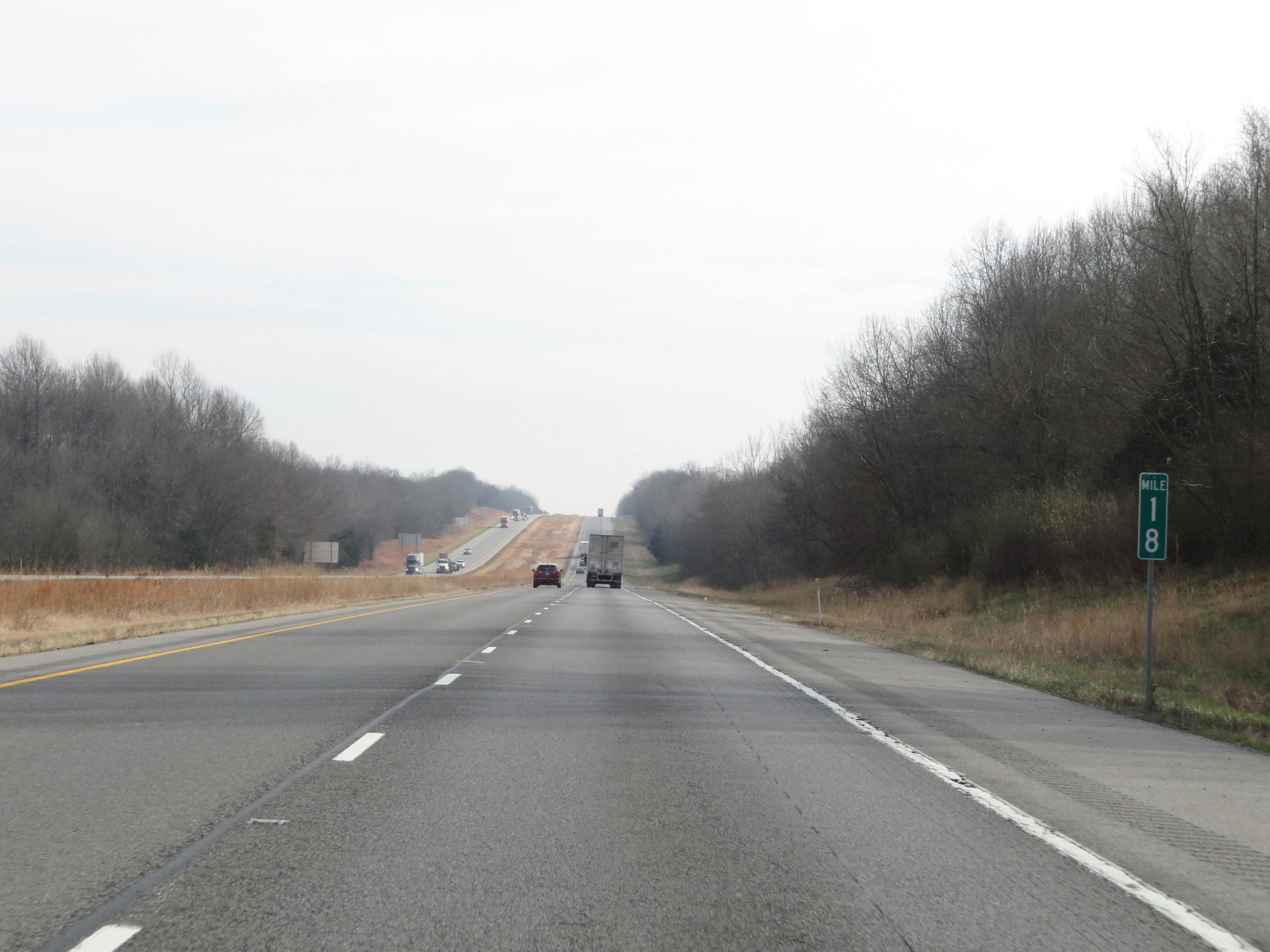 |
View on Interstate 24 East at mile marker 18. (Photo taken 12/15/20). |
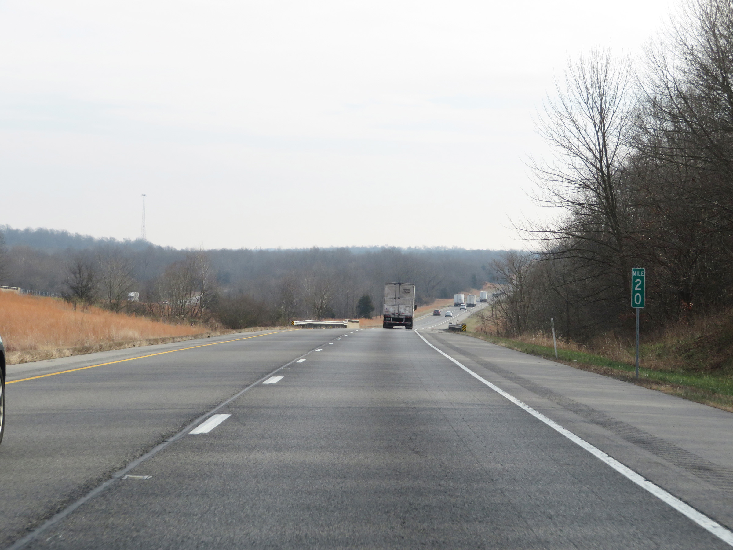 |
Interstate 24 East at mile marker 20. (Photo taken 12/15/20). |
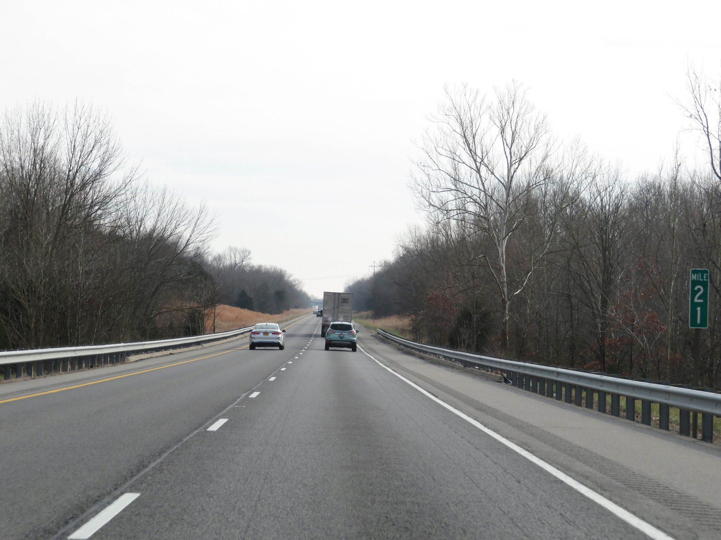 |
Mile marker 21 on Interstate 24 East in Johnson County. (Photo taken 12/15/20). |
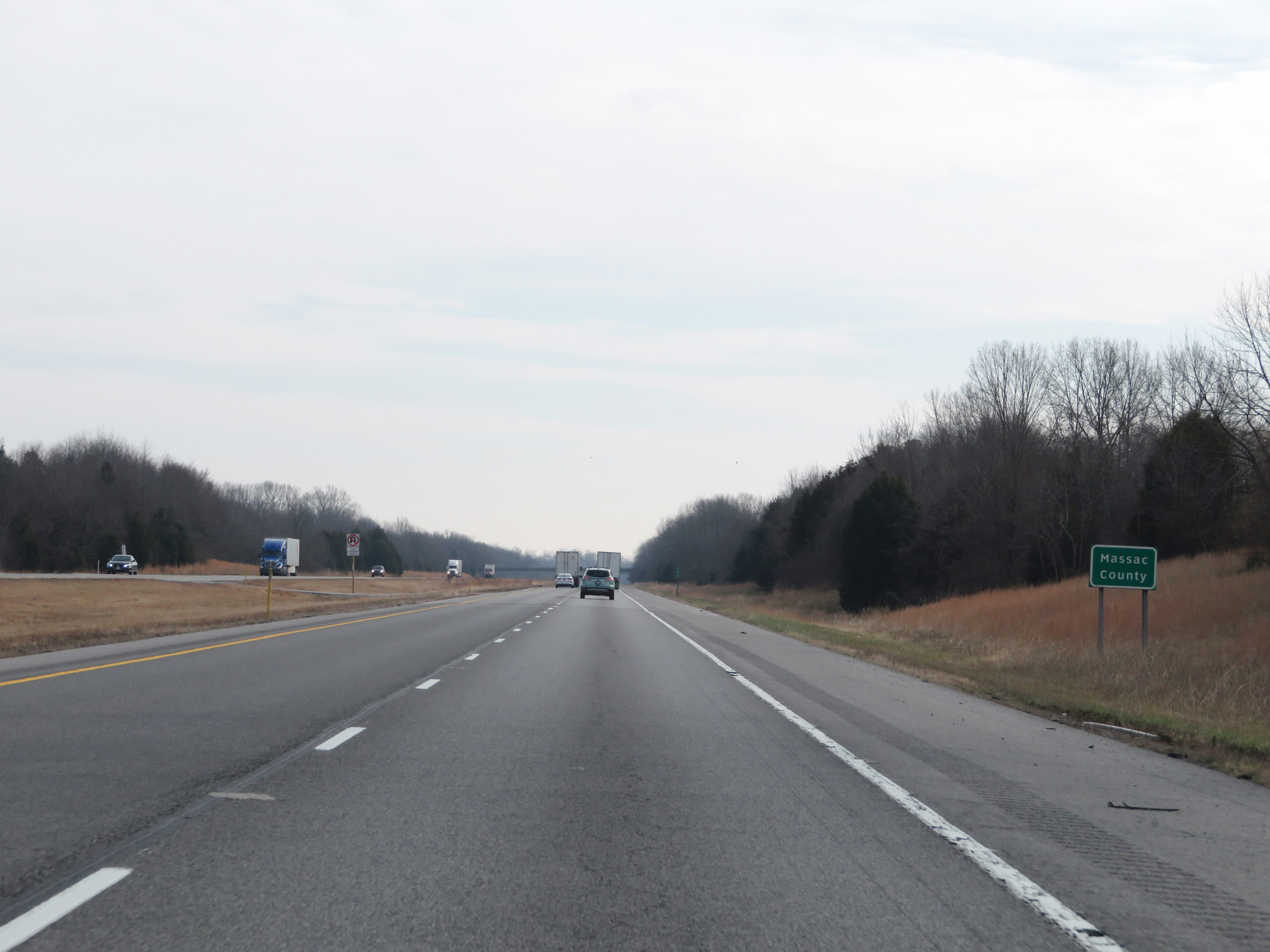 |
Interstate 24 East as it enters Massac County. (Photo taken 12/15/20). |
 |
View on Interstate 24 East at mile marker 24. (Photo taken 12/15/20). |
 |
Interstate 24 East at mile marker 25. (Photo taken 12/15/20). |
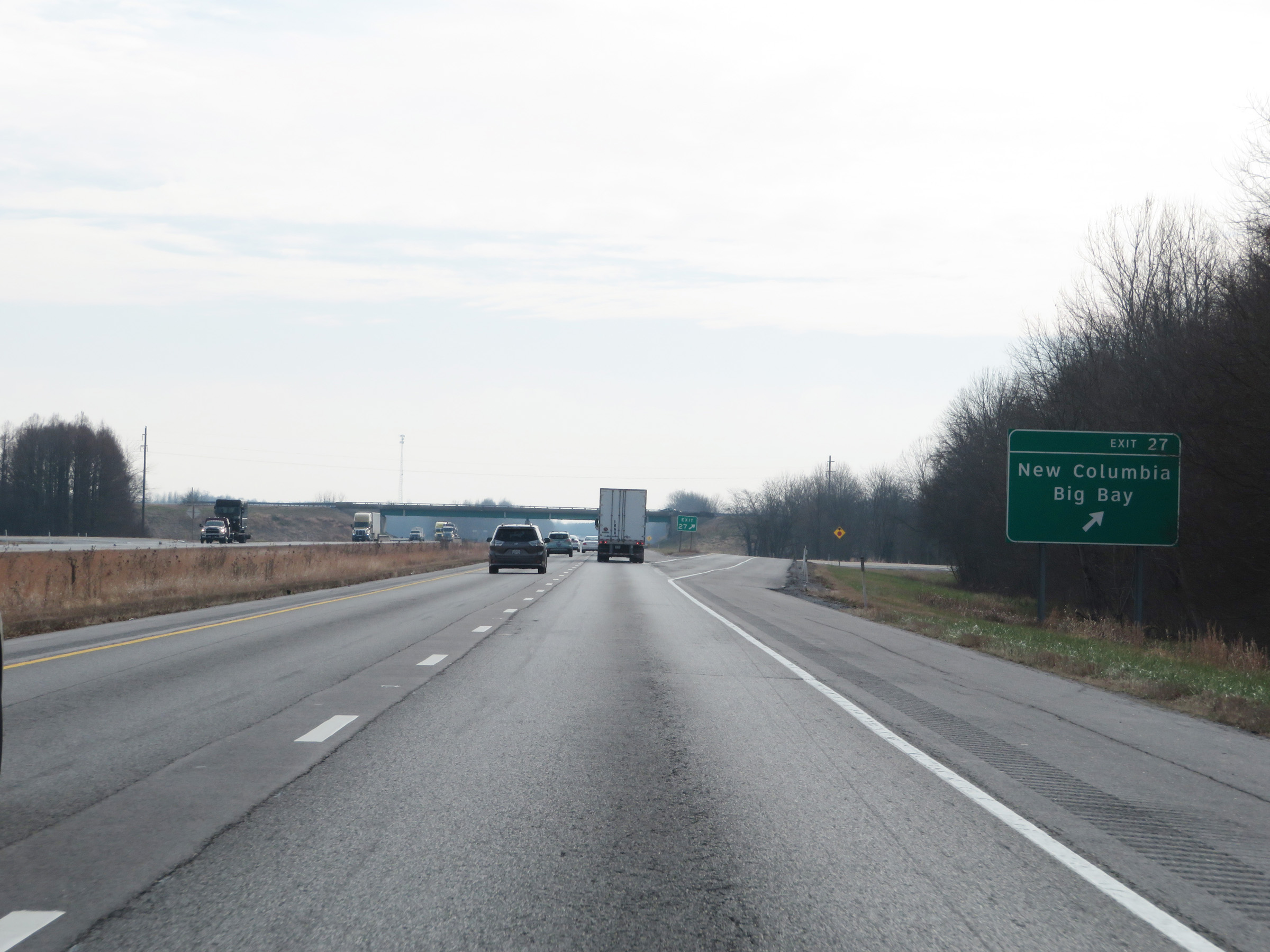 |
Interstate 24 East at Exit 27: New Columbia / Big Bay (Photo taken 12/15/20). |
 |
Another mileage sign on Interstate 24 East. It's 9 miles to the junction of US 45, 17 miles to Paducah, and 155 miles to Nashville. (Photo taken 12/15/20). |
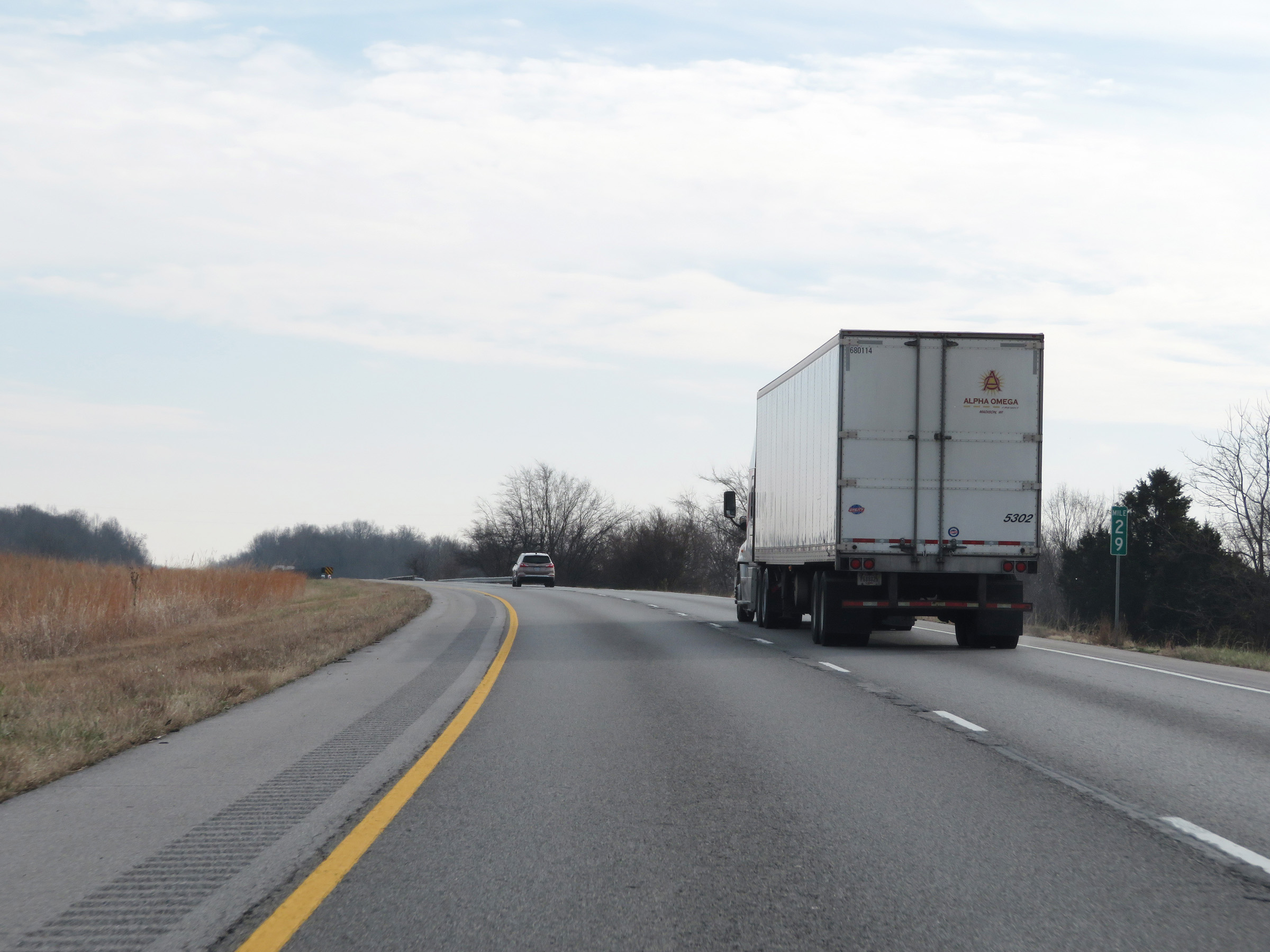 |
View on Interstate 24 East at mile marker 29. (Photo taken 12/15/20). |
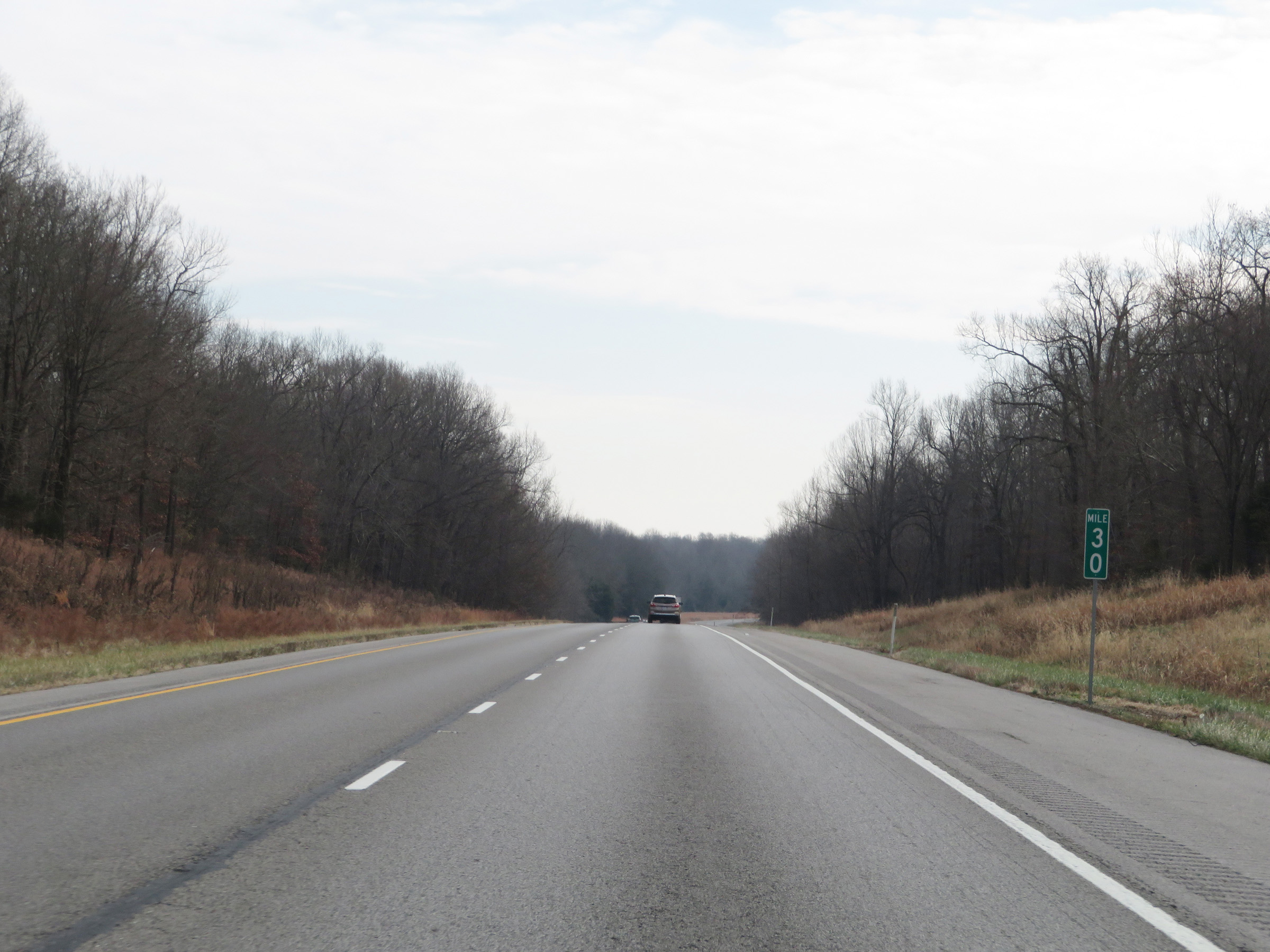 |
Interstate 24 East at mile marker 30. (Photo taken 12/15/20). |
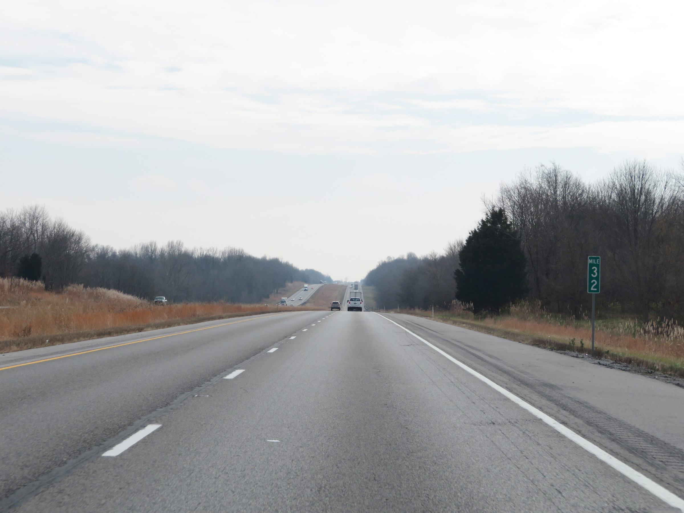 |
Mile marker 32 on Interstate 24 East in Massac County. (Photo taken 12/15/20). |
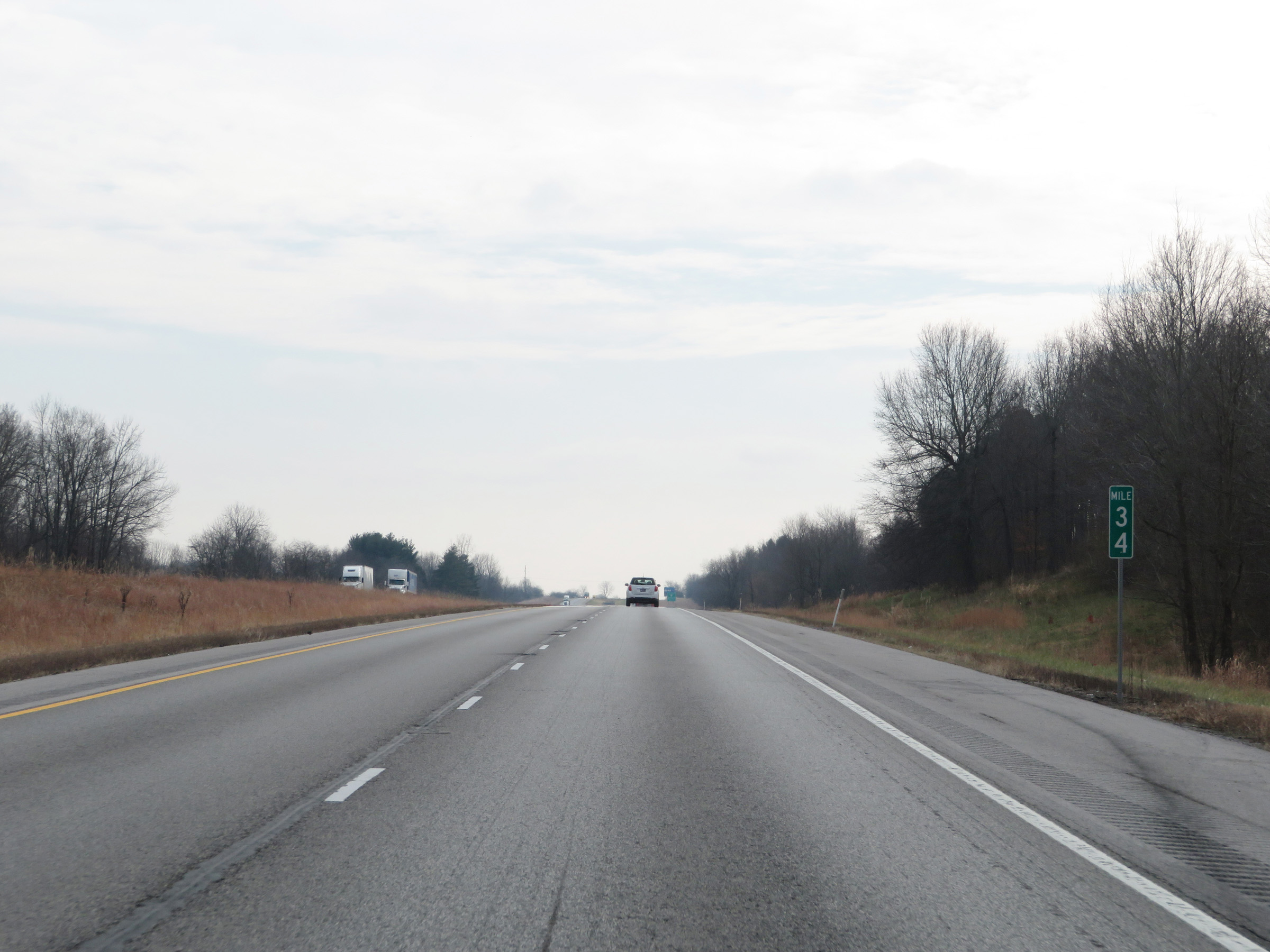 |
Interstate 24 East at mile marker 34. (Photo taken 12/15/20). |
 |
View on Interstate 24 East at mile marker 35. (Photo taken 12/15/20). |
 |
Interstate 24 East approaching Exit 37 - 1 mile. (Photo taken 12/15/20). |
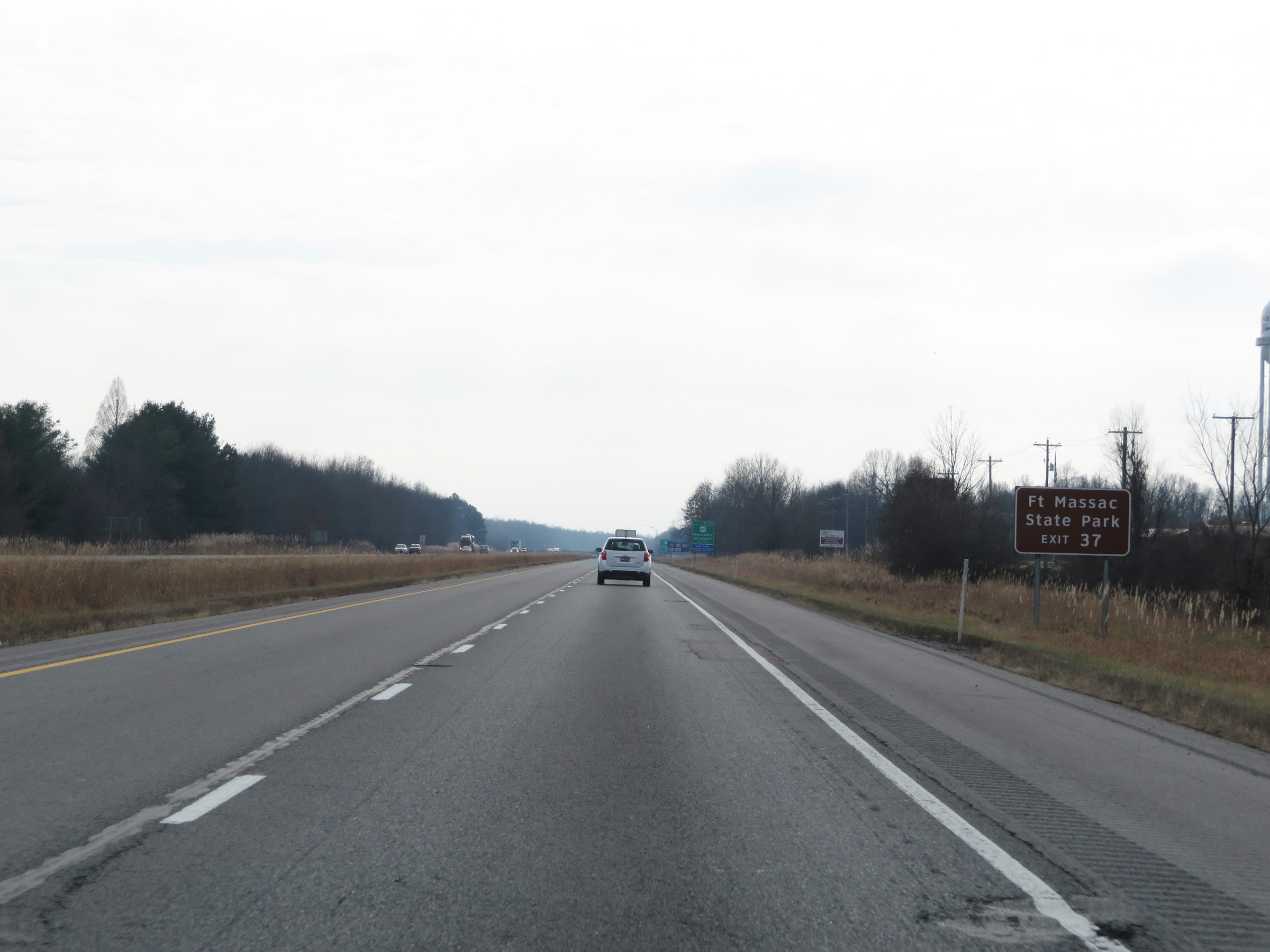 |
Take Exit 37 to Fort Massac State Park. (Photo taken 12/15/20). |
 |
A Rest Area exists ahead off Exit 37. (Photo taken 12/15/20). |
 |
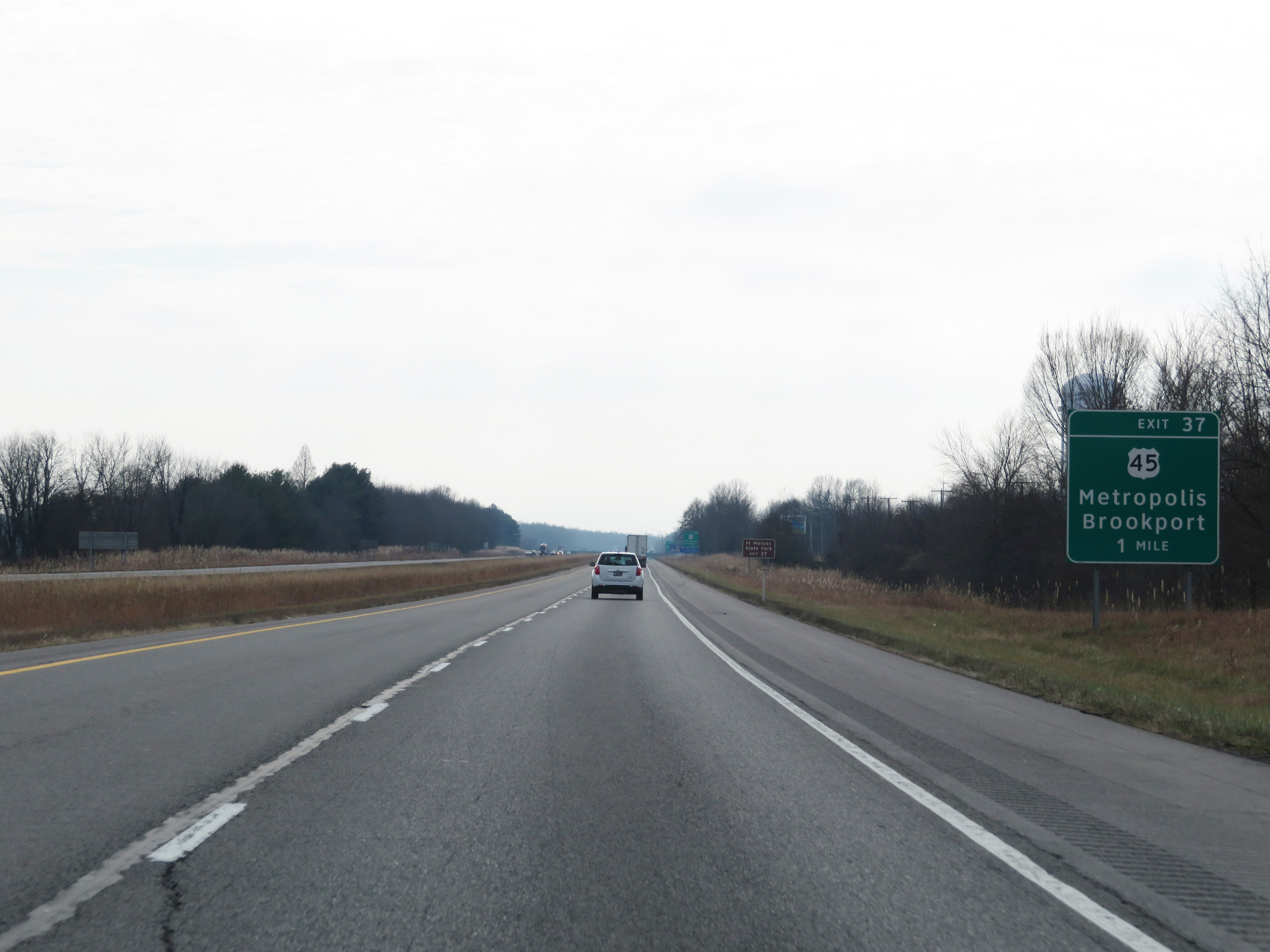
Interstate 24 East at Exit 37: US 45 - Metropolis / Brookport (Photo taken 12/15/20). |
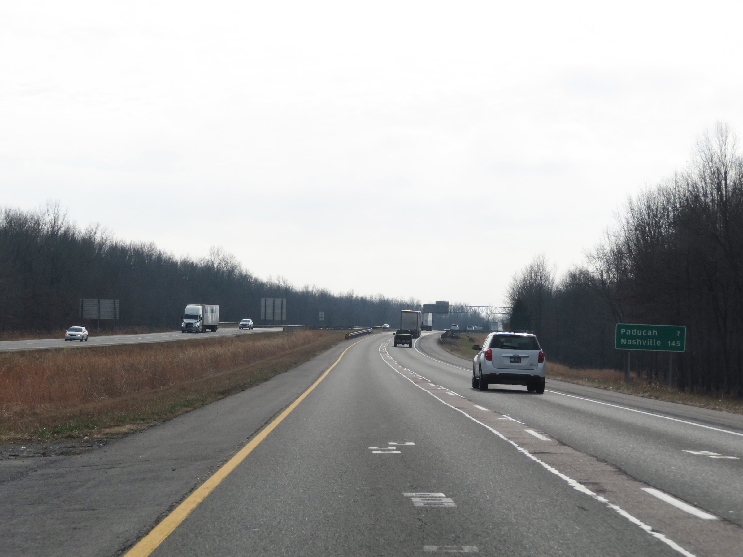 |
One final mileage sign on Interstate 24 East in Illinois. It's 7 miles to Paducah and 145 miles to Nashville. (Photo taken 12/15/20). |
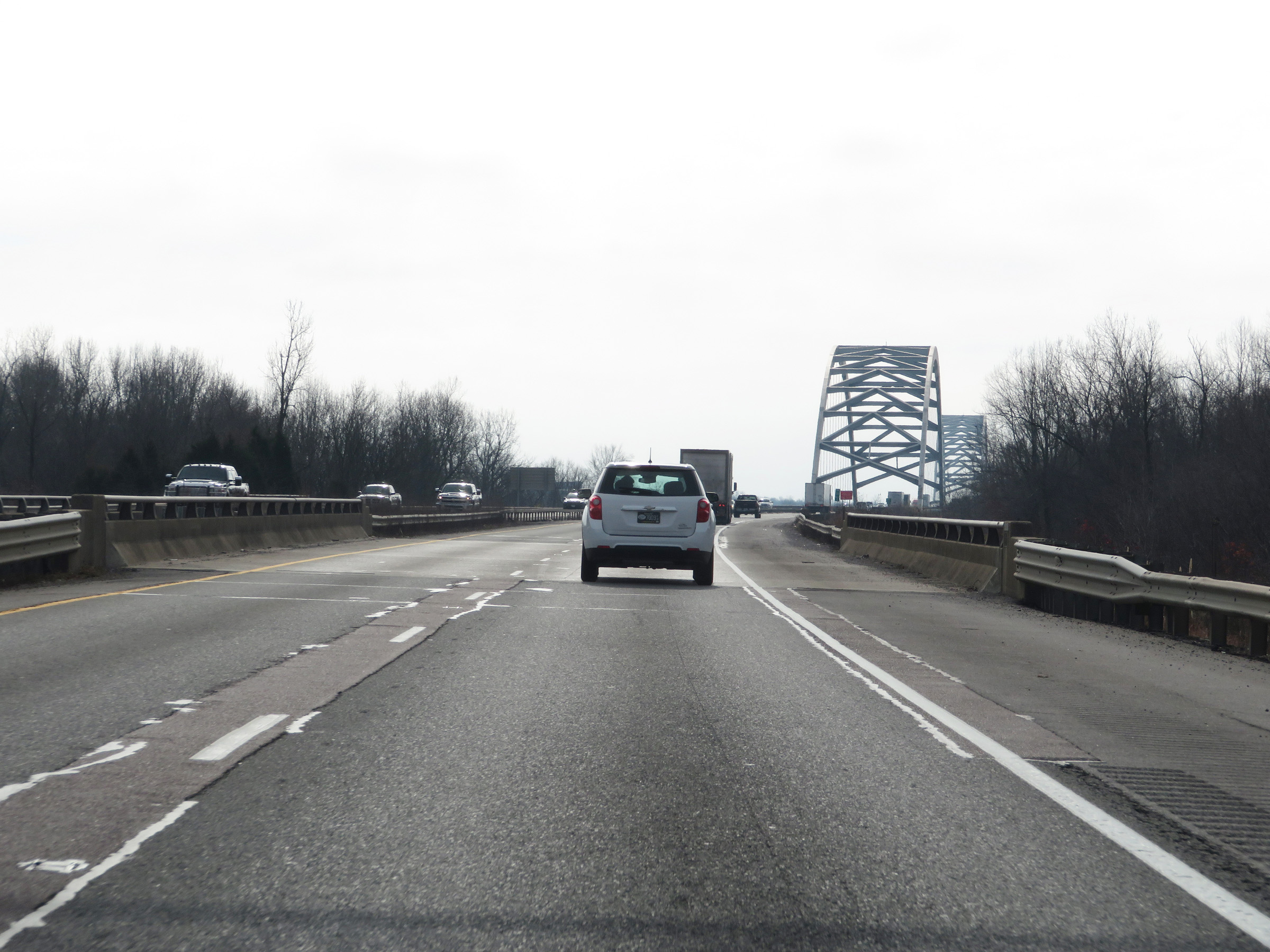 |
Interstate 24 East as the Interstate 24 Bridge, which will carry I-24 traffic over the Ohio River between Illinois and Kentucky, comes into view. (Photo taken 12/15/20). |
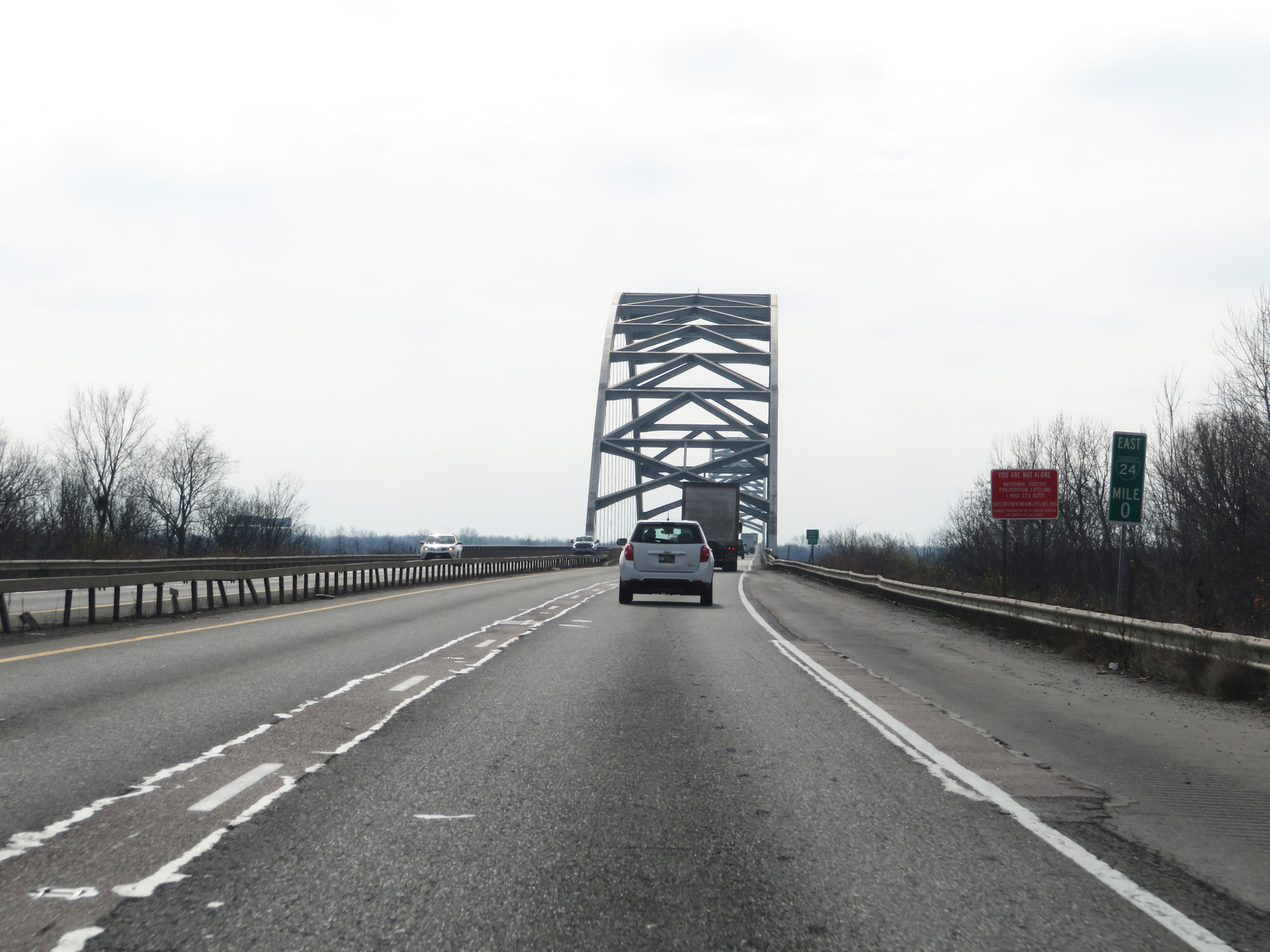 |
This errant mile post (showing an I-24 Business shield instead of a regular I-24 shield) marks the Kentucky state line as Interstate 24 East starts across the Ohio River via the Interstate 24 Bridge. (Photo taken 12/15/20). |
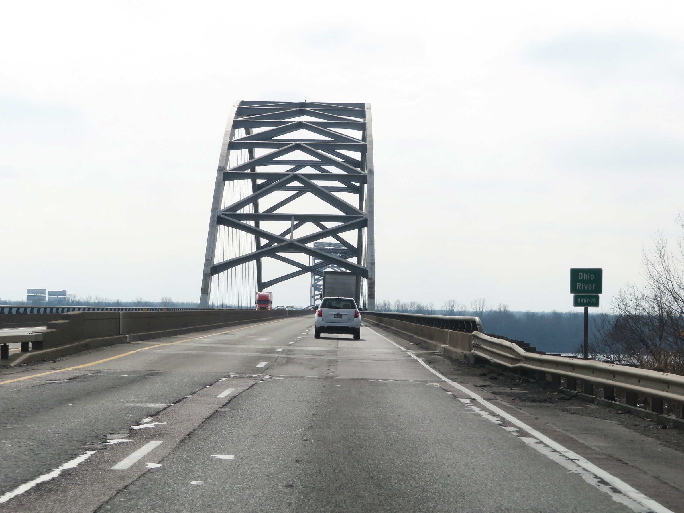 |
Another view of the Interstate 24 Bridge over the Ohio River on Interstate 24 East as it leaves Illinois and enters Kentucky. (Photo taken 12/15/20). |