Road Information |
||
 |
||
| Total Mileage in State: | 196 miles | |
| Northern End: | At Montana state line | |
| Southern End: | At Utah state line | |
| Mileage covered in Photos: | 196 miles | |
| Counties covered in Photos: | Oneida, Bannock, Bingham, Bonneville, Jefferson, Clark | |
| Major Junctions in Photos: | I-86, in Chubbuck US 26, in Blackfoot US 20, in Idaho Falls |
|
| Control Cities in Photos: | Pocatello, Blackfoot, Idaho Falls | |
Northbound
- Section 1: Utah Border to Pocatello (Exit 72)
- Section 2: Pocatello (Exit 72) to Montana Border
Section 1: Utah Border to Pocatello (Exit 72)
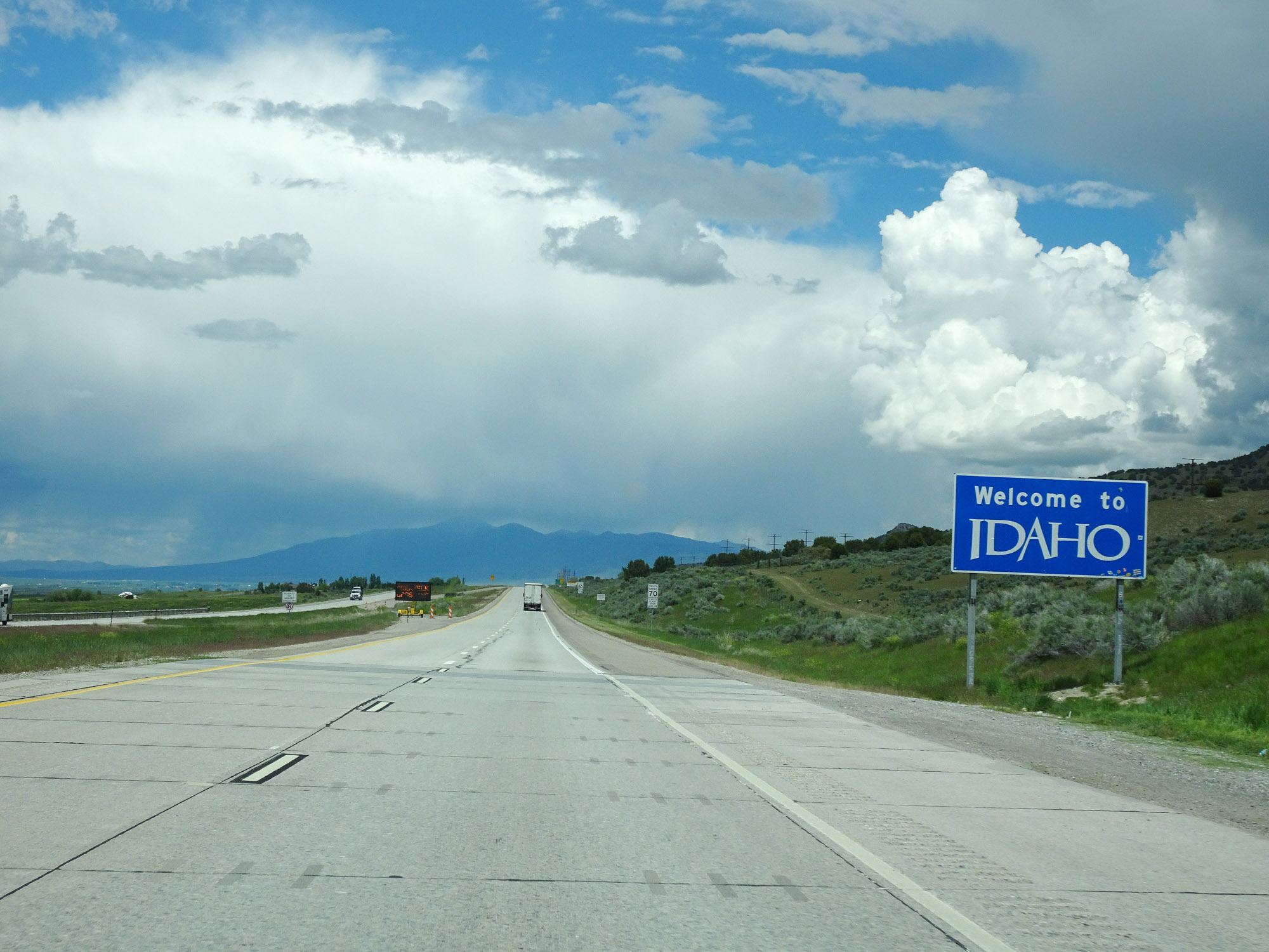 |
Idaho welcome sign on Interstate 15 North as it enters the Gem State from Utah. (Photo taken 5/26/16). |
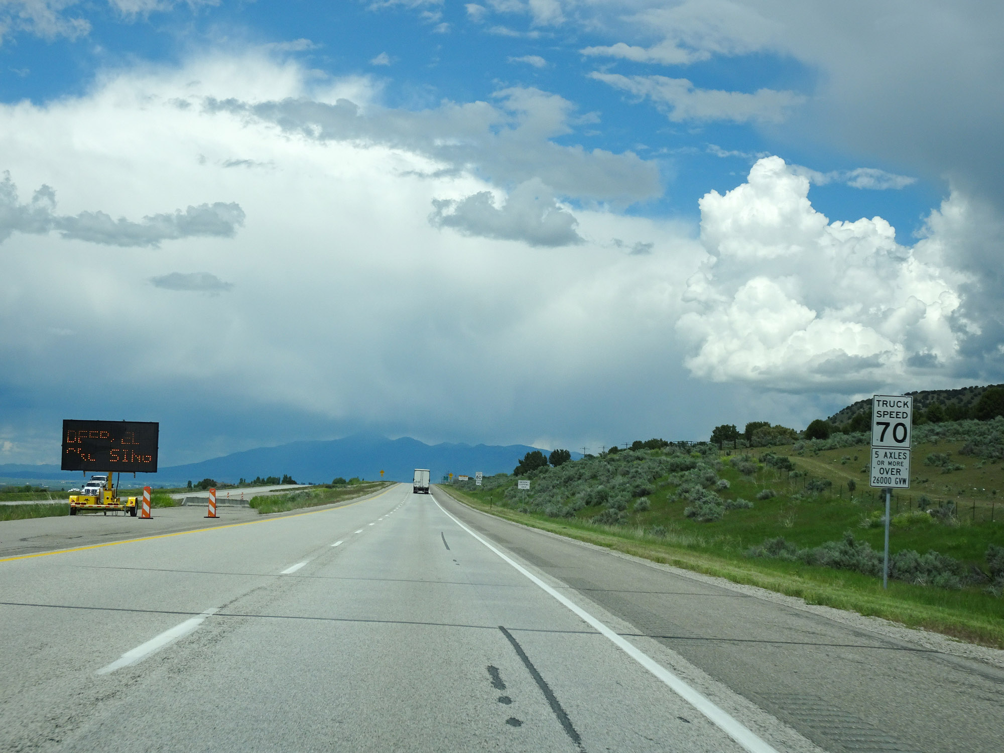 |
This speed limit sign defines exactly what trucks are restricted to the 70 mph truck speed limit in Idaho. Trucks of 5 or more axles and/or trucks over 26,000 GVW (Gross Vehicle Weight) are bound by the 70 mph truck speed limit. (Photo taken 5/26/16). |
 |
Speed limit signs on Interstate 15 North. The speed limits start out at 80 mph for automobiles and 70 mph for trucks which meet the criteria on the sign in the previous photo. (Photo taken 5/26/16). |
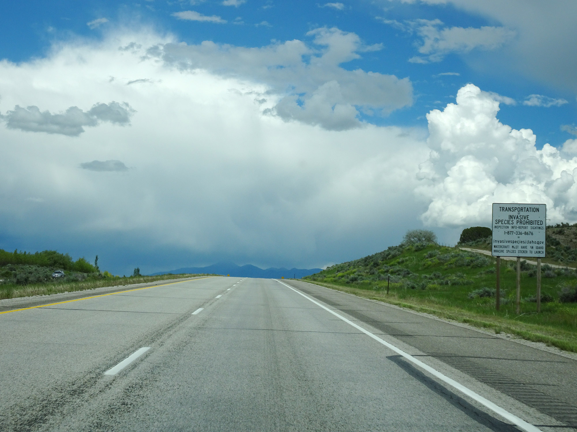 |
This sign warns that the transportation of invasive species is prohibited in Idaho. (Photo taken 5/26/16). |
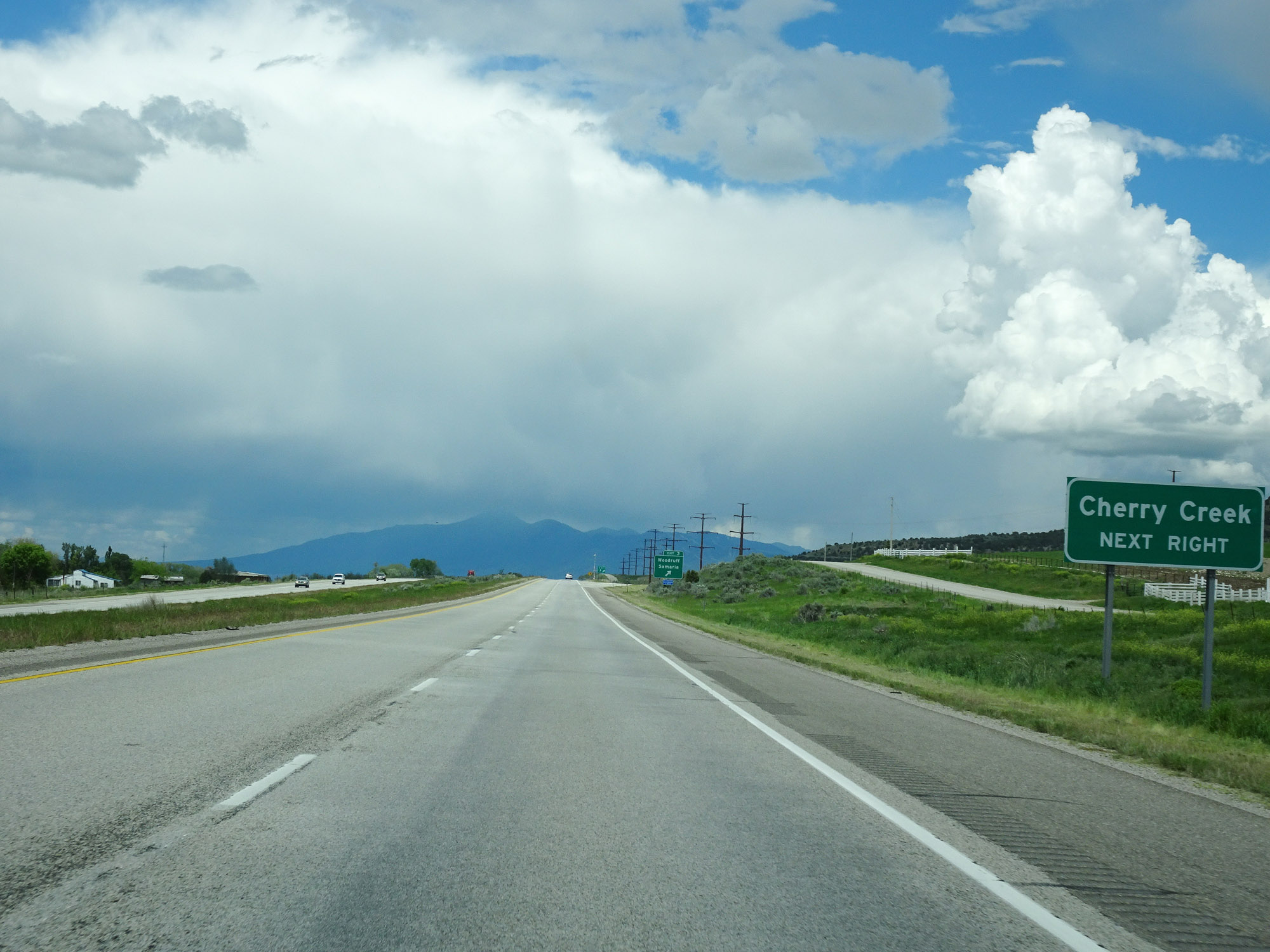 |
Take Exit 3 to Cherry Creek. (Photo taken 5/26/16). |
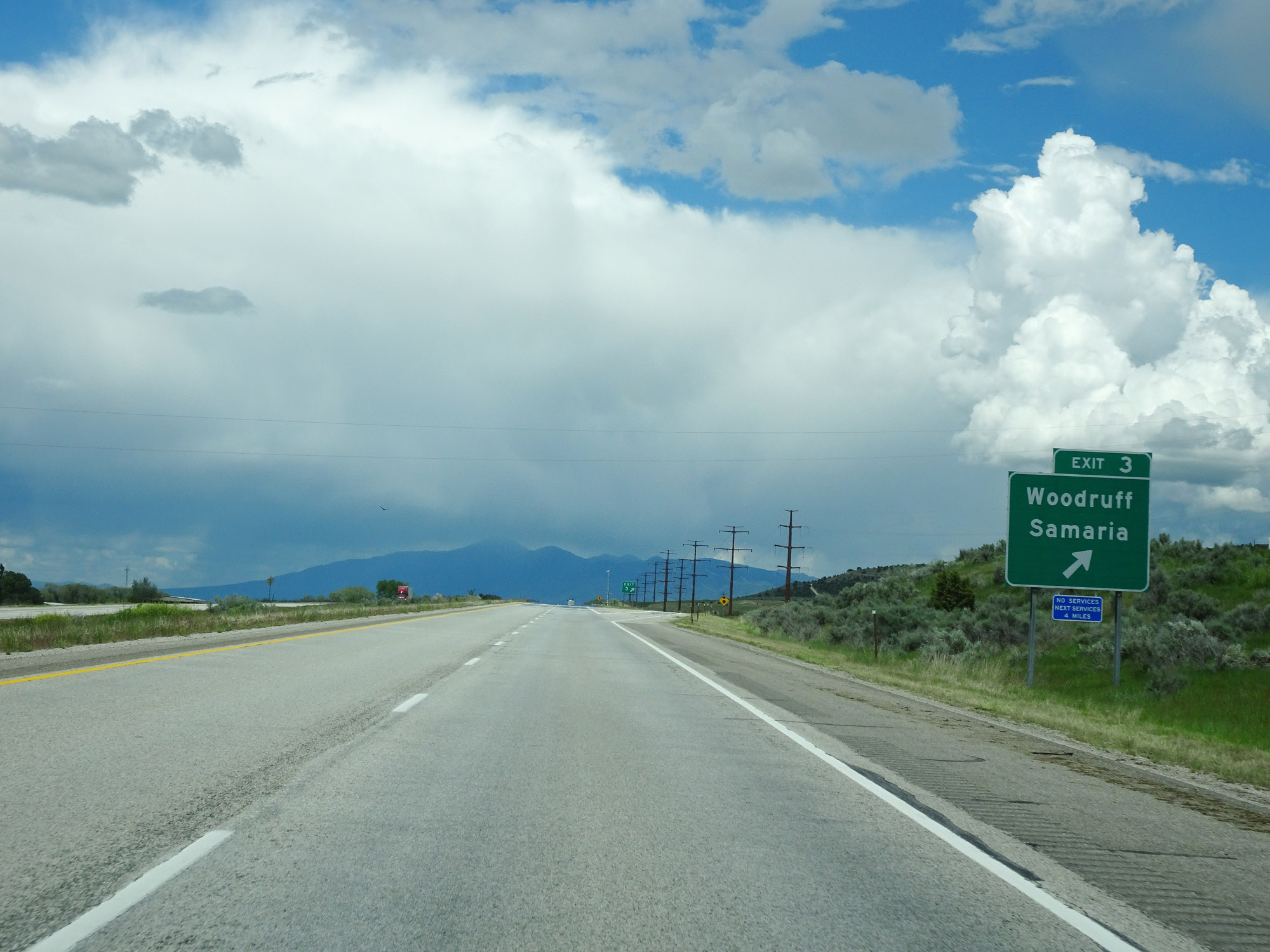 |
Interstate 15 North at Exit 3: Woodruff / Samaria (Photo taken 5/26/16). |
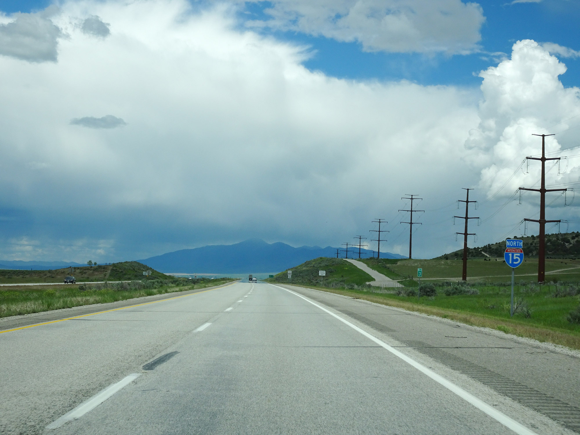 |
Interstate 15 North reassurance shield at mile marker 3. (Photo taken 5/26/16). |
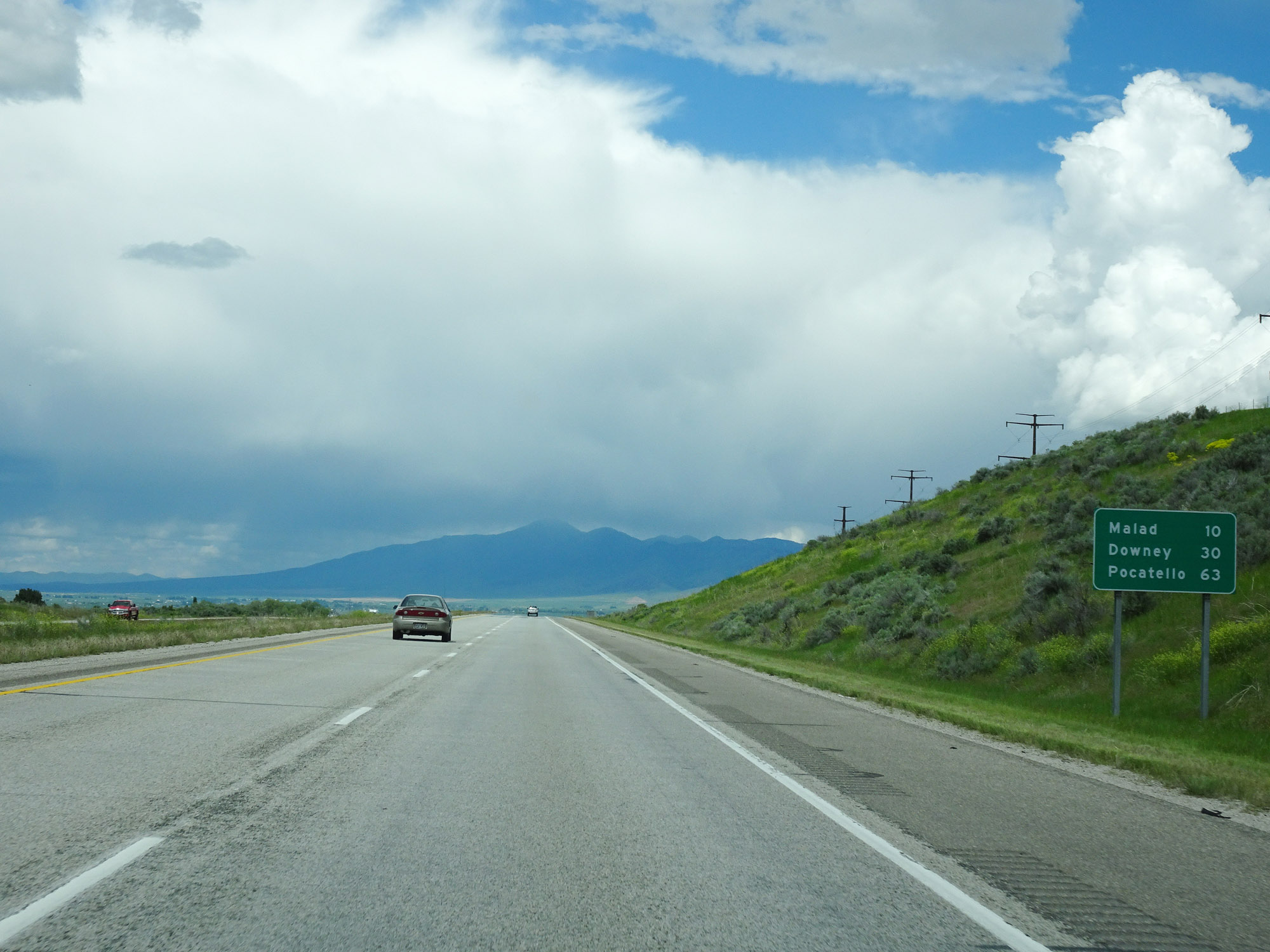 |
Mileage sign on Interstate 15 North. It's 10 miles to Malad, 30 miles to Downey, and 63 miles to Pocatello. (Photo taken 5/26/16). |
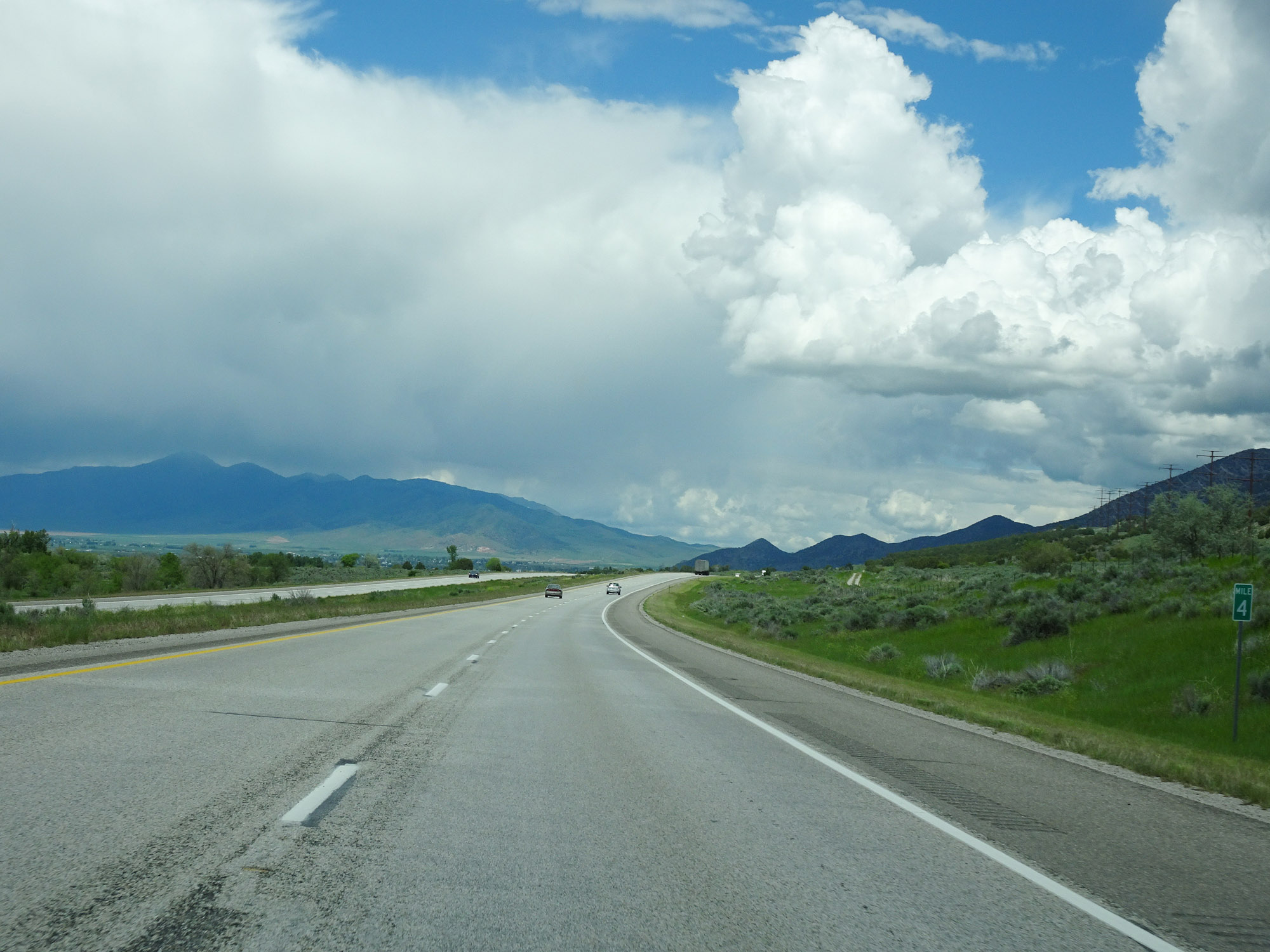 |
View on Interstate 15 North at mile marker 4. (Photo taken 5/26/16). |
 |
A Boat Check Station exists at the Rest Area ahead. (Photo taken 5/26/16). |
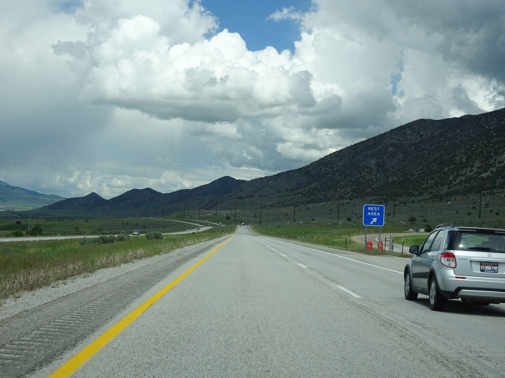 |
Rest Area on Interstate 15 North in Oneida County. (Photo taken 5/26/16). |
 |
Interstate 15 North at mile marker 9. (Photo taken 5/26/16). |
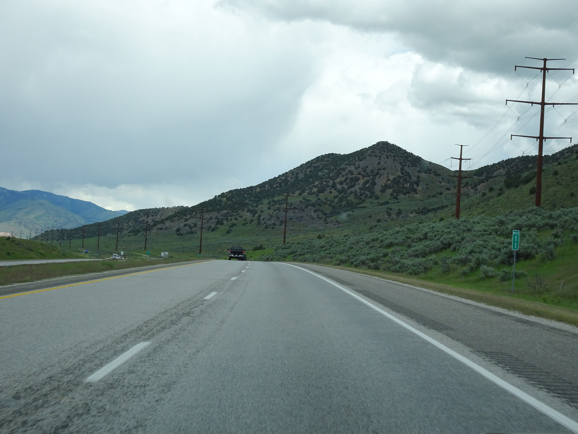 |
View on Interstate 15 North at mile marker 11. (Photo taken 5/26/16). |
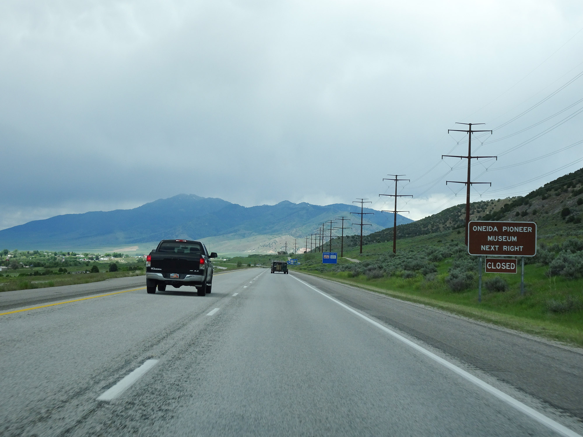 |
Take Exit 13 to the Oneida Pioneer Museum. (Photo taken 5/26/16). |
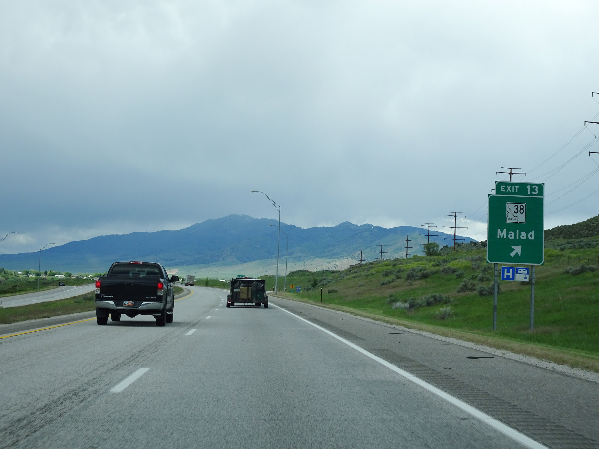 |
Interstate 15 North at Exit 13: ID 38 - Malad (Photo taken 5/26/16). |
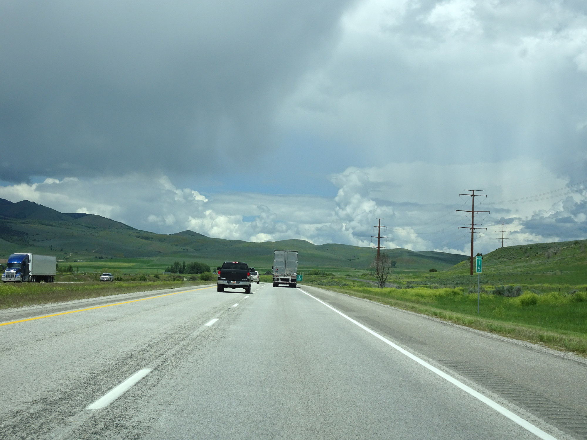 |
Interstate 15 North at mile marker 15. (Photo taken 5/26/16). |
 |
Interstate 15 North at Exit 17: ID 36 - Weston / Preston (Photo taken 5/26/16). |
 |
Another mileage sign on Interstate 15 North. It's 16 miles to Downey, 29 miles to McCammon, and 49 miles to Pocatello. (Photo taken 5/26/16). |
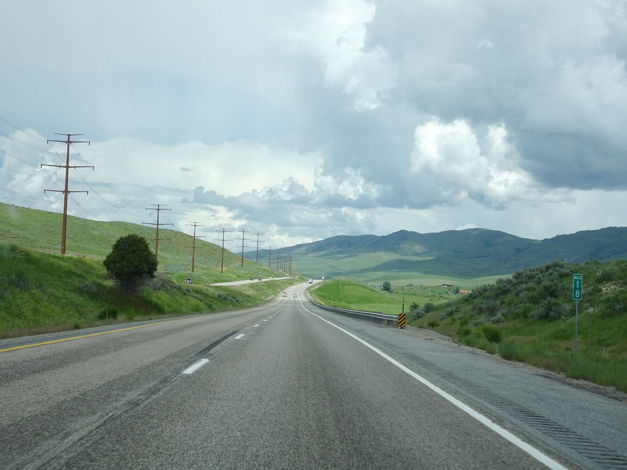 |
View on Interstate 15 North at mile marker 18. (Photo taken 5/26/16). |
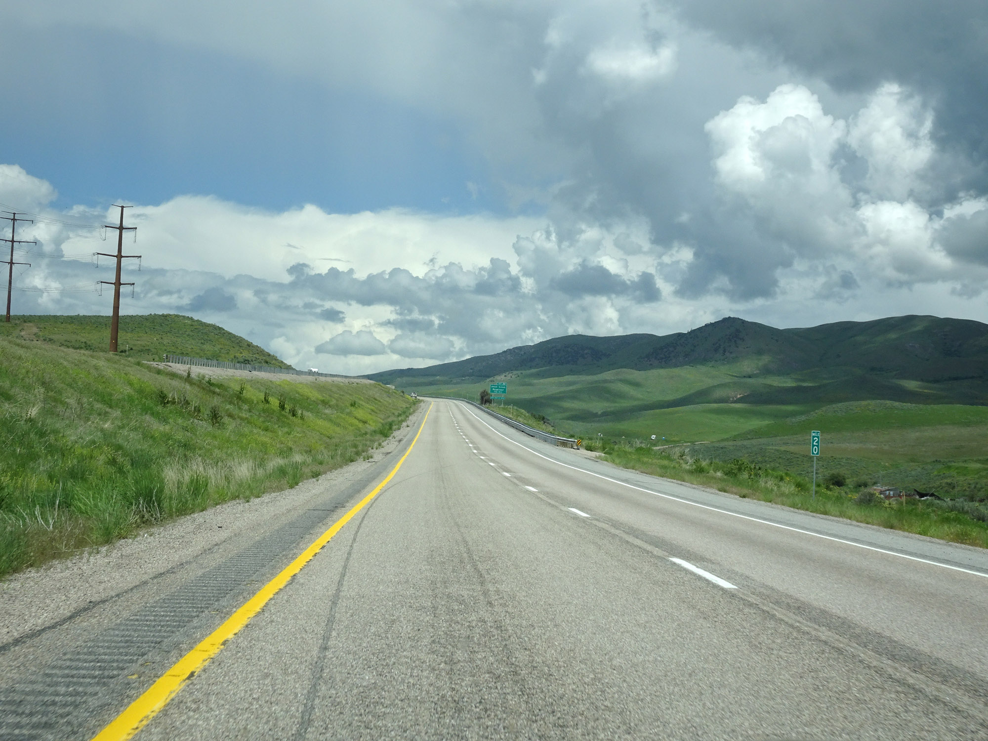 |
Interstate 15 North at mile marker 20. (Photo taken 5/26/16). |
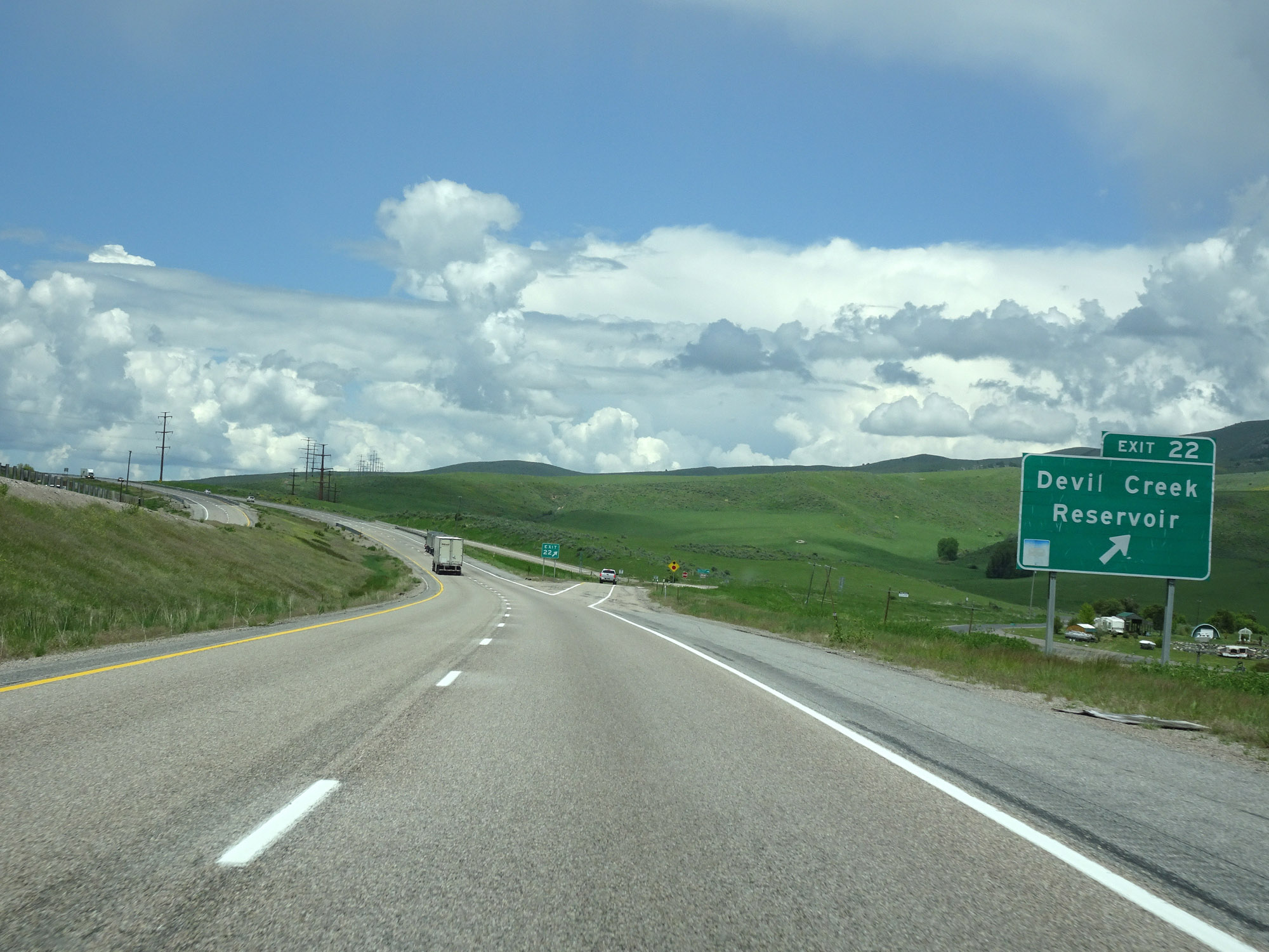 |
Interstate 15 North at Exit 22: Devil Creek Reservoir (Photo taken 5/26/16). |
 |
Interstate 15 North at mile marker 24. (Photo taken 5/26/16). |
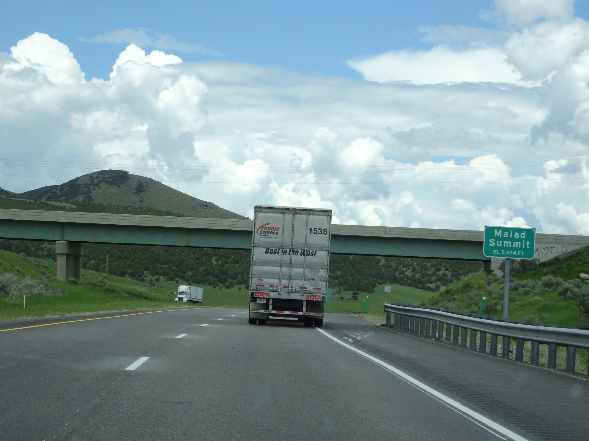 |
Interstate 15 North as it reaches the top of Malad Summit, an at elevation of 5,374 feet. (Photo taken 5/26/16). |
 |
Just before starting down Malad Summit, Interstate 15 North enters Bannock County. (Photo taken 5/26/16). |
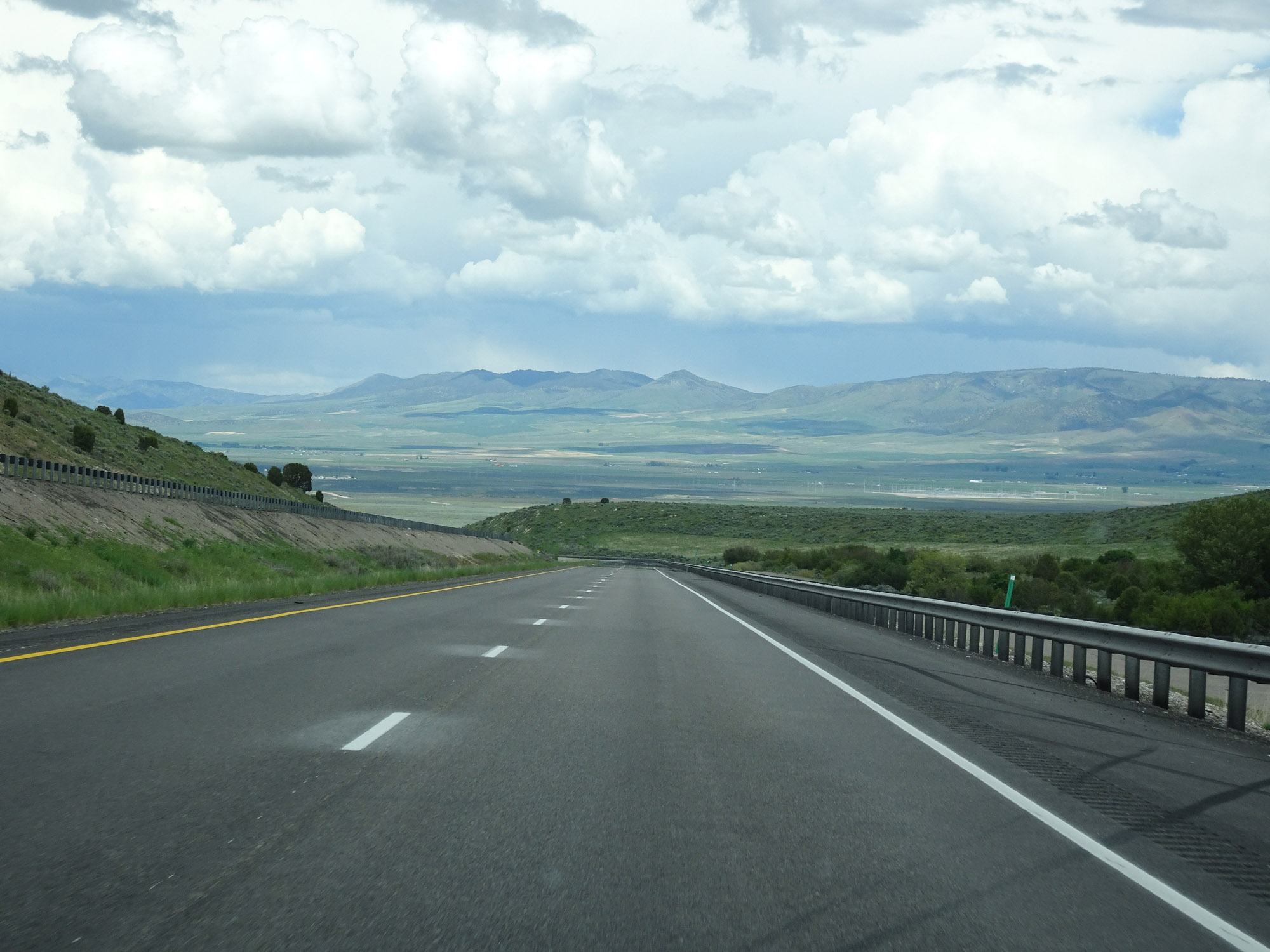 |
View on Interstate 15 North as it starts to descend Malad Summit. (Photo taken 5/26/16). |
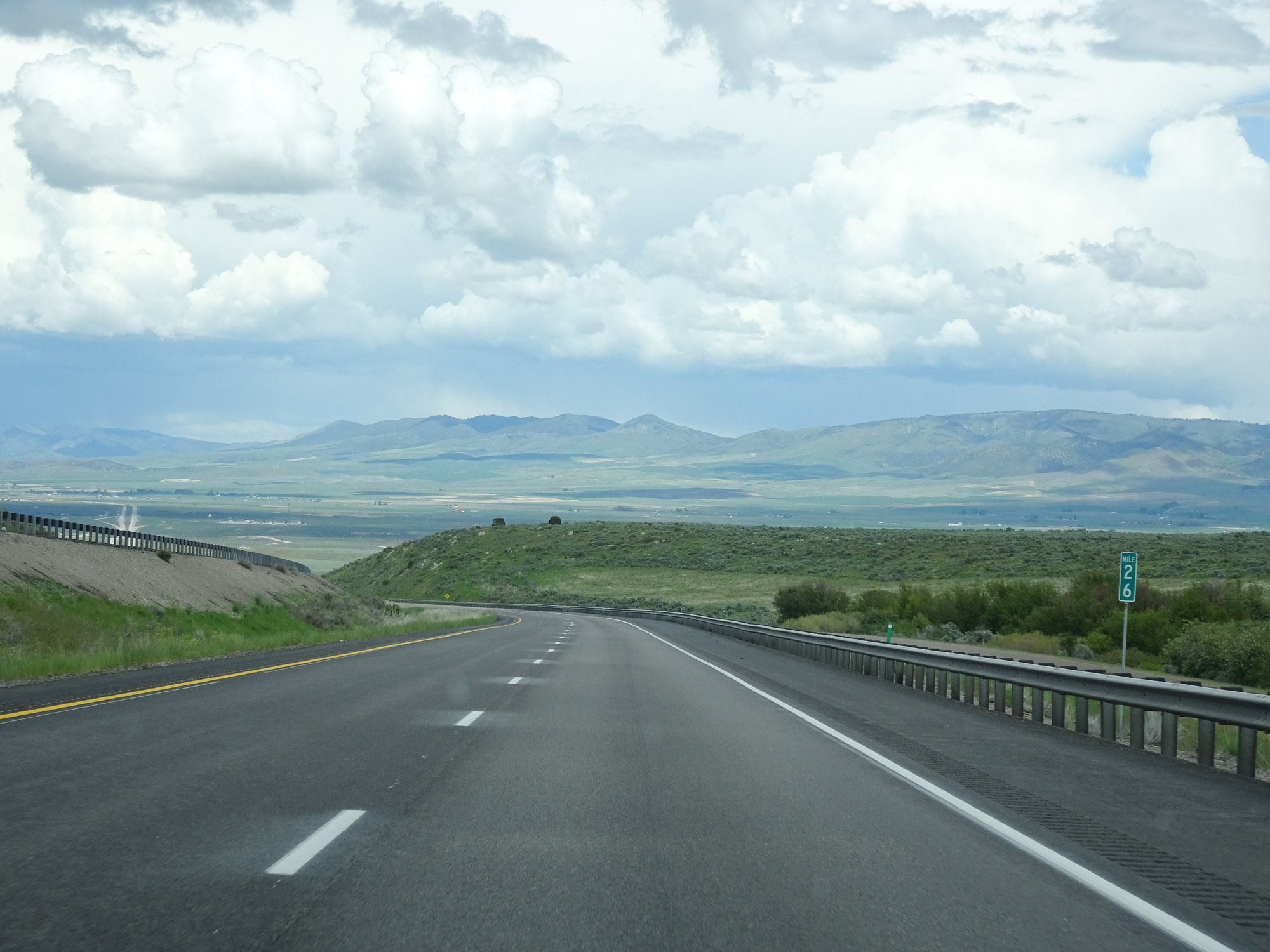 |
Interstate 15 North at mile marker 26. (Photo taken 5/26/16). |
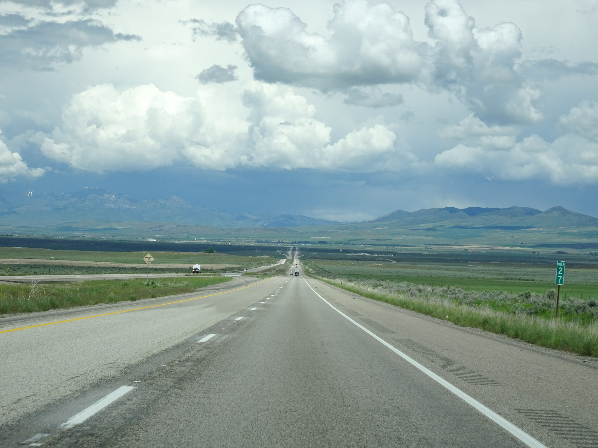 |
View on Interstate 15 North at mile marker 27, as it approaches the bottom of Malad Summit. (Photo taken 5/26/16). |
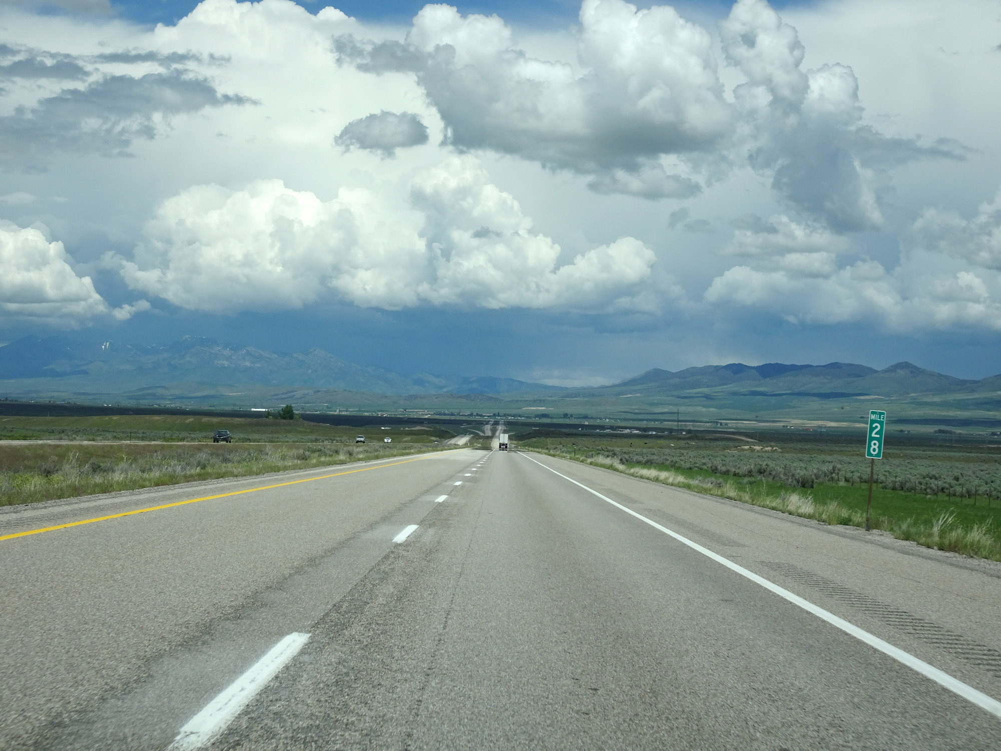 |
Interstate 15 North at mile marker 28. (Photo taken 5/26/16). |
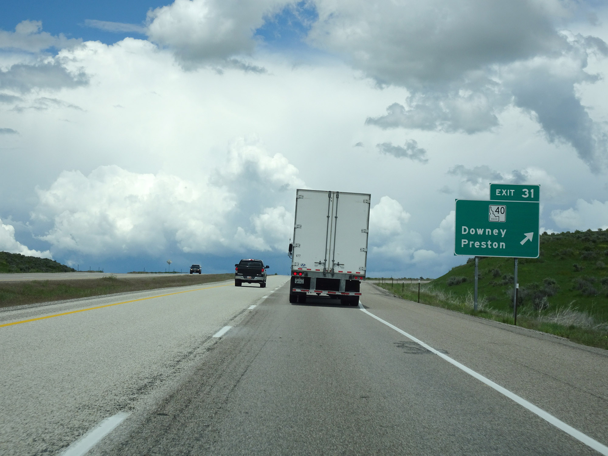 |
Interstate 15 North at Exit 31: ID 40 - Downey / Preston (Photo taken 5/26/16). |
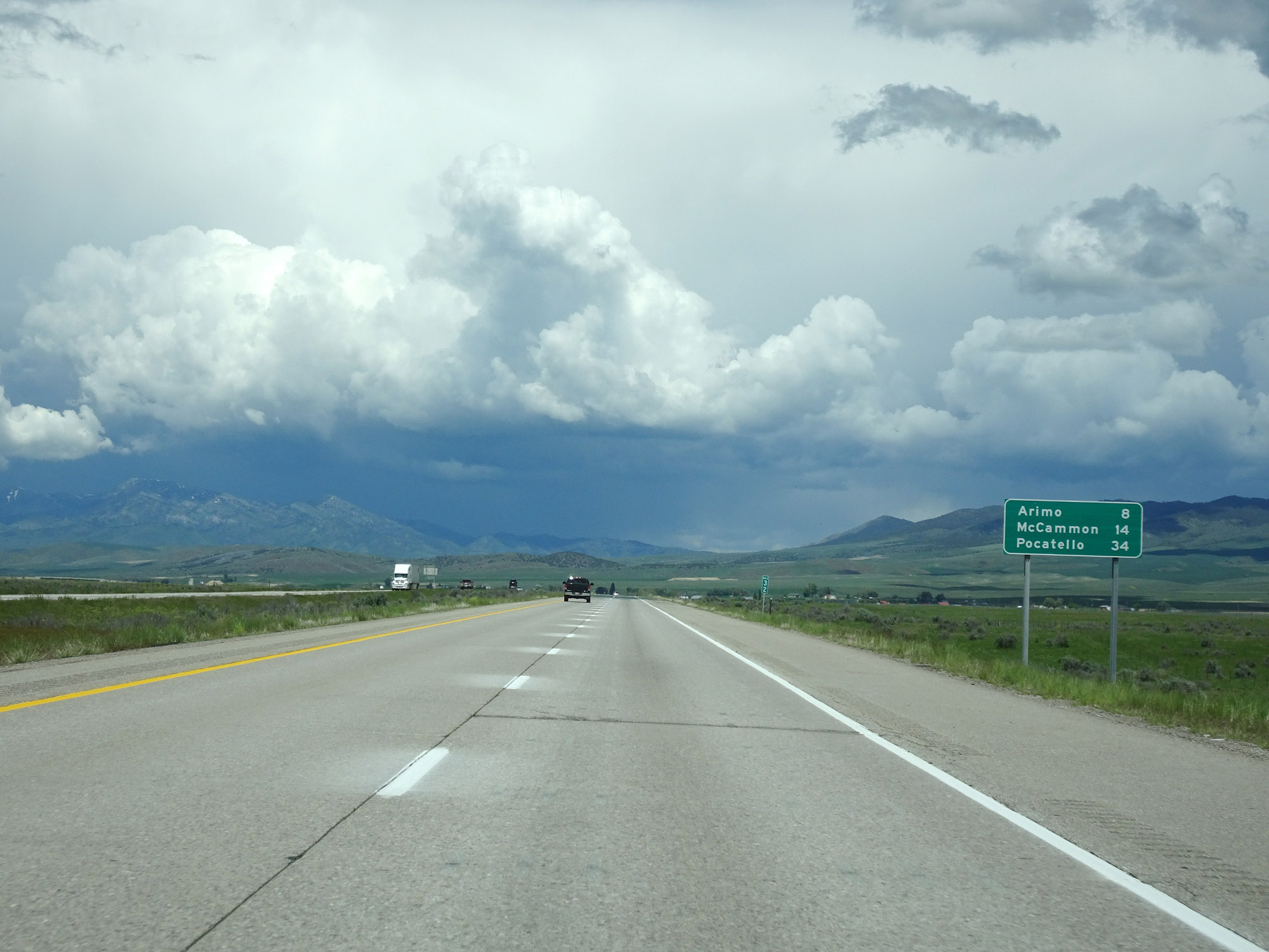 |
Mileage sign at mile marker 32. It's 8 miles to Arimo, 14 miles to McCammon, and 34 miles to Pocatello. (Photo taken 5/26/16). |
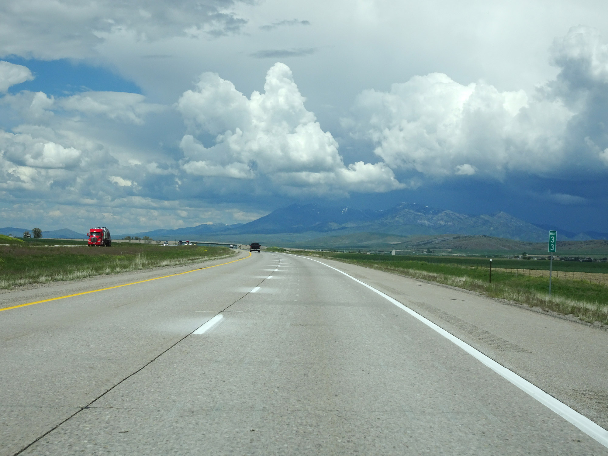 |
View on Interstate 15 North at mile marker 33. (Photo taken 5/26/16). |
 |
Interstate 15 North at Exit 36: Virginia (Photo taken 5/26/16). |
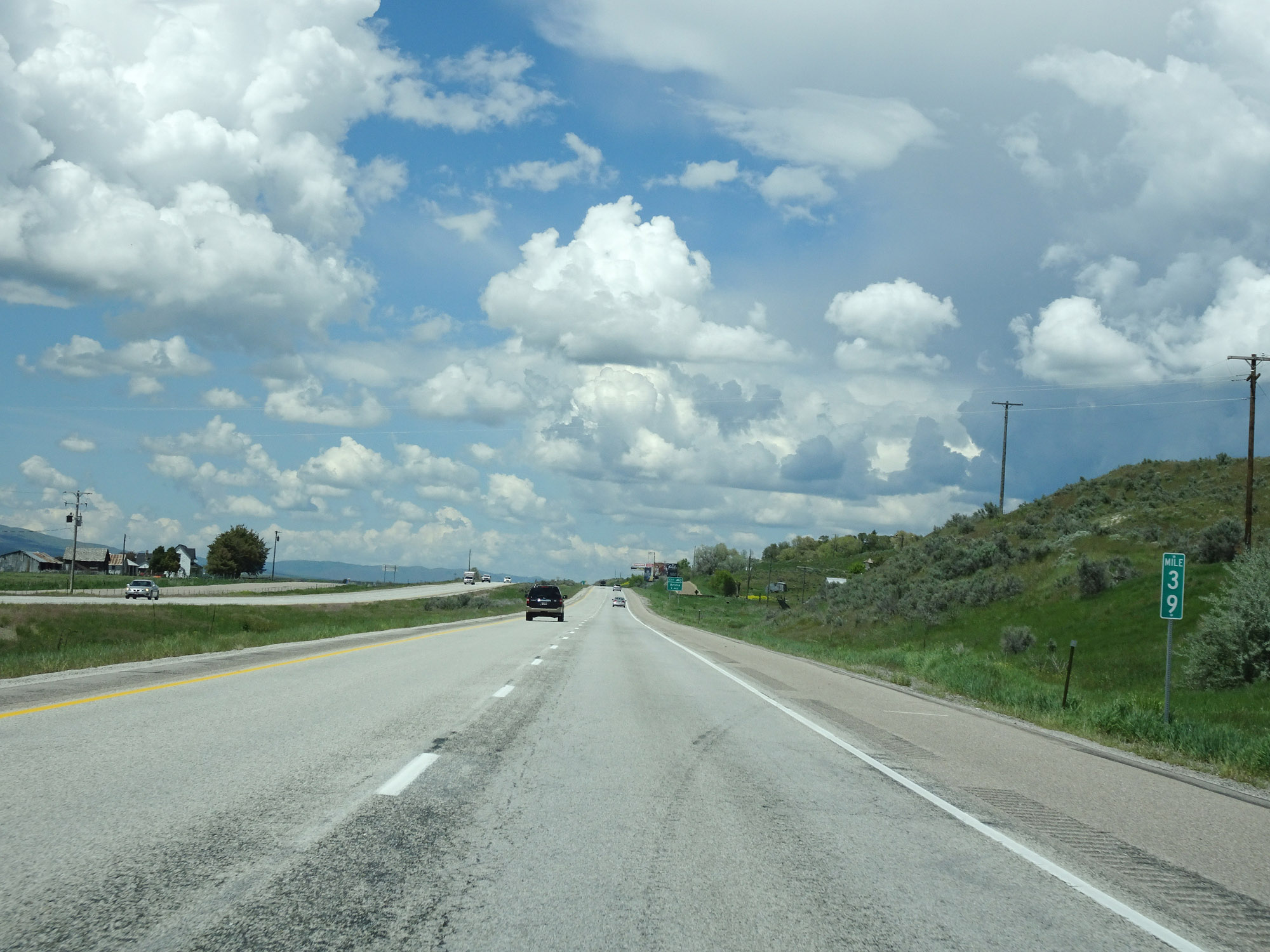 |
Interstate 15 North at mile marker 39. (Photo taken 5/26/16). |
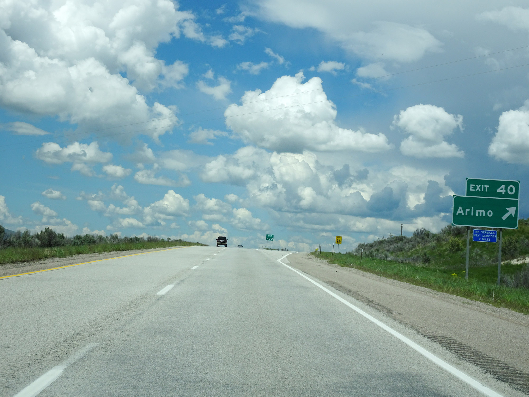 |
Interstate 15 North at Exit 40: Arimo (Photo taken 5/26/16). |
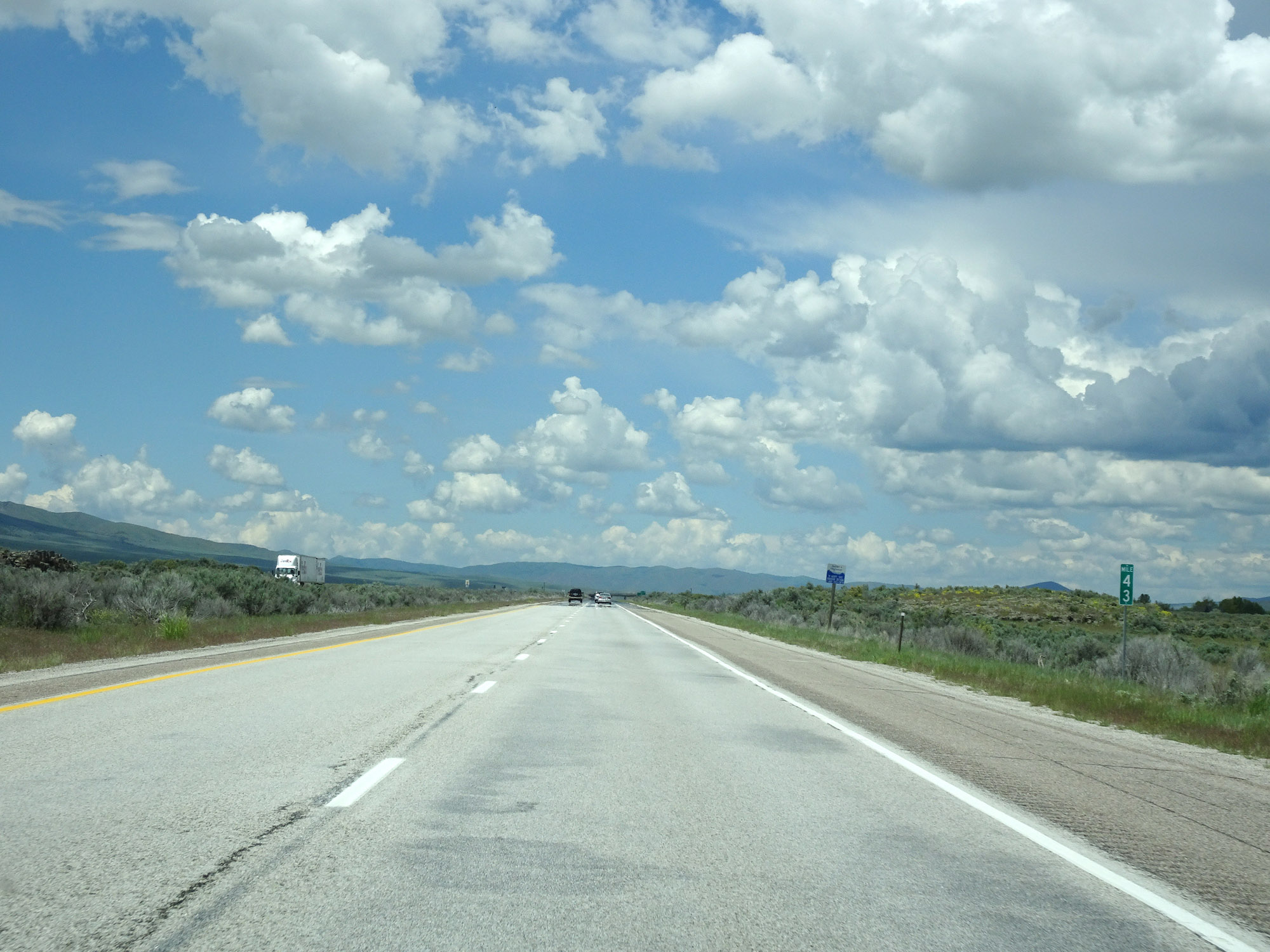 |
View on Interstate 15 North at mile marker 43. (Photo taken 5/26/16). |
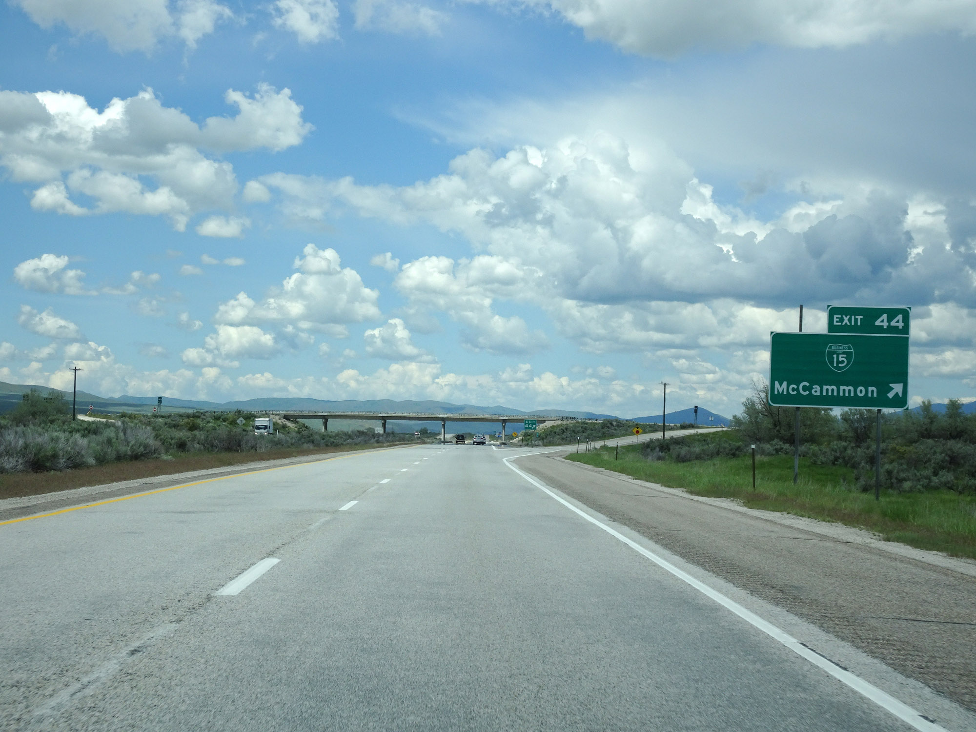 |
Interstate 15 North at Exit 44: Interstate 15 Business Loop - McCammon (Photo taken 5/26/16). |
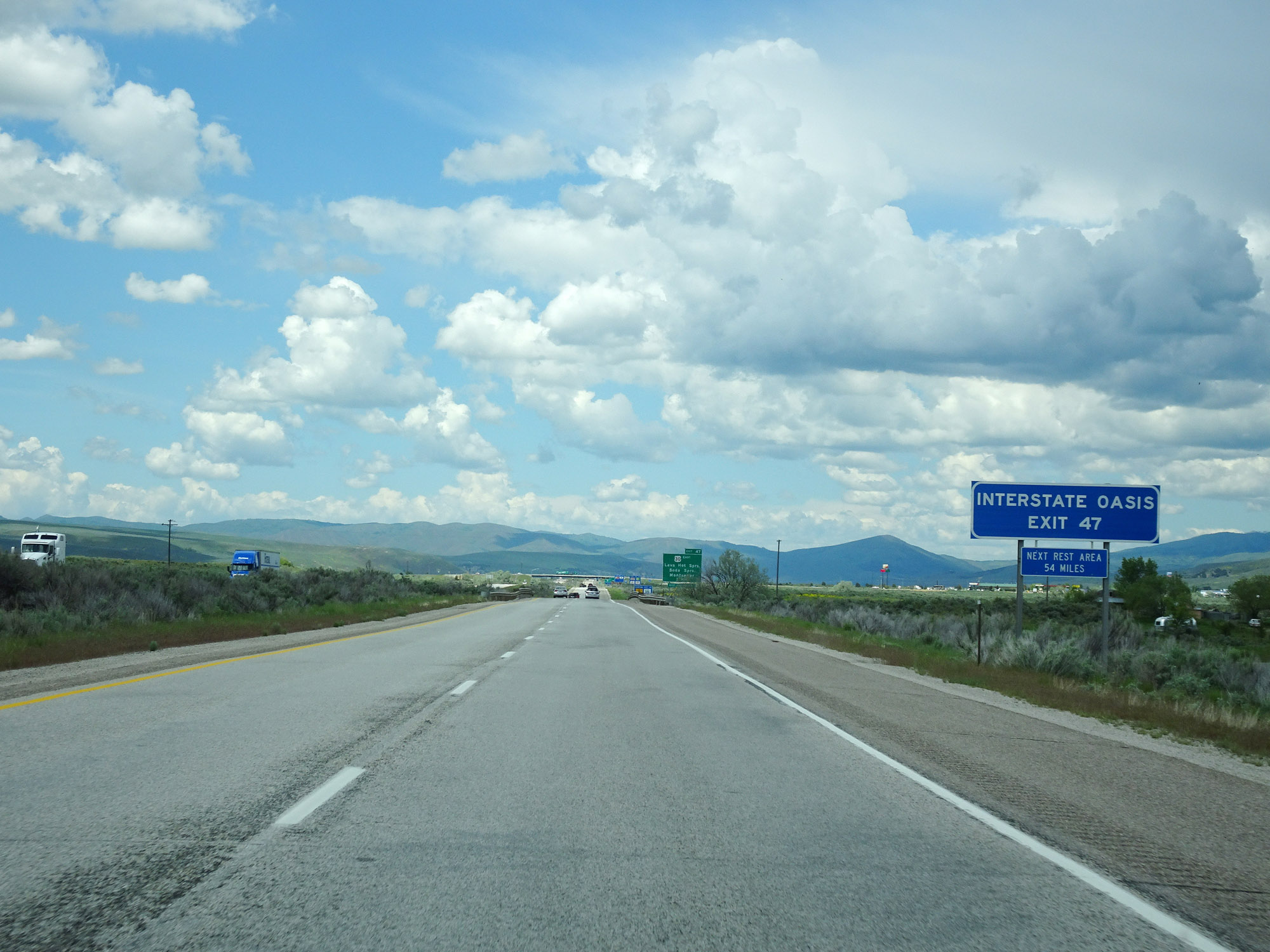 |
An Interstate Oasis exists off Exit 47 ahead. (Photo taken 5/26/16). |
 |
Interstate 15 North approaching Exit 47 - 1 mile. (Photo taken 5/26/16). |
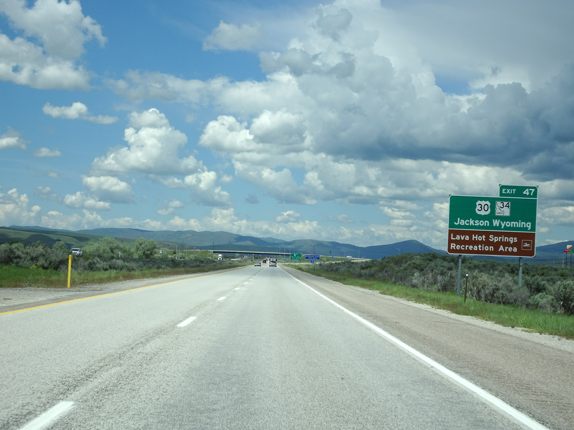 |
Take Exit 47 to US 30 / ID 34 toward Jackson, WY as well as Lava Hot Springs Recreation Area. (Photo taken 5/26/16). |
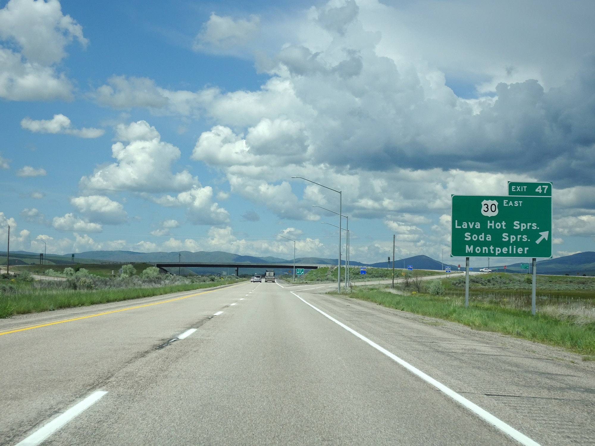 |
Interstate 15 North at Exit 47: US 30 East - Lava Hot Springs / Soda Springs / Montpelier (Photo taken 5/26/16). |
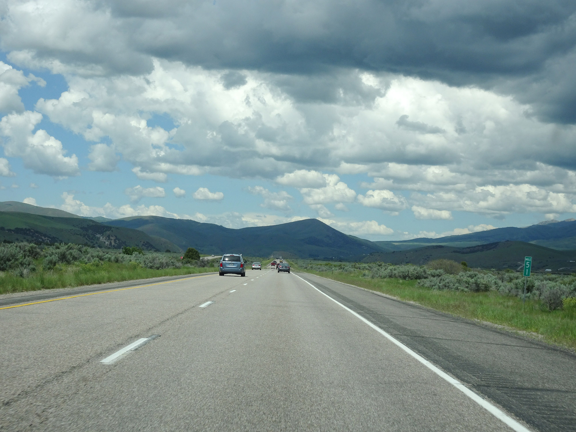 |
View on Interstate 15 North at mile marker 51. (Photo taken 5/26/16). |
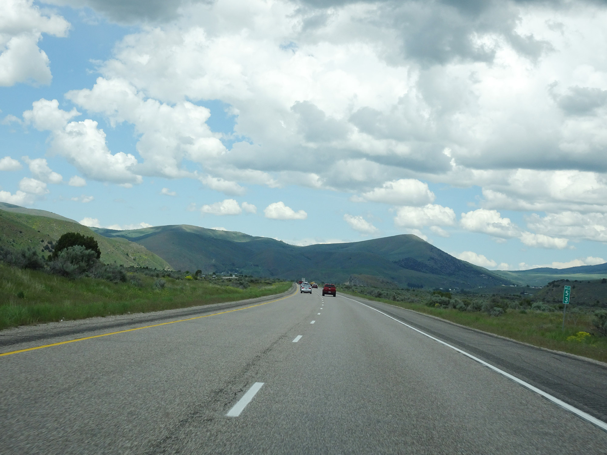 |
Interstate 15 North at mile marker 53. (Photo taken 5/26/16). |
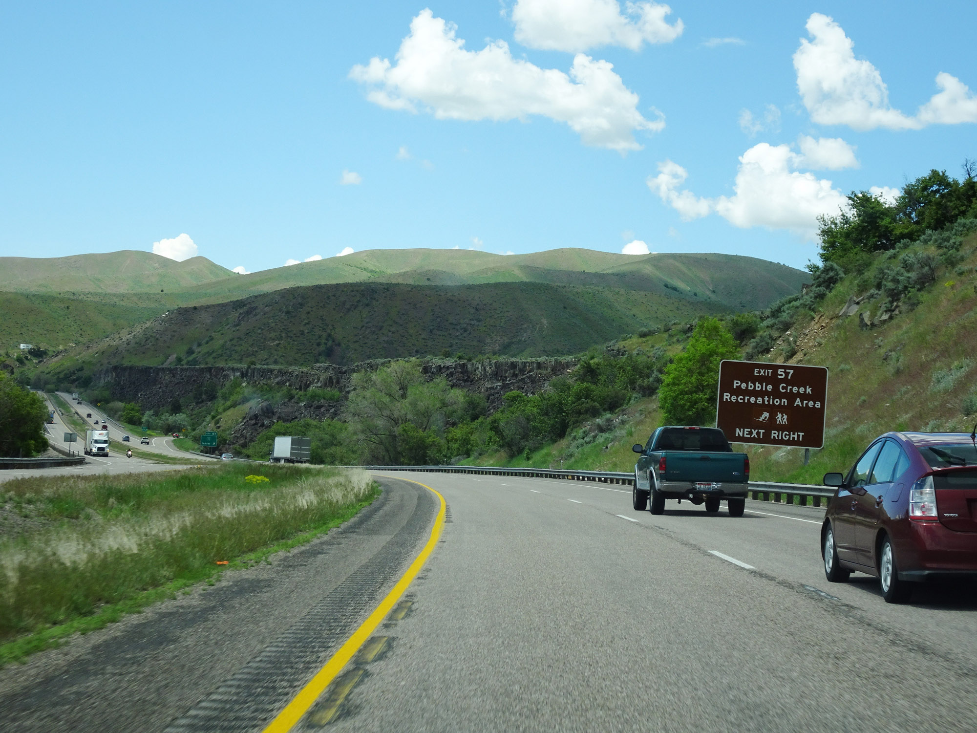 |
Take Exit 57 to Pebble Creek Recreation Area. (Photo taken 5/26/16). |
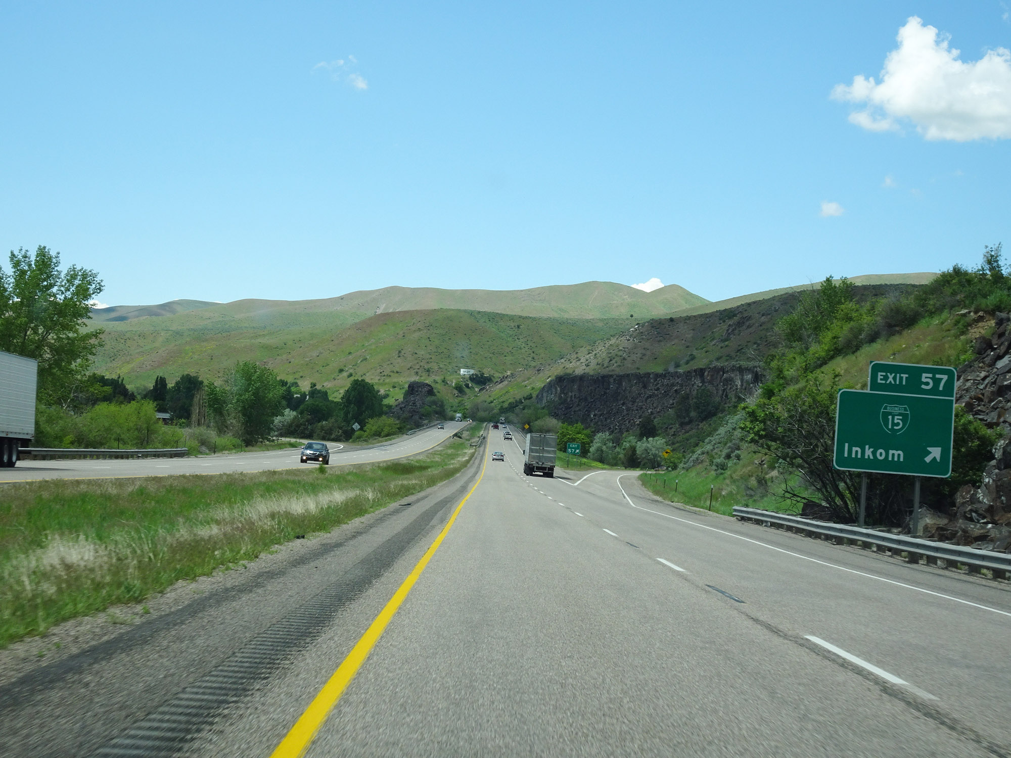 |
Interstate 15 North at Exit 57: Interstate 15 Business Loop - Inkom (Photo taken 5/26/16). |
 |
View on Interstate 15 North. (Photo taken 5/26/16). |
 |
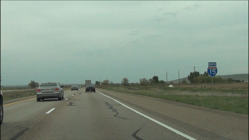
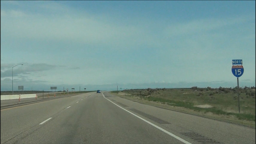
Interstate 15 North / US 30 West / US 91 North reassurance markers. (Photo taken 5/26/16). |
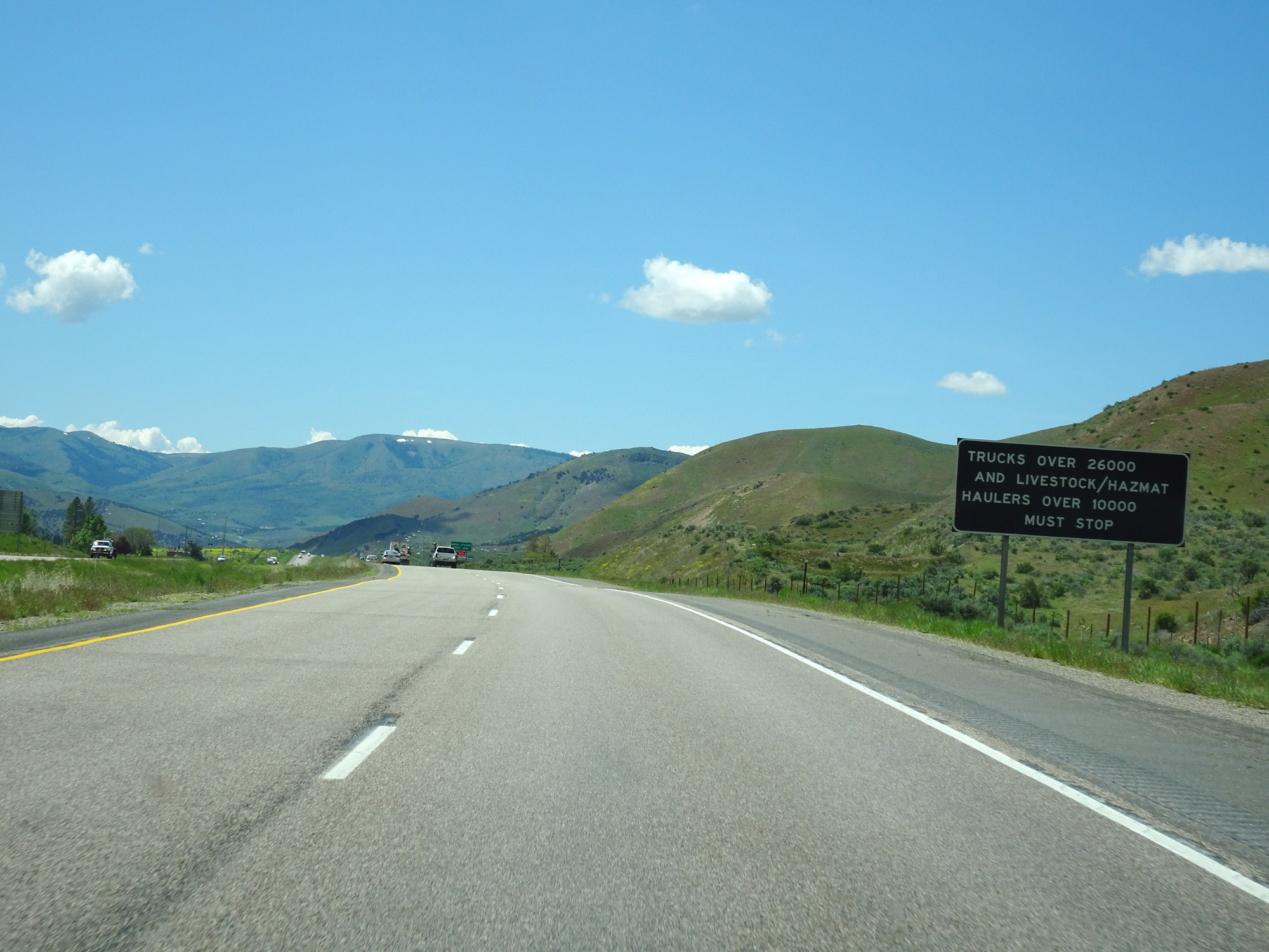 |
Trucks over 26,000 GVW and livestock/hazardous materials haulers over 10,000 GVW must enter the Weigh Station ahead when it is open. (Photo taken 5/26/16). |
 |
Weigh Station on Interstate 15 North in Bannock County. (Photo taken 5/26/16). |
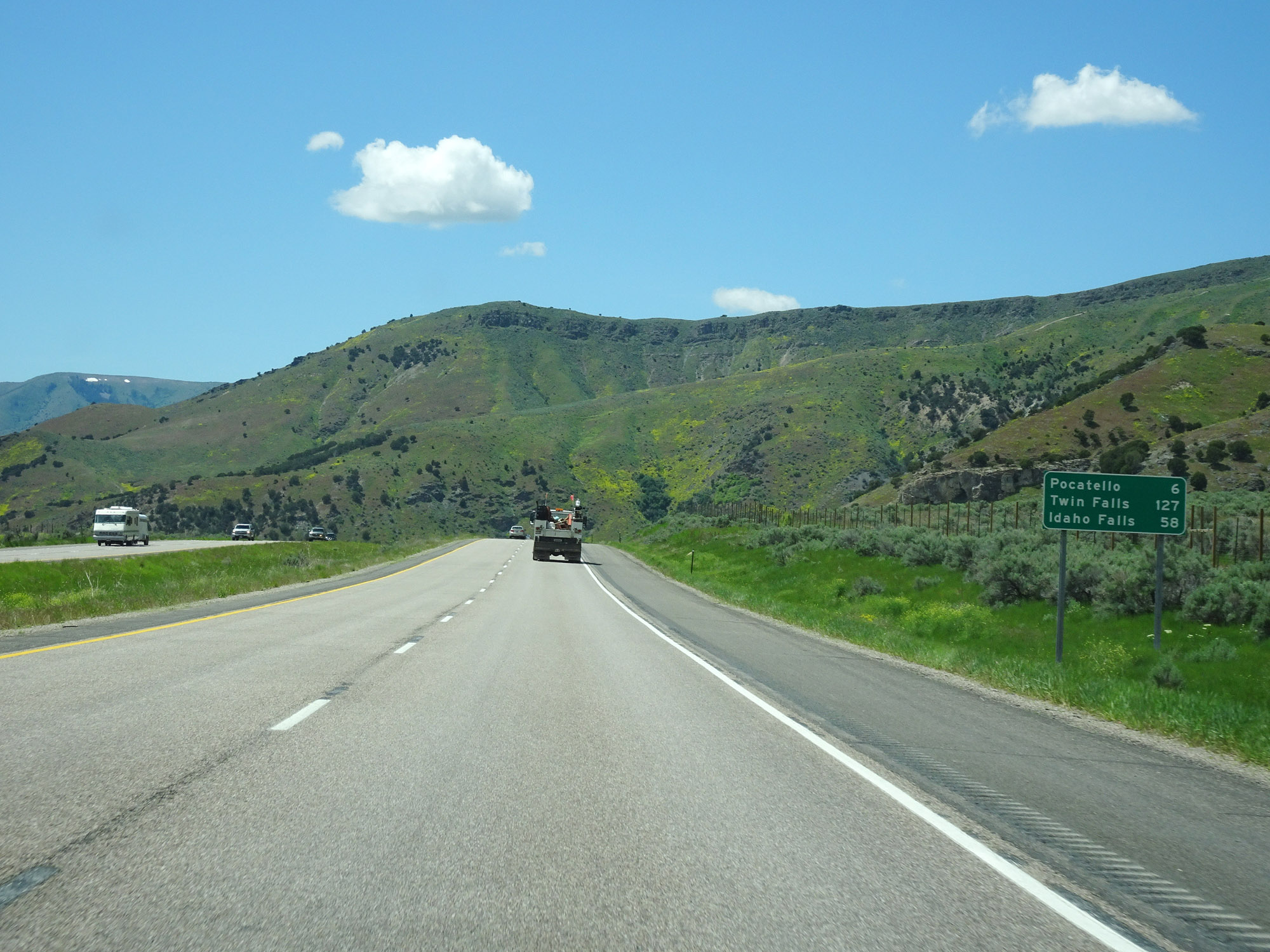 |
Mileage sign on Interstate 15 North. It's 6 miles to Pocatello, 127 miles to Twin Falls, and 58 miles to Idaho Falls. (Photo taken 5/26/16). |
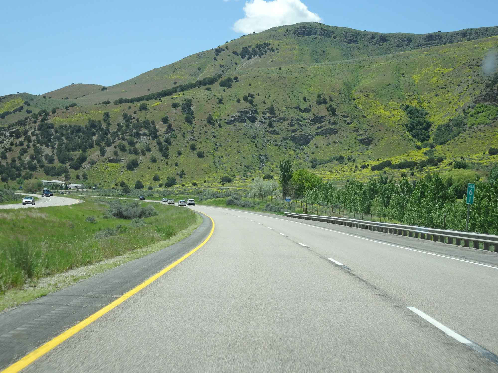 |
View on Interstate 15 North at mile marker 61. (Photo taken 5/26/16). |
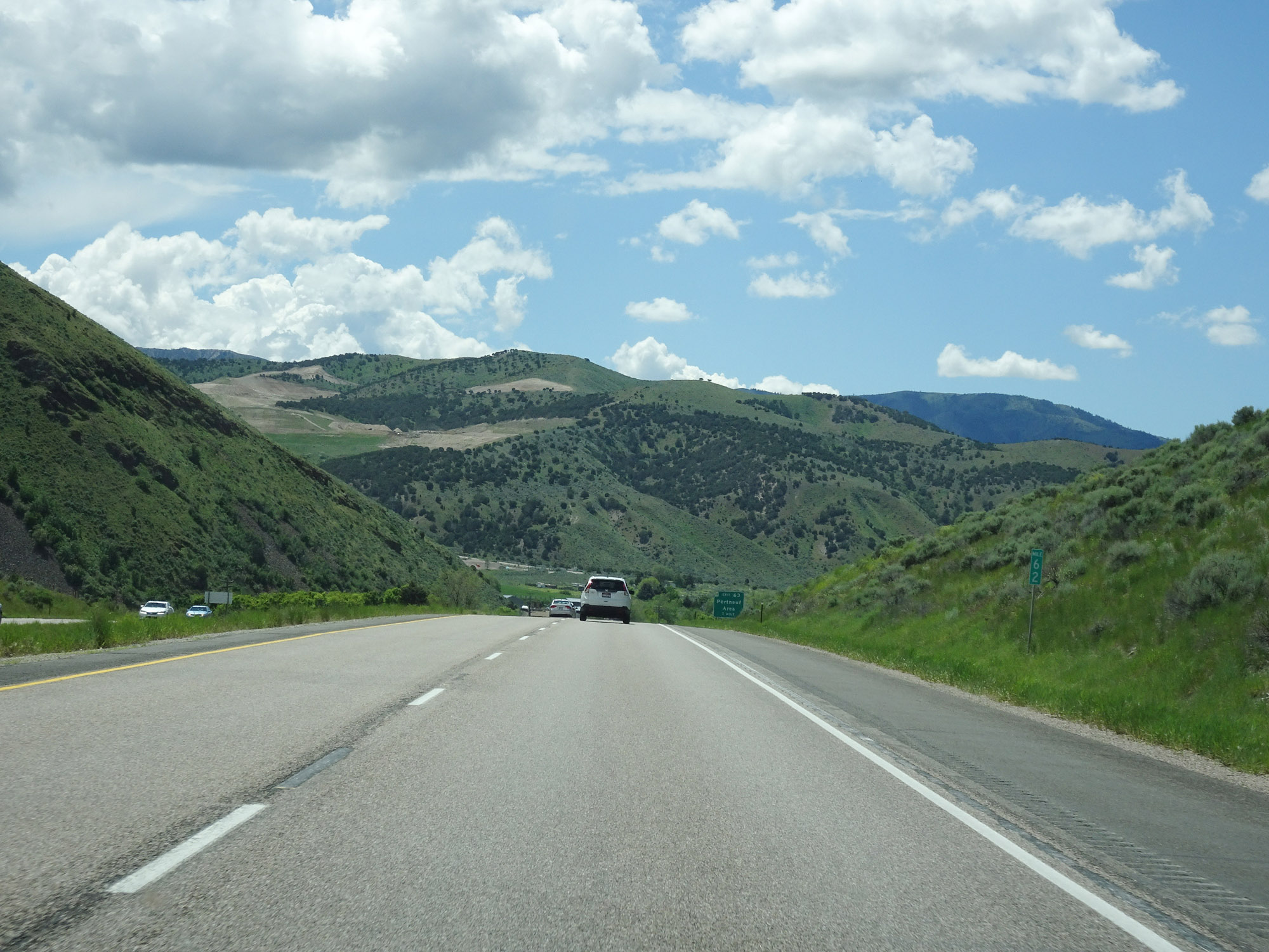 |
Interstate 15 North at mile marker 62. (Photo taken 5/26/16). |
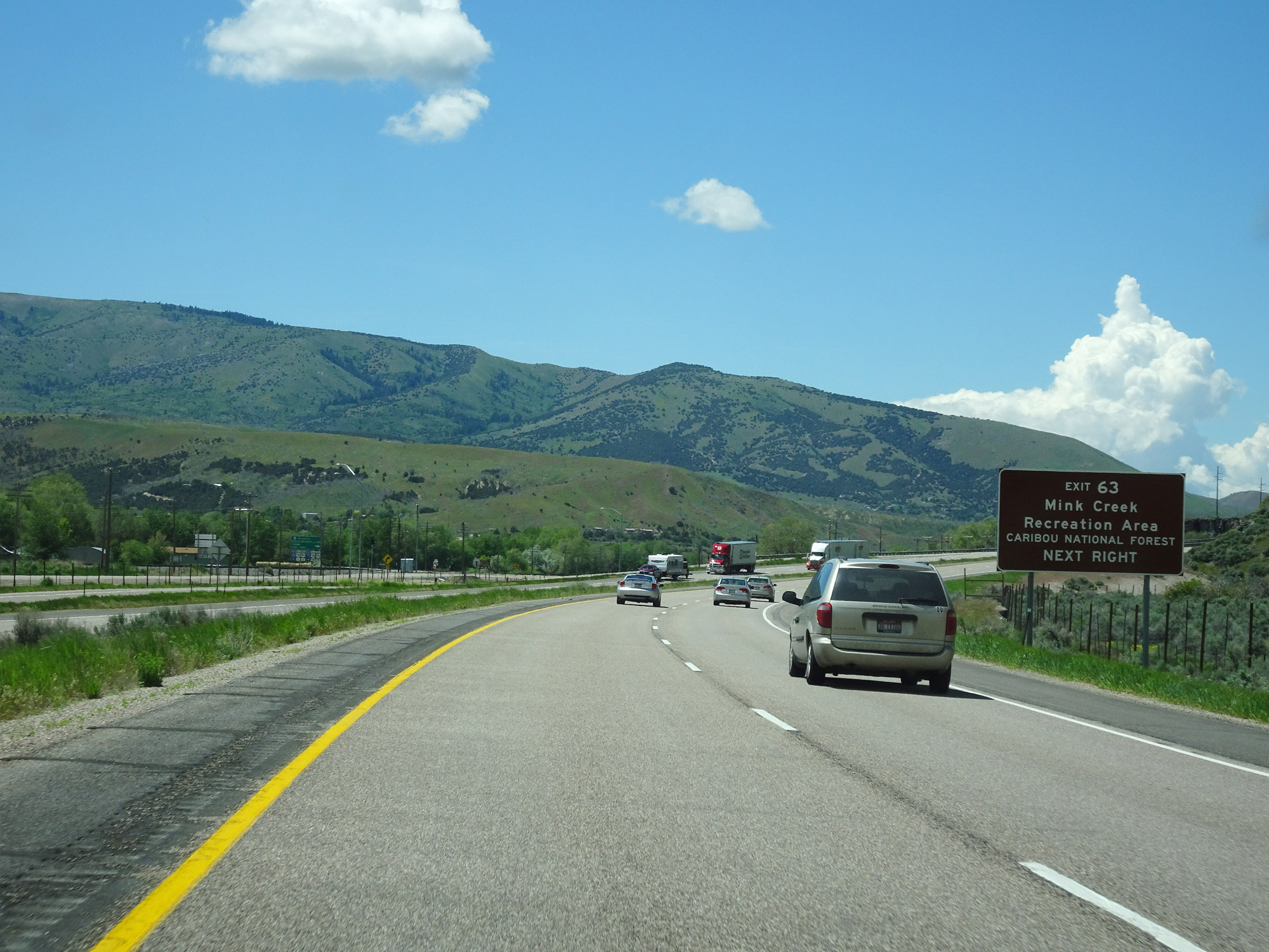 |
Take Exit 63 to Mink Creek Recreation Area and Caribou National Forest. (Photo taken 5/26/16). |
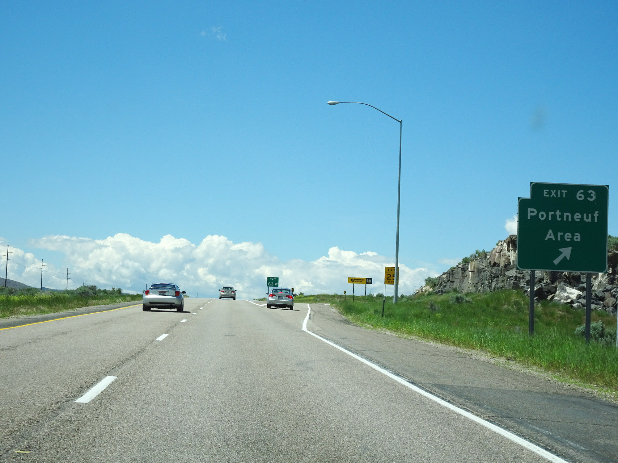 |
Interstate 15 North at Exit 63: Portneuf Area (Photo taken 5/26/16). |
 |
Take any of the next 3 exits to Pocatello. (Photo taken 5/26/16). |
 |
Take Exit 67 to the Fort Hall Replica Museum, Park, Swimming, and Zoo. (Photo taken 5/26/16). |
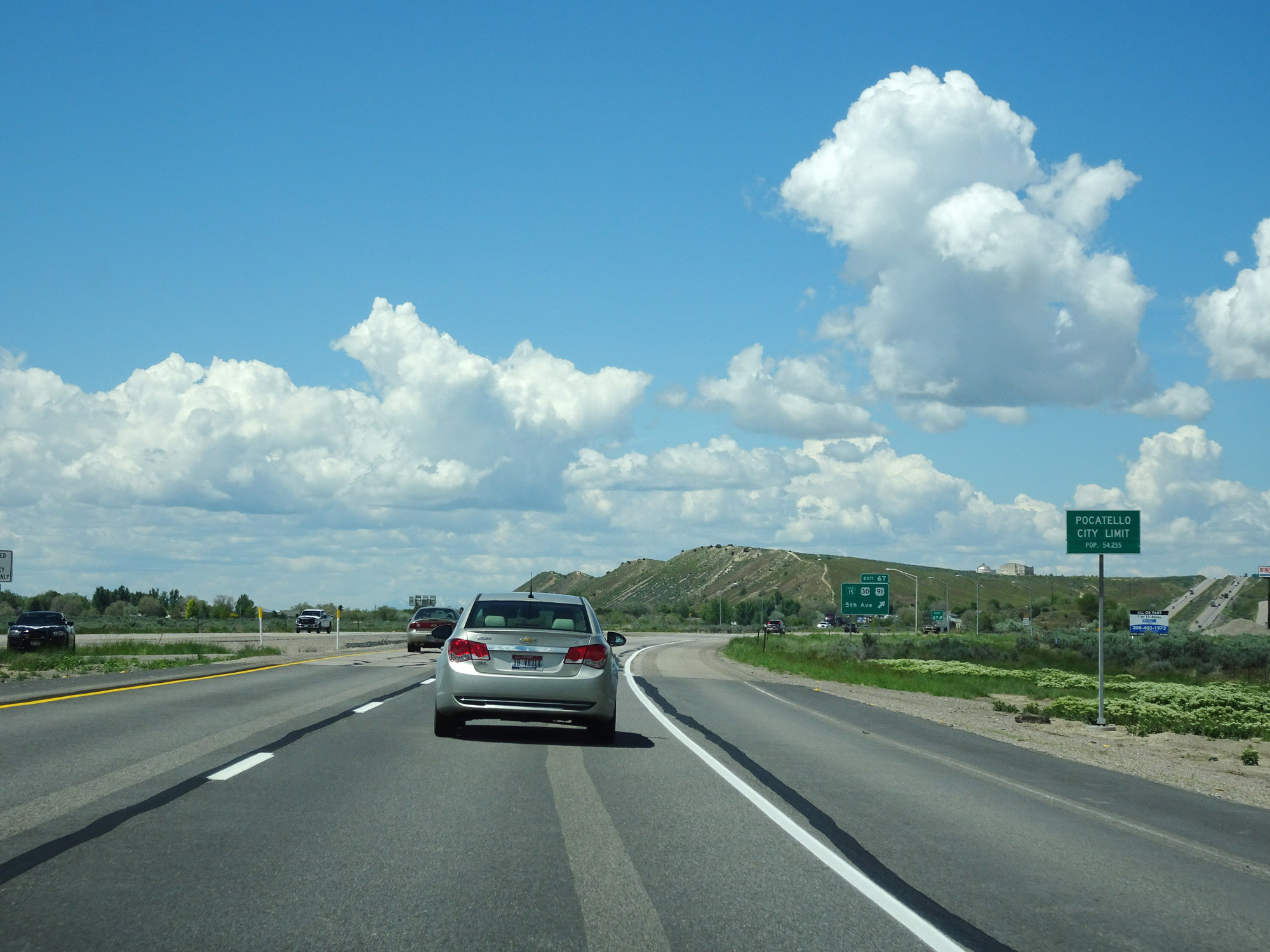 |
Interstate 15 North enters the Pocatello city limits just before Exit 67. (Photo taken 5/26/16). |
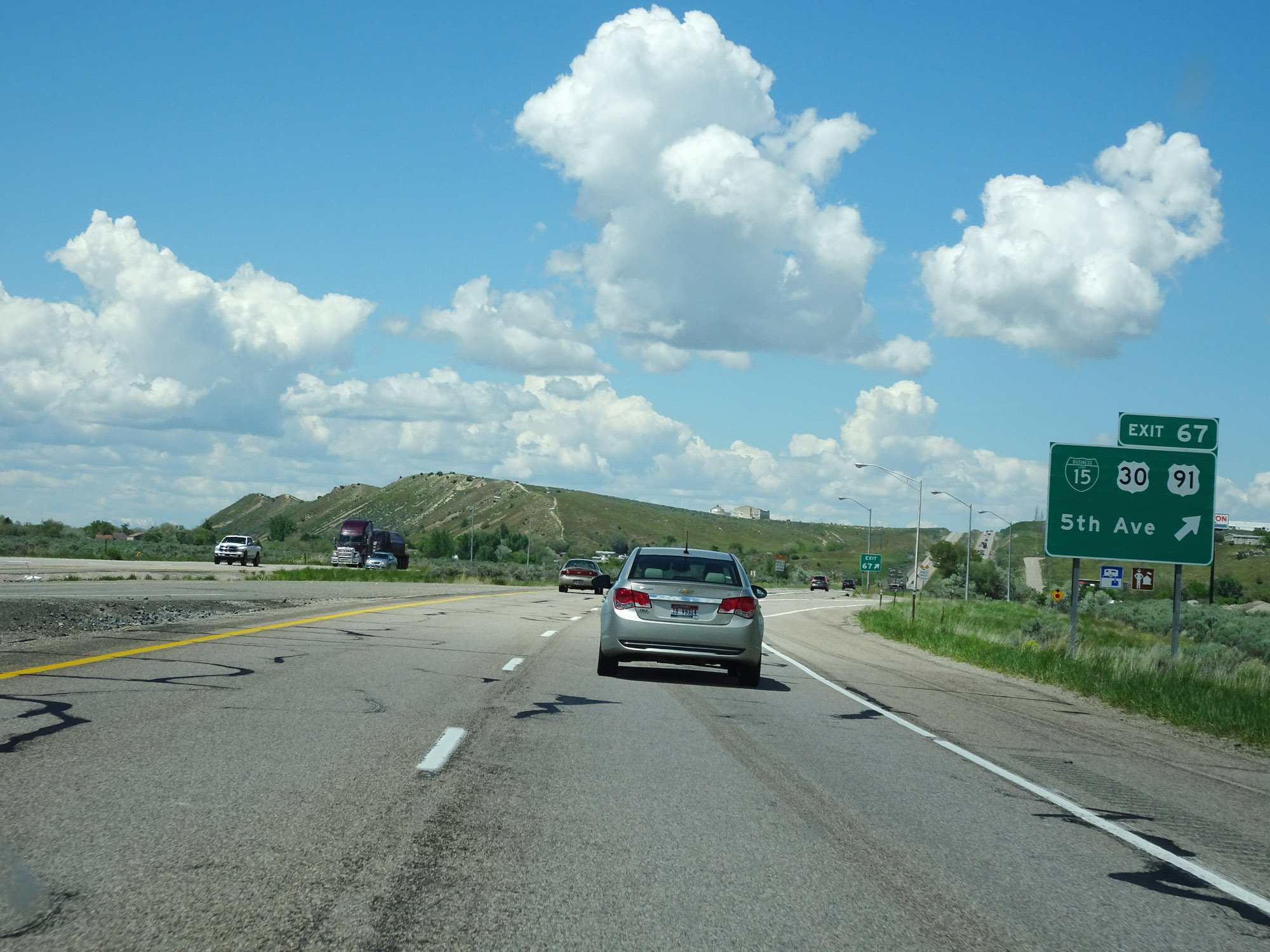 |
Interstate 15 North at Exit 67: Interstate 15 Business Loop / US 30 / US 91 - 5th Ave (Photo taken 5/26/16). |
 |
North of Exit 67, the speed limit decreases to 65 mph for all traffic. (Photo taken 5/26/16). |
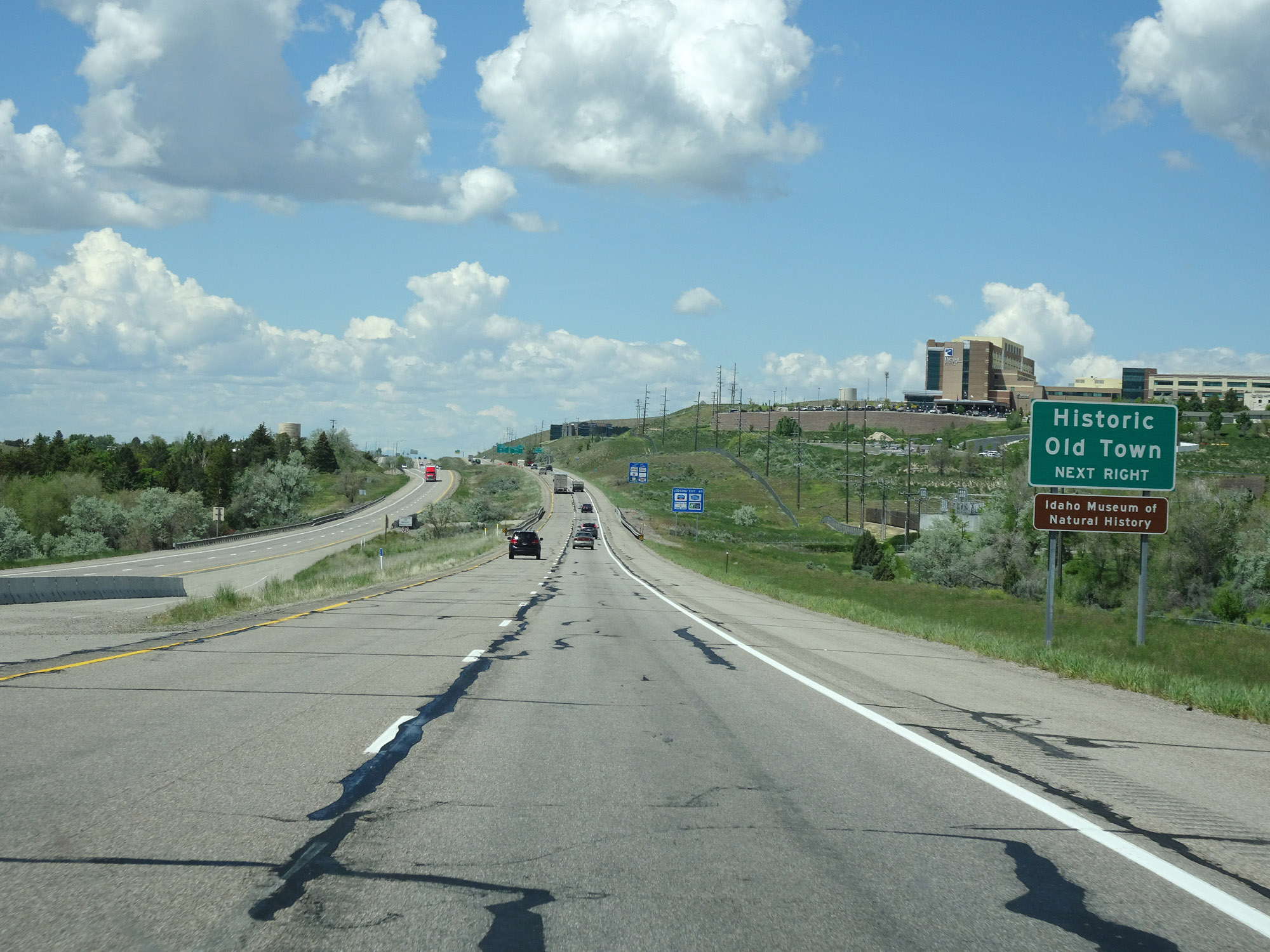 |
Take Exit 69 to Historic Old Town and the Idaho Museum of Natural History. (Photo taken 5/26/16). |
 |
Interstate 15 North at Exit 69: Clark St (Photo taken 5/26/16). |
 |
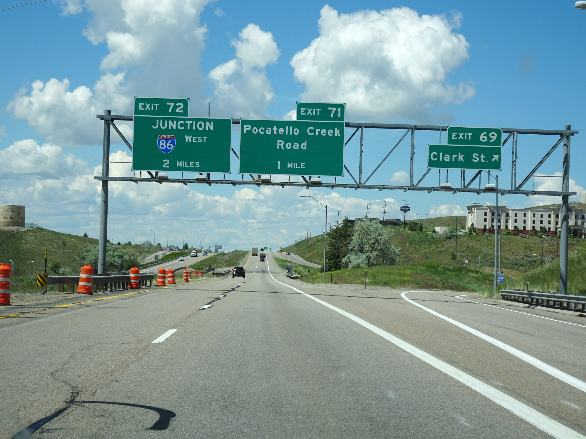
Interstate 15 North at Exit 71: Pocatello Creek Road (Photo taken 5/26/16). |
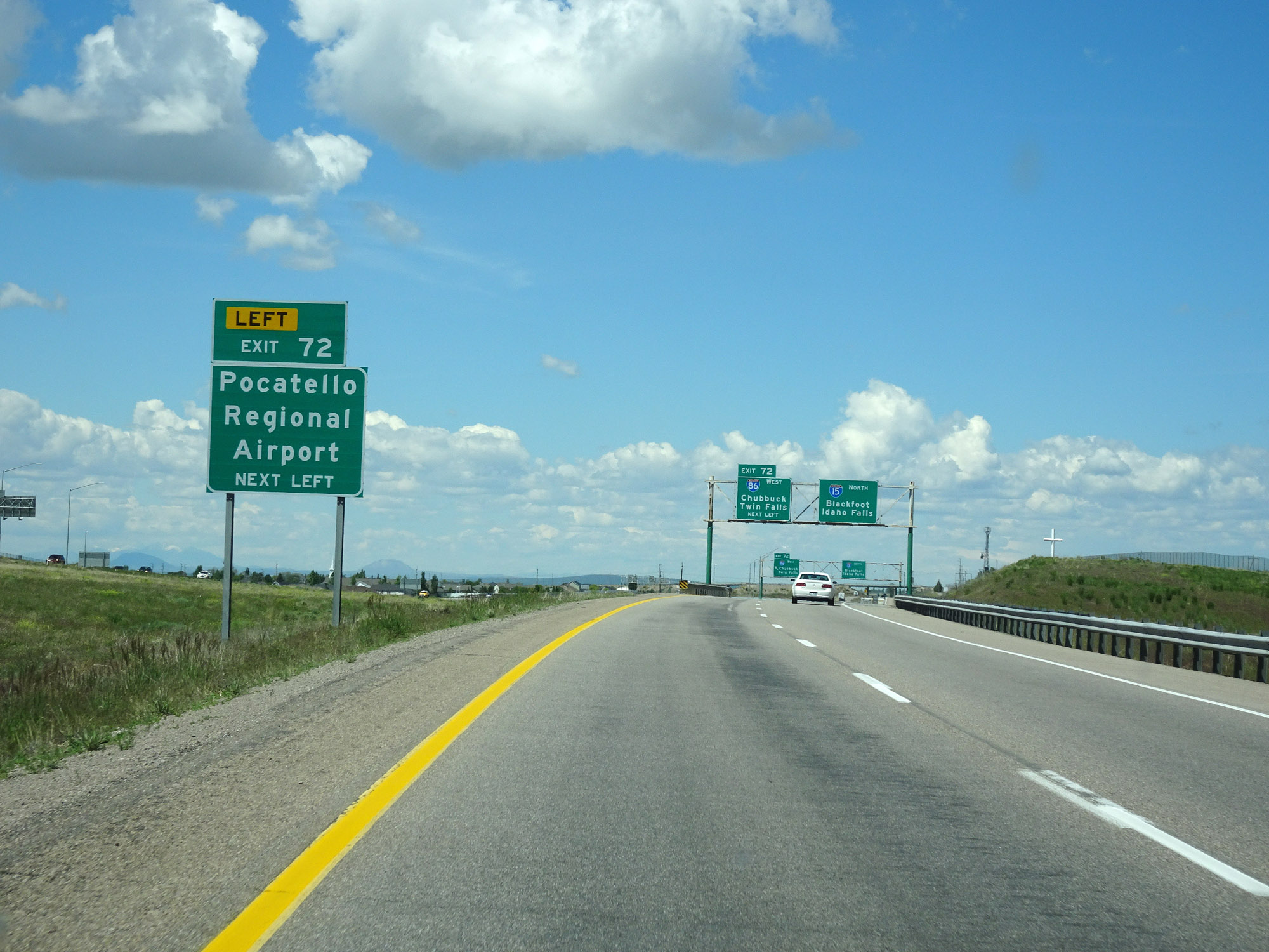 |
Take Exit 72 (Interstate 86 West) to Pocatello Regional Airport. (Photo taken 5/26/16). |
 |
Interstate 15 North approaching Exit 72 - 1/4 mile on the left. (Photo taken 5/26/16). |
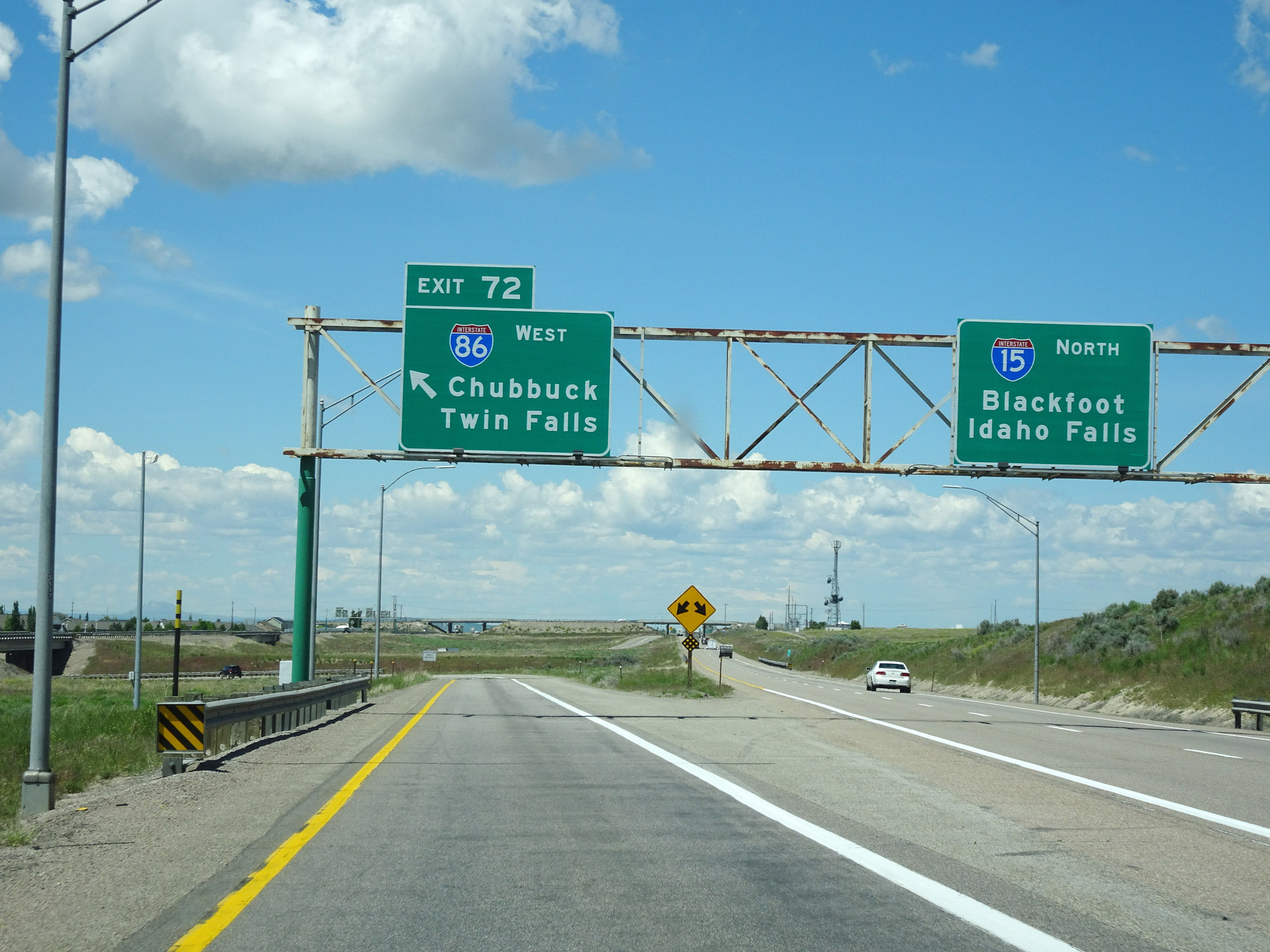 |
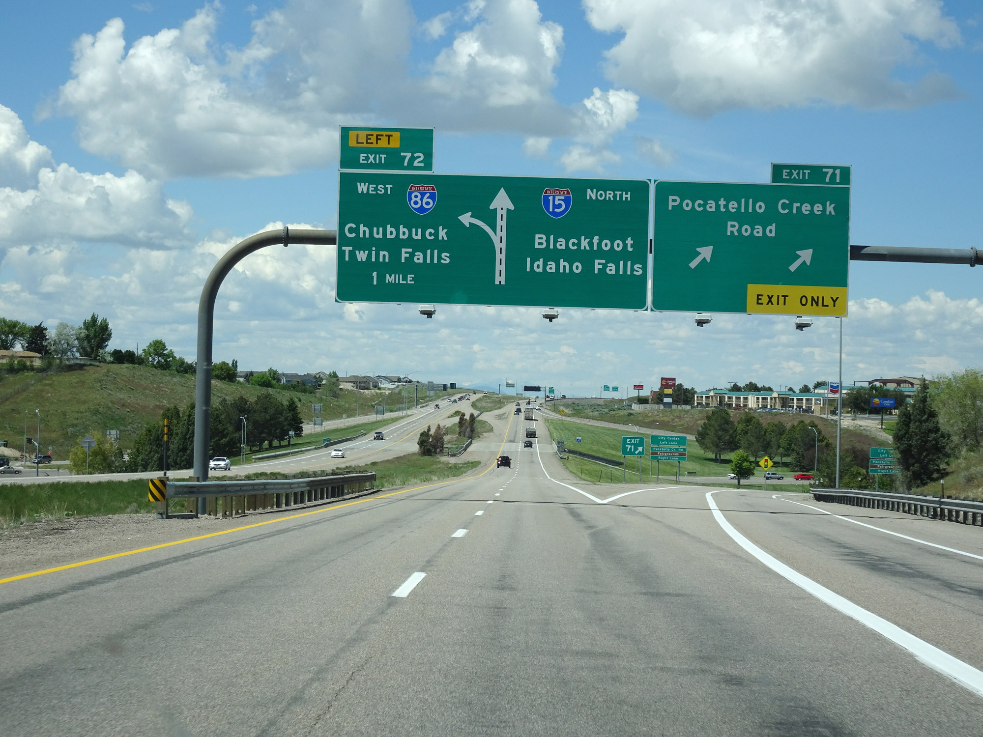
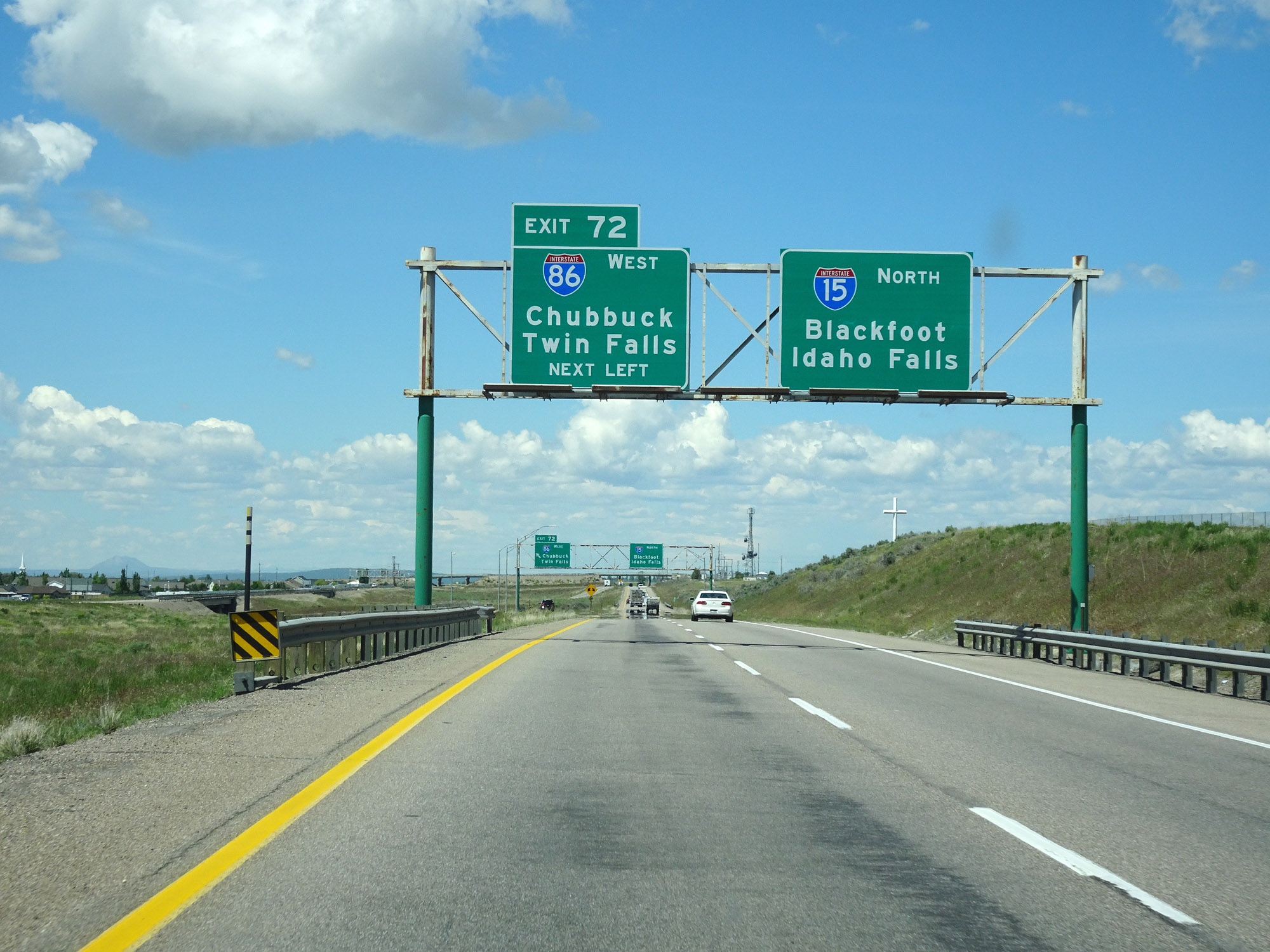
Interstate 15 North at Exit 72: Interstate 86 West - Chubbuck / Twin Falls (Photo taken 5/26/16). |
Section 2: Pocatello (Exit 72) to Montana Border
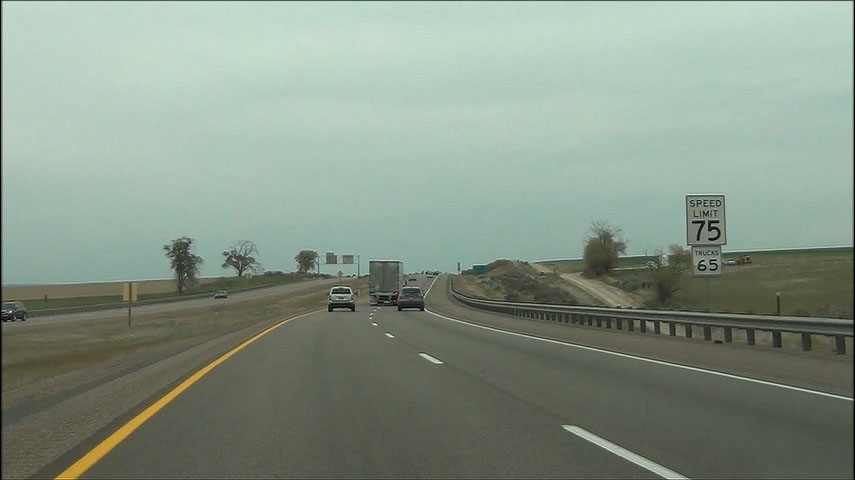 |
Speed limit signs located near mile marker 72. The speed limit on most rural stretches of Interstate in Idaho is 75 mph for cars and 65 mph for trucks. (Photo taken 5/22/13). |
 |
Mileage sign located near mile marker 73. It's 19 miles to Blackfoot, 45 miles to Idaho Falls, and 254 miles to Butte. (Photo taken 5/22/13). |
 |
Near mile marker 76, Interstate 15 North enters Fort Hall Indian Reservation. (Photo taken 5/22/13). |
 |
Interstate 15 North: Road view from mile marker 77. (Photo taken 5/22/13). |
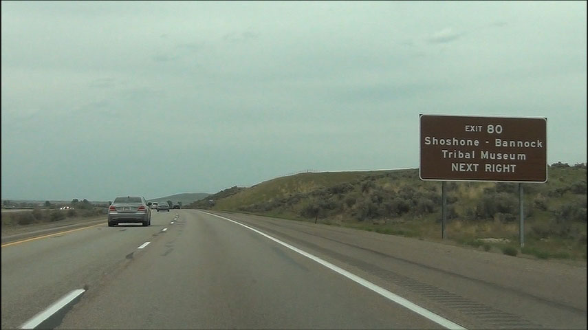 |
Take Exit 80 to Shoshone-Bannock Tribal Museum. (Photo taken 5/22/13). |
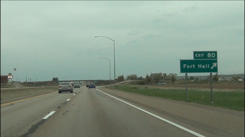 |
Interstate 15 North at Exit 80: Fort Hall (Photo taken 5/22/13). |
 |
Interstate 15 North shield located near mile marker 80. (Photo taken 5/22/13). |
 |
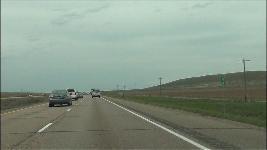
Another mileage sign, located near mile marker 81. It's 12 miles to Blackfoot, 38 miles to Idaho Falls, and 246 miles to Butte. (Photo taken 5/22/13). |
 |
Interstate 15 North: Road view from mile marker 84. (Photo taken 5/22/13). |
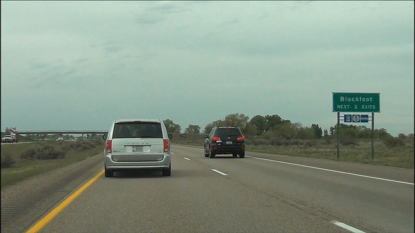 |
Use either of the next 2 exits to get to Blackfoot. (Photo taken 5/22/13). |
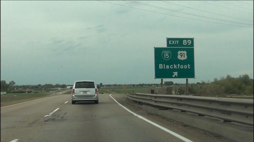 |
Interstate 15 North at Exit 89: Interstate 15 BL / US 91 - Blackfoot (Photo taken 5/22/13). |
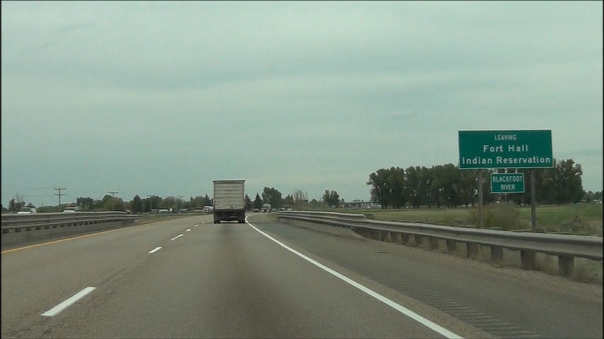 |
Near mile marker 90, Interstate 15 North leaves Fort Hall Indian Reservation. (Photo taken 5/22/13). |
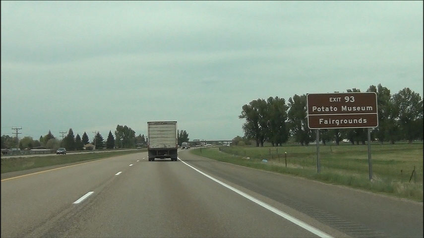 |
Take Exit 93 to the Potato Museum and Fairgrounds. (Photo taken 5/22/13). |
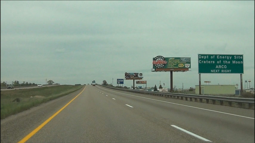 |
Also take Exit 93 to Dept of Energy Site Craters of the Moon / ARCO. (Photo taken 5/22/13). |
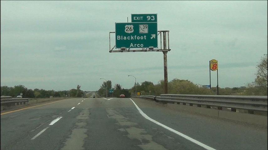 |
Interstate 15 North at Exit 93: US 26 / ID 39 - Blackfoot / Arco (Photo taken 5/22/13). |
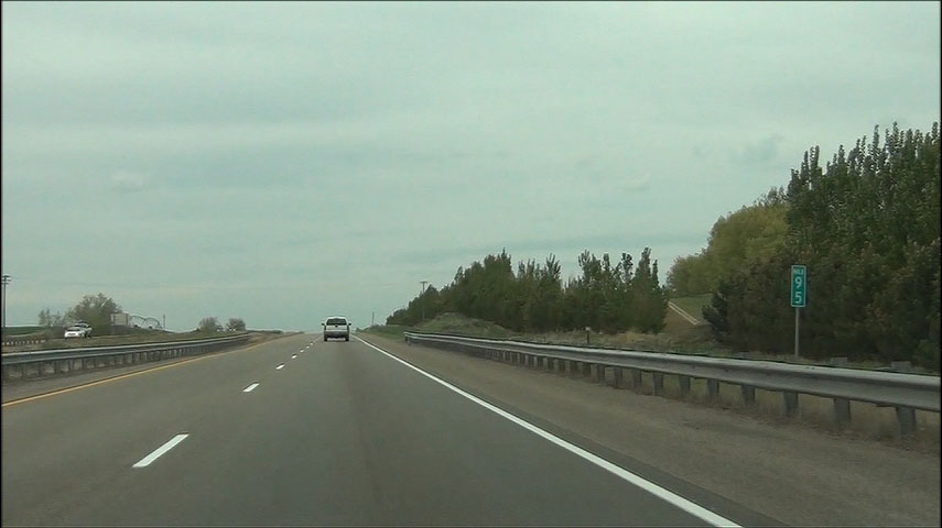 |
Interstate 15 North: Road view from mile marker 95. (Photo taken 5/22/13). |
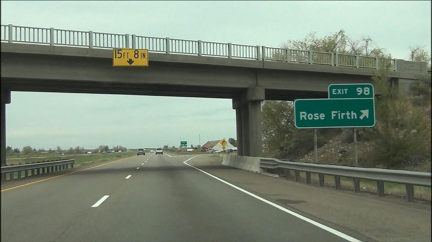 |
Interstate 15 North at Exit 98: Rose-Firth Area (Photo taken 5/22/13). |
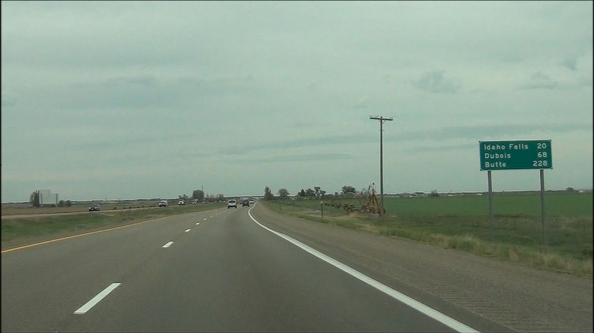 |
Mileage sign located near mile marker 99. It's 20 miles to Idaho Falls, 68 miles to Dubois, and 228 miles to Butte. (Photo taken 5/22/13). |
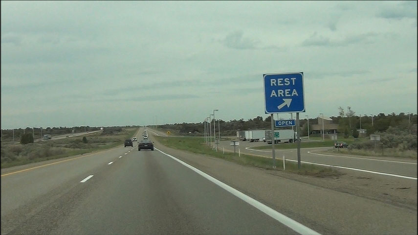 |
Interstate 15 North at the Rest Area located at mile marker 101. (Photo taken 5/22/13). |
 |
Interstate 15 North: Road view from mile marker 104. (Photo taken 5/22/13). |
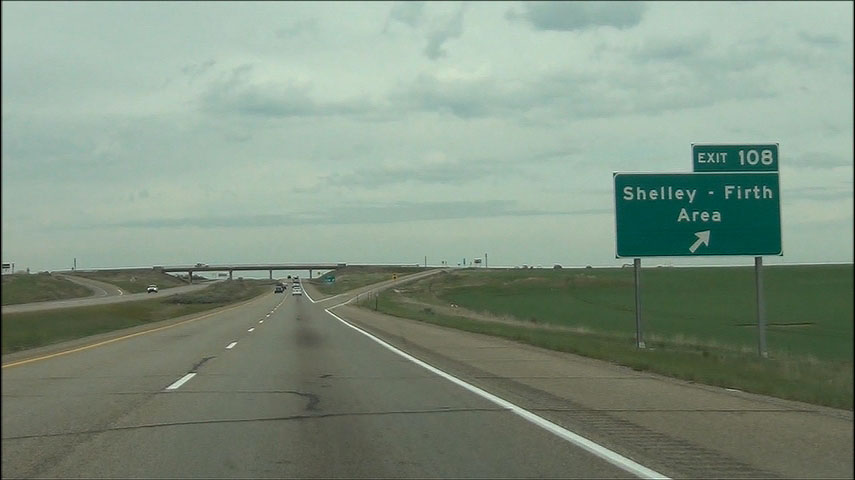 |
Interstate 15 North at Exit 108: Shelley-Firth Area (Photo taken 5/22/13). |
 |
Take any of the next 4 exits to Idaho Falls. (Photo taken 5/22/13). |
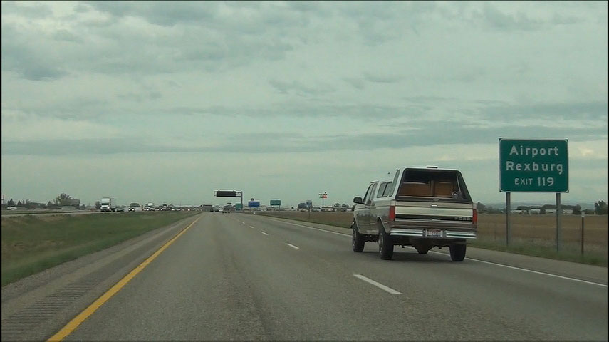 |
Take Exit 119 to the Airport and Rexburg. (Photo taken 5/22/13). |
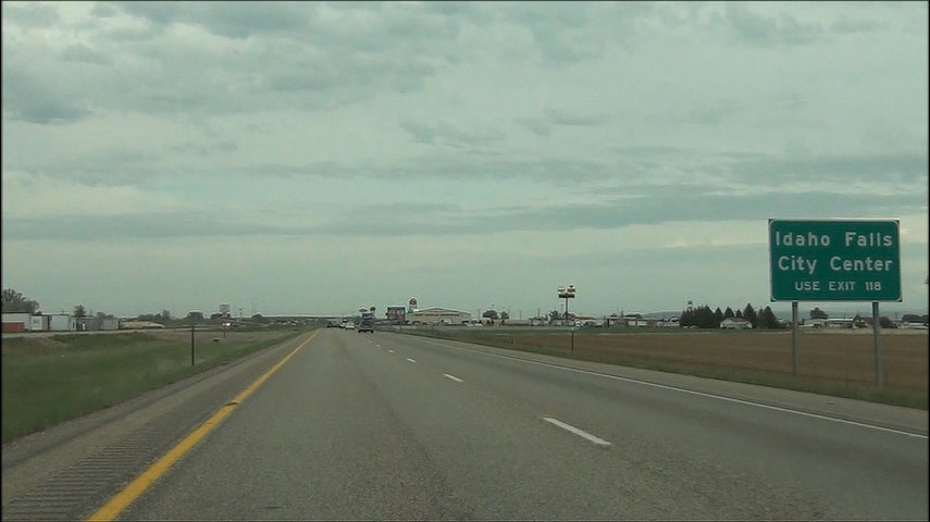 |
Take Exit 118 to Idaho Falls City Center. (Photo taken 5/22/13). |
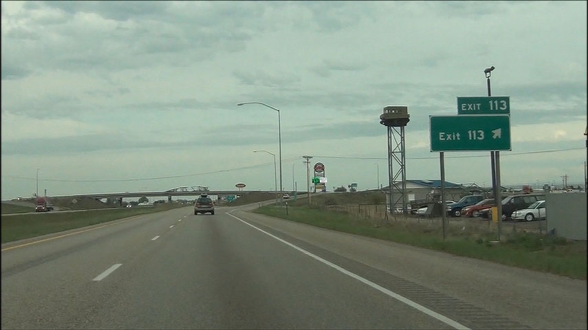 |
Interstate 15 North at Exit 113: Exit 113 (Photo taken 5/22/13). |
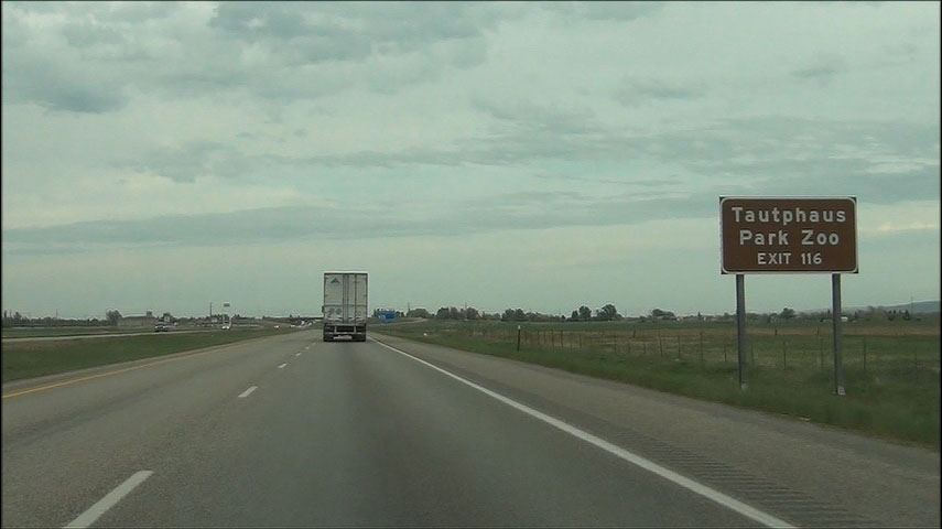 |
Use Exit 116 to Tautphaus Park Zoo. (Photo taken 5/22/13). |
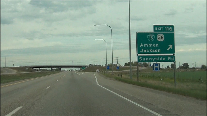 |
Interstate 15 North at Exit 116: Interstate 15 BL / US 26 - Ammon / Jackson / Sunnyside Rd (Photo taken 5/22/13). |
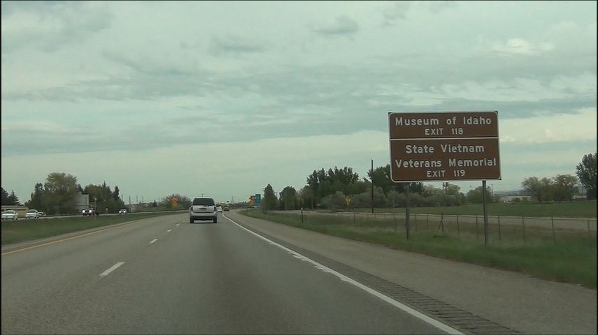 |
Take Exit 118 to Museum of Idaho and Exit 119 to State Vietnam Veterans Memorial. (Photo taken 5/22/13). |
 |
Near mile marker 118, the speed limit decreases to 65 mph as you pass through Idaho Falls. (Photo taken 5/22/13). |
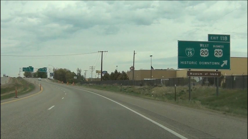 |
Interstate 15 North at Exit 118: Interstate 15 BL / US 20 West / US 20 BR - Historic Downtown (Photo taken 5/22/13). |
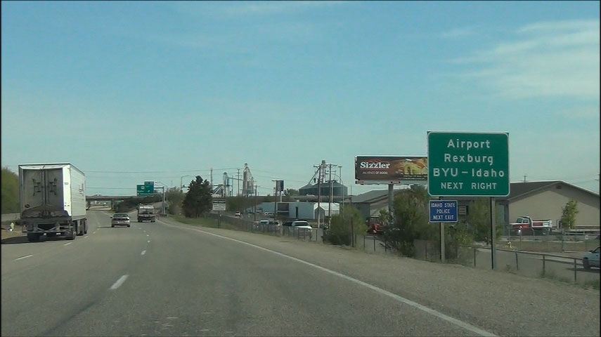 |
Take Exit 119 to the Airport, Rexburg, and BYU-Idaho. (Photo taken 5/23/13). |
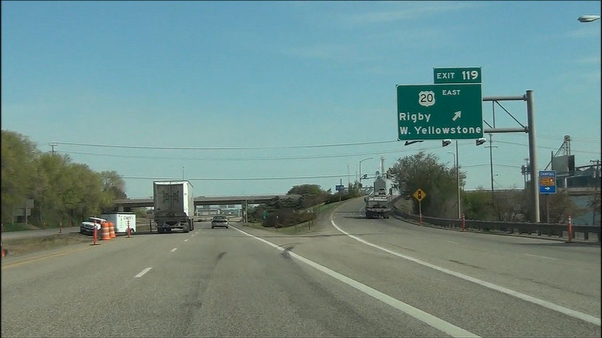 |
Interstate 15 North at Exit 119: US 20 East - Rigby / West Yellowstone (Photo taken 5/23/13). |
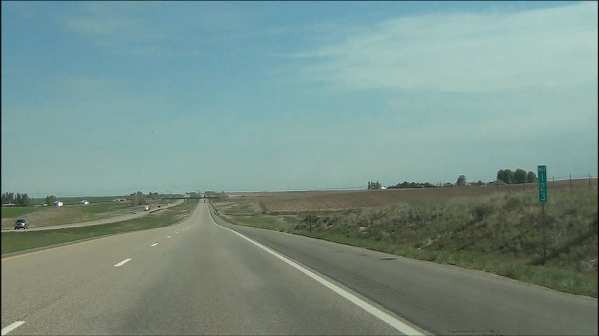 |
Interstate 15 North: Road view from mile marker 123. (Photo taken 5/23/13). |
 |
Interstate 15 North at Exit 128: Osgood Area (Photo taken 5/23/13). |
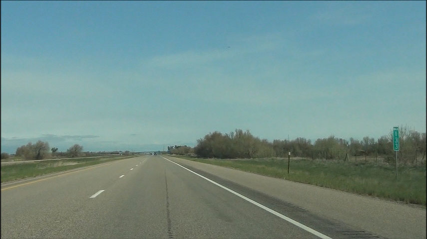 |
Interstate 15 North: Road view from mile marker 133. (Photo taken 5/23/13). |
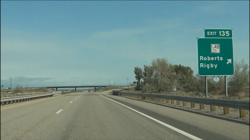 |
Interstate 15 North at Exit 135: ID 48 - Roberts / Rigby (Photo taken 5/23/13). |
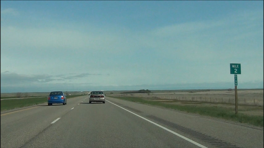 |
Interstate 15 North: Road view from mile marker 139. (Photo taken 5/23/13). |
 |
Interstate 15 North at a turnout located at mile marker 142. (Photo taken 5/23/13). |
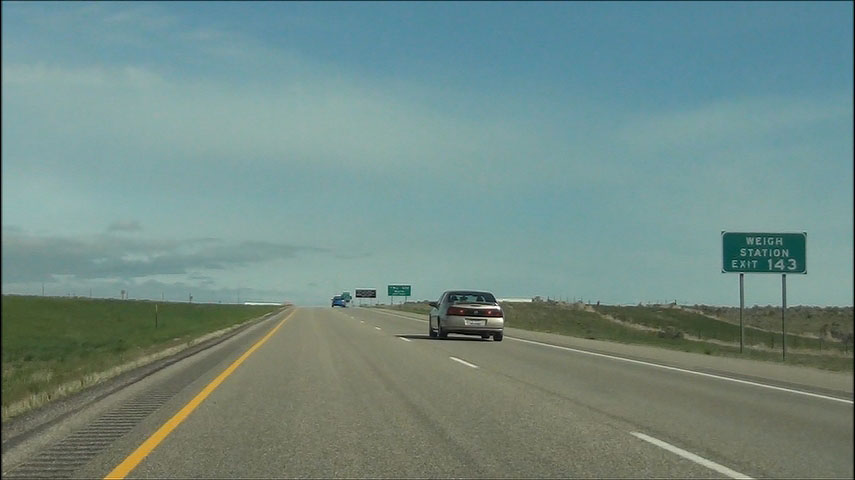 |
There is a Weigh Station located at Exit 143. (Photo taken 5/23/13). |
 |
Take Exit 143 to I.N.L. Site North. (Photo taken 5/23/13). |
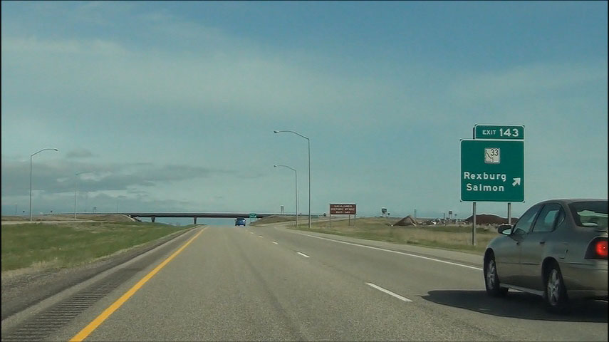 |
Interstate 15 North at Exit 143: ID 33 - Rexburg / Salmon (Photo taken 5/23/13). |
 |
After the exit sign for Exit 143 is this sign saying that you can take Exit 143 to Sacajawea Historic Byway. (Photo taken 5/23/13). |
 |
Interstate 15 North shield located near mile marker 143. (Photo taken 5/23/13). |
 |
Interstate 15 North: Road view from mile marker 146. (Photo taken 5/23/13). |
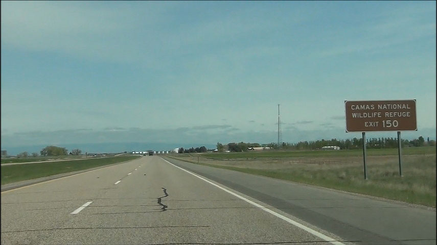 |
Take Exit 150 to Camas National Wildlife Refuge. (Photo taken 5/23/13). |
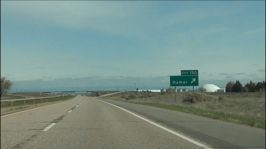 |
Interstate 15 North at Exit 150: Hamer (Photo taken 5/23/13). |
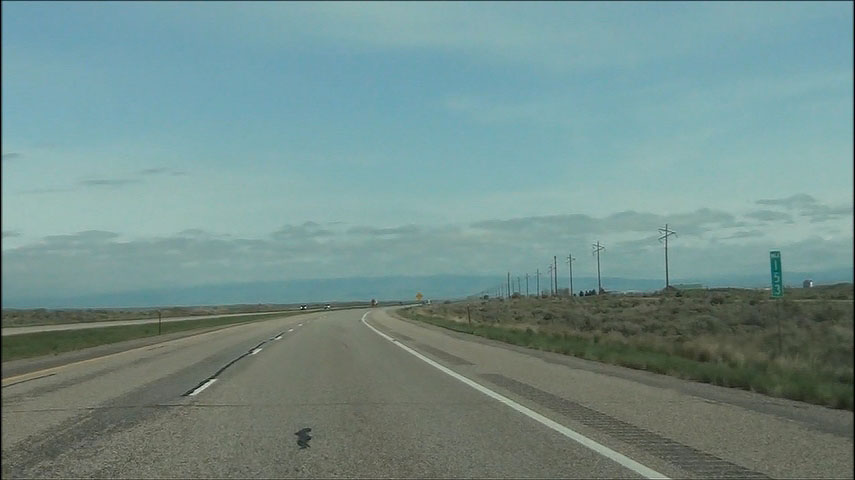 |
Interstate 15 North: Road view from mile marker 153. (Photo taken 5/23/13). |
 |
Interstate 15 North: Road view from mile marker 159. (Photo taken 5/23/13). |
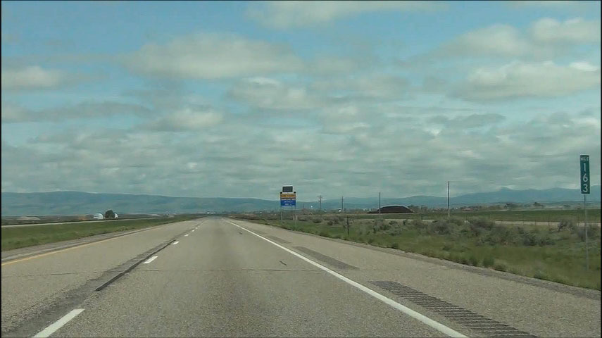 |
Interstate 15 North: Road view from mile marker 163. (Photo taken 5/23/13). |
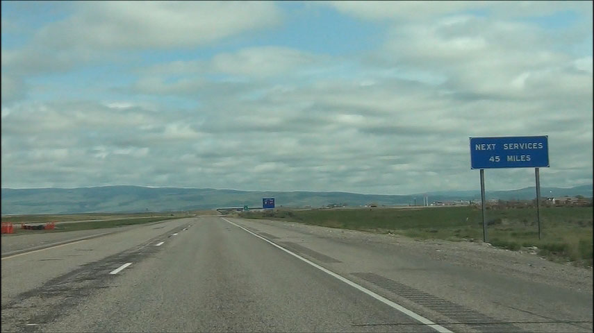 |
Sign near mile marker 166.5 alerting motorists that the next services after the upcoming exit (Exit 167) are 45 miles ahead. (Photo taken 5/23/13). |
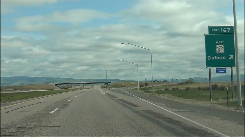 |
Interstate 15 North at Exit 167: ID 22 West - Dubois (Photo taken 5/23/13). |
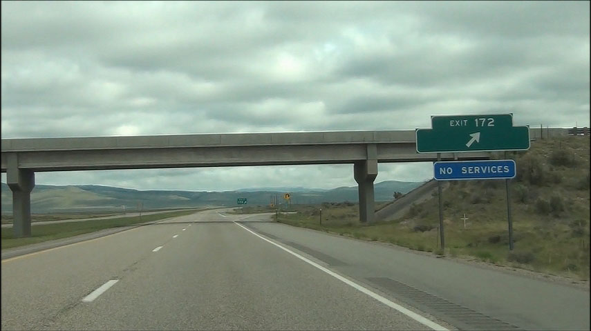 |
Interstate 15 North at Exit 172: Exit 172 (Photo taken 5/23/13). |
 |
Interstate 15 North: Road view from mile marker 175. (Photo taken 5/23/13). |
 |
Interstate 15 North at Exit 180: Spencer (Photo taken 5/23/13). |
 |
Mileage sign located near mile marker 182. It's 31 miles to Lima, 80 miles to Dillon, and 145 miles to Butte. (Photo taken 5/23/13). |
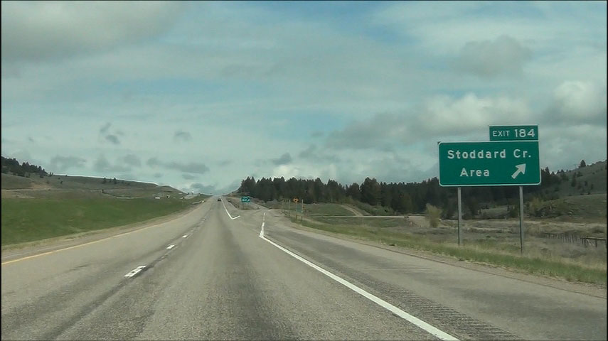 |
Interstate 15 North at Exit 184: Stoddard Creek Area (Photo taken 5/23/13). |
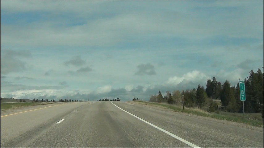 |
Interstate 15 North: Road view from mile marker 187. (Photo taken 5/23/13). |
 |
Interstate 15 North at Exit 190: Humphrey (Photo taken 5/23/13). |
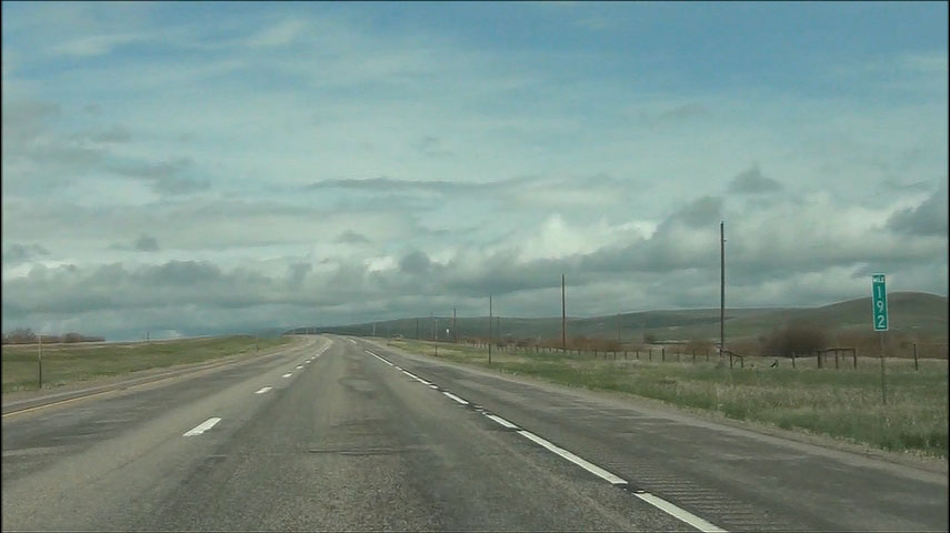 |
Interstate 15 North: Road view from mile marker 192. (Photo taken 5/23/13). |
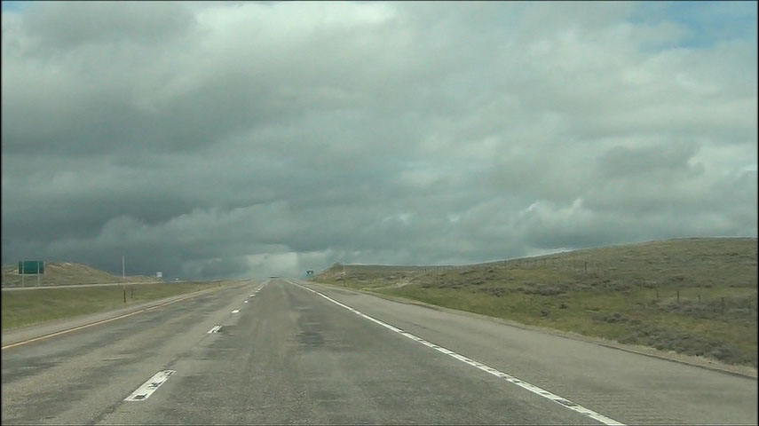 |
Interstate 15 North: Road view from near mile marker 196, as I-15 prepares to cross into Montana. (Photo taken 5/23/13). |