Road Information |
||
 |
||
| Total Mileage in State: | 202 miles | |
| Eastern End: | At South Carolina state line | |
| Western End: | At Alabama state line | |
| Mileage covered in Photos: | 202 miles | |
| Counties covered in Photos: | Haralson, Carroll, Douglas, Cobb, Fulton, DeKalb, Rockdale, Newton, Walton, Morgan, Greene, Taliaferro, Warren, McDuffie, Columbia, Richmond | |
| Major Junctions in Photos: | I-285, in Atlanta I-75/I-85, in Atlanta I-285, near Panthersville I-520, in Augusta |
|
| Control Cities in Photos: | Douglasville, Atlanta, Conyers, Covington, Madison, Augusta | |
Eastbound
- Section 1: Alabama Border to Atlanta (Exit 56B)
- Section 2: Atlanta (Exit 56B) to Covington (Exit 92)
- Section 3: Covington (Exit 92) to Greensboro (Exit 130)
- Section 4: Greensboro (Exit 130) to South Carolina Border
Section 1: Alabama Border to Atlanta (Exit 56B)
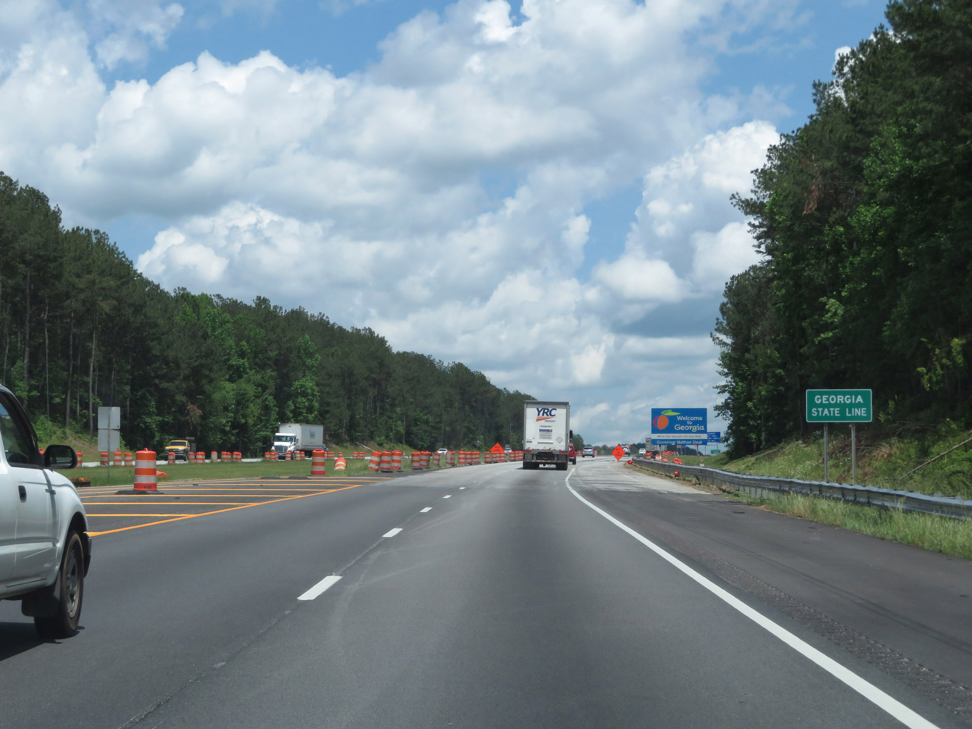 |
Interstate 20 East as it enters Georgia from Alabama. (Photo taken 5/24/18). |
 |
Georgia welcome sign on Interstate 20 East. (Photo taken 5/24/18). |
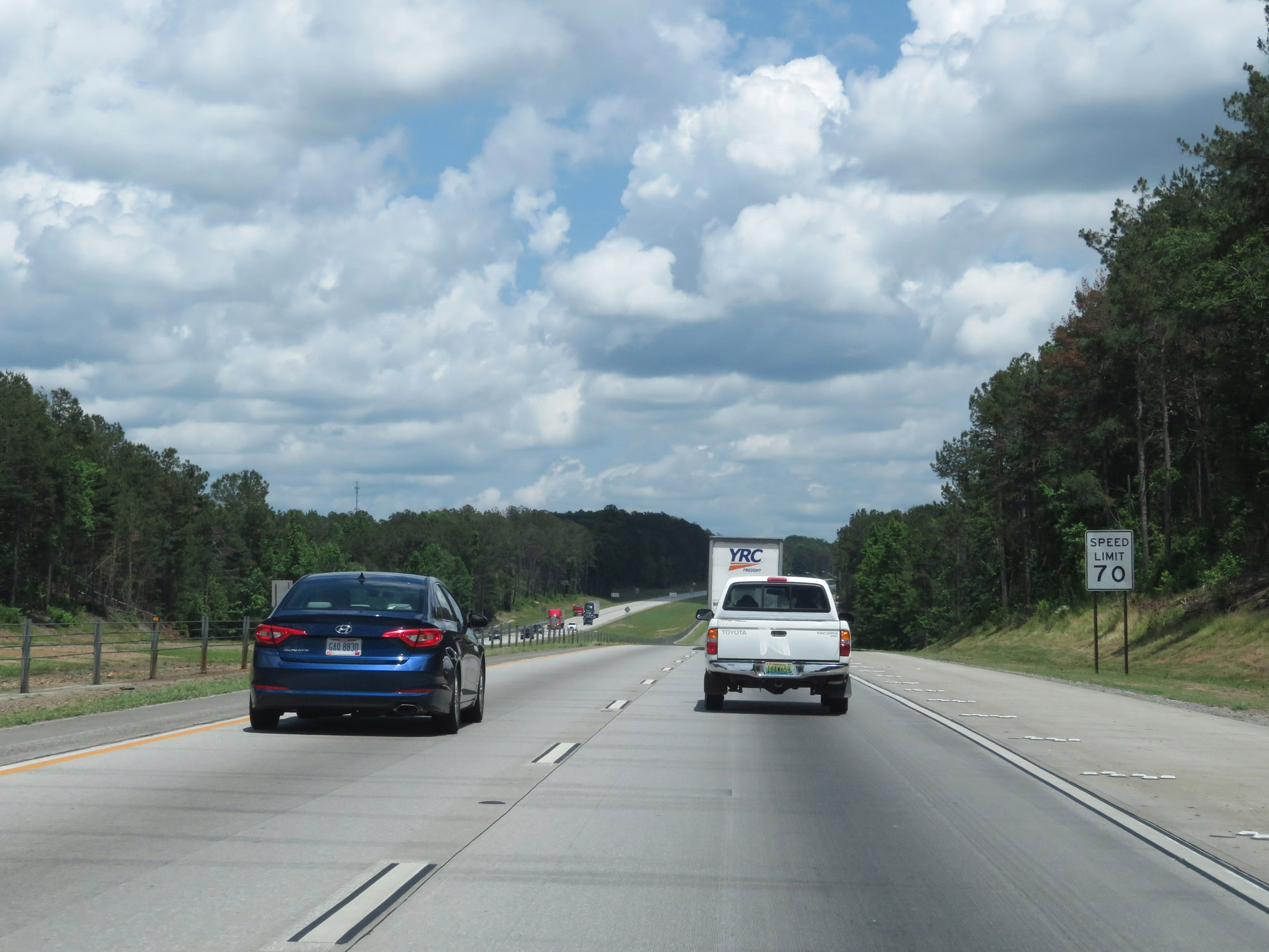 |
The speed limit on Interstate 20 East starts out at 70 mph. The is the standard speed limit on most rural Interstate highways in Georgia. (Photo taken 5/24/18). |
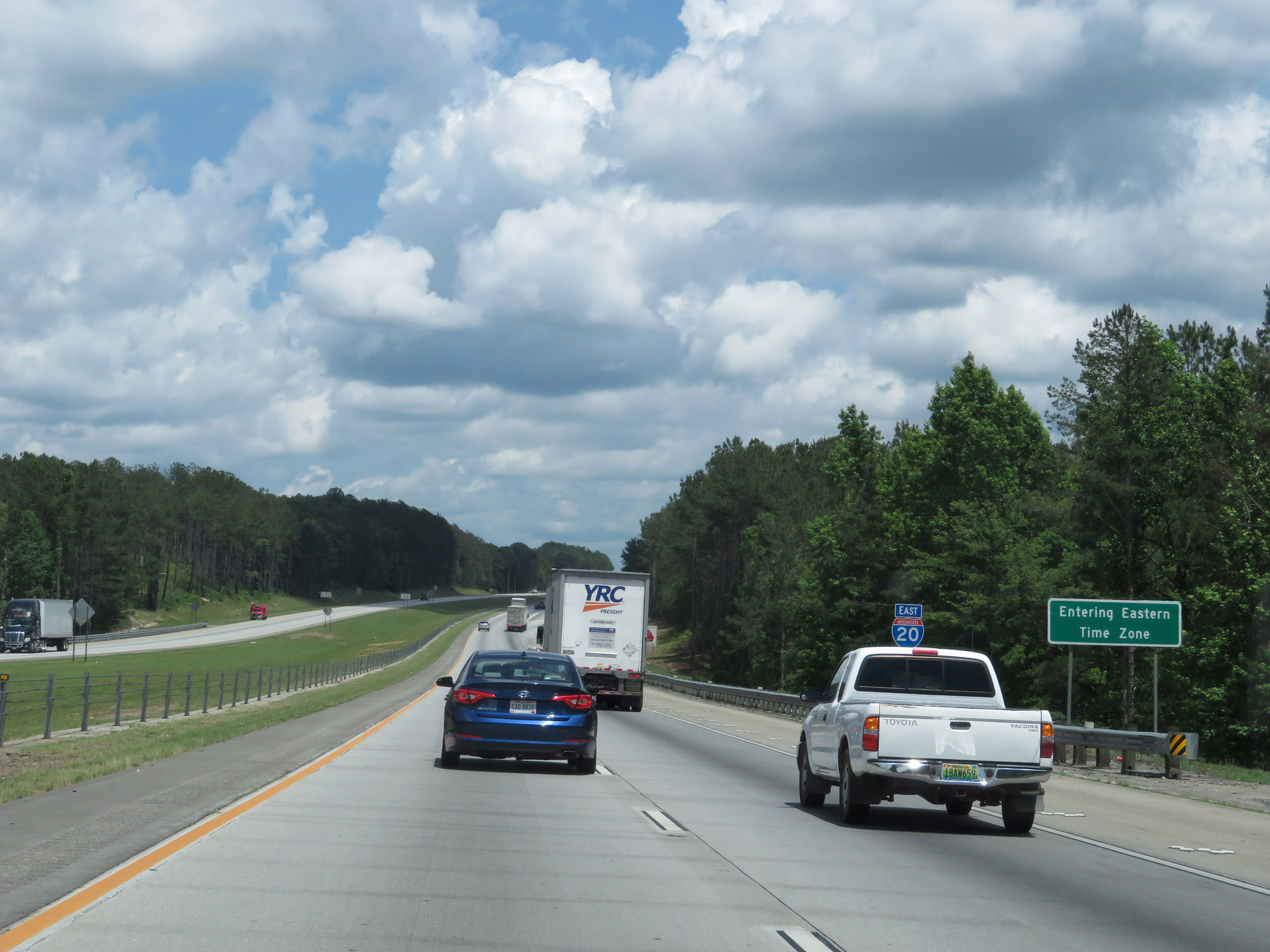 |
Upon entering Georgia from Alabama, the time zone changes from Central to Eastern. (Photo taken 5/24/18). |
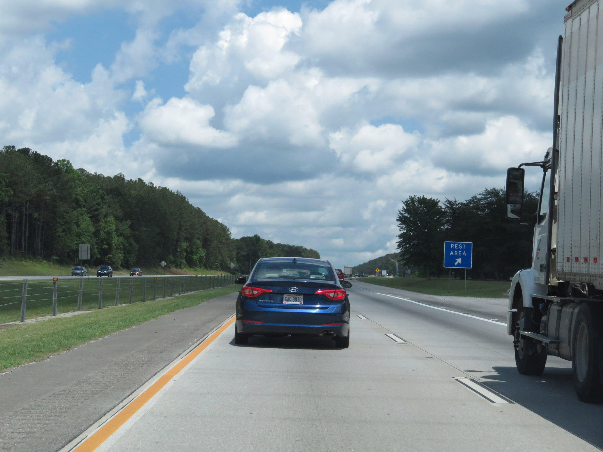 |
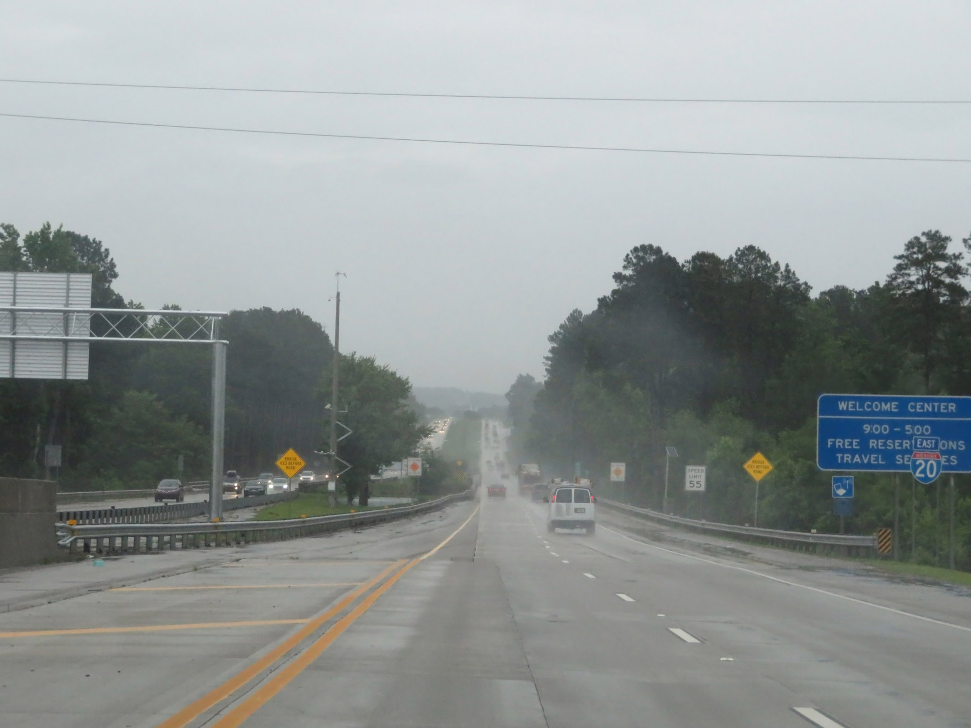
Rest Area / Georgia Welcom Center on Interstate 20 East in Haralson County. (Photo taken 5/24/18). |
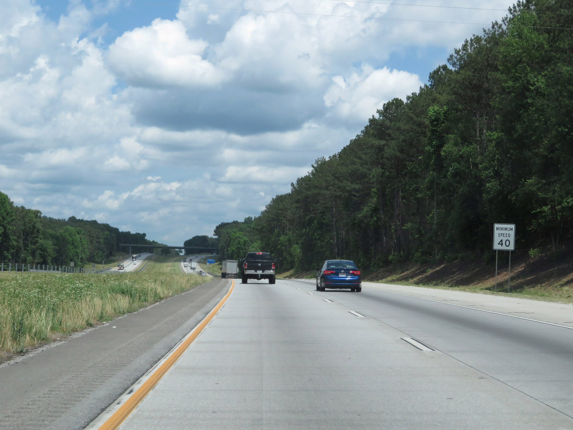 |
In addition to the 70 mph maximum speed limit, most Georgia Interstates also have a 40 mph minimum speed limit as this sign states. (Photo taken 5/24/18). |
 |
Interstate 20 East at mile marker 3. (Photo taken 5/24/18). |
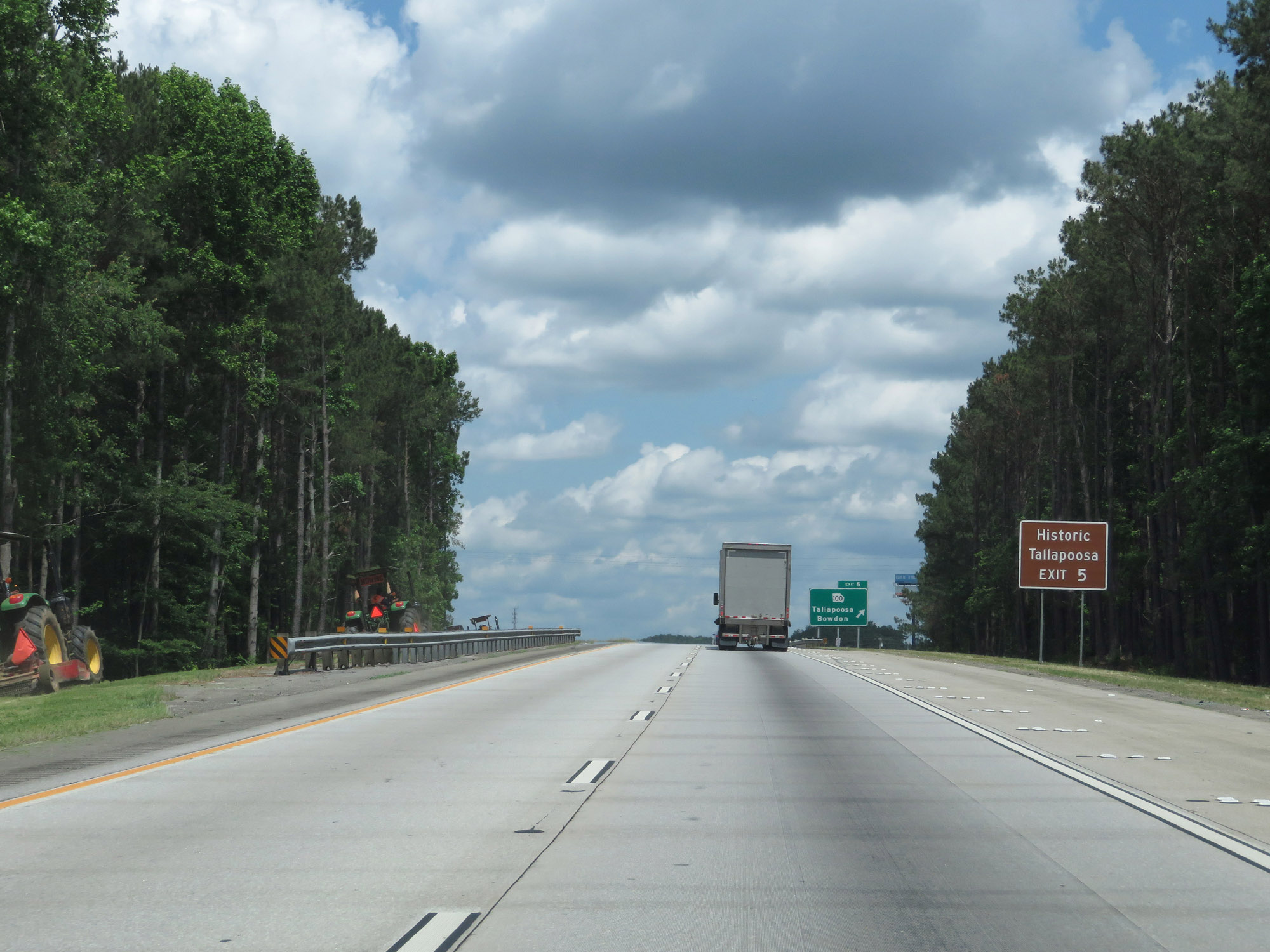 |
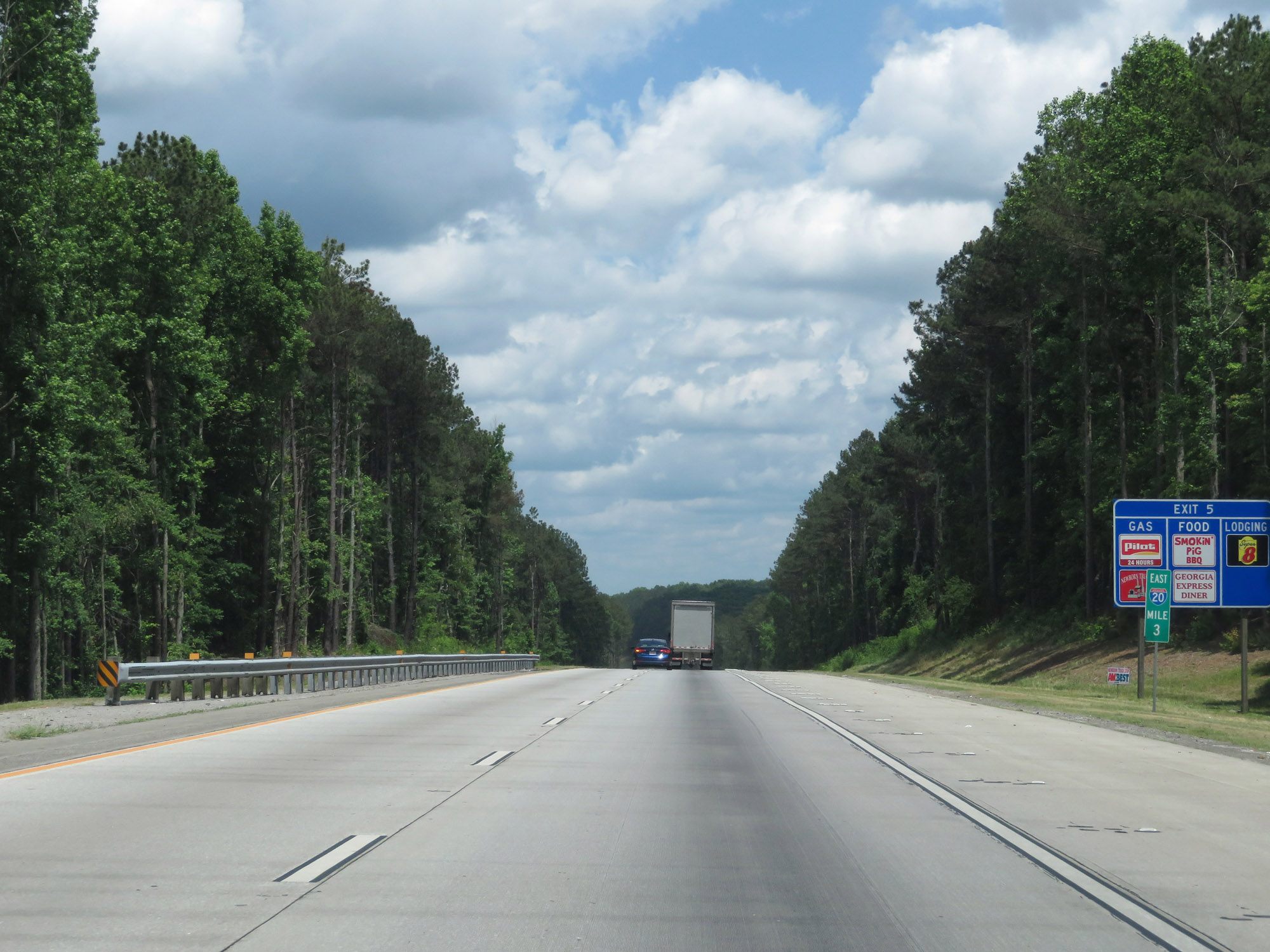
Take Exit 5 to Historic Tallapoosa. (Photo taken 5/24/18). |
 |
Interstate 20 East at Exit 5: GA 100 - Tallapoosa / Bowdon (Photo taken 5/24/18). |
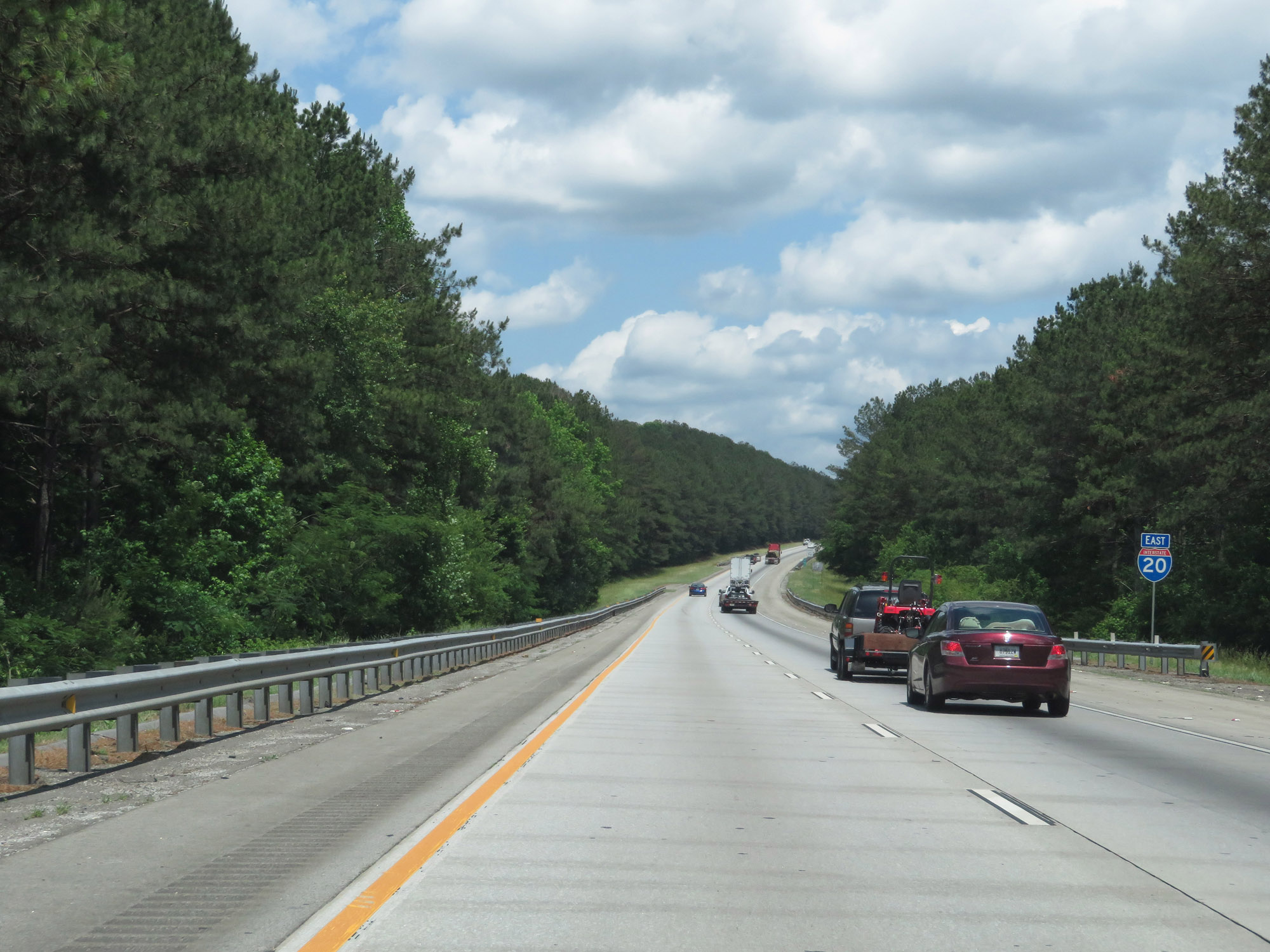 |
Interstate 20 East reassurance shield. (Photo taken 5/24/18). |
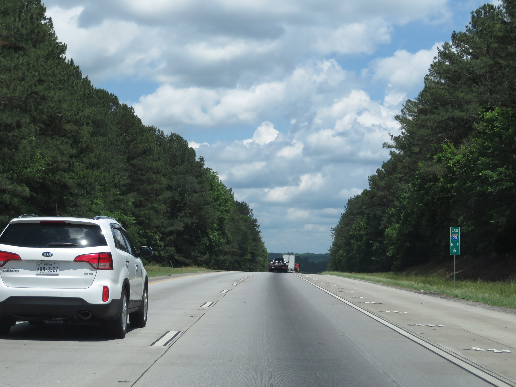 |
View on Interstate 20 East at mile marker 6. (Photo taken 5/24/18). |
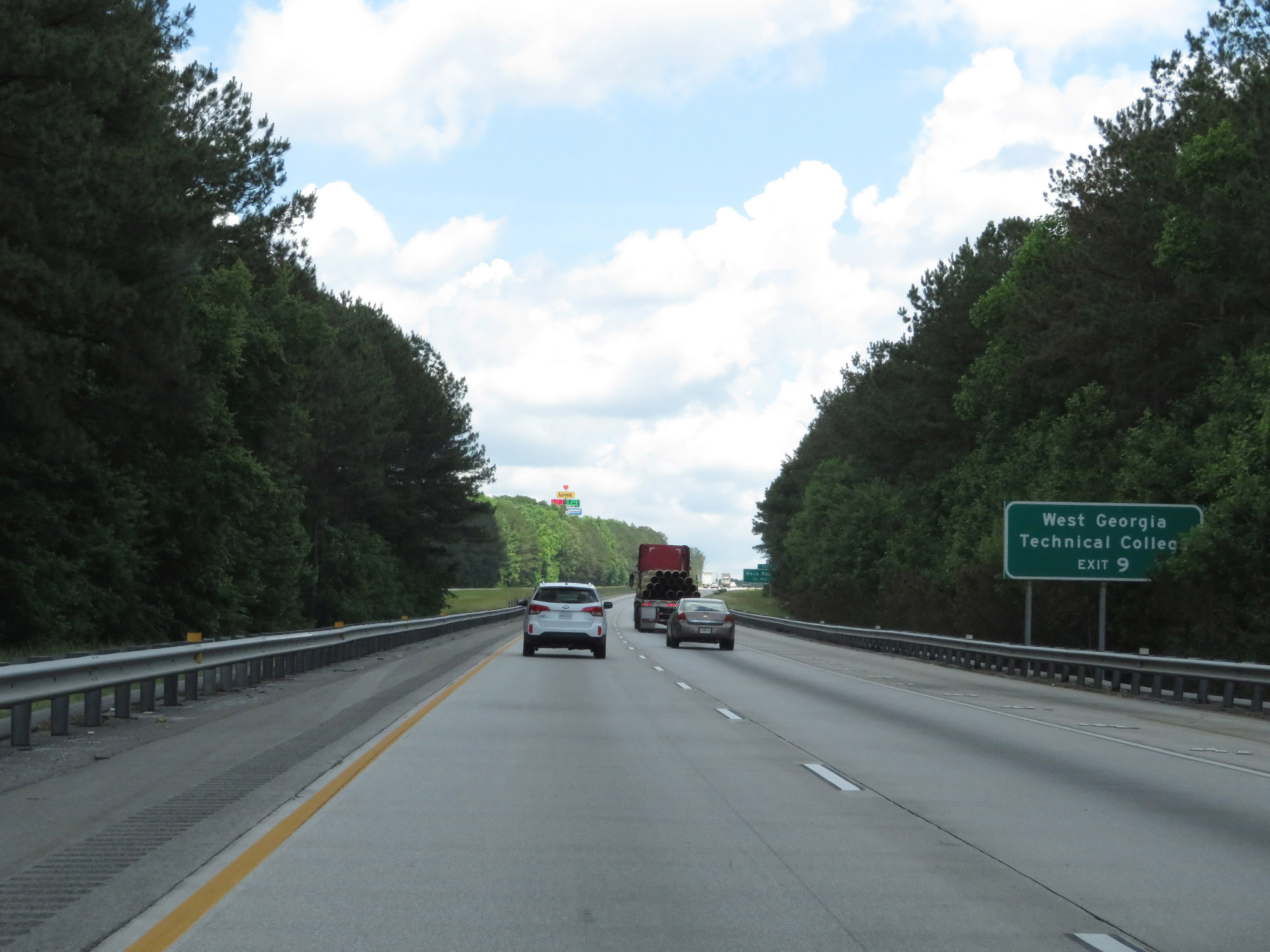 |
Take Exit 9 to West Georgia Technical College. (Photo taken 5/24/18). |
 |
Interstate 20 East at Exit 9: Waco Road (Photo taken 5/24/18). |
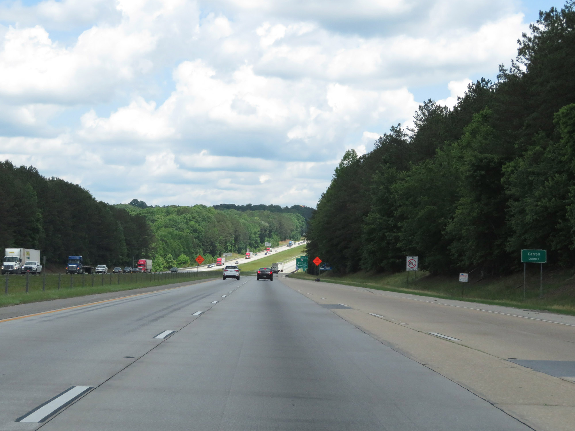 |
Interstate 20 East as it enters Carroll County, just east of Exit 9. (Photo taken 5/24/18). |
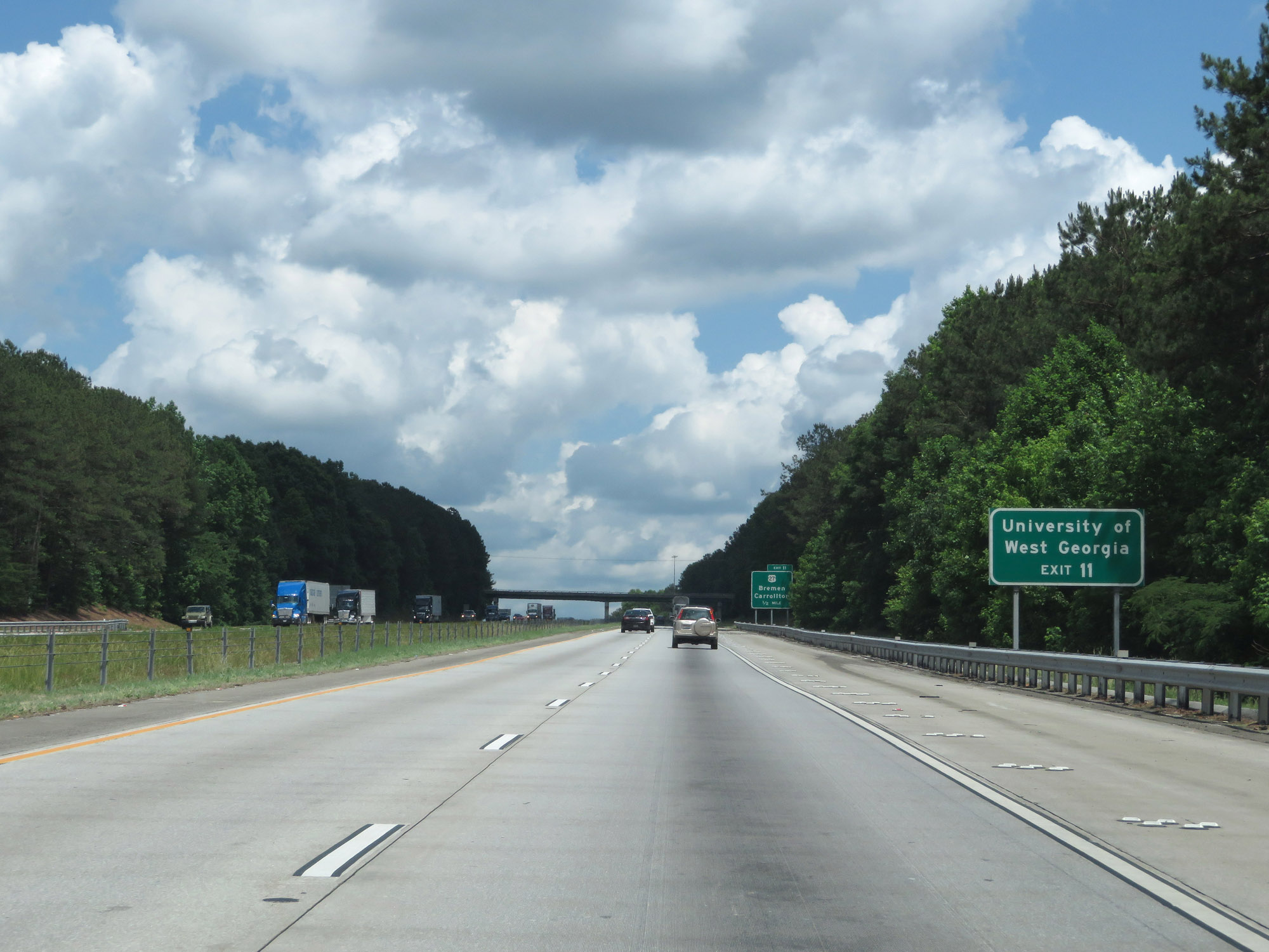 |
Take Exit 11 to the University of West Georgia. (Photo taken 5/24/18). |
 |
Interstate 20 East at Exit 11: US 27 - Bremen / Carrollton (Photo taken 5/24/18). |
 |
Interstate 20 East at mile marker 15. (Photo taken 5/24/18). |
 |
Interstate 20 East at Exit 19: GA 113 - Temple (Photo taken 5/24/18). |
 |
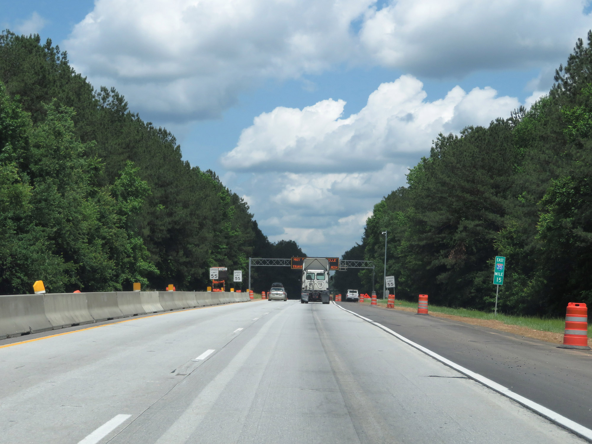
View on Interstate 20 East at mile marker 22. (Photo taken 5/24/18). |
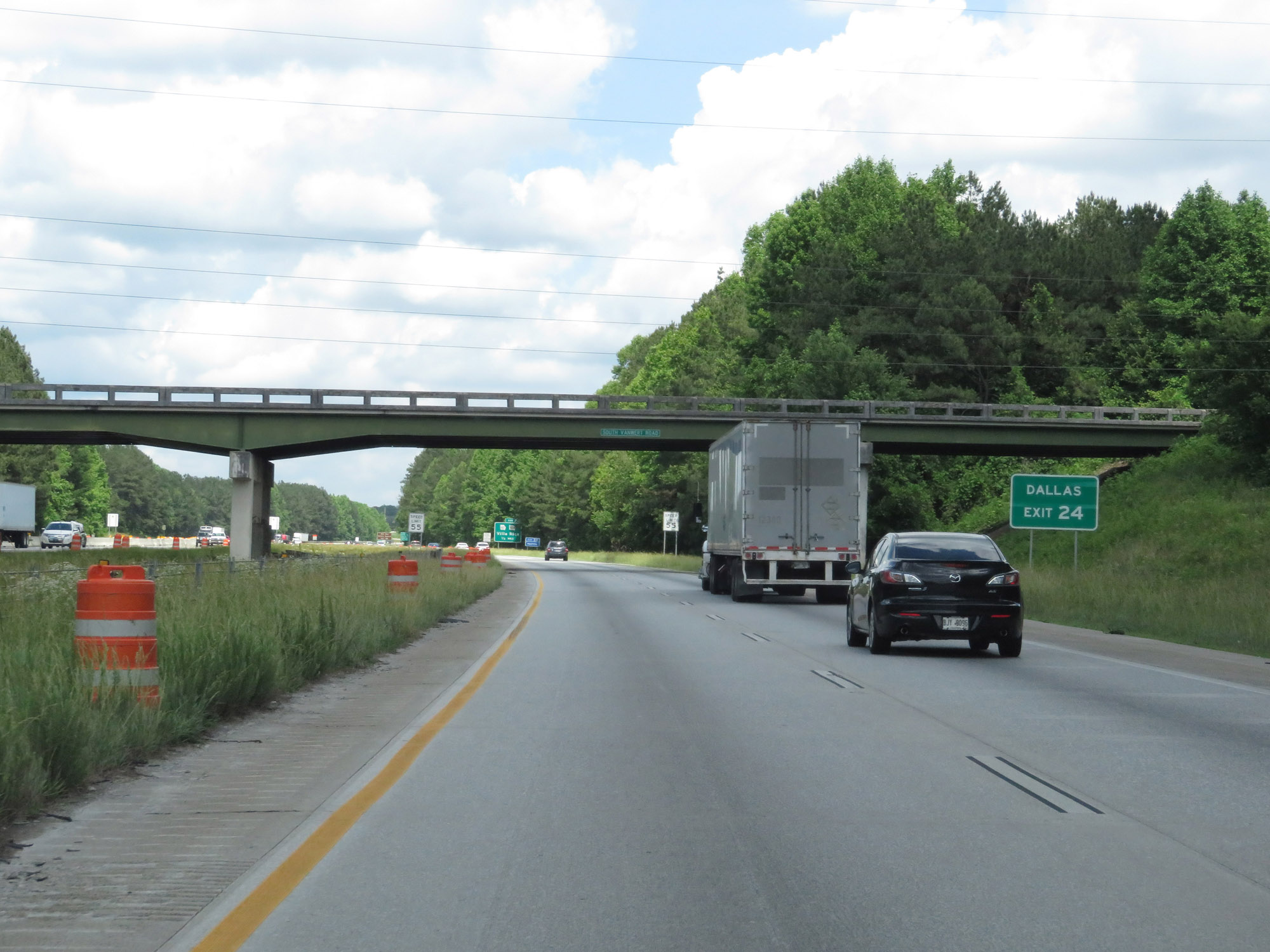 |
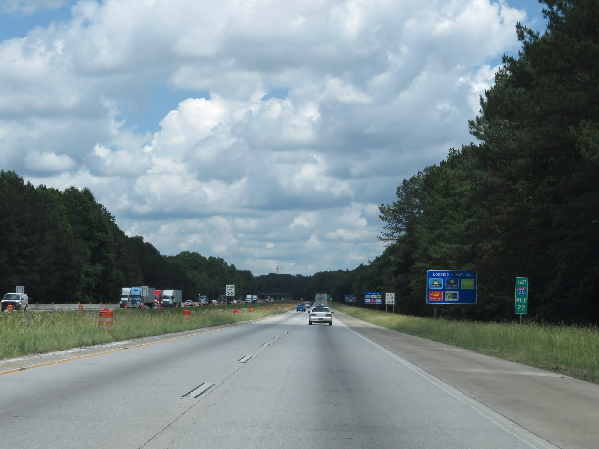
Take Exit 24 to Dallas. (Photo taken 5/24/18). |
 |
Also take Exit 24 to Villa Rica Historic District. (Photo taken 5/24/18). |
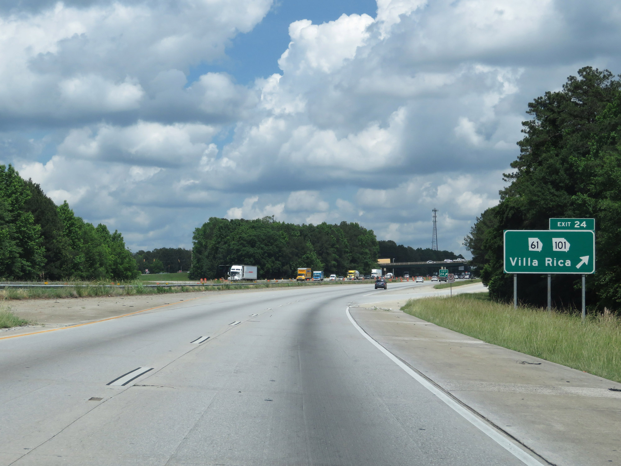 |
Interstate 20 East at Exit 24: GA 61 / GA 101 - Villa Rica (Photo taken 5/24/18). |
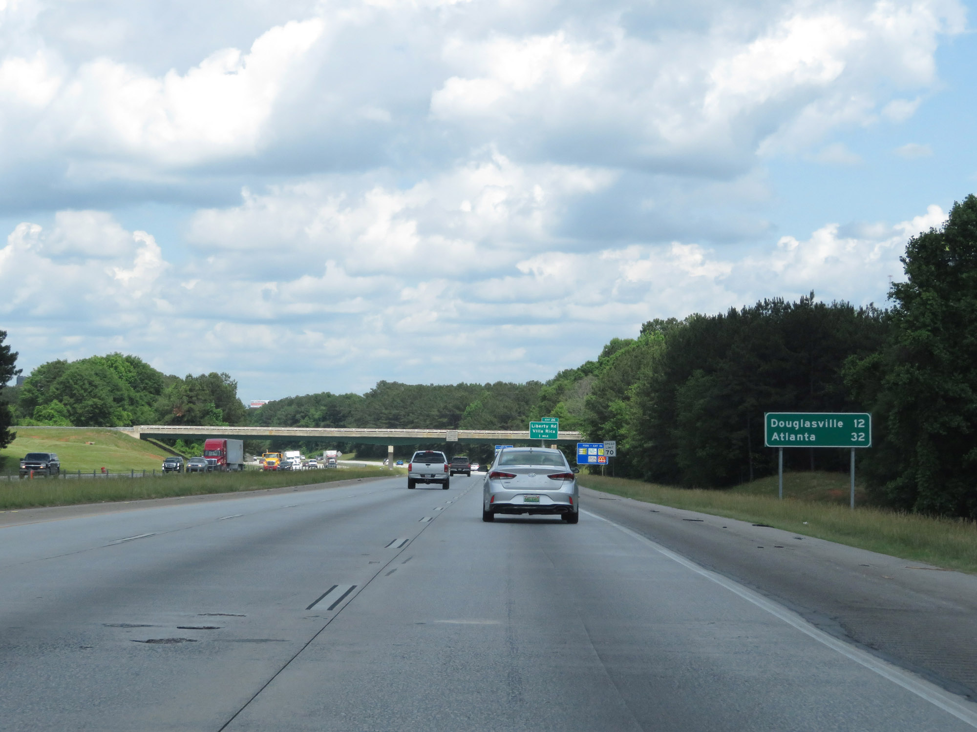 |
Mileage sign on Interstate 20 East. It's 12 miles to Douglasville and 32 miles to Atlanta. (Photo taken 5/24/18). |
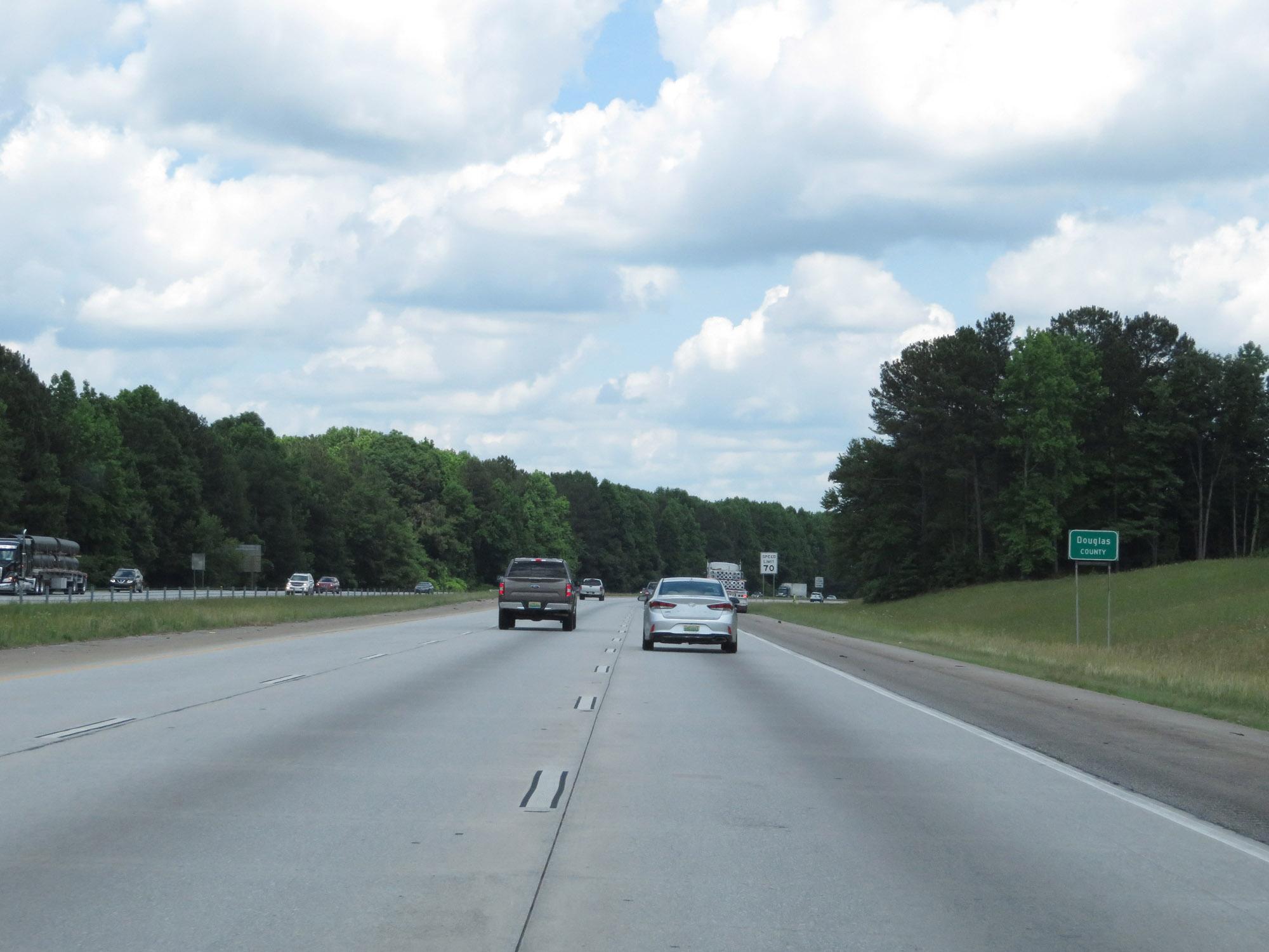 |
Entering Douglas County on Interstate 20 East. (Photo taken 5/24/18). |
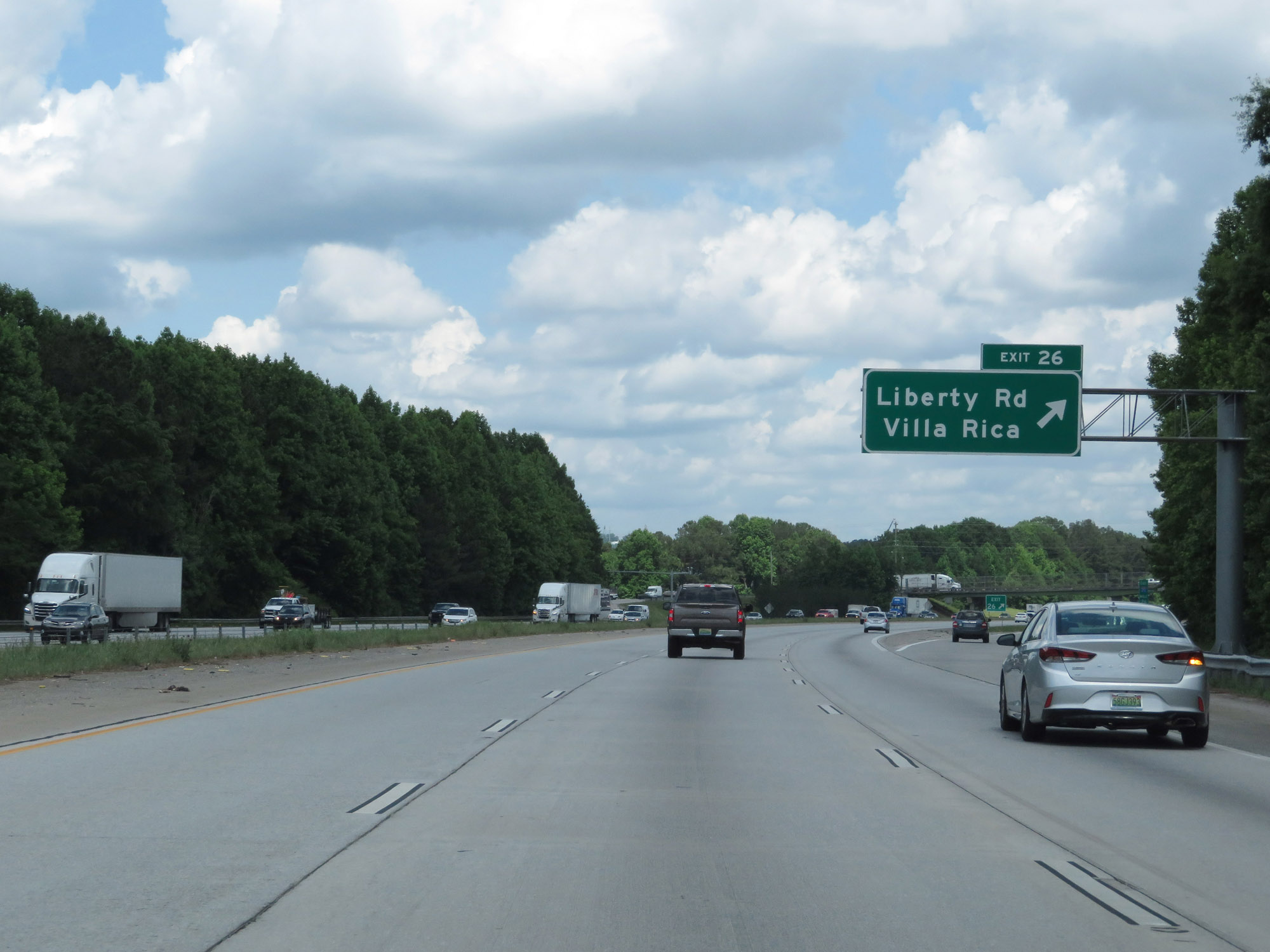 |
Interstate 20 East at Exit 26: Liberty Rd / Villa Rica (Photo taken 5/24/18). |
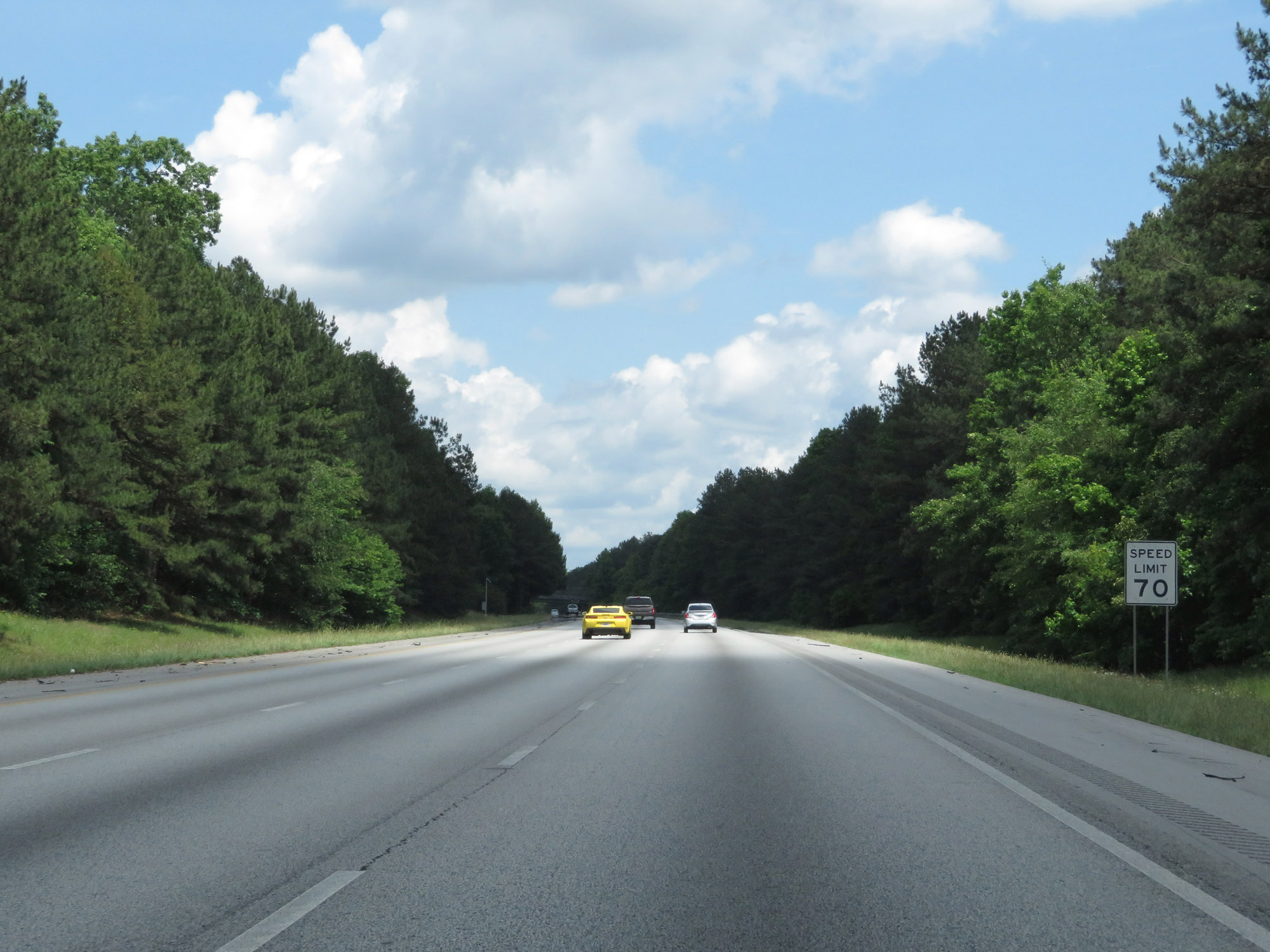 |
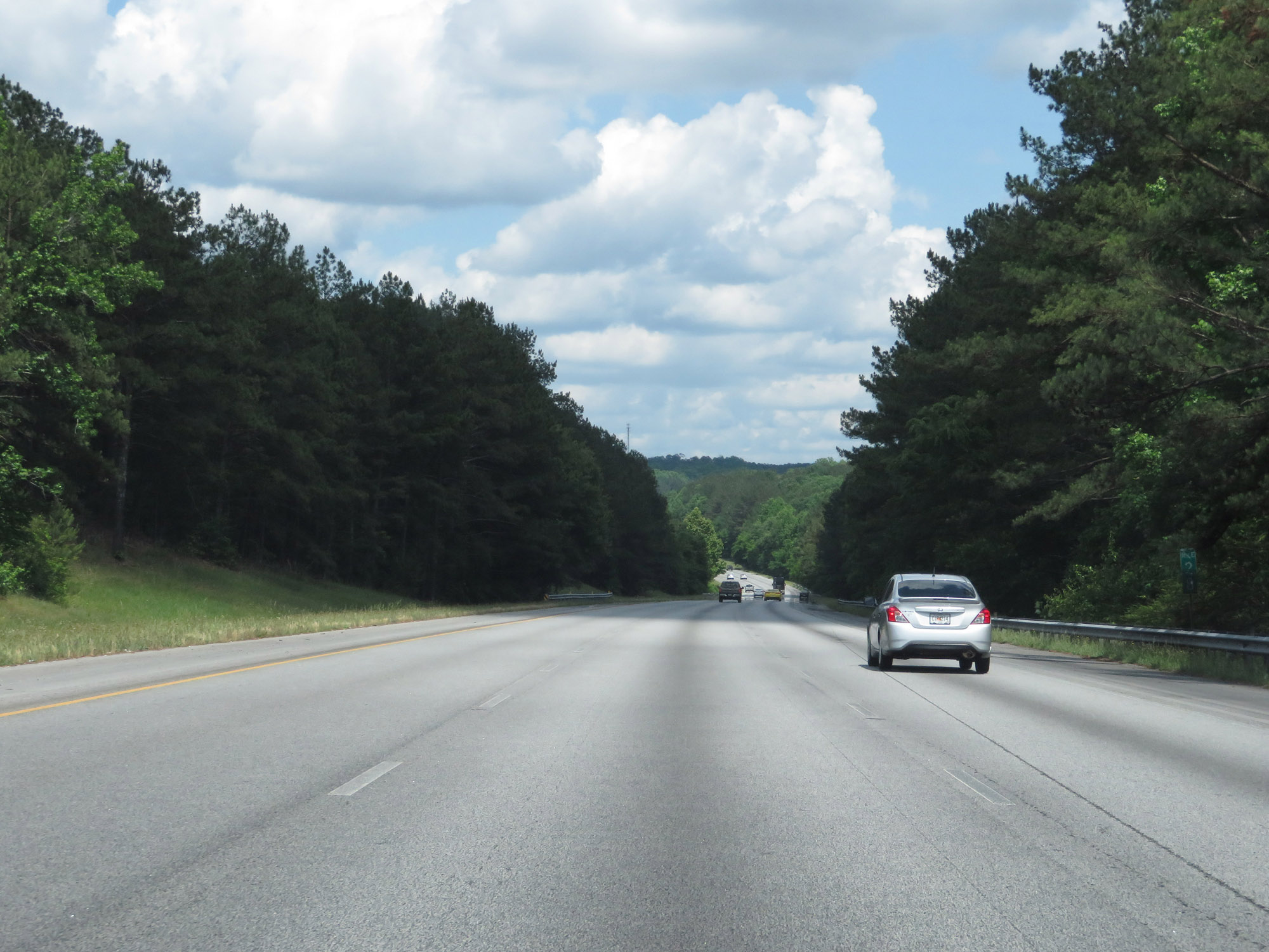
The speed limit remains 70 mph. (Photo taken 5/24/18). |
 |
Interstate 20 East at mile marker 28. (Photo taken 5/24/18). |
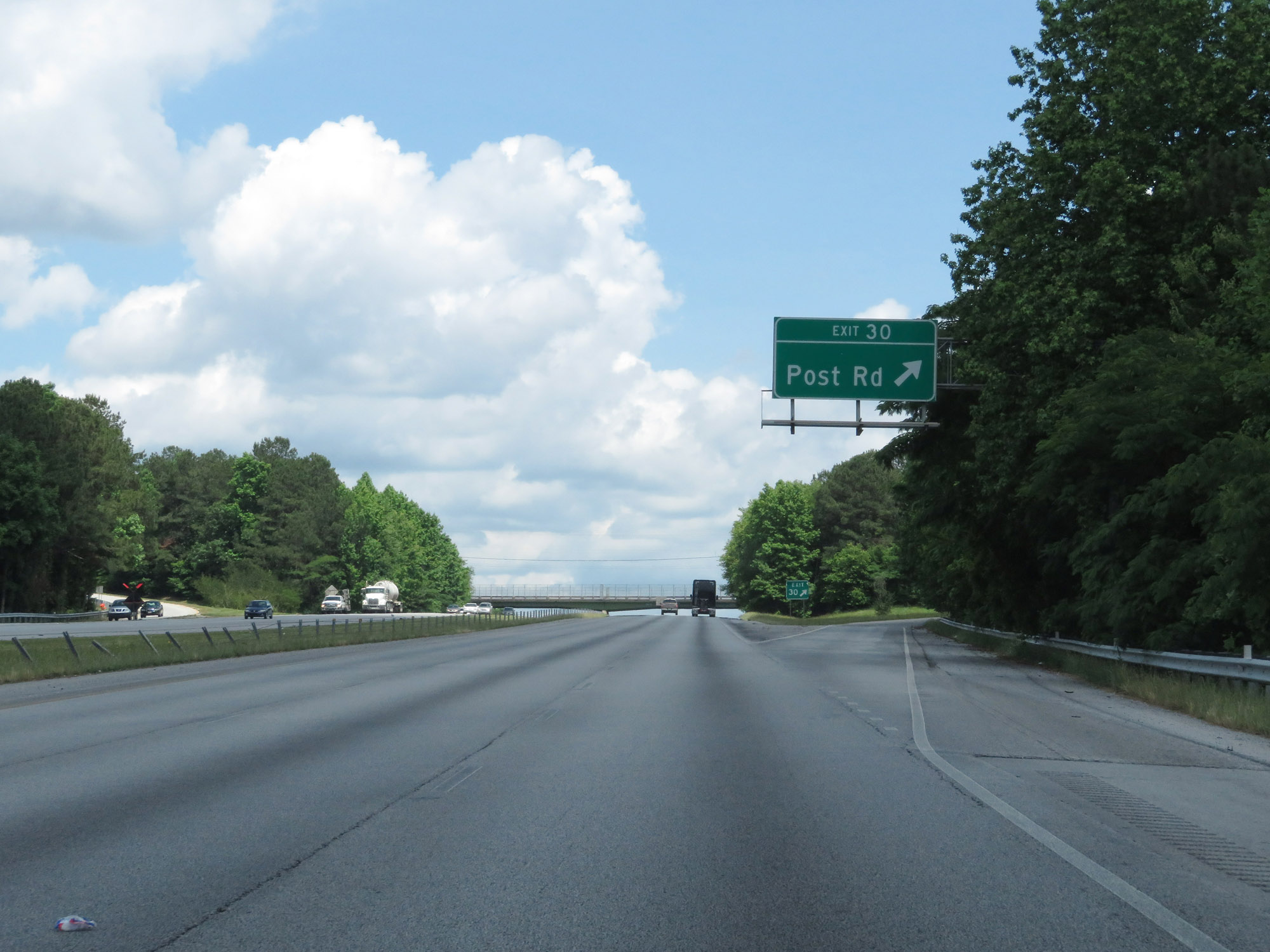 |
Interstate 20 East at Exit 30: Post Rd (Photo taken 5/24/18). |
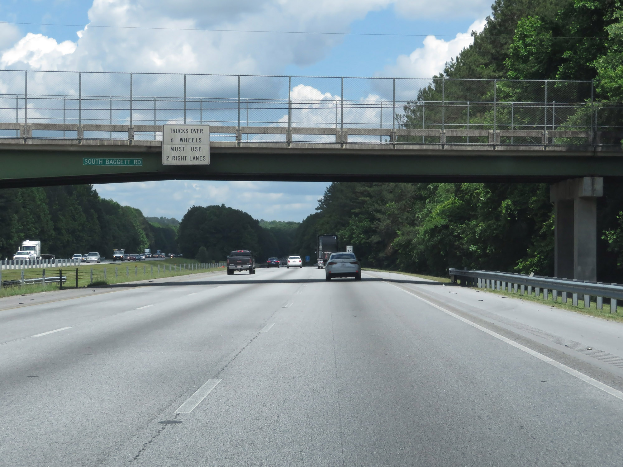 |
As Interstate 20 East now carries 3 lanes in each direction, trucks over 6 wheels are prohibited in the left lane. (Photo taken 5/24/18). |
 |
Interstate 20 East at Exit 34: GA 5 - Douglasville (Photo taken 5/24/18). |
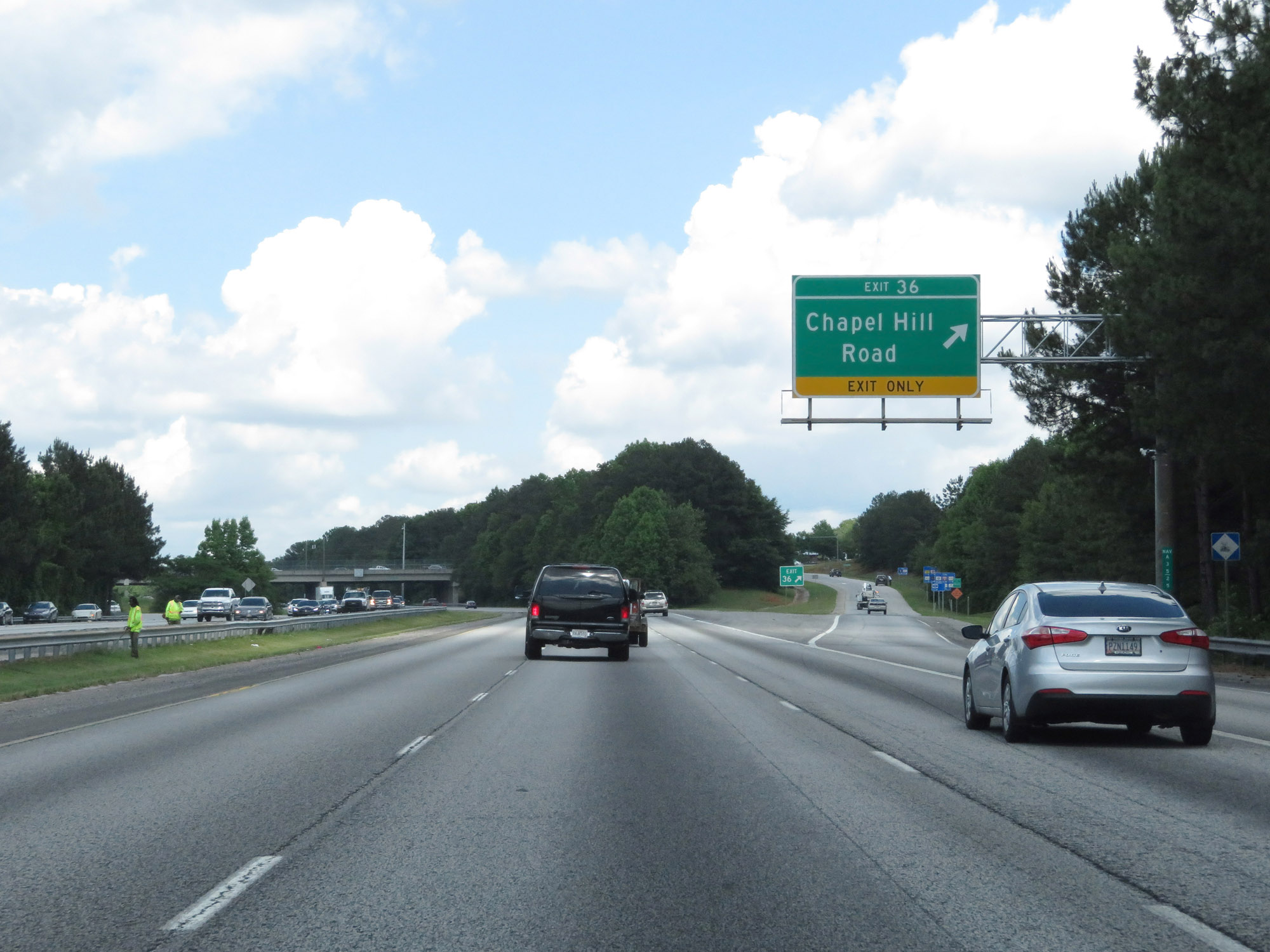 |
Interstate 20 East at Exit 36: Chapel Hill Road (Photo taken 5/24/18). |
 |
Interstate 20 East at Exit 37: GA 92 - Fairburn Rd / Douglasville (Photo taken 5/24/18). |
 |
View on Interstate 20 East at mile marker 39. (Photo taken 5/24/18). |
 |
Interstate 20 East at Exit 41: Lee Road / Lithia Springs (Photo taken 5/24/18). |
 |
Interstate 20 East reassurance shield at mile marker 42. (Photo taken 5/24/18). |
 |
Weigh Station on Interstate 20 East in Douglas County. (Photo taken 5/24/18). |
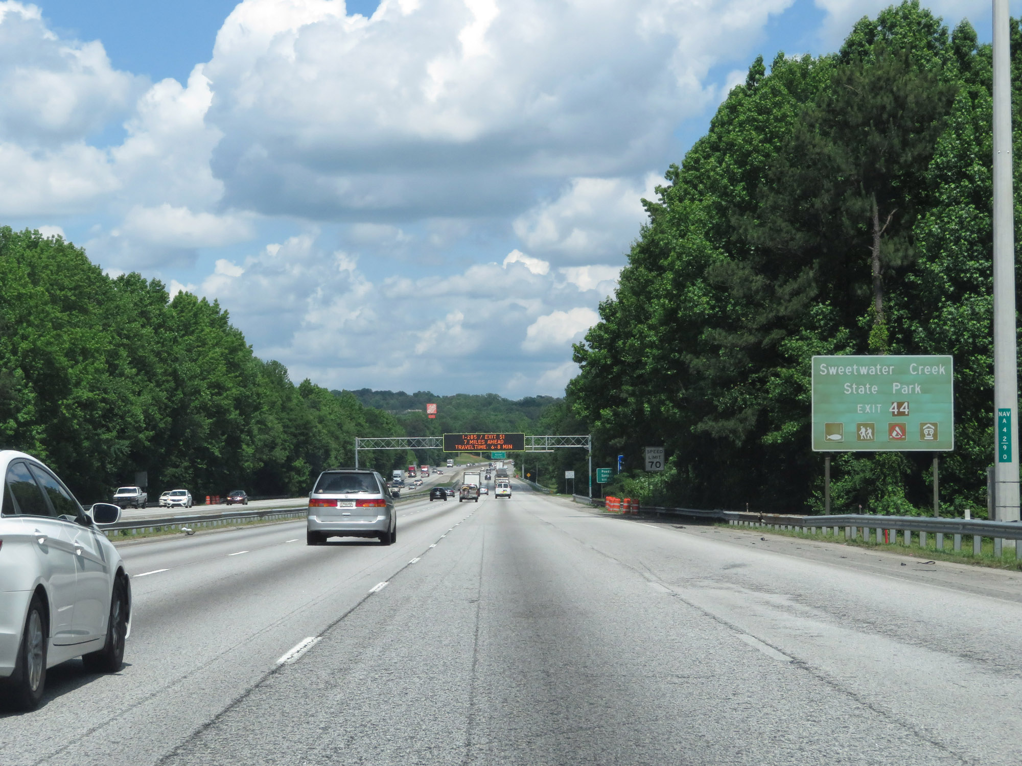 |
Take Exit 44 to Sweetwater Creek State Park. (Photo taken 5/24/18). |
 |
Take Exit 44 to Powder Springs as well. (Photo taken 5/24/18). |
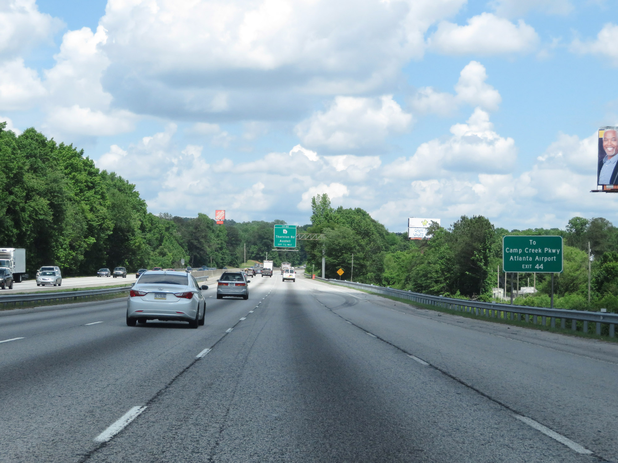 |
Exit 44 can be taken to Camp Creek Pkwy, which will take you to the Atlanta Airport. (Photo taken 5/24/18). |
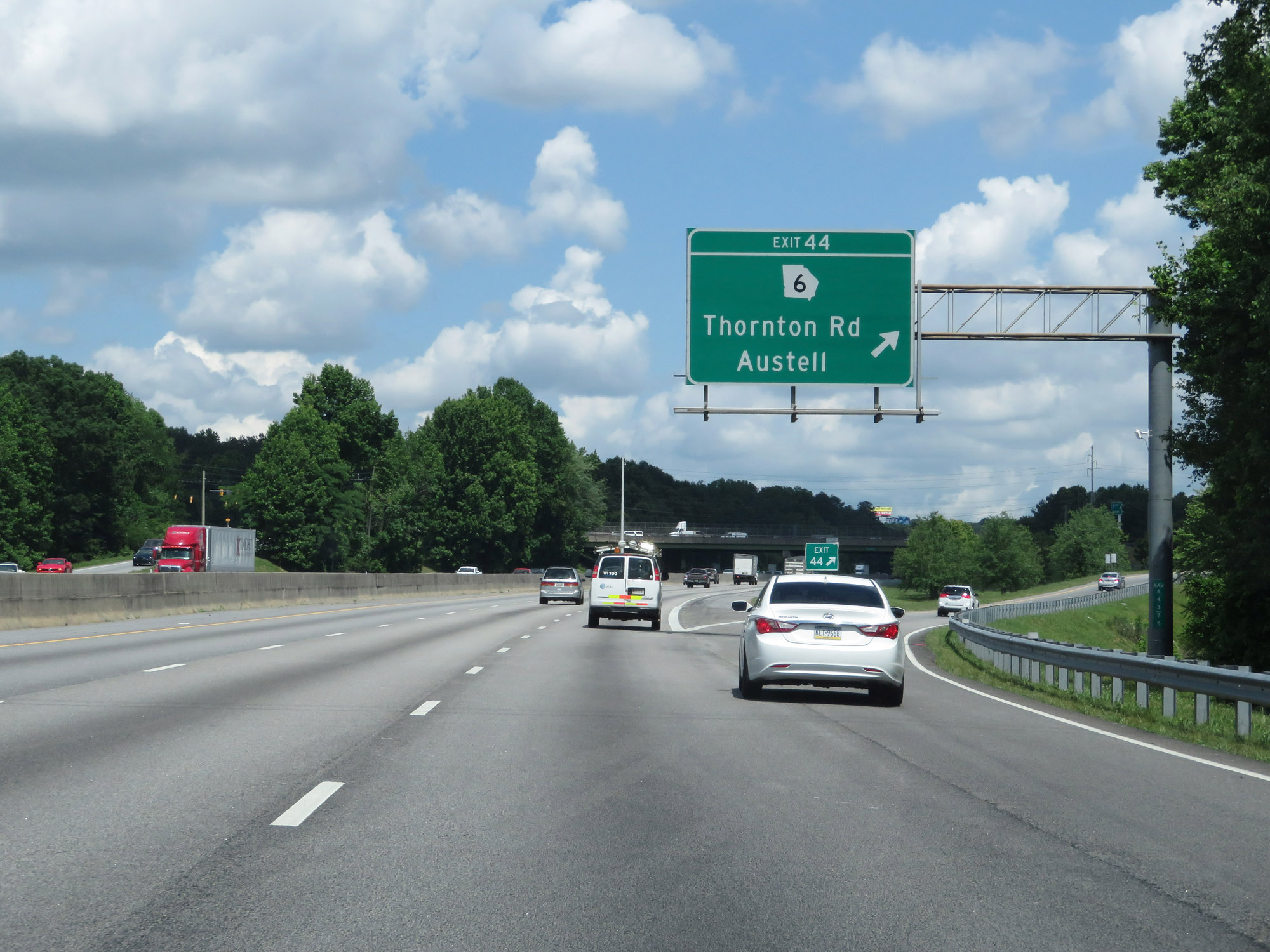 |
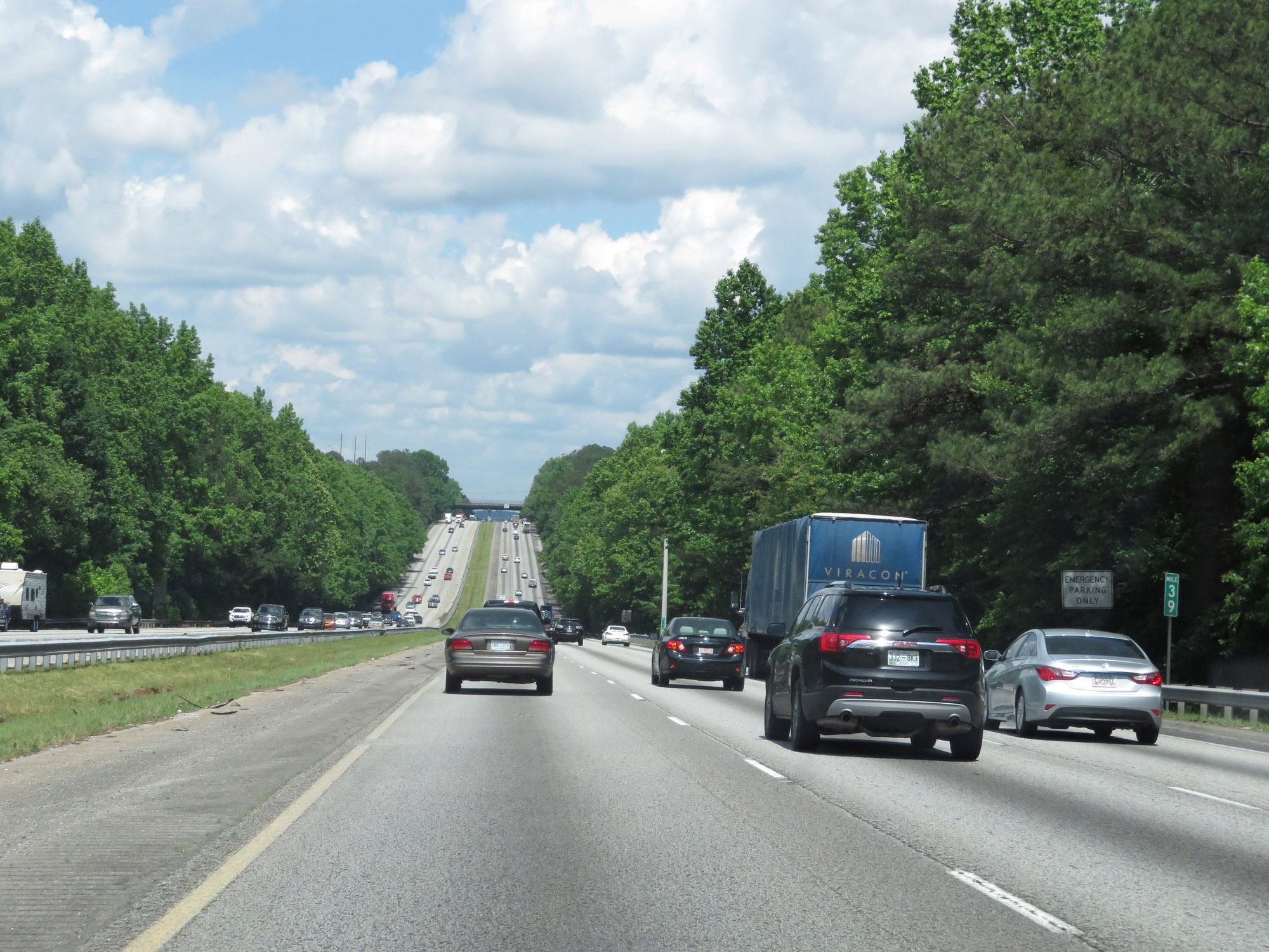
Interstate 20 East at Exit 44: GA 6 - Thornton Rd / Austell (Photo taken 5/24/18). |
 |
Just beyond Exit 44, Interstate 20 East enters Cobb County. (Photo taken 5/24/18). |
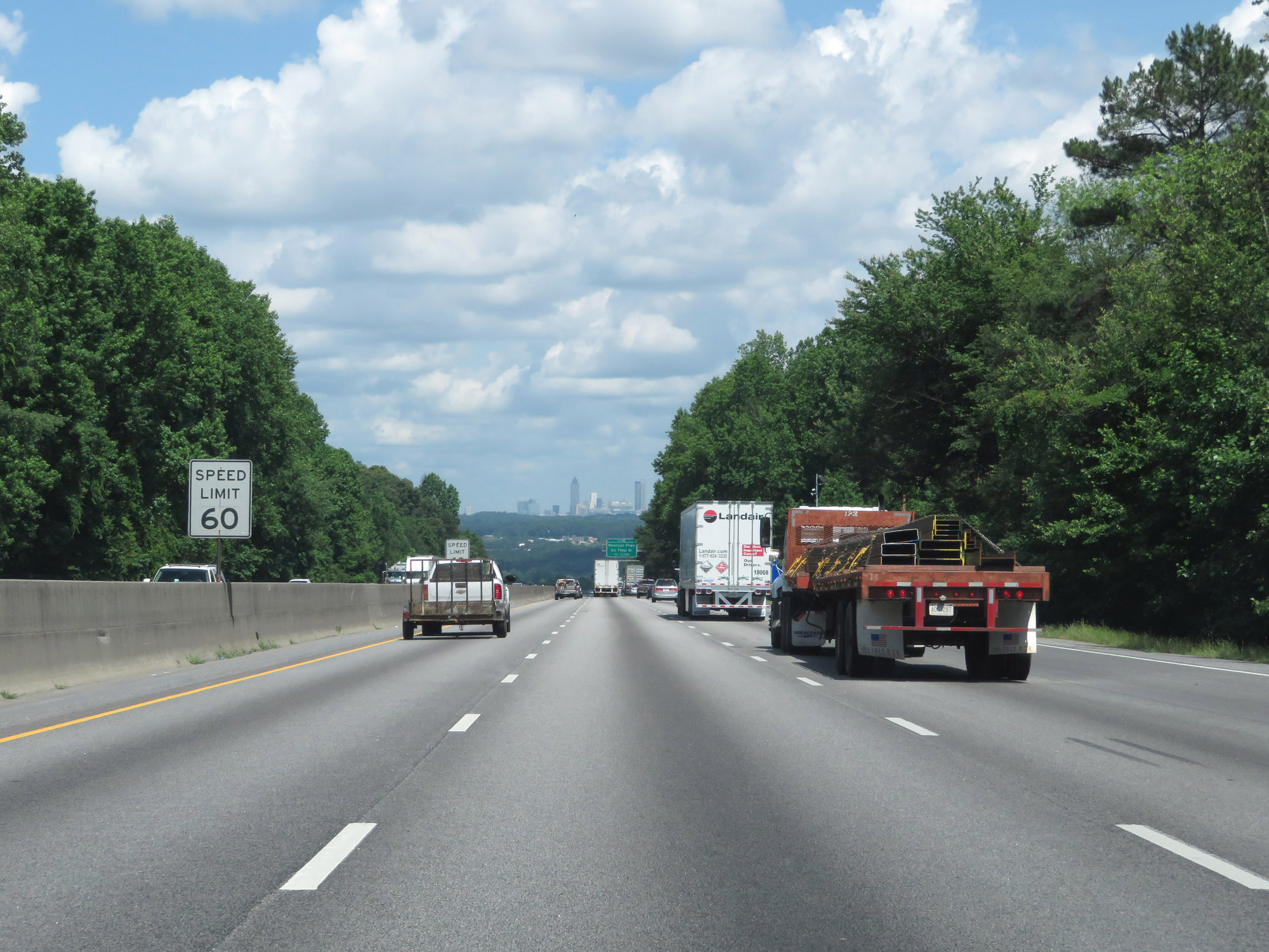 |
As the Atlanta skyline comes into view on Interstate 20 East, the speed limit decreases to 60 mph. (Photo taken 5/24/18). |
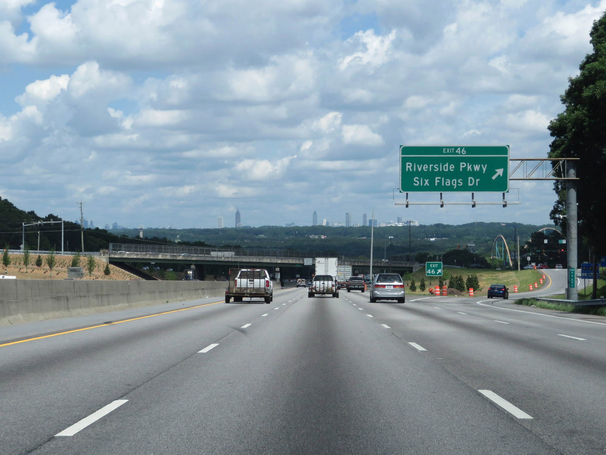 |
Interstate 20 East at Exit 46: Riverside Pkwy / Six Flags Dr (Photo taken 5/24/18). |
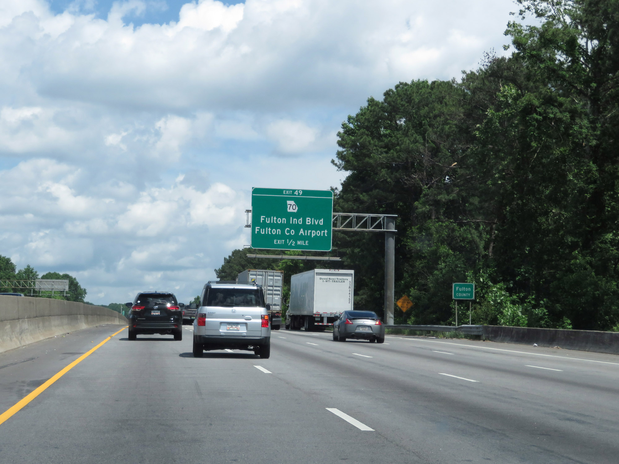 |
Approaching Exit 49, Interstate 20 East enters Fulton County. (Photo taken 5/24/18). |
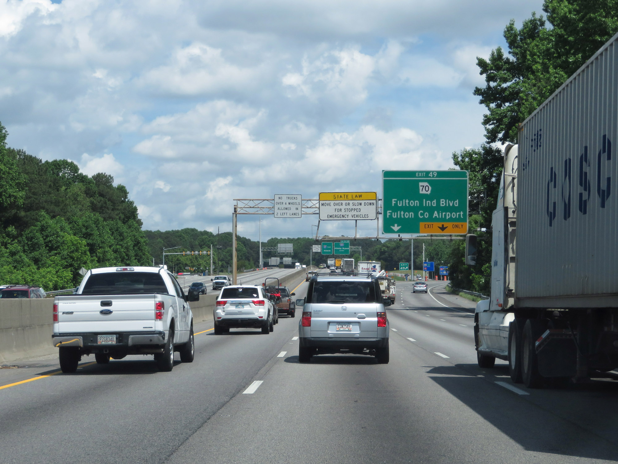 |
Interstate 20 East at Exit 49: GA 70 - Fulton Industrial Blvd / Fulton County Airport (Photo taken 5/24/18). |
 |
Interstate 20 East approaching Exits 51A-B - 1 mile. All thru trucks over 6 wheels are required to use Interstate 285. (Photo taken 5/24/18). |
 |
Interstate 20 East at mile marker 50. (Photo taken 5/24/18). |
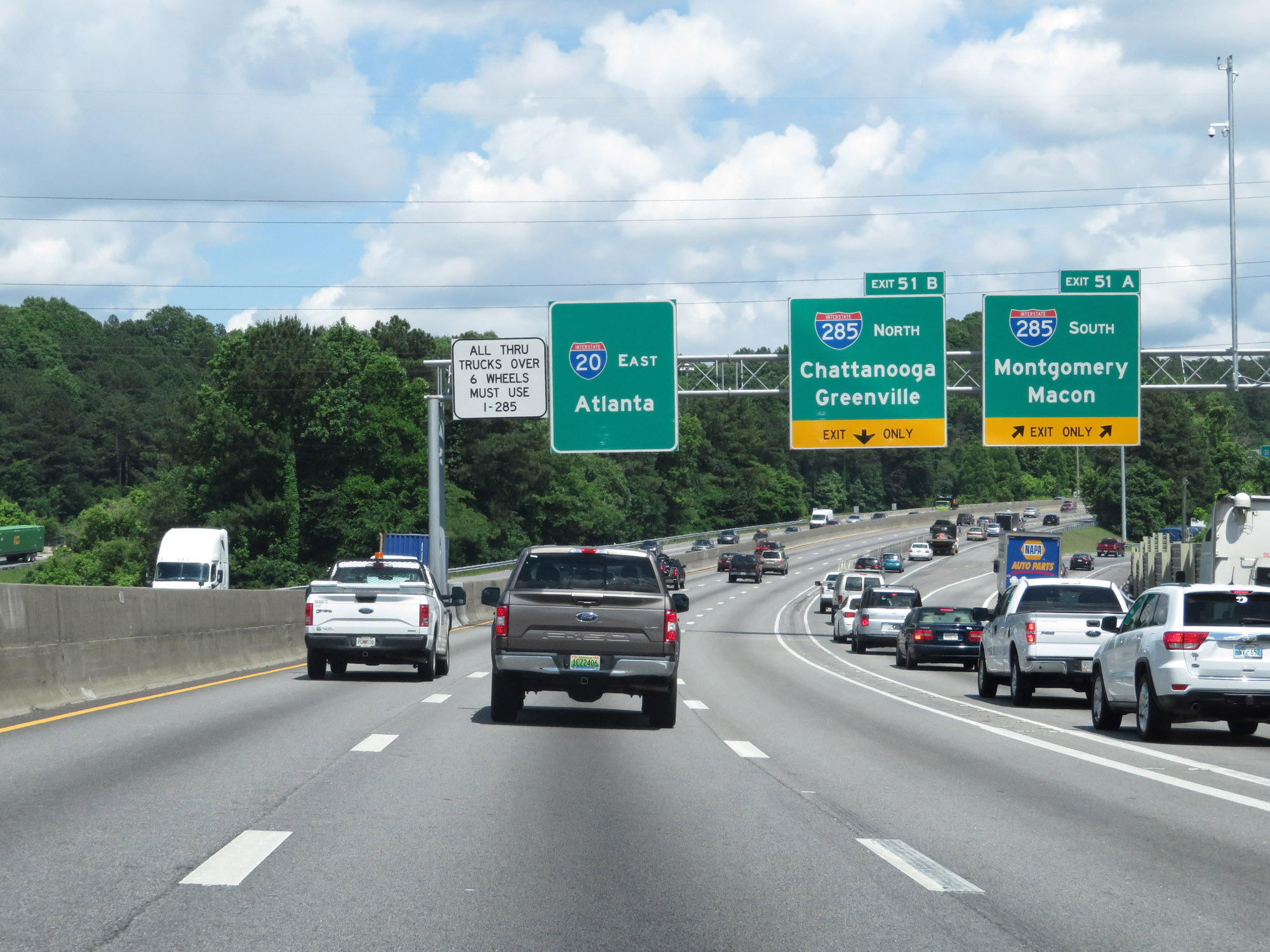 |
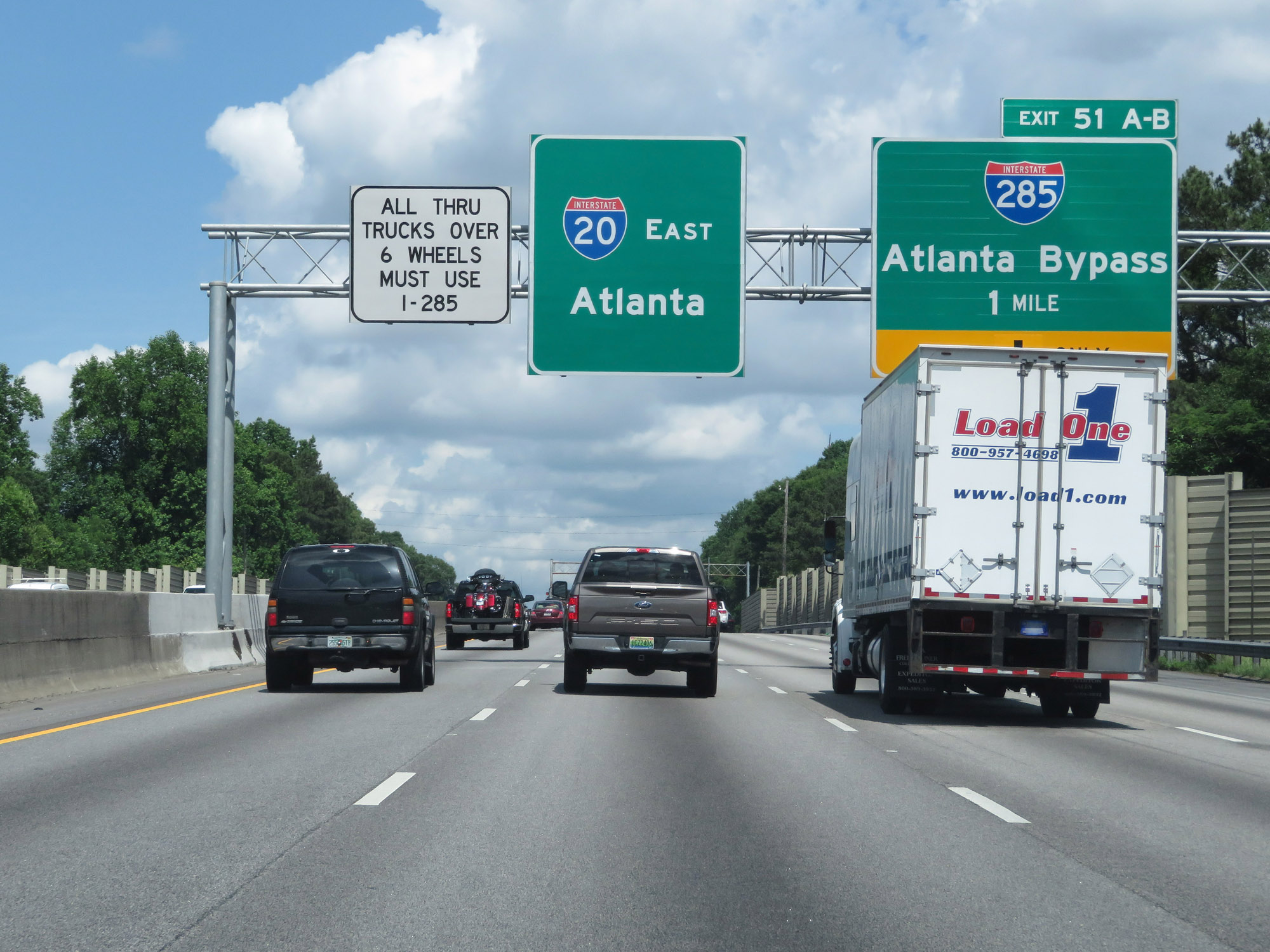
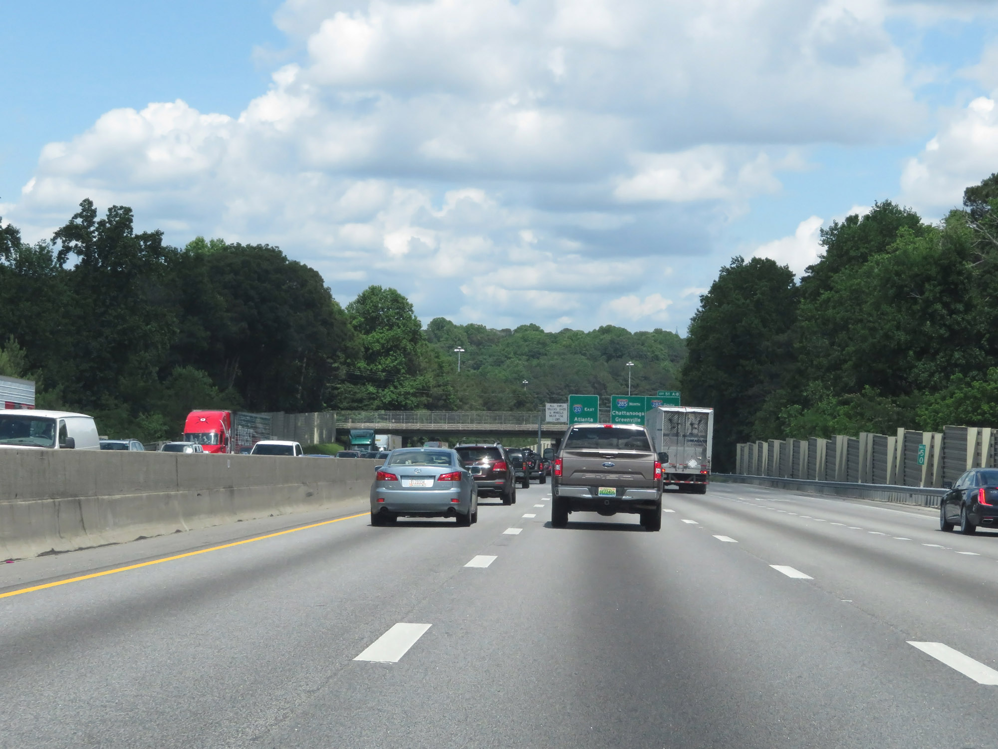
Interstate 20 East at Exit 51A: Interstate 285 South - Montgomery / Macon (Photo taken 5/24/18). |
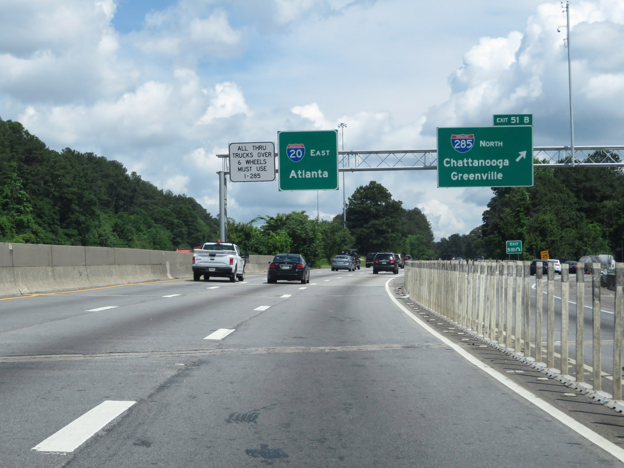 |
Interstate 20 East at Exit 51B: Interstate 285 North - Chattanooga / Greenville (Photo taken 5/24/18). |
 |
Inside of Interstate 285, Interstate 20 is also known as the Ralph David Abernathy Freeway. (Photo taken 5/24/18). |
 |
Overhead mileage sign listing the distances to the three upcoming exits on Interstate 20 East. (Photo taken 5/24/18). |
 |
Approaching Exit 52, the speed limit decreases to 50 mph on Interstate 20 East. (Photo taken 5/24/18). |
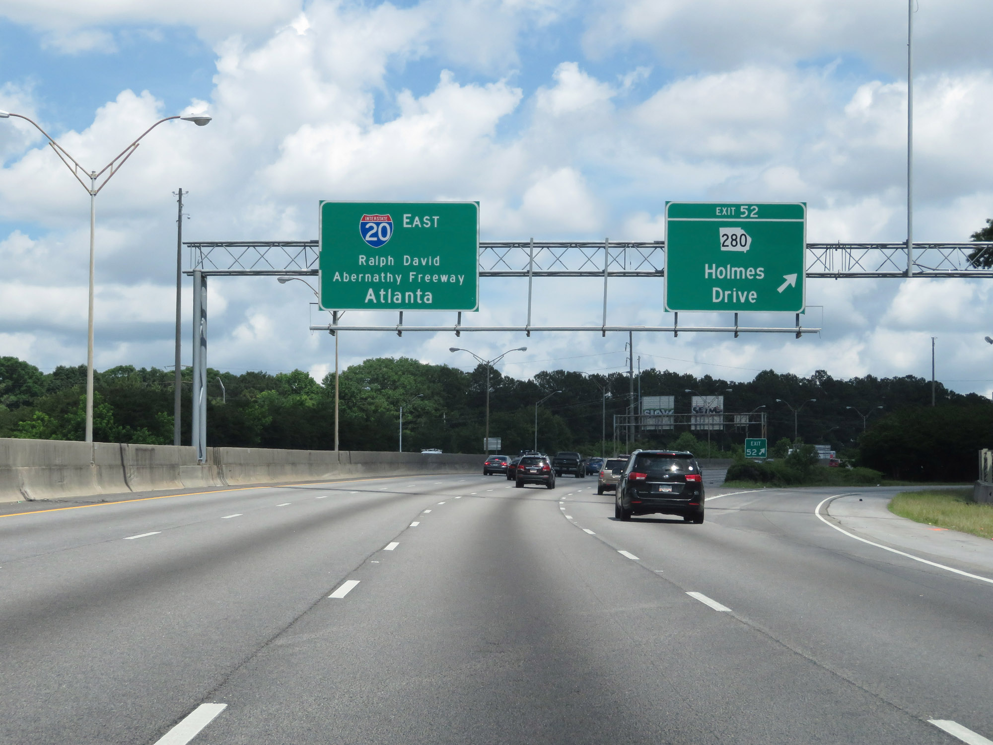 |
Interstate 20 East at Exit 52: GA 280 - Holmes Drive (Photo taken 5/24/18). |
 |
Another overhead mileage sign listing the distances to the three upcoming exits on Interstate 20 East. The speed limit remains 50 mph. (Photo taken 5/24/18). |
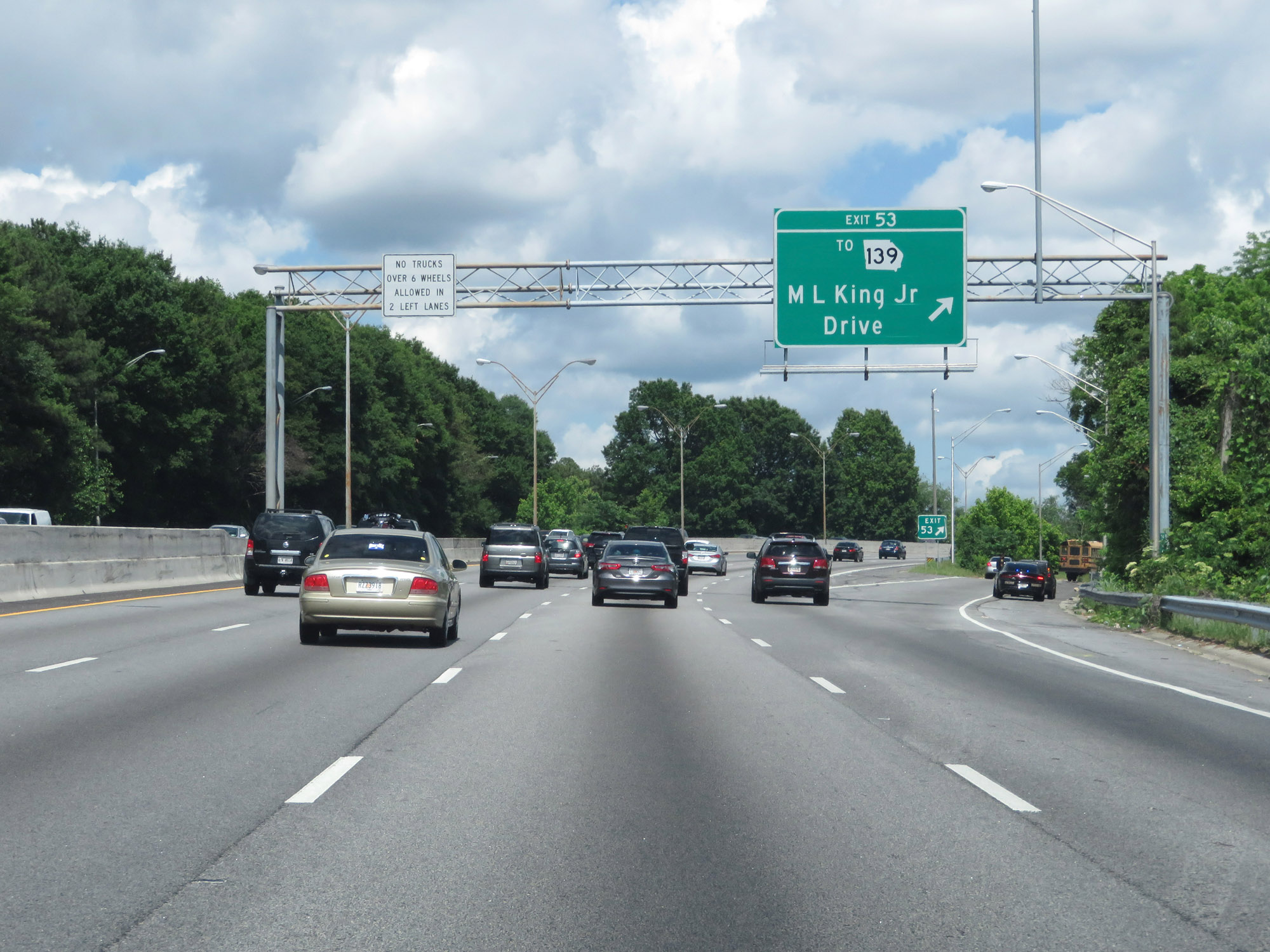 |
Interstate 20 East at Exit 53: To GA 139 - M.L. King Jr. Drive (Photo taken 5/24/18). |
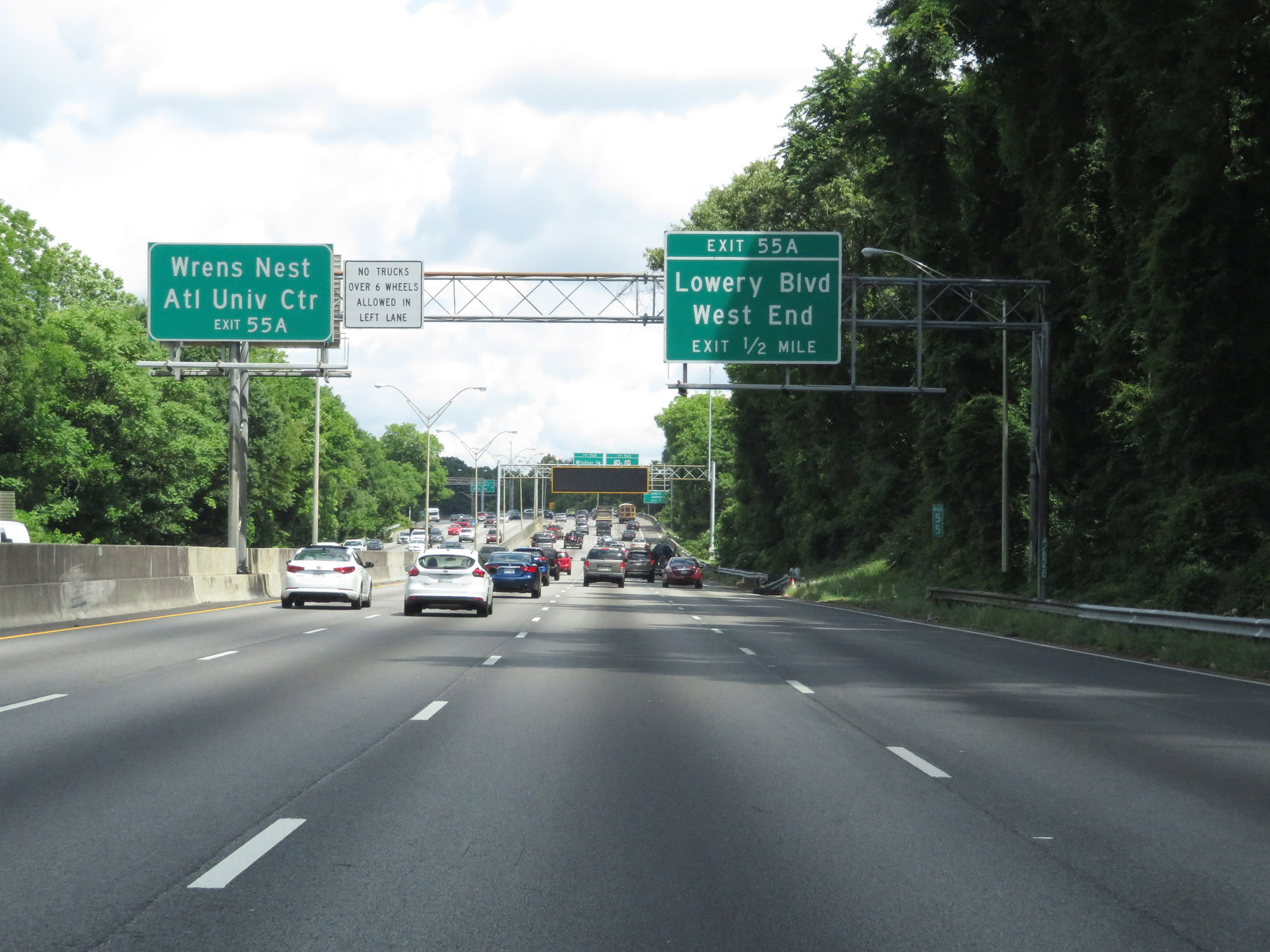 |
Take Exit 55A to Wrens Nest and Atlanta University Center. (Photo taken 5/24/18). |
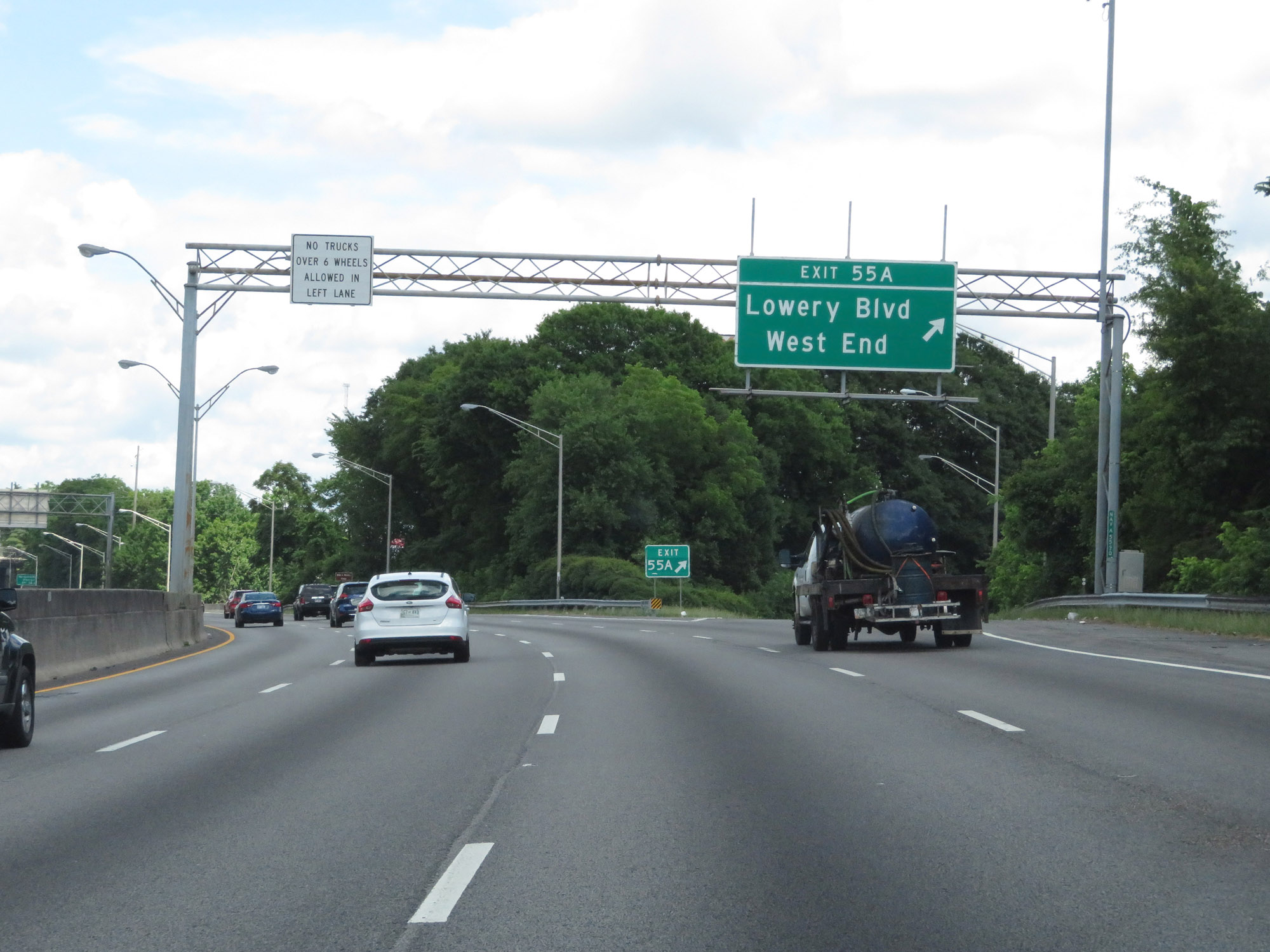 |
Interstate 20 East at Exit 55A: Lowery Blvd / West End (Photo taken 5/24/18). |
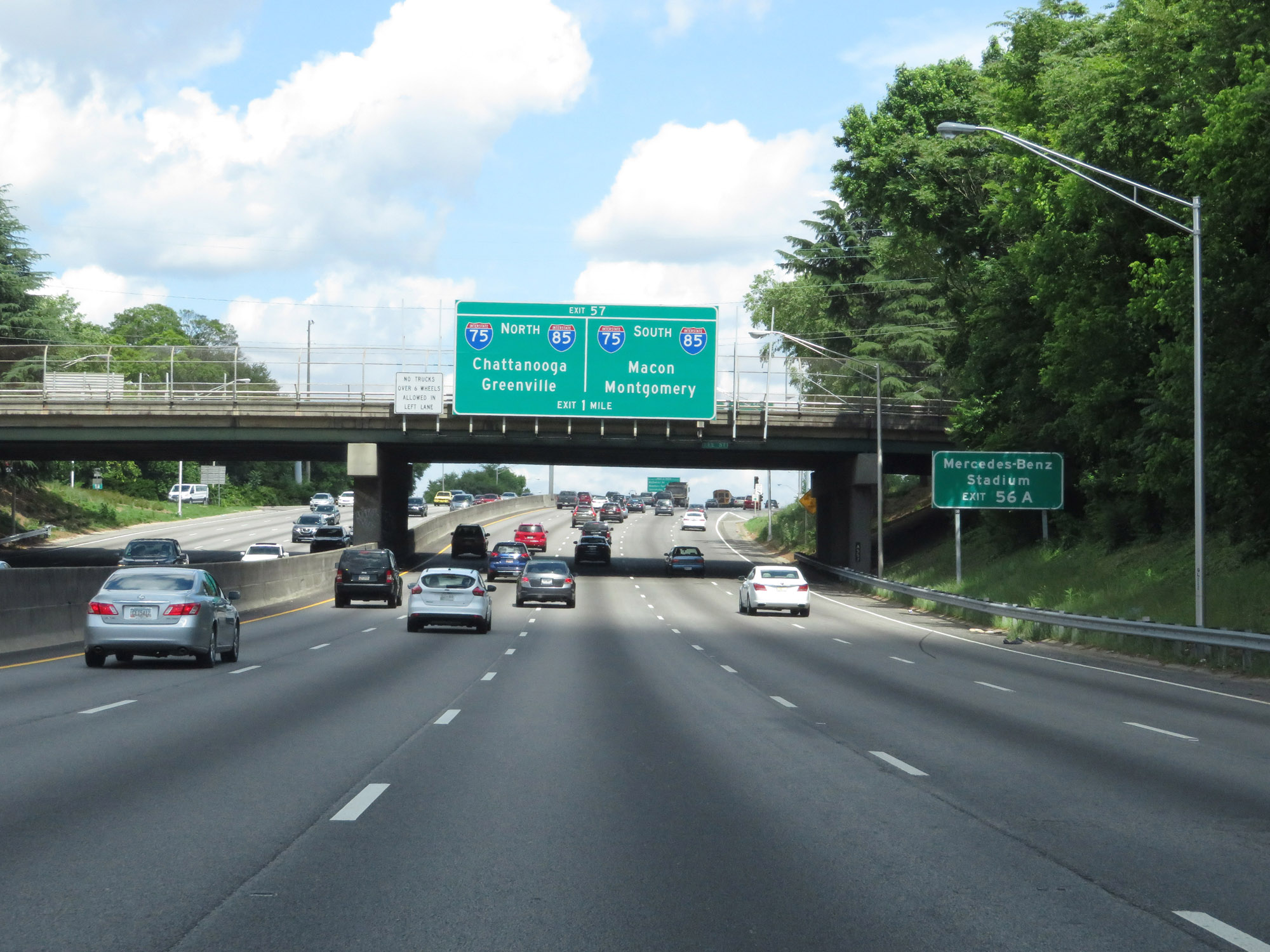 |
Take Exit 56A to Mercedes-Benz Stadium. (Photo taken 5/24/18). |
 |
Interstate 20 East approaching Exit 57 - 1 mile. (Photo taken 5/24/18). |
 |
Interstate 20 East at Exit 56A: US 19 / US 29 - McDaniel St / Whitehall St (Photo taken 5/24/18). |
 |
Approaching Exit 56B, the speed limit gets a slight bump to 55 mph. (Photo taken 5/24/18). |
 |
Interstate 20 East at Exit 56B: Windsor St / Spring St / Turner Field (Photo taken 5/24/18). |
Section 2: Atlanta (Exit 56B) to Covington (Exit 92)
 |
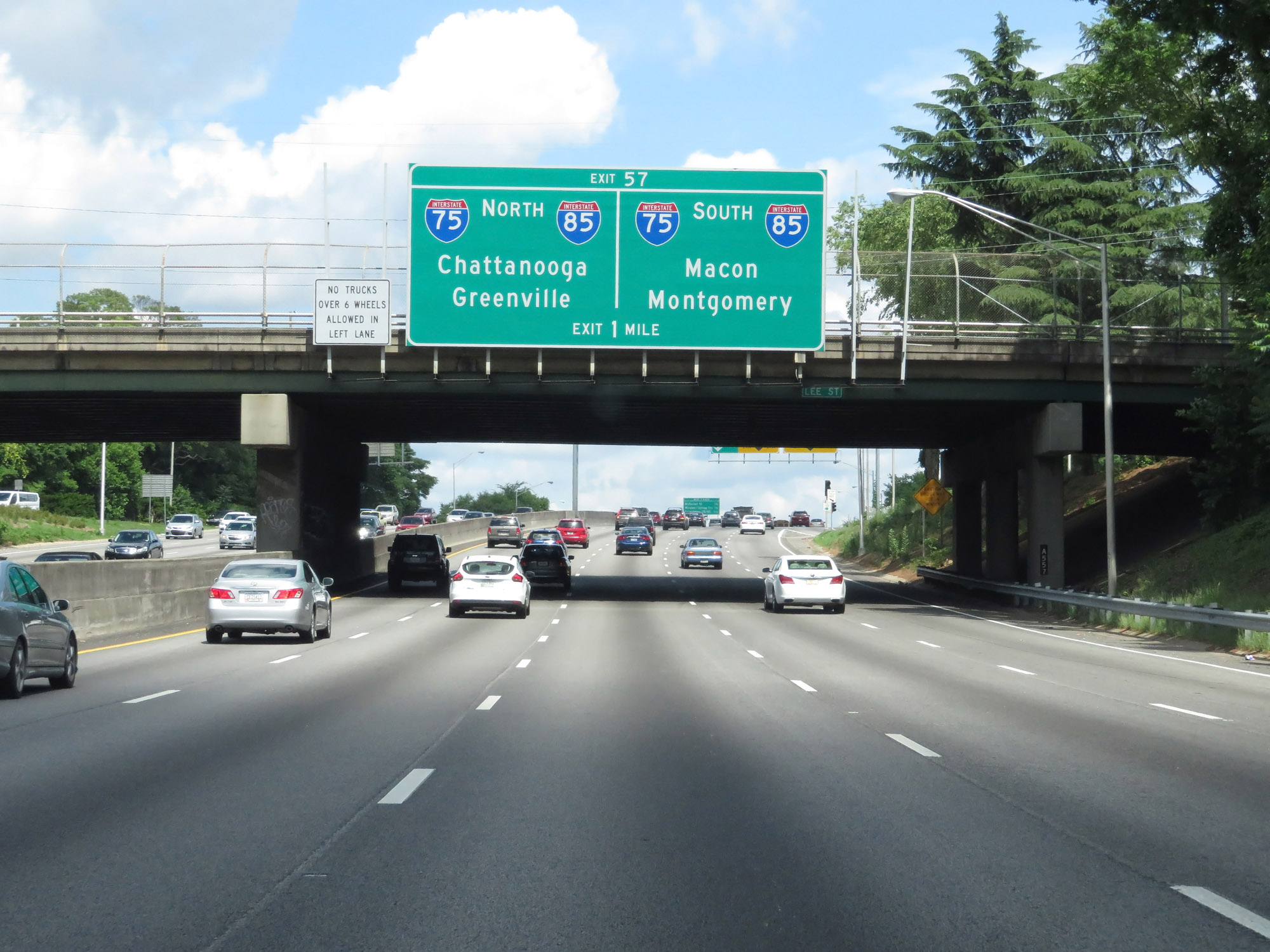
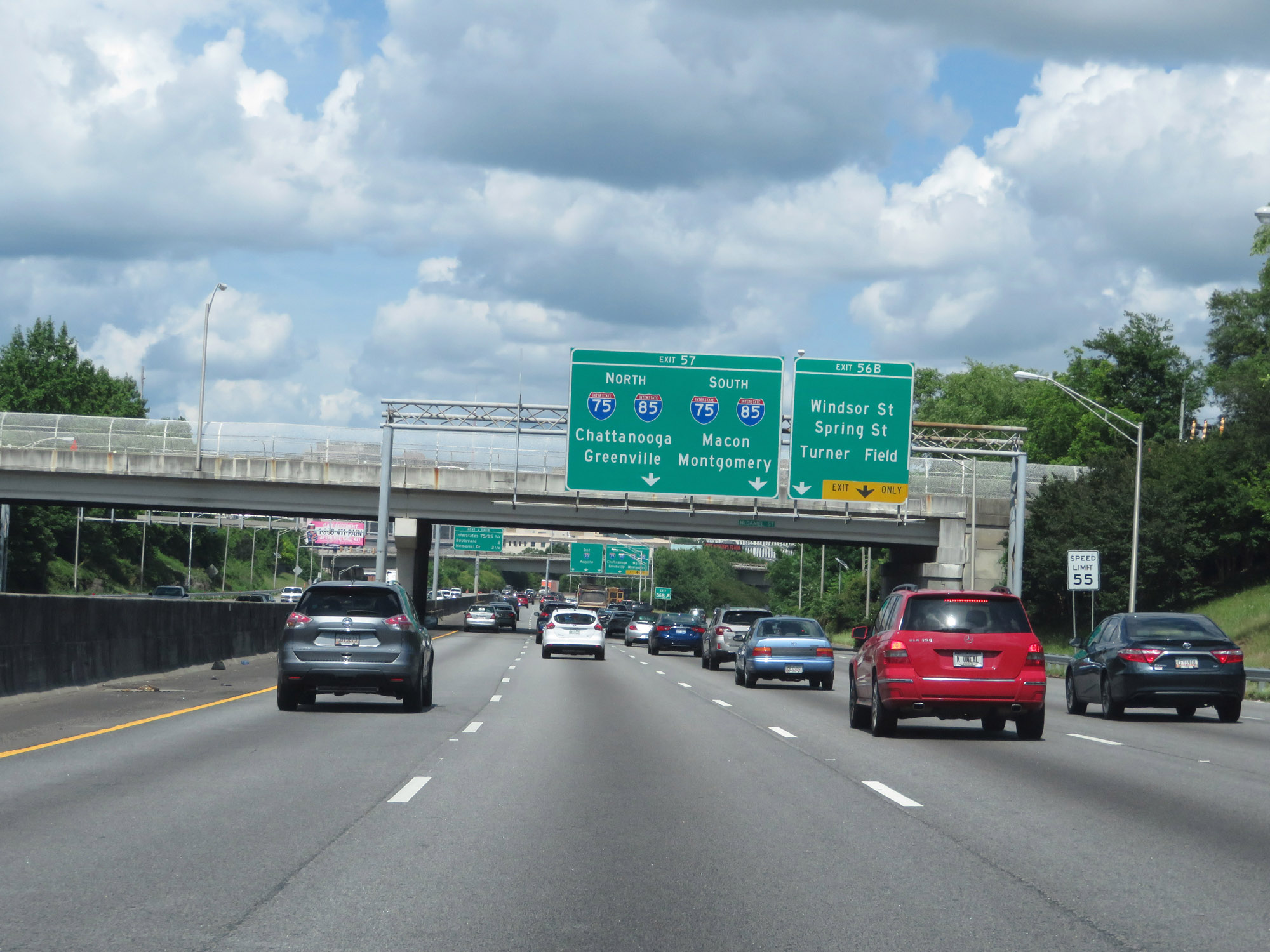
Interstate 20 East at Exit 57: Interstate 75 / Interstate 85 - Chattanooga / Greenville / Macon / Montgomery (Photo taken 5/24/18). |
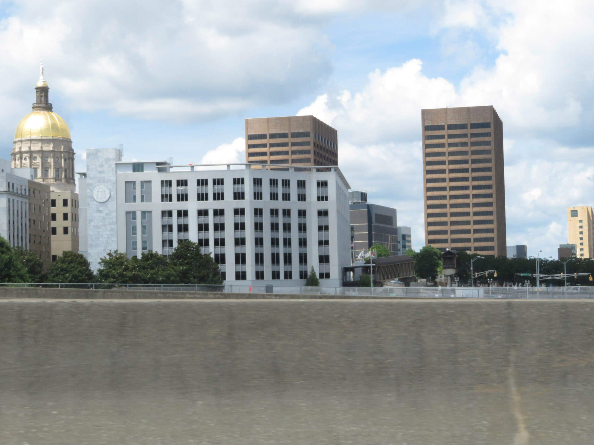 |
Looking to the north on Interstate 20 East, we get a glimpse of the Georgia State Capitol in downtown Atlanta. (Photo taken 5/24/18). |
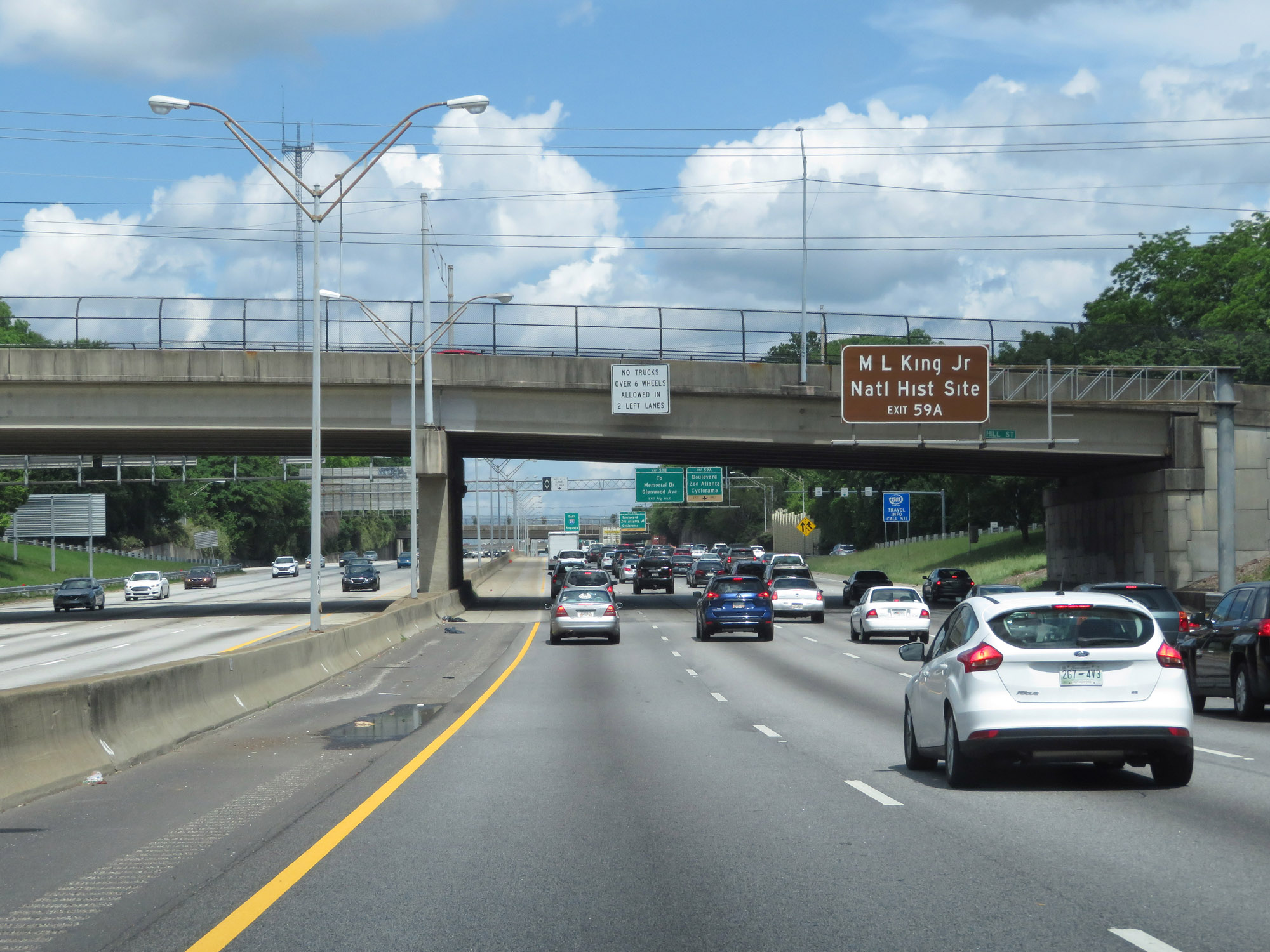 |
Take Exit 59A to the Martin Luther King Jr. National Historic Site. (Photo taken 5/24/18). |
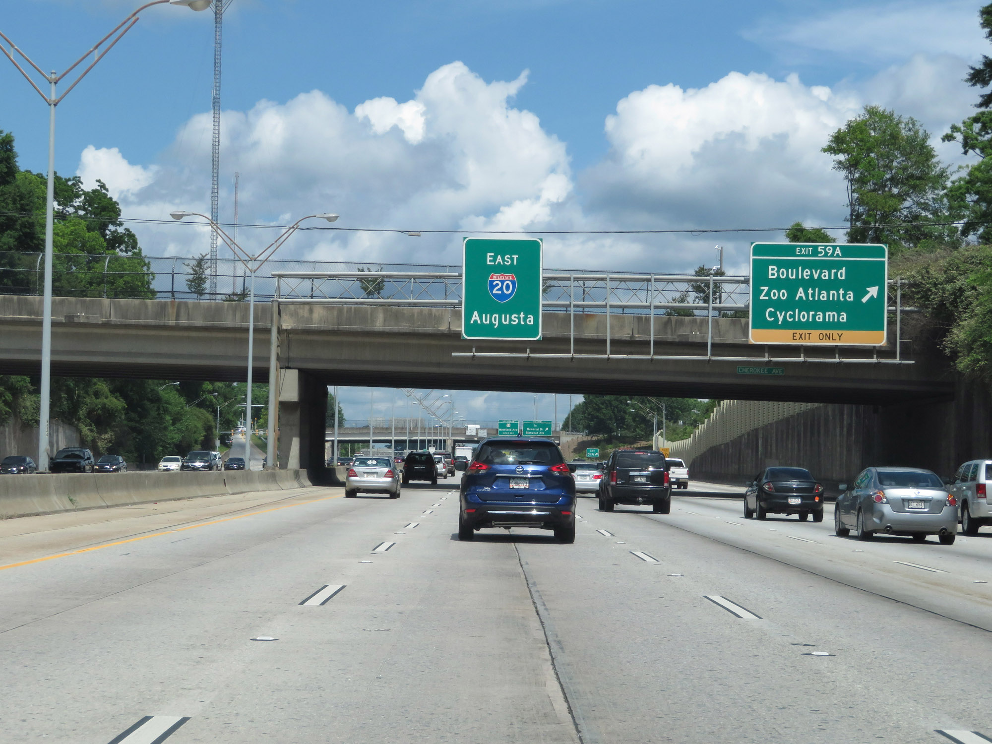 |
Interstate 20 East at Exit 59A: Boulevard / Zoo Atlanta / Cyclorama (Photo taken 5/24/18). |
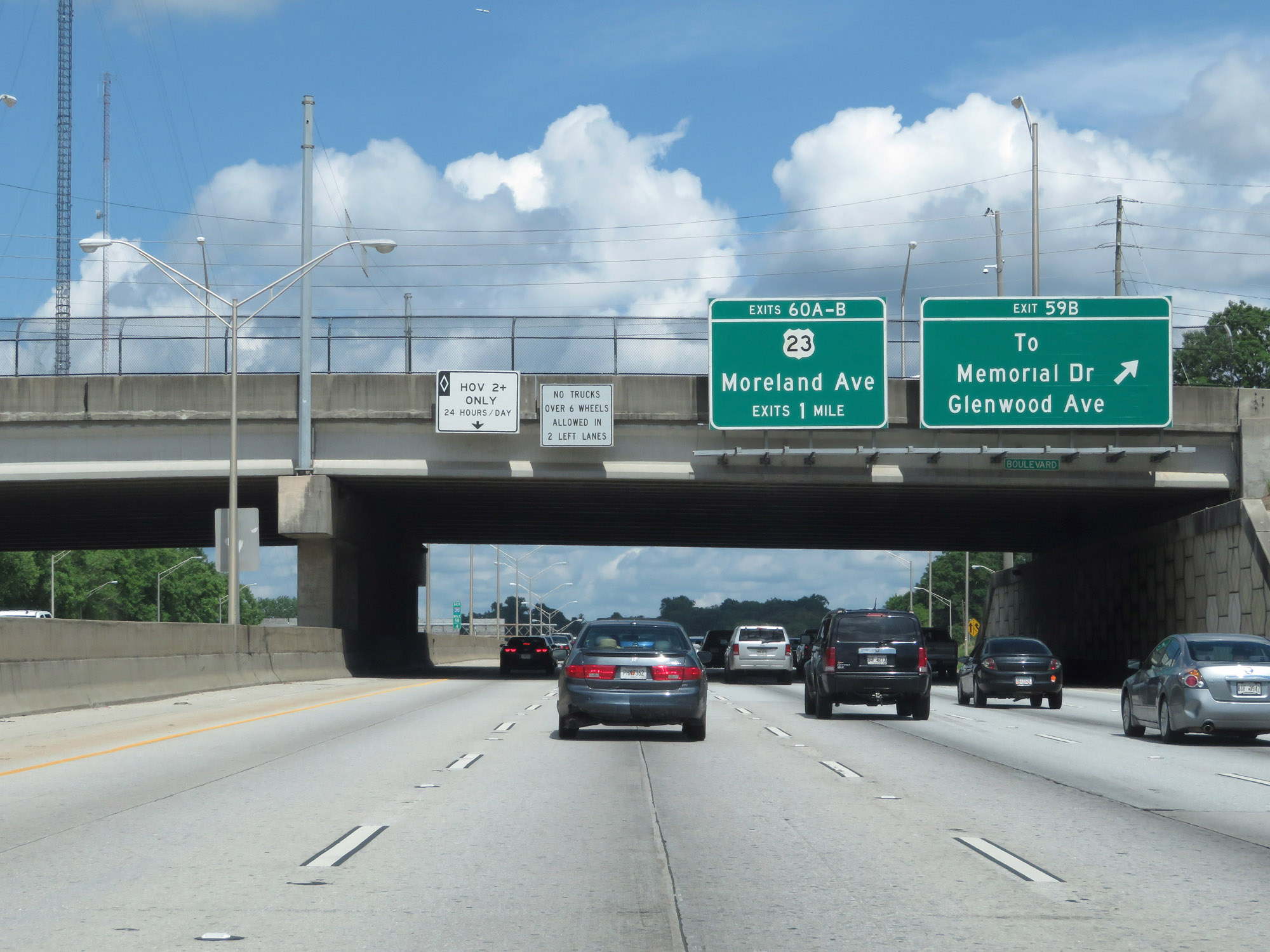 |
Interstate 20 East at Exit 59B: To Memorial Dr / Glenwood Ave (Photo taken 5/24/18). |
 |
View on Interstate 20 East in downtown Atlanta. (Photo taken 5/24/18). |
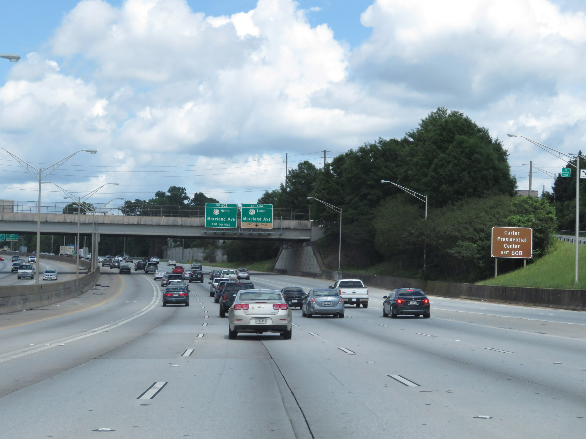 |
Take Exit 60B to Carter Presidential Center. (Photo taken 5/24/18). |
 |
Interstate 20 East at Exit 60A: US 23 South - Moreland Ave (Photo taken 5/24/18). |
 |
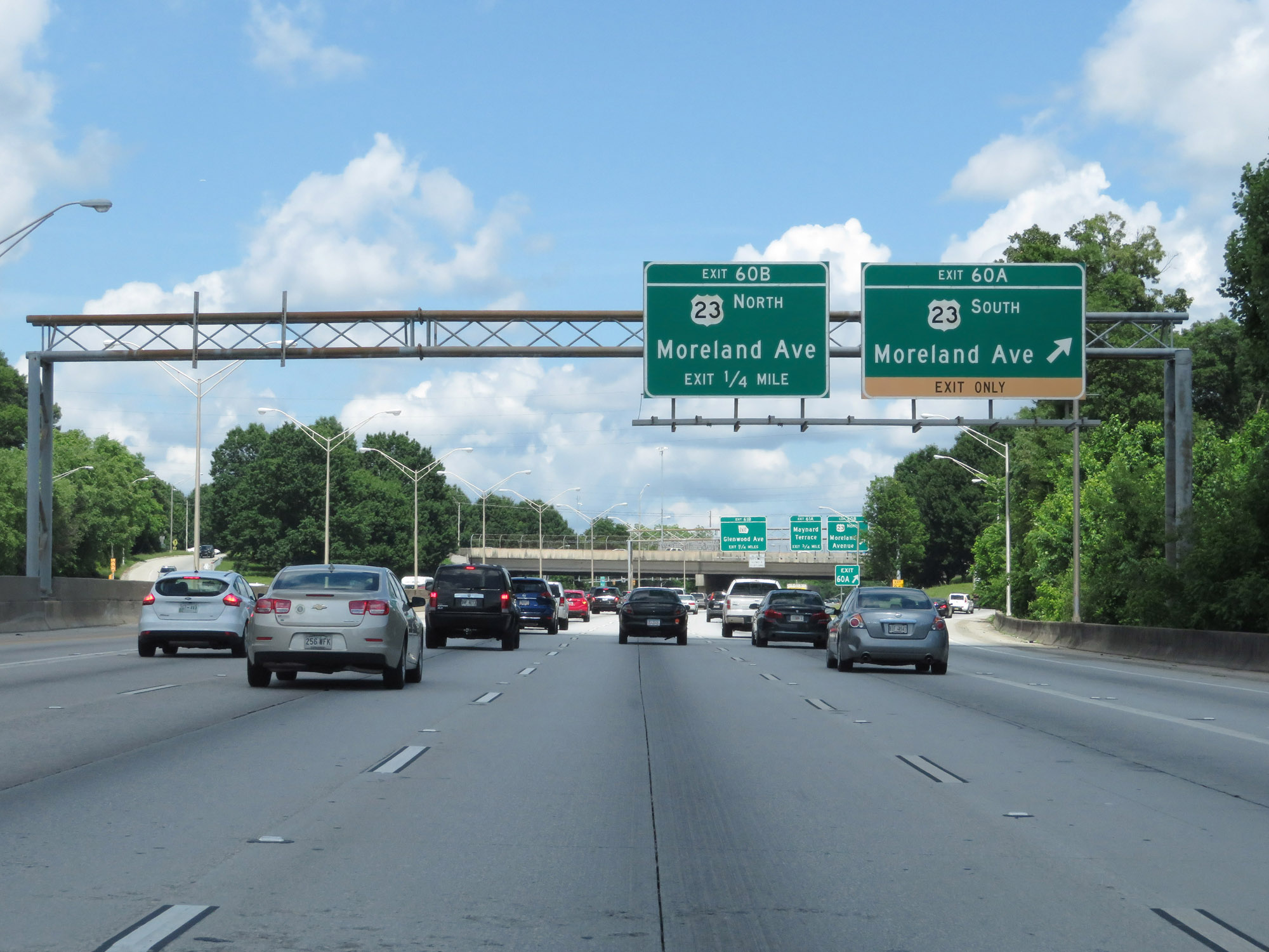
Interstate 20 East at Exit 60B: US 23 North - Moreland Avenue (Photo taken 5/24/18). |
 |
Interstate 20 East enters DeKalb County at Exit 60B. (Photo taken 5/24/18). |
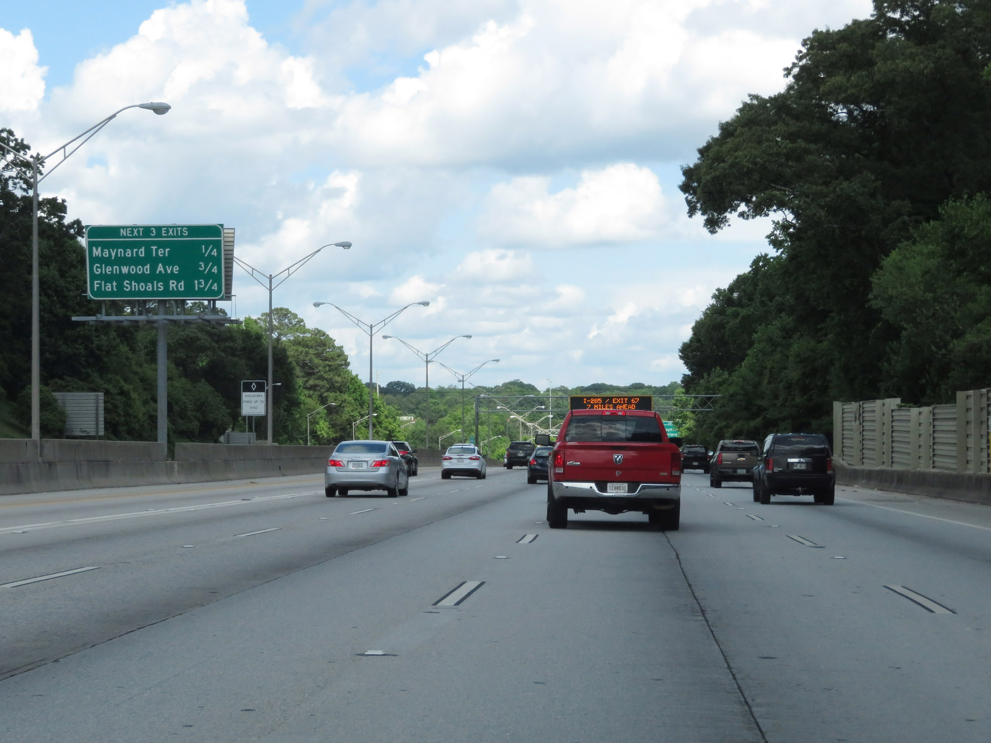 |
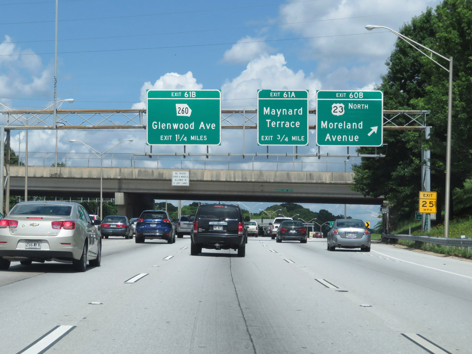
Another overhead mileage sign listing the distances to the three upcoming exits on Interstate 20 East. (Photo taken 5/24/18). |
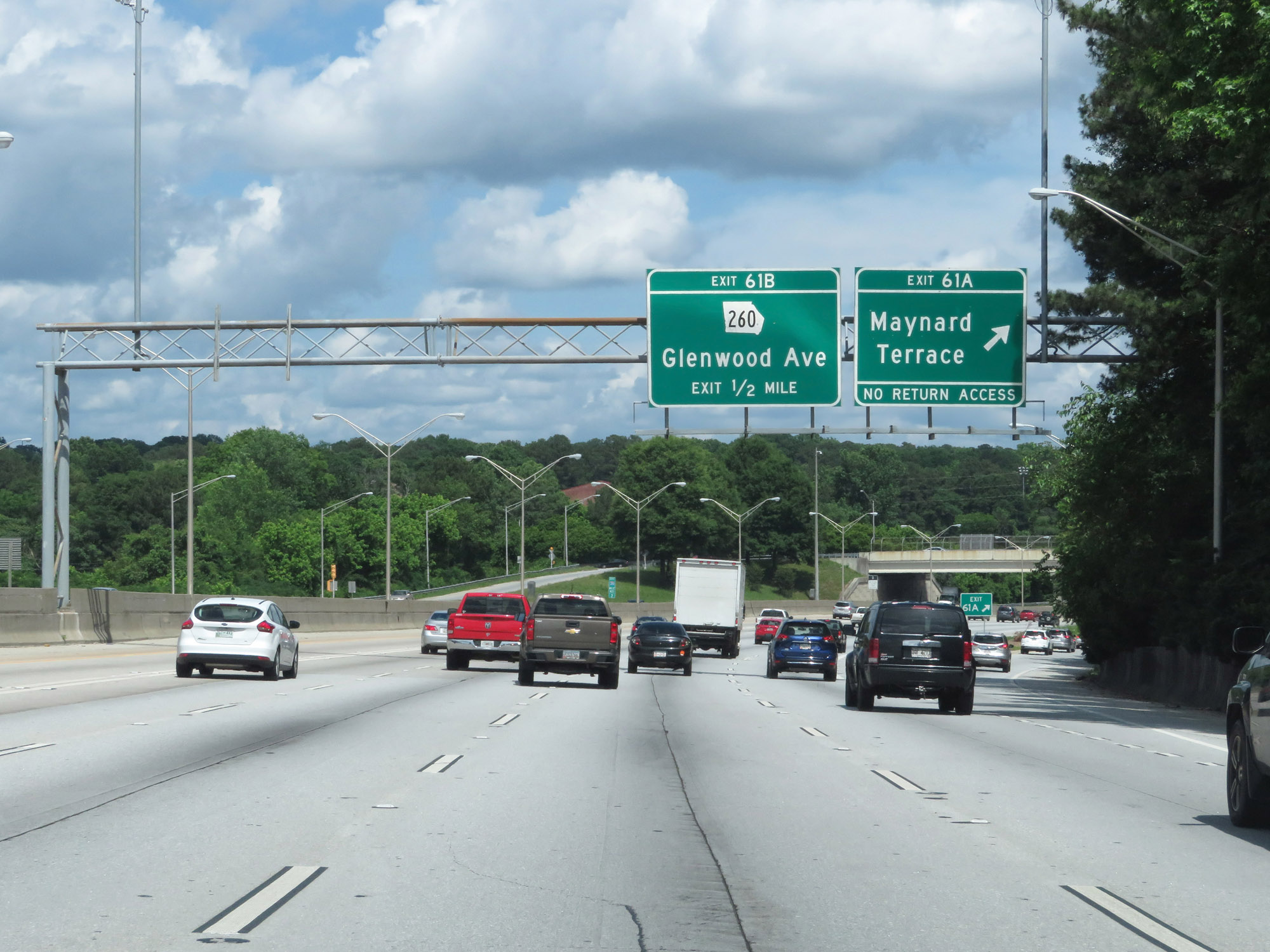 |
Interstate 20 East at Exit 61A: Maynard Terrace (Photo taken 5/24/18). |
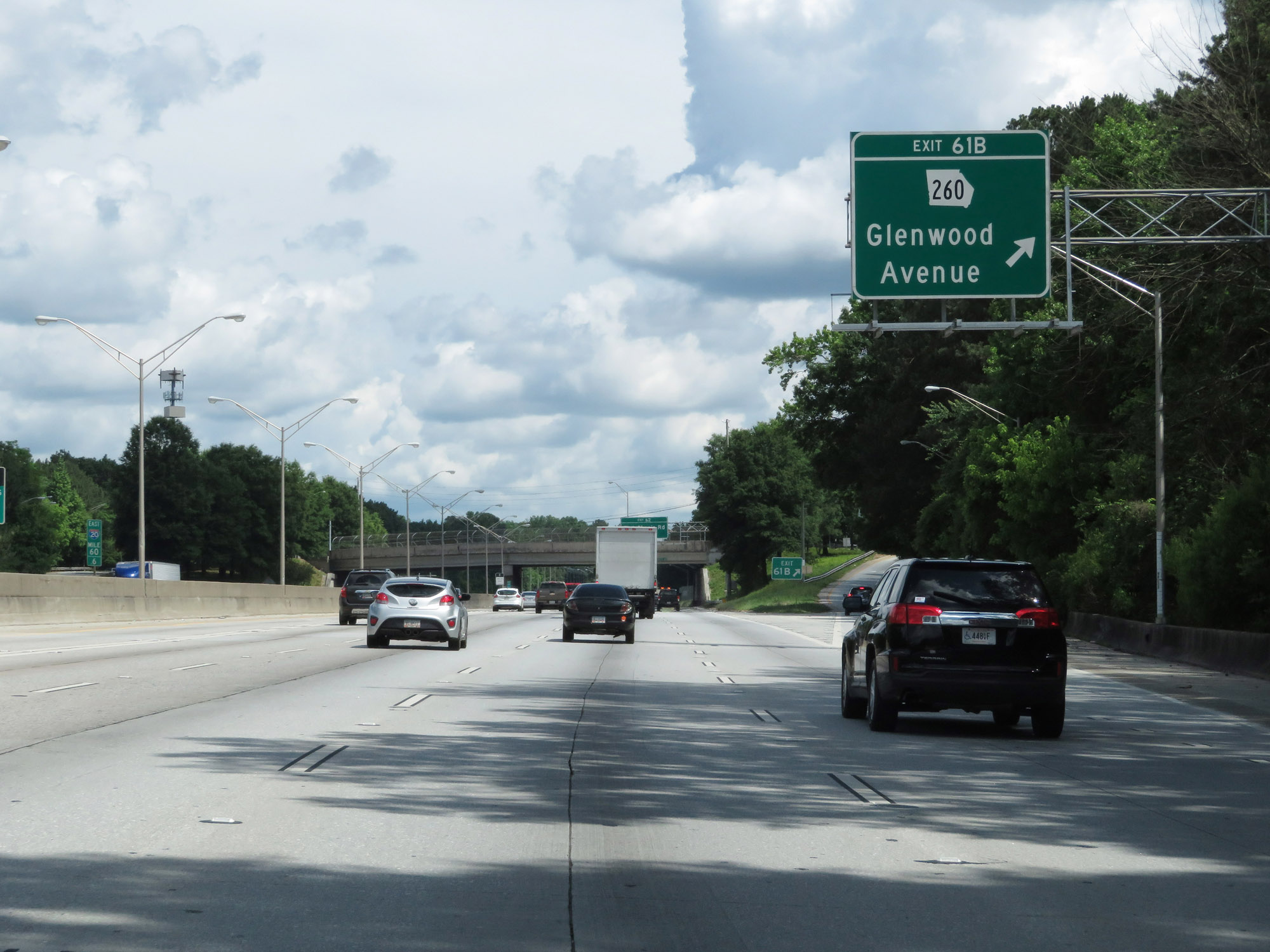 |
Interstate 20 East at Exit 61B: GA 260 - Glenwood Avenue (Photo taken 5/24/18). |
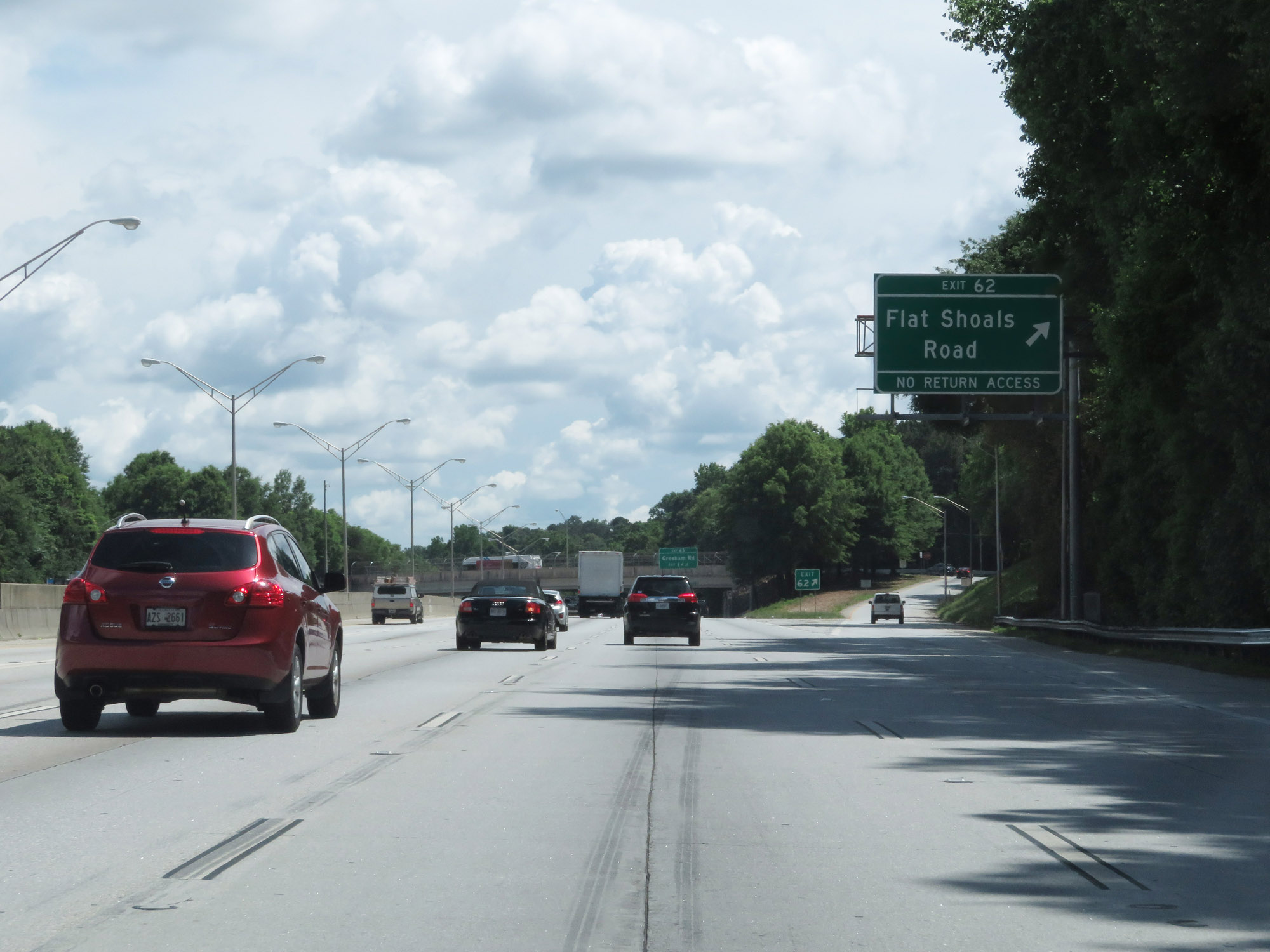 |
Interstate 20 East at Exit 62: Flat Shoals Road (Photo taken 5/24/18). |
 |
Interstate 20 East at mile marker 62. (Photo taken 5/24/18). |
 |
The speed limit remains 55 mph on Interstate 20 East. (Photo taken 5/24/18). |
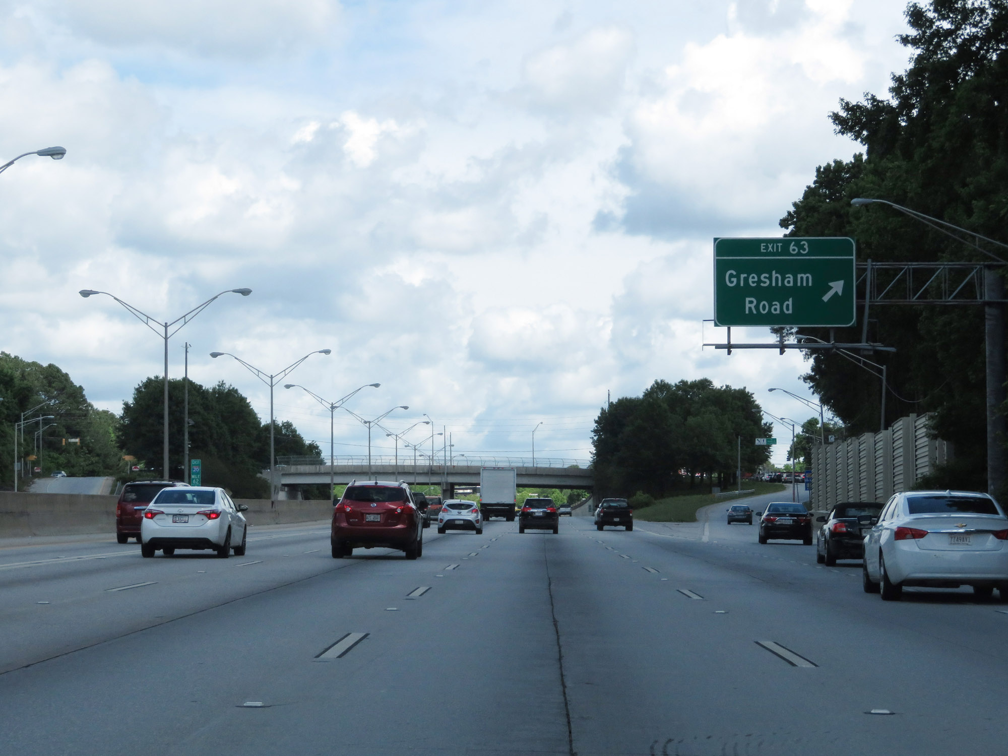 |
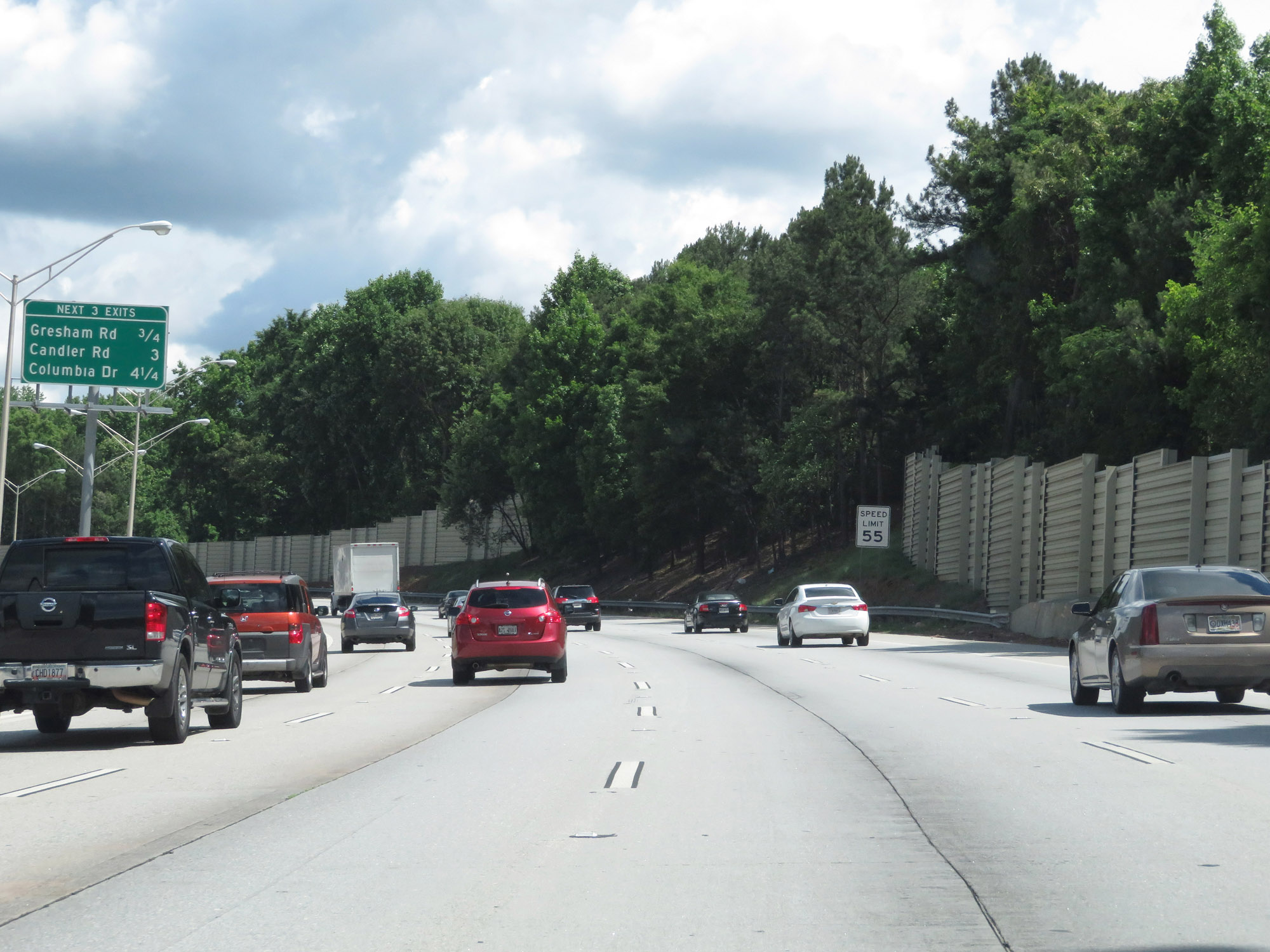
Interstate 20 East at Exit 63: Gresham Road (Photo taken 5/24/18). |
 |
Another view on Interstate 20 East. (Photo taken 5/24/18). |
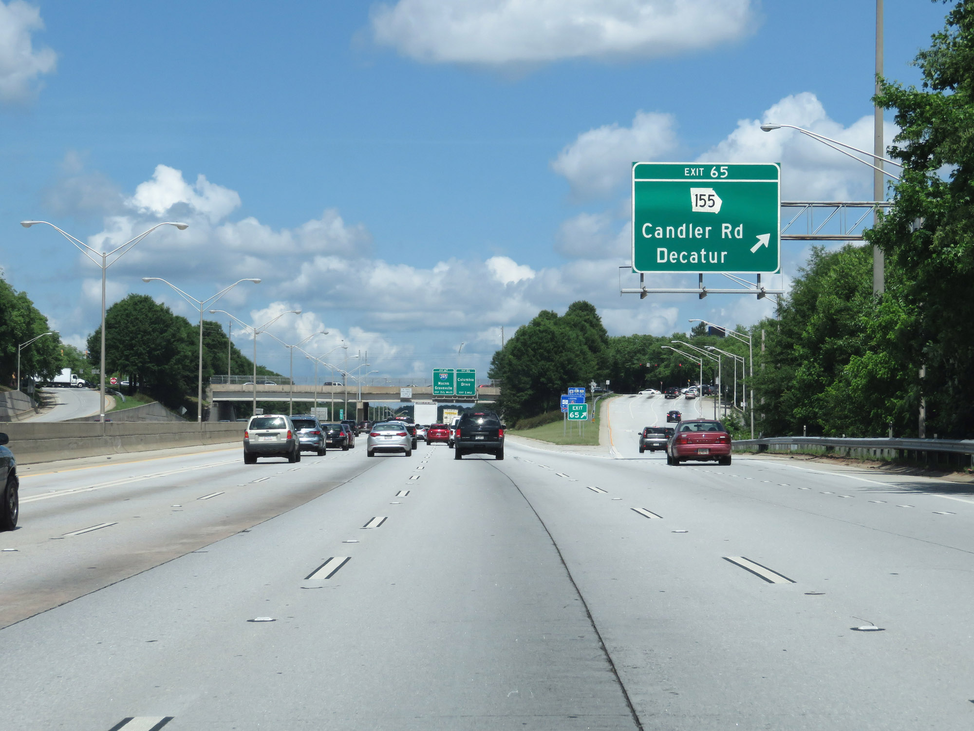 |
Interstate 20 East at Exit 65: GA 155 - Candler Rd / Decatur (Photo taken 5/24/18). |
 |
East of Exit 65, the speed limit increases to 65 mph. (Photo taken 5/24/18). |
 |
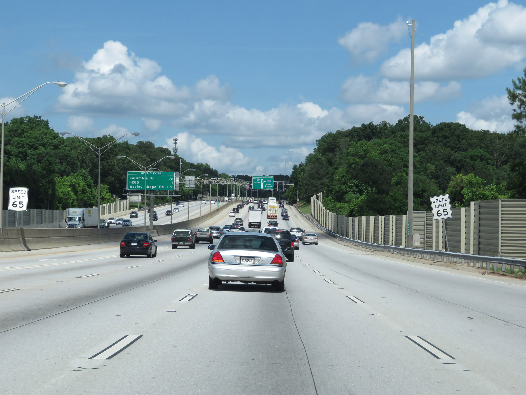
Interstate 20 East approaching Exit 67 - 1 mile. (Photo taken 5/24/18). |
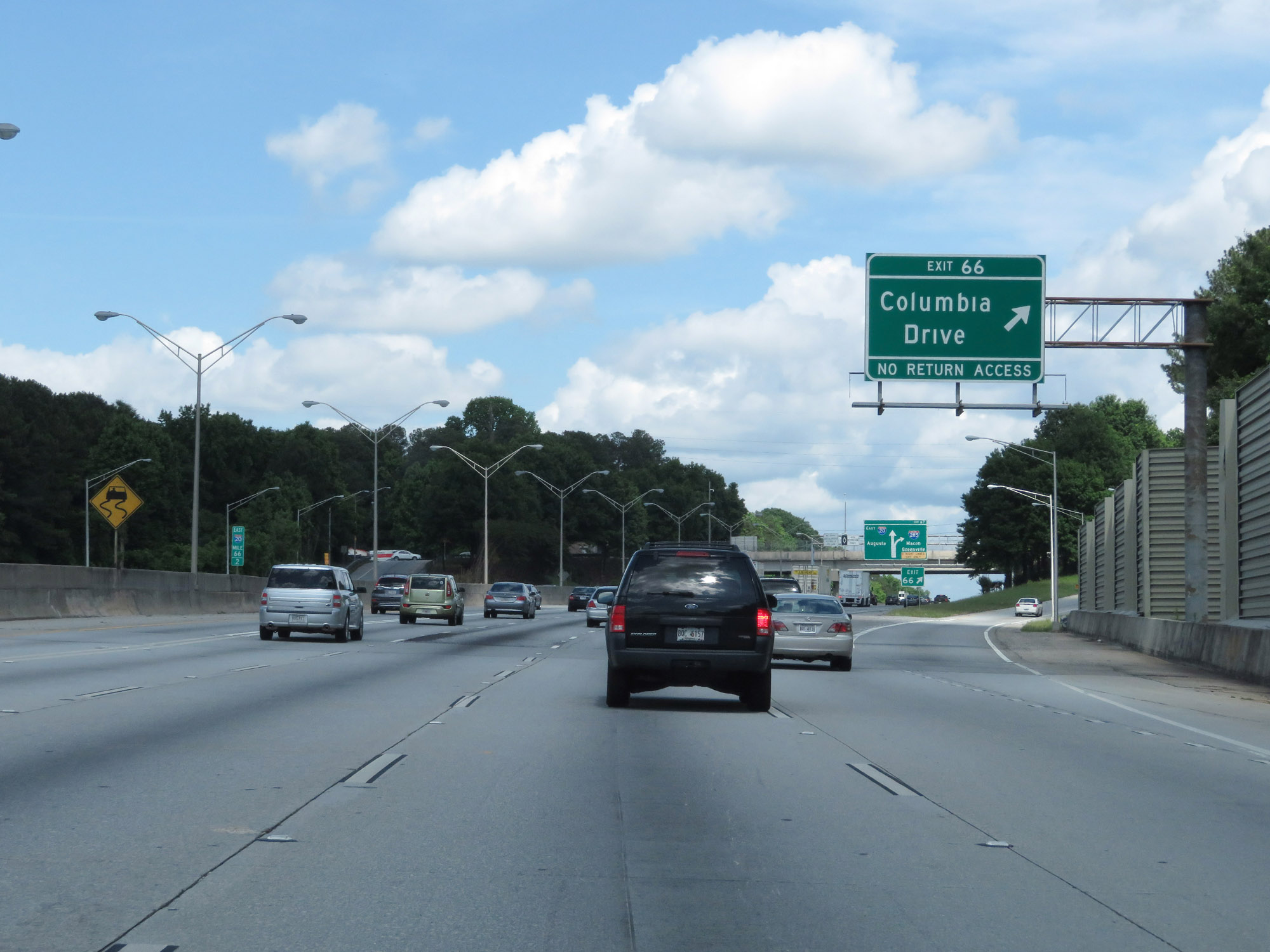 |
Interstate 20 East at Exit 66: Columbia Drive (Photo taken 5/24/18). |
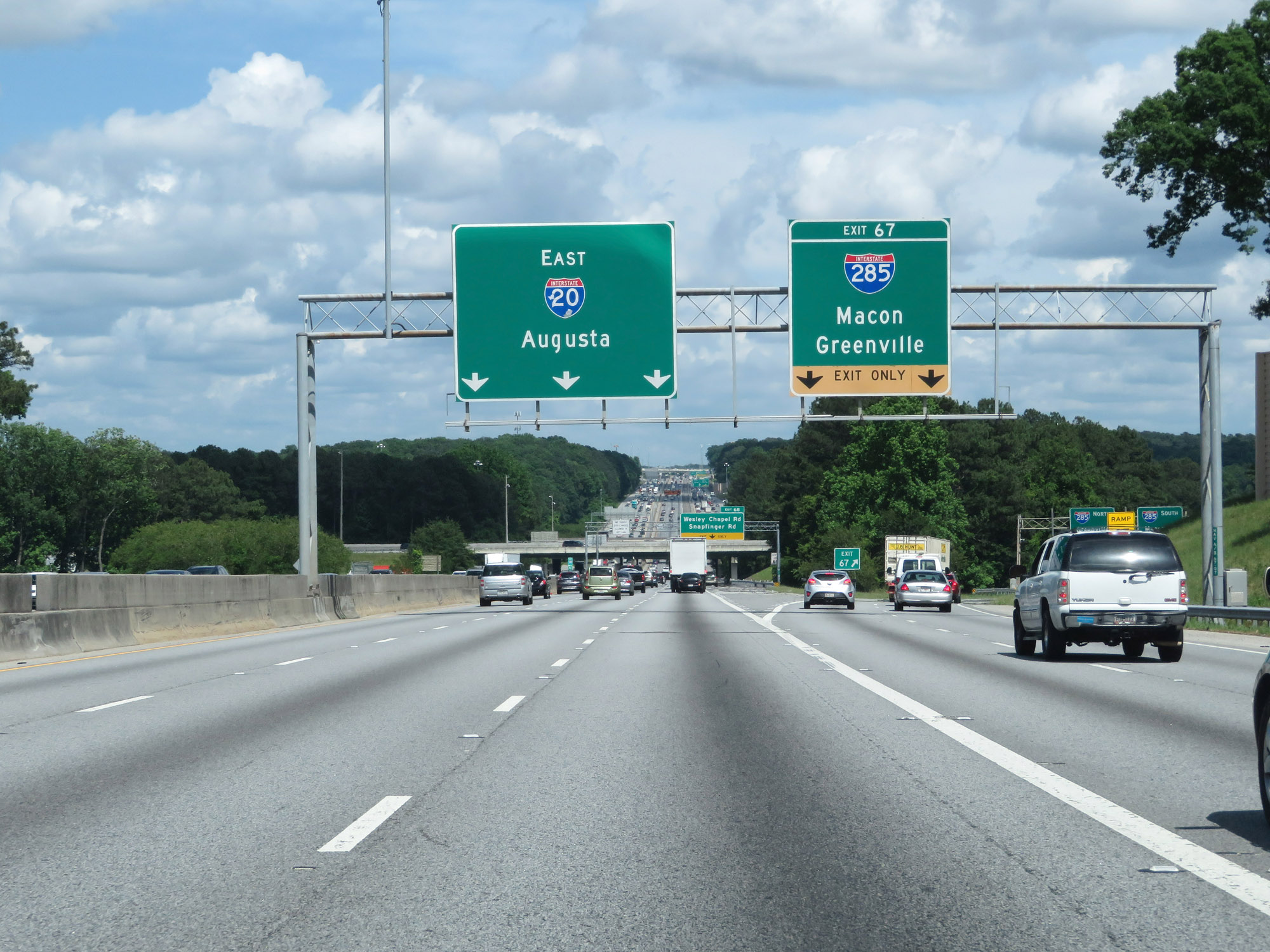 |
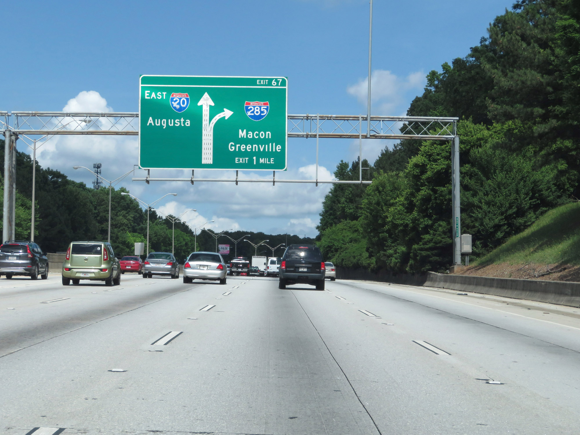
Interstate 20 East at Exit 67: Interstate 285 - Macon / Greenville (Photo taken 5/24/18). |
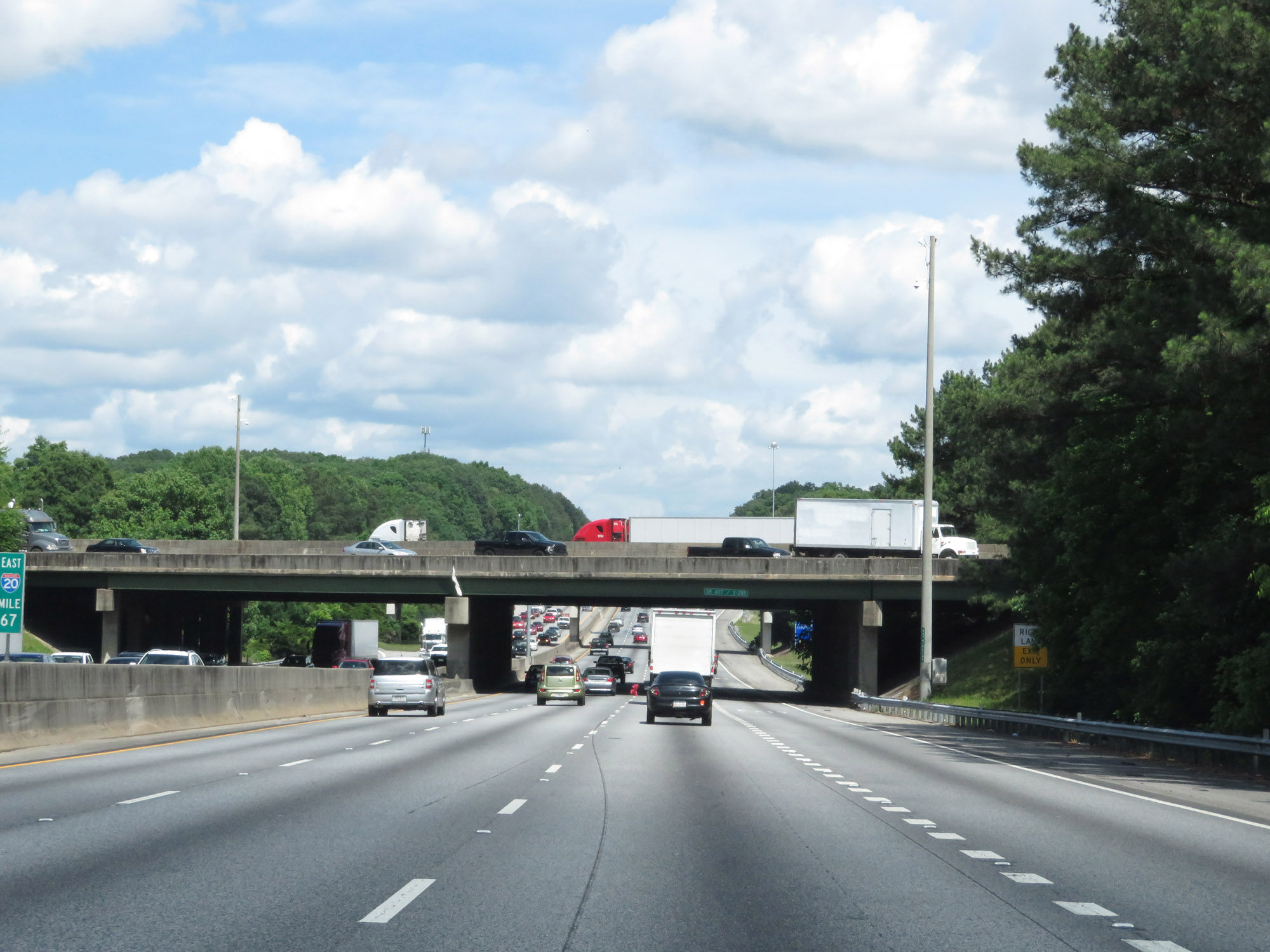 |
VIew on Interstate 20 East at mile marker 67, as it prepares to pass underneath Interstate 285 (The Perimeter). (Photo taken 5/24/18). |
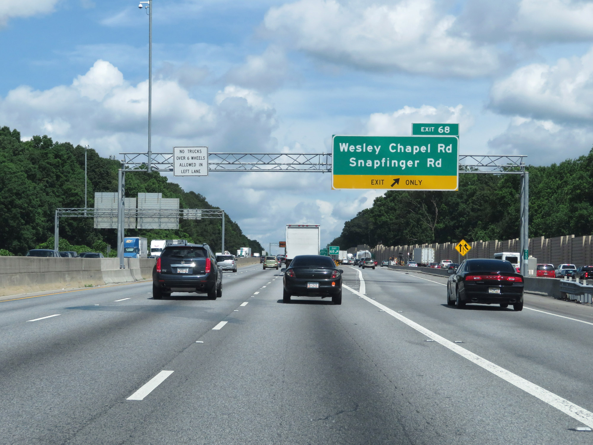 |
Interstate 20 East at Exit 68: Wesley Chapel Rd / Snapfinger Rd (Photo taken 5/24/18). |
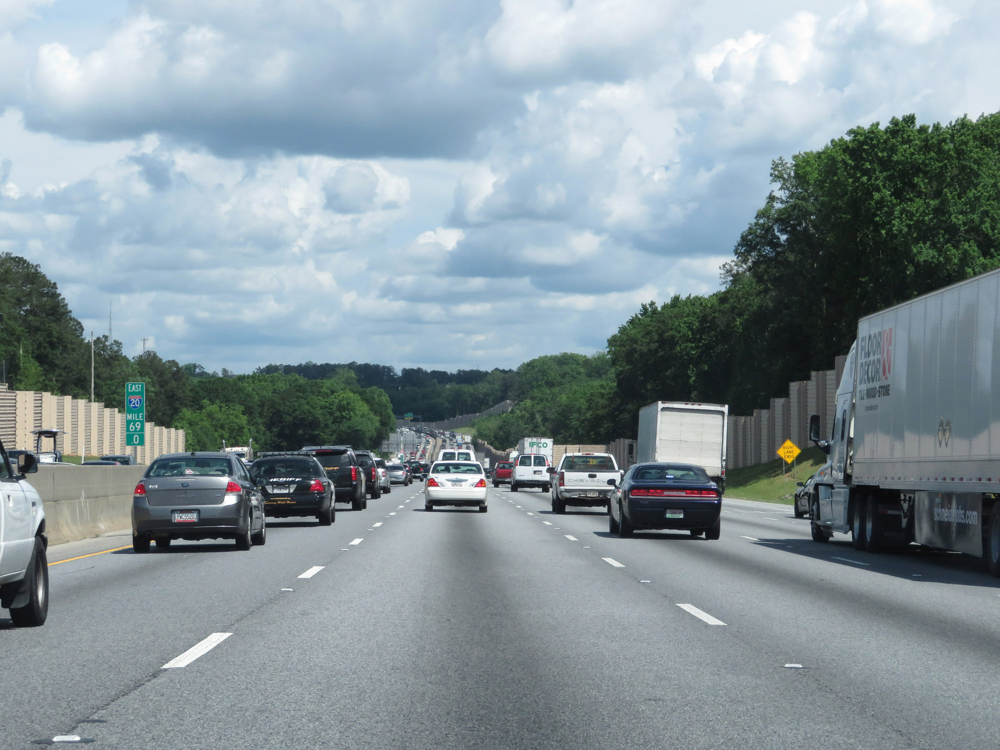 |
Interstate 20 East at mile marker 69. (Photo taken 5/24/18). |
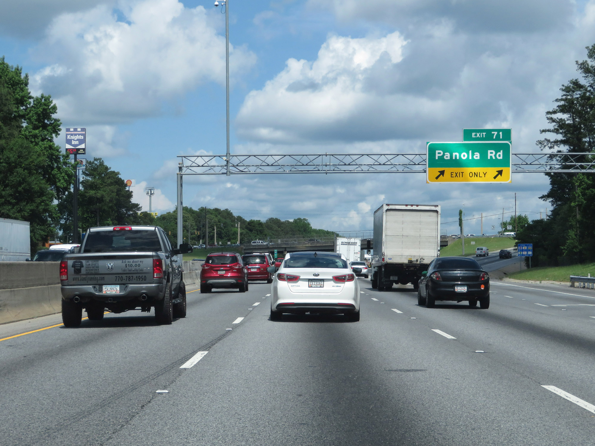 |
Interstate 20 East at Exit 71: Panola Rd (Photo taken 5/24/18). |
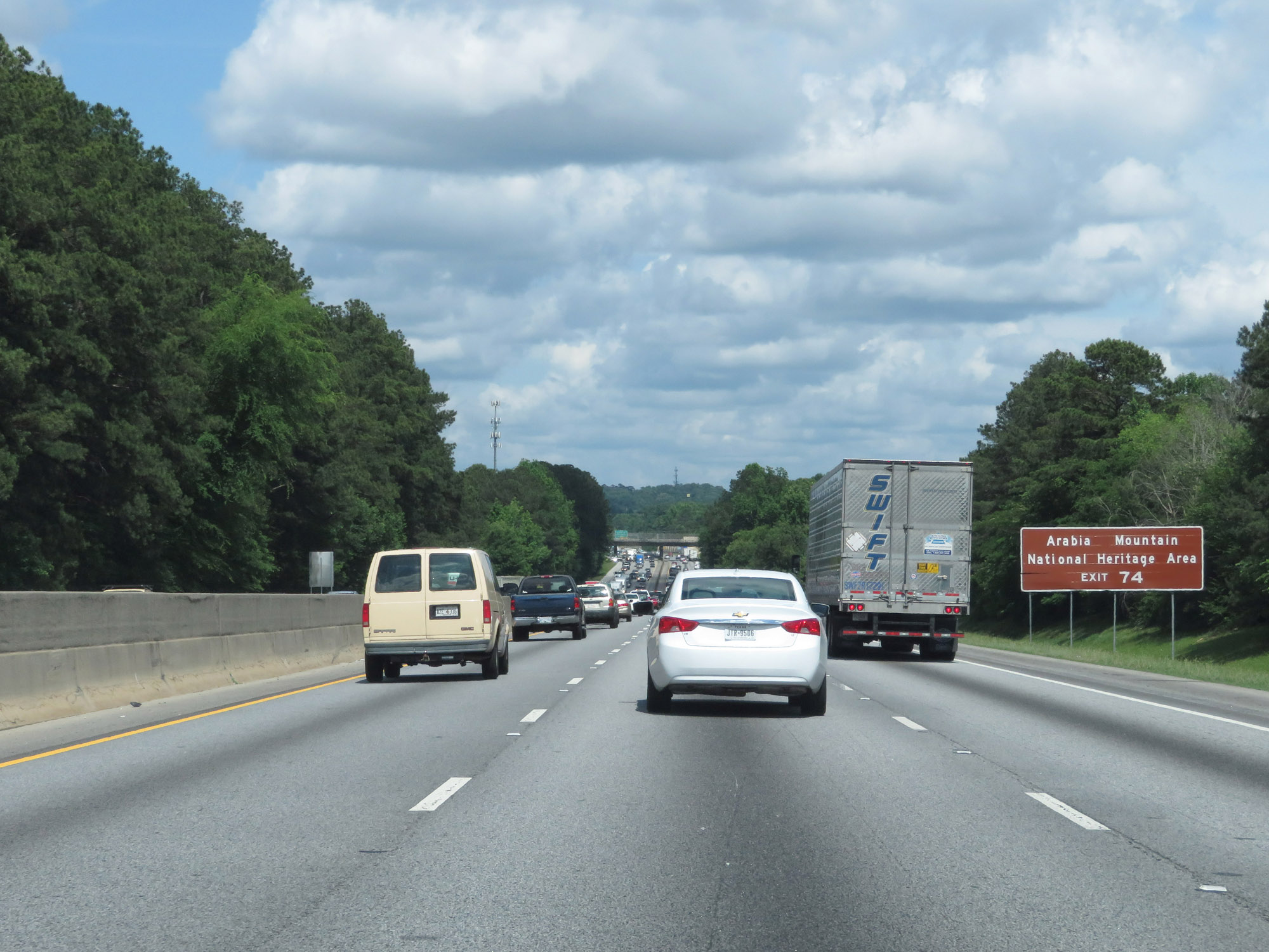 |
Take Exit 74 to Arabia Mountain National Heritage Area. (Photo taken 5/24/18). |
 |
Interstate 20 East at Exit 74: Evans Mill Rd / Lithonia Industrial Blvd / Lithonia (Photo taken 5/24/18). |
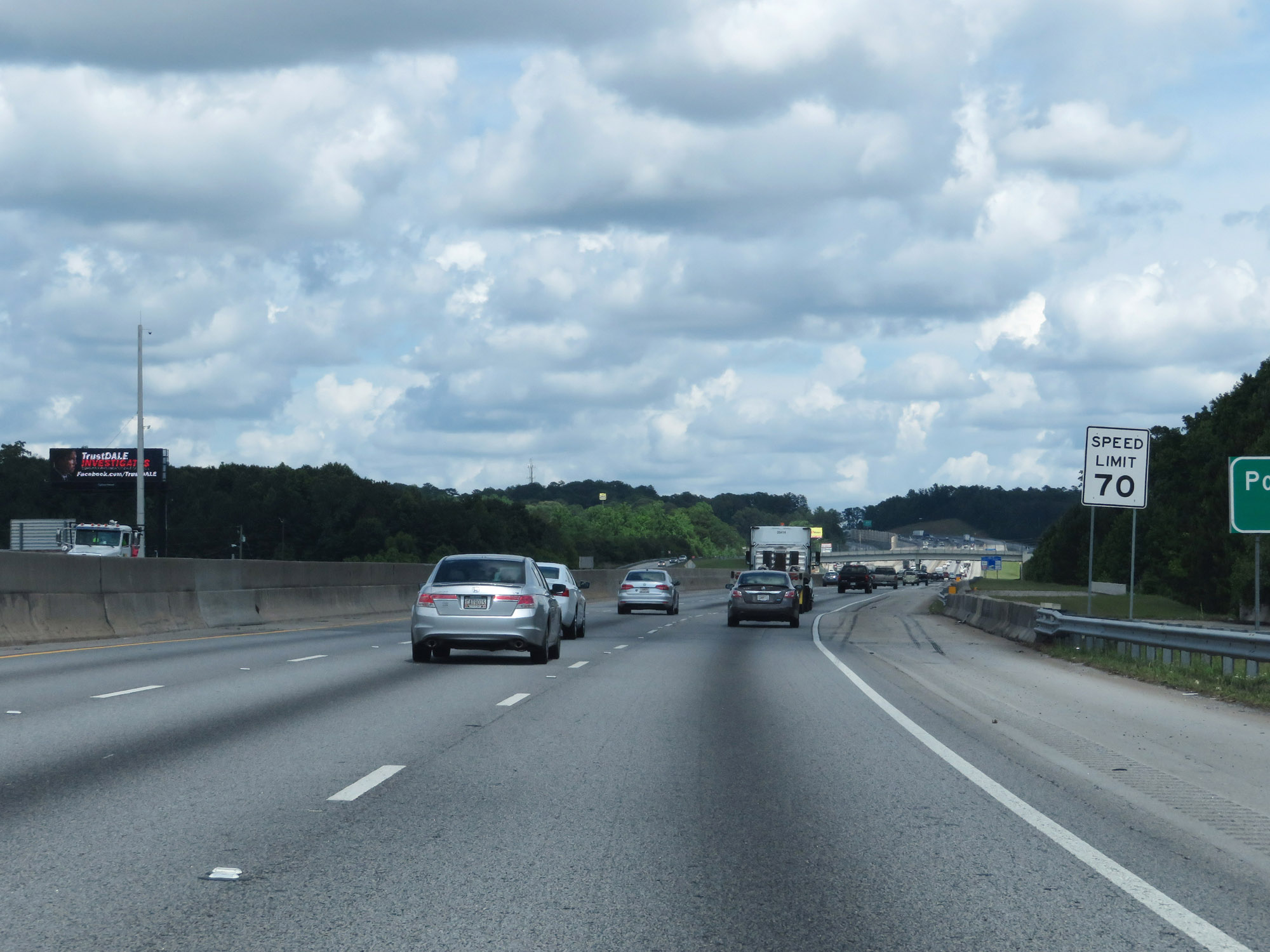 |
East of Exit 74, the speed limit increases to 70 mph. (Photo taken 5/24/18). |
 |
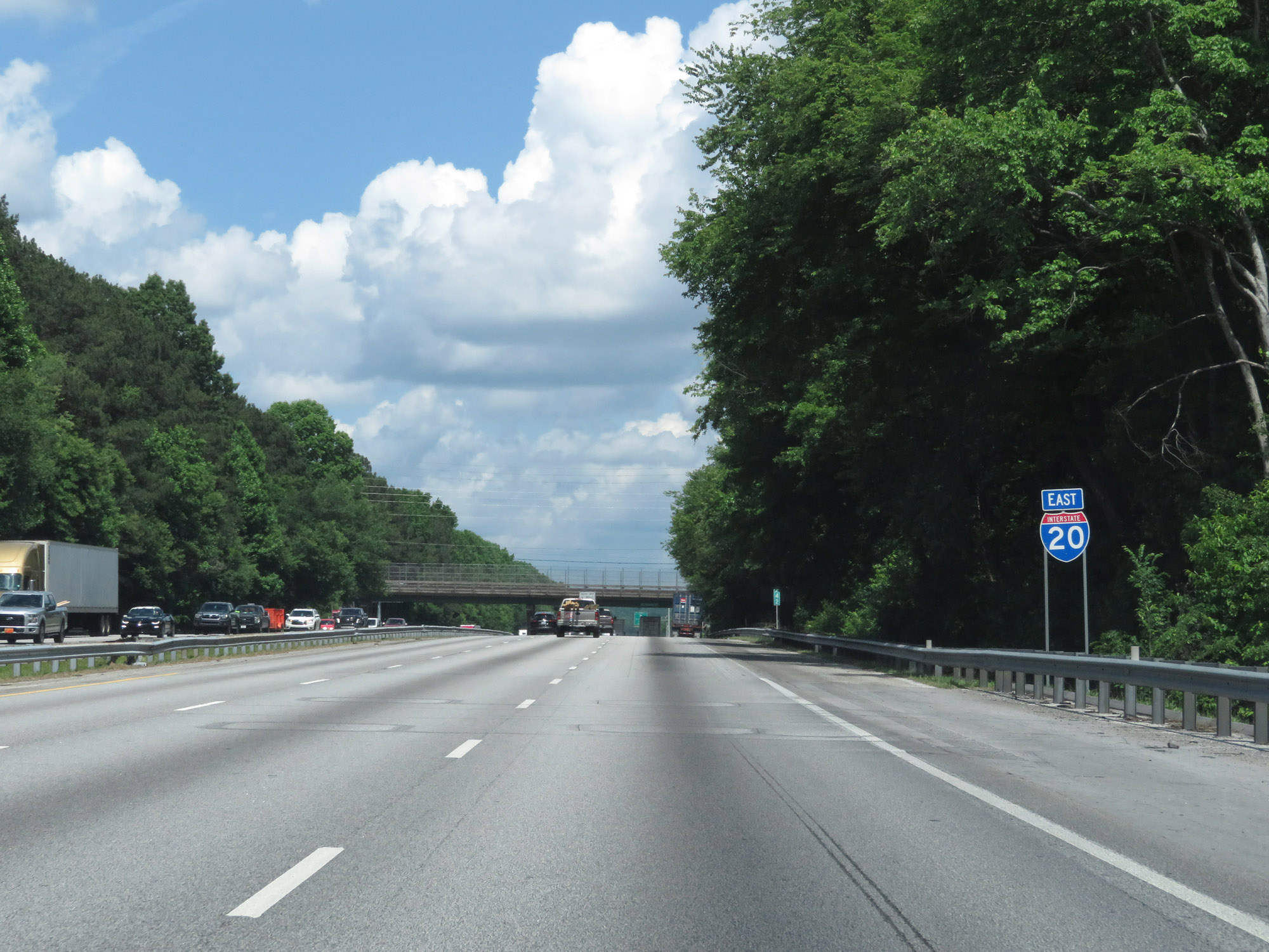
State-named Interstate 20 East reassurance shield. (Photo taken 5/24/18). |
 |
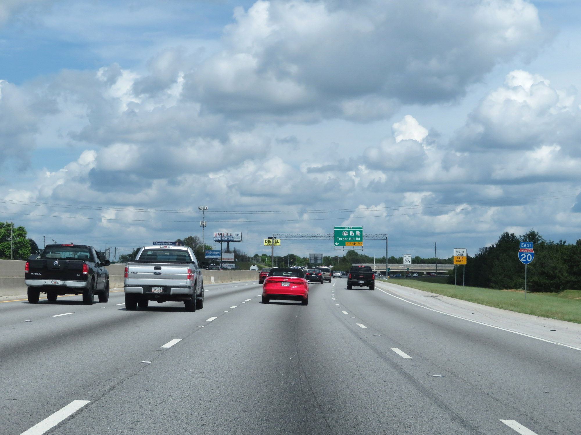
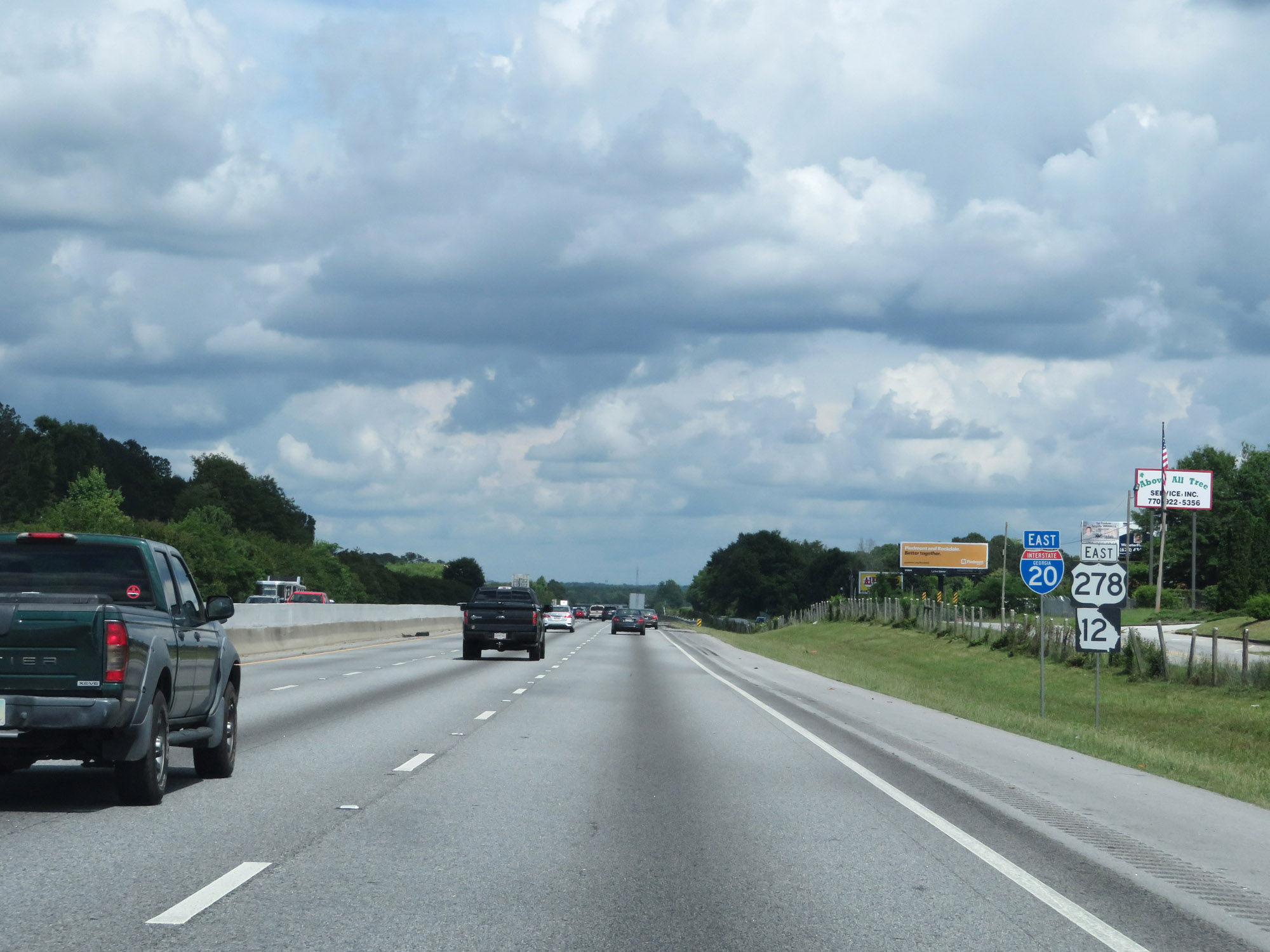
Interstate 20 East at Exit 75: US 278 / GA 12 / GA 124 - Turner Hill Rd (Photo taken 5/24/18). |
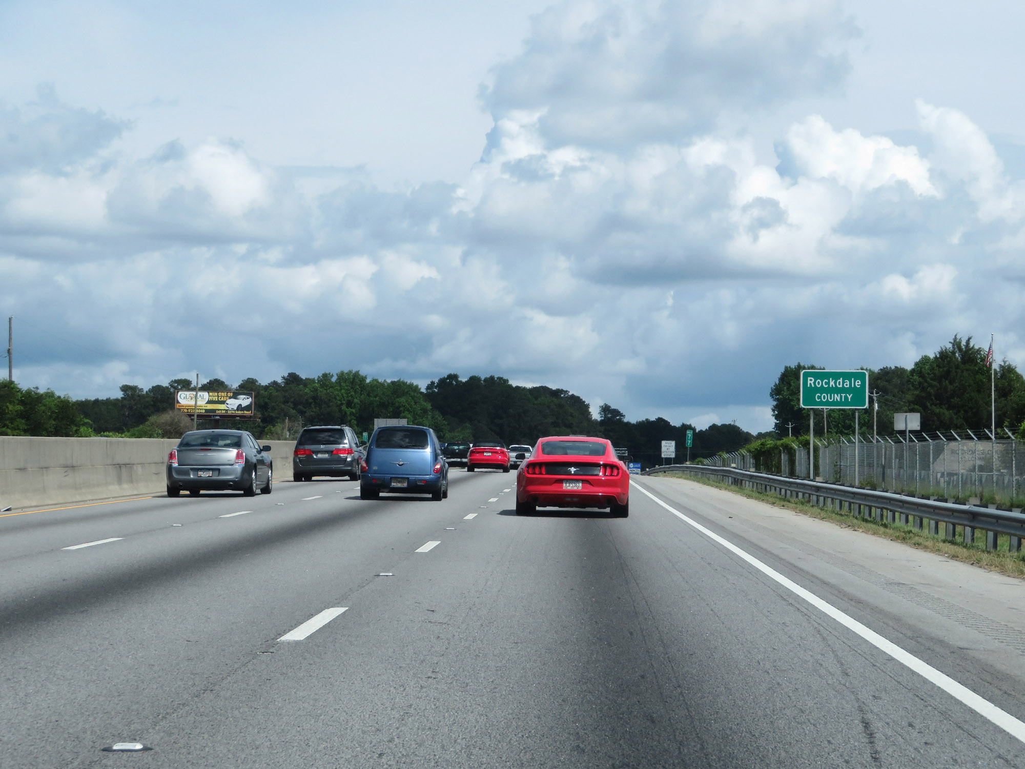 |
Entering Rockdale County on Interstate 20 East at mile marker 77. (Photo taken 5/24/18). |
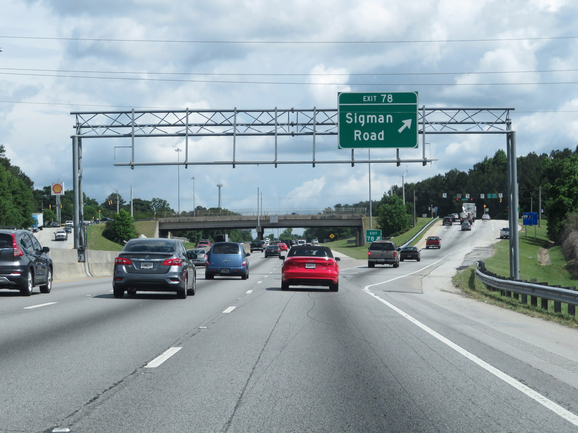 |
Interstate 20 East at Exit 78: Sigman Road (Photo taken 5/24/18). |
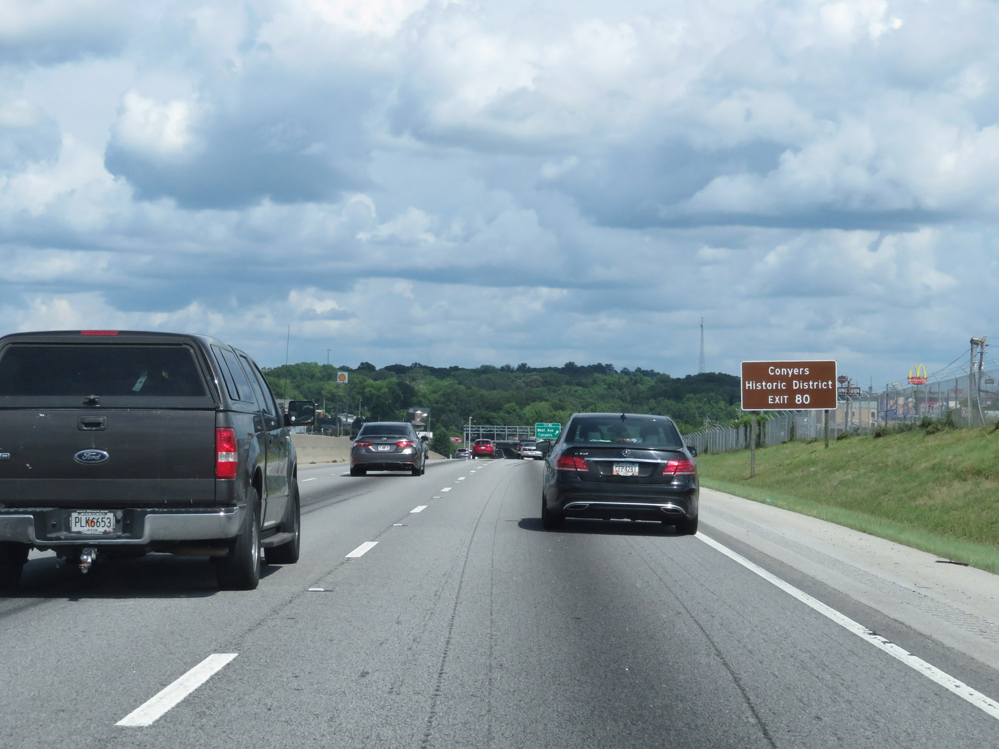 |
Take Exit 80 to Conyers Historic District. (Photo taken 5/24/18). |
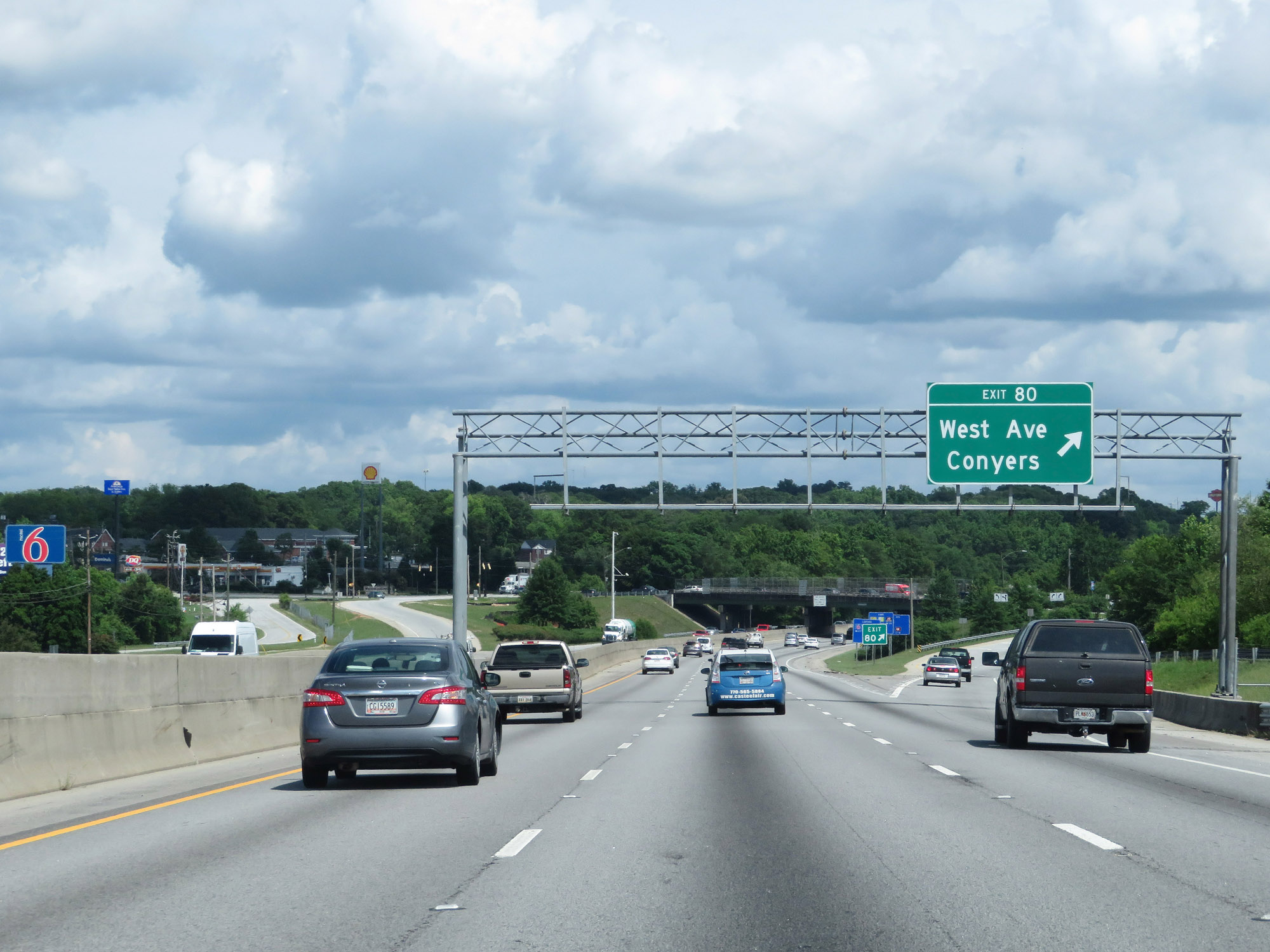 |
Interstate 20 East at Exit 80: West Ave / Conyers (Photo taken 5/24/18). |
 |
Take Exit 82 to Athens. (Photo taken 5/24/18). |
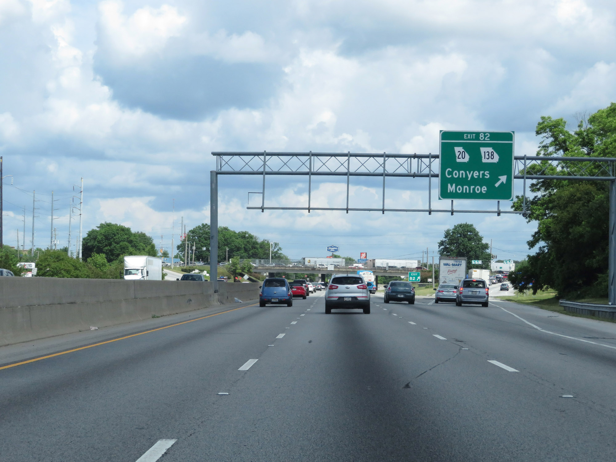 |
Interstate 20 East at Exit 82: GA 20 / GA 138 - Conyers / Monroe (Photo taken 5/24/18). |
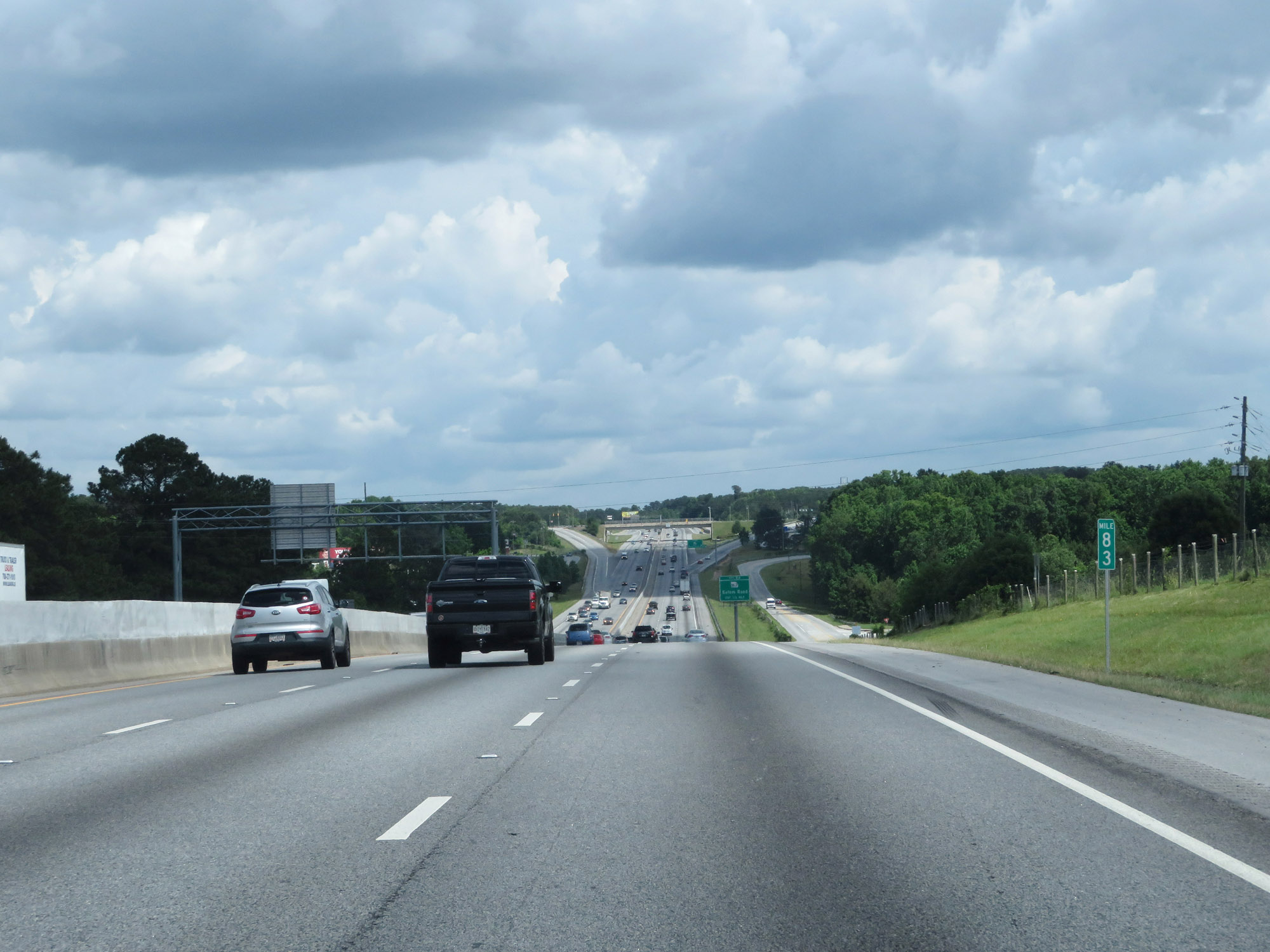 |
View on Interstate 20 East at mile marker 83. (Photo taken 5/24/18). |
 |
Interstate 20 East at Exit 84: GA 162 - Salem Road (Photo taken 5/24/18). |
 |
Another state-named Interstate 20 East reassurance shield. (Photo taken 5/24/18). |
 |
Interstate 20 East as it enters Newton County. (Photo taken 5/24/18). |
 |
Take Exit 88 to Porterdale Historic District. (Photo taken 5/24/18). |
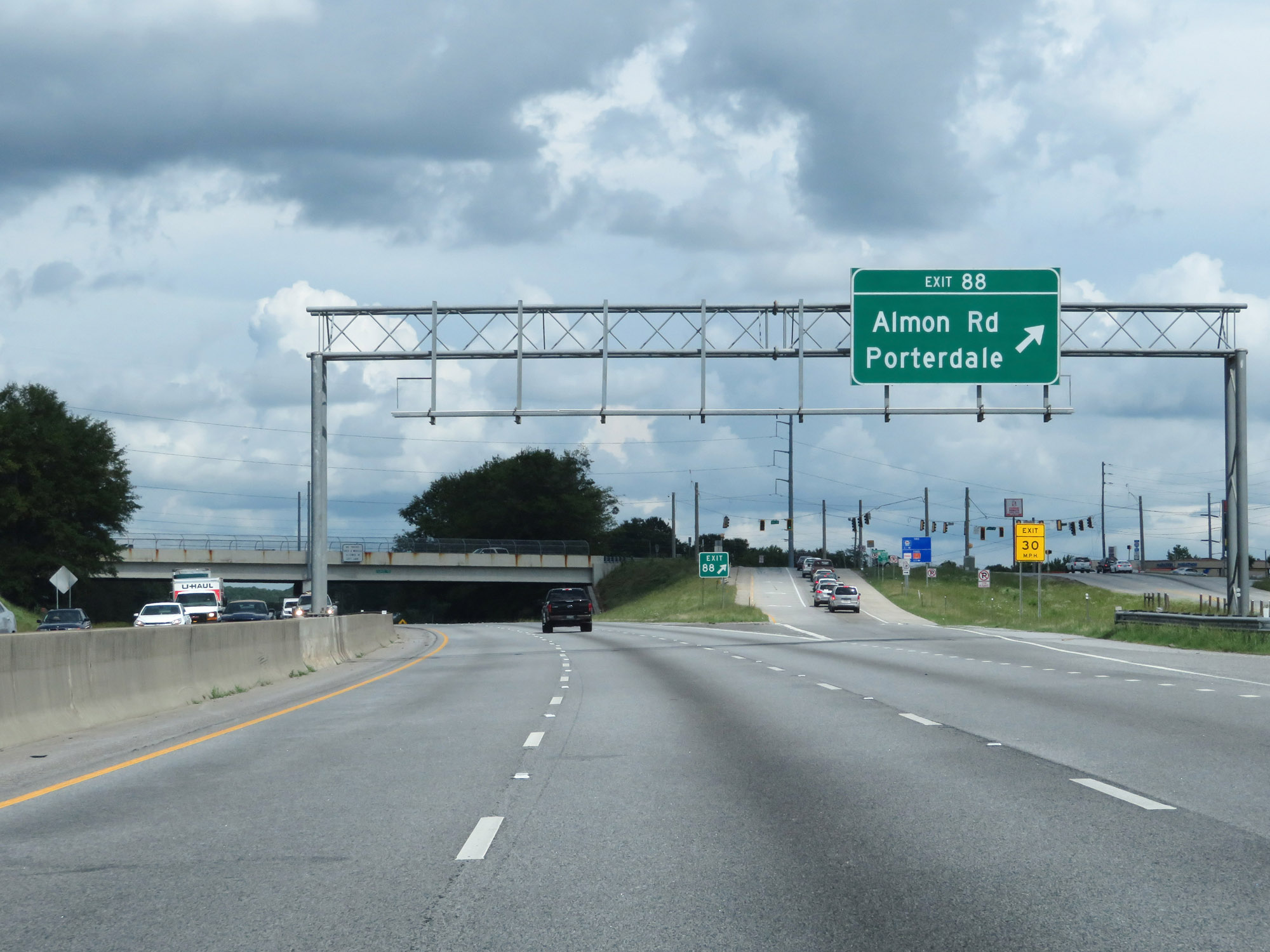 |
Interstate 20 East at Exit 88: Almon Rd / Porterdale (Photo taken 5/24/18). |
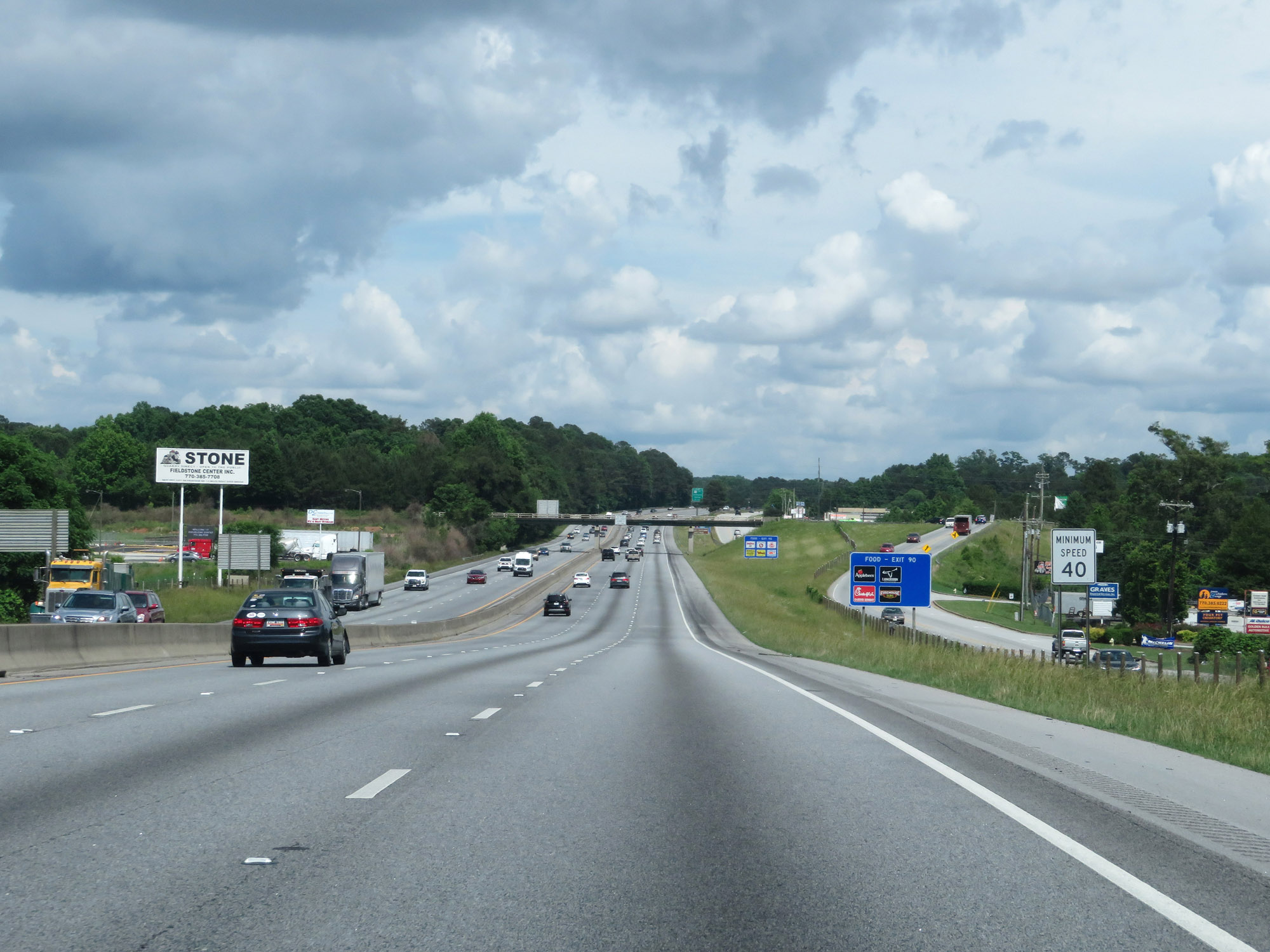 |
The minimum speed limit remains 40 mph, as is usual on most rural Interstate highways in Georgia. (Photo taken 5/24/18). |
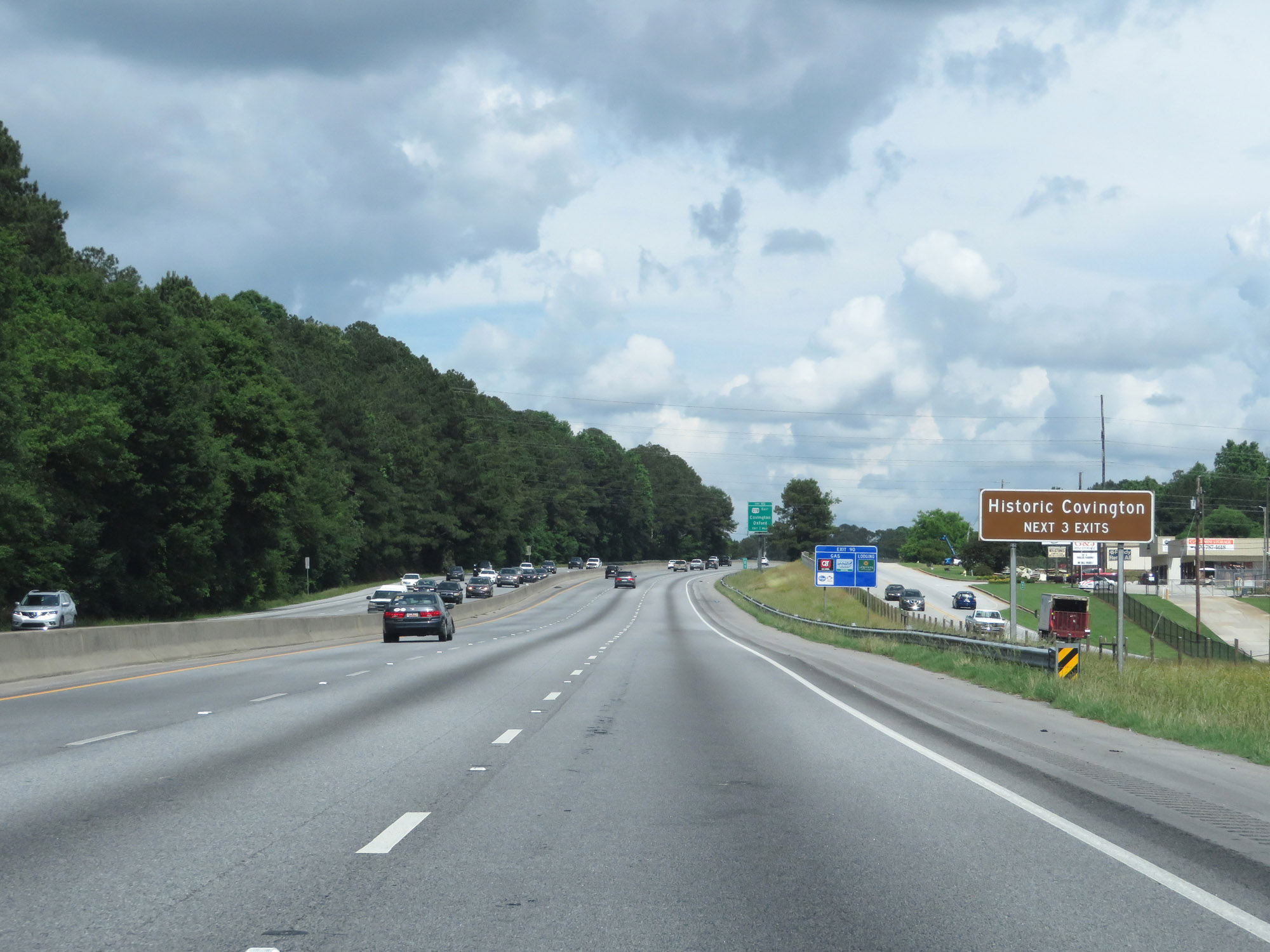 |
Take any of the next 3 exits to Historic Covington. (Photo taken 5/24/18). |
 |
Take Exit 90 to Oxford College of Emory University. (Photo taken 5/24/18). |
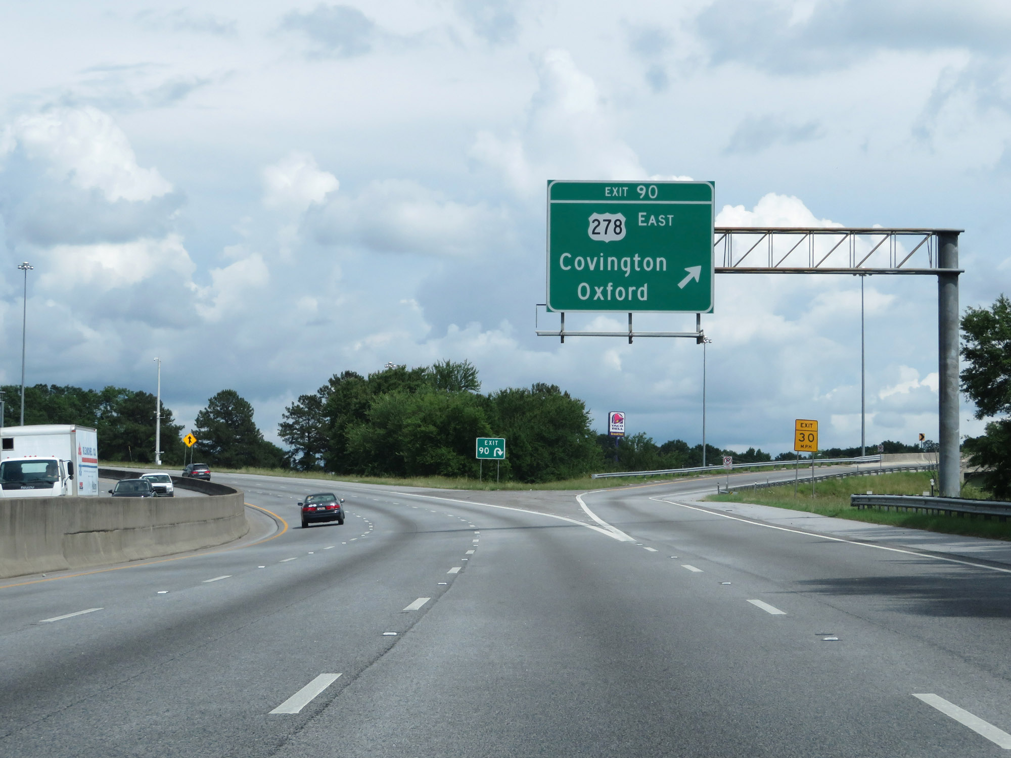 |
Interstate 20 East at Exit 90: US 278 East - Covington / Oxford (Photo taken 5/24/18). |
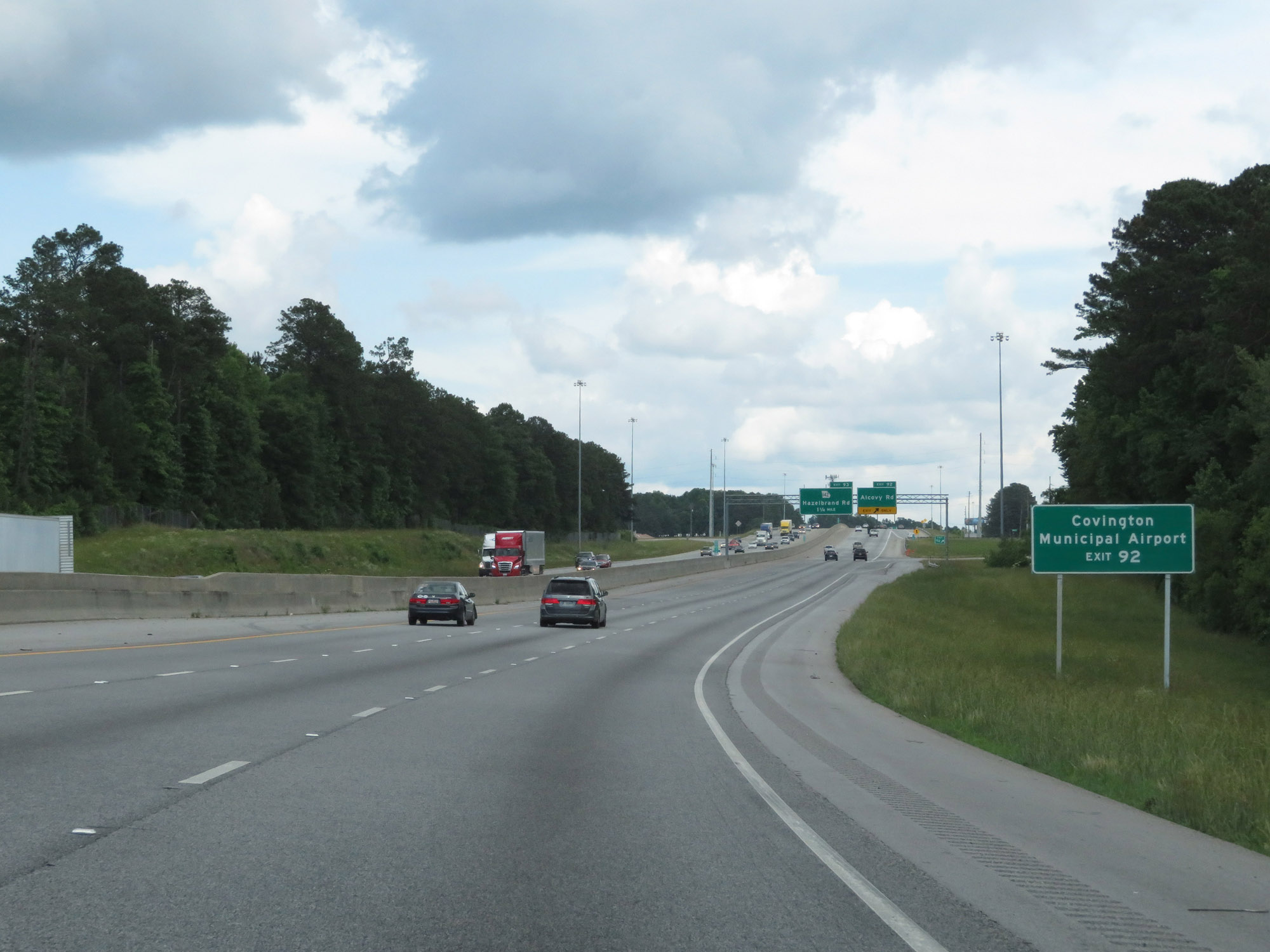 |
Take Exit 92 to Covington Municipal Airport. (Photo taken 5/24/18). |
 |
Interstate 20 East at Exit 92: Alcovy Rd (Photo taken 5/24/18). |
Section 3: Covington (Exit 92) to Greensboro (Exit 130)
 |
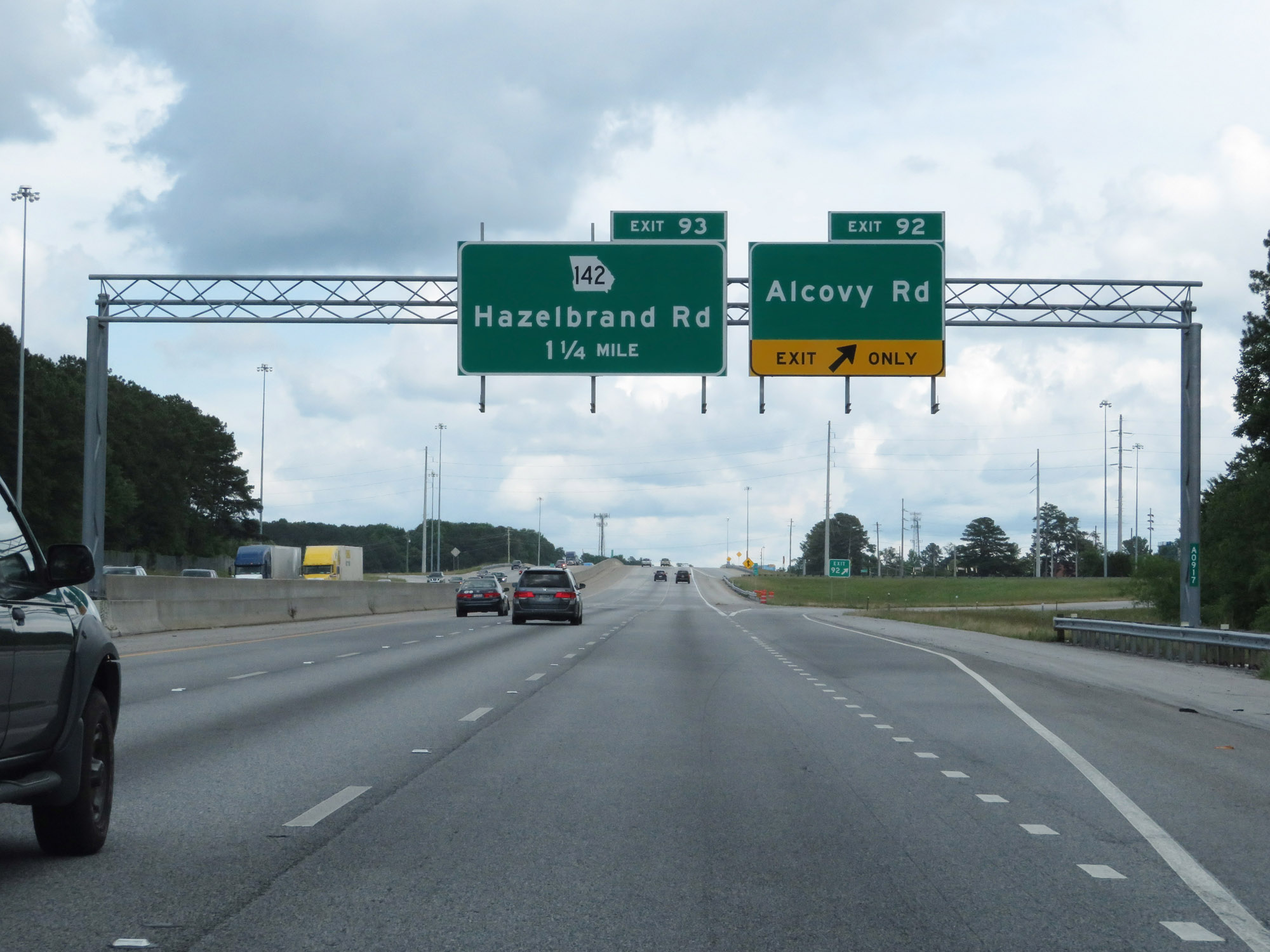
Interstate 20 East at Exit 93: Hazelbrand Rd (Photo taken 5/24/18). |
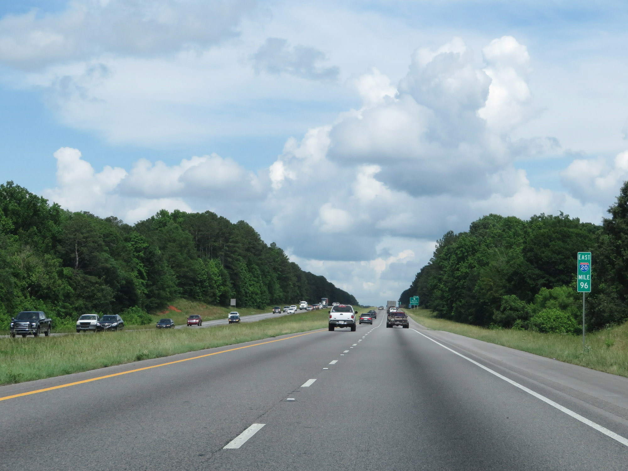 |
Interstate 20 East at mile marker 96. (Photo taken 5/24/18). |
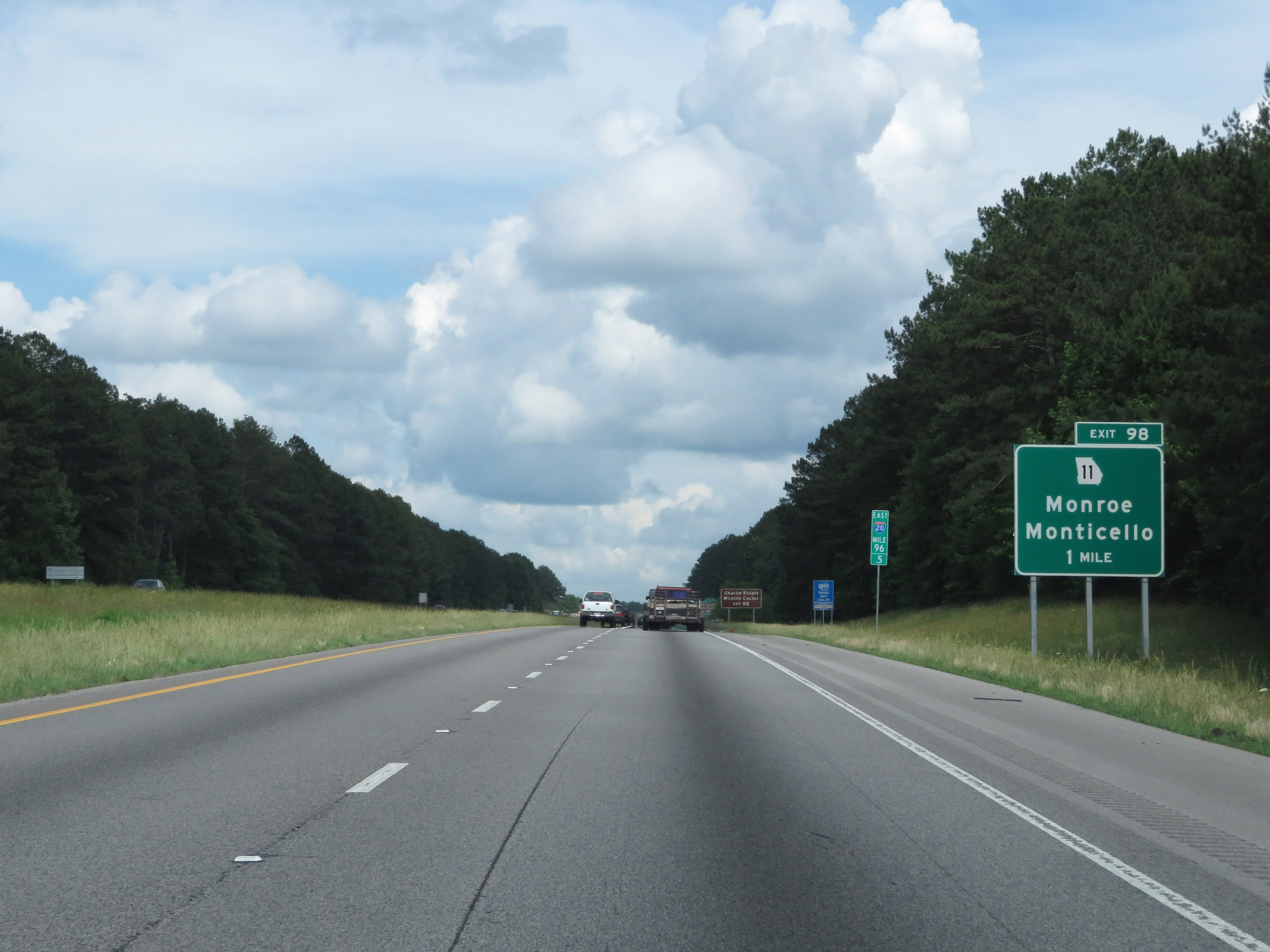 |
Interstate 20 East approaching Exit 98 - 1 mile. (Photo taken 5/24/18). |
 |
Take Exit 98 to Charlie Elliot Wildlife Center. (Photo taken 5/24/18). |
 |
Take Exit 98 to Social Circle Historic District as well. (Photo taken 5/24/18). |
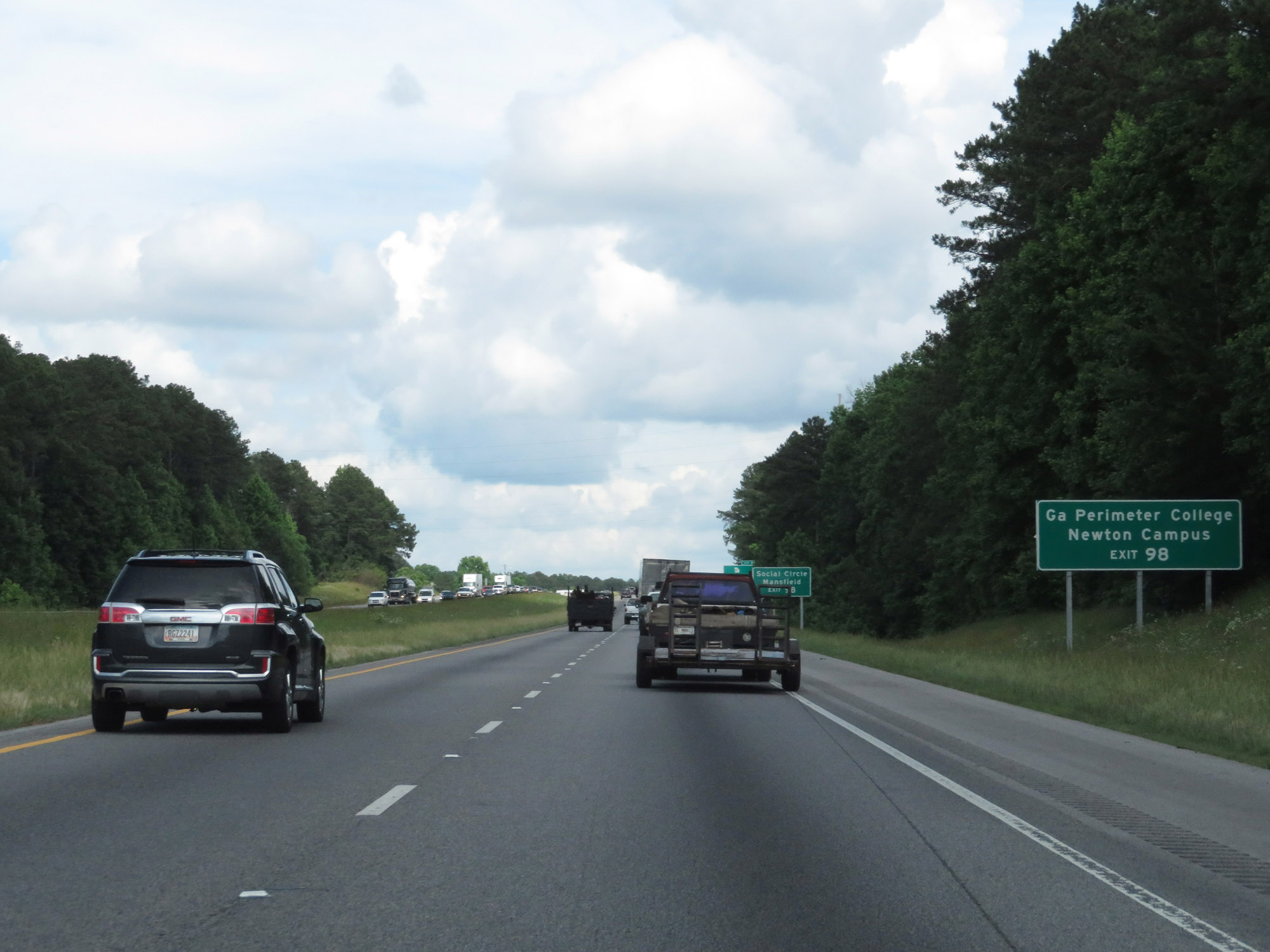 |
Also take Exit 98 to Georgia Perimeter College - Newton Campus. (Photo taken 5/24/18). |
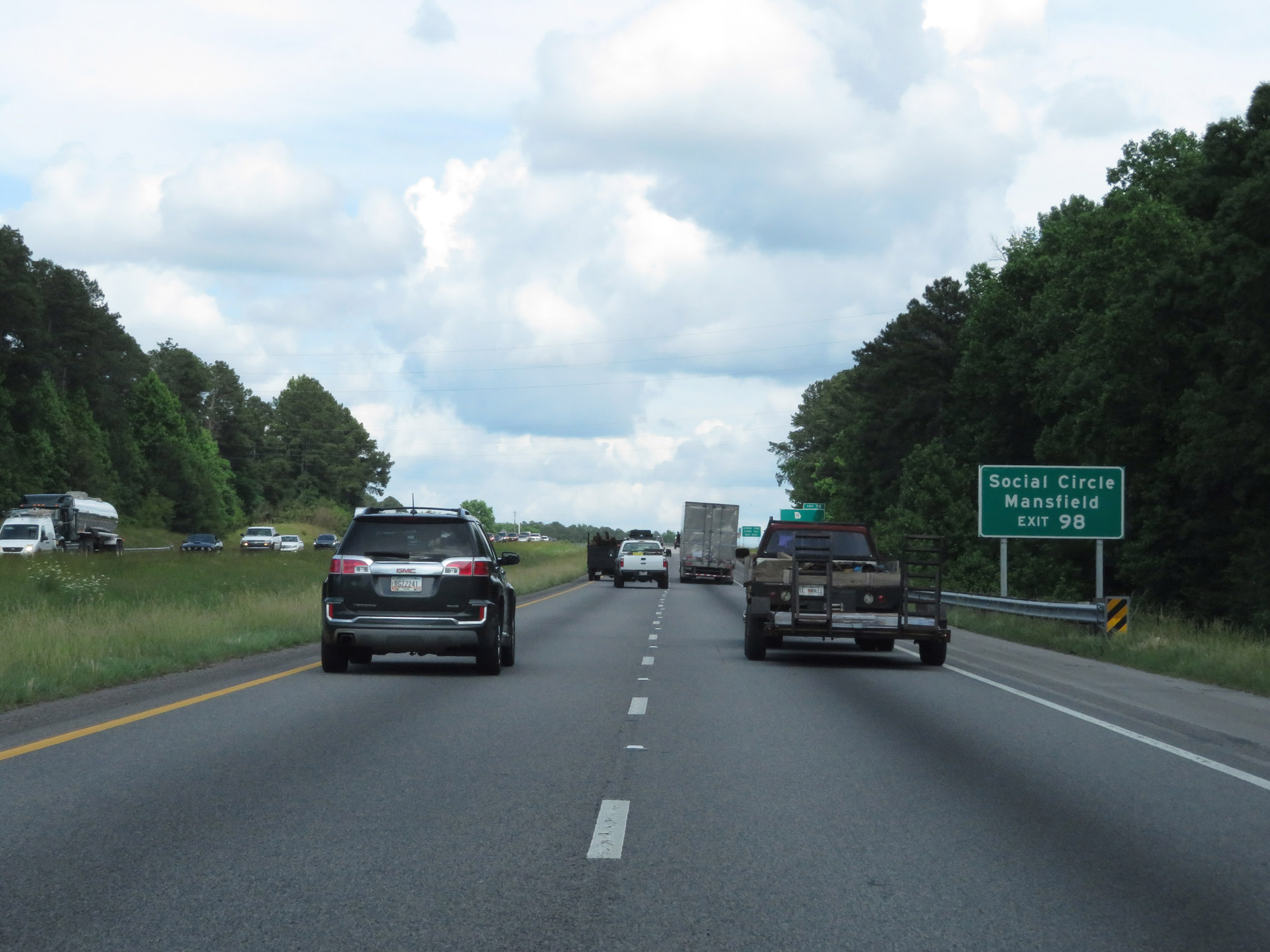 |
Use Exit 98 to Social Circle and Mansfield. (Photo taken 5/24/18). |
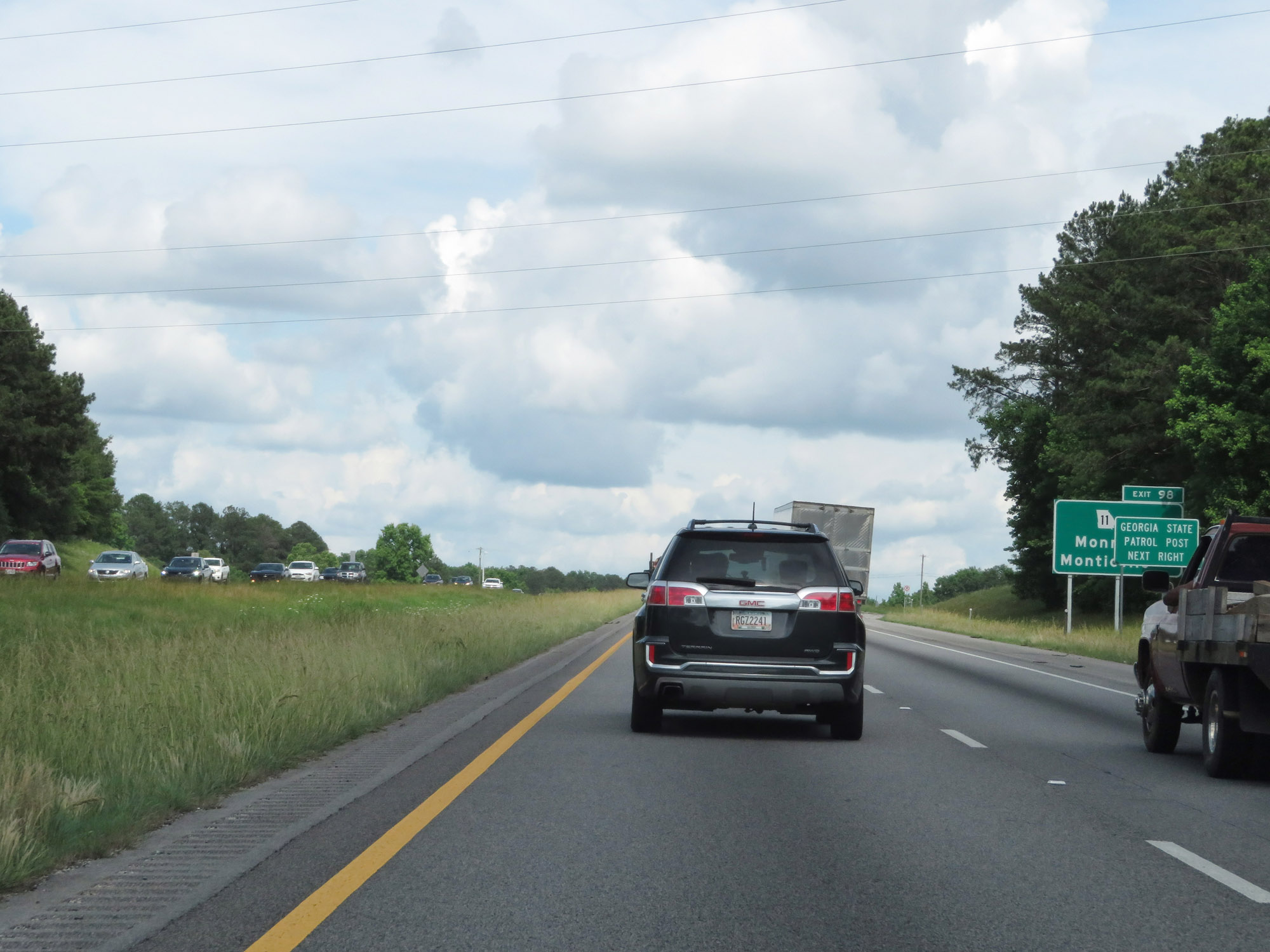 |
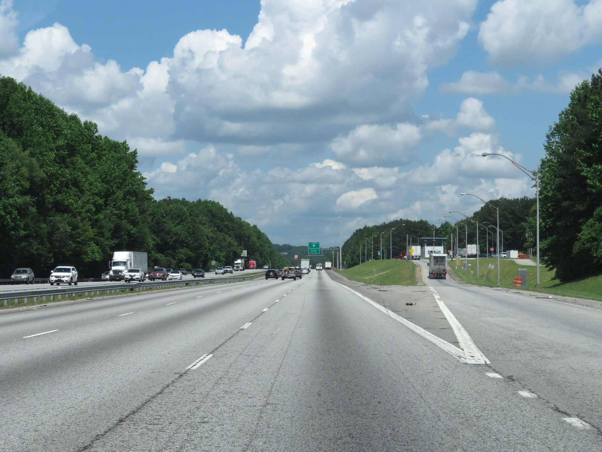
Interstate 20 East at Exit 98: GA 11 - Monroe / Monticello (Photo taken 5/24/18). |
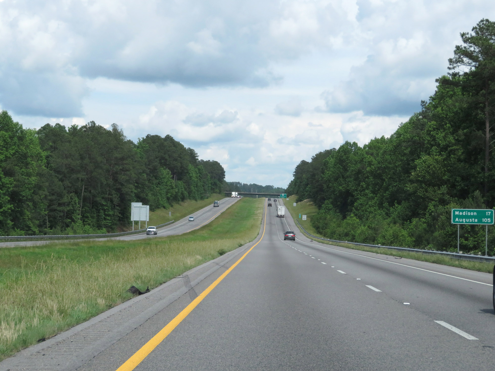 |
Mileage sign on Interstate 20 East. It's 17 miles to Madison and 105 miles to Augusta. (Photo taken 5/24/18). |
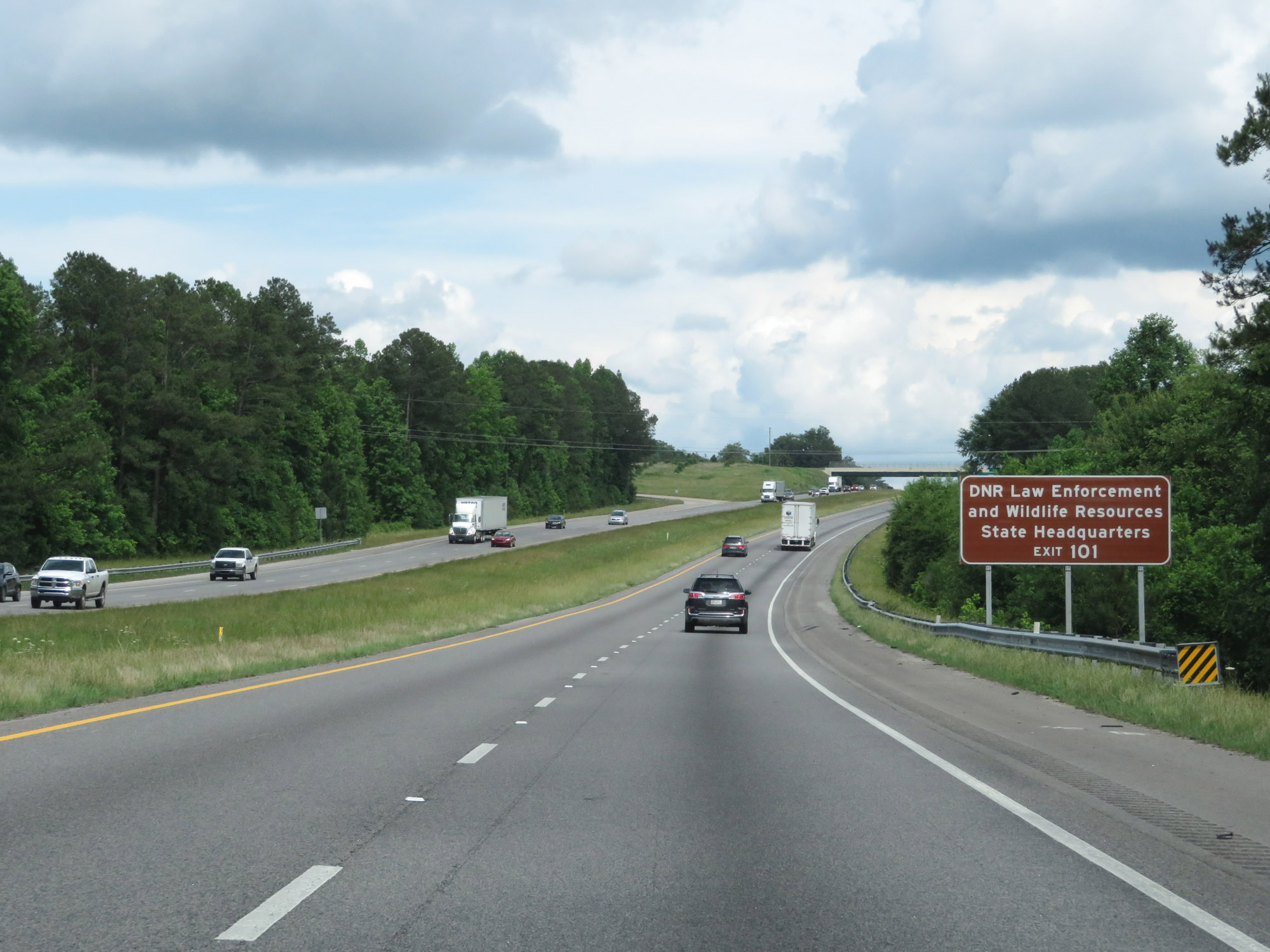 |
Take Exit 101 to the DNR Law Enforcement and Wildlife Resources State Headquarters. (Photo taken 5/24/18). |
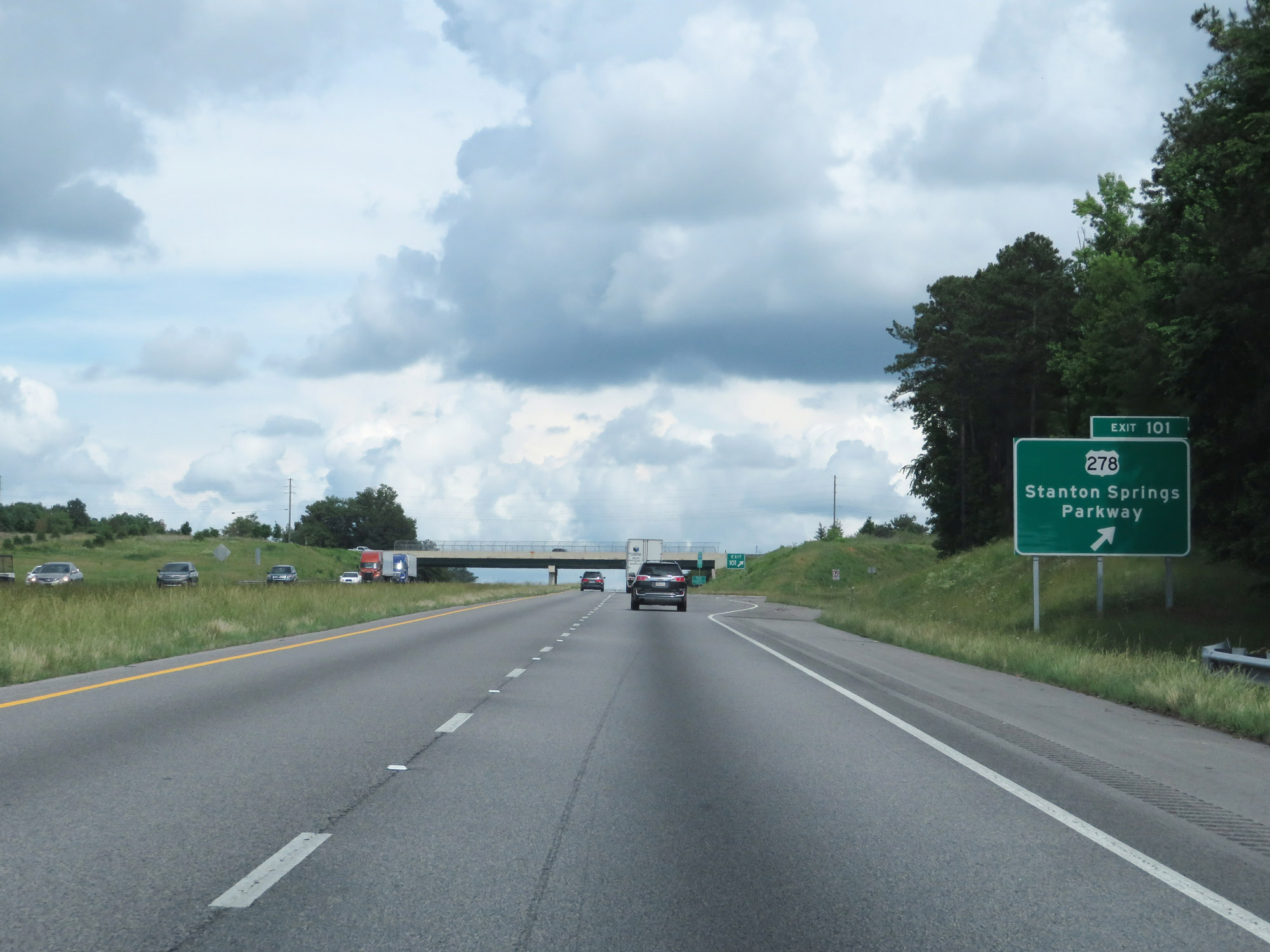 |
Interstate 20 East at Exit 101: US 278 - Stanton Springs Parkway (Photo taken 5/24/18). |
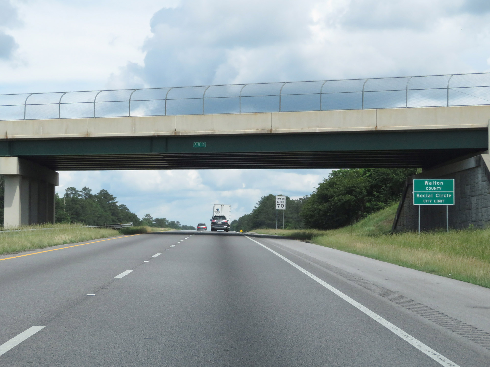 |
Interstate 20 East as it enters Walton County for a very brief distance. (Photo taken 5/24/18). |
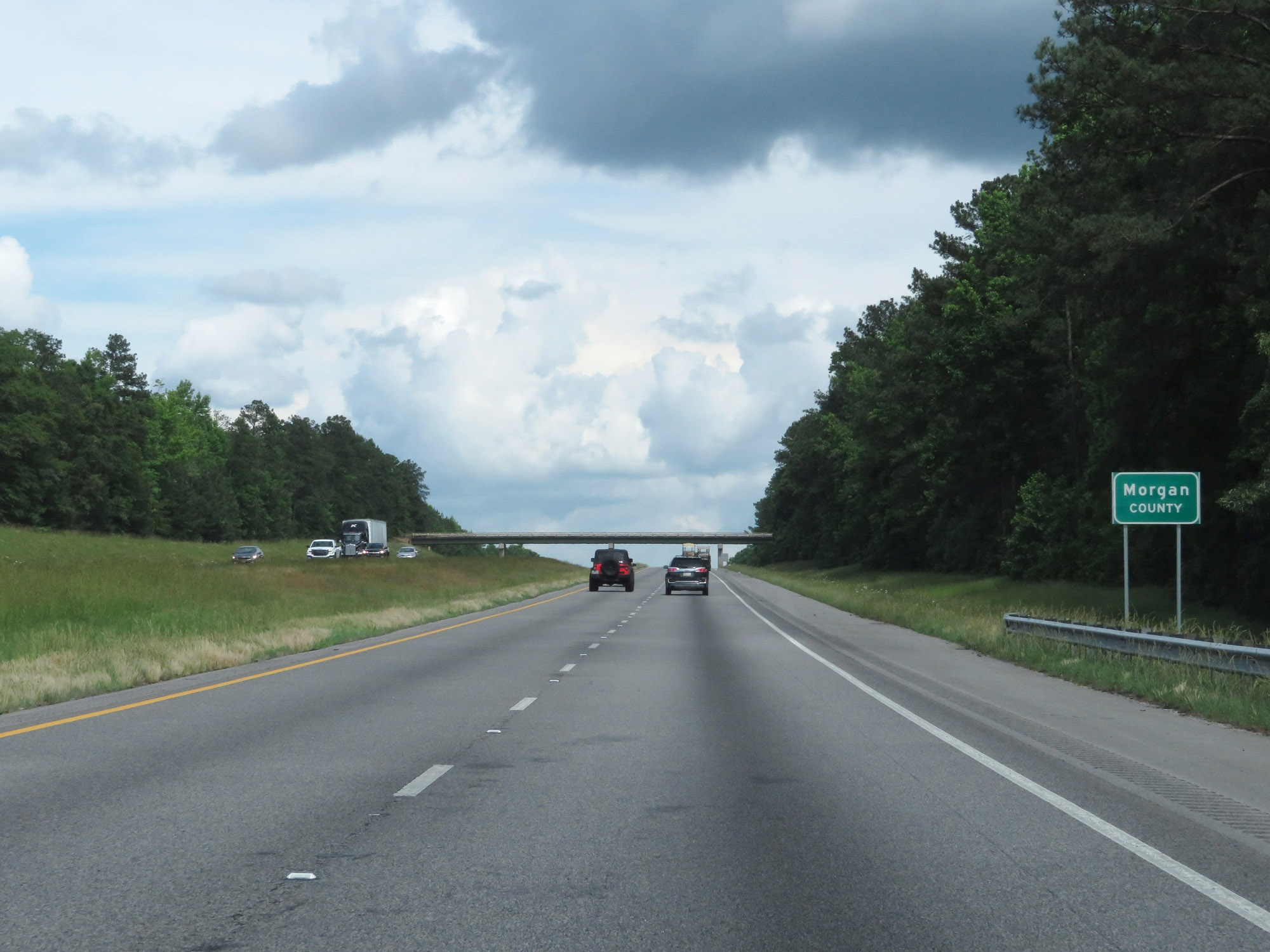 |
Shortly after entering Walton County, Interstate 20 East leaves it to enter Morgan County. (Photo taken 5/24/18). |
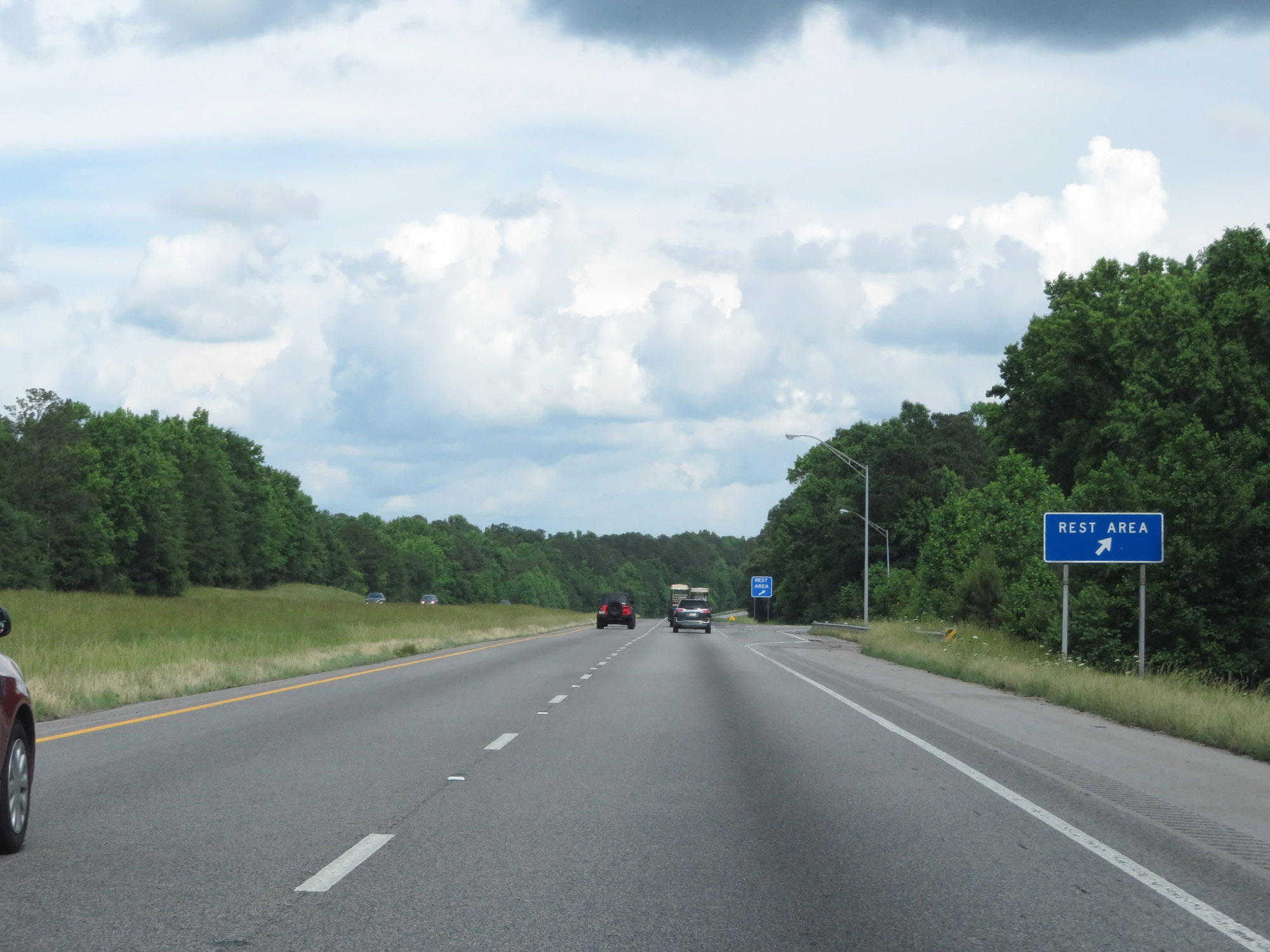 |
Rest Area on Interstate 20 East in Morgan County. (Photo taken 5/24/18). |
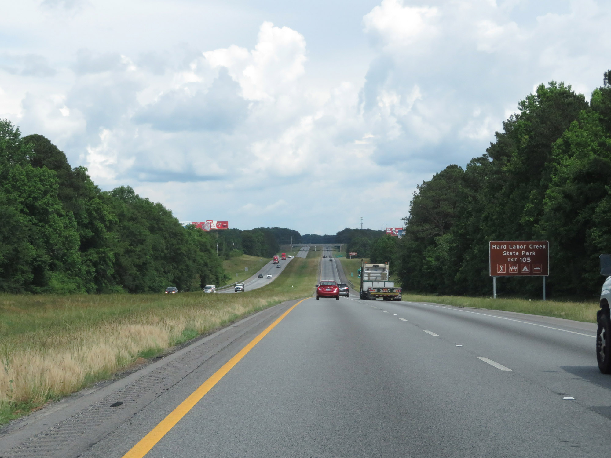 |
Take Exit 105 to Hard Labor Creek State Park. (Photo taken 5/24/18). |
 |
Also take Exit 105 to Rutledge Historic District. (Photo taken 5/24/18). |
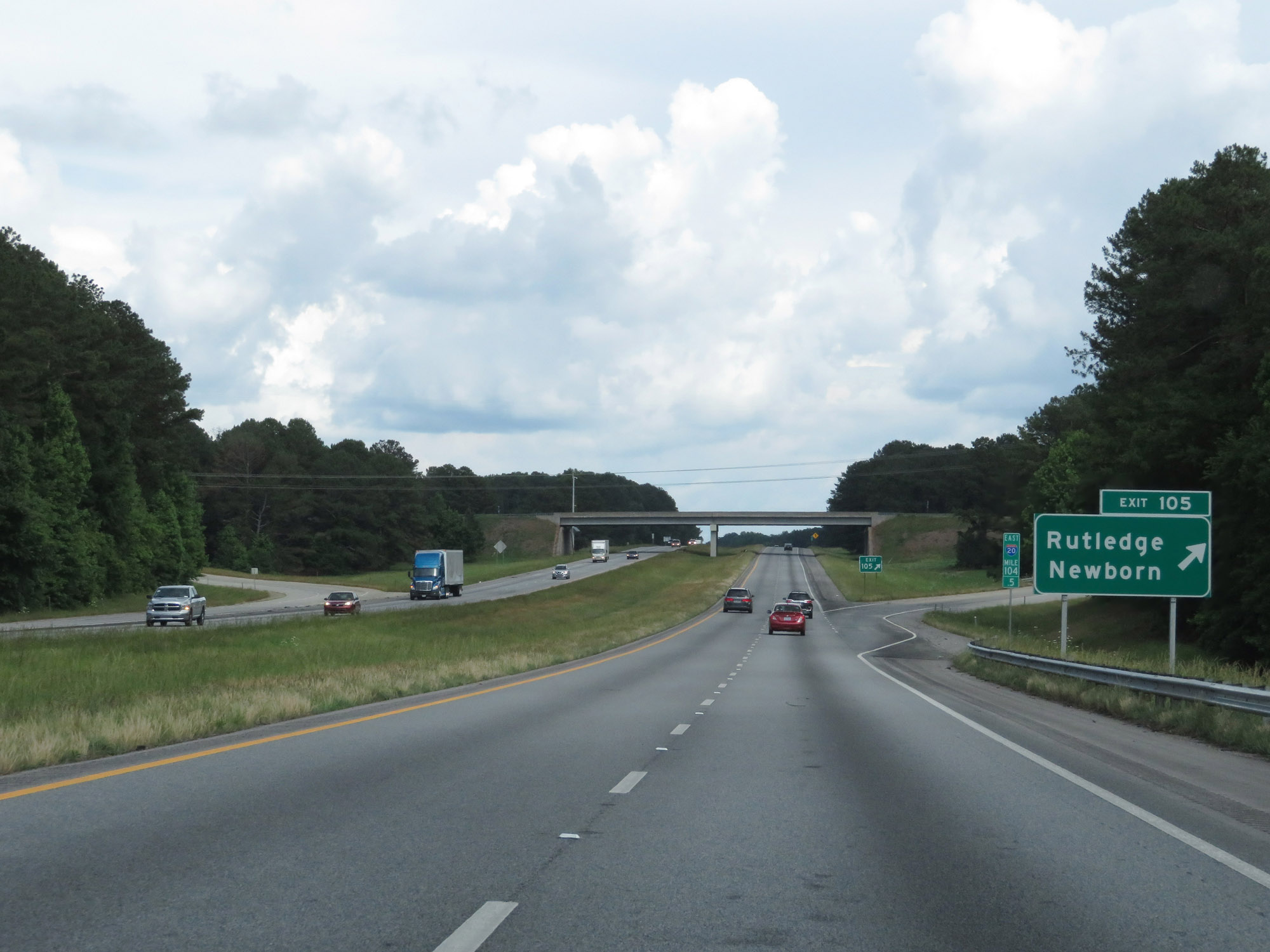 |
Interstate 20 East at Exit 105: Rutledge / Newborn (Photo taken 5/24/18). |
 |
View on Interstate 20 East at mile marker 107. (Photo taken 5/24/18). |
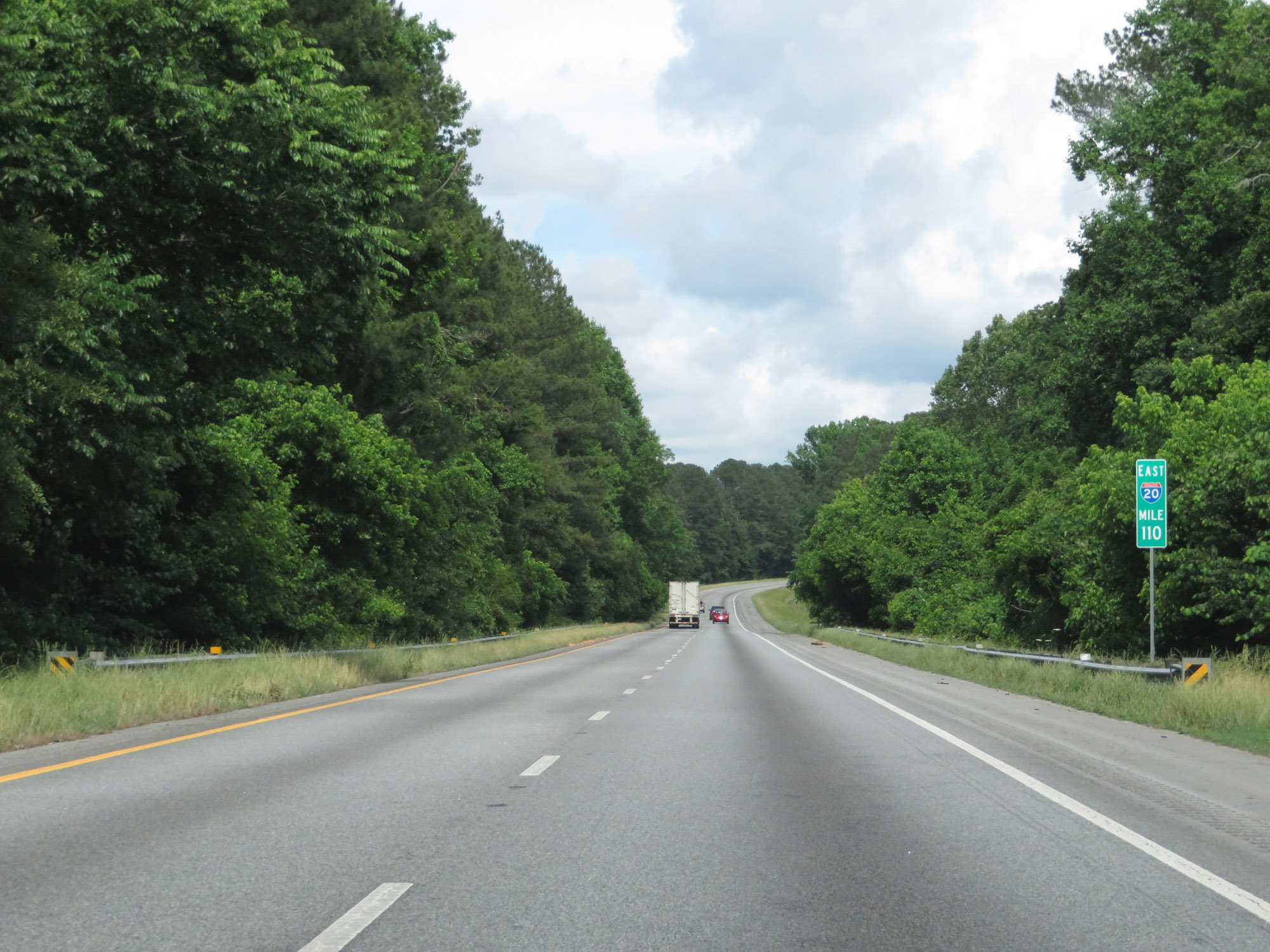 |
Interstate 20 East at mile marker 110. (Photo taken 5/24/18). |
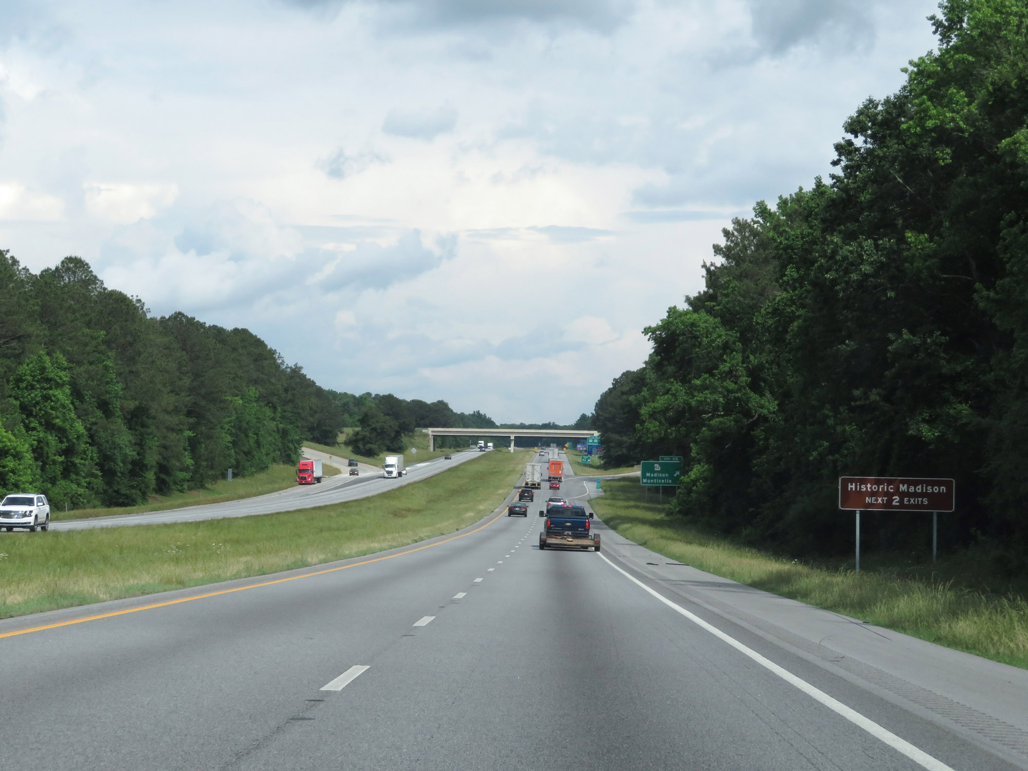 |
Take either of the next 2 exits to Historic Madison. (Photo taken 5/24/18). |
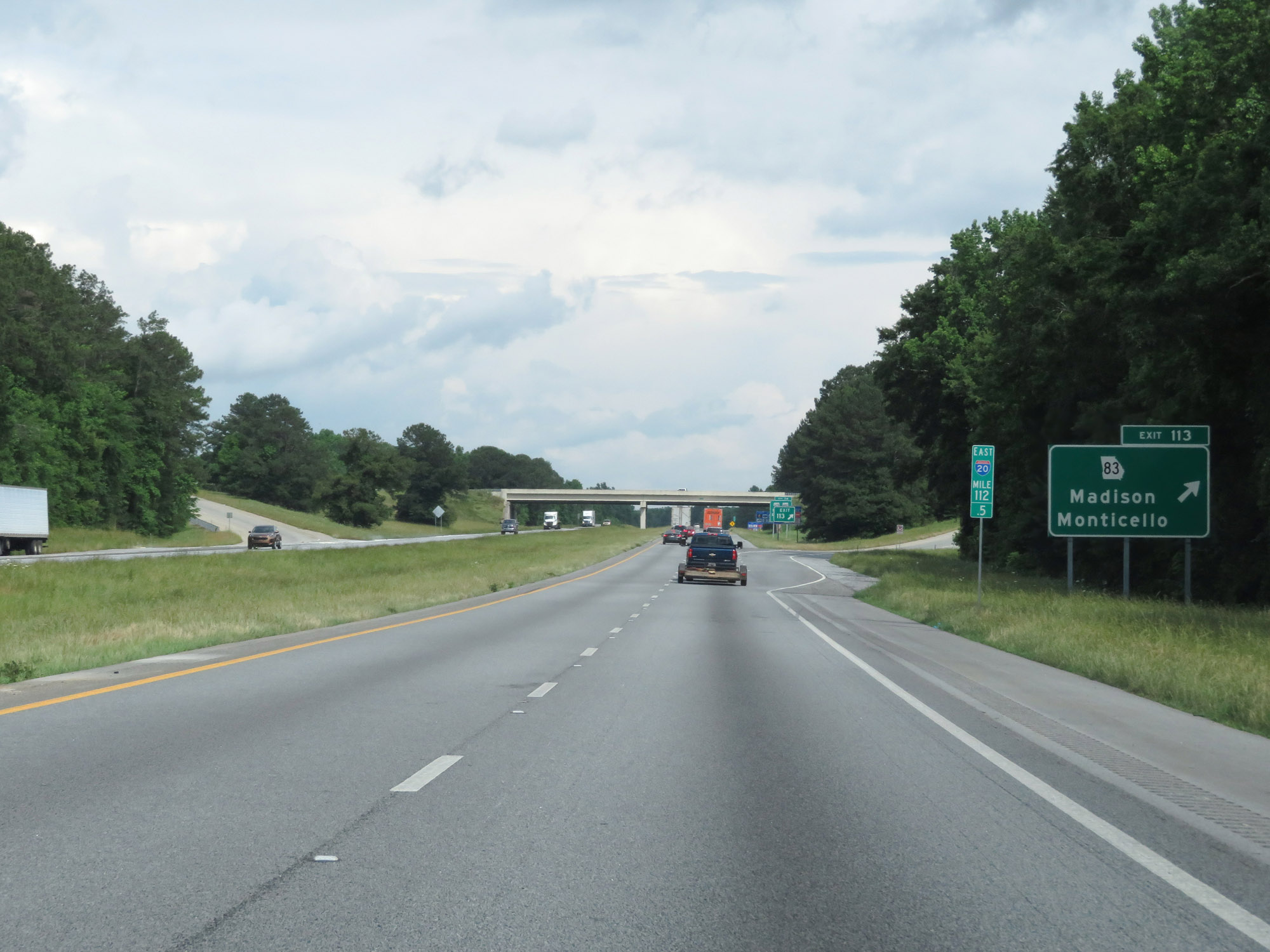 |
Interstate 20 East at Exit 113: GA 83 - Madison / Monticello (Photo taken 5/24/18). |
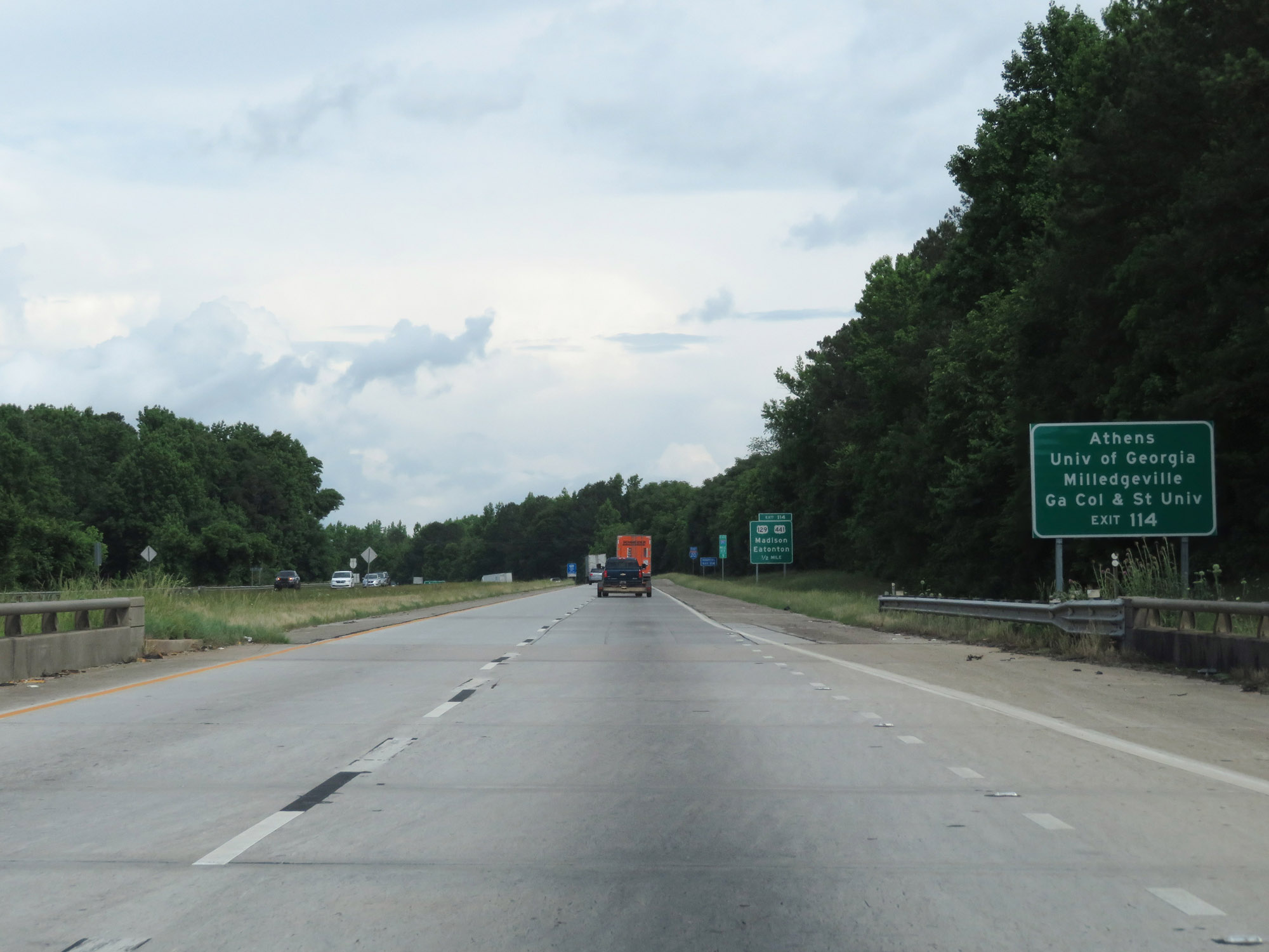 |
Take Exit 114 to Athens, the University of Georgia, Milledgeville, Georgia College and Georgia State University. (Photo taken 5/24/18). |
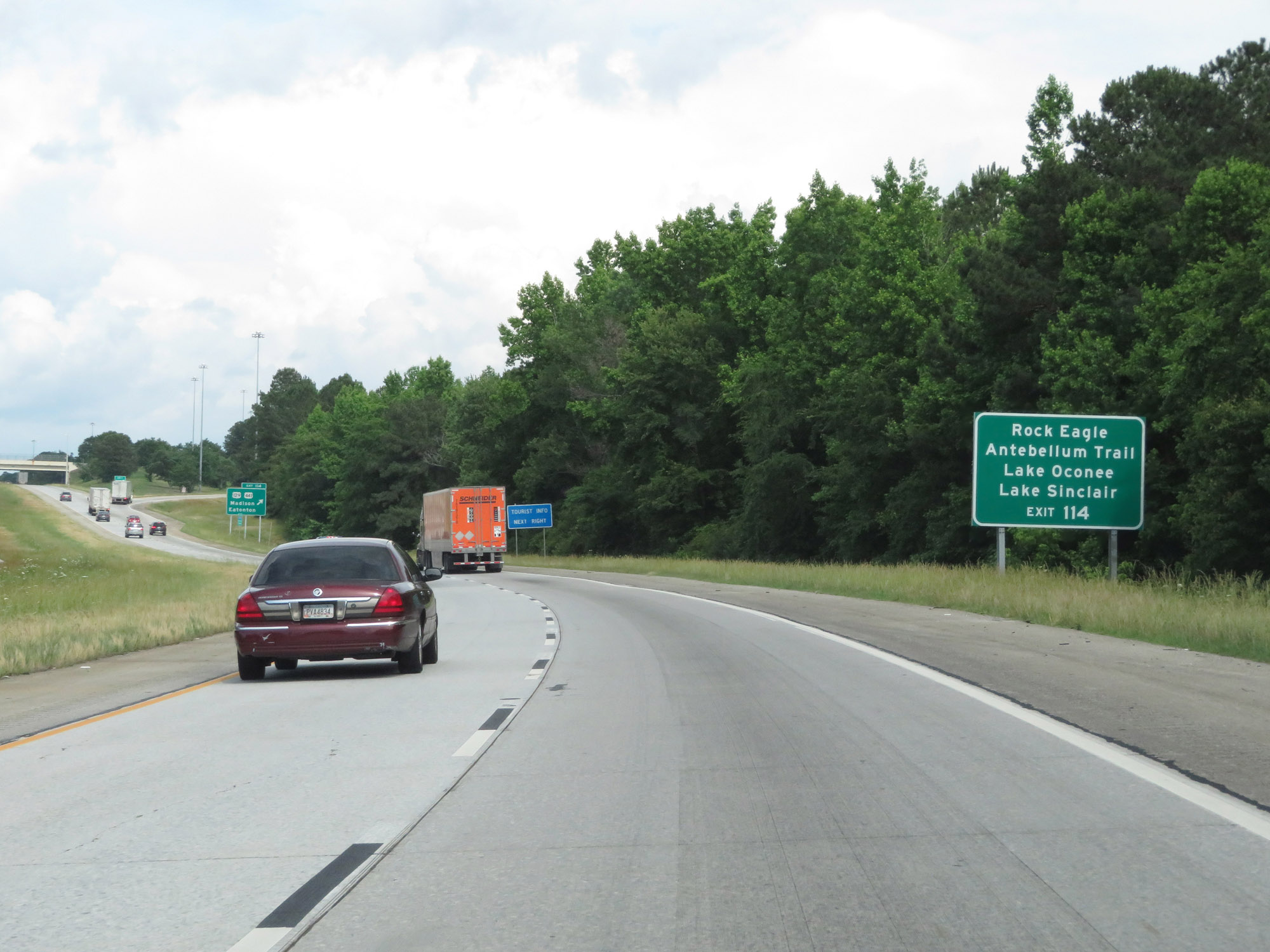 |
Also take Exit 114 to Rock Eagle, Antebellum Trail, Lake Oconee, and Lake Sinclair. (Photo taken 5/24/18). |
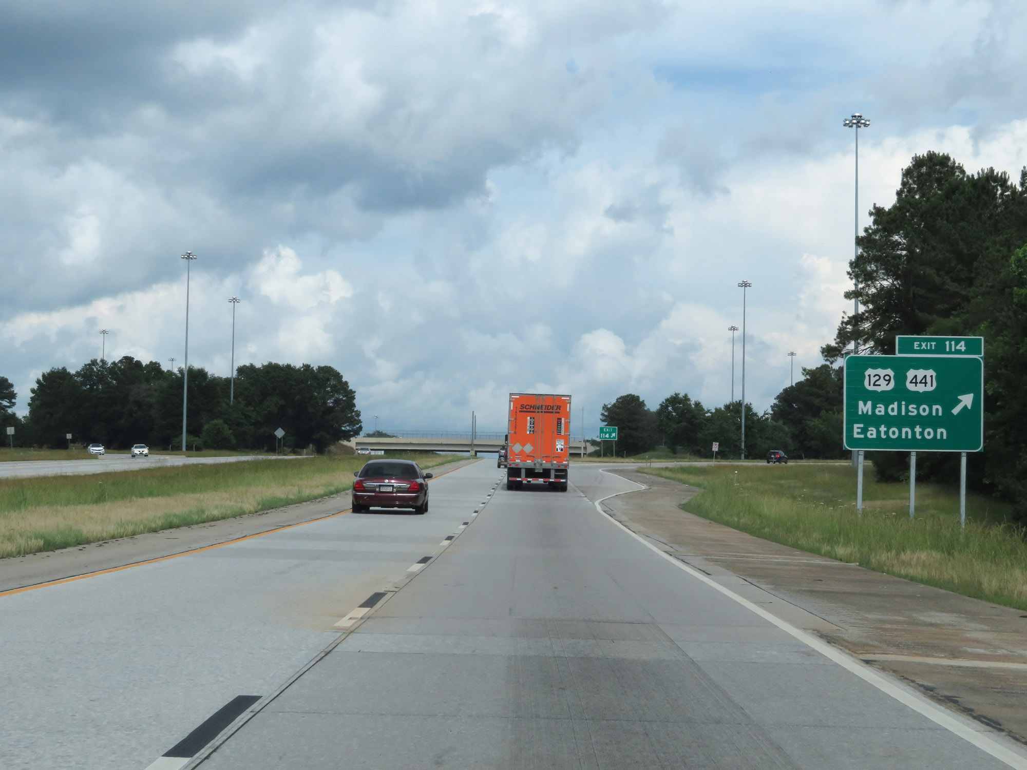 |
Interstate 20 East at Exit 114: US 129 / US 441 - Madison / Eatonton (Photo taken 5/24/18). |
 |
State-named Interstate 20 East reassurance shield. (Photo taken 5/24/18). |
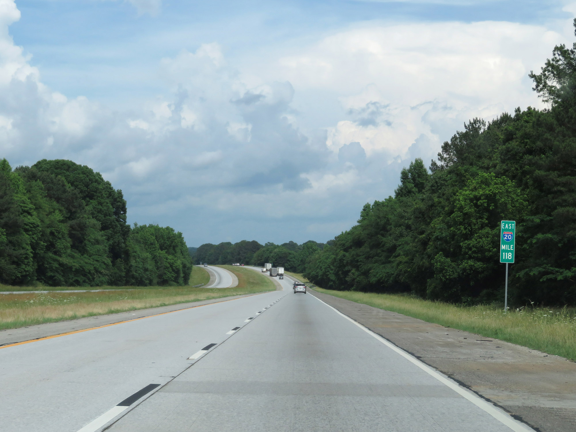 |
View on Interstate 20 East at mile marker 118. (Photo taken 5/24/18). |
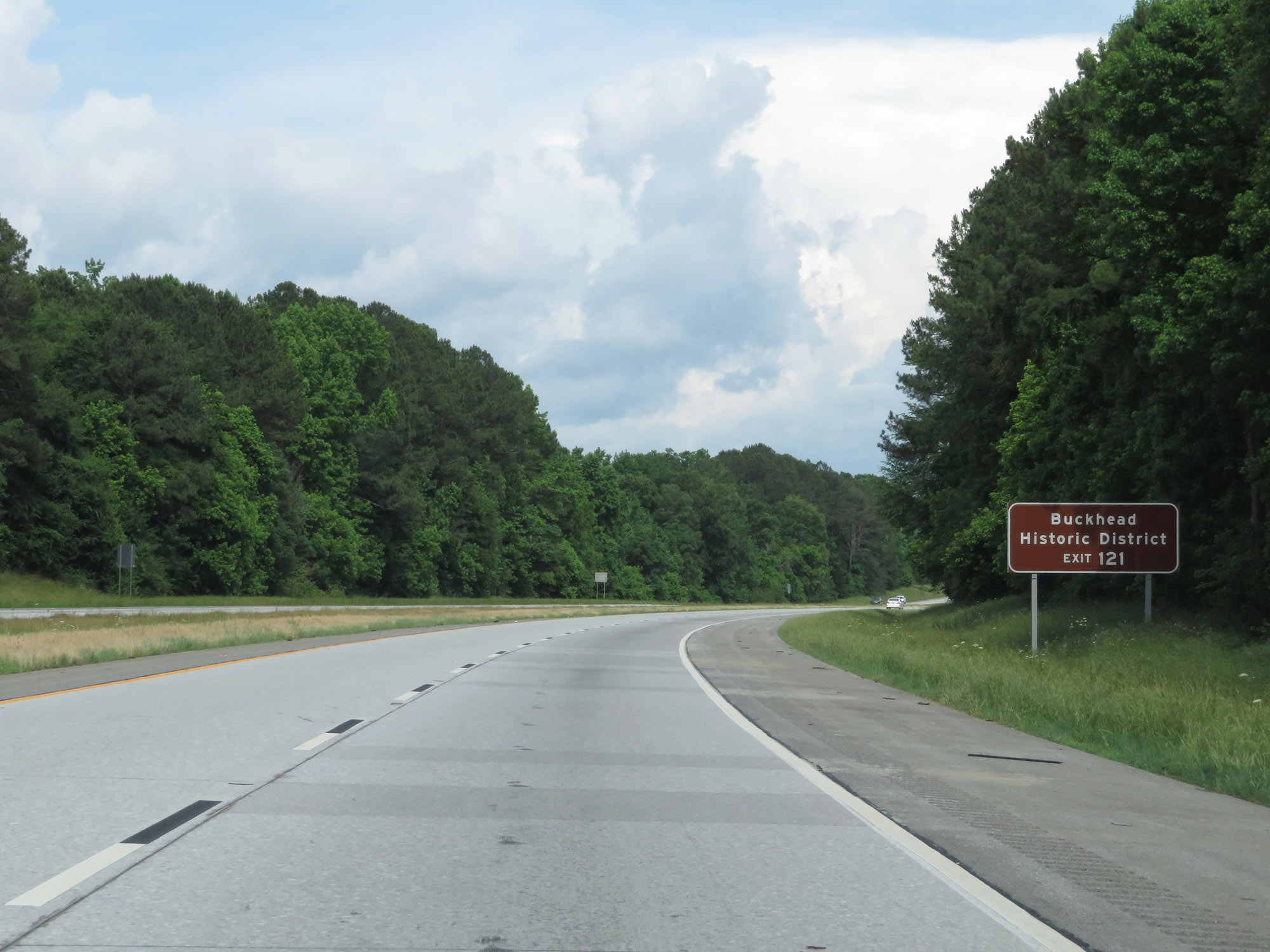 |
Take Exit 121 to Buckhead Historic District. (Photo taken 5/24/18). |
 |
Interstate 20 East at Exit 121: Buckhead / Lake Oconee (Photo taken 5/24/18). |
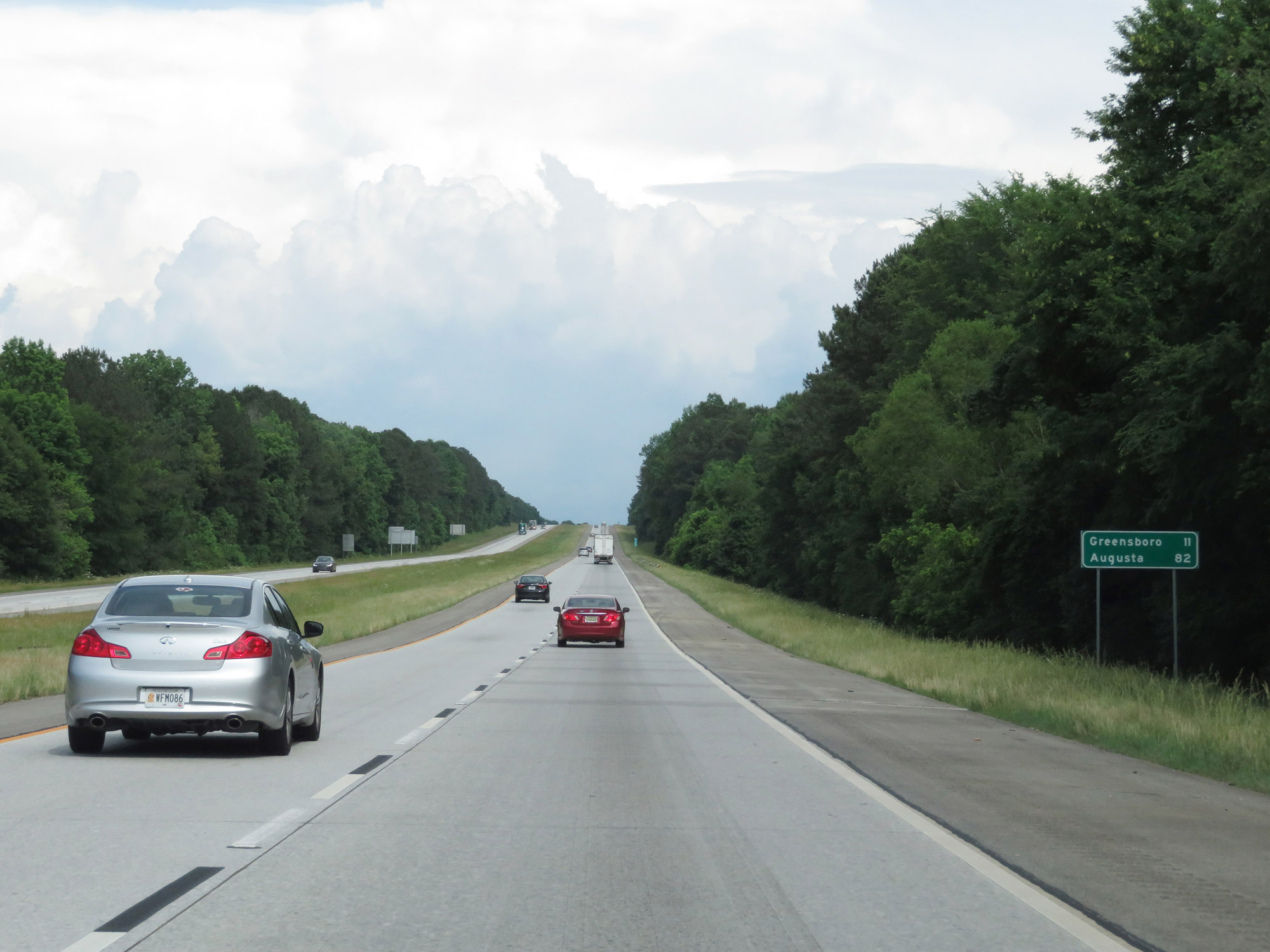 |
Mileage sign on Interstate 20 East. It's 11 miles to Greensboro and 82 miles to Augusta. (Photo taken 5/24/18). |
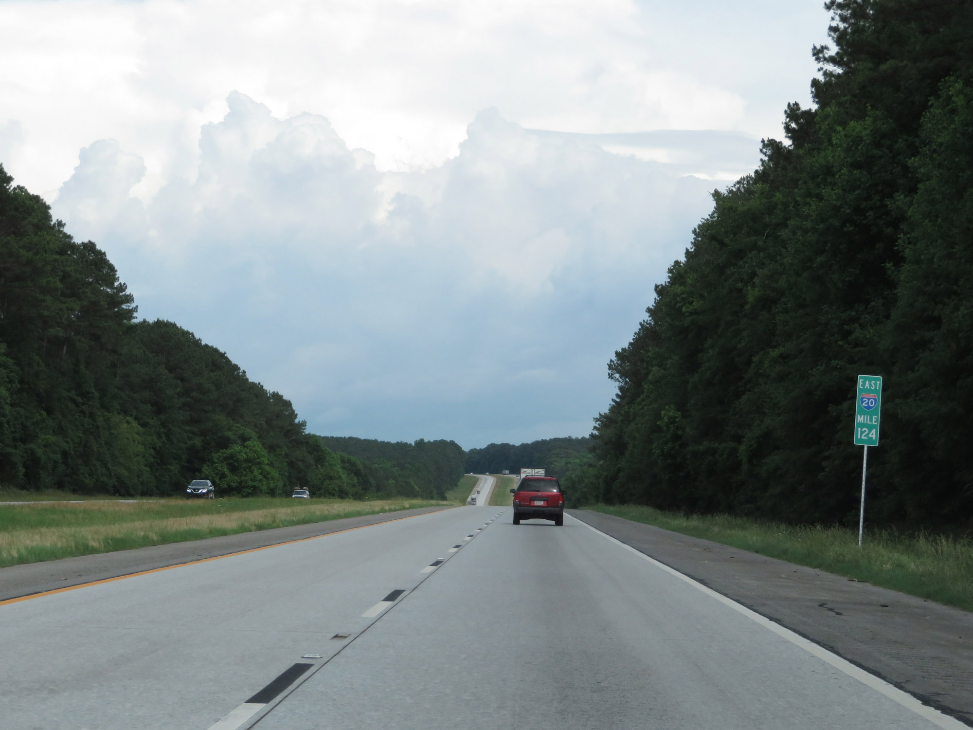 |
Interstate 20 East at mile marker 124. (Photo taken 5/24/18). |
 |
Interstate 20 East enters Greene County at mile marker 126.5. (Photo taken 5/24/18). |
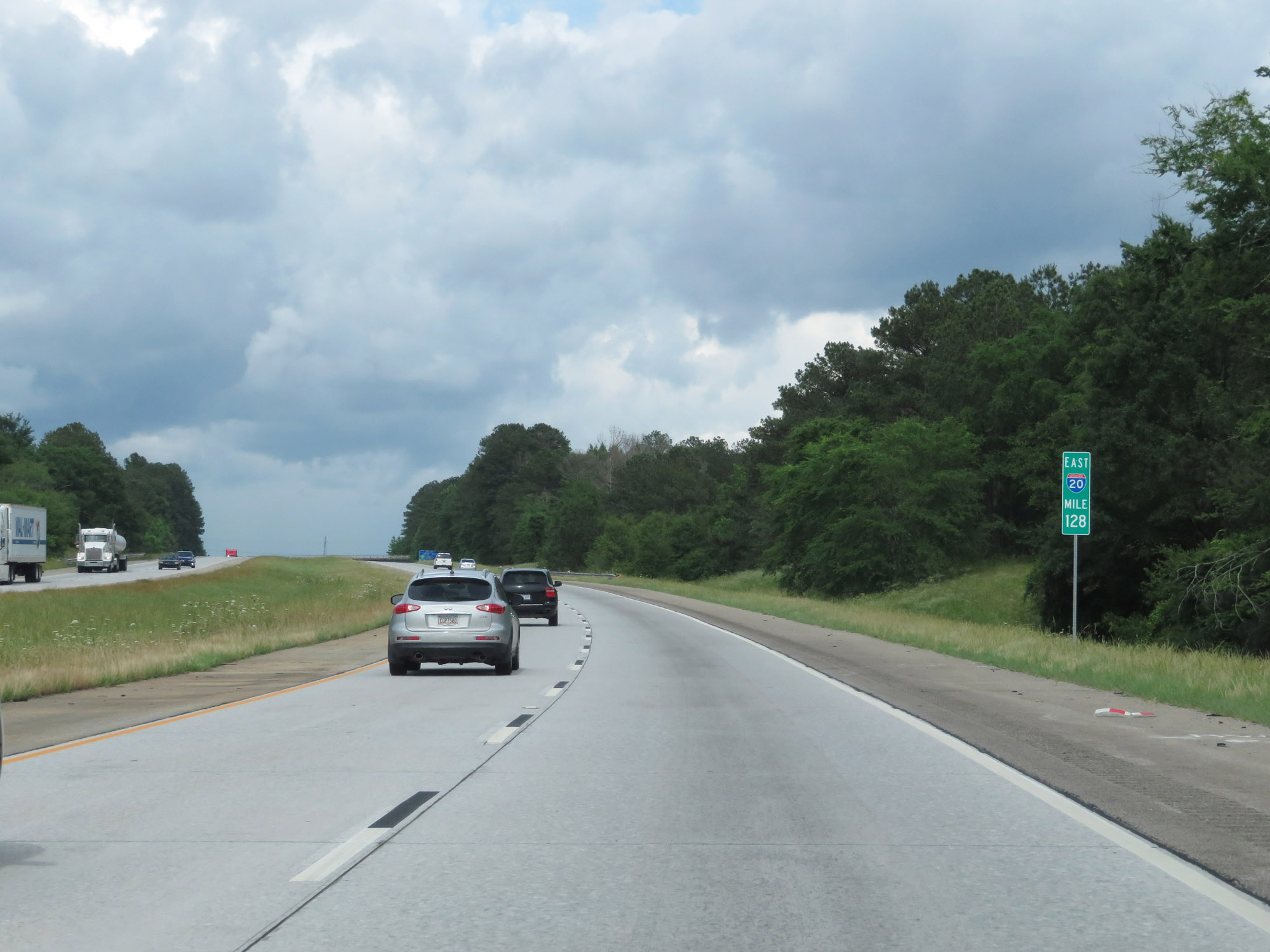 |
View on Interstate 20 East at mile marker 128. (Photo taken 5/24/18). |
 |
Take Exit 130 to Greensboro Historic District and Lake Oconee. (Photo taken 5/24/18). |
 |
Interstate 20 East at Exit 130: GA 44 - Greensboro / Eatonton (Photo taken 5/24/18). |
Section 4: Greensboro (Exit 130) to South Carolina Border
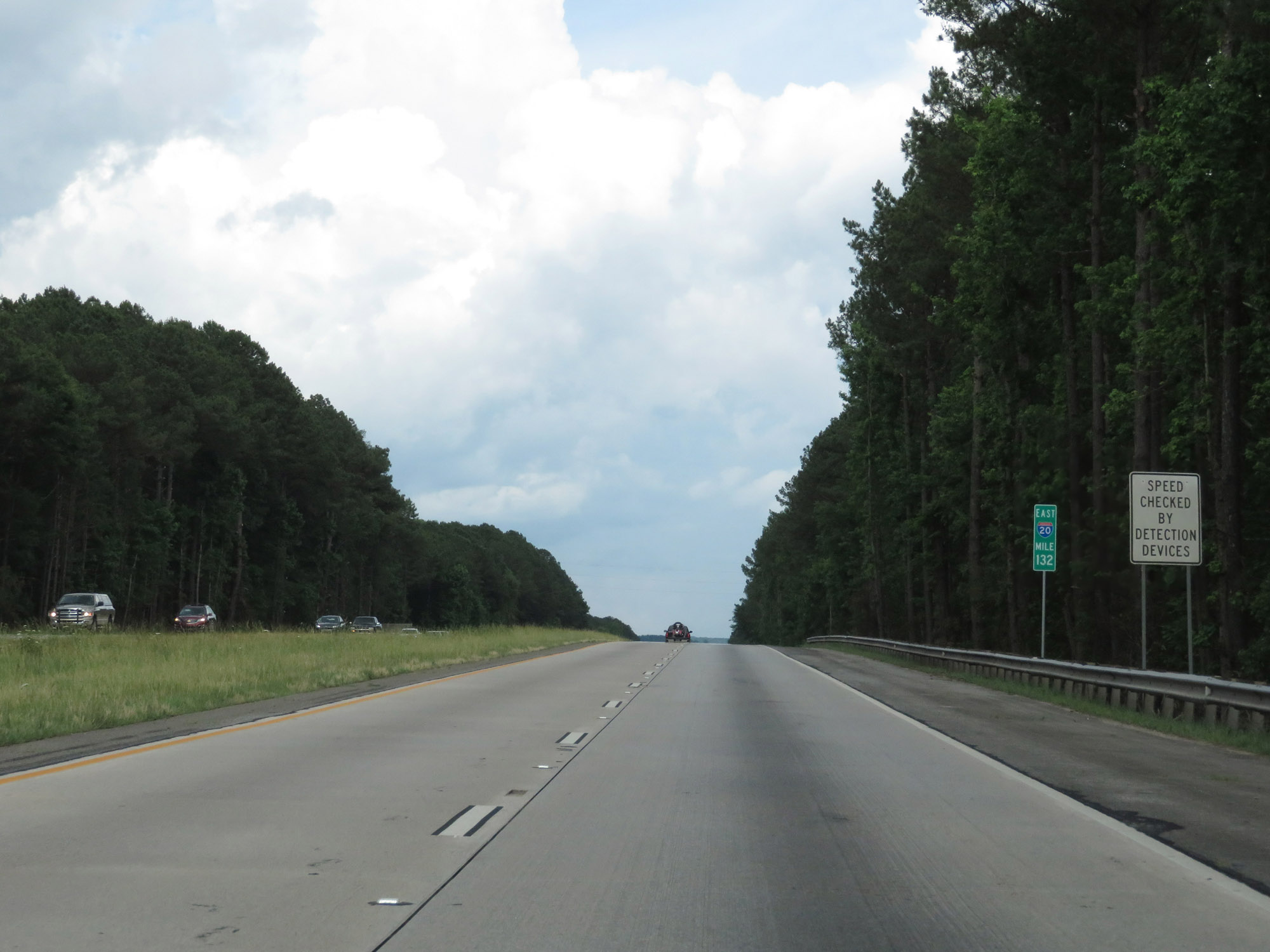 |
Interstate 20 East at mile marker 132. (Photo taken 5/24/18). |
 |
View on Interstate 20 East at mile marker 136. (Photo taken 5/24/18). |
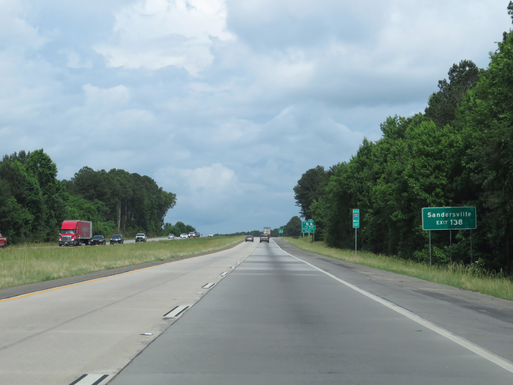 |
Take Exit 138 to Sandersville. (Photo taken 5/24/18). |
 |
Interstate 20 East at Exit 138: GA 77 / To GA 15 - Siloam / Union Point / Sparta (Photo taken 5/24/18). |
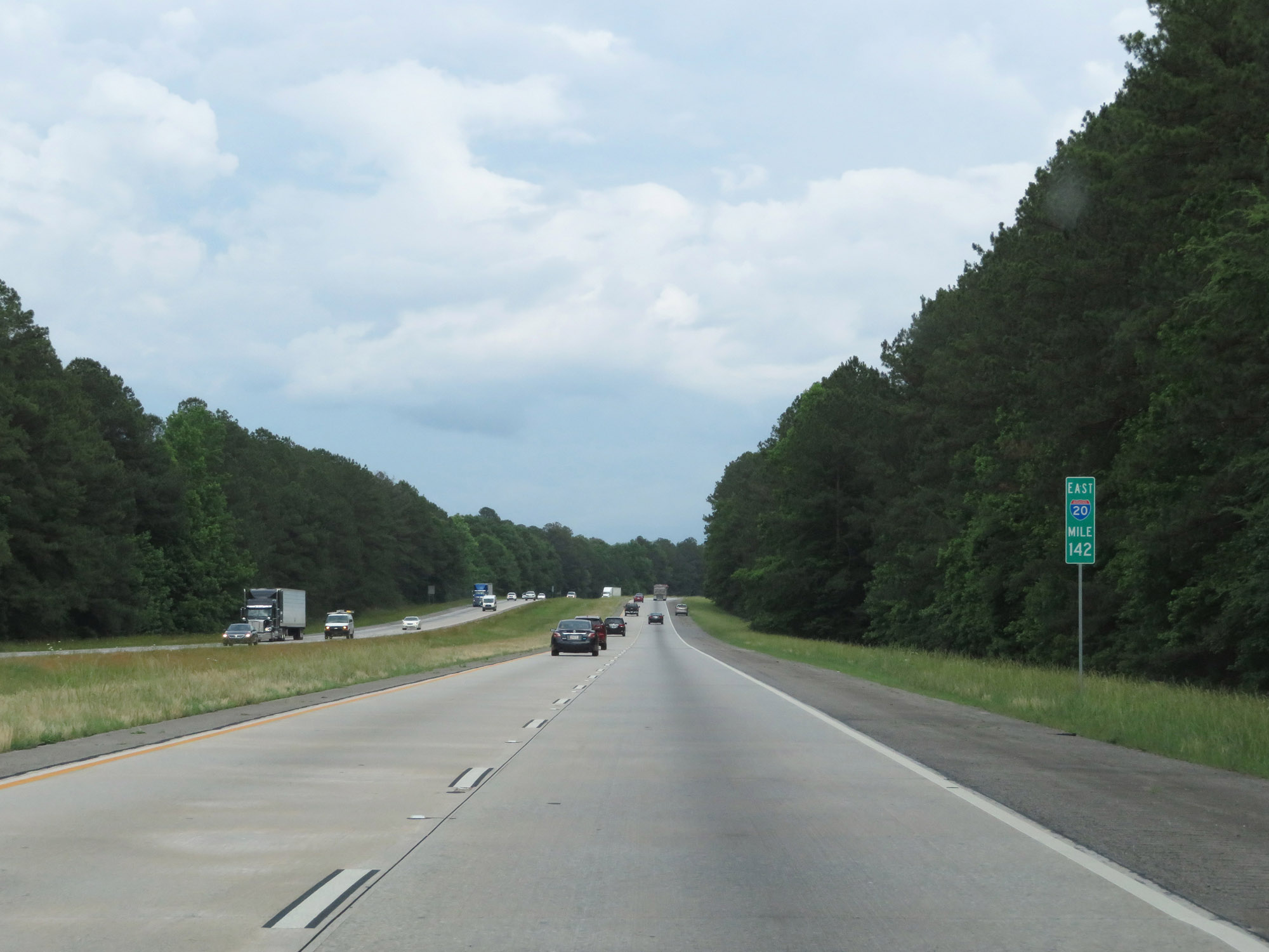 |
Interstate 20 East at mile marker 142. (Photo taken 5/24/18). |
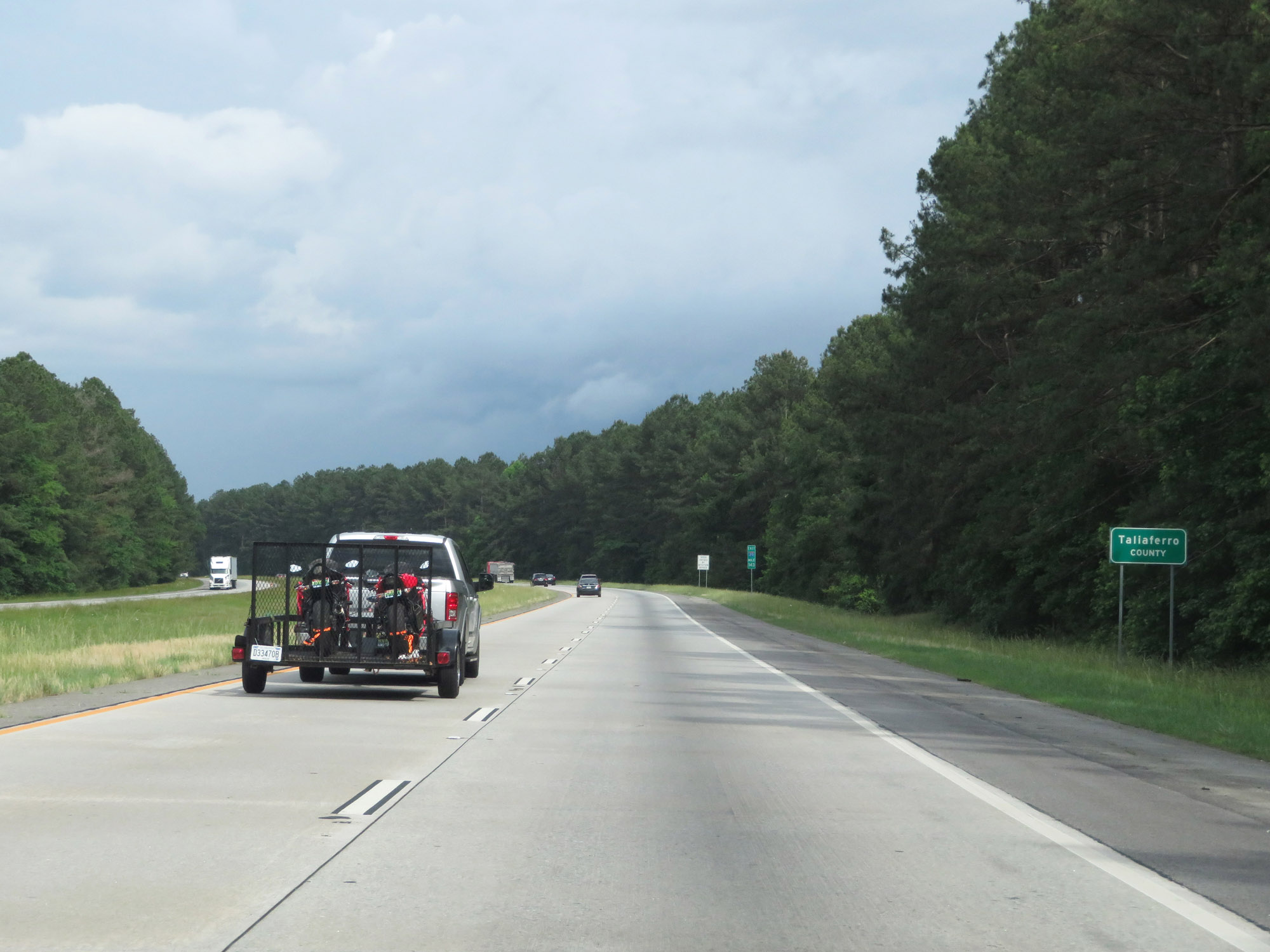 |
Entering Taliaferro County on Interstate 20 East. (Photo taken 5/24/18). |
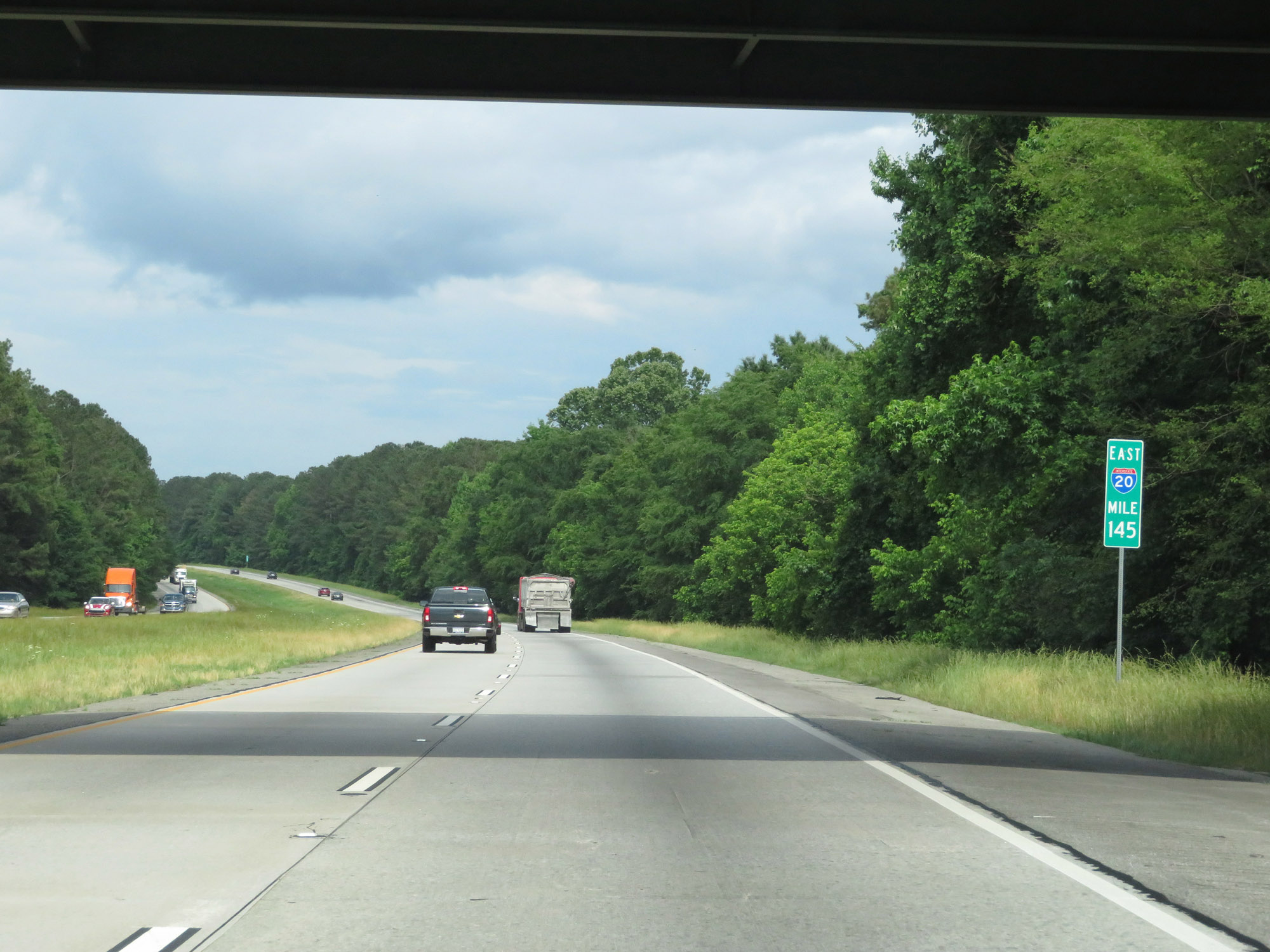 |
View on Interstate 20 East at mile marker 145. (Photo taken 5/24/18). |
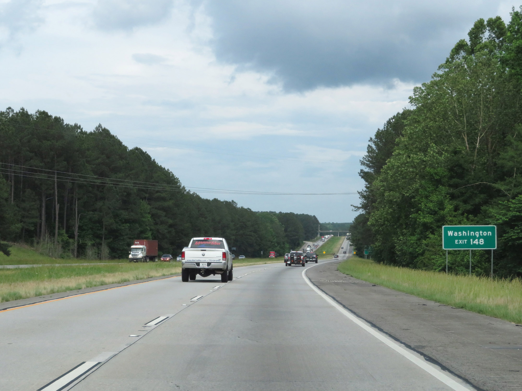 |
Take Exit 148 to Washington. (Photo taken 5/24/18). |
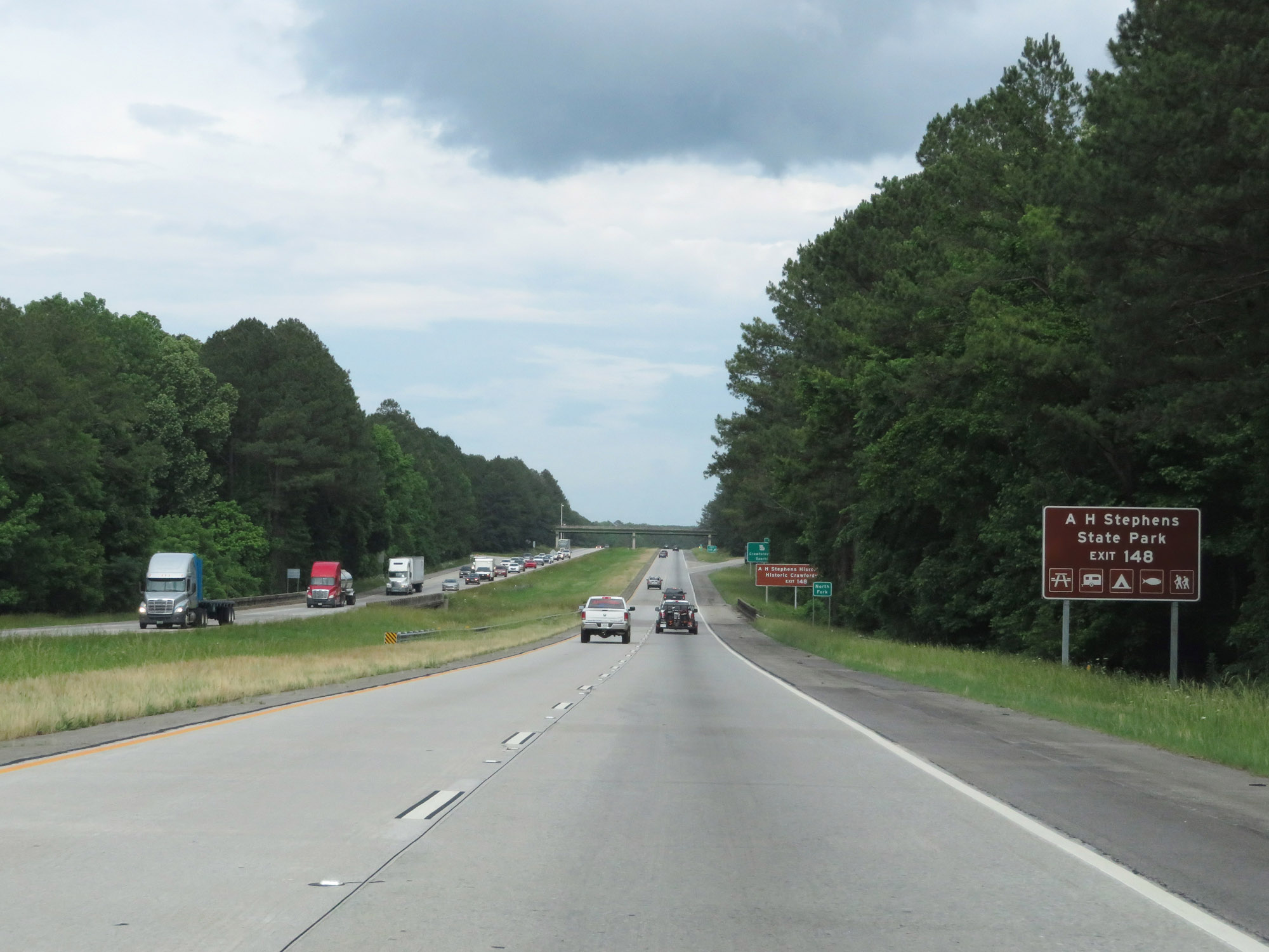 |
Also take Exit 148 to A.H. Stephens State Park. (Photo taken 5/24/18). |
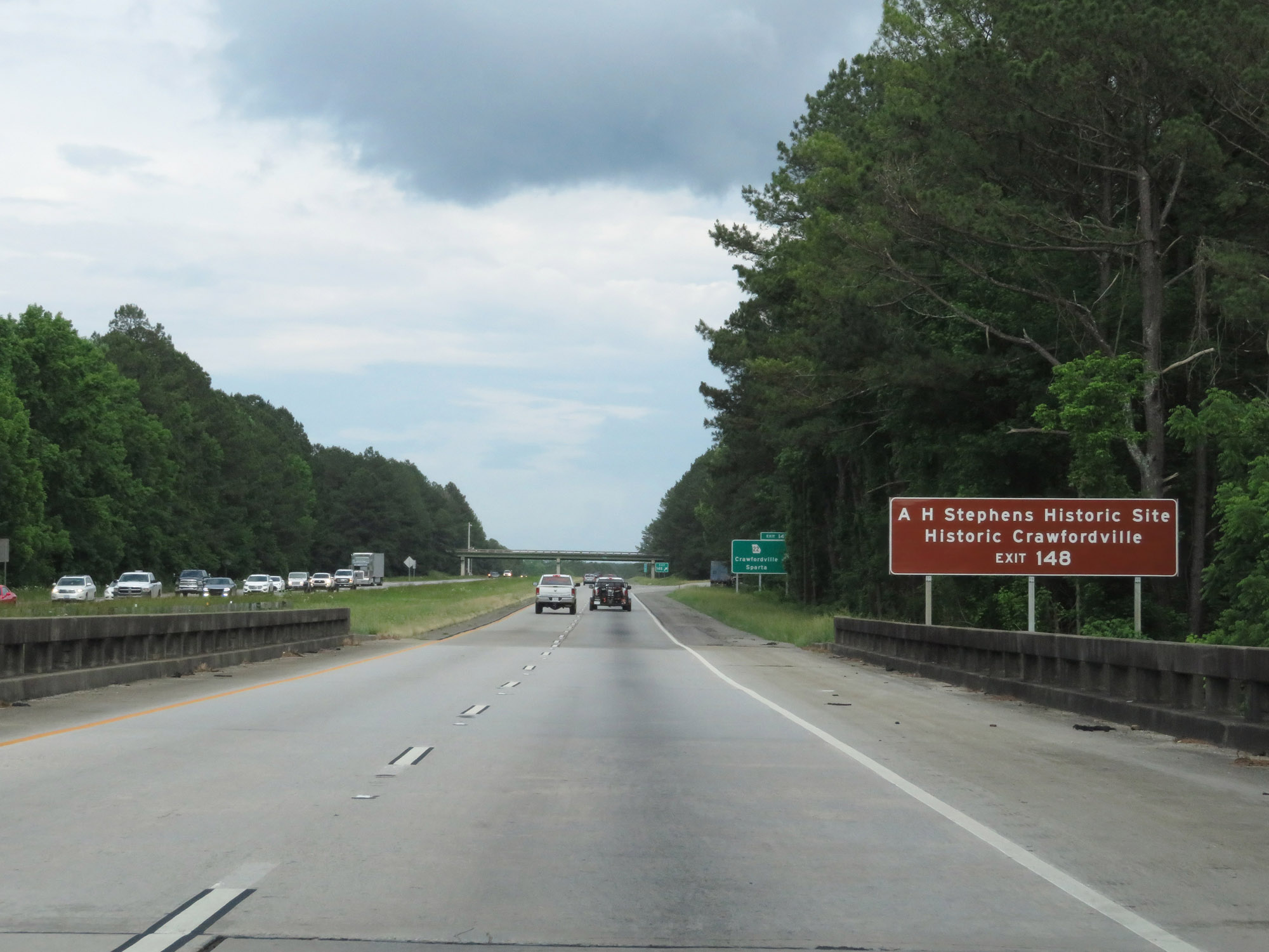 |
Take Exit 148 to A.H. Stephens Historic Site and Historic Crawfordsville as well. (Photo taken 5/24/18). |
 |
Interstate 20 East at Exit 148: GA 22 - Crawfordsville / Sparta (Photo taken 5/24/18). |
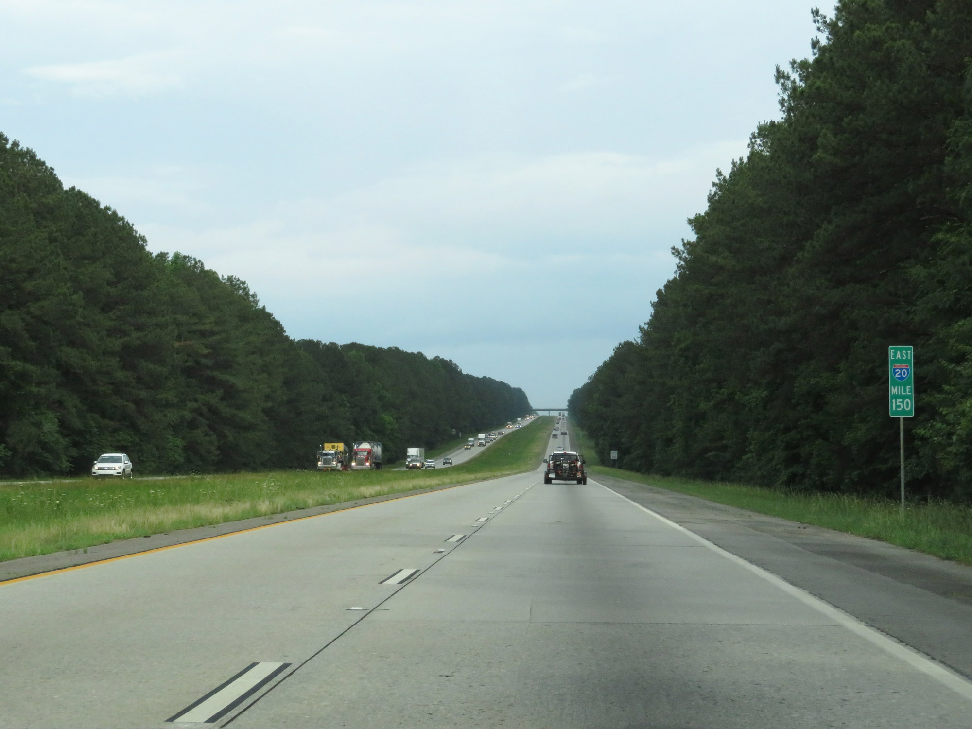 |
Interstate 20 East at mile marker 150. (Photo taken 5/24/18). |
 |
Entering Warren County on Interstate 20 East. (Photo taken 5/24/18). |
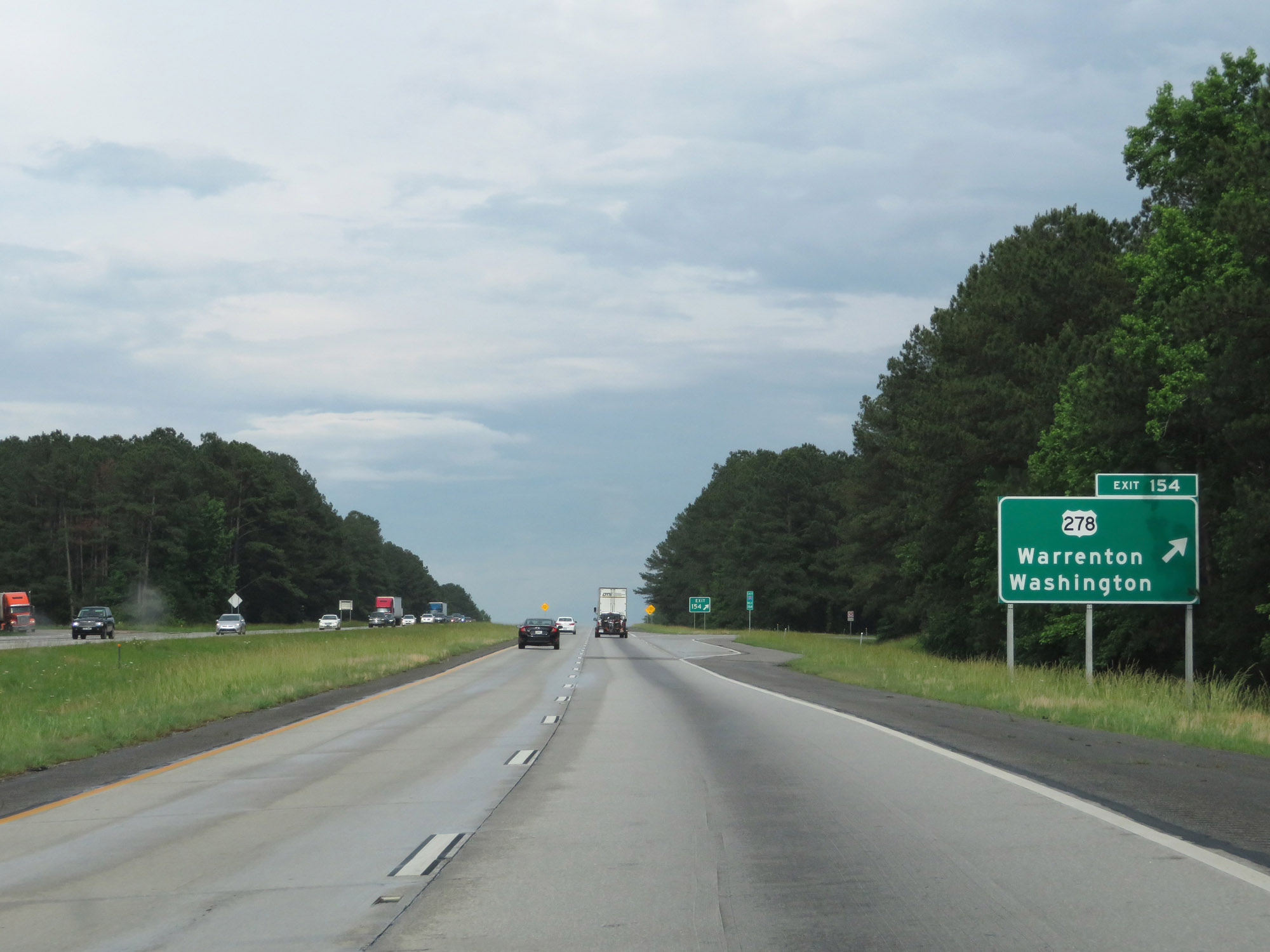 |
Interstate 20 East at Exit 154: US 278 - Warrenton / Washington (Photo taken 5/24/18). |
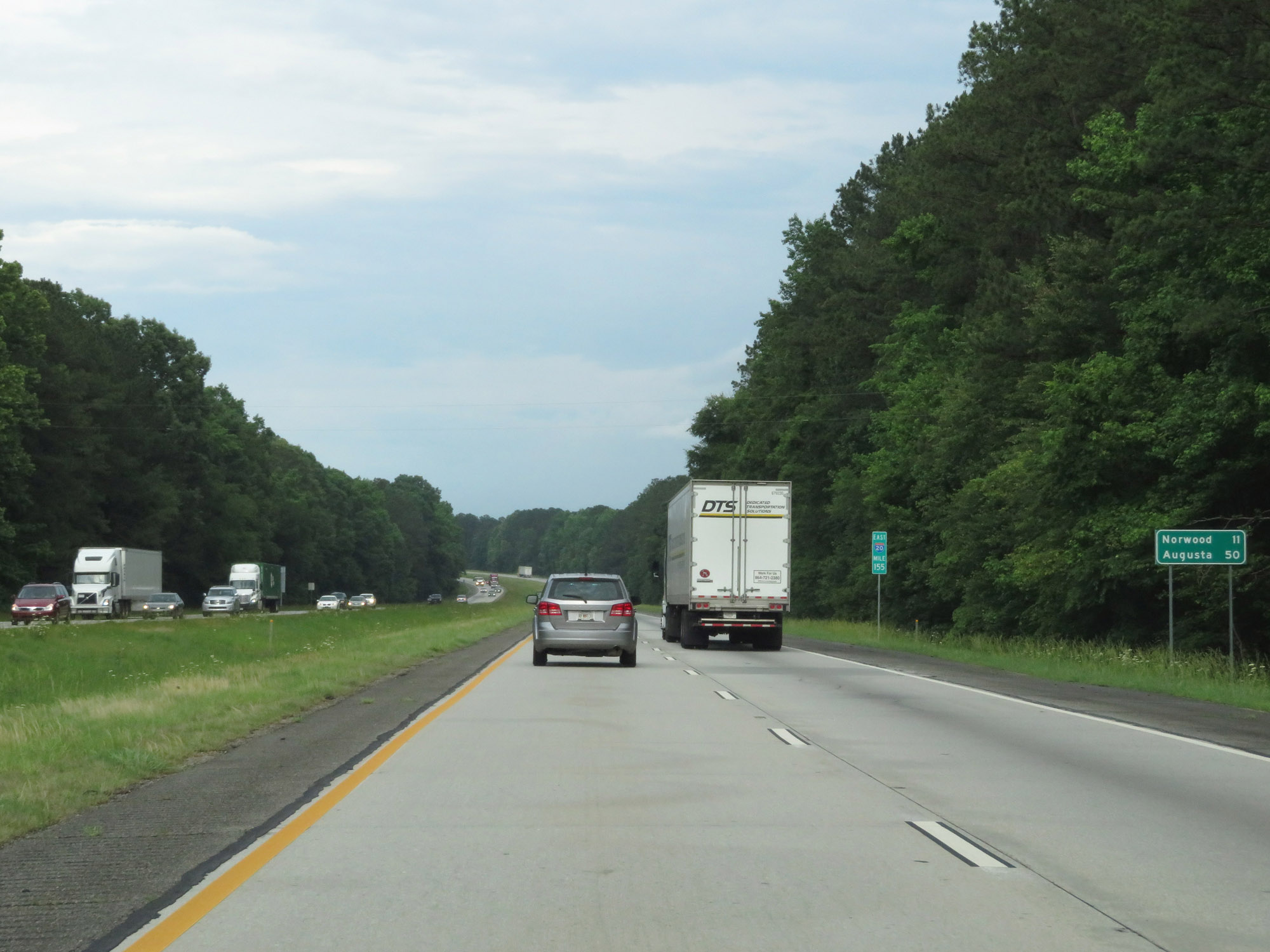 |
Mileage sign at mile marker 155. It's 11 miles to Norwood and 50 miles to Augusta. (Photo taken 5/24/18). |
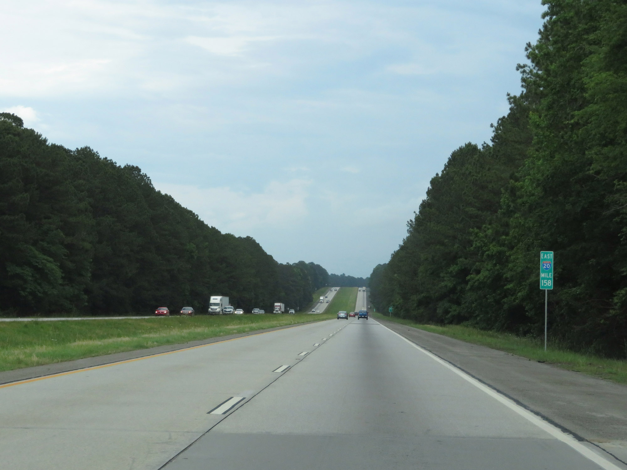 |
View on Interstate 20 East at mile marker 158. (Photo taken 5/24/18). |
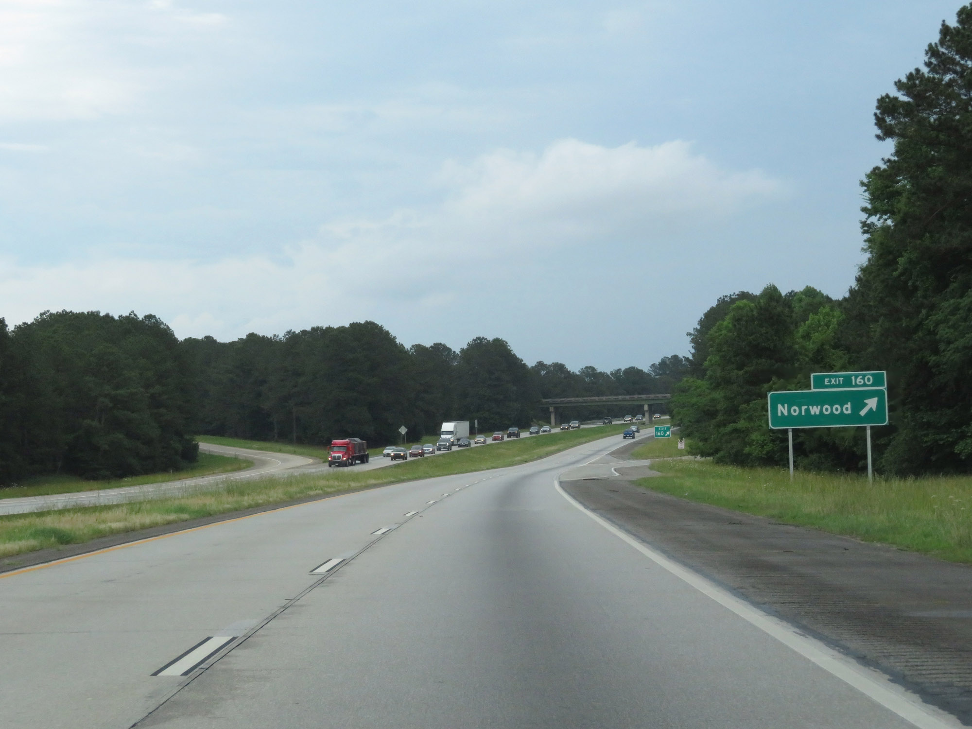 |
Interstate 20 East at Exit 160: Norwood (Photo taken 5/24/18). |
 |
Interstate 20 East at mile marker 163. (Photo taken 5/24/18). |
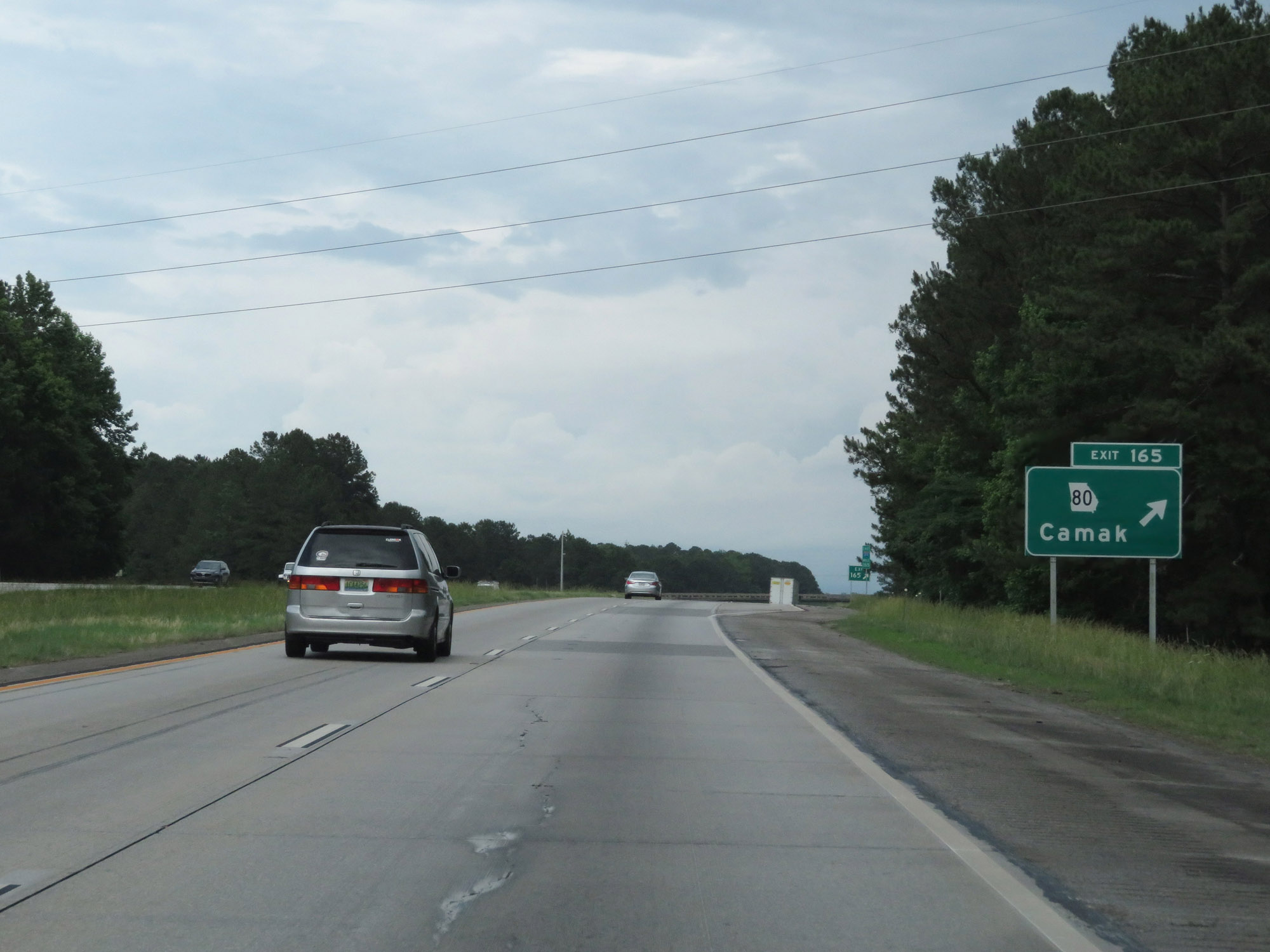 |
Interstate 20 East at Exit 165: GA 80 - Camak (Photo taken 5/24/18). |
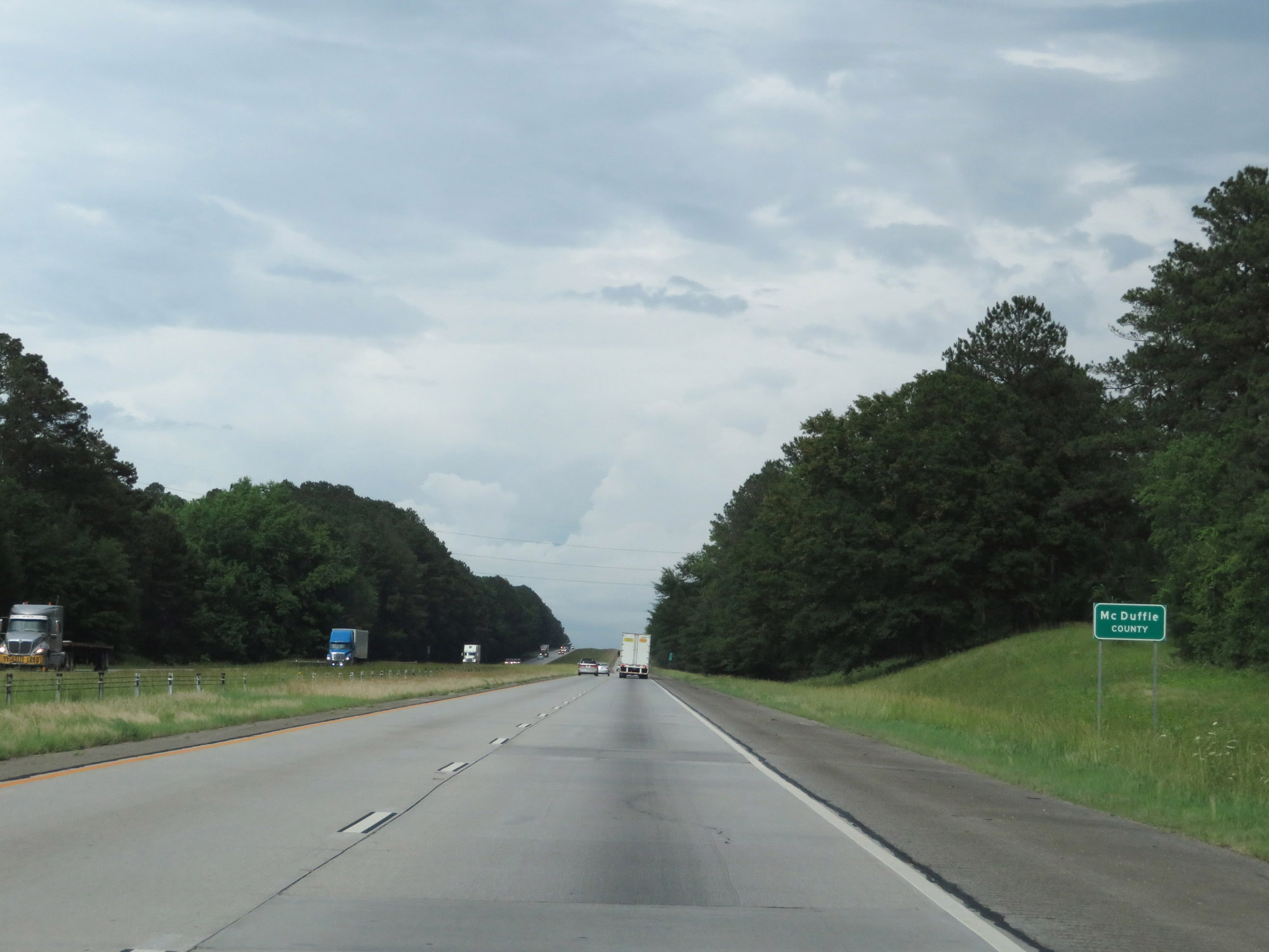 |
Interstate 20 East as it enters McDuffie County. (Photo taken 5/24/18). |
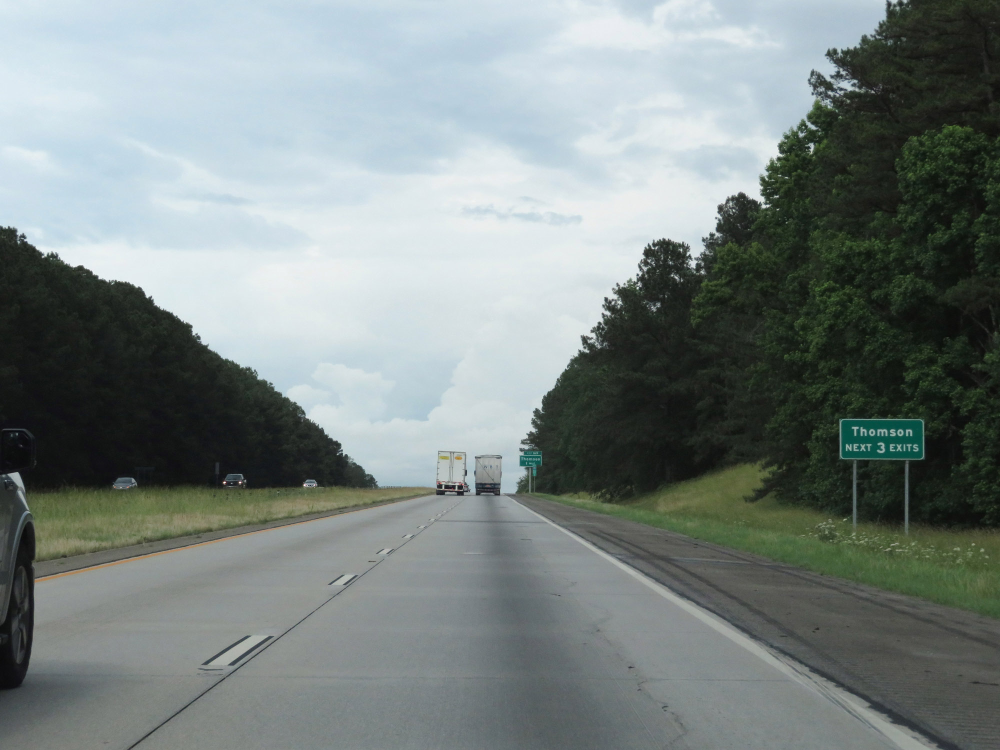 |
Take any of the next 3 exits to Thomson. (Photo taken 5/24/18). |
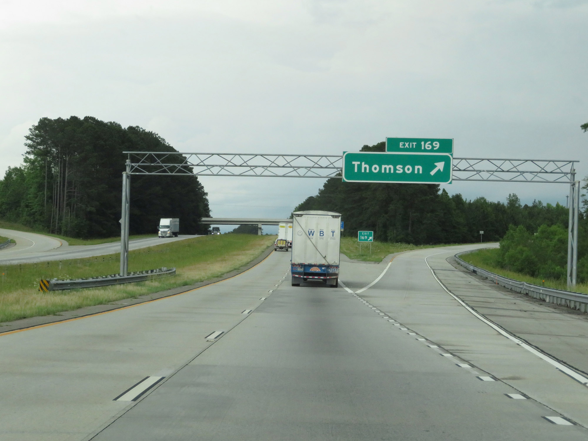 |
Interstate 20 East at Exit 169: Thomson (Photo taken 5/24/18). |
 |
Interstate 20 East at Exit 172: US 78 / GA 17 - Thomson / Washington (Photo taken 5/24/18). |
 |
Another state-named Interstate 20 East reassurance shield. (Photo taken 5/24/18). |
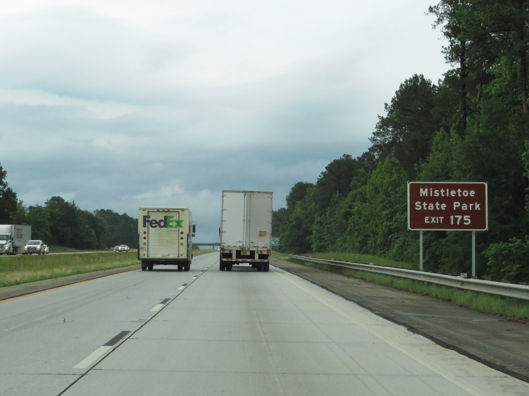 |
Take Exit 175 to Mistletoe State Park. (Photo taken 5/24/18). |
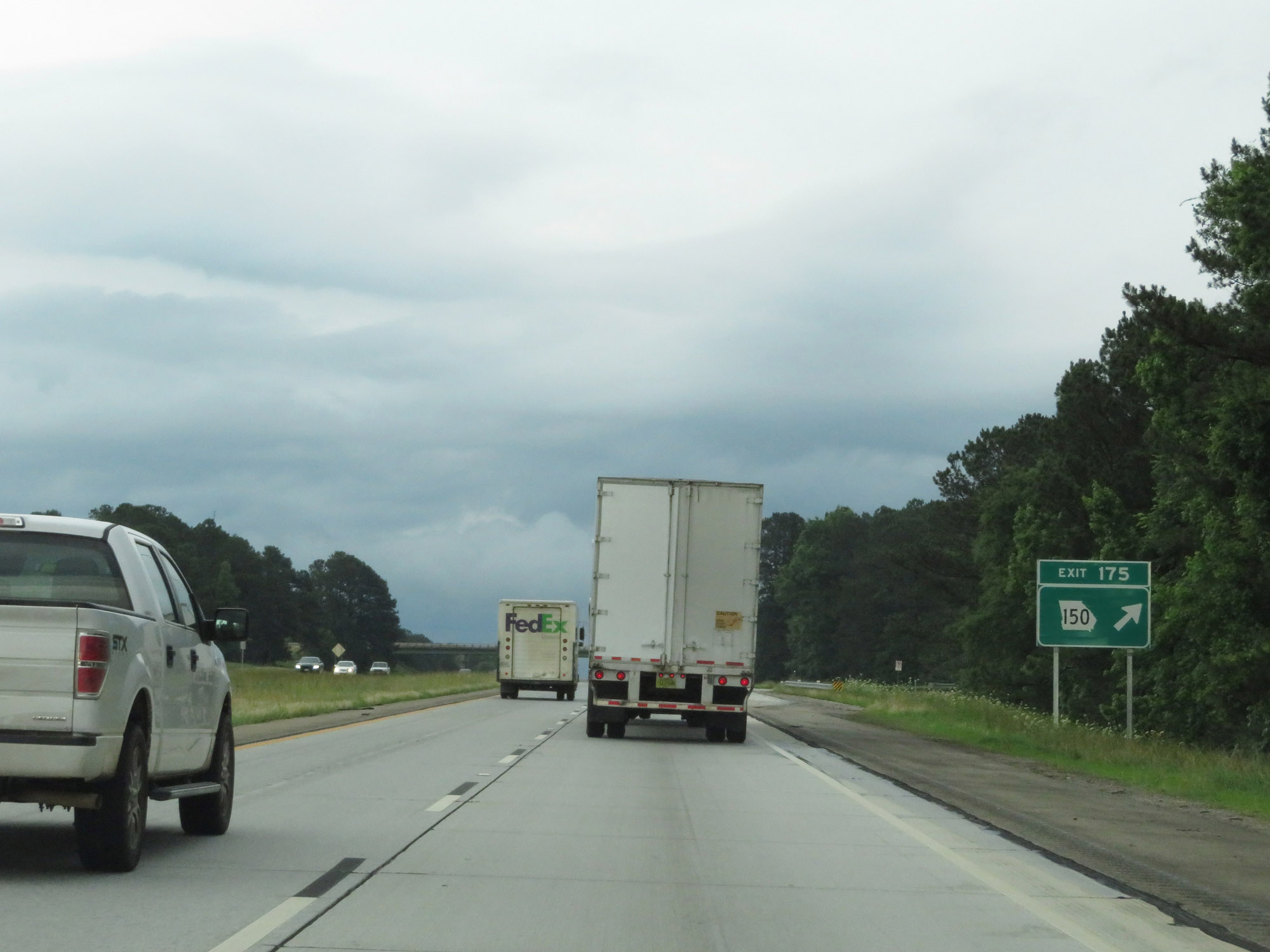 |
Interstate 20 East at Exit 175: GA 150 (Photo taken 5/24/18). |
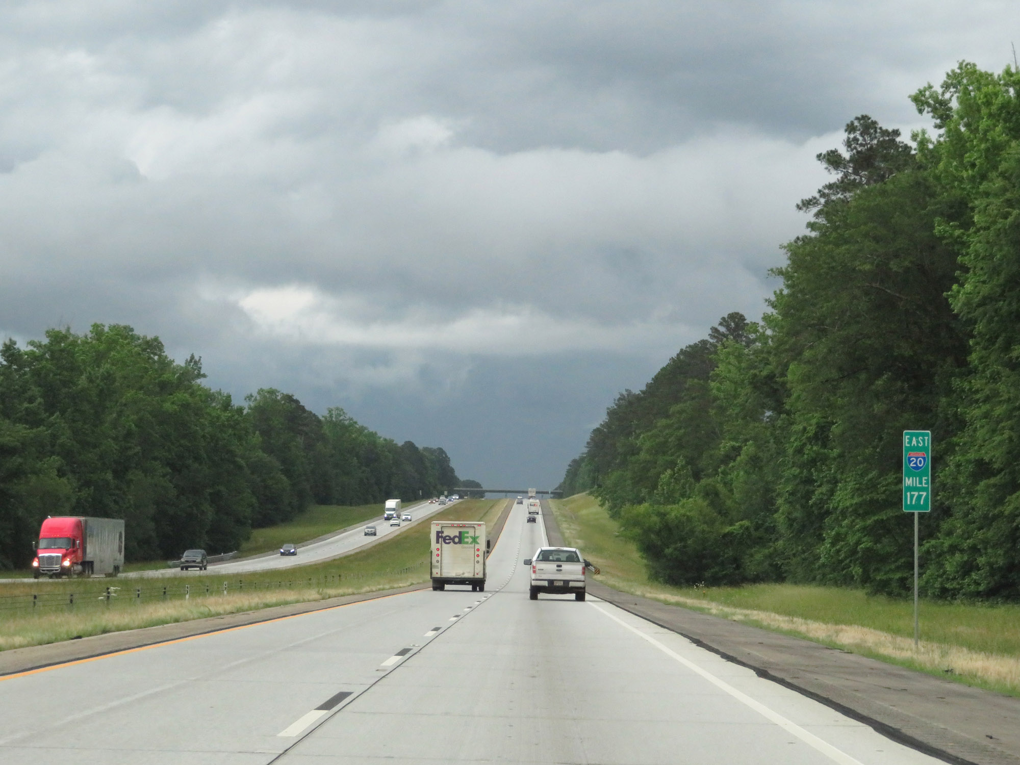 |
View on Interstate 20 East at mile marker 177. (Photo taken 5/24/18). |
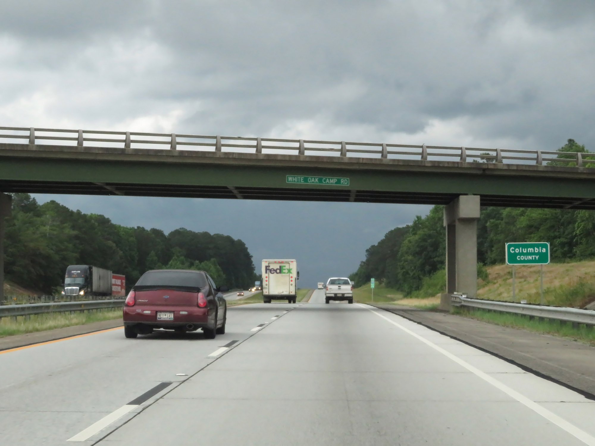 |
Entering Columbia County on Interstate 20 East. (Photo taken 5/24/18). |
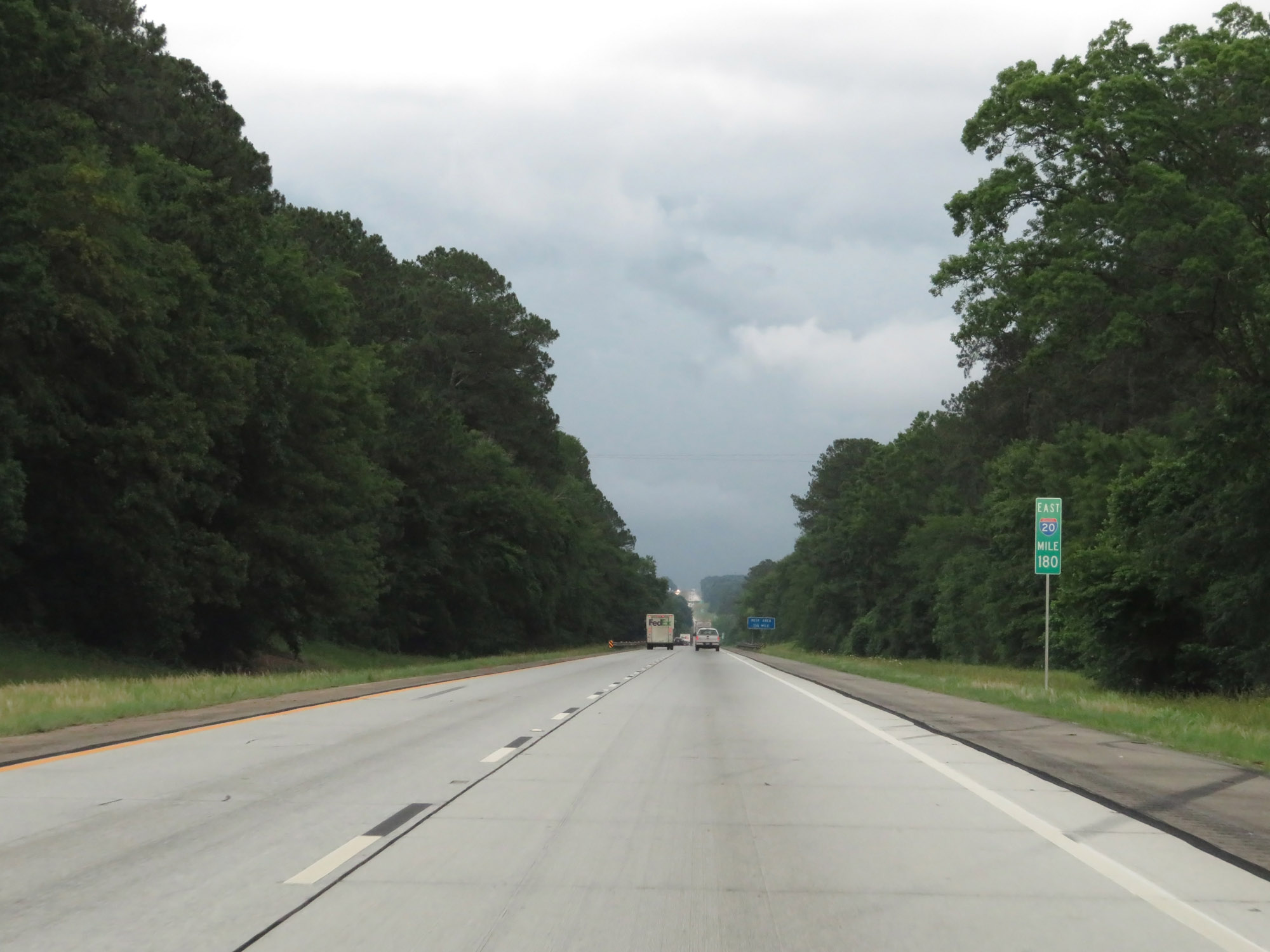 |
Interstate 20 East at mile marker 180. (Photo taken 5/24/18). |
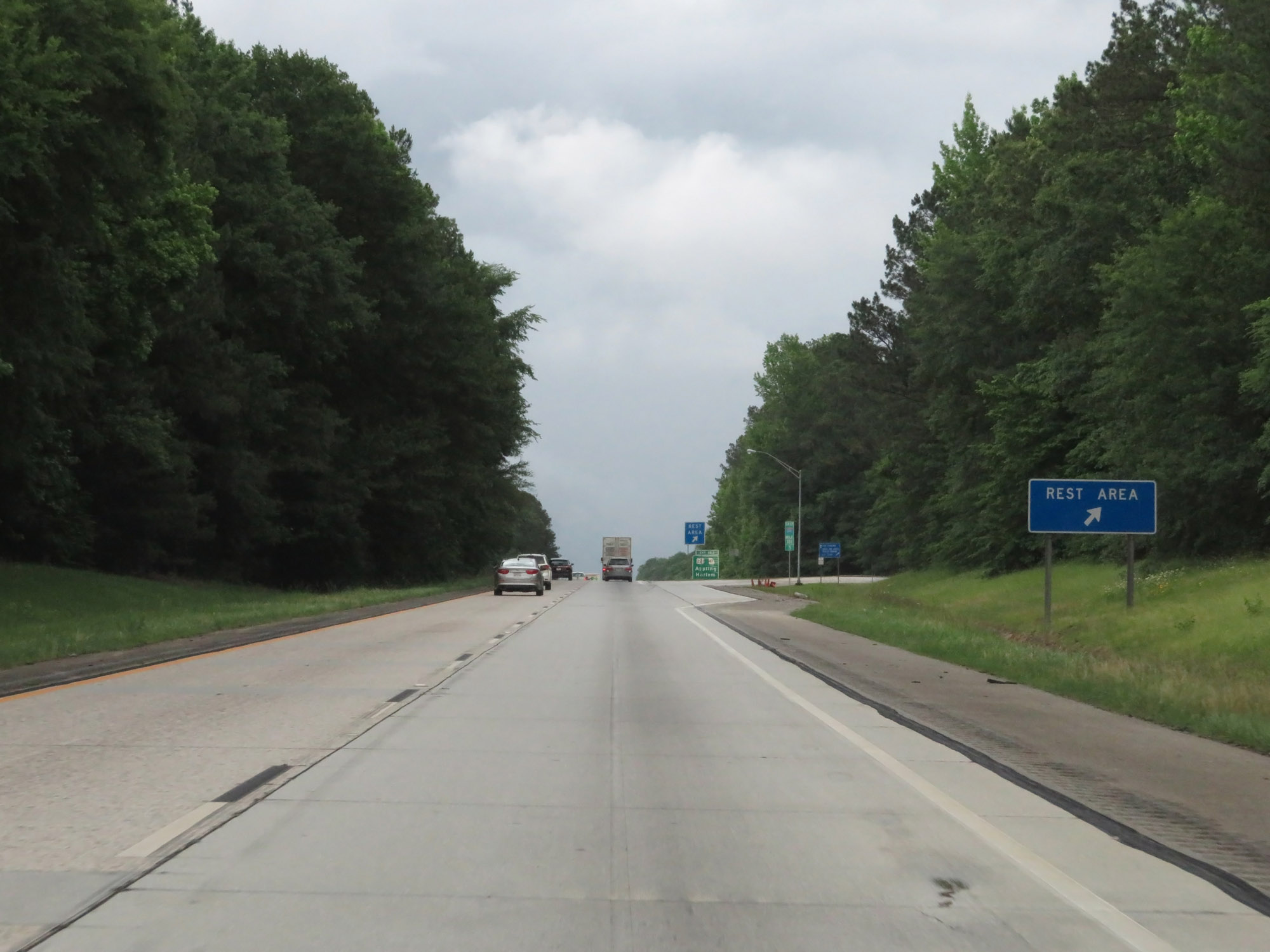 |
Rest Area on Interstate 20 East in Columbia County. (Photo taken 5/24/18). |
 |
Take Exit 183 to Clarks Hill Lake. (Photo taken 5/24/18). |
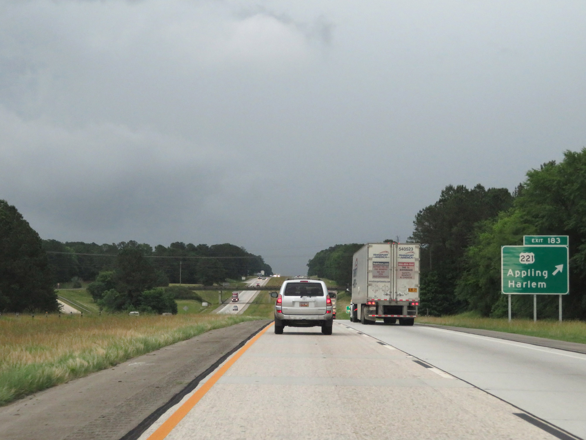 |
Interstate 20 East at Exit 183: US 221 - Appling / Harlem (Photo taken 5/24/18). |
 |
Interstate 20 East at mile marker 185. (Photo taken 5/24/18). |
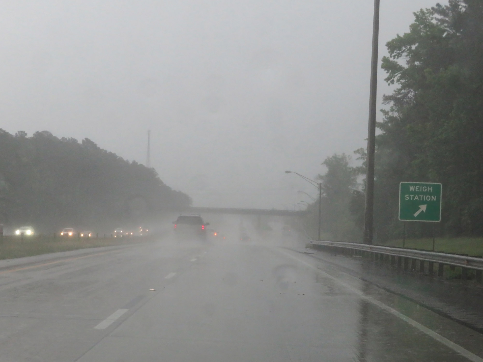 |
Weigh Station on Interstate 20 East in Columbia County. (Photo taken 5/24/18). |
 |
Approaching the Augusta area, the speed limit decreases to 65 mph. (Photo taken 5/24/18). |
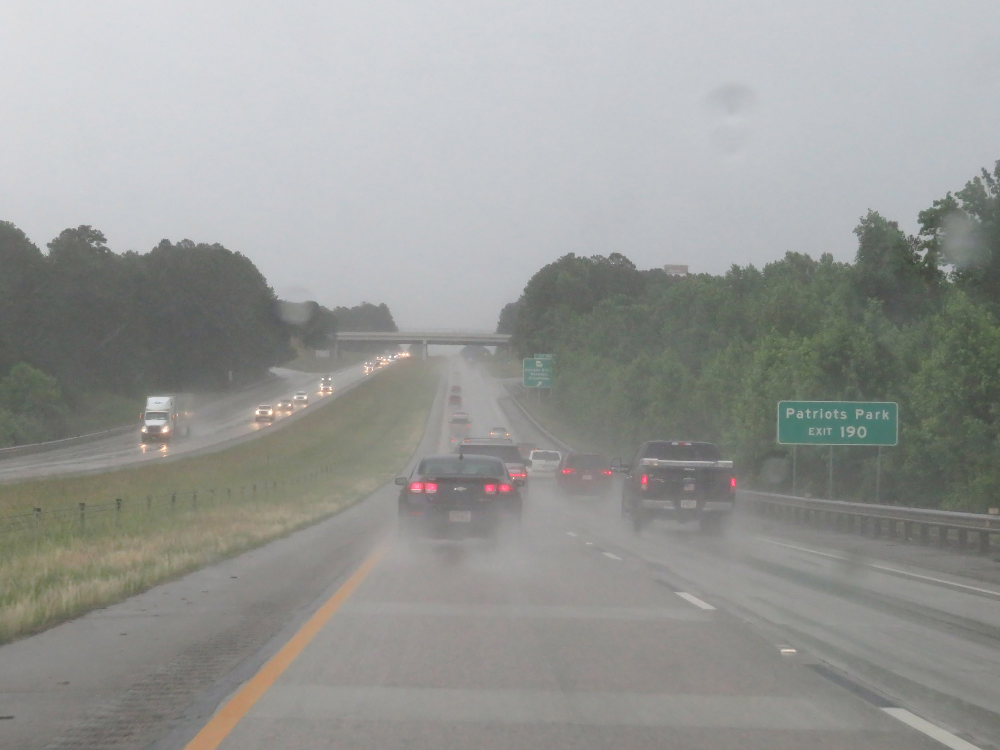 |
Take Exit 190 to Patriots Park. (Photo taken 5/24/18). |
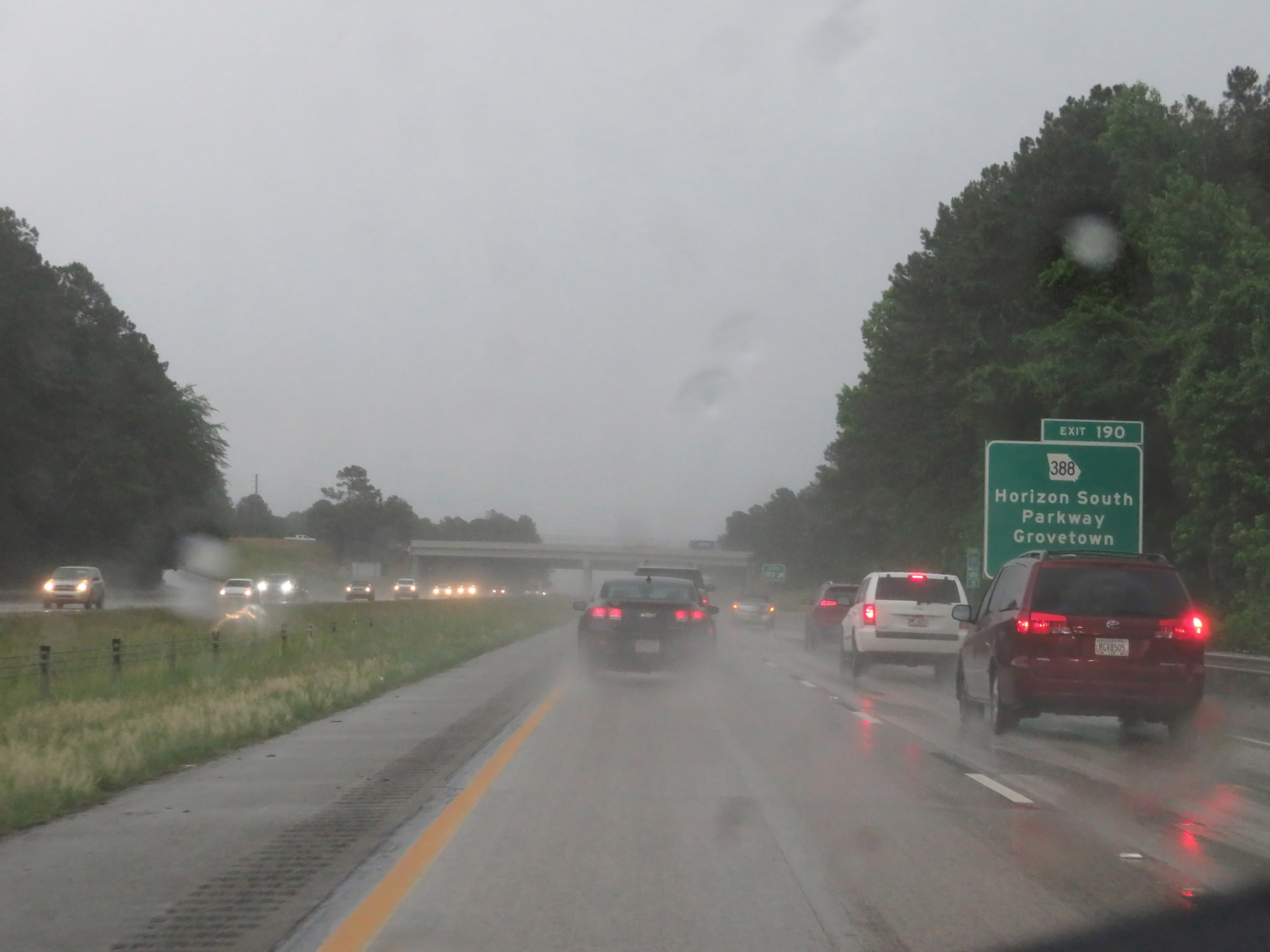 |
Interstate 20 East at Exit 190: GA 388 - Horizon South Parkway / Grovetown (Photo taken 5/24/18). |
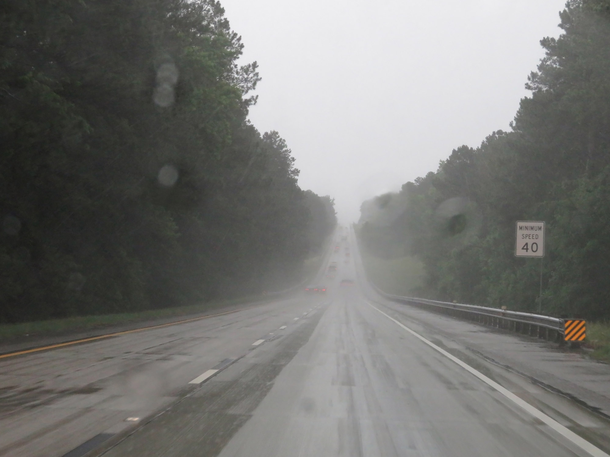 |
The minimum speed limit remains 40 mph. (Photo taken 5/24/18). |
 |
Take either of the next 2 exits to Augusta. (Photo taken 5/24/18). |
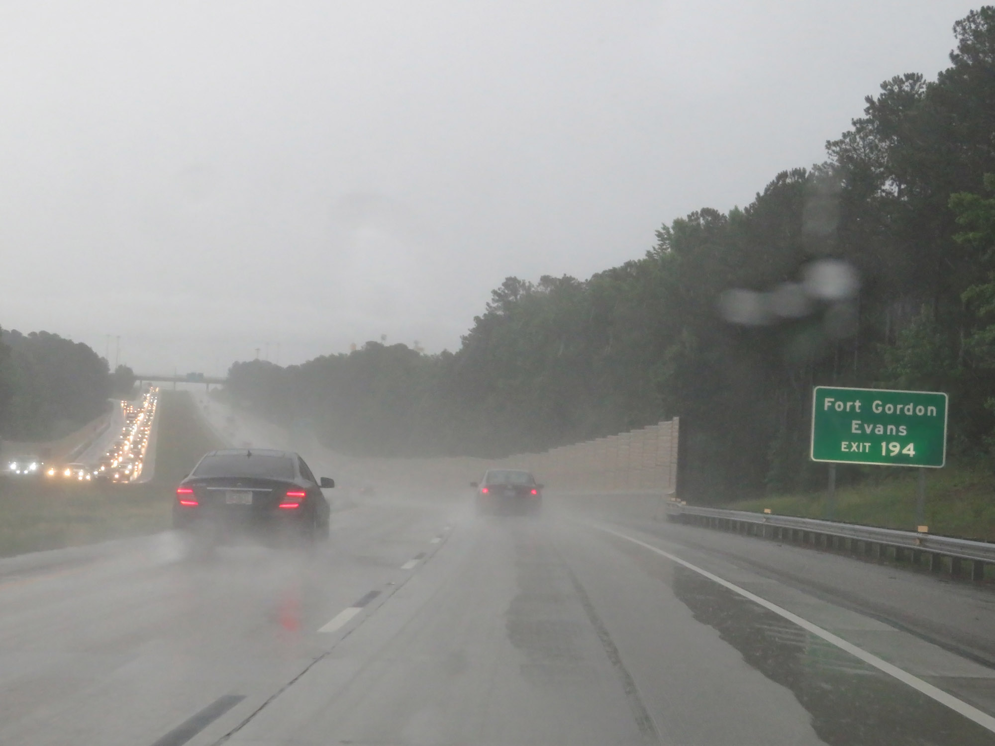 |
Take Exit 194 to Fort Gordon and Evans. (Photo taken 5/24/18). |
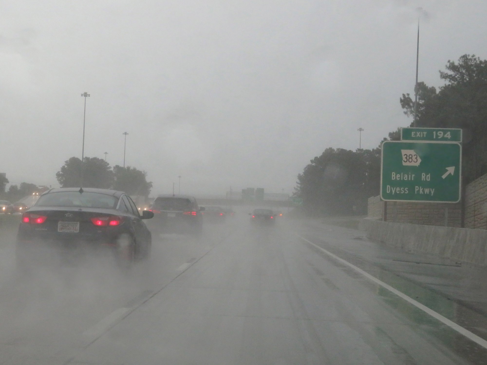 |
Interstate 20 East at Exit 194: GA 383 - Belair Rd / Dyess Pkwy (Photo taken 5/24/18). |
 |
Take Exit 195 to Augusta Soccer Park. (Photo taken 5/24/18). |
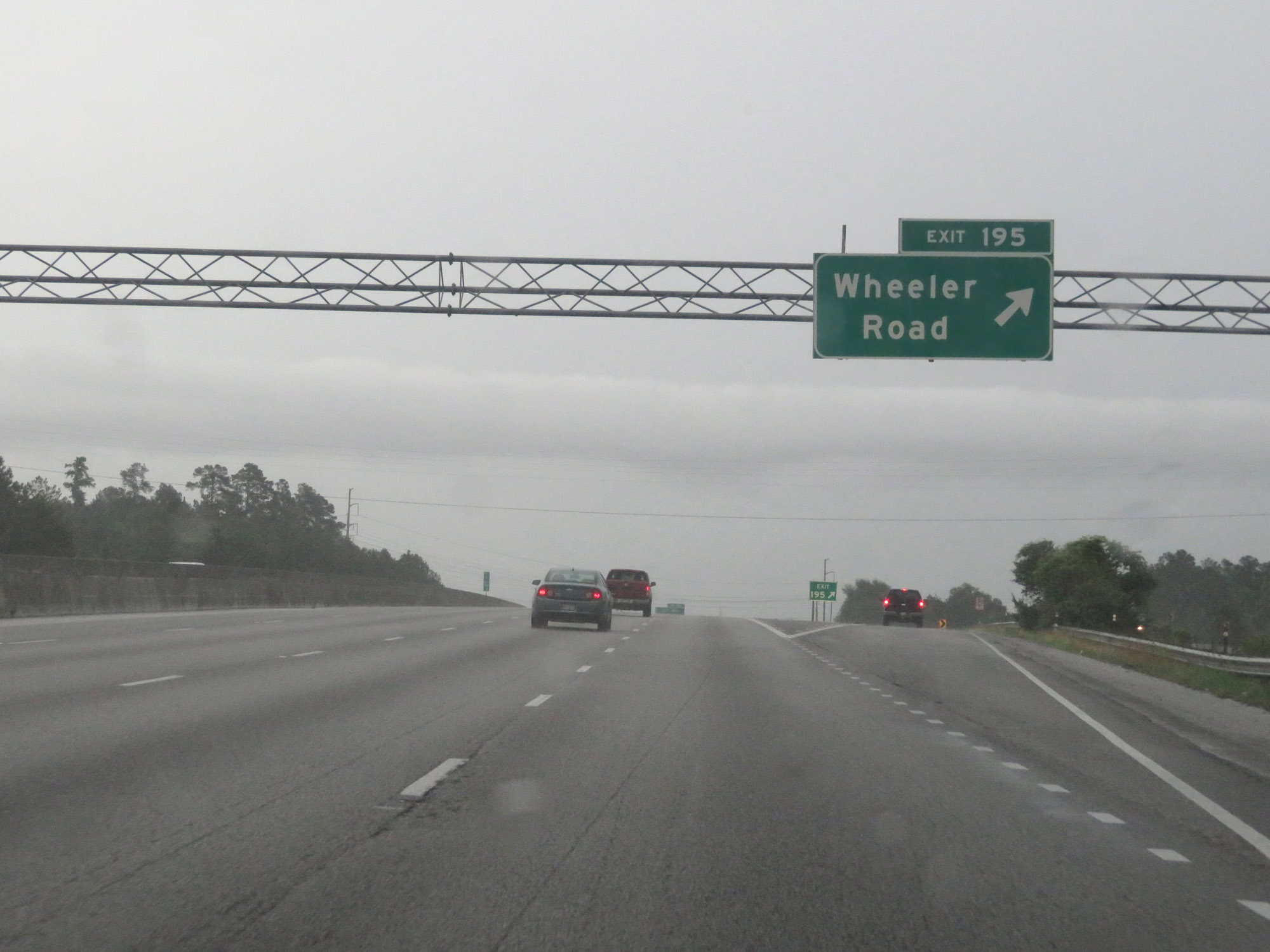 |
Interstate 20 East at Exit 195: Wheeler Road (Photo taken 5/24/18). |
 |
Interstate 20 East as it enters Richmond County and the Augusta city limits. (Photo taken 5/24/18). |
 |
Interstate 20 East approaching Exit 196 - 1 mile. (Photo taken 5/24/18). |
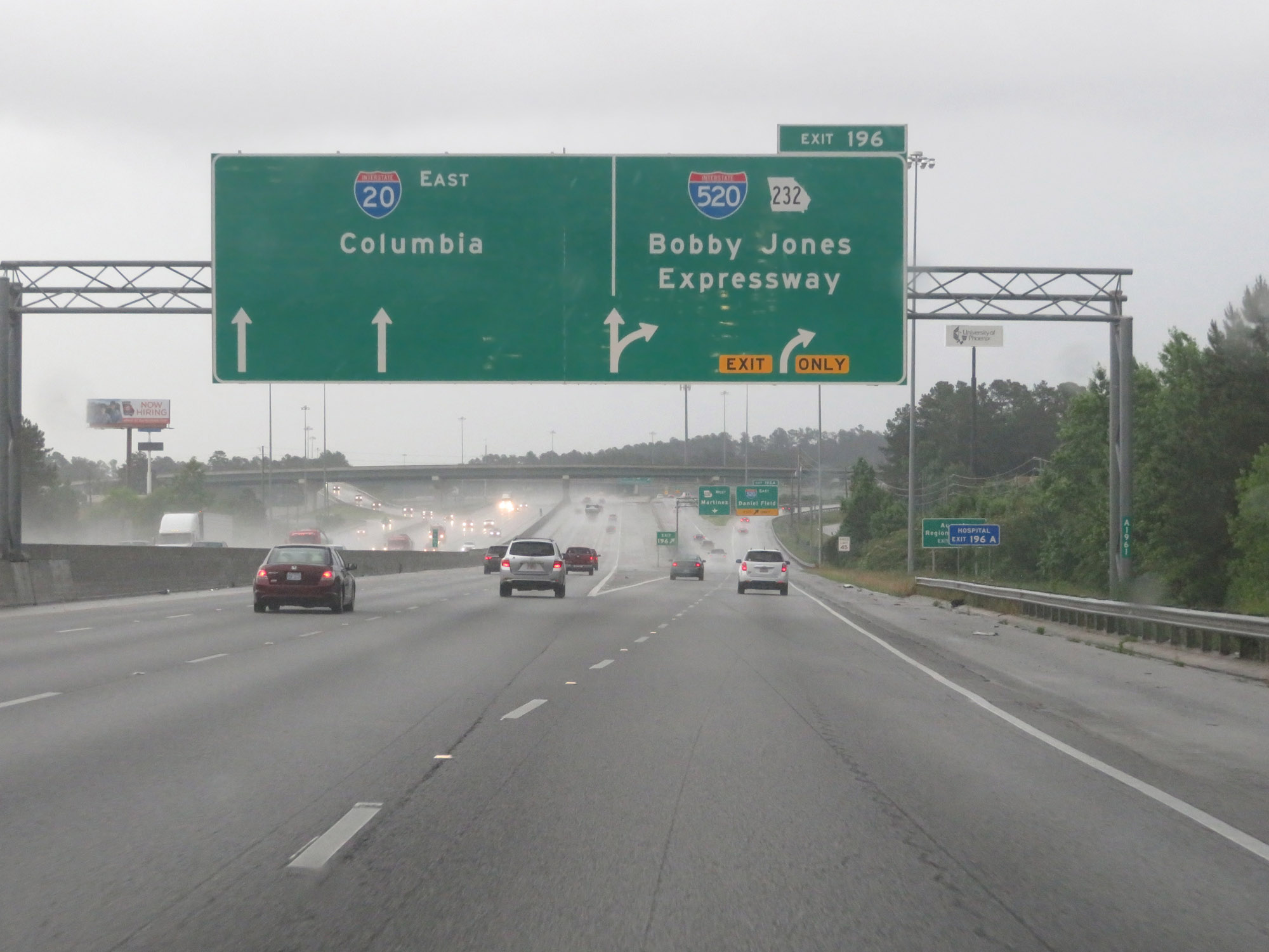 |
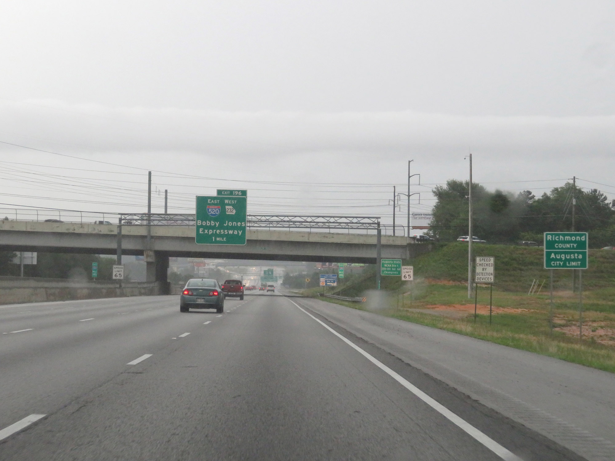
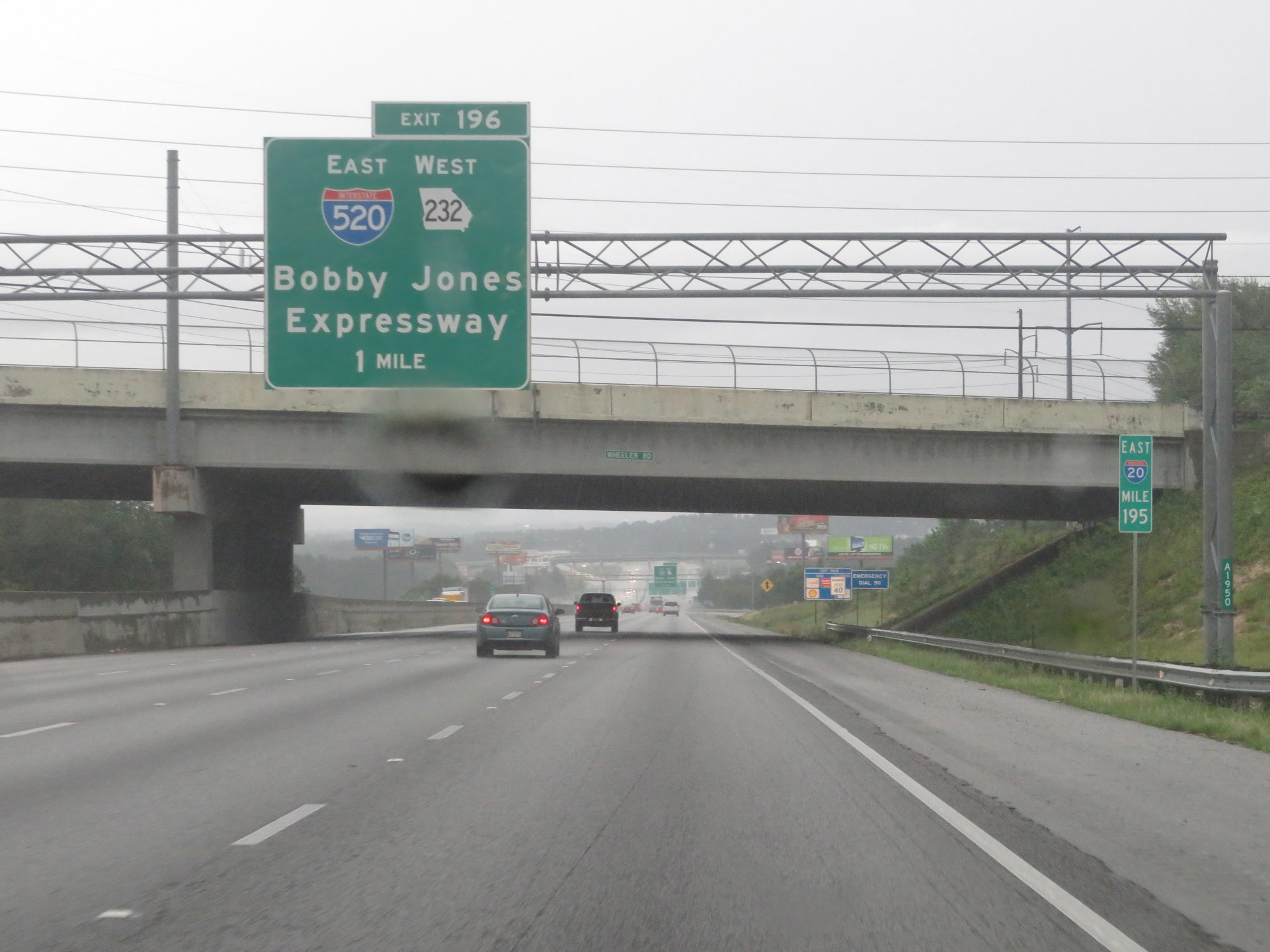
Interstate 20 East at Exit 196: Interstate 520 / GA 232 - Bobby Jones Expressway (Photo taken 5/24/18). |
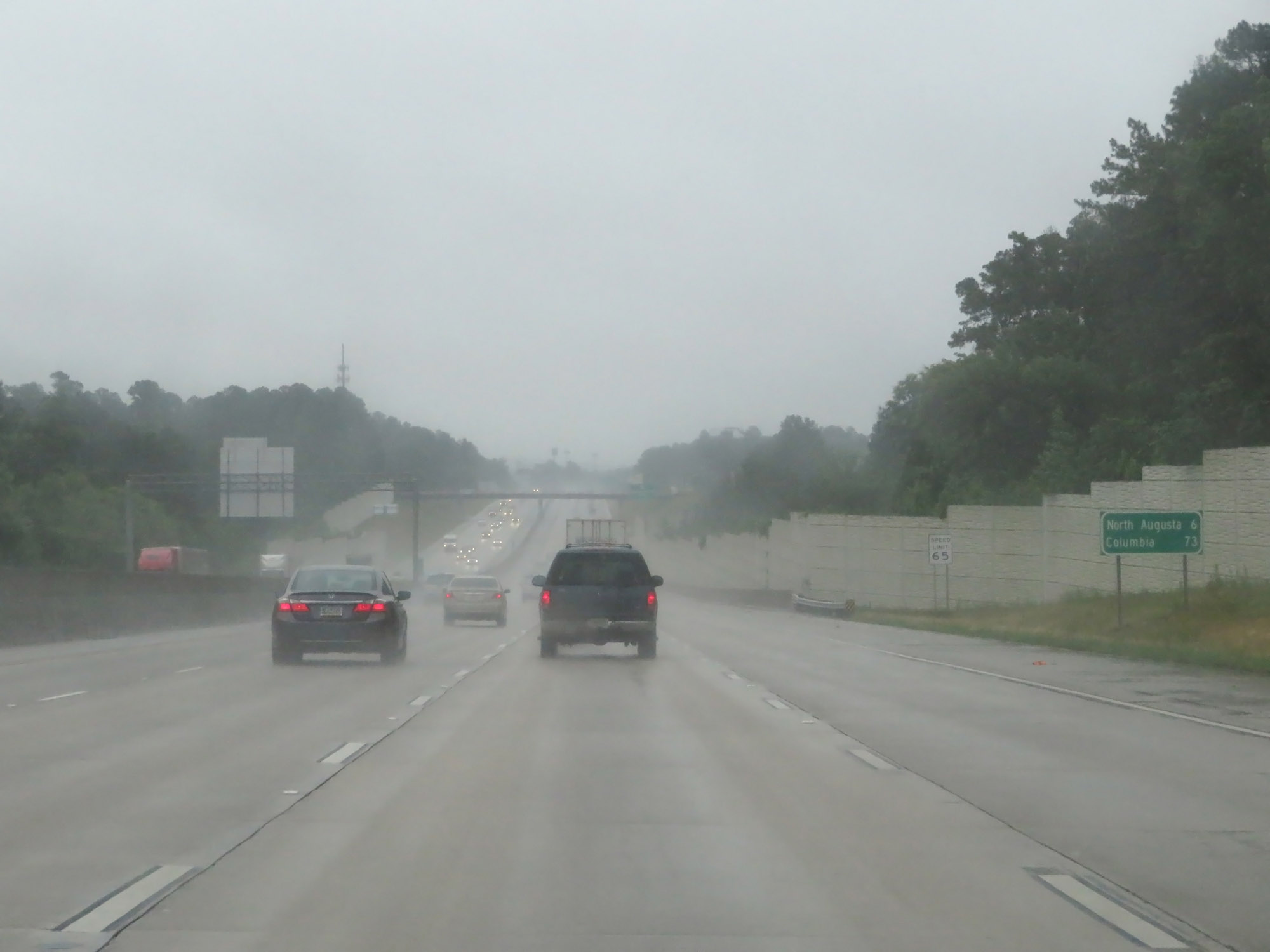 |
Mileage sign on Interstate 20 East. It's 6 miles to North Augusta and 73 miles to Columbia. (Photo taken 5/25/18). |
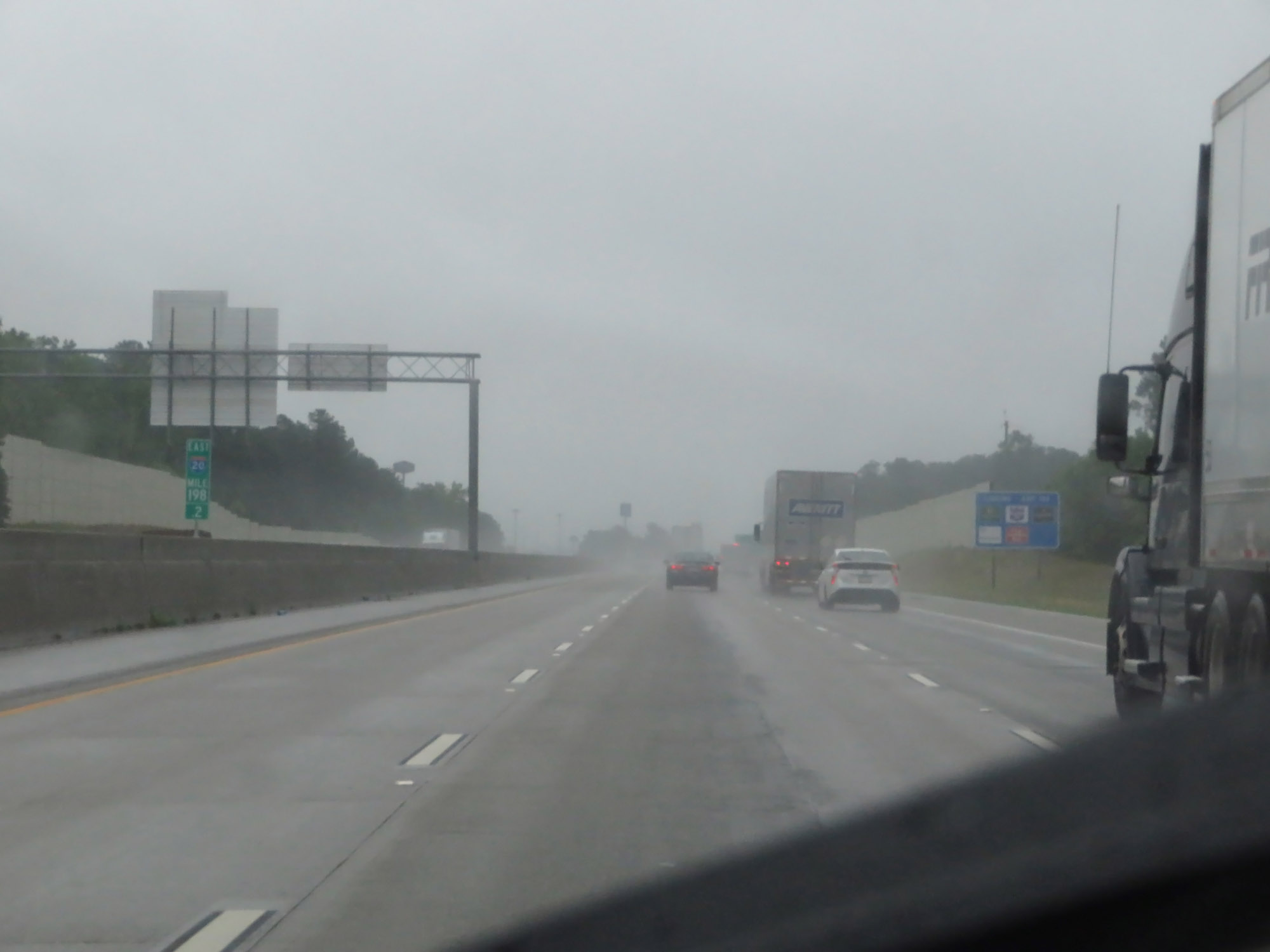 |
Interstate 20 East at mile marker 198.2. (Photo taken 5/25/18). |
 |
Take Exit 199 to Augusta University and Paine College. (Photo taken 5/25/18). |
 |
Interstate 20 East at Exit 199: GA 28 - Washington Rd / Augusta (Photo taken 5/25/18). |
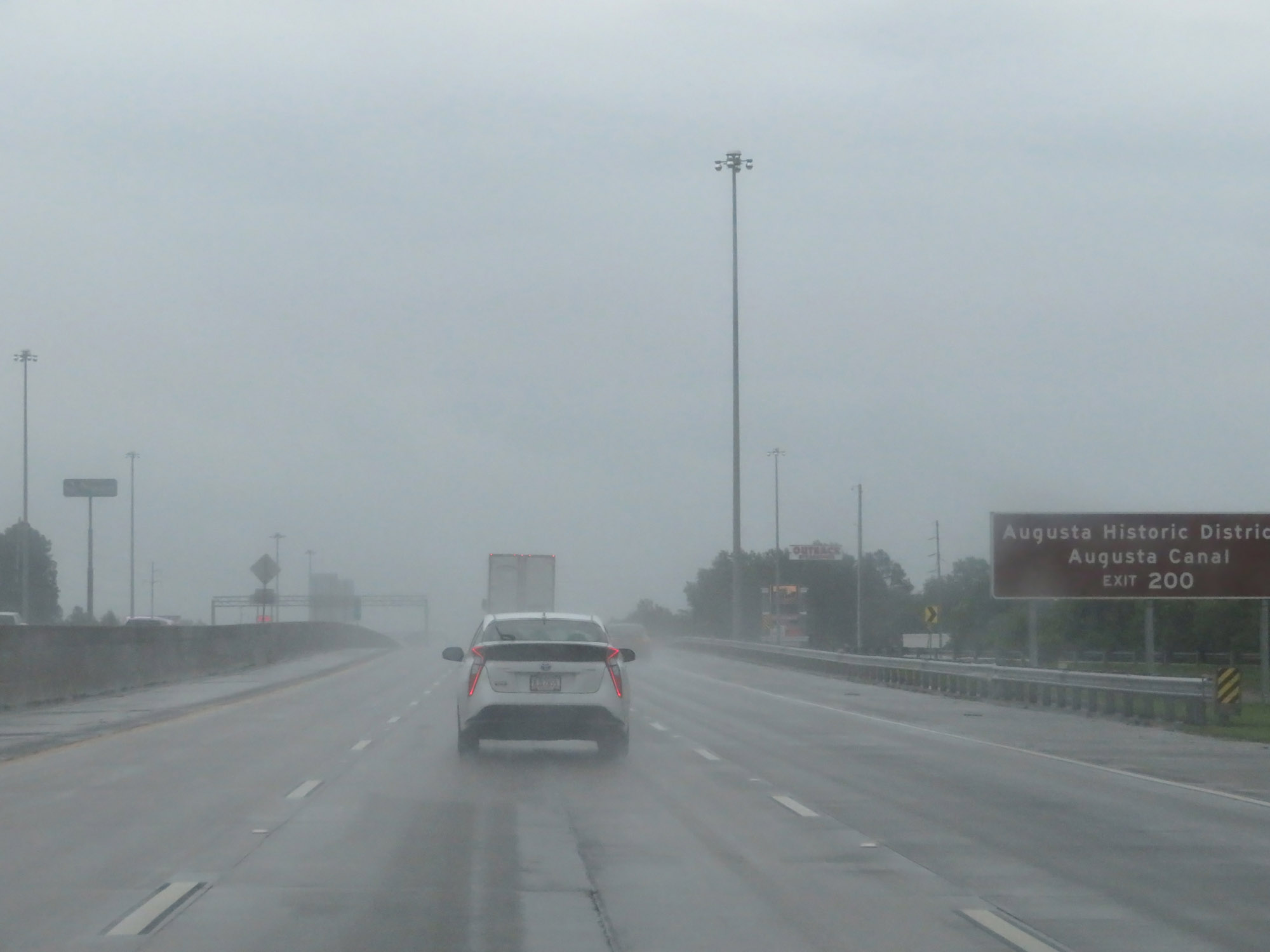 |
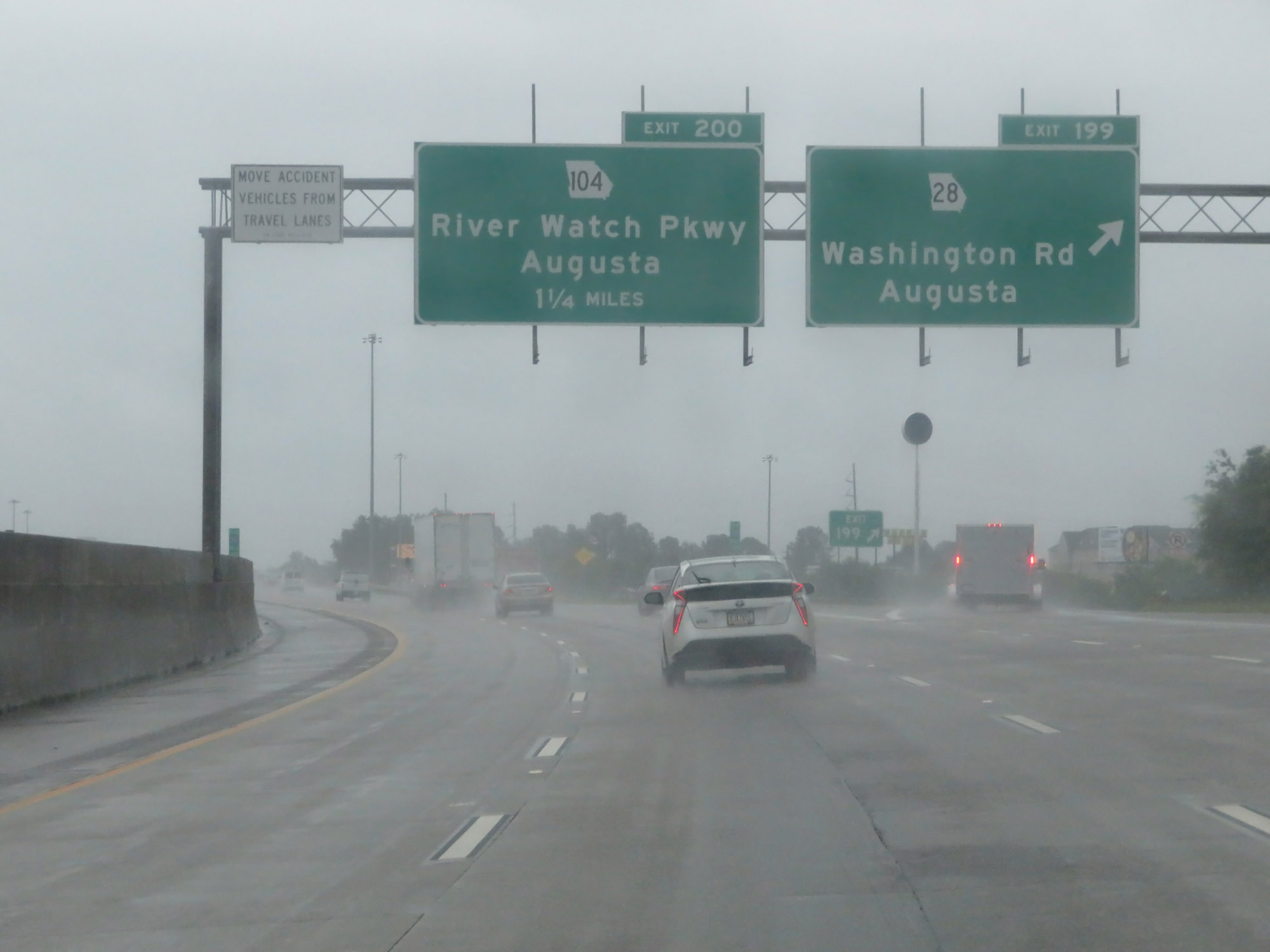
Take Exit 200 to Augusta Historic District and Augusta Canal. (Photo taken 5/25/18). |
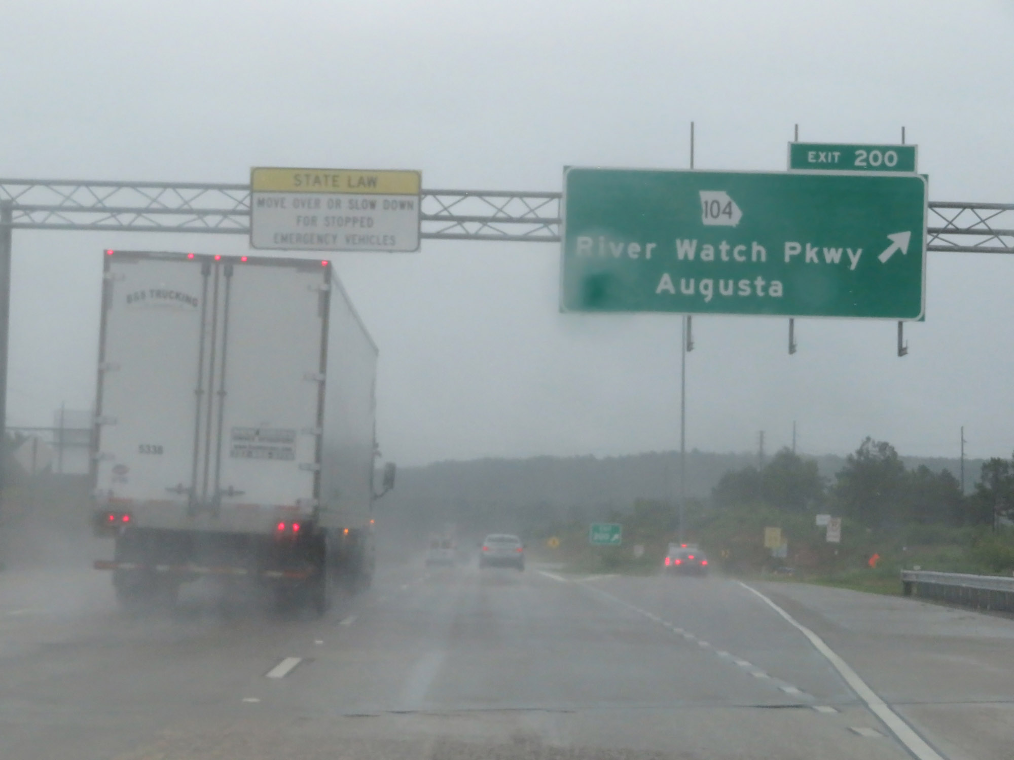 |
Interstate 20 East at Exit 200: GA 104 - River Watch Pkwy / Augusta (Photo taken 5/25/18). |
 |
One final Interstate 20 East reassurance shield before it crosses the Savannah River into South Carolina. (Photo taken 5/25/18). |
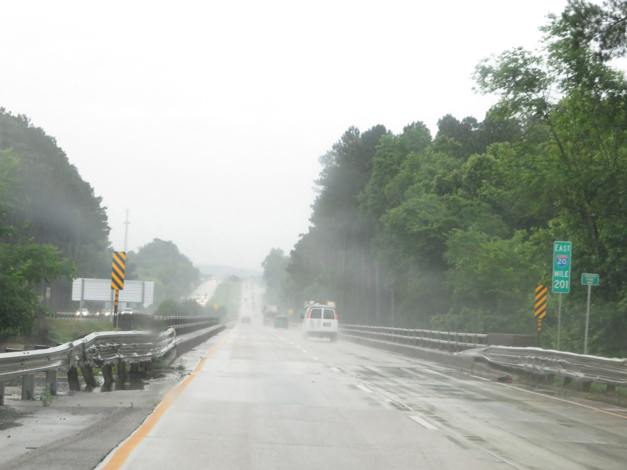 |
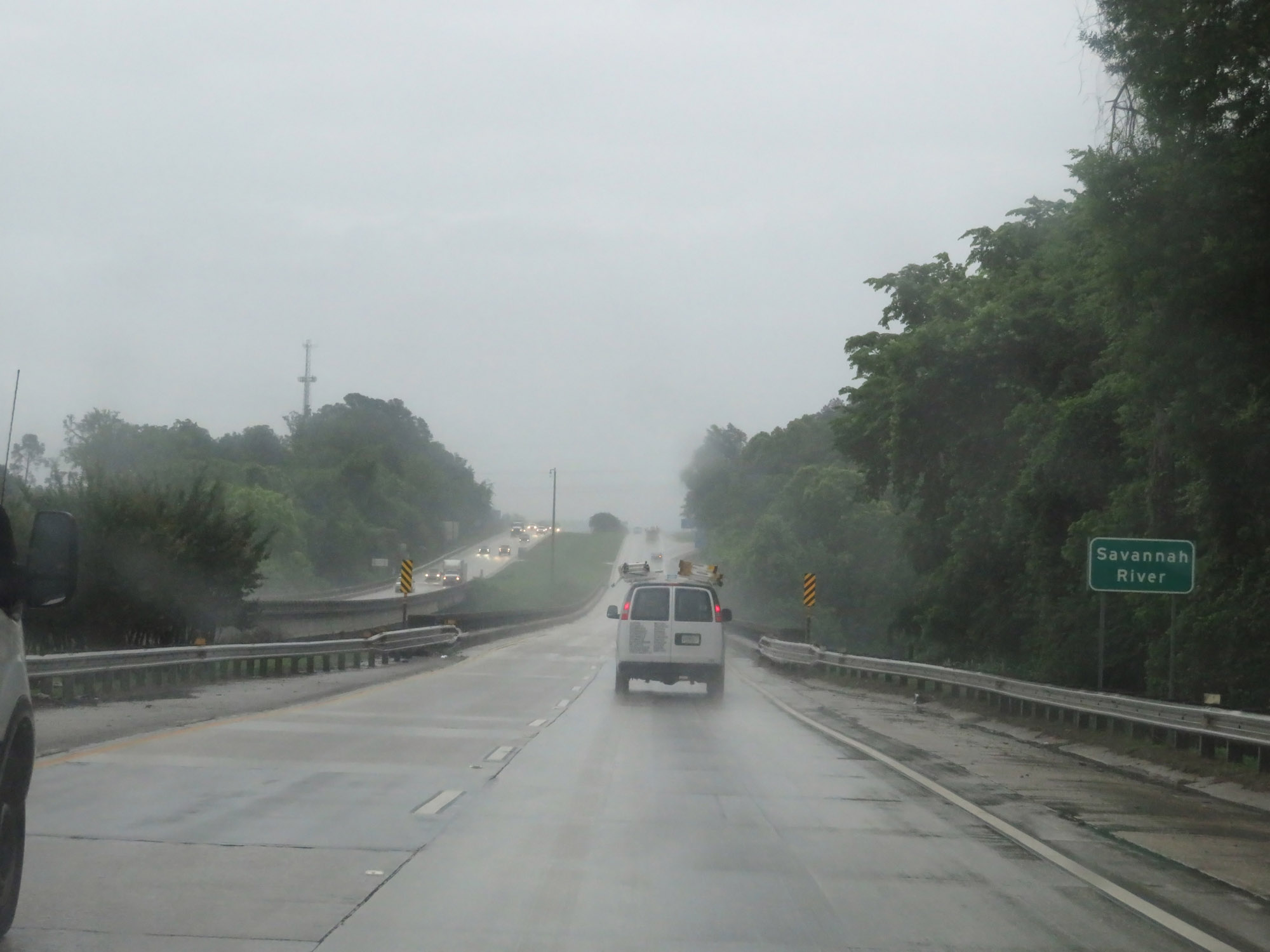
Interstate 20 East at mile marker 201, preparing to cross the Savannah River. (Photo taken 5/25/18). |
 |
Interstate 20 East as it crosses the Savannah River into South Carolina. (Photo taken 5/25/18). |