Road Information |
||
 |
||
| Total Mileage in State: | 362 miles | |
| Eastern End: | At I-95, in Jacksonville | |
| Western End: | At Alabama state line | |
| Mileage covered in Photos: | 362 miles | |
| Counties covered in Photos: | Duval, Nassau, Baker, Columbia, Suwannee, Madison, Jefferson, Leon, Gadsden, Jackson, Washington, Holmes, Walton, Okaloosa, Santa Rosa, Escambia | |
| Major Junctions in Photos: | I-295, in Jacksonville I-75, in Lake City US 27, in Tallahassee I-110, in Pensacola |
|
| Control Cities in Photos: | Jacksonville, Lake City, Tallahassee, Marianna, Crestview, Pensacola | |
Westbound
- Section 1: Jacksonville to Lake City (Exit 296A)
- Section 2:Lake City (Exit 296A) to Tallahassee (Exit 199)
- Section 3: Tallahassee (Exit 199) to Crestview (Exit 56)
- Section 4: Crestview (Exit 56) to Alabama Border
Section 1: Jacksonville to Lake City (Exit 296A)
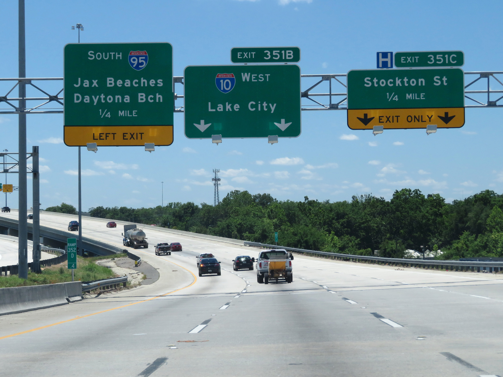 |
Interstate 10 West begins here at Exit 351B off Interstate 95 South in Jacksonville. (Photo taken 5/25/17). |
 |
View on the ramp from Interstate 95 South to Interstate 10 West in Jacksonville. (Photo taken 5/25/17). |
 |
Interstate 10 West as traffic from Interstate 95 North merges into it on the right. (Photo taken 5/25/17). |
 |
Interstate 10 West approaching Exit 361 - 1/2 mile on the left. (Photo taken 5/25/17). |
 |
Interstate 10 West at Exit 361: US 17 South / To FL 228 - Roosevelt Blvd / NAS Jax (Photo taken 5/25/17). |
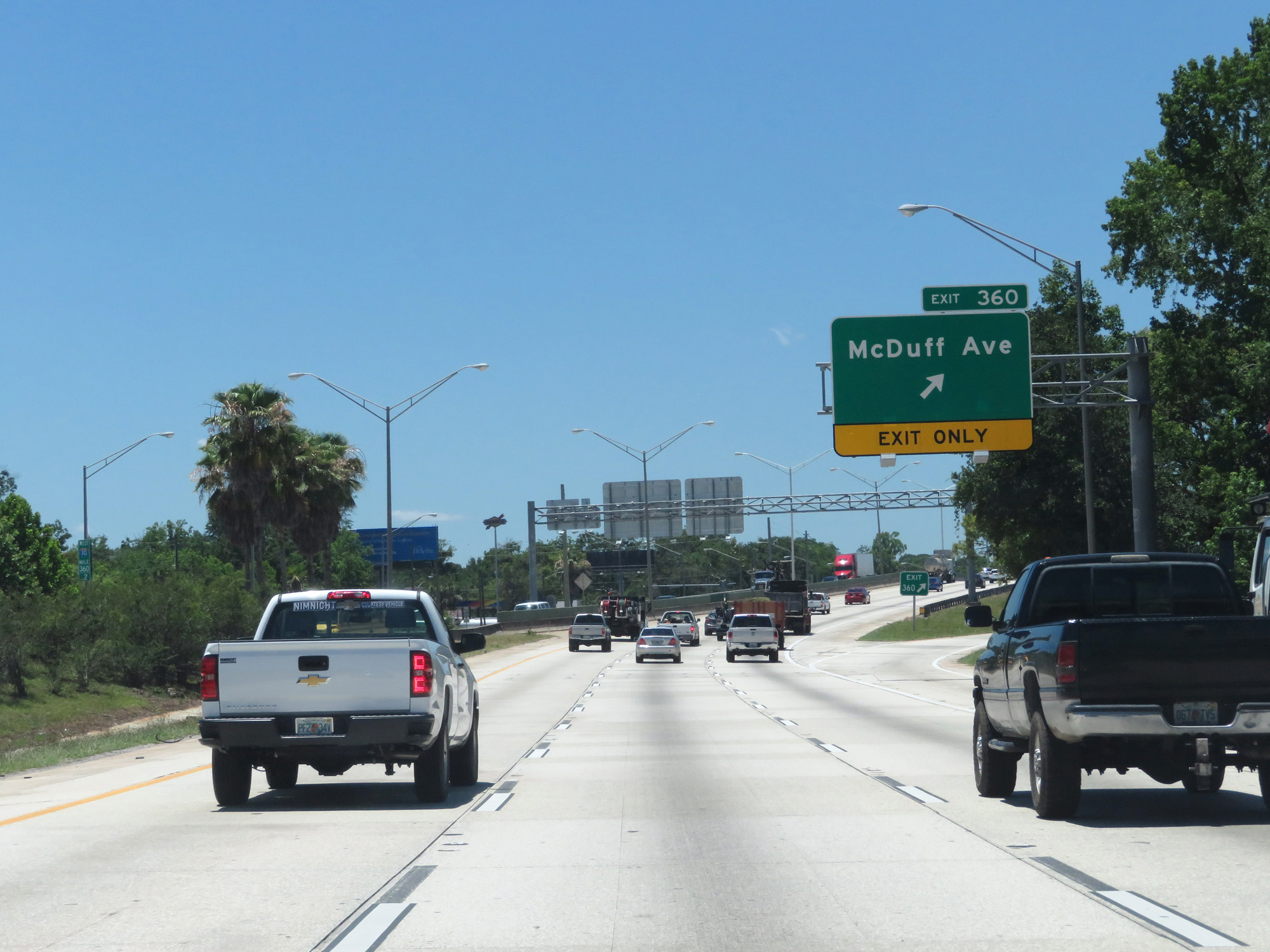 |
Interstate 10 West at Exit 360: McDuff Ave (Photo taken 5/25/17). |
 |
Interstate 10 West reassurance shield. (Photo taken 5/25/17). |
 |
The speed limit on Interstate 10 West starts out at 55 mph. (Photo taken 5/25/17). |
 |
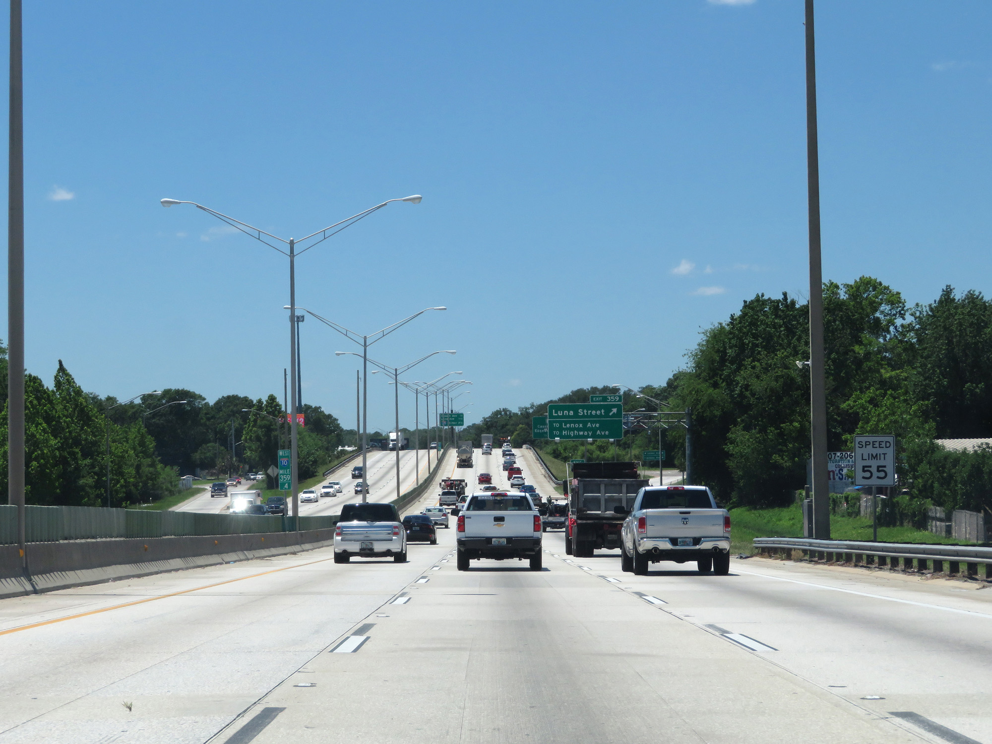
Interstate 10 West at Exit 359: Luna Street / To Lenox Ave / To Highway Ave (Photo taken 5/25/17). |
 |
Interstate 10 West at mile marker 359. (Photo taken 5/25/17). |
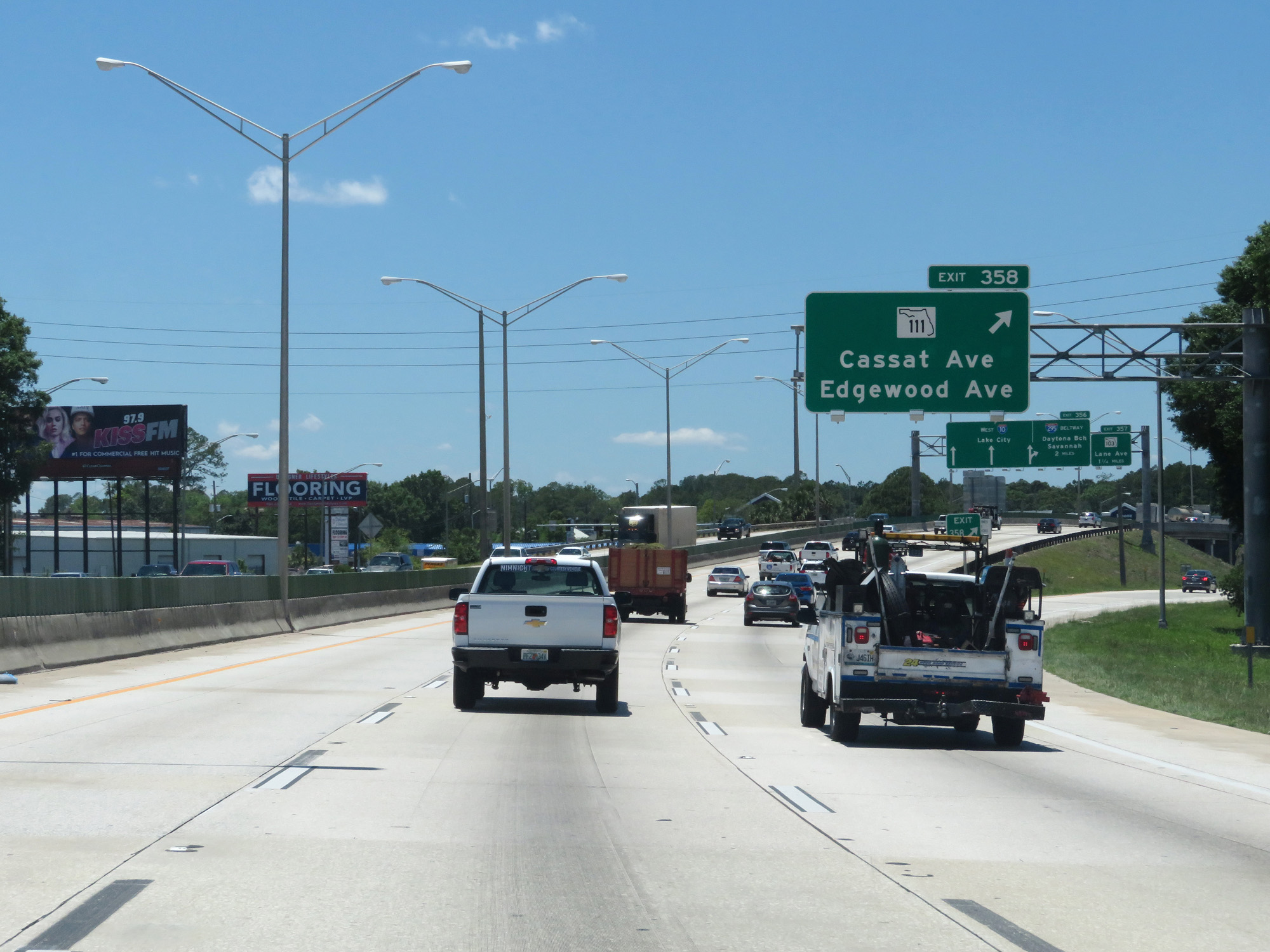 |
Interstate 10 West at Exit 358: FL 111 - Cassat Ave / Edgewood Ave (Photo taken 5/25/17). |
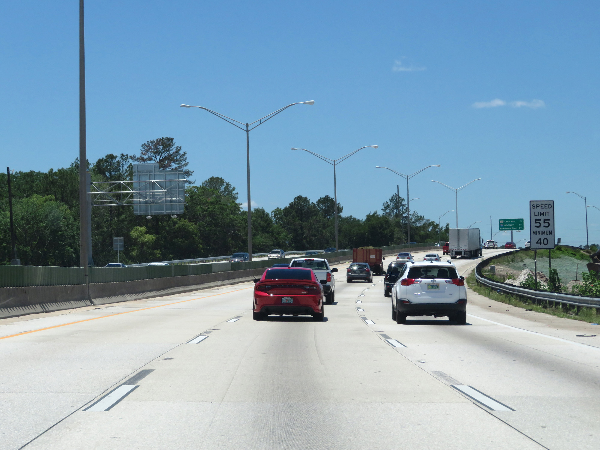 |
In additon to the maximum speed limit being 55 mph, the minimum speed limit is 40 mph. (Photo taken 5/25/17). |
 |
Overhead mileage sign on Interstate 10 West, listing the distances to the next 3 interchanges. (Photo taken 5/25/17). |
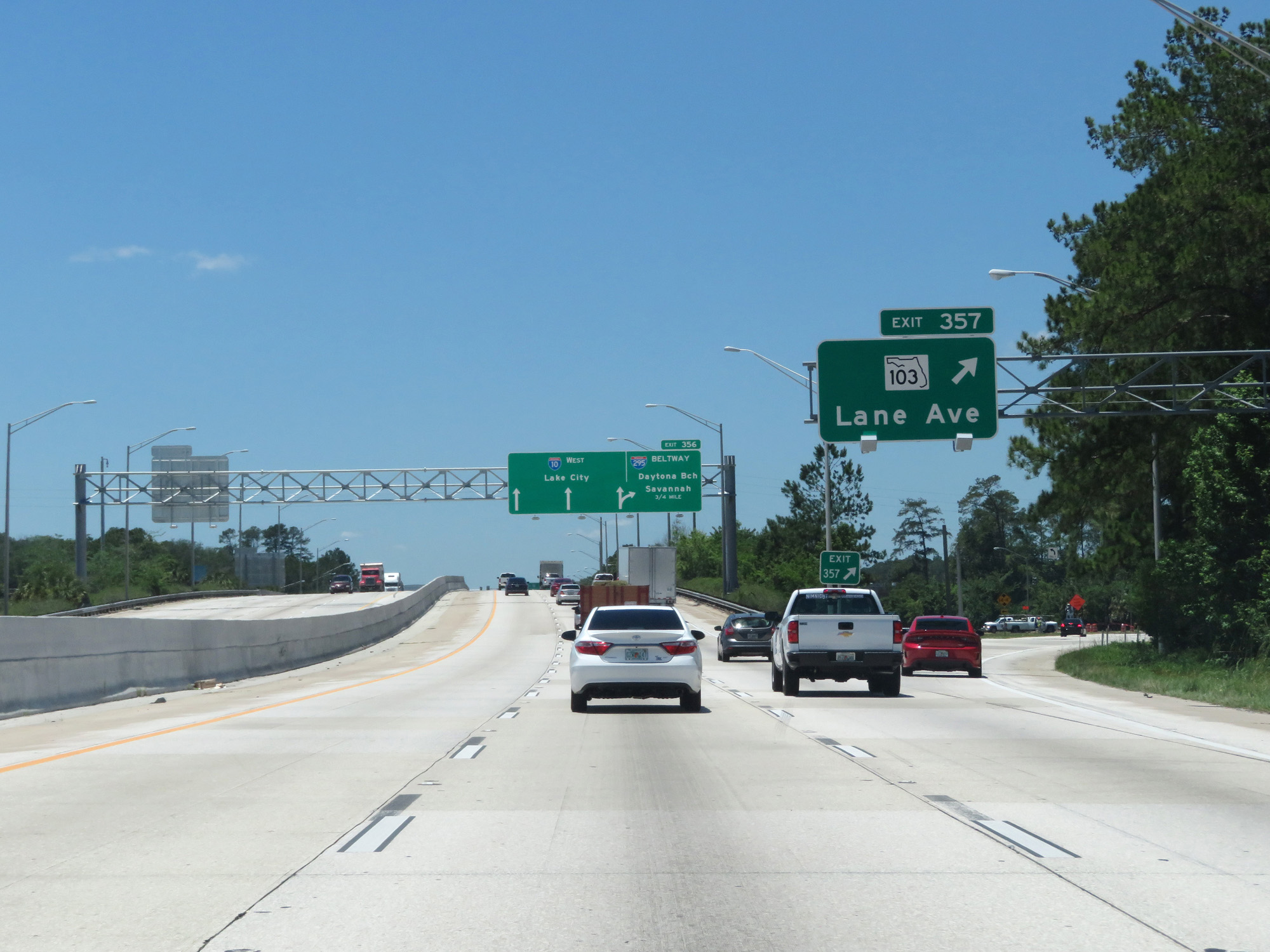 |
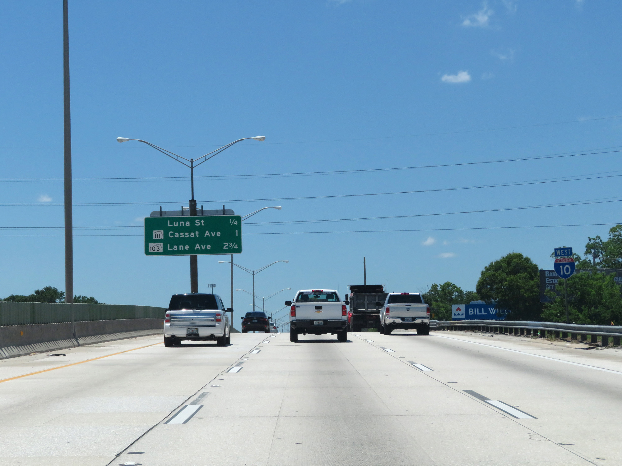
Interstate 10 West at Exit 357: FL 103 - Lane Ave (Photo taken 5/25/17). |
 |
Interstate 10 West approaching Exit 356 - 3/4 mile. (Photo taken 5/25/17). |
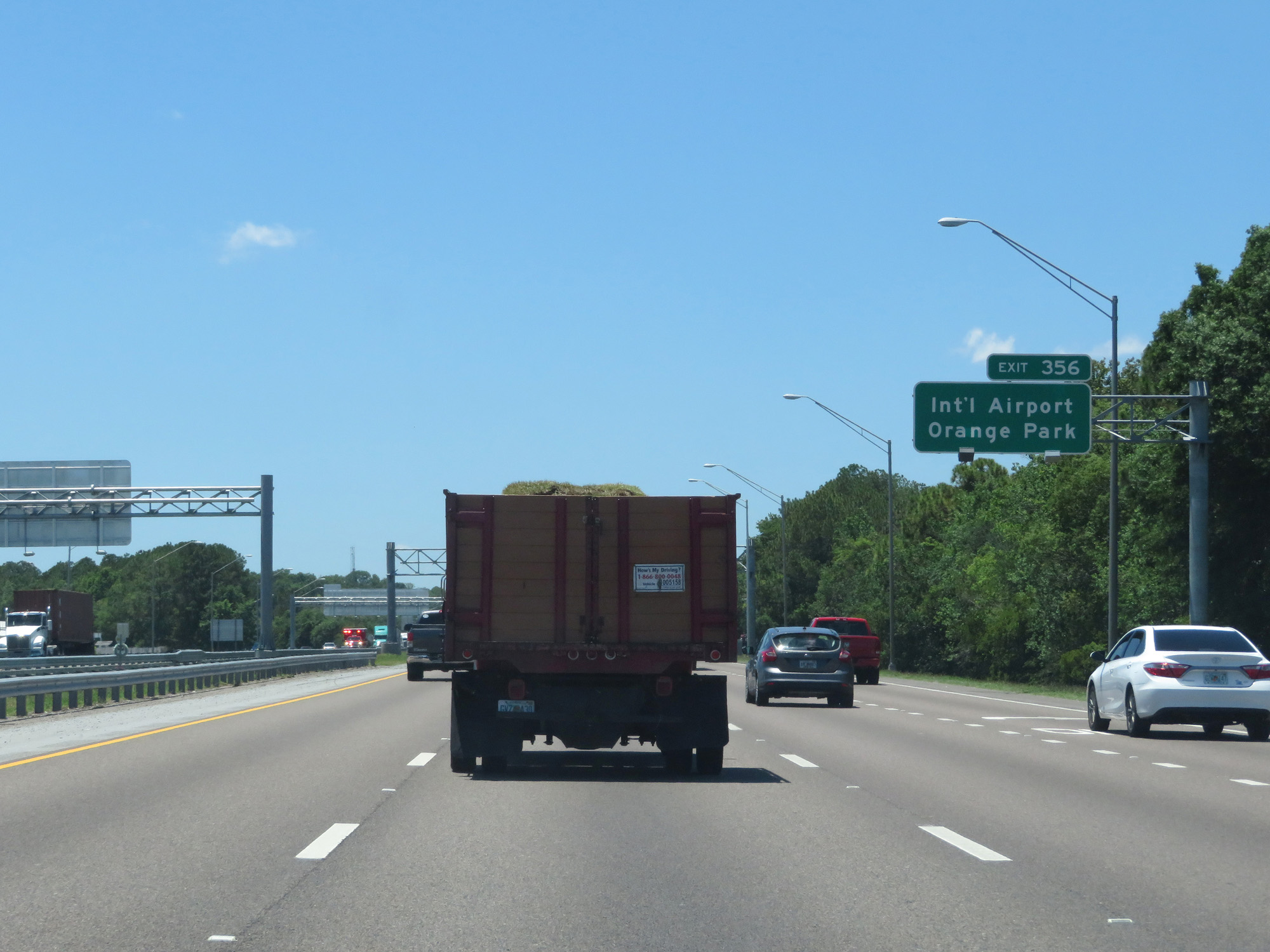 |
Take Exit 356 to Jacksonville International Airport and Orange Park. (Photo taken 5/25/17). |
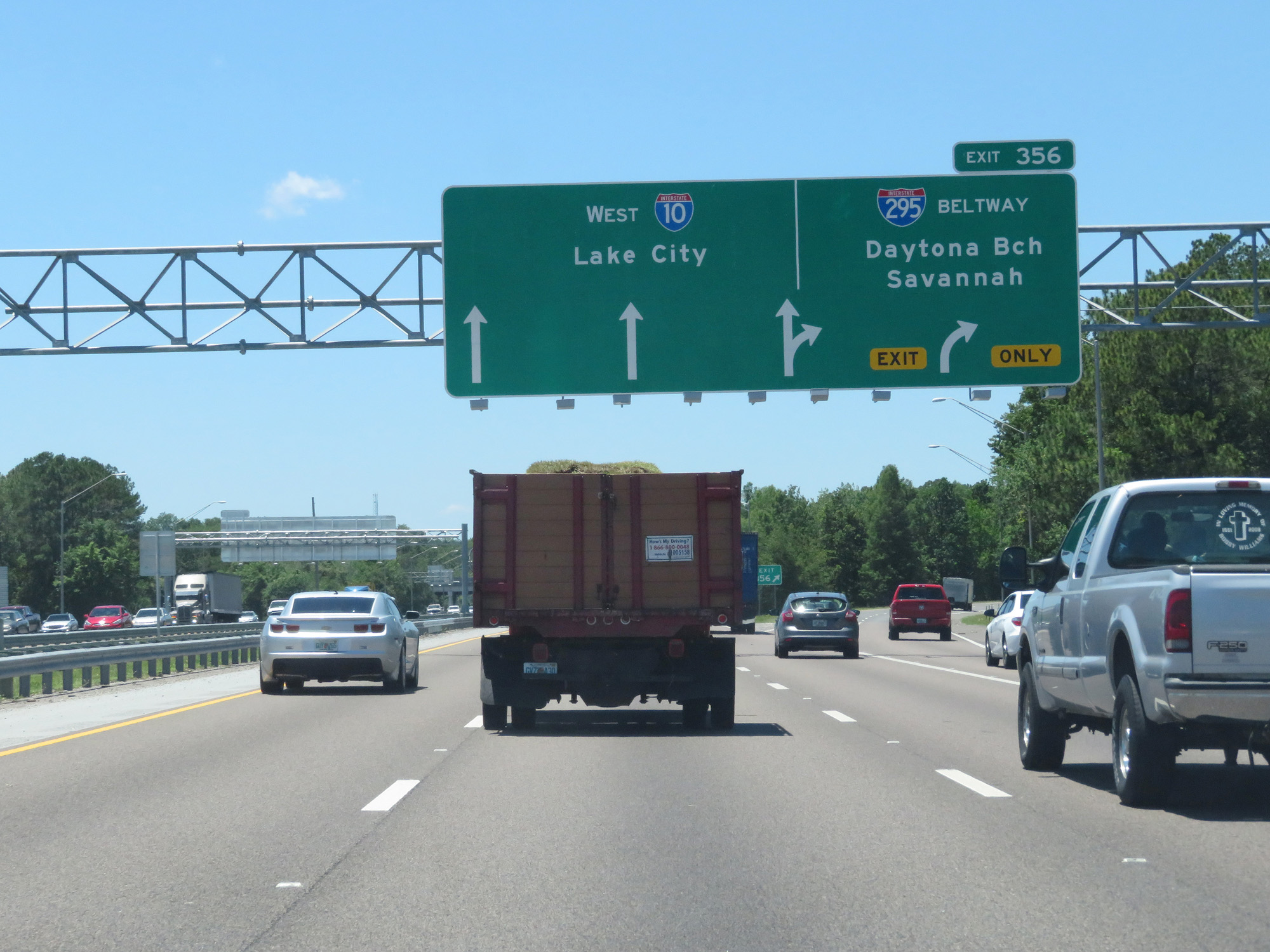 |
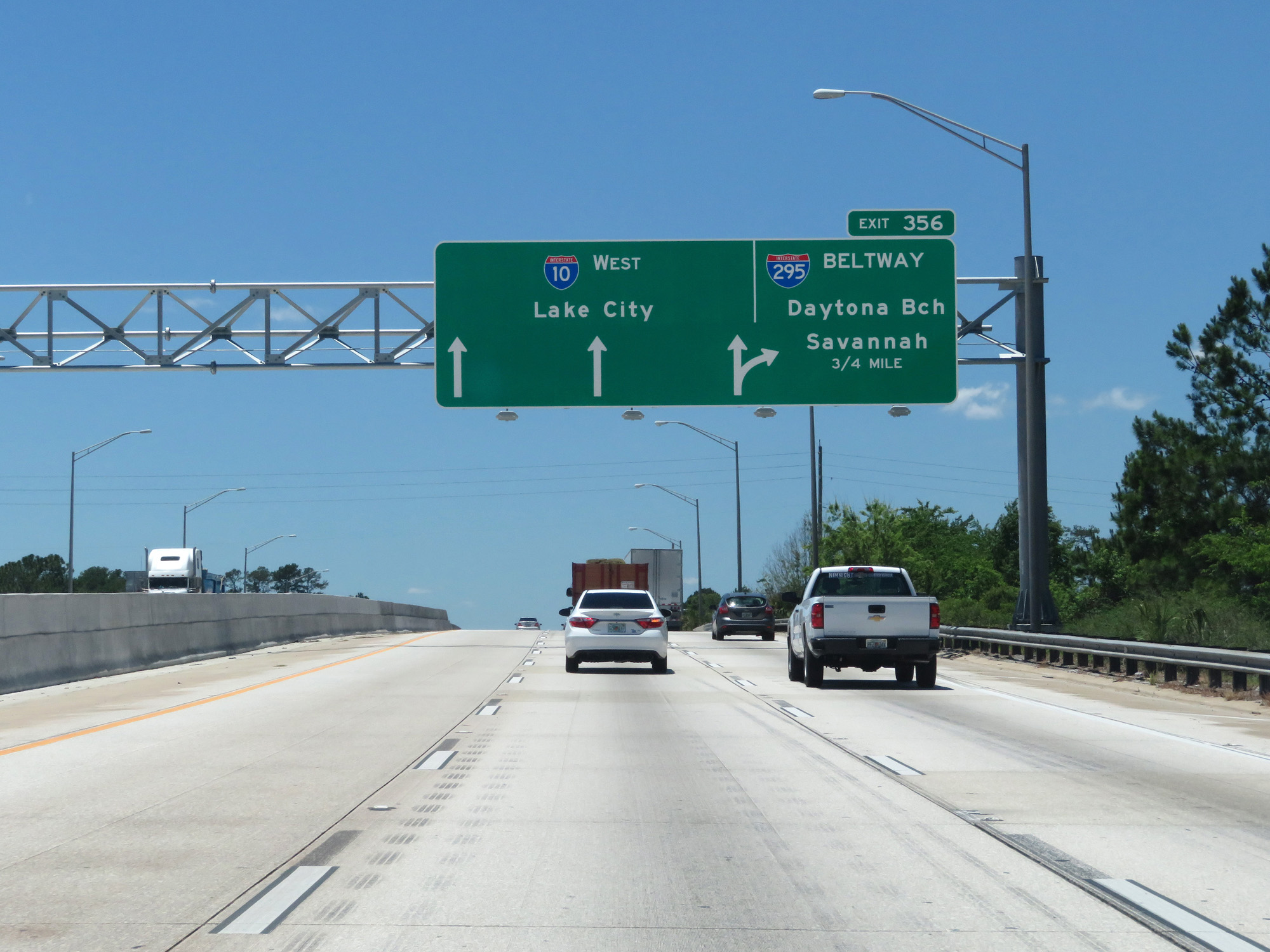
Interstate 10 West at Exit 356: Interstate 295 - Daytona Beach / Savannah (Photo taken 5/25/17). |
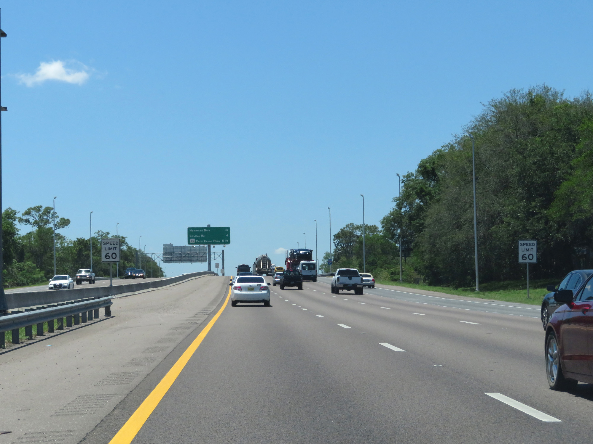 |
Once west of Interstate 295, the speed limit gets a slight bump up to 60 mph. (Photo taken 5/25/17). |
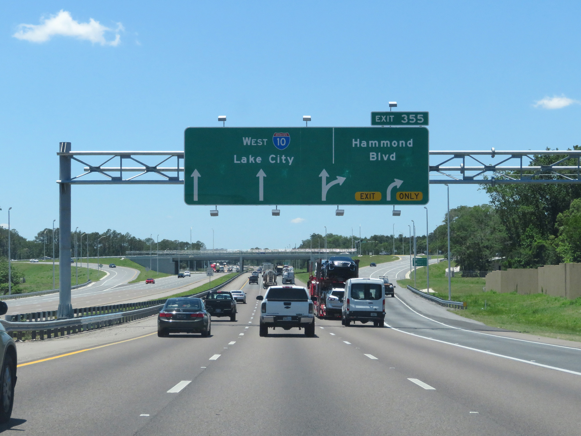 |
Interstate 10 West at Exit 355: Hammond Blvd (Photo taken 5/25/17). |
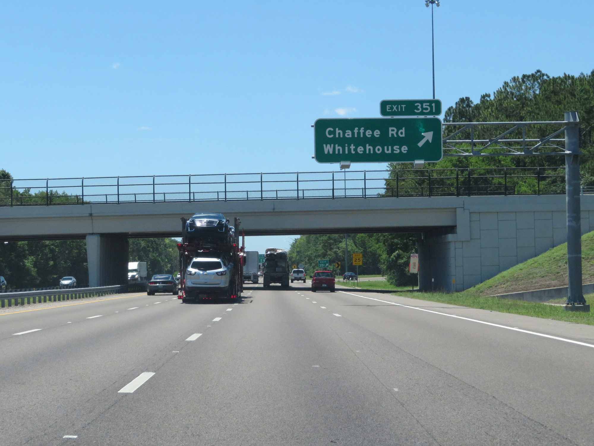 |
Interstate 10 West at Exit 351: Chaffee Rd / Whitehouse (Photo taken 5/25/17). |
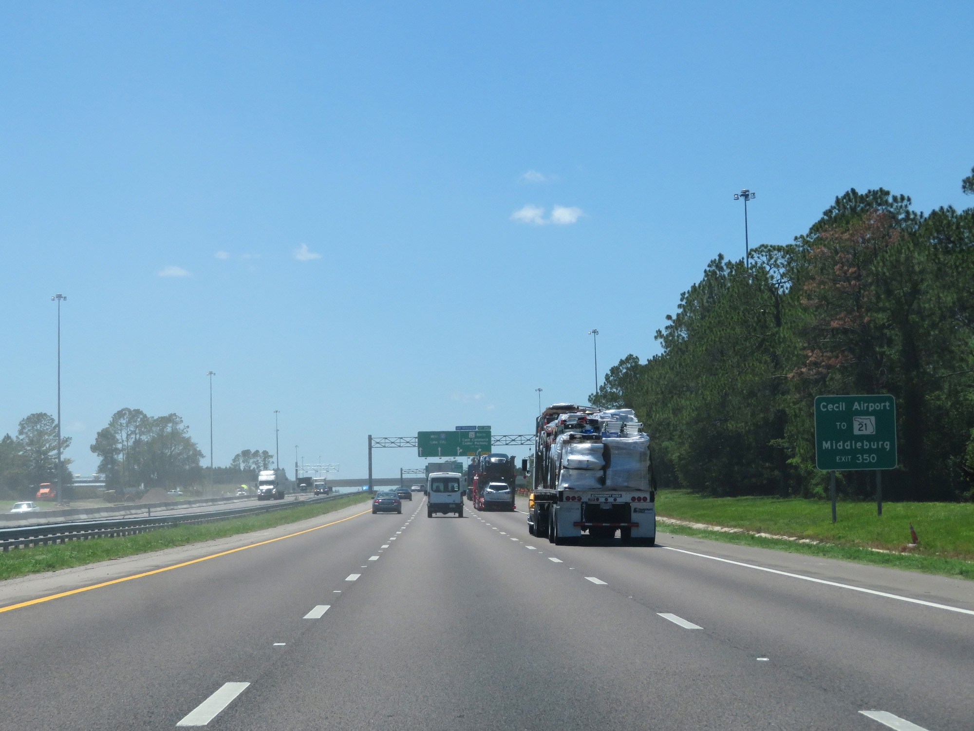 |
Take Exit 350 to FL 21, Cecil Airport, and Middleburg. (Photo taken 5/25/17). |
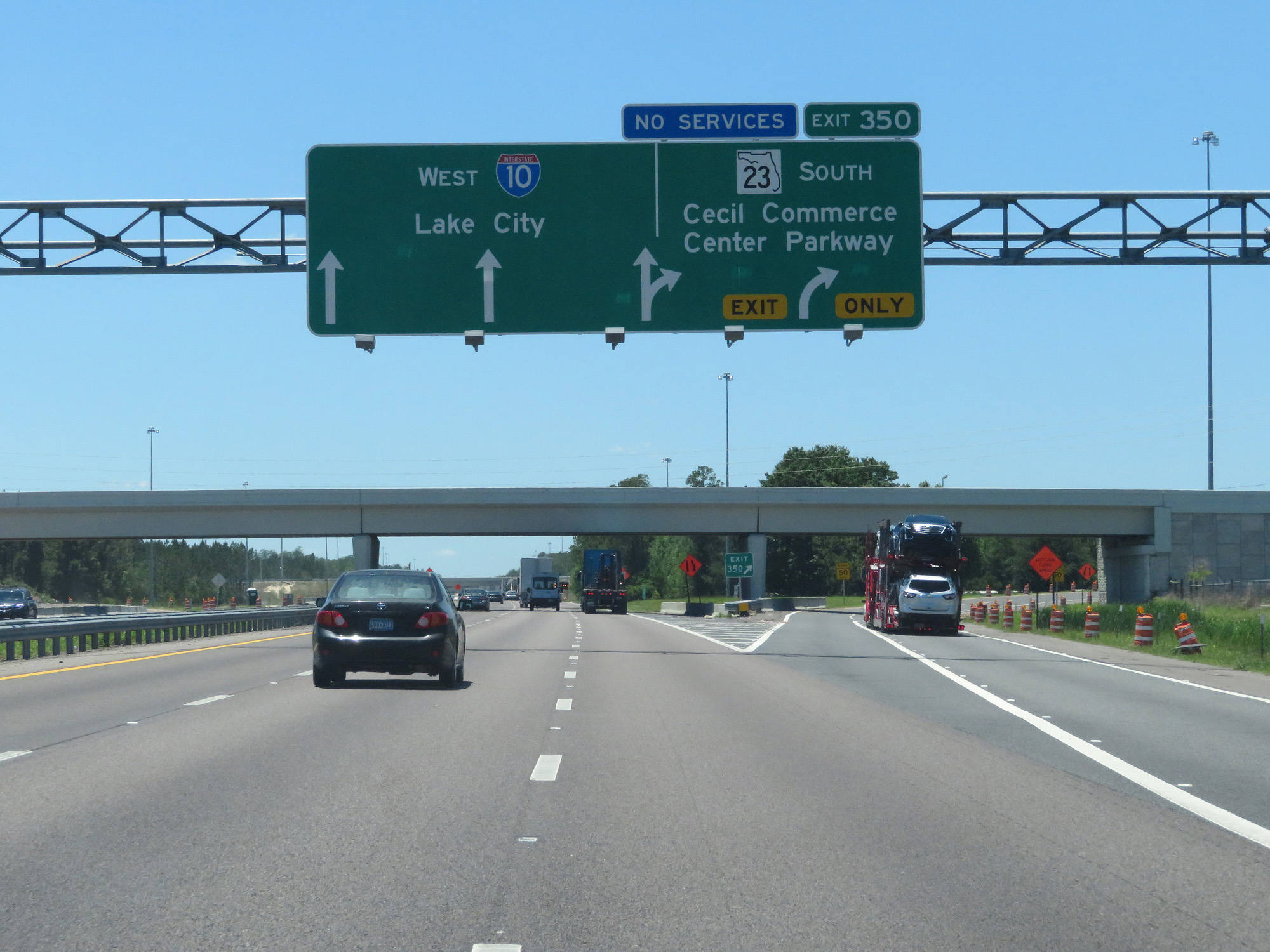 |
Interstate 10 West at Exit 350: FL 23 South - Cecil Commerce Center Parkway (Photo taken 5/25/17). |
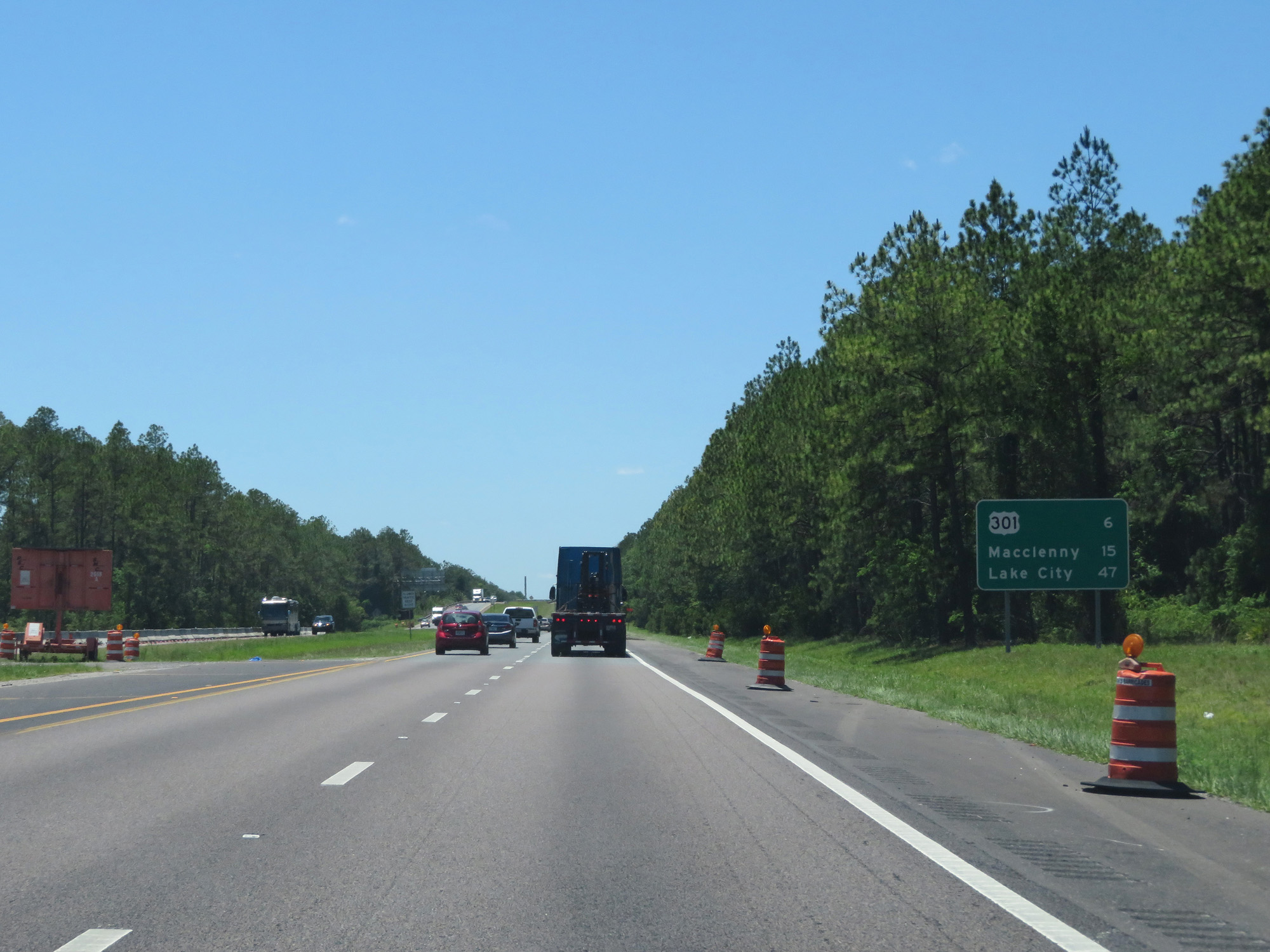 |
Mileage sign on Interstate 10 West. It's 6 miles to the junction of US 301, 15 miles to Macclenney, and 47 miles to Lake City. (Photo taken 5/25/17). |
 |
Interstate 10 West at mile marker 348. (Photo taken 5/25/17). |
 |
Interstate 10 West at Exit 343: US 301 - Baldwin / Starke (Photo taken 5/25/17). |
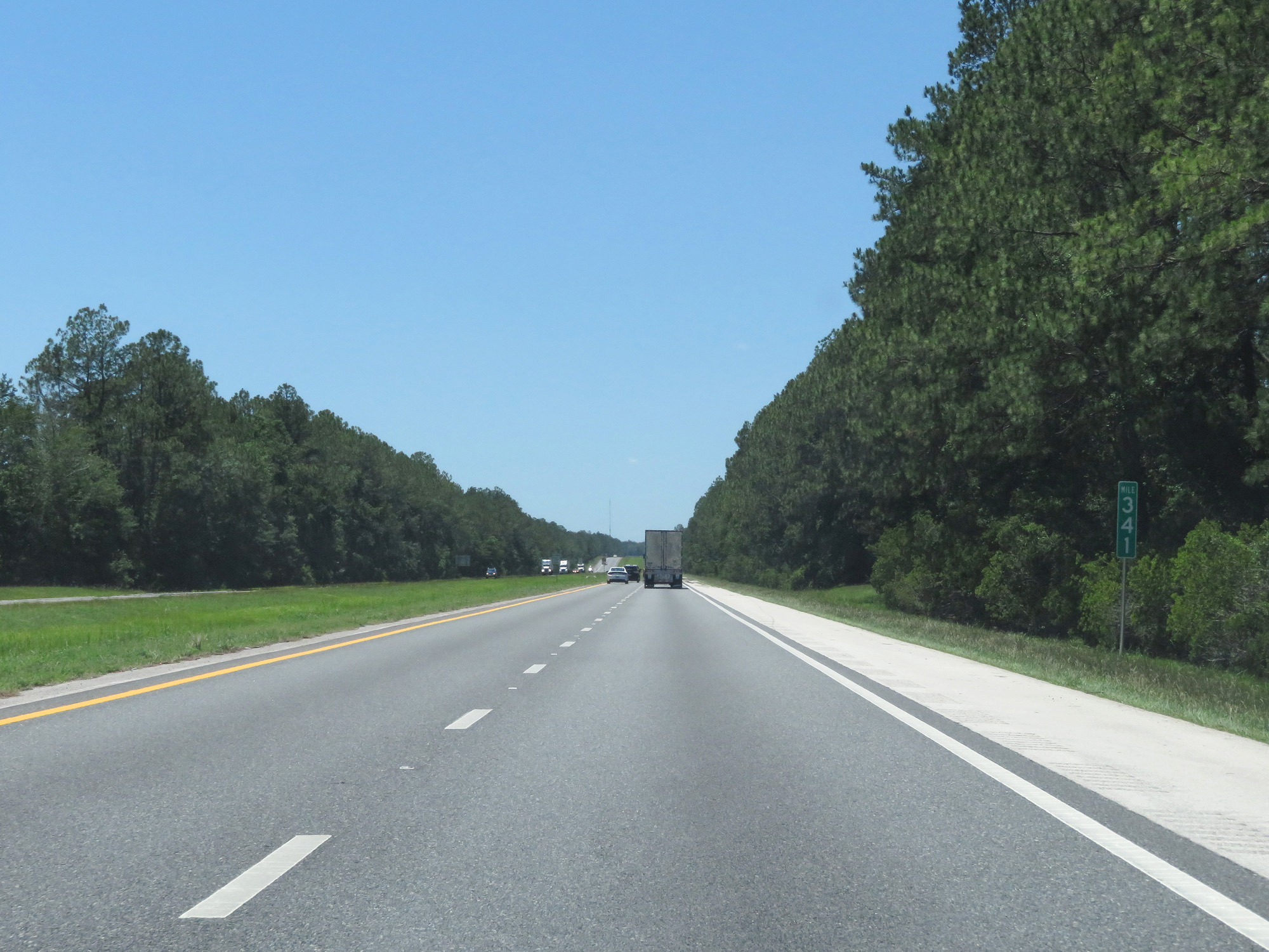 |
Interstate 10 West at mile marker 341. (Photo taken 5/25/17). |
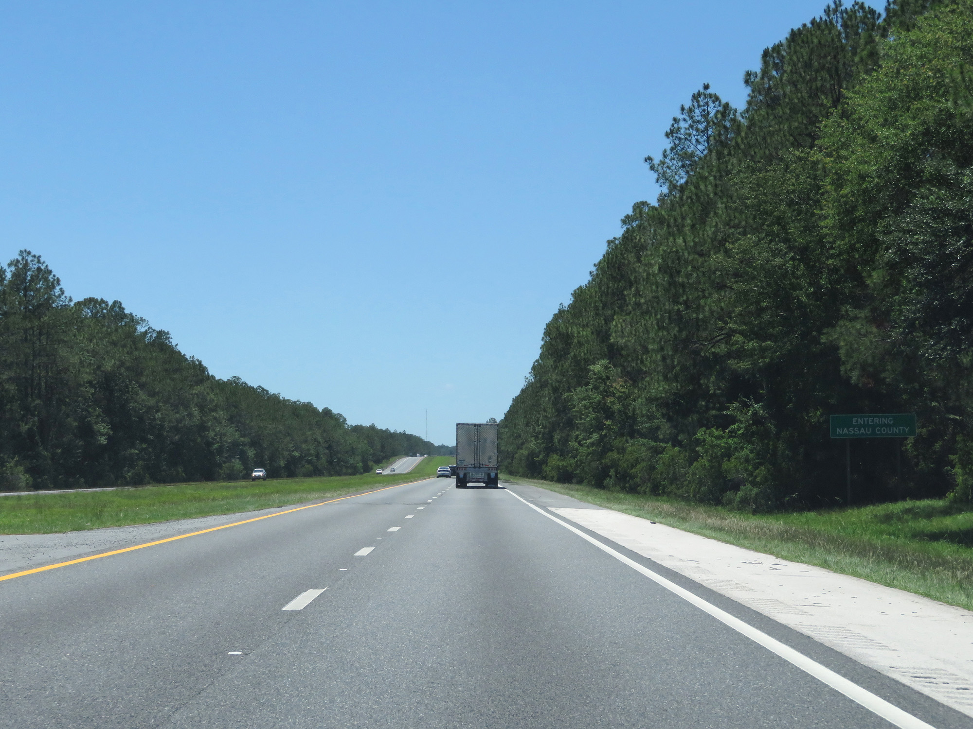 |
Interstate 10 West as it briefly dips into Nassau County. (Photo taken 5/25/17). |
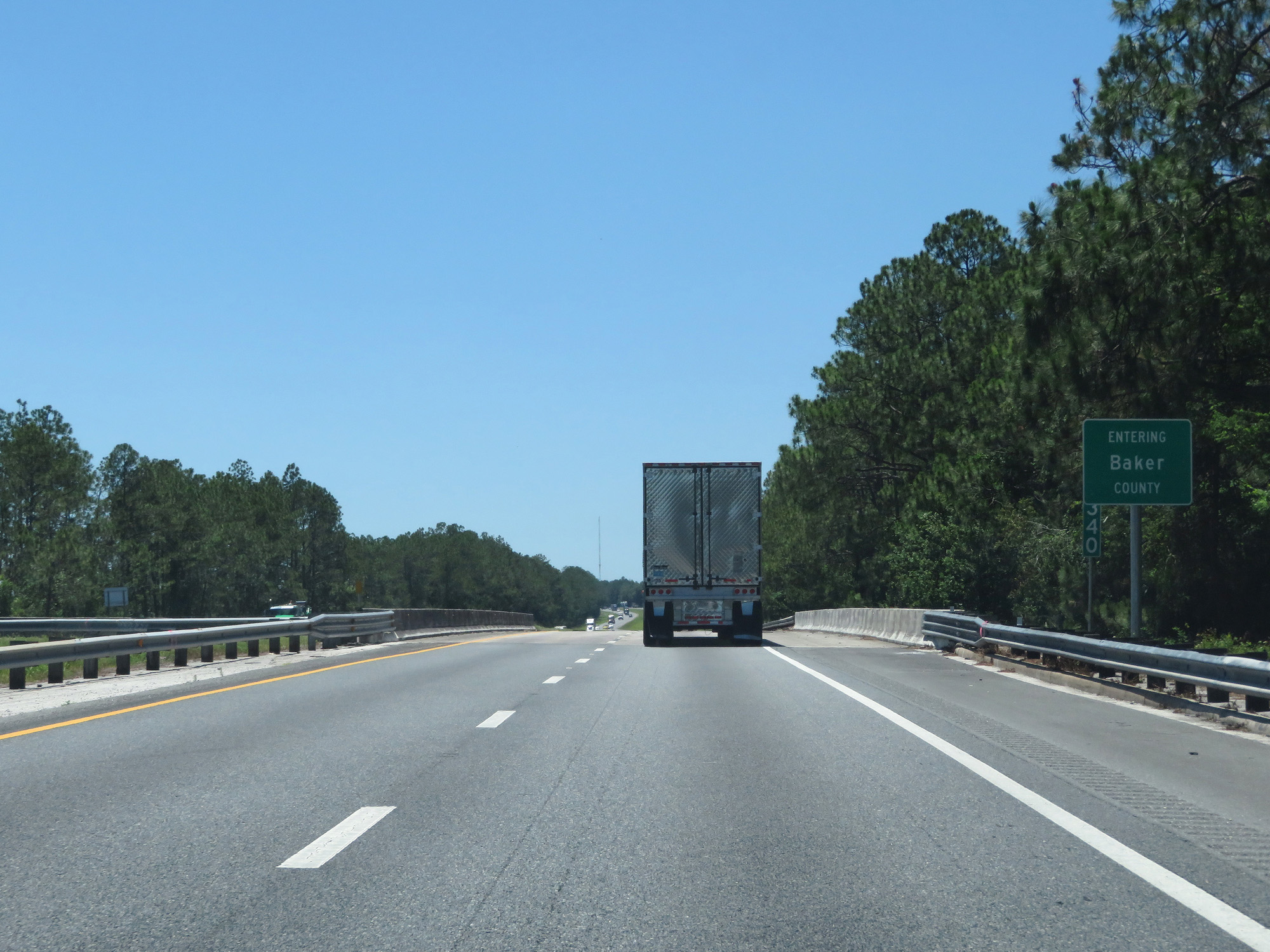 |
Interstate 10 West enters Baker County at mile marker 340. (Photo taken 5/25/17). |
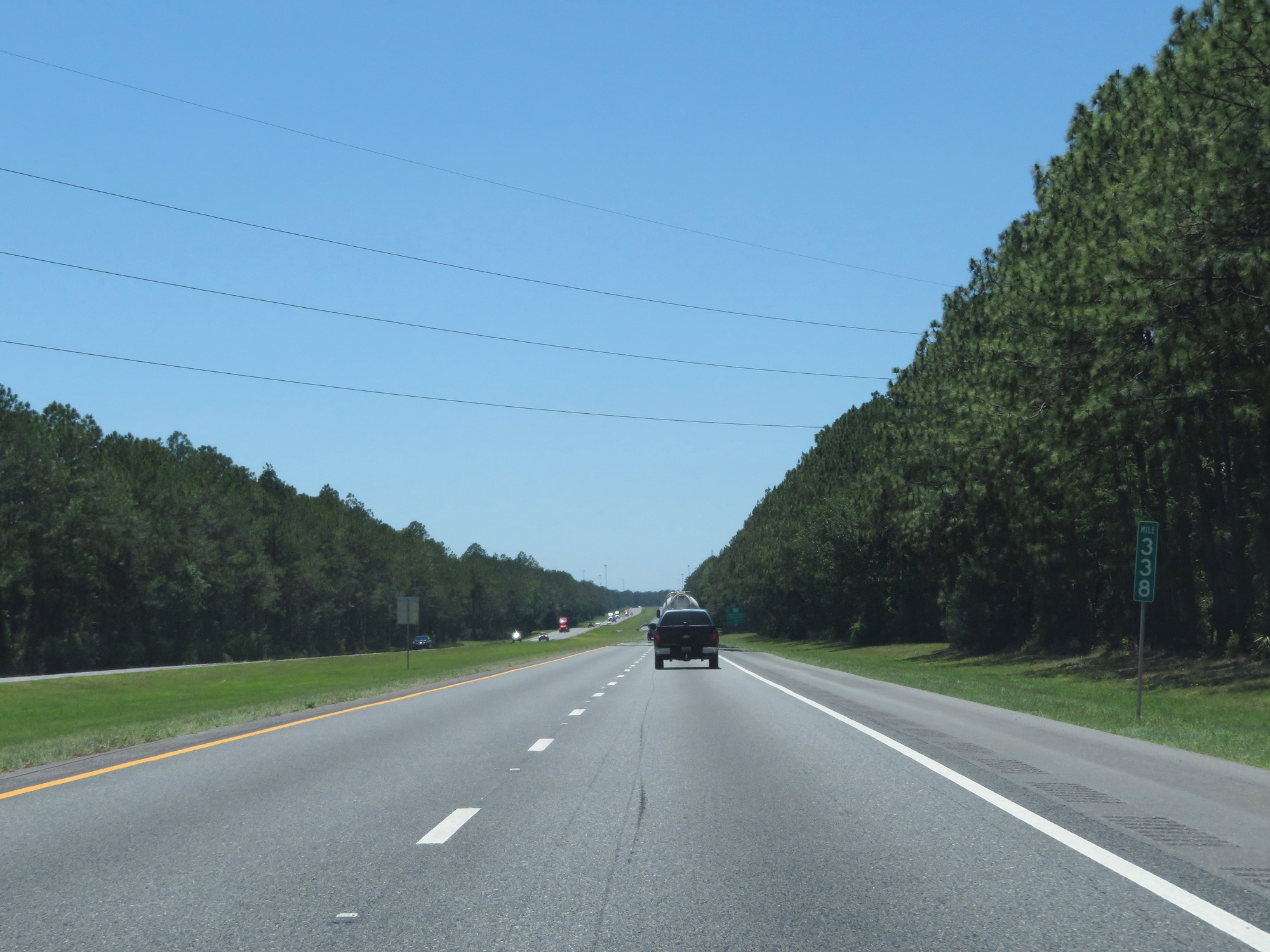 |
Interstate 10 West at mile marker 338. (Photo taken 5/25/17). |
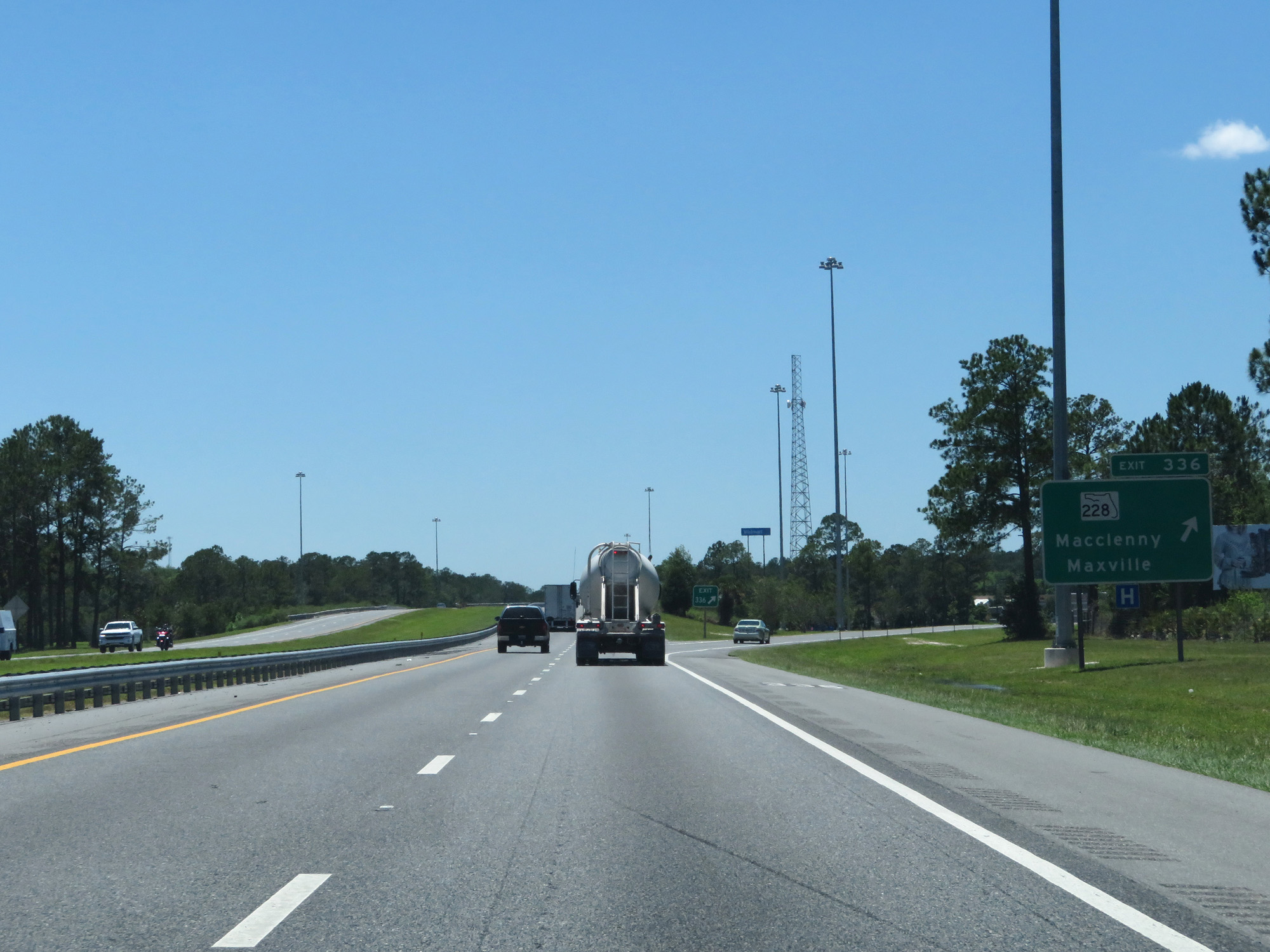 |
Interstate 10 West at Exit 336: FL 228 - Macclenny / Maxville (Photo taken 5/25/17). |
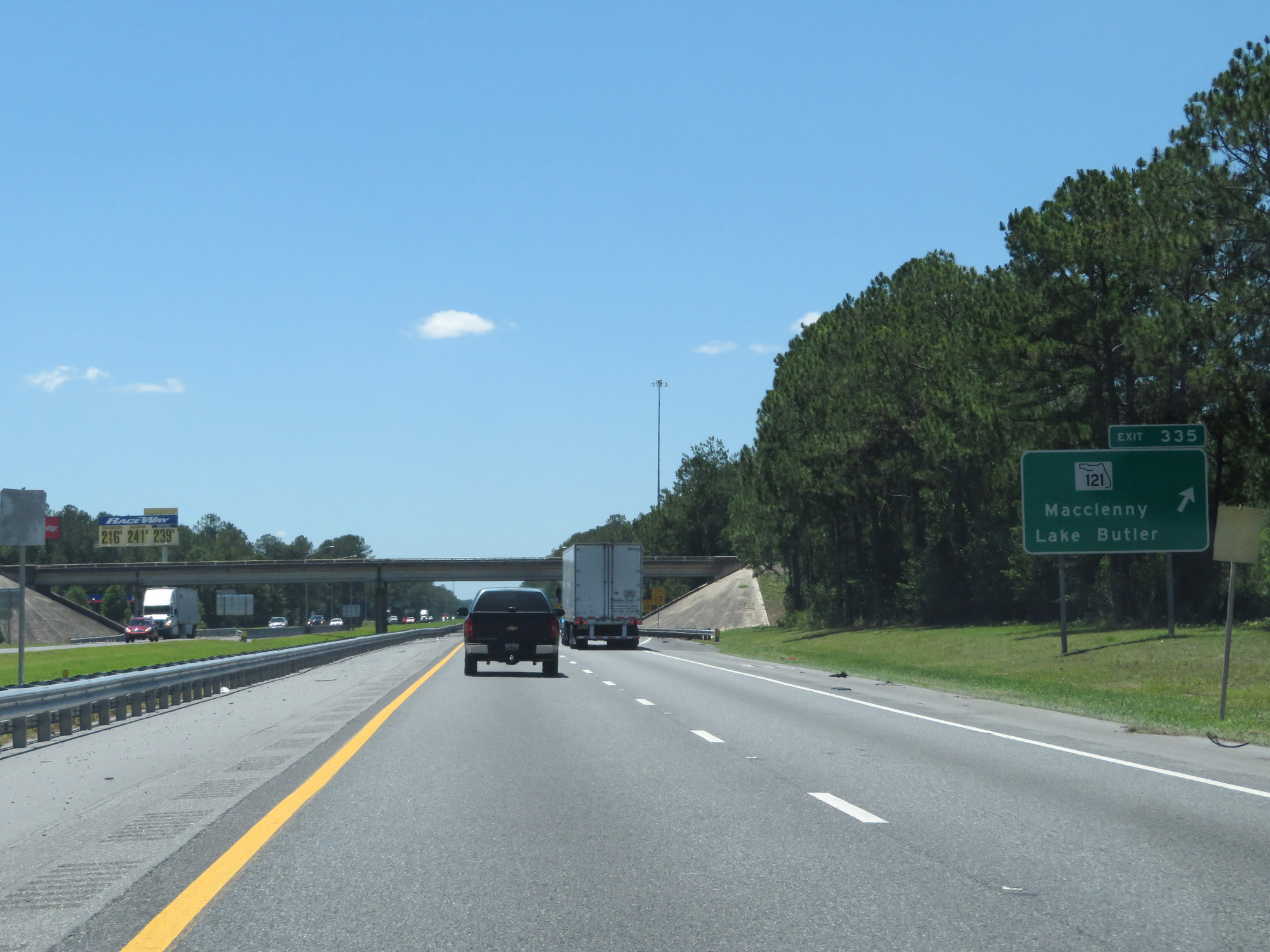 |
Interstate 10 West at Exit 335: FL 121 - Macclenny / Lake Butler (Photo taken 5/25/17). |
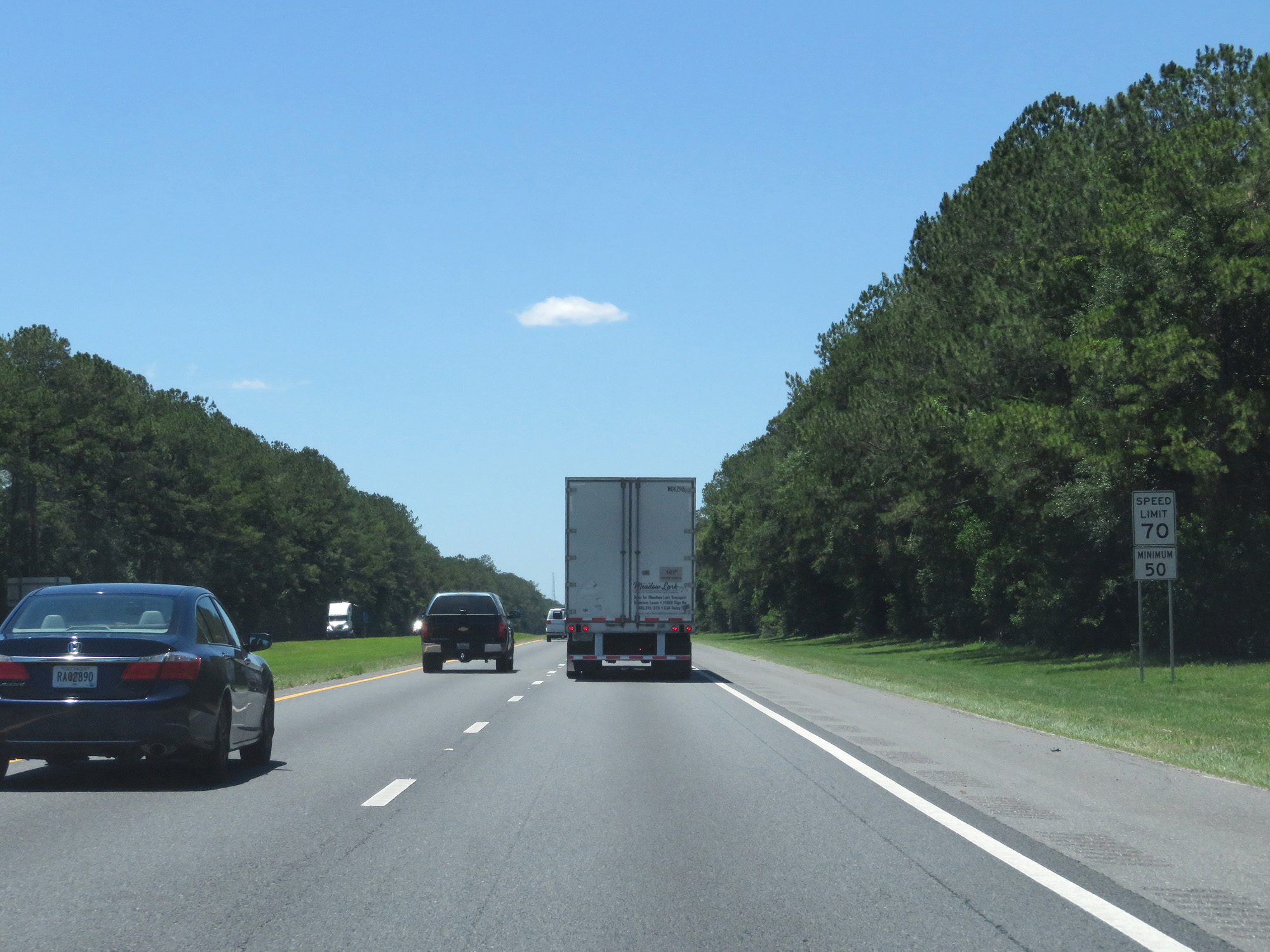 |
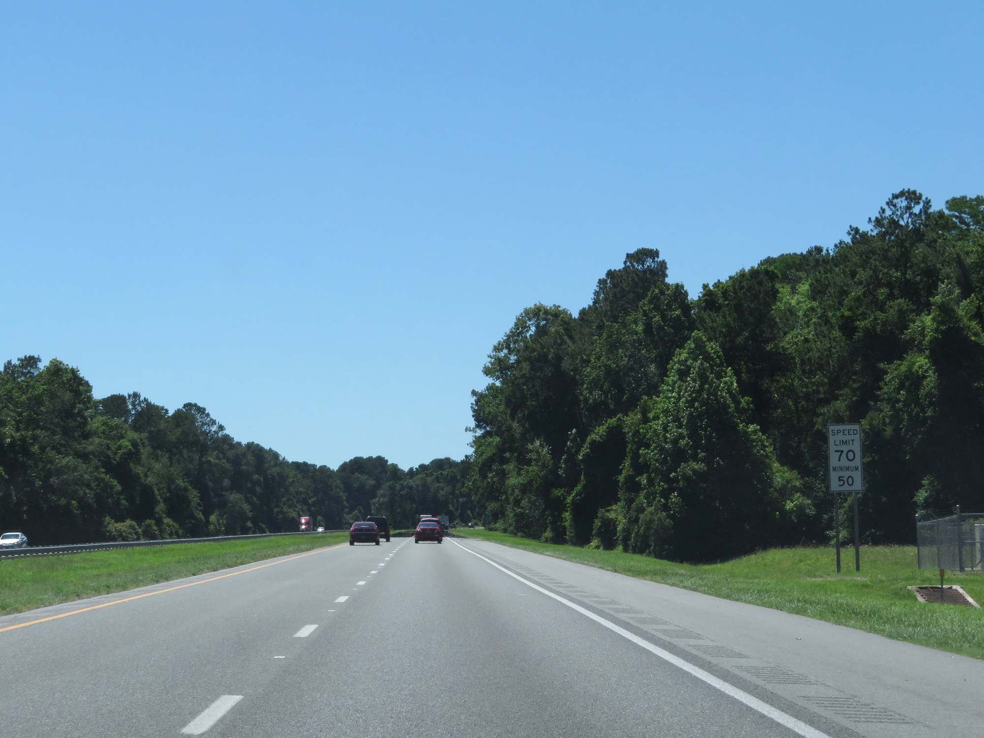
Speed limit signs on Interstate 10 West. The standard speed limit on most rural Interstate highways in Florida is 70 mph with a minimum speed limit of 50 mph. (Photo taken 5/25/17). |
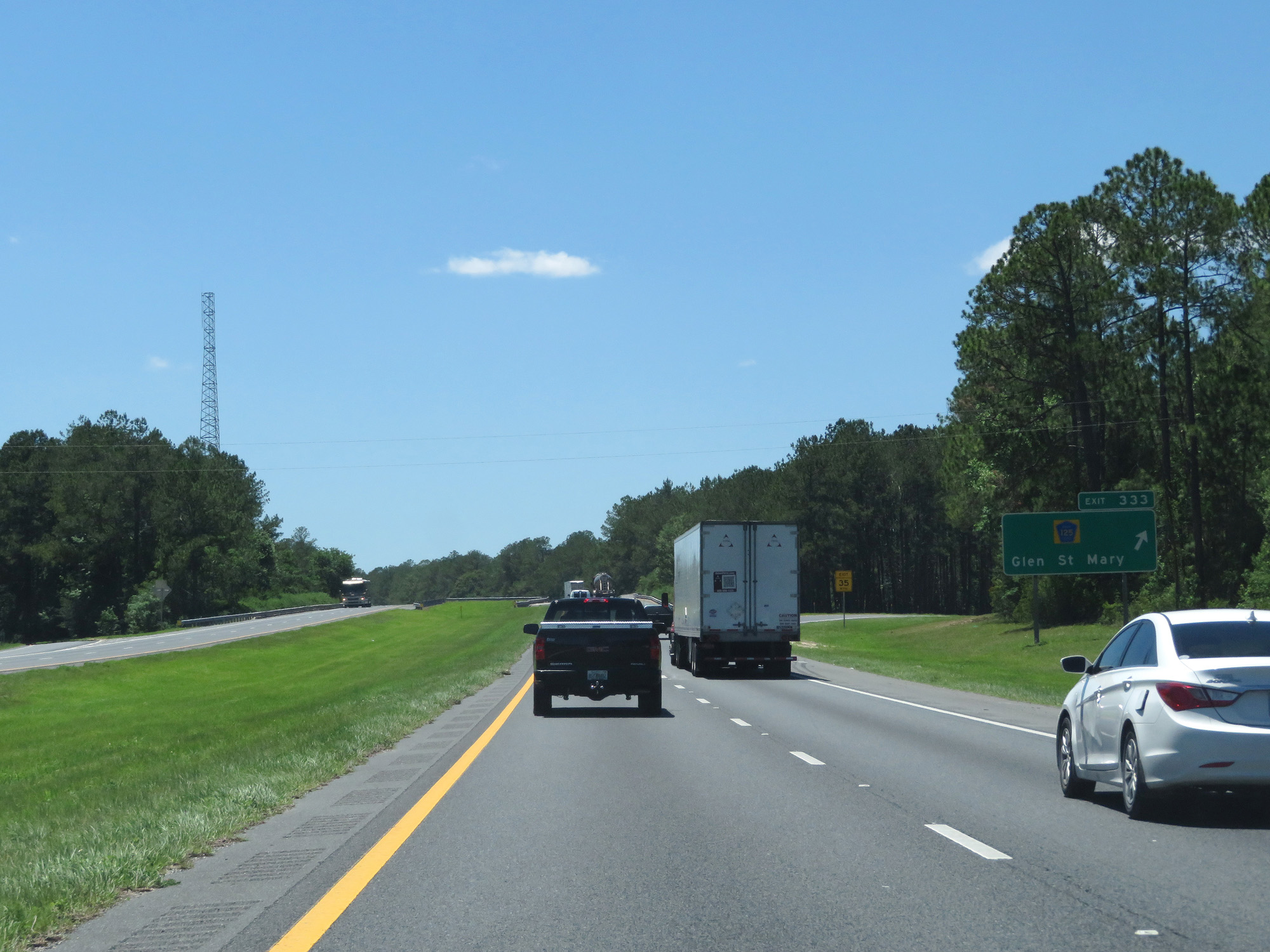 |
Interstate 10 West at Exit 333: CR 125 - Glen St Mary (Photo taken 5/25/17). |
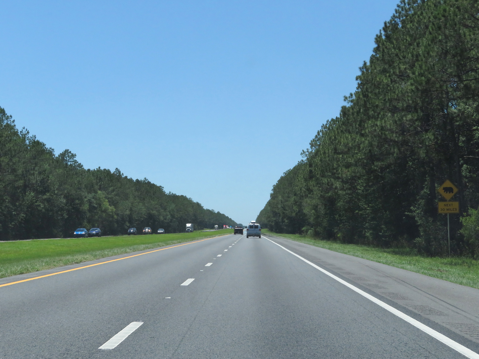 |
This sign warns motorists to watch for bears entering the right of way for the next 30 miles. (Photo taken 5/25/17). |
 |
Interstate 10 West at mile marker 329. (Photo taken 5/25/17). |
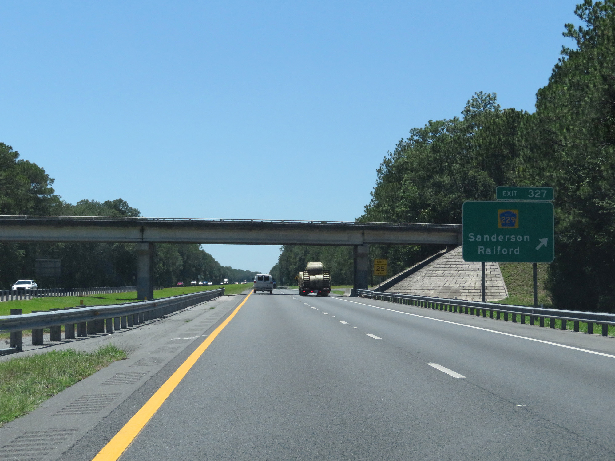 |
Interstate 10 West at Exit 327: CR 229 - Sanderson / Raiford (Photo taken 5/25/17). |
 |
Take any of the next 3 exits to Lake City. (Photo taken 5/25/17). |
 |
Take Exit 324 to Olustee Battlefield and Osceola National Forest. (Photo taken 5/25/17). |
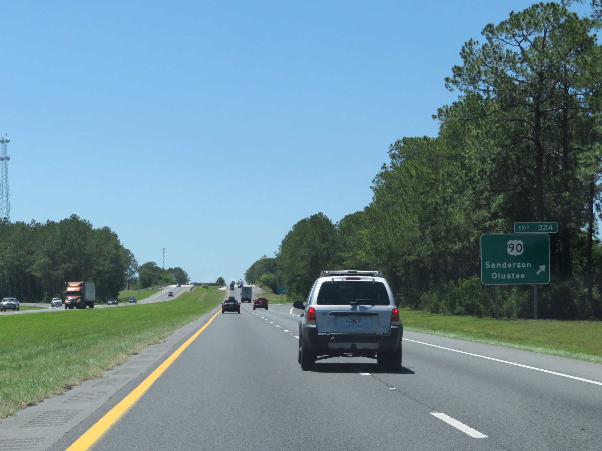 |
Interstate 10 West at Exit 324: US 90 - Sanderson / Olustee (Photo taken 5/25/17). |
 |
Interstate 10 West reassurance shield. (Photo taken 5/25/17). |
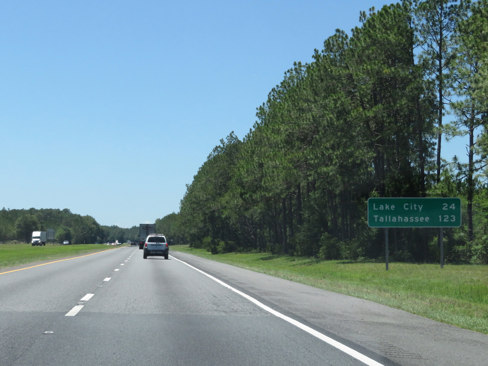 |
Mileage sign on Interstate 10 West. It's 24 miles to Lake City and 123 miles to Tallahassee. (Photo taken 5/25/17). |
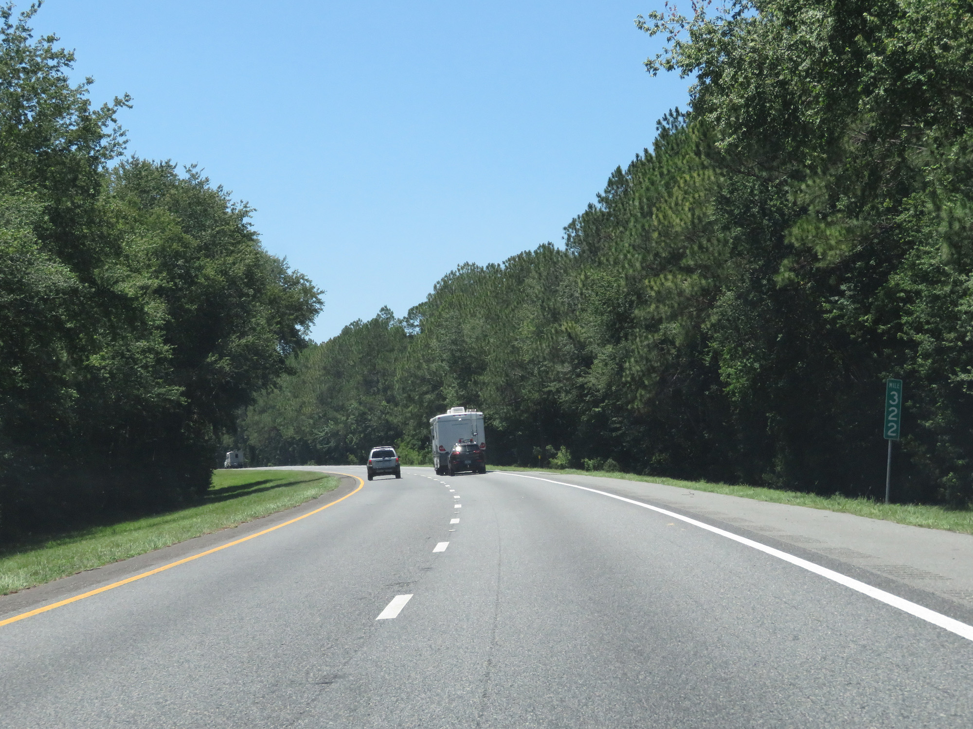 |
Interstate 10 West at mile marker 322. (Photo taken 5/25/17). |
 |
Interstate 10 West entering the Osceola National Forest. (Photo taken 5/25/17). |
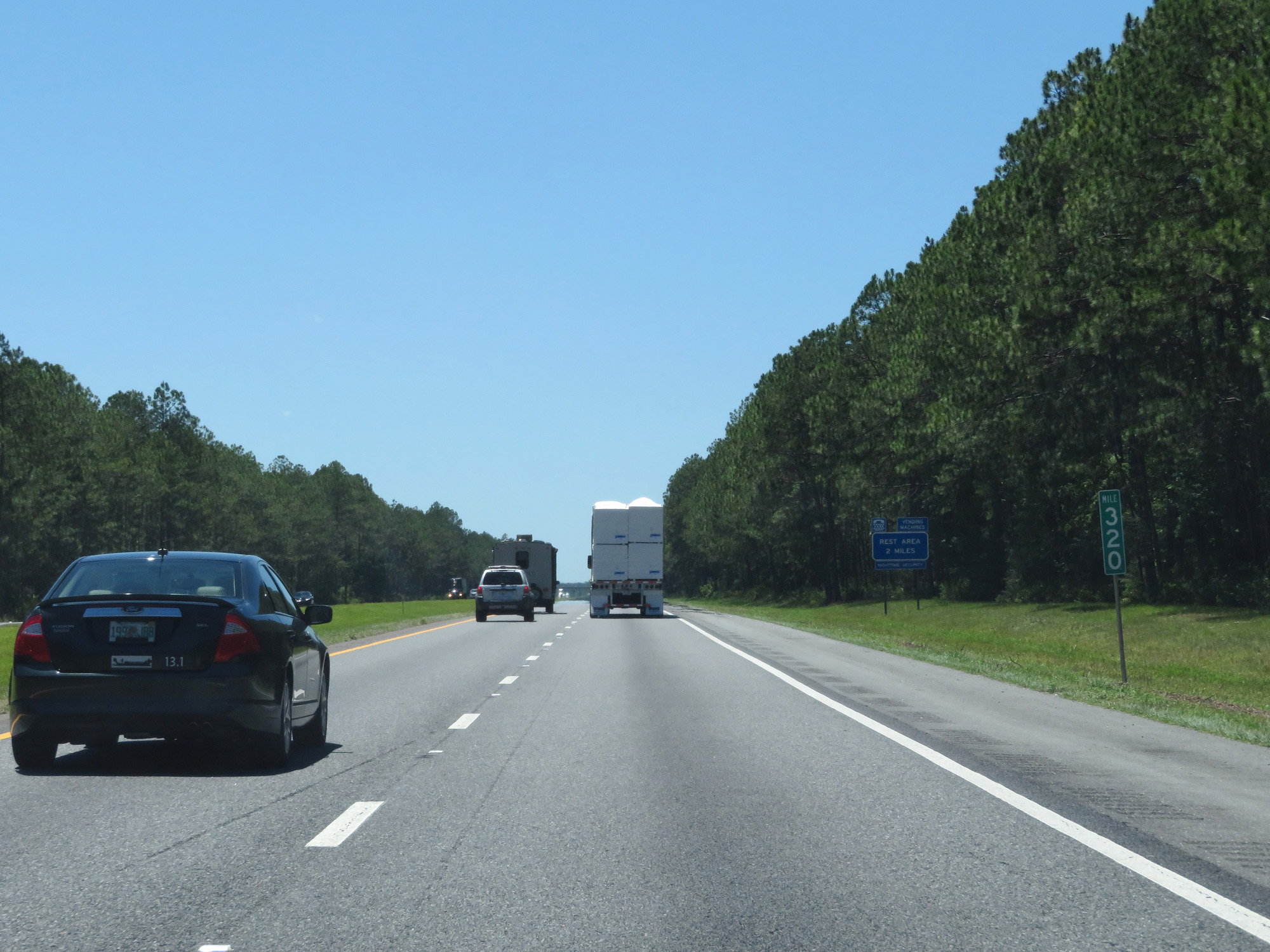 |
Interstate 10 West at mile marker 320. (Photo taken 5/25/17). |
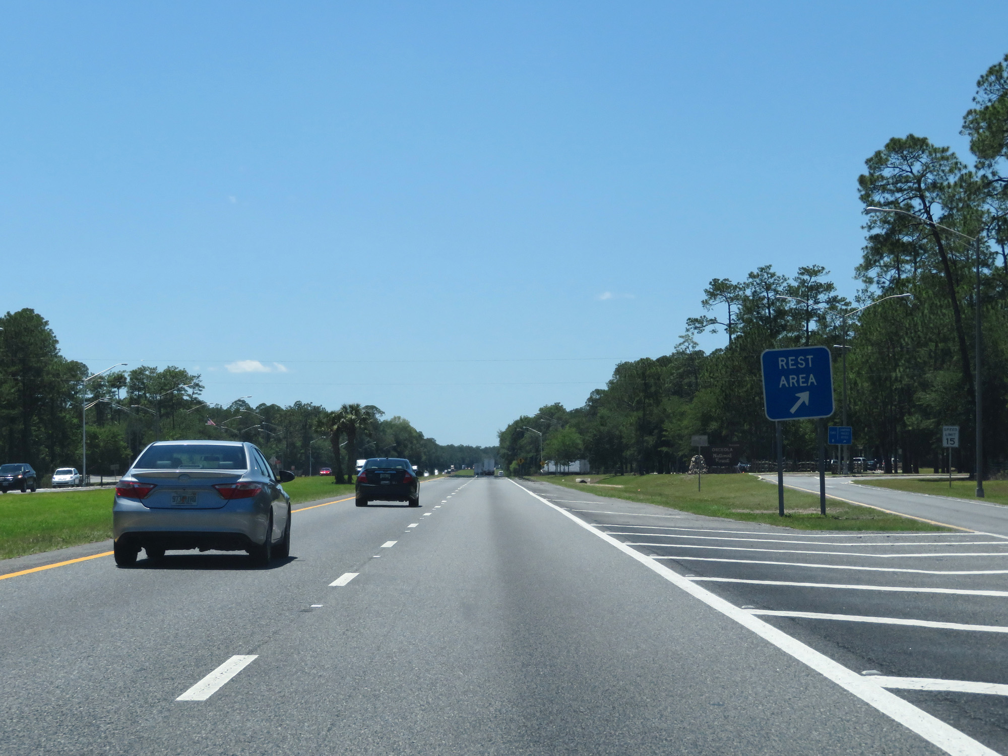 |
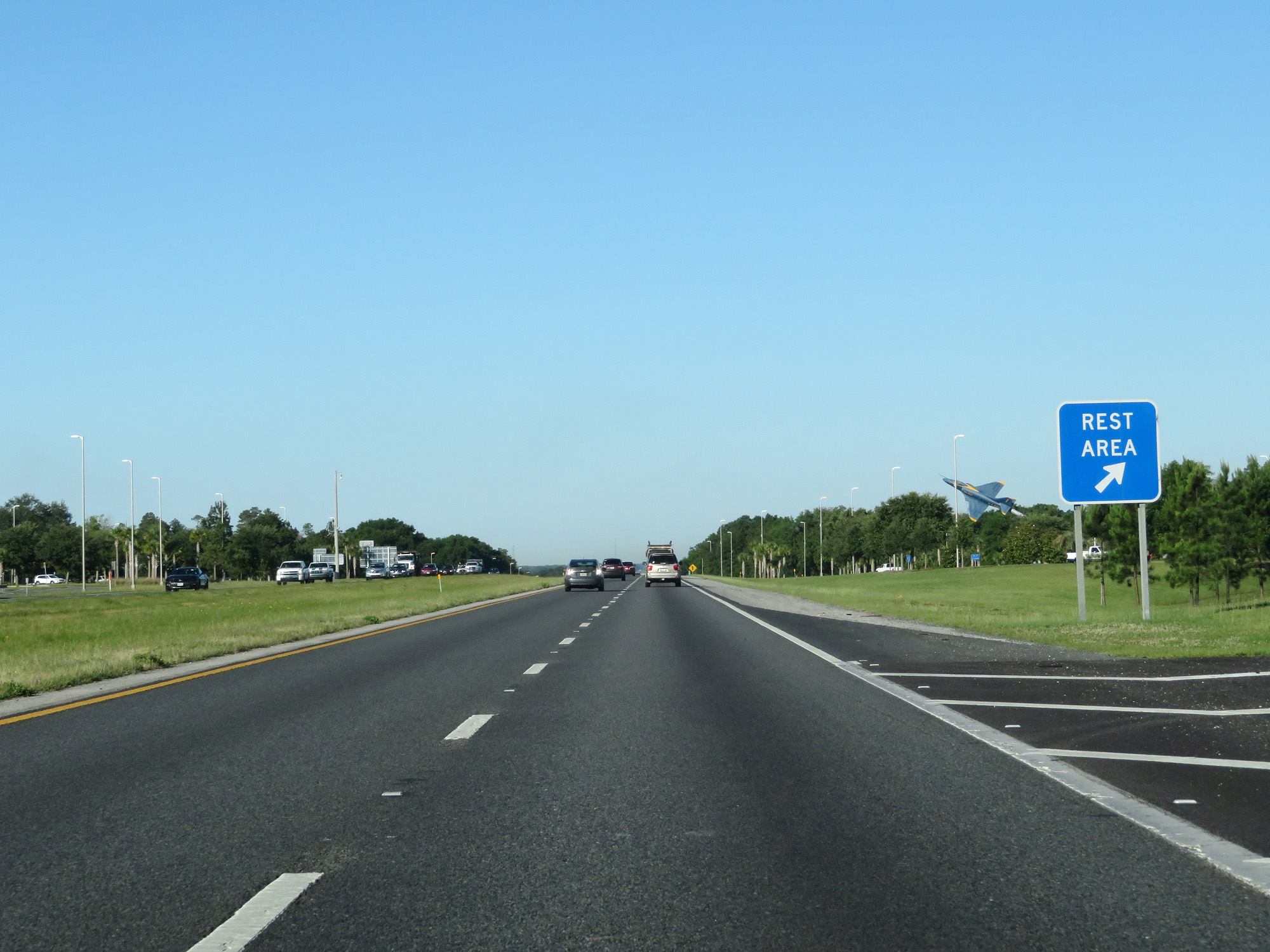
Interstate 10 West at the Rest Area in Baker County. (Photo taken 5/25/17). |
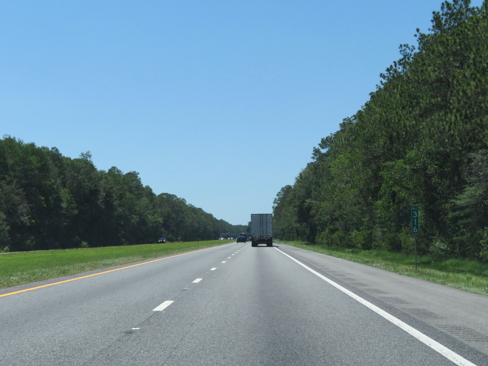 |
Interstate 10 West at mile marker 316. (Photo taken 5/25/17). |
 |
Interstate 10 West entering Columbia County. (Photo taken 5/25/17). |
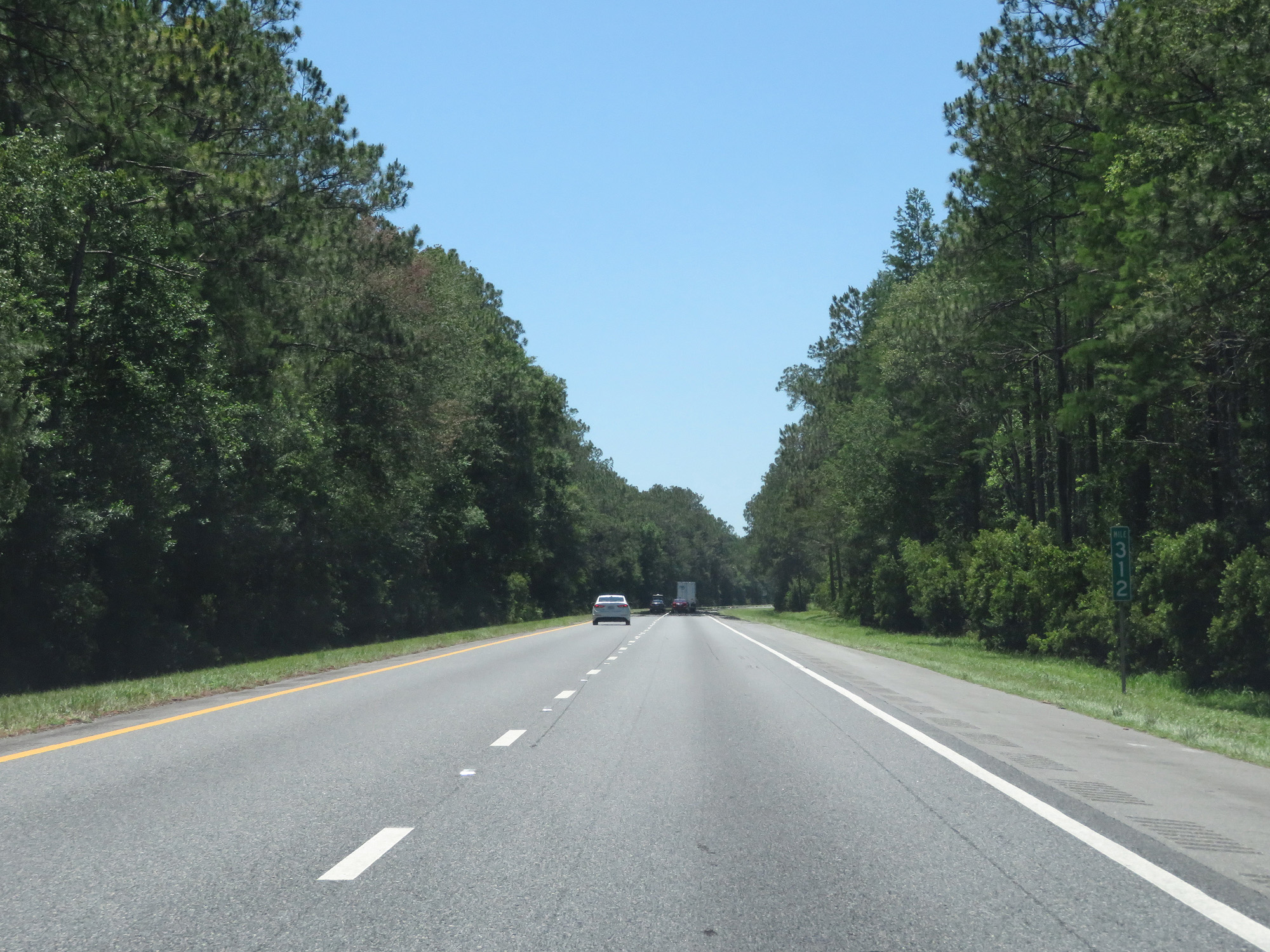 |
Interstate 10 West at mile marker 312. Interstate 10 West entering Columbia County. (Photo taken 5/25/17). |
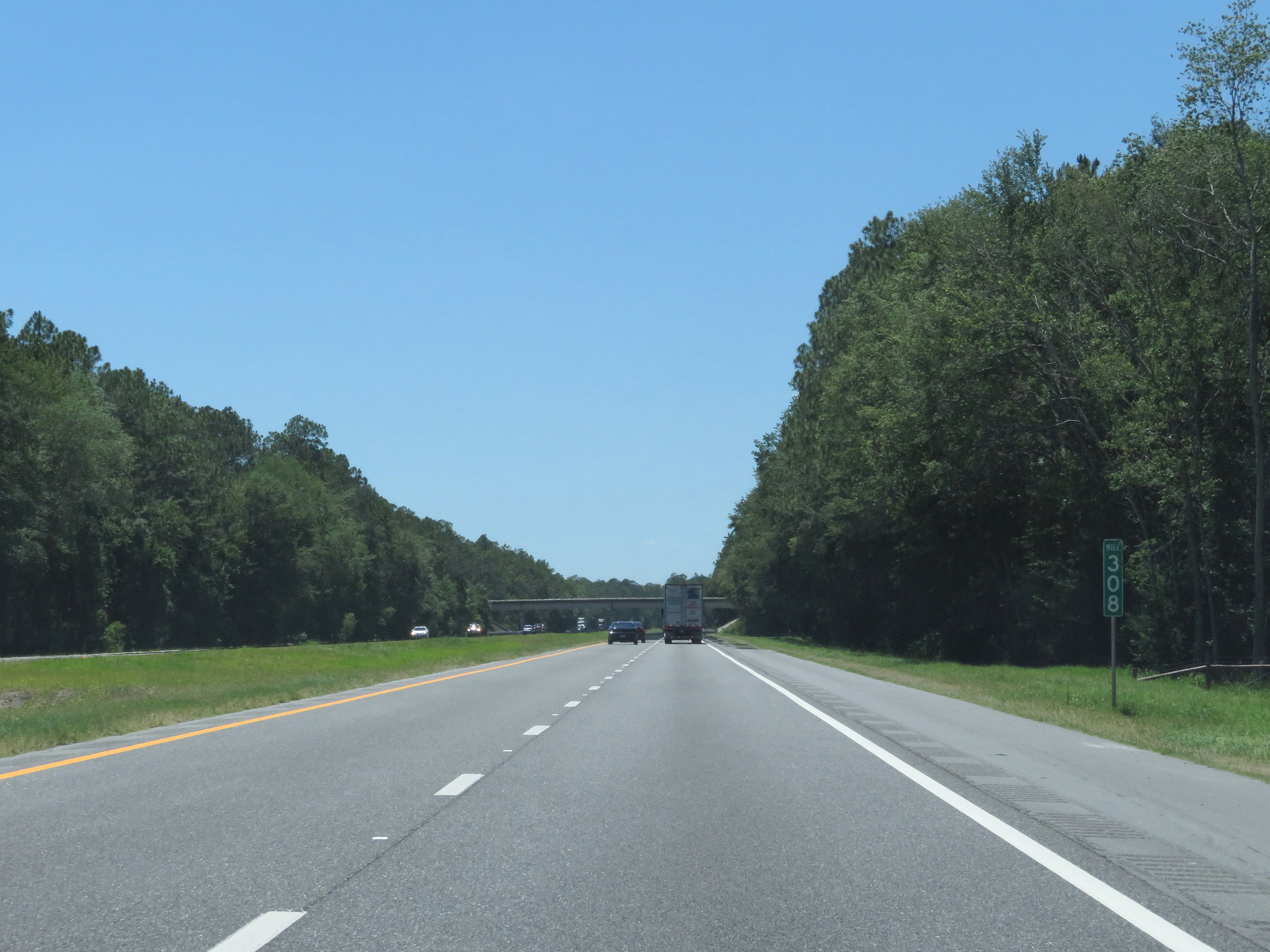 |
Interstate 10 West at mile marker 308. (Photo taken 5/25/17). |
 |
Interstate 10 West leaving the Osceola National Forest. (Photo taken 5/25/17). |
 |
Take either of the next 2 exits to Lake City. (Photo taken 5/25/17). |
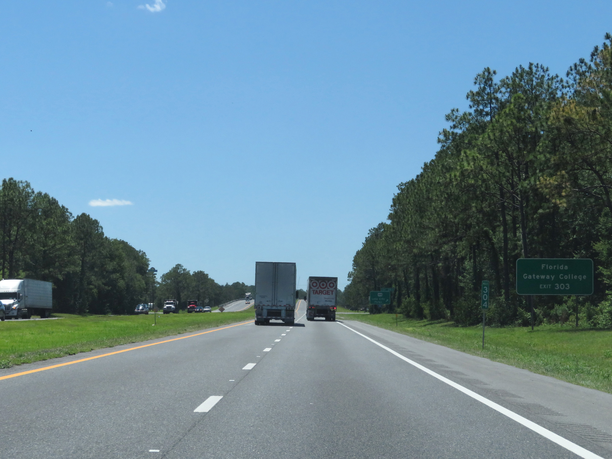 |
Take Exit 303 to Florida Gateway College. (Photo taken 5/25/17). |
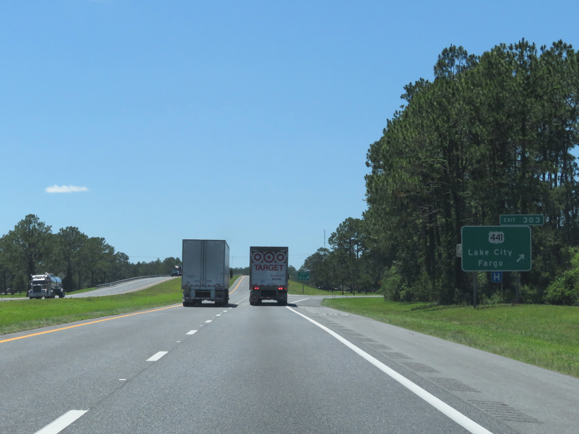 |
Interstate 10 West at Exit 303: US 441 - Lake City / Fargo (Photo taken 5/25/17). |
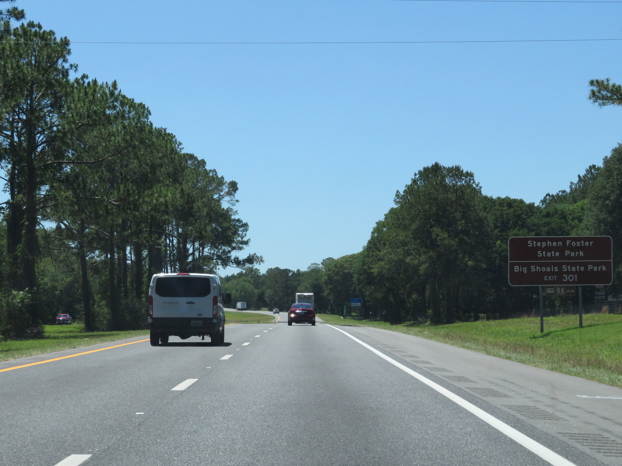 |
Take Exit 301 to Stephen Foster State Park and Big Shoals State Park. (Photo taken 5/25/17). |
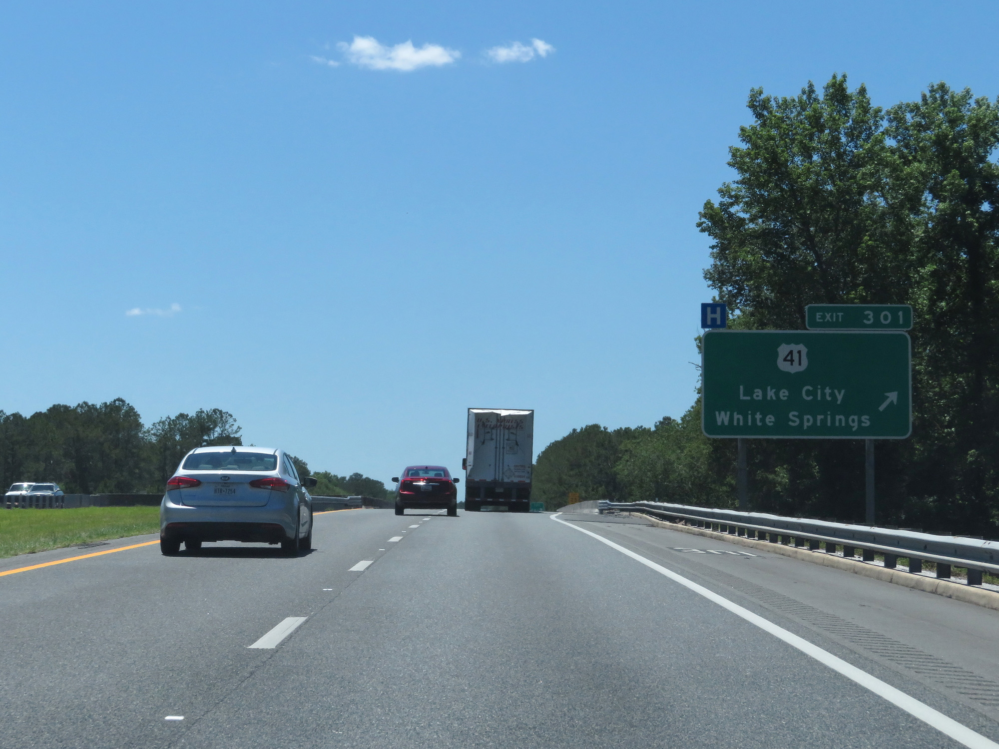 |
Interstate 10 West at Exit 301: US 41 - Lake City / White Springs (Photo taken 5/25/17). |
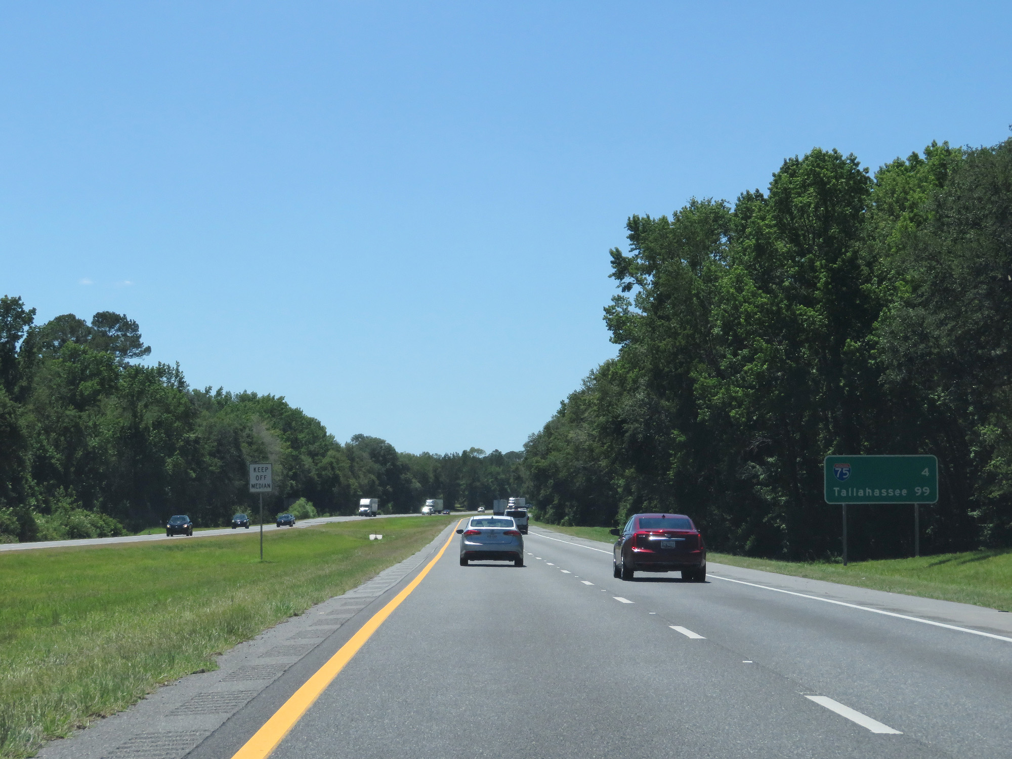 |
Mileage sign on Interstate 10 West. It's 4 miles to the junction of Interstate 75 and 99 miles to Tallahassee. (Photo taken 5/25/17). |
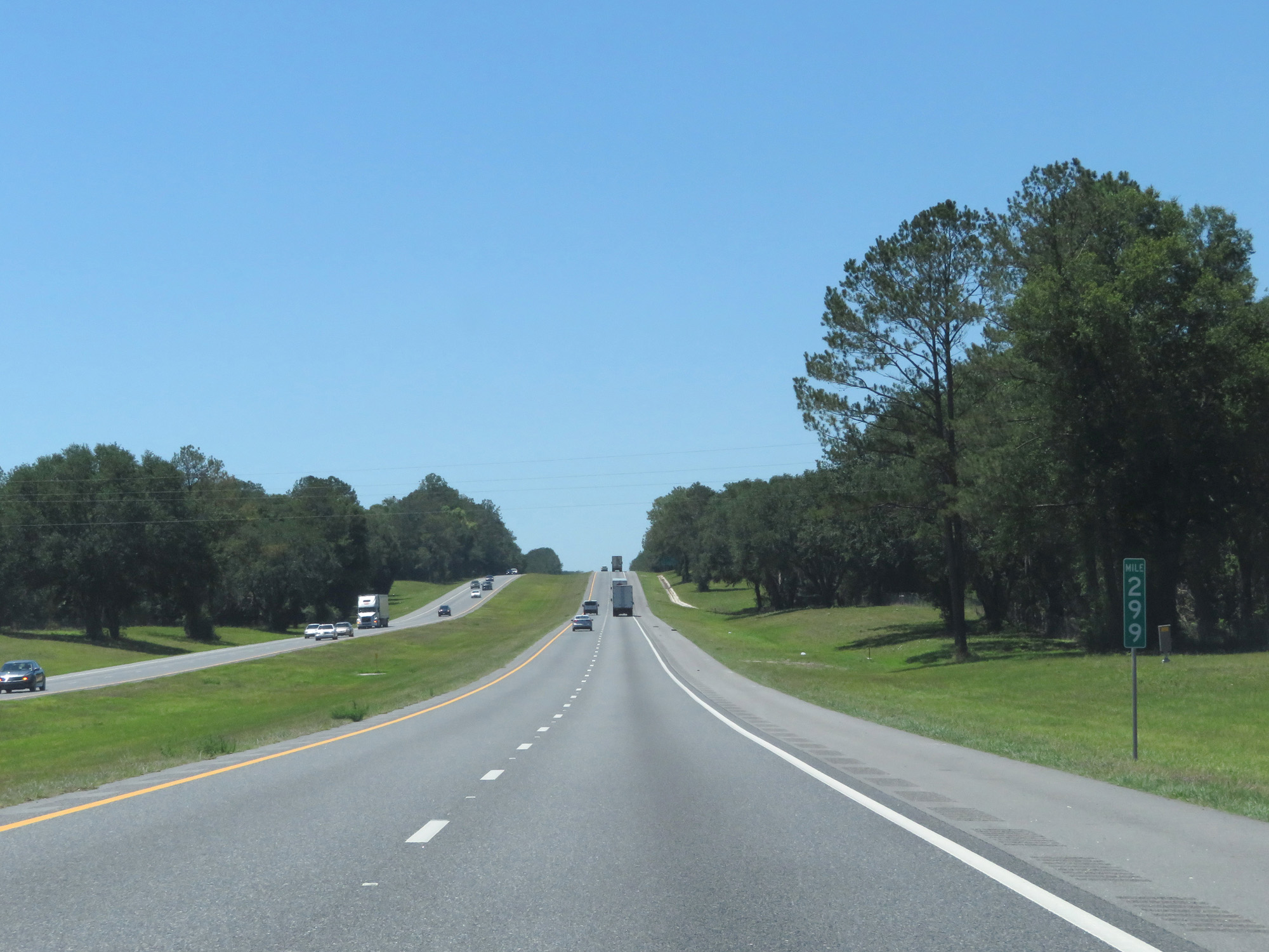 |
Interstate 10 West at mile marker 299. (Photo taken 5/25/17). |
 |
Interstate 10 West approaching Exits 296B-A - 1 mile. (Photo taken 5/25/17). |
 |
Take Exit 296B to the State Farmers Market. (Photo taken 5/25/17). |
 |
Interstate 10 West at Exit 296B: Interstate 75 North - Valdosta (Photo taken 5/25/17). |
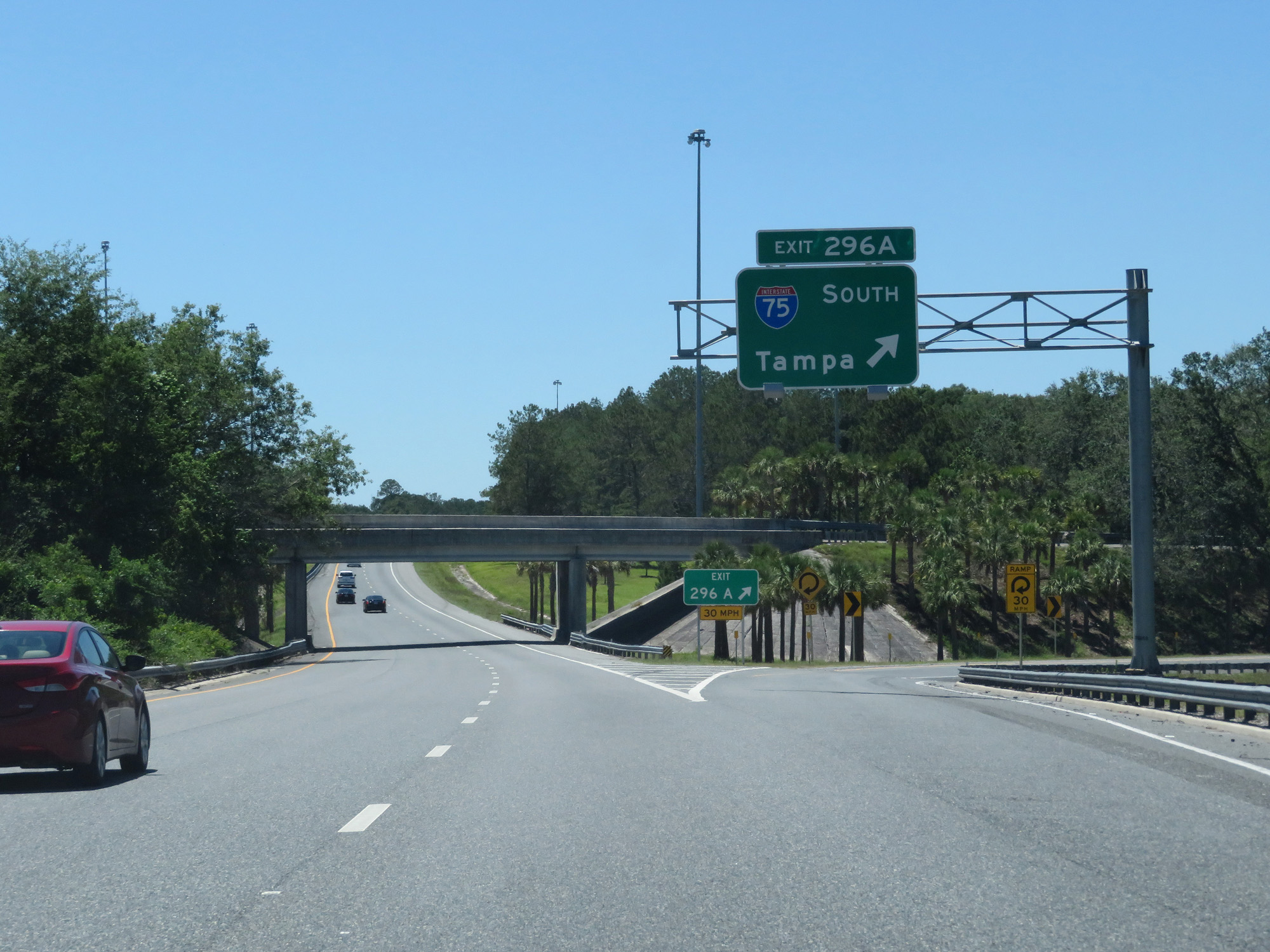 |
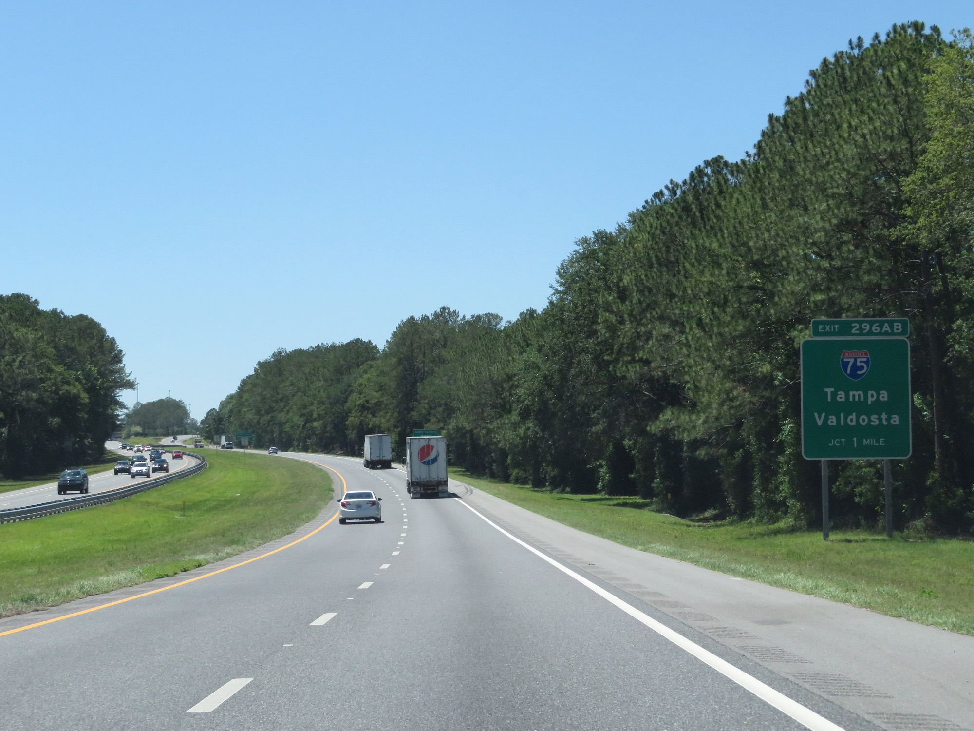
Interstate 10 West at Exit 296A: Interstate 75 South - Tampa (Photo taken 5/25/17). |
Section 2: Lake City (Exit 296A) to Tallahassee (Exit 199)
 |
Interstate 10 West reassurance shield beyond the junction of Interstate 75. (Photo taken 5/25/17). |
 |
Speed Limit - 70 mph, minimum speed limit - 50 mph. (Photo taken 5/25/17). |
 |
Interstate 10 West at the Rest Area in Columbia County. (Photo taken 5/25/17). |
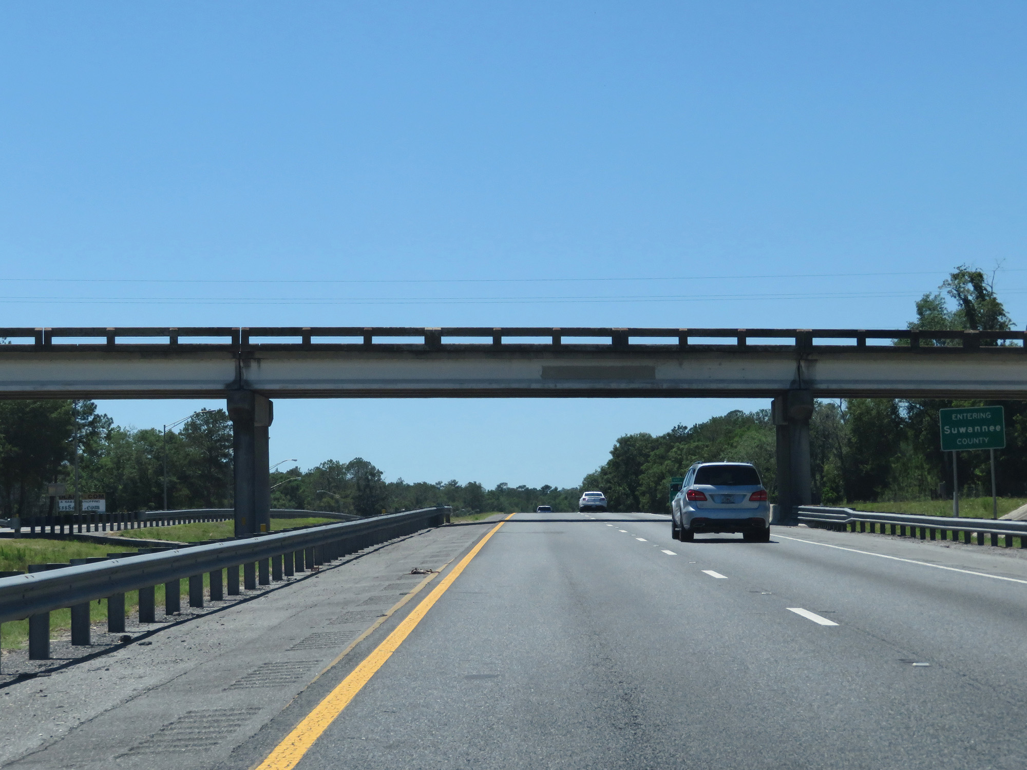 |
Interstate 10 West entering Suwannee County. (Photo taken 5/25/17). |
 |
Interstate 10 West at Exit 292: CR 137 - Wellborn (Photo taken 5/25/17). |
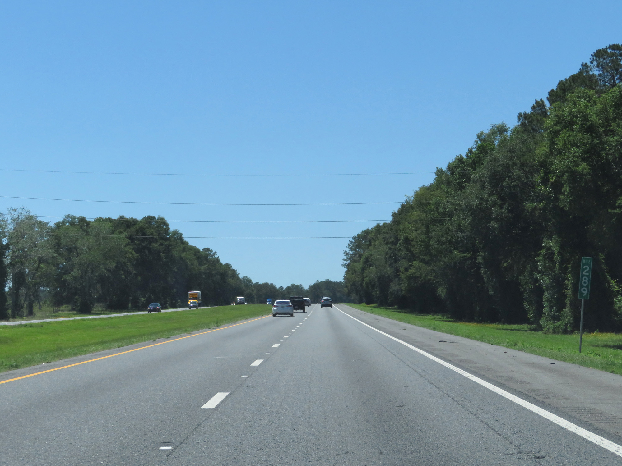 |
Interstate 10 West at mile marker 289. (Photo taken 5/25/17). |
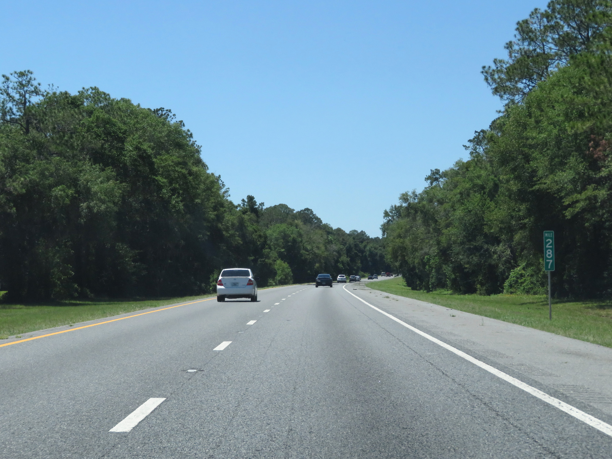 |
Interstate 10 West at mile marker 287. (Photo taken 5/25/17). |
 |
Take Exit 283 to Florida Sheriff's Boys Ranch Road. (Photo taken 5/25/17). |
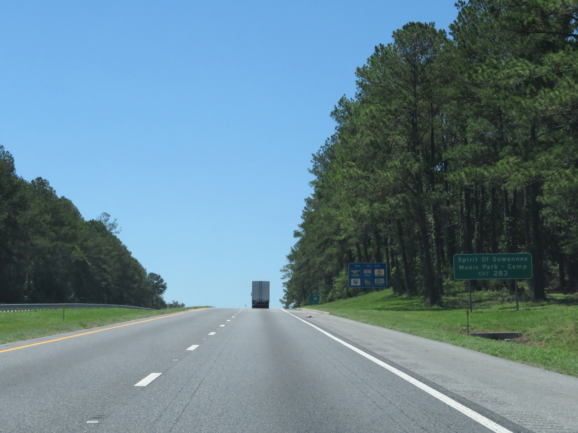 |
Also take Exit 283 to Spirit Of Suwannee Music Park and Camp. (Photo taken 5/25/17). |
 |
Interstate 10 West at Exit 283: US 129 - Live Oak / Jasper (Photo taken 5/25/17). |
 |
Interstate 10 West reassurance shield. (Photo taken 5/25/17). |
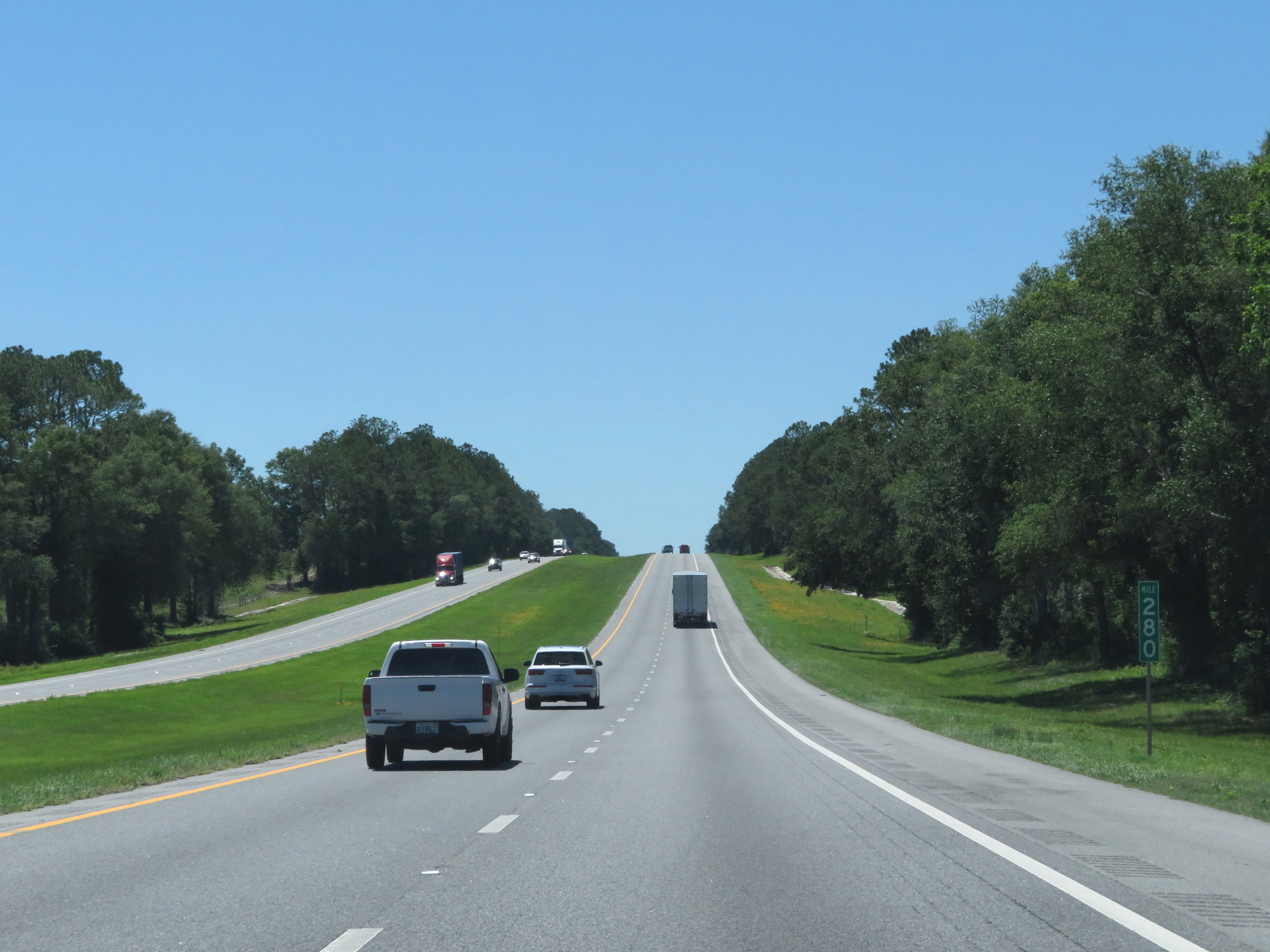 |
Interstate 10 West at mile marker 280. (Photo taken 5/25/17). |
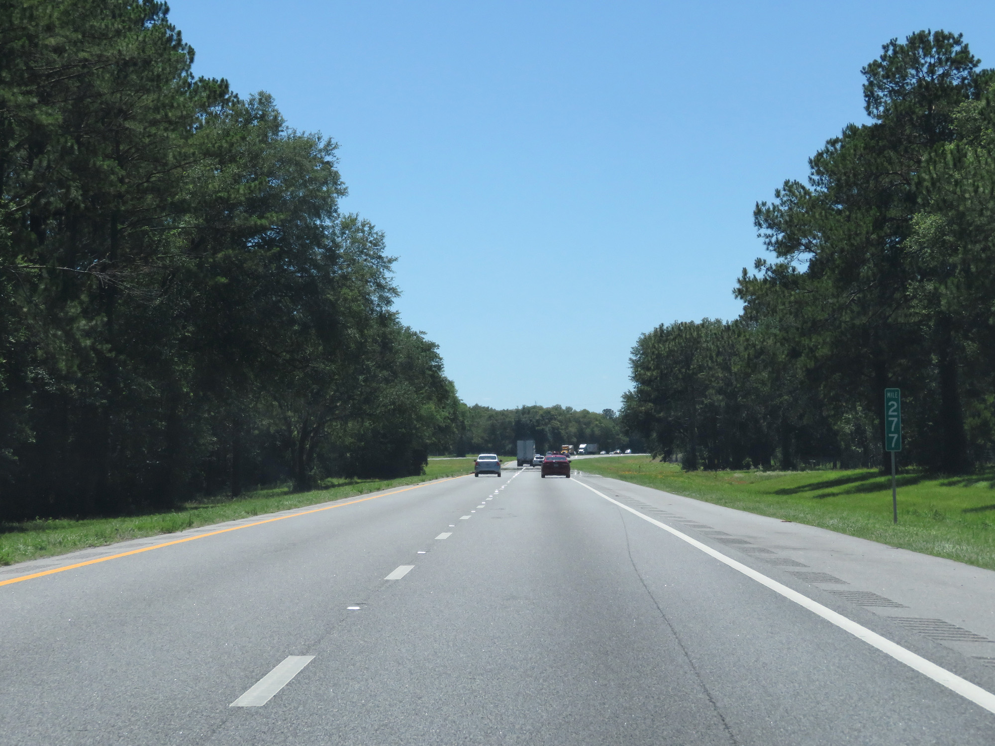 |
Interstate 10 West at mile marker 277. (Photo taken 5/25/17). |
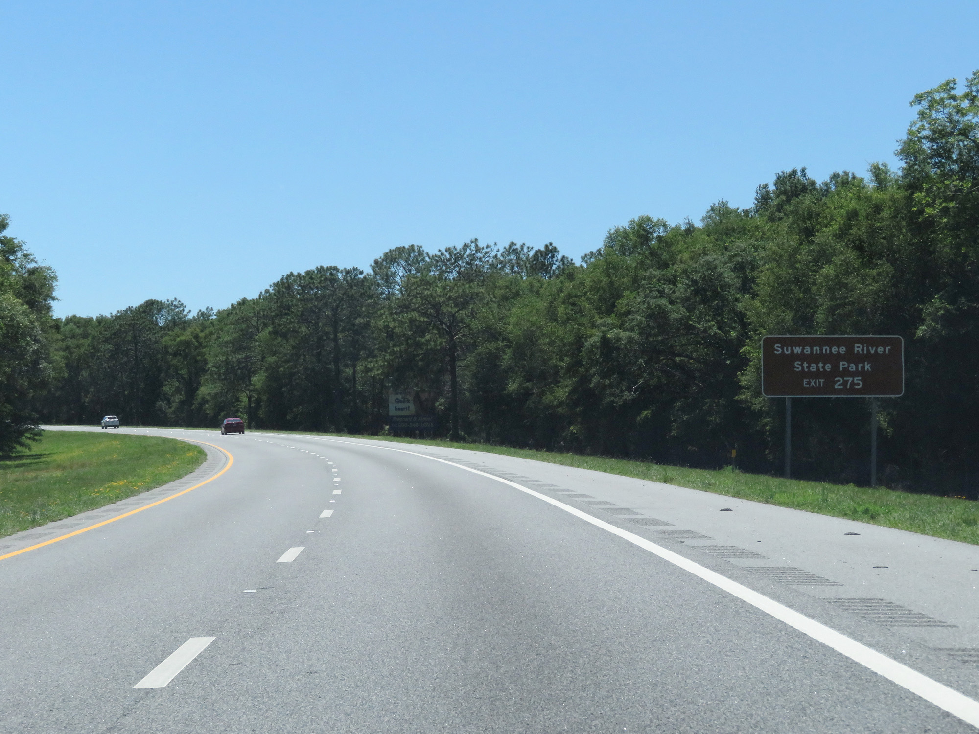 |
Take Exit 275 to Suwannee River State Park. (Photo taken 5/25/17). |
 |
Interstate 10 West at Exit 275: US 90 - Live Oak / Lee (Photo taken 5/25/17). |
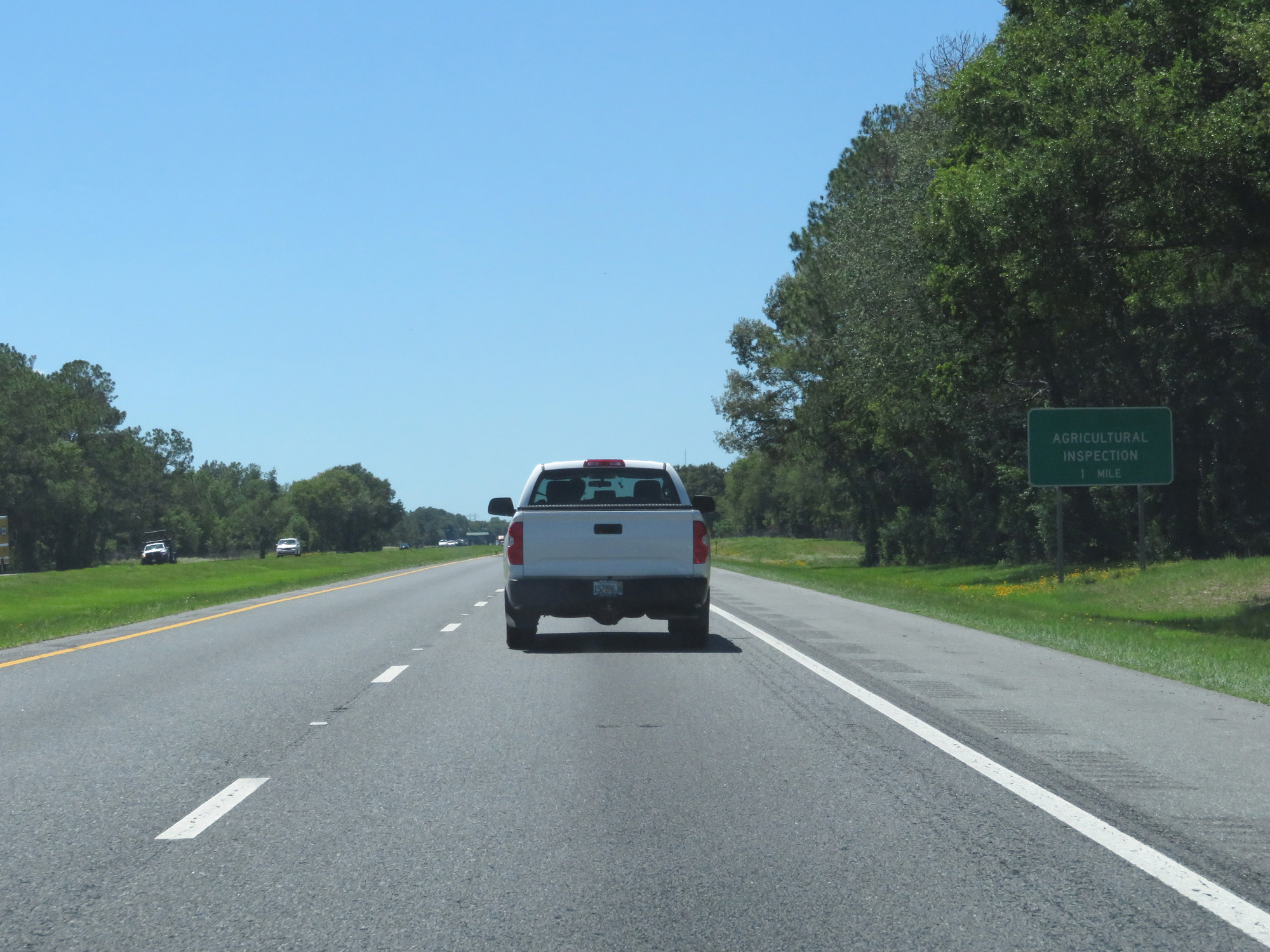 |
Interstate 10 West approaching an Agricultural Inspection Station - 1 mile. (Photo taken 5/25/17). |
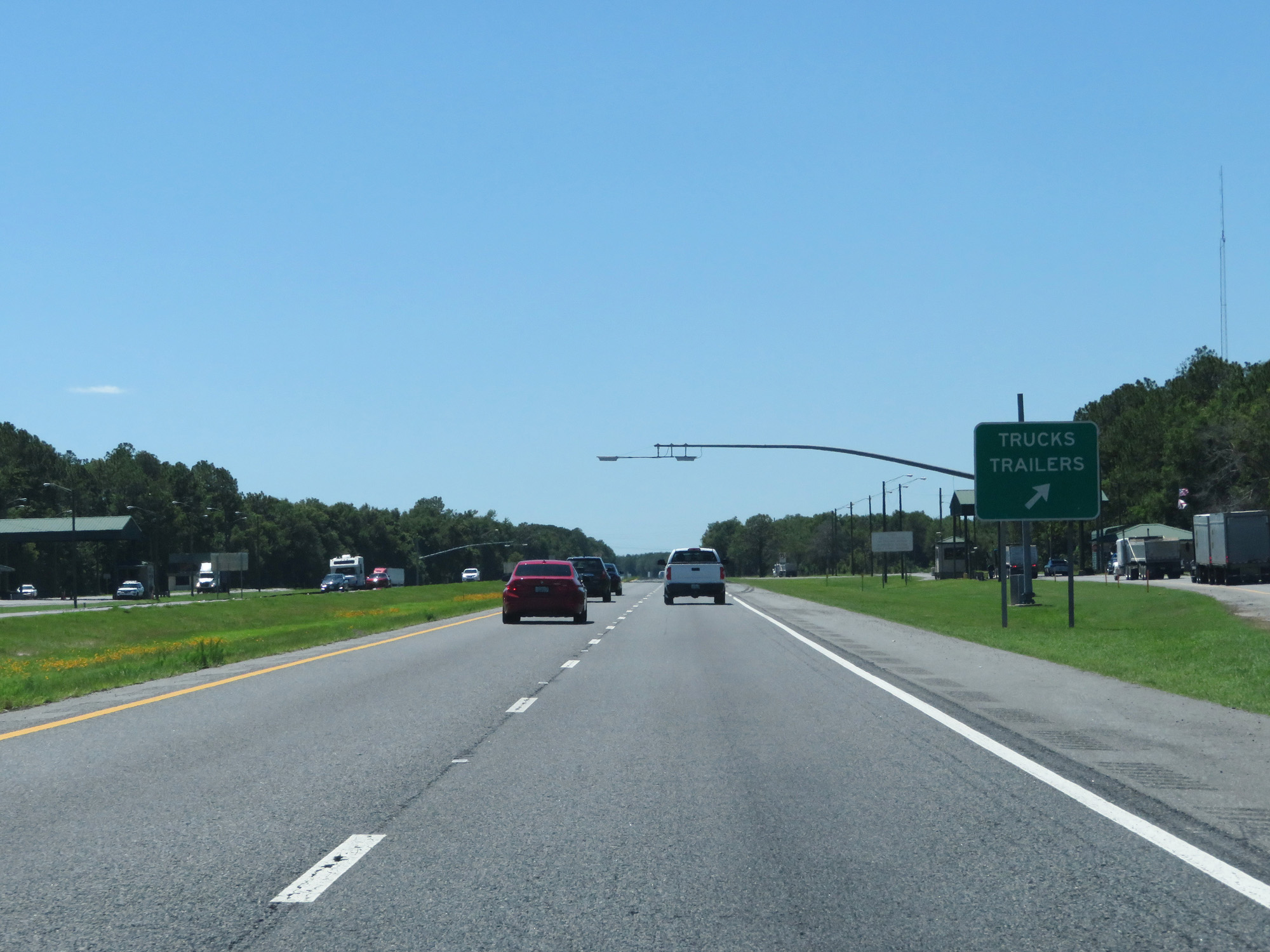 |
Interstate 10 West at the Agricultural Inspection Station in Suwannee County. (Photo taken 5/25/17). |
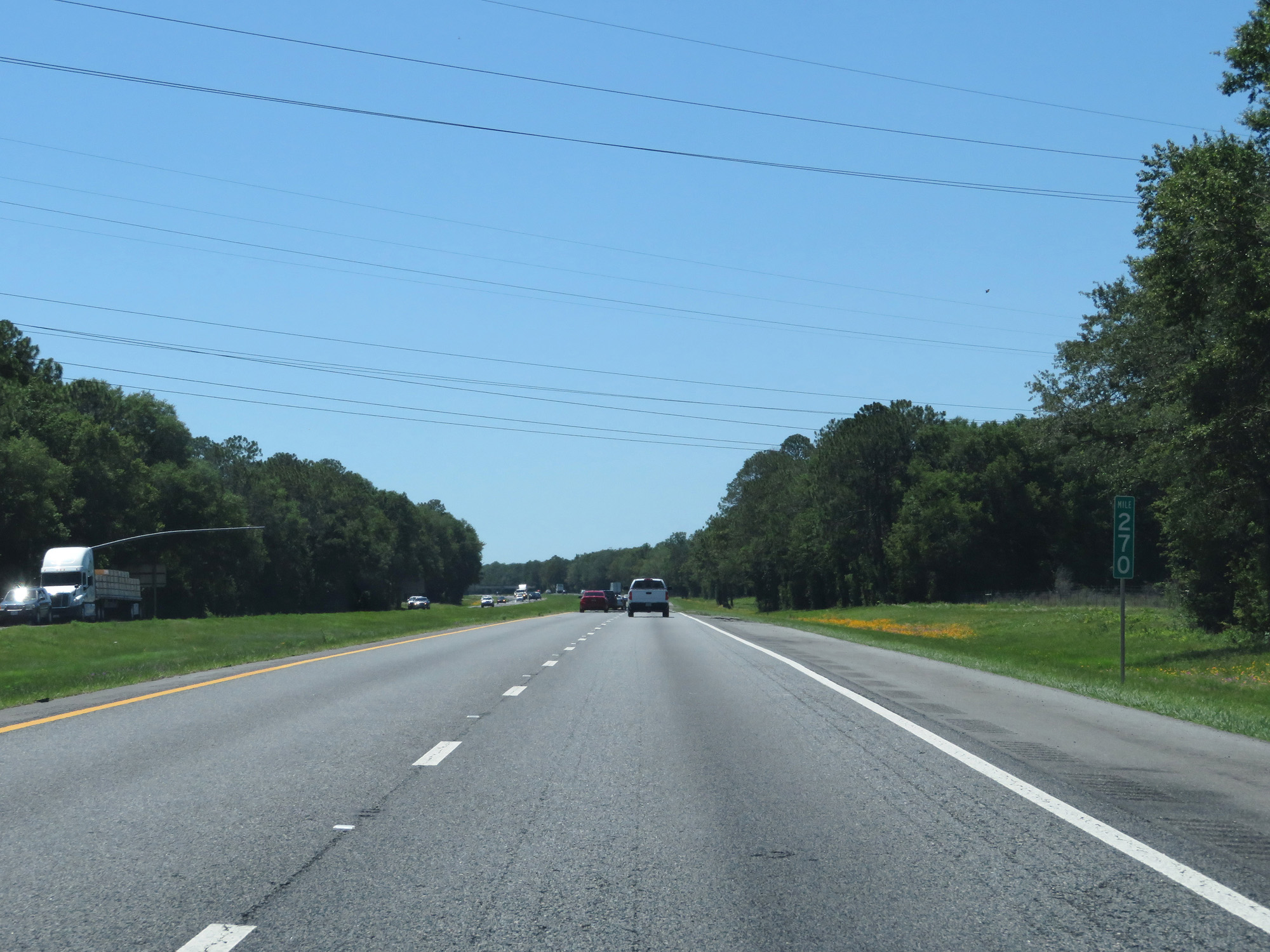 |
Interstate 10 West at mile marker 270. (Photo taken 5/25/17). |
 |
Interstate 10 West crossing the Suwannee River. (Photo taken 5/25/17). |
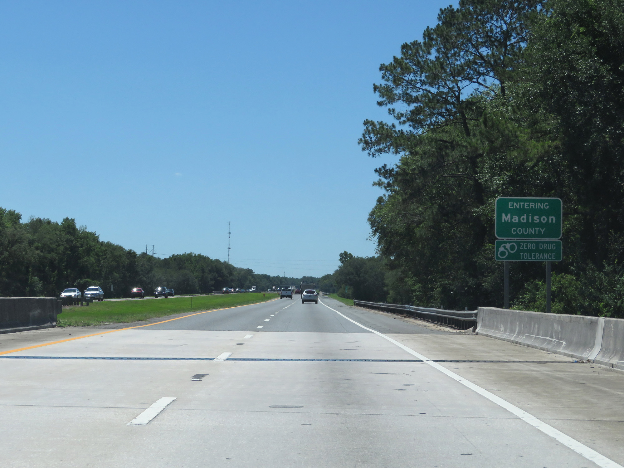 |
Interstate 10 West entering Madison County. (Photo taken 5/25/17). |
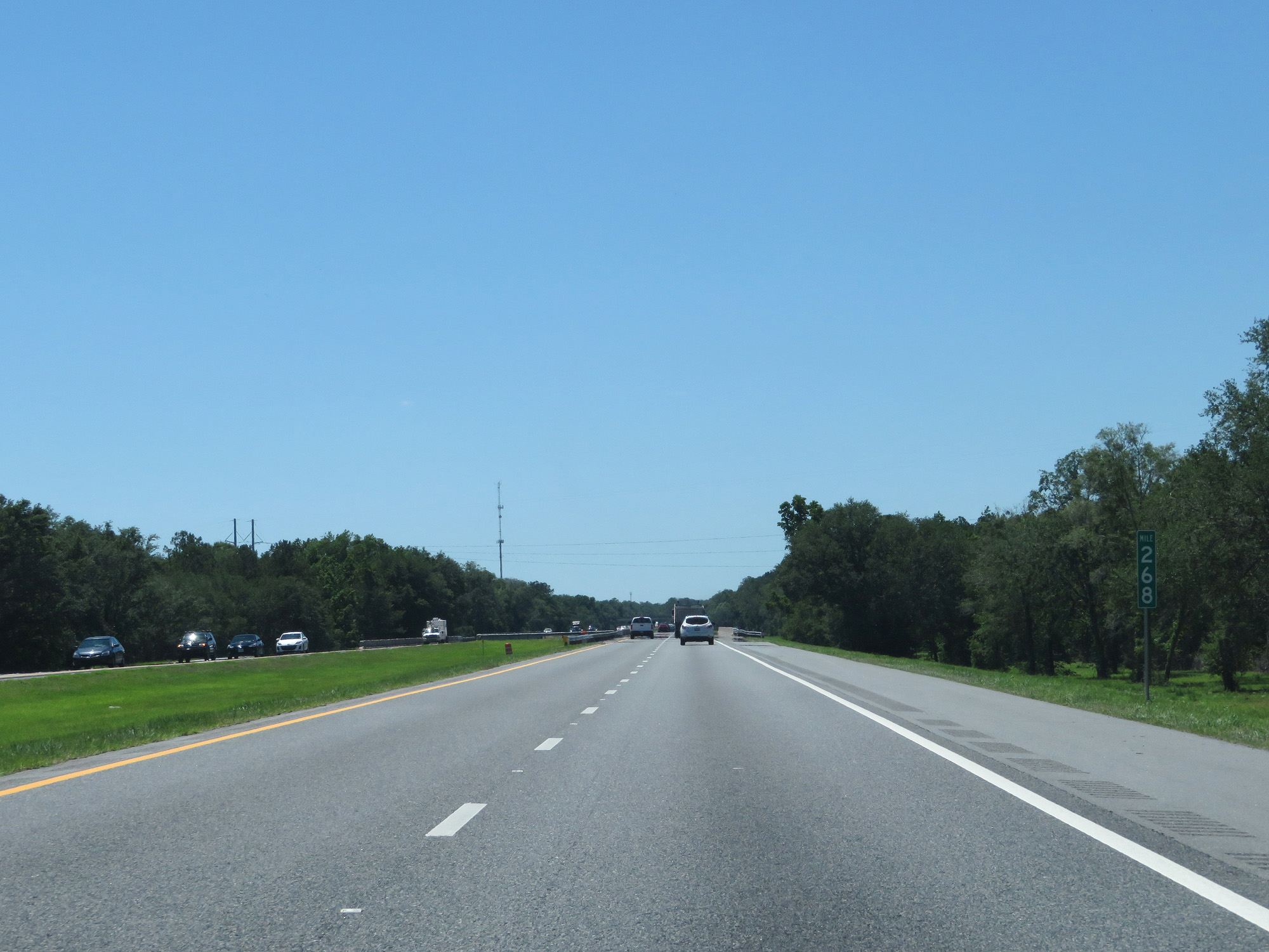 |
Interstate 10 West at mile marker 268. (Photo taken 5/25/17). |
 |
Interstate 10 West at the Rest Area in Madison County. (Photo taken 5/25/17). |
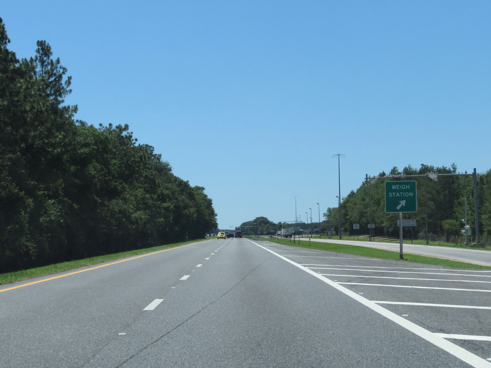 |
Interstate 10 West at the Weigh Station in Madison County. (Photo taken 5/25/17). |
 |
Interstate 10 West at Exit 262: CR 255 - Lee (Photo taken 5/25/17). |
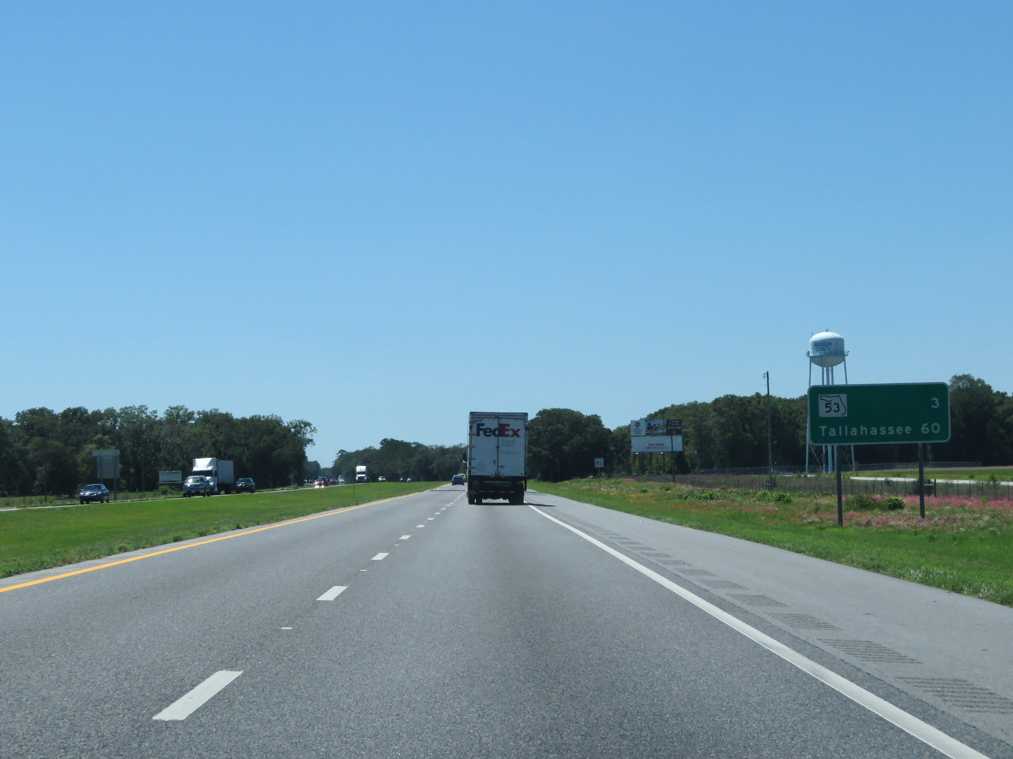 |
Mileage sign on Interstate 10 West. It's 3 miles to the junction of FL 53 and 60 miles to Tallahassee. (Photo taken 5/25/17). |
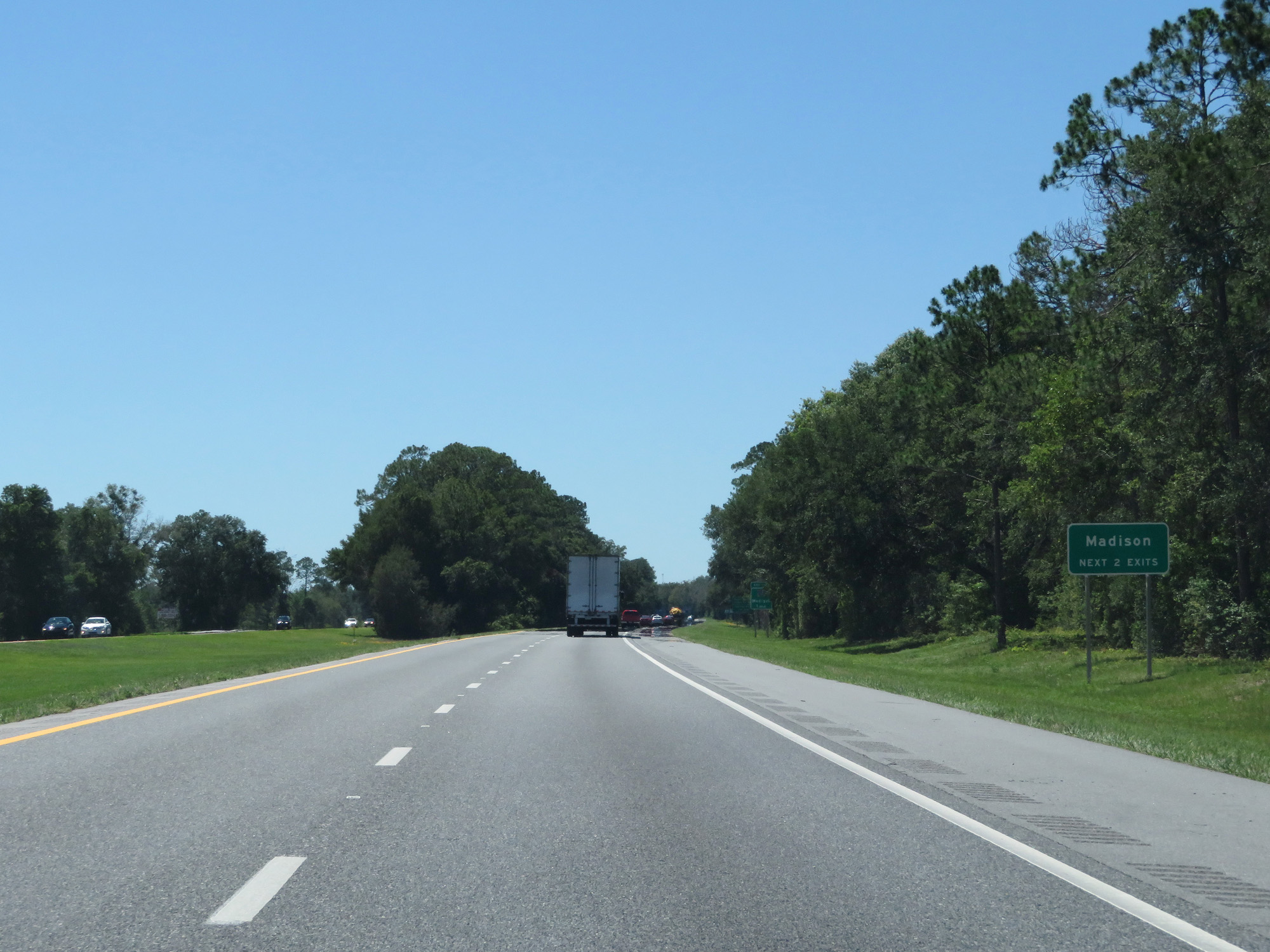 |
Take either of the next 2 exits to Madison. (Photo taken 5/25/17). |
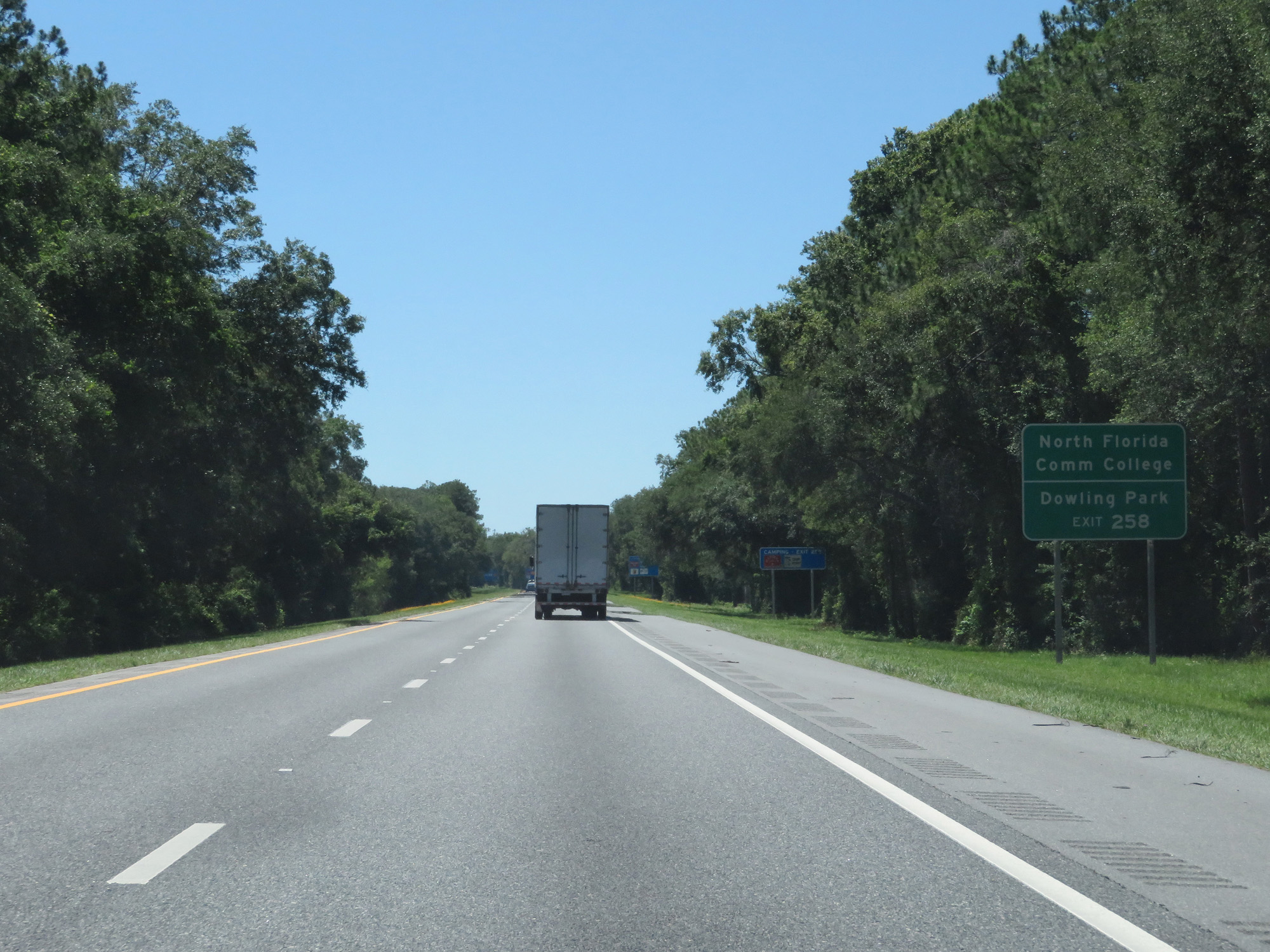 |
Take Exit 258 to North Florida Community College and Dowling Park. (Photo taken 5/25/17). |
 |
Interstate 10 West at Exit 258: FL 53 - Madison (Photo taken 5/25/17). |
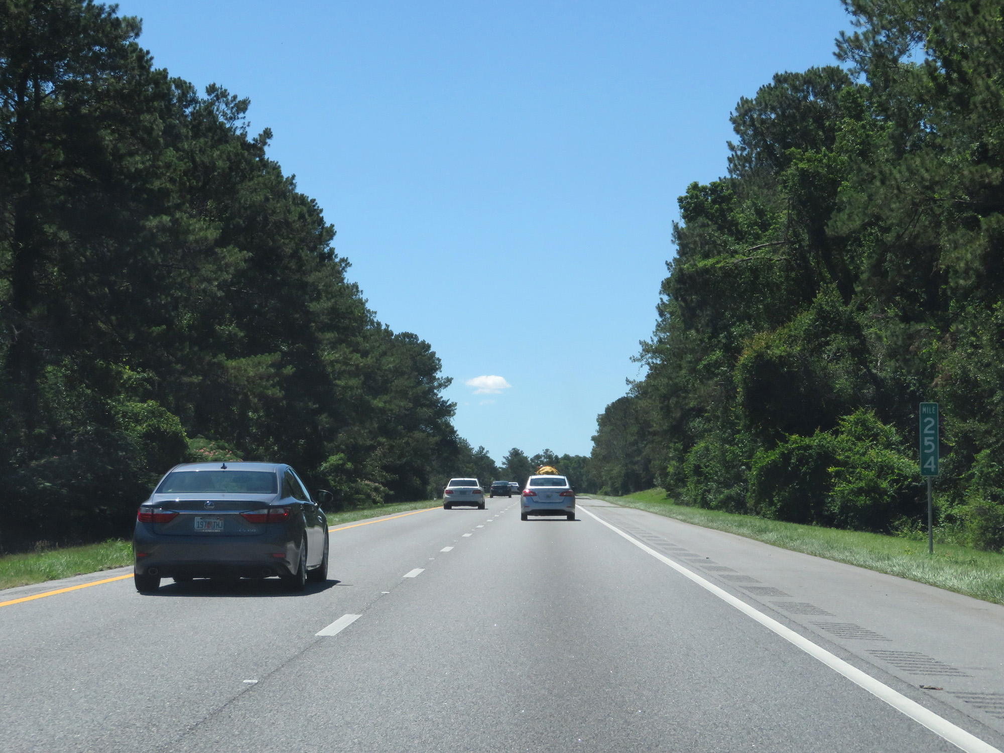 |
Interstate 10 West at mile marker 254. (Photo taken 5/25/17). |
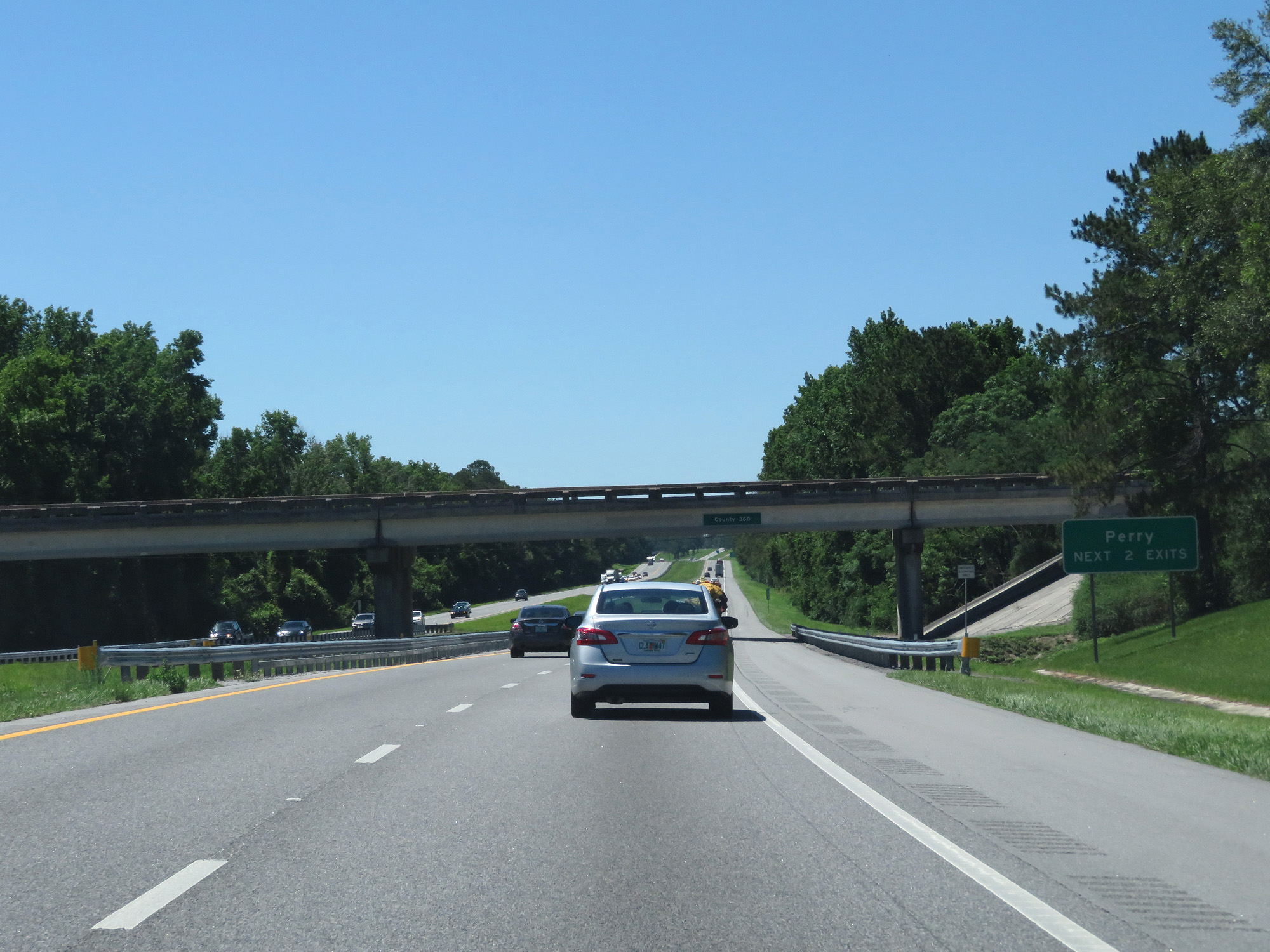 |
Take either of the next 2 exits to Perry. (Photo taken 5/25/17). |
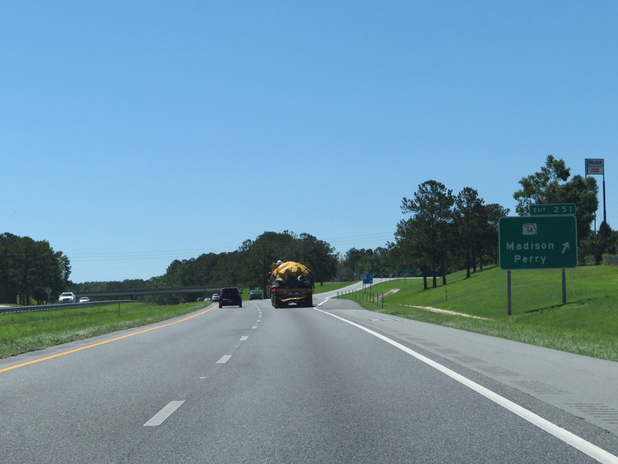 |
Interstate 10 West at Exit 251: FL 14 - Madison / Perry (Photo taken 5/25/17). |
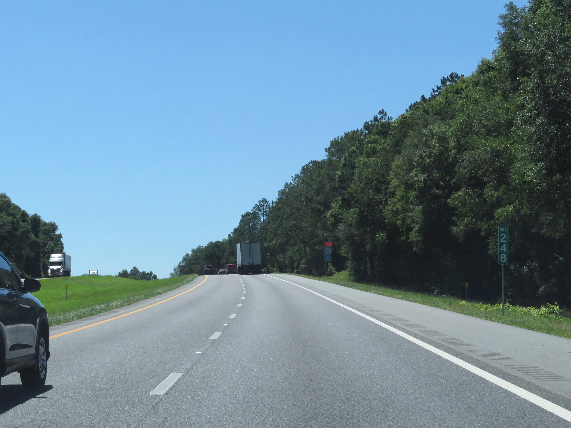 |
Interstate 10 West at mile marker 248. (Photo taken 5/25/17). |
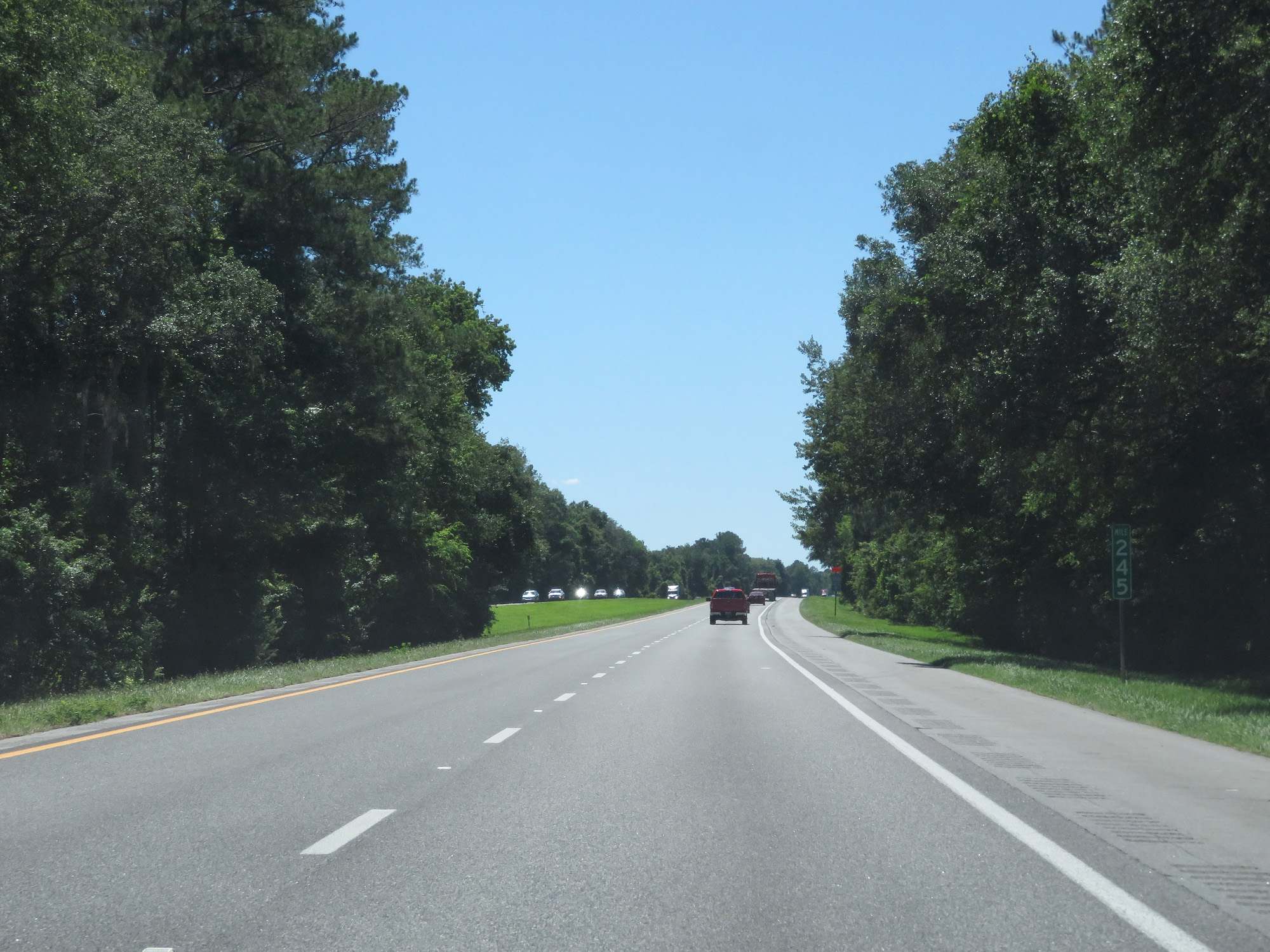 |
Interstate 10 West at mile marker 245. (Photo taken 5/25/17). |
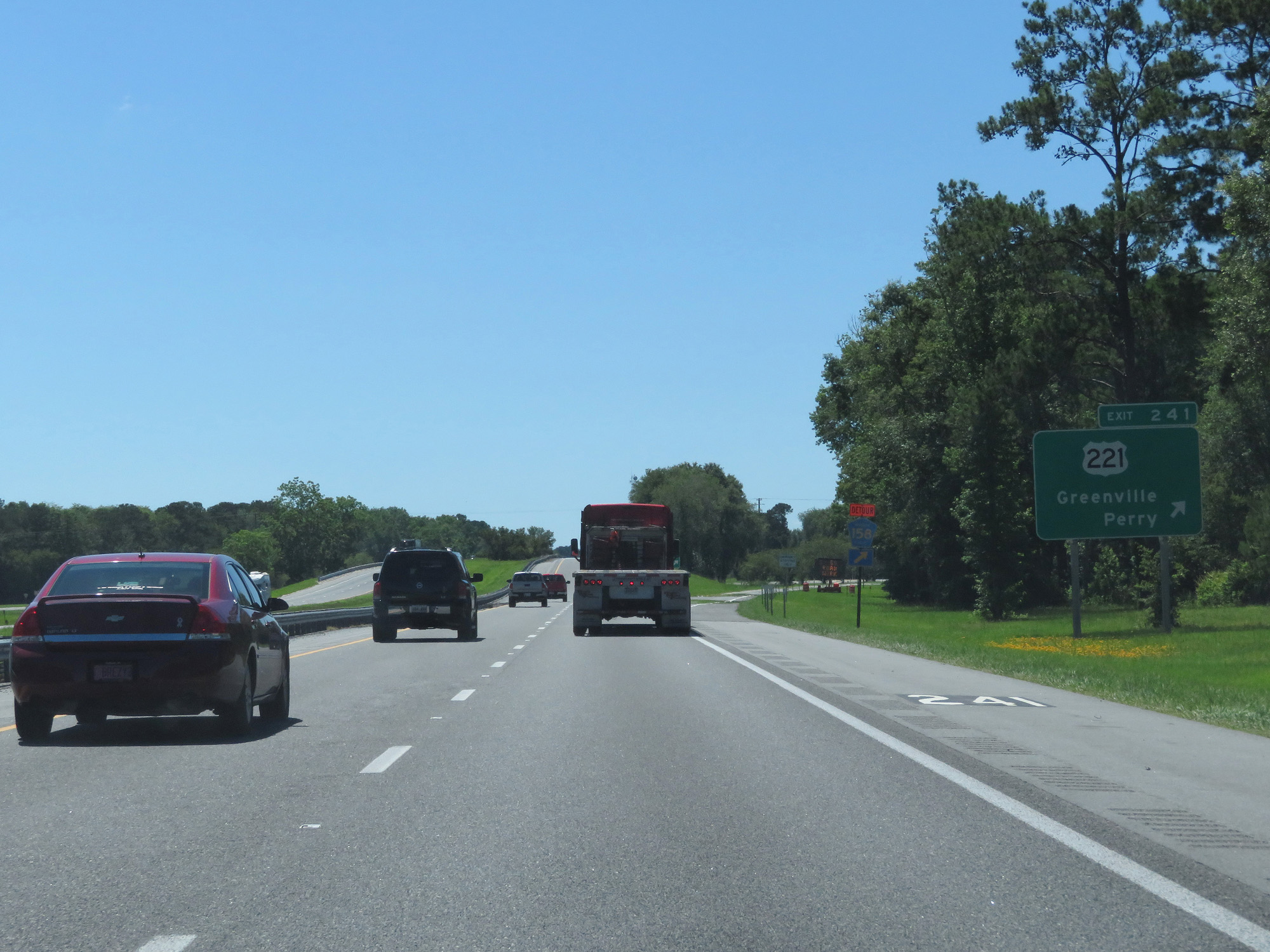 |
Interstate 10 West at Exit 241: US 221 - Greenville / Perry (Photo taken 5/25/17). |
 |
The speed limit remains 70 mph and the minimum speed limit remains 50 mph. (Photo taken 5/25/17). |
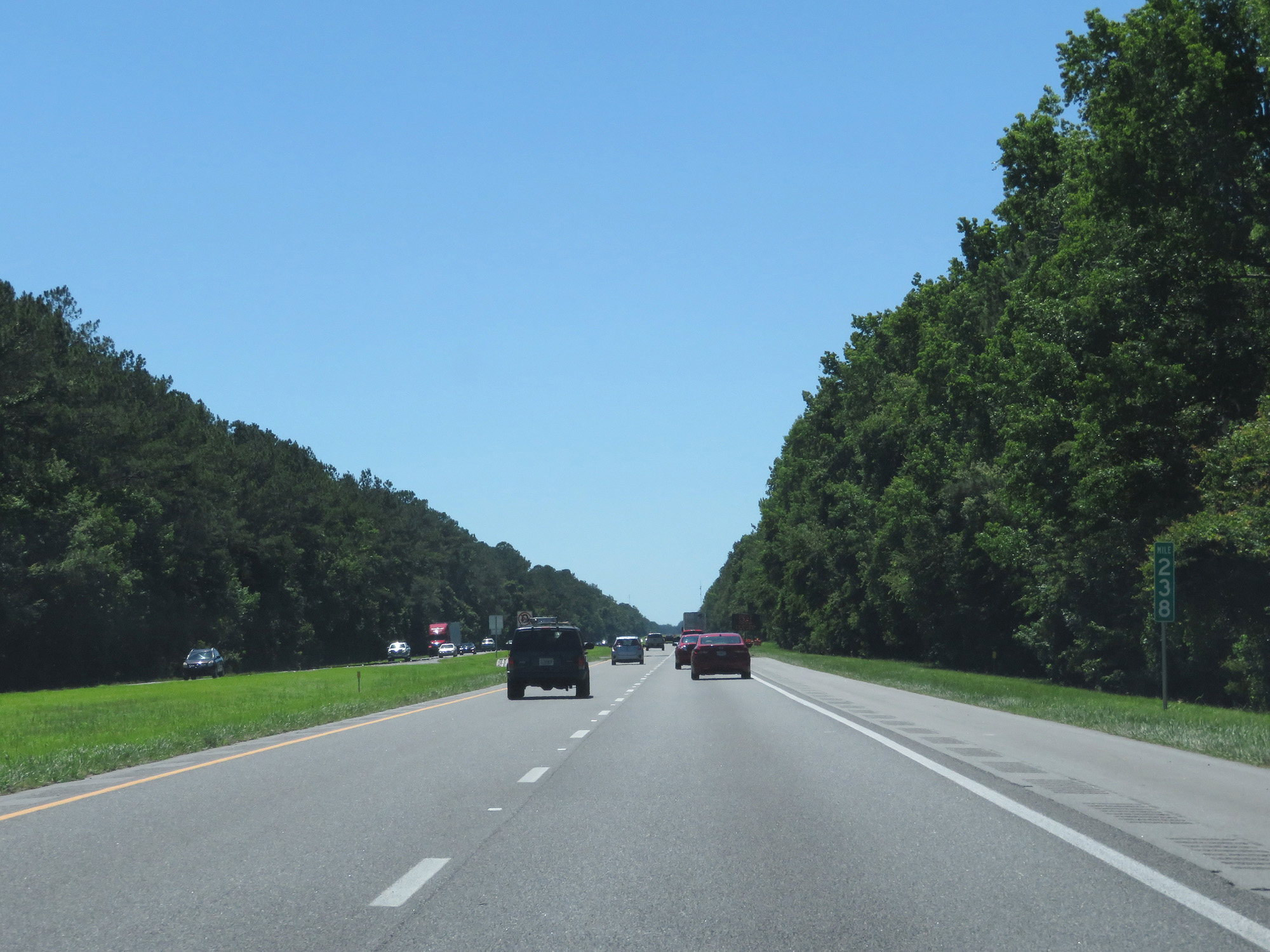 |
Interstate 10 West at mile marker 238. (Photo taken 5/25/17). |
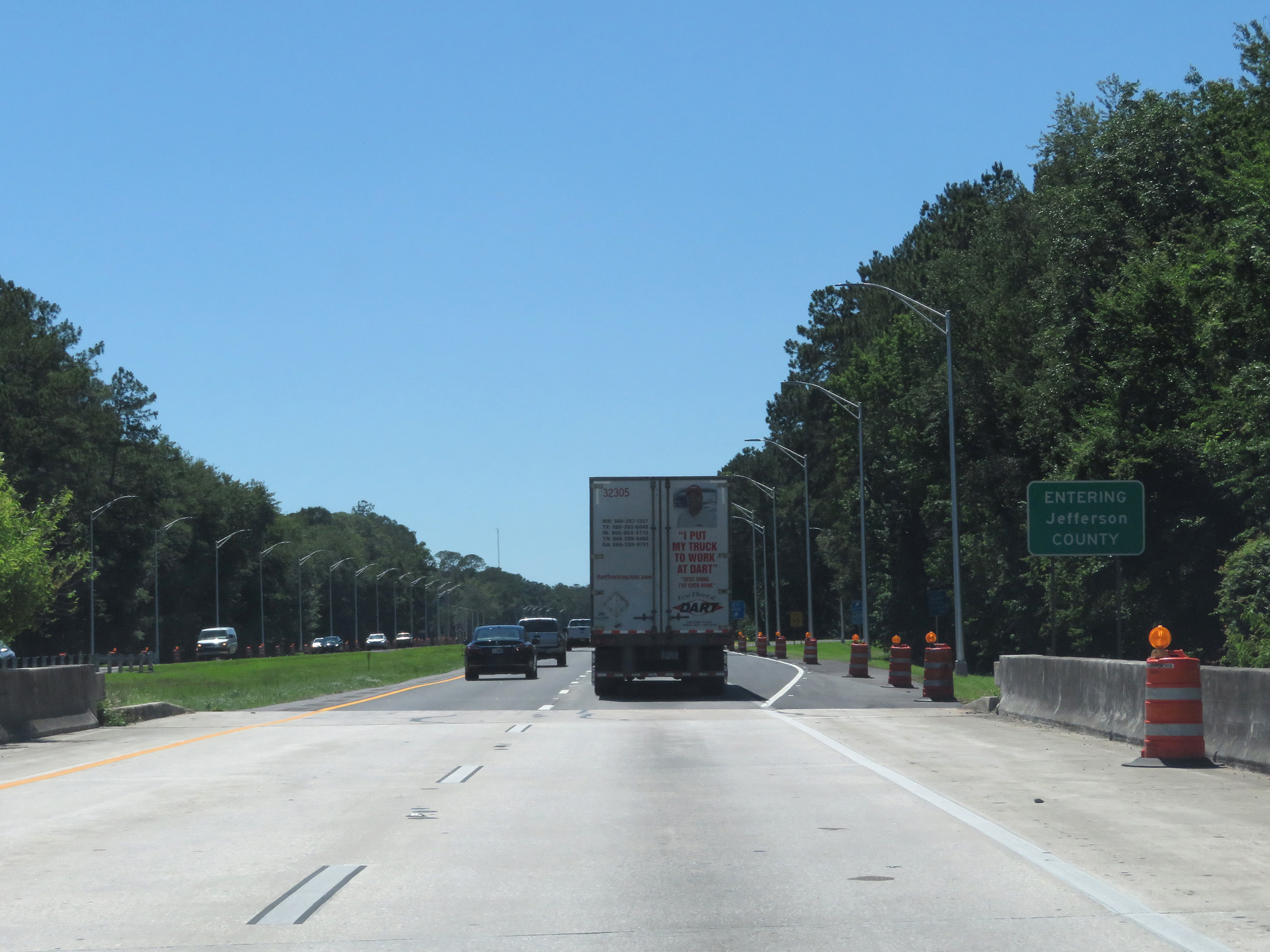 |
Interstate 10 West entering Jefferson County. (Photo taken 5/25/17). |
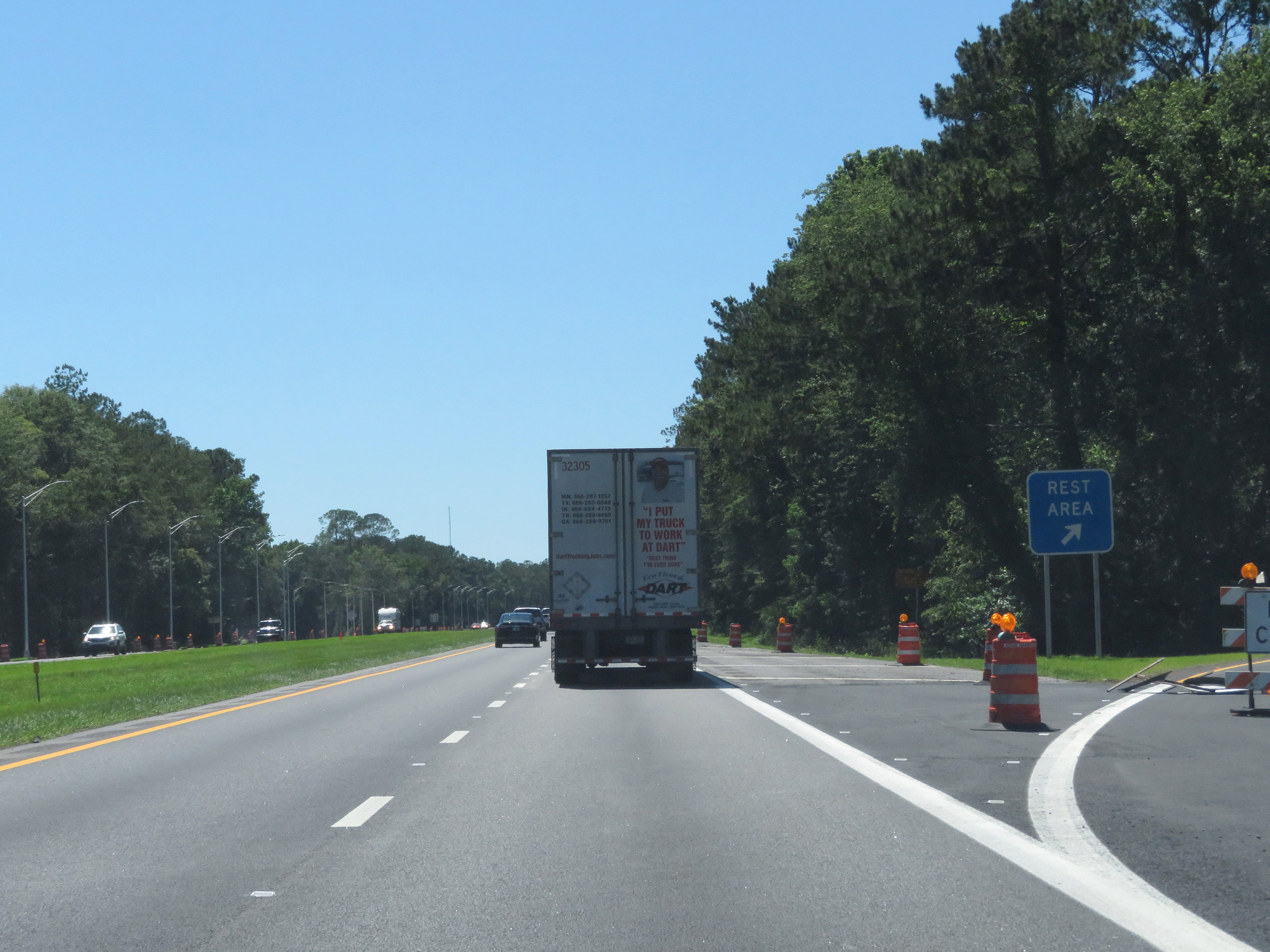 |
Interstate 10 West at the Rest Area in Jefferson County. (Photo taken 5/25/17). |
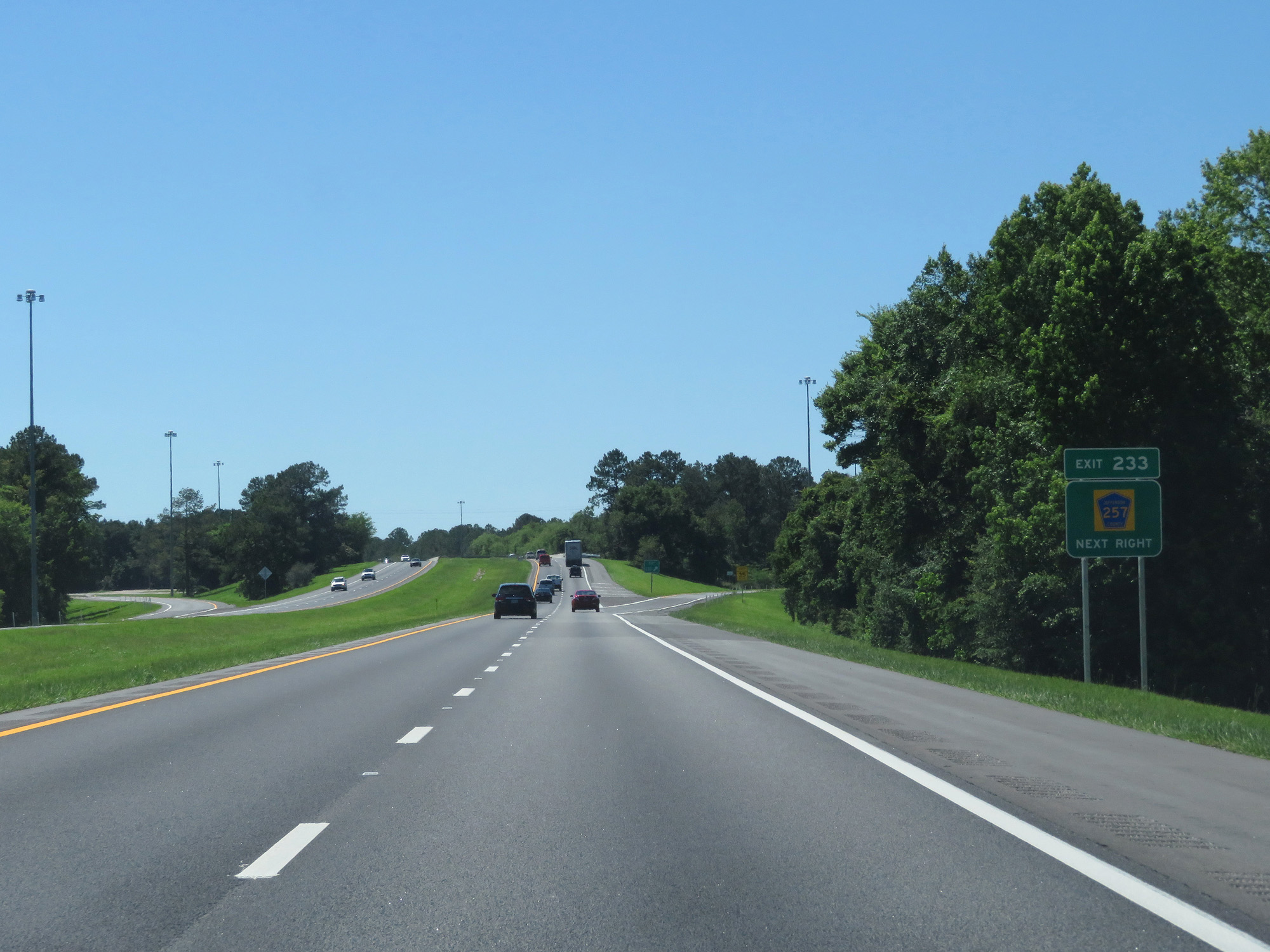 |
Interstate 10 West at Exit 233: CR 257 (Photo taken 5/25/17). |
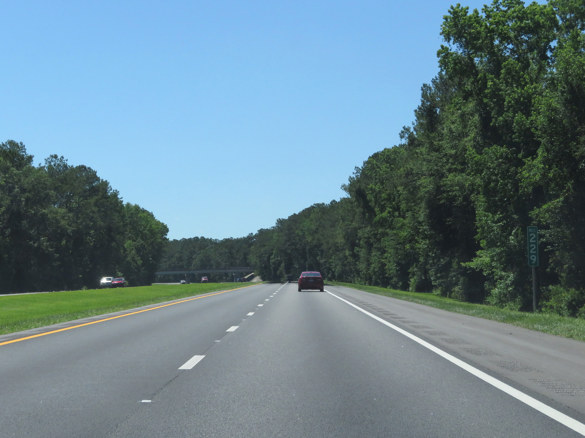 |
Interstate 10 West at mile marker 229. (Photo taken 5/25/17). |
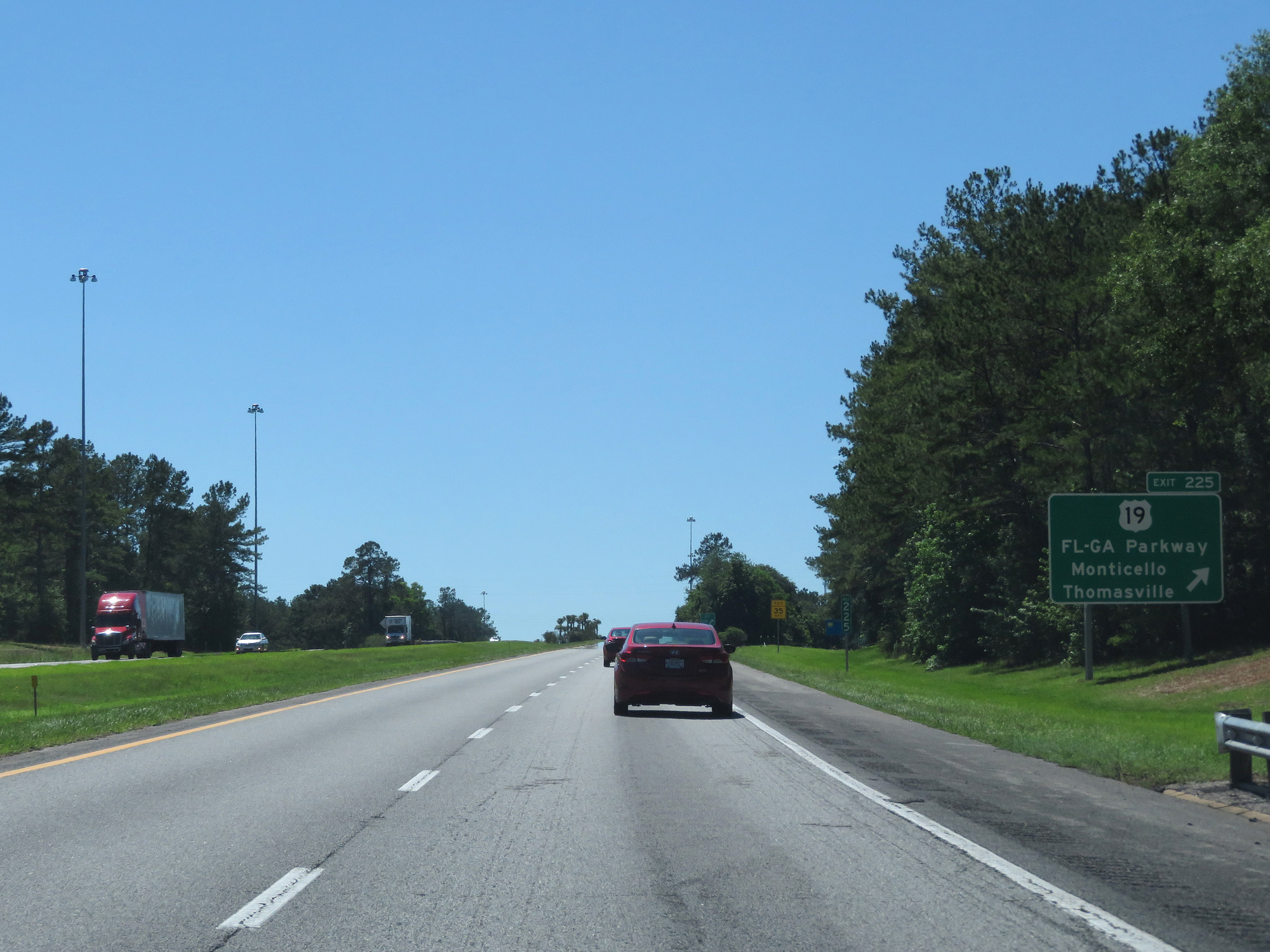 |
Interstate 10 West at Exit 225: US 19 - Florida-Georgia Parkway / Monticello / Thomasville (Photo taken 5/25/17). |
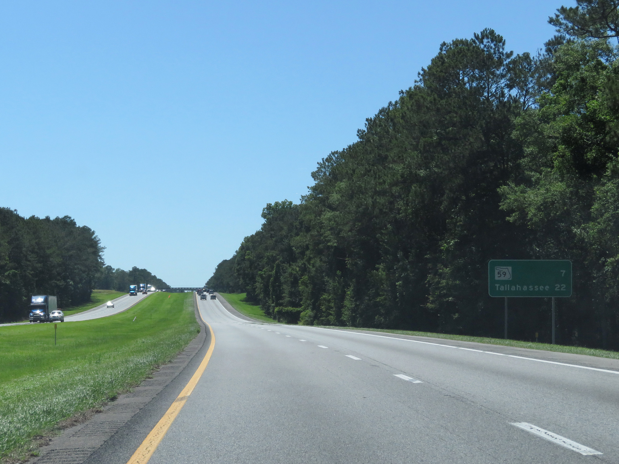 |
Mileage sign on Interstate 10 West. It's 7 miles to the junction of FL 59 and 22 miles to Tallahassee. (Photo taken 5/25/17). |
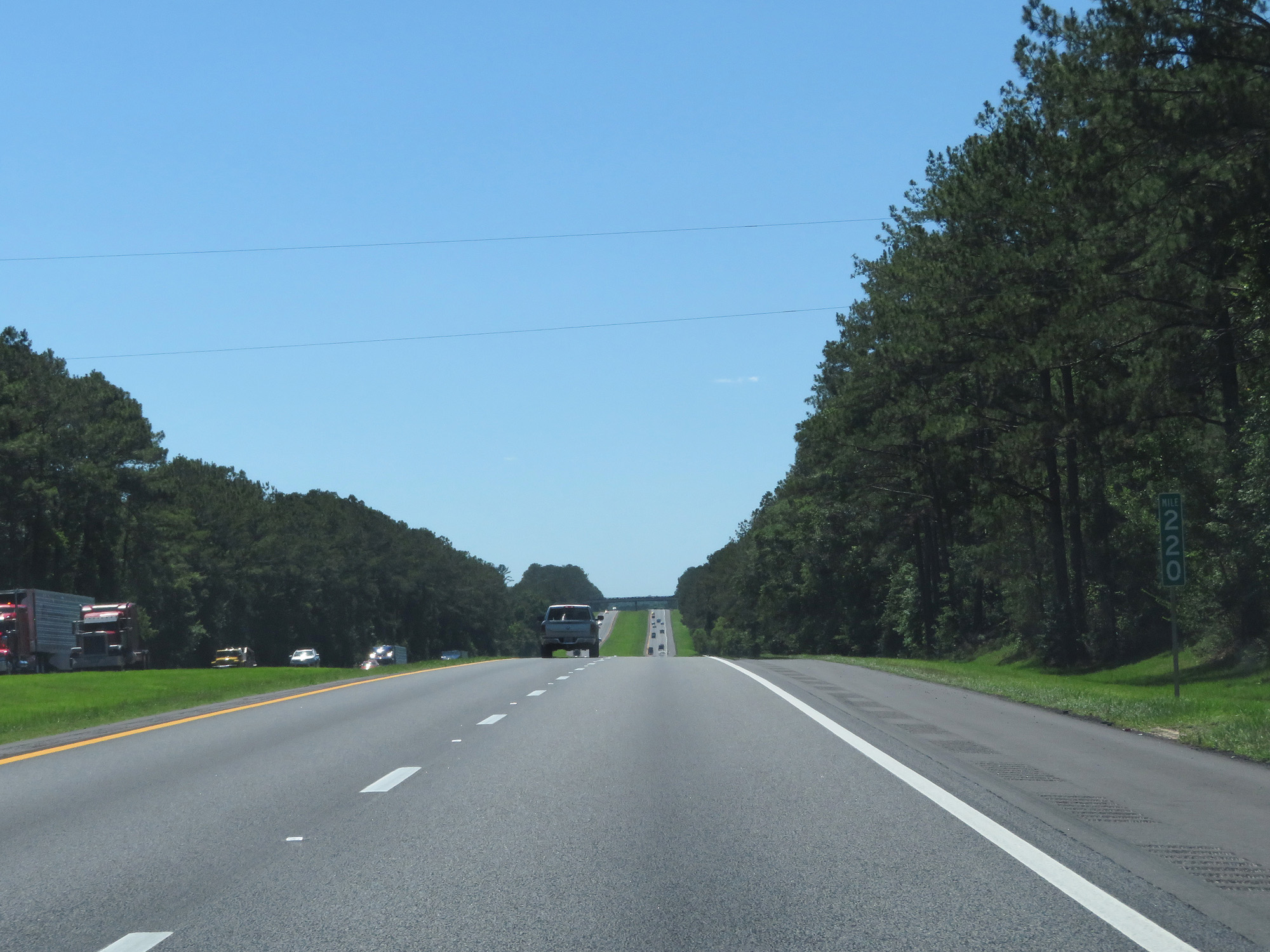 |
Interstate 10 West at mile marker 220. (Photo taken 5/25/17). |
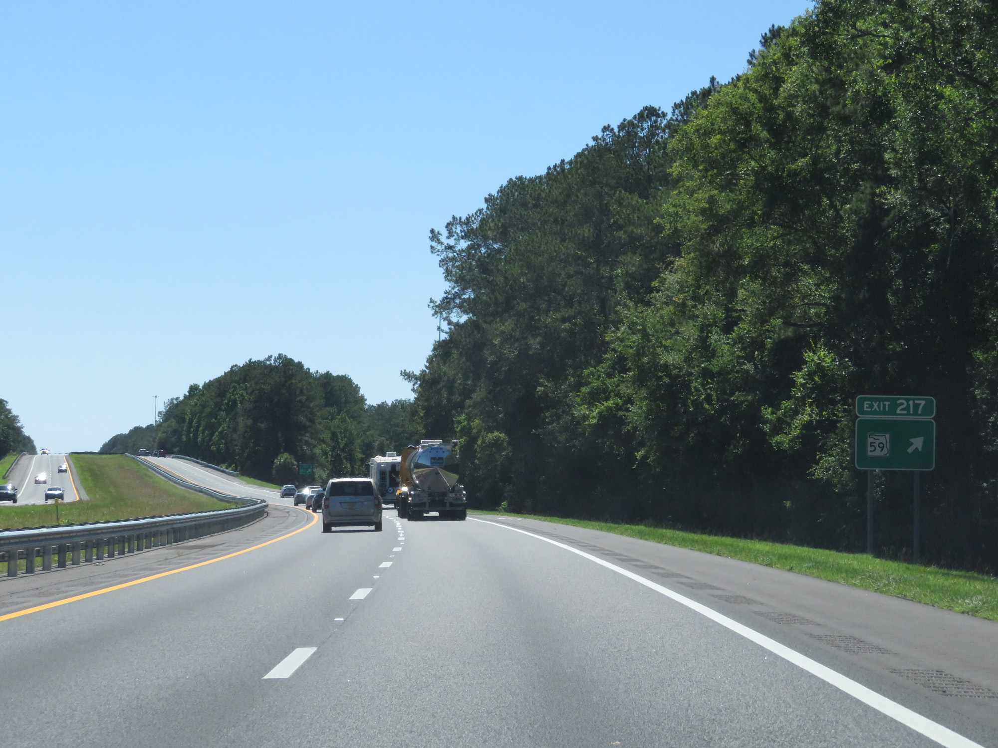 |
Interstate 10 West at Exit 217: FL 59 (Photo taken 5/25/17). |
 |
Interstate 10 West entering Leon County. (Photo taken 5/25/17). |
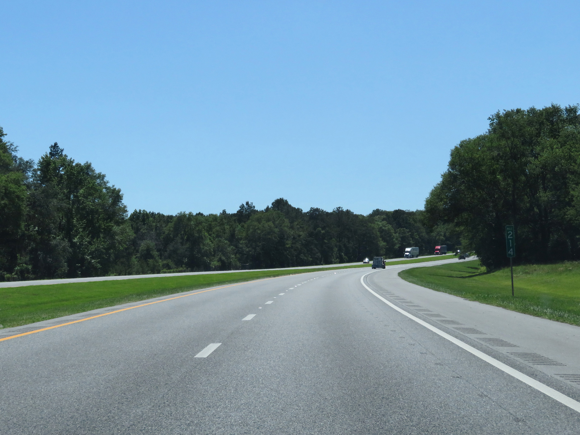 |
Interstate 10 West at mile marker 214. (Photo taken 5/25/17). |
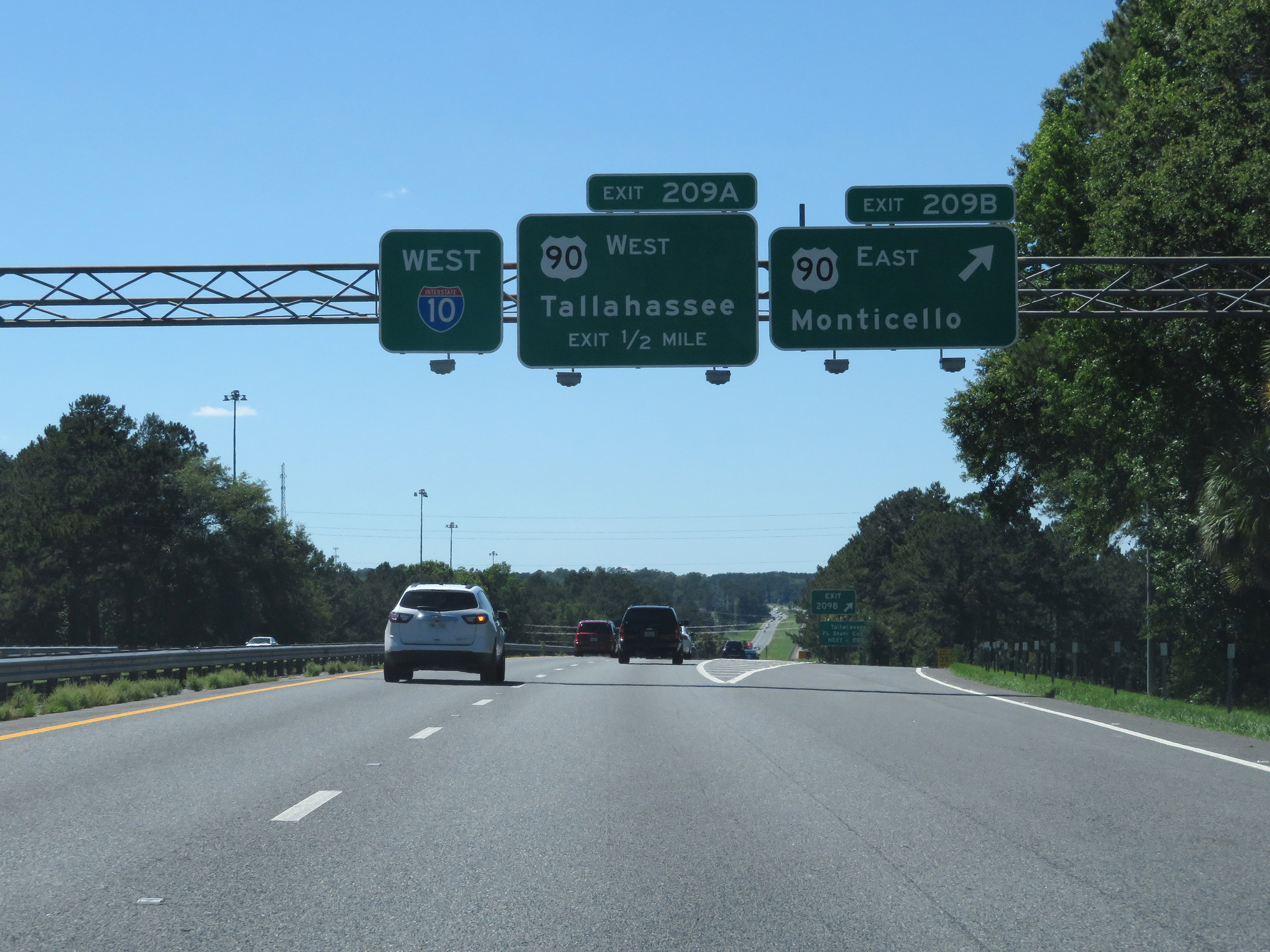 |
Interstate 10 West at Exit 209B: US 90 East - Monticello (Photo taken 5/25/17). |
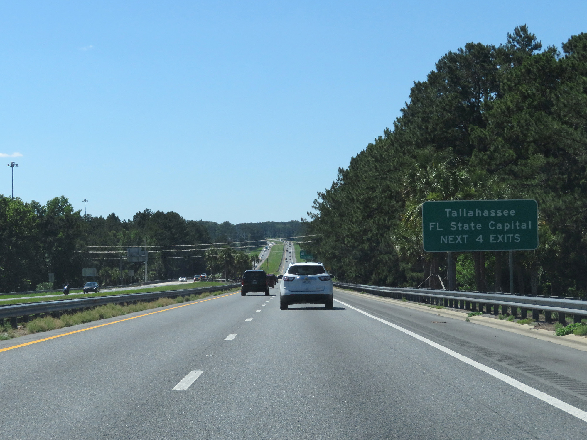 |
Take any of the next 4 exits to Tallahassee, the state capital of Florida. (Photo taken 5/25/17). |
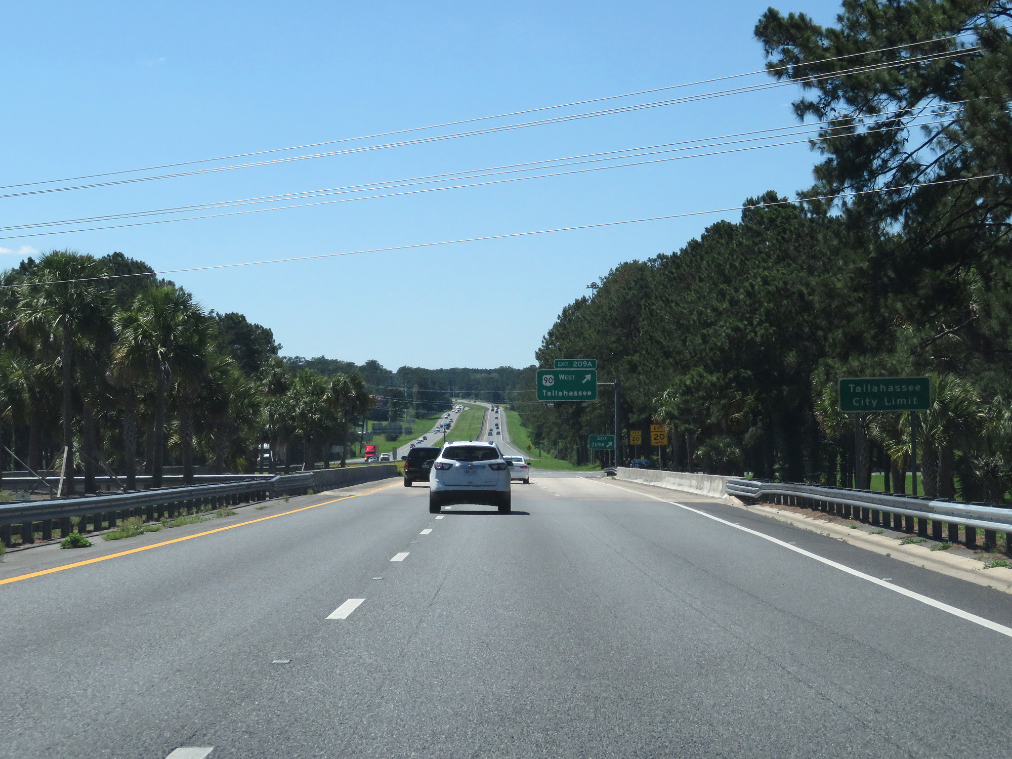 |
Interstate 10 West entering the Tallahassee city limits. (Photo taken 5/25/17). |
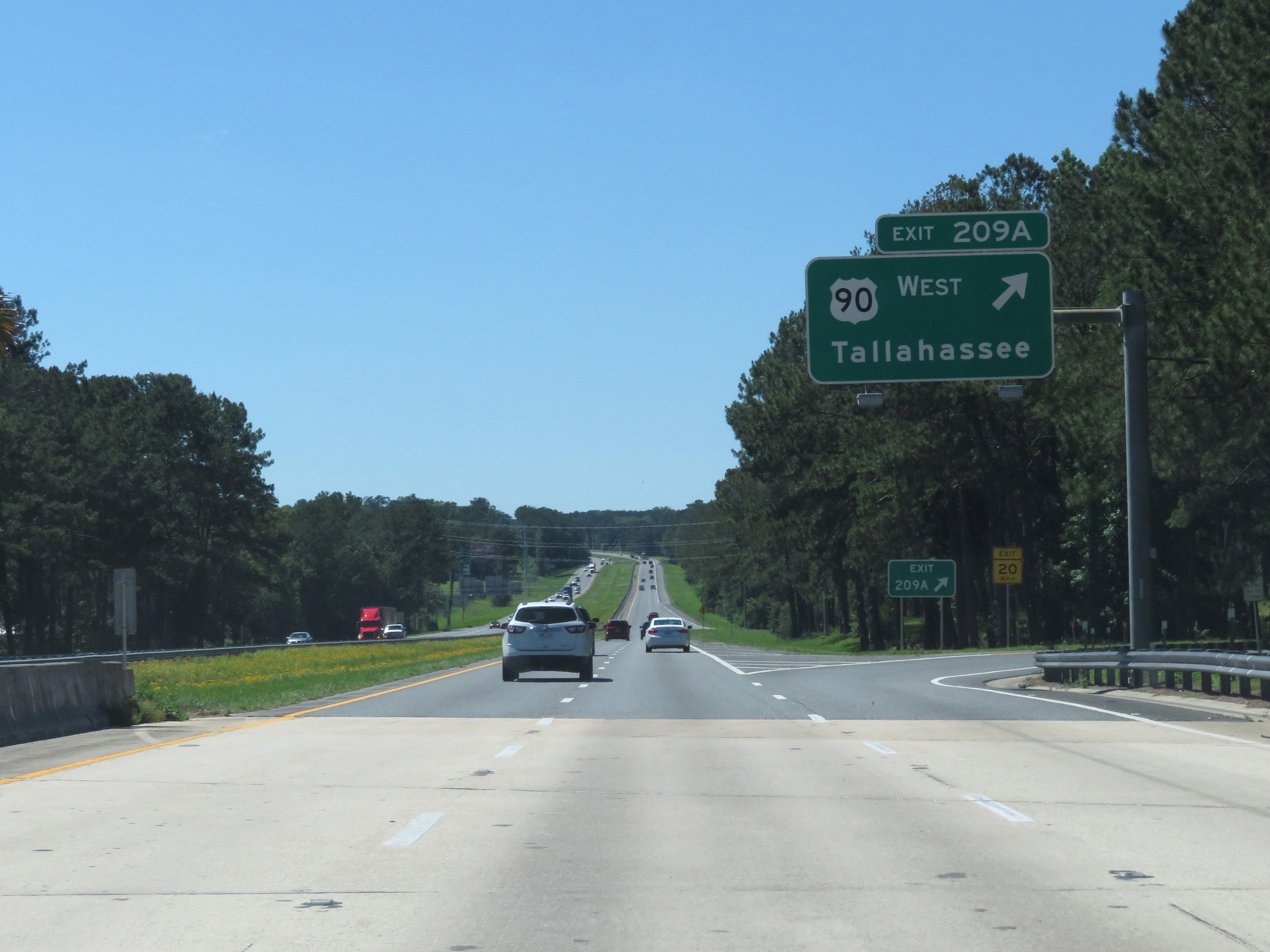 |
Interstate 10 West at Exit 209A: US 90 West - Tallahassee (Photo taken 5/25/17). |
 |
Interstate 10 West reassurance shield. (Photo taken 5/25/17). |
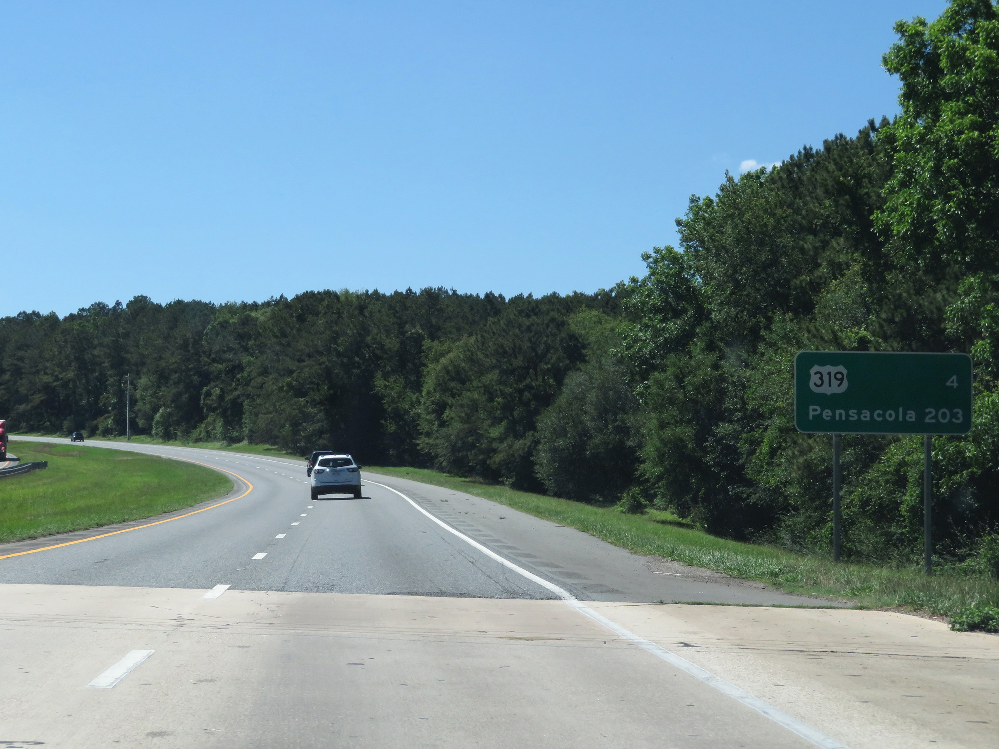 |
Mileage sign on Interstate 10 West. It's 4 miles to the junction of US 319 and 203 miles to Pensacola. (Photo taken 5/25/17). |
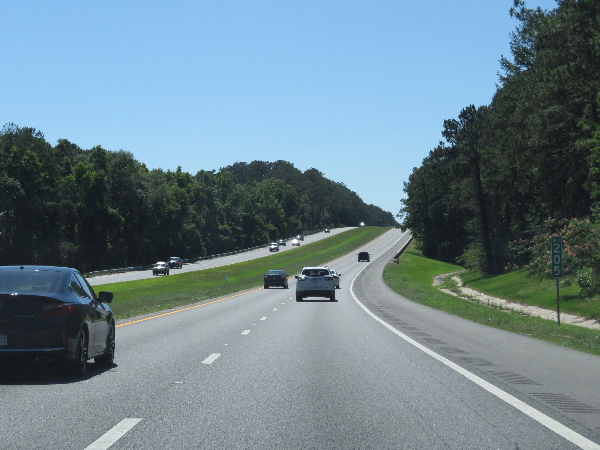 |
Interstate 10 West at mile marker 205. (Photo taken 5/25/17). |
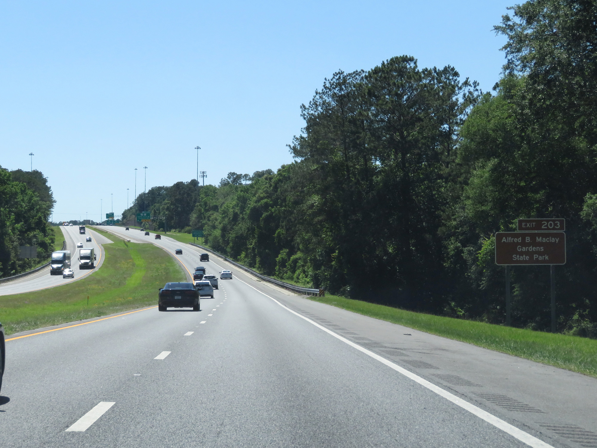 |
Take Exit 203 to Alfred B. Maclay Gardens State Park. (Photo taken 5/25/17). |
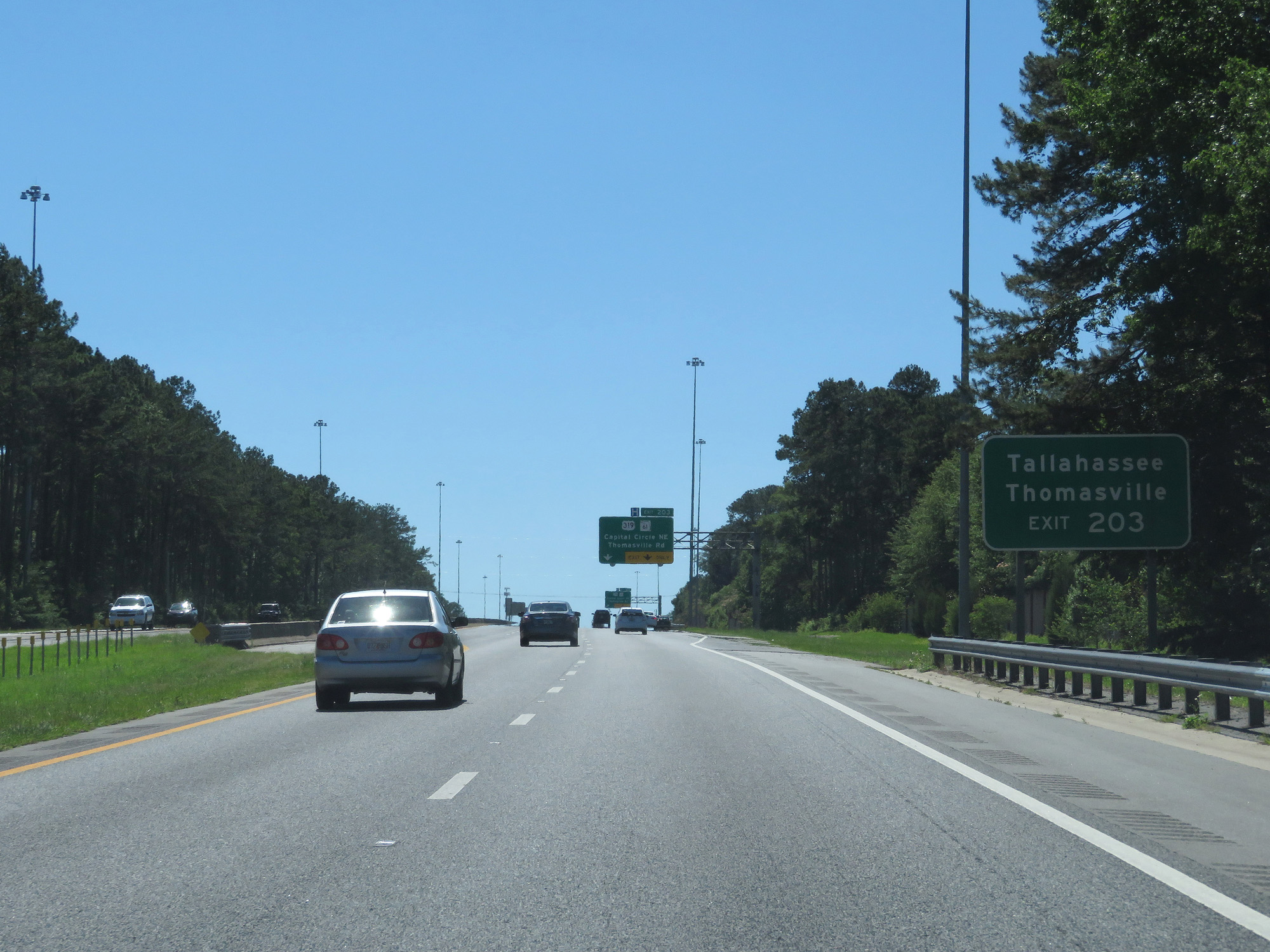 |
Take Exit 203 to Tallahassee and Thomasville. (Photo taken 5/25/17). |
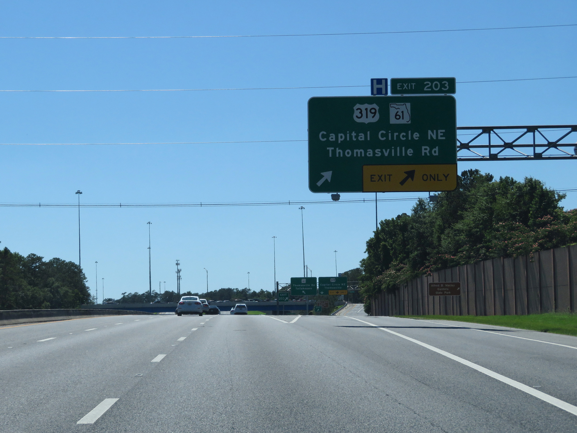 |
Interstate 10 West at Exit 203: US 319 / FL 61 - Capital Circle NE / Thomasville Rd (Photo taken 5/25/17). |
 |
Interstate 10 West reassurance shield. (Photo taken 5/25/17). |
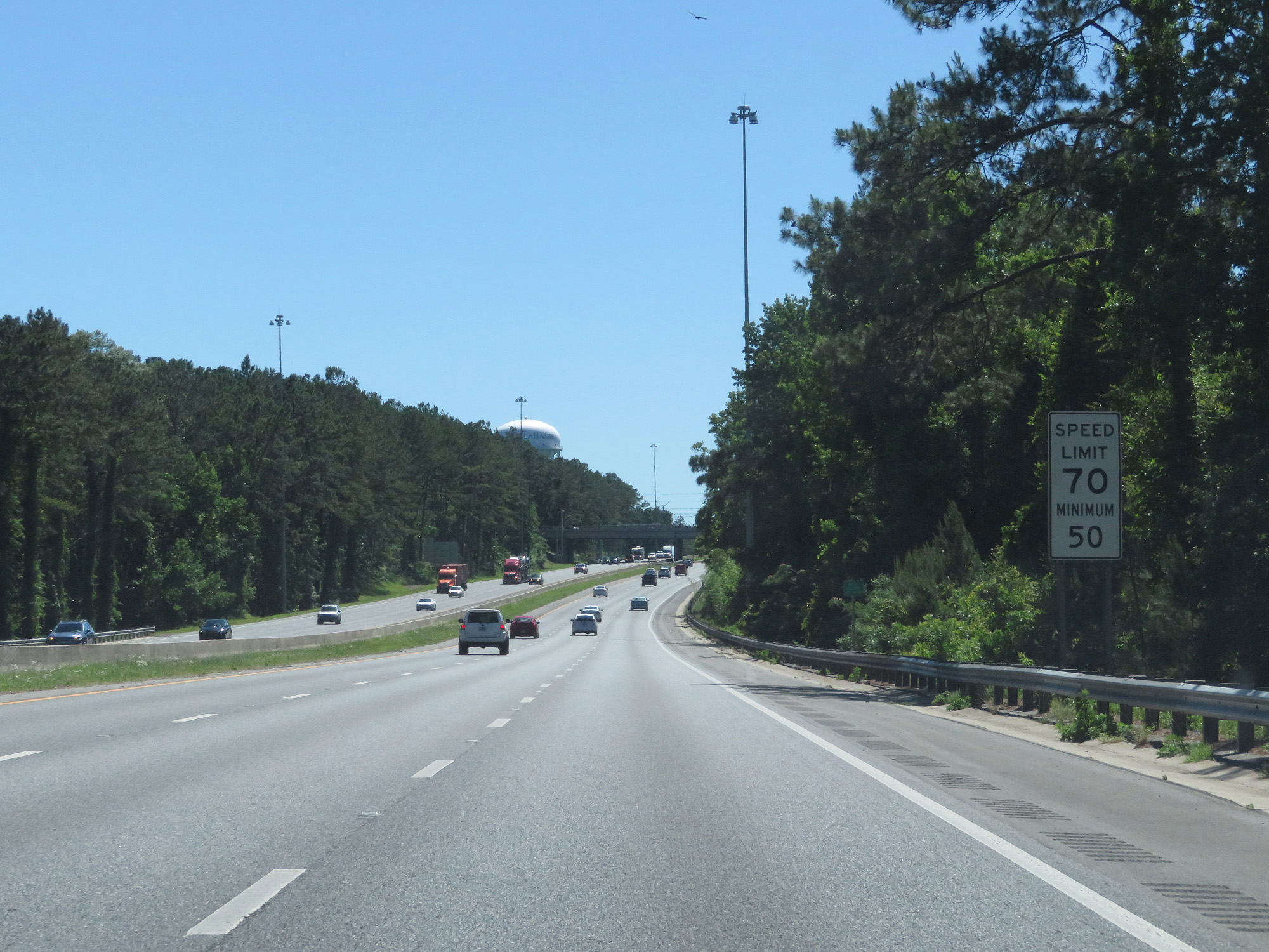 |
The speed limit remains 70 mph through the Tallahassee area. The 50 mph minimum speed limit remains in effect, as usual. (Photo taken 5/25/17). |
 |
Interstate 10 West approaching Exit 199 - 1 mile. (Photo taken 5/25/17). |
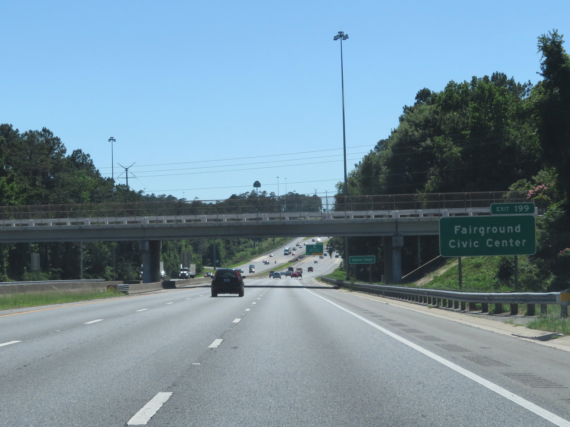 |
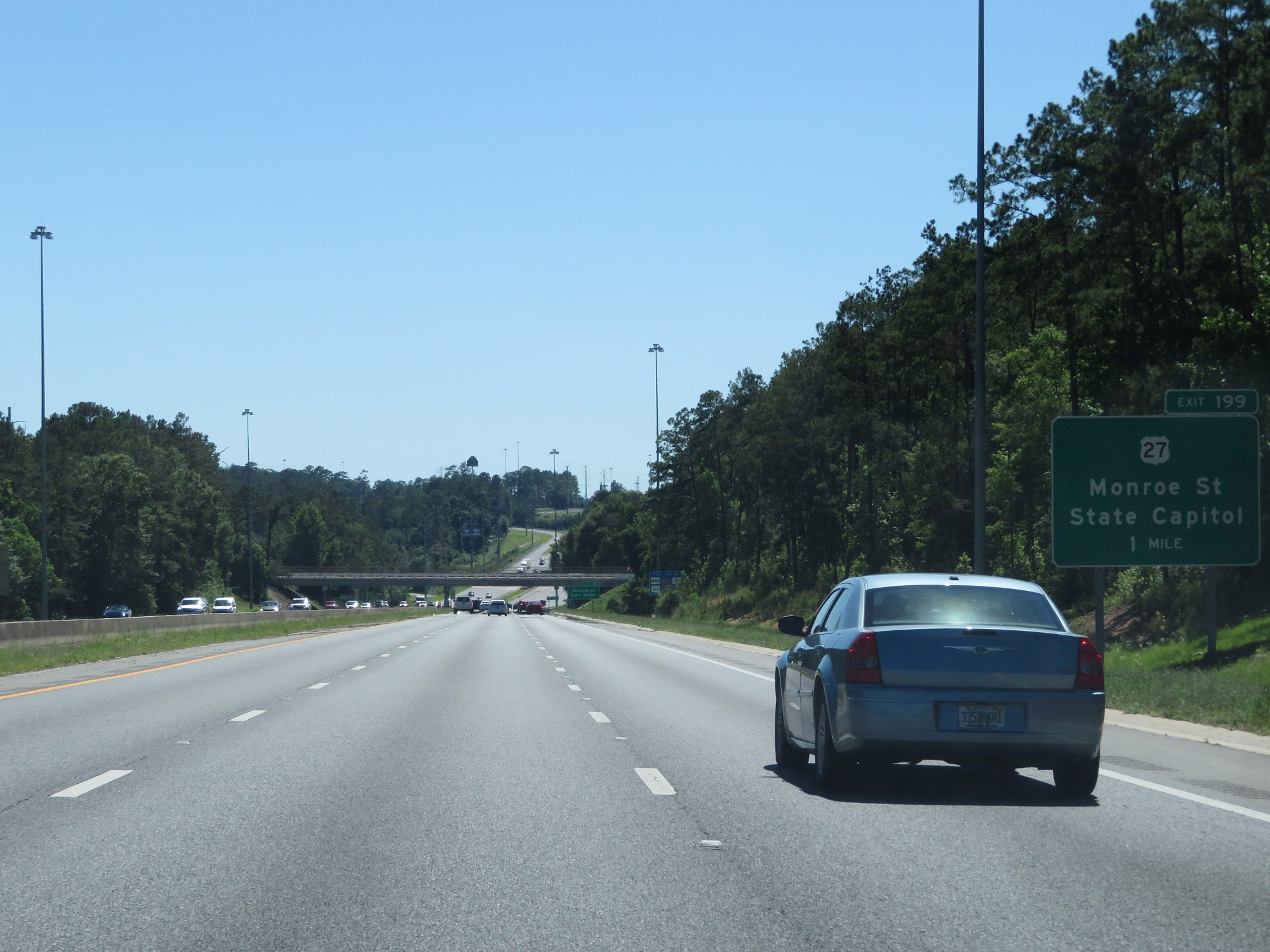
Take Exit 199 to the Fairgrounds and Civic Center. (Photo taken 5/25/17). |
 |
Interstate 10 West at Exit 199: US 27 - Monroe St / State Capitol (Photo taken 5/25/17). |
Section 3: Tallahassee (Exit 199) to Crestview (Exit 56)
 |
Take Exit 196 to Tallahassee Museum of History and Natural Science as well as Mission San Luis. (Photo taken 5/25/17). |
 |
Also take Exit 196 to Tallahassee Community College. (Photo taken 5/25/17). |
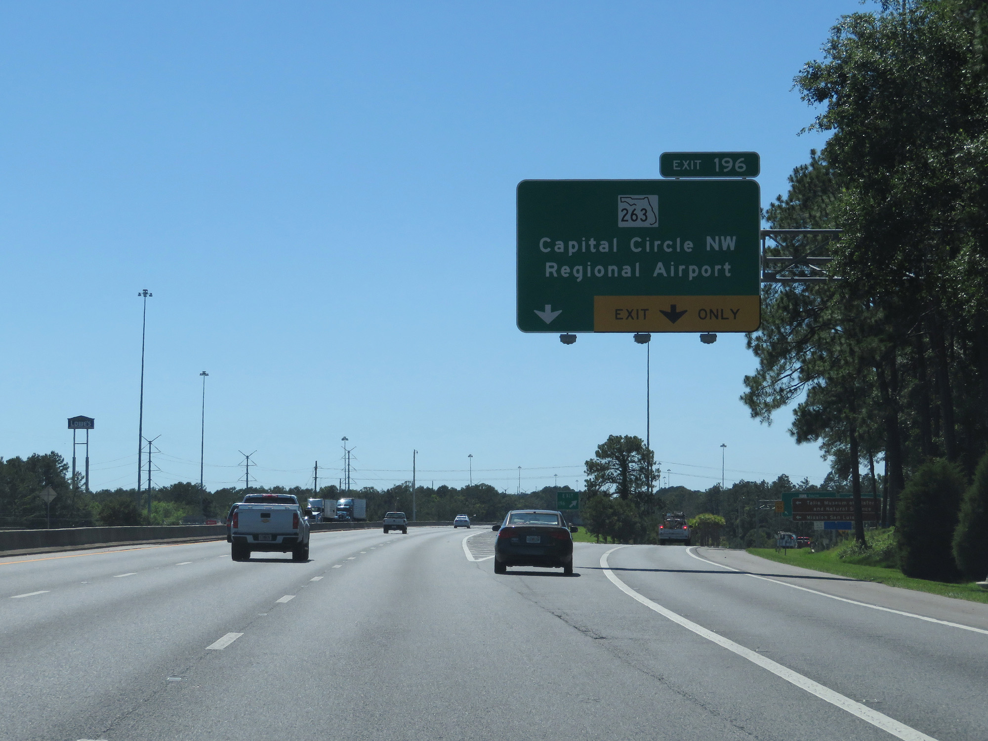 |
Interstate 10 West at Exit 196: FL 263 - Capital Circle NW / Regional Airport (Photo taken 5/25/17). |
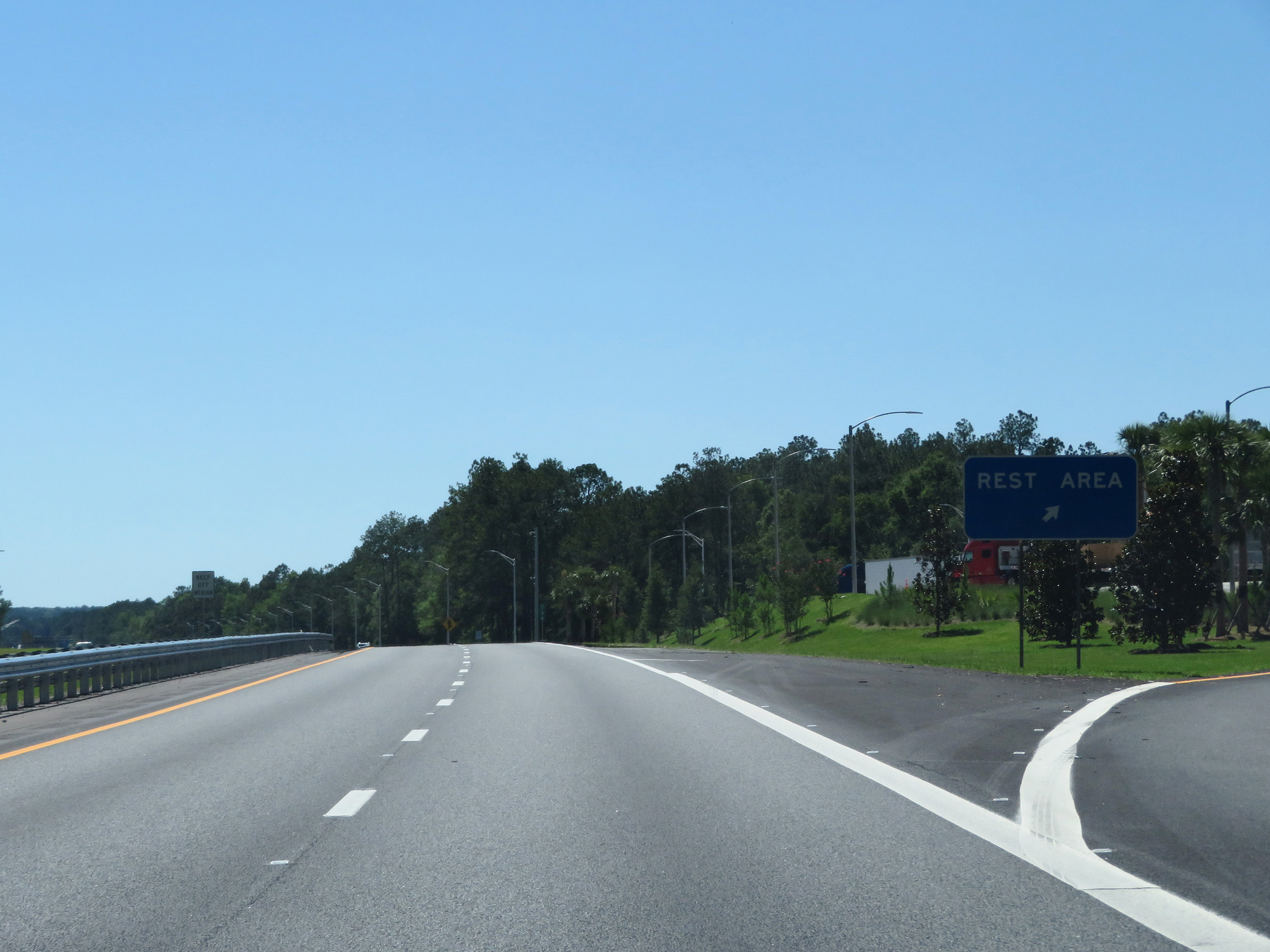 |
Interstate 10 West at the Rest Area in Leon County. (Photo taken 5/25/17). |
 |
Interstate 10 West entering Gadsden County. (Photo taken 5/25/17). |
 |
Interstate 10 West at mile marker 193. (Photo taken 5/25/17). |
 |
Interstate 10 West at Exit 192: US 90 - Midway / Quincy (Photo taken 5/25/17). |
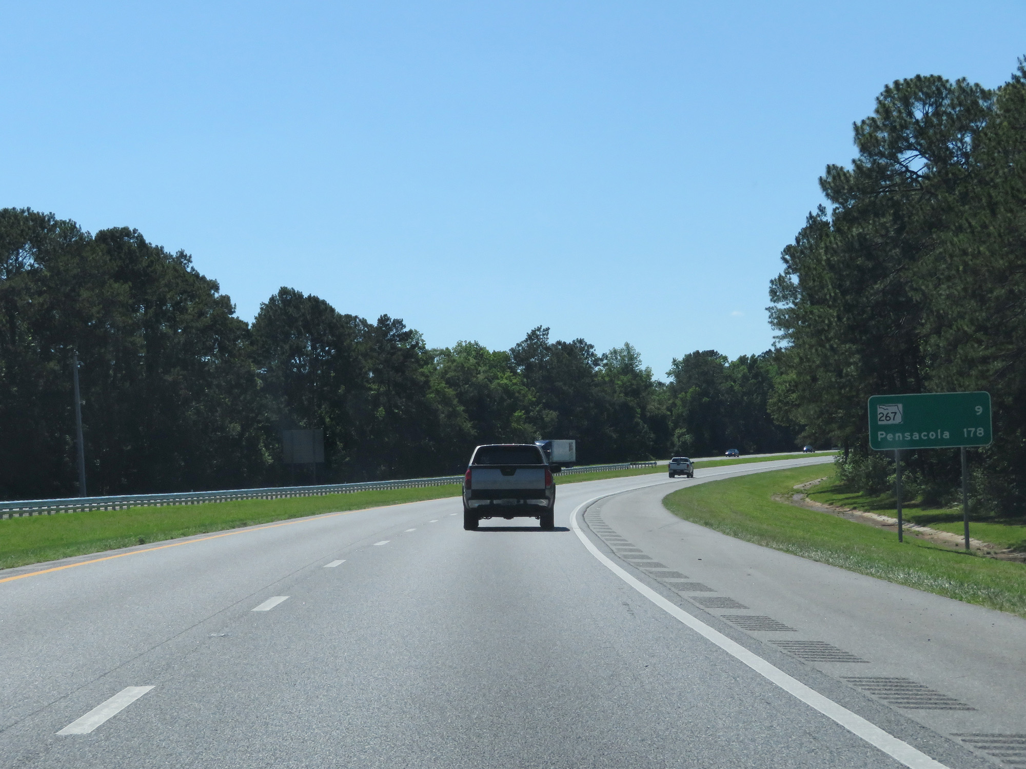 |
Mileage sign on Interstate 10 West. It's 9 miles to the junction of FL 267 and 178 miles to Pensacola. (Photo taken 5/25/17). |
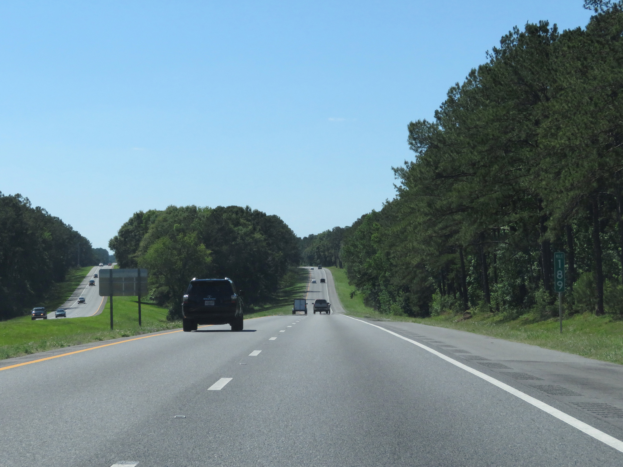 |
Interstate 10 West at mile marker 189. (Photo taken 5/25/17). |
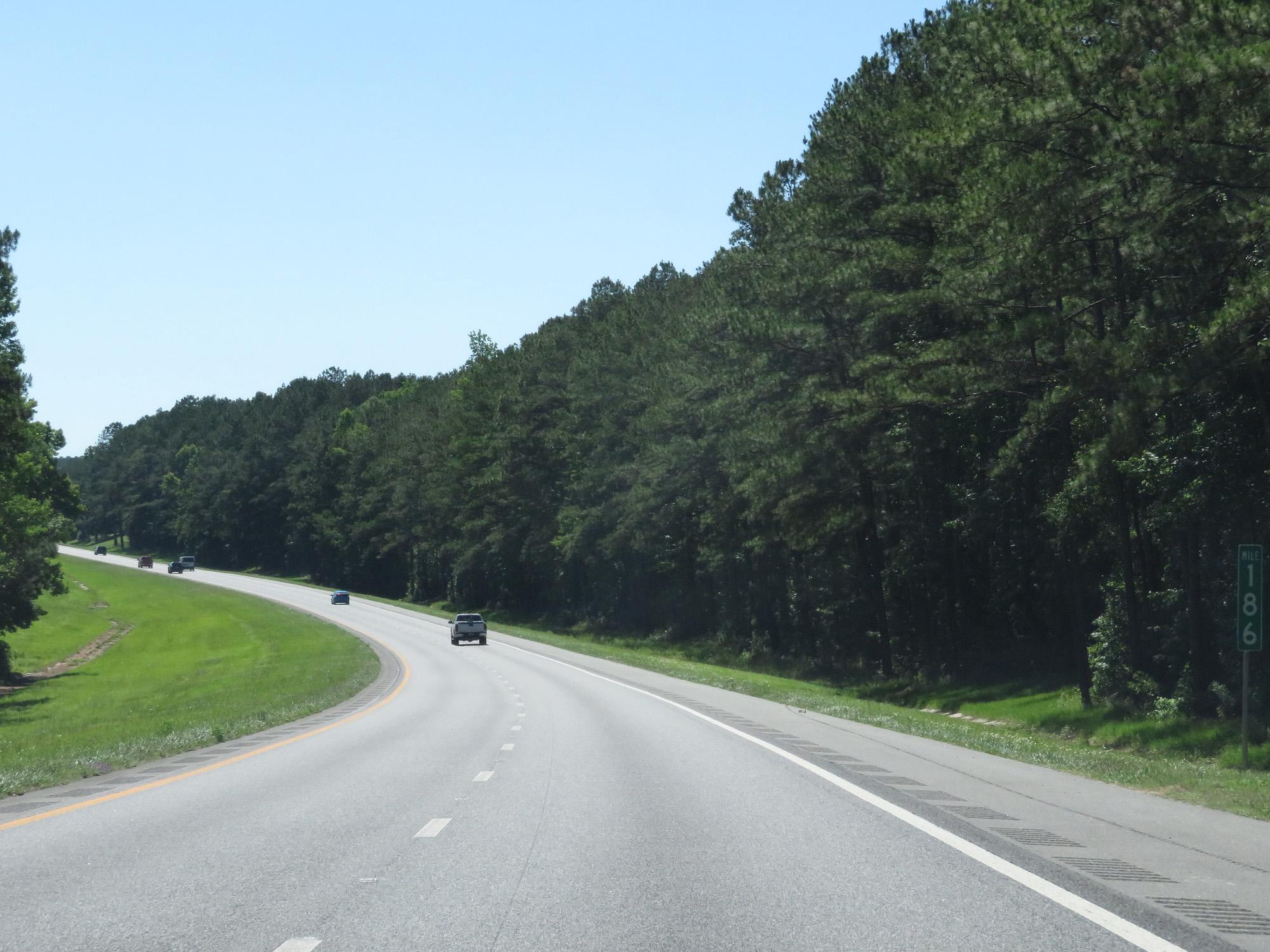 |
Interstate 10 West at mile marker 186. (Photo taken 5/25/17). |
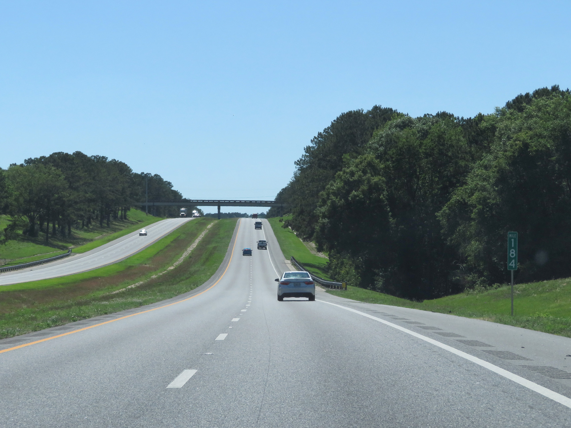 |
Interstate 10 West at mile marker 184. (Photo taken 5/25/17). |
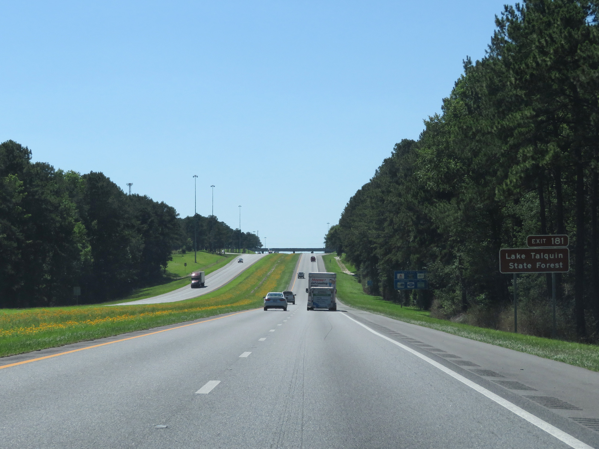 |
Take Exit 181 to Lake Talquin State Forest. (Photo taken 5/25/17). |
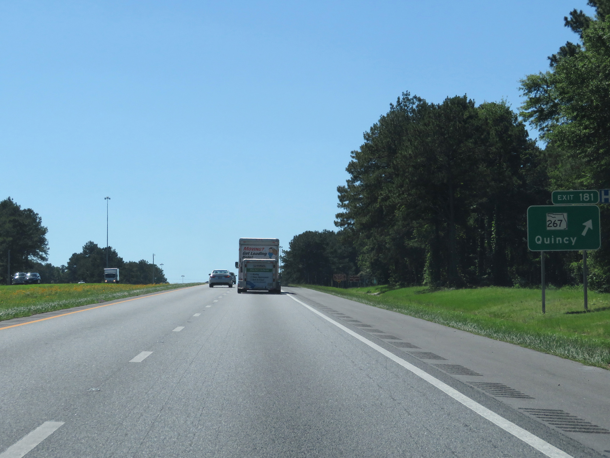 |
Interstate 10 West at Exit 181: FL 267 - Quincy (Photo taken 5/25/17). |
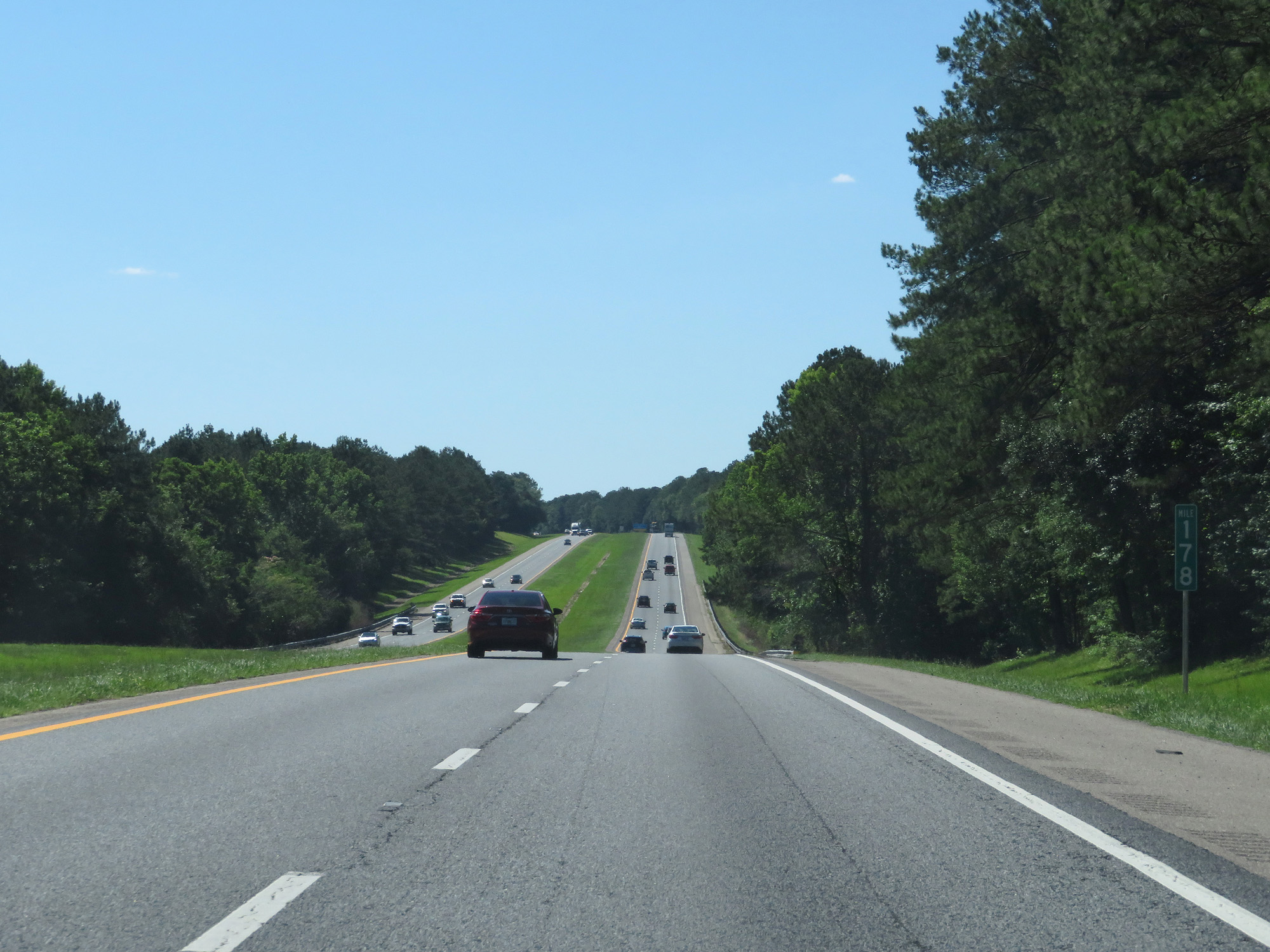 |
Interstate 10 West at mile marker 178. (Photo taken 5/25/17). |
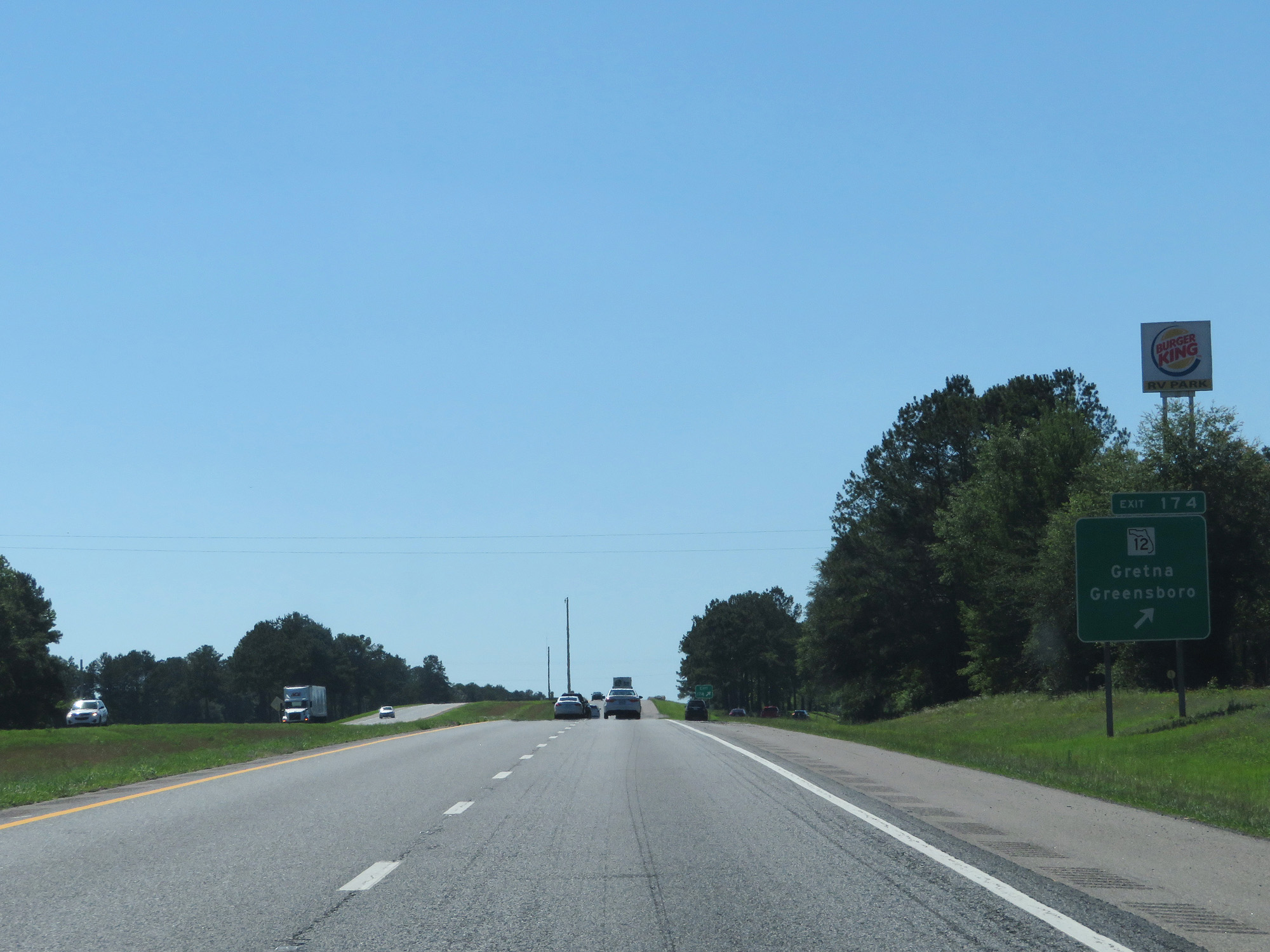 |
Interstate 10 West at Exit 174: FL 12 - Gretna / Greensboro (Photo taken 5/25/17). |
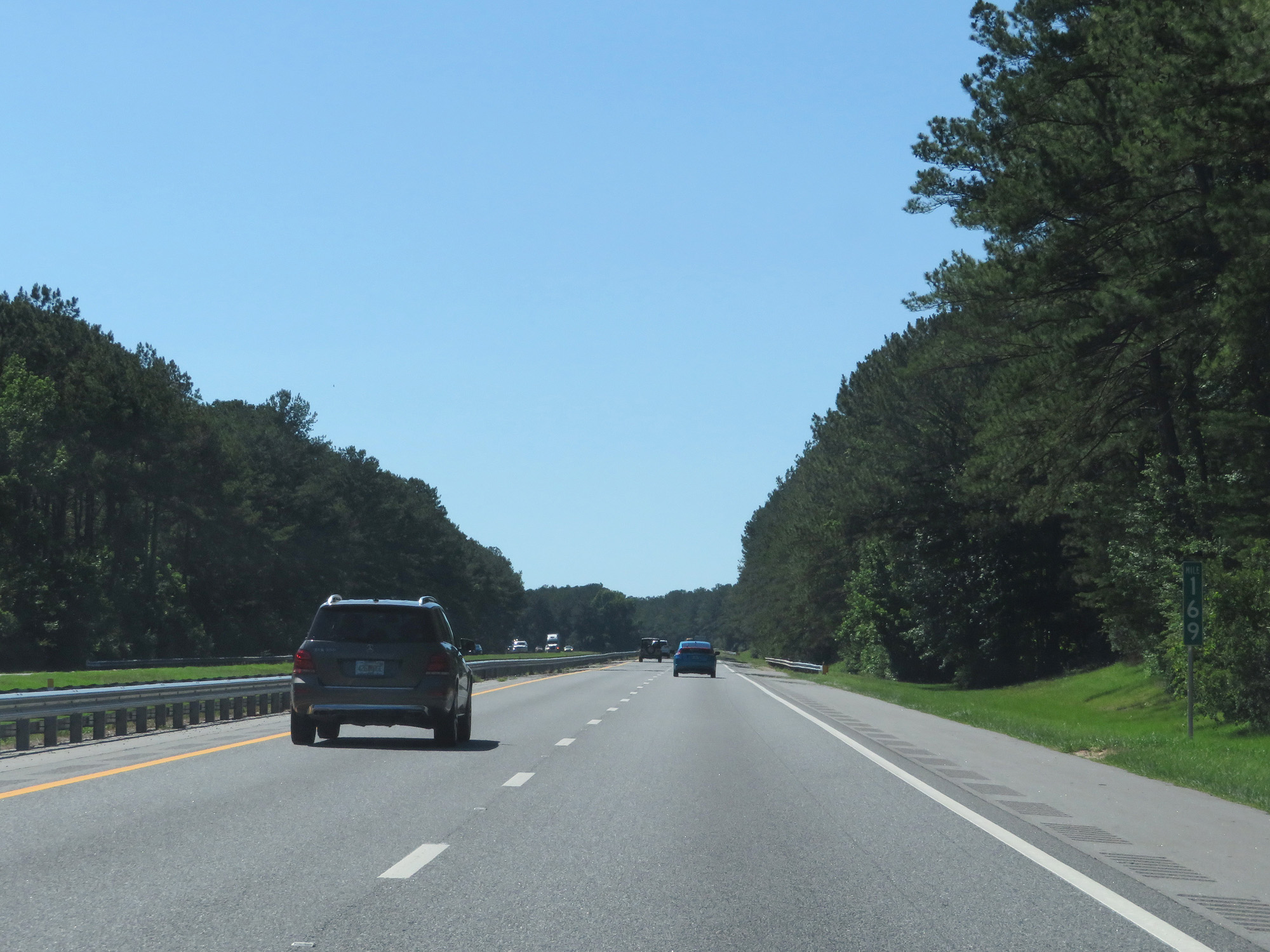 |
Interstate 10 West at mile marker 169. (Photo taken 5/25/17). |
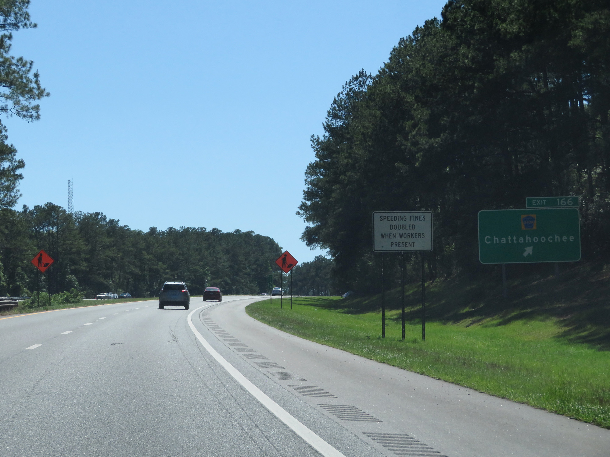 |
Interstate 10 West at Exit 166: CR 270A - Chattahoochee (Photo taken 5/25/17). |
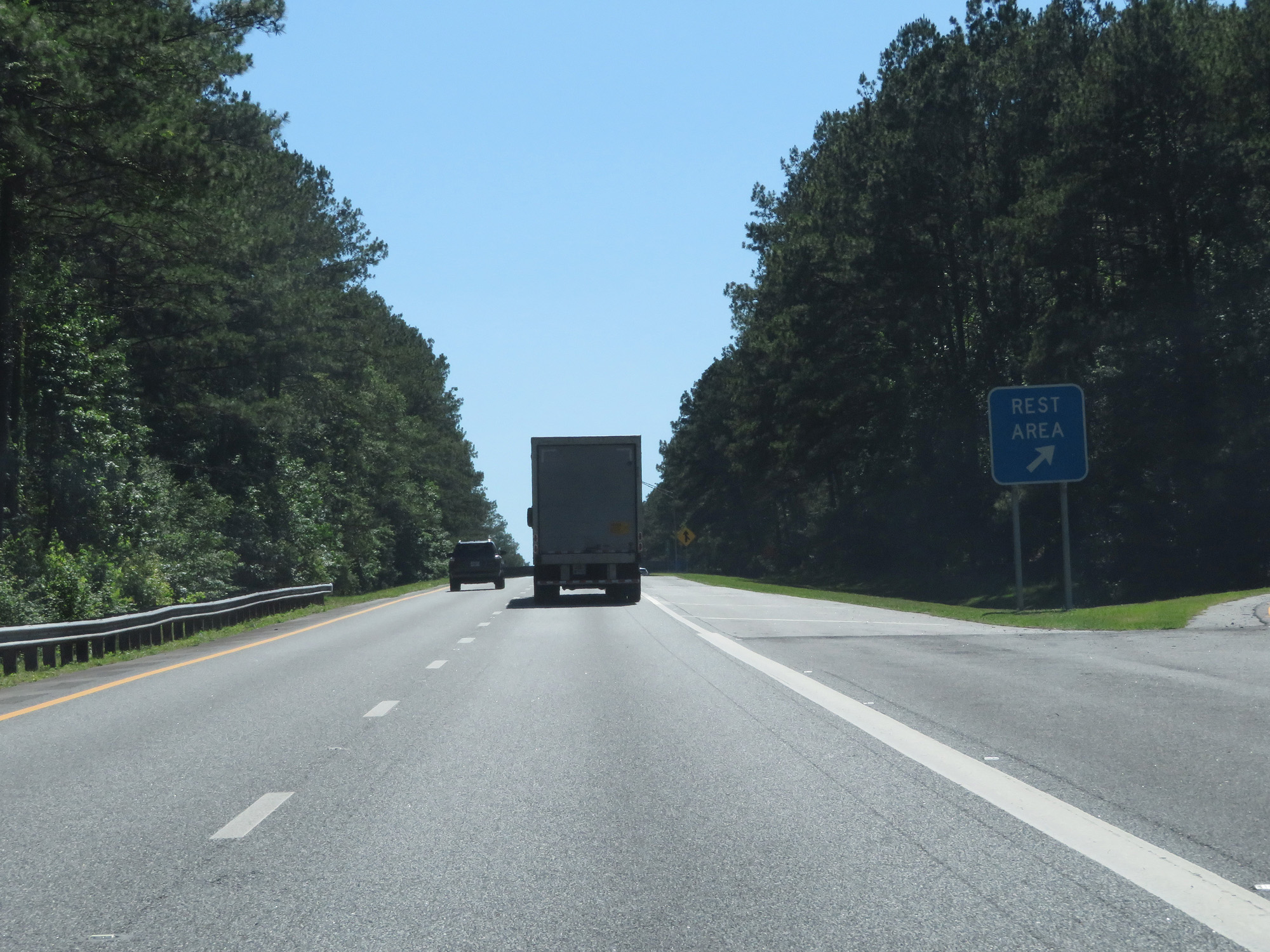 |
Interstate 10 West at the Rest Area in Gadsden County. (Photo taken 5/25/17). |
 |
Interstate 10 West entering Jackson County and the Central Time Zone. (Photo taken 5/25/17). |
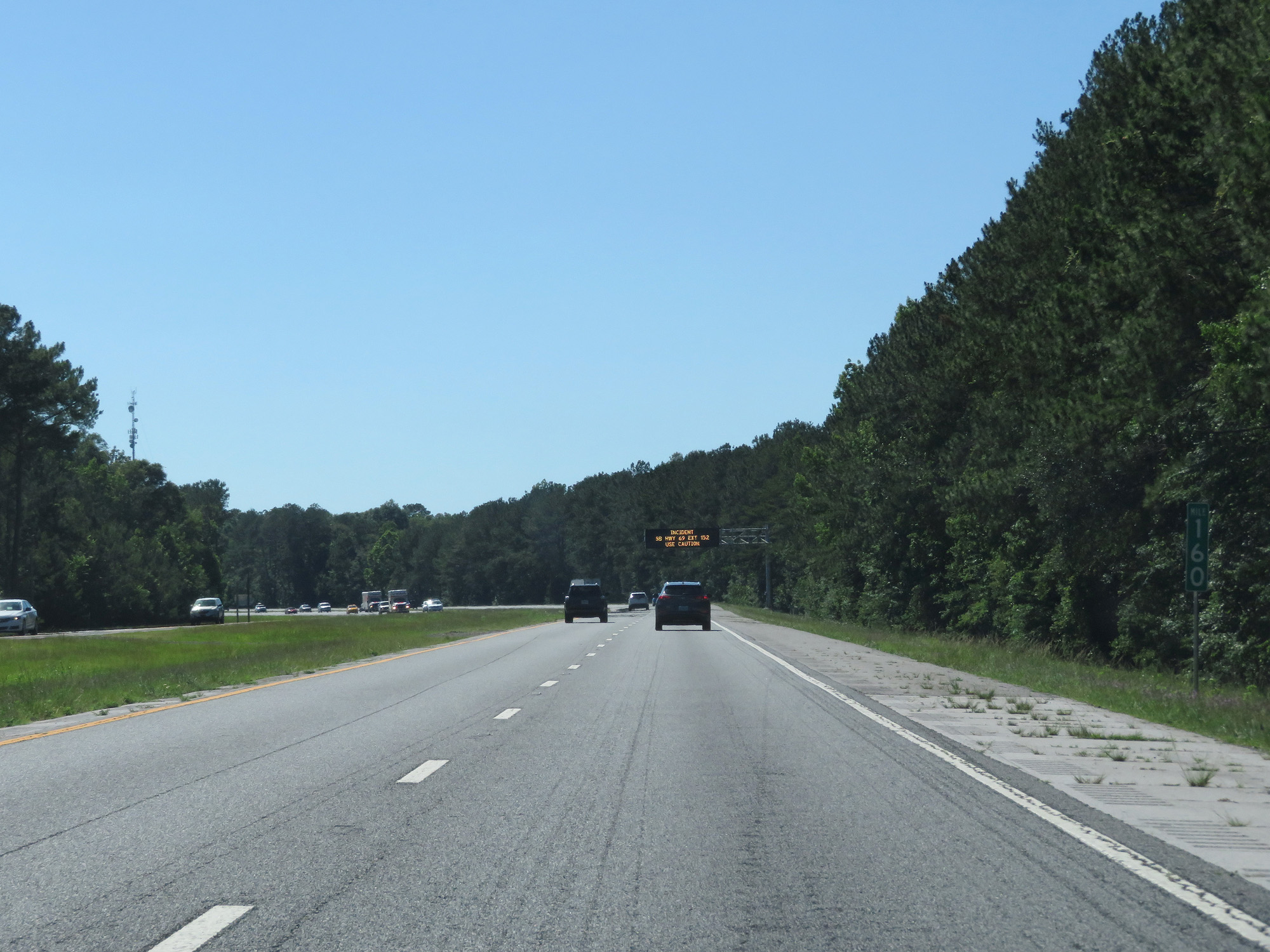 |
Interstate 10 West at mile marker 160. (Photo taken 5/25/17). |
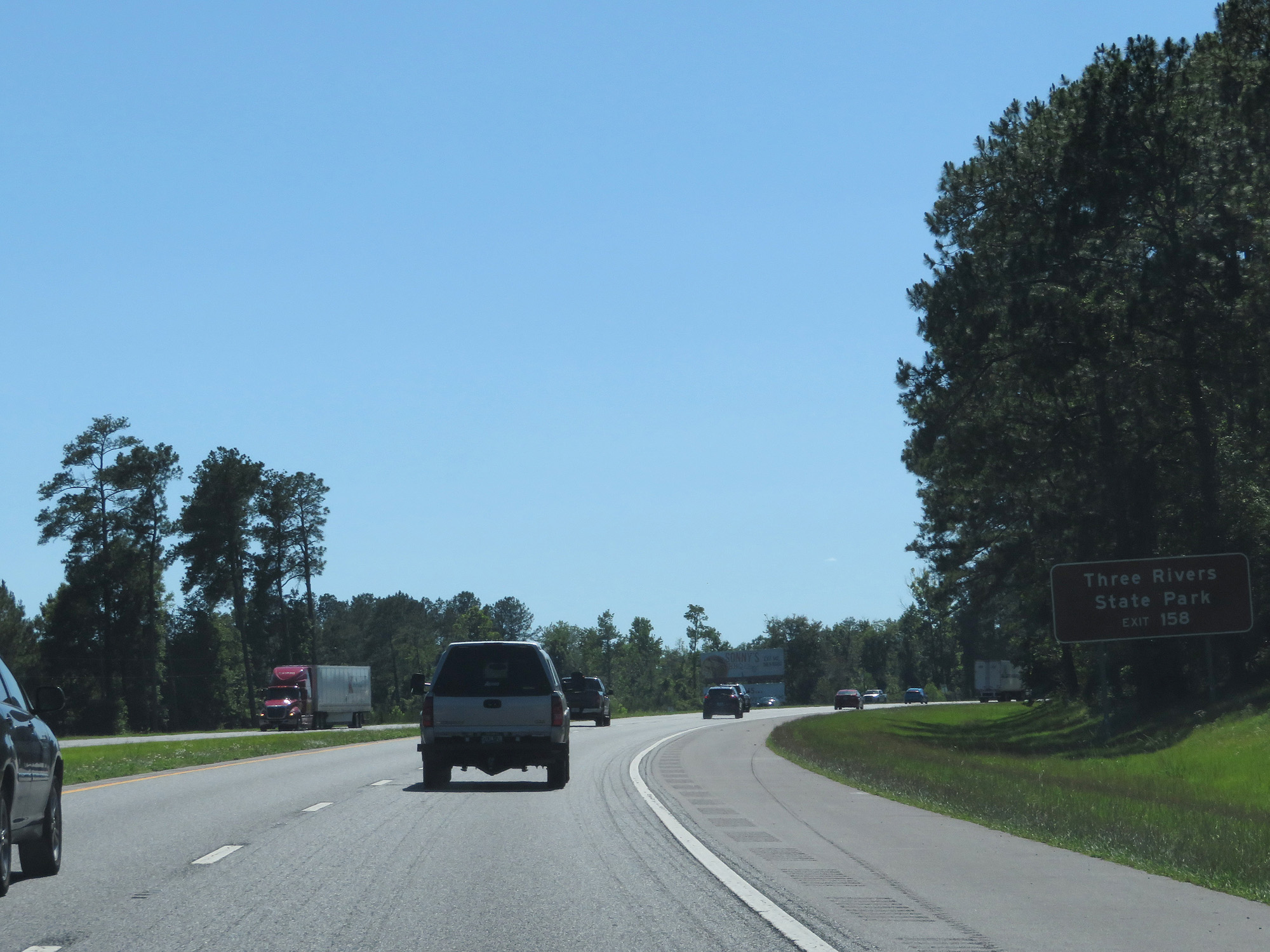 |
Take Exit 158 to Three Rivers State Park. (Photo taken 5/25/17). |
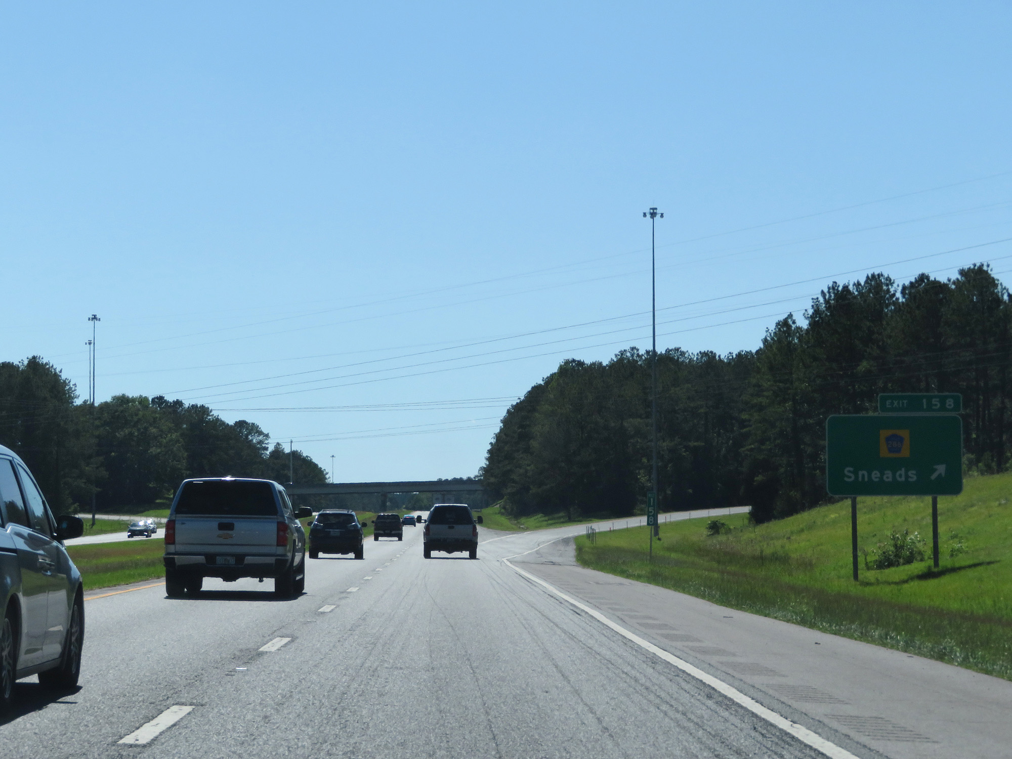 |
Interstate 10 West at Exit 158: CR 286 - Sneads (Photo taken 5/25/17). |
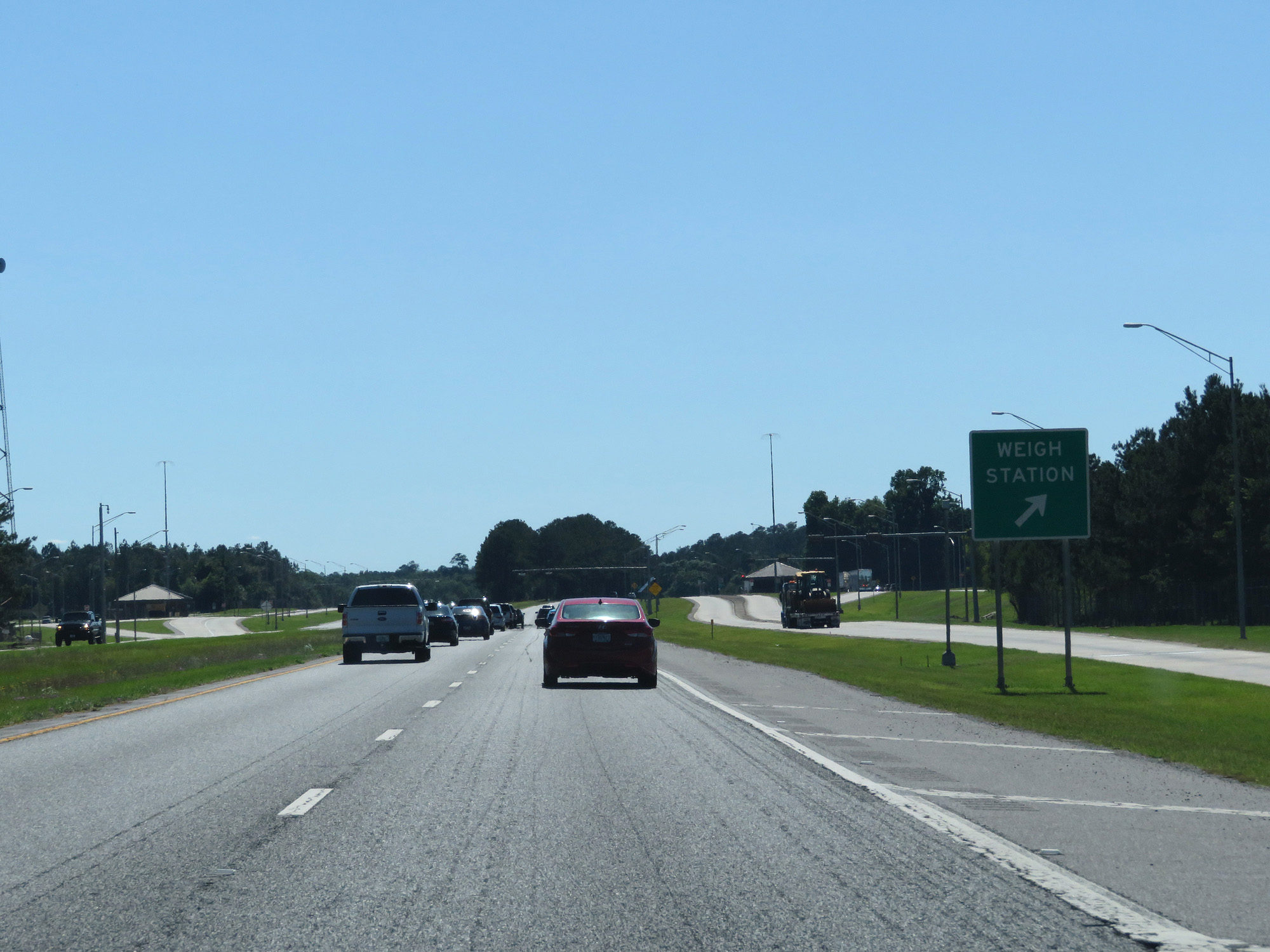 |
Interstate 10 West at the Weigh Station in Jackson County. (Photo taken 5/25/17). |
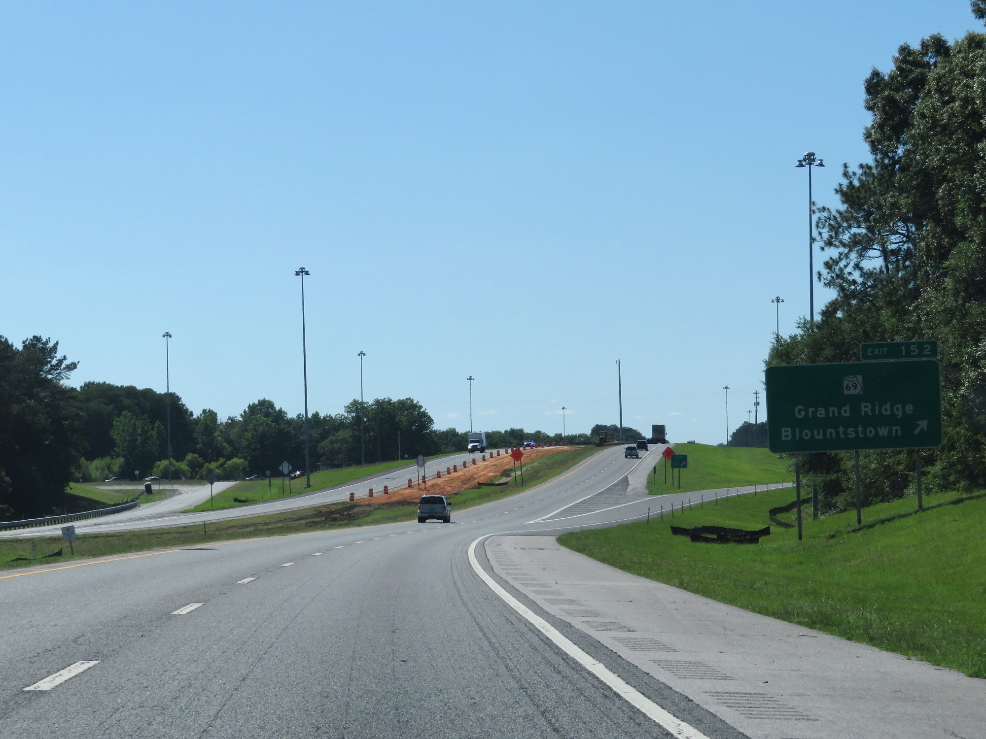 |
Interstate 10 West at Exit 152: FL 69 - Grand Ridge / Blountstown (Photo taken 5/25/17). |
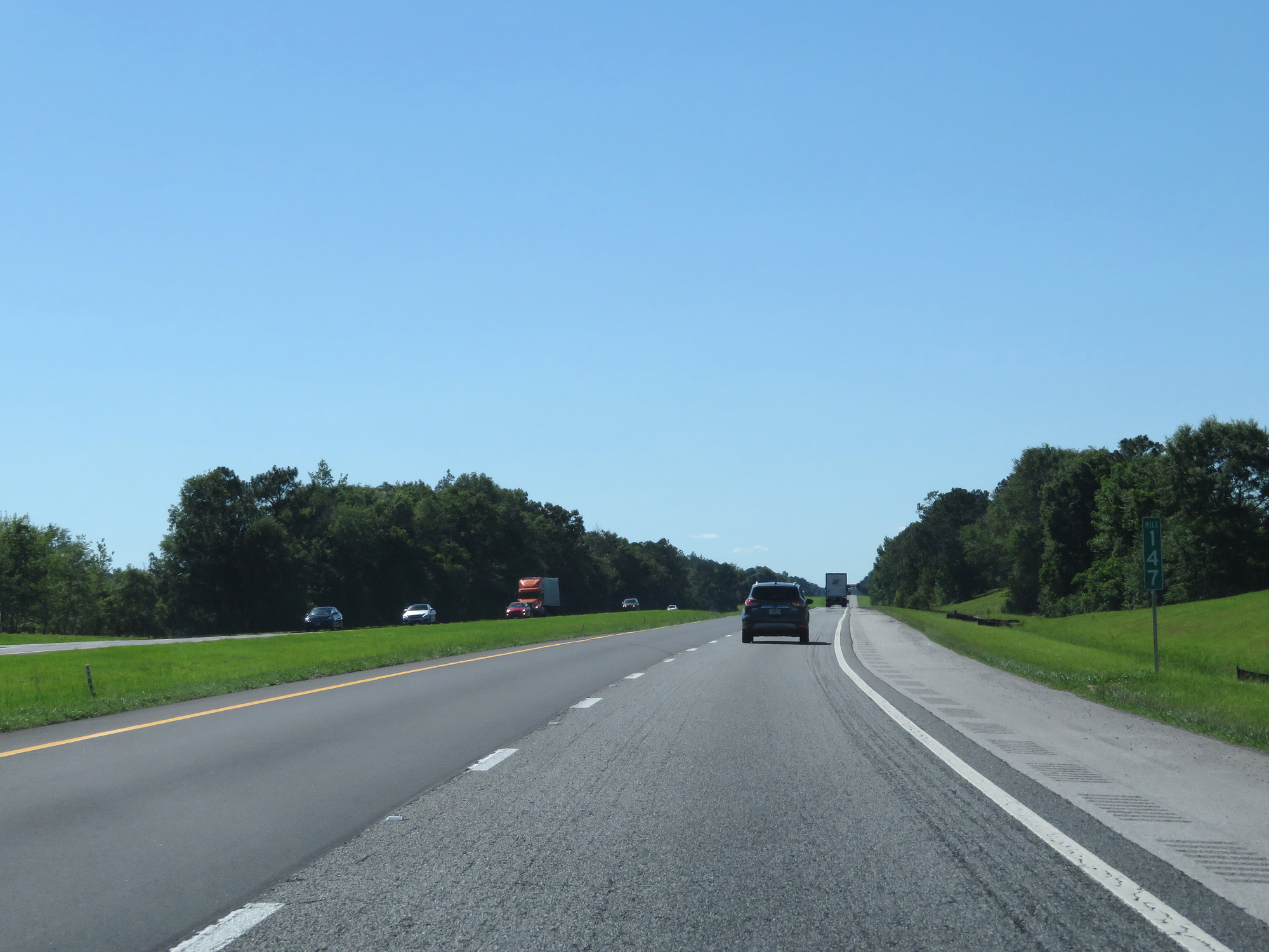 |
Interstate 10 West at mile marker 147. (Photo taken 5/25/17). |
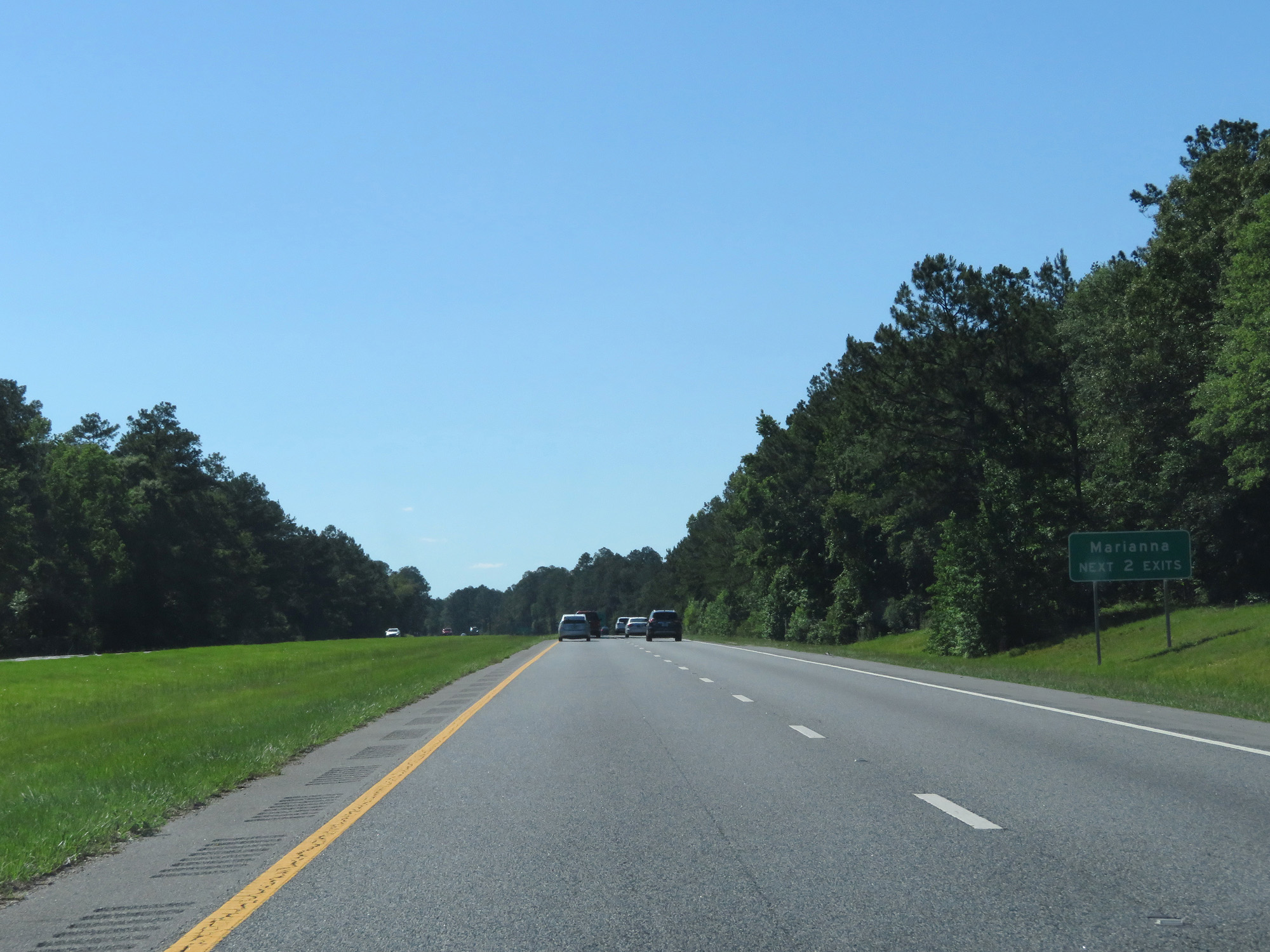 |
Take either of the next 2 exits to Marianna. (Photo taken 5/25/17). |
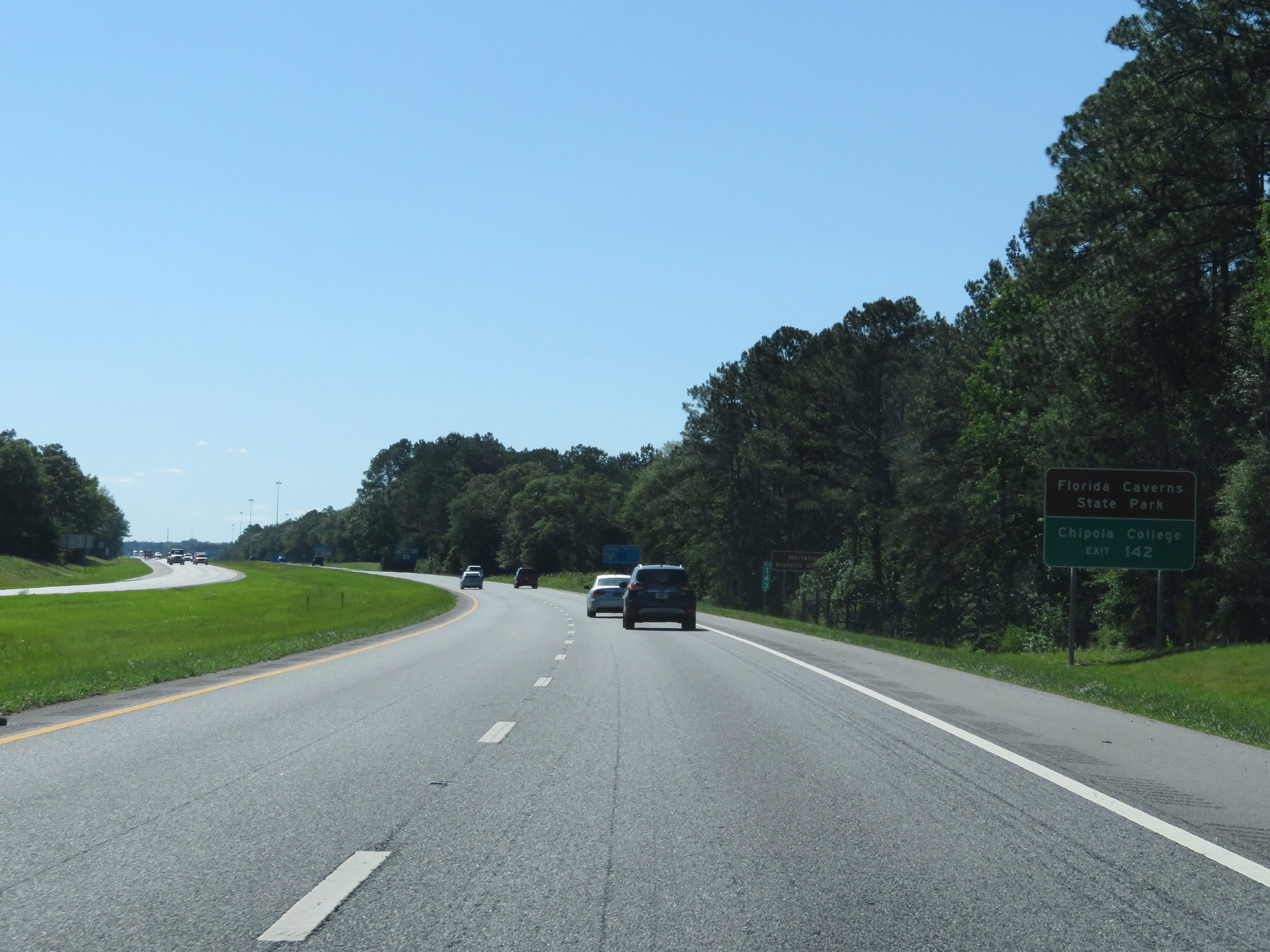 |
Take Exit 142 to Florida Caverns State Park and Chipola College. (Photo taken 5/25/17). |
 |
Interstate 10 West at Exit 142: FL 71 - Marianna / Blountstown (Photo taken 5/25/17). |
 |
Interstate 10 West at mile marker 139. (Photo taken 5/25/17). |
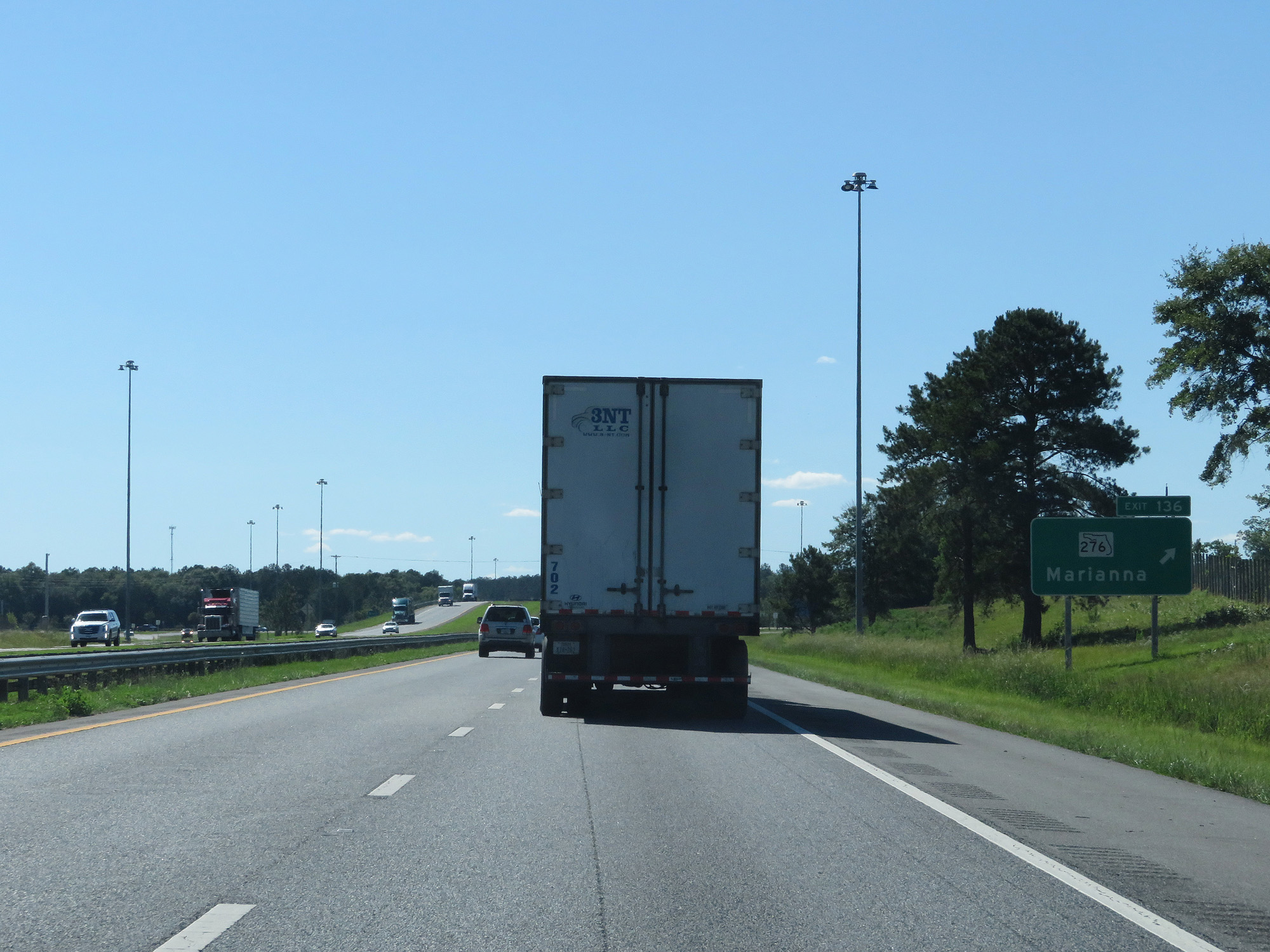 |
Interstate 10 West at Exit 136: FL 276 - Marianna (Photo taken 5/25/17). |
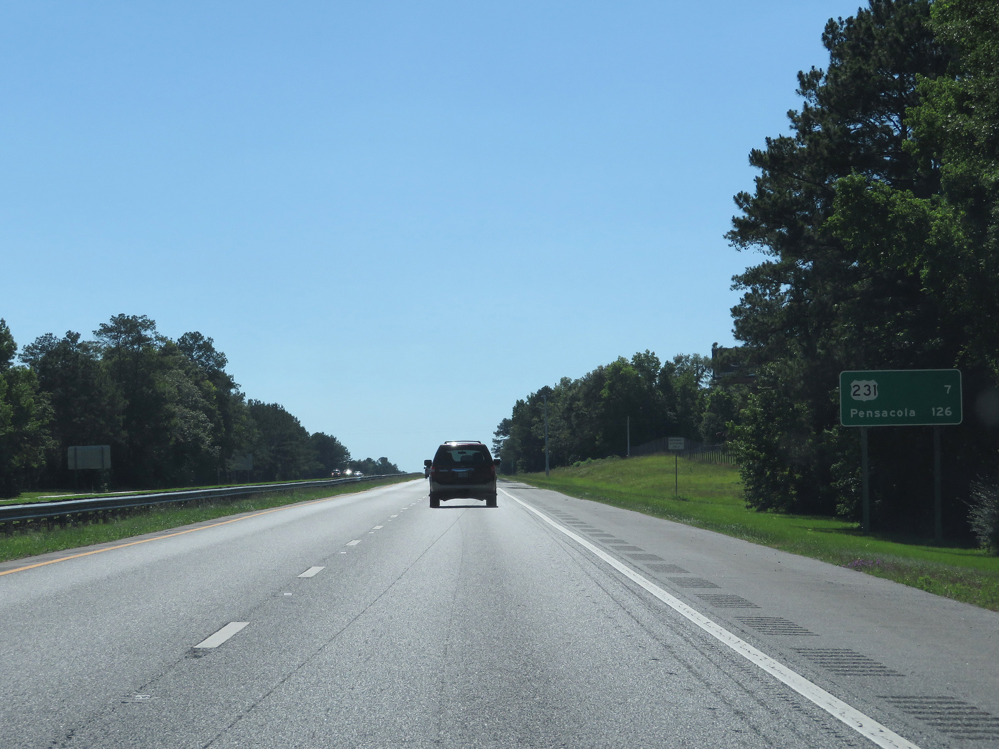 |
Mileage sign on Interstate 10 West. It's 7 miles to the junction of US 231 and 126 miles to Pensacola. (Photo taken 5/25/17). |
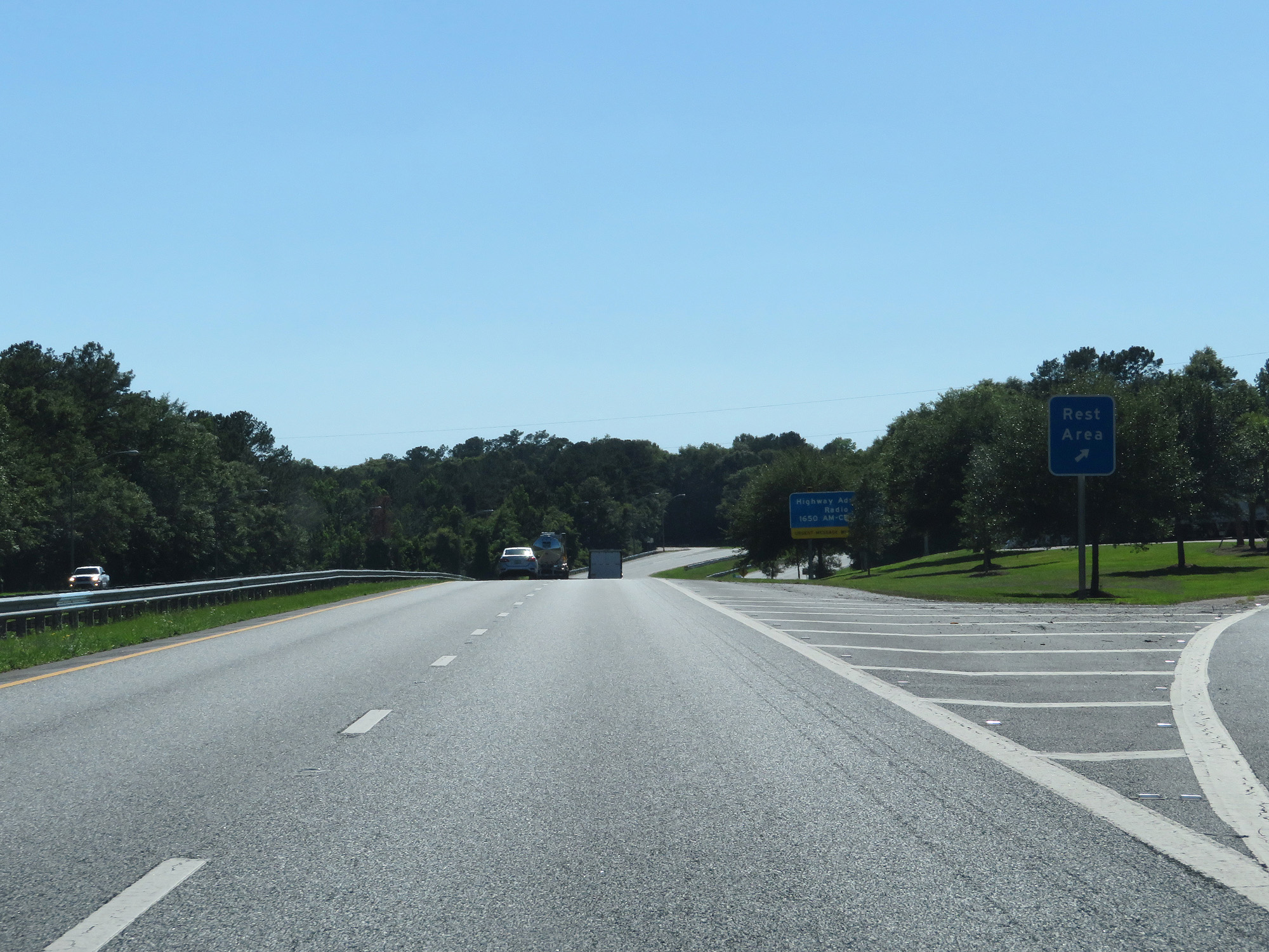 |
Interstate 10 West at the Rest Area in Jackson County. (Photo taken 5/25/17). |
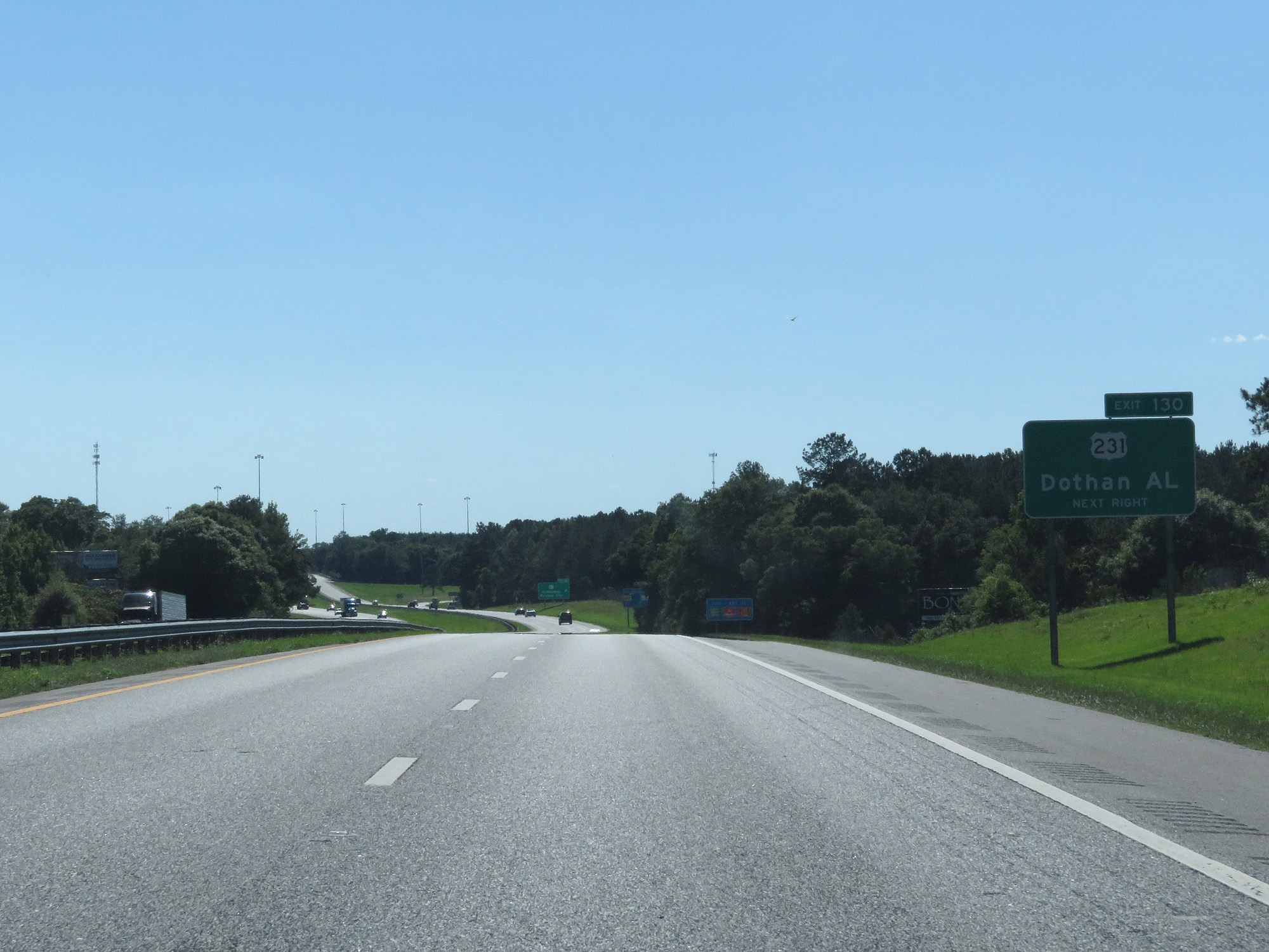 |
Take Exit 130 to Dothan, AL via US 231 North. (Photo taken 5/25/17). |
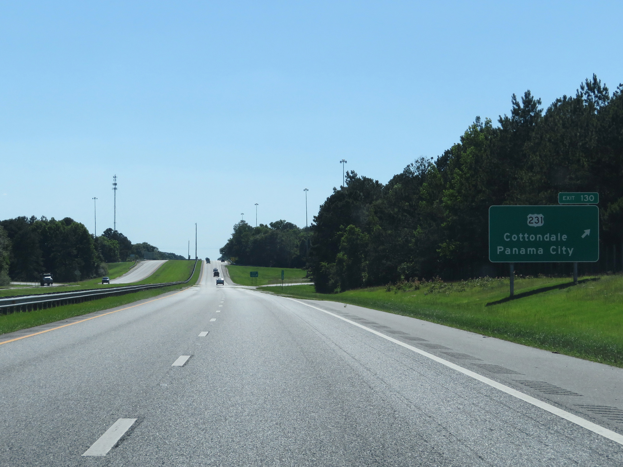 |
Interstate 10 West at Exit 130: US 231 - Cottondale / Panama City (Photo taken 5/25/17). |
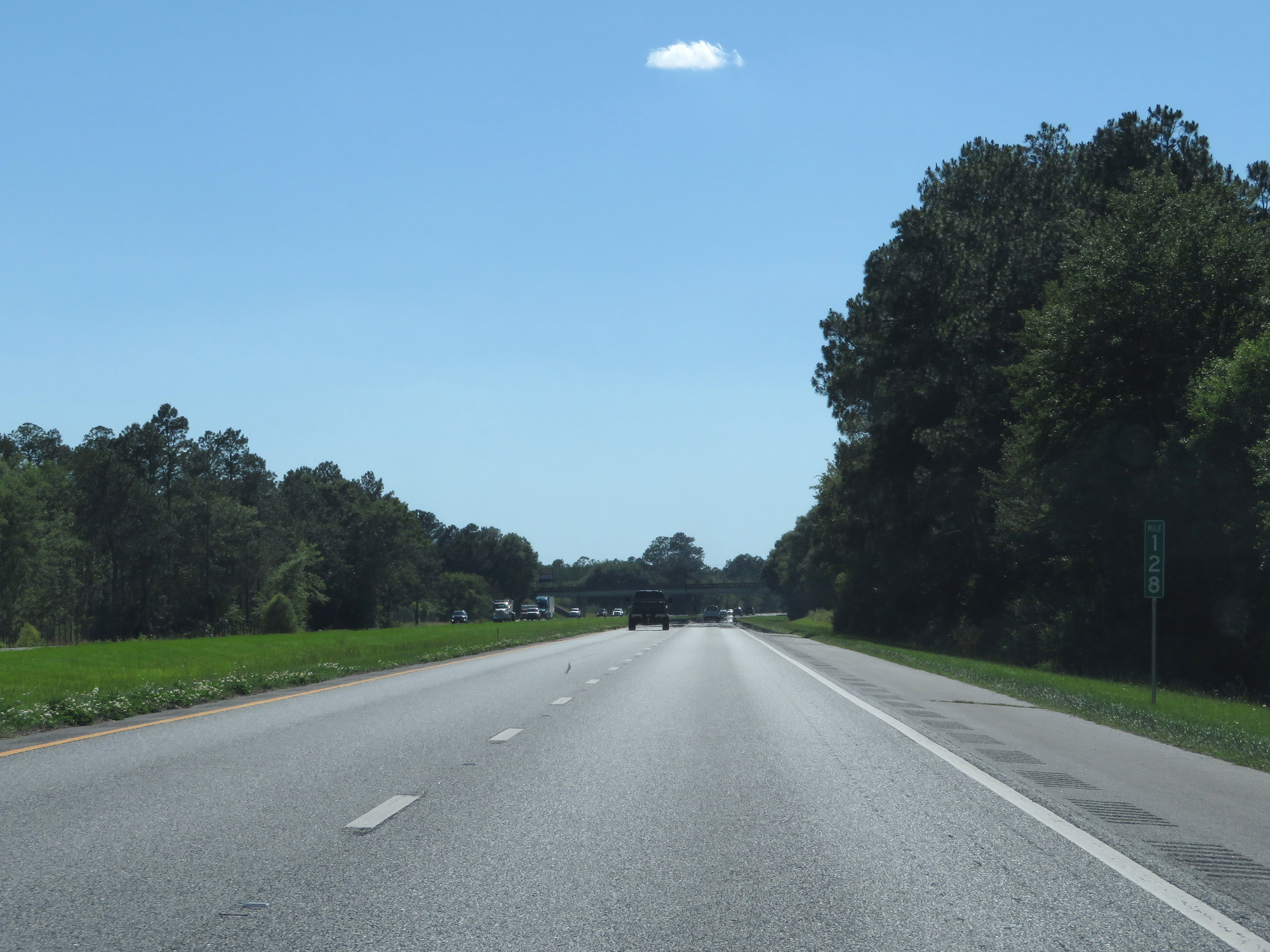 |
Interstate 10 West at mile marker 128. (Photo taken 5/25/17). |
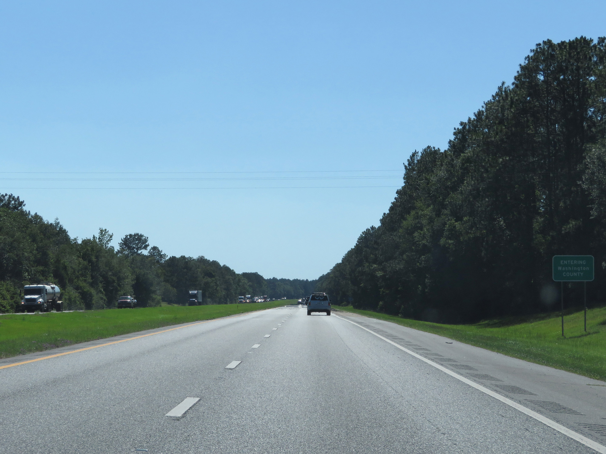 |
Interstate 10 West entering Washington County. (Photo taken 5/25/17). |
 |
Interstate 10 West at mile marker 123. (Photo taken 5/25/17). |
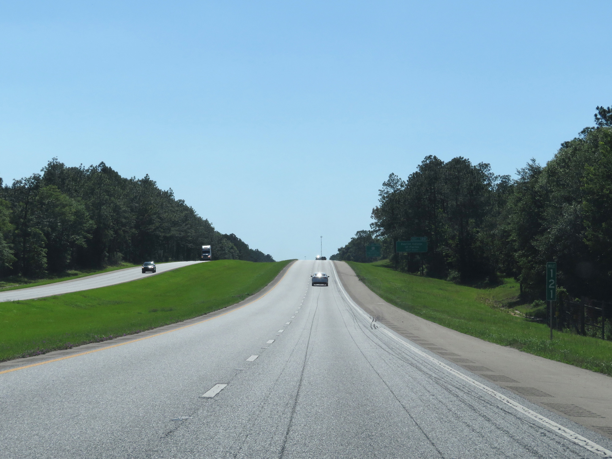 |
Interstate 10 West at mile marker 121. (Photo taken 5/25/17). |
 |
Take Exit 120 to Baptist College of Florida. (Photo taken 5/25/17). |
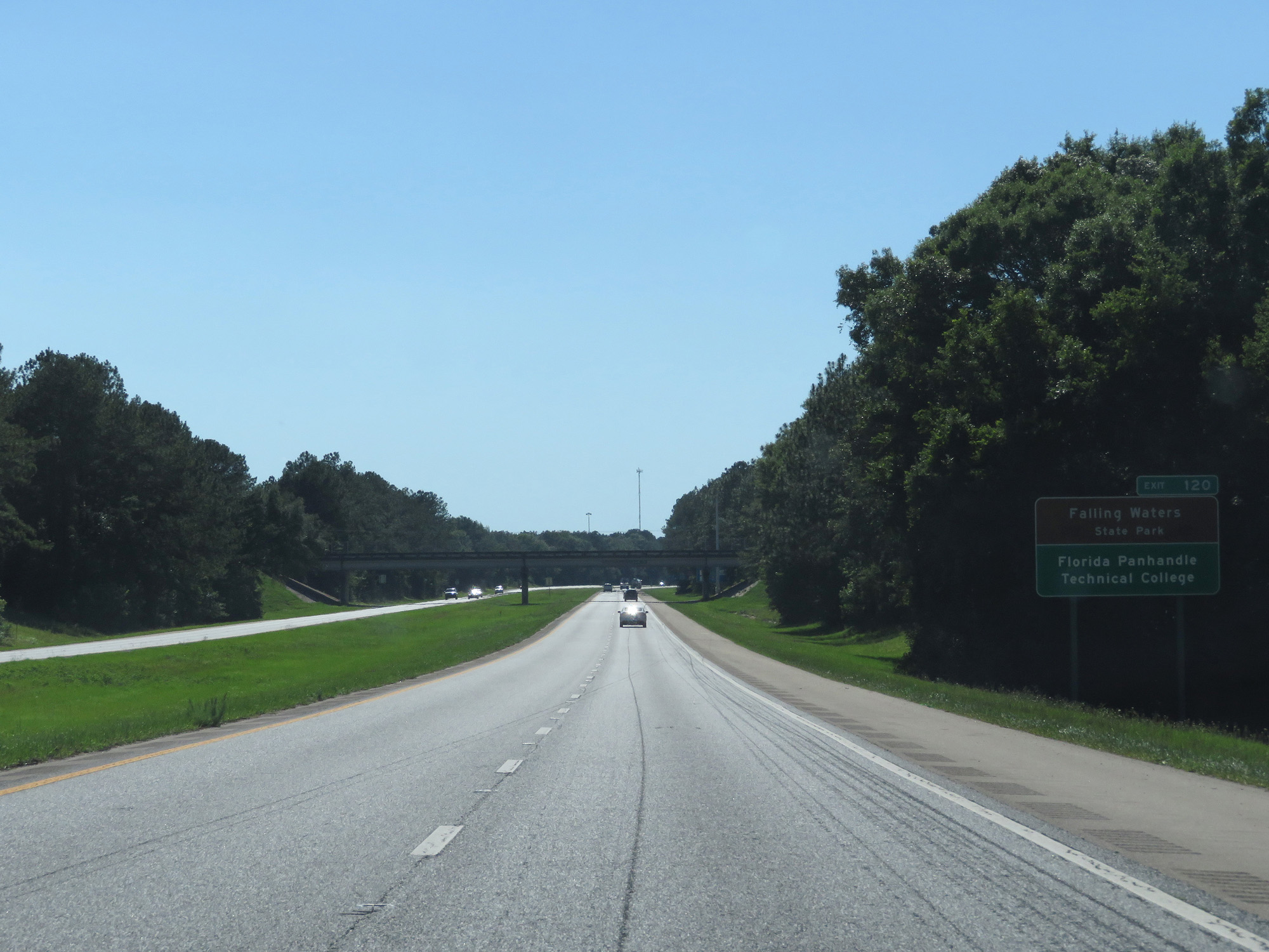 |
Also take Exit 120 to Falling Waters State Park and Florida Panhandle Technical College. (Photo taken 5/25/17). |
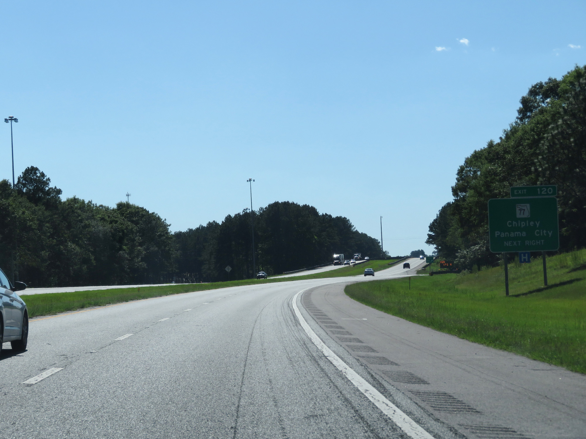 |
Interstate 10 West at Exit 120: FL 77 - Chipley / Panama City (Photo taken 5/25/17). |
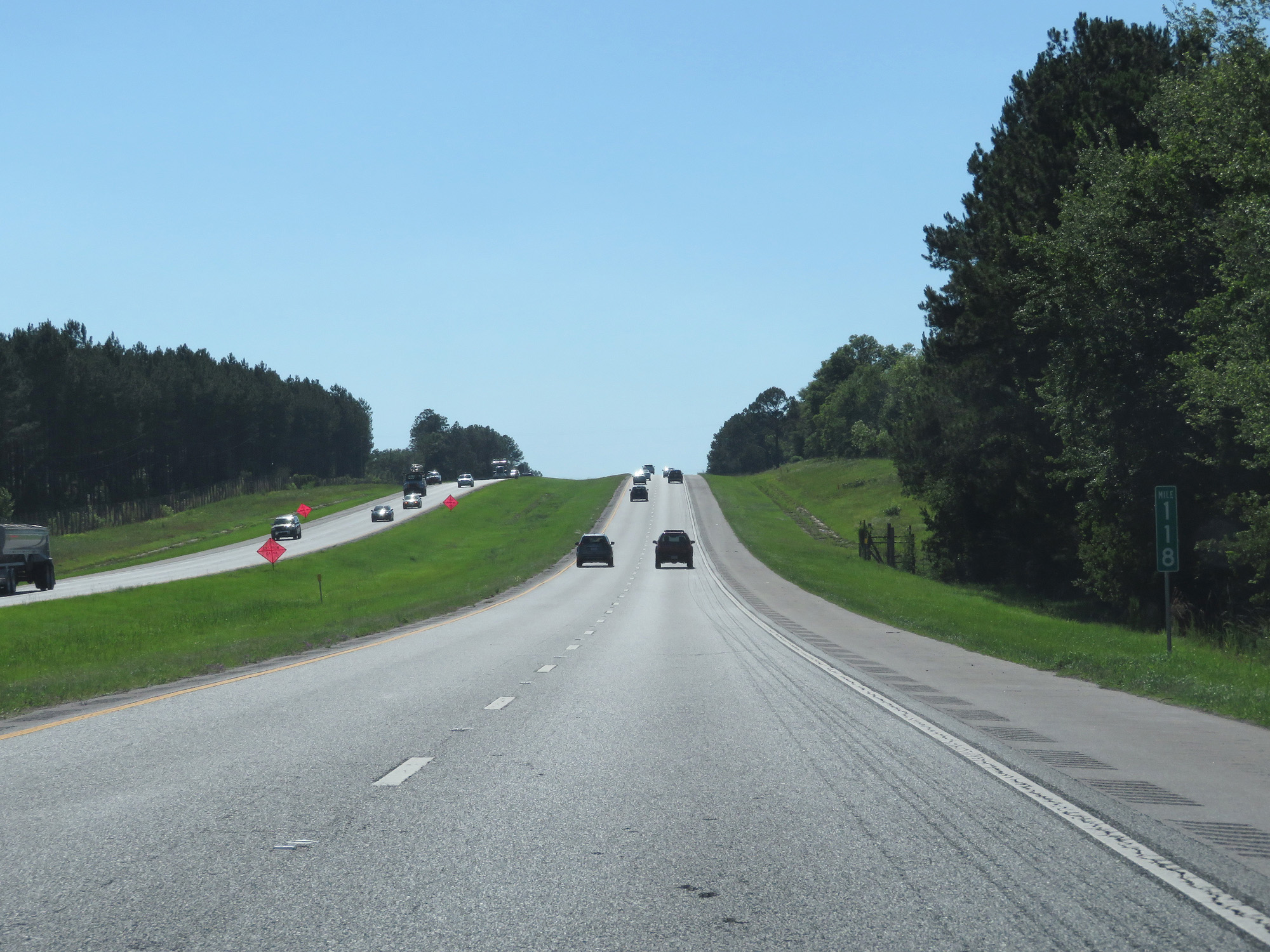 |
Interstate 10 West at mile marker 118. (Photo taken 5/25/17). |
 |
Interstate 10 West entering Holmes County. (Photo taken 5/25/17). |
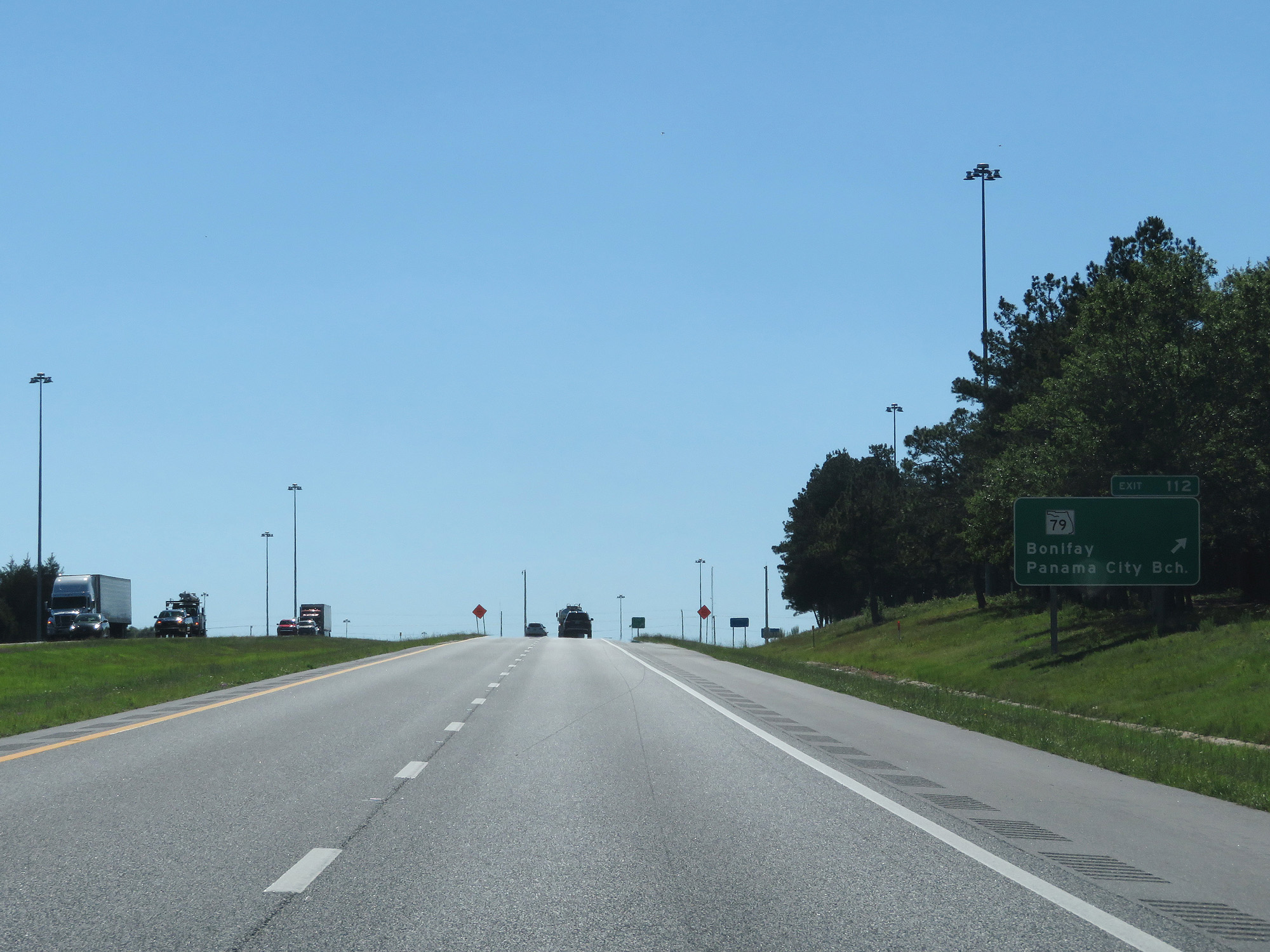 |
Interstate 10 West at Exit 116: FL 79 - Bonifay / Panama City Beach (Photo taken 5/25/17). |
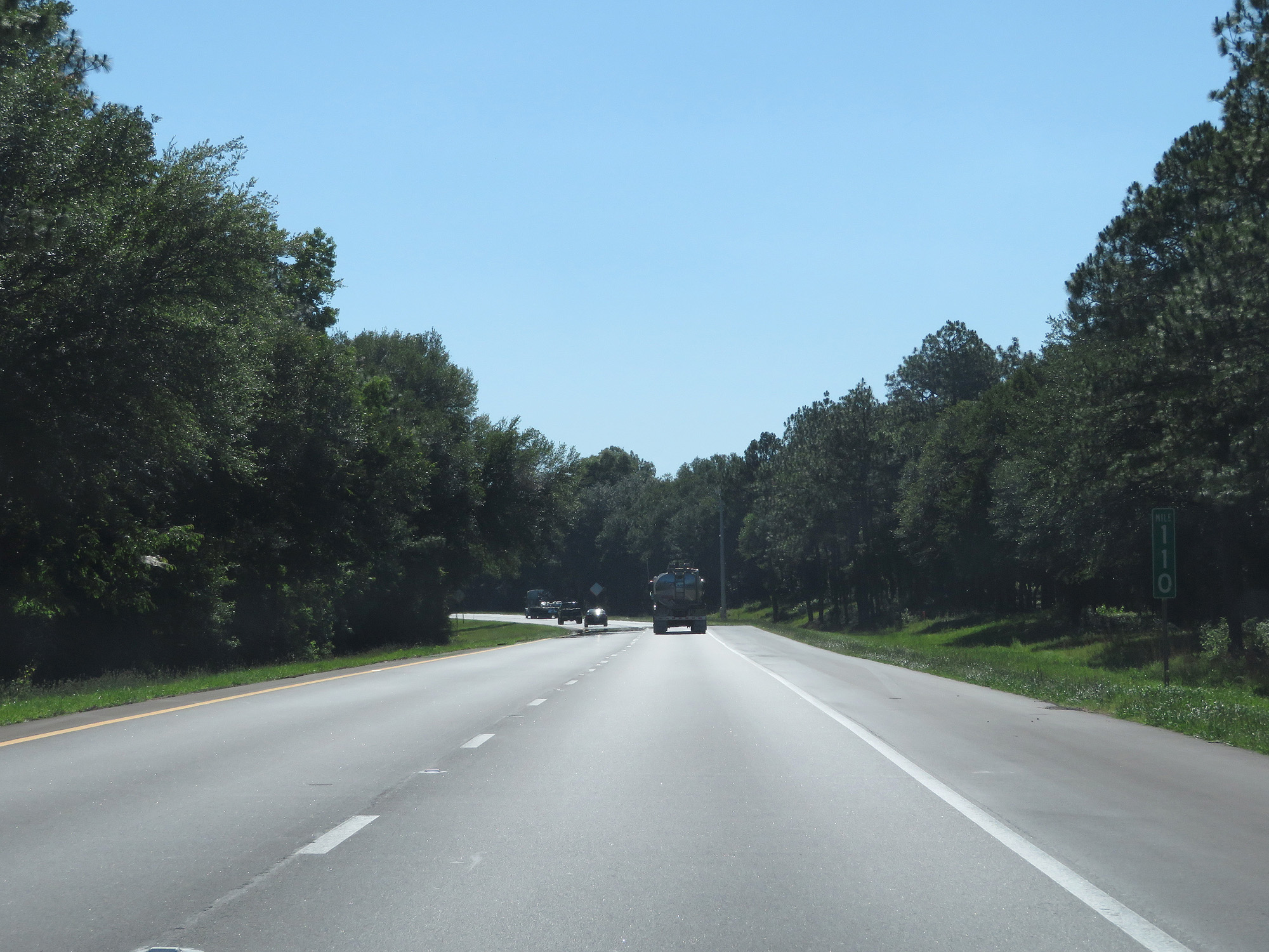 |
Interstate 10 West at mile marker 110. (Photo taken 5/25/17). |
 |
Interstate 10 West at mile marker 107. (Photo taken 5/25/17). |
 |
Interstate 10 West at Exit 104: CR 279 - Caryville (Photo taken 5/25/17). |
 |
Mileage sign on Interstate 10 West. It's 6 miles to the junction of FL 81 and 94 miles to Pensacola. (Photo taken 5/25/17). |
 |
Interstate 10 West at mile marker 99. (Photo taken 5/25/17). |
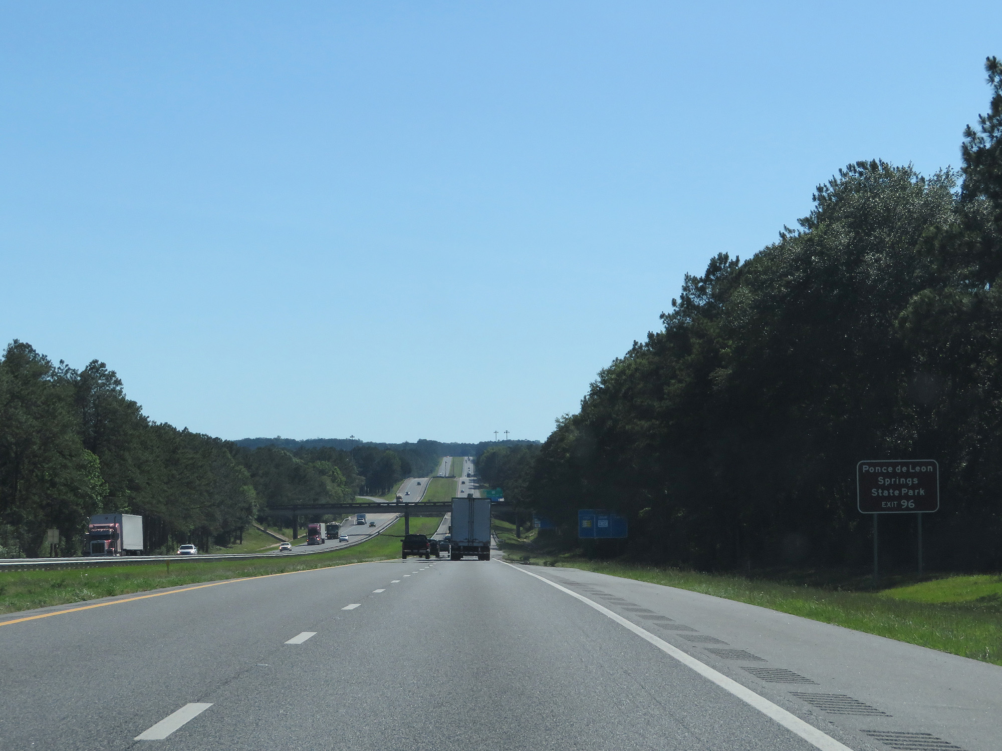 |
Take Exit 96 to Ponce de Leon Springs State Park. (Photo taken 5/25/17). |
 |
Interstate 10 West at Exit 96: FL 81 - Ponce de Leon / Rest Area (Photo taken 5/25/17). |
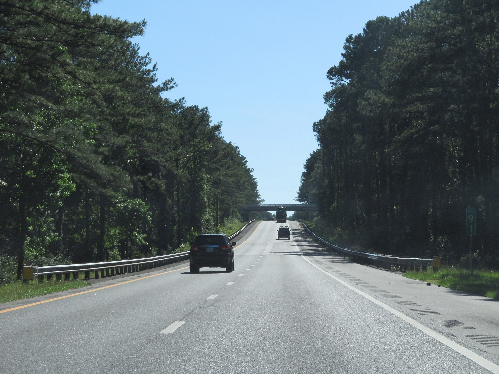 |
Interstate 10 West at mile marker 91. (Photo taken 5/25/17). |
 |
Interstate 10 West at mile marker 88. (Photo taken 5/25/17). |
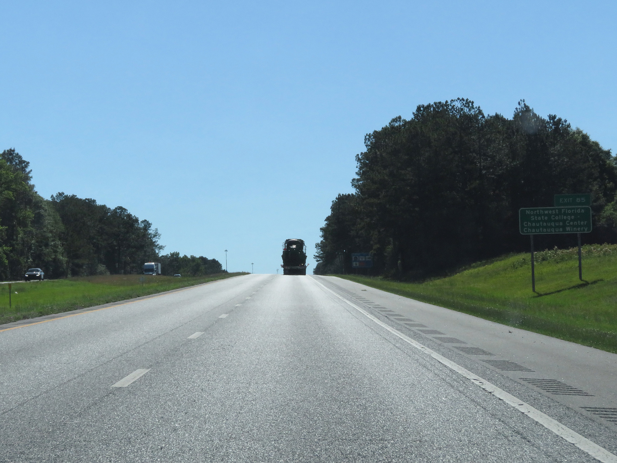 |
Take Exit 85 to Northwest Florida State College, Chautauqua Center, and Chautauqua Winery. (Photo taken 5/25/17). |
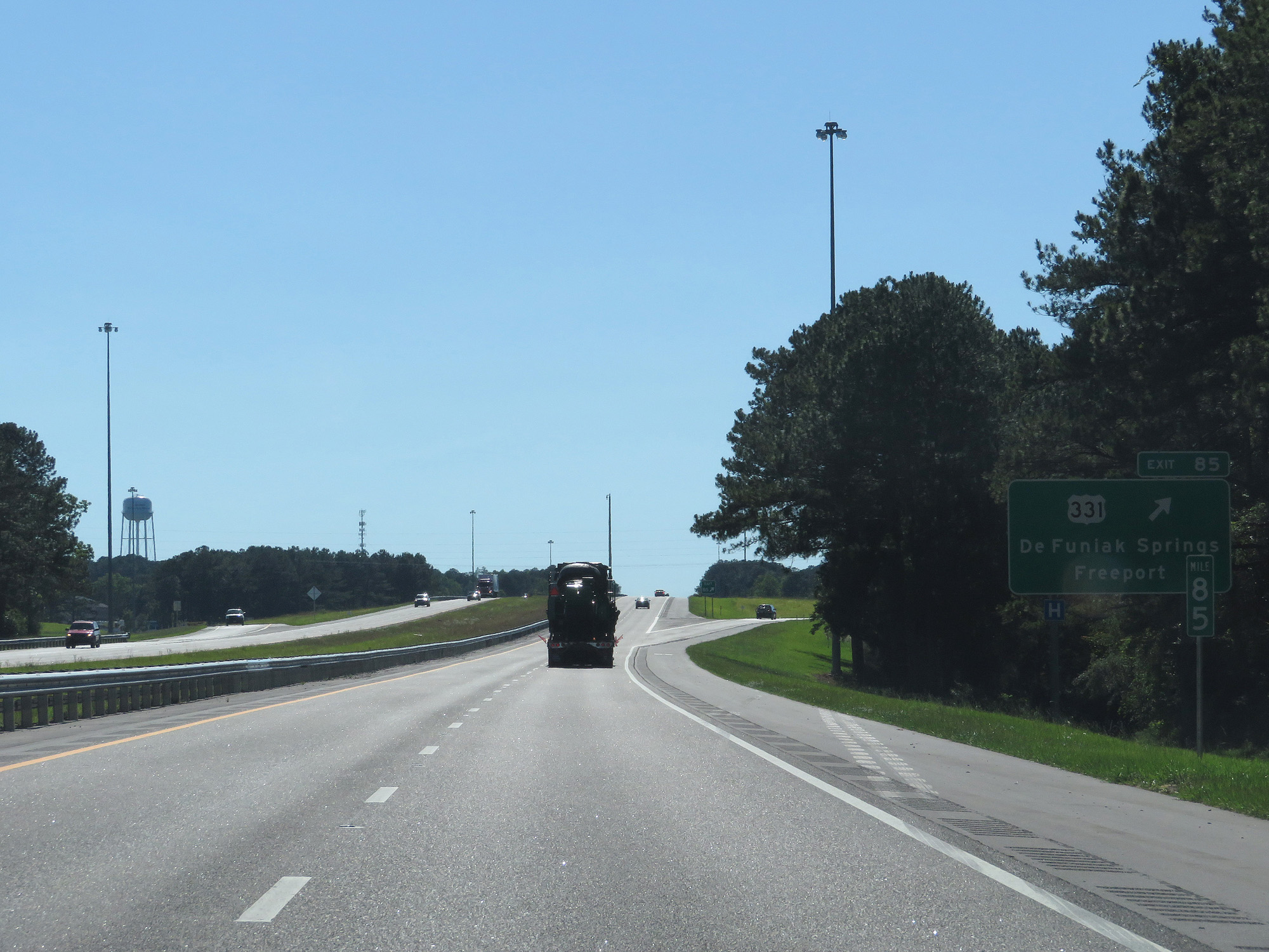 |
Interstate 10 West at Exit 85: US 331 - DeFuniak Springs / Freeport (Photo taken 5/25/17). |
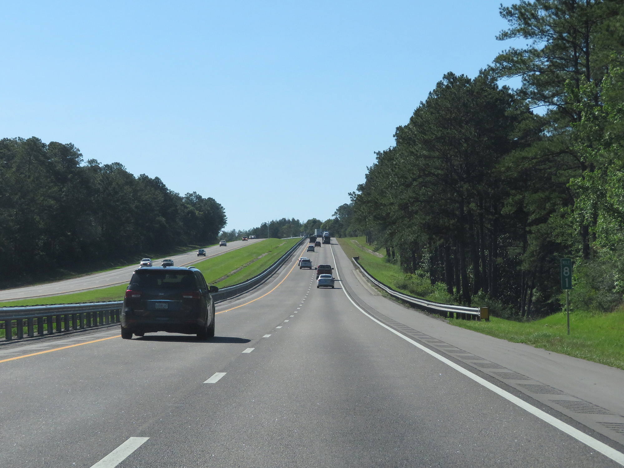 |
Interstate 10 West at mile marker 81. (Photo taken 5/25/17). |
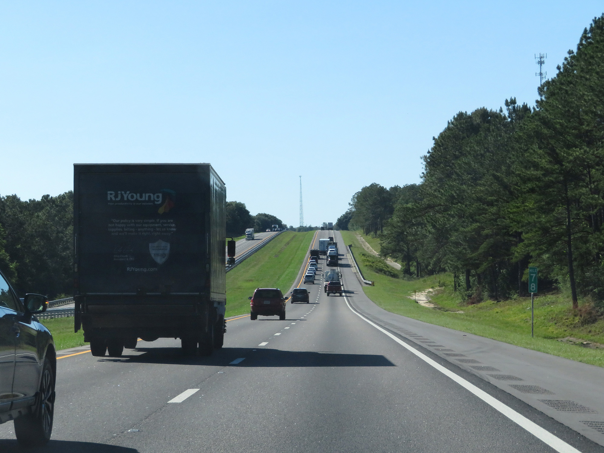 |
Interstate 10 West at mile marker 78. (Photo taken 5/25/17). |
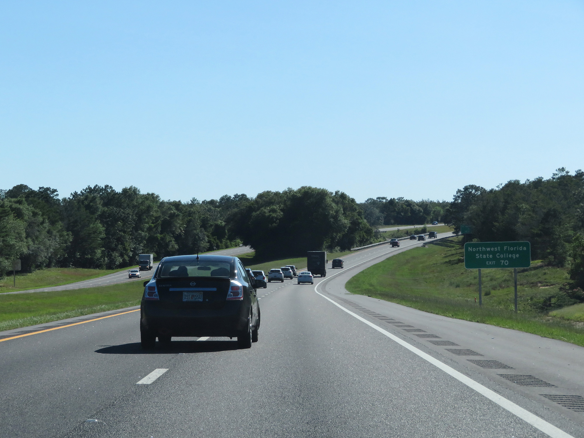 |
Take Exit 70 to Northwest Florida State College. (Photo taken 5/25/17). |
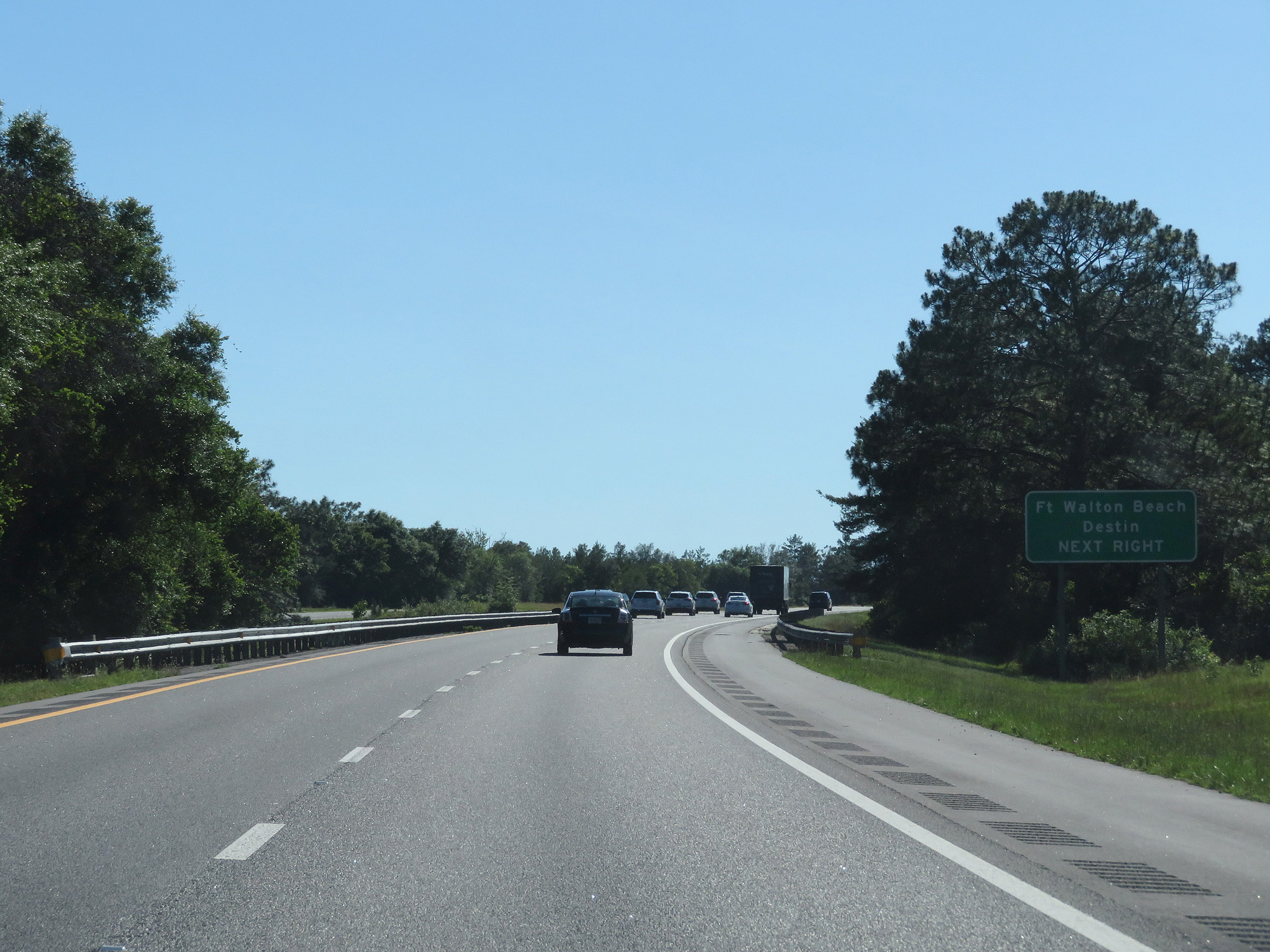 |
Also take Exit 70 to Fort Walton Beach and Destin. (Photo taken 5/25/17). |
 |
Interstate 10 West at Exit 70: FL 285 - Niceville / Eglin AFB / Hurlburt (Photo taken 5/25/17). |
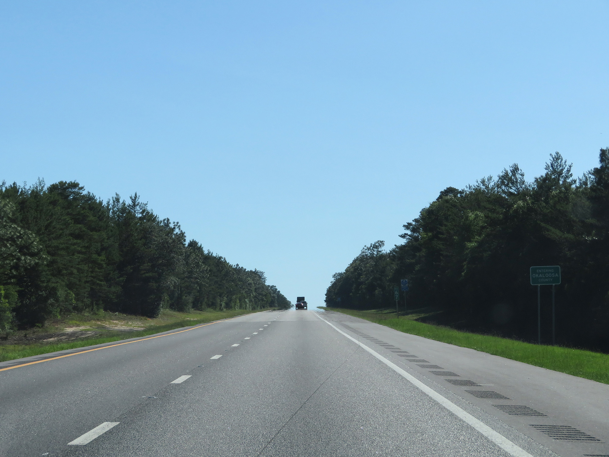 |
Interstate 10 West entering Oskaloosa County. (Photo taken 5/25/17). |
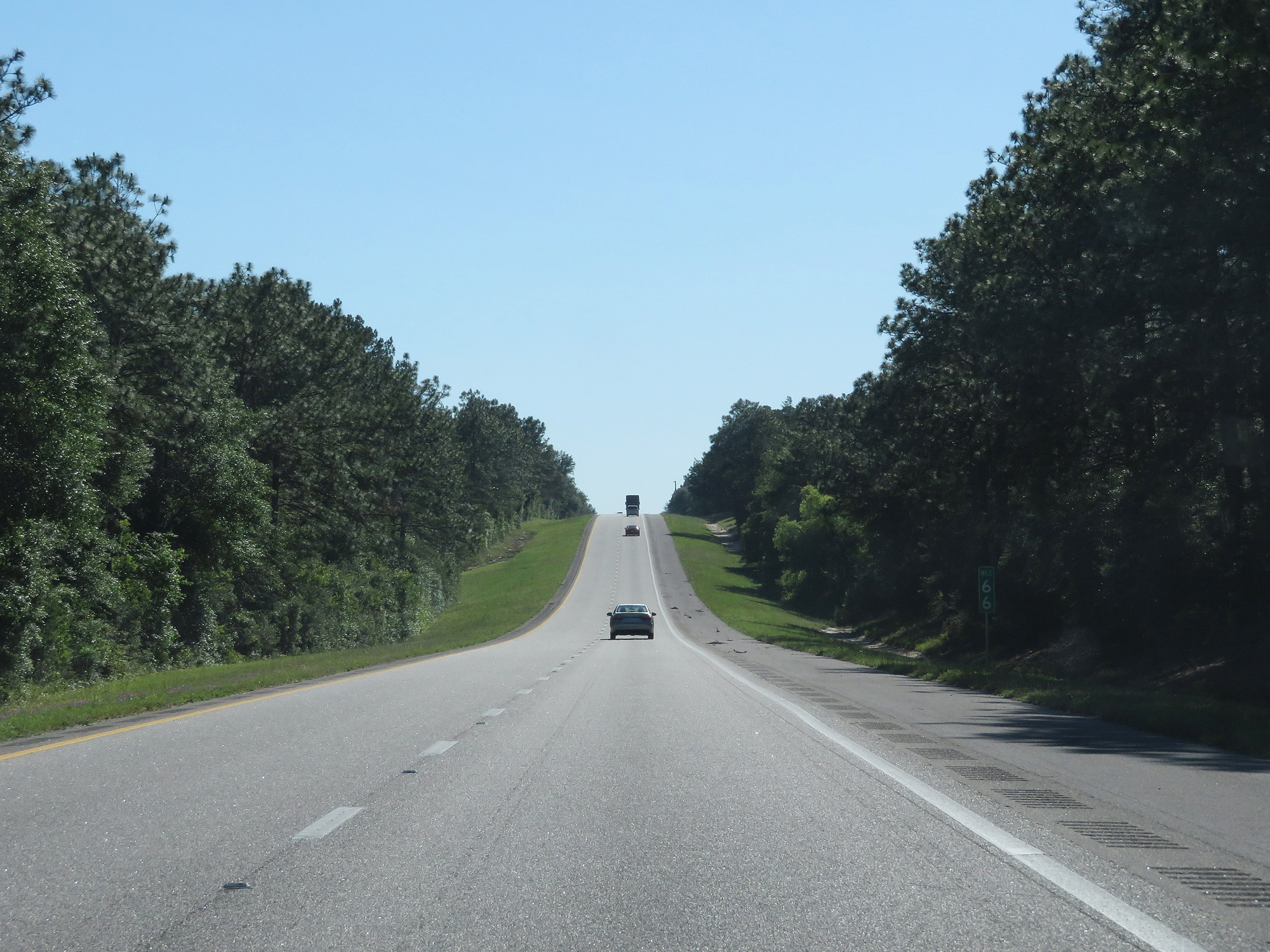 |
Interstate 10 West at mile marker 66. (Photo taken 5/25/17). |
 |
Interstate 10 West at the Rest Area in Oskaloosa County. (Photo taken 5/25/17). |
 |
Take Exit 56 to Eglin AFB and Fort Walton Beach. (Photo taken 5/25/17). |
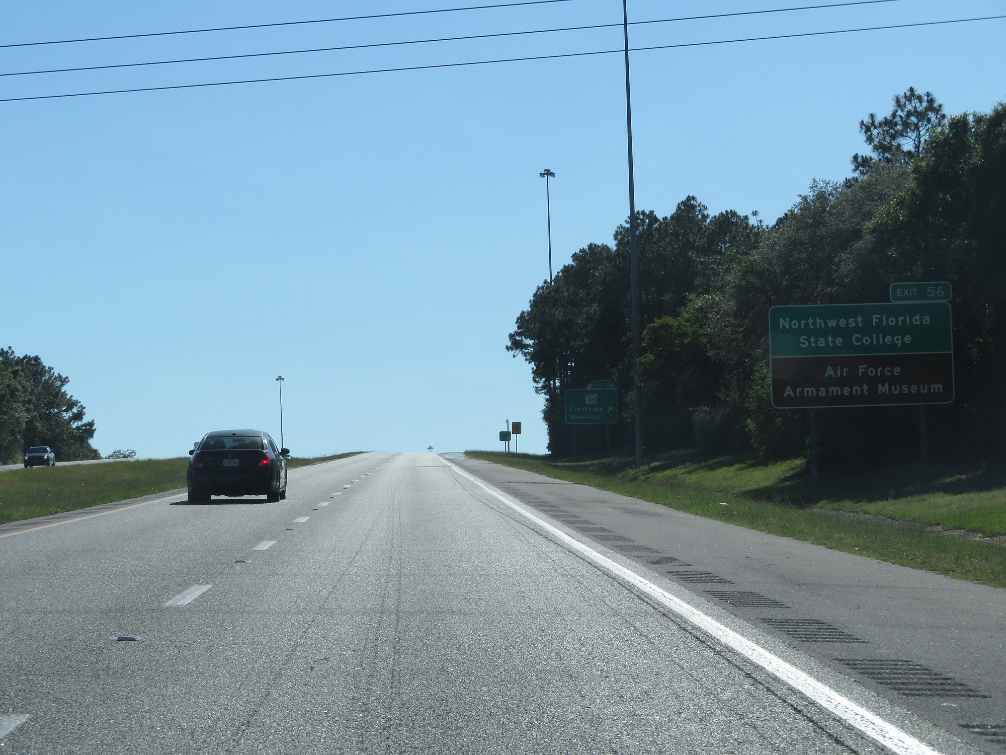 |
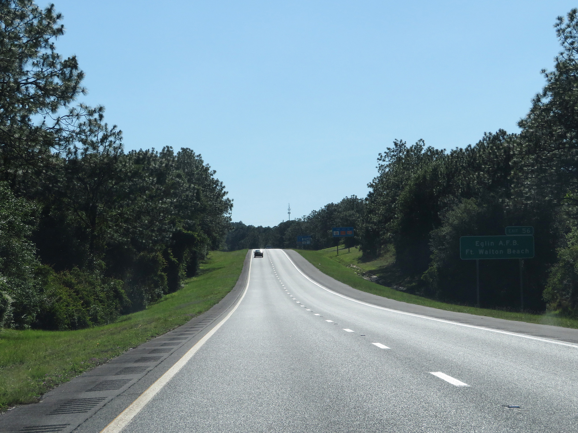
Also take Exit 56 to Northwest Florida State College and the Air Force Armament Museum. (Photo taken 5/25/17). |
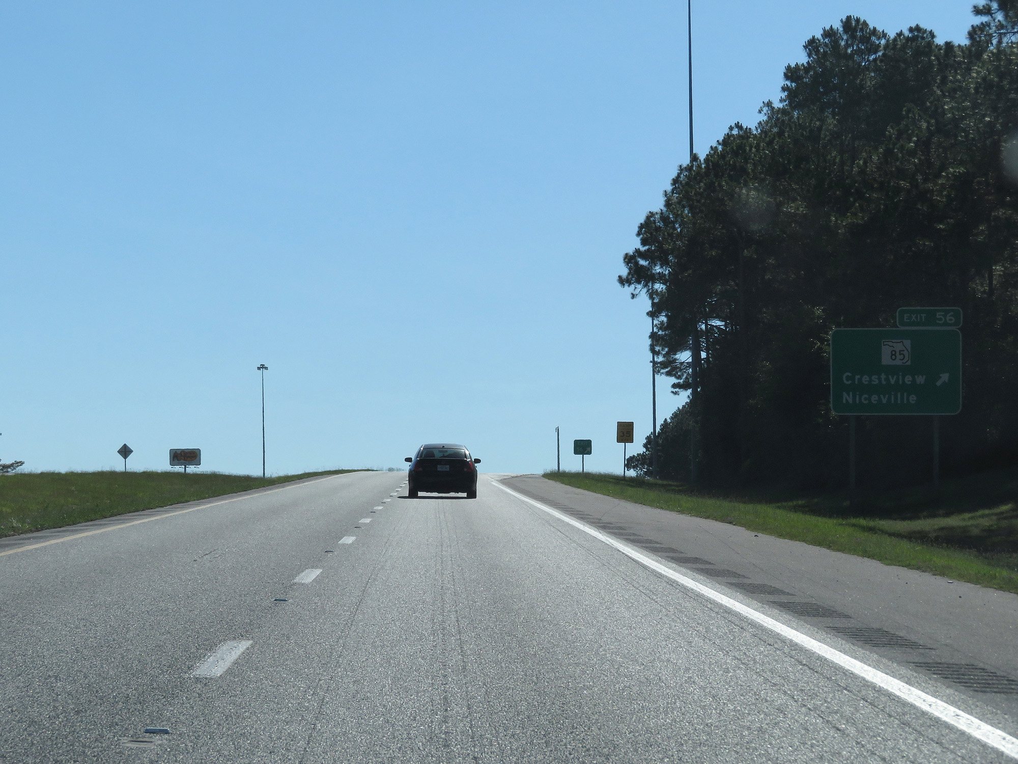 |
Interstate 10 West at Exit 56: FL 85 - Crestview / Niceville (Photo taken 5/25/17). |
Section 4: Crestview (Exit 56) to Alabama Border
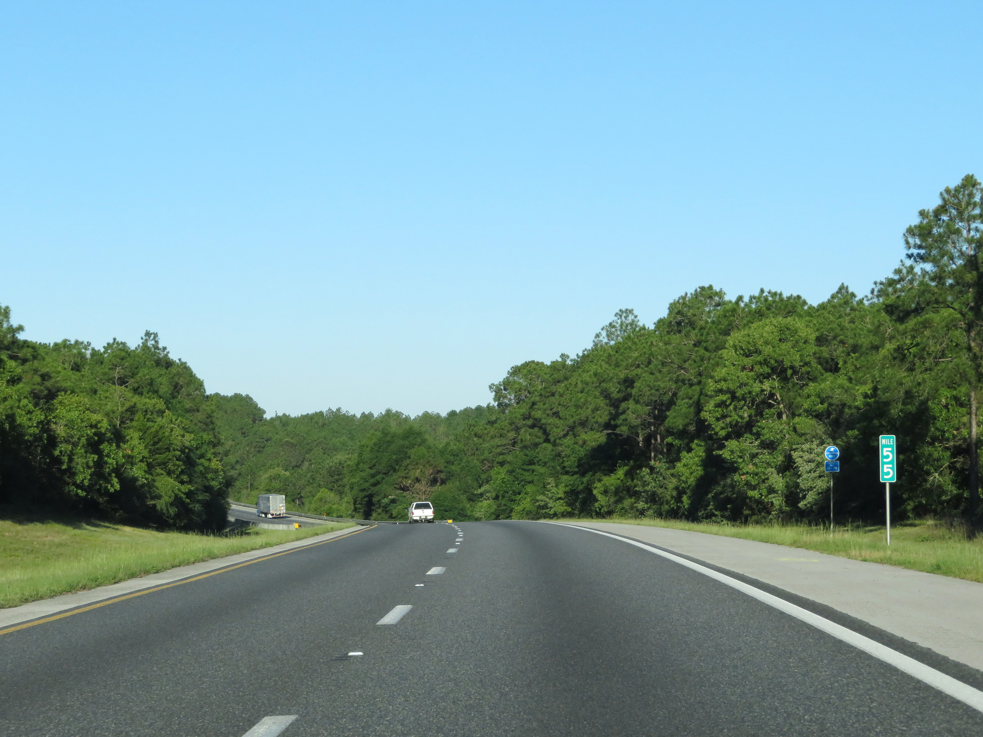 |
Interstate 10 West at mile marker 55. (Photo taken 5/26/17). |
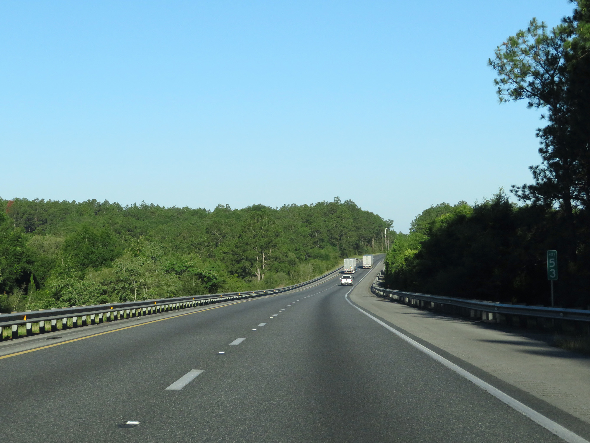 |
Interstate 10 West at mile marker 53. (Photo taken 5/26/17). |
 |
Interstate 10 West at mile marker 49. (Photo taken 5/26/17). |
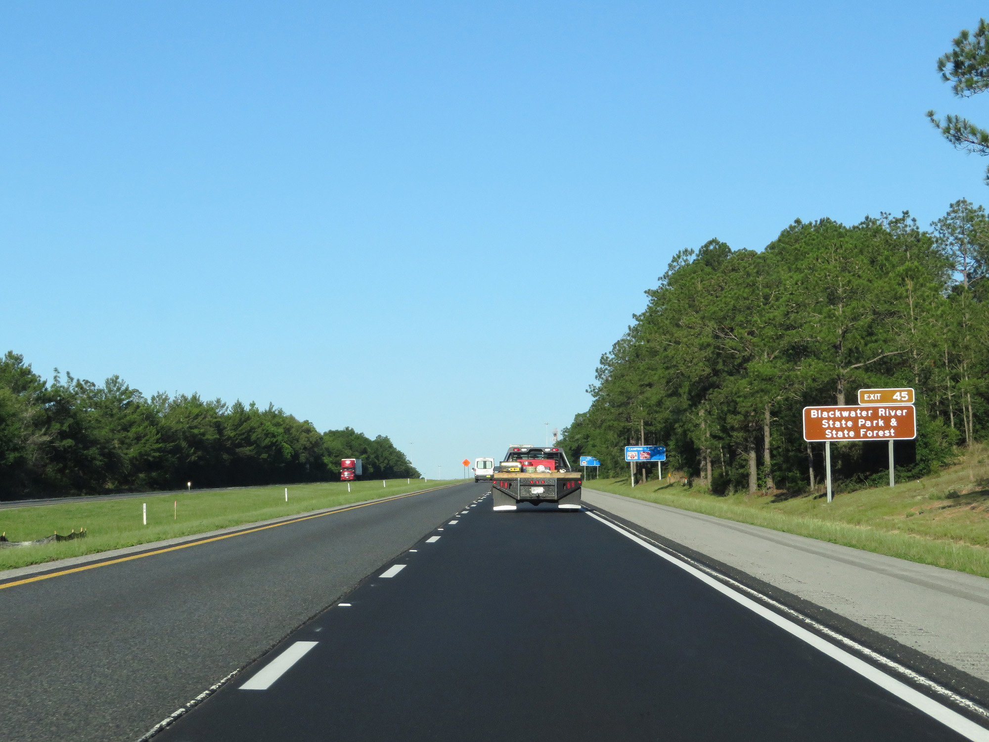 |
Take Exit 45 to Blackwater River State Park & State Forest. (Photo taken 5/26/17). |
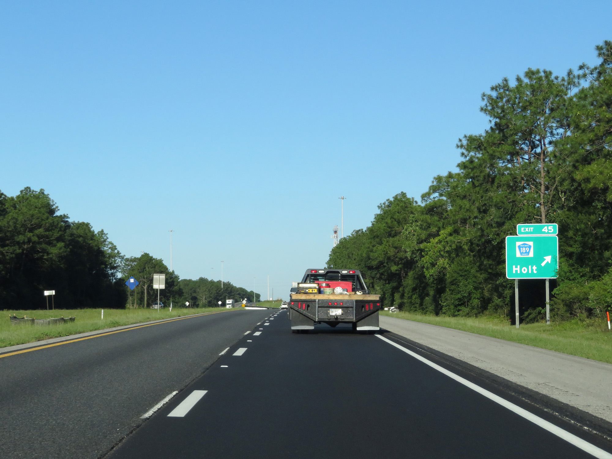 |
Interstate 10 West at Exit 45: CR 189 - Holt (Photo taken 5/26/17). |
 |
Interstate 10 West reassurance shield. (Photo taken 5/26/17). |
 |
The speed limit remains 70 mph. (Photo taken 5/26/17). |
 |
Interstate 10 West at mile marker 43. (Photo taken 5/26/17). |
 |
Interstate 10 West entering Santa Rosa County. (Photo taken 5/26/17). |
 |
Interstate 10 West at mile marker 40. (Photo taken 5/26/17). |
 |
Interstate 10 West at mile marker 37. (Photo taken 5/26/17). |
 |
Take any of the next 4 exits to Milton. (Photo taken 5/26/17). |
 |
Interstate 10 West at Exit 31: FL 87 - Milton / Navarre Beach (Photo taken 5/26/17). |
 |
Interstate 10 West at the Rest Area in Santa Rosa County. (Photo taken 5/26/17). |
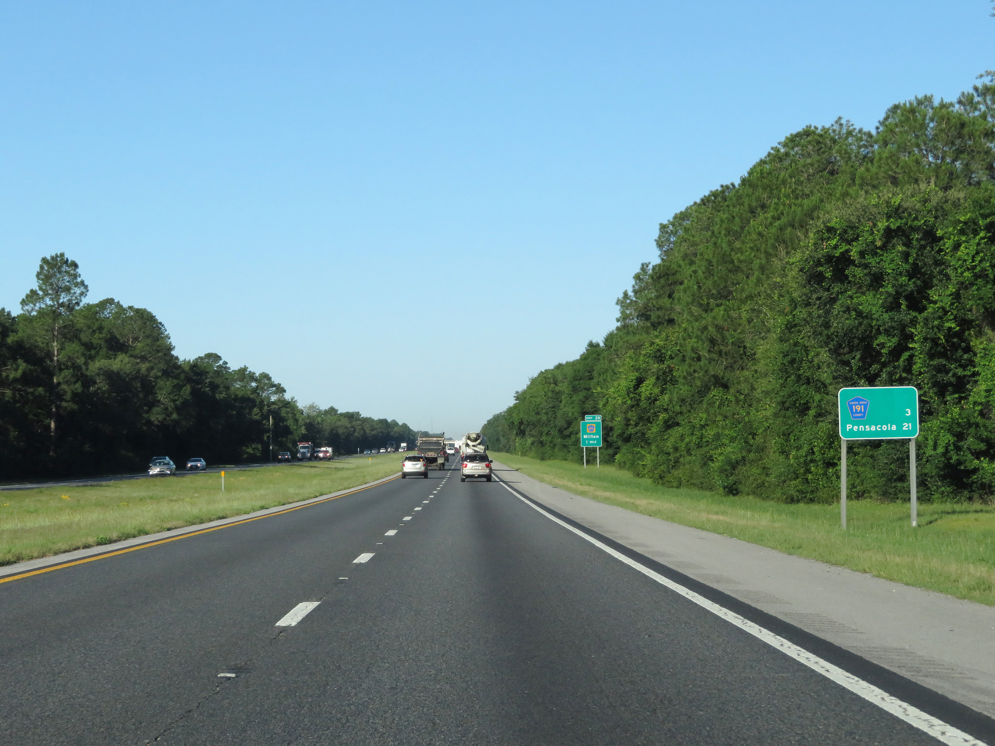 |
Mileage sign on Interstate 10 West. It's 3 miles to the junction of CR 191 and 21 miles to Pensacola. (Photo taken 5/26/17). |
 |
Interstate 10 West at Exit 28: CR 89 - Milton (Photo taken 5/26/17). |
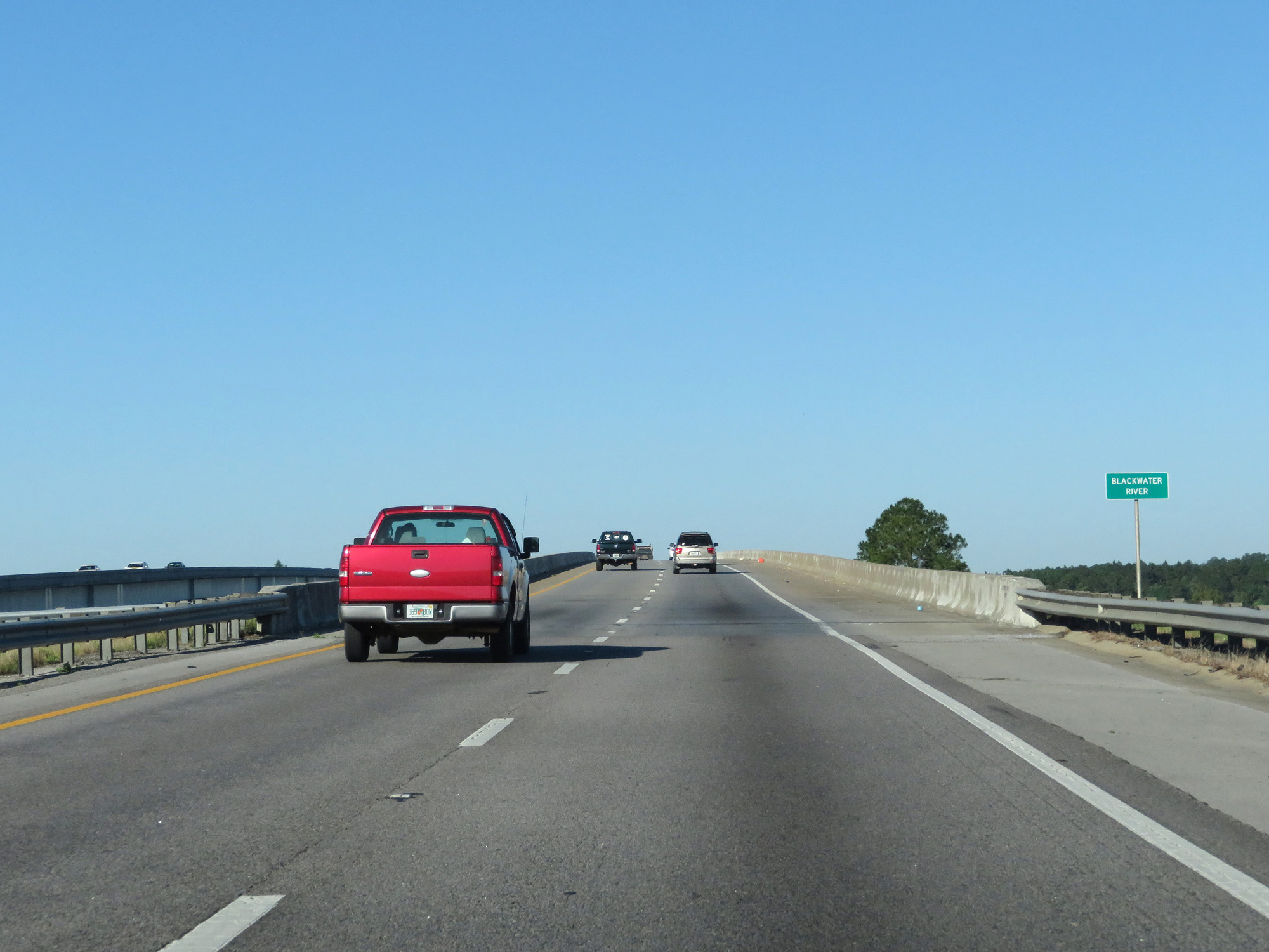 |
Interstate 10 West crossing the Blackwater River. (Photo taken 5/26/17). |
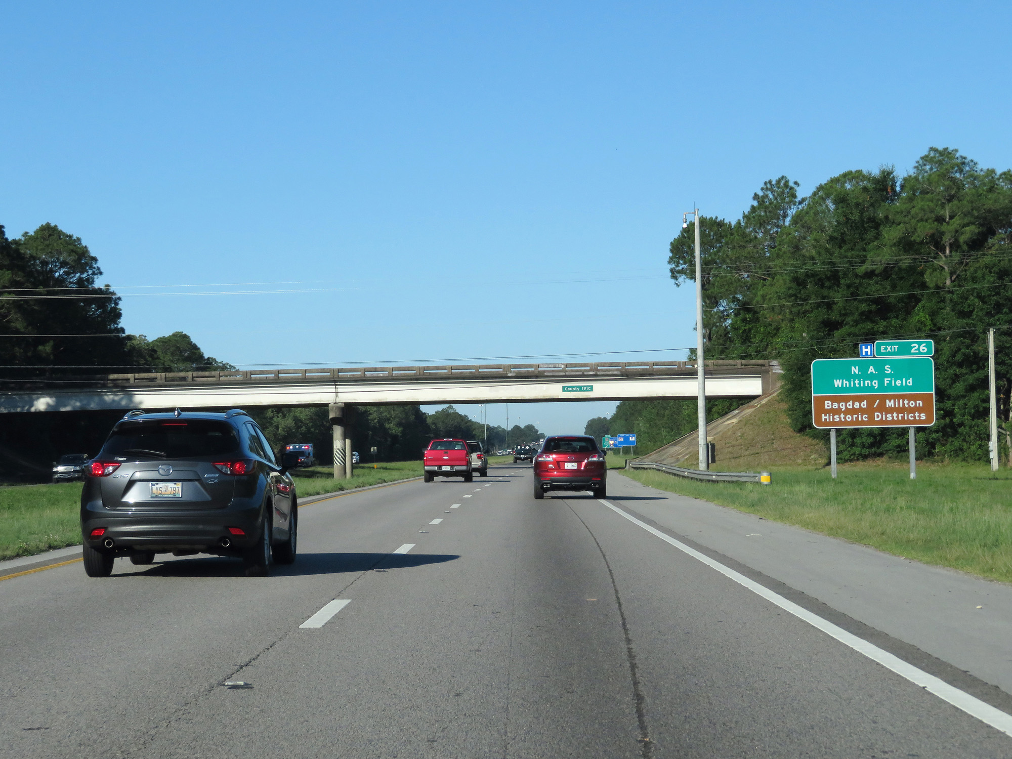 |
Take Exit 26 to N.A.S. Whiting Field and the Bagdad/Milton Historic Districts. (Photo taken 5/26/17). |
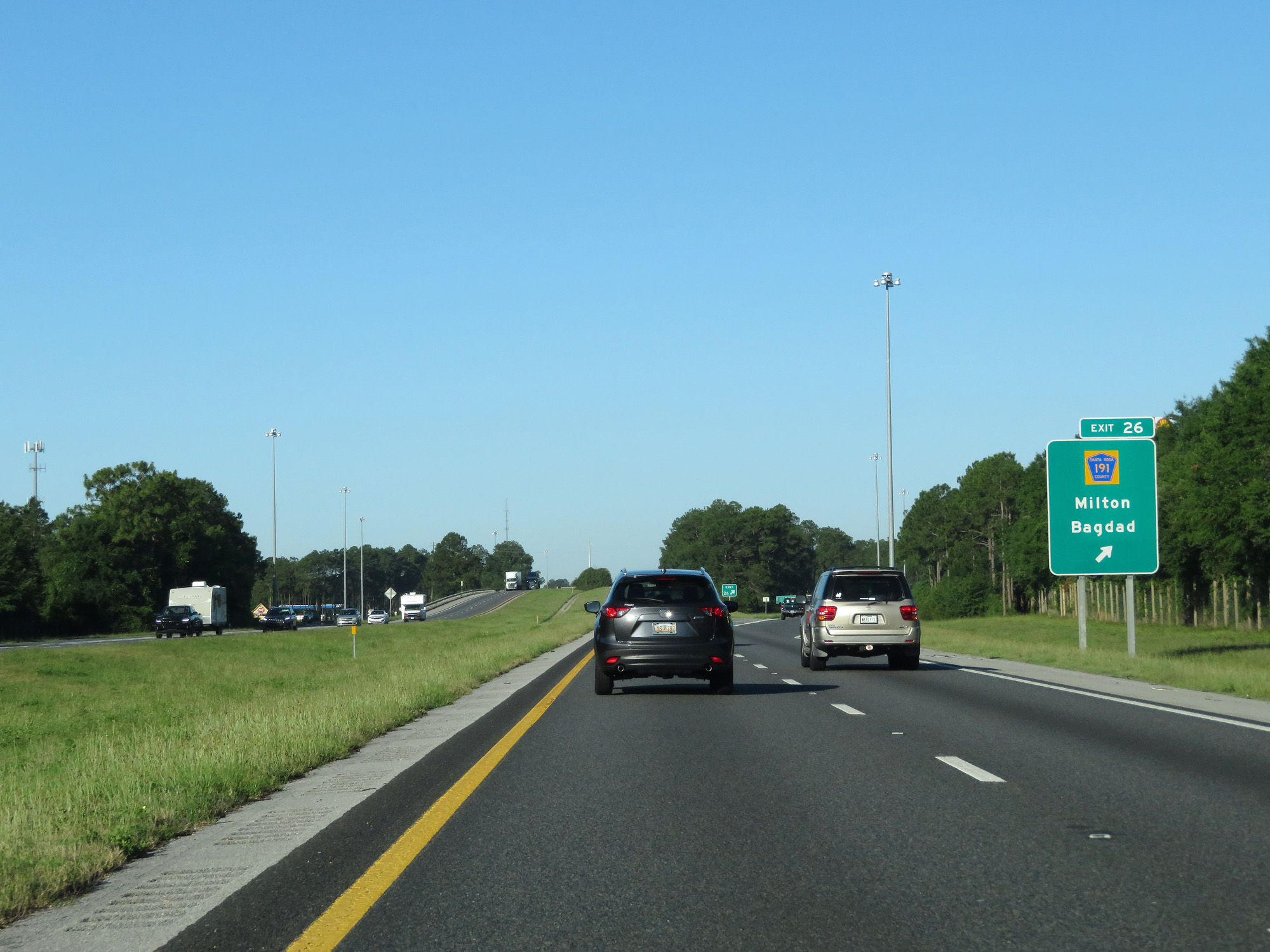 |
Interstate 10 West at Exit 26: CR 191 - Milton / Bagdad (Photo taken 5/26/17). |
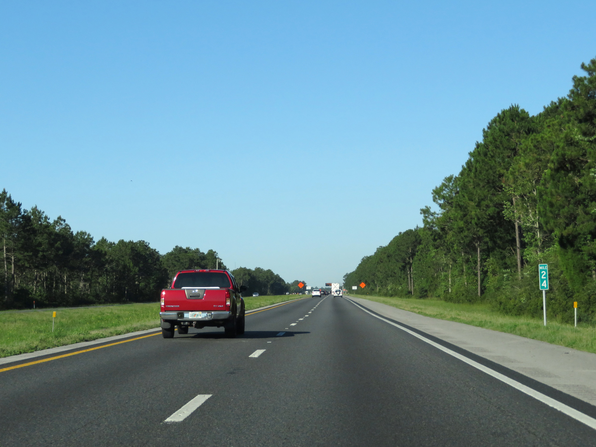 |
Interstate 10 West at mile marker 24. (Photo taken 5/26/17). |
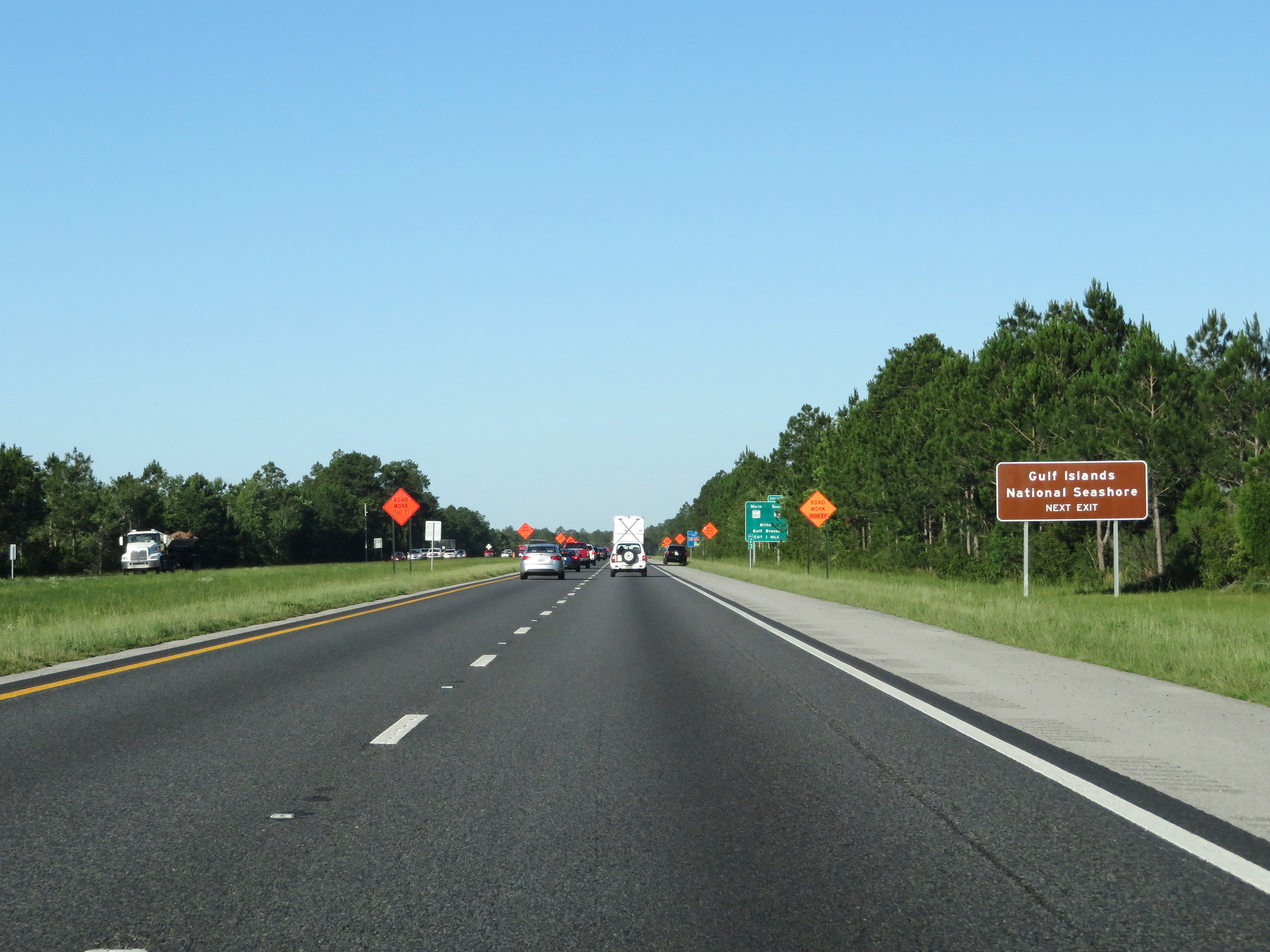 |
Take Exit 22 to Gulf Islands National Seashore. (Photo taken 5/26/17). |
 |
Interstate 10 West approaching Exit 22 - 1 mile. (Photo taken 5/26/17). |
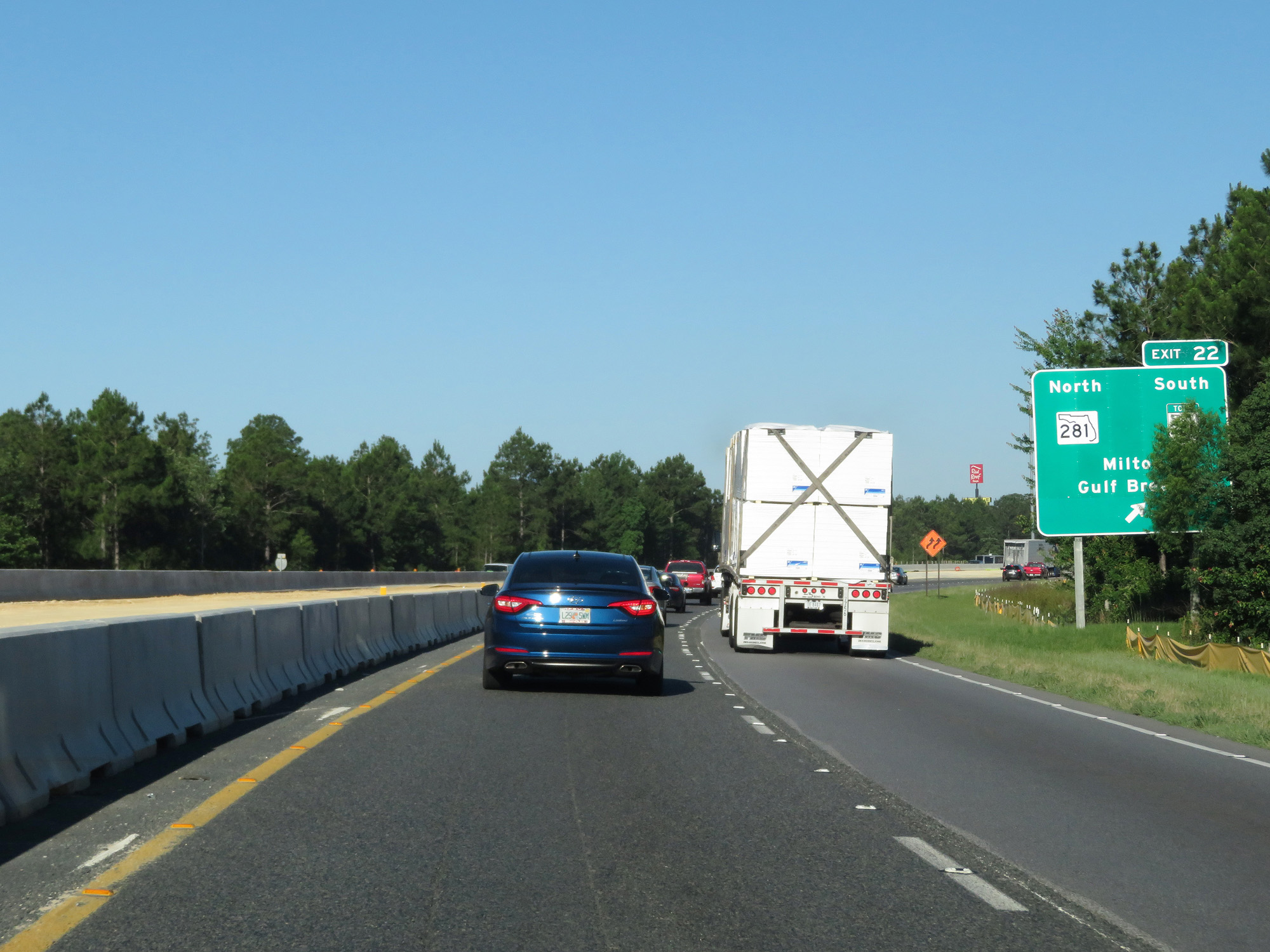 |
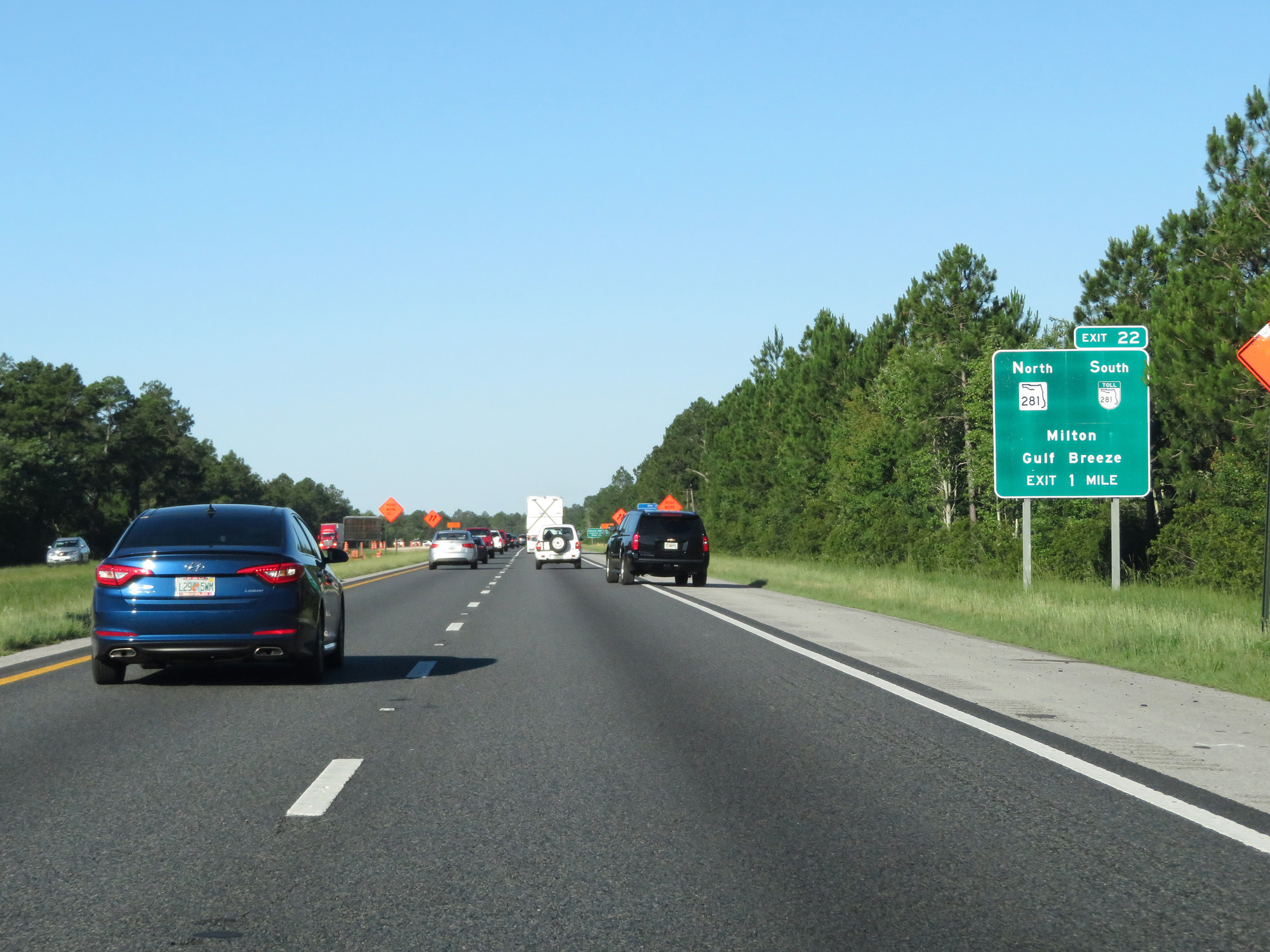
Interstate 10 West at Exit 22: FL 281 North / FL 281 Toll South - Milton / Gulf Breeze (Photo taken 5/26/17). |
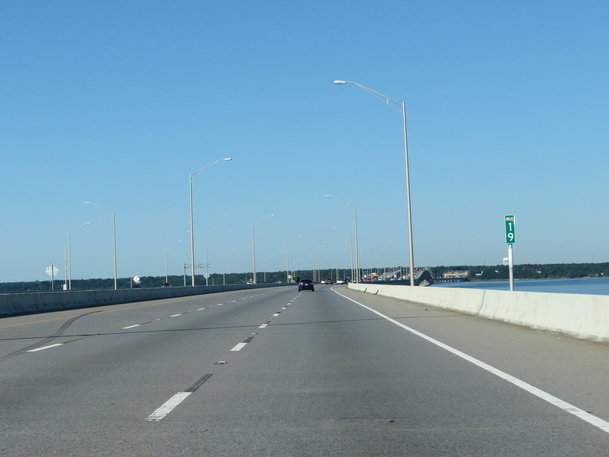 |
Interstate 10 West at mile marker 19, crossing the Escambia Bay Bridge. (Photo taken 5/26/17). |
 |
Interstate 10 West at mile marker 18. (Photo taken 5/26/17). |
 |
Interstate 10 West at mile marker 17, as it prepares to enter Escambia County. (Photo taken 5/26/17). |
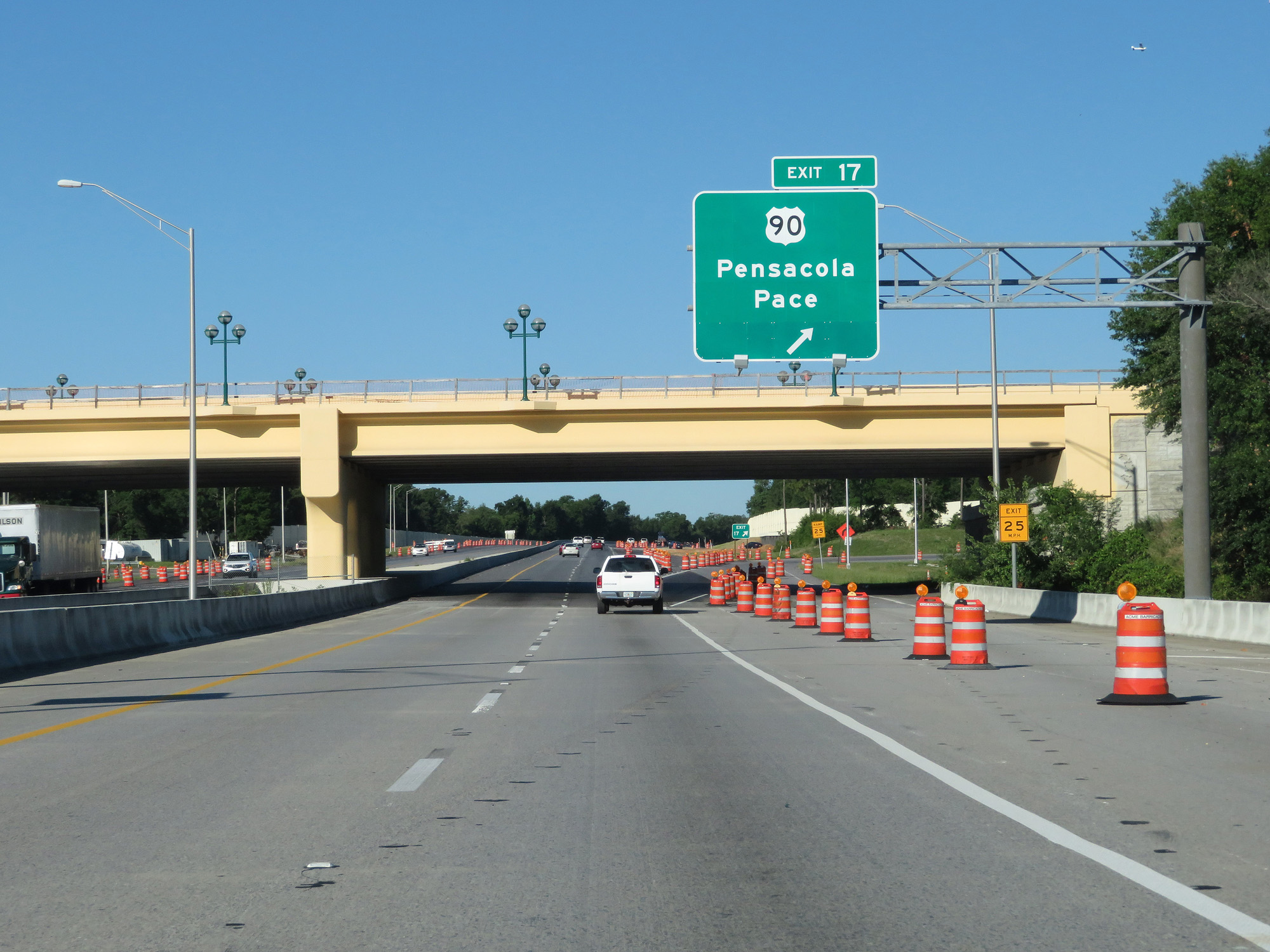 |
Interstate 10 West at Exit 17: US 90 - Pensacola / Pace (Photo taken 5/26/17). |
 |
Take any of the next 3 exits to Pensacola. (Photo taken 5/26/17). |
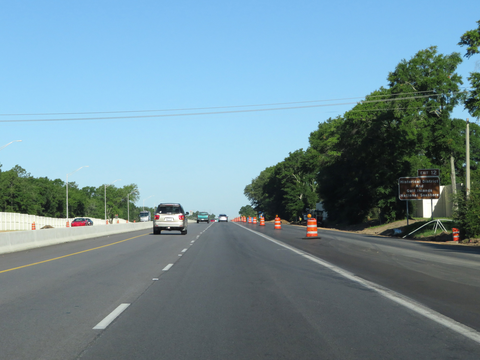 |
Take Exit 12 to the Historical District and Gulf Islands National Seashore. (Photo taken 5/26/17). |
 |
The speed limit on Interstate 10 decreases to 60 mph as it passes through the Pensacola area. (Photo taken 5/26/17). |
 |
Interstate 10 West approaching Exit 12 - 3/4 mile. (Photo taken 5/26/17). |
 |
Take Exit 13 to the University of West Florida and the Civic Center. (Photo taken 5/26/17). |
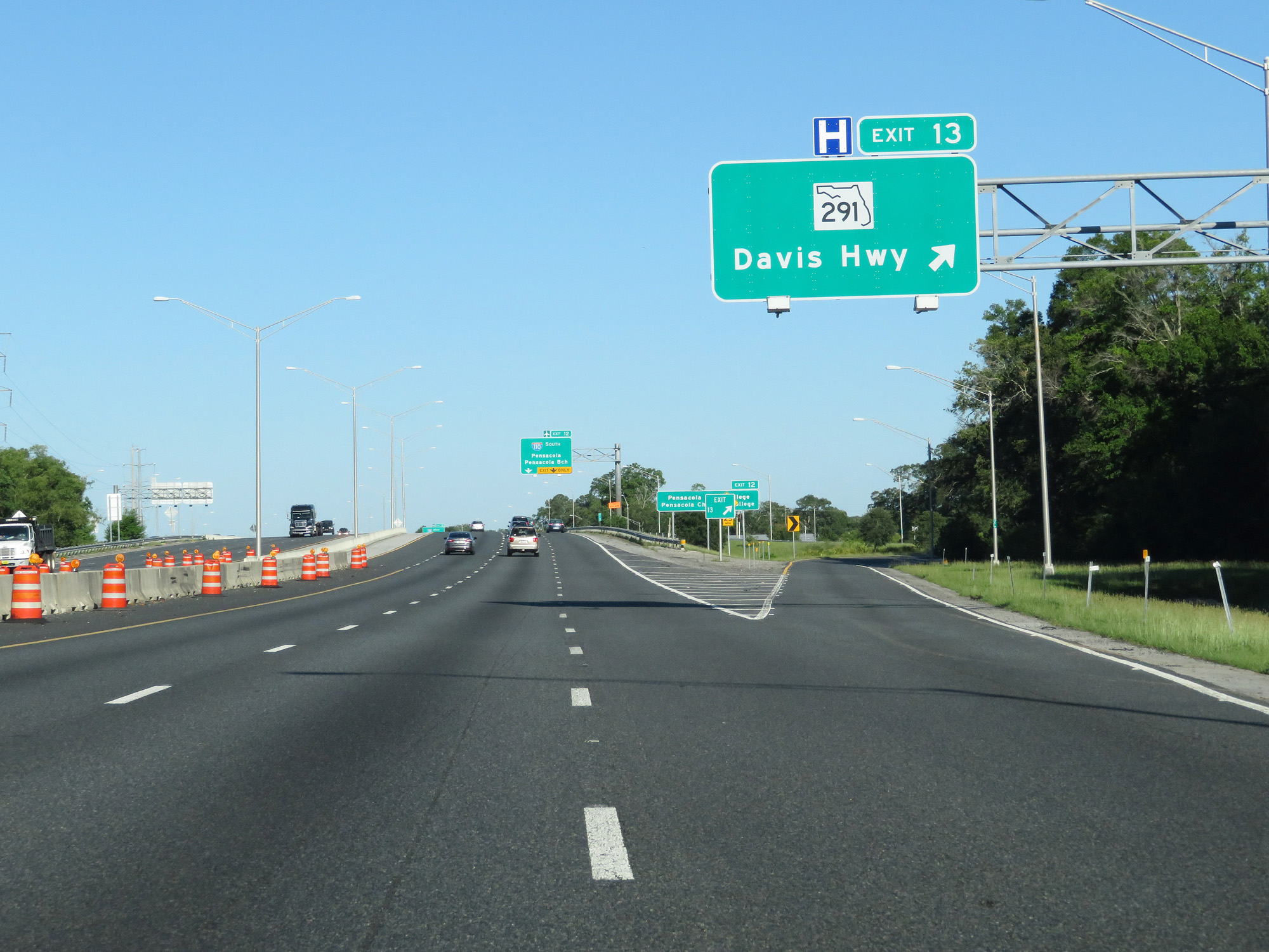 |
Interstate 10 West at Exit 13: FL 291 - Davis Hwy (Photo taken 5/26/17). |
 |
Take Exit 12 to Pensacola State College and Pensacola Christian College. (Photo taken 5/26/17). |
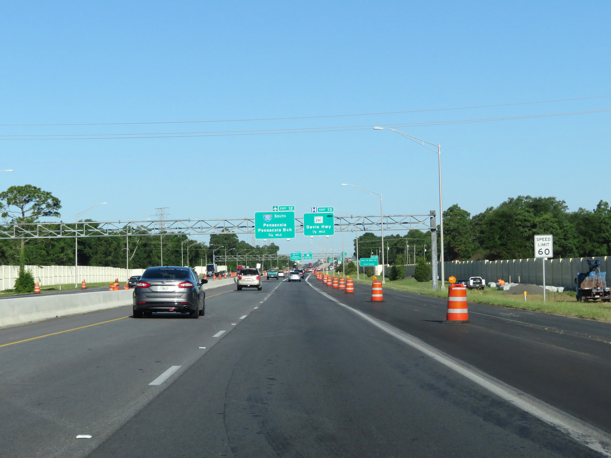
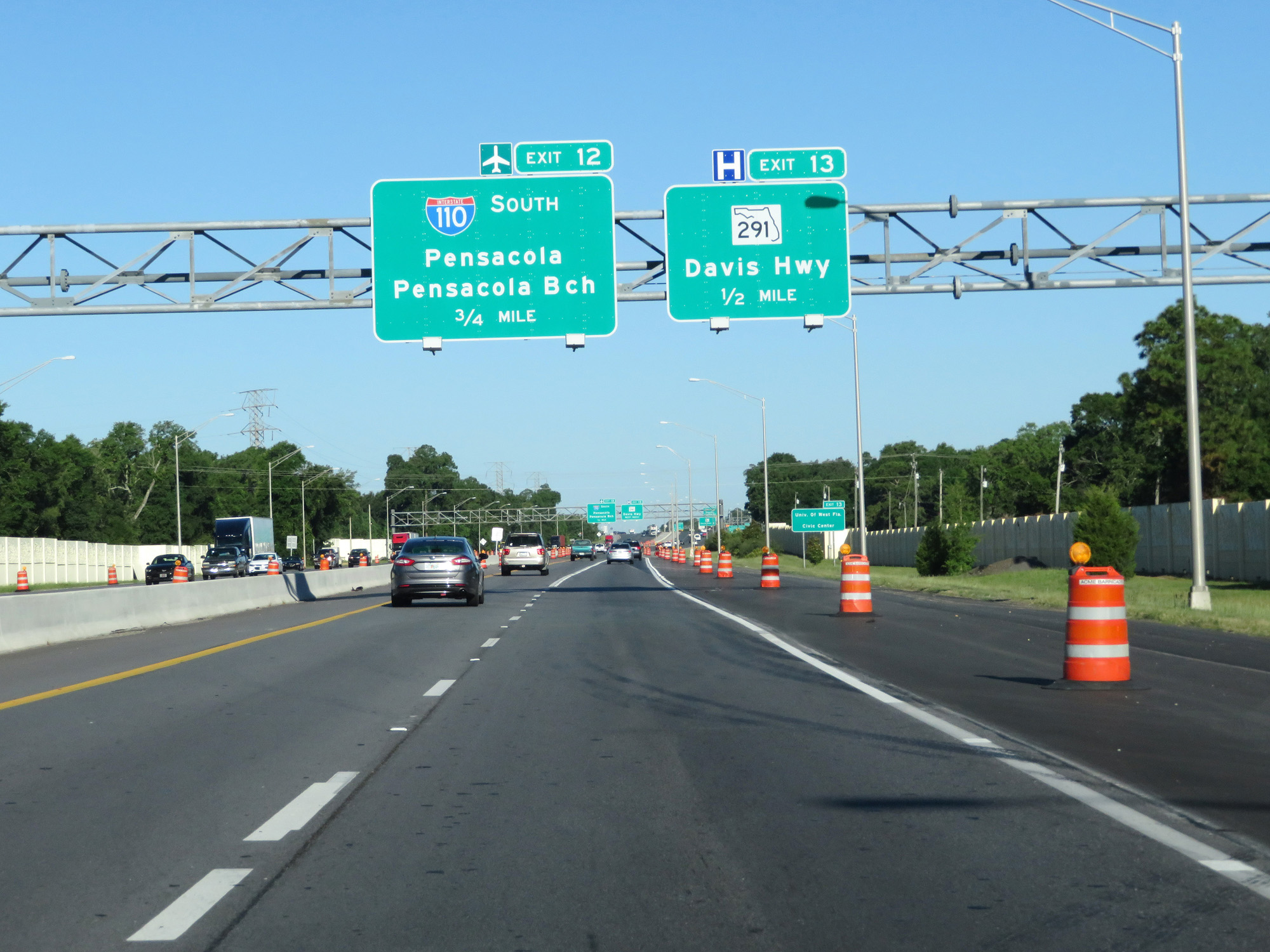
 |
Interstate 10 West at Exit 12: Interstate 110 South - Pensacola / Pensacola Beach (Photo taken 5/26/17). |
 |
Interstate 10 West approaching Exit 10B - 1 mile. (Photo taken 5/26/17). |
 |
Interstate 10 West reassurance shield. (Photo taken 5/26/17). |
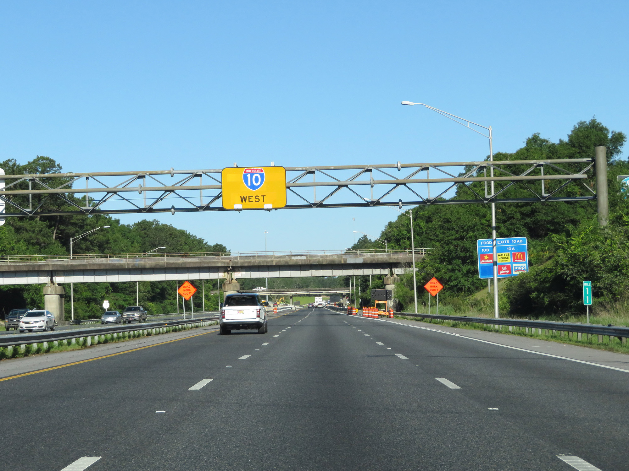 |
Yellow-backed overhead Interstate 10 West reassurance shield at mile marker 11. (Photo taken 5/26/17). |
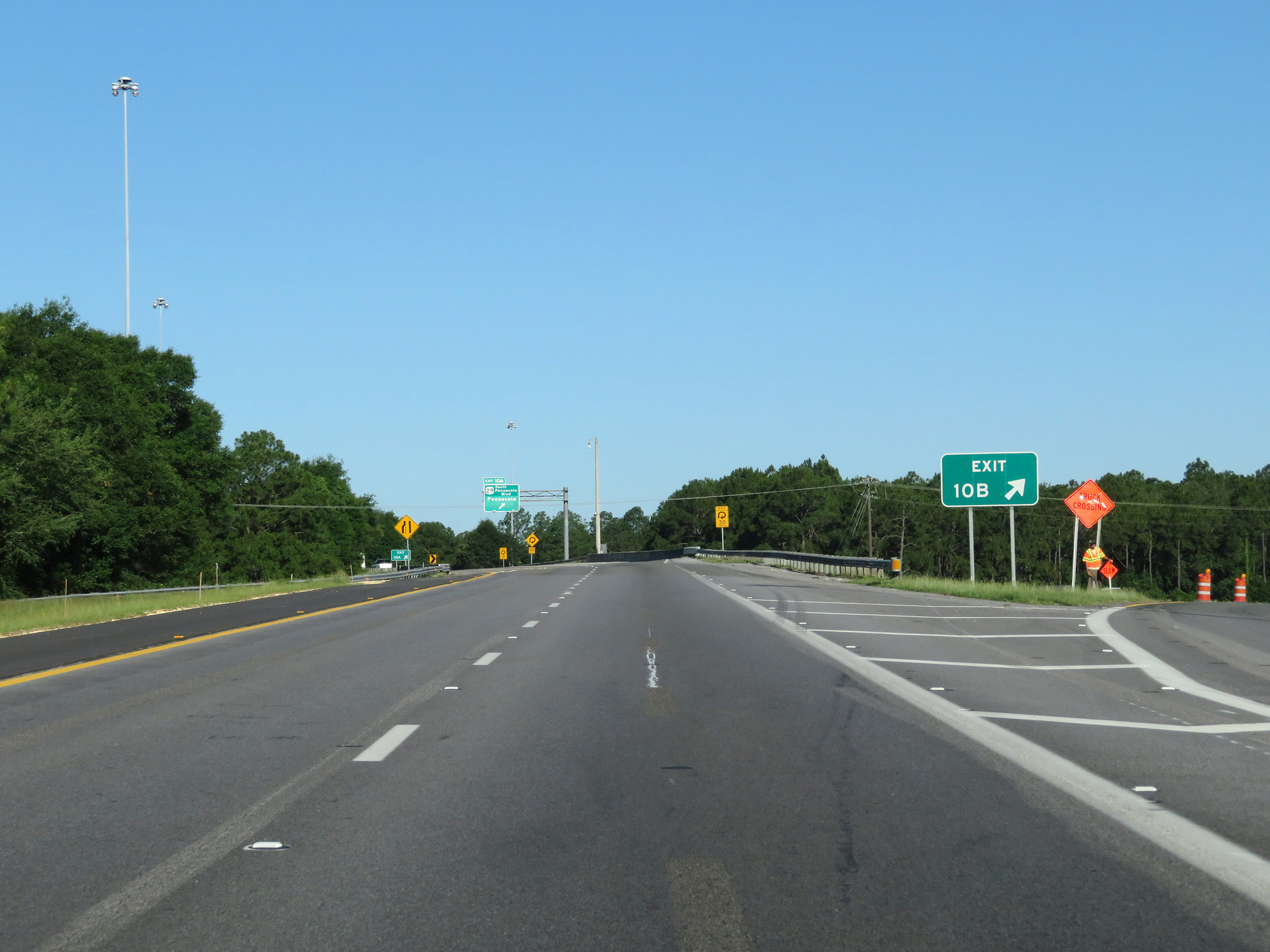 |
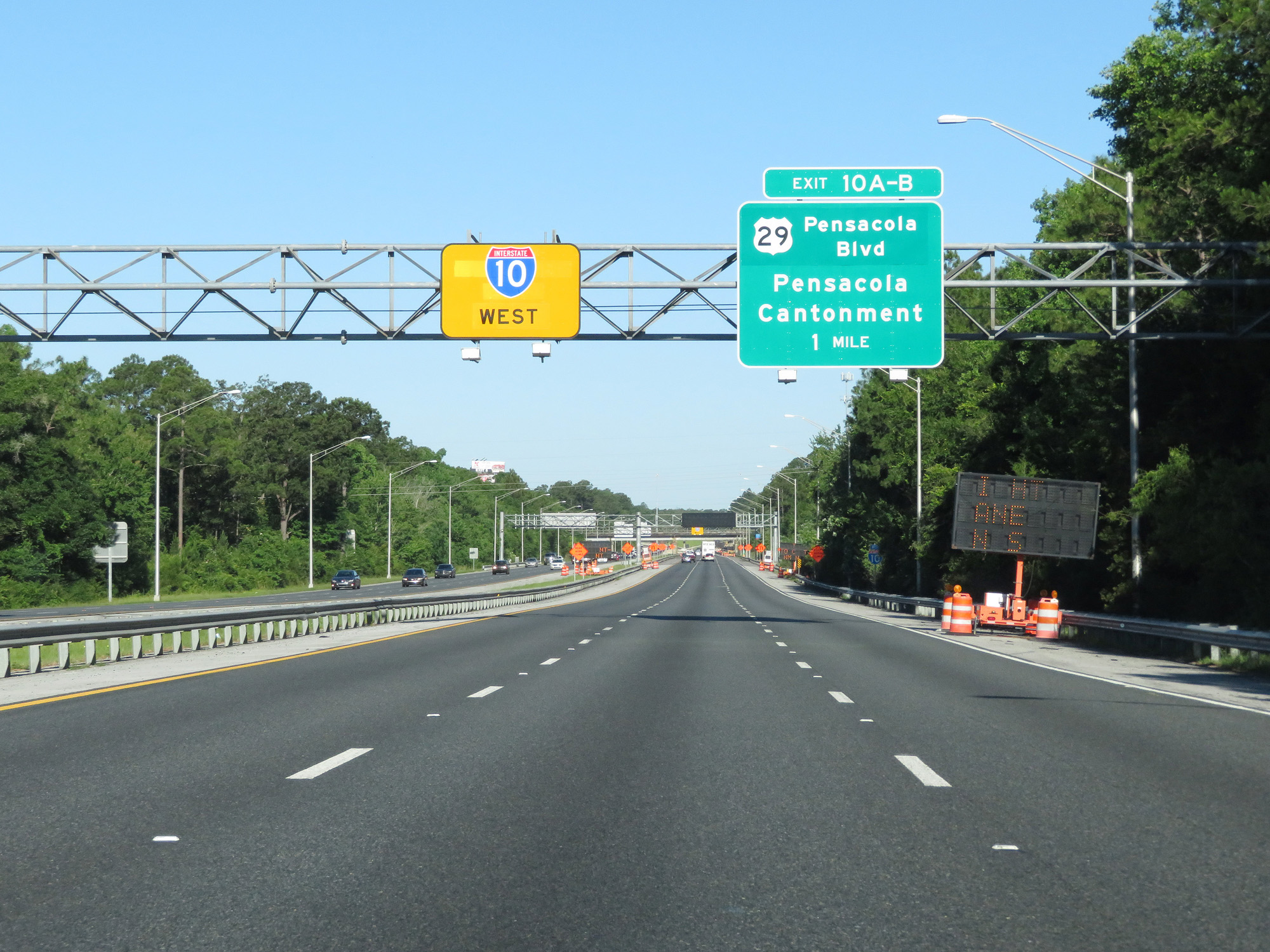
Interstate 10 West at Exit 10B: US 29 North - Cantonment (Photo taken 5/26/17). |
 |
Interstate 10 West at Exit 10A: US 29 South - Pensacola Blvd / Pensacola (Photo taken 5/26/17). |
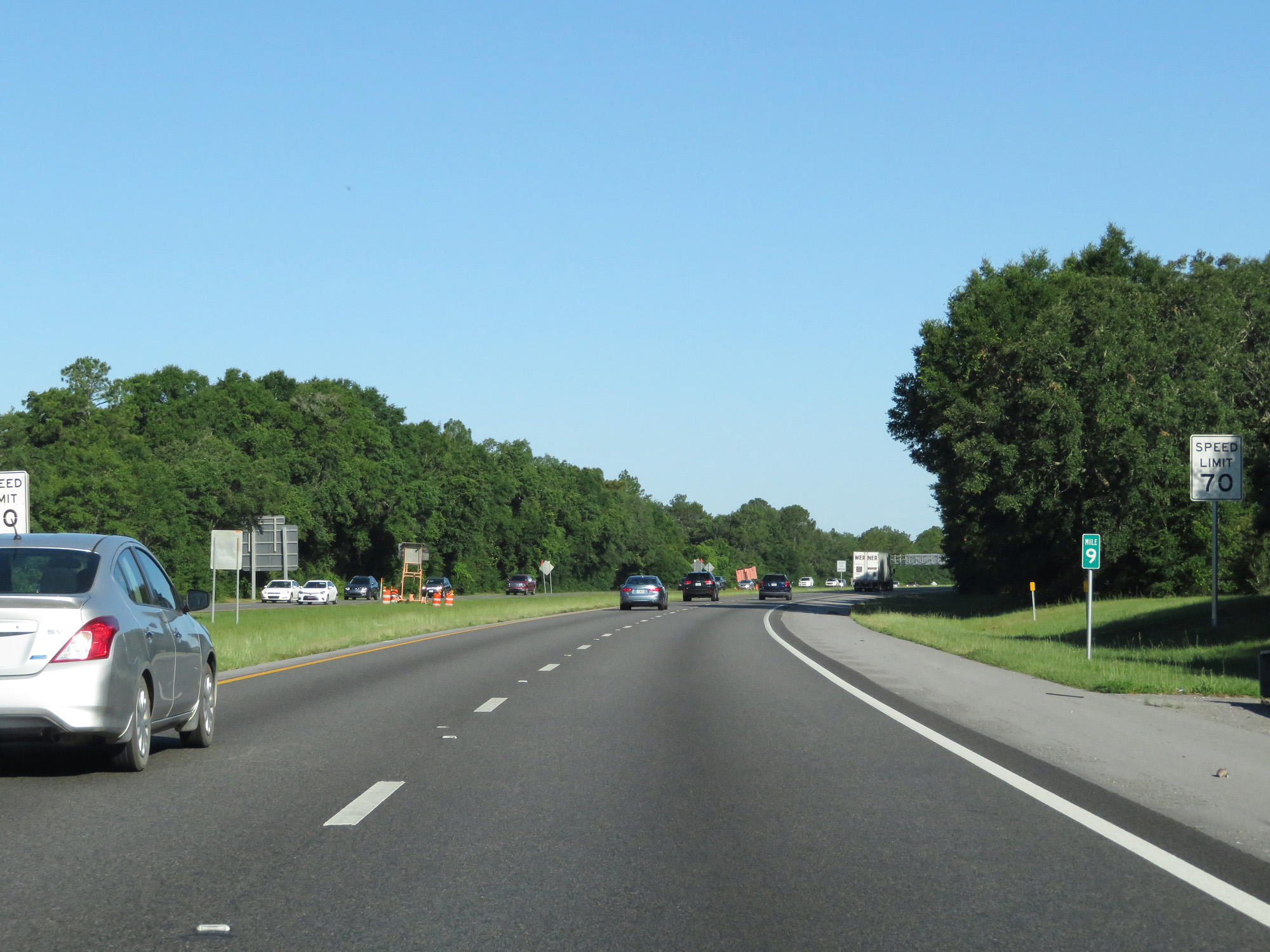 |
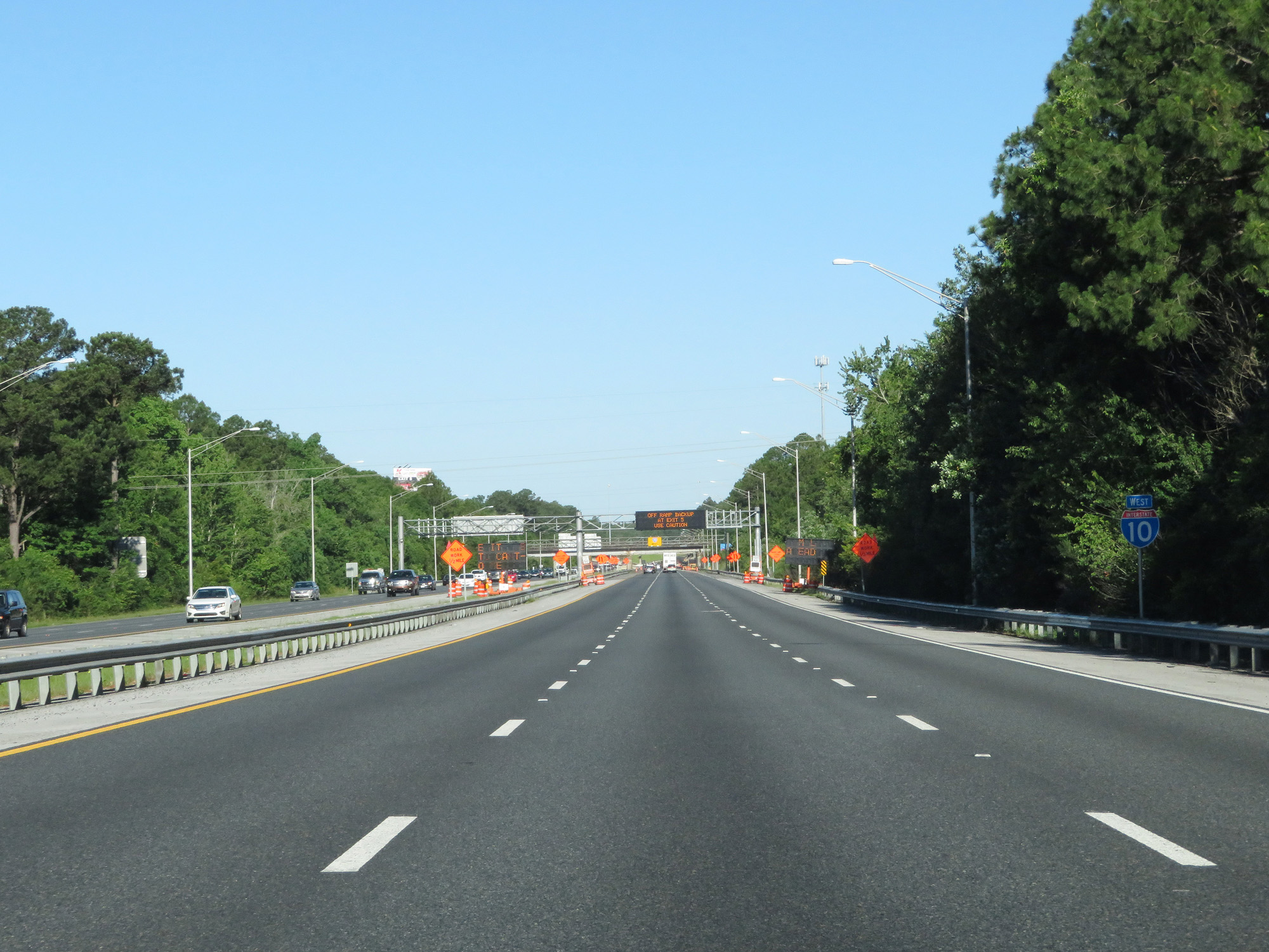
At mile marker 9, the standard rural speed limit of 70 mph resumes. (Photo taken 5/26/17). |
 |
Take Exit 7 to the Naval Aviation Museum. (Photo taken 5/26/17). |
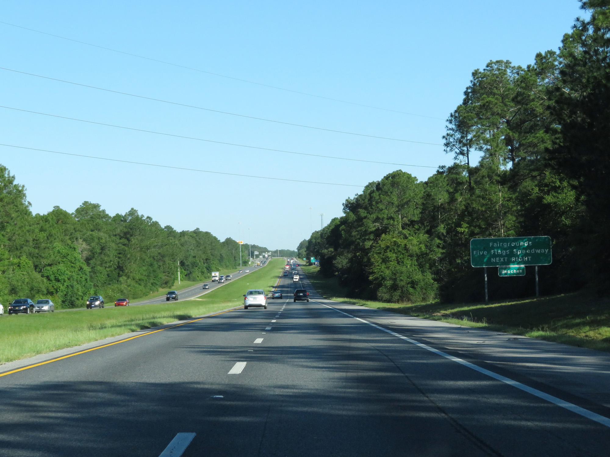 |
Also take Exit 7 to the Fairgrounds and Five Flags Speedway. (Photo taken 5/26/17). |
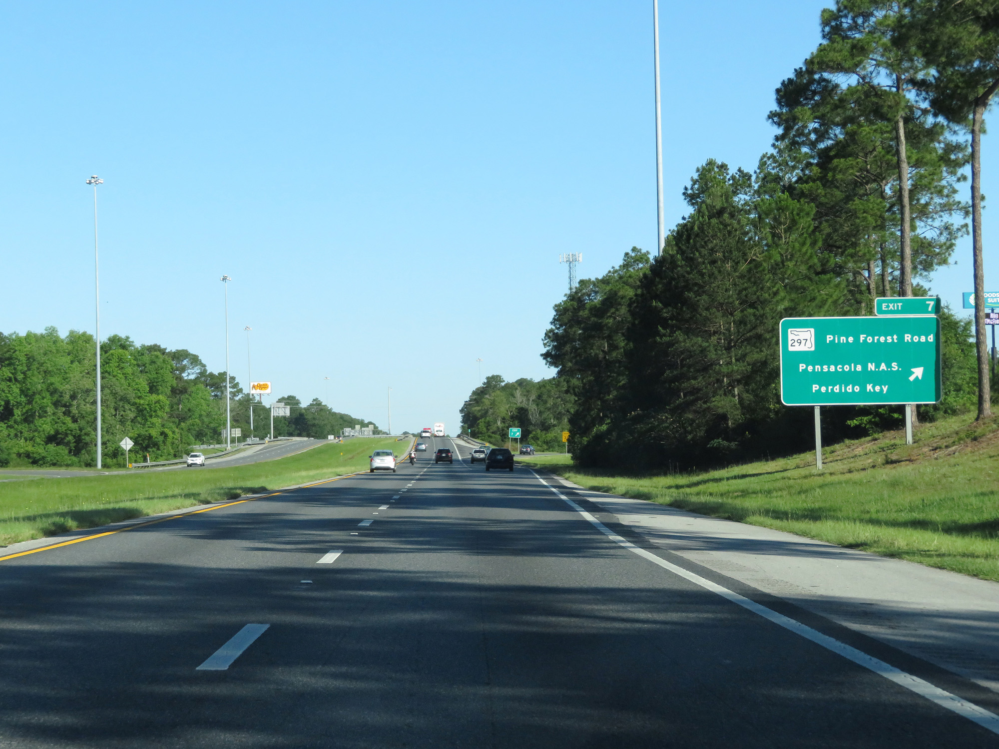 |
Interstate 10 West at Exit 7: FL 297 (Pine Forest Road) - Pensacola N.A.S. / Perdido Key (Photo taken 5/26/17). |
 |
Interstate 10 West at Exit 5: US 90 Alt (Photo taken 5/26/17). |
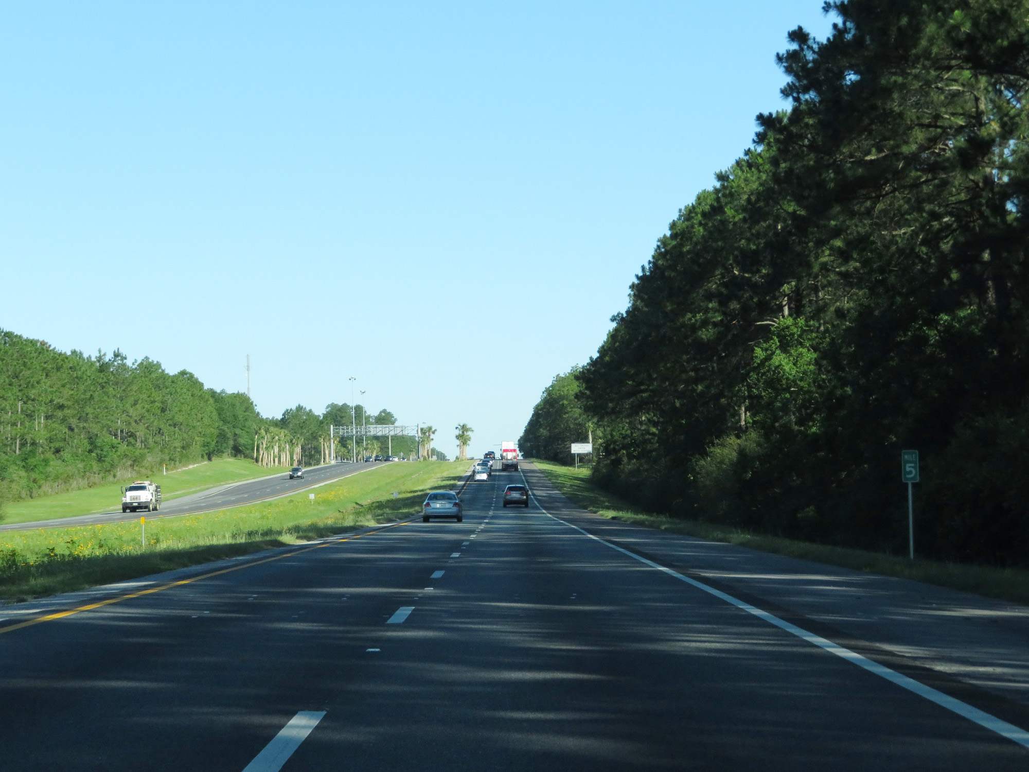 |
Interstate 10 West at mile marker 5. (Photo taken 5/26/17). |
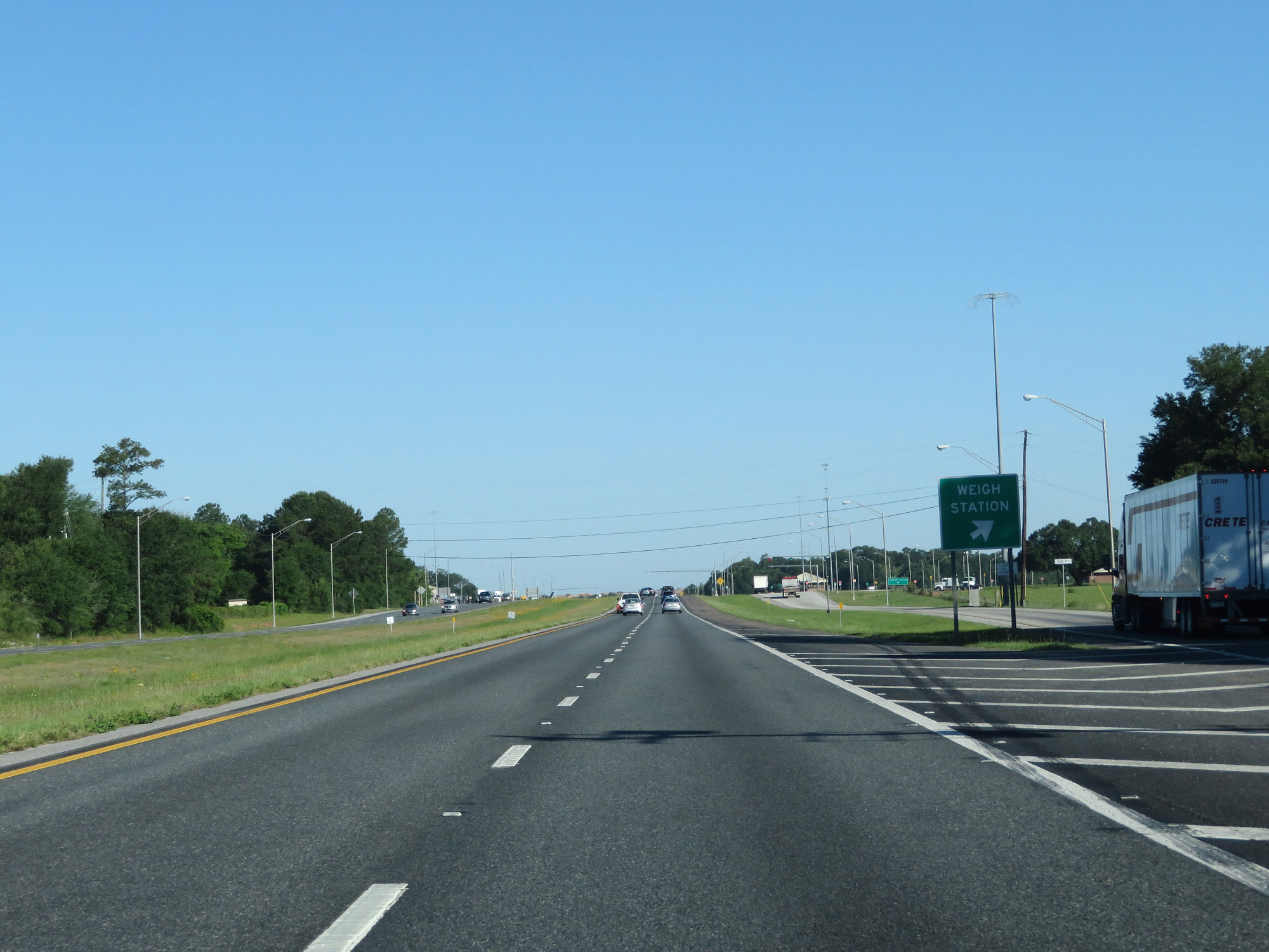 |
Interstate 10 West at the Weigh Station in Escambia County. (Photo taken 5/26/17). |
 |
Mileage sign on Interstate 10 West. It's 14 miles to Wilcox Rd (the first exit on Interstate 10 West in Alabama) and 41 miles to Mobile. (Photo taken 5/26/17). |
 |
Interstate 10 West at mile marker 2. (Photo taken 5/26/17). |
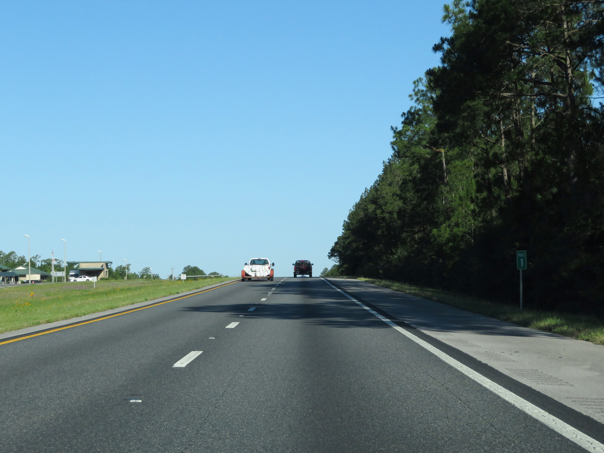 |
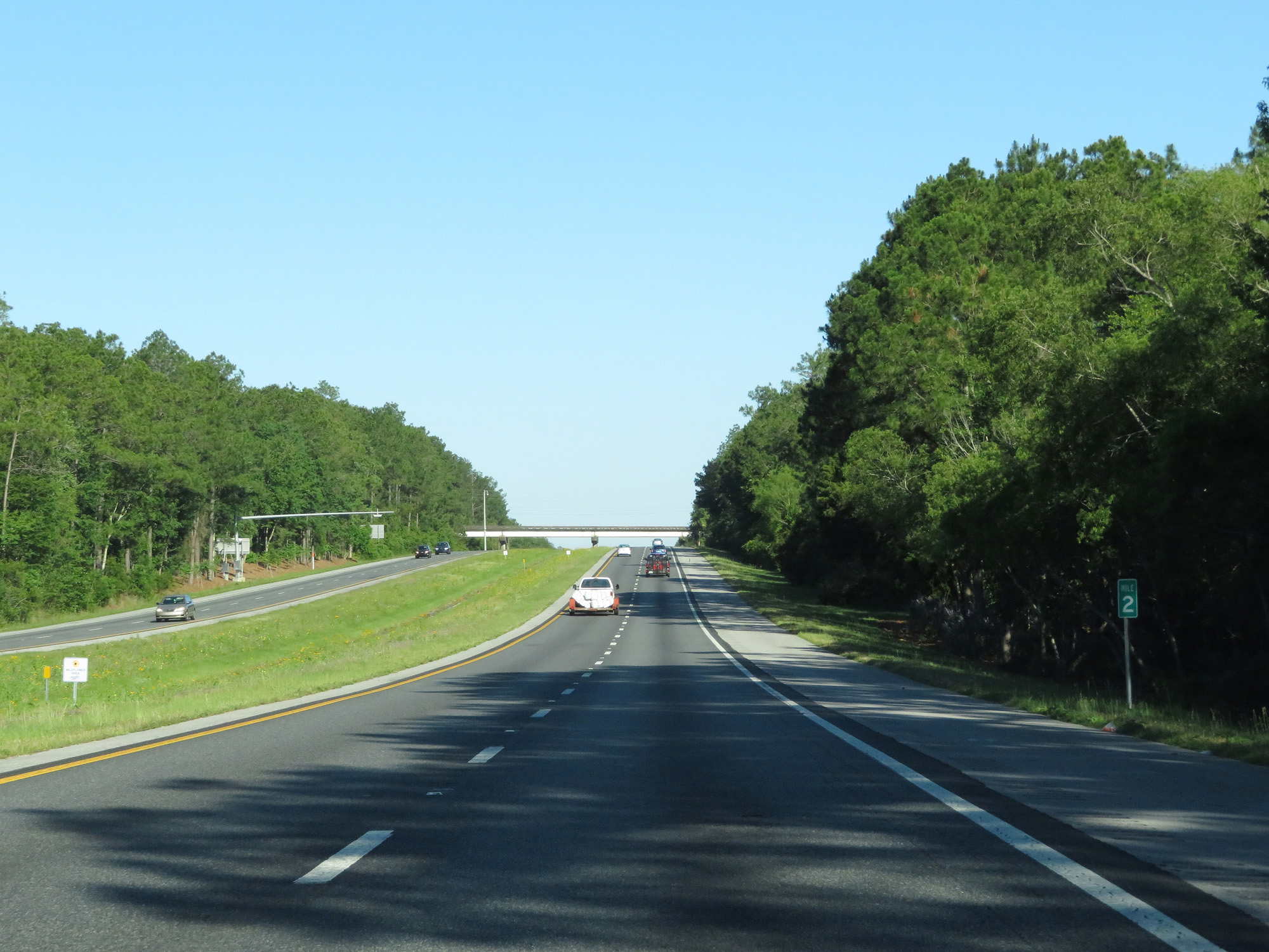
Interstate 10 West at mile marker 1. (Photo taken 5/26/17). |
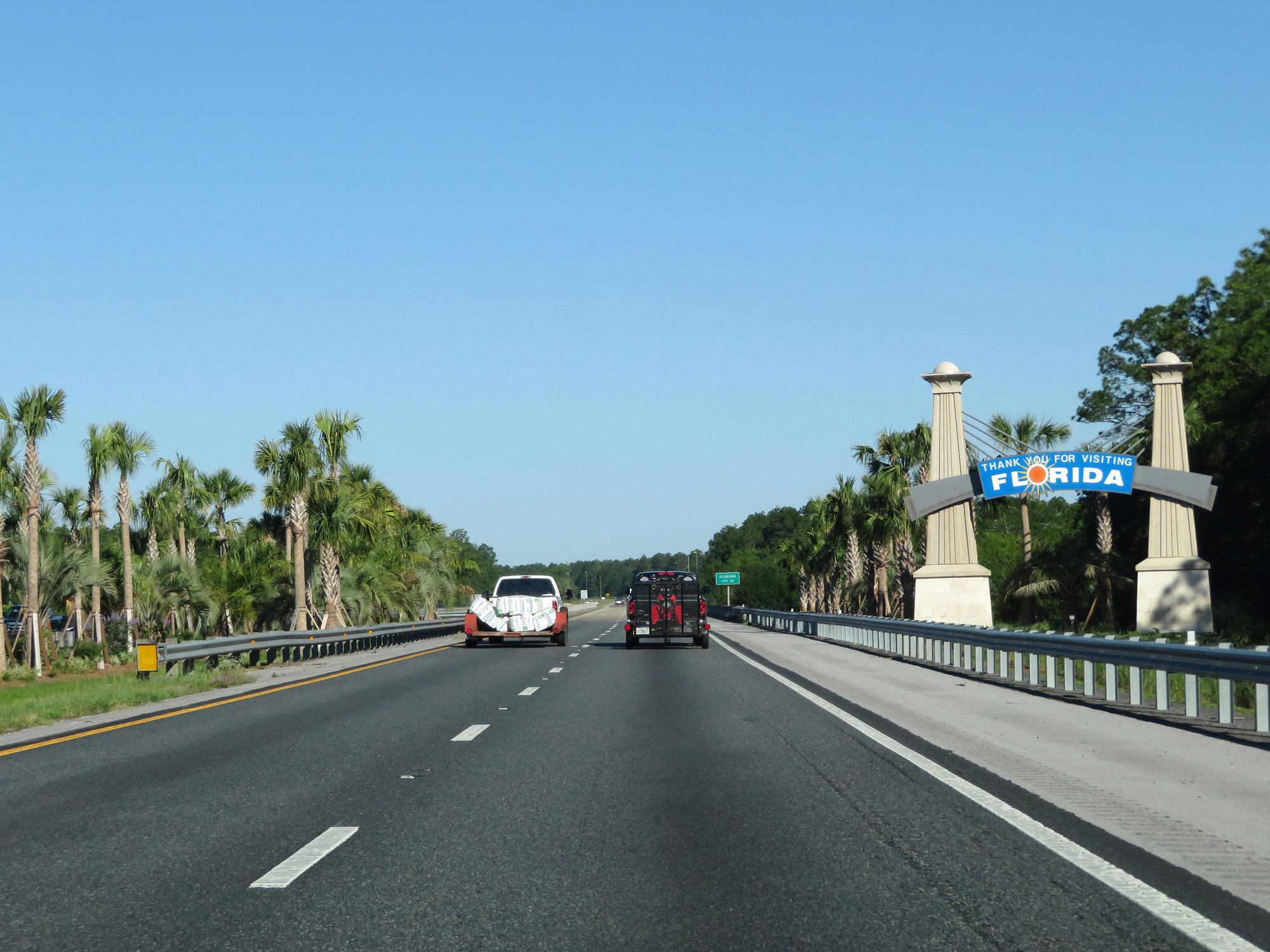 |
Sign thanking you for visiting Florida as Interstate 10 West prepares to leave the Sunshine State and enter Alabama. (Photo taken 5/26/17). |