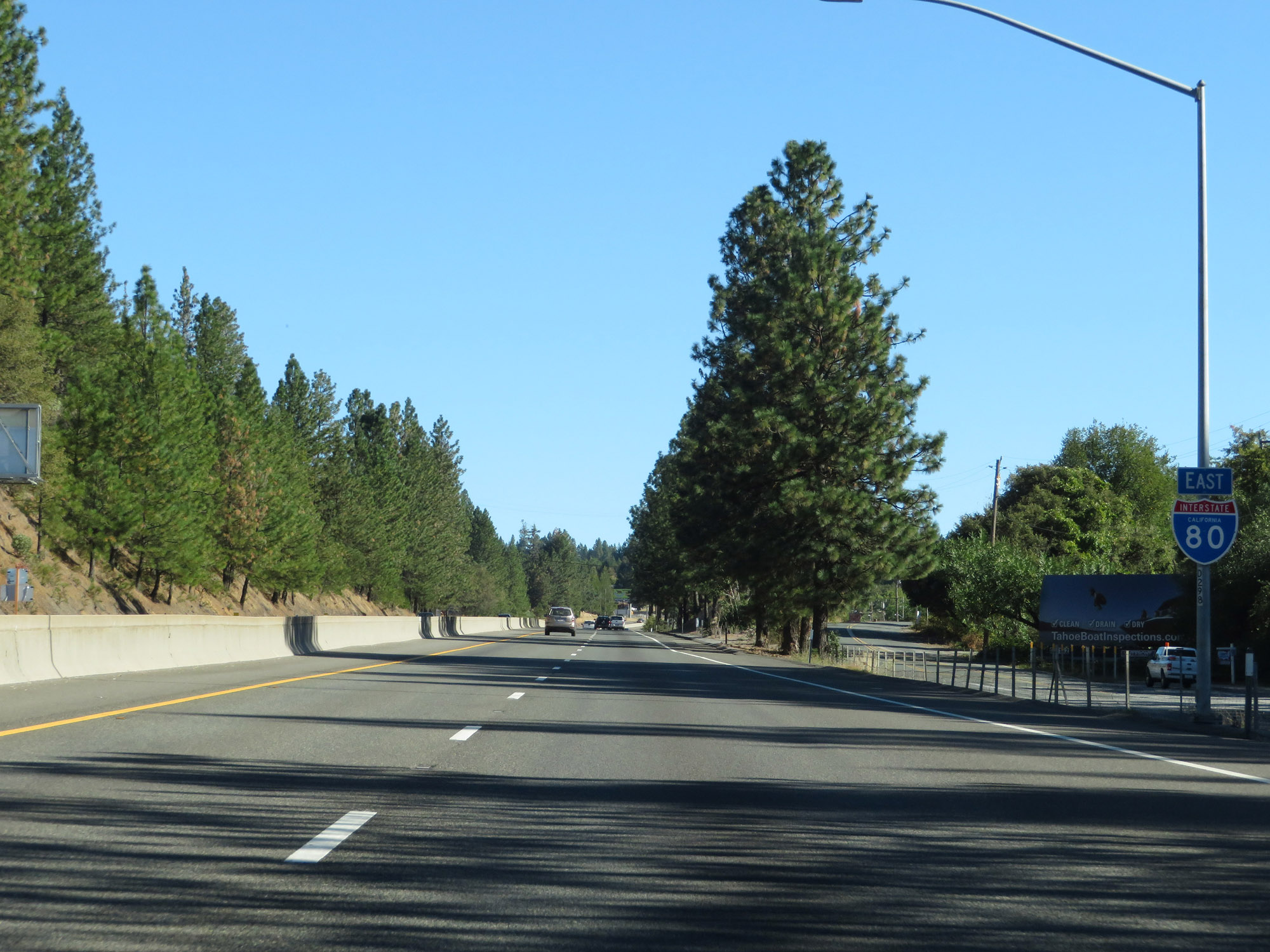
Road Information |
||
 |
||
| Total Mileage in State: | 205 miles | |
| Eastern End: | At Nevada state line | |
| Western End: | At US 101, in San Francisco | |
| Mileage covered in Photos: | 149 miles | |
| Counties covered in Photos: | Solano, Yolo, Sacramento, Placer, Nevada, Placer, Nevada, Sierra | |
| Major Junctions in Photos: | Unsigned I-305/US 50, in Sacramento I-5, in Sacramento CA 49, in Auburn |
|
| Control Cities in Photos: | Vacaville, Davis, Sacramento, Roseville, Auburn, Truckee | |
Eastbound
- Section 1: Vacaville (Exit 56) to Sacramento (Exit 92)
- Section 2: Sacramento (Exit 92) to Auburn (Exit 120)
- Section 3: Auburn (Exit 120) to Emigrant Gap (Exit 156)
- Section 4: Emigrant Gap (Exit 156) to Truckee (Exit 185)
- Section 5: Truckee (Exit 185) to Nevada Border
Section 1: Vacaville (Exit 56) to Sacramento (Exit 92)
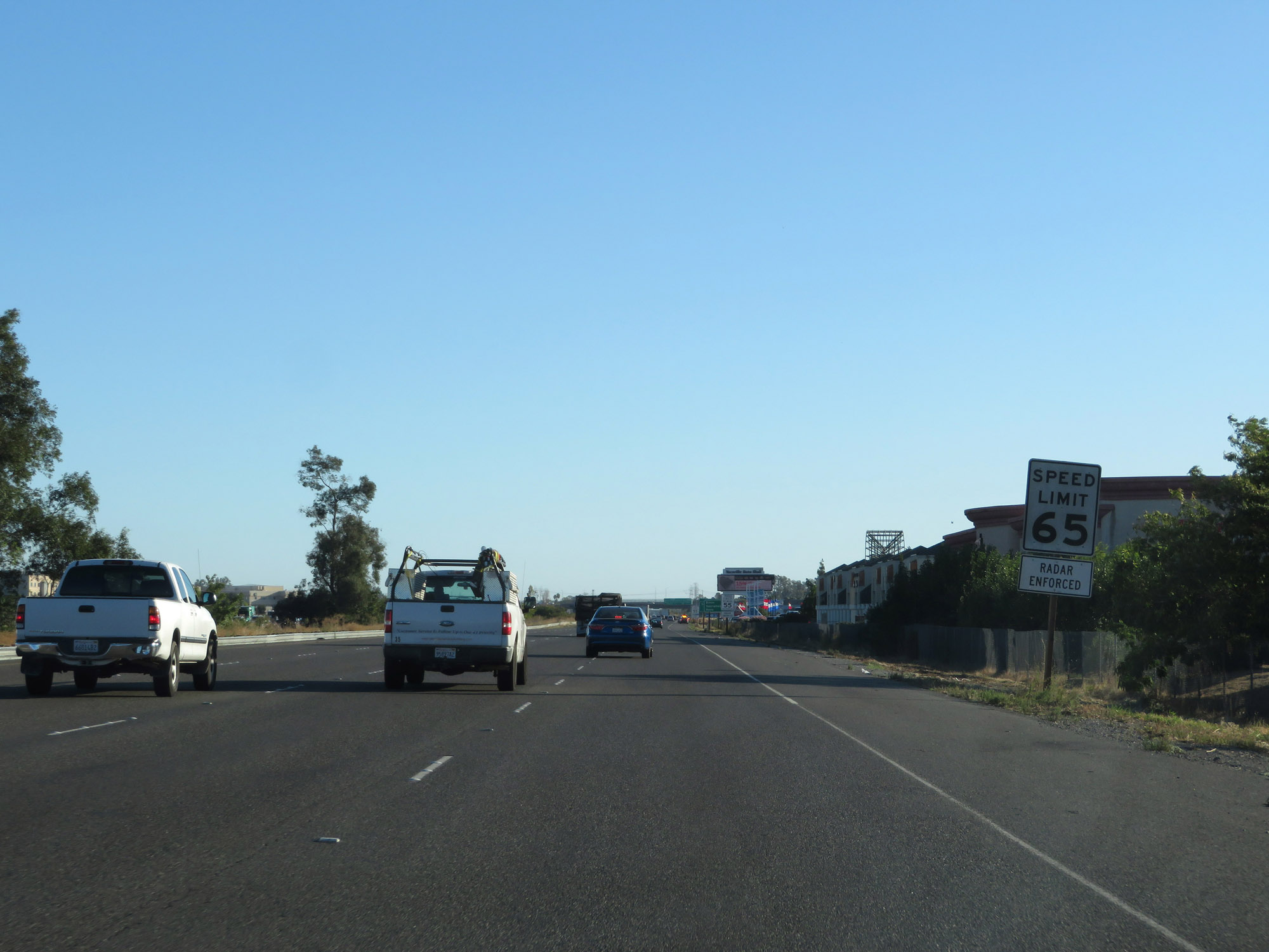 |
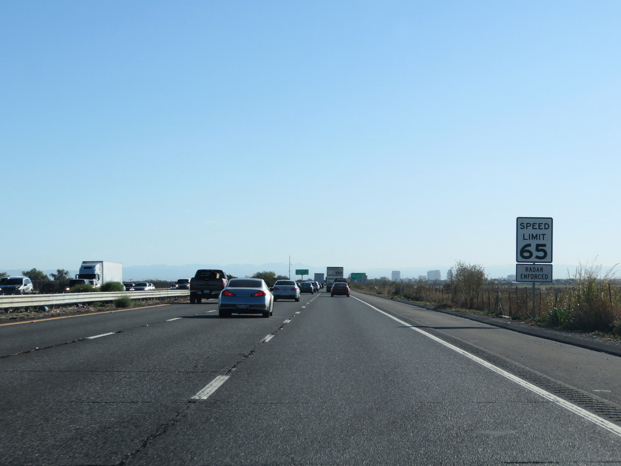
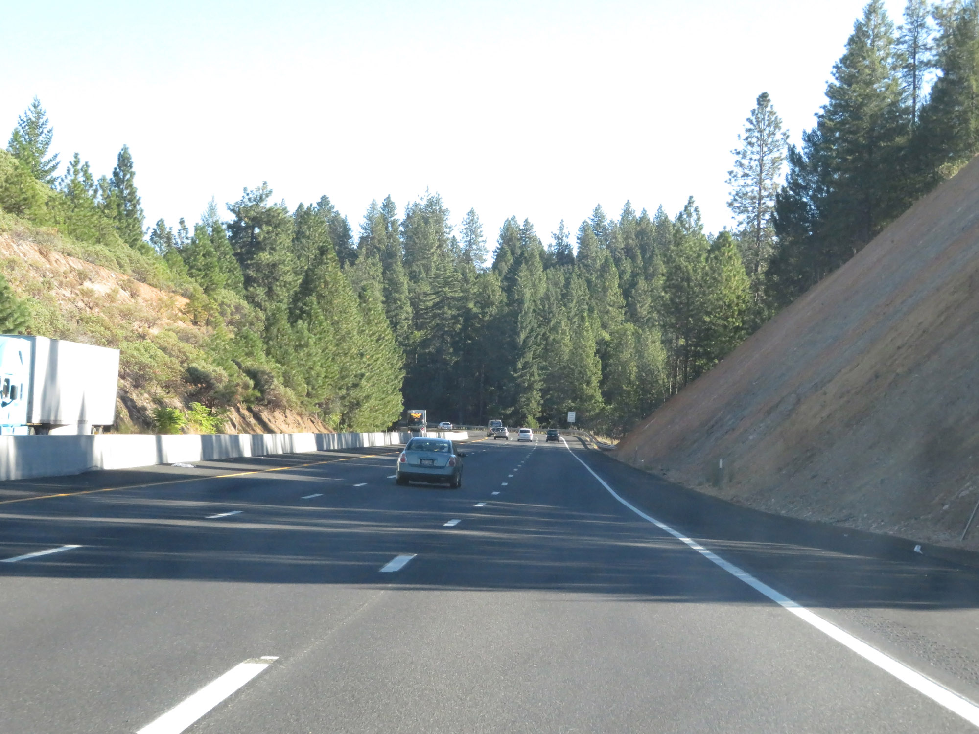
The speed limit for automobiles remains 65 mph on Interstate 80 East. (Photo taken 9/24/19). |
 |
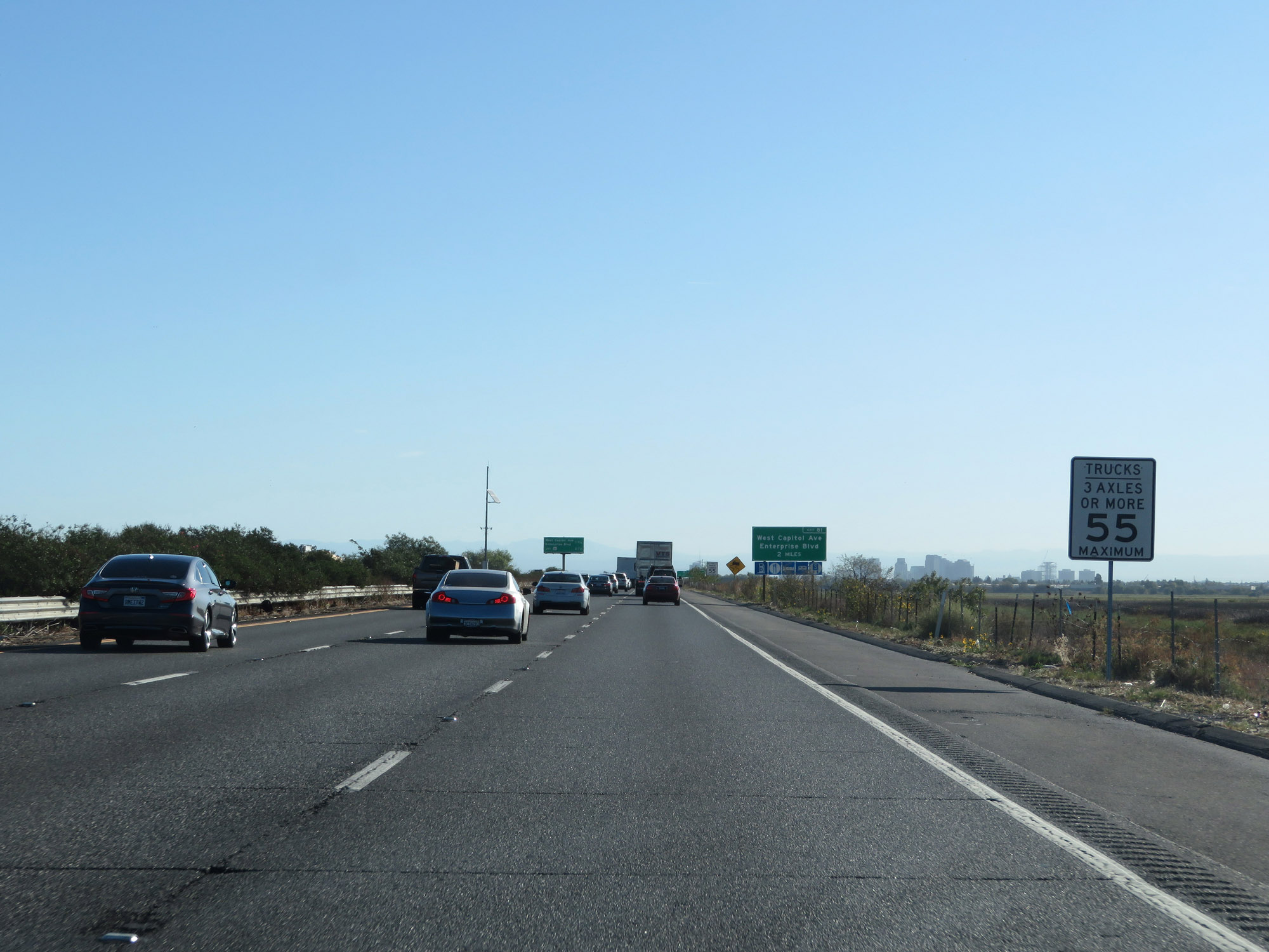
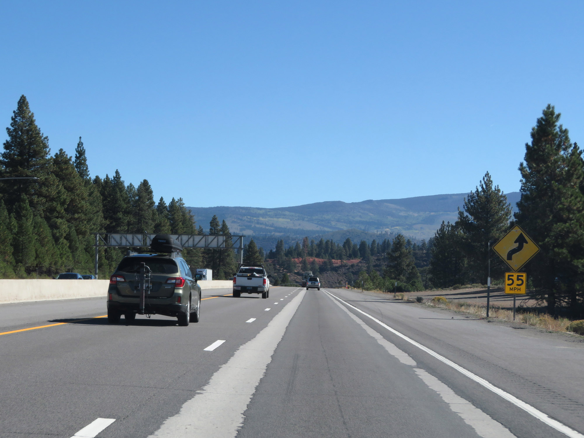
The speed limit for trucks of 3 or more axles in California is 55 mph. (Photo taken 9/24/19). |
 |
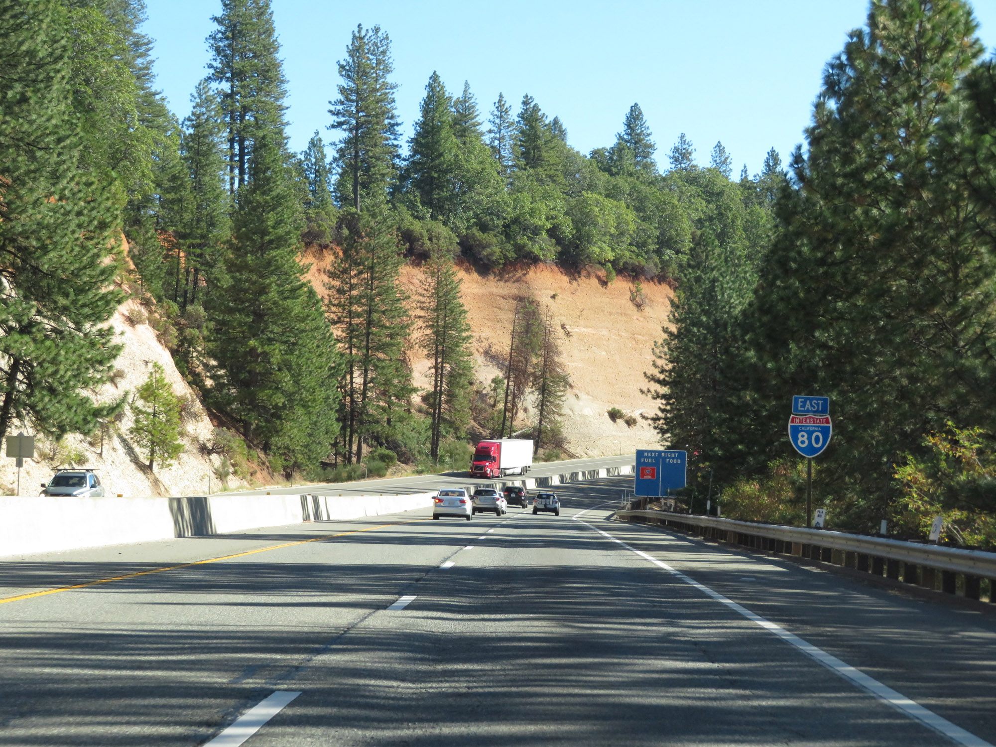
Mileage sign on Interstate 80 East. It's 8 miles to Dixon, 32 miles to Sacramento, and 165 miles to Reno. (Photo taken 9/24/19). |
 |
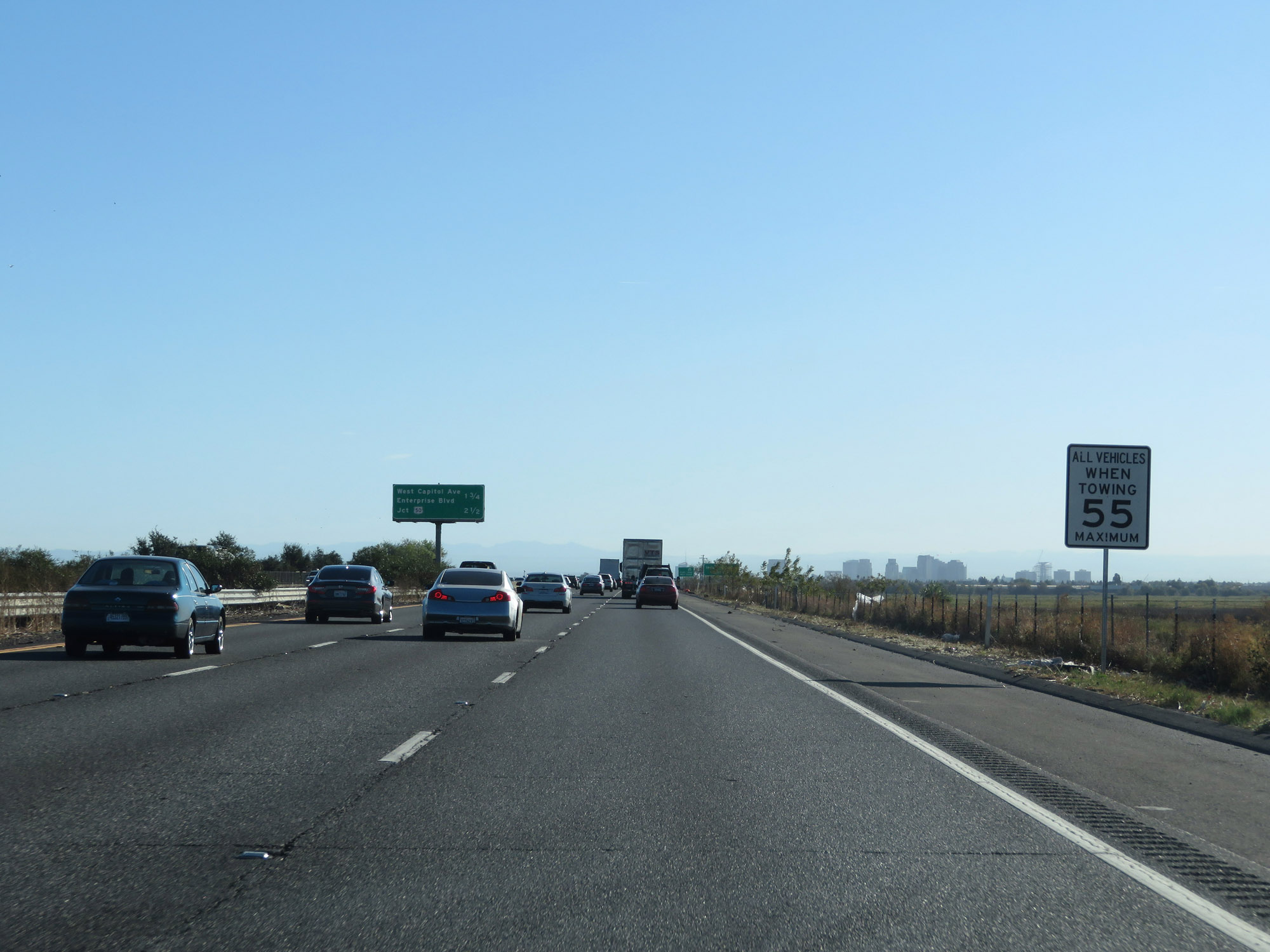
As always, vehicles towing trailers are restricted to 55 mph in California. (Photo taken 9/24/19). |
 |
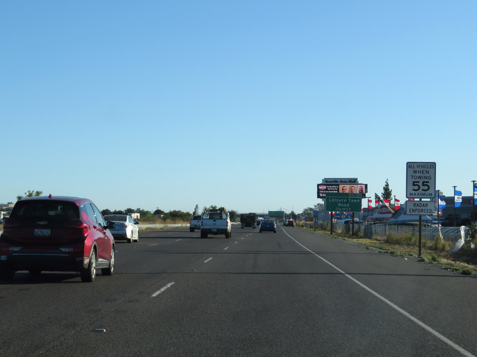
Take Exit 57 to Solano Community College and Vacaville Center. (Photo taken 9/24/19). |
 |
Interstate 80 East at Exit 57: Leisure Town Road / Vaca Valley Pkwy (Photo taken 9/24/19). |
 |
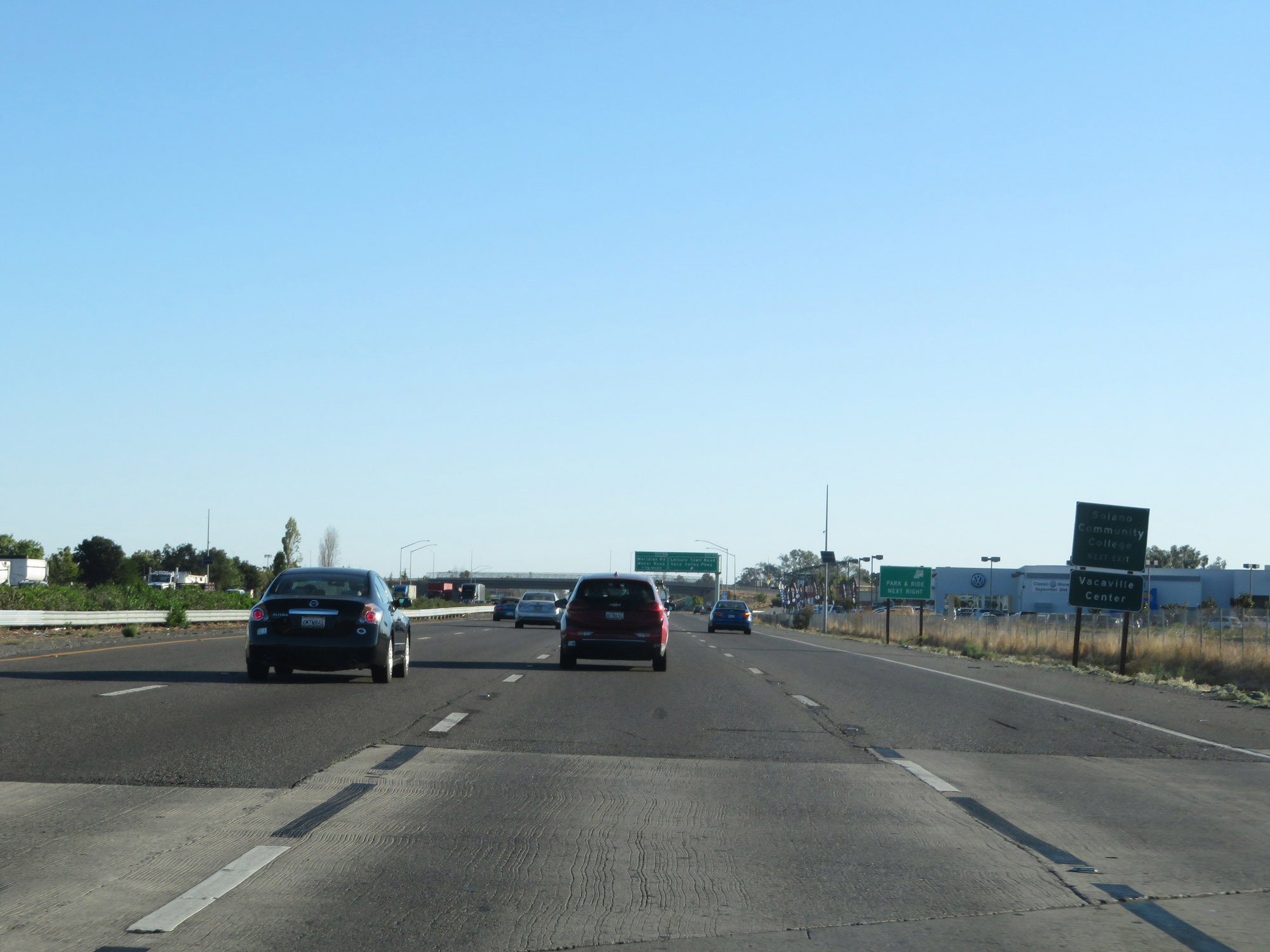
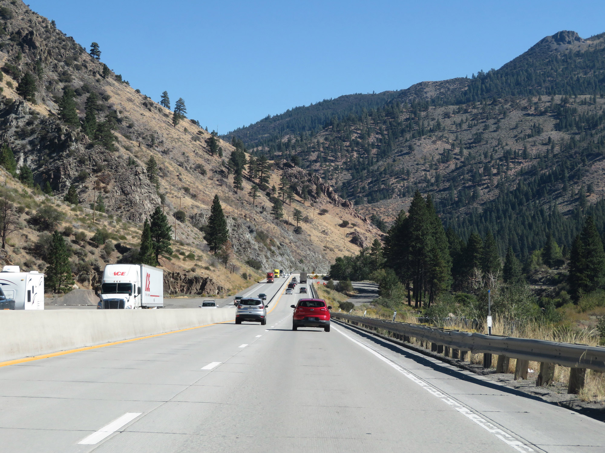
View on Interstate 80 East. (Photo taken 9/24/19). |
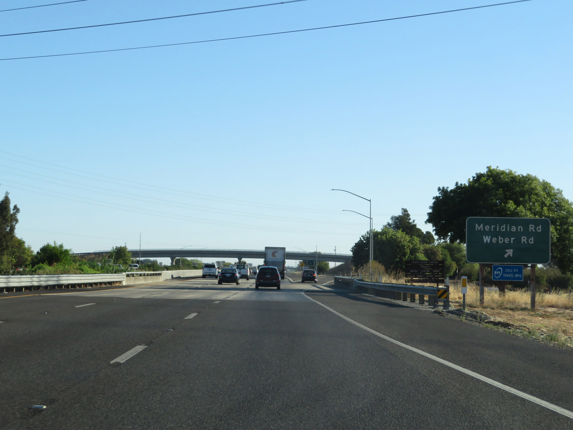 |
Interstate 80 East at Exit 59: Meridian Rd / Weber Rd (Photo taken 9/24/19). |
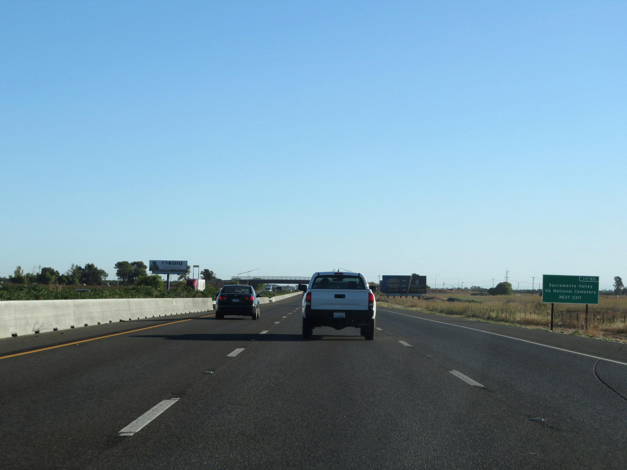 |
Take Exit 60 to Sacramento Valley VA National Cemetery. (Photo taken 9/24/19). |
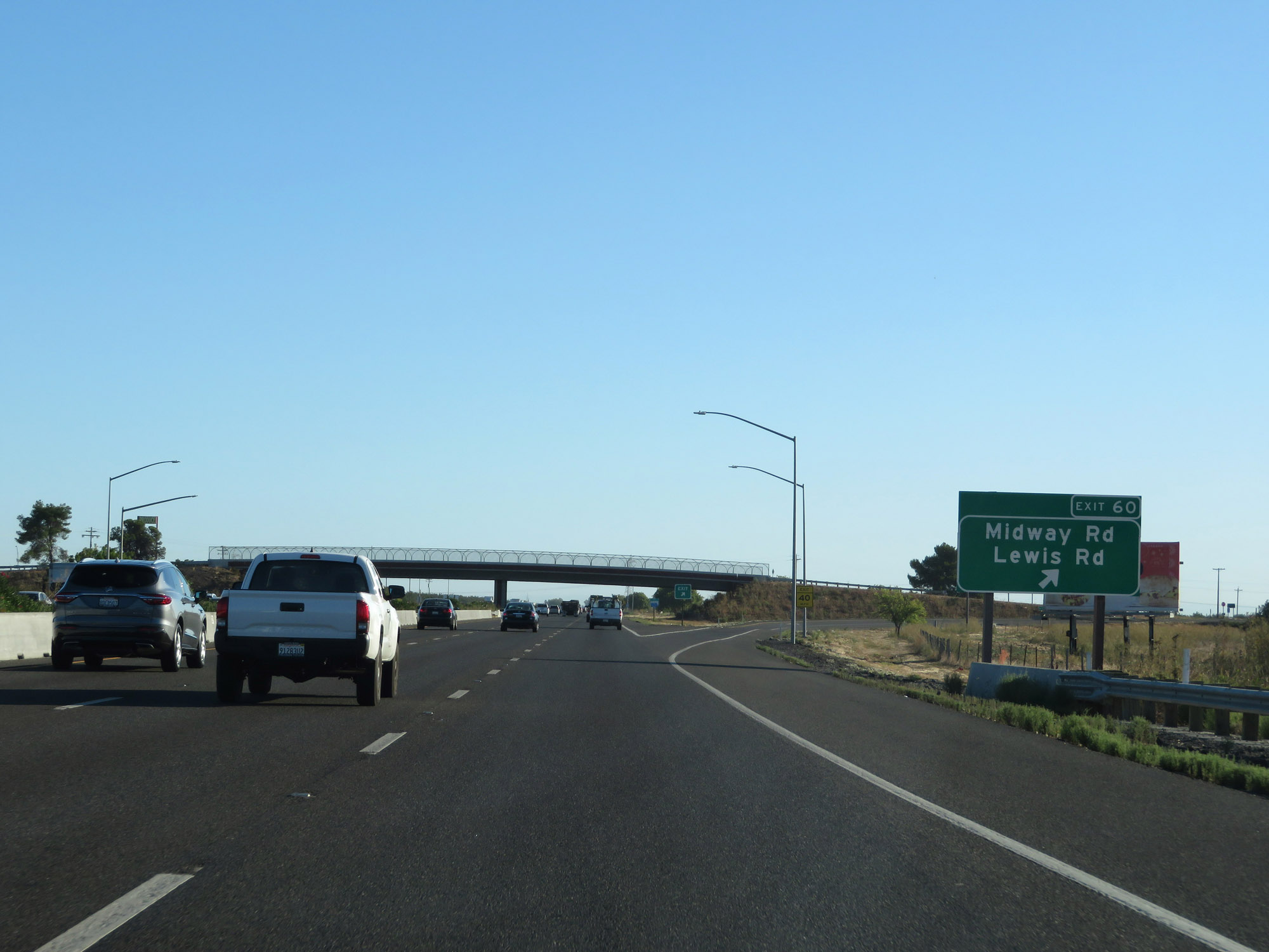 |
Interstate 80 East at Exit 60: Midway Rd / Lewis Rd (Photo taken 9/24/19). |
 |
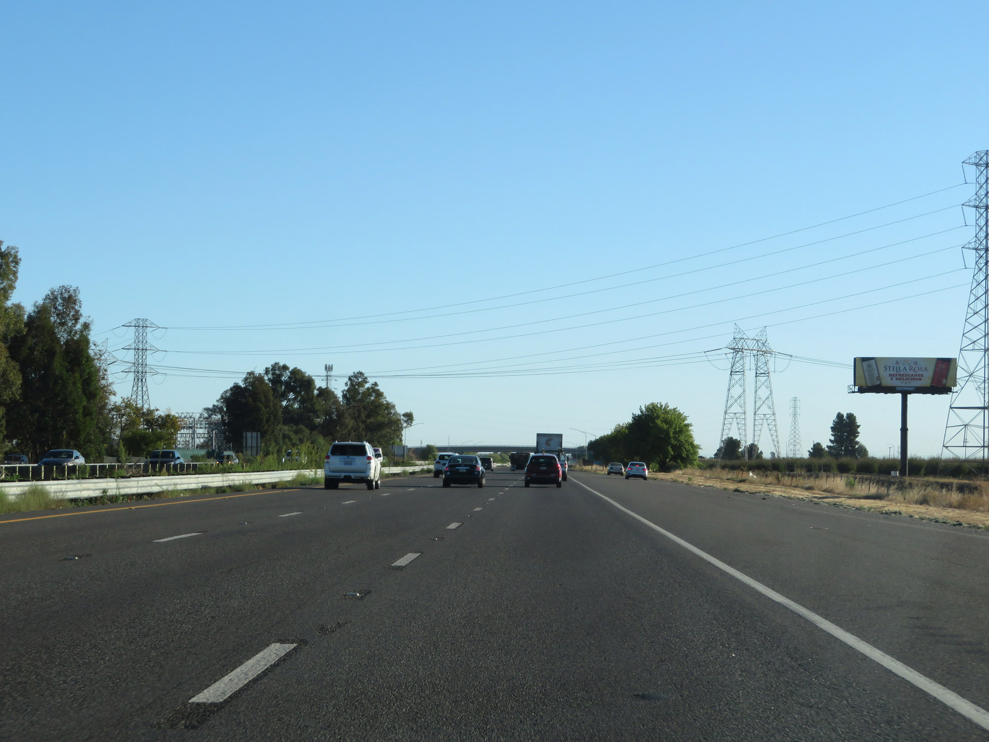
Another view on Interstate 80 East in Solano County. (Photo taken 9/24/19). |
 |
Take Exit 63 to the Fairgrounds. (Photo taken 9/24/19). |
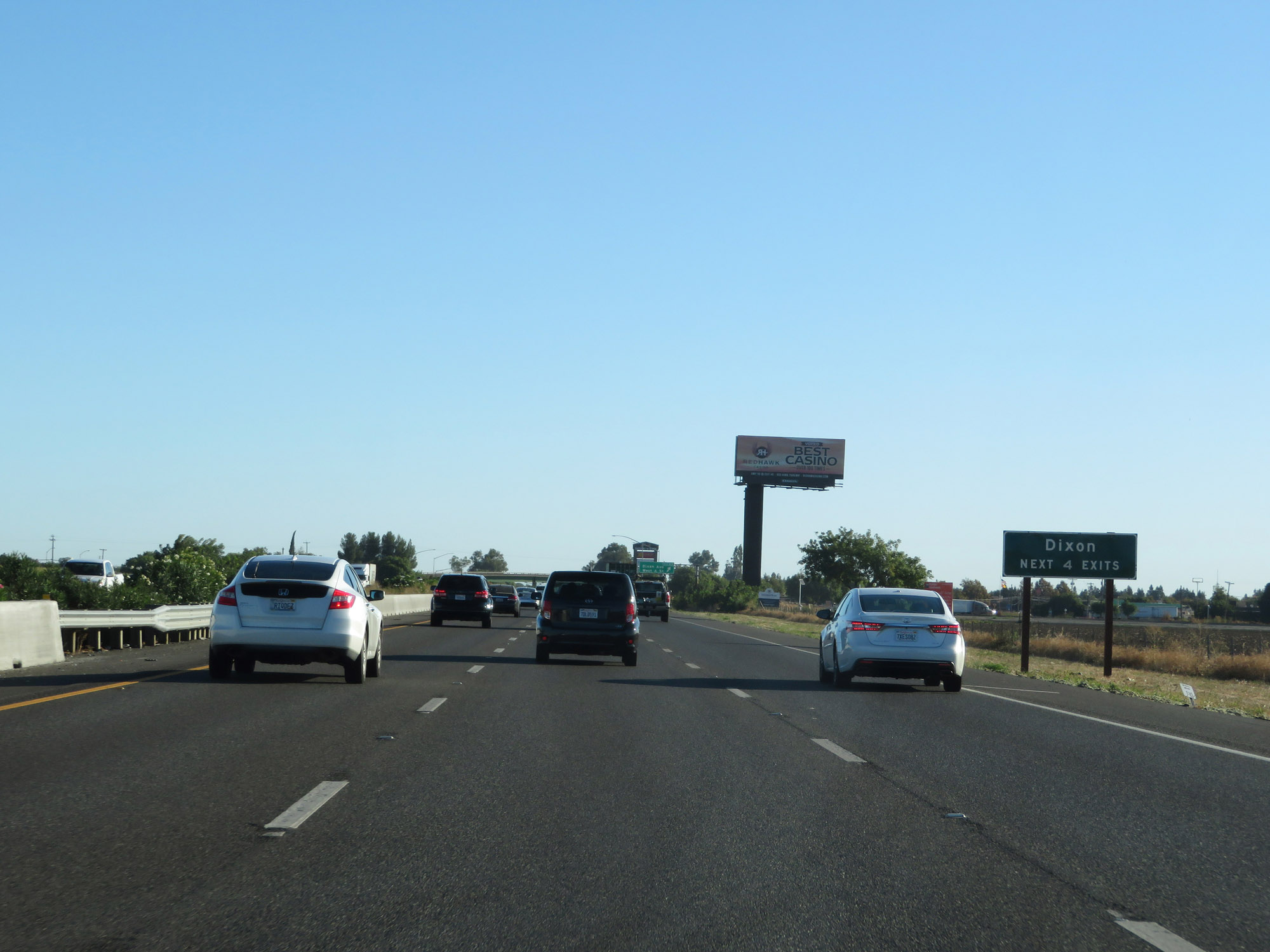 |
Take any of the next 4 exits to Dixon. (Photo taken 9/24/19). |
 |
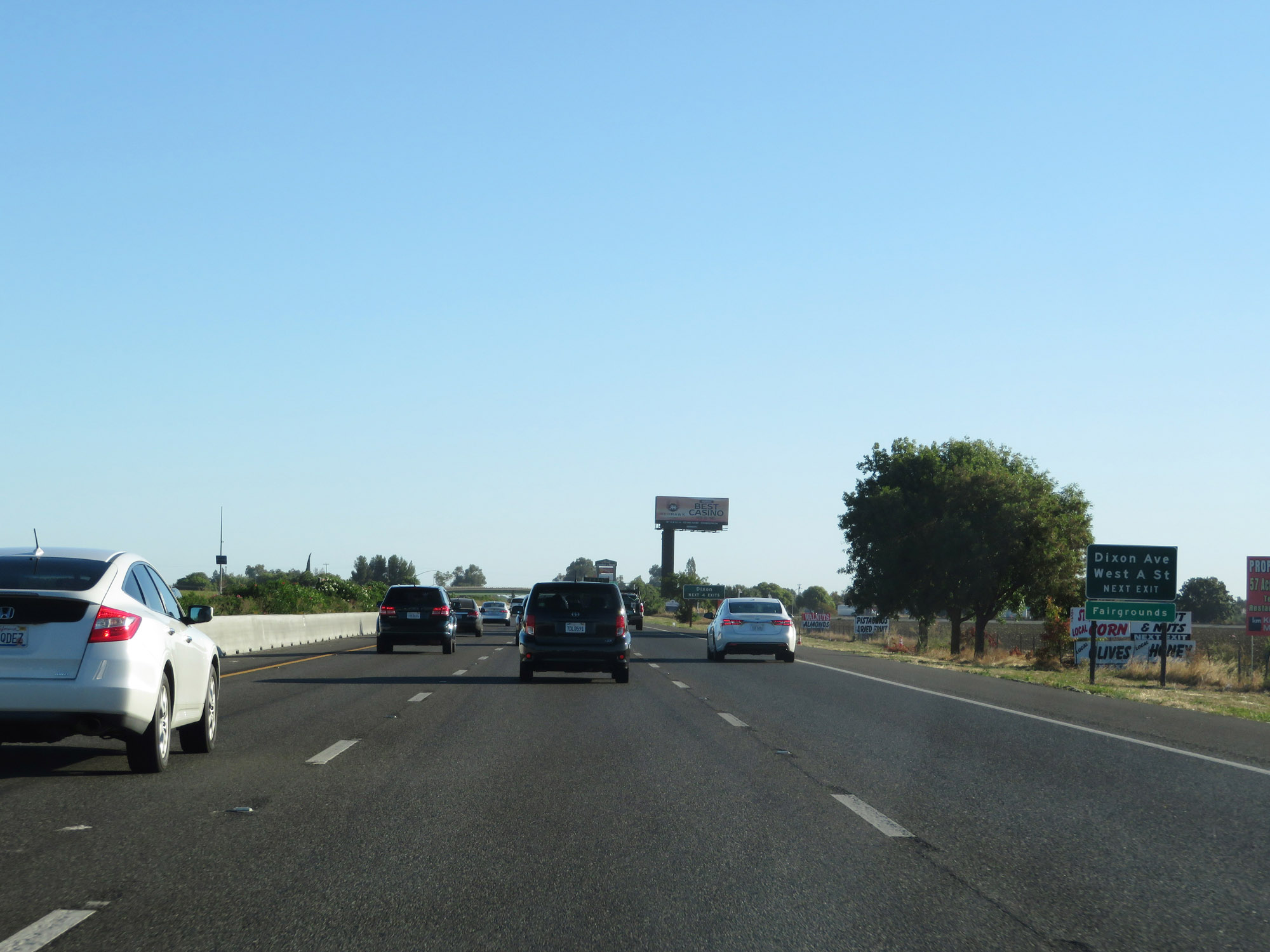
Interstate 80 East at Exit 63: Dixon Ave / West A St (Photo taken 9/24/19). |
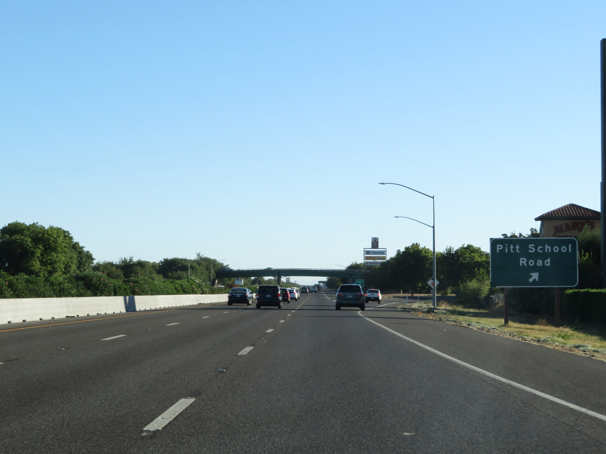 |
Interstate 80 East at Exit 64: Pitt School Road (Photo taken 9/24/19). |
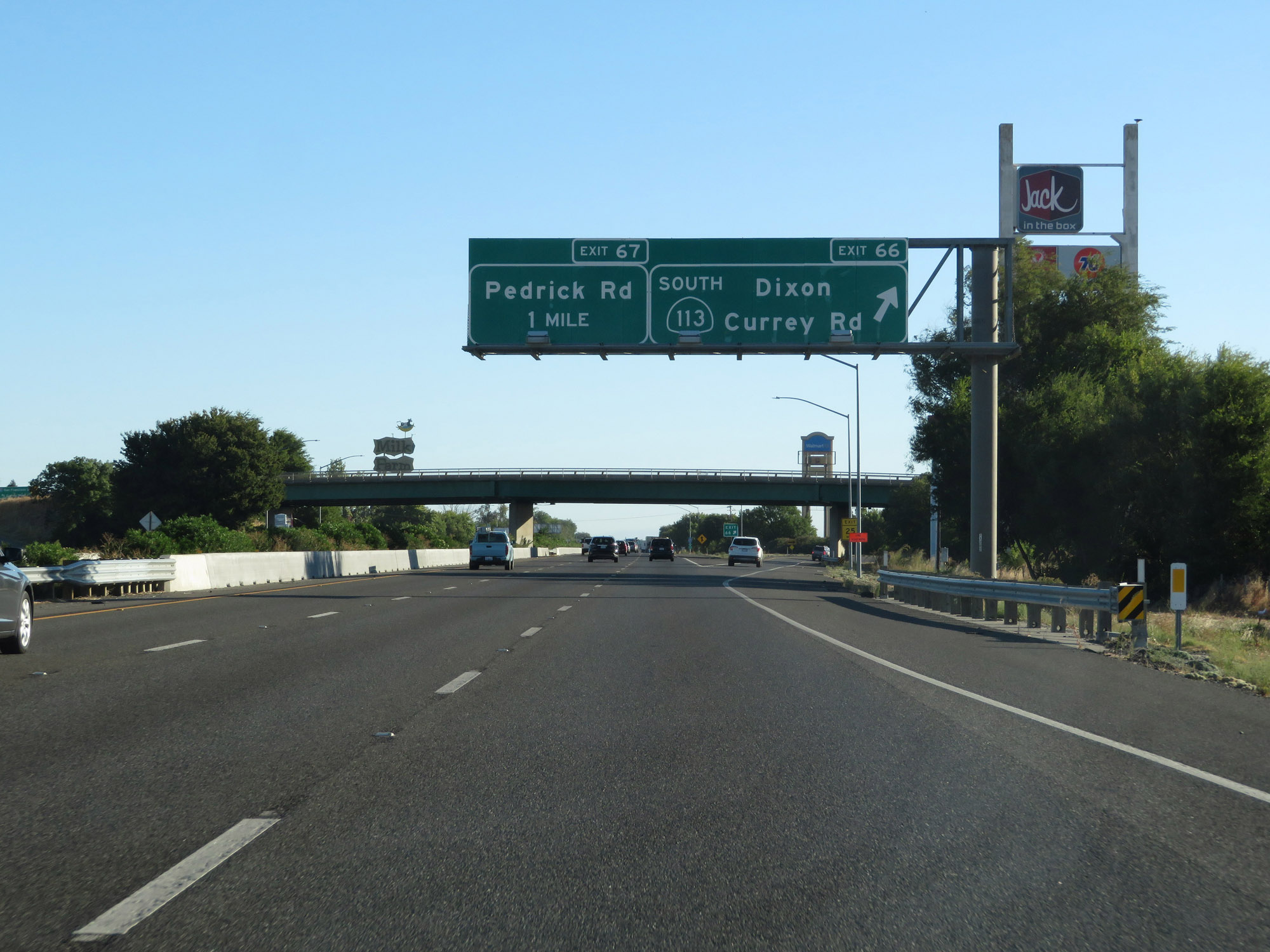 |
Interstate 80 East at Exit 66: CA 113 South - Dixon / Currey Rd (Photo taken 9/24/19). |
 |
State-named Interstate 80 East reassurance shield. (Photo taken 9/24/19). |
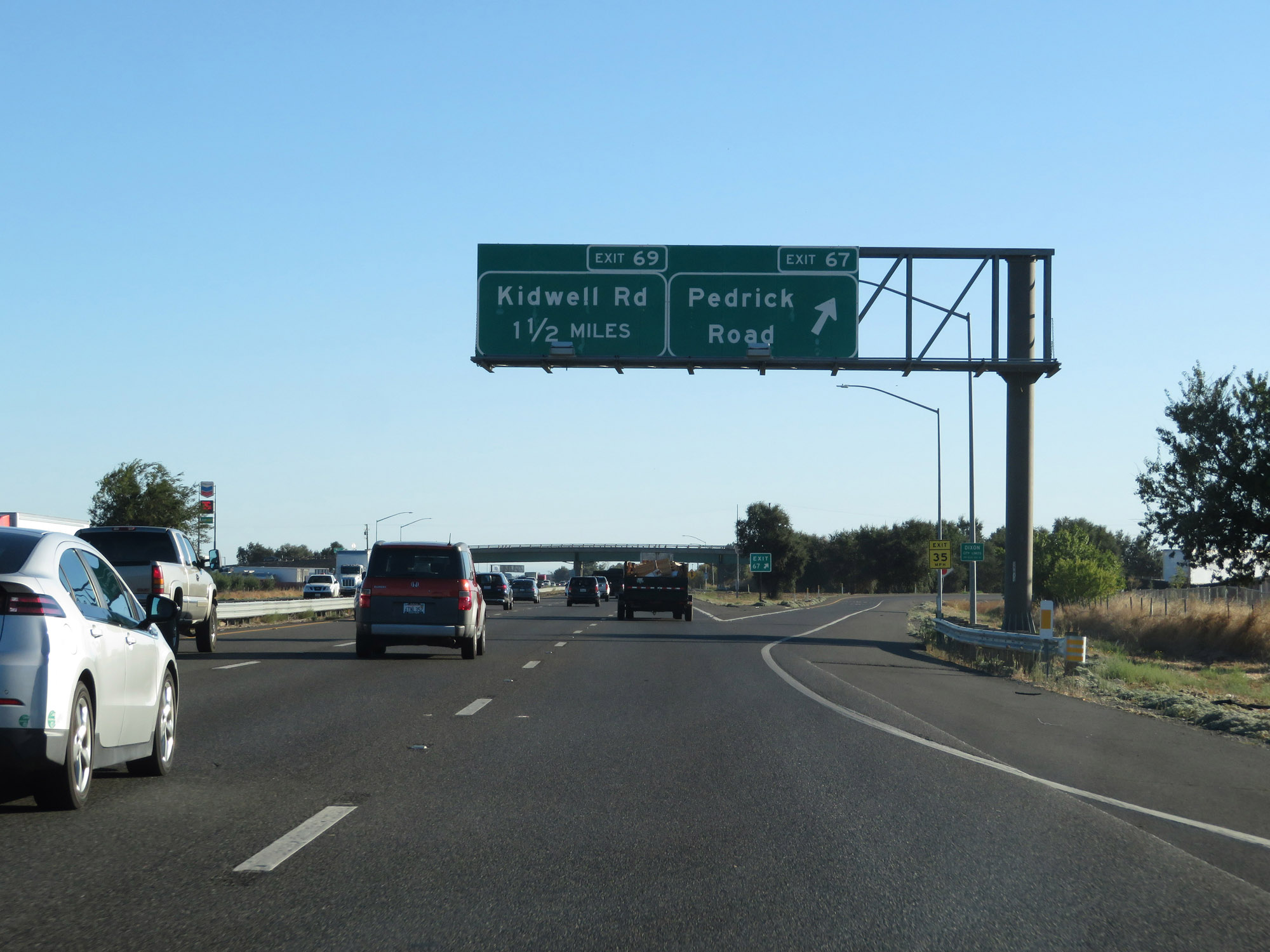 |
Interstate 80 East at Exit 67: Pedrick Road (Photo taken 9/24/19). |
 |
Interstate 80 East at Exit 69: Kidwell Road (Photo taken 9/24/19). |
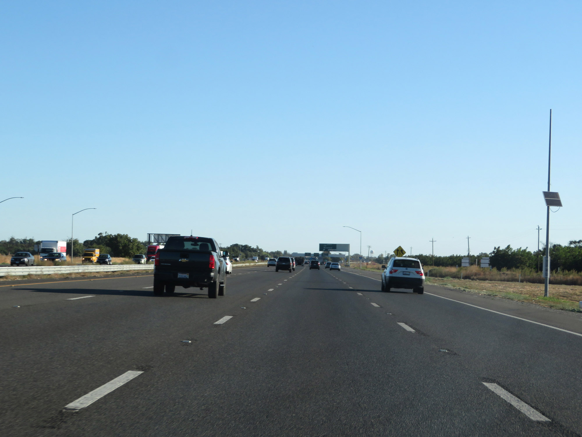 |
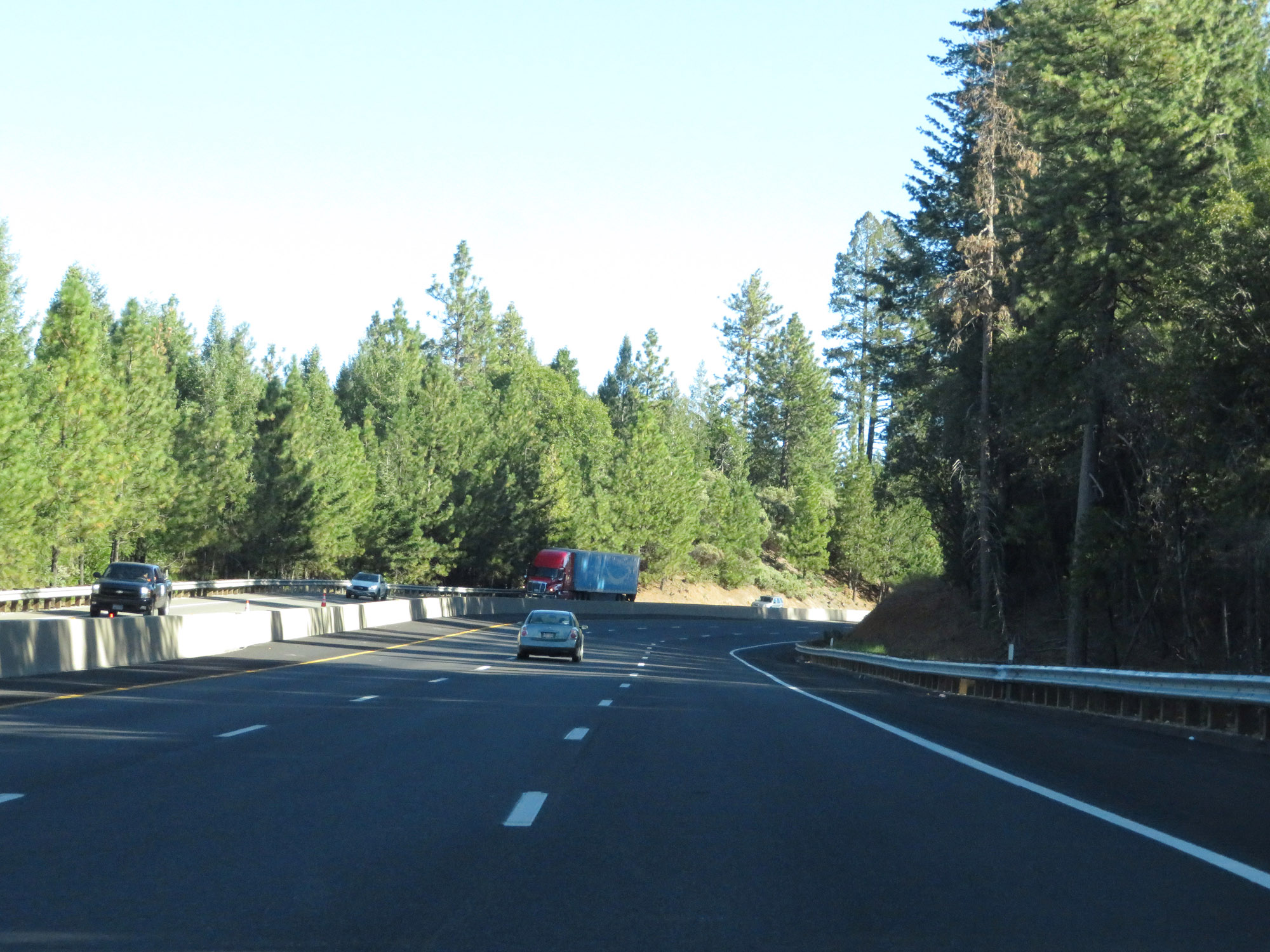
View on Interstate 80 East. (Photo taken 9/24/19). |
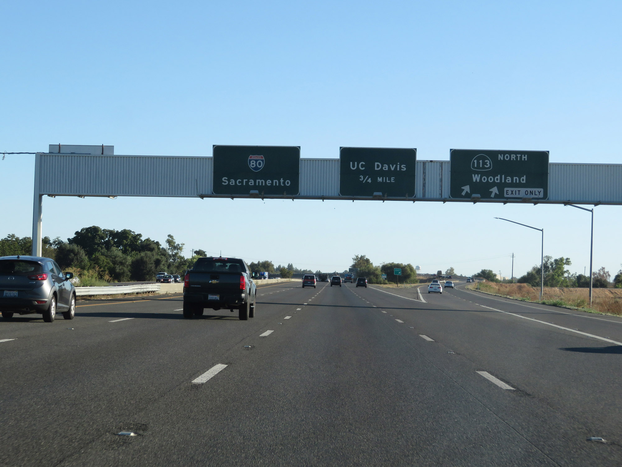 |
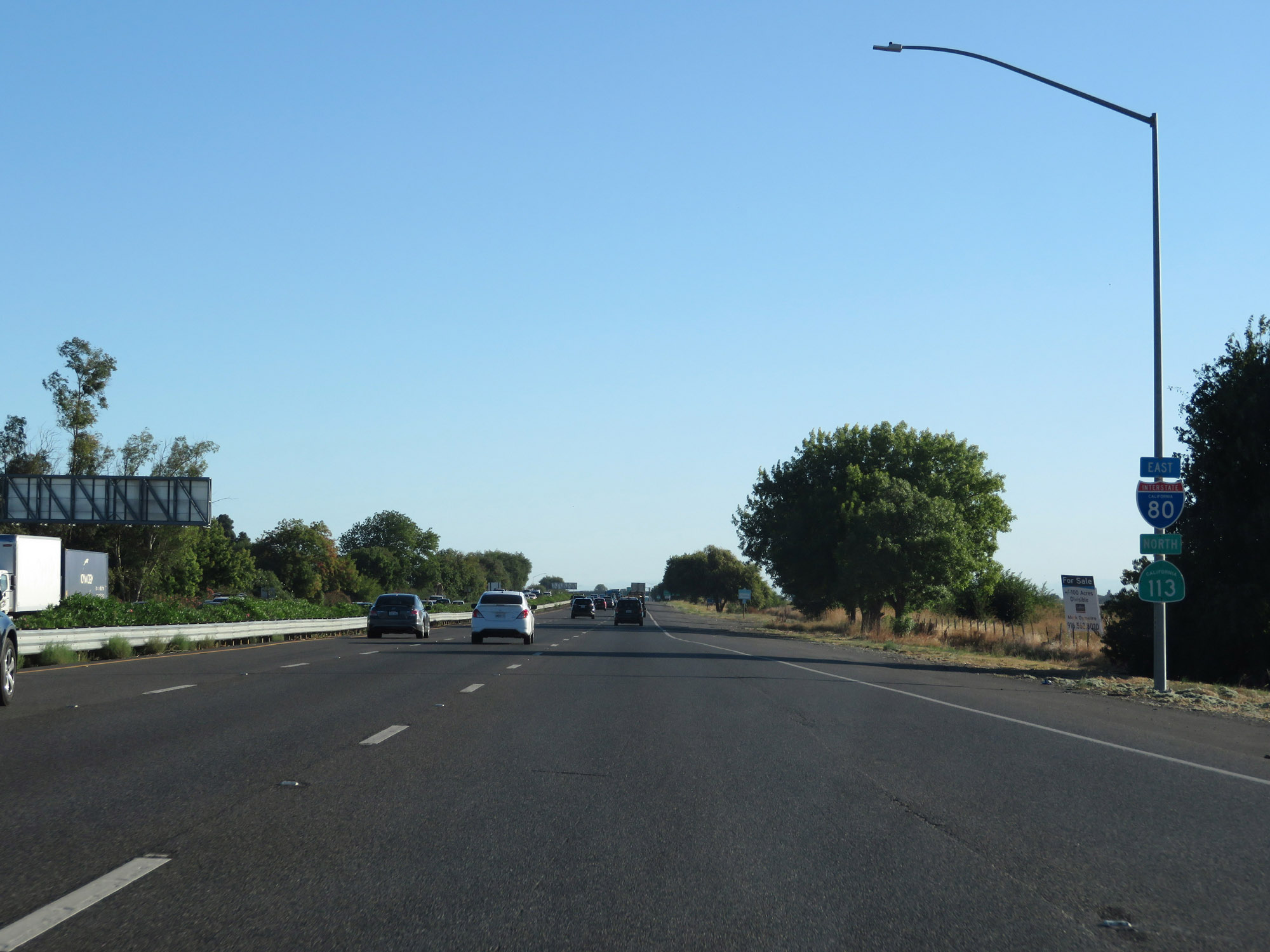
Interstate 80 East at Exit 70: CA 113 North - Woodland (Photo taken 9/24/19). |
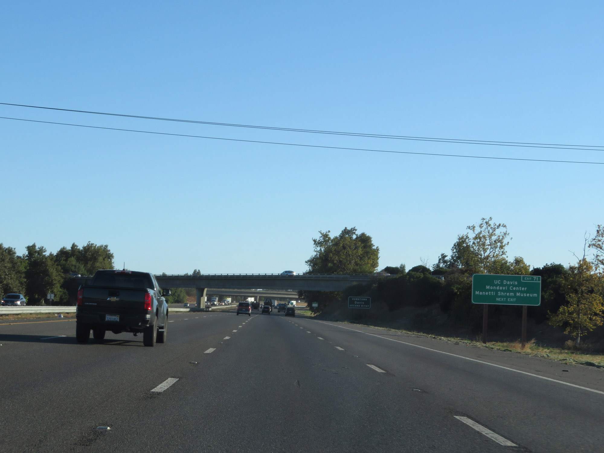 |
Take Exit 71 to UC Davis Mondavi Center and Manetti Shrem Museum. (Photo taken 9/24/19). |
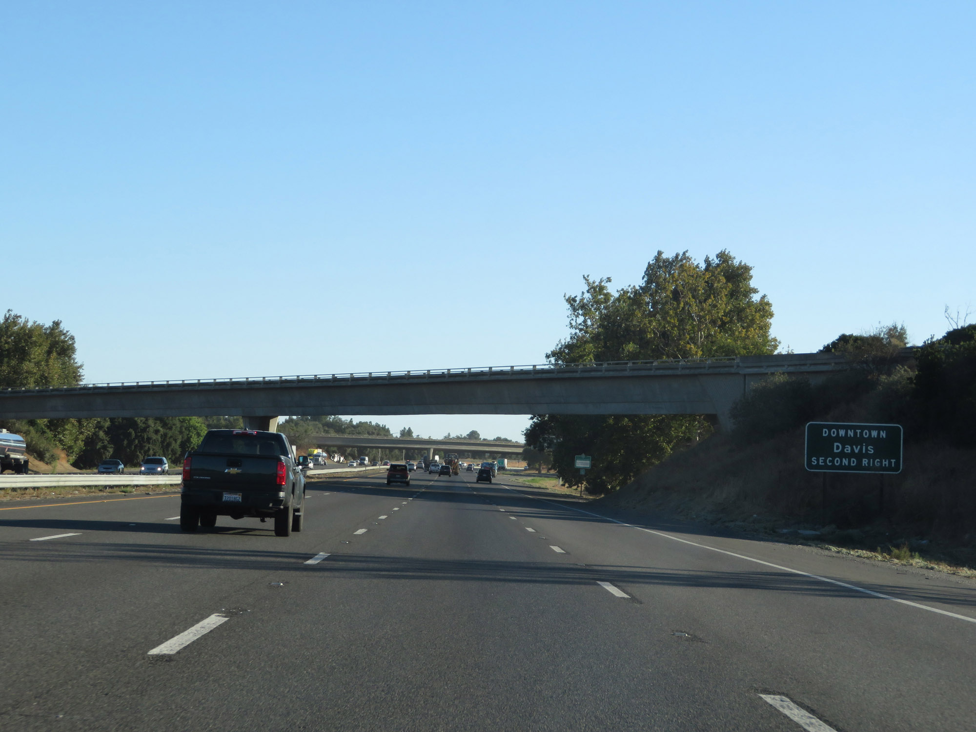 |
Take Exit 72 to Downtown Davis. (Photo taken 9/24/19). |
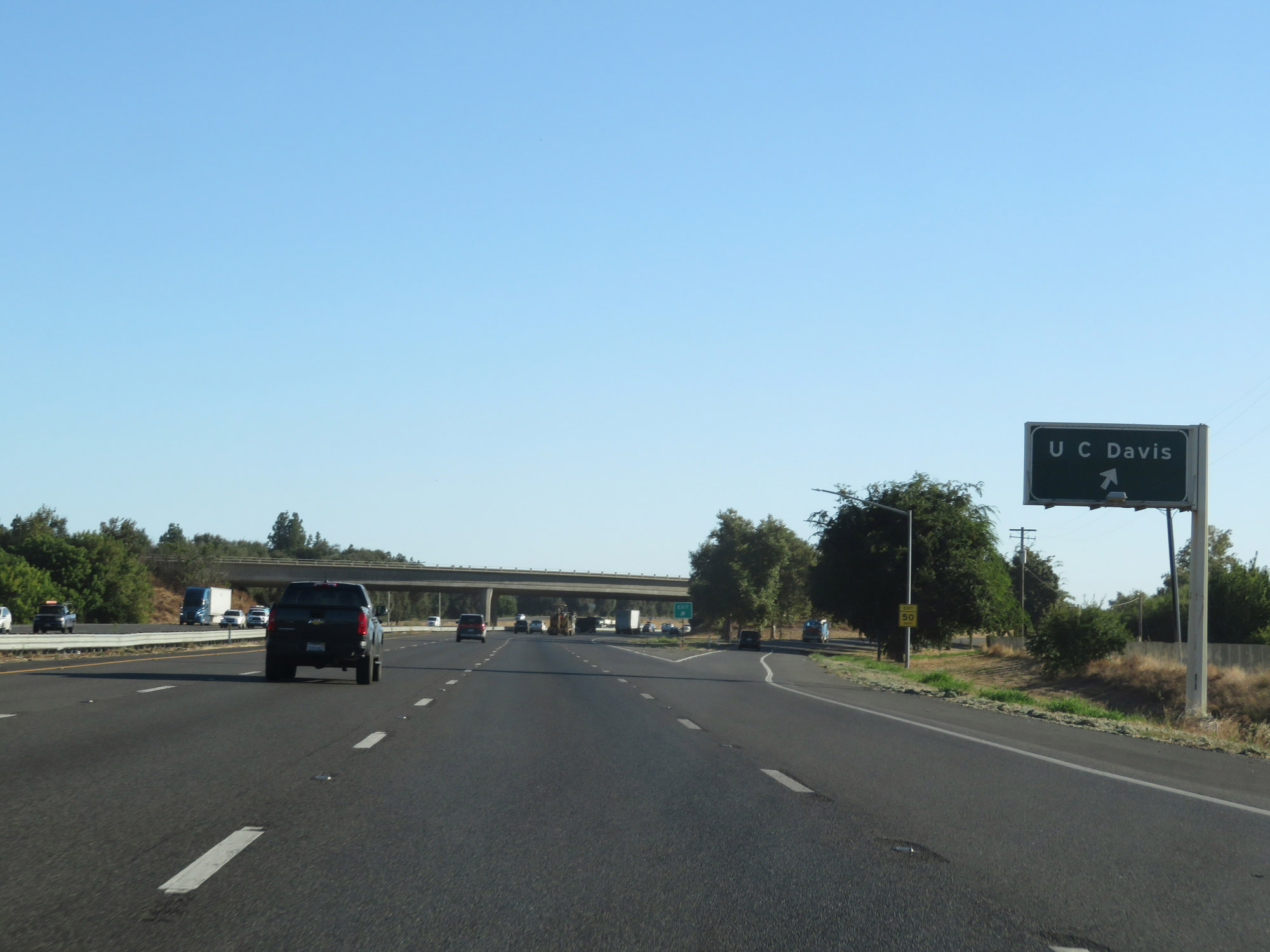 |
Interstate 80 East at Exit 71: UC Davis (Photo taken 9/24/19). |
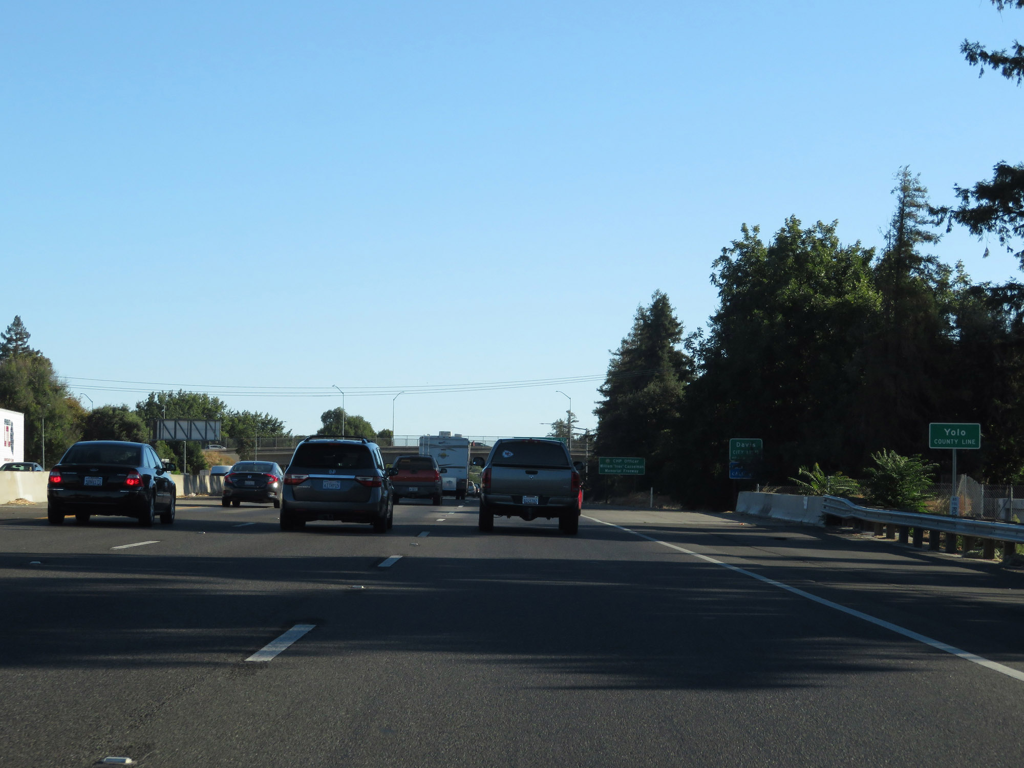 |
Interstate 80 East as it enters Yolo County. (Photo taken 9/24/19). |
 |
Interstate 80 East at Exit 72: Richards Blvd (Photo taken 9/24/19). |
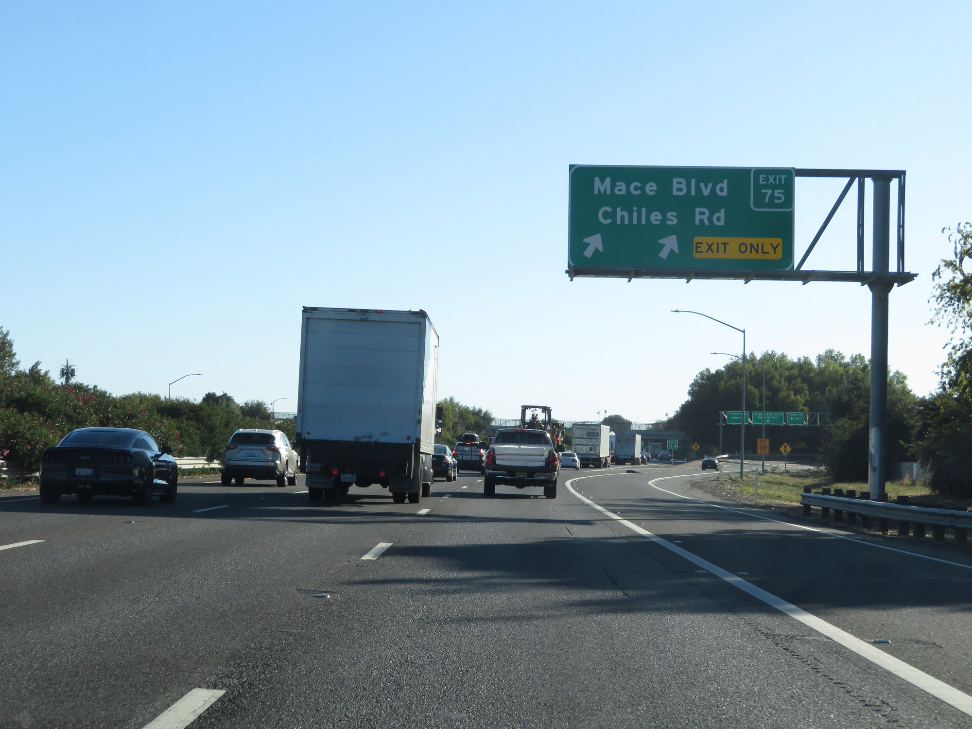 |
Interstate 80 East at Exit 75: Mace Blvd / Chiles Rd (Photo taken 9/24/19). |
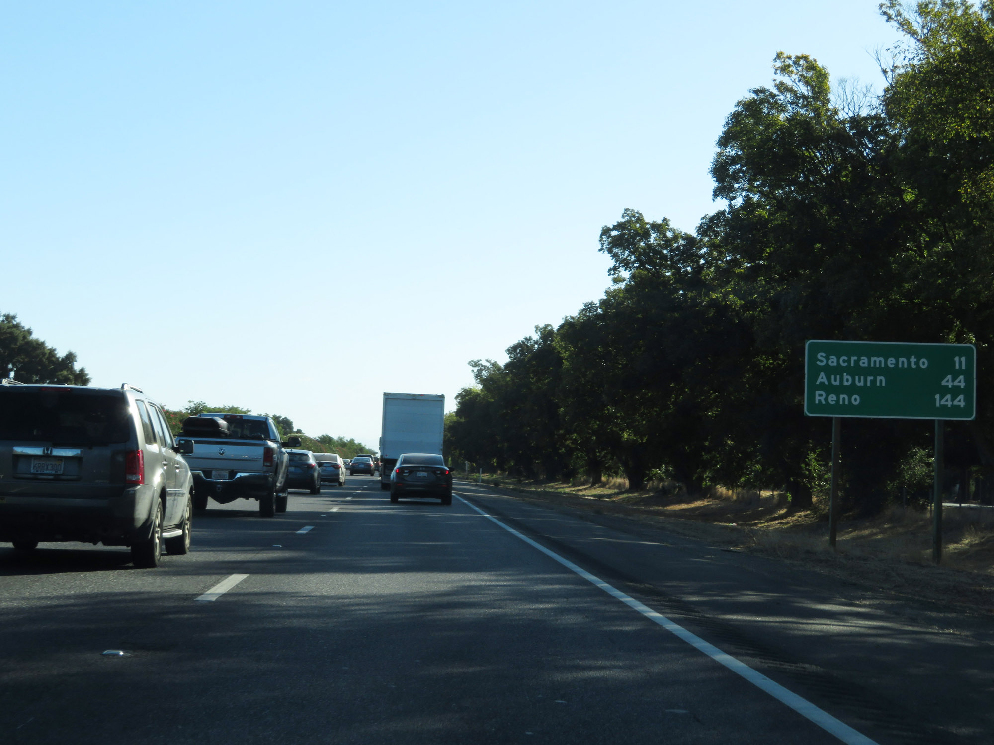 |
Mileage sign on Interstate 80 East. It's 11 miles to Sacramento, 44 miles to Auburn, and 144 miles to Reno. (Photo taken 9/24/19). |
 |
Interstate 80 East at Exit 78: Road 32A / E Chiles Rd (Photo taken 9/24/19). |
 |
Another state-named Interstate 80 East reassurance shield. (Photo taken 9/24/19). |
 |
The speed limit remains 65 mph for automobiles. (Photo taken 9/24/19). |
 |
The speed limit for trucks of 3 or more axles remains 55 mph. (Photo taken 9/24/19). |
 |
As usual, vehicles towing trailers are restricted to 55 mph. (Photo taken 9/24/19). |
 |
Take Exit 81 to Industrial Blvd. (Photo taken 9/24/19). |
 |
Take any of the next 4 exits to West Sacramento. (Photo taken 9/24/19). |
 |
Interstate 80 East at Exit 81: West Capitol Ave / Enterprise Blvd (Photo taken 9/24/19). |
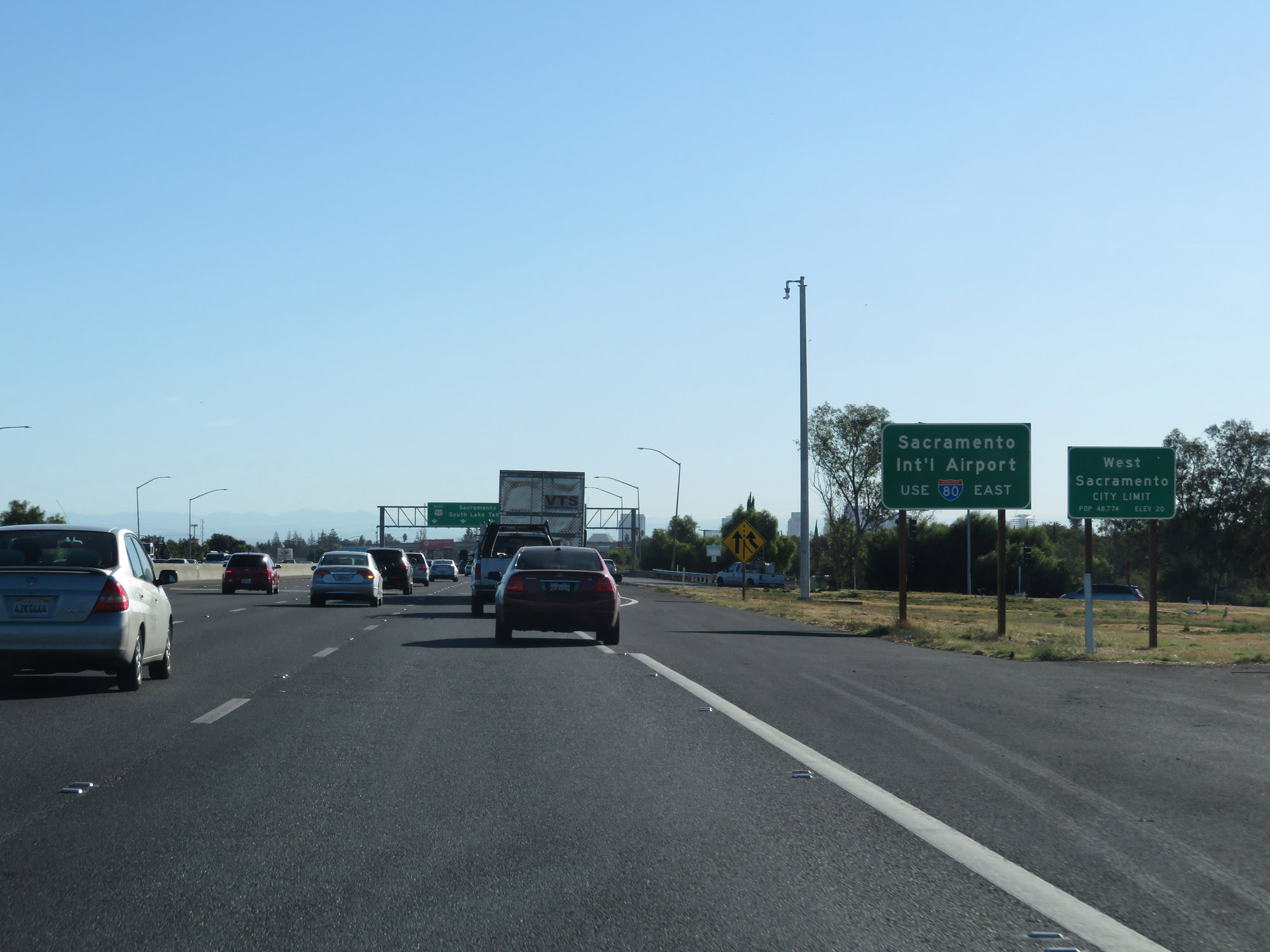 |
Traffic to Sacramento International Airport should remain on Interstate 80 East. (Photo taken 9/24/19). |
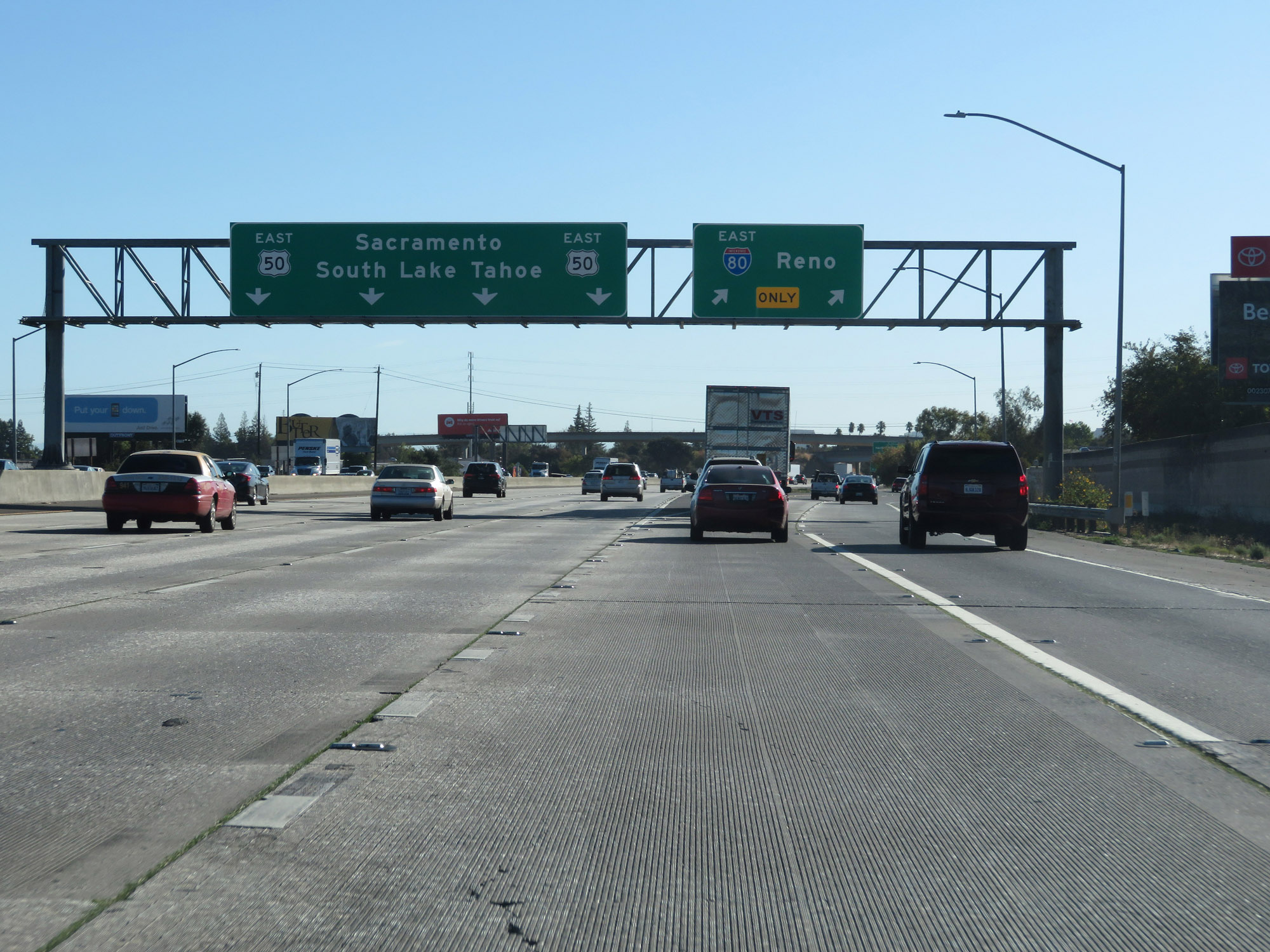 |
Interstate 80 East at Exit 82: Unsigned Interstate 305 East / US 50 East - Sacramento / South Lake Tahoe (Photo taken 9/24/19). |
 |
View as Interstate 80 East prepares to fly over Unsigned Interstate 305 / US 50. I-80 will travel northeast to the junction of Interstate 5. (Photo taken 9/24/19). |
 |
View on Interstate 80 East as it curves to the northeast, on the west side of downtown Sacramento. (Photo taken 9/24/19). |
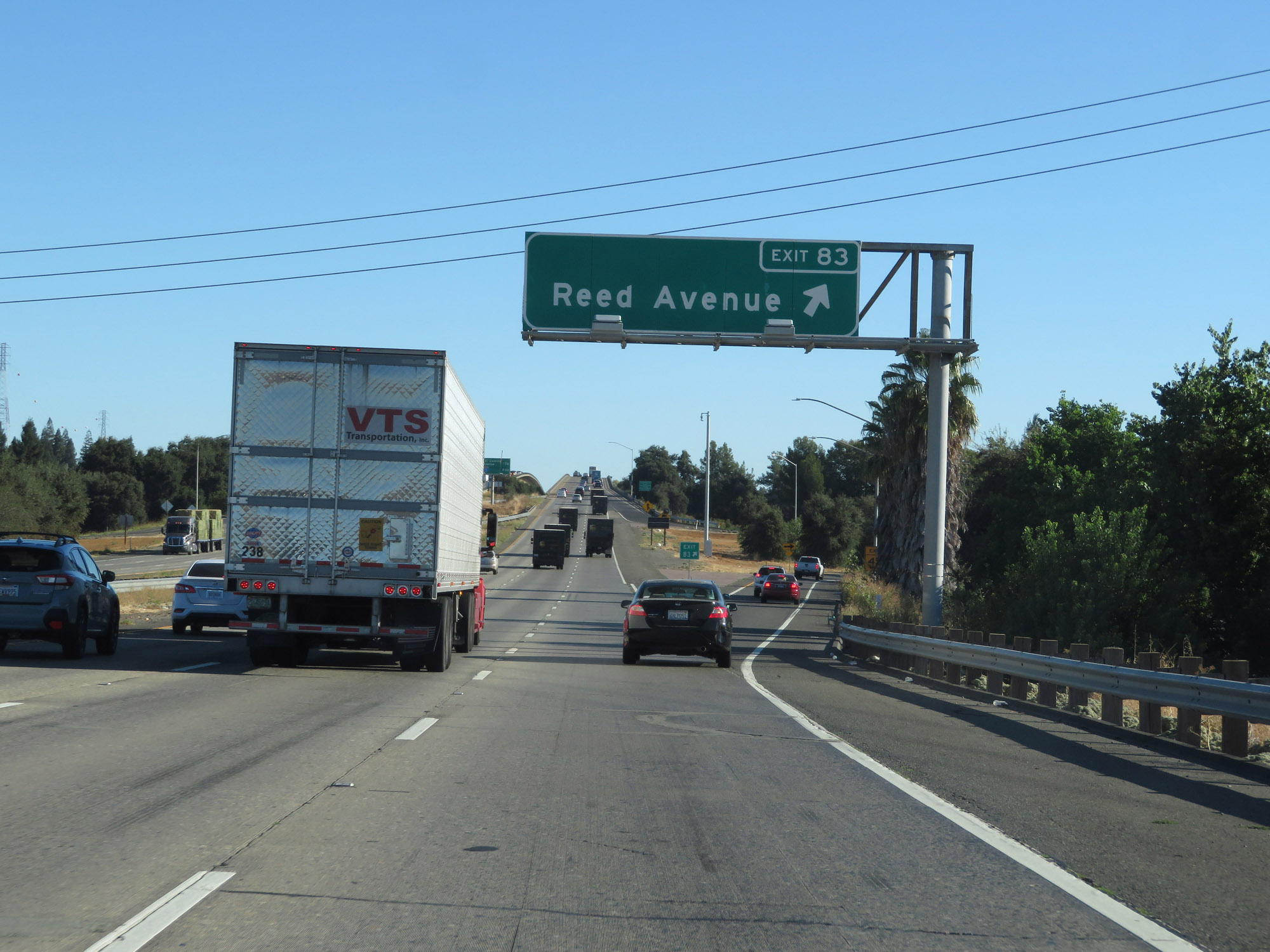 |
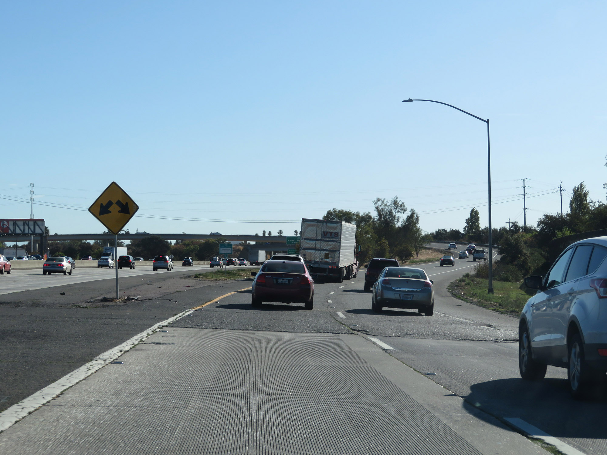
Interstate 80 East at Exit 83: Reed Avenue (Photo taken 9/24/19). |
 |
Entering Sacramento County on Interstate 80 East. (Photo taken 9/24/19). |
 |
View on Interstate 80 East. (Photo taken 9/24/19). |
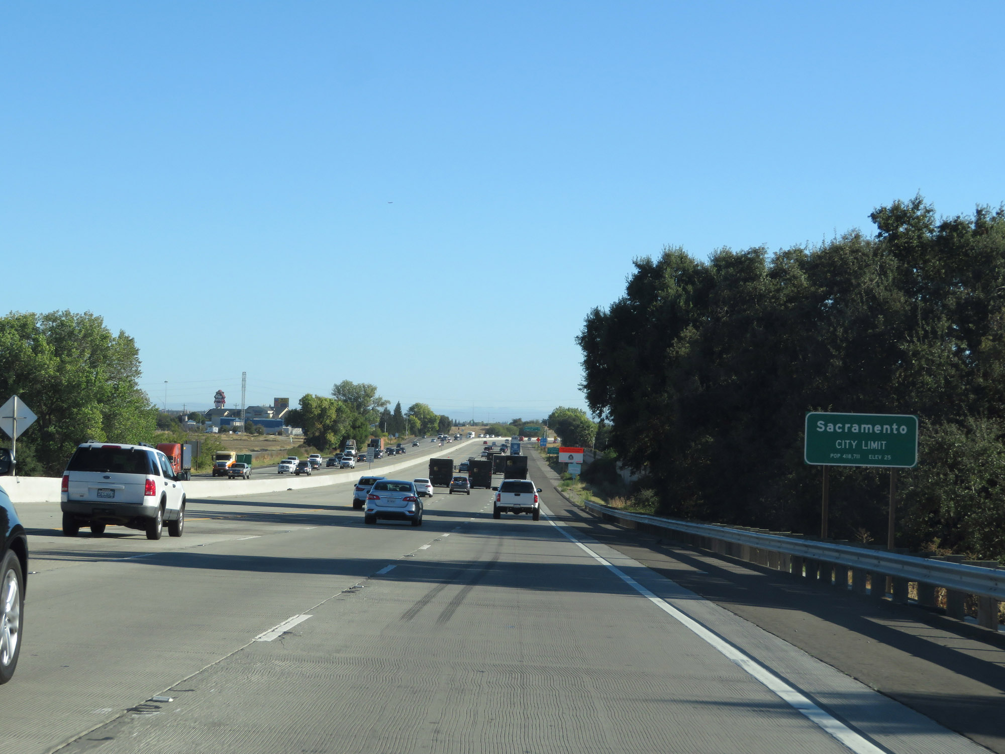 |
Upon entering Sacramento County, Interstate 80 East also enters the Sacramento city limits. (Photo taken 9/24/19). |
 |
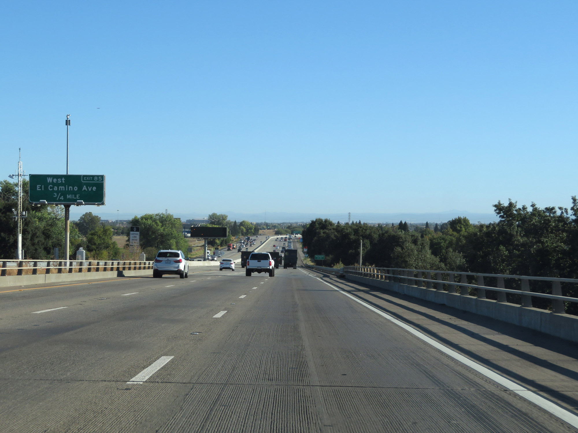
Interstate 80 East at Exit 85: West El Camino Avenue (Photo taken 9/24/19). |
 |
Interstate 80 East approaching Exit 86 - 1 mile. (Photo taken 9/24/19). |
 |
Mileage sign listing the distances to the 4 upcoming Sacramento interchanges. (Photo taken 9/24/19). |
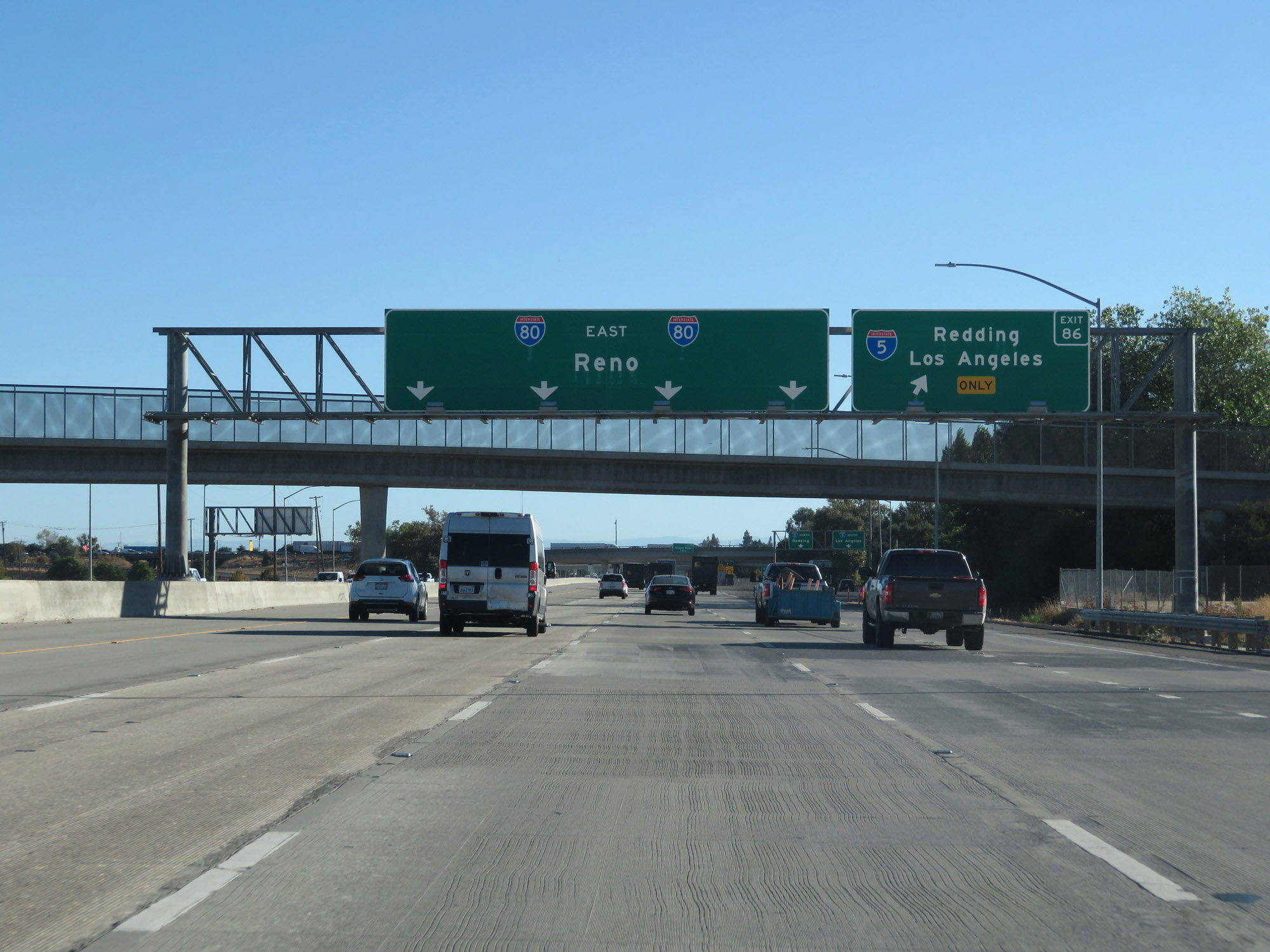 |
Interstate 80 East at Exit 86: Interstate 5 - Redding / Los Angeles (Photo taken 9/24/19). |
 |
View on Interstate 80 East, to the north of downtown Sacramento. (Photo taken 9/24/19). |
 |
Interstate 80 East at Exit 88: Truxel Road (Photo taken 9/24/19). |
 |
Interstate 80 East at Exit 89: Northgate Blvd (Photo taken 9/24/19). |
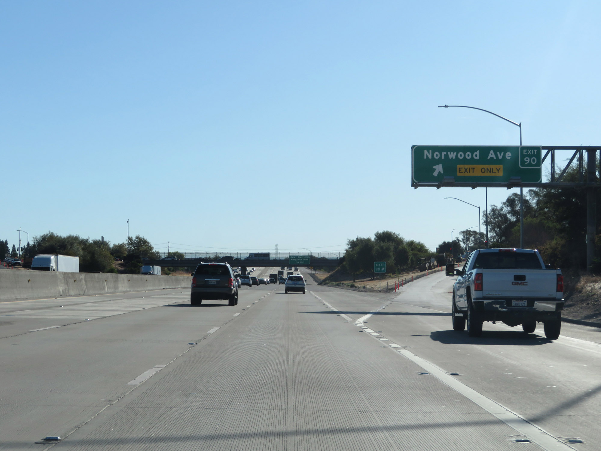 |
Interstate 80 East at Exit 90: Norwood Ave (Photo taken 9/24/19). |
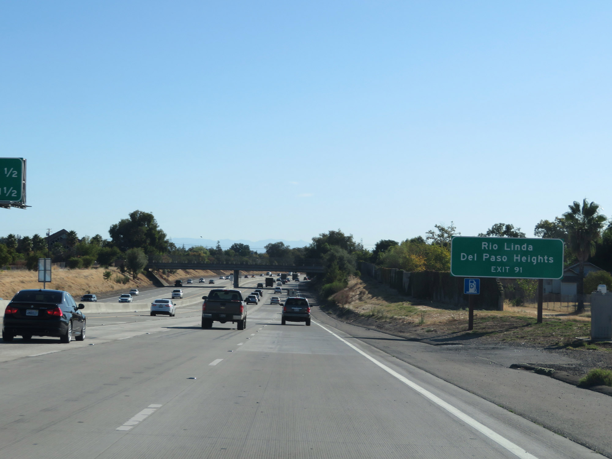 |
Take Exit 91 to Rio Linda and Del Paso Heights. (Photo taken 9/24/19). |
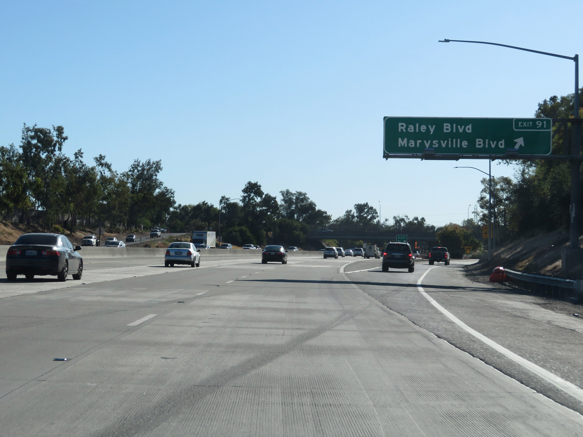 |
Interstate 80 East at Exit 91: Raley Blvd / Marysville Blvd (Photo taken 9/24/19). |
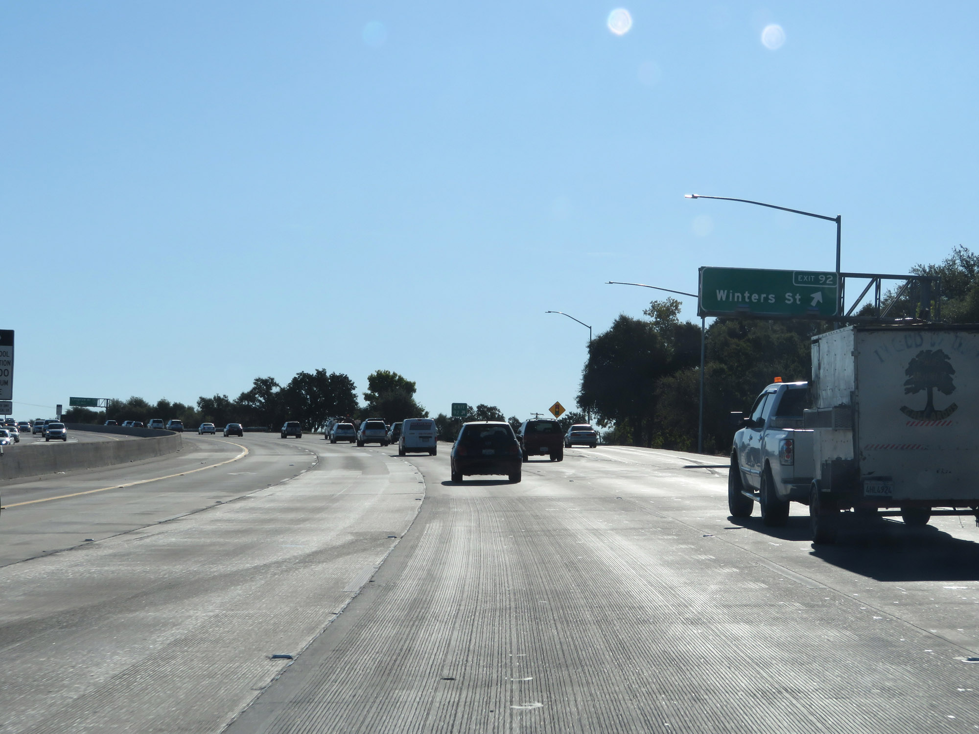 |
Interstate 80 East at Exit 92: Winters St (Photo taken 9/24/19). |
Section 2: Sacramento (Exit 92) to Auburn (Exit 120)
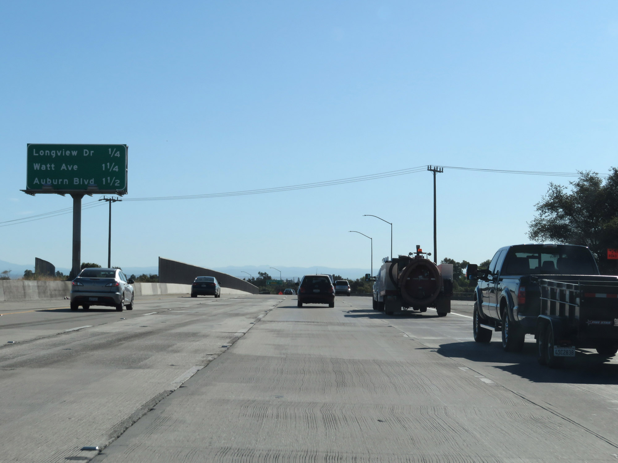 |
Mileage sign listing the distances to the three upcoming exits. (Photo taken 9/24/19). |
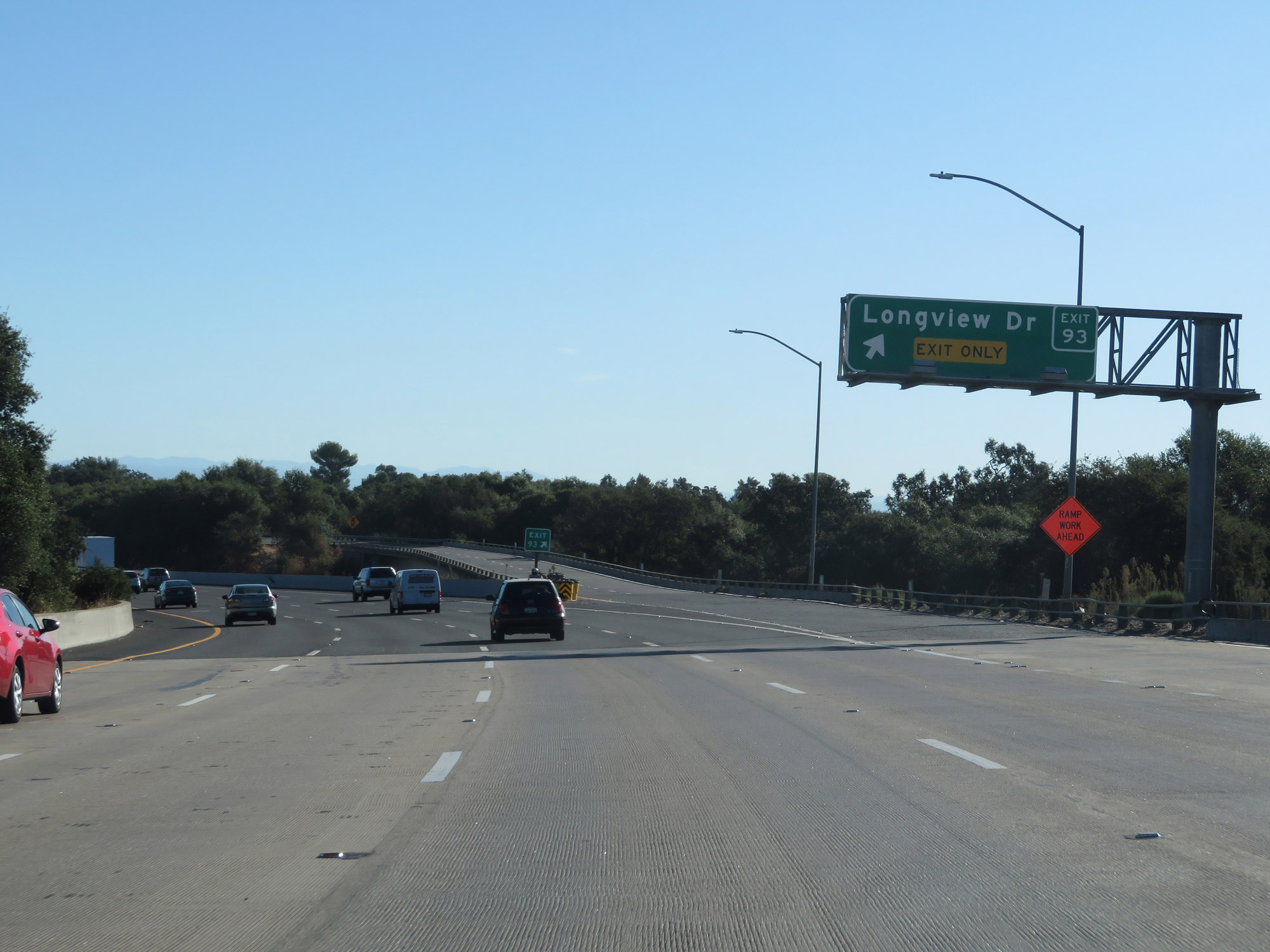 |
Interstate 80 East at Exit 93: Longview Dr (Photo taken 9/24/19). |
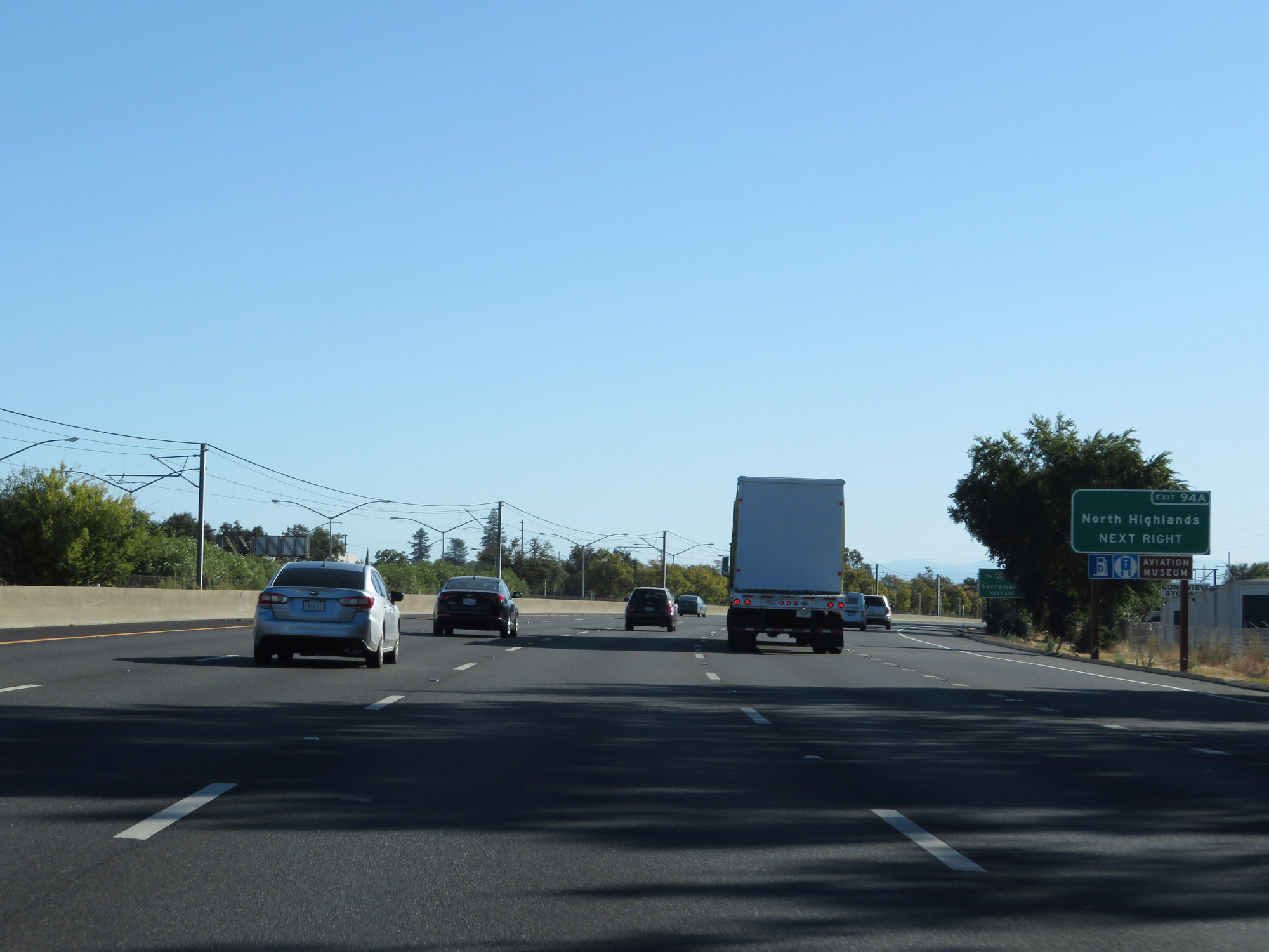 |
Take Exit 94A to North Highlands. (Photo taken 9/24/19). |
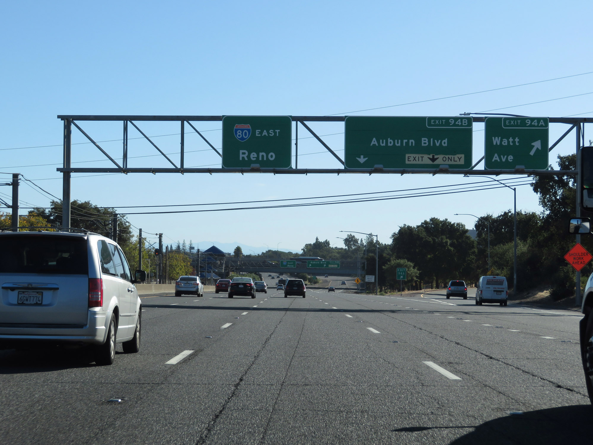 |
Interstate 80 East at Exit 94A: Watt Ave (Photo taken 9/24/19). |
 |
Interstate 80 East at Exit 94B: Auburn Blvd (Photo taken 9/24/19). |
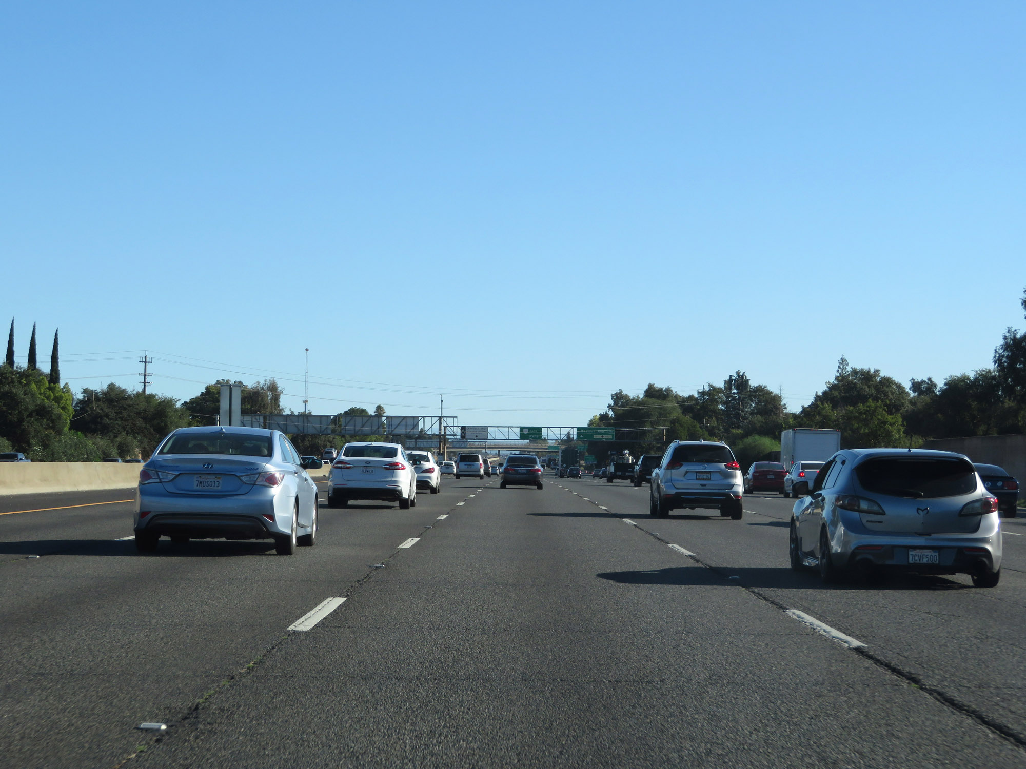 |
View on Interstate 80 East. (Photo taken 9/24/19). |
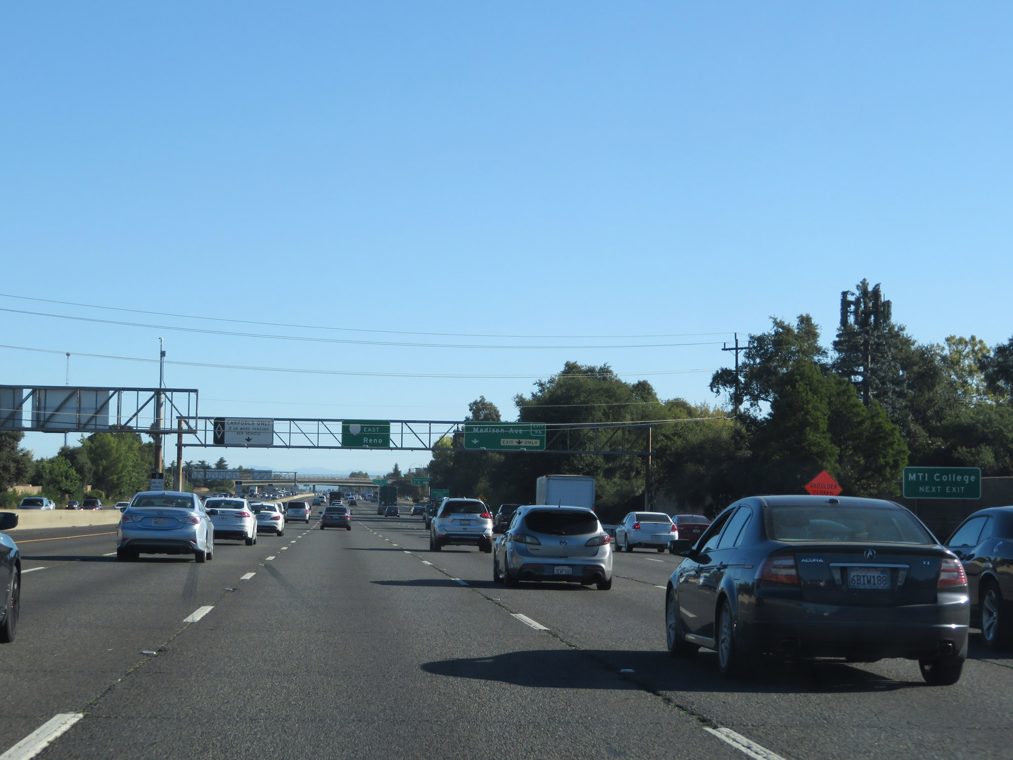 |
Take Exit 96 to MTI College. (Photo taken 9/24/19). |
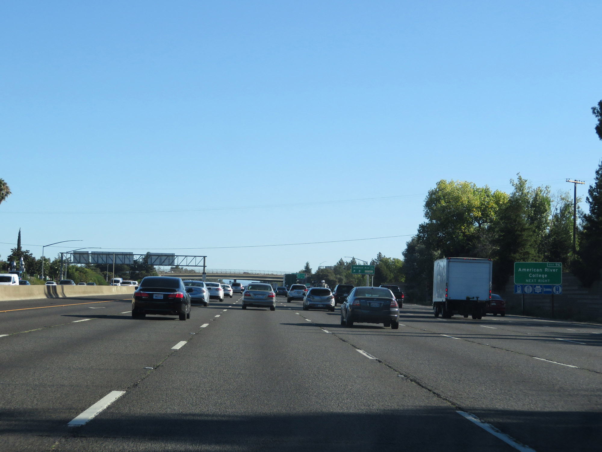 |
Also take Exit 96 to American River College. (Photo taken 9/24/19). |
 |
Interstate 80 East at Exit 96: Madison Ave (Photo taken 9/24/19). |
 |
State-named Interstate 80 East reassurance shield in Sacramento County. (Photo taken 9/24/19). |
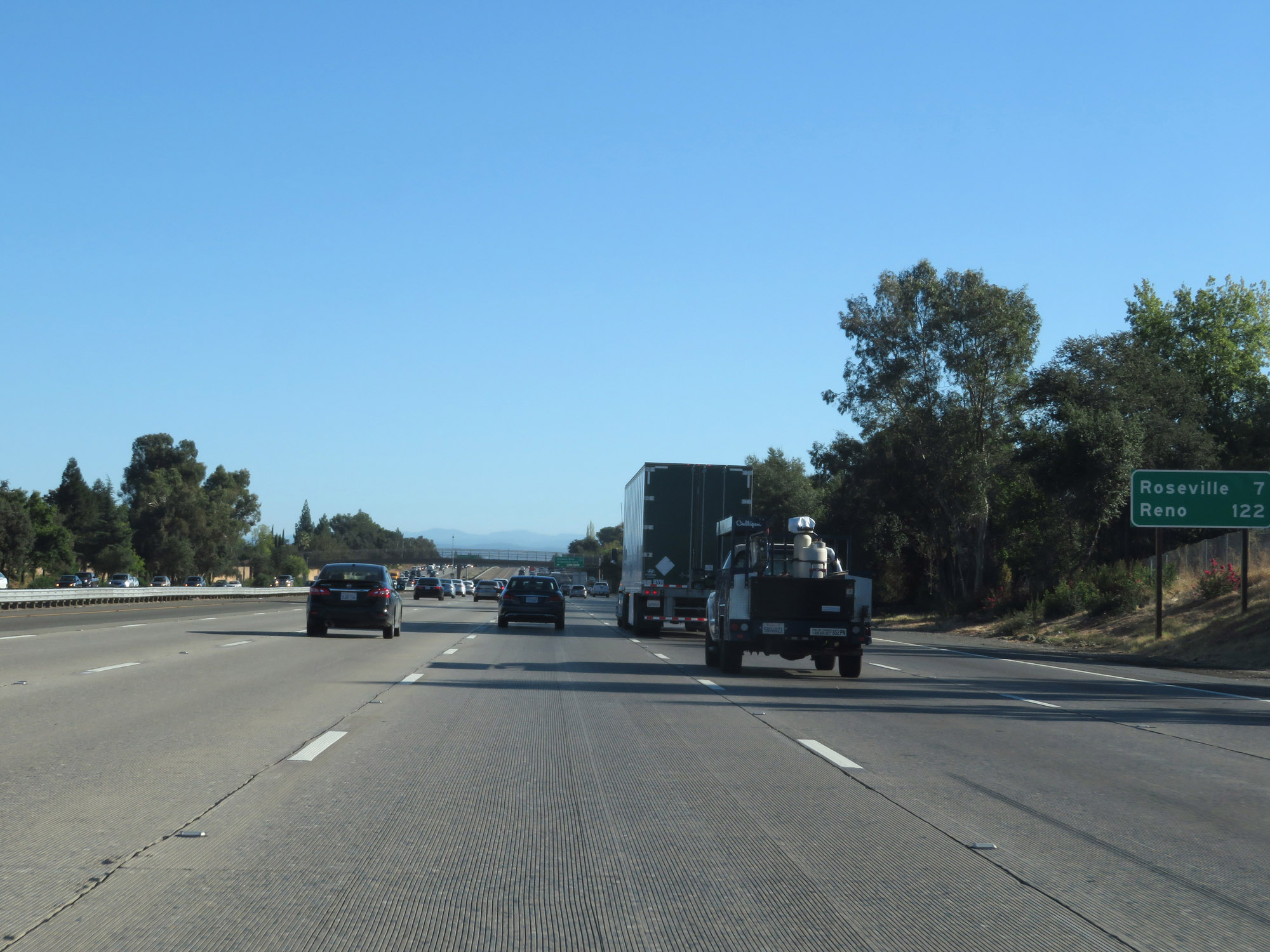 |
Mileage sign on Interstate 80 East. It's 7 miles to Roseville and 122 miles to Reno. (Photo taken 9/24/19). |
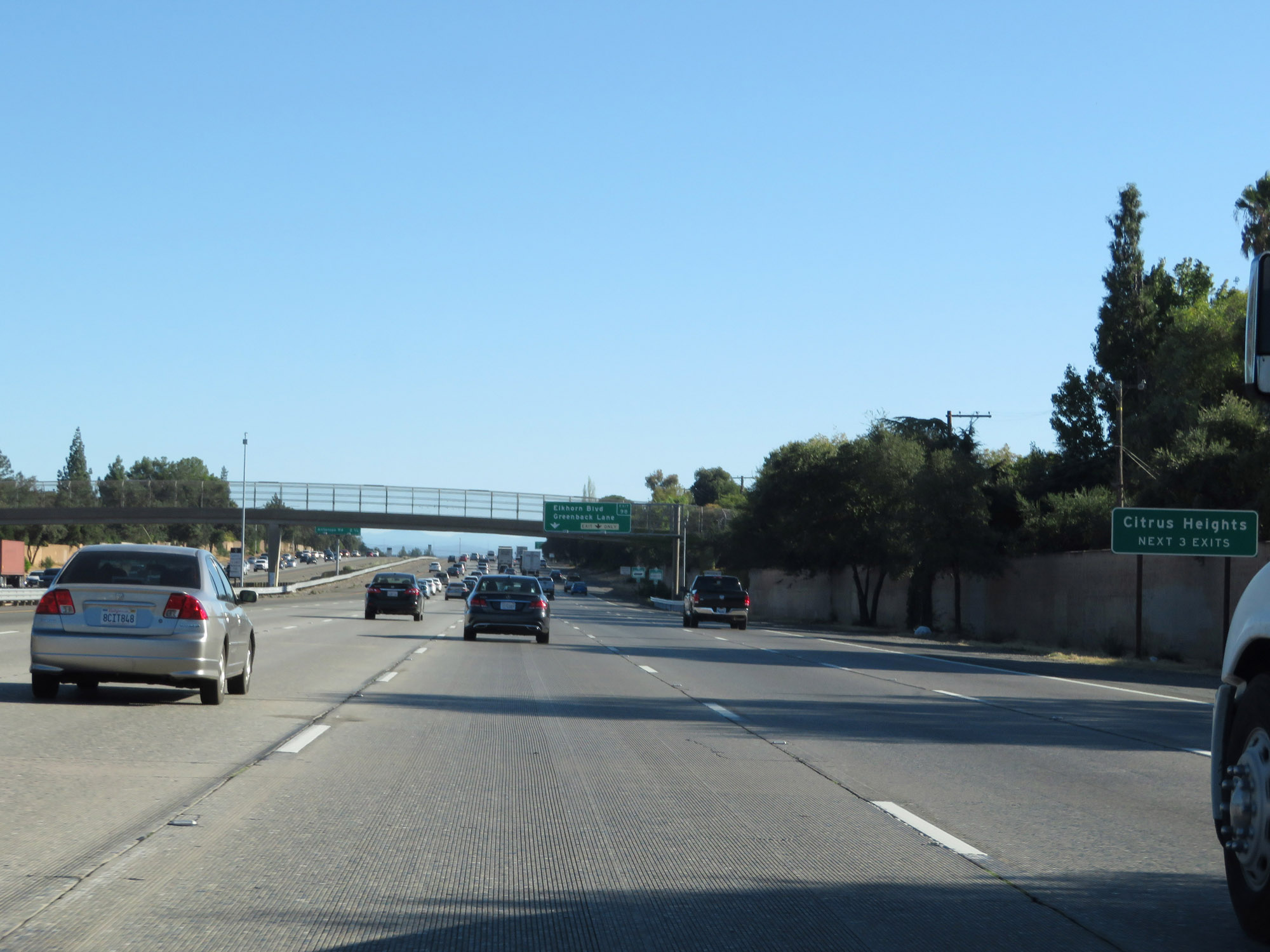 |
Take any of the next 3 exits to Citrus Heights. (Photo taken 9/24/19). |
 |
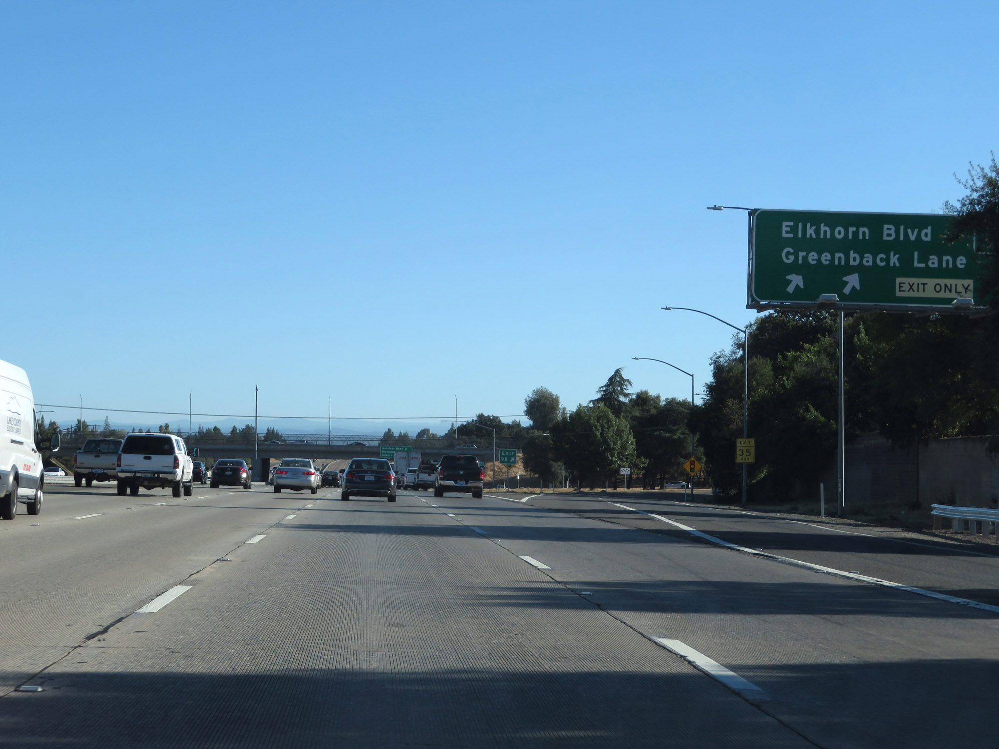
Interstate 80 East approaching Exit 98 - 1/4 mile. (Photo taken 9/24/19). |
 |
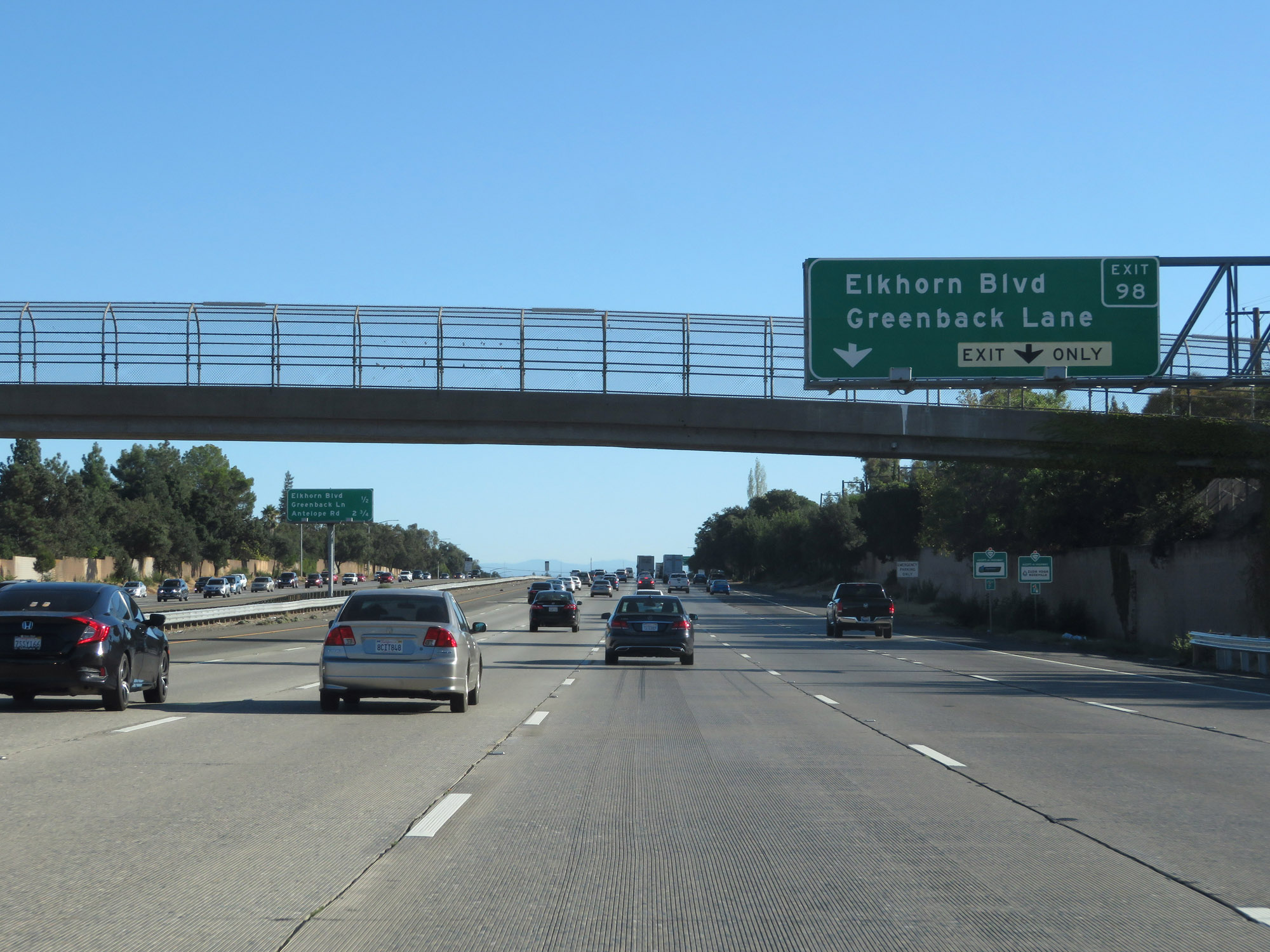
Interstate 80 East at Exit 98: Elkhorn Blvd / Greenback Lane (Photo taken 9/24/19). |
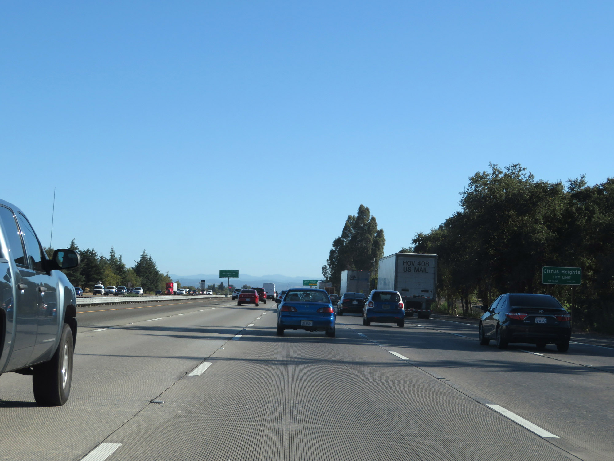 |
Interstate 80 East as it enters the Citrus Heights city limits. (Photo taken 9/24/19). |
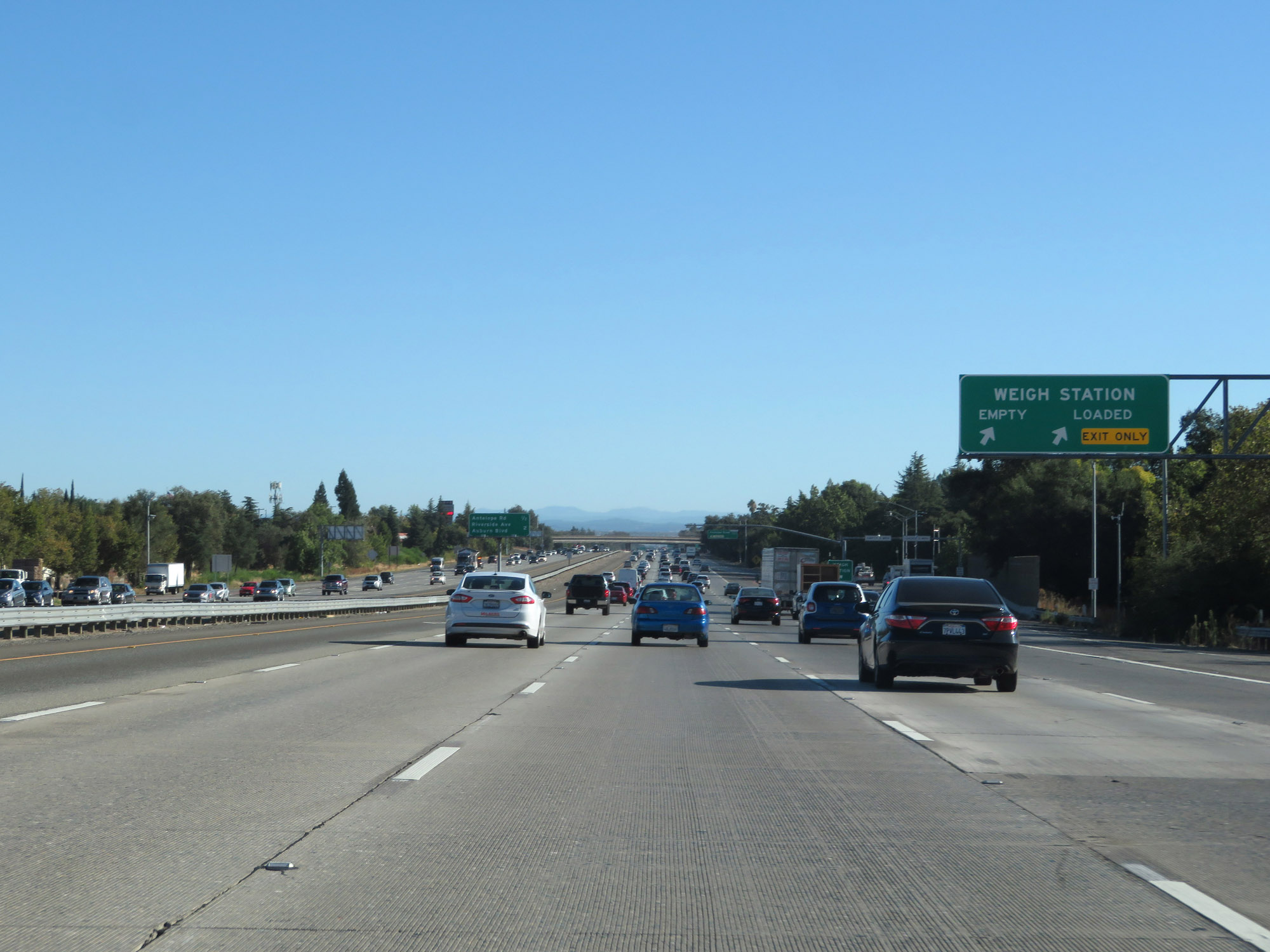 |
Weigh Station on Interstate 80 East in Citrus Heights, Sacramento County. (Photo taken 9/24/19). |
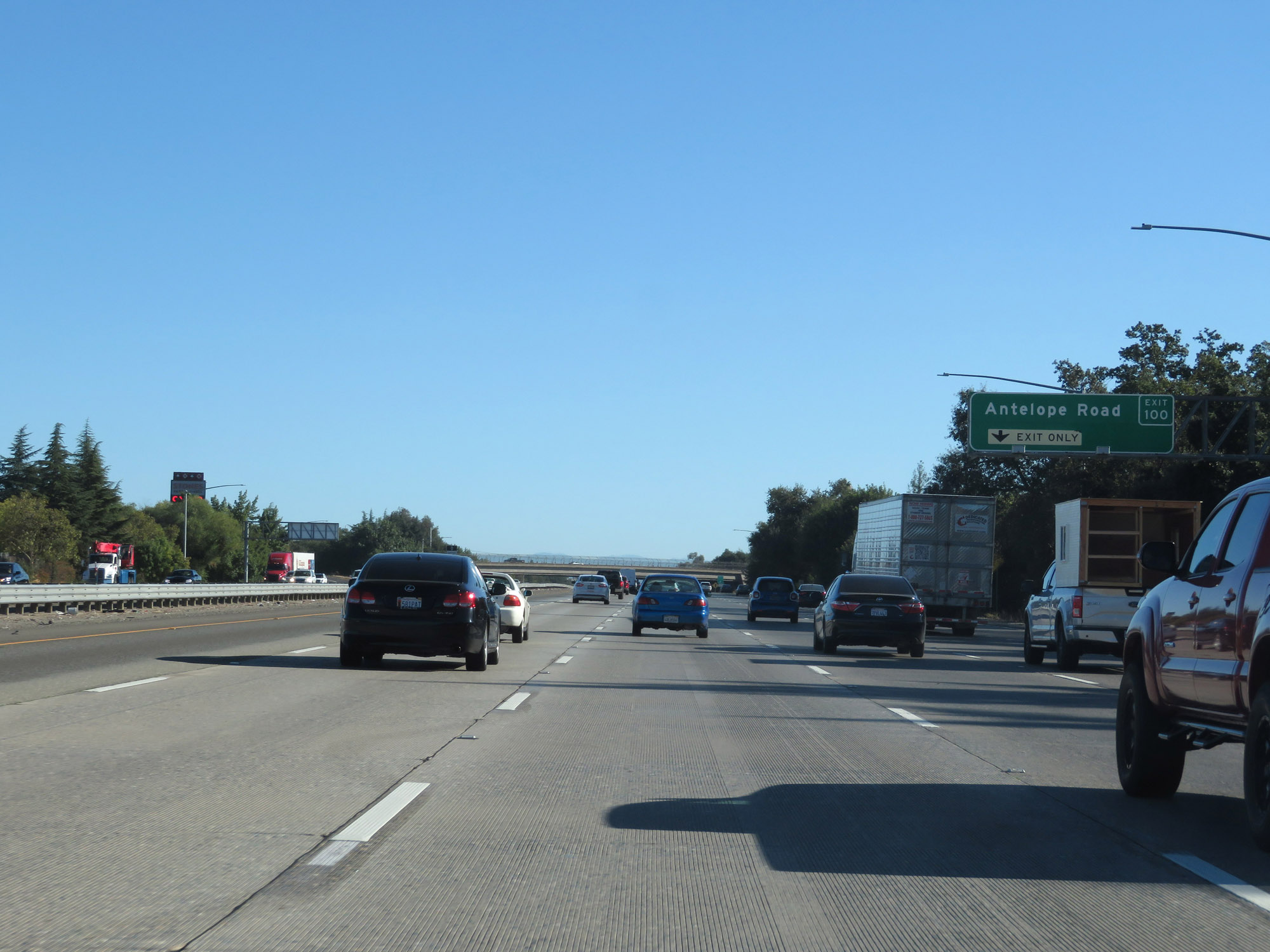 |
Interstate 80 East at Exit 100: Antelope Road (Photo taken 9/24/19). |
 |
Take Exit 102 to Downtown Roseville. (Photo taken 9/24/19). |
 |
Interstate 80 East at Exit 102: Riverside Ave / Auburn Blvd (Photo taken 9/24/19). |
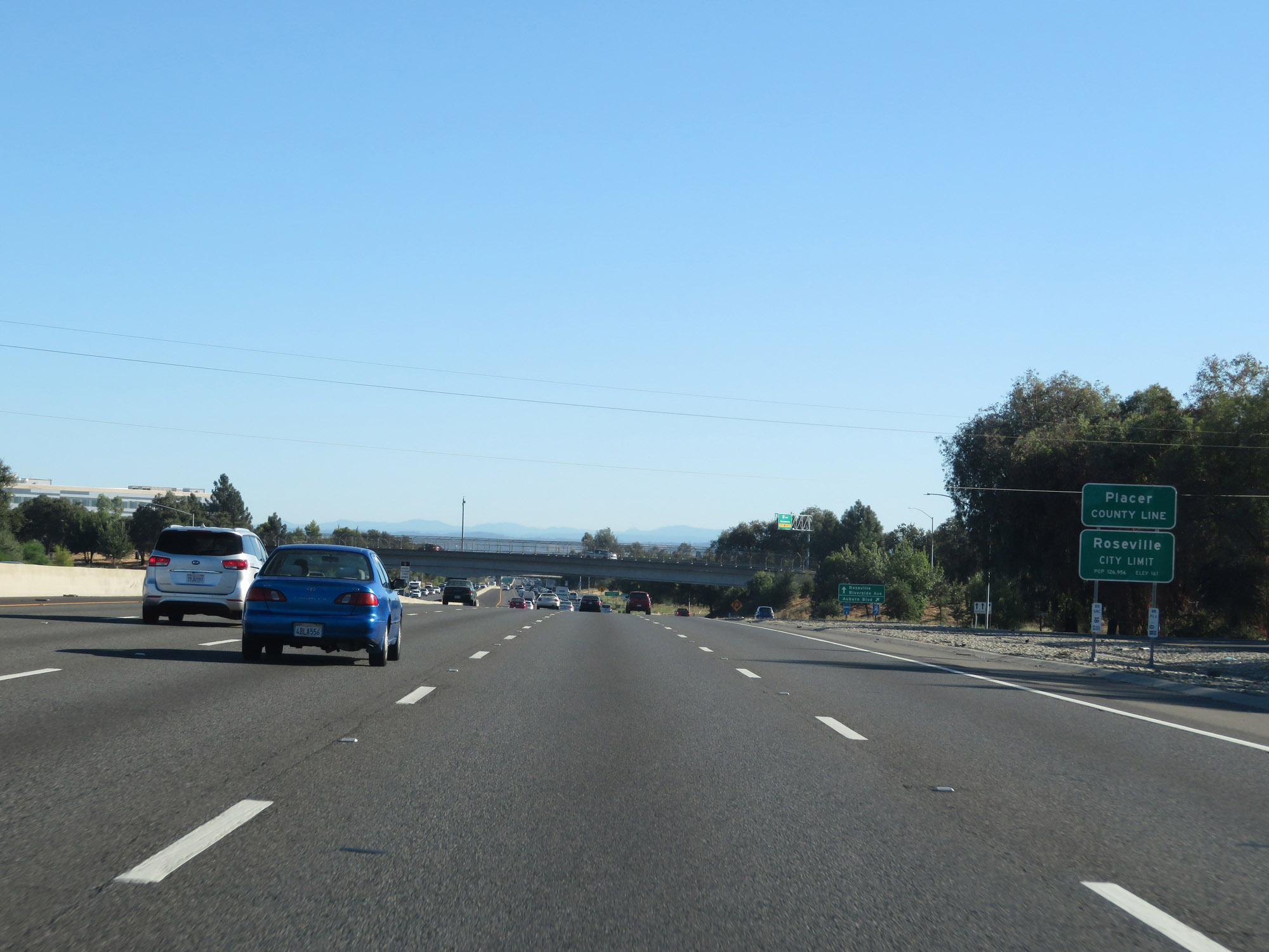 |
Interstate 80 East as it enters Placer County and the Roseville city limits. (Photo taken 9/24/19). |
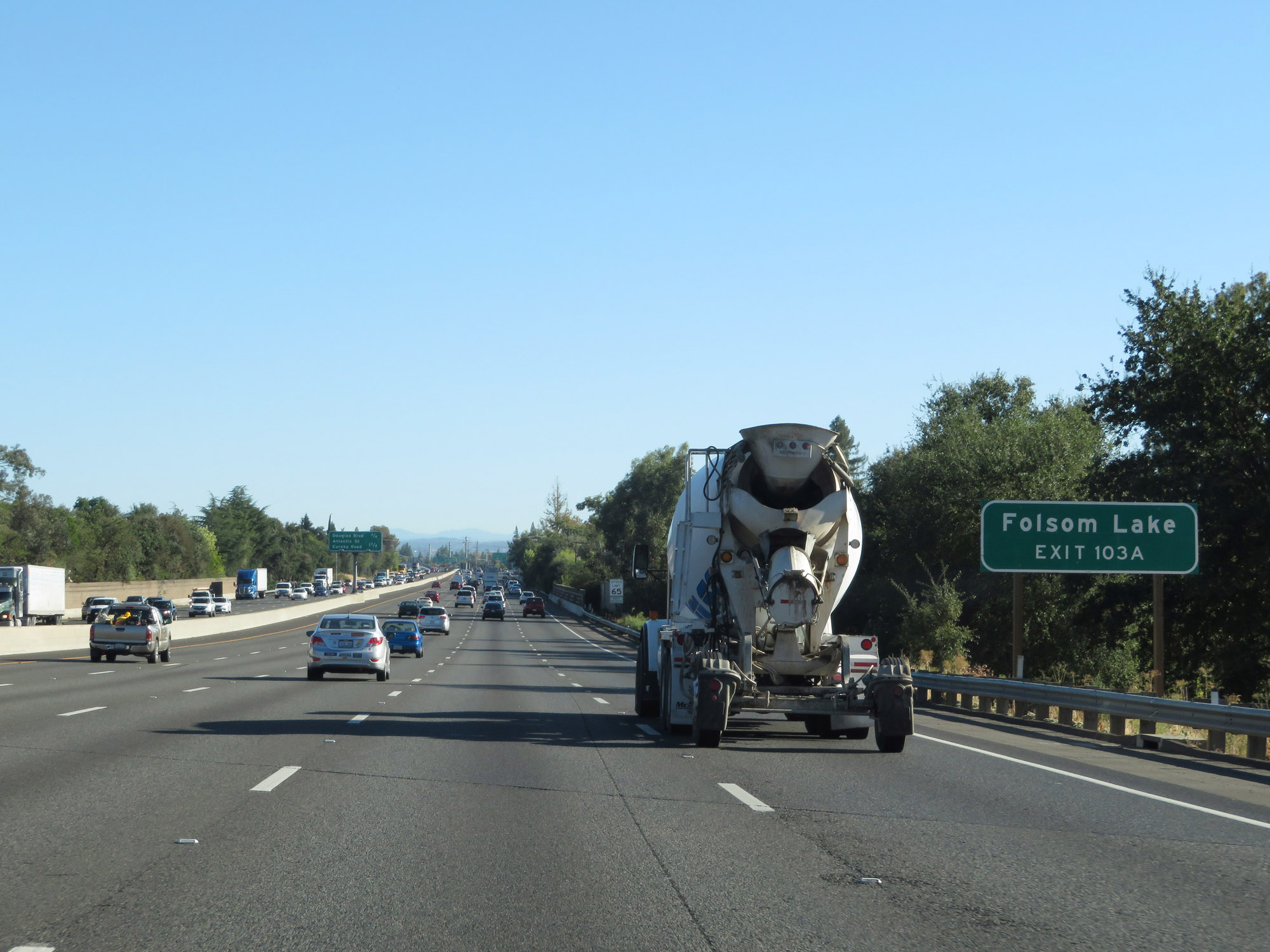 |
Take Exit 103A to Folsom Lake. (Photo taken 9/24/19). |
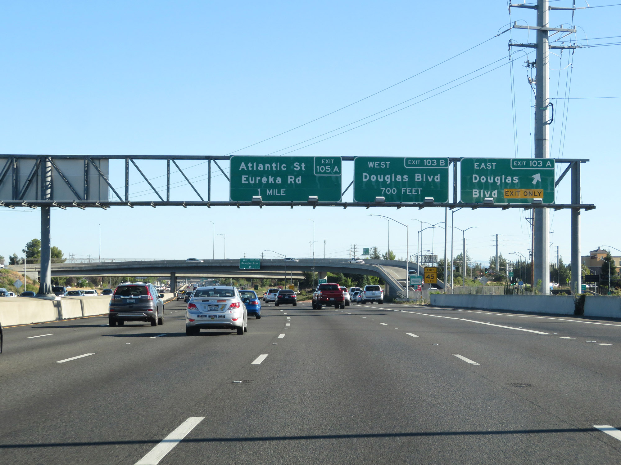 |
Interstate 80 East at Exit 103A: Douglas Blvd East (Photo taken 9/24/19). |
 |
Interstate 80 East at Exit 103B: Douglas Blvd West (Photo taken 9/24/19). |
 |
State-named Interstate 80 East reassurance shield in Roseville. (Photo taken 9/24/19). |
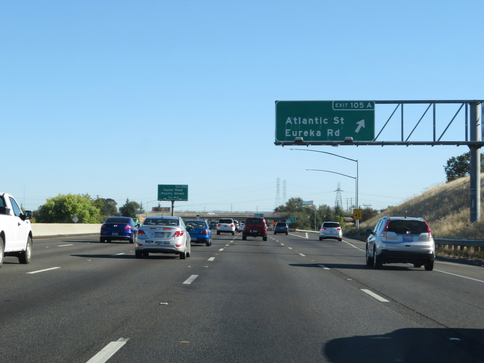 |
Interstate 80 East at Exit 105A: Atlantic St / Eureka Rd (Photo taken 9/24/19). |
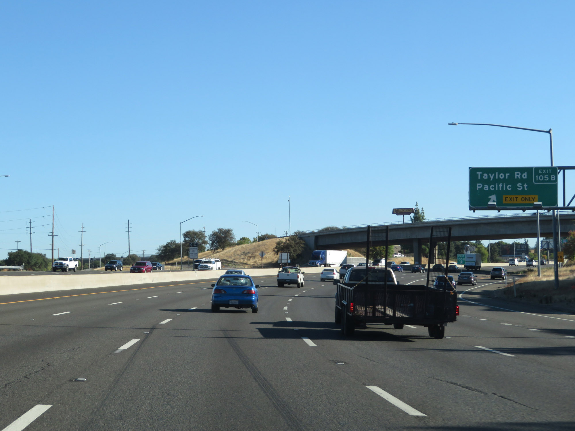 |
Interstate 80 East at Exit 105B: Taylor Rd / Pacific St (Photo taken 9/24/19). |
 |
Interstate 80 East at Exit 106: CA 65 - Lincoln / Marysville (Photo taken 9/24/19). |
 |
Take Exit 109 to Sierra College. (Photo taken 9/24/19). |
 |
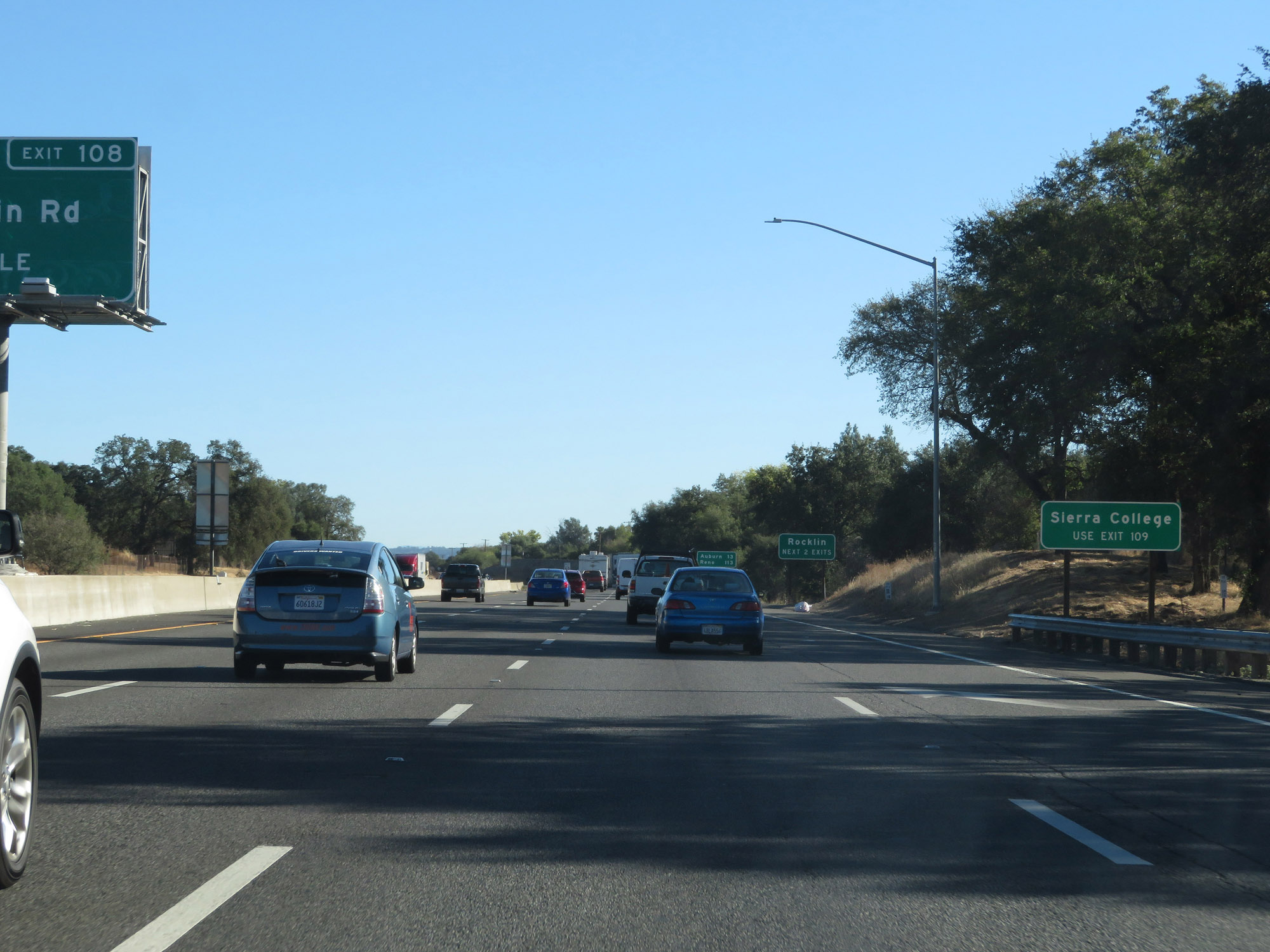
Take either of the next 2 exits to Rocklin. (Photo taken 9/24/19). |
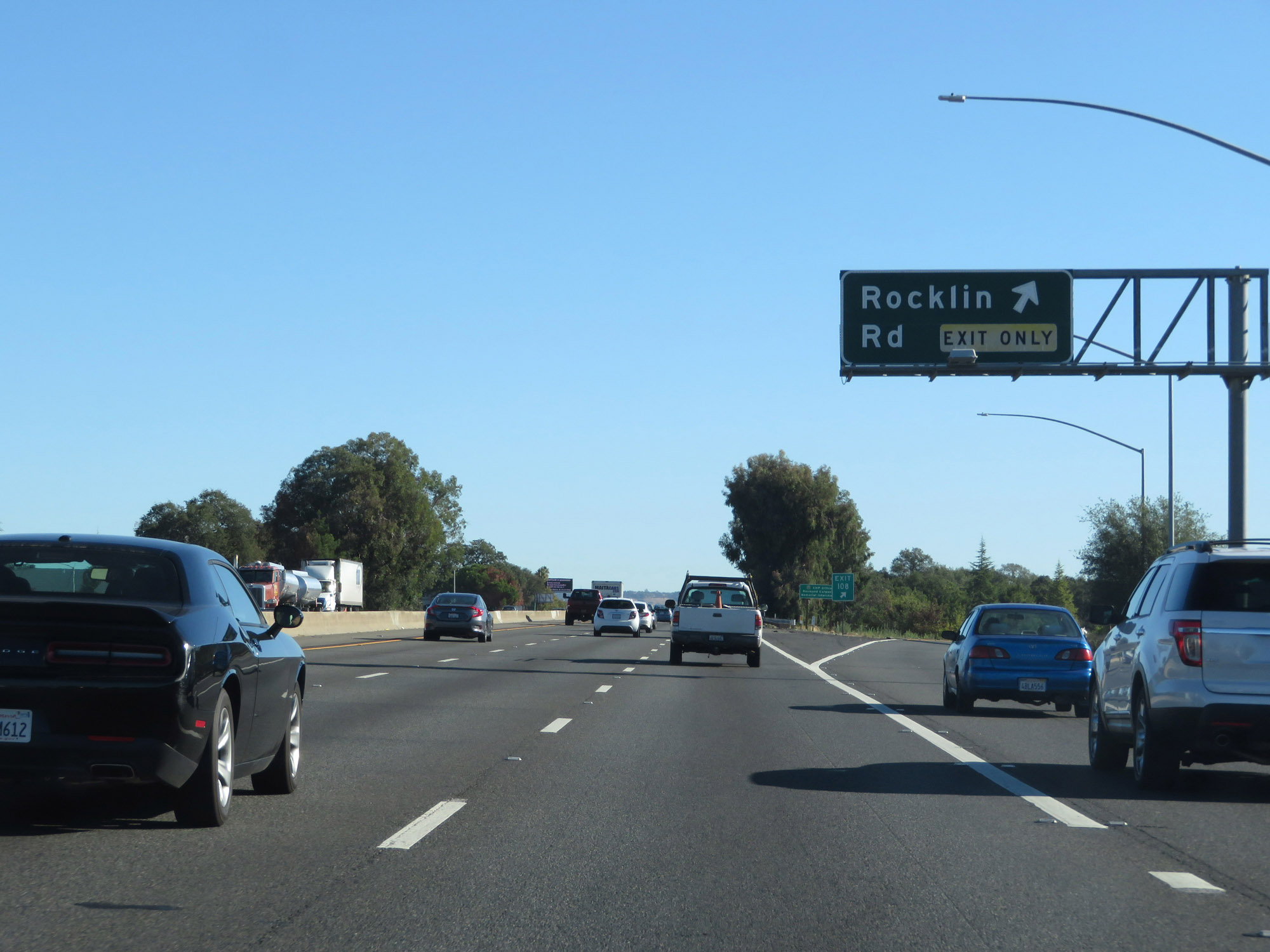 |
Interstate 80 East at Exit 108: Rocklin Rd (Photo taken 9/24/19). |
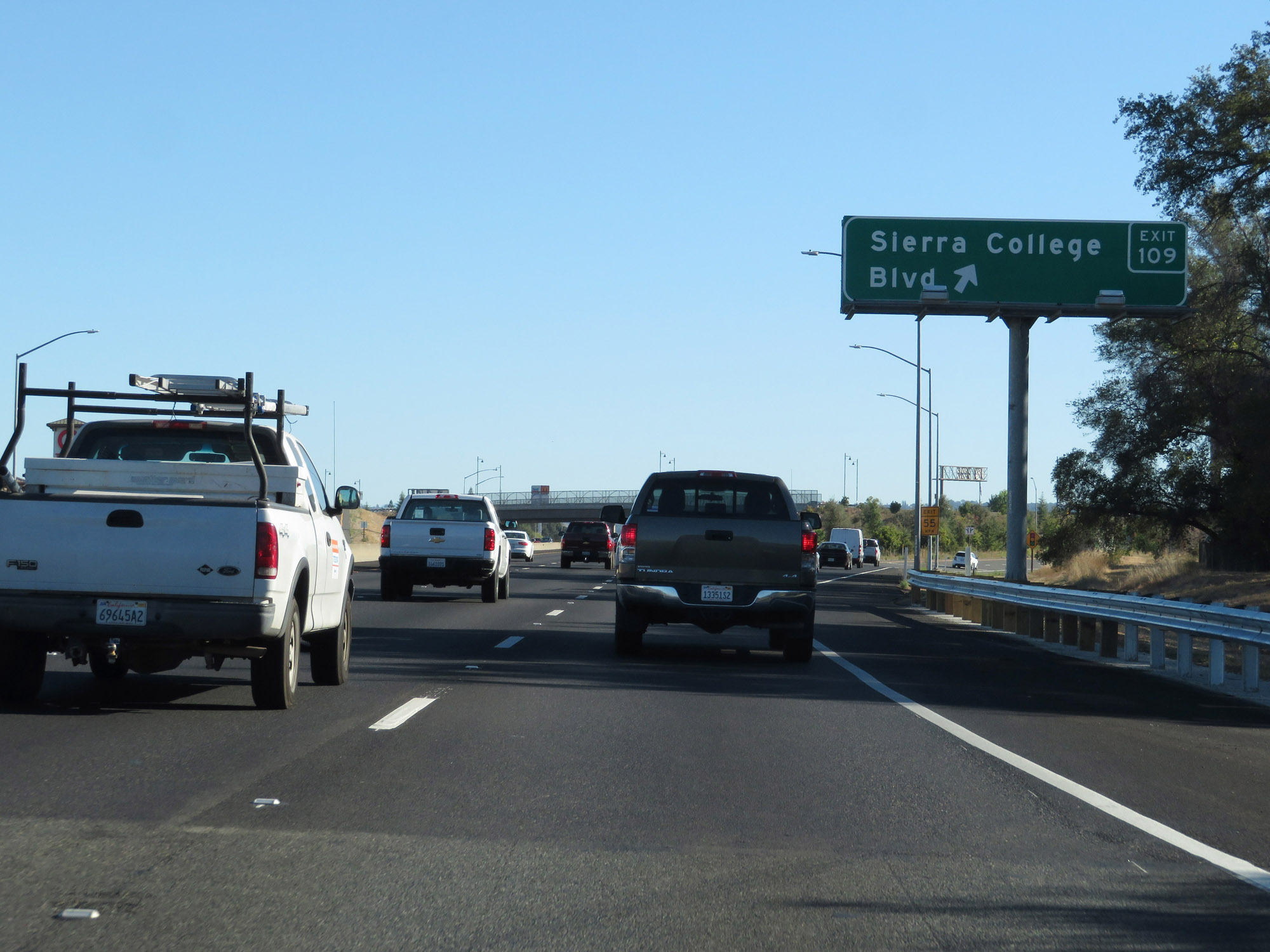 |
Interstate 80 East at Exit 109: Sierra College Blvd (Photo taken 9/24/19). |
 |
Take Exit 110 to Loomis. (Photo taken 9/24/19). |
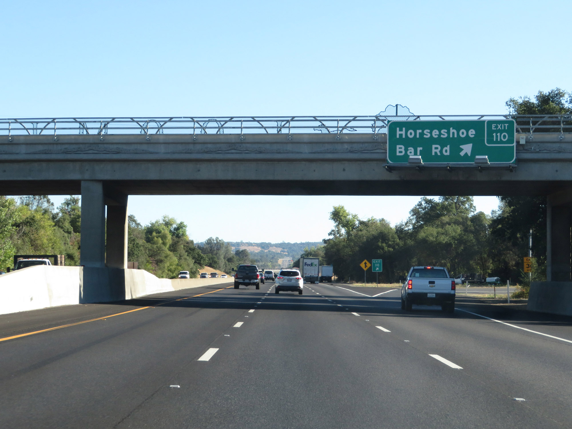 |
Interstate 80 East at Exit 110: Horseshoe Bar Rd (Photo taken 9/24/19). |
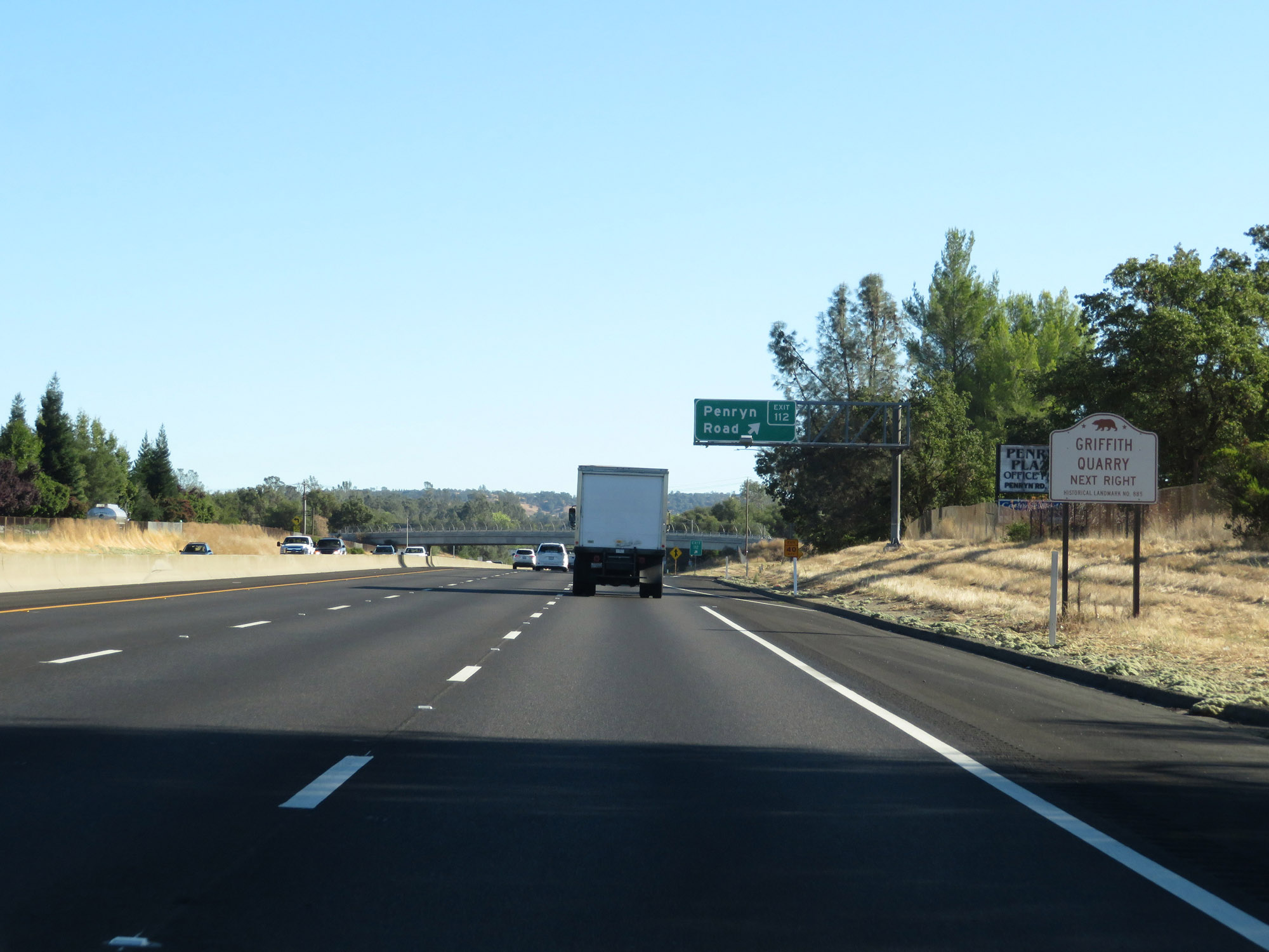 |
Take Exit 112 to Griffith Quarry. (Photo taken 9/24/19). |
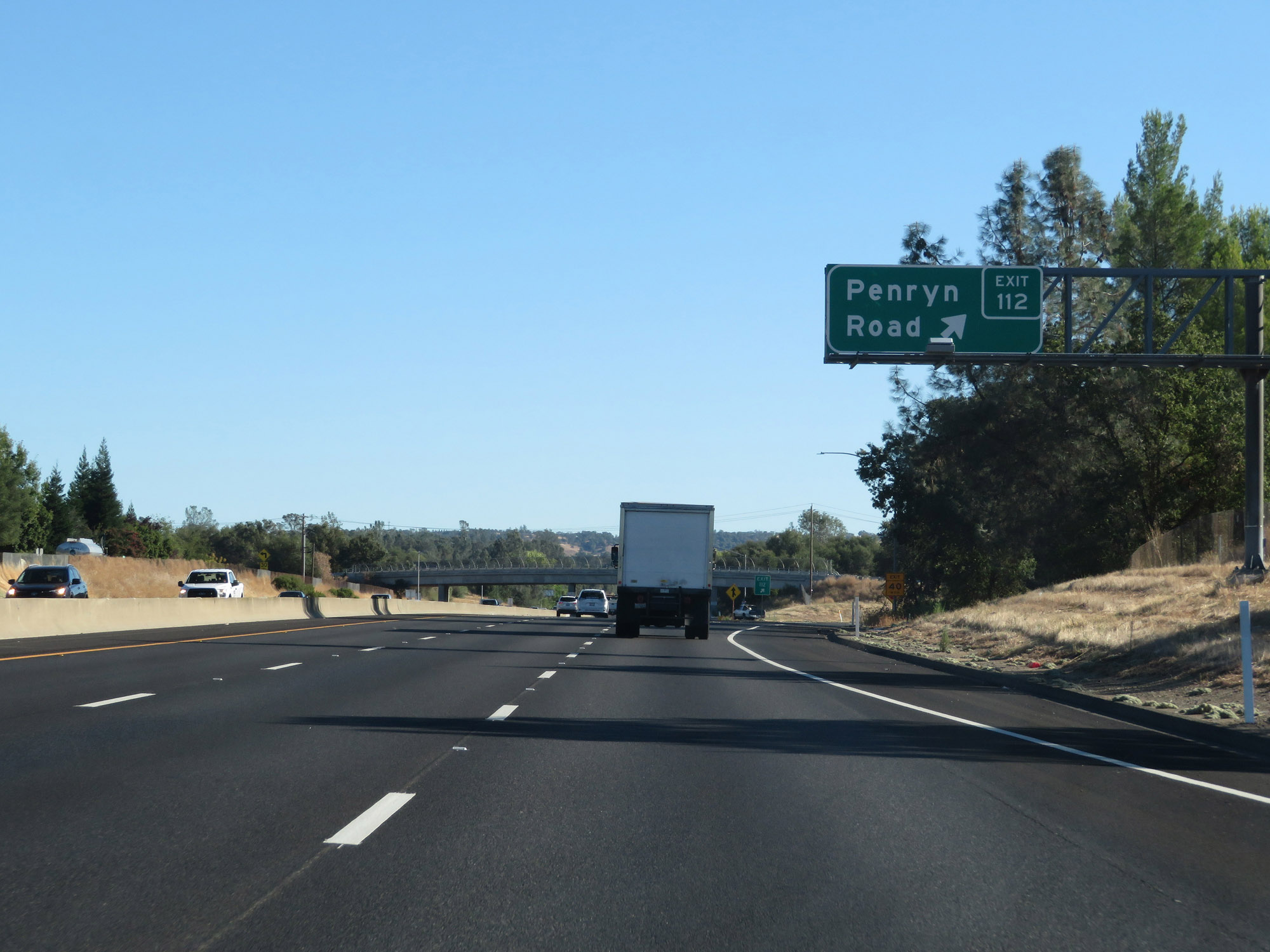 |
Interstate 80 East at Exit 112: Penryn Road (Photo taken 9/24/19). |
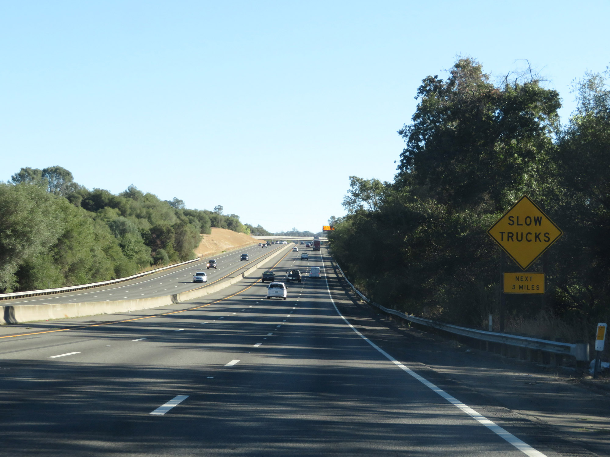 |
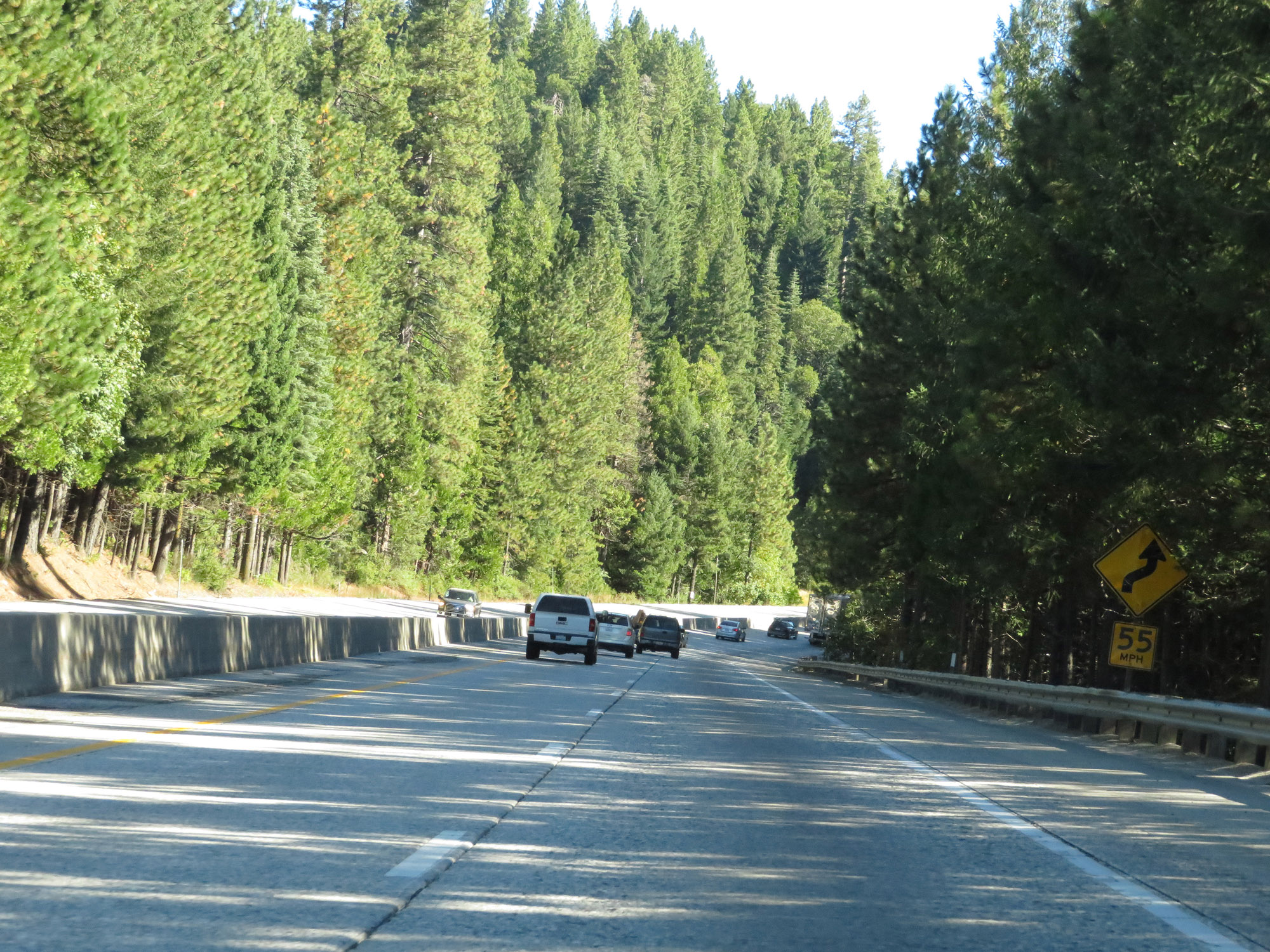
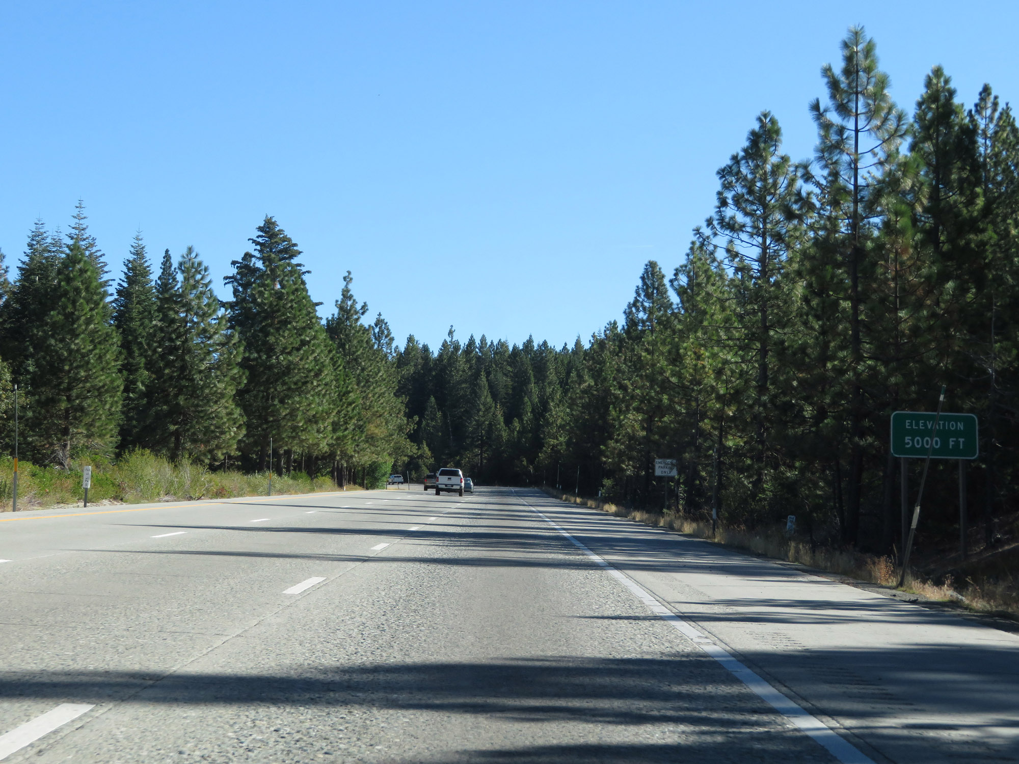
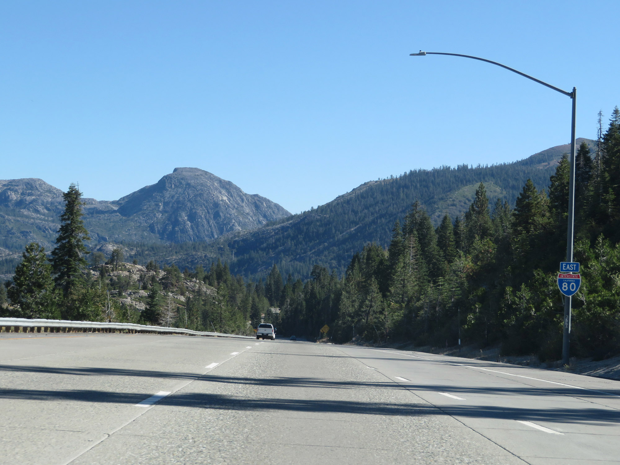
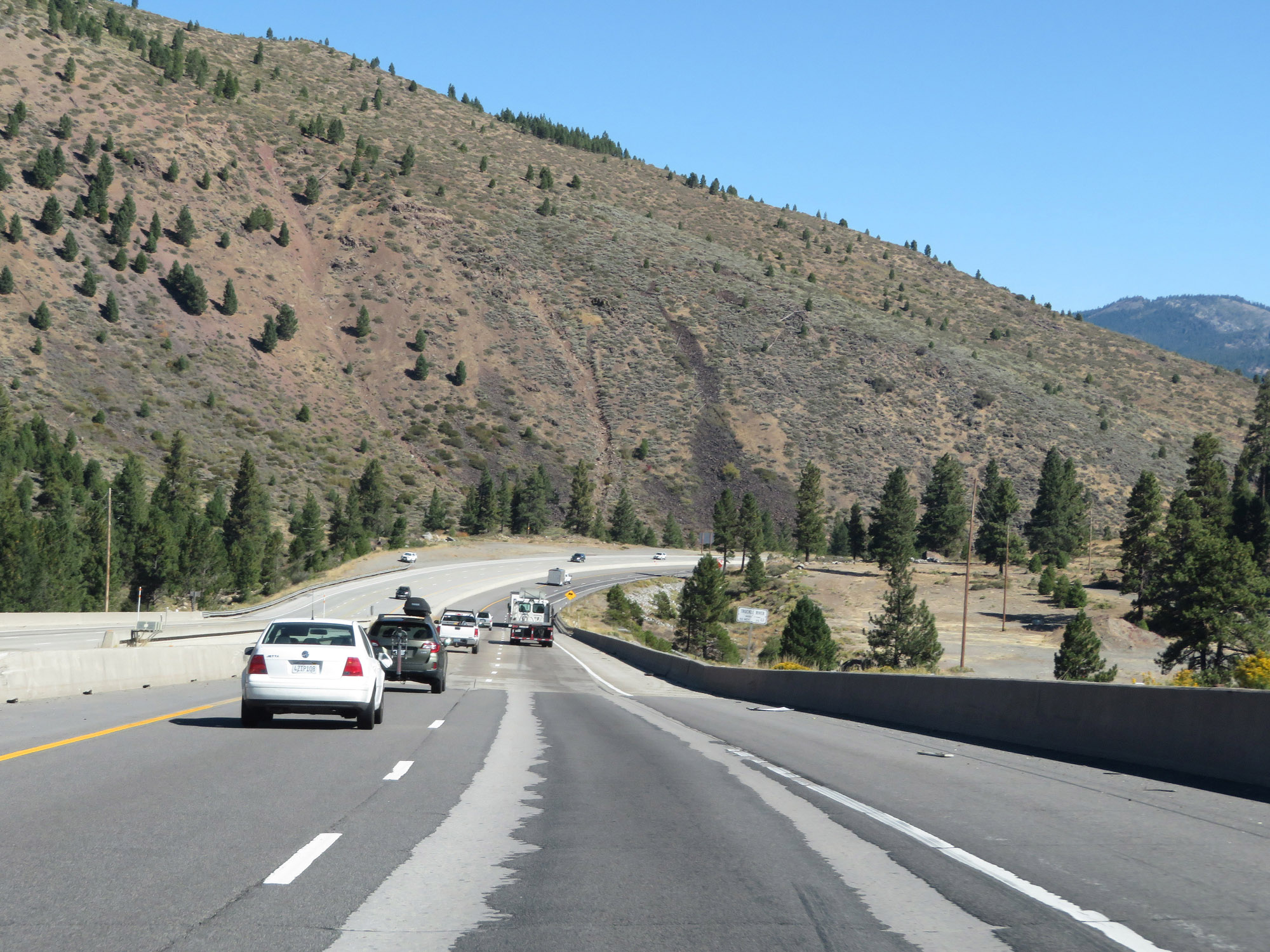
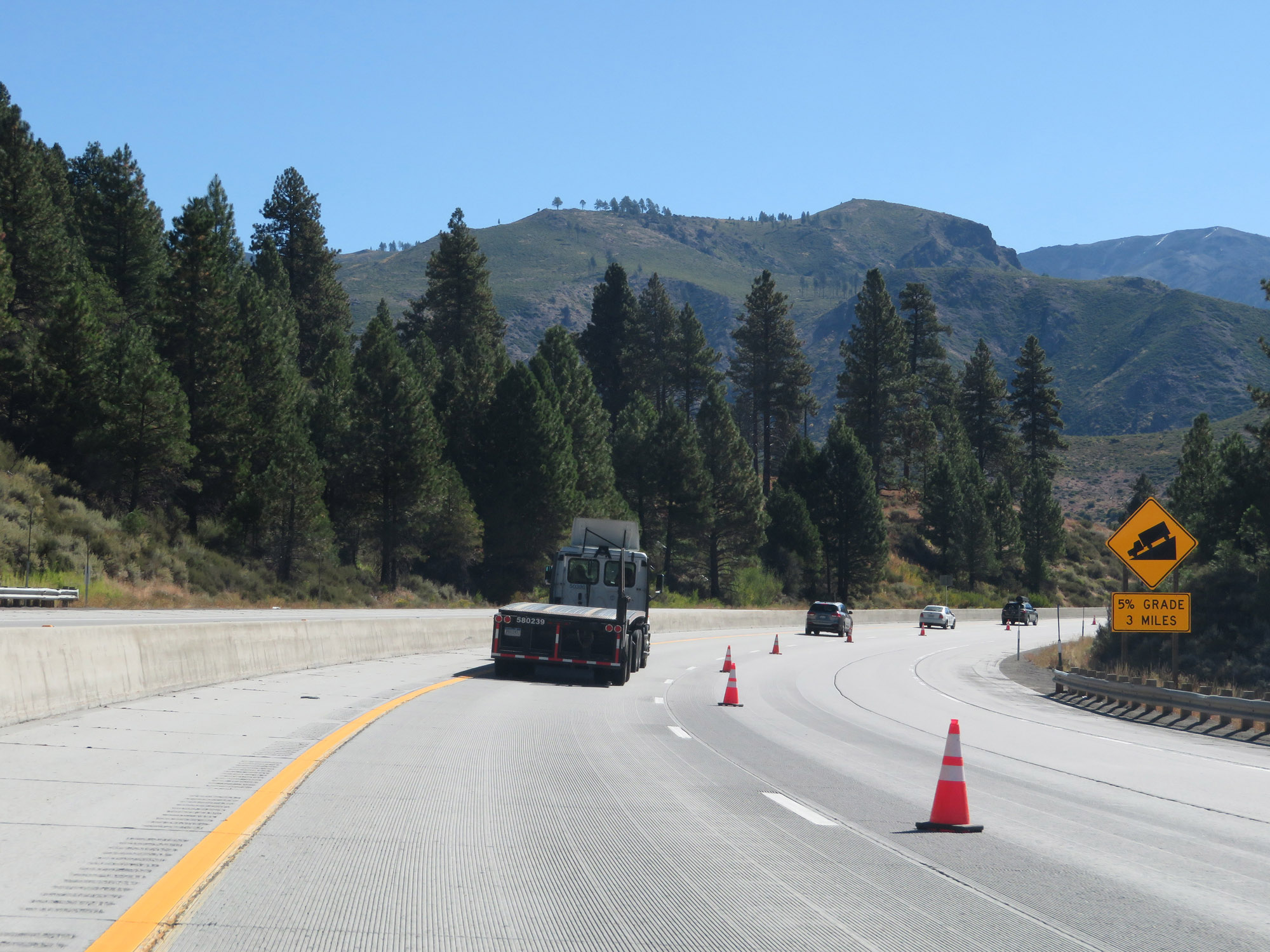
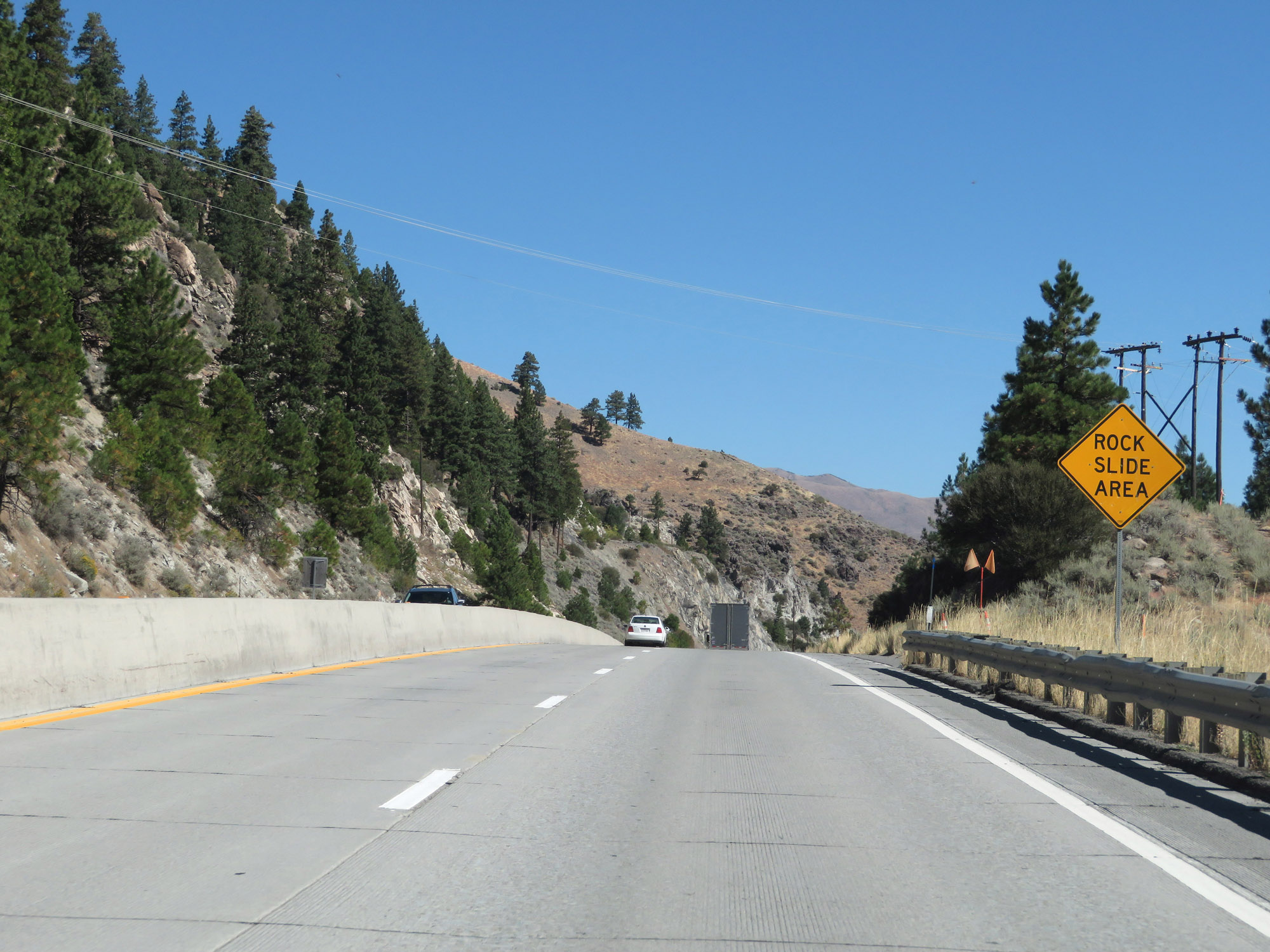
This sign warns motorists to watch for slow moving trucks for the next 3 miles. At about this point, Interstate 80 East begins what will become a 7,000 foot climb to the summit of Donner Pass. It will happen gradually most of the time, but will have steeper climbs for brief distances along the way. (Photo taken 9/24/19). |
 |
Take Exit 115 to Indian Hill Rd. (Photo taken 9/24/19). |
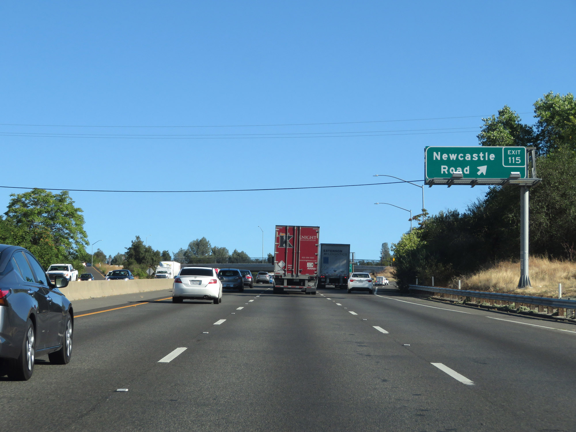 |
Interstate 80 East at Exit 115: Newcastle Road (Photo taken 9/24/19). |
 |
View on Interstate 80 East, as the climb begins. (Photo taken 9/24/19). |
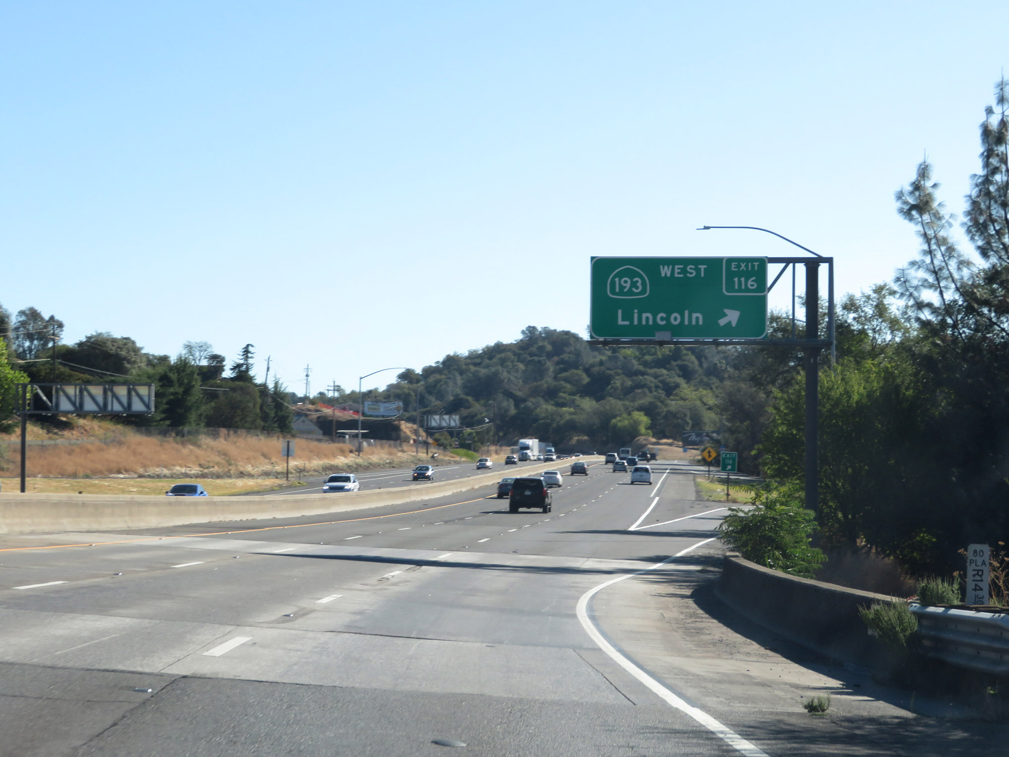 |
Interstate 80 East at Exit 116: CA 193 West - Lincoln (Photo taken 9/24/19). |
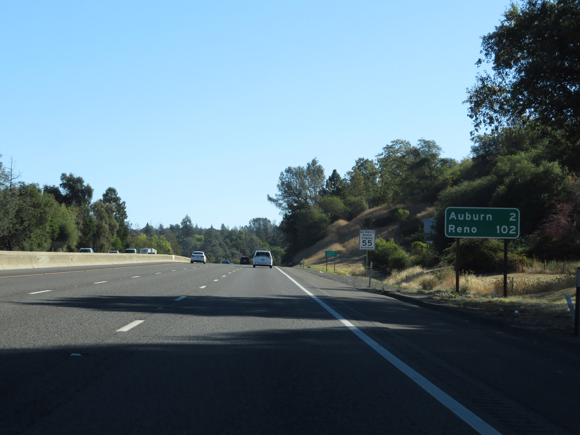 |
Mileage sign on Interstate 80 East. It's 2 miles to Auburn and 102 miles to Reno. (Photo taken 9/24/19). |
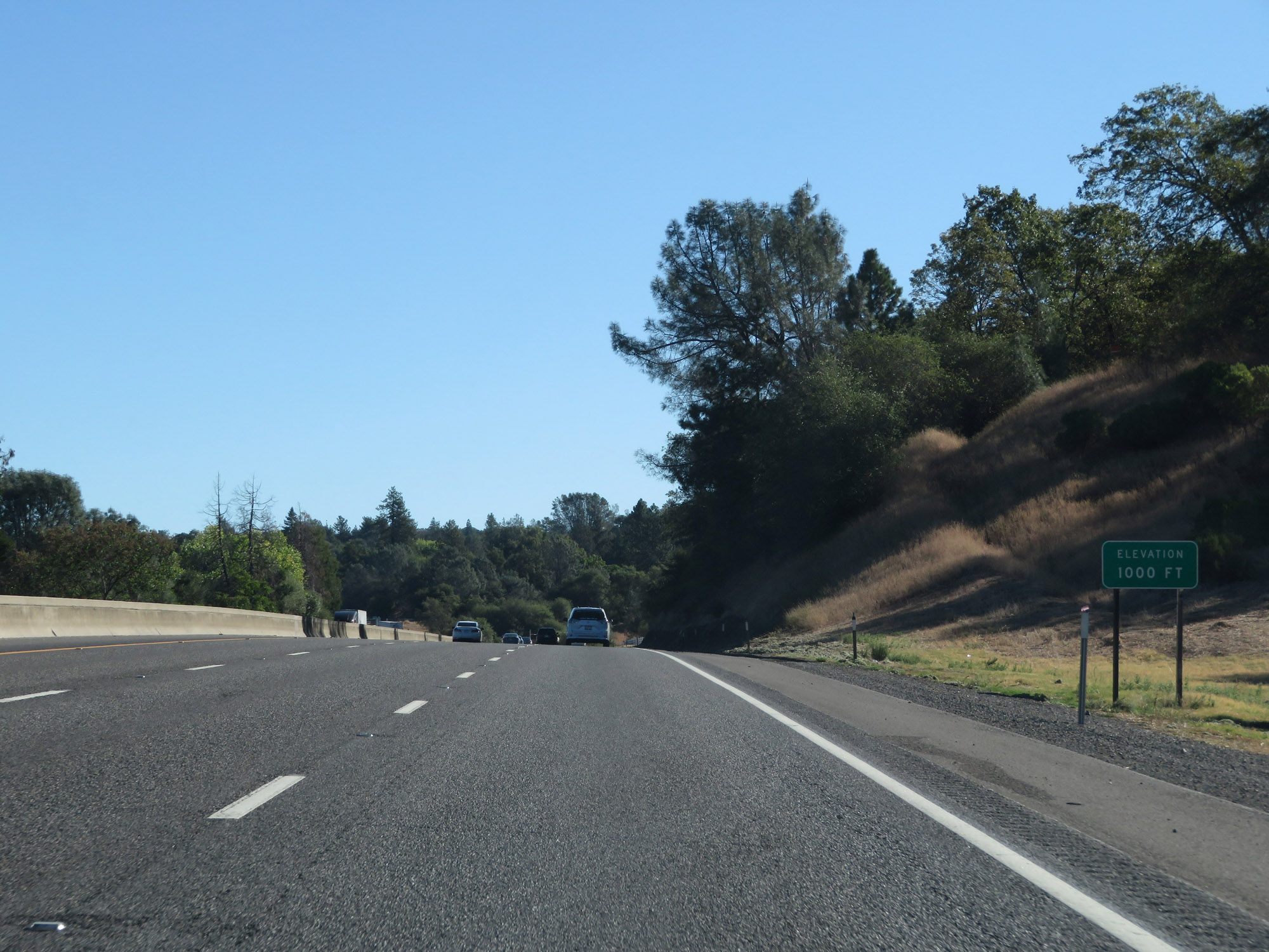 |
At this point, Interstate 80 East has already sneakily climbed to an elevation of 1,000 feet after being at just 30 feet back in Sacramento. Much, much more climbing to come. (Photo taken 9/24/19). |
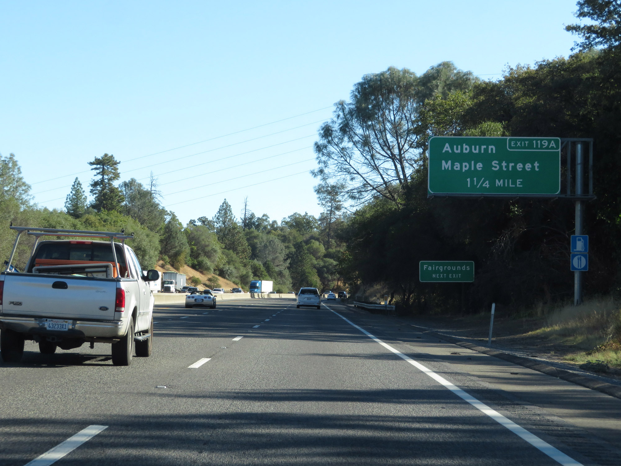 |
Take Exit 119A to the Fairgrounds. (Photo taken 9/24/19). |
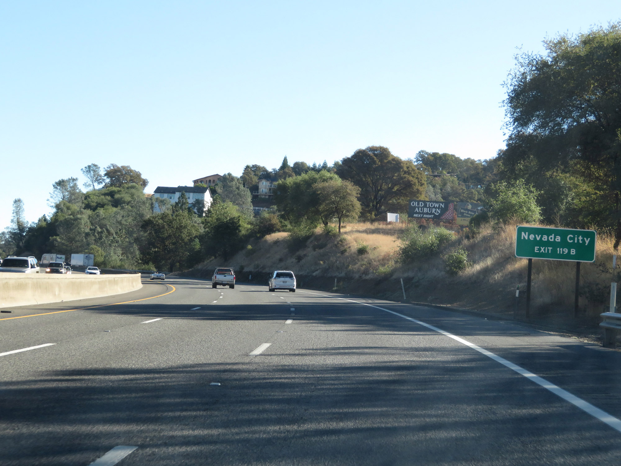 |
Take Exit 119B to Nevada City. (Photo taken 9/24/19). |
 |
Also take Exit 119A to Old Town Auburn Historic Landmark. (Photo taken 9/24/19). |
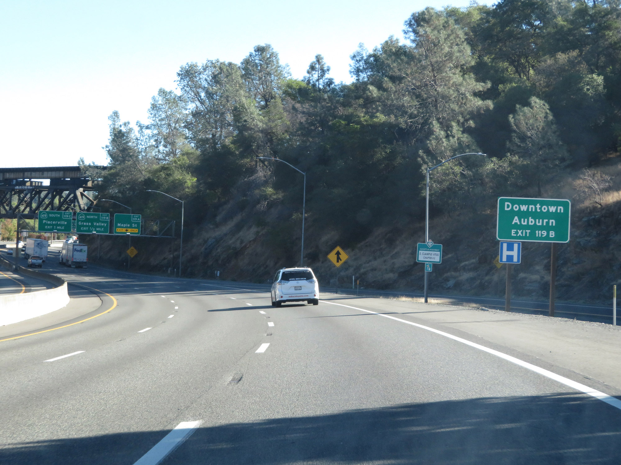 |
Traffic to Downtown Auburn should use Exit 119B. (Photo taken 9/24/19). |
 |
Interstate 80 East at Exit 119A: Maple St (Photo taken 9/24/19). |
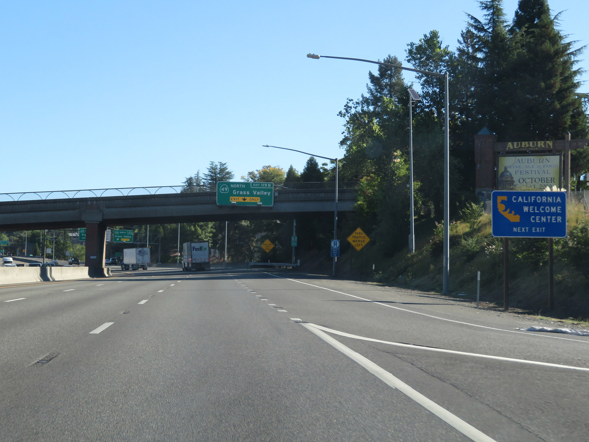 |
Take Exit 119B to a California Welcome Center as well. (Photo taken 9/24/19). |
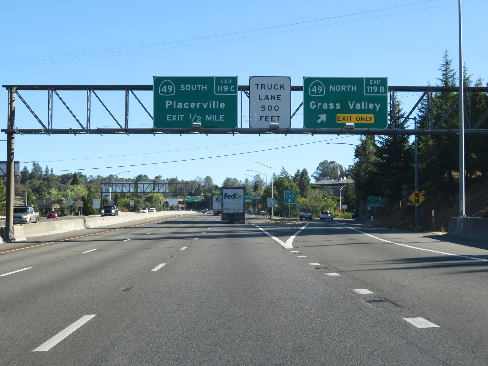 |
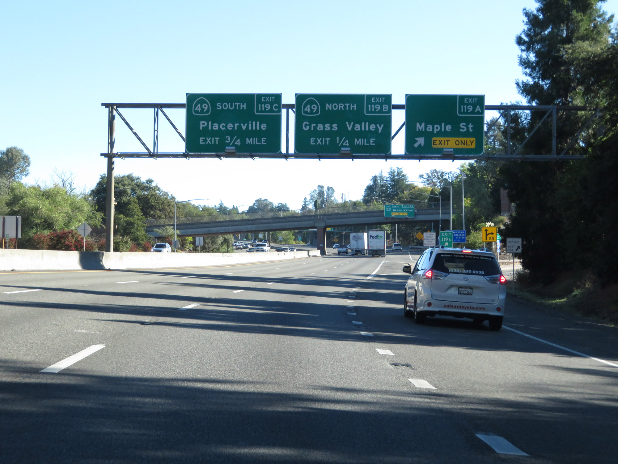
Interstate 80 East at Exit 119B: CA 49 North - Grass Valley (Photo taken 9/24/19). |
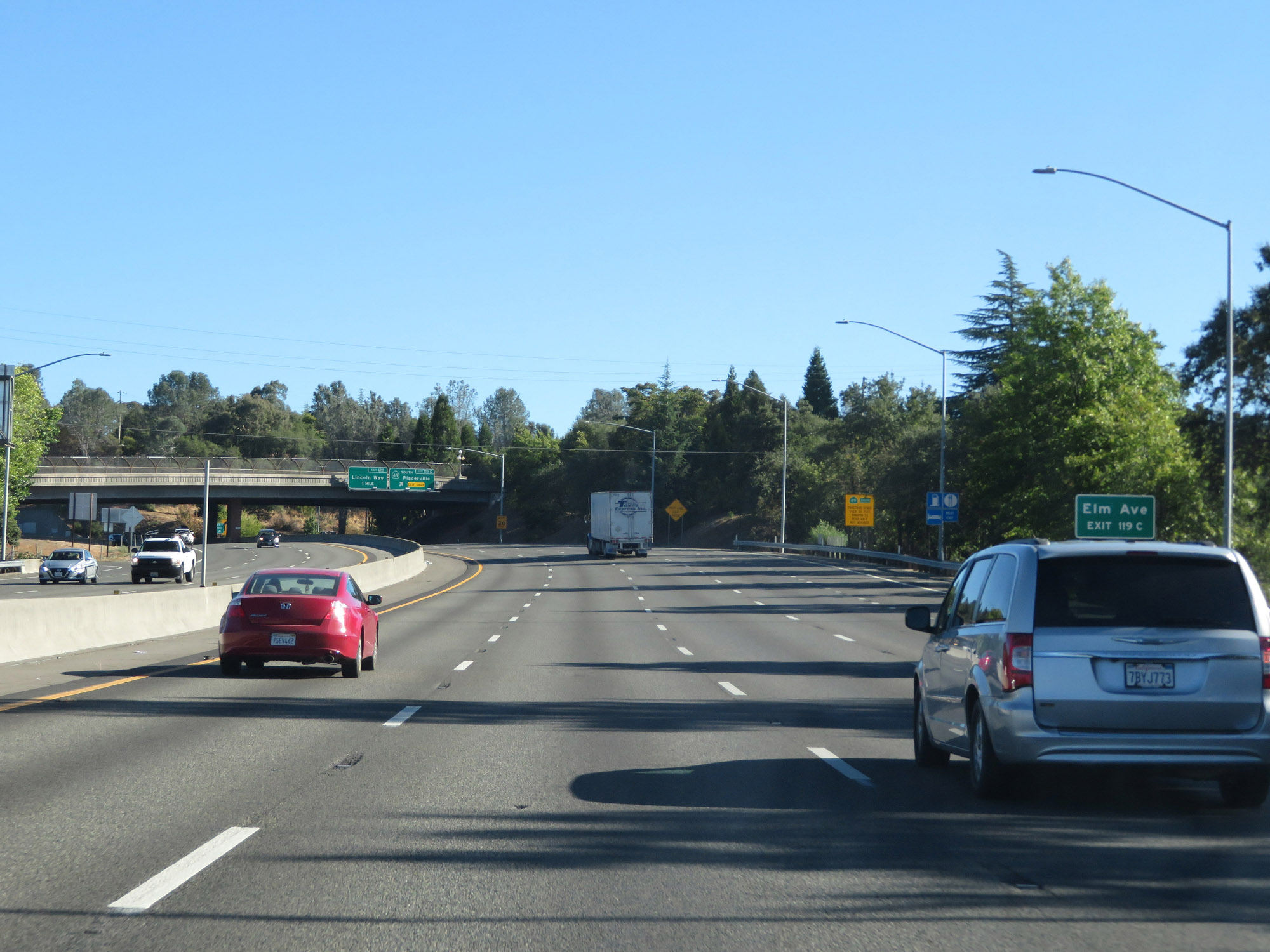 |
Take Exit 119C to Elm Ave. (Photo taken 9/24/19). |
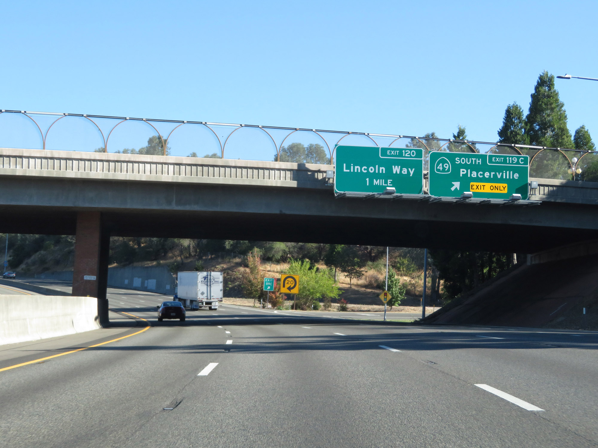 |
Interstate 80 East at Exit 119C: CA 49 South - Placerville (Photo taken 9/24/19). |
 |
State-named Interstate 80 East reassurance shield. (Photo taken 9/24/19). |
 |
Interstate 80 East at Exit 120: Lincoln Way (Photo taken 9/24/19). |
Section 3: Auburn (Exit 120) to Emigrant Gap (Exit 156)
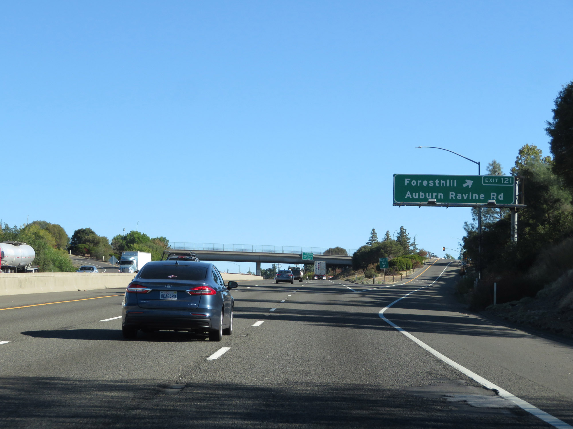 |
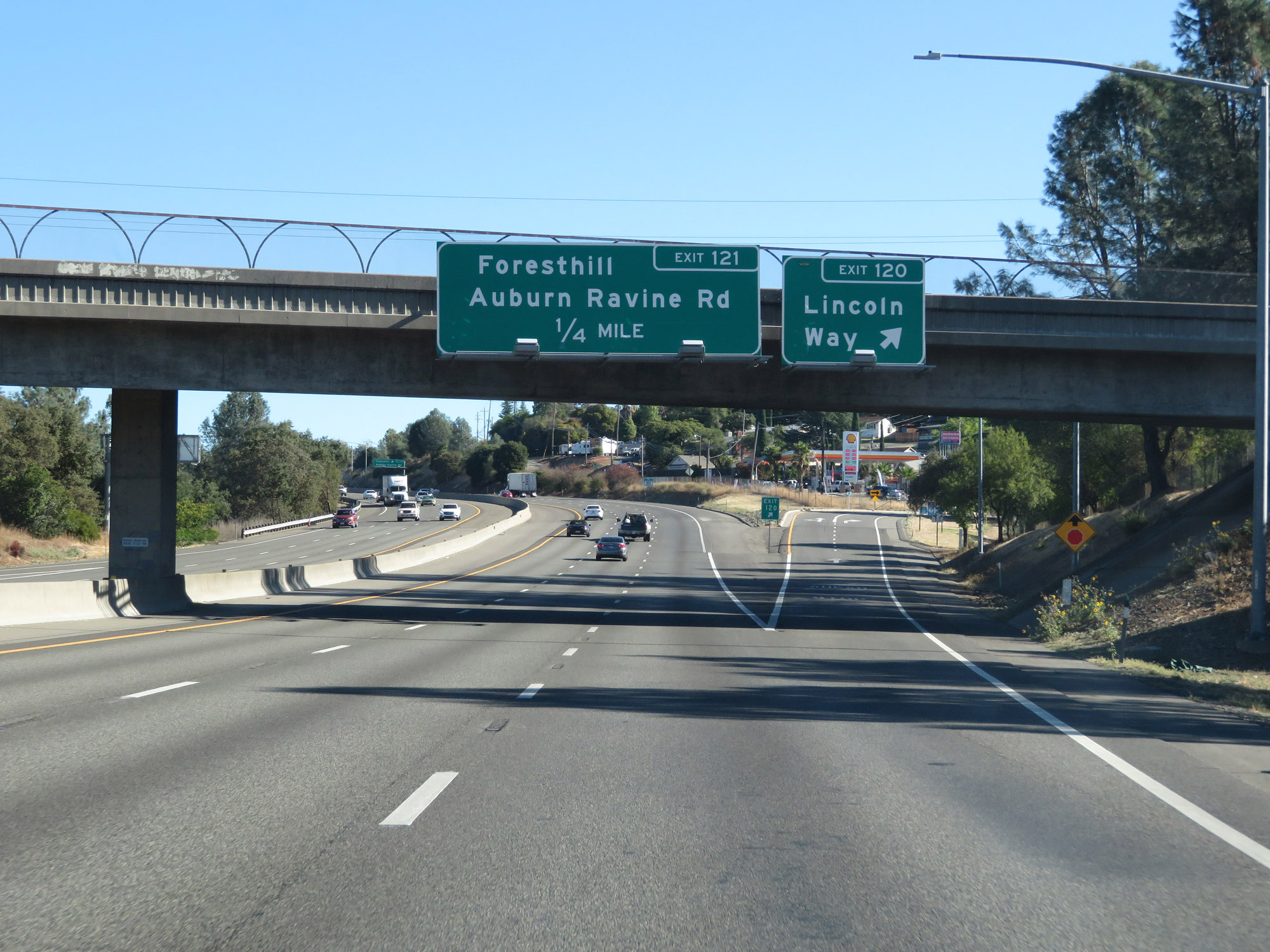
Interstate 80 East at Exit 121: Foresthill / Auburn Ravine Rd (Photo taken 9/24/19). |
 |
Interstate 80 East at Exit 122: Bowman (Photo taken 9/24/19). |
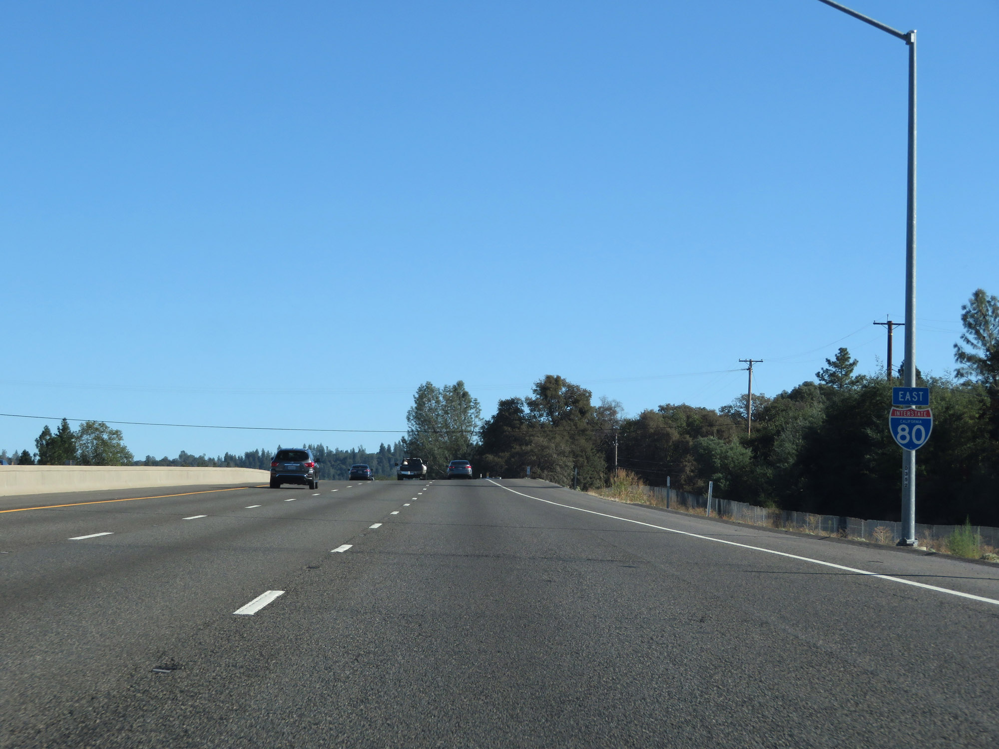 |
Another state-named Interstate 80 East reassurance shield. (Photo taken 9/24/19). |
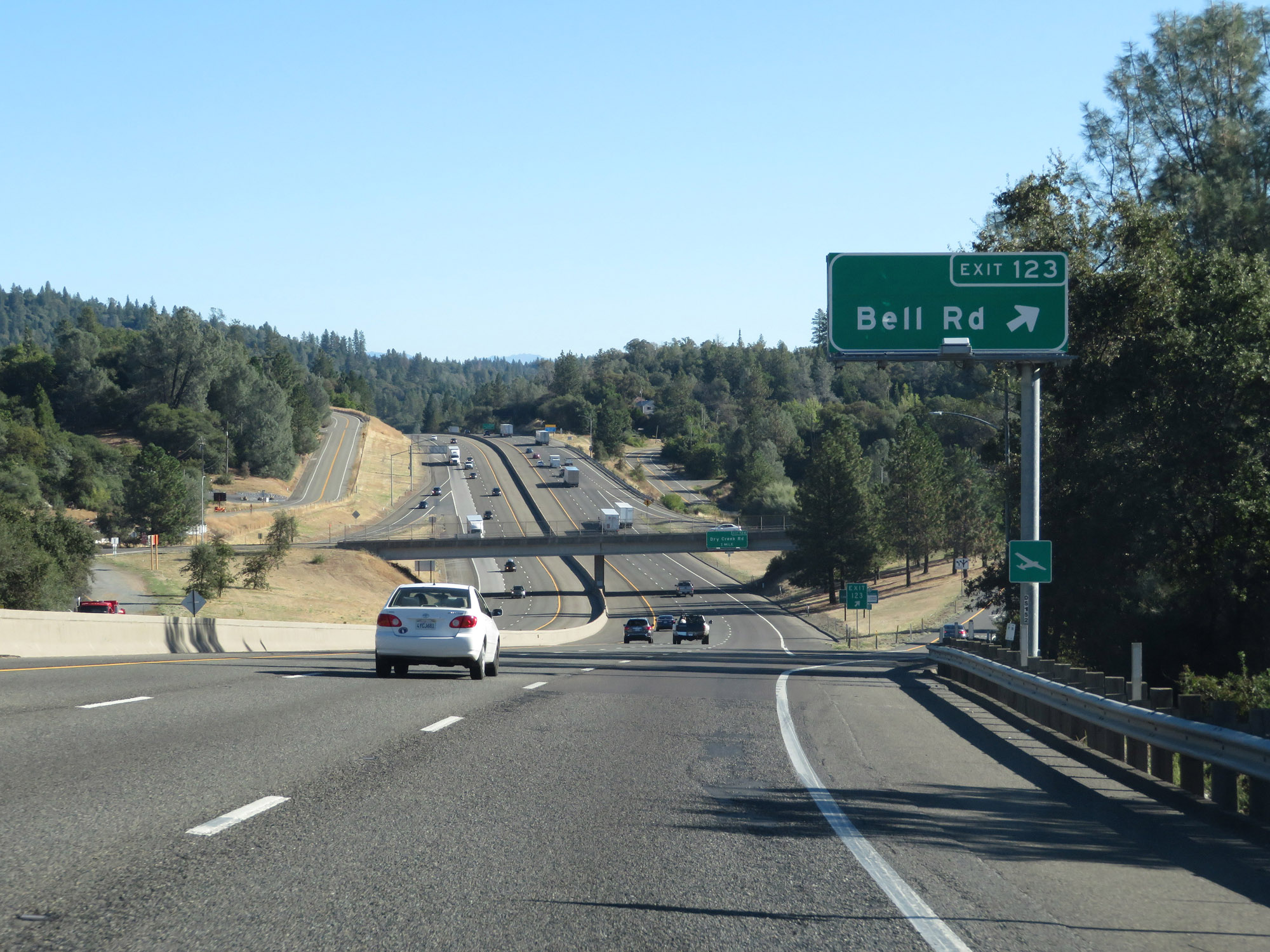 |
Interstate 80 East at Exit 123: Bell Rd (Photo taken 9/24/19). |
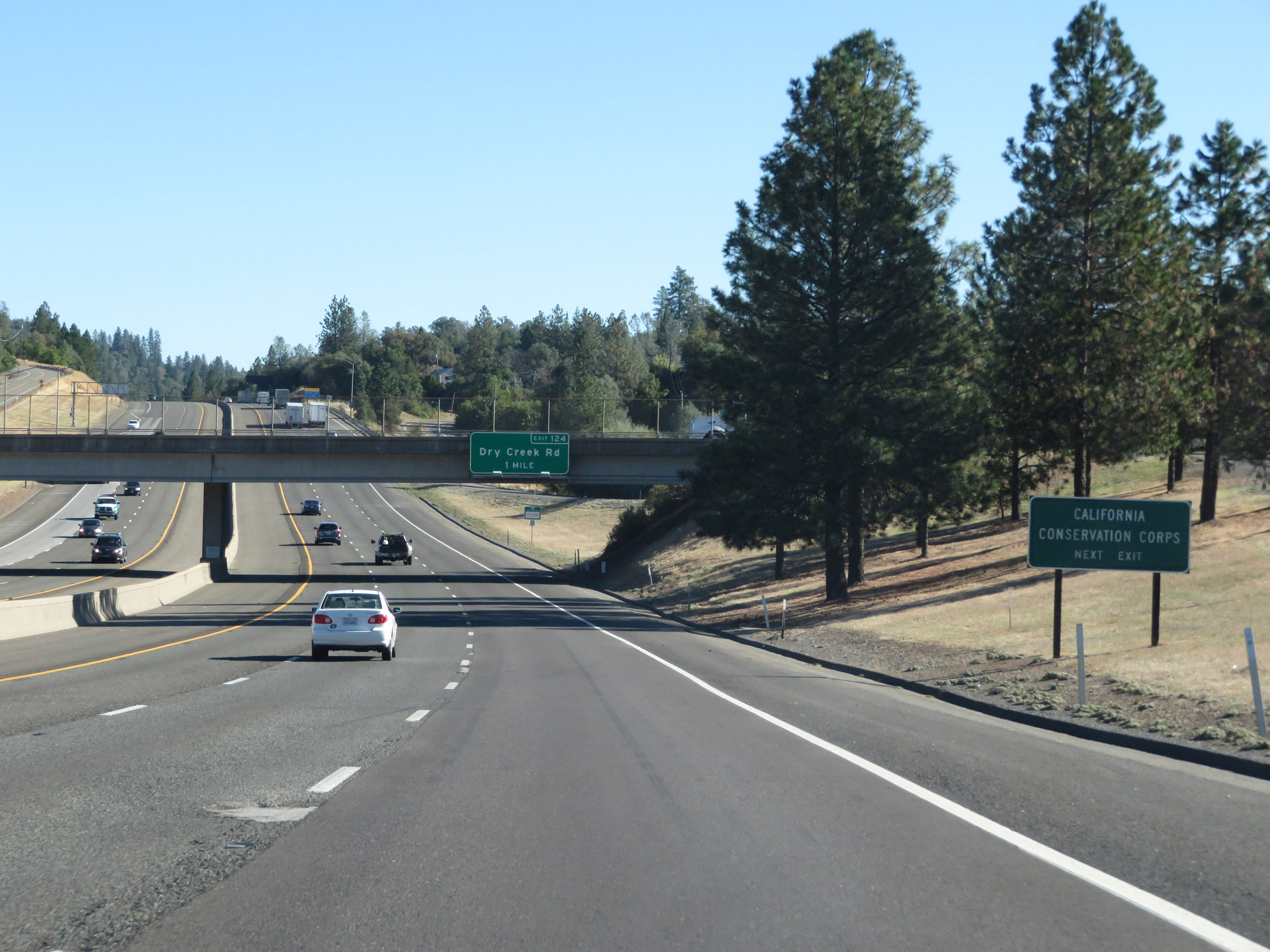 |
Take Exit 124 to California Conservation Corps. (Photo taken 9/24/19). |
 |
Interstate 80 East at Exit 124: Dry Creek Rd (Photo taken 9/24/19). |
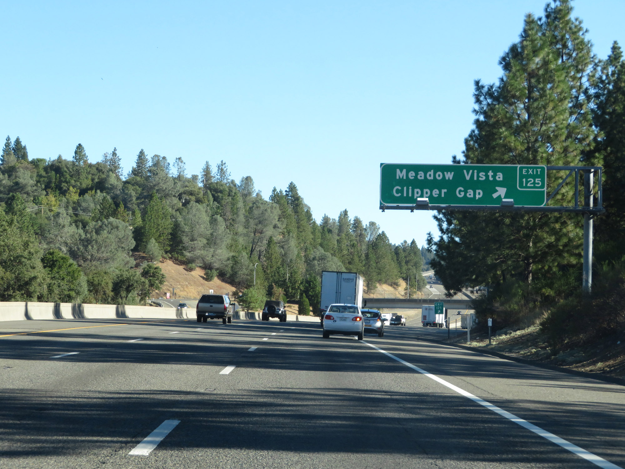 |
Interstate 80 East at Exit 125: Meadow Vista / Clipper Gap (Photo taken 9/24/19). |
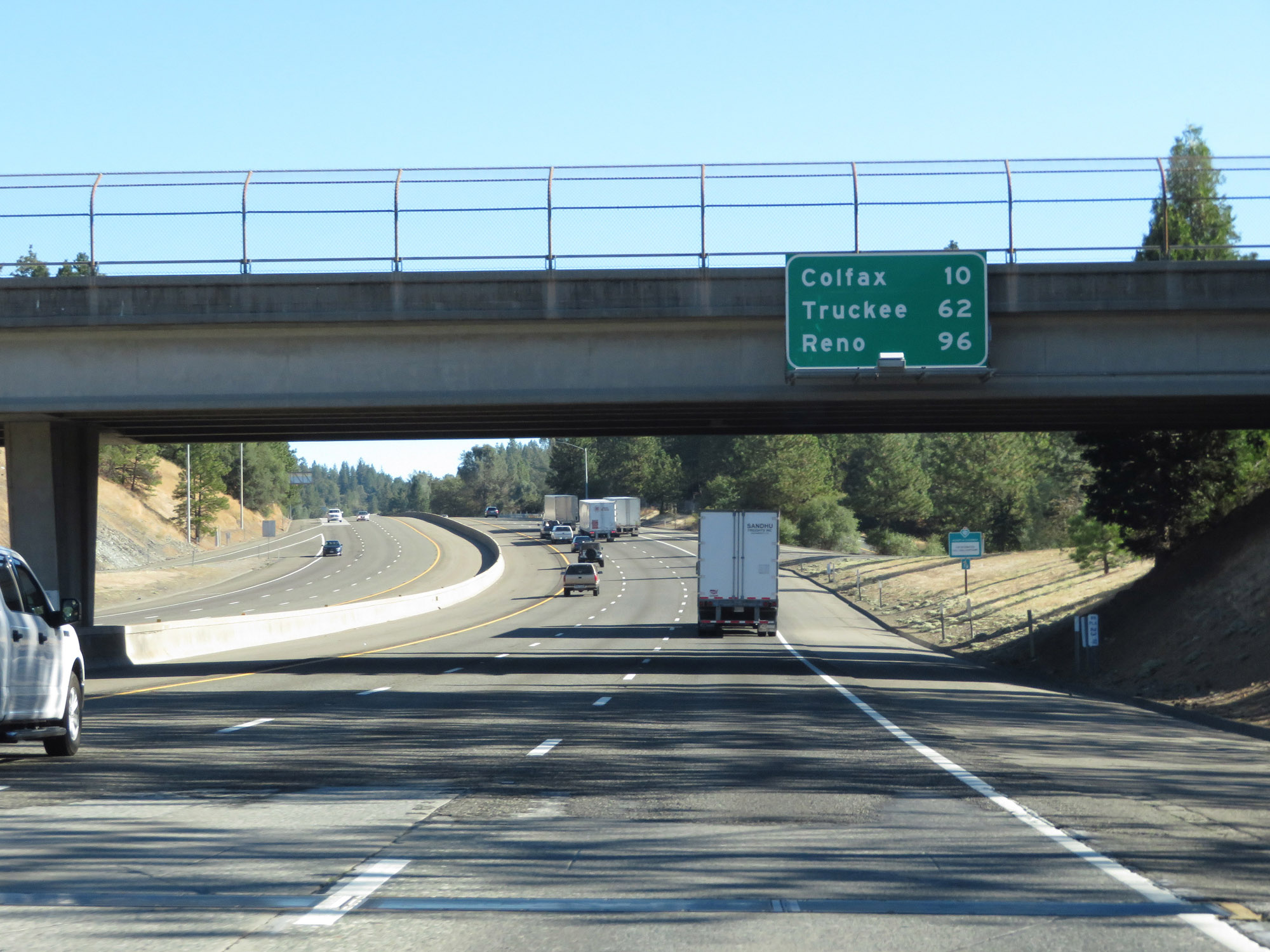 |
Mileage sign on Interstate 80 East. It's 10 miles to Colfax, 62 miles to Truckee, and 96 miles to Reno. (Photo taken 9/24/19). |
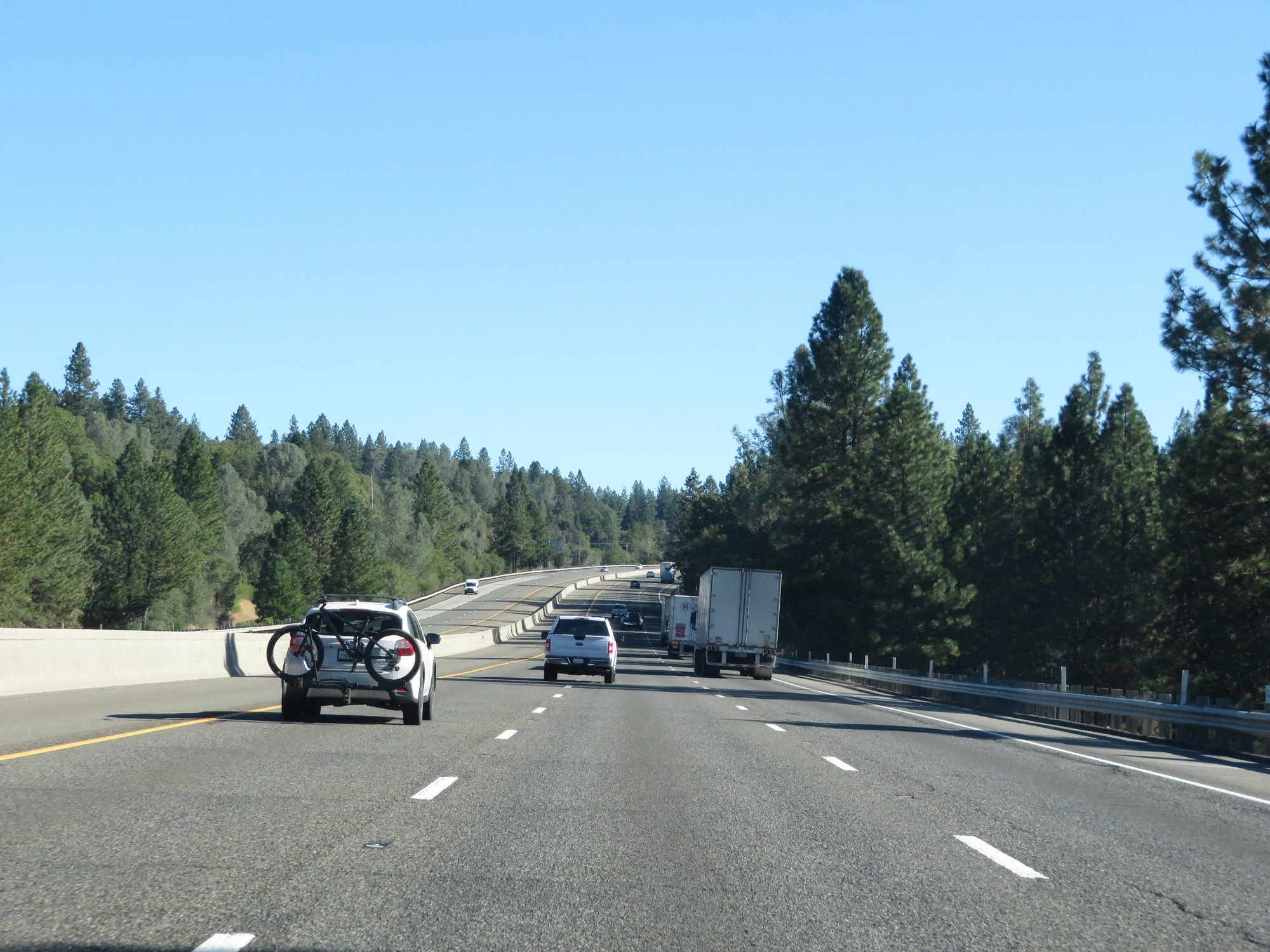 |
View on Interstate 80 East as it continues its long, gradual climb up Donner Pass. (Photo taken 9/24/19). |
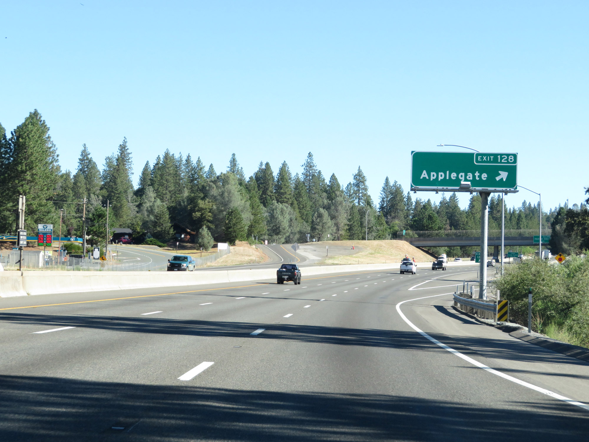 |
Interstate 80 East at Exit 128: Applegate (Photo taken 9/24/19). |
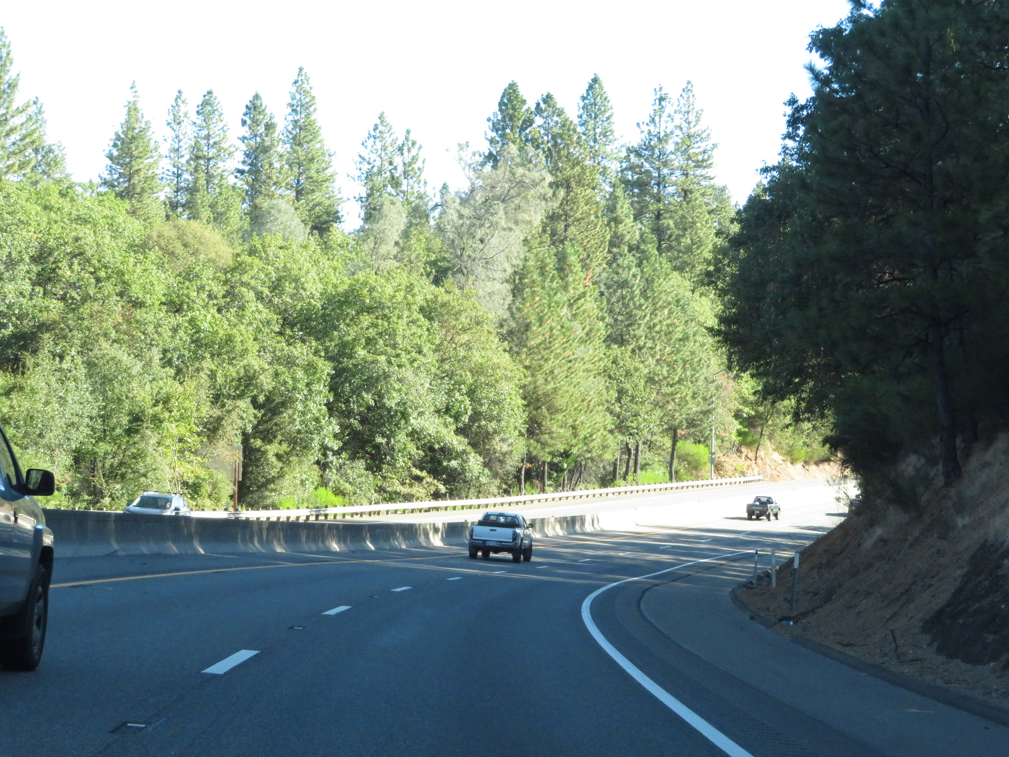 |
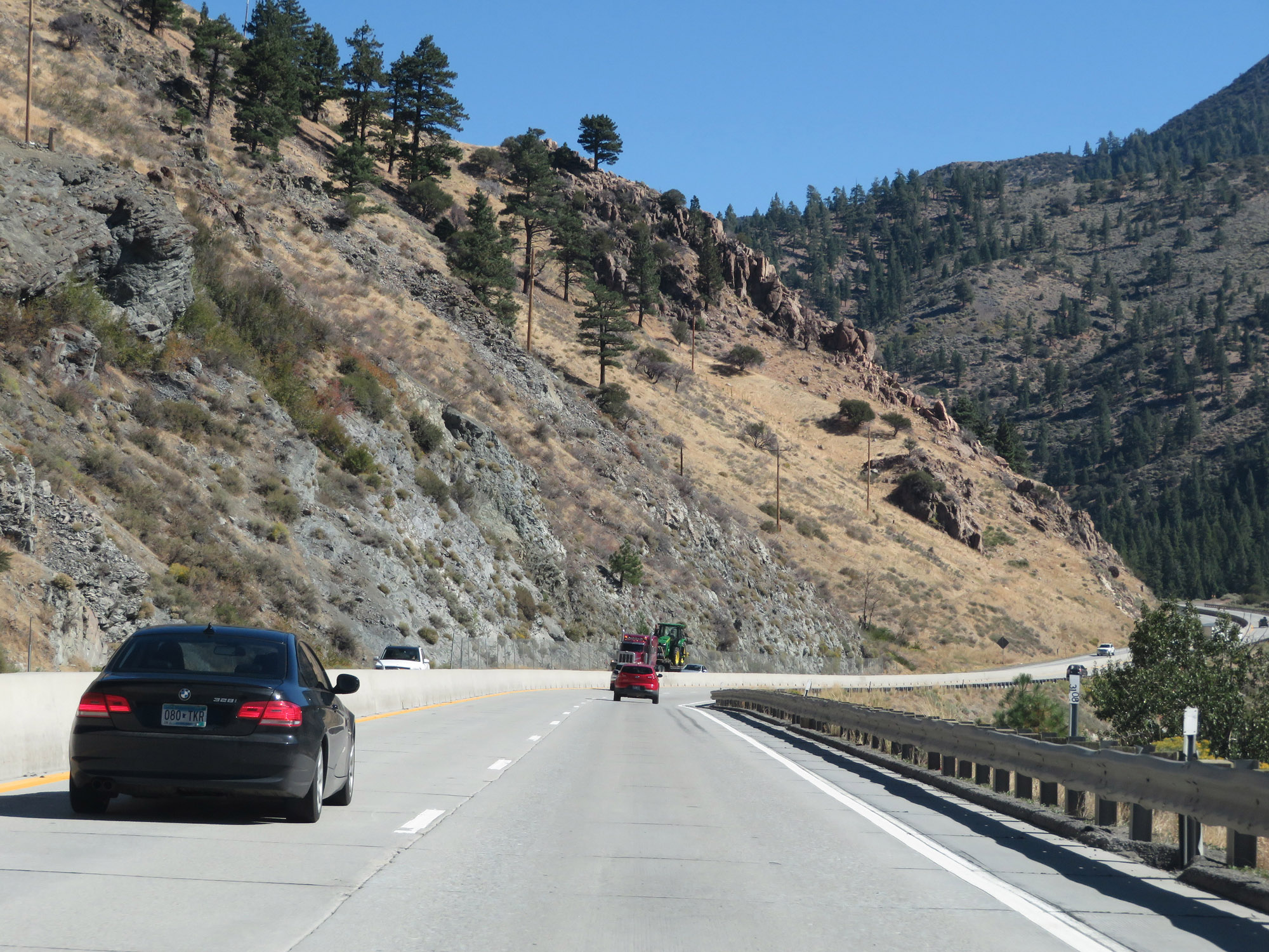
View on Interstate 80 East. (Photo taken 9/24/19). |
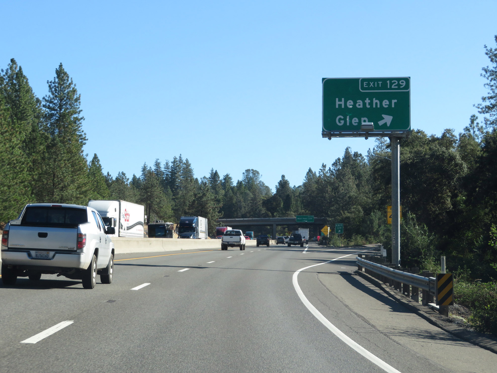 |
Interstate 80 East at Exit 129: Heather Glen (Photo taken 9/24/19). |
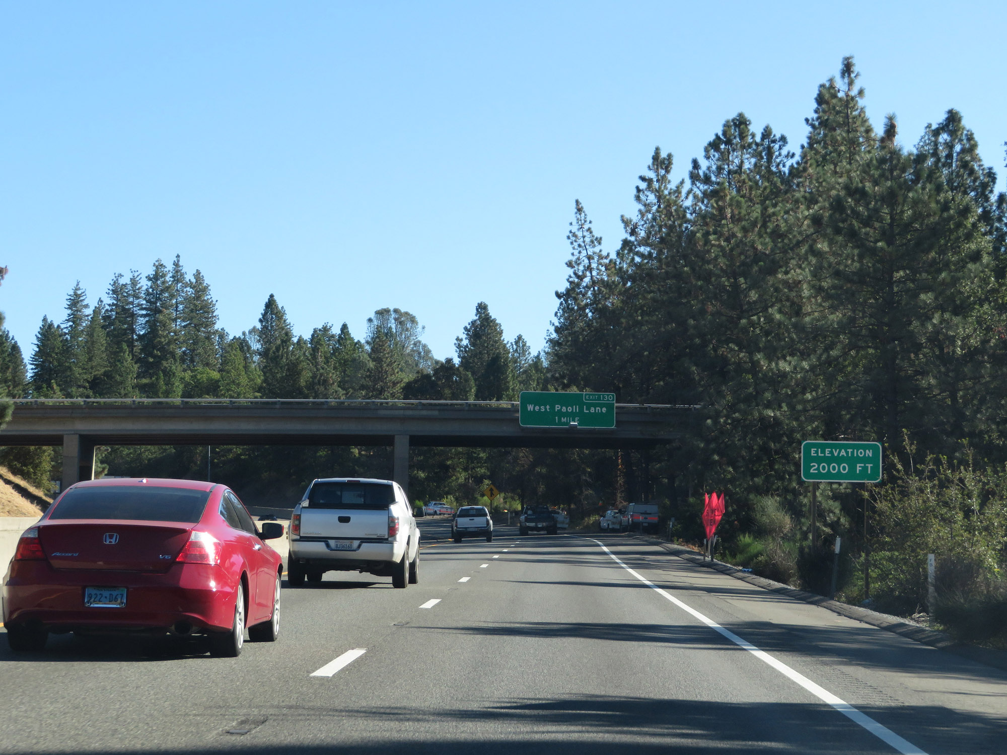 |
East of Exit 129, Interstate 80 East reaches an elevation of 2,000 feet. About 5,000 more feet to go until Donner Summit. (Photo taken 9/24/19). |
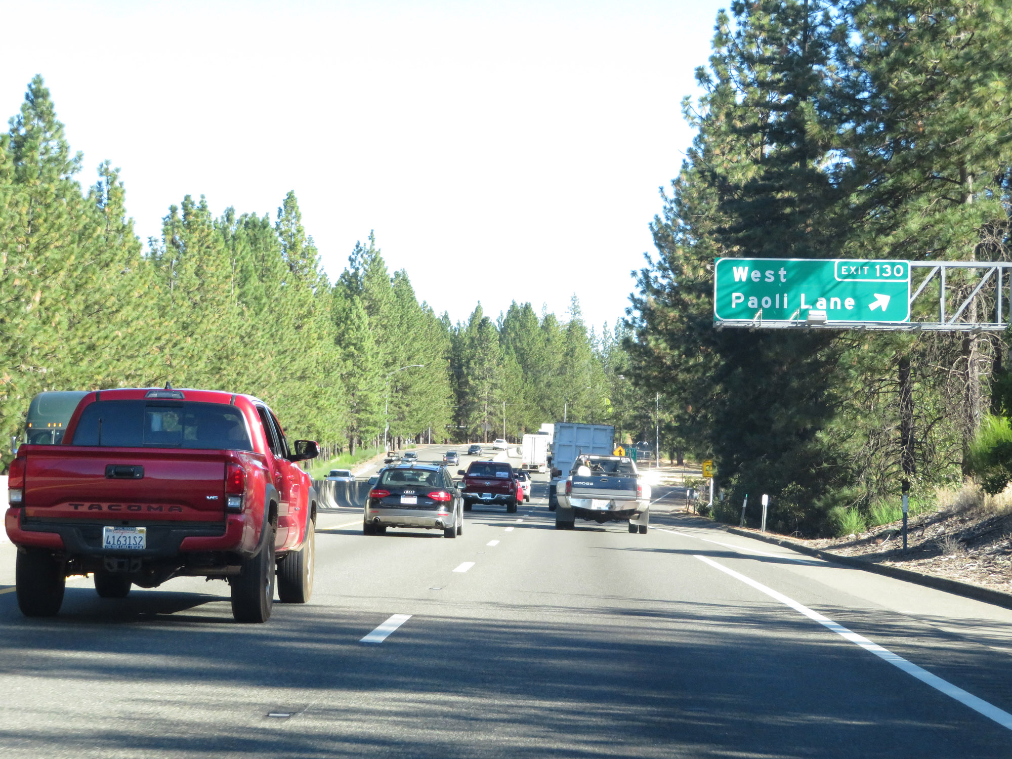 |
Interstate 80 East at Exit 130: West Paoli Lane (Photo taken 9/24/19). |
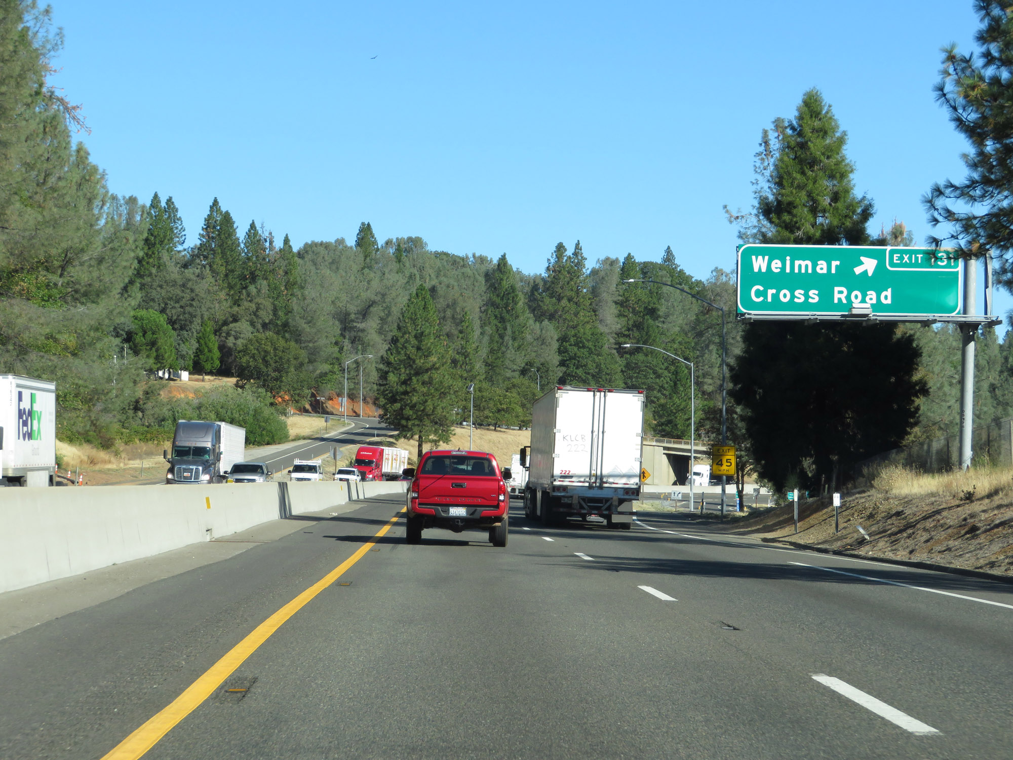 |
Interstate 80 East at Exit 131: Weimar Cross Road (Photo taken 9/24/19). |
 |
Another view on Interstate 80 East. (Photo taken 9/24/19). |
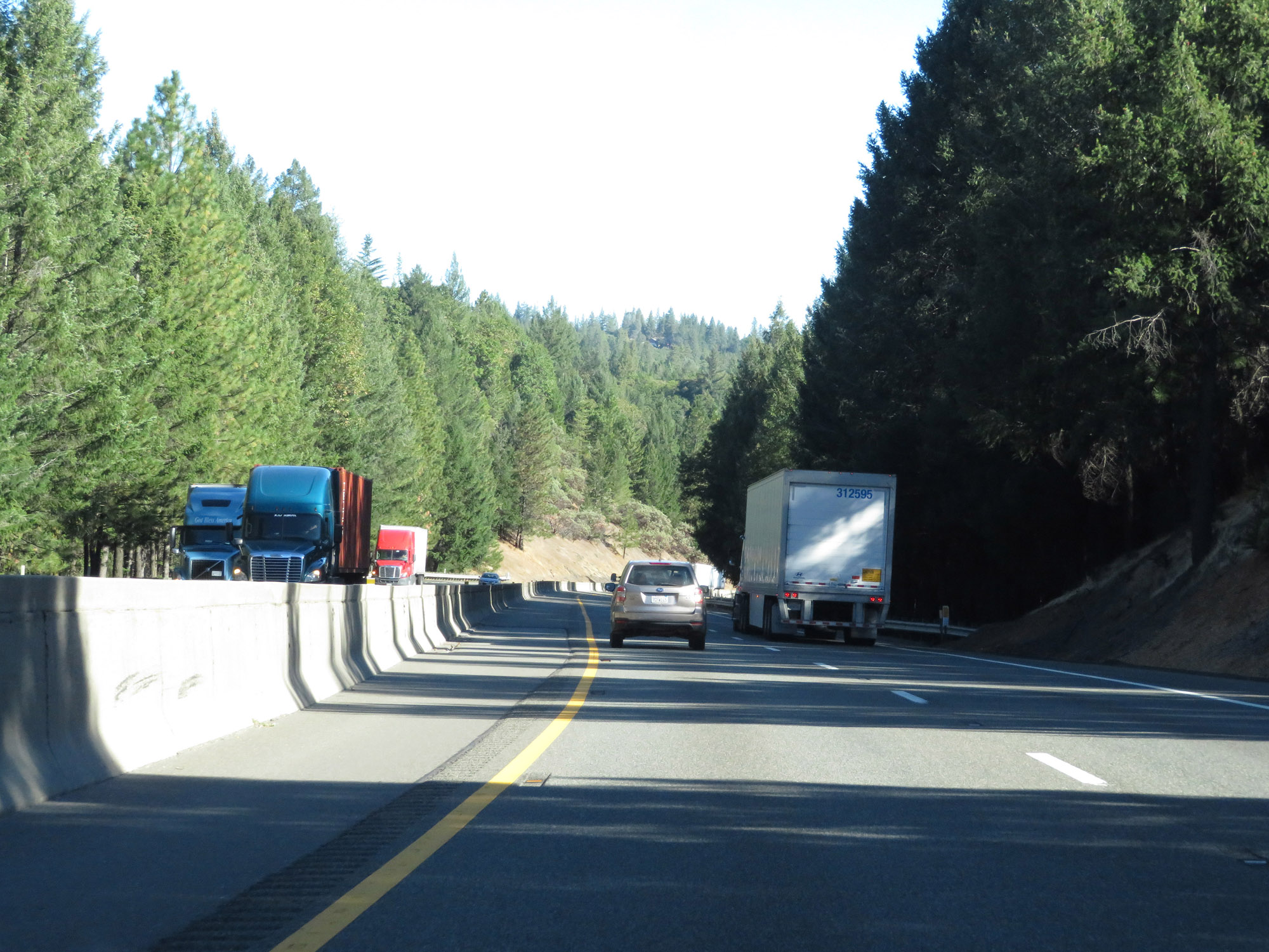 |
View on Interstate 80 East in Placer County. (Photo taken 9/24/19). |
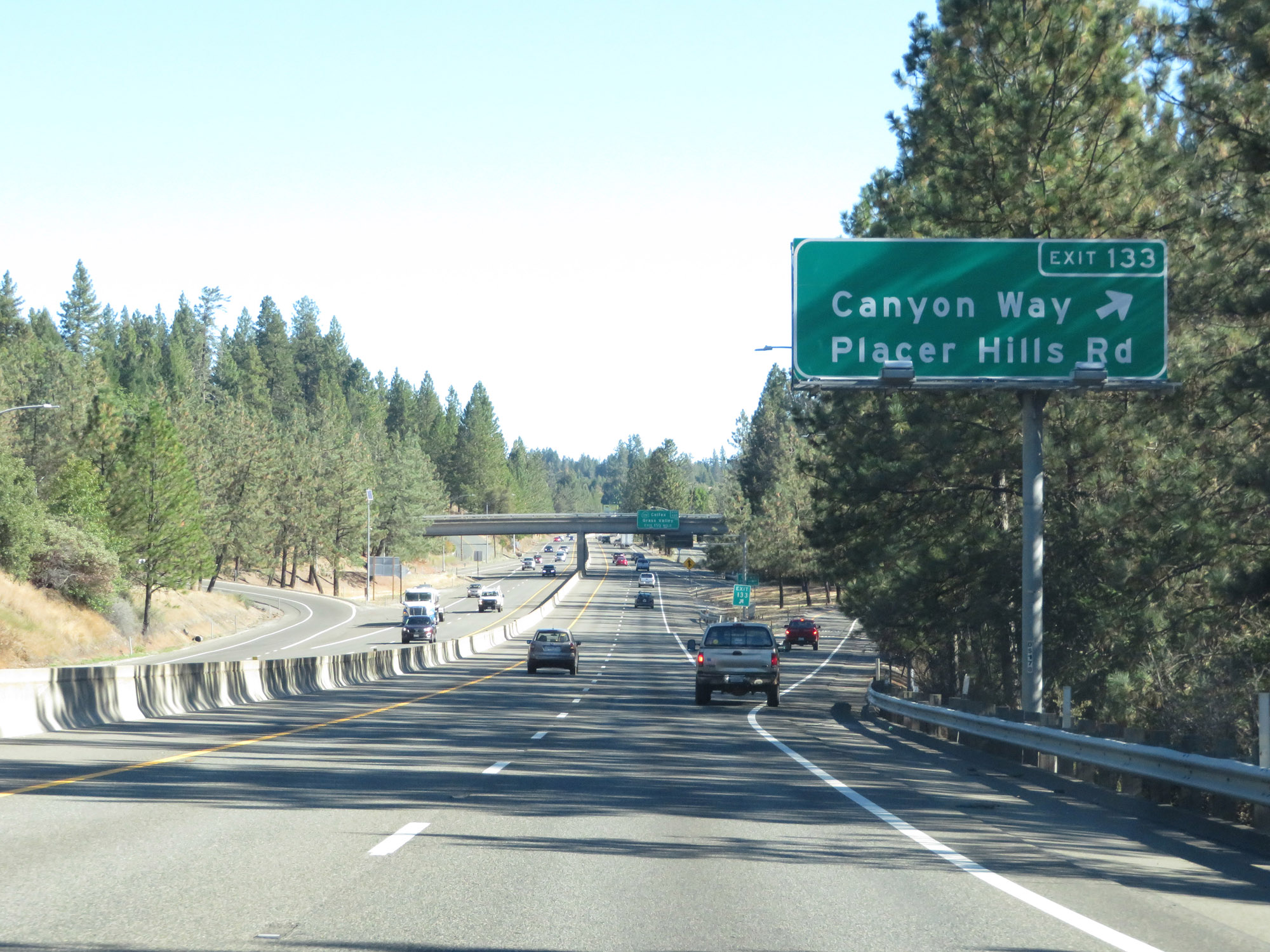 |
Interstate 80 East at Exit 133: Canyon Way / Placer Hills Rd (Photo taken 9/24/19). |
 |
State-named Interstate 80 East reassurance shield as it continues climbing Donner Pass. (Photo taken 9/24/19). |
 |
Interstate 80 East approaching Exit 135 - 1/2 mile. (Photo taken 9/24/19). |
 |
Take Exit 135 to the CDF Fire Station. (Photo taken 9/24/19). |
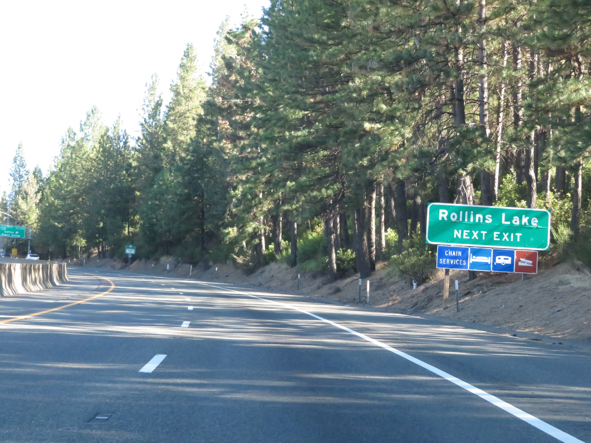 |
Also take Exit 135 to Rollins Lake. (Photo taken 9/24/19). |
 |
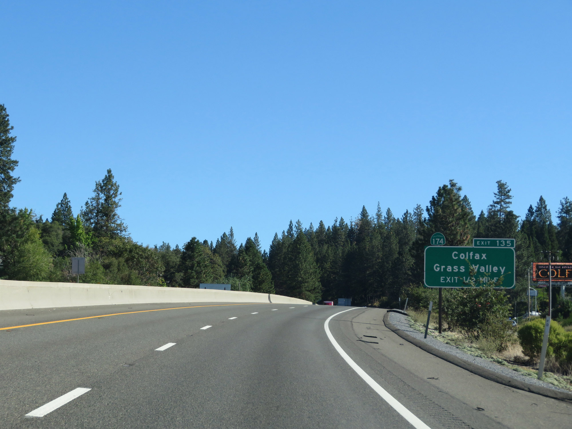
Interstate 80 East at Exit 135: CA 174 West - Colfax / Grass Valley (Photo taken 9/24/19). |
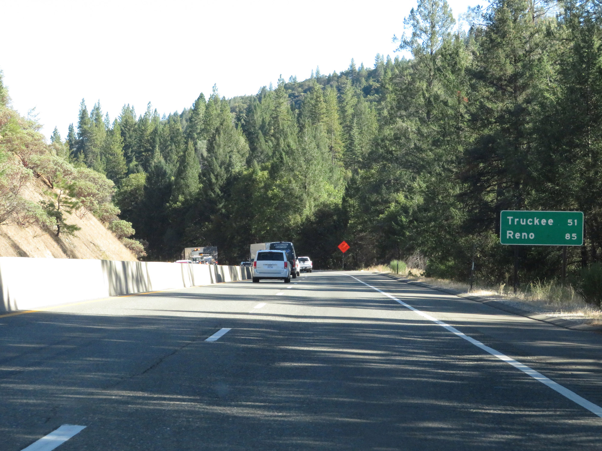 |
Mileage sign on Interstate 80 East. It's 51 miles to Truckee and 85 miles to Reno. (Photo taken 9/24/19). |
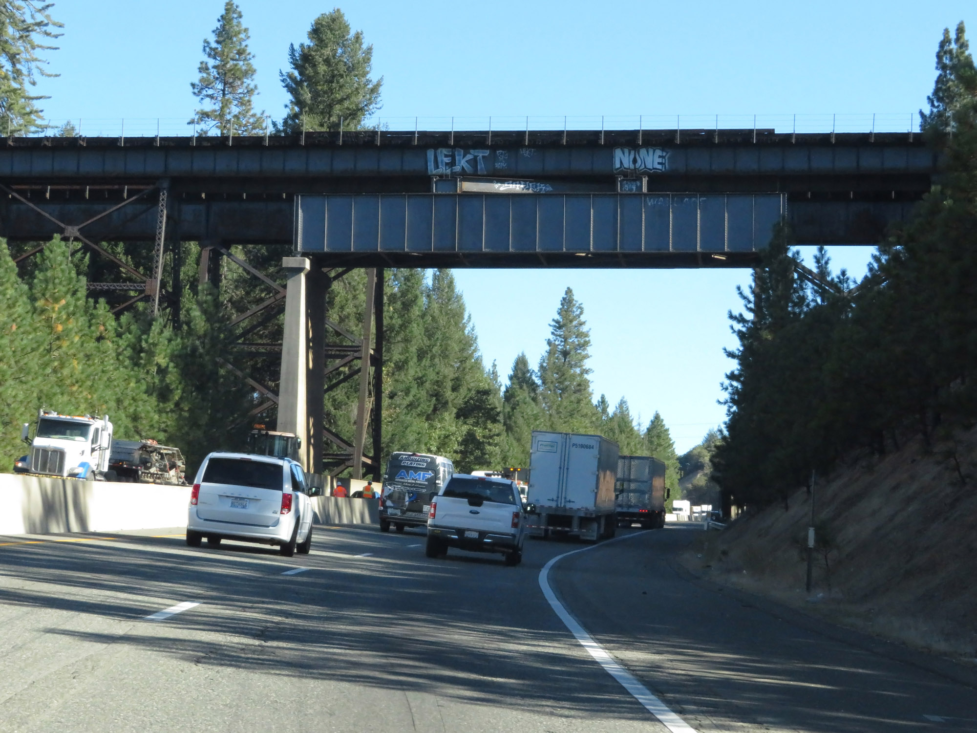 |
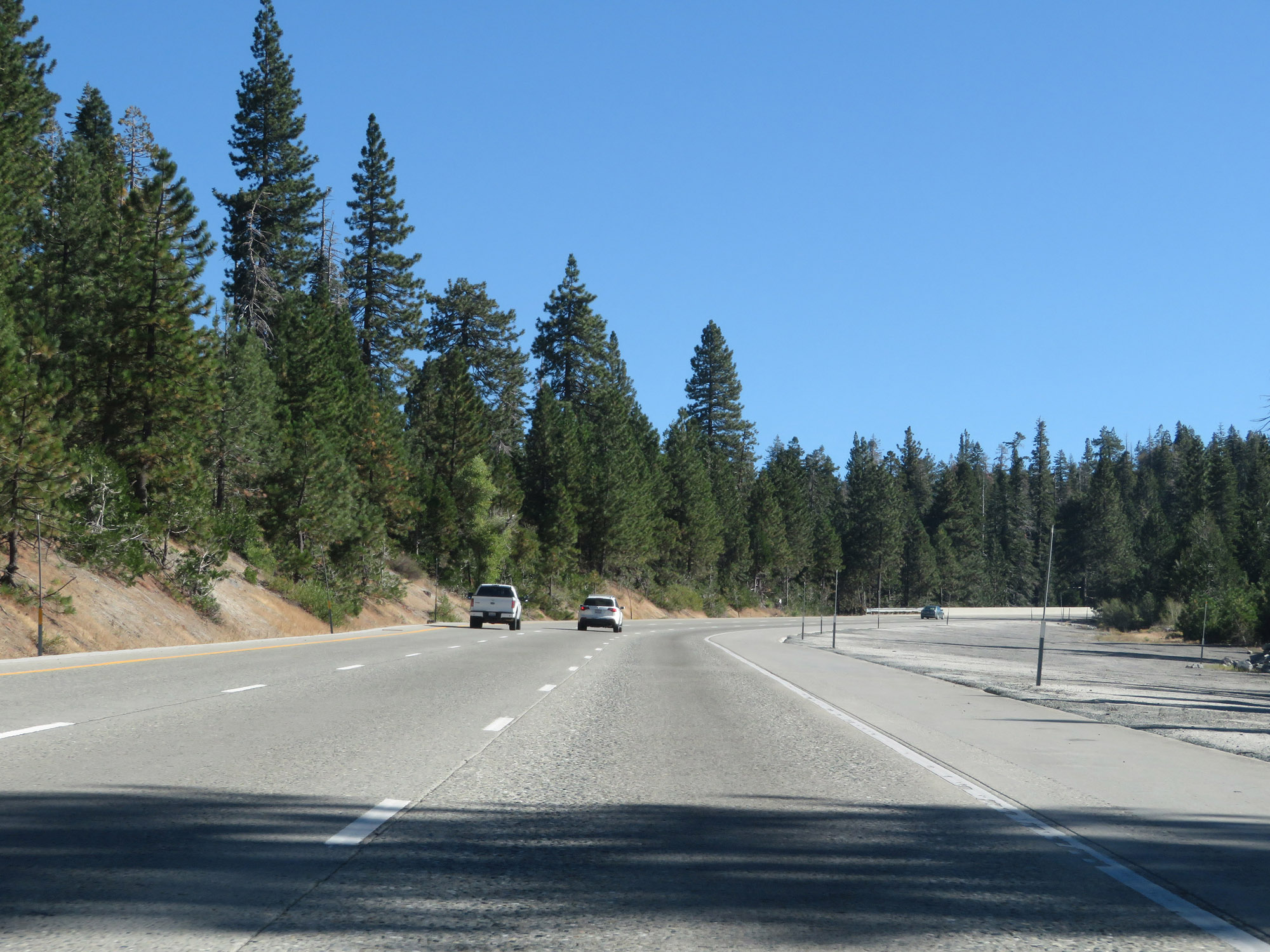
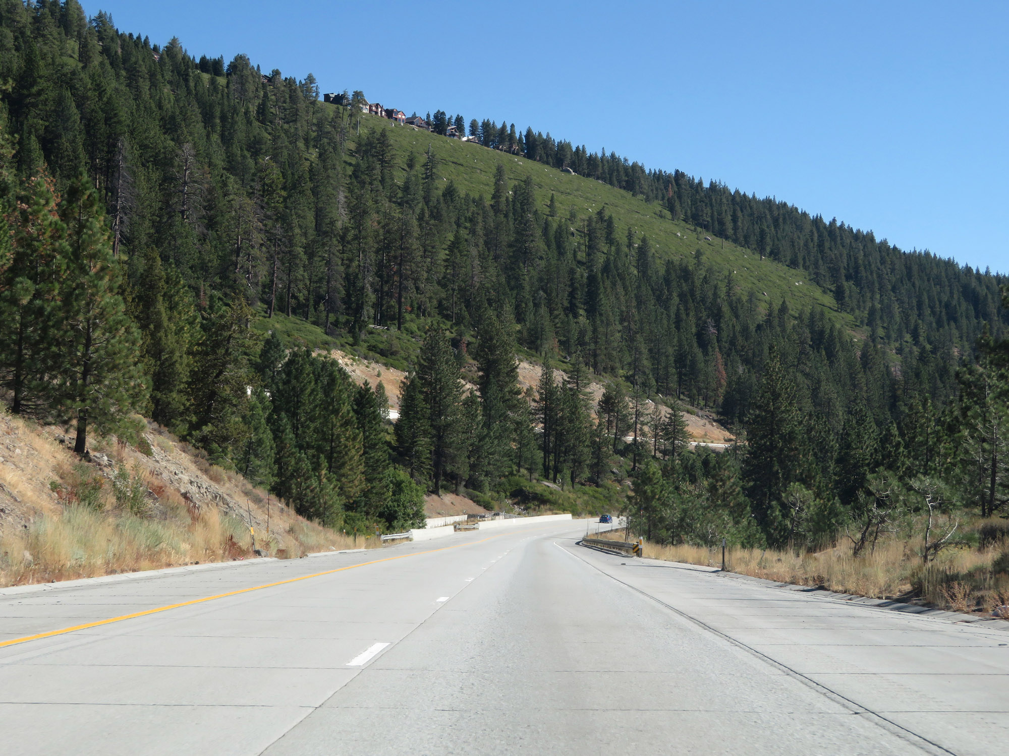
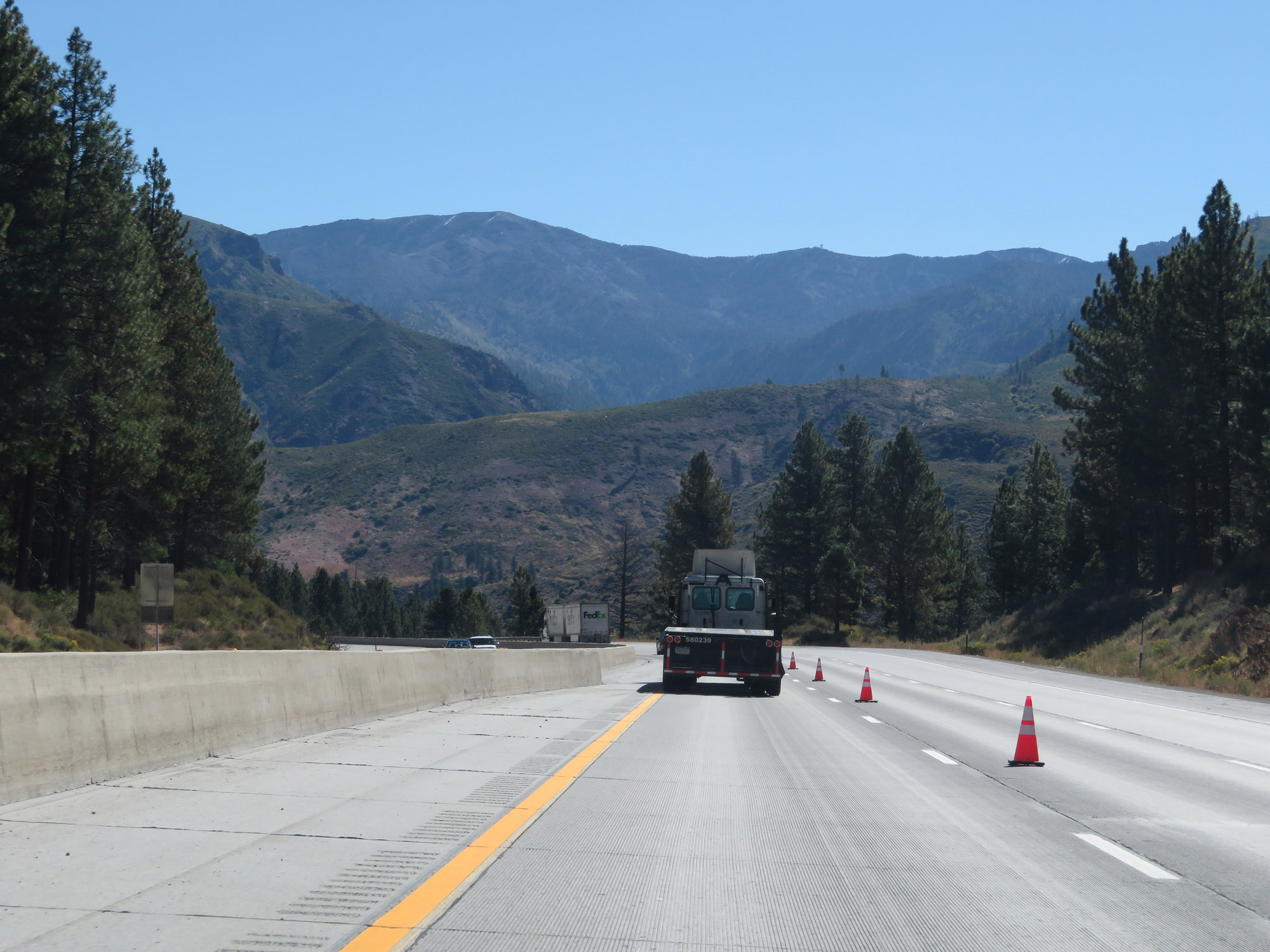
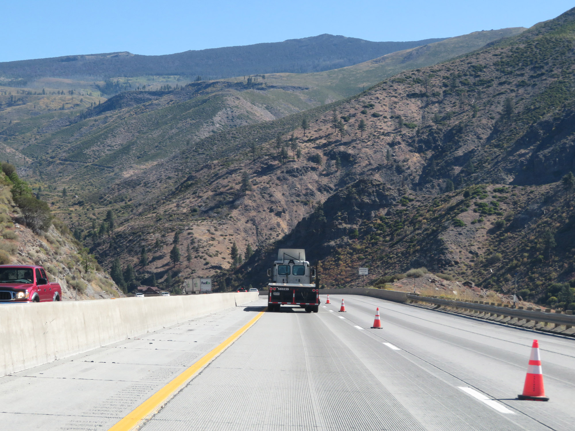
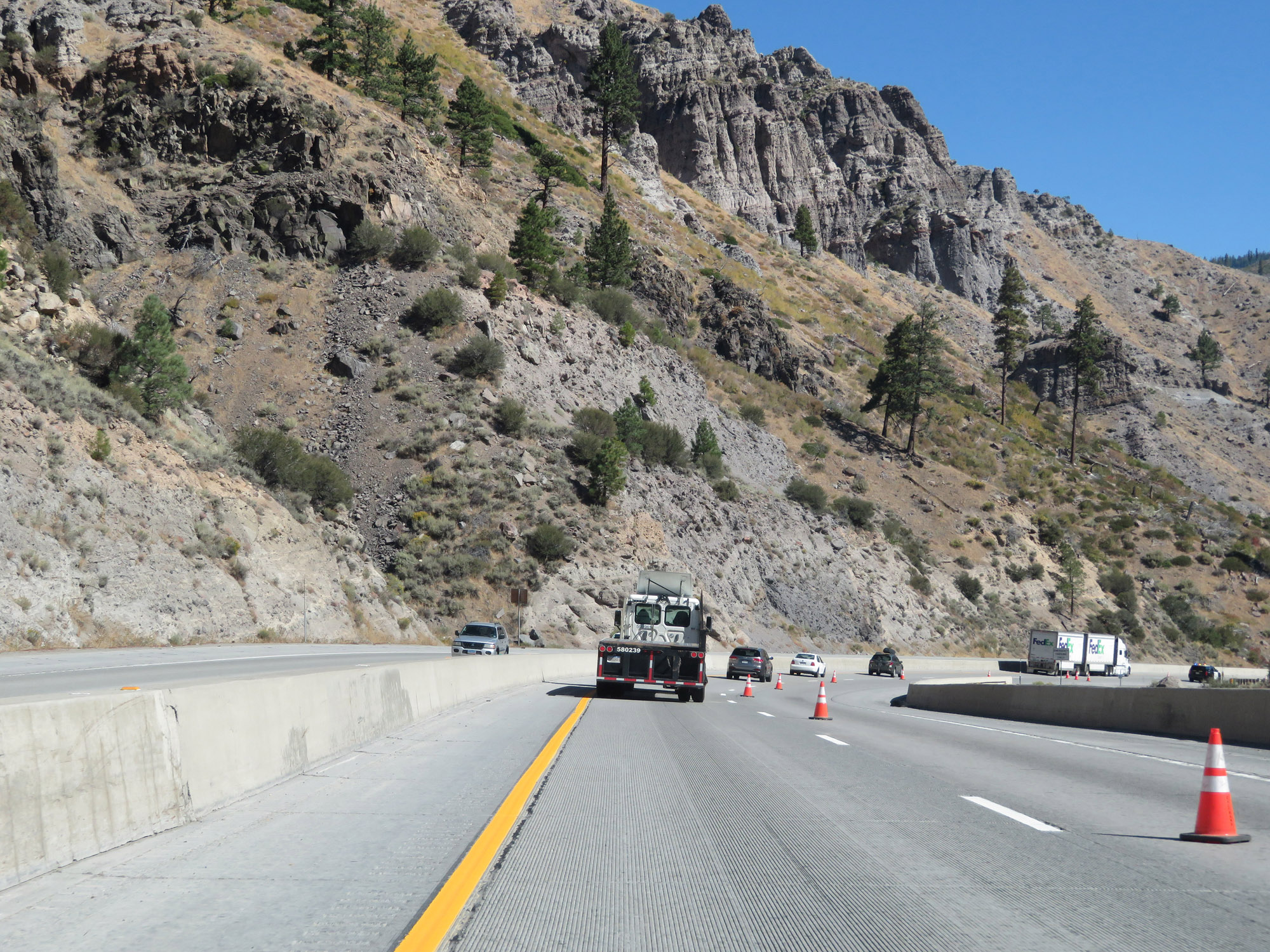
View on Interstate 80 East climbing Donner Pass in Placer County. Some stretches of the 7,000 foot climb from Sacramento to Donner Summit have truck climbing lanes; however, one is not present here where it could've been used. A climbing lane does appear just ahead though. (Photo taken 9/24/19). |
 |
Interstate 80 East as the aforementioned climbing lane begins. (Photo taken 9/24/19). |
 |
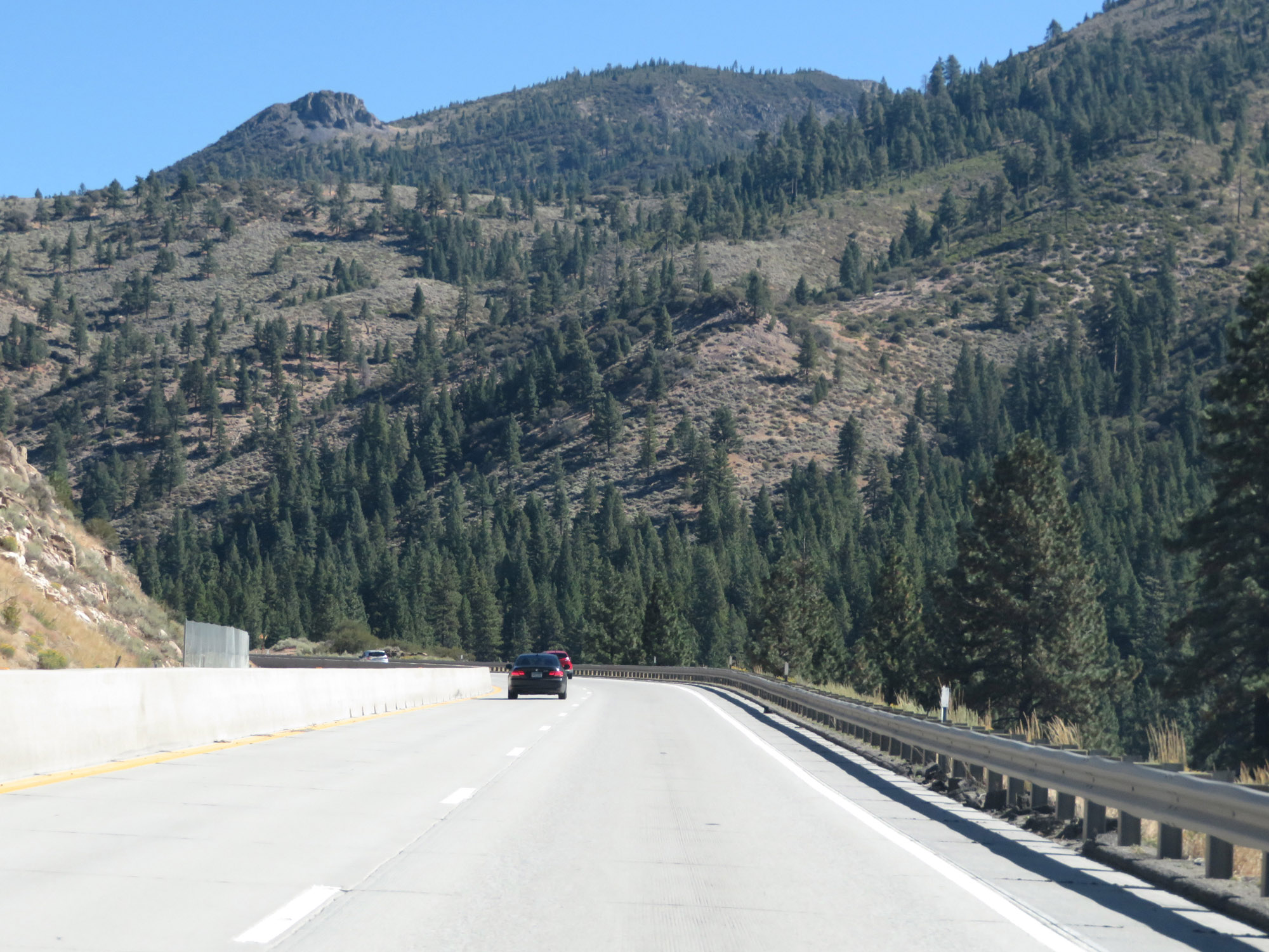
View on Interstate 80 East. (Photo taken 9/24/19). |
 |
Another view on Interstate 80 East as the truck climbing lane continues. Donner Pass is notoriously dangerous in the late fall, winter, and early spring months. It is the most common stretch of Interstate in the country for trucks needed to chain up to continue over the mountain. (Photo taken 9/24/19). |
 |
Continuing up Donner Pass on Interstate 80 East. We'll be hitting 3,000 feet in elevation soon. (Photo taken 9/24/19). |
 |
Interstate 80 East approaching Exit 140. (Photo taken 9/24/19). |
 |
Interstate 80 East at Exit 140: Secret Town Rd / Rollins Lake Rd (Photo taken 9/24/19). |
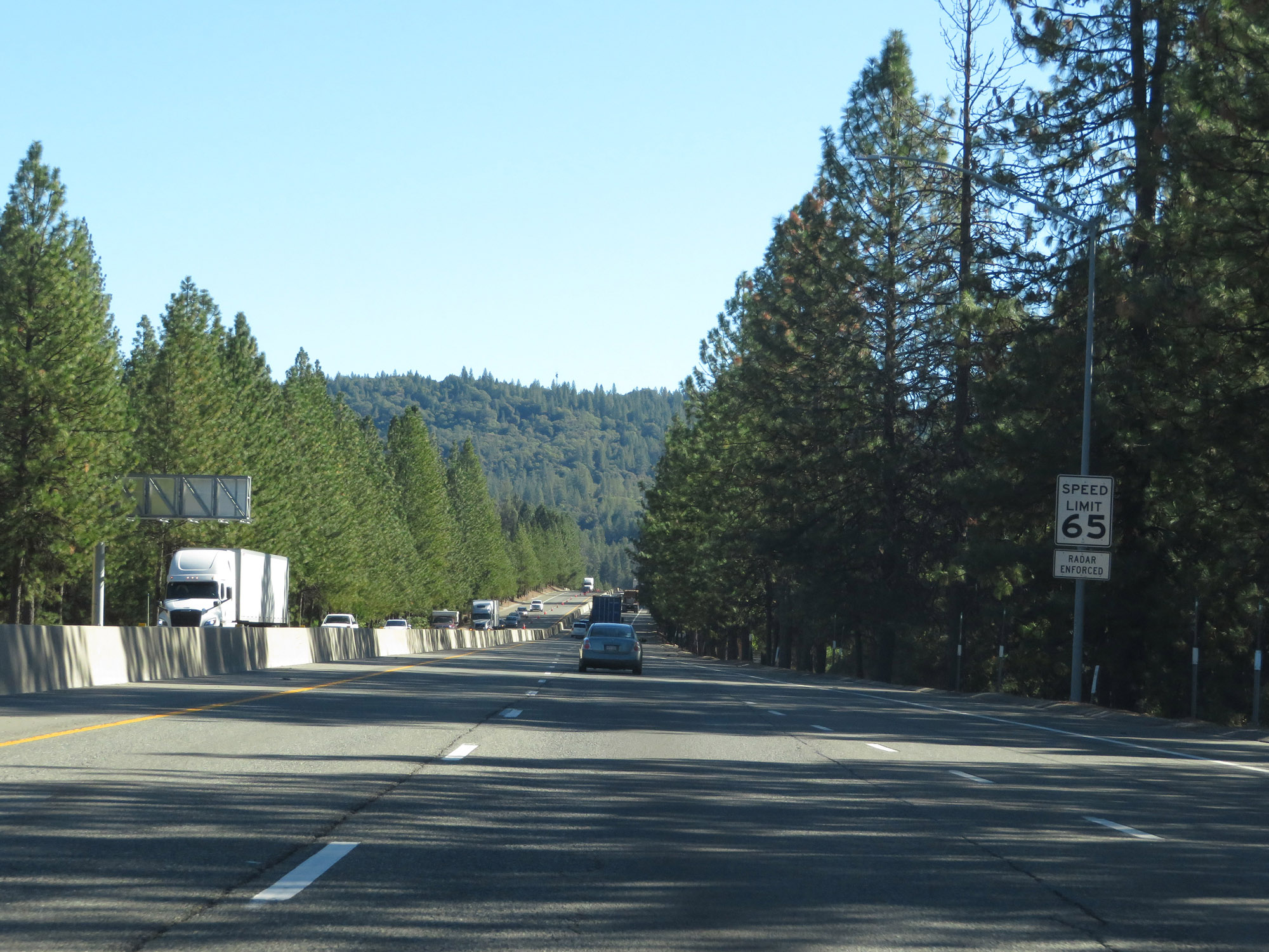 |
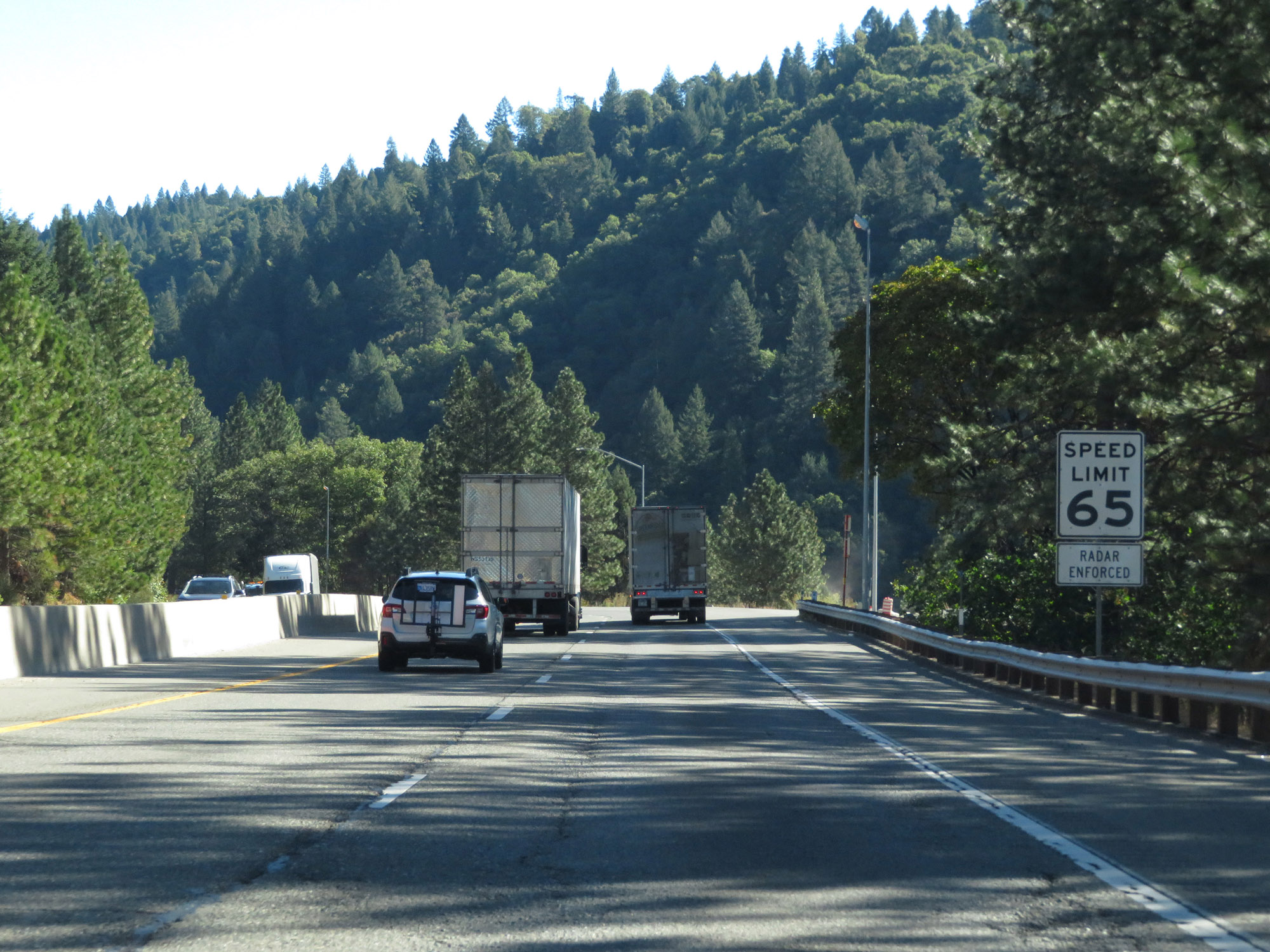
The speed limit remains 65 mph for automobiles on Interstate 80 East as it climbs Donner Pass. (Photo taken 9/24/19). |
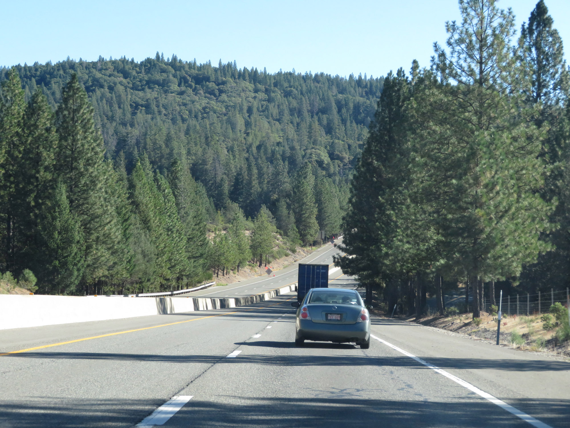 |
View on Interstate 80 East. (Photo taken 9/24/19). |
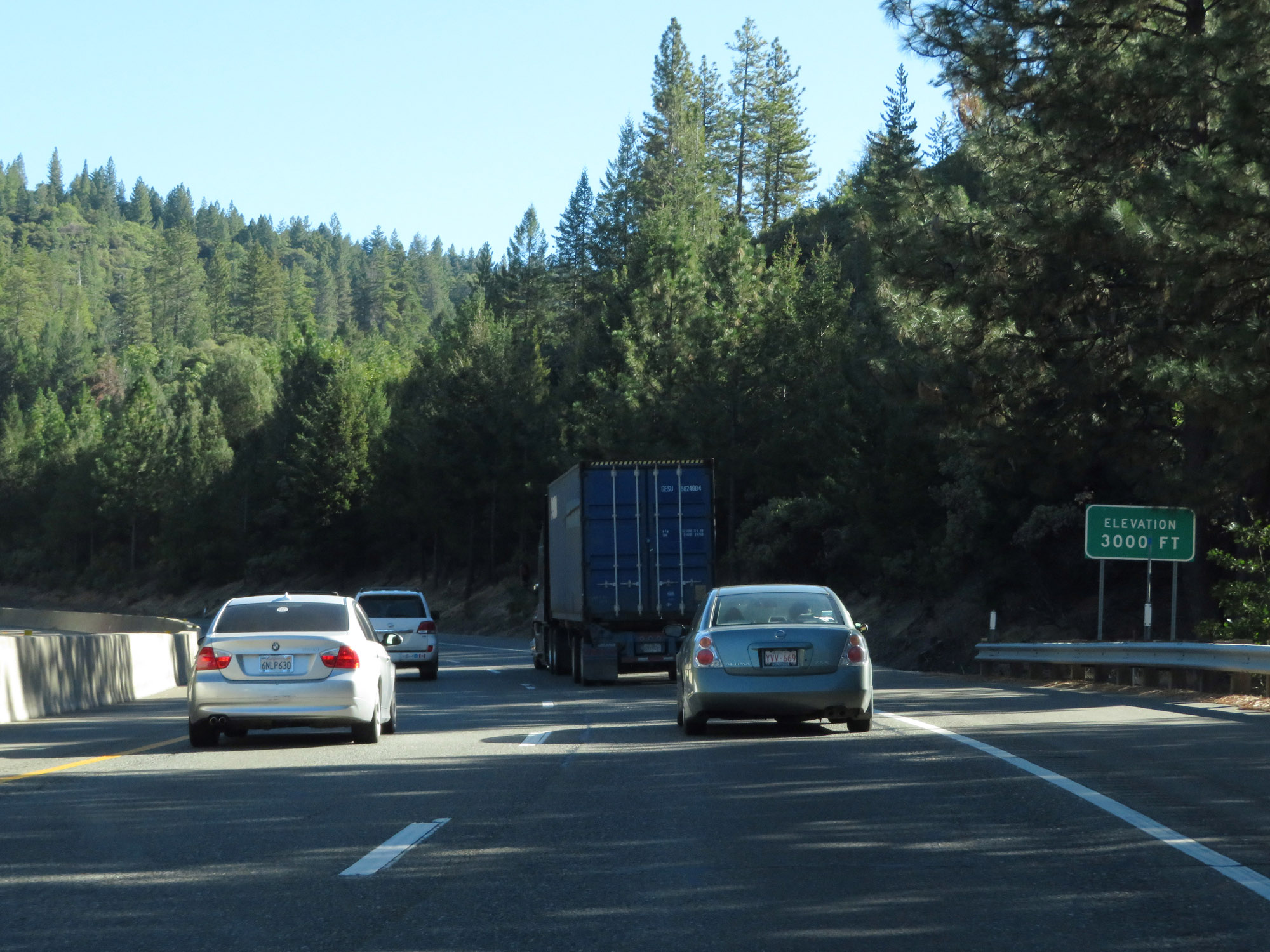 |
Interstate 80 East as it reaches an elevation of 3,000 feet on Donner Pass. 4,227 feet still to go. In the late fall, winter, and early spring months, snow falls in amounts measured by the foot on Donner Pass. Most winter days, a chain restriction is in place. (Photo taken 9/24/19). |
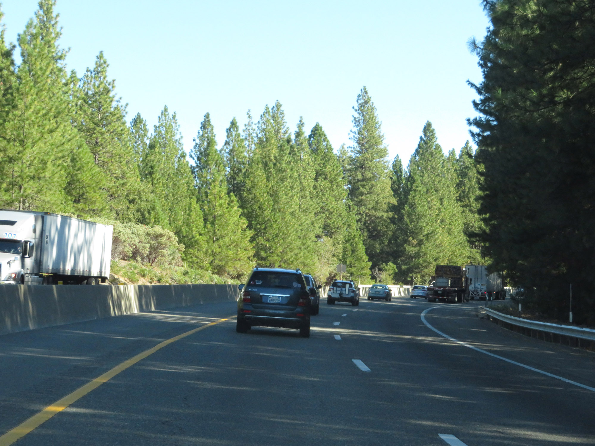 |
Another view on Interstate 80 East, still in Placer County. (Photo taken 9/24/19). |
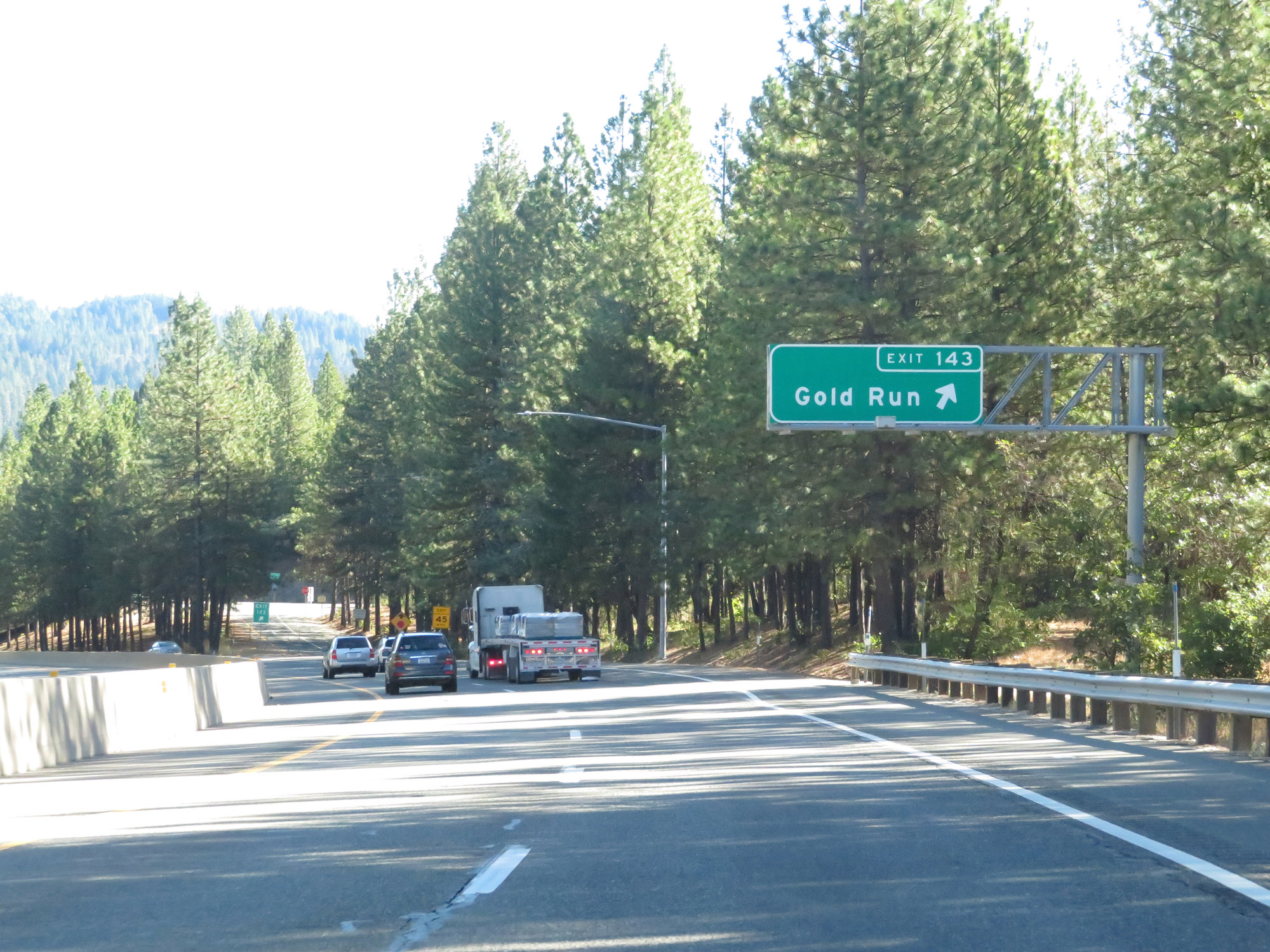 |
Interstate 80 East at Exit 143: Gold Run (Photo taken 9/24/19). |
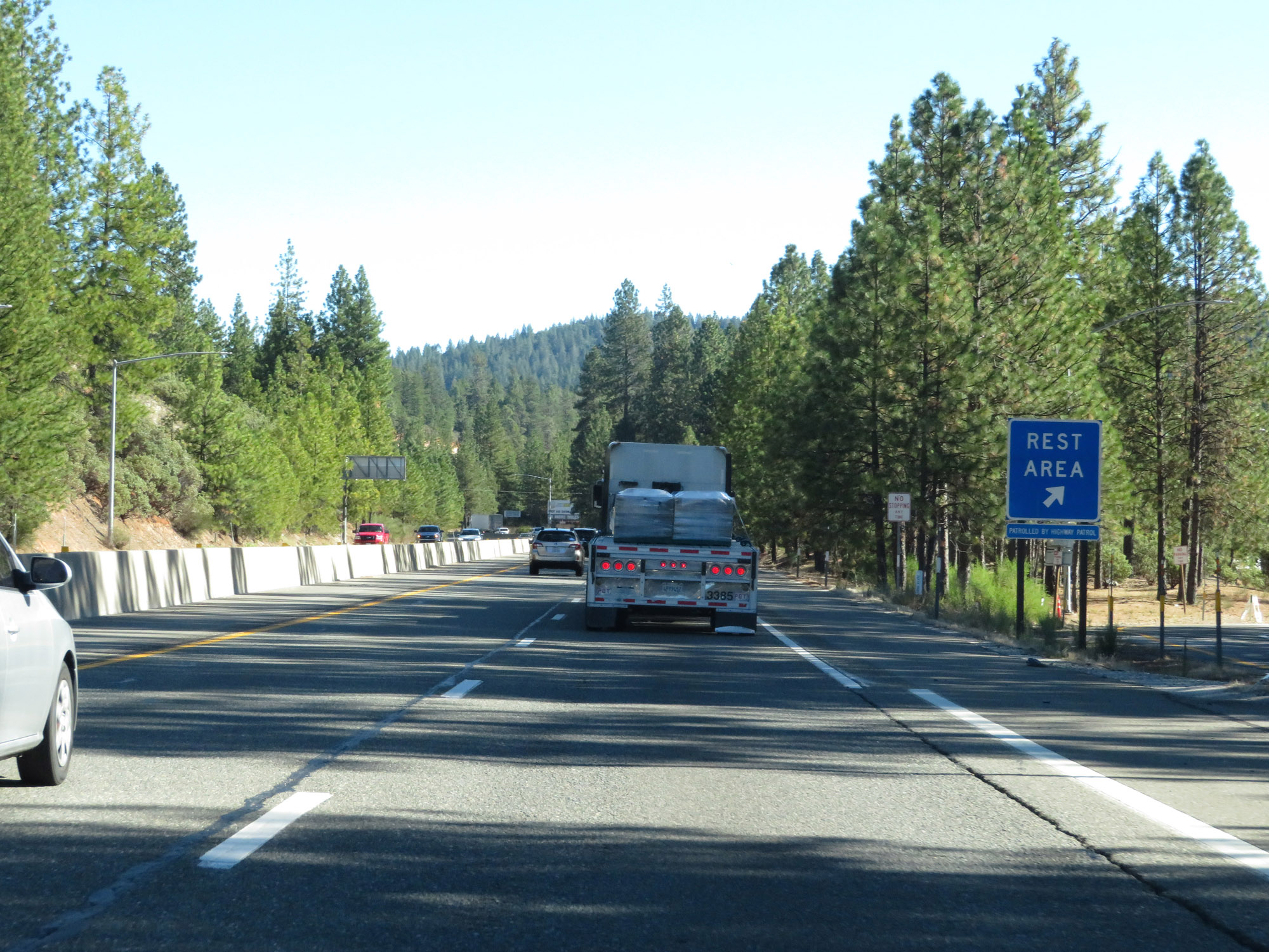 |
Rest Area on Interstate 80 East in Placer County. (Photo taken 9/24/19). |
 |
State-named Interstate 80 East reassurance shield on Donner Pass. (Photo taken 9/24/19). |
 |
Interstate 80 East at Exit 145: Dutch Flat (Photo taken 9/24/19). |
 |
The speed limit remains 65 mph for automobiles. (Photo taken 9/24/19). |
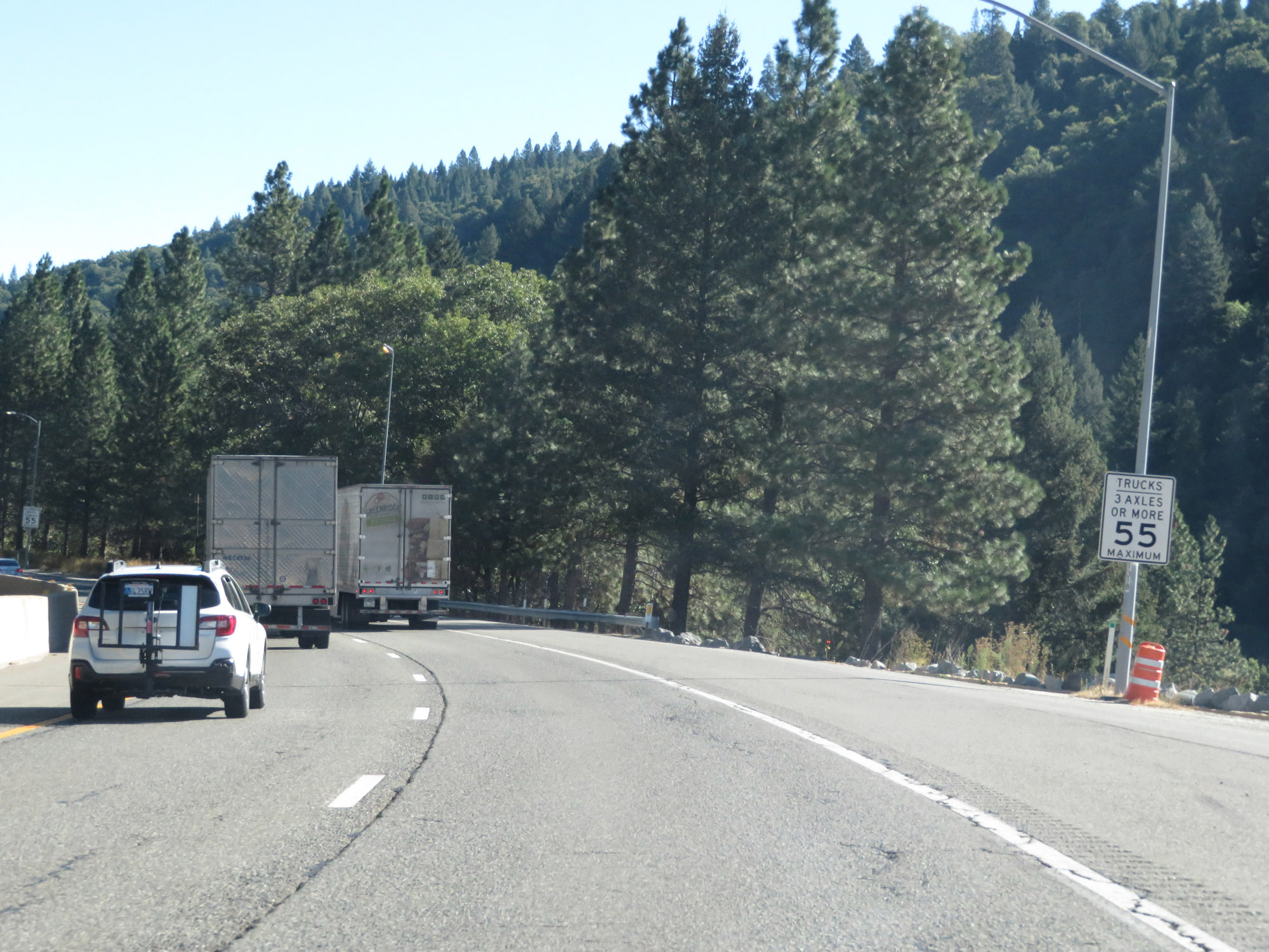 |
Trucks of 3 or more axles are restricted to 55 mph in California, despite how rural the Interstate is. (Photo taken 9/24/19). |
 |
All vehicles towing trailers are restricted to 55 mph in California. (Photo taken 9/24/19). |
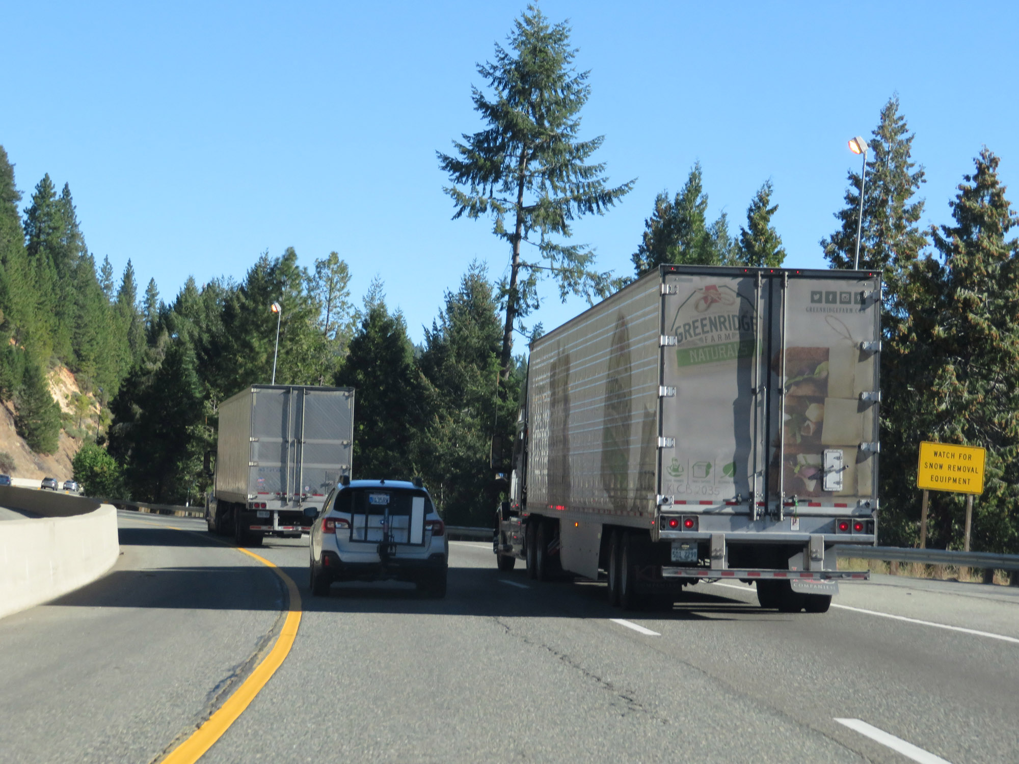 |
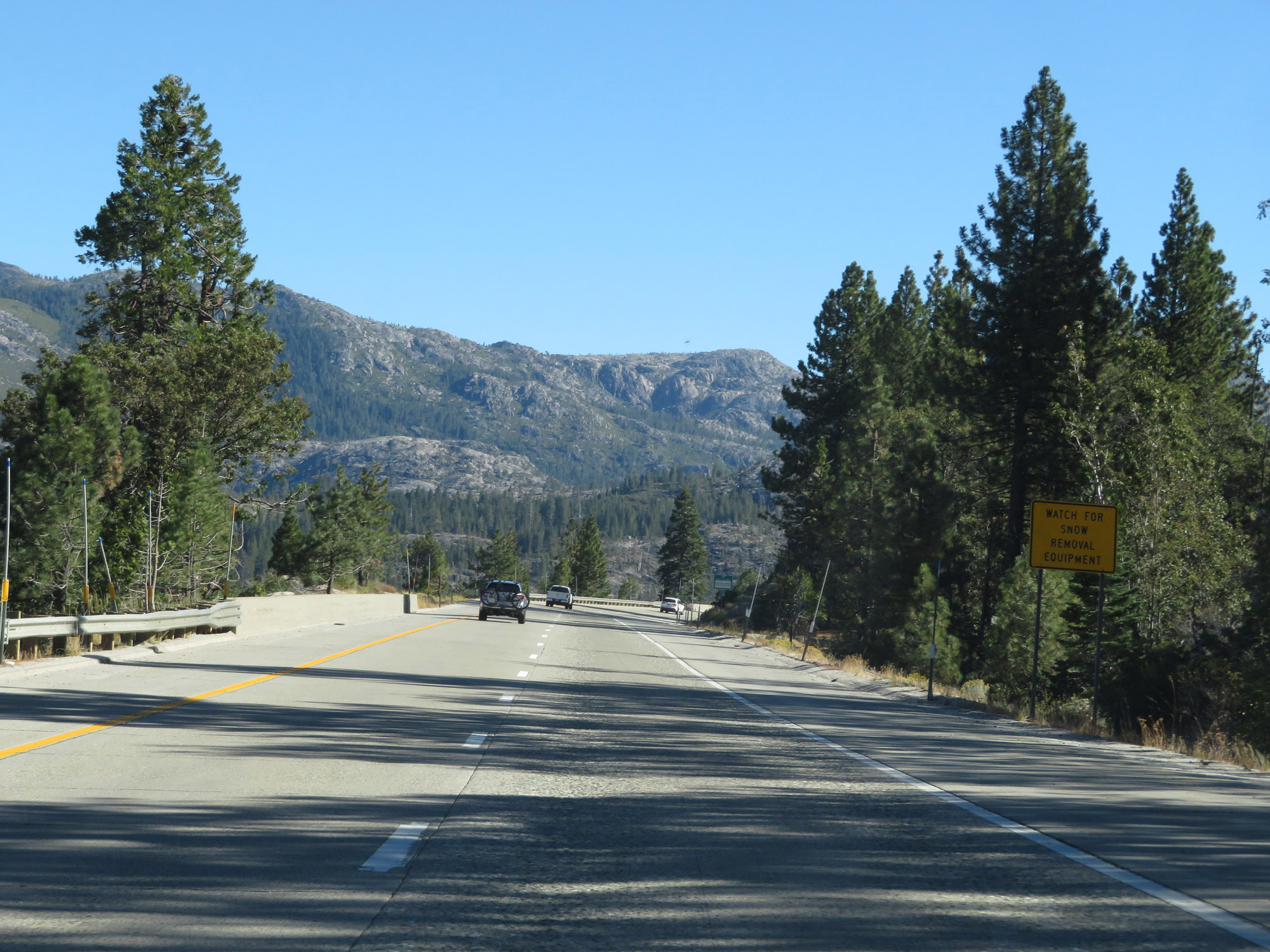
This sign warns motorists to watch for snow removal equipment as they continue to make their way up Donner Pass. (Photo taken 9/24/19). |
 |
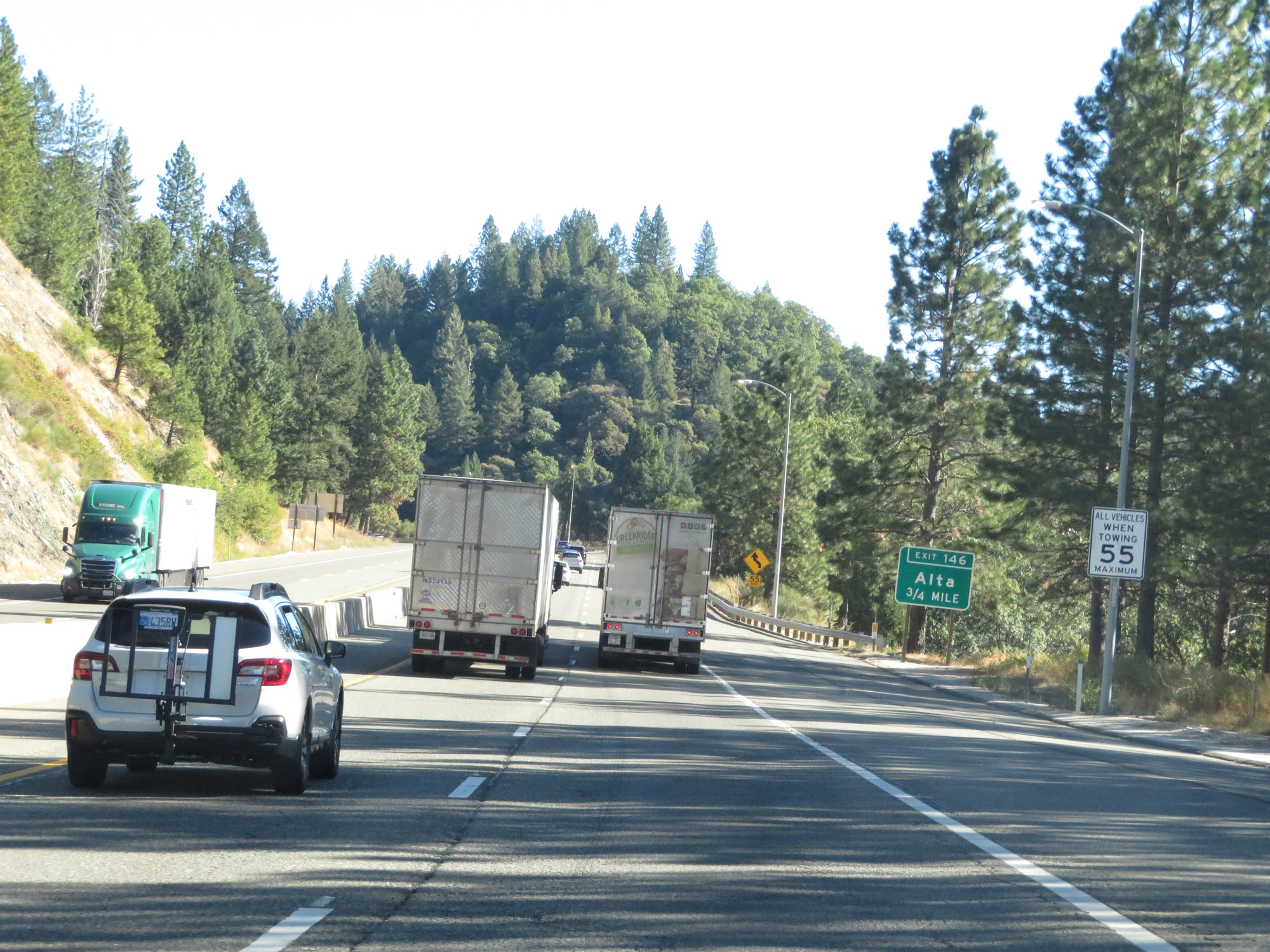
Interstate 80 East at Exit 146: Alta (Photo taken 9/24/19). |
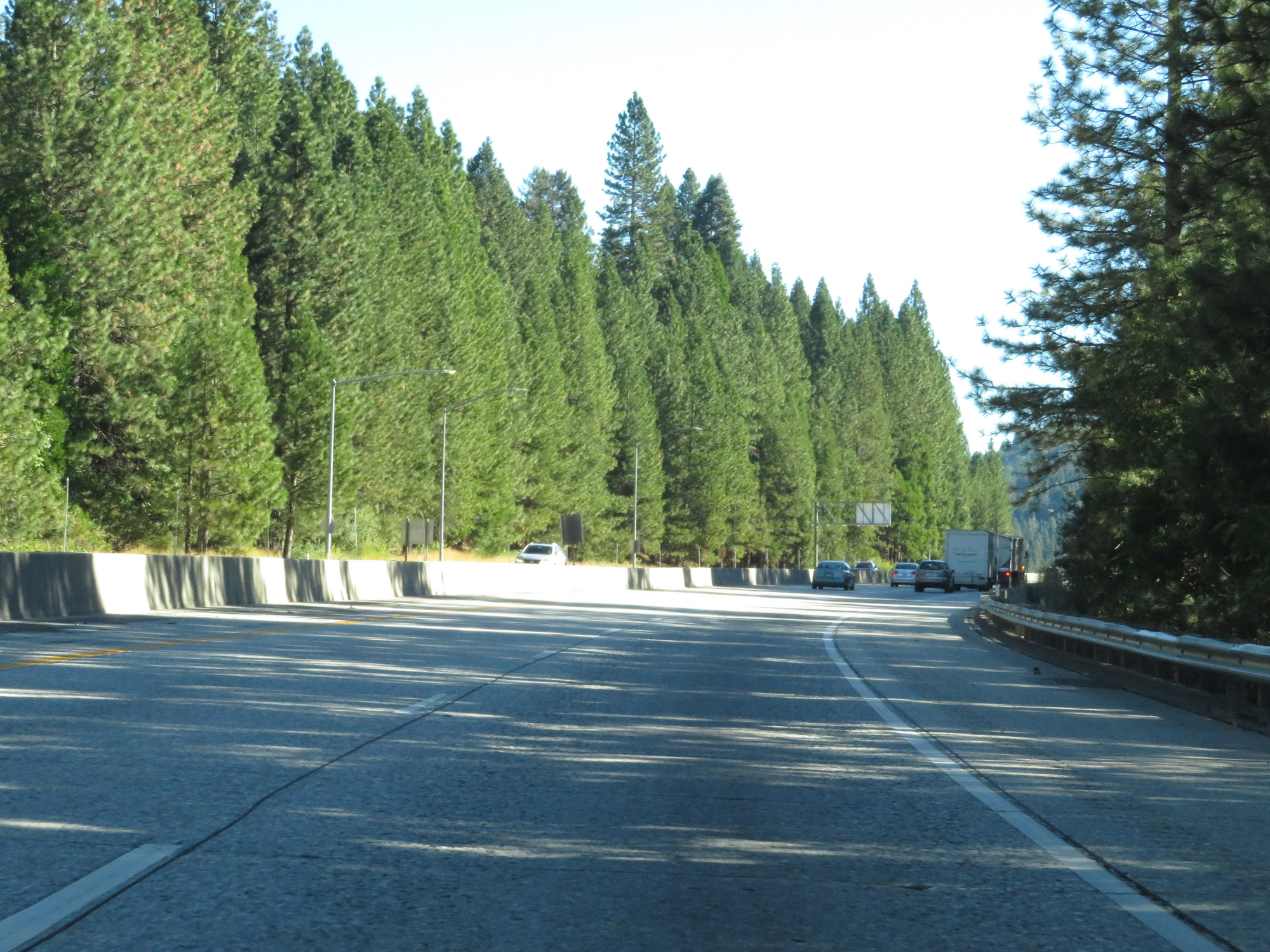 |
Another view on Interstate 80 East. (Photo taken 9/24/19). |
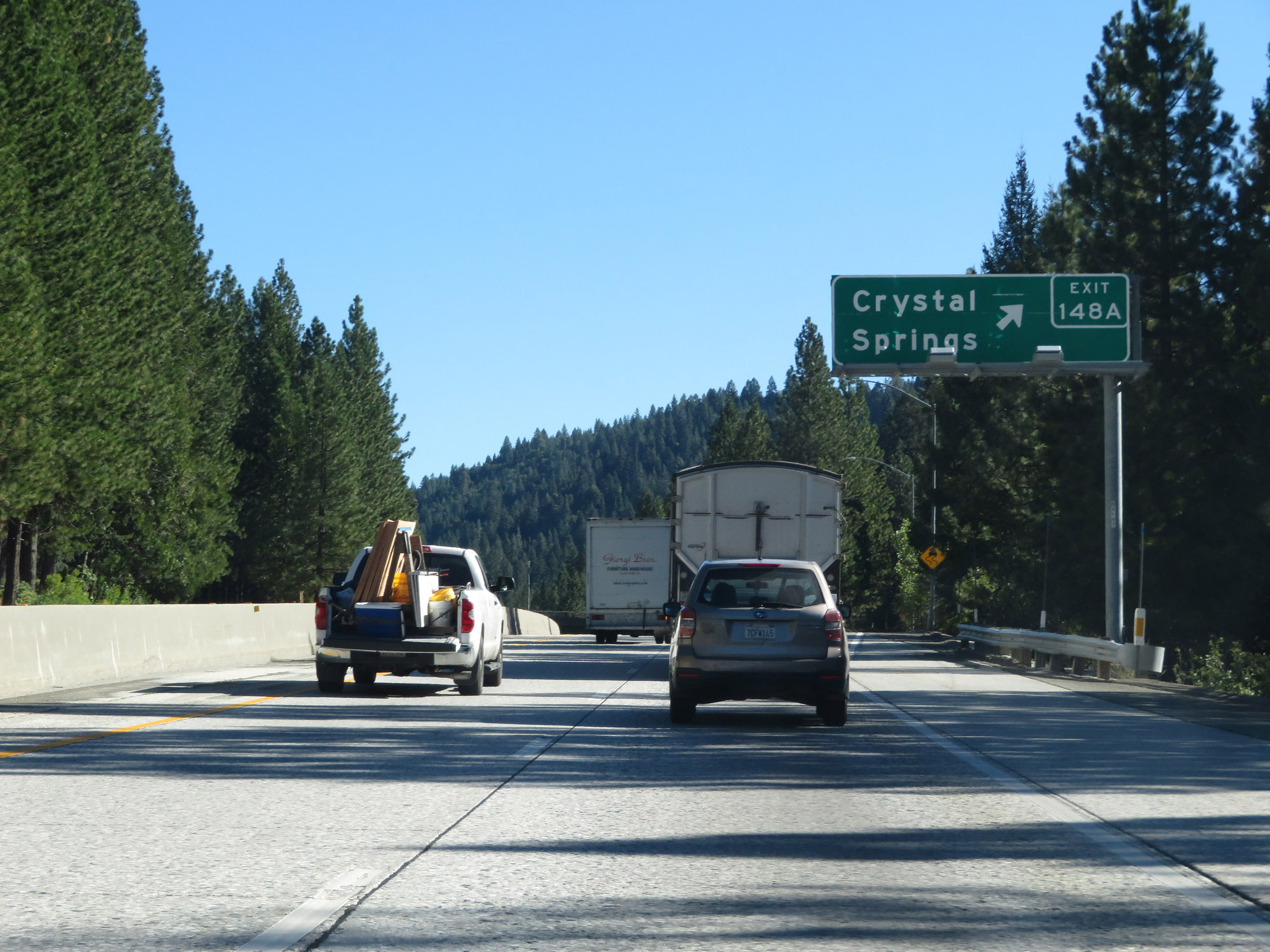 |
Interstate 80 East at Exit 148A: Crystal Springs (Photo taken 9/24/19). |
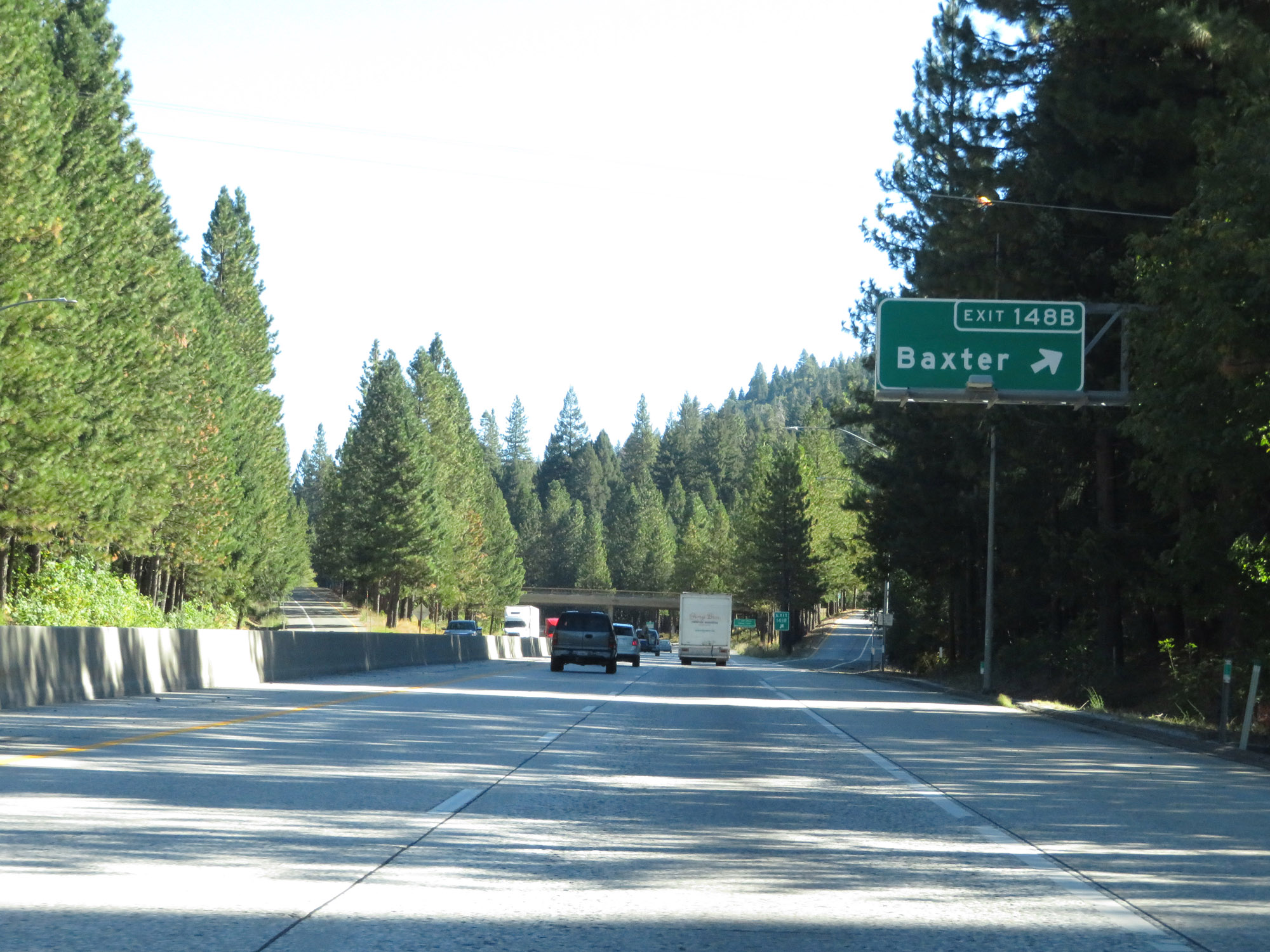 |
Interstate 80 East at Exit 148B: Baxter (Photo taken 9/24/19). |
 |
This sign warns of 55 mph curves ahead as Interstate 80 East continues up Donner Pass. (Photo taken 9/24/19). |
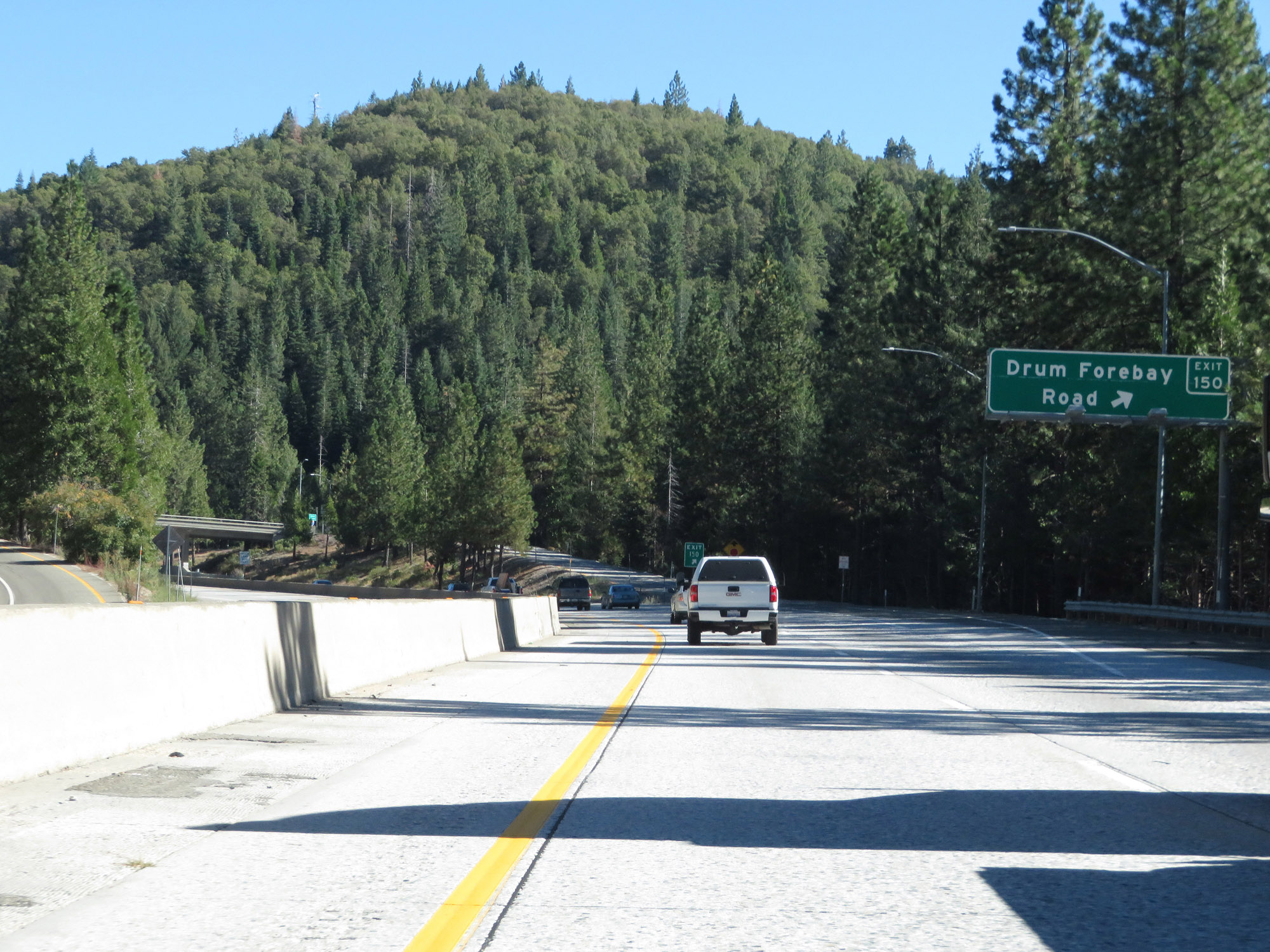 |
Interstate 80 East at Exit 150: Drum Forebay Road (Photo taken 9/24/19). |
 |
View on Interstate 80 East as another truck climbing lane appears. (Photo taken 9/24/19). |
 |
Another view on Interstate 80 East climbing Donner Pass. (Photo taken 9/24/19). |
 |
Interstate 80 East as it reaches an elevation of 5,000 feet on Donner Pass. That leaves 2,272 more feet to go to Donner Summit. (Photo taken 9/24/19). |
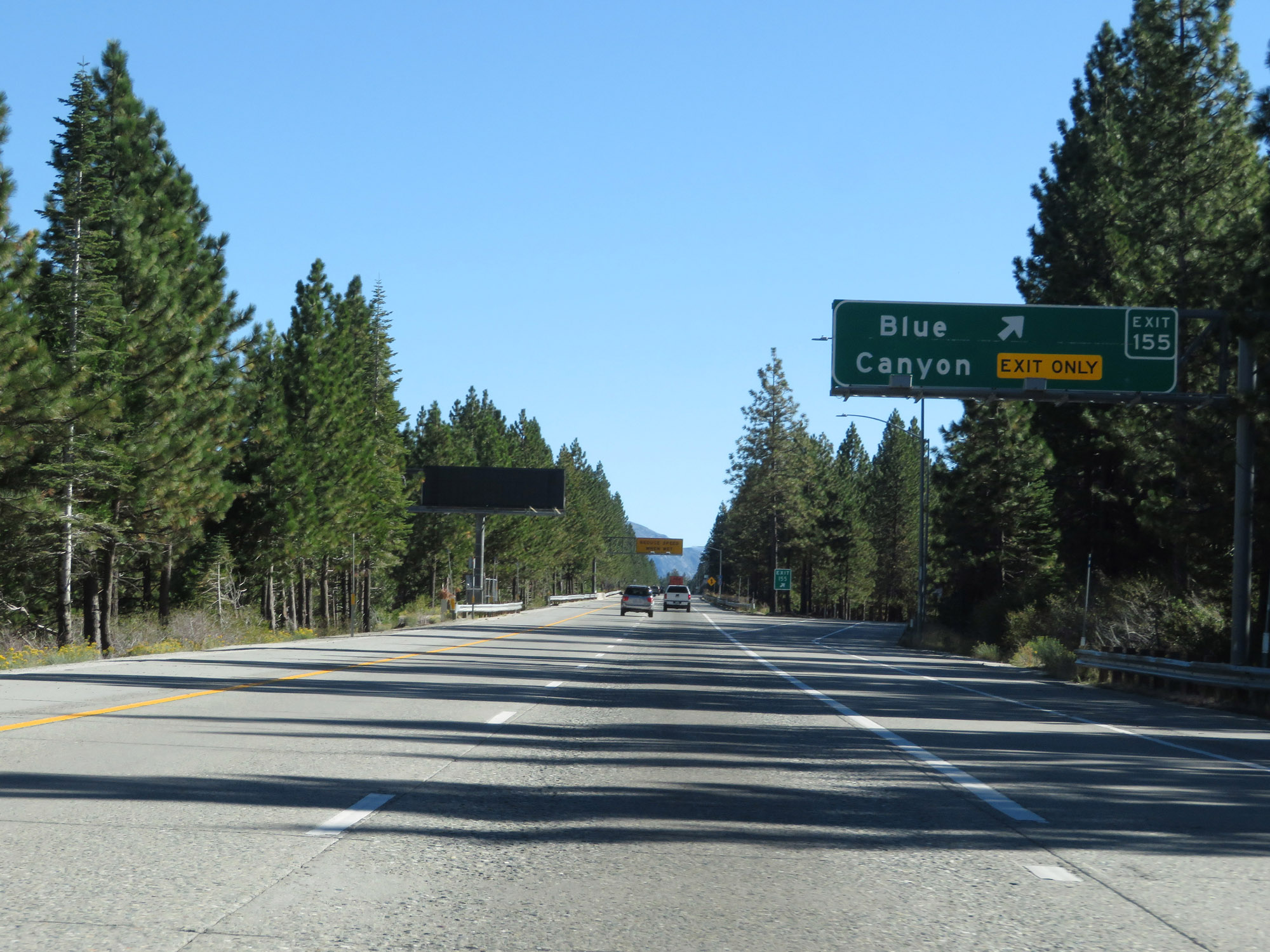 |
Interstate 80 East at Exit 155: Blue Canyon (Photo taken 9/24/19). |
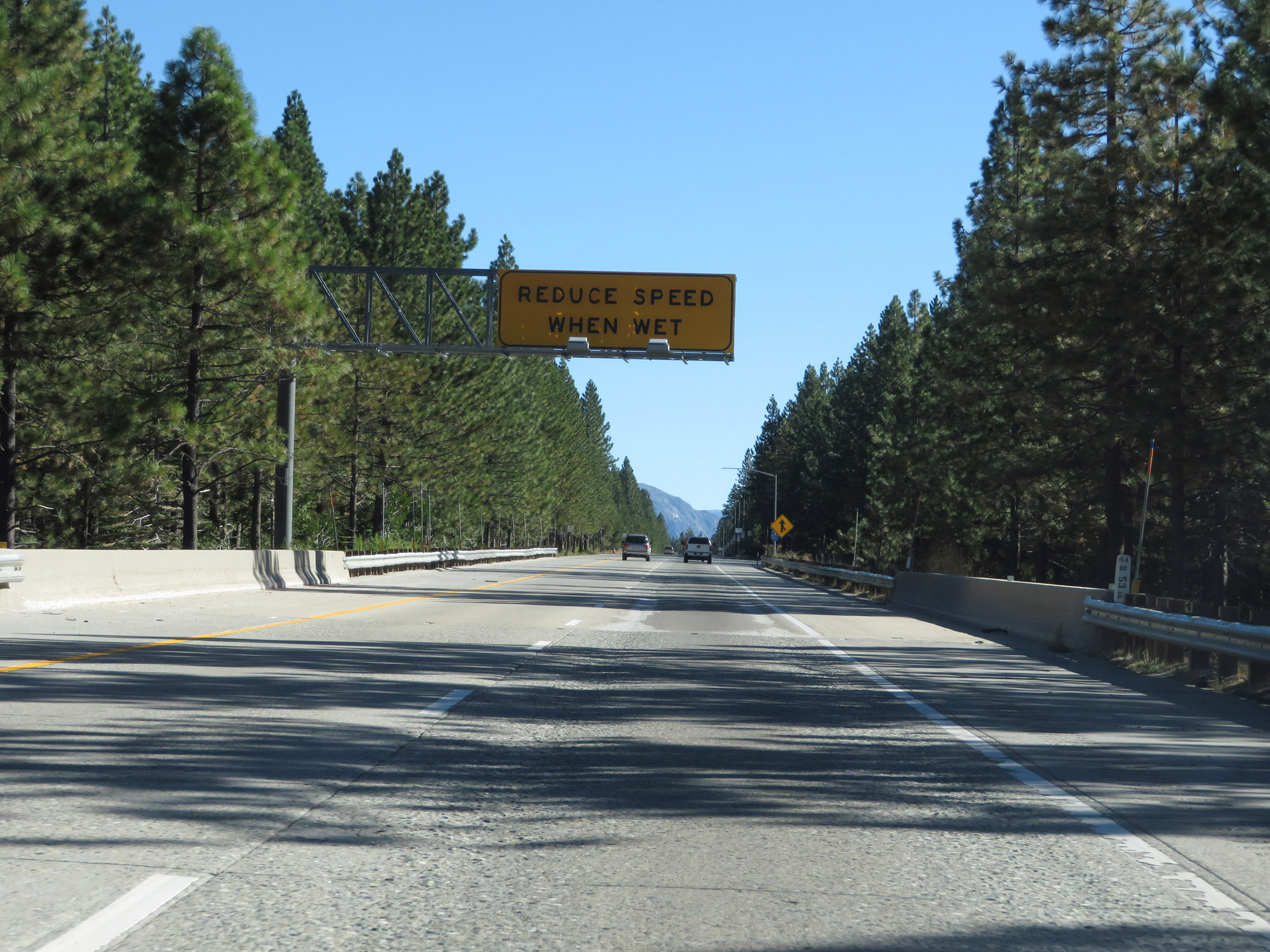 |
This sign warns motorists to reduce their speed when the road surface is wet. At this altitude, a wet roadway can freeze rather quickly. (Photo taken 9/24/19). |
 |
The wide shoulder here exists for trucks to chain up if the conditions and/or current restrictions dictate so. (Photo taken 9/24/19). |
 |
View on Interstate 80 East, as the chain installation area continues. (Photo taken 9/24/19). |
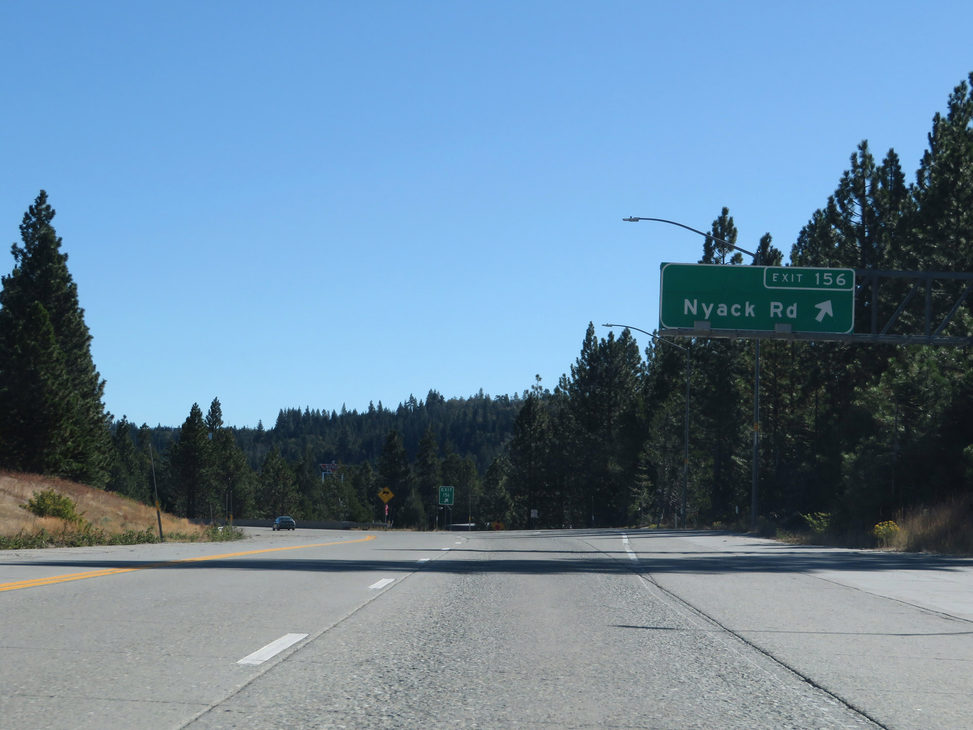 |
Interstate 80 East at Exit 156: Nyack Rd (Photo taken 9/24/19). |
Section 4: Emigrant Gap (Exit 156) to Truckee (Exit 185)
 |
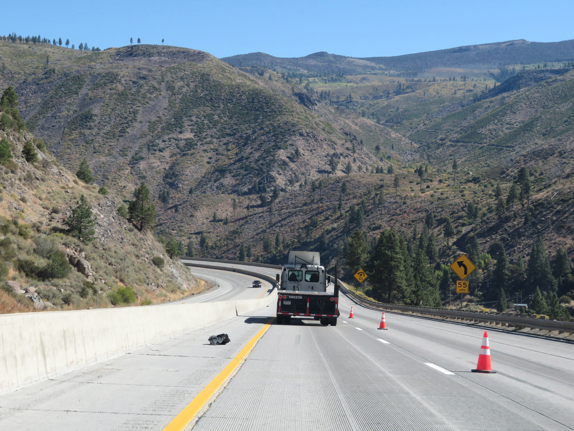
More 55 mph curves exist ahead as Interstate 80 East takes a bit of a break from climbing for a slight downgrade. (Photo taken 9/24/19). |
 |
View on Interstate 80 East on Donner Pass, still in Placer County. (Photo taken 9/24/19). |
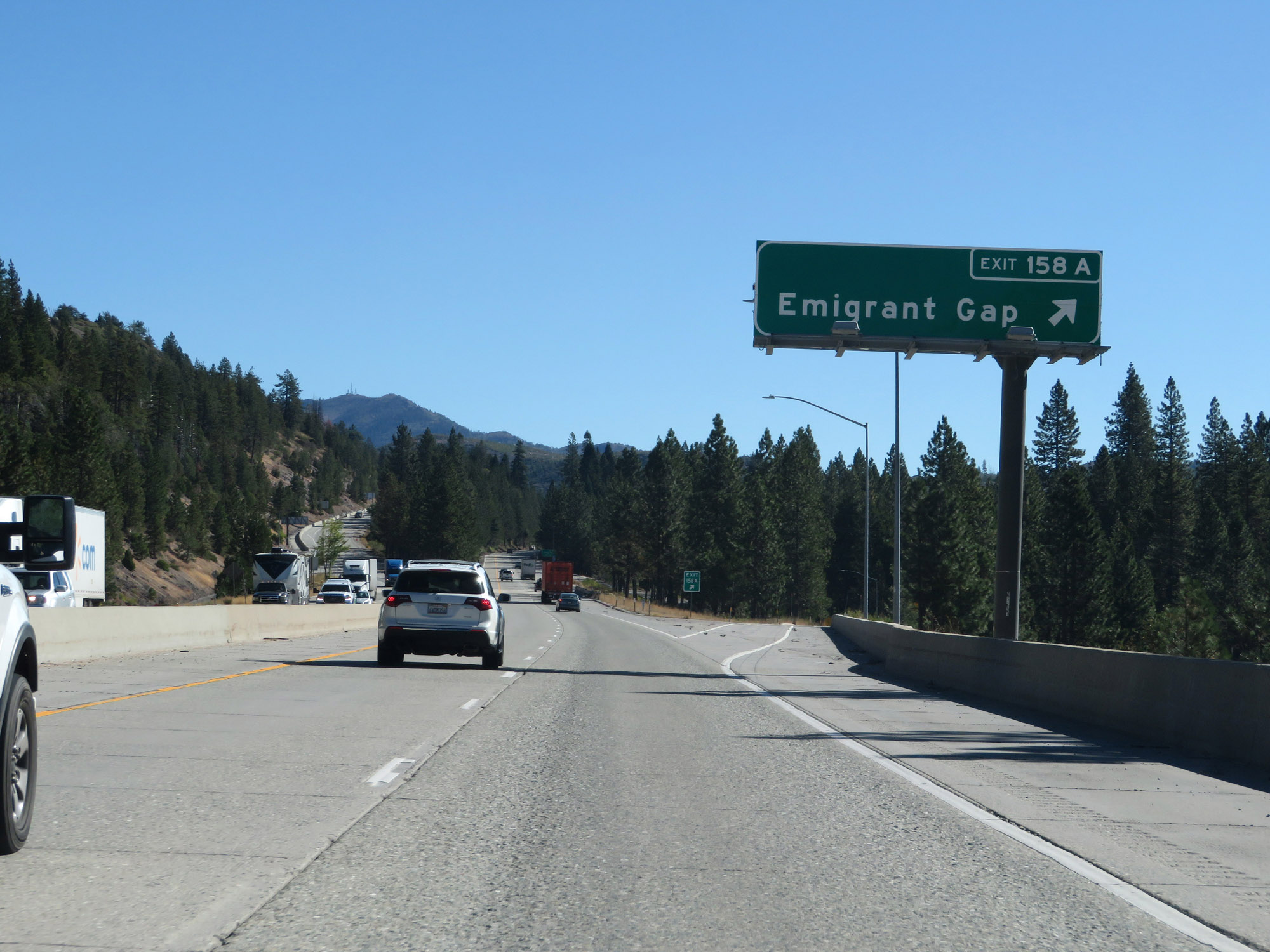 |
Interstate 80 East at Exit 158A: Emigrant Gap (Photo taken 9/24/19). |
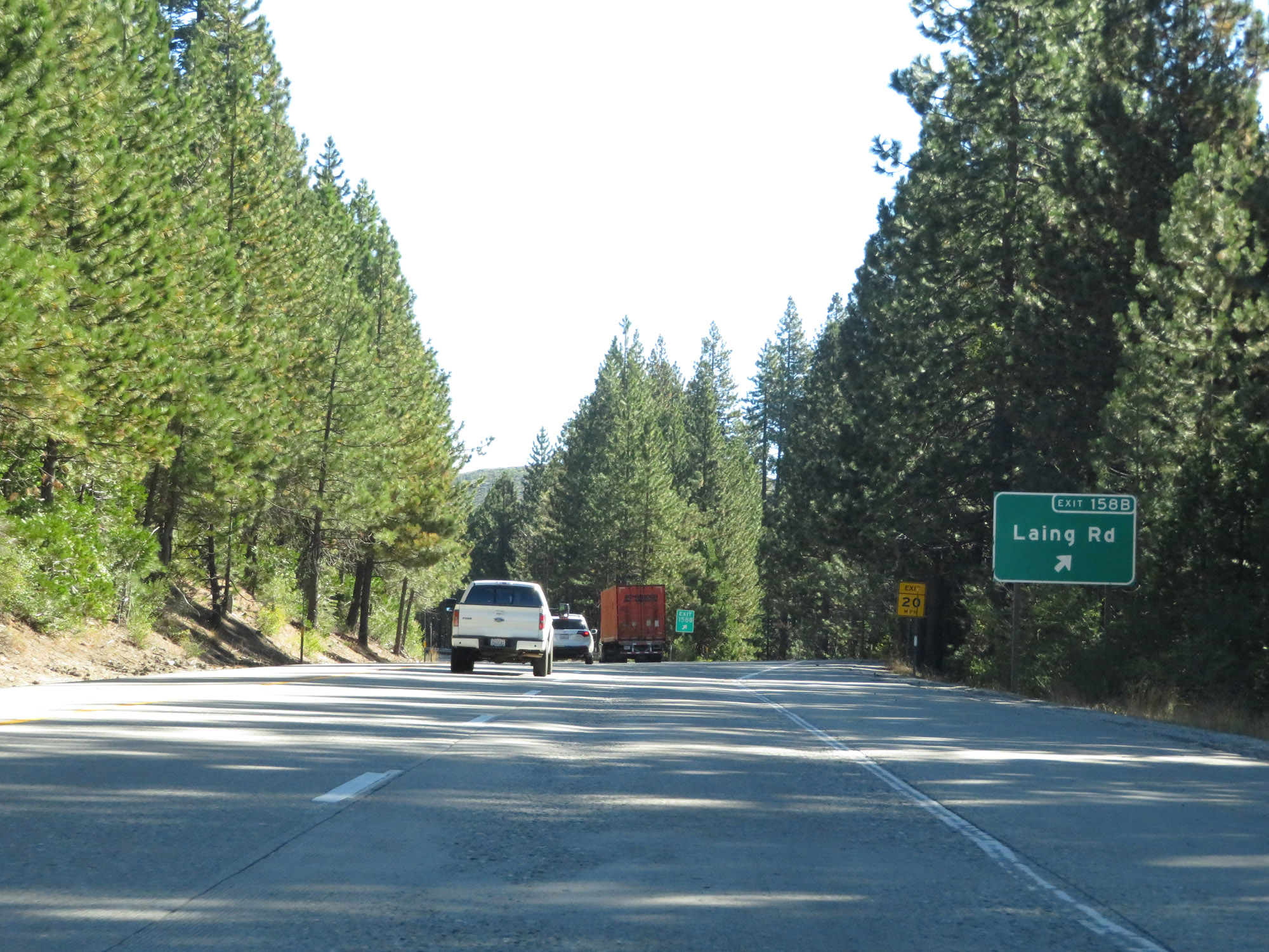 |
Interstate 80 East at Exit 158B: Laing Rd (Photo taken 9/24/19). |
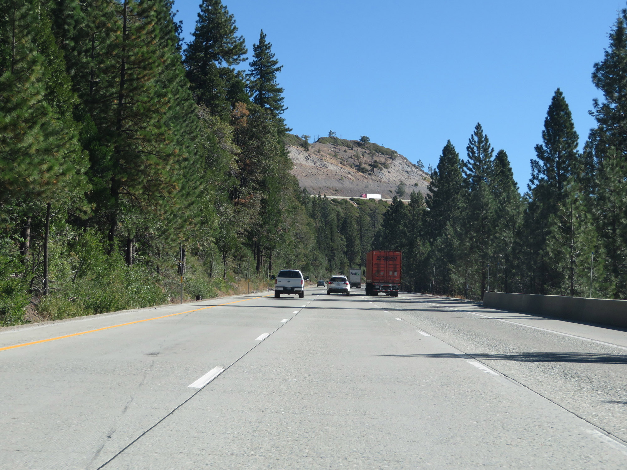 |
Another truck climbing lane appears on Interstate 80 East beyond Exit 158B. (Photo taken 9/24/19). |
 |
View on Interstate 80 East as it continues to climb Donner Pass and nears the Nevada County line. (Photo taken 9/24/19). |
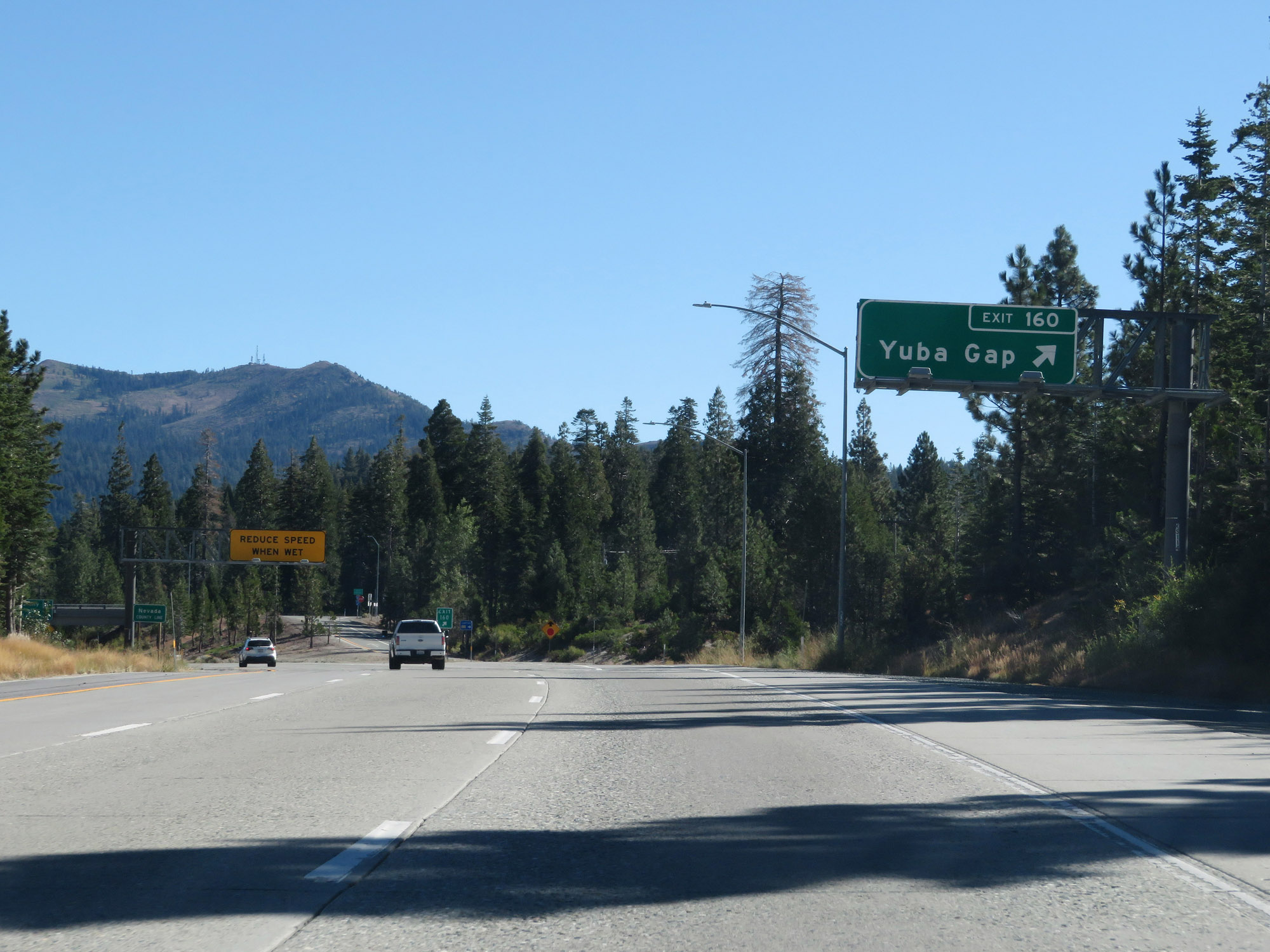 |
Interstate 80 East at Exit 160: Yuba Gap (Photo taken 9/24/19). |
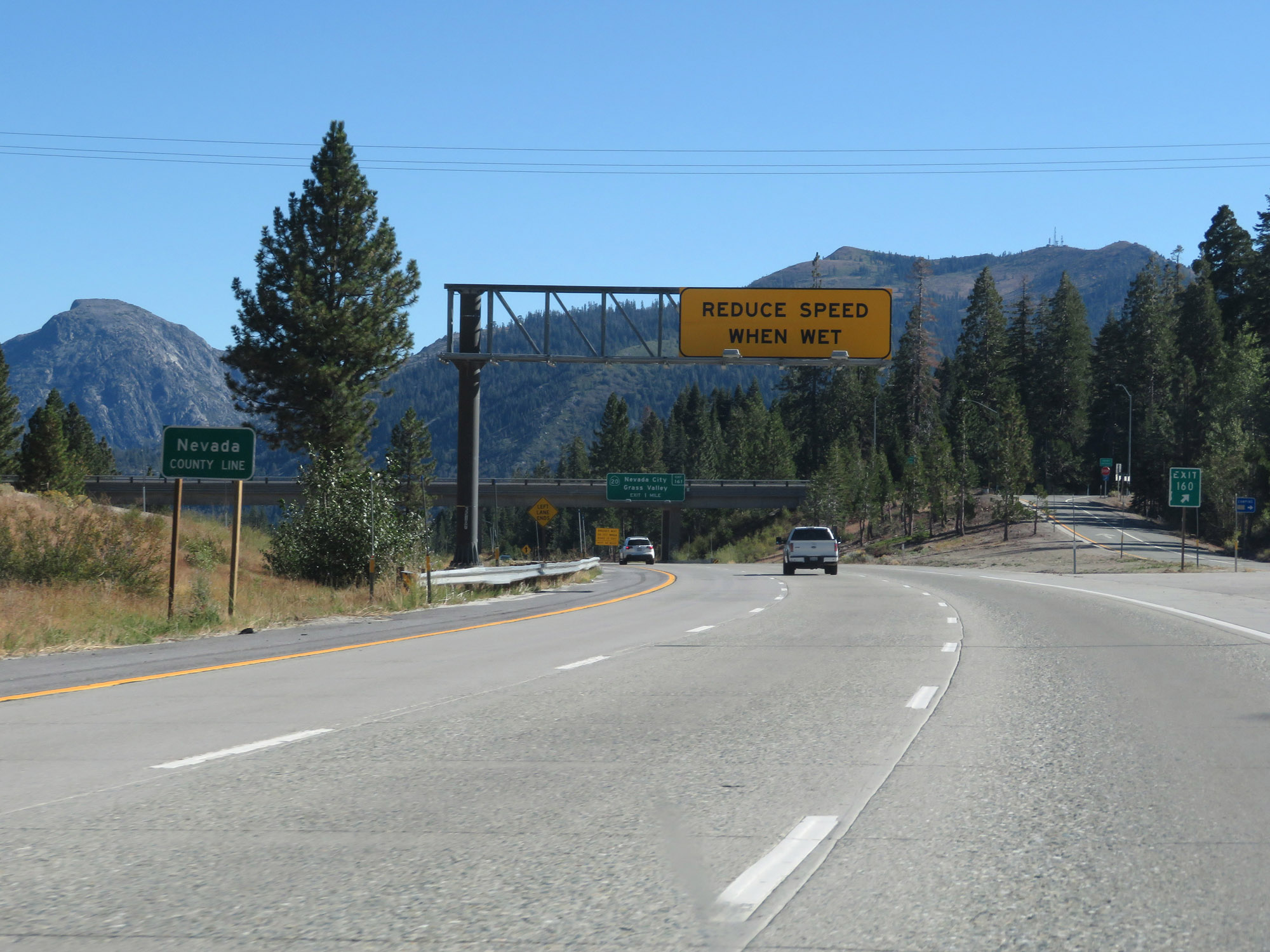 |
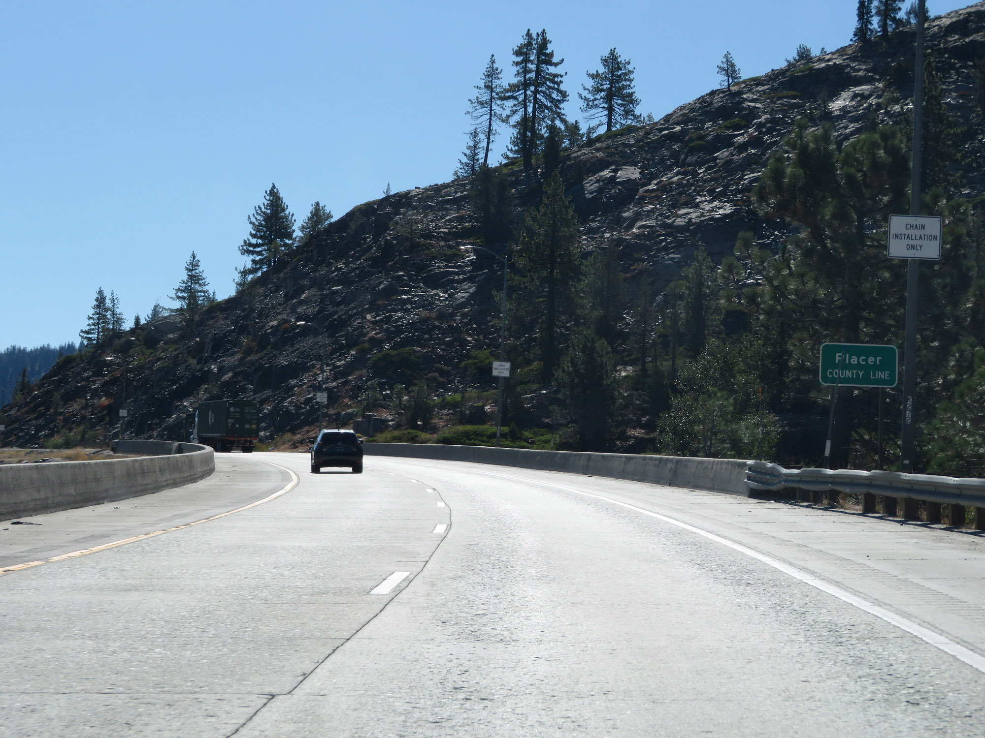
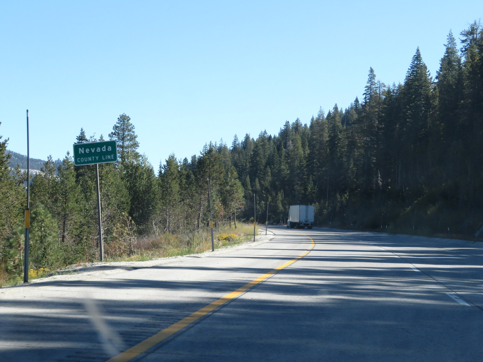
Entering Nevada County on Interstate 80 East, at Exit 160. (Photo taken 9/24/19). |
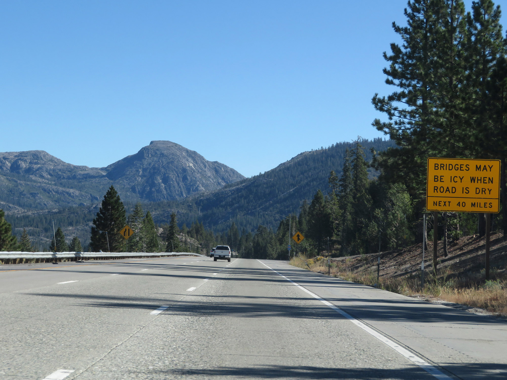 |
This sign warns the bridges may be icy even when the road surface is dry for the next 40 miles. This is Donner Pass, after all. (Photo taken 9/24/19). |
 |
State-named Interstate 80 East reassurance shield in Nevada County. (Photo taken 9/24/19). |
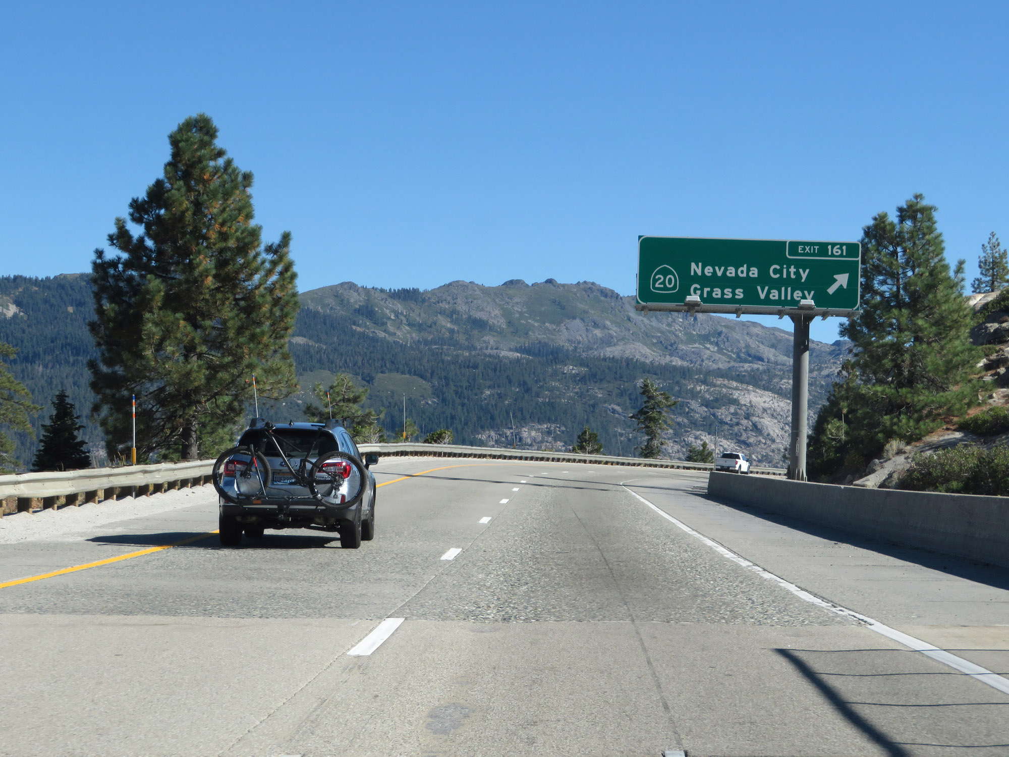 |
Interstate 80 East at Exit 161: CA 20 - Nevada City / Grass Valley (Photo taken 9/24/19). |
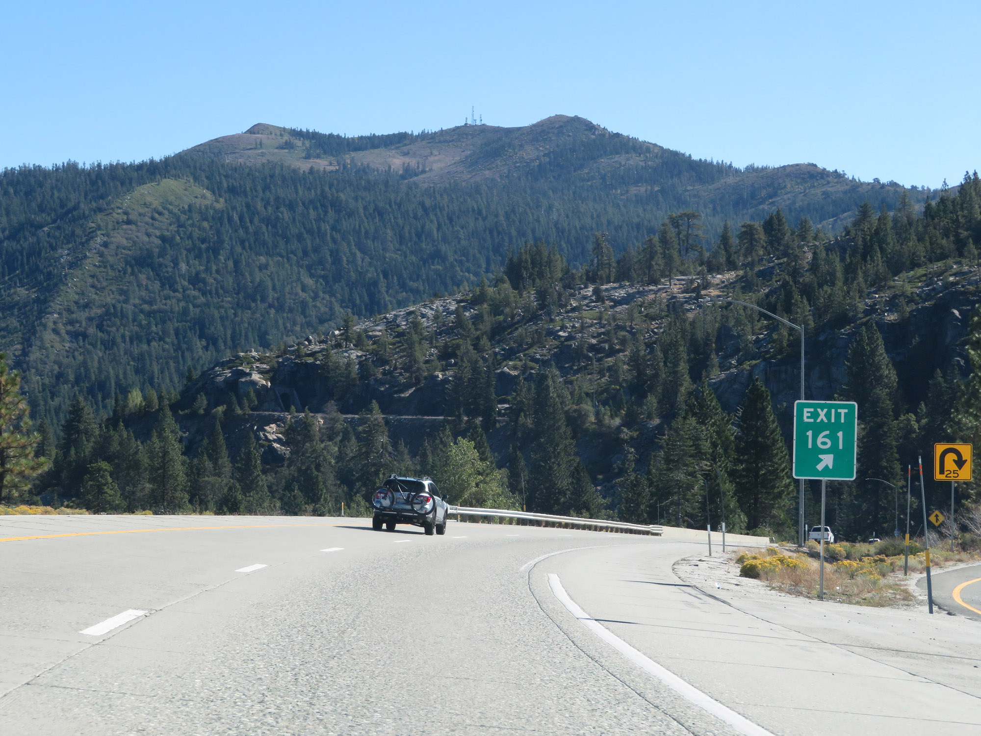 |
Gore point signage for Exit 161. (Photo taken 9/24/19). |
 |
Another brief break in the climbing action on Interstate 80 East. (Photo taken 9/24/19). |
 |
Remain alert for slow moving snow removal equipment. (Photo taken 9/24/19). |
 |
Interstate 80 East at Exit 164: Eagle Lakes Road (Photo taken 9/24/19). |
 |
Interstate 80 East as it briefly dips into Placer County once again. (Photo taken 9/24/19). |
 |
Another lengthy wide shoulder for chain installation on Interstate 80 East. (Photo taken 9/24/19). |
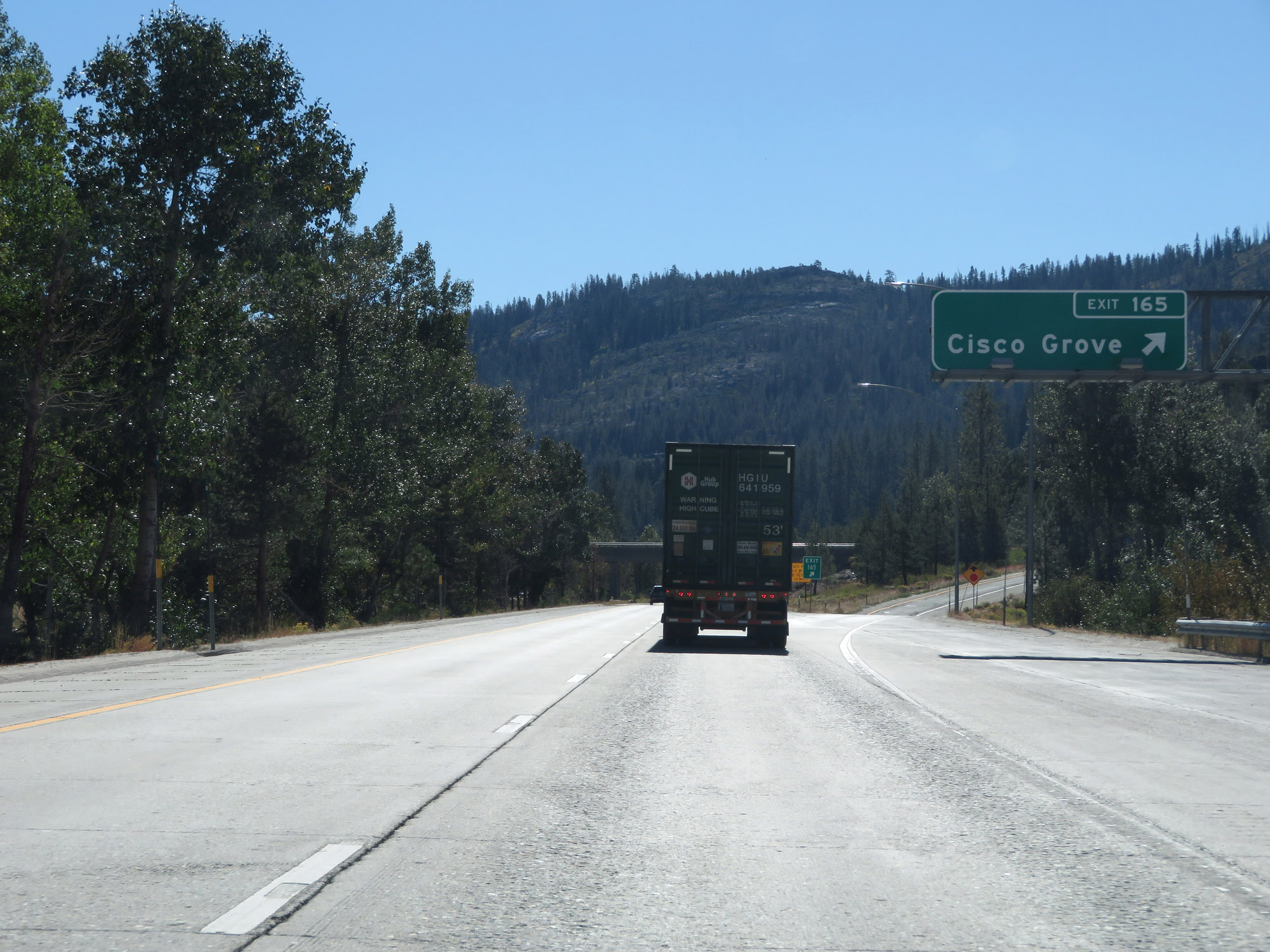 |
Interstate 80 East at Exit 165: Cisco Grove (Photo taken 9/24/19). |
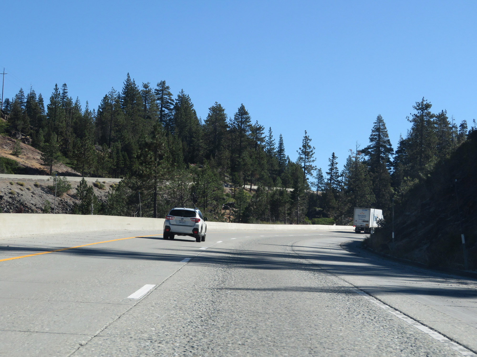 |
View on Interstate 80 East as it continues to climb up Donner Pass. (Photo taken 9/24/19). |
 |
Interstate 80 East at Exit 166: Big Bend (Photo taken 9/24/19). |
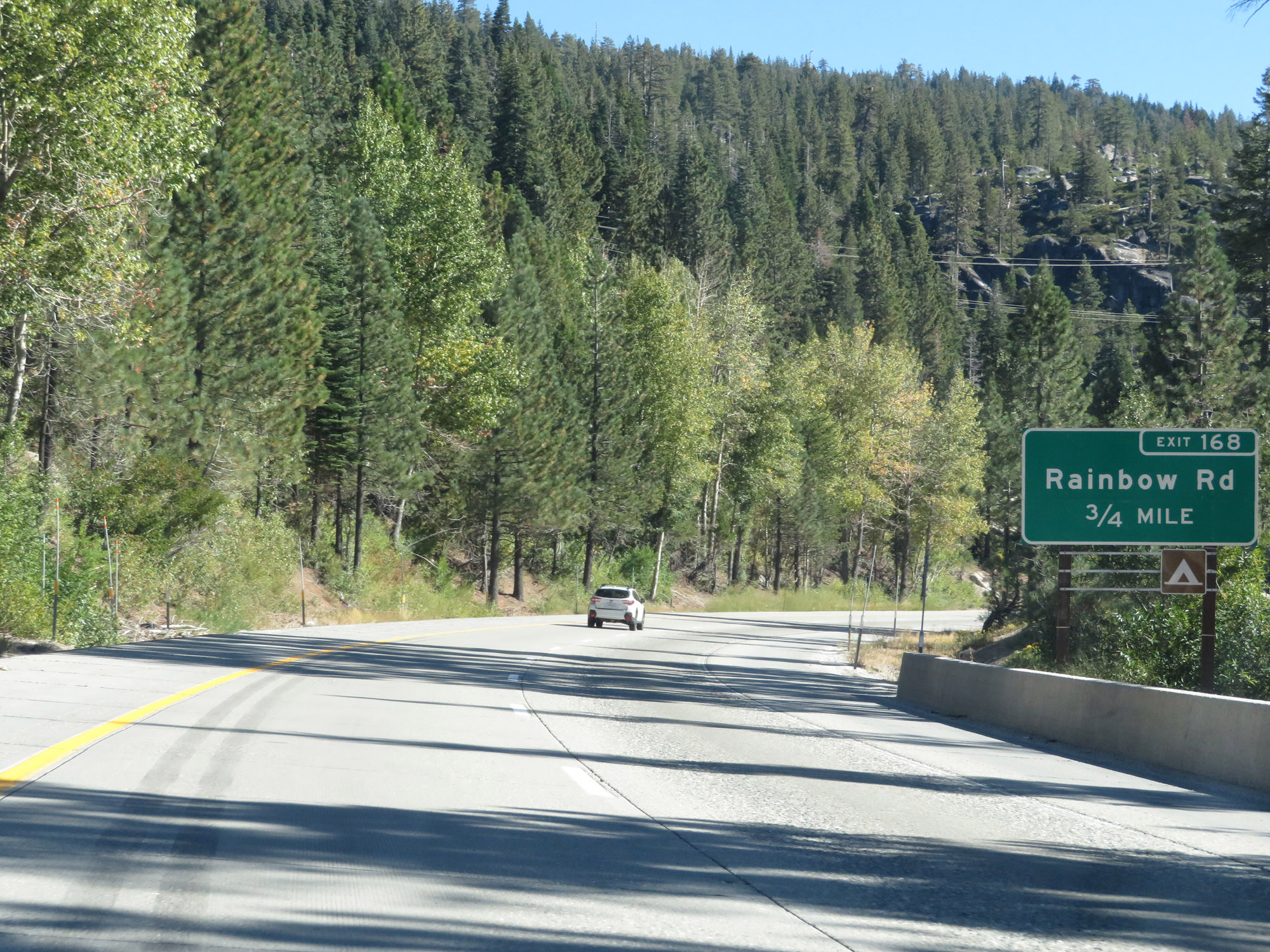 |
Interstate 80 East approaching Exit 168 - 3/4 mile. (Photo taken 9/24/19). |
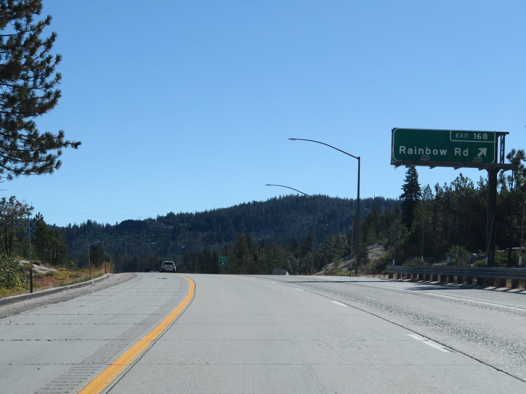 |
Interstate 80 East at Exit 168: Rainbow Rd. Mario Kart, anyone? (Photo taken 9/24/19). |
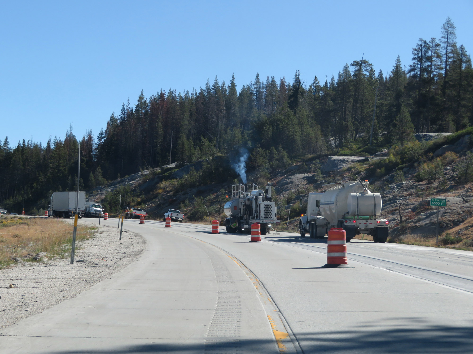 |
Interstate 80 East as it reaches an elevation of 6,000 feet, with 1,272 more feet to go to the summit of Donner Pass. (Photo taken 9/24/19). |
 |
Interstate 80 East at Exit 171: Kingvale (Photo taken 9/24/19). |
 |
Interstate 80 East as it re-enters Nevada County. (Photo taken 9/24/19). |
 |
Take Exit 174 to Sugar Bowl. (Photo taken 9/24/19). |
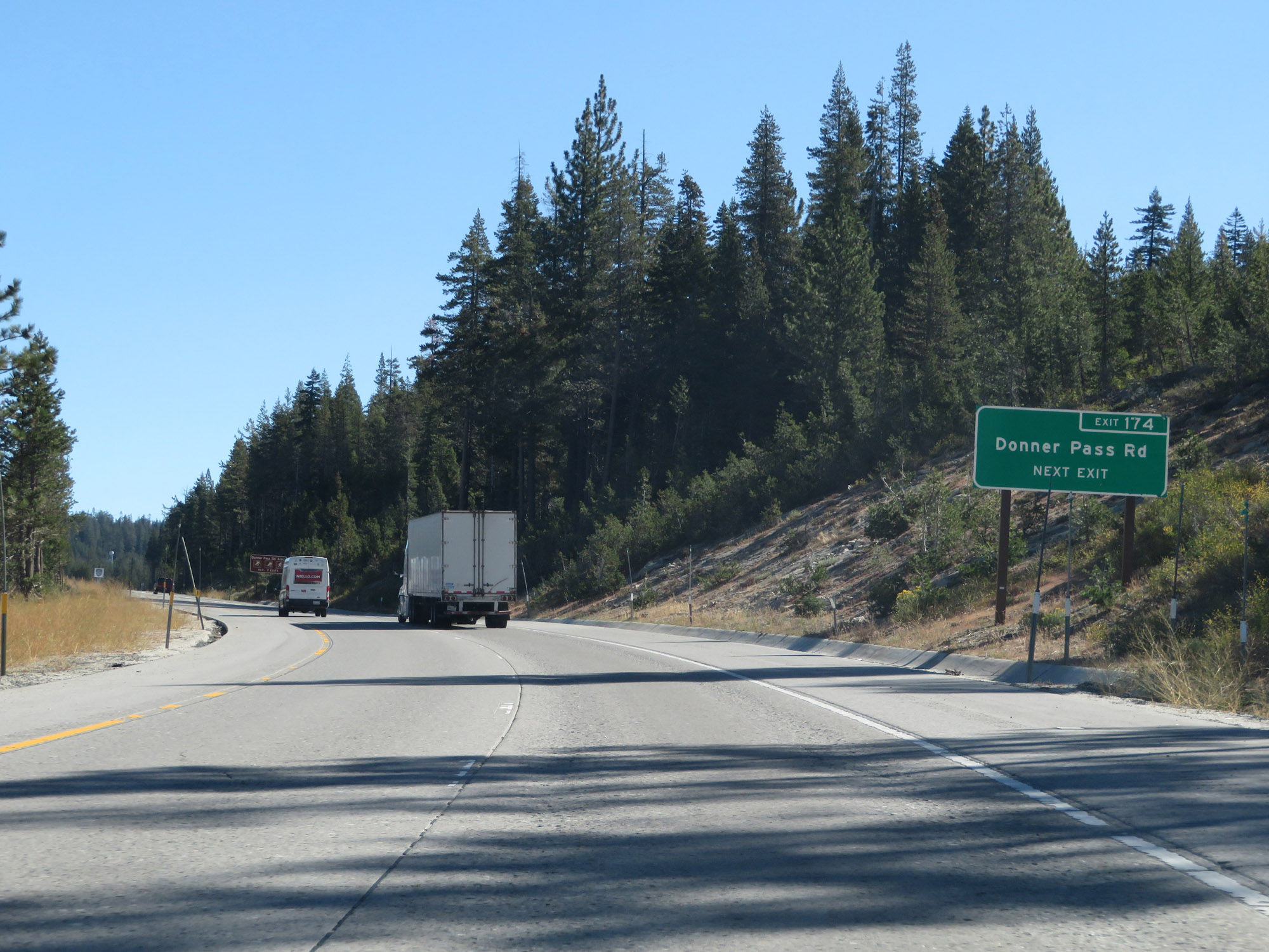 |
You can also access Donner Pass Rd via Exit 174. (Photo taken 9/24/19). |
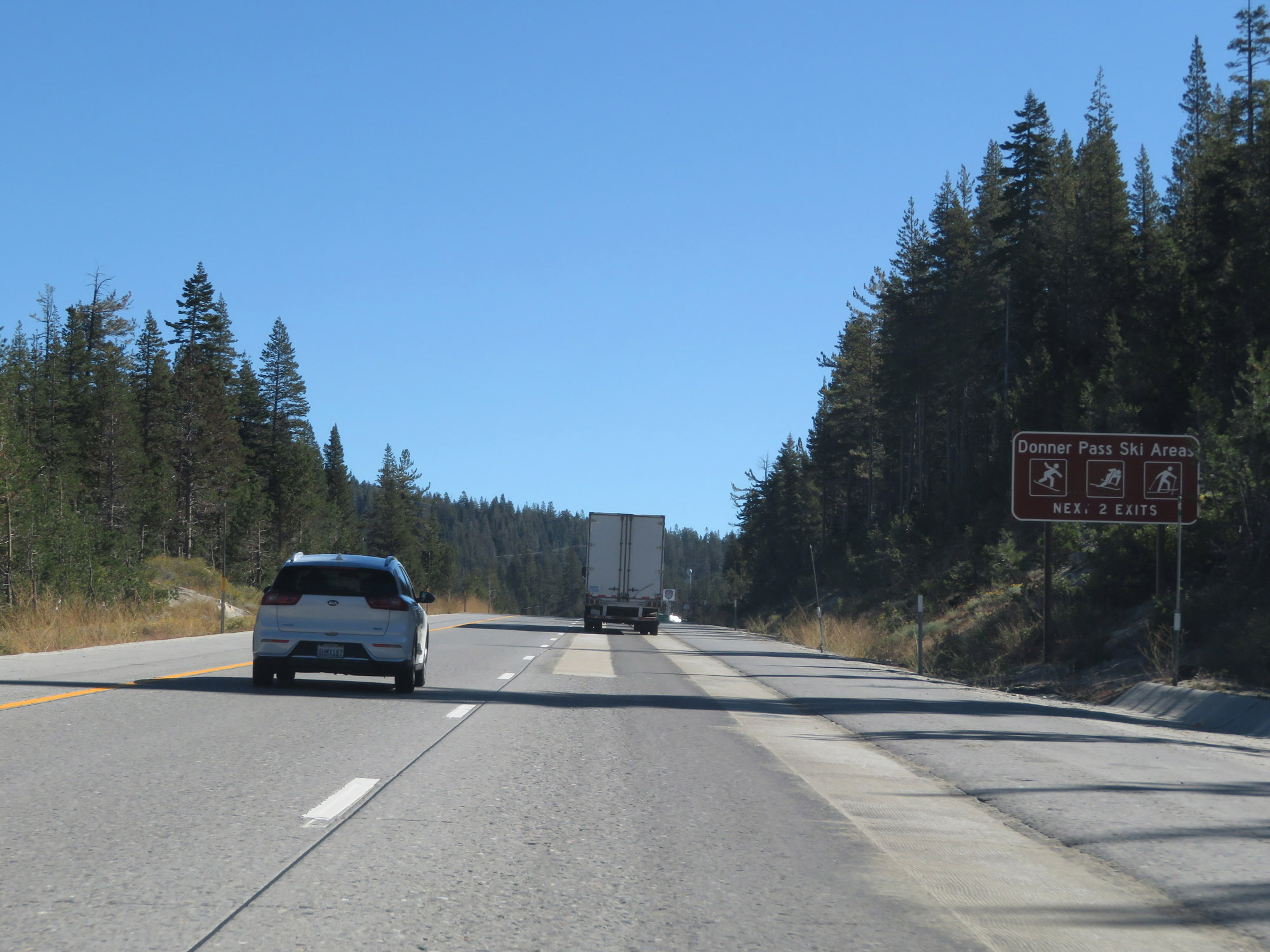 |
Take either of the next 2 exits to the Donner Pass Ski Areas. (Photo taken 9/24/19). |
 |
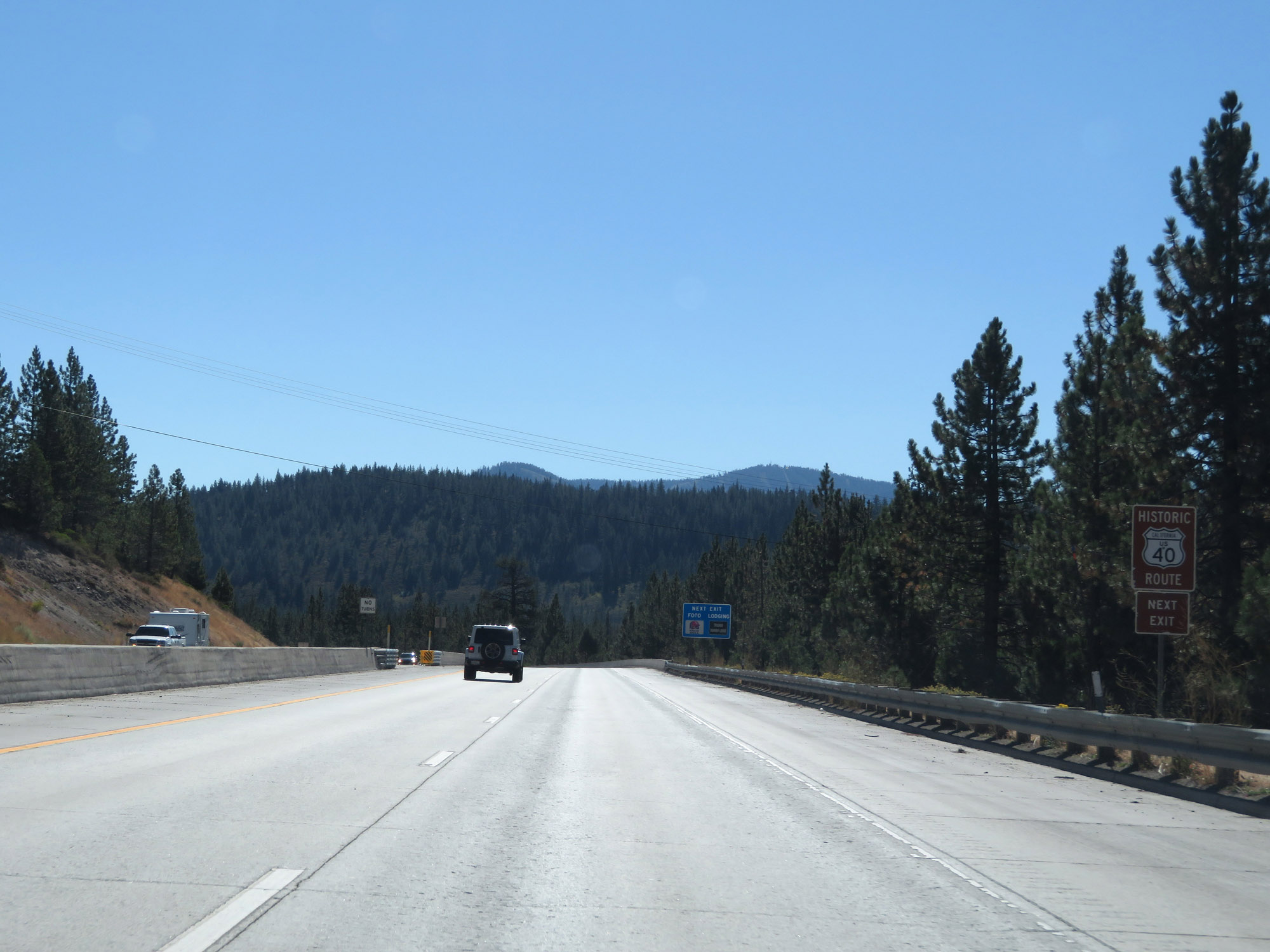
Also take Exit 174 to Historic US 40. (Photo taken 9/24/19). |
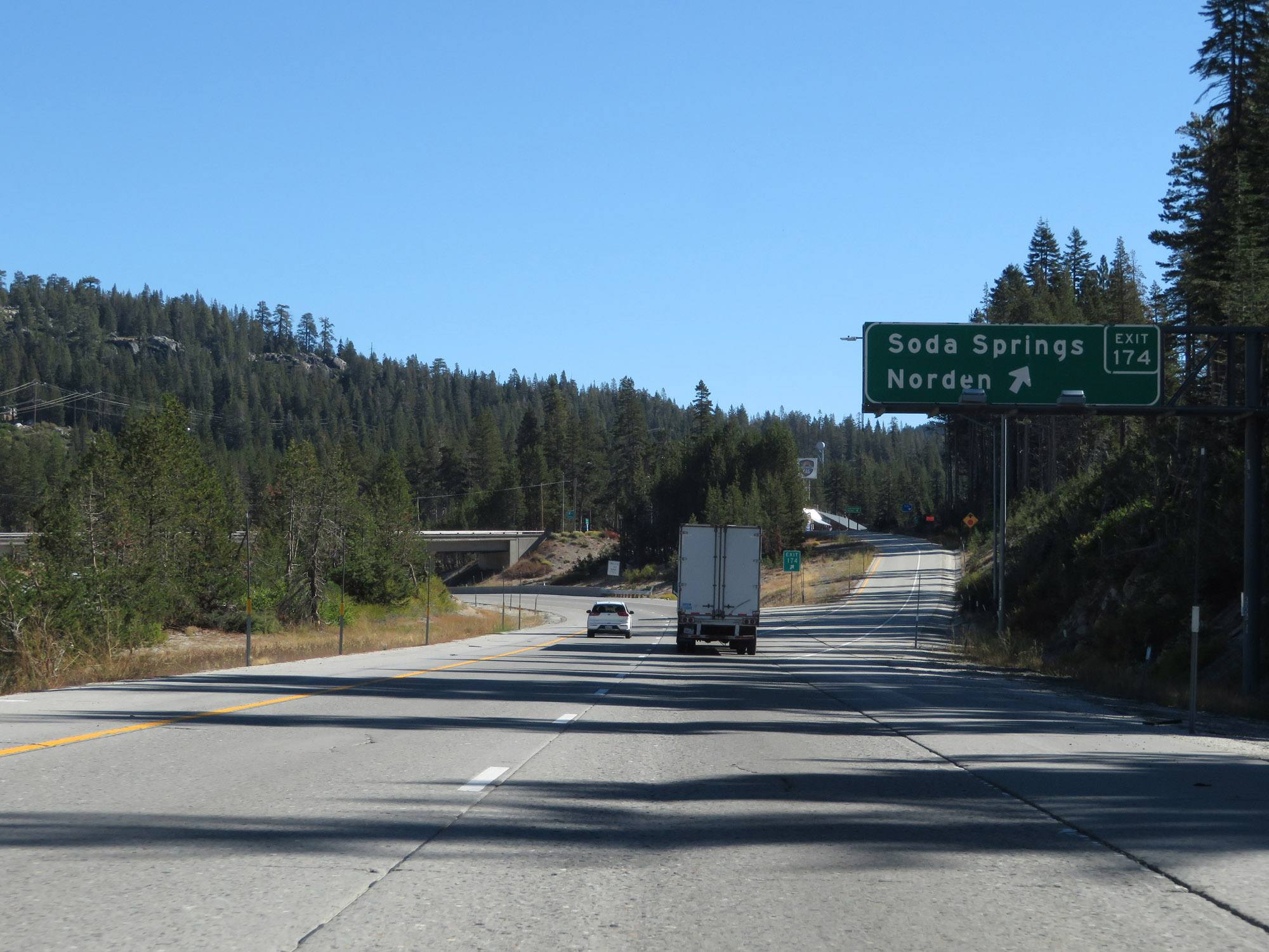 |
Interstate 80 East at Exit 174: Soda Springs / Norden (Photo taken 9/24/19). |
 |
Continuing up Donner Pass on Interstate 80 East. Gotta get those last 1,000 feet! (Photo taken 9/24/19). |
 |
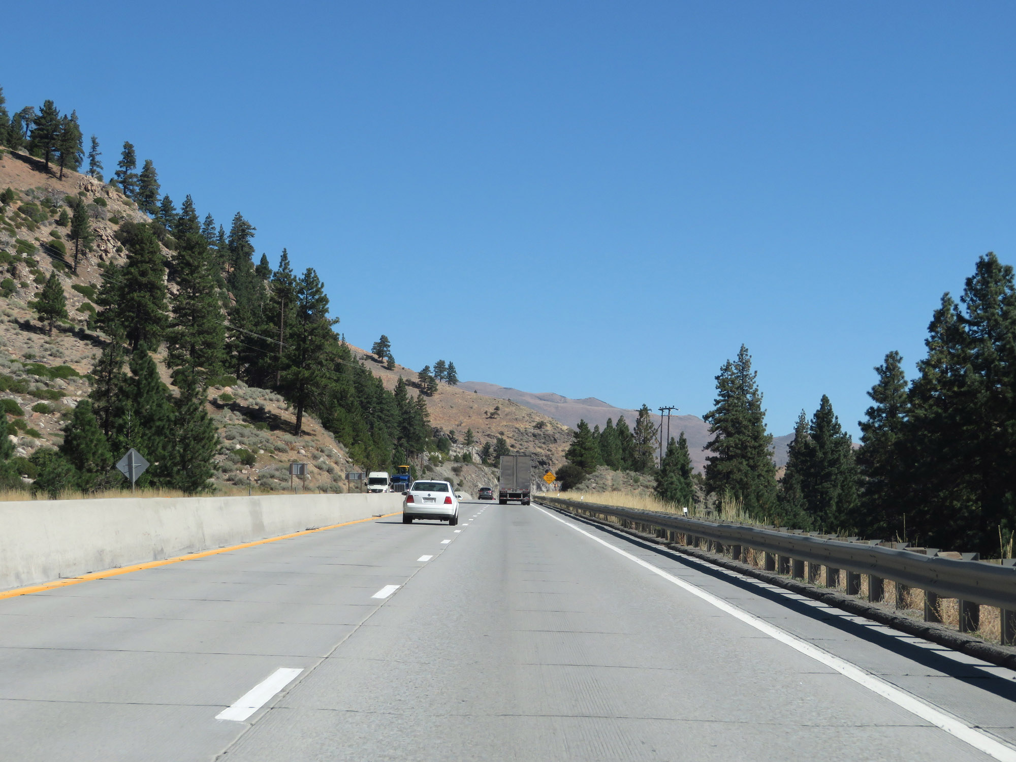
View on Interstate 80 East. (Photo taken 9/24/19). |
 |
Another view on Interstate 80 East, as it gets closer to the summit of Donner Pass. (Photo taken 9/24/19). |
 |
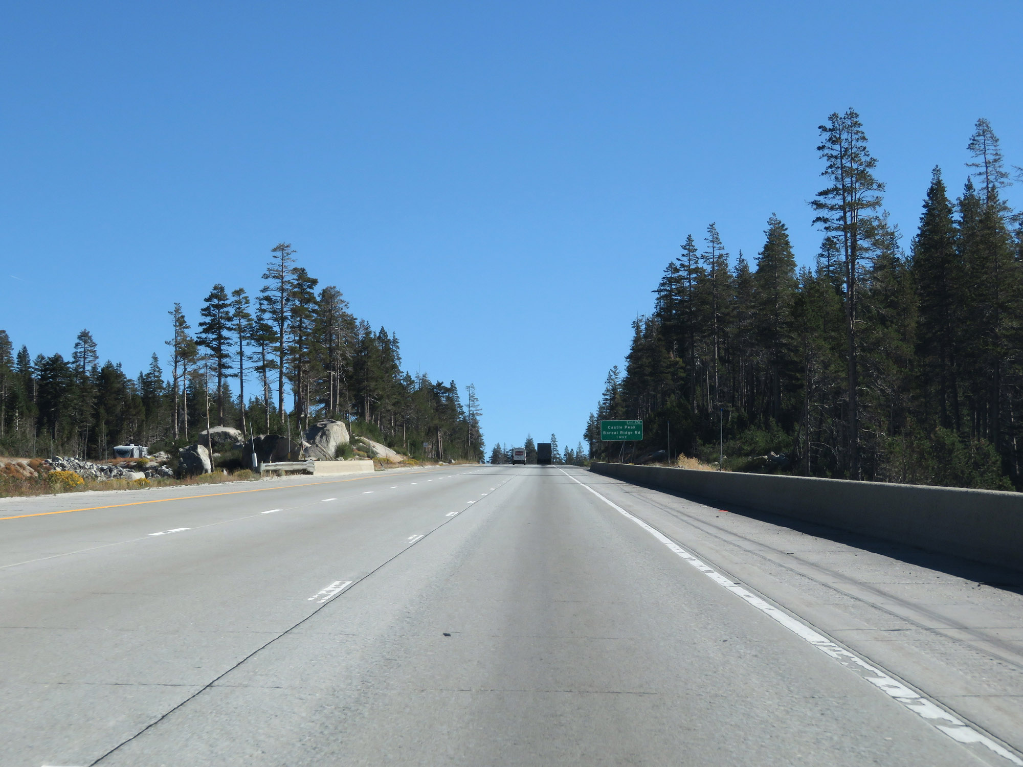
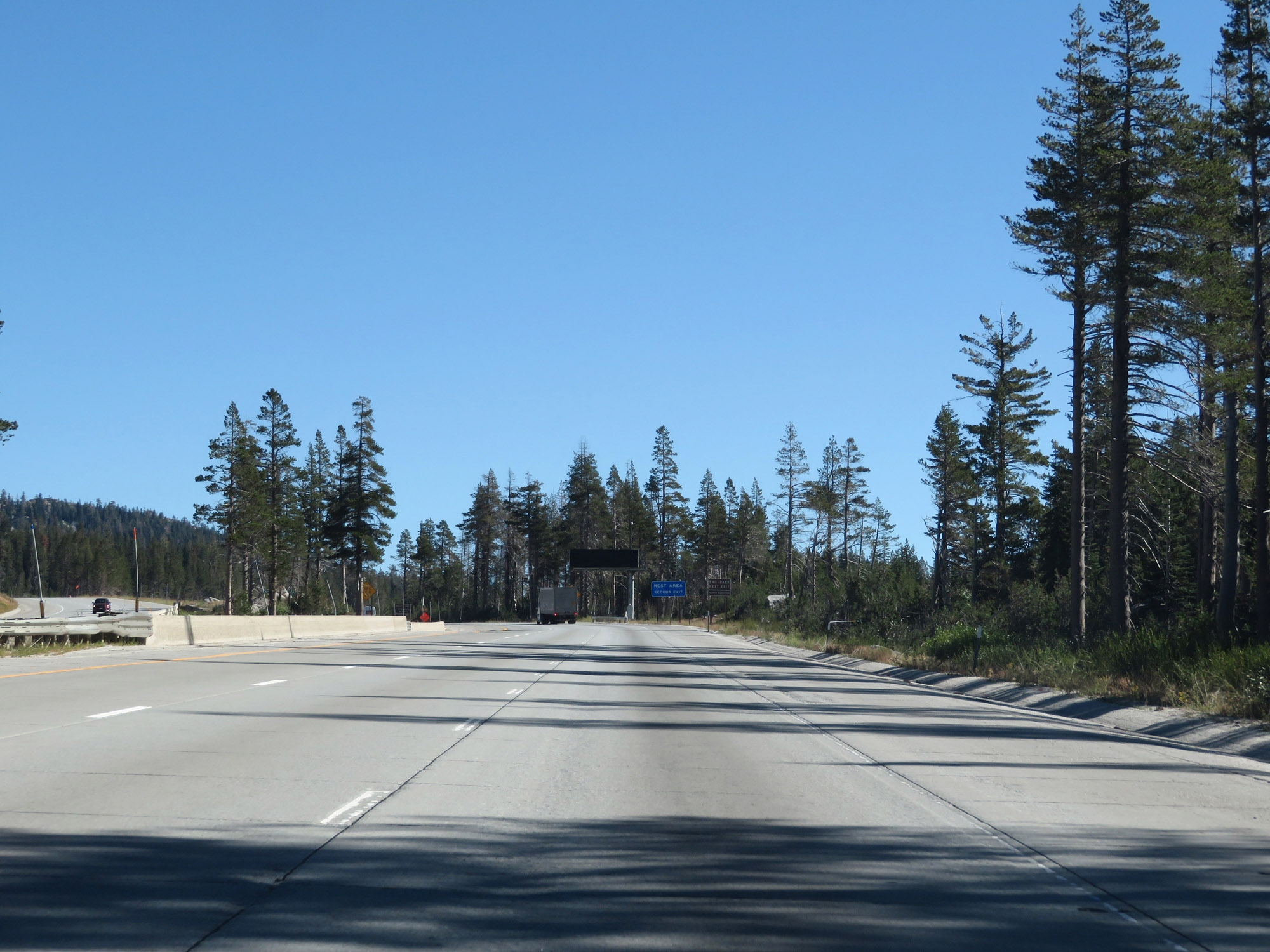
Take Exit 176 to Sno-Park. (Photo taken 9/24/19). |
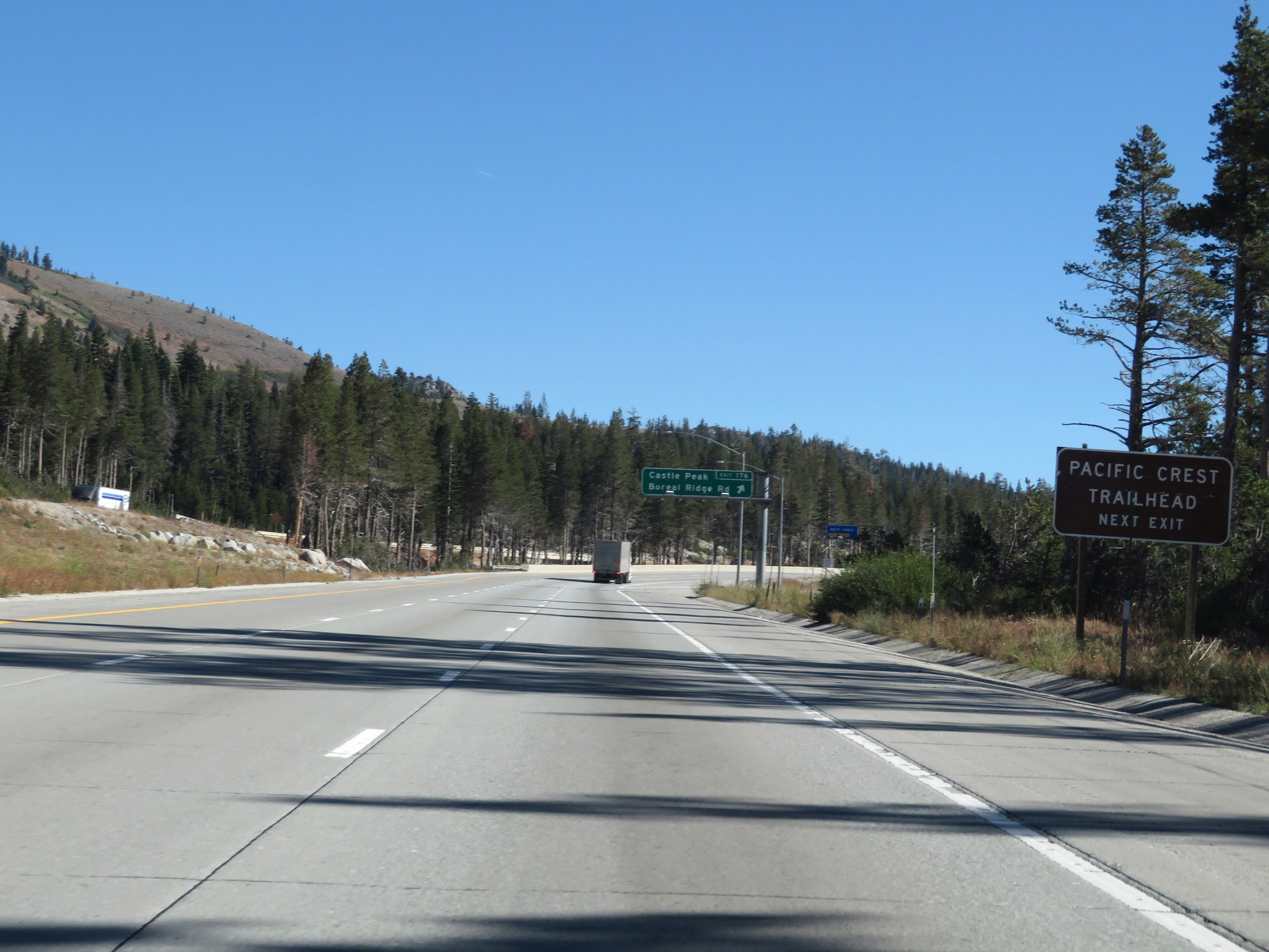 |
Also take Exit 176 to Pacific Crest Trailhead. (Photo taken 9/24/19). |
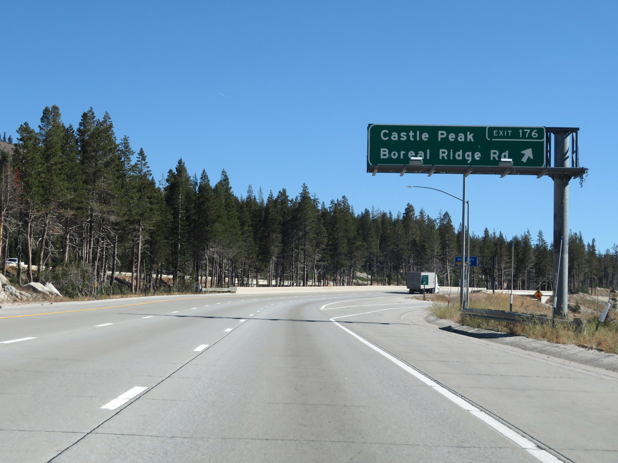 |
Interstate 80 East at Exit 176: Castle Peak / Boreal Ridge Rd (Photo taken 9/24/19). |
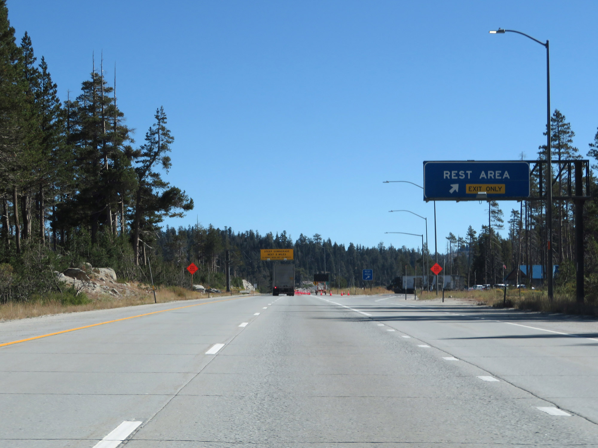 |
Rest Area on Interstate 80 East in Nevada County, near the summit of Donner Pass. (Photo taken 9/24/19). |
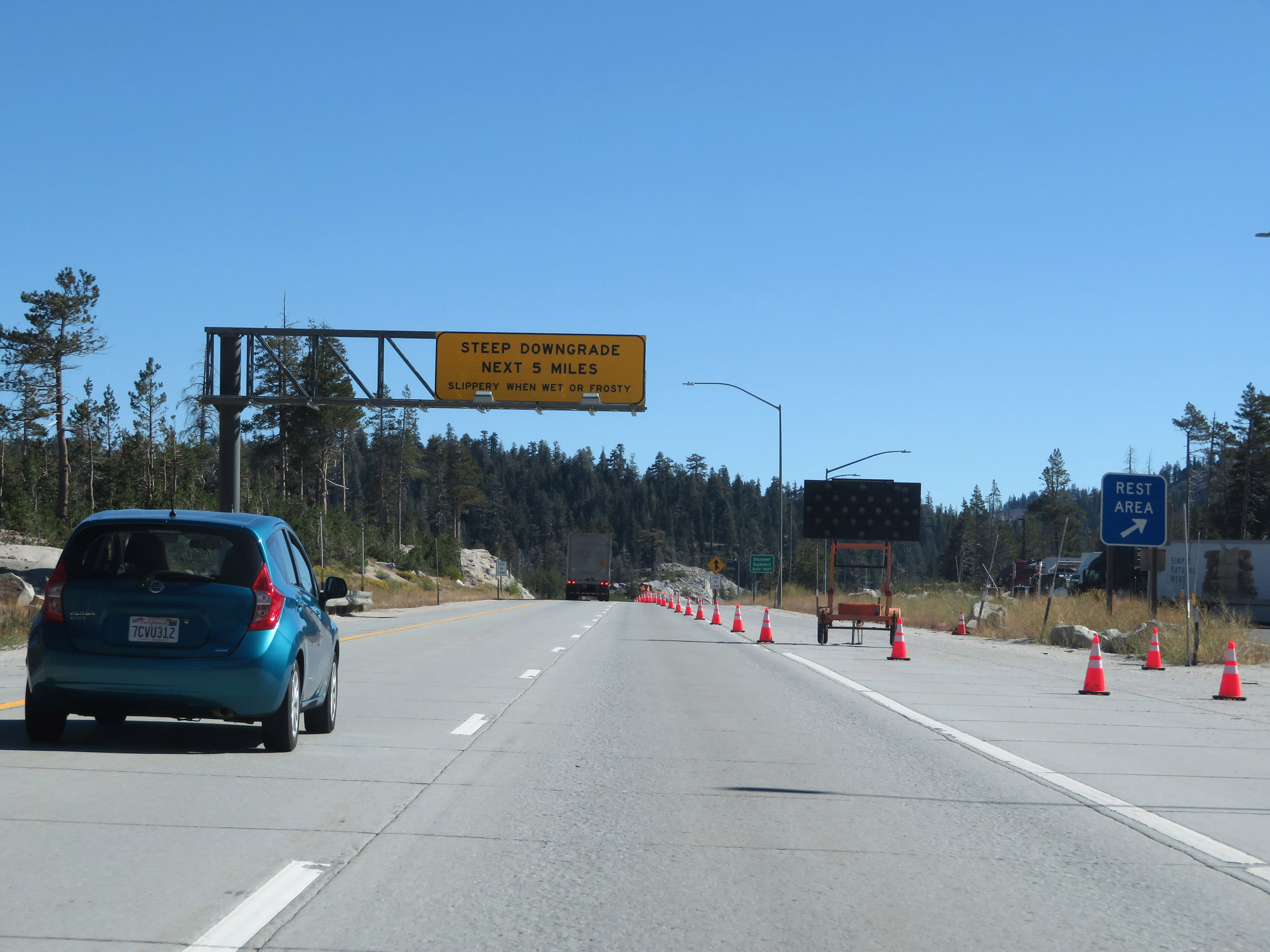 |
Approaching Donner Summit, this sign warns of a steep downgrade which will last for the next 5 miles. I like their choice of the word "frosty" instead of "icy". (Photo taken 9/24/19). |
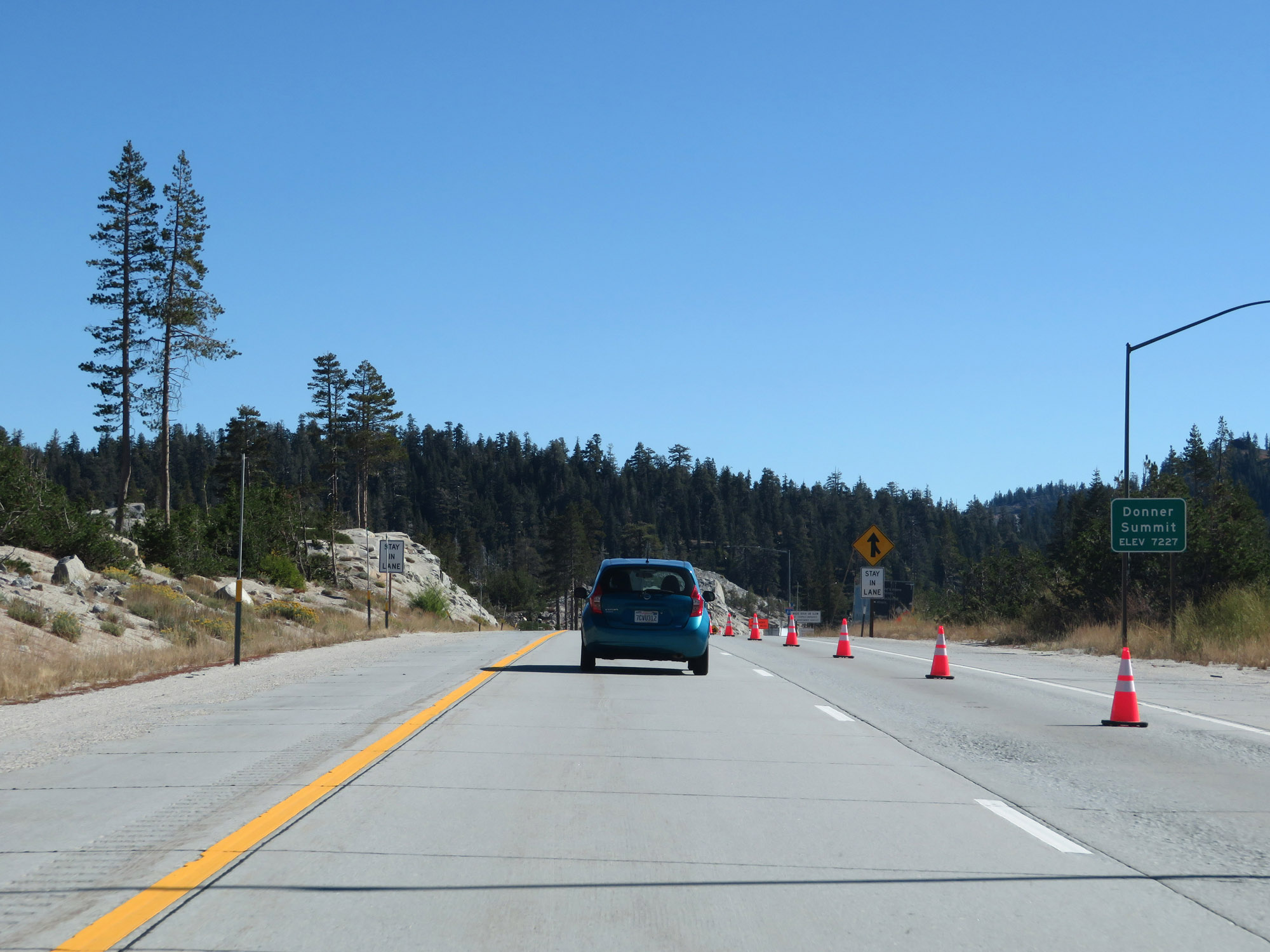 |
Interstate 80 East at Donner Summit, which is at an elevation of 7,227 feet above sea level. This is one of the higher points on I-80 nationally. In a matter of about 70 miles, I-80 East went from an elevation of under 100 feet to a whopping 7,227 feet at this point. (Photo taken 9/24/19). |
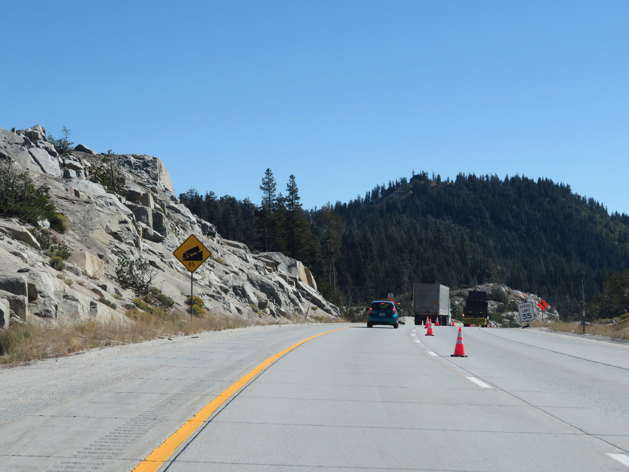 |
This sign warns the the downgrade ahead will be a 6% grade. (Photo taken 9/24/19). |
 |
View on Interstate 80 East as it starts down the east side of Donner Summit. (Photo taken 9/24/19). |
 |
These signs warn of winding curves ahead during the downgrade. You'll want to take these grades seriously; Donner Pass is certainly no joke. (Photo taken 9/24/19). |
 |
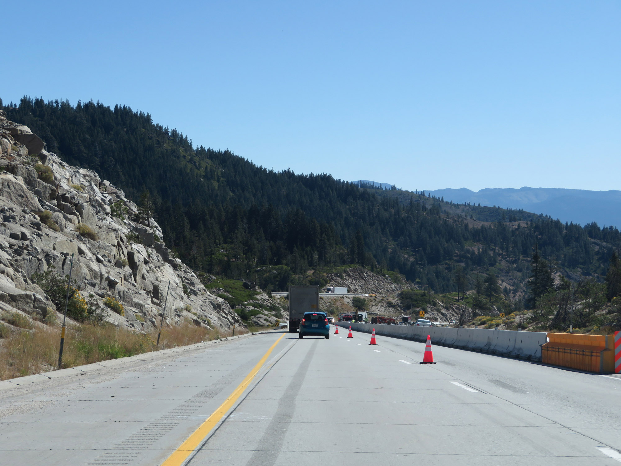
Another view on Interstate 80 East as it continues down the inital decline from Donner Summit. (Photo taken 9/24/19). |
 |
View on Interstate 80 East continuing down the east side of Donner Pass, nearing Donner Lake. (Photo taken 9/24/19). |
 |
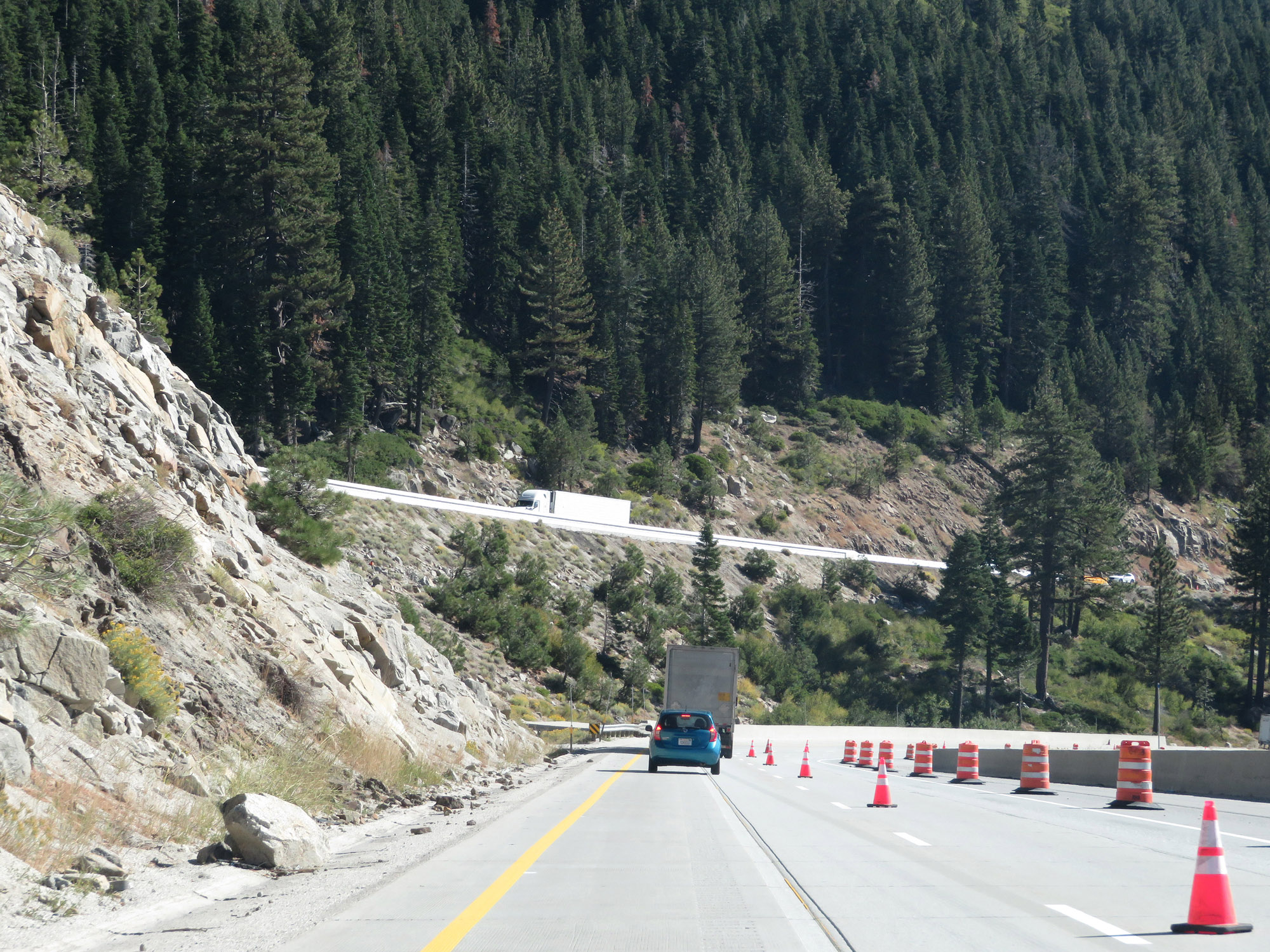
Vista Point on Interstate 80 East in Nevada County. This viewpoint provides a very scenic look at Donner Lake. (Photo taken 9/24/19). |
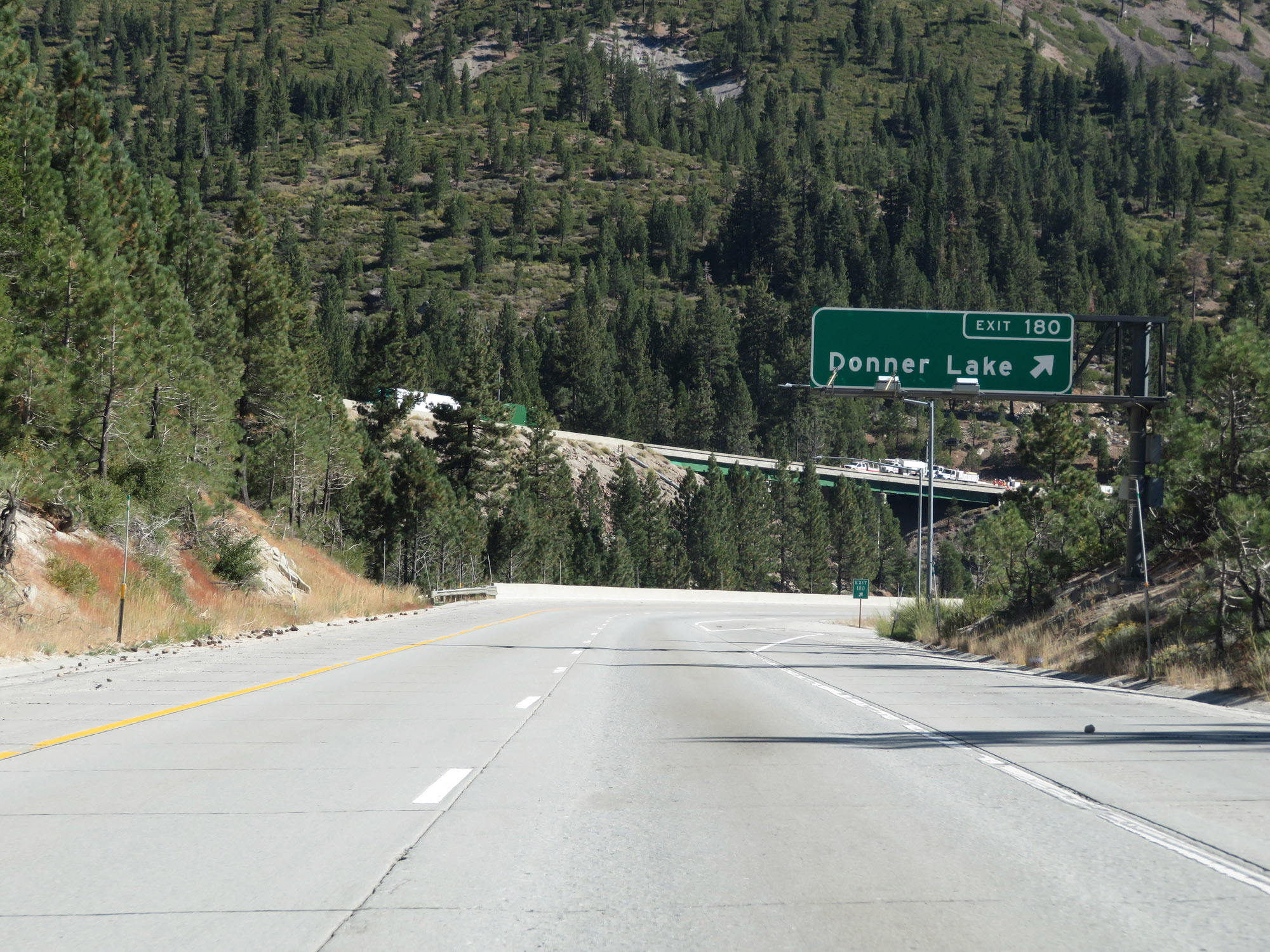 |
Interstate 80 East at Exit 180: Donner Lake (Photo taken 9/24/19). |
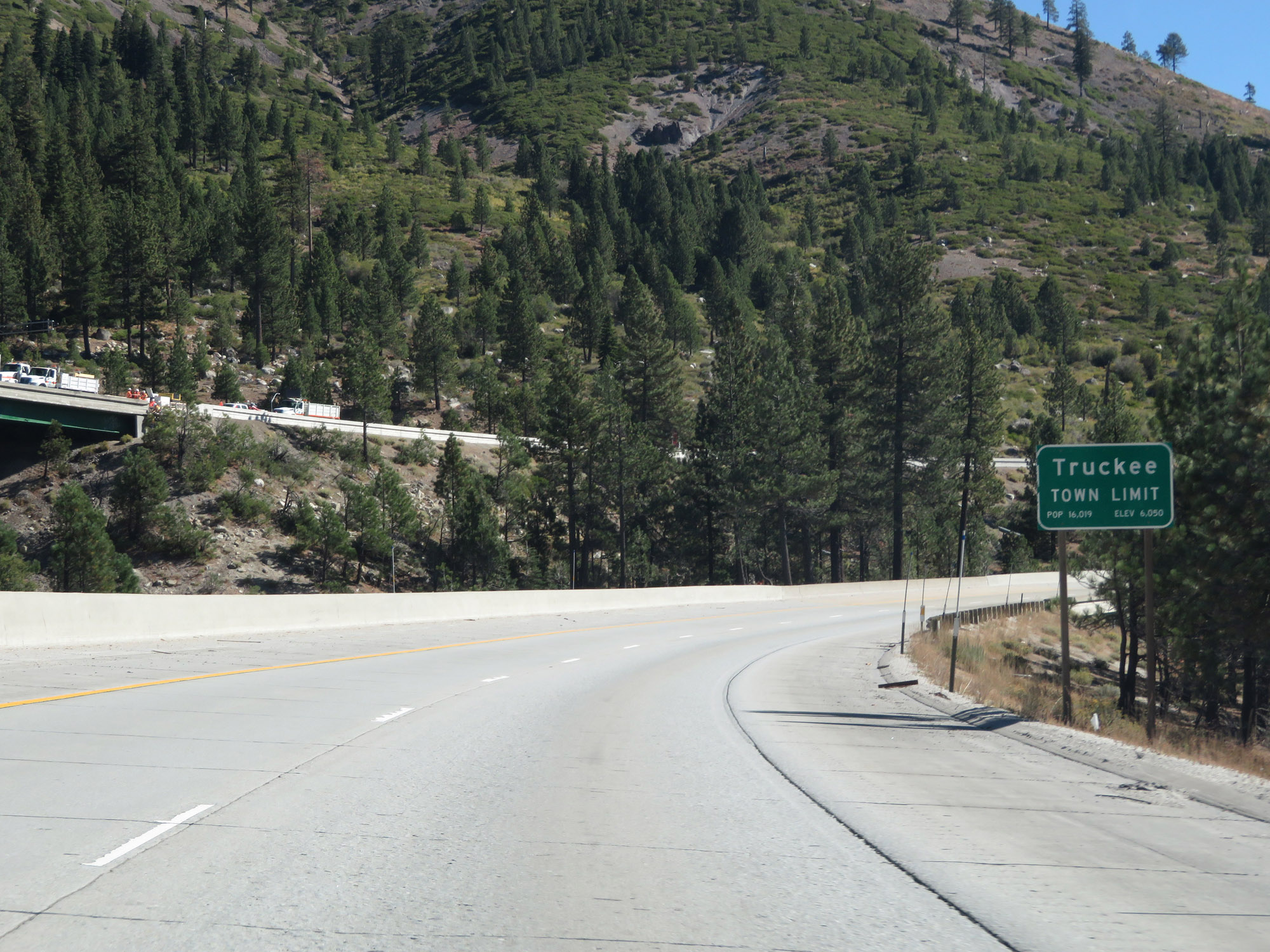 |
Interstate 80 East as it enters the Truckee town limits. (Photo taken 9/24/19). |
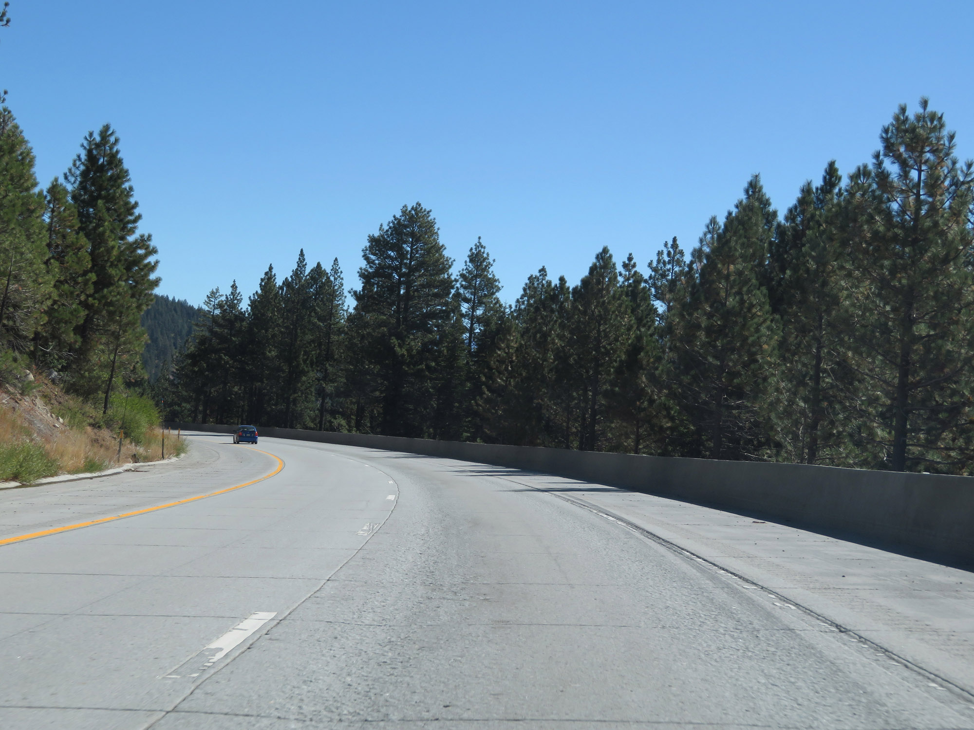 |
View on Interstate 80 East as it continues down the initial decline from Donner Summit. As you can see, the downgrade eases up a bit at this point. (Photo taken 9/24/19). |
 |
Another view on Interstate 80 East, continuing down the east side of Donner Pass. (Photo taken 9/24/19). |
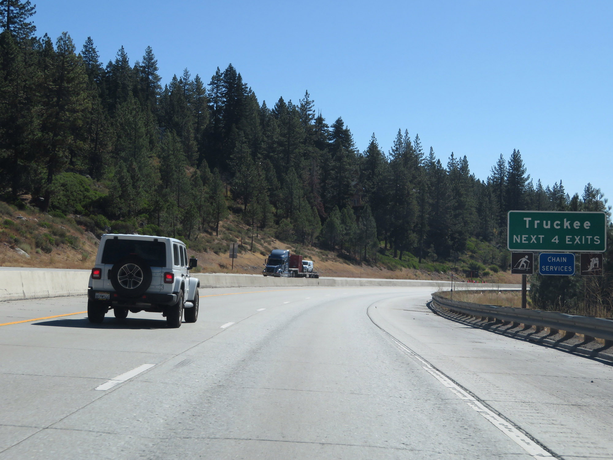 |
Take any of the next 4 exits to Truckee. (Photo taken 9/24/19). |
 |
Take Exit 184 to Historic US 40. (Photo taken 9/24/19). |
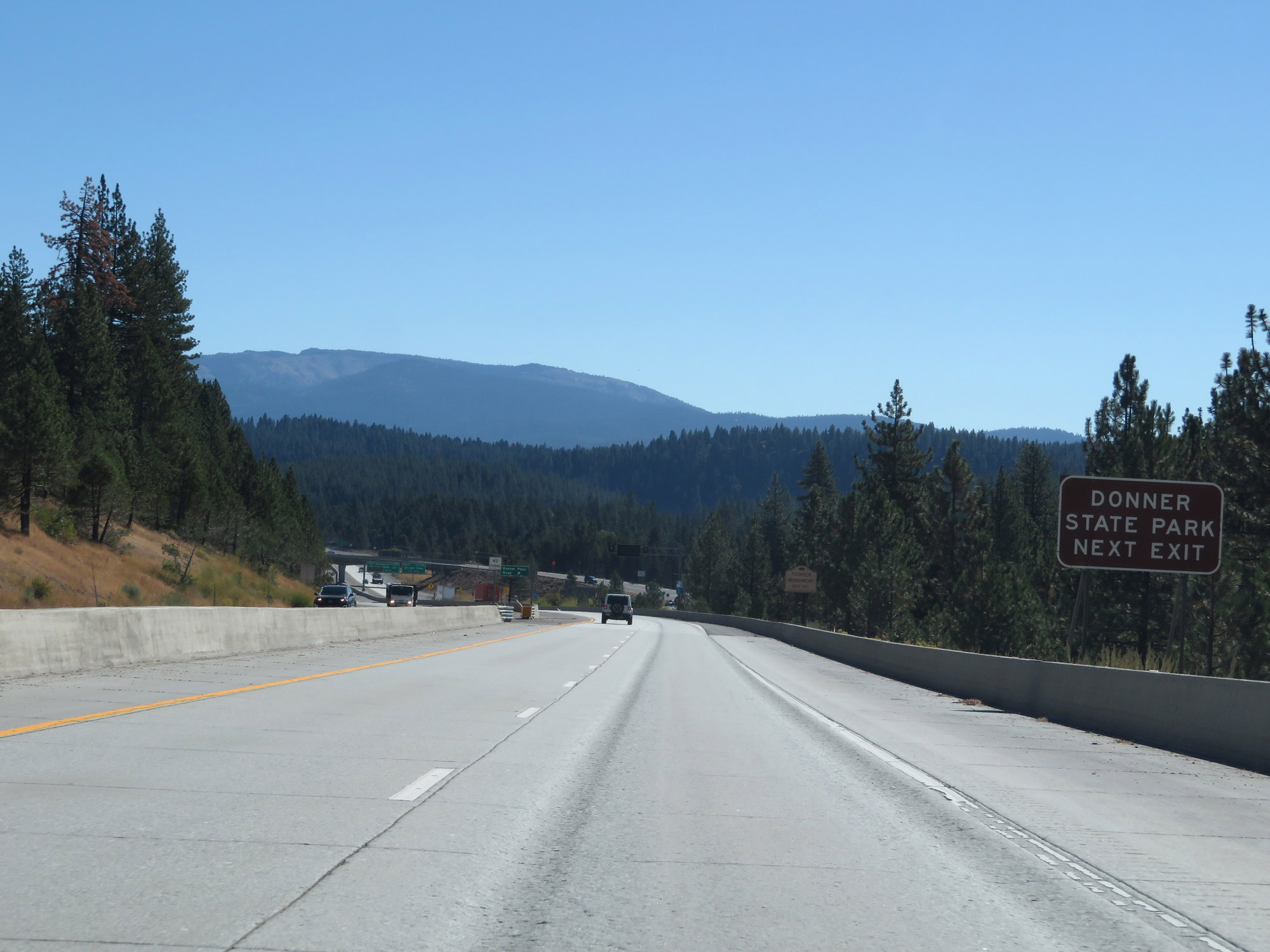 |
Also take Exit 184 to Donner State Park. (Photo taken 9/24/19). |
 |
Take Exit 184 to the Pioneer Monument Historical Landmark as well. (Photo taken 9/24/19). |
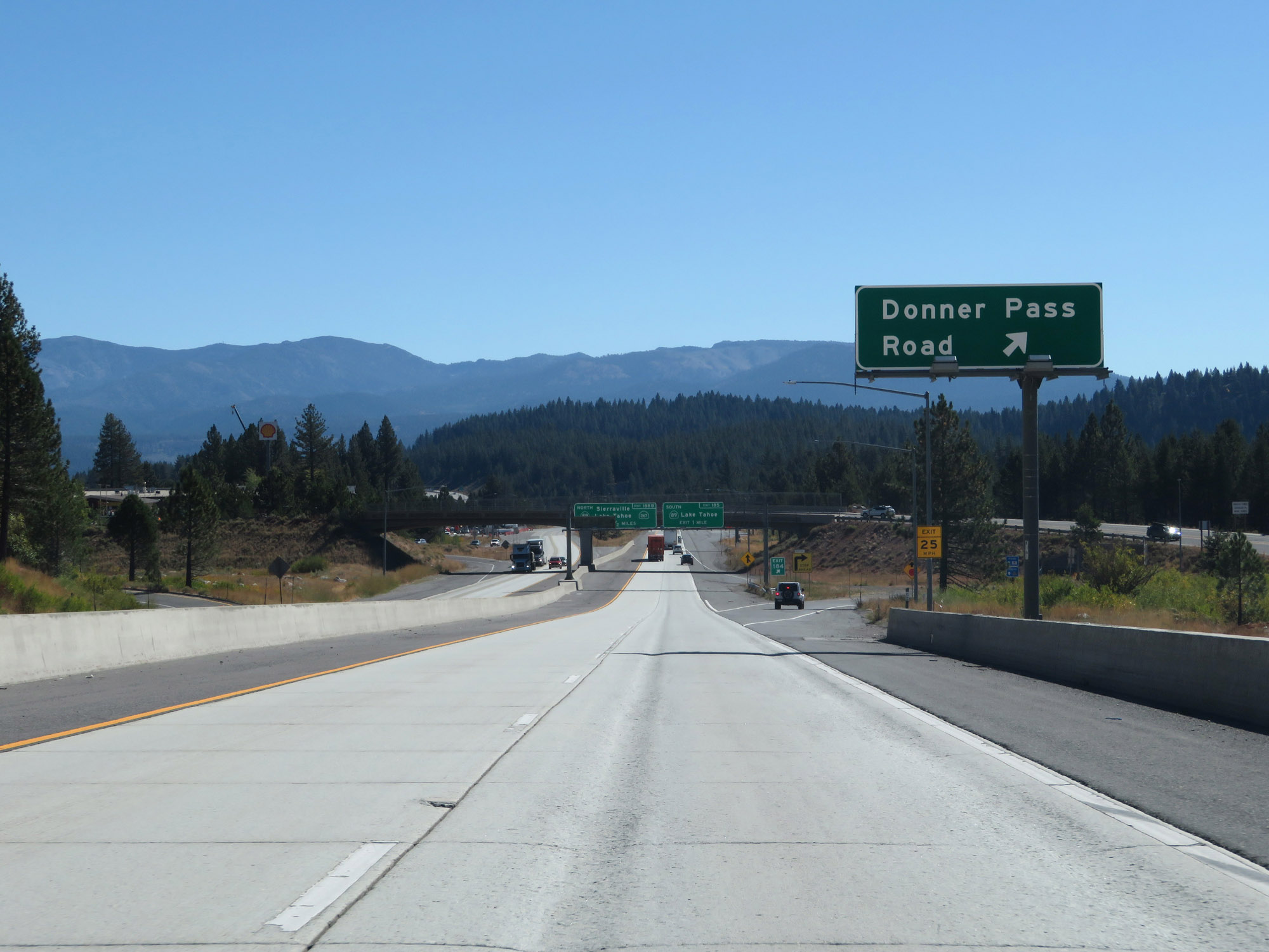 |
Interstate 80 East at Exit 184: Donner Pass Road (Photo taken 9/24/19). |
 |
Take Exit 185 to Squaw Valley and Tahoe City. (Photo taken 9/24/19). |
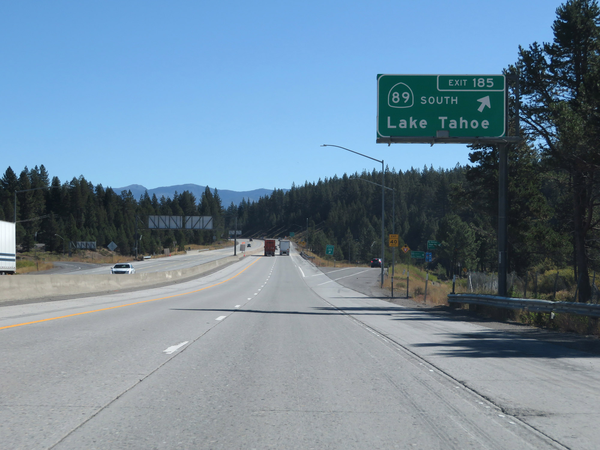 |
Interstate 80 East at Exit 185: CA 89 South - Lake Tahoe (Photo taken 9/24/19). |
Section 5: Truckee (Exit 185) to Nevada Border
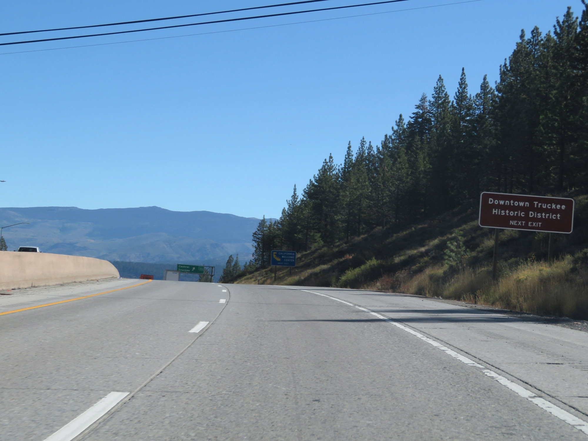 |
Take Exit 186 to the Downtown Truckee Historic District. (Photo taken 9/24/19). |
 |
Also take Exit 186 to a California Welcome Center. (Photo taken 9/24/19). |
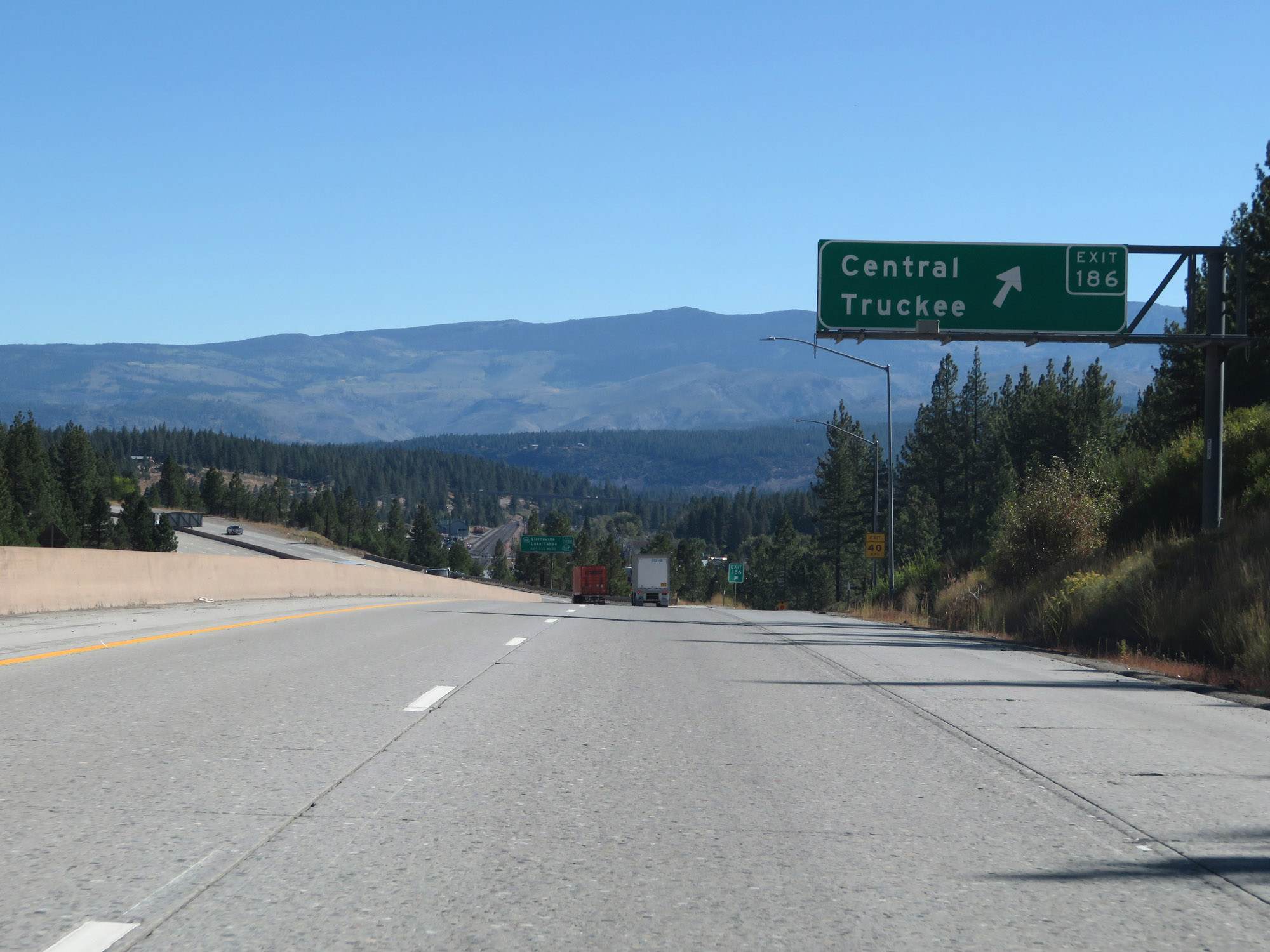 |
Interstate 80 East at Exit 186: Central Truckee (Photo taken 9/24/19). |
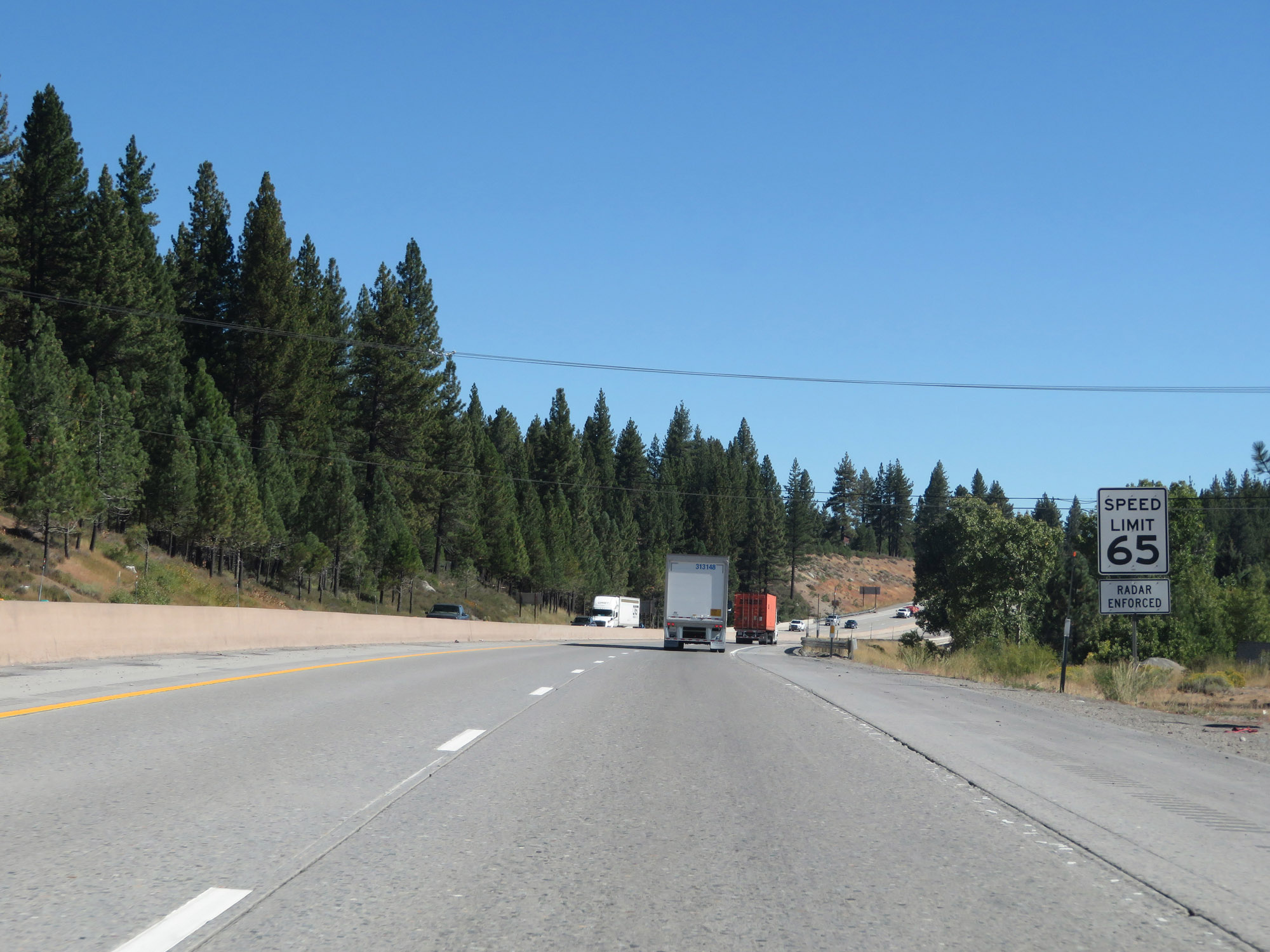 |
The speed limit for autos remains 65 mph. (Photo taken 9/24/19). |
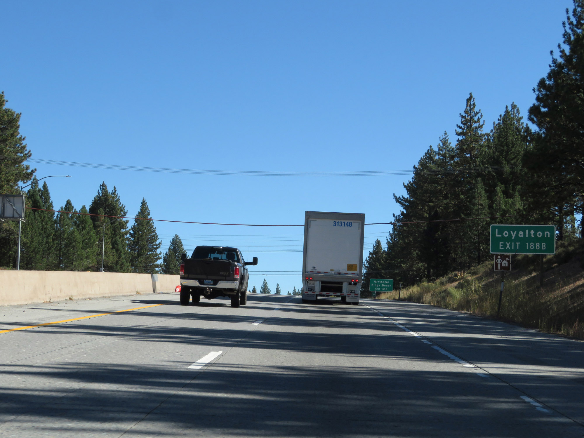 |
Take Exit 188B to Loyalton. (Photo taken 9/24/19). |
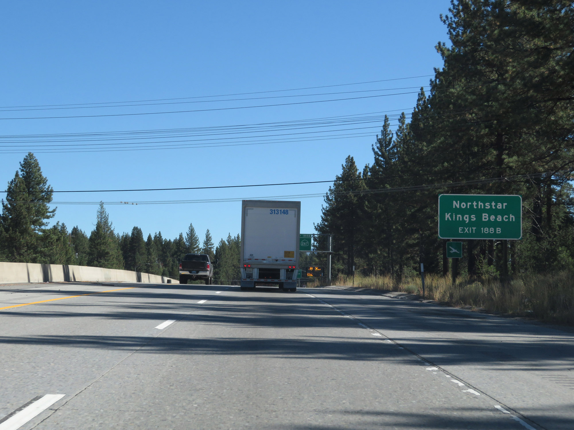 |
Also take Exit 188B to Northstar and Kings Beach. (Photo taken 9/24/19). |
 |
Interstate 80 East at Exit 188A: Truckee (Photo taken 9/24/19). |
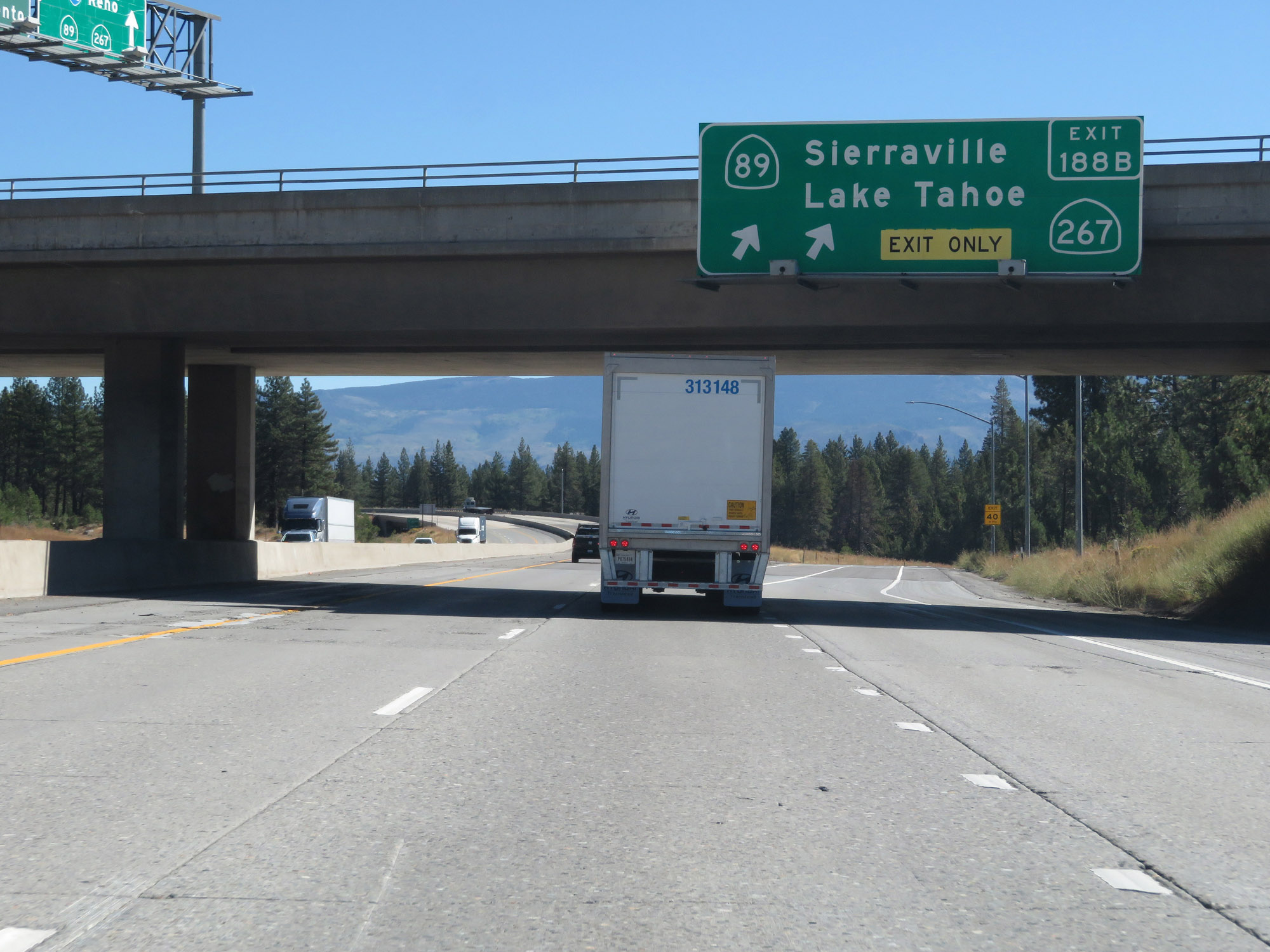 |
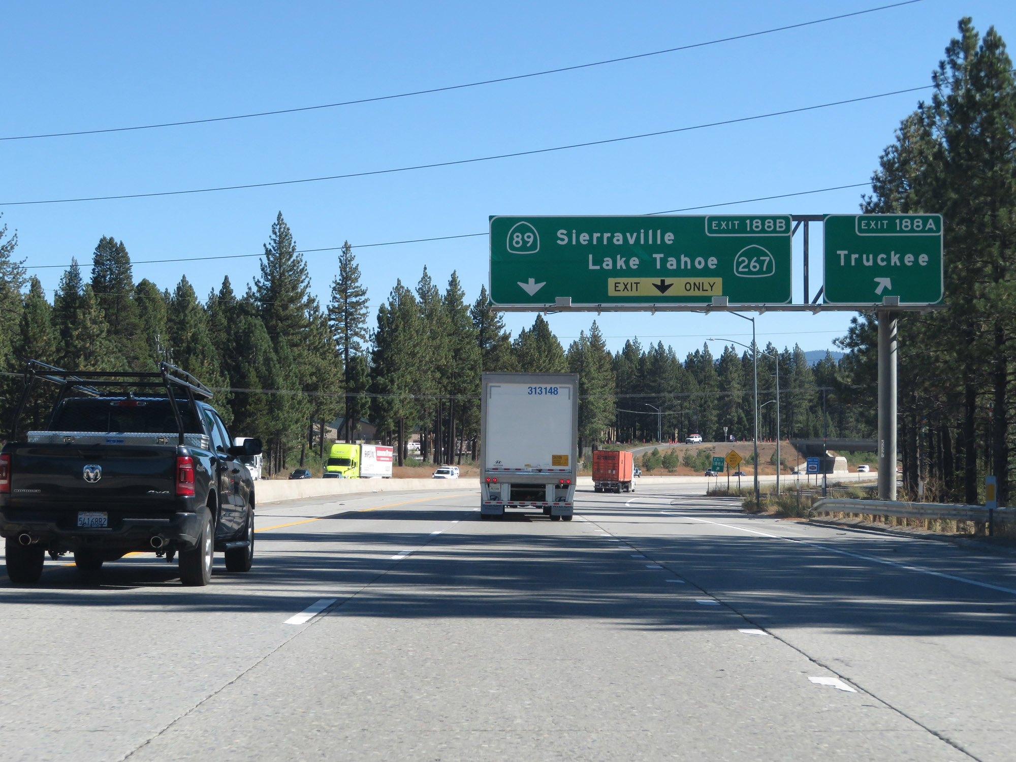
Interstate 80 East at Exit 188B: CA 89 North / CA 267 South - Sierraville / Lake Tahoe (Photo taken 9/24/19). |
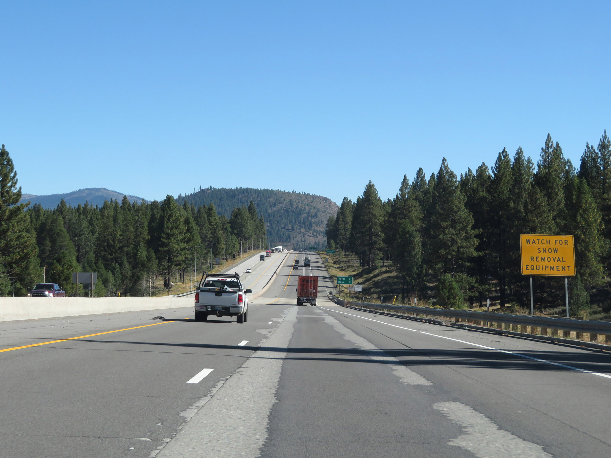 |
Continue to be on the lookout for slow moving snow removal equipment. (Photo taken 9/24/19). |
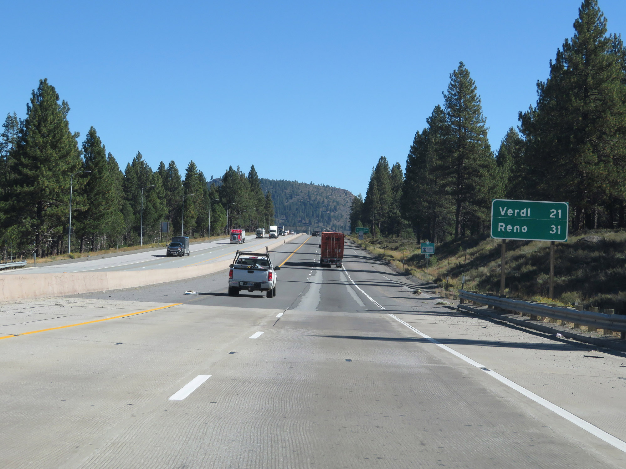 |
Mileage sign on Interstate 80 East. It's 21 miles to Verdi and 31 miles to Reno. (Photo taken 9/24/19). |
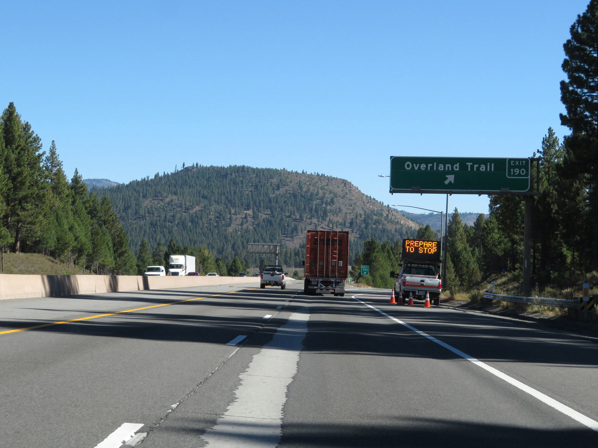 |
Interstate 80 East at Exit 190: Overland Trail (Photo taken 9/24/19). |
 |
View on Interstate 80 East as it incrementally continues to descend from Donner Summit. (Photo taken 9/24/19). |
 |
More 55 mph curves lie ahead as Interstate 80 East continues its descent. (Photo taken 9/24/19). |
 |
Another view on Interstate 80 East, as the descent becomes steeper. (Photo taken 9/24/19). |
 |
View on Interstate 80 East in Nevada County. (Photo taken 9/24/19). |
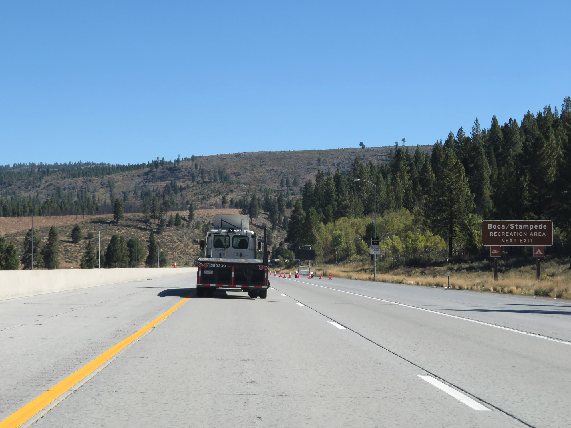 |
Take Exit 194 to the Boca/Stampede Recreation Area. (Photo taken 9/24/19). |
 |
Interstate 80 East at Exit 194: Hirschdale Road (Photo taken 9/24/19). |
 |
State-named Interstate 80 East reassurance shield. (Photo taken 9/24/19). |
 |
View on Interstate 80 East as it continues down, down down. (Photo taken 9/24/19). |
 |
This sign warns of a 5% downgrade for the next 3 miles. It's posted perhaps a bit late, as the downgrade has already well begun. (Photo taken 9/24/19). |
 |
Another view on Interstate 80 East as it continues down the grade. (Photo taken 9/24/19). |
 |
View on Interstate 80 East in Nevada County. (Photo taken 9/24/19). |
 |
Continuing down the grade on Interstate 80 East. (Photo taken 9/24/19). |
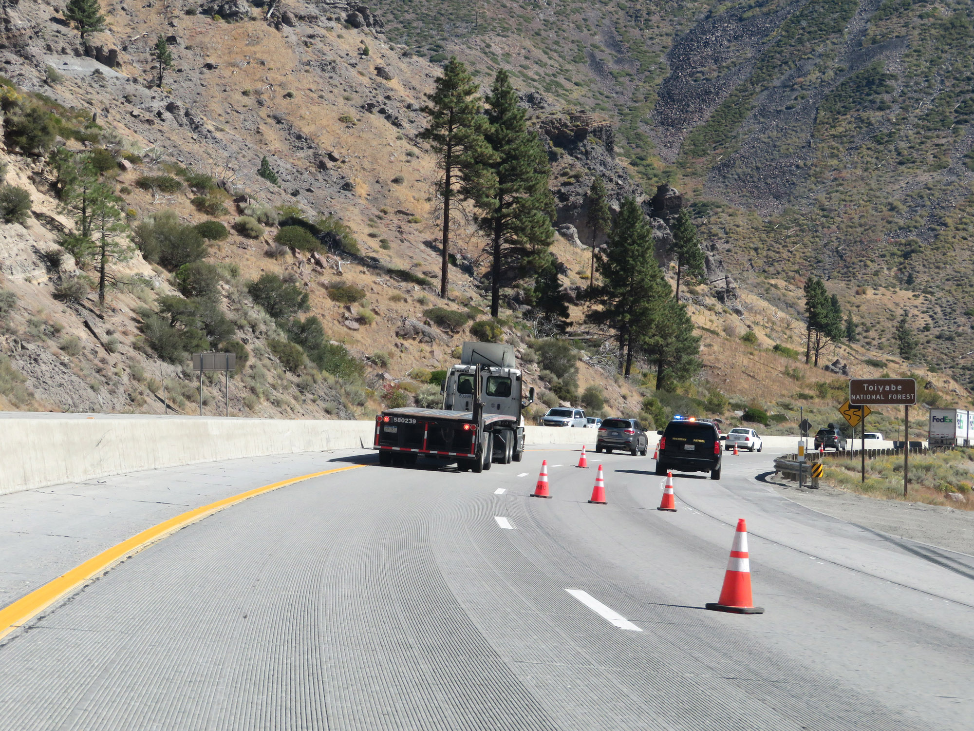 |
Entering Yoiyabe National Forest on Interstate 80 East. (Photo taken 9/24/19). |
 |
The 5% downgrade continues. (Photo taken 9/24/19). |
 |
More 55 mph curves lie ahead on Interstate 80 East. (Photo taken 9/24/19). |
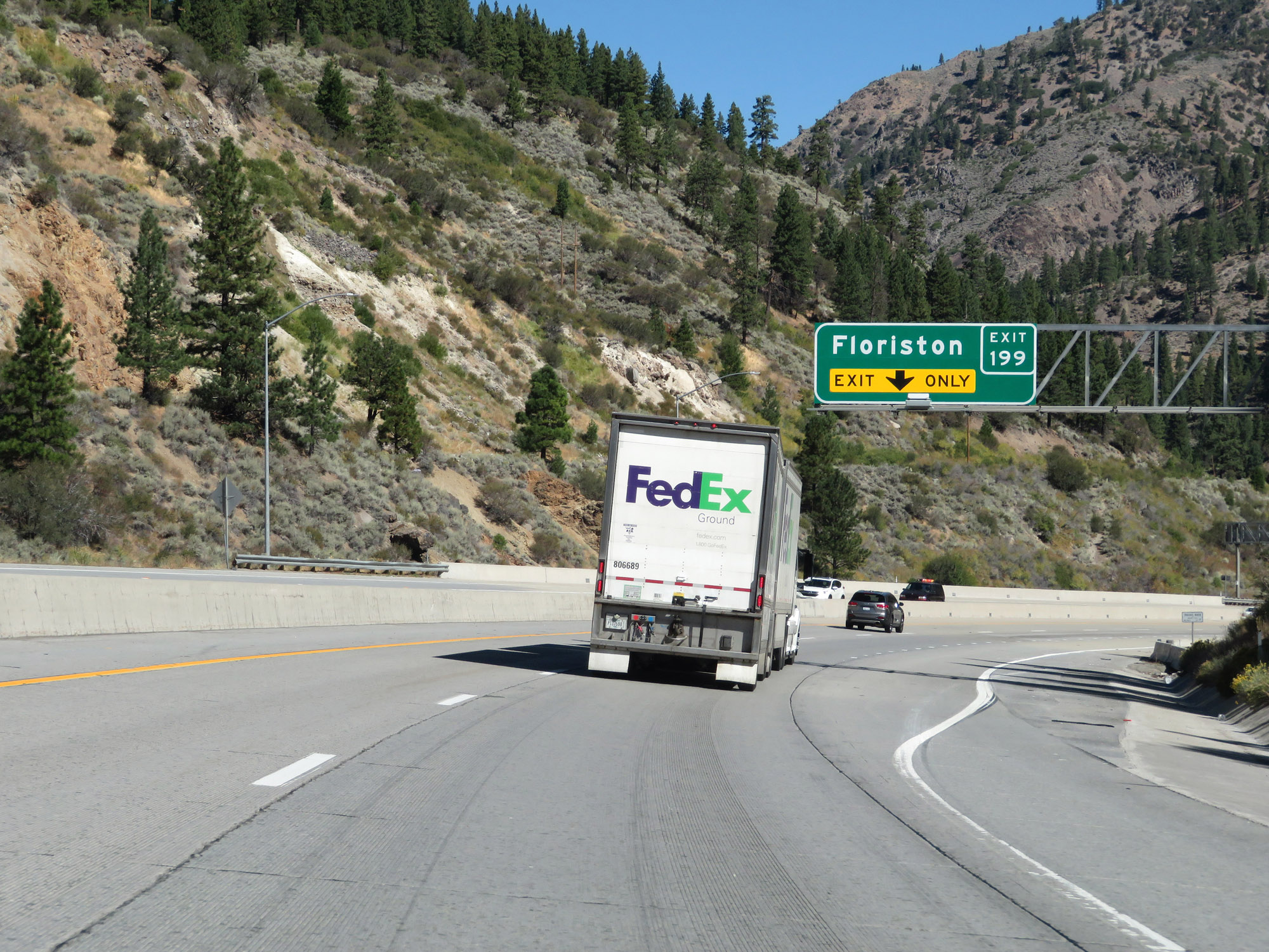 |
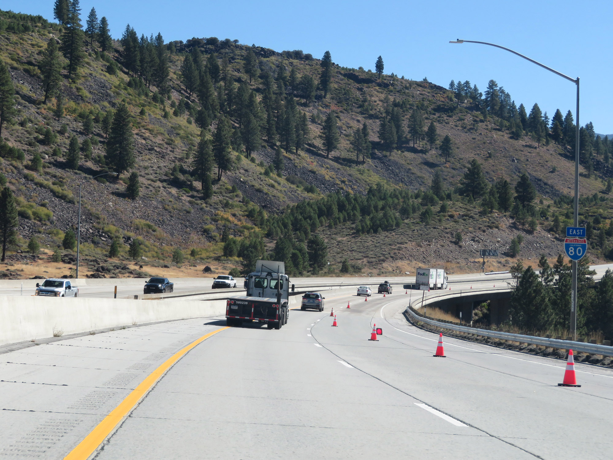
Interstate 80 East at Exit 199: Floriston (Photo taken 9/24/19). |
 |
State-named Interstate 80 East reassurance shield. (Photo taken 9/24/19). |
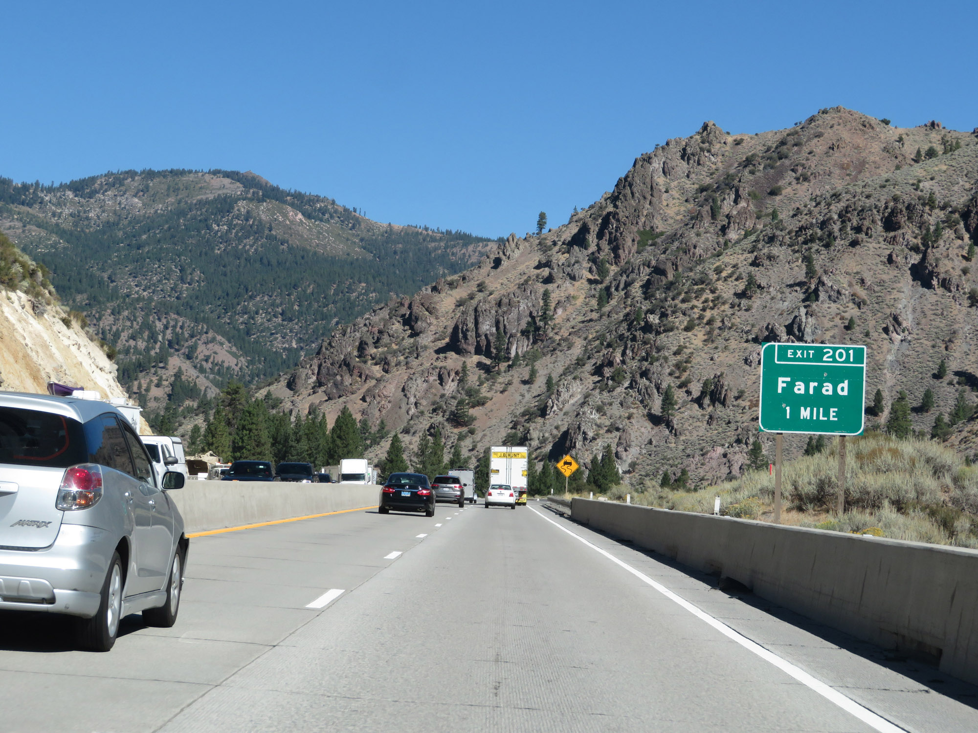 |
Interstate 80 East approaching Exit 201 - 1 mile. (Photo taken 9/24/19). |
 |
View on Interstate 80 East as it continues to descend down Donner Pass and nears the Nevada border. (Photo taken 9/24/19). |
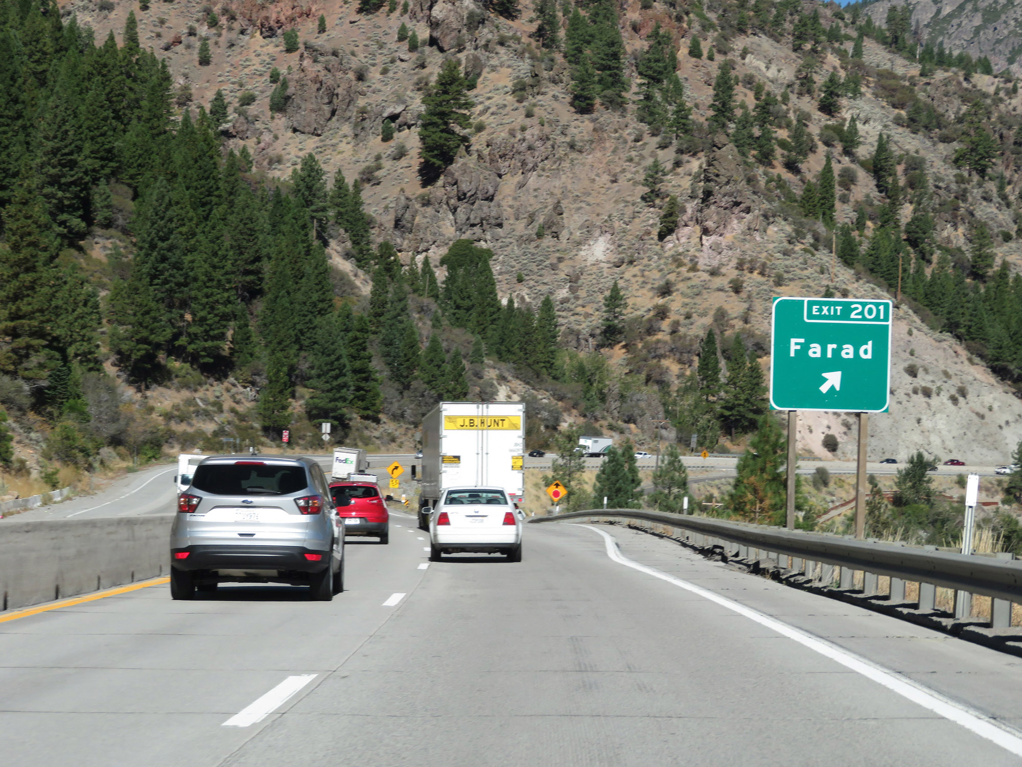 |
Interstate 80 East at Exit 201: Farad (Photo taken 9/24/19). |
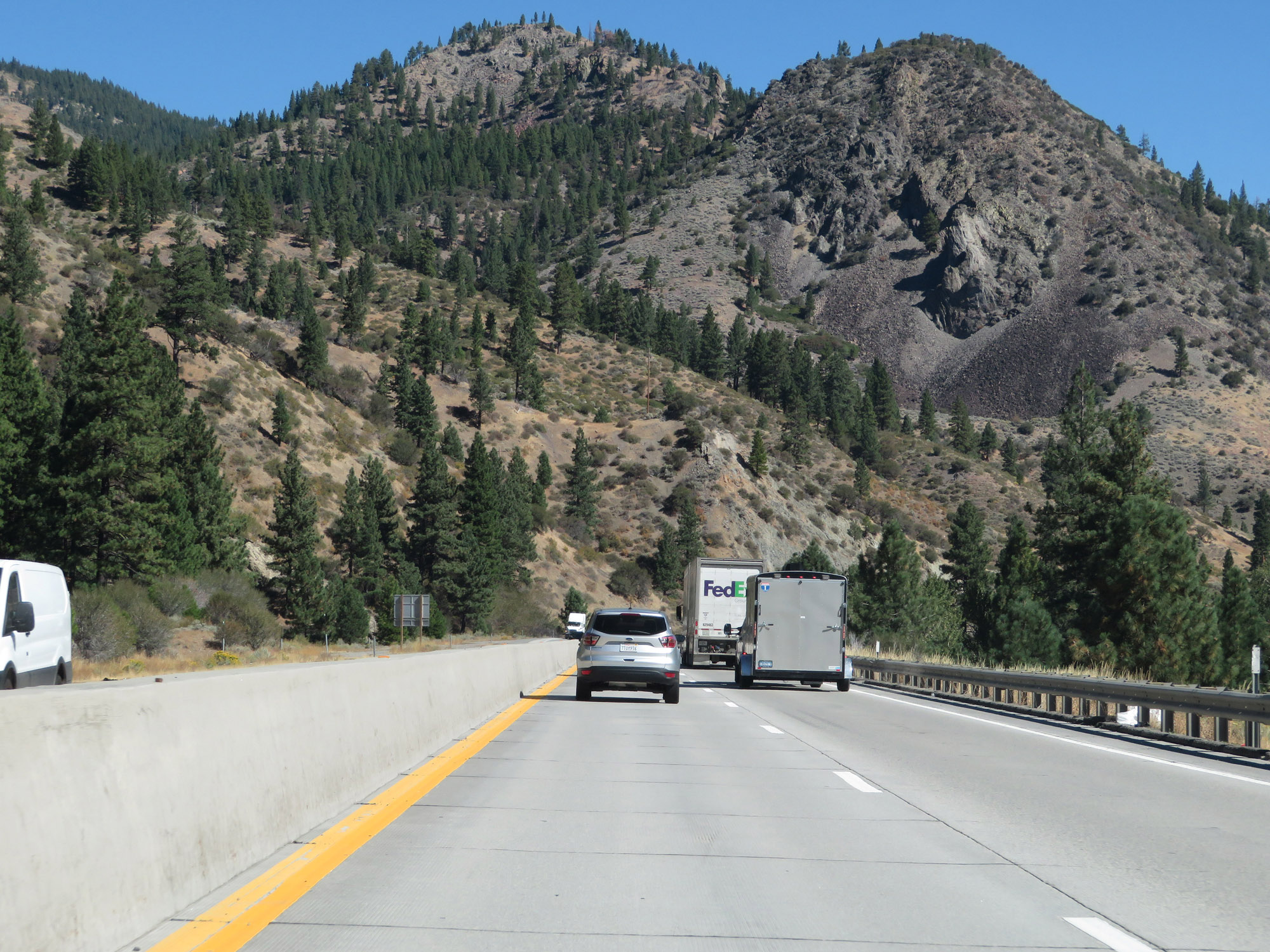 |
Another view on Interstate 80 East. (Photo taken 9/24/19). |
 |
View on Interstate 80 East as it continues in a north-northeast direction, paralleling the Truckee River to the Nevada border. (Photo taken 9/24/19). |
 |
Interstate 80 East continues to descend a bit as it follows the Truckee River. (Photo taken 9/24/19). |
 |
Another view on Interstate 80 East, nearing the Nevada border. (Photo taken 9/24/19). |
 |
Approaching the Nevada border, Interstate 80 East touches into Sierra County. (Photo taken 9/24/19). |
 |
View on Interstate 80 East as it continues to descend down toward the Nevada border. (Photo taken 9/24/19). |
 |
Interstate 80 East as the Nevada state line draws near. (Photo taken 9/24/19). |
 |
Interstate 80 East as it prepares to enter Nevada just ahead. (Photo taken 9/24/19). |