Road Information |
||
 |
||
| Total Mileage in State: | 11 miles | |
| Eastern End: | At I-40, in North Little Rock | |
| Western End: | At I-30/I-530, in Little Rock | |
| Mileage covered in Photos: | 11 miles | |
| Counties covered in Photos: | Pulaski | |
| Major Junctions in Photos: | US 70, in North Little Rock I-40, in North Little Rock |
|
| Control Cities in Photos: | Little Rock, North Little Rock | |
Eastbound
 |
Take Exit 1 to Little Rock National Cemetery. (Photo taken 9/23/11). |
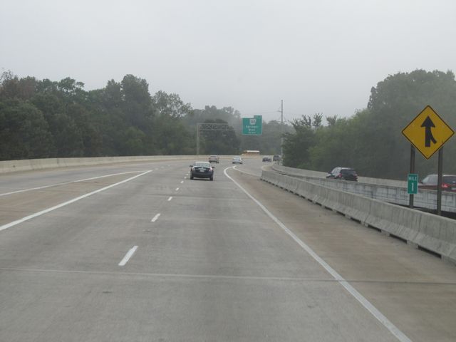 |
Interstate 440 East: Road view from mile marker 1. (Photo taken 9/23/11). |
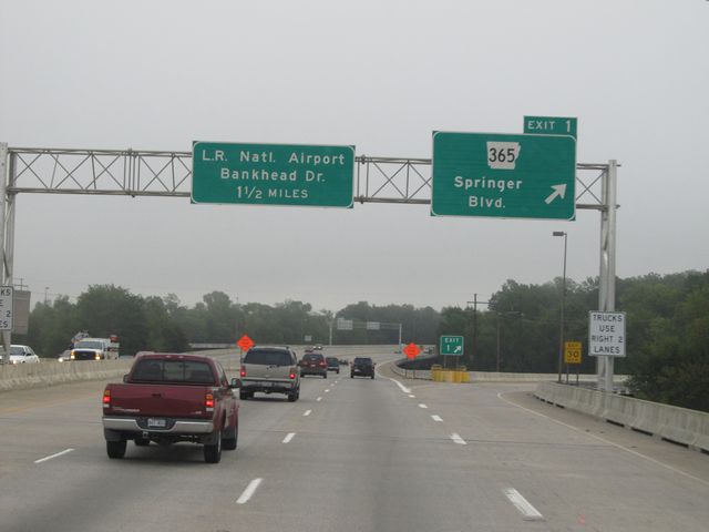 |
Interstate 440 East at Exit 1: AR 365 - Springer Blvd (Photo taken 9/23/11). |
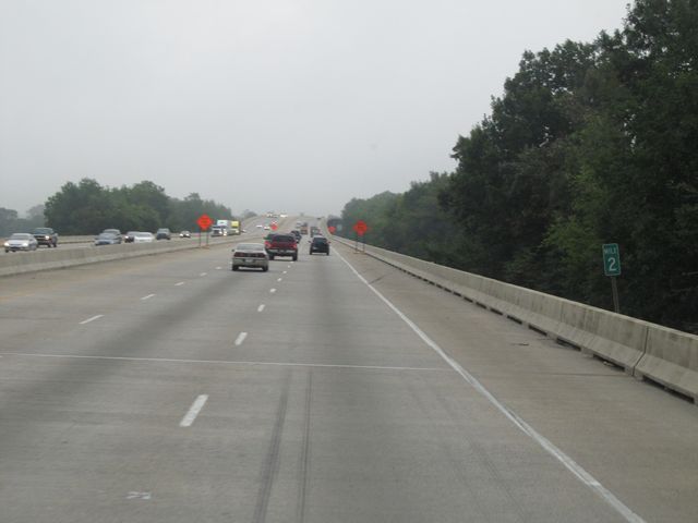 |
Interstate 440 East: Road view from mile marker 2. (Photo taken 9/23/11). |
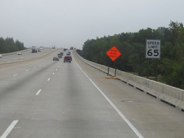 |
Speed limit sign on Interstate 440 East. The speed limit on this bypass of downtown Little Rock is 65 mph. (Photo taken 9/23/11). |
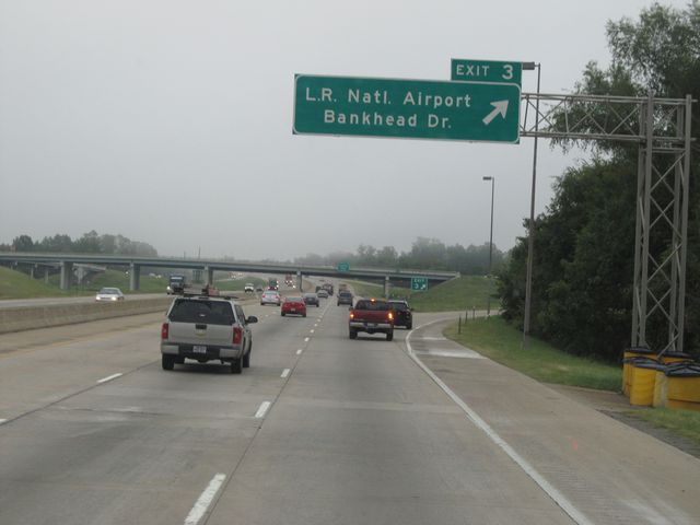 |
Interstate 440 East at Exit 3: Little Rock National Airport / Bankhead Dr (Photo taken 9/23/11). |
 |
Interstate 440 East at Exit 4: Lindsey Road (Photo taken 9/23/11). |
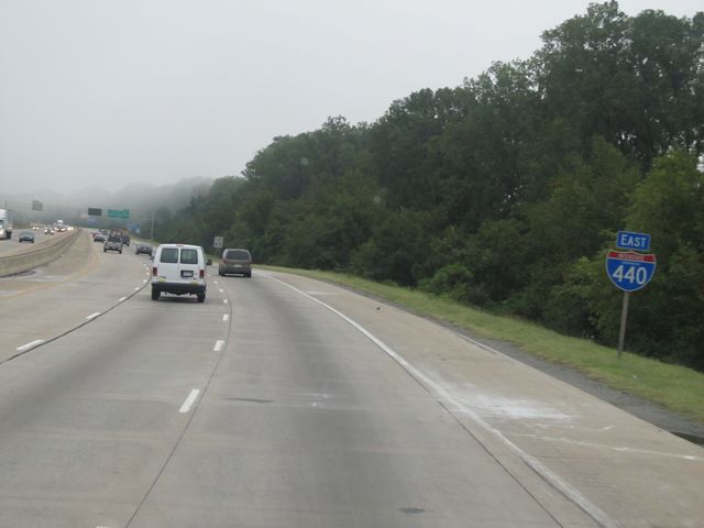 |
Interstate 440 East assurance shield located near mile marker 4. (Photo taken 9/23/11). |
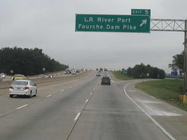 |
Interstate 440 East at Exit 5: Little Rock River Port / Fourche Dam Pike (Photo taken 9/23/11). |
 |
Take any of the next 4 exits to North Little Rock. (Photo taken 9/23/11). |
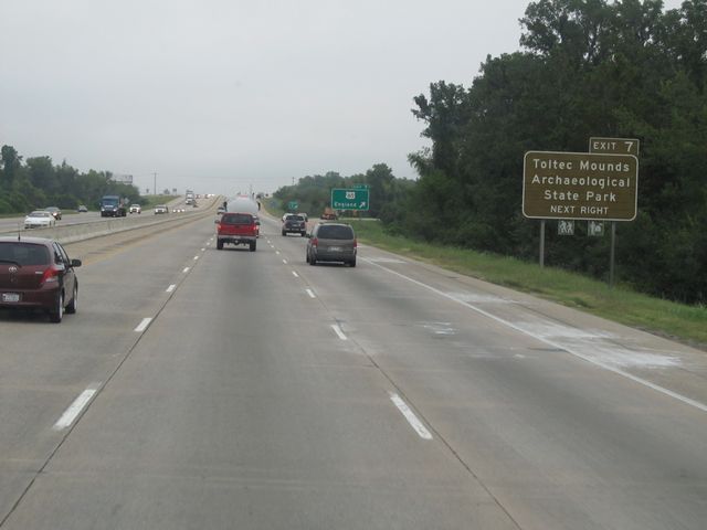 |
Take Exit 7 to Toltec Mounds Archaeological State Park. (Photo taken 9/23/11). |
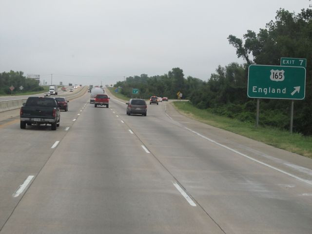 |
Interstate 440 East at Exit 7: US 165 - England (Photo taken 9/23/11). |
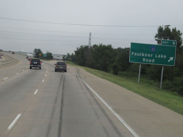 |
Interstate 440 East at Exit 8: CR 82 - Faulkner Lake Road (Photo taken 9/23/11). |
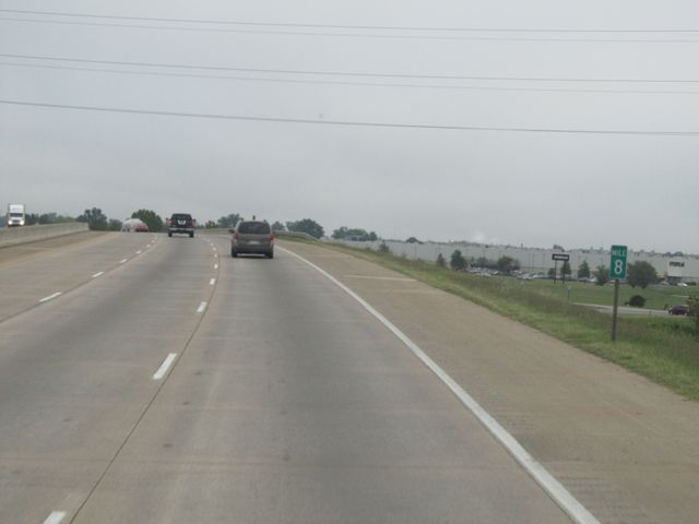 |
Interstate 440 East: Road view from mile marker 8. (Photo taken 9/23/11). |
 |
Interstate 440 East: Road view from mile marker 9. (Photo taken 9/23/11). |
 |
Interstate 440 East at Exit 10: US 70 (Photo taken 9/23/11). |
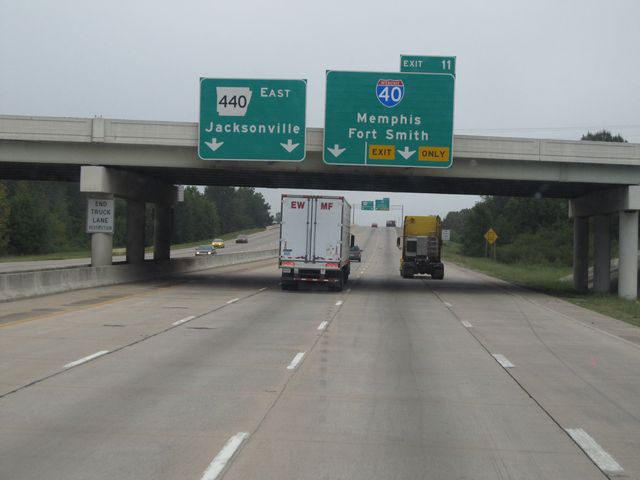 |
Interstate 440 East approaching Exit 11 - 1/2 mile. (Photo taken 9/23/11). |
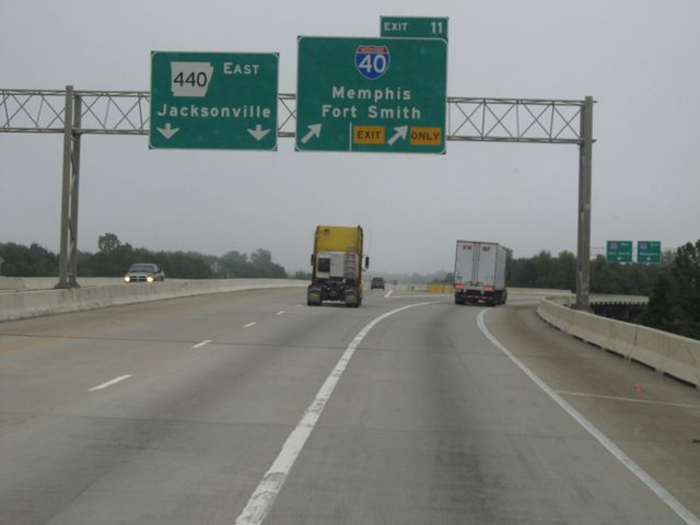 |
Interstate 440 East at Exit 11: Interstate 40 - Memphis / Fort Smith (Photo taken 9/23/11). |