Road Information |
||
 |
||
| Total Mileage in State: | 284 miles | |
| Eastern End: | At Tennessee state line | |
| Western End: | At Oklahoma state line | |
| Mileage covered in Photos: | 132 miles | |
| Counties covered in Photos: | Crittenden, St. Francis, Monroe, Prairie, Lonoke, Pulaski | |
| Major Junctions in Photos: | I-55, near West Memphis I-440, near North Little Rock I-30, in North Little Rock |
|
| Control Cities in Photos: | West Memphis, Forrest City, Little Rock, North Little Rock | |
Westbound
- Section 1: Tennessee Border to Palestine (Exit 233)
- Section 2: Palestine (Exit 233) to North Little Rock (Exit 152A)
Section 1: Tennessee Border to Palestine (Exit 233)
 |
Interstate 40 West as it crosses the Mississippi River from Memphis toward the Arkansas border. (Photo taken 5/23/15). |
 |
Arkansas welcome sign as Interstate 40 West crosses the Mississippi River into the Natural State. (Photo taken 5/23/15). |
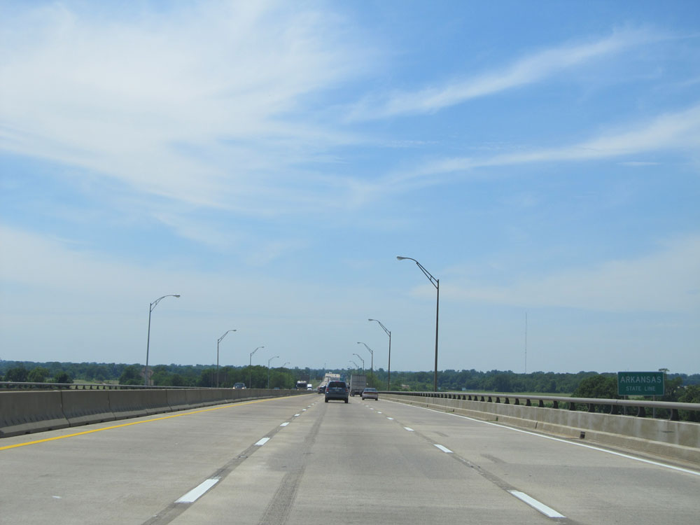 |
This sign assures you that you're now crossing the Arkansas state line halfway across the river, as if there was any doubt about it to begin with. (Photo taken 5/23/15). |
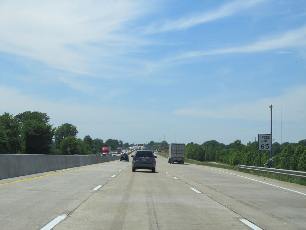 |
The speed limit starts out at 65 mph on Interstate 40 West in Arkansas. (Photo taken 5/23/15). |
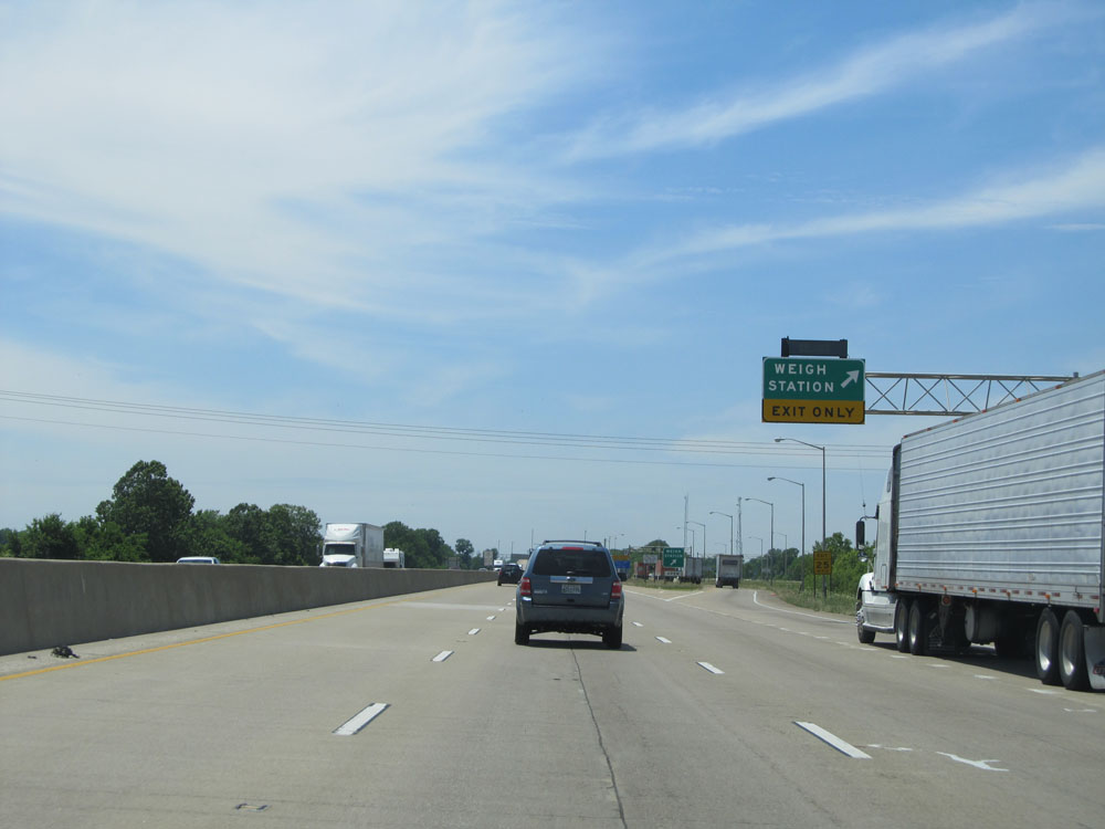 |
Interstate 40 West at the Weigh Station located near mile marker 283. (Photo taken 5/23/15). |
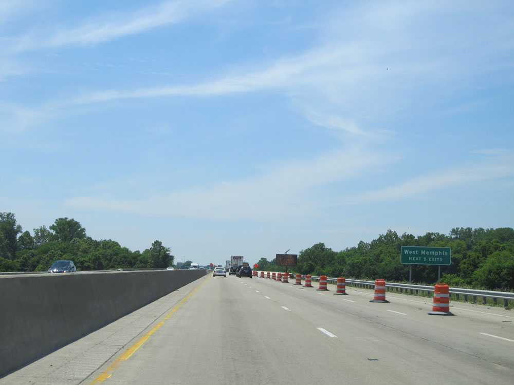 |
Take any of the next 5 exits to West Memphis. (Photo taken 5/23/15). |
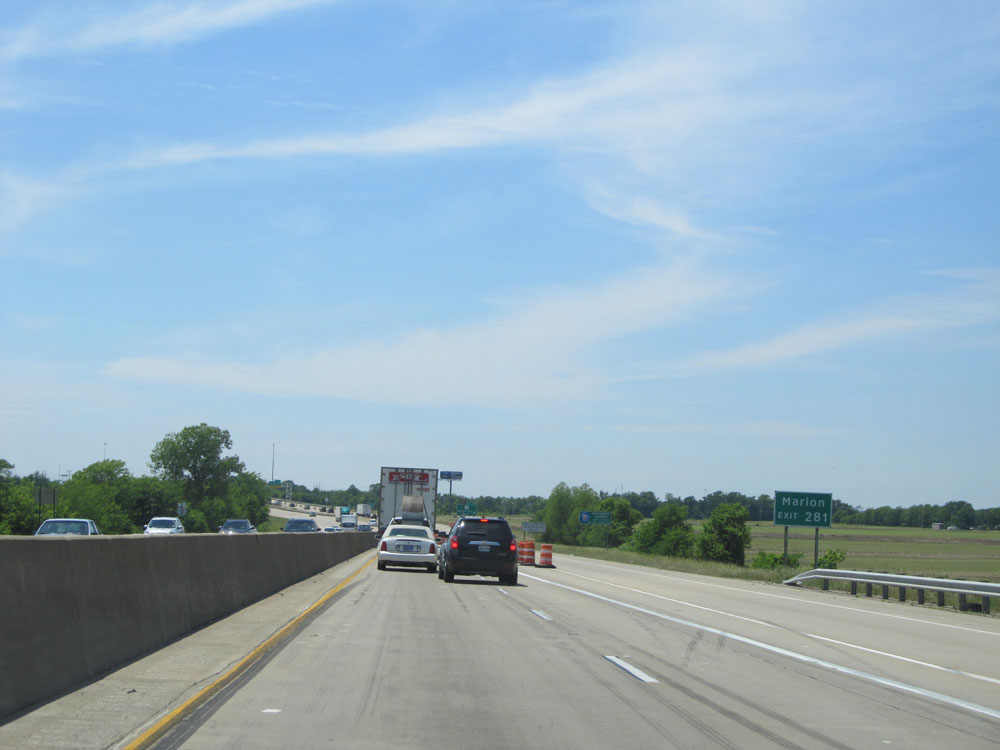 |
Take Exit 281 to Marion. (Photo taken 5/23/15). |
 |
Interstate 40 West at Exit 281: AR 131 - Mound City Road (Photo taken 5/23/15). |
 |
Interstate 40 West assurance shield just west of Exit 281. (Photo taken 5/23/15). |
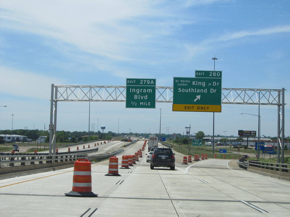 |
Interstate 40 West at Exit 280: Dr. Martin Luther King Jr Dr / Southland Dr (Photo taken 5/23/15). |
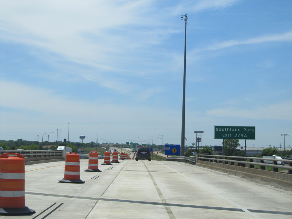 |
Take Exit 279A to Southland Park. (Photo taken 5/23/15). |
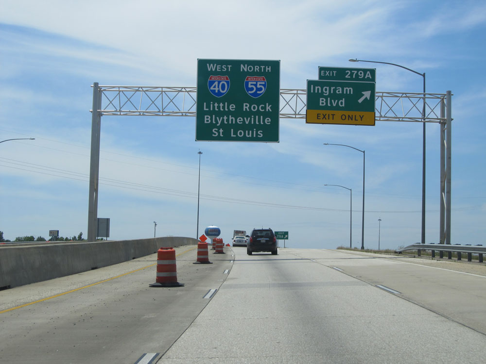 |
Interstate 40 West at Exit 279A: Ingram Blvd (Photo taken 5/23/15). |
 |
Interstate 40 West / Interstate 55 North at Exit 5: Ingram Blvd. Now that I-55 is briefly running concurrently with I-40, this second exit to Ingram Blvd is numbered by I-55's mileage. (Photo taken 5/23/15). |
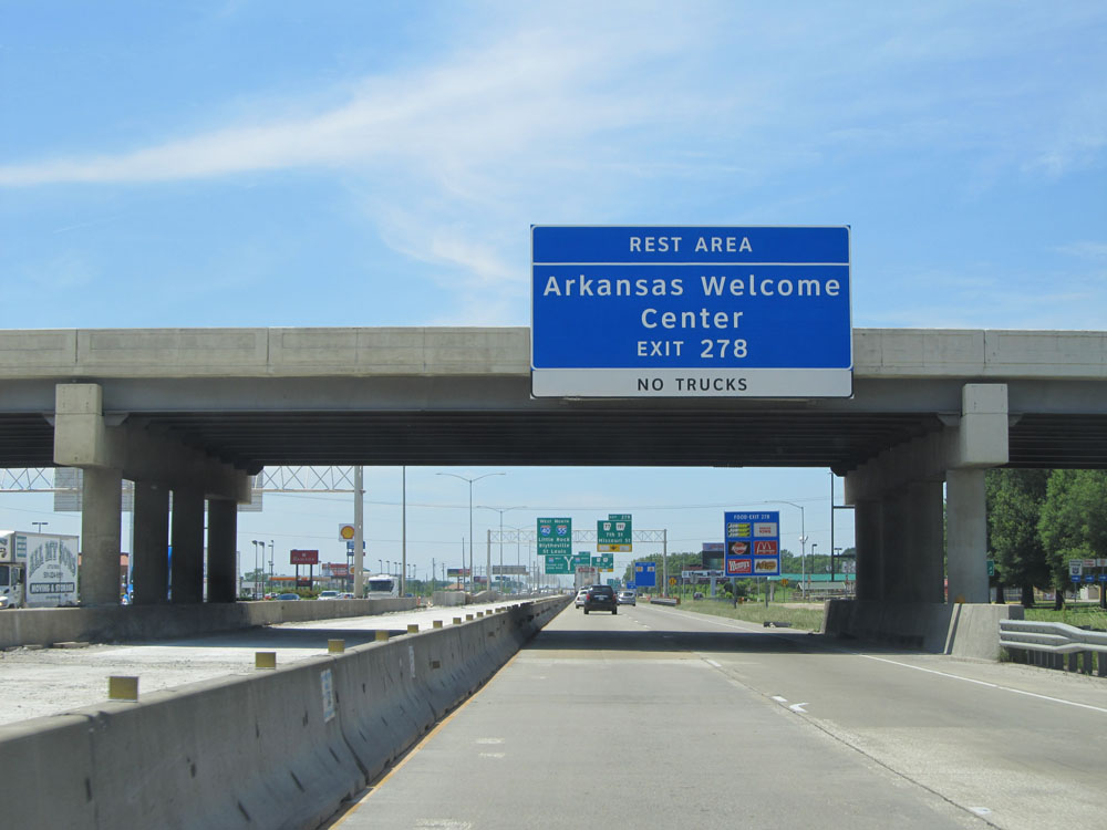 |
Take Exit 278 to the Rest Area / Arkansas Welcome Center. No trucks allowed. (Photo taken 5/23/15). |
 |
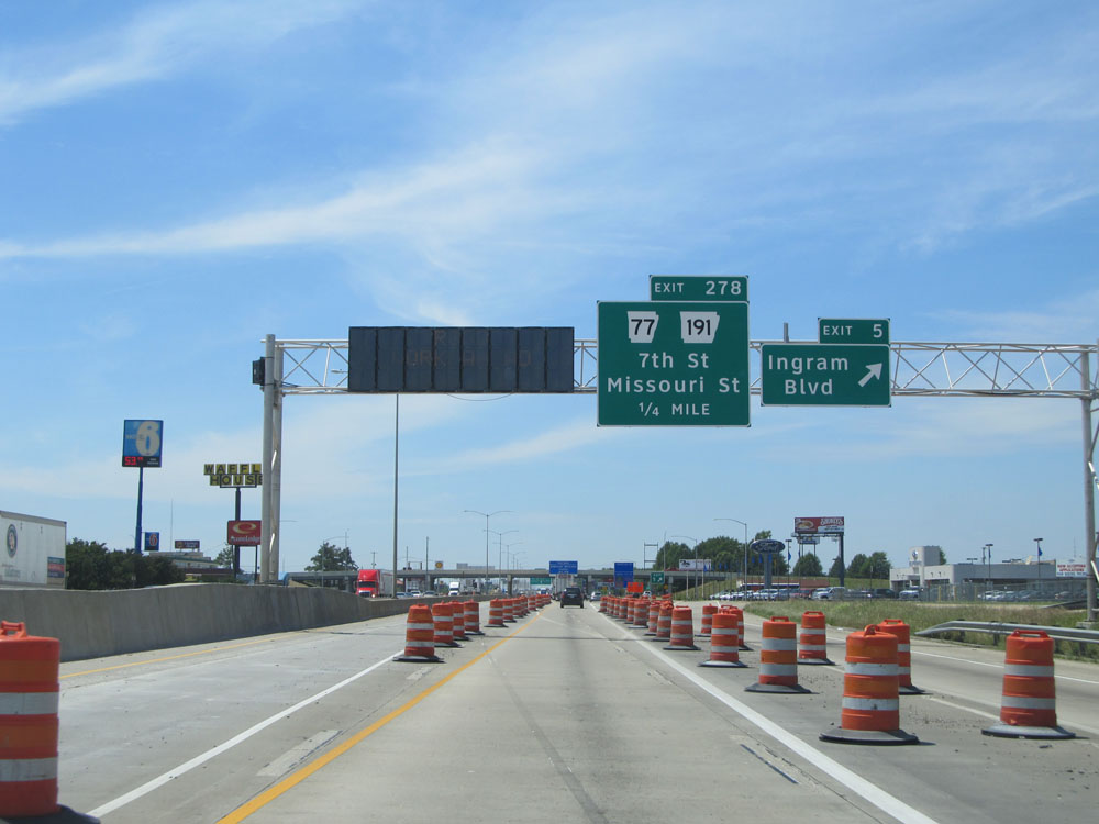
Interstate 40 West / Interstate 55 North at Exit 278: AR 77 / AR 191 - 7th St / Missouri St (Photo taken 5/23/15). |
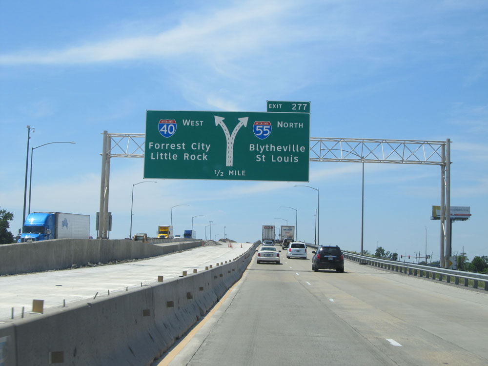 |
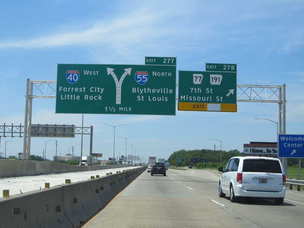
Interstate 40 West / Interstate 55 North approaching Exit 277 - 1/2 mile. (Photo taken 5/23/15). |
 |
Take Exit 277 (Interstate 55 North) to Jonesboro. (Photo taken 5/23/15). |
 |
Interstate 40 West / Interstate 55 North at Exit 277: Interstate 55 North - Blytheville / St Louis (Photo taken 5/23/15). |
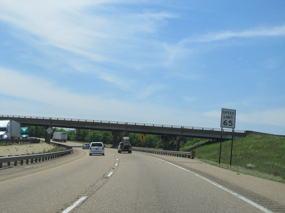 |
Speed limit assurance sign just west of Exit 277. The speed limit remains 65 mph for a bit longer. (Photo taken 5/23/15). |
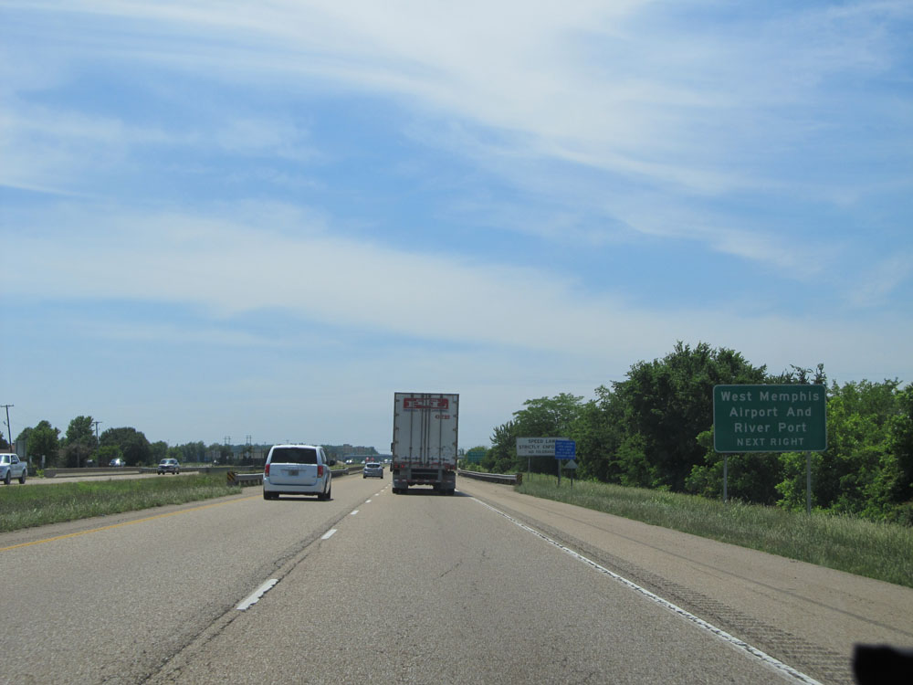 |
Take Exit 275 to West Memphis Airport and Riverport. (Photo taken 5/23/15). |
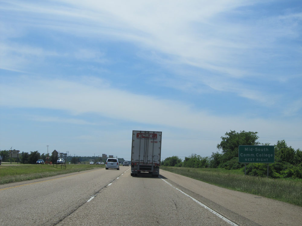 |
Also take Exit 275 to Mid-South Community College. (Photo taken 5/23/15). |
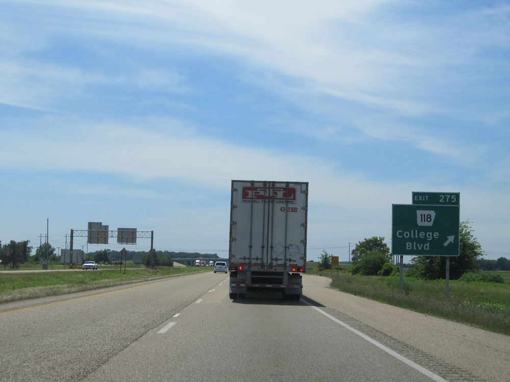 |
Interstate 40 West at Exit 275: AR 118 - College Blvd (Photo taken 5/23/15). |
 |
Interstate 40 West at the Truck Parking Area located near mile marker 274. (Photo taken 5/23/15). |
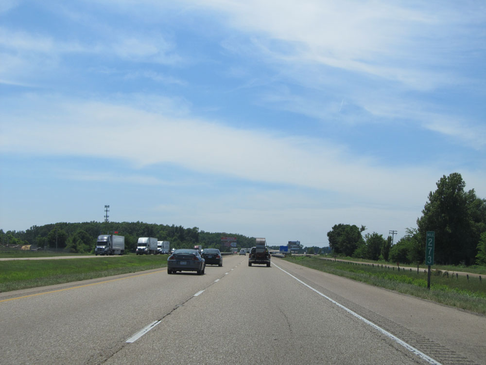 |
Interstate 40 West at mile marker 273. (Photo taken 5/23/15). |
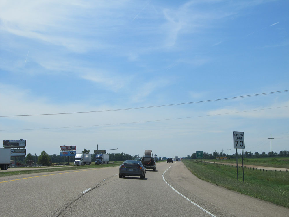 |
About one mile from Exit 271, the speed limit increases to 70 mph for all traffic. This is the standard speed limit on rural Interstates in Arkansas. (Photo taken 5/23/15). |
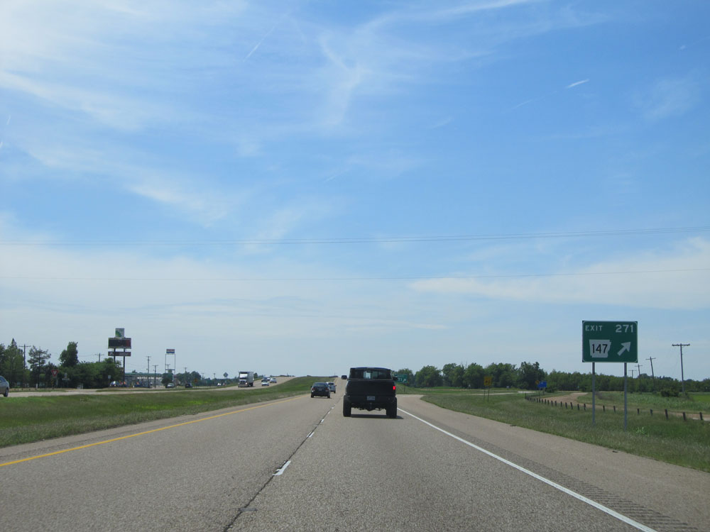 |
Interstate 40 West at Exit 271: AR 147 (Photo taken 5/23/15). |
 |
Interstate 40 West assurance shield just west of Exit 271. (Photo taken 5/23/15). |
 |
Another speed limit sign west of Exit 271. Speed Limit - 70 mph. (Photo taken 5/23/15). |
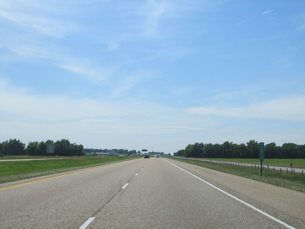 |
Interstate 40 West at mile marker 270. (Photo taken 5/23/15). |
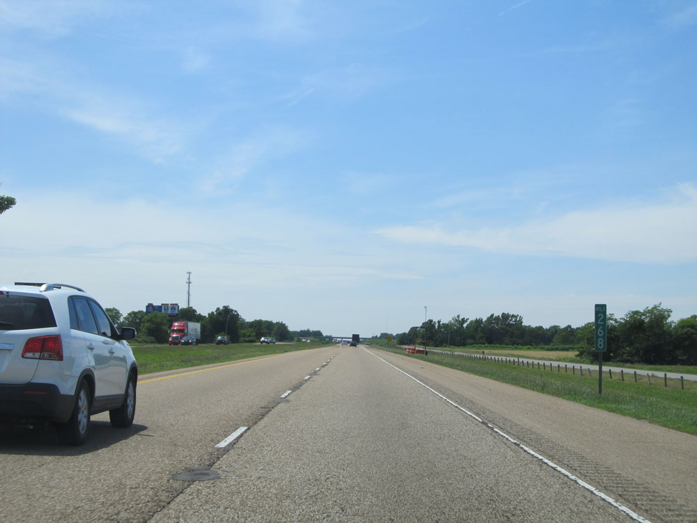 |
Interstate 40 West at mile marker 268. (Photo taken 5/23/15). |
 |
Take Exit 265 to Marianna and Helena-West Helena. (Photo taken 5/23/15). |
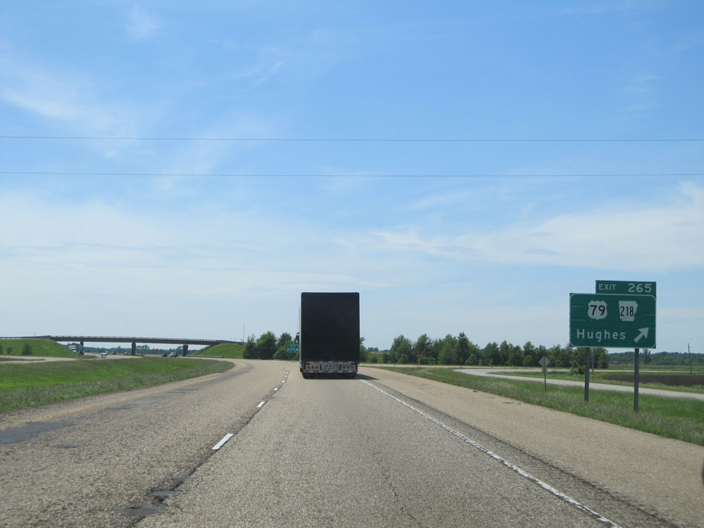 |
Interstate 40 West at Exit 265: US 79 / AR 218 - Hughes (Photo taken 5/23/15). |
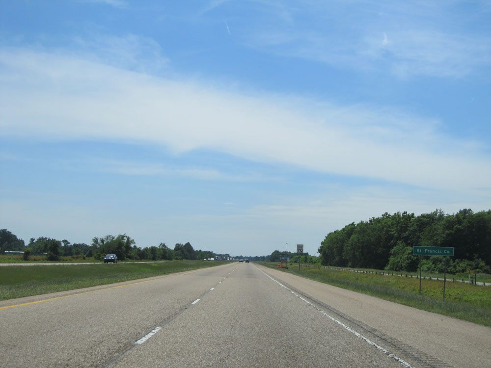 |
Interstate 40 West entering St. Francis County. (Photo taken 5/23/15). |
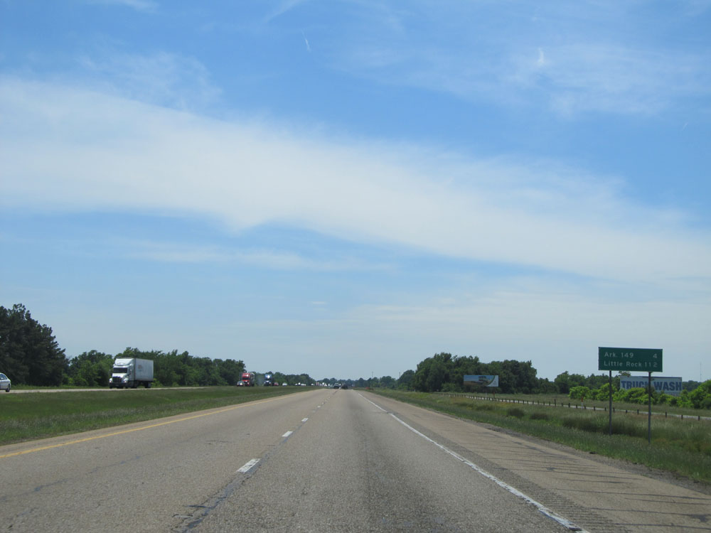 |
Mileage sign on Interstate 40 West. It's 4 miles to the next exit, which is the junction of AR 149. It's 112 miles to Little Rock. (Photo taken 5/23/15). |
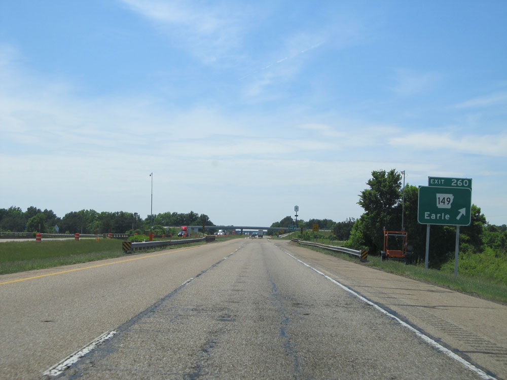 |
Interstate 40 West at Exit 260: AR 149 - Earle (Photo taken 5/23/15). |
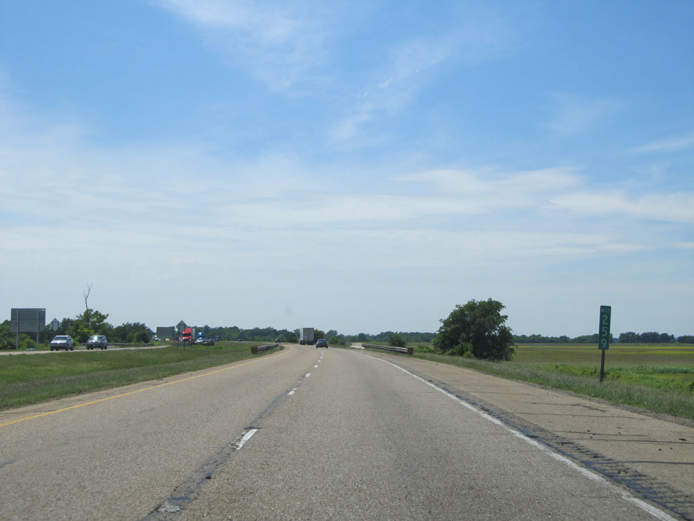 |
Interstate 40 West at mile marker 259. (Photo taken 5/23/15). |
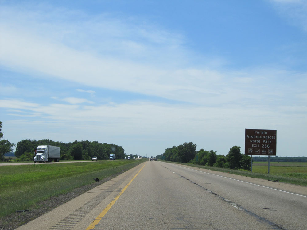 |
Take Exit 256 to Parkin Archeological State Park. (Photo taken 5/23/15). |
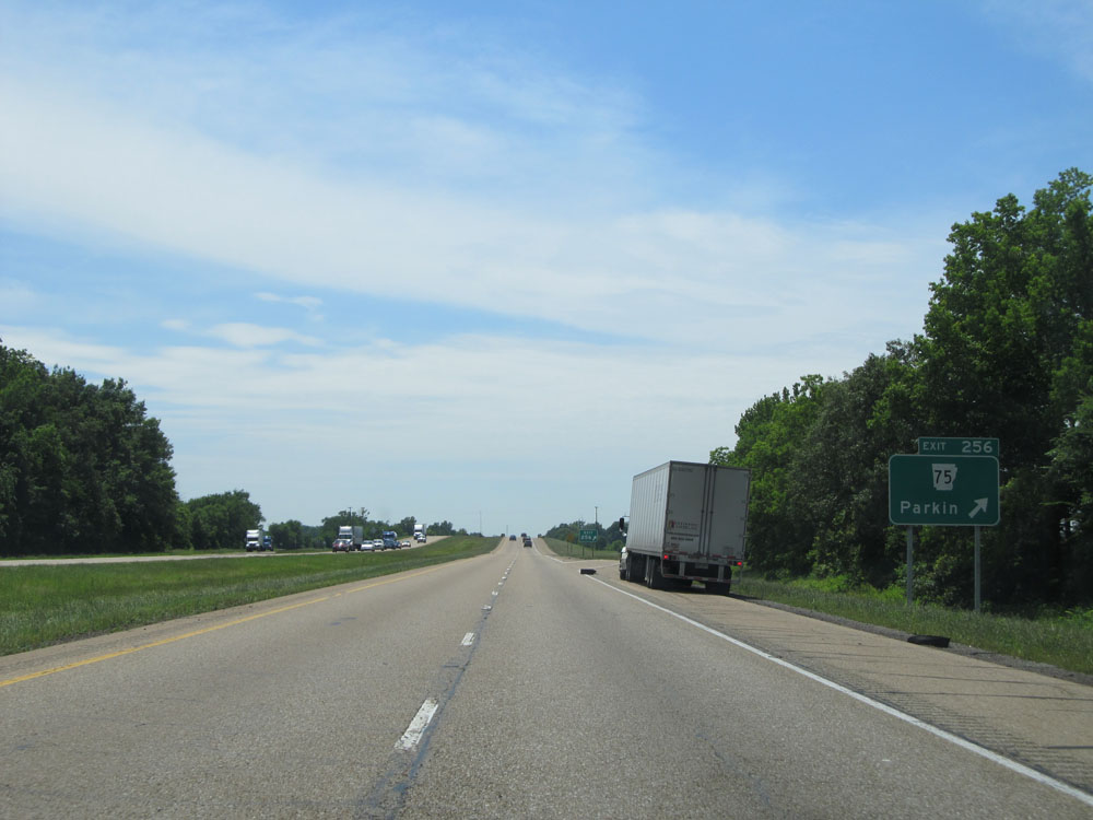 |
Interstate 40 West at Exit 256: AR 75 - Parkin (Photo taken 5/23/15). |
 |
Interstate 40 West at mile marker 253. (Photo taken 5/23/15). |
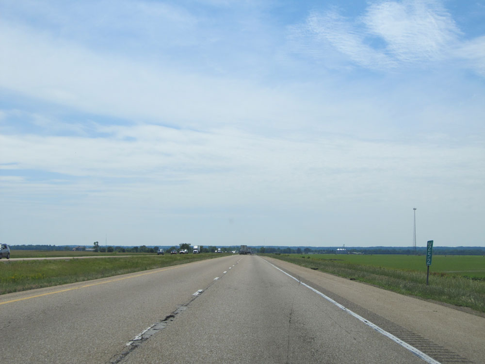 |
Interstate 40 West at mile marker 252. (Photo taken 5/23/15). |
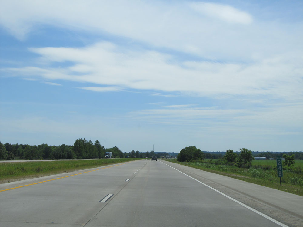 |
Interstate 40 West at mile marker 248. (Photo taken 5/23/15). |
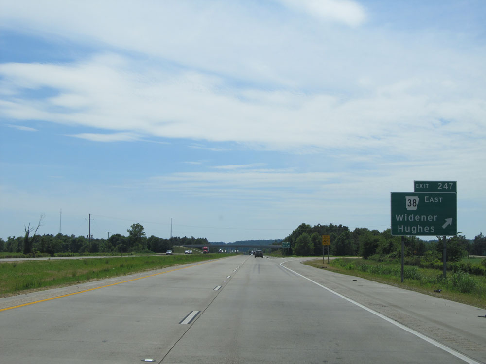 |
Interstate 40 West at Exit 247: AR 38 East - Widener / Hughes (Photo taken 5/23/15). |
 |
Interstate 40 West assurance shield just past Exit 247. (Photo taken 5/23/15). |
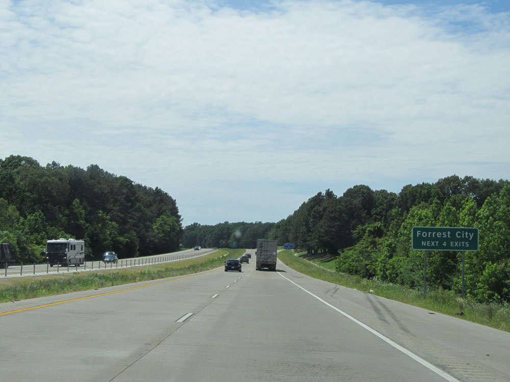 |
Take any of the next 4 exits to Forrest City. (Photo taken 5/23/15). |
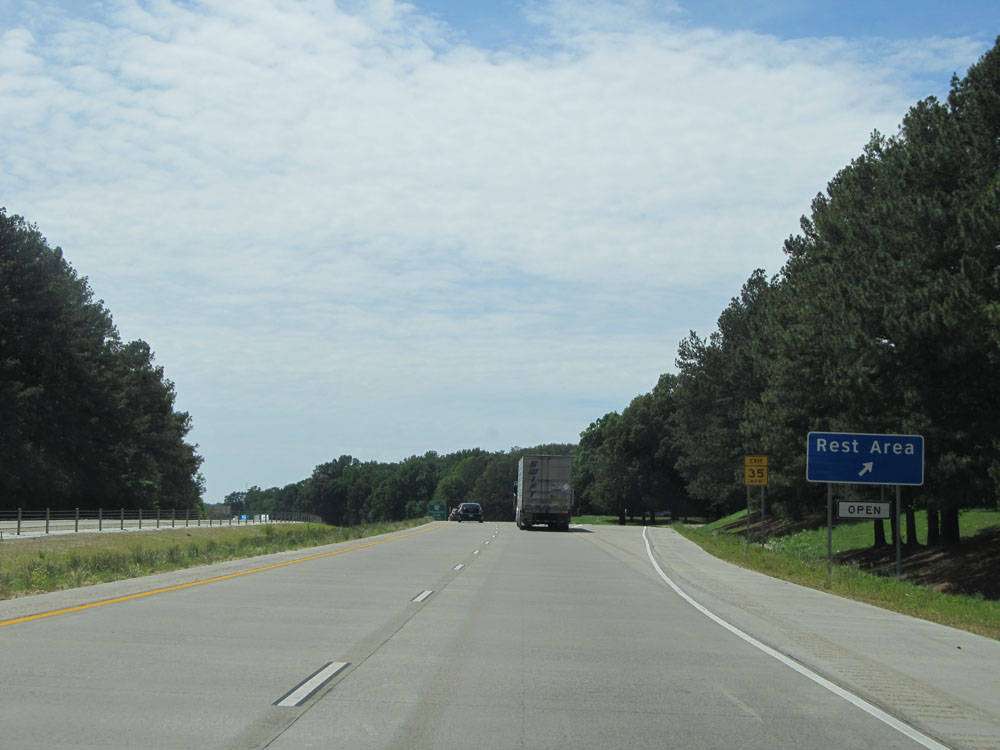 |
Interstate 40 West at the Rest Area located near mile marker 243. (Photo taken 5/23/15). |
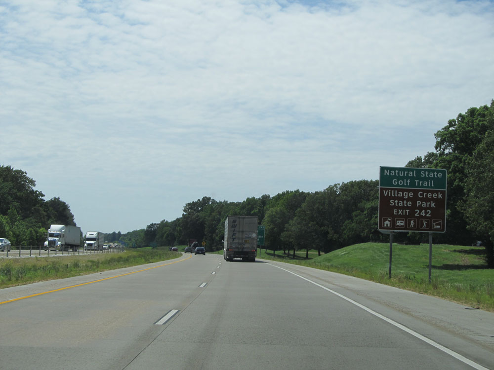 |
Take Exit 242 to Natural State Golf Trail and Village Creek State Park. (Photo taken 5/23/15). |
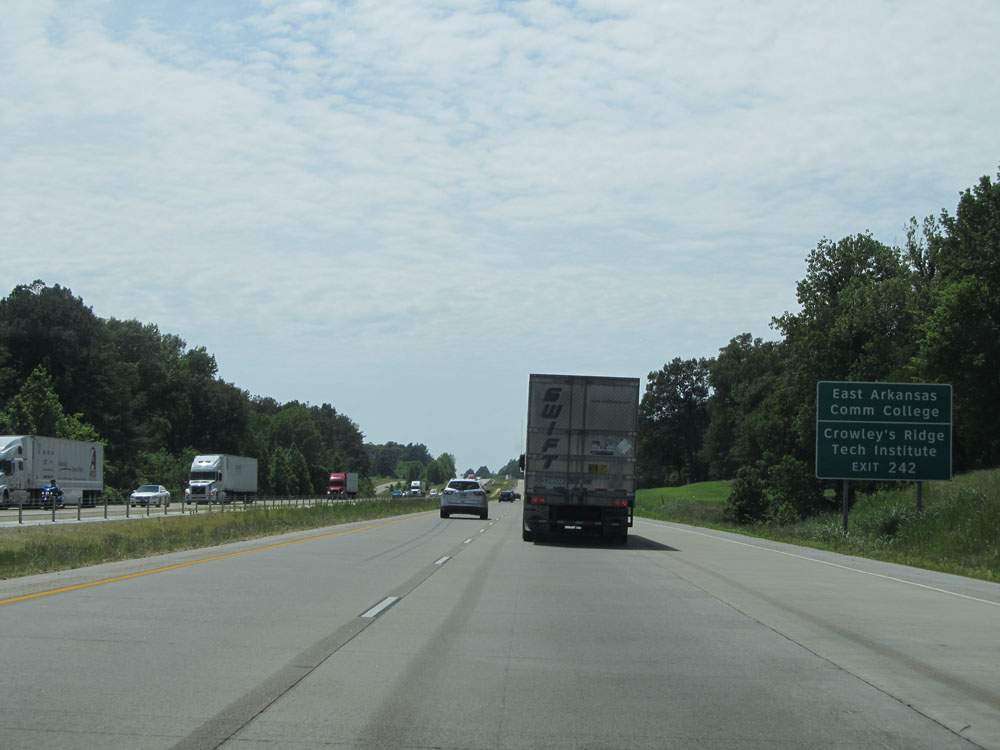 |
Also take Exit 242 to East Arkansas Community College and Crowley's Ridge Tech Institute. (Photo taken 5/23/15). |
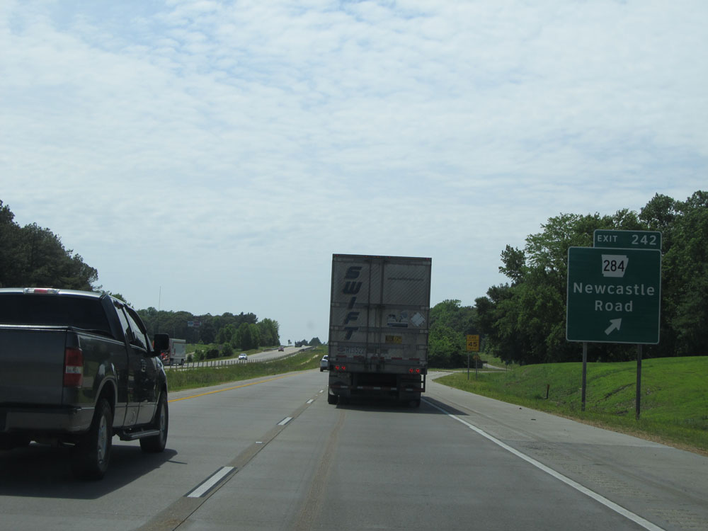 |
Interstate 40 West at Exit 242: AR 284 - Newcastle Road (Photo taken 5/23/15). |
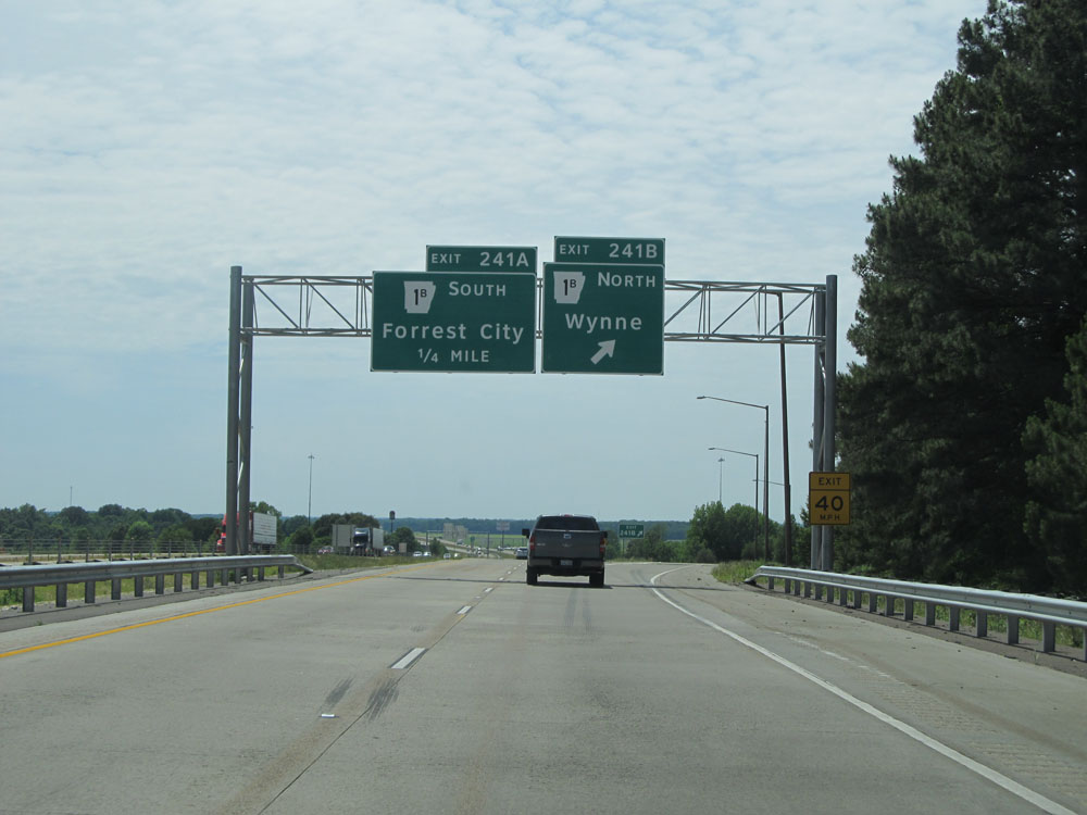 |
Interstate 40 West at Exit 241B: AR 1B North - Wynne (Photo taken 5/23/15). |
 |
Interstate 40 West at Exit 241A: AR 1B South - Forrest City (Photo taken 5/23/15). |
 |
Interstate 40 West at Exit 239: AR 1 - Wynne / Marianna (Photo taken 5/23/15). |
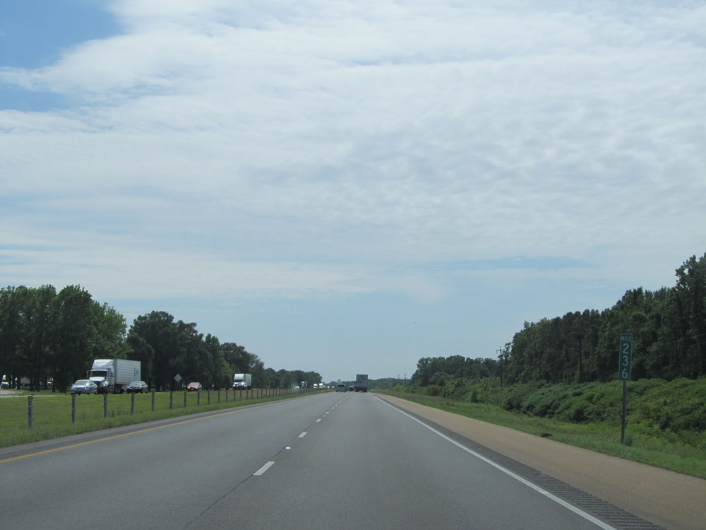 |
Interstate 40 West at mile marker 236. (Photo taken 5/23/15). |
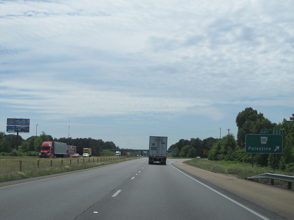 |
Interstate 40 West at Exit 233: AR 261 - Palestine (Photo taken 5/23/15). |
Section 2: Palestine (Exit 233) to North Little Rock (Exit 152A)
 |
Interstate 40 West at mile marker 228. (Photo taken 5/23/15). |
 |
Interstate 40 West at mile marker 224. (Photo taken 5/23/15). |
 |
Interstate 40 West at Exit 221: AR 78 - Wheatley / Marianna (Photo taken 5/23/15). |
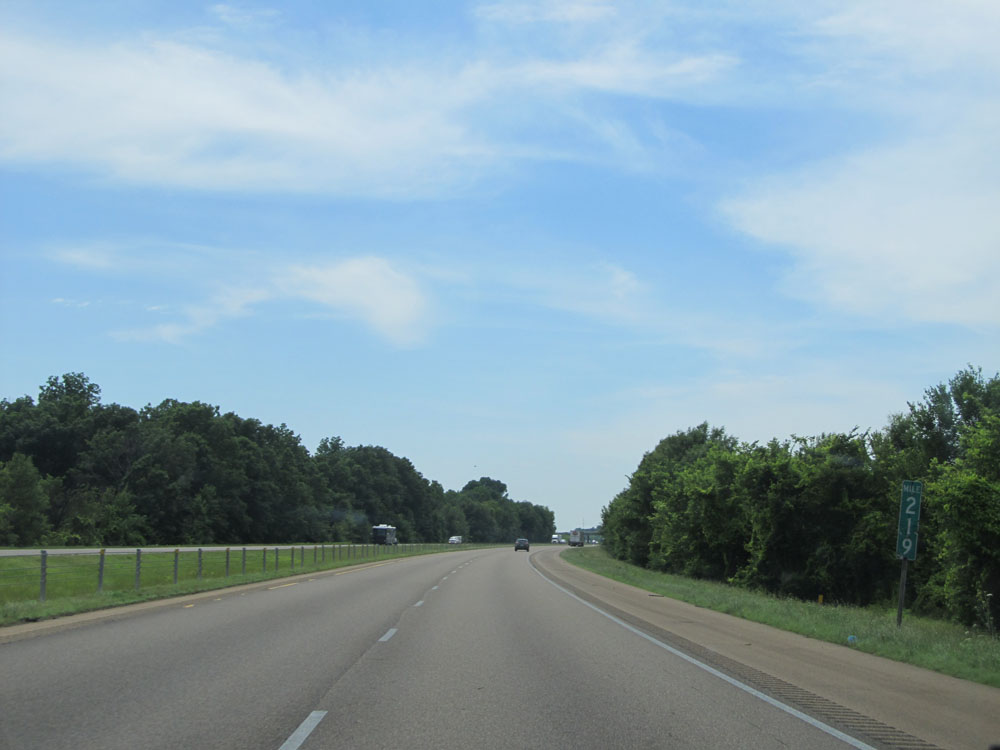 |
Interstate 40 West at mile marker 219. (Photo taken 5/23/15). |
 |
Interstate 40 West entering Monroe County. (Photo taken 5/23/15). |
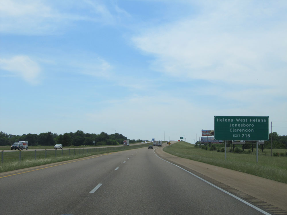 |
Take Exit 216 to Helena-West Helena, Jonesboro, and Clarendon. (Photo taken 5/23/15). |
 |
Interstate 40 West at Exit 216: US 49 / AR 17 - Brinkley / Cotton Plant (Photo taken 5/23/15). |
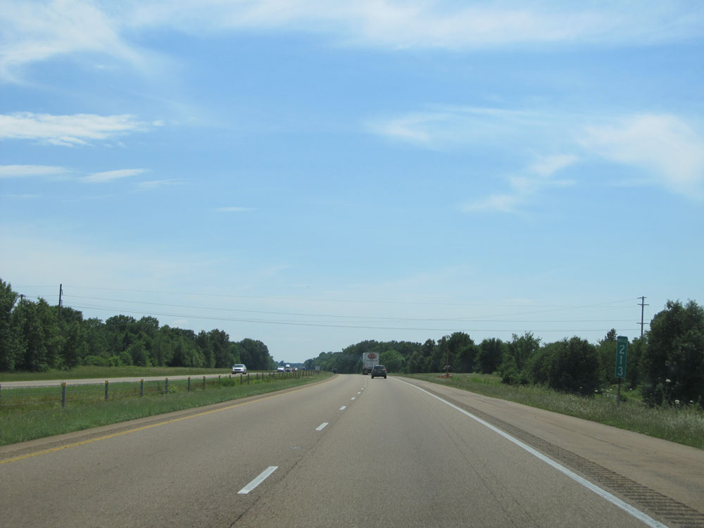 |
Interstate 40 West at mile marker 213. (Photo taken 5/23/15). |
 |
Interstate 40 West at mile marker 208. (Photo taken 5/23/15). |
 |
Interstate 40 West entering Prairie County. (Photo taken 5/23/15). |
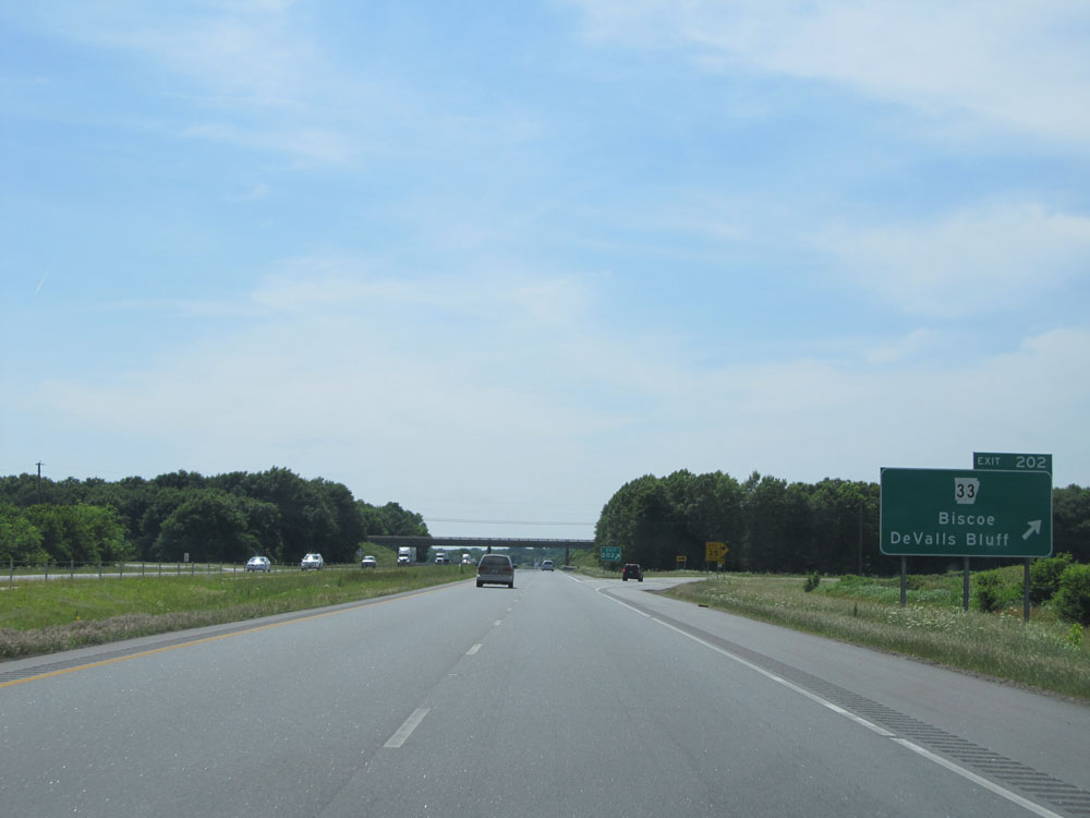 |
Interstate 40 West at Exit 202: AR 33 - Biscoe / DeValls Bluff (Photo taken 5/23/15). |
 |
Interstate 40 West at mile marker 201. (Photo taken 5/23/15). |
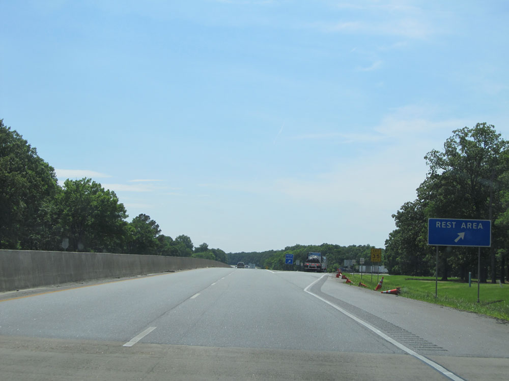 |
Interstate 40 West at the Rest Area located at mile marker 199. (Photo taken 5/23/15). |
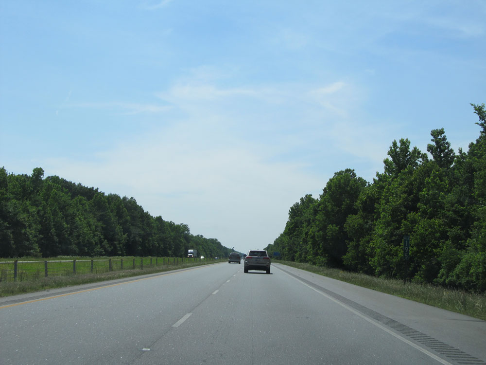 |
Interstate 40 West at mile marker 195. (Photo taken 5/23/15). |
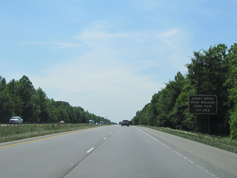 |
Take Exit 193 to Lower White River Museum and State Park. (Photo taken 5/23/15). |
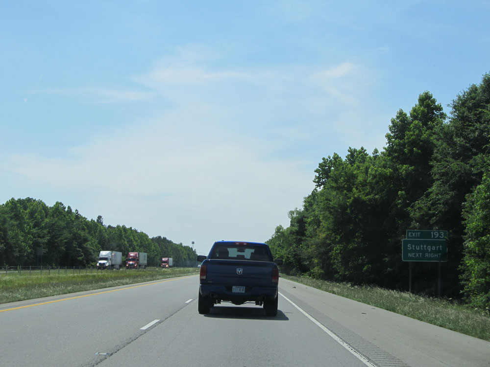 |
Also take Exit 193 to Stuttgart. (Photo taken 5/23/15). |
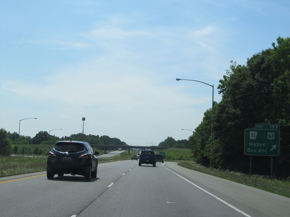 |
Interstate 40 West at Exit 193: AR 11 / US 63 - Hazen / Des Arc (Photo taken 5/23/15). |
 |
Mileage sign west of Exit 193. It's 11 miles to Carlisle and 41 miles to Little Rock. (Photo taken 5/23/15). |
 |
Interstate 40 West at mile marker 185. (Photo taken 5/23/15). |
 |
Interstate 40 West at Exit 183: AR 13 - Carlisle (Photo taken 5/23/15). |
 |
Interstate 40 West at mile marker 176. (Photo taken 5/23/15). |
 |
Interstate 40 West at Exit 175: AR 31 - Lonoke / Beebe (Photo taken 5/23/15). |
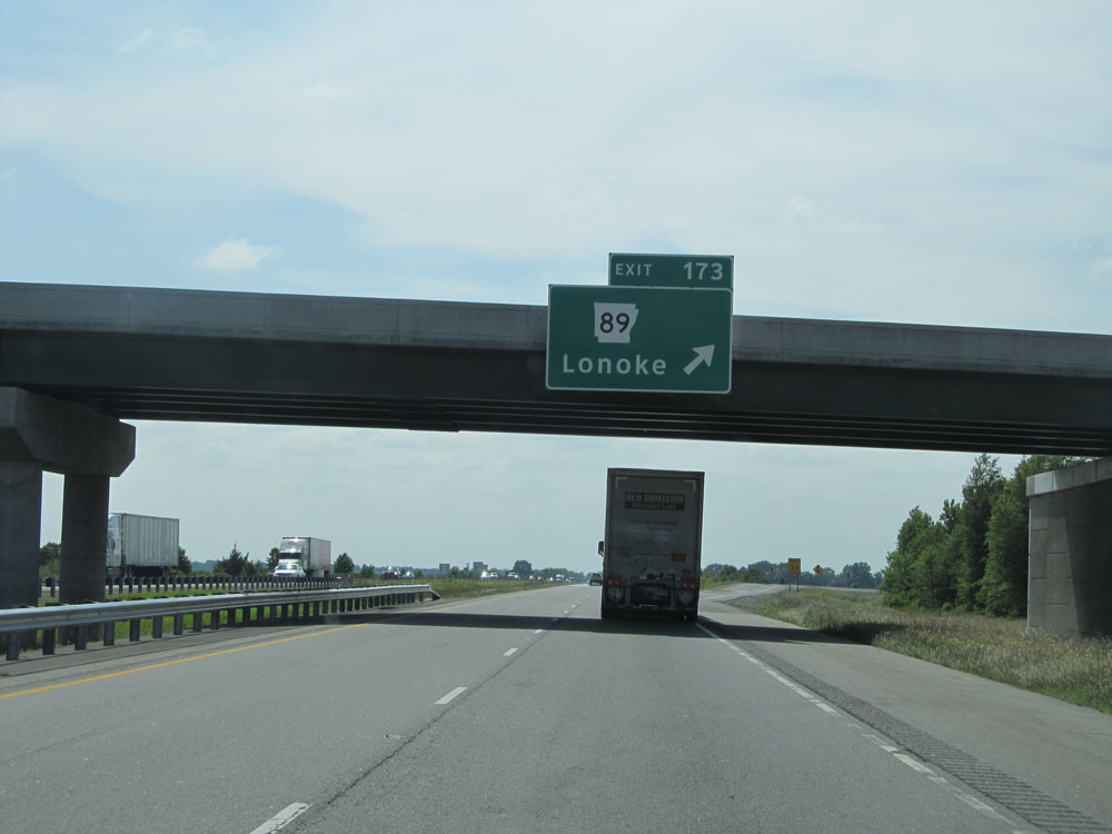 |
Interstate 40 West at Exit 173: AR 89 - Lonoke (Photo taken 5/23/15). |
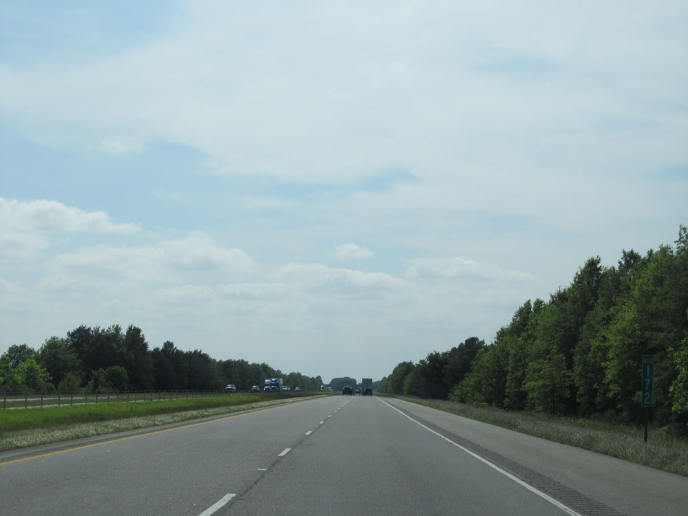 |
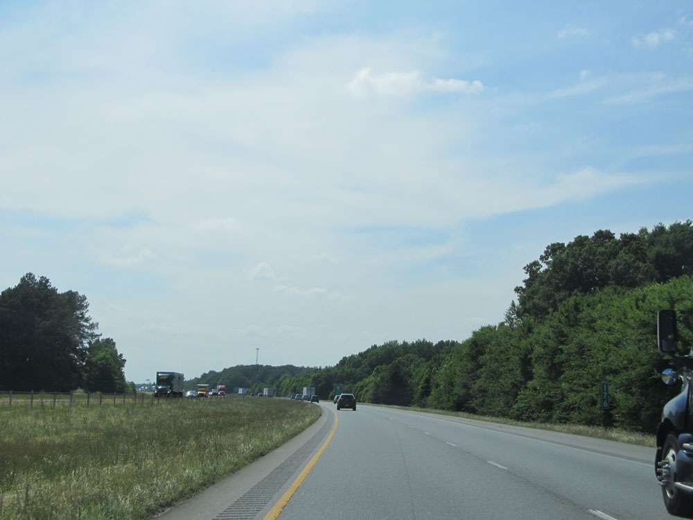
Interstate 40 West at mile marker 172. (Photo taken 5/23/15). |
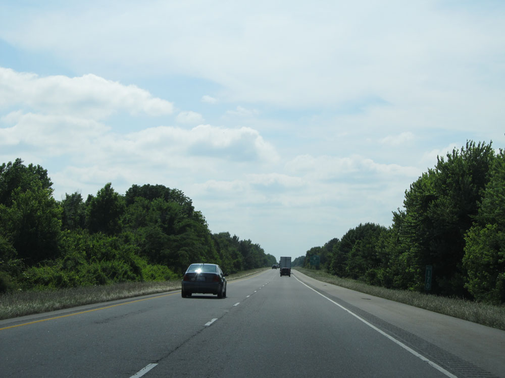 |
Interstate 40 West at mile marker 170. (Photo taken 5/23/15). |
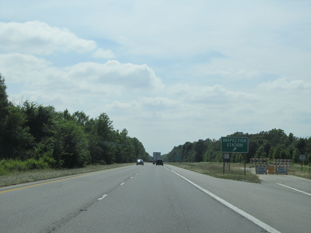 |
Interstate 40 West at the Commercial Vehicle Inspection Station located near mile marker 169.5. (Photo taken 5/23/15). |
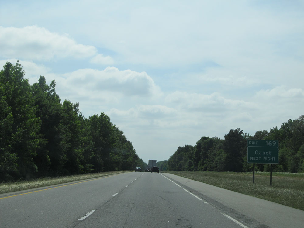 |
Take Exit 169 to Cabot. (Photo taken 5/23/15). |
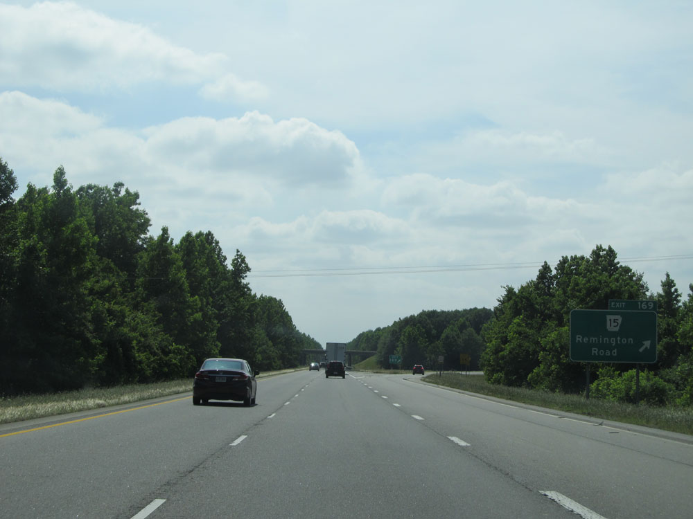 |
Interstate 40 West at Exit 169: AR 15 - Remington Road (Photo taken 5/23/15). |
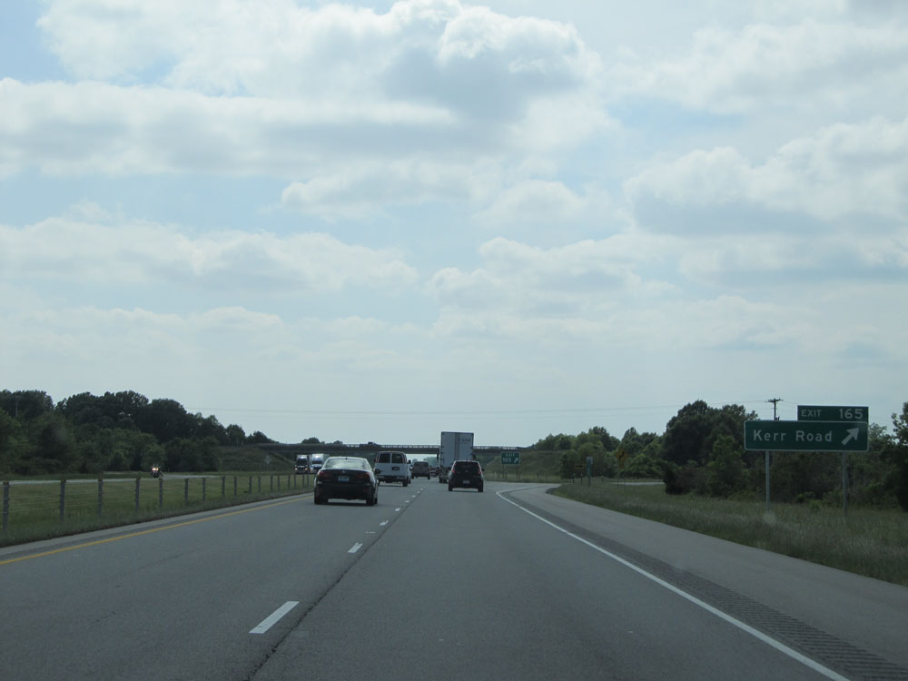 |
Interstate 40 West at Exit 165: Kerr Road (Photo taken 5/23/15). |
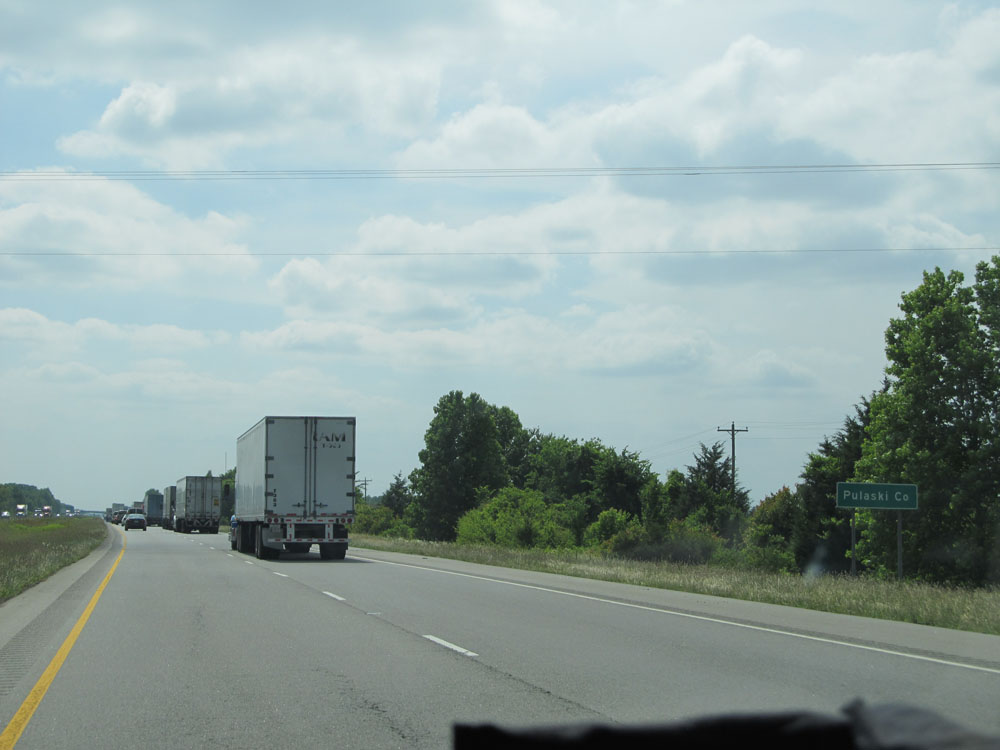 |
Interstate 40 West entering Pulaski County. (Photo taken 5/23/15). |
 |
Interstate 40 West at Exit 161: AR 391 - Galloway (Photo taken 5/23/15). |
 |
Interstate 40 West approaching Exit 159 - 1 mile. (Photo taken 5/23/15). |
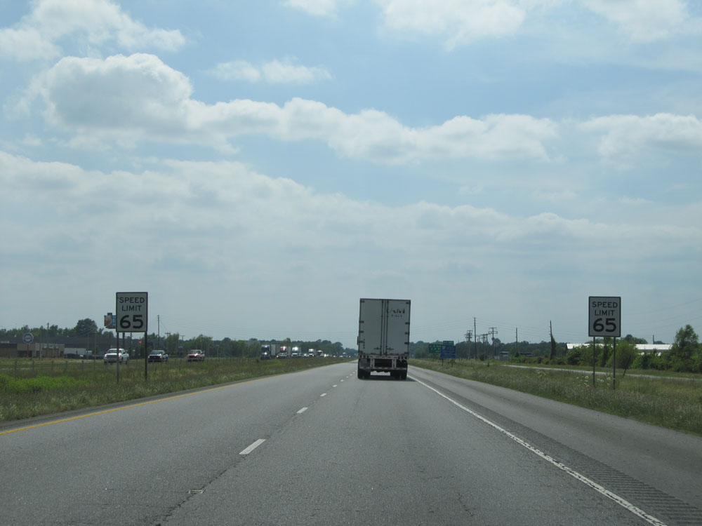 |
Approaching Exit 159 and the Little Rock area, the speed limit decreases to 65 mph for all traffic. (Photo taken 5/23/15). |
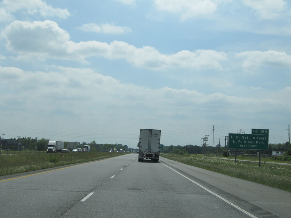 |
Take Exit 159 to Little Rock National Airport and Little Rock River Port. (Photo taken 5/23/15). |
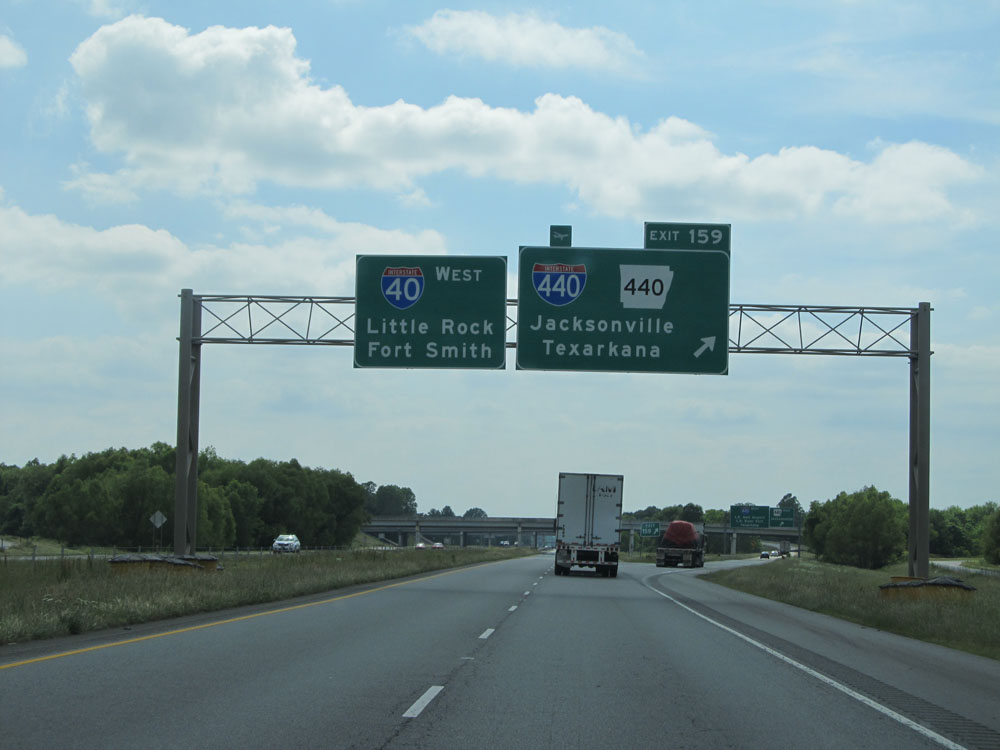 |
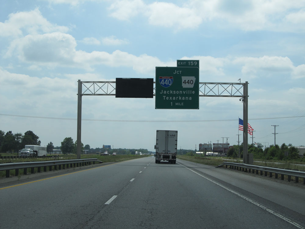
Interstate 40 West at Exit 159: Interstate 440 / AR 440 - Jacksonville / Texarkana (Photo taken 5/23/15). |
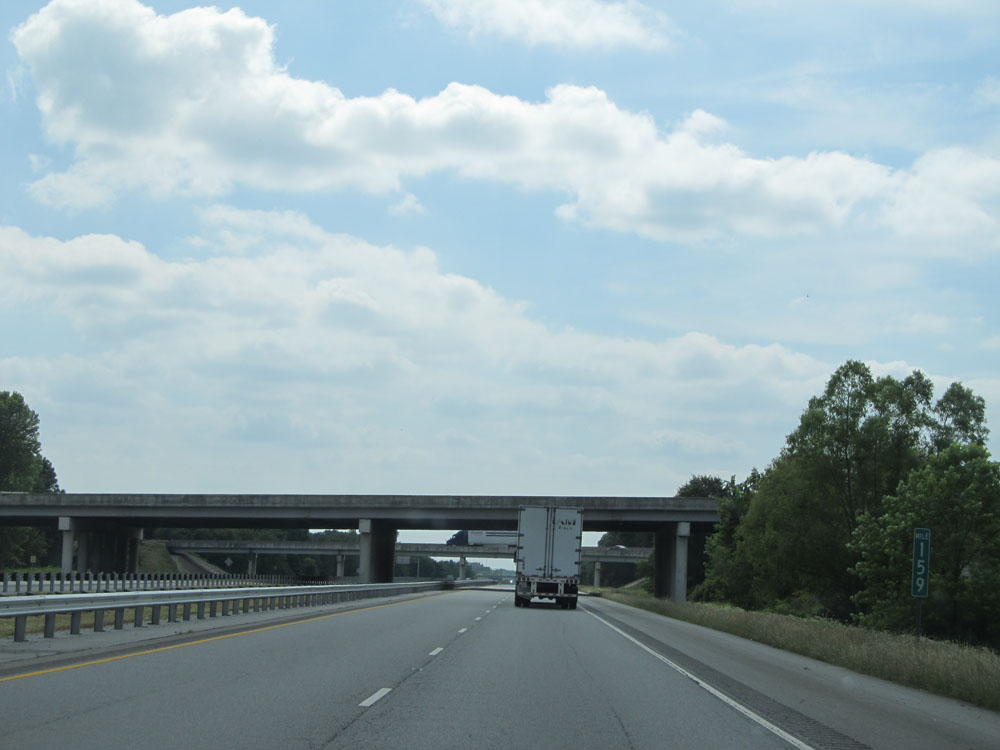 |
At mile marker 159, Interstate 40 West prepares to pass under the ramps to Interstate 440. (Photo taken 5/23/15). |
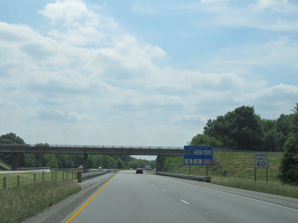 |
Approaching Exit 157, the speed limit decreases to 60 mph as we near North Little Rock. (Photo taken 5/23/15). |
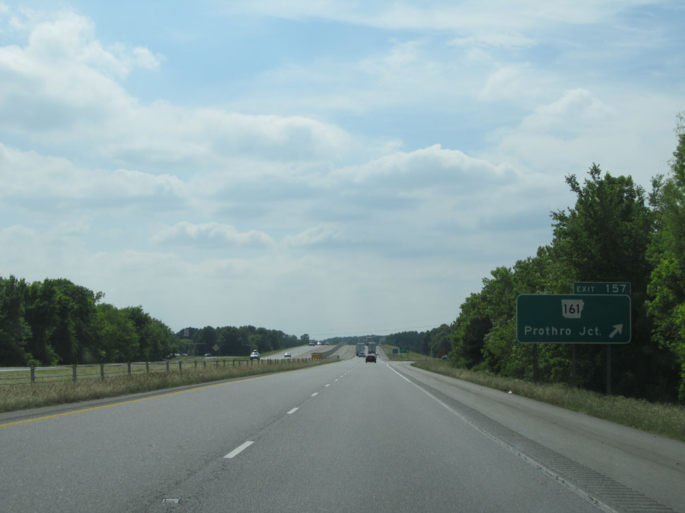 |
Interstate 40 West at Exit 157: AR 161 - Prothro Jct (Photo taken 5/23/15). |
 |
Interstate 40 West at Exit 156: Springhill Drive / Baptist Health Medical Center - North Little Rock (Photo taken 5/23/15). |
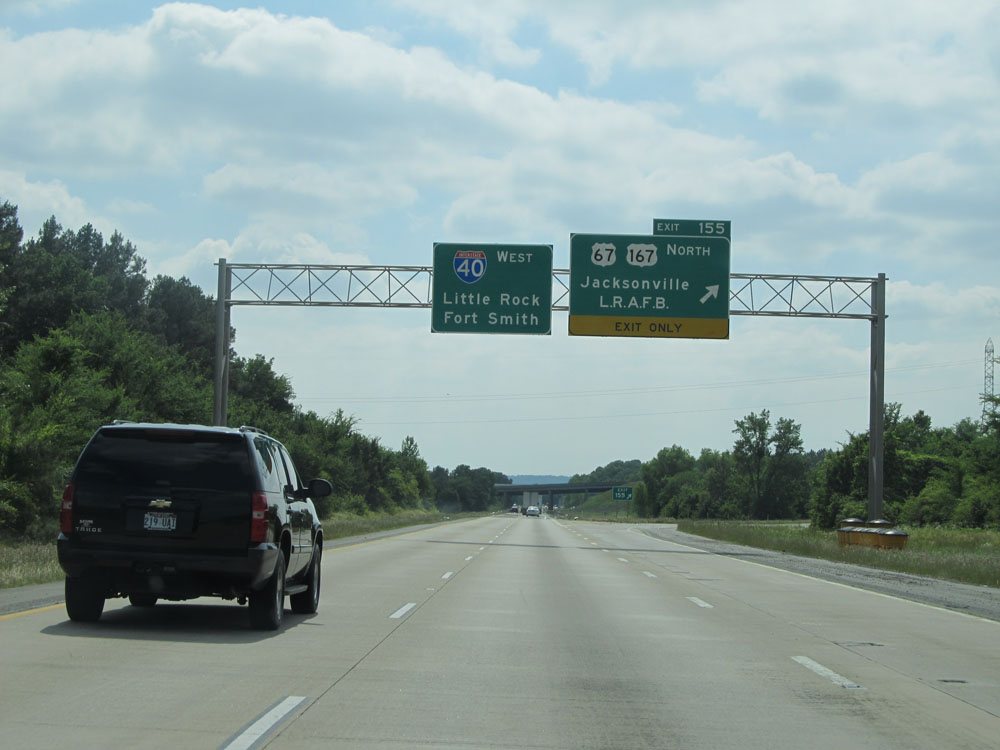 |
Interstate 40 West at Exit 155: US 67 / US 167 North - Jacksonville / Little Rock Air Force Base (Photo taken 5/23/15). |
 |
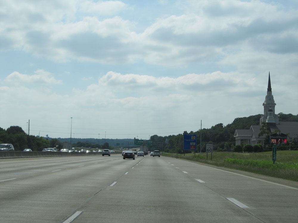
Interstate 40 West approaching Exit 153B - 1/2 mile on the left. (Photo taken 5/23/15). |
 |
Interstate 40 West at mile marker 154. (Photo taken 5/23/15). |
 |
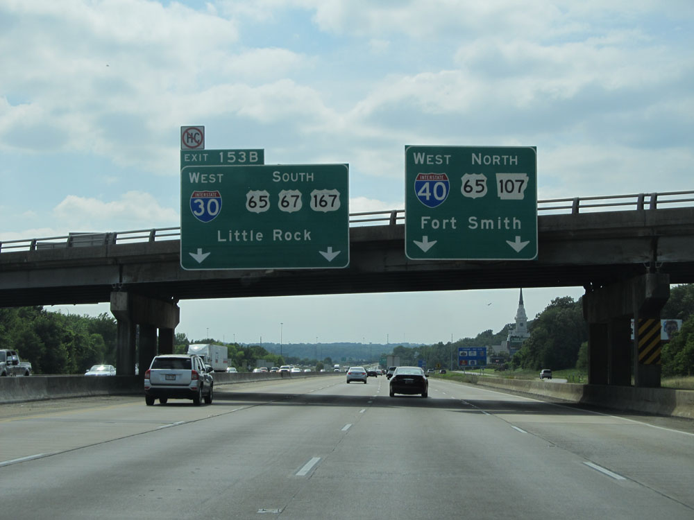
Interstate 40 West at Exit 153B: Interstate 30 West / US 65 South / US 67 South / US 167 South - Little Rock (Photo taken 5/23/15). |
 |
Take Exit 153A to J.F.K. Blvd. (Photo taken 5/23/15). |
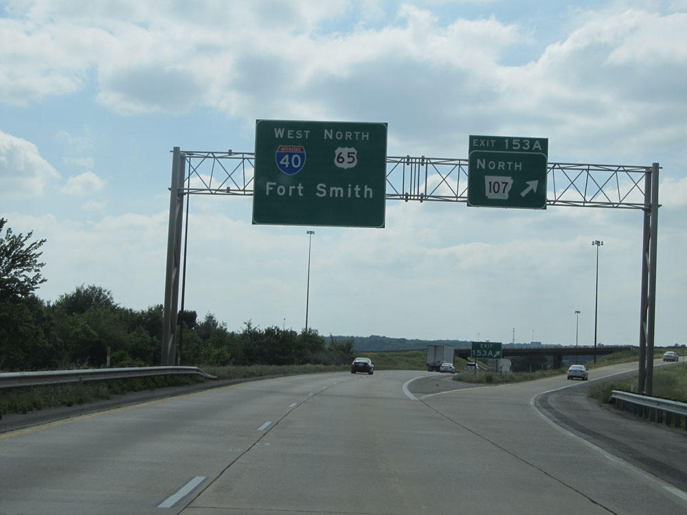 |
Interstate 40 West at Exit 153A: AR 107 North (Photo taken 5/23/15). |
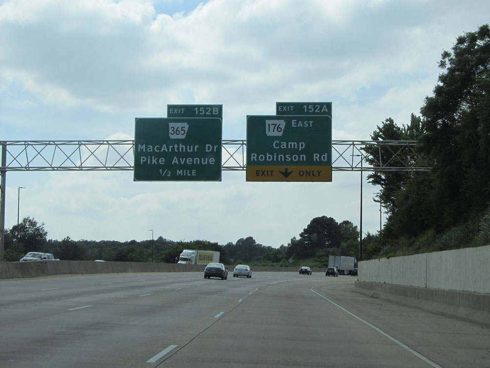 |
Interstate 40 West at Exit 152A: AR 176 East - Camp Robinson Rd (Photo taken 5/23/15). |